

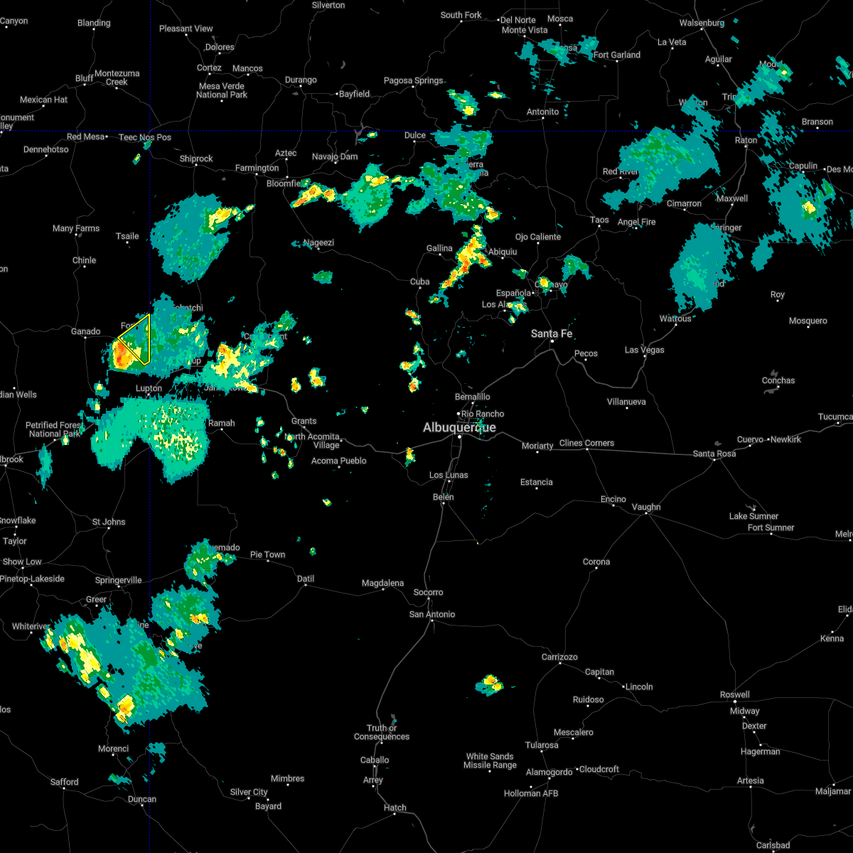
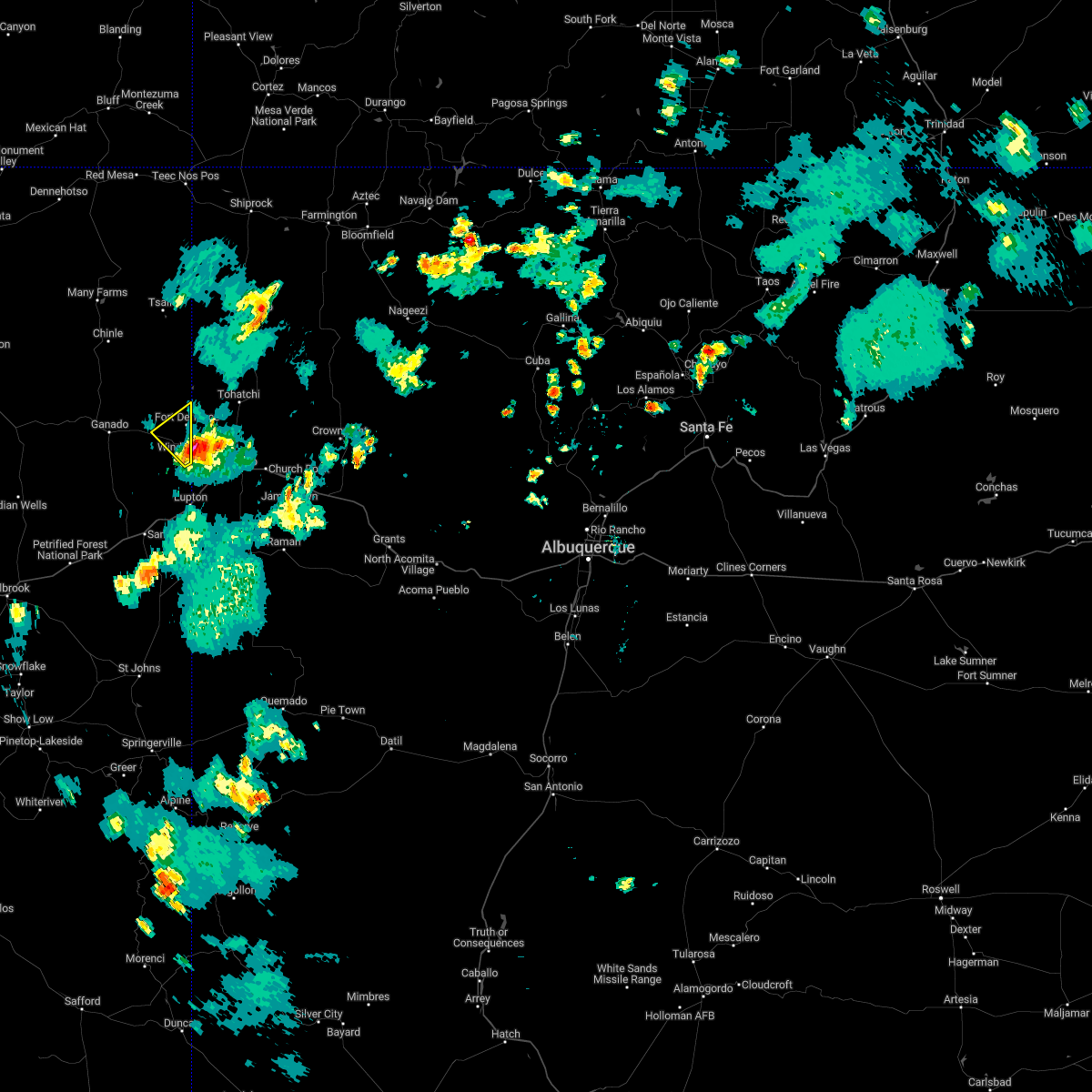
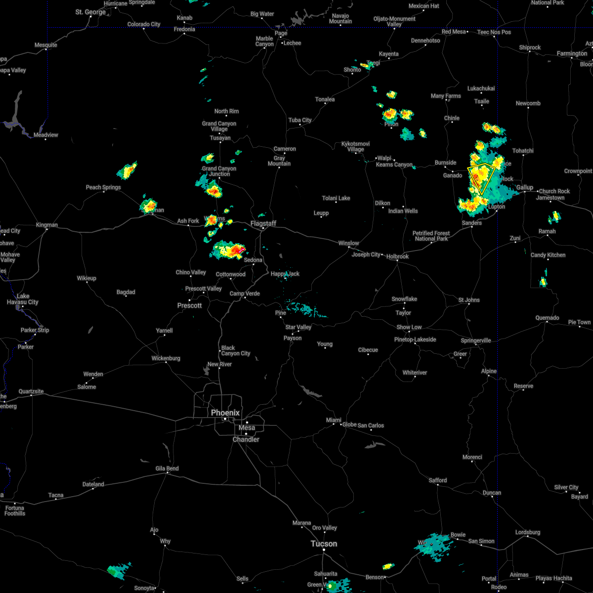
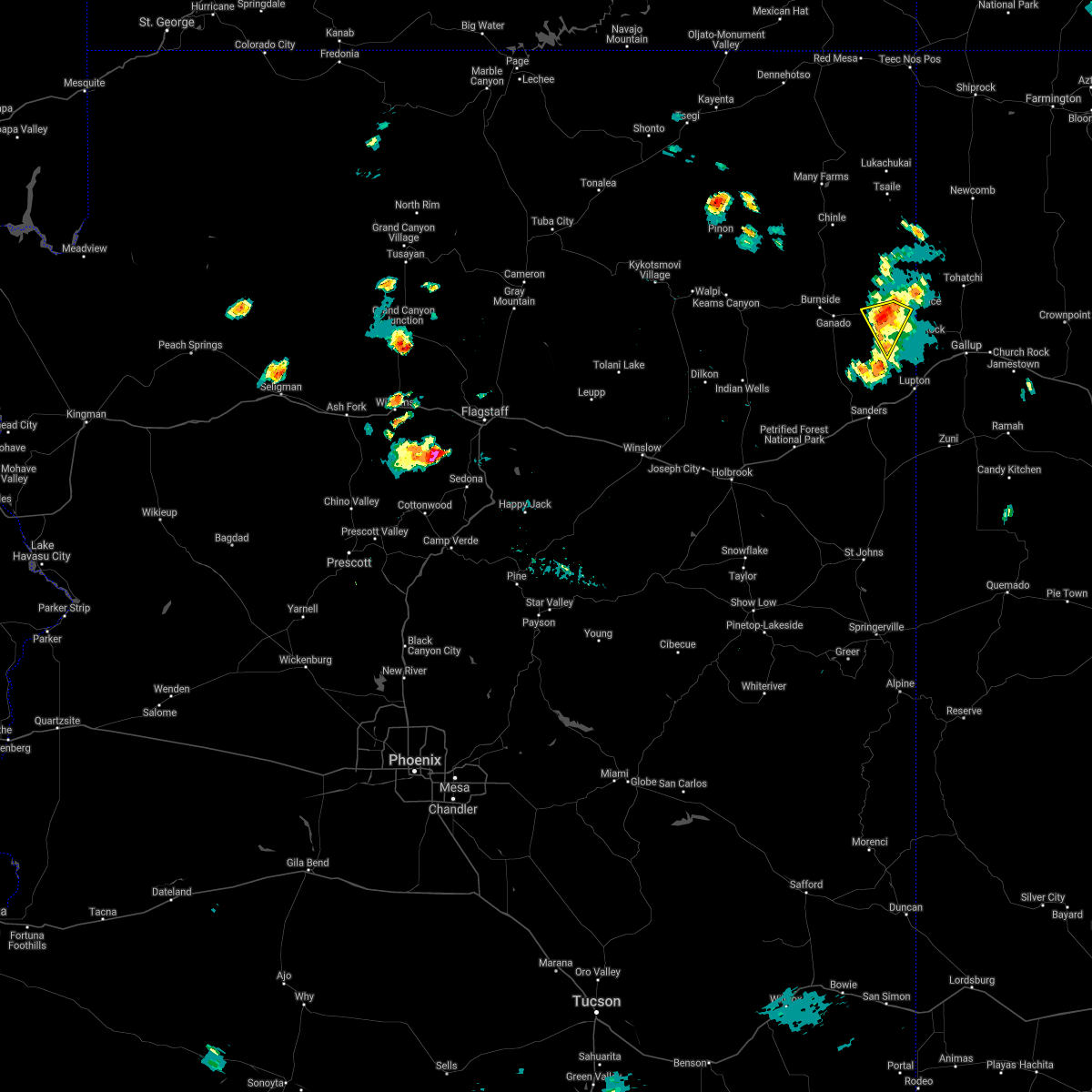
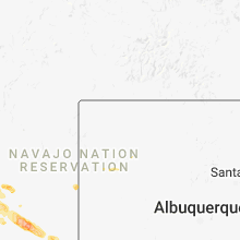
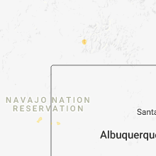
Hail Map for St. Michaels, AZ
The St. Michaels, AZ area has had 0 reports of on-the-ground hail by trained spotters, and has been under severe weather warnings 0 times during the past 12 months. Doppler radar has detected hail at or near St. Michaels, AZ on 8 occasions.
| Name: | St. Michaels, AZ |
| Where Located: | 89 miles SSW of Farmington, NM |
| Map: | Google Map for St. Michaels, AZ |
| Population: | 1443 |
| Housing Units: | 518 |
| More Info: | Search Google for St. Michaels, AZ |
0
The Top Recent Hail Date for St. Michaels, AZ is Friday, June 21, 2024 (4th out of 8)

Hail and Wind Damage Spotted near St. Michaels, AZ
| Date / Time | Report Details |
|---|---|
| 8/16/2022 5:39 PM MDT |
 The severe thunderstorm warning for apache county will expire at 445 pm mst, the storm which prompted the warning near window rock has weakened below severe limits, and has exited the warned area. therefore, the warning will be allowed to expire. however heavy rain is still possible with this thunderstorm. turn around, don`t drown. The severe thunderstorm warning for apache county will expire at 445 pm mst, the storm which prompted the warning near window rock has weakened below severe limits, and has exited the warned area. therefore, the warning will be allowed to expire. however heavy rain is still possible with this thunderstorm. turn around, don`t drown.
|
| 8/16/2022 4:55 PM MDT |
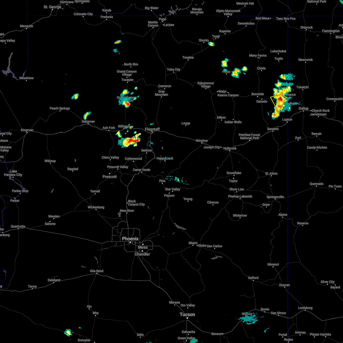
 At 354 pm mst, a severe thunderstorm was located over window rock, moving northwest at 15 mph (radar indicated). Hazards include 60 mph wind gusts and quarter size hail. Hail damage to vehicles is expected. Expect wind damage to roofs, siding, and trees. At 354 pm mst, a severe thunderstorm was located over window rock, moving northwest at 15 mph (radar indicated). Hazards include 60 mph wind gusts and quarter size hail. Hail damage to vehicles is expected. Expect wind damage to roofs, siding, and trees.
|
| 8/15/2021 2:51 PM MDT |
 The severe thunderstorm warning for apache county will expire at 300 pm mdt, the storm which prompted the warning has weakened below severe limits, and no longer poses an immediate threat to life or property. therefore, the warning will be allowed to expire. however heavy rain is still possible with this thunderstorm. The severe thunderstorm warning for apache county will expire at 300 pm mdt, the storm which prompted the warning has weakened below severe limits, and no longer poses an immediate threat to life or property. therefore, the warning will be allowed to expire. however heavy rain is still possible with this thunderstorm.
|
| 8/15/2021 2:39 PM MDT |
 At 239 pm mdt, a severe thunderstorm was located 8 miles west of window rock, or 29 miles west of gallup, moving southwest at 5 mph (radar indicated). Hazards include quarter size hail. Damage to vehicles is expected. this severe thunderstorm will remain over mainly rural areas of apache county. hail threat, radar indicated max hail size, 1. 00 in wind threat, radar indicated max wind gust, <50 mph. At 239 pm mdt, a severe thunderstorm was located 8 miles west of window rock, or 29 miles west of gallup, moving southwest at 5 mph (radar indicated). Hazards include quarter size hail. Damage to vehicles is expected. this severe thunderstorm will remain over mainly rural areas of apache county. hail threat, radar indicated max hail size, 1. 00 in wind threat, radar indicated max wind gust, <50 mph.
|
| 8/15/2021 2:22 PM MDT |
 At 222 pm mdt, a severe thunderstorm was located 7 miles west of window rock, or 28 miles northwest of gallup, moving southwest at 5 mph (radar indicated). Hazards include quarter size hail. Damage to vehicles is expected. this severe thunderstorm will remain over mainly rural areas of apache county. hail threat, radar indicated max hail size, 1. 00 in wind threat, radar indicated max wind gust, <50 mph. At 222 pm mdt, a severe thunderstorm was located 7 miles west of window rock, or 28 miles northwest of gallup, moving southwest at 5 mph (radar indicated). Hazards include quarter size hail. Damage to vehicles is expected. this severe thunderstorm will remain over mainly rural areas of apache county. hail threat, radar indicated max hail size, 1. 00 in wind threat, radar indicated max wind gust, <50 mph.
|
| 9/1/2018 11:18 AM MDT |
 At 1017 am mst, a severe thunderstorm was located near window rock, or 22 miles northwest of gallup, moving northeast at 25 mph (radar indicated). Hazards include 60 mph wind gusts and half dollar size hail. Hail damage to vehicles is expected. Expect wind damage to roofs, siding, and trees. At 1017 am mst, a severe thunderstorm was located near window rock, or 22 miles northwest of gallup, moving northeast at 25 mph (radar indicated). Hazards include 60 mph wind gusts and half dollar size hail. Hail damage to vehicles is expected. Expect wind damage to roofs, siding, and trees.
|
| 6/30/2015 1:51 PM MDT |
 At 1249 pm mst, doppler radar indicated a severe thunderstorm capable of producing quarter size hail and damaging winds in excess of 60 mph. this storm was located 9 miles northeast of kinlichee chapter house, or 28 miles southeast of chinle, this storm is nearly stationary. locations impacted include, burnside, kinlichee chapter house, nazlini, hubbell trading post national historic site, fort defiance, window rock, canyon de chelly national monument, ganado, st. michaels and sawmill. At 1249 pm mst, doppler radar indicated a severe thunderstorm capable of producing quarter size hail and damaging winds in excess of 60 mph. this storm was located 9 miles northeast of kinlichee chapter house, or 28 miles southeast of chinle, this storm is nearly stationary. locations impacted include, burnside, kinlichee chapter house, nazlini, hubbell trading post national historic site, fort defiance, window rock, canyon de chelly national monument, ganado, st. michaels and sawmill.
|
| 6/30/2015 1:33 PM MDT |
 At 1233 pm mst, doppler radar indicated a severe thunderstorm capable of producing quarter size hail and damaging winds in excess of 60 mph. this storm was located 10 miles east of nazlini, or 26 miles southeast of chinle, and moving southwest at 15 mph. At 1233 pm mst, doppler radar indicated a severe thunderstorm capable of producing quarter size hail and damaging winds in excess of 60 mph. this storm was located 10 miles east of nazlini, or 26 miles southeast of chinle, and moving southwest at 15 mph.
|
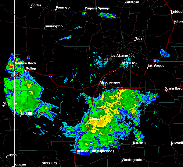
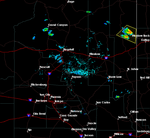
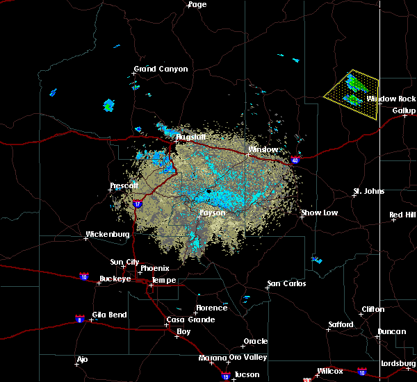
Hail Maps for St. Michaels, AZ


Connect with Interactive Hail Maps