

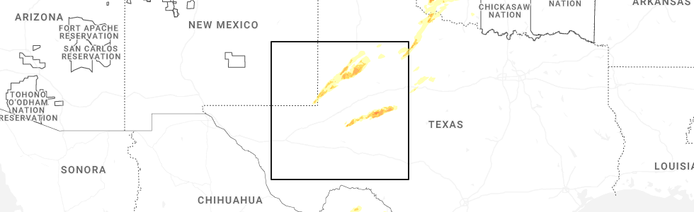
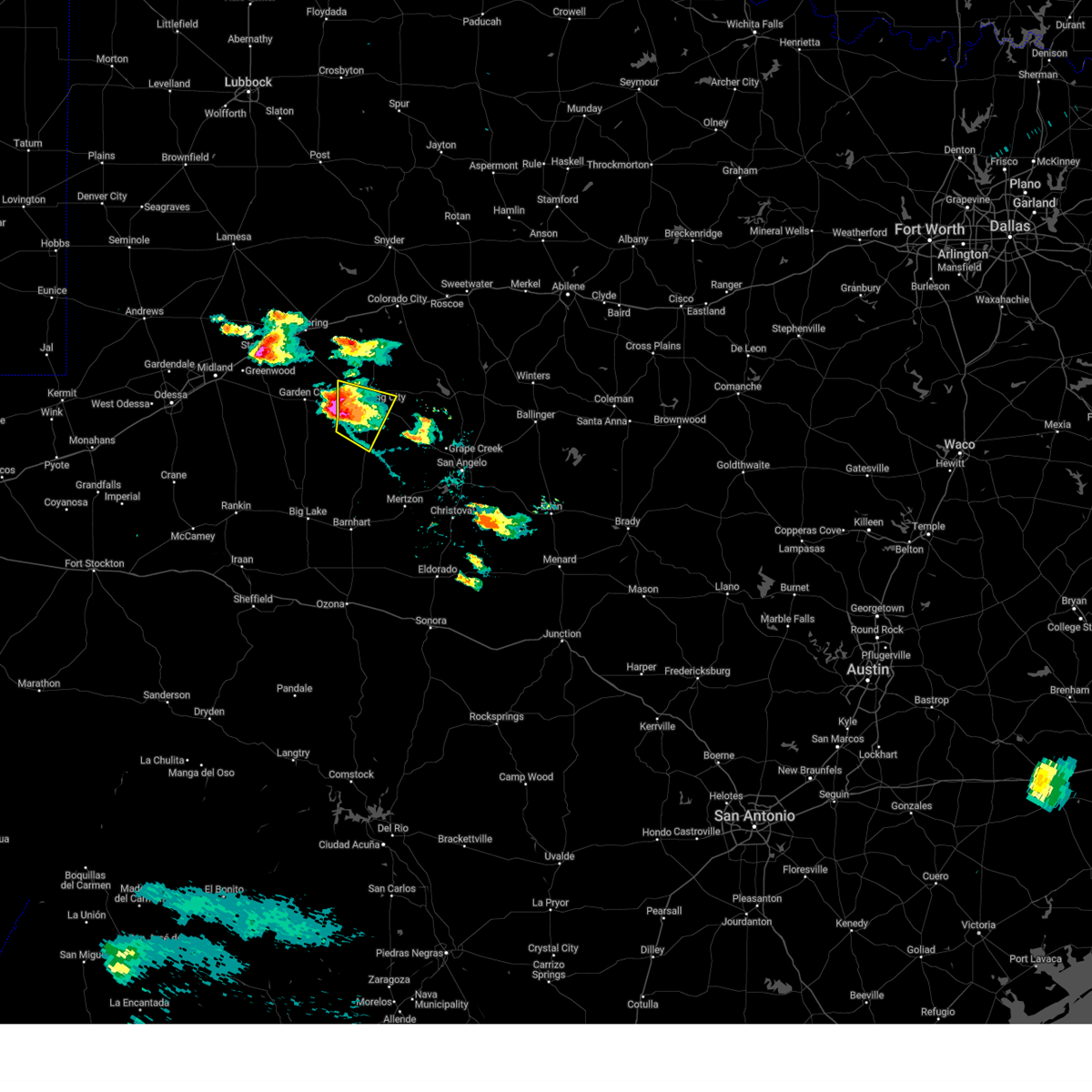
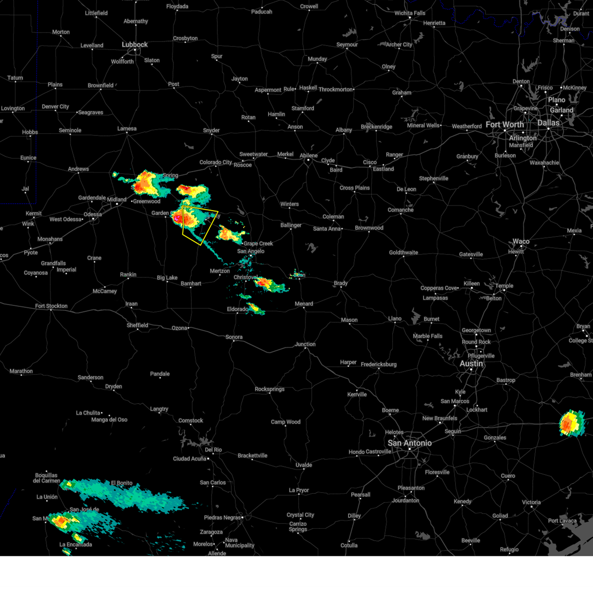
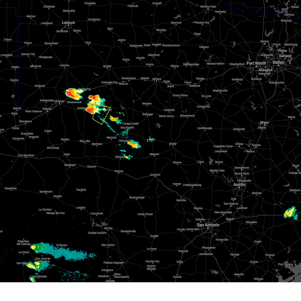
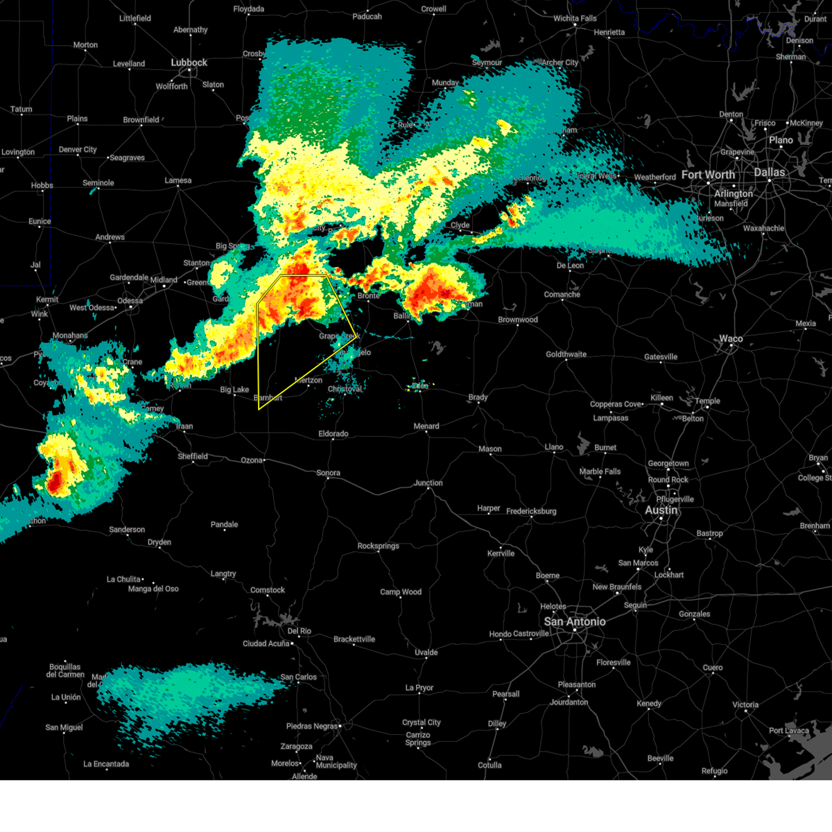
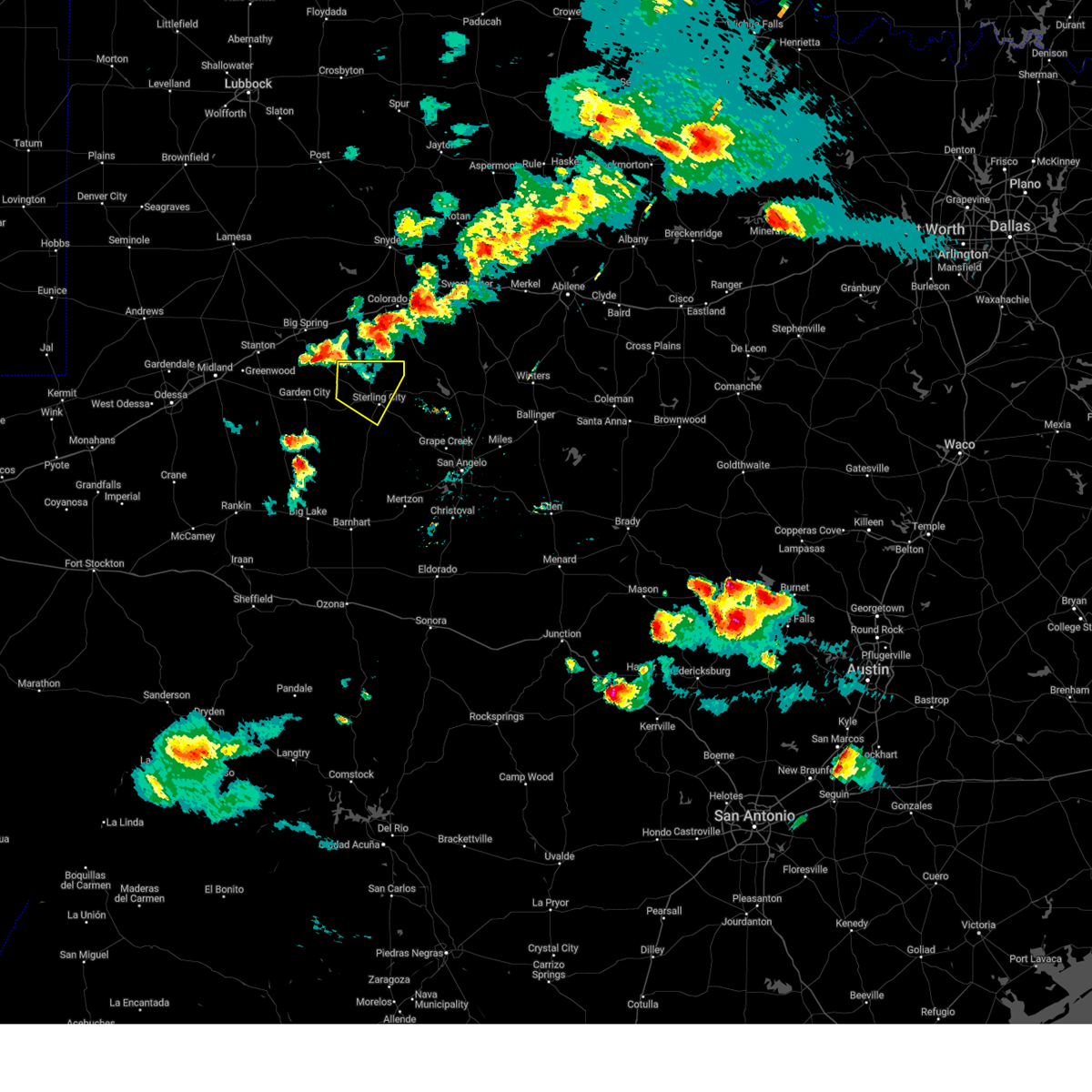
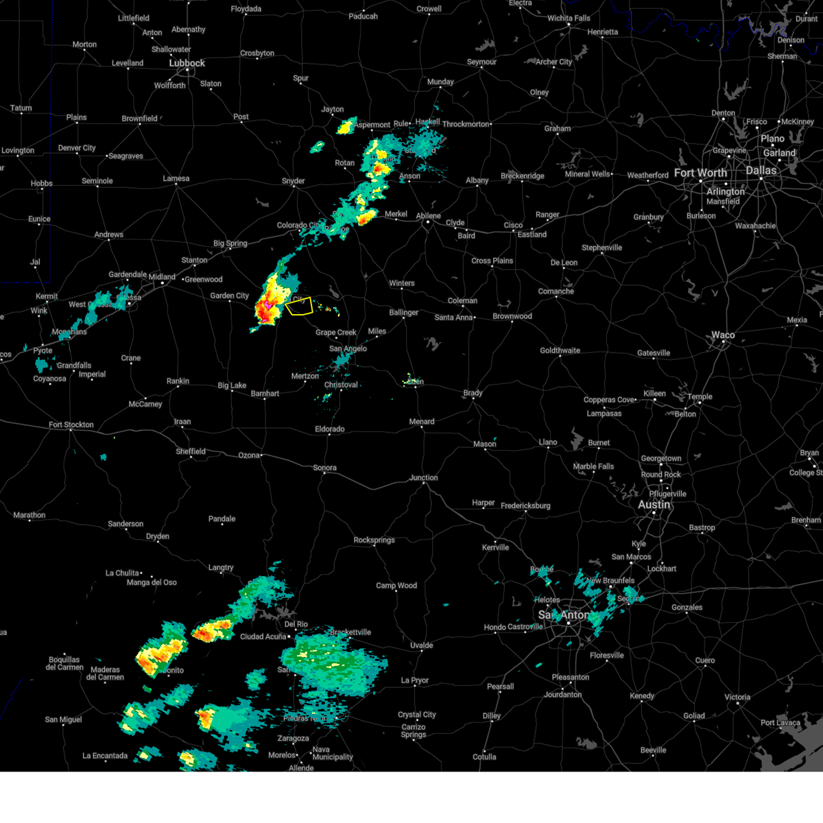
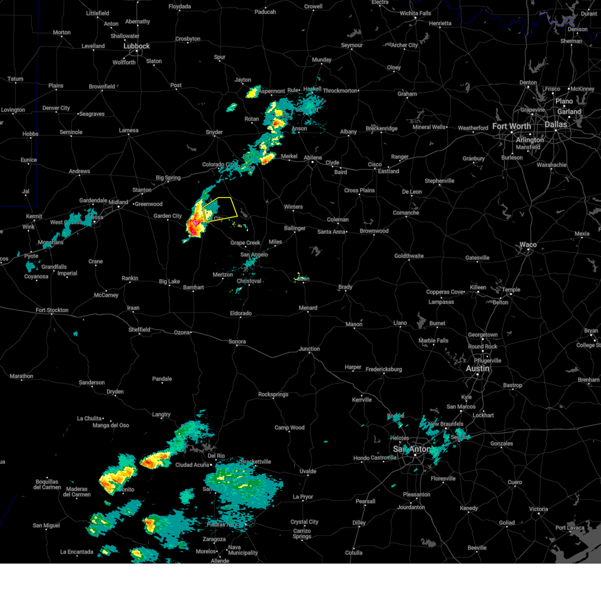
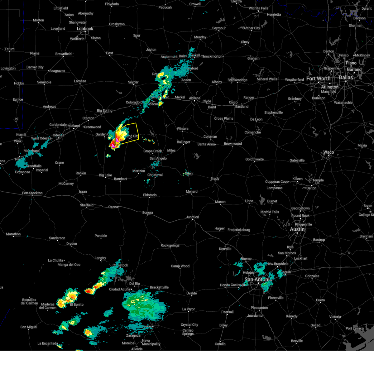
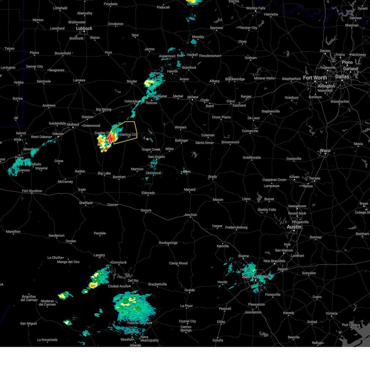
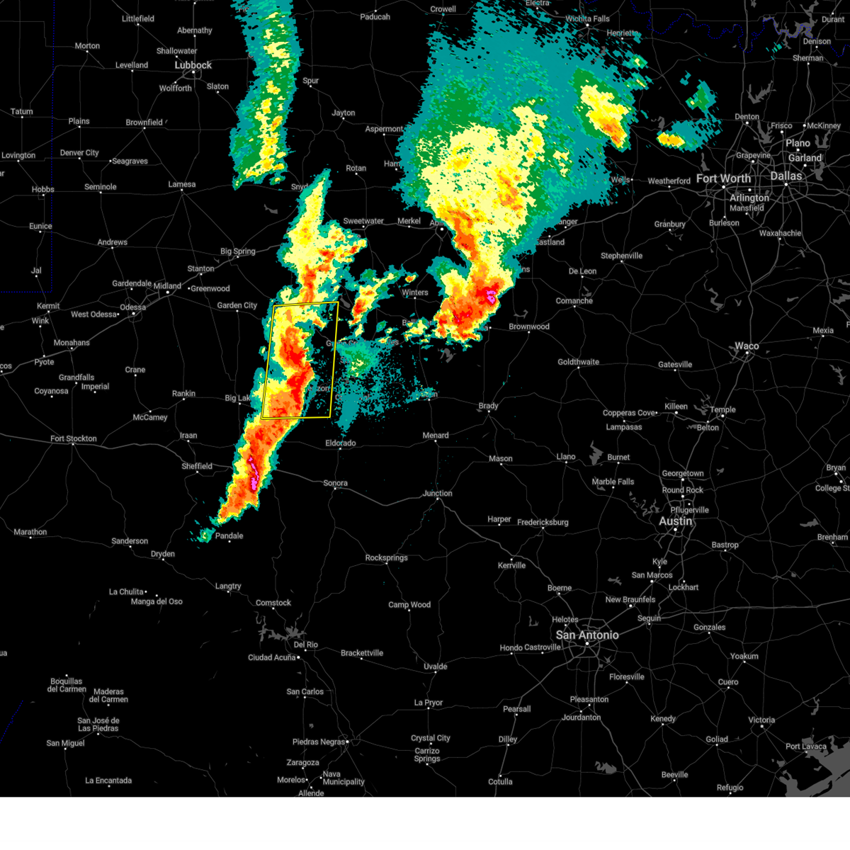
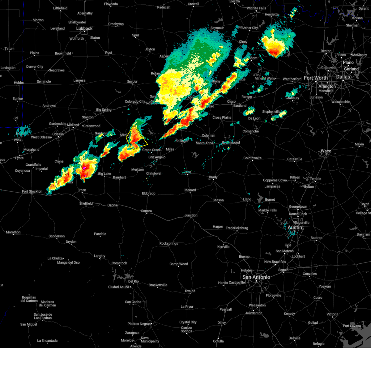
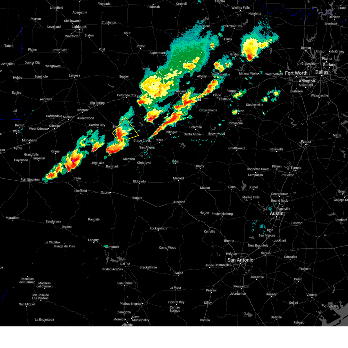
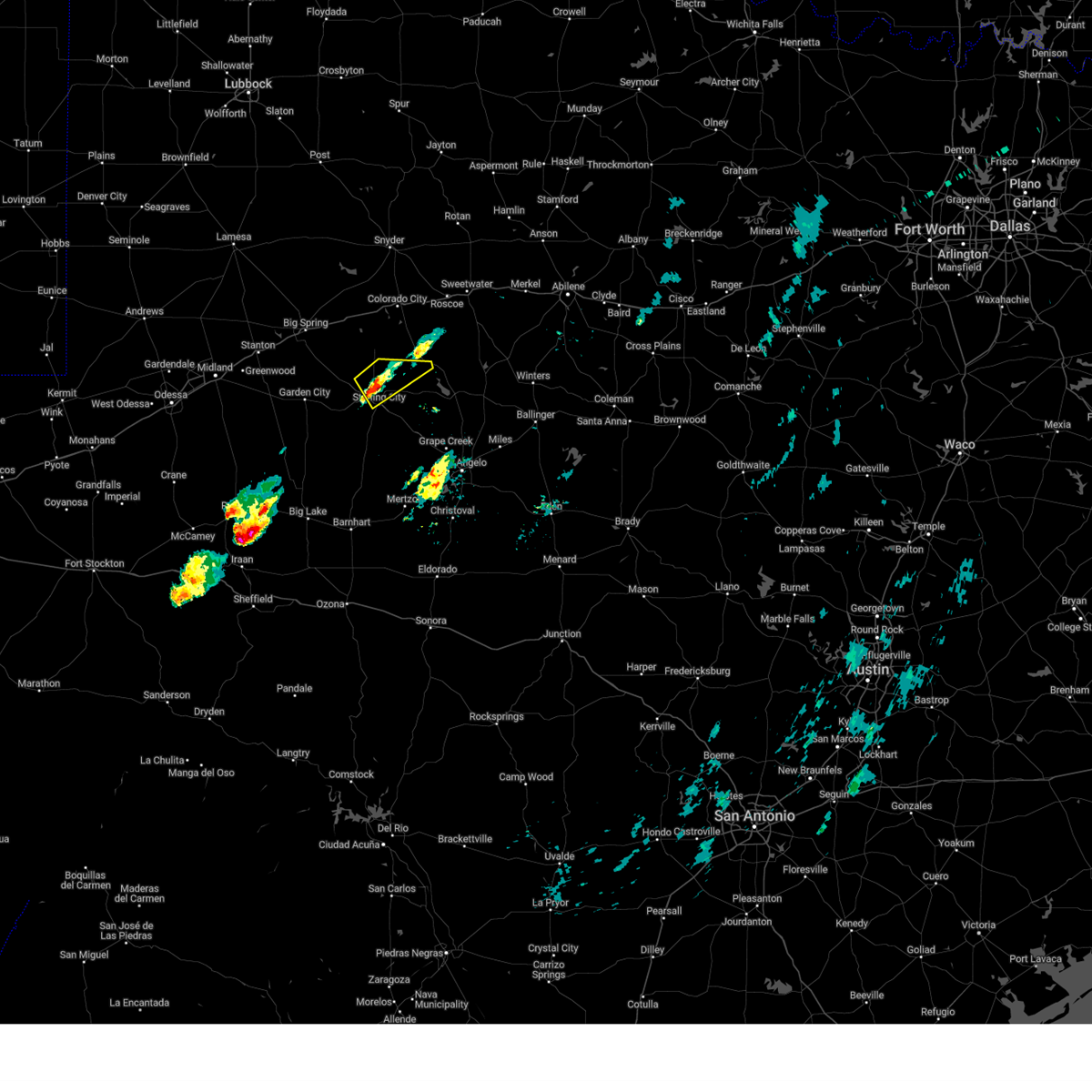
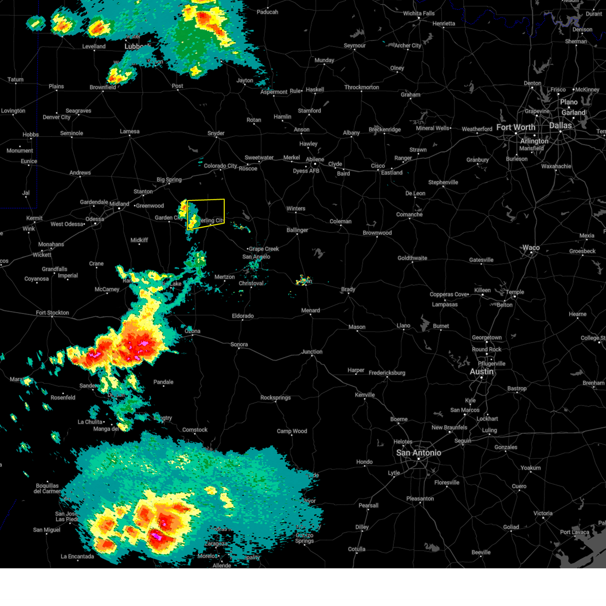
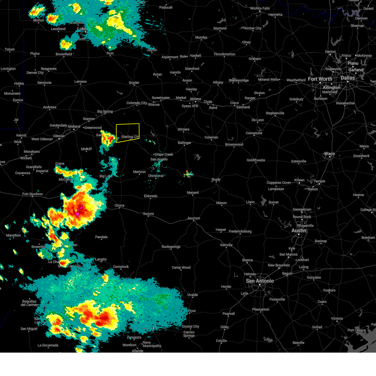
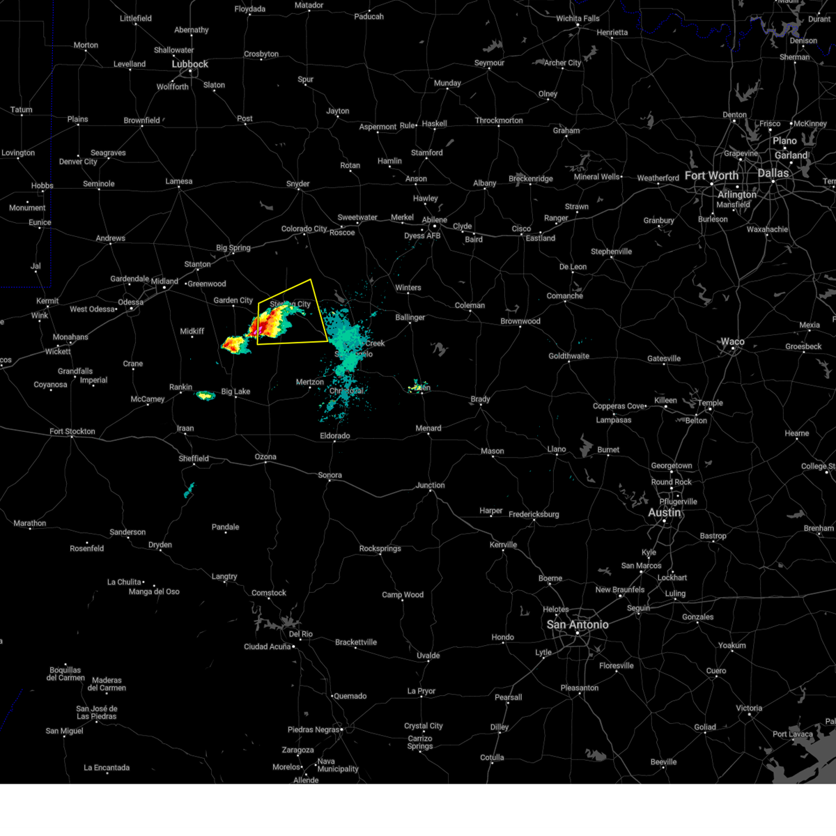
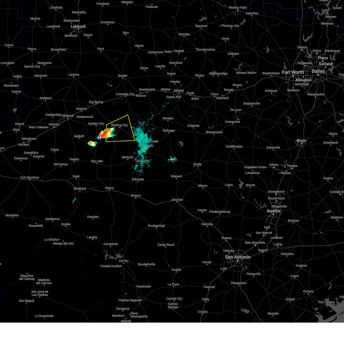
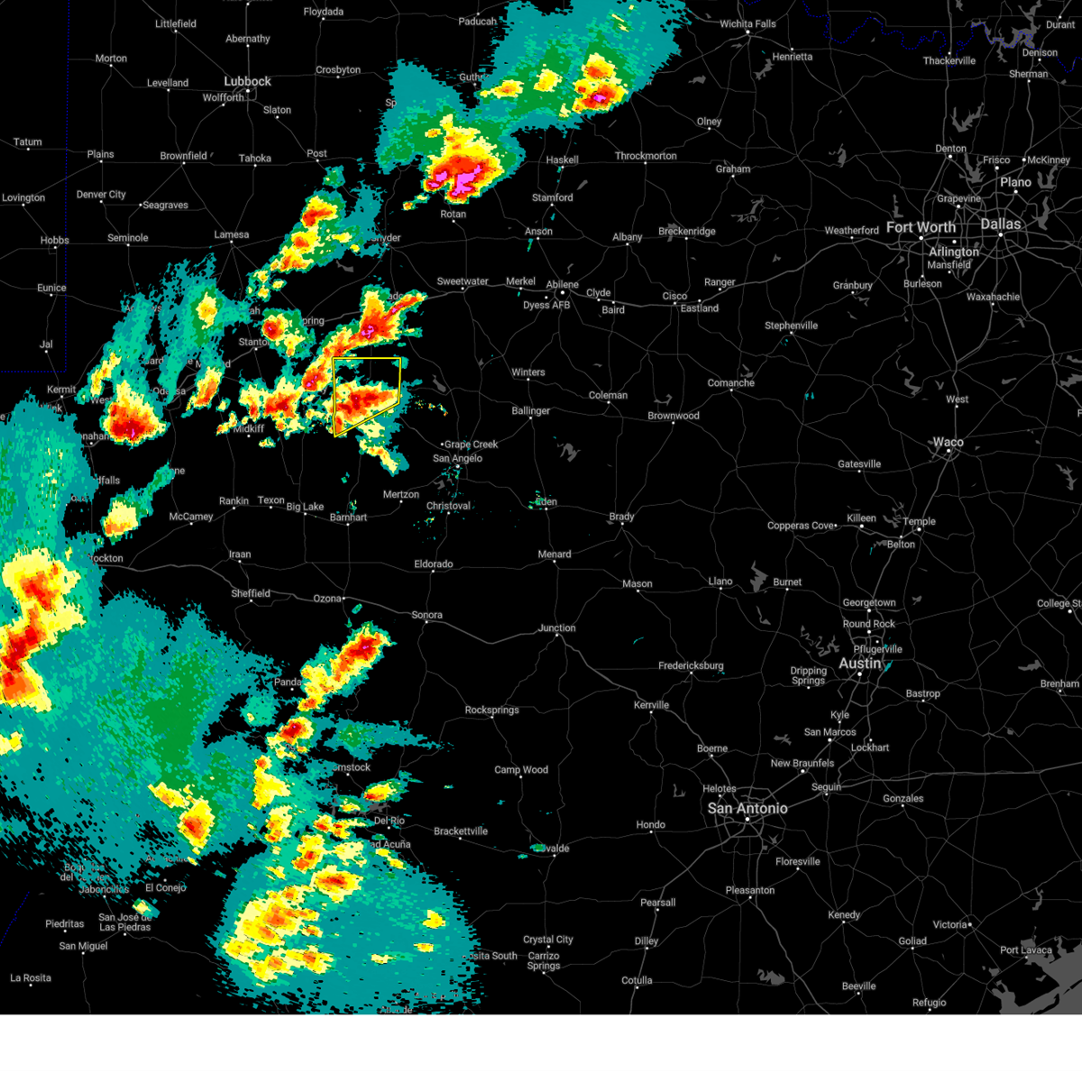
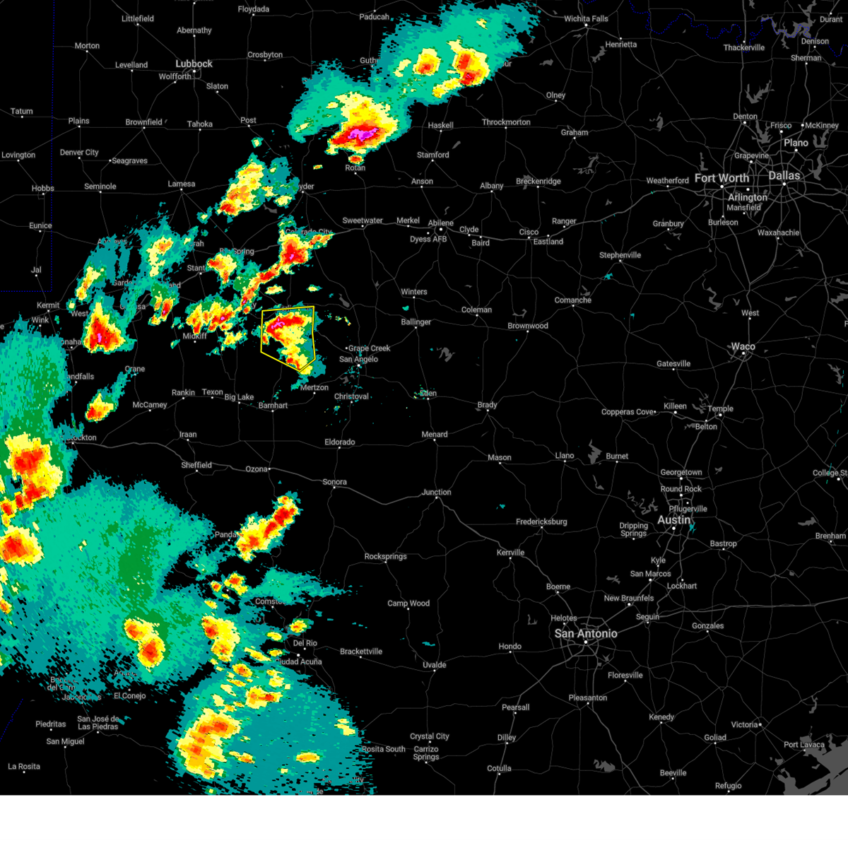
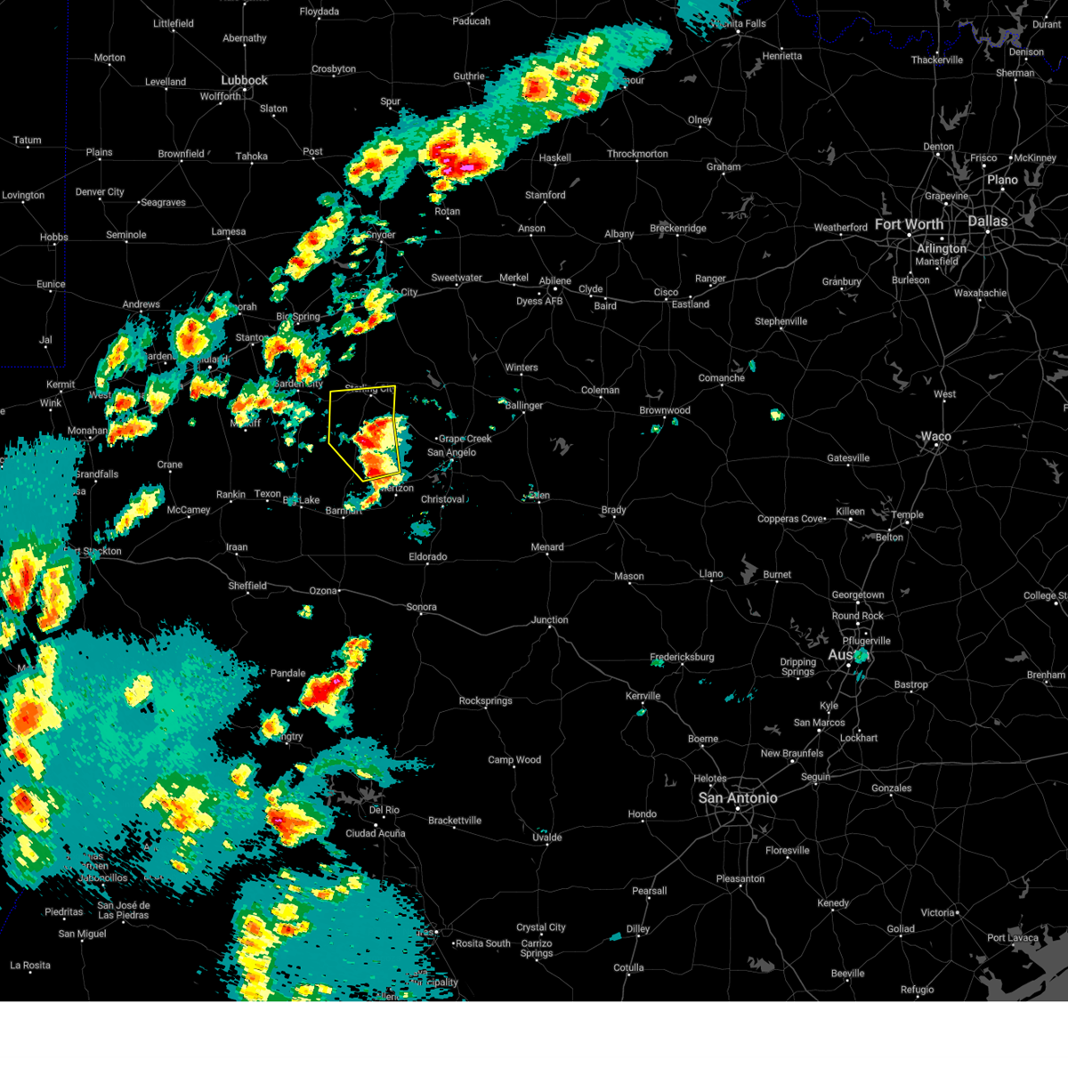
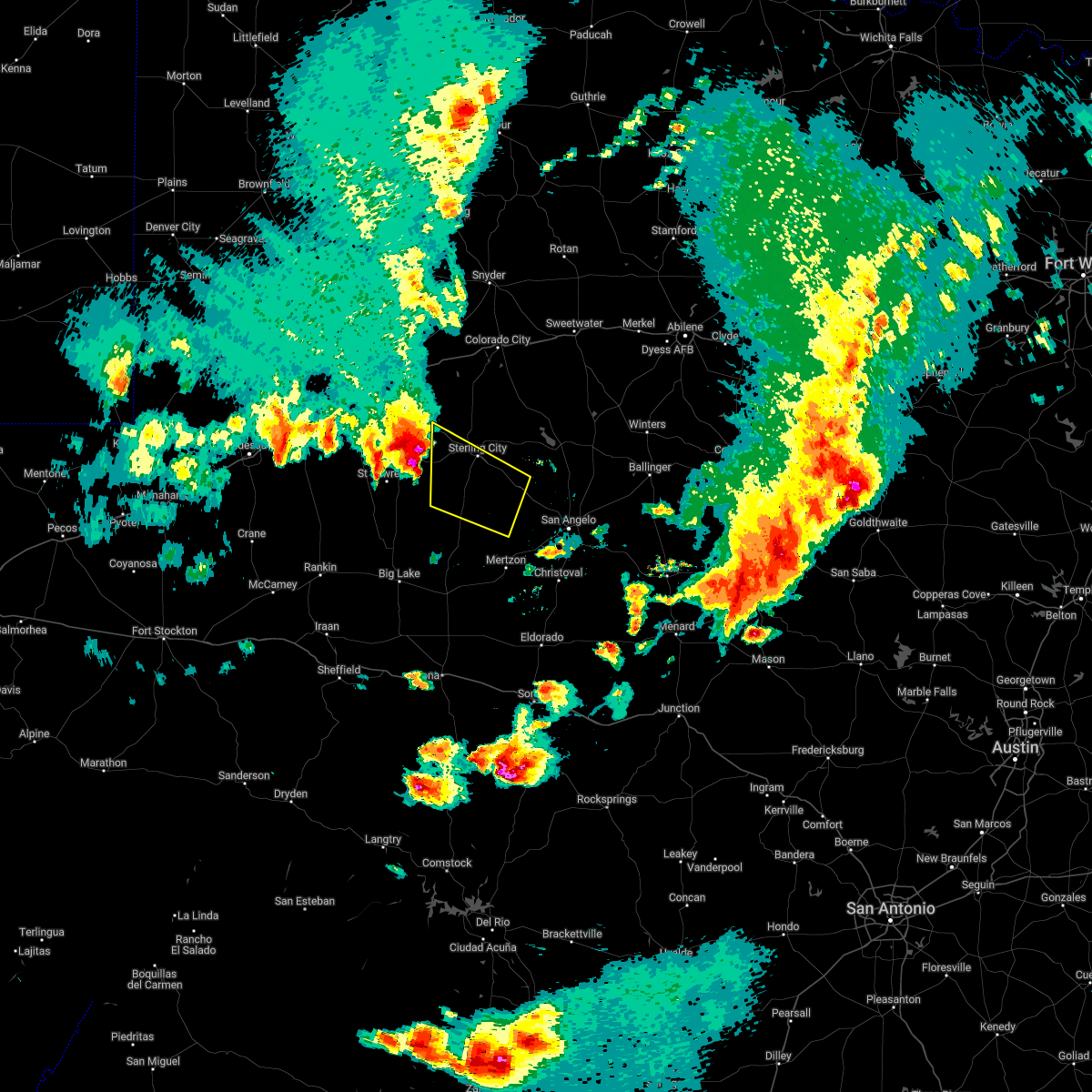
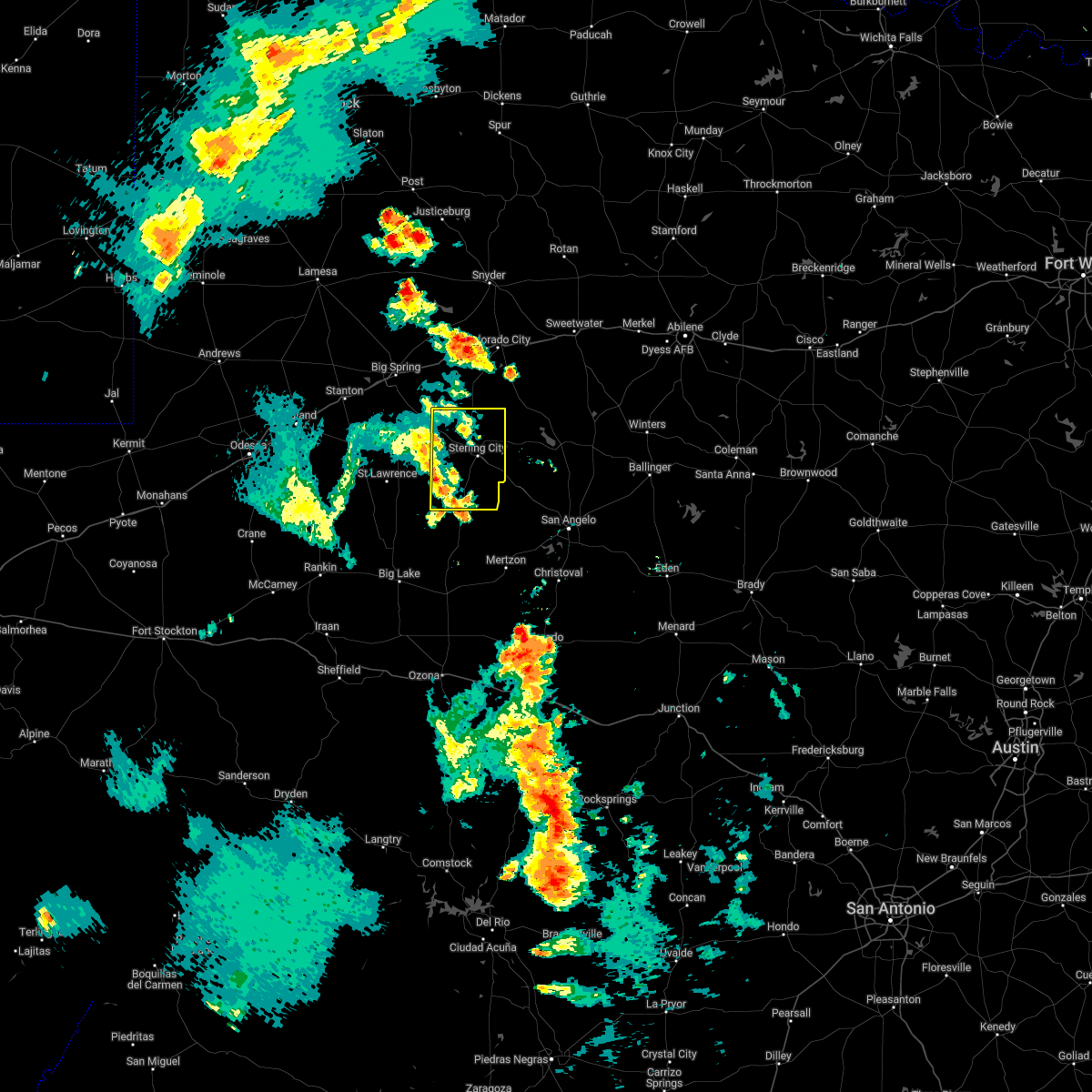
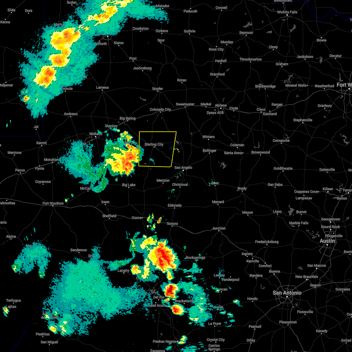
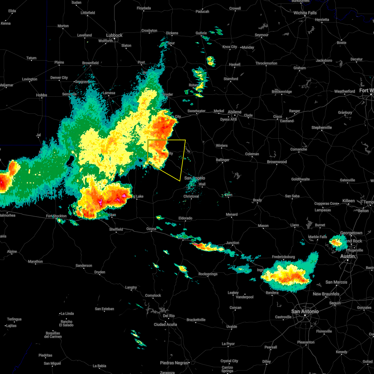
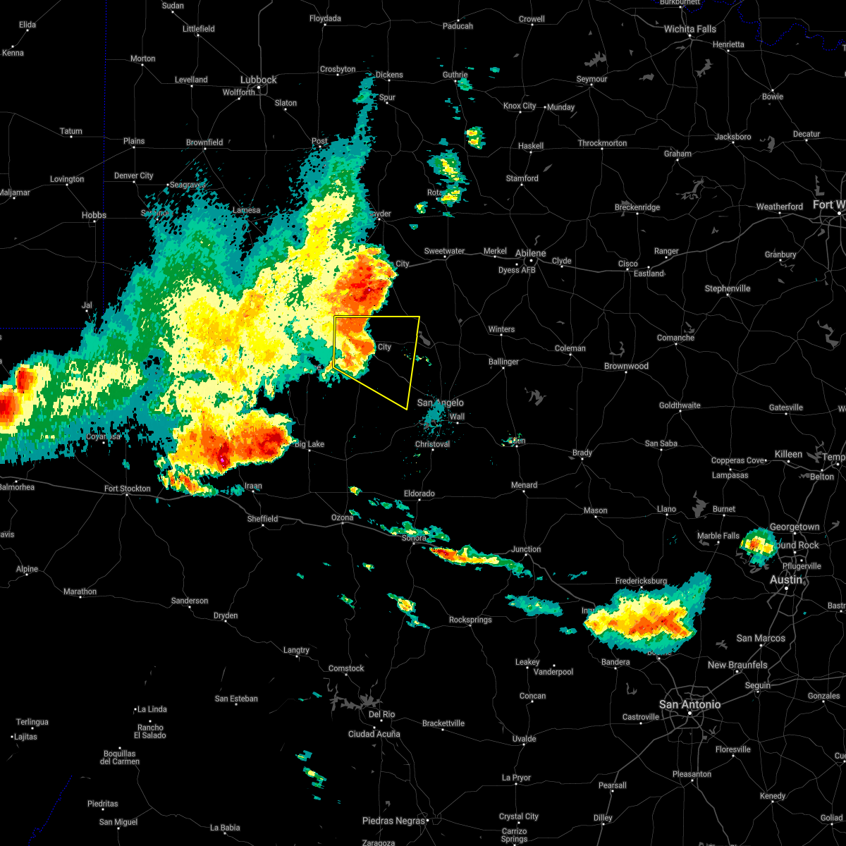
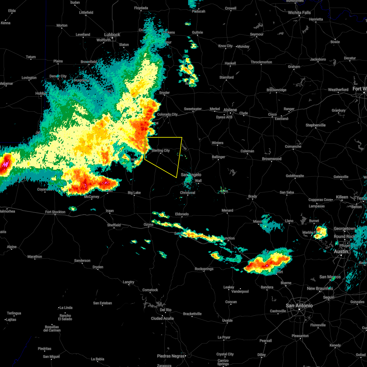
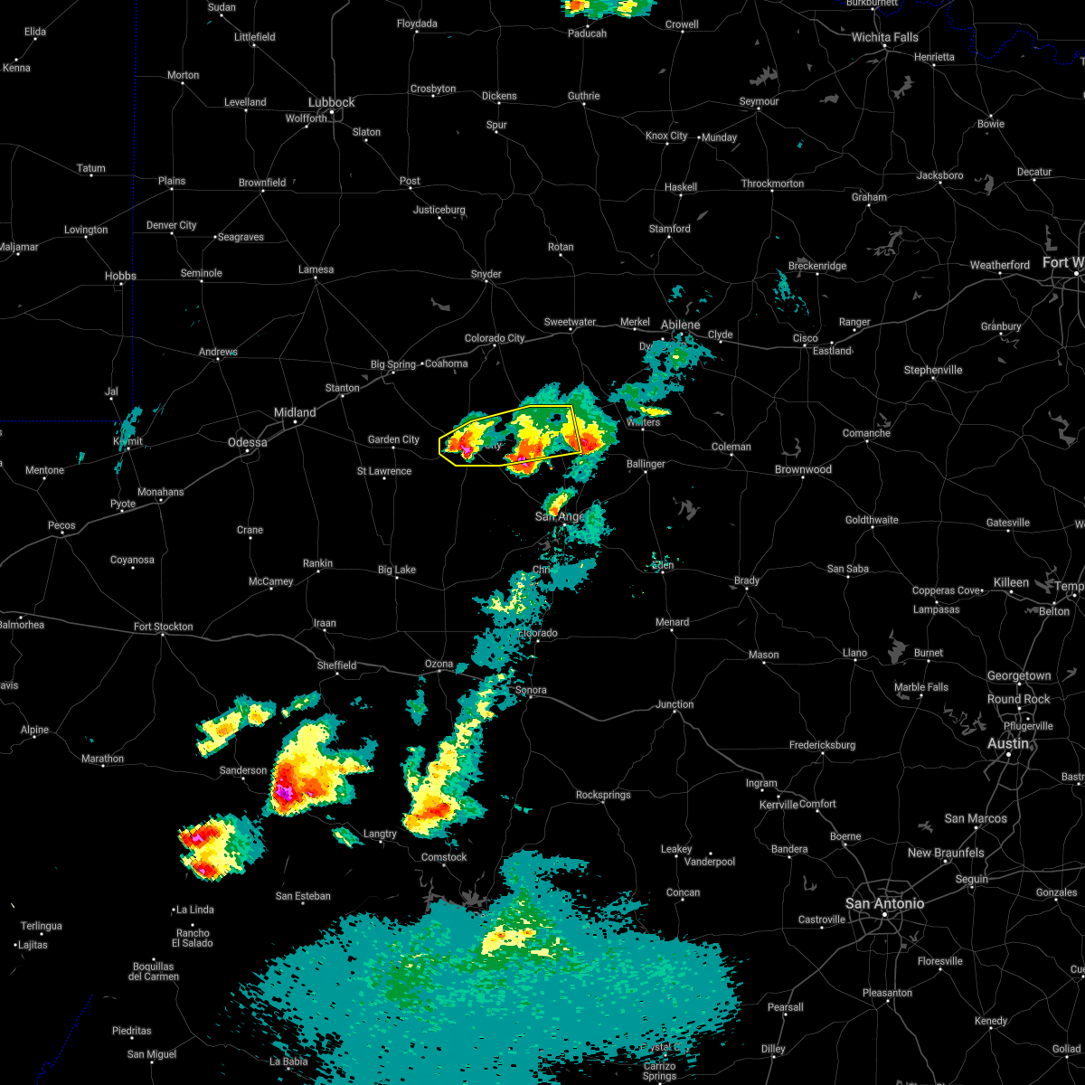
Hail Map for Sterling City, TX
The Sterling City, TX area has had 31 reports of on-the-ground hail by trained spotters, and has been under severe weather warnings 32 times during the past 12 months. Doppler radar has detected hail at or near Sterling City, TX on 62 occasions, including 6 occasions during the past year.
| Name: | Sterling City, TX |
| Where Located: | 81.6 miles E of Odessa, TX |
| Map: | Google Map for Sterling City, TX |
| Population: | 888 |
| Housing Units: | 419 |
| More Info: | Search Google for Sterling City, TX |
2
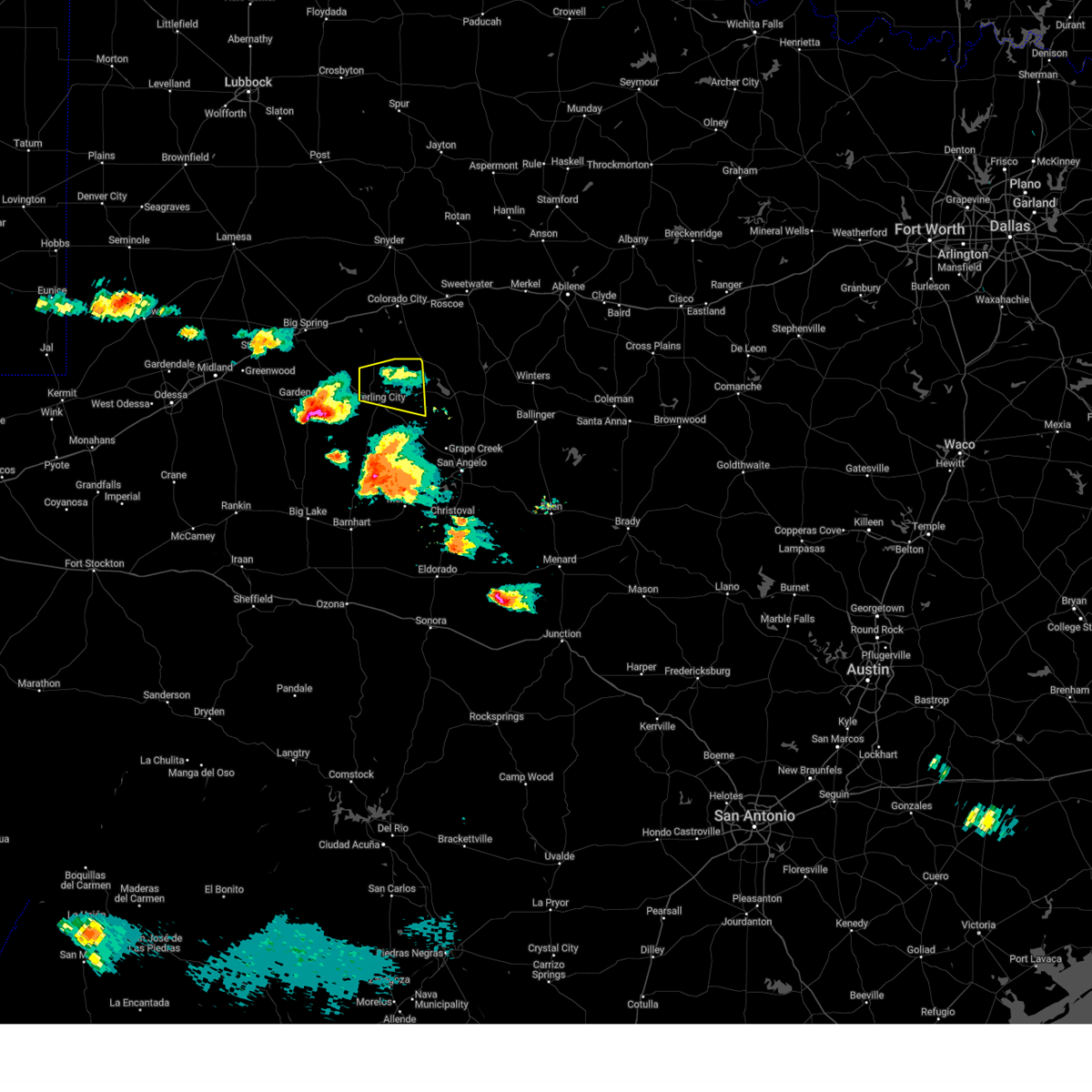
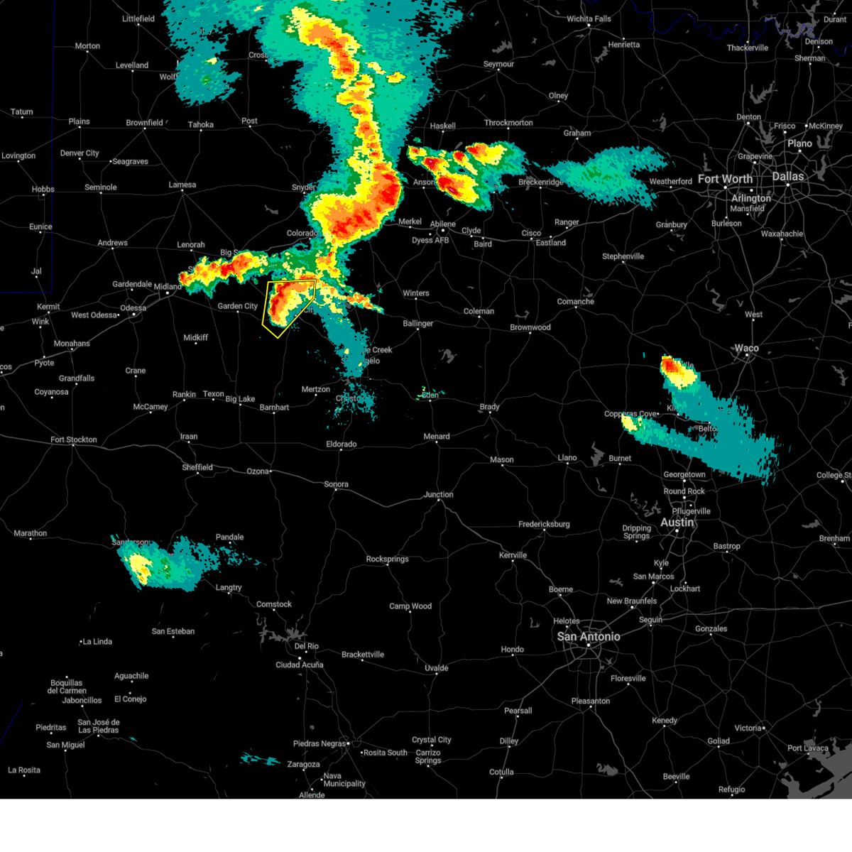
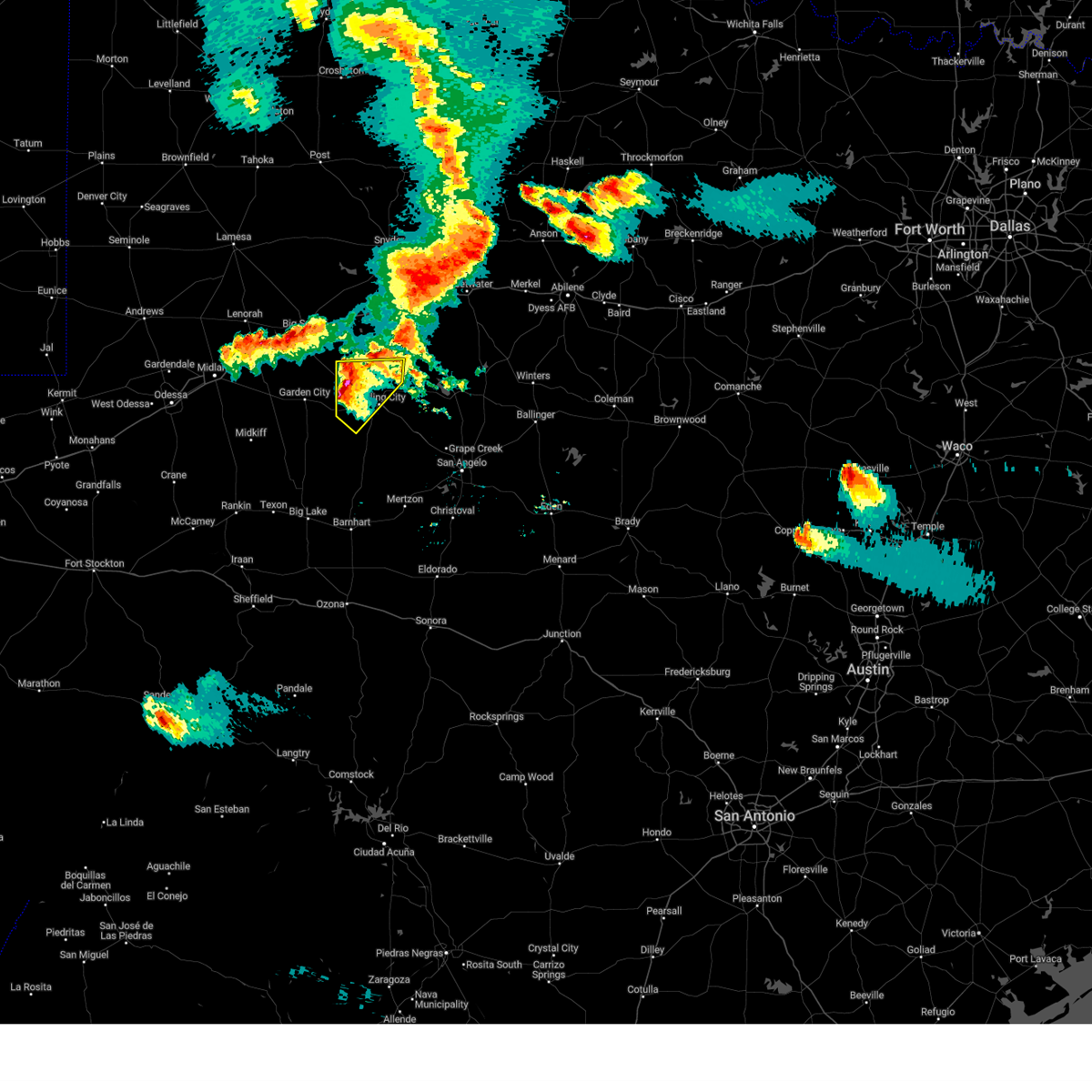
The Top Recent Hail Date for Sterling City, TX is Monday, April 28, 2025 (3rd out of 62)
Hail and Wind Damage Spotted near Sterling City, TX
| Date / Time | Report Details |
|---|---|
| 6/9/2025 8:56 PM CDT |
 the severe thunderstorm warning has been cancelled and is no longer in effect the severe thunderstorm warning has been cancelled and is no longer in effect
|
| 6/9/2025 8:28 PM CDT |
 Svrsjt the national weather service in san angelo has issued a * severe thunderstorm warning for, western coke county in west central texas, northeastern sterling county in west central texas, * until 930 pm cdt. * at 828 pm cdt, a severe thunderstorm was located 8 miles north of sterling city, moving east at 20 mph (radar indicated). Hazards include 60 mph wind gusts and quarter size hail. Hail damage to vehicles is expected. expect wind damage to roofs, siding, and trees. This severe thunderstorm will be near, sterling city around 835 pm cdt. Svrsjt the national weather service in san angelo has issued a * severe thunderstorm warning for, western coke county in west central texas, northeastern sterling county in west central texas, * until 930 pm cdt. * at 828 pm cdt, a severe thunderstorm was located 8 miles north of sterling city, moving east at 20 mph (radar indicated). Hazards include 60 mph wind gusts and quarter size hail. Hail damage to vehicles is expected. expect wind damage to roofs, siding, and trees. This severe thunderstorm will be near, sterling city around 835 pm cdt.
|
| 6/9/2025 7:53 PM CDT |
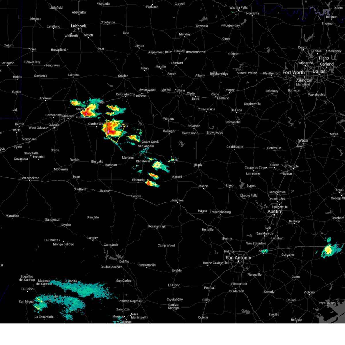 At 753 pm cdt, a severe thunderstorm was located 14 miles southwest of sterling city, moving southeast at 20 mph (radar indicated). Hazards include tennis ball size hail and 70 mph wind gusts. People and animals outdoors will be injured. expect hail damage to roofs, siding, windows, and vehicles. expect considerable tree damage. wind damage is also likely to mobile homes, roofs, and outbuildings. Locations impacted include, sterling city. At 753 pm cdt, a severe thunderstorm was located 14 miles southwest of sterling city, moving southeast at 20 mph (radar indicated). Hazards include tennis ball size hail and 70 mph wind gusts. People and animals outdoors will be injured. expect hail damage to roofs, siding, windows, and vehicles. expect considerable tree damage. wind damage is also likely to mobile homes, roofs, and outbuildings. Locations impacted include, sterling city.
|
| 6/9/2025 7:40 PM CDT |
 At 739 pm cdt, a severe thunderstorm was located 14 miles east of garden city, moving southeast at 20 mph. this is a destructive storm for western sterling county (radar indicated). Hazards include baseball size hail and 70 mph wind gusts. People and animals outdoors will be severely injured. expect shattered windows, extensive damage to roofs, siding, and vehicles. Locations impacted include, sterling city. At 739 pm cdt, a severe thunderstorm was located 14 miles east of garden city, moving southeast at 20 mph. this is a destructive storm for western sterling county (radar indicated). Hazards include baseball size hail and 70 mph wind gusts. People and animals outdoors will be severely injured. expect shattered windows, extensive damage to roofs, siding, and vehicles. Locations impacted include, sterling city.
|
| 6/9/2025 7:31 PM CDT |
 At 730 pm cdt, a severe thunderstorm was located 12 miles east of garden city, moving southeast at 20 mph. this is a destructive storm for western sterling county (radar indicated). Hazards include three inch hail and 70 mph wind gusts. People and animals outdoors will be severely injured. expect shattered windows, extensive damage to roofs, siding, and vehicles. This severe thunderstorm will remain over mainly rural areas of central sterling county. At 730 pm cdt, a severe thunderstorm was located 12 miles east of garden city, moving southeast at 20 mph. this is a destructive storm for western sterling county (radar indicated). Hazards include three inch hail and 70 mph wind gusts. People and animals outdoors will be severely injured. expect shattered windows, extensive damage to roofs, siding, and vehicles. This severe thunderstorm will remain over mainly rural areas of central sterling county.
|
| 6/9/2025 7:20 PM CDT |
 Svrsjt the national weather service in san angelo has issued a * severe thunderstorm warning for, central sterling county in west central texas, * until 815 pm cdt. * at 720 pm cdt, a severe thunderstorm was located 12 miles east of garden city, moving east at 20 mph (radar indicated). Hazards include tennis ball size hail and 70 mph wind gusts. People and animals outdoors will be injured. expect hail damage to roofs, siding, windows, and vehicles. expect considerable tree damage. wind damage is also likely to mobile homes, roofs, and outbuildings. This severe thunderstorm will be near, sterling city around 745 pm cdt. Svrsjt the national weather service in san angelo has issued a * severe thunderstorm warning for, central sterling county in west central texas, * until 815 pm cdt. * at 720 pm cdt, a severe thunderstorm was located 12 miles east of garden city, moving east at 20 mph (radar indicated). Hazards include tennis ball size hail and 70 mph wind gusts. People and animals outdoors will be injured. expect hail damage to roofs, siding, windows, and vehicles. expect considerable tree damage. wind damage is also likely to mobile homes, roofs, and outbuildings. This severe thunderstorm will be near, sterling city around 745 pm cdt.
|
| 5/29/2025 9:23 PM CDT |
 Svrsjt the national weather service in san angelo has issued a * severe thunderstorm warning for, western coke county in west central texas, sterling county in west central texas, northwestern tom green county in west central texas, northwestern irion county in west central texas, * until 1015 pm cdt. * at 921 pm cdt, a severe thunderstorm was located over from silver to sterling city to 24 miles southwest of sterling city, moving southeast at 25 mph (radar indicated). Hazards include 70 mph wind gusts and half dollar size hail. Hail damage to vehicles is expected. expect considerable tree damage. wind damage is also likely to mobile homes, roofs, and outbuildings. this severe thunderstorm will be near, broome around 925 pm cdt. water valley around 945 pm cdt. Other locations impacted by this severe thunderstorm include the intersection of highway 158 and ranch road 2059 and us- 87 near the coke-tom green county line. Svrsjt the national weather service in san angelo has issued a * severe thunderstorm warning for, western coke county in west central texas, sterling county in west central texas, northwestern tom green county in west central texas, northwestern irion county in west central texas, * until 1015 pm cdt. * at 921 pm cdt, a severe thunderstorm was located over from silver to sterling city to 24 miles southwest of sterling city, moving southeast at 25 mph (radar indicated). Hazards include 70 mph wind gusts and half dollar size hail. Hail damage to vehicles is expected. expect considerable tree damage. wind damage is also likely to mobile homes, roofs, and outbuildings. this severe thunderstorm will be near, broome around 925 pm cdt. water valley around 945 pm cdt. Other locations impacted by this severe thunderstorm include the intersection of highway 158 and ranch road 2059 and us- 87 near the coke-tom green county line.
|
| 5/29/2025 9:13 PM CDT |
 At 911 pm cdt, a severe thunderstorm was located 7 miles northwest of sterling city, moving southeast at 30 mph. also another severe thunderstorm was stationary 2 miles southeast of sterling city (radar indicated). Hazards include golf ball size hail and 70 mph wind gusts. People and animals outdoors will be injured. expect hail damage to roofs, siding, windows, and vehicles. expect considerable tree damage. wind damage is also likely to mobile homes, roofs, and outbuildings. this severe storm will be near, sterling city around 915 pm cdt. Broome around 935 pm cdt. At 911 pm cdt, a severe thunderstorm was located 7 miles northwest of sterling city, moving southeast at 30 mph. also another severe thunderstorm was stationary 2 miles southeast of sterling city (radar indicated). Hazards include golf ball size hail and 70 mph wind gusts. People and animals outdoors will be injured. expect hail damage to roofs, siding, windows, and vehicles. expect considerable tree damage. wind damage is also likely to mobile homes, roofs, and outbuildings. this severe storm will be near, sterling city around 915 pm cdt. Broome around 935 pm cdt.
|
| 5/29/2025 8:57 PM CDT |
 At 857 pm cdt, a severe thunderstorm was located 14 miles northwest of sterling city, moving southeast at 30 mph (radar indicated). Hazards include golf ball size hail and 70 mph wind gusts. People and animals outdoors will be injured. expect hail damage to roofs, siding, windows, and vehicles. expect considerable tree damage. wind damage is also likely to mobile homes, roofs, and outbuildings. this severe storm will be near, sterling city around 910 pm cdt. Broome around 935 pm cdt. At 857 pm cdt, a severe thunderstorm was located 14 miles northwest of sterling city, moving southeast at 30 mph (radar indicated). Hazards include golf ball size hail and 70 mph wind gusts. People and animals outdoors will be injured. expect hail damage to roofs, siding, windows, and vehicles. expect considerable tree damage. wind damage is also likely to mobile homes, roofs, and outbuildings. this severe storm will be near, sterling city around 910 pm cdt. Broome around 935 pm cdt.
|
| 5/29/2025 8:29 PM CDT |
 Svrsjt the national weather service in san angelo has issued a * severe thunderstorm warning for, sterling county in west central texas, * until 930 pm cdt. * at 829 pm cdt, a severe thunderstorm was located 8 miles southeast of forsan, moving southeast at 30 mph (radar indicated). Hazards include 60 mph wind gusts and half dollar size hail. Hail damage to vehicles is expected. expect wind damage to roofs, siding, and trees. This severe thunderstorm will be near, sterling city around 855 pm cdt. Svrsjt the national weather service in san angelo has issued a * severe thunderstorm warning for, sterling county in west central texas, * until 930 pm cdt. * at 829 pm cdt, a severe thunderstorm was located 8 miles southeast of forsan, moving southeast at 30 mph (radar indicated). Hazards include 60 mph wind gusts and half dollar size hail. Hail damage to vehicles is expected. expect wind damage to roofs, siding, and trees. This severe thunderstorm will be near, sterling city around 855 pm cdt.
|
| 5/26/2025 4:22 PM CDT | Half Dollar sized hail reported 18.1 miles NE of Sterling City, TX, report from mping: half dollar (1.25 in.). |
| 5/26/2025 4:03 PM CDT | Quarter sized hail reported 18.1 miles NE of Sterling City, TX, report from mping: quarter (1.00 in.). |
| 5/22/2025 7:50 PM CDT |
 At 750 pm cdt, a severe thunderstorm was located 13 miles west of sterling city, moving southeast at 25 mph (radar indicated). Hazards include 60 mph wind gusts and penny size hail. Expect damage to roofs, siding, and trees. This severe thunderstorm will remain over mainly rural areas of central sterling county. At 750 pm cdt, a severe thunderstorm was located 13 miles west of sterling city, moving southeast at 25 mph (radar indicated). Hazards include 60 mph wind gusts and penny size hail. Expect damage to roofs, siding, and trees. This severe thunderstorm will remain over mainly rural areas of central sterling county.
|
| 5/22/2025 7:26 PM CDT |
 Svrsjt the national weather service in san angelo has issued a * severe thunderstorm warning for, central sterling county in west central texas, * until 830 pm cdt. * at 725 pm cdt, a severe thunderstorm was located 12 miles northeast of garden city, moving southeast at 25 mph (radar indicated). Hazards include 60 mph wind gusts and penny size hail. Expect damage to roofs, siding, and trees. This severe thunderstorm will be near, sterling city around 800 pm cdt. Svrsjt the national weather service in san angelo has issued a * severe thunderstorm warning for, central sterling county in west central texas, * until 830 pm cdt. * at 725 pm cdt, a severe thunderstorm was located 12 miles northeast of garden city, moving southeast at 25 mph (radar indicated). Hazards include 60 mph wind gusts and penny size hail. Expect damage to roofs, siding, and trees. This severe thunderstorm will be near, sterling city around 800 pm cdt.
|
| 5/22/2025 6:50 PM CDT |
 Svrsjt the national weather service in san angelo has issued a * severe thunderstorm warning for, northern sterling county in west central texas, * until 730 pm cdt. * at 649 pm cdt, a severe thunderstorm was located over forsan, moving east at 30 mph (radar indicated). Hazards include 60 mph wind gusts. Expect damage to roofs, siding, and trees. This severe thunderstorm will remain over mainly rural areas of northern sterling county. Svrsjt the national weather service in san angelo has issued a * severe thunderstorm warning for, northern sterling county in west central texas, * until 730 pm cdt. * at 649 pm cdt, a severe thunderstorm was located over forsan, moving east at 30 mph (radar indicated). Hazards include 60 mph wind gusts. Expect damage to roofs, siding, and trees. This severe thunderstorm will remain over mainly rural areas of northern sterling county.
|
| 4/28/2025 6:48 PM CDT |
 the severe thunderstorm warning has been cancelled and is no longer in effect the severe thunderstorm warning has been cancelled and is no longer in effect
|
| 4/28/2025 6:46 PM CDT |
 the severe thunderstorm warning has been cancelled and is no longer in effect the severe thunderstorm warning has been cancelled and is no longer in effect
|
| 4/28/2025 6:36 PM CDT |
 At 635 pm cdt, a severe thunderstorm was located near broome, moving east at 30 mph (radar indicated). Hazards include two inch hail and 70 mph wind gusts. People and animals outdoors will be injured. expect hail damage to roofs, siding, windows, and vehicles. expect considerable tree damage. wind damage is also likely to mobile homes, roofs, and outbuildings. This severe thunderstorm will remain over mainly rural areas of west central coke and east central sterling counties. At 635 pm cdt, a severe thunderstorm was located near broome, moving east at 30 mph (radar indicated). Hazards include two inch hail and 70 mph wind gusts. People and animals outdoors will be injured. expect hail damage to roofs, siding, windows, and vehicles. expect considerable tree damage. wind damage is also likely to mobile homes, roofs, and outbuildings. This severe thunderstorm will remain over mainly rural areas of west central coke and east central sterling counties.
|
| 4/28/2025 6:30 PM CDT |
 At 630 pm cdt, a severe thunderstorm was located near sterling city, moving east at 25 mph (radar indicated). Hazards include 70 mph wind gusts. Expect considerable tree damage. damage is likely to mobile homes, roofs, and outbuildings. Locations impacted include, the intersection of highway 158 and ranch road 2059 and sterling city. At 630 pm cdt, a severe thunderstorm was located near sterling city, moving east at 25 mph (radar indicated). Hazards include 70 mph wind gusts. Expect considerable tree damage. damage is likely to mobile homes, roofs, and outbuildings. Locations impacted include, the intersection of highway 158 and ranch road 2059 and sterling city.
|
| 4/28/2025 6:27 PM CDT | Quarter sized hail reported 0.7 miles E of Sterling City, TX |
| 4/28/2025 6:18 PM CDT |
 At 617 pm cdt, a severe thunderstorm was located near sterling city, moving east at 30 mph (radar indicated). Hazards include two inch hail and 60 mph wind gusts. People and animals outdoors will be injured. expect hail damage to roofs, siding, windows, and vehicles. expect wind damage to roofs, siding, and trees. this severe storm will be near, broome and sterling city around 625 pm cdt. Other locations impacted by this severe thunderstorm include us- 87 near the coke-tom green county line. At 617 pm cdt, a severe thunderstorm was located near sterling city, moving east at 30 mph (radar indicated). Hazards include two inch hail and 60 mph wind gusts. People and animals outdoors will be injured. expect hail damage to roofs, siding, windows, and vehicles. expect wind damage to roofs, siding, and trees. this severe storm will be near, broome and sterling city around 625 pm cdt. Other locations impacted by this severe thunderstorm include us- 87 near the coke-tom green county line.
|
| 4/28/2025 6:14 PM CDT |
 Svrsjt the national weather service in san angelo has issued a * severe thunderstorm warning for, northwestern coke county in west central texas, northeastern sterling county in west central texas, * until 700 pm cdt. * at 612 pm cdt, a severe thunderstorm was located over sterling city, moving east at 30 mph (radar indicated). Hazards include two inch hail and 60 mph wind gusts. People and animals outdoors will be injured. expect hail damage to roofs, siding, windows, and vehicles. expect wind damage to roofs, siding, and trees. This severe thunderstorm will remain over mainly rural areas of northwestern coke and northeastern sterling counties, including the following locations, the intersection of highway 158 and ranch road 2059. Svrsjt the national weather service in san angelo has issued a * severe thunderstorm warning for, northwestern coke county in west central texas, northeastern sterling county in west central texas, * until 700 pm cdt. * at 612 pm cdt, a severe thunderstorm was located over sterling city, moving east at 30 mph (radar indicated). Hazards include two inch hail and 60 mph wind gusts. People and animals outdoors will be injured. expect hail damage to roofs, siding, windows, and vehicles. expect wind damage to roofs, siding, and trees. This severe thunderstorm will remain over mainly rural areas of northwestern coke and northeastern sterling counties, including the following locations, the intersection of highway 158 and ranch road 2059.
|
| 4/28/2025 6:14 PM CDT |
 Svrsjt the national weather service in san angelo has issued a * severe thunderstorm warning for, northwestern coke county in west central texas, northeastern sterling county in west central texas, * until 700 pm cdt. * at 613 pm cdt, a severe thunderstorm was located over sterling city, moving east at 30 mph (radar indicated). Hazards include two inch hail and 60 mph wind gusts. People and animals outdoors will be injured. expect hail damage to roofs, siding, windows, and vehicles. expect wind damage to roofs, siding, and trees. This severe thunderstorm will remain over mainly rural areas of northwestern coke and northeastern sterling counties, including the following locations, the intersection of highway 158 and ranch road 2059. Svrsjt the national weather service in san angelo has issued a * severe thunderstorm warning for, northwestern coke county in west central texas, northeastern sterling county in west central texas, * until 700 pm cdt. * at 613 pm cdt, a severe thunderstorm was located over sterling city, moving east at 30 mph (radar indicated). Hazards include two inch hail and 60 mph wind gusts. People and animals outdoors will be injured. expect hail damage to roofs, siding, windows, and vehicles. expect wind damage to roofs, siding, and trees. This severe thunderstorm will remain over mainly rural areas of northwestern coke and northeastern sterling counties, including the following locations, the intersection of highway 158 and ranch road 2059.
|
| 4/28/2025 6:08 PM CDT |
 Svrsjt the national weather service in san angelo has issued a * severe thunderstorm warning for, southwestern coke county in west central texas, central sterling county in west central texas, * until 700 pm cdt. * at 607 pm cdt, a severe thunderstorm was located 9 miles southwest of sterling city, moving east at 30 mph (radar indicated). Hazards include two inch hail and 60 mph wind gusts. People and animals outdoors will be injured. expect hail damage to roofs, siding, windows, and vehicles. expect wind damage to roofs, siding, and trees. this severe thunderstorm will be near, sterling city around 615 pm cdt. broome around 625 pm cdt. Other locations impacted by this severe thunderstorm include us- 87 near the coke-tom green county line. Svrsjt the national weather service in san angelo has issued a * severe thunderstorm warning for, southwestern coke county in west central texas, central sterling county in west central texas, * until 700 pm cdt. * at 607 pm cdt, a severe thunderstorm was located 9 miles southwest of sterling city, moving east at 30 mph (radar indicated). Hazards include two inch hail and 60 mph wind gusts. People and animals outdoors will be injured. expect hail damage to roofs, siding, windows, and vehicles. expect wind damage to roofs, siding, and trees. this severe thunderstorm will be near, sterling city around 615 pm cdt. broome around 625 pm cdt. Other locations impacted by this severe thunderstorm include us- 87 near the coke-tom green county line.
|
| 4/28/2025 5:50 PM CDT |
 At 549 pm cdt, a severe thunderstorm was located 13 miles west of sterling city, moving northeast at 25 mph. this is a destructive storm for sterling city (radar indicated). Hazards include three inch hail and 70 mph wind gusts. People and animals outdoors will be severely injured. expect shattered windows, extensive damage to roofs, siding, and vehicles. This severe storm will be near, sterling city around 600 pm cdt. At 549 pm cdt, a severe thunderstorm was located 13 miles west of sterling city, moving northeast at 25 mph. this is a destructive storm for sterling city (radar indicated). Hazards include three inch hail and 70 mph wind gusts. People and animals outdoors will be severely injured. expect shattered windows, extensive damage to roofs, siding, and vehicles. This severe storm will be near, sterling city around 600 pm cdt.
|
| 4/28/2025 5:36 PM CDT |
 Svrsjt the national weather service in san angelo has issued a * severe thunderstorm warning for, northern sterling county in west central texas, * until 615 pm cdt. * at 535 pm cdt, a severe thunderstorm was located 14 miles west of sterling city, moving east at 40 mph (radar indicated). Hazards include golf ball size hail and 60 mph wind gusts. People and animals outdoors will be injured. expect hail damage to roofs, siding, windows, and vehicles. expect wind damage to roofs, siding, and trees. This severe thunderstorm will be near, sterling city around 545 pm cdt. Svrsjt the national weather service in san angelo has issued a * severe thunderstorm warning for, northern sterling county in west central texas, * until 615 pm cdt. * at 535 pm cdt, a severe thunderstorm was located 14 miles west of sterling city, moving east at 40 mph (radar indicated). Hazards include golf ball size hail and 60 mph wind gusts. People and animals outdoors will be injured. expect hail damage to roofs, siding, windows, and vehicles. expect wind damage to roofs, siding, and trees. This severe thunderstorm will be near, sterling city around 545 pm cdt.
|
| 4/19/2025 11:27 PM CDT |
 At 1126 pm cdt, severe thunderstorms were located along a line extending from central sterling county to southern irion county, moving east at 35 mph (radar indicated). Hazards include 70 mph wind gusts and quarter size hail. Hail damage to vehicles is expected. expect considerable tree damage. wind damage is also likely to mobile homes, roofs, and outbuildings. these severe storms will be near, arden, sherwood, water valley, mertzon, and broome around 1130 pm cdt. Other locations impacted by these severe thunderstorms include the intersection of highway 158 and ranch road 2059, us-87 near the coke- tom green county line, and us-67 near the irion- tom green county line. At 1126 pm cdt, severe thunderstorms were located along a line extending from central sterling county to southern irion county, moving east at 35 mph (radar indicated). Hazards include 70 mph wind gusts and quarter size hail. Hail damage to vehicles is expected. expect considerable tree damage. wind damage is also likely to mobile homes, roofs, and outbuildings. these severe storms will be near, arden, sherwood, water valley, mertzon, and broome around 1130 pm cdt. Other locations impacted by these severe thunderstorms include the intersection of highway 158 and ranch road 2059, us-87 near the coke- tom green county line, and us-67 near the irion- tom green county line.
|
| 4/19/2025 10:54 PM CDT | Svrsjt the national weather service in san angelo has issued a * severe thunderstorm warning for, southwestern coke county in west central texas, sterling county in west central texas, western tom green county in west central texas, irion county in west central texas, * until midnight cdt. * at 1052 pm cdt, severe thunderstorms were located along a line from western sterling county to eastern reagan county, moving east at 35 mph. these are destructive storms for western through central irion county (radar indicated). Hazards include 80 mph wind gusts and quarter size hail. Flying debris will be dangerous to those caught without shelter. mobile homes will be heavily damaged. expect considerable damage to roofs, windows, and vehicles. extensive tree damage and power outages are likely. severe thunderstorms will be near, barnhart and sterling city around 1100 pm cdt. broome around 1110 pm cdt. mertzon around 1120 pm cdt. arden, sherwood, and water valley around 1125 pm cdt. Other locations impacted by these severe thunderstorms include the intersection of highway 158 and ranch road 2059, us-87 near the coke- tom green county line, and us-67 near the irion- tom green county line. |
| 4/19/2025 6:12 PM CDT |
 At 611 pm cdt, a severe thunderstorm was located near broome, moving northeast at 25 mph (radar indicated). Hazards include golf ball size hail and 60 mph wind gusts. People and animals outdoors will be injured. expect hail damage to roofs, siding, windows, and vehicles. expect wind damage to roofs, siding, and trees. this severe storm will be near, broome and sterling city around 615 pm cdt. Other locations impacted by this severe thunderstorm include us- 87 near the coke-tom green county line. At 611 pm cdt, a severe thunderstorm was located near broome, moving northeast at 25 mph (radar indicated). Hazards include golf ball size hail and 60 mph wind gusts. People and animals outdoors will be injured. expect hail damage to roofs, siding, windows, and vehicles. expect wind damage to roofs, siding, and trees. this severe storm will be near, broome and sterling city around 615 pm cdt. Other locations impacted by this severe thunderstorm include us- 87 near the coke-tom green county line.
|
| 4/19/2025 5:55 PM CDT |
 At 555 pm cdt, a severe thunderstorm was located 10 miles south of sterling city, moving northeast at 25 mph (radar indicated). Hazards include ping pong ball size hail and 60 mph wind gusts. People and animals outdoors will be injured. expect hail damage to roofs, siding, windows, and vehicles. expect wind damage to roofs, siding, and trees. this severe storm will be near, sterling city around 600 pm cdt. broome around 605 pm cdt. Other locations impacted by this severe thunderstorm include us- 87 near the coke-tom green county line. At 555 pm cdt, a severe thunderstorm was located 10 miles south of sterling city, moving northeast at 25 mph (radar indicated). Hazards include ping pong ball size hail and 60 mph wind gusts. People and animals outdoors will be injured. expect hail damage to roofs, siding, windows, and vehicles. expect wind damage to roofs, siding, and trees. this severe storm will be near, sterling city around 600 pm cdt. broome around 605 pm cdt. Other locations impacted by this severe thunderstorm include us- 87 near the coke-tom green county line.
|
| 4/19/2025 5:45 PM CDT |
 Svrsjt the national weather service in san angelo has issued a * severe thunderstorm warning for, southwestern coke county in west central texas, central sterling county in west central texas, northwestern tom green county in west central texas, * until 645 pm cdt. * at 543 pm cdt, a severe thunderstorm was located 14 miles southwest of sterling city, moving northeast at 25 mph (radar indicated). Hazards include 60 mph wind gusts and half dollar size hail. Hail damage to vehicles is expected. expect wind damage to roofs, siding, and trees. this severe thunderstorm will be near, sterling city around 600 pm cdt. broome around 605 pm cdt. Other locations impacted by this severe thunderstorm include us- 87 near the coke-tom green county line. Svrsjt the national weather service in san angelo has issued a * severe thunderstorm warning for, southwestern coke county in west central texas, central sterling county in west central texas, northwestern tom green county in west central texas, * until 645 pm cdt. * at 543 pm cdt, a severe thunderstorm was located 14 miles southwest of sterling city, moving northeast at 25 mph (radar indicated). Hazards include 60 mph wind gusts and half dollar size hail. Hail damage to vehicles is expected. expect wind damage to roofs, siding, and trees. this severe thunderstorm will be near, sterling city around 600 pm cdt. broome around 605 pm cdt. Other locations impacted by this severe thunderstorm include us- 87 near the coke-tom green county line.
|
| 4/19/2025 4:48 PM CDT | Quarter sized hail reported 5.7 miles NW of Sterling City, TX, report from mping: quarter (1.00 in.). |
| 4/19/2025 2:11 PM CDT |
 Svrsjt the national weather service in san angelo has issued a * severe thunderstorm warning for, northwestern coke county in west central texas, northeastern sterling county in west central texas, * until 300 pm cdt. * at 211 pm cdt, a severe thunderstorm was located 7 miles north of sterling city, moving northeast at 50 mph (radar indicated). Hazards include 60 mph wind gusts and half dollar size hail. Hail damage to vehicles is expected. expect wind damage to roofs, siding, and trees. This severe thunderstorm will remain over mainly rural areas of northwestern coke and northeastern sterling counties. Svrsjt the national weather service in san angelo has issued a * severe thunderstorm warning for, northwestern coke county in west central texas, northeastern sterling county in west central texas, * until 300 pm cdt. * at 211 pm cdt, a severe thunderstorm was located 7 miles north of sterling city, moving northeast at 50 mph (radar indicated). Hazards include 60 mph wind gusts and half dollar size hail. Hail damage to vehicles is expected. expect wind damage to roofs, siding, and trees. This severe thunderstorm will remain over mainly rural areas of northwestern coke and northeastern sterling counties.
|
| 4/4/2025 11:36 PM CDT | At 1135 pm cdt, a severe thunderstorm was located over sterling city, moving northeast at 60 mph (radar indicated). Hazards include golf ball size hail and 60 mph wind gusts. People and animals outdoors will be injured. expect hail damage to roofs, siding, windows, and vehicles. expect wind damage to roofs, siding, and trees. this severe storm will be near, silver around 1150 pm cdt. maryneal around 1210 am cdt. Other locations impacted by this severe thunderstorm include the intersection of highway 158 and ranch road 2059, us-87 near the coke- tom green county line, oak creek reservoir, and the intersection of highway 70 and ranch road 53. |
| 4/4/2025 11:36 PM CDT | the severe thunderstorm warning has been cancelled and is no longer in effect |
| 4/4/2025 11:34 PM CDT | Golf Ball sized hail reported 0.2 miles SE of Sterling City, TX, the sterling county sheriff office reported golf ball size hail in sterling city. |
| 4/4/2025 11:23 PM CDT | Svrsjt the national weather service in san angelo has issued a * severe thunderstorm warning for, coke county in west central texas, sterling county in west central texas, southwestern nolan county in west central texas, northwestern tom green county in west central texas, northwestern runnels county in west central texas, * until 1215 am cdt. * at 1122 pm cdt, a severe thunderstorm was located 11 miles southwest of sterling city, moving northeast at 60 mph (radar indicated). Hazards include 60 mph wind gusts and quarter size hail. Hail damage to vehicles is expected. expect wind damage to roofs, siding, and trees. this severe thunderstorm will be near, sterling city around 1125 pm cdt. broome around 1130 pm cdt. e. v. spence reservoir near paint creek recreation area and silver around 1150 pm cdt. sanco around 1155 pm cdt. blackwell around 1205 am cdt. fort chadbourne around 1215 am cdt. Other locations impacted by this severe thunderstorm include the intersection of highway 208 and ranch road 2662, the intersection of highway 158 and ranch road 2059, us-87 near the coke- tom green county line, oak creek reservoir, and the intersection of highway 70 and ranch road 53. |
| 5/31/2024 7:20 PM CDT |
 At 719 pm cdt, a severe thunderstorm was located near sterling city, moving south at 10 mph (radar indicated). Hazards include quarter size hail. Damage to vehicles is expected. This severe thunderstorm will remain over mainly rural areas of central sterling county. At 719 pm cdt, a severe thunderstorm was located near sterling city, moving south at 10 mph (radar indicated). Hazards include quarter size hail. Damage to vehicles is expected. This severe thunderstorm will remain over mainly rural areas of central sterling county.
|
| 5/31/2024 6:56 PM CDT |
 At 655 pm cdt, a severe thunderstorm was located over sterling city, moving south at 5 mph (radar indicated). Hazards include half dollar size hail. Damage to vehicles is expected. This severe storm will be near, sterling city around 700 pm cdt. At 655 pm cdt, a severe thunderstorm was located over sterling city, moving south at 5 mph (radar indicated). Hazards include half dollar size hail. Damage to vehicles is expected. This severe storm will be near, sterling city around 700 pm cdt.
|
| 5/31/2024 6:39 PM CDT |
 Svrsjt the national weather service in san angelo has issued a * severe thunderstorm warning for, central sterling county in west central texas, * until 730 pm cdt. * at 639 pm cdt, a severe thunderstorm was located over sterling city, moving south at 20 mph (radar indicated). Hazards include ping pong ball size hail. People and animals outdoors will be injured. expect damage to roofs, siding, windows, and vehicles. This severe thunderstorm will be near, sterling city around 645 pm cdt. Svrsjt the national weather service in san angelo has issued a * severe thunderstorm warning for, central sterling county in west central texas, * until 730 pm cdt. * at 639 pm cdt, a severe thunderstorm was located over sterling city, moving south at 20 mph (radar indicated). Hazards include ping pong ball size hail. People and animals outdoors will be injured. expect damage to roofs, siding, windows, and vehicles. This severe thunderstorm will be near, sterling city around 645 pm cdt.
|
| 5/28/2024 5:20 PM CDT |
 the severe thunderstorm warning has been cancelled and is no longer in effect the severe thunderstorm warning has been cancelled and is no longer in effect
|
| 5/28/2024 4:54 PM CDT |
 Svrsjt the national weather service in san angelo has issued a * severe thunderstorm warning for, northern sterling county in west central texas, * until 600 pm cdt. * at 454 pm cdt, a severe thunderstorm was located 8 miles east of garden city, moving northeast at 30 mph (radar indicated). Hazards include 60 mph wind gusts and quarter size hail. Hail damage to vehicles is expected. expect wind damage to roofs, siding, and trees. This severe thunderstorm will remain over mainly rural areas of northern sterling county. Svrsjt the national weather service in san angelo has issued a * severe thunderstorm warning for, northern sterling county in west central texas, * until 600 pm cdt. * at 454 pm cdt, a severe thunderstorm was located 8 miles east of garden city, moving northeast at 30 mph (radar indicated). Hazards include 60 mph wind gusts and quarter size hail. Hail damage to vehicles is expected. expect wind damage to roofs, siding, and trees. This severe thunderstorm will remain over mainly rural areas of northern sterling county.
|
| 5/26/2024 1:47 AM CDT |
 Svrsjt the national weather service in san angelo has issued a * severe thunderstorm warning for, coke county in west central texas, southeastern sterling county in west central texas, southwestern nolan county in west central texas, northwestern tom green county in west central texas, north central irion county in west central texas, * until 230 am cdt. * at 147 am cdt, a severe thunderstorm was located 13 miles southwest of broome, moving northeast at 40 mph (radar indicated). Hazards include 70 mph wind gusts and ping pong ball size hail. People and animals outdoors will be injured. expect hail damage to roofs, siding, windows, and vehicles. expect considerable tree damage. wind damage is also likely to mobile homes, roofs, and outbuildings. this severe thunderstorm will be near, broome around 155 am cdt. e. v. spence reservoir near paint creek recreation area around 215 am cdt. robert lee and sanco around 220 am cdt. Other locations impacted by this severe thunderstorm include the intersection of highway 208 and ranch road 2662, the intersection of highway 158 and ranch road 2059, and us-87 near the coke- tom green county line. Svrsjt the national weather service in san angelo has issued a * severe thunderstorm warning for, coke county in west central texas, southeastern sterling county in west central texas, southwestern nolan county in west central texas, northwestern tom green county in west central texas, north central irion county in west central texas, * until 230 am cdt. * at 147 am cdt, a severe thunderstorm was located 13 miles southwest of broome, moving northeast at 40 mph (radar indicated). Hazards include 70 mph wind gusts and ping pong ball size hail. People and animals outdoors will be injured. expect hail damage to roofs, siding, windows, and vehicles. expect considerable tree damage. wind damage is also likely to mobile homes, roofs, and outbuildings. this severe thunderstorm will be near, broome around 155 am cdt. e. v. spence reservoir near paint creek recreation area around 215 am cdt. robert lee and sanco around 220 am cdt. Other locations impacted by this severe thunderstorm include the intersection of highway 208 and ranch road 2662, the intersection of highway 158 and ranch road 2059, and us-87 near the coke- tom green county line.
|
| 5/26/2024 1:05 AM CDT | Quarter sized hail reported 0.2 miles SE of Sterling City, TX, quarter size hail falling in sterling city. |
| 5/26/2024 1:00 AM CDT |
 At 100 am cdt, a severe thunderstorm was located 12 miles southwest of sterling city, moving east at 35 mph (radar indicated). Hazards include tennis ball size hail and 60 mph wind gusts. People and animals outdoors will be injured. expect hail damage to roofs, siding, windows, and vehicles. expect wind damage to roofs, siding, and trees. this severe storm will be near, sterling city around 105 am cdt. broome around 110 am cdt. Other locations impacted by this severe thunderstorm include us- 87 near the coke-tom green county line. At 100 am cdt, a severe thunderstorm was located 12 miles southwest of sterling city, moving east at 35 mph (radar indicated). Hazards include tennis ball size hail and 60 mph wind gusts. People and animals outdoors will be injured. expect hail damage to roofs, siding, windows, and vehicles. expect wind damage to roofs, siding, and trees. this severe storm will be near, sterling city around 105 am cdt. broome around 110 am cdt. Other locations impacted by this severe thunderstorm include us- 87 near the coke-tom green county line.
|
| 5/26/2024 12:48 AM CDT |
 Svrsjt the national weather service in san angelo has issued a * severe thunderstorm warning for, southwestern coke county in west central texas, sterling county in west central texas, north central tom green county in west central texas, * until 145 am cdt. * at 1248 am cdt, a severe thunderstorm was located 16 miles east of saint lawrence, or 16 miles southeast of garden city, moving east at 30 mph (radar indicated). Hazards include 60 mph wind gusts and half dollar size hail. Hail damage to vehicles is expected. expect wind damage to roofs, siding, and trees. this severe thunderstorm will be near, sterling city around 105 am cdt. broome around 120 am cdt. Other locations impacted by this severe thunderstorm include us- 87 near the coke-tom green county line. Svrsjt the national weather service in san angelo has issued a * severe thunderstorm warning for, southwestern coke county in west central texas, sterling county in west central texas, north central tom green county in west central texas, * until 145 am cdt. * at 1248 am cdt, a severe thunderstorm was located 16 miles east of saint lawrence, or 16 miles southeast of garden city, moving east at 30 mph (radar indicated). Hazards include 60 mph wind gusts and half dollar size hail. Hail damage to vehicles is expected. expect wind damage to roofs, siding, and trees. this severe thunderstorm will be near, sterling city around 105 am cdt. broome around 120 am cdt. Other locations impacted by this severe thunderstorm include us- 87 near the coke-tom green county line.
|
| 5/16/2024 7:45 PM CDT | Tin roof blown off a structure along highway 158 northeast of sterling cit in sterling county TX, 3.3 miles SSW of Sterling City, TX |
| 5/16/2024 7:40 PM CDT | Estimated 70+ mph winds at sterling cit in sterling county TX, 0.2 miles SE of Sterling City, TX |
| 5/16/2024 7:30 PM CDT |
 At 728 pm cdt, the leading edge of a line of severe thunderstorms was located 8 miles southwest of sterling city, moving rapidly east at 45 mph. this is a destructive storm for sterling city and sterling county (radar indicated). Hazards include 75 to 80 mph wind gusts and quarter size hail. Flying debris will be dangerous to those caught without shelter. mobile homes will be heavily damaged. expect considerable damage to roofs, windows, and vehicles. extensive tree damage and power outages are likely. this severe storm will be near, sterling city and broome around 735 pm cdt. water valley around 745 pm cdt. Other locations impacted by this severe thunderstorm include us- 87 near the coke-tom green county line. At 728 pm cdt, the leading edge of a line of severe thunderstorms was located 8 miles southwest of sterling city, moving rapidly east at 45 mph. this is a destructive storm for sterling city and sterling county (radar indicated). Hazards include 75 to 80 mph wind gusts and quarter size hail. Flying debris will be dangerous to those caught without shelter. mobile homes will be heavily damaged. expect considerable damage to roofs, windows, and vehicles. extensive tree damage and power outages are likely. this severe storm will be near, sterling city and broome around 735 pm cdt. water valley around 745 pm cdt. Other locations impacted by this severe thunderstorm include us- 87 near the coke-tom green county line.
|
| 5/16/2024 7:08 PM CDT |
 Svrsjt the national weather service in san angelo has issued a * severe thunderstorm warning for, southwestern coke county in west central texas, southern sterling county in west central texas, north central tom green county in west central texas, * until 745 pm cdt. * at 707 pm cdt, the leading edge of a line of severe thunderstorms was located 11 miles east of saint lawrence, or 12 miles southeast of garden city, moving rapidly east at 45 mph (radar indicated). Hazards include 70 mph wind gusts and quarter size hail. Hail damage to vehicles is expected. expect considerable tree damage. wind damage is also likely to mobile homes, roofs, and outbuildings. this severe thunderstorm will be near, sterling city around 730 pm cdt. broome around 735 pm cdt. Other locations impacted by this severe thunderstorm include us- 87 near the coke-tom green county line. Svrsjt the national weather service in san angelo has issued a * severe thunderstorm warning for, southwestern coke county in west central texas, southern sterling county in west central texas, north central tom green county in west central texas, * until 745 pm cdt. * at 707 pm cdt, the leading edge of a line of severe thunderstorms was located 11 miles east of saint lawrence, or 12 miles southeast of garden city, moving rapidly east at 45 mph (radar indicated). Hazards include 70 mph wind gusts and quarter size hail. Hail damage to vehicles is expected. expect considerable tree damage. wind damage is also likely to mobile homes, roofs, and outbuildings. this severe thunderstorm will be near, sterling city around 730 pm cdt. broome around 735 pm cdt. Other locations impacted by this severe thunderstorm include us- 87 near the coke-tom green county line.
|
| 4/27/2024 10:52 PM CDT |
 Svrsjt the national weather service in san angelo has issued a * severe thunderstorm warning for, western coke county in west central texas, southeastern sterling county in west central texas, north central tom green county in west central texas, * until 1130 pm cdt. * at 1051 pm cdt, a severe thunderstorm was located over broome, moving east at 40 mph (radar indicated). Hazards include 70 mph wind gusts and penny size hail. Expect considerable tree damage. damage is likely to mobile homes, roofs, and outbuildings. this severe thunderstorm will be near, water valley around 1055 pm cdt. Other locations impacted by this severe thunderstorm include the intersection of highway 208 and ranch road 2662, the intersection of highway 158 and ranch road 2059, and us-87 near the coke- tom green county line. Svrsjt the national weather service in san angelo has issued a * severe thunderstorm warning for, western coke county in west central texas, southeastern sterling county in west central texas, north central tom green county in west central texas, * until 1130 pm cdt. * at 1051 pm cdt, a severe thunderstorm was located over broome, moving east at 40 mph (radar indicated). Hazards include 70 mph wind gusts and penny size hail. Expect considerable tree damage. damage is likely to mobile homes, roofs, and outbuildings. this severe thunderstorm will be near, water valley around 1055 pm cdt. Other locations impacted by this severe thunderstorm include the intersection of highway 208 and ranch road 2662, the intersection of highway 158 and ranch road 2059, and us-87 near the coke- tom green county line.
|
| 4/27/2024 10:29 PM CDT |
 Svrsjt the national weather service in san angelo has issued a * severe thunderstorm warning for, central sterling county in west central texas, * until 1115 pm cdt. * at 1029 pm cdt, a severe thunderstorm was located 9 miles southwest of sterling city, moving east at 45 mph (radar indicated). Hazards include 60 mph wind gusts and penny size hail. Expect damage to roofs, siding, and trees. This severe thunderstorm will be near, sterling city around 1035 pm cdt. Svrsjt the national weather service in san angelo has issued a * severe thunderstorm warning for, central sterling county in west central texas, * until 1115 pm cdt. * at 1029 pm cdt, a severe thunderstorm was located 9 miles southwest of sterling city, moving east at 45 mph (radar indicated). Hazards include 60 mph wind gusts and penny size hail. Expect damage to roofs, siding, and trees. This severe thunderstorm will be near, sterling city around 1035 pm cdt.
|
| 9/16/2023 6:28 AM CDT |
 At 625 am cdt, severe thunderstorms were located along a line extending from camp boothe oaks to near sanco to near broome to 14 miles east of saint lawrence, moving southeast at 30 mph (radar indicated). Hazards include 70 mph wind gusts and penny size hail. Expect considerable tree damage. damage is likely to mobile homes, roofs, and outbuildings. severe thunderstorms will be near, robert lee, blackwell, nolan, e. v. spence reservoir near paint creek recreation area, water valley, maryneal, broome, and sanco around 630 am cdt. fort chadbourne around 635 am cdt. bronte, carlsbad, and hylton around 640 am cdt. grape creek around 645 am cdt. happy valley around 650 am cdt. maverick, arden, wingate, and tennyson around 655 am cdt. norton, orient, and san angelo state park around 700 am cdt. o. c. fisher reservoir around 705 am cdt. other locations impacted by these severe thunderstorms include shep, wilmeth, lake sweetwater, pumphrey, the intersection of highway 208 and ranch road 2662, the intersection of highway 158 and ranch road 2059, camp butman, us-87 near the coke- tom green county line, stith, and the intersection of highway 70 and ranch road 53. this includes interstate 20 between mile markers 235 and 273. thunderstorm damage threat, considerable hail threat, radar indicated max hail size, 0. 75 in wind threat, radar indicated max wind gust, 70 mph. At 625 am cdt, severe thunderstorms were located along a line extending from camp boothe oaks to near sanco to near broome to 14 miles east of saint lawrence, moving southeast at 30 mph (radar indicated). Hazards include 70 mph wind gusts and penny size hail. Expect considerable tree damage. damage is likely to mobile homes, roofs, and outbuildings. severe thunderstorms will be near, robert lee, blackwell, nolan, e. v. spence reservoir near paint creek recreation area, water valley, maryneal, broome, and sanco around 630 am cdt. fort chadbourne around 635 am cdt. bronte, carlsbad, and hylton around 640 am cdt. grape creek around 645 am cdt. happy valley around 650 am cdt. maverick, arden, wingate, and tennyson around 655 am cdt. norton, orient, and san angelo state park around 700 am cdt. o. c. fisher reservoir around 705 am cdt. other locations impacted by these severe thunderstorms include shep, wilmeth, lake sweetwater, pumphrey, the intersection of highway 208 and ranch road 2662, the intersection of highway 158 and ranch road 2059, camp butman, us-87 near the coke- tom green county line, stith, and the intersection of highway 70 and ranch road 53. this includes interstate 20 between mile markers 235 and 273. thunderstorm damage threat, considerable hail threat, radar indicated max hail size, 0. 75 in wind threat, radar indicated max wind gust, 70 mph.
|
| 9/16/2023 5:42 AM CDT |
 At 538 am cdt, severe thunderstorms were located along a line extending from near inadale to near loraine to 12 miles southwest of champion creek reservoir to 7 miles west of garden city, moving southeast at 40 mph (radar indicated). Hazards include 70 mph wind gusts and quarter size hail. Hail damage to vehicles is expected. expect considerable tree damage. wind damage is also likely to mobile homes, roofs, and outbuildings. severe thunderstorms will be near, sweetwater, roscoe, sterling city, wastella, maryneal, champion, and silver around 545 am cdt. sanco around 555 am cdt. e. v. spence reservoir near paint creek recreation area and broome around 600 am cdt. robert lee and blackwell around 605 am cdt. other locations impacted by these severe thunderstorms include us- 84 near the nolan-fisher county line, i-20 near the nolan- mitchell county line, the intersection of highway 158 and ranch road 2059, us-87 near the coke-tom green county line, gannon, the intersection of highway 70 and ranch road 53, lake sweetwater, the intersection of ranch road 608 and highway 147, camp boothe oaks, and busby. this includes interstate 20 between mile markers 229 and 252. thunderstorm damage threat, considerable hail threat, radar indicated max hail size, 1. 00 in wind threat, radar indicated max wind gust, 70 mph. At 538 am cdt, severe thunderstorms were located along a line extending from near inadale to near loraine to 12 miles southwest of champion creek reservoir to 7 miles west of garden city, moving southeast at 40 mph (radar indicated). Hazards include 70 mph wind gusts and quarter size hail. Hail damage to vehicles is expected. expect considerable tree damage. wind damage is also likely to mobile homes, roofs, and outbuildings. severe thunderstorms will be near, sweetwater, roscoe, sterling city, wastella, maryneal, champion, and silver around 545 am cdt. sanco around 555 am cdt. e. v. spence reservoir near paint creek recreation area and broome around 600 am cdt. robert lee and blackwell around 605 am cdt. other locations impacted by these severe thunderstorms include us- 84 near the nolan-fisher county line, i-20 near the nolan- mitchell county line, the intersection of highway 158 and ranch road 2059, us-87 near the coke-tom green county line, gannon, the intersection of highway 70 and ranch road 53, lake sweetwater, the intersection of ranch road 608 and highway 147, camp boothe oaks, and busby. this includes interstate 20 between mile markers 229 and 252. thunderstorm damage threat, considerable hail threat, radar indicated max hail size, 1. 00 in wind threat, radar indicated max wind gust, 70 mph.
|
| 5/23/2023 9:12 PM CDT |
 At 911 pm cdt, a severe thunderstorm was located 11 miles west of sterling city, moving southeast at 10 mph (radar indicated). Hazards include golf ball size hail and 60 mph wind gusts. People and animals outdoors will be injured. expect hail damage to roofs, siding, windows, and vehicles. expect wind damage to roofs, siding, and trees. This severe storm will be near, sterling city around 1000 pm cdt. At 911 pm cdt, a severe thunderstorm was located 11 miles west of sterling city, moving southeast at 10 mph (radar indicated). Hazards include golf ball size hail and 60 mph wind gusts. People and animals outdoors will be injured. expect hail damage to roofs, siding, windows, and vehicles. expect wind damage to roofs, siding, and trees. This severe storm will be near, sterling city around 1000 pm cdt.
|
| 5/23/2023 8:57 PM CDT |
 At 856 pm cdt, a severe thunderstorm was located 13 miles west of sterling city, moving southeast at 10 mph. this is a destructive storm for northwest sterling county (radar indicated). Hazards include three inch hail and 60 mph wind gusts. People and animals outdoors will be severely injured. expect shattered windows, extensive damage to roofs, siding, and vehicles. This severe thunderstorm will be near, sterling city around 945 pm cdt. At 856 pm cdt, a severe thunderstorm was located 13 miles west of sterling city, moving southeast at 10 mph. this is a destructive storm for northwest sterling county (radar indicated). Hazards include three inch hail and 60 mph wind gusts. People and animals outdoors will be severely injured. expect shattered windows, extensive damage to roofs, siding, and vehicles. This severe thunderstorm will be near, sterling city around 945 pm cdt.
|
| 5/23/2023 8:35 PM CDT | Ping Pong Ball sized hail reported 19.1 miles ESE of Sterling City, TX, ping ping ball to dime size hail on the sterling-glasscock county line on us-87. reported by county sheriff. |
| 5/12/2023 5:02 PM CDT |
 At 502 pm cdt, a severe thunderstorm was located 13 miles southeast of forsan, moving northwest at 25 mph (radar indicated). Hazards include 60 mph wind gusts and quarter size hail. Hail damage to vehicles is expected. expect wind damage to roofs, siding, and trees. locations impacted include, sterling city. hail threat, radar indicated max hail size, 1. 00 in wind threat, radar indicated max wind gust, 60 mph. At 502 pm cdt, a severe thunderstorm was located 13 miles southeast of forsan, moving northwest at 25 mph (radar indicated). Hazards include 60 mph wind gusts and quarter size hail. Hail damage to vehicles is expected. expect wind damage to roofs, siding, and trees. locations impacted include, sterling city. hail threat, radar indicated max hail size, 1. 00 in wind threat, radar indicated max wind gust, 60 mph.
|
| 5/12/2023 5:01 PM CDT |
 At 500 pm cdt, a severe thunderstorm was located 13 miles west of sterling city, moving northwest at 15 mph (radar indicated). Hazards include 60 mph wind gusts and quarter size hail. Hail damage to vehicles is expected. expect wind damage to roofs, siding, and trees. locations impacted include, sterling city and broome. hail threat, radar indicated max hail size, 1. 00 in wind threat, radar indicated max wind gust, 60 mph. At 500 pm cdt, a severe thunderstorm was located 13 miles west of sterling city, moving northwest at 15 mph (radar indicated). Hazards include 60 mph wind gusts and quarter size hail. Hail damage to vehicles is expected. expect wind damage to roofs, siding, and trees. locations impacted include, sterling city and broome. hail threat, radar indicated max hail size, 1. 00 in wind threat, radar indicated max wind gust, 60 mph.
|
| 5/12/2023 4:40 PM CDT |
 At 440 pm cdt, a severe thunderstorm was located 8 miles west of sterling city, moving northwest at 20 mph (radar indicated). Hazards include 60 mph wind gusts and quarter size hail. Hail damage to vehicles is expected. expect wind damage to roofs, siding, and trees. this severe thunderstorm will remain over mainly rural areas of sterling county. hail threat, radar indicated max hail size, 1. 00 in wind threat, radar indicated max wind gust, 60 mph. At 440 pm cdt, a severe thunderstorm was located 8 miles west of sterling city, moving northwest at 20 mph (radar indicated). Hazards include 60 mph wind gusts and quarter size hail. Hail damage to vehicles is expected. expect wind damage to roofs, siding, and trees. this severe thunderstorm will remain over mainly rural areas of sterling county. hail threat, radar indicated max hail size, 1. 00 in wind threat, radar indicated max wind gust, 60 mph.
|
| 5/12/2023 4:33 PM CDT |
 At 433 pm cdt, a severe thunderstorm was located 12 miles southwest of sterling city, moving northwest at 20 mph (radar indicated). Hazards include 60 mph wind gusts and quarter size hail. Hail damage to vehicles is expected. expect wind damage to roofs, siding, and trees. locations impacted include, sterling city and broome. hail threat, radar indicated max hail size, 1. 00 in wind threat, radar indicated max wind gust, 60 mph. At 433 pm cdt, a severe thunderstorm was located 12 miles southwest of sterling city, moving northwest at 20 mph (radar indicated). Hazards include 60 mph wind gusts and quarter size hail. Hail damage to vehicles is expected. expect wind damage to roofs, siding, and trees. locations impacted include, sterling city and broome. hail threat, radar indicated max hail size, 1. 00 in wind threat, radar indicated max wind gust, 60 mph.
|
| 5/12/2023 4:12 PM CDT |
 At 410 pm cdt, severe thunderstorms were located in far southern sterling county, or 17 miles southwest of broome, as well as another severe storm in northern irion county, both moving northwest at 15 mph (radar indicated). Hazards include 60 mph wind gusts and quarter size hail. Hail damage to vehicles is expected. expect wind damage to roofs, siding, and trees. this severe thunderstorm will remain over mainly rural areas of southern sterling, northwestern tom green and northeastern irion counties. hail threat, radar indicated max hail size, 1. 00 in wind threat, radar indicated max wind gust, 60 mph. At 410 pm cdt, severe thunderstorms were located in far southern sterling county, or 17 miles southwest of broome, as well as another severe storm in northern irion county, both moving northwest at 15 mph (radar indicated). Hazards include 60 mph wind gusts and quarter size hail. Hail damage to vehicles is expected. expect wind damage to roofs, siding, and trees. this severe thunderstorm will remain over mainly rural areas of southern sterling, northwestern tom green and northeastern irion counties. hail threat, radar indicated max hail size, 1. 00 in wind threat, radar indicated max wind gust, 60 mph.
|
| 5/24/2022 6:33 PM CDT |
 At 633 pm cdt, a severe thunderstorm was located 8 miles east of garden city, moving southeast at 40 mph (radar indicated). Hazards include two inch hail and 70 mph wind gusts. People and animals outdoors will be injured. expect hail damage to roofs, siding, windows, and vehicles. expect considerable tree damage. wind damage is also likely to mobile homes, roofs, and outbuildings. this severe thunderstorm will be near, water valley around 730 pm cdt. Other locations impacted by this severe thunderstorm include us- 87 near the coke-tom green county line. At 633 pm cdt, a severe thunderstorm was located 8 miles east of garden city, moving southeast at 40 mph (radar indicated). Hazards include two inch hail and 70 mph wind gusts. People and animals outdoors will be injured. expect hail damage to roofs, siding, windows, and vehicles. expect considerable tree damage. wind damage is also likely to mobile homes, roofs, and outbuildings. this severe thunderstorm will be near, water valley around 730 pm cdt. Other locations impacted by this severe thunderstorm include us- 87 near the coke-tom green county line.
|
| 5/24/2022 3:53 PM CDT |
 At 352 pm cdt, a severe thunderstorm was located over broome, moving northeast at 30 mph (radar indicated). Hazards include 60 mph wind gusts and half dollar size hail. Hail damage to vehicles is expected. expect wind damage to roofs, siding, and trees. this severe thunderstorm will remain over mainly rural areas of western coke, eastern sterling and north central tom green counties, including the following locations, us-87 near the coke- tom green county line. hail threat, radar indicated max hail size, 1. 25 in wind threat, radar indicated max wind gust, 60 mph. At 352 pm cdt, a severe thunderstorm was located over broome, moving northeast at 30 mph (radar indicated). Hazards include 60 mph wind gusts and half dollar size hail. Hail damage to vehicles is expected. expect wind damage to roofs, siding, and trees. this severe thunderstorm will remain over mainly rural areas of western coke, eastern sterling and north central tom green counties, including the following locations, us-87 near the coke- tom green county line. hail threat, radar indicated max hail size, 1. 25 in wind threat, radar indicated max wind gust, 60 mph.
|
| 5/24/2022 3:21 PM CDT |
 At 320 pm cdt, a severe thunderstorm was located 15 miles southwest of broome, moving northeast at 45 mph (radar indicated). Hazards include 60 mph wind gusts and half dollar size hail. Hail damage to vehicles is expected. expect wind damage to roofs, siding, and trees. this severe thunderstorm will be near, sterling city and broome around 340 pm cdt. other locations impacted by this severe thunderstorm include us- 87 near the coke-tom green county line. hail threat, radar indicated max hail size, 1. 25 in wind threat, radar indicated max wind gust, 60 mph. At 320 pm cdt, a severe thunderstorm was located 15 miles southwest of broome, moving northeast at 45 mph (radar indicated). Hazards include 60 mph wind gusts and half dollar size hail. Hail damage to vehicles is expected. expect wind damage to roofs, siding, and trees. this severe thunderstorm will be near, sterling city and broome around 340 pm cdt. other locations impacted by this severe thunderstorm include us- 87 near the coke-tom green county line. hail threat, radar indicated max hail size, 1. 25 in wind threat, radar indicated max wind gust, 60 mph.
|
| 5/10/2022 8:47 PM CDT |
 At 847 pm cdt, a severe thunderstorm was located near sterling city, moving northeast at 30 mph (radar indicated). Hazards include 60 mph wind gusts and quarter size hail. Hail damage to vehicles is expected. expect wind damage to roofs, siding, and trees. this severe thunderstorm will remain over mainly rural areas of sterling county. hail threat, radar indicated max hail size, 1. 00 in wind threat, radar indicated max wind gust, 60 mph. At 847 pm cdt, a severe thunderstorm was located near sterling city, moving northeast at 30 mph (radar indicated). Hazards include 60 mph wind gusts and quarter size hail. Hail damage to vehicles is expected. expect wind damage to roofs, siding, and trees. this severe thunderstorm will remain over mainly rural areas of sterling county. hail threat, radar indicated max hail size, 1. 00 in wind threat, radar indicated max wind gust, 60 mph.
|
| 5/10/2022 8:09 PM CDT |
 At 808 pm cdt, a severe thunderstorm was located 12 miles west of sterling city, moving northeast at 50 mph (radar indicated). Hazards include 60 mph wind gusts and quarter size hail. Hail damage to vehicles is expected. expect wind damage to roofs, siding, and trees. this severe thunderstorm will be near, sterling city around 825 pm cdt. silver around 855 pm cdt. other locations impacted by this severe thunderstorm include the intersection of highway 158 and ranch road 2059 and us- 87 near the coke-tom green county line. hail threat, radar indicated max hail size, 1. 00 in wind threat, radar indicated max wind gust, 60 mph. At 808 pm cdt, a severe thunderstorm was located 12 miles west of sterling city, moving northeast at 50 mph (radar indicated). Hazards include 60 mph wind gusts and quarter size hail. Hail damage to vehicles is expected. expect wind damage to roofs, siding, and trees. this severe thunderstorm will be near, sterling city around 825 pm cdt. silver around 855 pm cdt. other locations impacted by this severe thunderstorm include the intersection of highway 158 and ranch road 2059 and us- 87 near the coke-tom green county line. hail threat, radar indicated max hail size, 1. 00 in wind threat, radar indicated max wind gust, 60 mph.
|
| 10/26/2021 10:43 PM CDT |
 At 1043 pm cdt, a severe thunderstorm was located near sterling city, moving northeast at 45 mph (radar indicated). Hazards include 60 mph wind gusts and quarter size hail. Hail damage to vehicles is expected. Expect wind damage to roofs, siding, and trees. At 1043 pm cdt, a severe thunderstorm was located near sterling city, moving northeast at 45 mph (radar indicated). Hazards include 60 mph wind gusts and quarter size hail. Hail damage to vehicles is expected. Expect wind damage to roofs, siding, and trees.
|
| 10/26/2021 10:35 PM CDT | Measured by west texas mesonet site at sterling cit in sterling county TX, 0.2 miles SE of Sterling City, TX |
| 6/26/2021 9:32 PM CDT |
 At 932 pm cdt, a severe thunderstorm was located 8 miles northwest of sterling city, moving east at 40 mph (radar indicated). Hazards include 60 mph wind gusts and quarter size hail. Hail damage to vehicles is expected. expect wind damage to roofs, siding, and trees. This severe thunderstorm will be near, sterling city around 940 pm cdt. At 932 pm cdt, a severe thunderstorm was located 8 miles northwest of sterling city, moving east at 40 mph (radar indicated). Hazards include 60 mph wind gusts and quarter size hail. Hail damage to vehicles is expected. expect wind damage to roofs, siding, and trees. This severe thunderstorm will be near, sterling city around 940 pm cdt.
|
| 5/29/2021 12:55 AM CDT |
 At 1255 am cdt, a severe thunderstorm was located near sterling city, moving southeast at 55 mph (radar indicated). Hazards include 70 mph wind gusts and nickel size hail. Expect considerable tree damage. damage is likely to mobile homes, roofs, and outbuildings. this severe storm will be near, broome around 100 am cdt. water valley around 110 am cdt. Other locations impacted by this severe thunderstorm include the intersection of highway 158 and ranch road 2059 and us- 87 near the coke-tom green county line. At 1255 am cdt, a severe thunderstorm was located near sterling city, moving southeast at 55 mph (radar indicated). Hazards include 70 mph wind gusts and nickel size hail. Expect considerable tree damage. damage is likely to mobile homes, roofs, and outbuildings. this severe storm will be near, broome around 100 am cdt. water valley around 110 am cdt. Other locations impacted by this severe thunderstorm include the intersection of highway 158 and ranch road 2059 and us- 87 near the coke-tom green county line.
|
| 5/29/2021 12:48 AM CDT |
 At 1247 am cdt, a severe thunderstorm was located 7 miles south of sterling city, moving southeast at 45 mph (radar indicated). Hazards include 60 mph wind gusts and nickel size hail. Expect damage to roofs, siding, and trees. this severe storm will be near, broome around 100 am cdt. water valley around 110 am cdt. Other locations impacted by this severe thunderstorm include the intersection of highway 158 and ranch road 2059 and us- 87 near the coke-tom green county line. At 1247 am cdt, a severe thunderstorm was located 7 miles south of sterling city, moving southeast at 45 mph (radar indicated). Hazards include 60 mph wind gusts and nickel size hail. Expect damage to roofs, siding, and trees. this severe storm will be near, broome around 100 am cdt. water valley around 110 am cdt. Other locations impacted by this severe thunderstorm include the intersection of highway 158 and ranch road 2059 and us- 87 near the coke-tom green county line.
|
| 5/29/2021 12:26 AM CDT |
 At 1225 am cdt, a severe thunderstorm was located 12 miles east of garden city, moving southeast at 50 mph (radar indicated). Hazards include 60 mph wind gusts and nickel size hail. Expect damage to roofs, siding, and trees. this severe thunderstorm will be near, sterling city around 1245 am cdt. broome around 1255 am cdt. water valley around 110 am cdt. Other locations impacted by this severe thunderstorm include the intersection of highway 158 and ranch road 2059 and us- 87 near the coke-tom green county line. At 1225 am cdt, a severe thunderstorm was located 12 miles east of garden city, moving southeast at 50 mph (radar indicated). Hazards include 60 mph wind gusts and nickel size hail. Expect damage to roofs, siding, and trees. this severe thunderstorm will be near, sterling city around 1245 am cdt. broome around 1255 am cdt. water valley around 110 am cdt. Other locations impacted by this severe thunderstorm include the intersection of highway 158 and ranch road 2059 and us- 87 near the coke-tom green county line.
|
| 5/27/2021 8:30 PM CDT | Quarter sized hail reported 0.2 miles SE of Sterling City, TX |
| 5/27/2021 8:20 PM CDT | Quarter sized hail reported 0.2 miles SE of Sterling City, TX |
| 5/27/2021 8:20 PM CDT | Ping Pong Ball sized hail reported 6.1 miles ESE of Sterling City, TX |
| 5/27/2021 8:19 PM CDT |
 At 818 pm cdt, a severe thunderstorm was located near sterling city, moving east at 30 mph (radar indicated). Hazards include 60 mph wind gusts and quarter size hail. Hail damage to vehicles is expected. expect wind damage to roofs, siding, and trees. this severe storm will be near, sterling city around 830 pm cdt. e. v. spence reservoir near paint creek recreation area around 915 pm cdt. robert lee and sanco around 925 pm cdt. Other locations impacted by this severe thunderstorm include the intersection of highway 158 and ranch road 2059. At 818 pm cdt, a severe thunderstorm was located near sterling city, moving east at 30 mph (radar indicated). Hazards include 60 mph wind gusts and quarter size hail. Hail damage to vehicles is expected. expect wind damage to roofs, siding, and trees. this severe storm will be near, sterling city around 830 pm cdt. e. v. spence reservoir near paint creek recreation area around 915 pm cdt. robert lee and sanco around 925 pm cdt. Other locations impacted by this severe thunderstorm include the intersection of highway 158 and ranch road 2059.
|
| 5/27/2021 7:40 PM CDT |
 At 740 pm cdt, a severe thunderstorm was located near sterling city, moving east at 30 mph (radar indicated). Hazards include 60 mph wind gusts and quarter size hail. Hail damage to vehicles is expected. expect wind damage to roofs, siding, and trees. this severe thunderstorm will be near, e. v. spence reservoir near paint creek recreation area around 825 pm cdt. robert lee and sanco around 835 pm cdt. Other locations impacted by this severe thunderstorm include the intersection of highway 158 and ranch road 2059. At 740 pm cdt, a severe thunderstorm was located near sterling city, moving east at 30 mph (radar indicated). Hazards include 60 mph wind gusts and quarter size hail. Hail damage to vehicles is expected. expect wind damage to roofs, siding, and trees. this severe thunderstorm will be near, e. v. spence reservoir near paint creek recreation area around 825 pm cdt. robert lee and sanco around 835 pm cdt. Other locations impacted by this severe thunderstorm include the intersection of highway 158 and ranch road 2059.
|
| 5/27/2021 7:30 PM CDT | Hen Egg sized hail reported 0.2 miles SE of Sterling City, TX, hail up to 2 inches reported in sterling city. |
| 5/27/2021 6:59 PM CDT |
 At 639 pm cdt, a severe thunderstorm was located near sterling city, moving east at 35 mph (radar indicated). Hazards include 60 mph wind gusts and half dollar size hail. Hail damage to vehicles is expected. expect wind damage to roofs, siding, and trees. this severe thunderstorm will be near, e. v. spence reservoir near paint creek recreation area around 715 pm cdt. robert lee and sanco around 725 pm cdt. blackwell and fort chadbourne around 745 pm cdt. Other locations impacted by this severe thunderstorm include oak creek reservoir and the intersection of highway 158 and ranch road 2059. At 639 pm cdt, a severe thunderstorm was located near sterling city, moving east at 35 mph (radar indicated). Hazards include 60 mph wind gusts and half dollar size hail. Hail damage to vehicles is expected. expect wind damage to roofs, siding, and trees. this severe thunderstorm will be near, e. v. spence reservoir near paint creek recreation area around 715 pm cdt. robert lee and sanco around 725 pm cdt. blackwell and fort chadbourne around 745 pm cdt. Other locations impacted by this severe thunderstorm include oak creek reservoir and the intersection of highway 158 and ranch road 2059.
|
| 5/27/2021 6:40 PM CDT |
 At 639 pm cdt, a severe thunderstorm was located near sterling city, moving east at 35 mph (radar indicated). Hazards include 60 mph wind gusts and half dollar size hail. Hail damage to vehicles is expected. expect wind damage to roofs, siding, and trees. this severe thunderstorm will be near, e. v. spence reservoir near paint creek recreation area around 715 pm cdt. robert lee and sanco around 725 pm cdt. blackwell and fort chadbourne around 745 pm cdt. Other locations impacted by this severe thunderstorm include oak creek reservoir and the intersection of highway 158 and ranch road 2059. At 639 pm cdt, a severe thunderstorm was located near sterling city, moving east at 35 mph (radar indicated). Hazards include 60 mph wind gusts and half dollar size hail. Hail damage to vehicles is expected. expect wind damage to roofs, siding, and trees. this severe thunderstorm will be near, e. v. spence reservoir near paint creek recreation area around 715 pm cdt. robert lee and sanco around 725 pm cdt. blackwell and fort chadbourne around 745 pm cdt. Other locations impacted by this severe thunderstorm include oak creek reservoir and the intersection of highway 158 and ranch road 2059.
|
| 5/18/2021 4:18 AM CDT |
 At 415 am cdt, severe thunderstorms were located along a line extending from near big lake to 10 miles northwest of sterling city, moving southeast at 30 mph (radar indicated). Hazards include 60 mph wind gusts and quarter size hail. Hail damage to vehicles is expected. expect wind damage to roofs, siding, and trees. severe thunderstorms will be near, barnhart around 445 am cdt. Sterling city around 450 am cdt. At 415 am cdt, severe thunderstorms were located along a line extending from near big lake to 10 miles northwest of sterling city, moving southeast at 30 mph (radar indicated). Hazards include 60 mph wind gusts and quarter size hail. Hail damage to vehicles is expected. expect wind damage to roofs, siding, and trees. severe thunderstorms will be near, barnhart around 445 am cdt. Sterling city around 450 am cdt.
|
| 5/17/2021 7:40 PM CDT | Baseball sized hail reported 12.6 miles S of Sterling City, TX, storm chaser reported baseball size hail. |
| 3/13/2021 8:26 PM CDT |
 At 725 pm cst, a severe thunderstorm was located near broome, or 7 miles east of sterling city, moving east at 35 mph (trained weather spotters). Hazards include 60 mph wind gusts and quarter size hail. Hail damage to vehicles is expected. expect wind damage to roofs, siding, and trees. This severe thunderstorm will remain over mainly rural areas of northeastern sterling county. At 725 pm cst, a severe thunderstorm was located near broome, or 7 miles east of sterling city, moving east at 35 mph (trained weather spotters). Hazards include 60 mph wind gusts and quarter size hail. Hail damage to vehicles is expected. expect wind damage to roofs, siding, and trees. This severe thunderstorm will remain over mainly rural areas of northeastern sterling county.
|
| 3/13/2021 8:20 PM CDT | Storm damage reported in sterling county TX, 0.5 miles WSW of Sterling City, TX |
| 3/13/2021 8:12 PM CDT |
 At 711 pm cst, a severe thunderstorm was located over sterling city, moving northeast at 30 mph (radar indicated). Hazards include 60 mph wind gusts and quarter size hail. Hail damage to vehicles is expected. expect wind damage to roofs, siding, and trees. This severe thunderstorm will remain over mainly rural areas of eastern sterling county. At 711 pm cst, a severe thunderstorm was located over sterling city, moving northeast at 30 mph (radar indicated). Hazards include 60 mph wind gusts and quarter size hail. Hail damage to vehicles is expected. expect wind damage to roofs, siding, and trees. This severe thunderstorm will remain over mainly rural areas of eastern sterling county.
|
| 3/13/2021 8:02 PM CDT |
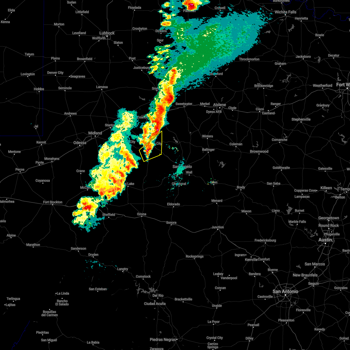 At 701 pm cst, a severe thunderstorm was located 8 miles southwest of sterling city, moving northeast at 40 mph (radar indicated). Hazards include 60 mph wind gusts and quarter size hail. Hail damage to vehicles is expected. expect wind damage to roofs, siding, and trees. this severe thunderstorm will be near, sterling city around 710 pm cst. Broome around 715 pm cst. At 701 pm cst, a severe thunderstorm was located 8 miles southwest of sterling city, moving northeast at 40 mph (radar indicated). Hazards include 60 mph wind gusts and quarter size hail. Hail damage to vehicles is expected. expect wind damage to roofs, siding, and trees. this severe thunderstorm will be near, sterling city around 710 pm cst. Broome around 715 pm cst.
|
| 5/24/2020 6:58 PM CDT |
 At 658 pm cdt, a severe thunderstorm was located 9 miles north of sterling city, moving north at 30 mph (radar indicated). Hazards include 60 mph wind gusts and half dollar size hail. Hail damage to vehicles is expected. expect wind damage to roofs, siding, and trees. this severe thunderstorm will remain over mainly rural areas of sterling county. People near pats hs test dss event sterling city should seek safe shelter immediately!. At 658 pm cdt, a severe thunderstorm was located 9 miles north of sterling city, moving north at 30 mph (radar indicated). Hazards include 60 mph wind gusts and half dollar size hail. Hail damage to vehicles is expected. expect wind damage to roofs, siding, and trees. this severe thunderstorm will remain over mainly rural areas of sterling county. People near pats hs test dss event sterling city should seek safe shelter immediately!.
|
| 5/24/2020 6:31 PM CDT |
 At 631 pm cdt, a severe thunderstorm was located near sterling city, moving north at 15 mph (radar indicated). Hazards include 60 mph wind gusts and quarter size hail. Hail damage to vehicles is expected. expect wind damage to roofs, siding, and trees. this severe thunderstorm will be near, sterling city around 645 pm cdt. People near pats hs test dss event sterling city should seek safe shelter immediately!. At 631 pm cdt, a severe thunderstorm was located near sterling city, moving north at 15 mph (radar indicated). Hazards include 60 mph wind gusts and quarter size hail. Hail damage to vehicles is expected. expect wind damage to roofs, siding, and trees. this severe thunderstorm will be near, sterling city around 645 pm cdt. People near pats hs test dss event sterling city should seek safe shelter immediately!.
|
| 5/20/2020 4:53 PM CDT |
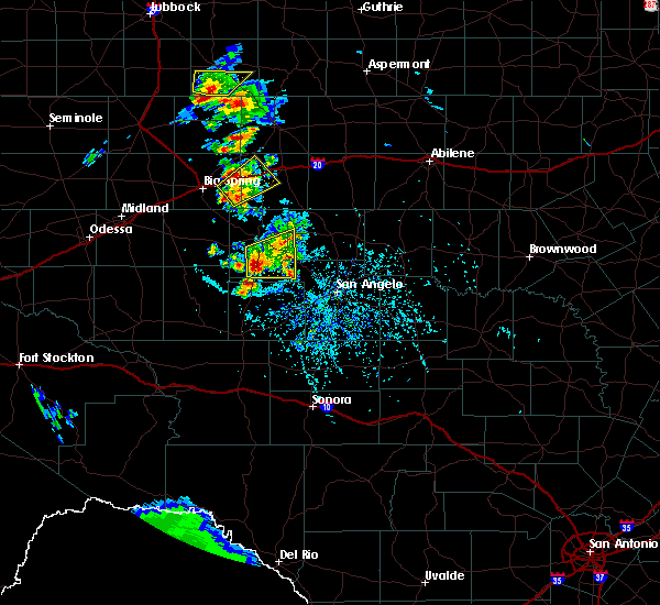 At 452 pm cdt, a severe thunderstorm was located 13 miles south of sterling city, moving northeast at 15 mph (radar indicated). Hazards include 60 mph wind gusts and nickel size hail. Expect damage to roofs, siding, and trees. this severe storm will be near, broome around 545 pm cdt. other locations impacted by this severe thunderstorm include us- 87 near the coke-tom green county line. People near pats hs test dss event sterling city should seek safe shelter immediately!. At 452 pm cdt, a severe thunderstorm was located 13 miles south of sterling city, moving northeast at 15 mph (radar indicated). Hazards include 60 mph wind gusts and nickel size hail. Expect damage to roofs, siding, and trees. this severe storm will be near, broome around 545 pm cdt. other locations impacted by this severe thunderstorm include us- 87 near the coke-tom green county line. People near pats hs test dss event sterling city should seek safe shelter immediately!.
|
| 5/20/2020 4:25 PM CDT |
 At 424 pm cdt, a severe thunderstorm was located 8 miles south of sterling city, moving east at 20 mph (radar indicated). Hazards include 60 mph wind gusts and half dollar size hail. Hail damage to vehicles is expected. expect wind damage to roofs, siding, and trees. this severe thunderstorm will be near, sterling city around 445 pm cdt. broome around 500 pm cdt. other locations impacted by this severe thunderstorm include us- 87 near the coke-tom green county line. People near pats hs test dss event sterling city should seek safe shelter immediately!. At 424 pm cdt, a severe thunderstorm was located 8 miles south of sterling city, moving east at 20 mph (radar indicated). Hazards include 60 mph wind gusts and half dollar size hail. Hail damage to vehicles is expected. expect wind damage to roofs, siding, and trees. this severe thunderstorm will be near, sterling city around 445 pm cdt. broome around 500 pm cdt. other locations impacted by this severe thunderstorm include us- 87 near the coke-tom green county line. People near pats hs test dss event sterling city should seek safe shelter immediately!.
|
| 5/20/2020 4:12 PM CDT | Quarter sized hail reported 11.6 miles N of Sterling City, TX, the public measured quarter size hail 12 miles south of sterling city. the report was posted via facebook. |
| 5/20/2020 4:08 PM CDT |
 At 408 pm cdt, a severe thunderstorm was located 8 miles southwest of sterling city, moving east at 15 mph (radar indicated). Hazards include 60 mph wind gusts and half dollar size hail. Hail damage to vehicles is expected. expect wind damage to roofs, siding, and trees. this severe storm will be near, sterling city around 435 pm cdt. broome around 445 pm cdt. People near pats hs test dss event sterling city should seek safe shelter immediately!. At 408 pm cdt, a severe thunderstorm was located 8 miles southwest of sterling city, moving east at 15 mph (radar indicated). Hazards include 60 mph wind gusts and half dollar size hail. Hail damage to vehicles is expected. expect wind damage to roofs, siding, and trees. this severe storm will be near, sterling city around 435 pm cdt. broome around 445 pm cdt. People near pats hs test dss event sterling city should seek safe shelter immediately!.
|
| 5/20/2020 3:52 PM CDT |
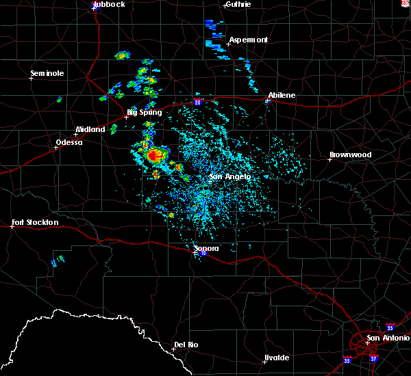 At 351 pm cdt, a severe thunderstorm was located 10 miles southwest of sterling city, moving east at 25 mph (radar indicated). Hazards include 60 mph wind gusts and quarter size hail. Hail damage to vehicles is expected. expect wind damage to roofs, siding, and trees. this severe thunderstorm will be near, sterling city around 415 pm cdt. broome around 430 pm cdt. People near pats hs test dss event sterling city should seek safe shelter immediately!. At 351 pm cdt, a severe thunderstorm was located 10 miles southwest of sterling city, moving east at 25 mph (radar indicated). Hazards include 60 mph wind gusts and quarter size hail. Hail damage to vehicles is expected. expect wind damage to roofs, siding, and trees. this severe thunderstorm will be near, sterling city around 415 pm cdt. broome around 430 pm cdt. People near pats hs test dss event sterling city should seek safe shelter immediately!.
|
| 5/15/2020 7:14 PM CDT |
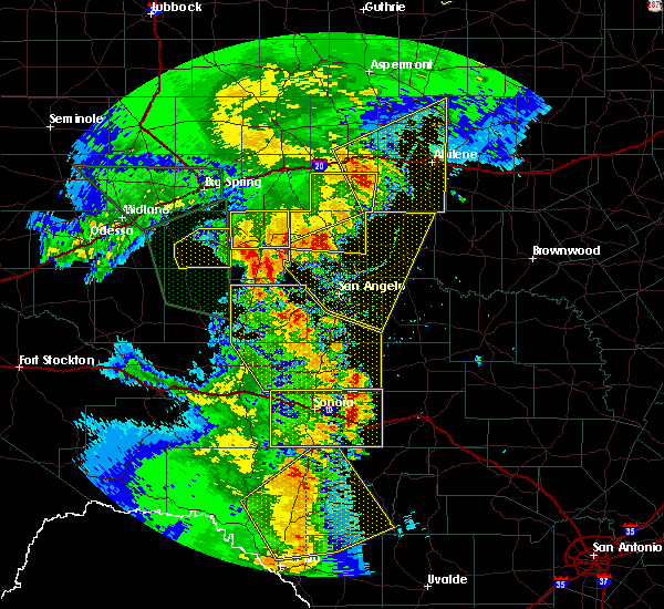 At 714 pm cdt, a severe thunderstorm was located near sterling city, moving northeast at 30 mph (radar indicated). Hazards include 60 mph wind gusts and quarter size hail. Hail damage to vehicles is expected. expect wind damage to roofs, siding, and trees. This severe thunderstorm will be near, sterling city around 730 pm cdt. At 714 pm cdt, a severe thunderstorm was located near sterling city, moving northeast at 30 mph (radar indicated). Hazards include 60 mph wind gusts and quarter size hail. Hail damage to vehicles is expected. expect wind damage to roofs, siding, and trees. This severe thunderstorm will be near, sterling city around 730 pm cdt.
|
| 5/15/2020 6:47 PM CDT |
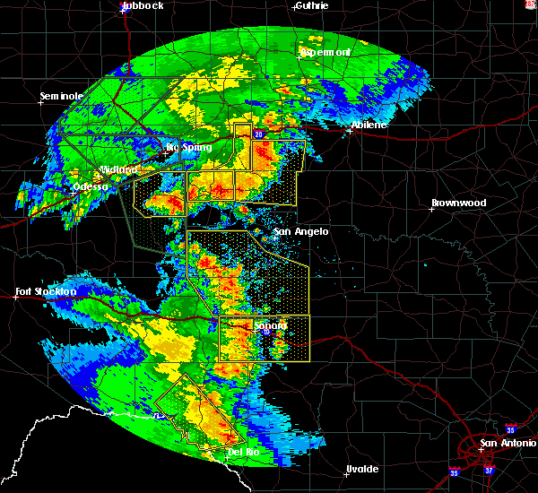 At 647 pm cdt, a severe thunderstorm was located near sterling city, moving north at 35 mph (radar indicated). Hazards include 60 mph wind gusts and quarter size hail. Hail damage to vehicles is expected. expect wind damage to roofs, siding, and trees. Locations impacted include, sterling city. At 647 pm cdt, a severe thunderstorm was located near sterling city, moving north at 35 mph (radar indicated). Hazards include 60 mph wind gusts and quarter size hail. Hail damage to vehicles is expected. expect wind damage to roofs, siding, and trees. Locations impacted include, sterling city.
|
| 5/15/2020 6:15 PM CDT |
 At 614 pm cdt, a severe thunderstorm was located 13 miles northwest of sterling city, moving northeast at 35 mph (radar indicated). Hazards include 60 mph wind gusts and quarter size hail. Hail damage to vehicles is expected. expect wind damage to roofs, siding, and trees. This severe thunderstorm will remain over mainly rural areas of northern sterling county. At 614 pm cdt, a severe thunderstorm was located 13 miles northwest of sterling city, moving northeast at 35 mph (radar indicated). Hazards include 60 mph wind gusts and quarter size hail. Hail damage to vehicles is expected. expect wind damage to roofs, siding, and trees. This severe thunderstorm will remain over mainly rural areas of northern sterling county.
|
| 4/27/2020 7:22 PM CDT |
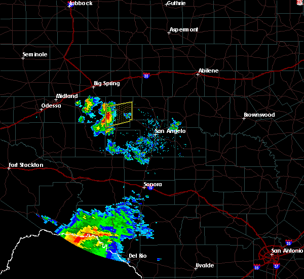 At 722 pm cdt, a severe thunderstorm was located 15 miles southeast of garden city, moving east at 25 mph (radar indicated). Hazards include 60 mph wind gusts and quarter size hail. Hail damage to vehicles is expected. expect wind damage to roofs, siding, and trees. this severe thunderstorm will be near, sterling city around 800 pm cdt. Broome around 815 pm cdt. At 722 pm cdt, a severe thunderstorm was located 15 miles southeast of garden city, moving east at 25 mph (radar indicated). Hazards include 60 mph wind gusts and quarter size hail. Hail damage to vehicles is expected. expect wind damage to roofs, siding, and trees. this severe thunderstorm will be near, sterling city around 800 pm cdt. Broome around 815 pm cdt.
|
| 3/18/2020 11:54 PM CDT |
 At 1153 pm cdt, a large and extremely dangerous tornado was located near sterling city, moving northeast at 45 mph. this is a particularly dangerous situation. take cover now! (radar indicated rotation). Hazards include damaging tornado. You are in a life-threatening situation. flying debris may be deadly to those caught without shelter. mobile homes will be destroyed. considerable damage to homes, businesses, and vehicles is likely and complete destruction is possible. the tornado will be near, silver around 1220 am cdt. sanco around 1230 am cdt. Other locations impacted by this tornadic thunderstorm include the intersection of highway 158 and ranch road 2059. At 1153 pm cdt, a large and extremely dangerous tornado was located near sterling city, moving northeast at 45 mph. this is a particularly dangerous situation. take cover now! (radar indicated rotation). Hazards include damaging tornado. You are in a life-threatening situation. flying debris may be deadly to those caught without shelter. mobile homes will be destroyed. considerable damage to homes, businesses, and vehicles is likely and complete destruction is possible. the tornado will be near, silver around 1220 am cdt. sanco around 1230 am cdt. Other locations impacted by this tornadic thunderstorm include the intersection of highway 158 and ranch road 2059.
|
| 3/18/2020 11:44 PM CDT |
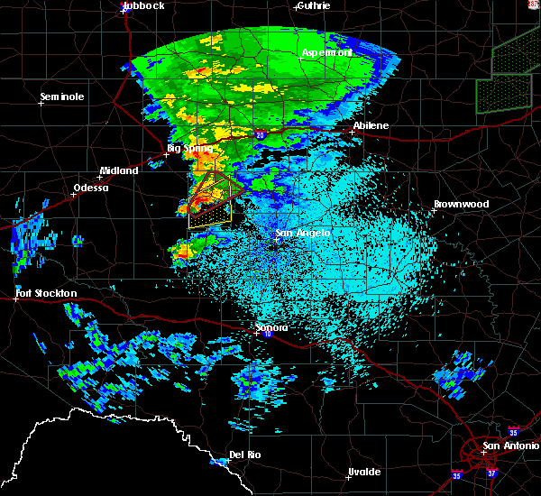 At 1142 pm cdt, a large and extremely dangerous tornado was located near sterling city, moving northeast at 45 mph. this is a particularly dangerous situation. take cover now! (radar indicated rotation). Hazards include damaging tornado. You are in a life-threatening situation. flying debris may be deadly to those caught without shelter. mobile homes will be destroyed. considerable damage to homes, businesses, and vehicles is likely and complete destruction is possible. This tornadic thunderstorm will remain over mainly rural areas of northern sterling county. At 1142 pm cdt, a large and extremely dangerous tornado was located near sterling city, moving northeast at 45 mph. this is a particularly dangerous situation. take cover now! (radar indicated rotation). Hazards include damaging tornado. You are in a life-threatening situation. flying debris may be deadly to those caught without shelter. mobile homes will be destroyed. considerable damage to homes, businesses, and vehicles is likely and complete destruction is possible. This tornadic thunderstorm will remain over mainly rural areas of northern sterling county.
|
| 3/18/2020 11:29 PM CDT |
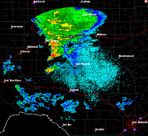 At 1129 pm cdt, a severe thunderstorm capable of producing a tornado was located 14 miles southwest of sterling city, moving northeast at 45 mph (radar indicated rotation). Hazards include tornado and ping pong ball size hail. Flying debris will be dangerous to those caught without shelter. mobile homes will be damaged or destroyed. damage to roofs, windows, and vehicles will occur. tree damage is likely. This dangerous storm will be near, sterling city around 1150 pm cdt. At 1129 pm cdt, a severe thunderstorm capable of producing a tornado was located 14 miles southwest of sterling city, moving northeast at 45 mph (radar indicated rotation). Hazards include tornado and ping pong ball size hail. Flying debris will be dangerous to those caught without shelter. mobile homes will be damaged or destroyed. damage to roofs, windows, and vehicles will occur. tree damage is likely. This dangerous storm will be near, sterling city around 1150 pm cdt.
|
| 3/18/2020 11:18 PM CDT |
 At 1114 pm cdt, a severe thunderstorm was located 15 miles east of saint lawrence, or 17 miles southeast of garden city, moving northeast at 35 mph (radar indicated). Hazards include ping pong ball size hail and 60 mph wind gusts. People and animals outdoors will be injured. expect hail and/or wind damage to roofs, siding, windows, and vehicles. This severe storm will be near, sterling city around 1145 pm cdt. At 1114 pm cdt, a severe thunderstorm was located 15 miles east of saint lawrence, or 17 miles southeast of garden city, moving northeast at 35 mph (radar indicated). Hazards include ping pong ball size hail and 60 mph wind gusts. People and animals outdoors will be injured. expect hail and/or wind damage to roofs, siding, windows, and vehicles. This severe storm will be near, sterling city around 1145 pm cdt.
|
| 3/18/2020 11:00 PM CDT |
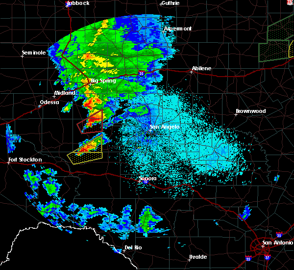 At 1100 pm cdt, a severe thunderstorm was located 9 miles southeast of saint lawrence, or 17 miles south of garden city, moving northeast at 35 mph (radar indicated). Hazards include 60 mph wind gusts and quarter size hail. Hail damage to vehicles is expected. expect wind damage to roofs, siding, and trees. This severe thunderstorm will be near, sterling city around 1150 pm cdt. At 1100 pm cdt, a severe thunderstorm was located 9 miles southeast of saint lawrence, or 17 miles south of garden city, moving northeast at 35 mph (radar indicated). Hazards include 60 mph wind gusts and quarter size hail. Hail damage to vehicles is expected. expect wind damage to roofs, siding, and trees. This severe thunderstorm will be near, sterling city around 1150 pm cdt.
|
| 3/18/2020 5:25 PM CDT |
 At 524 pm cdt, a severe thunderstorm was located 15 miles east of saint lawrence, or 18 miles southeast of garden city, moving northeast at 45 mph (radar indicated). Hazards include 60 mph wind gusts and half dollar size hail. Hail damage to vehicles is expected. expect wind damage to roofs, siding, and trees. this severe thunderstorm will be near, sterling city around 555 pm cdt. broome around 600 pm cdt. Other locations impacted by this severe thunderstorm include us- 87 near the coke-tom green county line. At 524 pm cdt, a severe thunderstorm was located 15 miles east of saint lawrence, or 18 miles southeast of garden city, moving northeast at 45 mph (radar indicated). Hazards include 60 mph wind gusts and half dollar size hail. Hail damage to vehicles is expected. expect wind damage to roofs, siding, and trees. this severe thunderstorm will be near, sterling city around 555 pm cdt. broome around 600 pm cdt. Other locations impacted by this severe thunderstorm include us- 87 near the coke-tom green county line.
|
| 6/24/2019 5:35 PM CDT |
 At 534 pm cdt, a severe thunderstorm was located near broome, or near sterling city, moving east at 15 mph (law enforcement). Hazards include two inch hail and 60 mph wind gusts. People and animals outdoors will be injured. expect hail damage to roofs, siding, windows, and vehicles. expect wind damage to roofs, siding, and trees. Locations impacted include, sterling city and broome. At 534 pm cdt, a severe thunderstorm was located near broome, or near sterling city, moving east at 15 mph (law enforcement). Hazards include two inch hail and 60 mph wind gusts. People and animals outdoors will be injured. expect hail damage to roofs, siding, windows, and vehicles. expect wind damage to roofs, siding, and trees. Locations impacted include, sterling city and broome.
|
| 6/24/2019 5:23 PM CDT |
 At 522 pm cdt, a severe thunderstorm was located over sterling city, moving northeast at 15 mph (law enforcement). Hazards include golf ball size hail. People and animals outdoors will be injured. expect damage to roofs, siding, windows, and vehicles. This severe thunderstorm will remain over mainly rural areas of southwestern coke and east central sterling counties. At 522 pm cdt, a severe thunderstorm was located over sterling city, moving northeast at 15 mph (law enforcement). Hazards include golf ball size hail. People and animals outdoors will be injured. expect damage to roofs, siding, windows, and vehicles. This severe thunderstorm will remain over mainly rural areas of southwestern coke and east central sterling counties.
|
| 6/24/2019 5:19 PM CDT | Ping Pong Ball sized hail reported 0.2 miles SE of Sterling City, TX |
| 6/24/2019 5:13 PM CDT |
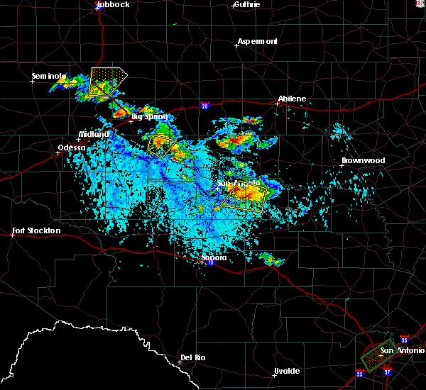 At 513 pm cdt, a severe thunderstorm was located near sterling city, moving northeast at 20 mph (radar indicated). Hazards include golf ball size hail and 60 mph wind gusts. People and animals outdoors will be injured. expect hail damage to roofs, siding, windows, and vehicles. expect wind damage to roofs, siding, and trees. This severe thunderstorm will be near, broome around 520 pm cdt. At 513 pm cdt, a severe thunderstorm was located near sterling city, moving northeast at 20 mph (radar indicated). Hazards include golf ball size hail and 60 mph wind gusts. People and animals outdoors will be injured. expect hail damage to roofs, siding, windows, and vehicles. expect wind damage to roofs, siding, and trees. This severe thunderstorm will be near, broome around 520 pm cdt.
|
| 6/24/2019 5:12 PM CDT | Golf Ball sized hail reported 0.2 miles SE of Sterling City, TX, the sterling county sheriffs office reported golf ball size hail. |
| 6/16/2019 5:46 PM CDT |
 At 546 pm cdt, a severe thunderstorm was located 7 miles southwest of sterling city, moving south at 15 mph (radar indicated). Hazards include ping pong ball size hail and 60 mph wind gusts. People and animals outdoors will be injured. expect hail damage to roofs, siding, windows, and vehicles. expect wind damage to roofs, siding, and trees. This severe thunderstorm will remain over mainly rural areas of southern sterling county. At 546 pm cdt, a severe thunderstorm was located 7 miles southwest of sterling city, moving south at 15 mph (radar indicated). Hazards include ping pong ball size hail and 60 mph wind gusts. People and animals outdoors will be injured. expect hail damage to roofs, siding, windows, and vehicles. expect wind damage to roofs, siding, and trees. This severe thunderstorm will remain over mainly rural areas of southern sterling county.
|
| 6/16/2019 5:28 PM CDT |
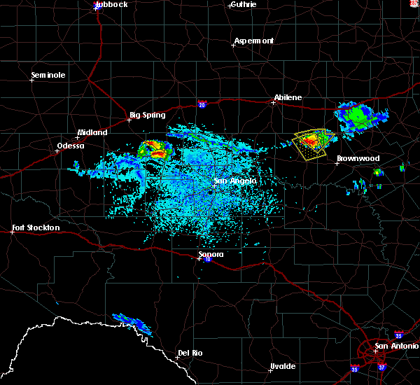 At 528 pm cdt, a severe thunderstorm was located 9 miles west of sterling city, moving southeast at 15 mph (radar indicated). Hazards include 60 mph wind gusts and quarter size hail. Hail damage to vehicles is expected. expect wind damage to roofs, siding, and trees. This severe thunderstorm will be near, sterling city around 600 pm cdt. At 528 pm cdt, a severe thunderstorm was located 9 miles west of sterling city, moving southeast at 15 mph (radar indicated). Hazards include 60 mph wind gusts and quarter size hail. Hail damage to vehicles is expected. expect wind damage to roofs, siding, and trees. This severe thunderstorm will be near, sterling city around 600 pm cdt.
|
| 6/5/2019 9:06 PM CDT |
 At 905 pm cdt, a line of severe thunderstorms were located along a line extending from 8 miles east of fluvanna to 14 miles southeast of garden city, moving east at 35 mph (radar indicated). Hazards include 60 mph wind gusts and quarter size hail. Hail damage to vehicles is expected. expect wind damage to roofs, siding, and trees. severe thunderstorms will be near, sterling city around 935 pm cdt. other locations impacted by these severe thunderstorms include hitson, gannon, lake sweetwater, busby, capitola, the intersection of highway 208 and ranch road 2662, the intersection of highway 158 and ranch road 2059, the intersection of highway 70 and ranch road 53, oak creek reservoir and the intersection of ranch road 608 and highway 147. This includes interstate 20 between mile markers 229 and 260. At 905 pm cdt, a line of severe thunderstorms were located along a line extending from 8 miles east of fluvanna to 14 miles southeast of garden city, moving east at 35 mph (radar indicated). Hazards include 60 mph wind gusts and quarter size hail. Hail damage to vehicles is expected. expect wind damage to roofs, siding, and trees. severe thunderstorms will be near, sterling city around 935 pm cdt. other locations impacted by these severe thunderstorms include hitson, gannon, lake sweetwater, busby, capitola, the intersection of highway 208 and ranch road 2662, the intersection of highway 158 and ranch road 2059, the intersection of highway 70 and ranch road 53, oak creek reservoir and the intersection of ranch road 608 and highway 147. This includes interstate 20 between mile markers 229 and 260.
|
| 5/21/2019 12:54 AM CDT |
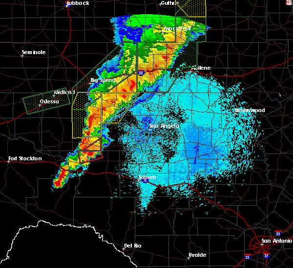 At 1253 am cdt, severe thunderstorms were located along a line extending from 11 miles west of silver to 13 miles west of sterling city, moving east at 25 mph (radar indicated). Hazards include 60 mph wind gusts and nickel size hail. Expect damage to roofs, siding, and trees. These severe storms will be near, sterling city around 115 am cdt. At 1253 am cdt, severe thunderstorms were located along a line extending from 11 miles west of silver to 13 miles west of sterling city, moving east at 25 mph (radar indicated). Hazards include 60 mph wind gusts and nickel size hail. Expect damage to roofs, siding, and trees. These severe storms will be near, sterling city around 115 am cdt.
|
| 5/21/2019 12:27 AM CDT |
 At 1226 am cdt, severe thunderstorms were located along a line extending from 14 miles southwest of champion creek reservoir to 11 miles southeast of garden city, moving east at 35 mph (radar indicated). Hazards include 60 mph wind gusts and nickel size hail. Expect damage to roofs, siding, and trees. severe thunderstorms will be near, silver around 110 am cdt. Sterling city around 115 am cdt. At 1226 am cdt, severe thunderstorms were located along a line extending from 14 miles southwest of champion creek reservoir to 11 miles southeast of garden city, moving east at 35 mph (radar indicated). Hazards include 60 mph wind gusts and nickel size hail. Expect damage to roofs, siding, and trees. severe thunderstorms will be near, silver around 110 am cdt. Sterling city around 115 am cdt.
|
| 4/23/2019 9:33 PM CDT |
 At 932 pm cdt, a severe thunderstorm was located 9 miles northwest of sterling city, moving east at 25 mph (radar indicated). Hazards include ping pong ball size hail and 60 mph wind gusts. People and animals outdoors will be injured. expect hail damage to roofs, siding, windows, and vehicles. expect wind damage to roofs, siding, and trees. This severe storm will be near, sterling city around 950 pm cdt. At 932 pm cdt, a severe thunderstorm was located 9 miles northwest of sterling city, moving east at 25 mph (radar indicated). Hazards include ping pong ball size hail and 60 mph wind gusts. People and animals outdoors will be injured. expect hail damage to roofs, siding, windows, and vehicles. expect wind damage to roofs, siding, and trees. This severe storm will be near, sterling city around 950 pm cdt.
|
| 4/23/2019 9:25 PM CDT |
 At 924 pm cdt, a severe thunderstorm was located 12 miles northwest of sterling city, moving east at 25 mph (radar indicated). Hazards include ping pong ball size hail and 60 mph wind gusts. People and animals outdoors will be injured. expect hail damage to roofs, siding, windows, and vehicles. expect wind damage to roofs, siding, and trees. This severe storm will be near, sterling city around 950 pm cdt. At 924 pm cdt, a severe thunderstorm was located 12 miles northwest of sterling city, moving east at 25 mph (radar indicated). Hazards include ping pong ball size hail and 60 mph wind gusts. People and animals outdoors will be injured. expect hail damage to roofs, siding, windows, and vehicles. expect wind damage to roofs, siding, and trees. This severe storm will be near, sterling city around 950 pm cdt.
|
| 4/23/2019 9:18 PM CDT |
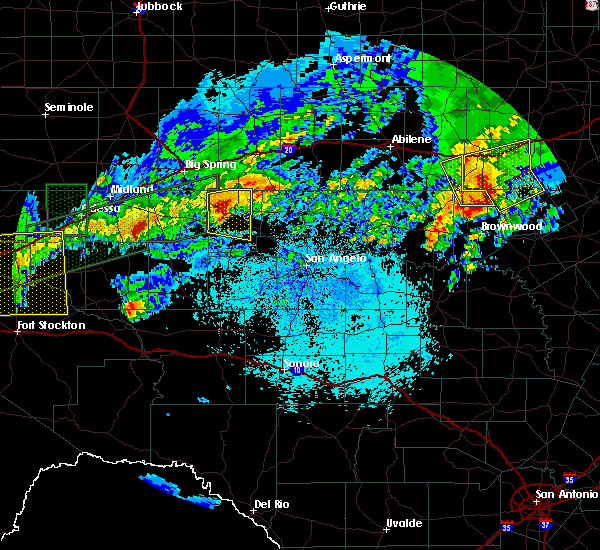 At 917 pm cdt, a severe thunderstorm was located 14 miles northwest of sterling city, moving east at 25 mph (radar indicated). Hazards include 60 mph wind gusts and quarter size hail. Hail damage to vehicles is expected. expect wind damage to roofs, siding, and trees. This severe storm will be near, sterling city around 950 pm cdt. At 917 pm cdt, a severe thunderstorm was located 14 miles northwest of sterling city, moving east at 25 mph (radar indicated). Hazards include 60 mph wind gusts and quarter size hail. Hail damage to vehicles is expected. expect wind damage to roofs, siding, and trees. This severe storm will be near, sterling city around 950 pm cdt.
|
| 4/23/2019 8:57 PM CDT |
 At 856 pm cdt, a severe thunderstorm was located 8 miles northeast of garden city, moving east at 25 mph (radar indicated). Hazards include 60 mph wind gusts and quarter size hail. Hail damage to vehicles is expected. expect wind damage to roofs, siding, and trees. This severe thunderstorm will be near, sterling city around 950 pm cdt. At 856 pm cdt, a severe thunderstorm was located 8 miles northeast of garden city, moving east at 25 mph (radar indicated). Hazards include 60 mph wind gusts and quarter size hail. Hail damage to vehicles is expected. expect wind damage to roofs, siding, and trees. This severe thunderstorm will be near, sterling city around 950 pm cdt.
|
| 4/6/2019 4:25 AM CDT |
 At 424 am cdt, severe thunderstorms were located along a line extending from 10 miles south of champion creek reservoir to 14 miles southwest of broome to near barnhart, moving east at 45 mph (radar indicated). Hazards include 60 mph wind gusts and nickel size hail. Expect damage to roofs, siding, and trees. these severe storms will be near, silver around 435 am cdt. water valley around 445 am cdt. mertzon, carlsbad and sherwood around 450 am cdt. knickerbocker, grape creek and tankersley around 500 am cdt. Other locations impacted by these severe thunderstorms include the intersection of highway 158 and ranch road 2059, us-87 near the coke- tom green county line and us-67 near the irion-tom green county line. At 424 am cdt, severe thunderstorms were located along a line extending from 10 miles south of champion creek reservoir to 14 miles southwest of broome to near barnhart, moving east at 45 mph (radar indicated). Hazards include 60 mph wind gusts and nickel size hail. Expect damage to roofs, siding, and trees. these severe storms will be near, silver around 435 am cdt. water valley around 445 am cdt. mertzon, carlsbad and sherwood around 450 am cdt. knickerbocker, grape creek and tankersley around 500 am cdt. Other locations impacted by these severe thunderstorms include the intersection of highway 158 and ranch road 2059, us-87 near the coke- tom green county line and us-67 near the irion-tom green county line.
|
| 4/6/2019 4:05 AM CDT |
 At 403 am cdt, severe thunderstorms were located along a line extending from 17 miles east of forsan to 23 miles southeast of saint lawrence to 8 miles west of barnhart, moving east at 35 mph (radar indicated). Hazards include 60 mph wind gusts and nickel size hail. Expect damage to roofs, siding, and trees. severe thunderstorms will be near, silver around 435 am cdt. mertzon and water valley around 445 am cdt. carlsbad and sherwood around 450 am cdt. grape creek around 455 am cdt. knickerbocker and tankersley around 500 am cdt. Other locations impacted by these severe thunderstorms include the intersection of highway 158 and ranch road 2059, us-87 near the coke- tom green county line and us-67 near the irion-tom green county line. At 403 am cdt, severe thunderstorms were located along a line extending from 17 miles east of forsan to 23 miles southeast of saint lawrence to 8 miles west of barnhart, moving east at 35 mph (radar indicated). Hazards include 60 mph wind gusts and nickel size hail. Expect damage to roofs, siding, and trees. severe thunderstorms will be near, silver around 435 am cdt. mertzon and water valley around 445 am cdt. carlsbad and sherwood around 450 am cdt. grape creek around 455 am cdt. knickerbocker and tankersley around 500 am cdt. Other locations impacted by these severe thunderstorms include the intersection of highway 158 and ranch road 2059, us-87 near the coke- tom green county line and us-67 near the irion-tom green county line.
|
| 3/13/2019 1:16 AM CDT |
 At 114 am cdt, severe thunderstorms were located along a line extending from 7 miles northwest of bronte to san angelo to 11 miles southwest of knickerbocker, moving northeast at 40 mph (radar indicated). Hazards include 60 mph wind gusts. Expect damage to roofs, siding, and trees. severe thunderstorms will be near, blackwell and bronte around 120 am cdt. fort chadbourne and wall around 125 am cdt. veribest around 135 am cdt. christoval and wingate around 140 am cdt. miles and mereta around 145 am cdt. lowake around 155 am cdt. rowena around 200 am cdt. other locations impacted by these severe thunderstorms include vick, pumphrey, the intersection of highway 208 and ranch road 2662, the intersection of highway 158 and ranch road 2059, wilmeth, ballinger lake, us-87 near the coke-tom green county line, us- 67 near the irion- tom green county line, harriet and oak creek reservoir. A tornado watch remains in effect until 500 am cdt for west central texas. At 114 am cdt, severe thunderstorms were located along a line extending from 7 miles northwest of bronte to san angelo to 11 miles southwest of knickerbocker, moving northeast at 40 mph (radar indicated). Hazards include 60 mph wind gusts. Expect damage to roofs, siding, and trees. severe thunderstorms will be near, blackwell and bronte around 120 am cdt. fort chadbourne and wall around 125 am cdt. veribest around 135 am cdt. christoval and wingate around 140 am cdt. miles and mereta around 145 am cdt. lowake around 155 am cdt. rowena around 200 am cdt. other locations impacted by these severe thunderstorms include vick, pumphrey, the intersection of highway 208 and ranch road 2662, the intersection of highway 158 and ranch road 2059, wilmeth, ballinger lake, us-87 near the coke-tom green county line, us- 67 near the irion- tom green county line, harriet and oak creek reservoir. A tornado watch remains in effect until 500 am cdt for west central texas.
|
| 3/13/2019 12:59 AM CDT |
 At 1258 am cdt, severe thunderstorms were located along a line extending from near broome to near san angelo state park to 15 miles south of mertzon, moving northeast at 40 mph (radar indicated). Hazards include 60 mph wind gusts. Expect damage to roofs, siding, and trees. these severe storms will be near, san angelo, o. c. fisher reservoir, san angelo state park and twin buttes reservoir around 105 am cdt. lake nasworthy around 110 am cdt. goodfellow air force base and water valley around 115 am cdt. other locations impacted by these severe thunderstorms include the intersection of highway 208 and ranch road 2662, the intersection of highway 158 and ranch road 2059, us-87 near the coke- tom green county line and us-67 near the irion-tom green county line. A tornado watch remains in effect until 500 am cdt for west central texas. At 1258 am cdt, severe thunderstorms were located along a line extending from near broome to near san angelo state park to 15 miles south of mertzon, moving northeast at 40 mph (radar indicated). Hazards include 60 mph wind gusts. Expect damage to roofs, siding, and trees. these severe storms will be near, san angelo, o. c. fisher reservoir, san angelo state park and twin buttes reservoir around 105 am cdt. lake nasworthy around 110 am cdt. goodfellow air force base and water valley around 115 am cdt. other locations impacted by these severe thunderstorms include the intersection of highway 208 and ranch road 2662, the intersection of highway 158 and ranch road 2059, us-87 near the coke- tom green county line and us-67 near the irion-tom green county line. A tornado watch remains in effect until 500 am cdt for west central texas.
|
| 3/13/2019 12:31 AM CDT |
 At 1230 am cdt, severe thunderstorms were located along a line extending from 10 miles west of sterling city to 7 miles northwest of arden to barnhart, moving east at 40 mph (radar indicated). Hazards include 60 mph wind gusts. Expect damage to roofs, siding, and trees. severe thunderstorms will be near, arden around 1240 am cdt. tankersley around 1250 am cdt. san angelo state park around 1255 am cdt. broome, o. c. fisher reservoir and twin buttes reservoir around 100 am cdt. san angelo and lake nasworthy around 105 am cdt. goodfellow air force base and water valley around 110 am cdt. other locations impacted by these severe thunderstorms include the intersection of highway 208 and ranch road 2662, the intersection of highway 158 and ranch road 2059, us-87 near the coke- tom green county line and us-67 near the irion-tom green county line. A tornado watch remains in effect until 500 am cdt for west central texas. At 1230 am cdt, severe thunderstorms were located along a line extending from 10 miles west of sterling city to 7 miles northwest of arden to barnhart, moving east at 40 mph (radar indicated). Hazards include 60 mph wind gusts. Expect damage to roofs, siding, and trees. severe thunderstorms will be near, arden around 1240 am cdt. tankersley around 1250 am cdt. san angelo state park around 1255 am cdt. broome, o. c. fisher reservoir and twin buttes reservoir around 100 am cdt. san angelo and lake nasworthy around 105 am cdt. goodfellow air force base and water valley around 110 am cdt. other locations impacted by these severe thunderstorms include the intersection of highway 208 and ranch road 2662, the intersection of highway 158 and ranch road 2059, us-87 near the coke- tom green county line and us-67 near the irion-tom green county line. A tornado watch remains in effect until 500 am cdt for west central texas.
|
| 3/13/2019 12:20 AM CDT |
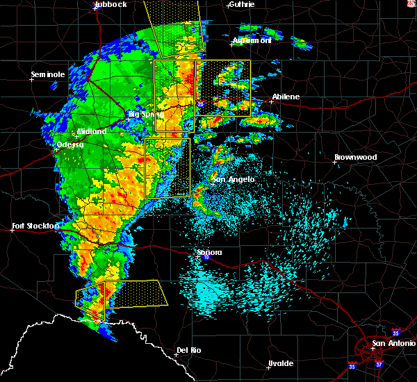 At 1218 am cdt, a severe thunderstorm was located 12 miles southwest of broome, or 17 miles south of sterling city, moving northeast at 40 mph (radar indicated). Hazards include 60 mph wind gusts. Expect damage to roofs, siding, and trees. locations impacted include, sterling city, broome, arden and us-87 near the coke- tom green county line. A tornado watch remains in effect until 500 am cdt for west central texas. At 1218 am cdt, a severe thunderstorm was located 12 miles southwest of broome, or 17 miles south of sterling city, moving northeast at 40 mph (radar indicated). Hazards include 60 mph wind gusts. Expect damage to roofs, siding, and trees. locations impacted include, sterling city, broome, arden and us-87 near the coke- tom green county line. A tornado watch remains in effect until 500 am cdt for west central texas.
|
| 3/13/2019 12:03 AM CDT |
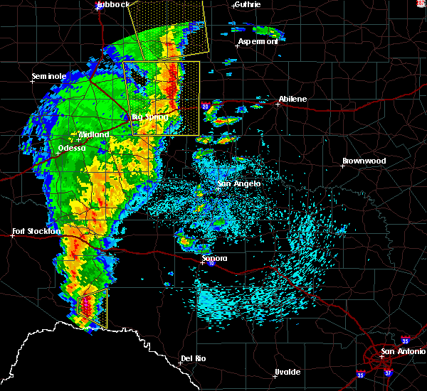 At 1201 am cdt, a severe thunderstorm was located 21 miles southwest of sterling city, moving east at 40 mph (radar indicated). Hazards include 60 mph wind gusts. Expect damage to roofs, siding, and trees. this severe thunderstorm will remain over mainly rural areas of southwestern coke, sterling, northwestern tom green and northern irion counties, including the following locations, us-87 near the coke-tom green county line. A tornado watch remains in effect until 500 am cdt for west central texas. At 1201 am cdt, a severe thunderstorm was located 21 miles southwest of sterling city, moving east at 40 mph (radar indicated). Hazards include 60 mph wind gusts. Expect damage to roofs, siding, and trees. this severe thunderstorm will remain over mainly rural areas of southwestern coke, sterling, northwestern tom green and northern irion counties, including the following locations, us-87 near the coke-tom green county line. A tornado watch remains in effect until 500 am cdt for west central texas.
|
| 10/13/2018 4:58 AM CDT |
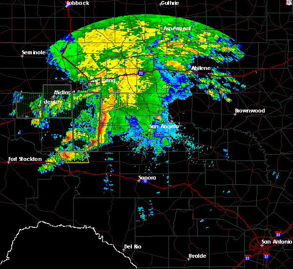 At 458 am cdt, a severe thunderstorm was located 8 miles northwest of sterling city, moving northeast at 35 mph (radar indicated). Hazards include 60 mph wind gusts and quarter size hail. Hail damage to vehicles is expected. expect wind damage to roofs, siding, and trees. Locations impacted include, sterling city. At 458 am cdt, a severe thunderstorm was located 8 miles northwest of sterling city, moving northeast at 35 mph (radar indicated). Hazards include 60 mph wind gusts and quarter size hail. Hail damage to vehicles is expected. expect wind damage to roofs, siding, and trees. Locations impacted include, sterling city.
|
| 10/13/2018 4:40 AM CDT |
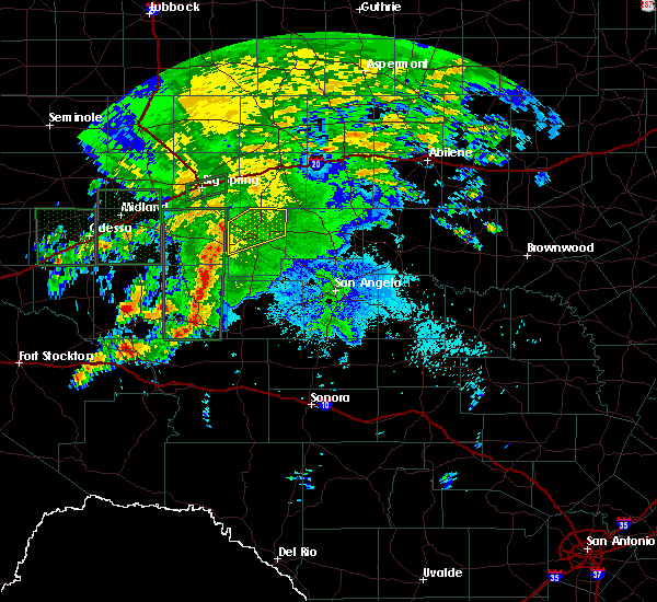 At 439 am cdt, a severe thunderstorm was located 14 miles west of sterling city, moving northeast at 35 mph (radar indicated). Hazards include 60 mph wind gusts and quarter size hail. Hail damage to vehicles is expected. expect wind damage to roofs, siding, and trees. This severe thunderstorm will remain over mainly rural areas of northern sterling county. At 439 am cdt, a severe thunderstorm was located 14 miles west of sterling city, moving northeast at 35 mph (radar indicated). Hazards include 60 mph wind gusts and quarter size hail. Hail damage to vehicles is expected. expect wind damage to roofs, siding, and trees. This severe thunderstorm will remain over mainly rural areas of northern sterling county.
|
| 6/23/2018 7:55 PM CDT |
 At 754 pm cdt, a severe thunderstorm was located 13 miles west of sterling city, moving east at 25 mph (radar indicated). Hazards include ping pong ball size hail and 60 mph wind gusts. People and animals outdoors will be injured. expect hail damage to roofs, siding, windows, and vehicles. expect wind damage to roofs, siding, and trees. This severe thunderstorm will be near, sterling city around 830 pm cdt. At 754 pm cdt, a severe thunderstorm was located 13 miles west of sterling city, moving east at 25 mph (radar indicated). Hazards include ping pong ball size hail and 60 mph wind gusts. People and animals outdoors will be injured. expect hail damage to roofs, siding, windows, and vehicles. expect wind damage to roofs, siding, and trees. This severe thunderstorm will be near, sterling city around 830 pm cdt.
|
| 6/4/2018 2:13 AM CDT |
 At 202 am cdt, a severe thunderstorm was located 11 miles northeast of sterling city, moving east at 35 mph (radar indicated). Hazards include 60 mph wind gusts. Expect damage to roofs, siding, and trees. Locations impacted include, sterling city, silver, broome and the intersection of highway 158 and ranch road 2059. At 202 am cdt, a severe thunderstorm was located 11 miles northeast of sterling city, moving east at 35 mph (radar indicated). Hazards include 60 mph wind gusts. Expect damage to roofs, siding, and trees. Locations impacted include, sterling city, silver, broome and the intersection of highway 158 and ranch road 2059.
|
| 6/4/2018 2:03 AM CDT |
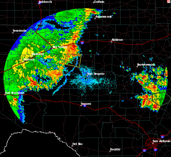 At 202 am cdt, a severe thunderstorm was located 11 miles northeast of sterling city, moving east at 35 mph (radar indicated). Hazards include 60 mph wind gusts. Expect damage to roofs, siding, and trees. Locations impacted include, sterling city, silver, broome and the intersection of highway 158 and ranch road 2059. At 202 am cdt, a severe thunderstorm was located 11 miles northeast of sterling city, moving east at 35 mph (radar indicated). Hazards include 60 mph wind gusts. Expect damage to roofs, siding, and trees. Locations impacted include, sterling city, silver, broome and the intersection of highway 158 and ranch road 2059.
|
| 6/4/2018 1:47 AM CDT |
 At 145 am cdt, a severe thunderstorm was located 5 miles north of sterling city, moving east at 35 mph (radar indicated). Hazards include 60 mph wind gusts. Expect damage to roofs, siding, and trees. This severe thunderstorm will remain over mainly rural areas of western coke and northeastern sterling counties, including the following locations, the intersection of highway 158 and ranch road 2059. At 145 am cdt, a severe thunderstorm was located 5 miles north of sterling city, moving east at 35 mph (radar indicated). Hazards include 60 mph wind gusts. Expect damage to roofs, siding, and trees. This severe thunderstorm will remain over mainly rural areas of western coke and northeastern sterling counties, including the following locations, the intersection of highway 158 and ranch road 2059.
|
| 6/4/2018 1:37 AM CDT |
 At 137 am cdt, a severe thunderstorm was located near sterling city, moving east at 35 mph (radar indicated). Hazards include 60 mph wind gusts. Expect damage to roofs, siding, and trees. This severe storm will be near, sterling city around 145 am cdt. At 137 am cdt, a severe thunderstorm was located near sterling city, moving east at 35 mph (radar indicated). Hazards include 60 mph wind gusts. Expect damage to roofs, siding, and trees. This severe storm will be near, sterling city around 145 am cdt.
|
| 6/4/2018 1:27 AM CDT |
 At 126 am cdt, a severe thunderstorm was located 7 miles west of sterling city, moving east at 40 mph (radar indicated). Hazards include 60 mph wind gusts. Expect damage to roofs, siding, and trees. This severe storm will be near, sterling city around 140 am cdt. At 126 am cdt, a severe thunderstorm was located 7 miles west of sterling city, moving east at 40 mph (radar indicated). Hazards include 60 mph wind gusts. Expect damage to roofs, siding, and trees. This severe storm will be near, sterling city around 140 am cdt.
|
| 6/4/2018 1:19 AM CDT |
 At 118 am cdt, a severe thunderstorm was located 15 miles west of sterling city, moving east at 40 mph (radar indicated). Hazards include 60 mph wind gusts. Expect damage to roofs, siding, and trees. This severe thunderstorm will be near, sterling city around 140 am cdt. At 118 am cdt, a severe thunderstorm was located 15 miles west of sterling city, moving east at 40 mph (radar indicated). Hazards include 60 mph wind gusts. Expect damage to roofs, siding, and trees. This severe thunderstorm will be near, sterling city around 140 am cdt.
|
| 5/16/2018 6:56 PM CDT |
 At 641 pm cdt, a severe thunderstorm was located 12 miles west of sterling city, moving east at 25 mph (radar indicated). Hazards include 60 mph wind gusts and quarter size hail. Hail damage to vehicles is expected. expect wind damage to roofs, siding, and trees. This severe thunderstorm will be near, sterling city around 710 pm cdt. At 641 pm cdt, a severe thunderstorm was located 12 miles west of sterling city, moving east at 25 mph (radar indicated). Hazards include 60 mph wind gusts and quarter size hail. Hail damage to vehicles is expected. expect wind damage to roofs, siding, and trees. This severe thunderstorm will be near, sterling city around 710 pm cdt.
|
| 5/16/2018 6:41 PM CDT |
 At 641 pm cdt, a severe thunderstorm was located 12 miles west of sterling city, moving east at 25 mph (radar indicated). Hazards include 60 mph wind gusts and quarter size hail. Hail damage to vehicles is expected. expect wind damage to roofs, siding, and trees. This severe thunderstorm will be near, sterling city around 710 pm cdt. At 641 pm cdt, a severe thunderstorm was located 12 miles west of sterling city, moving east at 25 mph (radar indicated). Hazards include 60 mph wind gusts and quarter size hail. Hail damage to vehicles is expected. expect wind damage to roofs, siding, and trees. This severe thunderstorm will be near, sterling city around 710 pm cdt.
|
| 5/15/2018 4:49 PM CDT | A power pole was broken in half with the winds being estimated at roughly 80 mp in sterling county TX, 0.2 miles SE of Sterling City, TX |
| 5/15/2018 4:43 PM CDT | Sterling city mesonet site reported 72 mph wind gus in sterling county TX, 3.9 miles ENE of Sterling City, TX |
| 5/15/2018 4:42 PM CDT |
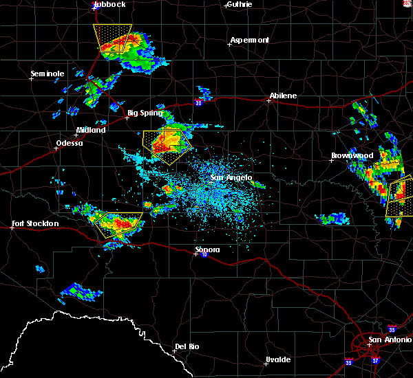 At 442 pm cdt, a severe thunderstorm was located near sterling city, moving southeast at 35 mph (radar indicated). Hazards include golf ball size hail and 70 mph wind gusts. People and animals outdoors will be injured. expect hail damage to roofs, siding, windows, and vehicles. expect considerable tree damage. wind damage is also likely to mobile homes, roofs, and outbuildings. this severe storm will be near, sterling city around 445 pm cdt. Broome around 500 pm cdt. At 442 pm cdt, a severe thunderstorm was located near sterling city, moving southeast at 35 mph (radar indicated). Hazards include golf ball size hail and 70 mph wind gusts. People and animals outdoors will be injured. expect hail damage to roofs, siding, windows, and vehicles. expect considerable tree damage. wind damage is also likely to mobile homes, roofs, and outbuildings. this severe storm will be near, sterling city around 445 pm cdt. Broome around 500 pm cdt.
|
| 5/15/2018 4:30 PM CDT | Trees down and lots of lofted dust 10 miles north of sterling city in sterling county TX, 9.7 miles S of Sterling City, TX |
| 5/15/2018 4:12 PM CDT |
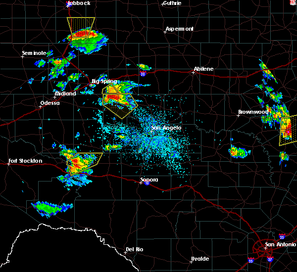 At 412 pm cdt, a severe thunderstorm was located 13 miles north of sterling city, moving southeast at 20 mph (radar indicated). Hazards include ping pong ball size hail and 60 mph wind gusts. People and animals outdoors will be injured. expect hail damage to roofs, siding, windows, and vehicles. expect wind damage to roofs, siding, and trees. this severe thunderstorm will be near, sterling city around 445 pm cdt. Broome around 515 pm cdt. At 412 pm cdt, a severe thunderstorm was located 13 miles north of sterling city, moving southeast at 20 mph (radar indicated). Hazards include ping pong ball size hail and 60 mph wind gusts. People and animals outdoors will be injured. expect hail damage to roofs, siding, windows, and vehicles. expect wind damage to roofs, siding, and trees. this severe thunderstorm will be near, sterling city around 445 pm cdt. Broome around 515 pm cdt.
|
| 3/26/2018 6:45 PM CDT | Half Dollar sized hail reported 11.8 miles S of Sterling City, TX, 1.25 hail reported at the lucid energy facility. |
| 6/23/2017 6:55 PM CDT |
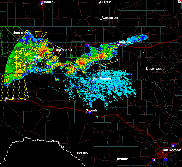 At 655 pm cdt, severe thunderstorms were located along a line extending from near robert lee to 7 miles southwest of spence reservoir near paint creek recreation area to near broome, moving southeast at 25 mph (radar indicated). Hazards include 60 mph wind gusts and penny size hail. Expect damage to roofs, siding, and trees. these severe storms will be near, robert lee around 705 pm cdt. Other locations impacted by these severe thunderstorms include the intersection of highway 158 and ranch road 2059. At 655 pm cdt, severe thunderstorms were located along a line extending from near robert lee to 7 miles southwest of spence reservoir near paint creek recreation area to near broome, moving southeast at 25 mph (radar indicated). Hazards include 60 mph wind gusts and penny size hail. Expect damage to roofs, siding, and trees. these severe storms will be near, robert lee around 705 pm cdt. Other locations impacted by these severe thunderstorms include the intersection of highway 158 and ranch road 2059.
|
| 6/23/2017 6:31 PM CDT |
 At 631 pm cdt, severe thunderstorms were located along a line extending from near sanco to 9 miles southwest of silver to sterling city, moving southeast at 25 mph (radar indicated). Hazards include 60 mph wind gusts and quarter size hail. Hail damage to vehicles is expected. expect wind damage to roofs, siding, and trees. severe thunderstorms will be near, sanco around 645 pm cdt. spence reservoir near paint creek recreation area around 650 pm cdt. robert lee and broome around 700 pm cdt. Other locations impacted by these severe thunderstorms include the intersection of highway 158 and ranch road 2059. At 631 pm cdt, severe thunderstorms were located along a line extending from near sanco to 9 miles southwest of silver to sterling city, moving southeast at 25 mph (radar indicated). Hazards include 60 mph wind gusts and quarter size hail. Hail damage to vehicles is expected. expect wind damage to roofs, siding, and trees. severe thunderstorms will be near, sanco around 645 pm cdt. spence reservoir near paint creek recreation area around 650 pm cdt. robert lee and broome around 700 pm cdt. Other locations impacted by these severe thunderstorms include the intersection of highway 158 and ranch road 2059.
|
| 6/15/2017 9:51 PM CDT |
 At 950 pm cdt, a severe thunderstorm was located near sterling city, moving east at 35 mph (radar indicated). Hazards include 60 mph wind gusts and quarter size hail. Hail damage to vehicles is expected. expect wind damage to roofs, siding, and trees. this severe storm will be near, sterling city around 1000 pm cdt. Broome around 1015 pm cdt. At 950 pm cdt, a severe thunderstorm was located near sterling city, moving east at 35 mph (radar indicated). Hazards include 60 mph wind gusts and quarter size hail. Hail damage to vehicles is expected. expect wind damage to roofs, siding, and trees. this severe storm will be near, sterling city around 1000 pm cdt. Broome around 1015 pm cdt.
|
| 6/15/2017 9:33 PM CDT |
 At 933 pm cdt, a severe thunderstorm was located 13 miles east of garden city, moving east at 35 mph (radar indicated). Hazards include 60 mph wind gusts and quarter size hail. Hail damage to vehicles is expected. expect wind damage to roofs, siding, and trees. this severe thunderstorm will be near, sterling city around 1000 pm cdt. Broome around 1015 pm cdt. At 933 pm cdt, a severe thunderstorm was located 13 miles east of garden city, moving east at 35 mph (radar indicated). Hazards include 60 mph wind gusts and quarter size hail. Hail damage to vehicles is expected. expect wind damage to roofs, siding, and trees. this severe thunderstorm will be near, sterling city around 1000 pm cdt. Broome around 1015 pm cdt.
|
| 6/15/2017 8:39 PM CDT |
 At 839 pm cdt, a severe thunderstorm was located 15 miles southeast of coahoma, or 19 miles southeast of big spring, moving southeast at 35 mph (radar indicated). Hazards include golf ball size hail and 70 mph wind gusts. People and animals outdoors will be injured. expect hail damage to roofs, siding, windows, and vehicles. expect considerable tree damage. wind damage is also likely to mobile homes, roofs, and outbuildings. this severe thunderstorm will be near, sterling city around 915 pm cdt. Broome around 930 pm cdt. At 839 pm cdt, a severe thunderstorm was located 15 miles southeast of coahoma, or 19 miles southeast of big spring, moving southeast at 35 mph (radar indicated). Hazards include golf ball size hail and 70 mph wind gusts. People and animals outdoors will be injured. expect hail damage to roofs, siding, windows, and vehicles. expect considerable tree damage. wind damage is also likely to mobile homes, roofs, and outbuildings. this severe thunderstorm will be near, sterling city around 915 pm cdt. Broome around 930 pm cdt.
|
| 5/22/2017 11:02 PM CDT |
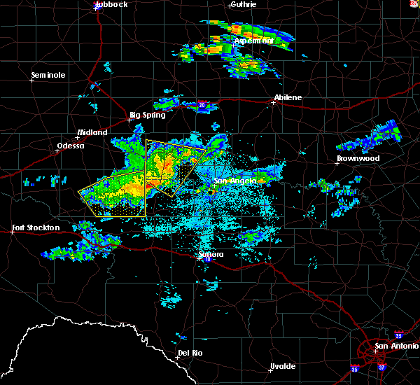 At 1102 pm cdt, a severe thunderstorm was located 12 miles southwest of broome, or 17 miles south of sterling city, moving southeast at 45 mph (radar indicated). Hazards include 70 mph wind gusts and penny size hail. Expect considerable tree damage. damage is likely to mobile homes, roofs, and outbuildings. This severe thunderstorm will remain over mainly rural areas of southwestern coke, sterling, northwestern tom green and northwestern irion counties, including the following locations: the intersection of highway 158 and ranch road 2059 and us-87 near the coke-tom green county line. At 1102 pm cdt, a severe thunderstorm was located 12 miles southwest of broome, or 17 miles south of sterling city, moving southeast at 45 mph (radar indicated). Hazards include 70 mph wind gusts and penny size hail. Expect considerable tree damage. damage is likely to mobile homes, roofs, and outbuildings. This severe thunderstorm will remain over mainly rural areas of southwestern coke, sterling, northwestern tom green and northwestern irion counties, including the following locations: the intersection of highway 158 and ranch road 2059 and us-87 near the coke-tom green county line.
|
| 5/22/2017 10:51 PM CDT |
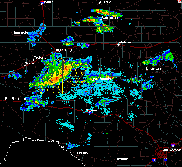 At 1050 pm cdt, a severe thunderstorm was located 13 miles south of sterling city, moving southeast at 45 mph (radar indicated). Hazards include 70 mph wind gusts and penny size hail. Expect considerable tree damage. damage is likely to mobile homes, roofs, and outbuildings. This severe thunderstorm will remain over mainly rural areas of southwestern coke, sterling, northwestern tom green and northwestern irion counties, including the following locations: the intersection of highway 158 and ranch road 2059 and us-87 near the coke-tom green county line. At 1050 pm cdt, a severe thunderstorm was located 13 miles south of sterling city, moving southeast at 45 mph (radar indicated). Hazards include 70 mph wind gusts and penny size hail. Expect considerable tree damage. damage is likely to mobile homes, roofs, and outbuildings. This severe thunderstorm will remain over mainly rural areas of southwestern coke, sterling, northwestern tom green and northwestern irion counties, including the following locations: the intersection of highway 158 and ranch road 2059 and us-87 near the coke-tom green county line.
|
| 5/22/2017 10:36 PM CDT |
 At 1035 pm cdt, a severe thunderstorm was located 13 miles east of garden city, moving southeast at 40 mph (radar indicated). Hazards include 70 mph wind gusts and penny size hail. Expect considerable tree damage. damage is likely to mobile homes, roofs, and outbuildings. this severe thunderstorm will be near, sterling city around 1055 pm cdt. broome around 1115 pm cdt. Other locations impacted by this severe thunderstorm include the intersection of highway 158 and ranch road 2059 and us- 87 near the coke-tom green county line. At 1035 pm cdt, a severe thunderstorm was located 13 miles east of garden city, moving southeast at 40 mph (radar indicated). Hazards include 70 mph wind gusts and penny size hail. Expect considerable tree damage. damage is likely to mobile homes, roofs, and outbuildings. this severe thunderstorm will be near, sterling city around 1055 pm cdt. broome around 1115 pm cdt. Other locations impacted by this severe thunderstorm include the intersection of highway 158 and ranch road 2059 and us- 87 near the coke-tom green county line.
|
| 5/19/2017 12:22 PM CDT |
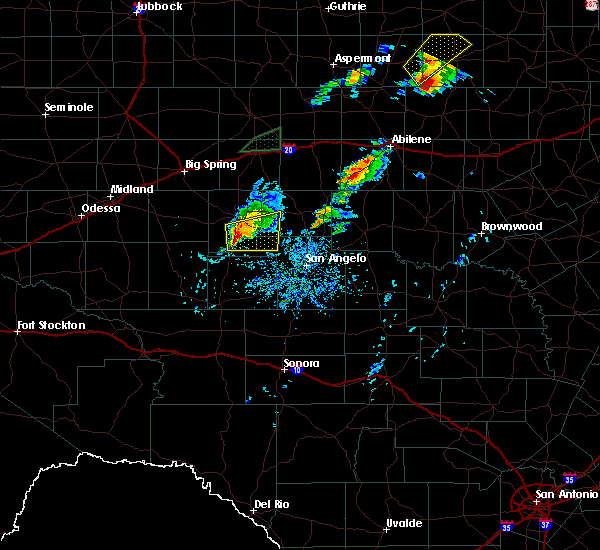 At 1222 pm cdt, a severe thunderstorm was located 10 miles south of sterling city, moving east at 20 mph (radar indicated). Hazards include 60 mph wind gusts and quarter size hail. Hail damage to vehicles is expected. expect wind damage to roofs, siding, and trees. this severe storm will be near, broome around 1250 pm cdt. water valley around 100 pm cdt. Other locations impacted by this severe thunderstorm include us- 87 near the coke- tom green county line and the intersection of highway 158 and ranch road 2059. At 1222 pm cdt, a severe thunderstorm was located 10 miles south of sterling city, moving east at 20 mph (radar indicated). Hazards include 60 mph wind gusts and quarter size hail. Hail damage to vehicles is expected. expect wind damage to roofs, siding, and trees. this severe storm will be near, broome around 1250 pm cdt. water valley around 100 pm cdt. Other locations impacted by this severe thunderstorm include us- 87 near the coke- tom green county line and the intersection of highway 158 and ranch road 2059.
|
| 5/16/2017 11:00 PM CDT |
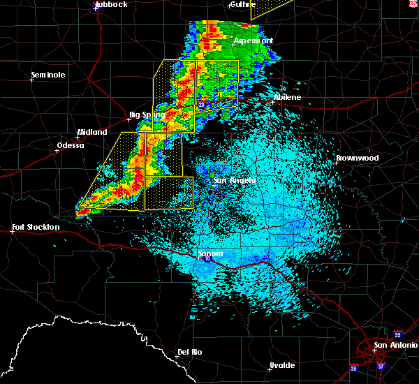 At 1059 pm cdt, a severe thunderstorm was located near sterling city, moving east at 55 mph (radar indicated). Hazards include 70 mph wind gusts and nickel size hail. Expect considerable tree damage. damage is likely to mobile homes, roofs, and outbuildings. Locations impacted include, sterling city and broome. At 1059 pm cdt, a severe thunderstorm was located near sterling city, moving east at 55 mph (radar indicated). Hazards include 70 mph wind gusts and nickel size hail. Expect considerable tree damage. damage is likely to mobile homes, roofs, and outbuildings. Locations impacted include, sterling city and broome.
|
| 5/16/2017 10:38 PM CDT |
 At 1036 pm cdt, severe thunderstorms were located along a line extending from 28 miles west of sterling city to 7 miles southeast of saint lawrence, moving east at 60 mph (radar indicated). Hazards include 60 mph wind gusts and nickel size hail. expect damage to roofs, siding, and trees At 1036 pm cdt, severe thunderstorms were located along a line extending from 28 miles west of sterling city to 7 miles southeast of saint lawrence, moving east at 60 mph (radar indicated). Hazards include 60 mph wind gusts and nickel size hail. expect damage to roofs, siding, and trees
|
| 3/28/2017 8:28 PM CDT | Storm damage reported in sterling county TX, 4.3 miles E of Sterling City, TX |
| 3/28/2017 8:28 PM CDT | Metal roof ripped off home in sterling county TX, 0.5 miles WSW of Sterling City, TX |
| 3/28/2017 8:01 PM CDT |
 At 800 pm cdt, severe thunderstorms were located along a line extending from near lees to 11 miles east of saint lawrence to near big lake, moving east at 60 mph (radar indicated). Hazards include 60 mph wind gusts and quarter size hail. Hail damage to vehicles is expected. expect wind damage to roofs, siding, and trees. severe thunderstorms will be near, barnhart around 820 pm cdt. mertzon around 835 pm cdt. Other locations impacted by these severe thunderstorms include us- 87 near the coke-tom green county line. At 800 pm cdt, severe thunderstorms were located along a line extending from near lees to 11 miles east of saint lawrence to near big lake, moving east at 60 mph (radar indicated). Hazards include 60 mph wind gusts and quarter size hail. Hail damage to vehicles is expected. expect wind damage to roofs, siding, and trees. severe thunderstorms will be near, barnhart around 820 pm cdt. mertzon around 835 pm cdt. Other locations impacted by these severe thunderstorms include us- 87 near the coke-tom green county line.
|
| 3/28/2017 5:09 PM CDT |
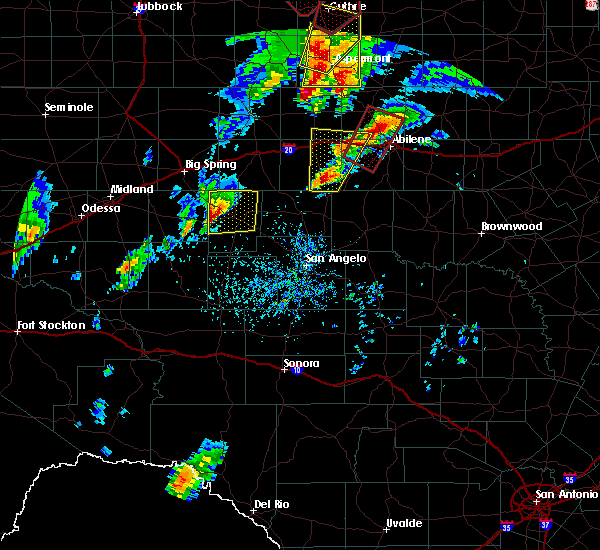 At 508 pm cdt, a severe thunderstorm was located 13 miles west of sterling city, moving northeast at 25 mph (radar indicated). Hazards include two inch hail and 60 mph wind gusts. People and animals outdoors will be injured. expect hail damage to roofs, siding, windows, and vehicles. expect wind damage to roofs, siding, and trees. This severe thunderstorm will remain over mainly rural areas of sterling county. At 508 pm cdt, a severe thunderstorm was located 13 miles west of sterling city, moving northeast at 25 mph (radar indicated). Hazards include two inch hail and 60 mph wind gusts. People and animals outdoors will be injured. expect hail damage to roofs, siding, windows, and vehicles. expect wind damage to roofs, siding, and trees. This severe thunderstorm will remain over mainly rural areas of sterling county.
|
| 3/28/2017 4:38 PM CDT |
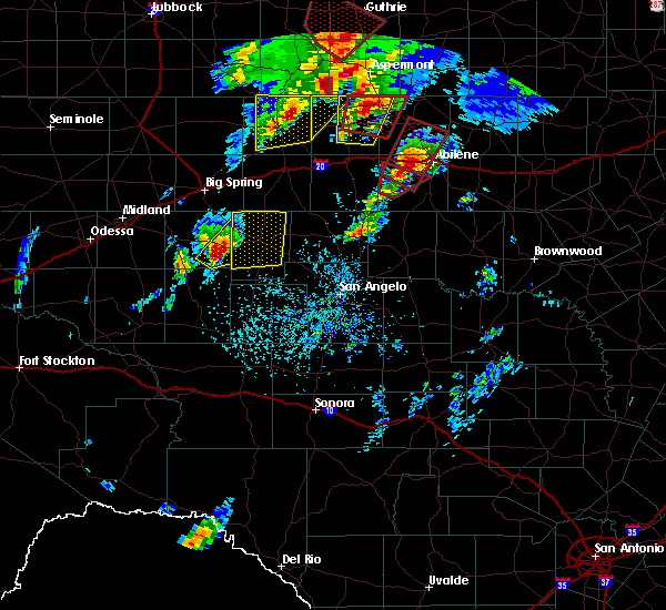 At 437 pm cdt, a severe thunderstorm was located 9 miles southeast of garden city, moving northeast at 35 mph (radar indicated). Hazards include two inch hail and 60 mph wind gusts. People and animals outdoors will be injured. expect hail damage to roofs, siding, windows, and vehicles. expect wind damage to roofs, siding, and trees. This severe thunderstorm will remain over mainly rural areas of sterling county. At 437 pm cdt, a severe thunderstorm was located 9 miles southeast of garden city, moving northeast at 35 mph (radar indicated). Hazards include two inch hail and 60 mph wind gusts. People and animals outdoors will be injured. expect hail damage to roofs, siding, windows, and vehicles. expect wind damage to roofs, siding, and trees. This severe thunderstorm will remain over mainly rural areas of sterling county.
|
| 9/16/2016 7:02 PM CDT |
 At 701 pm cdt, severe thunderstorms were located along a line extending from 8 miles northeast of silver to near spence reservoir near paint creek recreation area to near sterling city, moving south at 40 mph (radar indicated). Hazards include 60 mph wind gusts and quarter size hail. Hail damage to vehicles is expected. expect wind damage to roofs, siding, and trees. severe thunderstorms will be near, spence reservoir near paint creek recreation area around 705 pm cdt. sterling city around 710 pm cdt. broome around 720 pm cdt. sanco around 725 pm cdt. robert lee and water valley around 735 pm cdt. orient around 740 pm cdt. other locations impacted by these severe thunderstorms include the intersection of highway 158 and ranch road 2059, oak creek reservoir, the intersection of us-277 and highway 70, us-87 near the coke-tom green county line, the intersection of highway 208 and ranch road 2662 and us-277 near the tom green-coke county line. People near robert lee griffith stadium, water valley wildcat field, and bronte stephenson stadium should seek safe shelter immediately!. At 701 pm cdt, severe thunderstorms were located along a line extending from 8 miles northeast of silver to near spence reservoir near paint creek recreation area to near sterling city, moving south at 40 mph (radar indicated). Hazards include 60 mph wind gusts and quarter size hail. Hail damage to vehicles is expected. expect wind damage to roofs, siding, and trees. severe thunderstorms will be near, spence reservoir near paint creek recreation area around 705 pm cdt. sterling city around 710 pm cdt. broome around 720 pm cdt. sanco around 725 pm cdt. robert lee and water valley around 735 pm cdt. orient around 740 pm cdt. other locations impacted by these severe thunderstorms include the intersection of highway 158 and ranch road 2059, oak creek reservoir, the intersection of us-277 and highway 70, us-87 near the coke-tom green county line, the intersection of highway 208 and ranch road 2662 and us-277 near the tom green-coke county line. People near robert lee griffith stadium, water valley wildcat field, and bronte stephenson stadium should seek safe shelter immediately!.
|
| 9/16/2016 6:48 PM CDT |
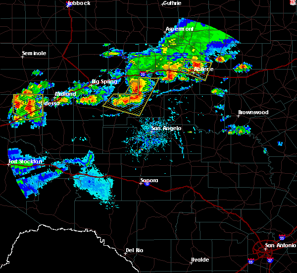 At 648 pm cdt, severe thunderstorms were located along a line extending from 6 miles southwest of champion to near silver to 6 miles northwest of sterling city, moving east at 35 mph (radar indicated). Hazards include two inch hail and 70 mph wind gusts. People and animals outdoors will be injured. expect hail damage to roofs, siding, windows, and vehicles. expect considerable tree damage. wind damage is also likely to mobile homes, roofs, and outbuildings. these severe storms will be near, silver and champion around 655 pm cdt. sanco and spence reservoir near paint creek recreation area around 710 pm cdt. maryneal around 715 pm cdt. Other locations impacted by these severe thunderstorms include the intersection of highway 158 and ranch road 2059 and the intersection of ranch road 608 and highway 147. At 648 pm cdt, severe thunderstorms were located along a line extending from 6 miles southwest of champion to near silver to 6 miles northwest of sterling city, moving east at 35 mph (radar indicated). Hazards include two inch hail and 70 mph wind gusts. People and animals outdoors will be injured. expect hail damage to roofs, siding, windows, and vehicles. expect considerable tree damage. wind damage is also likely to mobile homes, roofs, and outbuildings. these severe storms will be near, silver and champion around 655 pm cdt. sanco and spence reservoir near paint creek recreation area around 710 pm cdt. maryneal around 715 pm cdt. Other locations impacted by these severe thunderstorms include the intersection of highway 158 and ranch road 2059 and the intersection of ranch road 608 and highway 147.
|
| 9/16/2016 6:33 PM CDT |
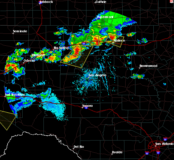 At 632 pm cdt, severe thunderstorms were located along a line extending from near champion creek reservoir to 8 miles northwest of sterling city, moving southeast at 30 mph (radar indicated). Hazards include ping pong ball size hail and 60 mph wind gusts. People and animals outdoors will be injured. expect hail damage to roofs, siding, windows, and vehicles. expect wind damage to roofs, siding, and trees. severe thunderstorms will be near, champion around 645 pm cdt. sterling city around 650 pm cdt. maryneal around 710 pm cdt. Other locations impacted by these severe thunderstorms include the intersection of highway 158 and ranch road 2059 and the intersection of ranch road 608 and highway 147. At 632 pm cdt, severe thunderstorms were located along a line extending from near champion creek reservoir to 8 miles northwest of sterling city, moving southeast at 30 mph (radar indicated). Hazards include ping pong ball size hail and 60 mph wind gusts. People and animals outdoors will be injured. expect hail damage to roofs, siding, windows, and vehicles. expect wind damage to roofs, siding, and trees. severe thunderstorms will be near, champion around 645 pm cdt. sterling city around 650 pm cdt. maryneal around 710 pm cdt. Other locations impacted by these severe thunderstorms include the intersection of highway 158 and ranch road 2059 and the intersection of ranch road 608 and highway 147.
|
| 5/26/2016 6:29 PM CDT | Storm damage reported in sterling county TX, 4.3 miles E of Sterling City, TX |
| 5/26/2016 5:57 PM CDT |
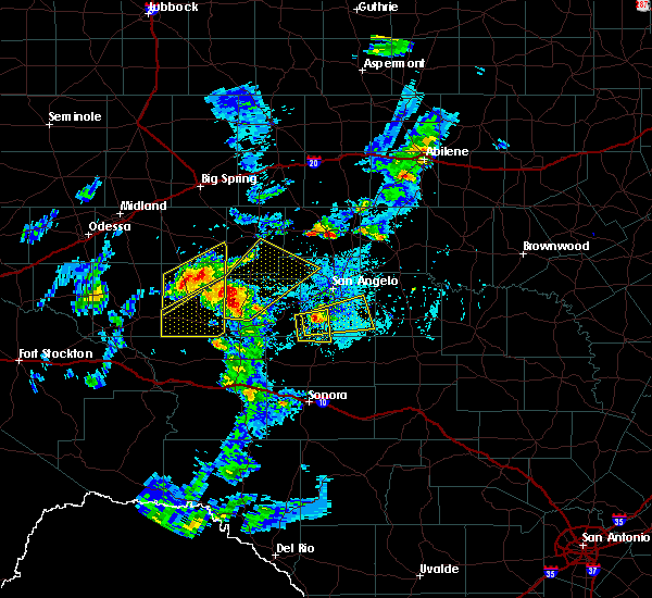 At 557 pm cdt, a severe thunderstorm was located 19 miles north of barnhart, or 19 miles northeast of big lake, moving northeast at 50 mph (radar indicated). Hazards include 70 mph wind gusts and half dollar size hail. Hail damage to vehicles is expected. expect considerable tree damage. wind damage is also likely to mobile homes, roofs, and outbuildings. this severe storm will be near, broome around 630 pm cdt. Other locations impacted by this severe thunderstorm include us- 87 near the coke-tom green county line. At 557 pm cdt, a severe thunderstorm was located 19 miles north of barnhart, or 19 miles northeast of big lake, moving northeast at 50 mph (radar indicated). Hazards include 70 mph wind gusts and half dollar size hail. Hail damage to vehicles is expected. expect considerable tree damage. wind damage is also likely to mobile homes, roofs, and outbuildings. this severe storm will be near, broome around 630 pm cdt. Other locations impacted by this severe thunderstorm include us- 87 near the coke-tom green county line.
|
| 5/26/2016 5:45 PM CDT |
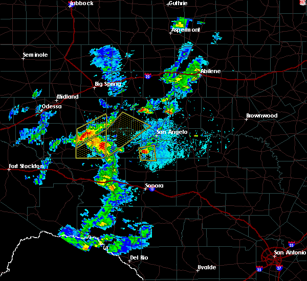 At 545 pm cdt, a severe thunderstorm was located 11 miles northeast of big lake, moving northeast at 50 mph (radar indicated). Hazards include 70 mph wind gusts and ping pong ball size hail. People and animals outdoors will be injured. expect hail damage to roofs, siding, windows, and vehicles. expect considerable tree damage. wind damage is also likely to mobile homes, roofs, and outbuildings. this severe thunderstorm will be near, broome and water valley around 630 pm cdt. Other locations impacted by this severe thunderstorm include us- 87 near the coke-tom green county line. At 545 pm cdt, a severe thunderstorm was located 11 miles northeast of big lake, moving northeast at 50 mph (radar indicated). Hazards include 70 mph wind gusts and ping pong ball size hail. People and animals outdoors will be injured. expect hail damage to roofs, siding, windows, and vehicles. expect considerable tree damage. wind damage is also likely to mobile homes, roofs, and outbuildings. this severe thunderstorm will be near, broome and water valley around 630 pm cdt. Other locations impacted by this severe thunderstorm include us- 87 near the coke-tom green county line.
|
| 5/26/2016 4:25 PM CDT | Half Dollar sized hail reported 12 miles NNE of Sterling City, TX, half dollar size hail along highway 163. |
| 5/26/2016 4:17 PM CDT |
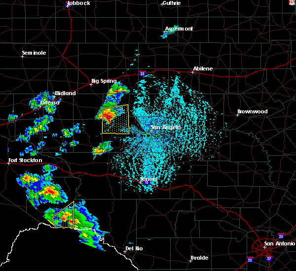 At 416 pm cdt, a severe thunderstorm was located 15 miles southwest of sterling city, moving east at 40 mph (radar indicated). Hazards include golf ball size hail and 60 mph wind gusts. People and animals outdoors will be injured. expect hail damage to roofs, siding, windows, and vehicles. expect wind damage to roofs, siding, and trees. This severe storm will be near, broome around 440 pm cdt. At 416 pm cdt, a severe thunderstorm was located 15 miles southwest of sterling city, moving east at 40 mph (radar indicated). Hazards include golf ball size hail and 60 mph wind gusts. People and animals outdoors will be injured. expect hail damage to roofs, siding, windows, and vehicles. expect wind damage to roofs, siding, and trees. This severe storm will be near, broome around 440 pm cdt.
|
| 5/26/2016 3:58 PM CDT |
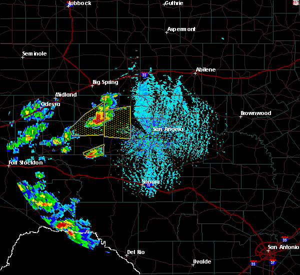 At 358 pm cdt, a severe thunderstorm was located 11 miles southeast of saint lawrence, or 17 miles southeast of garden city, moving east at 35 mph (radar indicated). Hazards include golf ball size hail and 60 mph wind gusts. People and animals outdoors will be injured. expect hail damage to roofs, siding, windows, and vehicles. expect wind damage to roofs, siding, and trees. This severe thunderstorm will be near, broome around 445 pm cdt. At 358 pm cdt, a severe thunderstorm was located 11 miles southeast of saint lawrence, or 17 miles southeast of garden city, moving east at 35 mph (radar indicated). Hazards include golf ball size hail and 60 mph wind gusts. People and animals outdoors will be injured. expect hail damage to roofs, siding, windows, and vehicles. expect wind damage to roofs, siding, and trees. This severe thunderstorm will be near, broome around 445 pm cdt.
|
| 5/17/2016 4:09 PM CDT |
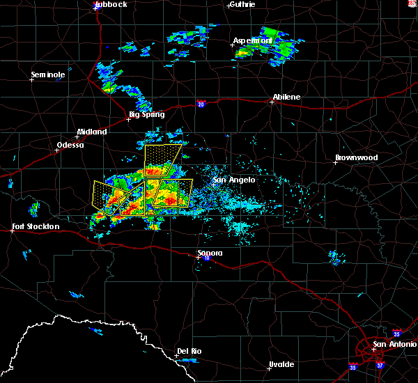 At 408 pm cdt, a severe thunderstorm was located 18 miles southwest of sterling city, moving north at 30 mph (radar indicated). Hazards include 60 mph wind gusts and half dollar size hail. Hail damage to vehicles is expected. expect wind damage to roofs, siding, and trees. This severe thunderstorm will remain over mainly rural areas of central sterling county. At 408 pm cdt, a severe thunderstorm was located 18 miles southwest of sterling city, moving north at 30 mph (radar indicated). Hazards include 60 mph wind gusts and half dollar size hail. Hail damage to vehicles is expected. expect wind damage to roofs, siding, and trees. This severe thunderstorm will remain over mainly rural areas of central sterling county.
|
| 5/17/2016 3:49 PM CDT |
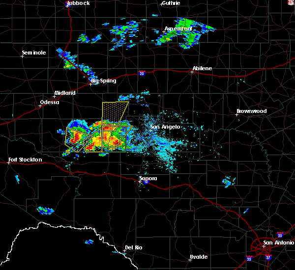 At 349 pm cdt, a severe thunderstorm was located 22 miles east of stiles, or 26 miles northeast of big lake, moving north at 25 mph (radar indicated). Hazards include 60 mph wind gusts and half dollar size hail. Hail damage to vehicles is expected. expect wind damage to roofs, siding, and trees. This severe thunderstorm will be near, sterling city around 455 pm cdt. At 349 pm cdt, a severe thunderstorm was located 22 miles east of stiles, or 26 miles northeast of big lake, moving north at 25 mph (radar indicated). Hazards include 60 mph wind gusts and half dollar size hail. Hail damage to vehicles is expected. expect wind damage to roofs, siding, and trees. This severe thunderstorm will be near, sterling city around 455 pm cdt.
|
| 5/8/2016 3:27 PM CDT |
 At 327 pm cdt, a severe thunderstorm was located 7 miles southwest of sterling city, moving northeast at 35 mph (radar indicated). Hazards include golf ball size hail and 60 mph wind gusts. People and animals outdoors will be injured. expect hail damage to roofs, siding, windows, and vehicles. expect wind damage to roofs, siding, and trees. This severe storm will be near, sterling city around 330 pm cdt. At 327 pm cdt, a severe thunderstorm was located 7 miles southwest of sterling city, moving northeast at 35 mph (radar indicated). Hazards include golf ball size hail and 60 mph wind gusts. People and animals outdoors will be injured. expect hail damage to roofs, siding, windows, and vehicles. expect wind damage to roofs, siding, and trees. This severe storm will be near, sterling city around 330 pm cdt.
|
| 5/8/2016 2:58 PM CDT |
 At 257 pm cdt, a severe thunderstorm was located 10 miles southeast of saint lawrence, or 16 miles south of garden city, moving northeast at 30 mph (radar indicated). Hazards include 60 mph wind gusts and half dollar size hail. Hail damage to vehicles is expected. expect wind damage to roofs, siding, and trees. This severe thunderstorm will be near, sterling city around 345 pm cdt. At 257 pm cdt, a severe thunderstorm was located 10 miles southeast of saint lawrence, or 16 miles south of garden city, moving northeast at 30 mph (radar indicated). Hazards include 60 mph wind gusts and half dollar size hail. Hail damage to vehicles is expected. expect wind damage to roofs, siding, and trees. This severe thunderstorm will be near, sterling city around 345 pm cdt.
|
| 12/12/2015 7:20 PM CST |
 At 719 pm cst, severe thunderstorms were located along a line extending from westbrook to sterling city to barnhart, moving east at 50 mph (radar indicated). Hazards include 60 mph wind gusts. Expect damage to roofs. siding and trees. these severe storms will be near, arden around 735 pm cst. silver around 740 pm cst. Other locations impacted by these severe thunderstorms include us- 87 near the coke-tom green county line and us-67 near the irion- tom green county line. At 719 pm cst, severe thunderstorms were located along a line extending from westbrook to sterling city to barnhart, moving east at 50 mph (radar indicated). Hazards include 60 mph wind gusts. Expect damage to roofs. siding and trees. these severe storms will be near, arden around 735 pm cst. silver around 740 pm cst. Other locations impacted by these severe thunderstorms include us- 87 near the coke-tom green county line and us-67 near the irion- tom green county line.
|
| 12/12/2015 6:47 PM CST |
 At 646 pm cst, severe thunderstorms were located along a line extending from near elbow to saint lawrence to big lake, moving east at 45 mph (radar indicated). Hazards include 60 mph wind gusts. Expect damage to roofs. siding and trees. severe thunderstorms will be near, barnhart around 715 pm cst. broome around 730 pm cst. mertzon and water valley around 740 pm cst. sherwood around 745 pm cst. Other locations impacted by these severe thunderstorms include us- 87 near the coke-tom green county line and us-67 near the irion- tom green county line. At 646 pm cst, severe thunderstorms were located along a line extending from near elbow to saint lawrence to big lake, moving east at 45 mph (radar indicated). Hazards include 60 mph wind gusts. Expect damage to roofs. siding and trees. severe thunderstorms will be near, barnhart around 715 pm cst. broome around 730 pm cst. mertzon and water valley around 740 pm cst. sherwood around 745 pm cst. Other locations impacted by these severe thunderstorms include us- 87 near the coke-tom green county line and us-67 near the irion- tom green county line.
|
| 12/12/2015 6:17 PM CST | Sterling city has no power at this tim in sterling county TX, 0.5 miles WSW of Sterling City, TX |
| 10/30/2015 5:41 PM CDT | Storm damage reported in sterling county TX, 4.3 miles E of Sterling City, TX |
| 5/30/2015 1:34 AM CDT | At 132 am cdt, severe thunderstorms were located along a line extending from tye to tennyson to 11 miles southwest of broome, and moving southeast at 40 mph (radar indicated). Hazards include 60 mph wind gusts and nickel size hail. Expect damage to roofs. siding and trees. severe thunderstorms will be near, caps and maverick around 140 am cdt. wylie and norton around 145 am cdt. tuscola and bradshaw around 150 am cdt. other locations in the warning include lake abilene, wilmeth, pumphrey, camp tonkawa, drasco and ovalo. This includes interstate 20 between mile markers 240 and 279. |
| 5/30/2015 1:15 AM CDT | At 114 am cdt, severe thunderstorms were located along a line extending from nolan to robert lee to 10 miles southwest of sterling city, moving east-southeast at 40 mph (radar indicated). Hazards include 60 mph wind gusts and quarter size hail. Hail damage to vehicles is expected. expect wind damage to roofs, siding and trees. severe thunderstorms will be near, fort chadbourne and hylton around 120 am cdt. coronados camp and water valley around 125 am cdt. wingate and tennyson around 130 am cdt. norton and maverick around 135 am cdt. bradshaw and winters around 140 am cdt. other locations in the warning include shep, the intersection of highway 208 and ranch road 2662, us-87 near the coke-tom green county line, wilmeth, pumphrey and drasco. This includes interstate 20 between mile markers 240 and 280. |
| 5/28/2015 6:56 PM CDT | At 655 pm cdt, severe thunderstorms were located along a line extending from 14 miles north of sterling city to 15 miles southwest of broome to 8 miles north of barnhart, and moving east at 30 mph (radar indicated). Hazards include 60 mph wind gusts and quarter size hail. Hail damage to vehicles is expected. expect wind damage to roofs, siding and trees. Severe thunderstorms will be near, broome around 715 pm cdt. |
| 5/28/2015 6:33 PM CDT | At 632 pm cdt, severe thunderstorms were located along a line extending from 11 miles east of lees to 18 miles east of st. lawrence to 7 miles northeast of big lake, moving east at 30 mph (radar indicated). Hazards include 60 mph wind gusts and quarter size hail. Hail damage to vehicles is expected. expect wind damage to roofs, siding and trees. severe thunderstorms will be near, barnhart around 655 pm cdt. sterling city around 705 pm cdt. Broome around 715 pm cdt. |
| 5/26/2015 5:59 PM CDT | At 556 pm cdt, a severe thunderstorm was located 15 miles west of arden, moving northeast at 25 mph (radar indicated). Hazards include golf ball size hail and 60 mph wind gusts. People and pets outdoors will be injured. expect hail damage to roofs, siding, windows and vehicles. expect wind damage to roofs, siding and trees. the severe thunderstorm will be near, broome around 645 pm cdt. Other locations in the warning include us-87 near the coke-tom green county line. |
| 5/25/2015 9:16 AM CDT | At 914 am cdt, severe thunderstorms were located along a line extending from 17 miles north of sterling city to big lake, moving east at 45 mph (radar indicated). Hazards include 60 mph wind gusts and quarter size hail. Hail damage to vehicles is expected. expect wind damage to roofs, siding and trees. severe thunderstorms will be near, sterling city around 930 am cdt. Barnhart around 940 am cdt. |
| 5/19/2015 2:41 AM CDT | At 239 am cdt, severe thunderstorms were located along a line extending from 11 miles northwest of sterling city to 15 miles southwest of broome to 17 miles west of arden, moving east at 20 mph (radar indicated). Hazards include 60 mph wind gusts and quarter size hail. Hail damage to vehicles is expected. expect wind damage to roofs, siding and trees. severe thunderstorms will be near, sterling city around 255 am cdt. broome around 315 am cdt. arden around 320 am cdt. water valley around 325 am cdt. carlsbad around 330 am cdt. other locations in the warning include us-87 near the coke-tom green county line. 1. 00in. |
| 5/10/2015 1:26 AM CDT | At 123 am cdt, a line of severe thunderstorms was located from near robert lee, to near barnhart, and were moving northeast at 30 mph (radar indicated). Hazards include half dollar size hail. Damage to vehicles is expected. the severe thunderstorm will be near, fort chadbourne around 140 am cdt. other locations in the warning include wilmeth. 1. 25in. |
| 5/10/2015 1:16 AM CDT | At 113 am cdt, a line of severe thunderstorms was located from near robert lee, to near mertzon, and were moving northeast at 30 mph (radar indicated). Hazards include golf ball size hail. People and pets outdoors will be injured. expect damage to roofs, siding, windows and vehicles. the severe thunderstorm will be near, bronte around 125 am cdt. fort chadbourne around 140 am cdt. other locations in the warning include wilmeth. 1. 75in. |
| 5/10/2015 12:52 AM CDT | At 1248 am cdt, a line of severe thunderstorms was located from near robert lee, to near mertzon, and were moving northeast at 30 mph (radar indicated). Hazards include tennis ball size hail. People and pets outdoors will be injured. expect damage to roofs, siding, windows and vehicles. the severe thunderstorm will be near, robert lee around 105 am cdt. bronte around 125 am cdt. fort chadbourne around 140 am cdt. other locations in the warning include the intersection of highway 208 and ranch road 2662 and wilmeth. 2. 50in. |
| 5/10/2015 12:40 AM CDT | At 1238 am cdt, a severe thunderstorm was located near water valley, moving northeast at 30 mph (radar indicated). Hazards include golf ball size hail. People and pets outdoors will be injured. expect damage to roofs, siding, windows and vehicles. the severe thunderstorm will be near, robert lee around 105 am cdt. bronte around 125 am cdt. fort chadbourne around 140 am cdt. wingate around 145 am cdt. other locations in the warning include the intersection of highway 208 and ranch road 2662 and wilmeth. 1. 75in. |
| 5/10/2015 12:08 AM CDT | At 1206 am cdt, a severe thunderstorm was located 13 miles southwest of sterling city, and moving northeast at 30 mph (radar indicated). Hazards include ping pong ball size hail. People and pets outdoors will be injured. expect damage to roofs, siding, windows and vehicles. the severe thunderstorm will be near, sterling city and broome around 1230 am cdt. 1. 50in. |
| 5/9/2015 11:49 PM CDT | At 1145 pm cdt, a severe thunderstorm was located 20 miles southeast of st. lawrence, and another severe thunderstorm was located about 15 miles south of sterling city. the storms were moving northeast at 35 mph (radar indicated). Hazards include half dollar size hail. Damage to vehicles is expected. the severe thunderstorm will be near, sterling city around 1225 am cdt. broome around 1230 am cdt. 1. 25in. |
| 10/10/2014 5:22 PM CDT | Tennis Ball sized hail reported 8.1 miles W of Sterling City, TX |
| 5/26/2014 8:19 PM CDT | Hen Egg sized hail reported 3.6 miles NNE of Sterling City, TX |
| 5/26/2014 8:12 PM CDT | Hen Egg sized hail reported 4.5 miles NNE of Sterling City, TX |
| 5/26/2014 7:15 PM CDT | Golf Ball sized hail reported 0.5 miles WSW of Sterling City, TX |
| 5/26/2014 7:12 PM CDT | Hen Egg sized hail reported 4.8 miles ESE of Sterling City, TX |
| 5/26/2014 7:02 PM CDT | Storm damage reported in sterling county TX, 0.5 miles WSW of Sterling City, TX |
| 5/26/2014 6:54 PM CDT | Golf Ball sized hail reported 2.1 miles ESE of Sterling City, TX |
| 5/7/2014 7:46 PM CDT | Storm damage reported in sterling county TX, 4.3 miles E of Sterling City, TX |
| 4/7/2012 7:44 PM CDT | Baseball sized hail reported 18 miles NE of Sterling City, TX, tornado was rain wrapped and reported on the ground at 742 pm. |
| 4/7/2012 6:41 PM CDT | Golf Ball sized hail reported 0.5 miles WSW of Sterling City, TX, dime to nickel hail continued on the west side of sterling city since 635 pm but has returned to golfball size. |
| 4/7/2012 6:40 PM CDT | Quarter sized hail reported 0.5 miles WSW of Sterling City, TX |
| 4/7/2012 6:30 PM CDT | Golf Ball sized hail reported 0.5 miles WSW of Sterling City, TX, golfball size hail on west side of town and it began at 627 through 632 pm. |
| 4/7/2012 6:06 PM CDT | West side of sterling city in sterling county TX, 0.7 miles E of Sterling City, TX |
| 4/7/2012 6:06 PM CDT | Quarter sized hail reported 0.7 miles E of Sterling City, TX, west side of sterling city |
| 4/7/2012 5:57 PM CDT | Golf Ball sized hail reported 7 miles S of Sterling City, TX, report relayed through wfo midland |
| 4/7/2012 5:25 PM CDT | Quarter sized hail reported 16 miles S of Sterling City, TX, 3/4 to 1 inch hail near mitchell/howard county |
| 1/1/0001 12:00 AM | Quarter sized hail reported 12.7 miles SE of Sterling City, TX |
Hail Maps for Sterling City, TX

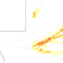
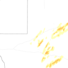


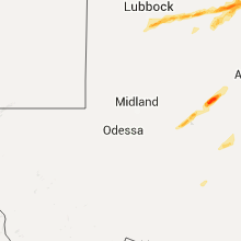
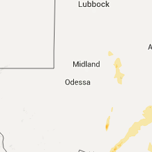


Connect with Interactive Hail Maps