

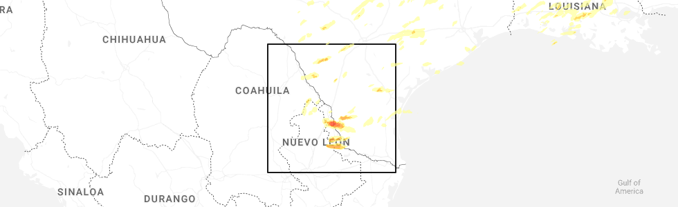
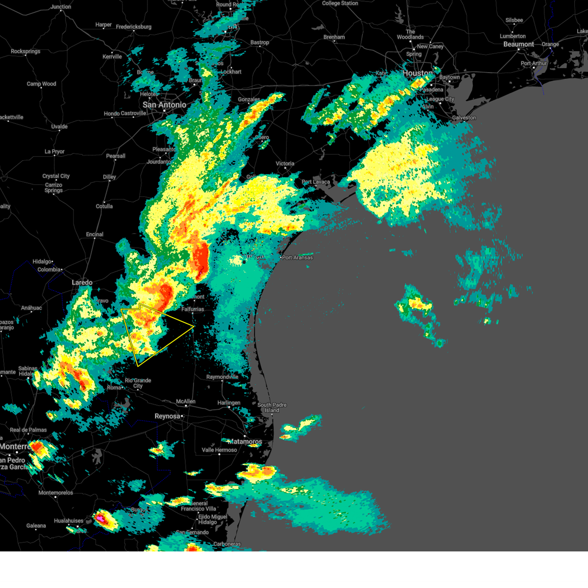
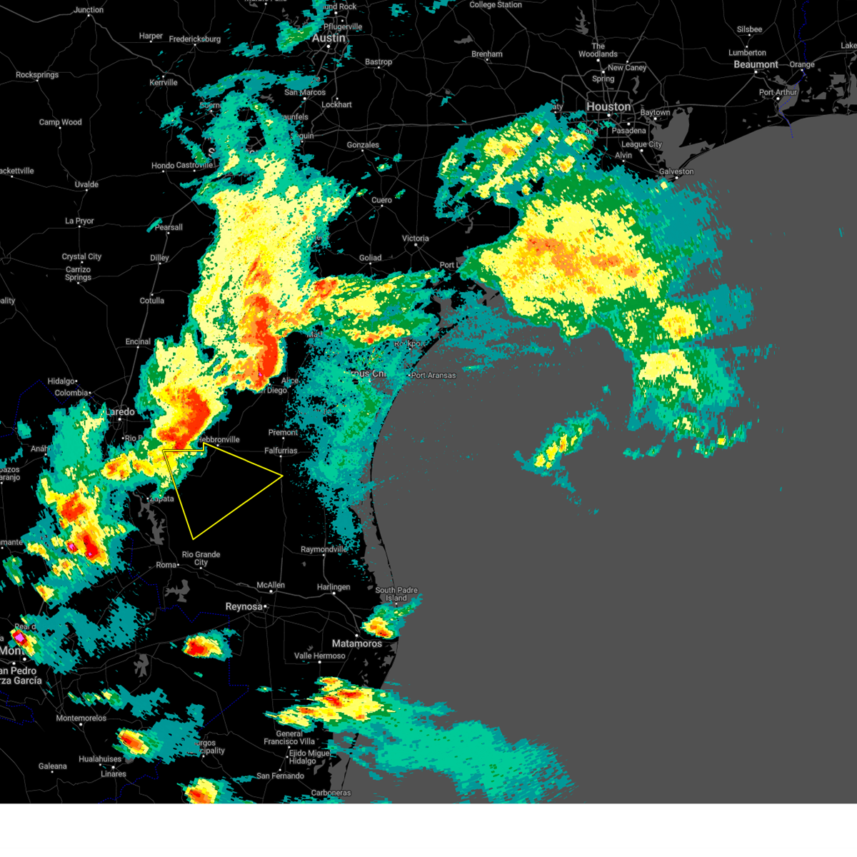
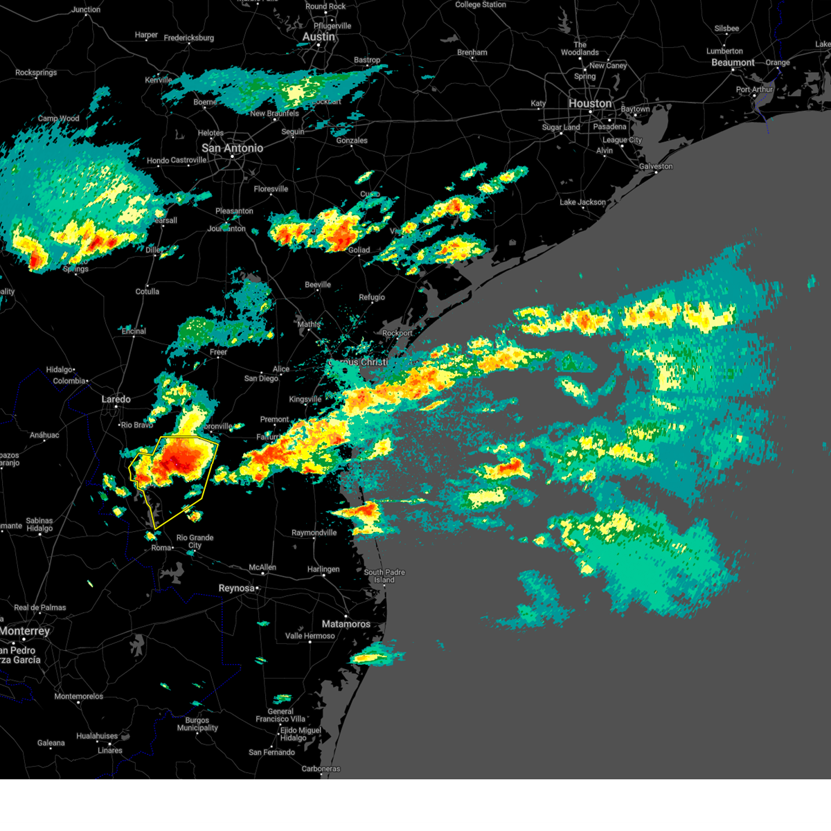
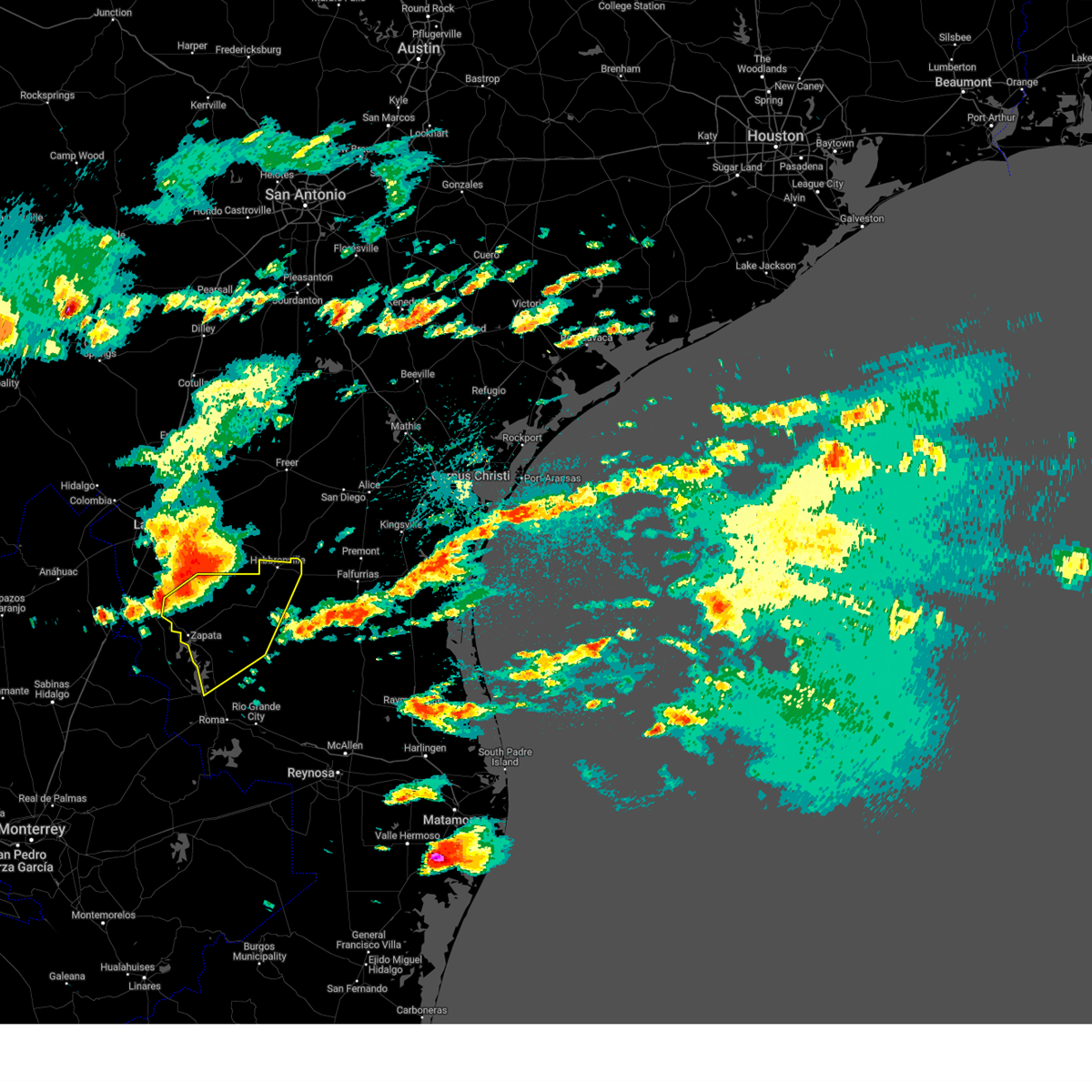
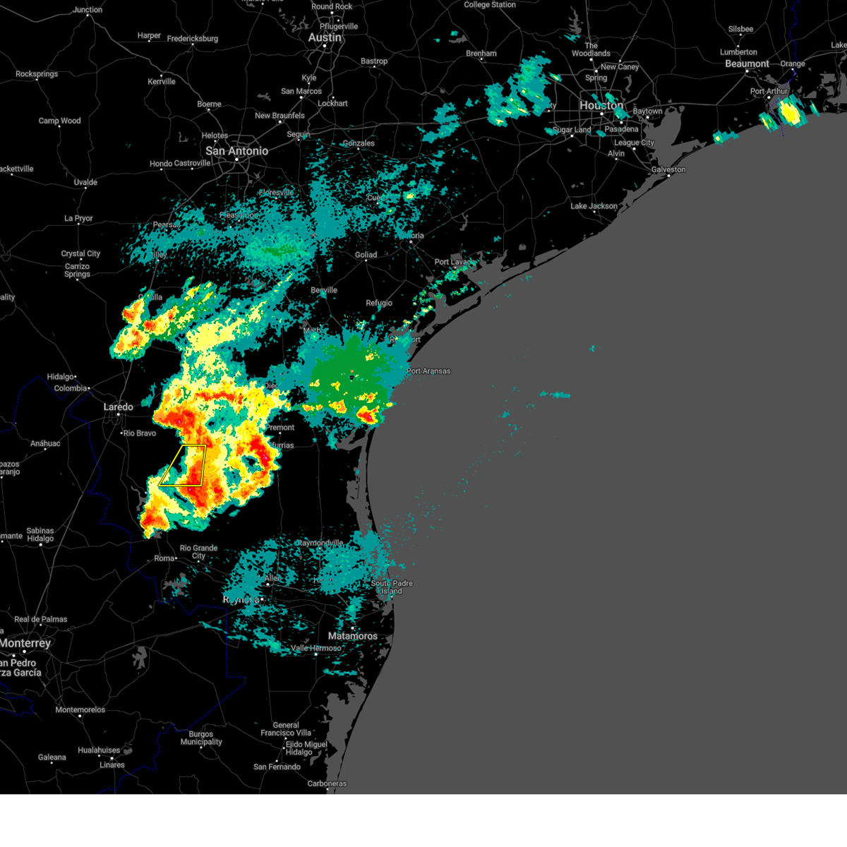
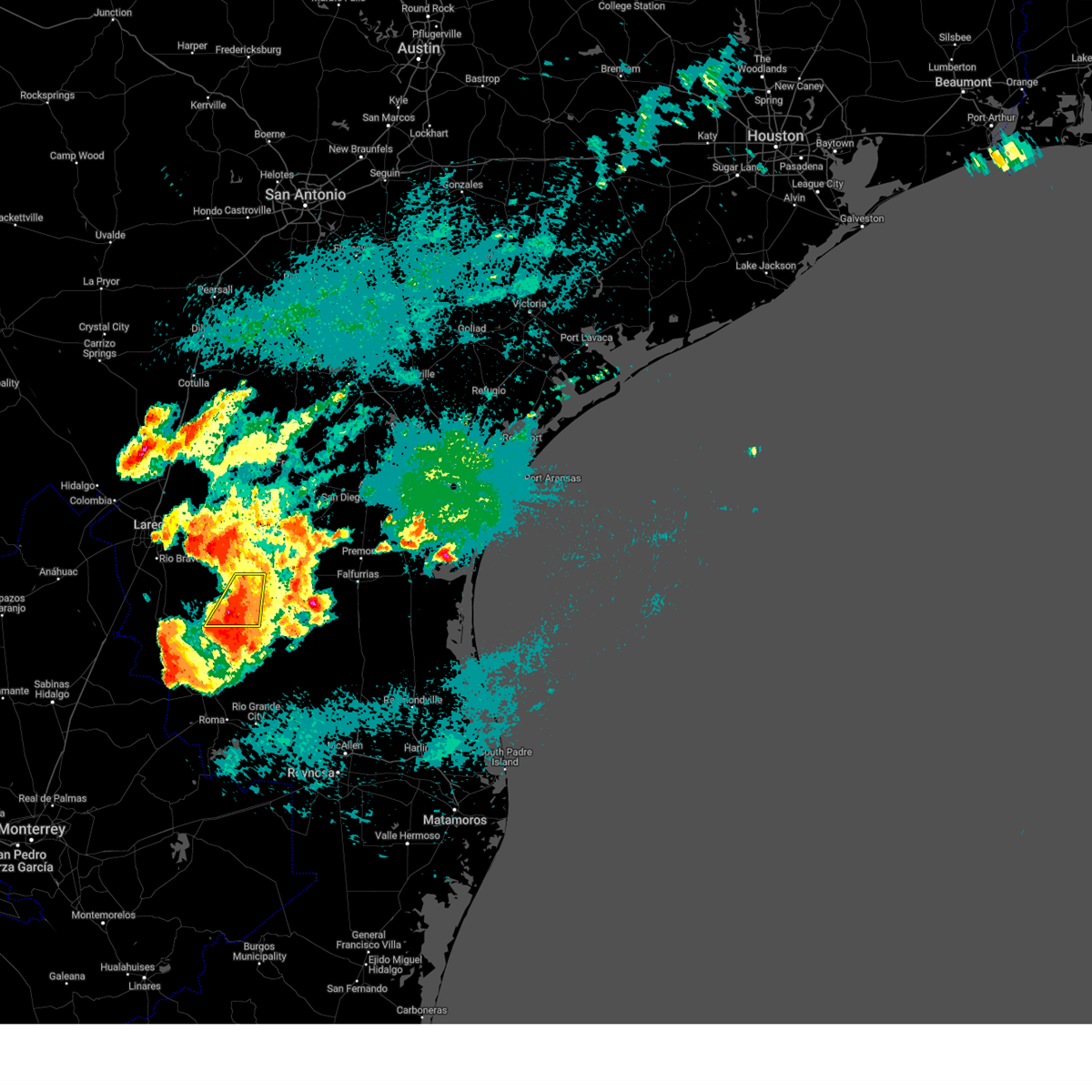
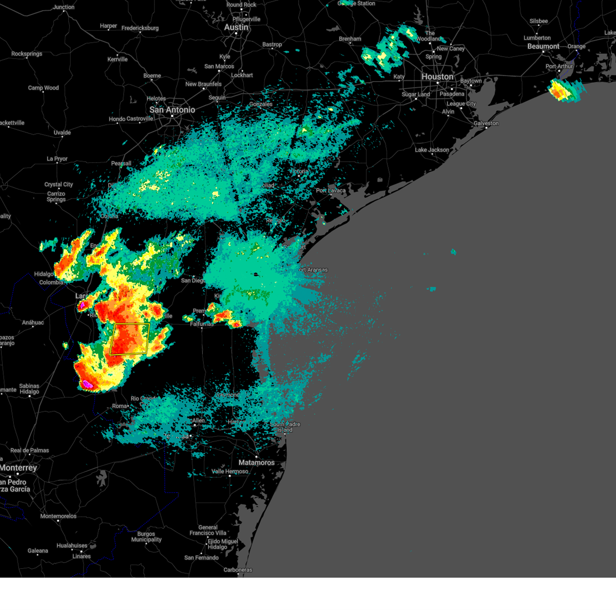
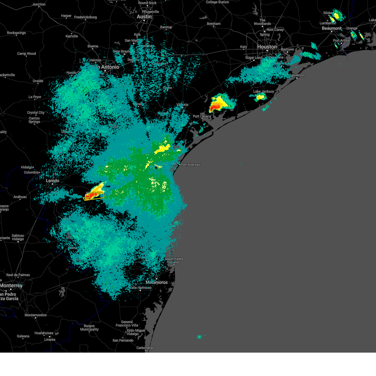
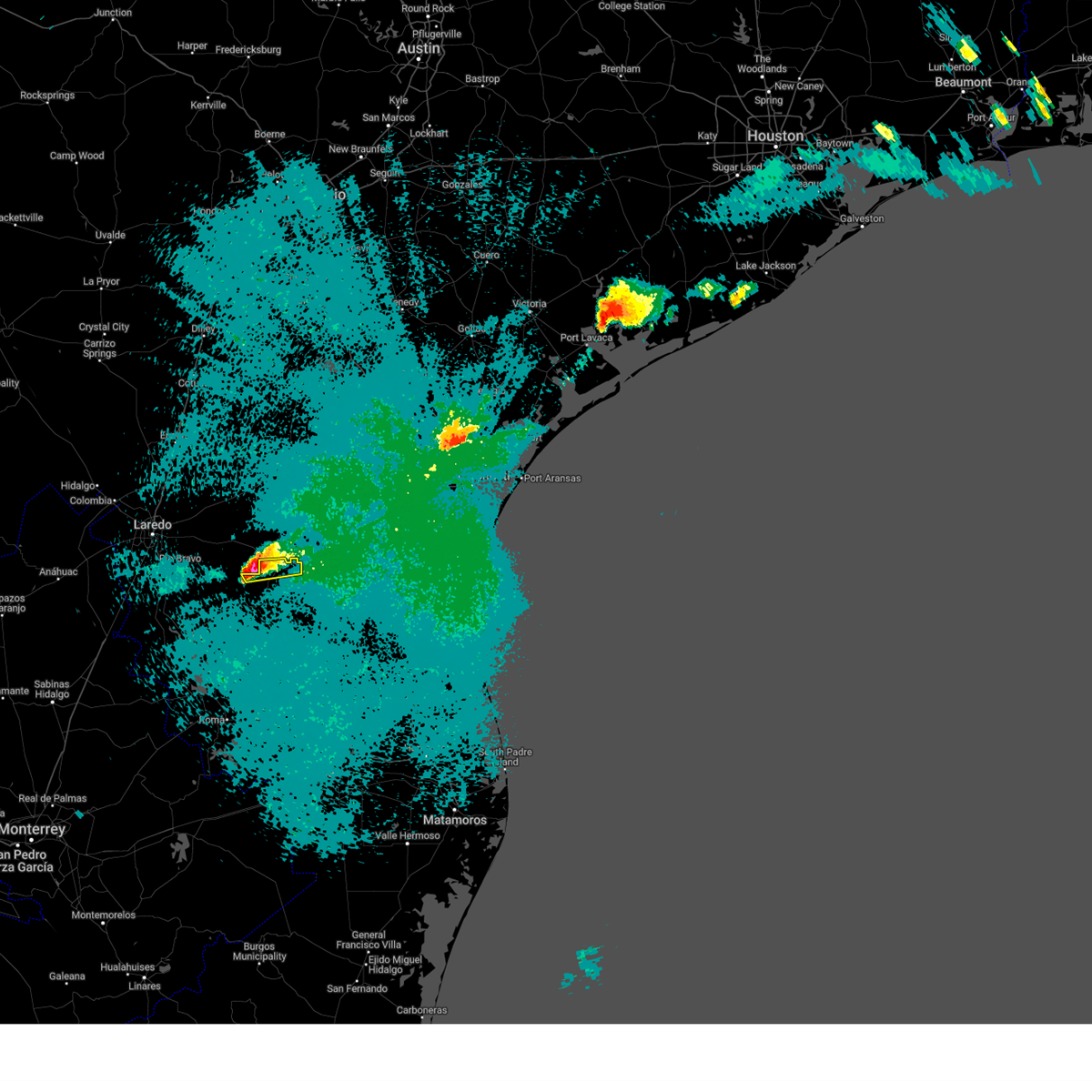
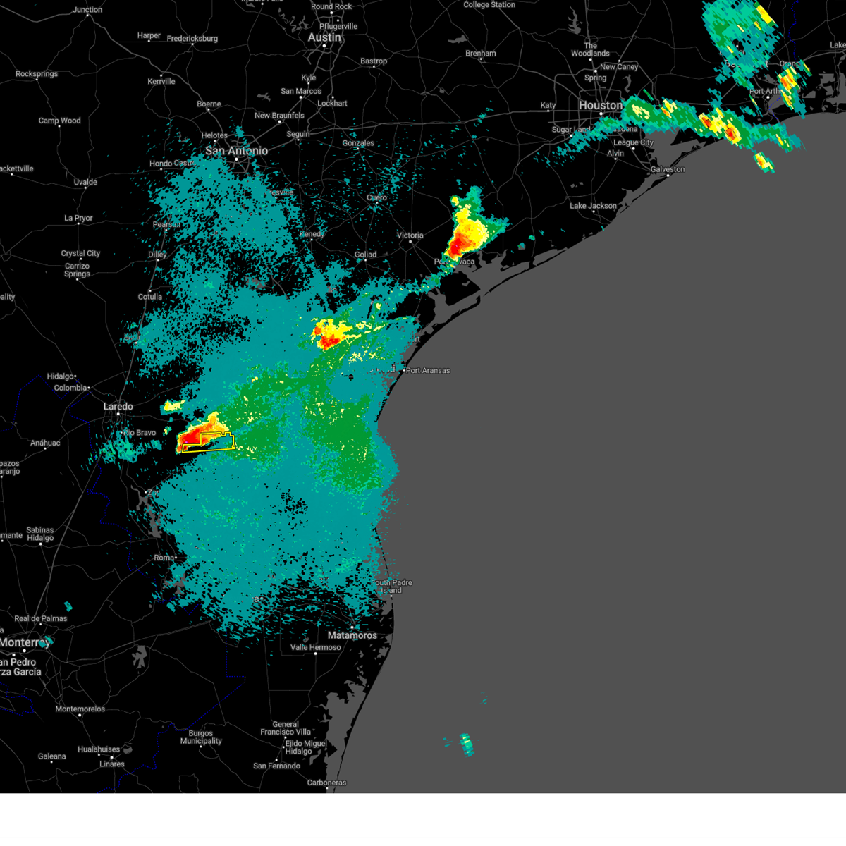
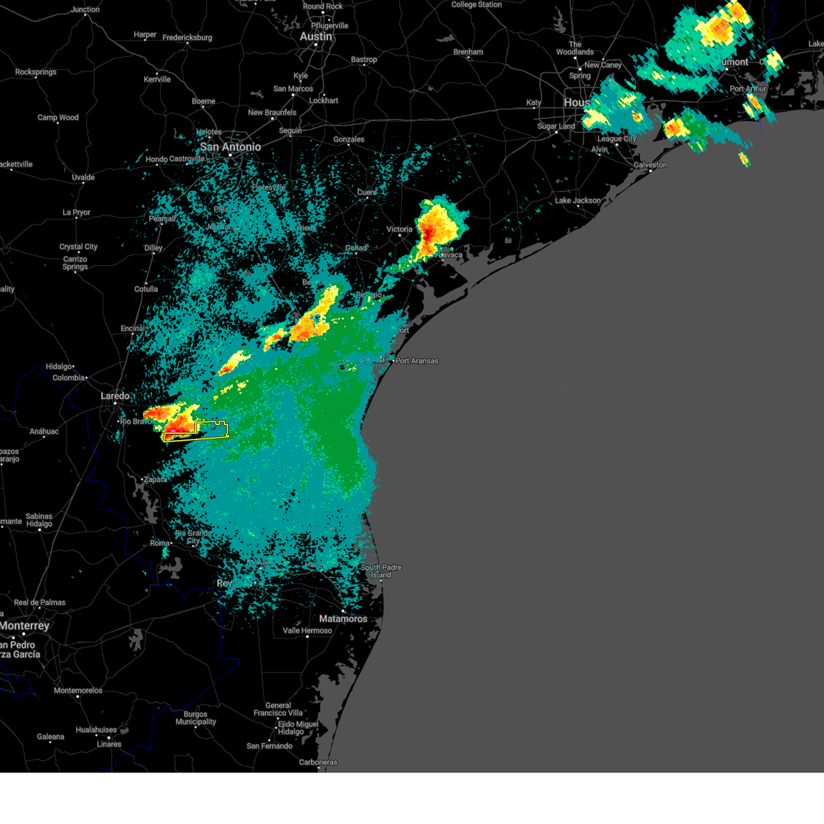
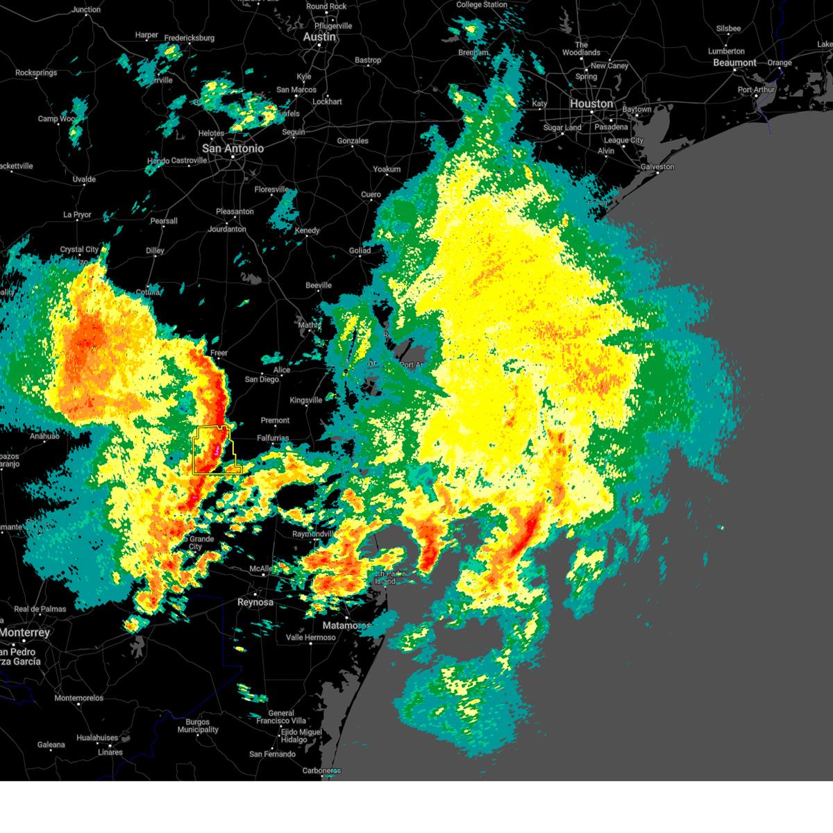
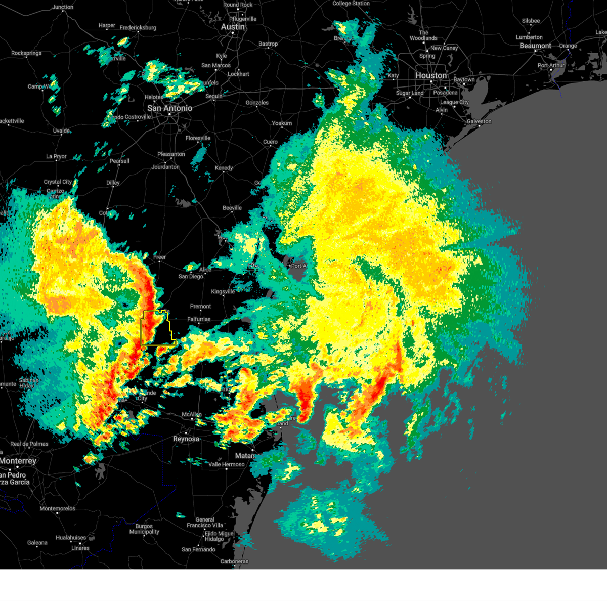
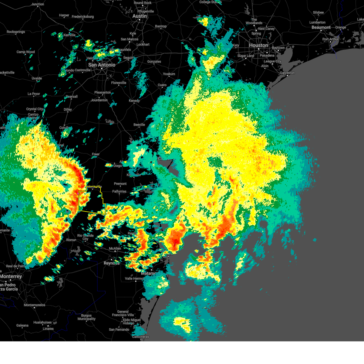
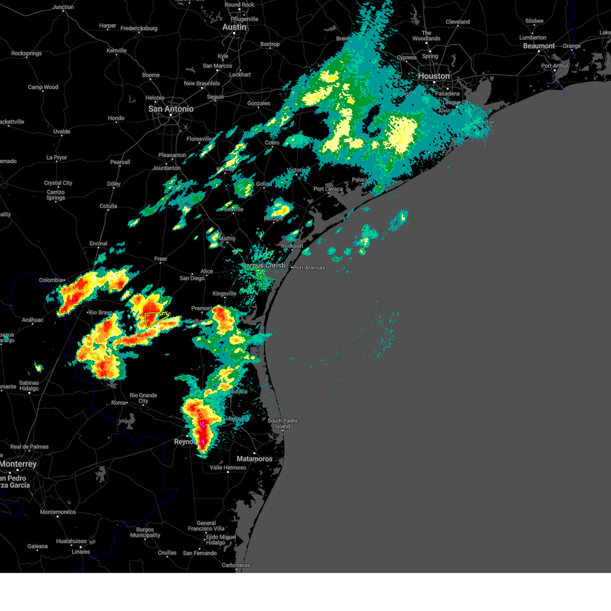
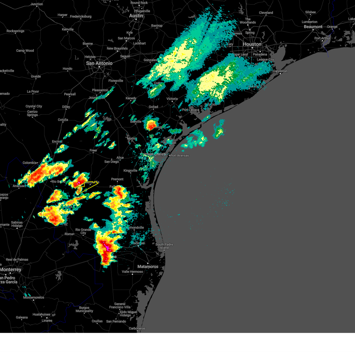
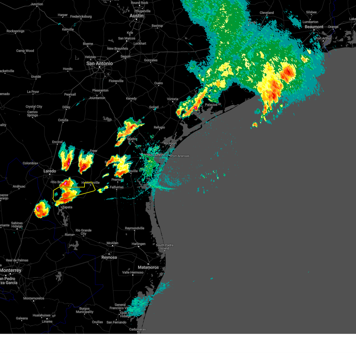
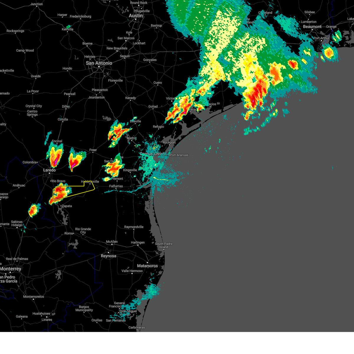
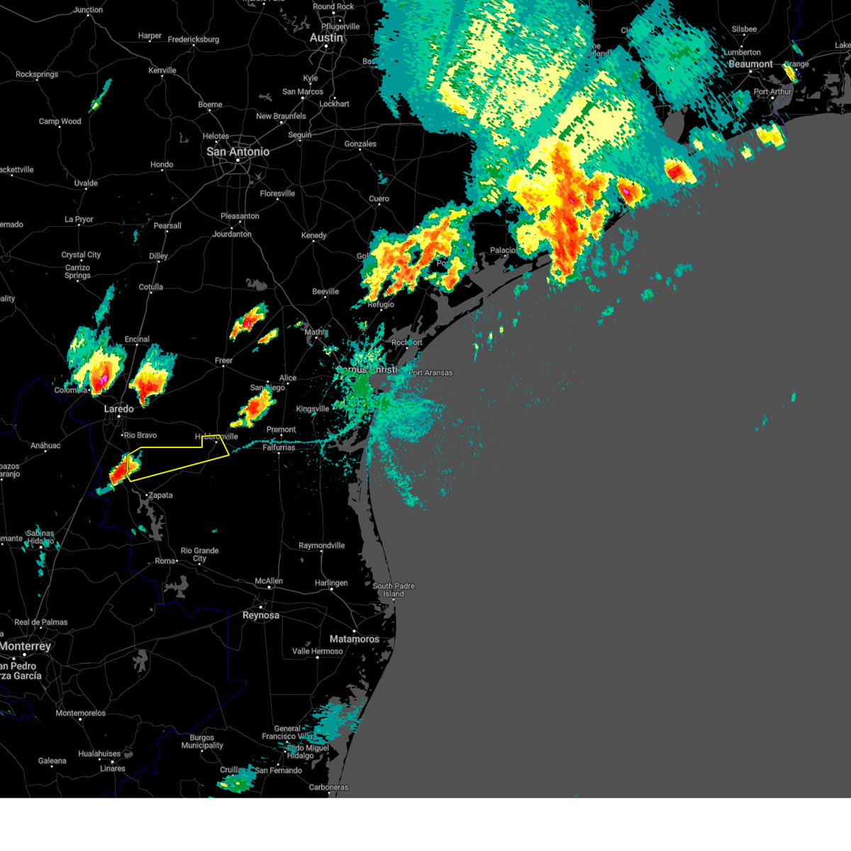
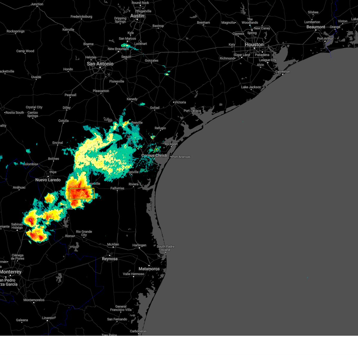
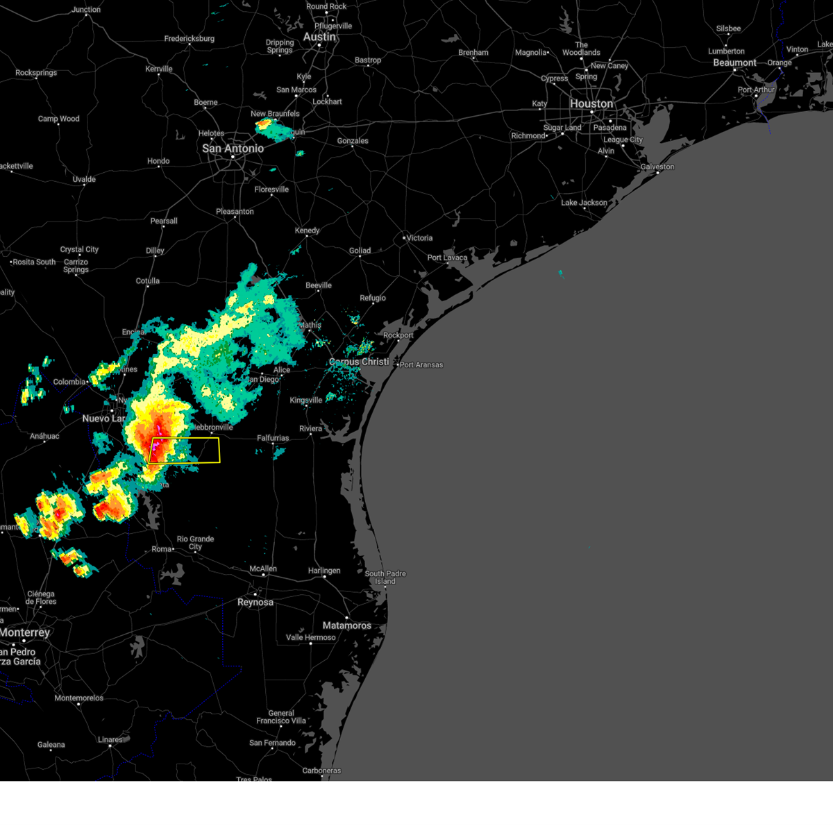
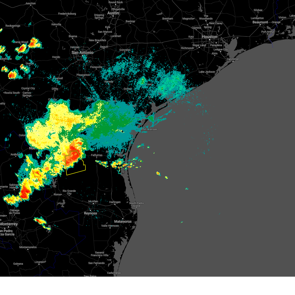
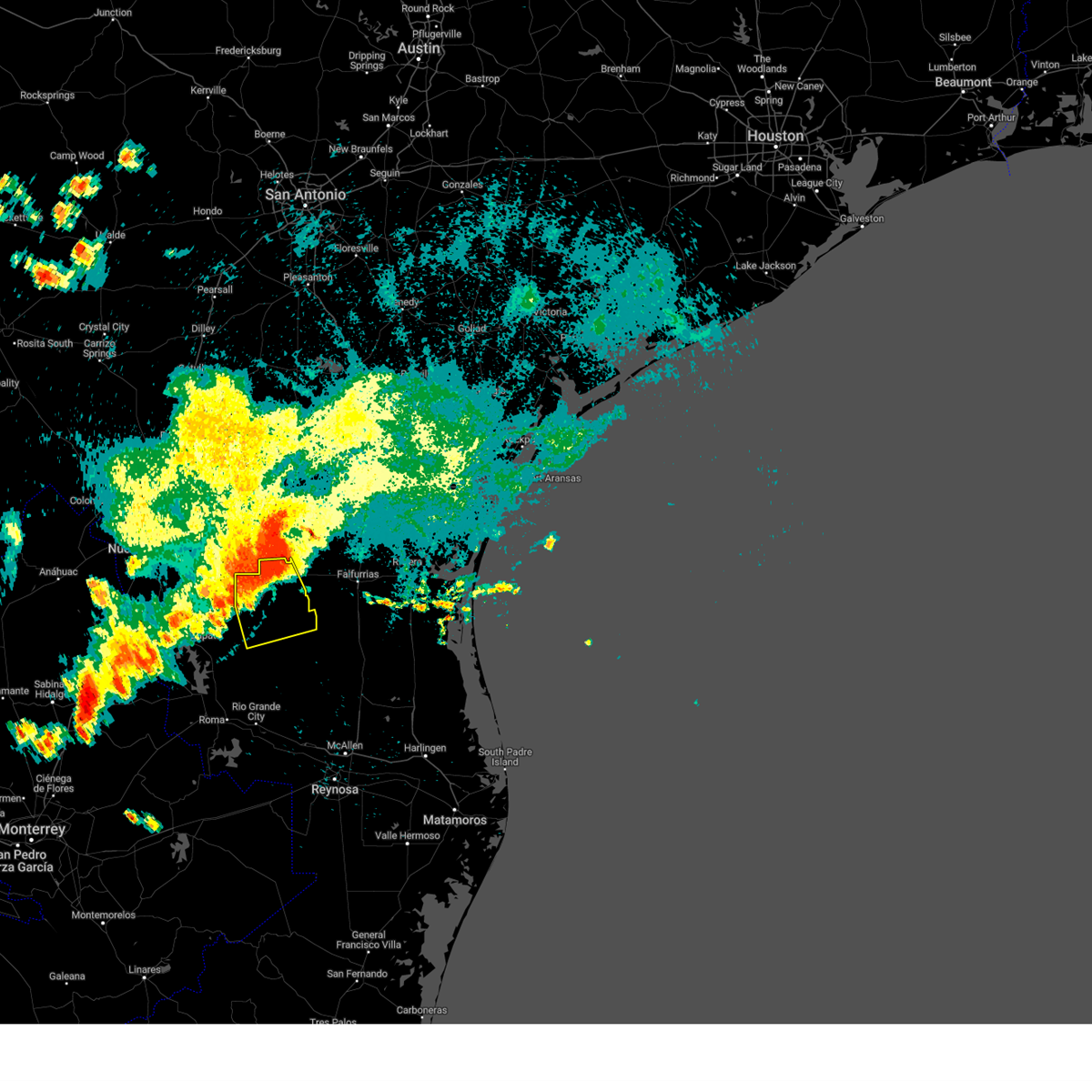
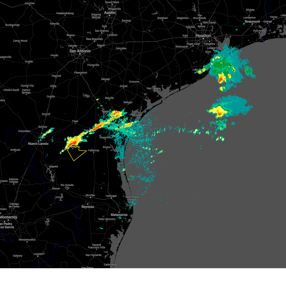
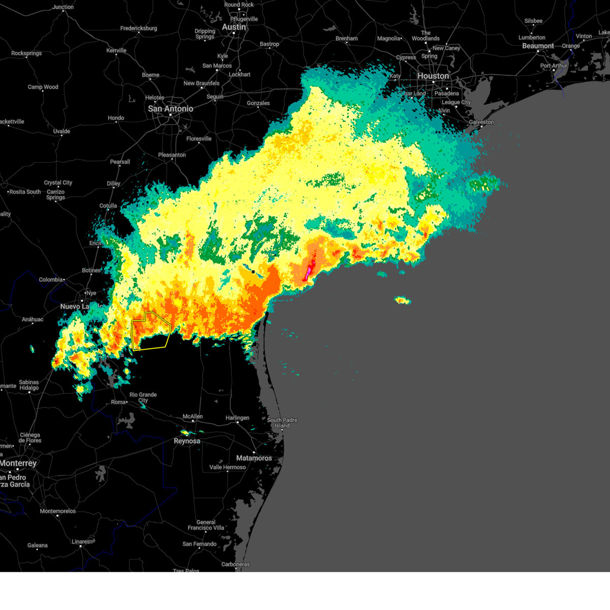
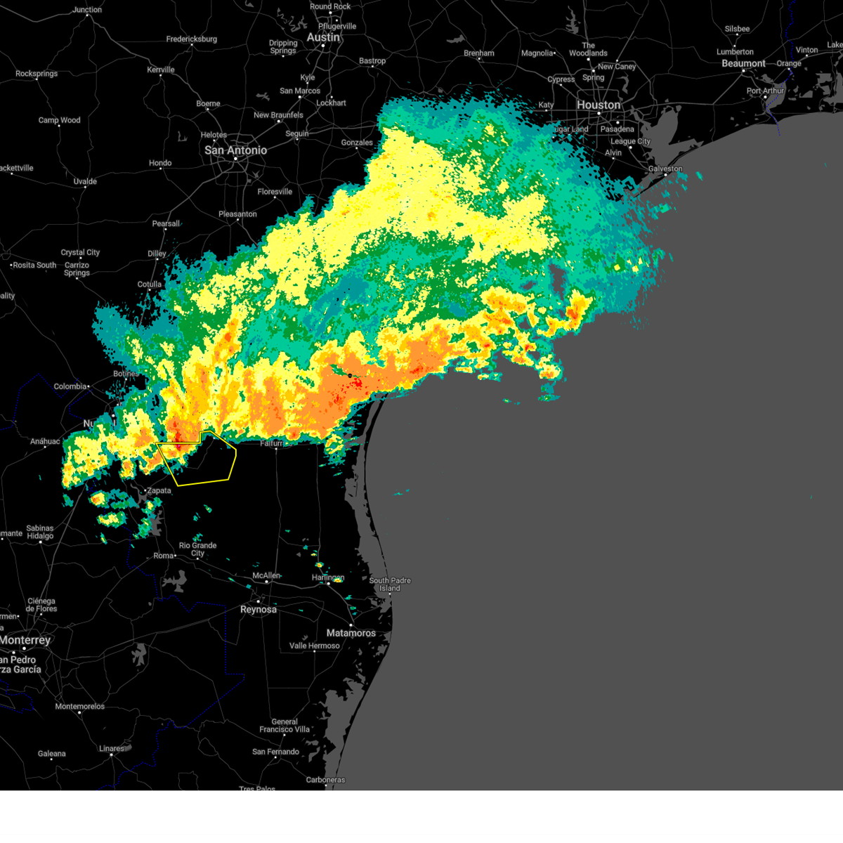
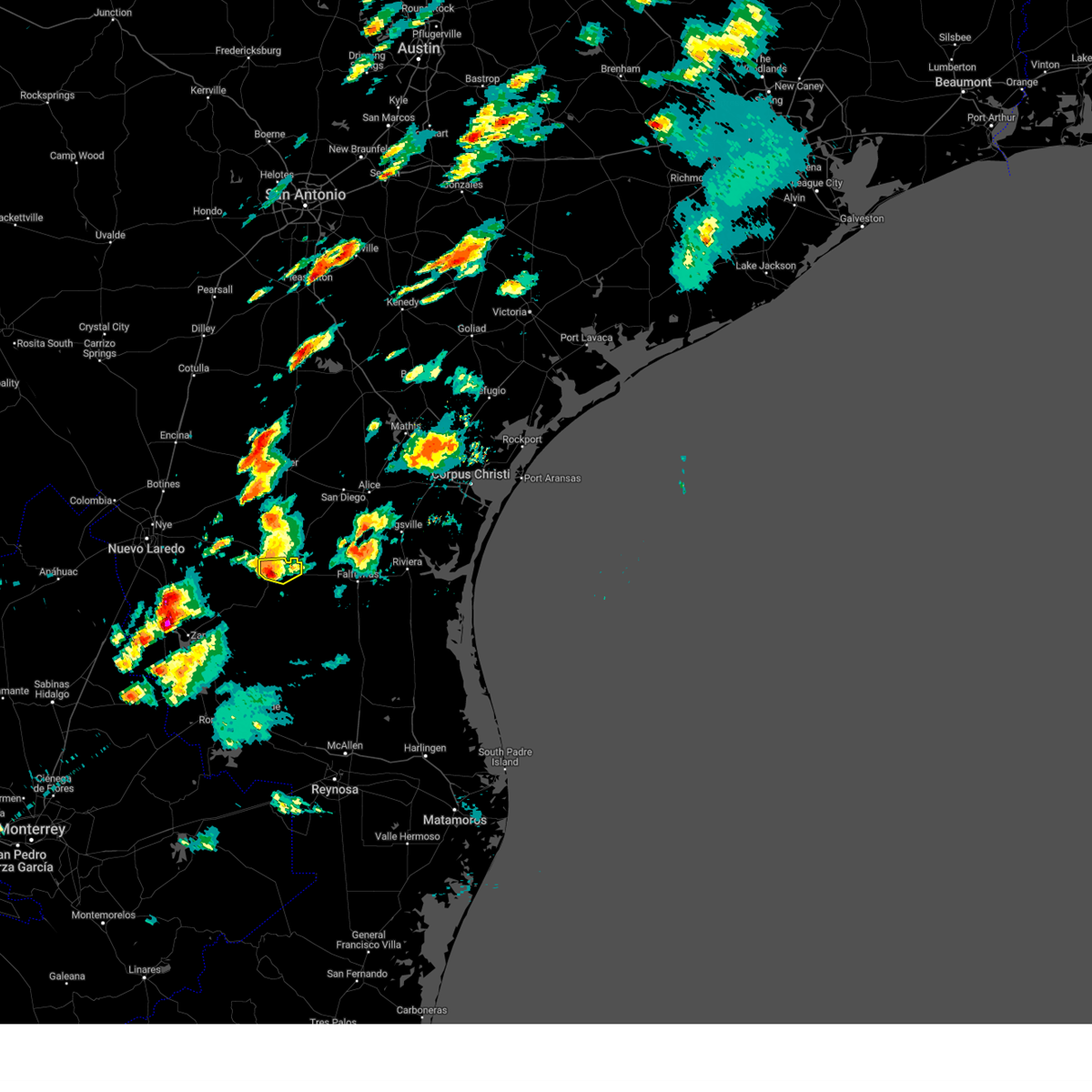
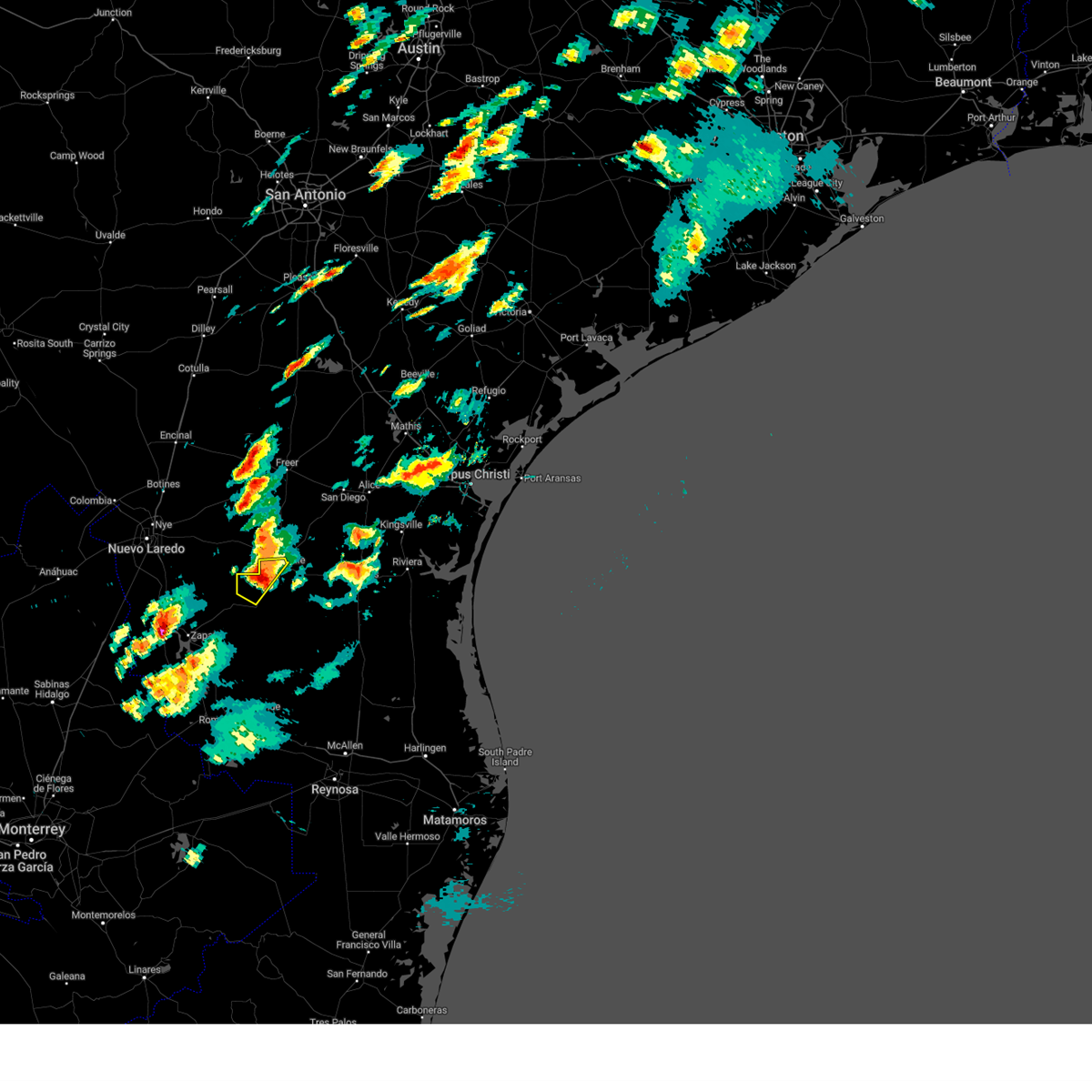
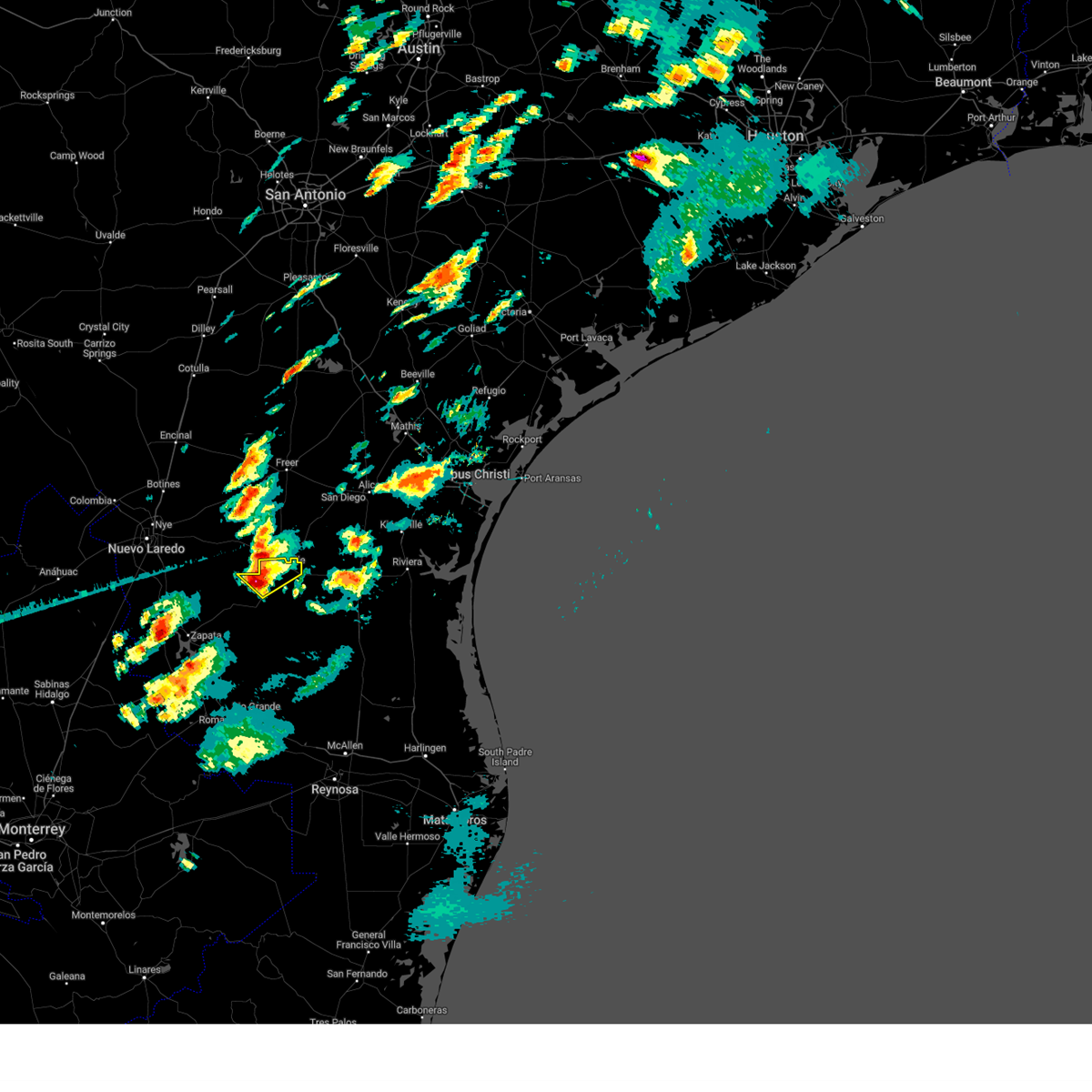
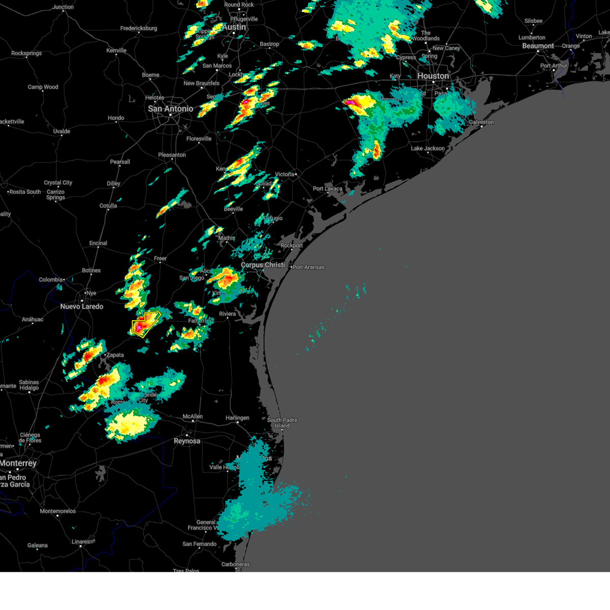
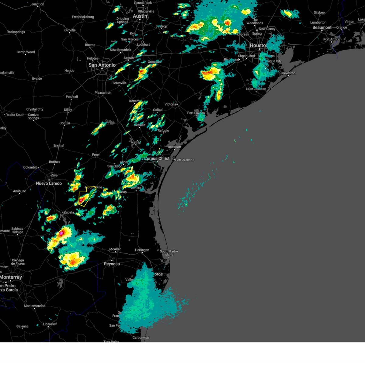
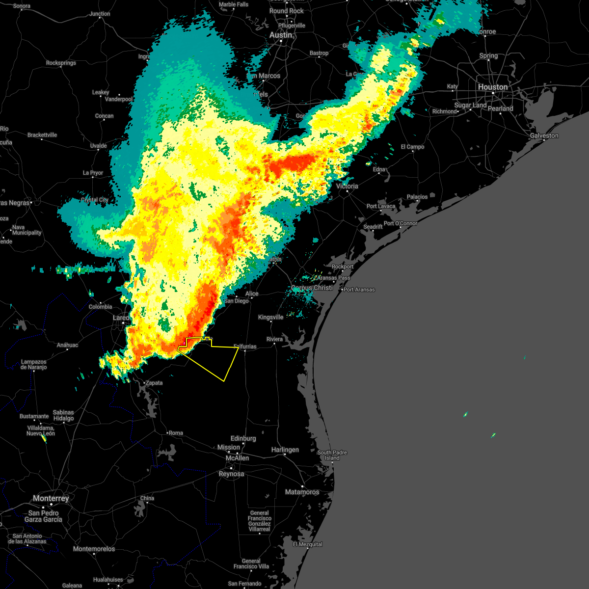
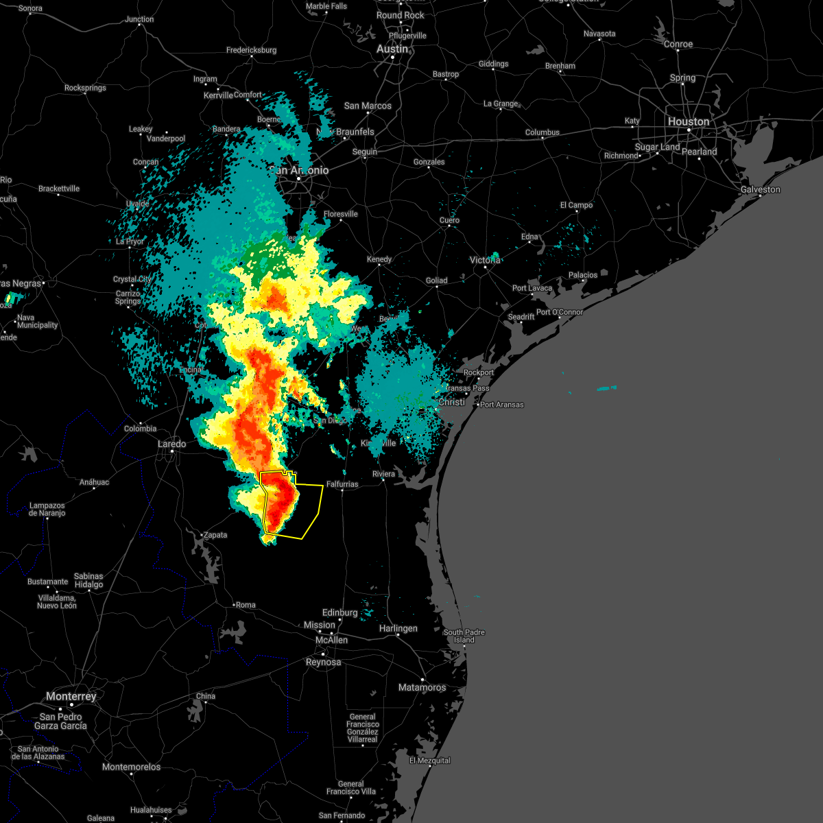
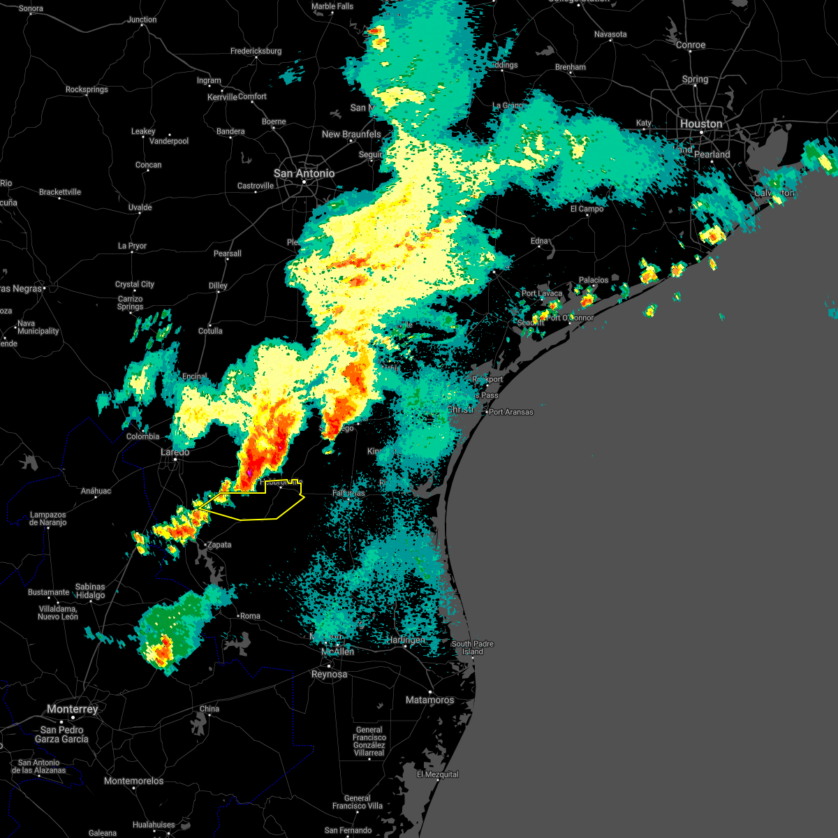
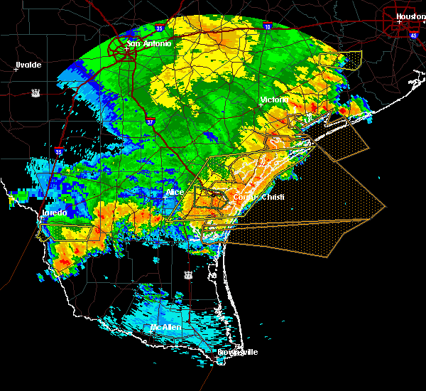
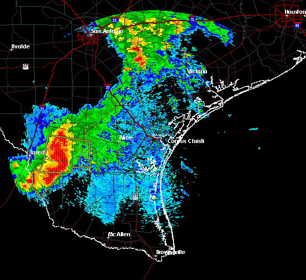
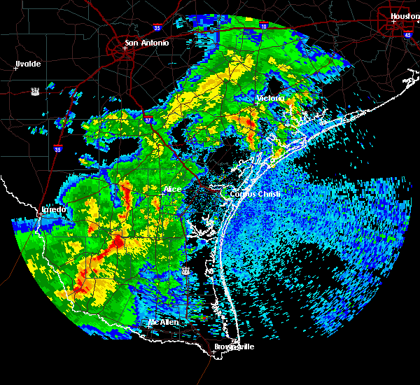
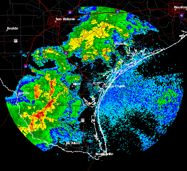
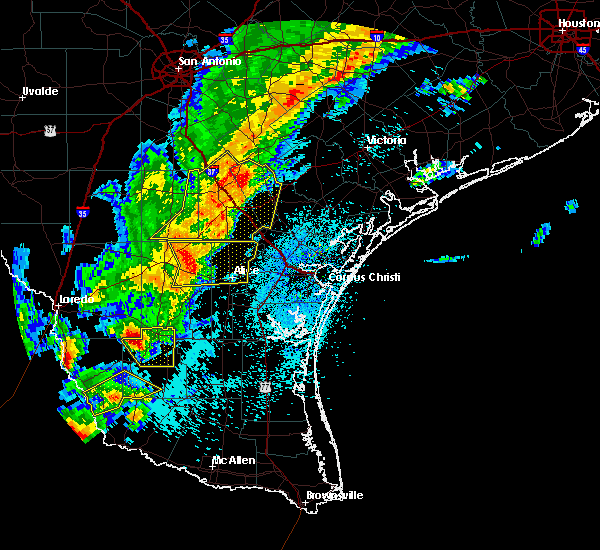
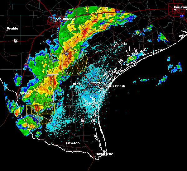
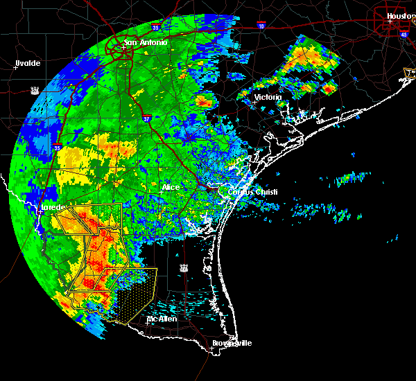
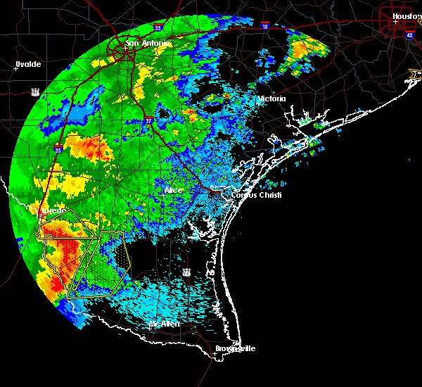
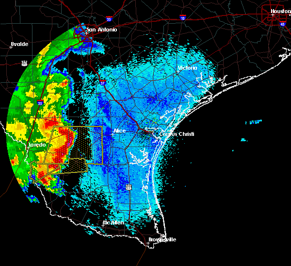
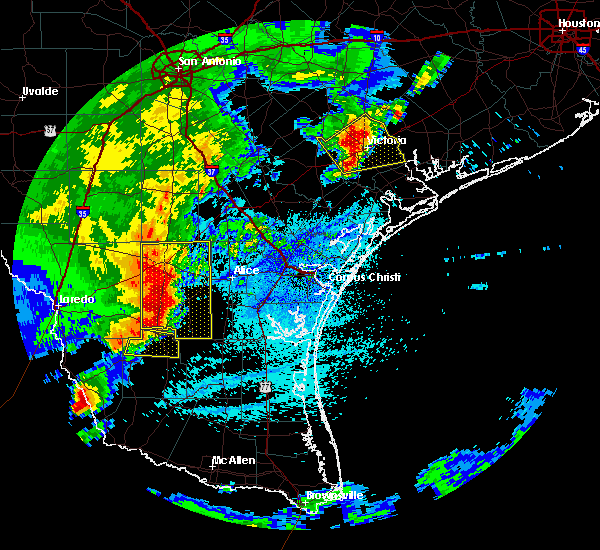
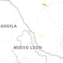
Hail Map for Thompsonville, TX
The Thompsonville, TX area has had 0 reports of on-the-ground hail by trained spotters, and has been under severe weather warnings 18 times during the past 12 months. Doppler radar has detected hail at or near Thompsonville, TX on 35 occasions, including 2 occasions during the past year.
| Name: | Thompsonville, TX |
| Where Located: | 47.9 miles ESE of Laredo, TX |
| Map: | Google Map for Thompsonville, TX |
| Population: | 46 |
| Housing Units: | 20 |
| More Info: | Search Google for Thompsonville, TX |
1
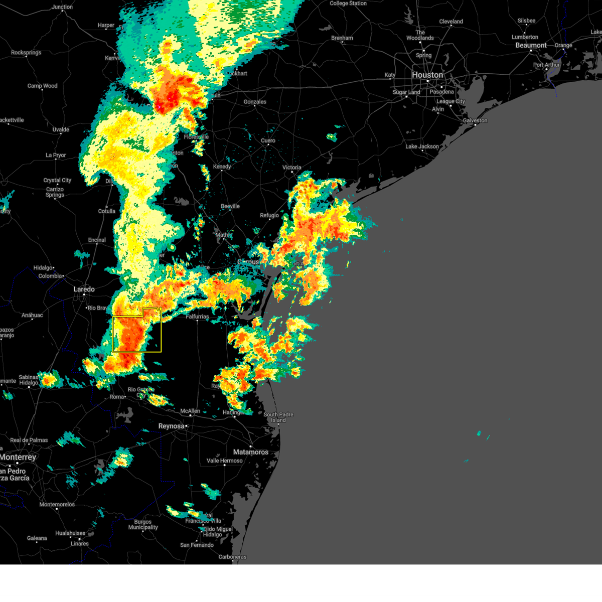
The Top Recent Hail Date for Thompsonville, TX is Tuesday, May 6, 2025 (9th out of 35)
Hail and Wind Damage Spotted near Thompsonville, TX
| Date / Time | Report Details |
|---|---|
| 5/28/2025 5:11 AM CDT |
 At 511 am cdt, a severe thunderstorm was located 10 miles east of randado, or 11 miles northwest of agua nueva, moving east at 30 mph (radar indicated). Hazards include 60 mph wind gusts and quarter size hail. Hail damage to vehicles is expected. expect wind damage to roofs, siding, and trees. Locations impacted include, hebbronville, las lomitas, gruy stadium, hebbronville border patrol station, randado, thompsonville, escobas, agua nueva, jim hogg county airport, and hebbronville high school. At 511 am cdt, a severe thunderstorm was located 10 miles east of randado, or 11 miles northwest of agua nueva, moving east at 30 mph (radar indicated). Hazards include 60 mph wind gusts and quarter size hail. Hail damage to vehicles is expected. expect wind damage to roofs, siding, and trees. Locations impacted include, hebbronville, las lomitas, gruy stadium, hebbronville border patrol station, randado, thompsonville, escobas, agua nueva, jim hogg county airport, and hebbronville high school.
|
| 5/28/2025 4:31 AM CDT |
 Svrbro the national weather service in brownsville has issued a * severe thunderstorm warning for, western jim hogg county in deep south texas, northeastern zapata county in deep south texas, * until 530 am cdt. * at 430 am cdt, a severe thunderstorm was located near escobas, or near bustamante, moving east at 30 mph (radar indicated). Hazards include 60 mph wind gusts and quarter size hail. Hail damage to vehicles is expected. Expect wind damage to roofs, siding, and trees. Svrbro the national weather service in brownsville has issued a * severe thunderstorm warning for, western jim hogg county in deep south texas, northeastern zapata county in deep south texas, * until 530 am cdt. * at 430 am cdt, a severe thunderstorm was located near escobas, or near bustamante, moving east at 30 mph (radar indicated). Hazards include 60 mph wind gusts and quarter size hail. Hail damage to vehicles is expected. Expect wind damage to roofs, siding, and trees.
|
| 5/8/2025 9:33 PM CDT |
 the severe thunderstorm warning has been cancelled and is no longer in effect the severe thunderstorm warning has been cancelled and is no longer in effect
|
| 5/8/2025 9:27 PM CDT |
 At 919 pm cdt, a severe thunderstorm was located 8 miles northwest of agua nueva, moving southeast at 55 mph (radar indicated). Hazards include 60 mph wind gusts and penny size hail. Expect damage to roofs, siding, and trees. Locations impacted include, guerra, randado, thompsonville, viboras, puesta del sol airport, agua nueva, south fork estates, and hidalgo city park. At 919 pm cdt, a severe thunderstorm was located 8 miles northwest of agua nueva, moving southeast at 55 mph (radar indicated). Hazards include 60 mph wind gusts and penny size hail. Expect damage to roofs, siding, and trees. Locations impacted include, guerra, randado, thompsonville, viboras, puesta del sol airport, agua nueva, south fork estates, and hidalgo city park.
|
| 5/8/2025 8:59 PM CDT |
 Svrbro the national weather service in brownsville has issued a * severe thunderstorm warning for, jim hogg county in deep south texas, north central starr county in deep south texas, northwestern brooks county in deep south texas, northeastern zapata county in deep south texas, * until 945 pm cdt. * at 858 pm cdt, a severe thunderstorm was located over thompsonville, or 15 miles southwest of hebbronville, moving southeast at 55 mph (radar indicated). Hazards include 60 mph wind gusts and penny size hail. expect damage to roofs, siding, and trees Svrbro the national weather service in brownsville has issued a * severe thunderstorm warning for, jim hogg county in deep south texas, north central starr county in deep south texas, northwestern brooks county in deep south texas, northeastern zapata county in deep south texas, * until 945 pm cdt. * at 858 pm cdt, a severe thunderstorm was located over thompsonville, or 15 miles southwest of hebbronville, moving southeast at 55 mph (radar indicated). Hazards include 60 mph wind gusts and penny size hail. expect damage to roofs, siding, and trees
|
| 5/8/2025 4:46 PM CDT |
 At 446 pm cdt, severe thunderstorms were located along a line extending from near randado to 7 miles northwest of guerra to near falcon mesa, moving southeast at 30 mph (radar indicated). Hazards include ping pong ball size hail and 60 mph wind gusts. People and animals outdoors will be injured. expect hail damage to roofs, siding, windows, and vehicles. expect wind damage to roofs, siding, and trees. Locations impacted include, new falcon, zapata high school, black bass, randado, zapata middle school, siesta shores, zapata county public library, las palmas, zapata--medina, and medina. At 446 pm cdt, severe thunderstorms were located along a line extending from near randado to 7 miles northwest of guerra to near falcon mesa, moving southeast at 30 mph (radar indicated). Hazards include ping pong ball size hail and 60 mph wind gusts. People and animals outdoors will be injured. expect hail damage to roofs, siding, windows, and vehicles. expect wind damage to roofs, siding, and trees. Locations impacted include, new falcon, zapata high school, black bass, randado, zapata middle school, siesta shores, zapata county public library, las palmas, zapata--medina, and medina.
|
| 5/8/2025 4:09 PM CDT |
 Svrbro the national weather service in brownsville has issued a * severe thunderstorm warning for, jim hogg county in deep south texas, northwestern starr county in deep south texas, zapata county in deep south texas, * until 500 pm cdt. * at 409 pm cdt, severe thunderstorms were located along a line extending from 7 miles northwest of thompsonville to 6 miles northwest of bustamante to 9 miles southwest of san ygnacio, moving southeast at 30 mph (radar indicated). Hazards include 60 mph wind gusts and half dollar size hail. Hail damage to vehicles is expected. Expect wind damage to roofs, siding, and trees. Svrbro the national weather service in brownsville has issued a * severe thunderstorm warning for, jim hogg county in deep south texas, northwestern starr county in deep south texas, zapata county in deep south texas, * until 500 pm cdt. * at 409 pm cdt, severe thunderstorms were located along a line extending from 7 miles northwest of thompsonville to 6 miles northwest of bustamante to 9 miles southwest of san ygnacio, moving southeast at 30 mph (radar indicated). Hazards include 60 mph wind gusts and half dollar size hail. Hail damage to vehicles is expected. Expect wind damage to roofs, siding, and trees.
|
| 5/7/2025 3:38 AM CDT |
 The storms which prompted the warning have moved out of the area. therefore, the warning will be allowed to expire. however, small hail and gusty winds are still possible with these thunderstorms. a severe thunderstorm watch remains in effect until 800 am cdt for deep south texas. remember, a severe thunderstorm warning still remains in effect for southern jim hogg and southern zapata counties until 415 am cdt. The storms which prompted the warning have moved out of the area. therefore, the warning will be allowed to expire. however, small hail and gusty winds are still possible with these thunderstorms. a severe thunderstorm watch remains in effect until 800 am cdt for deep south texas. remember, a severe thunderstorm warning still remains in effect for southern jim hogg and southern zapata counties until 415 am cdt.
|
| 5/7/2025 3:18 AM CDT |
 At 318 am cdt, severe thunderstorms were located along a line extending from near thompsonville to randado to 7 miles northwest of guerra, moving east at 30 mph (radar indicated). Hazards include 60 mph wind gusts and half dollar size hail. Hail damage to vehicles is expected. expect wind damage to roofs, siding, and trees. Locations impacted include, escobas, randado, bustamante, and thompsonville. At 318 am cdt, severe thunderstorms were located along a line extending from near thompsonville to randado to 7 miles northwest of guerra, moving east at 30 mph (radar indicated). Hazards include 60 mph wind gusts and half dollar size hail. Hail damage to vehicles is expected. expect wind damage to roofs, siding, and trees. Locations impacted include, escobas, randado, bustamante, and thompsonville.
|
| 5/7/2025 2:58 AM CDT |
 Svrbro the national weather service in brownsville has issued a * severe thunderstorm warning for, northwestern jim hogg county in deep south texas, northeastern zapata county in deep south texas, * until 345 am cdt. * at 257 am cdt, severe thunderstorms were located along a line extending from 11 miles northwest of thompsonville to near escobas to near bustamante, moving east at 30 mph (radar indicated). Hazards include 60 mph wind gusts and quarter size hail. Hail damage to vehicles is expected. Expect wind damage to roofs, siding, and trees. Svrbro the national weather service in brownsville has issued a * severe thunderstorm warning for, northwestern jim hogg county in deep south texas, northeastern zapata county in deep south texas, * until 345 am cdt. * at 257 am cdt, severe thunderstorms were located along a line extending from 11 miles northwest of thompsonville to near escobas to near bustamante, moving east at 30 mph (radar indicated). Hazards include 60 mph wind gusts and quarter size hail. Hail damage to vehicles is expected. Expect wind damage to roofs, siding, and trees.
|
| 5/6/2025 10:24 PM CDT |
 The storm which prompted the warning has weakened below severe limits, and no longer poses an immediate threat to life or property. therefore, the warning will be allowed to expire. however, small hail and gusty winds are still possible with this thunderstorm. a severe thunderstorm watch remains in effect until midnight cdt for deep south texas. The storm which prompted the warning has weakened below severe limits, and no longer poses an immediate threat to life or property. therefore, the warning will be allowed to expire. however, small hail and gusty winds are still possible with this thunderstorm. a severe thunderstorm watch remains in effect until midnight cdt for deep south texas.
|
| 5/6/2025 10:13 PM CDT |
 At 1012 pm cdt, a severe thunderstorm was located over hebbronville, moving east at 30 mph (radar indicated). Hazards include 60 mph wind gusts and quarter size hail. Hail damage to vehicles is expected. expect wind damage to roofs, siding, and trees. Locations impacted include, hebbronville, las lomitas, gruy stadium, hebbronville border patrol station, jim hogg county airport, hebbronville high school, and south fork estates. At 1012 pm cdt, a severe thunderstorm was located over hebbronville, moving east at 30 mph (radar indicated). Hazards include 60 mph wind gusts and quarter size hail. Hail damage to vehicles is expected. expect wind damage to roofs, siding, and trees. Locations impacted include, hebbronville, las lomitas, gruy stadium, hebbronville border patrol station, jim hogg county airport, hebbronville high school, and south fork estates.
|
| 5/6/2025 9:50 PM CDT |
 At 949 pm cdt, a severe thunderstorm was located near thompsonville, or 13 miles west of hebbronville, moving east at 25 mph (radar indicated). Hazards include 60 mph wind gusts and half dollar size hail. Hail damage to vehicles is expected. expect wind damage to roofs, siding, and trees. Locations impacted include, hebbronville, las lomitas, gruy stadium, hebbronville border patrol station, jim hogg county airport, hebbronville high school, and south fork estates. At 949 pm cdt, a severe thunderstorm was located near thompsonville, or 13 miles west of hebbronville, moving east at 25 mph (radar indicated). Hazards include 60 mph wind gusts and half dollar size hail. Hail damage to vehicles is expected. expect wind damage to roofs, siding, and trees. Locations impacted include, hebbronville, las lomitas, gruy stadium, hebbronville border patrol station, jim hogg county airport, hebbronville high school, and south fork estates.
|
| 5/6/2025 9:50 PM CDT |
 the severe thunderstorm warning has been cancelled and is no longer in effect the severe thunderstorm warning has been cancelled and is no longer in effect
|
| 5/6/2025 9:38 PM CDT |
 Svrbro the national weather service in brownsville has issued a * severe thunderstorm warning for, northern jim hogg county in deep south texas, northeastern zapata county in deep south texas, * until 1030 pm cdt. * at 938 pm cdt, a severe thunderstorm was located near thompsonville, or 16 miles west of hebbronville, moving east at 30 mph (radar indicated). Hazards include ping pong ball size hail and 60 mph wind gusts. People and animals outdoors will be injured. expect hail damage to roofs, siding, windows, and vehicles. Expect wind damage to roofs, siding, and trees. Svrbro the national weather service in brownsville has issued a * severe thunderstorm warning for, northern jim hogg county in deep south texas, northeastern zapata county in deep south texas, * until 1030 pm cdt. * at 938 pm cdt, a severe thunderstorm was located near thompsonville, or 16 miles west of hebbronville, moving east at 30 mph (radar indicated). Hazards include ping pong ball size hail and 60 mph wind gusts. People and animals outdoors will be injured. expect hail damage to roofs, siding, windows, and vehicles. Expect wind damage to roofs, siding, and trees.
|
| 3/27/2025 11:11 PM CDT |
 the severe thunderstorm warning has been cancelled and is no longer in effect the severe thunderstorm warning has been cancelled and is no longer in effect
|
| 3/27/2025 10:56 PM CDT |
 At 1056 pm cdt, severe thunderstorms were located along a line extending from near las lomitas to 6 miles south of south fork estates to 9 miles southeast of randado, moving east at 45 mph (radar indicated). Hazards include 60 mph wind gusts. Expect damage to roofs, siding, and trees. Locations impacted include, hebbronville, las lomitas, gruy stadium, hebbronville border patrol station, jim hogg county airport, hebbronville high school, and south fork estates. At 1056 pm cdt, severe thunderstorms were located along a line extending from near las lomitas to 6 miles south of south fork estates to 9 miles southeast of randado, moving east at 45 mph (radar indicated). Hazards include 60 mph wind gusts. Expect damage to roofs, siding, and trees. Locations impacted include, hebbronville, las lomitas, gruy stadium, hebbronville border patrol station, jim hogg county airport, hebbronville high school, and south fork estates.
|
| 3/27/2025 10:42 PM CDT |
 Svrbro the national weather service in brownsville has issued a * severe thunderstorm warning for, jim hogg county in deep south texas, * until 1130 pm cdt. * at 1042 pm cdt, severe thunderstorms were located along a line extending from near bruni to near thompsonville to 7 miles west of guerra, moving east at 45 mph (radar indicated). Hazards include 60 mph wind gusts. expect damage to roofs, siding, and trees Svrbro the national weather service in brownsville has issued a * severe thunderstorm warning for, jim hogg county in deep south texas, * until 1130 pm cdt. * at 1042 pm cdt, severe thunderstorms were located along a line extending from near bruni to near thompsonville to 7 miles west of guerra, moving east at 45 mph (radar indicated). Hazards include 60 mph wind gusts. expect damage to roofs, siding, and trees
|
| 5/28/2024 10:57 PM CDT |
 At 1055 pm cdt, severe thunderstorms were located along a line extending from 7 miles southeast of hebbronville to near guerra to near falcon state park, moving southeast at 40 mph (radar indicated). Hazards include 60 mph wind gusts and nickel size hail. Expect damage to roofs, siding, and trees. Locations impacted include, zapata, hebbronville, agua nueva, viboras, lopeno, bustamante, medina, new falcon, zapata high school, and randado. At 1055 pm cdt, severe thunderstorms were located along a line extending from 7 miles southeast of hebbronville to near guerra to near falcon state park, moving southeast at 40 mph (radar indicated). Hazards include 60 mph wind gusts and nickel size hail. Expect damage to roofs, siding, and trees. Locations impacted include, zapata, hebbronville, agua nueva, viboras, lopeno, bustamante, medina, new falcon, zapata high school, and randado.
|
| 5/28/2024 10:43 PM CDT |
 At 1043 pm cdt, severe thunderstorms were located along a line extending from near hebbronville to near agua nueva to falcon state park, moving east at 35 mph (radar indicated). Hazards include 60 mph wind gusts and nickel size hail. Expect damage to roofs, siding, and trees. Locations impacted include, zapata, hebbronville, agua nueva, viboras, lopeno, bustamante, medina, new falcon, zapata high school, and randado. At 1043 pm cdt, severe thunderstorms were located along a line extending from near hebbronville to near agua nueva to falcon state park, moving east at 35 mph (radar indicated). Hazards include 60 mph wind gusts and nickel size hail. Expect damage to roofs, siding, and trees. Locations impacted include, zapata, hebbronville, agua nueva, viboras, lopeno, bustamante, medina, new falcon, zapata high school, and randado.
|
| 5/28/2024 10:30 PM CDT |
 Svrbro the national weather service in brownsville has issued a * severe thunderstorm warning for, jim hogg county in deep south texas, northwestern starr county in deep south texas, zapata county in deep south texas, * until 1115 pm cdt. * at 1030 pm cdt, severe thunderstorms were located along a line extending from 7 miles south of mirando city to near guerra to 15 miles southwest of falcon mesa, moving east at 105 mph (radar indicated). Hazards include 60 mph wind gusts and nickel size hail. expect damage to roofs, siding, and trees Svrbro the national weather service in brownsville has issued a * severe thunderstorm warning for, jim hogg county in deep south texas, northwestern starr county in deep south texas, zapata county in deep south texas, * until 1115 pm cdt. * at 1030 pm cdt, severe thunderstorms were located along a line extending from 7 miles south of mirando city to near guerra to 15 miles southwest of falcon mesa, moving east at 105 mph (radar indicated). Hazards include 60 mph wind gusts and nickel size hail. expect damage to roofs, siding, and trees
|
| 5/17/2024 8:16 AM CDT |
 At 816 am cdt, a severe thunderstorm was located near las lomitas, or 7 miles northeast of hebbronville, moving northeast at 50 mph (radar indicated). Hazards include golf ball size hail and 60 mph wind gusts. People and animals outdoors will be injured. expect hail damage to roofs, siding, windows, and vehicles. expect wind damage to roofs, siding, and trees. Locations impacted include, hebbronville, las lomitas, gruy stadium, jim hogg county airport, hebbronville high school, south fork estates, and hebbronville border patrol station. At 816 am cdt, a severe thunderstorm was located near las lomitas, or 7 miles northeast of hebbronville, moving northeast at 50 mph (radar indicated). Hazards include golf ball size hail and 60 mph wind gusts. People and animals outdoors will be injured. expect hail damage to roofs, siding, windows, and vehicles. expect wind damage to roofs, siding, and trees. Locations impacted include, hebbronville, las lomitas, gruy stadium, jim hogg county airport, hebbronville high school, south fork estates, and hebbronville border patrol station.
|
| 5/17/2024 8:07 AM CDT |
 Svrbro the national weather service in brownsville has issued a * severe thunderstorm warning for, northwestern jim hogg county in deep south texas, * until 845 am cdt. * at 807 am cdt, a severe thunderstorm was located over jim hogg county airport, or near hebbronville, moving northeast at 50 mph (radar indicated). Hazards include golf ball size hail and 60 mph wind gusts. People and animals outdoors will be injured. expect hail damage to roofs, siding, windows, and vehicles. Expect wind damage to roofs, siding, and trees. Svrbro the national weather service in brownsville has issued a * severe thunderstorm warning for, northwestern jim hogg county in deep south texas, * until 845 am cdt. * at 807 am cdt, a severe thunderstorm was located over jim hogg county airport, or near hebbronville, moving northeast at 50 mph (radar indicated). Hazards include golf ball size hail and 60 mph wind gusts. People and animals outdoors will be injured. expect hail damage to roofs, siding, windows, and vehicles. Expect wind damage to roofs, siding, and trees.
|
| 5/13/2024 5:02 PM CDT |
 The storm which prompted the warning has weakened below severe limits, and no longer poses an immediate threat to life or property. therefore, the warning has been allowed to expire. however, small hail is still possible with this thunderstorm. a severe thunderstorm watch remains in effect until 1000 pm cdt for deep south texas. remember, a severe thunderstorm warning still remains in effect for jim hogg and zapata. The storm which prompted the warning has weakened below severe limits, and no longer poses an immediate threat to life or property. therefore, the warning has been allowed to expire. however, small hail is still possible with this thunderstorm. a severe thunderstorm watch remains in effect until 1000 pm cdt for deep south texas. remember, a severe thunderstorm warning still remains in effect for jim hogg and zapata.
|
| 5/13/2024 4:41 PM CDT |
 At 440 pm cdt, a severe thunderstorm was located near bruni, or 11 miles west of hebbronville, moving northeast at 70 mph (radar indicated). Hazards include golf ball size hail and 70 mph wind gusts. People and animals outdoors will be injured. expect hail damage to roofs, siding, windows, and vehicles. expect considerable tree damage. wind damage is also likely to mobile homes, roofs, and outbuildings. Locations impacted include, hebbronville, las lomitas, gruy stadium, thompsonville, jim hogg county airport, hebbronville high school, south fork estates, and hebbronville border patrol station. At 440 pm cdt, a severe thunderstorm was located near bruni, or 11 miles west of hebbronville, moving northeast at 70 mph (radar indicated). Hazards include golf ball size hail and 70 mph wind gusts. People and animals outdoors will be injured. expect hail damage to roofs, siding, windows, and vehicles. expect considerable tree damage. wind damage is also likely to mobile homes, roofs, and outbuildings. Locations impacted include, hebbronville, las lomitas, gruy stadium, thompsonville, jim hogg county airport, hebbronville high school, south fork estates, and hebbronville border patrol station.
|
| 5/13/2024 4:12 PM CDT |
 Svrbro the national weather service in brownsville has issued a * severe thunderstorm warning for, northwestern jim hogg county in deep south texas, northern zapata county in deep south texas, * until 500 pm cdt. * at 412 pm cdt, a severe thunderstorm was located 8 miles northeast of san ygnacio, moving northeast at 70 mph (radar indicated). Hazards include 70 mph wind gusts and quarter size hail. Hail damage to vehicles is expected. expect considerable tree damage. Wind damage is also likely to mobile homes, roofs, and outbuildings. Svrbro the national weather service in brownsville has issued a * severe thunderstorm warning for, northwestern jim hogg county in deep south texas, northern zapata county in deep south texas, * until 500 pm cdt. * at 412 pm cdt, a severe thunderstorm was located 8 miles northeast of san ygnacio, moving northeast at 70 mph (radar indicated). Hazards include 70 mph wind gusts and quarter size hail. Hail damage to vehicles is expected. expect considerable tree damage. Wind damage is also likely to mobile homes, roofs, and outbuildings.
|
| 3/16/2024 12:13 AM CDT |
 At 1212 am cdt, severe thunderstorms were located along a line extending from 6 miles south of south fork estates to near thompsonville, moving east at 30 mph (radar indicated). Hazards include 60 mph wind gusts and quarter size hail. Hail damage to vehicles is expected. expect wind damage to roofs, siding, and trees. Locations impacted include, south fork estates, randado, and thompsonville. At 1212 am cdt, severe thunderstorms were located along a line extending from 6 miles south of south fork estates to near thompsonville, moving east at 30 mph (radar indicated). Hazards include 60 mph wind gusts and quarter size hail. Hail damage to vehicles is expected. expect wind damage to roofs, siding, and trees. Locations impacted include, south fork estates, randado, and thompsonville.
|
| 3/15/2024 11:45 PM CDT |
 Svrbro the national weather service in brownsville has issued a * severe thunderstorm warning for, northwestern jim hogg county in deep south texas, northeastern zapata county in deep south texas, * until 1245 am cdt. * at 1144 pm cdt, severe thunderstorms were located along a line extending from 6 miles northwest of thompsonville to 13 miles north of bustamante, moving east at 30 mph (radar indicated). Hazards include golf ball size hail and 60 mph wind gusts. People and animals outdoors will be injured. expect hail damage to roofs, siding, windows, and vehicles. Expect wind damage to roofs, siding, and trees. Svrbro the national weather service in brownsville has issued a * severe thunderstorm warning for, northwestern jim hogg county in deep south texas, northeastern zapata county in deep south texas, * until 1245 am cdt. * at 1144 pm cdt, severe thunderstorms were located along a line extending from 6 miles northwest of thompsonville to 13 miles north of bustamante, moving east at 30 mph (radar indicated). Hazards include golf ball size hail and 60 mph wind gusts. People and animals outdoors will be injured. expect hail damage to roofs, siding, windows, and vehicles. Expect wind damage to roofs, siding, and trees.
|
| 9/16/2023 12:01 AM CDT |
 At 1200 am cdt, a severe thunderstorm was located 13 miles southeast of south fork estates, or 13 miles north of agua nueva, moving southeast at 40 mph (radar indicated). Hazards include 60 mph wind gusts and penny size hail. Expect damage to roofs, siding, and trees. locations impacted include, hebbronville, agua nueva, guerra, las lomitas, gruy stadium, randado, jim hogg county airport, hebbronville high school, south fork estates, and hebbronville border patrol station. hail threat, radar indicated max hail size, 0. 75 in wind threat, radar indicated max wind gust, 60 mph. At 1200 am cdt, a severe thunderstorm was located 13 miles southeast of south fork estates, or 13 miles north of agua nueva, moving southeast at 40 mph (radar indicated). Hazards include 60 mph wind gusts and penny size hail. Expect damage to roofs, siding, and trees. locations impacted include, hebbronville, agua nueva, guerra, las lomitas, gruy stadium, randado, jim hogg county airport, hebbronville high school, south fork estates, and hebbronville border patrol station. hail threat, radar indicated max hail size, 0. 75 in wind threat, radar indicated max wind gust, 60 mph.
|
| 9/15/2023 11:46 PM CDT |
 At 1146 pm cdt, a severe thunderstorm was located over south fork estates, or near hebbronville, moving southeast at 40 mph (radar indicated). Hazards include 60 mph wind gusts and penny size hail. expect damage to roofs, siding, and trees At 1146 pm cdt, a severe thunderstorm was located over south fork estates, or near hebbronville, moving southeast at 40 mph (radar indicated). Hazards include 60 mph wind gusts and penny size hail. expect damage to roofs, siding, and trees
|
| 4/27/2023 8:50 AM CDT |
 At 850 am cdt, a severe thunderstorm was located near las lomitas, or near hebbronville, moving southeast at 15 mph (radar indicated). Hazards include quarter size hail. damage to vehicles is expected At 850 am cdt, a severe thunderstorm was located near las lomitas, or near hebbronville, moving southeast at 15 mph (radar indicated). Hazards include quarter size hail. damage to vehicles is expected
|
| 4/23/2023 11:42 AM CDT |
 At 1141 am cdt, severe thunderstorms were located along a line extending from 21 miles southeast of malaquite beach to 6 miles east of rachal to near bustamante, moving southeast at 50 mph (radar indicated). Hazards include 70 mph wind gusts and penny size hail. Expect considerable tree damage. Damage is likely to mobile homes, roofs, and outbuildings. At 1141 am cdt, severe thunderstorms were located along a line extending from 21 miles southeast of malaquite beach to 6 miles east of rachal to near bustamante, moving southeast at 50 mph (radar indicated). Hazards include 70 mph wind gusts and penny size hail. Expect considerable tree damage. Damage is likely to mobile homes, roofs, and outbuildings.
|
| 4/23/2023 11:23 AM CDT |
 At 1123 am cdt, a severe thunderstorm was located 8 miles east of randado, or 13 miles south of hebbronville, moving southeast at 25 mph (radar indicated). Hazards include 60 mph wind gusts and penny size hail. Expect damage to roofs, siding, and trees. locations impacted include, hebbronville, gruy stadium, randado, thompsonville, jim hogg county airport, hebbronville high school, south fork estates and hebbronville border patrol station. hail threat, radar indicated max hail size, 0. 75 in wind threat, radar indicated max wind gust, 60 mph. At 1123 am cdt, a severe thunderstorm was located 8 miles east of randado, or 13 miles south of hebbronville, moving southeast at 25 mph (radar indicated). Hazards include 60 mph wind gusts and penny size hail. Expect damage to roofs, siding, and trees. locations impacted include, hebbronville, gruy stadium, randado, thompsonville, jim hogg county airport, hebbronville high school, south fork estates and hebbronville border patrol station. hail threat, radar indicated max hail size, 0. 75 in wind threat, radar indicated max wind gust, 60 mph.
|
| 4/23/2023 10:55 AM CDT |
 At 1054 am cdt, a severe thunderstorm was located near thompsonville, or 15 miles west of hebbronville, moving southeast at 25 to 30 mph (radar indicated). Hazards include 60 mph wind gusts and quarter size hail. Hail damage to vehicles is expected. Expect wind damage to roofs, siding, and trees. At 1054 am cdt, a severe thunderstorm was located near thompsonville, or 15 miles west of hebbronville, moving southeast at 25 to 30 mph (radar indicated). Hazards include 60 mph wind gusts and quarter size hail. Hail damage to vehicles is expected. Expect wind damage to roofs, siding, and trees.
|
| 4/5/2023 9:41 PM CDT |
 At 941 pm cdt, a severe thunderstorm was located over hebbronville, moving northeast at 25 mph (radar indicated). Hazards include quarter size hail. Damage to vehicles is expected. locations impacted include, hebbronville, las lomitas, gruy stadium, jim hogg county airport, hebbronville high school, south fork estates and hebbronville border patrol station. hail threat, radar indicated max hail size, 1. 00 in wind threat, radar indicated max wind gust, <50 mph. At 941 pm cdt, a severe thunderstorm was located over hebbronville, moving northeast at 25 mph (radar indicated). Hazards include quarter size hail. Damage to vehicles is expected. locations impacted include, hebbronville, las lomitas, gruy stadium, jim hogg county airport, hebbronville high school, south fork estates and hebbronville border patrol station. hail threat, radar indicated max hail size, 1. 00 in wind threat, radar indicated max wind gust, <50 mph.
|
| 4/5/2023 9:28 PM CDT |
 The severe thunderstorm warning for northwestern jim hogg county will expire at 930 pm cdt, the severe thunderstorm which prompted the warning has been replaced with a new warning for northern jim hogg county. remember, a severe thunderstorm warning still remains in effect for northern jim hogg county including the city of hebbronville. The severe thunderstorm warning for northwestern jim hogg county will expire at 930 pm cdt, the severe thunderstorm which prompted the warning has been replaced with a new warning for northern jim hogg county. remember, a severe thunderstorm warning still remains in effect for northern jim hogg county including the city of hebbronville.
|
| 4/5/2023 9:25 PM CDT |
 At 925 pm cdt, a severe thunderstorm was located near south fork estates, or 7 miles southwest of hebbronville, moving northeast at 20 mph (radar indicated). Hazards include quarter size hail. damage to vehicles is expected At 925 pm cdt, a severe thunderstorm was located near south fork estates, or 7 miles southwest of hebbronville, moving northeast at 20 mph (radar indicated). Hazards include quarter size hail. damage to vehicles is expected
|
| 4/5/2023 9:09 PM CDT |
 At 908 pm cdt, a severe thunderstorm was located near thompsonville, or 11 miles southwest of hebbronville, moving northeast at 25 mph (radar indicated). Hazards include half dollar size hail. Damage to vehicles is expected. locations impacted include, hebbronville, las lomitas, gruy stadium, thompsonville, jim hogg county airport, hebbronville high school, south fork estates and hebbronville border patrol station. hail threat, radar indicated max hail size, 1. 25 in wind threat, radar indicated max wind gust, <50 mph. At 908 pm cdt, a severe thunderstorm was located near thompsonville, or 11 miles southwest of hebbronville, moving northeast at 25 mph (radar indicated). Hazards include half dollar size hail. Damage to vehicles is expected. locations impacted include, hebbronville, las lomitas, gruy stadium, thompsonville, jim hogg county airport, hebbronville high school, south fork estates and hebbronville border patrol station. hail threat, radar indicated max hail size, 1. 25 in wind threat, radar indicated max wind gust, <50 mph.
|
| 4/5/2023 8:51 PM CDT |
 At 851 pm cdt, a severe thunderstorm was located near thompsonville, or 16 miles southwest of hebbronville, moving northeast at 30 mph (radar indicated). Hazards include half dollar size hail. damage to vehicles is expected At 851 pm cdt, a severe thunderstorm was located near thompsonville, or 16 miles southwest of hebbronville, moving northeast at 30 mph (radar indicated). Hazards include half dollar size hail. damage to vehicles is expected
|
| 5/23/2022 8:46 PM CDT |
 At 845 pm cdt, a severe thunderstorm was located near randado, or 16 miles northwest of agua nueva, moving east at 15 mph (a paramedic from the zapata county fire department reported quarter sized hail in zapata at 8:20 pm). Hazards include tennis ball size hail and 60 mph wind gusts. People and animals outdoors will be injured. expect hail damage to roofs, siding, windows, and vehicles. expect wind damage to roofs, siding, and trees. locations impacted include, zapata, agua nueva, bustamante, hebbronville, medina, zapata high school, guerra, zapata county fire department, randado and escobas. thunderstorm damage threat, considerable hail threat, observed max hail size, 2. 50 in wind threat, radar indicated max wind gust, 60 mph. At 845 pm cdt, a severe thunderstorm was located near randado, or 16 miles northwest of agua nueva, moving east at 15 mph (a paramedic from the zapata county fire department reported quarter sized hail in zapata at 8:20 pm). Hazards include tennis ball size hail and 60 mph wind gusts. People and animals outdoors will be injured. expect hail damage to roofs, siding, windows, and vehicles. expect wind damage to roofs, siding, and trees. locations impacted include, zapata, agua nueva, bustamante, hebbronville, medina, zapata high school, guerra, zapata county fire department, randado and escobas. thunderstorm damage threat, considerable hail threat, observed max hail size, 2. 50 in wind threat, radar indicated max wind gust, 60 mph.
|
| 5/23/2022 8:41 PM CDT |
 The severe thunderstorm warning for western jim hogg and central zapata counties will expire at 845 pm cdt, the severe thunderstorm which prompted the warning has been replaced by a new warning. therefore, this warning will be allowed to expire. a severe thunderstorm watch remains in effect until midnight cdt for deep south texas. remember, a severe thunderstorm warning still remains in effect for central zapata county and western jim hogg county until 9:30 pm. The severe thunderstorm warning for western jim hogg and central zapata counties will expire at 845 pm cdt, the severe thunderstorm which prompted the warning has been replaced by a new warning. therefore, this warning will be allowed to expire. a severe thunderstorm watch remains in effect until midnight cdt for deep south texas. remember, a severe thunderstorm warning still remains in effect for central zapata county and western jim hogg county until 9:30 pm.
|
| 5/23/2022 8:39 PM CDT |
 At 839 pm cdt, a severe thunderstorm was located near randado, or 15 miles east of bustamante, moving east at 15 mph (radar indicated). Hazards include tennis ball size hail and 60 mph wind gusts. People and animals outdoors will be injured. expect hail damage to roofs, siding, windows, and vehicles. Expect wind damage to roofs, siding, and trees. At 839 pm cdt, a severe thunderstorm was located near randado, or 15 miles east of bustamante, moving east at 15 mph (radar indicated). Hazards include tennis ball size hail and 60 mph wind gusts. People and animals outdoors will be injured. expect hail damage to roofs, siding, windows, and vehicles. Expect wind damage to roofs, siding, and trees.
|
| 5/23/2022 8:26 PM CDT |
 At 826 pm cdt, a severe thunderstorm was located over escobas, or 7 miles east of bustamante, moving east at 20 mph (radar indicated). Hazards include tennis ball size hail and 60 mph wind gusts. People and animals outdoors will be injured. expect hail damage to roofs, siding, windows, and vehicles. expect wind damage to roofs, siding, and trees. locations impacted include, zapata, bustamante, medina, zapata high school, guerra, zapata county fire department, randado, escobas, zapata middle school and siesta shores. thunderstorm damage threat, considerable hail threat, radar indicated max hail size, 2. 50 in wind threat, radar indicated max wind gust, 60 mph. At 826 pm cdt, a severe thunderstorm was located over escobas, or 7 miles east of bustamante, moving east at 20 mph (radar indicated). Hazards include tennis ball size hail and 60 mph wind gusts. People and animals outdoors will be injured. expect hail damage to roofs, siding, windows, and vehicles. expect wind damage to roofs, siding, and trees. locations impacted include, zapata, bustamante, medina, zapata high school, guerra, zapata county fire department, randado, escobas, zapata middle school and siesta shores. thunderstorm damage threat, considerable hail threat, radar indicated max hail size, 2. 50 in wind threat, radar indicated max wind gust, 60 mph.
|
| 5/23/2022 8:15 PM CDT |
 At 815 pm cdt, a severe thunderstorm was located over escobas, or near bustamante, moving east at 20 mph (radar indicated). Hazards include tennis ball size hail and 60 mph wind gusts. People and animals outdoors will be injured. expect hail damage to roofs, siding, windows, and vehicles. expect wind damage to roofs, siding, and trees. locations impacted include, zapata, bustamante, medina, zapata high school, guerra, zapata county fire department, randado, escobas, zapata middle school and siesta shores. thunderstorm damage threat, considerable hail threat, radar indicated max hail size, 2. 50 in wind threat, radar indicated max wind gust, 60 mph. At 815 pm cdt, a severe thunderstorm was located over escobas, or near bustamante, moving east at 20 mph (radar indicated). Hazards include tennis ball size hail and 60 mph wind gusts. People and animals outdoors will be injured. expect hail damage to roofs, siding, windows, and vehicles. expect wind damage to roofs, siding, and trees. locations impacted include, zapata, bustamante, medina, zapata high school, guerra, zapata county fire department, randado, escobas, zapata middle school and siesta shores. thunderstorm damage threat, considerable hail threat, radar indicated max hail size, 2. 50 in wind threat, radar indicated max wind gust, 60 mph.
|
| 5/23/2022 8:07 PM CDT |
 At 806 pm cdt, a severe thunderstorm was located near bustamante, moving east at 20 mph (radar indicated). Hazards include golf ball size hail and 60 mph wind gusts. People and animals outdoors will be injured. expect hail damage to roofs, siding, windows, and vehicles. Expect wind damage to roofs, siding, and trees. At 806 pm cdt, a severe thunderstorm was located near bustamante, moving east at 20 mph (radar indicated). Hazards include golf ball size hail and 60 mph wind gusts. People and animals outdoors will be injured. expect hail damage to roofs, siding, windows, and vehicles. Expect wind damage to roofs, siding, and trees.
|
| 4/25/2022 7:07 PM CDT |
 At 707 pm cdt, a severe thunderstorm was located near south fork estates, or 10 miles south of hebbronville, and is nearly stationary (radar indicated). Hazards include 60 mph wind gusts and quarter size hail. Hail damage to vehicles is expected. Expect wind damage to roofs, siding, and trees. At 707 pm cdt, a severe thunderstorm was located near south fork estates, or 10 miles south of hebbronville, and is nearly stationary (radar indicated). Hazards include 60 mph wind gusts and quarter size hail. Hail damage to vehicles is expected. Expect wind damage to roofs, siding, and trees.
|
| 6/1/2021 4:38 AM CDT |
 At 438 am cdt, a severe thunderstorm was located over jim hogg county airport, or near hebbronville, moving southeast at 35 mph (radar indicated). Hazards include 60 mph wind gusts and nickel size hail. expect damage to roofs, siding, and trees At 438 am cdt, a severe thunderstorm was located over jim hogg county airport, or near hebbronville, moving southeast at 35 mph (radar indicated). Hazards include 60 mph wind gusts and nickel size hail. expect damage to roofs, siding, and trees
|
| 5/19/2021 6:27 AM CDT |
 At 626 am cdt, severe thunderstorms were located along a line extending from 6 miles north of guerra to 8 miles north of agua nueva, moving northwest at 35 mph (radar indicated). Hazards include 60 mph wind gusts and quarter size hail. Hail damage to vehicles is expected. Expect wind damage to roofs, siding, and trees. At 626 am cdt, severe thunderstorms were located along a line extending from 6 miles north of guerra to 8 miles north of agua nueva, moving northwest at 35 mph (radar indicated). Hazards include 60 mph wind gusts and quarter size hail. Hail damage to vehicles is expected. Expect wind damage to roofs, siding, and trees.
|
| 5/18/2021 12:37 AM CDT |
 At 1237 am cdt, a severe thunderstorm was located 13 miles southeast of south fork estates, or 14 miles southeast of hebbronville, moving east at 35 mph (radar indicated). Hazards include 60 mph wind gusts and quarter size hail. Hail damage to vehicles is expected. expect wind damage to roofs, siding, and trees. Locations impacted include, hebbronville, agua nueva, las lomitas, gruy stadium, jim hogg county airport, hebbronville high school, south fork estates and hebbronville border patrol station. At 1237 am cdt, a severe thunderstorm was located 13 miles southeast of south fork estates, or 14 miles southeast of hebbronville, moving east at 35 mph (radar indicated). Hazards include 60 mph wind gusts and quarter size hail. Hail damage to vehicles is expected. expect wind damage to roofs, siding, and trees. Locations impacted include, hebbronville, agua nueva, las lomitas, gruy stadium, jim hogg county airport, hebbronville high school, south fork estates and hebbronville border patrol station.
|
| 5/18/2021 12:26 AM CDT |
 At 1226 am cdt, a severe thunderstorm was located 8 miles south of south fork estates, or 10 miles south of hebbronville, moving east at 35 mph (radar indicated). Hazards include 60 mph wind gusts and quarter size hail. Hail damage to vehicles is expected. Expect wind damage to roofs, siding, and trees. At 1226 am cdt, a severe thunderstorm was located 8 miles south of south fork estates, or 10 miles south of hebbronville, moving east at 35 mph (radar indicated). Hazards include 60 mph wind gusts and quarter size hail. Hail damage to vehicles is expected. Expect wind damage to roofs, siding, and trees.
|
| 5/11/2021 9:33 PM CDT |
 At 931 pm cdt, severe thunderstorms were located along a line extending from near realitos to near thompsonville, moving east at 35 mph (radar indicated). Hazards include two inch hail and 60 mph wind gusts. People and animals outdoors will be injured. expect hail damage to roofs, siding, windows, trees and vehicles. Locations impacted include, hebbronville, las lomitas, gruy stadium, thompsonville, jim hogg county airport, hebbronville high school, south fork estates and hebbronville border patrol station. At 931 pm cdt, severe thunderstorms were located along a line extending from near realitos to near thompsonville, moving east at 35 mph (radar indicated). Hazards include two inch hail and 60 mph wind gusts. People and animals outdoors will be injured. expect hail damage to roofs, siding, windows, trees and vehicles. Locations impacted include, hebbronville, las lomitas, gruy stadium, thompsonville, jim hogg county airport, hebbronville high school, south fork estates and hebbronville border patrol station.
|
| 5/11/2021 9:11 PM CDT |
 At 910 pm cdt, severe thunderstorms were located along a line extending from bruni to 14 miles northwest of escobas, moving east at 35 mph (radar indicated). Hazards include golf ball size hail and 60 mph wind gusts. People and animals outdoors will be injured. expect hail damage to roofs, siding, windows, and vehicles. Expect wind damage to roofs, siding, and trees. At 910 pm cdt, severe thunderstorms were located along a line extending from bruni to 14 miles northwest of escobas, moving east at 35 mph (radar indicated). Hazards include golf ball size hail and 60 mph wind gusts. People and animals outdoors will be injured. expect hail damage to roofs, siding, windows, and vehicles. Expect wind damage to roofs, siding, and trees.
|
| 5/26/2020 1:27 AM CDT |
 At 126 am cdt, severe thunderstorms were located along a line extending from near mirando city to near viboras to 16 miles southwest of falcon dam, moving east at 40 mph. these are very dangerous storms (radar indicated). Hazards include 80 mph wind gusts and golf ball size hail. Flying debris will be dangerous to those caught without shelter. mobile homes will be heavily damaged. expect considerable damage to roofs, windows, and vehicles. Extensive tree damage and power outages are likely. At 126 am cdt, severe thunderstorms were located along a line extending from near mirando city to near viboras to 16 miles southwest of falcon dam, moving east at 40 mph. these are very dangerous storms (radar indicated). Hazards include 80 mph wind gusts and golf ball size hail. Flying debris will be dangerous to those caught without shelter. mobile homes will be heavily damaged. expect considerable damage to roofs, windows, and vehicles. Extensive tree damage and power outages are likely.
|
| 5/16/2020 2:35 AM CDT |
 At 235 am cdt, a severe thunderstorm was located over hebbronville, moving east at 40 mph (radar indicated). Hazards include 60 mph wind gusts and penny size hail. expect damage to roofs, siding, and trees At 235 am cdt, a severe thunderstorm was located over hebbronville, moving east at 40 mph (radar indicated). Hazards include 60 mph wind gusts and penny size hail. expect damage to roofs, siding, and trees
|
| 5/3/2019 7:16 AM CDT |
 At 715 am cdt, a severe thunderstorm was located near randado, or 12 miles east of bustamante, moving southeast at 30 mph (radar indicated). Hazards include 60 mph wind gusts and quarter size hail. Hail damage to vehicles is expected. expect wind damage to roofs, siding, and trees. Locations impacted include, hebbronville, bustamante, medina, zapata high school, zapata county fire department, gruy stadium, randado, escobas, zapata middle school and south fork estates. At 715 am cdt, a severe thunderstorm was located near randado, or 12 miles east of bustamante, moving southeast at 30 mph (radar indicated). Hazards include 60 mph wind gusts and quarter size hail. Hail damage to vehicles is expected. expect wind damage to roofs, siding, and trees. Locations impacted include, hebbronville, bustamante, medina, zapata high school, zapata county fire department, gruy stadium, randado, escobas, zapata middle school and south fork estates.
|
| 5/3/2019 6:46 AM CDT |
 At 646 am cdt, a severe thunderstorm was located 10 miles west of thompsonville, or 14 miles north of bustamante, moving southeast at 30 mph (radar indicated). Hazards include 60 mph wind gusts and quarter size hail. Hail damage to vehicles is expected. Expect wind damage to roofs, siding, and trees. At 646 am cdt, a severe thunderstorm was located 10 miles west of thompsonville, or 14 miles north of bustamante, moving southeast at 30 mph (radar indicated). Hazards include 60 mph wind gusts and quarter size hail. Hail damage to vehicles is expected. Expect wind damage to roofs, siding, and trees.
|
| 4/25/2018 7:41 PM CDT |
 At 723 pm cdt, a severe thunderstorm was located near south fork estates, or near hebbronville, moving southeast at 30 mph (radar indicated). Hazards include 60 mph wind gusts and quarter size hail. Hail damage to vehicles is expected. expect wind damage to roofs, siding, and trees. Locations impacted include, hebbronville, las lomitas, gruy stadium, jim hogg county airport, hebbronville high school, south fork estates and hebbronville border patrol station. At 723 pm cdt, a severe thunderstorm was located near south fork estates, or near hebbronville, moving southeast at 30 mph (radar indicated). Hazards include 60 mph wind gusts and quarter size hail. Hail damage to vehicles is expected. expect wind damage to roofs, siding, and trees. Locations impacted include, hebbronville, las lomitas, gruy stadium, jim hogg county airport, hebbronville high school, south fork estates and hebbronville border patrol station.
|
| 4/25/2018 7:23 PM CDT |
 At 723 pm cdt, a severe thunderstorm was located near south fork estates, or near hebbronville, moving southeast at 30 mph (radar indicated). Hazards include 60 mph wind gusts and quarter size hail. Hail damage to vehicles is expected. expect wind damage to roofs, siding, and trees. Locations impacted include, hebbronville, las lomitas, gruy stadium, jim hogg county airport, hebbronville high school, south fork estates and hebbronville border patrol station. At 723 pm cdt, a severe thunderstorm was located near south fork estates, or near hebbronville, moving southeast at 30 mph (radar indicated). Hazards include 60 mph wind gusts and quarter size hail. Hail damage to vehicles is expected. expect wind damage to roofs, siding, and trees. Locations impacted include, hebbronville, las lomitas, gruy stadium, jim hogg county airport, hebbronville high school, south fork estates and hebbronville border patrol station.
|
| 4/25/2018 7:14 PM CDT |
 At 713 pm cdt, a severe thunderstorm was located over jim hogg county airport, or over hebbronville, moving southeast at 30 mph (radar indicated). Hazards include 60 mph wind gusts and quarter size hail. Hail damage to vehicles is expected. Expect wind damage to roofs, siding, and trees. At 713 pm cdt, a severe thunderstorm was located over jim hogg county airport, or over hebbronville, moving southeast at 30 mph (radar indicated). Hazards include 60 mph wind gusts and quarter size hail. Hail damage to vehicles is expected. Expect wind damage to roofs, siding, and trees.
|
| 3/29/2018 12:09 AM CDT |
 At 1209 am cdt, a severe thunderstorm was located over hebbronville, moving northeast at 45 mph (radar indicated). Hazards include 60 mph wind gusts and quarter size hail. Hail damage to vehicles is expected. expect wind damage to roofs, siding, and trees. Locations impacted include, hebbronville, las lomitas, gruy stadium, jim hogg county airport, hebbronville high school, south fork estates and hebbronville border patrol station. At 1209 am cdt, a severe thunderstorm was located over hebbronville, moving northeast at 45 mph (radar indicated). Hazards include 60 mph wind gusts and quarter size hail. Hail damage to vehicles is expected. expect wind damage to roofs, siding, and trees. Locations impacted include, hebbronville, las lomitas, gruy stadium, jim hogg county airport, hebbronville high school, south fork estates and hebbronville border patrol station.
|
| 3/28/2018 11:58 PM CDT |
 At 1157 pm cdt, a severe thunderstorm was located near thompsonville, or 12 miles southwest of hebbronville, moving east at 45 mph (radar indicated). Hazards include 60 mph wind gusts and quarter size hail. Hail damage to vehicles is expected. expect wind damage to roofs, siding, and trees. Locations impacted include, hebbronville, las lomitas, gruy stadium, jim hogg county airport, hebbronville high school, south fork estates and hebbronville border patrol station. At 1157 pm cdt, a severe thunderstorm was located near thompsonville, or 12 miles southwest of hebbronville, moving east at 45 mph (radar indicated). Hazards include 60 mph wind gusts and quarter size hail. Hail damage to vehicles is expected. expect wind damage to roofs, siding, and trees. Locations impacted include, hebbronville, las lomitas, gruy stadium, jim hogg county airport, hebbronville high school, south fork estates and hebbronville border patrol station.
|
| 3/28/2018 11:43 PM CDT |
 At 1142 pm cdt, a severe thunderstorm was located near thompsonville, or 12 miles northeast of bustamante, moving east at 40 mph (radar indicated). Hazards include ping pong ball size hail and 60 mph wind gusts. People and animals outdoors will be injured. expect hail damage to roofs, siding, windows, and vehicles. Expect wind damage to roofs, siding, and trees. At 1142 pm cdt, a severe thunderstorm was located near thompsonville, or 12 miles northeast of bustamante, moving east at 40 mph (radar indicated). Hazards include ping pong ball size hail and 60 mph wind gusts. People and animals outdoors will be injured. expect hail damage to roofs, siding, windows, and vehicles. Expect wind damage to roofs, siding, and trees.
|
| 5/29/2017 12:43 AM CDT |
 At 1242 am cdt, severe thunderstorms were located along a line extending from near realitos to 8 miles northeast of agua nueva to near la gloria, moving east at 25 mph (radar indicated). Hazards include 60 mph wind gusts and quarter size hail. Hail damage to vehicles. including cracked windshields and minor exterior dents can expected. some damage to crops and trees is expected. expect minor wind damage to mobile homes, some roofs, siding and some fences. tree limbs will blow down and small trees will be uprooted. Damage to power lines and some power poles is expected. At 1242 am cdt, severe thunderstorms were located along a line extending from near realitos to 8 miles northeast of agua nueva to near la gloria, moving east at 25 mph (radar indicated). Hazards include 60 mph wind gusts and quarter size hail. Hail damage to vehicles. including cracked windshields and minor exterior dents can expected. some damage to crops and trees is expected. expect minor wind damage to mobile homes, some roofs, siding and some fences. tree limbs will blow down and small trees will be uprooted. Damage to power lines and some power poles is expected.
|
| 5/29/2017 12:28 AM CDT |
 At 1227 am cdt, severe thunderstorms were located along a line extending from 7 miles east of las lomitas to near agua nueva to viboras, moving east at 30 mph (radar indicated). Hazards include 60 mph wind gusts and quarter size hail. Hail damage to vehicles. including cracked windshields and minor exterior dents can expected. some damage to crops and trees is expected. expect minor wind damage to mobile homes, some roofs, siding and some fences. tree limbs will blow down and small trees will be uprooted. damage to power lines and some power poles is expected. Locations impacted include, hebbronville, viboras, agua nueva, new falcon, guerra, las lomitas, gruy stadium, randado, hebbronville high school and south fork estates. At 1227 am cdt, severe thunderstorms were located along a line extending from 7 miles east of las lomitas to near agua nueva to viboras, moving east at 30 mph (radar indicated). Hazards include 60 mph wind gusts and quarter size hail. Hail damage to vehicles. including cracked windshields and minor exterior dents can expected. some damage to crops and trees is expected. expect minor wind damage to mobile homes, some roofs, siding and some fences. tree limbs will blow down and small trees will be uprooted. damage to power lines and some power poles is expected. Locations impacted include, hebbronville, viboras, agua nueva, new falcon, guerra, las lomitas, gruy stadium, randado, hebbronville high school and south fork estates.
|
| 5/28/2017 11:41 PM CDT |
 At 1141 pm cdt, severe thunderstorms were located along a line extending from near thompsonville to 8 miles west of guerra to 6 miles northwest of falcon state park, moving east at 30 mph (radar indicated). Hazards include 60 mph wind gusts and quarter size hail. Hail damage to vehicles. including cracked windshields and minor exterior dents can expected. some damage to crops and trees is expected. expect minor wind damage to mobile homes, some roofs, siding and some fences. tree limbs will blow down and small trees will be uprooted. Damage to power lines and some power poles is expected. At 1141 pm cdt, severe thunderstorms were located along a line extending from near thompsonville to 8 miles west of guerra to 6 miles northwest of falcon state park, moving east at 30 mph (radar indicated). Hazards include 60 mph wind gusts and quarter size hail. Hail damage to vehicles. including cracked windshields and minor exterior dents can expected. some damage to crops and trees is expected. expect minor wind damage to mobile homes, some roofs, siding and some fences. tree limbs will blow down and small trees will be uprooted. Damage to power lines and some power poles is expected.
|
| 4/29/2017 10:14 PM CDT |
 At 1013 pm cdt, a severe thunderstorm was located near randado, or 13 miles east of bustamante, moving northeast at 40 mph (radar indicated). Hazards include ping pong ball size hail and 60 mph wind gusts. People and animals outdoors will be injured. expect hail damage to roofs, siding, windows and property. vehicle damage will include cracked or shattered windshields and major dents requiring significant repairs. expect minor wind damage to mobile homes, some roofs, siding and some fences. tree limbs will blow down and small trees will be uprooted. Damage to power lines and some power poles is expected. At 1013 pm cdt, a severe thunderstorm was located near randado, or 13 miles east of bustamante, moving northeast at 40 mph (radar indicated). Hazards include ping pong ball size hail and 60 mph wind gusts. People and animals outdoors will be injured. expect hail damage to roofs, siding, windows and property. vehicle damage will include cracked or shattered windshields and major dents requiring significant repairs. expect minor wind damage to mobile homes, some roofs, siding and some fences. tree limbs will blow down and small trees will be uprooted. Damage to power lines and some power poles is expected.
|
| 4/29/2017 9:42 PM CDT |
 At 941 pm cdt, a severe thunderstorm was located over escobas, or near bustamante, moving east at 20 mph (radar indicated). Hazards include two inch hail and 60 mph wind gusts. People and animals outdoors will be injured. expect hail damage to roofs, siding, windows and property. vehicle damage will include cracked or shattered windshields and major dents requiring significant repairs. expect minor wind damage to mobile homes, some roofs, siding and some fences. tree limbs will blow down and small trees will be uprooted. Damage to power lines and some power poles is expected. At 941 pm cdt, a severe thunderstorm was located over escobas, or near bustamante, moving east at 20 mph (radar indicated). Hazards include two inch hail and 60 mph wind gusts. People and animals outdoors will be injured. expect hail damage to roofs, siding, windows and property. vehicle damage will include cracked or shattered windshields and major dents requiring significant repairs. expect minor wind damage to mobile homes, some roofs, siding and some fences. tree limbs will blow down and small trees will be uprooted. Damage to power lines and some power poles is expected.
|
| 4/17/2017 4:23 AM CDT |
 The severe thunderstorm warning for northern jim hogg and northeastern zapata counties will expire at 430 am cdt, the storm which prompted the warning has weakened below severe limits, and no longer poses an immediate threat to life or property. therefore the warning will be allowed to expire. however gusty winds and heavy rain are still possible with this thunderstorm. The severe thunderstorm warning for northern jim hogg and northeastern zapata counties will expire at 430 am cdt, the storm which prompted the warning has weakened below severe limits, and no longer poses an immediate threat to life or property. therefore the warning will be allowed to expire. however gusty winds and heavy rain are still possible with this thunderstorm.
|
| 4/17/2017 4:00 AM CDT |
 At 400 am cdt, a severe thunderstorm was located over jim hogg county airport, or over hebbronville, moving east at 35 mph (radar indicated). Hazards include 60 mph wind gusts and quarter size hail. Hail damage to vehicles. including cracked windshields and minor exterior dents can expected. some damage to crops and trees is expected. expect minor wind damage to mobile homes, some roofs, siding and some fences. tree limbs will blow down and small trees will be uprooted. damage to power lines and some power poles is expected. Locations impacted include, hebbronville, las lomitas, gruy stadium, thompsonville, jim hogg county airport, hebbronville high school, south fork estates and hebbronville border patrol station. At 400 am cdt, a severe thunderstorm was located over jim hogg county airport, or over hebbronville, moving east at 35 mph (radar indicated). Hazards include 60 mph wind gusts and quarter size hail. Hail damage to vehicles. including cracked windshields and minor exterior dents can expected. some damage to crops and trees is expected. expect minor wind damage to mobile homes, some roofs, siding and some fences. tree limbs will blow down and small trees will be uprooted. damage to power lines and some power poles is expected. Locations impacted include, hebbronville, las lomitas, gruy stadium, thompsonville, jim hogg county airport, hebbronville high school, south fork estates and hebbronville border patrol station.
|
| 4/17/2017 3:26 AM CDT |
 At 326 am cdt, a severe thunderstorm was located near thompsonville, or 16 miles north of bustamante, moving east at 35 mph (radar indicated). Hazards include 60 mph wind gusts and quarter size hail. Hail damage to vehicles. including cracked windshields and minor exterior dents can expected. some damage to crops and trees is expected. expect minor wind damage to mobile homes, some roofs, siding and some fences. tree limbs will blow down and small trees will be uprooted. Damage to power lines and some power poles is expected. At 326 am cdt, a severe thunderstorm was located near thompsonville, or 16 miles north of bustamante, moving east at 35 mph (radar indicated). Hazards include 60 mph wind gusts and quarter size hail. Hail damage to vehicles. including cracked windshields and minor exterior dents can expected. some damage to crops and trees is expected. expect minor wind damage to mobile homes, some roofs, siding and some fences. tree limbs will blow down and small trees will be uprooted. Damage to power lines and some power poles is expected.
|
| 5/17/2016 9:41 PM CDT |
 At 939 pm cdt, a severe thunderstorm was located near randado, or 16 miles northwest of agua nueva, moving southeast at 20 mph (radar indicated). Hazards include 60 mph wind gusts and half dollar size hail. Hail damage to vehicles. including cracked windshields and minor exterior dents can expected. some damage to crops and trees is expected. expect minor wind damage to mobile homes, some roofs, siding and some fences. tree limbs will blow down and small trees will be uprooted. damage to power lines and some power poles is expected. Locations impacted include, hebbronville, agua nueva, guerra, gruy stadium, san rafael ranch airport, las lomitas, jim hogg county airport, south fork estates, randado and hebbronville high school. At 939 pm cdt, a severe thunderstorm was located near randado, or 16 miles northwest of agua nueva, moving southeast at 20 mph (radar indicated). Hazards include 60 mph wind gusts and half dollar size hail. Hail damage to vehicles. including cracked windshields and minor exterior dents can expected. some damage to crops and trees is expected. expect minor wind damage to mobile homes, some roofs, siding and some fences. tree limbs will blow down and small trees will be uprooted. damage to power lines and some power poles is expected. Locations impacted include, hebbronville, agua nueva, guerra, gruy stadium, san rafael ranch airport, las lomitas, jim hogg county airport, south fork estates, randado and hebbronville high school.
|
| 5/17/2016 9:18 PM CDT |
 At 917 pm cdt, a severe thunderstorm was located over randado, or 16 miles east of bustamante, moving south at 15 mph (radar indicated). Hazards include tennis ball size hail and 70 mph wind gusts. People and animals outdoors will be injured. expect hail damage to roofs, siding, windows and property. vehicle damage will include cracked or shattered windshields and major dents requiring significant repairs. expect considerable tree damage. wind damage is also likely to mobile homes, roofs, outbuildings and some windows. Power outages are likely. At 917 pm cdt, a severe thunderstorm was located over randado, or 16 miles east of bustamante, moving south at 15 mph (radar indicated). Hazards include tennis ball size hail and 70 mph wind gusts. People and animals outdoors will be injured. expect hail damage to roofs, siding, windows and property. vehicle damage will include cracked or shattered windshields and major dents requiring significant repairs. expect considerable tree damage. wind damage is also likely to mobile homes, roofs, outbuildings and some windows. Power outages are likely.
|
| 5/17/2016 9:04 PM CDT |
 At 904 pm cdt, a severe thunderstorm was located near randado, or 16 miles southwest of hebbronville, moving southeast at 20 mph (radar indicated). Hazards include tennis ball size hail and 70 mph wind gusts. People and animals outdoors will be injured. expect hail damage to roofs, siding, windows and property. vehicle damage will include cracked or shattered windshields and major dents requiring significant repairs. expect considerable tree damage. wind damage is also likely to mobile homes, roofs, outbuildings and some windows. power outages are likely. Locations impacted include, zapata, hebbronville, bustamante, medina, zapata middle school, gruy stadium, las palmas, escobas, zapata high school and falcon lake estates. At 904 pm cdt, a severe thunderstorm was located near randado, or 16 miles southwest of hebbronville, moving southeast at 20 mph (radar indicated). Hazards include tennis ball size hail and 70 mph wind gusts. People and animals outdoors will be injured. expect hail damage to roofs, siding, windows and property. vehicle damage will include cracked or shattered windshields and major dents requiring significant repairs. expect considerable tree damage. wind damage is also likely to mobile homes, roofs, outbuildings and some windows. power outages are likely. Locations impacted include, zapata, hebbronville, bustamante, medina, zapata middle school, gruy stadium, las palmas, escobas, zapata high school and falcon lake estates.
|
| 5/17/2016 8:37 PM CDT |
 At 837 pm cdt, a severe thunderstorm was located near thompsonville, or 18 miles northeast of bustamante, moving southeast at 15 mph (radar indicated). Hazards include golf ball size hail and 70 mph wind gusts. People and animals outdoors will be injured. expect hail damage to roofs, siding, windows and property. vehicle damage will include cracked or shattered windshields and major dents requiring significant repairs. expect considerable tree damage. wind damage is also likely to mobile homes, roofs, outbuildings and some windows. power outages are likely. Locations impacted include, zapata, hebbronville, bustamante, medina, zapata middle school, gruy stadium, las palmas, escobas, zapata high school and falcon lake estates. At 837 pm cdt, a severe thunderstorm was located near thompsonville, or 18 miles northeast of bustamante, moving southeast at 15 mph (radar indicated). Hazards include golf ball size hail and 70 mph wind gusts. People and animals outdoors will be injured. expect hail damage to roofs, siding, windows and property. vehicle damage will include cracked or shattered windshields and major dents requiring significant repairs. expect considerable tree damage. wind damage is also likely to mobile homes, roofs, outbuildings and some windows. power outages are likely. Locations impacted include, zapata, hebbronville, bustamante, medina, zapata middle school, gruy stadium, las palmas, escobas, zapata high school and falcon lake estates.
|
| 5/17/2016 8:02 PM CDT |
 At 801 pm cdt, a severe thunderstorm was located 7 miles south of aguilares, or 23 miles north of bustamante, moving south at 20 mph (radar indicated). Hazards include two inch hail and 70 mph wind gusts. People and animals outdoors will be injured. expect hail damage to roofs, siding, windows and property. vehicle damage will include cracked or shattered windshields and major dents requiring significant repairs. expect considerable tree damage. wind damage is also likely to mobile homes, roofs, outbuildings and some windows. Power outages are likely. At 801 pm cdt, a severe thunderstorm was located 7 miles south of aguilares, or 23 miles north of bustamante, moving south at 20 mph (radar indicated). Hazards include two inch hail and 70 mph wind gusts. People and animals outdoors will be injured. expect hail damage to roofs, siding, windows and property. vehicle damage will include cracked or shattered windshields and major dents requiring significant repairs. expect considerable tree damage. wind damage is also likely to mobile homes, roofs, outbuildings and some windows. Power outages are likely.
|
| 3/18/2016 11:18 PM CDT |
 At 1117 pm cdt, a severe thunderstorm was located near south fork estates, or near hebbronville, moving east at 50 mph (radar indicated). Hazards include 70 mph wind gusts and quarter size hail. Hail damage to vehicles. including cracked windshields and minor exterior dents can expected. some damage to crops and trees is expected. expect considerable tree damage. wind damage is also likely to mobile homes, roofs, outbuildings and some windows. Power outages are likely. At 1117 pm cdt, a severe thunderstorm was located near south fork estates, or near hebbronville, moving east at 50 mph (radar indicated). Hazards include 70 mph wind gusts and quarter size hail. Hail damage to vehicles. including cracked windshields and minor exterior dents can expected. some damage to crops and trees is expected. expect considerable tree damage. wind damage is also likely to mobile homes, roofs, outbuildings and some windows. Power outages are likely.
|
| 5/23/2015 11:39 PM CDT | At 1138 pm cdt, doppler radar indicated a line of severe thunderstorms capable of producing damaging winds in excess of 60 mph. these storms were located along a line extending from near concepcion to 11 miles northwest of encino to 7 miles northeast of la reforma to 9 miles south of santa catarina, moving east at 45 mph. locations impacted include, mcallen, rio grande city, falfurrias..sullivan city, la joya and la grulla. |
| 5/23/2015 11:12 PM CDT | At 1110 pm cdt, doppler radar indicated a line of severe thunderstorms capable of producing damaging winds in excess of 60 mph. these storms were located along a line extending from hebbronville to near agua nueva to santa catarina to near rio grande city, moving east at 45 mph. |
| 5/23/2015 11:01 PM CDT | At 1100 pm cdt, doppler radar indicated a line of severe thunderstorms capable of producing destructive winds in excess of 80 mph. these storms were located along a line extending from near south fork estates to near escobas to 6 miles east of el sauz, moving east at 30 mph. locations impacted include, hebbronville, escobas, randado and la gloria. |
| 5/23/2015 10:33 PM CDT | At 1032 pm cdt, doppler radar indicated a line of severe thunderstorms capable of producing damaging winds in excess of 60 mph. these storms were located along a line extending from 6 miles northwest of thompsonville to near bustamante to 6 miles west of el sauz, and moving east at 30 mph. penny size hail may also accompany the damaging winds. |
| 5/13/2015 10:37 AM CDT | At 1036 am cdt, doppler radar indicated a severe thunderstorm capable of producing quarter size hail. this storm was located near thompsonville, or 11 miles southwest of jim hogg county airport, and moving northeast at 15 mph. |
| 4/27/2015 5:15 AM CDT | At 515 am cdt, doppler radar indicated a severe thunderstorm capable of producing quarter size hail and damaging winds in excess of 60 mph. this storm was located over hebbronville, moving east at 30 mph. locations impacted include, jim hogg county airport, hebbronville, hebbronville high school, gruy stadium, las lomitas, south fork estates and hebbronville border patrol station. |
| 4/27/2015 4:59 AM CDT | At 459 am cdt, doppler radar indicated a severe thunderstorm capable of producing quarter size hail and damaging winds in excess of 60 mph. this storm was located near thompsonville, or 9 miles southwest of jim hogg county airport, and moving east at 30 mph. |
| 4/17/2015 10:14 PM CDT | At 1013 pm cdt, doppler radar indicated a severe thunderstorm capable of producing quarter size hail and damaging winds in excess of 60 mph. this storm was located over south fork estates, or near hebbronville, and moving southeast at 35 mph. |
| 4/12/2015 10:15 PM CDT | A severe thunderstorm warning remains in effect until 1030 pm cdt for jim hogg. western brooks and starr counties. at 1013 pm cdt. doppler radar indicated a line of severe thunderstorms capable of producing quarter size hail and destructive winds in excess of 70 mph. These storms were located along a line extending from 7 miles southwest of ramirez to near santa elena to. |
| 4/12/2015 10:04 PM CDT | A severe thunderstorm warning remains in effect until 1030 pm cdt for jim hogg. zapata. western brooks and starr counties. at 1001 pm cdt. doppler radar indicated a line of severe thunderstorms capable of producing quarter size hail and destructive winds in excess of 80 mph. These storms were located along a line extending from near hebbronville high school to 7 miles southwest of. |
| 4/12/2015 9:46 PM CDT | A severe thunderstorm warning remains in effect until 1030 pm cdt for jim hogg. zapata. western brooks and starr counties. at 942 pm cdt. doppler radar indicated a line of severe thunderstorms capable of producing quarter size hail and destructive winds in excess of 80 mph. These storms were located along a line extending from 6 miles west of south fork estates to near guerra to. |
| 4/12/2015 9:32 PM CDT | The national weather service in brownsville has issued a * severe thunderstorm warning for. jim hogg county in deep south texas. zapata county in deep south texas. western brooks county in deep south texas. Starr county in deep south texas. |
Hail Maps for Thompsonville, TX


Connect with Interactive Hail Maps