

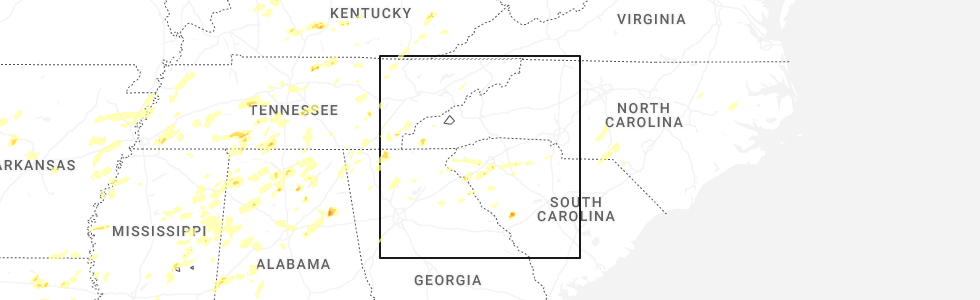
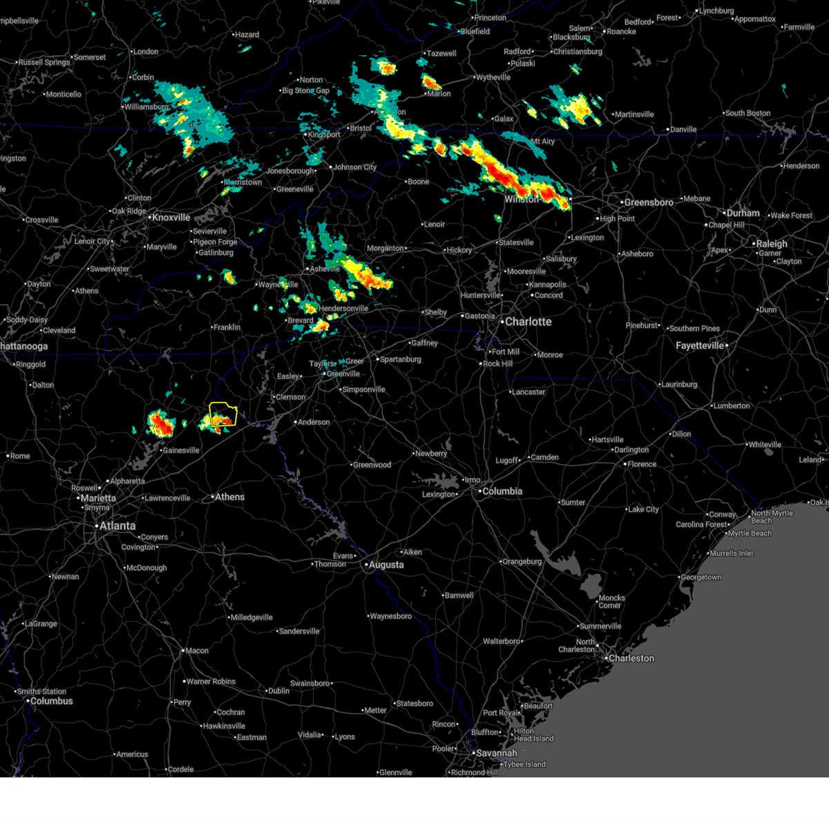
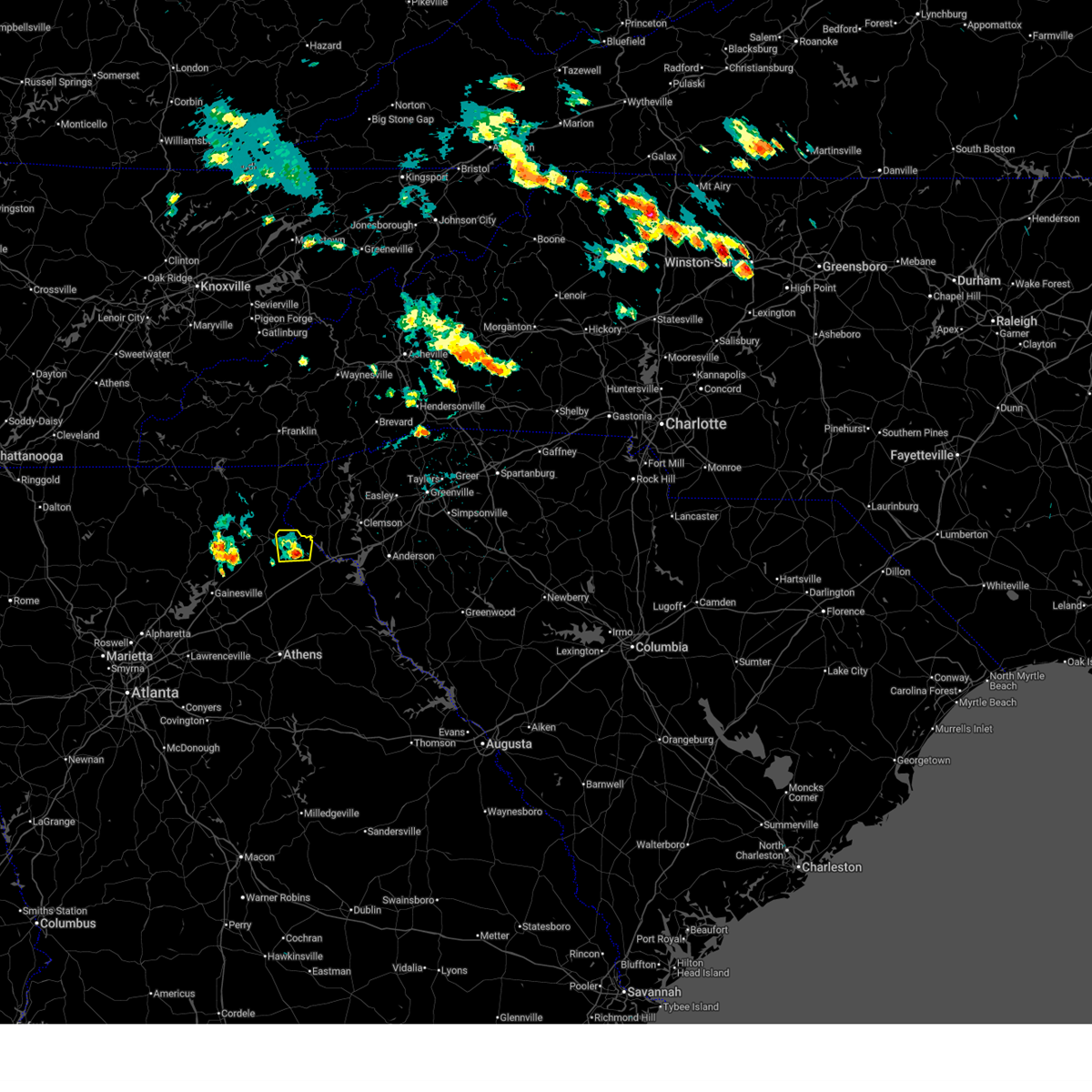
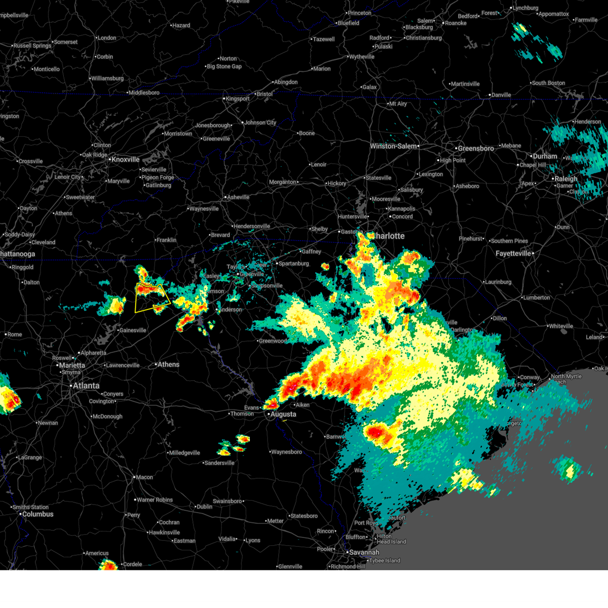
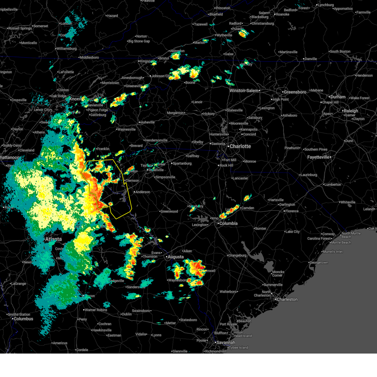
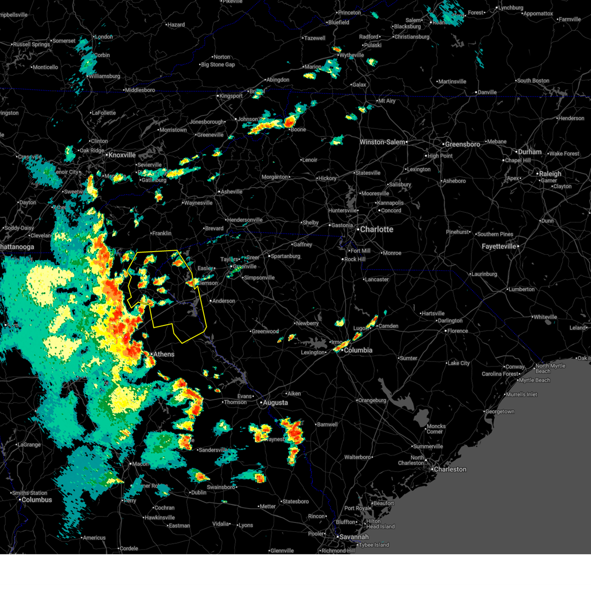
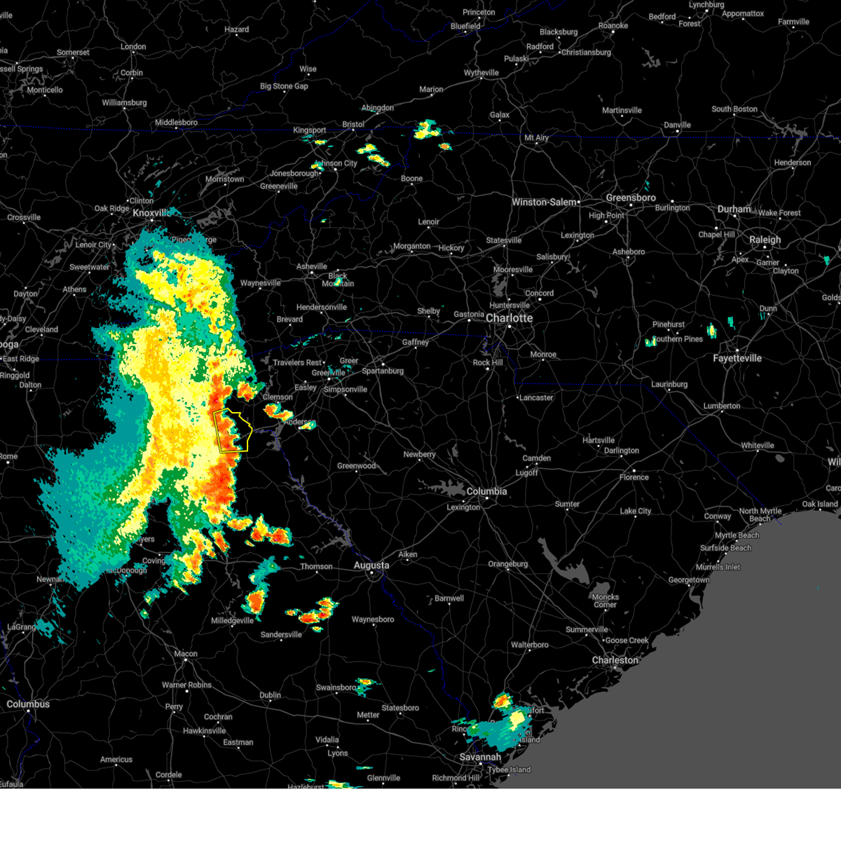
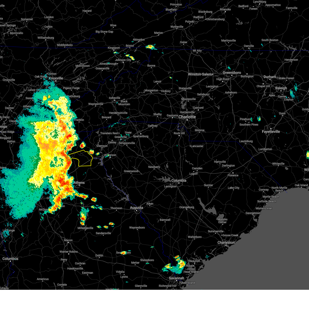
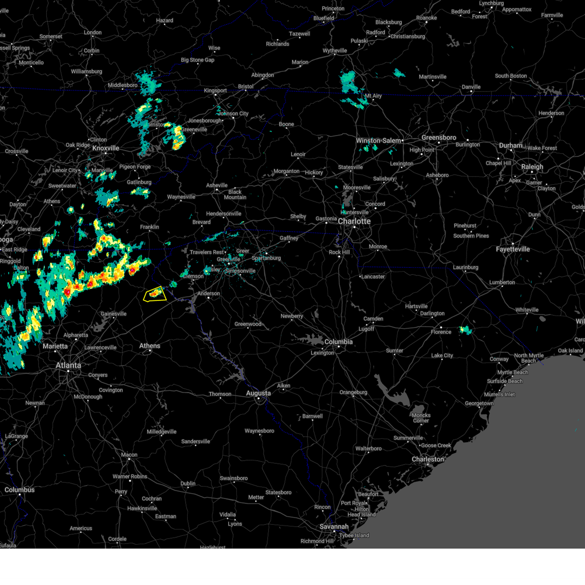
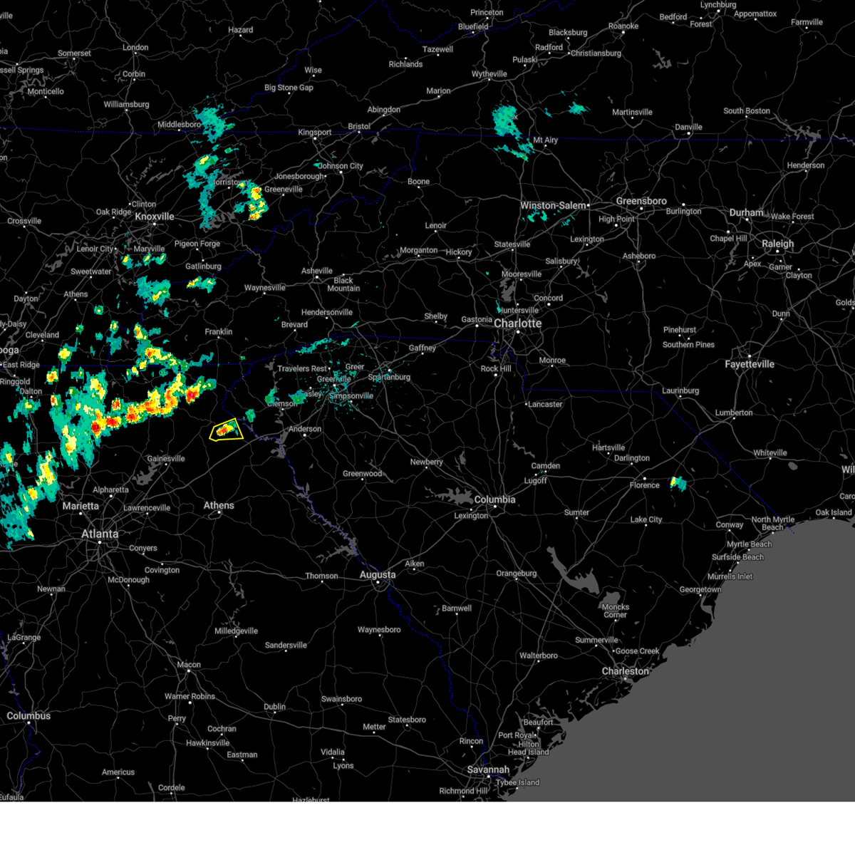
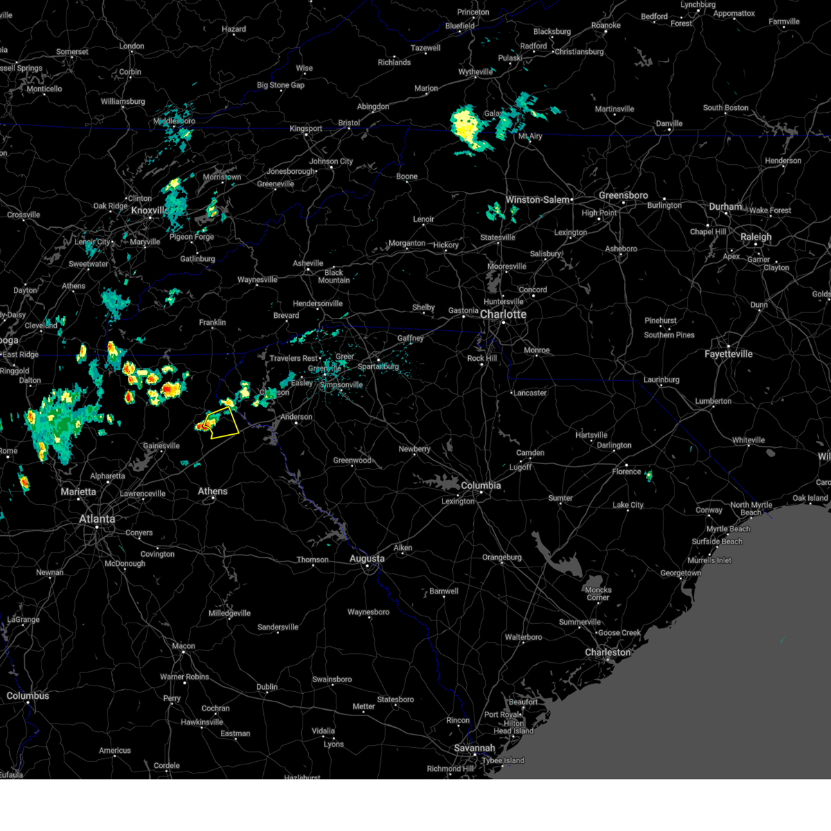
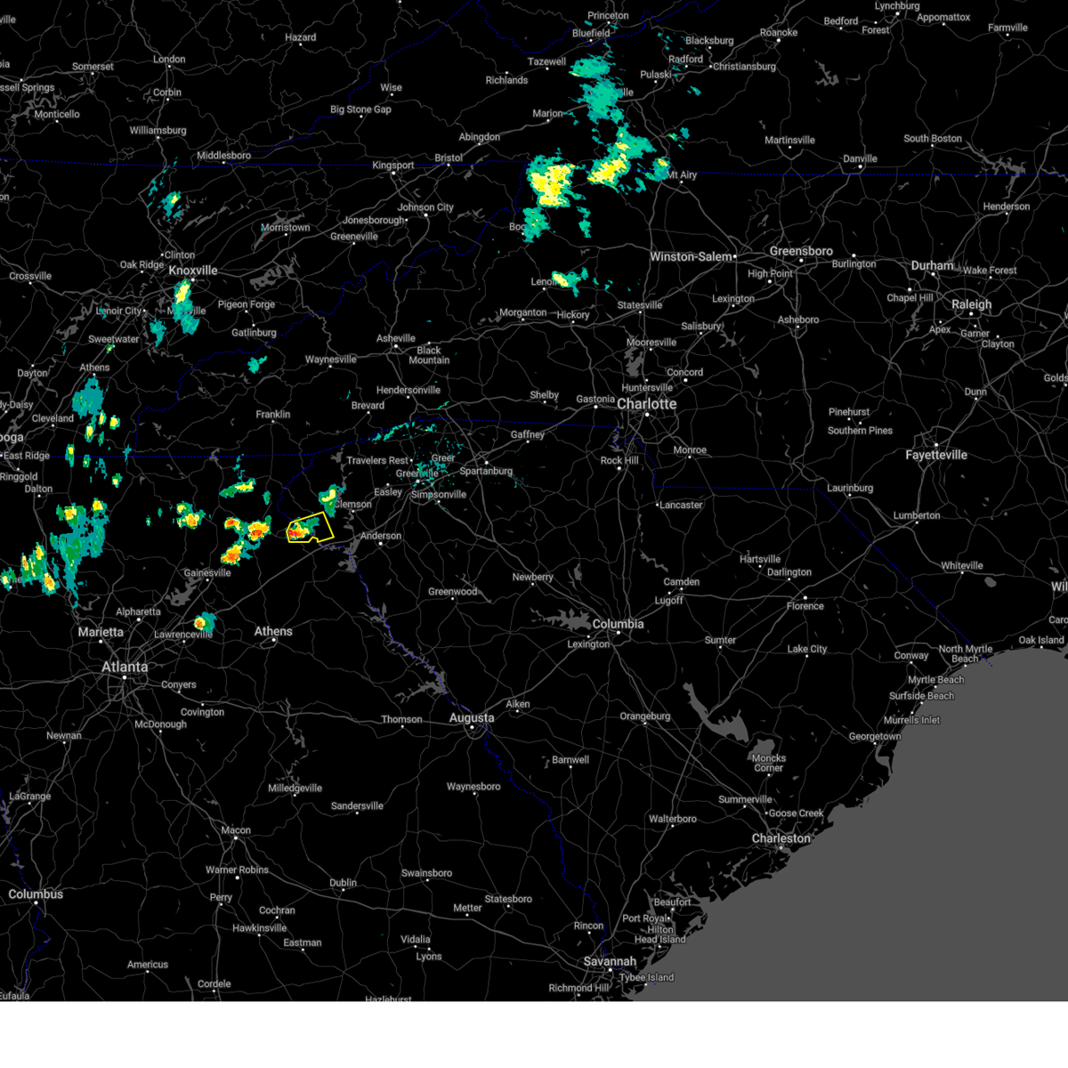
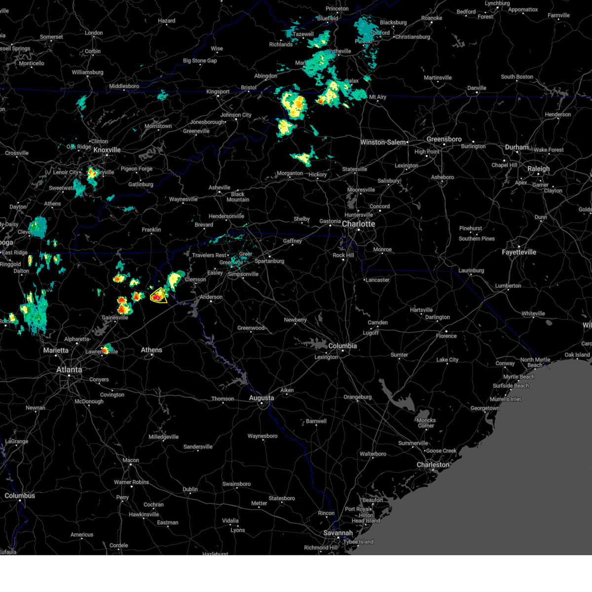
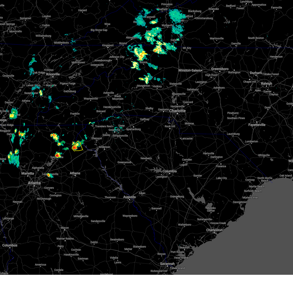
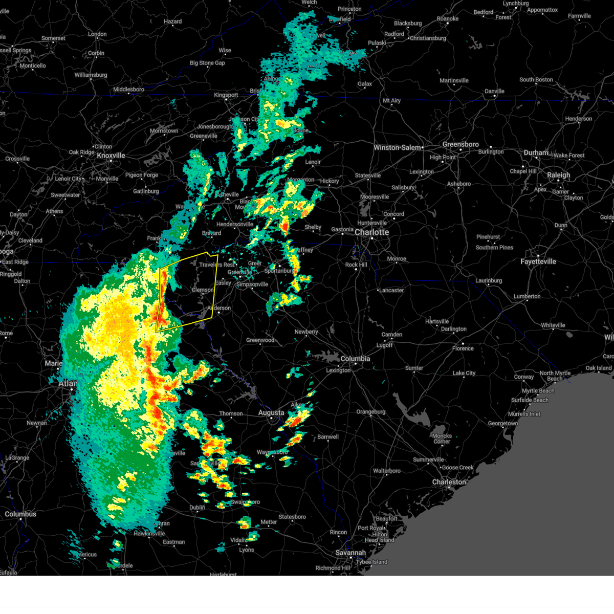
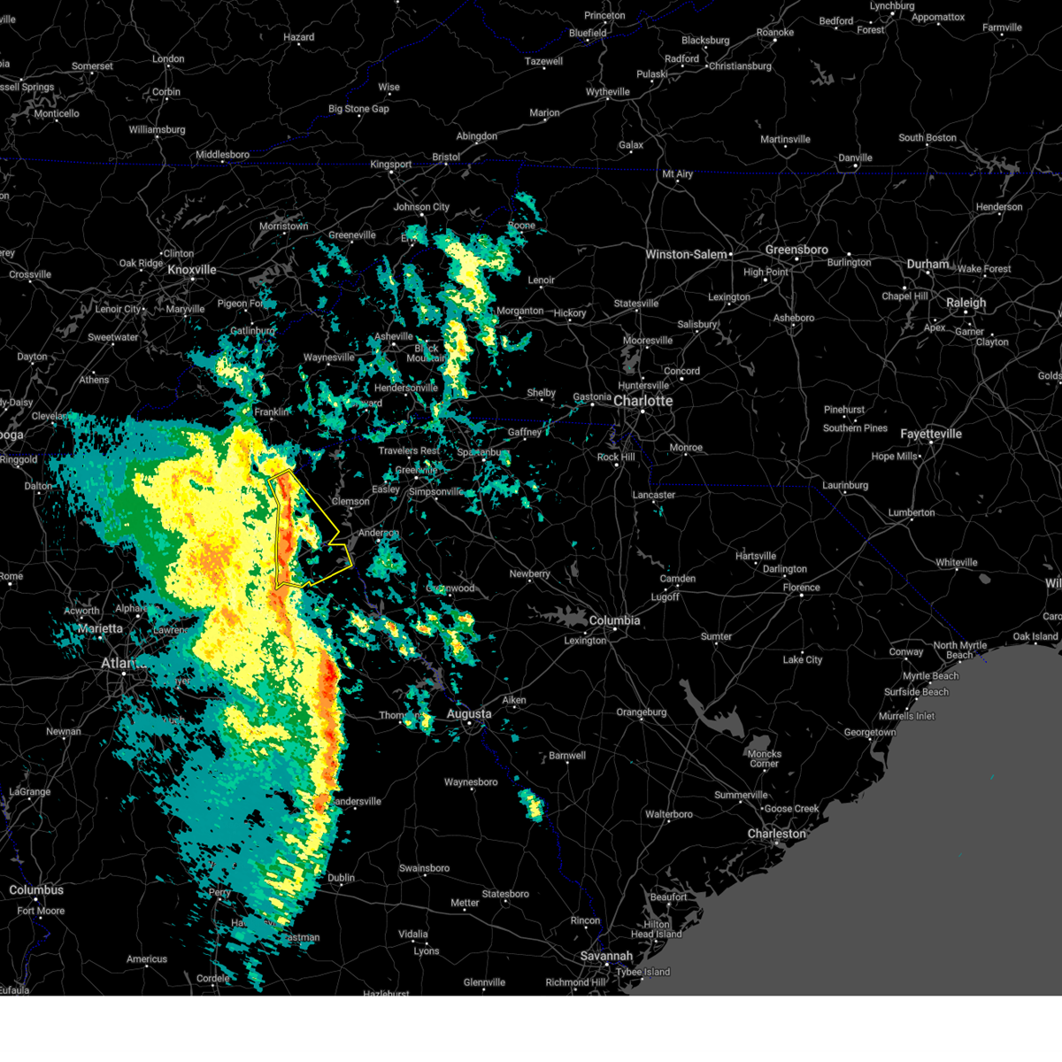
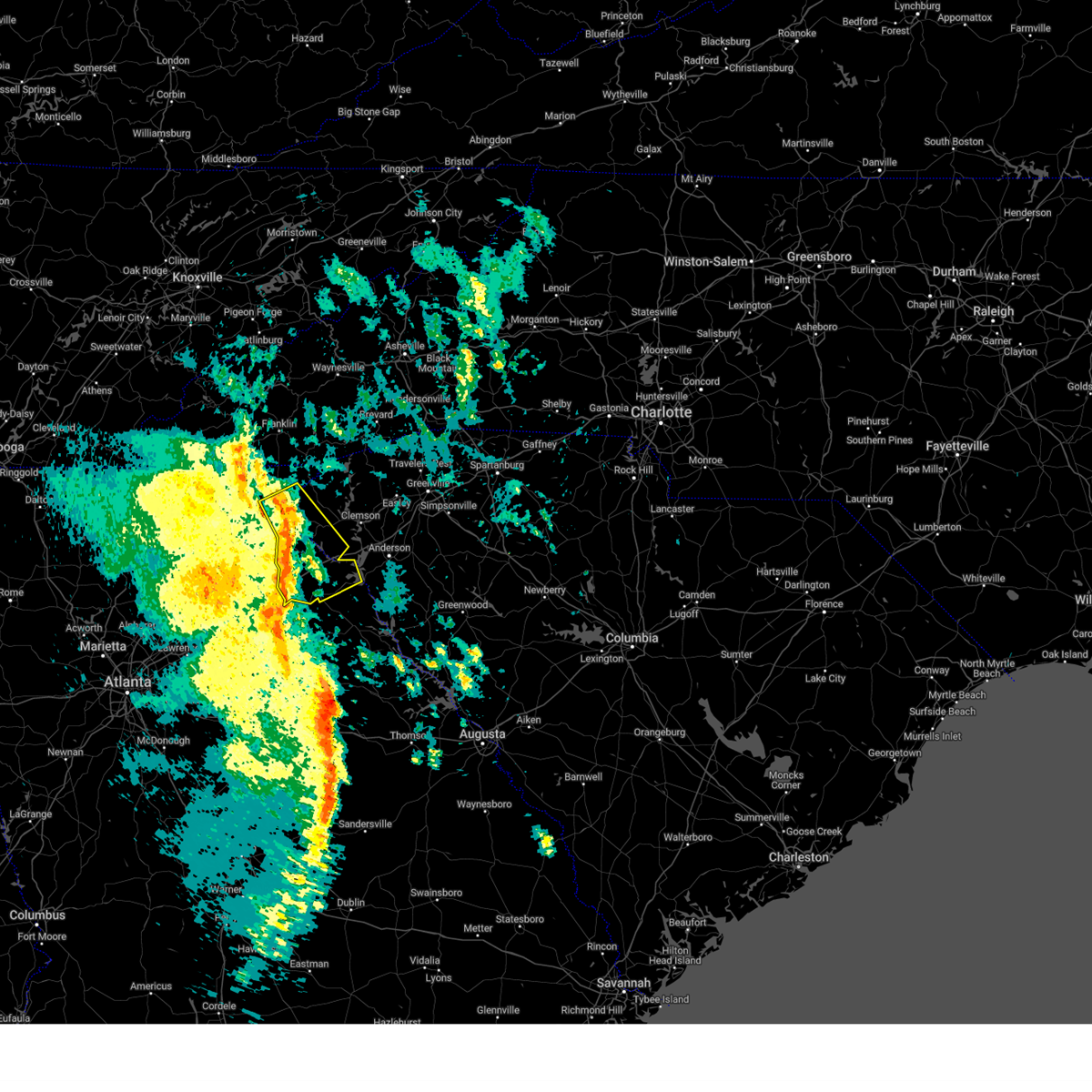
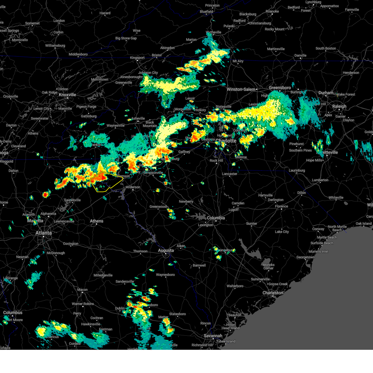
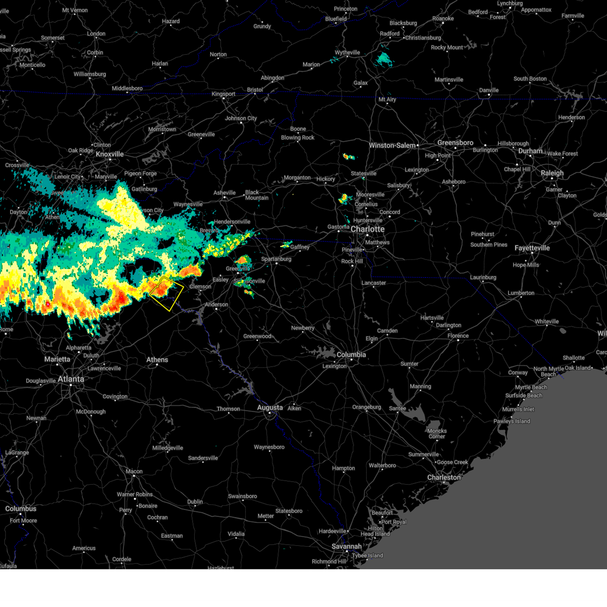
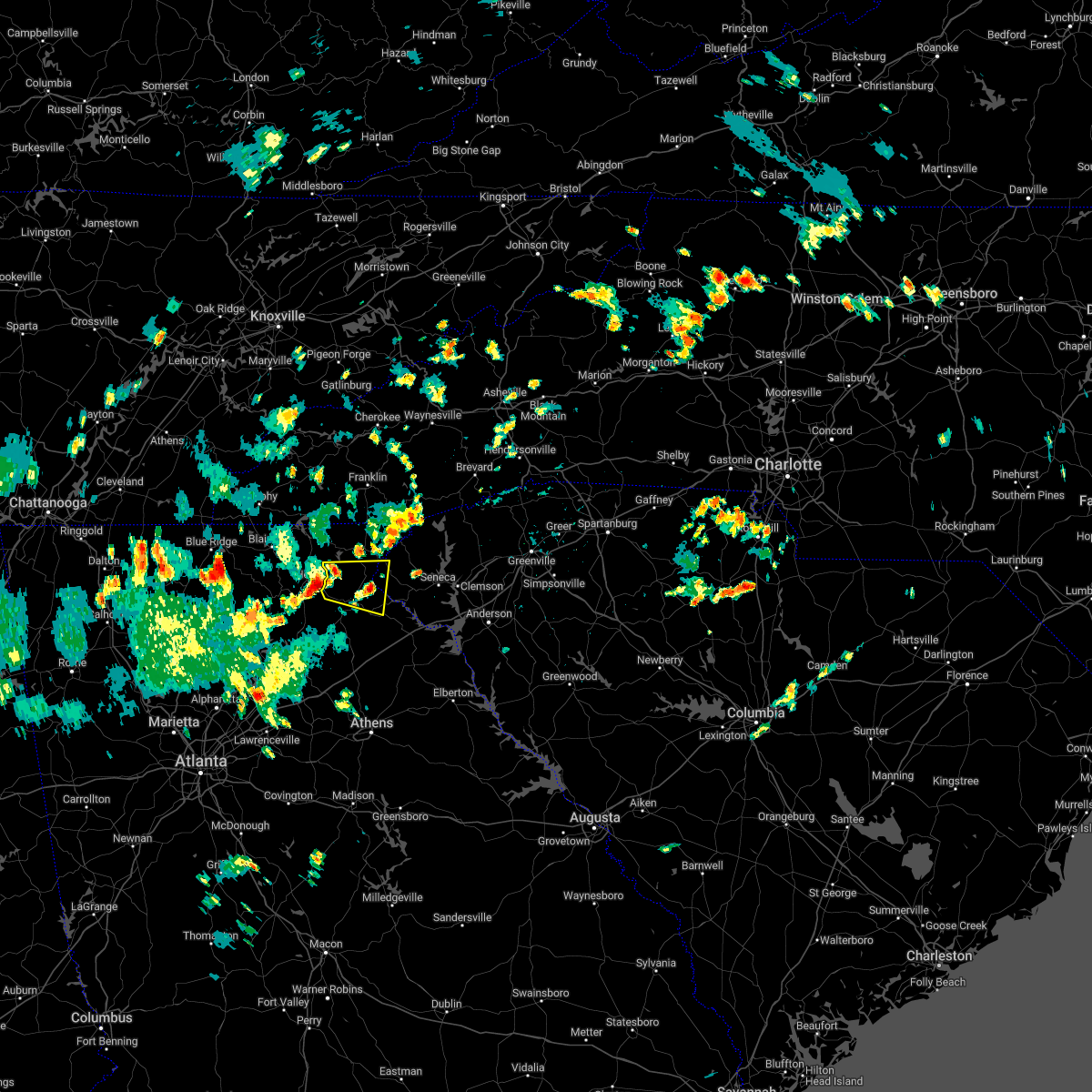
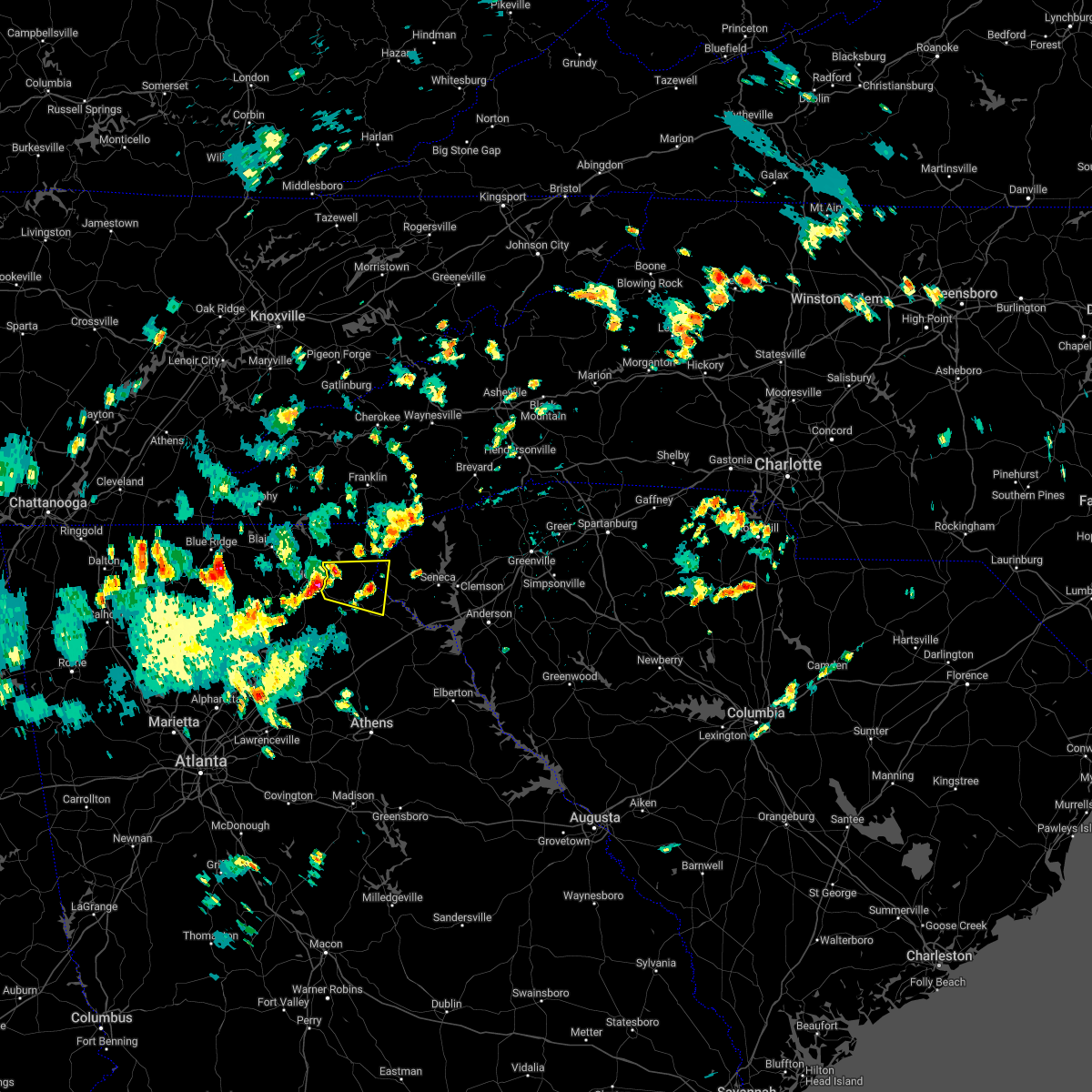
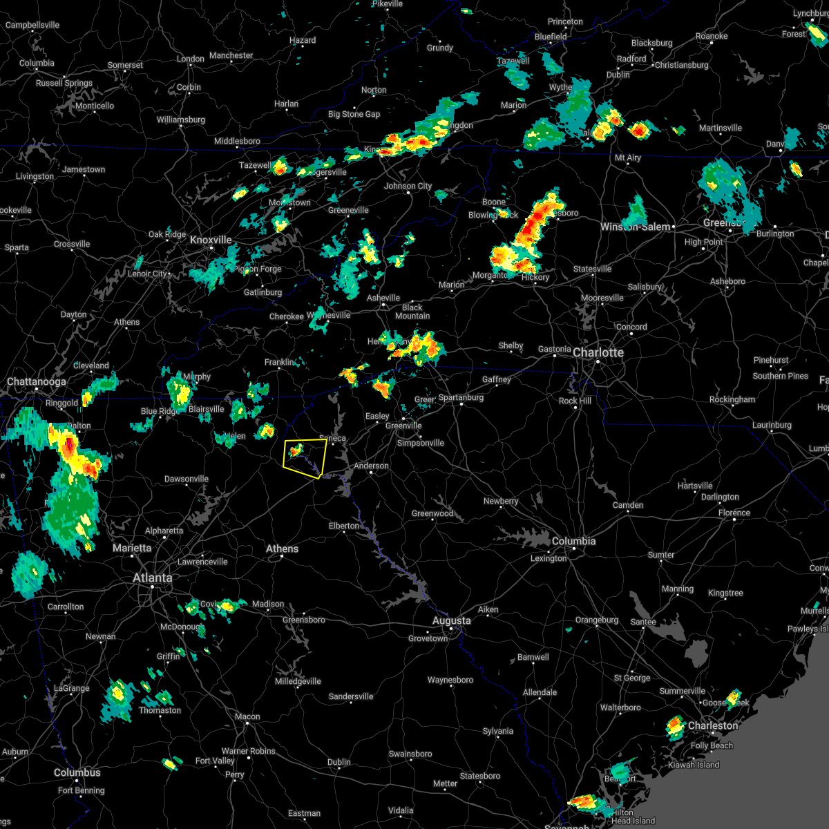
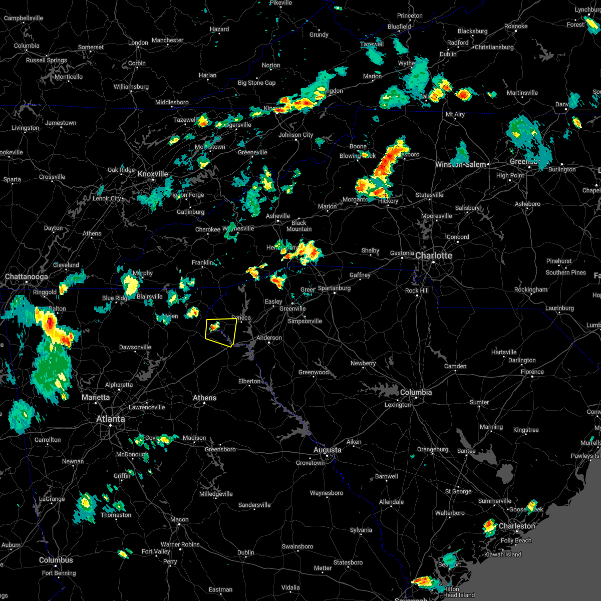
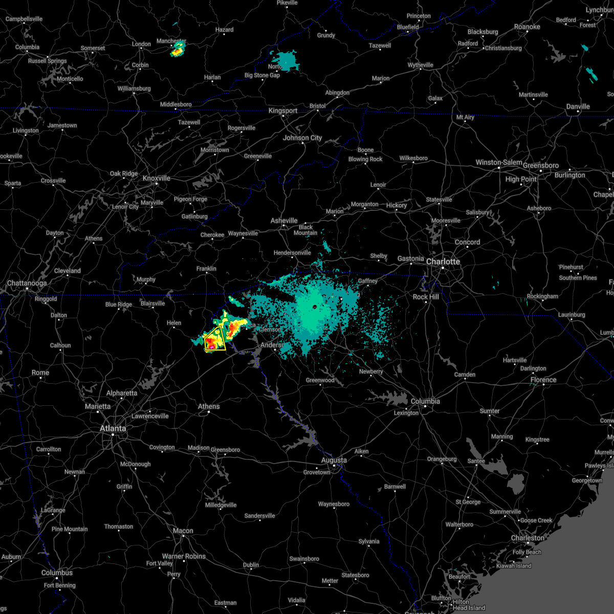
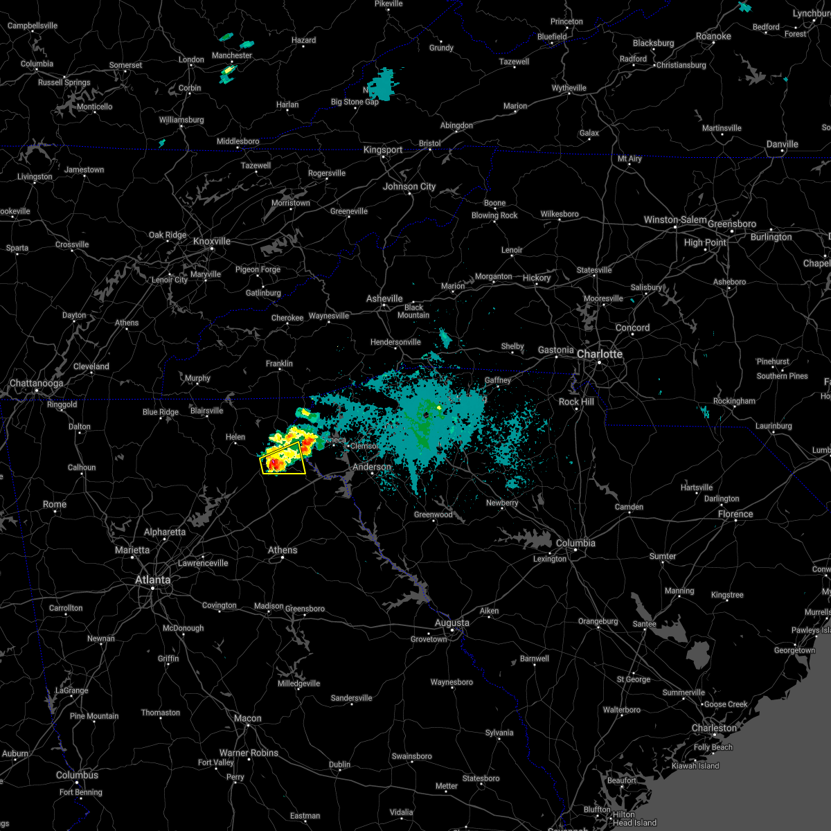
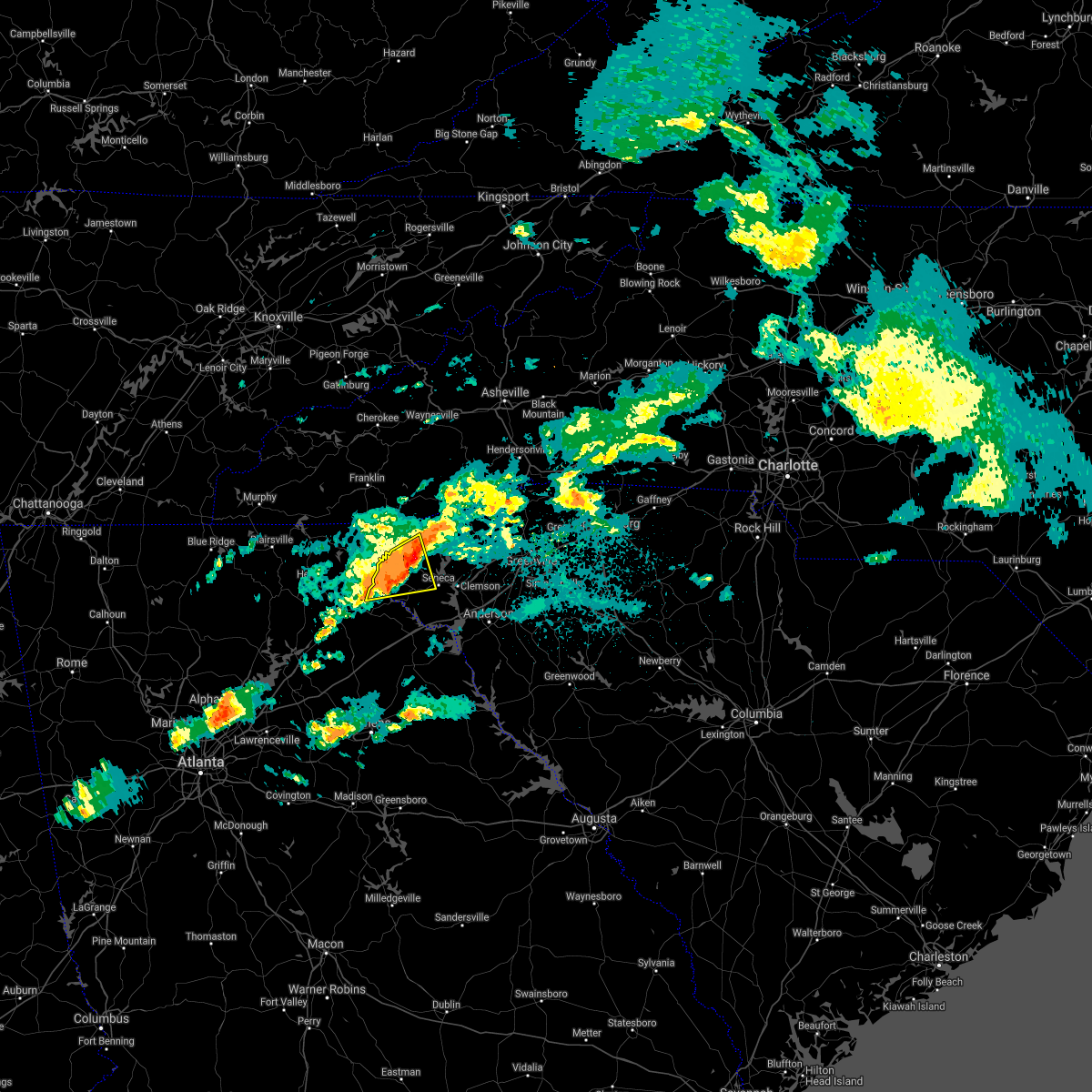
Hail Map for Toccoa, GA
The Toccoa, GA area has had 7 reports of on-the-ground hail by trained spotters, and has been under severe weather warnings 30 times during the past 12 months. Doppler radar has detected hail at or near Toccoa, GA on 39 occasions, including 5 occasions during the past year.
| Name: | Toccoa, GA |
| Where Located: | 44.4 miles WSW of Greenville, SC |
| Map: | Google Map for Toccoa, GA |
| Population: | 8491 |
| Housing Units: | 4195 |
| More Info: | Search Google for Toccoa, GA |
1
The Top Recent Hail Date for Toccoa, GA is Friday, May 2, 2025 (11th out of 39)
Hail and Wind Damage Spotted near Toccoa, GA
| Date / Time | Report Details |
|---|---|
| 6/26/2025 3:05 PM EDT |
 The storm which prompted the warning has weakened below severe limits, and has exited the warned area. therefore, the warning will be allowed to expire. to report severe weather to the national weather service greenville-spartanburg, call toll free, 1, 800, 2 6 7, 8 1 0 1, or post on our facebook page, or tweet it using hashtag nwsgsp. your message should describe the event and the specific location where it occurred. The storm which prompted the warning has weakened below severe limits, and has exited the warned area. therefore, the warning will be allowed to expire. to report severe weather to the national weather service greenville-spartanburg, call toll free, 1, 800, 2 6 7, 8 1 0 1, or post on our facebook page, or tweet it using hashtag nwsgsp. your message should describe the event and the specific location where it occurred.
|
| 6/26/2025 2:50 PM EDT | County communications reported trees and powerlines downed. time estimated from rada in stephens county GA, 5.2 miles NNW of Toccoa, GA |
| 6/26/2025 2:42 PM EDT |
 Svrgsp the national weather service in greenville-spartanburg has issued a * severe thunderstorm warning for, stephens county in northeastern georgia, * until 315 pm edt. * at 242 pm edt, a severe thunderstorm was located 5 miles southeast of toccoa, or 4 miles west of avalon, moving north at 5 mph (radar indicated). Hazards include 60 mph wind gusts and quarter size hail. Minor hail damage to vehicles is expected. Expect wind damage to trees and power lines. Svrgsp the national weather service in greenville-spartanburg has issued a * severe thunderstorm warning for, stephens county in northeastern georgia, * until 315 pm edt. * at 242 pm edt, a severe thunderstorm was located 5 miles southeast of toccoa, or 4 miles west of avalon, moving north at 5 mph (radar indicated). Hazards include 60 mph wind gusts and quarter size hail. Minor hail damage to vehicles is expected. Expect wind damage to trees and power lines.
|
| 6/25/2025 10:17 PM EDT | the severe thunderstorm warning has been cancelled and is no longer in effect |
| 6/25/2025 9:30 PM EDT |
 Svrgsp the national weather service in greenville-spartanburg has issued a * severe thunderstorm warning for, central stephens county in northeastern georgia, habersham county in northeastern georgia, southwestern oconee county in upstate south carolina, * until 1030 pm edt. * at 930 pm edt, a severe thunderstorm was located near clarkesville, moving south at 15 mph (radar indicated). Hazards include ping pong ball size hail and 60 mph wind gusts. People and animals outdoors will be injured. expect hail damage to roofs, siding, windows, and vehicles. Expect wind damage to trees and power lines. Svrgsp the national weather service in greenville-spartanburg has issued a * severe thunderstorm warning for, central stephens county in northeastern georgia, habersham county in northeastern georgia, southwestern oconee county in upstate south carolina, * until 1030 pm edt. * at 930 pm edt, a severe thunderstorm was located near clarkesville, moving south at 15 mph (radar indicated). Hazards include ping pong ball size hail and 60 mph wind gusts. People and animals outdoors will be injured. expect hail damage to roofs, siding, windows, and vehicles. Expect wind damage to trees and power lines.
|
| 6/17/2025 7:46 PM EDT | Tree and large limbs down along cliffs ridge r in stephens county GA, 4.9 miles SSW of Toccoa, GA |
| 6/17/2025 7:44 PM EDT |
 At 744 pm edt, severe thunderstorms were located along a line extending from 6 miles west of clayton to 6 miles southeast of toccoa to 5 miles east of danielsville, moving northeast at 40 mph (radar indicated). Hazards include 60 mph wind gusts. Expect damage to trees and power lines. Locations impacted include, toccoa, seneca, hartwell, walhalla, clayton, carnesville, royston, westminster, reed creek, and lavonia. At 744 pm edt, severe thunderstorms were located along a line extending from 6 miles west of clayton to 6 miles southeast of toccoa to 5 miles east of danielsville, moving northeast at 40 mph (radar indicated). Hazards include 60 mph wind gusts. Expect damage to trees and power lines. Locations impacted include, toccoa, seneca, hartwell, walhalla, clayton, carnesville, royston, westminster, reed creek, and lavonia.
|
| 6/17/2025 7:11 PM EDT |
 Svrgsp the national weather service in greenville-spartanburg has issued a * severe thunderstorm warning for, franklin county in northeastern georgia, stephens county in northeastern georgia, northwestern elbert county in northeastern georgia, habersham county in northeastern georgia, rabun county in northeastern georgia, hart county in northeastern georgia, southwestern anderson county in upstate south carolina, oconee county in upstate south carolina, * until 815 pm edt. * at 710 pm edt, severe thunderstorms were located along a line extending from 8 miles north of cleveland to near homer to near athens, moving northeast at 35 mph (radar indicated). Hazards include 60 mph wind gusts. expect damage to trees and power lines Svrgsp the national weather service in greenville-spartanburg has issued a * severe thunderstorm warning for, franklin county in northeastern georgia, stephens county in northeastern georgia, northwestern elbert county in northeastern georgia, habersham county in northeastern georgia, rabun county in northeastern georgia, hart county in northeastern georgia, southwestern anderson county in upstate south carolina, oconee county in upstate south carolina, * until 815 pm edt. * at 710 pm edt, severe thunderstorms were located along a line extending from 8 miles north of cleveland to near homer to near athens, moving northeast at 35 mph (radar indicated). Hazards include 60 mph wind gusts. expect damage to trees and power lines
|
| 6/7/2025 6:56 PM EDT |
 the severe thunderstorm warning has been cancelled and is no longer in effect the severe thunderstorm warning has been cancelled and is no longer in effect
|
| 6/7/2025 6:56 PM EDT |
 At 656 pm edt, a severe thunderstorm was located 7 miles north of carnesville, or near martin, moving east at 40 mph (radar indicated). Hazards include 60 mph wind gusts. Expect damage to trees and power lines. Locations impacted include, toccoa, carnesville, lavonia, gumlog, canon, martin, avalon, tugaloo state park, boydville, and eastanolee. At 656 pm edt, a severe thunderstorm was located 7 miles north of carnesville, or near martin, moving east at 40 mph (radar indicated). Hazards include 60 mph wind gusts. Expect damage to trees and power lines. Locations impacted include, toccoa, carnesville, lavonia, gumlog, canon, martin, avalon, tugaloo state park, boydville, and eastanolee.
|
| 6/7/2025 6:53 PM EDT | Numerous trees down across stephens county... especially along highway 17 south of tocco in stephens county GA, 4.9 miles NW of Toccoa, GA |
| 6/7/2025 6:50 PM EDT | Multiple powerlines dow in stephens county GA, 0.9 miles ESE of Toccoa, GA |
| 6/7/2025 6:28 PM EDT |
 Svrgsp the national weather service in greenville-spartanburg has issued a * severe thunderstorm warning for, franklin county in northeastern georgia, stephens county in northeastern georgia, southern habersham county in northeastern georgia, * until 715 pm edt. * at 628 pm edt, a severe thunderstorm was located 8 miles northwest of homer, or near alto, moving east at 40 mph (radar indicated). Hazards include 60 mph wind gusts. expect damage to trees and power lines Svrgsp the national weather service in greenville-spartanburg has issued a * severe thunderstorm warning for, franklin county in northeastern georgia, stephens county in northeastern georgia, southern habersham county in northeastern georgia, * until 715 pm edt. * at 628 pm edt, a severe thunderstorm was located 8 miles northwest of homer, or near alto, moving east at 40 mph (radar indicated). Hazards include 60 mph wind gusts. expect damage to trees and power lines
|
| 5/2/2025 2:21 PM EDT | The storm which prompted the warning has weakened below severe limits, and no longer poses an immediate threat to life or property. therefore, the warning will be allowed to expire. |
| 5/2/2025 1:56 PM EDT | Svrgsp the national weather service in greenville-spartanburg has issued a * severe thunderstorm warning for, western stephens county in northeastern georgia, southeastern habersham county in northeastern georgia, * until 230 pm edt. * at 156 pm edt, a severe thunderstorm was located 4 miles west of toccoa, moving east at 25 mph (radar indicated). Hazards include 60 mph wind gusts and quarter size hail. Minor hail damage to vehicles is expected. Expect wind damage to trees and power lines. |
| 4/25/2025 8:00 PM EDT |
 the severe thunderstorm warning has been cancelled and is no longer in effect the severe thunderstorm warning has been cancelled and is no longer in effect
|
| 4/25/2025 7:55 PM EDT |
 At 754 pm edt, a severe thunderstorm was located 4 miles south of toccoa, moving east at 15 mph (radar indicated). Hazards include 60 mph wind gusts and quarter size hail. Minor hail damage to vehicles is expected. expect wind damage to trees and power lines. Locations impacted include, avalon, martin, eastanolee, toccoa, and boydville. At 754 pm edt, a severe thunderstorm was located 4 miles south of toccoa, moving east at 15 mph (radar indicated). Hazards include 60 mph wind gusts and quarter size hail. Minor hail damage to vehicles is expected. expect wind damage to trees and power lines. Locations impacted include, avalon, martin, eastanolee, toccoa, and boydville.
|
| 4/25/2025 7:55 PM EDT |
 the severe thunderstorm warning has been cancelled and is no longer in effect the severe thunderstorm warning has been cancelled and is no longer in effect
|
| 4/25/2025 7:25 PM EDT |
 Svrgsp the national weather service in greenville-spartanburg has issued a * severe thunderstorm warning for, northwestern franklin county in northeastern georgia, stephens county in northeastern georgia, * until 830 pm edt. * at 725 pm edt, a severe thunderstorm was located 9 miles southwest of toccoa, or 5 miles southeast of mount airy, moving east at 15 mph (radar indicated). Hazards include 60 mph wind gusts and quarter size hail. Minor hail damage to vehicles is expected. Expect wind damage to trees and power lines. Svrgsp the national weather service in greenville-spartanburg has issued a * severe thunderstorm warning for, northwestern franklin county in northeastern georgia, stephens county in northeastern georgia, * until 830 pm edt. * at 725 pm edt, a severe thunderstorm was located 9 miles southwest of toccoa, or 5 miles southeast of mount airy, moving east at 15 mph (radar indicated). Hazards include 60 mph wind gusts and quarter size hail. Minor hail damage to vehicles is expected. Expect wind damage to trees and power lines.
|
| 4/25/2025 6:35 PM EDT |
 Svrgsp the national weather service in greenville-spartanburg has issued a * severe thunderstorm warning for, southeastern stephens county in northeastern georgia, southwestern oconee county in upstate south carolina, * until 730 pm edt. * at 634 pm edt, a severe thunderstorm was located 6 miles east of toccoa, or 4 miles north of avalon, moving east at 15 mph (radar indicated). Hazards include 60 mph wind gusts and quarter size hail. Minor hail damage to vehicles is expected. Expect wind damage to trees and power lines. Svrgsp the national weather service in greenville-spartanburg has issued a * severe thunderstorm warning for, southeastern stephens county in northeastern georgia, southwestern oconee county in upstate south carolina, * until 730 pm edt. * at 634 pm edt, a severe thunderstorm was located 6 miles east of toccoa, or 4 miles north of avalon, moving east at 15 mph (radar indicated). Hazards include 60 mph wind gusts and quarter size hail. Minor hail damage to vehicles is expected. Expect wind damage to trees and power lines.
|
| 4/25/2025 6:17 PM EDT |
 At 617 pm edt, a severe thunderstorm was located near toccoa, moving east at 15 mph (radar indicated). Hazards include 60 mph wind gusts and quarter size hail. Minor hail damage to vehicles is expected. expect wind damage to trees and power lines. Locations impacted include, eastanolee, toccoa, boydville, avalon, and martin. At 617 pm edt, a severe thunderstorm was located near toccoa, moving east at 15 mph (radar indicated). Hazards include 60 mph wind gusts and quarter size hail. Minor hail damage to vehicles is expected. expect wind damage to trees and power lines. Locations impacted include, eastanolee, toccoa, boydville, avalon, and martin.
|
| 4/25/2025 6:03 PM EDT |
 the severe thunderstorm warning has been cancelled and is no longer in effect the severe thunderstorm warning has been cancelled and is no longer in effect
|
| 4/25/2025 6:03 PM EDT |
 At 602 pm edt, a severe thunderstorm was located near toccoa, moving east at 15 mph (radar indicated). Hazards include 60 mph wind gusts and quarter size hail. Minor hail damage to vehicles is expected. expect wind damage to trees and power lines. Locations impacted include, eastanolee, toccoa, boydville, avalon, and martin. At 602 pm edt, a severe thunderstorm was located near toccoa, moving east at 15 mph (radar indicated). Hazards include 60 mph wind gusts and quarter size hail. Minor hail damage to vehicles is expected. expect wind damage to trees and power lines. Locations impacted include, eastanolee, toccoa, boydville, avalon, and martin.
|
| 4/25/2025 5:47 PM EDT |
 Svrgsp the national weather service in greenville-spartanburg has issued a * severe thunderstorm warning for, stephens county in northeastern georgia, southeastern habersham county in northeastern georgia, * until 645 pm edt. * at 547 pm edt, a severe thunderstorm was located 6 miles southwest of toccoa, or 4 miles east of mount airy, moving east at 15 mph (radar indicated). Hazards include 60 mph wind gusts and quarter size hail. Minor hail damage to vehicles is expected. Expect wind damage to trees and power lines. Svrgsp the national weather service in greenville-spartanburg has issued a * severe thunderstorm warning for, stephens county in northeastern georgia, southeastern habersham county in northeastern georgia, * until 645 pm edt. * at 547 pm edt, a severe thunderstorm was located 6 miles southwest of toccoa, or 4 miles east of mount airy, moving east at 15 mph (radar indicated). Hazards include 60 mph wind gusts and quarter size hail. Minor hail damage to vehicles is expected. Expect wind damage to trees and power lines.
|
| 3/31/2025 2:14 PM EDT | Tree down on utility equipmen in stephens county GA, 2.6 miles NW of Toccoa, GA |
| 3/31/2025 2:11 PM EDT |
 Svrgsp the national weather service in greenville-spartanburg has issued a * severe thunderstorm warning for, franklin county in northeastern georgia, stephens county in northeastern georgia, eastern rabun county in northeastern georgia, northern hart county in northeastern georgia, northwestern anderson county in upstate south carolina, pickens county in upstate south carolina, oconee county in upstate south carolina, * until 315 pm edt. * at 210 pm edt, severe thunderstorms were located along a line extending from 10 miles northeast of clayton to 5 miles northeast of toccoa to 5 miles west of carnesville, moving northeast at 45 mph (radar indicated). Hazards include 60 mph wind gusts. expect damage to trees and power lines Svrgsp the national weather service in greenville-spartanburg has issued a * severe thunderstorm warning for, franklin county in northeastern georgia, stephens county in northeastern georgia, eastern rabun county in northeastern georgia, northern hart county in northeastern georgia, northwestern anderson county in upstate south carolina, pickens county in upstate south carolina, oconee county in upstate south carolina, * until 315 pm edt. * at 210 pm edt, severe thunderstorms were located along a line extending from 10 miles northeast of clayton to 5 miles northeast of toccoa to 5 miles west of carnesville, moving northeast at 45 mph (radar indicated). Hazards include 60 mph wind gusts. expect damage to trees and power lines
|
| 2/16/2025 5:14 AM EST | At 513 am est, a severe thunderstorm was located 5 miles east of toccoa, moving northeast at 75 mph (radar indicated). Hazards include 60 mph wind gusts. Expect damage to trees and power lines. Locations impacted include, clemson, toccoa, seneca, pendleton, westminster, lavonia, gumlog, martin, avalon, and tugaloo state park. |
| 2/16/2025 5:14 AM EST | the severe thunderstorm warning has been cancelled and is no longer in effect |
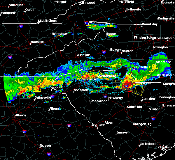
| 2/16/2025 5:10 AM EST | Torgsp the national weather service in greenville-spartanburg has issued a * tornado warning for, northern franklin county in northeastern georgia, stephens county in northeastern georgia, northwestern hart county in northeastern georgia, northwestern anderson county in upstate south carolina, southwestern pickens county in upstate south carolina, southeastern oconee county in upstate south carolina, * until 545 am est. * at 510 am est, a severe thunderstorm capable of producing a tornado was located 8 miles northwest of carnesville, moving east at 70 mph (radar indicated rotation). Hazards include tornado. Expect damage to mobile homes, roofs, and vehicles. this dangerous storm will be near, gumlog, martin, avalon, lake hartwell, and tugaloo state park around 520 am est. Other locations impacted by this dangerous thunderstorm include fair play, townville, sandy springs, eastanolee, and oakway. |
| 2/16/2025 5:04 AM EST | Svrgsp the national weather service in greenville-spartanburg has issued a * severe thunderstorm warning for, northern franklin county in northeastern georgia, stephens county in northeastern georgia, south central habersham county in northeastern georgia, northwestern hart county in northeastern georgia, west central anderson county in upstate south carolina, southwestern pickens county in upstate south carolina, southern oconee county in upstate south carolina, * until 530 am est. * at 504 am est, a severe thunderstorm was located 7 miles northeast of homer, or 6 miles southeast of mount airy, moving east at 70 mph (radar indicated). Hazards include 60 mph wind gusts. expect damage to trees and power lines |
| 12/29/2024 6:26 AM EST |
 the severe thunderstorm warning has been cancelled and is no longer in effect the severe thunderstorm warning has been cancelled and is no longer in effect
|
| 12/29/2024 6:26 AM EST |
 At 625 am est, severe thunderstorms were located along a line extending from 9 miles south of franklin to 9 miles west of walhalla to 7 miles east of toccoa, moving northeast at 45 mph (radar indicated). Hazards include 60 mph wind gusts. Expect damage to trees and power lines. Locations impacted include, toccoa, hartwell, carnesville, royston, westminster, reed creek, lavonia, gumlog, canon, and franklin springs. At 625 am est, severe thunderstorms were located along a line extending from 9 miles south of franklin to 9 miles west of walhalla to 7 miles east of toccoa, moving northeast at 45 mph (radar indicated). Hazards include 60 mph wind gusts. Expect damage to trees and power lines. Locations impacted include, toccoa, hartwell, carnesville, royston, westminster, reed creek, lavonia, gumlog, canon, and franklin springs.
|
| 12/29/2024 6:21 AM EST |
 At 621 am est, severe thunderstorms were located along a line extending from 10 miles north of clayton to 9 miles west of walhalla to 7 miles southeast of toccoa, moving northeast at 50 mph (radar indicated). Hazards include 60 mph wind gusts. Expect damage to trees and power lines. Locations impacted include, toccoa, hartwell, carnesville, royston, westminster, reed creek, lavonia, gumlog, canon, and franklin springs. At 621 am est, severe thunderstorms were located along a line extending from 10 miles north of clayton to 9 miles west of walhalla to 7 miles southeast of toccoa, moving northeast at 50 mph (radar indicated). Hazards include 60 mph wind gusts. Expect damage to trees and power lines. Locations impacted include, toccoa, hartwell, carnesville, royston, westminster, reed creek, lavonia, gumlog, canon, and franklin springs.
|
| 12/29/2024 6:11 AM EST |
 At 610 am est, severe thunderstorms were located along a line extending from 8 miles northwest of clayton to 7 miles north of toccoa to 6 miles northwest of carnesville, moving northeast at 60 mph (radar indicated). Hazards include 60 mph wind gusts. Expect damage to trees and power lines. Locations impacted include, toccoa, hartwell, clarkesville, carnesville, royston, westminster, reed creek, lavonia, gumlog, and mount airy. At 610 am est, severe thunderstorms were located along a line extending from 8 miles northwest of clayton to 7 miles north of toccoa to 6 miles northwest of carnesville, moving northeast at 60 mph (radar indicated). Hazards include 60 mph wind gusts. Expect damage to trees and power lines. Locations impacted include, toccoa, hartwell, clarkesville, carnesville, royston, westminster, reed creek, lavonia, gumlog, and mount airy.
|
| 12/29/2024 5:39 AM EST |
 Svrgsp the national weather service in greenville-spartanburg has issued a * severe thunderstorm warning for, franklin county in northeastern georgia, stephens county in northeastern georgia, habersham county in northeastern georgia, southwestern rabun county in northeastern georgia, hart county in northeastern georgia, southwestern oconee county in upstate south carolina, * until 700 am est. * at 539 am est, severe thunderstorms were located along a line extending from 5 miles west of cleveland to 4 miles southwest of jefferson, moving northeast at 45 mph (radar indicated). Hazards include 60 mph wind gusts. expect damage to trees and power lines Svrgsp the national weather service in greenville-spartanburg has issued a * severe thunderstorm warning for, franklin county in northeastern georgia, stephens county in northeastern georgia, habersham county in northeastern georgia, southwestern rabun county in northeastern georgia, hart county in northeastern georgia, southwestern oconee county in upstate south carolina, * until 700 am est. * at 539 am est, severe thunderstorms were located along a line extending from 5 miles west of cleveland to 4 miles southwest of jefferson, moving northeast at 45 mph (radar indicated). Hazards include 60 mph wind gusts. expect damage to trees and power lines
|
| 7/7/2024 6:10 PM EDT |
 The storm which prompted the warning has weakened below severe limits, and has exited the warned area. therefore, the warning will be allowed to expire. The storm which prompted the warning has weakened below severe limits, and has exited the warned area. therefore, the warning will be allowed to expire.
|
| 7/7/2024 5:32 PM EDT |
 Svrgsp the national weather service in greenville-spartanburg has issued a * severe thunderstorm warning for, stephens county in northeastern georgia, east central habersham county in northeastern georgia, southern oconee county in upstate south carolina, * until 615 pm edt. * at 532 pm edt, a severe thunderstorm was located 9 miles northeast of toccoa, or 7 miles west of westminster, moving southeast at 10 mph (radar indicated). Hazards include 60 mph wind gusts and nickel size hail. expect damage to trees and power lines Svrgsp the national weather service in greenville-spartanburg has issued a * severe thunderstorm warning for, stephens county in northeastern georgia, east central habersham county in northeastern georgia, southern oconee county in upstate south carolina, * until 615 pm edt. * at 532 pm edt, a severe thunderstorm was located 9 miles northeast of toccoa, or 7 miles west of westminster, moving southeast at 10 mph (radar indicated). Hazards include 60 mph wind gusts and nickel size hail. expect damage to trees and power lines
|
| 5/9/2024 1:20 AM EDT | Trees downed along hwy 18 in stephens county GA, 5.8 miles NE of Toccoa, GA |
| 5/9/2024 1:16 AM EDT |
 At 116 am edt, severe thunderstorms were located along a line extending from 4 miles east of walhalla to 12 miles east of toccoa to 9 miles north of homer, moving east at 40 mph (radar indicated). Hazards include 60 mph wind gusts and quarter size hail. Minor hail damage to vehicles is expected. expect wind damage to trees and power lines. Locations impacted include, toccoa, seneca, walhalla, clarkesville, cornelia, baldwin, westminster, reed creek, lavonia, and gumlog. At 116 am edt, severe thunderstorms were located along a line extending from 4 miles east of walhalla to 12 miles east of toccoa to 9 miles north of homer, moving east at 40 mph (radar indicated). Hazards include 60 mph wind gusts and quarter size hail. Minor hail damage to vehicles is expected. expect wind damage to trees and power lines. Locations impacted include, toccoa, seneca, walhalla, clarkesville, cornelia, baldwin, westminster, reed creek, lavonia, and gumlog.
|
| 5/9/2024 1:16 AM EDT |
 the severe thunderstorm warning has been cancelled and is no longer in effect the severe thunderstorm warning has been cancelled and is no longer in effect
|
| 5/9/2024 12:52 AM EDT |
 Svrgsp the national weather service in greenville-spartanburg has issued a * severe thunderstorm warning for, northern franklin county in northeastern georgia, stephens county in northeastern georgia, habersham county in northeastern georgia, southwestern rabun county in northeastern georgia, northern hart county in northeastern georgia, west central anderson county in upstate south carolina, southwestern pickens county in upstate south carolina, oconee county in upstate south carolina, * until 200 am edt. * at 1252 am edt, a severe thunderstorm was located 8 miles northeast of cleveland, or 4 miles east of helen, moving east at 45 mph (radar indicated). Hazards include 60 mph wind gusts and nickel size hail. expect damage to trees and power lines Svrgsp the national weather service in greenville-spartanburg has issued a * severe thunderstorm warning for, northern franklin county in northeastern georgia, stephens county in northeastern georgia, habersham county in northeastern georgia, southwestern rabun county in northeastern georgia, northern hart county in northeastern georgia, west central anderson county in upstate south carolina, southwestern pickens county in upstate south carolina, oconee county in upstate south carolina, * until 200 am edt. * at 1252 am edt, a severe thunderstorm was located 8 miles northeast of cleveland, or 4 miles east of helen, moving east at 45 mph (radar indicated). Hazards include 60 mph wind gusts and nickel size hail. expect damage to trees and power lines
|
| 8/12/2023 5:05 PM EDT |
 At 505 pm edt, a severe thunderstorm was located 7 miles south of toccoa, or 5 miles west of avalon, moving southeast at 20 mph (radar indicated). Hazards include 60 mph wind gusts and quarter size hail. Minor hail damage to vehicles is expected. Expect wind damage to trees and power lines. At 505 pm edt, a severe thunderstorm was located 7 miles south of toccoa, or 5 miles west of avalon, moving southeast at 20 mph (radar indicated). Hazards include 60 mph wind gusts and quarter size hail. Minor hail damage to vehicles is expected. Expect wind damage to trees and power lines.
|
| 8/7/2023 4:50 PM EDT | 911 call center reports numerous trees and powerlines down in eastanolle in stephens county GA, 5.3 miles NW of Toccoa, GA |
| 8/7/2023 4:40 PM EDT | 911 call center reports trees and powerline down in tocco in stephens county GA, 0.9 miles ESE of Toccoa, GA |
| 8/7/2023 4:30 PM EDT |
 At 429 pm edt, a severe thunderstorm was located 11 miles northwest of homer, or near alto, moving east at 35 mph (radar indicated). Hazards include 60 mph wind gusts and quarter size hail. Minor hail damage to vehicles is expected. Expect wind damage to trees and power lines. At 429 pm edt, a severe thunderstorm was located 11 miles northwest of homer, or near alto, moving east at 35 mph (radar indicated). Hazards include 60 mph wind gusts and quarter size hail. Minor hail damage to vehicles is expected. Expect wind damage to trees and power lines.
|
| 7/29/2023 10:09 PM EDT |
 The severe thunderstorm warning for stephens, east central habersham and southwestern oconee counties will expire at 1015 pm edt, the storm which prompted the warning has weakened below severe limits, and no longer poses an immediate threat to life or property. therefore, the warning will be allowed to expire. however gusty winds are still possible with thunderstorms in the area. to report severe weather to the national weather service greenville-spartanburg, call toll free, 1, 800, 2 6 7, 8 1 0 1, or post on our facebook page, or tweet it using hashtag nwsgsp. your message should describe the event and the specific location where it occurred. The severe thunderstorm warning for stephens, east central habersham and southwestern oconee counties will expire at 1015 pm edt, the storm which prompted the warning has weakened below severe limits, and no longer poses an immediate threat to life or property. therefore, the warning will be allowed to expire. however gusty winds are still possible with thunderstorms in the area. to report severe weather to the national weather service greenville-spartanburg, call toll free, 1, 800, 2 6 7, 8 1 0 1, or post on our facebook page, or tweet it using hashtag nwsgsp. your message should describe the event and the specific location where it occurred.
|
| 7/29/2023 9:50 PM EDT |
 At 950 pm edt, a severe thunderstorm was located 7 miles north of toccoa, or near tallulah falls, moving southeast at 30 mph (radar indicated). Hazards include 60 mph wind gusts and nickel size hail. Expect damage to trees and power lines. locations impacted include, toccoa, martin, avalon, tallulah falls, hollywood, boydville, eastanolee, and turnerville. hail threat, radar indicated max hail size, 0. 88 in wind threat, radar indicated max wind gust, 60 mph. At 950 pm edt, a severe thunderstorm was located 7 miles north of toccoa, or near tallulah falls, moving southeast at 30 mph (radar indicated). Hazards include 60 mph wind gusts and nickel size hail. Expect damage to trees and power lines. locations impacted include, toccoa, martin, avalon, tallulah falls, hollywood, boydville, eastanolee, and turnerville. hail threat, radar indicated max hail size, 0. 88 in wind threat, radar indicated max wind gust, 60 mph.
|
| 7/29/2023 9:32 PM EDT |
 At 931 pm edt, a severe thunderstorm was located 7 miles southwest of clayton, or near lake rabun, moving southeast at 35 mph (radar indicated). Hazards include 60 mph wind gusts and nickel size hail. expect damage to trees and power lines At 931 pm edt, a severe thunderstorm was located 7 miles southwest of clayton, or near lake rabun, moving southeast at 35 mph (radar indicated). Hazards include 60 mph wind gusts and nickel size hail. expect damage to trees and power lines
|
| 7/2/2023 8:15 PM EDT |
 At 815 pm edt, severe thunderstorms were located along a line extending from near toccoa to 16 miles southwest of seneca to near carnesville, moving northeast at 25 mph (radar indicated). Hazards include 60 mph wind gusts and nickel size hail. Expect damage to trees and power lines. locations impacted include, hartwell, carnesville, royston, reed creek, lavonia, gumlog, canon, franklin springs, bowersville and martin. hail threat, radar indicated max hail size, 0. 88 in wind threat, radar indicated max wind gust, 60 mph. At 815 pm edt, severe thunderstorms were located along a line extending from near toccoa to 16 miles southwest of seneca to near carnesville, moving northeast at 25 mph (radar indicated). Hazards include 60 mph wind gusts and nickel size hail. Expect damage to trees and power lines. locations impacted include, hartwell, carnesville, royston, reed creek, lavonia, gumlog, canon, franklin springs, bowersville and martin. hail threat, radar indicated max hail size, 0. 88 in wind threat, radar indicated max wind gust, 60 mph.
|
| 7/2/2023 7:42 PM EDT | Tree down on roadwa in stephens county GA, 2.6 miles SE of Toccoa, GA |
| 7/2/2023 7:29 PM EDT |
 At 729 pm edt, severe thunderstorms were located along a line extending from 10 miles south of clarkesville to 6 miles northeast of homer to near commerce, moving northeast at 25 mph (radar indicated). Hazards include 60 mph wind gusts and nickel size hail. Expect damage to trees and power lines. locations impacted include, toccoa, hartwell, clarkesville, carnesville, cornelia, baldwin, royston, reed creek, lavonia and gumlog. hail threat, radar indicated max hail size, 0. 88 in wind threat, radar indicated max wind gust, 60 mph. At 729 pm edt, severe thunderstorms were located along a line extending from 10 miles south of clarkesville to 6 miles northeast of homer to near commerce, moving northeast at 25 mph (radar indicated). Hazards include 60 mph wind gusts and nickel size hail. Expect damage to trees and power lines. locations impacted include, toccoa, hartwell, clarkesville, carnesville, cornelia, baldwin, royston, reed creek, lavonia and gumlog. hail threat, radar indicated max hail size, 0. 88 in wind threat, radar indicated max wind gust, 60 mph.
|
| 7/2/2023 7:10 PM EDT |
 At 710 pm edt, severe thunderstorms were located along a line extending from 14 miles northeast of gainesville to near homer to 5 miles northeast of jefferson, moving northeast at 25 mph (radar indicated). Hazards include 60 mph wind gusts and quarter size hail. Minor hail damage to vehicles is expected. Expect wind damage to trees and power lines. At 710 pm edt, severe thunderstorms were located along a line extending from 14 miles northeast of gainesville to near homer to 5 miles northeast of jefferson, moving northeast at 25 mph (radar indicated). Hazards include 60 mph wind gusts and quarter size hail. Minor hail damage to vehicles is expected. Expect wind damage to trees and power lines.
|
| 6/25/2023 5:13 PM EDT |
 At 513 pm edt, a severe thunderstorm was located 7 miles east of toccoa, or 6 miles north of avalon, moving southeast at 30 mph (radar indicated). Hazards include 60 mph wind gusts and quarter size hail. Minor hail damage to vehicles is expected. Expect wind damage to trees and power lines. At 513 pm edt, a severe thunderstorm was located 7 miles east of toccoa, or 6 miles north of avalon, moving southeast at 30 mph (radar indicated). Hazards include 60 mph wind gusts and quarter size hail. Minor hail damage to vehicles is expected. Expect wind damage to trees and power lines.
|
| 6/25/2023 5:04 PM EDT | Multiple trees dow in stephens county GA, 1.1 miles SSE of Toccoa, GA |
| 6/25/2023 4:59 PM EDT |
 At 458 pm edt, a severe thunderstorm was located 6 miles northeast of toccoa, moving southeast at 30 mph (radar indicated). Hazards include 60 mph wind gusts and quarter size hail. Minor hail damage to vehicles is expected. expect wind damage to trees and power lines. locations impacted include, toccoa, westminster, long creek, eastanolee, avalon, hollywood, tallulah falls and tallulah gorge state park. hail threat, radar indicated max hail size, 1. 00 in wind threat, radar indicated max wind gust, 60 mph. At 458 pm edt, a severe thunderstorm was located 6 miles northeast of toccoa, moving southeast at 30 mph (radar indicated). Hazards include 60 mph wind gusts and quarter size hail. Minor hail damage to vehicles is expected. expect wind damage to trees and power lines. locations impacted include, toccoa, westminster, long creek, eastanolee, avalon, hollywood, tallulah falls and tallulah gorge state park. hail threat, radar indicated max hail size, 1. 00 in wind threat, radar indicated max wind gust, 60 mph.
|
| 6/25/2023 4:38 PM EDT |
 At 437 pm edt, a severe thunderstorm was located 8 miles south of clayton, or near lakemont, moving southeast at 25 mph (radar indicated). Hazards include 60 mph wind gusts and quarter size hail. Minor hail damage to vehicles is expected. Expect wind damage to trees and power lines. At 437 pm edt, a severe thunderstorm was located 8 miles south of clayton, or near lakemont, moving southeast at 25 mph (radar indicated). Hazards include 60 mph wind gusts and quarter size hail. Minor hail damage to vehicles is expected. Expect wind damage to trees and power lines.
|
| 6/11/2023 8:55 PM EDT | Half Dollar sized hail reported 6.9 miles NNE of Toccoa, GA, dime to half dollar size hail fell along new hope rd. |
| 6/11/2023 8:35 PM EDT |
 At 834 pm edt, a severe thunderstorm was located 8 miles north of homer, or 4 miles south of mount airy, moving east at 20 mph (radar indicated). Hazards include 60 mph wind gusts and half dollar size hail. Minor hail damage to vehicles is expected. Expect wind damage to trees and power lines. At 834 pm edt, a severe thunderstorm was located 8 miles north of homer, or 4 miles south of mount airy, moving east at 20 mph (radar indicated). Hazards include 60 mph wind gusts and half dollar size hail. Minor hail damage to vehicles is expected. Expect wind damage to trees and power lines.
|
| 5/13/2023 5:58 PM EDT |
 At 558 pm edt, a severe thunderstorm was located 4 miles south of toccoa, moving southeast at 15 mph (radar indicated). Hazards include 60 mph wind gusts and quarter size hail. Minor hail damage to vehicles is expected. Expect wind damage to trees and power lines. At 558 pm edt, a severe thunderstorm was located 4 miles south of toccoa, moving southeast at 15 mph (radar indicated). Hazards include 60 mph wind gusts and quarter size hail. Minor hail damage to vehicles is expected. Expect wind damage to trees and power lines.
|
| 5/13/2023 5:55 PM EDT | 911 call center reported a tree down on hwy 184 in stephens county GA, 3.5 miles NE of Toccoa, GA |
| 5/13/2023 5:40 PM EDT | 911 call center reported multiple trees down on the intersection of rock quarry cir and w currahee s in stephens county GA, 1.4 miles ENE of Toccoa, GA |
| 5/13/2023 5:38 PM EDT |
 At 538 pm edt, a severe thunderstorm was located near toccoa, moving south at 15 mph (radar indicated). Hazards include 60 mph wind gusts and quarter size hail. Minor hail damage to vehicles is expected. expect wind damage to trees and power lines. locations impacted include, toccoa, lavonia, martin, avalon, boydville, eastanolee, hollywood and carnesville. hail threat, radar indicated max hail size, 1. 00 in wind threat, radar indicated max wind gust, 60 mph. At 538 pm edt, a severe thunderstorm was located near toccoa, moving south at 15 mph (radar indicated). Hazards include 60 mph wind gusts and quarter size hail. Minor hail damage to vehicles is expected. expect wind damage to trees and power lines. locations impacted include, toccoa, lavonia, martin, avalon, boydville, eastanolee, hollywood and carnesville. hail threat, radar indicated max hail size, 1. 00 in wind threat, radar indicated max wind gust, 60 mph.
|
| 5/13/2023 5:21 PM EDT |
 At 521 pm edt, a severe thunderstorm was located near toccoa, moving south at 15 mph (radar indicated). Hazards include 60 mph wind gusts and quarter size hail. Minor hail damage to vehicles is expected. Expect wind damage to trees and power lines. At 521 pm edt, a severe thunderstorm was located near toccoa, moving south at 15 mph (radar indicated). Hazards include 60 mph wind gusts and quarter size hail. Minor hail damage to vehicles is expected. Expect wind damage to trees and power lines.
|
| 3/3/2023 5:14 PM EST |
 At 513 pm est, severe thunderstorms were located along a line extending from 7 miles north of clarkesville georgia to 11 miles north of homer georgia, moving northeast at 70 mph (radar indicated). Hazards include 60 mph wind gusts and penny size hail. expect damage to trees and power lines At 513 pm est, severe thunderstorms were located along a line extending from 7 miles north of clarkesville georgia to 11 miles north of homer georgia, moving northeast at 70 mph (radar indicated). Hazards include 60 mph wind gusts and penny size hail. expect damage to trees and power lines
|
| 8/9/2022 3:23 PM EDT |
 At 322 pm edt, a severe thunderstorm was located 7 miles northwest of clarkesville, moving east at 15 mph (radar indicated). Hazards include 60 mph wind gusts and quarter size hail. Minor hail damage to vehicles is expected. Expect wind damage to trees and power lines. At 322 pm edt, a severe thunderstorm was located 7 miles northwest of clarkesville, moving east at 15 mph (radar indicated). Hazards include 60 mph wind gusts and quarter size hail. Minor hail damage to vehicles is expected. Expect wind damage to trees and power lines.
|
| 7/6/2022 8:41 PM EDT |
 At 834 pm edt, a severe thunderstorm was located 8 miles northeast of carnesville, or near martin, moving west at 10 mph (radar indicated). Hazards include 60 mph wind gusts and quarter size hail. Minor hail damage to vehicles is expected. Expect wind damage to trees and power lines. At 834 pm edt, a severe thunderstorm was located 8 miles northeast of carnesville, or near martin, moving west at 10 mph (radar indicated). Hazards include 60 mph wind gusts and quarter size hail. Minor hail damage to vehicles is expected. Expect wind damage to trees and power lines.
|
| 6/2/2022 4:43 PM EDT |
 At 442 pm edt, a severe thunderstorm was located 4 miles northeast of toccoa, moving east at 10 mph (radar indicated). Hazards include 60 mph wind gusts and quarter size hail. Minor hail damage to vehicles is expected. Expect wind damage to trees and power lines. At 442 pm edt, a severe thunderstorm was located 4 miles northeast of toccoa, moving east at 10 mph (radar indicated). Hazards include 60 mph wind gusts and quarter size hail. Minor hail damage to vehicles is expected. Expect wind damage to trees and power lines.
|
| 8/20/2021 5:18 PM EDT |
 At 518 pm edt, a severe thunderstorm was located 4 miles southeast of toccoa, moving southeast at 15 mph (radar indicated). Hazards include 60 mph wind gusts and penny size hail. Expect damage to trees and power lines. locations impacted include, toccoa, carnesville, lavonia, gumlog, martin, avalon, boydville and eastanolee. hail threat, radar indicated max hail size, 0. 75 in wind threat, radar indicated max wind gust, 60 mph. At 518 pm edt, a severe thunderstorm was located 4 miles southeast of toccoa, moving southeast at 15 mph (radar indicated). Hazards include 60 mph wind gusts and penny size hail. Expect damage to trees and power lines. locations impacted include, toccoa, carnesville, lavonia, gumlog, martin, avalon, boydville and eastanolee. hail threat, radar indicated max hail size, 0. 75 in wind threat, radar indicated max wind gust, 60 mph.
|
| 8/20/2021 5:06 PM EDT |
 At 506 pm edt, a severe thunderstorm was located over toccoa, moving south at 15 mph (radar indicated). Hazards include 60 mph wind gusts and penny size hail. Expect damage to trees and power lines. locations impacted include, toccoa, carnesville, lavonia, gumlog, martin, avalon, hollywood, boydville, eastanolee and turnerville. hail threat, radar indicated max hail size, 0. 75 in wind threat, radar indicated max wind gust, 60 mph. At 506 pm edt, a severe thunderstorm was located over toccoa, moving south at 15 mph (radar indicated). Hazards include 60 mph wind gusts and penny size hail. Expect damage to trees and power lines. locations impacted include, toccoa, carnesville, lavonia, gumlog, martin, avalon, hollywood, boydville, eastanolee and turnerville. hail threat, radar indicated max hail size, 0. 75 in wind threat, radar indicated max wind gust, 60 mph.
|
| 8/20/2021 4:57 PM EDT | Trees down off smith rd in tocco in stephens county GA, 0.5 miles SE of Toccoa, GA |
| 8/20/2021 4:44 PM EDT |
 At 444 pm edt, a severe thunderstorm was located near toccoa, moving southeast at 15 mph (radar indicated). Hazards include 60 mph wind gusts and penny size hail. expect damage to trees and power lines At 444 pm edt, a severe thunderstorm was located near toccoa, moving southeast at 15 mph (radar indicated). Hazards include 60 mph wind gusts and penny size hail. expect damage to trees and power lines
|
| 8/17/2021 11:47 AM EDT |
 At 1147 am edt, a severe thunderstorm capable of producing a tornado was located 4 miles northeast of toccoa, moving north at 35 mph (radar indicated rotation). Hazards include tornado. Flying debris will be dangerous to those caught without shelter. mobile homes will be damaged or destroyed. damage to roofs, windows, and vehicles will occur. tree damage is likely. this dangerous storm will be near, tallulah gorge state park and tallulah falls around 1200 pm edt. lakemont and lake rabun around 1210 pm edt. clayton, mountain city, black rock mountain state park and tiger around 1220 pm edt. dillard and sky valley around 1230 pm edt. Other locations impacted by this dangerous thunderstorm include turnerville and long creek. At 1147 am edt, a severe thunderstorm capable of producing a tornado was located 4 miles northeast of toccoa, moving north at 35 mph (radar indicated rotation). Hazards include tornado. Flying debris will be dangerous to those caught without shelter. mobile homes will be damaged or destroyed. damage to roofs, windows, and vehicles will occur. tree damage is likely. this dangerous storm will be near, tallulah gorge state park and tallulah falls around 1200 pm edt. lakemont and lake rabun around 1210 pm edt. clayton, mountain city, black rock mountain state park and tiger around 1220 pm edt. dillard and sky valley around 1230 pm edt. Other locations impacted by this dangerous thunderstorm include turnerville and long creek.
|
| 4/8/2021 10:14 PM EDT |
 At 1013 pm edt, a severe thunderstorm was located 7 miles southeast of toccoa, or near avalon, moving east at 25 mph (radar indicated). Hazards include 60 mph wind gusts and quarter size hail. Minor hail damage to vehicles is expected. Expect wind damage to trees and power lines. At 1013 pm edt, a severe thunderstorm was located 7 miles southeast of toccoa, or near avalon, moving east at 25 mph (radar indicated). Hazards include 60 mph wind gusts and quarter size hail. Minor hail damage to vehicles is expected. Expect wind damage to trees and power lines.
|
| 4/8/2021 10:05 PM EDT |
 At 1005 pm edt, a severe thunderstorm was located near toccoa, moving east at 25 mph (radar indicated). Hazards include 60 mph wind gusts and quarter size hail. Minor hail damage to vehicles is expected. expect wind damage to trees and power lines. Locations impacted include, toccoa, avalon, eastanolee and boydville. At 1005 pm edt, a severe thunderstorm was located near toccoa, moving east at 25 mph (radar indicated). Hazards include 60 mph wind gusts and quarter size hail. Minor hail damage to vehicles is expected. expect wind damage to trees and power lines. Locations impacted include, toccoa, avalon, eastanolee and boydville.
|
| 4/8/2021 9:50 PM EDT |
 At 949 pm edt, a severe thunderstorm was located 5 miles west of toccoa, moving east at 25 mph (radar indicated). Hazards include 60 mph wind gusts and quarter size hail. Minor hail damage to vehicles is expected. Expect wind damage to trees and power lines. At 949 pm edt, a severe thunderstorm was located 5 miles west of toccoa, moving east at 25 mph (radar indicated). Hazards include 60 mph wind gusts and quarter size hail. Minor hail damage to vehicles is expected. Expect wind damage to trees and power lines.
|
| 3/26/2021 1:47 AM EDT |
 At 147 am edt, a severe thunderstorm was located 10 miles west of walhalla, or 7 miles east of tallulah gorge state park, moving east at 50 mph (radar indicated). Hazards include 60 mph wind gusts. Expect damage to trees and power lines. Locations impacted include, walhalla, westminster, oconee state park, mountain rest, long creek and seneca. At 147 am edt, a severe thunderstorm was located 10 miles west of walhalla, or 7 miles east of tallulah gorge state park, moving east at 50 mph (radar indicated). Hazards include 60 mph wind gusts. Expect damage to trees and power lines. Locations impacted include, walhalla, westminster, oconee state park, mountain rest, long creek and seneca.
|
| 3/26/2021 1:29 AM EDT |
 At 129 am edt, a severe thunderstorm was located 7 miles northeast of clarkesville, or near tallulah falls, moving east at 55 mph (radar indicated). Hazards include 60 mph wind gusts. expect damage to trees and power lines At 129 am edt, a severe thunderstorm was located 7 miles northeast of clarkesville, or near tallulah falls, moving east at 55 mph (radar indicated). Hazards include 60 mph wind gusts. expect damage to trees and power lines
|
| 10/10/2020 7:28 PM EDT |
 At 728 pm edt, a severe thunderstorm capable of producing a tornado was located near toccoa, moving northwest at 15 mph (radar indicated rotation). Hazards include tornado. Flying debris will be dangerous to those caught without shelter. mobile homes will be damaged or destroyed. damage to roofs, windows, and vehicles will occur. tree damage is likely. this dangerous storm will be near, tallulah falls and tallulah gorge state park around 800 pm edt. lake rabun, lakemont and tiger around 810 pm edt. Other locations impacted by this dangerous thunderstorm include seed lake, hollywood, turnerville and boydville. At 728 pm edt, a severe thunderstorm capable of producing a tornado was located near toccoa, moving northwest at 15 mph (radar indicated rotation). Hazards include tornado. Flying debris will be dangerous to those caught without shelter. mobile homes will be damaged or destroyed. damage to roofs, windows, and vehicles will occur. tree damage is likely. this dangerous storm will be near, tallulah falls and tallulah gorge state park around 800 pm edt. lake rabun, lakemont and tiger around 810 pm edt. Other locations impacted by this dangerous thunderstorm include seed lake, hollywood, turnerville and boydville.
|
| 8/30/2020 10:25 PM EDT | 911 call center reported a tree down on oak valley r in stephens county GA, 3.7 miles W of Toccoa, GA |
| 8/30/2020 10:20 PM EDT | 911 call center reported a tree down on nub garland rd in stephens county GA, 4 miles NE of Toccoa, GA |
| 5/5/2020 8:05 PM EDT |
 The severe thunderstorm warning for northern franklin, southeastern stephens, northwestern hart and southeastern oconee counties will expire at 815 pm edt, the storm which prompted the warning has weakened below severe limits, and no longer poses an immediate threat to life or property. therefore the warning will be allowed to expire. however gusty winds and heavy rain are still possible with this thunderstorm. a severe thunderstorm watch remains in effect until 1100 pm edt for upstate south carolina. if you observed large hail or wind damage, please report it to the national weather service greenville-spartanburg by calling toll free, 1, 800, 2 6 7, 8 1 0 1, or by posting on our facebook page, or tweet it using hashtag nwsgsp. your message should describe the event and the specific location where it occurred. The severe thunderstorm warning for northern franklin, southeastern stephens, northwestern hart and southeastern oconee counties will expire at 815 pm edt, the storm which prompted the warning has weakened below severe limits, and no longer poses an immediate threat to life or property. therefore the warning will be allowed to expire. however gusty winds and heavy rain are still possible with this thunderstorm. a severe thunderstorm watch remains in effect until 1100 pm edt for upstate south carolina. if you observed large hail or wind damage, please report it to the national weather service greenville-spartanburg by calling toll free, 1, 800, 2 6 7, 8 1 0 1, or by posting on our facebook page, or tweet it using hashtag nwsgsp. your message should describe the event and the specific location where it occurred.
|
| 5/5/2020 7:43 PM EDT |
 At 743 pm edt, a severe thunderstorm was located 7 miles north of carnesville, or 4 miles southwest of avalon, moving east at 35 mph (radar indicated). Hazards include 60 mph wind gusts and quarter size hail. Minor hail damage to vehicles is expected. expect wind damage to trees and power lines. Locations impacted include, hartwell, carnesville, reed creek, lavonia, gumlog, bowersville, martin, avalon, tugaloo state park and fair play. At 743 pm edt, a severe thunderstorm was located 7 miles north of carnesville, or 4 miles southwest of avalon, moving east at 35 mph (radar indicated). Hazards include 60 mph wind gusts and quarter size hail. Minor hail damage to vehicles is expected. expect wind damage to trees and power lines. Locations impacted include, hartwell, carnesville, reed creek, lavonia, gumlog, bowersville, martin, avalon, tugaloo state park and fair play.
|
| 5/5/2020 7:24 PM EDT |
 At 723 pm edt, a severe thunderstorm was located 8 miles south of clarkesville, or near mount airy, moving east at 35 mph (radar indicated). Hazards include 60 mph wind gusts and quarter size hail. Minor hail damage to vehicles is expected. Expect wind damage to trees and power lines. At 723 pm edt, a severe thunderstorm was located 8 miles south of clarkesville, or near mount airy, moving east at 35 mph (radar indicated). Hazards include 60 mph wind gusts and quarter size hail. Minor hail damage to vehicles is expected. Expect wind damage to trees and power lines.
|
| 5/5/2020 7:17 PM EDT |
 At 716 pm edt, a severe thunderstorm was located 10 miles east of toccoa, or 4 miles southwest of westminster, moving east at 50 mph (radar indicated). Hazards include 60 mph wind gusts and quarter size hail. Minor hail damage to vehicles is expected. expect wind damage to trees and power lines. Locations impacted include, toccoa, westminster, eastanolee, oakway, walhalla, long creek and boydville. At 716 pm edt, a severe thunderstorm was located 10 miles east of toccoa, or 4 miles southwest of westminster, moving east at 50 mph (radar indicated). Hazards include 60 mph wind gusts and quarter size hail. Minor hail damage to vehicles is expected. expect wind damage to trees and power lines. Locations impacted include, toccoa, westminster, eastanolee, oakway, walhalla, long creek and boydville.
|
| 5/5/2020 7:10 PM EDT | 911 call center reported scattered trees down essentially county wide between 700 and 730 p in stephens county GA, 0.9 miles ESE of Toccoa, GA |
| 5/5/2020 6:43 PM EDT |
 At 643 pm edt, a severe thunderstorm was located 6 miles northeast of cleveland, or 6 miles southeast of helen, moving east at 50 mph (radar indicated). Hazards include 60 mph wind gusts and quarter size hail. Minor hail damage to vehicles is expected. Expect wind damage to trees and power lines. At 643 pm edt, a severe thunderstorm was located 6 miles northeast of cleveland, or 6 miles southeast of helen, moving east at 50 mph (radar indicated). Hazards include 60 mph wind gusts and quarter size hail. Minor hail damage to vehicles is expected. Expect wind damage to trees and power lines.
|
| 5/5/2020 1:52 AM EDT |
 At 150 am edt, severe thunderstorms were located along a line extending from near clayton to 12 miles southwest of walhalla to 7 miles south of toccoa, moving east at 60 mph. another line of strong thunderstorms in oconee county south carolina was being overtaken by the severe thunderstorms moving out of georgia (radar indicated). Hazards include 60 mph wind gusts and quarter size hail. Minor hail damage to vehicles is expected. expect wind damage to trees and power lines. Locations impacted include, toccoa, seneca, hartwell, walhalla, clayton, clarkesville, carnesville, cornelia, baldwin and royston. At 150 am edt, severe thunderstorms were located along a line extending from near clayton to 12 miles southwest of walhalla to 7 miles south of toccoa, moving east at 60 mph. another line of strong thunderstorms in oconee county south carolina was being overtaken by the severe thunderstorms moving out of georgia (radar indicated). Hazards include 60 mph wind gusts and quarter size hail. Minor hail damage to vehicles is expected. expect wind damage to trees and power lines. Locations impacted include, toccoa, seneca, hartwell, walhalla, clayton, clarkesville, carnesville, cornelia, baldwin and royston.
|
| 5/5/2020 1:24 AM EDT |
 At 123 am edt, severe thunderstorms were located along a line extending from 6 miles southwest of hiawassee to near cleveland to 8 miles northeast of gainesville, moving east at 70 mph (radar indicated). Hazards include 60 mph wind gusts and quarter size hail. Minor hail damage to vehicles is expected. Expect wind damage to trees and power lines. At 123 am edt, severe thunderstorms were located along a line extending from 6 miles southwest of hiawassee to near cleveland to 8 miles northeast of gainesville, moving east at 70 mph (radar indicated). Hazards include 60 mph wind gusts and quarter size hail. Minor hail damage to vehicles is expected. Expect wind damage to trees and power lines.
|
| 4/13/2020 3:26 AM EDT |
 The tornado warning for northern franklin, stephens and southwestern oconee counties will expire at 330 am edt, the storm which prompted the warning has moved out of the area. therefore the warning will be allowed to expire. a tornado watch remains in effect until 800 am edt for northeastern georgia, and upstate south carolina. if you observed large hail or wind damage, please report it to the national weather service greenville-spartanburg by calling toll free, 1, 800, 2 6 7, 8 1 0 1, or by posting on our facebook page, or tweet it using hashtag nwsgsp. your message should describe the event and the specific location where it occurred. remember, a tornado warning still remains in effect for southern oconee county until 345 am edt. The tornado warning for northern franklin, stephens and southwestern oconee counties will expire at 330 am edt, the storm which prompted the warning has moved out of the area. therefore the warning will be allowed to expire. a tornado watch remains in effect until 800 am edt for northeastern georgia, and upstate south carolina. if you observed large hail or wind damage, please report it to the national weather service greenville-spartanburg by calling toll free, 1, 800, 2 6 7, 8 1 0 1, or by posting on our facebook page, or tweet it using hashtag nwsgsp. your message should describe the event and the specific location where it occurred. remember, a tornado warning still remains in effect for southern oconee county until 345 am edt.
|
| 4/13/2020 3:20 AM EDT | Trees downed around the city of toccoa... and outside of town along highways 123 and 32 in stephens county GA, 0.5 miles SE of Toccoa, GA |
| 4/13/2020 3:13 AM EDT |
 At 312 am edt, severe thunderstorms were located along a line extending from 12 miles northeast of clayton to 4 miles east of toccoa to 5 miles northeast of commerce, moving east at 55 mph (radar indicated). Hazards include 60 mph wind gusts and quarter size hail. Minor hail damage to vehicles is expected. Expect wind damage to trees and power lines. At 312 am edt, severe thunderstorms were located along a line extending from 12 miles northeast of clayton to 4 miles east of toccoa to 5 miles northeast of commerce, moving east at 55 mph (radar indicated). Hazards include 60 mph wind gusts and quarter size hail. Minor hail damage to vehicles is expected. Expect wind damage to trees and power lines.
|
| 4/13/2020 3:10 AM EDT |
 At 309 am edt, a severe thunderstorm capable of producing a tornado was located 4 miles southeast of toccoa, moving east at 60 mph (radar indicated rotation). Hazards include tornado. Flying debris will be dangerous to those caught without shelter. mobile homes will be damaged or destroyed. damage to roofs, windows, and vehicles will occur. tree damage is likely. this dangerous storm will be near, martin and avalon around 310 am edt. tugaloo state park, gumlog and westminster around 320 am edt. lake hartwell around 340 am edt. Other locations impacted by this dangerous storm include eastanolee, oakway and boydville. At 309 am edt, a severe thunderstorm capable of producing a tornado was located 4 miles southeast of toccoa, moving east at 60 mph (radar indicated rotation). Hazards include tornado. Flying debris will be dangerous to those caught without shelter. mobile homes will be damaged or destroyed. damage to roofs, windows, and vehicles will occur. tree damage is likely. this dangerous storm will be near, martin and avalon around 310 am edt. tugaloo state park, gumlog and westminster around 320 am edt. lake hartwell around 340 am edt. Other locations impacted by this dangerous storm include eastanolee, oakway and boydville.
|
| 4/13/2020 3:03 AM EDT |
 At 302 am edt, a severe thunderstorm capable of producing a tornado was located 8 miles southeast of clarkesville, or near mount airy, moving east at 60 mph (radar indicated rotation). Hazards include tornado. Flying debris will be dangerous to those caught without shelter. mobile homes will be damaged or destroyed. damage to roofs, windows, and vehicles will occur. tree damage is likely. this dangerous storm will be near, toccoa around 310 am edt. avalon, martin, tugaloo state park and gumlog around 320 am edt. westminster around 330 am edt. Other locations impacted by this dangerous thunderstorm include eastanolee, oakway and boydville. At 302 am edt, a severe thunderstorm capable of producing a tornado was located 8 miles southeast of clarkesville, or near mount airy, moving east at 60 mph (radar indicated rotation). Hazards include tornado. Flying debris will be dangerous to those caught without shelter. mobile homes will be damaged or destroyed. damage to roofs, windows, and vehicles will occur. tree damage is likely. this dangerous storm will be near, toccoa around 310 am edt. avalon, martin, tugaloo state park and gumlog around 320 am edt. westminster around 330 am edt. Other locations impacted by this dangerous thunderstorm include eastanolee, oakway and boydville.
|
| 4/13/2020 2:33 AM EDT |
 At 233 am edt, severe thunderstorms were located along a line extending from 9 miles south of blairsville georgia to 8 miles southeast of dahlonega to 6 miles southeast of cumming, moving east at 50 mph (radar indicated). Hazards include 60 mph wind gusts. expect damage to trees and power lines At 233 am edt, severe thunderstorms were located along a line extending from 9 miles south of blairsville georgia to 8 miles southeast of dahlonega to 6 miles southeast of cumming, moving east at 50 mph (radar indicated). Hazards include 60 mph wind gusts. expect damage to trees and power lines
|
| 2/13/2020 7:15 AM EST |
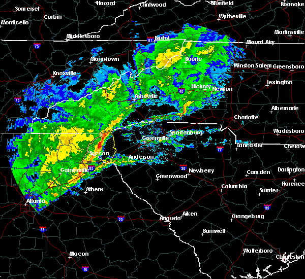 At 714 am est, severe thunderstorms were located along a line extending from 13 miles east of clayton to 10 miles west of walhalla to near toccoa, moving east at 45 mph (radar indicated). Hazards include 60 mph wind gusts. Expect damage to trees and power lines. Locations impacted include, toccoa, seneca, walhalla, westminster, salem, lake keowee, devils fork state park, oconee state park, mountain rest and long creek. At 714 am est, severe thunderstorms were located along a line extending from 13 miles east of clayton to 10 miles west of walhalla to near toccoa, moving east at 45 mph (radar indicated). Hazards include 60 mph wind gusts. Expect damage to trees and power lines. Locations impacted include, toccoa, seneca, walhalla, westminster, salem, lake keowee, devils fork state park, oconee state park, mountain rest and long creek.
|
| 2/13/2020 6:46 AM EST |
 At 645 am est, severe thunderstorms were located along a line extending from 11 miles southwest of clayton to 5 miles northwest of clarkesville to 8 miles southeast of cleveland, moving east at 45 mph (radar indicated). Hazards include 60 mph wind gusts. expect damage to trees and power lines At 645 am est, severe thunderstorms were located along a line extending from 11 miles southwest of clayton to 5 miles northwest of clarkesville to 8 miles southeast of cleveland, moving east at 45 mph (radar indicated). Hazards include 60 mph wind gusts. expect damage to trees and power lines
|
| 1/11/2020 7:02 PM EST |
 At 701 pm est, severe thunderstorms were located along a line extending from 17 miles northwest of pickens to 8 miles northeast of walhalla to 7 miles southeast of toccoa, moving east at 45 mph (radar indicated). Hazards include 60 mph wind gusts. Expect damage to trees and power lines. locations impacted include, clemson, toccoa, seneca, walhalla, pickens, carnesville, central, royston, westminster and lavonia. A tornado watch remains in effect until midnight est for northeastern georgia, western north carolina, and upstate south carolina. At 701 pm est, severe thunderstorms were located along a line extending from 17 miles northwest of pickens to 8 miles northeast of walhalla to 7 miles southeast of toccoa, moving east at 45 mph (radar indicated). Hazards include 60 mph wind gusts. Expect damage to trees and power lines. locations impacted include, clemson, toccoa, seneca, walhalla, pickens, carnesville, central, royston, westminster and lavonia. A tornado watch remains in effect until midnight est for northeastern georgia, western north carolina, and upstate south carolina.
|
| 1/11/2020 6:54 PM EST |
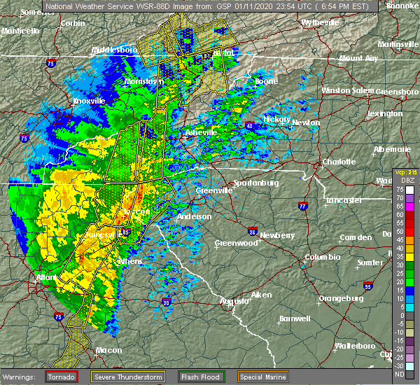 At 653 pm est, severe thunderstorms were located along a line extending from 8 miles south of waynesville to 9 miles west of walhalla, moving northeast at 40 mph (radar indicated). Hazards include 60 mph wind gusts. Expect damage to trees and power lines. locations impacted include, toccoa, mount airy, tallulah falls, tallulah gorge state park, long creek, pine mountain, turnerville, hollywood, boydville and eastanolee. A tornado watch remains in effect until midnight est for northeastern georgia, western north carolina, and upstate south carolina. At 653 pm est, severe thunderstorms were located along a line extending from 8 miles south of waynesville to 9 miles west of walhalla, moving northeast at 40 mph (radar indicated). Hazards include 60 mph wind gusts. Expect damage to trees and power lines. locations impacted include, toccoa, mount airy, tallulah falls, tallulah gorge state park, long creek, pine mountain, turnerville, hollywood, boydville and eastanolee. A tornado watch remains in effect until midnight est for northeastern georgia, western north carolina, and upstate south carolina.
|
| 1/11/2020 6:42 PM EST |
 At 641 pm est, severe thunderstorms were located along a line extending from 16 miles northeast of clayton to 4 miles northwest of walhalla to 6 miles south of toccoa, moving east at 45 mph (radar indicated). Hazards include 60 mph wind gusts and penny size hail. expect damage to trees and power lines At 641 pm est, severe thunderstorms were located along a line extending from 16 miles northeast of clayton to 4 miles northwest of walhalla to 6 miles south of toccoa, moving east at 45 mph (radar indicated). Hazards include 60 mph wind gusts and penny size hail. expect damage to trees and power lines
|
| 1/11/2020 5:59 PM EST |
 At 559 pm est, severe thunderstorms were located along a line extending from 11 miles northwest of clayton to 9 miles southeast of cleveland, moving northeast at 40 mph (radar indicated). Hazards include 60 mph wind gusts. expect damage to trees and power lines At 559 pm est, severe thunderstorms were located along a line extending from 11 miles northwest of clayton to 9 miles southeast of cleveland, moving northeast at 40 mph (radar indicated). Hazards include 60 mph wind gusts. expect damage to trees and power lines
|
| 10/31/2019 2:28 PM EDT |
 At 227 pm edt, severe thunderstorms were located along a line extending from 5 miles northwest of walhalla to 9 miles southwest of seneca to 3 miles northeast of carnesville, moving east at 40 mph (radar indicated). Hazards include 60 mph wind gusts. Expect damage to trees and power lines. Locations impacted include, toccoa, seneca, walhalla, carnesville, westminster, lavonia, gumlog, martin, avalon and cashiers. At 227 pm edt, severe thunderstorms were located along a line extending from 5 miles northwest of walhalla to 9 miles southwest of seneca to 3 miles northeast of carnesville, moving east at 40 mph (radar indicated). Hazards include 60 mph wind gusts. Expect damage to trees and power lines. Locations impacted include, toccoa, seneca, walhalla, carnesville, westminster, lavonia, gumlog, martin, avalon and cashiers.
|
| 10/31/2019 2:14 PM EDT |
 At 214 pm edt, severe thunderstorms were located along a line extending from 8 miles east of clayton to 6 miles northeast of toccoa to 7 miles northwest of carnesville, moving northeast at 45 mph (radar indicated). Hazards include 60 mph wind gusts. Expect damage to trees and power lines. Locations impacted include, toccoa, seneca, walhalla, clayton, carnesville, cornelia, westminster, lavonia, gumlog and mount airy. At 214 pm edt, severe thunderstorms were located along a line extending from 8 miles east of clayton to 6 miles northeast of toccoa to 7 miles northwest of carnesville, moving northeast at 45 mph (radar indicated). Hazards include 60 mph wind gusts. Expect damage to trees and power lines. Locations impacted include, toccoa, seneca, walhalla, clayton, carnesville, cornelia, westminster, lavonia, gumlog and mount airy.
|
| 10/31/2019 1:56 PM EDT |
 At 155 pm edt, severe thunderstorms were located along a line extending from 7 miles southwest of clayton to near clarkesville to 6 miles west of homer, moving northeast at 50 mph (radar indicated). Hazards include 60 mph wind gusts. expect damage to trees and power lines At 155 pm edt, severe thunderstorms were located along a line extending from 7 miles southwest of clayton to near clarkesville to 6 miles west of homer, moving northeast at 50 mph (radar indicated). Hazards include 60 mph wind gusts. expect damage to trees and power lines
|
| 8/23/2019 2:13 PM EDT |
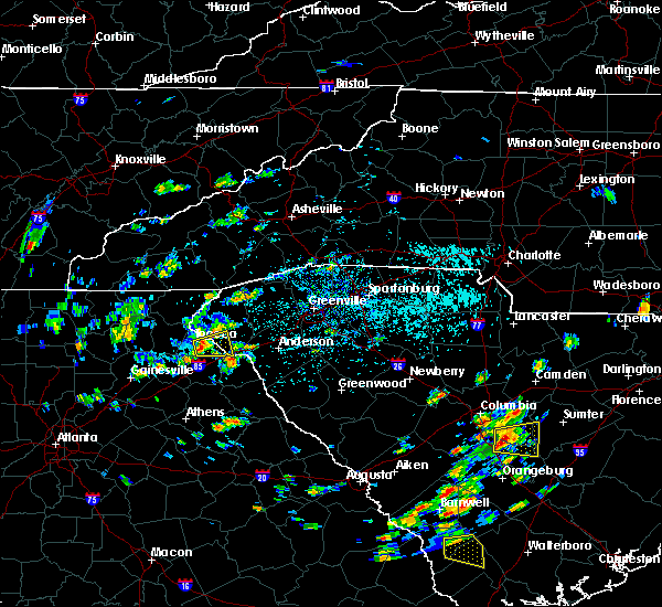 At 212 pm edt, a severe thunderstorm was located 5 miles southeast of toccoa, or near avalon, moving east at 15 mph (radar indicated). Hazards include 60 mph wind gusts and quarter size hail. Minor hail damage to vehicles is expected. Expect wind damage to trees and power lines. At 212 pm edt, a severe thunderstorm was located 5 miles southeast of toccoa, or near avalon, moving east at 15 mph (radar indicated). Hazards include 60 mph wind gusts and quarter size hail. Minor hail damage to vehicles is expected. Expect wind damage to trees and power lines.
|
| 8/23/2019 2:13 PM EDT |
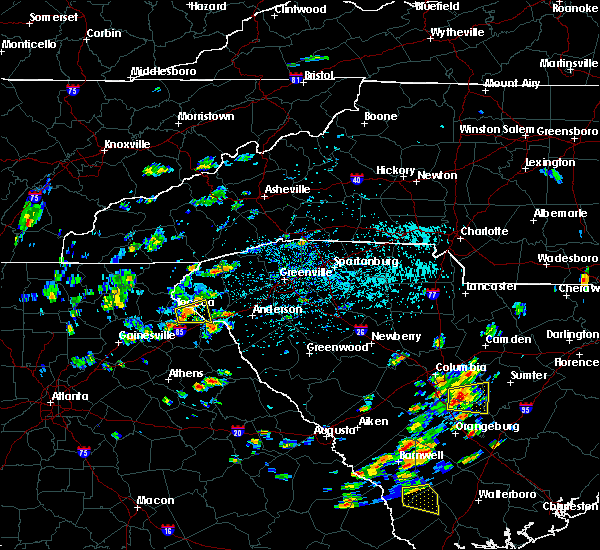 At 212 pm edt, a severe thunderstorm was located 5 miles southeast of toccoa, or near avalon, moving east at 15 mph (radar indicated). Hazards include 60 mph wind gusts and quarter size hail. Minor hail damage to vehicles is expected. Expect wind damage to trees and power lines. At 212 pm edt, a severe thunderstorm was located 5 miles southeast of toccoa, or near avalon, moving east at 15 mph (radar indicated). Hazards include 60 mph wind gusts and quarter size hail. Minor hail damage to vehicles is expected. Expect wind damage to trees and power lines.
|
| 8/13/2019 10:41 PM EDT |
 At 1041 pm edt, severe thunderstorms were located along a line extending from 9 miles northwest of walhalla to 10 miles southeast of cleveland, moving east at 20 mph (radar indicated). Hazards include 60 mph wind gusts. expect damage to trees and power lines At 1041 pm edt, severe thunderstorms were located along a line extending from 9 miles northwest of walhalla to 10 miles southeast of cleveland, moving east at 20 mph (radar indicated). Hazards include 60 mph wind gusts. expect damage to trees and power lines
|
| 8/13/2019 10:41 PM EDT |
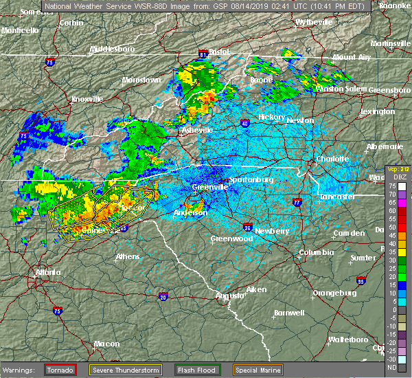 At 1041 pm edt, severe thunderstorms were located along a line extending from 9 miles northwest of walhalla to 10 miles southeast of cleveland, moving east at 20 mph (radar indicated). Hazards include 60 mph wind gusts. expect damage to trees and power lines At 1041 pm edt, severe thunderstorms were located along a line extending from 9 miles northwest of walhalla to 10 miles southeast of cleveland, moving east at 20 mph (radar indicated). Hazards include 60 mph wind gusts. expect damage to trees and power lines
|
| 8/13/2019 10:06 PM EDT |
 At 1006 pm edt, severe thunderstorms were located along a line extending from near clayton to 7 miles south of cleveland, moving east at 25 mph (radar indicated). Hazards include 60 mph wind gusts. expect damage to trees and power lines At 1006 pm edt, severe thunderstorms were located along a line extending from near clayton to 7 miles south of cleveland, moving east at 25 mph (radar indicated). Hazards include 60 mph wind gusts. expect damage to trees and power lines
|
| 6/27/2019 11:56 PM EDT |
 At 1156 pm edt, a severe thunderstorm was located 6 miles southwest of walhalla, or near westminster, moving west at 20 mph (radar indicated). Hazards include 60 mph wind gusts and quarter size hail. Minor hail damage to vehicles is expected. expect wind damage to trees and power lines. Locations impacted include, toccoa, seneca, walhalla, westminster, long creek, oakway and boydville. At 1156 pm edt, a severe thunderstorm was located 6 miles southwest of walhalla, or near westminster, moving west at 20 mph (radar indicated). Hazards include 60 mph wind gusts and quarter size hail. Minor hail damage to vehicles is expected. expect wind damage to trees and power lines. Locations impacted include, toccoa, seneca, walhalla, westminster, long creek, oakway and boydville.
|
| 6/27/2019 11:34 PM EDT |
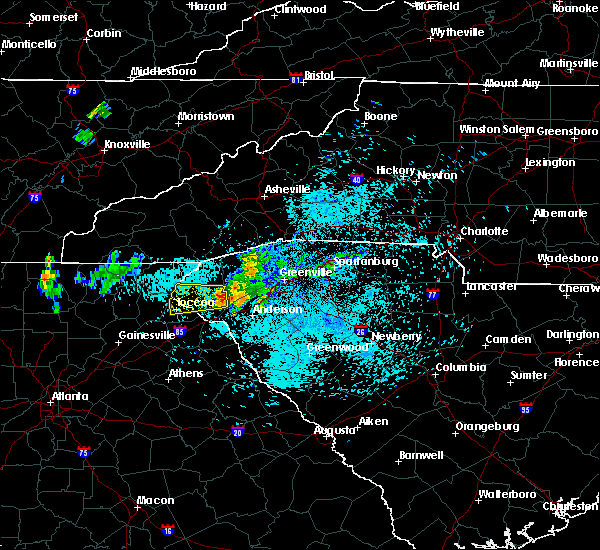 At 1133 pm edt, a severe thunderstorm was located near seneca, moving west at 20 mph (radar indicated). Hazards include 60 mph wind gusts and quarter size hail. Minor hail damage to vehicles is expected. Expect wind damage to trees and power lines. At 1133 pm edt, a severe thunderstorm was located near seneca, moving west at 20 mph (radar indicated). Hazards include 60 mph wind gusts and quarter size hail. Minor hail damage to vehicles is expected. Expect wind damage to trees and power lines.
|
| 6/22/2019 1:41 AM EDT |
 The severe thunderstorm warning for franklin, stephens, habersham, rabun, northwestern pickens and oconee counties will expire at 145 am edt, the storm which prompted the warning has moved out of the area. therefore the warning will be allowed to expire. however small hail is still possible with this thunderstorm. a severe thunderstorm watch remains in effect until 500 am edt for northeastern georgia, western north carolina, and upstate south carolina. remember, a severe thunderstorm warning still remains in effect for habersham, stephens, oconee, and hart counties until 245 am. The severe thunderstorm warning for franklin, stephens, habersham, rabun, northwestern pickens and oconee counties will expire at 145 am edt, the storm which prompted the warning has moved out of the area. therefore the warning will be allowed to expire. however small hail is still possible with this thunderstorm. a severe thunderstorm watch remains in effect until 500 am edt for northeastern georgia, western north carolina, and upstate south carolina. remember, a severe thunderstorm warning still remains in effect for habersham, stephens, oconee, and hart counties until 245 am.
|
| 6/22/2019 1:39 AM EDT |
 At 139 am edt, a severe thunderstorm was located 5 miles northeast of carnesville, or near martin, moving east at 20 mph (radar indicated). Hazards include 60 mph wind gusts and nickel size hail. expect damage to trees and power lines At 139 am edt, a severe thunderstorm was located 5 miles northeast of carnesville, or near martin, moving east at 20 mph (radar indicated). Hazards include 60 mph wind gusts and nickel size hail. expect damage to trees and power lines
|
| 6/22/2019 12:48 AM EDT |
 At 1248 am edt, a severe thunderstorm was located 4 miles east of hiawassee, moving east at 35 mph (radar indicated). Hazards include 60 mph wind gusts and nickel size hail. expect damage to trees and power lines At 1248 am edt, a severe thunderstorm was located 4 miles east of hiawassee, moving east at 35 mph (radar indicated). Hazards include 60 mph wind gusts and nickel size hail. expect damage to trees and power lines
|
| 5/4/2019 3:05 PM EDT | 911 call center reported trees down in toccoa. time estimated from rada in stephens county GA, 0.9 miles ESE of Toccoa, GA |
| 5/4/2019 2:57 PM EDT |
 At 257 pm edt, a severe thunderstorm was located near toccoa, moving northeast at 40 mph (radar indicated). Hazards include 60 mph wind gusts. expect damage to trees and power lines At 257 pm edt, a severe thunderstorm was located near toccoa, moving northeast at 40 mph (radar indicated). Hazards include 60 mph wind gusts. expect damage to trees and power lines
|
| 5/4/2019 2:57 PM EDT |
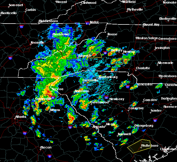 At 257 pm edt, a severe thunderstorm was located near toccoa, moving northeast at 40 mph (radar indicated). Hazards include 60 mph wind gusts. expect damage to trees and power lines At 257 pm edt, a severe thunderstorm was located near toccoa, moving northeast at 40 mph (radar indicated). Hazards include 60 mph wind gusts. expect damage to trees and power lines
|
| 4/19/2019 7:51 AM EDT |
 At 751 am edt, a severe thunderstorm was located 5 miles southwest of carnesville, moving northeast at 45 mph (radar indicated). Hazards include 60 mph wind gusts. expect damage to trees and power lines At 751 am edt, a severe thunderstorm was located 5 miles southwest of carnesville, moving northeast at 45 mph (radar indicated). Hazards include 60 mph wind gusts. expect damage to trees and power lines
|
| 4/19/2019 6:36 AM EDT |
 At 636 am edt, severe thunderstorms were located along a line extending from 6 miles northeast of clayton to 3 miles north of toccoa, moving northeast at 45 mph (radar indicated). Hazards include 60 mph wind gusts. Expect damage to trees and power lines. Locations impacted include, toccoa, clayton, mountain city, tiger, dillard, sky valley, tallulah falls, lakemont, tallulah gorge state park and black rock mountain state park. At 636 am edt, severe thunderstorms were located along a line extending from 6 miles northeast of clayton to 3 miles north of toccoa, moving northeast at 45 mph (radar indicated). Hazards include 60 mph wind gusts. Expect damage to trees and power lines. Locations impacted include, toccoa, clayton, mountain city, tiger, dillard, sky valley, tallulah falls, lakemont, tallulah gorge state park and black rock mountain state park.
|
| 4/19/2019 6:26 AM EDT |
 At 625 am edt, severe thunderstorms were located along a line extending from 6 miles west of clayton to 6 miles southeast of clarkesville, moving northeast at 45 mph (radar indicated). Hazards include 60 mph wind gusts. expect damage to trees and power lines At 625 am edt, severe thunderstorms were located along a line extending from 6 miles west of clayton to 6 miles southeast of clarkesville, moving northeast at 45 mph (radar indicated). Hazards include 60 mph wind gusts. expect damage to trees and power lines
|
| 4/14/2019 1:59 PM EDT |
 At 158 pm edt, a severe thunderstorm was located near easley, moving northeast at 45 mph (radar indicated). Hazards include 60 mph wind gusts and quarter size hail. Minor hail damage to vehicles is expected. expect wind damage to trees and power lines. locations impacted include, seneca, westminster, gumlog, martin, avalon, tugaloo state park, townville, oakway, fair play and eastanolee. A tornado watch remains in effect until 700 pm edt for northeastern georgia, and upstate south carolina. At 158 pm edt, a severe thunderstorm was located near easley, moving northeast at 45 mph (radar indicated). Hazards include 60 mph wind gusts and quarter size hail. Minor hail damage to vehicles is expected. expect wind damage to trees and power lines. locations impacted include, seneca, westminster, gumlog, martin, avalon, tugaloo state park, townville, oakway, fair play and eastanolee. A tornado watch remains in effect until 700 pm edt for northeastern georgia, and upstate south carolina.
|
| 4/14/2019 1:31 PM EDT |
 At 131 pm edt, a severe thunderstorm was located 11 miles southwest of seneca, or 4 miles north of tugaloo state park, moving northeast at 45 mph (radar indicated). Hazards include 60 mph wind gusts and quarter size hail. Minor hail damage to vehicles is expected. Expect wind damage to trees and power lines. At 131 pm edt, a severe thunderstorm was located 11 miles southwest of seneca, or 4 miles north of tugaloo state park, moving northeast at 45 mph (radar indicated). Hazards include 60 mph wind gusts and quarter size hail. Minor hail damage to vehicles is expected. Expect wind damage to trees and power lines.
|
| 4/9/2019 1:17 PM EDT |
 At 116 pm edt, a severe thunderstorm was located 9 miles east of toccoa, or 5 miles southwest of westminster, moving northeast at 25 mph (radar indicated). Hazards include 60 mph wind gusts and quarter size hail. Minor hail damage to vehicles is expected. expect wind damage to trees and power lines. Locations impacted include, westminster, long creek, oakway and avalon. At 116 pm edt, a severe thunderstorm was located 9 miles east of toccoa, or 5 miles southwest of westminster, moving northeast at 25 mph (radar indicated). Hazards include 60 mph wind gusts and quarter size hail. Minor hail damage to vehicles is expected. expect wind damage to trees and power lines. Locations impacted include, westminster, long creek, oakway and avalon.
|
| 4/9/2019 1:17 PM EDT |
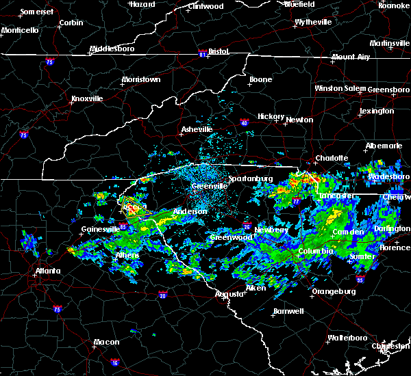 At 116 pm edt, a severe thunderstorm was located 9 miles east of toccoa, or 5 miles southwest of westminster, moving northeast at 25 mph (radar indicated). Hazards include 60 mph wind gusts and quarter size hail. Minor hail damage to vehicles is expected. expect wind damage to trees and power lines. Locations impacted include, westminster, long creek, oakway and avalon. At 116 pm edt, a severe thunderstorm was located 9 miles east of toccoa, or 5 miles southwest of westminster, moving northeast at 25 mph (radar indicated). Hazards include 60 mph wind gusts and quarter size hail. Minor hail damage to vehicles is expected. expect wind damage to trees and power lines. Locations impacted include, westminster, long creek, oakway and avalon.
|
| 4/9/2019 1:08 PM EDT | Quarter sized hail reported 2.6 miles W of Toccoa, GA, up to quarter sized hail reported by spotter east of toccoa... ga. |
| 4/9/2019 1:08 PM EDT |
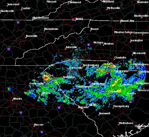 At 108 pm edt, a severe thunderstorm was located 6 miles east of toccoa, or 5 miles north of avalon, moving northeast at 25 mph (radar indicated). Hazards include 60 mph wind gusts and quarter size hail. Minor hail damage to vehicles is expected. expect wind damage to trees and power lines. Locations impacted include, toccoa, westminster, gumlog, martin, avalon, tugaloo state park, long creek, eastanolee and oakway. At 108 pm edt, a severe thunderstorm was located 6 miles east of toccoa, or 5 miles north of avalon, moving northeast at 25 mph (radar indicated). Hazards include 60 mph wind gusts and quarter size hail. Minor hail damage to vehicles is expected. expect wind damage to trees and power lines. Locations impacted include, toccoa, westminster, gumlog, martin, avalon, tugaloo state park, long creek, eastanolee and oakway.
|
| 4/9/2019 1:02 PM EDT | Quarter sized hail reported 2.3 miles WNW of Toccoa, GA, up to 1 inch hail reported ese of toccoa... ga. |
| 4/9/2019 12:59 PM EDT |
 At 1258 pm edt, a severe thunderstorm was located 5 miles southeast of toccoa, or near avalon, moving northeast at 25 mph (radar indicated). Hazards include 60 mph wind gusts and quarter size hail. Minor hail damage to vehicles is expected. expect wind damage to trees and power lines. Locations impacted include, toccoa, westminster, gumlog, martin, avalon, tugaloo state park, long creek, boydville, eastanolee and oakway. At 1258 pm edt, a severe thunderstorm was located 5 miles southeast of toccoa, or near avalon, moving northeast at 25 mph (radar indicated). Hazards include 60 mph wind gusts and quarter size hail. Minor hail damage to vehicles is expected. expect wind damage to trees and power lines. Locations impacted include, toccoa, westminster, gumlog, martin, avalon, tugaloo state park, long creek, boydville, eastanolee and oakway.
|
| 4/9/2019 12:44 PM EDT |
 At 1243 pm edt, a severe thunderstorm was located 8 miles south of toccoa, or 8 miles west of avalon, moving northeast at 25 mph (radar indicated). Hazards include 60 mph wind gusts and quarter size hail. Minor hail damage to vehicles is expected. Expect wind damage to trees and power lines. At 1243 pm edt, a severe thunderstorm was located 8 miles south of toccoa, or 8 miles west of avalon, moving northeast at 25 mph (radar indicated). Hazards include 60 mph wind gusts and quarter size hail. Minor hail damage to vehicles is expected. Expect wind damage to trees and power lines.
|
| 9/27/2018 6:00 PM EDT |
 At 559 pm edt, severe thunderstorms were located along a line extending from 4 miles southeast of homer to 6 miles northeast of lexington, moving northeast at 45 mph (radar indicated). Hazards include 60 mph wind gusts and penny size hail. expect damage to trees and power lines At 559 pm edt, severe thunderstorms were located along a line extending from 4 miles southeast of homer to 6 miles northeast of lexington, moving northeast at 45 mph (radar indicated). Hazards include 60 mph wind gusts and penny size hail. expect damage to trees and power lines
|
| 8/9/2018 6:43 PM EDT |
 At 643 pm edt, severe thunderstorms were located along a line extending from 6 miles south of toccoa to 5 miles northeast of commerce georgia, moving east at 25 mph (radar indicated). Hazards include 60 mph wind gusts and quarter size hail. Minor hail damage to vehicles is expected. Expect wind damage to trees and power lines. At 643 pm edt, severe thunderstorms were located along a line extending from 6 miles south of toccoa to 5 miles northeast of commerce georgia, moving east at 25 mph (radar indicated). Hazards include 60 mph wind gusts and quarter size hail. Minor hail damage to vehicles is expected. Expect wind damage to trees and power lines.
|
| 8/6/2018 5:51 PM EDT |
 At 551 pm edt, severe thunderstorms were located along a line extending from 20 miles west of laurens to 13 miles southeast of anderson to 5 miles south of hartwell to near clarkesville, moving southeast at 25 mph (radar indicated). Hazards include 60 mph wind gusts and quarter size hail. Minor hail damage to vehicles is expected. expect wind damage to trees and power lines. Locations impacted include, toccoa, hartwell, clarkesville, carnesville, belton, cornelia, honea path, baldwin, royston and lavonia. At 551 pm edt, severe thunderstorms were located along a line extending from 20 miles west of laurens to 13 miles southeast of anderson to 5 miles south of hartwell to near clarkesville, moving southeast at 25 mph (radar indicated). Hazards include 60 mph wind gusts and quarter size hail. Minor hail damage to vehicles is expected. expect wind damage to trees and power lines. Locations impacted include, toccoa, hartwell, clarkesville, carnesville, belton, cornelia, honea path, baldwin, royston and lavonia.
|
| 8/6/2018 5:29 PM EDT |
 At 529 pm edt, severe thunderstorms were located along a line extending from 17 miles south of greenville downtown to 10 miles southeast of anderson to 7 miles southeast of toccoa to near clarkesville, moving south at 15 mph (radar indicated). Hazards include 60 mph wind gusts and quarter size hail. Minor hail damage to vehicles is expected. Expect wind damage to trees and power lines. At 529 pm edt, severe thunderstorms were located along a line extending from 17 miles south of greenville downtown to 10 miles southeast of anderson to 7 miles southeast of toccoa to near clarkesville, moving south at 15 mph (radar indicated). Hazards include 60 mph wind gusts and quarter size hail. Minor hail damage to vehicles is expected. Expect wind damage to trees and power lines.
|
| 8/6/2018 5:11 PM EDT |
 At 511 pm edt, severe thunderstorms were located along a line extending from 6 miles north of anderson to 5 miles southeast of toccoa, moving south at 10 mph (radar indicated). Hazards include 60 mph wind gusts and quarter size hail. Minor hail damage to vehicles is expected. expect wind damage to trees and power lines. Locations impacted include, anderson, clemson, toccoa, seneca, hartwell, carnesville, homeland park, northlake, pendleton and westminster. At 511 pm edt, severe thunderstorms were located along a line extending from 6 miles north of anderson to 5 miles southeast of toccoa, moving south at 10 mph (radar indicated). Hazards include 60 mph wind gusts and quarter size hail. Minor hail damage to vehicles is expected. expect wind damage to trees and power lines. Locations impacted include, anderson, clemson, toccoa, seneca, hartwell, carnesville, homeland park, northlake, pendleton and westminster.
|
| 8/6/2018 4:51 PM EDT |
 At 451 pm edt, severe thunderstorms were located along a line extending from 6 miles southwest of easley to 5 miles east of toccoa, moving south at 15 mph (radar indicated). Hazards include 60 mph wind gusts and quarter size hail. Minor hail damage to vehicles is expected. Expect wind damage to trees and power lines. At 451 pm edt, severe thunderstorms were located along a line extending from 6 miles southwest of easley to 5 miles east of toccoa, moving south at 15 mph (radar indicated). Hazards include 60 mph wind gusts and quarter size hail. Minor hail damage to vehicles is expected. Expect wind damage to trees and power lines.
|
| 7/6/2018 3:56 PM EDT |
 The severe thunderstorm warning for western stephens and southeastern habersham counties will expire at 400 pm edt, the storm which prompted the warning has weakened below severe limits, and no longer poses an immediate threat to life or property. therefore the warning will be allowed to expire. however small hail and gusty winds are still possible with this thunderstorm. if you observed large hail or wind damage, please report it to the national weather service greenville-spartanburg by calling toll free, 1, 800, 2 6 7, 8 1 0 1, or by posting on our facebook page, or tweet it using hashtag nwsgsp. your message should describe the event and the specific location where it occurred. The severe thunderstorm warning for western stephens and southeastern habersham counties will expire at 400 pm edt, the storm which prompted the warning has weakened below severe limits, and no longer poses an immediate threat to life or property. therefore the warning will be allowed to expire. however small hail and gusty winds are still possible with this thunderstorm. if you observed large hail or wind damage, please report it to the national weather service greenville-spartanburg by calling toll free, 1, 800, 2 6 7, 8 1 0 1, or by posting on our facebook page, or tweet it using hashtag nwsgsp. your message should describe the event and the specific location where it occurred.
|
| 7/6/2018 3:13 PM EDT |
 At 313 pm edt, a severe thunderstorm was located near toccoa, moving southwest at 5 mph (radar indicated). Hazards include 60 mph wind gusts and quarter size hail. Minor hail damage to vehicles is expected. Expect wind damage to trees and power lines. At 313 pm edt, a severe thunderstorm was located near toccoa, moving southwest at 5 mph (radar indicated). Hazards include 60 mph wind gusts and quarter size hail. Minor hail damage to vehicles is expected. Expect wind damage to trees and power lines.
|
| 6/27/2018 3:45 PM EDT |
 At 326 pm edt, a severe thunderstorm was located 9 miles north of clarkesville, or 5 miles west of lake rabun, moving east at 30 mph (radar indicated). Hazards include 60 mph wind gusts and quarter size hail. Minor hail damage to vehicles is expected. Expect wind damage to trees and power lines. At 326 pm edt, a severe thunderstorm was located 9 miles north of clarkesville, or 5 miles west of lake rabun, moving east at 30 mph (radar indicated). Hazards include 60 mph wind gusts and quarter size hail. Minor hail damage to vehicles is expected. Expect wind damage to trees and power lines.
|
| 6/27/2018 3:45 PM EDT |
 At 345 pm edt, a severe thunderstorm was located 7 miles northeast of clarkesville, or near lake rabun, moving east at 20 mph (radar indicated). Hazards include 60 mph wind gusts and quarter size hail. Minor hail damage to vehicles is expected. expect wind damage to trees and power lines. Locations impacted include, tallulah falls, lake rabun, lakemont, tallulah gorge state park, hollywood, long creek, seed lake and turnerville. At 345 pm edt, a severe thunderstorm was located 7 miles northeast of clarkesville, or near lake rabun, moving east at 20 mph (radar indicated). Hazards include 60 mph wind gusts and quarter size hail. Minor hail damage to vehicles is expected. expect wind damage to trees and power lines. Locations impacted include, tallulah falls, lake rabun, lakemont, tallulah gorge state park, hollywood, long creek, seed lake and turnerville.
|
| 6/27/2018 3:26 PM EDT |
 At 326 pm edt, a severe thunderstorm was located 9 miles north of clarkesville, or 5 miles west of lake rabun, moving east at 30 mph (radar indicated). Hazards include 60 mph wind gusts and quarter size hail. Minor hail damage to vehicles is expected. Expect wind damage to trees and power lines. At 326 pm edt, a severe thunderstorm was located 9 miles north of clarkesville, or 5 miles west of lake rabun, moving east at 30 mph (radar indicated). Hazards include 60 mph wind gusts and quarter size hail. Minor hail damage to vehicles is expected. Expect wind damage to trees and power lines.
|
| 6/27/2018 3:26 PM EDT |
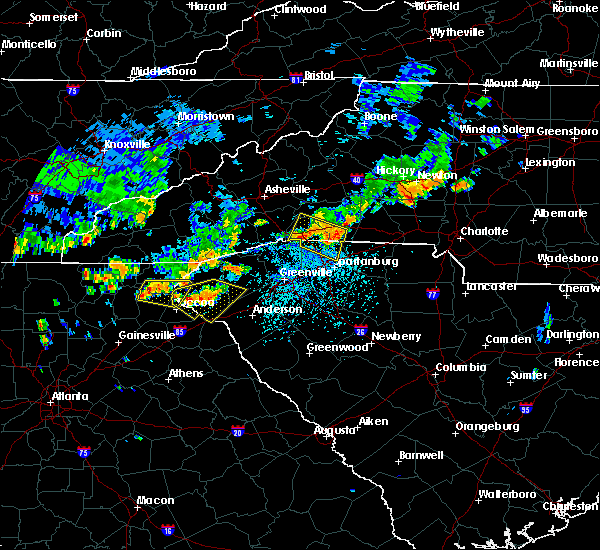 At 326 pm edt, a severe thunderstorm was located 9 miles north of clarkesville, or 5 miles west of lake rabun, moving east at 30 mph (radar indicated). Hazards include 60 mph wind gusts and quarter size hail. Minor hail damage to vehicles is expected. Expect wind damage to trees and power lines. At 326 pm edt, a severe thunderstorm was located 9 miles north of clarkesville, or 5 miles west of lake rabun, moving east at 30 mph (radar indicated). Hazards include 60 mph wind gusts and quarter size hail. Minor hail damage to vehicles is expected. Expect wind damage to trees and power lines.
|
| 6/27/2018 3:16 PM EDT |
 At 315 pm edt, a severe thunderstorm was located 7 miles southwest of walhalla, or 4 miles northwest of westminster, moving east at 20 mph (radar indicated). Hazards include 60 mph wind gusts and quarter size hail. Minor hail damage to vehicles is expected. expect wind damage to trees and power lines. Locations impacted include, clemson, seneca, walhalla, central, westminster, norris, long creek, fair play, oakway and townville. At 315 pm edt, a severe thunderstorm was located 7 miles southwest of walhalla, or 4 miles northwest of westminster, moving east at 20 mph (radar indicated). Hazards include 60 mph wind gusts and quarter size hail. Minor hail damage to vehicles is expected. expect wind damage to trees and power lines. Locations impacted include, clemson, seneca, walhalla, central, westminster, norris, long creek, fair play, oakway and townville.
|
| 6/27/2018 3:03 PM EDT |
 At 302 pm edt, a severe thunderstorm was located 10 miles northeast of toccoa, or 7 miles west of westminster, moving east at 25 mph (radar indicated). Hazards include 60 mph wind gusts and quarter size hail. Minor hail damage to vehicles is expected. Expect wind damage to trees and power lines. At 302 pm edt, a severe thunderstorm was located 10 miles northeast of toccoa, or 7 miles west of westminster, moving east at 25 mph (radar indicated). Hazards include 60 mph wind gusts and quarter size hail. Minor hail damage to vehicles is expected. Expect wind damage to trees and power lines.
|
| 6/27/2018 3:03 PM EDT |
 The national weather service in greenville-spartanburg has issued a * severe thunderstorm warning for. central stephens county in northeastern georgia. east central habersham county in northeastern georgia. southwestern pickens county in upstate south carolina. Oconee county in upstate south carolina. The national weather service in greenville-spartanburg has issued a * severe thunderstorm warning for. central stephens county in northeastern georgia. east central habersham county in northeastern georgia. southwestern pickens county in upstate south carolina. Oconee county in upstate south carolina.
|
| 6/25/2018 5:48 PM EDT |
 At 548 pm edt, severe thunderstorms were located along a line extending from near pickens to 5 miles south of seneca to 4 miles northeast of carnesville, moving east at 30 mph (radar indicated). Hazards include 60 mph wind gusts and quarter size hail. Minor hail damage to vehicles is expected. expect wind damage to trees and power lines. Locations impacted include, clemson, toccoa, seneca, walhalla, pickens, central, pendleton, liberty, westminster and slater-marietta. At 548 pm edt, severe thunderstorms were located along a line extending from near pickens to 5 miles south of seneca to 4 miles northeast of carnesville, moving east at 30 mph (radar indicated). Hazards include 60 mph wind gusts and quarter size hail. Minor hail damage to vehicles is expected. expect wind damage to trees and power lines. Locations impacted include, clemson, toccoa, seneca, walhalla, pickens, central, pendleton, liberty, westminster and slater-marietta.
|
| 6/25/2018 5:13 PM EDT |
 At 512 pm edt, severe thunderstorms were located along a line extending from 12 miles northwest of pickens to 7 miles southwest of walhalla to 6 miles southwest of toccoa, moving southeast at 30 mph (radar indicated). Hazards include 60 mph wind gusts and quarter size hail. Minor hail damage to vehicles is expected. Expect wind damage to trees and power lines. At 512 pm edt, severe thunderstorms were located along a line extending from 12 miles northwest of pickens to 7 miles southwest of walhalla to 6 miles southwest of toccoa, moving southeast at 30 mph (radar indicated). Hazards include 60 mph wind gusts and quarter size hail. Minor hail damage to vehicles is expected. Expect wind damage to trees and power lines.
|
| 6/25/2018 4:56 PM EDT |
 At 456 pm edt, severe thunderstorms were located along a line extending from 8 miles east of clayton to 7 miles southeast of cleveland, moving east at 30 mph (radar indicated). Hazards include 60 mph wind gusts and quarter size hail. Minor hail damage to vehicles is expected. expect wind damage to trees and power lines. Locations impacted include, toccoa, clayton, clarkesville, cornelia, baldwin, demorest, mount airy, alto, mountain city and tiger. At 456 pm edt, severe thunderstorms were located along a line extending from 8 miles east of clayton to 7 miles southeast of cleveland, moving east at 30 mph (radar indicated). Hazards include 60 mph wind gusts and quarter size hail. Minor hail damage to vehicles is expected. expect wind damage to trees and power lines. Locations impacted include, toccoa, clayton, clarkesville, cornelia, baldwin, demorest, mount airy, alto, mountain city and tiger.
|
| 6/25/2018 4:34 PM EDT |
 At 433 pm edt, severe thunderstorms were located along a line extending from 6 miles northwest of clayton to 6 miles east of dahlonega, moving east at 30 mph (radar indicated). Hazards include 60 mph wind gusts and quarter size hail. Minor hail damage to vehicles is expected. Expect wind damage to trees and power lines. At 433 pm edt, severe thunderstorms were located along a line extending from 6 miles northwest of clayton to 6 miles east of dahlonega, moving east at 30 mph (radar indicated). Hazards include 60 mph wind gusts and quarter size hail. Minor hail damage to vehicles is expected. Expect wind damage to trees and power lines.
|
| 6/23/2018 4:22 PM EDT |
 The national weather service in greenville-spartanburg has issued a * severe thunderstorm warning for. stephens county in northeastern georgia. southeastern habersham county in northeastern georgia. eastern rabun county in northeastern georgia. Eastern macon county in western north carolina. The national weather service in greenville-spartanburg has issued a * severe thunderstorm warning for. stephens county in northeastern georgia. southeastern habersham county in northeastern georgia. eastern rabun county in northeastern georgia. Eastern macon county in western north carolina.
|
| 6/23/2018 4:22 PM EDT |
 At 420 pm edt, severe thunderstorms were located along a line extending from 6 miles north of franklin to 9 miles northeast of clayton to 4 miles west of toccoa, moving east at 50 mph (radar indicated). Hazards include 60 mph wind gusts. expect damage to trees and power lines At 420 pm edt, severe thunderstorms were located along a line extending from 6 miles north of franklin to 9 miles northeast of clayton to 4 miles west of toccoa, moving east at 50 mph (radar indicated). Hazards include 60 mph wind gusts. expect damage to trees and power lines
|
| 6/23/2018 4:15 PM EDT |
 At 414 pm edt, severe thunderstorms were located along a line extending from 3 miles south of franklin to near clayton to 4 miles northeast of clarkesville, moving east at 50 mph (radar indicated). Hazards include 60 mph wind gusts. Expect damage to trees and power lines. Locations impacted include, toccoa, franklin, clayton, clarkesville, cornelia, demorest, mount airy, highlands, mountain city and tiger. At 414 pm edt, severe thunderstorms were located along a line extending from 3 miles south of franklin to near clayton to 4 miles northeast of clarkesville, moving east at 50 mph (radar indicated). Hazards include 60 mph wind gusts. Expect damage to trees and power lines. Locations impacted include, toccoa, franklin, clayton, clarkesville, cornelia, demorest, mount airy, highlands, mountain city and tiger.
|
| 6/23/2018 3:43 PM EDT |
 At 342 pm edt, severe thunderstorms were located along a line extending from 4 miles south of andrews to 6 miles east of blairsville to 8 miles northeast of dahlonega, moving east at 50 mph (radar indicated). Hazards include 60 mph wind gusts. expect damage to trees and power lines At 342 pm edt, severe thunderstorms were located along a line extending from 4 miles south of andrews to 6 miles east of blairsville to 8 miles northeast of dahlonega, moving east at 50 mph (radar indicated). Hazards include 60 mph wind gusts. expect damage to trees and power lines
|
| 6/3/2018 4:37 PM EDT |
 At 437 pm edt, a severe thunderstorm was located 9 miles east of toccoa, or near avalon, moving southeast at 15 mph (radar indicated). Hazards include 60 mph wind gusts and half dollar size hail. Minor hail damage to vehicles is expected. Expect wind damage to trees and power lines. At 437 pm edt, a severe thunderstorm was located 9 miles east of toccoa, or near avalon, moving southeast at 15 mph (radar indicated). Hazards include 60 mph wind gusts and half dollar size hail. Minor hail damage to vehicles is expected. Expect wind damage to trees and power lines.
|
| 6/3/2018 4:10 PM EDT |
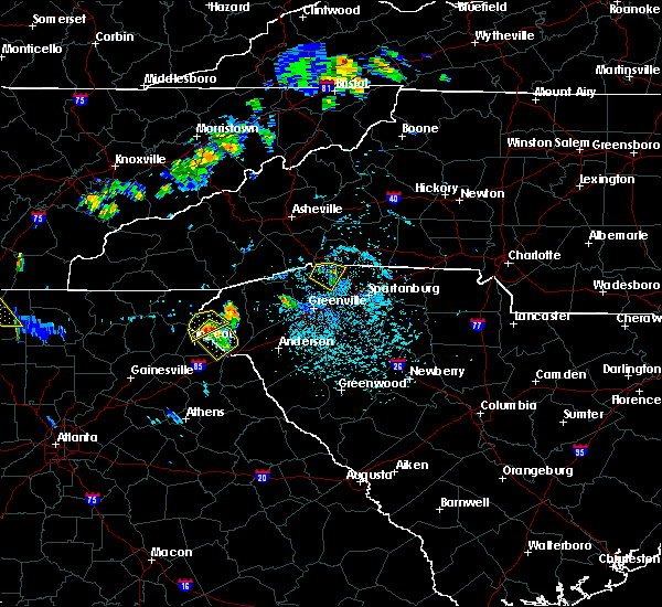 At 410 pm edt, a severe thunderstorm was located 7 miles northeast of toccoa, or 7 miles west of westminster, moving southeast at 20 mph (radar indicated). Hazards include 60 mph wind gusts and quarter size hail. Minor hail damage to vehicles is expected. Expect wind damage to trees and power lines. At 410 pm edt, a severe thunderstorm was located 7 miles northeast of toccoa, or 7 miles west of westminster, moving southeast at 20 mph (radar indicated). Hazards include 60 mph wind gusts and quarter size hail. Minor hail damage to vehicles is expected. Expect wind damage to trees and power lines.
|
| 6/3/2018 3:57 PM EDT |
 At 357 pm edt, a severe thunderstorm was located 10 miles north of toccoa, or 6 miles east of tallulah gorge state park, moving southeast at 20 mph (radar indicated). Hazards include 60 mph wind gusts and quarter size hail. Minor hail damage to vehicles is expected. expect wind damage to trees and power lines. Locations impacted include, long creek, toccoa and walhalla. At 357 pm edt, a severe thunderstorm was located 10 miles north of toccoa, or 6 miles east of tallulah gorge state park, moving southeast at 20 mph (radar indicated). Hazards include 60 mph wind gusts and quarter size hail. Minor hail damage to vehicles is expected. expect wind damage to trees and power lines. Locations impacted include, long creek, toccoa and walhalla.
|
| 6/3/2018 3:34 PM EDT |
 At 334 pm edt, a severe thunderstorm was located 5 miles southeast of clayton, or 5 miles northeast of lakemont, moving southeast at 15 mph (radar indicated). Hazards include 60 mph wind gusts and quarter size hail. Minor hail damage to vehicles is expected. Expect wind damage to trees and power lines. At 334 pm edt, a severe thunderstorm was located 5 miles southeast of clayton, or 5 miles northeast of lakemont, moving southeast at 15 mph (radar indicated). Hazards include 60 mph wind gusts and quarter size hail. Minor hail damage to vehicles is expected. Expect wind damage to trees and power lines.
|
| 6/1/2018 5:11 PM EDT |
 At 511 pm edt, a severe thunderstorm was located 6 miles northwest of carnesville, or 6 miles west of martin, moving east at 45 mph (radar indicated). Hazards include 60 mph wind gusts and quarter size hail. Minor hail damage to vehicles is expected. Expect wind damage to trees and power lines. At 511 pm edt, a severe thunderstorm was located 6 miles northwest of carnesville, or 6 miles west of martin, moving east at 45 mph (radar indicated). Hazards include 60 mph wind gusts and quarter size hail. Minor hail damage to vehicles is expected. Expect wind damage to trees and power lines.
|
| 3/17/2018 10:12 PM EDT |
 At 1012 pm edt, a severe thunderstorm was located 5 miles northeast of toccoa, moving east at 45 mph (radar indicated). Hazards include ping pong ball size hail and 60 mph wind gusts. People and animals outdoors will be injured. expect hail damage to roofs, siding, windows, and vehicles. Expect wind damage to trees and power lines. At 1012 pm edt, a severe thunderstorm was located 5 miles northeast of toccoa, moving east at 45 mph (radar indicated). Hazards include ping pong ball size hail and 60 mph wind gusts. People and animals outdoors will be injured. expect hail damage to roofs, siding, windows, and vehicles. Expect wind damage to trees and power lines.
|
| 3/17/2018 10:04 PM EDT |
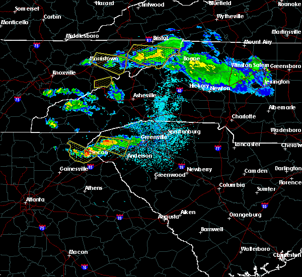 At 1004 pm edt, a severe thunderstorm was located 4 miles northwest of toccoa, moving southeast at 55 mph (radar indicated). Hazards include 60 mph wind gusts and half dollar size hail. Minor hail damage to vehicles is expected. expect wind damage to trees and power lines. Locations impacted include, toccoa, hollywood, turnerville, boydville, eastanolee and tallulah falls. At 1004 pm edt, a severe thunderstorm was located 4 miles northwest of toccoa, moving southeast at 55 mph (radar indicated). Hazards include 60 mph wind gusts and half dollar size hail. Minor hail damage to vehicles is expected. expect wind damage to trees and power lines. Locations impacted include, toccoa, hollywood, turnerville, boydville, eastanolee and tallulah falls.
|
| 3/17/2018 9:36 PM EDT |
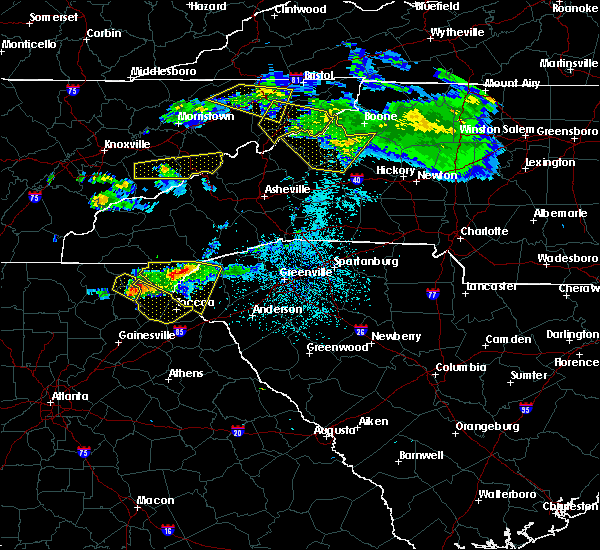 At 936 pm edt, a severe thunderstorm was located 12 miles north of cleveland, or near unicoi state park, moving southeast at 50 mph (radar indicated). Hazards include 60 mph wind gusts and quarter size hail. Minor hail damage to vehicles is expected. Expect wind damage to trees and power lines. At 936 pm edt, a severe thunderstorm was located 12 miles north of cleveland, or near unicoi state park, moving southeast at 50 mph (radar indicated). Hazards include 60 mph wind gusts and quarter size hail. Minor hail damage to vehicles is expected. Expect wind damage to trees and power lines.
|
| 10/8/2017 3:30 PM EDT | Trees down along nub garland roa in stephens county GA, 4.9 miles NNE of Toccoa, GA |
| 7/19/2017 7:12 PM EDT | Trees and powerlines down on west currahee stree in stephens county GA, 3.9 miles NE of Toccoa, GA |
| 7/19/2017 7:00 PM EDT |
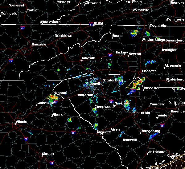 At 700 pm edt, a severe thunderstorm was located 4 miles southwest of toccoa, moving south at 5 mph (radar indicated). Hazards include 60 mph wind gusts and quarter size hail. Minor hail damage to vehicles is expected. Expect wind damage to trees and power lines. At 700 pm edt, a severe thunderstorm was located 4 miles southwest of toccoa, moving south at 5 mph (radar indicated). Hazards include 60 mph wind gusts and quarter size hail. Minor hail damage to vehicles is expected. Expect wind damage to trees and power lines.
|
| 7/6/2017 3:10 PM EDT |
 At 309 pm edt, a severe thunderstorm was located 6 miles north of carnesville, or 5 miles west of martin, moving northeast at 25 mph (radar indicated). Hazards include 60 mph wind gusts and penny size hail. expect damage to trees and power lines At 309 pm edt, a severe thunderstorm was located 6 miles north of carnesville, or 5 miles west of martin, moving northeast at 25 mph (radar indicated). Hazards include 60 mph wind gusts and penny size hail. expect damage to trees and power lines
|
| 6/23/2017 9:26 PM EDT |
 At 926 pm edt, rain showers capable of producing damaging winds were located along a line extending from 4 miles east of toccoa to near carnesville, moving east at 40 mph (radar indicated). Hazards include 60 mph wind gusts. expect damage to trees and power lines At 926 pm edt, rain showers capable of producing damaging winds were located along a line extending from 4 miles east of toccoa to near carnesville, moving east at 40 mph (radar indicated). Hazards include 60 mph wind gusts. expect damage to trees and power lines
|
| 6/22/2017 9:30 PM EDT |
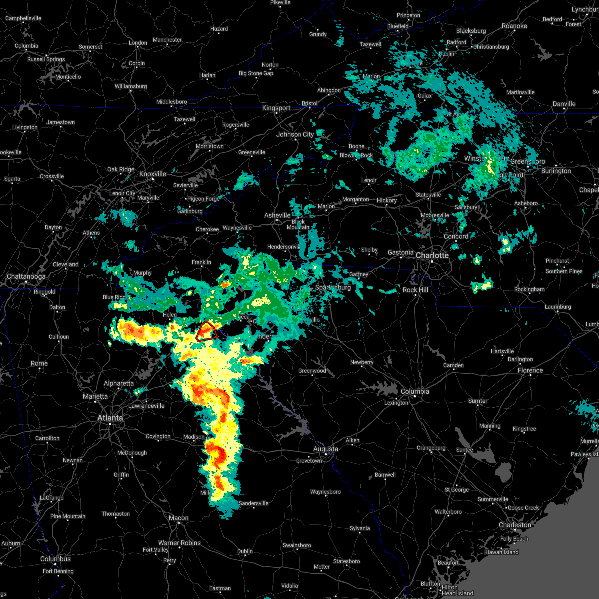 At 930 pm edt, a severe thunderstorm capable of producing a tornado was located near toccoa, moving northeast at 15 mph (radar indicated rotation). Hazards include tornado. Flying debris will be dangerous to those caught without shelter. mobile homes will be damaged or destroyed. damage to roofs, windows, and vehicles will occur. tree damage is likely. This dangerous storm will remain over mainly rural areas of central stephens county, including the following locations: boydville. At 930 pm edt, a severe thunderstorm capable of producing a tornado was located near toccoa, moving northeast at 15 mph (radar indicated rotation). Hazards include tornado. Flying debris will be dangerous to those caught without shelter. mobile homes will be damaged or destroyed. damage to roofs, windows, and vehicles will occur. tree damage is likely. This dangerous storm will remain over mainly rural areas of central stephens county, including the following locations: boydville.
|
| 6/22/2017 9:10 PM EDT |
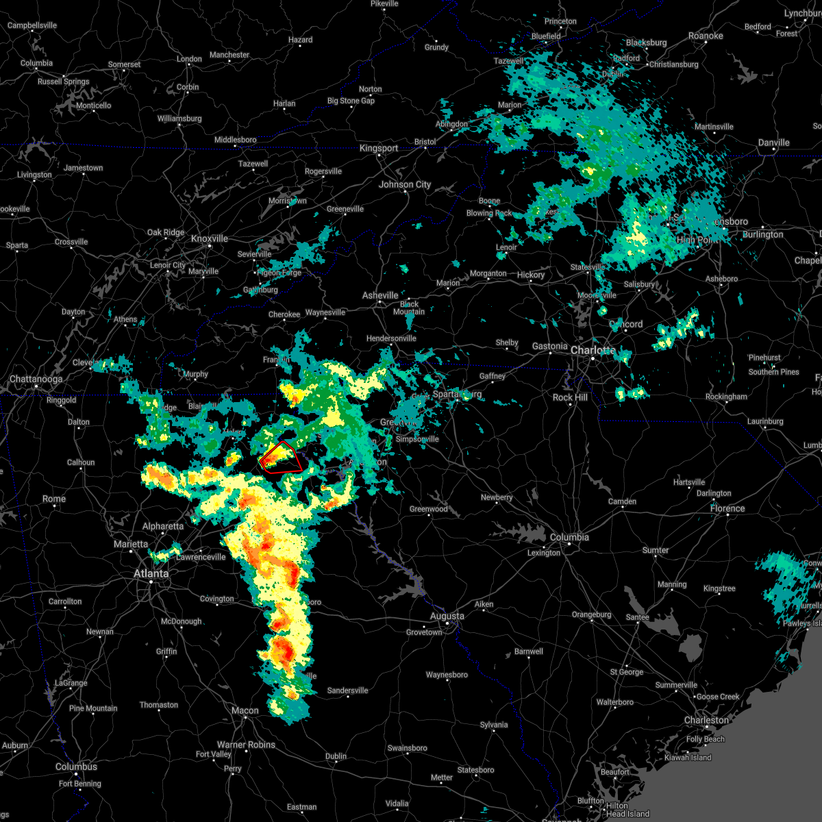 At 910 pm edt, a severe thunderstorm capable of producing a tornado was located 7 miles southeast of clarkesville, or near mount airy, moving northeast at 15 mph (radar indicated rotation). Hazards include tornado. Flying debris will be dangerous to those caught without shelter. mobile homes will be damaged or destroyed. damage to roofs, windows, and vehicles will occur. tree damage is likely. this dangerous storm will be near, toccoa around 930 pm edt. Other locations impacted by this dangerous thunderstorm include eastanolee and boydville. At 910 pm edt, a severe thunderstorm capable of producing a tornado was located 7 miles southeast of clarkesville, or near mount airy, moving northeast at 15 mph (radar indicated rotation). Hazards include tornado. Flying debris will be dangerous to those caught without shelter. mobile homes will be damaged or destroyed. damage to roofs, windows, and vehicles will occur. tree damage is likely. this dangerous storm will be near, toccoa around 930 pm edt. Other locations impacted by this dangerous thunderstorm include eastanolee and boydville.
|
| 6/15/2017 4:53 PM EDT |
 At 453 pm edt, a severe thunderstorm was located 5 miles west of toccoa, moving east at 15 mph (radar indicated). Hazards include 60 mph wind gusts and nickel size hail. expect damage to trees and power lines At 453 pm edt, a severe thunderstorm was located 5 miles west of toccoa, moving east at 15 mph (radar indicated). Hazards include 60 mph wind gusts and nickel size hail. expect damage to trees and power lines
|
| 6/15/2017 4:53 PM EDT |
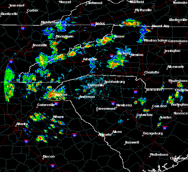 At 453 pm edt, a severe thunderstorm was located 5 miles west of toccoa, moving east at 15 mph (radar indicated). Hazards include 60 mph wind gusts and nickel size hail. expect damage to trees and power lines At 453 pm edt, a severe thunderstorm was located 5 miles west of toccoa, moving east at 15 mph (radar indicated). Hazards include 60 mph wind gusts and nickel size hail. expect damage to trees and power lines
|
| 5/28/2017 1:06 AM EDT |
 The severe thunderstorm warning for stephens, habersham, pickens and oconee counties will expire at 115 am edt, the storms which prompted the warning have weakened below severe limits, and have exited the warned area. therefore the warning will be allowed to expire. however gusty winds are still possible with these thunderstorms. a severe thunderstorm watch remains in effect until 200 am edt for western north carolina. a severe thunderstorm watch also remains in effect until 600 am edt for northeastern georgia, and upstate south carolina. The severe thunderstorm warning for stephens, habersham, pickens and oconee counties will expire at 115 am edt, the storms which prompted the warning have weakened below severe limits, and have exited the warned area. therefore the warning will be allowed to expire. however gusty winds are still possible with these thunderstorms. a severe thunderstorm watch remains in effect until 200 am edt for western north carolina. a severe thunderstorm watch also remains in effect until 600 am edt for northeastern georgia, and upstate south carolina.
|
| 5/28/2017 12:46 AM EDT |
 At 1246 am edt, severe thunderstorms were located along a line extending from 8 miles southwest of pickens to 10 miles south of cleveland, moving southeast at 40 mph (radar indicated). Hazards include 60 mph wind gusts and penny size hail. Expect damage to trees and power lines. Locations impacted include, easley, clemson, toccoa, seneca, walhalla, pickens, clarkesville, central, cornelia and liberty. At 1246 am edt, severe thunderstorms were located along a line extending from 8 miles southwest of pickens to 10 miles south of cleveland, moving southeast at 40 mph (radar indicated). Hazards include 60 mph wind gusts and penny size hail. Expect damage to trees and power lines. Locations impacted include, easley, clemson, toccoa, seneca, walhalla, pickens, clarkesville, central, cornelia and liberty.
|
| 5/28/2017 12:11 AM EDT |
 At 1211 am edt, severe thunderstorms were located along a line extending from 19 miles southwest of brevard to 11 miles south of blairsville, moving southeast at 45 mph (radar indicated). Hazards include 60 mph wind gusts and penny size hail. expect damage to trees and power lines At 1211 am edt, severe thunderstorms were located along a line extending from 19 miles southwest of brevard to 11 miles south of blairsville, moving southeast at 45 mph (radar indicated). Hazards include 60 mph wind gusts and penny size hail. expect damage to trees and power lines
|
| 4/29/2017 6:16 PM EDT |
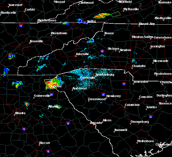 At 616 pm edt, a severe thunderstorm was located 6 miles northeast of toccoa, moving north at 10 mph (radar indicated). Hazards include 60 mph wind gusts and quarter size hail. Minor hail damage to vehicles is expected. Expect wind damage to trees and power lines. At 616 pm edt, a severe thunderstorm was located 6 miles northeast of toccoa, moving north at 10 mph (radar indicated). Hazards include 60 mph wind gusts and quarter size hail. Minor hail damage to vehicles is expected. Expect wind damage to trees and power lines.
|
| 4/29/2017 6:16 PM EDT |
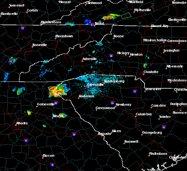 At 616 pm edt, a severe thunderstorm was located 6 miles northeast of toccoa, moving north at 10 mph (radar indicated). Hazards include 60 mph wind gusts and quarter size hail. Minor hail damage to vehicles is expected. Expect wind damage to trees and power lines. At 616 pm edt, a severe thunderstorm was located 6 miles northeast of toccoa, moving north at 10 mph (radar indicated). Hazards include 60 mph wind gusts and quarter size hail. Minor hail damage to vehicles is expected. Expect wind damage to trees and power lines.
|
| 4/27/2017 5:59 PM EDT |
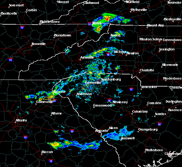 At 558 pm edt, a severe thunderstorm was located 9 miles southeast of clarkesville, or near mount airy, moving east at 30 mph (radar indicated). Hazards include 60 mph wind gusts and quarter size hail. Hail damage to vehicles is expected. expect wind damage to roofs, siding, and trees. Locations impacted include, boydville. At 558 pm edt, a severe thunderstorm was located 9 miles southeast of clarkesville, or near mount airy, moving east at 30 mph (radar indicated). Hazards include 60 mph wind gusts and quarter size hail. Hail damage to vehicles is expected. expect wind damage to roofs, siding, and trees. Locations impacted include, boydville.
|
| 4/27/2017 5:31 PM EDT |
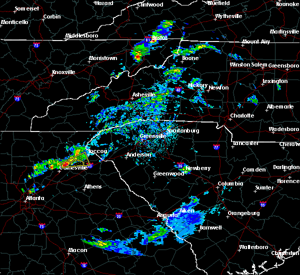 At 530 pm edt, a severe thunderstorm was located 11 miles northeast of gainesville, or near lula, moving east at 30 mph (radar indicated). Hazards include 60 mph wind gusts and quarter size hail. Hail damage to vehicles is expected. Expect wind damage to roofs, siding, and trees. At 530 pm edt, a severe thunderstorm was located 11 miles northeast of gainesville, or near lula, moving east at 30 mph (radar indicated). Hazards include 60 mph wind gusts and quarter size hail. Hail damage to vehicles is expected. Expect wind damage to roofs, siding, and trees.
|
| 4/5/2017 11:31 PM EDT |
 At 1129 pm edt, severe thunderstorms were located along a line extending from 9 miles north of homer to 3 miles northwest of commerce to 5 miles southeast of jefferson, moving northeast at 50 mph (radar indicated). Hazards include 60 mph wind gusts and quarter size hail. a brief tornado cannot be ruled out. Hail damage to vehicles is expected. expect wind damage to roofs, siding, and trees. Locations impacted include, toccoa, seneca, elberton, hartwell, walhalla, carnesville, royston, westminster, reed creek and lavonia. At 1129 pm edt, severe thunderstorms were located along a line extending from 9 miles north of homer to 3 miles northwest of commerce to 5 miles southeast of jefferson, moving northeast at 50 mph (radar indicated). Hazards include 60 mph wind gusts and quarter size hail. a brief tornado cannot be ruled out. Hail damage to vehicles is expected. expect wind damage to roofs, siding, and trees. Locations impacted include, toccoa, seneca, elberton, hartwell, walhalla, carnesville, royston, westminster, reed creek and lavonia.
|
| 4/5/2017 11:19 PM EDT |
 At 1119 pm edt, severe thunderstorms were located along a line extending from 9 miles south of clarkesville to 4 miles north of commerce to 3 miles south of jefferson, moving northeast at 75 mph (radar indicated). Hazards include 60 mph wind gusts and quarter size hail. Hail damage to vehicles is expected. Expect wind damage to roofs, siding, and trees. At 1119 pm edt, severe thunderstorms were located along a line extending from 9 miles south of clarkesville to 4 miles north of commerce to 3 miles south of jefferson, moving northeast at 75 mph (radar indicated). Hazards include 60 mph wind gusts and quarter size hail. Hail damage to vehicles is expected. Expect wind damage to roofs, siding, and trees.
|
| 3/1/2017 5:33 PM EST |
 At 533 pm est, a severe thunderstorm was located near toccoa, moving northeast at 55 mph (radar indicated). Hazards include 60 mph wind gusts and quarter size hail. Hail damage to vehicles is expected. expect wind damage to roofs, siding and trees. Locations impacted include, toccoa, seneca, walhalla, carnesville, westminster, lavonia, gumlog, martin, avalon and lake keowee. At 533 pm est, a severe thunderstorm was located near toccoa, moving northeast at 55 mph (radar indicated). Hazards include 60 mph wind gusts and quarter size hail. Hail damage to vehicles is expected. expect wind damage to roofs, siding and trees. Locations impacted include, toccoa, seneca, walhalla, carnesville, westminster, lavonia, gumlog, martin, avalon and lake keowee.
|
| 3/1/2017 5:09 PM EST |
 At 509 pm est, a severe thunderstorm was located 9 miles northwest of homer, or near alto, moving northeast at 65 mph (radar indicated). Hazards include 60 mph wind gusts and penny size hail. Expect damage to roofs. Siding and trees. At 509 pm est, a severe thunderstorm was located 9 miles northwest of homer, or near alto, moving northeast at 65 mph (radar indicated). Hazards include 60 mph wind gusts and penny size hail. Expect damage to roofs. Siding and trees.
|
| 11/30/2016 3:38 PM EST |
 At 338 pm est, severe thunderstorms were located along a line extending from 5 miles south of walhalla to 8 miles southwest of hartwell to 3 miles southeast of athens, moving east at 40 mph (radar indicated). Hazards include 60 mph wind gusts. Expect damage to roofs. siding and trees. Locations impacted include, anderson, seneca, elberton, hartwell, carnesville, homeland park, belton, williamston, northlake and pendleton. At 338 pm est, severe thunderstorms were located along a line extending from 5 miles south of walhalla to 8 miles southwest of hartwell to 3 miles southeast of athens, moving east at 40 mph (radar indicated). Hazards include 60 mph wind gusts. Expect damage to roofs. siding and trees. Locations impacted include, anderson, seneca, elberton, hartwell, carnesville, homeland park, belton, williamston, northlake and pendleton.
|
| 11/30/2016 3:27 PM EST |
 At 327 pm est, severe thunderstorms were located along a line extending from 20 miles northwest of pickens to near walhalla to 7 miles southeast of toccoa, moving east at 55 mph (radar indicated). Hazards include 60 mph wind gusts. Expect damage to roofs. Siding and trees. At 327 pm est, severe thunderstorms were located along a line extending from 20 miles northwest of pickens to near walhalla to 7 miles southeast of toccoa, moving east at 55 mph (radar indicated). Hazards include 60 mph wind gusts. Expect damage to roofs. Siding and trees.
|
| 11/30/2016 3:16 PM EST |
 At 316 pm est, severe thunderstorms were located along a line extending from 8 miles southwest of toccoa to 6 miles northwest of danielsville to 7 miles north of athens, moving northeast at 60 mph (radar indicated). Hazards include 60 mph wind gusts. Expect damage to roofs. Siding and trees. At 316 pm est, severe thunderstorms were located along a line extending from 8 miles southwest of toccoa to 6 miles northwest of danielsville to 7 miles north of athens, moving northeast at 60 mph (radar indicated). Hazards include 60 mph wind gusts. Expect damage to roofs. Siding and trees.
|
| 11/30/2016 3:05 PM EST |
 At 305 pm est, severe thunderstorms were located along a line extending from 16 miles west of brevard to 15 miles north of walhalla to 6 miles south of clayton to 6 miles southeast of clarkesville, moving east at 45 mph (radar indicated). Hazards include 60 mph wind gusts. Expect damage to roofs. siding and trees. Locations impacted include, toccoa, clayton, clarkesville, cornelia, mount airy, highlands, mountain city, tiger, avalon and dillard. At 305 pm est, severe thunderstorms were located along a line extending from 16 miles west of brevard to 15 miles north of walhalla to 6 miles south of clayton to 6 miles southeast of clarkesville, moving east at 45 mph (radar indicated). Hazards include 60 mph wind gusts. Expect damage to roofs. siding and trees. Locations impacted include, toccoa, clayton, clarkesville, cornelia, mount airy, highlands, mountain city, tiger, avalon and dillard.
|
| 11/30/2016 2:45 PM EST |
 At 245 pm est, severe thunderstorms were located along a line extending from 13 miles southeast of franklin to near clayton to 14 miles southeast of hiawassee to 9 miles southeast of cleveland, moving east at 25 mph (radar indicated). Hazards include 60 mph wind gusts. Expect damage to roofs. Siding and trees. At 245 pm est, severe thunderstorms were located along a line extending from 13 miles southeast of franklin to near clayton to 14 miles southeast of hiawassee to 9 miles southeast of cleveland, moving east at 25 mph (radar indicated). Hazards include 60 mph wind gusts. Expect damage to roofs. Siding and trees.
|
| 6/14/2016 4:42 PM EDT | Many power poles reported blown down on shorewood circl in stephens county GA, 7.9 miles WSW of Toccoa, GA |
| 6/14/2016 4:42 PM EDT | Many power poles reported blown down on shorewood circl in stephens county GA, 7.9 miles WSW of Toccoa, GA |
| 6/14/2016 4:42 PM EDT | Golf Ball sized hail reported 7.9 miles WSW of Toccoa, GA, spotter relayed report of golfball size hail on shorewood circle. |
| 5/11/2016 2:55 PM EDT |
 At 254 pm edt, a severe thunderstorm was located near toccoa, moving southeast at 20 mph (radar indicated). Hazards include 60 mph wind gusts and quarter size hail. Hail damage to vehicles is expected. Expect wind damage to roofs, siding and trees. At 254 pm edt, a severe thunderstorm was located near toccoa, moving southeast at 20 mph (radar indicated). Hazards include 60 mph wind gusts and quarter size hail. Hail damage to vehicles is expected. Expect wind damage to roofs, siding and trees.
|
| 5/11/2016 2:47 PM EDT |
 At 247 pm edt, a severe thunderstorm was located 8 miles northeast of toccoa, or 5 miles west of westminster, moving southeast at 20 mph (radar indicated). Hazards include 60 mph wind gusts and quarter size hail. Hail damage to vehicles is expected. Expect wind damage to roofs, siding and trees. At 247 pm edt, a severe thunderstorm was located 8 miles northeast of toccoa, or 5 miles west of westminster, moving southeast at 20 mph (radar indicated). Hazards include 60 mph wind gusts and quarter size hail. Hail damage to vehicles is expected. Expect wind damage to roofs, siding and trees.
|
| 2/24/2016 8:09 AM EST |
 At 809 am est, doppler radar indicated a severe thunderstorm capable of producing a tornado. this dangerous storm was located near toccoa, and moving northeast at 55 mph. At 809 am est, doppler radar indicated a severe thunderstorm capable of producing a tornado. this dangerous storm was located near toccoa, and moving northeast at 55 mph.
|
| 2/24/2016 8:09 AM EST |
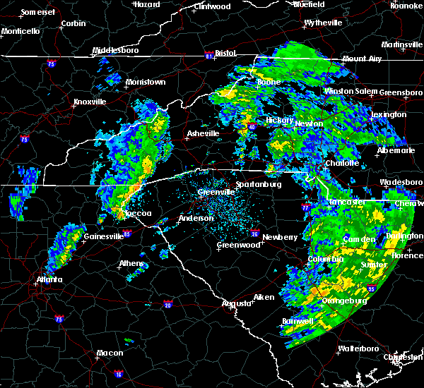 At 809 am est, doppler radar indicated a severe thunderstorm capable of producing a tornado. this dangerous storm was located near toccoa, and moving northeast at 55 mph. At 809 am est, doppler radar indicated a severe thunderstorm capable of producing a tornado. this dangerous storm was located near toccoa, and moving northeast at 55 mph.
|
| 9/5/2015 5:49 PM EDT |
 At 548 pm edt, doppler radar indicated a severe thunderstorm capable of producing quarter size hail and damaging winds in excess of 60 mph. this storm was located 7 miles southeast of toccoa, or near avalon, and moving southwest at 10 mph. * locations in the warning include, carnesville, martin, avalon, eastanolee, gumlog, boydville and toccoa. At 548 pm edt, doppler radar indicated a severe thunderstorm capable of producing quarter size hail and damaging winds in excess of 60 mph. this storm was located 7 miles southeast of toccoa, or near avalon, and moving southwest at 10 mph. * locations in the warning include, carnesville, martin, avalon, eastanolee, gumlog, boydville and toccoa.
|
| 8/17/2015 8:33 PM EDT |
 At 832 pm edt, doppler radar indicated a line of severe thunderstorms capable of producing damaging winds in excess of 60 mph. these storms were located along a line extending from 6 miles southwest of homer to near commerce to 6 miles north of athens, and moving northeast at 35 mph. * locations in the warning include, hartwell, carnesville, royston, reed creek, lavonia, gumlog, bowman, canon, franklin springs and bowersville. At 832 pm edt, doppler radar indicated a line of severe thunderstorms capable of producing damaging winds in excess of 60 mph. these storms were located along a line extending from 6 miles southwest of homer to near commerce to 6 miles north of athens, and moving northeast at 35 mph. * locations in the warning include, hartwell, carnesville, royston, reed creek, lavonia, gumlog, bowman, canon, franklin springs and bowersville.
|
| 8/10/2015 6:05 PM EDT | Trees and powerlines down on falls rd in toccoa in stephens county GA, 0.5 miles SE of Toccoa, GA |
| 8/10/2015 6:03 PM EDT |
 At 602 pm edt, emergency management reported a line of severe thunderstorms producing damaging winds in excess of 60 mph. these storms were located along a line extending from 15 miles north of walhalla to 11 miles northwest of hartwell, moving east at 40 mph. locations impacted include, anderson, easley, clemson, toccoa, seneca, hartwell, walhalla, pickens, carnesville and homeland park. At 602 pm edt, emergency management reported a line of severe thunderstorms producing damaging winds in excess of 60 mph. these storms were located along a line extending from 15 miles north of walhalla to 11 miles northwest of hartwell, moving east at 40 mph. locations impacted include, anderson, easley, clemson, toccoa, seneca, hartwell, walhalla, pickens, carnesville and homeland park.
|
| 8/10/2015 5:27 PM EDT |
 At 526 pm edt, emergency management reported a line of severe thunderstorms producing damaging winds in excess of 60 mph. these storms were located along a line extending from 6 miles northwest of clayton to 9 miles southwest of toccoa, and moving east at 40 mph. * locations in the warning include, anderson, easley, clemson, toccoa, seneca, hartwell, walhalla, pickens, clayton and clarkesville. At 526 pm edt, emergency management reported a line of severe thunderstorms producing damaging winds in excess of 60 mph. these storms were located along a line extending from 6 miles northwest of clayton to 9 miles southwest of toccoa, and moving east at 40 mph. * locations in the warning include, anderson, easley, clemson, toccoa, seneca, hartwell, walhalla, pickens, clayton and clarkesville.
|
| 7/18/2015 5:27 PM EDT | The severe thunderstorm warning for northwestern hart, southeastern stephens, northern franklin and southwestern oconee counties will expire at 530 pm edt, the line of storms which prompted the warning have moved out of the area. therefore the warning will be allowed to expire. however gusty winds are still possible with these thunderstorms. |
| 7/18/2015 5:10 PM EDT |
 At 509 pm edt, doppler radar indicated a line of severe thunderstorms capable of producing quarter size hail and damaging winds in excess of 60 mph. these storms were located along a line extending from 8 miles southwest of seneca to 6 miles south of toccoa, moving southeast at 15 mph. locations impacted include, toccoa, carnesville, lavonia, gumlog, martin, avalon, tugaloo state park, fair play, eastanolee and boydville. At 509 pm edt, doppler radar indicated a line of severe thunderstorms capable of producing quarter size hail and damaging winds in excess of 60 mph. these storms were located along a line extending from 8 miles southwest of seneca to 6 miles south of toccoa, moving southeast at 15 mph. locations impacted include, toccoa, carnesville, lavonia, gumlog, martin, avalon, tugaloo state park, fair play, eastanolee and boydville.
|
| 7/18/2015 4:48 PM EDT |
 At 447 pm edt, doppler radar indicated a severe thunderstorm capable of producing quarter size hail and damaging winds in excess of 60 mph. this storm was located 5 miles northeast of toccoa, and moving southeast at 20 mph. * locations in the warning include, toccoa, carnesville, lavonia, gumlog, martin, avalon, tugaloo state park, fair play, eastanolee and boydville. At 447 pm edt, doppler radar indicated a severe thunderstorm capable of producing quarter size hail and damaging winds in excess of 60 mph. this storm was located 5 miles northeast of toccoa, and moving southeast at 20 mph. * locations in the warning include, toccoa, carnesville, lavonia, gumlog, martin, avalon, tugaloo state park, fair play, eastanolee and boydville.
|
| 7/14/2015 7:35 PM EDT |
 At 734 pm edt, doppler radar indicated a line of severe thunderstorms with a history of producing damaging winds in excess of 60 mph. these storms were located along a line extending from 6 miles east of clemson to 8 miles east of carnesville to 7 miles west of homer, moving southeast at 25 mph. locations impacted include, anderson, clemson, toccoa, seneca, hartwell, carnesville, homeland park, central, lake hartwell, williamston and cornelia. At 734 pm edt, doppler radar indicated a line of severe thunderstorms with a history of producing damaging winds in excess of 60 mph. these storms were located along a line extending from 6 miles east of clemson to 8 miles east of carnesville to 7 miles west of homer, moving southeast at 25 mph. locations impacted include, anderson, clemson, toccoa, seneca, hartwell, carnesville, homeland park, central, lake hartwell, williamston and cornelia.
|
| 7/14/2015 7:07 PM EDT |
 At 705 pm edt, doppler radar indicated a line of severe thunderstorms with a history of producing damaging winds of up to 70 mph. these storms were located along a line extending from 5 miles northeast of walhalla to 5 miles south of toccoa to 9 miles southwest of clarkesville, moving south at 45 mph. locations impacted include, anderson, clemson, toccoa, seneca, hartwell, walhalla, clarkesville, carnesville, lake keowee, lake hartwell, homeland park and central. At 705 pm edt, doppler radar indicated a line of severe thunderstorms with a history of producing damaging winds of up to 70 mph. these storms were located along a line extending from 5 miles northeast of walhalla to 5 miles south of toccoa to 9 miles southwest of clarkesville, moving south at 45 mph. locations impacted include, anderson, clemson, toccoa, seneca, hartwell, walhalla, clarkesville, carnesville, lake keowee, lake hartwell, homeland park and central.
|
| 7/14/2015 7:00 PM EDT | Trees down all over stephens count in stephens county GA, 0.5 miles SE of Toccoa, GA |
| 7/14/2015 6:48 PM EDT |
 At 646 pm edt, doppler radar indicated a line of severe thunderstorms with a history of producing damaging winds up to 60 mph. these storms were located along a line extending from 17 miles southeast of franklin to 8 miles east of clayton to 8 miles northwest of clarkesville, and moving southeast at 40 mph. At 646 pm edt, doppler radar indicated a line of severe thunderstorms with a history of producing damaging winds up to 60 mph. these storms were located along a line extending from 17 miles southeast of franklin to 8 miles east of clayton to 8 miles northwest of clarkesville, and moving southeast at 40 mph.
|
| 6/30/2015 12:50 PM EDT |
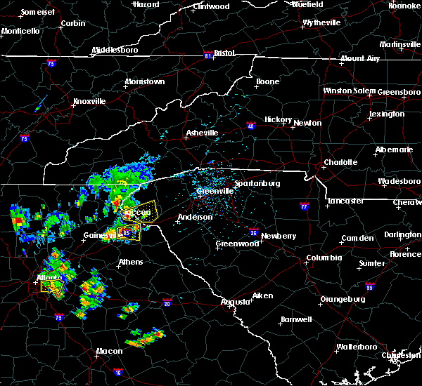 At 1248 pm edt, doppler radar indicated a severe thunderstorm with a history of producing damaging winds in excess of 60 mph. this storm was located 4 miles northeast of toccoa, moving east at 30 mph. penny size hail may also accompany the damaging winds. this storm blew down multiple trees in the mount airy area. locations impacted include, toccoa, seneca, westminster, oakway, townville, fair play and lake keowee. At 1248 pm edt, doppler radar indicated a severe thunderstorm with a history of producing damaging winds in excess of 60 mph. this storm was located 4 miles northeast of toccoa, moving east at 30 mph. penny size hail may also accompany the damaging winds. this storm blew down multiple trees in the mount airy area. locations impacted include, toccoa, seneca, westminster, oakway, townville, fair play and lake keowee.
|
| 6/30/2015 12:45 PM EDT | Multiple trees down. time estimated from rada in stephens county GA, 0.5 miles SE of Toccoa, GA |
| 6/30/2015 12:31 PM EDT |
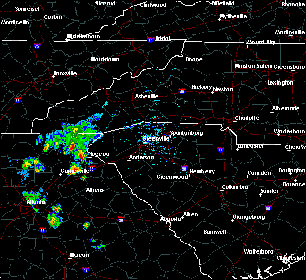 At 1230 pm edt, doppler radar indicated a severe thunderstorm capable of producing damaging winds in excess of 60 mph. this storm was located 5 miles west of toccoa, and moving east at 30 mph. At 1230 pm edt, doppler radar indicated a severe thunderstorm capable of producing damaging winds in excess of 60 mph. this storm was located 5 miles west of toccoa, and moving east at 30 mph.
|
| 6/24/2015 4:39 PM EDT |
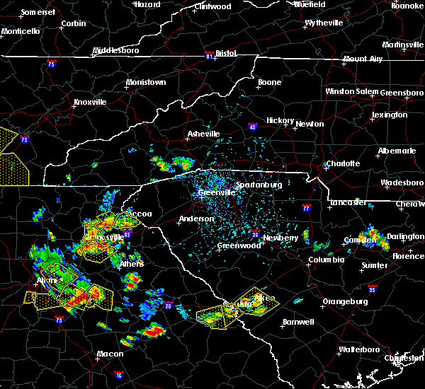 The severe thunderstorm warning for stephens county will expire at 445 pm edt, the storm which prompted the warning has weakened below severe limits and exited the warned area. therefore the warning will be allowed to expire. however heavy rain is still possible with this thunderstorm. The severe thunderstorm warning for stephens county will expire at 445 pm edt, the storm which prompted the warning has weakened below severe limits and exited the warned area. therefore the warning will be allowed to expire. however heavy rain is still possible with this thunderstorm.
|
| 6/24/2015 4:22 PM EDT |
 At 422 pm edt, doppler radar indicated a severe thunderstorm capable of producing damaging winds in excess of 60 mph. this storm was located 5 miles southeast of toccoa, or 4 miles west of avalon, moving south at 5 mph. penny size hail may also accompany the damaging winds. locations impacted include, toccoa, martin, avalon, eastanolee and boydville. At 422 pm edt, doppler radar indicated a severe thunderstorm capable of producing damaging winds in excess of 60 mph. this storm was located 5 miles southeast of toccoa, or 4 miles west of avalon, moving south at 5 mph. penny size hail may also accompany the damaging winds. locations impacted include, toccoa, martin, avalon, eastanolee and boydville.
|
| 6/24/2015 4:04 PM EDT | Several 4 inch diameter limbs down...also pea size hai in stephens county GA, 0.5 miles SE of Toccoa, GA |
| 6/24/2015 4:03 PM EDT |
 At 402 pm edt, doppler radar indicated a severe thunderstorm capable of producing damaging winds in excess of 60 mph. this storm was located near toccoa. this storm was nearly stationary. penny size hail may also accompany the damaging winds. locations impacted include, toccoa, martin, avalon, eastanolee and boydville. At 402 pm edt, doppler radar indicated a severe thunderstorm capable of producing damaging winds in excess of 60 mph. this storm was located near toccoa. this storm was nearly stationary. penny size hail may also accompany the damaging winds. locations impacted include, toccoa, martin, avalon, eastanolee and boydville.
|
| 6/24/2015 4:00 PM EDT | Power outages throughout much of the city of toccoa. trees down on big a road and collins road. time estimated from rada in stephens county GA, 0.5 miles SE of Toccoa, GA |
| 6/24/2015 3:54 PM EDT |
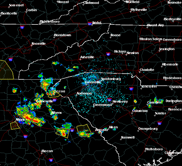 At 354 pm edt, doppler radar indicated a severe thunderstorm capable of producing damaging winds in excess of 60 mph. this storm was located over toccoa. this storm was nearly stationary. penny size hail may also accompany the damaging winds. At 354 pm edt, doppler radar indicated a severe thunderstorm capable of producing damaging winds in excess of 60 mph. this storm was located over toccoa. this storm was nearly stationary. penny size hail may also accompany the damaging winds.
|
| 6/24/2015 3:45 PM EDT |
 At 345 pm edt, doppler radar indicated a severe thunderstorm capable of producing damaging winds in excess of 60 mph. this storm was located 5 miles north of toccoa, or 5 miles southeast of tallulah falls, moving south at 5 mph. penny size hail may also accompany the damaging winds. locations impacted include, tallulah falls, hollywood, turnerville and tallulah gorge state park. At 345 pm edt, doppler radar indicated a severe thunderstorm capable of producing damaging winds in excess of 60 mph. this storm was located 5 miles north of toccoa, or 5 miles southeast of tallulah falls, moving south at 5 mph. penny size hail may also accompany the damaging winds. locations impacted include, tallulah falls, hollywood, turnerville and tallulah gorge state park.
|
| 6/24/2015 3:32 PM EDT |
 At 331 pm edt, doppler radar indicated a severe thunderstorm capable of producing damaging winds in excess of 60 mph. this storm was located 10 miles south of clayton, or over tallulah gorge state park. this storm was nearly stationary. locations impacted include, tallulah falls, hollywood, turnerville and tallulah gorge state park. At 331 pm edt, doppler radar indicated a severe thunderstorm capable of producing damaging winds in excess of 60 mph. this storm was located 10 miles south of clayton, or over tallulah gorge state park. this storm was nearly stationary. locations impacted include, tallulah falls, hollywood, turnerville and tallulah gorge state park.
|
| 6/24/2015 3:32 PM EDT |
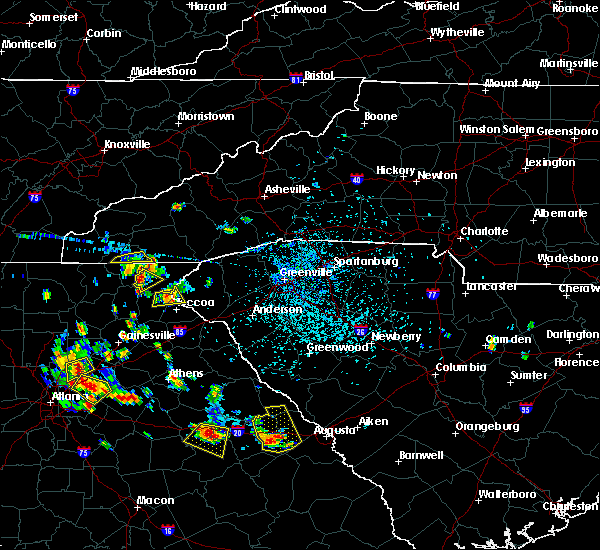 At 331 pm edt, doppler radar indicated a severe thunderstorm capable of producing damaging winds in excess of 60 mph. this storm was located 10 miles south of clayton, or over tallulah gorge state park. this storm was nearly stationary. locations impacted include, tallulah falls, hollywood, turnerville and tallulah gorge state park. At 331 pm edt, doppler radar indicated a severe thunderstorm capable of producing damaging winds in excess of 60 mph. this storm was located 10 miles south of clayton, or over tallulah gorge state park. this storm was nearly stationary. locations impacted include, tallulah falls, hollywood, turnerville and tallulah gorge state park.
|
| 6/24/2015 3:09 PM EDT |
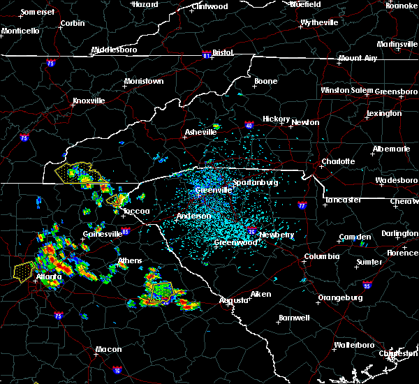 At 309 pm edt, doppler radar indicated a severe thunderstorm capable of producing damaging winds in excess of 60 mph. this storm was located 8 miles south of clayton, or near tallulah gorge state park. this storm was nearly stationary. At 309 pm edt, doppler radar indicated a severe thunderstorm capable of producing damaging winds in excess of 60 mph. this storm was located 8 miles south of clayton, or near tallulah gorge state park. this storm was nearly stationary.
|
| 6/18/2015 4:45 PM EDT | Tree limb 6 incehs in diameter dow in stephens county GA, 0.5 miles SW of Toccoa, GA |
| 5/10/2015 5:41 PM EDT | The severe thunderstorm warning for stephens county will expire at 545 pm edt, the storm which prompted the warning has weakened below severe limits, and no longer poses an immediate threat to life or property. therefore the warning will be allowed to expire. to report severe weather, contact your nearest law enforcement agency. they will relay your report to the national weather service greenville-spartanburg. |
| 5/10/2015 5:23 PM EDT | At 523 pm edt, doppler radar indicated a severe thunderstorm capable of producing quarter size hail and damaging winds in excess of 60 mph. this storm was located over toccoa, moving south at 15 mph. locations impacted include, toccoa, eastanolee and boydville. |
| 5/10/2015 5:03 PM EDT | Quarter sized hail reported 5.3 miles SE of Toccoa, GA, quarter size hail reported on black mountain road. |
| 5/10/2015 5:03 PM EDT | Few trees blown down along black mountain roa in stephens county GA, 5.3 miles SE of Toccoa, GA |
| 5/10/2015 4:58 PM EDT | At 458 pm edt, doppler radar indicated a severe thunderstorm capable of producing quarter size hail and damaging winds in excess of 60 mph. this storm was located near toccoa, and moving south at 10 mph. |
| 4/20/2015 3:02 PM EDT | At 252 pm edt, national weather service doppler radar indicated a severe thunderstorm capable of producing quarter size hail. this storm was located 8 miles southwest of toccoa, and moving east at 35 mph. * the severe thunderstorm will be near, martin by 310 pm edt, 8 miles north of lavonia by 315 pm edt, whitworth by 320 pm edt, 7 miles south of westminster by 325 pm edt, fair play by 330 pm edt,. |
| 4/20/2015 3:02 PM EDT | At 252 pm edt, national weather service doppler radar indicated a severe thunderstorm capable of producing quarter size hail. this storm was located 8 miles southwest of toccoa, and moving east at 35 mph. * the severe thunderstorm will be near, martin by 310 pm edt, 8 miles north of lavonia by 315 pm edt, whitworth by 320 pm edt, 7 miles south of westminster by 325 pm edt, fair play by 330 pm edt,. |
| 4/20/2015 2:05 PM EDT | At 204 pm edt, doppler radar indicated a severe thunderstorm capable of producing quarter size hail and damaging winds in excess of 60 mph. this storm was located 5 miles northwest of toccoa, and moving northeast at 35 mph. |
| 4/20/2015 2:05 PM EDT | At 204 pm edt, doppler radar indicated a severe thunderstorm capable of producing quarter size hail and damaging winds in excess of 60 mph. this storm was located 5 miles northwest of toccoa, and moving northeast at 35 mph. |
| 8/7/2014 4:55 PM EDT | Report of two trees down at camp mikell. time estimated by rada in stephens county GA, 3.9 miles SSE of Toccoa, GA |
| 5/27/2014 6:05 PM EDT | 7 trees blown down on fernside drive in stephens county GA, 1.5 miles WSW of Toccoa, GA |
| 7/22/2013 8:00 PM EDT | Damage reported around black mountain golf course. damage path visible through tree stand...with tree tops possibly twisted off. also...trees and power lines down nearb in stephens county GA, 4.9 miles SE of Toccoa, GA |
| 7/17/2013 5:35 PM EDT | Multiple trees down across stephens county. many trees down on highway 123 about a mile from lake hartwell where a semi crashed into a fallen tree on the highway. also in stephens county GA, 0.5 miles SE of Toccoa, GA |
| 8/2/2012 9:04 PM EDT | Several trees and powerlines down on the north side of toccoa...ga. time determined by rada in stephens county GA, 0.5 miles SE of Toccoa, GA |
| 7/18/2012 5:50 PM EDT | Multiple trees down on prather bridge rd in stephens county GA, 2.6 miles SSW of Toccoa, GA |
| 7/5/2012 8:48 PM EDT | One tree down and a couple powerlines dow in stephens county GA, 0.5 miles SE of Toccoa, GA |
| 7/1/2012 10:50 PM EDT | Gas station clerk reported multiple limbs down in the area surrounding the gas statio in habersham county GA, 7.3 miles ESE of Toccoa, GA |
| 4/3/2012 4:40 PM EDT | Quarter sized hail reported 3.2 miles SSW of Toccoa, GA |
| 1/1/0001 12:00 AM | Trained spotter reported the tops of pine trees snapped off at neighbors house on n hicks rd. also reported two trees down at n hicks rd and garland r in stephens county GA, 3.7 miles NNE of Toccoa, GA |
| 1/1/0001 12:00 AM | Large tree limbs blown down off barrett driv in stephens county GA, 5.8 miles N of Toccoa, GA |
| 1/1/0001 12:00 AM | One tree down near the intersection of pond street and curahee roa in stephens county GA, 0.5 miles SE of Toccoa, GA |
| 1/1/0001 12:00 AM | One tree down near the intersection of coker road and race track roa in stephens county GA, 4.5 miles N of Toccoa, GA |
| 1/1/0001 12:00 AM | Three large trees down on power lines at andrews road and skyline drive. several trees also reported down around the count in stephens county GA, 0.5 miles SE of Toccoa, GA |
| 1/1/0001 12:00 AM | Trees uprooted along andrews rd in stephens county GA, 1.1 miles NNW of Toccoa, GA |
| 1/1/0001 12:00 AM | Tree on powerline near swift rd in stephens county GA, 1.3 miles NE of Toccoa, GA |
| 1/1/0001 12:00 AM | Spotter reports trees and power lines down in the highway 17 are in stephens county GA, 0.5 miles SE of Toccoa, GA |
| 1/1/0001 12:00 AM | Several trees down mainly along rock creek road...but also on wolf pit road at turner road...williams circle...brookhaven...all in east central stephens count in stephens county GA, 3.3 miles WNW of Toccoa, GA |
| 1/1/0001 12:00 AM | One large 3 to 4 inch diameter limb down on moreland drive. winds estimated at 60 mp in stephens county GA, 1.3 miles NW of Toccoa, GA |
| 1/1/0001 12:00 AM | Quarter sized hail reported 3.1 miles NW of Toccoa, GA, 1 inch hail in the walmart parking lot se of toccoa. |
Hail Maps for Toccoa, GA


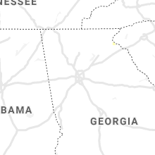


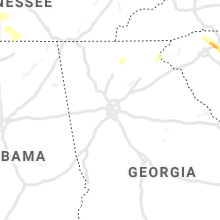
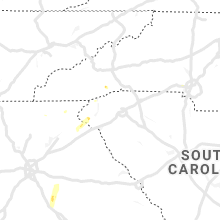


Connect with Interactive Hail Maps