

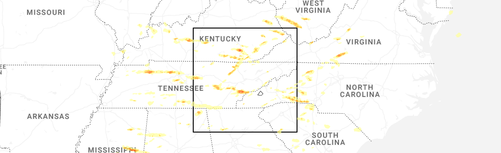
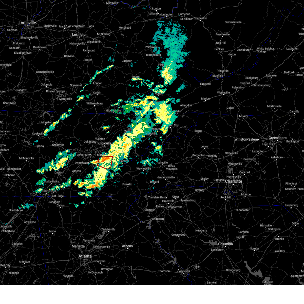
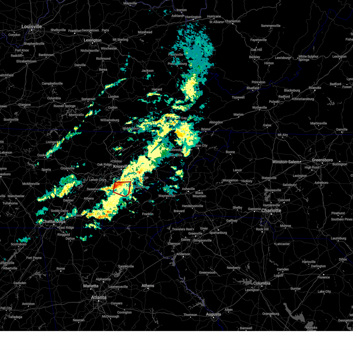
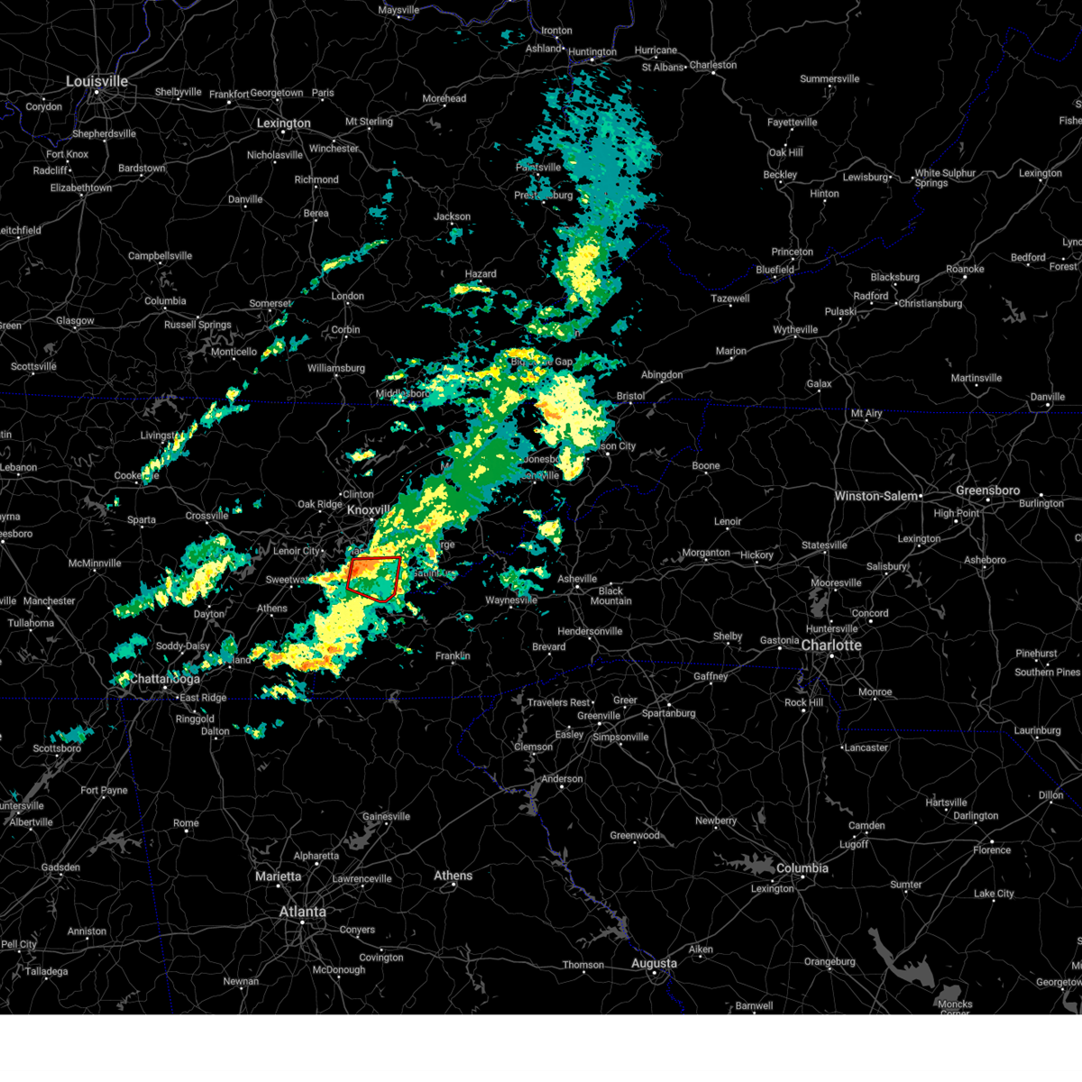
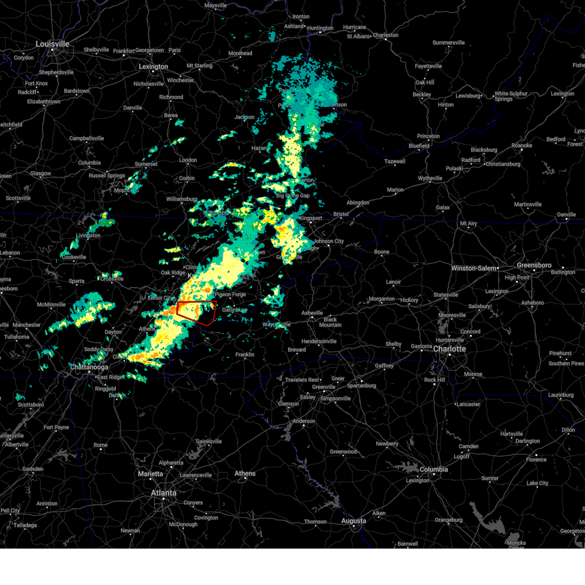
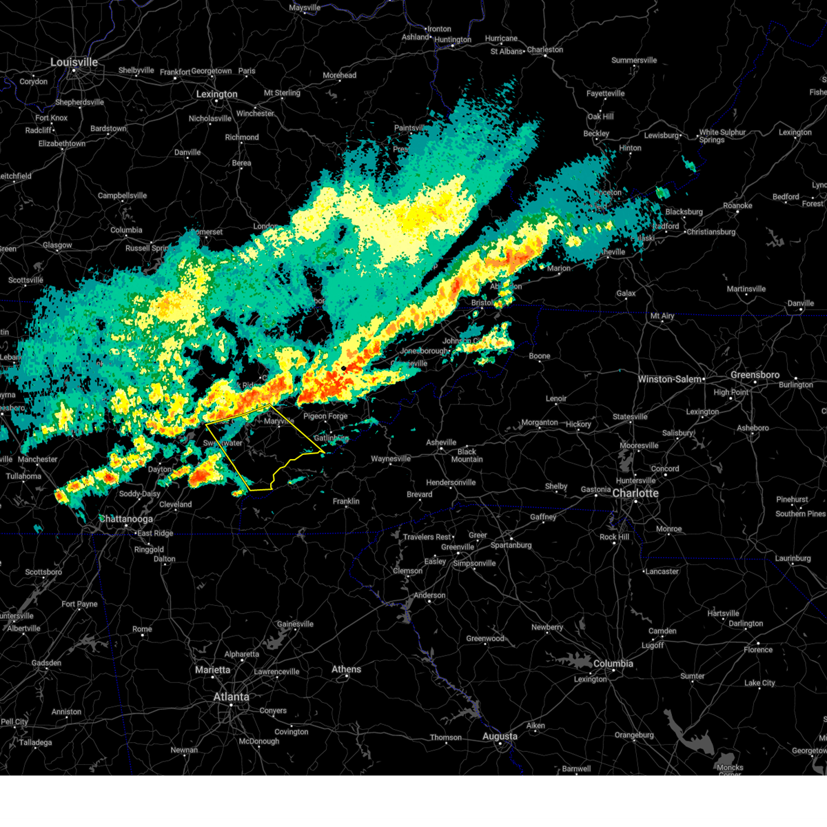
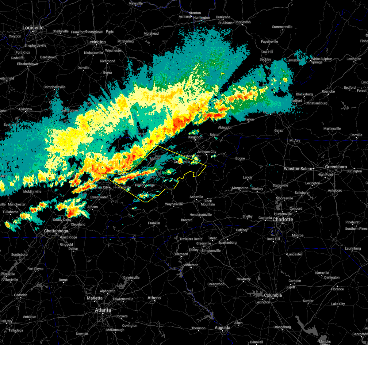
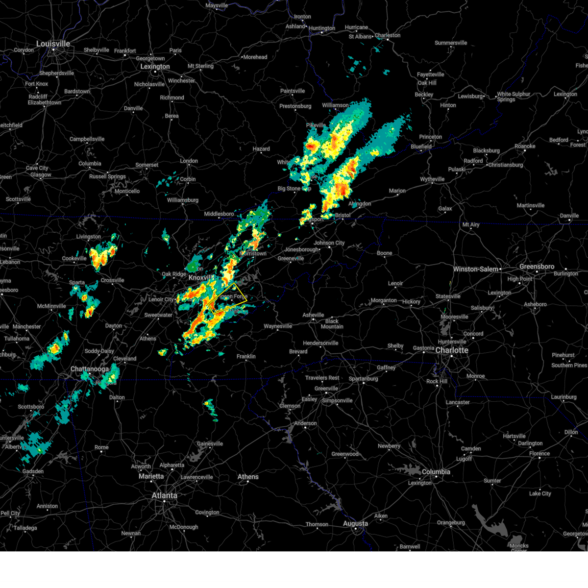
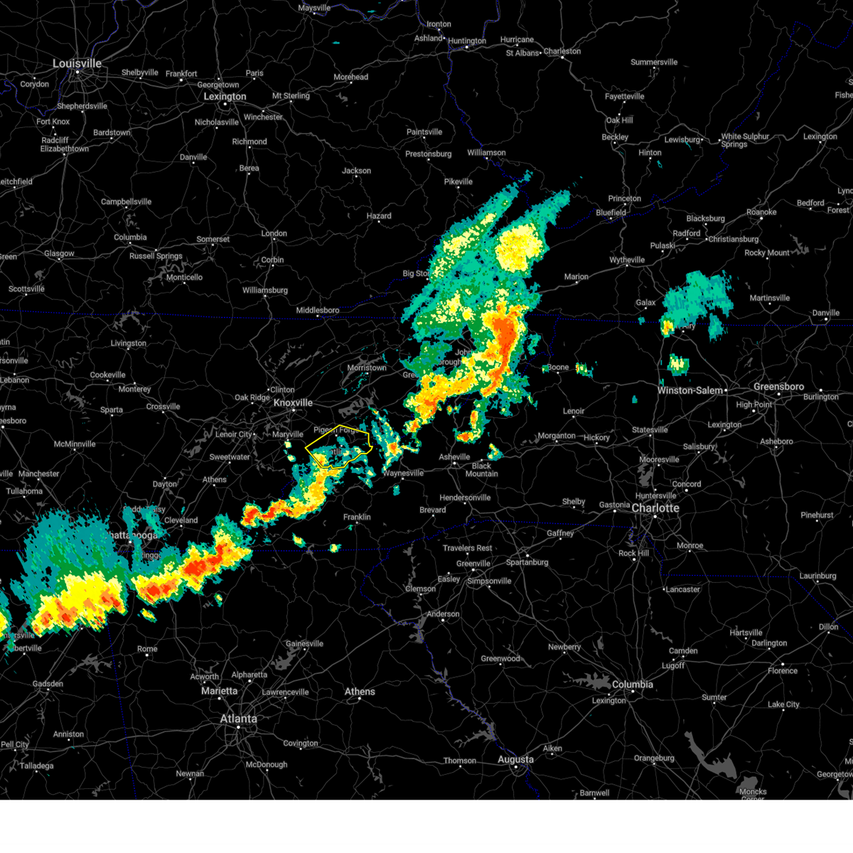
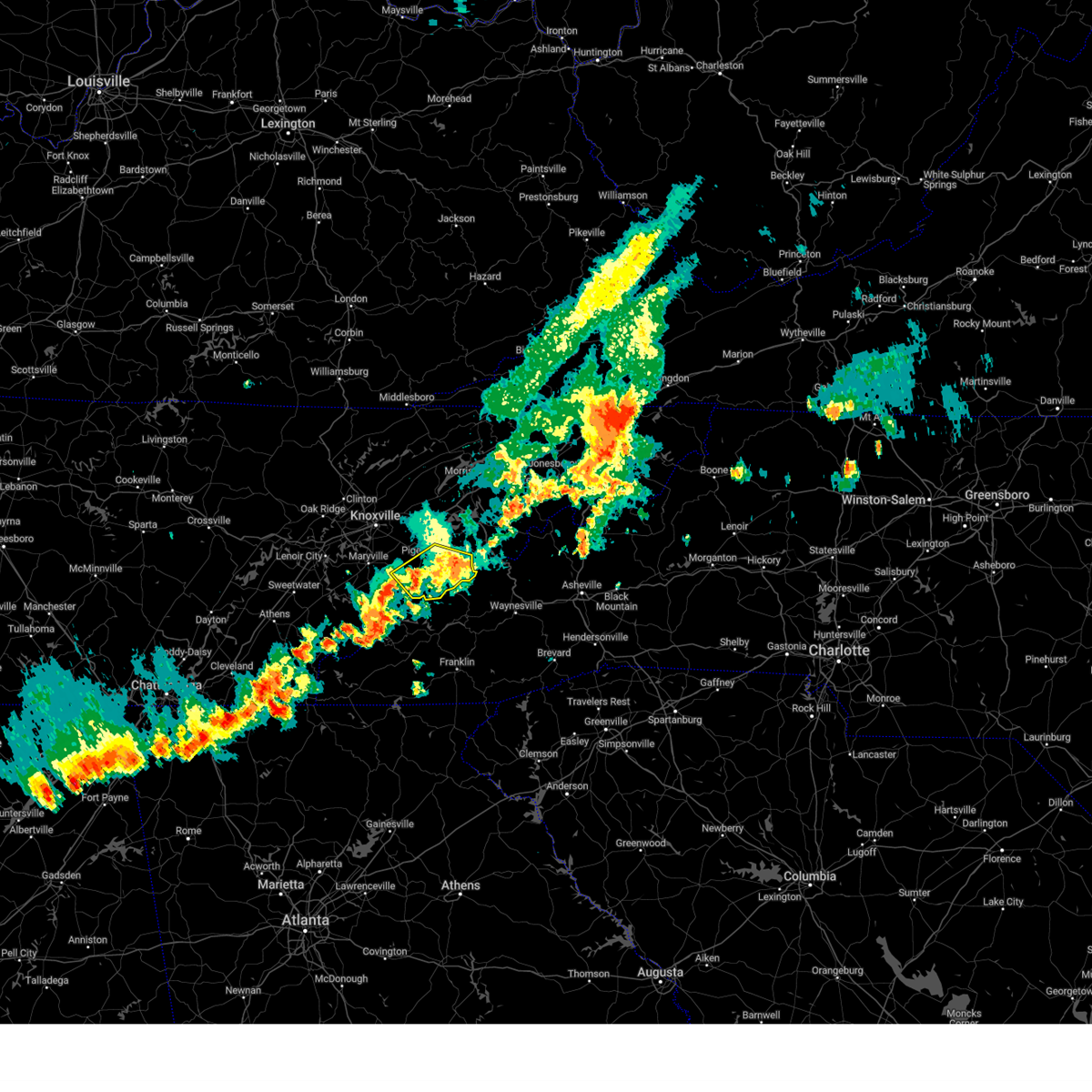
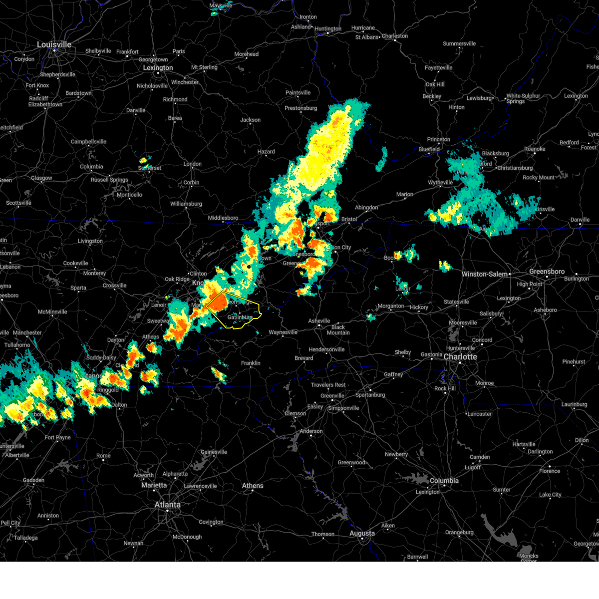
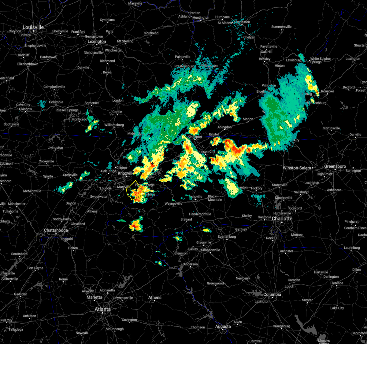
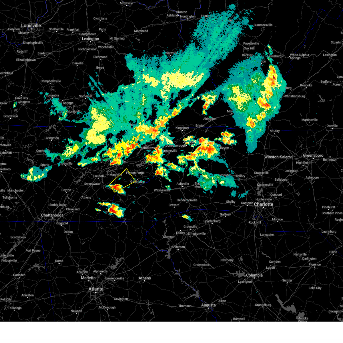
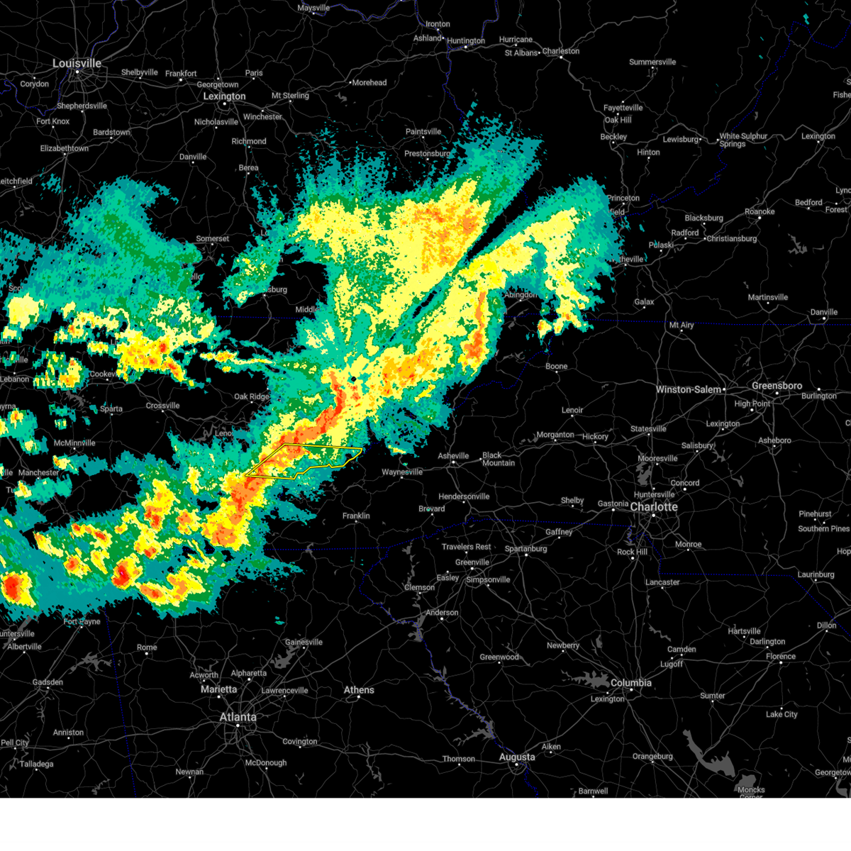
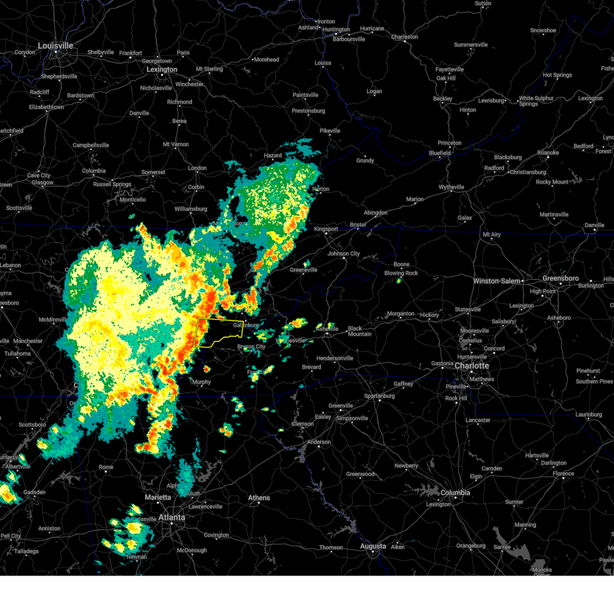
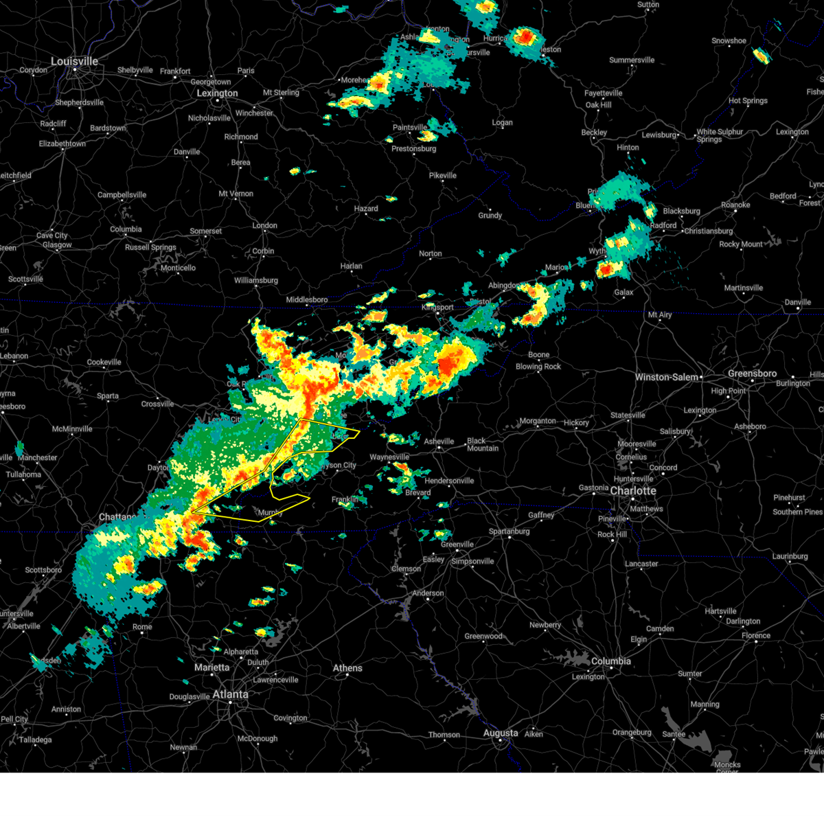
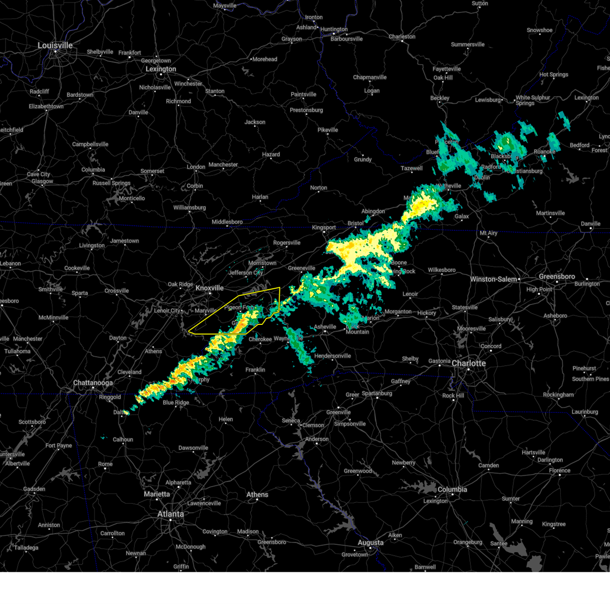
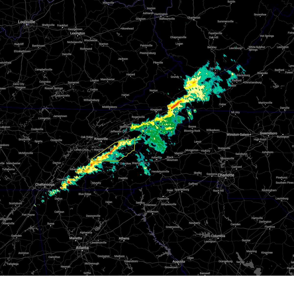
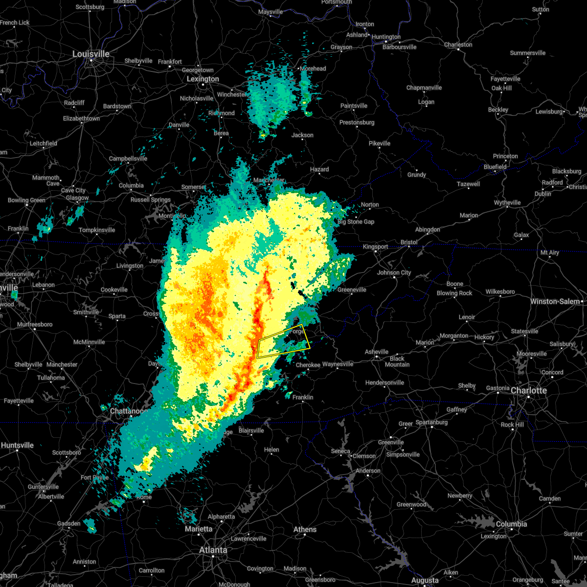
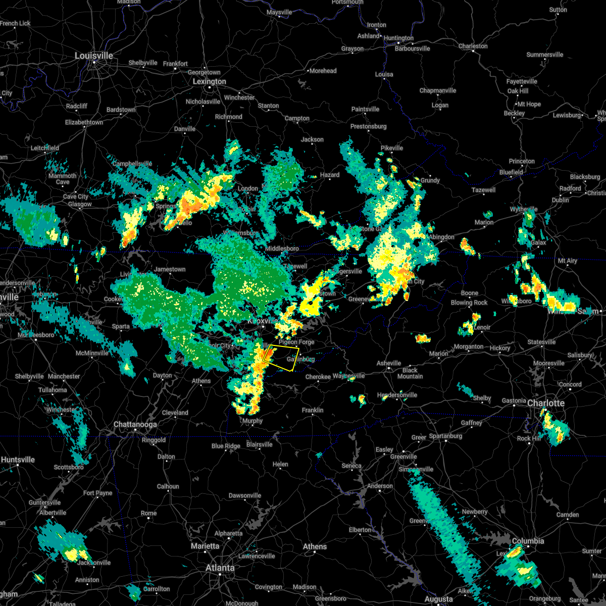
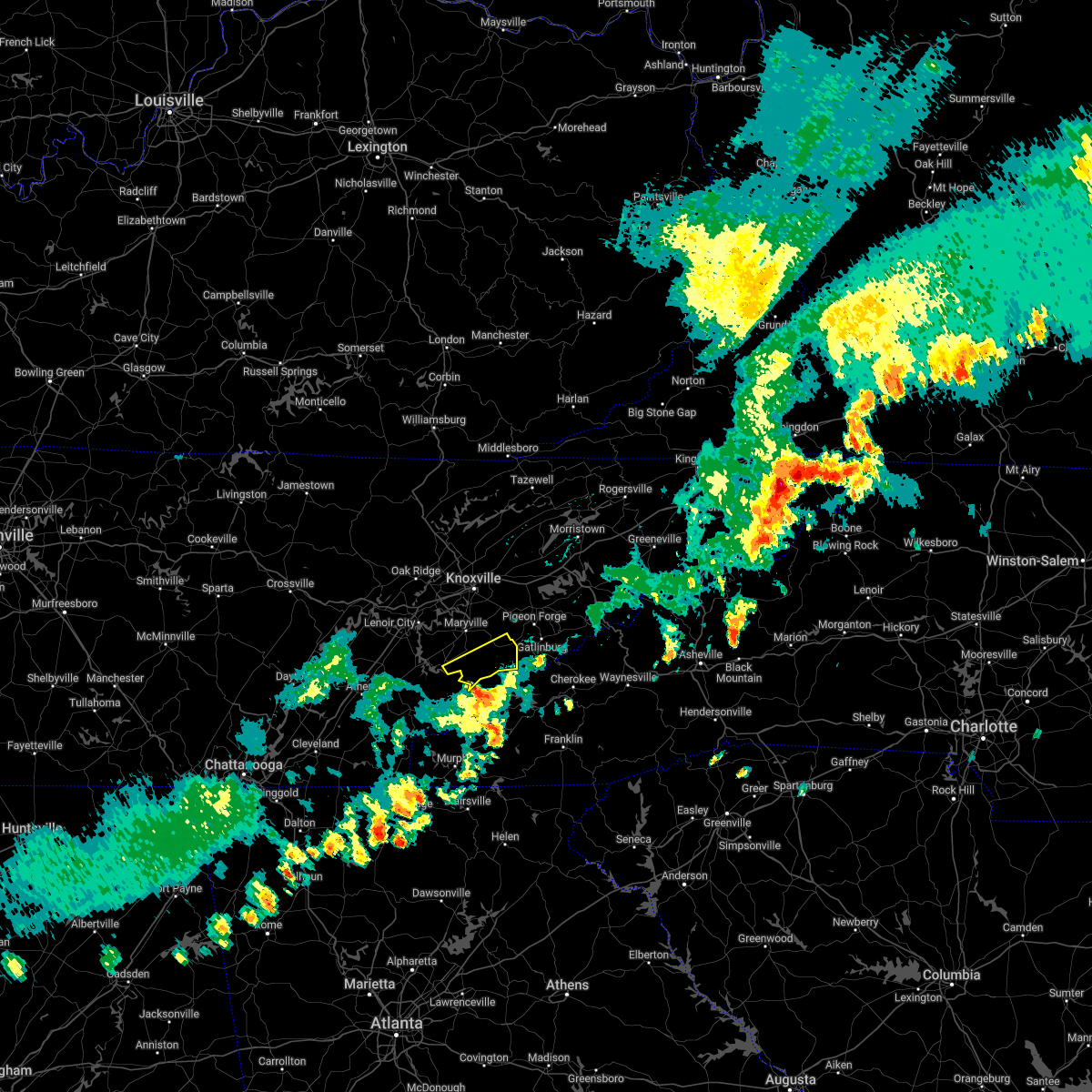
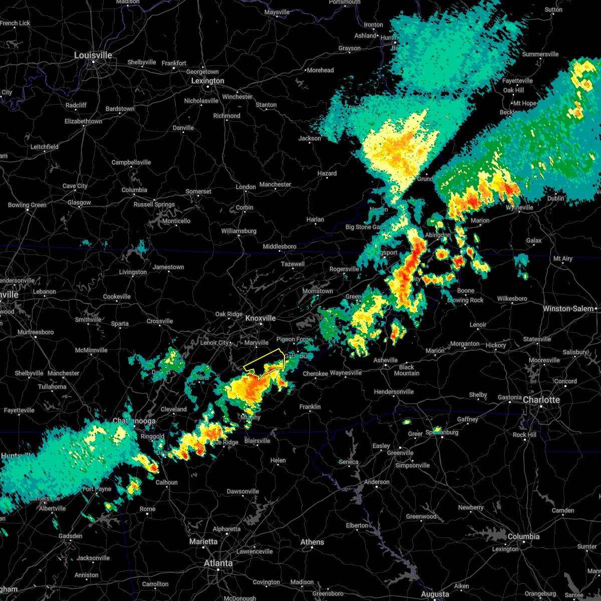
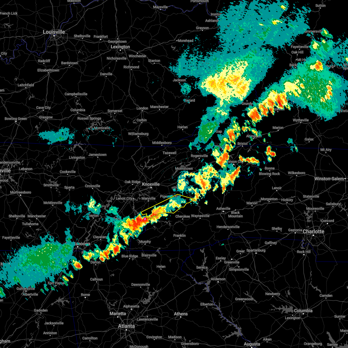
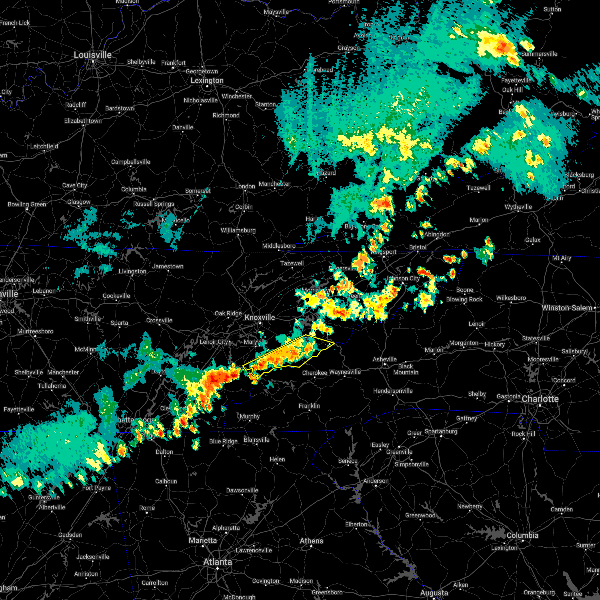
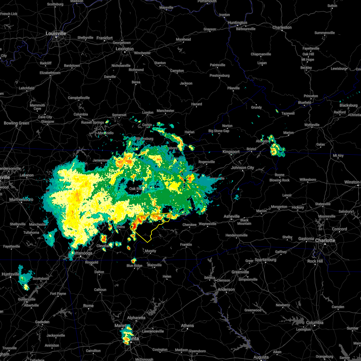
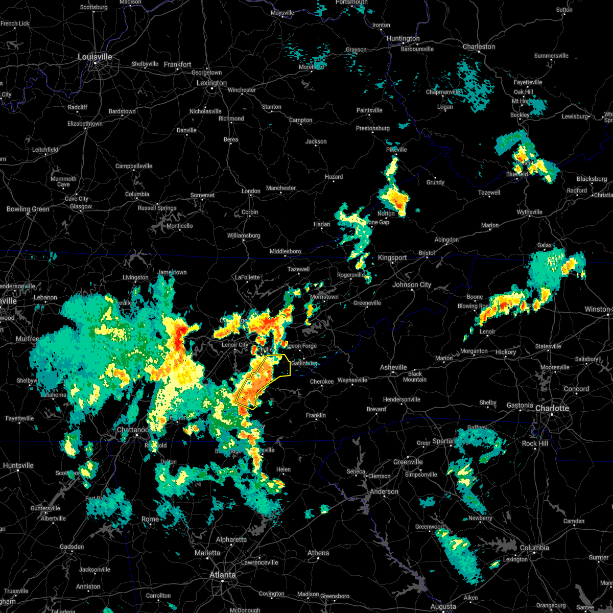
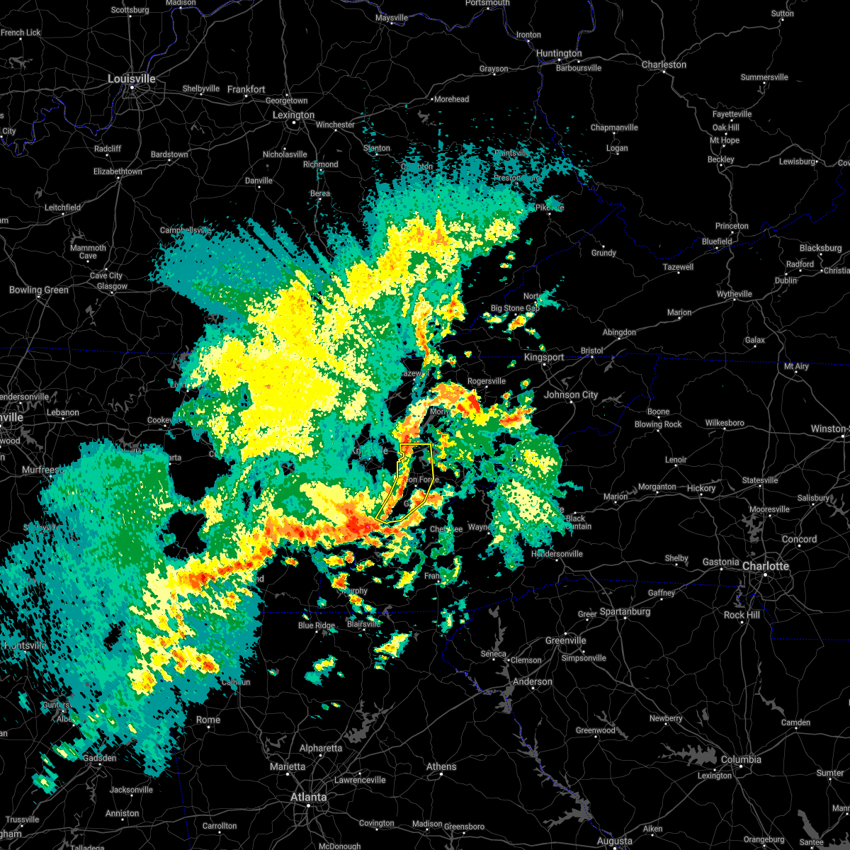
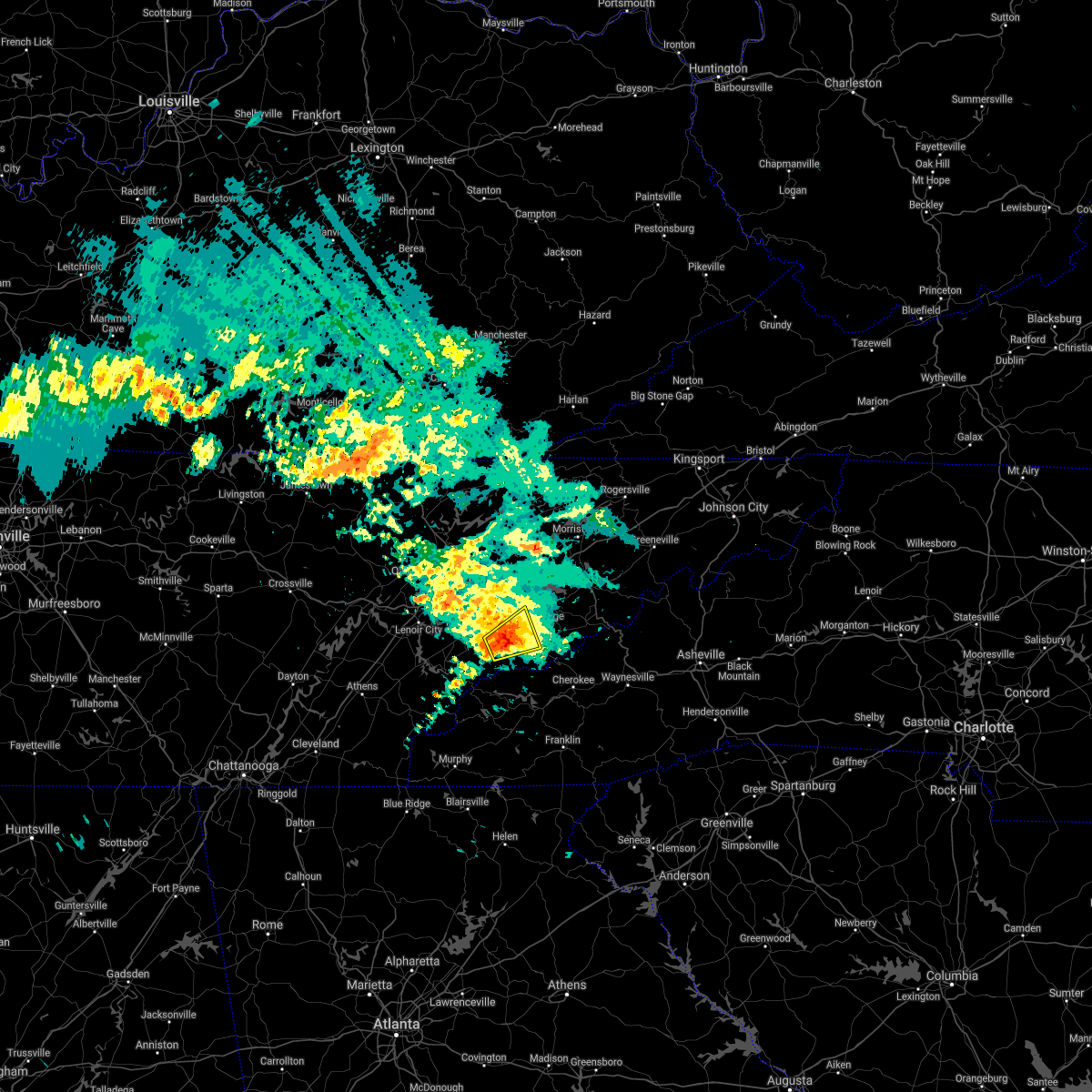
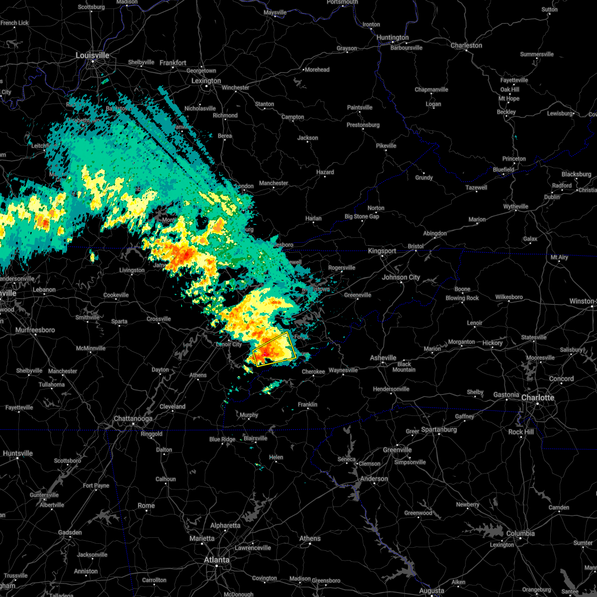
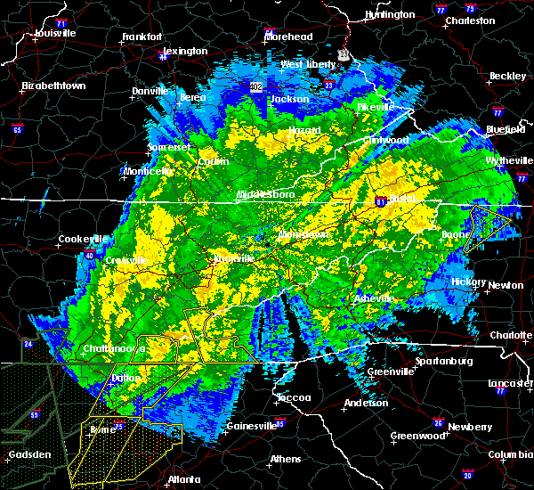
Hail Map for Townsend, TN
The Townsend, TN area has had 5 reports of on-the-ground hail by trained spotters, and has been under severe weather warnings 17 times during the past 12 months. Doppler radar has detected hail at or near Townsend, TN on 35 occasions, including 2 occasions during the past year.
| Name: | Townsend, TN |
| Where Located: | 21.8 miles SSE of Knoxville, TN |
| Map: | Google Map for Townsend, TN |
| Population: | 448 |
| Housing Units: | 354 |
| More Info: | Search Google for Townsend, TN |
0
The Top Recent Hail Date for Townsend, TN is Thursday, May 8, 2025 (30th out of 35)
Hail and Wind Damage Spotted near Townsend, TN
| Date / Time | Report Details |
|---|---|
| 5/30/2025 9:33 AM EDT |
 the tornado warning has been cancelled and is no longer in effect the tornado warning has been cancelled and is no longer in effect
|
| 5/30/2025 9:24 AM EDT |
 the tornado warning has been cancelled and is no longer in effect the tornado warning has been cancelled and is no longer in effect
|
| 5/30/2025 9:24 AM EDT |
 At 923 am edt, a severe thunderstorm capable of producing a tornado was located near maryville, moving east at 30 mph (radar indicated rotation). Hazards include tornado. Flying debris will be dangerous to those caught without shelter. mobile homes will be damaged or destroyed. damage to roofs, windows, and vehicles will occur. tree damage is likely. this dangerous storm will be near, maryville around 930 am edt. smoky mountains-fontana area around 935 am edt. Other locations impacted by this tornadic thunderstorm include townsend, walland, cades cove, and happy valley. At 923 am edt, a severe thunderstorm capable of producing a tornado was located near maryville, moving east at 30 mph (radar indicated rotation). Hazards include tornado. Flying debris will be dangerous to those caught without shelter. mobile homes will be damaged or destroyed. damage to roofs, windows, and vehicles will occur. tree damage is likely. this dangerous storm will be near, maryville around 930 am edt. smoky mountains-fontana area around 935 am edt. Other locations impacted by this tornadic thunderstorm include townsend, walland, cades cove, and happy valley.
|
| 5/30/2025 9:10 AM EDT |
 Tormrx the national weather service in morristown has issued a * tornado warning for, southeastern loudon county in east tennessee, central blount county in east tennessee, * until 945 am edt. * at 910 am edt, a severe thunderstorm capable of producing a tornado was located 11 miles southwest of maryville, moving east at 25 mph (radar indicated rotation). Hazards include tornado. Flying debris will be dangerous to those caught without shelter. mobile homes will be damaged or destroyed. damage to roofs, windows, and vehicles will occur. tree damage is likely. this dangerous storm will be near, maryville around 915 am edt. Other locations impacted by this tornadic thunderstorm include greenback, townsend, clover hill, walland, cades cove, happy valley, and friendsville. Tormrx the national weather service in morristown has issued a * tornado warning for, southeastern loudon county in east tennessee, central blount county in east tennessee, * until 945 am edt. * at 910 am edt, a severe thunderstorm capable of producing a tornado was located 11 miles southwest of maryville, moving east at 25 mph (radar indicated rotation). Hazards include tornado. Flying debris will be dangerous to those caught without shelter. mobile homes will be damaged or destroyed. damage to roofs, windows, and vehicles will occur. tree damage is likely. this dangerous storm will be near, maryville around 915 am edt. Other locations impacted by this tornadic thunderstorm include greenback, townsend, clover hill, walland, cades cove, happy valley, and friendsville.
|
| 5/17/2025 3:38 AM EDT |
 Svrmrx the national weather service in morristown has issued a * severe thunderstorm warning for, southern blount county in east tennessee, central monroe county in east tennessee, southwestern sevier county in east tennessee, * until 430 am edt. * at 338 am edt, a severe thunderstorm was located 8 miles east of madisonville, moving east at 55 mph (radar indicated). Hazards include 60 mph wind gusts and quarter size hail. Hail damage to vehicles is expected. Expect wind damage to roofs, siding, and trees. Svrmrx the national weather service in morristown has issued a * severe thunderstorm warning for, southern blount county in east tennessee, central monroe county in east tennessee, southwestern sevier county in east tennessee, * until 430 am edt. * at 338 am edt, a severe thunderstorm was located 8 miles east of madisonville, moving east at 55 mph (radar indicated). Hazards include 60 mph wind gusts and quarter size hail. Hail damage to vehicles is expected. Expect wind damage to roofs, siding, and trees.
|
| 5/17/2025 3:09 AM EDT |
 Svrmrx the national weather service in morristown has issued a * severe thunderstorm warning for, northeastern blount county in east tennessee, southwestern washington county in east tennessee, southern jefferson county in east tennessee, cocke county in east tennessee, southeastern greene county in east tennessee, southwestern unicoi county in east tennessee, sevier county in east tennessee, * until 345 am edt. * at 309 am edt, severe thunderstorms were located along a line extending from near tusculum to near newport to near alcoa, moving east at 50 mph (radar indicated). Hazards include 60 mph wind gusts and nickel size hail. expect damage to roofs, siding, and trees Svrmrx the national weather service in morristown has issued a * severe thunderstorm warning for, northeastern blount county in east tennessee, southwestern washington county in east tennessee, southern jefferson county in east tennessee, cocke county in east tennessee, southeastern greene county in east tennessee, southwestern unicoi county in east tennessee, sevier county in east tennessee, * until 345 am edt. * at 309 am edt, severe thunderstorms were located along a line extending from near tusculum to near newport to near alcoa, moving east at 50 mph (radar indicated). Hazards include 60 mph wind gusts and nickel size hail. expect damage to roofs, siding, and trees
|
| 5/17/2025 3:01 AM EDT |
 the severe thunderstorm warning has been cancelled and is no longer in effect the severe thunderstorm warning has been cancelled and is no longer in effect
|
| 5/17/2025 3:01 AM EDT |
 At 301 am edt, severe thunderstorms were located along a line extending from near pine crest to near hot springs to 6 miles east of gatlinburg, moving east at 70 mph (radar indicated). Hazards include 70 mph wind gusts and quarter size hail. Hail damage to vehicles is expected. expect considerable tree damage. wind damage is also likely to mobile homes, roofs, and outbuildings. locations impacted include, caney branch, gatlinburg, smoky mountains-newfound gap, banner hill, bird crossing, alcoa, rocky fork, kimberlin heights, sevierville, and pittman center. this includes the following highways, interstate 26 in tennessee between mile markers 37 and 52. interstate 40 in tennessee between mile markers 371 and 451. Interstate 81 in tennessee between mile markers 1 and 2, and between mile markers 16 and 32. At 301 am edt, severe thunderstorms were located along a line extending from near pine crest to near hot springs to 6 miles east of gatlinburg, moving east at 70 mph (radar indicated). Hazards include 70 mph wind gusts and quarter size hail. Hail damage to vehicles is expected. expect considerable tree damage. wind damage is also likely to mobile homes, roofs, and outbuildings. locations impacted include, caney branch, gatlinburg, smoky mountains-newfound gap, banner hill, bird crossing, alcoa, rocky fork, kimberlin heights, sevierville, and pittman center. this includes the following highways, interstate 26 in tennessee between mile markers 37 and 52. interstate 40 in tennessee between mile markers 371 and 451. Interstate 81 in tennessee between mile markers 1 and 2, and between mile markers 16 and 32.
|
| 5/17/2025 2:42 AM EDT |
 Svrmrx the national weather service in morristown has issued a * severe thunderstorm warning for, loudon county in east tennessee, southwestern knox county in east tennessee, blount county in east tennessee, monroe county in east tennessee, southeastern roane county in east tennessee, south central sevier county in east tennessee, * until 330 am edt. * at 242 am edt, severe thunderstorms were located along a line extending from near rockford to near lenoir city to near fairview, moving southeast at 50 mph (radar indicated). Hazards include 60 mph wind gusts. expect damage to roofs, siding, and trees Svrmrx the national weather service in morristown has issued a * severe thunderstorm warning for, loudon county in east tennessee, southwestern knox county in east tennessee, blount county in east tennessee, monroe county in east tennessee, southeastern roane county in east tennessee, south central sevier county in east tennessee, * until 330 am edt. * at 242 am edt, severe thunderstorms were located along a line extending from near rockford to near lenoir city to near fairview, moving southeast at 50 mph (radar indicated). Hazards include 60 mph wind gusts. expect damage to roofs, siding, and trees
|
| 5/17/2025 2:15 AM EDT |
 Svrmrx the national weather service in morristown has issued a * severe thunderstorm warning for, southwestern hawkins county in east tennessee, south central anderson county in east tennessee, knox county in east tennessee, jefferson county in east tennessee, cocke county in east tennessee, greene county in east tennessee, grainger county in east tennessee, southwestern unicoi county in east tennessee, sevier county in east tennessee, northeastern blount county in east tennessee, southwestern washington county in east tennessee, southwestern hancock county in east tennessee, northeastern roane county in east tennessee, hamblen county in east tennessee, * until 315 am edt. * at 214 am edt, severe thunderstorms were located along a line extending from 6 miles south of sneedville to 10 miles northeast of knoxville to near oak ridge, moving east at 70 mph (radar indicated). Hazards include 70 mph wind gusts and nickel size hail. Expect considerable tree damage. Damage is likely to mobile homes, roofs, and outbuildings. Svrmrx the national weather service in morristown has issued a * severe thunderstorm warning for, southwestern hawkins county in east tennessee, south central anderson county in east tennessee, knox county in east tennessee, jefferson county in east tennessee, cocke county in east tennessee, greene county in east tennessee, grainger county in east tennessee, southwestern unicoi county in east tennessee, sevier county in east tennessee, northeastern blount county in east tennessee, southwestern washington county in east tennessee, southwestern hancock county in east tennessee, northeastern roane county in east tennessee, hamblen county in east tennessee, * until 315 am edt. * at 214 am edt, severe thunderstorms were located along a line extending from 6 miles south of sneedville to 10 miles northeast of knoxville to near oak ridge, moving east at 70 mph (radar indicated). Hazards include 70 mph wind gusts and nickel size hail. Expect considerable tree damage. Damage is likely to mobile homes, roofs, and outbuildings.
|
| 9/25/2024 9:23 AM EDT |
 Svrmrx the national weather service in morristown has issued a * severe thunderstorm warning for, east central blount county in east tennessee, central sevier county in east tennessee, * until 1015 am edt. * at 923 am edt, a severe thunderstorm was located 11 miles southeast of eagleton village, or 12 miles east of maryville, moving northeast at 25 mph (radar indicated). Hazards include 60 mph wind gusts and penny size hail. expect damage to roofs, siding, and trees Svrmrx the national weather service in morristown has issued a * severe thunderstorm warning for, east central blount county in east tennessee, central sevier county in east tennessee, * until 1015 am edt. * at 923 am edt, a severe thunderstorm was located 11 miles southeast of eagleton village, or 12 miles east of maryville, moving northeast at 25 mph (radar indicated). Hazards include 60 mph wind gusts and penny size hail. expect damage to roofs, siding, and trees
|
| 8/16/2024 6:39 PM EDT |
 The storm which prompted the warning has moved out of the area. therefore, the warning will be allowed to expire. however, gusty winds and localized flooding are still possible with this thunderstorm. The storm which prompted the warning has moved out of the area. therefore, the warning will be allowed to expire. however, gusty winds and localized flooding are still possible with this thunderstorm.
|
| 8/16/2024 6:16 PM EDT |
 At 616 pm edt, a severe thunderstorm was located 7 miles northwest of smoky mountains-balsam mountain, or 13 miles southeast of gatlinburg, moving southeast at 40 mph (radar indicated). Hazards include 60 mph wind gusts. Expect damage to roofs, siding, and trees. Locations impacted include, sevierville, gatlinburg, pigeon forge, smoky mountains-newfound gap, smoky mountains-fontana area, smoky mountains-balsam mountain, pittman center, townsend, wears valley, and elkmont. At 616 pm edt, a severe thunderstorm was located 7 miles northwest of smoky mountains-balsam mountain, or 13 miles southeast of gatlinburg, moving southeast at 40 mph (radar indicated). Hazards include 60 mph wind gusts. Expect damage to roofs, siding, and trees. Locations impacted include, sevierville, gatlinburg, pigeon forge, smoky mountains-newfound gap, smoky mountains-fontana area, smoky mountains-balsam mountain, pittman center, townsend, wears valley, and elkmont.
|
| 8/16/2024 5:38 PM EDT |
 Svrmrx the national weather service in morristown has issued a * severe thunderstorm warning for, northeastern blount county in east tennessee, sevier county in east tennessee, * until 645 pm edt. * at 538 pm edt, a severe thunderstorm was located 7 miles west of pigeon forge, or 9 miles southwest of sevierville, moving southeast at 40 mph (radar indicated). Hazards include 60 mph wind gusts and nickel size hail. expect damage to roofs, siding, and trees Svrmrx the national weather service in morristown has issued a * severe thunderstorm warning for, northeastern blount county in east tennessee, sevier county in east tennessee, * until 645 pm edt. * at 538 pm edt, a severe thunderstorm was located 7 miles west of pigeon forge, or 9 miles southwest of sevierville, moving southeast at 40 mph (radar indicated). Hazards include 60 mph wind gusts and nickel size hail. expect damage to roofs, siding, and trees
|
| 8/1/2024 10:21 PM EDT |
 the severe thunderstorm warning has been cancelled and is no longer in effect the severe thunderstorm warning has been cancelled and is no longer in effect
|
| 8/1/2024 10:21 PM EDT |
 At 1021 pm edt, severe thunderstorms were located along a line extending from near white pine to near eagleton village, moving east at 25 mph (radar indicated). Hazards include 60 mph wind gusts. Expect damage to roofs, siding, and trees. locations impacted include, morristown, maryville, sevierville, alcoa, jefferson city, newport, gatlinburg, dandridge, pigeon forge, and louisville. this includes the following highways, interstate 40 in tennessee between mile markers 405 and 442. Interstate 81 in tennessee between mile markers 1 and 9. At 1021 pm edt, severe thunderstorms were located along a line extending from near white pine to near eagleton village, moving east at 25 mph (radar indicated). Hazards include 60 mph wind gusts. Expect damage to roofs, siding, and trees. locations impacted include, morristown, maryville, sevierville, alcoa, jefferson city, newport, gatlinburg, dandridge, pigeon forge, and louisville. this includes the following highways, interstate 40 in tennessee between mile markers 405 and 442. Interstate 81 in tennessee between mile markers 1 and 9.
|
| 8/1/2024 9:48 PM EDT |
 Svrmrx the national weather service in morristown has issued a * severe thunderstorm warning for, knox county in east tennessee, northern blount county in east tennessee, jefferson county in east tennessee, western cocke county in east tennessee, west central greene county in east tennessee, southeastern union county in east tennessee, sevier county in east tennessee, southwestern grainger county in east tennessee, southwestern hamblen county in east tennessee, * until 1045 pm edt. * at 948 pm edt, severe thunderstorms were located along a line extending from near new market to near louisville, moving east at 35 mph (radar indicated). Hazards include 60 mph wind gusts. expect damage to roofs, siding, and trees Svrmrx the national weather service in morristown has issued a * severe thunderstorm warning for, knox county in east tennessee, northern blount county in east tennessee, jefferson county in east tennessee, western cocke county in east tennessee, west central greene county in east tennessee, southeastern union county in east tennessee, sevier county in east tennessee, southwestern grainger county in east tennessee, southwestern hamblen county in east tennessee, * until 1045 pm edt. * at 948 pm edt, severe thunderstorms were located along a line extending from near new market to near louisville, moving east at 35 mph (radar indicated). Hazards include 60 mph wind gusts. expect damage to roofs, siding, and trees
|
| 6/9/2024 6:10 PM EDT | Multiple trees down at gsmnp 4 miles from entrance of cades cove relayed from nws employee providing on-site decision support services. location and timing approximat in blount county TN, 6 miles NE of Townsend, TN |
| 5/26/2024 6:09 PM EDT |
 At 609 pm edt, a severe thunderstorm was located 10 miles east of eagleton village, or 12 miles east of maryville, moving northeast at 35 mph (radar indicated). Hazards include 60 mph wind gusts and quarter size hail. Hail damage to vehicles is expected. expect wind damage to roofs, siding, and trees. Locations impacted include, townsend, wears valley, walland, cades cove, roundtop mountain state park, wildwood, seymour, and great smoky mountains national park. At 609 pm edt, a severe thunderstorm was located 10 miles east of eagleton village, or 12 miles east of maryville, moving northeast at 35 mph (radar indicated). Hazards include 60 mph wind gusts and quarter size hail. Hail damage to vehicles is expected. expect wind damage to roofs, siding, and trees. Locations impacted include, townsend, wears valley, walland, cades cove, roundtop mountain state park, wildwood, seymour, and great smoky mountains national park.
|
| 5/26/2024 6:08 PM EDT | Quarter sized hail reported 0.3 miles SSW of Townsend, TN, report from mping: quarter (1.00 in.). |
| 5/26/2024 5:42 PM EDT |
 the severe thunderstorm warning has been cancelled and is no longer in effect the severe thunderstorm warning has been cancelled and is no longer in effect
|
| 5/26/2024 5:42 PM EDT |
 At 541 pm edt, a severe thunderstorm was located 9 miles south of maryville, moving northeast at 35 mph (radar indicated). Hazards include 60 mph wind gusts and quarter size hail. Hail damage to vehicles is expected. expect wind damage to roofs, siding, and trees. Locations impacted include, maryville, townsend, wears valley, walland, cades cove, roundtop mountain state park, happy valley, wildwood, seymour, and great smoky mountains national park. At 541 pm edt, a severe thunderstorm was located 9 miles south of maryville, moving northeast at 35 mph (radar indicated). Hazards include 60 mph wind gusts and quarter size hail. Hail damage to vehicles is expected. expect wind damage to roofs, siding, and trees. Locations impacted include, maryville, townsend, wears valley, walland, cades cove, roundtop mountain state park, happy valley, wildwood, seymour, and great smoky mountains national park.
|
| 5/26/2024 5:26 PM EDT |
 Svrmrx the national weather service in morristown has issued a * severe thunderstorm warning for, blount county in east tennessee, northeastern monroe county in east tennessee, southwestern sevier county in east tennessee, * until 630 pm edt. * at 525 pm edt, a severe thunderstorm was located 14 miles east of madisonville, moving northeast at 35 mph (radar indicated). Hazards include 60 mph wind gusts and quarter size hail. Hail damage to vehicles is expected. Expect wind damage to roofs, siding, and trees. Svrmrx the national weather service in morristown has issued a * severe thunderstorm warning for, blount county in east tennessee, northeastern monroe county in east tennessee, southwestern sevier county in east tennessee, * until 630 pm edt. * at 525 pm edt, a severe thunderstorm was located 14 miles east of madisonville, moving northeast at 35 mph (radar indicated). Hazards include 60 mph wind gusts and quarter size hail. Hail damage to vehicles is expected. Expect wind damage to roofs, siding, and trees.
|
| 5/8/2024 11:06 PM EDT |
 the severe thunderstorm warning has been cancelled and is no longer in effect the severe thunderstorm warning has been cancelled and is no longer in effect
|
| 5/8/2024 11:06 PM EDT |
 At 1105 pm edt, a severe thunderstorm was located 10 miles northwest of smoky mountains-twentymile creek, or 12 miles south of maryville, moving east at 30 mph (radar indicated). Hazards include 60 mph wind gusts and penny size hail. Expect damage to roofs, siding, and trees. Locations impacted include, maryville, gatlinburg, smoky mountains-newfound gap, smoky mountains-twentymile creek, smoky mountains-fontana area, townsend, happy valley, citico beach, talassee, and cades cove. At 1105 pm edt, a severe thunderstorm was located 10 miles northwest of smoky mountains-twentymile creek, or 12 miles south of maryville, moving east at 30 mph (radar indicated). Hazards include 60 mph wind gusts and penny size hail. Expect damage to roofs, siding, and trees. Locations impacted include, maryville, gatlinburg, smoky mountains-newfound gap, smoky mountains-twentymile creek, smoky mountains-fontana area, townsend, happy valley, citico beach, talassee, and cades cove.
|
| 5/8/2024 10:41 PM EDT |
 Svrmrx the national weather service in morristown has issued a * severe thunderstorm warning for, southeastern loudon county in east tennessee, blount county in east tennessee, northern monroe county in east tennessee, southern sevier county in east tennessee, * until 1145 pm edt. * at 1041 pm edt, a severe thunderstorm was located 7 miles northeast of madisonville, moving east at 30 mph (radar indicated). Hazards include 60 mph wind gusts and penny size hail. expect damage to roofs, siding, and trees Svrmrx the national weather service in morristown has issued a * severe thunderstorm warning for, southeastern loudon county in east tennessee, blount county in east tennessee, northern monroe county in east tennessee, southern sevier county in east tennessee, * until 1145 pm edt. * at 1041 pm edt, a severe thunderstorm was located 7 miles northeast of madisonville, moving east at 30 mph (radar indicated). Hazards include 60 mph wind gusts and penny size hail. expect damage to roofs, siding, and trees
|
| 5/8/2024 10:26 PM EDT |
 Svrmrx the national weather service in morristown has issued a * severe thunderstorm warning for, northeastern loudon county in east tennessee, knox county in east tennessee, northern blount county in east tennessee, southwestern jefferson county in east tennessee, western sevier county in east tennessee, * until 1115 pm edt. * at 1025 pm edt, a severe thunderstorm was located over louisville, or near alcoa, moving east at 45 mph (radar indicated). Hazards include 70 mph wind gusts and quarter size hail. Hail damage to vehicles is expected. expect considerable tree damage. Wind damage is also likely to mobile homes, roofs, and outbuildings. Svrmrx the national weather service in morristown has issued a * severe thunderstorm warning for, northeastern loudon county in east tennessee, knox county in east tennessee, northern blount county in east tennessee, southwestern jefferson county in east tennessee, western sevier county in east tennessee, * until 1115 pm edt. * at 1025 pm edt, a severe thunderstorm was located over louisville, or near alcoa, moving east at 45 mph (radar indicated). Hazards include 70 mph wind gusts and quarter size hail. Hail damage to vehicles is expected. expect considerable tree damage. Wind damage is also likely to mobile homes, roofs, and outbuildings.
|
| 8/12/2023 4:15 PM EDT | Trees dow in blount county TN, 2.9 miles ESE of Townsend, TN |
| 8/12/2023 3:59 PM EDT |
 At 358 pm edt, severe thunderstorms were located along a line extending from near maryville to 12 miles west of smoky mountains-twentymile creek, moving east at 45 mph (trained weather spotters recorded a 60 mph wind gust in southern blount county). Hazards include 60 mph wind gusts. expect damage to roofs, siding, and trees At 358 pm edt, severe thunderstorms were located along a line extending from near maryville to 12 miles west of smoky mountains-twentymile creek, moving east at 45 mph (trained weather spotters recorded a 60 mph wind gust in southern blount county). Hazards include 60 mph wind gusts. expect damage to roofs, siding, and trees
|
| 8/7/2023 2:42 PM EDT |
 At 242 pm edt, severe thunderstorms were located along a line extending from 7 miles southwest of pigeon forge to 9 miles northwest of town of santeetlah to near benton, moving east at 40 mph (radar indicated). Hazards include 60 mph wind gusts. expect damage to roofs, siding, and trees At 242 pm edt, severe thunderstorms were located along a line extending from 7 miles southwest of pigeon forge to 9 miles northwest of town of santeetlah to near benton, moving east at 40 mph (radar indicated). Hazards include 60 mph wind gusts. expect damage to roofs, siding, and trees
|
| 8/7/2023 2:20 PM EDT |
 At 220 pm edt, severe thunderstorms were located along a line extending from lenoir city to 6 miles east of athens to lakesite, moving east at 50 mph (radar indicated). Hazards include 70 mph wind gusts and penny size hail. Expect considerable tree damage. Damage is likely to mobile homes, roofs, and outbuildings. At 220 pm edt, severe thunderstorms were located along a line extending from lenoir city to 6 miles east of athens to lakesite, moving east at 50 mph (radar indicated). Hazards include 70 mph wind gusts and penny size hail. Expect considerable tree damage. Damage is likely to mobile homes, roofs, and outbuildings.
|
| 6/25/2023 2:36 PM EDT |
 The severe thunderstorm warning for loudon, southwestern knox, blount, northeastern monroe, southeastern roane and southern sevier counties will expire at 245 pm edt, the storms which prompted the warning have weakened below severe limits, and no longer pose an immediate threat to life or property. therefore, the warning will be allowed to expire. a severe thunderstorm watch remains in effect until 700 pm edt for east tennessee. The severe thunderstorm warning for loudon, southwestern knox, blount, northeastern monroe, southeastern roane and southern sevier counties will expire at 245 pm edt, the storms which prompted the warning have weakened below severe limits, and no longer pose an immediate threat to life or property. therefore, the warning will be allowed to expire. a severe thunderstorm watch remains in effect until 700 pm edt for east tennessee.
|
| 6/25/2023 2:12 PM EDT |
 At 209 pm edt, severe thunderstorms were located along a line extending from 7 miles east of rockford to near maryville to 15 miles south of louisville, moving southeast at 50 mph (local dispatch reported numerous trees down across loudon county. additionally half inch diameter hail was reported in maryville). Hazards include 60 mph wind gusts. Expect damage to roofs, siding, and trees. locations impacted include, knoxville, maryville, lenoir city, alcoa, loudon, gatlinburg, farragut, pigeon forge, louisville and rockford. this includes the following highways, interstate 40 in tennessee between mile markers 367 and 385. interstate 75 in tennessee between mile markers 73 and 84. hail threat, radar indicated max hail size, <. 75 in wind threat, observed max wind gust, 60 mph. At 209 pm edt, severe thunderstorms were located along a line extending from 7 miles east of rockford to near maryville to 15 miles south of louisville, moving southeast at 50 mph (local dispatch reported numerous trees down across loudon county. additionally half inch diameter hail was reported in maryville). Hazards include 60 mph wind gusts. Expect damage to roofs, siding, and trees. locations impacted include, knoxville, maryville, lenoir city, alcoa, loudon, gatlinburg, farragut, pigeon forge, louisville and rockford. this includes the following highways, interstate 40 in tennessee between mile markers 367 and 385. interstate 75 in tennessee between mile markers 73 and 84. hail threat, radar indicated max hail size, <. 75 in wind threat, observed max wind gust, 60 mph.
|
| 6/25/2023 1:54 PM EDT |
 At 153 pm edt, severe thunderstorms were located along a line extending from near rockford to near louisville to 8 miles south of lenoir city, moving southeast at 50 mph (various reports of trees down across portions of roane and west knox counties). Hazards include 60 mph wind gusts. expect damage to roofs, siding, and trees At 153 pm edt, severe thunderstorms were located along a line extending from near rockford to near louisville to 8 miles south of lenoir city, moving southeast at 50 mph (various reports of trees down across portions of roane and west knox counties). Hazards include 60 mph wind gusts. expect damage to roofs, siding, and trees
|
| 3/25/2023 4:41 AM EDT |
 The severe thunderstorm warning for east central knox, eastern blount, jefferson, northwestern cocke, west central greene, southwestern grainger, sevier and hamblen counties will expire at 445 am edt, the storms which prompted the warning have moved out of the warned area. therefore, the warning will be allowed to expire. a severe thunderstorm watch remains in effect until 500 am edt for east tennessee. The severe thunderstorm warning for east central knox, eastern blount, jefferson, northwestern cocke, west central greene, southwestern grainger, sevier and hamblen counties will expire at 445 am edt, the storms which prompted the warning have moved out of the warned area. therefore, the warning will be allowed to expire. a severe thunderstorm watch remains in effect until 500 am edt for east tennessee.
|
| 3/25/2023 4:06 AM EDT |
 At 405 am edt, severe thunderstorms were located along a line extending from near new market to 9 miles east of rockford to 9 miles south of maryville, moving east at 50 mph (radar indicated). Hazards include 60 mph wind gusts. Expect damage to roofs, siding, and trees. locations impacted include, morristown, sevierville, jefferson city, newport, gatlinburg, dandridge, pigeon forge, white pine, new market and baneberry. this includes the following highways, interstate 40 in tennessee between mile markers 400 and 438. interstate 81 in tennessee between mile markers 1 and 18. hail threat, radar indicated max hail size, <. 75 in wind threat, radar indicated max wind gust, 60 mph. At 405 am edt, severe thunderstorms were located along a line extending from near new market to 9 miles east of rockford to 9 miles south of maryville, moving east at 50 mph (radar indicated). Hazards include 60 mph wind gusts. Expect damage to roofs, siding, and trees. locations impacted include, morristown, sevierville, jefferson city, newport, gatlinburg, dandridge, pigeon forge, white pine, new market and baneberry. this includes the following highways, interstate 40 in tennessee between mile markers 400 and 438. interstate 81 in tennessee between mile markers 1 and 18. hail threat, radar indicated max hail size, <. 75 in wind threat, radar indicated max wind gust, 60 mph.
|
| 3/25/2023 3:41 AM EDT |
 At 340 am edt, severe thunderstorms were located along a line extending from 8 miles north of knoxville to near maryville to 7 miles east of madisonville, moving east at 50 mph (radar indicated). Hazards include 60 mph wind gusts. expect damage to roofs, siding, and trees At 340 am edt, severe thunderstorms were located along a line extending from 8 miles north of knoxville to near maryville to 7 miles east of madisonville, moving east at 50 mph (radar indicated). Hazards include 60 mph wind gusts. expect damage to roofs, siding, and trees
|
| 2/27/2023 5:44 PM EST |
 The severe thunderstorm warning for central blount, southeastern jefferson, southwestern cocke and sevier counties will expire at 545 pm est, the storm which prompted the warning has weakened below severe limits, and has exited the warned area. therefore, the warning will be allowed to expire. The severe thunderstorm warning for central blount, southeastern jefferson, southwestern cocke and sevier counties will expire at 545 pm est, the storm which prompted the warning has weakened below severe limits, and has exited the warned area. therefore, the warning will be allowed to expire.
|
| 2/27/2023 5:17 PM EST |
 At 515 pm est, a severe thunderstorm was located near pigeon forge, or 7 miles southeast of sevierville, moving east at 55 mph (trained weather spotters). Hazards include 70 mph wind gusts. Expect considerable tree damage. damage is likely to mobile homes, roofs, and outbuildings. locations impacted include, sevierville, newport, gatlinburg, pigeon forge, parrottsville, smoky mountains-newfound gap, smoky mountains-fontana area, smoky mountains-balsam mountain, pittman center and townsend. this includes interstate 40 in tennessee between mile markers 430 and 451. thunderstorm damage threat, considerable hail threat, radar indicated max hail size, <. 75 in wind threat, radar indicated max wind gust, 70 mph. At 515 pm est, a severe thunderstorm was located near pigeon forge, or 7 miles southeast of sevierville, moving east at 55 mph (trained weather spotters). Hazards include 70 mph wind gusts. Expect considerable tree damage. damage is likely to mobile homes, roofs, and outbuildings. locations impacted include, sevierville, newport, gatlinburg, pigeon forge, parrottsville, smoky mountains-newfound gap, smoky mountains-fontana area, smoky mountains-balsam mountain, pittman center and townsend. this includes interstate 40 in tennessee between mile markers 430 and 451. thunderstorm damage threat, considerable hail threat, radar indicated max hail size, <. 75 in wind threat, radar indicated max wind gust, 70 mph.
|
| 2/27/2023 4:57 PM EST |
 At 456 pm est, a severe thunderstorm was located 8 miles east of eagleton village, or 10 miles east of alcoa, moving east at 55 mph (trained weather spotters. winds in excess of 70 miles per hour recorded at knoxville airport). Hazards include 70 mph wind gusts. Expect considerable tree damage. Damage is likely to mobile homes, roofs, and outbuildings. At 456 pm est, a severe thunderstorm was located 8 miles east of eagleton village, or 10 miles east of alcoa, moving east at 55 mph (trained weather spotters. winds in excess of 70 miles per hour recorded at knoxville airport). Hazards include 70 mph wind gusts. Expect considerable tree damage. Damage is likely to mobile homes, roofs, and outbuildings.
|
| 1/12/2023 1:03 PM EST | Report of trees down across blount count in blount county TN, 0.7 miles WSW of Townsend, TN |
| 1/12/2023 12:58 PM EST |
 At 1258 pm est, a severe thunderstorm was located near maryville, moving east at 50 mph (radar indicated). Hazards include 70 mph wind gusts. Expect considerable tree damage. damage is likely to mobile homes, roofs, and outbuildings. locations impacted include, sevierville, gatlinburg, pigeon forge, pittman center, townsend, wears valley, walland, cades cove, elkmont and roundtop mountain state park. thunderstorm damage threat, considerable hail threat, radar indicated max hail size, <. 75 in wind threat, radar indicated max wind gust, 70 mph. At 1258 pm est, a severe thunderstorm was located near maryville, moving east at 50 mph (radar indicated). Hazards include 70 mph wind gusts. Expect considerable tree damage. damage is likely to mobile homes, roofs, and outbuildings. locations impacted include, sevierville, gatlinburg, pigeon forge, pittman center, townsend, wears valley, walland, cades cove, elkmont and roundtop mountain state park. thunderstorm damage threat, considerable hail threat, radar indicated max hail size, <. 75 in wind threat, radar indicated max wind gust, 70 mph.
|
| 1/12/2023 12:52 PM EST |
 At 1252 pm est, a severe thunderstorm was located 8 miles southwest of maryville, moving east at 50 mph (radar indicated). Hazards include 70 mph wind gusts. Expect considerable tree damage. Damage is likely to mobile homes, roofs, and outbuildings. At 1252 pm est, a severe thunderstorm was located 8 miles southwest of maryville, moving east at 50 mph (radar indicated). Hazards include 70 mph wind gusts. Expect considerable tree damage. Damage is likely to mobile homes, roofs, and outbuildings.
|
| 1/3/2023 3:04 PM EST |
 At 303 pm est, severe thunderstorms were located along a line extending from near louisville to 8 miles southeast of lenoir city to 8 miles northeast of madisonville, moving east at 40 mph (radar indicated). Hazards include 60 mph wind gusts. expect damage to roofs, siding, and trees At 303 pm est, severe thunderstorms were located along a line extending from near louisville to 8 miles southeast of lenoir city to 8 miles northeast of madisonville, moving east at 40 mph (radar indicated). Hazards include 60 mph wind gusts. expect damage to roofs, siding, and trees
|
| 8/5/2022 6:06 PM EDT |
 At 606 pm edt, severe thunderstorms were located along a line extending from rockford to 8 miles southwest of pigeon forge, moving northeast at 20 mph (radar indicated). Hazards include 60 mph wind gusts and penny size hail. Expect damage to roofs, siding, and trees. locations impacted include, knoxville, maryville, sevierville, alcoa, pigeon forge, rockford, eagleton village, townsend, walland and bird crossing. this includes interstate 40 in tennessee between mile markers 405 and 407. hail threat, radar indicated max hail size, 0. 75 in wind threat, radar indicated max wind gust, 60 mph. At 606 pm edt, severe thunderstorms were located along a line extending from rockford to 8 miles southwest of pigeon forge, moving northeast at 20 mph (radar indicated). Hazards include 60 mph wind gusts and penny size hail. Expect damage to roofs, siding, and trees. locations impacted include, knoxville, maryville, sevierville, alcoa, pigeon forge, rockford, eagleton village, townsend, walland and bird crossing. this includes interstate 40 in tennessee between mile markers 405 and 407. hail threat, radar indicated max hail size, 0. 75 in wind threat, radar indicated max wind gust, 60 mph.
|
| 8/5/2022 6:02 PM EDT | Tree down on old walland highway and wesley woods road. time estimated from rada in blount county TN, 3.2 miles ESE of Townsend, TN |
| 8/5/2022 5:52 PM EDT |
 At 552 pm edt, severe thunderstorms were located along a line extending from near lenoir city to near maryville to 11 miles southeast of eagleton village, moving northeast at 20 mph (radar indicated). Hazards include 60 mph wind gusts and penny size hail. expect damage to roofs, siding, and trees At 552 pm edt, severe thunderstorms were located along a line extending from near lenoir city to near maryville to 11 miles southeast of eagleton village, moving northeast at 20 mph (radar indicated). Hazards include 60 mph wind gusts and penny size hail. expect damage to roofs, siding, and trees
|
| 8/3/2022 8:15 PM EDT |
 At 815 pm edt, a severe thunderstorm was located 7 miles southeast of eagleton village, or 9 miles east of maryville, moving northwest at 15 mph (radar indicated). Hazards include 60 mph wind gusts and nickel size hail. Expect damage to roofs, siding, and trees. locations impacted include, maryville, alcoa, louisville, rockford, eagleton village, townsend, mcmahan, walland, seymour and wildwood. hail threat, radar indicated max hail size, 0. 88 in wind threat, radar indicated max wind gust, 60 mph. At 815 pm edt, a severe thunderstorm was located 7 miles southeast of eagleton village, or 9 miles east of maryville, moving northwest at 15 mph (radar indicated). Hazards include 60 mph wind gusts and nickel size hail. Expect damage to roofs, siding, and trees. locations impacted include, maryville, alcoa, louisville, rockford, eagleton village, townsend, mcmahan, walland, seymour and wildwood. hail threat, radar indicated max hail size, 0. 88 in wind threat, radar indicated max wind gust, 60 mph.
|
| 8/3/2022 8:03 PM EDT | Tree down covering the entire roadwa in blount county TN, 1.6 miles E of Townsend, TN |
| 8/3/2022 7:59 PM EDT |
 At 759 pm edt, a severe thunderstorm was located 11 miles southeast of eagleton village, or 11 miles east of maryville, moving northwest at 15 mph (radar indicated). Hazards include 60 mph wind gusts and nickel size hail. expect damage to roofs, siding, and trees At 759 pm edt, a severe thunderstorm was located 11 miles southeast of eagleton village, or 11 miles east of maryville, moving northwest at 15 mph (radar indicated). Hazards include 60 mph wind gusts and nickel size hail. expect damage to roofs, siding, and trees
|
| 7/7/2022 8:08 PM EDT |
 At 807 pm edt, a severe thunderstorm was located 8 miles southeast of eagleton village, or 9 miles east of maryville, moving east at 20 mph (radar indicated). Hazards include 60 mph wind gusts and penny size hail. expect damage to roofs, siding, and trees At 807 pm edt, a severe thunderstorm was located 8 miles southeast of eagleton village, or 9 miles east of maryville, moving east at 20 mph (radar indicated). Hazards include 60 mph wind gusts and penny size hail. expect damage to roofs, siding, and trees
|
| 6/17/2022 3:53 PM EDT |
 The severe thunderstorm warning for southern blount county will expire at 400 pm edt, the storm which prompted the warning has moved out of the area. therefore, the warning will be allowed to expire. however gusty winds are still possible with this thunderstorm. The severe thunderstorm warning for southern blount county will expire at 400 pm edt, the storm which prompted the warning has moved out of the area. therefore, the warning will be allowed to expire. however gusty winds are still possible with this thunderstorm.
|
| 6/17/2022 3:36 PM EDT |
 At 336 pm edt, a severe thunderstorm was located 7 miles northwest of smoky mountains-fontana area, or 17 miles southeast of maryville, moving east at 85 mph (law enforcement). Hazards include 60 mph wind gusts and quarter size hail. Hail damage to vehicles is expected. expect wind damage to roofs, siding, and trees. locations impacted include, smoky mountains-fontana area, townsend, talassee, cades cove, happy valley, roundtop mountain state park, deals gap and great smoky mountains national park. hail threat, radar indicated max hail size, 1. 00 in wind threat, observed max wind gust, 60 mph. At 336 pm edt, a severe thunderstorm was located 7 miles northwest of smoky mountains-fontana area, or 17 miles southeast of maryville, moving east at 85 mph (law enforcement). Hazards include 60 mph wind gusts and quarter size hail. Hail damage to vehicles is expected. expect wind damage to roofs, siding, and trees. locations impacted include, smoky mountains-fontana area, townsend, talassee, cades cove, happy valley, roundtop mountain state park, deals gap and great smoky mountains national park. hail threat, radar indicated max hail size, 1. 00 in wind threat, observed max wind gust, 60 mph.
|
| 6/17/2022 3:16 PM EDT |
 At 316 pm edt, severe thunderstorms were located along a line extending from gatlinburg to near smoky mountains-fontana area, moving east at 40 mph (radar indicated). Hazards include 60 mph wind gusts and quarter size hail. Hail damage to vehicles is expected. expect wind damage to roofs, siding, and trees. locations impacted include, sevierville, gatlinburg, pigeon forge, smoky mountains-newfound gap, smoky mountains-big creek, smoky mountains-twentymile creek, smoky mountains-fontana area, smoky mountains-balsam mountain, pittman center and townsend. this includes interstate 40 in tennessee near mile marker 451. hail threat, radar indicated max hail size, 1. 00 in wind threat, radar indicated max wind gust, 60 mph. At 316 pm edt, severe thunderstorms were located along a line extending from gatlinburg to near smoky mountains-fontana area, moving east at 40 mph (radar indicated). Hazards include 60 mph wind gusts and quarter size hail. Hail damage to vehicles is expected. expect wind damage to roofs, siding, and trees. locations impacted include, sevierville, gatlinburg, pigeon forge, smoky mountains-newfound gap, smoky mountains-big creek, smoky mountains-twentymile creek, smoky mountains-fontana area, smoky mountains-balsam mountain, pittman center and townsend. this includes interstate 40 in tennessee near mile marker 451. hail threat, radar indicated max hail size, 1. 00 in wind threat, radar indicated max wind gust, 60 mph.
|
| 6/17/2022 3:05 PM EDT | Report of multiple trees down in the area with time estimated from rada in blount county TN, 13.8 miles NE of Townsend, TN |
| 6/17/2022 2:59 PM EDT |
 At 259 pm edt, severe thunderstorms were located along a line extending from 8 miles east of eagleton village to 11 miles east of madisonville, moving east at 85 mph (radar indicated). Hazards include 60 mph wind gusts and quarter size hail. Hail damage to vehicles is expected. Expect wind damage to roofs, siding, and trees. At 259 pm edt, severe thunderstorms were located along a line extending from 8 miles east of eagleton village to 11 miles east of madisonville, moving east at 85 mph (radar indicated). Hazards include 60 mph wind gusts and quarter size hail. Hail damage to vehicles is expected. Expect wind damage to roofs, siding, and trees.
|
| 5/6/2022 4:10 PM EDT |
 At 410 pm edt, a severe thunderstorm was located 9 miles northwest of smoky mountains-twentymile creek, or 10 miles south of maryville, moving northeast at 45 mph (radar indicated). Hazards include 60 mph wind gusts and half dollar size hail. Hail damage to vehicles is expected. Expect wind damage to roofs, siding, and trees. At 410 pm edt, a severe thunderstorm was located 9 miles northwest of smoky mountains-twentymile creek, or 10 miles south of maryville, moving northeast at 45 mph (radar indicated). Hazards include 60 mph wind gusts and half dollar size hail. Hail damage to vehicles is expected. Expect wind damage to roofs, siding, and trees.
|
| 8/1/2021 2:44 AM EDT |
 At 243 am edt, a severe thunderstorm was located 8 miles east of madisonville, moving east at 30 mph (radar indicated). Hazards include 60 mph wind gusts and penny size hail. Expect damage to roofs, siding, and trees. Locations impacted include, madisonville, smoky mountains-twentymile creek, smoky mountains-fontana area, vonore, greenback, townsend, fort loudon state park, tariffville, mcgee carson peninsula and happy valley. At 243 am edt, a severe thunderstorm was located 8 miles east of madisonville, moving east at 30 mph (radar indicated). Hazards include 60 mph wind gusts and penny size hail. Expect damage to roofs, siding, and trees. Locations impacted include, madisonville, smoky mountains-twentymile creek, smoky mountains-fontana area, vonore, greenback, townsend, fort loudon state park, tariffville, mcgee carson peninsula and happy valley.
|
| 8/1/2021 2:10 AM EDT |
 At 210 am edt, a severe thunderstorm was located near sweetwater, moving east at 30 mph (radar indicated). Hazards include 60 mph wind gusts and penny size hail. expect damage to roofs, siding, and trees At 210 am edt, a severe thunderstorm was located near sweetwater, moving east at 30 mph (radar indicated). Hazards include 60 mph wind gusts and penny size hail. expect damage to roofs, siding, and trees
|
| 6/21/2021 7:40 PM EDT | County dispatch confirmed multiple trees and powerlines down across parts of swain count in swain county NC, 10.7 miles NNW of Townsend, TN |
| 6/21/2021 7:19 PM EDT |
 At 718 pm edt, severe thunderstorms were located along a line extending from 9 miles southeast of maryville to 13 miles west of town of santeetlah, moving east at 30 mph (radar indicated). Hazards include 60 mph wind gusts. Expect damage to roofs, siding, and trees. Locations impacted include, smoky mountains-twentymile creek, smoky mountains-fontana area, townsend, citico beach, citico, talassee, walland, cades cove, happy valley and roundtop mountain state park. At 718 pm edt, severe thunderstorms were located along a line extending from 9 miles southeast of maryville to 13 miles west of town of santeetlah, moving east at 30 mph (radar indicated). Hazards include 60 mph wind gusts. Expect damage to roofs, siding, and trees. Locations impacted include, smoky mountains-twentymile creek, smoky mountains-fontana area, townsend, citico beach, citico, talassee, walland, cades cove, happy valley and roundtop mountain state park.
|
| 6/21/2021 6:50 PM EDT |
 At 649 pm edt, severe thunderstorms were located along a line extending from 10 miles southwest of maryville to 10 miles east of etowah, moving east at 30 mph (radar indicated). Hazards include 60 mph wind gusts. expect damage to roofs, siding, and trees At 649 pm edt, severe thunderstorms were located along a line extending from 10 miles southwest of maryville to 10 miles east of etowah, moving east at 30 mph (radar indicated). Hazards include 60 mph wind gusts. expect damage to roofs, siding, and trees
|
| 5/4/2021 10:57 AM EDT |
 At 1056 am edt, severe thunderstorms were located along a line extending from 8 miles southwest of new market to near sevierville to 9 miles southwest of pigeon forge to 8 miles north of smoky mountains-twentymile creek, moving east at 40 mph (radar indicated). Hazards include 60 mph wind gusts. Expect damage to roofs, siding, and trees. locations impacted include, sevierville, gatlinburg, dandridge, pigeon forge, smoky mountains-fontana area, townsend, mcmahan, wears valley, cades cove and harrisburg. This includes interstate 40 in tennessee between mile markers 406 and 417. At 1056 am edt, severe thunderstorms were located along a line extending from 8 miles southwest of new market to near sevierville to 9 miles southwest of pigeon forge to 8 miles north of smoky mountains-twentymile creek, moving east at 40 mph (radar indicated). Hazards include 60 mph wind gusts. Expect damage to roofs, siding, and trees. locations impacted include, sevierville, gatlinburg, dandridge, pigeon forge, smoky mountains-fontana area, townsend, mcmahan, wears valley, cades cove and harrisburg. This includes interstate 40 in tennessee between mile markers 406 and 417.
|
| 5/4/2021 10:41 AM EDT |
 At 1041 am edt, severe thunderstorms were located along a line extending from 8 miles northeast of knoxville to 7 miles east of rockford to near eagleton village to 7 miles south of maryville, moving east at 40 mph (radar indicated). Hazards include 60 mph wind gusts. expect damage to roofs, siding, and trees At 1041 am edt, severe thunderstorms were located along a line extending from 8 miles northeast of knoxville to 7 miles east of rockford to near eagleton village to 7 miles south of maryville, moving east at 40 mph (radar indicated). Hazards include 60 mph wind gusts. expect damage to roofs, siding, and trees
|
| 5/4/2021 6:25 AM EDT |
 At 625 am edt, a severe thunderstorm was located 10 miles southwest of pigeon forge, or 11 miles west of gatlinburg, moving east at 25 mph (radar indicated). Hazards include 60 mph wind gusts and quarter size hail. Hail damage to vehicles is expected. expect wind damage to roofs, siding, and trees. Locations impacted include, gatlinburg, pigeon forge, townsend, wears valley, walland, roundtop mountain state park and great smoky mountains national park. At 625 am edt, a severe thunderstorm was located 10 miles southwest of pigeon forge, or 11 miles west of gatlinburg, moving east at 25 mph (radar indicated). Hazards include 60 mph wind gusts and quarter size hail. Hail damage to vehicles is expected. expect wind damage to roofs, siding, and trees. Locations impacted include, gatlinburg, pigeon forge, townsend, wears valley, walland, roundtop mountain state park and great smoky mountains national park.
|
| 5/4/2021 6:15 AM EDT | Quarter sized hail reported 2.9 miles ESE of Townsend, TN |
| 5/4/2021 6:05 AM EDT |
 At 605 am edt, a severe thunderstorm was located 9 miles southeast of maryville, moving east at 25 mph (radar indicated). Hazards include 60 mph wind gusts and quarter size hail. Hail damage to vehicles is expected. Expect wind damage to roofs, siding, and trees. At 605 am edt, a severe thunderstorm was located 9 miles southeast of maryville, moving east at 25 mph (radar indicated). Hazards include 60 mph wind gusts and quarter size hail. Hail damage to vehicles is expected. Expect wind damage to roofs, siding, and trees.
|
| 3/26/2021 12:36 AM EDT |
 At 1236 am edt, a severe thunderstorm was located 9 miles southeast of eagleton village, or 10 miles east of maryville, moving northeast at 60 mph (radar indicated). Hazards include ping pong ball size hail and 60 mph wind gusts. People and animals outdoors will be injured. expect hail damage to roofs, siding, windows, and vehicles. Expect wind damage to roofs, siding, and trees. At 1236 am edt, a severe thunderstorm was located 9 miles southeast of eagleton village, or 10 miles east of maryville, moving northeast at 60 mph (radar indicated). Hazards include ping pong ball size hail and 60 mph wind gusts. People and animals outdoors will be injured. expect hail damage to roofs, siding, windows, and vehicles. Expect wind damage to roofs, siding, and trees.
|
| 3/26/2021 12:31 AM EDT |
 At 1230 am edt, a severe thunderstorm was located 8 miles north of smoky mountains-twentymile creek, or 11 miles southeast of maryville, moving northeast at 60 mph (radar indicated). Hazards include 60 mph wind gusts and half dollar size hail. Hail damage to vehicles is expected. expect wind damage to roofs, siding, and trees. Locations impacted include, maryville, alcoa, eagleton village, smoky mountains-fontana area, townsend, walland, happy valley, wildwood, talassee and cades cove. At 1230 am edt, a severe thunderstorm was located 8 miles north of smoky mountains-twentymile creek, or 11 miles southeast of maryville, moving northeast at 60 mph (radar indicated). Hazards include 60 mph wind gusts and half dollar size hail. Hail damage to vehicles is expected. expect wind damage to roofs, siding, and trees. Locations impacted include, maryville, alcoa, eagleton village, smoky mountains-fontana area, townsend, walland, happy valley, wildwood, talassee and cades cove.
|
| 3/26/2021 12:11 AM EDT |
 At 1210 am edt, a severe thunderstorm was located 14 miles southeast of madisonville, moving northeast at 80 mph (radar indicated). Hazards include 60 mph wind gusts and half dollar size hail. Hail damage to vehicles is expected. expect wind damage to roofs, siding, and trees. Locations impacted include, maryville, alcoa, eagleton village, smoky mountains-fontana area, tellico plains, townsend, coker creek, tariffville, walland and bullet creek. At 1210 am edt, a severe thunderstorm was located 14 miles southeast of madisonville, moving northeast at 80 mph (radar indicated). Hazards include 60 mph wind gusts and half dollar size hail. Hail damage to vehicles is expected. expect wind damage to roofs, siding, and trees. Locations impacted include, maryville, alcoa, eagleton village, smoky mountains-fontana area, tellico plains, townsend, coker creek, tariffville, walland and bullet creek.
|
| 3/25/2021 11:55 PM EDT |
 At 1154 pm edt, a severe thunderstorm was located 7 miles east of benton, moving northeast at 60 mph (radar indicated). Hazards include 60 mph wind gusts and quarter size hail. Hail damage to vehicles is expected. Expect wind damage to roofs, siding, and trees. At 1154 pm edt, a severe thunderstorm was located 7 miles east of benton, moving northeast at 60 mph (radar indicated). Hazards include 60 mph wind gusts and quarter size hail. Hail damage to vehicles is expected. Expect wind damage to roofs, siding, and trees.
|
| 9/3/2020 3:37 PM EDT |
 At 335 pm edt, severe thunderstorms were located along a line extending from near jefferson city to near sevierville to 6 miles east of eagleton village, moving east at 35 mph (radar indicated). Hazards include 60 mph wind gusts. Expect damage to roofs, siding, and trees. locations impacted include, maryville, sevierville, alcoa, jefferson city, newport, gatlinburg, dandridge, pigeon forge, white pine and new market. this includes the following highways, interstate 40 in tennessee between mile markers 399 and 434. Interstate 81 in tennessee between mile markers 1 and 5. At 335 pm edt, severe thunderstorms were located along a line extending from near jefferson city to near sevierville to 6 miles east of eagleton village, moving east at 35 mph (radar indicated). Hazards include 60 mph wind gusts. Expect damage to roofs, siding, and trees. locations impacted include, maryville, sevierville, alcoa, jefferson city, newport, gatlinburg, dandridge, pigeon forge, white pine and new market. this includes the following highways, interstate 40 in tennessee between mile markers 399 and 434. Interstate 81 in tennessee between mile markers 1 and 5.
|
| 9/3/2020 3:24 PM EDT |
 At 323 pm edt, severe thunderstorms were located along a line extending from near new market to 10 miles northeast of rockford to maryville, moving east at 25 mph (radar indicated). Hazards include 60 mph wind gusts. expect damage to roofs, siding, and trees At 323 pm edt, severe thunderstorms were located along a line extending from near new market to 10 miles northeast of rockford to maryville, moving east at 25 mph (radar indicated). Hazards include 60 mph wind gusts. expect damage to roofs, siding, and trees
|
| 7/9/2020 6:20 PM EDT |
 The severe thunderstorm warning for northwestern blount county will expire at 630 pm edt, the storm which prompted the warning has weakened below severe limits, and no longer poses an immediate threat to life or property. therefore, the warning will be allowed to expire. however heavy rain is still possible with this thunderstorm. The severe thunderstorm warning for northwestern blount county will expire at 630 pm edt, the storm which prompted the warning has weakened below severe limits, and no longer poses an immediate threat to life or property. therefore, the warning will be allowed to expire. however heavy rain is still possible with this thunderstorm.
|
| 7/9/2020 6:01 PM EDT |
 At 601 pm edt, a severe thunderstorm was located over maryville, and is nearly stationary (public). Hazards include 60 mph wind gusts and penny size hail. Expect damage to roofs, siding, and trees. Locations impacted include, maryville, alcoa, louisville, rockford, eagleton village, clover hill, walland and wildwood. At 601 pm edt, a severe thunderstorm was located over maryville, and is nearly stationary (public). Hazards include 60 mph wind gusts and penny size hail. Expect damage to roofs, siding, and trees. Locations impacted include, maryville, alcoa, louisville, rockford, eagleton village, clover hill, walland and wildwood.
|
| 7/9/2020 5:43 PM EDT |
 At 542 pm edt, a severe thunderstorm was located over maryville, and is nearly stationary (radar indicated). Hazards include 60 mph wind gusts and quarter size hail. Hail damage to vehicles is expected. Expect wind damage to roofs, siding, and trees. At 542 pm edt, a severe thunderstorm was located over maryville, and is nearly stationary (radar indicated). Hazards include 60 mph wind gusts and quarter size hail. Hail damage to vehicles is expected. Expect wind damage to roofs, siding, and trees.
|
| 6/29/2020 7:25 PM EDT |
 The severe thunderstorm warning for northeastern blount county will expire at 730 pm edt, the storm which prompted the warning has weakened below severe limits, and no longer poses an immediate threat to life or property. therefore, the warning will be allowed to expire. however gusty winds and heavy rain are still possible with this thunderstorm. The severe thunderstorm warning for northeastern blount county will expire at 730 pm edt, the storm which prompted the warning has weakened below severe limits, and no longer poses an immediate threat to life or property. therefore, the warning will be allowed to expire. however gusty winds and heavy rain are still possible with this thunderstorm.
|
| 6/29/2020 7:13 PM EDT |
 At 712 pm edt, a severe thunderstorm was located over rockford, or near alcoa, moving southeast at 25 mph (radar indicated). Hazards include 60 mph wind gusts and quarter size hail. Hail damage to vehicles is expected. expect wind damage to roofs, siding, and trees. Locations impacted include, maryville, alcoa, louisville, rockford, eagleton village, townsend, walland and wildwood. At 712 pm edt, a severe thunderstorm was located over rockford, or near alcoa, moving southeast at 25 mph (radar indicated). Hazards include 60 mph wind gusts and quarter size hail. Hail damage to vehicles is expected. expect wind damage to roofs, siding, and trees. Locations impacted include, maryville, alcoa, louisville, rockford, eagleton village, townsend, walland and wildwood.
|
| 6/29/2020 6:44 PM EDT |
 At 644 pm edt, a severe thunderstorm was located near knoxville, moving southeast at 25 mph (radar indicated). Hazards include 60 mph wind gusts and quarter size hail. Hail damage to vehicles is expected. Expect wind damage to roofs, siding, and trees. At 644 pm edt, a severe thunderstorm was located near knoxville, moving southeast at 25 mph (radar indicated). Hazards include 60 mph wind gusts and quarter size hail. Hail damage to vehicles is expected. Expect wind damage to roofs, siding, and trees.
|
| 6/22/2020 2:40 PM EDT |
 At 238 pm edt, a severe thunderstorm was located near townsend moving northeast at 30 mph (radar indicated). Hazards include 60 mph wind gusts and nickel size hail. Expect damage to roofs, siding, and trees. Locations impacted include, maryville, alcoa, rockford, eagleton village, greenback, friendsville, townsend, walland, happy valley and wildwood. At 238 pm edt, a severe thunderstorm was located near townsend moving northeast at 30 mph (radar indicated). Hazards include 60 mph wind gusts and nickel size hail. Expect damage to roofs, siding, and trees. Locations impacted include, maryville, alcoa, rockford, eagleton village, greenback, friendsville, townsend, walland, happy valley and wildwood.
|
| 6/22/2020 2:14 PM EDT |
 At 214 pm edt, a severe thunderstorm was located near maryville, moving northeast at 35 mph (radar indicated). Hazards include 60 mph wind gusts and nickel size hail. expect damage to roofs, siding, and trees At 214 pm edt, a severe thunderstorm was located near maryville, moving northeast at 35 mph (radar indicated). Hazards include 60 mph wind gusts and nickel size hail. expect damage to roofs, siding, and trees
|
| 4/25/2020 6:23 PM EDT |
 At 623 pm edt, a severe thunderstorm was located 9 miles northwest of smoky mountains-fontana area, or 14 miles southeast of maryville, moving east at 45 mph (radar indicated). Hazards include 60 mph wind gusts and quarter size hail. Hail damage to vehicles is expected. expect wind damage to roofs, siding, and trees. Locations impacted include, smoky mountains-twentymile creek, smoky mountains-fontana area, townsend, cades cove, roundtop mountain state park and great smoky mountains national park. At 623 pm edt, a severe thunderstorm was located 9 miles northwest of smoky mountains-fontana area, or 14 miles southeast of maryville, moving east at 45 mph (radar indicated). Hazards include 60 mph wind gusts and quarter size hail. Hail damage to vehicles is expected. expect wind damage to roofs, siding, and trees. Locations impacted include, smoky mountains-twentymile creek, smoky mountains-fontana area, townsend, cades cove, roundtop mountain state park and great smoky mountains national park.
|
| 4/25/2020 6:11 PM EDT |
 At 611 pm edt, a severe thunderstorm was located 7 miles northwest of smoky mountains-twentymile creek, or 11 miles south of maryville, moving east at 45 mph (radar indicated). Hazards include 60 mph wind gusts and quarter size hail. Hail damage to vehicles is expected. expect wind damage to roofs, siding, and trees. Locations impacted include, smoky mountains-twentymile creek, smoky mountains-fontana area, townsend, walland, cades cove, happy valley, roundtop mountain state park, deals gap and great smoky mountains national park. At 611 pm edt, a severe thunderstorm was located 7 miles northwest of smoky mountains-twentymile creek, or 11 miles south of maryville, moving east at 45 mph (radar indicated). Hazards include 60 mph wind gusts and quarter size hail. Hail damage to vehicles is expected. expect wind damage to roofs, siding, and trees. Locations impacted include, smoky mountains-twentymile creek, smoky mountains-fontana area, townsend, walland, cades cove, happy valley, roundtop mountain state park, deals gap and great smoky mountains national park.
|
| 4/25/2020 5:51 PM EDT |
 At 551 pm edt, a severe thunderstorm was located 7 miles southeast of madisonville, moving east at 45 mph (radar indicated). Hazards include golf ball size hail and 60 mph wind gusts. People and animals outdoors will be injured. expect hail damage to roofs, siding, windows, and vehicles. Expect wind damage to roofs, siding, and trees. At 551 pm edt, a severe thunderstorm was located 7 miles southeast of madisonville, moving east at 45 mph (radar indicated). Hazards include golf ball size hail and 60 mph wind gusts. People and animals outdoors will be injured. expect hail damage to roofs, siding, windows, and vehicles. Expect wind damage to roofs, siding, and trees.
|
| 4/13/2020 2:00 AM EDT | Several trees dow in blount county TN, 6.7 miles E of Townsend, TN |
| 4/13/2020 1:00 AM EDT |
 At 100 am edt, a severe thunderstorm was located 10 miles northwest of smoky mountains-twentymile creek, or 11 miles south of maryville, moving northeast at 55 mph (radar indicated). Hazards include 60 mph wind gusts. expect damage to roofs, siding, and trees At 100 am edt, a severe thunderstorm was located 10 miles northwest of smoky mountains-twentymile creek, or 11 miles south of maryville, moving northeast at 55 mph (radar indicated). Hazards include 60 mph wind gusts. expect damage to roofs, siding, and trees
|
| 3/29/2020 6:11 AM EDT |
 At 610 am edt, severe thunderstorms were located along a line extending from 7 miles east of tazewell to near maryville, moving northeast at 60 mph (radar indicated). Hazards include 60 mph wind gusts and penny size hail. expect damage to roofs, siding, and trees At 610 am edt, severe thunderstorms were located along a line extending from 7 miles east of tazewell to near maryville, moving northeast at 60 mph (radar indicated). Hazards include 60 mph wind gusts and penny size hail. expect damage to roofs, siding, and trees
|
| 1/11/2020 5:40 PM EST | Several trees dow in blount county TN, 0.5 miles ESE of Townsend, TN |
| 1/11/2020 5:23 PM EST |
 At 522 pm est, severe thunderstorms were located along a line extending from near knoxville to 7 miles west of town of santeetlah, moving northeast at 70 mph (radar indicated). Hazards include 70 mph wind gusts. Expect considerable tree damage. Damage is likely to mobile homes, roofs, and outbuildings. At 522 pm est, severe thunderstorms were located along a line extending from near knoxville to 7 miles west of town of santeetlah, moving northeast at 70 mph (radar indicated). Hazards include 70 mph wind gusts. Expect considerable tree damage. Damage is likely to mobile homes, roofs, and outbuildings.
|
| 1/11/2020 4:50 PM EST |
 At 449 pm est, severe thunderstorms were located along a line extending from oak ridge to 15 miles northwest of murphy, moving east at 65 mph (radar indicated). Hazards include 70 mph wind gusts. Expect considerable tree damage. Damage is likely to mobile homes, roofs, and outbuildings. At 449 pm est, severe thunderstorms were located along a line extending from oak ridge to 15 miles northwest of murphy, moving east at 65 mph (radar indicated). Hazards include 70 mph wind gusts. Expect considerable tree damage. Damage is likely to mobile homes, roofs, and outbuildings.
|
| 8/19/2019 4:37 PM EDT |
 A severe thunderstorm warning remains in effect until 515 pm edt for east central blount and southwestern sevier counties. at 435 pm edt, a severe thunderstorm was located near pigeon forge, or 7 miles west of gatlinburg, and is moving slowly west. hazard. 60 mph wind gusts and quarter size hail. source. Radar indicated. A severe thunderstorm warning remains in effect until 515 pm edt for east central blount and southwestern sevier counties. at 435 pm edt, a severe thunderstorm was located near pigeon forge, or 7 miles west of gatlinburg, and is moving slowly west. hazard. 60 mph wind gusts and quarter size hail. source. Radar indicated.
|
| 8/19/2019 4:26 PM EDT |
 The national weather service in morristown has issued a * severe thunderstorm warning for. east central blount county in east tennessee. southwestern sevier county in east tennessee. until 515 pm edt. At 425 pm edt, a severe thunderstorm was located near pigeon forge,. The national weather service in morristown has issued a * severe thunderstorm warning for. east central blount county in east tennessee. southwestern sevier county in east tennessee. until 515 pm edt. At 425 pm edt, a severe thunderstorm was located near pigeon forge,.
|
| 6/21/2019 11:50 PM EDT |
 A severe thunderstorm warning remains in effect until 1215 am edt for southeastern loudon. northeastern mcminn. blount and monroe counties. At 1149 pm edt, severe thunderstorms were located along a line extending from near eagleton village to 11 miles northwest of smoky mountains-twentymile creek to 9 miles east of etowah, moving east at. A severe thunderstorm warning remains in effect until 1215 am edt for southeastern loudon. northeastern mcminn. blount and monroe counties. At 1149 pm edt, severe thunderstorms were located along a line extending from near eagleton village to 11 miles northwest of smoky mountains-twentymile creek to 9 miles east of etowah, moving east at.
|
| 6/21/2019 11:37 PM EDT |
 At 1135 pm edt, severe thunderstorms were located along a line extending from near eagleton village to athens, moving east at 45 mph (radar indicated). Hazards include 65 mph wind gusts and quarter size hail. Hail damage to vehicles is expected. expect wind damage to roofs, siding, and trees. Locations impacted include, maryville, athens, lenoir city, alcoa, sweetwater, loudon, madisonville, decatur, louisville, rockford, eagleton village, smoky mountains-fontana area, englewood, vonore, greenback, friendsville, tellico plains, niota, philadelphia and townsend. At 1135 pm edt, severe thunderstorms were located along a line extending from near eagleton village to athens, moving east at 45 mph (radar indicated). Hazards include 65 mph wind gusts and quarter size hail. Hail damage to vehicles is expected. expect wind damage to roofs, siding, and trees. Locations impacted include, maryville, athens, lenoir city, alcoa, sweetwater, loudon, madisonville, decatur, louisville, rockford, eagleton village, smoky mountains-fontana area, englewood, vonore, greenback, friendsville, tellico plains, niota, philadelphia and townsend.
|
| 6/21/2019 11:11 PM EDT |
 At 1110 pm edt, severe thunderstorms were located along a line extending from farragut to near dayton, moving east at 45 mph (radar indicated). Hazards include 60 mph wind gusts and quarter size hail. Hail damage to vehicles is expected. Expect wind damage to roofs, siding, and trees. At 1110 pm edt, severe thunderstorms were located along a line extending from farragut to near dayton, moving east at 45 mph (radar indicated). Hazards include 60 mph wind gusts and quarter size hail. Hail damage to vehicles is expected. Expect wind damage to roofs, siding, and trees.
|
| 6/20/2019 8:27 AM EDT |
 The severe thunderstorm warning for knox, eastern blount, jefferson and sevier counties will expire at 830 am edt, the storms which prompted the warning have weakened below severe limits, and have exited the warned area. therefore, the warning will be allowed to expire. The severe thunderstorm warning for knox, eastern blount, jefferson and sevier counties will expire at 830 am edt, the storms which prompted the warning have weakened below severe limits, and have exited the warned area. therefore, the warning will be allowed to expire.
|
| 6/20/2019 8:01 AM EDT |
 At 801 am edt, severe thunderstorms were located along a line extending from near plainview to near sevierville to near pigeon forge to near gatlinburg, moving northeast at 55 mph (radar indicated). Hazards include 60 mph wind gusts. Expect damage to roofs, siding, and trees. Locations impacted include, knoxville, maryville, sevierville, alcoa, jefferson city, gatlinburg, dandridge, pigeon forge, louisville, white pine, plainview, new market, rockford, baneberry, smoky mountains-newfound gap, eagleton village, smoky mountains-fontana area, strawberry plains, halls and blaine. At 801 am edt, severe thunderstorms were located along a line extending from near plainview to near sevierville to near pigeon forge to near gatlinburg, moving northeast at 55 mph (radar indicated). Hazards include 60 mph wind gusts. Expect damage to roofs, siding, and trees. Locations impacted include, knoxville, maryville, sevierville, alcoa, jefferson city, gatlinburg, dandridge, pigeon forge, louisville, white pine, plainview, new market, rockford, baneberry, smoky mountains-newfound gap, eagleton village, smoky mountains-fontana area, strawberry plains, halls and blaine.
|
| 6/20/2019 7:26 AM EDT |
 At 726 am edt, severe thunderstorms were located along a line extending from near oak ridge to 7 miles southwest of louisville to 12 miles southwest of maryville to near smoky mountains-twentymile creek, moving northeast at 45 mph (radar indicated). Hazards include 60 mph wind gusts. expect damage to roofs, siding, and trees At 726 am edt, severe thunderstorms were located along a line extending from near oak ridge to 7 miles southwest of louisville to 12 miles southwest of maryville to near smoky mountains-twentymile creek, moving northeast at 45 mph (radar indicated). Hazards include 60 mph wind gusts. expect damage to roofs, siding, and trees
|
| 5/18/2019 6:02 PM EDT |
 At 602 pm edt, a severe thunderstorm was located 11 miles southeast of eagleton village, or 12 miles east of maryville, moving northeast at 10 mph (radar indicated). Hazards include 60 mph wind gusts and quarter size hail. Hail damage to vehicles is expected. expect wind damage to roofs, siding, and trees. Locations impacted include, townsend and walland. At 602 pm edt, a severe thunderstorm was located 11 miles southeast of eagleton village, or 12 miles east of maryville, moving northeast at 10 mph (radar indicated). Hazards include 60 mph wind gusts and quarter size hail. Hail damage to vehicles is expected. expect wind damage to roofs, siding, and trees. Locations impacted include, townsend and walland.
|
| 5/18/2019 5:44 PM EDT |
 At 544 pm edt, a severe thunderstorm was located 11 miles southeast of maryville, moving northeast at 5 mph (radar indicated). Hazards include 60 mph wind gusts and quarter size hail. Hail damage to vehicles is expected. Expect wind damage to roofs, siding, and trees. At 544 pm edt, a severe thunderstorm was located 11 miles southeast of maryville, moving northeast at 5 mph (radar indicated). Hazards include 60 mph wind gusts and quarter size hail. Hail damage to vehicles is expected. Expect wind damage to roofs, siding, and trees.
|
| 11/6/2018 4:52 AM EST |
 At 452 am est, severe thunderstorms were located along a line extending from 8 miles east of knoxville to 11 miles southeast of eagleton village, moving northeast at 65 mph (radar indicated). Hazards include 60 mph wind gusts. expect damage to roofs, siding, and trees At 452 am est, severe thunderstorms were located along a line extending from 8 miles east of knoxville to 11 miles southeast of eagleton village, moving northeast at 65 mph (radar indicated). Hazards include 60 mph wind gusts. expect damage to roofs, siding, and trees
|
| 11/6/2018 4:31 AM EST |
 At 431 am est, severe thunderstorms were located along a line extending from near oak ridge to 9 miles northwest of smoky mountains-twentymile creek, moving northeast at 50 mph (radar indicated). Hazards include 60 mph wind gusts. Expect damage to roofs, siding, and trees. locations impacted include, knoxville, oak ridge, maryville, clinton, alcoa, farragut, louisville, rockford, eagleton village, halls, greenback, friendsville, townsend, walland, karns, clover hill, cades cove, happy valley, wildwood and talassee. A tornado watch remains in effect until 900 am est for east tennessee. At 431 am est, severe thunderstorms were located along a line extending from near oak ridge to 9 miles northwest of smoky mountains-twentymile creek, moving northeast at 50 mph (radar indicated). Hazards include 60 mph wind gusts. Expect damage to roofs, siding, and trees. locations impacted include, knoxville, oak ridge, maryville, clinton, alcoa, farragut, louisville, rockford, eagleton village, halls, greenback, friendsville, townsend, walland, karns, clover hill, cades cove, happy valley, wildwood and talassee. A tornado watch remains in effect until 900 am est for east tennessee.
|
| 11/6/2018 4:16 AM EST |
 At 415 am est, severe thunderstorms were located along a line extending from 6 miles southwest of oak ridge to 8 miles east of madisonville, moving northeast at 65 mph (radar indicated. at 353 am est, damaging wind was reported in athens). Hazards include 60 mph wind gusts. expect damage to roofs, siding, and trees At 415 am est, severe thunderstorms were located along a line extending from 6 miles southwest of oak ridge to 8 miles east of madisonville, moving northeast at 65 mph (radar indicated. at 353 am est, damaging wind was reported in athens). Hazards include 60 mph wind gusts. expect damage to roofs, siding, and trees
|
| 8/8/2018 2:33 PM EDT |
 At 232 pm edt, a severe thunderstorm was located over lenoir city, moving east at 20 mph (radar indicated). Hazards include 60 mph wind gusts and penny size hail. expect damage to roofs, siding, and trees At 232 pm edt, a severe thunderstorm was located over lenoir city, moving east at 20 mph (radar indicated). Hazards include 60 mph wind gusts and penny size hail. expect damage to roofs, siding, and trees
|
| 7/21/2018 7:20 PM EDT | Quarter sized hail reported 6.2 miles NNE of Townsend, TN |
| 7/21/2018 7:15 PM EDT |
 At 715 pm edt, a severe thunderstorm was located 7 miles northeast of smoky mountains-twentymile creek, or 15 miles southeast of maryville, moving east at 40 mph (radar indicated). Hazards include 60 mph wind gusts and quarter size hail. Hail damage to vehicles is expected. Expect wind damage to roofs, siding, and trees. At 715 pm edt, a severe thunderstorm was located 7 miles northeast of smoky mountains-twentymile creek, or 15 miles southeast of maryville, moving east at 40 mph (radar indicated). Hazards include 60 mph wind gusts and quarter size hail. Hail damage to vehicles is expected. Expect wind damage to roofs, siding, and trees.
|
| 7/20/2018 10:53 PM EDT |
 At 1052 pm edt, severe thunderstorms were located along a line extending from near new market to 8 miles east of rockford, moving southeast at 35 mph (radar indicated). Hazards include 60 mph wind gusts and penny size hail. Expect damage to roofs, siding, and trees. locations impacted include, knoxville, sevierville, alcoa, gatlinburg, pigeon forge, rockford, strawberry plains, pittman center, townsend, fairgarden, kimberlin heights, wildwood, mcmahan, wears valley, lake forest, harrisburg, elkmont, great smoky mountains national park, roundtop mountain state park and seymour. A tornado watch remains in effect until 400 am edt for east tennessee. At 1052 pm edt, severe thunderstorms were located along a line extending from near new market to 8 miles east of rockford, moving southeast at 35 mph (radar indicated). Hazards include 60 mph wind gusts and penny size hail. Expect damage to roofs, siding, and trees. locations impacted include, knoxville, sevierville, alcoa, gatlinburg, pigeon forge, rockford, strawberry plains, pittman center, townsend, fairgarden, kimberlin heights, wildwood, mcmahan, wears valley, lake forest, harrisburg, elkmont, great smoky mountains national park, roundtop mountain state park and seymour. A tornado watch remains in effect until 400 am edt for east tennessee.
|
| 7/20/2018 10:17 PM EDT |
 At 1017 pm edt, severe thunderstorms were located along a line extending from near maynardville to 6 miles northwest of knoxville, moving southeast at 45 mph (radar indicated). Hazards include 60 mph wind gusts and penny size hail. expect damage to roofs, siding, and trees At 1017 pm edt, severe thunderstorms were located along a line extending from near maynardville to 6 miles northwest of knoxville, moving southeast at 45 mph (radar indicated). Hazards include 60 mph wind gusts and penny size hail. expect damage to roofs, siding, and trees
|
| 7/5/2018 4:40 PM EDT |
 At 439 pm edt, severe thunderstorms were located along a line extending from near gatlinburg to 8 miles northwest of smoky mountains-twentymile creek, moving west at 15 mph (radar indicated). Hazards include 60 mph wind gusts and quarter size hail. Hail damage to vehicles is expected. expect wind damage to roofs, siding, and trees. Locations impacted include, gatlinburg, pigeon forge, pittman center, townsend, wears valley, walland, cades cove, roundtop mountain state park, happy valley and great smoky mountains national park. At 439 pm edt, severe thunderstorms were located along a line extending from near gatlinburg to 8 miles northwest of smoky mountains-twentymile creek, moving west at 15 mph (radar indicated). Hazards include 60 mph wind gusts and quarter size hail. Hail damage to vehicles is expected. expect wind damage to roofs, siding, and trees. Locations impacted include, gatlinburg, pigeon forge, pittman center, townsend, wears valley, walland, cades cove, roundtop mountain state park, happy valley and great smoky mountains national park.
|
| 7/5/2018 4:25 PM EDT |
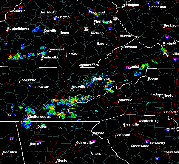 At 425 pm edt, severe thunderstorms were located along a line extending from gatlinburg to 7 miles north of smoky mountains-twentymile creek, moving west at 15 mph (radar indicated). Hazards include 60 mph wind gusts and penny size hail. expect damage to roofs, siding, and trees At 425 pm edt, severe thunderstorms were located along a line extending from gatlinburg to 7 miles north of smoky mountains-twentymile creek, moving west at 15 mph (radar indicated). Hazards include 60 mph wind gusts and penny size hail. expect damage to roofs, siding, and trees
|
| 6/28/2018 6:34 AM EDT |
 At 634 am edt, severe thunderstorms were located along a line extending from 10 miles west of smoky mountains-big creek to 12 miles southwest of newport to near smoky mountains-newfound gap to 7 miles north of smoky mountains-twentymile creek, moving southeast at 25 mph (radar indicated). Hazards include 60 mph wind gusts and quarter size hail. Hail damage to vehicles is expected. expect wind damage to roofs, siding, and trees. Locations impacted include, gatlinburg, pittman center, townsend, cades cove, elkmont, great smoky mountains national park and roundtop mountain state park. At 634 am edt, severe thunderstorms were located along a line extending from 10 miles west of smoky mountains-big creek to 12 miles southwest of newport to near smoky mountains-newfound gap to 7 miles north of smoky mountains-twentymile creek, moving southeast at 25 mph (radar indicated). Hazards include 60 mph wind gusts and quarter size hail. Hail damage to vehicles is expected. expect wind damage to roofs, siding, and trees. Locations impacted include, gatlinburg, pittman center, townsend, cades cove, elkmont, great smoky mountains national park and roundtop mountain state park.
|
| 6/28/2018 6:15 AM EDT |
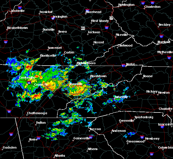 At 615 am edt, severe thunderstorms were located along a line extending from 9 miles southeast of dandridge to 10 miles southwest of newport to near gatlinburg to near maryville, moving southeast at 30 mph (radar indicated). Hazards include 60 mph wind gusts and quarter size hail. Hail damage to vehicles is expected. Expect wind damage to roofs, siding, and trees. At 615 am edt, severe thunderstorms were located along a line extending from 9 miles southeast of dandridge to 10 miles southwest of newport to near gatlinburg to near maryville, moving southeast at 30 mph (radar indicated). Hazards include 60 mph wind gusts and quarter size hail. Hail damage to vehicles is expected. Expect wind damage to roofs, siding, and trees.
|
| 6/26/2018 6:36 PM EDT |
 The severe thunderstorm warning for eastern blount, cocke, southwestern greene and sevier counties will expire at 645 pm edt, the storms which prompted the warning have moved out of the area. therefore, the warning will be allowed to expire. however gusty winds and heavy rain are still possible with these thunderstorms. The severe thunderstorm warning for eastern blount, cocke, southwestern greene and sevier counties will expire at 645 pm edt, the storms which prompted the warning have moved out of the area. therefore, the warning will be allowed to expire. however gusty winds and heavy rain are still possible with these thunderstorms.
|
| 6/26/2018 6:17 PM EDT |
 At 617 pm edt, severe thunderstorms were located along a line extending from 6 miles northwest of hot springs to 8 miles west of smoky mountains-big creek to 7 miles north of smoky mountains-fontana area, moving southeast at 30 mph (radar indicated). Hazards include 60 mph wind gusts and quarter size hail. Hail damage to vehicles is expected. expect wind damage to roofs, siding, and trees. Locations impacted include, maryville, sevierville, alcoa, newport, gatlinburg, pigeon forge, parrottsville, eagleton village, pittman center, townsend, caney branch, del rio, walland, cedar creek, wildwood, wears valley, cades cove, round mountain, hartford and cosby. At 617 pm edt, severe thunderstorms were located along a line extending from 6 miles northwest of hot springs to 8 miles west of smoky mountains-big creek to 7 miles north of smoky mountains-fontana area, moving southeast at 30 mph (radar indicated). Hazards include 60 mph wind gusts and quarter size hail. Hail damage to vehicles is expected. expect wind damage to roofs, siding, and trees. Locations impacted include, maryville, sevierville, alcoa, newport, gatlinburg, pigeon forge, parrottsville, eagleton village, pittman center, townsend, caney branch, del rio, walland, cedar creek, wildwood, wears valley, cades cove, round mountain, hartford and cosby.
|
| 6/26/2018 6:05 PM EDT |
 At 605 pm edt, severe thunderstorms were located along a line extending from near parrottsville to 10 miles northeast of gatlinburg to 10 miles southeast of eagleton village, moving southeast at 30 mph (radar indicated). Hazards include 60 mph wind gusts and quarter size hail. Hail damage to vehicles is expected. expect wind damage to roofs, siding, and trees. Locations impacted include, maryville, sevierville, alcoa, newport, gatlinburg, pigeon forge, parrottsville, eagleton village, pittman center, townsend, caney branch, del rio, walland, bird crossing, fairgarden, cades cove, round mountain, harrisburg, cosby and elkmont. At 605 pm edt, severe thunderstorms were located along a line extending from near parrottsville to 10 miles northeast of gatlinburg to 10 miles southeast of eagleton village, moving southeast at 30 mph (radar indicated). Hazards include 60 mph wind gusts and quarter size hail. Hail damage to vehicles is expected. expect wind damage to roofs, siding, and trees. Locations impacted include, maryville, sevierville, alcoa, newport, gatlinburg, pigeon forge, parrottsville, eagleton village, pittman center, townsend, caney branch, del rio, walland, bird crossing, fairgarden, cades cove, round mountain, harrisburg, cosby and elkmont.
|
| 6/26/2018 5:43 PM EDT |
 At 542 pm edt, severe thunderstorms were located along a line extending from 8 miles north of parrottsville to 6 miles east of sevierville to near eagleton village, moving southeast at 35 mph (law enforcement). Hazards include 60 mph wind gusts and quarter size hail. Hail damage to vehicles is expected. expect wind damage to roofs, siding, and trees. Locations impacted include, knoxville, morristown, sevierville, alcoa, jefferson city, newport, gatlinburg, dandridge, pigeon forge, white pine, new market, rockford, baneberry, parrottsville, russellville, eagleton village, pittman center, townsend, caney branch and del rio. At 542 pm edt, severe thunderstorms were located along a line extending from 8 miles north of parrottsville to 6 miles east of sevierville to near eagleton village, moving southeast at 35 mph (law enforcement). Hazards include 60 mph wind gusts and quarter size hail. Hail damage to vehicles is expected. expect wind damage to roofs, siding, and trees. Locations impacted include, knoxville, morristown, sevierville, alcoa, jefferson city, newport, gatlinburg, dandridge, pigeon forge, white pine, new market, rockford, baneberry, parrottsville, russellville, eagleton village, pittman center, townsend, caney branch and del rio.
|
| 6/26/2018 5:27 PM EDT |
 At 527 pm edt, severe thunderstorms were located along a line extending from near morristown to 6 miles southwest of new market to near louisville, moving southeast at 35 mph (radar indicated). Hazards include 60 mph wind gusts and quarter size hail. Hail damage to vehicles is expected. Expect wind damage to roofs, siding, and trees. At 527 pm edt, severe thunderstorms were located along a line extending from near morristown to 6 miles southwest of new market to near louisville, moving southeast at 35 mph (radar indicated). Hazards include 60 mph wind gusts and quarter size hail. Hail damage to vehicles is expected. Expect wind damage to roofs, siding, and trees.
|
| 6/25/2018 3:19 PM EDT |
 At 319 pm edt, severe thunderstorms were located along a line extending from 6 miles southeast of maryville to near town of santeetlah to 15 miles east of etowah to 7 miles northeast of ducktown, moving southeast at 30 mph (radar indicated). Hazards include 60 mph wind gusts and quarter size hail. Hail damage to vehicles is expected. expect wind damage to roofs, siding, and trees. Locations impacted include, maryville, andrews, murphy, tellico plains, townsend, coker creek, violet, tariffville, hiawasse dam, marble, culberson, happy valley, citico beach, clover hill, talassee, citico, cades cove, hot house, unaka and great smoky mountains national park. At 319 pm edt, severe thunderstorms were located along a line extending from 6 miles southeast of maryville to near town of santeetlah to 15 miles east of etowah to 7 miles northeast of ducktown, moving southeast at 30 mph (radar indicated). Hazards include 60 mph wind gusts and quarter size hail. Hail damage to vehicles is expected. expect wind damage to roofs, siding, and trees. Locations impacted include, maryville, andrews, murphy, tellico plains, townsend, coker creek, violet, tariffville, hiawasse dam, marble, culberson, happy valley, citico beach, clover hill, talassee, citico, cades cove, hot house, unaka and great smoky mountains national park.
|
| 6/25/2018 3:01 PM EDT |
 At 301 pm edt, severe thunderstorms were located along a line extending from near maryville to 11 miles west of smoky mountains-twentymile creek to 8 miles east of etowah to 8 miles north of ducktown, moving southeast at 30 mph (radar indicated). Hazards include 60 mph wind gusts and quarter size hail. Hail damage to vehicles is expected. Expect wind damage to roofs, siding, and trees. At 301 pm edt, severe thunderstorms were located along a line extending from near maryville to 11 miles west of smoky mountains-twentymile creek to 8 miles east of etowah to 8 miles north of ducktown, moving southeast at 30 mph (radar indicated). Hazards include 60 mph wind gusts and quarter size hail. Hail damage to vehicles is expected. Expect wind damage to roofs, siding, and trees.
|
| 6/25/2018 2:23 PM EDT |
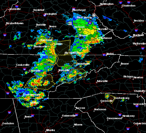 At 222 pm edt, a severe thunderstorm was located 9 miles southwest of newport, moving east at 35 mph (radar indicated). Hazards include 60 mph wind gusts and penny size hail. Expect damage to roofs, siding, and trees. Locations impacted include, sevierville, newport, gatlinburg, dandridge, pigeon forge, baneberry, parrottsville, pittman center, townsend, del rio, walland, bird crossing, fairgarden, bybee, wears valley, chestnut hill, harrisburg, hartford, cosby and elkmont. At 222 pm edt, a severe thunderstorm was located 9 miles southwest of newport, moving east at 35 mph (radar indicated). Hazards include 60 mph wind gusts and penny size hail. Expect damage to roofs, siding, and trees. Locations impacted include, sevierville, newport, gatlinburg, dandridge, pigeon forge, baneberry, parrottsville, pittman center, townsend, del rio, walland, bird crossing, fairgarden, bybee, wears valley, chestnut hill, harrisburg, hartford, cosby and elkmont.
|
| 6/25/2018 2:04 PM EDT |
 At 204 pm edt, a severe thunderstorm was located near sevierville, moving east at 35 mph (radar indicated). Hazards include 60 mph wind gusts and penny size hail. Expect damage to roofs, siding, and trees. Locations impacted include, maryville, sevierville, alcoa, jefferson city, newport, gatlinburg, dandridge, pigeon forge, rockford, baneberry, parrottsville, eagleton village, pittman center, townsend, del rio, walland, bird crossing, fairgarden, cades cove and harrisburg. At 204 pm edt, a severe thunderstorm was located near sevierville, moving east at 35 mph (radar indicated). Hazards include 60 mph wind gusts and penny size hail. Expect damage to roofs, siding, and trees. Locations impacted include, maryville, sevierville, alcoa, jefferson city, newport, gatlinburg, dandridge, pigeon forge, rockford, baneberry, parrottsville, eagleton village, pittman center, townsend, del rio, walland, bird crossing, fairgarden, cades cove and harrisburg.
|
| 6/25/2018 1:45 PM EDT |
 At 145 pm edt, a severe thunderstorm was located near sevierville, moving east at 35 mph (radar indicated). Hazards include 60 mph wind gusts and penny size hail. expect damage to roofs, siding, and trees At 145 pm edt, a severe thunderstorm was located near sevierville, moving east at 35 mph (radar indicated). Hazards include 60 mph wind gusts and penny size hail. expect damage to roofs, siding, and trees
|
| 4/4/2018 2:24 AM EDT |
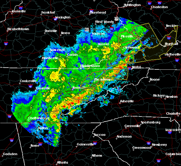 The severe thunderstorm warning for northeastern blount, southeastern jefferson and central sevier counties will expire at 230 am edt, the storms which prompted the warning have weakened below severe limits, and no longer pose an immediate threat to life or property. therefore the warning will be allowed to expire. however gusty winds are still possible with these thunderstorms. a severe thunderstorm watch remains in effect until 300 am edt for east tennessee. The severe thunderstorm warning for northeastern blount, southeastern jefferson and central sevier counties will expire at 230 am edt, the storms which prompted the warning have weakened below severe limits, and no longer pose an immediate threat to life or property. therefore the warning will be allowed to expire. however gusty winds are still possible with these thunderstorms. a severe thunderstorm watch remains in effect until 300 am edt for east tennessee.
|
| 4/4/2018 2:05 AM EDT |
 At 205 am edt, severe thunderstorms were located along a line extending from dandridge to 10 miles southeast of eagleton village, moving east at 55 mph (radar indicated). Hazards include 60 mph wind gusts. Expect damage to roofs, siding, and trees. Locations impacted include, sevierville, gatlinburg, dandridge, pigeon forge, baneberry, townsend, walland, bird crossing, fairgarden, wears valley, chestnut hill, harrisburg, roundtop mountain state park and great smoky mountains national park. At 205 am edt, severe thunderstorms were located along a line extending from dandridge to 10 miles southeast of eagleton village, moving east at 55 mph (radar indicated). Hazards include 60 mph wind gusts. Expect damage to roofs, siding, and trees. Locations impacted include, sevierville, gatlinburg, dandridge, pigeon forge, baneberry, townsend, walland, bird crossing, fairgarden, wears valley, chestnut hill, harrisburg, roundtop mountain state park and great smoky mountains national park.
|
| 4/4/2018 1:44 AM EDT |
 At 144 am edt, severe thunderstorms were located along a line extending from knoxville to near maryville, moving east at 45 mph (radar indicated). Hazards include 60 mph wind gusts. expect damage to roofs, siding, and trees At 144 am edt, severe thunderstorms were located along a line extending from knoxville to near maryville, moving east at 45 mph (radar indicated). Hazards include 60 mph wind gusts. expect damage to roofs, siding, and trees
|
| 3/17/2018 10:23 PM EDT |
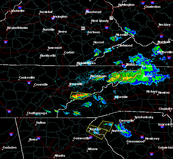 At 1023 pm edt, a severe thunderstorm was located 10 miles southeast of maryville, moving east at 40 mph (radar indicated). Hazards include 60 mph wind gusts and quarter size hail. Hail damage to vehicles is expected. Expect wind damage to roofs, siding, and trees. At 1023 pm edt, a severe thunderstorm was located 10 miles southeast of maryville, moving east at 40 mph (radar indicated). Hazards include 60 mph wind gusts and quarter size hail. Hail damage to vehicles is expected. Expect wind damage to roofs, siding, and trees.
|
| 3/17/2018 7:35 PM EDT |
 At 735 pm edt, a severe thunderstorm was located over louisville, or near alcoa, moving east at 35 mph (radar indicated). Hazards include 60 mph wind gusts and quarter size hail. Hail damage to vehicles is expected. expect wind damage to roofs, siding, and trees. Locations impacted include, knoxville, maryville, alcoa, farragut, louisville, rockford, eagleton village, friendsville, townsend, walland, wildwood, roundtop mountain state park, seymour and great smoky mountains national park. At 735 pm edt, a severe thunderstorm was located over louisville, or near alcoa, moving east at 35 mph (radar indicated). Hazards include 60 mph wind gusts and quarter size hail. Hail damage to vehicles is expected. expect wind damage to roofs, siding, and trees. Locations impacted include, knoxville, maryville, alcoa, farragut, louisville, rockford, eagleton village, friendsville, townsend, walland, wildwood, roundtop mountain state park, seymour and great smoky mountains national park.
|
| 3/17/2018 7:12 PM EDT |
 At 712 pm edt, a severe thunderstorm was located over lenoir city, moving east at 35 mph (radar indicated). Hazards include 60 mph wind gusts and quarter size hail. Hail damage to vehicles is expected. expect wind damage to roofs, siding, and trees. Locations impacted include, knoxville, maryville, lenoir city, alcoa, loudon, farragut, louisville, rockford, eagleton village, smoky mountains-fontana area, greenback, friendsville, townsend, bradbury, walland, happy valley, wildwood, clover hill, tellico village and cades cove. At 712 pm edt, a severe thunderstorm was located over lenoir city, moving east at 35 mph (radar indicated). Hazards include 60 mph wind gusts and quarter size hail. Hail damage to vehicles is expected. expect wind damage to roofs, siding, and trees. Locations impacted include, knoxville, maryville, lenoir city, alcoa, loudon, farragut, louisville, rockford, eagleton village, smoky mountains-fontana area, greenback, friendsville, townsend, bradbury, walland, happy valley, wildwood, clover hill, tellico village and cades cove.
|
| 3/17/2018 6:59 PM EDT |
 At 659 pm edt, a severe thunderstorm was located near loudon, moving east at 70 mph (radar indicated). Hazards include 60 mph wind gusts and quarter size hail. Hail damage to vehicles is expected. Expect wind damage to roofs, siding, and trees. At 659 pm edt, a severe thunderstorm was located near loudon, moving east at 70 mph (radar indicated). Hazards include 60 mph wind gusts and quarter size hail. Hail damage to vehicles is expected. Expect wind damage to roofs, siding, and trees.
|
| 5/27/2017 11:01 PM EDT |
 At 1101 pm edt/1001 pm cdt/, severe thunderstorms were located along a line extending from 9 miles north of fontana village to 10 miles south of madisonville to near etowah to near harrison to 8 miles southeast of sewanee, moving southeast at 45 mph (radar indicated). Hazards include 70 mph wind gusts and quarter size hail. Hail damage to vehicles is expected. expect considerable tree damage. wind damage is also likely to mobile homes, roofs, and outbuildings. Locations impacted include, chattanooga, cleveland, jasper, soddy-daisy, signal mountain, etowah, south pittsburg, walden, lakesite, whitwell, kimball, monteagle, charleston, ridgeside, harrison, east cleveland, south cleveland, fairmount, wildwood lake and red bank. At 1101 pm edt/1001 pm cdt/, severe thunderstorms were located along a line extending from 9 miles north of fontana village to 10 miles south of madisonville to near etowah to near harrison to 8 miles southeast of sewanee, moving southeast at 45 mph (radar indicated). Hazards include 70 mph wind gusts and quarter size hail. Hail damage to vehicles is expected. expect considerable tree damage. wind damage is also likely to mobile homes, roofs, and outbuildings. Locations impacted include, chattanooga, cleveland, jasper, soddy-daisy, signal mountain, etowah, south pittsburg, walden, lakesite, whitwell, kimball, monteagle, charleston, ridgeside, harrison, east cleveland, south cleveland, fairmount, wildwood lake and red bank.
|
| 5/27/2017 10:39 PM EDT |
 At 1039 pm edt/939 pm cdt/, severe thunderstorms were located along a line extending from near louisville to 7 miles west of madisonville to 6 miles southwest of athens to near dunlap, moving southeast at 45 mph (radar indicated). Hazards include 70 mph wind gusts and quarter size hail. Hail damage to vehicles is expected. expect considerable tree damage. wind damage is also likely to mobile homes, roofs, and outbuildings. Locations impacted include, chattanooga, cleveland, maryville, athens, alcoa, sweetwater, loudon, madisonville, jasper, decatur, soddy-daisy, signal mountain, etowah, south pittsburg, louisville, walden, lakesite, whitwell, tracy city and kimball. At 1039 pm edt/939 pm cdt/, severe thunderstorms were located along a line extending from near louisville to 7 miles west of madisonville to 6 miles southwest of athens to near dunlap, moving southeast at 45 mph (radar indicated). Hazards include 70 mph wind gusts and quarter size hail. Hail damage to vehicles is expected. expect considerable tree damage. wind damage is also likely to mobile homes, roofs, and outbuildings. Locations impacted include, chattanooga, cleveland, maryville, athens, alcoa, sweetwater, loudon, madisonville, jasper, decatur, soddy-daisy, signal mountain, etowah, south pittsburg, louisville, walden, lakesite, whitwell, tracy city and kimball.
|
| 5/27/2017 10:08 PM EDT |
 At 1008 pm edt/908 pm cdt/, severe thunderstorms were located along a line extending from oliver springs to 6 miles east of spring city to 6 miles north of dayton to 7 miles north of gruetli-laager, moving southeast at 45 mph (radar indicated). Hazards include 70 mph wind gusts and quarter size hail. Hail damage to vehicles is expected. expect considerable tree damage. Wind damage is also likely to mobile homes, roofs, and outbuildings. At 1008 pm edt/908 pm cdt/, severe thunderstorms were located along a line extending from oliver springs to 6 miles east of spring city to 6 miles north of dayton to 7 miles north of gruetli-laager, moving southeast at 45 mph (radar indicated). Hazards include 70 mph wind gusts and quarter size hail. Hail damage to vehicles is expected. expect considerable tree damage. Wind damage is also likely to mobile homes, roofs, and outbuildings.
|
| 5/24/2017 11:32 AM EDT |
 At 1132 am edt, severe thunderstorms were located along a line extending from 7 miles south of maryville to 11 miles southeast of eagleton village to 10 miles northwest of fontana lake to near fontana village, moving northeast at 60 mph (radar indicated). Hazards include 60 mph wind gusts and quarter size hail. Hail damage to vehicles is expected. Expect wind damage to roofs, siding, and trees. At 1132 am edt, severe thunderstorms were located along a line extending from 7 miles south of maryville to 11 miles southeast of eagleton village to 10 miles northwest of fontana lake to near fontana village, moving northeast at 60 mph (radar indicated). Hazards include 60 mph wind gusts and quarter size hail. Hail damage to vehicles is expected. Expect wind damage to roofs, siding, and trees.
|
| 3/21/2017 8:54 PM EDT |
 At 854 pm edt, a severe thunderstorm was located 12 miles southeast of maryville, moving east at 20 mph (radar indicated). Hazards include 60 mph wind gusts and quarter size hail. Hail damage to vehicles is expected. expect wind damage to roofs, siding, and trees. locations impacted include, maryville, greenback, townsend, talassee, walland, cades cove, happy valley and great smoky mountains n. P At 854 pm edt, a severe thunderstorm was located 12 miles southeast of maryville, moving east at 20 mph (radar indicated). Hazards include 60 mph wind gusts and quarter size hail. Hail damage to vehicles is expected. expect wind damage to roofs, siding, and trees. locations impacted include, maryville, greenback, townsend, talassee, walland, cades cove, happy valley and great smoky mountains n. P
|
| 3/21/2017 8:36 PM EDT |
 At 836 pm edt, a severe thunderstorm was located 8 miles southeast of maryville, moving east at 20 mph (radar indicated). Hazards include 60 mph wind gusts and quarter size hail. Hail damage to vehicles is expected. expect wind damage to roofs, siding, and trees. locations impacted include, maryville, greenback, townsend, talassee, walland, cades cove, happy valley and great smoky mountains n. P At 836 pm edt, a severe thunderstorm was located 8 miles southeast of maryville, moving east at 20 mph (radar indicated). Hazards include 60 mph wind gusts and quarter size hail. Hail damage to vehicles is expected. expect wind damage to roofs, siding, and trees. locations impacted include, maryville, greenback, townsend, talassee, walland, cades cove, happy valley and great smoky mountains n. P
|
| 3/21/2017 8:35 PM EDT | A couple of large limbs reported down near cades cove via park servic in blount county TN, 6.2 miles NNE of Townsend, TN |
| 3/21/2017 8:08 PM EDT |
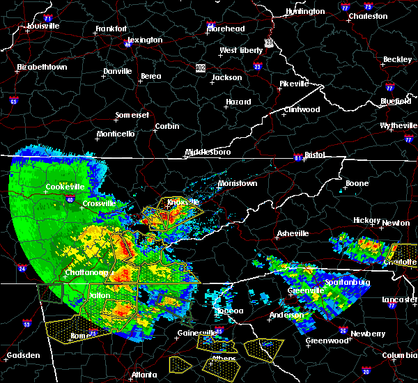 At 808 pm edt, a severe thunderstorm was located 11 miles southwest of maryville, moving east at 20 mph (radar indicated). Hazards include 60 mph wind gusts and quarter size hail. Hail damage to vehicles is expected. Expect wind damage to roofs, siding, and trees. At 808 pm edt, a severe thunderstorm was located 11 miles southwest of maryville, moving east at 20 mph (radar indicated). Hazards include 60 mph wind gusts and quarter size hail. Hail damage to vehicles is expected. Expect wind damage to roofs, siding, and trees.
|
| 11/30/2016 5:59 AM EST |
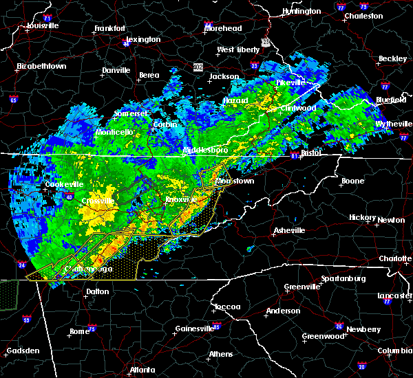 At 559 am est, severe thunderstorms were located along a line extending from near jefferson city to near sevierville to 8 miles southwest of pigeon forge, moving east at 60 mph (radar indicated). Hazards include 60 mph wind gusts and quarter size hail. Hail damage to vehicles is expected. expect wind damage to roofs, siding, and trees. locations impacted include, morristown, sevierville, jefferson city, gatlinburg, dandridge, pigeon forge, white pine, new market, baneberry, pittman center, townsend, walland, alpha, fairgarden, wears valley, elkmont, kodak, great smoky mountains n. p,. harrisburg and roundtop mountain s. P At 559 am est, severe thunderstorms were located along a line extending from near jefferson city to near sevierville to 8 miles southwest of pigeon forge, moving east at 60 mph (radar indicated). Hazards include 60 mph wind gusts and quarter size hail. Hail damage to vehicles is expected. expect wind damage to roofs, siding, and trees. locations impacted include, morristown, sevierville, jefferson city, gatlinburg, dandridge, pigeon forge, white pine, new market, baneberry, pittman center, townsend, walland, alpha, fairgarden, wears valley, elkmont, kodak, great smoky mountains n. p,. harrisburg and roundtop mountain s. P
|
| 11/30/2016 5:27 AM EST |
 At 527 am est, severe thunderstorms were located along a line extending from 6 miles northeast of knoxville to alcoa to 12 miles east of madisonville, moving east at 45 mph (radar indicated). Hazards include 60 mph wind gusts and quarter size hail. Hail damage to vehicles is expected. Expect wind damage to roofs, siding, and trees. At 527 am est, severe thunderstorms were located along a line extending from 6 miles northeast of knoxville to alcoa to 12 miles east of madisonville, moving east at 45 mph (radar indicated). Hazards include 60 mph wind gusts and quarter size hail. Hail damage to vehicles is expected. Expect wind damage to roofs, siding, and trees.
|
| 11/30/2016 2:27 AM EST |
 The tornado warning for central blount county will expire at 230 am est. the storm which prompted the warning has moved out of the area. Therefore the warning will be allowed to expire. The tornado warning for central blount county will expire at 230 am est. the storm which prompted the warning has moved out of the area. Therefore the warning will be allowed to expire.
|
| 11/30/2016 2:05 AM EST |
 At 205 am est, a severe thunderstorm capable of producing a tornado was located near maryville, moving northeast at 60 mph (radar indicated rotation). Hazards include tornado. Flying debris will be dangerous to those caught without shelter. mobile homes will be damaged or destroyed. damage to roofs, windows, and vehicles will occur. tree damage is likely. this dangerous storm will be near, eagleton village around 215 am est. Other locations impacted by this tornadic thunderstorm include wildwood, walland, clover hill, friendsville and townsend. At 205 am est, a severe thunderstorm capable of producing a tornado was located near maryville, moving northeast at 60 mph (radar indicated rotation). Hazards include tornado. Flying debris will be dangerous to those caught without shelter. mobile homes will be damaged or destroyed. damage to roofs, windows, and vehicles will occur. tree damage is likely. this dangerous storm will be near, eagleton village around 215 am est. Other locations impacted by this tornadic thunderstorm include wildwood, walland, clover hill, friendsville and townsend.
|
| 11/30/2016 1:54 AM EST |
 At 154 am est, a severe thunderstorm capable of producing a tornado was located 11 miles northeast of madisonville, moving northeast at 60 mph (radar indicated rotation). Hazards include tornado. Flying debris will be dangerous to those caught without shelter. mobile homes will be damaged or destroyed. damage to roofs, windows, and vehicles will occur. tree damage is likely. this dangerous storm will be near, maryville around 210 am est. eagleton village around 215 am est. other locations impacted by this tornadic thunderstorm include walland, vonore, happy valley, fort loudon s. p,. Citico beach, friendsville, talassee, mcgee carson peninsula, wildwood and greenback. At 154 am est, a severe thunderstorm capable of producing a tornado was located 11 miles northeast of madisonville, moving northeast at 60 mph (radar indicated rotation). Hazards include tornado. Flying debris will be dangerous to those caught without shelter. mobile homes will be damaged or destroyed. damage to roofs, windows, and vehicles will occur. tree damage is likely. this dangerous storm will be near, maryville around 210 am est. eagleton village around 215 am est. other locations impacted by this tornadic thunderstorm include walland, vonore, happy valley, fort loudon s. p,. Citico beach, friendsville, talassee, mcgee carson peninsula, wildwood and greenback.
|
| 7/8/2016 6:58 PM EDT |
 At 657 pm edt, severe thunderstorms were located along a line extending from 7 miles east of eagleton village to near maryville, moving southeast at 25 mph (law enforcement). Hazards include 60 mph wind gusts. Expect damage to roofs. siding. and trees. locations impacted include, maryville, alcoa, gatlinburg, pigeon forge, eagleton village, townsend, walland, happy valley, roundtop mountain s. p,. wears valley, elkmont, wildwood, cades cove, clover hill, great smoky mountains n. p,. Deals gap and seymour. At 657 pm edt, severe thunderstorms were located along a line extending from 7 miles east of eagleton village to near maryville, moving southeast at 25 mph (law enforcement). Hazards include 60 mph wind gusts. Expect damage to roofs. siding. and trees. locations impacted include, maryville, alcoa, gatlinburg, pigeon forge, eagleton village, townsend, walland, happy valley, roundtop mountain s. p,. wears valley, elkmont, wildwood, cades cove, clover hill, great smoky mountains n. p,. Deals gap and seymour.
|
| 7/8/2016 6:38 PM EDT |
 At 638 pm edt, severe thunderstorms were located along a line extending from 8 miles west of pigeon forge to near louisville, moving southeast at 40 mph (radar indicated). Hazards include 60 mph wind gusts. Expect damage to roofs. siding. And trees. At 638 pm edt, severe thunderstorms were located along a line extending from 8 miles west of pigeon forge to near louisville, moving southeast at 40 mph (radar indicated). Hazards include 60 mph wind gusts. Expect damage to roofs. siding. And trees.
|
| 7/8/2016 6:37 PM EDT |
 The severe thunderstorm warning for central blount county will expire at 645 pm edt, the storm which prompted the warning has weakened below severe limits, and no longer pose an immediate threat to life or property. therefore the warning will be allowed to expire. however gusty winds are still possible with this thunderstorm. a severe thunderstorm watch remains in effect until 900 pm edt for eastern tennessee. The severe thunderstorm warning for central blount county will expire at 645 pm edt, the storm which prompted the warning has weakened below severe limits, and no longer pose an immediate threat to life or property. therefore the warning will be allowed to expire. however gusty winds are still possible with this thunderstorm. a severe thunderstorm watch remains in effect until 900 pm edt for eastern tennessee.
|
| 7/8/2016 6:23 PM EDT |
 At 623 pm edt, a severe thunderstorm was located over maryville, moving east at 25 mph (radar indicated). Hazards include 60 mph wind gusts and quarter size hail. Hail damage to vehicles is expected. expect wind damage to roofs, siding, and trees. locations impacted include, maryville, alcoa, rockford, eagleton village, friendsville, townsend, walland, wildwood, clover hill and great smoky mountains n. P At 623 pm edt, a severe thunderstorm was located over maryville, moving east at 25 mph (radar indicated). Hazards include 60 mph wind gusts and quarter size hail. Hail damage to vehicles is expected. expect wind damage to roofs, siding, and trees. locations impacted include, maryville, alcoa, rockford, eagleton village, friendsville, townsend, walland, wildwood, clover hill and great smoky mountains n. P
|
| 7/8/2016 6:07 PM EDT |
 At 606 pm edt, a severe thunderstorm was located near maryville, moving east at 25 mph (radar indicated). Hazards include 60 mph wind gusts and half dollar size hail. Hail damage to vehicles is expected. Expect wind damage to roofs, siding, and trees. At 606 pm edt, a severe thunderstorm was located near maryville, moving east at 25 mph (radar indicated). Hazards include 60 mph wind gusts and half dollar size hail. Hail damage to vehicles is expected. Expect wind damage to roofs, siding, and trees.
|
| 7/7/2016 7:23 PM EDT |
 At 722 pm edt, severe thunderstorms were located along a line extending from near new market to gatlinburg to 7 miles north of fontana lake, moving east at 55 mph (radar indicated). Hazards include 60 mph wind gusts. Expect damage to roofs. siding. And trees. At 722 pm edt, severe thunderstorms were located along a line extending from near new market to gatlinburg to 7 miles north of fontana lake, moving east at 55 mph (radar indicated). Hazards include 60 mph wind gusts. Expect damage to roofs. siding. And trees.
|
| 7/7/2016 7:12 PM EDT |
 At 712 pm edt, severe thunderstorms were located along a line extending from near new market to 6 miles west of sevierville to near eagleton village, moving east at 35 mph (radar indicated). Hazards include 60 mph wind gusts and penny size hail. Expect damage to roofs. siding. and trees. locations impacted include, knoxville, maryville, sevierville, alcoa, jefferson city, new market, rockford, eagleton village, strawberry plains, blaine, townsend, walland, mcmahan, seymour, kimberlin heights, kodak, wildwood, house mountain s. p,. Mascot and piedmont. At 712 pm edt, severe thunderstorms were located along a line extending from near new market to 6 miles west of sevierville to near eagleton village, moving east at 35 mph (radar indicated). Hazards include 60 mph wind gusts and penny size hail. Expect damage to roofs. siding. and trees. locations impacted include, knoxville, maryville, sevierville, alcoa, jefferson city, new market, rockford, eagleton village, strawberry plains, blaine, townsend, walland, mcmahan, seymour, kimberlin heights, kodak, wildwood, house mountain s. p,. Mascot and piedmont.
|
| 7/7/2016 7:11 PM EDT |
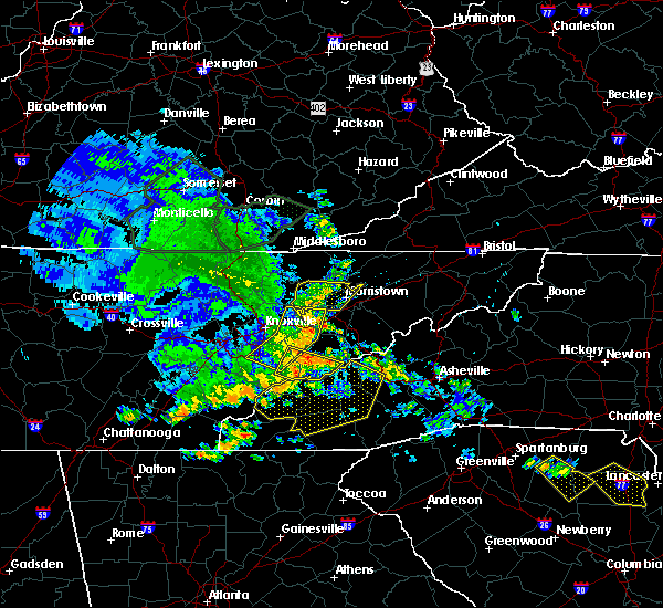 At 710 pm edt, a severe thunderstorm was located 7 miles west of gatlinburg, moving east at 20 mph (radar indicated). Hazards include 60 mph wind gusts. Expect damage to roofs. siding. and trees. locations impacted include, gatlinburg, pigeon forge, townsend, elkmont, roundtop mountain s. p,. cades cove, wears valley, great smoky mountains n. p. And walland. At 710 pm edt, a severe thunderstorm was located 7 miles west of gatlinburg, moving east at 20 mph (radar indicated). Hazards include 60 mph wind gusts. Expect damage to roofs. siding. and trees. locations impacted include, gatlinburg, pigeon forge, townsend, elkmont, roundtop mountain s. p,. cades cove, wears valley, great smoky mountains n. p. And walland.
|
| 7/7/2016 6:49 PM EDT |
 At 648 pm edt, severe thunderstorms were located along a line extending from 7 miles west of plainview to near knoxville to near farragut, moving east at 30 mph (radar indicated). Hazards include 60 mph wind gusts and penny size hail. Expect damage to roofs. siding. And trees. At 648 pm edt, severe thunderstorms were located along a line extending from 7 miles west of plainview to near knoxville to near farragut, moving east at 30 mph (radar indicated). Hazards include 60 mph wind gusts and penny size hail. Expect damage to roofs. siding. And trees.
|
| 7/7/2016 6:48 PM EDT |
 At 647 pm edt, a severe thunderstorm was located 10 miles southwest of pigeon forge, or 10 miles west of gatlinburg, moving east at 30 mph (radar indicated). Hazards include 60 mph wind gusts. Expect damage to roofs. siding. And trees. At 647 pm edt, a severe thunderstorm was located 10 miles southwest of pigeon forge, or 10 miles west of gatlinburg, moving east at 30 mph (radar indicated). Hazards include 60 mph wind gusts. Expect damage to roofs. siding. And trees.
|
| 4/22/2016 3:47 PM EDT |
 At 346 pm edt, a severe thunderstorm was located near rockford, or 9 miles northeast of alcoa, moving southeast at 20 mph (radar indicated). Hazards include 60 mph wind gusts and quarter size hail. Hail damage to vehicles is expected. Expect wind damage to roofs, siding, and trees. At 346 pm edt, a severe thunderstorm was located near rockford, or 9 miles northeast of alcoa, moving southeast at 20 mph (radar indicated). Hazards include 60 mph wind gusts and quarter size hail. Hail damage to vehicles is expected. Expect wind damage to roofs, siding, and trees.
|
| 8/10/2015 5:30 PM EDT | A few trees dow in sevier county TN, 5.6 miles WSW of Townsend, TN |
| 8/10/2015 5:14 PM EDT |
 At 514 pm edt, a severe thunderstorm was located near townsend, or 13 miles east of maryville, moving east at 25 mph (radar indicated). Hazards include 60 mph wind gusts. Expect damage to roofs. Siding and trees. At 514 pm edt, a severe thunderstorm was located near townsend, or 13 miles east of maryville, moving east at 25 mph (radar indicated). Hazards include 60 mph wind gusts. Expect damage to roofs. Siding and trees.
|
| 8/10/2015 4:51 PM EDT |
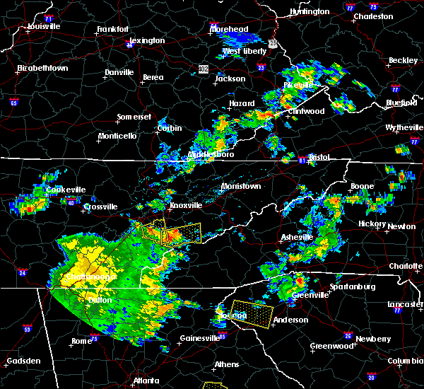 At 450 pm edt, a severe thunderstorm was located 10 miles southeast of maryville, moving east at 30 mph (radar indicated). Hazards include 60 mph wind gusts and quarter size hail. Hail damage to vehicles is expected. expect wind damage to roofs, siding and trees. Locations impacted include, maryville, gatlinburg, pigeon forge, townsend, walland, wears valley, elkmont, cades cove and happy valley. At 450 pm edt, a severe thunderstorm was located 10 miles southeast of maryville, moving east at 30 mph (radar indicated). Hazards include 60 mph wind gusts and quarter size hail. Hail damage to vehicles is expected. expect wind damage to roofs, siding and trees. Locations impacted include, maryville, gatlinburg, pigeon forge, townsend, walland, wears valley, elkmont, cades cove and happy valley.
|
| 8/10/2015 4:45 PM EDT |
 At 444 pm edt, a severe thunderstorm was located 9 miles south of maryville, moving east at 45 mph (radar indicated). Hazards include 60 mph wind gusts. Expect damage to roofs. Siding and trees. At 444 pm edt, a severe thunderstorm was located 9 miles south of maryville, moving east at 45 mph (radar indicated). Hazards include 60 mph wind gusts. Expect damage to roofs. Siding and trees.
|
| 7/20/2015 6:09 PM EDT |
 The severe thunderstorm warning for blount county will expire at 615 pm edt, the storm which prompted the warning has weakened below severe limits and exited the warned area. therefore the warning will be allowed to expire. The severe thunderstorm warning for blount county will expire at 615 pm edt, the storm which prompted the warning has weakened below severe limits and exited the warned area. therefore the warning will be allowed to expire.
|
| 7/20/2015 5:50 PM EDT |
 At 549 pm edt, a severe thunderstorm was located 7 miles south of maryville, moving southeast at 30 mph (radar indicated). Hazards include 60 mph wind gusts and up to quarter size hail. Hail damage to vehicles is expected. expect wind damage to roofs, siding and trees. Locations impacted include, maryville, alcoa, louisville, rockford, eagleton village, friendsville, townsend, wildwood, walland, happy valley, clover hill, talassee, cades cove and seymour. At 549 pm edt, a severe thunderstorm was located 7 miles south of maryville, moving southeast at 30 mph (radar indicated). Hazards include 60 mph wind gusts and up to quarter size hail. Hail damage to vehicles is expected. expect wind damage to roofs, siding and trees. Locations impacted include, maryville, alcoa, louisville, rockford, eagleton village, friendsville, townsend, wildwood, walland, happy valley, clover hill, talassee, cades cove and seymour.
|
| 7/20/2015 5:26 PM EDT |
 At 525 pm edt, a severe thunderstorm was located 8 miles west of maryville, moving southeast at 40 mph (radar indicated). Hazards include 60 mph wind gusts and quarter size hail. Hail damage to vehicles is expected. Expect wind damage to roofs, siding and trees. At 525 pm edt, a severe thunderstorm was located 8 miles west of maryville, moving southeast at 40 mph (radar indicated). Hazards include 60 mph wind gusts and quarter size hail. Hail damage to vehicles is expected. Expect wind damage to roofs, siding and trees.
|
| 7/14/2015 4:50 PM EDT |
 At 450 pm edt, severe thunderstorms were located along a line extending from 6 miles southwest of gatlinburg to 8 miles southwest of louisville, moving southeast at 25 mph (radar indicated). Hazards include 60 mph wind gusts and nickel size hail. Expect damage to roofs. siding and trees. Locations impacted include, maryville, alcoa, gatlinburg, friendsville, townsend, walland, wears valley, elkmont, cades cove, happy valley and clover hill. At 450 pm edt, severe thunderstorms were located along a line extending from 6 miles southwest of gatlinburg to 8 miles southwest of louisville, moving southeast at 25 mph (radar indicated). Hazards include 60 mph wind gusts and nickel size hail. Expect damage to roofs. siding and trees. Locations impacted include, maryville, alcoa, gatlinburg, friendsville, townsend, walland, wears valley, elkmont, cades cove, happy valley and clover hill.
|
| 7/14/2015 4:45 PM EDT | Trees down along wears valley r in blount county TN, 2.9 miles W of Townsend, TN |
| 7/14/2015 4:36 PM EDT |
 At 436 pm edt, severe thunderstorms were located along a line extending from near pigeon forge to 7 miles southeast of lenoir city, moving southeast at 30 mph (radar indicated). Hazards include 60 mph wind gusts and nickel size hail. Expect damage to roofs. Siding and trees. At 436 pm edt, severe thunderstorms were located along a line extending from near pigeon forge to 7 miles southeast of lenoir city, moving southeast at 30 mph (radar indicated). Hazards include 60 mph wind gusts and nickel size hail. Expect damage to roofs. Siding and trees.
|
| 7/14/2015 10:11 AM EDT |
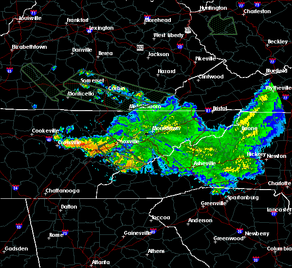 At 1010 am edt, a severe thunderstorm was located 16 miles southeast of maryville, moving southeast at 35 mph (radar indicated). Hazards include 60 mph wind gusts and quarter size hail. Hail damage to vehicles is expected. expect wind damage to roofs, siding and trees. Locations impacted include, townsend, walland, cades cove, elkmont and wears valley. At 1010 am edt, a severe thunderstorm was located 16 miles southeast of maryville, moving southeast at 35 mph (radar indicated). Hazards include 60 mph wind gusts and quarter size hail. Hail damage to vehicles is expected. expect wind damage to roofs, siding and trees. Locations impacted include, townsend, walland, cades cove, elkmont and wears valley.
|
| 7/14/2015 10:01 AM EDT |
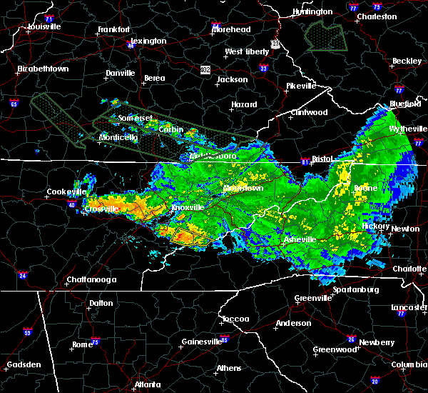 At 1000 am edt, a severe thunderstorm was located 10 miles southeast of maryville, moving southeast at 25 mph (radar indicated). Hazards include 60 mph wind gusts and quarter size hail. Hail damage to vehicles is expected. Expect wind damage to roofs, siding and trees. At 1000 am edt, a severe thunderstorm was located 10 miles southeast of maryville, moving southeast at 25 mph (radar indicated). Hazards include 60 mph wind gusts and quarter size hail. Hail damage to vehicles is expected. Expect wind damage to roofs, siding and trees.
|
| 6/8/2015 5:05 PM EDT | At 504 pm edt, a severe thunderstorm was located near lenoir city, moving east at 45 mph (radar indicated). Hazards include 60 mph wind gusts and penny size hail. Expect damage to roofs. Siding and trees. |
| 6/2/2015 6:07 PM EDT | At 606 pm edt, a severe thunderstorm was located 10 miles east of gatlinburg, moving east at 15 mph (radar indicated). Hazards include 60 mph wind gusts and quarter size hail. Hail damage to vehicles is expected. expect wind damage to roofs, siding and trees. locations impacted include, sevierville, gatlinburg, pigeon forge, smoky mountains, newfound gap, smoky mountains, balsam mountain, pittman center, townsend, walland, harrisburg, fairgarden, roundtop mountain s. p,. wears valley, elkmont, cades cove, bird crossing, great smoky mountains n. p,. Seymour and wildwood. |
| 6/2/2015 5:22 PM EDT | At 522 pm edt, a severe thunderstorm was located over gatlinburg, moving east at 30 mph (radar indicated). Hazards include 60 mph wind gusts and quarter size hail. Hail damage to vehicles is expected. Expect wind damage to roofs, siding and trees. |
| 4/26/2015 12:42 AM EDT | At 1241 am edt, a severe thunderstorm was located near pigeon forge, or near gatlinburg, moving east at 45 mph (trained weather spotters). Hazards include quarter size hail and 60 mph wind gusts. Hail damage to vehicles is expected. expect wind damage to roofs, siding and trees. locations impacted include, maryville, sevierville, alcoa, newport, gatlinburg, dandridge, pigeon forge, louisville, white pine, rockford, baneberry, parrottsville, eagleton village, pittman center, townsend, walland, seymour, round mountain, bird crossing and mcmahan. 1. 00in. |
| 4/26/2015 12:34 AM EDT | At 1233 am edt, a severe thunderstorm was located over pigeon forge, or near sevierville, moving east at 45 mph (radar indicated). Hazards include quarter size hail and 60 mph wind gusts. Hail damage to vehicles is expected. expect wind damage to roofs, siding and trees. locations impacted include, maryville, sevierville, alcoa, jefferson city, newport, gatlinburg, dandridge, pigeon forge, louisville, white pine, new market, rockford, baneberry, parrottsville, eagleton village, strawberry plains, pittman center, townsend, walland and seymour. 1. 00in. |
| 4/26/2015 12:06 AM EDT | At 1205 am edt, a severe thunderstorm was located near knoxville, moving east at 45 mph (radar indicated). Hazards include half dollar size hail and 60 mph wind gusts. Hail damage to vehicles is expected. Expect wind damage to roofs, siding and trees. |
| 4/25/2015 11:47 PM EDT | At 1146 pm edt, a severe thunderstorm was located near clinton, moving east at 45 mph (radar indicated). Hazards include quarter size hail and 60 mph wind gusts. Hail damage to vehicles is expected. expect wind damage to roofs, siding and trees. locations impacted include, knoxville, oak ridge, maryville, clinton, alcoa, farragut, oliver springs, louisville, rockford, eagleton village, strawberry plains, halls, townsend, wildwood, walland, maloneyville, lake forest, mascot, karns and rosedale. 1. 00in. |
| 4/25/2015 11:22 PM EDT | At 1121 pm edt, a severe thunderstorm was located 7 miles east of wartburg, moving east at 45 mph (radar indicated). Hazards include quarter size hail and 60 mph wind gusts. Hail damage to vehicles is expected. Expect wind damage to roofs, siding and trees. |
| 4/19/2015 8:50 PM EDT | The national weather service in morristown has issued a * severe thunderstorm warning for. southwestern sevier county in eastern tennessee. knox county in eastern tennessee. blount county in eastern tennessee. Central anderson county in eastern tennessee. |
| 7/27/2014 8:44 PM EDT | Trees down on hwy 321 between walland and townsen in blount county TN, 0.3 miles SSW of Townsend, TN |
| 7/8/2014 5:20 PM EDT | A few trees down near wears valley rd just south of pigeon forge tennesse in sevier county TN, 5.6 miles WSW of Townsend, TN |
| 9/3/2013 8:47 AM EDT | Laurel creek rd. temporarily closed from the townsend wye to cades cove due to downed trees in blount county TN, 3.2 miles N of Townsend, TN |
| 7/10/2012 5:20 PM EDT | Dispatch reported several trees dow in sevier county TN, 5.6 miles WSW of Townsend, TN |
| 7/5/2012 6:30 PM EDT | *** 1 in blount county TN, 6.2 miles NNE of Townsend, TN |
| 7/5/2012 6:30 PM EDT | *** 1 in blount county TN, 4.7 miles WNW of Townsend, TN |
| 7/1/2012 12:30 PM EDT | Few trees dow in blount county TN, 0.3 miles SSW of Townsend, TN |
| 6/14/2012 6:10 PM EDT | Utility company reported power lines down due to a fallen tree off of carrs creek roa in blount county TN, 0.3 miles SSW of Townsend, TN |
| 6/14/2012 6:06 PM EDT | One tree dow in blount county TN, 1.1 miles SW of Townsend, TN |
| 1/1/0001 12:00 AM | Quarter sized hail reported 0.3 miles SSW of Townsend, TN |
| 1/1/0001 12:00 AM | Several trees and powerlines down in and around the townsend area. reported by dispatc in blount county TN, 0.3 miles SSW of Townsend, TN |
| 1/1/0001 12:00 AM | A few trees and powerlines down in the townsend area. reported by dispatch in blount county TN, 0.3 miles SSW of Townsend, TN |
| 4/27/2011 11:45 PM EDT | Half Dollar sized hail reported 0.3 miles SSW of Townsend, TN |
Hail Maps for Townsend, TN


Connect with Interactive Hail Maps