

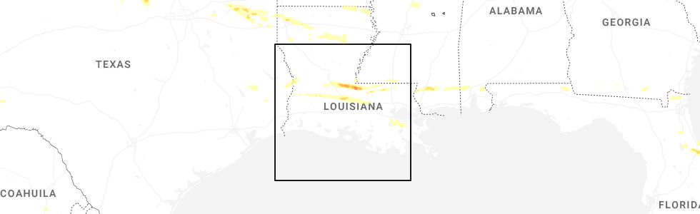
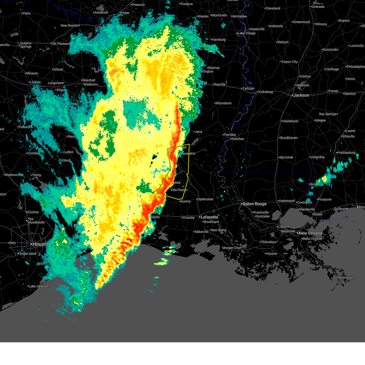
Hail Map for Turkey Creek, LA
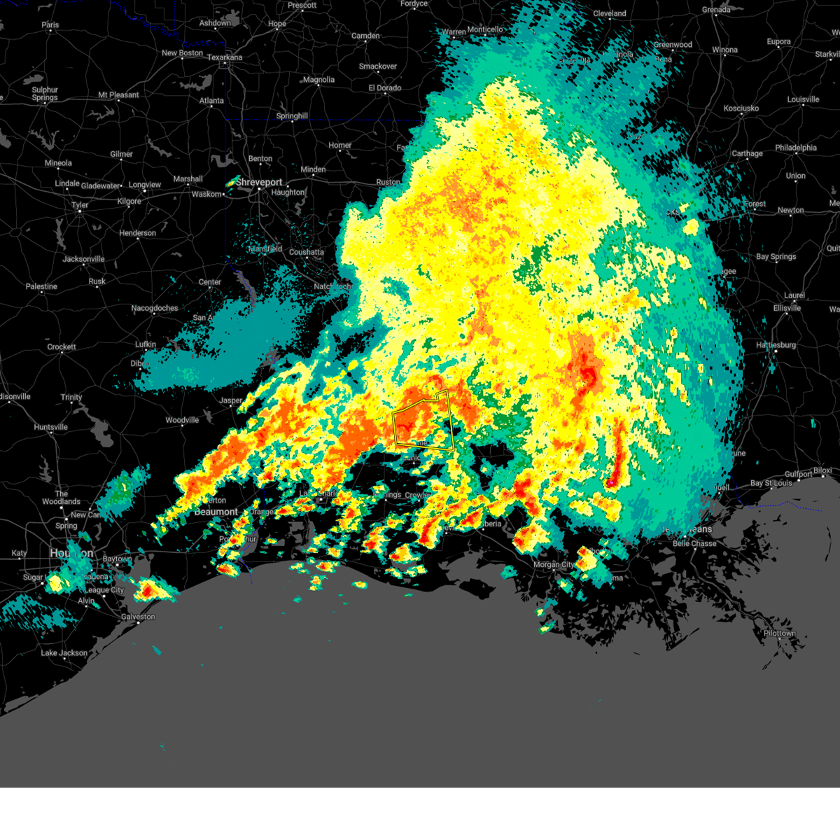
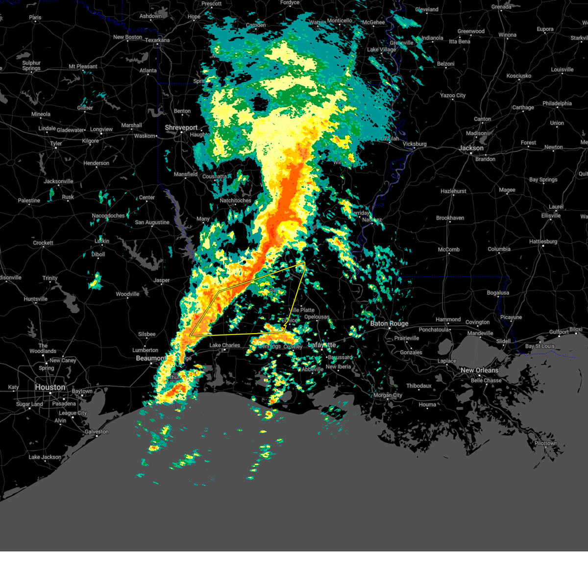
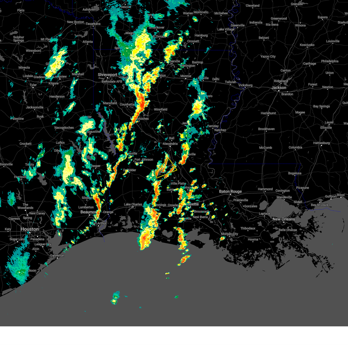
The Turkey Creek, LA area has had 0 reports of on-the-ground hail by trained spotters, and has been under severe weather warnings 16 times during the past 12 months. Doppler radar has detected hail at or near Turkey Creek, LA on 68 occasions, including 1 occasion during the past year.
| Name: | Turkey Creek, LA |
| Where Located: | 51.3 miles NNW of Lafayette, LA |
| Map: | Google Map for Turkey Creek, LA |
| Population: | 441 |
| Housing Units: | 184 |
| More Info: | Search Google for Turkey Creek, LA |
0
The Top Recent Hail Date for Turkey Creek, LA is Friday, May 8, 2026 (66th out of 68)
Hail and Wind Damage Spotted near Turkey Creek, LA
| Date / Time | Report Details |
|---|---|
| 5/23/2026 10:09 AM CDT |
 Svrlch the national weather service in lake charles has issued a * severe thunderstorm warning for, rapides parish in central louisiana, northern evangeline parish in central louisiana, southwestern avoyelles parish in central louisiana, southeastern vernon parish in west central louisiana, northeastern allen parish in southwestern louisiana, * until 1115 am cdt. * at 1008 am cdt, a severe thunderstorm was located near elizabeth, moving east at 40 mph (radar indicated). Hazards include 60 mph wind gusts. expect damage to roofs, siding, and trees Svrlch the national weather service in lake charles has issued a * severe thunderstorm warning for, rapides parish in central louisiana, northern evangeline parish in central louisiana, southwestern avoyelles parish in central louisiana, southeastern vernon parish in west central louisiana, northeastern allen parish in southwestern louisiana, * until 1115 am cdt. * at 1008 am cdt, a severe thunderstorm was located near elizabeth, moving east at 40 mph (radar indicated). Hazards include 60 mph wind gusts. expect damage to roofs, siding, and trees
|
| 5/8/2026 11:14 PM CDT |
 Svrlch the national weather service in lake charles has issued a * severe thunderstorm warning for, western evangeline parish in central louisiana, northeastern allen parish in southwestern louisiana, * until midnight cdt. * at 1113 pm cdt, a severe thunderstorm was located near oberlin, moving east at 35 mph (radar indicated). Hazards include 60 mph wind gusts and half dollar size hail. Hail damage to vehicles is expected. Expect wind damage to roofs, siding, and trees. Svrlch the national weather service in lake charles has issued a * severe thunderstorm warning for, western evangeline parish in central louisiana, northeastern allen parish in southwestern louisiana, * until midnight cdt. * at 1113 pm cdt, a severe thunderstorm was located near oberlin, moving east at 35 mph (radar indicated). Hazards include 60 mph wind gusts and half dollar size hail. Hail damage to vehicles is expected. Expect wind damage to roofs, siding, and trees.
|
| 3/15/2026 10:45 PM CDT |
 the severe thunderstorm warning has been cancelled and is no longer in effect the severe thunderstorm warning has been cancelled and is no longer in effect
|
| 3/15/2026 10:14 PM CDT |
 At 1014 pm cdt, a severe thunderstorm was located over allen parish airport, or near oakdale, moving east at 40 mph (radar indicated). Hazards include 60 mph wind gusts. Expect damage to roofs, siding, and trees. Locations impacted include, oakdale, turkey creek, pine prairie, allen parish airport, beaver, and bond. At 1014 pm cdt, a severe thunderstorm was located over allen parish airport, or near oakdale, moving east at 40 mph (radar indicated). Hazards include 60 mph wind gusts. Expect damage to roofs, siding, and trees. Locations impacted include, oakdale, turkey creek, pine prairie, allen parish airport, beaver, and bond.
|
| 3/15/2026 9:57 PM CDT |
 the severe thunderstorm warning has been cancelled and is no longer in effect the severe thunderstorm warning has been cancelled and is no longer in effect
|
| 3/15/2026 9:57 PM CDT |
 At 957 pm cdt, a severe thunderstorm was located over grant, or near mittie, moving east at 35 mph (radar indicated). Hazards include 60 mph wind gusts and quarter size hail. Hail damage to vehicles is expected. expect wind damage to roofs, siding, and trees. Locations impacted include, oakdale, elizabeth, turkey creek, mittie, grant, pine prairie, allen parish airport, beaver, and bond. At 957 pm cdt, a severe thunderstorm was located over grant, or near mittie, moving east at 35 mph (radar indicated). Hazards include 60 mph wind gusts and quarter size hail. Hail damage to vehicles is expected. expect wind damage to roofs, siding, and trees. Locations impacted include, oakdale, elizabeth, turkey creek, mittie, grant, pine prairie, allen parish airport, beaver, and bond.
|
| 3/15/2026 9:54 PM CDT |
 Svrlch the national weather service in lake charles has issued a * severe thunderstorm warning for, northwestern evangeline parish in central louisiana, northeastern beauregard parish in southwestern louisiana, northeastern allen parish in southwestern louisiana, * until 1100 pm cdt. * at 954 pm cdt, a severe thunderstorm was located over grant, or near sugartown, moving east at 30 mph (radar indicated). Hazards include 60 mph wind gusts and quarter size hail. Hail damage to vehicles is expected. Expect wind damage to roofs, siding, and trees. Svrlch the national weather service in lake charles has issued a * severe thunderstorm warning for, northwestern evangeline parish in central louisiana, northeastern beauregard parish in southwestern louisiana, northeastern allen parish in southwestern louisiana, * until 1100 pm cdt. * at 954 pm cdt, a severe thunderstorm was located over grant, or near sugartown, moving east at 30 mph (radar indicated). Hazards include 60 mph wind gusts and quarter size hail. Hail damage to vehicles is expected. Expect wind damage to roofs, siding, and trees.
|
| 2/14/2026 9:39 PM CST |
 The tornadic thunderstorm which prompted the warning has weakened. therefore, the warning will be allowed to expire. a tornado watch remains in effect until 200 am cst for central louisiana. The tornadic thunderstorm which prompted the warning has weakened. therefore, the warning will be allowed to expire. a tornado watch remains in effect until 200 am cst for central louisiana.
|
| 2/14/2026 9:35 PM CST |
 the severe thunderstorm warning has been cancelled and is no longer in effect the severe thunderstorm warning has been cancelled and is no longer in effect
|
| 2/14/2026 9:32 PM CST |
 Svrlch the national weather service in lake charles has issued a * severe thunderstorm warning for, eastern rapides parish in central louisiana, evangeline parish in central louisiana, north central acadia parish in southwestern louisiana, avoyelles parish in central louisiana, st. landry parish in central louisiana, * until 1030 pm cst. * at 931 pm cst, severe thunderstorms were located along a line extending from holloway to near bunkie to near duralde, moving east at 45 mph (radar indicated). Hazards include 60 mph wind gusts and penny size hail. expect damage to roofs, siding, and trees Svrlch the national weather service in lake charles has issued a * severe thunderstorm warning for, eastern rapides parish in central louisiana, evangeline parish in central louisiana, north central acadia parish in southwestern louisiana, avoyelles parish in central louisiana, st. landry parish in central louisiana, * until 1030 pm cst. * at 931 pm cst, severe thunderstorms were located along a line extending from holloway to near bunkie to near duralde, moving east at 45 mph (radar indicated). Hazards include 60 mph wind gusts and penny size hail. expect damage to roofs, siding, and trees
|
| 2/14/2026 9:10 PM CST |
 Torlch the national weather service in lake charles has issued a * tornado warning for, southeastern rapides parish in central louisiana, northern evangeline parish in central louisiana, southwestern avoyelles parish in central louisiana, north central st. landry parish in central louisiana, * until 945 pm cst. * at 909 pm cst, a severe thunderstorm capable of producing a tornado was located near turkey creek, moving east at 45 mph (radar indicated rotation). Hazards include tornado. Flying debris will be dangerous to those caught without shelter. mobile homes will be damaged or destroyed. damage to roofs, windows, and vehicles will occur. tree damage is likely. this dangerous storm will be near, bunkie, turkey creek, pine prairie, and bayou chicot around 915 pm cst. cheneyville around 920 pm cst. hessmer and evergreen around 930 pm cst. cottonport around 935 pm cst. other locations impacted by this tornadic thunderstorm include st. landry and forest hill. This includes interstate 49 between mile markers 36 and 68. Torlch the national weather service in lake charles has issued a * tornado warning for, southeastern rapides parish in central louisiana, northern evangeline parish in central louisiana, southwestern avoyelles parish in central louisiana, north central st. landry parish in central louisiana, * until 945 pm cst. * at 909 pm cst, a severe thunderstorm capable of producing a tornado was located near turkey creek, moving east at 45 mph (radar indicated rotation). Hazards include tornado. Flying debris will be dangerous to those caught without shelter. mobile homes will be damaged or destroyed. damage to roofs, windows, and vehicles will occur. tree damage is likely. this dangerous storm will be near, bunkie, turkey creek, pine prairie, and bayou chicot around 915 pm cst. cheneyville around 920 pm cst. hessmer and evergreen around 930 pm cst. cottonport around 935 pm cst. other locations impacted by this tornadic thunderstorm include st. landry and forest hill. This includes interstate 49 between mile markers 36 and 68.
|
| 2/14/2026 9:08 PM CST |
 the severe thunderstorm warning has been cancelled and is no longer in effect the severe thunderstorm warning has been cancelled and is no longer in effect
|
| 2/14/2026 9:08 PM CST |
 At 907 pm cst, severe thunderstorms were located along a line extending from near timber trails to near glenmora to near bond, moving east at 35 mph (radar indicated). Hazards include 60 mph wind gusts. Expect damage to roofs, siding, and trees. Locations impacted include, alexandria, pineville, oakdale, mamou, oberlin, glenmora, cheneyville, turkey creek, alexandria international airport, ball, pine prairie, lecompte, bayou chicot, tioga, timber trails, esler regional airport, duralde, kingsville, allen parish airport, and poland. At 907 pm cst, severe thunderstorms were located along a line extending from near timber trails to near glenmora to near bond, moving east at 35 mph (radar indicated). Hazards include 60 mph wind gusts. Expect damage to roofs, siding, and trees. Locations impacted include, alexandria, pineville, oakdale, mamou, oberlin, glenmora, cheneyville, turkey creek, alexandria international airport, ball, pine prairie, lecompte, bayou chicot, tioga, timber trails, esler regional airport, duralde, kingsville, allen parish airport, and poland.
|
| 2/14/2026 8:37 PM CST |
 Svrlch the national weather service in lake charles has issued a * severe thunderstorm warning for, rapides parish in central louisiana, evangeline parish in central louisiana, northeastern beauregard parish in southwestern louisiana, eastern vernon parish in west central louisiana, northeastern allen parish in southwestern louisiana, * until 945 pm cst. * at 837 pm cst, severe thunderstorms were located along a line extending from lena to 6 miles south of hineston to near mittie, moving east at 35 mph (radar indicated). Hazards include 60 mph wind gusts. expect damage to roofs, siding, and trees Svrlch the national weather service in lake charles has issued a * severe thunderstorm warning for, rapides parish in central louisiana, evangeline parish in central louisiana, northeastern beauregard parish in southwestern louisiana, eastern vernon parish in west central louisiana, northeastern allen parish in southwestern louisiana, * until 945 pm cst. * at 837 pm cst, severe thunderstorms were located along a line extending from lena to 6 miles south of hineston to near mittie, moving east at 35 mph (radar indicated). Hazards include 60 mph wind gusts. expect damage to roofs, siding, and trees
|
| 7/30/2025 5:57 PM CDT |
 Svrlch the national weather service in lake charles has issued a * severe thunderstorm warning for, western evangeline parish in central louisiana, eastern allen parish in southwestern louisiana, * until 645 pm cdt. * at 557 pm cdt, a severe thunderstorm was located over beaver, or 7 miles southeast of oakdale, moving southwest at 35 mph (radar indicated). Hazards include 60 mph wind gusts. expect damage to roofs, siding, and trees Svrlch the national weather service in lake charles has issued a * severe thunderstorm warning for, western evangeline parish in central louisiana, eastern allen parish in southwestern louisiana, * until 645 pm cdt. * at 557 pm cdt, a severe thunderstorm was located over beaver, or 7 miles southeast of oakdale, moving southwest at 35 mph (radar indicated). Hazards include 60 mph wind gusts. expect damage to roofs, siding, and trees
|
| 7/30/2025 5:28 PM CDT |
 Svrlch the national weather service in lake charles has issued a * severe thunderstorm warning for, southeastern rapides parish in central louisiana, northern evangeline parish in central louisiana, southwestern avoyelles parish in central louisiana, * until 600 pm cdt. * at 528 pm cdt, a severe thunderstorm was located near cheneyville, moving south at 25 mph (radar indicated). Hazards include 60 mph wind gusts. expect damage to roofs, siding, and trees Svrlch the national weather service in lake charles has issued a * severe thunderstorm warning for, southeastern rapides parish in central louisiana, northern evangeline parish in central louisiana, southwestern avoyelles parish in central louisiana, * until 600 pm cdt. * at 528 pm cdt, a severe thunderstorm was located near cheneyville, moving south at 25 mph (radar indicated). Hazards include 60 mph wind gusts. expect damage to roofs, siding, and trees
|
| 5/27/2025 4:41 AM CDT |
 At 441 am cdt, a severe thunderstorm was located over turkey creek, moving northeast at 30 mph (radar indicated). Hazards include 60 mph wind gusts and penny size hail. Expect damage to roofs, siding, and trees. Locations impacted include, marksville, bunkie, moreauville, cheneyville, turkey creek, morrow, cottonport, pine prairie, mansura, hessmer, evergreen, plaucheville, bayou chicot, echo, goudeau, indian lake, chicot state park, whiteville, big cane, and dupont. At 441 am cdt, a severe thunderstorm was located over turkey creek, moving northeast at 30 mph (radar indicated). Hazards include 60 mph wind gusts and penny size hail. Expect damage to roofs, siding, and trees. Locations impacted include, marksville, bunkie, moreauville, cheneyville, turkey creek, morrow, cottonport, pine prairie, mansura, hessmer, evergreen, plaucheville, bayou chicot, echo, goudeau, indian lake, chicot state park, whiteville, big cane, and dupont.
|
| 5/27/2025 4:41 AM CDT |
 the severe thunderstorm warning has been cancelled and is no longer in effect the severe thunderstorm warning has been cancelled and is no longer in effect
|
| 5/27/2025 4:33 AM CDT |
 Svrlch the national weather service in lake charles has issued a * severe thunderstorm warning for, southeastern rapides parish in central louisiana, central evangeline parish in central louisiana, southwestern avoyelles parish in central louisiana, north central st. landry parish in central louisiana, northeastern allen parish in southwestern louisiana, * until 530 am cdt. * at 433 am cdt, a severe thunderstorm was located near pine prairie, or near turkey creek, moving northeast at 30 mph (radar indicated). Hazards include 60 mph wind gusts and penny size hail. expect damage to roofs, siding, and trees Svrlch the national weather service in lake charles has issued a * severe thunderstorm warning for, southeastern rapides parish in central louisiana, central evangeline parish in central louisiana, southwestern avoyelles parish in central louisiana, north central st. landry parish in central louisiana, northeastern allen parish in southwestern louisiana, * until 530 am cdt. * at 433 am cdt, a severe thunderstorm was located near pine prairie, or near turkey creek, moving northeast at 30 mph (radar indicated). Hazards include 60 mph wind gusts and penny size hail. expect damage to roofs, siding, and trees
|
| 5/26/2025 11:51 AM CDT |
 Svrlch the national weather service in lake charles has issued a * severe thunderstorm warning for, southeastern rapides parish in central louisiana, north central evangeline parish in central louisiana, northwestern avoyelles parish in central louisiana, * until 1245 pm cdt. * at 1151 am cdt, a severe thunderstorm was located over lecompte, or near cheneyville, moving northeast at 30 mph (radar indicated). Hazards include 60 mph wind gusts and penny size hail. expect damage to roofs, siding, and trees Svrlch the national weather service in lake charles has issued a * severe thunderstorm warning for, southeastern rapides parish in central louisiana, north central evangeline parish in central louisiana, northwestern avoyelles parish in central louisiana, * until 1245 pm cdt. * at 1151 am cdt, a severe thunderstorm was located over lecompte, or near cheneyville, moving northeast at 30 mph (radar indicated). Hazards include 60 mph wind gusts and penny size hail. expect damage to roofs, siding, and trees
|
| 5/6/2025 9:23 PM CDT |
 the severe thunderstorm warning has been cancelled and is no longer in effect the severe thunderstorm warning has been cancelled and is no longer in effect
|
| 5/6/2025 9:15 PM CDT |
 Svrlch the national weather service in lake charles has issued a * severe thunderstorm warning for, evangeline parish in central louisiana, southwestern avoyelles parish in central louisiana, north central st. landry parish in central louisiana, * until 945 pm cdt. * at 915 pm cdt, a severe thunderstorm was located over pine prairie, or 7 miles south of turkey creek, moving east at 30 mph (radar indicated). Hazards include 60 mph wind gusts and penny size hail. expect damage to roofs, siding, and trees Svrlch the national weather service in lake charles has issued a * severe thunderstorm warning for, evangeline parish in central louisiana, southwestern avoyelles parish in central louisiana, north central st. landry parish in central louisiana, * until 945 pm cdt. * at 915 pm cdt, a severe thunderstorm was located over pine prairie, or 7 miles south of turkey creek, moving east at 30 mph (radar indicated). Hazards include 60 mph wind gusts and penny size hail. expect damage to roofs, siding, and trees
|
| 5/6/2025 8:49 PM CDT |
 Torlch the national weather service in lake charles has issued a * tornado warning for, south central rapides parish in central louisiana, northern evangeline parish in central louisiana, northeastern allen parish in southwestern louisiana, * until 915 pm cdt. * at 849 pm cdt, a severe thunderstorm capable of producing a tornado was located over beaver, or near oakdale, moving northeast at 40 mph (radar indicated rotation). Hazards include tornado. Flying debris will be dangerous to those caught without shelter. mobile homes will be damaged or destroyed. damage to roofs, windows, and vehicles will occur. tree damage is likely. this dangerous storm will be near, turkey creek and pine prairie around 855 pm cdt. bayou chicot around 900 pm cdt. other locations impacted by this tornadic thunderstorm include st. landry. This includes interstate 49 between mile markers 43 and 45, and between mile markers 55 and 64. Torlch the national weather service in lake charles has issued a * tornado warning for, south central rapides parish in central louisiana, northern evangeline parish in central louisiana, northeastern allen parish in southwestern louisiana, * until 915 pm cdt. * at 849 pm cdt, a severe thunderstorm capable of producing a tornado was located over beaver, or near oakdale, moving northeast at 40 mph (radar indicated rotation). Hazards include tornado. Flying debris will be dangerous to those caught without shelter. mobile homes will be damaged or destroyed. damage to roofs, windows, and vehicles will occur. tree damage is likely. this dangerous storm will be near, turkey creek and pine prairie around 855 pm cdt. bayou chicot around 900 pm cdt. other locations impacted by this tornadic thunderstorm include st. landry. This includes interstate 49 between mile markers 43 and 45, and between mile markers 55 and 64.
|
| 4/22/2025 9:46 PM CDT |
 At 946 pm cdt, a severe thunderstorm was located over oakdale, moving southeast at 15 mph (broadcast media). Hazards include 60 mph wind gusts and quarter size hail. Hail damage to vehicles is expected. expect wind damage to roofs, siding, and trees. Locations impacted include, glenmora, allen parish airport, beaver, oakdale, mcnary, bond, and turkey creek. At 946 pm cdt, a severe thunderstorm was located over oakdale, moving southeast at 15 mph (broadcast media). Hazards include 60 mph wind gusts and quarter size hail. Hail damage to vehicles is expected. expect wind damage to roofs, siding, and trees. Locations impacted include, glenmora, allen parish airport, beaver, oakdale, mcnary, bond, and turkey creek.
|
| 4/22/2025 9:46 PM CDT |
 the severe thunderstorm warning has been cancelled and is no longer in effect the severe thunderstorm warning has been cancelled and is no longer in effect
|
| 4/22/2025 9:21 PM CDT |
 At 921 pm cdt, a severe thunderstorm was located near elizabeth, moving southeast at 15 mph (broadcast media). Hazards include 60 mph wind gusts and quarter size hail. Hail damage to vehicles is expected. expect wind damage to roofs, siding, and trees. Locations impacted include, glenmora, allen parish airport, union hill, elizabeth, beaver, oakdale, mcnary, bond, and turkey creek. At 921 pm cdt, a severe thunderstorm was located near elizabeth, moving southeast at 15 mph (broadcast media). Hazards include 60 mph wind gusts and quarter size hail. Hail damage to vehicles is expected. expect wind damage to roofs, siding, and trees. Locations impacted include, glenmora, allen parish airport, union hill, elizabeth, beaver, oakdale, mcnary, bond, and turkey creek.
|
| 4/22/2025 9:02 PM CDT |
 Svrlch the national weather service in lake charles has issued a * severe thunderstorm warning for, southwestern rapides parish in central louisiana, northwestern evangeline parish in central louisiana, southeastern vernon parish in west central louisiana, northeastern allen parish in southwestern louisiana, * until 1000 pm cdt. * at 902 pm cdt, a severe thunderstorm was located near elizabeth, moving southeast at 15 mph (radar indicated). Hazards include 60 mph wind gusts and quarter size hail. Hail damage to vehicles is expected. Expect wind damage to roofs, siding, and trees. Svrlch the national weather service in lake charles has issued a * severe thunderstorm warning for, southwestern rapides parish in central louisiana, northwestern evangeline parish in central louisiana, southeastern vernon parish in west central louisiana, northeastern allen parish in southwestern louisiana, * until 1000 pm cdt. * at 902 pm cdt, a severe thunderstorm was located near elizabeth, moving southeast at 15 mph (radar indicated). Hazards include 60 mph wind gusts and quarter size hail. Hail damage to vehicles is expected. Expect wind damage to roofs, siding, and trees.
|
| 3/31/2025 3:04 AM CDT |
 At 303 am cdt, a severe thunderstorm was located near oakdale, moving northeast at 35 mph (radar indicated). Hazards include 60 mph wind gusts and quarter size hail. Hail damage to vehicles is expected. expect wind damage to roofs, siding, and trees. Locations impacted include, glenmora, forest hill, turkey creek, beaver, oakdale, mcnary, and elizabeth. At 303 am cdt, a severe thunderstorm was located near oakdale, moving northeast at 35 mph (radar indicated). Hazards include 60 mph wind gusts and quarter size hail. Hail damage to vehicles is expected. expect wind damage to roofs, siding, and trees. Locations impacted include, glenmora, forest hill, turkey creek, beaver, oakdale, mcnary, and elizabeth.
|
| 3/31/2025 2:44 AM CDT |
 Svrlch the national weather service in lake charles has issued a * severe thunderstorm warning for, south central rapides parish in central louisiana, northwestern evangeline parish in central louisiana, northeastern allen parish in southwestern louisiana, * until 315 am cdt. * at 244 am cdt, a severe thunderstorm was located near elizabeth, moving northeast at 40 mph (radar indicated). Hazards include 60 mph wind gusts and quarter size hail. Hail damage to vehicles is expected. Expect wind damage to roofs, siding, and trees. Svrlch the national weather service in lake charles has issued a * severe thunderstorm warning for, south central rapides parish in central louisiana, northwestern evangeline parish in central louisiana, northeastern allen parish in southwestern louisiana, * until 315 am cdt. * at 244 am cdt, a severe thunderstorm was located near elizabeth, moving northeast at 40 mph (radar indicated). Hazards include 60 mph wind gusts and quarter size hail. Hail damage to vehicles is expected. Expect wind damage to roofs, siding, and trees.
|
| 3/4/2025 12:09 PM CST |
 At 1208 pm cst, severe thunderstorms were located along a line extending from 6 miles northeast of pitkin to near de quincy, moving east at 25 mph (radar indicated). Hazards include 60 mph wind gusts. Expect damage to roofs, siding, and trees. Locations impacted include, dry creek, singer, cheneyville, turkey creek, basile, bayou chicot, topsy, oakdale, duralde, glenmora, allen parish airport, forest hill, elton, sugartown, kinder, de quincy, leblanc, beaver, oretta, and ragley. At 1208 pm cst, severe thunderstorms were located along a line extending from 6 miles northeast of pitkin to near de quincy, moving east at 25 mph (radar indicated). Hazards include 60 mph wind gusts. Expect damage to roofs, siding, and trees. Locations impacted include, dry creek, singer, cheneyville, turkey creek, basile, bayou chicot, topsy, oakdale, duralde, glenmora, allen parish airport, forest hill, elton, sugartown, kinder, de quincy, leblanc, beaver, oretta, and ragley.
|
| 3/4/2025 11:41 AM CST |
 Svrlch the national weather service in lake charles has issued a * severe thunderstorm warning for, southeastern rapides parish in central louisiana, northern jefferson davis parish in southwestern louisiana, evangeline parish in central louisiana, beauregard parish in southwestern louisiana, northwestern acadia parish in southwestern louisiana, northwestern calcasieu parish in southwestern louisiana, southeastern vernon parish in west central louisiana, allen parish in southwestern louisiana, * until 1245 pm cst. * at 1141 am cst, severe thunderstorms were located along a line extending from near cravens to near lunita, moving northeast at 85 mph (radar indicated). Hazards include 60 mph wind gusts. expect damage to roofs, siding, and trees Svrlch the national weather service in lake charles has issued a * severe thunderstorm warning for, southeastern rapides parish in central louisiana, northern jefferson davis parish in southwestern louisiana, evangeline parish in central louisiana, beauregard parish in southwestern louisiana, northwestern acadia parish in southwestern louisiana, northwestern calcasieu parish in southwestern louisiana, southeastern vernon parish in west central louisiana, allen parish in southwestern louisiana, * until 1245 pm cst. * at 1141 am cst, severe thunderstorms were located along a line extending from near cravens to near lunita, moving northeast at 85 mph (radar indicated). Hazards include 60 mph wind gusts. expect damage to roofs, siding, and trees
|
| 1/30/2025 10:34 PM CST |
 At 1034 pm cst, a severe thunderstorm was located over reddell, or near mamou, moving northeast at 60 mph (radar indicated). Hazards include 60 mph wind gusts. Expect damage to roofs, siding, and trees. locations impacted include, turkey creek, bayou chicot, whiteville, mamou, ville platte, reddell, indian lake, pine prairie, chicot state park, st. Landry, and bunkie. At 1034 pm cst, a severe thunderstorm was located over reddell, or near mamou, moving northeast at 60 mph (radar indicated). Hazards include 60 mph wind gusts. Expect damage to roofs, siding, and trees. locations impacted include, turkey creek, bayou chicot, whiteville, mamou, ville platte, reddell, indian lake, pine prairie, chicot state park, st. Landry, and bunkie.
|
| 1/30/2025 10:34 PM CST |
 the severe thunderstorm warning has been cancelled and is no longer in effect the severe thunderstorm warning has been cancelled and is no longer in effect
|
| 1/30/2025 10:15 PM CST |
 Svrlch the national weather service in lake charles has issued a * severe thunderstorm warning for, northeastern jefferson davis parish in southwestern louisiana, evangeline parish in central louisiana, northwestern acadia parish in southwestern louisiana, southwestern avoyelles parish in central louisiana, northwestern st. landry parish in central louisiana, southeastern allen parish in southwestern louisiana, * until 1045 pm cst. * at 1014 pm cst, a severe thunderstorm was located over elton, moving northeast at 60 mph (radar indicated). Hazards include 60 mph wind gusts. expect damage to roofs, siding, and trees Svrlch the national weather service in lake charles has issued a * severe thunderstorm warning for, northeastern jefferson davis parish in southwestern louisiana, evangeline parish in central louisiana, northwestern acadia parish in southwestern louisiana, southwestern avoyelles parish in central louisiana, northwestern st. landry parish in central louisiana, southeastern allen parish in southwestern louisiana, * until 1045 pm cst. * at 1014 pm cst, a severe thunderstorm was located over elton, moving northeast at 60 mph (radar indicated). Hazards include 60 mph wind gusts. expect damage to roofs, siding, and trees
|
| 1/5/2025 5:47 PM CST |
 the severe thunderstorm warning has been cancelled and is no longer in effect the severe thunderstorm warning has been cancelled and is no longer in effect
|
| 1/5/2025 5:32 PM CST |
 Svrlch the national weather service in lake charles has issued a * severe thunderstorm warning for, southeastern rapides parish in central louisiana, northeastern evangeline parish in central louisiana, western avoyelles parish in central louisiana, north central st. landry parish in central louisiana, * until 615 pm cst. * at 532 pm cst, a severe thunderstorm was located near turkey creek, moving east at 40 mph (radar indicated). Hazards include 60 mph wind gusts. expect damage to roofs, siding, and trees Svrlch the national weather service in lake charles has issued a * severe thunderstorm warning for, southeastern rapides parish in central louisiana, northeastern evangeline parish in central louisiana, western avoyelles parish in central louisiana, north central st. landry parish in central louisiana, * until 615 pm cst. * at 532 pm cst, a severe thunderstorm was located near turkey creek, moving east at 40 mph (radar indicated). Hazards include 60 mph wind gusts. expect damage to roofs, siding, and trees
|
| 1/5/2025 5:25 PM CST |
 The storm which prompted the warning has weakened below severe limits, and no longer poses an immediate threat to life or property. therefore, the warning will be allowed to expire. a tornado watch remains in effect until 600 pm cst for central and southwestern louisiana. a tornado watch also remains in effect until 900 pm cst for central louisiana. The storm which prompted the warning has weakened below severe limits, and no longer poses an immediate threat to life or property. therefore, the warning will be allowed to expire. a tornado watch remains in effect until 600 pm cst for central and southwestern louisiana. a tornado watch also remains in effect until 900 pm cst for central louisiana.
|
| 1/5/2025 5:11 PM CST |
 At 511 pm cst, a severe thunderstorm was located over glenmora, moving east at 35 mph (radar indicated). Hazards include 60 mph wind gusts. Expect damage to roofs, siding, and trees. Locations impacted include, glenmora, forest hill, turkey creek, mcnary, and lecompte. At 511 pm cst, a severe thunderstorm was located over glenmora, moving east at 35 mph (radar indicated). Hazards include 60 mph wind gusts. Expect damage to roofs, siding, and trees. Locations impacted include, glenmora, forest hill, turkey creek, mcnary, and lecompte.
|
| 1/5/2025 5:06 PM CST |
 At 506 pm cst, a severe thunderstorm was located near glenmora, moving east at 25 mph (radar indicated). Hazards include 60 mph wind gusts. Expect damage to roofs, siding, and trees. Locations impacted include, glenmora, forest hill, turkey creek, mcnary, and lecompte. At 506 pm cst, a severe thunderstorm was located near glenmora, moving east at 25 mph (radar indicated). Hazards include 60 mph wind gusts. Expect damage to roofs, siding, and trees. Locations impacted include, glenmora, forest hill, turkey creek, mcnary, and lecompte.
|
| 1/5/2025 4:57 PM CST |
 Svrlch the national weather service in lake charles has issued a * severe thunderstorm warning for, southwestern rapides parish in central louisiana, northwestern evangeline parish in central louisiana, * until 530 pm cst. * at 457 pm cst, a severe thunderstorm was located near elizabeth, moving east at 35 mph (radar indicated). Hazards include 60 mph wind gusts. expect damage to roofs, siding, and trees Svrlch the national weather service in lake charles has issued a * severe thunderstorm warning for, southwestern rapides parish in central louisiana, northwestern evangeline parish in central louisiana, * until 530 pm cst. * at 457 pm cst, a severe thunderstorm was located near elizabeth, moving east at 35 mph (radar indicated). Hazards include 60 mph wind gusts. expect damage to roofs, siding, and trees
|
| 12/28/2024 4:59 PM CST |
 the severe thunderstorm warning has been cancelled and is no longer in effect the severe thunderstorm warning has been cancelled and is no longer in effect
|
| 12/28/2024 4:59 PM CST |
 At 459 pm cst, severe thunderstorms were located along a line extending from grand prairie to 6 miles northwest of evangeline, moving southeast at 60 mph (radar indicated). Hazards include 60 mph wind gusts. Expect damage to roofs, siding, and trees. locations impacted include, chataignier, union hill, cheneyville, turkey creek, bayou chicot, harmony, oakdale, chicot state park, duralde, st. Landry, glenmora, allen parish airport, forest hill, elizabeth, mamou, ville platte, beaver, oberlin, reddell, and mcnary. At 459 pm cst, severe thunderstorms were located along a line extending from grand prairie to 6 miles northwest of evangeline, moving southeast at 60 mph (radar indicated). Hazards include 60 mph wind gusts. Expect damage to roofs, siding, and trees. locations impacted include, chataignier, union hill, cheneyville, turkey creek, bayou chicot, harmony, oakdale, chicot state park, duralde, st. Landry, glenmora, allen parish airport, forest hill, elizabeth, mamou, ville platte, beaver, oberlin, reddell, and mcnary.
|
| 12/28/2024 4:18 PM CST |
 Svrlch the national weather service in lake charles has issued a * severe thunderstorm warning for, southern rapides parish in central louisiana, evangeline parish in central louisiana, northeastern beauregard parish in southwestern louisiana, southeastern vernon parish in west central louisiana, allen parish in southwestern louisiana, * until 515 pm cst. * at 418 pm cst, severe thunderstorms were located along a line extending from 6 miles west of glenmora to longville, moving southeast at 60 mph (radar indicated). Hazards include 70 mph wind gusts. Expect considerable tree damage. Damage is likely to mobile homes, roofs, and outbuildings. Svrlch the national weather service in lake charles has issued a * severe thunderstorm warning for, southern rapides parish in central louisiana, evangeline parish in central louisiana, northeastern beauregard parish in southwestern louisiana, southeastern vernon parish in west central louisiana, allen parish in southwestern louisiana, * until 515 pm cst. * at 418 pm cst, severe thunderstorms were located along a line extending from 6 miles west of glenmora to longville, moving southeast at 60 mph (radar indicated). Hazards include 70 mph wind gusts. Expect considerable tree damage. Damage is likely to mobile homes, roofs, and outbuildings.
|
| 11/5/2024 11:02 AM CST |
 the severe thunderstorm warning has been cancelled and is no longer in effect the severe thunderstorm warning has been cancelled and is no longer in effect
|
| 11/5/2024 10:45 AM CST |
 At 1045 am cst, a severe thunderstorm was located near turkey creek, moving northeast at 30 mph (radar indicated). Hazards include 60 mph wind gusts. Expect damage to roofs, siding, and trees. Locations impacted include, bunkie, cheneyville, turkey creek, hessmer, poland, and echo. At 1045 am cst, a severe thunderstorm was located near turkey creek, moving northeast at 30 mph (radar indicated). Hazards include 60 mph wind gusts. Expect damage to roofs, siding, and trees. Locations impacted include, bunkie, cheneyville, turkey creek, hessmer, poland, and echo.
|
| 11/5/2024 10:31 AM CST |
 the severe thunderstorm warning has been cancelled and is no longer in effect the severe thunderstorm warning has been cancelled and is no longer in effect
|
| 11/5/2024 10:27 AM CST |
 Svrlch the national weather service in lake charles has issued a * severe thunderstorm warning for, southeastern rapides parish in central louisiana, northeastern evangeline parish in central louisiana, southwestern avoyelles parish in central louisiana, * until 1130 am cst. * at 1027 am cst, a severe thunderstorm was located near beaver, or 8 miles southeast of oakdale, moving northeast at 25 mph (radar indicated). Hazards include 60 mph wind gusts. expect damage to roofs, siding, and trees Svrlch the national weather service in lake charles has issued a * severe thunderstorm warning for, southeastern rapides parish in central louisiana, northeastern evangeline parish in central louisiana, southwestern avoyelles parish in central louisiana, * until 1130 am cst. * at 1027 am cst, a severe thunderstorm was located near beaver, or 8 miles southeast of oakdale, moving northeast at 25 mph (radar indicated). Hazards include 60 mph wind gusts. expect damage to roofs, siding, and trees
|
| 11/5/2024 10:13 AM CST |
 Svrlch the national weather service in lake charles has issued a * severe thunderstorm warning for, south central rapides parish in central louisiana, northwestern evangeline parish in central louisiana, northeastern allen parish in southwestern louisiana, * until 1115 am cst. * at 1013 am cst, a severe thunderstorm was located over oakdale, moving northeast at 20 mph (radar indicated). Hazards include 60 mph wind gusts. expect damage to roofs, siding, and trees Svrlch the national weather service in lake charles has issued a * severe thunderstorm warning for, south central rapides parish in central louisiana, northwestern evangeline parish in central louisiana, northeastern allen parish in southwestern louisiana, * until 1115 am cst. * at 1013 am cst, a severe thunderstorm was located over oakdale, moving northeast at 20 mph (radar indicated). Hazards include 60 mph wind gusts. expect damage to roofs, siding, and trees
|
| 11/5/2024 10:01 AM CST |
 Torlch the national weather service in lake charles has issued a * tornado warning for, northern evangeline parish in central louisiana, * until 1030 am cst. * at 1000 am cst, a severe thunderstorm capable of producing a tornado was located over bond, or 8 miles southeast of oakdale, moving northeast at 20 mph (radar indicated rotation). Hazards include tornado. Flying debris will be dangerous to those caught without shelter. mobile homes will be damaged or destroyed. damage to roofs, windows, and vehicles will occur. tree damage is likely. This dangerous storm will be near, pine prairie and beaver around 1005 am cst. Torlch the national weather service in lake charles has issued a * tornado warning for, northern evangeline parish in central louisiana, * until 1030 am cst. * at 1000 am cst, a severe thunderstorm capable of producing a tornado was located over bond, or 8 miles southeast of oakdale, moving northeast at 20 mph (radar indicated rotation). Hazards include tornado. Flying debris will be dangerous to those caught without shelter. mobile homes will be damaged or destroyed. damage to roofs, windows, and vehicles will occur. tree damage is likely. This dangerous storm will be near, pine prairie and beaver around 1005 am cst.
|
| 11/5/2024 9:19 AM CST |
 At 919 am cst, a severe thunderstorm capable of producing a tornado was located over bayou chicot, or near turkey creek, moving northeast at 20 mph (radar indicated rotation). Hazards include tornado. Flying debris will be dangerous to those caught without shelter. mobile homes will be damaged or destroyed. damage to roofs, windows, and vehicles will occur. tree damage is likely. this dangerous storm will be near, turkey creek around 925 am cst. other locations impacted by this tornadic thunderstorm include st. Landry. At 919 am cst, a severe thunderstorm capable of producing a tornado was located over bayou chicot, or near turkey creek, moving northeast at 20 mph (radar indicated rotation). Hazards include tornado. Flying debris will be dangerous to those caught without shelter. mobile homes will be damaged or destroyed. damage to roofs, windows, and vehicles will occur. tree damage is likely. this dangerous storm will be near, turkey creek around 925 am cst. other locations impacted by this tornadic thunderstorm include st. Landry.
|
| 11/5/2024 8:46 AM CST |
 At 846 am cst, a severe thunderstorm capable of producing a tornado was located near reddell, or near mamou, moving northeast at 25 mph (radar indicated rotation). Hazards include tornado. This storm has a history of causing damage. flying debris will be dangerous to those caught without shelter. mobile homes will be damaged or destroyed. damage to roofs, windows, and vehicles will occur. tree damage is likely. this dangerous storm will be near, pine prairie and reddell around 850 am cst. bayou chicot around 855 am cst. turkey creek around 900 am cst. chicot state park around 905 am cst. other locations impacted by this tornadic thunderstorm include st. Landry. At 846 am cst, a severe thunderstorm capable of producing a tornado was located near reddell, or near mamou, moving northeast at 25 mph (radar indicated rotation). Hazards include tornado. This storm has a history of causing damage. flying debris will be dangerous to those caught without shelter. mobile homes will be damaged or destroyed. damage to roofs, windows, and vehicles will occur. tree damage is likely. this dangerous storm will be near, pine prairie and reddell around 850 am cst. bayou chicot around 855 am cst. turkey creek around 900 am cst. chicot state park around 905 am cst. other locations impacted by this tornadic thunderstorm include st. Landry.
|
| 11/5/2024 8:35 AM CST |
 Torlch the national weather service in lake charles has issued a * tornado warning for, evangeline parish in central louisiana, * until 930 am cst. * at 835 am cst, a severe thunderstorm capable of producing a tornado was located near duralde, or near mamou, moving northeast at 30 mph (radar indicated rotation). Hazards include tornado. Flying debris will be dangerous to those caught without shelter. mobile homes will be damaged or destroyed. damage to roofs, windows, and vehicles will occur. tree damage is likely. this dangerous storm will be near, pine prairie and reddell around 840 am cst. turkey creek and bayou chicot around 855 am cst. chicot state park around 900 am cst. other locations impacted by this tornadic thunderstorm include st. landry. This includes interstate 49 near mile marker 45. Torlch the national weather service in lake charles has issued a * tornado warning for, evangeline parish in central louisiana, * until 930 am cst. * at 835 am cst, a severe thunderstorm capable of producing a tornado was located near duralde, or near mamou, moving northeast at 30 mph (radar indicated rotation). Hazards include tornado. Flying debris will be dangerous to those caught without shelter. mobile homes will be damaged or destroyed. damage to roofs, windows, and vehicles will occur. tree damage is likely. this dangerous storm will be near, pine prairie and reddell around 840 am cst. turkey creek and bayou chicot around 855 am cst. chicot state park around 900 am cst. other locations impacted by this tornadic thunderstorm include st. landry. This includes interstate 49 near mile marker 45.
|
| 7/7/2024 3:47 PM CDT |
 At 346 pm cdt, a severe thunderstorm capable of producing a tornado was located near turkey creek, moving north at 15 mph (radar indicated rotation). Hazards include tornado. Flying debris will be dangerous to those caught without shelter. mobile homes will be damaged or destroyed. damage to roofs, windows, and vehicles will occur. tree damage is likely. This tornadic thunderstorm will remain over mainly rural areas of south central rapides and north central evangeline parishes. At 346 pm cdt, a severe thunderstorm capable of producing a tornado was located near turkey creek, moving north at 15 mph (radar indicated rotation). Hazards include tornado. Flying debris will be dangerous to those caught without shelter. mobile homes will be damaged or destroyed. damage to roofs, windows, and vehicles will occur. tree damage is likely. This tornadic thunderstorm will remain over mainly rural areas of south central rapides and north central evangeline parishes.
|
| 7/7/2024 3:33 PM CDT |
 Torlch the national weather service in lake charles has issued a * tornado warning for, south central rapides parish in central louisiana, northwestern evangeline parish in central louisiana, * until 400 pm cdt. * at 333 pm cdt, a severe thunderstorm capable of producing a tornado was located over turkey creek, moving northwest at 10 mph (radar indicated rotation). Hazards include tornado. Flying debris will be dangerous to those caught without shelter. mobile homes will be damaged or destroyed. damage to roofs, windows, and vehicles will occur. tree damage is likely. this dangerous storm will be near, turkey creek around 340 pm cdt. This includes interstate 49 between mile markers 58 and 63. Torlch the national weather service in lake charles has issued a * tornado warning for, south central rapides parish in central louisiana, northwestern evangeline parish in central louisiana, * until 400 pm cdt. * at 333 pm cdt, a severe thunderstorm capable of producing a tornado was located over turkey creek, moving northwest at 10 mph (radar indicated rotation). Hazards include tornado. Flying debris will be dangerous to those caught without shelter. mobile homes will be damaged or destroyed. damage to roofs, windows, and vehicles will occur. tree damage is likely. this dangerous storm will be near, turkey creek around 340 pm cdt. This includes interstate 49 between mile markers 58 and 63.
|
| 6/4/2024 3:44 PM CDT |
 Svrlch the national weather service in lake charles has issued a * severe thunderstorm warning for, lafayette parish in south central louisiana, eastern jefferson davis parish in southwestern louisiana, evangeline parish in central louisiana, acadia parish in southwestern louisiana, northwestern vermilion parish in southwestern louisiana, avoyelles parish in central louisiana, northwestern st. martin parish in south central louisiana, st. landry parish in central louisiana, allen parish in southwestern louisiana, * until 445 pm cdt. * at 344 pm cdt, severe thunderstorms were located along a line extending from near fort adams to ville platte to near reeves, moving southeast at 35 mph (radar indicated). Hazards include 60 mph wind gusts and nickel size hail. expect damage to roofs, siding, and trees Svrlch the national weather service in lake charles has issued a * severe thunderstorm warning for, lafayette parish in south central louisiana, eastern jefferson davis parish in southwestern louisiana, evangeline parish in central louisiana, acadia parish in southwestern louisiana, northwestern vermilion parish in southwestern louisiana, avoyelles parish in central louisiana, northwestern st. martin parish in south central louisiana, st. landry parish in central louisiana, allen parish in southwestern louisiana, * until 445 pm cdt. * at 344 pm cdt, severe thunderstorms were located along a line extending from near fort adams to ville platte to near reeves, moving southeast at 35 mph (radar indicated). Hazards include 60 mph wind gusts and nickel size hail. expect damage to roofs, siding, and trees
|
| 6/4/2024 2:39 PM CDT |
 Svrlch the national weather service in lake charles has issued a * severe thunderstorm warning for, southeastern rapides parish in central louisiana, northeastern jefferson davis parish in southwestern louisiana, evangeline parish in central louisiana, northeastern beauregard parish in southwestern louisiana, avoyelles parish in central louisiana, north central st. landry parish in central louisiana, southeastern vernon parish in west central louisiana, allen parish in southwestern louisiana, * until 345 pm cdt. * at 239 pm cdt, a severe thunderstorm was located over hineston, moving southeast at 10 mph (radar indicated). Hazards include 60 mph wind gusts and penny size hail. expect damage to roofs, siding, and trees Svrlch the national weather service in lake charles has issued a * severe thunderstorm warning for, southeastern rapides parish in central louisiana, northeastern jefferson davis parish in southwestern louisiana, evangeline parish in central louisiana, northeastern beauregard parish in southwestern louisiana, avoyelles parish in central louisiana, north central st. landry parish in central louisiana, southeastern vernon parish in west central louisiana, allen parish in southwestern louisiana, * until 345 pm cdt. * at 239 pm cdt, a severe thunderstorm was located over hineston, moving southeast at 10 mph (radar indicated). Hazards include 60 mph wind gusts and penny size hail. expect damage to roofs, siding, and trees
|
| 6/1/2024 4:42 PM CDT |
 the severe thunderstorm warning has been cancelled and is no longer in effect the severe thunderstorm warning has been cancelled and is no longer in effect
|
| 6/1/2024 4:32 PM CDT |
 the severe thunderstorm warning has been cancelled and is no longer in effect the severe thunderstorm warning has been cancelled and is no longer in effect
|
| 6/1/2024 4:32 PM CDT |
 At 431 pm cdt, a severe thunderstorm was located over oakdale, moving northeast at 15 mph (radar indicated). Hazards include 60 mph wind gusts and quarter size hail. Hail damage to vehicles is expected. expect wind damage to roofs, siding, and trees. Locations impacted include, oakdale, turkey creek, pine prairie, and beaver. At 431 pm cdt, a severe thunderstorm was located over oakdale, moving northeast at 15 mph (radar indicated). Hazards include 60 mph wind gusts and quarter size hail. Hail damage to vehicles is expected. expect wind damage to roofs, siding, and trees. Locations impacted include, oakdale, turkey creek, pine prairie, and beaver.
|
| 6/1/2024 4:14 PM CDT |
 Svrlch the national weather service in lake charles has issued a * severe thunderstorm warning for, south central rapides parish in central louisiana, northwestern evangeline parish in central louisiana, northeastern allen parish in southwestern louisiana, * until 500 pm cdt. * at 414 pm cdt, a severe thunderstorm was located near oakdale, moving northeast at 15 mph (radar indicated). Hazards include 60 mph wind gusts and quarter size hail. Hail damage to vehicles is expected. Expect wind damage to roofs, siding, and trees. Svrlch the national weather service in lake charles has issued a * severe thunderstorm warning for, south central rapides parish in central louisiana, northwestern evangeline parish in central louisiana, northeastern allen parish in southwestern louisiana, * until 500 pm cdt. * at 414 pm cdt, a severe thunderstorm was located near oakdale, moving northeast at 15 mph (radar indicated). Hazards include 60 mph wind gusts and quarter size hail. Hail damage to vehicles is expected. Expect wind damage to roofs, siding, and trees.
|
| 5/30/2024 10:25 PM CDT |
 the severe thunderstorm warning has been cancelled and is no longer in effect the severe thunderstorm warning has been cancelled and is no longer in effect
|
| 5/30/2024 10:09 PM CDT |
 At 1009 pm cdt, severe thunderstorms were located along a line extending from near bayou chicot to near duralde, moving east at 30 mph (radar indicated). Hazards include 60 mph wind gusts and nickel size hail. Expect damage to roofs, siding, and trees. Locations impacted include, eunice, ville platte, church point, mamou, basile, turkey creek, morrow, pine prairie, chataignier, mowata, bayou chicot, prairie ronde, indian lake, savoy, duralde, lawtell, whiteville, swords, branch, and richard. At 1009 pm cdt, severe thunderstorms were located along a line extending from near bayou chicot to near duralde, moving east at 30 mph (radar indicated). Hazards include 60 mph wind gusts and nickel size hail. Expect damage to roofs, siding, and trees. Locations impacted include, eunice, ville platte, church point, mamou, basile, turkey creek, morrow, pine prairie, chataignier, mowata, bayou chicot, prairie ronde, indian lake, savoy, duralde, lawtell, whiteville, swords, branch, and richard.
|
| 5/30/2024 9:57 PM CDT |
 The storms which prompted the warning have moved out of the area. therefore, the warning will be allowed to expire. however gusty winds and heavy rain are still possible with these thunderstorms. a severe thunderstorm watch remains in effect until 1100 pm cdt for central, southwestern and west central louisiana. The storms which prompted the warning have moved out of the area. therefore, the warning will be allowed to expire. however gusty winds and heavy rain are still possible with these thunderstorms. a severe thunderstorm watch remains in effect until 1100 pm cdt for central, southwestern and west central louisiana.
|
| 5/30/2024 9:56 PM CDT |
 Svrlch the national weather service in lake charles has issued a * severe thunderstorm warning for, rapides parish in central louisiana, northern evangeline parish in central louisiana, avoyelles parish in central louisiana, * until 1100 pm cdt. * at 956 pm cdt, severe thunderstorms were located along a line extending from near timber trails to near poland to near cheneyville to turkey creek, moving east at 30 mph (radar indicated). Hazards include 60 mph wind gusts and penny size hail. expect damage to roofs, siding, and trees Svrlch the national weather service in lake charles has issued a * severe thunderstorm warning for, rapides parish in central louisiana, northern evangeline parish in central louisiana, avoyelles parish in central louisiana, * until 1100 pm cdt. * at 956 pm cdt, severe thunderstorms were located along a line extending from near timber trails to near poland to near cheneyville to turkey creek, moving east at 30 mph (radar indicated). Hazards include 60 mph wind gusts and penny size hail. expect damage to roofs, siding, and trees
|
| 5/30/2024 9:41 PM CDT |
 Svrlch the national weather service in lake charles has issued a * severe thunderstorm warning for, evangeline parish in central louisiana, northern acadia parish in southwestern louisiana, southwestern avoyelles parish in central louisiana, northwestern st. landry parish in central louisiana, eastern allen parish in southwestern louisiana, * until 1045 pm cdt. * at 941 pm cdt, severe thunderstorms were located along a line extending from near oakdale to 6 miles east of oberlin, moving east at 30 mph (radar indicated). Hazards include 60 mph wind gusts and nickel size hail. expect damage to roofs, siding, and trees Svrlch the national weather service in lake charles has issued a * severe thunderstorm warning for, evangeline parish in central louisiana, northern acadia parish in southwestern louisiana, southwestern avoyelles parish in central louisiana, northwestern st. landry parish in central louisiana, eastern allen parish in southwestern louisiana, * until 1045 pm cdt. * at 941 pm cdt, severe thunderstorms were located along a line extending from near oakdale to 6 miles east of oberlin, moving east at 30 mph (radar indicated). Hazards include 60 mph wind gusts and nickel size hail. expect damage to roofs, siding, and trees
|
| 5/30/2024 9:35 PM CDT |
 At 935 pm cdt, severe thunderstorms were located along a line extending from near boyce to near alexandria international airport to 6 miles southeast of elmer to near oakdale, moving east at 40 mph (radar indicated). Hazards include 70 mph wind gusts and penny size hail. Expect considerable tree damage. damage is likely to mobile homes, roofs, and outbuildings. Locations impacted include, alexandria, pineville, glenmora, boyce, cheneyville, elizabeth, turkey creek, alexandria international airport, hineston, ball, lecompte, tioga, timber trails, esler regional airport, otis, elmer, kingsville, sieper, poland, and kolin. At 935 pm cdt, severe thunderstorms were located along a line extending from near boyce to near alexandria international airport to 6 miles southeast of elmer to near oakdale, moving east at 40 mph (radar indicated). Hazards include 70 mph wind gusts and penny size hail. Expect considerable tree damage. damage is likely to mobile homes, roofs, and outbuildings. Locations impacted include, alexandria, pineville, glenmora, boyce, cheneyville, elizabeth, turkey creek, alexandria international airport, hineston, ball, lecompte, tioga, timber trails, esler regional airport, otis, elmer, kingsville, sieper, poland, and kolin.
|
| 5/30/2024 9:25 PM CDT |
 At 925 pm cdt, severe thunderstorms were located along a line extending from near boyce to gardner to near elmer to near oakdale, moving east at 55 mph (radar indicated). Hazards include 60 mph wind gusts and penny size hail. Expect damage to roofs, siding, and trees. Locations impacted include, alexandria, pineville, glenmora, boyce, cheneyville, elizabeth, turkey creek, alexandria international airport, hineston, pitkin, ball, lecompte, tioga, timber trails, esler regional airport, otis, elmer, kingsville, sieper, and poland. At 925 pm cdt, severe thunderstorms were located along a line extending from near boyce to gardner to near elmer to near oakdale, moving east at 55 mph (radar indicated). Hazards include 60 mph wind gusts and penny size hail. Expect damage to roofs, siding, and trees. Locations impacted include, alexandria, pineville, glenmora, boyce, cheneyville, elizabeth, turkey creek, alexandria international airport, hineston, pitkin, ball, lecompte, tioga, timber trails, esler regional airport, otis, elmer, kingsville, sieper, and poland.
|
| 5/30/2024 8:58 PM CDT |
 Svrlch the national weather service in lake charles has issued a * severe thunderstorm warning for, rapides parish in central louisiana, northern evangeline parish in central louisiana, northwestern avoyelles parish in central louisiana, eastern vernon parish in west central louisiana, northeastern allen parish in southwestern louisiana, * until 1000 pm cdt. * at 857 pm cdt, severe thunderstorms were located along a line extending from near hutton to 7 miles north of fullerton to near sugartown, moving east at 40 mph (radar indicated). Hazards include 60 mph wind gusts and penny size hail. expect damage to roofs, siding, and trees Svrlch the national weather service in lake charles has issued a * severe thunderstorm warning for, rapides parish in central louisiana, northern evangeline parish in central louisiana, northwestern avoyelles parish in central louisiana, eastern vernon parish in west central louisiana, northeastern allen parish in southwestern louisiana, * until 1000 pm cdt. * at 857 pm cdt, severe thunderstorms were located along a line extending from near hutton to 7 miles north of fullerton to near sugartown, moving east at 40 mph (radar indicated). Hazards include 60 mph wind gusts and penny size hail. expect damage to roofs, siding, and trees
|
| 5/16/2024 7:28 PM CDT |
 The storm which prompted the warning has moved out of the area. therefore, the warning will be allowed to expire. a tornado watch remains in effect until 1000 pm cdt for central and southwestern louisiana. The storm which prompted the warning has moved out of the area. therefore, the warning will be allowed to expire. a tornado watch remains in effect until 1000 pm cdt for central and southwestern louisiana.
|
| 5/16/2024 7:26 PM CDT |
 Svrlch the national weather service in lake charles has issued a * severe thunderstorm warning for, northeastern lafayette parish in south central louisiana, southeastern rapides parish in central louisiana, northeastern jefferson davis parish in southwestern louisiana, evangeline parish in central louisiana, northern acadia parish in southwestern louisiana, southern avoyelles parish in central louisiana, northwestern st. martin parish in south central louisiana, st. landry parish in central louisiana, southeastern allen parish in southwestern louisiana, * until 830 pm cdt. * at 726 pm cdt, severe thunderstorms were located along a line extending from near bunkie to near chataignier to near basile, moving east at 45 mph (radar indicated). Hazards include 60 mph wind gusts and quarter size hail. Hail damage to vehicles is expected. Expect wind damage to roofs, siding, and trees. Svrlch the national weather service in lake charles has issued a * severe thunderstorm warning for, northeastern lafayette parish in south central louisiana, southeastern rapides parish in central louisiana, northeastern jefferson davis parish in southwestern louisiana, evangeline parish in central louisiana, northern acadia parish in southwestern louisiana, southern avoyelles parish in central louisiana, northwestern st. martin parish in south central louisiana, st. landry parish in central louisiana, southeastern allen parish in southwestern louisiana, * until 830 pm cdt. * at 726 pm cdt, severe thunderstorms were located along a line extending from near bunkie to near chataignier to near basile, moving east at 45 mph (radar indicated). Hazards include 60 mph wind gusts and quarter size hail. Hail damage to vehicles is expected. Expect wind damage to roofs, siding, and trees.
|
| 5/16/2024 7:11 PM CDT |
 the severe thunderstorm warning has been cancelled and is no longer in effect the severe thunderstorm warning has been cancelled and is no longer in effect
|
| 5/16/2024 7:11 PM CDT |
 At 710 pm cdt, a severe thunderstorm was located over pine prairie, or 8 miles south of turkey creek, moving east at 45 mph (radar indicated). Hazards include 60 mph wind gusts and quarter size hail. Hail damage to vehicles is expected. expect wind damage to roofs, siding, and trees. Locations impacted include, oakdale, mamou, oberlin, turkey creek, pine prairie, allen parish airport, beaver, reddell, bond, and duralde. At 710 pm cdt, a severe thunderstorm was located over pine prairie, or 8 miles south of turkey creek, moving east at 45 mph (radar indicated). Hazards include 60 mph wind gusts and quarter size hail. Hail damage to vehicles is expected. expect wind damage to roofs, siding, and trees. Locations impacted include, oakdale, mamou, oberlin, turkey creek, pine prairie, allen parish airport, beaver, reddell, bond, and duralde.
|
| 5/16/2024 6:51 PM CDT |
 Svrlch the national weather service in lake charles has issued a * severe thunderstorm warning for, south central rapides parish in central louisiana, western evangeline parish in central louisiana, northeastern allen parish in southwestern louisiana, * until 730 pm cdt. * at 650 pm cdt, a severe thunderstorm was located over allen parish airport, or near oakdale, moving east at 45 mph (radar indicated). Hazards include 60 mph wind gusts and quarter size hail. Hail damage to vehicles is expected. Expect wind damage to roofs, siding, and trees. Svrlch the national weather service in lake charles has issued a * severe thunderstorm warning for, south central rapides parish in central louisiana, western evangeline parish in central louisiana, northeastern allen parish in southwestern louisiana, * until 730 pm cdt. * at 650 pm cdt, a severe thunderstorm was located over allen parish airport, or near oakdale, moving east at 45 mph (radar indicated). Hazards include 60 mph wind gusts and quarter size hail. Hail damage to vehicles is expected. Expect wind damage to roofs, siding, and trees.
|
| 5/13/2024 4:58 PM CDT |
 At 457 pm cdt, severe thunderstorms were located along a line extending from near pine prairie to near de quincy, moving northeast at 10 mph (radar indicated). Hazards include 60 mph wind gusts and quarter size hail. Hail damage to vehicles is expected. expect wind damage to roofs, siding, and trees. Locations impacted include, oakdale, kinder, oberlin, turkey creek, reeves, mittie, allen parish airport, harmony, leblanc, beaver, and bond. At 457 pm cdt, severe thunderstorms were located along a line extending from near pine prairie to near de quincy, moving northeast at 10 mph (radar indicated). Hazards include 60 mph wind gusts and quarter size hail. Hail damage to vehicles is expected. expect wind damage to roofs, siding, and trees. Locations impacted include, oakdale, kinder, oberlin, turkey creek, reeves, mittie, allen parish airport, harmony, leblanc, beaver, and bond.
|
| 5/13/2024 4:58 PM CDT |
 the severe thunderstorm warning has been cancelled and is no longer in effect the severe thunderstorm warning has been cancelled and is no longer in effect
|
| 5/13/2024 4:56 PM CDT |
 Svrlch the national weather service in lake charles has issued a * severe thunderstorm warning for, southeastern rapides parish in central louisiana, evangeline parish in central louisiana, avoyelles parish in central louisiana, northeastern st. landry parish in central louisiana, east central allen parish in southwestern louisiana, * until 600 pm cdt. * at 456 pm cdt, severe thunderstorms were located along a line extending from near allen parish airport to plaucheville, moving northeast at 40 mph (radar indicated). Hazards include 60 mph wind gusts and quarter size hail. Hail damage to vehicles is expected. Expect wind damage to roofs, siding, and trees. Svrlch the national weather service in lake charles has issued a * severe thunderstorm warning for, southeastern rapides parish in central louisiana, evangeline parish in central louisiana, avoyelles parish in central louisiana, northeastern st. landry parish in central louisiana, east central allen parish in southwestern louisiana, * until 600 pm cdt. * at 456 pm cdt, severe thunderstorms were located along a line extending from near allen parish airport to plaucheville, moving northeast at 40 mph (radar indicated). Hazards include 60 mph wind gusts and quarter size hail. Hail damage to vehicles is expected. Expect wind damage to roofs, siding, and trees.
|
| 5/13/2024 4:34 PM CDT |
 Svrlch the national weather service in lake charles has issued a * severe thunderstorm warning for, northwestern evangeline parish in central louisiana, central beauregard parish in southwestern louisiana, north central calcasieu parish in southwestern louisiana, allen parish in southwestern louisiana, * until 530 pm cdt. * at 433 pm cdt, severe thunderstorms were located along a line extending from near bond to near lunita, moving northeast at 10 mph (radar indicated). Hazards include 60 mph wind gusts and quarter size hail. Hail damage to vehicles is expected. Expect wind damage to roofs, siding, and trees. Svrlch the national weather service in lake charles has issued a * severe thunderstorm warning for, northwestern evangeline parish in central louisiana, central beauregard parish in southwestern louisiana, north central calcasieu parish in southwestern louisiana, allen parish in southwestern louisiana, * until 530 pm cdt. * at 433 pm cdt, severe thunderstorms were located along a line extending from near bond to near lunita, moving northeast at 10 mph (radar indicated). Hazards include 60 mph wind gusts and quarter size hail. Hail damage to vehicles is expected. Expect wind damage to roofs, siding, and trees.
|
| 5/12/2024 5:48 PM CDT |
 At 547 pm cdt, a severe thunderstorm was located 7 miles north of turkey creek, moving east at 40 mph (radar indicated). Hazards include 60 mph wind gusts and quarter size hail. Hail damage to vehicles is expected. expect wind damage to roofs, siding, and trees. Locations impacted include, marksville, bunkie, moreauville, cheneyville, turkey creek, cottonport, mansura, hessmer, evergreen, plaucheville, and goudeau. At 547 pm cdt, a severe thunderstorm was located 7 miles north of turkey creek, moving east at 40 mph (radar indicated). Hazards include 60 mph wind gusts and quarter size hail. Hail damage to vehicles is expected. expect wind damage to roofs, siding, and trees. Locations impacted include, marksville, bunkie, moreauville, cheneyville, turkey creek, cottonport, mansura, hessmer, evergreen, plaucheville, and goudeau.
|
| 5/12/2024 5:24 PM CDT |
 Svrlch the national weather service in lake charles has issued a * severe thunderstorm warning for, southeastern rapides parish in central louisiana, northern evangeline parish in central louisiana, southwestern avoyelles parish in central louisiana, * until 615 pm cdt. * at 524 pm cdt, a severe thunderstorm was located near glenmora, moving east at 40 mph (radar indicated). Hazards include 60 mph wind gusts and quarter size hail. Hail damage to vehicles is expected. Expect wind damage to roofs, siding, and trees. Svrlch the national weather service in lake charles has issued a * severe thunderstorm warning for, southeastern rapides parish in central louisiana, northern evangeline parish in central louisiana, southwestern avoyelles parish in central louisiana, * until 615 pm cdt. * at 524 pm cdt, a severe thunderstorm was located near glenmora, moving east at 40 mph (radar indicated). Hazards include 60 mph wind gusts and quarter size hail. Hail damage to vehicles is expected. Expect wind damage to roofs, siding, and trees.
|
| 5/12/2024 3:02 PM CDT |
 the severe thunderstorm warning has been cancelled and is no longer in effect the severe thunderstorm warning has been cancelled and is no longer in effect
|
| 5/12/2024 2:40 PM CDT |
 Svrlch the national weather service in lake charles has issued a * severe thunderstorm warning for, south central rapides parish in central louisiana, evangeline parish in central louisiana, northeastern allen parish in southwestern louisiana, * until 315 pm cdt. * at 240 pm cdt, a severe thunderstorm was located near allen parish airport, or 7 miles southwest of oakdale, moving east at 50 mph (radar indicated). Hazards include 60 mph wind gusts and quarter size hail. Hail damage to vehicles is expected. Expect wind damage to roofs, siding, and trees. Svrlch the national weather service in lake charles has issued a * severe thunderstorm warning for, south central rapides parish in central louisiana, evangeline parish in central louisiana, northeastern allen parish in southwestern louisiana, * until 315 pm cdt. * at 240 pm cdt, a severe thunderstorm was located near allen parish airport, or 7 miles southwest of oakdale, moving east at 50 mph (radar indicated). Hazards include 60 mph wind gusts and quarter size hail. Hail damage to vehicles is expected. Expect wind damage to roofs, siding, and trees.
|
| 4/10/2024 8:07 AM CDT |
 The storms which prompted the warning have moved out of the area. therefore, the warning will be allowed to expire. however heavy rain is still possible with these thunderstorms. a tornado watch remains in effect until 900 am cdt for central louisiana. The storms which prompted the warning have moved out of the area. therefore, the warning will be allowed to expire. however heavy rain is still possible with these thunderstorms. a tornado watch remains in effect until 900 am cdt for central louisiana.
|
| 4/10/2024 7:38 AM CDT |
 At 738 am cdt, severe thunderstorms were located along a line extending from elmer to near bayou chicot to near washington, moving east at 60 mph (radar indicated). Hazards include 60 mph wind gusts and nickel size hail. Expect damage to roofs, siding, and trees. Locations impacted include, alexandria, opelousas, pineville, marksville, bunkie, simmesport, glenmora, melville, moreauville, cheneyville, turkey creek, palmetto, hineston, bordelonville, bayou current, alexandria international airport, morrow, effie, ball, and cottonport. At 738 am cdt, severe thunderstorms were located along a line extending from elmer to near bayou chicot to near washington, moving east at 60 mph (radar indicated). Hazards include 60 mph wind gusts and nickel size hail. Expect damage to roofs, siding, and trees. Locations impacted include, alexandria, opelousas, pineville, marksville, bunkie, simmesport, glenmora, melville, moreauville, cheneyville, turkey creek, palmetto, hineston, bordelonville, bayou current, alexandria international airport, morrow, effie, ball, and cottonport.
|
| 4/10/2024 7:38 AM CDT |
 the severe thunderstorm warning has been cancelled and is no longer in effect the severe thunderstorm warning has been cancelled and is no longer in effect
|
| 4/10/2024 7:18 AM CDT |
 Svrlch the national weather service in lake charles has issued a * severe thunderstorm warning for, rapides parish in central louisiana, evangeline parish in central louisiana, avoyelles parish in central louisiana, northern st. landry parish in central louisiana, southeastern vernon parish in west central louisiana, northeastern allen parish in southwestern louisiana, * until 815 am cdt. * at 718 am cdt, severe thunderstorms were located along a line extending from fullerton to near beaver to near eunice, moving northeast at 60 mph (radar indicated). Hazards include 60 mph wind gusts and quarter size hail. Hail damage to vehicles is expected. Expect wind damage to roofs, siding, and trees. Svrlch the national weather service in lake charles has issued a * severe thunderstorm warning for, rapides parish in central louisiana, evangeline parish in central louisiana, avoyelles parish in central louisiana, northern st. landry parish in central louisiana, southeastern vernon parish in west central louisiana, northeastern allen parish in southwestern louisiana, * until 815 am cdt. * at 718 am cdt, severe thunderstorms were located along a line extending from fullerton to near beaver to near eunice, moving northeast at 60 mph (radar indicated). Hazards include 60 mph wind gusts and quarter size hail. Hail damage to vehicles is expected. Expect wind damage to roofs, siding, and trees.
|
| 2/4/2024 5:56 PM CST |
 At 556 pm cst, a severe thunderstorm was located near cheneyville, moving southeast at 25 mph (radar indicated). Hazards include quarter size hail. damage to vehicles is expected At 556 pm cst, a severe thunderstorm was located near cheneyville, moving southeast at 25 mph (radar indicated). Hazards include quarter size hail. damage to vehicles is expected
|
| 12/9/2023 8:58 PM CST |
 The severe thunderstorm warning for evangeline, southern avoyelles and northwestern st. landry parishes will expire at 900 pm cst, the storms which prompted the warning have weakened below severe limits, and no longer pose an immediate threat to life or property. therefore, the warning will be allowed to expire. &&. The severe thunderstorm warning for evangeline, southern avoyelles and northwestern st. landry parishes will expire at 900 pm cst, the storms which prompted the warning have weakened below severe limits, and no longer pose an immediate threat to life or property. therefore, the warning will be allowed to expire. &&.
|
| 12/9/2023 8:35 PM CST |
 At 834 pm cst, severe thunderstorms were located along a line extending from near indian lake to near duralde, moving east at 45 mph (radar indicated). Hazards include 60 mph wind gusts. Expect damage to roofs, siding, and trees. locations impacted include, ville platte, bunkie, mamou, turkey creek, morrow, pine prairie, chataignier, evergreen, bayou chicot, goudeau, prairie ronde, indian lake, chicot state park, duralde, whiteville, big cane, dupont, reddell, grand prairie, and lebeau. hail threat, radar indicated max hail size, <. 75 in wind threat, radar indicated max wind gust, 60 mph. At 834 pm cst, severe thunderstorms were located along a line extending from near indian lake to near duralde, moving east at 45 mph (radar indicated). Hazards include 60 mph wind gusts. Expect damage to roofs, siding, and trees. locations impacted include, ville platte, bunkie, mamou, turkey creek, morrow, pine prairie, chataignier, evergreen, bayou chicot, goudeau, prairie ronde, indian lake, chicot state park, duralde, whiteville, big cane, dupont, reddell, grand prairie, and lebeau. hail threat, radar indicated max hail size, <. 75 in wind threat, radar indicated max wind gust, 60 mph.
|
| 12/9/2023 8:26 PM CST |
 At 826 pm cst, severe thunderstorms were located along a line extending from near bayou chicot to near duralde, moving east at 45 mph (radar indicated). Hazards include 60 mph wind gusts. expect damage to roofs, siding, and trees At 826 pm cst, severe thunderstorms were located along a line extending from near bayou chicot to near duralde, moving east at 45 mph (radar indicated). Hazards include 60 mph wind gusts. expect damage to roofs, siding, and trees
|
| 12/9/2023 7:54 PM CST |
 At 754 pm cst, severe thunderstorms were located along a line extending from 6 miles north of oakdale to near harmony, moving east at 40 mph (radar indicated). Hazards include 60 mph wind gusts. expect damage to roofs, siding, and trees At 754 pm cst, severe thunderstorms were located along a line extending from 6 miles north of oakdale to near harmony, moving east at 40 mph (radar indicated). Hazards include 60 mph wind gusts. expect damage to roofs, siding, and trees
|
| 9/8/2023 12:44 PM CDT |
 At 1243 pm cdt, severe thunderstorms were located along a line extending from near oakdale to near indian lake, moving south at 40 mph. other storms over southern vernon and southern rapids parishes will move south at 40 mph impacting portions of beauregard and allen parishs (radar indicated). Hazards include 60 mph wind gusts and quarter size hail. Hail damage to vehicles is expected. Expect wind damage to roofs, siding, and trees. At 1243 pm cdt, severe thunderstorms were located along a line extending from near oakdale to near indian lake, moving south at 40 mph. other storms over southern vernon and southern rapids parishes will move south at 40 mph impacting portions of beauregard and allen parishs (radar indicated). Hazards include 60 mph wind gusts and quarter size hail. Hail damage to vehicles is expected. Expect wind damage to roofs, siding, and trees.
|
| 7/9/2023 9:51 PM CDT |
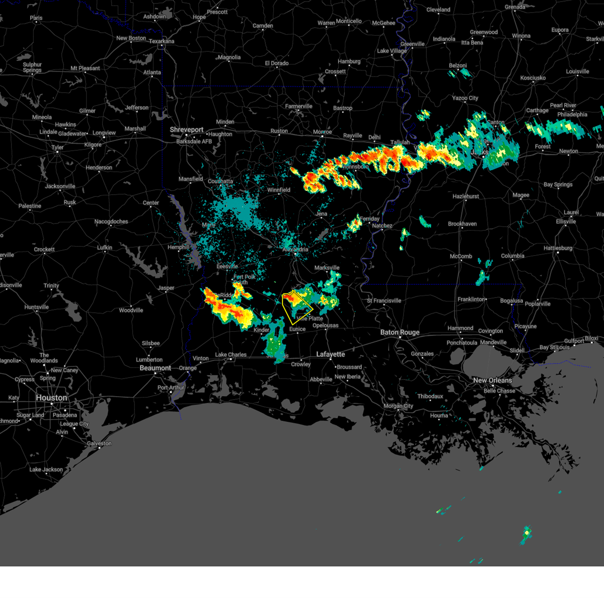 At 951 pm cdt, a severe thunderstorm was located near beaver, or 7 miles northeast of oakdale, moving southeast at 15 mph (radar indicated). Hazards include 60 mph wind gusts and quarter size hail. Hail damage to vehicles is expected. expect wind damage to roofs, siding, and trees. locations impacted include, ville platte, mamou, turkey creek, pine prairie, bayou chicot, beaver and reddell. hail threat, radar indicated max hail size, 1. 00 in wind threat, radar indicated max wind gust, 60 mph. At 951 pm cdt, a severe thunderstorm was located near beaver, or 7 miles northeast of oakdale, moving southeast at 15 mph (radar indicated). Hazards include 60 mph wind gusts and quarter size hail. Hail damage to vehicles is expected. expect wind damage to roofs, siding, and trees. locations impacted include, ville platte, mamou, turkey creek, pine prairie, bayou chicot, beaver and reddell. hail threat, radar indicated max hail size, 1. 00 in wind threat, radar indicated max wind gust, 60 mph.
|
| 7/9/2023 9:39 PM CDT |
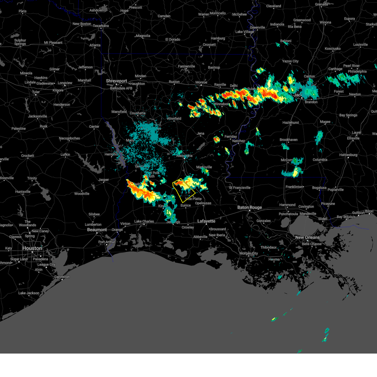 At 939 pm cdt, a severe thunderstorm was located near glenmora, moving southeast at 15 mph (radar indicated). Hazards include 60 mph wind gusts and quarter size hail. Hail damage to vehicles is expected. Expect wind damage to roofs, siding, and trees. At 939 pm cdt, a severe thunderstorm was located near glenmora, moving southeast at 15 mph (radar indicated). Hazards include 60 mph wind gusts and quarter size hail. Hail damage to vehicles is expected. Expect wind damage to roofs, siding, and trees.
|
| 7/9/2023 8:59 PM CDT |
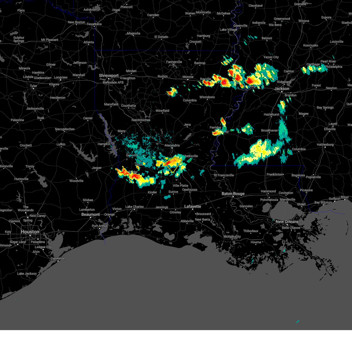 At 859 pm cdt, a severe thunderstorm was located near lecompte, or 8 miles northeast of glenmora, moving southeast at 15 mph (radar indicated). Hazards include 60 mph wind gusts and quarter size hail. Hail damage to vehicles is expected. expect wind damage to roofs, siding, and trees. locations impacted include, turkey creek, lecompte and forest hill. hail threat, radar indicated max hail size, 1. 00 in wind threat, radar indicated max wind gust, 60 mph. At 859 pm cdt, a severe thunderstorm was located near lecompte, or 8 miles northeast of glenmora, moving southeast at 15 mph (radar indicated). Hazards include 60 mph wind gusts and quarter size hail. Hail damage to vehicles is expected. expect wind damage to roofs, siding, and trees. locations impacted include, turkey creek, lecompte and forest hill. hail threat, radar indicated max hail size, 1. 00 in wind threat, radar indicated max wind gust, 60 mph.
|
| 7/9/2023 8:35 PM CDT |
 At 835 pm cdt, a severe thunderstorm was located 7 miles east of elmer, or 9 miles north of glenmora, moving southeast at 15 mph (radar indicated). Hazards include 60 mph wind gusts and quarter size hail. Hail damage to vehicles is expected. Expect wind damage to roofs, siding, and trees. At 835 pm cdt, a severe thunderstorm was located 7 miles east of elmer, or 9 miles north of glenmora, moving southeast at 15 mph (radar indicated). Hazards include 60 mph wind gusts and quarter size hail. Hail damage to vehicles is expected. Expect wind damage to roofs, siding, and trees.
|
| 6/21/2023 12:58 AM CDT |
 The severe thunderstorm warning for south central rapides and central evangeline parishes will expire at 100 am cdt, the severe thunderstorm which prompted the warning has moved out of the warned area. therefore, the warning will be allowed to expire. The severe thunderstorm warning for south central rapides and central evangeline parishes will expire at 100 am cdt, the severe thunderstorm which prompted the warning has moved out of the warned area. therefore, the warning will be allowed to expire.
|
| 6/21/2023 12:31 AM CDT |
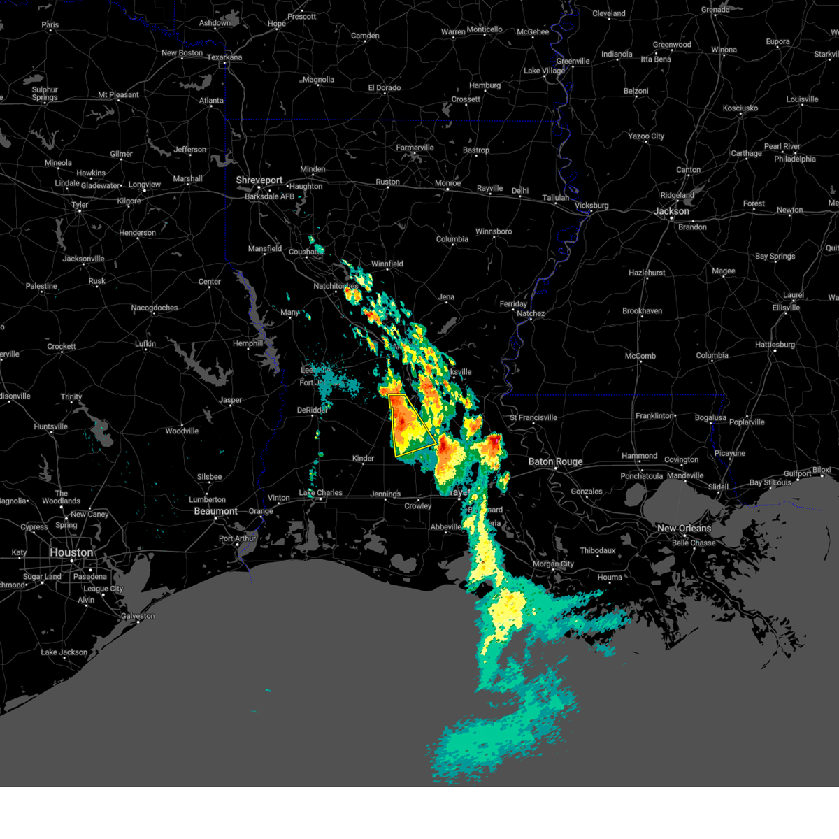 At 1231 am cdt, a severe thunderstorm was located near beaver, or 8 miles southwest of turkey creek, moving southeast at 20 mph (radar indicated). Hazards include ping pong ball size hail and 60 mph wind gusts. People and animals outdoors will be injured. expect hail damage to roofs, siding, windows, and vehicles. expect wind damage to roofs, siding, and trees. locations impacted include, ville platte, mamou, glenmora, turkey creek, pine prairie, beaver, reddell, bayou chicot and mcnary. hail threat, radar indicated max hail size, 1. 50 in wind threat, radar indicated max wind gust, 60 mph. At 1231 am cdt, a severe thunderstorm was located near beaver, or 8 miles southwest of turkey creek, moving southeast at 20 mph (radar indicated). Hazards include ping pong ball size hail and 60 mph wind gusts. People and animals outdoors will be injured. expect hail damage to roofs, siding, windows, and vehicles. expect wind damage to roofs, siding, and trees. locations impacted include, ville platte, mamou, glenmora, turkey creek, pine prairie, beaver, reddell, bayou chicot and mcnary. hail threat, radar indicated max hail size, 1. 50 in wind threat, radar indicated max wind gust, 60 mph.
|
| 6/21/2023 12:00 AM CDT |
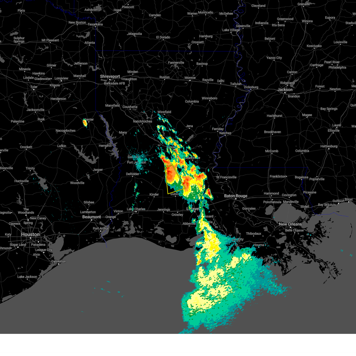 At 1200 am cdt, a severe thunderstorm was located near glenmora, moving south at 25 mph (radar indicated). Hazards include ping pong ball size hail and 60 mph wind gusts. People and animals outdoors will be injured. expect hail damage to roofs, siding, windows, and vehicles. Expect wind damage to roofs, siding, and trees. At 1200 am cdt, a severe thunderstorm was located near glenmora, moving south at 25 mph (radar indicated). Hazards include ping pong ball size hail and 60 mph wind gusts. People and animals outdoors will be injured. expect hail damage to roofs, siding, windows, and vehicles. Expect wind damage to roofs, siding, and trees.
|
| 6/20/2023 7:42 PM CDT |
 At 740 pm cdt, severe thunderstorms were located along a line extending from near effie to lecompte, moving southeast at 20 mph (radar indicated). Hazards include ping pong ball size hail and 60 mph wind gusts. People and animals outdoors will be injured. expect hail damage to roofs, siding, windows, and vehicles. Expect wind damage to roofs, siding, and trees. At 740 pm cdt, severe thunderstorms were located along a line extending from near effie to lecompte, moving southeast at 20 mph (radar indicated). Hazards include ping pong ball size hail and 60 mph wind gusts. People and animals outdoors will be injured. expect hail damage to roofs, siding, windows, and vehicles. Expect wind damage to roofs, siding, and trees.
|
| 6/20/2023 7:14 PM CDT |
 At 712 pm cdt, a severe thunderstorm was located near lecompte, or near cheneyville, moving south at 20 mph. this is a destructive storm for locations between echo and lecompte (radar indicated). Hazards include baseball size hail and 60 mph wind gusts. People and animals outdoors will be severely injured. expect shattered windows, extensive damage to roofs, siding, and vehicles. locations impacted include, bunkie, cheneyville, turkey creek, lecompte, woodworth and forest hill. thunderstorm damage threat, destructive hail threat, observed max hail size, 2. 75 in wind threat, radar indicated max wind gust, 60 mph. At 712 pm cdt, a severe thunderstorm was located near lecompte, or near cheneyville, moving south at 20 mph. this is a destructive storm for locations between echo and lecompte (radar indicated). Hazards include baseball size hail and 60 mph wind gusts. People and animals outdoors will be severely injured. expect shattered windows, extensive damage to roofs, siding, and vehicles. locations impacted include, bunkie, cheneyville, turkey creek, lecompte, woodworth and forest hill. thunderstorm damage threat, destructive hail threat, observed max hail size, 2. 75 in wind threat, radar indicated max wind gust, 60 mph.
|
| 6/20/2023 6:53 PM CDT |
 At 653 pm cdt, a severe thunderstorm was located over lecompte, or 9 miles northwest of cheneyville, moving south at 20 mph (radar indicated). Hazards include 60 mph wind gusts and quarter size hail. Hail damage to vehicles is expected. Expect wind damage to roofs, siding, and trees. At 653 pm cdt, a severe thunderstorm was located over lecompte, or 9 miles northwest of cheneyville, moving south at 20 mph (radar indicated). Hazards include 60 mph wind gusts and quarter size hail. Hail damage to vehicles is expected. Expect wind damage to roofs, siding, and trees.
|
| 4/15/2023 11:55 PM CDT |
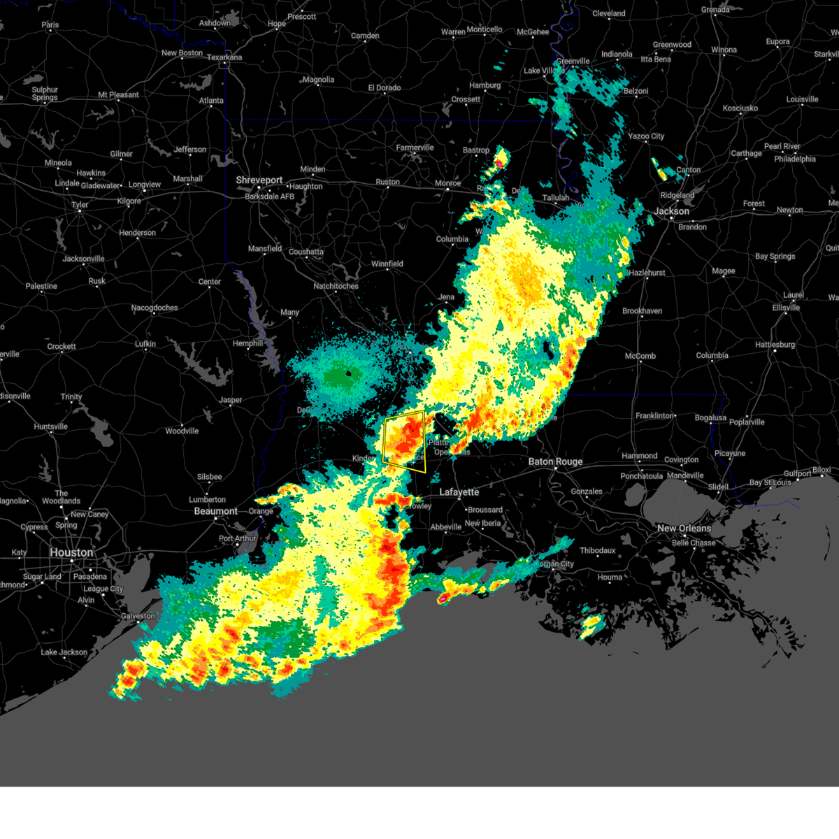 The severe thunderstorm warning for southwestern evangeline, north central acadia, west central st. landry and southeastern allen parishes will expire at midnight cdt, the storm which prompted the warning has weakened below severe limits, and no longer poses an immediate threat to life or property. therefore, the warning will be allowed to expire. however small hail and gusty winds are still possible with this thunderstorm. a severe thunderstorm watch remains in effect until 200 am cdt for central and southwestern louisiana. The severe thunderstorm warning for southwestern evangeline, north central acadia, west central st. landry and southeastern allen parishes will expire at midnight cdt, the storm which prompted the warning has weakened below severe limits, and no longer poses an immediate threat to life or property. therefore, the warning will be allowed to expire. however small hail and gusty winds are still possible with this thunderstorm. a severe thunderstorm watch remains in effect until 200 am cdt for central and southwestern louisiana.
|
| 4/15/2023 11:47 PM CDT |
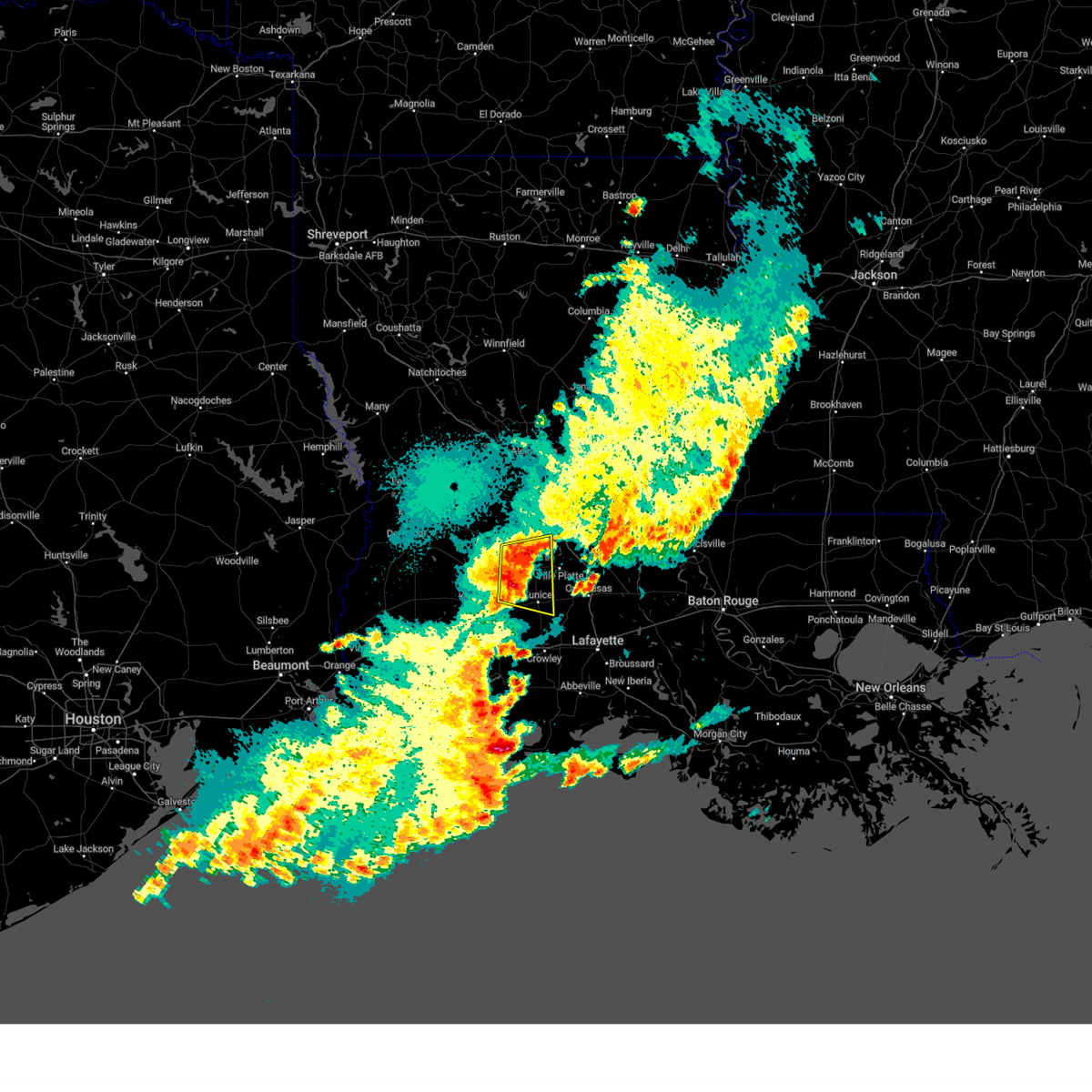 At 1147 pm cdt, a severe thunderstorm was located near reddell, or near mamou, moving east at 35 mph (radar indicated). Hazards include 60 mph wind gusts and quarter size hail. Hail damage to vehicles is expected. expect wind damage to roofs, siding, and trees. locations impacted include, eunice, oakdale, mamou, basile, turkey creek, pine prairie, chataignier, bayou chicot, savoy, duralde, richard, beaver, reddell and bond. hail threat, radar indicated max hail size, 1. 00 in wind threat, radar indicated max wind gust, 60 mph. At 1147 pm cdt, a severe thunderstorm was located near reddell, or near mamou, moving east at 35 mph (radar indicated). Hazards include 60 mph wind gusts and quarter size hail. Hail damage to vehicles is expected. expect wind damage to roofs, siding, and trees. locations impacted include, eunice, oakdale, mamou, basile, turkey creek, pine prairie, chataignier, bayou chicot, savoy, duralde, richard, beaver, reddell and bond. hail threat, radar indicated max hail size, 1. 00 in wind threat, radar indicated max wind gust, 60 mph.
|
| 4/15/2023 11:38 PM CDT |
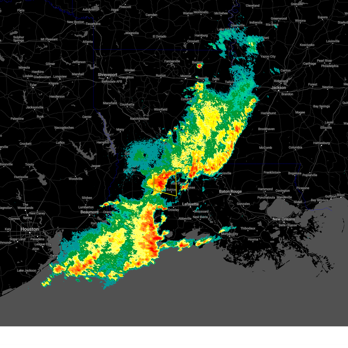 At 1138 pm cdt, a severe thunderstorm was located over bond, or 9 miles northeast of oberlin, moving east at 35 mph (radar indicated). Hazards include 60 mph wind gusts and quarter size hail. Hail damage to vehicles is expected. expect wind damage to roofs, siding, and trees. locations impacted include, eunice, oakdale, mamou, basile, oberlin, turkey creek, pine prairie, chataignier, bayou chicot, savoy, duralde, allen parish airport, richard, beaver, reddell and bond. hail threat, radar indicated max hail size, 1. 00 in wind threat, radar indicated max wind gust, 60 mph. At 1138 pm cdt, a severe thunderstorm was located over bond, or 9 miles northeast of oberlin, moving east at 35 mph (radar indicated). Hazards include 60 mph wind gusts and quarter size hail. Hail damage to vehicles is expected. expect wind damage to roofs, siding, and trees. locations impacted include, eunice, oakdale, mamou, basile, oberlin, turkey creek, pine prairie, chataignier, bayou chicot, savoy, duralde, allen parish airport, richard, beaver, reddell and bond. hail threat, radar indicated max hail size, 1. 00 in wind threat, radar indicated max wind gust, 60 mph.
|
| 4/15/2023 11:21 PM CDT |
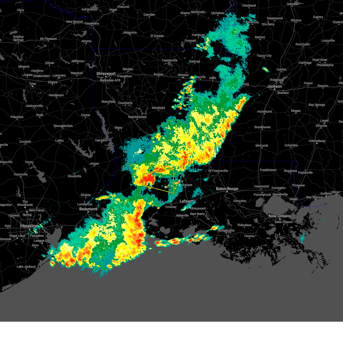 At 1121 pm cdt, a severe thunderstorm was located near oberlin, moving east at 35 mph (radar indicated). Hazards include 60 mph wind gusts and quarter size hail. Hail damage to vehicles is expected. Expect wind damage to roofs, siding, and trees. At 1121 pm cdt, a severe thunderstorm was located near oberlin, moving east at 35 mph (radar indicated). Hazards include 60 mph wind gusts and quarter size hail. Hail damage to vehicles is expected. Expect wind damage to roofs, siding, and trees.
|
| 3/26/2023 4:32 PM CDT |
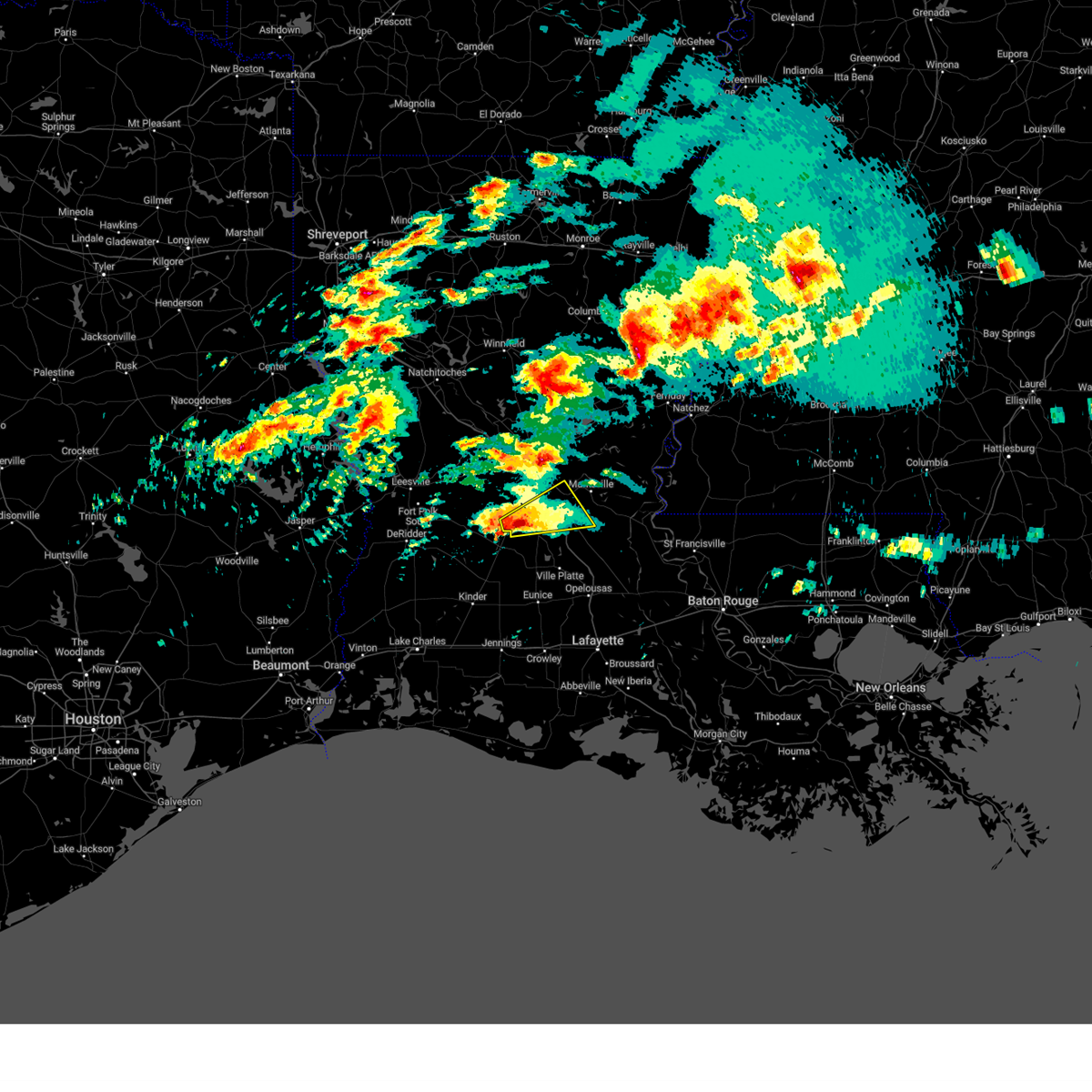 At 432 pm cdt, a severe thunderstorm was located near glenmora, moving east at 50 mph (radar indicated). Hazards include ping pong ball size hail and 60 mph wind gusts. People and animals outdoors will be injured. expect hail damage to roofs, siding, windows, and vehicles. Expect wind damage to roofs, siding, and trees. At 432 pm cdt, a severe thunderstorm was located near glenmora, moving east at 50 mph (radar indicated). Hazards include ping pong ball size hail and 60 mph wind gusts. People and animals outdoors will be injured. expect hail damage to roofs, siding, windows, and vehicles. Expect wind damage to roofs, siding, and trees.
|
| 1/3/2023 4:22 PM CST |
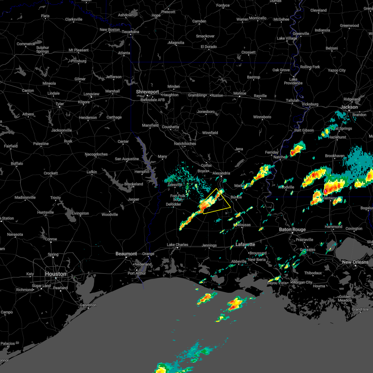 At 421 pm cst, a severe thunderstorm was located near oakdale, moving northeast at 35 mph (radar indicated). Hazards include 60 mph wind gusts and quarter size hail. Hail damage to vehicles is expected. Expect wind damage to roofs, siding, and trees. At 421 pm cst, a severe thunderstorm was located near oakdale, moving northeast at 35 mph (radar indicated). Hazards include 60 mph wind gusts and quarter size hail. Hail damage to vehicles is expected. Expect wind damage to roofs, siding, and trees.
|
| 11/29/2022 12:41 PM CST |
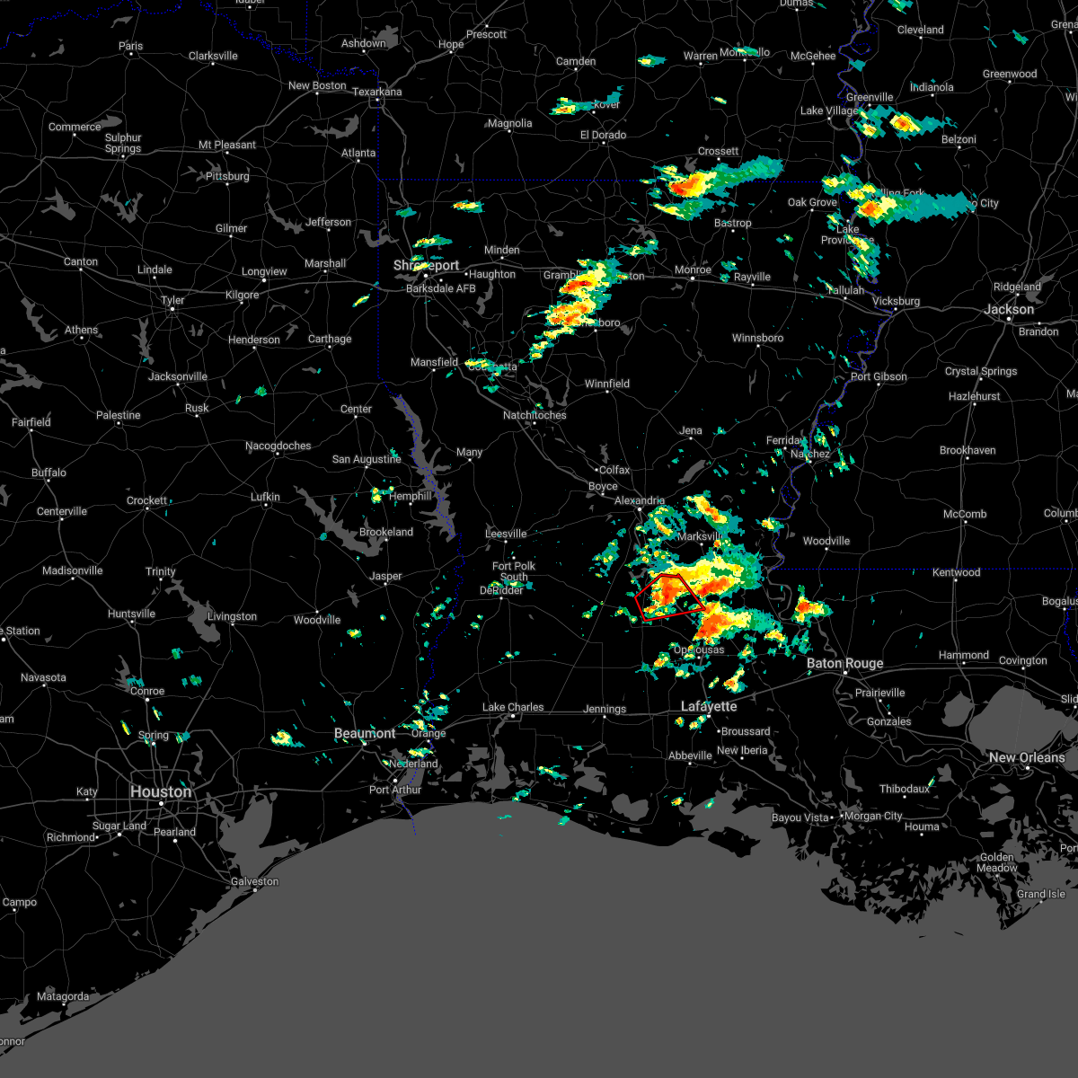 The tornado warning for northeastern evangeline, southwestern avoyelles and north central st. landry parishes will expire at 1245 pm cst, the storm which prompted the warning has weakened below severe limits, and no longer appears capable of producing a tornado at this time. therefore, the warning will be allowed to expire. a tornado watch remains in effect until 700 pm cst for central louisiana. The tornado warning for northeastern evangeline, southwestern avoyelles and north central st. landry parishes will expire at 1245 pm cst, the storm which prompted the warning has weakened below severe limits, and no longer appears capable of producing a tornado at this time. therefore, the warning will be allowed to expire. a tornado watch remains in effect until 700 pm cst for central louisiana.
|
| 11/29/2022 12:28 PM CST |
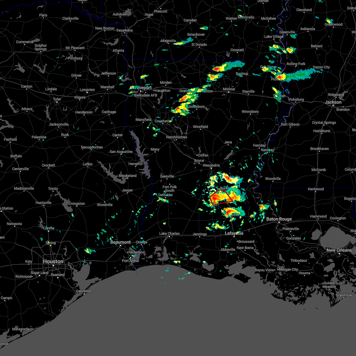 At 1228 pm cst, a severe thunderstorm capable of producing a tornado was located over bayou chicot, or 7 miles southeast of turkey creek, moving northeast at 25 mph (radar indicated rotation). Hazards include tornado. Flying debris will be dangerous to those caught without shelter. mobile homes will be damaged or destroyed. damage to roofs, windows, and vehicles will occur. tree damage is likely. this dangerous storm will be near, chicot state park around 1235 pm cst. indian lake around 1240 pm cst. whiteville around 1250 pm cst. bunkie around 1255 pm cst. other locations impacted by this tornadic thunderstorm include st. Landry. At 1228 pm cst, a severe thunderstorm capable of producing a tornado was located over bayou chicot, or 7 miles southeast of turkey creek, moving northeast at 25 mph (radar indicated rotation). Hazards include tornado. Flying debris will be dangerous to those caught without shelter. mobile homes will be damaged or destroyed. damage to roofs, windows, and vehicles will occur. tree damage is likely. this dangerous storm will be near, chicot state park around 1235 pm cst. indian lake around 1240 pm cst. whiteville around 1250 pm cst. bunkie around 1255 pm cst. other locations impacted by this tornadic thunderstorm include st. Landry.
|
| 11/29/2022 12:11 PM CST |
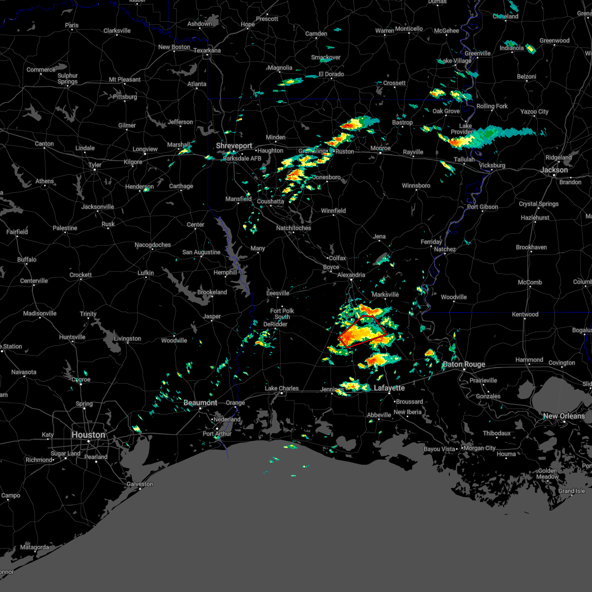 At 1211 pm cst, a severe thunderstorm capable of producing a tornado was located near reddell, or near mamou, moving northeast at 35 mph (radar indicated rotation). Hazards include tornado. Flying debris will be dangerous to those caught without shelter. mobile homes will be damaged or destroyed. damage to roofs, windows, and vehicles will occur. tree damage is likely. this dangerous storm will be near, pine prairie around 1220 pm cst. turkey creek and bayou chicot around 1225 pm cst. chicot state park around 1230 pm cst. indian lake around 1235 pm cst. whiteville around 1240 pm cst. bunkie around 1245 pm cst. other locations impacted by this tornadic thunderstorm include st. landry. This includes interstate 49 between mile markers 39 and 55. At 1211 pm cst, a severe thunderstorm capable of producing a tornado was located near reddell, or near mamou, moving northeast at 35 mph (radar indicated rotation). Hazards include tornado. Flying debris will be dangerous to those caught without shelter. mobile homes will be damaged or destroyed. damage to roofs, windows, and vehicles will occur. tree damage is likely. this dangerous storm will be near, pine prairie around 1220 pm cst. turkey creek and bayou chicot around 1225 pm cst. chicot state park around 1230 pm cst. indian lake around 1235 pm cst. whiteville around 1240 pm cst. bunkie around 1245 pm cst. other locations impacted by this tornadic thunderstorm include st. landry. This includes interstate 49 between mile markers 39 and 55.
|
| 5/13/2022 7:11 PM CDT |
 At 710 pm cdt, severe thunderstorms were located along a line extending from near poland to near bayou chicot, moving southeast at 15 mph (radar indicated). Hazards include 60 mph wind gusts and quarter size hail. Hail damage to vehicles is expected. Expect wind damage to roofs, siding, and trees. At 710 pm cdt, severe thunderstorms were located along a line extending from near poland to near bayou chicot, moving southeast at 15 mph (radar indicated). Hazards include 60 mph wind gusts and quarter size hail. Hail damage to vehicles is expected. Expect wind damage to roofs, siding, and trees.
|
| 4/13/2022 8:09 PM CDT |
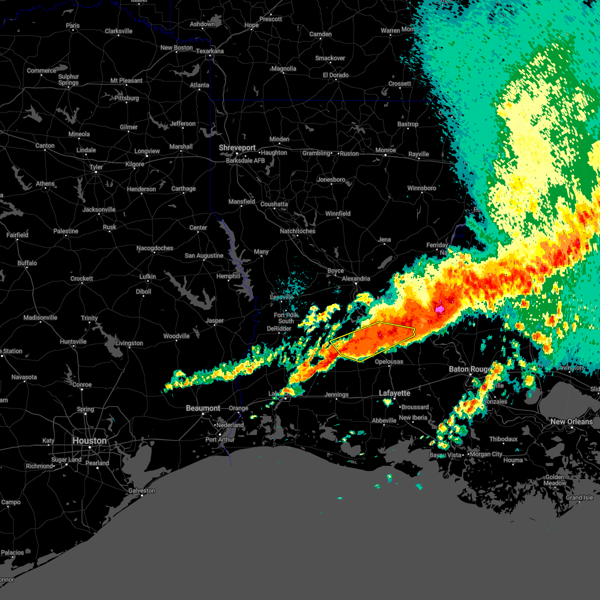 At 809 pm cdt, severe thunderstorms were located along a line extending from near big cane to near reddell, moving east at 25 mph (radar indicated). Hazards include 60 mph wind gusts and quarter size hail. Hail damage to vehicles is expected. expect wind damage to roofs, siding, and trees. locations impacted include, oakdale, ville platte, bunkie, mamou, turkey creek, morrow, pine prairie, bayou chicot, goudeau, indian lake, chicot state park, allen parish airport, whiteville, big cane, beaver, reddell, bond, grand prairie and st. landry. hail threat, radar indicated max hail size, 1. 00 in wind threat, radar indicated max wind gust, 60 mph. At 809 pm cdt, severe thunderstorms were located along a line extending from near big cane to near reddell, moving east at 25 mph (radar indicated). Hazards include 60 mph wind gusts and quarter size hail. Hail damage to vehicles is expected. expect wind damage to roofs, siding, and trees. locations impacted include, oakdale, ville platte, bunkie, mamou, turkey creek, morrow, pine prairie, bayou chicot, goudeau, indian lake, chicot state park, allen parish airport, whiteville, big cane, beaver, reddell, bond, grand prairie and st. landry. hail threat, radar indicated max hail size, 1. 00 in wind threat, radar indicated max wind gust, 60 mph.
|
| 4/13/2022 7:42 PM CDT |
 At 742 pm cdt, severe thunderstorms were located along a line extending from near evergreen to allen parish airport, moving east at 20 mph (radar indicated). Hazards include 60 mph wind gusts and quarter size hail. Hail damage to vehicles is expected. Expect wind damage to roofs, siding, and trees. At 742 pm cdt, severe thunderstorms were located along a line extending from near evergreen to allen parish airport, moving east at 20 mph (radar indicated). Hazards include 60 mph wind gusts and quarter size hail. Hail damage to vehicles is expected. Expect wind damage to roofs, siding, and trees.
|
| 4/13/2022 7:20 PM CDT |
 At 720 pm cdt, a severe thunderstorm was located near turkey creek, moving east at 40 mph (radar indicated). Hazards include 70 mph wind gusts and penny size hail. Expect considerable tree damage. damage is likely to mobile homes, roofs, and outbuildings. locations impacted include, bunkie, turkey creek, morrow, bayou chicot, whiteville, big cane, goudeau, indian lake, grand prairie, lebeau, chicot state park and st. landry. thunderstorm damage threat, considerable hail threat, radar indicated max hail size, 0. 75 in wind threat, radar indicated max wind gust, 70 mph. At 720 pm cdt, a severe thunderstorm was located near turkey creek, moving east at 40 mph (radar indicated). Hazards include 70 mph wind gusts and penny size hail. Expect considerable tree damage. damage is likely to mobile homes, roofs, and outbuildings. locations impacted include, bunkie, turkey creek, morrow, bayou chicot, whiteville, big cane, goudeau, indian lake, grand prairie, lebeau, chicot state park and st. landry. thunderstorm damage threat, considerable hail threat, radar indicated max hail size, 0. 75 in wind threat, radar indicated max wind gust, 70 mph.
|
| 4/13/2022 7:04 PM CDT |
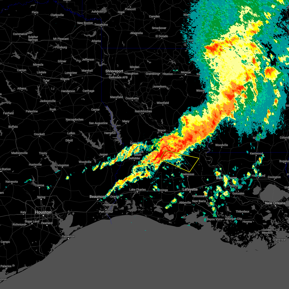 At 703 pm cdt, a severe thunderstorm was located near glenmora, moving east at 40 mph (radar indicated). Hazards include 70 mph wind gusts and penny size hail. Expect considerable tree damage. Damage is likely to mobile homes, roofs, and outbuildings. At 703 pm cdt, a severe thunderstorm was located near glenmora, moving east at 40 mph (radar indicated). Hazards include 70 mph wind gusts and penny size hail. Expect considerable tree damage. Damage is likely to mobile homes, roofs, and outbuildings.
|
| 3/30/2022 2:34 PM CDT |
 At 233 pm cdt, severe thunderstorms were located along a line extending from near lee bayou to brouillette to near mamou, moving east at 45 mph (radar indicated). Hazards include 60 mph wind gusts. Expect damage to roofs, siding, and trees. Locations impacted include, ville platte, marksville, bunkie, mamou, simmesport, moreauville, cheneyville, turkey creek, bordelonville, morrow, effie, cottonport, pine prairie, mansura, washington, hessmer, evergreen, plaucheville, bayou chicot and goudeau. At 233 pm cdt, severe thunderstorms were located along a line extending from near lee bayou to brouillette to near mamou, moving east at 45 mph (radar indicated). Hazards include 60 mph wind gusts. Expect damage to roofs, siding, and trees. Locations impacted include, ville platte, marksville, bunkie, mamou, simmesport, moreauville, cheneyville, turkey creek, bordelonville, morrow, effie, cottonport, pine prairie, mansura, washington, hessmer, evergreen, plaucheville, bayou chicot and goudeau.
|
| 3/30/2022 1:40 PM CDT |
 At 140 pm cdt, severe thunderstorms were located along a line extending from near midway to near glenmora to near kinder, moving east at 45 mph (radar indicated). Hazards include 60 mph wind gusts. expect damage to roofs, siding, and trees At 140 pm cdt, severe thunderstorms were located along a line extending from near midway to near glenmora to near kinder, moving east at 45 mph (radar indicated). Hazards include 60 mph wind gusts. expect damage to roofs, siding, and trees
|
| 3/30/2022 1:24 PM CDT |
 At 123 pm cdt, severe thunderstorms were located along a line extending from near alexandria international airport to 6 miles northeast of elizabeth to harmony, moving northeast at 55 mph (radar indicated). Hazards include 60 mph wind gusts. Expect damage to roofs, siding, and trees. Locations impacted include, oakdale, kinder, basile, oberlin, glenmora, elton, cheneyville, elizabeth, turkey creek, reeves, dry creek, mittie, grant, pine prairie, lecompte, bayou chicot, elmer, duralde, allen parish airport and leblanc. At 123 pm cdt, severe thunderstorms were located along a line extending from near alexandria international airport to 6 miles northeast of elizabeth to harmony, moving northeast at 55 mph (radar indicated). Hazards include 60 mph wind gusts. Expect damage to roofs, siding, and trees. Locations impacted include, oakdale, kinder, basile, oberlin, glenmora, elton, cheneyville, elizabeth, turkey creek, reeves, dry creek, mittie, grant, pine prairie, lecompte, bayou chicot, elmer, duralde, allen parish airport and leblanc.
|
| 3/30/2022 1:01 PM CDT |
 At 100 pm cdt, severe thunderstorms were located along a line extending from near leander to near sugartown to near ragley, moving northeast at 55 mph (radar indicated). Hazards include 60 mph wind gusts. expect damage to roofs, siding, and trees At 100 pm cdt, severe thunderstorms were located along a line extending from near leander to near sugartown to near ragley, moving northeast at 55 mph (radar indicated). Hazards include 60 mph wind gusts. expect damage to roofs, siding, and trees
|
| 3/22/2022 10:54 AM CDT |
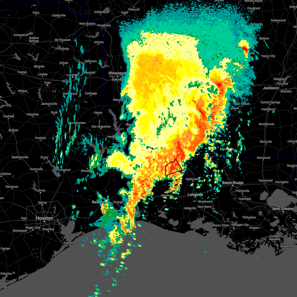 The tornado warning for northwestern evangeline and east central allen parishes will expire at 1100 am cdt, the storm which prompted the warning has weakened below severe limits, and no longer appears capable of producing a tornado. therefore, the warning will be allowed to expire. however gusty winds and heavy rain are still possible with this thunderstorm. a tornado watch remains in effect until 200 pm cdt for central and southwestern louisiana. The tornado warning for northwestern evangeline and east central allen parishes will expire at 1100 am cdt, the storm which prompted the warning has weakened below severe limits, and no longer appears capable of producing a tornado. therefore, the warning will be allowed to expire. however gusty winds and heavy rain are still possible with this thunderstorm. a tornado watch remains in effect until 200 pm cdt for central and southwestern louisiana.
|
| 3/22/2022 10:39 AM CDT |
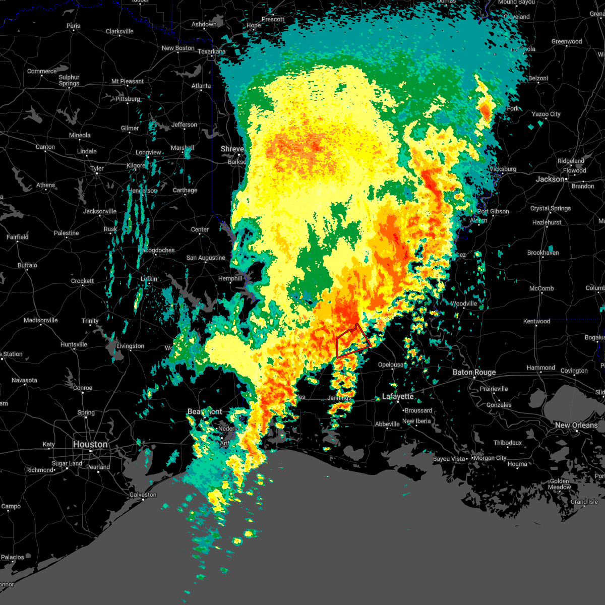 At 1039 am cdt, a severe thunderstorm capable of producing a tornado was located near beaver, or near oakdale, moving northeast at 45 mph (radar indicated rotation). Hazards include tornado. Flying debris will be dangerous to those caught without shelter. mobile homes will be damaged or destroyed. damage to roofs, windows, and vehicles will occur. tree damage is likely. this dangerous storm will be near, pine prairie around 1055 am cdt. Turkey creek around 1100 am cdt. At 1039 am cdt, a severe thunderstorm capable of producing a tornado was located near beaver, or near oakdale, moving northeast at 45 mph (radar indicated rotation). Hazards include tornado. Flying debris will be dangerous to those caught without shelter. mobile homes will be damaged or destroyed. damage to roofs, windows, and vehicles will occur. tree damage is likely. this dangerous storm will be near, pine prairie around 1055 am cdt. Turkey creek around 1100 am cdt.
|
| 3/22/2022 10:30 AM CDT |
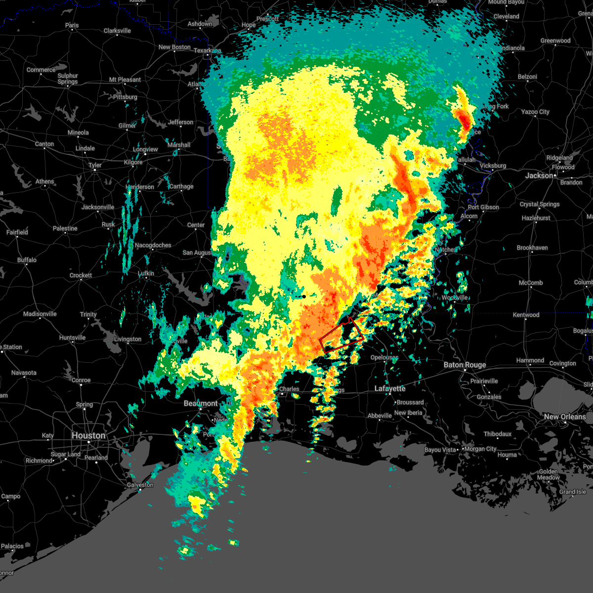 At 1029 am cdt, a severe thunderstorm capable of producing a tornado was located near allen parish airport, or 7 miles northeast of oberlin, moving northeast at 45 mph (radar indicated rotation). Hazards include tornado. Flying debris will be dangerous to those caught without shelter. mobile homes will be damaged or destroyed. damage to roofs, windows, and vehicles will occur. tree damage is likely. this dangerous storm will be near, bond around 1035 am cdt. oakdale around 1040 am cdt. beaver around 1045 am cdt. pine prairie around 1055 am cdt. Turkey creek around 1100 am cdt. At 1029 am cdt, a severe thunderstorm capable of producing a tornado was located near allen parish airport, or 7 miles northeast of oberlin, moving northeast at 45 mph (radar indicated rotation). Hazards include tornado. Flying debris will be dangerous to those caught without shelter. mobile homes will be damaged or destroyed. damage to roofs, windows, and vehicles will occur. tree damage is likely. this dangerous storm will be near, bond around 1035 am cdt. oakdale around 1040 am cdt. beaver around 1045 am cdt. pine prairie around 1055 am cdt. Turkey creek around 1100 am cdt.
|
| 3/22/2022 10:27 AM CDT |
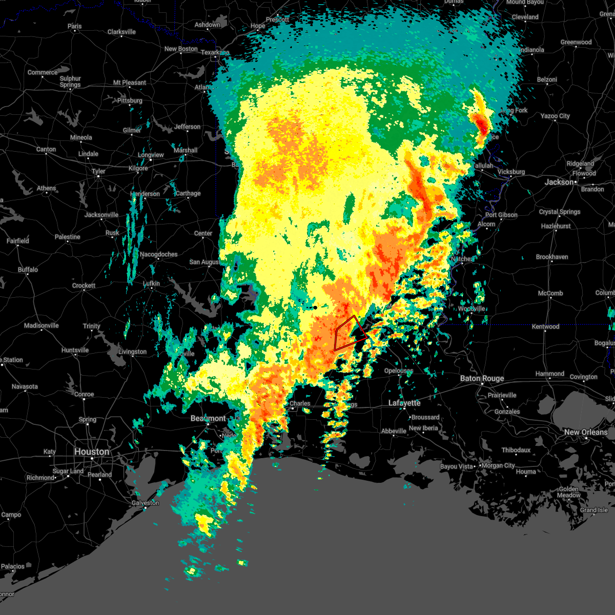 The tornado warning for south central rapides, northwestern evangeline and northeastern allen parishes will expire at 1030 am cdt, the storm which prompted the warning has weakened below severe limits, and no longer appears capable of producing a tornado. therefore, the warning will be allowed to expire. however gusty winds and heavy rain are still possible with this thunderstorm. a tornado watch remains in effect until 200 pm cdt for central and southwestern louisiana. The tornado warning for south central rapides, northwestern evangeline and northeastern allen parishes will expire at 1030 am cdt, the storm which prompted the warning has weakened below severe limits, and no longer appears capable of producing a tornado. therefore, the warning will be allowed to expire. however gusty winds and heavy rain are still possible with this thunderstorm. a tornado watch remains in effect until 200 pm cdt for central and southwestern louisiana.
|
| 3/22/2022 10:16 AM CDT |
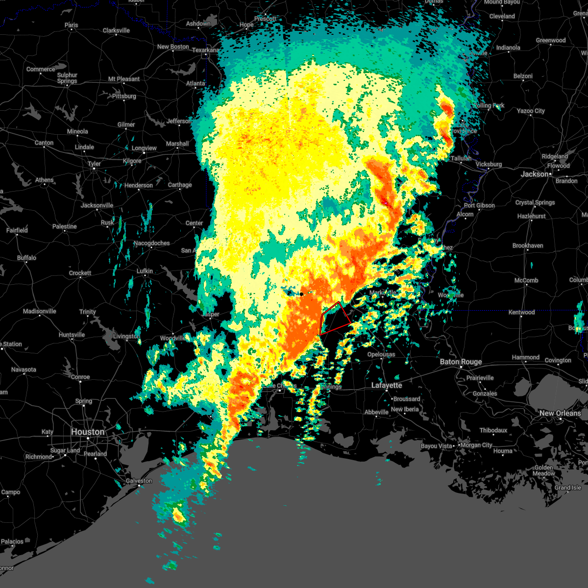 At 1015 am cdt, a severe thunderstorm capable of producing a tornado was located near oakdale, moving northeast at 45 mph (radar indicated rotation). Hazards include tornado. Flying debris will be dangerous to those caught without shelter. mobile homes will be damaged or destroyed. damage to roofs, windows, and vehicles will occur. tree damage is likely. this dangerous storm will be near, glenmora and turkey creek around 1030 am cdt. Other locations impacted by this tornadic thunderstorm include mcnary and forest hill. At 1015 am cdt, a severe thunderstorm capable of producing a tornado was located near oakdale, moving northeast at 45 mph (radar indicated rotation). Hazards include tornado. Flying debris will be dangerous to those caught without shelter. mobile homes will be damaged or destroyed. damage to roofs, windows, and vehicles will occur. tree damage is likely. this dangerous storm will be near, glenmora and turkey creek around 1030 am cdt. Other locations impacted by this tornadic thunderstorm include mcnary and forest hill.
|
| 3/22/2022 10:09 AM CDT |
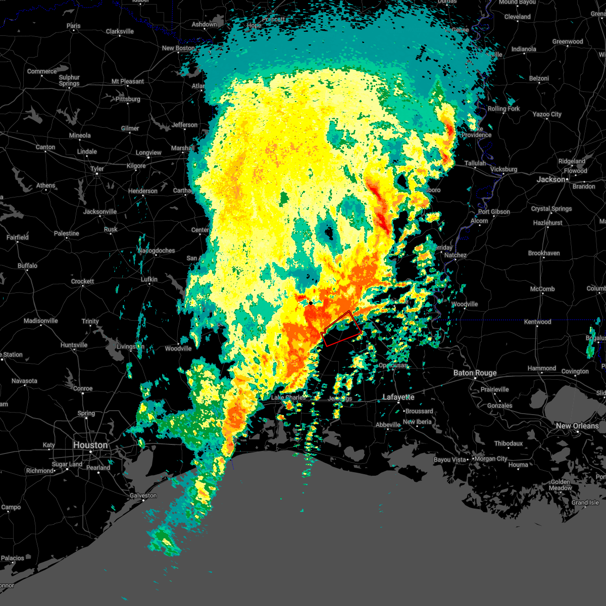 At 1009 am cdt, a severe thunderstorm capable of producing a tornado was located near elizabeth, moving northeast at 45 mph (radar indicated rotation). Hazards include tornado. Flying debris will be dangerous to those caught without shelter. mobile homes will be damaged or destroyed. damage to roofs, windows, and vehicles will occur. tree damage is likely. this dangerous storm will be near, oakdale around 1015 am cdt. glenmora and turkey creek around 1030 am cdt. Other locations impacted by this tornadic thunderstorm include mcnary and forest hill. At 1009 am cdt, a severe thunderstorm capable of producing a tornado was located near elizabeth, moving northeast at 45 mph (radar indicated rotation). Hazards include tornado. Flying debris will be dangerous to those caught without shelter. mobile homes will be damaged or destroyed. damage to roofs, windows, and vehicles will occur. tree damage is likely. this dangerous storm will be near, oakdale around 1015 am cdt. glenmora and turkey creek around 1030 am cdt. Other locations impacted by this tornadic thunderstorm include mcnary and forest hill.
|
| 10/27/2021 1:26 PM CDT |
 At 125 pm cdt, severe thunderstorms were located along a line extending from near boyce to bond, moving east at 60 mph (radar indicated). Hazards include 60 mph wind gusts. expect damage to roofs, siding, and trees At 125 pm cdt, severe thunderstorms were located along a line extending from near boyce to bond, moving east at 60 mph (radar indicated). Hazards include 60 mph wind gusts. expect damage to roofs, siding, and trees
|
| 6/13/2021 9:10 PM CDT |
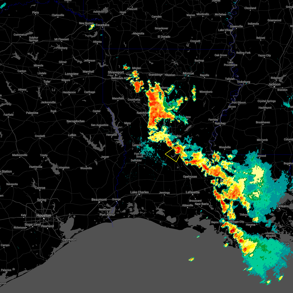 At 910 pm cdt, a severe thunderstorm was located near lecompte, or 7 miles northwest of cheneyville, moving southwest at 20 mph (radar indicated). Hazards include 60 mph wind gusts and quarter size hail. Hail damage to vehicles is expected. Expect wind damage to roofs, siding, and trees. At 910 pm cdt, a severe thunderstorm was located near lecompte, or 7 miles northwest of cheneyville, moving southwest at 20 mph (radar indicated). Hazards include 60 mph wind gusts and quarter size hail. Hail damage to vehicles is expected. Expect wind damage to roofs, siding, and trees.
|
| 5/10/2021 6:40 AM CDT |
 The national weather service in lake charles has issued a * severe thunderstorm warning for. eastern evangeline parish in central louisiana. southwestern avoyelles parish in central louisiana. northeastern st. landry parish in central louisiana. Until 745 am cdt. The national weather service in lake charles has issued a * severe thunderstorm warning for. eastern evangeline parish in central louisiana. southwestern avoyelles parish in central louisiana. northeastern st. landry parish in central louisiana. Until 745 am cdt.
|
| 5/4/2021 2:55 PM CDT |
 The severe thunderstorm warning for northern evangeline, avoyelles and north central st. landry parishes will expire at 300 pm cdt, the storms which prompted the warning have weakened. therefore, the warning will be allowed to expire. however small hail and gusty winds are still possible with these thunderstorms. a tornado watch remains in effect until 600 pm cdt for central louisiana. to report severe weather, contact your nearest law enforcement agency. they will relay your report to the national weather service lake charles. The severe thunderstorm warning for northern evangeline, avoyelles and north central st. landry parishes will expire at 300 pm cdt, the storms which prompted the warning have weakened. therefore, the warning will be allowed to expire. however small hail and gusty winds are still possible with these thunderstorms. a tornado watch remains in effect until 600 pm cdt for central louisiana. to report severe weather, contact your nearest law enforcement agency. they will relay your report to the national weather service lake charles.
|
| 5/4/2021 2:47 PM CDT |
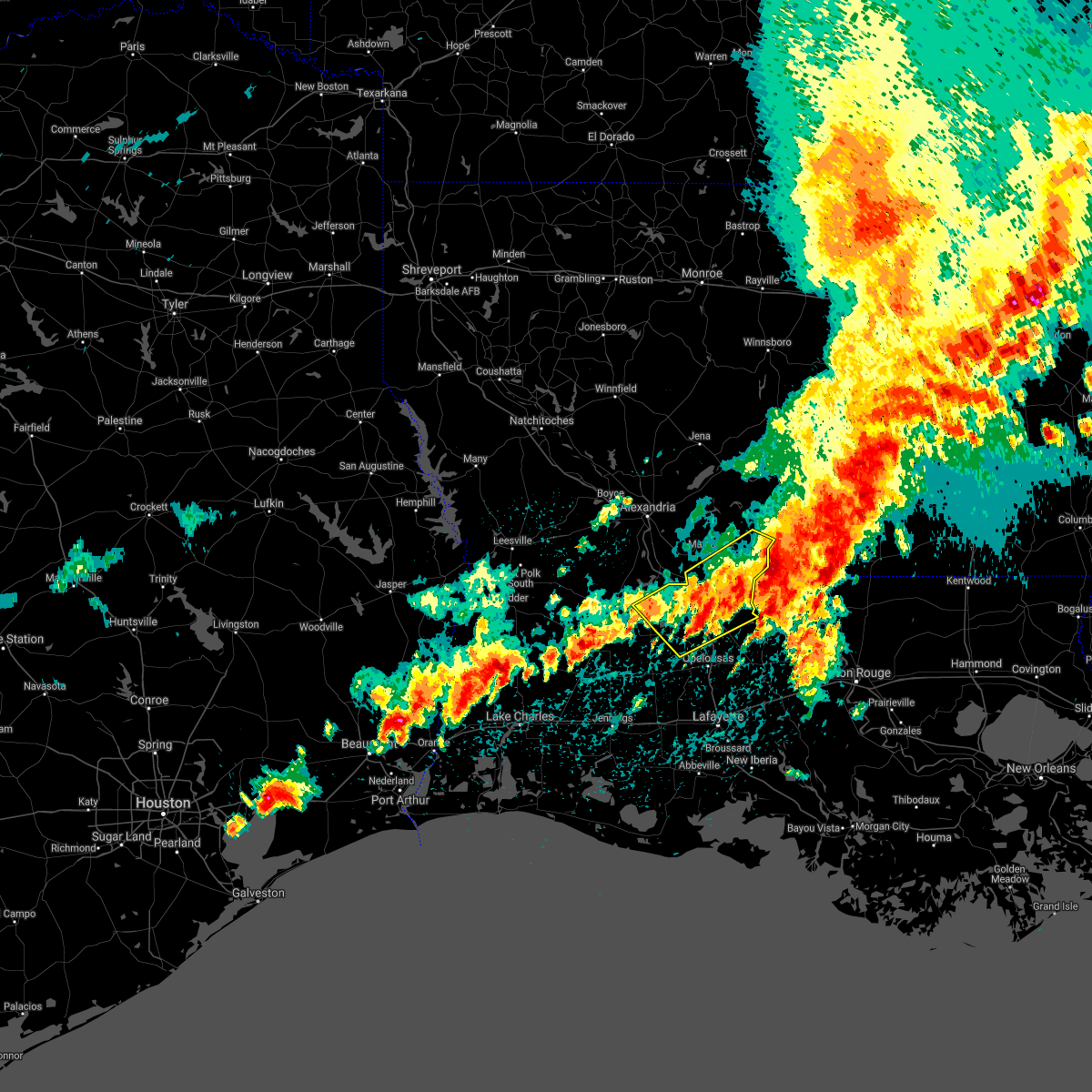 At 247 pm cdt, severe thunderstorms were located along a line extending from deer park to bunkie, moving northeast at 35 mph (radar indicated). Hazards include 60 mph wind gusts and nickel size hail. Expect damage to roofs, siding, and trees. Locations impacted include, ville platte, bunkie, simmesport, moreauville, turkey creek, bordelonville, bayou current, morrow, cottonport, pine prairie, mansura, hessmer, evergreen, plaucheville, bayou chicot, goudeau, indian lake, whiteville, big cane and dupont. At 247 pm cdt, severe thunderstorms were located along a line extending from deer park to bunkie, moving northeast at 35 mph (radar indicated). Hazards include 60 mph wind gusts and nickel size hail. Expect damage to roofs, siding, and trees. Locations impacted include, ville platte, bunkie, simmesport, moreauville, turkey creek, bordelonville, bayou current, morrow, cottonport, pine prairie, mansura, hessmer, evergreen, plaucheville, bayou chicot, goudeau, indian lake, whiteville, big cane and dupont.
|
| 5/4/2021 2:16 PM CDT |
 At 216 pm cdt, severe thunderstorms were located along a line extending from acme to near turkey creek, moving northeast at 35 mph (radar indicated). Hazards include 60 mph wind gusts and nickel size hail. expect damage to roofs, siding, and trees At 216 pm cdt, severe thunderstorms were located along a line extending from acme to near turkey creek, moving northeast at 35 mph (radar indicated). Hazards include 60 mph wind gusts and nickel size hail. expect damage to roofs, siding, and trees
|
| 4/23/2021 10:58 PM CDT |
 At 1058 pm cdt, a severe thunderstorm was located over indian lake, or 7 miles north of ville platte, moving east at 45 mph (radar indicated). Hazards include 60 mph wind gusts and nickel size hail. expect damage to roofs, siding, and trees At 1058 pm cdt, a severe thunderstorm was located over indian lake, or 7 miles north of ville platte, moving east at 45 mph (radar indicated). Hazards include 60 mph wind gusts and nickel size hail. expect damage to roofs, siding, and trees
|
| 4/23/2021 10:52 PM CDT |
 At 1051 pm cdt, severe thunderstorms were located along a line extending from near hessmer to near bunkie, moving east at 45 mph (radar indicated). Hazards include 60 mph wind gusts and nickel size hail. Expect damage to roofs, siding, and trees. locations impacted include, ville platte, bunkie, mamou, cheneyville, turkey creek, morrow, cottonport, pine prairie, hessmer, evergreen, bayou chicot, goudeau, indian lake, chicot state park, whiteville, big cane, lebeau and st. landry. This includes interstate 49 between mile markers 33 and 59. At 1051 pm cdt, severe thunderstorms were located along a line extending from near hessmer to near bunkie, moving east at 45 mph (radar indicated). Hazards include 60 mph wind gusts and nickel size hail. Expect damage to roofs, siding, and trees. locations impacted include, ville platte, bunkie, mamou, cheneyville, turkey creek, morrow, cottonport, pine prairie, hessmer, evergreen, bayou chicot, goudeau, indian lake, chicot state park, whiteville, big cane, lebeau and st. landry. This includes interstate 49 between mile markers 33 and 59.
|
| 4/23/2021 10:30 PM CDT |
 At 1029 pm cdt, severe thunderstorms were located along a line extending from 6 miles south of lecompte to pine prairie, moving east at 45 mph (radar indicated). Hazards include 60 mph wind gusts and nickel size hail. Expect damage to roofs, siding, and trees. locations impacted include, ville platte, bunkie, mamou, cheneyville, turkey creek, morrow, effie, cottonport, pine prairie, lecompte, hessmer, evergreen, bayou chicot, echo, goudeau, indian lake, chicot state park, whiteville, big cane and poland. This includes interstate 49 between mile markers 33 and 68. At 1029 pm cdt, severe thunderstorms were located along a line extending from 6 miles south of lecompte to pine prairie, moving east at 45 mph (radar indicated). Hazards include 60 mph wind gusts and nickel size hail. Expect damage to roofs, siding, and trees. locations impacted include, ville platte, bunkie, mamou, cheneyville, turkey creek, morrow, effie, cottonport, pine prairie, lecompte, hessmer, evergreen, bayou chicot, echo, goudeau, indian lake, chicot state park, whiteville, big cane and poland. This includes interstate 49 between mile markers 33 and 68.
|
| 4/23/2021 10:19 PM CDT |
 At 1019 pm cdt, severe thunderstorms were located along a line extending from near glenmora to near beaver, moving east at 45 mph (radar indicated). Hazards include 60 mph wind gusts and nickel size hail. expect damage to roofs, siding, and trees At 1019 pm cdt, severe thunderstorms were located along a line extending from near glenmora to near beaver, moving east at 45 mph (radar indicated). Hazards include 60 mph wind gusts and nickel size hail. expect damage to roofs, siding, and trees
|
| 3/23/2021 7:24 AM CDT |
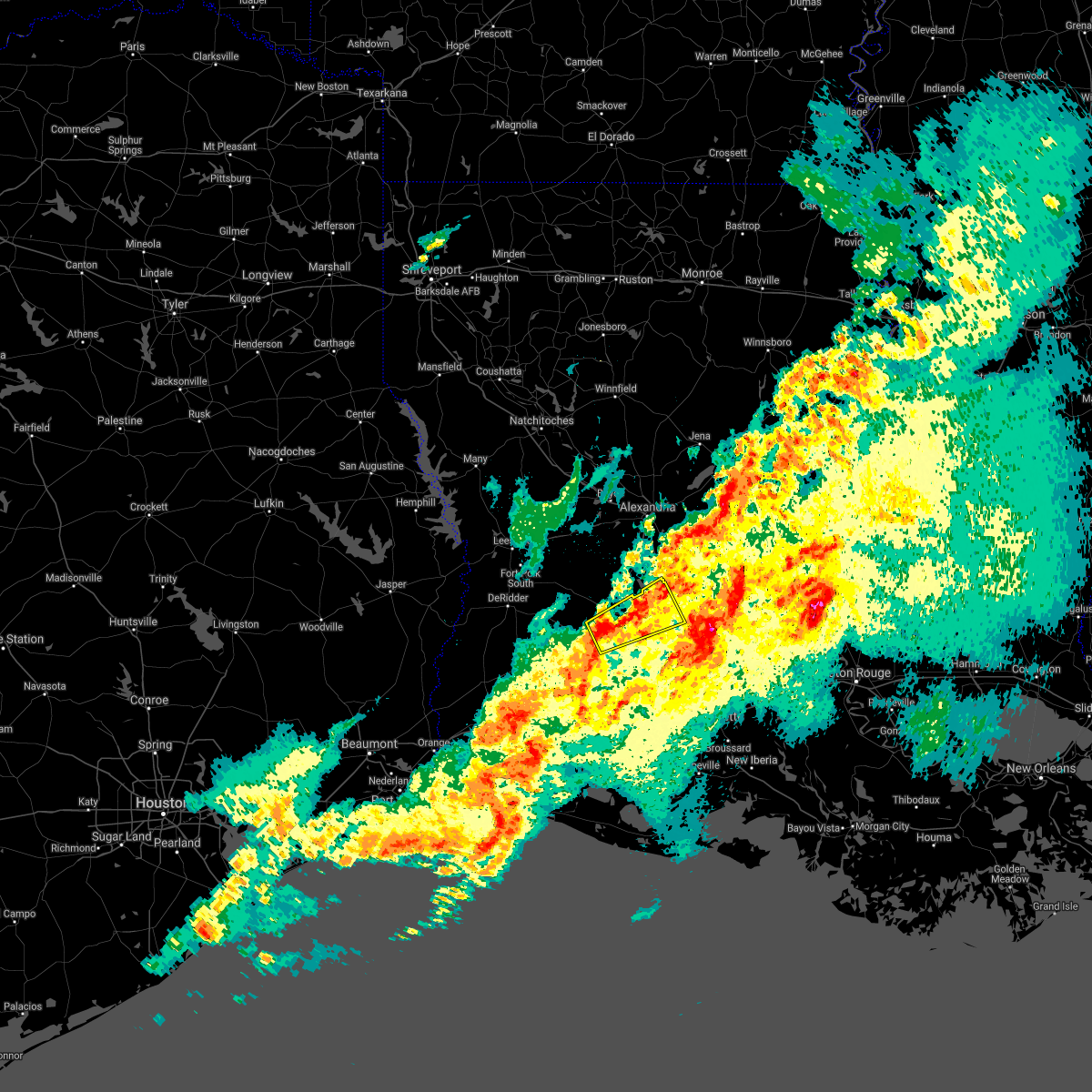 At 724 am cdt, a severe thunderstorm was located over allen parish airport, or 7 miles south of oakdale, moving northeast at 50 mph (radar indicated). Hazards include 60 mph wind gusts and nickel size hail. expect damage to roofs, siding, and trees At 724 am cdt, a severe thunderstorm was located over allen parish airport, or 7 miles south of oakdale, moving northeast at 50 mph (radar indicated). Hazards include 60 mph wind gusts and nickel size hail. expect damage to roofs, siding, and trees
|
| 12/13/2020 6:08 PM CST |
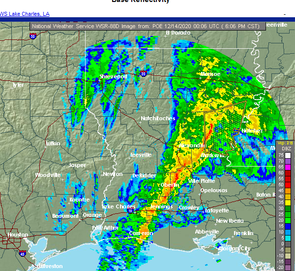 At 608 pm cst, a severe thunderstorm capable of producing a tornado was located near pine prairie, or near turkey creek, moving east at 40 mph (radar indicated rotation). Hazards include tornado. Flying debris will be dangerous to those caught without shelter. mobile homes will be damaged or destroyed. damage to roofs, windows, and vehicles will occur. tree damage is likely. this dangerous storm will be near, bayou chicot around 620 pm cst. chicot state park around 625 pm cst. indian lake around 630 pm cst. whiteville around 635 pm cst. morrow around 645 pm cst. other locations impacted by this tornadic thunderstorm include st. landry. This includes interstate 49 between mile markers 37 and 48. At 608 pm cst, a severe thunderstorm capable of producing a tornado was located near pine prairie, or near turkey creek, moving east at 40 mph (radar indicated rotation). Hazards include tornado. Flying debris will be dangerous to those caught without shelter. mobile homes will be damaged or destroyed. damage to roofs, windows, and vehicles will occur. tree damage is likely. this dangerous storm will be near, bayou chicot around 620 pm cst. chicot state park around 625 pm cst. indian lake around 630 pm cst. whiteville around 635 pm cst. morrow around 645 pm cst. other locations impacted by this tornadic thunderstorm include st. landry. This includes interstate 49 between mile markers 37 and 48.
|
| 9/23/2020 12:50 PM CDT |
 At 1249 pm cdt, a severe thunderstorm capable of producing a tornado was located near turkey creek, moving north at 25 mph (radar indicated rotation). Hazards include tornado. Flying debris will be dangerous to those caught without shelter. mobile homes will be damaged or destroyed. damage to roofs, windows, and vehicles will occur. tree damage is likely. this dangerous storm will be near, cheneyville and lecompte around 100 pm cdt. other locations impacted by this tornadic thunderstorm include woodworth. This includes interstate 49 between mile markers 55 and 76. At 1249 pm cdt, a severe thunderstorm capable of producing a tornado was located near turkey creek, moving north at 25 mph (radar indicated rotation). Hazards include tornado. Flying debris will be dangerous to those caught without shelter. mobile homes will be damaged or destroyed. damage to roofs, windows, and vehicles will occur. tree damage is likely. this dangerous storm will be near, cheneyville and lecompte around 100 pm cdt. other locations impacted by this tornadic thunderstorm include woodworth. This includes interstate 49 between mile markers 55 and 76.
|
| 9/23/2020 12:44 PM CDT |
 At 1244 pm cdt, a severe thunderstorm capable of producing a tornado was located over turkey creek, moving north at 55 mph (radar indicated rotation). Hazards include tornado. Flying debris will be dangerous to those caught without shelter. mobile homes will be damaged or destroyed. damage to roofs, windows, and vehicles will occur. tree damage is likely. this dangerous storm will be near, cheneyville around 1255 pm cdt. lecompte, poland and echo around 100 pm cdt. other locations impacted by this tornadic thunderstorm include woodworth. This includes interstate 49 between mile markers 55 and 76. At 1244 pm cdt, a severe thunderstorm capable of producing a tornado was located over turkey creek, moving north at 55 mph (radar indicated rotation). Hazards include tornado. Flying debris will be dangerous to those caught without shelter. mobile homes will be damaged or destroyed. damage to roofs, windows, and vehicles will occur. tree damage is likely. this dangerous storm will be near, cheneyville around 1255 pm cdt. lecompte, poland and echo around 100 pm cdt. other locations impacted by this tornadic thunderstorm include woodworth. This includes interstate 49 between mile markers 55 and 76.
|
| 8/26/2020 3:27 PM CDT |
 At 327 pm cdt, a severe thunderstorm capable of producing a tornado was located near turkey creek, moving northwest at 40 mph (radar indicated rotation). Hazards include tornado. Flying debris will be dangerous to those caught without shelter. mobile homes will be damaged or destroyed. damage to roofs, windows, and vehicles will occur. tree damage is likely. this dangerous storm will be near, glenmora around 345 pm cdt. other locations impacted by this tornadic thunderstorm include union hill, forest hill, mcnary, woodworth and st. landry. This includes interstate 49 between mile markers 45 and 70. At 327 pm cdt, a severe thunderstorm capable of producing a tornado was located near turkey creek, moving northwest at 40 mph (radar indicated rotation). Hazards include tornado. Flying debris will be dangerous to those caught without shelter. mobile homes will be damaged or destroyed. damage to roofs, windows, and vehicles will occur. tree damage is likely. this dangerous storm will be near, glenmora around 345 pm cdt. other locations impacted by this tornadic thunderstorm include union hill, forest hill, mcnary, woodworth and st. landry. This includes interstate 49 between mile markers 45 and 70.
|
| 8/26/2020 3:11 PM CDT |
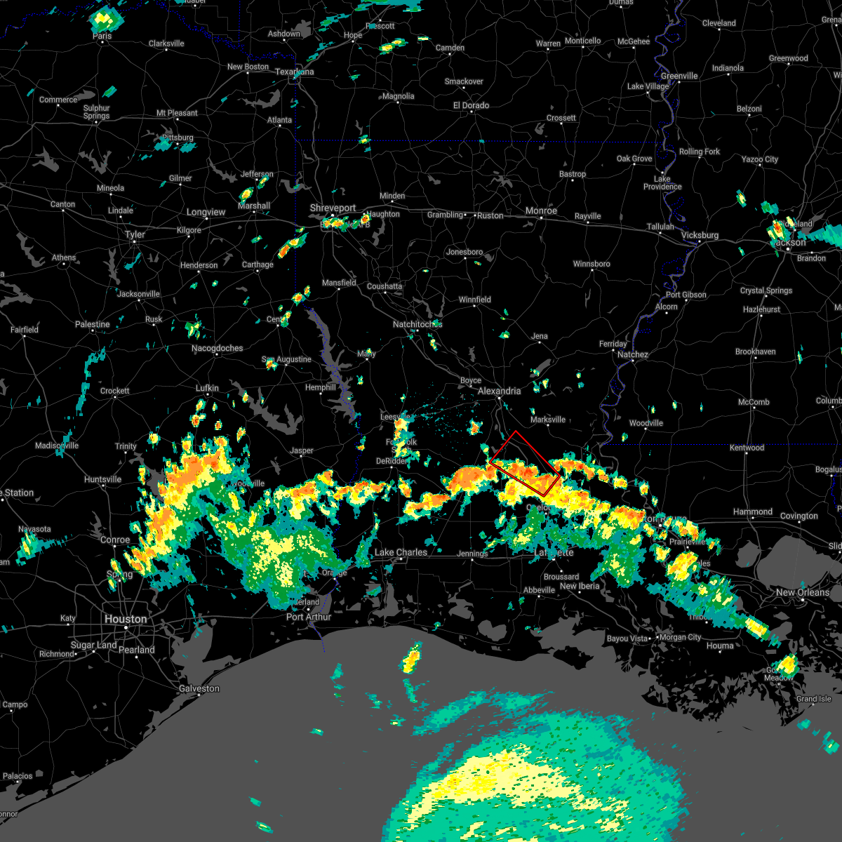 At 311 pm cdt, a severe thunderstorm capable of producing a tornado was located over whiteville, or near morrow, moving northwest at 40 mph (radar indicated rotation). Hazards include tornado. Flying debris will be dangerous to those caught without shelter. mobile homes will be damaged or destroyed. damage to roofs, windows, and vehicles will occur. tree damage is likely. this dangerous storm will be near, indian lake around 320 pm cdt. chicot state park around 325 pm cdt. bunkie, turkey creek and bayou chicot around 330 pm cdt. other locations impacted by this tornadic thunderstorm include st. landry. This includes interstate 49 between mile markers 31 and 62. At 311 pm cdt, a severe thunderstorm capable of producing a tornado was located over whiteville, or near morrow, moving northwest at 40 mph (radar indicated rotation). Hazards include tornado. Flying debris will be dangerous to those caught without shelter. mobile homes will be damaged or destroyed. damage to roofs, windows, and vehicles will occur. tree damage is likely. this dangerous storm will be near, indian lake around 320 pm cdt. chicot state park around 325 pm cdt. bunkie, turkey creek and bayou chicot around 330 pm cdt. other locations impacted by this tornadic thunderstorm include st. landry. This includes interstate 49 between mile markers 31 and 62.
|
| 7/31/2020 7:06 PM CDT |
 At 706 pm cdt, severe thunderstorms were located along a line extending from near bunkie to near mamou, moving east at 45 mph (radar indicated). Hazards include 60 mph wind gusts. Expect damage to roofs, siding, and trees. locations impacted include, ville platte, bunkie, mamou, moreauville, cheneyville, turkey creek, morrow, cottonport, pine prairie, mansura, hessmer, evergreen, plaucheville, bayou chicot, goudeau, prairie ronde, indian lake, chicot state park, whiteville and reddell. This includes interstate 49 between mile markers 33 and 66. At 706 pm cdt, severe thunderstorms were located along a line extending from near bunkie to near mamou, moving east at 45 mph (radar indicated). Hazards include 60 mph wind gusts. Expect damage to roofs, siding, and trees. locations impacted include, ville platte, bunkie, mamou, moreauville, cheneyville, turkey creek, morrow, cottonport, pine prairie, mansura, hessmer, evergreen, plaucheville, bayou chicot, goudeau, prairie ronde, indian lake, chicot state park, whiteville and reddell. This includes interstate 49 between mile markers 33 and 66.
|
| 7/31/2020 6:49 PM CDT |
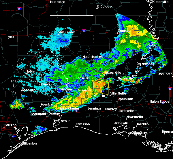 At 648 pm cdt, severe thunderstorms were located along a line extending from near cheneyville to near bond, moving east at 45 mph (radar indicated). Hazards include 60 mph wind gusts. expect damage to roofs, siding, and trees At 648 pm cdt, severe thunderstorms were located along a line extending from near cheneyville to near bond, moving east at 45 mph (radar indicated). Hazards include 60 mph wind gusts. expect damage to roofs, siding, and trees
|
| 7/31/2020 6:29 PM CDT |
 At 629 pm cdt, a severe thunderstorm was located near glenmora, moving east at 40 mph (radar indicated). Hazards include 60 mph wind gusts. expect damage to roofs, siding, and trees At 629 pm cdt, a severe thunderstorm was located near glenmora, moving east at 40 mph (radar indicated). Hazards include 60 mph wind gusts. expect damage to roofs, siding, and trees
|
| 5/26/2020 9:14 PM CDT |
 At 914 pm cdt, a severe thunderstorm was located near bond, or 8 miles southeast of oakdale, moving northeast at 25 mph (radar indicated). Hazards include 60 mph wind gusts and quarter size hail. Hail damage to vehicles is expected. Expect wind damage to roofs, siding, and trees. At 914 pm cdt, a severe thunderstorm was located near bond, or 8 miles southeast of oakdale, moving northeast at 25 mph (radar indicated). Hazards include 60 mph wind gusts and quarter size hail. Hail damage to vehicles is expected. Expect wind damage to roofs, siding, and trees.
|
| 5/8/2020 2:16 PM CDT |
 At 216 pm cdt, severe thunderstorms were located along a line extending from near turkey creek to near oakdale to allen parish airport, moving southeast at 35 mph (radar indicated). Hazards include ping pong ball size hail and 60 mph wind gusts. People and animals outdoors will be injured. expect hail damage to roofs, siding, windows, and vehicles. expect wind damage to roofs, siding, and trees. locations impacted include, oakdale, ville platte, glenmora, cheneyville, turkey creek, pine prairie, allen parish airport, bayou chicot, beaver, chicot state park and mcnary. This includes interstate 49 between mile markers 55 and 63. At 216 pm cdt, severe thunderstorms were located along a line extending from near turkey creek to near oakdale to allen parish airport, moving southeast at 35 mph (radar indicated). Hazards include ping pong ball size hail and 60 mph wind gusts. People and animals outdoors will be injured. expect hail damage to roofs, siding, windows, and vehicles. expect wind damage to roofs, siding, and trees. locations impacted include, oakdale, ville platte, glenmora, cheneyville, turkey creek, pine prairie, allen parish airport, bayou chicot, beaver, chicot state park and mcnary. This includes interstate 49 between mile markers 55 and 63.
|
| 5/8/2020 2:00 PM CDT |
 At 200 pm cdt, a severe thunderstorm was located near elizabeth, moving east at 40 mph (radar indicated). Hazards include ping pong ball size hail and 60 mph wind gusts. People and animals outdoors will be injured. expect hail damage to roofs, siding, windows, and vehicles. expect wind damage to roofs, siding, and trees. locations impacted include, oakdale, ville platte, glenmora, cheneyville, elizabeth, turkey creek, pine prairie, lecompte, bayou chicot, chicot state park, allen parish airport, beaver, forest hill, mcnary and union hill. This includes interstate 49 between mile markers 55 and 69. At 200 pm cdt, a severe thunderstorm was located near elizabeth, moving east at 40 mph (radar indicated). Hazards include ping pong ball size hail and 60 mph wind gusts. People and animals outdoors will be injured. expect hail damage to roofs, siding, windows, and vehicles. expect wind damage to roofs, siding, and trees. locations impacted include, oakdale, ville platte, glenmora, cheneyville, elizabeth, turkey creek, pine prairie, lecompte, bayou chicot, chicot state park, allen parish airport, beaver, forest hill, mcnary and union hill. This includes interstate 49 between mile markers 55 and 69.
|
| 5/8/2020 1:48 PM CDT |
 The national weather service in lake charles has issued a * severe thunderstorm warning for. southern rapides parish in central louisiana. northern evangeline parish in central louisiana. southeastern vernon parish in west central louisiana. Northeastern allen parish in southwestern louisiana. The national weather service in lake charles has issued a * severe thunderstorm warning for. southern rapides parish in central louisiana. northern evangeline parish in central louisiana. southeastern vernon parish in west central louisiana. Northeastern allen parish in southwestern louisiana.
|
| 1/11/2020 5:13 AM CST |
 At 513 am cst, severe thunderstorms were located along a line extending from 6 miles east of deville to near cheneyville to near branch to 6 miles northwest of forked island, moving east at 40 mph (radar indicated). Hazards include 60 mph wind gusts. expect damage to roofs, siding, and trees At 513 am cst, severe thunderstorms were located along a line extending from 6 miles east of deville to near cheneyville to near branch to 6 miles northwest of forked island, moving east at 40 mph (radar indicated). Hazards include 60 mph wind gusts. expect damage to roofs, siding, and trees
|
| 1/11/2020 4:57 AM CST |
 At 457 am cst, severe thunderstorms were located along a line extending from near esler regional airport to 14 miles northeast of rockefeller wildlife range, moving east at 40 mph (radar indicated). Hazards include 60 mph wind gusts. Expect damage to roofs, siding, and trees. Locations impacted include, lafayette, alexandria, opelousas, pineville, crowley, abbeville, eunice, jennings, scott, rayne, oakdale, carencro, ville platte, marksville, kaplan, church point, bunkie, mamou, lake arthur and basile. At 457 am cst, severe thunderstorms were located along a line extending from near esler regional airport to 14 miles northeast of rockefeller wildlife range, moving east at 40 mph (radar indicated). Hazards include 60 mph wind gusts. Expect damage to roofs, siding, and trees. Locations impacted include, lafayette, alexandria, opelousas, pineville, crowley, abbeville, eunice, jennings, scott, rayne, oakdale, carencro, ville platte, marksville, kaplan, church point, bunkie, mamou, lake arthur and basile.
|
| 1/11/2020 4:17 AM CST |
 At 416 am cst, severe thunderstorms were located along a line extending from near boyce to near grand chenier, moving east at 45 mph (radar indicated). Hazards include 60 mph wind gusts. expect damage to roofs, siding, and trees At 416 am cst, severe thunderstorms were located along a line extending from near boyce to near grand chenier, moving east at 45 mph (radar indicated). Hazards include 60 mph wind gusts. expect damage to roofs, siding, and trees
|
| 6/28/2019 5:59 PM CDT |
 At 559 pm cdt, a severe thunderstorm was located near bayou chicot, or 7 miles northwest of ville platte, moving southeast at 15 mph (radar indicated). Hazards include quarter size hail. damage to vehicles is expected At 559 pm cdt, a severe thunderstorm was located near bayou chicot, or 7 miles northwest of ville platte, moving southeast at 15 mph (radar indicated). Hazards include quarter size hail. damage to vehicles is expected
|
| 5/19/2019 5:40 AM CDT |
 At 540 am cdt, a severe thunderstorm capable of producing a tornado was located over pine prairie, or 7 miles southwest of turkey creek, moving east at 25 mph (radar indicated rotation). Hazards include tornado. Flying debris will be dangerous to those caught without shelter. mobile homes will be damaged or destroyed. damage to roofs, windows, and vehicles will occur. tree damage is likely. Locations impacted include, turkey creek, pine prairie and bayou chicot. At 540 am cdt, a severe thunderstorm capable of producing a tornado was located over pine prairie, or 7 miles southwest of turkey creek, moving east at 25 mph (radar indicated rotation). Hazards include tornado. Flying debris will be dangerous to those caught without shelter. mobile homes will be damaged or destroyed. damage to roofs, windows, and vehicles will occur. tree damage is likely. Locations impacted include, turkey creek, pine prairie and bayou chicot.
|
| 5/19/2019 5:26 AM CDT |
 At 526 am cdt, a severe thunderstorm capable of producing a tornado was located over beaver, or near oakdale, moving east at 20 mph (radar indicated rotation). Hazards include tornado. Flying debris will be dangerous to those caught without shelter. mobile homes will be damaged or destroyed. damage to roofs, windows, and vehicles will occur. Tree damage is likely. At 526 am cdt, a severe thunderstorm capable of producing a tornado was located over beaver, or near oakdale, moving east at 20 mph (radar indicated rotation). Hazards include tornado. Flying debris will be dangerous to those caught without shelter. mobile homes will be damaged or destroyed. damage to roofs, windows, and vehicles will occur. Tree damage is likely.
|
| 4/25/2019 6:06 AM CDT |
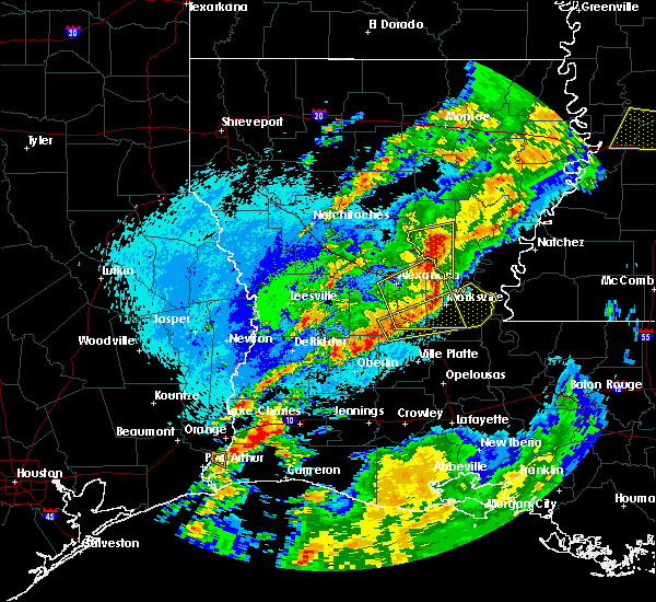 At 605 am cdt, a severe thunderstorm was located near glenmora, moving east at 55 mph (radar indicated). Hazards include 60 mph wind gusts. expect damage to roofs, siding, and trees At 605 am cdt, a severe thunderstorm was located near glenmora, moving east at 55 mph (radar indicated). Hazards include 60 mph wind gusts. expect damage to roofs, siding, and trees
|
| 4/25/2019 5:28 AM CDT |
 At 528 am cdt, severe thunderstorms were located along a line extending from hineston to near oakdale, moving east at 50 mph (radar indicated). Hazards include 60 mph wind gusts and penny size hail. expect damage to roofs, siding, and trees At 528 am cdt, severe thunderstorms were located along a line extending from hineston to near oakdale, moving east at 50 mph (radar indicated). Hazards include 60 mph wind gusts and penny size hail. expect damage to roofs, siding, and trees
|
| 4/18/2019 11:37 AM CDT |
 The severe thunderstorm warning for southeastern rapides, evangeline, acadia, western avoyelles and central st. landry parishes will expire at 1145 am cdt, the storms which prompted the warning have weakened below severe limits, and no longer pose an immediate threat to life or property. therefore, the warning will be allowed to expire. however gusty winds and heavy rain are still possible with these thunderstorms. a tornado watch remains in effect until 700 pm cdt for central and southwestern louisiana. The severe thunderstorm warning for southeastern rapides, evangeline, acadia, western avoyelles and central st. landry parishes will expire at 1145 am cdt, the storms which prompted the warning have weakened below severe limits, and no longer pose an immediate threat to life or property. therefore, the warning will be allowed to expire. however gusty winds and heavy rain are still possible with these thunderstorms. a tornado watch remains in effect until 700 pm cdt for central and southwestern louisiana.
|
| 4/18/2019 11:27 AM CDT |
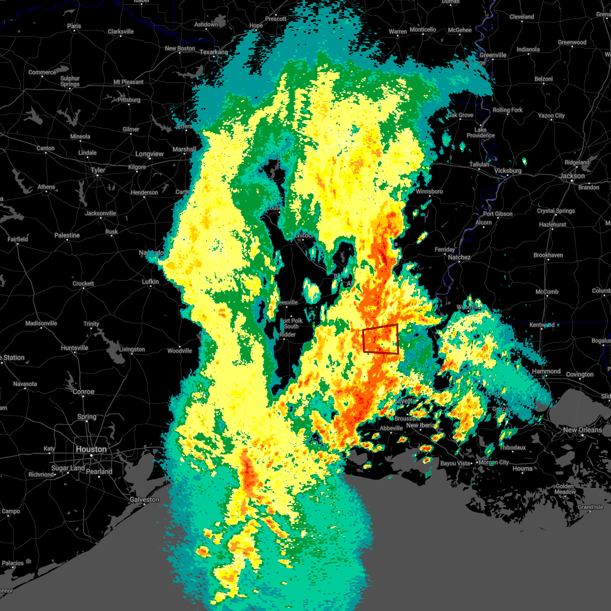 The tornado warning for northeastern evangeline, southwestern avoyelles and north central st. landry parishes will expire at 1130 am cdt, the storm which prompted the warning has weakened below severe limits, and no longer appears capable of producing a tornado. therefore, the warning will be allowed to expire. a tornado watch remains in effect until 700 pm cdt for central louisiana. The tornado warning for northeastern evangeline, southwestern avoyelles and north central st. landry parishes will expire at 1130 am cdt, the storm which prompted the warning has weakened below severe limits, and no longer appears capable of producing a tornado. therefore, the warning will be allowed to expire. a tornado watch remains in effect until 700 pm cdt for central louisiana.
|
| 4/18/2019 11:17 AM CDT |
 At 1116 am cdt, severe thunderstorms were located along a line extending from lecompte to near eunice, moving east at 40 mph (radar indicated). Hazards include 60 mph wind gusts. Expect damage to roofs, siding, and trees. Locations impacted include, opelousas, crowley, eunice, rayne, ville platte, marksville, church point, bunkie, mamou, basile, iota, cheneyville, turkey creek, morrow, effie, evangeline, sunset, pine prairie, lecompte and hessmer. At 1116 am cdt, severe thunderstorms were located along a line extending from lecompte to near eunice, moving east at 40 mph (radar indicated). Hazards include 60 mph wind gusts. Expect damage to roofs, siding, and trees. Locations impacted include, opelousas, crowley, eunice, rayne, ville platte, marksville, church point, bunkie, mamou, basile, iota, cheneyville, turkey creek, morrow, effie, evangeline, sunset, pine prairie, lecompte and hessmer.
|
| 4/18/2019 11:15 AM CDT |
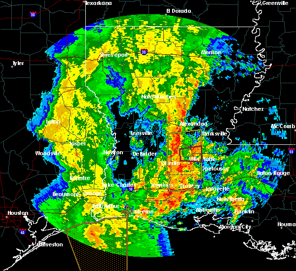 At 1114 am cdt, a severe squall line capable of producing both tornadoes and extensive straight line wind damage was located over bayou chicot, or near turkey creek, moving east at 30 mph (radar indicated rotation). Hazards include tornado. Flying debris will be dangerous to those caught without shelter. mobile homes will be damaged or destroyed. damage to roofs, windows, and vehicles will occur. tree damage is likely. these dangerous storms will be near, chicot state park around 1125 am cdt. bunkie, indian lake and whiteville around 1130 am cdt. other locations impacted by this tornadic thunderstorm include st. Landry. At 1114 am cdt, a severe squall line capable of producing both tornadoes and extensive straight line wind damage was located over bayou chicot, or near turkey creek, moving east at 30 mph (radar indicated rotation). Hazards include tornado. Flying debris will be dangerous to those caught without shelter. mobile homes will be damaged or destroyed. damage to roofs, windows, and vehicles will occur. tree damage is likely. these dangerous storms will be near, chicot state park around 1125 am cdt. bunkie, indian lake and whiteville around 1130 am cdt. other locations impacted by this tornadic thunderstorm include st. Landry.
|
| 4/18/2019 11:06 AM CDT |
 At 1106 am cdt, severe thunderstorms capable of producing both tornadoes and extensive straight line wind damage were located near turkey creek, moving east at 35 mph (radar indicated rotation). Hazards include tornado. Flying debris will be dangerous to those caught without shelter. mobile homes will be damaged or destroyed. damage to roofs, windows, and vehicles will occur. tree damage is likely. these dangerous storms will be near, turkey creek around 1110 am cdt. bayou chicot around 1120 am cdt. chicot state park around 1125 am cdt. bunkie, indian lake and whiteville around 1130 am cdt. other locations impacted by this tornadic thunderstorm include st. Landry. At 1106 am cdt, severe thunderstorms capable of producing both tornadoes and extensive straight line wind damage were located near turkey creek, moving east at 35 mph (radar indicated rotation). Hazards include tornado. Flying debris will be dangerous to those caught without shelter. mobile homes will be damaged or destroyed. damage to roofs, windows, and vehicles will occur. tree damage is likely. these dangerous storms will be near, turkey creek around 1110 am cdt. bayou chicot around 1120 am cdt. chicot state park around 1125 am cdt. bunkie, indian lake and whiteville around 1130 am cdt. other locations impacted by this tornadic thunderstorm include st. Landry.
|
| 4/18/2019 11:00 AM CDT |
 At 1059 am cdt, severe thunderstorms were located along a line extending from 6 miles north of glenmora to basile, moving east at 25 mph (radar indicated). Hazards include 60 mph wind gusts. expect damage to roofs, siding, and trees At 1059 am cdt, severe thunderstorms were located along a line extending from 6 miles north of glenmora to basile, moving east at 25 mph (radar indicated). Hazards include 60 mph wind gusts. expect damage to roofs, siding, and trees
|
| 4/13/2019 5:20 PM CDT |
 At 520 pm cdt, severe thunderstorms were located along a line extending from boyce to near reeves, moving east at 35 mph (radar indicated). Hazards include 60 mph wind gusts. expect damage to roofs, siding, and trees At 520 pm cdt, severe thunderstorms were located along a line extending from boyce to near reeves, moving east at 35 mph (radar indicated). Hazards include 60 mph wind gusts. expect damage to roofs, siding, and trees
|
| 4/7/2019 2:49 PM CDT |
 At 249 pm cdt, a severe thunderstorm capable of producing a tornado was located near bayou chicot, or near turkey creek, moving north at 25 mph (radar indicated rotation). Hazards include tornado. Flying debris will be dangerous to those caught without shelter. mobile homes will be damaged or destroyed. damage to roofs, windows, and vehicles will occur. tree damage is likely. this dangerous storm will be near, bunkie around 255 pm cdt. cheneyville around 305 pm cdt. lecompte, echo and poland around 315 pm cdt. other locations impacted by this tornadic thunderstorm include st. Landry. At 249 pm cdt, a severe thunderstorm capable of producing a tornado was located near bayou chicot, or near turkey creek, moving north at 25 mph (radar indicated rotation). Hazards include tornado. Flying debris will be dangerous to those caught without shelter. mobile homes will be damaged or destroyed. damage to roofs, windows, and vehicles will occur. tree damage is likely. this dangerous storm will be near, bunkie around 255 pm cdt. cheneyville around 305 pm cdt. lecompte, echo and poland around 315 pm cdt. other locations impacted by this tornadic thunderstorm include st. Landry.
|
| 12/27/2018 9:02 AM CST |
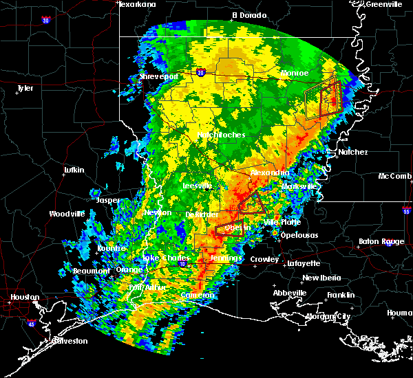 At 901 am cst, a severe thunderstorm capable of producing a tornado was located near glenmora, moving east at 30 mph (radar indicated rotation). Hazards include tornado. Flying debris will be dangerous to those caught without shelter. mobile homes will be damaged or destroyed. damage to roofs, windows, and vehicles will occur. tree damage is likely. this dangerous storm will be near, turkey creek around 910 am cst. Lecompte around 915 am cst. At 901 am cst, a severe thunderstorm capable of producing a tornado was located near glenmora, moving east at 30 mph (radar indicated rotation). Hazards include tornado. Flying debris will be dangerous to those caught without shelter. mobile homes will be damaged or destroyed. damage to roofs, windows, and vehicles will occur. tree damage is likely. this dangerous storm will be near, turkey creek around 910 am cst. Lecompte around 915 am cst.
|
| 12/27/2018 8:41 AM CST |
 At 841 am cst, a severe thunderstorm capable of producing a tornado was located near oakdale, moving east at 35 mph (radar indicated rotation). Hazards include tornado. Flying debris will be dangerous to those caught without shelter. mobile homes will be damaged or destroyed. damage to roofs, windows, and vehicles will occur. tree damage is likely. this dangerous storm will be near, glenmora around 855 am cst. turkey creek around 910 am cst. lecompte around 915 am cst. Other locations impacted by this tornadic thunderstorm include forest hill and mcnary. At 841 am cst, a severe thunderstorm capable of producing a tornado was located near oakdale, moving east at 35 mph (radar indicated rotation). Hazards include tornado. Flying debris will be dangerous to those caught without shelter. mobile homes will be damaged or destroyed. damage to roofs, windows, and vehicles will occur. tree damage is likely. this dangerous storm will be near, glenmora around 855 am cst. turkey creek around 910 am cst. lecompte around 915 am cst. Other locations impacted by this tornadic thunderstorm include forest hill and mcnary.
|
| 11/1/2018 12:34 AM CDT |
 At 1233 am cdt, severe thunderstorms were located along a line extending from timber trails to 6 miles southwest of lecompte to near bond, moving east at 40 mph (radar indicated). Hazards include 60 mph wind gusts. Expect damage to roofs, siding, and trees. locations impacted include, alexandria, pineville, ville platte, marksville, bunkie, mamou, cheneyville, turkey creek, alexandria international airport, effie, ball, pine prairie, lecompte, hessmer, evergreen, bayou chicot, tioga, timber trails, esler regional airport and indian lake. A tornado watch remains in effect until 400 am cdt for central and southwestern louisiana. At 1233 am cdt, severe thunderstorms were located along a line extending from timber trails to 6 miles southwest of lecompte to near bond, moving east at 40 mph (radar indicated). Hazards include 60 mph wind gusts. Expect damage to roofs, siding, and trees. locations impacted include, alexandria, pineville, ville platte, marksville, bunkie, mamou, cheneyville, turkey creek, alexandria international airport, effie, ball, pine prairie, lecompte, hessmer, evergreen, bayou chicot, tioga, timber trails, esler regional airport and indian lake. A tornado watch remains in effect until 400 am cdt for central and southwestern louisiana.
|
| 11/1/2018 12:24 AM CDT |
 At 1224 am cdt, a severe thunderstorm capable of producing a tornado was located near beaver, or near oakdale, moving northeast at 55 mph (radar indicated rotation). Hazards include tornado. Flying debris will be dangerous to those caught without shelter. mobile homes will be damaged or destroyed. damage to roofs, windows, and vehicles will occur. Tree damage is likely. At 1224 am cdt, a severe thunderstorm capable of producing a tornado was located near beaver, or near oakdale, moving northeast at 55 mph (radar indicated rotation). Hazards include tornado. Flying debris will be dangerous to those caught without shelter. mobile homes will be damaged or destroyed. damage to roofs, windows, and vehicles will occur. Tree damage is likely.
|
| 11/1/2018 12:09 AM CDT |
 At 1209 am cdt, severe thunderstorms were located along a line extending from near boyce to 8 miles west of glenmora to near oberlin, moving east at 40 mph (radar indicated). Hazards include 60 mph wind gusts. expect damage to roofs, siding, and trees At 1209 am cdt, severe thunderstorms were located along a line extending from near boyce to 8 miles west of glenmora to near oberlin, moving east at 40 mph (radar indicated). Hazards include 60 mph wind gusts. expect damage to roofs, siding, and trees
|
| 4/7/2018 2:49 AM CDT |
 At 249 am cdt, severe thunderstorms were located along a line extending from chicot state park to near richard to jennings, moving east at 50 mph (radar indicated). Hazards include 60 mph wind gusts and nickel size hail. Expect damage to roofs, siding, and trees. Locations impacted include, opelousas, crowley, eunice, jennings, rayne, ville platte, church point, mamou, welsh, basile, iota, mermentau, turkey creek, palmetto, morrow, evangeline, sunset, port barre, pine prairie and washington. At 249 am cdt, severe thunderstorms were located along a line extending from chicot state park to near richard to jennings, moving east at 50 mph (radar indicated). Hazards include 60 mph wind gusts and nickel size hail. Expect damage to roofs, siding, and trees. Locations impacted include, opelousas, crowley, eunice, jennings, rayne, ville platte, church point, mamou, welsh, basile, iota, mermentau, turkey creek, palmetto, morrow, evangeline, sunset, port barre, pine prairie and washington.
|
| 4/7/2018 2:35 AM CDT |
 At 234 am cdt, severe thunderstorms were located along a line extending from near pine prairie to near basile to near welsh, moving east at 50 mph (radar indicated). Hazards include 60 mph wind gusts and nickel size hail. expect damage to roofs, siding, and trees At 234 am cdt, severe thunderstorms were located along a line extending from near pine prairie to near basile to near welsh, moving east at 50 mph (radar indicated). Hazards include 60 mph wind gusts and nickel size hail. expect damage to roofs, siding, and trees
|
| 4/3/2018 10:42 PM CDT |
 At 1041 pm cdt, a severe thunderstorm capable of producing a tornado was located near beaver, or 7 miles southwest of turkey creek, moving east at 35 mph (radar indicated rotation). Hazards include tornado. Flying debris will be dangerous to those caught without shelter. mobile homes will be damaged or destroyed. damage to roofs, windows, and vehicles will occur. tree damage is likely. this dangerous storm will be near, turkey creek and pine prairie around 1050 pm cdt. bayou chicot around 1100 pm cdt. chicot state park around 1105 pm cdt. ville platte around 1110 pm cdt. other locations impacted by this tornadic thunderstorm include st. Landry. At 1041 pm cdt, a severe thunderstorm capable of producing a tornado was located near beaver, or 7 miles southwest of turkey creek, moving east at 35 mph (radar indicated rotation). Hazards include tornado. Flying debris will be dangerous to those caught without shelter. mobile homes will be damaged or destroyed. damage to roofs, windows, and vehicles will occur. tree damage is likely. this dangerous storm will be near, turkey creek and pine prairie around 1050 pm cdt. bayou chicot around 1100 pm cdt. chicot state park around 1105 pm cdt. ville platte around 1110 pm cdt. other locations impacted by this tornadic thunderstorm include st. Landry.
|
| 4/3/2018 10:29 PM CDT |
 The national weather service in lake charles has issued a * severe thunderstorm warning for. southeastern rapides parish in central louisiana. evangeline parish in central louisiana. southwestern avoyelles parish in central louisiana. Eastern allen parish in southwestern louisiana. The national weather service in lake charles has issued a * severe thunderstorm warning for. southeastern rapides parish in central louisiana. evangeline parish in central louisiana. southwestern avoyelles parish in central louisiana. Eastern allen parish in southwestern louisiana.
|
| 4/3/2018 9:56 PM CDT |
 At 955 pm cdt, severe thunderstorms were located along a line extending from near hineston to gist, moving southeast at 15 mph (radar indicated). Hazards include 60 mph wind gusts and quarter size hail. Hail damage to vehicles is expected. Expect wind damage to roofs, siding, and trees. At 955 pm cdt, severe thunderstorms were located along a line extending from near hineston to gist, moving southeast at 15 mph (radar indicated). Hazards include 60 mph wind gusts and quarter size hail. Hail damage to vehicles is expected. Expect wind damage to roofs, siding, and trees.
|
| 5/28/2017 9:39 PM CDT |
 At 938 pm cdt, severe thunderstorms were located along a line extending from near brouillette to indian lake to near reddell, moving southeast at 35 mph (radar indicated). Hazards include 60 mph wind gusts and nickel size hail. Expect damage to roofs, siding, and trees. Locations impacted include, opelousas, oakdale, ville platte, marksville, bunkie, mamou, simmesport, leonville, melville, moreauville, cheneyville, turkey creek, palmetto, bordelonville, bayou current, morrow, effie, sunset, port barre and cottonport. At 938 pm cdt, severe thunderstorms were located along a line extending from near brouillette to indian lake to near reddell, moving southeast at 35 mph (radar indicated). Hazards include 60 mph wind gusts and nickel size hail. Expect damage to roofs, siding, and trees. Locations impacted include, opelousas, oakdale, ville platte, marksville, bunkie, mamou, simmesport, leonville, melville, moreauville, cheneyville, turkey creek, palmetto, bordelonville, bayou current, morrow, effie, sunset, port barre and cottonport.
|
| 5/28/2017 9:11 PM CDT |
 At 910 pm cdt, severe thunderstorms were located along a line extending from holloway to near turkey creek to 6 miles east of mittie, moving southeast at 40 mph (radar indicated). Hazards include 60 mph wind gusts and nickel size hail. expect damage to roofs, siding, and trees At 910 pm cdt, severe thunderstorms were located along a line extending from holloway to near turkey creek to 6 miles east of mittie, moving southeast at 40 mph (radar indicated). Hazards include 60 mph wind gusts and nickel size hail. expect damage to roofs, siding, and trees
|
| 5/3/2017 9:24 AM CDT |
 The severe thunderstorm warning for northwestern evangeline and eastern allen parishes will expire at 930 am cdt, the storm which prompted the warning has moved out of the area. therefore the warning will be allowed to expire. a tornado watch remains in effect until 500 pm cdt for central and southwestern louisiana. The severe thunderstorm warning for northwestern evangeline and eastern allen parishes will expire at 930 am cdt, the storm which prompted the warning has moved out of the area. therefore the warning will be allowed to expire. a tornado watch remains in effect until 500 pm cdt for central and southwestern louisiana.
|
| 5/3/2017 8:55 AM CDT |
 At 853 am cdt, a severe thunderstorm was located near beaver, or near oakdale, moving northeast at 35 mph (radar indicated). Hazards include golf ball size hail and 60 mph wind gusts. People and animals outdoors will be injured. expect hail damage to roofs, siding, windows, and vehicles. Expect wind damage to roofs, siding, and trees. At 853 am cdt, a severe thunderstorm was located near beaver, or near oakdale, moving northeast at 35 mph (radar indicated). Hazards include golf ball size hail and 60 mph wind gusts. People and animals outdoors will be injured. expect hail damage to roofs, siding, windows, and vehicles. Expect wind damage to roofs, siding, and trees.
|
| 5/3/2017 8:25 AM CDT |
 At 824 am cdt, a severe thunderstorm was located near elton, moving northeast at 20 mph (radar indicated). Hazards include golf ball size hail and 60 mph wind gusts. People and animals outdoors will be injured. expect hail damage to roofs, siding, windows, and vehicles. Expect wind damage to roofs, siding, and trees. At 824 am cdt, a severe thunderstorm was located near elton, moving northeast at 20 mph (radar indicated). Hazards include golf ball size hail and 60 mph wind gusts. People and animals outdoors will be injured. expect hail damage to roofs, siding, windows, and vehicles. Expect wind damage to roofs, siding, and trees.
|
| 4/30/2017 2:34 AM CDT |
 At 234 am cdt, severe thunderstorms were located along a line extending from near pine prairie to near eunice to near egan, moving northeast at 45 mph (radar indicated). Hazards include 60 mph wind gusts and half dollar size hail. Hail damage to vehicles is expected. Expect wind damage to roofs, siding, and trees. At 234 am cdt, severe thunderstorms were located along a line extending from near pine prairie to near eunice to near egan, moving northeast at 45 mph (radar indicated). Hazards include 60 mph wind gusts and half dollar size hail. Hail damage to vehicles is expected. Expect wind damage to roofs, siding, and trees.
|
| 4/30/2017 2:08 AM CDT |
 At 207 am cdt, severe thunderstorms were located along a line extending from 6 miles west of rosefield to near jena to holloway to iota, moving northeast at 45 mph (radar indicated). Hazards include 60 mph wind gusts and quarter size hail. Hail damage to vehicles is expected. expect wind damage to roofs, siding, and trees. locations impacted include, alexandria, opelousas, pineville, crowley, eunice, jennings, rayne, oakdale, ville platte, marksville, church point, bunkie, mamou, welsh, lake arthur, basile, iota, gueydan, glenmora and elton. A tornado watch remains in effect until 900 am cdt for central, south central and southwestern louisiana. At 207 am cdt, severe thunderstorms were located along a line extending from 6 miles west of rosefield to near jena to holloway to iota, moving northeast at 45 mph (radar indicated). Hazards include 60 mph wind gusts and quarter size hail. Hail damage to vehicles is expected. expect wind damage to roofs, siding, and trees. locations impacted include, alexandria, opelousas, pineville, crowley, eunice, jennings, rayne, oakdale, ville platte, marksville, church point, bunkie, mamou, welsh, lake arthur, basile, iota, gueydan, glenmora and elton. A tornado watch remains in effect until 900 am cdt for central, south central and southwestern louisiana.
|
| 4/30/2017 1:24 AM CDT |
 At 123 am cdt, severe thunderstorms were located along a line extending from near alexandria international airport to near glenmora to near duralde to 7 miles east of grand chenier, moving northeast at 45 mph (radar indicated). Hazards include 60 mph wind gusts and quarter size hail. Hail damage to vehicles is expected. Expect wind damage to roofs, siding, and trees. At 123 am cdt, severe thunderstorms were located along a line extending from near alexandria international airport to near glenmora to near duralde to 7 miles east of grand chenier, moving northeast at 45 mph (radar indicated). Hazards include 60 mph wind gusts and quarter size hail. Hail damage to vehicles is expected. Expect wind damage to roofs, siding, and trees.
|
| 4/29/2017 9:14 PM CDT |
 At 914 pm cdt, a severe thunderstorm was located over oakdale, moving northeast at 40 mph (radar indicated). Hazards include 60 mph wind gusts and half dollar size hail. Hail damage to vehicles is expected. Expect wind damage to roofs, siding, and trees. At 914 pm cdt, a severe thunderstorm was located over oakdale, moving northeast at 40 mph (radar indicated). Hazards include 60 mph wind gusts and half dollar size hail. Hail damage to vehicles is expected. Expect wind damage to roofs, siding, and trees.
|
| 4/29/2017 9:05 PM CDT |
 At 904 pm cdt, a severe thunderstorm was located over allen parish airport, or 7 miles south of oakdale, moving northeast at 40 mph (public). Hazards include ping pong ball size hail and 60 mph wind gusts. People and animals outdoors will be injured. expect hail damage to roofs, siding, windows, and vehicles. expect wind damage to roofs, siding, and trees. Locations impacted include, oakdale, glenmora, allen parish airport, beaver, bond, forest hill and mcnary. At 904 pm cdt, a severe thunderstorm was located over allen parish airport, or 7 miles south of oakdale, moving northeast at 40 mph (public). Hazards include ping pong ball size hail and 60 mph wind gusts. People and animals outdoors will be injured. expect hail damage to roofs, siding, windows, and vehicles. expect wind damage to roofs, siding, and trees. Locations impacted include, oakdale, glenmora, allen parish airport, beaver, bond, forest hill and mcnary.
|
| 4/29/2017 8:23 PM CDT |
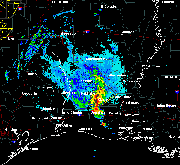 At 823 pm cdt, a severe thunderstorm was located over oberlin, moving northeast at 45 mph (radar indicated). Hazards include ping pong ball size hail and 60 mph wind gusts. People and animals outdoors will be injured. expect hail damage to roofs, siding, windows, and vehicles. Expect wind damage to roofs, siding, and trees. At 823 pm cdt, a severe thunderstorm was located over oberlin, moving northeast at 45 mph (radar indicated). Hazards include ping pong ball size hail and 60 mph wind gusts. People and animals outdoors will be injured. expect hail damage to roofs, siding, windows, and vehicles. Expect wind damage to roofs, siding, and trees.
|
| 4/2/2017 2:21 PM CDT |
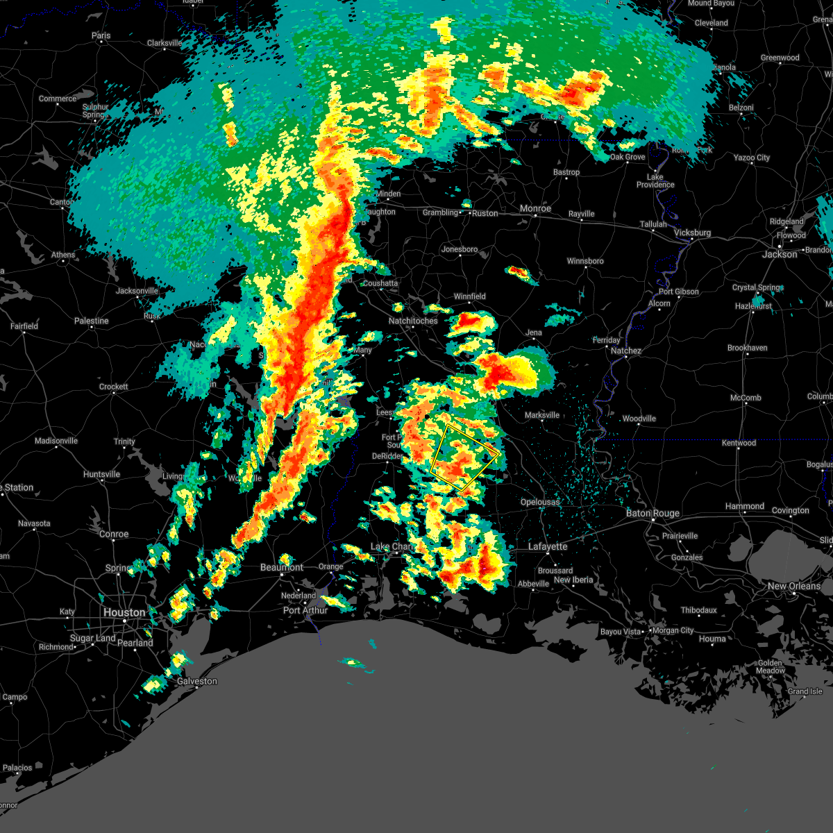 At 221 pm cdt, a severe thunderstorm was located near elizabeth, moving northeast at 40 mph (radar indicated). Hazards include 60 mph wind gusts and quarter size hail. Hail damage to vehicles is expected. expect wind damage to roofs, siding, and trees. locations impacted include, oakdale, glenmora, elizabeth, allen parish airport, beaver and union hill. A tornado watch remains in effect until 900 pm cdt for central, southwestern and west central louisiana. At 221 pm cdt, a severe thunderstorm was located near elizabeth, moving northeast at 40 mph (radar indicated). Hazards include 60 mph wind gusts and quarter size hail. Hail damage to vehicles is expected. expect wind damage to roofs, siding, and trees. locations impacted include, oakdale, glenmora, elizabeth, allen parish airport, beaver and union hill. A tornado watch remains in effect until 900 pm cdt for central, southwestern and west central louisiana.
|
| 1/2/2017 12:03 PM CST |
 At 1202 pm cst, severe thunderstorms were located along a line extending from new era to near crowley, moving east at 45 mph (radar indicated). Hazards include 60 mph wind gusts. Expect damage to roofs, siding, and trees. locations impacted include, opelousas, crowley, eunice, jennings, rayne, ville platte, marksville, church point, bunkie, mamou, simmesport, basile, iota, leonville, arnaudville, melville, moreauville, turkey creek, palmetto and morrow. A tornado watch remains in effect until 700 pm cst for south central, central and southwestern louisiana. At 1202 pm cst, severe thunderstorms were located along a line extending from new era to near crowley, moving east at 45 mph (radar indicated). Hazards include 60 mph wind gusts. Expect damage to roofs, siding, and trees. locations impacted include, opelousas, crowley, eunice, jennings, rayne, ville platte, marksville, church point, bunkie, mamou, simmesport, basile, iota, leonville, arnaudville, melville, moreauville, turkey creek, palmetto and morrow. A tornado watch remains in effect until 700 pm cst for south central, central and southwestern louisiana.
|
| 1/2/2017 11:48 AM CST |
 At 1148 am cst, severe thunderstorms were located along a line extending from near larto to near egan, moving east at 55 mph (radar indicated). Hazards include 60 mph wind gusts. Expect damage to roofs, siding, and trees. locations impacted include, opelousas, crowley, eunice, jennings, rayne, ville platte, marksville, church point, bunkie, mamou, simmesport, basile, iota, leonville, arnaudville, melville, moreauville, cheneyville, turkey creek and palmetto. A tornado watch remains in effect until 200 pm cst for south central, central and southwestern louisiana. At 1148 am cst, severe thunderstorms were located along a line extending from near larto to near egan, moving east at 55 mph (radar indicated). Hazards include 60 mph wind gusts. Expect damage to roofs, siding, and trees. locations impacted include, opelousas, crowley, eunice, jennings, rayne, ville platte, marksville, church point, bunkie, mamou, simmesport, basile, iota, leonville, arnaudville, melville, moreauville, cheneyville, turkey creek and palmetto. A tornado watch remains in effect until 200 pm cst for south central, central and southwestern louisiana.
|
| 1/2/2017 11:27 AM CST |
 At 1126 am cst, severe thunderstorms were located along a line extending from near esler regional airport to pine island, moving east at 45 mph (radar indicated). Hazards include 60 mph wind gusts. expect damage to roofs, siding, and trees At 1126 am cst, severe thunderstorms were located along a line extending from near esler regional airport to pine island, moving east at 45 mph (radar indicated). Hazards include 60 mph wind gusts. expect damage to roofs, siding, and trees
|
| 1/2/2017 11:13 AM CST |
 At 1113 am cst, severe thunderstorms were located along a line extending from near timber trails to kinder, moving east at 45 mph (radar indicated). Hazards include 70 mph wind gusts. Expect considerable tree damage. damage is likely to mobile homes, roofs, and outbuildings. locations impacted include, alexandria, pineville, eunice, oakdale, mamou, kinder, basile, oberlin, glenmora, boyce, cheneyville, elizabeth, turkey creek, reeves, lena, alexandria international airport, mittie, hineston, grant and ball. A tornado watch remains in effect until 200 pm cst for west central, central and southwestern louisiana. At 1113 am cst, severe thunderstorms were located along a line extending from near timber trails to kinder, moving east at 45 mph (radar indicated). Hazards include 70 mph wind gusts. Expect considerable tree damage. damage is likely to mobile homes, roofs, and outbuildings. locations impacted include, alexandria, pineville, eunice, oakdale, mamou, kinder, basile, oberlin, glenmora, boyce, cheneyville, elizabeth, turkey creek, reeves, lena, alexandria international airport, mittie, hineston, grant and ball. A tornado watch remains in effect until 200 pm cst for west central, central and southwestern louisiana.
|
| 1/2/2017 10:58 AM CST |
 At 1058 am cst, severe thunderstorms were located along a line extending from near boyce to near reeves, moving east at 45 mph (radar indicated). Hazards include 70 mph wind gusts. Expect considerable tree damage. damage is likely to mobile homes, roofs, and outbuildings. locations impacted include, alexandria, pineville, eunice, oakdale, mamou, kinder, basile, oberlin, glenmora, boyce, cheneyville, elizabeth, turkey creek, reeves, lena, dry creek, ragley, sugartown, alexandria international airport and mittie. A tornado watch remains in effect until 200 pm cst for west central, central and southwestern louisiana. At 1058 am cst, severe thunderstorms were located along a line extending from near boyce to near reeves, moving east at 45 mph (radar indicated). Hazards include 70 mph wind gusts. Expect considerable tree damage. damage is likely to mobile homes, roofs, and outbuildings. locations impacted include, alexandria, pineville, eunice, oakdale, mamou, kinder, basile, oberlin, glenmora, boyce, cheneyville, elizabeth, turkey creek, reeves, lena, dry creek, ragley, sugartown, alexandria international airport and mittie. A tornado watch remains in effect until 200 pm cst for west central, central and southwestern louisiana.
|
| 1/2/2017 10:32 AM CST |
 At 1032 am cst, severe thunderstorms were located along a line extending from near flatwoods to near buhler, moving east at 45 mph (radar indicated). Hazards include 70 mph wind gusts. Expect considerable tree damage. Damage is likely to mobile homes, roofs, and outbuildings. At 1032 am cst, severe thunderstorms were located along a line extending from near flatwoods to near buhler, moving east at 45 mph (radar indicated). Hazards include 70 mph wind gusts. Expect considerable tree damage. Damage is likely to mobile homes, roofs, and outbuildings.
|
| 8/12/2016 5:49 PM CDT |
 At 548 pm cdt, severe thunderstorms were located along a line extending from 6 miles southwest of bunkie to near turkey creek to near glenmora, moving south at 25 mph (radar indicated). Hazards include 60 mph wind gusts. Expect damage to roofs. siding. and trees. Locations impacted include, glenmora, cheneyville, turkey creek, pine prairie, lecompte, bayou chicot, beaver, chicot state park, woodworth, forest hill and mcnary. At 548 pm cdt, severe thunderstorms were located along a line extending from 6 miles southwest of bunkie to near turkey creek to near glenmora, moving south at 25 mph (radar indicated). Hazards include 60 mph wind gusts. Expect damage to roofs. siding. and trees. Locations impacted include, glenmora, cheneyville, turkey creek, pine prairie, lecompte, bayou chicot, beaver, chicot state park, woodworth, forest hill and mcnary.
|
| 8/12/2016 5:24 PM CDT |
 At 523 pm cdt, a severe thunderstorm was located 7 miles northwest of lecompte, or 9 miles south of alexandria, moving south at 30 mph (radar indicated). Hazards include 60 mph wind gusts. Expect damage to roofs. siding. And trees. At 523 pm cdt, a severe thunderstorm was located 7 miles northwest of lecompte, or 9 miles south of alexandria, moving south at 30 mph (radar indicated). Hazards include 60 mph wind gusts. Expect damage to roofs. siding. And trees.
|
| 6/18/2016 2:19 PM CDT |
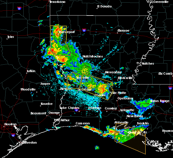 At 218 pm cdt, severe thunderstorms were located along a line extending from 6 miles west of cravens to near pine prairie, moving southwest at 15 mph. a tree has been reported to be blown down near pitkin (radar indicated). Hazards include 60 mph wind gusts. Expect damage to roofs. siding. and trees. Locations impacted include, oakdale, ville platte, mamou, glenmora, elizabeth, turkey creek, pitkin, sugartown, grant, pine prairie, reddell, allen parish airport, cravens, chicot state park, fullerton, bayou chicot, indian lake, beaver, bond and calcasieu. At 218 pm cdt, severe thunderstorms were located along a line extending from 6 miles west of cravens to near pine prairie, moving southwest at 15 mph. a tree has been reported to be blown down near pitkin (radar indicated). Hazards include 60 mph wind gusts. Expect damage to roofs. siding. and trees. Locations impacted include, oakdale, ville platte, mamou, glenmora, elizabeth, turkey creek, pitkin, sugartown, grant, pine prairie, reddell, allen parish airport, cravens, chicot state park, fullerton, bayou chicot, indian lake, beaver, bond and calcasieu.
|
| 6/18/2016 1:45 PM CDT |
 At 144 pm cdt, severe thunderstorms were located along a line extending from 7 miles northwest of fullerton to 6 miles northeast of bayou chicot, moving southwest at 15 mph (radar indicated). Hazards include 60 mph wind gusts. Expect damage to roofs. siding. And trees. At 144 pm cdt, severe thunderstorms were located along a line extending from 7 miles northwest of fullerton to 6 miles northeast of bayou chicot, moving southwest at 15 mph (radar indicated). Hazards include 60 mph wind gusts. Expect damage to roofs. siding. And trees.
|
| 2/23/2016 5:22 PM CST |
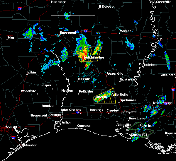 At 521 pm cst, a severe thunderstorm was located near bond, or 8 miles east of oberlin, moving northeast at 50 mph (radar indicated). Hazards include 60 mph wind gusts and quarter size hail. Hail damage to vehicles is expected. Expect wind damage to roofs, siding and trees. At 521 pm cst, a severe thunderstorm was located near bond, or 8 miles east of oberlin, moving northeast at 50 mph (radar indicated). Hazards include 60 mph wind gusts and quarter size hail. Hail damage to vehicles is expected. Expect wind damage to roofs, siding and trees.
|
| 6/24/2015 9:49 PM CDT |
 At 948 pm cdt, doppler radar indicated a line of severe thunderstorms capable of producing quarter size hail and damaging winds in excess of 60 mph. these storms were located from 8 miles northeast of elmer to near glenmora to mamou, moving west at 25 mph. locations impacted include, oakdale, ville platte, mamou, glenmora, elizabeth, turkey creek, hineston, pine prairie, lecompte, reddell, elmer, allen parish airport, chicot state park, bayou chicot, beaver, duralde, bond, otis, calcasieu and woodworth. At 948 pm cdt, doppler radar indicated a line of severe thunderstorms capable of producing quarter size hail and damaging winds in excess of 60 mph. these storms were located from 8 miles northeast of elmer to near glenmora to mamou, moving west at 25 mph. locations impacted include, oakdale, ville platte, mamou, glenmora, elizabeth, turkey creek, hineston, pine prairie, lecompte, reddell, elmer, allen parish airport, chicot state park, bayou chicot, beaver, duralde, bond, otis, calcasieu and woodworth.
|
| 6/24/2015 9:30 PM CDT | Evangeline parish dispatch received reports of trees down between turkey creek and bayou chicot. time based on radar dat in evangeline county LA, 1 miles NNE of Turkey Creek, LA |
| 6/24/2015 9:22 PM CDT |
 At 921 pm cdt, doppler radar indicated a line of severe thunderstorms capable of producing quarter size hail and damaging winds in excess of 60 mph. these storms were located along a line extending from near lecompte to near turkey creek to near ville platte, and moving west at 20 mph. At 921 pm cdt, doppler radar indicated a line of severe thunderstorms capable of producing quarter size hail and damaging winds in excess of 60 mph. these storms were located along a line extending from near lecompte to near turkey creek to near ville platte, and moving west at 20 mph.
|
| 5/27/2015 7:27 AM CDT | At 726 am cdt, doppler radar indicated a line of severe thunderstorms capable of producing quarter size hail and damaging winds in excess of 60 mph. these storms were located along a line extending from near poland to cameron, and moving southeast at 25 mph. |
| 5/27/2015 7:06 AM CDT | At 705 am cdt, doppler radar indicated a line of severe thunderstorms capable of producing quarter size hail and damaging winds in excess of 60 mph. these storms were located along a line extending from pineville to near leblanc, moving east at 30 mph. locations impacted include, alexandria, pineville, oakdale, marksville, bunkie, kinder, basile, oberlin, glenmora, cheneyville, elizabeth, turkey creek, reeves, mittie, effie, dry creek, pitkin, ragley, alexandria international airport and grant. |
| 5/27/2015 6:23 AM CDT | At 623 am cdt, doppler radar indicated a line of severe thunderstorms capable of producing quarter size hail and damaging winds in excess of 60 mph. these storms were located along a line extending from near boyce to ragley, and moving east at 30 mph. |
| 5/26/2015 12:52 AM CDT | The severe thunderstorm warning for calcasieu, northwestern cameron, jefferson davis, southeastern beauregard, eastern rapides, central st. landry, evangeline, avoyelles, acadia and southeastern allen parishes, southeastern orange and southeastern jefferson counties will expire at 100 am cdt, the storms which prompted the warning have weakened below severe limits and exited the warned area. therefore the warning will be allowed to expire. however gusty winds are still possible with these thunderstorms. |
| 5/26/2015 12:52 AM CDT | The severe thunderstorm warning for calcasieu, northwestern cameron, jefferson davis, southeastern beauregard, eastern rapides, central st. landry, evangeline, avoyelles, acadia and southeastern allen parishes, southeastern orange and southeastern jefferson counties will expire at 100 am cdt, the storms which prompted the warning have weakened below severe limits and exited the warned area. therefore the warning will be allowed to expire. however gusty winds are still possible with these thunderstorms. |
| 5/25/2015 11:29 PM CDT | At 1128 pm cdt, doppler radar indicated a line of severe thunderstorms capable of producing quarter size hail and damaging winds in excess of 60 mph. these storms were located along a line extending from esler regional airport to near elton to near port arthur, and moving southeast at 15 mph. |
| 5/25/2015 11:29 PM CDT | At 1128 pm cdt, doppler radar indicated a line of severe thunderstorms capable of producing quarter size hail and damaging winds in excess of 60 mph. these storms were located along a line extending from esler regional airport to near elton to near port arthur, and moving southeast at 15 mph. |
| 5/25/2015 11:17 PM CDT | At 1117 pm cdt, doppler radar indicated a line of severe thunderstorms capable of producing quarter size hail and damaging winds in excess of 60 mph. these storms were located along a line extending from libuse to near cheneyville to near lake charles to near port acres, moving southeast at 50 mph. locations impacted include, beaumont, lake charles, port arthur, alexandria, sulphur, orange, nederland, groves, pineville, port neches, vidor, jennings, bridge city, oakdale, ville platte, westlake, west orange, mamou, welsh and vinton. a tornado watch remains in effect until 200 am cdt for southwestern louisiana and southeastern texas. a tornado watch also remains in effect until 500 am cdt for central louisiana. |
| 5/25/2015 11:17 PM CDT | At 1117 pm cdt, doppler radar indicated a line of severe thunderstorms capable of producing quarter size hail and damaging winds in excess of 60 mph. these storms were located along a line extending from libuse to near cheneyville to near lake charles to near port acres, moving southeast at 50 mph. locations impacted include, beaumont, lake charles, port arthur, alexandria, sulphur, orange, nederland, groves, pineville, port neches, vidor, jennings, bridge city, oakdale, ville platte, westlake, west orange, mamou, welsh and vinton. a tornado watch remains in effect until 200 am cdt for southwestern louisiana and southeastern texas. a tornado watch also remains in effect until 500 am cdt for central louisiana. |
| 5/25/2015 10:59 PM CDT | At 1058 pm cdt, doppler radar indicated a line of severe thunderstorms capable of producing quarter size hail and damaging winds in excess of 60 mph. these storms were located along a line extending from near boyce to near glenmora to near vinton to hamshire, and moving southeast at 45 mph. |
| 5/25/2015 10:59 PM CDT | At 1058 pm cdt, doppler radar indicated a line of severe thunderstorms capable of producing quarter size hail and damaging winds in excess of 60 mph. these storms were located along a line extending from near boyce to near glenmora to near vinton to hamshire, and moving southeast at 45 mph. |
| 4/27/2015 3:20 PM CDT | At 319 pm cdt, doppler radar indicated a severe thunderstorm capable of producing quarter size hail. this storm was located near pine prairie, or 7 miles southwest of turkey creek, and moving east at 45 mph. |
| 4/27/2015 8:01 AM CDT | At 801 am cdt, doppler radar indicated a line of severe thunderstorms capable of producing damaging winds in excess of 60 mph. these storms were located along a line extending from near alexandria international airport to near whiteville to near lyons point, and moving east at 55 mph. |
| 4/27/2015 7:39 AM CDT | At 737 am cdt, doppler radar indicated a line of severe thunderstorms capable of producing quarter size hail and damaging winds in excess of 60 mph. these storms were located along a line extending from near gardner to 6 miles northwest of turkey creek to near hayes, moving east at 55 mph. locations impacted include, alexandria, opelousas, pineville, crowley, eunice, jennings, rayne, oakdale, ville platte, marksville, church point, bunkie, mamou, welsh, iowa, lake arthur, kinder, basile, oberlin and iota. a tornado watch remains in effect until 100 pm cdt for southwestern louisiana. |
| 4/27/2015 7:20 AM CDT | At 719 am cdt, doppler radar indicated a line of severe thunderstorms capable of producing quarter size hail and damaging winds in excess of 60 mph. these storms were located along a line extending from near hutton to near elizabeth to near lake charles regional airport, and moving east at 55 mph. |
Hail Maps for Turkey Creek, LA

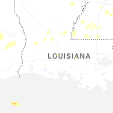
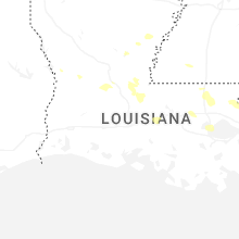
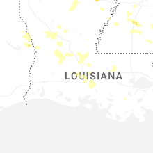


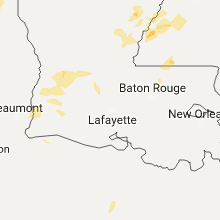


Connect with Interactive Hail Maps