

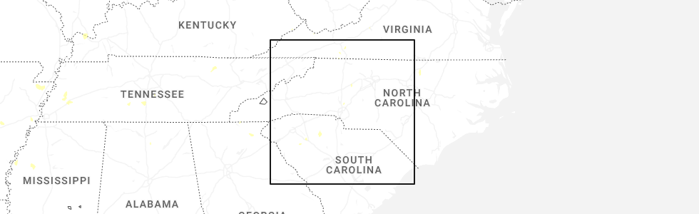
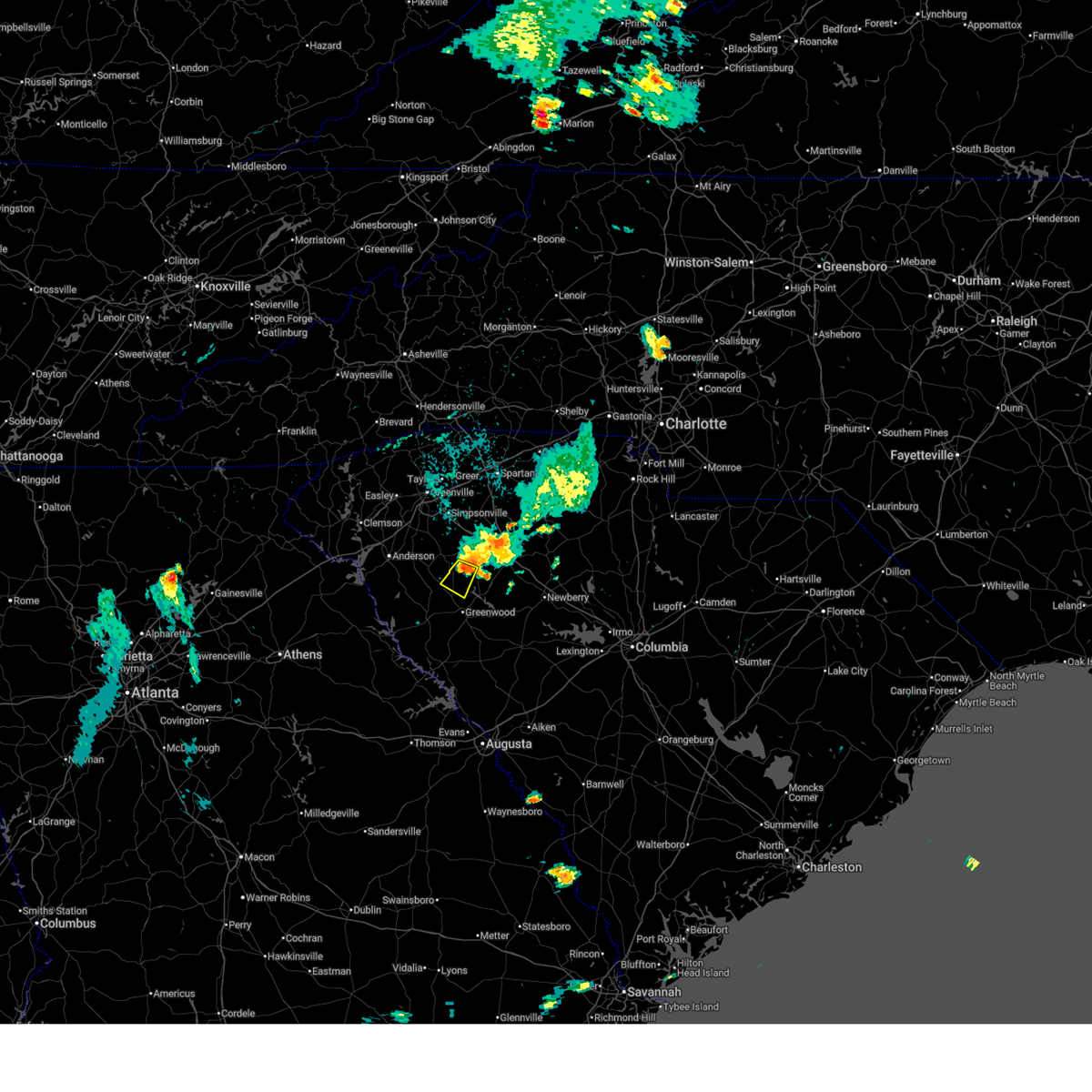
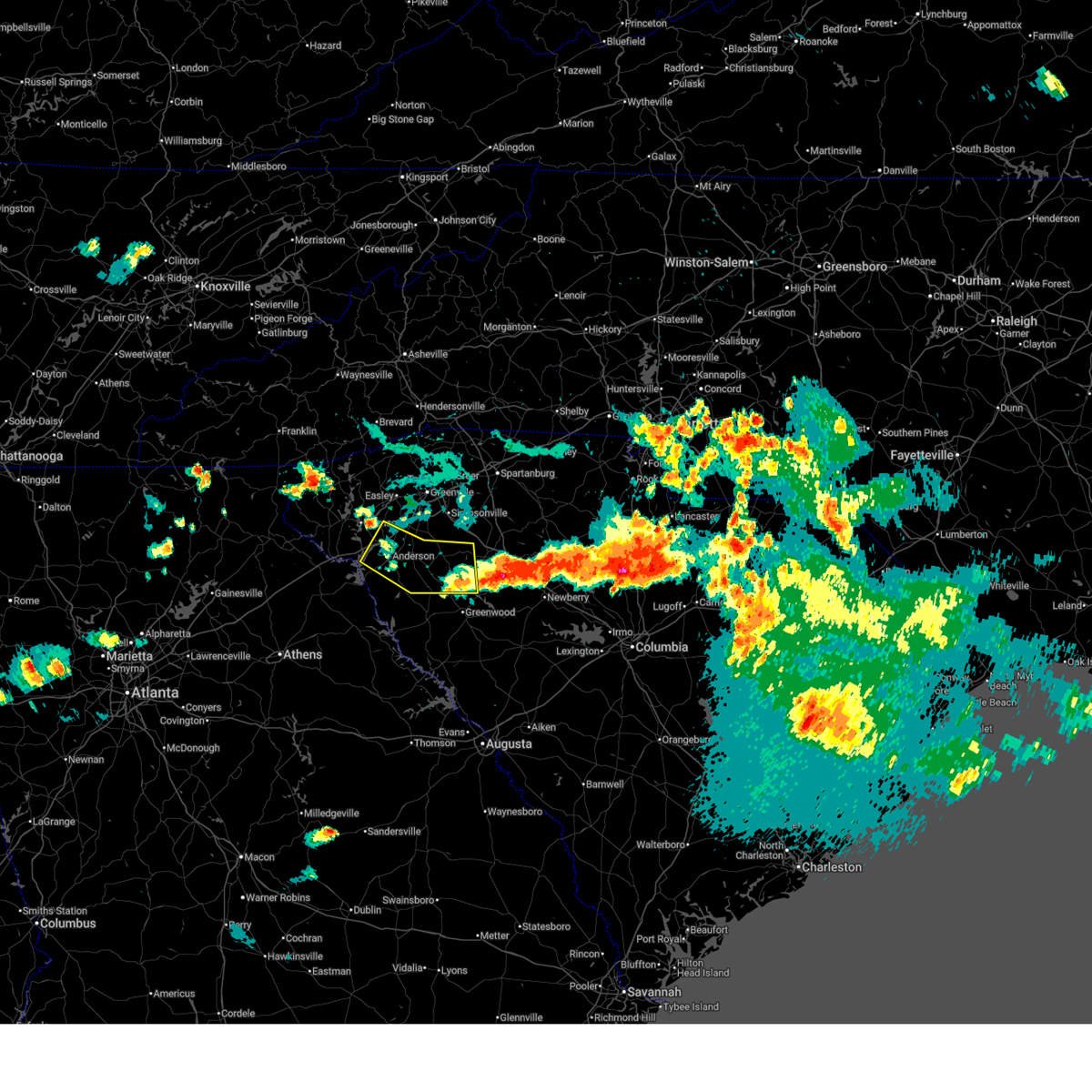
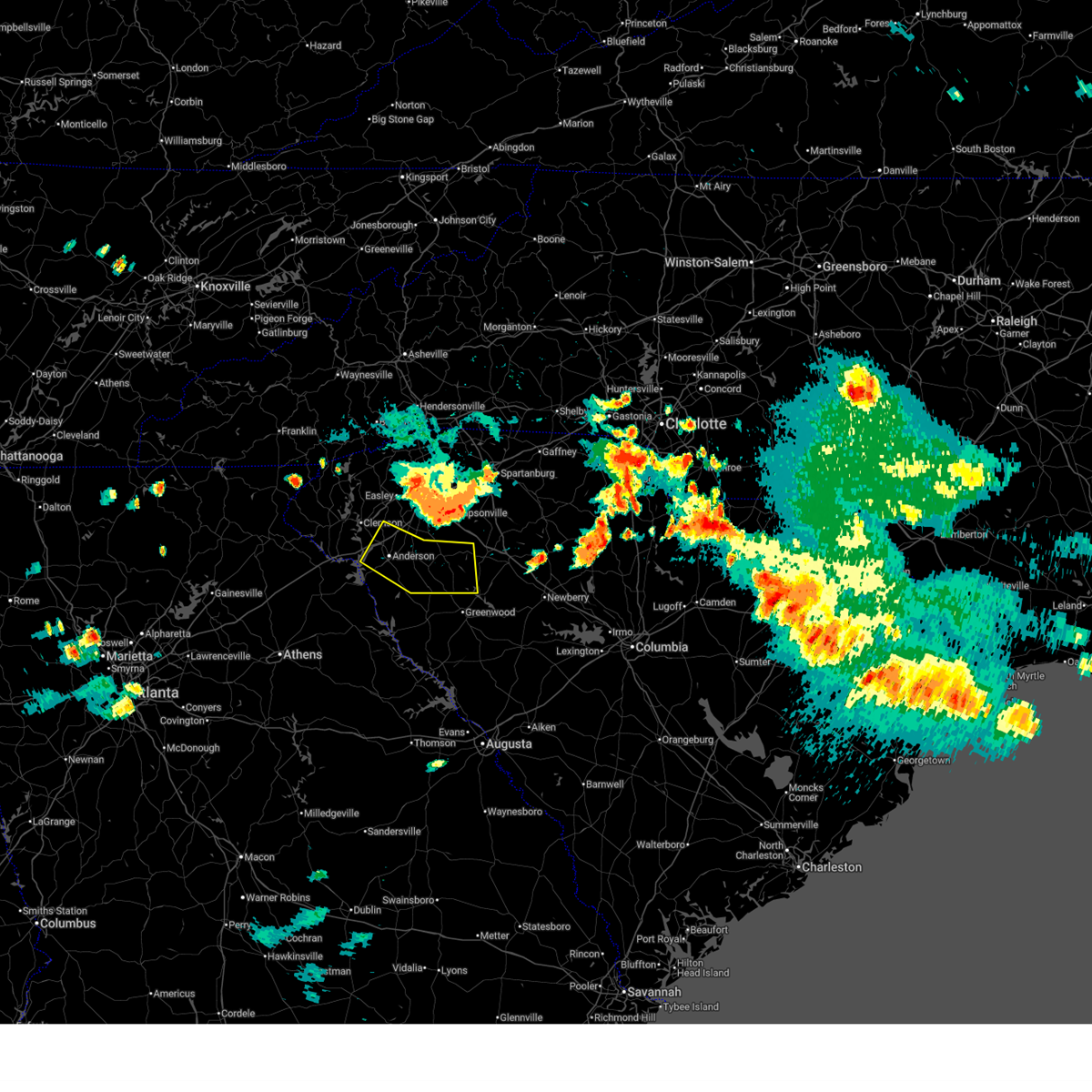
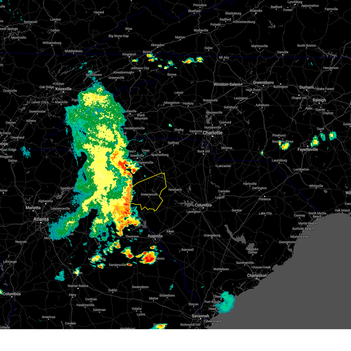
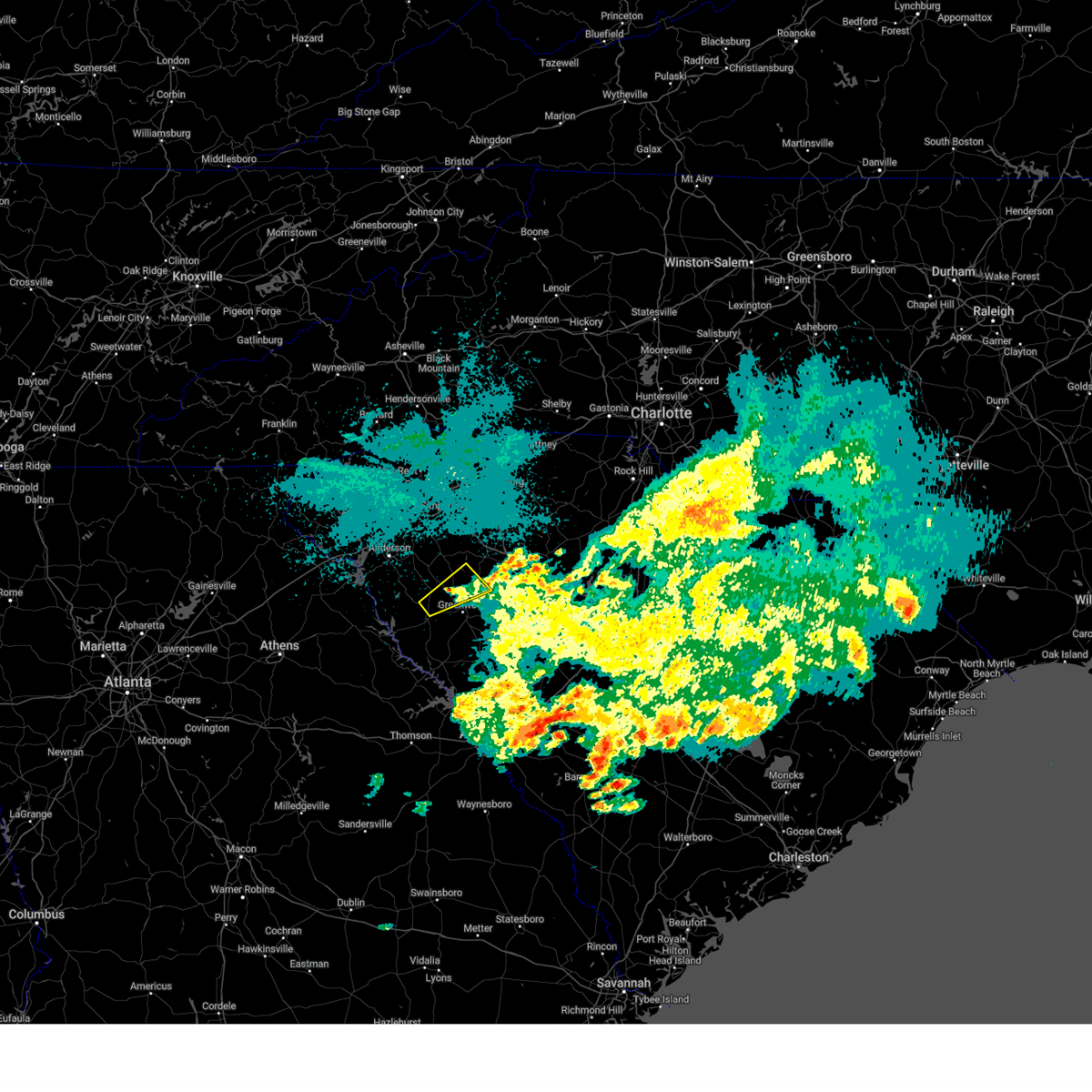
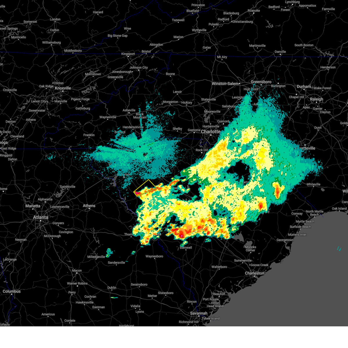
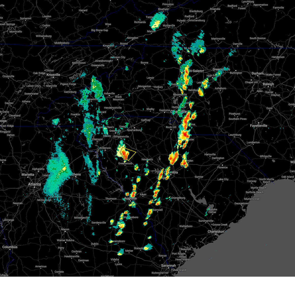
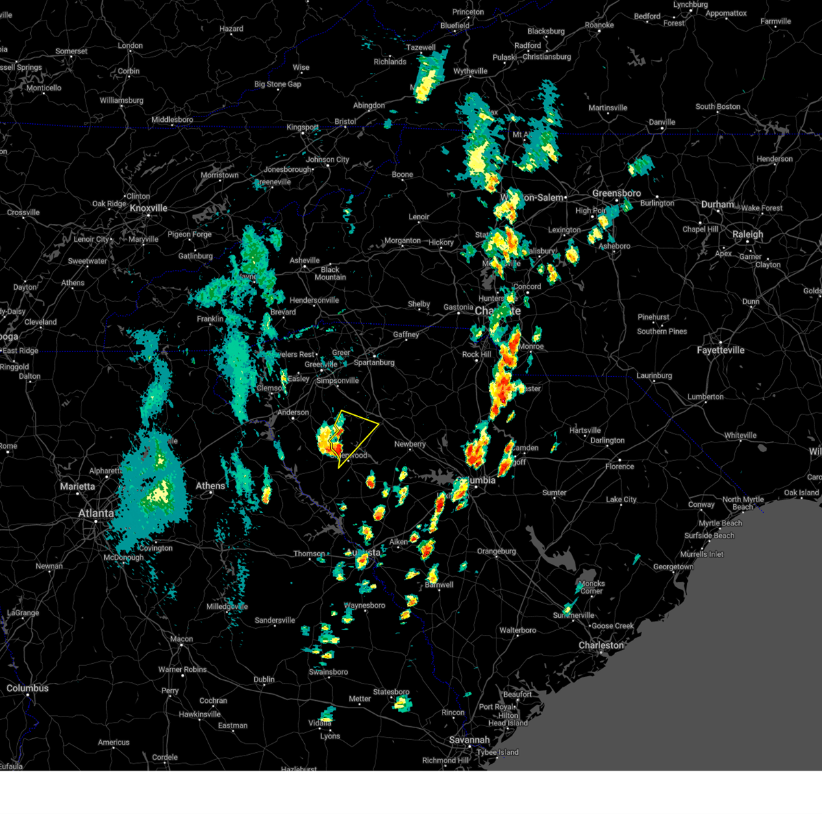
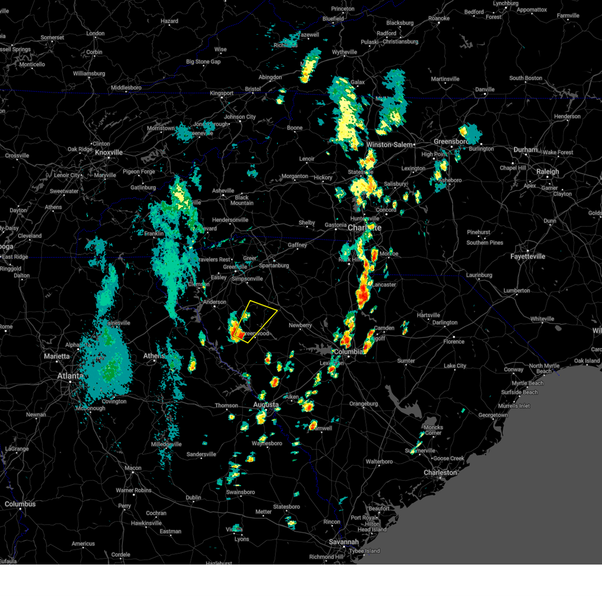
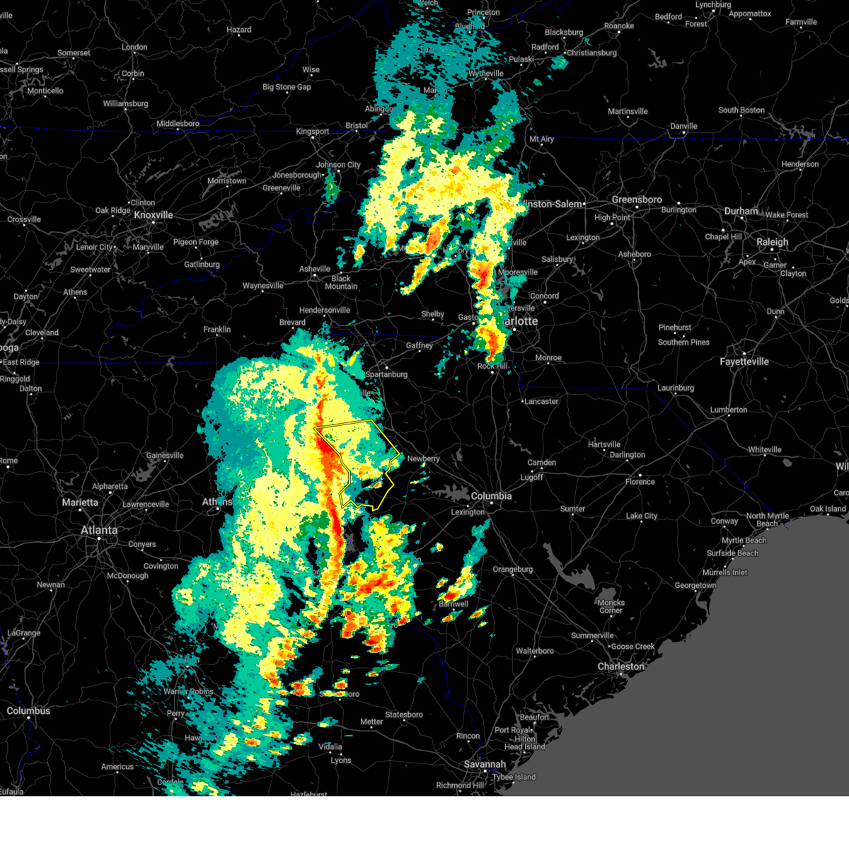
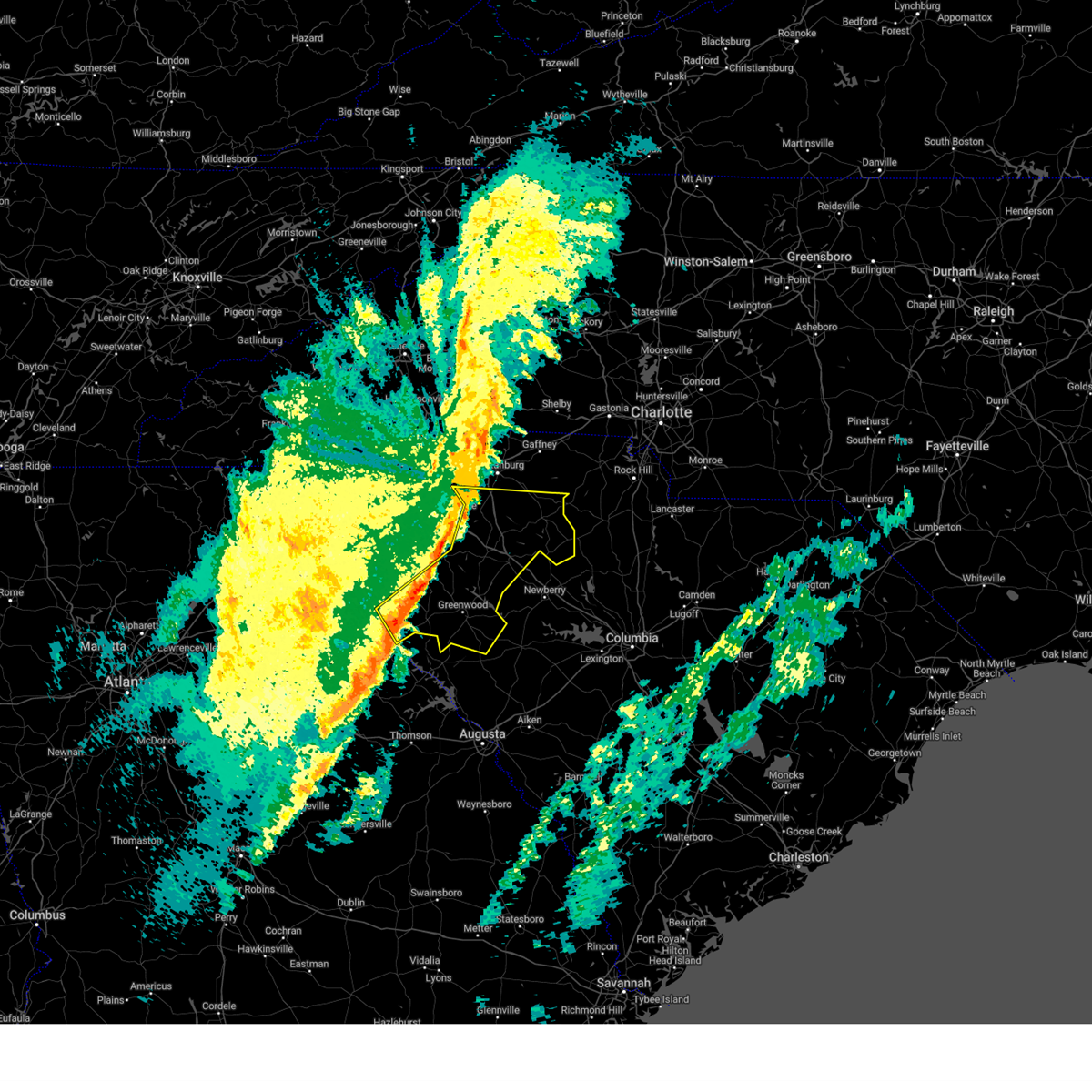
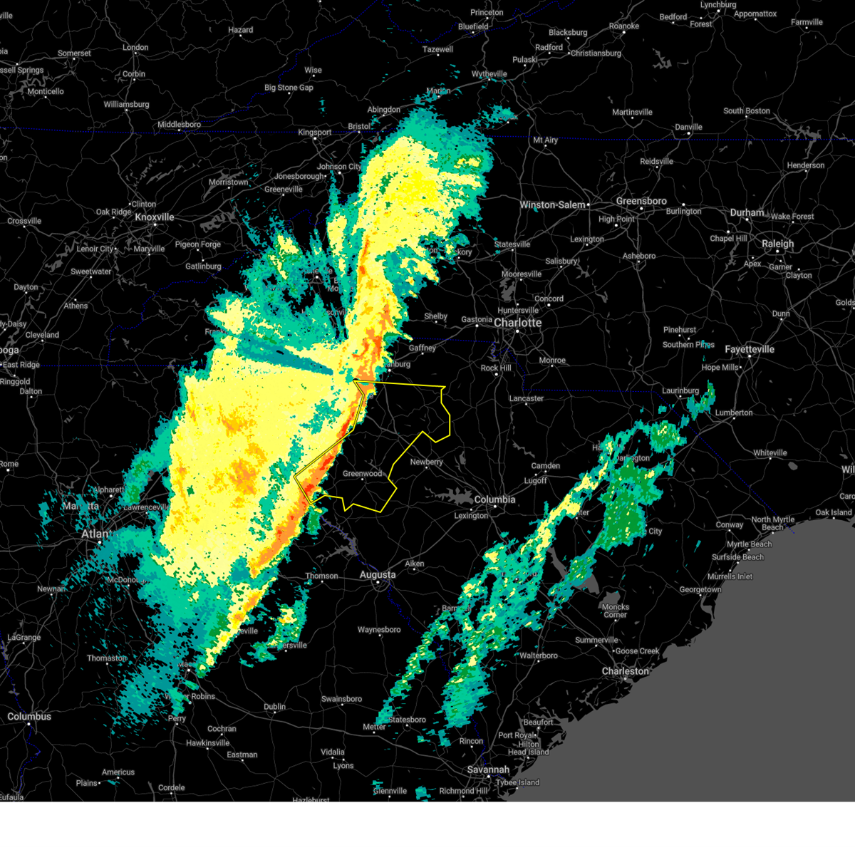
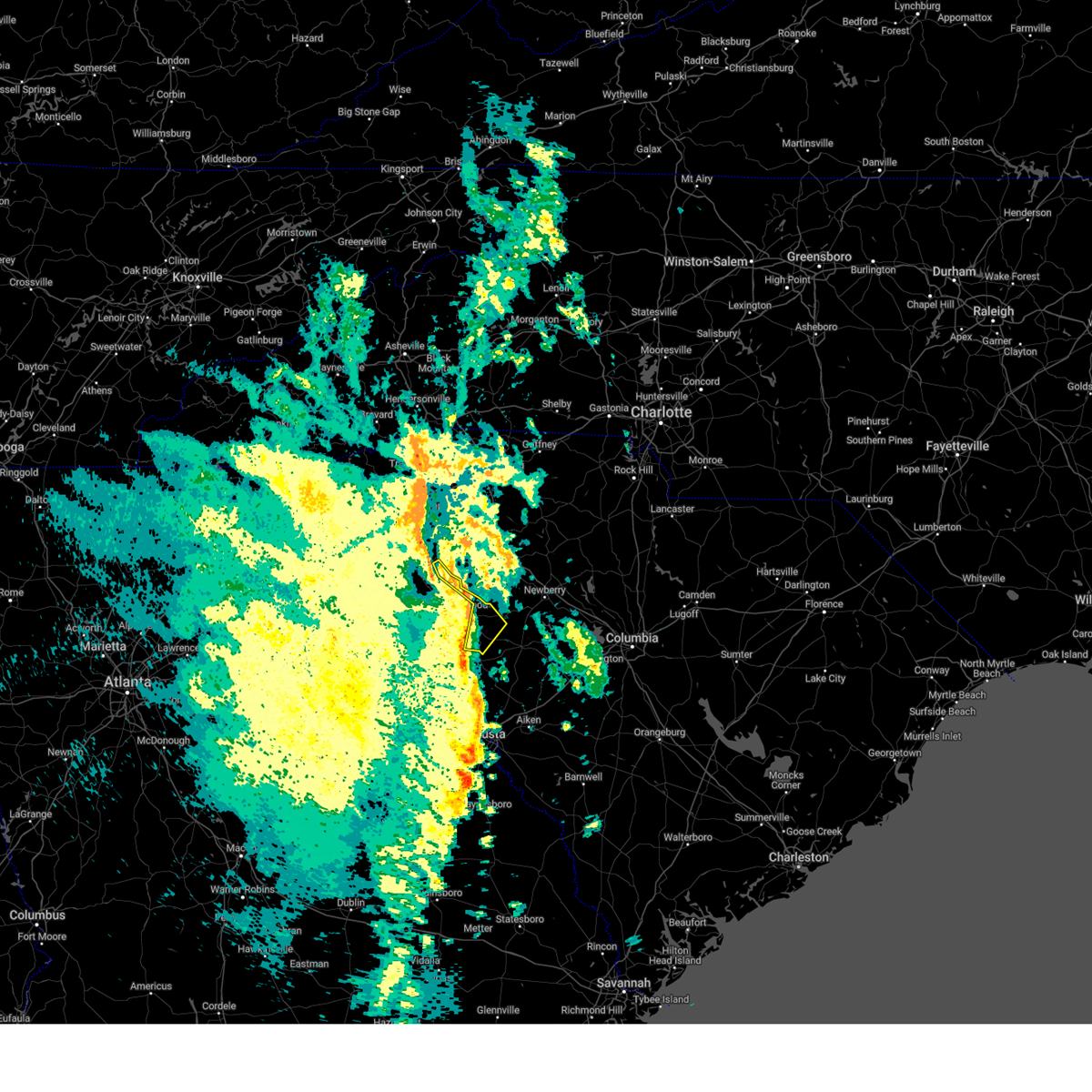
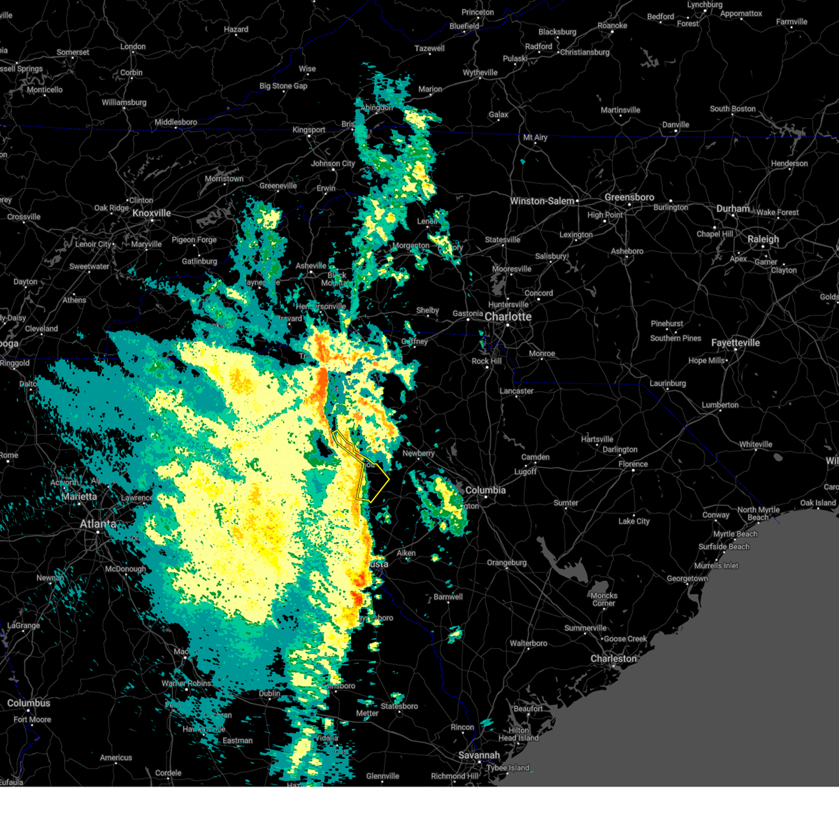
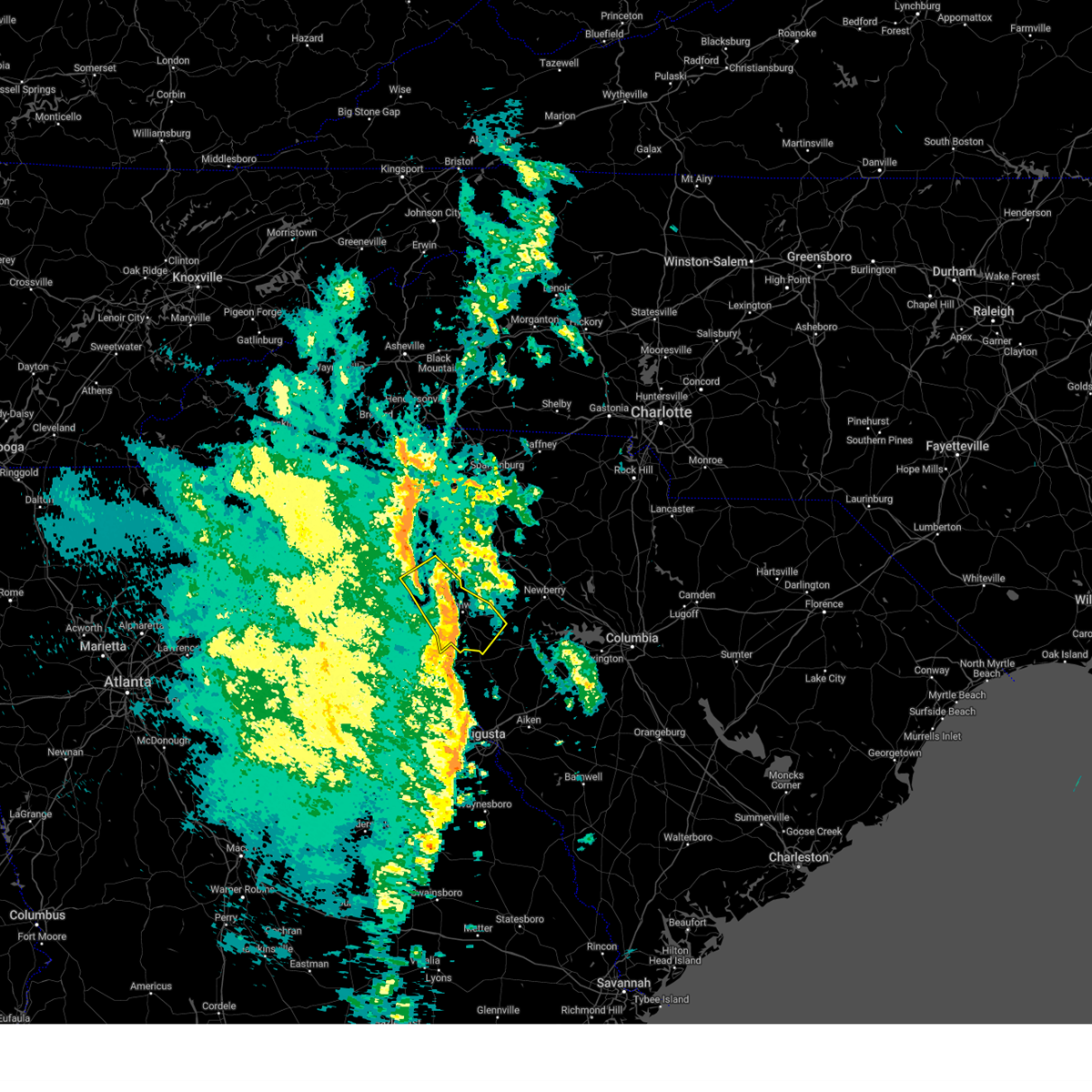
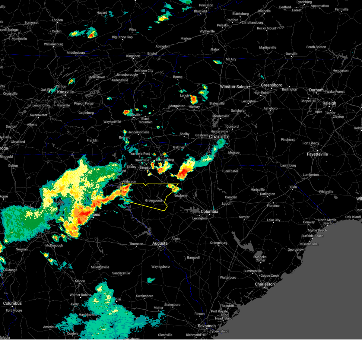
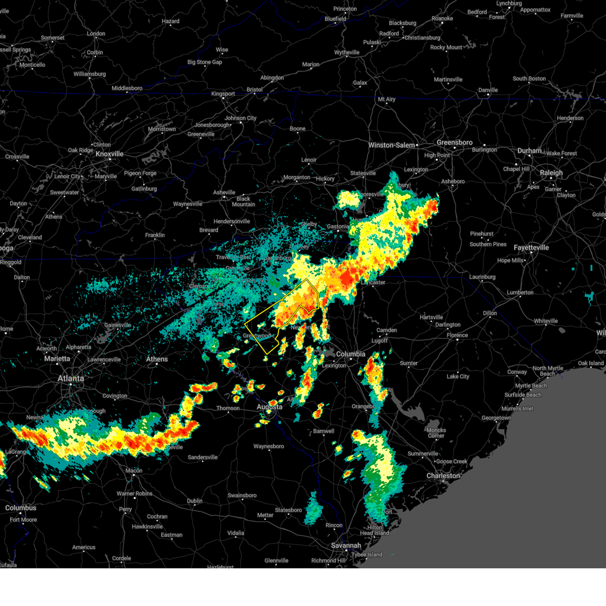
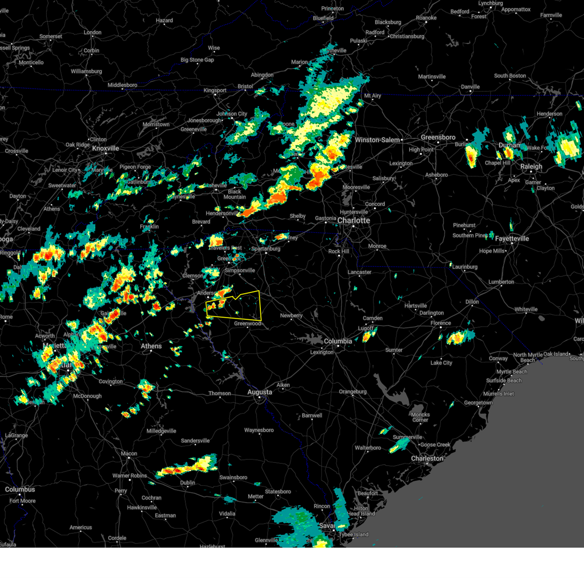
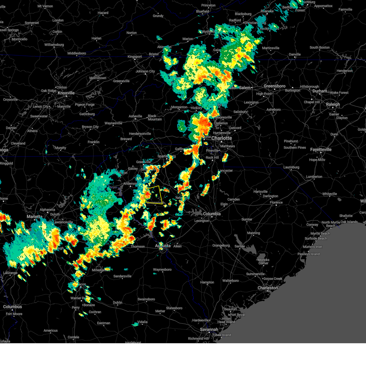
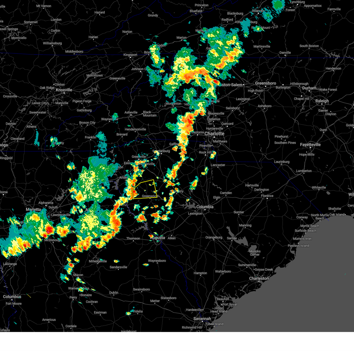
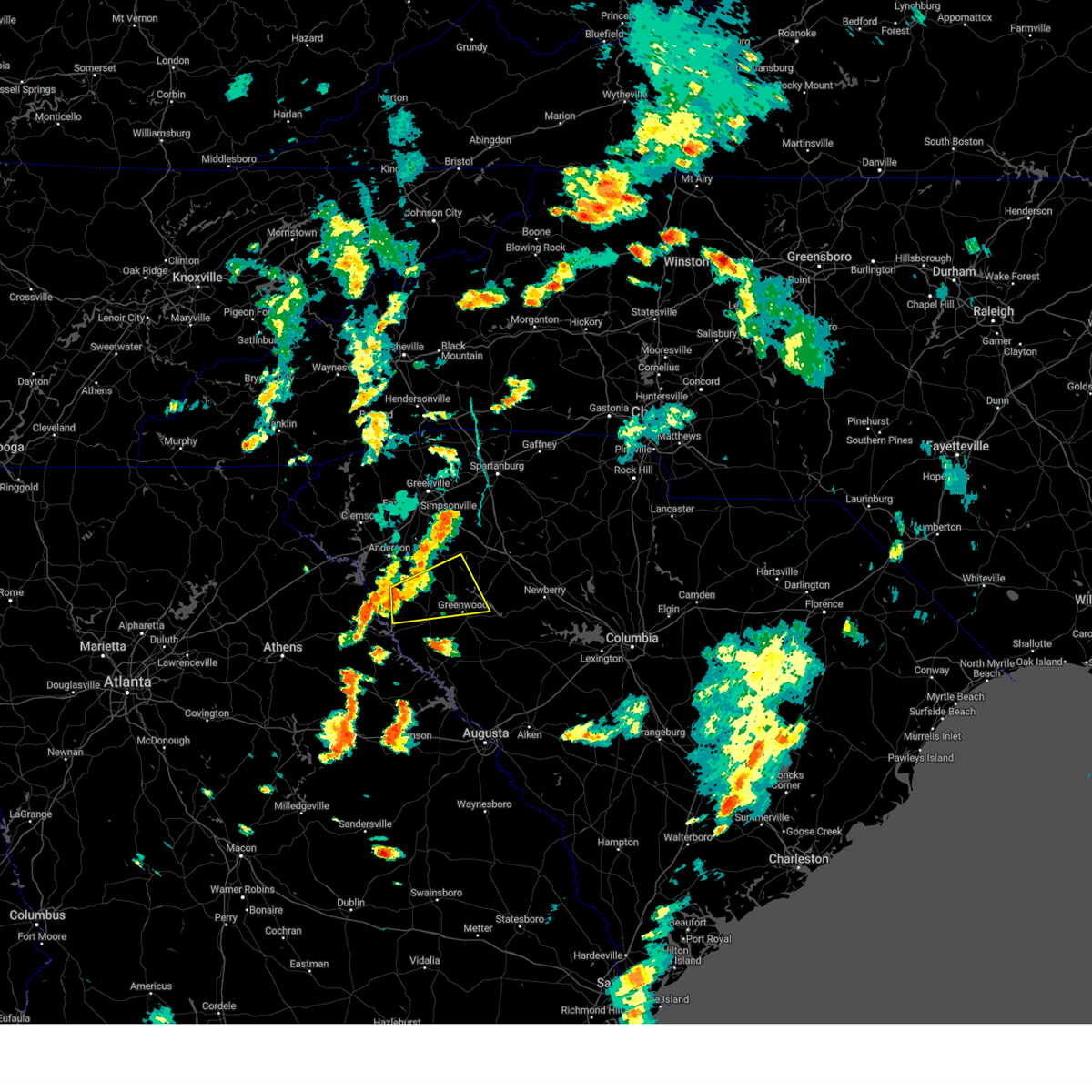
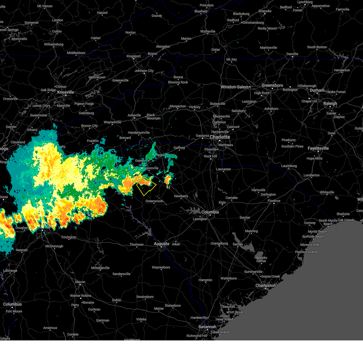
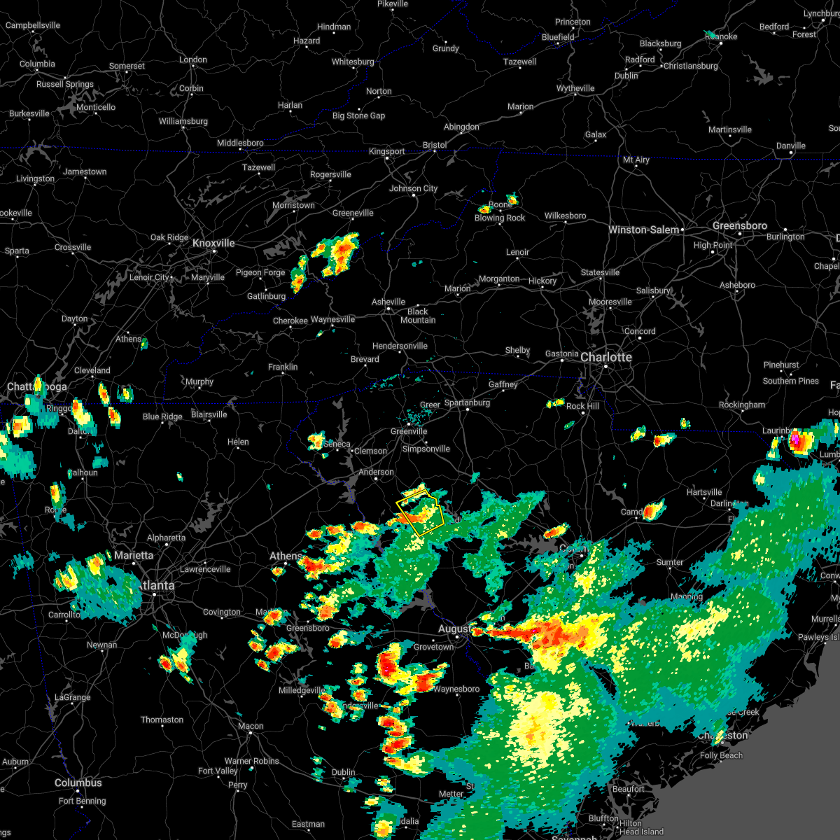
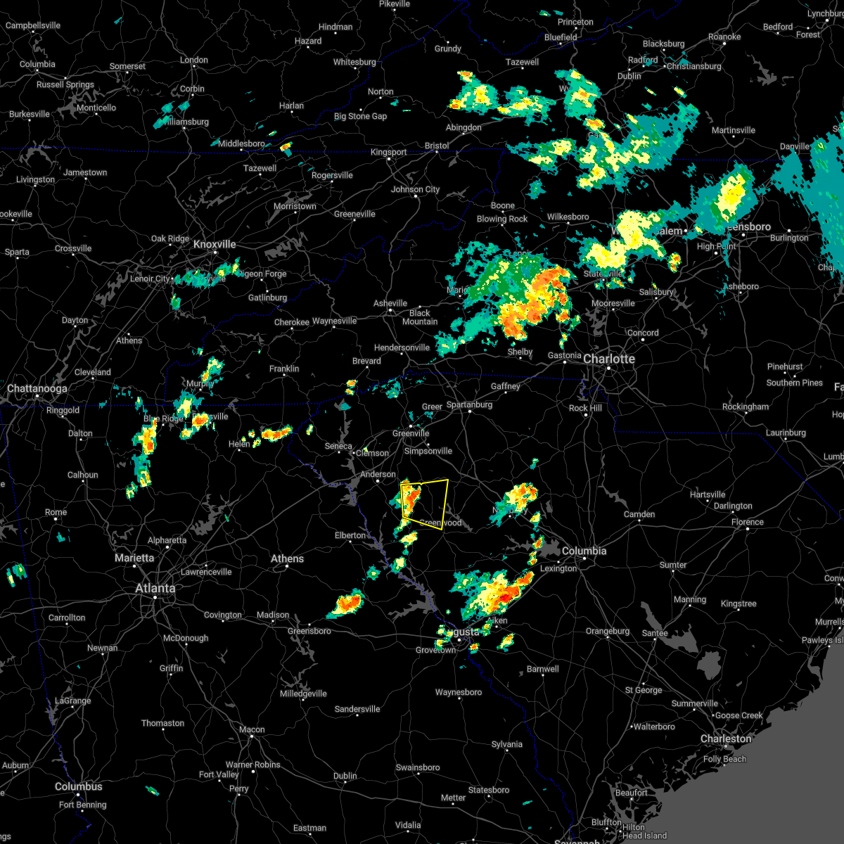
Hail Map for Ware Shoals, SC
The Ware Shoals, SC area has had 4 reports of on-the-ground hail by trained spotters, and has been under severe weather warnings 32 times during the past 12 months. Doppler radar has detected hail at or near Ware Shoals, SC on 38 occasions, including 3 occasions during the past year.
| Name: | Ware Shoals, SC |
| Where Located: | 36.9 miles SE of Greenville, SC |
| Map: | Google Map for Ware Shoals, SC |
| Population: | 2170 |
| Housing Units: | 1070 |
| More Info: | Search Google for Ware Shoals, SC |
0
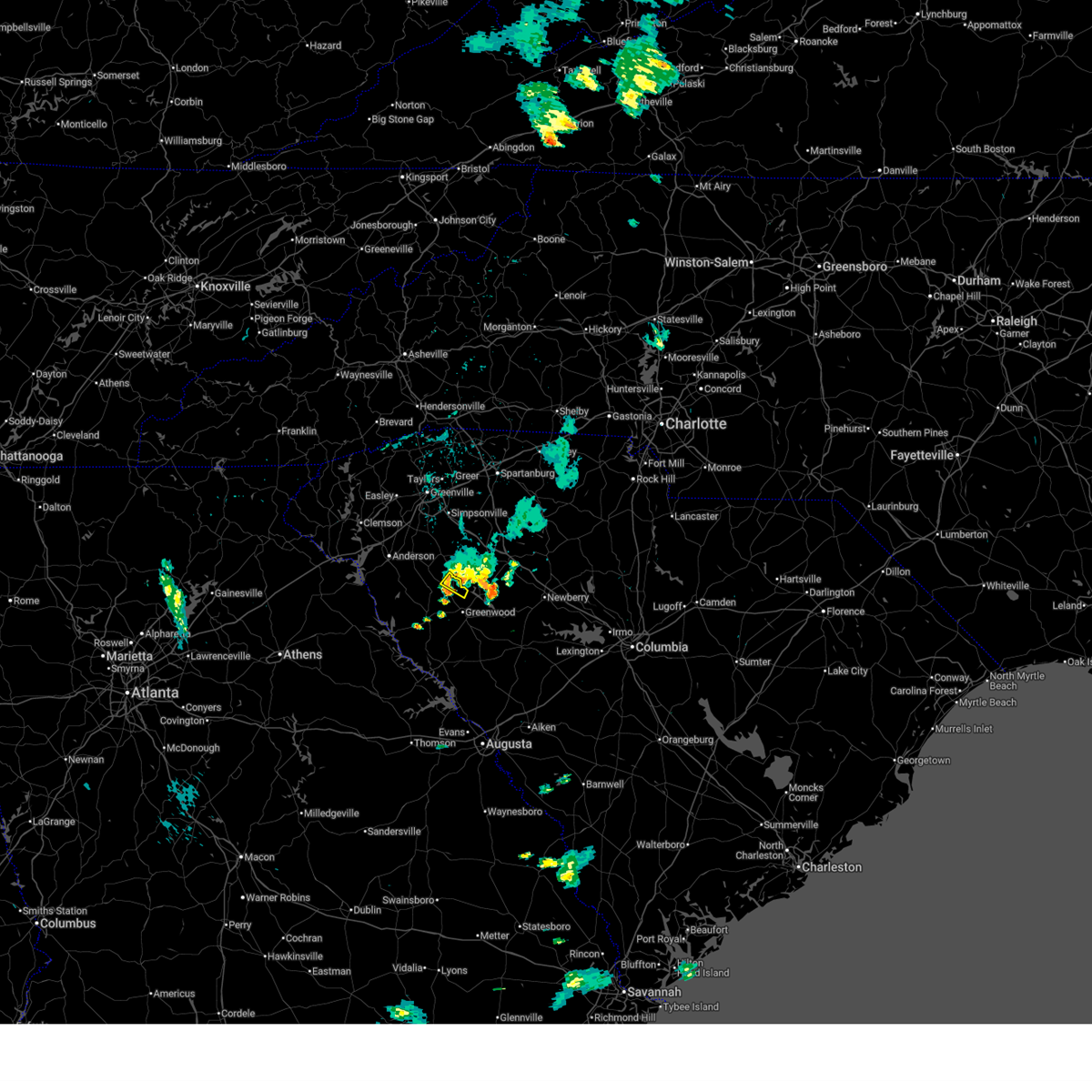
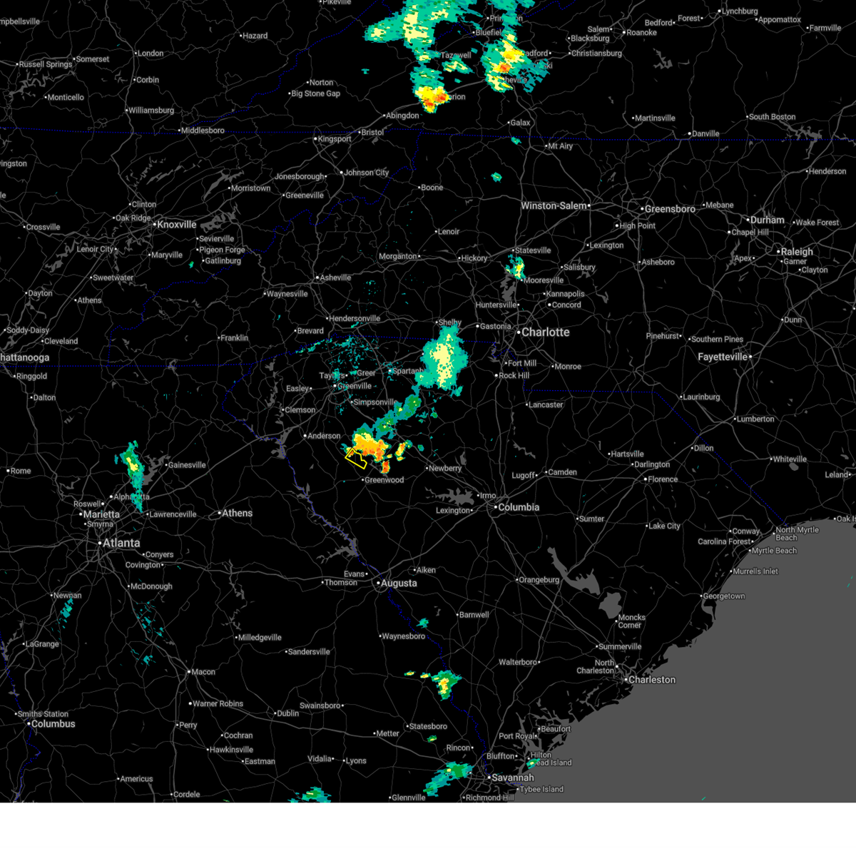
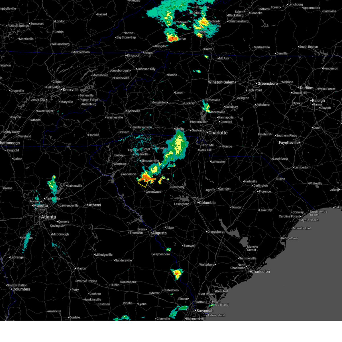
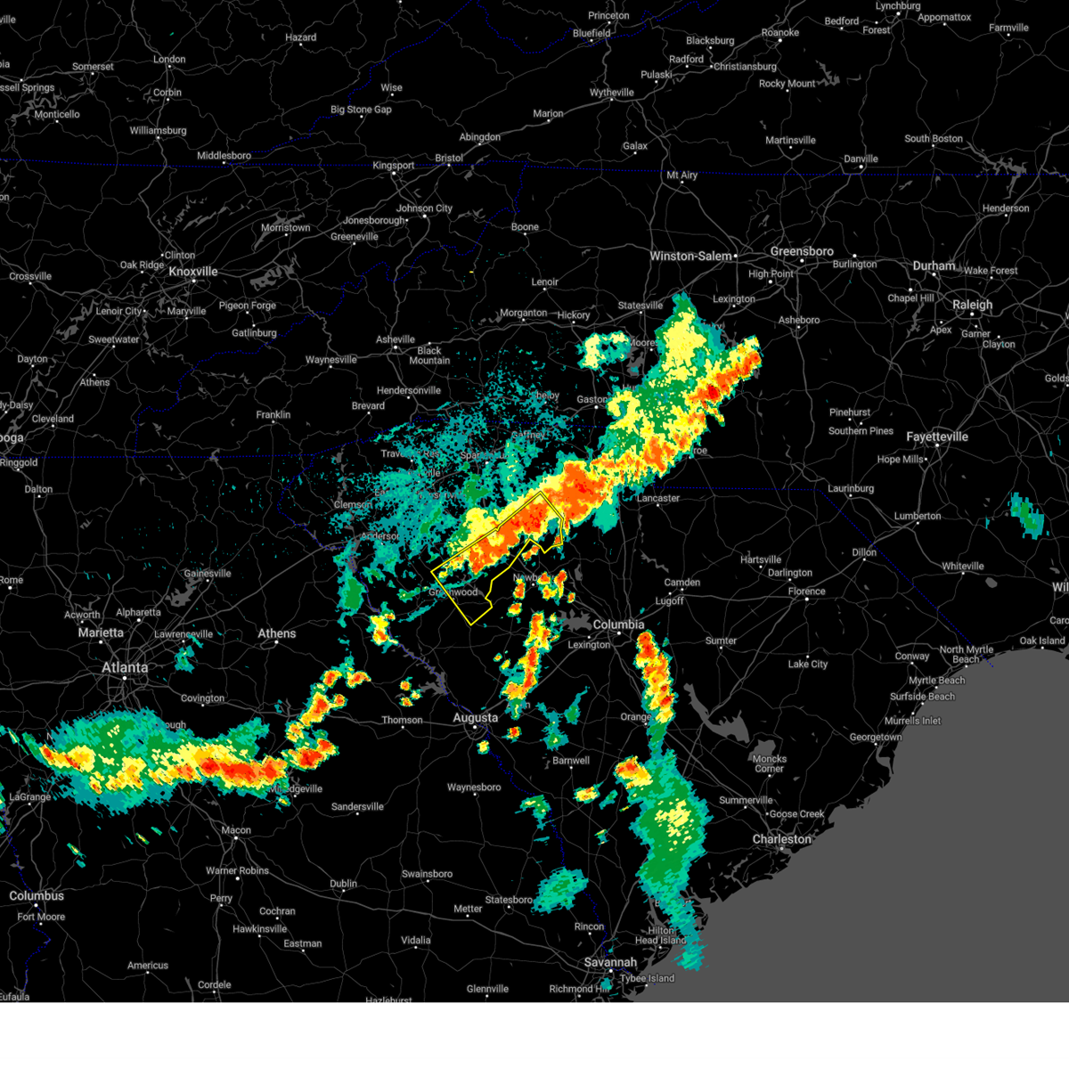
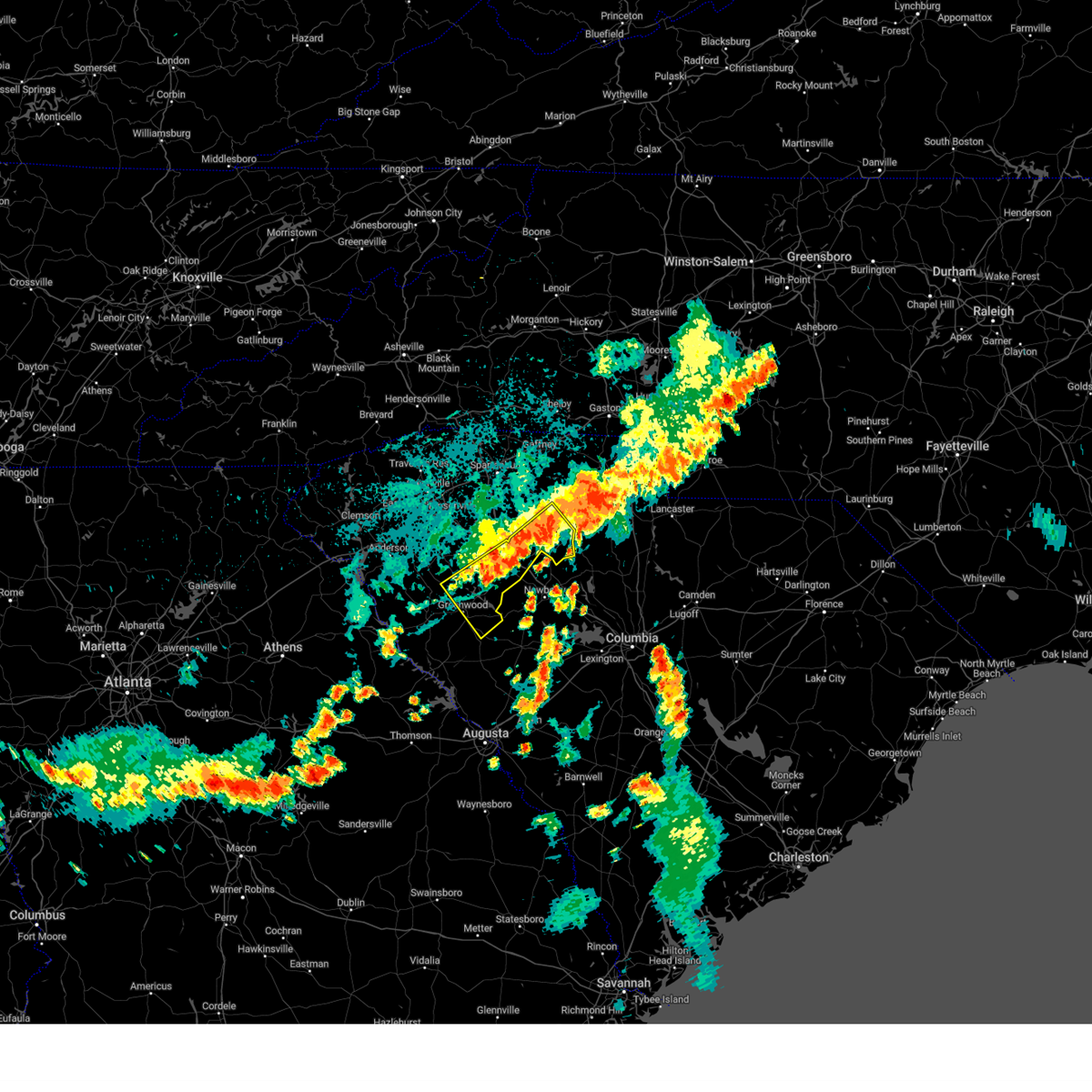
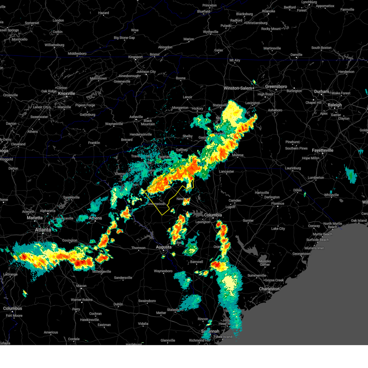
The Top Recent Hail Date for Ware Shoals, SC is Saturday, June 28, 2025 (37th out of 38)
Hail and Wind Damage Spotted near Ware Shoals, SC
| Date / Time | Report Details |
|---|---|
| 6/28/2025 11:13 PM EDT |
 the severe thunderstorm warning has been cancelled and is no longer in effect the severe thunderstorm warning has been cancelled and is no longer in effect
|
| 6/28/2025 11:00 PM EDT |
 the severe thunderstorm warning has been cancelled and is no longer in effect the severe thunderstorm warning has been cancelled and is no longer in effect
|
| 6/28/2025 11:00 PM EDT |
 At 1059 pm edt, a severe thunderstorm was located 12 miles northwest of greenwood, or near ware shoals, moving south at 5 mph (radar indicated). Hazards include 60 mph wind gusts and penny size hail. Expect damage to trees and power lines. Locations impacted include, ware shoals and shoals junction. At 1059 pm edt, a severe thunderstorm was located 12 miles northwest of greenwood, or near ware shoals, moving south at 5 mph (radar indicated). Hazards include 60 mph wind gusts and penny size hail. Expect damage to trees and power lines. Locations impacted include, ware shoals and shoals junction.
|
| 6/28/2025 10:46 PM EDT |
 At 1045 pm edt, a severe thunderstorm was located 12 miles north of greenwood, or near ware shoals, moving south at 5 mph (radar indicated). Hazards include 60 mph wind gusts and penny size hail. Expect damage to trees and power lines. Locations impacted include, ware shoals and shoals junction. At 1045 pm edt, a severe thunderstorm was located 12 miles north of greenwood, or near ware shoals, moving south at 5 mph (radar indicated). Hazards include 60 mph wind gusts and penny size hail. Expect damage to trees and power lines. Locations impacted include, ware shoals and shoals junction.
|
| 6/28/2025 10:26 PM EDT |
 Svrgsp the national weather service in greenville-spartanburg has issued a * severe thunderstorm warning for, southwestern laurens county in upstate south carolina, northwestern greenwood county in upstate south carolina, * until 1130 pm edt. * at 1025 pm edt, a severe thunderstorm was located 11 miles southwest of laurens, or near ware shoals, moving south at 5 mph (radar indicated). Hazards include 60 mph wind gusts and quarter size hail. Minor hail damage to vehicles is expected. Expect wind damage to trees and power lines. Svrgsp the national weather service in greenville-spartanburg has issued a * severe thunderstorm warning for, southwestern laurens county in upstate south carolina, northwestern greenwood county in upstate south carolina, * until 1130 pm edt. * at 1025 pm edt, a severe thunderstorm was located 11 miles southwest of laurens, or near ware shoals, moving south at 5 mph (radar indicated). Hazards include 60 mph wind gusts and quarter size hail. Minor hail damage to vehicles is expected. Expect wind damage to trees and power lines.
|
| 6/25/2025 8:14 PM EDT |
 the severe thunderstorm warning has been cancelled and is no longer in effect the severe thunderstorm warning has been cancelled and is no longer in effect
|
| 6/25/2025 7:36 PM EDT | Tree down on utility equipmen in greenwood county SC, 1.1 miles SE of Ware Shoals, SC |
| 6/25/2025 7:28 PM EDT |
 Svrgsp the national weather service in greenville-spartanburg has issued a * severe thunderstorm warning for, southwestern laurens county in upstate south carolina, south central greenville county in upstate south carolina, central anderson county in upstate south carolina, northeastern abbeville county in upstate south carolina, northwestern greenwood county in upstate south carolina, * until 830 pm edt. * at 727 pm edt, severe thunderstorms were located along a line extending from 7 miles northwest of laurens to 12 miles east of anderson to 9 miles east of clemson, moving south at 15 mph (radar indicated). Hazards include 60 mph wind gusts and quarter size hail. Minor hail damage to vehicles is expected. Expect wind damage to trees and power lines. Svrgsp the national weather service in greenville-spartanburg has issued a * severe thunderstorm warning for, southwestern laurens county in upstate south carolina, south central greenville county in upstate south carolina, central anderson county in upstate south carolina, northeastern abbeville county in upstate south carolina, northwestern greenwood county in upstate south carolina, * until 830 pm edt. * at 727 pm edt, severe thunderstorms were located along a line extending from 7 miles northwest of laurens to 12 miles east of anderson to 9 miles east of clemson, moving south at 15 mph (radar indicated). Hazards include 60 mph wind gusts and quarter size hail. Minor hail damage to vehicles is expected. Expect wind damage to trees and power lines.
|
| 6/17/2025 8:50 PM EDT |
 Svrgsp the national weather service in greenville-spartanburg has issued a * severe thunderstorm warning for, rutherford county in western north carolina, southeastern henderson county in western north carolina, polk county in western north carolina, cleveland county in the piedmont of north carolina, laurens county in upstate south carolina, northeastern pickens county in upstate south carolina, union county in upstate south carolina, greenville county in upstate south carolina, spartanburg county in upstate south carolina, eastern anderson county in upstate south carolina, cherokee county in upstate south carolina, northeastern abbeville county in upstate south carolina, northwestern greenwood county in upstate south carolina, * until 945 pm edt. * at 849 pm edt, severe thunderstorms were located along a line extending from 12 miles south of hendersonville to 18 miles southwest of columbus to 7 miles south of greenville downtown to 11 miles north of abbeville, moving northeast at 50 mph (radar indicated). Hazards include 60 mph wind gusts. expect damage to trees and power lines Svrgsp the national weather service in greenville-spartanburg has issued a * severe thunderstorm warning for, rutherford county in western north carolina, southeastern henderson county in western north carolina, polk county in western north carolina, cleveland county in the piedmont of north carolina, laurens county in upstate south carolina, northeastern pickens county in upstate south carolina, union county in upstate south carolina, greenville county in upstate south carolina, spartanburg county in upstate south carolina, eastern anderson county in upstate south carolina, cherokee county in upstate south carolina, northeastern abbeville county in upstate south carolina, northwestern greenwood county in upstate south carolina, * until 945 pm edt. * at 849 pm edt, severe thunderstorms were located along a line extending from 12 miles south of hendersonville to 18 miles southwest of columbus to 7 miles south of greenville downtown to 11 miles north of abbeville, moving northeast at 50 mph (radar indicated). Hazards include 60 mph wind gusts. expect damage to trees and power lines
|
| 6/7/2025 7:47 PM EDT |
 Svrgsp the national weather service in greenville-spartanburg has issued a * severe thunderstorm warning for, southwestern laurens county in upstate south carolina, abbeville county in upstate south carolina, greenwood county in upstate south carolina, * until 830 pm edt. * at 747 pm edt, severe thunderstorms were located along a line extending from 14 miles southeast of anderson to 11 miles southwest of abbeville, moving east at 50 mph (radar indicated). Hazards include 60 mph wind gusts. expect damage to trees and power lines Svrgsp the national weather service in greenville-spartanburg has issued a * severe thunderstorm warning for, southwestern laurens county in upstate south carolina, abbeville county in upstate south carolina, greenwood county in upstate south carolina, * until 830 pm edt. * at 747 pm edt, severe thunderstorms were located along a line extending from 14 miles southeast of anderson to 11 miles southwest of abbeville, moving east at 50 mph (radar indicated). Hazards include 60 mph wind gusts. expect damage to trees and power lines
|
| 5/9/2025 4:38 AM EDT |
 the severe thunderstorm warning has been cancelled and is no longer in effect the severe thunderstorm warning has been cancelled and is no longer in effect
|
| 5/9/2025 4:15 AM EDT |
 Svrgsp the national weather service in greenville-spartanburg has issued a * severe thunderstorm warning for, southwestern laurens county in upstate south carolina, east central abbeville county in upstate south carolina, northwestern greenwood county in upstate south carolina, * until 500 am edt. * at 414 am edt, a severe thunderstorm was located 5 miles northeast of abbeville, moving northeast at 25 mph (radar indicated). Hazards include 60 mph wind gusts and half dollar size hail. Minor hail damage to vehicles is expected. Expect wind damage to trees and power lines. Svrgsp the national weather service in greenville-spartanburg has issued a * severe thunderstorm warning for, southwestern laurens county in upstate south carolina, east central abbeville county in upstate south carolina, northwestern greenwood county in upstate south carolina, * until 500 am edt. * at 414 am edt, a severe thunderstorm was located 5 miles northeast of abbeville, moving northeast at 25 mph (radar indicated). Hazards include 60 mph wind gusts and half dollar size hail. Minor hail damage to vehicles is expected. Expect wind damage to trees and power lines.
|
| 5/3/2025 2:36 PM EDT |
 At 232 pm edt, a severe thunderstorm was located 11 miles north of greenwood, or 5 miles west of waterloo, moving northeast at 30 mph (radar indicated). Hazards include 60 mph wind gusts and quarter size hail. Minor hail damage to vehicles is expected. expect wind damage to trees and power lines. Locations impacted include, waterloo, hickory tavern, laurens, mountville, and lake greenwood. At 232 pm edt, a severe thunderstorm was located 11 miles north of greenwood, or 5 miles west of waterloo, moving northeast at 30 mph (radar indicated). Hazards include 60 mph wind gusts and quarter size hail. Minor hail damage to vehicles is expected. expect wind damage to trees and power lines. Locations impacted include, waterloo, hickory tavern, laurens, mountville, and lake greenwood.
|
| 5/3/2025 2:36 PM EDT |
 the severe thunderstorm warning has been cancelled and is no longer in effect the severe thunderstorm warning has been cancelled and is no longer in effect
|
| 5/3/2025 2:23 PM EDT |
 At 222 pm edt, a severe thunderstorm was located 7 miles northwest of greenwood, or over cokesbury, moving northeast at 35 mph (radar indicated). Hazards include 60 mph wind gusts and quarter size hail. Minor hail damage to vehicles is expected. expect wind damage to trees and power lines. Locations impacted include, hodges, ware shoals, shoals junction, cokesbury, waterloo, hickory tavern, laurens, greenwood, and lake greenwood. At 222 pm edt, a severe thunderstorm was located 7 miles northwest of greenwood, or over cokesbury, moving northeast at 35 mph (radar indicated). Hazards include 60 mph wind gusts and quarter size hail. Minor hail damage to vehicles is expected. expect wind damage to trees and power lines. Locations impacted include, hodges, ware shoals, shoals junction, cokesbury, waterloo, hickory tavern, laurens, greenwood, and lake greenwood.
|
| 5/3/2025 2:23 PM EDT |
 the severe thunderstorm warning has been cancelled and is no longer in effect the severe thunderstorm warning has been cancelled and is no longer in effect
|
| 5/3/2025 2:10 PM EDT |
 Svrgsp the national weather service in greenville-spartanburg has issued a * severe thunderstorm warning for, southwestern laurens county in upstate south carolina, east central abbeville county in upstate south carolina, northwestern greenwood county in upstate south carolina, * until 300 pm edt. * at 210 pm edt, a severe thunderstorm was located 5 miles northeast of abbeville, or 4 miles southwest of hodges, moving northeast at 30 mph (radar indicated). Hazards include 60 mph wind gusts and quarter size hail. Minor hail damage to vehicles is expected. Expect wind damage to trees and power lines. Svrgsp the national weather service in greenville-spartanburg has issued a * severe thunderstorm warning for, southwestern laurens county in upstate south carolina, east central abbeville county in upstate south carolina, northwestern greenwood county in upstate south carolina, * until 300 pm edt. * at 210 pm edt, a severe thunderstorm was located 5 miles northeast of abbeville, or 4 miles southwest of hodges, moving northeast at 30 mph (radar indicated). Hazards include 60 mph wind gusts and quarter size hail. Minor hail damage to vehicles is expected. Expect wind damage to trees and power lines.
|
| 3/31/2025 3:29 PM EDT | Utility equipment damaged by falling tree in greenwood county SC, 1.4 miles NNE of Ware Shoals, SC |
| 3/31/2025 3:18 PM EDT |
 Svrgsp the national weather service in greenville-spartanburg has issued a * severe thunderstorm warning for, southwestern laurens county in upstate south carolina, south central greenville county in upstate south carolina, east central anderson county in upstate south carolina, eastern abbeville county in upstate south carolina, greenwood county in upstate south carolina, * until 400 pm edt. * at 318 pm edt, severe thunderstorms were located along a line extending from 7 miles east of anderson to 23 miles southeast of clemson to near abbeville to 19 miles southwest of greenwood, moving northeast at 60 mph (radar indicated). Hazards include 70 mph wind gusts. Expect considerable tree damage. Damage is likely to mobile homes, roofs, and outbuildings. Svrgsp the national weather service in greenville-spartanburg has issued a * severe thunderstorm warning for, southwestern laurens county in upstate south carolina, south central greenville county in upstate south carolina, east central anderson county in upstate south carolina, eastern abbeville county in upstate south carolina, greenwood county in upstate south carolina, * until 400 pm edt. * at 318 pm edt, severe thunderstorms were located along a line extending from 7 miles east of anderson to 23 miles southeast of clemson to near abbeville to 19 miles southwest of greenwood, moving northeast at 60 mph (radar indicated). Hazards include 70 mph wind gusts. Expect considerable tree damage. Damage is likely to mobile homes, roofs, and outbuildings.
|
| 2/16/2025 6:15 AM EST |
 At 615 am est, severe thunderstorms were located along a line extending from 7 miles southwest of spartanburg to 9 miles northwest of laurens to 10 miles southwest of abbeville, moving east at 75 mph (radar indicated). Hazards include 60 mph wind gusts. Expect damage to trees and power lines. Locations impacted include, greenwood, laurens, union, abbeville, clinton, woodruff, ware shoals, calhoun falls, monarch mill, and ninety six. At 615 am est, severe thunderstorms were located along a line extending from 7 miles southwest of spartanburg to 9 miles northwest of laurens to 10 miles southwest of abbeville, moving east at 75 mph (radar indicated). Hazards include 60 mph wind gusts. Expect damage to trees and power lines. Locations impacted include, greenwood, laurens, union, abbeville, clinton, woodruff, ware shoals, calhoun falls, monarch mill, and ninety six.
|
| 2/16/2025 6:15 AM EST |
 the severe thunderstorm warning has been cancelled and is no longer in effect the severe thunderstorm warning has been cancelled and is no longer in effect
|
| 2/16/2025 5:58 AM EST |
 Svrgsp the national weather service in greenville-spartanburg has issued a * severe thunderstorm warning for, eastern elbert county in northeastern georgia, laurens county in upstate south carolina, southeastern greenville county in upstate south carolina, southern spartanburg county in upstate south carolina, eastern anderson county in upstate south carolina, abbeville county in upstate south carolina, union county in upstate south carolina, greenwood county in upstate south carolina, * until 630 am est. * at 558 am est, severe thunderstorms were located along a line extending from near greenville downtown to 11 miles east of anderson to 7 miles east of elberton, moving east at 105 mph (radar indicated). Hazards include 60 mph wind gusts. expect damage to trees and power lines Svrgsp the national weather service in greenville-spartanburg has issued a * severe thunderstorm warning for, eastern elbert county in northeastern georgia, laurens county in upstate south carolina, southeastern greenville county in upstate south carolina, southern spartanburg county in upstate south carolina, eastern anderson county in upstate south carolina, abbeville county in upstate south carolina, union county in upstate south carolina, greenwood county in upstate south carolina, * until 630 am est. * at 558 am est, severe thunderstorms were located along a line extending from near greenville downtown to 11 miles east of anderson to 7 miles east of elberton, moving east at 105 mph (radar indicated). Hazards include 60 mph wind gusts. expect damage to trees and power lines
|
| 12/29/2024 7:44 AM EST |
 the severe thunderstorm warning has been cancelled and is no longer in effect the severe thunderstorm warning has been cancelled and is no longer in effect
|
| 12/29/2024 7:44 AM EST |
 At 744 am est, severe thunderstorms were located along a line extending from 4 miles west of laurens to 10 miles northeast of greenwood to 9 miles northwest of belvedere, moving northeast at 50 mph (radar indicated). Hazards include 60 mph wind gusts. Expect damage to trees and power lines. Locations impacted include, ware shoals, ninety six, lake greenwood state park, greenwood state park, ninety six historic site, coronaca, kirksey, dyson, callison, and epworth. At 744 am est, severe thunderstorms were located along a line extending from 4 miles west of laurens to 10 miles northeast of greenwood to 9 miles northwest of belvedere, moving northeast at 50 mph (radar indicated). Hazards include 60 mph wind gusts. Expect damage to trees and power lines. Locations impacted include, ware shoals, ninety six, lake greenwood state park, greenwood state park, ninety six historic site, coronaca, kirksey, dyson, callison, and epworth.
|
| 12/29/2024 7:28 AM EST |
 At 728 am est, severe thunderstorms were located along a line extending from 16 miles southwest of laurens to 3 miles west of greenwood to 3 miles west of evans, moving northeast at 50 mph (radar indicated). Hazards include 60 mph wind gusts. Expect damage to trees and power lines. Locations impacted include, greenwood, abbeville, honea path, ware shoals, ninety six, due west, donalds, cokesbury, hodges, and troy. At 728 am est, severe thunderstorms were located along a line extending from 16 miles southwest of laurens to 3 miles west of greenwood to 3 miles west of evans, moving northeast at 50 mph (radar indicated). Hazards include 60 mph wind gusts. Expect damage to trees and power lines. Locations impacted include, greenwood, abbeville, honea path, ware shoals, ninety six, due west, donalds, cokesbury, hodges, and troy.
|
| 12/29/2024 7:00 AM EST | Svrgsp the national weather service in greenville-spartanburg has issued a * severe thunderstorm warning for, southeastern anderson county in upstate south carolina, abbeville county in upstate south carolina, greenwood county in upstate south carolina, * until 800 am est. * at 659 am est, severe thunderstorms were located along a line extending from 12 miles west of abbeville to 20 miles northeast of washington to 7 miles northeast of gibson, moving northeast at 50 mph (radar indicated). Hazards include 60 mph wind gusts. expect damage to trees and power lines |
| 8/17/2024 7:44 PM EDT |
 Svrgsp the national weather service in greenville-spartanburg has issued a * severe thunderstorm warning for, laurens county in upstate south carolina, southeastern anderson county in upstate south carolina, abbeville county in upstate south carolina, greenwood county in upstate south carolina, * until 845 pm edt. * at 743 pm edt, severe thunderstorms were located along a line extending from 3 miles southeast of anderson to 13 miles east of hartwell, moving east at 35 mph (radar indicated). Hazards include 60 mph wind gusts and quarter size hail. Minor hail damage to vehicles is expected. Expect wind damage to trees and power lines. Svrgsp the national weather service in greenville-spartanburg has issued a * severe thunderstorm warning for, laurens county in upstate south carolina, southeastern anderson county in upstate south carolina, abbeville county in upstate south carolina, greenwood county in upstate south carolina, * until 845 pm edt. * at 743 pm edt, severe thunderstorms were located along a line extending from 3 miles southeast of anderson to 13 miles east of hartwell, moving east at 35 mph (radar indicated). Hazards include 60 mph wind gusts and quarter size hail. Minor hail damage to vehicles is expected. Expect wind damage to trees and power lines.
|
| 7/30/2024 10:15 PM EDT |
 The storms which prompted the warning have moved out of the area. therefore, the warning has been allowed to expire. however, heavy rain is still possible with these thunderstorms. The storms which prompted the warning have moved out of the area. therefore, the warning has been allowed to expire. however, heavy rain is still possible with these thunderstorms.
|
| 7/30/2024 9:54 PM EDT |
 the severe thunderstorm warning has been cancelled and is no longer in effect the severe thunderstorm warning has been cancelled and is no longer in effect
|
| 7/30/2024 9:54 PM EDT |
 At 953 pm edt, severe thunderstorms were located along a line extending from 12 miles west of chester to 4 miles north of greenwood, moving southeast at 30 mph (radar indicated). Hazards include 60 mph wind gusts and penny size hail. Expect damage to trees and power lines. Locations impacted include, greenwood, laurens, union, clinton, monarch mill, ninety six, joanna, cross hill, carlisle, and cokesbury. At 953 pm edt, severe thunderstorms were located along a line extending from 12 miles west of chester to 4 miles north of greenwood, moving southeast at 30 mph (radar indicated). Hazards include 60 mph wind gusts and penny size hail. Expect damage to trees and power lines. Locations impacted include, greenwood, laurens, union, clinton, monarch mill, ninety six, joanna, cross hill, carlisle, and cokesbury.
|
| 7/30/2024 9:42 PM EDT |
 the severe thunderstorm warning has been cancelled and is no longer in effect the severe thunderstorm warning has been cancelled and is no longer in effect
|
| 7/30/2024 9:42 PM EDT |
 At 941 pm edt, severe thunderstorms were located along a line extending from 7 miles east of union to 9 miles north of greenwood, moving southeast at 30 mph (radar indicated). Hazards include 60 mph wind gusts and penny size hail. Expect damage to trees and power lines. Locations impacted include, greenwood, laurens, union, clinton, ware shoals, monarch mill, ninety six, joanna, buffalo, and jonesville. At 941 pm edt, severe thunderstorms were located along a line extending from 7 miles east of union to 9 miles north of greenwood, moving southeast at 30 mph (radar indicated). Hazards include 60 mph wind gusts and penny size hail. Expect damage to trees and power lines. Locations impacted include, greenwood, laurens, union, clinton, ware shoals, monarch mill, ninety six, joanna, buffalo, and jonesville.
|
| 7/30/2024 9:14 PM EDT |
 Svrgsp the national weather service in greenville-spartanburg has issued a * severe thunderstorm warning for, laurens county in upstate south carolina, southeastern greenville county in upstate south carolina, southern spartanburg county in upstate south carolina, east central anderson county in upstate south carolina, northeastern abbeville county in upstate south carolina, union county in upstate south carolina, central greenwood county in upstate south carolina, * until 1015 pm edt. * at 914 pm edt, severe thunderstorms were located along a line extending from 9 miles north of union to 17 miles east of anderson, moving southeast at 30 mph (radar indicated). Hazards include 60 mph wind gusts. expect damage to trees and power lines Svrgsp the national weather service in greenville-spartanburg has issued a * severe thunderstorm warning for, laurens county in upstate south carolina, southeastern greenville county in upstate south carolina, southern spartanburg county in upstate south carolina, east central anderson county in upstate south carolina, northeastern abbeville county in upstate south carolina, union county in upstate south carolina, central greenwood county in upstate south carolina, * until 1015 pm edt. * at 914 pm edt, severe thunderstorms were located along a line extending from 9 miles north of union to 17 miles east of anderson, moving southeast at 30 mph (radar indicated). Hazards include 60 mph wind gusts. expect damage to trees and power lines
|
| 7/18/2024 3:26 PM EDT |
 Svrgsp the national weather service in greenville-spartanburg has issued a * severe thunderstorm warning for, southwestern laurens county in upstate south carolina, southeastern anderson county in upstate south carolina, northeastern abbeville county in upstate south carolina, northwestern greenwood county in upstate south carolina, * until 430 pm edt. * at 326 pm edt, a severe thunderstorm was located 11 miles southeast of anderson, or 6 miles south of biltmore park, moving east at 35 mph (radar indicated). Hazards include 60 mph wind gusts and quarter size hail. Minor hail damage to vehicles is expected. Expect wind damage to trees and power lines. Svrgsp the national weather service in greenville-spartanburg has issued a * severe thunderstorm warning for, southwestern laurens county in upstate south carolina, southeastern anderson county in upstate south carolina, northeastern abbeville county in upstate south carolina, northwestern greenwood county in upstate south carolina, * until 430 pm edt. * at 326 pm edt, a severe thunderstorm was located 11 miles southeast of anderson, or 6 miles south of biltmore park, moving east at 35 mph (radar indicated). Hazards include 60 mph wind gusts and quarter size hail. Minor hail damage to vehicles is expected. Expect wind damage to trees and power lines.
|
| 5/9/2024 9:33 AM EDT |
 the severe thunderstorm warning has been cancelled and is no longer in effect the severe thunderstorm warning has been cancelled and is no longer in effect
|
| 5/9/2024 9:33 AM EDT |
 At 933 am edt, severe thunderstorms were located along a line extending from 8 miles southwest of laurens to near greenwood to 18 miles south of abbeville, moving east at 50 mph (radar indicated). Hazards include 60 mph wind gusts and penny size hail. Expect damage to trees and power lines. Locations impacted include, greenwood, ware shoals, ninety six, joanna, cross hill, cokesbury, waterloo, hodges, troy, and lake greenwood state park. At 933 am edt, severe thunderstorms were located along a line extending from 8 miles southwest of laurens to near greenwood to 18 miles south of abbeville, moving east at 50 mph (radar indicated). Hazards include 60 mph wind gusts and penny size hail. Expect damage to trees and power lines. Locations impacted include, greenwood, ware shoals, ninety six, joanna, cross hill, cokesbury, waterloo, hodges, troy, and lake greenwood state park.
|
| 5/9/2024 9:24 AM EDT |
 At 924 am edt, severe thunderstorms were located along a line extending from 14 miles west of laurens to 5 miles northeast of abbeville to 19 miles northeast of washington, moving east at 50 mph (radar indicated). Hazards include 60 mph wind gusts and penny size hail. Expect damage to trees and power lines. Locations impacted include, greenwood, abbeville, ware shoals, ninety six, joanna, cross hill, donalds, cokesbury, waterloo, and hodges. At 924 am edt, severe thunderstorms were located along a line extending from 14 miles west of laurens to 5 miles northeast of abbeville to 19 miles northeast of washington, moving east at 50 mph (radar indicated). Hazards include 60 mph wind gusts and penny size hail. Expect damage to trees and power lines. Locations impacted include, greenwood, abbeville, ware shoals, ninety six, joanna, cross hill, donalds, cokesbury, waterloo, and hodges.
|
| 5/9/2024 9:24 AM EDT |
 the severe thunderstorm warning has been cancelled and is no longer in effect the severe thunderstorm warning has been cancelled and is no longer in effect
|
| 5/9/2024 9:13 AM EDT |
 At 913 am edt, severe thunderstorms were located along a line extending from 13 miles east of anderson to 6 miles northwest of abbeville to 13 miles southeast of elberton, moving east at 50 mph (radar indicated). Hazards include 60 mph wind gusts and penny size hail. Expect damage to trees and power lines. Locations impacted include, greenwood, abbeville, honea path, ware shoals, calhoun falls, ninety six, joanna, due west, cross hill, and donalds. At 913 am edt, severe thunderstorms were located along a line extending from 13 miles east of anderson to 6 miles northwest of abbeville to 13 miles southeast of elberton, moving east at 50 mph (radar indicated). Hazards include 60 mph wind gusts and penny size hail. Expect damage to trees and power lines. Locations impacted include, greenwood, abbeville, honea path, ware shoals, calhoun falls, ninety six, joanna, due west, cross hill, and donalds.
|
| 5/9/2024 9:01 AM EDT |
 Svrgsp the national weather service in greenville-spartanburg has issued a * severe thunderstorm warning for, eastern elbert county in northeastern georgia, southern laurens county in upstate south carolina, southeastern anderson county in upstate south carolina, abbeville county in upstate south carolina, greenwood county in upstate south carolina, * until 1015 am edt. * at 901 am edt, severe thunderstorms were located along a line extending from 4 miles east of anderson to 14 miles northwest of abbeville to 7 miles south of elberton, moving east at 50 mph (radar indicated). Hazards include 60 mph wind gusts and penny size hail. expect damage to trees and power lines Svrgsp the national weather service in greenville-spartanburg has issued a * severe thunderstorm warning for, eastern elbert county in northeastern georgia, southern laurens county in upstate south carolina, southeastern anderson county in upstate south carolina, abbeville county in upstate south carolina, greenwood county in upstate south carolina, * until 1015 am edt. * at 901 am edt, severe thunderstorms were located along a line extending from 4 miles east of anderson to 14 miles northwest of abbeville to 7 miles south of elberton, moving east at 50 mph (radar indicated). Hazards include 60 mph wind gusts and penny size hail. expect damage to trees and power lines
|
| 5/9/2024 2:19 AM EDT |
 the severe thunderstorm warning has been cancelled and is no longer in effect the severe thunderstorm warning has been cancelled and is no longer in effect
|
| 5/9/2024 2:19 AM EDT |
 At 219 am edt, a severe thunderstorm was located 6 miles northwest of laurens, or near gray court, moving east at 50 mph (radar indicated). Hazards include 70 mph wind gusts and penny size hail. Expect considerable tree damage. damage is likely to mobile homes, roofs, and outbuildings. Locations impacted include, laurens, woodruff, ware shoals, gray court, cross hill, waterloo, moore, shoals junction, mountville, and enoree. At 219 am edt, a severe thunderstorm was located 6 miles northwest of laurens, or near gray court, moving east at 50 mph (radar indicated). Hazards include 70 mph wind gusts and penny size hail. Expect considerable tree damage. damage is likely to mobile homes, roofs, and outbuildings. Locations impacted include, laurens, woodruff, ware shoals, gray court, cross hill, waterloo, moore, shoals junction, mountville, and enoree.
|
| 5/9/2024 2:14 AM EDT |
 The storm which prompted the warning no longer appears capable of producing a tornado. therefore, the warning will be allowed to expire. a tornado watch remains in effect until 400 am edt for upstate south carolina. remember, a severe thunderstorm warning still remains in effect for portions of laurens, greenwood, and abbeville counties until 230 am. The storm which prompted the warning no longer appears capable of producing a tornado. therefore, the warning will be allowed to expire. a tornado watch remains in effect until 400 am edt for upstate south carolina. remember, a severe thunderstorm warning still remains in effect for portions of laurens, greenwood, and abbeville counties until 230 am.
|
| 5/9/2024 2:00 AM EDT |
 At 200 am edt, a severe thunderstorm capable of producing a tornado was located 11 miles east of anderson, or near belton, moving east at 45 mph (radar indicated rotation). Hazards include tornado and quarter size hail. Flying debris will be dangerous to those caught without shelter. mobile homes will be damaged or destroyed. damage to roofs, windows, and vehicles will occur. tree damage is likely. This tornadic thunderstorm will remain over mainly rural areas of northwestern laurens, southeastern greenville, east central anderson and northeastern abbeville counties, including the following locations, princeton and hickory tavern. At 200 am edt, a severe thunderstorm capable of producing a tornado was located 11 miles east of anderson, or near belton, moving east at 45 mph (radar indicated rotation). Hazards include tornado and quarter size hail. Flying debris will be dangerous to those caught without shelter. mobile homes will be damaged or destroyed. damage to roofs, windows, and vehicles will occur. tree damage is likely. This tornadic thunderstorm will remain over mainly rural areas of northwestern laurens, southeastern greenville, east central anderson and northeastern abbeville counties, including the following locations, princeton and hickory tavern.
|
| 5/9/2024 1:50 AM EDT |
 Torgsp the national weather service in greenville-spartanburg has issued a * tornado warning for, northwestern laurens county in upstate south carolina, southeastern greenville county in upstate south carolina, east central anderson county in upstate south carolina, northeastern abbeville county in upstate south carolina, * until 215 am edt. * at 150 am edt, a severe thunderstorm capable of producing a tornado was located 4 miles southeast of anderson, or near biltmore park, moving east at 55 mph (radar indicated rotation). Hazards include tornado and half dollar size hail. Flying debris will be dangerous to those caught without shelter. mobile homes will be damaged or destroyed. damage to roofs, windows, and vehicles will occur. tree damage is likely. this dangerous storm will be near, belton around 200 am edt. Other locations impacted by this dangerous thunderstorm include fork shoals, princeton, hickory tavern, and broadway lake. Torgsp the national weather service in greenville-spartanburg has issued a * tornado warning for, northwestern laurens county in upstate south carolina, southeastern greenville county in upstate south carolina, east central anderson county in upstate south carolina, northeastern abbeville county in upstate south carolina, * until 215 am edt. * at 150 am edt, a severe thunderstorm capable of producing a tornado was located 4 miles southeast of anderson, or near biltmore park, moving east at 55 mph (radar indicated rotation). Hazards include tornado and half dollar size hail. Flying debris will be dangerous to those caught without shelter. mobile homes will be damaged or destroyed. damage to roofs, windows, and vehicles will occur. tree damage is likely. this dangerous storm will be near, belton around 200 am edt. Other locations impacted by this dangerous thunderstorm include fork shoals, princeton, hickory tavern, and broadway lake.
|
| 5/9/2024 1:29 AM EDT |
 Svrgsp the national weather service in greenville-spartanburg has issued a * severe thunderstorm warning for, laurens county in upstate south carolina, southeastern greenville county in upstate south carolina, southwestern spartanburg county in upstate south carolina, anderson county in upstate south carolina, southern pickens county in upstate south carolina, northeastern abbeville county in upstate south carolina, northwestern greenwood county in upstate south carolina, * until 230 am edt. * at 129 am edt, a severe thunderstorm was located 7 miles southwest of clemson, or 6 miles southwest of pendleton, moving east at 50 mph (radar indicated). Hazards include 60 mph wind gusts and nickel size hail. expect damage to trees and power lines Svrgsp the national weather service in greenville-spartanburg has issued a * severe thunderstorm warning for, laurens county in upstate south carolina, southeastern greenville county in upstate south carolina, southwestern spartanburg county in upstate south carolina, anderson county in upstate south carolina, southern pickens county in upstate south carolina, northeastern abbeville county in upstate south carolina, northwestern greenwood county in upstate south carolina, * until 230 am edt. * at 129 am edt, a severe thunderstorm was located 7 miles southwest of clemson, or 6 miles southwest of pendleton, moving east at 50 mph (radar indicated). Hazards include 60 mph wind gusts and nickel size hail. expect damage to trees and power lines
|
| 5/6/2024 11:16 PM EDT |
 Svrgsp the national weather service in greenville-spartanburg has issued a * severe thunderstorm warning for, west central laurens county in upstate south carolina, south central greenville county in upstate south carolina, east central anderson county in upstate south carolina, northeastern abbeville county in upstate south carolina, * until 1215 am edt. * at 1116 pm edt, a severe thunderstorm was located 16 miles east of anderson, or 4 miles northeast of honea path, moving east at 25 mph (radar indicated). Hazards include 60 mph wind gusts and quarter size hail. Minor hail damage to vehicles is expected. Expect wind damage to trees and power lines. Svrgsp the national weather service in greenville-spartanburg has issued a * severe thunderstorm warning for, west central laurens county in upstate south carolina, south central greenville county in upstate south carolina, east central anderson county in upstate south carolina, northeastern abbeville county in upstate south carolina, * until 1215 am edt. * at 1116 pm edt, a severe thunderstorm was located 16 miles east of anderson, or 4 miles northeast of honea path, moving east at 25 mph (radar indicated). Hazards include 60 mph wind gusts and quarter size hail. Minor hail damage to vehicles is expected. Expect wind damage to trees and power lines.
|
| 5/6/2024 9:20 PM EDT |
 Svrgsp the national weather service in greenville-spartanburg has issued a * severe thunderstorm warning for, northwestern laurens county in upstate south carolina, southeastern greenville county in upstate south carolina, northeastern anderson county in upstate south carolina, northeastern abbeville county in upstate south carolina, * until 1015 pm edt. * at 919 pm edt, a severe thunderstorm was located 13 miles east of anderson, or near williamston, moving east at 20 mph (radar indicated). Hazards include 60 mph wind gusts and half dollar size hail. Minor hail damage to vehicles is expected. Expect wind damage to trees and power lines. Svrgsp the national weather service in greenville-spartanburg has issued a * severe thunderstorm warning for, northwestern laurens county in upstate south carolina, southeastern greenville county in upstate south carolina, northeastern anderson county in upstate south carolina, northeastern abbeville county in upstate south carolina, * until 1015 pm edt. * at 919 pm edt, a severe thunderstorm was located 13 miles east of anderson, or near williamston, moving east at 20 mph (radar indicated). Hazards include 60 mph wind gusts and half dollar size hail. Minor hail damage to vehicles is expected. Expect wind damage to trees and power lines.
|
| 5/6/2024 9:08 PM EDT |
 Svrgsp the national weather service in greenville-spartanburg has issued a * severe thunderstorm warning for, southwestern laurens county in upstate south carolina, * until 945 pm edt. * at 908 pm edt, a severe thunderstorm was located 13 miles southwest of laurens, or near ware shoals, moving east at 20 mph (radar indicated). Hazards include 60 mph wind gusts and quarter size hail. Minor hail damage to vehicles is expected. Expect wind damage to trees and power lines. Svrgsp the national weather service in greenville-spartanburg has issued a * severe thunderstorm warning for, southwestern laurens county in upstate south carolina, * until 945 pm edt. * at 908 pm edt, a severe thunderstorm was located 13 miles southwest of laurens, or near ware shoals, moving east at 20 mph (radar indicated). Hazards include 60 mph wind gusts and quarter size hail. Minor hail damage to vehicles is expected. Expect wind damage to trees and power lines.
|
| 2/28/2024 3:59 PM EST |
 Svrgsp the national weather service in greenville-spartanburg has issued a * severe thunderstorm warning for, laurens county in upstate south carolina, west central chester county in upstate south carolina, southeastern greenville county in upstate south carolina, southeastern spartanburg county in upstate south carolina, east central anderson county in upstate south carolina, northeastern abbeville county in upstate south carolina, union county in upstate south carolina, * until 445 pm est. * at 359 pm est, severe thunderstorms were located along a line extending from 12 miles northwest of laurens to 10 miles southeast of anderson, moving east at 65 mph (radar indicated). Hazards include 60 mph wind gusts. expect damage to trees and power lines Svrgsp the national weather service in greenville-spartanburg has issued a * severe thunderstorm warning for, laurens county in upstate south carolina, west central chester county in upstate south carolina, southeastern greenville county in upstate south carolina, southeastern spartanburg county in upstate south carolina, east central anderson county in upstate south carolina, northeastern abbeville county in upstate south carolina, union county in upstate south carolina, * until 445 pm est. * at 359 pm est, severe thunderstorms were located along a line extending from 12 miles northwest of laurens to 10 miles southeast of anderson, moving east at 65 mph (radar indicated). Hazards include 60 mph wind gusts. expect damage to trees and power lines
|
| 1/9/2024 11:33 AM EST |
 At 1132 am est, severe thunderstorms were located along a line extending from 16 miles east of anderson to 6 miles northeast of abbeville to 17 miles southwest of greenwood, moving northeast at 65 mph (radar indicated). Hazards include 60 mph wind gusts. expect damage to trees and power lines At 1132 am est, severe thunderstorms were located along a line extending from 16 miles east of anderson to 6 miles northeast of abbeville to 17 miles southwest of greenwood, moving northeast at 65 mph (radar indicated). Hazards include 60 mph wind gusts. expect damage to trees and power lines
|
| 1/9/2024 11:14 AM EST |
 At 1114 am est, severe thunderstorms were located along a line extending from 10 miles southeast of greenville downtown to 16 miles southwest of laurens, moving northeast at 55 mph (radar indicated). Hazards include 60 mph wind gusts. expect damage to trees and power lines At 1114 am est, severe thunderstorms were located along a line extending from 10 miles southeast of greenville downtown to 16 miles southwest of laurens, moving northeast at 55 mph (radar indicated). Hazards include 60 mph wind gusts. expect damage to trees and power lines
|
| 9/7/2023 4:55 PM EDT |
 At 454 pm edt, a severe thunderstorm was located near ware shoals, or 12 miles north of greenwood, moving southeast at 10 mph (radar indicated). Hazards include ping pong ball size hail and 60 mph wind gusts. People and animals outdoors will be injured. expect hail damage to roofs, siding, windows, and vehicles. Expect wind damage to trees and power lines. At 454 pm edt, a severe thunderstorm was located near ware shoals, or 12 miles north of greenwood, moving southeast at 10 mph (radar indicated). Hazards include ping pong ball size hail and 60 mph wind gusts. People and animals outdoors will be injured. expect hail damage to roofs, siding, windows, and vehicles. Expect wind damage to trees and power lines.
|
| 9/7/2023 4:25 PM EDT | Tree down across humbert rd. time estimated from rada in laurens county SC, 6.4 miles S of Ware Shoals, SC |
| 9/7/2023 4:19 PM EDT |
 At 419 pm edt, a severe thunderstorm was located near cokesbury, or 9 miles northwest of greenwood, moving east at 20 mph (radar indicated). Hazards include 60 mph wind gusts and half dollar size hail. Minor hail damage to vehicles is expected. Expect wind damage to trees and power lines. At 419 pm edt, a severe thunderstorm was located near cokesbury, or 9 miles northwest of greenwood, moving east at 20 mph (radar indicated). Hazards include 60 mph wind gusts and half dollar size hail. Minor hail damage to vehicles is expected. Expect wind damage to trees and power lines.
|
| 8/12/2023 7:06 PM EDT |
 The severe thunderstorm warning for southeastern rutherford, southern cleveland, south central gaston, laurens, western york, central spartanburg, cherokee, east central abbeville, union and central greenwood counties will expire at 715 pm edt, the storms which prompted the warning have weakened below severe limits, and no longer pose an immediate threat to life or property. therefore, the warning will be allowed to expire. a severe thunderstorm watch remains in effect until 800 pm edt for western and the piedmont of north carolina, and upstate south carolina. The severe thunderstorm warning for southeastern rutherford, southern cleveland, south central gaston, laurens, western york, central spartanburg, cherokee, east central abbeville, union and central greenwood counties will expire at 715 pm edt, the storms which prompted the warning have weakened below severe limits, and no longer pose an immediate threat to life or property. therefore, the warning will be allowed to expire. a severe thunderstorm watch remains in effect until 800 pm edt for western and the piedmont of north carolina, and upstate south carolina.
|
| 8/12/2023 6:35 PM EDT |
 At 635 pm edt, severe thunderstorms were located along a line extending from 6 miles south of columbus to 5 miles east of anderson, moving southeast at 20 mph (radar indicated). Hazards include 60 mph wind gusts. Expect damage to trees and power lines. locations impacted include, simpsonville, five forks, fountain inn, belton, boiling springs sc, honea path, duncan, lyman, ware shoals and wellford. hail threat, radar indicated max hail size, <. 75 in wind threat, radar indicated max wind gust, 60 mph. At 635 pm edt, severe thunderstorms were located along a line extending from 6 miles south of columbus to 5 miles east of anderson, moving southeast at 20 mph (radar indicated). Hazards include 60 mph wind gusts. Expect damage to trees and power lines. locations impacted include, simpsonville, five forks, fountain inn, belton, boiling springs sc, honea path, duncan, lyman, ware shoals and wellford. hail threat, radar indicated max hail size, <. 75 in wind threat, radar indicated max wind gust, 60 mph.
|
| 8/12/2023 6:26 PM EDT |
 At 625 pm edt, severe thunderstorms were located along a line extending from 10 miles south of forest city to 13 miles southwest of laurens, moving east at 30 mph (radar indicated). Hazards include 60 mph wind gusts. expect damage to trees and power lines At 625 pm edt, severe thunderstorms were located along a line extending from 10 miles south of forest city to 13 miles southwest of laurens, moving east at 30 mph (radar indicated). Hazards include 60 mph wind gusts. expect damage to trees and power lines
|
| 8/12/2023 6:10 PM EDT |
 At 609 pm edt, severe thunderstorms were located along a line extending from 6 miles west of columbus to 6 miles north of anderson, moving southeast at 20 mph (radar indicated). Hazards include 60 mph wind gusts. expect damage to trees and power lines At 609 pm edt, severe thunderstorms were located along a line extending from 6 miles west of columbus to 6 miles north of anderson, moving southeast at 20 mph (radar indicated). Hazards include 60 mph wind gusts. expect damage to trees and power lines
|
| 8/7/2023 5:20 PM EDT | 911 call center reports tree on house near w fleming st in ware shoal in greenwood county SC, 1.1 miles SE of Ware Shoals, SC |
| 8/7/2023 4:50 PM EDT |
 At 450 pm edt, severe thunderstorms were located along a line extending from 3 miles east of anderson to 17 miles northwest of abbeville to 7 miles west of elberton, moving southeast at 45 mph (radar indicated). Hazards include 60 mph wind gusts and quarter size hail. Minor hail damage to vehicles is expected. Expect wind damage to trees and power lines. At 450 pm edt, severe thunderstorms were located along a line extending from 3 miles east of anderson to 17 miles northwest of abbeville to 7 miles west of elberton, moving southeast at 45 mph (radar indicated). Hazards include 60 mph wind gusts and quarter size hail. Minor hail damage to vehicles is expected. Expect wind damage to trees and power lines.
|
| 8/6/2023 3:24 PM EDT |
 At 324 pm edt, a severe thunderstorm was located 12 miles north of greenwood, or near ware shoals, moving east at 35 mph (radar indicated). Hazards include 60 mph wind gusts and penny size hail. Expect damage to trees and power lines. locations impacted include, ware shoals, donalds, cokesbury, waterloo, hodges, shoals junction, coronaca, due west and lake greenwood. hail threat, radar indicated max hail size, 0. 75 in wind threat, radar indicated max wind gust, 60 mph. At 324 pm edt, a severe thunderstorm was located 12 miles north of greenwood, or near ware shoals, moving east at 35 mph (radar indicated). Hazards include 60 mph wind gusts and penny size hail. Expect damage to trees and power lines. locations impacted include, ware shoals, donalds, cokesbury, waterloo, hodges, shoals junction, coronaca, due west and lake greenwood. hail threat, radar indicated max hail size, 0. 75 in wind threat, radar indicated max wind gust, 60 mph.
|
| 8/6/2023 3:03 PM EDT |
 At 302 pm edt, a severe thunderstorm was located 9 miles north of abbeville, or near due west, moving east at 35 mph (radar indicated). Hazards include 60 mph wind gusts and penny size hail. expect damage to trees and power lines At 302 pm edt, a severe thunderstorm was located 9 miles north of abbeville, or near due west, moving east at 35 mph (radar indicated). Hazards include 60 mph wind gusts and penny size hail. expect damage to trees and power lines
|
| 7/29/2023 8:43 PM EDT |
 The severe thunderstorm warning for laurens, southeastern greenville, southern spartanburg, northeastern anderson, northeastern abbeville and southwestern union counties will expire at 845 pm edt, the storms which prompted the warning have weakened below severe limits, and no longer pose an immediate threat to life or property. therefore, the warning will be allowed to expire. however gusty winds are still possible with these thunderstorms. to report severe weather to the national weather service greenville-spartanburg, call toll free, 1, 800, 2 6 7, 8 1 0 1, or post on our facebook page, or tweet it using hashtag nwsgsp. your message should describe the event and the specific location where it occurred. The severe thunderstorm warning for laurens, southeastern greenville, southern spartanburg, northeastern anderson, northeastern abbeville and southwestern union counties will expire at 845 pm edt, the storms which prompted the warning have weakened below severe limits, and no longer pose an immediate threat to life or property. therefore, the warning will be allowed to expire. however gusty winds are still possible with these thunderstorms. to report severe weather to the national weather service greenville-spartanburg, call toll free, 1, 800, 2 6 7, 8 1 0 1, or post on our facebook page, or tweet it using hashtag nwsgsp. your message should describe the event and the specific location where it occurred.
|
| 7/29/2023 7:58 PM EDT |
 At 758 pm edt, severe thunderstorms were located along a line extending from 4 miles southwest of spartanburg to 3 miles southwest of greenville downtown, moving south at 35 mph (radar indicated). Hazards include 60 mph wind gusts. expect damage to trees and power lines At 758 pm edt, severe thunderstorms were located along a line extending from 4 miles southwest of spartanburg to 3 miles southwest of greenville downtown, moving south at 35 mph (radar indicated). Hazards include 60 mph wind gusts. expect damage to trees and power lines
|
| 7/15/2023 6:40 PM EDT |
 At 640 pm edt, a severe thunderstorm was located 8 miles northwest of abbeville, or 5 miles southeast of lake secession, moving east at 45 mph (radar indicated). Hazards include 60 mph wind gusts and quarter size hail. Minor hail damage to vehicles is expected. Expect wind damage to trees and power lines. At 640 pm edt, a severe thunderstorm was located 8 miles northwest of abbeville, or 5 miles southeast of lake secession, moving east at 45 mph (radar indicated). Hazards include 60 mph wind gusts and quarter size hail. Minor hail damage to vehicles is expected. Expect wind damage to trees and power lines.
|
| 6/25/2023 6:20 PM EDT |
 At 619 pm edt, a severe thunderstorm was located 15 miles east of anderson, or 5 miles north of honea path, moving southeast at 15 mph (radar indicated). Hazards include 60 mph wind gusts and nickel size hail. expect damage to trees and power lines At 619 pm edt, a severe thunderstorm was located 15 miles east of anderson, or 5 miles north of honea path, moving southeast at 15 mph (radar indicated). Hazards include 60 mph wind gusts and nickel size hail. expect damage to trees and power lines
|
| 1/12/2023 6:03 PM EST |
 At 603 pm est, severe thunderstorms were located along a line extending from 12 miles north of abbeville to 10 miles northeast of washington, moving northeast at 75 mph (radar indicated). Hazards include 60 mph wind gusts and nickel size hail. expect damage to trees and power lines At 603 pm est, severe thunderstorms were located along a line extending from 12 miles north of abbeville to 10 miles northeast of washington, moving northeast at 75 mph (radar indicated). Hazards include 60 mph wind gusts and nickel size hail. expect damage to trees and power lines
|
| 1/4/2023 8:02 AM EST |
 At 802 am est, a severe thunderstorm was located near laurens, moving northeast at 55 mph (radar indicated). Hazards include 60 mph wind gusts. expect damage to trees and power lines At 802 am est, a severe thunderstorm was located near laurens, moving northeast at 55 mph (radar indicated). Hazards include 60 mph wind gusts. expect damage to trees and power lines
|
| 8/3/2022 5:36 PM EDT |
 The severe thunderstorm warning for northeastern abbeville and northwestern greenwood counties will expire at 545 pm edt, the storm which prompted the warning has weakened below severe limits, and no longer poses an immediate threat to life or property. therefore, the warning will be allowed to expire. however gusty winds are still possible with this thunderstorm. The severe thunderstorm warning for northeastern abbeville and northwestern greenwood counties will expire at 545 pm edt, the storm which prompted the warning has weakened below severe limits, and no longer poses an immediate threat to life or property. therefore, the warning will be allowed to expire. however gusty winds are still possible with this thunderstorm.
|
| 8/3/2022 5:21 PM EDT |
 At 520 pm edt, a severe thunderstorm was located 4 miles northeast of abbeville, moving northwest at 10 mph (radar indicated). Hazards include 60 mph wind gusts and penny size hail. Expect damage to trees and power lines. locations impacted include, ware shoals, due west, donalds, cokesbury, hodges, shoals junction and greenwood. hail threat, radar indicated max hail size, 0. 75 in wind threat, radar indicated max wind gust, 60 mph. At 520 pm edt, a severe thunderstorm was located 4 miles northeast of abbeville, moving northwest at 10 mph (radar indicated). Hazards include 60 mph wind gusts and penny size hail. Expect damage to trees and power lines. locations impacted include, ware shoals, due west, donalds, cokesbury, hodges, shoals junction and greenwood. hail threat, radar indicated max hail size, 0. 75 in wind threat, radar indicated max wind gust, 60 mph.
|
| 8/3/2022 4:59 PM EDT |
 At 459 pm edt, a severe thunderstorm was located 6 miles northwest of greenwood, or near hodges, moving northwest at 10 mph (radar indicated). Hazards include 60 mph wind gusts and penny size hail. expect damage to trees and power lines At 459 pm edt, a severe thunderstorm was located 6 miles northwest of greenwood, or near hodges, moving northwest at 10 mph (radar indicated). Hazards include 60 mph wind gusts and penny size hail. expect damage to trees and power lines
|
| 7/25/2022 4:38 PM EDT |
 The severe thunderstorm warning for southwestern laurens, southeastern anderson, northeastern abbeville and northwestern greenwood counties will expire at 445 pm edt, the storm which prompted the warning has weakened below severe limits, and no longer poses an immediate threat to life or property. therefore, the warning will be allowed to expire. however, gusty winds and heavy rain are still possible with this thunderstorm. The severe thunderstorm warning for southwestern laurens, southeastern anderson, northeastern abbeville and northwestern greenwood counties will expire at 445 pm edt, the storm which prompted the warning has weakened below severe limits, and no longer poses an immediate threat to life or property. therefore, the warning will be allowed to expire. however, gusty winds and heavy rain are still possible with this thunderstorm.
|
| 7/25/2022 4:22 PM EDT |
 At 422 pm edt, a severe thunderstorm was located 16 miles north of abbeville, or near donalds, moving east at 20 mph (radar indicated). Hazards include 60 mph wind gusts and quarter size hail. Minor hail damage to vehicles is expected. expect wind damage to trees and power lines. locations impacted include, honea path, ware shoals, due west, donalds, cokesbury, hodges, shoals junction, greenwood and princeton. hail threat, radar indicated max hail size, 1. 00 in wind threat, radar indicated max wind gust, 60 mph. At 422 pm edt, a severe thunderstorm was located 16 miles north of abbeville, or near donalds, moving east at 20 mph (radar indicated). Hazards include 60 mph wind gusts and quarter size hail. Minor hail damage to vehicles is expected. expect wind damage to trees and power lines. locations impacted include, honea path, ware shoals, due west, donalds, cokesbury, hodges, shoals junction, greenwood and princeton. hail threat, radar indicated max hail size, 1. 00 in wind threat, radar indicated max wind gust, 60 mph.
|
| 7/25/2022 4:05 PM EDT |
 At 405 pm edt, a severe thunderstorm was located 13 miles north of abbeville, or near due west, moving east at 20 mph (radar indicated). Hazards include 60 mph wind gusts and quarter size hail. Minor hail damage to vehicles is expected. Expect wind damage to trees and power lines. At 405 pm edt, a severe thunderstorm was located 13 miles north of abbeville, or near due west, moving east at 20 mph (radar indicated). Hazards include 60 mph wind gusts and quarter size hail. Minor hail damage to vehicles is expected. Expect wind damage to trees and power lines.
|
| 7/6/2022 7:01 PM EDT |
 At 700 pm edt, severe thunderstorms were located along a line extending from 18 miles west of laurens to 9 miles south of anderson, moving southeast at 10 mph (radar indicated). Hazards include 60 mph wind gusts and penny size hail. expect damage to trees and power lines At 700 pm edt, severe thunderstorms were located along a line extending from 18 miles west of laurens to 9 miles south of anderson, moving southeast at 10 mph (radar indicated). Hazards include 60 mph wind gusts and penny size hail. expect damage to trees and power lines
|
| 7/6/2022 6:14 PM EDT |
 At 614 pm edt, severe thunderstorms were located along a line extending from 17 miles south of easley to near anderson, moving southeast at 20 mph (radar indicated). Hazards include 60 mph wind gusts and nickel size hail. expect damage to trees and power lines At 614 pm edt, severe thunderstorms were located along a line extending from 17 miles south of easley to near anderson, moving southeast at 20 mph (radar indicated). Hazards include 60 mph wind gusts and nickel size hail. expect damage to trees and power lines
|
| 6/27/2022 5:20 PM EDT |
 The severe thunderstorm warning for western laurens and southeastern greenville counties will expire at 530 pm edt, the storm which prompted the warning has weakened below severe limits, and has exited the warned area. therefore, the warning will be allowed to expire. to report severe weather to the national weather service greenville-spartanburg, call toll free, 1, 800, 2 6 7, 8 1 0 1, or post on our facebook page, or tweet it using hashtag nwsgsp. your message should describe the event and the specific location where it occurred. The severe thunderstorm warning for western laurens and southeastern greenville counties will expire at 530 pm edt, the storm which prompted the warning has weakened below severe limits, and has exited the warned area. therefore, the warning will be allowed to expire. to report severe weather to the national weather service greenville-spartanburg, call toll free, 1, 800, 2 6 7, 8 1 0 1, or post on our facebook page, or tweet it using hashtag nwsgsp. your message should describe the event and the specific location where it occurred.
|
| 6/27/2022 4:45 PM EDT |
 At 444 pm edt, a severe thunderstorm was located 13 miles northwest of laurens, or 5 miles south of fountain inn, moving south at 20 mph (radar indicated). Hazards include 60 mph wind gusts and quarter size hail. Minor hail damage to vehicles is expected. Expect wind damage to trees and power lines. At 444 pm edt, a severe thunderstorm was located 13 miles northwest of laurens, or 5 miles south of fountain inn, moving south at 20 mph (radar indicated). Hazards include 60 mph wind gusts and quarter size hail. Minor hail damage to vehicles is expected. Expect wind damage to trees and power lines.
|
| 6/8/2022 12:53 PM EDT |
 At 1253 pm edt, a severe thunderstorm was located 6 miles north of abbeville, or 4 miles southwest of due west, moving east at 25 mph (radar indicated). Hazards include 60 mph wind gusts and quarter size hail. Minor hail damage to vehicles is expected. expect wind damage to trees and power lines. locations impacted include, greenwood, abbeville, ware shoals, due west, donalds, cokesbury, hodges, shoals junction and coronaca. hail threat, radar indicated max hail size, 1. 00 in wind threat, radar indicated max wind gust, 60 mph. At 1253 pm edt, a severe thunderstorm was located 6 miles north of abbeville, or 4 miles southwest of due west, moving east at 25 mph (radar indicated). Hazards include 60 mph wind gusts and quarter size hail. Minor hail damage to vehicles is expected. expect wind damage to trees and power lines. locations impacted include, greenwood, abbeville, ware shoals, due west, donalds, cokesbury, hodges, shoals junction and coronaca. hail threat, radar indicated max hail size, 1. 00 in wind threat, radar indicated max wind gust, 60 mph.
|
| 6/8/2022 12:39 PM EDT |
 At 1239 pm edt, a severe thunderstorm was located 8 miles west of abbeville, or 5 miles southeast of lake secession, moving east at 25 mph (radar indicated). Hazards include 60 mph wind gusts and quarter size hail. Minor hail damage to vehicles is expected. Expect wind damage to trees and power lines. At 1239 pm edt, a severe thunderstorm was located 8 miles west of abbeville, or 5 miles southeast of lake secession, moving east at 25 mph (radar indicated). Hazards include 60 mph wind gusts and quarter size hail. Minor hail damage to vehicles is expected. Expect wind damage to trees and power lines.
|
| 5/26/2022 6:11 PM EDT |
 The tornado warning for western laurens county will expire at 615 pm edt, the storm which prompted the warning has weakened below severe limits, and no longer appears capable of producing a tornado. therefore, the warning will be allowed to expire. however gusty winds are still possible with this thunderstorm. a severe thunderstorm watch remains in effect until 1000 pm edt for upstate south carolina. The tornado warning for western laurens county will expire at 615 pm edt, the storm which prompted the warning has weakened below severe limits, and no longer appears capable of producing a tornado. therefore, the warning will be allowed to expire. however gusty winds are still possible with this thunderstorm. a severe thunderstorm watch remains in effect until 1000 pm edt for upstate south carolina.
|
| 5/26/2022 6:05 PM EDT |
 At 604 pm edt, a severe thunderstorm capable of producing a tornado was located near laurens, moving north at 45 mph (radar indicated rotation). Hazards include tornado. Flying debris will be dangerous to those caught without shelter. mobile homes will be damaged or destroyed. damage to roofs, windows, and vehicles will occur. tree damage is likely. this dangerous storm will be near, gray court around 610 pm edt. Other locations impacted by this tornadic thunderstorm include hickory tavern and ora. At 604 pm edt, a severe thunderstorm capable of producing a tornado was located near laurens, moving north at 45 mph (radar indicated rotation). Hazards include tornado. Flying debris will be dangerous to those caught without shelter. mobile homes will be damaged or destroyed. damage to roofs, windows, and vehicles will occur. tree damage is likely. this dangerous storm will be near, gray court around 610 pm edt. Other locations impacted by this tornadic thunderstorm include hickory tavern and ora.
|
| 5/26/2022 5:49 PM EDT |
 At 548 pm edt, a severe thunderstorm capable of producing a tornado was located 10 miles north of greenwood, or 4 miles west of waterloo, moving north at 40 mph (radar indicated rotation). Hazards include tornado. Flying debris will be dangerous to those caught without shelter. mobile homes will be damaged or destroyed. damage to roofs, windows, and vehicles will occur. tree damage is likely. this dangerous storm will be near, waterloo around 550 pm edt. laurens around 610 pm edt. gray court around 620 pm edt. Other locations impacted by this tornadic thunderstorm include coronaca, hickory tavern and ora. At 548 pm edt, a severe thunderstorm capable of producing a tornado was located 10 miles north of greenwood, or 4 miles west of waterloo, moving north at 40 mph (radar indicated rotation). Hazards include tornado. Flying debris will be dangerous to those caught without shelter. mobile homes will be damaged or destroyed. damage to roofs, windows, and vehicles will occur. tree damage is likely. this dangerous storm will be near, waterloo around 550 pm edt. laurens around 610 pm edt. gray court around 620 pm edt. Other locations impacted by this tornadic thunderstorm include coronaca, hickory tavern and ora.
|
| 5/26/2022 5:24 PM EDT |
 At 524 pm edt, a severe thunderstorm capable of producing a tornado was located 6 miles southeast of abbeville, moving north at 45 mph (radar indicated rotation). Hazards include tornado. Flying debris will be dangerous to those caught without shelter. mobile homes will be damaged or destroyed. damage to roofs, windows, and vehicles will occur. tree damage is likely. this dangerous storm will be near, greenwood, hodges and cokesbury around 540 pm edt. ware shoals and shoals junction around 550 pm edt. waterloo around 600 pm edt. laurens and gray court around 610 pm edt. Other locations impacted by this dangerous thunderstorm include coronaca, bradley, hickory tavern, ora and promised land. At 524 pm edt, a severe thunderstorm capable of producing a tornado was located 6 miles southeast of abbeville, moving north at 45 mph (radar indicated rotation). Hazards include tornado. Flying debris will be dangerous to those caught without shelter. mobile homes will be damaged or destroyed. damage to roofs, windows, and vehicles will occur. tree damage is likely. this dangerous storm will be near, greenwood, hodges and cokesbury around 540 pm edt. ware shoals and shoals junction around 550 pm edt. waterloo around 600 pm edt. laurens and gray court around 610 pm edt. Other locations impacted by this dangerous thunderstorm include coronaca, bradley, hickory tavern, ora and promised land.
|
| 8/31/2021 3:19 PM EDT |
 At 319 pm edt, severe thunderstorms were located along a line extending from 5 miles southeast of abbeville to 11 miles southeast of greenwood, moving northeast at 50 mph (radar indicated). Hazards include 60 mph wind gusts. Expect damage to trees and power lines. locations impacted include, greenwood, abbeville, ware shoals, ninety six, cross hill, cokesbury, waterloo, hodges, lake greenwood state park and lake greenwood. hail threat, radar indicated max hail size, <. 75 in wind threat, radar indicated max wind gust, 60 mph. At 319 pm edt, severe thunderstorms were located along a line extending from 5 miles southeast of abbeville to 11 miles southeast of greenwood, moving northeast at 50 mph (radar indicated). Hazards include 60 mph wind gusts. Expect damage to trees and power lines. locations impacted include, greenwood, abbeville, ware shoals, ninety six, cross hill, cokesbury, waterloo, hodges, lake greenwood state park and lake greenwood. hail threat, radar indicated max hail size, <. 75 in wind threat, radar indicated max wind gust, 60 mph.
|
| 8/31/2021 3:01 PM EDT |
 At 300 pm edt, severe thunderstorms were located along a line extending from 17 miles south of abbeville to 23 miles south of greenwood, moving northeast at 45 mph (radar indicated). Hazards include 60 mph wind gusts. expect damage to trees and power lines At 300 pm edt, severe thunderstorms were located along a line extending from 17 miles south of abbeville to 23 miles south of greenwood, moving northeast at 45 mph (radar indicated). Hazards include 60 mph wind gusts. expect damage to trees and power lines
|
| 8/17/2021 5:53 PM EDT |
 At 553 pm edt, a severe thunderstorm capable of producing a tornado was located 9 miles north of greenwood, or near cokesbury, moving north at 30 mph (radar indicated rotation). Hazards include tornado. Flying debris will be dangerous to those caught without shelter. mobile homes will be damaged or destroyed. damage to roofs, windows, and vehicles will occur. tree damage is likely. this dangerous storm will be near, waterloo around 600 pm edt. laurens around 620 pm edt. Other locations impacted by this tornadic thunderstorm include coronaca and hickory tavern. At 553 pm edt, a severe thunderstorm capable of producing a tornado was located 9 miles north of greenwood, or near cokesbury, moving north at 30 mph (radar indicated rotation). Hazards include tornado. Flying debris will be dangerous to those caught without shelter. mobile homes will be damaged or destroyed. damage to roofs, windows, and vehicles will occur. tree damage is likely. this dangerous storm will be near, waterloo around 600 pm edt. laurens around 620 pm edt. Other locations impacted by this tornadic thunderstorm include coronaca and hickory tavern.
|
| 8/17/2021 5:24 PM EDT |
 At 524 pm edt, a severe thunderstorm capable of producing a tornado was located 6 miles southwest of greenwood, moving north at 30 mph (radar indicated rotation). Hazards include tornado. Flying debris will be dangerous to those caught without shelter. mobile homes will be damaged or destroyed. damage to roofs, windows, and vehicles will occur. tree damage is likely. this dangerous storm will be near, greenwood and hodges around 540 pm edt. cokesbury around 550 pm edt. waterloo and ware shoals around 600 pm edt. laurens around 610 pm edt. Other locations impacted by this tornadic thunderstorm include coronaca, hickory tavern and promised land. At 524 pm edt, a severe thunderstorm capable of producing a tornado was located 6 miles southwest of greenwood, moving north at 30 mph (radar indicated rotation). Hazards include tornado. Flying debris will be dangerous to those caught without shelter. mobile homes will be damaged or destroyed. damage to roofs, windows, and vehicles will occur. tree damage is likely. this dangerous storm will be near, greenwood and hodges around 540 pm edt. cokesbury around 550 pm edt. waterloo and ware shoals around 600 pm edt. laurens around 610 pm edt. Other locations impacted by this tornadic thunderstorm include coronaca, hickory tavern and promised land.
|
| 8/17/2021 5:23 PM EDT |
 At 522 pm edt, a severe thunderstorm capable of producing a tornado was located 13 miles northwest of greenwood, or near ware shoals, moving northeast at 35 mph (radar indicated rotation). Hazards include tornado. Flying debris will be dangerous to those caught without shelter. mobile homes will be damaged or destroyed. damage to roofs, windows, and vehicles will occur. tree damage is likely. this dangerous storm will be near, gray court around 550 pm edt. Other locations impacted by this tornadic thunderstorm include princeton, hickory tavern and ora. At 522 pm edt, a severe thunderstorm capable of producing a tornado was located 13 miles northwest of greenwood, or near ware shoals, moving northeast at 35 mph (radar indicated rotation). Hazards include tornado. Flying debris will be dangerous to those caught without shelter. mobile homes will be damaged or destroyed. damage to roofs, windows, and vehicles will occur. tree damage is likely. this dangerous storm will be near, gray court around 550 pm edt. Other locations impacted by this tornadic thunderstorm include princeton, hickory tavern and ora.
|
| 8/17/2021 5:11 PM EDT |
 At 511 pm edt, a severe thunderstorm capable of producing a tornado was located 11 miles southeast of abbeville, or near troy, moving north at 30 mph (radar indicated rotation). Hazards include tornado. Flying debris will be dangerous to those caught without shelter. mobile homes will be damaged or destroyed. damage to roofs, windows, and vehicles will occur. tree damage is likely. this dangerous storm will be near, greenwood and hodges around 540 pm edt. cokesbury around 550 pm edt. waterloo and ware shoals around 600 pm edt. Other locations impacted by this dangerous thunderstorm include coronaca, bradley, hickory tavern and promised land. At 511 pm edt, a severe thunderstorm capable of producing a tornado was located 11 miles southeast of abbeville, or near troy, moving north at 30 mph (radar indicated rotation). Hazards include tornado. Flying debris will be dangerous to those caught without shelter. mobile homes will be damaged or destroyed. damage to roofs, windows, and vehicles will occur. tree damage is likely. this dangerous storm will be near, greenwood and hodges around 540 pm edt. cokesbury around 550 pm edt. waterloo and ware shoals around 600 pm edt. Other locations impacted by this dangerous thunderstorm include coronaca, bradley, hickory tavern and promised land.
|
| 8/17/2021 5:10 PM EDT |
 At 510 pm edt, a severe thunderstorm capable of producing a tornado was located 6 miles northeast of abbeville, or 4 miles southwest of hodges, moving northeast at 35 mph (radar indicated rotation). Hazards include tornado. Flying debris will be dangerous to those caught without shelter. mobile homes will be damaged or destroyed. damage to roofs, windows, and vehicles will occur. tree damage is likely. this dangerous storm will be near, shoals junction and donalds around 520 pm edt. ware shoals around 530 pm edt. gray court around 600 pm edt. Other locations impacted by this dangerous thunderstorm include princeton, hickory tavern and ora. At 510 pm edt, a severe thunderstorm capable of producing a tornado was located 6 miles northeast of abbeville, or 4 miles southwest of hodges, moving northeast at 35 mph (radar indicated rotation). Hazards include tornado. Flying debris will be dangerous to those caught without shelter. mobile homes will be damaged or destroyed. damage to roofs, windows, and vehicles will occur. tree damage is likely. this dangerous storm will be near, shoals junction and donalds around 520 pm edt. ware shoals around 530 pm edt. gray court around 600 pm edt. Other locations impacted by this dangerous thunderstorm include princeton, hickory tavern and ora.
|
| 8/17/2021 2:24 PM EDT |
 At 224 pm edt, a severe thunderstorm capable of producing a tornado was located 10 miles southwest of laurens, or 5 miles east of ware shoals, moving north at 35 mph (radar indicated rotation). Hazards include tornado. Flying debris will be dangerous to those caught without shelter. mobile homes will be damaged or destroyed. damage to roofs, windows, and vehicles will occur. tree damage is likely. This tornadic thunderstorm will remain over mainly rural areas of west central laurens county, including the following locations, hickory tavern. At 224 pm edt, a severe thunderstorm capable of producing a tornado was located 10 miles southwest of laurens, or 5 miles east of ware shoals, moving north at 35 mph (radar indicated rotation). Hazards include tornado. Flying debris will be dangerous to those caught without shelter. mobile homes will be damaged or destroyed. damage to roofs, windows, and vehicles will occur. tree damage is likely. This tornadic thunderstorm will remain over mainly rural areas of west central laurens county, including the following locations, hickory tavern.
|
| 8/17/2021 2:14 PM EDT |
 At 214 pm edt, a severe thunderstorm capable of producing a tornado was located 6 miles north of greenwood, or 4 miles east of cokesbury, moving north at 25 mph (radar indicated rotation). Hazards include tornado. Flying debris will be dangerous to those caught without shelter. mobile homes will be damaged or destroyed. damage to roofs, windows, and vehicles will occur. tree damage is likely. this dangerous storm will be near, waterloo around 230 pm edt. ware shoals around 240 pm edt. Other locations impacted by this dangerous thunderstorm include coronaca and hickory tavern. At 214 pm edt, a severe thunderstorm capable of producing a tornado was located 6 miles north of greenwood, or 4 miles east of cokesbury, moving north at 25 mph (radar indicated rotation). Hazards include tornado. Flying debris will be dangerous to those caught without shelter. mobile homes will be damaged or destroyed. damage to roofs, windows, and vehicles will occur. tree damage is likely. this dangerous storm will be near, waterloo around 230 pm edt. ware shoals around 240 pm edt. Other locations impacted by this dangerous thunderstorm include coronaca and hickory tavern.
|
| 8/11/2021 4:23 PM EDT |
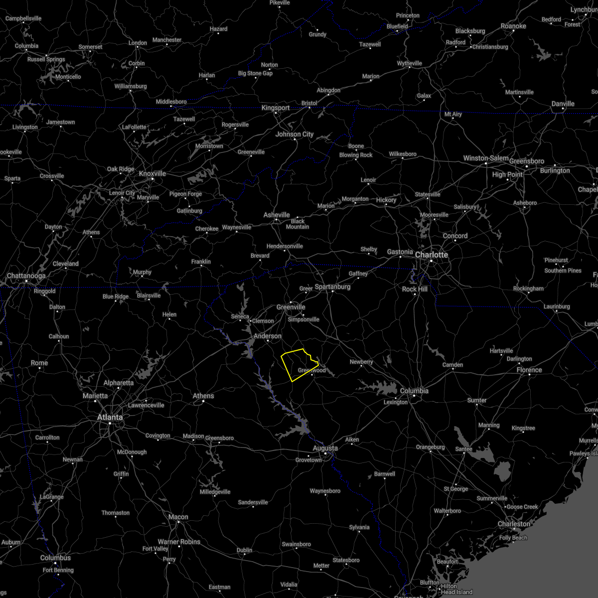 The severe thunderstorm warning for northeastern abbeville and northwestern greenwood counties will expire at 430 pm edt, the storm which prompted the warning has weakened below severe limits, and no longer poses an immediate threat to life or property. therefore, the warning will be allowed to expire. The severe thunderstorm warning for northeastern abbeville and northwestern greenwood counties will expire at 430 pm edt, the storm which prompted the warning has weakened below severe limits, and no longer poses an immediate threat to life or property. therefore, the warning will be allowed to expire.
|
| 8/11/2021 3:41 PM EDT |
 At 341 pm edt, a severe thunderstorm was located 11 miles north of greenwood, or near cokesbury, moving southwest at 10 mph (radar indicated). Hazards include 60 mph wind gusts and quarter size hail. Minor hail damage to vehicles is expected. Expect wind damage to trees and power lines. At 341 pm edt, a severe thunderstorm was located 11 miles north of greenwood, or near cokesbury, moving southwest at 10 mph (radar indicated). Hazards include 60 mph wind gusts and quarter size hail. Minor hail damage to vehicles is expected. Expect wind damage to trees and power lines.
|
| 5/3/2021 2:18 PM EDT |
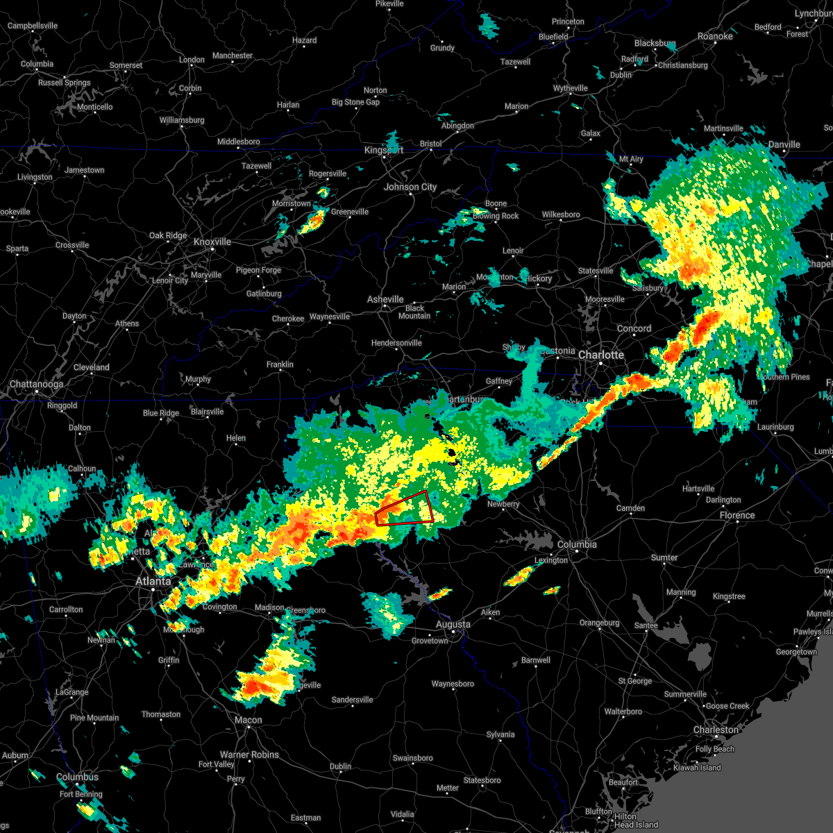 At 218 pm edt, a confirmed large and extremely dangerous tornado was located 11 miles west of abbeville, or 4 miles east of lowndesville, moving east at 30 mph. this is a particularly dangerous situation. take cover now! (radar confirmed tornado). Hazards include damaging tornado. You are in a life-threatening situation. flying debris may be deadly to those caught without shelter. mobile homes will be destroyed. considerable damage to homes, businesses, and vehicles is likely and complete destruction is possible. the tornado will be near, abbeville and due west around 240 pm edt. hodges and shoals junction around 250 pm edt. Greenwood, cokesbury and ware shoals around 300 pm edt. At 218 pm edt, a confirmed large and extremely dangerous tornado was located 11 miles west of abbeville, or 4 miles east of lowndesville, moving east at 30 mph. this is a particularly dangerous situation. take cover now! (radar confirmed tornado). Hazards include damaging tornado. You are in a life-threatening situation. flying debris may be deadly to those caught without shelter. mobile homes will be destroyed. considerable damage to homes, businesses, and vehicles is likely and complete destruction is possible. the tornado will be near, abbeville and due west around 240 pm edt. hodges and shoals junction around 250 pm edt. Greenwood, cokesbury and ware shoals around 300 pm edt.
|
| 5/3/2021 2:13 PM EDT |
 At 212 pm edt, a storm with a history of producing a tornado was located 14 miles west of abbeville, or near lowndesville, moving east at 30 mph. this is a particularly dangerous situation. take cover now! (emergency management confirmed tornado). Hazards include damaging tornado. You are in a life-threatening situation. flying debris may be deadly to those caught without shelter. mobile homes will be destroyed. considerable damage to homes, businesses, and vehicles is likely and complete destruction is possible. the tornado will be near, abbeville and due west around 240 pm edt. shoals junction around 250 pm edt. Greenwood, cokesbury and hodges around 300 pm edt. At 212 pm edt, a storm with a history of producing a tornado was located 14 miles west of abbeville, or near lowndesville, moving east at 30 mph. this is a particularly dangerous situation. take cover now! (emergency management confirmed tornado). Hazards include damaging tornado. You are in a life-threatening situation. flying debris may be deadly to those caught without shelter. mobile homes will be destroyed. considerable damage to homes, businesses, and vehicles is likely and complete destruction is possible. the tornado will be near, abbeville and due west around 240 pm edt. shoals junction around 250 pm edt. Greenwood, cokesbury and hodges around 300 pm edt.
|
| 5/3/2021 2:09 PM EDT |
 At 209 pm edt, a confirmed large and extremely dangerous tornado was located 13 miles northeast of elberton, or near lowndesville, moving east at 30 mph. this is a particularly dangerous situation. take cover now! (emergency management confirmed tornado). Hazards include damaging tornado. You are in a life-threatening situation. flying debris may be deadly to those caught without shelter. mobile homes will be destroyed. considerable damage to homes, businesses, and vehicles is likely and complete destruction is possible. the tornado will be near, lake secession around 220 pm edt. abbeville and due west around 240 pm edt. hodges and shoals junction around 250 pm edt. Greenwood and cokesbury around 300 pm edt. At 209 pm edt, a confirmed large and extremely dangerous tornado was located 13 miles northeast of elberton, or near lowndesville, moving east at 30 mph. this is a particularly dangerous situation. take cover now! (emergency management confirmed tornado). Hazards include damaging tornado. You are in a life-threatening situation. flying debris may be deadly to those caught without shelter. mobile homes will be destroyed. considerable damage to homes, businesses, and vehicles is likely and complete destruction is possible. the tornado will be near, lake secession around 220 pm edt. abbeville and due west around 240 pm edt. hodges and shoals junction around 250 pm edt. Greenwood and cokesbury around 300 pm edt.
|
| 4/9/2021 12:40 AM EDT |
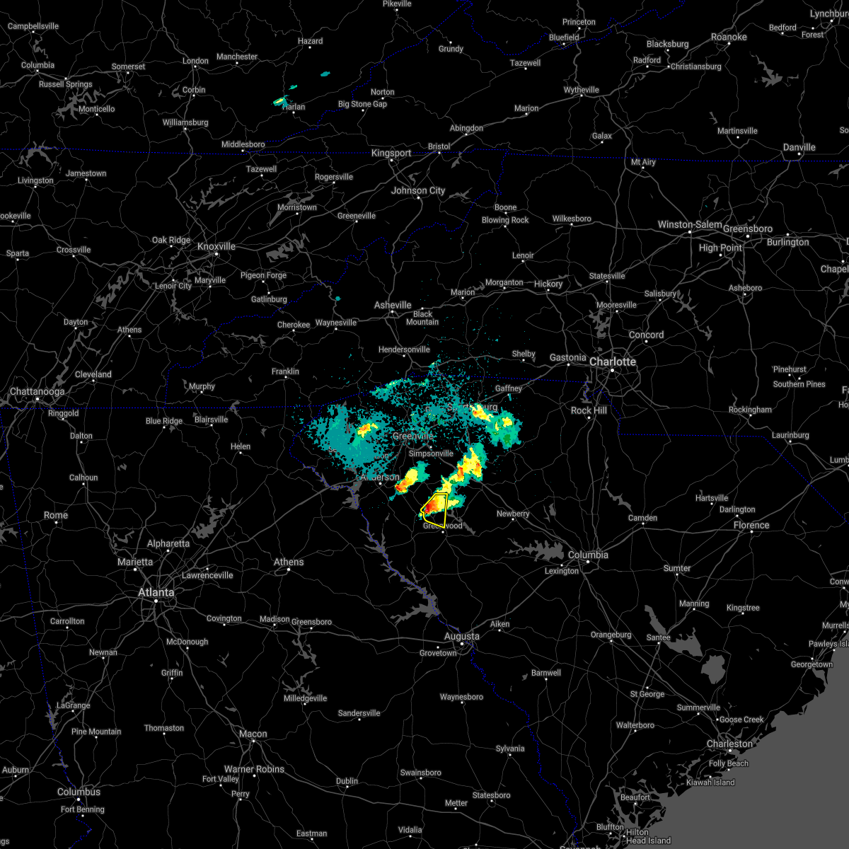 At 1239 am edt, a severe thunderstorm was located 11 miles north of greenwood, or near ware shoals, moving east at 25 mph (radar indicated). Hazards include 60 mph wind gusts and quarter size hail. Minor hail damage to vehicles is expected. expect wind damage to trees and power lines. Locations impacted include, ware shoals, cokesbury, hodges and shoals junction. At 1239 am edt, a severe thunderstorm was located 11 miles north of greenwood, or near ware shoals, moving east at 25 mph (radar indicated). Hazards include 60 mph wind gusts and quarter size hail. Minor hail damage to vehicles is expected. expect wind damage to trees and power lines. Locations impacted include, ware shoals, cokesbury, hodges and shoals junction.
|
| 4/9/2021 12:16 AM EDT |
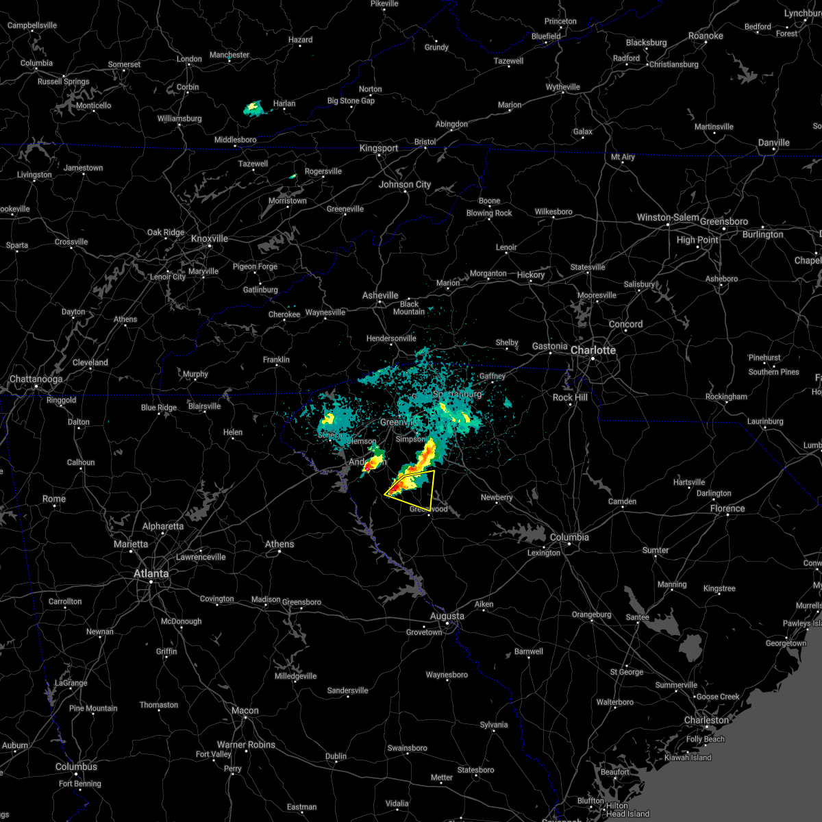 At 1215 am edt, a severe thunderstorm was located 13 miles north of abbeville, or near donalds, moving east at 25 mph (radar indicated). Hazards include 60 mph wind gusts and quarter size hail. Minor hail damage to vehicles is expected. expect wind damage to trees and power lines. Locations impacted include, ware shoals, due west, donalds, cokesbury, hodges and shoals junction. At 1215 am edt, a severe thunderstorm was located 13 miles north of abbeville, or near donalds, moving east at 25 mph (radar indicated). Hazards include 60 mph wind gusts and quarter size hail. Minor hail damage to vehicles is expected. expect wind damage to trees and power lines. Locations impacted include, ware shoals, due west, donalds, cokesbury, hodges and shoals junction.
|
| 4/9/2021 12:01 AM EDT |
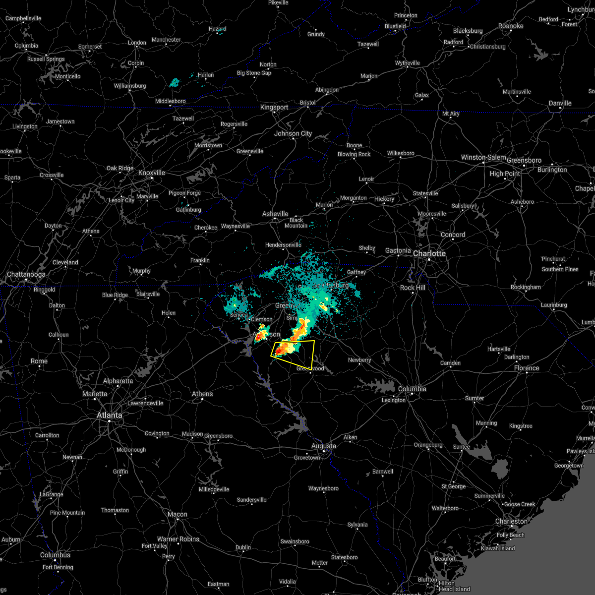 At 1200 am edt, a severe thunderstorm was located 13 miles southeast of anderson, or 5 miles northwest of due west, moving east at 25 mph (radar indicated). Hazards include 60 mph wind gusts and quarter size hail. Minor hail damage to vehicles is expected. Expect wind damage to trees and power lines. At 1200 am edt, a severe thunderstorm was located 13 miles southeast of anderson, or 5 miles northwest of due west, moving east at 25 mph (radar indicated). Hazards include 60 mph wind gusts and quarter size hail. Minor hail damage to vehicles is expected. Expect wind damage to trees and power lines.
|
| 3/26/2021 10:20 AM EDT |
 The severe thunderstorm warning for central laurens county will expire at 1030 am edt, the storm which prompted the warning has weakened below severe limits, and has exited the warned area. therefore the warning will be allowed to expire. however small hail and gusty winds are still possible with this thunderstorm. The severe thunderstorm warning for central laurens county will expire at 1030 am edt, the storm which prompted the warning has weakened below severe limits, and has exited the warned area. therefore the warning will be allowed to expire. however small hail and gusty winds are still possible with this thunderstorm.
|
| 3/26/2021 9:58 AM EDT |
 At 957 am edt, a severe thunderstorm was located 5 miles southwest of laurens, moving northeast at 60 mph (radar indicated). Hazards include 60 mph wind gusts and quarter size hail. Minor hail damage to vehicles is expected. expect wind damage to trees and power lines. Locations impacted include, laurens, clinton, joanna, waterloo, mountville, ora, ware shoals and lake greenwood. At 957 am edt, a severe thunderstorm was located 5 miles southwest of laurens, moving northeast at 60 mph (radar indicated). Hazards include 60 mph wind gusts and quarter size hail. Minor hail damage to vehicles is expected. expect wind damage to trees and power lines. Locations impacted include, laurens, clinton, joanna, waterloo, mountville, ora, ware shoals and lake greenwood.
|
| 3/26/2021 9:47 AM EDT | Quarter sized hail reported 0.2 miles SSE of Ware Shoals, SC, nickel to quarter sized hail that fell for over 2 minutes. |
| 3/26/2021 9:41 AM EDT |
 At 941 am edt, a severe thunderstorm was located 8 miles north of abbeville, or near due west, moving northeast at 55 mph (radar indicated). Hazards include 60 mph wind gusts and quarter size hail. Minor hail damage to vehicles is expected. Expect wind damage to trees and power lines. At 941 am edt, a severe thunderstorm was located 8 miles north of abbeville, or near due west, moving northeast at 55 mph (radar indicated). Hazards include 60 mph wind gusts and quarter size hail. Minor hail damage to vehicles is expected. Expect wind damage to trees and power lines.
|
| 3/25/2021 4:25 PM EDT |
 At 425 pm edt, a severe thunderstorm capable of producing a tornado was located 8 miles southwest of laurens, or 6 miles northeast of ware shoals, moving east at 45 mph (radar indicated rotation). Hazards include tornado. Flying debris will be dangerous to those caught without shelter. mobile homes will be damaged or destroyed. damage to roofs, windows, and vehicles will occur. tree damage is likely. this dangerous storm will be near, waterloo around 430 pm edt. laurens around 440 pm edt. clinton and joanna around 450 pm edt. rose hill state park around 500 pm edt. Other locations impacted by this dangerous storm include cross keys, sedalia, hickory tavern, ora and mountville. At 425 pm edt, a severe thunderstorm capable of producing a tornado was located 8 miles southwest of laurens, or 6 miles northeast of ware shoals, moving east at 45 mph (radar indicated rotation). Hazards include tornado. Flying debris will be dangerous to those caught without shelter. mobile homes will be damaged or destroyed. damage to roofs, windows, and vehicles will occur. tree damage is likely. this dangerous storm will be near, waterloo around 430 pm edt. laurens around 440 pm edt. clinton and joanna around 450 pm edt. rose hill state park around 500 pm edt. Other locations impacted by this dangerous storm include cross keys, sedalia, hickory tavern, ora and mountville.
|
| 3/25/2021 4:14 PM EDT |
 At 414 pm edt, a severe thunderstorm capable of producing a tornado was located 16 miles west of laurens, or near ware shoals, moving east at 45 mph (radar indicated rotation). Hazards include tornado. Flying debris will be dangerous to those caught without shelter. mobile homes will be damaged or destroyed. damage to roofs, windows, and vehicles will occur. tree damage is likely. this dangerous storm will be near, waterloo around 430 pm edt. laurens around 440 pm edt. clinton and joanna around 450 pm edt. rose hill state park around 500 pm edt. Other locations impacted by this dangerous thunderstorm include cross keys, sedalia, princeton, hickory tavern and ora. At 414 pm edt, a severe thunderstorm capable of producing a tornado was located 16 miles west of laurens, or near ware shoals, moving east at 45 mph (radar indicated rotation). Hazards include tornado. Flying debris will be dangerous to those caught without shelter. mobile homes will be damaged or destroyed. damage to roofs, windows, and vehicles will occur. tree damage is likely. this dangerous storm will be near, waterloo around 430 pm edt. laurens around 440 pm edt. clinton and joanna around 450 pm edt. rose hill state park around 500 pm edt. Other locations impacted by this dangerous thunderstorm include cross keys, sedalia, princeton, hickory tavern and ora.
|
| 3/25/2021 4:02 PM EDT |
 At 402 pm edt, a severe thunderstorm capable of producing a tornado was located 13 miles southeast of anderson, or near honea path, moving east at 40 mph (radar indicated rotation). Hazards include tornado. Flying debris will be dangerous to those caught without shelter. mobile homes will be damaged or destroyed. damage to roofs, windows, and vehicles will occur. tree damage is likely. this dangerous storm will be near, ware shoals around 420 pm edt. Other locations impacted by this dangerous storm include princeton and fork shoals. At 402 pm edt, a severe thunderstorm capable of producing a tornado was located 13 miles southeast of anderson, or near honea path, moving east at 40 mph (radar indicated rotation). Hazards include tornado. Flying debris will be dangerous to those caught without shelter. mobile homes will be damaged or destroyed. damage to roofs, windows, and vehicles will occur. tree damage is likely. this dangerous storm will be near, ware shoals around 420 pm edt. Other locations impacted by this dangerous storm include princeton and fork shoals.
|
| 3/25/2021 3:48 PM EDT |
 At 347 pm edt, a severe thunderstorm capable of producing a tornado was located 9 miles south of anderson, or 5 miles east of starr, moving east at 45 mph (radar indicated rotation). Hazards include tornado. Flying debris will be dangerous to those caught without shelter. mobile homes will be damaged or destroyed. damage to roofs, windows, and vehicles will occur. tree damage is likely. this dangerous storm will be near, honea path and donalds around 410 pm edt. ware shoals around 420 pm edt. Other locations impacted by this dangerous storm include princeton, fork shoals and broadway lake. At 347 pm edt, a severe thunderstorm capable of producing a tornado was located 9 miles south of anderson, or 5 miles east of starr, moving east at 45 mph (radar indicated rotation). Hazards include tornado. Flying debris will be dangerous to those caught without shelter. mobile homes will be damaged or destroyed. damage to roofs, windows, and vehicles will occur. tree damage is likely. this dangerous storm will be near, honea path and donalds around 410 pm edt. ware shoals around 420 pm edt. Other locations impacted by this dangerous storm include princeton, fork shoals and broadway lake.
|
| 3/25/2021 3:27 PM EDT |
 At 327 pm edt, a severe thunderstorm capable of producing a tornado was located 6 miles east of hartwell, or 6 miles west of starr, moving east at 55 mph (radar indicated rotation). Hazards include tornado. Flying debris will be dangerous to those caught without shelter. mobile homes will be damaged or destroyed. damage to roofs, windows, and vehicles will occur. tree damage is likely. this dangerous storm will be near, homeland park, starr, anderson airport and iva around 340 pm edt. belton around 350 pm edt. honea path and ware shoals around 400 pm edt. Other locations impacted by this dangerous thunderstorm include fork shoals, princeton, sadlers creek state park and broadway lake. At 327 pm edt, a severe thunderstorm capable of producing a tornado was located 6 miles east of hartwell, or 6 miles west of starr, moving east at 55 mph (radar indicated rotation). Hazards include tornado. Flying debris will be dangerous to those caught without shelter. mobile homes will be damaged or destroyed. damage to roofs, windows, and vehicles will occur. tree damage is likely. this dangerous storm will be near, homeland park, starr, anderson airport and iva around 340 pm edt. belton around 350 pm edt. honea path and ware shoals around 400 pm edt. Other locations impacted by this dangerous thunderstorm include fork shoals, princeton, sadlers creek state park and broadway lake.
|
| 7/25/2020 6:21 PM EDT |
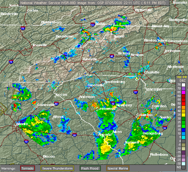 The severe thunderstorm warning for southwestern laurens, northeastern abbeville and northwestern greenwood counties will expire at 630 pm edt, the storm which prompted the warning has weakened below severe limits, and no longer poses an immediate threat to life or property. therefore, the warning will be allowed to expire. however, gusty winds and heavy rain are still possible with this thunderstorm. The severe thunderstorm warning for southwestern laurens, northeastern abbeville and northwestern greenwood counties will expire at 630 pm edt, the storm which prompted the warning has weakened below severe limits, and no longer poses an immediate threat to life or property. therefore, the warning will be allowed to expire. however, gusty winds and heavy rain are still possible with this thunderstorm.
|
| 7/25/2020 6:11 PM EDT |
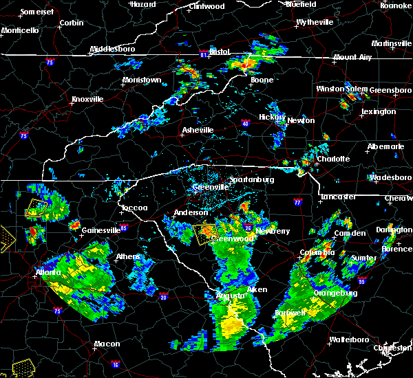 At 610 pm edt, a severe thunderstorm was located 12 miles northwest of greenwood, or near ware shoals, moving west at 10 mph (radar indicated). Hazards include 60 mph wind gusts and quarter size hail. Minor hail damage to vehicles is expected. expect wind damage to trees and power lines. Locations impacted include, ware shoals, donalds, cokesbury, hodges, shoals junction, coronaca and lake greenwood. At 610 pm edt, a severe thunderstorm was located 12 miles northwest of greenwood, or near ware shoals, moving west at 10 mph (radar indicated). Hazards include 60 mph wind gusts and quarter size hail. Minor hail damage to vehicles is expected. expect wind damage to trees and power lines. Locations impacted include, ware shoals, donalds, cokesbury, hodges, shoals junction, coronaca and lake greenwood.
|
| 7/25/2020 5:46 PM EDT |
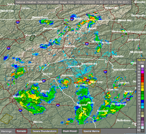 At 546 pm edt, a severe thunderstorm was located 10 miles north of greenwood, or near cokesbury, and is nearly stationary (radar indicated). Hazards include 60 mph wind gusts and quarter size hail. Minor hail damage to vehicles is expected. Expect wind damage to trees and power lines. At 546 pm edt, a severe thunderstorm was located 10 miles north of greenwood, or near cokesbury, and is nearly stationary (radar indicated). Hazards include 60 mph wind gusts and quarter size hail. Minor hail damage to vehicles is expected. Expect wind damage to trees and power lines.
|
| 7/21/2020 4:58 PM EDT |
 At 458 pm edt, a severe thunderstorm was located 13 miles north of greenwood, or near ware shoals, moving north at 10 mph. another severe thunderstorm was located between waterloo and cross hill, also moving north at 10 mph (radar indicated). Hazards include 60 mph wind gusts and quarter size hail. Minor hail damage to vehicles is expected. expect wind damage to trees and power lines. Locations impacted include, greenwood, ware shoals, cross hill, donalds, cokesbury, waterloo, hodges, lake greenwood, shoals junction and coronaca. At 458 pm edt, a severe thunderstorm was located 13 miles north of greenwood, or near ware shoals, moving north at 10 mph. another severe thunderstorm was located between waterloo and cross hill, also moving north at 10 mph (radar indicated). Hazards include 60 mph wind gusts and quarter size hail. Minor hail damage to vehicles is expected. expect wind damage to trees and power lines. Locations impacted include, greenwood, ware shoals, cross hill, donalds, cokesbury, waterloo, hodges, lake greenwood, shoals junction and coronaca.
|
| 7/21/2020 4:36 PM EDT |
 At 436 pm edt, a severe thunderstorm was located 10 miles north of greenwood, or near cokesbury, moving north at 10 mph (radar indicated). Hazards include 60 mph wind gusts and quarter size hail. Minor hail damage to vehicles is expected. Expect wind damage to trees and power lines. At 436 pm edt, a severe thunderstorm was located 10 miles north of greenwood, or near cokesbury, moving north at 10 mph (radar indicated). Hazards include 60 mph wind gusts and quarter size hail. Minor hail damage to vehicles is expected. Expect wind damage to trees and power lines.
|
| 7/20/2020 7:38 PM EDT |
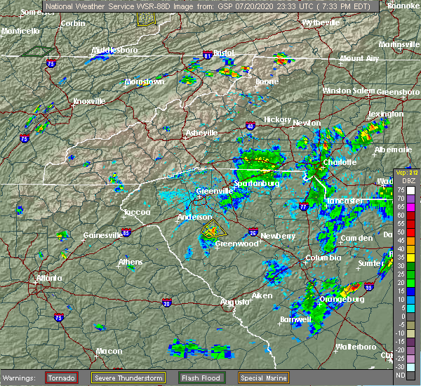 The severe thunderstorm warning for west central laurens, northeastern abbeville and northwestern greenwood counties will expire at 745 pm edt, the storm which prompted the warning has weakened below severe limits, and no longer poses an immediate threat to life or property. therefore the warning will be allowed to expire. however heavy rain is still possible with this thunderstorm. The severe thunderstorm warning for west central laurens, northeastern abbeville and northwestern greenwood counties will expire at 745 pm edt, the storm which prompted the warning has weakened below severe limits, and no longer poses an immediate threat to life or property. therefore the warning will be allowed to expire. however heavy rain is still possible with this thunderstorm.
|
| 7/20/2020 7:29 PM EDT |
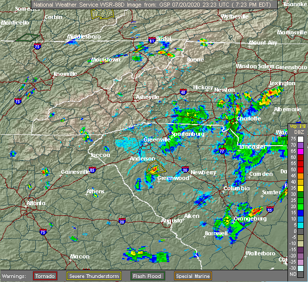 At 729 pm edt, a severe thunderstorm was located 9 miles southwest of laurens, or 4 miles northeast of ware shoals, moving east at 5 mph (radar indicated). Hazards include 60 mph wind gusts. Expect damage to trees and power lines. Locations impacted include, ware shoals, hickory tavern, shoals junction and waterloo. At 729 pm edt, a severe thunderstorm was located 9 miles southwest of laurens, or 4 miles northeast of ware shoals, moving east at 5 mph (radar indicated). Hazards include 60 mph wind gusts. Expect damage to trees and power lines. Locations impacted include, ware shoals, hickory tavern, shoals junction and waterloo.
|
| 7/20/2020 7:15 PM EDT |
 At 714 pm edt, a severe thunderstorm was located 10 miles southwest of laurens, or 4 miles northeast of ware shoals, moving east at 10 mph (radar indicated). Hazards include 60 mph wind gusts and penny size hail. expect damage to trees and power lines At 714 pm edt, a severe thunderstorm was located 10 miles southwest of laurens, or 4 miles northeast of ware shoals, moving east at 10 mph (radar indicated). Hazards include 60 mph wind gusts and penny size hail. expect damage to trees and power lines
|
| 7/20/2020 7:06 PM EDT |
 At 706 pm edt, a severe thunderstorm was located 14 miles northwest of greenwood, or over ware shoals, moving east at 10 mph (radar indicated). Hazards include 60 mph wind gusts and penny size hail. Expect damage to trees and power lines. Locations impacted include, ware shoals, due west, donalds, cokesbury, hodges and shoals junction. At 706 pm edt, a severe thunderstorm was located 14 miles northwest of greenwood, or over ware shoals, moving east at 10 mph (radar indicated). Hazards include 60 mph wind gusts and penny size hail. Expect damage to trees and power lines. Locations impacted include, ware shoals, due west, donalds, cokesbury, hodges and shoals junction.
|
| 7/20/2020 6:51 PM EDT |
 At 651 pm edt, a severe thunderstorm was located 14 miles north of abbeville, or near shoals junction, moving east at 10 mph (radar indicated). Hazards include 60 mph wind gusts and penny size hail. expect damage to trees and power lines At 651 pm edt, a severe thunderstorm was located 14 miles north of abbeville, or near shoals junction, moving east at 10 mph (radar indicated). Hazards include 60 mph wind gusts and penny size hail. expect damage to trees and power lines
|
| 6/29/2020 8:19 PM EDT |
 At 818 pm edt, severe thunderstorms were located along a line extending from 14 miles southeast of laurens to 11 miles northwest of greenwood, moving southeast at 25 mph (radar indicated). Hazards include 60 mph wind gusts and penny size hail. expect damage to trees and power lines At 818 pm edt, severe thunderstorms were located along a line extending from 14 miles southeast of laurens to 11 miles northwest of greenwood, moving southeast at 25 mph (radar indicated). Hazards include 60 mph wind gusts and penny size hail. expect damage to trees and power lines
|
| 6/29/2020 7:22 PM EDT |
 At 722 pm edt, a severe thunderstorm was located 16 miles east of anderson, or 7 miles southeast of williamston, moving southeast at 20 mph (radar indicated). Hazards include 60 mph wind gusts and penny size hail. expect damage to trees and power lines At 722 pm edt, a severe thunderstorm was located 16 miles east of anderson, or 7 miles southeast of williamston, moving southeast at 20 mph (radar indicated). Hazards include 60 mph wind gusts and penny size hail. expect damage to trees and power lines
|
| 6/28/2020 6:31 PM EDT |
 At 630 pm edt, severe thunderstorms were located along a line extending from 4 miles south of spartanburg to 11 miles north of laurens to 12 miles north of abbeville, moving east at 45 mph (radar indicated). Hazards include 60 mph wind gusts and penny size hail. Expect damage to trees and power lines. Locations impacted include, spartanburg, laurens, clinton, pacolet, ware shoals, roebuck, buffalo, jonesville, waterloo and croft state park. At 630 pm edt, severe thunderstorms were located along a line extending from 4 miles south of spartanburg to 11 miles north of laurens to 12 miles north of abbeville, moving east at 45 mph (radar indicated). Hazards include 60 mph wind gusts and penny size hail. Expect damage to trees and power lines. Locations impacted include, spartanburg, laurens, clinton, pacolet, ware shoals, roebuck, buffalo, jonesville, waterloo and croft state park.
|
| 6/28/2020 6:14 PM EDT |
 At 613 pm edt, severe thunderstorms were located along a line extending from 12 miles west of spartanburg to 11 miles northwest of laurens to 14 miles north of abbeville, moving southeast at 40 mph (radar indicated). Hazards include 60 mph wind gusts and penny size hail. Expect damage to trees and power lines. Locations impacted include, spartanburg, laurens, clinton, fountain inn, woodruff, duncan, lyman, pacolet, ware shoals and wellford. At 613 pm edt, severe thunderstorms were located along a line extending from 12 miles west of spartanburg to 11 miles northwest of laurens to 14 miles north of abbeville, moving southeast at 40 mph (radar indicated). Hazards include 60 mph wind gusts and penny size hail. Expect damage to trees and power lines. Locations impacted include, spartanburg, laurens, clinton, fountain inn, woodruff, duncan, lyman, pacolet, ware shoals and wellford.
|
| 6/28/2020 5:54 PM EDT |
 At 554 pm edt, severe thunderstorms were located along a line extending from 17 miles south of columbus to 11 miles south of greenville downtown to 5 miles southeast of anderson, moving east at 40 mph (radar indicated). Hazards include 60 mph wind gusts and penny size hail. expect damage to trees and power lines At 554 pm edt, severe thunderstorms were located along a line extending from 17 miles south of columbus to 11 miles south of greenville downtown to 5 miles southeast of anderson, moving east at 40 mph (radar indicated). Hazards include 60 mph wind gusts and penny size hail. expect damage to trees and power lines
|
| 6/22/2020 3:37 PM EDT |
 At 337 pm edt, severe thunderstorms were located along a line extending from 10 miles northeast of anderson to 23 miles south of greenville downtown to 13 miles southwest of laurens, moving northeast at 35 mph (radar indicated). Hazards include 60 mph wind gusts and quarter size hail. Minor hail damage to vehicles is expected. Expect wind damage to trees and power lines. At 337 pm edt, severe thunderstorms were located along a line extending from 10 miles northeast of anderson to 23 miles south of greenville downtown to 13 miles southwest of laurens, moving northeast at 35 mph (radar indicated). Hazards include 60 mph wind gusts and quarter size hail. Minor hail damage to vehicles is expected. Expect wind damage to trees and power lines.
|
| 6/22/2020 3:21 PM EDT |
 At 320 pm edt, severe thunderstorms were located along a line extending from near anderson to 10 miles north of abbeville, moving northeast at 25 mph (radar indicated). Hazards include 60 mph wind gusts and quarter size hail. Minor hail damage to vehicles is expected. expect wind damage to trees and power lines. Locations impacted include, anderson, homeland park, piedmont, belton, williamston, northlake, honea path, ware shoals, due west and west pelzer. At 320 pm edt, severe thunderstorms were located along a line extending from near anderson to 10 miles north of abbeville, moving northeast at 25 mph (radar indicated). Hazards include 60 mph wind gusts and quarter size hail. Minor hail damage to vehicles is expected. expect wind damage to trees and power lines. Locations impacted include, anderson, homeland park, piedmont, belton, williamston, northlake, honea path, ware shoals, due west and west pelzer.
|
| 6/22/2020 3:03 PM EDT |
 At 302 pm edt, severe thunderstorms were located along a line extending from 8 miles southwest of anderson to 13 miles northwest of abbeville, moving northeast at 25 mph (radar indicated). Hazards include 60 mph wind gusts and quarter size hail. Minor hail damage to vehicles is expected. Expect wind damage to trees and power lines. At 302 pm edt, severe thunderstorms were located along a line extending from 8 miles southwest of anderson to 13 miles northwest of abbeville, moving northeast at 25 mph (radar indicated). Hazards include 60 mph wind gusts and quarter size hail. Minor hail damage to vehicles is expected. Expect wind damage to trees and power lines.
|
| 5/22/2020 3:05 PM EDT |
 At 304 pm edt, severe thunderstorms were located along a line extending from 14 miles northwest of laurens to 10 miles south of anderson, moving east at 40 mph (radar indicated). Hazards include 60 mph wind gusts and penny size hail. Expect damage to trees and power lines. Locations impacted include, honea path, due west, iva, gray court, lake secession, donalds, lowndesville, russell state park, lake russell and antreville. At 304 pm edt, severe thunderstorms were located along a line extending from 14 miles northwest of laurens to 10 miles south of anderson, moving east at 40 mph (radar indicated). Hazards include 60 mph wind gusts and penny size hail. Expect damage to trees and power lines. Locations impacted include, honea path, due west, iva, gray court, lake secession, donalds, lowndesville, russell state park, lake russell and antreville.
|
| 5/22/2020 2:42 PM EDT |
 At 242 pm edt, severe thunderstorms were located along a line extending from 11 miles south of greenville downtown to 5 miles northeast of hartwell, moving east at 40 mph (radar indicated). Hazards include 60 mph wind gusts and quarter size hail. Minor hail damage to vehicles is expected. Expect wind damage to trees and power lines. At 242 pm edt, severe thunderstorms were located along a line extending from 11 miles south of greenville downtown to 5 miles northeast of hartwell, moving east at 40 mph (radar indicated). Hazards include 60 mph wind gusts and quarter size hail. Minor hail damage to vehicles is expected. Expect wind damage to trees and power lines.
|
| 5/5/2020 8:26 PM EDT |
 At 825 pm edt, severe thunderstorms were located along a line extending from 15 miles west of laurens to 10 miles west of abbeville, moving east at 40 mph (radar indicated). Hazards include 60 mph wind gusts and quarter size hail. Minor hail damage to vehicles is expected. Expect wind damage to trees and power lines. At 825 pm edt, severe thunderstorms were located along a line extending from 15 miles west of laurens to 10 miles west of abbeville, moving east at 40 mph (radar indicated). Hazards include 60 mph wind gusts and quarter size hail. Minor hail damage to vehicles is expected. Expect wind damage to trees and power lines.
|
| 5/5/2020 3:15 AM EDT |
 At 314 am edt, severe thunderstorms were located along a line extending from 5 miles west of spartanburg to 15 miles northwest of union to 9 miles southwest of laurens, moving east at 55 mph (radar indicated). Hazards include 70 mph wind gusts and quarter size hail. Minor hail damage to vehicles is expected. expect considerable tree damage. wind damage is also likely to mobile homes, roofs, and outbuildings. Locations impacted include, greenville downtown, spartanburg, greenwood, laurens, union, greenville eastside, greer, mauldin, taylors and clinton. At 314 am edt, severe thunderstorms were located along a line extending from 5 miles west of spartanburg to 15 miles northwest of union to 9 miles southwest of laurens, moving east at 55 mph (radar indicated). Hazards include 70 mph wind gusts and quarter size hail. Minor hail damage to vehicles is expected. expect considerable tree damage. wind damage is also likely to mobile homes, roofs, and outbuildings. Locations impacted include, greenville downtown, spartanburg, greenwood, laurens, union, greenville eastside, greer, mauldin, taylors and clinton.
|
| 5/5/2020 3:00 AM EDT |
 At 258 am edt, severe thunderstorms were located along a line extending from 9 miles northeast of greenville downtown to 14 miles southwest of spartanburg to 7 miles north of laurens to 13 miles north of abbeville, moving east at 60 mph (radar indicated). Hazards include 70 mph wind gusts and quarter size hail. Minor hail damage to vehicles is expected. expect considerable tree damage. wind damage is also likely to mobile homes, roofs, and outbuildings. Locations impacted include, greenville downtown, spartanburg, greenwood, laurens, union, abbeville, greenville eastside, west greenville, greer and mauldin. At 258 am edt, severe thunderstorms were located along a line extending from 9 miles northeast of greenville downtown to 14 miles southwest of spartanburg to 7 miles north of laurens to 13 miles north of abbeville, moving east at 60 mph (radar indicated). Hazards include 70 mph wind gusts and quarter size hail. Minor hail damage to vehicles is expected. expect considerable tree damage. wind damage is also likely to mobile homes, roofs, and outbuildings. Locations impacted include, greenville downtown, spartanburg, greenwood, laurens, union, abbeville, greenville eastside, west greenville, greer and mauldin.
|
| 5/5/2020 2:40 AM EDT |
 At 239 am edt, severe thunderstorms were located along a line extending from 10 miles northeast of easley to 7 miles southeast of greenville downtown to 9 miles northwest of abbeville, moving east at 65 mph (radar indicated). Hazards include 70 mph wind gusts and quarter size hail. Minor hail damage to vehicles is expected. expect considerable tree damage. Wind damage is also likely to mobile homes, roofs, and outbuildings. At 239 am edt, severe thunderstorms were located along a line extending from 10 miles northeast of easley to 7 miles southeast of greenville downtown to 9 miles northwest of abbeville, moving east at 65 mph (radar indicated). Hazards include 70 mph wind gusts and quarter size hail. Minor hail damage to vehicles is expected. expect considerable tree damage. Wind damage is also likely to mobile homes, roofs, and outbuildings.
|
| 5/5/2020 2:30 AM EDT |
 At 228 am edt, severe thunderstorms were located along a line extending from 3 miles north of pickens to near easley to 6 miles southwest of anderson, moving east at 50 mph (radar indicated). Hazards include 70 mph wind gusts and quarter size hail. Minor hail damage to vehicles is expected. expect considerable tree damage. wind damage is also likely to mobile homes, roofs, and outbuildings. Locations impacted include, greenville downtown, anderson, easley, clemson, pickens, greenville eastside, west greenville, greer, mauldin and taylors. At 228 am edt, severe thunderstorms were located along a line extending from 3 miles north of pickens to near easley to 6 miles southwest of anderson, moving east at 50 mph (radar indicated). Hazards include 70 mph wind gusts and quarter size hail. Minor hail damage to vehicles is expected. expect considerable tree damage. wind damage is also likely to mobile homes, roofs, and outbuildings. Locations impacted include, greenville downtown, anderson, easley, clemson, pickens, greenville eastside, west greenville, greer, mauldin and taylors.
|
| 5/5/2020 2:16 AM EDT |
 At 215 am edt, severe thunderstorms were located along a line extending from 10 miles west of pickens to 3 miles southeast of clemson to 6 miles north of hartwell, moving east at 45 mph (radar indicated). Hazards include 60 mph wind gusts and quarter size hail. Minor hail damage to vehicles is expected. expect wind damage to trees and power lines. Locations impacted include, greenville downtown, anderson, easley, clemson, seneca, pickens, greenville eastside, west greenville, greer and mauldin. At 215 am edt, severe thunderstorms were located along a line extending from 10 miles west of pickens to 3 miles southeast of clemson to 6 miles north of hartwell, moving east at 45 mph (radar indicated). Hazards include 60 mph wind gusts and quarter size hail. Minor hail damage to vehicles is expected. expect wind damage to trees and power lines. Locations impacted include, greenville downtown, anderson, easley, clemson, seneca, pickens, greenville eastside, west greenville, greer and mauldin.
|
| 5/5/2020 2:00 AM EDT |
 At 159 am edt, severe thunderstorms were located along a line extending from 14 miles north of walhalla to 3 miles northeast of seneca to 7 miles northwest of hartwell, moving east at 65 mph (radar indicated). Hazards include 60 mph wind gusts and quarter size hail. Minor hail damage to vehicles is expected. Expect wind damage to trees and power lines. At 159 am edt, severe thunderstorms were located along a line extending from 14 miles north of walhalla to 3 miles northeast of seneca to 7 miles northwest of hartwell, moving east at 65 mph (radar indicated). Hazards include 60 mph wind gusts and quarter size hail. Minor hail damage to vehicles is expected. Expect wind damage to trees and power lines.
|
| 4/13/2020 4:38 AM EDT |
 The severe thunderstorm warning for east central hart, western laurens, greenville, spartanburg, western cherokee, anderson, northeastern abbeville and northwestern greenwood counties will expire at 445 am edt, the storms which prompted the warning have weakened below severe limits, and no longer pose an immediate threat to life or property. therefore the warning will be allowed to expire. however gusty winds and heavy rain are still possible with these thunderstorms. a tornado watch remains in effect until 800 am edt for northeastern georgia, western north carolina, and upstate south carolina. if you observed large hail or wind damage, please report it to the national weather service greenville-spartanburg by calling toll free, 1, 800, 2 6 7, 8 1 0 1, or by posting on our facebook page, or tweet it using hashtag nwsgsp. your message should describe the event and the specific location where it occurred. The severe thunderstorm warning for east central hart, western laurens, greenville, spartanburg, western cherokee, anderson, northeastern abbeville and northwestern greenwood counties will expire at 445 am edt, the storms which prompted the warning have weakened below severe limits, and no longer pose an immediate threat to life or property. therefore the warning will be allowed to expire. however gusty winds and heavy rain are still possible with these thunderstorms. a tornado watch remains in effect until 800 am edt for northeastern georgia, western north carolina, and upstate south carolina. if you observed large hail or wind damage, please report it to the national weather service greenville-spartanburg by calling toll free, 1, 800, 2 6 7, 8 1 0 1, or by posting on our facebook page, or tweet it using hashtag nwsgsp. your message should describe the event and the specific location where it occurred.
|
| 4/13/2020 4:03 AM EDT |
 At 403 am edt, severe thunderstorms were located along a line extending from 10 miles southwest of columbus to 8 miles northeast of anderson to 5 miles east of hartwell, moving east at 45 mph (radar indicated). Hazards include 60 mph wind gusts and penny size hail. expect damage to trees and power lines At 403 am edt, severe thunderstorms were located along a line extending from 10 miles southwest of columbus to 8 miles northeast of anderson to 5 miles east of hartwell, moving east at 45 mph (radar indicated). Hazards include 60 mph wind gusts and penny size hail. expect damage to trees and power lines
|
| 4/12/2020 11:15 PM EDT |
 At 1114 pm edt, a severe thunderstorm capable of producing a tornado was located 14 miles northwest of greenwood, or over ware shoals, moving north at 50 mph (radar indicated rotation). Hazards include tornado. Flying debris will be dangerous to those caught without shelter. mobile homes will be damaged or destroyed. damage to roofs, windows, and vehicles will occur. tree damage is likely. this dangerous storm will be near, gray court, fountain inn and woodruff around 1140 pm edt. Other locations impacted by this dangerous storm include enoree, princeton, hickory tavern and ora. At 1114 pm edt, a severe thunderstorm capable of producing a tornado was located 14 miles northwest of greenwood, or over ware shoals, moving north at 50 mph (radar indicated rotation). Hazards include tornado. Flying debris will be dangerous to those caught without shelter. mobile homes will be damaged or destroyed. damage to roofs, windows, and vehicles will occur. tree damage is likely. this dangerous storm will be near, gray court, fountain inn and woodruff around 1140 pm edt. Other locations impacted by this dangerous storm include enoree, princeton, hickory tavern and ora.
|
| 4/12/2020 11:10 PM EDT |
 At 1109 pm edt, a severe thunderstorm capable of producing a tornado was located 12 miles northwest of greenwood, or near shoals junction, moving northeast at 50 mph (radar indicated rotation). Hazards include tornado. Flying debris will be dangerous to those caught without shelter. mobile homes will be damaged or destroyed. damage to roofs, windows, and vehicles will occur. tree damage is likely. this dangerous storm will be near, ware shoals around 1110 pm edt. gray court, fountain inn and woodruff around 1140 pm edt. Other locations impacted by this dangerous thunderstorm include enoree, princeton, pauline, hickory tavern and ora. At 1109 pm edt, a severe thunderstorm capable of producing a tornado was located 12 miles northwest of greenwood, or near shoals junction, moving northeast at 50 mph (radar indicated rotation). Hazards include tornado. Flying debris will be dangerous to those caught without shelter. mobile homes will be damaged or destroyed. damage to roofs, windows, and vehicles will occur. tree damage is likely. this dangerous storm will be near, ware shoals around 1110 pm edt. gray court, fountain inn and woodruff around 1140 pm edt. Other locations impacted by this dangerous thunderstorm include enoree, princeton, pauline, hickory tavern and ora.
|
| 2/13/2020 9:09 AM EST |
 The severe thunderstorm warning for northwestern laurens, southeastern greenville, southwestern spartanburg, central abbeville and northwestern greenwood counties will expire at 915 am est, the storms which prompted the warning have moved out of the area. therefore the warning will be allowed to expire. The severe thunderstorm warning for northwestern laurens, southeastern greenville, southwestern spartanburg, central abbeville and northwestern greenwood counties will expire at 915 am est, the storms which prompted the warning have moved out of the area. therefore the warning will be allowed to expire.
|
| 2/13/2020 8:43 AM EST |
 At 842 am est, severe thunderstorms were located along a line extending from 12 miles southeast of greenville downtown to 15 miles west of laurens to 10 miles northwest of abbeville, moving east at 45 mph (radar indicated). Hazards include 60 mph wind gusts. Expect damage to trees and power lines. Locations impacted include, laurens, simpsonville, five forks, fountain inn, woodruff, ware shoals, roebuck, due west, gray court and lake secession. At 842 am est, severe thunderstorms were located along a line extending from 12 miles southeast of greenville downtown to 15 miles west of laurens to 10 miles northwest of abbeville, moving east at 45 mph (radar indicated). Hazards include 60 mph wind gusts. Expect damage to trees and power lines. Locations impacted include, laurens, simpsonville, five forks, fountain inn, woodruff, ware shoals, roebuck, due west, gray court and lake secession.
|
| 2/13/2020 8:24 AM EST |
 At 824 am est, severe thunderstorms were located along a line extending from 11 miles south of greenville downtown to 8 miles southeast of anderson to 10 miles northeast of elberton, moving east at 45 mph (radar indicated). Hazards include 60 mph wind gusts. expect damage to trees and power lines At 824 am est, severe thunderstorms were located along a line extending from 11 miles south of greenville downtown to 8 miles southeast of anderson to 10 miles northeast of elberton, moving east at 45 mph (radar indicated). Hazards include 60 mph wind gusts. expect damage to trees and power lines
|
| 2/6/2020 12:59 PM EST |
 The national weather service in greenville-spartanburg has issued a * severe thunderstorm warning for. northern laurens county in upstate south carolina. southeastern greenville county in upstate south carolina. east central anderson county in upstate south carolina. Northeastern abbeville county in upstate south carolina. The national weather service in greenville-spartanburg has issued a * severe thunderstorm warning for. northern laurens county in upstate south carolina. southeastern greenville county in upstate south carolina. east central anderson county in upstate south carolina. Northeastern abbeville county in upstate south carolina.
|
| 2/6/2020 12:47 PM EST |
 At 1246 pm est, a severe thunderstorm was located 15 miles northwest of abbeville, or over lake secession, moving northeast at 40 mph (radar indicated). Hazards include 60 mph wind gusts. expect damage to trees and power lines At 1246 pm est, a severe thunderstorm was located 15 miles northwest of abbeville, or over lake secession, moving northeast at 40 mph (radar indicated). Hazards include 60 mph wind gusts. expect damage to trees and power lines
|
| 2/6/2020 11:37 AM EST |
 At 1137 am est, a severe thunderstorm capable of producing a tornado was located 16 miles west of laurens, or near ware shoals, moving east at 50 mph (radar indicated rotation). Hazards include tornado. Flying debris will be dangerous to those caught without shelter. mobile homes will be damaged or destroyed. damage to roofs, windows, and vehicles will occur. tree damage is likely. this dangerous storm will be near, waterloo around 1150 am est. laurens and clinton around 1200 pm est. Other locations impacted by this dangerous thunderstorm include hickory tavern and ora. At 1137 am est, a severe thunderstorm capable of producing a tornado was located 16 miles west of laurens, or near ware shoals, moving east at 50 mph (radar indicated rotation). Hazards include tornado. Flying debris will be dangerous to those caught without shelter. mobile homes will be damaged or destroyed. damage to roofs, windows, and vehicles will occur. tree damage is likely. this dangerous storm will be near, waterloo around 1150 am est. laurens and clinton around 1200 pm est. Other locations impacted by this dangerous thunderstorm include hickory tavern and ora.
|
| 2/6/2020 11:29 AM EST |
 At 1129 am est, a severe thunderstorm capable of producing a tornado was located 15 miles north of abbeville, or near donalds, moving east at 55 mph (radar indicated rotation). Hazards include tornado. Flying debris will be dangerous to those caught without shelter. mobile homes will be damaged or destroyed. damage to roofs, windows, and vehicles will occur. tree damage is likely. this dangerous storm will be near, donalds and shoals junction around 1130 am est. Ware shoals around 1140 am est. At 1129 am est, a severe thunderstorm capable of producing a tornado was located 15 miles north of abbeville, or near donalds, moving east at 55 mph (radar indicated rotation). Hazards include tornado. Flying debris will be dangerous to those caught without shelter. mobile homes will be damaged or destroyed. damage to roofs, windows, and vehicles will occur. tree damage is likely. this dangerous storm will be near, donalds and shoals junction around 1130 am est. Ware shoals around 1140 am est.
|
| 2/6/2020 11:08 AM EST |
 At 1108 am est, a severe thunderstorm capable of producing a tornado was located 11 miles east of hartwell, or near starr, moving east at 60 mph (radar indicated rotation). Hazards include tornado. Flying debris will be dangerous to those caught without shelter. mobile homes will be damaged or destroyed. damage to roofs, windows, and vehicles will occur. tree damage is likely. this dangerous storm will be near, starr and iva around 1110 am est. lake secession and homeland park around 1120 am est. honea path, donalds, shoals junction and due west around 1130 am est. ware shoals around 1140 am est. Other locations impacted by this dangerous thunderstorm include antreville and broadway lake. At 1108 am est, a severe thunderstorm capable of producing a tornado was located 11 miles east of hartwell, or near starr, moving east at 60 mph (radar indicated rotation). Hazards include tornado. Flying debris will be dangerous to those caught without shelter. mobile homes will be damaged or destroyed. damage to roofs, windows, and vehicles will occur. tree damage is likely. this dangerous storm will be near, starr and iva around 1110 am est. lake secession and homeland park around 1120 am est. honea path, donalds, shoals junction and due west around 1130 am est. ware shoals around 1140 am est. Other locations impacted by this dangerous thunderstorm include antreville and broadway lake.
|
| 1/11/2020 8:56 PM EST |
 At 855 pm est, severe thunderstorms were located along a line extending from 9 miles north of laurens to 10 miles northeast of greenwood to 19 miles southeast of abbeville, moving northeast at 65 mph (radar indicated). Hazards include 60 mph wind gusts. expect damage to trees and power lines At 855 pm est, severe thunderstorms were located along a line extending from 9 miles north of laurens to 10 miles northeast of greenwood to 19 miles southeast of abbeville, moving northeast at 65 mph (radar indicated). Hazards include 60 mph wind gusts. expect damage to trees and power lines
|
| 1/11/2020 8:21 PM EST |
 At 821 pm est, a severe thunderstorm was located 11 miles southwest of abbeville, or near calhoun falls, moving northeast at 50 mph (radar indicated). Hazards include 60 mph wind gusts. expect damage to trees and power lines At 821 pm est, a severe thunderstorm was located 11 miles southwest of abbeville, or near calhoun falls, moving northeast at 50 mph (radar indicated). Hazards include 60 mph wind gusts. expect damage to trees and power lines
|
| 10/31/2019 4:27 PM EDT |
 At 426 pm edt, a severe thunderstorm was located 10 miles north of greenwood, or 4 miles northeast of cokesbury, moving northeast at 55 mph. another strong storm will move across the middle of greenwood county at about 50 mph (radar indicated). Hazards include 60 mph wind gusts. expect damage to trees and power lines At 426 pm edt, a severe thunderstorm was located 10 miles north of greenwood, or 4 miles northeast of cokesbury, moving northeast at 55 mph. another strong storm will move across the middle of greenwood county at about 50 mph (radar indicated). Hazards include 60 mph wind gusts. expect damage to trees and power lines
|
| 10/31/2019 4:12 PM EDT |
 At 412 pm edt, a severe thunderstorm was located 6 miles north of abbeville, or 4 miles southeast of due west, moving northeast at 60 mph (radar indicated). Hazards include 60 mph wind gusts. Expect damage to trees and power lines. locations impacted include, abbeville, ware shoals, calhoun falls, due west, lake secession, donalds, cokesbury, hodges, lowndesville and bobby brown state park. A tornado watch remains in effect until 1100 pm edt for upstate south carolina. At 412 pm edt, a severe thunderstorm was located 6 miles north of abbeville, or 4 miles southeast of due west, moving northeast at 60 mph (radar indicated). Hazards include 60 mph wind gusts. Expect damage to trees and power lines. locations impacted include, abbeville, ware shoals, calhoun falls, due west, lake secession, donalds, cokesbury, hodges, lowndesville and bobby brown state park. A tornado watch remains in effect until 1100 pm edt for upstate south carolina.
|
| 10/31/2019 3:40 PM EDT |
 At 339 pm edt, a severe thunderstorm was located 4 miles southeast of elberton, or near middleton, moving northeast at 60 mph (radar indicated). Hazards include 60 mph wind gusts. expect damage to trees and power lines At 339 pm edt, a severe thunderstorm was located 4 miles southeast of elberton, or near middleton, moving northeast at 60 mph (radar indicated). Hazards include 60 mph wind gusts. expect damage to trees and power lines
|
| 10/31/2019 3:29 PM EDT |
 At 329 pm edt, severe thunderstorms were located along a line extending from 14 miles west of laurens to 6 miles northwest of abbeville, moving northeast at 45 mph (radar indicated). Hazards include 60 mph wind gusts. Expect damage to trees and power lines. Locations impacted include, abbeville, fountain inn, belton, honea path, ware shoals, due west, iva, gray court, lake secession and donalds. At 329 pm edt, severe thunderstorms were located along a line extending from 14 miles west of laurens to 6 miles northwest of abbeville, moving northeast at 45 mph (radar indicated). Hazards include 60 mph wind gusts. Expect damage to trees and power lines. Locations impacted include, abbeville, fountain inn, belton, honea path, ware shoals, due west, iva, gray court, lake secession and donalds.
|
| 10/31/2019 3:06 PM EDT |
 At 306 pm edt, severe thunderstorms were located along a line extending from 12 miles east of anderson to 13 miles east of elberton, moving northeast at 45 mph (radar indicated). Hazards include 60 mph wind gusts. expect damage to trees and power lines At 306 pm edt, severe thunderstorms were located along a line extending from 12 miles east of anderson to 13 miles east of elberton, moving northeast at 45 mph (radar indicated). Hazards include 60 mph wind gusts. expect damage to trees and power lines
|
| 7/3/2019 8:27 PM EDT |
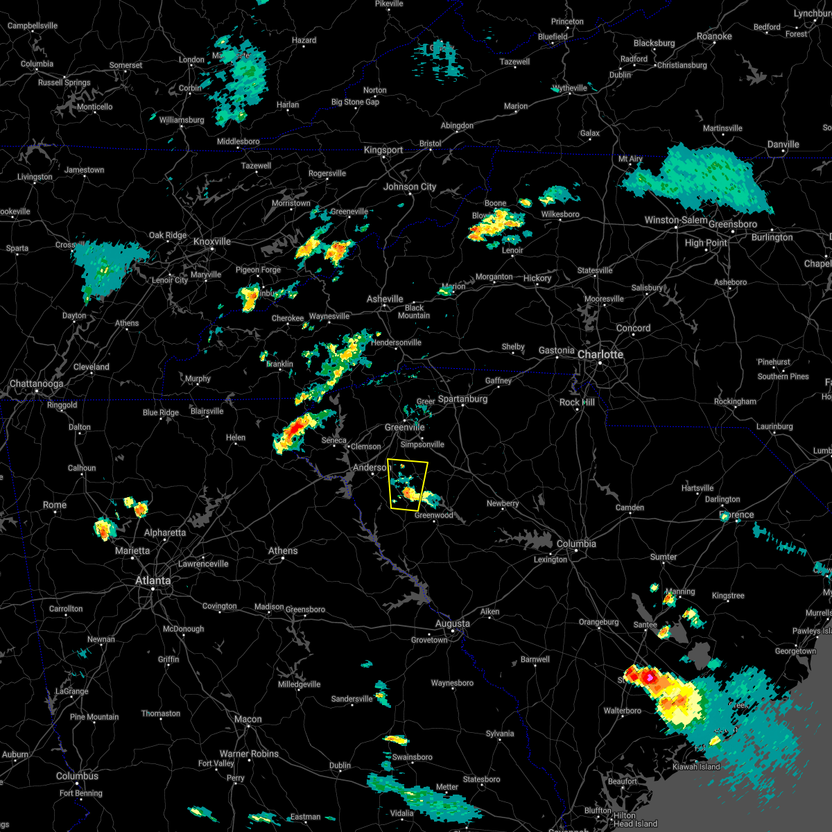 The severe thunderstorm warning for west central laurens, south central greenville, east central anderson, northeastern abbeville and northwestern greenwood counties will expire at 830 pm edt, the storm which prompted the warning has weakened below severe limits, and no longer poses an immediate threat to life or property. therefore the warning will be allowed to expire. however heavy rain is still possible with this thunderstorm. The severe thunderstorm warning for west central laurens, south central greenville, east central anderson, northeastern abbeville and northwestern greenwood counties will expire at 830 pm edt, the storm which prompted the warning has weakened below severe limits, and no longer poses an immediate threat to life or property. therefore the warning will be allowed to expire. however heavy rain is still possible with this thunderstorm.
|
| 7/3/2019 8:16 PM EDT |
 At 816 pm edt, a severe thunderstorm was located 15 miles east of anderson, or over honea path, moving north at 15 mph (radar indicated). Hazards include 60 mph wind gusts and penny size hail. Expect damage to trees and power lines. Locations impacted include, belton, honea path, due west, donalds, shoals junction, princeton and ware shoals. At 816 pm edt, a severe thunderstorm was located 15 miles east of anderson, or over honea path, moving north at 15 mph (radar indicated). Hazards include 60 mph wind gusts and penny size hail. Expect damage to trees and power lines. Locations impacted include, belton, honea path, due west, donalds, shoals junction, princeton and ware shoals.
|
| 7/3/2019 7:50 PM EDT |
 At 749 pm edt, a severe thunderstorm was located 11 miles north of abbeville, or near due west, moving north at 15 mph (radar indicated). Hazards include 60 mph wind gusts and nickel size hail. expect damage to trees and power lines At 749 pm edt, a severe thunderstorm was located 11 miles north of abbeville, or near due west, moving north at 15 mph (radar indicated). Hazards include 60 mph wind gusts and nickel size hail. expect damage to trees and power lines
|
| 6/24/2019 9:08 PM EDT | Schp reported a tree down at ekom beach rd and poplar springs rd in laurens county SC, 4.8 miles WSW of Ware Shoals, SC |
| 6/24/2019 7:53 PM EDT |
 At 753 pm edt, severe thunderstorms were located along a line extending from 5 miles northeast of forest city to near spartanburg to 14 miles southwest of laurens, moving east at 40 mph (radar indicated). Hazards include 70 mph wind gusts. Expect considerable tree damage. Damage is likely to mobile homes, roofs, and outbuildings. At 753 pm edt, severe thunderstorms were located along a line extending from 5 miles northeast of forest city to near spartanburg to 14 miles southwest of laurens, moving east at 40 mph (radar indicated). Hazards include 70 mph wind gusts. Expect considerable tree damage. Damage is likely to mobile homes, roofs, and outbuildings.
|
| 6/23/2019 4:25 PM EDT |
 The severe thunderstorm warning for southwestern laurens and north central greenwood counties will expire at 430 pm edt, the storm which prompted the warning has weakened below severe limits, and no longer poses an immediate threat to life or property. therefore the warning will be allowed to expire. however gusty winds are still possible with this thunderstorm. if you observed large hail or wind damage, please report it to the national weather service greenville-spartanburg by calling toll free, 1, 800, 2 6 7, 8 1 0 1, or by posting on our facebook page, or tweet it using hashtag nwsgsp. your message should describe the event and the specific location where it occurred. The severe thunderstorm warning for southwestern laurens and north central greenwood counties will expire at 430 pm edt, the storm which prompted the warning has weakened below severe limits, and no longer poses an immediate threat to life or property. therefore the warning will be allowed to expire. however gusty winds are still possible with this thunderstorm. if you observed large hail or wind damage, please report it to the national weather service greenville-spartanburg by calling toll free, 1, 800, 2 6 7, 8 1 0 1, or by posting on our facebook page, or tweet it using hashtag nwsgsp. your message should describe the event and the specific location where it occurred.
|
| 6/23/2019 4:13 PM EDT |
 At 412 pm edt, a severe thunderstorm was located 8 miles south of laurens, or near waterloo, moving southeast at 30 mph (radar indicated). Hazards include 60 mph wind gusts. Expect damage to trees and power lines. Locations impacted include, laurens, cross hill, waterloo, coronaca, mountville, greenwood, ware shoals and lake greenwood. At 412 pm edt, a severe thunderstorm was located 8 miles south of laurens, or near waterloo, moving southeast at 30 mph (radar indicated). Hazards include 60 mph wind gusts. Expect damage to trees and power lines. Locations impacted include, laurens, cross hill, waterloo, coronaca, mountville, greenwood, ware shoals and lake greenwood.
|
| 6/23/2019 3:52 PM EDT |
 At 351 pm edt, a severe thunderstorm was located 10 miles west of laurens, or 7 miles north of ware shoals, moving southeast at 25 mph (radar indicated). Hazards include 60 mph wind gusts and penny size hail. expect damage to trees and power lines At 351 pm edt, a severe thunderstorm was located 10 miles west of laurens, or 7 miles north of ware shoals, moving southeast at 25 mph (radar indicated). Hazards include 60 mph wind gusts and penny size hail. expect damage to trees and power lines
|
| 6/22/2019 3:27 AM EDT |
 The severe thunderstorm warning for southern laurens, eastern abbeville and greenwood counties will expire at 330 am edt, the storm which prompted the warning has moved out of the area. therefore the warning will be allowed to expire. however gusty winds and heavy rain are still possible with this thunderstorm. a severe thunderstorm watch remains in effect until 500 am edt for upstate south carolina. The severe thunderstorm warning for southern laurens, eastern abbeville and greenwood counties will expire at 330 am edt, the storm which prompted the warning has moved out of the area. therefore the warning will be allowed to expire. however gusty winds and heavy rain are still possible with this thunderstorm. a severe thunderstorm watch remains in effect until 500 am edt for upstate south carolina.
|
| 6/22/2019 3:00 AM EDT |
 At 300 am edt, a severe thunderstorm was located 15 miles north of abbeville, or near donalds, moving east at 30 mph (radar indicated). Hazards include 60 mph wind gusts and quarter size hail. Minor hail damage to vehicles is expected. expect wind damage to trees and power lines. Locations impacted include, greenwood, abbeville, ware shoals, ninety six, joanna, due west, cross hill, donalds, cokesbury and waterloo. At 300 am edt, a severe thunderstorm was located 15 miles north of abbeville, or near donalds, moving east at 30 mph (radar indicated). Hazards include 60 mph wind gusts and quarter size hail. Minor hail damage to vehicles is expected. expect wind damage to trees and power lines. Locations impacted include, greenwood, abbeville, ware shoals, ninety six, joanna, due west, cross hill, donalds, cokesbury and waterloo.
|
| 6/22/2019 2:32 AM EDT |
 At 232 am edt, a severe thunderstorm was located 8 miles southeast of anderson, or 6 miles south of biltmore park, moving east at 30 mph (radar indicated). Hazards include 60 mph wind gusts and quarter size hail. Minor hail damage to vehicles is expected. Expect wind damage to trees and power lines. At 232 am edt, a severe thunderstorm was located 8 miles southeast of anderson, or 6 miles south of biltmore park, moving east at 30 mph (radar indicated). Hazards include 60 mph wind gusts and quarter size hail. Minor hail damage to vehicles is expected. Expect wind damage to trees and power lines.
|
| 4/8/2019 4:26 PM EDT |
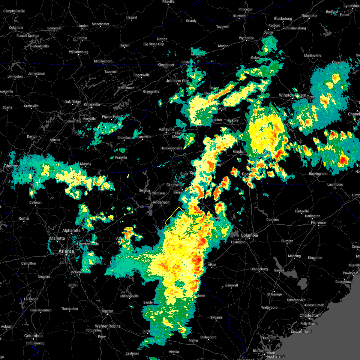 The severe thunderstorm warning for abbeville and western greenwood counties will expire at 430 pm edt, the storm which prompted the warning has moved out of the area. therefore the warning will be allowed to expire. a severe thunderstorm watch remains in effect until 1000 pm edt for upstate south carolina. The severe thunderstorm warning for abbeville and western greenwood counties will expire at 430 pm edt, the storm which prompted the warning has moved out of the area. therefore the warning will be allowed to expire. a severe thunderstorm watch remains in effect until 1000 pm edt for upstate south carolina.
|
| 4/8/2019 3:46 PM EDT |
 At 346 pm edt, a severe thunderstorm was located 5 miles southeast of abbeville, moving northeast at 55 mph (radar indicated). Hazards include 60 mph wind gusts. expect damage to trees and power lines At 346 pm edt, a severe thunderstorm was located 5 miles southeast of abbeville, moving northeast at 55 mph (radar indicated). Hazards include 60 mph wind gusts. expect damage to trees and power lines
|
| 9/27/2018 7:12 PM EDT |
 At 712 pm edt, severe thunderstorms were located along a line extending from 3 miles southwest of easley to 13 miles south of greenville downtown to 12 miles west of laurens, moving northeast at 50 mph (radar indicated). Hazards include 70 mph wind gusts. Expect considerable tree damage. damage is likely to mobile homes, roofs, and outbuildings. Locations impacted include, greenville, spartanburg, easley, columbus, greer, mauldin, taylors and simpsonville. At 712 pm edt, severe thunderstorms were located along a line extending from 3 miles southwest of easley to 13 miles south of greenville downtown to 12 miles west of laurens, moving northeast at 50 mph (radar indicated). Hazards include 70 mph wind gusts. Expect considerable tree damage. damage is likely to mobile homes, roofs, and outbuildings. Locations impacted include, greenville, spartanburg, easley, columbus, greer, mauldin, taylors and simpsonville.
|
| 9/27/2018 6:53 PM EDT |
 The national weather service in greenville-spartanburg has issued a * severe thunderstorm warning for. southeastern henderson county in western north carolina. southern polk county in western north carolina. northwestern laurens county in upstate south carolina. Greenville county in upstate south carolina. The national weather service in greenville-spartanburg has issued a * severe thunderstorm warning for. southeastern henderson county in western north carolina. southern polk county in western north carolina. northwestern laurens county in upstate south carolina. Greenville county in upstate south carolina.
|
| 9/26/2018 5:13 PM EDT |
 At 513 pm edt, a severe thunderstorm was located 11 miles east of anderson, or near belton, moving east at 25 mph (radar indicated). Hazards include 60 mph wind gusts and quarter size hail. Minor hail damage to vehicles is expected. Expect wind damage to trees and power lines. At 513 pm edt, a severe thunderstorm was located 11 miles east of anderson, or near belton, moving east at 25 mph (radar indicated). Hazards include 60 mph wind gusts and quarter size hail. Minor hail damage to vehicles is expected. Expect wind damage to trees and power lines.
|
| 8/21/2018 5:33 PM EDT |
 At 532 pm edt, a severe thunderstorm was located near anderson, or near homeland park, moving east at 40 mph (radar indicated). Hazards include 60 mph wind gusts. expect damage to trees and power lines At 532 pm edt, a severe thunderstorm was located near anderson, or near homeland park, moving east at 40 mph (radar indicated). Hazards include 60 mph wind gusts. expect damage to trees and power lines
|
| 8/9/2018 8:07 PM EDT |
 The severe thunderstorm warning for southwestern laurens, east central anderson, northeastern abbeville and northwestern greenwood counties will expire at 815 pm edt, the storm which prompted the warning has weakened below severe limits, and no longer poses an immediate threat to life or property. therefore the warning will be allowed to expire. however heavy rain is still possible with this thunderstorm. if you observed large hail or wind damage, please report it to the national weather service greenville-spartanburg by calling toll free, 1, 800, 2 6 7, 8 1 0 1, or by posting on our facebook page, or tweet it using hashtag nwsgsp. your message should describe the event and the specific location where it occurred. The severe thunderstorm warning for southwestern laurens, east central anderson, northeastern abbeville and northwestern greenwood counties will expire at 815 pm edt, the storm which prompted the warning has weakened below severe limits, and no longer poses an immediate threat to life or property. therefore the warning will be allowed to expire. however heavy rain is still possible with this thunderstorm. if you observed large hail or wind damage, please report it to the national weather service greenville-spartanburg by calling toll free, 1, 800, 2 6 7, 8 1 0 1, or by posting on our facebook page, or tweet it using hashtag nwsgsp. your message should describe the event and the specific location where it occurred.
|
| 8/9/2018 7:51 PM EDT |
 The national weather service in greenville-spartanburg has issued a * severe thunderstorm warning for. southwestern laurens county in upstate south carolina. east central anderson county in upstate south carolina. northeastern abbeville county in upstate south carolina. Northwestern greenwood county in upstate south carolina. The national weather service in greenville-spartanburg has issued a * severe thunderstorm warning for. southwestern laurens county in upstate south carolina. east central anderson county in upstate south carolina. northeastern abbeville county in upstate south carolina. Northwestern greenwood county in upstate south carolina.
|
| 8/8/2018 7:56 PM EDT |
 At 754 pm edt, severe thunderstorms were located along a line extending from near gray court to near laurens to near hodges, moving east at 30 mph (radar indicated). Hazards include 70 mph wind gusts and quarter size hail. Minor hail damage to vehicles is expected. expect considerable tree damage. wind damage is also likely to mobile homes, roofs, and outbuildings. Locations impacted include, laurens, clinton, joanna, gray court, cross hill, cokesbury, waterloo, hodges, lake greenwood and rose hill state park. At 754 pm edt, severe thunderstorms were located along a line extending from near gray court to near laurens to near hodges, moving east at 30 mph (radar indicated). Hazards include 70 mph wind gusts and quarter size hail. Minor hail damage to vehicles is expected. expect considerable tree damage. wind damage is also likely to mobile homes, roofs, and outbuildings. Locations impacted include, laurens, clinton, joanna, gray court, cross hill, cokesbury, waterloo, hodges, lake greenwood and rose hill state park.
|
| 8/8/2018 7:42 PM EDT |
 At 742 pm edt, severe thunderstorms were located along a line extending from 20 miles southeast of downtown greenville to 10 miles southwest of laurens to 9 miles north of abbeville, moving east at 25 mph (radar indicated). Hazards include 60 mph wind gusts and nickel size hail. expect damage to trees and power lines At 742 pm edt, severe thunderstorms were located along a line extending from 20 miles southeast of downtown greenville to 10 miles southwest of laurens to 9 miles north of abbeville, moving east at 25 mph (radar indicated). Hazards include 60 mph wind gusts and nickel size hail. expect damage to trees and power lines
|
| 7/21/2018 10:26 PM EDT |
 At 1026 pm edt, severe thunderstorms were located along a line extending from 15 miles southeast of anderson to 10 miles northwest of abbeville, moving southeast at 25 mph (radar indicated). Hazards include 70 mph wind gusts and quarter size hail. Minor hail damage to vehicles is expected. expect considerable tree damage. Wind damage is also likely to mobile homes, roofs, and outbuildings. At 1026 pm edt, severe thunderstorms were located along a line extending from 15 miles southeast of anderson to 10 miles northwest of abbeville, moving southeast at 25 mph (radar indicated). Hazards include 70 mph wind gusts and quarter size hail. Minor hail damage to vehicles is expected. expect considerable tree damage. Wind damage is also likely to mobile homes, roofs, and outbuildings.
|
| 7/21/2018 10:15 PM EDT |
 At 1014 pm edt, severe thunderstorms were located along a line extending from 15 miles northwest of laurens to 20 miles north of abbeville to 9 miles southeast of anderson, moving east at 20 mph (radar indicated). Hazards include 60 mph wind gusts and penny size hail. Expect damage to trees and power lines. Locations impacted include, honea path, iva, gray court, lake secession, donalds, starr, antreville, fork shoals, princeton and hickory tavern. At 1014 pm edt, severe thunderstorms were located along a line extending from 15 miles northwest of laurens to 20 miles north of abbeville to 9 miles southeast of anderson, moving east at 20 mph (radar indicated). Hazards include 60 mph wind gusts and penny size hail. Expect damage to trees and power lines. Locations impacted include, honea path, iva, gray court, lake secession, donalds, starr, antreville, fork shoals, princeton and hickory tavern.
|
| 7/21/2018 9:42 PM EDT |
 At 941 pm edt, severe thunderstorms were located along a line extending from 13 miles southeast of easley, to near anderson, to 13 miles northeast of hartwell, moving east at 25 mph (radar indicated). Hazards include 60 mph wind gusts and quarter size hail. Minor hail damage to vehicles is expected. Expect wind damage to trees and power lines. At 941 pm edt, severe thunderstorms were located along a line extending from 13 miles southeast of easley, to near anderson, to 13 miles northeast of hartwell, moving east at 25 mph (radar indicated). Hazards include 60 mph wind gusts and quarter size hail. Minor hail damage to vehicles is expected. Expect wind damage to trees and power lines.
|
| 7/3/2018 7:37 PM EDT |
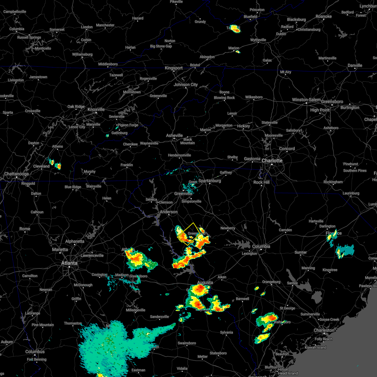 The severe thunderstorm warning for southeastern abbeville and northwestern greenwood counties will expire at 745 pm edt, the storm which prompted the warning has weakened below severe limits, and no longer poses an immediate threat to life or property. therefore the warning will be allowed to expire. however gusty winds are still possible with this thunderstorm. The severe thunderstorm warning for southeastern abbeville and northwestern greenwood counties will expire at 745 pm edt, the storm which prompted the warning has weakened below severe limits, and no longer poses an immediate threat to life or property. therefore the warning will be allowed to expire. however gusty winds are still possible with this thunderstorm.
|
| 7/3/2018 7:03 PM EDT |
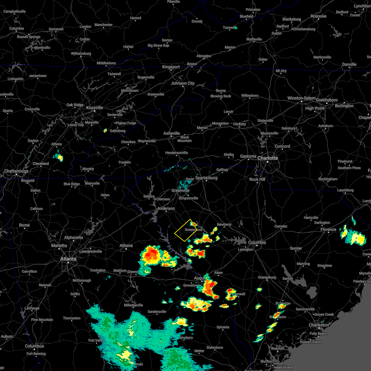 At 703 pm edt, a severe thunderstorm was located 6 miles northwest of greenwood, or near cokesbury, moving southwest at 25 mph (radar indicated). Hazards include 60 mph wind gusts. expect damage to trees and power lines At 703 pm edt, a severe thunderstorm was located 6 miles northwest of greenwood, or near cokesbury, moving southwest at 25 mph (radar indicated). Hazards include 60 mph wind gusts. expect damage to trees and power lines
|
| 6/27/2018 5:20 PM EDT |
 At 520 pm edt, severe thunderstorms were located along a line extending from 23 miles southeast of greenville downtown to 6 miles west of laurens to 12 miles north of abbeville, moving east at 30 mph (radar indicated). Hazards include 60 mph wind gusts and quarter size hail. Minor hail damage to vehicles is expected. expect wind damage to trees and power lines. Locations impacted include, laurens, clinton, ware shoals, due west, gray court, donalds, cokesbury, waterloo, hodges and shoals junction. At 520 pm edt, severe thunderstorms were located along a line extending from 23 miles southeast of greenville downtown to 6 miles west of laurens to 12 miles north of abbeville, moving east at 30 mph (radar indicated). Hazards include 60 mph wind gusts and quarter size hail. Minor hail damage to vehicles is expected. expect wind damage to trees and power lines. Locations impacted include, laurens, clinton, ware shoals, due west, gray court, donalds, cokesbury, waterloo, hodges and shoals junction.
|
| 6/27/2018 5:00 PM EDT |
 At 459 pm edt, severe thunderstorms were located along a line extending from 15 miles northwest of laurens to 21 miles north of abbeville to 13 miles southeast of anderson, moving east at 30 mph (radar indicated). Hazards include 60 mph wind gusts and quarter size hail. Minor hail damage to vehicles is expected. Expect wind damage to trees and power lines. At 459 pm edt, severe thunderstorms were located along a line extending from 15 miles northwest of laurens to 21 miles north of abbeville to 13 miles southeast of anderson, moving east at 30 mph (radar indicated). Hazards include 60 mph wind gusts and quarter size hail. Minor hail damage to vehicles is expected. Expect wind damage to trees and power lines.
|
| 6/25/2018 7:24 PM EDT |
 At 723 pm edt, severe thunderstorms were located along a line extending from near york to 12 miles southeast of greenwood, moving east at 45 mph (radar indicated). Hazards include 60 mph wind gusts and quarter size hail. Minor hail damage to vehicles is expected. expect wind damage to trees and power lines. Locations impacted include, rock hill, greenwood, laurens, union, york, chester, abbeville, clinton, newport and pacolet. At 723 pm edt, severe thunderstorms were located along a line extending from near york to 12 miles southeast of greenwood, moving east at 45 mph (radar indicated). Hazards include 60 mph wind gusts and quarter size hail. Minor hail damage to vehicles is expected. expect wind damage to trees and power lines. Locations impacted include, rock hill, greenwood, laurens, union, york, chester, abbeville, clinton, newport and pacolet.
|
| 6/25/2018 7:07 PM EDT |
 The severe thunderstorm warning for elbert, laurens, southeastern greenville, southern spartanburg, southeastern anderson, abbeville, northwestern union and northwestern greenwood counties will expire at 715 pm edt, the storms which prompted the warning have moved out of the area. therefore the warning will be allowed to expire. however gusty winds are still possible with these thunderstorms. a severe thunderstorm watch remains in effect until 1000 pm edt for northeastern georgia, and upstate south carolina. The severe thunderstorm warning for elbert, laurens, southeastern greenville, southern spartanburg, southeastern anderson, abbeville, northwestern union and northwestern greenwood counties will expire at 715 pm edt, the storms which prompted the warning have moved out of the area. therefore the warning will be allowed to expire. however gusty winds are still possible with these thunderstorms. a severe thunderstorm watch remains in effect until 1000 pm edt for northeastern georgia, and upstate south carolina.
|
| 6/25/2018 7:07 PM EDT |
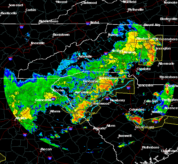 The severe thunderstorm warning for elbert, laurens, southeastern greenville, southern spartanburg, southeastern anderson, abbeville, northwestern union and northwestern greenwood counties will expire at 715 pm edt, the storms which prompted the warning have moved out of the area. therefore the warning will be allowed to expire. however gusty winds are still possible with these thunderstorms. a severe thunderstorm watch remains in effect until 1000 pm edt for northeastern georgia, and upstate south carolina. The severe thunderstorm warning for elbert, laurens, southeastern greenville, southern spartanburg, southeastern anderson, abbeville, northwestern union and northwestern greenwood counties will expire at 715 pm edt, the storms which prompted the warning have moved out of the area. therefore the warning will be allowed to expire. however gusty winds are still possible with these thunderstorms. a severe thunderstorm watch remains in effect until 1000 pm edt for northeastern georgia, and upstate south carolina.
|
| 6/25/2018 6:58 PM EDT |
 The national weather service in greenville-spartanburg has issued a * severe thunderstorm warning for. southeastern elbert county in northeastern georgia. laurens county in upstate south carolina. chester county in upstate south carolina. Southern york county in upstate south carolina. The national weather service in greenville-spartanburg has issued a * severe thunderstorm warning for. southeastern elbert county in northeastern georgia. laurens county in upstate south carolina. chester county in upstate south carolina. Southern york county in upstate south carolina.
|
| 6/25/2018 6:58 PM EDT |
 At 658 pm edt, severe thunderstorms were located along a line extending from 10 miles southeast of gaffney to 10 miles southeast of abbeville, moving east at 45 mph (radar indicated). Hazards include 60 mph wind gusts and quarter size hail. Minor hail damage to vehicles is expected. Expect wind damage to trees and power lines. At 658 pm edt, severe thunderstorms were located along a line extending from 10 miles southeast of gaffney to 10 miles southeast of abbeville, moving east at 45 mph (radar indicated). Hazards include 60 mph wind gusts and quarter size hail. Minor hail damage to vehicles is expected. Expect wind damage to trees and power lines.
|
| 6/25/2018 6:30 PM EDT |
 At 630 pm edt, severe thunderstorms were located along a line extending from 5 miles south of spartanburg to 14 miles north of abbeville to 7 miles south of elberton, moving southeast at 40 mph (radar indicated). Hazards include 60 mph wind gusts and quarter size hail. Minor hail damage to vehicles is expected. Expect wind damage to trees and power lines. At 630 pm edt, severe thunderstorms were located along a line extending from 5 miles south of spartanburg to 14 miles north of abbeville to 7 miles south of elberton, moving southeast at 40 mph (radar indicated). Hazards include 60 mph wind gusts and quarter size hail. Minor hail damage to vehicles is expected. Expect wind damage to trees and power lines.
|
| 6/1/2018 6:56 PM EDT |
 The severe thunderstorm warning for northwestern laurens, southeastern greenville, southwestern spartanburg and east central anderson counties will expire at 700 pm edt, the storm which prompted the warning has weakened below severe limits, and has exited the warned area. therefore the warning will be allowed to expire. The severe thunderstorm warning for northwestern laurens, southeastern greenville, southwestern spartanburg and east central anderson counties will expire at 700 pm edt, the storm which prompted the warning has weakened below severe limits, and has exited the warned area. therefore the warning will be allowed to expire.
|
| 6/1/2018 6:35 PM EDT |
 At 634 pm edt, a severe thunderstorm was located 5 miles northwest of laurens, or 4 miles south of gray court, moving northeast at 45 mph (radar indicated). Hazards include 60 mph wind gusts and penny size hail. Expect damage to trees and power lines. Locations impacted include, laurens, fountain inn, woodruff, gray court, fork shoals, princeton, hickory tavern, ora, williamston and belton. At 634 pm edt, a severe thunderstorm was located 5 miles northwest of laurens, or 4 miles south of gray court, moving northeast at 45 mph (radar indicated). Hazards include 60 mph wind gusts and penny size hail. Expect damage to trees and power lines. Locations impacted include, laurens, fountain inn, woodruff, gray court, fork shoals, princeton, hickory tavern, ora, williamston and belton.
|
| 6/1/2018 6:13 PM EDT |
 At 613 pm edt, a severe thunderstorm was located near greenwood, moving northeast at 45 mph (radar indicated). Hazards include 60 mph wind gusts and penny size hail. expect damage to trees and power lines At 613 pm edt, a severe thunderstorm was located near greenwood, moving northeast at 45 mph (radar indicated). Hazards include 60 mph wind gusts and penny size hail. expect damage to trees and power lines
|
| 6/1/2018 6:09 PM EDT |
 At 609 pm edt, a severe thunderstorm was located 14 miles east of anderson, or over honea path, moving northeast at 45 mph (radar indicated). Hazards include 60 mph wind gusts and penny size hail. expect damage to trees and power lines At 609 pm edt, a severe thunderstorm was located 14 miles east of anderson, or over honea path, moving northeast at 45 mph (radar indicated). Hazards include 60 mph wind gusts and penny size hail. expect damage to trees and power lines
|
| 4/15/2018 12:13 PM EDT |
 At 1212 pm edt, a severe thunderstorm was located near greenwood, moving northeast at 55 mph (radar indicated). Hazards include 60 mph wind gusts and half dollar size hail. Minor hail damage to vehicles is expected. Expect wind damage to trees and power lines. At 1212 pm edt, a severe thunderstorm was located near greenwood, moving northeast at 55 mph (radar indicated). Hazards include 60 mph wind gusts and half dollar size hail. Minor hail damage to vehicles is expected. Expect wind damage to trees and power lines.
|
| 4/15/2018 12:10 PM EDT |
 At 1209 pm edt, a severe thunderstorm was located 7 miles south of spartanburg, or near roebuck, moving northeast at 55 mph. radar continues to indicate possible hail to 1 inch and possible severe wind gusts (radar indicated). Hazards include 60 mph wind gusts and quarter size hail. Minor hail damage to vehicles is expected. expect wind damage to trees and power lines. Locations impacted include, spartanburg, laurens, woodruff, duncan, lyman, wellford, inman, roebuck, gray court and reidville. At 1209 pm edt, a severe thunderstorm was located 7 miles south of spartanburg, or near roebuck, moving northeast at 55 mph. radar continues to indicate possible hail to 1 inch and possible severe wind gusts (radar indicated). Hazards include 60 mph wind gusts and quarter size hail. Minor hail damage to vehicles is expected. expect wind damage to trees and power lines. Locations impacted include, spartanburg, laurens, woodruff, duncan, lyman, wellford, inman, roebuck, gray court and reidville.
|
| 4/15/2018 11:50 AM EDT |
 At 1150 am edt, a severe thunderstorm was located 8 miles northwest of laurens, or over gray court, moving northeast at 55 mph (radar indicated). Hazards include 60 mph wind gusts and quarter size hail. Minor hail damage to vehicles is expected. Expect wind damage to trees and power lines. At 1150 am edt, a severe thunderstorm was located 8 miles northwest of laurens, or over gray court, moving northeast at 55 mph (radar indicated). Hazards include 60 mph wind gusts and quarter size hail. Minor hail damage to vehicles is expected. Expect wind damage to trees and power lines.
|
| 10/23/2017 2:16 PM EDT |
 At 216 pm edt, a severe thunderstorm was located 16 miles southeast of anderson, or near honea path, moving northeast at 35 mph (radar indicated). Hazards include 60 mph wind gusts. expect damage to trees and power lines At 216 pm edt, a severe thunderstorm was located 16 miles southeast of anderson, or near honea path, moving northeast at 35 mph (radar indicated). Hazards include 60 mph wind gusts. expect damage to trees and power lines
|
| 7/28/2017 2:30 PM EDT |
 At 230 pm edt, a severe thunderstorm was located 15 miles east of anderson, or 6 miles north of honea path, moving east at 30 mph (radar indicated). Hazards include 60 mph wind gusts and quarter size hail. Minor hail damage to vehicles is expected. expect wind damage to trees and power lines. Locations impacted include, fountain inn, belton, williamston, honea path, fork shoals, princeton, hickory tavern, donalds and ware shoals. At 230 pm edt, a severe thunderstorm was located 15 miles east of anderson, or 6 miles north of honea path, moving east at 30 mph (radar indicated). Hazards include 60 mph wind gusts and quarter size hail. Minor hail damage to vehicles is expected. expect wind damage to trees and power lines. Locations impacted include, fountain inn, belton, williamston, honea path, fork shoals, princeton, hickory tavern, donalds and ware shoals.
|
| 7/28/2017 2:07 PM EDT |
 At 207 pm edt, a severe thunderstorm was located 6 miles east of anderson, or over biltmore park, moving east at 30 mph (radar indicated). Hazards include 60 mph wind gusts and quarter size hail. Minor hail damage to vehicles is expected. Expect wind damage to trees and power lines. At 207 pm edt, a severe thunderstorm was located 6 miles east of anderson, or over biltmore park, moving east at 30 mph (radar indicated). Hazards include 60 mph wind gusts and quarter size hail. Minor hail damage to vehicles is expected. Expect wind damage to trees and power lines.
|
| 7/7/2017 2:21 PM EDT |
 At 220 pm edt, a severe thunderstorm was located 10 miles east of greenwood, or over greenwood state park, moving east at 30 mph (trained weather spotters). Hazards include 60 mph wind gusts and quarter size hail. Minor hail damage to vehicles is expected. expect wind damage to trees and power lines. Locations impacted include, greenwood, ninety six, cross hill, cokesbury, waterloo, hodges, lake greenwood, greenwood state park, ninety six historic site and coronaca. At 220 pm edt, a severe thunderstorm was located 10 miles east of greenwood, or over greenwood state park, moving east at 30 mph (trained weather spotters). Hazards include 60 mph wind gusts and quarter size hail. Minor hail damage to vehicles is expected. expect wind damage to trees and power lines. Locations impacted include, greenwood, ninety six, cross hill, cokesbury, waterloo, hodges, lake greenwood, greenwood state park, ninety six historic site and coronaca.
|
| 7/7/2017 2:04 PM EDT |
 At 203 pm edt, a severe thunderstorm was located near greenwood, moving east at 30 mph (radar indicated). Hazards include 60 mph wind gusts and quarter size hail. Minor hail damage to vehicles is expected. Expect wind damage to trees and power lines. At 203 pm edt, a severe thunderstorm was located near greenwood, moving east at 30 mph (radar indicated). Hazards include 60 mph wind gusts and quarter size hail. Minor hail damage to vehicles is expected. Expect wind damage to trees and power lines.
|
| 4/6/2017 12:57 AM EDT |
 At 1256 am edt, severe thunderstorms were located along a line extending from 10 miles southeast of anderson to 9 miles west of abbeville to 16 miles east of elberton, moving northeast at 60 mph (radar indicated). Hazards include 60 mph wind gusts and quarter size hail. Hail damage to vehicles is expected. expect wind damage to roofs, siding, and trees. Locations impacted include, abbeville, belton, honea path, ware shoals, calhoun falls, due west, lake secession, donalds, cokesbury and hodges. At 1256 am edt, severe thunderstorms were located along a line extending from 10 miles southeast of anderson to 9 miles west of abbeville to 16 miles east of elberton, moving northeast at 60 mph (radar indicated). Hazards include 60 mph wind gusts and quarter size hail. Hail damage to vehicles is expected. expect wind damage to roofs, siding, and trees. Locations impacted include, abbeville, belton, honea path, ware shoals, calhoun falls, due west, lake secession, donalds, cokesbury and hodges.
|
| 4/6/2017 12:47 AM EDT |
 At 1245 am edt, severe thunderstorms were located along a line extending from 11 miles southeast of columbus to 12 miles southwest of spartanburg to 9 miles west of laurens, moving east at 50 mph (radar indicated). Hazards include 60 mph wind gusts and half dollar size hail. Hail damage to vehicles is expected. expect wind damage to roofs, siding, and trees. Locations impacted include, spartanburg, laurens, greer, simpsonville, five forks, fountain inn, boiling springs sc, woodruff, duncan and lyman. At 1245 am edt, severe thunderstorms were located along a line extending from 11 miles southeast of columbus to 12 miles southwest of spartanburg to 9 miles west of laurens, moving east at 50 mph (radar indicated). Hazards include 60 mph wind gusts and half dollar size hail. Hail damage to vehicles is expected. expect wind damage to roofs, siding, and trees. Locations impacted include, spartanburg, laurens, greer, simpsonville, five forks, fountain inn, boiling springs sc, woodruff, duncan and lyman.
|
| 4/6/2017 12:45 AM EDT | Schp reported a tree down at ekom beach rd poplar springs rd and indian mound rd in laurens county SC, 2.9 miles WSW of Ware Shoals, SC |
| 4/6/2017 12:39 AM EDT |
 At 1238 am edt, severe thunderstorms were located along a line extending from 7 miles east of hartwell to 6 miles northeast of elberton to 18 miles northeast of lexington, moving northeast at 65 mph (radar indicated). Hazards include 60 mph wind gusts and quarter size hail. Hail damage to vehicles is expected. Expect wind damage to roofs, siding, and trees. At 1238 am edt, severe thunderstorms were located along a line extending from 7 miles east of hartwell to 6 miles northeast of elberton to 18 miles northeast of lexington, moving northeast at 65 mph (radar indicated). Hazards include 60 mph wind gusts and quarter size hail. Hail damage to vehicles is expected. Expect wind damage to roofs, siding, and trees.
|
| 4/6/2017 12:24 AM EDT |
 At 1224 am edt, severe thunderstorms were located along a line extending from 4 miles northeast of easley to 11 miles east of anderson to 15 miles west of abbeville, moving northeast at 85 mph (radar indicated). Hazards include 60 mph wind gusts and quarter size hail. Hail damage to vehicles is expected. Expect wind damage to roofs, siding, and trees. At 1224 am edt, severe thunderstorms were located along a line extending from 4 miles northeast of easley to 11 miles east of anderson to 15 miles west of abbeville, moving northeast at 85 mph (radar indicated). Hazards include 60 mph wind gusts and quarter size hail. Hail damage to vehicles is expected. Expect wind damage to roofs, siding, and trees.
|
| 4/6/2017 12:16 AM EDT |
 At 1215 am edt, severe thunderstorms were located along a line extending from 6 miles southwest of easley to 5 miles south of anderson to 13 miles northeast of elberton, moving east at 75 mph (radar indicated). Hazards include ping pong ball size hail and 60 mph wind gusts. People and animals outdoors will be injured. expect hail and wind damage to roofs, siding, windows, vehicles, and trees. Locations impacted include, anderson, easley, homeland park, powdersville, piedmont, belton, williamston, northlake, honea path and liberty. At 1215 am edt, severe thunderstorms were located along a line extending from 6 miles southwest of easley to 5 miles south of anderson to 13 miles northeast of elberton, moving east at 75 mph (radar indicated). Hazards include ping pong ball size hail and 60 mph wind gusts. People and animals outdoors will be injured. expect hail and wind damage to roofs, siding, windows, vehicles, and trees. Locations impacted include, anderson, easley, homeland park, powdersville, piedmont, belton, williamston, northlake, honea path and liberty.
|
| 4/5/2017 11:55 PM EDT |
 At 1154 pm edt, severe thunderstorms were located along a line extending from 6 miles west of seneca to 6 miles southwest of hartwell to 7 miles east of danielsville, moving east at 55 mph (radar indicated). Hazards include golf ball size hail and 60 mph wind gusts. a brief tornado cannot be ruled out. People and animals outdoors will be injured. expect hail damage to roofs, siding, windows, and vehicles. Expect wind damage to roofs, siding, and trees. At 1154 pm edt, severe thunderstorms were located along a line extending from 6 miles west of seneca to 6 miles southwest of hartwell to 7 miles east of danielsville, moving east at 55 mph (radar indicated). Hazards include golf ball size hail and 60 mph wind gusts. a brief tornado cannot be ruled out. People and animals outdoors will be injured. expect hail damage to roofs, siding, windows, and vehicles. Expect wind damage to roofs, siding, and trees.
|
| 4/3/2017 2:44 PM EDT |
 At 244 pm edt, severe thunderstorms were located along a line extending from 18 miles southeast of greenville downtown to 7 miles west of laurens to 13 miles north of greenwood, moving northeast at 50 mph (radar indicated). Hazards include 60 mph wind gusts. expect damage to trees and minor damage to roofs and siding At 244 pm edt, severe thunderstorms were located along a line extending from 18 miles southeast of greenville downtown to 7 miles west of laurens to 13 miles north of greenwood, moving northeast at 50 mph (radar indicated). Hazards include 60 mph wind gusts. expect damage to trees and minor damage to roofs and siding
|
| 3/21/2017 8:30 PM EDT |
 At 830 pm edt, a severe thunderstorm was located 8 miles southwest of laurens, or 5 miles northwest of waterloo, moving east at 35 mph (radar indicated). Hazards include 60 mph wind gusts and half dollar size hail. Hail damage to vehicles is expected. Expect wind damage to roofs, siding and trees. At 830 pm edt, a severe thunderstorm was located 8 miles southwest of laurens, or 5 miles northwest of waterloo, moving east at 35 mph (radar indicated). Hazards include 60 mph wind gusts and half dollar size hail. Hail damage to vehicles is expected. Expect wind damage to roofs, siding and trees.
|
| 3/1/2017 6:51 PM EST |
 At 651 pm est, severe thunderstorms were located along a line extending from 10 miles southeast of columbus to 12 miles west of laurens, moving east at 55 mph (radar indicated). Hazards include 60 mph wind gusts and quarter size hail. Hail damage to vehicles is expected. expect wind damage to roofs, siding and trees. Locations impacted include, greenville downtown, spartanburg, laurens, greenville eastside, west greenville, greer, mauldin, taylors, simpsonville and berea. At 651 pm est, severe thunderstorms were located along a line extending from 10 miles southeast of columbus to 12 miles west of laurens, moving east at 55 mph (radar indicated). Hazards include 60 mph wind gusts and quarter size hail. Hail damage to vehicles is expected. expect wind damage to roofs, siding and trees. Locations impacted include, greenville downtown, spartanburg, laurens, greenville eastside, west greenville, greer, mauldin, taylors, simpsonville and berea.
|
| 3/1/2017 6:29 PM EST |
 At 629 pm est, severe thunderstorms were located along a line extending from 12 miles north of greenville downtown to 8 miles southeast of anderson, moving east at 55 mph (radar indicated). Hazards include 60 mph wind gusts and quarter size hail. Hail damage to vehicles is expected. Expect wind damage to roofs, siding and trees. At 629 pm est, severe thunderstorms were located along a line extending from 12 miles north of greenville downtown to 8 miles southeast of anderson, moving east at 55 mph (radar indicated). Hazards include 60 mph wind gusts and quarter size hail. Hail damage to vehicles is expected. Expect wind damage to roofs, siding and trees.
|
| 11/30/2016 5:17 PM EST |
 At 517 pm est, severe thunderstorms were located along a line extending from 13 miles southeast of morganton to 4 miles northeast of spartanburg to 13 miles northwest of union to 12 miles southeast of laurens to 9 miles east of greenwood, moving east at 55 mph (radar indicated). Hazards include 60 mph wind gusts. Expect damage to roofs. siding and trees. Locations impacted include, spartanburg, greenwood, shelby, gaffney, laurens, union, forest city, rutherfordton, clinton and boiling springs sc. At 517 pm est, severe thunderstorms were located along a line extending from 13 miles southeast of morganton to 4 miles northeast of spartanburg to 13 miles northwest of union to 12 miles southeast of laurens to 9 miles east of greenwood, moving east at 55 mph (radar indicated). Hazards include 60 mph wind gusts. Expect damage to roofs. siding and trees. Locations impacted include, spartanburg, greenwood, shelby, gaffney, laurens, union, forest city, rutherfordton, clinton and boiling springs sc.
|
| 11/30/2016 4:41 PM EST |
 At 441 pm est, severe thunderstorms were located along a line extending from 7 miles west of rutherfordton to near greenville downtown to 18 miles southeast of easley to 5 miles northeast of abbeville to 21 miles northeast of washington, moving east at 55 mph (radar indicated). Hazards include 60 mph wind gusts. Expect damage to roofs. Siding and trees. At 441 pm est, severe thunderstorms were located along a line extending from 7 miles west of rutherfordton to near greenville downtown to 18 miles southeast of easley to 5 miles northeast of abbeville to 21 miles northeast of washington, moving east at 55 mph (radar indicated). Hazards include 60 mph wind gusts. Expect damage to roofs. Siding and trees.
|
| 11/30/2016 3:59 PM EST |
 At 359 pm est, severe thunderstorms were located along a line extending from 11 miles northwest of pickens to 6 miles south of clemson to near hartwell to 9 miles north of elberton to 4 miles southwest of lexington, moving east at 40 mph (radar indicated). Hazards include 60 mph wind gusts. Expect damage to roofs. Siding and trees. At 359 pm est, severe thunderstorms were located along a line extending from 11 miles northwest of pickens to 6 miles south of clemson to near hartwell to 9 miles north of elberton to 4 miles southwest of lexington, moving east at 40 mph (radar indicated). Hazards include 60 mph wind gusts. Expect damage to roofs. Siding and trees.
|
| 9/27/2016 11:36 PM EDT |
 The severe thunderstorm warning for northwestern laurens and southeastern greenville counties will expire at 1145 pm edt, the storm which prompted the warning has weakened below severe limits, and no longer poses an immediate threat to life or property. therefore the warning will be allowed to expire. The severe thunderstorm warning for northwestern laurens and southeastern greenville counties will expire at 1145 pm edt, the storm which prompted the warning has weakened below severe limits, and no longer poses an immediate threat to life or property. therefore the warning will be allowed to expire.
|
| 9/27/2016 11:22 PM EDT |
 At 1122 pm edt, a severe thunderstorm was located 14 miles west of laurens, or 8 miles northeast of honea path, moving northeast at 30 mph (radar indicated). Hazards include golf ball size hail and 60 mph wind gusts. People and animals outdoors will be injured. expect hail damage to roofs, siding, windows and vehicles. expect wind damage to roofs, siding and trees. Locations impacted include, gray court, princeton, hickory tavern, fork shoals and fountain inn. At 1122 pm edt, a severe thunderstorm was located 14 miles west of laurens, or 8 miles northeast of honea path, moving northeast at 30 mph (radar indicated). Hazards include golf ball size hail and 60 mph wind gusts. People and animals outdoors will be injured. expect hail damage to roofs, siding, windows and vehicles. expect wind damage to roofs, siding and trees. Locations impacted include, gray court, princeton, hickory tavern, fork shoals and fountain inn.
|
| 9/27/2016 11:06 PM EDT |
 At 1105 pm edt, a severe thunderstorm was located 15 miles east of anderson, or over honea path, moving northeast at 30 mph (radar indicated). Hazards include 60 mph wind gusts and quarter size hail. Hail damage to vehicles is expected. Expect wind damage to roofs, siding and trees. At 1105 pm edt, a severe thunderstorm was located 15 miles east of anderson, or over honea path, moving northeast at 30 mph (radar indicated). Hazards include 60 mph wind gusts and quarter size hail. Hail damage to vehicles is expected. Expect wind damage to roofs, siding and trees.
|
| 7/7/2016 10:02 PM EDT |
 At 1002 pm edt, severe thunderstorms were located along a line extending from 14 miles southwest of union to 11 miles south of laurens to 8 miles north of abbeville, moving southeast at 40 mph (radar indicated). Hazards include 70 mph wind gusts and quarter size hail. Hail damage to vehicles is expected. expect considerable tree damage. wind damage is also likely to mobile homes, roofs and outbuildings. Locations impacted include, greenwood, abbeville, clinton, ninety six, joanna, due west, cross hill, cokesbury, waterloo and hodges. At 1002 pm edt, severe thunderstorms were located along a line extending from 14 miles southwest of union to 11 miles south of laurens to 8 miles north of abbeville, moving southeast at 40 mph (radar indicated). Hazards include 70 mph wind gusts and quarter size hail. Hail damage to vehicles is expected. expect considerable tree damage. wind damage is also likely to mobile homes, roofs and outbuildings. Locations impacted include, greenwood, abbeville, clinton, ninety six, joanna, due west, cross hill, cokesbury, waterloo and hodges.
|
| 7/7/2016 9:40 PM EDT |
 At 939 pm edt, severe thunderstorms were located along a line extending from 11 miles north of laurens to 12 miles southeast of anderson, moving southeast at 45 mph (radar indicated). Hazards include 60 mph wind gusts. Expect damage to roofs. Siding and trees. At 939 pm edt, severe thunderstorms were located along a line extending from 11 miles north of laurens to 12 miles southeast of anderson, moving southeast at 45 mph (radar indicated). Hazards include 60 mph wind gusts. Expect damage to roofs. Siding and trees.
|
| 6/30/2016 3:10 PM EDT | Quarter sized hail reported 0.2 miles SSE of Ware Shoals, SC, public reports quarter size hail. |
| 6/30/2016 2:58 PM EDT | Quarter sized hail reported 0.2 miles SSE of Ware Shoals, SC, media relayed public video of hail storm containing quarter size stones. |
| 6/30/2016 2:57 PM EDT |
 At 256 pm edt, a severe thunderstorm was located 14 miles southwest of laurens, or near ware shoals, moving northeast at 15 mph (radar indicated). Hazards include ping pong ball size hail and 60 mph wind gusts. People and animals outdoors will be injured. expect hail damage to roofs, siding, windows and vehicles. Expect wind damage to roofs, siding and trees. At 256 pm edt, a severe thunderstorm was located 14 miles southwest of laurens, or near ware shoals, moving northeast at 15 mph (radar indicated). Hazards include ping pong ball size hail and 60 mph wind gusts. People and animals outdoors will be injured. expect hail damage to roofs, siding, windows and vehicles. Expect wind damage to roofs, siding and trees.
|
| 6/30/2016 2:42 PM EDT |
 At 241 pm edt, a severe thunderstorm was located 8 miles northwest of greenwood, or over hodges, moving northeast at 20 mph (radar indicated). Hazards include 60 mph wind gusts and half dollar size hail. Hail damage to vehicles is expected. expect wind damage to roofs, siding and trees. Locations impacted include, ware shoals, cokesbury, hodges, shoals junction, coronaca and lake greenwood. At 241 pm edt, a severe thunderstorm was located 8 miles northwest of greenwood, or over hodges, moving northeast at 20 mph (radar indicated). Hazards include 60 mph wind gusts and half dollar size hail. Hail damage to vehicles is expected. expect wind damage to roofs, siding and trees. Locations impacted include, ware shoals, cokesbury, hodges, shoals junction, coronaca and lake greenwood.
|
| 6/30/2016 2:18 PM EDT |
 At 217 pm edt, a severe thunderstorm was located near abbeville, moving northeast at 20 mph (radar indicated). Hazards include 60 mph wind gusts and quarter size hail. Hail damage to vehicles is expected. Expect wind damage to roofs, siding and trees. At 217 pm edt, a severe thunderstorm was located near abbeville, moving northeast at 20 mph (radar indicated). Hazards include 60 mph wind gusts and quarter size hail. Hail damage to vehicles is expected. Expect wind damage to roofs, siding and trees.
|
| 6/29/2016 9:52 PM EDT |
 At 951 pm edt, severe thunderstorms were located along a line extending from 20 miles west of laurens to 11 miles southeast of anderson to 10 miles east of hartwell, moving east at 20 mph (radar indicated). Hazards include 60 mph wind gusts and quarter size hail. Hail damage to vehicles is expected. Expect wind damage to roofs, siding and trees. At 951 pm edt, severe thunderstorms were located along a line extending from 20 miles west of laurens to 11 miles southeast of anderson to 10 miles east of hartwell, moving east at 20 mph (radar indicated). Hazards include 60 mph wind gusts and quarter size hail. Hail damage to vehicles is expected. Expect wind damage to roofs, siding and trees.
|
| 6/17/2016 3:49 PM EDT |
 At 349 pm edt, severe thunderstorms were located along a line extending from 6 miles north of abbeville to 6 miles southwest of greenwood to 20 miles southwest of newberry, moving southeast at 25 mph (radar indicated). Hazards include 60 mph wind gusts. Expect damage to roofs. Siding and trees. At 349 pm edt, severe thunderstorms were located along a line extending from 6 miles north of abbeville to 6 miles southwest of greenwood to 20 miles southwest of newberry, moving southeast at 25 mph (radar indicated). Hazards include 60 mph wind gusts. Expect damage to roofs. Siding and trees.
|
| 5/12/2016 7:08 PM EDT |
 The severe thunderstorm warning for southeastern greenville, northeastern abbeville and southeastern anderson counties will expire at 715 pm edt, the storms which prompted the warning have weakened below severe limits, and no longer pose an immediate threat to life or property. therefore the warning will be allowed to expire. remember, a severe thunderstorm warning still remains in effect for a portion of southern greenville county until 730 pm edt. The severe thunderstorm warning for southeastern greenville, northeastern abbeville and southeastern anderson counties will expire at 715 pm edt, the storms which prompted the warning have weakened below severe limits, and no longer pose an immediate threat to life or property. therefore the warning will be allowed to expire. remember, a severe thunderstorm warning still remains in effect for a portion of southern greenville county until 730 pm edt.
|
| 5/12/2016 6:57 PM EDT |
 At 657 pm edt, severe thunderstorms were located along a line extending from 15 miles east of anderson to 12 miles north of abbeville, moving east at 35 mph (radar indicated). Hazards include 60 mph wind gusts. Expect damage to roofs. siding and trees. Locations impacted include, belton, williamston, honea path, due west, donalds, princeton, fork shoals, shoals junction and ware shoals. At 657 pm edt, severe thunderstorms were located along a line extending from 15 miles east of anderson to 12 miles north of abbeville, moving east at 35 mph (radar indicated). Hazards include 60 mph wind gusts. Expect damage to roofs. siding and trees. Locations impacted include, belton, williamston, honea path, due west, donalds, princeton, fork shoals, shoals junction and ware shoals.
|
| 5/12/2016 6:31 PM EDT |
 At 631 pm edt, severe thunderstorms were located along a line extending from 5 miles north of anderson to 16 miles east of hartwell, moving east at 35 mph (radar indicated). Hazards include 60 mph wind gusts. Expect damage to roofs. Siding and trees. At 631 pm edt, severe thunderstorms were located along a line extending from 5 miles north of anderson to 16 miles east of hartwell, moving east at 35 mph (radar indicated). Hazards include 60 mph wind gusts. Expect damage to roofs. Siding and trees.
|
| 9/4/2015 9:34 PM EDT |
 At 933 pm edt, doppler radar indicated a severe thunderstorm capable of producing quarter size hail and damaging winds in excess of 60 mph. this storm was located 11 miles west of laurens, or 4 miles north of ware shoals, moving south at 10 mph. locations impacted include, hickory tavern and princeton. At 933 pm edt, doppler radar indicated a severe thunderstorm capable of producing quarter size hail and damaging winds in excess of 60 mph. this storm was located 11 miles west of laurens, or 4 miles north of ware shoals, moving south at 10 mph. locations impacted include, hickory tavern and princeton.
|
| 9/4/2015 9:06 PM EDT |
 At 906 pm edt, doppler radar indicated a severe thunderstorm capable of producing quarter size hail and damaging winds in excess of 60 mph. this storm was located 11 miles west of laurens, or 8 miles southwest of gray court, and moving south at 10 mph. * locations in the warning include, princeton, hickory tavern, donalds and ware shoals. At 906 pm edt, doppler radar indicated a severe thunderstorm capable of producing quarter size hail and damaging winds in excess of 60 mph. this storm was located 11 miles west of laurens, or 8 miles southwest of gray court, and moving south at 10 mph. * locations in the warning include, princeton, hickory tavern, donalds and ware shoals.
|
| 8/10/2015 7:06 PM EDT |
 At 705 pm edt, doppler radar indicated a severe thunderstorm with a history of producing damaging winds in excess of 60 mph. this storm was located 14 miles east of hartwell, or near iva, moving east at 25 mph. locations impacted include, abbeville, elberton, honea path, ware shoals, calhoun falls, due west, iva, lake secession, donalds and starr. At 705 pm edt, doppler radar indicated a severe thunderstorm with a history of producing damaging winds in excess of 60 mph. this storm was located 14 miles east of hartwell, or near iva, moving east at 25 mph. locations impacted include, abbeville, elberton, honea path, ware shoals, calhoun falls, due west, iva, lake secession, donalds and starr.
|
| 8/10/2015 6:31 PM EDT |
 At 630 pm edt, doppler radar indicated a severe thunderstorm with a history of producing damaging winds in excess of 60 mph. this storm was located over hartwell, and moving east at 30 mph. * locations in the warning include, anderson, abbeville, elberton, hartwell, homeland park, belton, northlake, honea path, ware shoals and calhoun falls. At 630 pm edt, doppler radar indicated a severe thunderstorm with a history of producing damaging winds in excess of 60 mph. this storm was located over hartwell, and moving east at 30 mph. * locations in the warning include, anderson, abbeville, elberton, hartwell, homeland park, belton, northlake, honea path, ware shoals and calhoun falls.
|
| 7/18/2015 6:15 PM EDT | Estimated 60 mph wind. medium size limbs scattered throughout the town. a large portion of a tree fell in the parking lot of the ware shoals first baptist churc in greenwood county SC, 0.2 miles SSE of Ware Shoals, SC |
| 7/18/2015 6:06 PM EDT |
 At 605 pm edt, doppler radar indicated a line of severe thunderstorms with a history of producing quarter size hail and damaging winds in excess of 60 mph. these storms were located along a line extending from 3 miles northeast of laurens to 12 miles north of greenwood to 9 miles southeast of anderson, moving south at 25 mph. locations impacted include, laurens, belton, honea path, ware shoals, due west, gray court, lake secession, donalds, cokesbury and waterloo. At 605 pm edt, doppler radar indicated a line of severe thunderstorms with a history of producing quarter size hail and damaging winds in excess of 60 mph. these storms were located along a line extending from 3 miles northeast of laurens to 12 miles north of greenwood to 9 miles southeast of anderson, moving south at 25 mph. locations impacted include, laurens, belton, honea path, ware shoals, due west, gray court, lake secession, donalds, cokesbury and waterloo.
|
| 7/18/2015 6:01 PM EDT | Trees down in ware shoals. time estimated from rada in greenwood county SC, 0.2 miles SSE of Ware Shoals, SC |
| 7/18/2015 5:34 PM EDT |
 At 534 pm edt, doppler radar indicated a line of severe thunderstorms with a history of producing quarter size hail and damaging winds in excess of 60 mph. these storms were located along a line extending from 18 miles southeast of greenville downtown to 12 miles west of laurens to 7 miles east of anderson, and moving south at 25 mph. * locations in the warning include, laurens, belton, honea path, ware shoals, due west, gray court, lake secession, donalds, cokesbury and waterloo. At 534 pm edt, doppler radar indicated a line of severe thunderstorms with a history of producing quarter size hail and damaging winds in excess of 60 mph. these storms were located along a line extending from 18 miles southeast of greenville downtown to 12 miles west of laurens to 7 miles east of anderson, and moving south at 25 mph. * locations in the warning include, laurens, belton, honea path, ware shoals, due west, gray court, lake secession, donalds, cokesbury and waterloo.
|
| 7/14/2015 8:14 PM EDT |
 At 814 pm edt, doppler radar indicated a line of severe thunderstorms with a history of producing damaging winds in excess of 60 mph. these storms were located along a line extending from 12 miles east of anderson to 12 miles east of elberton to 10 miles north of lexington, moving southeast at 45 mph. locations impacted include, abbeville, elberton, belton, williamston, honea path, calhoun falls, due west, iva, bowman and lake secession. At 814 pm edt, doppler radar indicated a line of severe thunderstorms with a history of producing damaging winds in excess of 60 mph. these storms were located along a line extending from 12 miles east of anderson to 12 miles east of elberton to 10 miles north of lexington, moving southeast at 45 mph. locations impacted include, abbeville, elberton, belton, williamston, honea path, calhoun falls, due west, iva, bowman and lake secession.
|
| 7/14/2015 7:47 PM EDT |
 At 746 pm edt, doppler radar indicated a line of severe thunderstorms with a history of producing damaging winds in excess of 60 mph. these storms were located along a line extending from 6 miles east of clemson to 3 miles southeast of hartwell to 7 miles east of commerce, and moving southeast at 45 mph. At 746 pm edt, doppler radar indicated a line of severe thunderstorms with a history of producing damaging winds in excess of 60 mph. these storms were located along a line extending from 6 miles east of clemson to 3 miles southeast of hartwell to 7 miles east of commerce, and moving southeast at 45 mph.
|
| 7/2/2015 3:16 PM EDT |
 At 316 pm edt, doppler radar indicated a line of severe thunderstorms capable of producing damaging winds in excess of 60 mph. these storms were located along a line extending from 9 miles east of laurens to 10 miles northeast of greenwood, moving east at 40 mph. locations impacted include, laurens, clinton, ware shoals, joanna, due west, gray court, cross hill, donalds, cokesbury and waterloo. At 316 pm edt, doppler radar indicated a line of severe thunderstorms capable of producing damaging winds in excess of 60 mph. these storms were located along a line extending from 9 miles east of laurens to 10 miles northeast of greenwood, moving east at 40 mph. locations impacted include, laurens, clinton, ware shoals, joanna, due west, gray court, cross hill, donalds, cokesbury and waterloo.
|
| 7/2/2015 3:02 PM EDT |
 At 302 pm edt, doppler radar indicated a line of severe thunderstorms capable of producing damaging winds in excess of 60 mph. these storms were located along a line extending from 9 miles north of laurens to 13 miles northeast of abbeville, and moving east at 40 mph. At 302 pm edt, doppler radar indicated a line of severe thunderstorms capable of producing damaging winds in excess of 60 mph. these storms were located along a line extending from 9 miles north of laurens to 13 miles northeast of abbeville, and moving east at 40 mph.
|
| 7/2/2015 2:26 PM EDT |
 At 226 pm edt, doppler radar indicated a line of severe thunderstorms capable of producing damaging winds in excess of 60 mph. these storms were located along a line extending from 5 miles southwest of mauldin to 12 miles south of easley to 5 miles south of anderson, and moving southeast at 30 mph. penny size hail may also accompany the damaging winds. At 226 pm edt, doppler radar indicated a line of severe thunderstorms capable of producing damaging winds in excess of 60 mph. these storms were located along a line extending from 5 miles southwest of mauldin to 12 miles south of easley to 5 miles south of anderson, and moving southeast at 30 mph. penny size hail may also accompany the damaging winds.
|
| 6/30/2015 2:37 PM EDT |
 At 237 pm edt, doppler radar indicated a line of severe thunderstorms with a history of producing damaging winds in excess of 60 mph. these storms were located along a line extending from 10 miles southeast of mauldin to near laurens to 8 miles north of greenwood, moving east at 40 mph. locations impacted include, laurens, fountain inn, ware shoals, gray court, waterloo, ora, cross anchor, hickory tavern, enoree and cokesbury. At 237 pm edt, doppler radar indicated a line of severe thunderstorms with a history of producing damaging winds in excess of 60 mph. these storms were located along a line extending from 10 miles southeast of mauldin to near laurens to 8 miles north of greenwood, moving east at 40 mph. locations impacted include, laurens, fountain inn, ware shoals, gray court, waterloo, ora, cross anchor, hickory tavern, enoree and cokesbury.
|
| 6/30/2015 2:29 PM EDT | Large oak tree down 2 mi east of shoals junction in greenwood county SC, 3 miles NE of Ware Shoals, SC |
| 6/30/2015 2:05 PM EDT |
 At 205 pm edt, doppler radar indicated a line of severe thunderstorms with a history of producing damaging winds in excess of 60 mph. these storms were located along a line extending from 11 miles south of mauldin to 13 miles northwest of abbeville, and moving east at 35 mph. penny size hail may also accompany the damaging winds. At 205 pm edt, doppler radar indicated a line of severe thunderstorms with a history of producing damaging winds in excess of 60 mph. these storms were located along a line extending from 11 miles south of mauldin to 13 miles northwest of abbeville, and moving east at 35 mph. penny size hail may also accompany the damaging winds.
|
| 6/26/2015 7:18 PM EDT | At 718 pm edt, doppler radar indicated a severe thunderstorm capable of producing quarter size hail and damaging winds in excess of 60 mph. this storm was located 11 miles northwest of abbeville, or near lake secession, moving northeast at 25 mph. locations impacted include, due west, lake secession, donalds, antreville, shoals junction and ware shoals. |
| 6/26/2015 6:52 PM EDT | At 652 pm edt, doppler radar indicated a severe thunderstorm capable of producing quarter size hail and damaging winds in excess of 60 mph. this storm was located 10 miles northwest of abbeville, or 4 miles west of due west, moving northeast at 15 mph. locations impacted include, honea path, ware shoals, due west, iva, lake secession, donalds, hodges, shoals junction, antreville and cokesbury. |
| 6/26/2015 6:27 PM EDT | At 627 pm edt, doppler radar indicated a severe thunderstorm capable of producing quarter size hail and damaging winds in excess of 60 mph. this storm was located 12 miles northwest of abbeville, or near lake secession, and moving northeast at 15 mph. |
| 6/3/2015 9:57 PM EDT | At 956 pm edt, doppler radar indicated a severe thunderstorm capable of producing damaging winds in excess of 60 mph. this storm was located 13 miles northwest of greenwood, or over ware shoals, and moving north at 20 mph. |
| 6/1/2015 7:34 PM EDT | At 733 pm edt, doppler radar indicated a severe thunderstorm capable of producing quarter size hail and damaging winds in excess of 60 mph. this storm was located 11 miles west of laurens, or 7 miles north of ware shoals, moving northeast at 20 mph. another potentially severe thunderstorm was located about 3 miles east of fountain inn, also moving northeast at 15 to 20 mph. locations impacted include, fountain inn, gray court, donalds, princeton, ora, hickory tavern, due west, ware shoals and shoals junction. |
| 6/1/2015 7:22 PM EDT | At 721 pm edt, doppler radar indicated a severe thunderstorm capable of producing quarter size hail and damaging winds in excess of 60 mph. this storm was located 17 miles west of laurens, or near honea path, and moving northeast at 15 mph. |
| 5/26/2015 7:39 PM EDT | At 739 pm edt, doppler radar indicated a line of severe thunderstorms capable of producing quarter size hail and damaging winds in excess of 60 mph. these storms were located along a line extending from 7 miles south of easley to 12 miles north of abbeville, moving northeast at 50 mph. locations impacted include, belton, williamston, honea path, west pelzer, donalds, powderville, piedmont, shoals junction and ware shoals. |
| 5/26/2015 7:33 PM EDT | At 733 pm edt, doppler radar indicated a line of severe thunderstorms capable of producing quarter size hail and damaging winds in excess of 60 mph. these storms were located along a line extending from 8 miles south of easley to 12 miles north of abbeville, moving northeast at 50 mph. locations impacted include, anderson, abbeville, homeland park, belton, williamston, northlake, honea path, calhoun falls, due west and iva. |
| 5/26/2015 7:30 PM EDT | At 730 pm edt, doppler radar indicated a line of severe thunderstorms capable of producing damaging winds in excess of 60 mph. these storms were located along a line extending from 5 miles south of easley to 13 miles north of abbeville, and moving northeast at 40 mph. penny size hail may also accompany the damaging winds. |
| 5/26/2015 7:30 PM EDT | At 730 pm edt, doppler radar indicated a line of severe thunderstorms capable of producing damaging winds in excess of 60 mph. these storms were located along a line extending from 5 miles south of easley to 13 miles north of abbeville, and moving northeast at 40 mph. penny size hail may also accompany the damaging winds. |
| 5/26/2015 7:22 PM EDT | At 722 pm edt, doppler radar indicated a line of severe thunderstorms capable of producing quarter size hail and damaging winds in excess of 60 mph. these storms were located along a line extending from 9 miles east of clemson to 10 miles north of abbeville, moving northeast at 45 mph. locations impacted include, anderson, abbeville, homeland park, belton, williamston, northlake, honea path, pendleton, calhoun falls and due west. |
| 5/26/2015 7:08 PM EDT | At 707 pm edt, doppler radar indicated a line of severe thunderstorms capable of producing quarter size hail and damaging winds in excess of 60 mph. these storms were located along a line extending from 5 miles south of clemson to 13 miles northwest of abbeville, moving northeast at 55 mph. locations impacted include, anderson, abbeville, homeland park, belton, williamston, northlake, honea path, pendleton, calhoun falls and due west. |
| 5/26/2015 6:51 PM EDT | At 651 pm edt, doppler radar indicated a line of severe thunderstorms capable of producing quarter size hail and damaging winds in excess of 60 mph. these storms were located along a line extending from 7 miles north of hartwell to 4 miles northeast of elberton, and moving northeast at 50 mph. |
| 4/20/2015 4:02 PM EDT | At 355 pm edt, national weather service doppler radar indicated a severe thunderstorm capable of producing quarter size hail. this storm was located 7 miles southwest of royston, or 10 miles south of carnesville, and moving east at 50 mph. * other locations in the warning include but are not limited to canon, vanna, bowman, nuberg, ruckersville, lowndesville, iva, antreville, honea path and due west. |
| 4/20/2015 4:02 PM EDT | The national weather service in columbia has issued a * severe thunderstorm warning for. elbert county in northeast georgia. franklin county in northeast georgia. hart county in northeast georgia. This includes the city of hartwell. |
| 7/24/2012 6:58 PM EDT | Large branches dow in greenwood county SC, 0.2 miles SSE of Ware Shoals, SC |
| 3/31/2012 8:24 PM EDT | Quarter sized hail reported 0.2 miles SSE of Ware Shoals, SC, county em relayed report from ware shoals pd. |
| 1/1/0001 12:00 AM | One large tree limb dow in laurens county SC, 1.7 miles W of Ware Shoals, SC |
| 1/1/0001 12:00 AM | Multiple trees down at w main st ext and haynes rd. time estimated from rada in greenwood county SC, 0.2 miles SSE of Ware Shoals, SC |
| 1/1/0001 12:00 AM | Tree in roadway along sam hodges and morgan rds in greenwood county SC, 3.5 miles NNE of Ware Shoals, SC |
| 1/1/0001 12:00 AM | Spotter reports a tree fell on a house in ware shoals. no injuries. red cross assistin in greenwood county SC, 0.2 miles SSE of Ware Shoals, SC |
Hail Maps for Ware Shoals, SC
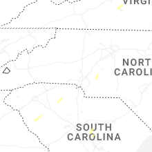


Connect with Interactive Hail Maps