

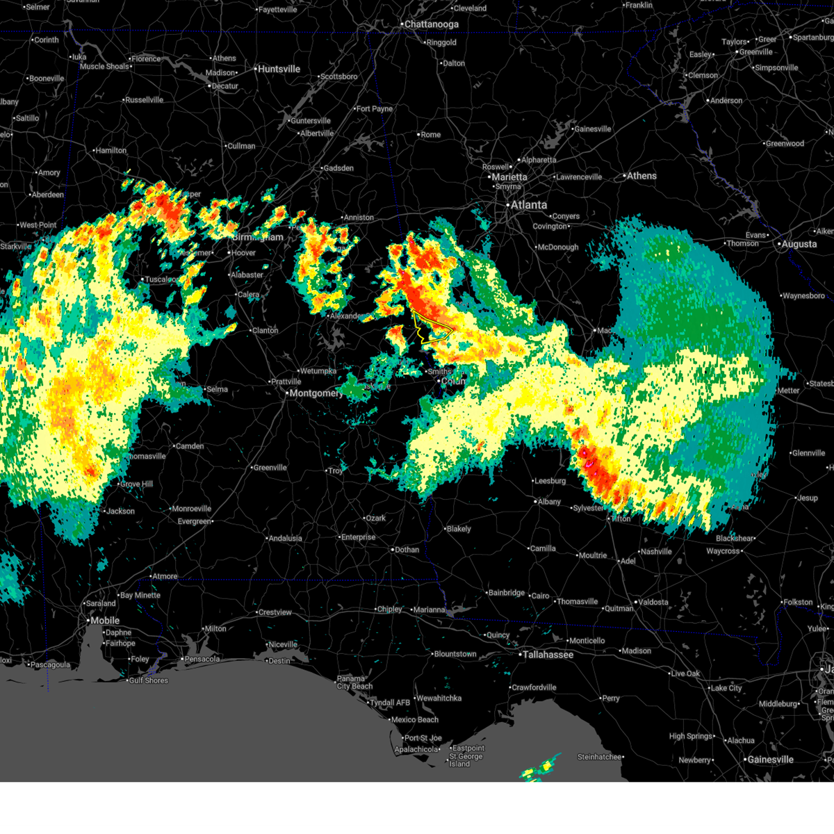
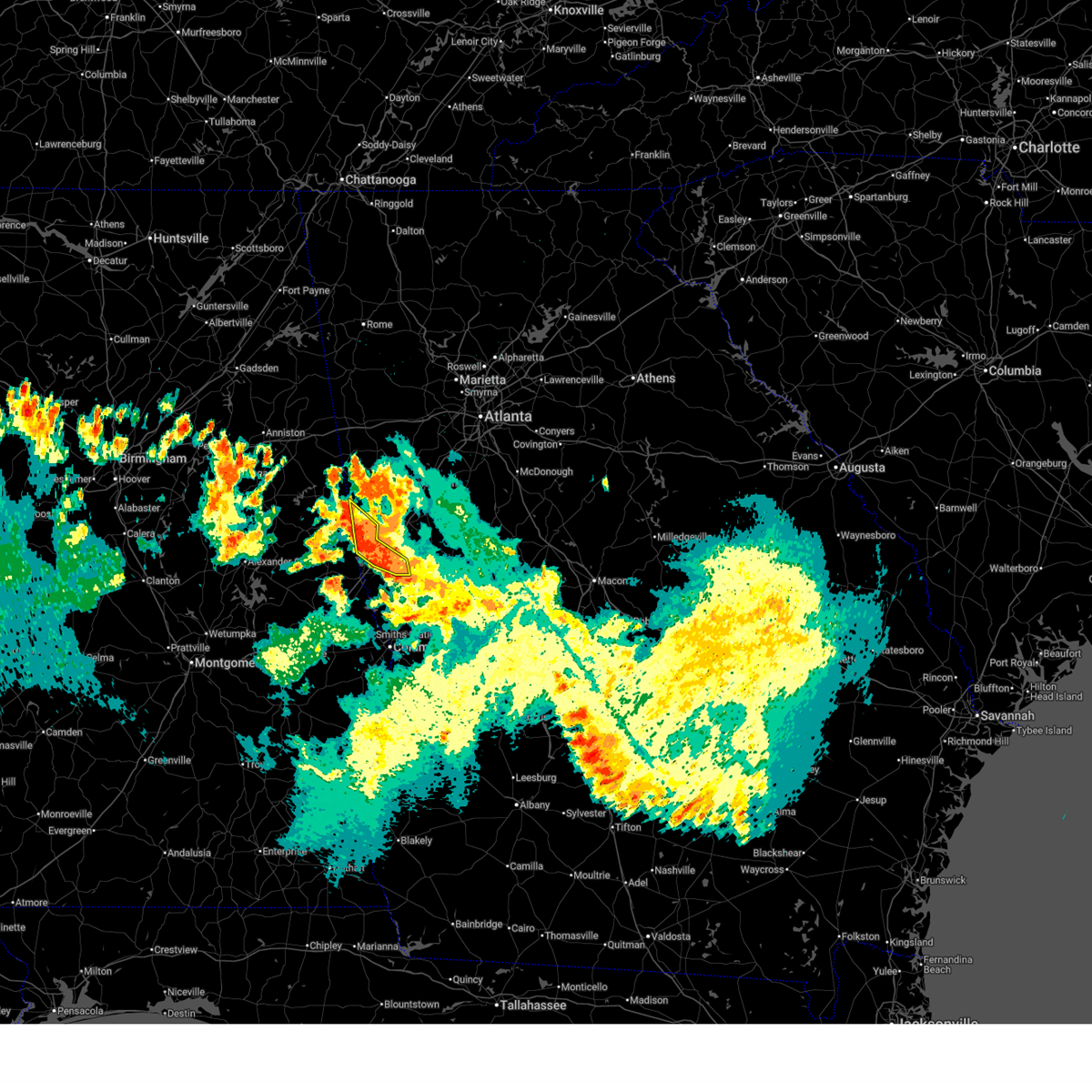
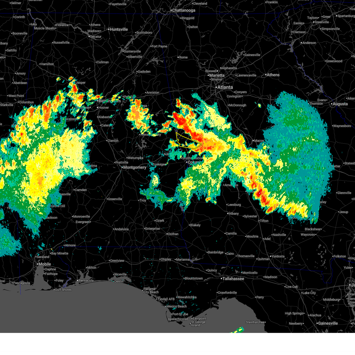
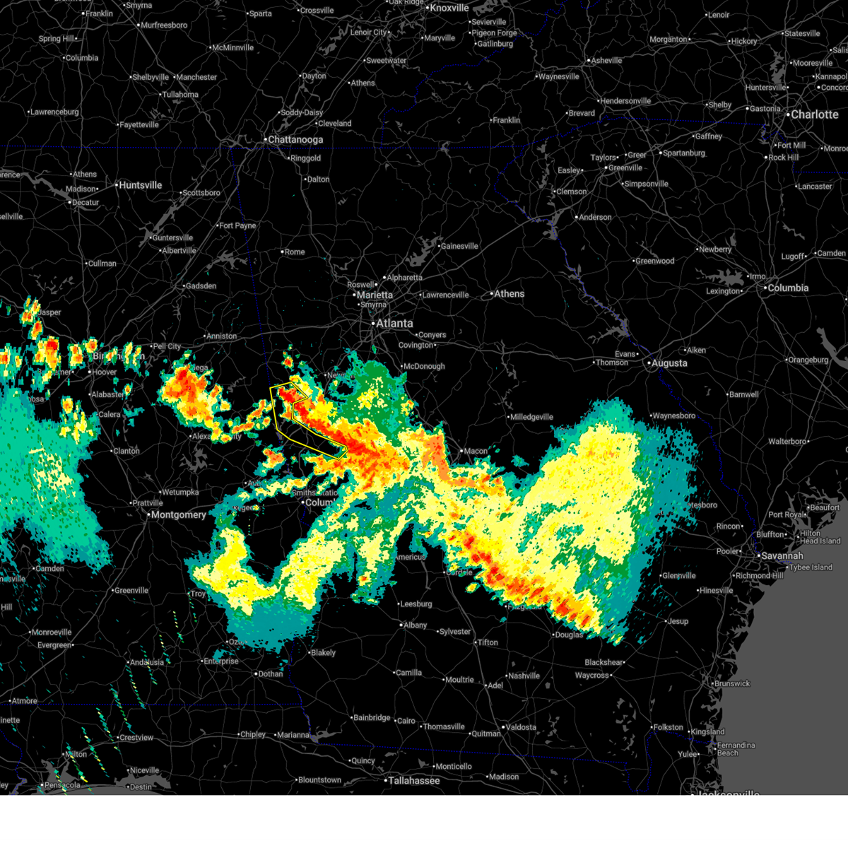
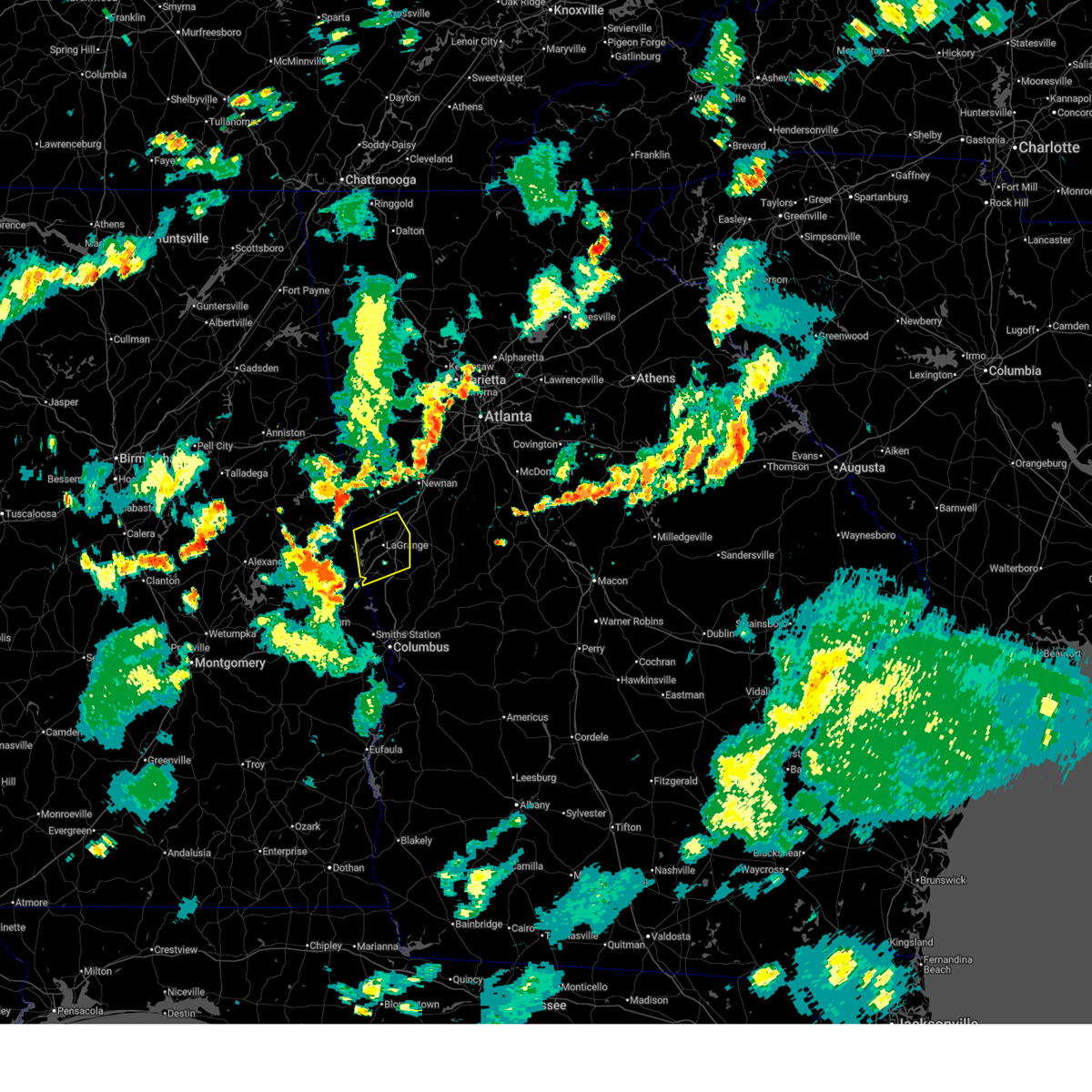
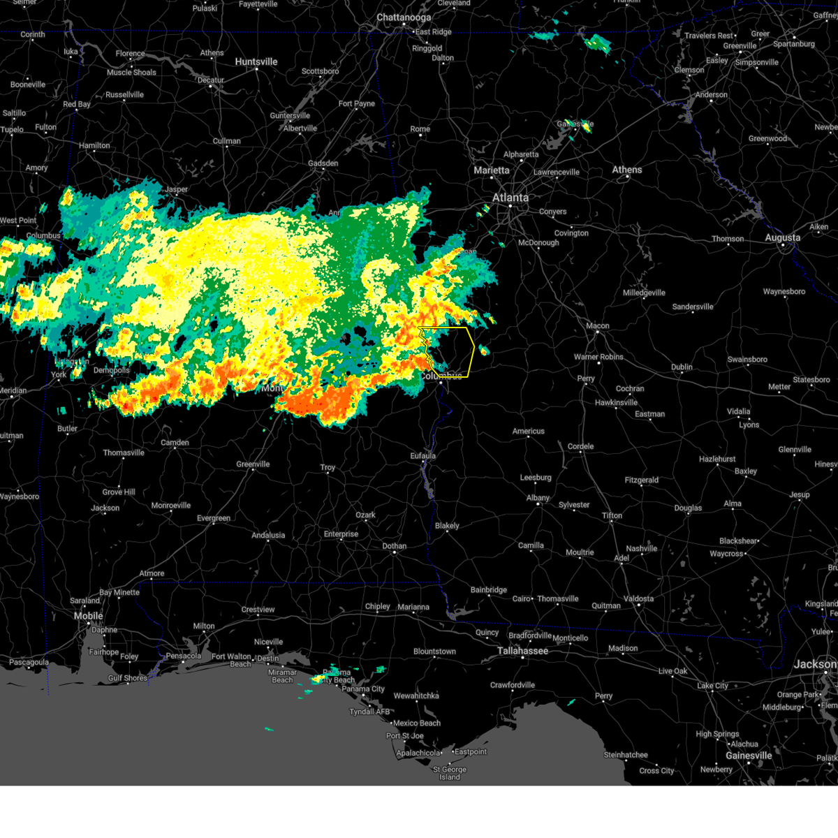
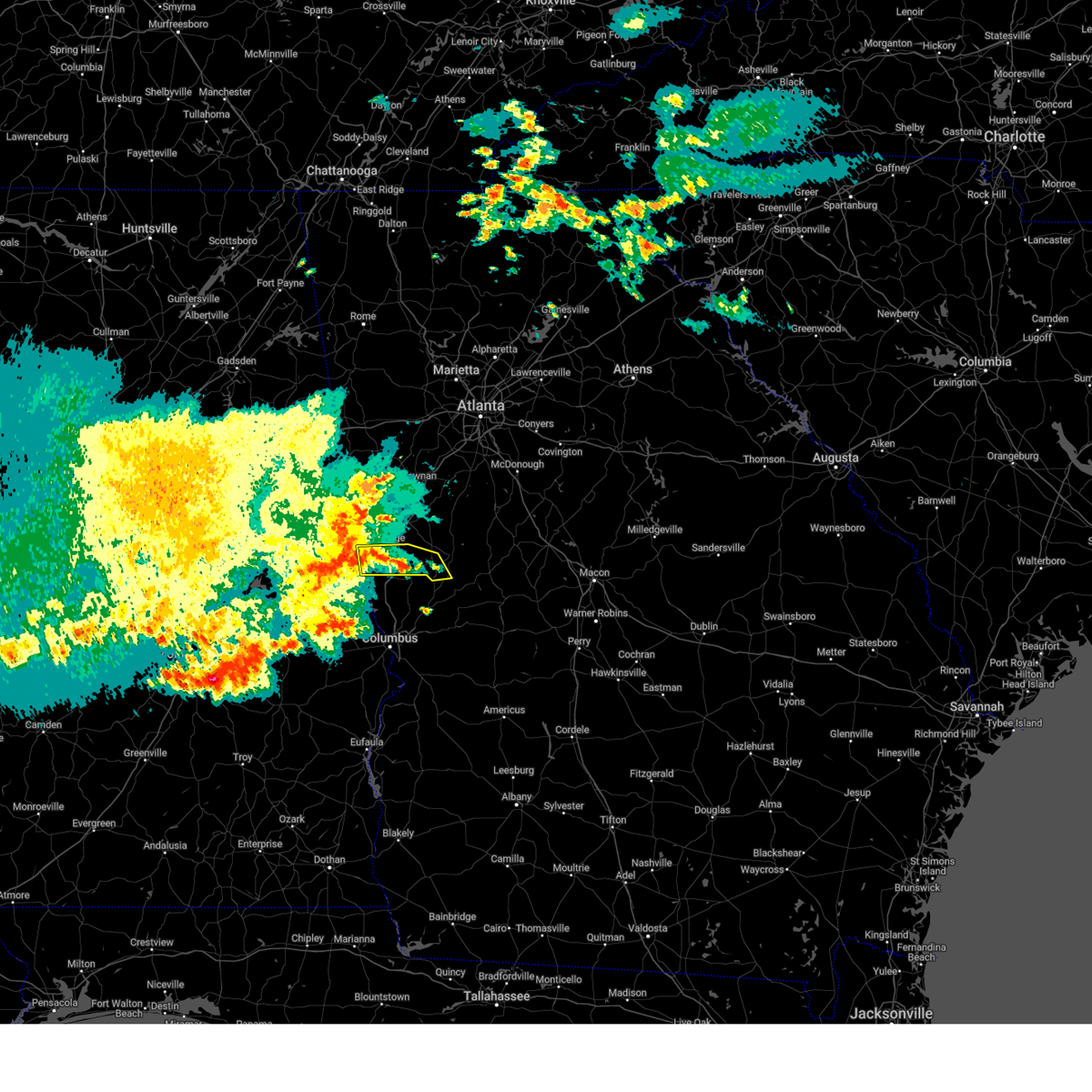
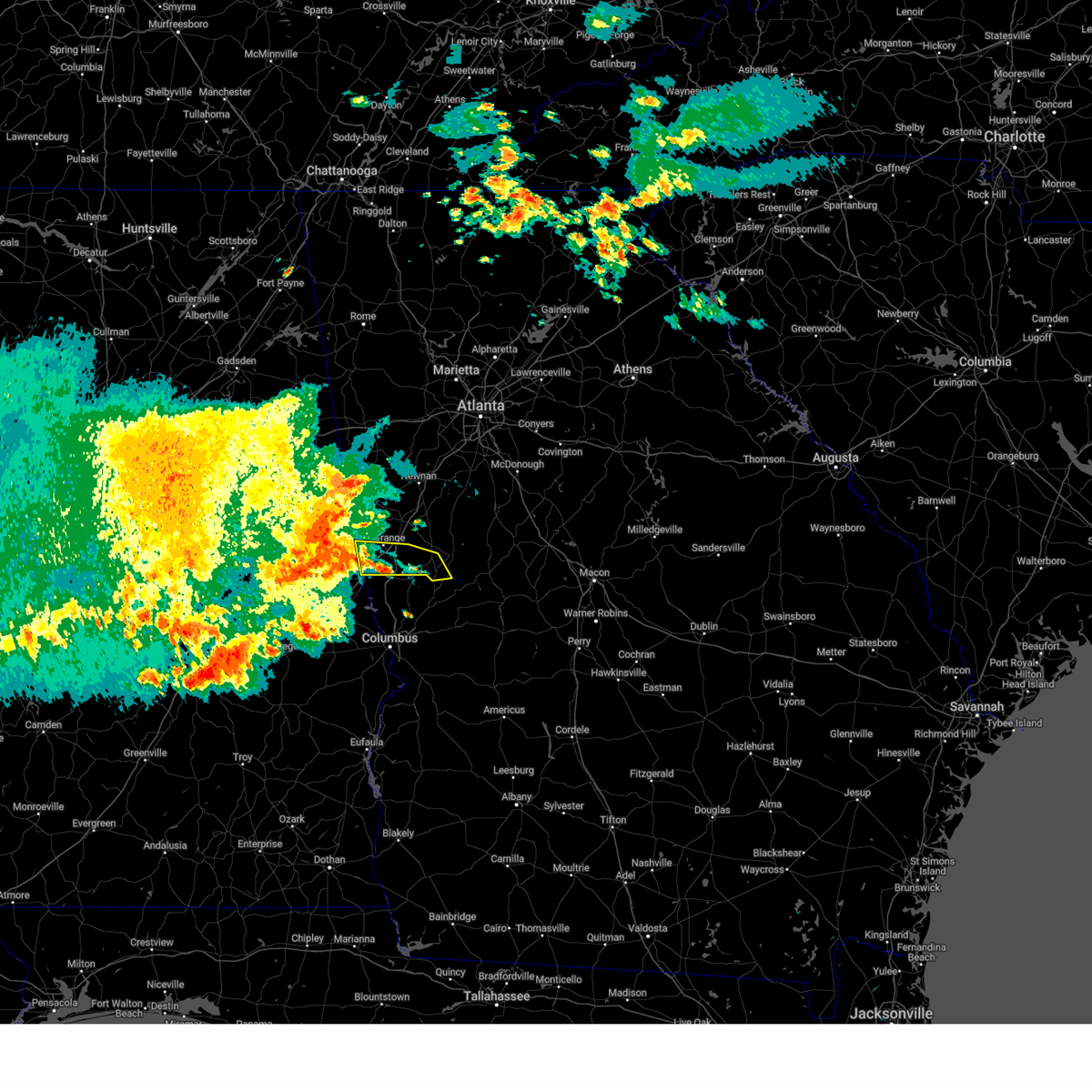
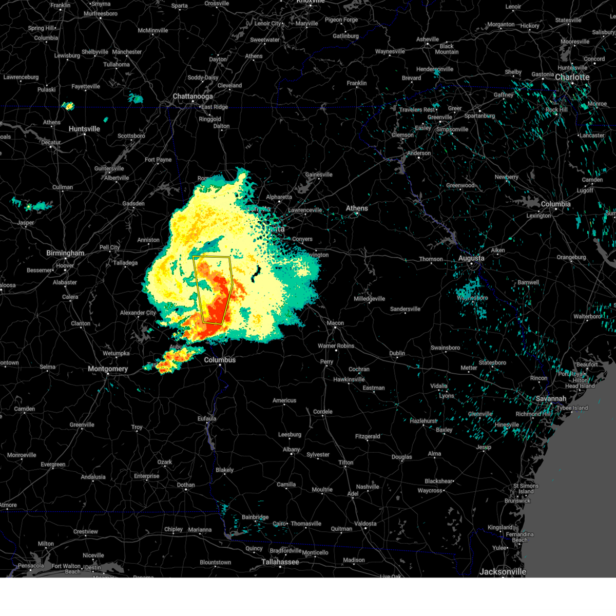
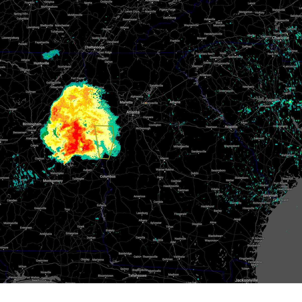
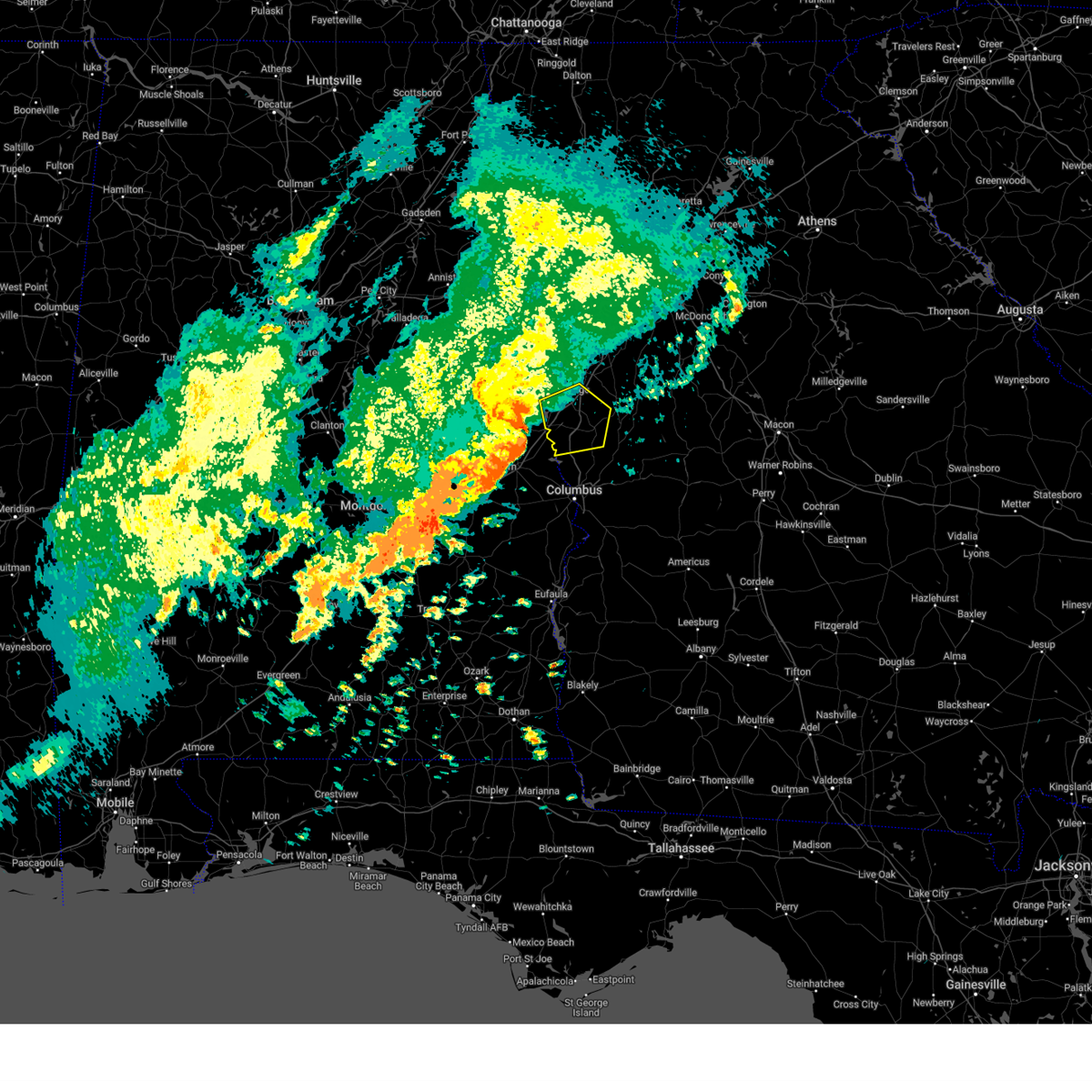
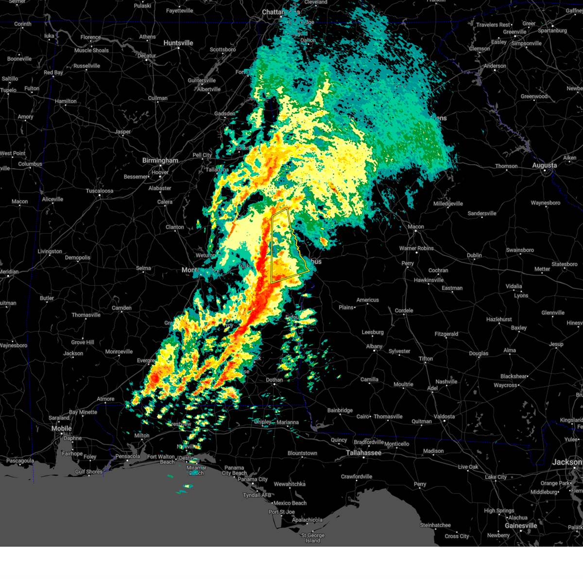
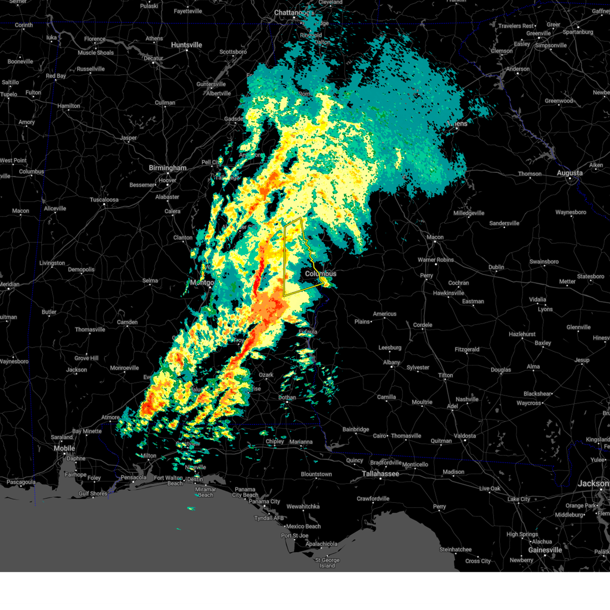
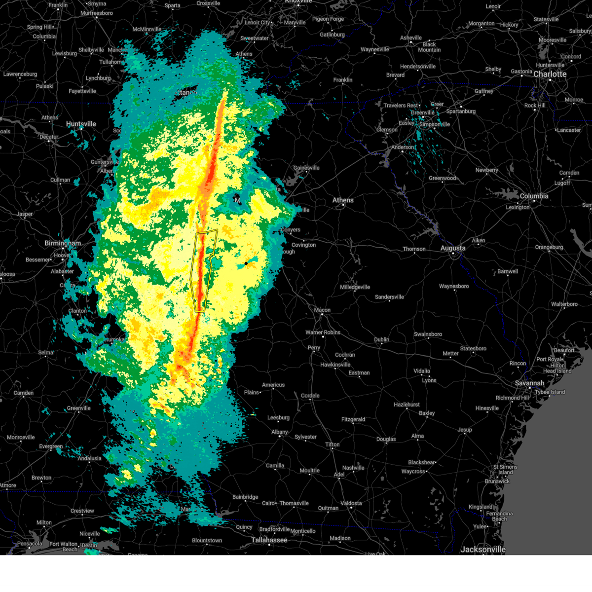
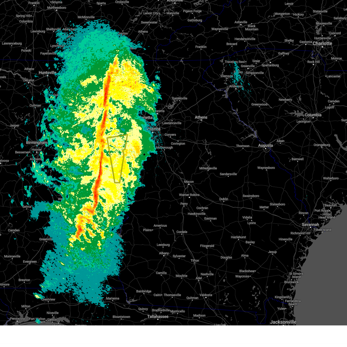
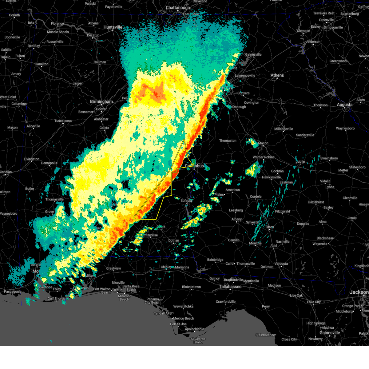
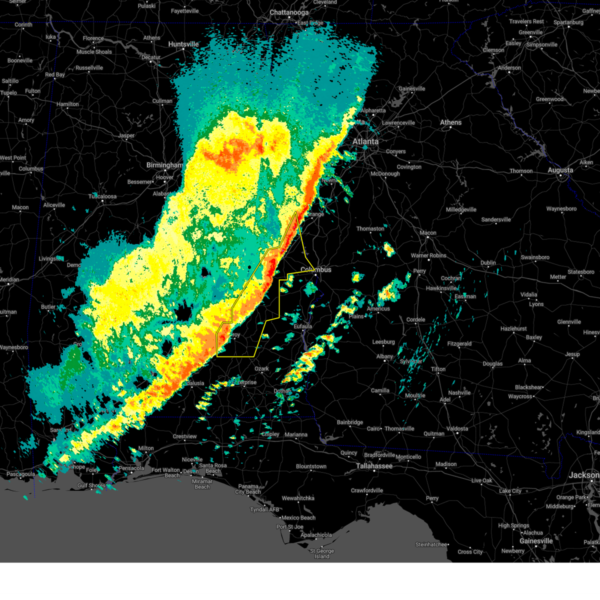
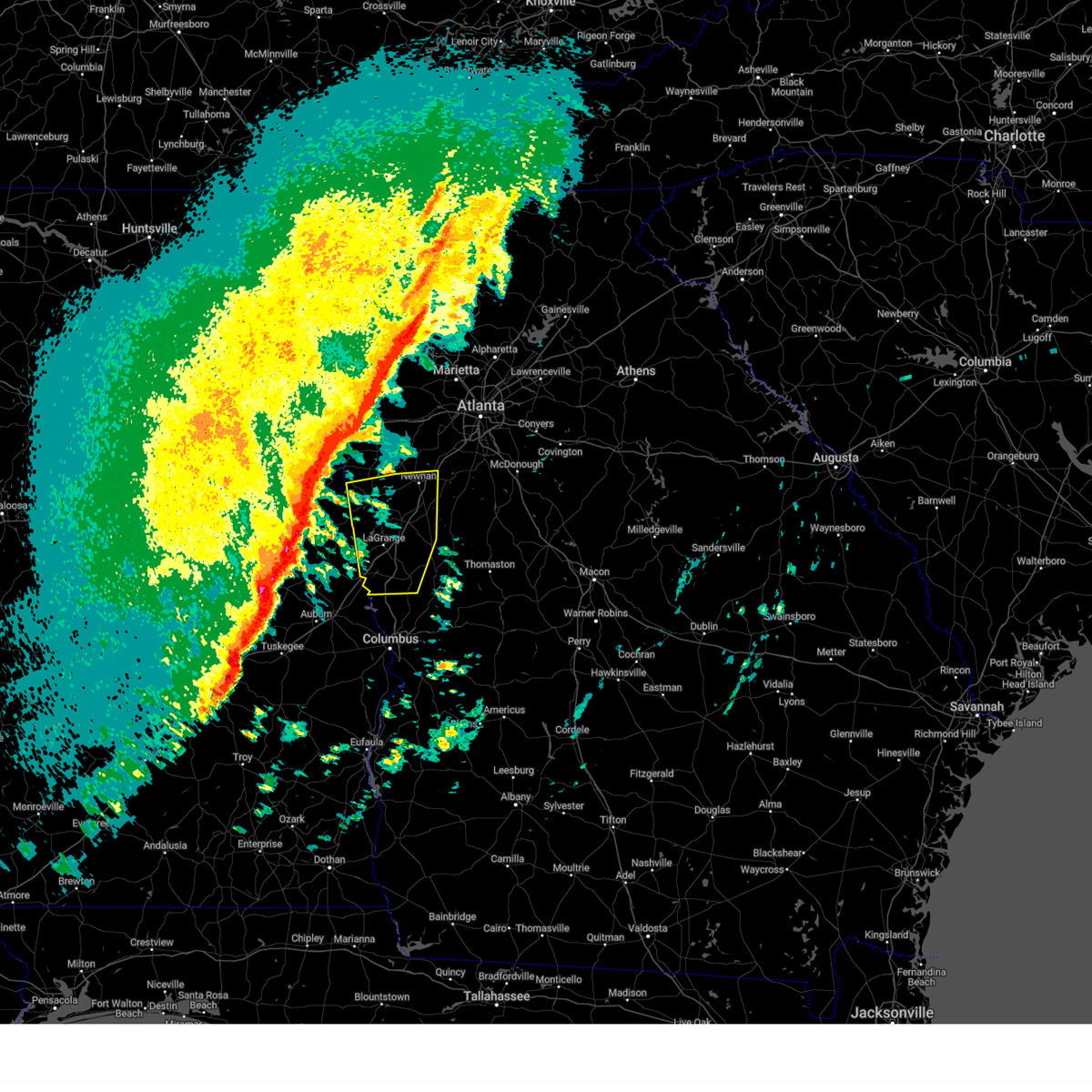
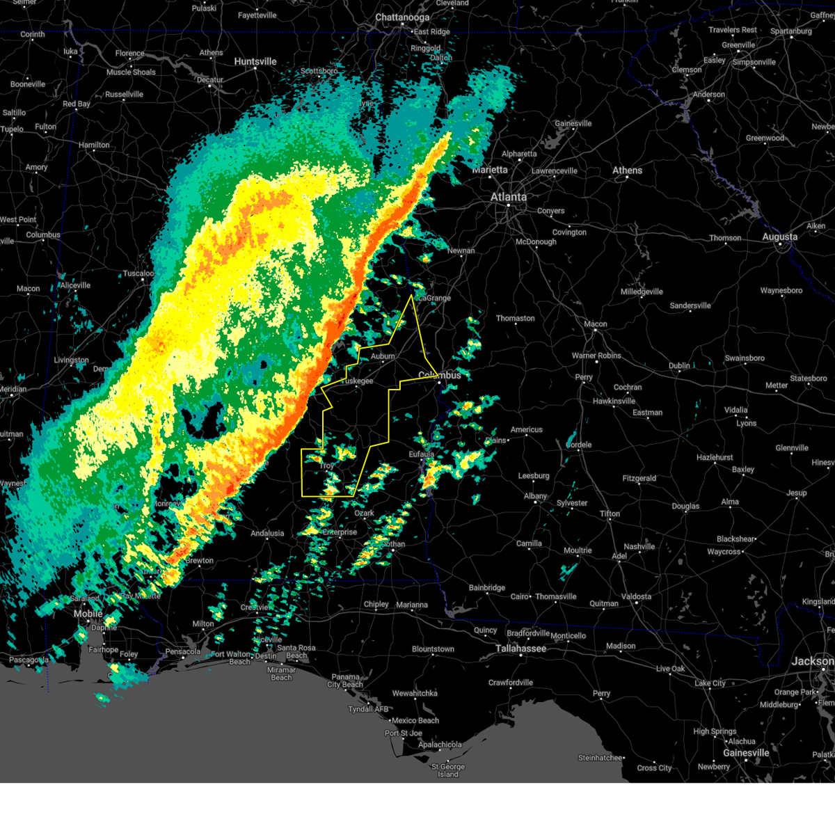
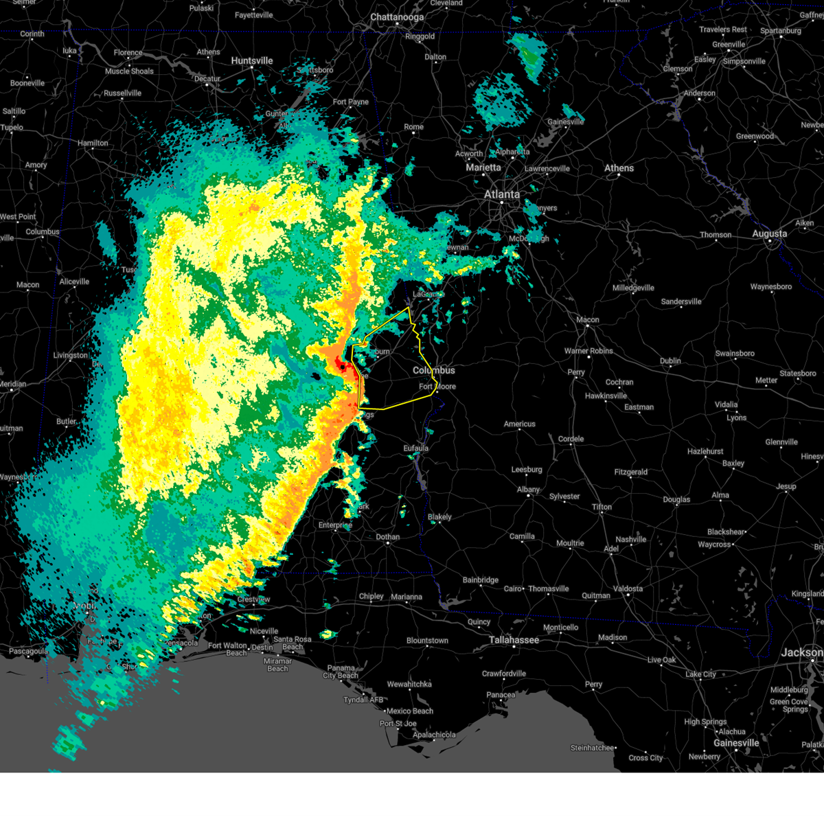
Hail Map for West Point, GA
The West Point, GA area has had 3 reports of on-the-ground hail by trained spotters, and has been under severe weather warnings 45 times during the past 12 months. Doppler radar has detected hail at or near West Point, GA on 65 occasions, including 3 occasions during the past year.
| Name: | West Point, GA |
| Where Located: | 28.1 miles NE of Auburn, AL |
| Map: | Google Map for West Point, GA |
| Population: | 3474 |
| Housing Units: | 1518 |
| More Info: | Search Google for West Point, GA |
1
The Top Recent Hail Date for West Point, GA is Sunday, August 18, 2024 (15th out of 65)

Hail and Wind Damage Spotted near West Point, GA
| Date / Time | Report Details |
|---|---|
| 6/26/2025 2:18 AM EDT |
 At 218 am edt, severe thunderstorms were located along a line extending from southern harbor to near waverly hall, moving south at 25 mph (radar indicated). Hazards include 60 mph wind gusts. Expect damage to roofs, siding, and trees. Locations impacted include, west point, river view, jones crossroads, whitesville-pine lake, and southern harbor. At 218 am edt, severe thunderstorms were located along a line extending from southern harbor to near waverly hall, moving south at 25 mph (radar indicated). Hazards include 60 mph wind gusts. Expect damage to roofs, siding, and trees. Locations impacted include, west point, river view, jones crossroads, whitesville-pine lake, and southern harbor.
|
| 6/26/2025 2:18 AM EDT |
 the severe thunderstorm warning has been cancelled and is no longer in effect the severe thunderstorm warning has been cancelled and is no longer in effect
|
| 6/26/2025 2:18 AM EDT |
 At 217 am edt, severe thunderstorms were located along a line extending from near five points to near hamilton, moving west at 30 mph (radar indicated). Hazards include 60 mph wind gusts. Expect damage to roofs, siding, and trees. Locations impacted include, lagrange, waresville, piedmont heights, cannonville, texas, glenn, baughs crossroads, state line park, abbottsford, smiths crossroad, long cane, and wares crossroads. At 217 am edt, severe thunderstorms were located along a line extending from near five points to near hamilton, moving west at 30 mph (radar indicated). Hazards include 60 mph wind gusts. Expect damage to roofs, siding, and trees. Locations impacted include, lagrange, waresville, piedmont heights, cannonville, texas, glenn, baughs crossroads, state line park, abbottsford, smiths crossroad, long cane, and wares crossroads.
|
| 6/26/2025 2:03 AM EDT |
 Svrffc the national weather service in peachtree city has issued a * severe thunderstorm warning for, southwestern troup county in west central georgia, northern harris county in west central georgia, * until 245 am edt. * at 203 am edt, severe thunderstorms were located along a line extending from near abbottsford to near shiloh, moving south at 25 mph (radar indicated). Hazards include 60 mph wind gusts. expect damage to roofs, siding, and trees Svrffc the national weather service in peachtree city has issued a * severe thunderstorm warning for, southwestern troup county in west central georgia, northern harris county in west central georgia, * until 245 am edt. * at 203 am edt, severe thunderstorms were located along a line extending from near abbottsford to near shiloh, moving south at 25 mph (radar indicated). Hazards include 60 mph wind gusts. expect damage to roofs, siding, and trees
|
| 6/26/2025 1:45 AM EDT |
 Svrffc the national weather service in peachtree city has issued a * severe thunderstorm warning for, southwestern meriwether county in west central georgia, southern heard county in west central georgia, central troup county in west central georgia, northwestern talbot county in west central georgia, northeastern harris county in west central georgia, * until 230 am edt. * at 145 am edt, severe thunderstorms were located along a line extending from near wares crossroads to manchester, moving west at 30 mph (radar indicated). Hazards include 60 mph wind gusts. expect damage to roofs, siding, and trees Svrffc the national weather service in peachtree city has issued a * severe thunderstorm warning for, southwestern meriwether county in west central georgia, southern heard county in west central georgia, central troup county in west central georgia, northwestern talbot county in west central georgia, northeastern harris county in west central georgia, * until 230 am edt. * at 145 am edt, severe thunderstorms were located along a line extending from near wares crossroads to manchester, moving west at 30 mph (radar indicated). Hazards include 60 mph wind gusts. expect damage to roofs, siding, and trees
|
| 6/14/2025 7:29 PM EDT |
 Svrffc the national weather service in peachtree city has issued a * severe thunderstorm warning for, troup county in west central georgia, northwestern harris county in west central georgia, * until 815 pm edt. * at 729 pm edt, a severe thunderstorm was located over amity park, or near lanett, moving northeast at 40 mph (radar indicated). Hazards include 60 mph wind gusts and dime size hail. expect damage to roofs, siding, and trees Svrffc the national weather service in peachtree city has issued a * severe thunderstorm warning for, troup county in west central georgia, northwestern harris county in west central georgia, * until 815 pm edt. * at 729 pm edt, a severe thunderstorm was located over amity park, or near lanett, moving northeast at 40 mph (radar indicated). Hazards include 60 mph wind gusts and dime size hail. expect damage to roofs, siding, and trees
|
| 6/8/2025 6:46 AM EDT |
 Svrffc the national weather service in peachtree city has issued a * severe thunderstorm warning for, northern muscogee county in west central georgia, harris county in west central georgia, * until 715 am edt. * at 646 am edt, severe thunderstorms were located along a line extending from near valley to monterey heights, moving east at 40 mph (radar indicated). Hazards include 60 mph wind gusts. expect damage to roofs, siding, and trees Svrffc the national weather service in peachtree city has issued a * severe thunderstorm warning for, northern muscogee county in west central georgia, harris county in west central georgia, * until 715 am edt. * at 646 am edt, severe thunderstorms were located along a line extending from near valley to monterey heights, moving east at 40 mph (radar indicated). Hazards include 60 mph wind gusts. expect damage to roofs, siding, and trees
|
| 6/8/2025 6:28 AM EDT |
 At 628 am edt, severe thunderstorms were located along a line extending from near pine mountain-callaway gardens to rocky point, moving east at 40 mph (radar indicated). Hazards include 60 mph wind gusts. Expect damage to roofs, siding, and trees. Locations impacted include, lagrange, manchester, west point, pine mountain, warm springs, raleigh, mountville, cannonville, odessadale, stovall, piedmont heights, big springs, durand, baughs crossroads, harris city, smiths crossroad, long cane, and jones crossroads. At 628 am edt, severe thunderstorms were located along a line extending from near pine mountain-callaway gardens to rocky point, moving east at 40 mph (radar indicated). Hazards include 60 mph wind gusts. Expect damage to roofs, siding, and trees. Locations impacted include, lagrange, manchester, west point, pine mountain, warm springs, raleigh, mountville, cannonville, odessadale, stovall, piedmont heights, big springs, durand, baughs crossroads, harris city, smiths crossroad, long cane, and jones crossroads.
|
| 6/8/2025 6:16 AM EDT |
 Svrffc the national weather service in peachtree city has issued a * severe thunderstorm warning for, southwestern meriwether county in west central georgia, southern troup county in west central georgia, * until 645 am edt. * at 616 am edt, severe thunderstorms were located along a line extending from baughs crossroads to near fredonia, moving east at 40 mph (radar indicated). Hazards include 60 mph wind gusts and penny size hail. expect damage to roofs, siding, and trees Svrffc the national weather service in peachtree city has issued a * severe thunderstorm warning for, southwestern meriwether county in west central georgia, southern troup county in west central georgia, * until 645 am edt. * at 616 am edt, severe thunderstorms were located along a line extending from baughs crossroads to near fredonia, moving east at 40 mph (radar indicated). Hazards include 60 mph wind gusts and penny size hail. expect damage to roofs, siding, and trees
|
| 5/18/2025 9:28 AM EDT |
 The storms which prompted the warning have moved out of the area. therefore, the warning will be allowed to expire. a severe thunderstorm watch remains in effect until 100 pm edt for northwestern and west central georgia. The storms which prompted the warning have moved out of the area. therefore, the warning will be allowed to expire. a severe thunderstorm watch remains in effect until 100 pm edt for northwestern and west central georgia.
|
| 5/18/2025 8:24 AM CDT |
 The storms which prompted the warning have moved out of the area. therefore, the warning will be allowed to expire. a severe thunderstorm watch remains in effect until noon cdt for east central alabama. The storms which prompted the warning have moved out of the area. therefore, the warning will be allowed to expire. a severe thunderstorm watch remains in effect until noon cdt for east central alabama.
|
| 5/18/2025 8:19 AM CDT |
 the severe thunderstorm warning has been cancelled and is no longer in effect the severe thunderstorm warning has been cancelled and is no longer in effect
|
| 5/18/2025 8:19 AM CDT |
 At 819 am cdt, severe thunderstorms were located along a line extending from near lakeview to huguley to oak bowery, moving east at 60 mph (radar indicated). Hazards include 60 mph wind gusts and penny size hail. Expect damage to roofs, siding, and trees. Locations impacted include, chambers county lake, southern harbor, fredonia, lakeview, veasey creek park, denson, lanett municipal airport, huguley, fairfax, i 85 welcome center at lanett, river view, cusseta, amity park, valley, lanett, oak bowery, stroud creek, and rocky point. At 819 am cdt, severe thunderstorms were located along a line extending from near lakeview to huguley to oak bowery, moving east at 60 mph (radar indicated). Hazards include 60 mph wind gusts and penny size hail. Expect damage to roofs, siding, and trees. Locations impacted include, chambers county lake, southern harbor, fredonia, lakeview, veasey creek park, denson, lanett municipal airport, huguley, fairfax, i 85 welcome center at lanett, river view, cusseta, amity park, valley, lanett, oak bowery, stroud creek, and rocky point.
|
| 5/18/2025 8:07 AM CDT |
 At 807 am cdt, severe thunderstorms were located along a line extending from fredonia to near lafayette to near waverly, moving east at 60 mph (radar indicated). Hazards include 60 mph wind gusts and quarter size hail. Hail damage to vehicles is expected. expect wind damage to roofs, siding, and trees. Locations impacted include, southern harbor, post oak forks, camp hill, denson, i 85 welcome center at lanett, river view, cusseta, amity park, sturkie, ridge grove, buffalo, chambers county lake, fredonia, lakeview, la fayette, veasey creek park, white plains, lanett municipal airport, huguley, and fairfax. At 807 am cdt, severe thunderstorms were located along a line extending from fredonia to near lafayette to near waverly, moving east at 60 mph (radar indicated). Hazards include 60 mph wind gusts and quarter size hail. Hail damage to vehicles is expected. expect wind damage to roofs, siding, and trees. Locations impacted include, southern harbor, post oak forks, camp hill, denson, i 85 welcome center at lanett, river view, cusseta, amity park, sturkie, ridge grove, buffalo, chambers county lake, fredonia, lakeview, la fayette, veasey creek park, white plains, lanett municipal airport, huguley, and fairfax.
|
| 5/18/2025 9:03 AM EDT |
 Svrffc the national weather service in peachtree city has issued a * severe thunderstorm warning for, western spalding county in west central georgia, fayette county in north central georgia, meriwether county in west central georgia, pike county in west central georgia, southeastern carroll county in northwestern georgia, northwestern upson county in west central georgia, eastern troup county in west central georgia, coweta county in west central georgia, southwestern clayton county in north central georgia, northwestern talbot county in west central georgia, harris county in west central georgia, * until 945 am edt. * at 903 am edt, severe thunderstorms were located along a line extending from graham to paran to near ridge grove, moving east at 65 mph (radar indicated). Hazards include 60 mph wind gusts and quarter size hail. Hail damage to vehicles is expected. Expect wind damage to roofs, siding, and trees. Svrffc the national weather service in peachtree city has issued a * severe thunderstorm warning for, western spalding county in west central georgia, fayette county in north central georgia, meriwether county in west central georgia, pike county in west central georgia, southeastern carroll county in northwestern georgia, northwestern upson county in west central georgia, eastern troup county in west central georgia, coweta county in west central georgia, southwestern clayton county in north central georgia, northwestern talbot county in west central georgia, harris county in west central georgia, * until 945 am edt. * at 903 am edt, severe thunderstorms were located along a line extending from graham to paran to near ridge grove, moving east at 65 mph (radar indicated). Hazards include 60 mph wind gusts and quarter size hail. Hail damage to vehicles is expected. Expect wind damage to roofs, siding, and trees.
|
| 5/18/2025 7:39 AM CDT |
 Svrbmx the national weather service in birmingham has issued a * severe thunderstorm warning for, northern tallapoosa county in east central alabama, chambers county in east central alabama, * until 830 am cdt. * at 739 am cdt, severe thunderstorms were located along a line extending from near goldville to new site to near alexander city, moving east at 60 mph (radar indicated). Hazards include 60 mph wind gusts and quarter size hail. Hail damage to vehicles is expected. Expect wind damage to roofs, siding, and trees. Svrbmx the national weather service in birmingham has issued a * severe thunderstorm warning for, northern tallapoosa county in east central alabama, chambers county in east central alabama, * until 830 am cdt. * at 739 am cdt, severe thunderstorms were located along a line extending from near goldville to new site to near alexander city, moving east at 60 mph (radar indicated). Hazards include 60 mph wind gusts and quarter size hail. Hail damage to vehicles is expected. Expect wind damage to roofs, siding, and trees.
|
| 5/18/2025 8:38 AM EDT |
 Svrffc the national weather service in peachtree city has issued a * severe thunderstorm warning for, southern carroll county in northwestern georgia, heard county in west central georgia, troup county in west central georgia, western coweta county in west central georgia, * until 930 am edt. * at 837 am edt, severe thunderstorms were located along a line extending from near camp sequoyah to cragford to near northern lake martin, moving east at 65 mph (radar indicated). Hazards include 60 mph wind gusts and quarter size hail. Hail damage to vehicles is expected. Expect wind damage to roofs, siding, and trees. Svrffc the national weather service in peachtree city has issued a * severe thunderstorm warning for, southern carroll county in northwestern georgia, heard county in west central georgia, troup county in west central georgia, western coweta county in west central georgia, * until 930 am edt. * at 837 am edt, severe thunderstorms were located along a line extending from near camp sequoyah to cragford to near northern lake martin, moving east at 65 mph (radar indicated). Hazards include 60 mph wind gusts and quarter size hail. Hail damage to vehicles is expected. Expect wind damage to roofs, siding, and trees.
|
| 4/10/2025 11:03 PM EDT |
 the severe thunderstorm warning has been cancelled and is no longer in effect the severe thunderstorm warning has been cancelled and is no longer in effect
|
| 4/10/2025 10:32 PM EDT |
 Svrffc the national weather service in peachtree city has issued a * severe thunderstorm warning for, southwestern troup county in west central georgia, northwestern harris county in west central georgia, * until 1115 pm edt. * at 1031 pm edt, a severe thunderstorm was located over fredonia, or near stroud, moving southeast at 30 mph (radar indicated). Hazards include 60 mph wind gusts and quarter size hail. Hail damage to vehicles is expected. Expect wind damage to roofs, siding, and trees. Svrffc the national weather service in peachtree city has issued a * severe thunderstorm warning for, southwestern troup county in west central georgia, northwestern harris county in west central georgia, * until 1115 pm edt. * at 1031 pm edt, a severe thunderstorm was located over fredonia, or near stroud, moving southeast at 30 mph (radar indicated). Hazards include 60 mph wind gusts and quarter size hail. Hail damage to vehicles is expected. Expect wind damage to roofs, siding, and trees.
|
| 4/6/2025 2:57 PM EDT |
 The storms which prompted the warning have weakened below severe limits, and no longer pose an immediate threat to life or property. therefore, the warning will be allowed to expire. however, gusty winds and heavy rain are still possible with these thunderstorms. a tornado watch remains in effect until 700 pm edt for west central georgia. The storms which prompted the warning have weakened below severe limits, and no longer pose an immediate threat to life or property. therefore, the warning will be allowed to expire. however, gusty winds and heavy rain are still possible with these thunderstorms. a tornado watch remains in effect until 700 pm edt for west central georgia.
|
| 4/6/2025 2:17 PM EDT |
 Svrffc the national weather service in peachtree city has issued a * severe thunderstorm warning for, southwestern meriwether county in west central georgia, troup county in west central georgia, northern harris county in west central georgia, * until 300 pm edt. * at 216 pm edt, severe thunderstorms were located along a line extending from near denson to mount jefferson, moving east at 35 mph (radar indicated). Hazards include 60 mph wind gusts. expect damage to roofs, siding, and trees Svrffc the national weather service in peachtree city has issued a * severe thunderstorm warning for, southwestern meriwether county in west central georgia, troup county in west central georgia, northern harris county in west central georgia, * until 300 pm edt. * at 216 pm edt, severe thunderstorms were located along a line extending from near denson to mount jefferson, moving east at 35 mph (radar indicated). Hazards include 60 mph wind gusts. expect damage to roofs, siding, and trees
|
| 3/16/2025 12:22 AM CDT |
 At 1222 am cdt, severe thunderstorms were located along a line extending from lanett to near beulah to near russell county sports complex, moving east at 55 mph (radar indicated). Hazards include 70 mph wind gusts. Expect considerable tree damage. damage is likely to mobile homes, roofs, and outbuildings. Locations impacted include, goat rock lake, smiths, beulah, lakeview, smiths station, lanett municipal airport, huguley, fairfax, i 85 welcome center at lanett, river view, ladonia, monterey heights, valley, lanett, bleecker, ladonia sports complex, phenix drag strip, phenix city, parkmanville, and southern harbor. At 1222 am cdt, severe thunderstorms were located along a line extending from lanett to near beulah to near russell county sports complex, moving east at 55 mph (radar indicated). Hazards include 70 mph wind gusts. Expect considerable tree damage. damage is likely to mobile homes, roofs, and outbuildings. Locations impacted include, goat rock lake, smiths, beulah, lakeview, smiths station, lanett municipal airport, huguley, fairfax, i 85 welcome center at lanett, river view, ladonia, monterey heights, valley, lanett, bleecker, ladonia sports complex, phenix drag strip, phenix city, parkmanville, and southern harbor.
|
| 3/16/2025 12:13 AM CDT |
 At 1213 am cdt, severe thunderstorms were located along a line extending from veasey creek park to beulah to 6 miles northwest of seale, moving east at 55 mph (radar indicated). Hazards include 70 mph wind gusts. Expect considerable tree damage. damage is likely to mobile homes, roofs, and outbuildings. Locations impacted include, goat rock lake, beulah, uchee, denson, beans mill, i 85 welcome center at lanett, river view, cusseta, amity park, bleecker, phenix city, smiths, fredonia, lakeview, veasey creek park, smiths station, lanett municipal airport, huguley, fairfax, and ladonia. At 1213 am cdt, severe thunderstorms were located along a line extending from veasey creek park to beulah to 6 miles northwest of seale, moving east at 55 mph (radar indicated). Hazards include 70 mph wind gusts. Expect considerable tree damage. damage is likely to mobile homes, roofs, and outbuildings. Locations impacted include, goat rock lake, beulah, uchee, denson, beans mill, i 85 welcome center at lanett, river view, cusseta, amity park, bleecker, phenix city, smiths, fredonia, lakeview, veasey creek park, smiths station, lanett municipal airport, huguley, fairfax, and ladonia.
|
| 3/16/2025 1:09 AM EDT |
 Svrffc the national weather service in peachtree city has issued a * severe thunderstorm warning for, northwestern marion county in west central georgia, meriwether county in west central georgia, muscogee county in west central georgia, chattahoochee county in west central georgia, troup county in west central georgia, western talbot county in west central georgia, harris county in west central georgia, * until 200 am edt. * at 109 am edt, severe thunderstorms were located along a line extending from southern harbor to near griffen mill, moving northeast at 60 mph (radar indicated). Hazards include 60 mph wind gusts. expect damage to roofs, siding, and trees Svrffc the national weather service in peachtree city has issued a * severe thunderstorm warning for, northwestern marion county in west central georgia, meriwether county in west central georgia, muscogee county in west central georgia, chattahoochee county in west central georgia, troup county in west central georgia, western talbot county in west central georgia, harris county in west central georgia, * until 200 am edt. * at 109 am edt, severe thunderstorms were located along a line extending from southern harbor to near griffen mill, moving northeast at 60 mph (radar indicated). Hazards include 60 mph wind gusts. expect damage to roofs, siding, and trees
|
| 3/16/2025 12:03 AM CDT |
 At 1203 am cdt, severe thunderstorms were located along a line extending from near chambers county lake to near beans mill to near uchee, moving east at 55 mph (radar indicated). Hazards include 70 mph wind gusts. Expect considerable tree damage. damage is likely to mobile homes, roofs, and outbuildings. Locations impacted include, goat rock lake, beulah, uchee, denson, beans mill, i 85 welcome center at lanett, river view, cusseta, amity park, beauregard, bleecker, phenix city, buffalo, chambers county lake, smiths, fredonia, lakeview, la fayette, veasey creek park, and smiths station. At 1203 am cdt, severe thunderstorms were located along a line extending from near chambers county lake to near beans mill to near uchee, moving east at 55 mph (radar indicated). Hazards include 70 mph wind gusts. Expect considerable tree damage. damage is likely to mobile homes, roofs, and outbuildings. Locations impacted include, goat rock lake, beulah, uchee, denson, beans mill, i 85 welcome center at lanett, river view, cusseta, amity park, beauregard, bleecker, phenix city, buffalo, chambers county lake, smiths, fredonia, lakeview, la fayette, veasey creek park, and smiths station.
|
| 3/15/2025 11:53 PM CDT |
 At 1153 pm cdt, severe thunderstorms were located along a line extending from near buffalo to near auburn university to near guerryton, moving east at 55 mph (radar indicated). Hazards include 60 mph wind gusts. Expect damage to roofs, siding, and trees. Locations impacted include, goat rock lake, beulah, post oak forks, uchee, denson, beans mill, i 85 welcome center at lanett, river view, cusseta, amity park, beauregard, bleecker, phenix city, buffalo, chambers county lake, smiths, fredonia, lakeview, la fayette, and veasey creek park. At 1153 pm cdt, severe thunderstorms were located along a line extending from near buffalo to near auburn university to near guerryton, moving east at 55 mph (radar indicated). Hazards include 60 mph wind gusts. Expect damage to roofs, siding, and trees. Locations impacted include, goat rock lake, beulah, post oak forks, uchee, denson, beans mill, i 85 welcome center at lanett, river view, cusseta, amity park, beauregard, bleecker, phenix city, buffalo, chambers county lake, smiths, fredonia, lakeview, la fayette, and veasey creek park.
|
| 3/15/2025 11:42 PM CDT |
 Svrbmx the national weather service in birmingham has issued a * severe thunderstorm warning for, lee county in east central alabama, central chambers county in east central alabama, northern russell county in southeastern alabama, * until 1245 am cdt. * at 1142 pm cdt, severe thunderstorms were located along a line extending from ridge grove to near notasulga to near davisville, moving east at 55 mph (radar indicated). Hazards include 60 mph wind gusts. expect damage to roofs, siding, and trees Svrbmx the national weather service in birmingham has issued a * severe thunderstorm warning for, lee county in east central alabama, central chambers county in east central alabama, northern russell county in southeastern alabama, * until 1245 am cdt. * at 1142 pm cdt, severe thunderstorms were located along a line extending from ridge grove to near notasulga to near davisville, moving east at 55 mph (radar indicated). Hazards include 60 mph wind gusts. expect damage to roofs, siding, and trees
|
| 3/5/2025 1:31 AM EST |
 The storms which prompted the warning have moved out of the area. therefore, the warning has been allowed to expire. a severe thunderstorm watch remains in effect until 400 am est for north central, northwestern and west central georgia. The storms which prompted the warning have moved out of the area. therefore, the warning has been allowed to expire. a severe thunderstorm watch remains in effect until 400 am est for north central, northwestern and west central georgia.
|
| 3/5/2025 1:30 AM EST |
 The storms which prompted the warning have moved out of the area. therefore, the warning has been allowed to expire. a severe thunderstorm watch remains in effect until 400 am est for west central georgia. remember, a severe thunderstorm warning still remains in effect for eastern muscogee and harris counties. The storms which prompted the warning have moved out of the area. therefore, the warning has been allowed to expire. a severe thunderstorm watch remains in effect until 400 am est for west central georgia. remember, a severe thunderstorm warning still remains in effect for eastern muscogee and harris counties.
|
| 3/5/2025 1:01 AM EST |
 The storms which prompted the warning have moved out of the area. therefore, the warning has been allowed to expire. a severe thunderstorm watch remains in effect until 400 am est for northwestern and west central georgia. remember, a severe thunderstorm warning still remains in effect for eastern carroll, heard, and troup counties. The storms which prompted the warning have moved out of the area. therefore, the warning has been allowed to expire. a severe thunderstorm watch remains in effect until 400 am est for northwestern and west central georgia. remember, a severe thunderstorm warning still remains in effect for eastern carroll, heard, and troup counties.
|
| 3/5/2025 12:52 AM EST |
 At 1251 am est, severe thunderstorms were located along a line extending from fish creek to near carrollton to glenn, moving east at 45 mph (radar indicated). Hazards include 60 mph wind gusts. Expect damage to roofs, siding, and trees. Locations impacted include, lagrange, carrollton, franklin, villa rica, west point, mount zion, centralhatchee, roopville, cannonville, clem, abilene, piedmont heights, john tanner state park, hillcrest, wares crossroads, glenn, bowdon junction, tyus, state line park, and abbottsford. At 1251 am est, severe thunderstorms were located along a line extending from fish creek to near carrollton to glenn, moving east at 45 mph (radar indicated). Hazards include 60 mph wind gusts. Expect damage to roofs, siding, and trees. Locations impacted include, lagrange, carrollton, franklin, villa rica, west point, mount zion, centralhatchee, roopville, cannonville, clem, abilene, piedmont heights, john tanner state park, hillcrest, wares crossroads, glenn, bowdon junction, tyus, state line park, and abbottsford.
|
| 3/5/2025 12:48 AM EST |
 Svrffc the national weather service in peachtree city has issued a * severe thunderstorm warning for, western meriwether county in west central georgia, southeastern carroll county in northwestern georgia, douglas county in north central georgia, eastern heard county in west central georgia, troup county in west central georgia, coweta county in west central georgia, southwestern fulton county in north central georgia, * until 130 am est. * at 1248 am est, severe thunderstorms were located along a line extending from bowdon junction to near fairfax, moving northeast at 60 mph (radar indicated). Hazards include 60 mph wind gusts. expect damage to roofs, siding, and trees Svrffc the national weather service in peachtree city has issued a * severe thunderstorm warning for, western meriwether county in west central georgia, southeastern carroll county in northwestern georgia, douglas county in north central georgia, eastern heard county in west central georgia, troup county in west central georgia, coweta county in west central georgia, southwestern fulton county in north central georgia, * until 130 am est. * at 1248 am est, severe thunderstorms were located along a line extending from bowdon junction to near fairfax, moving northeast at 60 mph (radar indicated). Hazards include 60 mph wind gusts. expect damage to roofs, siding, and trees
|
| 3/5/2025 12:43 AM EST |
 Svrffc the national weather service in peachtree city has issued a * severe thunderstorm warning for, western muscogee county in west central georgia, harris county in west central georgia, * until 130 am est. * at 1242 am est, severe thunderstorms were located along a line extending from veasey creek park to near beans mill to hurtsboro, moving northeast at 55 mph (radar indicated). Hazards include 60 mph wind gusts. expect damage to roofs, siding, and trees Svrffc the national weather service in peachtree city has issued a * severe thunderstorm warning for, western muscogee county in west central georgia, harris county in west central georgia, * until 130 am est. * at 1242 am est, severe thunderstorms were located along a line extending from veasey creek park to near beans mill to hurtsboro, moving northeast at 55 mph (radar indicated). Hazards include 60 mph wind gusts. expect damage to roofs, siding, and trees
|
| 3/5/2025 12:14 AM EST |
 Svrffc the national weather service in peachtree city has issued a * severe thunderstorm warning for, carroll county in northwestern georgia, heard county in west central georgia, western troup county in west central georgia, * until 100 am est. * at 1213 am est, severe thunderstorms were located along a line extending from near abernathy to tennant to near west chambers, moving northeast at 45 mph (radar indicated). Hazards include 60 mph wind gusts. expect damage to roofs, siding, and trees Svrffc the national weather service in peachtree city has issued a * severe thunderstorm warning for, carroll county in northwestern georgia, heard county in west central georgia, western troup county in west central georgia, * until 100 am est. * at 1213 am est, severe thunderstorms were located along a line extending from near abernathy to tennant to near west chambers, moving northeast at 45 mph (radar indicated). Hazards include 60 mph wind gusts. expect damage to roofs, siding, and trees
|
| 2/16/2025 3:26 AM CST |
 At 326 am cst, severe thunderstorms were located along a line extending from near west point to near uchee to 8 miles southeast of goshen, moving east at 60 mph (radar indicated). Hazards include 70 mph wind gusts. Expect considerable tree damage. damage is likely to mobile homes, roofs, and outbuildings. Locations impacted include, opelika, troy, valley, lanett, union springs, brundidge, midway, goshen, smiths, smiths station, west point, banks, lakeview, pickett, beulah, aberfoil, beans mill, beans crossroads, guerryton, and linwood. At 326 am cst, severe thunderstorms were located along a line extending from near west point to near uchee to 8 miles southeast of goshen, moving east at 60 mph (radar indicated). Hazards include 70 mph wind gusts. Expect considerable tree damage. damage is likely to mobile homes, roofs, and outbuildings. Locations impacted include, opelika, troy, valley, lanett, union springs, brundidge, midway, goshen, smiths, smiths station, west point, banks, lakeview, pickett, beulah, aberfoil, beans mill, beans crossroads, guerryton, and linwood.
|
| 2/16/2025 3:10 AM CST |
 At 309 am cst, severe thunderstorms were located along a line extending from fredonia to 6 miles north of troy municipal airport, moving east at 65 mph (radar indicated). Hazards include 70 mph wind gusts. Expect considerable tree damage. damage is likely to mobile homes, roofs, and outbuildings. Locations impacted include, auburn, opelika, troy, tuskegee, valley, lanett, union springs, brundidge, notasulga, midway, goshen, smiths, smiths station, west point, glenwood, banks, lakeview, cusseta, pickett, and beulah. At 309 am cst, severe thunderstorms were located along a line extending from fredonia to 6 miles north of troy municipal airport, moving east at 65 mph (radar indicated). Hazards include 70 mph wind gusts. Expect considerable tree damage. damage is likely to mobile homes, roofs, and outbuildings. Locations impacted include, auburn, opelika, troy, tuskegee, valley, lanett, union springs, brundidge, notasulga, midway, goshen, smiths, smiths station, west point, glenwood, banks, lakeview, cusseta, pickett, and beulah.
|
| 2/16/2025 3:46 AM EST |
 Svrffc the national weather service in peachtree city has issued a * severe thunderstorm warning for, western meriwether county in west central georgia, heard county in west central georgia, troup county in west central georgia, western coweta county in west central georgia, northern harris county in west central georgia, * until 430 am est. * at 346 am est, severe thunderstorms were located along a line extending from near wedowee to sparkling springs to susannah crossing, moving east at 55 mph (radar indicated). Hazards include 60 mph wind gusts. expect damage to roofs, siding, and trees Svrffc the national weather service in peachtree city has issued a * severe thunderstorm warning for, western meriwether county in west central georgia, heard county in west central georgia, troup county in west central georgia, western coweta county in west central georgia, northern harris county in west central georgia, * until 430 am est. * at 346 am est, severe thunderstorms were located along a line extending from near wedowee to sparkling springs to susannah crossing, moving east at 55 mph (radar indicated). Hazards include 60 mph wind gusts. expect damage to roofs, siding, and trees
|
| 2/16/2025 2:35 AM CST |
 Svrbmx the national weather service in birmingham has issued a * severe thunderstorm warning for, pike county in southeastern alabama, lee county in east central alabama, bullock county in southeastern alabama, macon county in southeastern alabama, eastern chambers county in east central alabama, * until 400 am cst. * at 234 am cst, severe thunderstorms were located along a line extending from near new site to near logan, moving east at 65 mph (radar indicated). Hazards include 70 mph wind gusts. Expect considerable tree damage. Damage is likely to mobile homes, roofs, and outbuildings. Svrbmx the national weather service in birmingham has issued a * severe thunderstorm warning for, pike county in southeastern alabama, lee county in east central alabama, bullock county in southeastern alabama, macon county in southeastern alabama, eastern chambers county in east central alabama, * until 400 am cst. * at 234 am cst, severe thunderstorms were located along a line extending from near new site to near logan, moving east at 65 mph (radar indicated). Hazards include 70 mph wind gusts. Expect considerable tree damage. Damage is likely to mobile homes, roofs, and outbuildings.
|
| 12/29/2024 3:47 AM EST |
 At 347 am est, severe thunderstorms were located along a line extending from near lagrange to pine mountain-callaway gardens to near ellerslie to flat rock, moving northeast at 55 mph (radar indicated). Hazards include 60 mph wind gusts. Expect damage to roofs, siding, and trees. locations impacted include, columbus, lagrange, hamilton, greenville, manchester, hogansville, grantville, pine mountain, woodbury, luthersville, waverly hall, warm springs, woodland, moreland, lone oak, gay, pine mountain-callaway gardens, bibb city, shiloh, and f. d. Roosevelt state park. At 347 am est, severe thunderstorms were located along a line extending from near lagrange to pine mountain-callaway gardens to near ellerslie to flat rock, moving northeast at 55 mph (radar indicated). Hazards include 60 mph wind gusts. Expect damage to roofs, siding, and trees. locations impacted include, columbus, lagrange, hamilton, greenville, manchester, hogansville, grantville, pine mountain, woodbury, luthersville, waverly hall, warm springs, woodland, moreland, lone oak, gay, pine mountain-callaway gardens, bibb city, shiloh, and f. d. Roosevelt state park.
|
| 12/29/2024 3:12 AM EST |
 Svrffc the national weather service in peachtree city has issued a * severe thunderstorm warning for, meriwether county in west central georgia, northern muscogee county in west central georgia, troup county in west central georgia, south central coweta county in west central georgia, northwestern talbot county in west central georgia, harris county in west central georgia, * until 415 am est. * at 311 am est, severe thunderstorms were located along a line extending from near chambers county lake to beans mill to near griffen mill to near parkmanville in eastern alabama, moving northeast at 55 mph (radar indicated). Hazards include 60 mph wind gusts. expect damage to roofs, siding, and trees Svrffc the national weather service in peachtree city has issued a * severe thunderstorm warning for, meriwether county in west central georgia, northern muscogee county in west central georgia, troup county in west central georgia, south central coweta county in west central georgia, northwestern talbot county in west central georgia, harris county in west central georgia, * until 415 am est. * at 311 am est, severe thunderstorms were located along a line extending from near chambers county lake to beans mill to near griffen mill to near parkmanville in eastern alabama, moving northeast at 55 mph (radar indicated). Hazards include 60 mph wind gusts. expect damage to roofs, siding, and trees
|
| 12/29/2024 2:01 AM CST |
 At 201 am cst, severe thunderstorms were located along a line extending from near sturkie to beauregard to near hurtsboro, moving east at 50 mph (radar indicated). Hazards include 60 mph wind gusts. Expect damage to roofs, siding, and trees. Locations impacted include, auburn, phenix city, opelika, valley, lanett, hurtsboro, smiths, smiths station, la fayette, waverly, lakeview, cusseta, beulah, uchee, beans mill, auburn university, river view, amity park, beauregard, and sturkie. At 201 am cst, severe thunderstorms were located along a line extending from near sturkie to beauregard to near hurtsboro, moving east at 50 mph (radar indicated). Hazards include 60 mph wind gusts. Expect damage to roofs, siding, and trees. Locations impacted include, auburn, phenix city, opelika, valley, lanett, hurtsboro, smiths, smiths station, la fayette, waverly, lakeview, cusseta, beulah, uchee, beans mill, auburn university, river view, amity park, beauregard, and sturkie.
|
| 12/29/2024 1:43 AM CST |
 Svrbmx the national weather service in birmingham has issued a * severe thunderstorm warning for, lee county in east central alabama, eastern macon county in southeastern alabama, southern chambers county in east central alabama, northern russell county in southeastern alabama, * until 245 am cst. * at 143 am cst, severe thunderstorms were located along a line extending from liberty city to tuskegee national forest to near davisville, moving northeast at 50 mph (radar indicated). Hazards include 60 mph wind gusts. expect damage to roofs, siding, and trees Svrbmx the national weather service in birmingham has issued a * severe thunderstorm warning for, lee county in east central alabama, eastern macon county in southeastern alabama, southern chambers county in east central alabama, northern russell county in southeastern alabama, * until 245 am cst. * at 143 am cst, severe thunderstorms were located along a line extending from liberty city to tuskegee national forest to near davisville, moving northeast at 50 mph (radar indicated). Hazards include 60 mph wind gusts. expect damage to roofs, siding, and trees
|
| 8/18/2024 5:39 PM EDT |
 At 539 pm edt, a severe thunderstorm was located over river view, or near valley, moving south at 20 mph (radar indicated). Hazards include 60 mph wind gusts. Expect damage to roofs, siding, and trees. Locations impacted include, whitesville-pine lake. At 539 pm edt, a severe thunderstorm was located over river view, or near valley, moving south at 20 mph (radar indicated). Hazards include 60 mph wind gusts. Expect damage to roofs, siding, and trees. Locations impacted include, whitesville-pine lake.
|
| 8/18/2024 5:39 PM EDT |
 the severe thunderstorm warning has been cancelled and is no longer in effect the severe thunderstorm warning has been cancelled and is no longer in effect
|
| 8/18/2024 4:58 PM EDT |
 Svrffc the national weather service in peachtree city has issued a * severe thunderstorm warning for, southwestern troup county in west central georgia, northwestern harris county in west central georgia, * until 545 pm edt. * at 458 pm edt, a severe thunderstorm was located over rocky point, or 8 miles north of lanett, moving south at 20 mph (radar indicated). Hazards include 60 mph wind gusts. expect damage to roofs, siding, and trees Svrffc the national weather service in peachtree city has issued a * severe thunderstorm warning for, southwestern troup county in west central georgia, northwestern harris county in west central georgia, * until 545 pm edt. * at 458 pm edt, a severe thunderstorm was located over rocky point, or 8 miles north of lanett, moving south at 20 mph (radar indicated). Hazards include 60 mph wind gusts. expect damage to roofs, siding, and trees
|
| 5/27/2024 11:42 AM EDT |
 Svrffc the national weather service in peachtree city has issued a * severe thunderstorm warning for, southwestern meriwether county in west central georgia, southern troup county in west central georgia, harris county in west central georgia, * until 1215 pm edt. * at 1142 am edt, a severe thunderstorm was located over valley, moving east at 35 mph (radar indicated). Hazards include 60 mph wind gusts and quarter size hail. Hail damage to vehicles is expected. Expect wind damage to roofs, siding, and trees. Svrffc the national weather service in peachtree city has issued a * severe thunderstorm warning for, southwestern meriwether county in west central georgia, southern troup county in west central georgia, harris county in west central georgia, * until 1215 pm edt. * at 1142 am edt, a severe thunderstorm was located over valley, moving east at 35 mph (radar indicated). Hazards include 60 mph wind gusts and quarter size hail. Hail damage to vehicles is expected. Expect wind damage to roofs, siding, and trees.
|
| 8/28/2023 4:42 PM EDT |
 The severe thunderstorm warning for northwestern muscogee, southeastern troup and harris counties will expire at 445 pm edt, the storm which prompted the warning has weakened below severe limits, and no longer poses an immediate threat to life or property. therefore, the warning will be allowed to expire. however, small hail and gusty winds are still possible with this thunderstorm. The severe thunderstorm warning for northwestern muscogee, southeastern troup and harris counties will expire at 445 pm edt, the storm which prompted the warning has weakened below severe limits, and no longer poses an immediate threat to life or property. therefore, the warning will be allowed to expire. however, small hail and gusty winds are still possible with this thunderstorm.
|
| 8/28/2023 4:07 PM EDT |
 At 407 pm edt, a severe thunderstorm was located over green island hills, or near smiths, moving north at 15 mph (radar indicated). Hazards include 60 mph wind gusts and nickel size hail. expect damage to roofs, siding, and trees At 407 pm edt, a severe thunderstorm was located over green island hills, or near smiths, moving north at 15 mph (radar indicated). Hazards include 60 mph wind gusts and nickel size hail. expect damage to roofs, siding, and trees
|
| 8/12/2023 7:03 PM EDT |
 At 703 pm edt, a severe thunderstorm was located near long cane, or near lanett, moving southeast at 30 mph (radar indicated). Hazards include 60 mph wind gusts. expect damage to roofs, siding, and trees At 703 pm edt, a severe thunderstorm was located near long cane, or near lanett, moving southeast at 30 mph (radar indicated). Hazards include 60 mph wind gusts. expect damage to roofs, siding, and trees
|
| 8/12/2023 6:35 PM EDT |
 At 635 pm edt, a severe thunderstorm was located over glenn, or 9 miles northeast of stroud, moving southeast at 35 mph (radar indicated). Hazards include 60 mph wind gusts. expect damage to roofs, siding, and trees At 635 pm edt, a severe thunderstorm was located over glenn, or 9 miles northeast of stroud, moving southeast at 35 mph (radar indicated). Hazards include 60 mph wind gusts. expect damage to roofs, siding, and trees
|
| 8/9/2023 10:39 PM EDT |
 The severe thunderstorm warning for southwestern troup and northwestern harris counties will expire at 1045 pm edt, the storm which prompted the warning has weakened below severe limits, and no longer poses an immediate threat to life or property. therefore, the warning will be allowed to expire. however, small hail and heavy rain are still possible with this thunderstorm. a severe thunderstorm watch remains in effect until midnight edt for west central georgia. The severe thunderstorm warning for southwestern troup and northwestern harris counties will expire at 1045 pm edt, the storm which prompted the warning has weakened below severe limits, and no longer poses an immediate threat to life or property. therefore, the warning will be allowed to expire. however, small hail and heavy rain are still possible with this thunderstorm. a severe thunderstorm watch remains in effect until midnight edt for west central georgia.
|
| 8/9/2023 10:05 PM EDT |
 At 1004 pm edt, a severe thunderstorm was located over buffalo, or over lafayette, moving east at 30 mph (radar indicated). Hazards include 60 mph wind gusts and quarter size hail. Hail damage to vehicles is expected. Expect wind damage to roofs, siding, and trees. At 1004 pm edt, a severe thunderstorm was located over buffalo, or over lafayette, moving east at 30 mph (radar indicated). Hazards include 60 mph wind gusts and quarter size hail. Hail damage to vehicles is expected. Expect wind damage to roofs, siding, and trees.
|
| 8/9/2023 9:08 PM EDT |
 At 908 pm edt, a severe thunderstorm was located over lanett municipal airport, or near valley, moving east at 25 mph (radar indicated). Hazards include 60 mph wind gusts and nickel size hail. expect damage to roofs, siding, and trees At 908 pm edt, a severe thunderstorm was located over lanett municipal airport, or near valley, moving east at 25 mph (radar indicated). Hazards include 60 mph wind gusts and nickel size hail. expect damage to roofs, siding, and trees
|
| 8/9/2023 8:05 PM CDT |
 At 804 pm cdt, a severe thunderstorm was located over cusseta, or near lanett, moving east at 25 mph (radar indicated). Hazards include 60 mph wind gusts and penny size hail. expect damage to roofs, siding, and trees At 804 pm cdt, a severe thunderstorm was located over cusseta, or near lanett, moving east at 25 mph (radar indicated). Hazards include 60 mph wind gusts and penny size hail. expect damage to roofs, siding, and trees
|
| 8/6/2023 4:51 PM EDT |
 At 451 pm edt, severe thunderstorms were located along a line extending from hogansville to near smiths crossroad to valley, moving east at 30 mph (radar indicated). Hazards include 60 mph wind gusts and penny size hail. expect damage to roofs, siding, and trees At 451 pm edt, severe thunderstorms were located along a line extending from hogansville to near smiths crossroad to valley, moving east at 30 mph (radar indicated). Hazards include 60 mph wind gusts and penny size hail. expect damage to roofs, siding, and trees
|
| 8/3/2023 6:28 PM EDT |
 At 628 pm edt, severe thunderstorms were located along a line extending from near high falls state park to near redbone crossroads to river view, moving southeast at 45 mph (radar indicated). Hazards include 60 mph wind gusts. Expect damage to roofs, siding, and trees. locations impacted include, thomaston, barnesville, jackson, forsyth, hamilton, manchester, pine mountain, waverly hall, flovilla, milner, warm springs, woodland, yatesville, culloden, aldora, sunset village, pine mountain-callaway gardens, lincoln park, the rock, and shiloh. hail threat, radar indicated max hail size, <. 75 in wind threat, radar indicated max wind gust, 60 mph. At 628 pm edt, severe thunderstorms were located along a line extending from near high falls state park to near redbone crossroads to river view, moving southeast at 45 mph (radar indicated). Hazards include 60 mph wind gusts. Expect damage to roofs, siding, and trees. locations impacted include, thomaston, barnesville, jackson, forsyth, hamilton, manchester, pine mountain, waverly hall, flovilla, milner, warm springs, woodland, yatesville, culloden, aldora, sunset village, pine mountain-callaway gardens, lincoln park, the rock, and shiloh. hail threat, radar indicated max hail size, <. 75 in wind threat, radar indicated max wind gust, 60 mph.
|
| 8/3/2023 5:17 PM CDT |
 At 517 pm cdt, severe thunderstorms were located along a line extending from near lakeview to near waverly to equality, moving southeast at 35 mph (radar indicated). Hazards include 60 mph wind gusts. Expect damage to roofs, siding, and trees. locations impacted include, valley, lanett, tallassee, dadeville, camp hill, equality, lafayette, la fayette, waverly, lakeview, cusseta, cottage grove, denson, reeves airport, river view, sturkie, nixburg, southern lake martin, chambers county lake and eastern lake martin. hail threat, radar indicated max hail size, <. 75 in wind threat, radar indicated max wind gust, 60 mph. At 517 pm cdt, severe thunderstorms were located along a line extending from near lakeview to near waverly to equality, moving southeast at 35 mph (radar indicated). Hazards include 60 mph wind gusts. Expect damage to roofs, siding, and trees. locations impacted include, valley, lanett, tallassee, dadeville, camp hill, equality, lafayette, la fayette, waverly, lakeview, cusseta, cottage grove, denson, reeves airport, river view, sturkie, nixburg, southern lake martin, chambers county lake and eastern lake martin. hail threat, radar indicated max hail size, <. 75 in wind threat, radar indicated max wind gust, 60 mph.
|
| 8/3/2023 5:03 PM CDT |
 At 503 pm cdt, severe thunderstorms were located along a line extending from amity park to near ten cedar estates, moving southeast at 30 mph (radar indicated). Hazards include 60 mph wind gusts. Expect damage to roofs, siding, and trees. locations impacted include, alexander city, valley, lanett, tallassee, dadeville, camp hill, rockford, equality, stroud, lafayette, la fayette, jacksons` gap, waverly, lakeview, five points, cusseta, sturkie, trammel crossroads, buffalo and western lake martin. hail threat, radar indicated max hail size, <. 75 in wind threat, radar indicated max wind gust, 60 mph. At 503 pm cdt, severe thunderstorms were located along a line extending from amity park to near ten cedar estates, moving southeast at 30 mph (radar indicated). Hazards include 60 mph wind gusts. Expect damage to roofs, siding, and trees. locations impacted include, alexander city, valley, lanett, tallassee, dadeville, camp hill, rockford, equality, stroud, lafayette, la fayette, jacksons` gap, waverly, lakeview, five points, cusseta, sturkie, trammel crossroads, buffalo and western lake martin. hail threat, radar indicated max hail size, <. 75 in wind threat, radar indicated max wind gust, 60 mph.
|
| 8/3/2023 6:03 PM EDT |
 At 602 pm edt, severe thunderstorms were located along a line extending from sunny side to near lifsey springs to west point, moving southeast at 45 mph (radar indicated). Hazards include 60 mph wind gusts. expect damage to roofs, siding, and trees At 602 pm edt, severe thunderstorms were located along a line extending from sunny side to near lifsey springs to west point, moving southeast at 45 mph (radar indicated). Hazards include 60 mph wind gusts. expect damage to roofs, siding, and trees
|
| 8/3/2023 4:51 PM CDT |
 At 451 pm cdt, severe thunderstorms were located along a line extending from post oak forks to welona, moving southeast at 25 mph (radar indicated). Hazards include 60 mph wind gusts. expect damage to roofs, siding, and trees At 451 pm cdt, severe thunderstorms were located along a line extending from post oak forks to welona, moving southeast at 25 mph (radar indicated). Hazards include 60 mph wind gusts. expect damage to roofs, siding, and trees
|
| 8/3/2023 5:49 PM EDT |
 At 549 pm edt, severe thunderstorms were located along a line extending from near sandy creek to near haralson to piedmont heights, moving east at 45 mph (radar indicated). Hazards include 60 mph wind gusts. Expect damage to roofs, siding, and trees. locations impacted include, lagrange, fayetteville, greenville, peachtree city, west point, senoia, hogansville, woodbury, luthersville, brooks, molena, williamson, haralson, woolsey, lone oak, gay, concord, starrs mill, mountville, and cannonville. hail threat, radar indicated max hail size, <. 75 in wind threat, radar indicated max wind gust, 60 mph. At 549 pm edt, severe thunderstorms were located along a line extending from near sandy creek to near haralson to piedmont heights, moving east at 45 mph (radar indicated). Hazards include 60 mph wind gusts. Expect damage to roofs, siding, and trees. locations impacted include, lagrange, fayetteville, greenville, peachtree city, west point, senoia, hogansville, woodbury, luthersville, brooks, molena, williamson, haralson, woolsey, lone oak, gay, concord, starrs mill, mountville, and cannonville. hail threat, radar indicated max hail size, <. 75 in wind threat, radar indicated max wind gust, 60 mph.
|
| 8/3/2023 5:31 PM EDT |
 At 531 pm edt, severe thunderstorms were located along a line extending from near palmetto to near moreland to standing rock, moving southeast at 40 mph (radar indicated). Hazards include 60 mph wind gusts. expect damage to roofs, siding, and trees At 531 pm edt, severe thunderstorms were located along a line extending from near palmetto to near moreland to standing rock, moving southeast at 40 mph (radar indicated). Hazards include 60 mph wind gusts. expect damage to roofs, siding, and trees
|
| 7/2/2023 8:51 PM EDT |
 The severe thunderstorm warning for southwestern meriwether, southern troup and harris counties will expire at 900 pm edt, the storms which prompted the warning have weakened below severe limits, and no longer pose an immediate threat to life or property. therefore, the warning will be allowed to expire. however gusty winds are still possible with these thunderstorms. a severe thunderstorm watch remains in effect until 900 pm edt for west central georgia. The severe thunderstorm warning for southwestern meriwether, southern troup and harris counties will expire at 900 pm edt, the storms which prompted the warning have weakened below severe limits, and no longer pose an immediate threat to life or property. therefore, the warning will be allowed to expire. however gusty winds are still possible with these thunderstorms. a severe thunderstorm watch remains in effect until 900 pm edt for west central georgia.
|
| 7/2/2023 8:09 PM EDT |
 At 809 pm edt, severe thunderstorms were located along a line extending from near river view to near hamilton to near cataula, moving north at 20 mph (radar indicated). Hazards include 60 mph wind gusts. expect damage to roofs, siding, and trees At 809 pm edt, severe thunderstorms were located along a line extending from near river view to near hamilton to near cataula, moving north at 20 mph (radar indicated). Hazards include 60 mph wind gusts. expect damage to roofs, siding, and trees
|
| 6/30/2023 3:31 PM EDT |
 At 331 pm edt, severe thunderstorms were located along a line extending from durand to baughs crossroads to lakeview, moving south at 35 mph (radar indicated). Hazards include 60 mph wind gusts and nickel size hail. expect damage to roofs, siding, and trees At 331 pm edt, severe thunderstorms were located along a line extending from durand to baughs crossroads to lakeview, moving south at 35 mph (radar indicated). Hazards include 60 mph wind gusts and nickel size hail. expect damage to roofs, siding, and trees
|
| 6/30/2023 3:13 PM EDT |
 At 313 pm edt, severe thunderstorms were located along a line extending from glenn to hillcrest to hogansville, moving south at 15 mph (radar indicated). Hazards include 60 mph wind gusts and quarter size hail. Hail damage to vehicles is expected. Expect wind damage to roofs, siding, and trees. At 313 pm edt, severe thunderstorms were located along a line extending from glenn to hillcrest to hogansville, moving south at 15 mph (radar indicated). Hazards include 60 mph wind gusts and quarter size hail. Hail damage to vehicles is expected. Expect wind damage to roofs, siding, and trees.
|
| 6/25/2023 8:10 PM EDT |
 The severe thunderstorm warning for meriwether, troup and southeastern coweta counties will expire at 815 pm edt, the storms which prompted the warning have moved out of the area. therefore, the warning will be allowed to expire. a severe thunderstorm watch remains in effect until 100 am edt for north central and west central georgia. The severe thunderstorm warning for meriwether, troup and southeastern coweta counties will expire at 815 pm edt, the storms which prompted the warning have moved out of the area. therefore, the warning will be allowed to expire. a severe thunderstorm watch remains in effect until 100 am edt for north central and west central georgia.
|
| 6/25/2023 7:51 PM EDT |
 At 750 pm edt, severe thunderstorms were located along a line extending from long cane to odessadale to near woodbury, moving south at 40 mph (radar indicated). Hazards include 60 mph wind gusts. Expect damage to roofs, siding, and trees. locations impacted include, lagrange, greenville, manchester, west point, hogansville, grantville, pine mountain, woodbury, luthersville, warm springs, haralson, lone oak, gay, mountville, cannonville, louise, odessadale, stovall, piedmont heights and harrisonville. hail threat, radar indicated max hail size, <. 75 in wind threat, radar indicated max wind gust, 60 mph. At 750 pm edt, severe thunderstorms were located along a line extending from long cane to odessadale to near woodbury, moving south at 40 mph (radar indicated). Hazards include 60 mph wind gusts. Expect damage to roofs, siding, and trees. locations impacted include, lagrange, greenville, manchester, west point, hogansville, grantville, pine mountain, woodbury, luthersville, warm springs, haralson, lone oak, gay, mountville, cannonville, louise, odessadale, stovall, piedmont heights and harrisonville. hail threat, radar indicated max hail size, <. 75 in wind threat, radar indicated max wind gust, 60 mph.
|
| 6/25/2023 7:47 PM EDT |
 At 747 pm edt, severe thunderstorms were located along a line extending from near crest to near stovall to valley, moving south at 40 mph (radar indicated). Hazards include 60 mph wind gusts. expect damage to roofs, siding, and trees At 747 pm edt, severe thunderstorms were located along a line extending from near crest to near stovall to valley, moving south at 40 mph (radar indicated). Hazards include 60 mph wind gusts. expect damage to roofs, siding, and trees
|
| 6/25/2023 7:33 PM EDT |
 At 733 pm edt, severe thunderstorms were located along a line extending from near standing rock to near hogansville to gay, moving south at 40 mph (radar indicated). Hazards include 60 mph wind gusts. Expect damage to roofs, siding, and trees. locations impacted include, newnan, lagrange, franklin, greenville, peachtree city, tyrone, manchester, west point, senoia, hogansville, grantville, pine mountain, woodbury, luthersville, warm springs, centralhatchee, moreland, sharpsburg, turin and haralson. hail threat, radar indicated max hail size, <. 75 in wind threat, radar indicated max wind gust, 60 mph. At 733 pm edt, severe thunderstorms were located along a line extending from near standing rock to near hogansville to gay, moving south at 40 mph (radar indicated). Hazards include 60 mph wind gusts. Expect damage to roofs, siding, and trees. locations impacted include, newnan, lagrange, franklin, greenville, peachtree city, tyrone, manchester, west point, senoia, hogansville, grantville, pine mountain, woodbury, luthersville, warm springs, centralhatchee, moreland, sharpsburg, turin and haralson. hail threat, radar indicated max hail size, <. 75 in wind threat, radar indicated max wind gust, 60 mph.
|
| 6/25/2023 7:19 PM EDT |
 At 718 pm edt, severe thunderstorms were located along a line extending from glenn to near grantville to alvaton, moving south at 40 mph (radar indicated). Hazards include 60 mph wind gusts. expect damage to roofs, siding, and trees At 718 pm edt, severe thunderstorms were located along a line extending from glenn to near grantville to alvaton, moving south at 40 mph (radar indicated). Hazards include 60 mph wind gusts. expect damage to roofs, siding, and trees
|
| 6/14/2023 4:37 PM EDT |
 The severe thunderstorm warning for northwestern meriwether, southern heard, troup and southwestern coweta counties will expire at 445 pm edt, the storms which prompted the warning have weakened below severe limits, and no longer pose an immediate threat to life or property. therefore, the warning will be allowed to expire. a tornado watch remains in effect until 700 pm edt for west central georgia. The severe thunderstorm warning for northwestern meriwether, southern heard, troup and southwestern coweta counties will expire at 445 pm edt, the storms which prompted the warning have weakened below severe limits, and no longer pose an immediate threat to life or property. therefore, the warning will be allowed to expire. a tornado watch remains in effect until 700 pm edt for west central georgia.
|
| 6/14/2023 4:27 PM EDT |
 At 426 pm edt, severe thunderstorms were located along a line extending from near newnan to harrisonville to near standing rock, moving east at 65 mph (radar indicated). Hazards include 60 mph wind gusts. Expect damage to roofs, siding, and trees. locations impacted include, lagrange, franklin, hogansville, grantville, luthersville, moreland, lone oak, corinth, saint marks, mountville, cannonville, louise, abbottsford, waresville, piedmont heights, texas, harrisonville, hillcrest, wares crossroads and glenn. hail threat, radar indicated max hail size, <. 75 in wind threat, radar indicated max wind gust, 60 mph. At 426 pm edt, severe thunderstorms were located along a line extending from near newnan to harrisonville to near standing rock, moving east at 65 mph (radar indicated). Hazards include 60 mph wind gusts. Expect damage to roofs, siding, and trees. locations impacted include, lagrange, franklin, hogansville, grantville, luthersville, moreland, lone oak, corinth, saint marks, mountville, cannonville, louise, abbottsford, waresville, piedmont heights, texas, harrisonville, hillcrest, wares crossroads and glenn. hail threat, radar indicated max hail size, <. 75 in wind threat, radar indicated max wind gust, 60 mph.
|
| 6/14/2023 4:14 PM EDT |
 At 413 pm edt, severe thunderstorms were located along a line extending from lowell to texas to near dickert, moving east at 65 mph (radar indicated). Hazards include 60 mph wind gusts. Expect damage to roofs, siding, and trees. locations impacted include, newnan, lagrange, franklin, west point, hogansville, grantville, luthersville, ephesus, centralhatchee, moreland, lone oak, east newnan, corinth, mountville, cannonville, louise, piedmont heights, harrisonville, hillcrest and big springs. hail threat, radar indicated max hail size, <. 75 in wind threat, radar indicated max wind gust, 60 mph. At 413 pm edt, severe thunderstorms were located along a line extending from lowell to texas to near dickert, moving east at 65 mph (radar indicated). Hazards include 60 mph wind gusts. Expect damage to roofs, siding, and trees. locations impacted include, newnan, lagrange, franklin, west point, hogansville, grantville, luthersville, ephesus, centralhatchee, moreland, lone oak, east newnan, corinth, mountville, cannonville, louise, piedmont heights, harrisonville, hillcrest and big springs. hail threat, radar indicated max hail size, <. 75 in wind threat, radar indicated max wind gust, 60 mph.
|
| 6/14/2023 3:54 PM EDT |
 At 353 pm edt, severe thunderstorms were located along a line extending from near ranburne to near wedowee to near ashland, moving east at 60 mph (radar indicated). Hazards include 60 mph wind gusts. expect damage to roofs, siding, and trees At 353 pm edt, severe thunderstorms were located along a line extending from near ranburne to near wedowee to near ashland, moving east at 60 mph (radar indicated). Hazards include 60 mph wind gusts. expect damage to roofs, siding, and trees
|
| 3/27/2023 6:42 AM EDT |
 At 642 am edt, a severe thunderstorm was located over jones crossroads, or 10 miles south of lagrange, and is nearly stationary (radar indicated). Hazards include 60 mph wind gusts and quarter size hail. Hail damage to vehicles is expected. expect wind damage to roofs, siding, and trees. locations impacted include, lagrange, greenville, west point, pine mountain, warm springs, pine mountain-callaway gardens, f. d. Roosevelt state park, mountville, cannonville, louise, odessadale, state line park, abbottsford, stovall, piedmont heights, big springs, durand, jones crossroads, baughs crossroads and harris city. At 642 am edt, a severe thunderstorm was located over jones crossroads, or 10 miles south of lagrange, and is nearly stationary (radar indicated). Hazards include 60 mph wind gusts and quarter size hail. Hail damage to vehicles is expected. expect wind damage to roofs, siding, and trees. locations impacted include, lagrange, greenville, west point, pine mountain, warm springs, pine mountain-callaway gardens, f. d. Roosevelt state park, mountville, cannonville, louise, odessadale, state line park, abbottsford, stovall, piedmont heights, big springs, durand, jones crossroads, baughs crossroads and harris city.
|
| 3/27/2023 6:29 AM EDT |
 At 629 am edt, a severe thunderstorm was located over smiths crossroad, or near lagrange, moving east at 50 mph (radar indicated). Hazards include 60 mph wind gusts and penny size hail. Expect damage to roofs, siding, and trees. locations impacted include, lagrange, greenville, west point, pine mountain, warm springs, pine mountain-callaway gardens, f. d. roosevelt state park, mountville, cannonville, louise, odessadale, state line park, abbottsford, stovall, piedmont heights, big springs, durand, jones crossroads, baughs crossroads and harris city. hail threat, radar indicated max hail size, 0. 75 in wind threat, radar indicated max wind gust, 60 mph. At 629 am edt, a severe thunderstorm was located over smiths crossroad, or near lagrange, moving east at 50 mph (radar indicated). Hazards include 60 mph wind gusts and penny size hail. Expect damage to roofs, siding, and trees. locations impacted include, lagrange, greenville, west point, pine mountain, warm springs, pine mountain-callaway gardens, f. d. roosevelt state park, mountville, cannonville, louise, odessadale, state line park, abbottsford, stovall, piedmont heights, big springs, durand, jones crossroads, baughs crossroads and harris city. hail threat, radar indicated max hail size, 0. 75 in wind threat, radar indicated max wind gust, 60 mph.
|
| 3/27/2023 6:08 AM EDT |
 At 608 am edt, a severe thunderstorm was located near buffalo, or near lafayette, moving east at 50 mph (radar indicated). Hazards include 60 mph wind gusts. expect damage to roofs, siding, and trees At 608 am edt, a severe thunderstorm was located near buffalo, or near lafayette, moving east at 50 mph (radar indicated). Hazards include 60 mph wind gusts. expect damage to roofs, siding, and trees
|
| 3/27/2023 12:22 AM EDT |
 At 1222 am edt, severe thunderstorms were located along a line extending from near harrisonville to near north fort benning, moving east at 75 mph (radar indicated). Hazards include 60 mph wind gusts. Expect damage to roofs, siding, and trees. locations impacted include, columbus, lagrange, hamilton, talbotton, greenville, manchester, hogansville, pine mountain, woodbury, luthersville, waverly hall, warm springs, woodland, junction city, geneva, lone oak, gay, pine mountain-callaway gardens, north fort benning and river view. hail threat, radar indicated max hail size, <. 75 in wind threat, radar indicated max wind gust, 60 mph. At 1222 am edt, severe thunderstorms were located along a line extending from near harrisonville to near north fort benning, moving east at 75 mph (radar indicated). Hazards include 60 mph wind gusts. Expect damage to roofs, siding, and trees. locations impacted include, columbus, lagrange, hamilton, talbotton, greenville, manchester, hogansville, pine mountain, woodbury, luthersville, waverly hall, warm springs, woodland, junction city, geneva, lone oak, gay, pine mountain-callaway gardens, north fort benning and river view. hail threat, radar indicated max hail size, <. 75 in wind threat, radar indicated max wind gust, 60 mph.
|
| 3/26/2023 11:57 PM EDT |
 At 1157 pm edt, severe thunderstorms were located along a line extending from near penton to near marvyn, moving east at 65 mph (radar indicated). Hazards include 60 mph wind gusts and penny size hail. expect damage to roofs, siding, and trees At 1157 pm edt, severe thunderstorms were located along a line extending from near penton to near marvyn, moving east at 65 mph (radar indicated). Hazards include 60 mph wind gusts and penny size hail. expect damage to roofs, siding, and trees
|
| 3/26/2023 8:26 PM EDT |
 The severe thunderstorm warning for southwestern meriwether and southern troup counties will expire at 830 pm edt, the storms which prompted the warning have moved out of the area. therefore, the warning will be allowed to expire. however heavy rain is still possible with these thunderstorms. a severe thunderstorm watch remains in effect until 100 am edt for west central georgia. The severe thunderstorm warning for southwestern meriwether and southern troup counties will expire at 830 pm edt, the storms which prompted the warning have moved out of the area. therefore, the warning will be allowed to expire. however heavy rain is still possible with these thunderstorms. a severe thunderstorm watch remains in effect until 100 am edt for west central georgia.
|
| 3/26/2023 8:08 PM EDT |
 At 808 pm edt, severe thunderstorms were located along a line extending from cannonville to near big springs to durand, moving northeast at 20 mph (radar indicated). Hazards include 60 mph wind gusts and quarter size hail. Hail damage to vehicles is expected. expect wind damage to roofs, siding, and trees. locations impacted include, lagrange, greenville, mountville, cannonville, odessadale, abbottsford, stovall, piedmont heights, big springs, durand, harris city, smiths crossroad and long cane. hail threat, radar indicated max hail size, 1. 00 in wind threat, radar indicated max wind gust, 60 mph. At 808 pm edt, severe thunderstorms were located along a line extending from cannonville to near big springs to durand, moving northeast at 20 mph (radar indicated). Hazards include 60 mph wind gusts and quarter size hail. Hail damage to vehicles is expected. expect wind damage to roofs, siding, and trees. locations impacted include, lagrange, greenville, mountville, cannonville, odessadale, abbottsford, stovall, piedmont heights, big springs, durand, harris city, smiths crossroad and long cane. hail threat, radar indicated max hail size, 1. 00 in wind threat, radar indicated max wind gust, 60 mph.
|
| 3/26/2023 7:52 PM EDT |
 At 752 pm edt, severe thunderstorms were located along a line extending from west point to near baughs crossroads to f.d. roosevelt state park, moving northeast at 20 mph (radar indicated). Hazards include 60 mph wind gusts and quarter size hail. Hail damage to vehicles is expected. Expect wind damage to roofs, siding, and trees. At 752 pm edt, severe thunderstorms were located along a line extending from west point to near baughs crossroads to f.d. roosevelt state park, moving northeast at 20 mph (radar indicated). Hazards include 60 mph wind gusts and quarter size hail. Hail damage to vehicles is expected. Expect wind damage to roofs, siding, and trees.
|
| 3/26/2023 7:19 PM EDT |
 At 719 pm edt, severe thunderstorms were located along a line extending from near mount jefferson to near bartletts ferry dam, moving northeast at 30 mph (radar indicated). Hazards include 60 mph wind gusts and quarter size hail. Hail damage to vehicles is expected. Expect wind damage to roofs, siding, and trees. At 719 pm edt, severe thunderstorms were located along a line extending from near mount jefferson to near bartletts ferry dam, moving northeast at 30 mph (radar indicated). Hazards include 60 mph wind gusts and quarter size hail. Hail damage to vehicles is expected. Expect wind damage to roofs, siding, and trees.
|
| 3/26/2023 6:54 AM EDT |
 At 654 am edt, a confirmed tornado was located near cannonville, or 7 miles northeast of lanett, moving east at 40 mph (radar confirmed tornado). Hazards include damaging tornado and half dollar size hail. Flying debris will be dangerous to those caught without shelter. mobile homes will be damaged or destroyed. damage to roofs, windows, and vehicles will occur. tree damage is likely. locations impacted include, west point, pine mountain, pine mountain-callaway gardens, shiloh, f. d. Roosevelt state park, stovall, durand, jones crossroads, baughs crossroads, harris city, smiths crossroad, long cane and pine mountain valley. At 654 am edt, a confirmed tornado was located near cannonville, or 7 miles northeast of lanett, moving east at 40 mph (radar confirmed tornado). Hazards include damaging tornado and half dollar size hail. Flying debris will be dangerous to those caught without shelter. mobile homes will be damaged or destroyed. damage to roofs, windows, and vehicles will occur. tree damage is likely. locations impacted include, west point, pine mountain, pine mountain-callaway gardens, shiloh, f. d. Roosevelt state park, stovall, durand, jones crossroads, baughs crossroads, harris city, smiths crossroad, long cane and pine mountain valley.
|
| 3/26/2023 6:52 AM EDT |
 At 652 am edt, a severe thunderstorm capable of producing a tornado was located over long cane, or near lanett, moving east at 40 mph (radar indicated rotation). Hazards include tornado and half dollar size hail. Flying debris will be dangerous to those caught without shelter. mobile homes will be damaged or destroyed. damage to roofs, windows, and vehicles will occur. Tree damage is likely. At 652 am edt, a severe thunderstorm capable of producing a tornado was located over long cane, or near lanett, moving east at 40 mph (radar indicated rotation). Hazards include tornado and half dollar size hail. Flying debris will be dangerous to those caught without shelter. mobile homes will be damaged or destroyed. damage to roofs, windows, and vehicles will occur. Tree damage is likely.
|
| 3/26/2023 6:31 AM EDT |
 At 630 am edt, a severe thunderstorm was located over white plains, or near stroud, moving east at 40 mph (radar indicated). Hazards include ping pong ball size hail and 60 mph wind gusts. People and animals outdoors will be injured. expect hail damage to roofs, siding, windows, and vehicles. Expect wind damage to roofs, siding, and trees. At 630 am edt, a severe thunderstorm was located over white plains, or near stroud, moving east at 40 mph (radar indicated). Hazards include ping pong ball size hail and 60 mph wind gusts. People and animals outdoors will be injured. expect hail damage to roofs, siding, windows, and vehicles. Expect wind damage to roofs, siding, and trees.
|
| 3/26/2023 4:43 AM EDT |
 At 443 am edt, a severe thunderstorm was located over long cane, or near lanett, moving east at 40 mph (public). Hazards include two inch hail and 60 mph wind gusts. People and animals outdoors will be injured. expect hail damage to roofs, siding, windows, and vehicles. expect wind damage to roofs, siding, and trees. locations impacted include, lagrange, mountville, cannonville, big springs, baughs crossroads, smiths crossroad, long cane and jones crossroads. thunderstorm damage threat, considerable hail threat, observed max hail size, 2. 00 in wind threat, radar indicated max wind gust, 60 mph. At 443 am edt, a severe thunderstorm was located over long cane, or near lanett, moving east at 40 mph (public). Hazards include two inch hail and 60 mph wind gusts. People and animals outdoors will be injured. expect hail damage to roofs, siding, windows, and vehicles. expect wind damage to roofs, siding, and trees. locations impacted include, lagrange, mountville, cannonville, big springs, baughs crossroads, smiths crossroad, long cane and jones crossroads. thunderstorm damage threat, considerable hail threat, observed max hail size, 2. 00 in wind threat, radar indicated max wind gust, 60 mph.
|
| 3/26/2023 4:38 AM EDT |
 At 438 am edt, a severe thunderstorm was located over lakeview, or near lanett, moving east at 40 mph (public). Hazards include golf ball size hail and 60 mph wind gusts. People and animals outdoors will be injured. expect hail damage to roofs, siding, windows, and vehicles. locations impacted include, lagrange, west point, southern harbor, mountville, cannonville, louise, state line park, rocky point, piedmont heights, big springs, jones crossroads, baughs crossroads, smiths crossroad and long cane. thunderstorm damage threat, considerable hail threat, observed max hail size, 1. 75 in wind threat, radar indicated max wind gust, 60 mph. At 438 am edt, a severe thunderstorm was located over lakeview, or near lanett, moving east at 40 mph (public). Hazards include golf ball size hail and 60 mph wind gusts. People and animals outdoors will be injured. expect hail damage to roofs, siding, windows, and vehicles. locations impacted include, lagrange, west point, southern harbor, mountville, cannonville, louise, state line park, rocky point, piedmont heights, big springs, jones crossroads, baughs crossroads, smiths crossroad and long cane. thunderstorm damage threat, considerable hail threat, observed max hail size, 1. 75 in wind threat, radar indicated max wind gust, 60 mph.
|
| 3/26/2023 4:11 AM EDT |
 At 411 am edt, a severe thunderstorm was located over west chambers, or near lafayette, moving east at 40 mph (radar indicated). Hazards include ping pong ball size hail and 60 mph wind gusts. People and animals outdoors will be injured. expect hail damage to roofs, siding, windows, and vehicles. Expect wind damage to roofs, siding, and trees. At 411 am edt, a severe thunderstorm was located over west chambers, or near lafayette, moving east at 40 mph (radar indicated). Hazards include ping pong ball size hail and 60 mph wind gusts. People and animals outdoors will be injured. expect hail damage to roofs, siding, windows, and vehicles. Expect wind damage to roofs, siding, and trees.
|
| 3/26/2023 1:57 AM CDT |
 At 157 am cdt, a severe thunderstorm was located over la fayette, or near lafayette, moving east at 40 mph (radar indicated). Hazards include 60 mph wind gusts and quarter size hail. Hail damage to vehicles is expected. expect wind damage to roofs, siding, and trees. locations impacted include, lafayette, la fayette, lakeview, amity park, fredonia, veasey creek park, denson, buffalo, rocky point and southern harbor. hail threat, radar indicated max hail size, 1. 00 in wind threat, radar indicated max wind gust, 60 mph. At 157 am cdt, a severe thunderstorm was located over la fayette, or near lafayette, moving east at 40 mph (radar indicated). Hazards include 60 mph wind gusts and quarter size hail. Hail damage to vehicles is expected. expect wind damage to roofs, siding, and trees. locations impacted include, lafayette, la fayette, lakeview, amity park, fredonia, veasey creek park, denson, buffalo, rocky point and southern harbor. hail threat, radar indicated max hail size, 1. 00 in wind threat, radar indicated max wind gust, 60 mph.
|
| 3/26/2023 1:40 AM CDT |
 At 140 am cdt, a severe thunderstorm was located near ridge grove, or near camp hill, moving northeast at 45 mph (radar indicated). Hazards include 60 mph wind gusts and quarter size hail. Hail damage to vehicles is expected. Expect wind damage to roofs, siding, and trees. At 140 am cdt, a severe thunderstorm was located near ridge grove, or near camp hill, moving northeast at 45 mph (radar indicated). Hazards include 60 mph wind gusts and quarter size hail. Hail damage to vehicles is expected. Expect wind damage to roofs, siding, and trees.
|
| 1/12/2023 2:53 PM CST |
 At 252 pm cst, severe thunderstorms were located along a line extending from near west point to river view to auburn, moving northeast at 40 mph (emergency management). Hazards include 60 mph wind gusts. Expect damage to roofs, siding, and trees. locations impacted include, auburn, opelika, valley, lanett, notasulga, lakeview, cusseta, beulah, beans mill, huguley, auburn university, fairfax, river view, oak bowery, loachapoka, southern harbor, robert g. pitts airport, lanett municipal airport, i 85 welcome center at lanett and chewacla state park. hail threat, radar indicated max hail size, <. 75 in wind threat, radar indicated max wind gust, 60 mph. At 252 pm cst, severe thunderstorms were located along a line extending from near west point to river view to auburn, moving northeast at 40 mph (emergency management). Hazards include 60 mph wind gusts. Expect damage to roofs, siding, and trees. locations impacted include, auburn, opelika, valley, lanett, notasulga, lakeview, cusseta, beulah, beans mill, huguley, auburn university, fairfax, river view, oak bowery, loachapoka, southern harbor, robert g. pitts airport, lanett municipal airport, i 85 welcome center at lanett and chewacla state park. hail threat, radar indicated max hail size, <. 75 in wind threat, radar indicated max wind gust, 60 mph.
|
| 1/12/2023 2:21 PM CST |
 At 221 pm cst, severe thunderstorms were located along a line extending from near still waters resort to near liberty city to near tallapoosa city, moving east at 75 mph (radar indicated). Hazards include 60 mph wind gusts and penny size hail. expect damage to roofs, siding, and trees At 221 pm cst, severe thunderstorms were located along a line extending from near still waters resort to near liberty city to near tallapoosa city, moving east at 75 mph (radar indicated). Hazards include 60 mph wind gusts and penny size hail. expect damage to roofs, siding, and trees
|
| 1/12/2023 3:19 PM EST |
 At 318 pm est, severe thunderstorms were located along a line extending from fredonia to chambers county lake to oak bowery, moving east at 30 mph (radar indicated). Hazards include 60 mph wind gusts. expect damage to roofs, siding, and trees At 318 pm est, severe thunderstorms were located along a line extending from fredonia to chambers county lake to oak bowery, moving east at 30 mph (radar indicated). Hazards include 60 mph wind gusts. expect damage to roofs, siding, and trees
|
| 1/4/2023 4:32 AM EST |
 At 432 am est, severe thunderstorms were located along a line extending from near r.l. harris dam in alabama to crystal lake to buffalo, moving northeast at 60 mph (radar indicated). Hazards include 60 mph wind gusts. expect damage to roofs, siding, and trees At 432 am est, severe thunderstorms were located along a line extending from near r.l. harris dam in alabama to crystal lake to buffalo, moving northeast at 60 mph (radar indicated). Hazards include 60 mph wind gusts. expect damage to roofs, siding, and trees
|
| 1/3/2023 4:21 PM EST |
 At 421 pm est, severe thunderstorms were located along a line extending from welch to near lafayette to waverly, moving east at 40 mph (radar indicated). Hazards include 60 mph wind gusts. expect damage to roofs, siding, and trees At 421 pm est, severe thunderstorms were located along a line extending from welch to near lafayette to waverly, moving east at 40 mph (radar indicated). Hazards include 60 mph wind gusts. expect damage to roofs, siding, and trees
|
| 1/3/2023 3:14 PM CST |
 At 314 pm cst, severe thunderstorms were located along a line extending from near trammel crossroads to west chambers to near waverly, moving east at 50 mph (radar indicated). Hazards include 60 mph wind gusts. Expect damage to roofs, siding, and trees. locations impacted include, valley, lanett, camp hill, lafayette, stroud, la fayette, waverly, lakeview, five points, cusseta, post oak forks, denson, amity park, sturkie, standing rock, trammel crossroads, ridge grove, buffalo, chambers county lake and fredonia. hail threat, radar indicated max hail size, <. 75 in wind threat, radar indicated max wind gust, 60 mph. At 314 pm cst, severe thunderstorms were located along a line extending from near trammel crossroads to west chambers to near waverly, moving east at 50 mph (radar indicated). Hazards include 60 mph wind gusts. Expect damage to roofs, siding, and trees. locations impacted include, valley, lanett, camp hill, lafayette, stroud, la fayette, waverly, lakeview, five points, cusseta, post oak forks, denson, amity park, sturkie, standing rock, trammel crossroads, ridge grove, buffalo, chambers county lake and fredonia. hail threat, radar indicated max hail size, <. 75 in wind threat, radar indicated max wind gust, 60 mph.
|
| 1/3/2023 2:56 PM CST |
 At 256 pm cst, severe thunderstorms were located along a line extending from near jacksons` gap to near dadeville to near martin dam, moving east at 40 mph (radar indicated). Hazards include 60 mph wind gusts. expect damage to roofs, siding, and trees At 256 pm cst, severe thunderstorms were located along a line extending from near jacksons` gap to near dadeville to near martin dam, moving east at 40 mph (radar indicated). Hazards include 60 mph wind gusts. expect damage to roofs, siding, and trees
|
| 7/21/2022 3:22 PM EDT |
 At 322 pm edt, a severe thunderstorm was located near whitesville-pine lake, or near hamilton, moving southeast at 30 mph (radar indicated). Hazards include 60 mph wind gusts and penny size hail. Expect damage to roofs, siding, and trees. locations impacted include, lagrange, west point, southern harbor, cannonville, state line park, abbottsford, rocky point, piedmont heights, jones crossroads, baughs crossroads, smiths crossroad, whitesville-pine lake and long cane. hail threat, radar indicated max hail size, 0. 75 in wind threat, radar indicated max wind gust, 60 mph. At 322 pm edt, a severe thunderstorm was located near whitesville-pine lake, or near hamilton, moving southeast at 30 mph (radar indicated). Hazards include 60 mph wind gusts and penny size hail. Expect damage to roofs, siding, and trees. locations impacted include, lagrange, west point, southern harbor, cannonville, state line park, abbottsford, rocky point, piedmont heights, jones crossroads, baughs crossroads, smiths crossroad, whitesville-pine lake and long cane. hail threat, radar indicated max hail size, 0. 75 in wind threat, radar indicated max wind gust, 60 mph.
|
| 7/21/2022 3:02 PM EDT |
 At 302 pm edt, a severe thunderstorm was located near baughs crossroads, or 7 miles northeast of lanett, moving southeast at 25 mph (radar indicated). Hazards include 60 mph wind gusts and penny size hail. expect damage to roofs, siding, and trees At 302 pm edt, a severe thunderstorm was located near baughs crossroads, or 7 miles northeast of lanett, moving southeast at 25 mph (radar indicated). Hazards include 60 mph wind gusts and penny size hail. expect damage to roofs, siding, and trees
|
| 6/28/2022 8:32 PM EDT |
 At 832 pm edt, a severe thunderstorm was located over long cane, or near lanett, moving north at 15 mph (radar indicated). Hazards include ping pong ball size hail and 60 mph wind gusts. People and animals outdoors will be injured. expect hail damage to roofs, siding, windows, and vehicles. expect wind damage to roofs, siding, and trees. locations impacted include, lagrange, west point, rocky point, piedmont heights, cannonville, state line park, abbottsford, long cane and southern harbor. hail threat, radar indicated max hail size, 1. 50 in wind threat, radar indicated max wind gust, 60 mph. At 832 pm edt, a severe thunderstorm was located over long cane, or near lanett, moving north at 15 mph (radar indicated). Hazards include ping pong ball size hail and 60 mph wind gusts. People and animals outdoors will be injured. expect hail damage to roofs, siding, windows, and vehicles. expect wind damage to roofs, siding, and trees. locations impacted include, lagrange, west point, rocky point, piedmont heights, cannonville, state line park, abbottsford, long cane and southern harbor. hail threat, radar indicated max hail size, 1. 50 in wind threat, radar indicated max wind gust, 60 mph.
|
| 6/28/2022 8:31 PM EDT |
 At 831 pm edt, a severe thunderstorm was located over long cane, or near lanett, moving north at 15 mph (radar indicated). Hazards include ping pong ball size hail and 60 mph wind gusts. People and animals outdoors will be injured. expect hail damage to roofs, siding, windows, and vehicles. Expect wind damage to roofs, siding, and trees. At 831 pm edt, a severe thunderstorm was located over long cane, or near lanett, moving north at 15 mph (radar indicated). Hazards include ping pong ball size hail and 60 mph wind gusts. People and animals outdoors will be injured. expect hail damage to roofs, siding, windows, and vehicles. Expect wind damage to roofs, siding, and trees.
|
| 6/28/2022 8:15 PM EDT |
 At 815 pm edt, a severe thunderstorm was located over west point, or over lanett, moving north at 15 mph (radar indicated). Hazards include ping pong ball size hail and 60 mph wind gusts. People and animals outdoors will be injured. expect hail damage to roofs, siding, windows, and vehicles. Expect wind damage to roofs, siding, and trees. At 815 pm edt, a severe thunderstorm was located over west point, or over lanett, moving north at 15 mph (radar indicated). Hazards include ping pong ball size hail and 60 mph wind gusts. People and animals outdoors will be injured. expect hail damage to roofs, siding, windows, and vehicles. Expect wind damage to roofs, siding, and trees.
|
| 6/15/2022 8:07 PM EDT |
 At 807 pm edt, a severe thunderstorm was located over cannonville, or near lagrange, moving west at 35 mph (radar indicated). Hazards include 60 mph wind gusts and quarter size hail. Hail damage to vehicles is expected. Expect wind damage to roofs, siding, and trees. At 807 pm edt, a severe thunderstorm was located over cannonville, or near lagrange, moving west at 35 mph (radar indicated). Hazards include 60 mph wind gusts and quarter size hail. Hail damage to vehicles is expected. Expect wind damage to roofs, siding, and trees.
|
| 6/15/2022 7:22 PM EDT | Tree down at the intersection of hwy 103 and goose creek r in harris county GA, 6.4 miles NNW of West Point, GA |
| 2/3/2022 7:17 PM EST |
 At 717 pm est, severe thunderstorms were located along a line extending from near stroud to auburn university, moving northeast at 45 mph (radar indicated). Hazards include 60 mph wind gusts. expect damage to roofs, siding, and trees At 717 pm est, severe thunderstorms were located along a line extending from near stroud to auburn university, moving northeast at 45 mph (radar indicated). Hazards include 60 mph wind gusts. expect damage to roofs, siding, and trees
|
| 2/3/2022 5:52 PM CST |
 At 552 pm cst, severe thunderstorms were located along a line extending from near hillabee creek to near camp hill to near waverly to near tysonville, moving northeast at 50 mph (radar indicated). Hazards include 60 mph wind gusts. expect damage to roofs, siding, and trees At 552 pm cst, severe thunderstorms were located along a line extending from near hillabee creek to near camp hill to near waverly to near tysonville, moving northeast at 50 mph (radar indicated). Hazards include 60 mph wind gusts. expect damage to roofs, siding, and trees
|
| 12/30/2021 3:15 PM EST |
 At 315 pm est, a severe thunderstorm was located near river view, or near valley, moving east at 40 mph (radar indicated). Hazards include 60 mph wind gusts and penny size hail. expect damage to roofs, siding, and trees At 315 pm est, a severe thunderstorm was located near river view, or near valley, moving east at 40 mph (radar indicated). Hazards include 60 mph wind gusts and penny size hail. expect damage to roofs, siding, and trees
|
| 7/12/2021 6:40 PM EDT |
 The severe thunderstorm warning for meriwether, pike, northwestern upson and eastern troup counties will expire at 645 pm edt, the storms which prompted the warning are weakening below severe limits, and therefore, the warning will be allowed to expire. however, gusty winds and heavy rain are still possible with these thunderstorms. to report severe weather, contact your nearest law enforcement agency. they will relay your report to the national weather service peachtree city. The severe thunderstorm warning for meriwether, pike, northwestern upson and eastern troup counties will expire at 645 pm edt, the storms which prompted the warning are weakening below severe limits, and therefore, the warning will be allowed to expire. however, gusty winds and heavy rain are still possible with these thunderstorms. to report severe weather, contact your nearest law enforcement agency. they will relay your report to the national weather service peachtree city.
|
| 7/12/2021 6:27 PM EDT |
 At 627 pm edt, severe thunderstorms were located along a line extending from crest to near greenville to smiths crossroad, moving northeast at 40 mph (radar indicated). Hazards include 60 mph wind gusts. Expect damage to roofs, siding, and trees. Locations impacted include, lagrange, thomaston, zebulon, greenville, manchester, hogansville, woodbury, luthersville, warm springs, molena, williamson, meansville, lone oak, gay, sunset village, mountville, atwater, hilltop, louise and odessadale. At 627 pm edt, severe thunderstorms were located along a line extending from crest to near greenville to smiths crossroad, moving northeast at 40 mph (radar indicated). Hazards include 60 mph wind gusts. Expect damage to roofs, siding, and trees. Locations impacted include, lagrange, thomaston, zebulon, greenville, manchester, hogansville, woodbury, luthersville, warm springs, molena, williamson, meansville, lone oak, gay, sunset village, mountville, atwater, hilltop, louise and odessadale.
|
| 7/12/2021 6:11 PM EDT |
 At 609 pm edt, severe thunderstorms were located along a line extending from near woodland to durand to near whitesville-pine lake, moving northeast at 35 mph (radar indicated). Hazards include 60 mph wind gusts and penny size hail. expect damage to roofs, siding, and trees At 609 pm edt, severe thunderstorms were located along a line extending from near woodland to durand to near whitesville-pine lake, moving northeast at 35 mph (radar indicated). Hazards include 60 mph wind gusts and penny size hail. expect damage to roofs, siding, and trees
|
| 6/14/2021 3:23 PM EDT |
 At 323 pm edt, a severe thunderstorm was located near hillcrest, or near franklin, moving southeast at 25 mph (radar indicated). Hazards include 60 mph wind gusts and quarter size hail. Hail damage to vehicles is expected. Expect wind damage to roofs, siding, and trees. At 323 pm edt, a severe thunderstorm was located near hillcrest, or near franklin, moving southeast at 25 mph (radar indicated). Hazards include 60 mph wind gusts and quarter size hail. Hail damage to vehicles is expected. Expect wind damage to roofs, siding, and trees.
|
| 5/4/2021 8:49 PM EDT |
 At 849 pm edt, severe thunderstorms were located along a line extending from near baughs crossroads to near cataula to near midland to fort benning/lawson army air fld, moving east at 65 mph (radar indicated). Hazards include 70 mph wind gusts and quarter size hail. Hail damage to vehicles is expected. expect considerable tree damage. wind damage is also likely to mobile homes, roofs, and outbuildings. locations impacted include, lagrange, hamilton, talbotton, greenville, cusseta, manchester, west point, pine mountain, woodbury, waverly hall, warm springs, woodland, geneva, gay, fort benning/lawson army air fld, north fort benning, upatoi, f. d. Roosevelt state park, cataula and columbus metropolitan airport. At 849 pm edt, severe thunderstorms were located along a line extending from near baughs crossroads to near cataula to near midland to fort benning/lawson army air fld, moving east at 65 mph (radar indicated). Hazards include 70 mph wind gusts and quarter size hail. Hail damage to vehicles is expected. expect considerable tree damage. wind damage is also likely to mobile homes, roofs, and outbuildings. locations impacted include, lagrange, hamilton, talbotton, greenville, cusseta, manchester, west point, pine mountain, woodbury, waverly hall, warm springs, woodland, geneva, gay, fort benning/lawson army air fld, north fort benning, upatoi, f. d. Roosevelt state park, cataula and columbus metropolitan airport.
|
| 5/4/2021 8:29 PM EDT |
 At 829 pm edt, severe thunderstorms were located along a line extending from fredonia to near beulah to smiths station to hatchechubbe, moving east at 60 mph (radar indicated). Hazards include 70 mph wind gusts and half dollar size hail. Hail damage to vehicles is expected. expect considerable tree damage. wind damage is also likely to mobile homes, roofs, and outbuildings. locations impacted include, lagrange, hamilton, talbotton, greenville, cusseta, manchester, west point, pine mountain, woodbury, waverly hall, warm springs, woodland, geneva, gay, fort benning/lawson army air fld, north fort benning, bibb city, upatoi, f. d. Roosevelt state park and green island hills. At 829 pm edt, severe thunderstorms were located along a line extending from fredonia to near beulah to smiths station to hatchechubbe, moving east at 60 mph (radar indicated). Hazards include 70 mph wind gusts and half dollar size hail. Hail damage to vehicles is expected. expect considerable tree damage. wind damage is also likely to mobile homes, roofs, and outbuildings. locations impacted include, lagrange, hamilton, talbotton, greenville, cusseta, manchester, west point, pine mountain, woodbury, waverly hall, warm springs, woodland, geneva, gay, fort benning/lawson army air fld, north fort benning, bibb city, upatoi, f. d. Roosevelt state park and green island hills.
|
| 5/4/2021 8:25 PM EDT |
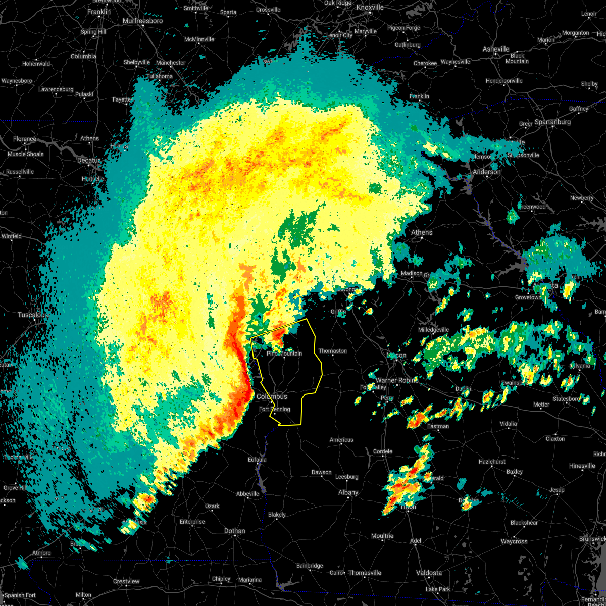 At 825 pm edt, severe thunderstorms were located along a line extending from near denson to near beans mill to marvyn to near warriorstand, moving east at 65 mph (radar indicated). Hazards include 70 mph wind gusts and quarter size hail. Hail damage to vehicles is expected. expect considerable tree damage. Wind damage is also likely to mobile homes, roofs, and outbuildings. At 825 pm edt, severe thunderstorms were located along a line extending from near denson to near beans mill to marvyn to near warriorstand, moving east at 65 mph (radar indicated). Hazards include 70 mph wind gusts and quarter size hail. Hail damage to vehicles is expected. expect considerable tree damage. Wind damage is also likely to mobile homes, roofs, and outbuildings.
|
| 5/4/2021 8:14 PM EDT |
 At 813 pm edt, a severe thunderstorm was located near lagrange, moving east at 55 mph. another lines of severe thunderstorms was located 15 miles west of the alabama-georgia state line also moving east at 55 mph. damaging winds are likely with this second line of storms (radar indicated). Hazards include 70 mph wind gusts and quarter size hail. Hail damage to vehicles is expected. expect considerable tree damage. wind damage is also likely to mobile homes, roofs, and outbuildings. locations impacted include, columbus, lagrange, hamilton, greenville, manchester, west point, hogansville, pine mountain, waverly hall, warm springs, lone oak, north fort benning, bibb city, upatoi, f. d. Roosevelt state park, green island hills, cataula, columbus metropolitan airport, louise and stovall. At 813 pm edt, a severe thunderstorm was located near lagrange, moving east at 55 mph. another lines of severe thunderstorms was located 15 miles west of the alabama-georgia state line also moving east at 55 mph. damaging winds are likely with this second line of storms (radar indicated). Hazards include 70 mph wind gusts and quarter size hail. Hail damage to vehicles is expected. expect considerable tree damage. wind damage is also likely to mobile homes, roofs, and outbuildings. locations impacted include, columbus, lagrange, hamilton, greenville, manchester, west point, hogansville, pine mountain, waverly hall, warm springs, lone oak, north fort benning, bibb city, upatoi, f. d. Roosevelt state park, green island hills, cataula, columbus metropolitan airport, louise and stovall.
|
| 5/4/2021 7:51 PM EDT |
 At 751 pm edt, a severe thunderstorm was located over state line park, or 8 miles east of stroud, moving northeast at 55 mph (radar indicated). Hazards include 60 mph wind gusts and quarter size hail. Hail damage to vehicles is expected. Expect wind damage to roofs, siding, and trees. At 751 pm edt, a severe thunderstorm was located over state line park, or 8 miles east of stroud, moving northeast at 55 mph (radar indicated). Hazards include 60 mph wind gusts and quarter size hail. Hail damage to vehicles is expected. Expect wind damage to roofs, siding, and trees.
|
| 4/24/2021 8:20 PM EDT |
 At 820 pm edt, severe thunderstorms were located along a line extending from near centralhatchee to near red level, moving east at 60 mph (radar indicated). Hazards include 70 mph wind gusts and quarter size hail. Hail damage to vehicles is expected. expect considerable tree damage. Wind damage is also likely to mobile homes, roofs, and outbuildings. At 820 pm edt, severe thunderstorms were located along a line extending from near centralhatchee to near red level, moving east at 60 mph (radar indicated). Hazards include 70 mph wind gusts and quarter size hail. Hail damage to vehicles is expected. expect considerable tree damage. Wind damage is also likely to mobile homes, roofs, and outbuildings.
|
| 4/24/2021 5:40 PM EDT | Ping Pong Ball sized hail reported 1.2 miles N of West Point, GA, ping pong ball sized hail was reported in west point at intersection of hwy 103 and hwy 18. |
| 4/24/2021 4:39 PM CDT |
 At 439 pm cdt, a severe thunderstorm was located over valley, moving northeast at 60 mph (radar indicated). Hazards include tennis ball size hail and 60 mph wind gusts. People and animals outdoors will be injured. expect hail damage to roofs, siding, windows, and vehicles. expect wind damage to roofs, siding, and trees. Locations impacted include, valley, lanett, lakeview, river view, amity park, huguley, fairfax, i 85 welcome center at lanett, rocky point, southern harbor and lanett municipal airport. At 439 pm cdt, a severe thunderstorm was located over valley, moving northeast at 60 mph (radar indicated). Hazards include tennis ball size hail and 60 mph wind gusts. People and animals outdoors will be injured. expect hail damage to roofs, siding, windows, and vehicles. expect wind damage to roofs, siding, and trees. Locations impacted include, valley, lanett, lakeview, river view, amity park, huguley, fairfax, i 85 welcome center at lanett, rocky point, southern harbor and lanett municipal airport.
|
| 4/24/2021 5:32 PM EDT |
 At 531 pm edt, a severe thunderstorm was located over lanett municipal airport, or near valley, moving northeast at 65 mph (radar indicated). Hazards include ping pong ball size hail and 60 mph wind gusts. People and animals outdoors will be injured. expect hail damage to roofs, siding, windows, and vehicles. Expect wind damage to roofs, siding, and trees. At 531 pm edt, a severe thunderstorm was located over lanett municipal airport, or near valley, moving northeast at 65 mph (radar indicated). Hazards include ping pong ball size hail and 60 mph wind gusts. People and animals outdoors will be injured. expect hail damage to roofs, siding, windows, and vehicles. Expect wind damage to roofs, siding, and trees.
|
| 4/24/2021 4:27 PM CDT |
 At 427 pm cdt, a severe thunderstorm was located near cusseta, or near opelika, moving northeast at 60 mph (radar indicated). Hazards include tennis ball size hail and 60 mph wind gusts. People and animals outdoors will be injured. expect hail damage to roofs, siding, windows, and vehicles. expect wind damage to roofs, siding, and trees. Locations impacted include, valley, lanett, la fayette, lakeview, cusseta, chambers county lake, denson, huguley, fairfax, river view, amity park, sturkie, oak bowery, southern harbor, lanett municipal airport, i 85 welcome center at lanett and rocky point. At 427 pm cdt, a severe thunderstorm was located near cusseta, or near opelika, moving northeast at 60 mph (radar indicated). Hazards include tennis ball size hail and 60 mph wind gusts. People and animals outdoors will be injured. expect hail damage to roofs, siding, windows, and vehicles. expect wind damage to roofs, siding, and trees. Locations impacted include, valley, lanett, la fayette, lakeview, cusseta, chambers county lake, denson, huguley, fairfax, river view, amity park, sturkie, oak bowery, southern harbor, lanett municipal airport, i 85 welcome center at lanett and rocky point.
|
| 4/24/2021 4:14 PM CDT |
 At 414 pm cdt, a severe thunderstorm was located over auburn university, or near auburn, moving northeast at 60 mph (radar indicated). Hazards include golf ball size hail and 60 mph wind gusts. People and animals outdoors will be injured. expect hail damage to roofs, siding, windows, and vehicles. Expect wind damage to roofs, siding, and trees. At 414 pm cdt, a severe thunderstorm was located over auburn university, or near auburn, moving northeast at 60 mph (radar indicated). Hazards include golf ball size hail and 60 mph wind gusts. People and animals outdoors will be injured. expect hail damage to roofs, siding, windows, and vehicles. Expect wind damage to roofs, siding, and trees.
|
| 5/27/2020 8:39 PM EDT |
 The tornado warning for northwestern harris county will expire at 845 pm edt, the storm which prompted the warning has weakened below severe limits, and no longer appears capable of producing a tornado. therefore, the warning will be allowed to expire. to report severe weather, contact your nearest law enforcement agency. they will relay your report to the national weather service peachtree city. The tornado warning for northwestern harris county will expire at 845 pm edt, the storm which prompted the warning has weakened below severe limits, and no longer appears capable of producing a tornado. therefore, the warning will be allowed to expire. to report severe weather, contact your nearest law enforcement agency. they will relay your report to the national weather service peachtree city.
|
| 5/27/2020 7:57 PM EDT |
 At 757 pm edt, a severe thunderstorm capable of producing a tornado was located over beans mill, or 9 miles east of opelika, moving northeast at 15 mph (radar indicated rotation). Hazards include tornado and quarter size hail. Flying debris will be dangerous to those caught without shelter. mobile homes will be damaged or destroyed. damage to roofs, windows, and vehicles will occur. Tree damage is likely. At 757 pm edt, a severe thunderstorm capable of producing a tornado was located over beans mill, or 9 miles east of opelika, moving northeast at 15 mph (radar indicated rotation). Hazards include tornado and quarter size hail. Flying debris will be dangerous to those caught without shelter. mobile homes will be damaged or destroyed. damage to roofs, windows, and vehicles will occur. Tree damage is likely.
|
| 5/24/2020 4:47 PM EDT |
 At 446 pm edt, severe thunderstorms were located along a line extending from west point to long cane and lagrange, moving northwest at 10 mph (radar indicated). Hazards include 60 mph wind gusts and nickel size hail. Expect damage to roofs, siding, and trees. Locations impacted include, lagrange, west point, rocky point, southern harbor, piedmont heights, cannonville, baughs crossroads, state line park, abbottsford, smiths crossroad, long cane and jones crossroads. At 446 pm edt, severe thunderstorms were located along a line extending from west point to long cane and lagrange, moving northwest at 10 mph (radar indicated). Hazards include 60 mph wind gusts and nickel size hail. Expect damage to roofs, siding, and trees. Locations impacted include, lagrange, west point, rocky point, southern harbor, piedmont heights, cannonville, baughs crossroads, state line park, abbottsford, smiths crossroad, long cane and jones crossroads.
|
| 5/24/2020 4:28 PM EDT |
 At 426 pm edt, a severe thunderstorm was located near lagrange and west point lake, moving northwest at 15 mph (radar indicated). Hazards include 60 mph wind gusts and quarter size hail. Hail damage to vehicles is expected. Expect wind damage to roofs, siding, and trees. At 426 pm edt, a severe thunderstorm was located near lagrange and west point lake, moving northwest at 15 mph (radar indicated). Hazards include 60 mph wind gusts and quarter size hail. Hail damage to vehicles is expected. Expect wind damage to roofs, siding, and trees.
|
| 4/13/2020 1:24 AM EDT |
 At 124 am edt, severe thunderstorms were located along a line extending from lakeview to near west point to near river view, moving northeast at 55 mph (radar indicated). Hazards include 60 mph wind gusts. expect damage to roofs, siding, and trees At 124 am edt, severe thunderstorms were located along a line extending from lakeview to near west point to near river view, moving northeast at 55 mph (radar indicated). Hazards include 60 mph wind gusts. expect damage to roofs, siding, and trees
|
| 2/6/2020 12:28 PM EST |
 The severe thunderstorm warning for southwestern meriwether, northwestern muscogee, southeastern troup and harris counties will expire at 1230 pm est, the storm which prompted the warning has moved out of the area. therefore, the warning will be allowed to expire. a tornado watch remains in effect until 100 pm est for west central georgia. a tornado watch also remains in effect until 800 pm est for west central georgia. The severe thunderstorm warning for southwestern meriwether, northwestern muscogee, southeastern troup and harris counties will expire at 1230 pm est, the storm which prompted the warning has moved out of the area. therefore, the warning will be allowed to expire. a tornado watch remains in effect until 100 pm est for west central georgia. a tornado watch also remains in effect until 800 pm est for west central georgia.
|
| 2/6/2020 11:56 AM EST |
 At 1155 am est, a severe thunderstorm was located over lake harding, or 8 miles southeast of valley, moving northeast at 55 mph (radar indicated). Hazards include 60 mph wind gusts. expect damage to roofs, siding, and trees At 1155 am est, a severe thunderstorm was located over lake harding, or 8 miles southeast of valley, moving northeast at 55 mph (radar indicated). Hazards include 60 mph wind gusts. expect damage to roofs, siding, and trees
|
| 1/11/2020 3:57 PM CST |
 At 347 pm cst, severe thunderstorms were located along a line extending from post oak forks to near ladonia to near spring hill, moving east at 65 mph (radar indicated). Hazards include 70 mph wind gusts. Expect considerable tree damage. damage is likely to mobile homes, roofs, and outbuildings. Locations impacted include, auburn, phenix city, opelika, valley, lanett, hurtsboro, smiths, stroud, lafayette, smiths station, la fayette, lakeview, cusseta, beulah, beauregard, buffalo, seale, huguley, fairfax and ladonia. At 347 pm cst, severe thunderstorms were located along a line extending from post oak forks to near ladonia to near spring hill, moving east at 65 mph (radar indicated). Hazards include 70 mph wind gusts. Expect considerable tree damage. damage is likely to mobile homes, roofs, and outbuildings. Locations impacted include, auburn, phenix city, opelika, valley, lanett, hurtsboro, smiths, stroud, lafayette, smiths station, la fayette, lakeview, cusseta, beulah, beauregard, buffalo, seale, huguley, fairfax and ladonia.
|
| 1/11/2020 3:47 PM CST |
 At 347 pm cst, severe thunderstorms were located along a line extending from post oak forks to near ladonia to near spring hill, moving east at 65 mph (radar indicated). Hazards include 70 mph wind gusts. Expect considerable tree damage. damage is likely to mobile homes, roofs, and outbuildings. Locations impacted include, auburn, phenix city, opelika, valley, lanett, hurtsboro, smiths, stroud, lafayette, smiths station, la fayette, lakeview, cusseta, beulah, beauregard, buffalo, seale, huguley, fairfax and ladonia. At 347 pm cst, severe thunderstorms were located along a line extending from post oak forks to near ladonia to near spring hill, moving east at 65 mph (radar indicated). Hazards include 70 mph wind gusts. Expect considerable tree damage. damage is likely to mobile homes, roofs, and outbuildings. Locations impacted include, auburn, phenix city, opelika, valley, lanett, hurtsboro, smiths, stroud, lafayette, smiths station, la fayette, lakeview, cusseta, beulah, beauregard, buffalo, seale, huguley, fairfax and ladonia.
|
| 1/11/2020 4:47 PM EST |
 At 446 pm est, severe thunderstorms were located along a line extending from rock mills to near beulah to near hatchechubbe, moving northeast at 60 mph (radar indicated). Hazards include 60 mph wind gusts. expect damage to roofs, siding, and trees At 446 pm est, severe thunderstorms were located along a line extending from rock mills to near beulah to near hatchechubbe, moving northeast at 60 mph (radar indicated). Hazards include 60 mph wind gusts. expect damage to roofs, siding, and trees
|
| 1/11/2020 3:35 PM CST |
 At 335 pm cst, severe thunderstorms were located along a line extending from crystal lake to near midway, moving east at 50 mph (radar indicated). Hazards include 70 mph wind gusts. Expect considerable tree damage. damage is likely to mobile homes, roofs, and outbuildings. Locations impacted include, auburn, phenix city, opelika, valley, lanett, hurtsboro, smiths, stroud, lafayette, smiths station, la fayette, waverly, lakeview, cusseta, beulah, beauregard, sturkie, trammel crossroads, buffalo and seale. At 335 pm cst, severe thunderstorms were located along a line extending from crystal lake to near midway, moving east at 50 mph (radar indicated). Hazards include 70 mph wind gusts. Expect considerable tree damage. damage is likely to mobile homes, roofs, and outbuildings. Locations impacted include, auburn, phenix city, opelika, valley, lanett, hurtsboro, smiths, stroud, lafayette, smiths station, la fayette, waverly, lakeview, cusseta, beulah, beauregard, sturkie, trammel crossroads, buffalo and seale.
|
| 1/11/2020 3:07 PM CST |
 At 307 pm cst, severe thunderstorms were located along a line extending from corinth to near franklin field, moving east at 55 mph (radar indicated). Hazards include 70 mph wind gusts. Expect considerable tree damage. Damage is likely to mobile homes, roofs, and outbuildings. At 307 pm cst, severe thunderstorms were located along a line extending from corinth to near franklin field, moving east at 55 mph (radar indicated). Hazards include 70 mph wind gusts. Expect considerable tree damage. Damage is likely to mobile homes, roofs, and outbuildings.
|
| 6/22/2019 6:56 PM EDT |
 At 655 pm edt, a severe thunderstorm was located over greenville, moving east at 50 mph (radar indicated). Hazards include 60 mph wind gusts and quarter size hail. Hail damage to vehicles is expected. expect wind damage to roofs, siding, and trees. Locations impacted include, lagrange, hogansville, grantville, luthersville, lone oak, corinth, saint marks, mountville, cannonville, louise, odessadale, stovall, harrisonville, hillcrest, big springs, wares crossroads, baughs crossroads, smiths crossroad and long cane. At 655 pm edt, a severe thunderstorm was located over greenville, moving east at 50 mph (radar indicated). Hazards include 60 mph wind gusts and quarter size hail. Hail damage to vehicles is expected. expect wind damage to roofs, siding, and trees. Locations impacted include, lagrange, hogansville, grantville, luthersville, lone oak, corinth, saint marks, mountville, cannonville, louise, odessadale, stovall, harrisonville, hillcrest, big springs, wares crossroads, baughs crossroads, smiths crossroad and long cane.
|
| 6/22/2019 6:45 PM EDT |
 At 645 pm edt, severe thunderstorms were located along a line extending from hogansville to west point, moving southeast at 35 mph (radar indicated). Hazards include 60 mph wind gusts and quarter size hail. Hail damage to vehicles is expected. Expect wind damage to roofs, siding, and trees. At 645 pm edt, severe thunderstorms were located along a line extending from hogansville to west point, moving southeast at 35 mph (radar indicated). Hazards include 60 mph wind gusts and quarter size hail. Hail damage to vehicles is expected. Expect wind damage to roofs, siding, and trees.
|
| 6/22/2019 6:29 PM EDT |
 The national weather service in peachtree city has issued a * severe thunderstorm warning for. northwestern meriwether county in west central georgia. southern heard county in west central georgia. troup county in west central georgia. Southwestern coweta county in west central georgia. The national weather service in peachtree city has issued a * severe thunderstorm warning for. northwestern meriwether county in west central georgia. southern heard county in west central georgia. troup county in west central georgia. Southwestern coweta county in west central georgia.
|
| 3/25/2019 7:44 PM EDT |
 At 743 pm edt, a severe thunderstorm was located near jones crossroads, or 7 miles northwest of hamilton, moving east at 45 mph (radar indicated). Hazards include 60 mph wind gusts and half dollar size hail. Hail damage to vehicles is expected. expect wind damage to roofs, siding, and trees. locations impacted include, hamilton, pine mountain, waverly hall, ellerslie, f. d. Roosevelt state park, jones crossroads, baughs crossroads and whitesville-pine lake. At 743 pm edt, a severe thunderstorm was located near jones crossroads, or 7 miles northwest of hamilton, moving east at 45 mph (radar indicated). Hazards include 60 mph wind gusts and half dollar size hail. Hail damage to vehicles is expected. expect wind damage to roofs, siding, and trees. locations impacted include, hamilton, pine mountain, waverly hall, ellerslie, f. d. Roosevelt state park, jones crossroads, baughs crossroads and whitesville-pine lake.
|
| 3/25/2019 7:36 PM EDT | A tree was reported down on hwy 18 near the intersection of whitesville roa in harris county GA, 6.7 miles WNW of West Point, GA |
| 3/25/2019 7:31 PM EDT |
 At 730 pm edt, a severe thunderstorm was located over west point, or near lanett, moving east at 45 mph (radar indicated). Hazards include 60 mph wind gusts and half dollar size hail. Hail damage to vehicles is expected. Expect wind damage to roofs, siding, and trees. At 730 pm edt, a severe thunderstorm was located over west point, or near lanett, moving east at 45 mph (radar indicated). Hazards include 60 mph wind gusts and half dollar size hail. Hail damage to vehicles is expected. Expect wind damage to roofs, siding, and trees.
|
| 9/27/2018 1:47 PM CDT |
 At 137 pm cdt, a severe thunderstorm was located near beulah, or 9 miles northwest of smiths, moving northeast at 40 mph (radar indicated). Hazards include 60 mph wind gusts. expect damage to roofs, siding, and trees At 137 pm cdt, a severe thunderstorm was located near beulah, or 9 miles northwest of smiths, moving northeast at 40 mph (radar indicated). Hazards include 60 mph wind gusts. expect damage to roofs, siding, and trees
|
| 9/27/2018 2:38 PM EDT |
 The national weather service in peachtree city has issued a * severe thunderstorm warning for. southwestern meriwether county in west central georgia. northwestern muscogee county in west central georgia. southern troup county in west central georgia. Harris county in west central georgia. The national weather service in peachtree city has issued a * severe thunderstorm warning for. southwestern meriwether county in west central georgia. northwestern muscogee county in west central georgia. southern troup county in west central georgia. Harris county in west central georgia.
|
| 9/27/2018 1:37 PM CDT |
 At 137 pm cdt, a severe thunderstorm was located near beulah, or 9 miles northwest of smiths, moving northeast at 40 mph (radar indicated). Hazards include 60 mph wind gusts. expect damage to roofs, siding, and trees At 137 pm cdt, a severe thunderstorm was located near beulah, or 9 miles northwest of smiths, moving northeast at 40 mph (radar indicated). Hazards include 60 mph wind gusts. expect damage to roofs, siding, and trees
|
| 7/21/2018 6:03 PM EDT |
 At 603 pm edt, a severe thunderstorm was located over state line park, or 7 miles east of stroud, moving southeast at 25 mph (radar indicated). Hazards include 60 mph wind gusts and half dollar size hail. Hail damage to vehicles is expected. Expect wind damage to roofs, siding, and trees. At 603 pm edt, a severe thunderstorm was located over state line park, or 7 miles east of stroud, moving southeast at 25 mph (radar indicated). Hazards include 60 mph wind gusts and half dollar size hail. Hail damage to vehicles is expected. Expect wind damage to roofs, siding, and trees.
|
| 6/28/2018 3:58 PM CDT |
 At 357 pm cdt, severe thunderstorms were located along a line extending from west point to near notasulga, moving south at 30 mph (radar indicated). Hazards include 60 mph wind gusts. expect damage to roofs, siding, and trees At 357 pm cdt, severe thunderstorms were located along a line extending from west point to near notasulga, moving south at 30 mph (radar indicated). Hazards include 60 mph wind gusts. expect damage to roofs, siding, and trees
|
| 6/28/2018 3:27 PM EDT |
 The severe thunderstorm warning for northwestern muscogee, southwestern troup and central harris counties will expire at 330 pm edt, the storms which prompted the warning have weakened or moved out of the warned area. therefore, the warning will be allowed to expire. however gusty winds are still possible with these thunderstorms. The severe thunderstorm warning for northwestern muscogee, southwestern troup and central harris counties will expire at 330 pm edt, the storms which prompted the warning have weakened or moved out of the warned area. therefore, the warning will be allowed to expire. however gusty winds are still possible with these thunderstorms.
|
| 6/28/2018 3:07 PM EDT |
 At 306 pm edt, the leading edge of a line of severe thunderstorms was located along a line extending from near beulah to green island hills, moving south at 35 mph (radar indicated). Hazards include 60 mph wind gusts. Expect damage to roofs, siding, and trees. Locations impacted include, lagrange, hamilton, west point, green island hills, cannonville, cataula, state line park, abbottsford, piedmont heights, mountain hill, jones crossroads, bartletts ferry dam, baughs crossroads, fortson, mulberry grove, smiths crossroad, whitesville-pine lake, lake harding and long cane. At 306 pm edt, the leading edge of a line of severe thunderstorms was located along a line extending from near beulah to green island hills, moving south at 35 mph (radar indicated). Hazards include 60 mph wind gusts. Expect damage to roofs, siding, and trees. Locations impacted include, lagrange, hamilton, west point, green island hills, cannonville, cataula, state line park, abbottsford, piedmont heights, mountain hill, jones crossroads, bartletts ferry dam, baughs crossroads, fortson, mulberry grove, smiths crossroad, whitesville-pine lake, lake harding and long cane.
|
| 6/28/2018 2:47 PM EDT |
 At 246 pm edt, the leading edge of a line of severe thunderstorms were located along a line extending from stroud creek to near fortson, moving southwest at 30 mph (radar indicated). Hazards include 60 mph wind gusts and quarter size hail. Hail damage to vehicles is expected. Expect wind damage to roofs, siding, and trees. At 246 pm edt, the leading edge of a line of severe thunderstorms were located along a line extending from stroud creek to near fortson, moving southwest at 30 mph (radar indicated). Hazards include 60 mph wind gusts and quarter size hail. Hail damage to vehicles is expected. Expect wind damage to roofs, siding, and trees.
|
| 6/28/2018 2:02 PM EDT |
 At 201 pm edt, severe thunderstorms were located along a line extending from near franklin to raleigh, moving southwest at 35 mph (radar indicated). Hazards include 60 mph wind gusts and up to quarter size hail. Hail damage to vehicles is expected. Expect wind damage to roofs, siding, and trees. At 201 pm edt, severe thunderstorms were located along a line extending from near franklin to raleigh, moving southwest at 35 mph (radar indicated). Hazards include 60 mph wind gusts and up to quarter size hail. Hail damage to vehicles is expected. Expect wind damage to roofs, siding, and trees.
|
| 6/22/2018 6:15 PM EDT |
 The national weather service in peachtree city has issued a * severe thunderstorm warning for. meriwether county in west central georgia. troup county in west central georgia. southeastern coweta county in west central georgia. Until 700 pm edt. The national weather service in peachtree city has issued a * severe thunderstorm warning for. meriwether county in west central georgia. troup county in west central georgia. southeastern coweta county in west central georgia. Until 700 pm edt.
|
| 6/3/2018 5:22 PM EDT |
 At 522 pm edt, a severe thunderstorm was located over jones crossroads, or 7 miles east of valley, moving southeast at 20 mph (radar indicated). Hazards include 60 mph wind gusts and quarter size hail. Hail damage to vehicles is expected. Expect wind damage to roofs, siding, and trees. At 522 pm edt, a severe thunderstorm was located over jones crossroads, or 7 miles east of valley, moving southeast at 20 mph (radar indicated). Hazards include 60 mph wind gusts and quarter size hail. Hail damage to vehicles is expected. Expect wind damage to roofs, siding, and trees.
|
| 12/20/2017 12:50 PM EST |
 At 1249 pm est, a severe thunderstorm was located near big springs, or near lagrange, moving southeast at 50 mph (radar indicated). Hazards include 60 mph wind gusts and nickel size hail. expect damage to roofs, siding, and trees At 1249 pm est, a severe thunderstorm was located near big springs, or near lagrange, moving southeast at 50 mph (radar indicated). Hazards include 60 mph wind gusts and nickel size hail. expect damage to roofs, siding, and trees
|
| 6/15/2017 6:20 PM EDT |
 At 619 pm edt, severe thunderstorms were located along a line extending from madras to near corinth to near glenn, moving southeast at 30 mph (radar indicated). Hazards include 60 mph wind gusts. expect damage to roofs, siding, and trees At 619 pm edt, severe thunderstorms were located along a line extending from madras to near corinth to near glenn, moving southeast at 30 mph (radar indicated). Hazards include 60 mph wind gusts. expect damage to roofs, siding, and trees
|
| 6/15/2017 5:16 PM CDT |
 At 516 pm cdt, severe thunderstorms were located along a line extending from near welch to shorter, moving southeast at 50 mph (radar indicated). Hazards include 60 mph wind gusts and penny size hail. these storms have a history of blowing down trees. expect damage to roofs, siding, and trees At 516 pm cdt, severe thunderstorms were located along a line extending from near welch to shorter, moving southeast at 50 mph (radar indicated). Hazards include 60 mph wind gusts and penny size hail. these storms have a history of blowing down trees. expect damage to roofs, siding, and trees
|
| 4/3/2017 11:00 AM EDT | Tree down on house on e 7th street in west point in troup county GA, 2.9 miles NE of West Point, GA |
| 3/10/2017 4:52 AM EST |
 At 452 am est, a severe thunderstorm was located over wares crossroads, or near lagrange, moving east at 25 mph (radar indicated). Hazards include 60 mph wind gusts and quarter size hail. Hail damage to vehicles is expected. Expect wind damage to roofs, siding, and trees. At 452 am est, a severe thunderstorm was located over wares crossroads, or near lagrange, moving east at 25 mph (radar indicated). Hazards include 60 mph wind gusts and quarter size hail. Hail damage to vehicles is expected. Expect wind damage to roofs, siding, and trees.
|
| 2/7/2017 4:29 PM EST |
 At 428 pm est, a severe thunderstorm was located over whitesville- pine lake, moving northeast at 45 mph (radar indicated). Hazards include 60 mph wind gusts. expect damage to roofs, siding, and trees At 428 pm est, a severe thunderstorm was located over whitesville- pine lake, moving northeast at 45 mph (radar indicated). Hazards include 60 mph wind gusts. expect damage to roofs, siding, and trees
|
| 2/7/2017 4:17 PM EST |
 At 416 pm est, severe thunderstorms extended from near west point to near vista terrace to near jamestown/south fort benning, moving northeast at 50 mph (radar indicated). Hazards include 60 mph wind gusts. Expect damage to roofs, siding, and trees. locations impacted include, columbus, hamilton, talbotton, cusseta, pine mountain, waverly hall, geneva, fort benning/lawson army air fld, north fort benning, bibb city, upatoi, brantley, f. d. Roosevelt state park, green island hills, juniper, cataula, columbus metropolitan airport, oakland, stovall and mountain hill. At 416 pm est, severe thunderstorms extended from near west point to near vista terrace to near jamestown/south fort benning, moving northeast at 50 mph (radar indicated). Hazards include 60 mph wind gusts. Expect damage to roofs, siding, and trees. locations impacted include, columbus, hamilton, talbotton, cusseta, pine mountain, waverly hall, geneva, fort benning/lawson army air fld, north fort benning, bibb city, upatoi, brantley, f. d. Roosevelt state park, green island hills, juniper, cataula, columbus metropolitan airport, oakland, stovall and mountain hill.
|
| 2/7/2017 3:50 PM EST |
 At 347 pm est, severe thunderstorms were located extending from west of west point to west of fort benning, moving northeast at 55 mph (radar indicated). Hazards include 60 mph wind gusts. expect damage to roofs, siding, and trees At 347 pm est, severe thunderstorms were located extending from west of west point to west of fort benning, moving northeast at 55 mph (radar indicated). Hazards include 60 mph wind gusts. expect damage to roofs, siding, and trees
|
| 1/21/2017 8:41 AM CST |
 At 840 am cst, severe thunderstorms capable of producing both tornadoes and extensive straight line wind damage were located along a line extending from near jacksons` gap to near tuskegee national forest to 6 miles southwest of society hill, moving east at 60 mph (radar indicated rotation). Hazards include tornado. Flying debris will be dangerous to those caught without shelter. mobile homes will be damaged or destroyed. damage to roofs, windows, and vehicles will occur. Tree damage is likely. At 840 am cst, severe thunderstorms capable of producing both tornadoes and extensive straight line wind damage were located along a line extending from near jacksons` gap to near tuskegee national forest to 6 miles southwest of society hill, moving east at 60 mph (radar indicated rotation). Hazards include tornado. Flying debris will be dangerous to those caught without shelter. mobile homes will be damaged or destroyed. damage to roofs, windows, and vehicles will occur. Tree damage is likely.
|
| 1/21/2017 8:57 AM EST |
 The tornado warning for troup county will expire at 900 am est, the tornado threat has slightly diminished and the tornado warning has been cancelled. however, large hail and damaging winds remain likely and a severe thunderstorm warning remains in effect for the area. to report severe weather, contact your nearest law enforcement agency. they will relay your report to the national weather service peachtree city. The tornado warning for troup county will expire at 900 am est, the tornado threat has slightly diminished and the tornado warning has been cancelled. however, large hail and damaging winds remain likely and a severe thunderstorm warning remains in effect for the area. to report severe weather, contact your nearest law enforcement agency. they will relay your report to the national weather service peachtree city.
|
| 1/21/2017 8:33 AM EST |
 At 833 am est, a severe thunderstorm capable of producing a tornado was located over lakeview, or over lanett, moving northeast at 40 mph (radar indicated rotation). Hazards include tornado. Flying debris will be dangerous to those caught without shelter. mobile homes will be damaged or destroyed. damage to roofs, windows, and vehicles will occur. Tree damage is likely. At 833 am est, a severe thunderstorm capable of producing a tornado was located over lakeview, or over lanett, moving northeast at 40 mph (radar indicated rotation). Hazards include tornado. Flying debris will be dangerous to those caught without shelter. mobile homes will be damaged or destroyed. damage to roofs, windows, and vehicles will occur. Tree damage is likely.
|
| 11/30/2016 1:10 PM CST |
 The tornado warning for southeastern chambers county will expire at 115 pm cst, the storm which prompted the warning has moved out of the area. therefore the warning will be allowed to expire. a tornado watch remains in effect until 500 pm cst for east central alabama. The tornado warning for southeastern chambers county will expire at 115 pm cst, the storm which prompted the warning has moved out of the area. therefore the warning will be allowed to expire. a tornado watch remains in effect until 500 pm cst for east central alabama.
|
| 11/30/2016 2:05 PM EST |
 At 205 pm est, severe thunderstorms were located along a line extending from valley to near river view to near bleecker, moving east at 45 mph (radar indicated). Hazards include 60 mph wind gusts. Expect damage to roofs. siding. And trees. At 205 pm est, severe thunderstorms were located along a line extending from valley to near river view to near bleecker, moving east at 45 mph (radar indicated). Hazards include 60 mph wind gusts. Expect damage to roofs. siding. And trees.
|
| 11/30/2016 2:02 PM EST |
 At 202 pm est, severe thunderstorms were located along a line extending from near abbottsford to near long cane to near west point, moving northeast at 50 mph (radar indicated). Hazards include 60 mph wind gusts. Expect damage to roofs. siding. And trees. At 202 pm est, severe thunderstorms were located along a line extending from near abbottsford to near long cane to near west point, moving northeast at 50 mph (radar indicated). Hazards include 60 mph wind gusts. Expect damage to roofs. siding. And trees.
|
| 11/30/2016 12:56 PM CST |
 At 1255 pm cst, a confirmed tornado was located over chambers county lake, or near lanett, moving northeast at 55 mph (radar confirmed tornado). Hazards include damaging tornado. Flying debris will be dangerous to those caught without shelter. mobile homes will be damaged or destroyed. damage to roofs, windows, and vehicles will occur. tree damage is likely. Locations impacted include, valley, lanett, lafayette, la fayette, lakeview, cusseta, denson, huguley, amity park, chambers county lake, veasey creek park, i 85 welcome center at lanett, lanett municipal airport and southern harbor. At 1255 pm cst, a confirmed tornado was located over chambers county lake, or near lanett, moving northeast at 55 mph (radar confirmed tornado). Hazards include damaging tornado. Flying debris will be dangerous to those caught without shelter. mobile homes will be damaged or destroyed. damage to roofs, windows, and vehicles will occur. tree damage is likely. Locations impacted include, valley, lanett, lafayette, la fayette, lakeview, cusseta, denson, huguley, amity park, chambers county lake, veasey creek park, i 85 welcome center at lanett, lanett municipal airport and southern harbor.
|
| 11/30/2016 12:43 PM CST |
 At 1242 pm cst, a tornado producing storm was located over oak bowery, or 9 miles northwest of opelika, moving northeast at 55 mph (radar confirmed tornado). Hazards include damaging tornado. Flying debris will be dangerous to those caught without shelter. mobile homes will be damaged or destroyed. damage to roofs, windows, and vehicles will occur. Tree damage is likely. At 1242 pm cst, a tornado producing storm was located over oak bowery, or 9 miles northwest of opelika, moving northeast at 55 mph (radar confirmed tornado). Hazards include damaging tornado. Flying debris will be dangerous to those caught without shelter. mobile homes will be damaged or destroyed. damage to roofs, windows, and vehicles will occur. Tree damage is likely.
|
| 7/19/2016 6:14 PM EDT |
 At 614 pm edt, a severe thunderstorm was located near lagrange, moving west at 10 mph (radar indicated). Hazards include 60 mph wind gusts and quarter size hail. Hail damage to vehicles is expected. expect wind damage to roofs, siding, and trees. Other locations in the warning include but are not limited to lagrange, mountville, baughs crossroads, louise, cannonville, big springs, smiths crossroad and wares crossroads. At 614 pm edt, a severe thunderstorm was located near lagrange, moving west at 10 mph (radar indicated). Hazards include 60 mph wind gusts and quarter size hail. Hail damage to vehicles is expected. expect wind damage to roofs, siding, and trees. Other locations in the warning include but are not limited to lagrange, mountville, baughs crossroads, louise, cannonville, big springs, smiths crossroad and wares crossroads.
|
| 6/17/2016 5:30 PM EDT | The troup county 911 center reported a tree blown down on a house on givens circl in troup county GA, 1.1 miles ESE of West Point, GA |
| 6/17/2016 4:57 PM EDT |
 At 457 pm edt, a severe thunderstorm was located over lagrange, moving southeast at 35 mph (radar indicated). Hazards include 60 mph wind gusts. Expect damage to roofs. siding. and trees. other locations in the warning include but are not limited to lagrange, hamilton, pine mountain, baughs crossroads, jones crossroads, mountain hill, big springs, mountville, wares crossroads, f. d. Roosevelt state park, louise, stovall, whitesville-pine lake, cannonville and smiths crossroad. At 457 pm edt, a severe thunderstorm was located over lagrange, moving southeast at 35 mph (radar indicated). Hazards include 60 mph wind gusts. Expect damage to roofs. siding. and trees. other locations in the warning include but are not limited to lagrange, hamilton, pine mountain, baughs crossroads, jones crossroads, mountain hill, big springs, mountville, wares crossroads, f. d. Roosevelt state park, louise, stovall, whitesville-pine lake, cannonville and smiths crossroad.
|
| 6/16/2016 7:48 PM EDT |
 At 748 pm edt, severe thunderstorms were located along a line extending from near waverly hall to 7 miles east of beulah, moving southeast at 50 mph (radar indicated). Hazards include 60 mph wind gusts and quarter size hail. Hail damage to vehicles is expected. expect wind damage to roofs, siding, and trees. Other locations in the warning include but are not limited to hamilton, talbotton, pine mountain, waverly hall, woodland, junction city, geneva, river view, goat rock lake, baldwinville, mountain hill, bartletts ferry dam, mulberry grove, fortson, box springs, juniper, lake harding, baughville, olive branch and po biddy crossroads. At 748 pm edt, severe thunderstorms were located along a line extending from near waverly hall to 7 miles east of beulah, moving southeast at 50 mph (radar indicated). Hazards include 60 mph wind gusts and quarter size hail. Hail damage to vehicles is expected. expect wind damage to roofs, siding, and trees. Other locations in the warning include but are not limited to hamilton, talbotton, pine mountain, waverly hall, woodland, junction city, geneva, river view, goat rock lake, baldwinville, mountain hill, bartletts ferry dam, mulberry grove, fortson, box springs, juniper, lake harding, baughville, olive branch and po biddy crossroads.
|
| 6/16/2016 7:12 PM EDT |
 At 712 pm edt, severe thunderstorms were located along a line extending from near greenville to 7 miles south of lagrange, moving south at 35 mph (radar indicated). Hazards include 60 mph wind gusts and quarter size hail. Hail damage to vehicles is expected. expect wind damage to roofs, siding, and trees. Other locations in the warning include but are not limited to hamilton, talbotton, manchester, pine mountain, woodbury, waverly hall, warm springs, woodland, junction city, geneva, baughs crossroads, jones crossroads, pleasant hill, harris city, mountain hill, bartletts ferry dam, fortson, juniper, lake harding and baughville. At 712 pm edt, severe thunderstorms were located along a line extending from near greenville to 7 miles south of lagrange, moving south at 35 mph (radar indicated). Hazards include 60 mph wind gusts and quarter size hail. Hail damage to vehicles is expected. expect wind damage to roofs, siding, and trees. Other locations in the warning include but are not limited to hamilton, talbotton, manchester, pine mountain, woodbury, waverly hall, warm springs, woodland, junction city, geneva, baughs crossroads, jones crossroads, pleasant hill, harris city, mountain hill, bartletts ferry dam, fortson, juniper, lake harding and baughville.
|
| 6/16/2016 6:56 PM EDT |
 At 655 pm edt, severe thunderstorms were located along a line extending from near greenville to near lagrange, moving southeast at 30 mph (radar indicated). Hazards include 60 mph wind gusts and quarter size hail. Hail damage to vehicles is expected. expect wind damage to roofs, siding, and trees. Other locations in the warning include but are not limited to lagrange, greenville, hogansville, pine mountain, woodbury, lone oak, gay, wooster, baughs crossroads, durand, harris city, big springs, rocky mount, mountville, saint marks, abbottsford, state line park, louise, piedmont heights and odessadale. At 655 pm edt, severe thunderstorms were located along a line extending from near greenville to near lagrange, moving southeast at 30 mph (radar indicated). Hazards include 60 mph wind gusts and quarter size hail. Hail damage to vehicles is expected. expect wind damage to roofs, siding, and trees. Other locations in the warning include but are not limited to lagrange, greenville, hogansville, pine mountain, woodbury, lone oak, gay, wooster, baughs crossroads, durand, harris city, big springs, rocky mount, mountville, saint marks, abbottsford, state line park, louise, piedmont heights and odessadale.
|
| 6/16/2016 6:31 PM EDT |
 At 631 pm edt, severe thunderstorms were located along a line extending from grantville to 6 miles northwest of lagrange, moving southeast at 30 mph (radar indicated). Hazards include 60 mph wind gusts and quarter size hail. Hail damage to vehicles is expected. expect wind damage to roofs, siding, and trees. Other locations in the warning include but are not limited to lagrange, greenville, hogansville, grantville, pine mountain, woodbury, luthersville, moreland, lone oak, gay, corinth, baughs crossroads, harris city, rocky mount, abbottsford, state line park, cannonville, imlac, wooster and durand. At 631 pm edt, severe thunderstorms were located along a line extending from grantville to 6 miles northwest of lagrange, moving southeast at 30 mph (radar indicated). Hazards include 60 mph wind gusts and quarter size hail. Hail damage to vehicles is expected. expect wind damage to roofs, siding, and trees. Other locations in the warning include but are not limited to lagrange, greenville, hogansville, grantville, pine mountain, woodbury, luthersville, moreland, lone oak, gay, corinth, baughs crossroads, harris city, rocky mount, abbottsford, state line park, cannonville, imlac, wooster and durand.
|
| 4/7/2016 12:09 AM EDT |
 At 1209 am edt, severe thunderstorms were located along a line extending from near east newnan to 8 miles east of west point, moving east at 50 mph (radar indicated). Hazards include 60 mph wind gusts and quarter size hail. Hail damage to vehicles is expected. expect wind damage to roofs, siding, and trees. Other locations in the warning include but are not limited to lagrange, griffin, zebulon, greenville, peachtree city, manchester, senoia, hogansville, grantville, pine mountain, woodbury, luthersville, brooks, warm springs, moreland, molena, williamson, sharpsburg, turin and orchard hill. At 1209 am edt, severe thunderstorms were located along a line extending from near east newnan to 8 miles east of west point, moving east at 50 mph (radar indicated). Hazards include 60 mph wind gusts and quarter size hail. Hail damage to vehicles is expected. expect wind damage to roofs, siding, and trees. Other locations in the warning include but are not limited to lagrange, griffin, zebulon, greenville, peachtree city, manchester, senoia, hogansville, grantville, pine mountain, woodbury, luthersville, brooks, warm springs, moreland, molena, williamson, sharpsburg, turin and orchard hill.
|
| 12/24/2015 10:35 AM CST |
 At 1035 am cst, severe thunderstorms were located along a line extending from near beans mill to near beulah to griffen mill, moving east at 40 mph (trained weather spotters). Hazards include 60 mph wind gusts reported with broken windows on home near opleika. Expect damage to roofs. Siding and trees. At 1035 am cst, severe thunderstorms were located along a line extending from near beans mill to near beulah to griffen mill, moving east at 40 mph (trained weather spotters). Hazards include 60 mph wind gusts reported with broken windows on home near opleika. Expect damage to roofs. Siding and trees.
|
| 7/10/2015 4:15 PM EDT |
 At 415 pm edt, severe thunderstorms were located extending from near luthersville to near hogansville to near lagrange, moving northeast at 10 mph (radar indicated). Hazards include 60 mph wind gusts and penny size hail. Expect damage to roofs. siding and trees. Other locations in the warning include but are not limited to lagrange, greenville, manchester, west point, hogansville, pine mountain, woodbury, luthersville, warm springs, lone oak, gay, harrisonville, baughs crossroads, harris city, rocky mount, abbottsford, state line park, cannonville, alvaton and imlac. At 415 pm edt, severe thunderstorms were located extending from near luthersville to near hogansville to near lagrange, moving northeast at 10 mph (radar indicated). Hazards include 60 mph wind gusts and penny size hail. Expect damage to roofs. siding and trees. Other locations in the warning include but are not limited to lagrange, greenville, manchester, west point, hogansville, pine mountain, woodbury, luthersville, warm springs, lone oak, gay, harrisonville, baughs crossroads, harris city, rocky mount, abbottsford, state line park, cannonville, alvaton and imlac.
|
| 7/4/2015 1:35 AM EDT |
 At 134 am edt, a severe thunderstorm was located near amity park, or near lagrange, moving northeast at 40 mph (radar indicated). Hazards include 60 mph wind gusts. Expect damage to roofs. siding and trees. Other locations in the warning include but are not limited to lagrange, west point, hogansville, harrisonville, baughs crossroads, big springs, hillcrest, mountville, abbottsford, wares crossroads, state line park, piedmont heights, louise, cannonville, smiths crossroad and long cane. At 134 am edt, a severe thunderstorm was located near amity park, or near lagrange, moving northeast at 40 mph (radar indicated). Hazards include 60 mph wind gusts. Expect damage to roofs. siding and trees. Other locations in the warning include but are not limited to lagrange, west point, hogansville, harrisonville, baughs crossroads, big springs, hillcrest, mountville, abbottsford, wares crossroads, state line park, piedmont heights, louise, cannonville, smiths crossroad and long cane.
|
| 7/4/2015 12:31 AM CDT |
 At 1231 am cdt, severe thunderstorms were located along a line extending from near crystal lake to stroud to lakeview, moving east at 60 mph (radar indicated). Hazards include 60 mph wind gusts. Expect damage to roofs. siding and trees. Locations impacted include, valley, lanett, roanoke, stroud, lakeview, post oak forks, welch, standing rock, denson, crystal lake, amity park, huguley, fredonia, veasey creek park, paran, rock mills, stroud creek, i 85 welcome center at lanett, dickert and lanett municipal airport. At 1231 am cdt, severe thunderstorms were located along a line extending from near crystal lake to stroud to lakeview, moving east at 60 mph (radar indicated). Hazards include 60 mph wind gusts. Expect damage to roofs. siding and trees. Locations impacted include, valley, lanett, roanoke, stroud, lakeview, post oak forks, welch, standing rock, denson, crystal lake, amity park, huguley, fredonia, veasey creek park, paran, rock mills, stroud creek, i 85 welcome center at lanett, dickert and lanett municipal airport.
|
| 7/4/2015 12:13 AM CDT |
 At 1213 am cdt, severe thunderstorms were located along a line extending from near malone to near sparkling springs to near sturkie, moving east at 60 mph (radar indicated). Hazards include 60 mph wind gusts. Expect damage to roofs. Siding and trees. At 1213 am cdt, severe thunderstorms were located along a line extending from near malone to near sparkling springs to near sturkie, moving east at 60 mph (radar indicated). Hazards include 60 mph wind gusts. Expect damage to roofs. Siding and trees.
|
| 3/18/2013 6:10 PM EDT | Harris county 911 relayed a report of numerous trees down near whitesvill in harris county GA, 7.9 miles NW of West Point, GA |
| 7/1/2012 5:50 PM EDT | Quarter sized hail reported 4.3 miles NNW of West Point, GA |
| 1/1/0001 12:00 AM | A tree was blown down near adams road and georgia highway 18 in troup count in troup county GA, 2.2 miles WNW of West Point, GA |
| 1/1/0001 12:00 AM | 5 trees downed by strong winds in troup county GA, 1.6 miles NE of West Point, GA |
| 4/15/2011 7:35 PM EDT | Golf Ball sized hail reported 6.2 miles WNW of West Point, GA, hail broke windshield of car. |
| 1/1/0001 12:00 AM | Large tree down on i-85 at exit 3 in harris county GA, 8.4 miles NW of West Point, GA |
Hail Maps for West Point, GA

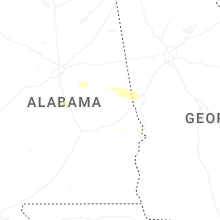


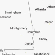


Connect with Interactive Hail Maps