

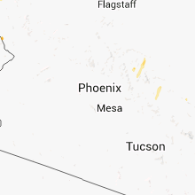
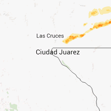
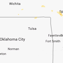
Hail Map for Thursday, October 11, 2012

Number of Impacted Households on 10/11/2012
0
Impacted by 1" or Larger Hail
0
Impacted by 1.75" or Larger Hail
0
Impacted by 2.5" or Larger Hail
Square Miles of Populated Area Impacted on 10/11/2012
0
Impacted by 1" or Larger Hail
0
Impacted by 1.75" or Larger Hail
0
Impacted by 2.5" or Larger Hail

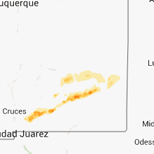


Cities Most Affected by Hail Storms of 10/11/2012
| Hail Size | Demographics of Zip Codes Affected | ||||||
|---|---|---|---|---|---|---|---|
| City | Count | Average | Largest | Pop Density | House Value | Income | Age |
| Artesia, NM | 1 | 1.75 | 1.75 | 13 | $65k | $31.3k | 35.1 |
Hail and Wind Damage Spotted on 10/11/2012
Filter by Report Type:Hail ReportsWind Reports
Arizona
| Local Time | Report Details |
|---|---|
| 7:00 AM MST | Quarter sized hail reported near Topock, AZ, 22.2 miles NNW of Lake Havasu City, AZ, trained spotter in topock reported quarter sized hail. the hail lasted about 10 minutes. |
California
| Local Time | Report Details |
|---|---|
| 5:23 PM PDT | Quarter sized hail reported near Tecopa, CA, 45 miles WSW of Las Vegas, NV |
Nevada
| Local Time | Report Details |
|---|---|
| 8:40 PM PDT | Quarter sized hail reported near Las Vegas, NV, 8.4 miles SE of Las Vegas, NV, dime to quarter size hail was reported on hollywood boulevard in east las vegas. the windshield on one car was cracked. |
New Mexico
| Local Time | Report Details |
|---|---|
| 3:02 AM MDT | Golf Ball sized hail reported near Artesia, NM, 36.8 miles S of Roswell, NM |
Missouri
| Local Time | Report Details |
|---|---|
| 4:43 AM CDT | Quarter sized hail reported near Republic, MO, 12.1 miles WSW of Springfield, MO |
Connect with Interactive Hail Maps