

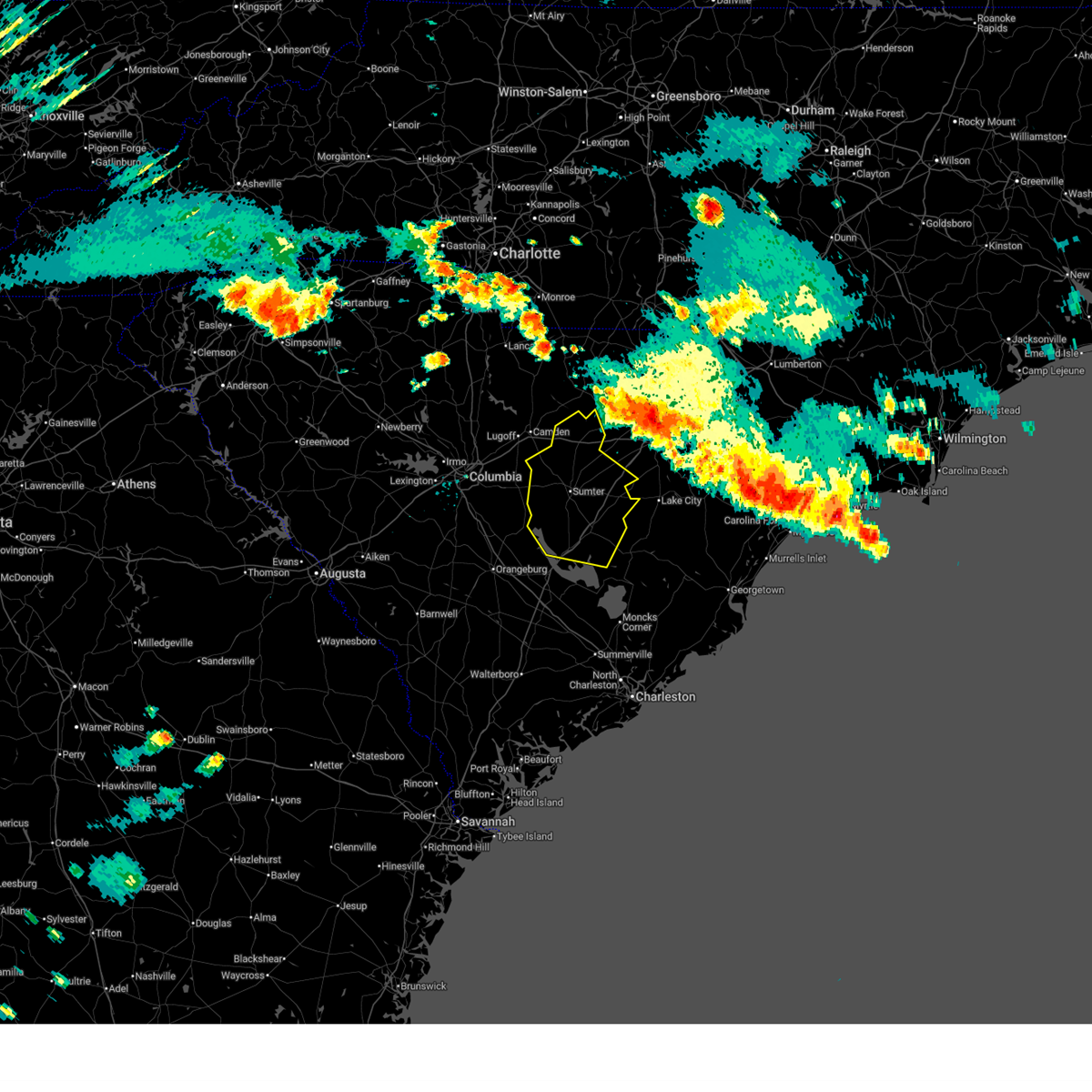
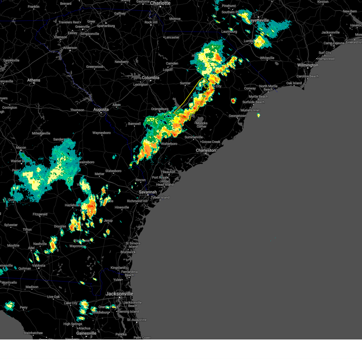
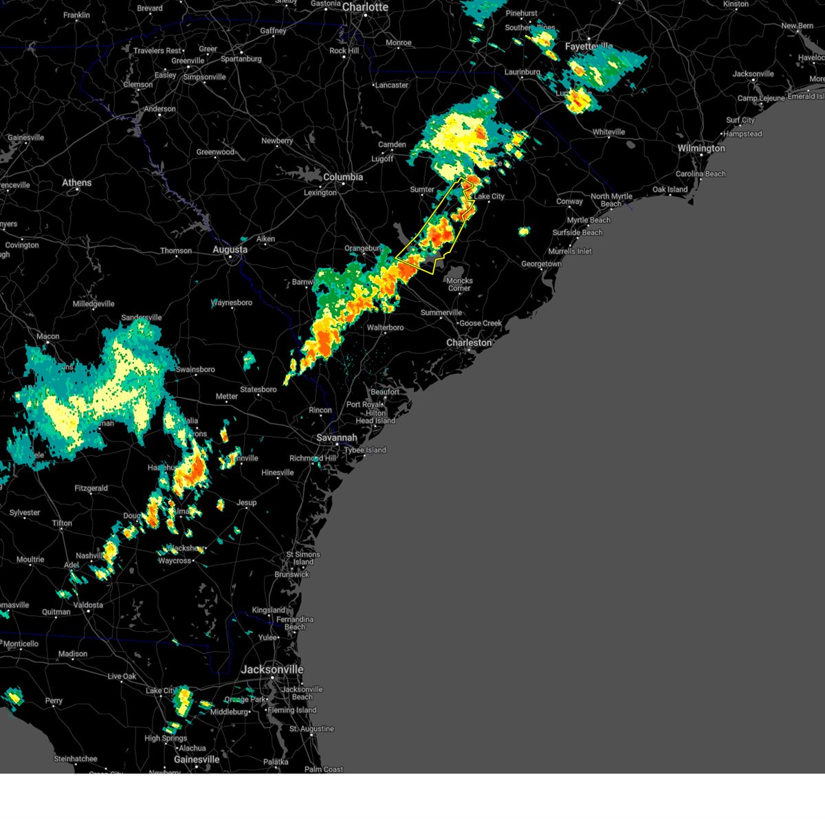
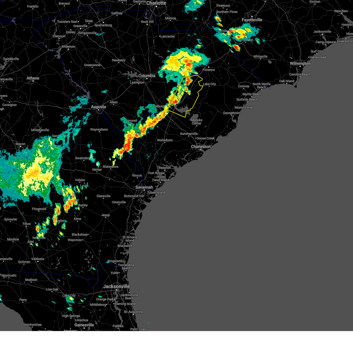
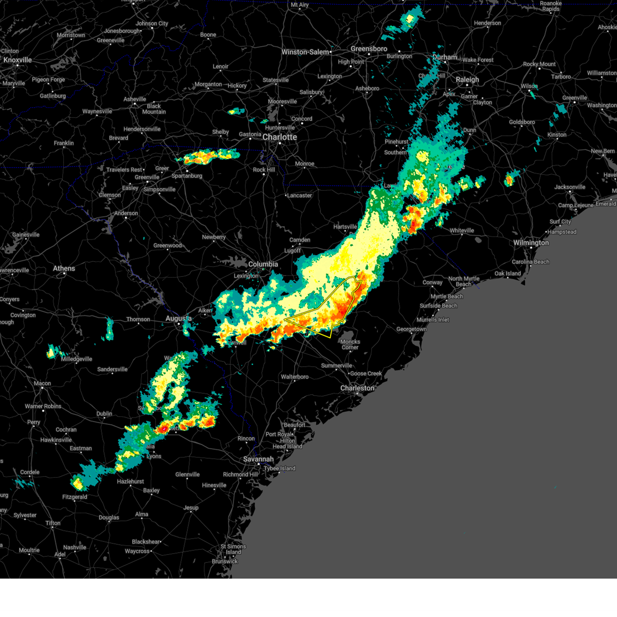
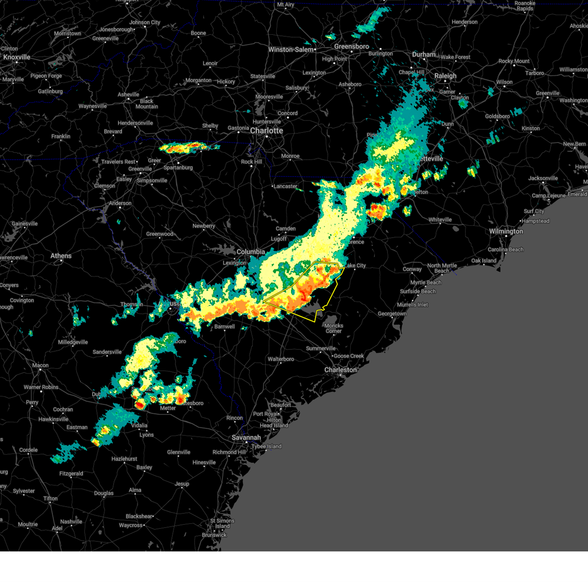
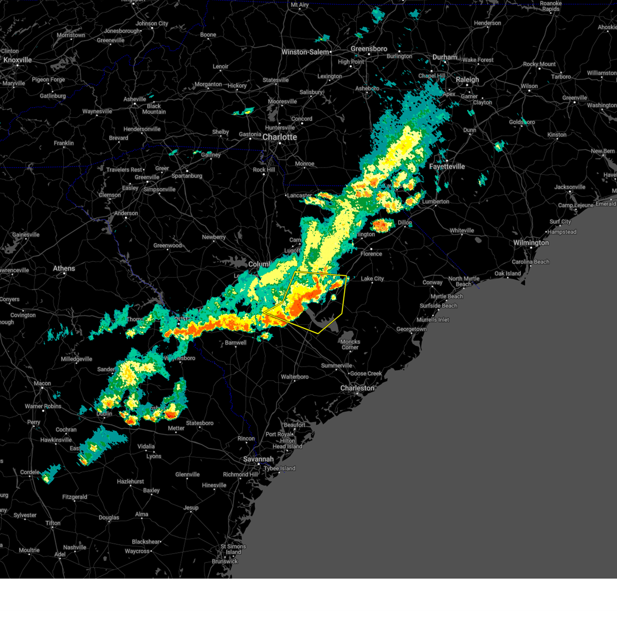
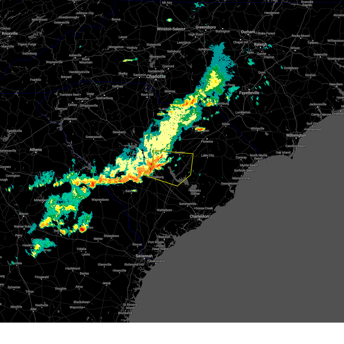
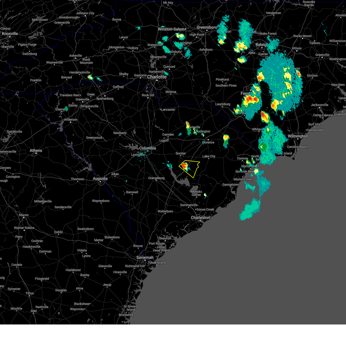
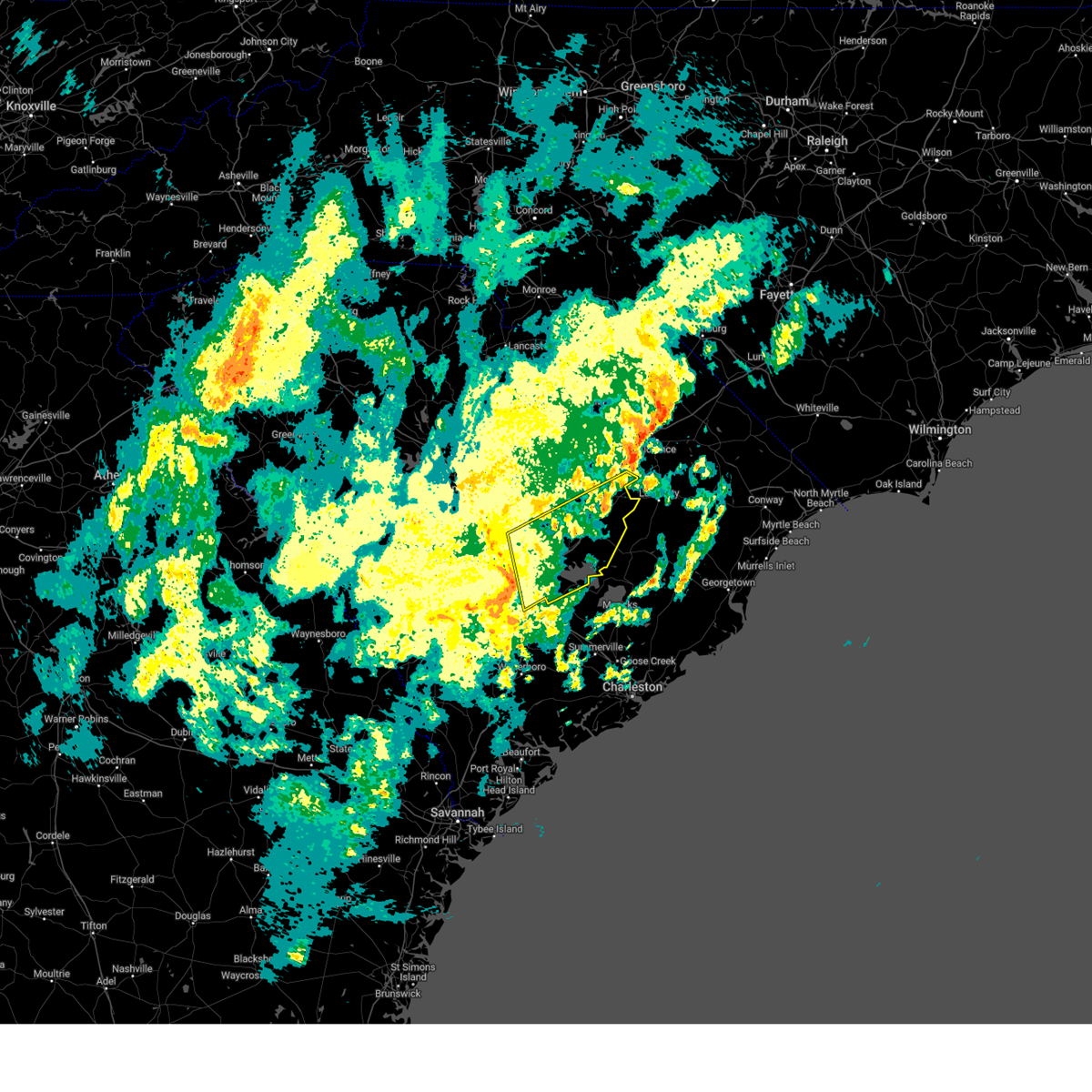
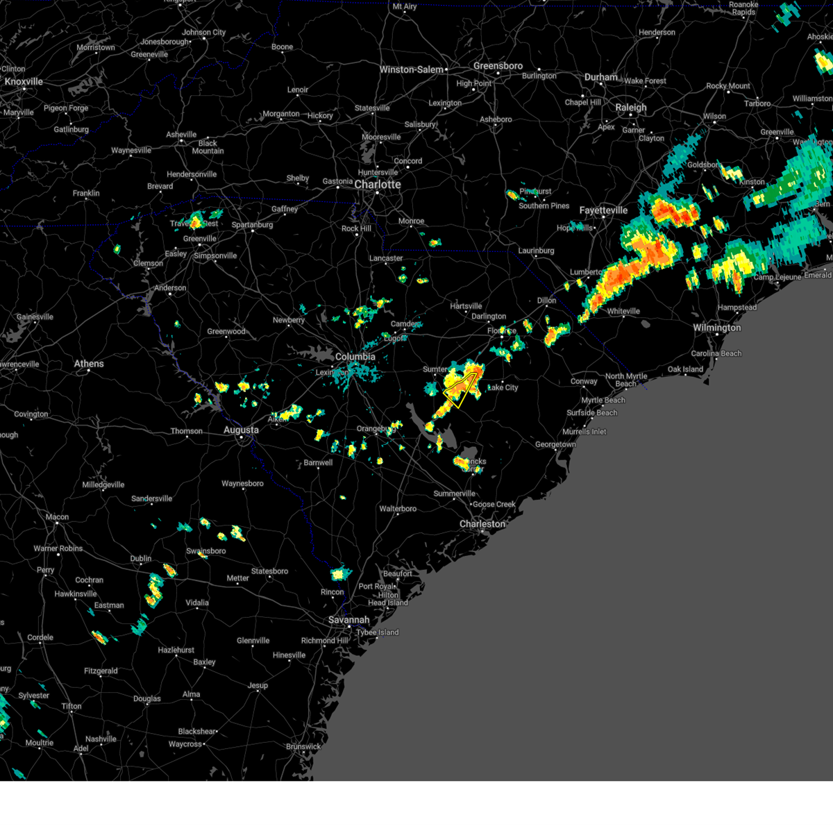
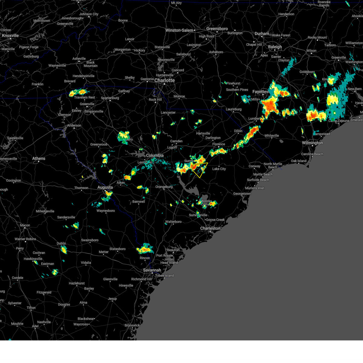
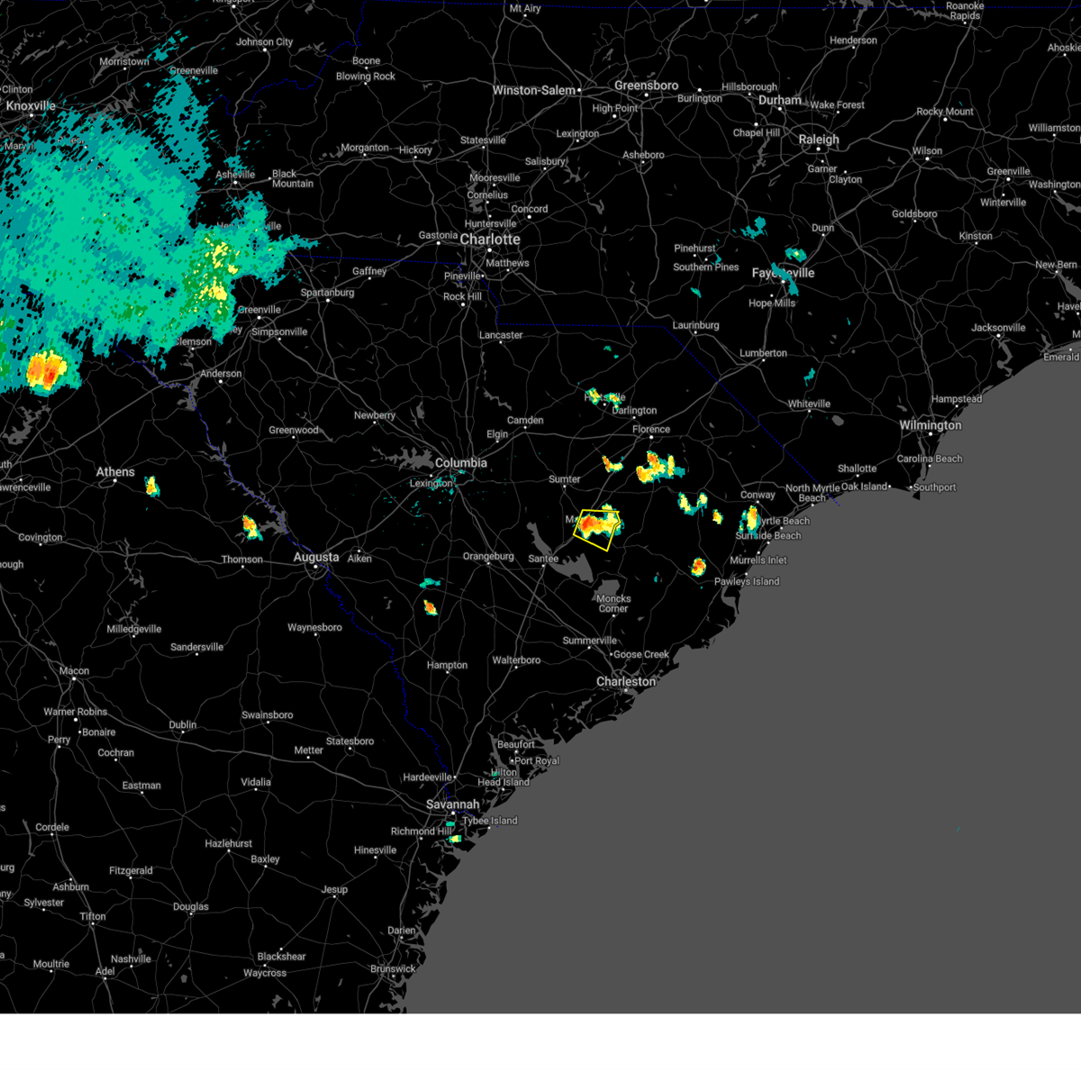
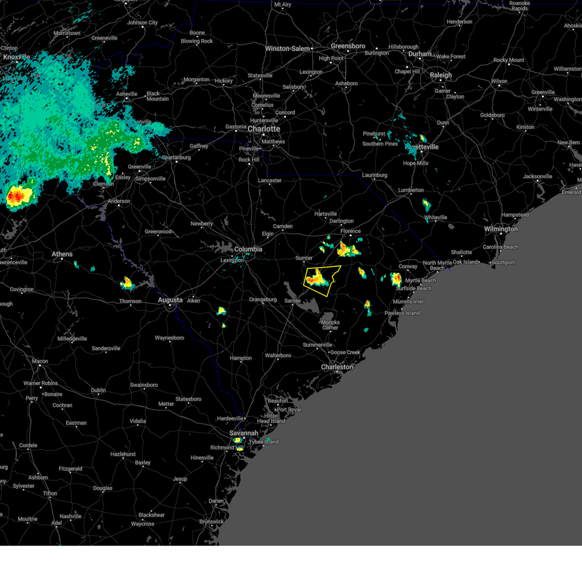
Hail Map for Alcolu, SC
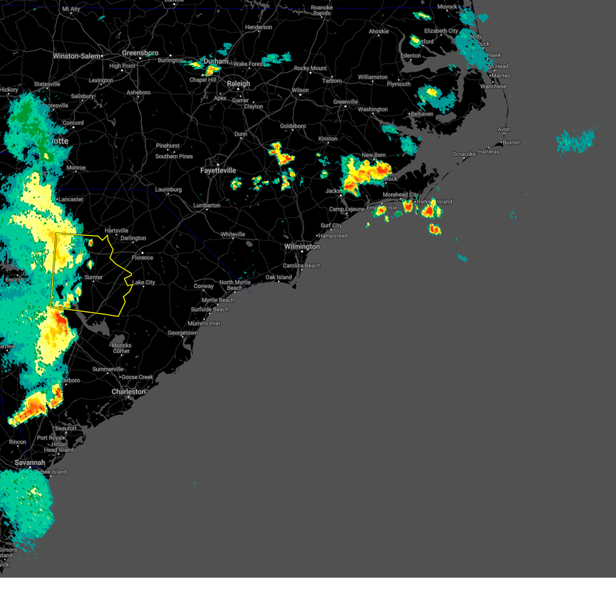
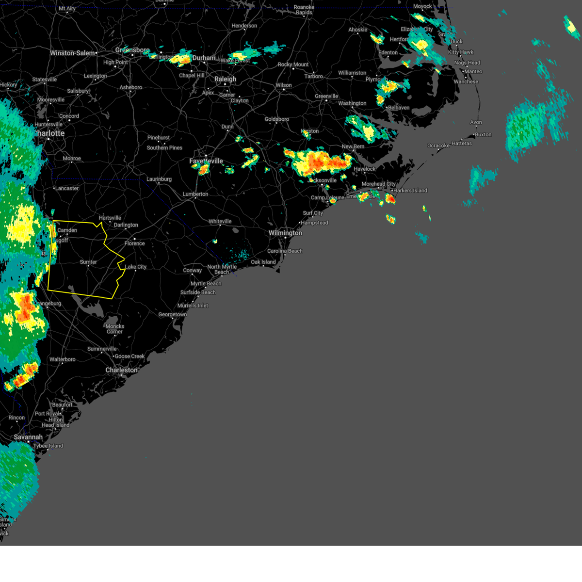
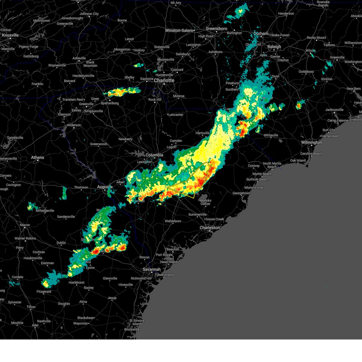
The Alcolu, SC area has had 1 report of on-the-ground hail by trained spotters, and has been under severe weather warnings 35 times during the past 12 months. Doppler radar has detected hail at or near Alcolu, SC on 54 occasions, including 1 occasion during the past year.
| Name: | Alcolu, SC |
| Where Located: | 40.5 miles NNW of Charleston, SC |
| Map: | Google Map for Alcolu, SC |
| Population: | 429 |
| Housing Units: | 207 |
| More Info: | Search Google for Alcolu, SC |
1
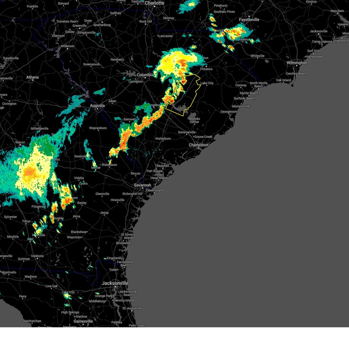
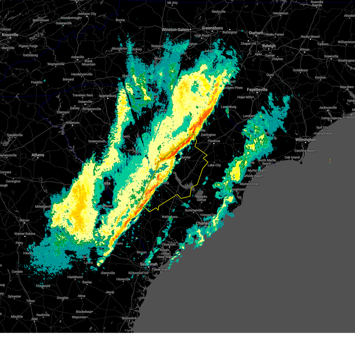
The Top Recent Hail Date for Alcolu, SC is Wednesday, May 14, 2025 (9th out of 54)

Hail and Wind Damage Spotted near Alcolu, SC
| Date / Time | Report Details |
|---|---|
| 6/25/2025 7:48 PM EDT | Scdps website reported a tree down on i-95 over the black river swamp. time estimated by rada in clarendon county SC, 7.6 miles SW of Alcolu, SC |
| 6/25/2025 7:00 PM EDT |
 Svrcae the national weather service in columbia has issued a * severe thunderstorm warning for, lee county in central south carolina, clarendon county in central south carolina, sumter county in central south carolina, * until 800 pm edt. * at 700 pm edt, severe thunderstorms were located along a line extending from lee state park to poston, moving southwest at 30 mph (radar indicated). Hazards include 60 mph wind gusts. expect damage to trees and powerlines Svrcae the national weather service in columbia has issued a * severe thunderstorm warning for, lee county in central south carolina, clarendon county in central south carolina, sumter county in central south carolina, * until 800 pm edt. * at 700 pm edt, severe thunderstorms were located along a line extending from lee state park to poston, moving southwest at 30 mph (radar indicated). Hazards include 60 mph wind gusts. expect damage to trees and powerlines
|
| 6/8/2025 12:29 PM EDT |
 The storm which prompted the warning has moved out of the area. therefore, the warning will be allowed to expire. strong winds up to 50 mph over lake marion will still be a threat through 1245 pm. The storm which prompted the warning has moved out of the area. therefore, the warning will be allowed to expire. strong winds up to 50 mph over lake marion will still be a threat through 1245 pm.
|
| 6/8/2025 12:17 PM EDT |
 the severe thunderstorm warning has been cancelled and is no longer in effect the severe thunderstorm warning has been cancelled and is no longer in effect
|
| 6/8/2025 12:17 PM EDT |
 At 1216 pm edt, a severe thunderstorm was located near santee cooper regional airport, or 7 miles southeast of manning, moving east at 35 mph (radar indicated). Hazards include 60 mph wind gusts and quarter size hail. Hail damage to vehicles is expected. expect wind damage to trees and powerlines. locations impacted include, manning, summerton, alcolu, woods bay state park, santee cooper regional airport, santee, turbeville, eutawville, vance, st. paul, rocks pond campground and marina, foreston, eautaw springs, indian bluff recreation park, gable, davis station, blounts landing, mill creek marina and campground, and shiloh. This includes interstate 95 between mile markers 95 and 146. At 1216 pm edt, a severe thunderstorm was located near santee cooper regional airport, or 7 miles southeast of manning, moving east at 35 mph (radar indicated). Hazards include 60 mph wind gusts and quarter size hail. Hail damage to vehicles is expected. expect wind damage to trees and powerlines. locations impacted include, manning, summerton, alcolu, woods bay state park, santee cooper regional airport, santee, turbeville, eutawville, vance, st. paul, rocks pond campground and marina, foreston, eautaw springs, indian bluff recreation park, gable, davis station, blounts landing, mill creek marina and campground, and shiloh. This includes interstate 95 between mile markers 95 and 146.
|
| 6/8/2025 11:52 AM EDT |
 At 1152 am edt, a severe thunderstorm was located over summerton, or 11 miles southwest of manning, moving east at 35 mph (radar indicated). Hazards include 60 mph wind gusts and quarter size hail. Hail damage to vehicles is expected. expect wind damage to trees and powerlines. locations impacted include, sumter, manning, south sumter, summerton, elloree, alcolu, woods bay state park, santee state park, santee cooper regional airport, mulberry, santee, turbeville, mayesville, pinewood, eutawville, paxville, vance, rimini, brogdon, and eautaw springs. This includes interstate 95 between mile markers 94 and 146. At 1152 am edt, a severe thunderstorm was located over summerton, or 11 miles southwest of manning, moving east at 35 mph (radar indicated). Hazards include 60 mph wind gusts and quarter size hail. Hail damage to vehicles is expected. expect wind damage to trees and powerlines. locations impacted include, sumter, manning, south sumter, summerton, elloree, alcolu, woods bay state park, santee state park, santee cooper regional airport, mulberry, santee, turbeville, mayesville, pinewood, eutawville, paxville, vance, rimini, brogdon, and eautaw springs. This includes interstate 95 between mile markers 94 and 146.
|
| 6/8/2025 11:44 AM EDT |
 Svrcae the national weather service in columbia has issued a * severe thunderstorm warning for, southeastern lee county in central south carolina, clarendon county in central south carolina, central sumter county in central south carolina, east central orangeburg county in central south carolina, * until 1230 pm edt. * at 1144 am edt, a severe thunderstorm was located near santee state park, or 15 miles southwest of manning, moving east at 35 mph (radar indicated). Hazards include 60 mph wind gusts and penny size hail. expect damage to trees and powerlines Svrcae the national weather service in columbia has issued a * severe thunderstorm warning for, southeastern lee county in central south carolina, clarendon county in central south carolina, central sumter county in central south carolina, east central orangeburg county in central south carolina, * until 1230 pm edt. * at 1144 am edt, a severe thunderstorm was located near santee state park, or 15 miles southwest of manning, moving east at 35 mph (radar indicated). Hazards include 60 mph wind gusts and penny size hail. expect damage to trees and powerlines
|
| 6/7/2025 10:08 PM EDT |
 The storms which prompted the warning have weakened below severe limits, and no longer pose an immediate threat to life or property. therefore, the warning will be allowed to expire. however, gusty winds up to 50 mph are still possible with these thunderstorms. a severe thunderstorm watch remains in effect until midnight edt for central south carolina. The storms which prompted the warning have weakened below severe limits, and no longer pose an immediate threat to life or property. therefore, the warning will be allowed to expire. however, gusty winds up to 50 mph are still possible with these thunderstorms. a severe thunderstorm watch remains in effect until midnight edt for central south carolina.
|
| 6/7/2025 9:36 PM EDT |
 Svrcae the national weather service in columbia has issued a * severe thunderstorm warning for, lee county in central south carolina, central calhoun county in central south carolina, clarendon county in central south carolina, sumter county in central south carolina, southeastern richland county in central south carolina, southern kershaw county in central south carolina, * until 1015 pm edt. * at 935 pm edt, severe thunderstorms were located along a line extending from near lake wateree dam to near st. matthews, moving east at 55 mph (radar indicated). Hazards include 60 mph wind gusts. expect damage to trees and powerlines Svrcae the national weather service in columbia has issued a * severe thunderstorm warning for, lee county in central south carolina, central calhoun county in central south carolina, clarendon county in central south carolina, sumter county in central south carolina, southeastern richland county in central south carolina, southern kershaw county in central south carolina, * until 1015 pm edt. * at 935 pm edt, severe thunderstorms were located along a line extending from near lake wateree dam to near st. matthews, moving east at 55 mph (radar indicated). Hazards include 60 mph wind gusts. expect damage to trees and powerlines
|
| 5/30/2025 5:31 PM EDT |
 At 530 pm edt, severe thunderstorms were located along a line extending from near friendfield to near salters to kingstree to near santee cooper regional airport, moving east at 75 mph (radar indicated). Hazards include 70 mph wind gusts. Expect considerable tree damage. damage is likely to mobile homes, roofs, and outbuildings. locations impacted include, manning, summerton, elloree, alcolu, santee state park, santee cooper regional airport, santee, turbeville, eutawville, vance, poplar creek landing, st. paul, stumphole landing, rocks pond campground and marina, foreston, eautaw springs, indian bluff recreation park, gable, davis station, and blounts landing. this includes the following highways, interstate 26 near mile marker 150. Interstate 95 between mile markers 93 and 133. At 530 pm edt, severe thunderstorms were located along a line extending from near friendfield to near salters to kingstree to near santee cooper regional airport, moving east at 75 mph (radar indicated). Hazards include 70 mph wind gusts. Expect considerable tree damage. damage is likely to mobile homes, roofs, and outbuildings. locations impacted include, manning, summerton, elloree, alcolu, santee state park, santee cooper regional airport, santee, turbeville, eutawville, vance, poplar creek landing, st. paul, stumphole landing, rocks pond campground and marina, foreston, eautaw springs, indian bluff recreation park, gable, davis station, and blounts landing. this includes the following highways, interstate 26 near mile marker 150. Interstate 95 between mile markers 93 and 133.
|
| 5/30/2025 5:31 PM EDT |
 the severe thunderstorm warning has been cancelled and is no longer in effect the severe thunderstorm warning has been cancelled and is no longer in effect
|
| 5/30/2025 5:14 PM EDT |
 Svrcae the national weather service in columbia has issued a * severe thunderstorm warning for, southeastern calhoun county in central south carolina, clarendon county in central south carolina, central sumter county in central south carolina, east central orangeburg county in central south carolina, * until 600 pm edt. * at 513 pm edt, severe thunderstorms were located along a line extending from near woods bay state park to near santee cooper regional airport to near manning to near elloree, moving east at 75 mph (radar indicated). Hazards include 70 mph wind gusts. Expect considerable tree damage. damage is likely to mobile homes, roofs, and outbuildings. This line of storms has a history of producing significant wind damage. Svrcae the national weather service in columbia has issued a * severe thunderstorm warning for, southeastern calhoun county in central south carolina, clarendon county in central south carolina, central sumter county in central south carolina, east central orangeburg county in central south carolina, * until 600 pm edt. * at 513 pm edt, severe thunderstorms were located along a line extending from near woods bay state park to near santee cooper regional airport to near manning to near elloree, moving east at 75 mph (radar indicated). Hazards include 70 mph wind gusts. Expect considerable tree damage. damage is likely to mobile homes, roofs, and outbuildings. This line of storms has a history of producing significant wind damage.
|
| 5/30/2025 4:54 PM EDT |
 At 454 pm edt, severe thunderstorms were located along a line extending from near shaw air base to 8 miles north of santee state park to near brookdale, moving east at 45 mph (trained weather spotters). Hazards include 70 mph wind gusts. Expect considerable tree damage. damage is likely to mobile homes, roofs, and outbuildings. locations impacted include, sumter, manning, brookdale, south sumter, st. matthews, summerton, eastover, elloree, alcolu, santee state park, santee cooper regional airport, mulberry, millwood, poinsett state park, santee, pinewood, cameron, eutawville, paxville, and vance. this includes the following highways, interstate 26 between mile markers 139 and 151. Interstate 95 between mile markers 93 and 138. At 454 pm edt, severe thunderstorms were located along a line extending from near shaw air base to 8 miles north of santee state park to near brookdale, moving east at 45 mph (trained weather spotters). Hazards include 70 mph wind gusts. Expect considerable tree damage. damage is likely to mobile homes, roofs, and outbuildings. locations impacted include, sumter, manning, brookdale, south sumter, st. matthews, summerton, eastover, elloree, alcolu, santee state park, santee cooper regional airport, mulberry, millwood, poinsett state park, santee, pinewood, cameron, eutawville, paxville, and vance. this includes the following highways, interstate 26 between mile markers 139 and 151. Interstate 95 between mile markers 93 and 138.
|
| 5/30/2025 4:33 PM EDT |
 Svrcae the national weather service in columbia has issued a * severe thunderstorm warning for, calhoun county in central south carolina, clarendon county in central south carolina, sumter county in central south carolina, central orangeburg county in central south carolina, southeastern richland county in central south carolina, * until 515 pm edt. * at 433 pm edt, severe thunderstorms were located along a line extending from near mcentire air base to near st. matthews to 9 miles northwest of edisto gardens, moving east at 45 mph (trained weather spotters reported several large trees down). Hazards include 70 mph wind gusts. Expect considerable tree damage. Damage is likely to mobile homes, roofs, and outbuildings. Svrcae the national weather service in columbia has issued a * severe thunderstorm warning for, calhoun county in central south carolina, clarendon county in central south carolina, sumter county in central south carolina, central orangeburg county in central south carolina, southeastern richland county in central south carolina, * until 515 pm edt. * at 433 pm edt, severe thunderstorms were located along a line extending from near mcentire air base to near st. matthews to 9 miles northwest of edisto gardens, moving east at 45 mph (trained weather spotters reported several large trees down). Hazards include 70 mph wind gusts. Expect considerable tree damage. Damage is likely to mobile homes, roofs, and outbuildings.
|
| 5/14/2025 5:13 PM EDT |
 At 513 pm edt, a severe thunderstorm was located over alcolu, or near manning, moving east at 25 mph (radar indicated). Hazards include 60 mph wind gusts and quarter size hail. Hail damage to vehicles is expected. expect wind damage to trees and powerlines. locations impacted include, manning, alcolu, paxville, brogdon, and foreston. This includes interstate 95 between mile markers 116 and 129. At 513 pm edt, a severe thunderstorm was located over alcolu, or near manning, moving east at 25 mph (radar indicated). Hazards include 60 mph wind gusts and quarter size hail. Hail damage to vehicles is expected. expect wind damage to trees and powerlines. locations impacted include, manning, alcolu, paxville, brogdon, and foreston. This includes interstate 95 between mile markers 116 and 129.
|
| 5/14/2025 4:58 PM EDT |
 Svrcae the national weather service in columbia has issued a * severe thunderstorm warning for, central clarendon county in central south carolina, south central sumter county in central south carolina, * until 545 pm edt. * at 458 pm edt, a severe thunderstorm was located 7 miles south of south sumter, moving east at 25 mph (radar indicated). Hazards include 60 mph wind gusts and quarter size hail. Hail damage to vehicles is expected. Expect wind damage to trees and powerlines. Svrcae the national weather service in columbia has issued a * severe thunderstorm warning for, central clarendon county in central south carolina, south central sumter county in central south carolina, * until 545 pm edt. * at 458 pm edt, a severe thunderstorm was located 7 miles south of south sumter, moving east at 25 mph (radar indicated). Hazards include 60 mph wind gusts and quarter size hail. Hail damage to vehicles is expected. Expect wind damage to trees and powerlines.
|
| 4/7/2025 8:14 PM EDT |
 The storm which prompted the warning has moved out of the area. therefore, the warning will be allowed to expire. The storm which prompted the warning has moved out of the area. therefore, the warning will be allowed to expire.
|
| 4/7/2025 7:46 PM EDT |
 the severe thunderstorm warning has been cancelled and is no longer in effect the severe thunderstorm warning has been cancelled and is no longer in effect
|
| 4/7/2025 7:46 PM EDT |
 At 746 pm edt, a severe thunderstorm was located over santee cooper regional airport, or 7 miles south of manning, moving east at 60 mph (radar indicated). Hazards include 60 mph wind gusts. Expect damage to trees and powerlines. locations impacted include, summerton, st. paul, manning, alcolu, brogdon, vance, turbeville, lakewood, eutawville, foreston, woods bay state park, eautaw springs, indian bluff recreation park, santee cooper regional airport, gable, davis station, paxville, blounts landing, mill creek marina and campground, and shiloh. This includes interstate 95 between mile markers 102 and 145. At 746 pm edt, a severe thunderstorm was located over santee cooper regional airport, or 7 miles south of manning, moving east at 60 mph (radar indicated). Hazards include 60 mph wind gusts. Expect damage to trees and powerlines. locations impacted include, summerton, st. paul, manning, alcolu, brogdon, vance, turbeville, lakewood, eutawville, foreston, woods bay state park, eautaw springs, indian bluff recreation park, santee cooper regional airport, gable, davis station, paxville, blounts landing, mill creek marina and campground, and shiloh. This includes interstate 95 between mile markers 102 and 145.
|
| 4/7/2025 7:23 PM EDT |
 Svrcae the national weather service in columbia has issued a * severe thunderstorm warning for, southeastern calhoun county in central south carolina, clarendon county in central south carolina, central sumter county in central south carolina, southeastern orangeburg county in central south carolina, * until 815 pm edt. * at 723 pm edt, a severe thunderstorm was located near elloree, or 13 miles east of brookdale, moving east at 60 mph (radar indicated). Hazards include 60 mph wind gusts. expect damage to trees and powerlines Svrcae the national weather service in columbia has issued a * severe thunderstorm warning for, southeastern calhoun county in central south carolina, clarendon county in central south carolina, central sumter county in central south carolina, southeastern orangeburg county in central south carolina, * until 815 pm edt. * at 723 pm edt, a severe thunderstorm was located near elloree, or 13 miles east of brookdale, moving east at 60 mph (radar indicated). Hazards include 60 mph wind gusts. expect damage to trees and powerlines
|
| 3/31/2025 5:46 PM EDT |
 the severe thunderstorm warning has been cancelled and is no longer in effect the severe thunderstorm warning has been cancelled and is no longer in effect
|
| 3/31/2025 5:46 PM EDT |
 At 544 pm edt, a severe thunderstorm was located near bowman, or 11 miles north of saint george, moving east at 35 mph (radar indicated). Hazards include ping pong ball size hail and 60 mph wind gusts. People and animals outdoors will be injured. expect hail damage to roofs, siding, windows, and vehicles. expect wind damage to trees and powerlines. locations impacted include, summerton, bowman, poplar creek landing, st. paul, manning, stumphole landing, rocks pond campground and marina, yonder field, vance, eutawville, santee state park, eautaw springs, indian bluff recreation park, santee cooper regional airport, elloree, santee, davis station, blounts landing, mill creek marina and campground, and holly hill. this includes the following highways, interstate 26 between mile markers 154 and 168. Interstate 95 between mile markers 85 and 122. At 544 pm edt, a severe thunderstorm was located near bowman, or 11 miles north of saint george, moving east at 35 mph (radar indicated). Hazards include ping pong ball size hail and 60 mph wind gusts. People and animals outdoors will be injured. expect hail damage to roofs, siding, windows, and vehicles. expect wind damage to trees and powerlines. locations impacted include, summerton, bowman, poplar creek landing, st. paul, manning, stumphole landing, rocks pond campground and marina, yonder field, vance, eutawville, santee state park, eautaw springs, indian bluff recreation park, santee cooper regional airport, elloree, santee, davis station, blounts landing, mill creek marina and campground, and holly hill. this includes the following highways, interstate 26 between mile markers 154 and 168. Interstate 95 between mile markers 85 and 122.
|
| 3/31/2025 5:26 PM EDT |
 Svrcae the national weather service in columbia has issued a * severe thunderstorm warning for, southeastern calhoun county in central south carolina, southwestern clarendon county in central south carolina, east central bamberg county in central south carolina, southeastern orangeburg county in central south carolina, * until 630 pm edt. * at 525 pm edt, severe thunderstorms were located near branchville, or 13 miles northwest of saint george, moving east at 35 mph (radar indicated). Hazards include 60 mph wind gusts and quarter size hail. Hail damage to vehicles is expected. Expect wind damage to trees and powerlines. Svrcae the national weather service in columbia has issued a * severe thunderstorm warning for, southeastern calhoun county in central south carolina, southwestern clarendon county in central south carolina, east central bamberg county in central south carolina, southeastern orangeburg county in central south carolina, * until 630 pm edt. * at 525 pm edt, severe thunderstorms were located near branchville, or 13 miles northwest of saint george, moving east at 35 mph (radar indicated). Hazards include 60 mph wind gusts and quarter size hail. Hail damage to vehicles is expected. Expect wind damage to trees and powerlines.
|
| 2/16/2025 9:29 AM EST |
 At 928 am est, severe thunderstorms were located along a line extending from 6 miles northeast of pamplico to near round o, moving east at 45 mph (radar indicated). Hazards include 60 mph wind gusts. Expect damage to trees and powerlines. locations impacted include, manning, holly hill, woods bay state park, santee cooper regional airport, turbeville, eutawville, vance, rocks pond campground and marina, foreston, eautaw springs, indian bluff recreation park, gable, davis station, blounts landing, mill creek marina and campground, and shiloh. This includes interstate 95 between mile markers 112 and 115, and between mile markers 119 and 146. At 928 am est, severe thunderstorms were located along a line extending from 6 miles northeast of pamplico to near round o, moving east at 45 mph (radar indicated). Hazards include 60 mph wind gusts. Expect damage to trees and powerlines. locations impacted include, manning, holly hill, woods bay state park, santee cooper regional airport, turbeville, eutawville, vance, rocks pond campground and marina, foreston, eautaw springs, indian bluff recreation park, gable, davis station, blounts landing, mill creek marina and campground, and shiloh. This includes interstate 95 between mile markers 112 and 115, and between mile markers 119 and 146.
|
| 2/16/2025 9:29 AM EST |
 the severe thunderstorm warning has been cancelled and is no longer in effect the severe thunderstorm warning has been cancelled and is no longer in effect
|
| 2/16/2025 8:29 AM EST |
 Svrcae the national weather service in columbia has issued a * severe thunderstorm warning for, lee county in central south carolina, calhoun county in central south carolina, clarendon county in central south carolina, southeastern barnwell county in central south carolina, bamberg county in central south carolina, sumter county in central south carolina, orangeburg county in central south carolina, southeastern richland county in central south carolina, * until 945 am est. * at 827 am est, severe thunderstorms were located along a line extending from near bishopville to near ulmer, moving east at 45 mph (numerous reports of downed trees from trained weather spotters). Hazards include 60 mph wind gusts. expect damage to trees and powerlines Svrcae the national weather service in columbia has issued a * severe thunderstorm warning for, lee county in central south carolina, calhoun county in central south carolina, clarendon county in central south carolina, southeastern barnwell county in central south carolina, bamberg county in central south carolina, sumter county in central south carolina, orangeburg county in central south carolina, southeastern richland county in central south carolina, * until 945 am est. * at 827 am est, severe thunderstorms were located along a line extending from near bishopville to near ulmer, moving east at 45 mph (numerous reports of downed trees from trained weather spotters). Hazards include 60 mph wind gusts. expect damage to trees and powerlines
|
| 12/29/2024 10:01 AM EST |
 the severe thunderstorm warning has been cancelled and is no longer in effect the severe thunderstorm warning has been cancelled and is no longer in effect
|
| 12/29/2024 10:01 AM EST |
 At 1001 am est, severe thunderstorms were located along a line extending from 6 miles east of pageland to near summerton, moving east at 35 mph (radar indicated). Hazards include 60 mph wind gusts. Expect damage to trees and powerlines. locations impacted include, sumter, cheraw, manning, bishopville, south sumter, chesterfield, summerton, mulberry, cheraw state park, alcolu, northeastern technical college, woods bay state park, santee cooper regional airport, elliott, cheraw municipal airport, lee state park, carolina sandhills wildlife refuge, sumter county airport, millwood, and mcbee. this includes the following highways, interstate 20 in south carolina between mile markers 108 and 125. Interstate 95 between mile markers 105 and 146. At 1001 am est, severe thunderstorms were located along a line extending from 6 miles east of pageland to near summerton, moving east at 35 mph (radar indicated). Hazards include 60 mph wind gusts. Expect damage to trees and powerlines. locations impacted include, sumter, cheraw, manning, bishopville, south sumter, chesterfield, summerton, mulberry, cheraw state park, alcolu, northeastern technical college, woods bay state park, santee cooper regional airport, elliott, cheraw municipal airport, lee state park, carolina sandhills wildlife refuge, sumter county airport, millwood, and mcbee. this includes the following highways, interstate 20 in south carolina between mile markers 108 and 125. Interstate 95 between mile markers 105 and 146.
|
| 12/29/2024 9:41 AM EST |
 Svrcae the national weather service in columbia has issued a * severe thunderstorm warning for, southeastern lancaster county in central south carolina, lee county in central south carolina, east central calhoun county in central south carolina, clarendon county in central south carolina, chesterfield county in central south carolina, sumter county in central south carolina, eastern kershaw county in central south carolina, * until 1045 am est. * at 940 am est, severe thunderstorms were located along a line extending from near pageland to 8 miles north of elloree, moving east at 35 mph (radar indicated). Hazards include 60 mph wind gusts. expect damage to trees and powerlines Svrcae the national weather service in columbia has issued a * severe thunderstorm warning for, southeastern lancaster county in central south carolina, lee county in central south carolina, east central calhoun county in central south carolina, clarendon county in central south carolina, chesterfield county in central south carolina, sumter county in central south carolina, eastern kershaw county in central south carolina, * until 1045 am est. * at 940 am est, severe thunderstorms were located along a line extending from near pageland to 8 miles north of elloree, moving east at 35 mph (radar indicated). Hazards include 60 mph wind gusts. expect damage to trees and powerlines
|
| 8/10/2024 6:36 PM EDT |
 The storm which prompted the warning has weakened below severe limits, and no longer poses an immediate threat to life or property. therefore, the warning will be allowed to expire. however, gusty winds and heavy rain are still possible with this thunderstorm. to report severe weather, contact your nearest law enforcement agency. they will relay your report to the national weather service columbia. The storm which prompted the warning has weakened below severe limits, and no longer poses an immediate threat to life or property. therefore, the warning will be allowed to expire. however, gusty winds and heavy rain are still possible with this thunderstorm. to report severe weather, contact your nearest law enforcement agency. they will relay your report to the national weather service columbia.
|
| 8/10/2024 6:27 PM EDT |
 the severe thunderstorm warning has been cancelled and is no longer in effect the severe thunderstorm warning has been cancelled and is no longer in effect
|
| 8/10/2024 6:27 PM EDT |
 At 627 pm edt, a severe thunderstorm was located 7 miles northeast of alcolu, or 10 miles northeast of manning, moving east at 15 mph (radar indicated). Hazards include 60 mph wind gusts. Expect damage to trees and powerlines. locations impacted include, alcolu, turbeville, gable, and shiloh. This includes interstate 95 between mile markers 122 and 133. At 627 pm edt, a severe thunderstorm was located 7 miles northeast of alcolu, or 10 miles northeast of manning, moving east at 15 mph (radar indicated). Hazards include 60 mph wind gusts. Expect damage to trees and powerlines. locations impacted include, alcolu, turbeville, gable, and shiloh. This includes interstate 95 between mile markers 122 and 133.
|
| 8/10/2024 5:53 PM EDT |
 Svrcae the national weather service in columbia has issued a * severe thunderstorm warning for, north central clarendon county in central south carolina, central sumter county in central south carolina, * until 645 pm edt. * at 552 pm edt, a severe thunderstorm was located near south sumter, moving east at 15 mph (radar indicated). Hazards include 60 mph wind gusts and penny size hail. expect damage to trees and powerlines Svrcae the national weather service in columbia has issued a * severe thunderstorm warning for, north central clarendon county in central south carolina, central sumter county in central south carolina, * until 645 pm edt. * at 552 pm edt, a severe thunderstorm was located near south sumter, moving east at 15 mph (radar indicated). Hazards include 60 mph wind gusts and penny size hail. expect damage to trees and powerlines
|
| 7/19/2024 6:51 PM EDT |
 Svrcae the national weather service in columbia has issued a * severe thunderstorm warning for, west central clarendon county in central south carolina, southwestern sumter county in central south carolina, * until 730 pm edt. * at 651 pm edt, a severe thunderstorm was located 8 miles west of alcolu, or 8 miles south of south sumter, and is nearly stationary (radar indicated). Hazards include 60 mph wind gusts. expect damage to trees and powerlines Svrcae the national weather service in columbia has issued a * severe thunderstorm warning for, west central clarendon county in central south carolina, southwestern sumter county in central south carolina, * until 730 pm edt. * at 651 pm edt, a severe thunderstorm was located 8 miles west of alcolu, or 8 miles south of south sumter, and is nearly stationary (radar indicated). Hazards include 60 mph wind gusts. expect damage to trees and powerlines
|
| 7/17/2024 7:52 PM EDT |
 At 752 pm edt, a severe thunderstorm was located near south sumter, moving east at 25 mph (radar indicated). Hazards include 60 mph wind gusts and quarter size hail. Hail damage to vehicles is expected. expect wind damage to trees and powerlines. locations impacted include, manning, woods bay state park, alcolu, turbeville, mayesville, gable, brogdon, shiloh, east sumter, and oswego. This includes interstate 95 between mile markers 119 and 146. At 752 pm edt, a severe thunderstorm was located near south sumter, moving east at 25 mph (radar indicated). Hazards include 60 mph wind gusts and quarter size hail. Hail damage to vehicles is expected. expect wind damage to trees and powerlines. locations impacted include, manning, woods bay state park, alcolu, turbeville, mayesville, gable, brogdon, shiloh, east sumter, and oswego. This includes interstate 95 between mile markers 119 and 146.
|
| 7/17/2024 7:25 PM EDT |
 Svrcae the national weather service in columbia has issued a * severe thunderstorm warning for, southeastern lee county in central south carolina, northern clarendon county in central south carolina, sumter county in central south carolina, * until 815 pm edt. * at 725 pm edt, a severe thunderstorm was located near poinsett state park, or 8 miles southwest of south sumter, moving east at 25 mph (radar indicated). Hazards include 60 mph wind gusts and quarter size hail. Hail damage to vehicles is expected. Expect wind damage to trees and powerlines. Svrcae the national weather service in columbia has issued a * severe thunderstorm warning for, southeastern lee county in central south carolina, northern clarendon county in central south carolina, sumter county in central south carolina, * until 815 pm edt. * at 725 pm edt, a severe thunderstorm was located near poinsett state park, or 8 miles southwest of south sumter, moving east at 25 mph (radar indicated). Hazards include 60 mph wind gusts and quarter size hail. Hail damage to vehicles is expected. Expect wind damage to trees and powerlines.
|
| 5/10/2024 6:52 PM EDT |
 the severe thunderstorm warning has been cancelled and is no longer in effect the severe thunderstorm warning has been cancelled and is no longer in effect
|
| 5/10/2024 6:52 PM EDT |
 At 651 pm edt, a severe thunderstorm was located over summerton, or 11 miles southwest of manning, moving southeast at 50 mph (radar indicated). Hazards include 70 mph wind gusts and quarter size hail. Hail damage to vehicles is expected. expect considerable tree damage. wind damage is also likely to mobile homes, roofs, and outbuildings. locations impacted include, manning, summerton, elloree, alcolu, santee state park, santee cooper regional airport, santee, eutawville, paxville, vance, rimini, st. paul, rocks pond campground and marina, foreston, eautaw springs, indian bluff recreation park, davis station, blounts landing, and mill creek marina and campground. This includes interstate 95 between mile markers 96 and 123. At 651 pm edt, a severe thunderstorm was located over summerton, or 11 miles southwest of manning, moving southeast at 50 mph (radar indicated). Hazards include 70 mph wind gusts and quarter size hail. Hail damage to vehicles is expected. expect considerable tree damage. wind damage is also likely to mobile homes, roofs, and outbuildings. locations impacted include, manning, summerton, elloree, alcolu, santee state park, santee cooper regional airport, santee, eutawville, paxville, vance, rimini, st. paul, rocks pond campground and marina, foreston, eautaw springs, indian bluff recreation park, davis station, blounts landing, and mill creek marina and campground. This includes interstate 95 between mile markers 96 and 123.
|
| 5/10/2024 6:36 PM EDT |
 the severe thunderstorm warning has been cancelled and is no longer in effect the severe thunderstorm warning has been cancelled and is no longer in effect
|
| 5/10/2024 6:36 PM EDT |
 At 636 pm edt, a severe thunderstorm was located 9 miles south of poinsett state park, or 19 miles northeast of brookdale, moving southeast at 45 mph (radar indicated). Hazards include 70 mph wind gusts and quarter size hail. Hail damage to vehicles is expected. expect considerable tree damage. wind damage is also likely to mobile homes, roofs, and outbuildings. locations impacted include, manning, st. matthews, summerton, elloree, alcolu, santee state park, santee cooper regional airport, santee, pinewood, eutawville, paxville, vance, poplar creek landing, rimini, stumphole landing, eautaw springs, blounts landing, lone star, low falls landing, and st. paul. This includes interstate 95 between mile markers 95 and 124. At 636 pm edt, a severe thunderstorm was located 9 miles south of poinsett state park, or 19 miles northeast of brookdale, moving southeast at 45 mph (radar indicated). Hazards include 70 mph wind gusts and quarter size hail. Hail damage to vehicles is expected. expect considerable tree damage. wind damage is also likely to mobile homes, roofs, and outbuildings. locations impacted include, manning, st. matthews, summerton, elloree, alcolu, santee state park, santee cooper regional airport, santee, pinewood, eutawville, paxville, vance, poplar creek landing, rimini, stumphole landing, eautaw springs, blounts landing, lone star, low falls landing, and st. paul. This includes interstate 95 between mile markers 95 and 124.
|
| 5/10/2024 6:21 PM EDT |
 Svrcae the national weather service in columbia has issued a * severe thunderstorm warning for, southeastern calhoun county in central south carolina, clarendon county in central south carolina, southwestern sumter county in central south carolina, east central orangeburg county in central south carolina, southeastern richland county in central south carolina, * until 730 pm edt. * at 620 pm edt, a severe thunderstorm was located near gadsden, or 10 miles south of mcentire air base, moving southeast at 50 mph (radar indicated). Hazards include 60 mph wind gusts and quarter size hail. Hail damage to vehicles is expected. Expect wind damage to trees and powerlines. Svrcae the national weather service in columbia has issued a * severe thunderstorm warning for, southeastern calhoun county in central south carolina, clarendon county in central south carolina, southwestern sumter county in central south carolina, east central orangeburg county in central south carolina, southeastern richland county in central south carolina, * until 730 pm edt. * at 620 pm edt, a severe thunderstorm was located near gadsden, or 10 miles south of mcentire air base, moving southeast at 50 mph (radar indicated). Hazards include 60 mph wind gusts and quarter size hail. Hail damage to vehicles is expected. Expect wind damage to trees and powerlines.
|
| 2/28/2024 7:41 PM EST | At 740 pm est, severe thunderstorms were located along a line extending from near brownsville to near mulberry to near brookdale, moving east at 50 mph (radar indicated). Hazards include 60 mph wind gusts. Expect damage to trees and powerlines. locations impacted include, sumter, orangeburg, manning, brookdale, south sumter, summerton, bowman, elloree, alcolu, woods bay state park, santee state park, claflin college, south carolina state university, orangeburg county airport, edisto gardens, santee, turbeville, mayesville, pinewood, and cameron. this includes the following highways, interstate 26 between mile markers 144 and 166. Interstate 95 between mile markers 94 and 146. |
| 2/28/2024 7:21 PM EST | At 721 pm est, severe thunderstorms were located along a line extending from floyd to near oakland to 14 miles northeast of blackville, moving east at 50 mph (radar indicated). Hazards include 60 mph wind gusts. Expect damage to trees and powerlines. locations impacted include, sumter, orangeburg, manning, south sumter, shaw air base, brookdale, st. matthews, summerton, bowman, eastover, elloree, oakland, santee state park, mulberry, orangeburg county airport, alcolu, woods bay state park, elliott, claflin college, and south carolina state university. this includes the following highways, interstate 26 between mile markers 132 and 166. Interstate 95 between mile markers 94 and 146. |
| 2/28/2024 7:03 PM EST | Svrcae the national weather service in columbia has issued a * severe thunderstorm warning for, lee county in central south carolina, calhoun county in central south carolina, western clarendon county in central south carolina, southeastern lexington county in central south carolina, sumter county in central south carolina, east central aiken county in central south carolina, orangeburg county in central south carolina, southeastern richland county in central south carolina, * until 800 pm est. * at 702 pm est, severe thunderstorms were located along a line extending from kellytown to near mcentire air base to near aiken state park, moving east at 50 mph (radar indicated). Hazards include 60 mph wind gusts. expect damage to trees and powerlines |
| 1/9/2024 4:55 PM EST |
 The severe thunderstorm warning for central lee, clarendon, central sumter and southeastern orangeburg counties will expire at 500 pm est, the storms which prompted the warning have moved out of the area. therefore, the warning will be allowed to expire. please report any storm related damage to the national weather service in columbia sc. The severe thunderstorm warning for central lee, clarendon, central sumter and southeastern orangeburg counties will expire at 500 pm est, the storms which prompted the warning have moved out of the area. therefore, the warning will be allowed to expire. please report any storm related damage to the national weather service in columbia sc.
|
| 1/9/2024 4:39 PM EST |
 At 439 pm est, severe thunderstorms were located along a line extending from 11 miles northwest of hoffman to quinby, moving east at 55 mph (emergency management). Hazards include 60 mph wind gusts. Expect damage to trees and powerlines. locations impacted include, sumter, manning, bishopville, south sumter, holly hill, summerton, alcolu, woods bay state park, santee cooper regional airport, elliott, lee state park, turbeville, mayesville, lynchburg, eutawville, paxville, brogdon, eautaw springs, blounts landing, and ashland. this includes the following highways, interstate 20 in south carolina between mile markers 117 and 125. interstate 95 between mile markers 107 and 146. hail threat, radar indicated max hail size, <. 75 in wind threat, radar indicated max wind gust, 60 mph. At 439 pm est, severe thunderstorms were located along a line extending from 11 miles northwest of hoffman to quinby, moving east at 55 mph (emergency management). Hazards include 60 mph wind gusts. Expect damage to trees and powerlines. locations impacted include, sumter, manning, bishopville, south sumter, holly hill, summerton, alcolu, woods bay state park, santee cooper regional airport, elliott, lee state park, turbeville, mayesville, lynchburg, eutawville, paxville, brogdon, eautaw springs, blounts landing, and ashland. this includes the following highways, interstate 20 in south carolina between mile markers 117 and 125. interstate 95 between mile markers 107 and 146. hail threat, radar indicated max hail size, <. 75 in wind threat, radar indicated max wind gust, 60 mph.
|
| 1/9/2024 3:44 PM EST |
 At 344 pm est, severe thunderstorms were located along a line extending from 7 miles northwest of carolina sandhills wildlife refuge to 8 miles north of summerton, moving northeast at 55 mph (emergency management). Hazards include 60 mph wind gusts. expect damage to trees and powerlines At 344 pm est, severe thunderstorms were located along a line extending from 7 miles northwest of carolina sandhills wildlife refuge to 8 miles north of summerton, moving northeast at 55 mph (emergency management). Hazards include 60 mph wind gusts. expect damage to trees and powerlines
|
| 1/9/2024 3:43 PM EST |
 The tornado warning for east central calhoun, west central clarendon and southwestern sumter counties will expire at 345 pm est, the storm which prompted the warning has weakened below severe limits, and no longer appears capable of producing a tornado. therefore, the warning will be allowed to expire. however, gusty winds are still possible. a tornado watch remains in effect until 600 pm est for central south carolina. The tornado warning for east central calhoun, west central clarendon and southwestern sumter counties will expire at 345 pm est, the storm which prompted the warning has weakened below severe limits, and no longer appears capable of producing a tornado. therefore, the warning will be allowed to expire. however, gusty winds are still possible. a tornado watch remains in effect until 600 pm est for central south carolina.
|
| 1/9/2024 3:29 PM EST |
 At 329 pm est, a severe thunderstorm capable of producing a tornado was located 7 miles south of poinsett state park, or 15 miles southwest of south sumter, moving northeast at 60 mph (radar indicated rotation). Hazards include tornado. Flying debris will be dangerous to those caught without shelter. mobile homes will be damaged or destroyed. damage to roofs, windows, and vehicles will occur. tree damage is likely. this dangerous storm will be near, sumter, south sumter, and poinsett state park around 335 pm est. millwood around 340 pm est. other locations impacted by this tornadic thunderstorm include cane savannah, wedgewood, pinewood, poplar creek landing, cherryvale, rimini, stumphole landing, paxville, brogdon, and low falls landing. This includes interstate 95 between mile markers 119 and 126. At 329 pm est, a severe thunderstorm capable of producing a tornado was located 7 miles south of poinsett state park, or 15 miles southwest of south sumter, moving northeast at 60 mph (radar indicated rotation). Hazards include tornado. Flying debris will be dangerous to those caught without shelter. mobile homes will be damaged or destroyed. damage to roofs, windows, and vehicles will occur. tree damage is likely. this dangerous storm will be near, sumter, south sumter, and poinsett state park around 335 pm est. millwood around 340 pm est. other locations impacted by this tornadic thunderstorm include cane savannah, wedgewood, pinewood, poplar creek landing, cherryvale, rimini, stumphole landing, paxville, brogdon, and low falls landing. This includes interstate 95 between mile markers 119 and 126.
|
| 1/9/2024 3:13 PM EST |
 At 313 pm est, a severe thunderstorm capable of producing a tornado was located near elloree, or 8 miles east of brookdale, moving northeast at 60 mph (radar indicated rotation). Hazards include tornado. Flying debris will be dangerous to those caught without shelter. mobile homes will be damaged or destroyed. damage to roofs, windows, and vehicles will occur. tree damage is likely. this dangerous storm will be near, elloree and santee state park around 320 pm est. poinsett state park around 330 pm est. other locations impacted by this tornadic thunderstorm include cane savannah, poplar creek landing, rimini, stumphole landing, yonder field, brogdon, cameron, lakewood, privateer, and wedgewood. this includes the following highways, interstate 26 near mile marker 157. Interstate 95 between mile markers 119 and 126. At 313 pm est, a severe thunderstorm capable of producing a tornado was located near elloree, or 8 miles east of brookdale, moving northeast at 60 mph (radar indicated rotation). Hazards include tornado. Flying debris will be dangerous to those caught without shelter. mobile homes will be damaged or destroyed. damage to roofs, windows, and vehicles will occur. tree damage is likely. this dangerous storm will be near, elloree and santee state park around 320 pm est. poinsett state park around 330 pm est. other locations impacted by this tornadic thunderstorm include cane savannah, poplar creek landing, rimini, stumphole landing, yonder field, brogdon, cameron, lakewood, privateer, and wedgewood. this includes the following highways, interstate 26 near mile marker 157. Interstate 95 between mile markers 119 and 126.
|
| 8/7/2023 7:49 PM EDT |
 At 748 pm edt, severe thunderstorms were located along a line extending from 6 miles south of elliott to near alcolu to 7 miles southeast of poinsett state park, moving east at 55 mph (radar indicated). Hazards include 60 mph wind gusts. Expect damage to trees and powerlines. locations impacted include, sumter, manning, south sumter, mulberry, alcolu, woods bay state park, sumter county airport, santee cooper regional airport, millwood, turbeville, mayesville, lynchburg, paxville, oswego, brogdon, lakewood, privateer, foreston, east sumter, and st. charles. this includes interstate 95 between mile markers 112 and 146. hail threat, radar indicated max hail size, <. 75 in wind threat, radar indicated max wind gust, 60 mph. At 748 pm edt, severe thunderstorms were located along a line extending from 6 miles south of elliott to near alcolu to 7 miles southeast of poinsett state park, moving east at 55 mph (radar indicated). Hazards include 60 mph wind gusts. Expect damage to trees and powerlines. locations impacted include, sumter, manning, south sumter, mulberry, alcolu, woods bay state park, sumter county airport, santee cooper regional airport, millwood, turbeville, mayesville, lynchburg, paxville, oswego, brogdon, lakewood, privateer, foreston, east sumter, and st. charles. this includes interstate 95 between mile markers 112 and 146. hail threat, radar indicated max hail size, <. 75 in wind threat, radar indicated max wind gust, 60 mph.
|
| 8/7/2023 7:23 PM EDT |
 The severe thunderstorm warning for east central calhoun, clarendon, central sumter and southeastern richland counties will expire at 730 pm edt, the storms which prompted the warning have moved out of the area. therefore, the warning will be allowed to expire. a severe thunderstorm watch remains in effect until midnight edt for central south carolina. a severe thunderstorm warning has been reissued for the line of storms over clarendon county, moving eastward at 40 mph, and for a strong line of storms moving eastward out of richland county. this is until 8 pm. The severe thunderstorm warning for east central calhoun, clarendon, central sumter and southeastern richland counties will expire at 730 pm edt, the storms which prompted the warning have moved out of the area. therefore, the warning will be allowed to expire. a severe thunderstorm watch remains in effect until midnight edt for central south carolina. a severe thunderstorm warning has been reissued for the line of storms over clarendon county, moving eastward at 40 mph, and for a strong line of storms moving eastward out of richland county. this is until 8 pm.
|
| 8/7/2023 7:21 PM EDT |
 At 721 pm edt, severe thunderstorms were located along a line extending from near oakland to near eastover to near congaree national park, moving east at 55 mph (radar indicated). Hazards include 60 mph wind gusts. expect damage to trees and powerlines At 721 pm edt, severe thunderstorms were located along a line extending from near oakland to near eastover to near congaree national park, moving east at 55 mph (radar indicated). Hazards include 60 mph wind gusts. expect damage to trees and powerlines
|
| 8/7/2023 6:52 PM EDT |
 At 652 pm edt, severe thunderstorms were located along a line extending from near eastover to near poinsett state park to 11 miles east of st. matthews to 9 miles northwest of santee state park to 7 miles northwest of elloree, moving east at 60 mph (radar indicated). Hazards include 70 mph wind gusts. Expect considerable tree damage. Damage is likely to mobile homes, roofs, and outbuildings. At 652 pm edt, severe thunderstorms were located along a line extending from near eastover to near poinsett state park to 11 miles east of st. matthews to 9 miles northwest of santee state park to 7 miles northwest of elloree, moving east at 60 mph (radar indicated). Hazards include 70 mph wind gusts. Expect considerable tree damage. Damage is likely to mobile homes, roofs, and outbuildings.
|
| 7/20/2023 5:26 PM EDT |
 At 526 pm edt, a severe thunderstorm was located near manning, moving east at 25 mph (radar indicated). Hazards include 60 mph wind gusts and penny size hail. Expect damage to trees and powerlines. locations impacted include, manning, alcolu and foreston. this includes interstate 95 between mile markers 116 and 126. hail threat, radar indicated max hail size, 0. 75 in wind threat, radar indicated max wind gust, 60 mph. At 526 pm edt, a severe thunderstorm was located near manning, moving east at 25 mph (radar indicated). Hazards include 60 mph wind gusts and penny size hail. Expect damage to trees and powerlines. locations impacted include, manning, alcolu and foreston. this includes interstate 95 between mile markers 116 and 126. hail threat, radar indicated max hail size, 0. 75 in wind threat, radar indicated max wind gust, 60 mph.
|
| 7/20/2023 5:10 PM EDT |
 At 510 pm edt, a severe thunderstorm was located over alcolu, or over manning, moving east at 20 mph (radar indicated). Hazards include 60 mph wind gusts and penny size hail. expect damage to trees and powerlines At 510 pm edt, a severe thunderstorm was located over alcolu, or over manning, moving east at 20 mph (radar indicated). Hazards include 60 mph wind gusts and penny size hail. expect damage to trees and powerlines
|
| 6/27/2023 1:16 AM EDT |
 At 116 am edt, a severe thunderstorm was located near poinsett state park, or 8 miles southwest of south sumter, moving east at 35 mph (radar indicated). Hazards include 60 mph wind gusts and penny size hail. expect damage to trees and powerlines At 116 am edt, a severe thunderstorm was located near poinsett state park, or 8 miles southwest of south sumter, moving east at 35 mph (radar indicated). Hazards include 60 mph wind gusts and penny size hail. expect damage to trees and powerlines
|
| 6/27/2023 12:28 AM EDT |
 At 1228 am edt, a severe thunderstorm was located near shaw air base, moving east at 30 mph (radar indicated). Hazards include 60 mph wind gusts and nickel size hail. expect damage to trees and powerlines At 1228 am edt, a severe thunderstorm was located near shaw air base, moving east at 30 mph (radar indicated). Hazards include 60 mph wind gusts and nickel size hail. expect damage to trees and powerlines
|
| 6/11/2023 5:36 PM EDT |
 At 536 pm edt, a severe thunderstorm was located near manning, moving northeast at 50 mph (radar indicated). Hazards include 60 mph wind gusts. expect damage to trees and powerlines At 536 pm edt, a severe thunderstorm was located near manning, moving northeast at 50 mph (radar indicated). Hazards include 60 mph wind gusts. expect damage to trees and powerlines
|
| 3/26/2023 11:28 AM EDT |
 The severe thunderstorm warning for southeastern lee, eastern clarendon and east central sumter counties will expire at 1130 am edt, the storm which prompted the warning has moved out of the area. therefore, the warning will be allowed to expire. a severe thunderstorm watch remains in effect until 100 pm edt for central south carolina. The severe thunderstorm warning for southeastern lee, eastern clarendon and east central sumter counties will expire at 1130 am edt, the storm which prompted the warning has moved out of the area. therefore, the warning will be allowed to expire. a severe thunderstorm watch remains in effect until 100 pm edt for central south carolina.
|
| 3/26/2023 11:13 AM EDT |
 At 1113 am edt, a severe thunderstorm was located over hebron, or 8 miles west of lake city, moving east at 55 mph (radar indicated). Hazards include 60 mph wind gusts and quarter size hail. Hail damage to vehicles is expected. expect wind damage to trees and powerlines. locations impacted include, manning, woods bay state park, santee cooper regional airport, turbeville, lynchburg, gable, davis station, shiloh and foreston. this includes interstate 95 between mile markers 122 and 146. hail threat, radar indicated max hail size, 1. 00 in wind threat, radar indicated max wind gust, 60 mph. At 1113 am edt, a severe thunderstorm was located over hebron, or 8 miles west of lake city, moving east at 55 mph (radar indicated). Hazards include 60 mph wind gusts and quarter size hail. Hail damage to vehicles is expected. expect wind damage to trees and powerlines. locations impacted include, manning, woods bay state park, santee cooper regional airport, turbeville, lynchburg, gable, davis station, shiloh and foreston. this includes interstate 95 between mile markers 122 and 146. hail threat, radar indicated max hail size, 1. 00 in wind threat, radar indicated max wind gust, 60 mph.
|
| 3/26/2023 10:58 AM EDT |
 The severe thunderstorm warning for southeastern calhoun, western clarendon, southwestern sumter, east central orangeburg and southeastern richland counties will expire at 1100 am edt, the storm which prompted the warning has moved out of the area. therefore, the warning will be allowed to expire. a severe thunderstorm watch remains in effect until 100 pm edt for central south carolina. remember, a severe thunderstorm warning still remains in effect for sumter and clarendon counties. The severe thunderstorm warning for southeastern calhoun, western clarendon, southwestern sumter, east central orangeburg and southeastern richland counties will expire at 1100 am edt, the storm which prompted the warning has moved out of the area. therefore, the warning will be allowed to expire. a severe thunderstorm watch remains in effect until 100 pm edt for central south carolina. remember, a severe thunderstorm warning still remains in effect for sumter and clarendon counties.
|
| 3/26/2023 10:52 AM EDT |
 At 1052 am edt, a severe thunderstorm was located over alcolu, or near manning, moving east at 55 mph (radar indicated). Hazards include 60 mph wind gusts and quarter size hail. Hail damage to vehicles is expected. Expect wind damage to trees and powerlines. At 1052 am edt, a severe thunderstorm was located over alcolu, or near manning, moving east at 55 mph (radar indicated). Hazards include 60 mph wind gusts and quarter size hail. Hail damage to vehicles is expected. Expect wind damage to trees and powerlines.
|
| 3/26/2023 10:30 AM EDT |
 At 1030 am edt, a severe thunderstorm was located 9 miles northwest of santee state park, or 18 miles northeast of brookdale, moving east at 55 mph (radar indicated). Hazards include 70 mph wind gusts and penny size hail. Expect considerable tree damage. Damage is likely to mobile homes, roofs, and outbuildings. At 1030 am edt, a severe thunderstorm was located 9 miles northwest of santee state park, or 18 miles northeast of brookdale, moving east at 55 mph (radar indicated). Hazards include 70 mph wind gusts and penny size hail. Expect considerable tree damage. Damage is likely to mobile homes, roofs, and outbuildings.
|
| 1/4/2023 12:10 PM EST |
 The severe thunderstorm warning for southern lee, eastern calhoun, clarendon, sumter and southeastern orangeburg counties will expire at 1215 pm est, the storms which prompted the warning have weakened below severe limits, and have exited the warned area. therefore, the warning will be allowed to expire. a tornado watch remains in effect until 200 pm est for central south carolina. The severe thunderstorm warning for southern lee, eastern calhoun, clarendon, sumter and southeastern orangeburg counties will expire at 1215 pm est, the storms which prompted the warning have weakened below severe limits, and have exited the warned area. therefore, the warning will be allowed to expire. a tornado watch remains in effect until 200 pm est for central south carolina.
|
| 1/4/2023 11:44 AM EST |
 At 1143 am est, severe thunderstorms were located along a line extending from 6 miles north of sumter county airport to 6 miles south of summerton to near harleyville, moving east at 45 mph (radar indicated). Hazards include 60 mph wind gusts. Expect damage to trees and powerlines. locations impacted include, sumter, manning, south sumter, shaw air base, holly hill, summerton, oakland, santee state park, mulberry, alcolu, woods bay state park, santee cooper regional airport, elliott, sumter county airport, millwood, santee, turbeville, mayesville, pinewood and lynchburg. this includes the following highways, interstate 26 between mile markers 166 and 169. Interstate 95 between mile markers 85 and 146. At 1143 am est, severe thunderstorms were located along a line extending from 6 miles north of sumter county airport to 6 miles south of summerton to near harleyville, moving east at 45 mph (radar indicated). Hazards include 60 mph wind gusts. Expect damage to trees and powerlines. locations impacted include, sumter, manning, south sumter, shaw air base, holly hill, summerton, oakland, santee state park, mulberry, alcolu, woods bay state park, santee cooper regional airport, elliott, sumter county airport, millwood, santee, turbeville, mayesville, pinewood and lynchburg. this includes the following highways, interstate 26 between mile markers 166 and 169. Interstate 95 between mile markers 85 and 146.
|
| 1/4/2023 11:34 AM EST |
 At 1133 am est, severe thunderstorms were located along a line extending from near oakland to near santee state park to reevesville, moving east at 45 mph (radar indicated). Hazards include 60 mph wind gusts. Expect damage to trees and powerlines. locations impacted include, sumter, manning, south sumter, shaw air base, holly hill, summerton, bowman, eastover, elloree, oakland, santee state park, mulberry, alcolu, woods bay state park, santee cooper regional airport, elliott, sumter county airport, millwood, poinsett state park and santee. this includes the following highways, interstate 26 between mile markers 159 and 169. Interstate 95 between mile markers 85 and 146. At 1133 am est, severe thunderstorms were located along a line extending from near oakland to near santee state park to reevesville, moving east at 45 mph (radar indicated). Hazards include 60 mph wind gusts. Expect damage to trees and powerlines. locations impacted include, sumter, manning, south sumter, shaw air base, holly hill, summerton, bowman, eastover, elloree, oakland, santee state park, mulberry, alcolu, woods bay state park, santee cooper regional airport, elliott, sumter county airport, millwood, poinsett state park and santee. this includes the following highways, interstate 26 between mile markers 159 and 169. Interstate 95 between mile markers 85 and 146.
|
| 1/4/2023 11:17 AM EST |
 At 1116 am est, severe thunderstorms were located along a line extending from 8 miles northeast of mcentire air base to 6 miles north of bowman to near branchville, moving east at 45 mph (radar indicated. wind damage has been reported with these storms!). Hazards include 60 mph wind gusts. expect damage to trees and powerlines At 1116 am est, severe thunderstorms were located along a line extending from 8 miles northeast of mcentire air base to 6 miles north of bowman to near branchville, moving east at 45 mph (radar indicated. wind damage has been reported with these storms!). Hazards include 60 mph wind gusts. expect damage to trees and powerlines
|
| 7/13/2022 2:13 PM EDT |
 The severe thunderstorm warning for northwestern clarendon and southwestern sumter counties will expire at 215 pm edt, the storm which prompted the warning has weakened below severe limits, and has exited the warned area. therefore, the warning will be allowed to expire. however small hail, gusty winds and heavy rain are still possible with this thunderstorm. The severe thunderstorm warning for northwestern clarendon and southwestern sumter counties will expire at 215 pm edt, the storm which prompted the warning has weakened below severe limits, and has exited the warned area. therefore, the warning will be allowed to expire. however small hail, gusty winds and heavy rain are still possible with this thunderstorm.
|
| 7/13/2022 2:00 PM EDT |
 At 200 pm edt, a severe thunderstorm was located 7 miles west of alcolu, or 7 miles northwest of manning, moving northeast at 20 mph (radar indicated). Hazards include 60 mph wind gusts and nickel size hail. Expect damage to trees and powerlines. locations impacted include, manning, south sumter, summerton, alcolu, pinewood, paxville, rimini, davis station, brogdon, lakewood and privateer. this includes interstate 95 between mile markers 109 and 128. hail threat, radar indicated max hail size, 0. 88 in wind threat, radar indicated max wind gust, 60 mph. At 200 pm edt, a severe thunderstorm was located 7 miles west of alcolu, or 7 miles northwest of manning, moving northeast at 20 mph (radar indicated). Hazards include 60 mph wind gusts and nickel size hail. Expect damage to trees and powerlines. locations impacted include, manning, south sumter, summerton, alcolu, pinewood, paxville, rimini, davis station, brogdon, lakewood and privateer. this includes interstate 95 between mile markers 109 and 128. hail threat, radar indicated max hail size, 0. 88 in wind threat, radar indicated max wind gust, 60 mph.
|
| 7/13/2022 1:47 PM EDT |
 At 146 pm edt, a severe thunderstorm was located 8 miles southeast of poinsett state park, or 12 miles west of manning, moving east at 20 mph (radar indicated). Hazards include 60 mph wind gusts and nickel size hail. expect damage to trees and powerlines At 146 pm edt, a severe thunderstorm was located 8 miles southeast of poinsett state park, or 12 miles west of manning, moving east at 20 mph (radar indicated). Hazards include 60 mph wind gusts and nickel size hail. expect damage to trees and powerlines
|
| 7/6/2022 10:56 PM EDT |
 At 1056 pm edt, severe thunderstorms were located along a line extending from near cades to 6 miles east of santee cooper regional airport to near summerton, moving east at 30 mph (radar indicated). Hazards include 60 mph wind gusts. Expect damage to trees and powerlines. locations impacted include, manning, summerton, elloree, alcolu, santee state park, santee cooper regional airport, santee, poplar creek landing, st. paul, stumphole landing, rocks pond campground and marina, foreston, eautaw springs, indian bluff recreation park, gable, davis station, blounts landing and mill creek marina and campground. this includes interstate 95 between mile markers 98 and 126. hail threat, radar indicated max hail size, <. 75 in wind threat, radar indicated max wind gust, 60 mph. At 1056 pm edt, severe thunderstorms were located along a line extending from near cades to 6 miles east of santee cooper regional airport to near summerton, moving east at 30 mph (radar indicated). Hazards include 60 mph wind gusts. Expect damage to trees and powerlines. locations impacted include, manning, summerton, elloree, alcolu, santee state park, santee cooper regional airport, santee, poplar creek landing, st. paul, stumphole landing, rocks pond campground and marina, foreston, eautaw springs, indian bluff recreation park, gable, davis station, blounts landing and mill creek marina and campground. this includes interstate 95 between mile markers 98 and 126. hail threat, radar indicated max hail size, <. 75 in wind threat, radar indicated max wind gust, 60 mph.
|
| 7/6/2022 10:35 PM EDT |
 At 1035 pm edt, severe thunderstorms were located along a line extending from near hebron to near manning to near elloree, moving southeast at 30 mph (radar indicated). Hazards include 60 mph wind gusts. expect damage to trees and powerlines At 1035 pm edt, severe thunderstorms were located along a line extending from near hebron to near manning to near elloree, moving southeast at 30 mph (radar indicated). Hazards include 60 mph wind gusts. expect damage to trees and powerlines
|
| 6/17/2022 8:22 PM EDT |
 At 822 pm edt, a severe thunderstorm was located near brittons neck, or 12 miles northwest of conway, moving east at 75 mph (radar indicated). Hazards include 60 mph wind gusts and penny size hail. Expect damage to trees and powerlines. locations impacted include, manning, summerton, alcolu, woods bay state park, santee cooper regional airport, turbeville, mayesville, pinewood, lynchburg, paxville, rimini, st. paul, brogdon, foreston, gable, davis station, shiloh, low falls landing, lakewood and privateer. this includes interstate 95 between mile markers 107 and 146. hail threat, radar indicated max hail size, 0. 75 in wind threat, radar indicated max wind gust, 60 mph. At 822 pm edt, a severe thunderstorm was located near brittons neck, or 12 miles northwest of conway, moving east at 75 mph (radar indicated). Hazards include 60 mph wind gusts and penny size hail. Expect damage to trees and powerlines. locations impacted include, manning, summerton, alcolu, woods bay state park, santee cooper regional airport, turbeville, mayesville, pinewood, lynchburg, paxville, rimini, st. paul, brogdon, foreston, gable, davis station, shiloh, low falls landing, lakewood and privateer. this includes interstate 95 between mile markers 107 and 146. hail threat, radar indicated max hail size, 0. 75 in wind threat, radar indicated max wind gust, 60 mph.
|
| 6/17/2022 7:42 PM EDT |
 At 742 pm edt, a severe thunderstorm was located near elliott, or 14 miles northeast of sumter, moving east at 75 mph (radar indicated). Hazards include 60 mph wind gusts and penny size hail. expect damage to trees and powerlines At 742 pm edt, a severe thunderstorm was located near elliott, or 14 miles northeast of sumter, moving east at 75 mph (radar indicated). Hazards include 60 mph wind gusts and penny size hail. expect damage to trees and powerlines
|
| 6/16/2022 6:43 PM EDT |
 At 642 pm edt, a severe thunderstorm was located near woods bay state park, or 13 miles west of lake city, moving south at 20 mph (radar indicated). Hazards include 60 mph wind gusts and penny size hail. expect damage to trees and powerlines At 642 pm edt, a severe thunderstorm was located near woods bay state park, or 13 miles west of lake city, moving south at 20 mph (radar indicated). Hazards include 60 mph wind gusts and penny size hail. expect damage to trees and powerlines
|
| 5/6/2022 6:25 PM EDT |
 The severe thunderstorm warning for southeastern lee, clarendon, central sumter and east central orangeburg counties will expire at 630 pm edt, the storm which prompted the warning has weakened below severe limits, and has exited the warned area. therefore, the warning will be allowed to expire. a severe thunderstorm watch remains in effect until 1000 pm edt for central south carolina. The severe thunderstorm warning for southeastern lee, clarendon, central sumter and east central orangeburg counties will expire at 630 pm edt, the storm which prompted the warning has weakened below severe limits, and has exited the warned area. therefore, the warning will be allowed to expire. a severe thunderstorm watch remains in effect until 1000 pm edt for central south carolina.
|
| 5/6/2022 6:14 PM EDT |
 At 613 pm edt, a severe thunderstorm was located near alcolu, or 7 miles north of manning, moving northeast at 70 mph (radar indicated). Hazards include 60 mph wind gusts and quarter size hail. Hail damage to vehicles is expected. expect wind damage to trees and powerlines. locations impacted include, sumter, manning, south sumter, shaw air base, summerton, alcolu, woods bay state park, santee cooper regional airport, elliott, mulberry, sumter county airport, millwood, oakland, turbeville, mayesville, lynchburg, eutawville, paxville, cane savannah and brogdon. this includes interstate 95 between mile markers 104 and 146. hail threat, radar indicated max hail size, 1. 00 in wind threat, radar indicated max wind gust, 60 mph. At 613 pm edt, a severe thunderstorm was located near alcolu, or 7 miles north of manning, moving northeast at 70 mph (radar indicated). Hazards include 60 mph wind gusts and quarter size hail. Hail damage to vehicles is expected. expect wind damage to trees and powerlines. locations impacted include, sumter, manning, south sumter, shaw air base, summerton, alcolu, woods bay state park, santee cooper regional airport, elliott, mulberry, sumter county airport, millwood, oakland, turbeville, mayesville, lynchburg, eutawville, paxville, cane savannah and brogdon. this includes interstate 95 between mile markers 104 and 146. hail threat, radar indicated max hail size, 1. 00 in wind threat, radar indicated max wind gust, 60 mph.
|
| 5/6/2022 5:56 PM EDT |
 At 556 pm edt, a severe thunderstorm was located near summerton, or 14 miles west of manning, moving northeast at 70 mph (radar indicated). Hazards include 60 mph wind gusts and quarter size hail. Hail damage to vehicles is expected. Expect wind damage to trees and powerlines. At 556 pm edt, a severe thunderstorm was located near summerton, or 14 miles west of manning, moving northeast at 70 mph (radar indicated). Hazards include 60 mph wind gusts and quarter size hail. Hail damage to vehicles is expected. Expect wind damage to trees and powerlines.
|
| 5/3/2022 6:50 PM EDT |
 The severe thunderstorm warning for southeastern lee, northwestern clarendon and central sumter counties will expire at 700 pm edt, the storms which prompted the warning have weakened below severe limits, and no longer pose an immediate threat to life or property. therefore, the warning will be allowed to expire. The severe thunderstorm warning for southeastern lee, northwestern clarendon and central sumter counties will expire at 700 pm edt, the storms which prompted the warning have weakened below severe limits, and no longer pose an immediate threat to life or property. therefore, the warning will be allowed to expire.
|
| 5/3/2022 6:29 PM EDT |
 At 629 pm edt, severe thunderstorms were located along a line extending from 6 miles south of elliott to 9 miles southeast of poinsett state park, moving east at 20 mph (radar indicated). Hazards include 60 mph wind gusts and quarter size hail. Hail damage to vehicles is expected. Expect wind damage to trees and powerlines. At 629 pm edt, severe thunderstorms were located along a line extending from 6 miles south of elliott to 9 miles southeast of poinsett state park, moving east at 20 mph (radar indicated). Hazards include 60 mph wind gusts and quarter size hail. Hail damage to vehicles is expected. Expect wind damage to trees and powerlines.
|
| 5/3/2022 6:05 PM EDT |
 At 604 pm edt, severe thunderstorms were located along a line extending from near mulberry to near poinsett state park, moving northeast at 20 mph (radar indicated). Hazards include 60 mph wind gusts and quarter size hail. Hail damage to vehicles is expected. Expect wind damage to trees and powerlines. At 604 pm edt, severe thunderstorms were located along a line extending from near mulberry to near poinsett state park, moving northeast at 20 mph (radar indicated). Hazards include 60 mph wind gusts and quarter size hail. Hail damage to vehicles is expected. Expect wind damage to trees and powerlines.
|
| 4/5/2022 7:42 PM EDT |
 At 742 pm edt, a confirmed large and extremely dangerous tornado was located over alcolu, or near manning, moving northeast at 60 mph. this is a particularly dangerous situation. take cover now! (radar confirmed tornado). Hazards include damaging tornado. You are in a life-threatening situation. flying debris may be deadly to those caught without shelter. mobile homes will be destroyed. considerable damage to homes, businesses, and vehicles is likely and complete destruction is possible. the tornado will be near, woods bay state park around 800 pm edt. other locations impacted by this tornadic thunderstorm include lynchburg, turbeville, shiloh and gable. This includes interstate 95 between mile markers 120 and 146. At 742 pm edt, a confirmed large and extremely dangerous tornado was located over alcolu, or near manning, moving northeast at 60 mph. this is a particularly dangerous situation. take cover now! (radar confirmed tornado). Hazards include damaging tornado. You are in a life-threatening situation. flying debris may be deadly to those caught without shelter. mobile homes will be destroyed. considerable damage to homes, businesses, and vehicles is likely and complete destruction is possible. the tornado will be near, woods bay state park around 800 pm edt. other locations impacted by this tornadic thunderstorm include lynchburg, turbeville, shiloh and gable. This includes interstate 95 between mile markers 120 and 146.
|
| 4/5/2022 7:39 PM EDT |
 At 739 pm edt, a severe thunderstorm capable of producing a tornado was located over alcolu, or near manning, moving northeast at 60 mph (radar indicated rotation). Hazards include tornado. Flying debris will be dangerous to those caught without shelter. mobile homes will be damaged or destroyed. damage to roofs, windows, and vehicles will occur. tree damage is likely. this dangerous storm will be near, woods bay state park around 800 pm edt. other locations impacted by this tornadic thunderstorm include lynchburg, turbeville, shiloh and gable. This includes interstate 95 between mile markers 117 and 146. At 739 pm edt, a severe thunderstorm capable of producing a tornado was located over alcolu, or near manning, moving northeast at 60 mph (radar indicated rotation). Hazards include tornado. Flying debris will be dangerous to those caught without shelter. mobile homes will be damaged or destroyed. damage to roofs, windows, and vehicles will occur. tree damage is likely. this dangerous storm will be near, woods bay state park around 800 pm edt. other locations impacted by this tornadic thunderstorm include lynchburg, turbeville, shiloh and gable. This includes interstate 95 between mile markers 117 and 146.
|
| 4/5/2022 7:25 PM EDT |
 At 725 pm edt, severe thunderstorms were located along a line extending from lydia to 6 miles southeast of poinsett state park, moving east at 55 mph (radar indicated). Hazards include 60 mph wind gusts. expect damage to trees and powerlines At 725 pm edt, severe thunderstorms were located along a line extending from lydia to 6 miles southeast of poinsett state park, moving east at 55 mph (radar indicated). Hazards include 60 mph wind gusts. expect damage to trees and powerlines
|
| 3/16/2022 11:35 PM EDT |
 At 1133 pm edt, a severe thunderstorm was located over alcolu, or near manning, moving northeast at 30 mph (radar indicated). Hazards include quarter size hail. Damage to vehicles is expected. locations impacted include, sumter, manning, south sumter, alcolu, paxville, east sumter, davis station, brogdon, lakewood and privateer. This includes interstate 95 between mile markers 112 and 127. At 1133 pm edt, a severe thunderstorm was located over alcolu, or near manning, moving northeast at 30 mph (radar indicated). Hazards include quarter size hail. Damage to vehicles is expected. locations impacted include, sumter, manning, south sumter, alcolu, paxville, east sumter, davis station, brogdon, lakewood and privateer. This includes interstate 95 between mile markers 112 and 127.
|
| 3/16/2022 10:57 PM EDT |
 At 1057 pm edt, a severe thunderstorm was located near summerton, or 14 miles west of manning, moving northeast at 30 mph (radar indicated). Hazards include quarter size hail. damage to vehicles is expected At 1057 pm edt, a severe thunderstorm was located near summerton, or 14 miles west of manning, moving northeast at 30 mph (radar indicated). Hazards include quarter size hail. damage to vehicles is expected
|
| 7/18/2021 3:25 PM EDT | Sc highway patrol reported a downed tree blocking portions of i-95 at mile marker 126.5. downed tree confirmed via dot highway camera. time estimated by rada in clarendon county SC, 4 miles SW of Alcolu, SC |
| 5/4/2021 6:57 PM EDT |
 At 657 pm edt, a severe thunderstorm was located over manning, moving east at 35 mph (radar indicated). Hazards include 60 mph wind gusts and quarter size hail. Hail damage to vehicles is expected. Expect wind damage to roofs, siding, and trees. At 657 pm edt, a severe thunderstorm was located over manning, moving east at 35 mph (radar indicated). Hazards include 60 mph wind gusts and quarter size hail. Hail damage to vehicles is expected. Expect wind damage to roofs, siding, and trees.
|
| 5/4/2021 6:45 PM EDT |
 At 645 pm edt, a severe thunderstorm was located over summerton, or 8 miles southwest of manning, moving east at 25 mph (radar indicated). Hazards include 60 mph wind gusts and quarter size hail. Hail damage to vehicles is expected. expect wind damage to roofs, siding, and trees. locations impacted include, manning, summerton, santee cooper regional airport, alcolu, turbeville, paxville, rimini, gable, st. paul, davis station and indian bluff recreation park. This includes interstate 95 between mile markers 102 and 134. At 645 pm edt, a severe thunderstorm was located over summerton, or 8 miles southwest of manning, moving east at 25 mph (radar indicated). Hazards include 60 mph wind gusts and quarter size hail. Hail damage to vehicles is expected. expect wind damage to roofs, siding, and trees. locations impacted include, manning, summerton, santee cooper regional airport, alcolu, turbeville, paxville, rimini, gable, st. paul, davis station and indian bluff recreation park. This includes interstate 95 between mile markers 102 and 134.
|
| 5/4/2021 6:27 PM EDT |
 At 626 pm edt, severe thunderstorms were located along a line extending from near cartersville to near santee state park, moving southeast at 55 mph (radar indicated). Hazards include 60 mph wind gusts and quarter size hail. Hail damage to vehicles is expected. expect wind damage to roofs, siding, and trees. locations impacted include, sumter, manning, south sumter, summerton, alcolu, woods bay state park, santee cooper regional airport, elliott, mulberry, millwood, turbeville, mayesville, pinewood, lynchburg, paxville, rimini, brogdon, oswego, st. paul and lakewood. This includes interstate 95 between mile markers 102 and 146. At 626 pm edt, severe thunderstorms were located along a line extending from near cartersville to near santee state park, moving southeast at 55 mph (radar indicated). Hazards include 60 mph wind gusts and quarter size hail. Hail damage to vehicles is expected. expect wind damage to roofs, siding, and trees. locations impacted include, sumter, manning, south sumter, summerton, alcolu, woods bay state park, santee cooper regional airport, elliott, mulberry, millwood, turbeville, mayesville, pinewood, lynchburg, paxville, rimini, brogdon, oswego, st. paul and lakewood. This includes interstate 95 between mile markers 102 and 146.
|
| 5/4/2021 6:07 PM EDT |
 At 607 pm edt, severe thunderstorms were located along a line extending from near clyde to near st. matthews, moving southeast at 45 mph (radar indicated). Hazards include 60 mph wind gusts and quarter size hail. Hail damage to vehicles is expected. Expect wind damage to roofs, siding, and trees. At 607 pm edt, severe thunderstorms were located along a line extending from near clyde to near st. matthews, moving southeast at 45 mph (radar indicated). Hazards include 60 mph wind gusts and quarter size hail. Hail damage to vehicles is expected. Expect wind damage to roofs, siding, and trees.
|
| 3/28/2021 4:43 PM EDT |
 At 443 pm edt, severe thunderstorms were located along a line extending from near cartersville to near manning, moving east at 55 mph (radar indicated). Hazards include 60 mph wind gusts. Expect damage to roofs, siding, and trees. locations impacted include, manning, woods bay state park, alcolu, turbeville, lynchburg, gable, shiloh and foreston. This includes interstate 95 near mile marker 114, and between mile markers 117 and 146. At 443 pm edt, severe thunderstorms were located along a line extending from near cartersville to near manning, moving east at 55 mph (radar indicated). Hazards include 60 mph wind gusts. Expect damage to roofs, siding, and trees. locations impacted include, manning, woods bay state park, alcolu, turbeville, lynchburg, gable, shiloh and foreston. This includes interstate 95 near mile marker 114, and between mile markers 117 and 146.
|
| 3/28/2021 4:23 PM EDT |
 At 422 pm edt, severe thunderstorms were located along a line extending from 7 miles southwest of bishopville to 7 miles southeast of poinsett state park, moving east at 55 mph (radar indicated). Hazards include 60 mph wind gusts. expect damage to roofs, siding, and trees At 422 pm edt, severe thunderstorms were located along a line extending from 7 miles southwest of bishopville to 7 miles southeast of poinsett state park, moving east at 55 mph (radar indicated). Hazards include 60 mph wind gusts. expect damage to roofs, siding, and trees
|
| 9/17/2020 2:52 PM EDT |
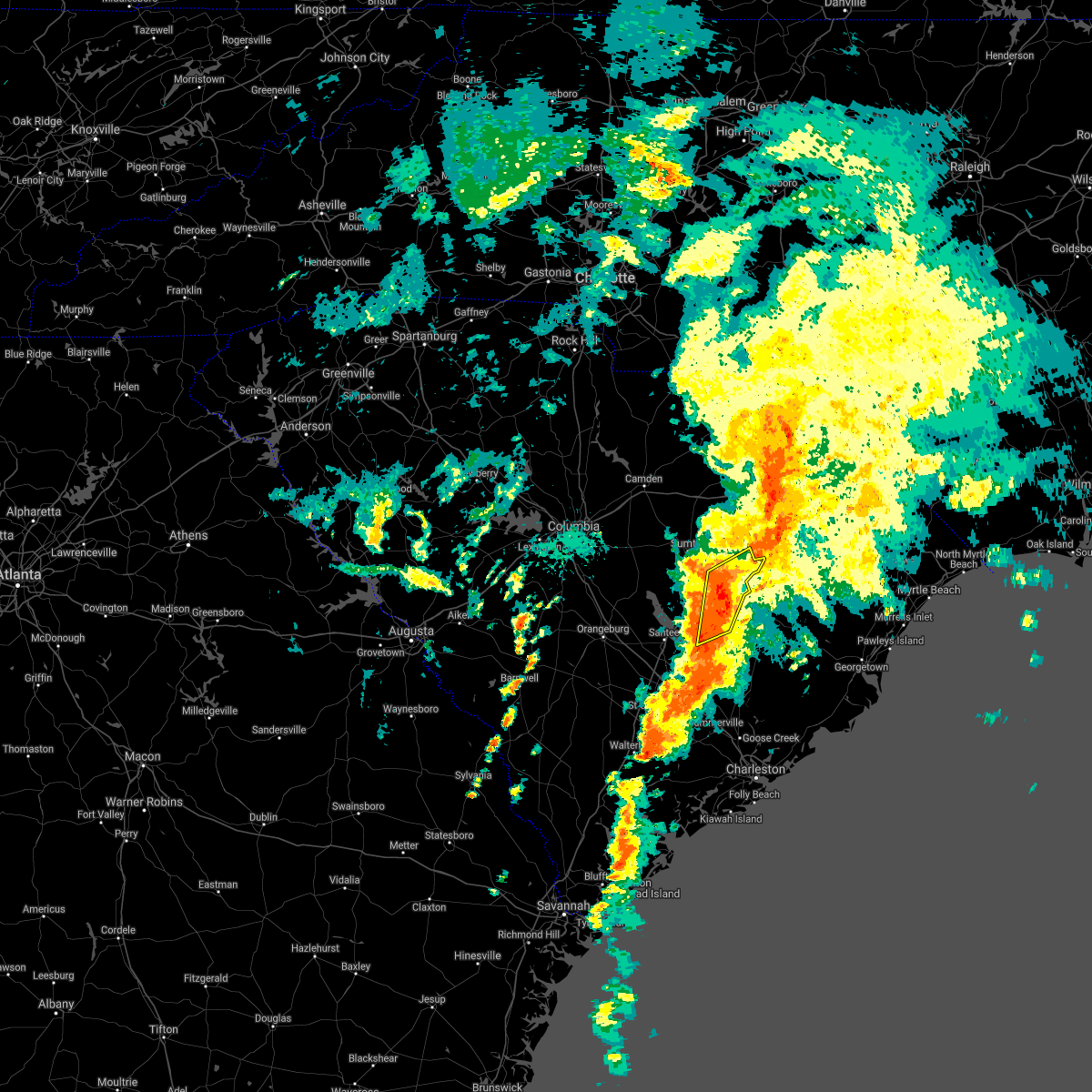 At 252 pm edt, a severe thunderstorm was located near manning, moving northeast at 25 mph (radar indicated). Hazards include 60 mph wind gusts. expect damage to roofs, siding, and trees At 252 pm edt, a severe thunderstorm was located near manning, moving northeast at 25 mph (radar indicated). Hazards include 60 mph wind gusts. expect damage to roofs, siding, and trees
|
| 9/17/2020 11:18 AM EDT |
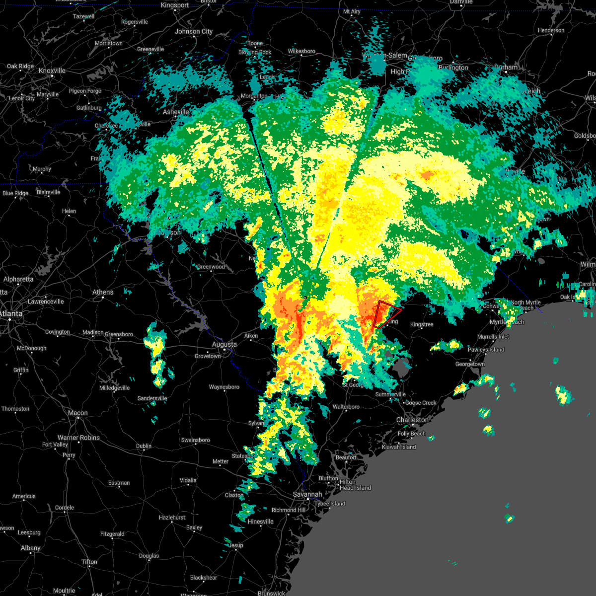 At 1118 am edt, a severe thunderstorm capable of producing a tornado was located near alcolu, or near manning, moving northeast at 25 mph (radar indicated rotation). Hazards include tornado. Flying debris will be dangerous to those caught without shelter. mobile homes will be damaged or destroyed. damage to roofs, windows, and vehicles will occur. tree damage is likely. this tornadic thunderstorm will remain over mainly rural areas of north central clarendon and central sumter counties, including the following locations, brogdon, gable and east sumter. This includes interstate 95 between mile markers 120 and 132. At 1118 am edt, a severe thunderstorm capable of producing a tornado was located near alcolu, or near manning, moving northeast at 25 mph (radar indicated rotation). Hazards include tornado. Flying debris will be dangerous to those caught without shelter. mobile homes will be damaged or destroyed. damage to roofs, windows, and vehicles will occur. tree damage is likely. this tornadic thunderstorm will remain over mainly rural areas of north central clarendon and central sumter counties, including the following locations, brogdon, gable and east sumter. This includes interstate 95 between mile markers 120 and 132.
|
| 9/17/2020 11:01 AM EDT |
 At 1100 am edt, a severe thunderstorm capable of producing a tornado was located near summerton, or 7 miles west of manning, moving northeast at 25 mph (radar indicated rotation). Hazards include tornado. Flying debris will be dangerous to those caught without shelter. mobile homes will be damaged or destroyed. damage to roofs, windows, and vehicles will occur. tree damage is likely. this dangerous storm will be near, manning around 1115 am edt. alcolu around 1120 am edt. other locations impacted by this tornadic thunderstorm include davis station, brogdon, gable and east sumter. This includes interstate 95 between mile markers 110 and 132. At 1100 am edt, a severe thunderstorm capable of producing a tornado was located near summerton, or 7 miles west of manning, moving northeast at 25 mph (radar indicated rotation). Hazards include tornado. Flying debris will be dangerous to those caught without shelter. mobile homes will be damaged or destroyed. damage to roofs, windows, and vehicles will occur. tree damage is likely. this dangerous storm will be near, manning around 1115 am edt. alcolu around 1120 am edt. other locations impacted by this tornadic thunderstorm include davis station, brogdon, gable and east sumter. This includes interstate 95 between mile markers 110 and 132.
|
| 6/28/2020 9:41 PM EDT |
 The severe thunderstorm warning for south central lee, northeastern clarendon and central sumter counties will expire at 945 pm edt, the storm which prompted the warning has moved out of the area. therefore, the warning will be allowed to expire. to report severe weather, contact your nearest law enforcement agency. they will relay your report to the national weather service columbia. The severe thunderstorm warning for south central lee, northeastern clarendon and central sumter counties will expire at 945 pm edt, the storm which prompted the warning has moved out of the area. therefore, the warning will be allowed to expire. to report severe weather, contact your nearest law enforcement agency. they will relay your report to the national weather service columbia.
|
| 6/28/2020 9:21 PM EDT |
 At 920 pm edt, a severe thunderstorm was located near alcolu, or 9 miles northeast of manning, moving east at 35 mph (radar indicated). Hazards include 60 mph wind gusts. Expect damage to roofs, siding, and trees. locations impacted include, woods bay state park, alcolu, turbeville, mayesville, gable, brogdon, shiloh and lakewood. This includes interstate 95 between mile markers 122 and 140. At 920 pm edt, a severe thunderstorm was located near alcolu, or 9 miles northeast of manning, moving east at 35 mph (radar indicated). Hazards include 60 mph wind gusts. Expect damage to roofs, siding, and trees. locations impacted include, woods bay state park, alcolu, turbeville, mayesville, gable, brogdon, shiloh and lakewood. This includes interstate 95 between mile markers 122 and 140.
|
| 6/28/2020 9:13 PM EDT | Tree in roadway near the intersection of robert rees durant road and us-301. time estimated from rada in clarendon county SC, 4.5 miles WSW of Alcolu, SC |
| 6/28/2020 9:05 PM EDT |
 At 904 pm edt, a severe thunderstorm was located near south sumter, moving east at 40 mph (radar indicated). Hazards include 60 mph wind gusts. Expect damage to roofs, siding, and trees. locations impacted include, sumter, south sumter, shaw air base, mulberry, alcolu, woods bay state park, sumter county airport, millwood, poinsett state park, oakland, turbeville, mayesville, cane savannah, oswego, dalzell, brogdon, lakewood, privateer, wedgewood and east sumter. This includes interstate 95 between mile markers 121 and 140. At 904 pm edt, a severe thunderstorm was located near south sumter, moving east at 40 mph (radar indicated). Hazards include 60 mph wind gusts. Expect damage to roofs, siding, and trees. locations impacted include, sumter, south sumter, shaw air base, mulberry, alcolu, woods bay state park, sumter county airport, millwood, poinsett state park, oakland, turbeville, mayesville, cane savannah, oswego, dalzell, brogdon, lakewood, privateer, wedgewood and east sumter. This includes interstate 95 between mile markers 121 and 140.
|
| 6/28/2020 8:42 PM EDT |
 At 841 pm edt, a severe thunderstorm was located near oakland, or near shaw air base, moving east at 40 mph (radar indicated). Hazards include 60 mph wind gusts. expect damage to roofs, siding, and trees At 841 pm edt, a severe thunderstorm was located near oakland, or near shaw air base, moving east at 40 mph (radar indicated). Hazards include 60 mph wind gusts. expect damage to roofs, siding, and trees
|
| 5/22/2020 6:59 PM EDT |
 At 658 pm edt, a severe thunderstorm was located over brookdale, moving east at 20 mph. several other severe thunderstorms were also located in the warned area (radar indicated). Hazards include 60 mph wind gusts and quarter size hail. Hail damage to vehicles is expected. expect wind damage to roofs, siding, and trees. locations impacted include, orangeburg, manning, brookdale, st. matthews, summerton, elloree, alcolu, santee state park, santee cooper regional airport, claflin college, south carolina state university, orangeburg county airport, edisto gardens, santee, pinewood, cameron, eutawville, paxville, vance and cordova. this includes the following highways, interstate 26 between mile markers 138 and 158. Interstate 95 between mile markers 93 and 127. At 658 pm edt, a severe thunderstorm was located over brookdale, moving east at 20 mph. several other severe thunderstorms were also located in the warned area (radar indicated). Hazards include 60 mph wind gusts and quarter size hail. Hail damage to vehicles is expected. expect wind damage to roofs, siding, and trees. locations impacted include, orangeburg, manning, brookdale, st. matthews, summerton, elloree, alcolu, santee state park, santee cooper regional airport, claflin college, south carolina state university, orangeburg county airport, edisto gardens, santee, pinewood, cameron, eutawville, paxville, vance and cordova. this includes the following highways, interstate 26 between mile markers 138 and 158. Interstate 95 between mile markers 93 and 127.
|
| 5/22/2020 6:38 PM EDT |
 At 635 pm edt, a severe thunderstorm was located near brookdale, and another was located over lake moultrie east of santee state park. both storms were moving east at 25 mph (radar indicated). Hazards include 60 mph wind gusts and quarter size hail. Hail damage to vehicles is expected. Expect wind damage to roofs, siding, and trees. At 635 pm edt, a severe thunderstorm was located near brookdale, and another was located over lake moultrie east of santee state park. both storms were moving east at 25 mph (radar indicated). Hazards include 60 mph wind gusts and quarter size hail. Hail damage to vehicles is expected. Expect wind damage to roofs, siding, and trees.
|
| 5/22/2020 6:09 PM EDT |
 At 609 pm edt, severe thunderstorms were located along a line extending from near goodale state park to sumter, moving east at 30 mph (radar indicated). Hazards include 60 mph wind gusts and quarter size hail. Hail damage to vehicles is expected. Expect wind damage to roofs, siding, and trees. At 609 pm edt, severe thunderstorms were located along a line extending from near goodale state park to sumter, moving east at 30 mph (radar indicated). Hazards include 60 mph wind gusts and quarter size hail. Hail damage to vehicles is expected. Expect wind damage to roofs, siding, and trees.
|
| 5/22/2020 5:52 PM EDT |
 At 552 pm edt, a severe thunderstorm was located near elloree, or 12 miles northeast of brookdale, moving east at 25 mph (radar indicated). Hazards include 60 mph wind gusts and quarter size hail. Hail damage to vehicles is expected. Expect wind damage to roofs, siding, and trees. At 552 pm edt, a severe thunderstorm was located near elloree, or 12 miles northeast of brookdale, moving east at 25 mph (radar indicated). Hazards include 60 mph wind gusts and quarter size hail. Hail damage to vehicles is expected. Expect wind damage to roofs, siding, and trees.
|
| 4/13/2020 6:39 AM EDT |
 At 639 am edt, severe thunderstorms were located along a line extending from near clyde to near elloree, moving east at 55 mph (radar indicated). Hazards include 70 mph wind gusts and penny size hail. Expect considerable tree damage. Damage is likely to mobile homes, roofs, and outbuildings. At 639 am edt, severe thunderstorms were located along a line extending from near clyde to near elloree, moving east at 55 mph (radar indicated). Hazards include 70 mph wind gusts and penny size hail. Expect considerable tree damage. Damage is likely to mobile homes, roofs, and outbuildings.
|
| 4/13/2020 6:35 AM EDT |
 At 634 am edt, severe thunderstorms were located along a line extending from 6 miles northwest of elloree to near smoaks, moving northeast at 60 mph (radar indicated). Hazards include 70 mph wind gusts and penny size hail. Expect considerable tree damage. Damage is likely to mobile homes, roofs, and outbuildings. At 634 am edt, severe thunderstorms were located along a line extending from 6 miles northwest of elloree to near smoaks, moving northeast at 60 mph (radar indicated). Hazards include 70 mph wind gusts and penny size hail. Expect considerable tree damage. Damage is likely to mobile homes, roofs, and outbuildings.
|
| 2/13/2020 1:29 PM EST |
 At 129 pm est, severe thunderstorms were located along a line extending from near timmonsville to near summerton, moving east at 40 mph (radar indicated). Hazards include 60 mph wind gusts. Expect damage to roofs, siding, and trees. locations impacted include, manning, summerton, woods bay state park, santee cooper regional airport, alcolu, turbeville, gable, st. paul, davis station, shiloh, foreston and brogdon. This includes interstate 95 between mile markers 102 and 140. At 129 pm est, severe thunderstorms were located along a line extending from near timmonsville to near summerton, moving east at 40 mph (radar indicated). Hazards include 60 mph wind gusts. Expect damage to roofs, siding, and trees. locations impacted include, manning, summerton, woods bay state park, santee cooper regional airport, alcolu, turbeville, gable, st. paul, davis station, shiloh, foreston and brogdon. This includes interstate 95 between mile markers 102 and 140.
|
| 2/13/2020 1:09 PM EST |
 At 109 pm est, severe thunderstorms were located along a line extending from near elliott to near santee state park, moving east at 40 mph (radar indicated). Hazards include 60 mph wind gusts. expect damage to roofs, siding, and trees At 109 pm est, severe thunderstorms were located along a line extending from near elliott to near santee state park, moving east at 40 mph (radar indicated). Hazards include 60 mph wind gusts. expect damage to roofs, siding, and trees
|
| 2/13/2020 12:52 PM EST |
 At 1251 pm est, severe thunderstorms were located along a line extending from near dovesville to south sumter, moving east at 60 mph (radar indicated). Hazards include 60 mph wind gusts. Expect damage to roofs, siding, and trees. locations impacted include, sumter, bishopville, south sumter, shaw air base, woods bay state park, elliott, mulberry, lee state park, sumter county airport, millwood, poinsett state park, oakland, turbeville, mayesville, lynchburg, cane savannah, dalzell, manville, brogdon and wedgewood. this includes the following highways, interstate 20 in south carolina between mile markers 113 and 126. Interstate 95 between mile markers 126 and 146. At 1251 pm est, severe thunderstorms were located along a line extending from near dovesville to south sumter, moving east at 60 mph (radar indicated). Hazards include 60 mph wind gusts. Expect damage to roofs, siding, and trees. locations impacted include, sumter, bishopville, south sumter, shaw air base, woods bay state park, elliott, mulberry, lee state park, sumter county airport, millwood, poinsett state park, oakland, turbeville, mayesville, lynchburg, cane savannah, dalzell, manville, brogdon and wedgewood. this includes the following highways, interstate 20 in south carolina between mile markers 113 and 126. Interstate 95 between mile markers 126 and 146.
|
| 2/13/2020 12:25 PM EST |
 At 1224 pm est, severe thunderstorms were located along a line extending from near cassatt to near congaree national park, moving east at 60 mph (radar indicated). Hazards include 60 mph wind gusts. expect damage to roofs, siding, and trees At 1224 pm est, severe thunderstorms were located along a line extending from near cassatt to near congaree national park, moving east at 60 mph (radar indicated). Hazards include 60 mph wind gusts. expect damage to roofs, siding, and trees
|
| 10/31/2019 8:27 PM EDT |
 The severe thunderstorm warning for southeastern lee, clarendon, central sumter and southeastern orangeburg counties will expire at 830 pm edt, the storms which prompted the warning have moved out of the area. therefore, the warning will be allowed to expire. The severe thunderstorm warning for southeastern lee, clarendon, central sumter and southeastern orangeburg counties will expire at 830 pm edt, the storms which prompted the warning have moved out of the area. therefore, the warning will be allowed to expire.
|
| 10/31/2019 7:51 PM EDT |
 At 751 pm edt, severe thunderstorms were located along a line extending from near elliott to santee cooper regional airport to near holly hill, moving east at 45 mph (radar indicated). Hazards include 60 mph wind gusts. Expect damage to roofs, siding, and trees. locations impacted include, sumter, manning, south sumter, holly hill, summerton, alcolu, woods bay state park, santee state park, santee cooper regional airport, mulberry, sumter county airport, millwood, santee, turbeville, mayesville, lynchburg, eutawville, paxville, vance and brogdon. this includes the following highways, interstate 26 between mile markers 164 and 168. Interstate 95 between mile markers 86 and 146. At 751 pm edt, severe thunderstorms were located along a line extending from near elliott to santee cooper regional airport to near holly hill, moving east at 45 mph (radar indicated). Hazards include 60 mph wind gusts. Expect damage to roofs, siding, and trees. locations impacted include, sumter, manning, south sumter, holly hill, summerton, alcolu, woods bay state park, santee state park, santee cooper regional airport, mulberry, sumter county airport, millwood, santee, turbeville, mayesville, lynchburg, eutawville, paxville, vance and brogdon. this includes the following highways, interstate 26 between mile markers 164 and 168. Interstate 95 between mile markers 86 and 146.
|
| 10/31/2019 7:27 PM EDT |
 At 726 pm edt, severe thunderstorms were located along a line extending from near shaw air base to near elloree to near padgetts, moving east at 35 mph (radar indicated). Hazards include 60 mph wind gusts. expect damage to roofs, siding, and trees At 726 pm edt, severe thunderstorms were located along a line extending from near shaw air base to near elloree to near padgetts, moving east at 35 mph (radar indicated). Hazards include 60 mph wind gusts. expect damage to roofs, siding, and trees
|
| 8/23/2019 4:22 PM EDT |
 At 422 pm edt, severe thunderstorms were located along a line extending from near timmonsville to near eastern lake marion, moving east at 25 mph (radar indicated). Hazards include 60 mph wind gusts and quarter size hail. Hail damage to vehicles is expected. expect wind damage to roofs, siding, and trees. locations impacted include, manning, holly hill, summerton, alcolu, woods bay state park, santee cooper regional airport, turbeville, lynchburg, eutawville, vance, rocks pond campground and marina, foreston, eautaw springs, indian bluff recreation park, gable, davis station, blounts landing, mill creek marina and campground and shiloh. This includes interstate 95 between mile markers 109 and 146. At 422 pm edt, severe thunderstorms were located along a line extending from near timmonsville to near eastern lake marion, moving east at 25 mph (radar indicated). Hazards include 60 mph wind gusts and quarter size hail. Hail damage to vehicles is expected. expect wind damage to roofs, siding, and trees. locations impacted include, manning, holly hill, summerton, alcolu, woods bay state park, santee cooper regional airport, turbeville, lynchburg, eutawville, vance, rocks pond campground and marina, foreston, eautaw springs, indian bluff recreation park, gable, davis station, blounts landing, mill creek marina and campground and shiloh. This includes interstate 95 between mile markers 109 and 146.
|
| 8/23/2019 3:47 PM EDT |
 At 347 pm edt, severe thunderstorms were located along a line extending from near cartersville to near holly hill, moving east at 25 mph (radar indicated). Hazards include 60 mph wind gusts and quarter size hail. Hail damage to vehicles is expected. Expect wind damage to roofs, siding, and trees. At 347 pm edt, severe thunderstorms were located along a line extending from near cartersville to near holly hill, moving east at 25 mph (radar indicated). Hazards include 60 mph wind gusts and quarter size hail. Hail damage to vehicles is expected. Expect wind damage to roofs, siding, and trees.
|
| 8/23/2019 3:42 PM EDT |
 At 342 pm edt, severe thunderstorms were located along a line extending from 8 miles south of poinsett state park to 7 miles east of bowman, moving northeast at 15 mph (radar indicated). Hazards include 60 mph wind gusts and quarter size hail. Hail damage to vehicles is expected. expect wind damage to roofs, siding, and trees. locations impacted include, manning, holly hill, summerton, bowman, elloree, alcolu, santee state park, santee, eutawville, vance, poplar creek landing, st. paul, stumphole landing, eautaw springs, indian bluff recreation park, davis station, mill creek marina and campground, low falls landing and lone star. this includes the following highways, interstate 26 between mile markers 160 and 169. Interstate 95 between mile markers 85 and 122. At 342 pm edt, severe thunderstorms were located along a line extending from 8 miles south of poinsett state park to 7 miles east of bowman, moving northeast at 15 mph (radar indicated). Hazards include 60 mph wind gusts and quarter size hail. Hail damage to vehicles is expected. expect wind damage to roofs, siding, and trees. locations impacted include, manning, holly hill, summerton, bowman, elloree, alcolu, santee state park, santee, eutawville, vance, poplar creek landing, st. paul, stumphole landing, eautaw springs, indian bluff recreation park, davis station, mill creek marina and campground, low falls landing and lone star. this includes the following highways, interstate 26 between mile markers 160 and 169. Interstate 95 between mile markers 85 and 122.
|
| 8/23/2019 3:30 PM EDT |
 At 329 pm edt, severe thunderstorms were located along a line extending from 6 miles southwest of bishopville to near sumter to 7 miles southeast of poinsett state park, moving east at 20 mph (radar indicated). Hazards include 60 mph wind gusts and quarter size hail. Hail damage to vehicles is expected. expect wind damage to roofs, siding, and trees. locations impacted include, sumter, bishopville, south sumter, elliott, mulberry, lee state park, sumter county airport, millwood, mayesville, pinewood, lynchburg, paxville, manville, rimini, brogdon, lone star, low falls landing, woodrow, ashwood and oswego. This includes interstate 20 in south carolina between mile markers 110 and 126. At 329 pm edt, severe thunderstorms were located along a line extending from 6 miles southwest of bishopville to near sumter to 7 miles southeast of poinsett state park, moving east at 20 mph (radar indicated). Hazards include 60 mph wind gusts and quarter size hail. Hail damage to vehicles is expected. expect wind damage to roofs, siding, and trees. locations impacted include, sumter, bishopville, south sumter, elliott, mulberry, lee state park, sumter county airport, millwood, mayesville, pinewood, lynchburg, paxville, manville, rimini, brogdon, lone star, low falls landing, woodrow, ashwood and oswego. This includes interstate 20 in south carolina between mile markers 110 and 126.
|
| 8/23/2019 3:18 PM EDT |
 At 318 pm edt, severe thunderstorms were located along a line extending from 7 miles east of st. matthews to near bowman, moving northeast at 15 mph (radar indicated). Hazards include 60 mph wind gusts and quarter size hail. Hail damage to vehicles is expected. Expect wind damage to roofs, siding, and trees. At 318 pm edt, severe thunderstorms were located along a line extending from 7 miles east of st. matthews to near bowman, moving northeast at 15 mph (radar indicated). Hazards include 60 mph wind gusts and quarter size hail. Hail damage to vehicles is expected. Expect wind damage to roofs, siding, and trees.
|
| 8/23/2019 3:08 PM EDT |
 At 308 pm edt, severe thunderstorms were located along a line extending from 9 miles south of goodale state park to near millwood to 8 miles south of poinsett state park, moving east at 20 mph (radar indicated). Hazards include 60 mph wind gusts and quarter size hail. Hail damage to vehicles is expected. Expect wind damage to roofs, siding, and trees. At 308 pm edt, severe thunderstorms were located along a line extending from 9 miles south of goodale state park to near millwood to 8 miles south of poinsett state park, moving east at 20 mph (radar indicated). Hazards include 60 mph wind gusts and quarter size hail. Hail damage to vehicles is expected. Expect wind damage to roofs, siding, and trees.
|
| 7/18/2019 6:28 PM EDT |
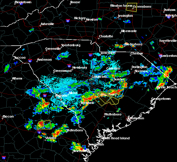 At 628 pm edt, a severe thunderstorm was located over manning, moving southeast at 30 mph (radar indicated). Hazards include 60 mph wind gusts. expect damage to roofs, siding, and trees At 628 pm edt, a severe thunderstorm was located over manning, moving southeast at 30 mph (radar indicated). Hazards include 60 mph wind gusts. expect damage to roofs, siding, and trees
|
| 6/22/2019 7:13 PM EDT |
 The severe thunderstorm warning for southeastern calhoun, clarendon, central sumter and southeastern orangeburg counties will expire at 715 pm edt, the storms which prompted the warning have moved out of the area. therefore, the warning will be allowed to expire. however gusty winds are still possible with these thunderstorms. a severe thunderstorm watch remains in effect until 900 pm edt for central south carolina. to report severe weather, contact your nearest law enforcement agency. they will relay your report to the national weather service columbia. The severe thunderstorm warning for southeastern calhoun, clarendon, central sumter and southeastern orangeburg counties will expire at 715 pm edt, the storms which prompted the warning have moved out of the area. therefore, the warning will be allowed to expire. however gusty winds are still possible with these thunderstorms. a severe thunderstorm watch remains in effect until 900 pm edt for central south carolina. to report severe weather, contact your nearest law enforcement agency. they will relay your report to the national weather service columbia.
|
| 6/22/2019 6:42 PM EDT |
 At 642 pm edt, severe thunderstorms were located along a line extending from 8 miles south of poinsett state park to near eastern lake marion, moving northeast at 40 mph (radar indicated). Hazards include 60 mph wind gusts. Expect damage to roofs, siding, and trees. locations impacted include, manning, holly hill, summerton, elloree, alcolu, woods bay state park, santee state park, santee cooper regional airport, santee, turbeville, cameron, eutawville, paxville, vance, poplar creek landing, rimini, stumphole landing, brogdon, eautaw springs and blounts landing. This includes interstate 95 between mile markers 85 and 135. At 642 pm edt, severe thunderstorms were located along a line extending from 8 miles south of poinsett state park to near eastern lake marion, moving northeast at 40 mph (radar indicated). Hazards include 60 mph wind gusts. Expect damage to roofs, siding, and trees. locations impacted include, manning, holly hill, summerton, elloree, alcolu, woods bay state park, santee state park, santee cooper regional airport, santee, turbeville, cameron, eutawville, paxville, vance, poplar creek landing, rimini, stumphole landing, brogdon, eautaw springs and blounts landing. This includes interstate 95 between mile markers 85 and 135.
|
| 6/22/2019 6:15 PM EDT |
 At 615 pm edt, severe thunderstorms were located along a line extending from near brookdale to 6 miles north of indian field, moving northeast at 40 mph (radar indicated). Hazards include 60 mph wind gusts. expect damage to roofs, siding, and trees At 615 pm edt, severe thunderstorms were located along a line extending from near brookdale to 6 miles north of indian field, moving northeast at 40 mph (radar indicated). Hazards include 60 mph wind gusts. expect damage to roofs, siding, and trees
|
| 6/22/2019 5:13 AM EDT |
 At 513 am edt, severe thunderstorms were located along a line extending from near lamar to near summerton, moving east at 65 mph (radar indicated). Hazards include 70 mph wind gusts. Expect considerable tree damage. Damage is likely to mobile homes, roofs, and outbuildings. At 513 am edt, severe thunderstorms were located along a line extending from near lamar to near summerton, moving east at 65 mph (radar indicated). Hazards include 70 mph wind gusts. Expect considerable tree damage. Damage is likely to mobile homes, roofs, and outbuildings.
|
| 6/22/2019 4:46 AM EDT |
 At 445 am edt, severe thunderstorms were located along a line extending from near carolina sandhills wildlife refuge to near poinsett state park, moving east at 45 mph (radar indicated). Hazards include 70 mph wind gusts. Expect considerable tree damage. damage is likely to mobile homes, roofs, and outbuildings. locations impacted include, sumter, cheraw, manning, bishopville, south sumter, shaw air base, oakland, mulberry, cheraw state park, alcolu, northeastern technical college, woods bay state park, cassatt, elliott, lee state park, carolina sandhills wildlife refuge, mt pisgah, sumter county airport, millwood and poinsett state park. this includes the following highways, interstate 20 in south carolina between mile markers 100 and 125. Interstate 26 interstate 95 between mile markers 113 and 146. At 445 am edt, severe thunderstorms were located along a line extending from near carolina sandhills wildlife refuge to near poinsett state park, moving east at 45 mph (radar indicated). Hazards include 70 mph wind gusts. Expect considerable tree damage. damage is likely to mobile homes, roofs, and outbuildings. locations impacted include, sumter, cheraw, manning, bishopville, south sumter, shaw air base, oakland, mulberry, cheraw state park, alcolu, northeastern technical college, woods bay state park, cassatt, elliott, lee state park, carolina sandhills wildlife refuge, mt pisgah, sumter county airport, millwood and poinsett state park. this includes the following highways, interstate 20 in south carolina between mile markers 100 and 125. Interstate 26 interstate 95 between mile markers 113 and 146.
|
| 6/22/2019 4:22 AM EDT |
 At 421 am edt, severe thunderstorms were located along a line extending from near mt pisgah to near eastover, moving east at 80 mph (radar indicated). Hazards include 70 mph wind gusts. Expect considerable tree damage. Damage is likely to mobile homes, roofs, and outbuildings. At 421 am edt, severe thunderstorms were located along a line extending from near mt pisgah to near eastover, moving east at 80 mph (radar indicated). Hazards include 70 mph wind gusts. Expect considerable tree damage. Damage is likely to mobile homes, roofs, and outbuildings.
|
| 6/20/2019 6:05 PM EDT |
 At 605 pm edt, severe thunderstorms were located along a line extending from near summerton to near bowman, moving east at 45 mph. the strongest winds are approaching manning (radar indicated). Hazards include 70 mph wind gusts and penny size hail. Expect considerable tree damage. damage is likely to mobile homes, roofs, and outbuildings. locations impacted include, orangeburg, manning, bamberg, denmark, brookdale, holly hill, branchville, summerton, bowman, elloree, santee state park, orangeburg county airport, alcolu, santee cooper regional airport, claflin college, south carolina state university, edisto gardens, santee, turbeville and pinewood. This includes interstate 95 between mile markers 85 and 135. At 605 pm edt, severe thunderstorms were located along a line extending from near summerton to near bowman, moving east at 45 mph. the strongest winds are approaching manning (radar indicated). Hazards include 70 mph wind gusts and penny size hail. Expect considerable tree damage. damage is likely to mobile homes, roofs, and outbuildings. locations impacted include, orangeburg, manning, bamberg, denmark, brookdale, holly hill, branchville, summerton, bowman, elloree, santee state park, orangeburg county airport, alcolu, santee cooper regional airport, claflin college, south carolina state university, edisto gardens, santee, turbeville and pinewood. This includes interstate 95 between mile markers 85 and 135.
|
| 6/20/2019 5:42 PM EDT |
 At 541 pm edt, severe thunderstorms were located along a line extending from 8 miles southwest of poinsett state park to near blackville, moving east at 60 mph. the strongest winds will soon move over st. matthews in calhoun county (radar indicated). Hazards include 70 mph wind gusts. Expect considerable tree damage. Damage is likely to mobile homes, roofs, and outbuildings. At 541 pm edt, severe thunderstorms were located along a line extending from 8 miles southwest of poinsett state park to near blackville, moving east at 60 mph. the strongest winds will soon move over st. matthews in calhoun county (radar indicated). Hazards include 70 mph wind gusts. Expect considerable tree damage. Damage is likely to mobile homes, roofs, and outbuildings.
|
| 6/20/2019 5:03 PM EDT |
 At 503 pm edt, a severe thunderstorm was located over millwood, or over sumter, moving east at 35 mph (radar indicated). Hazards include 60 mph wind gusts. Expect damage to roofs, siding, and trees. locations impacted include, sumter, manning, mcentire air base, south sumter, shaw air base, st. matthews, summerton, eastover, congaree national park, alcolu, oakland, woods bay state park, elliott, mulberry, sumter county airport, gadsden, millwood, poinsett state park, turbeville and mayesville. This includes interstate 95 between mile markers 112 and 146. At 503 pm edt, a severe thunderstorm was located over millwood, or over sumter, moving east at 35 mph (radar indicated). Hazards include 60 mph wind gusts. Expect damage to roofs, siding, and trees. locations impacted include, sumter, manning, mcentire air base, south sumter, shaw air base, st. matthews, summerton, eastover, congaree national park, alcolu, oakland, woods bay state park, elliott, mulberry, sumter county airport, gadsden, millwood, poinsett state park, turbeville and mayesville. This includes interstate 95 between mile markers 112 and 146.
|
| 6/20/2019 4:30 PM EDT |
 At 430 pm edt, a severe thunderstorm was located 9 miles northeast of horrel hill, or 9 miles northeast of mcentire air base, moving east at 40 mph (radar indicated). Hazards include 60 mph wind gusts. expect damage to roofs, siding, and trees At 430 pm edt, a severe thunderstorm was located 9 miles northeast of horrel hill, or 9 miles northeast of mcentire air base, moving east at 40 mph (radar indicated). Hazards include 60 mph wind gusts. expect damage to roofs, siding, and trees
|
| 4/19/2019 2:48 PM EDT |
 At 246 pm edt, severe thunderstorms were located along a line extending from 6 miles southeast of elgin to near millwood to manning, moving north at 60 mph (radar indicated). Hazards include 70 mph wind gusts. Expect considerable tree damage. damage is likely to mobile homes, roofs, and outbuildings. Locations impacted include, sumter, manning, south sumter, shaw air base, alcolu, oakland, woods bay state park, mulberry, sumter county airport, millwood, lugoff, turbeville, mayesville, lynchburg, dalzell, dinkins mill, spring hill, brogdon, boykin and cherryvale. At 246 pm edt, severe thunderstorms were located along a line extending from 6 miles southeast of elgin to near millwood to manning, moving north at 60 mph (radar indicated). Hazards include 70 mph wind gusts. Expect considerable tree damage. damage is likely to mobile homes, roofs, and outbuildings. Locations impacted include, sumter, manning, south sumter, shaw air base, alcolu, oakland, woods bay state park, mulberry, sumter county airport, millwood, lugoff, turbeville, mayesville, lynchburg, dalzell, dinkins mill, spring hill, brogdon, boykin and cherryvale.
|
| 4/19/2019 2:36 PM EDT |
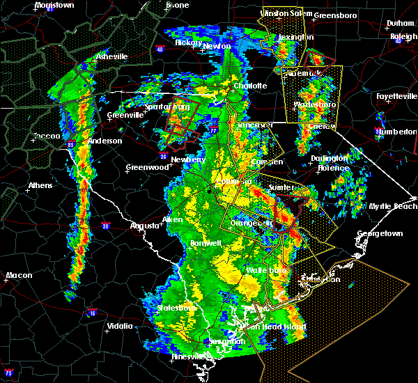 At 235 pm edt, a severe thunderstorm capable of producing a tornado was located near santee cooper regional airport, or near manning, moving north at 60 mph (radar indicated rotation. this storm has a history of producing damage). Hazards include tornado. Flying debris will be dangerous to those caught without shelter. mobile homes will be damaged or destroyed. damage to roofs, windows, and vehicles will occur. tree damage is likely. This tornadic thunderstorm will remain over mainly rural areas of northeastern clarendon and eastern sumter counties, including the following locations, gable and turbeville. At 235 pm edt, a severe thunderstorm capable of producing a tornado was located near santee cooper regional airport, or near manning, moving north at 60 mph (radar indicated rotation. this storm has a history of producing damage). Hazards include tornado. Flying debris will be dangerous to those caught without shelter. mobile homes will be damaged or destroyed. damage to roofs, windows, and vehicles will occur. tree damage is likely. This tornadic thunderstorm will remain over mainly rural areas of northeastern clarendon and eastern sumter counties, including the following locations, gable and turbeville.
|
| 4/19/2019 2:26 PM EDT |
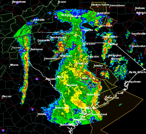 At 226 pm edt, a severe thunderstorm capable of producing a tornado was located near eastern lake marion, or 14 miles south of manning, moving north at 60 mph (radar indicated rotation). Hazards include tornado. Flying debris will be dangerous to those caught without shelter. mobile homes will be damaged or destroyed. damage to roofs, windows, and vehicles will occur. tree damage is likely. this dangerous storm will be near, santee cooper regional airport around 235 pm edt. manning around 240 pm edt. alcolu around 245 pm edt. Other locations impacted by this tornadic thunderstorm include davis station, brogdon, foreston, gable and turbeville. At 226 pm edt, a severe thunderstorm capable of producing a tornado was located near eastern lake marion, or 14 miles south of manning, moving north at 60 mph (radar indicated rotation). Hazards include tornado. Flying debris will be dangerous to those caught without shelter. mobile homes will be damaged or destroyed. damage to roofs, windows, and vehicles will occur. tree damage is likely. this dangerous storm will be near, santee cooper regional airport around 235 pm edt. manning around 240 pm edt. alcolu around 245 pm edt. Other locations impacted by this tornadic thunderstorm include davis station, brogdon, foreston, gable and turbeville.
|
| 4/19/2019 2:20 PM EDT |
 At 220 pm edt, severe thunderstorms were located along a line extending from near st. matthews to near santee state park to 7 miles west of cross, moving north at 55 mph (radar indicated). Hazards include 70 mph wind gusts. Expect considerable tree damage. Damage is likely to mobile homes, roofs, and outbuildings. At 220 pm edt, severe thunderstorms were located along a line extending from near st. matthews to near santee state park to 7 miles west of cross, moving north at 55 mph (radar indicated). Hazards include 70 mph wind gusts. Expect considerable tree damage. Damage is likely to mobile homes, roofs, and outbuildings.
|
| 9/26/2018 4:54 PM EDT |
 At 453 pm edt, a severe thunderstorm was located near summerton, or near manning, moving east at 25 mph (radar indicated). Hazards include 60 mph wind gusts. expect damage to roofs, siding, and trees At 453 pm edt, a severe thunderstorm was located near summerton, or near manning, moving east at 25 mph (radar indicated). Hazards include 60 mph wind gusts. expect damage to roofs, siding, and trees
|
| 9/17/2018 6:13 PM EDT |
 At 613 pm edt, a severe thunderstorm was located over south sumter, moving east at 30 mph (radar indicated). Hazards include 70 mph wind gusts. Expect considerable tree damage. Damage is likely to mobile homes, roofs, and outbuildings. At 613 pm edt, a severe thunderstorm was located over south sumter, moving east at 30 mph (radar indicated). Hazards include 70 mph wind gusts. Expect considerable tree damage. Damage is likely to mobile homes, roofs, and outbuildings.
|
| 7/23/2018 4:33 PM EDT |
 At 433 pm edt, a severe thunderstorm capable of producing a tornado was located near south sumter, moving north at 20 mph (radar indicated rotation). Hazards include tornado and quarter size hail. Flying debris will be dangerous to those caught without shelter. mobile homes will be damaged or destroyed. damage to roofs, windows, and vehicles will occur. Tree damage is likely. At 433 pm edt, a severe thunderstorm capable of producing a tornado was located near south sumter, moving north at 20 mph (radar indicated rotation). Hazards include tornado and quarter size hail. Flying debris will be dangerous to those caught without shelter. mobile homes will be damaged or destroyed. damage to roofs, windows, and vehicles will occur. Tree damage is likely.
|
| 7/23/2018 3:14 PM EDT |
 At 314 pm edt, a severe thunderstorm was located 12 miles north of elloree, or 17 miles southwest of south sumter, moving northeast at 25 mph (radar indicated). Hazards include 60 mph wind gusts and quarter size hail. Hail damage to vehicles is expected. Expect wind damage to roofs, siding, and trees. At 314 pm edt, a severe thunderstorm was located 12 miles north of elloree, or 17 miles southwest of south sumter, moving northeast at 25 mph (radar indicated). Hazards include 60 mph wind gusts and quarter size hail. Hail damage to vehicles is expected. Expect wind damage to roofs, siding, and trees.
|
| 7/17/2018 8:13 PM EDT |
 At 813 pm edt, a severe thunderstorm was located near manning, moving southeast at 25 mph (radar indicated). Hazards include 60 mph wind gusts. Expect damage to roofs, siding, and trees. locations impacted include, manning, paxville and lakewood. This includes interstate 95 between mile markers 113 and 132. At 813 pm edt, a severe thunderstorm was located near manning, moving southeast at 25 mph (radar indicated). Hazards include 60 mph wind gusts. Expect damage to roofs, siding, and trees. locations impacted include, manning, paxville and lakewood. This includes interstate 95 between mile markers 113 and 132.
|
| 7/17/2018 7:55 PM EDT |
 At 754 pm edt, a severe thunderstorm was located near south sumter, moving southeast at 25 mph (radar indicated). Hazards include 60 mph wind gusts. expect damage to roofs, siding, and trees At 754 pm edt, a severe thunderstorm was located near south sumter, moving southeast at 25 mph (radar indicated). Hazards include 60 mph wind gusts. expect damage to roofs, siding, and trees
|
| 6/25/2018 8:49 PM EDT |
 At 847 pm edt, severe thunderstorms were located along a line extending from 8 miles northwest of gourdin to 7 miles southeast of elloree to near brookdale, moving southeast at 20 mph (radar indicated). Hazards include 60 mph wind gusts and quarter size hail. Hail damage to vehicles is expected. expect wind damage to roofs, siding, and trees. locations impacted include, orangeburg, manning, brookdale, st. matthews, holly hill, summerton, bowman, elloree, santee, north, cameron, neeses, eutawville, woodford, vance, cordova, livingston, wilkinson heights and edisto. this includes the following highways, interstate 26 between mile markers 136 and 169. Interstate 95 between mile markers 85 and 130. At 847 pm edt, severe thunderstorms were located along a line extending from 8 miles northwest of gourdin to 7 miles southeast of elloree to near brookdale, moving southeast at 20 mph (radar indicated). Hazards include 60 mph wind gusts and quarter size hail. Hail damage to vehicles is expected. expect wind damage to roofs, siding, and trees. locations impacted include, orangeburg, manning, brookdale, st. matthews, holly hill, summerton, bowman, elloree, santee, north, cameron, neeses, eutawville, woodford, vance, cordova, livingston, wilkinson heights and edisto. this includes the following highways, interstate 26 between mile markers 136 and 169. Interstate 95 between mile markers 85 and 130.
|
| 6/25/2018 8:14 PM EDT |
 At 813 pm edt, severe thunderstorms were located along a line extending from near manning to near elloree to 10 miles south of gaston, moving southeast at 20 mph (radar indicated). Hazards include 70 mph wind gusts and quarter size hail. Hail damage to vehicles is expected. expect considerable tree damage. Wind damage is also likely to mobile homes, roofs, and outbuildings. At 813 pm edt, severe thunderstorms were located along a line extending from near manning to near elloree to 10 miles south of gaston, moving southeast at 20 mph (radar indicated). Hazards include 70 mph wind gusts and quarter size hail. Hail damage to vehicles is expected. expect considerable tree damage. Wind damage is also likely to mobile homes, roofs, and outbuildings.
|
| 6/25/2018 7:41 PM EDT |
 The national weather service in columbia has issued a * severe thunderstorm warning for. calhoun county in central south carolina. clarendon county in central south carolina. southeastern lexington county in central south carolina. Southwestern sumter county in central south carolina. The national weather service in columbia has issued a * severe thunderstorm warning for. calhoun county in central south carolina. clarendon county in central south carolina. southeastern lexington county in central south carolina. Southwestern sumter county in central south carolina.
|
| 6/25/2018 7:29 PM EDT |
 At 729 pm edt, severe thunderstorms were located along a line extending from near hebron to 6 miles east of st. matthews, moving southeast at 15 mph (radar indicated). Hazards include 60 mph wind gusts and quarter size hail. Hail damage to vehicles is expected. expect wind damage to roofs, siding, and trees. locations impacted include, manning, summerton, pinewood, cameron and paxville. This includes interstate 95 between mile markers 100 and 129. At 729 pm edt, severe thunderstorms were located along a line extending from near hebron to 6 miles east of st. matthews, moving southeast at 15 mph (radar indicated). Hazards include 60 mph wind gusts and quarter size hail. Hail damage to vehicles is expected. expect wind damage to roofs, siding, and trees. locations impacted include, manning, summerton, pinewood, cameron and paxville. This includes interstate 95 between mile markers 100 and 129.
|
| 6/25/2018 6:57 PM EDT |
 At 657 pm edt, severe thunderstorms were located along a line extending from near hebron to near st. matthews, moving southeast at 15 mph (radar indicated). Hazards include 60 mph wind gusts and quarter size hail. Hail damage to vehicles is expected. Expect wind damage to roofs, siding, and trees. At 657 pm edt, severe thunderstorms were located along a line extending from near hebron to near st. matthews, moving southeast at 15 mph (radar indicated). Hazards include 60 mph wind gusts and quarter size hail. Hail damage to vehicles is expected. Expect wind damage to roofs, siding, and trees.
|
| 6/24/2018 9:40 PM EDT |
 At 940 pm edt, severe thunderstorms were located along a line extending from 10 miles east of manning to near brookdale, moving southeast at 30 mph (radar indicated). Hazards include 70 mph wind gusts and penny size hail. Expect considerable tree damage. Damage is likely to mobile homes, roofs, and outbuildings. At 940 pm edt, severe thunderstorms were located along a line extending from 10 miles east of manning to near brookdale, moving southeast at 30 mph (radar indicated). Hazards include 70 mph wind gusts and penny size hail. Expect considerable tree damage. Damage is likely to mobile homes, roofs, and outbuildings.
|
| 6/24/2018 9:09 PM EDT |
 At 909 pm edt, severe thunderstorms were located along a line extending from near south sumter to 9 miles west of st. matthews, moving southeast at 35 mph (radar indicated). Hazards include 60 mph wind gusts and penny size hail. expect damage to roofs, siding, and trees At 909 pm edt, severe thunderstorms were located along a line extending from near south sumter to 9 miles west of st. matthews, moving southeast at 35 mph (radar indicated). Hazards include 60 mph wind gusts and penny size hail. expect damage to roofs, siding, and trees
|
| 6/15/2018 10:39 PM EDT |
 The severe thunderstorm warning for southeastern calhoun, southwestern clarendon, southwestern sumter and southeastern richland counties will expire at 1045 pm edt, the storm which prompted the warning has weakened below severe limits, and no longer poses an immediate threat to life or property. therefore, the warning will be allowed to expire. to report severe weather, contact your nearest law enforcement agency. they will relay your report to the national weather service columbia. The severe thunderstorm warning for southeastern calhoun, southwestern clarendon, southwestern sumter and southeastern richland counties will expire at 1045 pm edt, the storm which prompted the warning has weakened below severe limits, and no longer poses an immediate threat to life or property. therefore, the warning will be allowed to expire. to report severe weather, contact your nearest law enforcement agency. they will relay your report to the national weather service columbia.
|
| 6/15/2018 10:17 PM EDT |
 At 1016 pm edt, a severe thunderstorm was located 11 miles east of st. matthews, or 18 miles southwest of south sumter, moving south at 35 mph (radar indicated). Hazards include 60 mph wind gusts. Expect damage to roofs, siding, and trees. locations impacted include, sumter, manning, south sumter, summerton, eastover, mulberry, millwood, pinewood, cameron, paxville, cane savannah, lakewood, privateer, wedgewood, east sumter and cherryvale. This includes interstate 95 between mile markers 101 and 120. At 1016 pm edt, a severe thunderstorm was located 11 miles east of st. matthews, or 18 miles southwest of south sumter, moving south at 35 mph (radar indicated). Hazards include 60 mph wind gusts. Expect damage to roofs, siding, and trees. locations impacted include, sumter, manning, south sumter, summerton, eastover, mulberry, millwood, pinewood, cameron, paxville, cane savannah, lakewood, privateer, wedgewood, east sumter and cherryvale. This includes interstate 95 between mile markers 101 and 120.
|
| 6/15/2018 9:56 PM EDT |
 At 956 pm edt, a severe thunderstorm was located 7 miles south of oakland, or 9 miles southwest of sumter, moving south at 35 mph (radar indicated). Hazards include 60 mph wind gusts. expect damage to roofs, siding, and trees At 956 pm edt, a severe thunderstorm was located 7 miles south of oakland, or 9 miles southwest of sumter, moving south at 35 mph (radar indicated). Hazards include 60 mph wind gusts. expect damage to roofs, siding, and trees
|
| 6/15/2018 9:40 PM EDT |
 At 940 pm edt, severe thunderstorms were located along a line extending from 6 miles west of oakland to 9 miles northeast of manning, moving south at 20 mph (radar indicated). Hazards include 60 mph wind gusts. Expect damage to roofs, siding, and trees. locations impacted include, sumter, manning, south sumter, eastover, oakland, millwood, pinewood, paxville, cane savannah, lakewood, privateer, wedgewood, cherryvale, stateburg and east sumter. This includes interstate 95 between mile markers 113 and 129. At 940 pm edt, severe thunderstorms were located along a line extending from 6 miles west of oakland to 9 miles northeast of manning, moving south at 20 mph (radar indicated). Hazards include 60 mph wind gusts. Expect damage to roofs, siding, and trees. locations impacted include, sumter, manning, south sumter, eastover, oakland, millwood, pinewood, paxville, cane savannah, lakewood, privateer, wedgewood, cherryvale, stateburg and east sumter. This includes interstate 95 between mile markers 113 and 129.
|
| 6/15/2018 9:24 PM EDT |
 At 924 pm edt, severe thunderstorms were located along a line extending from 10 miles northwest of oakland to 8 miles east of south sumter, moving south at 20 mph (radar indicated). Hazards include 60 mph wind gusts and penny size hail. expect damage to roofs, siding, and trees At 924 pm edt, severe thunderstorms were located along a line extending from 10 miles northwest of oakland to 8 miles east of south sumter, moving south at 20 mph (radar indicated). Hazards include 60 mph wind gusts and penny size hail. expect damage to roofs, siding, and trees
|
| 6/15/2018 9:09 PM EDT |
 At 909 pm edt, a severe thunderstorm was located 8 miles northeast of manning, moving south at 20 mph (radar indicated). Hazards include 60 mph wind gusts and penny size hail. Expect damage to roofs, siding, and trees. locations impacted include, manning, mulberry, turbeville, mayesville, oswego and east sumter. This includes interstate 95 between mile markers 119 and 137. At 909 pm edt, a severe thunderstorm was located 8 miles northeast of manning, moving south at 20 mph (radar indicated). Hazards include 60 mph wind gusts and penny size hail. Expect damage to roofs, siding, and trees. locations impacted include, manning, mulberry, turbeville, mayesville, oswego and east sumter. This includes interstate 95 between mile markers 119 and 137.
|
| 6/15/2018 8:52 PM EDT |
 At 851 pm edt, a severe thunderstorm was located 12 miles west of hebron, or 12 miles northeast of manning, moving south at 20 mph (radar indicated). Hazards include 60 mph wind gusts and penny size hail. Expect damage to roofs, siding, and trees. locations impacted include, manning, mulberry, turbeville, mayesville, oswego and east sumter. This includes interstate 95 between mile markers 119 and 137. At 851 pm edt, a severe thunderstorm was located 12 miles west of hebron, or 12 miles northeast of manning, moving south at 20 mph (radar indicated). Hazards include 60 mph wind gusts and penny size hail. Expect damage to roofs, siding, and trees. locations impacted include, manning, mulberry, turbeville, mayesville, oswego and east sumter. This includes interstate 95 between mile markers 119 and 137.
|
| 6/15/2018 8:43 PM EDT | County sheriff reported trees in roadway on e brewington rd. trees also down on foxworth mill road... asbury lane and queen chapels road. time estimated by rada in sumter county SC, 7.3 miles SSW of Alcolu, SC |
| 6/15/2018 8:39 PM EDT |
 At 839 pm edt, a severe thunderstorm was located 13 miles east of south sumter, moving south at 20 mph (radar indicated). Hazards include 60 mph wind gusts and penny size hail. expect damage to roofs, siding, and trees At 839 pm edt, a severe thunderstorm was located 13 miles east of south sumter, moving south at 20 mph (radar indicated). Hazards include 60 mph wind gusts and penny size hail. expect damage to roofs, siding, and trees
|
| 6/11/2018 3:40 PM EDT |
 At 335 pm edt, thunderstorms extended from near paxville southward through elloree to around orangeburg. movement was eastward near 30 mph. a weakening trend has occurred by a few storms may still contain wind gusts of 40 to 60 mph (radar indicated). Hazards include 60 mph wind gusts and nickel size hail. Expect damage to roofs, siding, and trees. locations impacted include, manning, holly hill, summerton, elloree, santee, cameron, eutawville, paxville and vance. this includes the following highways, interstate 26 between mile markers 150 and 168. Interstate 95 between mile markers 86 and 125. At 335 pm edt, thunderstorms extended from near paxville southward through elloree to around orangeburg. movement was eastward near 30 mph. a weakening trend has occurred by a few storms may still contain wind gusts of 40 to 60 mph (radar indicated). Hazards include 60 mph wind gusts and nickel size hail. Expect damage to roofs, siding, and trees. locations impacted include, manning, holly hill, summerton, elloree, santee, cameron, eutawville, paxville and vance. this includes the following highways, interstate 26 between mile markers 150 and 168. Interstate 95 between mile markers 86 and 125.
|
| 6/11/2018 3:07 PM EDT |
 At 304 pm edt, thunderstorms extending from sumter county southward into western orangeburg county. some of the thunderstorms were severe. movement was eastward near 30 mph and toward clarendon county and parts of northern and eastern orangeburg county. this includes lake marion (radar indicated). Hazards include 60 mph wind gusts and nickel size hail. expect damage to roofs, siding, and trees At 304 pm edt, thunderstorms extending from sumter county southward into western orangeburg county. some of the thunderstorms were severe. movement was eastward near 30 mph and toward clarendon county and parts of northern and eastern orangeburg county. this includes lake marion (radar indicated). Hazards include 60 mph wind gusts and nickel size hail. expect damage to roofs, siding, and trees
|
| 4/15/2018 4:03 PM EDT |
 At 401 pm edt, thunderstorms extended from the bishopville area southward to around manning. storm movement was northward near 40 mph. some of the thunderstorms likely contained wind gusts of 40 to 60 mph (radar indicated). Hazards include 60 mph wind gusts. Expect damage to roofs, siding, and trees. locations impacted include, sumter, manning, bishopville, south sumter, summerton, mulberry, millwood, turbeville, mayesville, pinewood, lynchburg, paxville, cane savannah, oswego, dalzell, lakewood, privateer, east sumter, shiloh and cherryvale. this includes the following highways, interstate 20 in south carolina between mile markers 106 and 125. interstate 95 between mile markers 100 and 146. A tornado watch remains in effect until 700 pm edt for central south carolina. At 401 pm edt, thunderstorms extended from the bishopville area southward to around manning. storm movement was northward near 40 mph. some of the thunderstorms likely contained wind gusts of 40 to 60 mph (radar indicated). Hazards include 60 mph wind gusts. Expect damage to roofs, siding, and trees. locations impacted include, sumter, manning, bishopville, south sumter, summerton, mulberry, millwood, turbeville, mayesville, pinewood, lynchburg, paxville, cane savannah, oswego, dalzell, lakewood, privateer, east sumter, shiloh and cherryvale. this includes the following highways, interstate 20 in south carolina between mile markers 106 and 125. interstate 95 between mile markers 100 and 146. A tornado watch remains in effect until 700 pm edt for central south carolina.
|
| 4/15/2018 3:32 PM EDT |
 At 330 pm edt, weather radar showed numerous thunderstorms extending from the area northeast of orangeburg to near bishopville. movement was northeast near 40 mph. some of these storms likely contained wind gusts of 40 to 60 mph (radar indicated). Hazards include 60 mph wind gusts. expect damage to roofs, siding, and trees At 330 pm edt, weather radar showed numerous thunderstorms extending from the area northeast of orangeburg to near bishopville. movement was northeast near 40 mph. some of these storms likely contained wind gusts of 40 to 60 mph (radar indicated). Hazards include 60 mph wind gusts. expect damage to roofs, siding, and trees
|
| 3/1/2018 4:58 PM EST |
 At 456 pm est, showers with winds of 40 to 60 mph extended along the sumter and clarendon county line. movement was eastward near 45 mph (radar indicated). Hazards include 60 mph wind gusts. expect damage to roofs, siding, and trees At 456 pm est, showers with winds of 40 to 60 mph extended along the sumter and clarendon county line. movement was eastward near 45 mph (radar indicated). Hazards include 60 mph wind gusts. expect damage to roofs, siding, and trees
|
| 3/1/2018 4:40 PM EST |
 At 438 pm est, showers with wind gusts of 40 to 60 mph extending along the sumter and clarendon county line. movement was east near 50 mph (radar indicated). Hazards include 60 mph wind gusts. Expect damage to roofs, siding, and trees. locations impacted include, st. Matthews, pinewood, paxville, privateer, lakewood and shiloh. At 438 pm est, showers with wind gusts of 40 to 60 mph extending along the sumter and clarendon county line. movement was east near 50 mph (radar indicated). Hazards include 60 mph wind gusts. Expect damage to roofs, siding, and trees. locations impacted include, st. Matthews, pinewood, paxville, privateer, lakewood and shiloh.
|
| 3/1/2018 4:26 PM EST |
 At 424 pm est, showers with wind gusts of 40 to 60 mph extended from the sumter area southward into calhoun county movement was eastward near 50 mph (radar indicated). Hazards include 60 mph wind gusts. Expect damage to roofs, siding, and trees. locations impacted include, sumter, south sumter, st. Matthews, mulberry, millwood, mayesville, pinewood, lynchburg, paxville, cane savannah, oswego, lakewood, privateer, wedgewood, east sumter, cherryvale, shiloh and dalzell. At 424 pm est, showers with wind gusts of 40 to 60 mph extended from the sumter area southward into calhoun county movement was eastward near 50 mph (radar indicated). Hazards include 60 mph wind gusts. Expect damage to roofs, siding, and trees. locations impacted include, sumter, south sumter, st. Matthews, mulberry, millwood, mayesville, pinewood, lynchburg, paxville, cane savannah, oswego, lakewood, privateer, wedgewood, east sumter, cherryvale, shiloh and dalzell.
|
| 3/1/2018 4:00 PM EST |
 At 358 pm est, showers with damaging wind extended from lower richland county into western calhoun county. movement was eastward near 50 mph and toward sumter county (radar indicated). Hazards include 60 mph wind gusts. expect damage to roofs, siding, and trees At 358 pm est, showers with damaging wind extended from lower richland county into western calhoun county. movement was eastward near 50 mph and toward sumter county (radar indicated). Hazards include 60 mph wind gusts. expect damage to roofs, siding, and trees
|
| 9/6/2017 2:18 PM EDT |
 At 217 pm edt, a severe thunderstorm was located near south sumter, moving northeast at 30 mph (radar indicated). Hazards include 60 mph wind gusts and nickel size hail. Expect damage to roofs, siding, and trees. Locations impacted include, manning, south sumter, mulberry, millwood, turbeville, mayesville, pinewood, lynchburg, paxville, lakewood, privateer, east sumter and shiloh. At 217 pm edt, a severe thunderstorm was located near south sumter, moving northeast at 30 mph (radar indicated). Hazards include 60 mph wind gusts and nickel size hail. Expect damage to roofs, siding, and trees. Locations impacted include, manning, south sumter, mulberry, millwood, turbeville, mayesville, pinewood, lynchburg, paxville, lakewood, privateer, east sumter and shiloh.
|
| 9/6/2017 1:51 PM EDT |
 At 151 pm edt, a severe thunderstorm was located 9 miles northwest of summerton, or 16 miles west of manning, moving northeast at 30 mph (radar indicated). Hazards include 60 mph wind gusts and quarter size hail. Hail damage to vehicles is expected. Expect wind damage to roofs, siding, and trees. At 151 pm edt, a severe thunderstorm was located 9 miles northwest of summerton, or 16 miles west of manning, moving northeast at 30 mph (radar indicated). Hazards include 60 mph wind gusts and quarter size hail. Hail damage to vehicles is expected. Expect wind damage to roofs, siding, and trees.
|
| 7/19/2017 4:36 PM EDT |
 At 435 pm edt, severe thunderstorms were located along a line extending from sardis to 9 miles west of salters to near eadytown to 6 miles west of cross, moving southeast at 35 mph (radar indicated). Hazards include 60 mph wind gusts. Expect damage to roofs, siding, and trees. Locations impacted include, manning, holly hill, turbeville, eutawville and shiloh. At 435 pm edt, severe thunderstorms were located along a line extending from sardis to 9 miles west of salters to near eadytown to 6 miles west of cross, moving southeast at 35 mph (radar indicated). Hazards include 60 mph wind gusts. Expect damage to roofs, siding, and trees. Locations impacted include, manning, holly hill, turbeville, eutawville and shiloh.
|
| 7/19/2017 3:48 PM EDT |
 At 347 pm edt, severe thunderstorms were located along a line extending from near bishopville to south sumter to near summerton to 8 miles northwest of holly hill, moving southeast at 20 mph (radar indicated). Hazards include 60 mph wind gusts and penny size hail. expect damage to roofs, siding, and trees At 347 pm edt, severe thunderstorms were located along a line extending from near bishopville to south sumter to near summerton to 8 miles northwest of holly hill, moving southeast at 20 mph (radar indicated). Hazards include 60 mph wind gusts and penny size hail. expect damage to roofs, siding, and trees
|
| 7/1/2017 10:53 PM EDT |
 At 1052 pm edt, a severe thunderstorm was located over manning, moving east at 25 mph (radar indicated). Hazards include 60 mph wind gusts. expect damage to roofs, siding, and trees At 1052 pm edt, a severe thunderstorm was located over manning, moving east at 25 mph (radar indicated). Hazards include 60 mph wind gusts. expect damage to roofs, siding, and trees
|
| 5/28/2017 8:44 PM EDT |
 At 844 pm edt, a severe thunderstorm was located 8 miles northeast of manning, moving southeast at 30 mph (radar indicated). Hazards include 60 mph wind gusts. expect damage to roofs, siding, and trees At 844 pm edt, a severe thunderstorm was located 8 miles northeast of manning, moving southeast at 30 mph (radar indicated). Hazards include 60 mph wind gusts. expect damage to roofs, siding, and trees
|
| 5/28/2017 7:53 PM EDT |
 At 753 pm edt, a severe thunderstorm was located near millwood, or 7 miles southwest of sumter, moving east at 40 mph (radar indicated). Hazards include 60 mph wind gusts. expect damage to roofs, siding, and trees At 753 pm edt, a severe thunderstorm was located near millwood, or 7 miles southwest of sumter, moving east at 40 mph (radar indicated). Hazards include 60 mph wind gusts. expect damage to roofs, siding, and trees
|
| 5/4/2017 9:57 PM EDT |
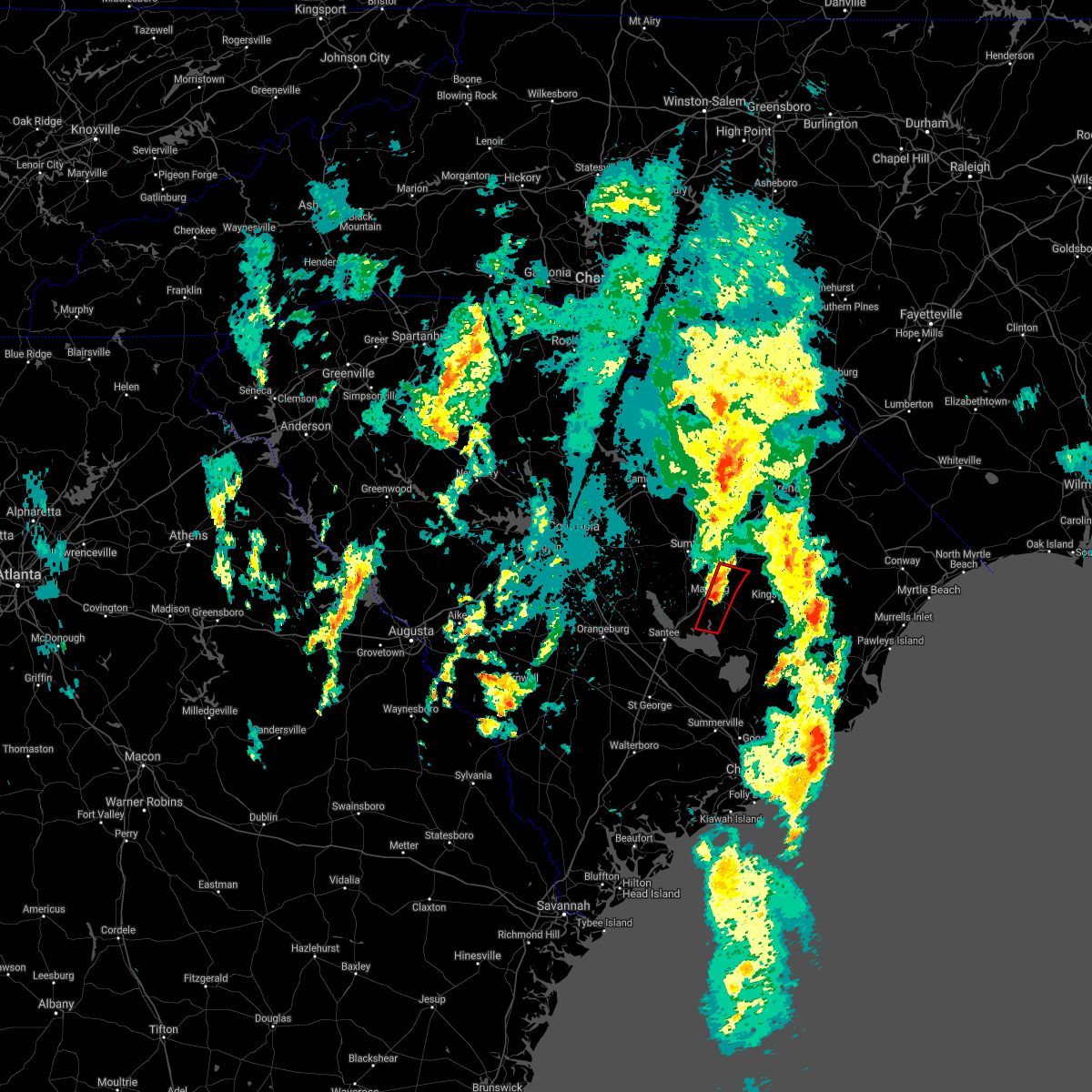 The tornado warning for central clarendon county will expire at 1000 pm edt, the storm which prompted the warning has weakened below severe limits, and no longer appears capable of producing a tornado. therefore the warning will be allowed to expire. a tornado watch remains in effect until 300 am edt for central south carolina. to report severe weather, contact your nearest law enforcement agency. they will relay your report to the national weather service columbia. The tornado warning for central clarendon county will expire at 1000 pm edt, the storm which prompted the warning has weakened below severe limits, and no longer appears capable of producing a tornado. therefore the warning will be allowed to expire. a tornado watch remains in effect until 300 am edt for central south carolina. to report severe weather, contact your nearest law enforcement agency. they will relay your report to the national weather service columbia.
|
| 5/4/2017 9:38 PM EDT |
 At 938 pm edt, a severe thunderstorm capable of producing a tornado was located near manning, moving northeast at 45 mph (radar indicated rotation). Hazards include tornado. Flying debris will be dangerous to those caught without shelter. mobile homes will be damaged or destroyed. damage to roofs, windows, and vehicles will occur. tree damage is likely. This tornadic thunderstorm will remain over mainly rural areas of central clarendon county. At 938 pm edt, a severe thunderstorm capable of producing a tornado was located near manning, moving northeast at 45 mph (radar indicated rotation). Hazards include tornado. Flying debris will be dangerous to those caught without shelter. mobile homes will be damaged or destroyed. damage to roofs, windows, and vehicles will occur. tree damage is likely. This tornadic thunderstorm will remain over mainly rural areas of central clarendon county.
|
| 5/4/2017 9:26 PM EDT |
 At 925 pm edt, a severe thunderstorm capable of producing a tornado was located near eastern lake marion, or 12 miles south of manning, moving northeast at 45 mph (radar indicated rotation). Hazards include tornado. Flying debris will be dangerous to those caught without shelter. mobile homes will be damaged or destroyed. damage to roofs, windows, and vehicles will occur. tree damage is likely. This dangerous storm will be near, manning around 940 pm edt. At 925 pm edt, a severe thunderstorm capable of producing a tornado was located near eastern lake marion, or 12 miles south of manning, moving northeast at 45 mph (radar indicated rotation). Hazards include tornado. Flying debris will be dangerous to those caught without shelter. mobile homes will be damaged or destroyed. damage to roofs, windows, and vehicles will occur. tree damage is likely. This dangerous storm will be near, manning around 940 pm edt.
|
| 5/4/2017 9:16 PM EDT |
 At 916 pm edt, a severe thunderstorm capable of producing a tornado was located near eastern lake marion, or 19 miles south of manning, moving northeast at 45 mph (radar indicated rotation). Hazards include tornado. Flying debris will be dangerous to those caught without shelter. mobile homes will be damaged or destroyed. damage to roofs, windows, and vehicles will occur. tree damage is likely. this dangerous storm will be near, manning around 940 pm edt. other locations impacted by this tornadic thunderstorm include eutawville. This storm has a history of producing tornadoes. At 916 pm edt, a severe thunderstorm capable of producing a tornado was located near eastern lake marion, or 19 miles south of manning, moving northeast at 45 mph (radar indicated rotation). Hazards include tornado. Flying debris will be dangerous to those caught without shelter. mobile homes will be damaged or destroyed. damage to roofs, windows, and vehicles will occur. tree damage is likely. this dangerous storm will be near, manning around 940 pm edt. other locations impacted by this tornadic thunderstorm include eutawville. This storm has a history of producing tornadoes.
|
| 5/4/2017 8:34 PM EDT |
 At 834 pm edt, a severe thunderstorm capable of producing a tornado was located 7 miles north of summerton, or 8 miles west of manning, moving north at 35 mph (radar indicated rotation). Hazards include tornado. Flying debris will be dangerous to those caught without shelter. mobile homes will be damaged or destroyed. damage to roofs, windows, and vehicles will occur. tree damage is likely. this dangerous storm will be near, sumter around 855 pm edt. south sumter and millwood around 900 pm edt. Other locations impacted by this tornadic thunderstorm include paxville, lakewood, privateer and cane savannah. At 834 pm edt, a severe thunderstorm capable of producing a tornado was located 7 miles north of summerton, or 8 miles west of manning, moving north at 35 mph (radar indicated rotation). Hazards include tornado. Flying debris will be dangerous to those caught without shelter. mobile homes will be damaged or destroyed. damage to roofs, windows, and vehicles will occur. tree damage is likely. this dangerous storm will be near, sumter around 855 pm edt. south sumter and millwood around 900 pm edt. Other locations impacted by this tornadic thunderstorm include paxville, lakewood, privateer and cane savannah.
|
| 5/4/2017 8:26 PM EDT |
 At 826 pm edt, a severe thunderstorm capable of producing a tornado was located near summerton, or 10 miles west of manning, moving north at 35 mph (radar indicated rotation). Hazards include tornado. Flying debris will be dangerous to those caught without shelter. mobile homes will be damaged or destroyed. damage to roofs, windows, and vehicles will occur. tree damage is likely. this dangerous storm will be near, sumter around 855 pm edt. south sumter and millwood around 900 pm edt. Other locations impacted by this tornadic thunderstorm include cane savannah, paxville, lakewood, privateer and pinewood. At 826 pm edt, a severe thunderstorm capable of producing a tornado was located near summerton, or 10 miles west of manning, moving north at 35 mph (radar indicated rotation). Hazards include tornado. Flying debris will be dangerous to those caught without shelter. mobile homes will be damaged or destroyed. damage to roofs, windows, and vehicles will occur. tree damage is likely. this dangerous storm will be near, sumter around 855 pm edt. south sumter and millwood around 900 pm edt. Other locations impacted by this tornadic thunderstorm include cane savannah, paxville, lakewood, privateer and pinewood.
|
| 4/24/2017 2:32 AM EDT |
 At 231 am edt, a likely severe thunderstorm was just northeast of summerton, moving northeast at 30 mph. the storm may move into the manning area (radar indicated). Hazards include 40 to 60 mph wind gusts and penny size hail. Expect damage to roofs, siding, and trees. Locations impacted include, manning. At 231 am edt, a likely severe thunderstorm was just northeast of summerton, moving northeast at 30 mph. the storm may move into the manning area (radar indicated). Hazards include 40 to 60 mph wind gusts and penny size hail. Expect damage to roofs, siding, and trees. Locations impacted include, manning.
|
| 4/24/2017 2:13 AM EDT |
 At 212 am edt, a likely severe thunderstorm was located near summerton, or 13 miles southwest of manning, moving northeast at 25 mph (radar indicated). Hazards include 60 mph wind gusts and penny size hail. expect damage to roofs, siding, and trees At 212 am edt, a likely severe thunderstorm was located near summerton, or 13 miles southwest of manning, moving northeast at 25 mph (radar indicated). Hazards include 60 mph wind gusts and penny size hail. expect damage to roofs, siding, and trees
|
| 4/5/2017 4:04 PM EDT |
 At 403 pm edt, severe thunderstorms were located along a line extending from 8 miles northwest of summerton to near reevesville, moving northeast at 40 mph (radar indicated). Hazards include 70 mph wind gusts and quarter size hail. Hail damage to vehicles is expected. expect considerable tree damage. Wind damage is also likely to mobile homes, roofs, and outbuildings. At 403 pm edt, severe thunderstorms were located along a line extending from 8 miles northwest of summerton to near reevesville, moving northeast at 40 mph (radar indicated). Hazards include 70 mph wind gusts and quarter size hail. Hail damage to vehicles is expected. expect considerable tree damage. Wind damage is also likely to mobile homes, roofs, and outbuildings.
|
| 4/3/2017 5:58 PM EDT |
 At 558 pm edt, severe thunderstorms were located along a line extending from near timmonsville to near holly hill, moving east at 45 mph (radar indicated). Hazards include 60 mph wind gusts. Expect damage to roofs, siding, and trees. locations impacted include, manning, holly hill, summerton, turbeville, mayesville, lynchburg, eutawville, vance and shiloh. A tornado watch remains in effect until 900 pm edt for central south carolina. At 558 pm edt, severe thunderstorms were located along a line extending from near timmonsville to near holly hill, moving east at 45 mph (radar indicated). Hazards include 60 mph wind gusts. Expect damage to roofs, siding, and trees. locations impacted include, manning, holly hill, summerton, turbeville, mayesville, lynchburg, eutawville, vance and shiloh. A tornado watch remains in effect until 900 pm edt for central south carolina.
|
| 4/3/2017 5:46 PM EDT |
 At 545 pm edt, severe thunderstorms were located along a line extending from near lamar to indian field, moving east at 45 mph (radar indicated). Hazards include 70 mph wind gusts. Expect considerable tree damage. Damage is likely to mobile homes, roofs, and outbuildings. At 545 pm edt, severe thunderstorms were located along a line extending from near lamar to indian field, moving east at 45 mph (radar indicated). Hazards include 70 mph wind gusts. Expect considerable tree damage. Damage is likely to mobile homes, roofs, and outbuildings.
|
| 4/3/2017 5:31 PM EDT |
 At 529 pm edt, severe thunderstorms were located along a line extending from 7 miles east of south sumter to indian field, moving east at 65 mph (radar indicated). Hazards include 70 mph wind gusts and quarter size hail. Hail damage to vehicles is expected. expect considerable tree damage. wind damage is also likely to mobile homes, roofs, and outbuildings. locations impacted include, manning, holly hill, summerton, bowman, elloree, santee, turbeville, pinewood, cameron, eutawville, paxville and vance. a tornado warning remains in effect for a portion of calhoun county. A tornado watch remains in effect until 900 pm edt for central south carolina. At 529 pm edt, severe thunderstorms were located along a line extending from 7 miles east of south sumter to indian field, moving east at 65 mph (radar indicated). Hazards include 70 mph wind gusts and quarter size hail. Hail damage to vehicles is expected. expect considerable tree damage. wind damage is also likely to mobile homes, roofs, and outbuildings. locations impacted include, manning, holly hill, summerton, bowman, elloree, santee, turbeville, pinewood, cameron, eutawville, paxville and vance. a tornado warning remains in effect for a portion of calhoun county. A tornado watch remains in effect until 900 pm edt for central south carolina.
|
| 4/3/2017 4:57 PM EDT |
 At 456 pm edt, severe thunderstorms were located along a line extending from near st. matthews to near ulmer, moving east at 65 mph (radar indicated). Hazards include 70 mph wind gusts and quarter size hail. Hail damage to vehicles is expected. expect considerable tree damage. Wind damage is also likely to mobile homes, roofs, and outbuildings. At 456 pm edt, severe thunderstorms were located along a line extending from near st. matthews to near ulmer, moving east at 65 mph (radar indicated). Hazards include 70 mph wind gusts and quarter size hail. Hail damage to vehicles is expected. expect considerable tree damage. Wind damage is also likely to mobile homes, roofs, and outbuildings.
|
| 3/21/2017 10:58 PM EDT |
 At 1058 pm edt, a severe thunderstorm was located 8 miles northwest of summerton, or 12 miles west of manning, moving east at 45 mph (radar indicated). Hazards include 60 mph wind gusts. expect damage to roofs, siding, and trees At 1058 pm edt, a severe thunderstorm was located 8 miles northwest of summerton, or 12 miles west of manning, moving east at 45 mph (radar indicated). Hazards include 60 mph wind gusts. expect damage to roofs, siding, and trees
|
| 2/15/2017 10:35 AM EST |
 At 1035 am est, a severe thunderstorm was located near elloree, or 18 miles southwest of manning, moving east at 45 mph (radar indicated). Hazards include 60 mph wind gusts. expect damage to roofs, siding, and trees At 1035 am est, a severe thunderstorm was located near elloree, or 18 miles southwest of manning, moving east at 45 mph (radar indicated). Hazards include 60 mph wind gusts. expect damage to roofs, siding, and trees
|
| 7/10/2016 3:58 PM EDT |
 At 358 pm edt, a severe thunderstorm was located 7 miles north of manning, moving east at 20 mph (radar indicated). Hazards include 60 mph wind gusts. Expect damage to roofs. siding. and trees. Locations impacted include, sumter, manning, south sumter, millwood, turbeville, shiloh, lakewood, east sumter, privateer and cane savannah. At 358 pm edt, a severe thunderstorm was located 7 miles north of manning, moving east at 20 mph (radar indicated). Hazards include 60 mph wind gusts. Expect damage to roofs. siding. and trees. Locations impacted include, sumter, manning, south sumter, millwood, turbeville, shiloh, lakewood, east sumter, privateer and cane savannah.
|
| 7/10/2016 3:42 PM EDT |
 At 342 pm edt, a severe thunderstorm was located near manning, moving east at 30 mph (radar indicated). Hazards include 60 mph wind gusts and penny size hail. Expect damage to roofs. siding. And trees. At 342 pm edt, a severe thunderstorm was located near manning, moving east at 30 mph (radar indicated). Hazards include 60 mph wind gusts and penny size hail. Expect damage to roofs. siding. And trees.
|
| 7/9/2016 12:47 AM EDT |
 At 1245 am edt, severe thunderstorms were located along a line extending from near timmonsville to 6 miles northwest of summerton, moving southeast at 30 mph (radar indicated). Hazards include 60 mph wind gusts. Expect damage to roofs. siding. and trees. Locations impacted include, manning, summerton, turbeville, pinewood, paxville, shiloh, privateer and lakewood. At 1245 am edt, severe thunderstorms were located along a line extending from near timmonsville to 6 miles northwest of summerton, moving southeast at 30 mph (radar indicated). Hazards include 60 mph wind gusts. Expect damage to roofs. siding. and trees. Locations impacted include, manning, summerton, turbeville, pinewood, paxville, shiloh, privateer and lakewood.
|
| 7/9/2016 12:15 AM EDT |
 At 1214 am edt, severe thunderstorms were located along a line extending from near lydia to 6 miles south of eastover, moving southeast at 30 mph (radar indicated). Hazards include 60 mph wind gusts. Expect damage to roofs. siding. And trees. At 1214 am edt, severe thunderstorms were located along a line extending from near lydia to 6 miles south of eastover, moving southeast at 30 mph (radar indicated). Hazards include 60 mph wind gusts. Expect damage to roofs. siding. And trees.
|
| 7/8/2016 11:46 PM EDT |
 At 1145 pm edt, severe thunderstorms were located along a line extending from 12 miles west of clyde to 9 miles west of eastover, moving east at 40 mph (radar indicated). Hazards include 60 mph wind gusts. Expect damage to roofs. siding. And trees. At 1145 pm edt, severe thunderstorms were located along a line extending from 12 miles west of clyde to 9 miles west of eastover, moving east at 40 mph (radar indicated). Hazards include 60 mph wind gusts. Expect damage to roofs. siding. And trees.
|
| 7/7/2016 11:14 PM EDT | Highway patrol reported trees down along southbound lane of i-95 at the 129 mile marker. in clarendon county SC, 6.3 miles SW of Alcolu, SC |
| 7/7/2016 10:42 PM EDT |
 At 1041 pm edt, a severe thunderstorm was located near oakland, or 7 miles west of sumter, moving southeast at 35 mph (radar indicated). Hazards include 70 mph wind gusts. Expect considerable tree damage. Damage is likely to mobile homes, roofs, and outbuildings. At 1041 pm edt, a severe thunderstorm was located near oakland, or 7 miles west of sumter, moving southeast at 35 mph (radar indicated). Hazards include 70 mph wind gusts. Expect considerable tree damage. Damage is likely to mobile homes, roofs, and outbuildings.
|
| 7/7/2016 9:56 PM EDT |
 At 955 pm edt, severe thunderstorms were located along a line extending from near new hope to near south sumter, moving southeast at 15 mph (radar indicated). Hazards include 60 mph wind gusts. Expect damage to roofs. siding. and trees. severe thunderstorms will be near, manning around 1030 pm edt. Other locations impacted by these severe thunderstorms include oswego, cane savannah, mayesville, shiloh, cherryvale, lakewood, turbeville, east sumter, lynchburg and privateer. At 955 pm edt, severe thunderstorms were located along a line extending from near new hope to near south sumter, moving southeast at 15 mph (radar indicated). Hazards include 60 mph wind gusts. Expect damage to roofs. siding. and trees. severe thunderstorms will be near, manning around 1030 pm edt. Other locations impacted by these severe thunderstorms include oswego, cane savannah, mayesville, shiloh, cherryvale, lakewood, turbeville, east sumter, lynchburg and privateer.
|
| 7/6/2016 5:06 PM EDT |
 At 504 pm edt, thunderstorms extended along interstate 95 from around turbeville southward to north of manning. movement was eastward near 30 mph. the storms likely contained wind gusts of 40 to 60 mph and dangerous lightning (radar indicated). Hazards include 60 mph wind gusts. Expect damage to roofs. siding. and trees. Locations impacted include, turbeville, central crossroads and shiloh. At 504 pm edt, thunderstorms extended along interstate 95 from around turbeville southward to north of manning. movement was eastward near 30 mph. the storms likely contained wind gusts of 40 to 60 mph and dangerous lightning (radar indicated). Hazards include 60 mph wind gusts. Expect damage to roofs. siding. and trees. Locations impacted include, turbeville, central crossroads and shiloh.
|
| 7/6/2016 4:52 PM EDT |
 At 451 pm edt, a severe thunderstorm was located 8 miles northeast of manning near the sumter and clarendon county line, moving east northeast near 35 mph (radar indicated). Hazards include 60 mph wind gusts. Expect damage to roofs. siding. And trees. At 451 pm edt, a severe thunderstorm was located 8 miles northeast of manning near the sumter and clarendon county line, moving east northeast near 35 mph (radar indicated). Hazards include 60 mph wind gusts. Expect damage to roofs. siding. And trees.
|
| 7/5/2016 6:41 PM EDT |
 At 636 pm edt, a line of thunderstorms extended from central chesterfield county southward through lee county, eastern sumter county, and western clarendon county. movement was eastward near 35 mph. some of the thunderstorms in the line contained wind gusts of 40 to 60 mph (radar indicated). Hazards include 60 mph wind gusts. Expect damage to roofs. siding. and trees. locations impacted include, sumter, cheraw, manning, bishopville, south sumter, chesterfield, summerton, clyde, mulberry, wallace, mcbee, turbeville, mayesville, pinewood, lynchburg, ruby, patrick, paxville, mcfarlan and shiloh. 75in <50mph. At 636 pm edt, a line of thunderstorms extended from central chesterfield county southward through lee county, eastern sumter county, and western clarendon county. movement was eastward near 35 mph. some of the thunderstorms in the line contained wind gusts of 40 to 60 mph (radar indicated). Hazards include 60 mph wind gusts. Expect damage to roofs. siding. and trees. locations impacted include, sumter, cheraw, manning, bishopville, south sumter, chesterfield, summerton, clyde, mulberry, wallace, mcbee, turbeville, mayesville, pinewood, lynchburg, ruby, patrick, paxville, mcfarlan and shiloh. 75in <50mph.
|
| 7/5/2016 5:45 PM EDT |
 At 542 pm edt, a line of thunderstorms extended from lancaster county southward through kershaw, lower richland and calhoun county. movement was east-northeast near 35 mph. some of the thunderstorms within the line likely contained wind gusts of 40 to 60 mph (radar indicated). Hazards include 60 mph wind gusts. Expect damage to roofs. Siding and trees. At 542 pm edt, a line of thunderstorms extended from lancaster county southward through kershaw, lower richland and calhoun county. movement was east-northeast near 35 mph. some of the thunderstorms within the line likely contained wind gusts of 40 to 60 mph (radar indicated). Hazards include 60 mph wind gusts. Expect damage to roofs. Siding and trees.
|
| 7/3/2016 5:33 PM EDT |
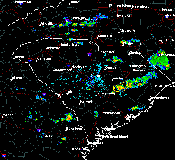 At 533 pm edt, a severe thunderstorm was located near manning, moving east at 15 mph (radar indicated). Hazards include 60 mph wind gusts. Expect damage to roofs. siding. and trees. Locations impacted include, manning. At 533 pm edt, a severe thunderstorm was located near manning, moving east at 15 mph (radar indicated). Hazards include 60 mph wind gusts. Expect damage to roofs. siding. and trees. Locations impacted include, manning.
|
| 7/3/2016 5:10 PM EDT |
 At 510 pm edt, a severe thunderstorm was located near manning, moving east at 15 mph (radar indicated). Hazards include 60 mph wind gusts. Expect damage to roofs. siding. And trees. At 510 pm edt, a severe thunderstorm was located near manning, moving east at 15 mph (radar indicated). Hazards include 60 mph wind gusts. Expect damage to roofs. siding. And trees.
|
| 6/25/2016 4:10 PM EDT |
 At 409 pm edt, a severe thunderstorm was located near mulberry, or near south sumter, moving south at 20 mph (radar indicated). Hazards include 60 mph wind gusts and penny size hail. Expect damage to roofs. siding. And trees. At 409 pm edt, a severe thunderstorm was located near mulberry, or near south sumter, moving south at 20 mph (radar indicated). Hazards include 60 mph wind gusts and penny size hail. Expect damage to roofs. siding. And trees.
|
| 6/24/2016 6:08 PM EDT |
 At 605 pm edt, severe thunderstorms were located across clarendon county, moving southeast at 25 mph. this storm has a history of producing damaging winds near summerton. the strongest winds were near jordan and davis station (radar indicated). Hazards include 60 mph wind gusts and quarter size hail. Hail damage to vehicles is expected. expect wind damage to roofs, siding, and trees. Locations impacted include, manning, summerton and paxville. At 605 pm edt, severe thunderstorms were located across clarendon county, moving southeast at 25 mph. this storm has a history of producing damaging winds near summerton. the strongest winds were near jordan and davis station (radar indicated). Hazards include 60 mph wind gusts and quarter size hail. Hail damage to vehicles is expected. expect wind damage to roofs, siding, and trees. Locations impacted include, manning, summerton and paxville.
|
| 6/24/2016 5:56 PM EDT |
 At 555 pm edt, severe thunderstorms were located along a line extending from near hebron to 7 miles west of orangeburg, moving southeast at 25 mph (radar indicated). Hazards include 60 mph wind gusts and quarter size hail. Hail damage to vehicles is expected. expect wind damage to roofs, siding, and trees. Locations impacted include, orangeburg, manning, brookdale, holly hill, summerton, elloree, santee, cameron, eutawville, vance, wilkinson heights and edisto. At 555 pm edt, severe thunderstorms were located along a line extending from near hebron to 7 miles west of orangeburg, moving southeast at 25 mph (radar indicated). Hazards include 60 mph wind gusts and quarter size hail. Hail damage to vehicles is expected. expect wind damage to roofs, siding, and trees. Locations impacted include, orangeburg, manning, brookdale, holly hill, summerton, elloree, santee, cameron, eutawville, vance, wilkinson heights and edisto.
|
| 6/24/2016 5:25 PM EDT |
 At 524 pm edt, severe thunderstorms were located along a line extending from 12 miles south of cartersville to 16 miles south of gaston, moving southeast at 25 mph (radar indicated). Hazards include 60 mph wind gusts and quarter size hail. Hail damage to vehicles is expected. Expect wind damage to roofs, siding, and trees. At 524 pm edt, severe thunderstorms were located along a line extending from 12 miles south of cartersville to 16 miles south of gaston, moving southeast at 25 mph (radar indicated). Hazards include 60 mph wind gusts and quarter size hail. Hail damage to vehicles is expected. Expect wind damage to roofs, siding, and trees.
|
| 6/24/2016 5:22 PM EDT |
 At 521 pm edt, severe thunderstorms were located along a line extending from near hebron to 11 miles southwest of millwood, moving south at 20 mph (radar indicated). Hazards include 60 mph wind gusts and quarter size hail. Hail damage to vehicles is expected. expect wind damage to roofs, siding, and trees. Locations impacted include, sumter, south sumter, turbeville, mayesville, pinewood, lynchburg, paxville, privateer, shiloh, lakewood, cane savannah, east sumter and wedgewood. At 521 pm edt, severe thunderstorms were located along a line extending from near hebron to 11 miles southwest of millwood, moving south at 20 mph (radar indicated). Hazards include 60 mph wind gusts and quarter size hail. Hail damage to vehicles is expected. expect wind damage to roofs, siding, and trees. Locations impacted include, sumter, south sumter, turbeville, mayesville, pinewood, lynchburg, paxville, privateer, shiloh, lakewood, cane savannah, east sumter and wedgewood.
|
| 6/24/2016 5:08 PM EDT |
 At 507 pm edt, severe thunderstorms were located along a line extending from near sardis to 9 miles east of eastover, moving south at 20 mph (radar indicated). Hazards include 60 mph wind gusts and quarter size hail. Hail damage to vehicles is expected. Expect wind damage to roofs, siding, and trees. At 507 pm edt, severe thunderstorms were located along a line extending from near sardis to 9 miles east of eastover, moving south at 20 mph (radar indicated). Hazards include 60 mph wind gusts and quarter size hail. Hail damage to vehicles is expected. Expect wind damage to roofs, siding, and trees.
|
| 6/24/2016 4:50 PM EDT |
 At 449 pm edt, severe thunderstorms were located along a line extending from near sardis to 7 miles southwest of oakland, moving southeast at 15 mph (radar indicated). Hazards include 60 mph wind gusts and quarter size hail. Hail damage to vehicles is expected. Expect wind damage to roofs, siding, and trees. At 449 pm edt, severe thunderstorms were located along a line extending from near sardis to 7 miles southwest of oakland, moving southeast at 15 mph (radar indicated). Hazards include 60 mph wind gusts and quarter size hail. Hail damage to vehicles is expected. Expect wind damage to roofs, siding, and trees.
|
| 6/17/2016 3:05 PM EDT |
 At 305 pm edt, a severe thunderstorm was located near manning, moving southeast at 40 mph (radar indicated). Hazards include 70 mph wind gusts. Expect considerable tree damage. damage is likely to mobile homes, roofs, and outbuildings. Locations impacted include, manning, summerton, turbeville, mayesville, lynchburg, paxville, shiloh and east sumter. At 305 pm edt, a severe thunderstorm was located near manning, moving southeast at 40 mph (radar indicated). Hazards include 70 mph wind gusts. Expect considerable tree damage. damage is likely to mobile homes, roofs, and outbuildings. Locations impacted include, manning, summerton, turbeville, mayesville, lynchburg, paxville, shiloh and east sumter.
|
| 6/17/2016 2:45 PM EDT |
 At 245 pm edt, a severe thunderstorm was located 7 miles south of south sumter, moving southeast at 50 mph (radar indicated). Hazards include 70 mph wind gusts. Expect considerable tree damage. Damage is likely to mobile homes, roofs, and outbuildings. At 245 pm edt, a severe thunderstorm was located 7 miles south of south sumter, moving southeast at 50 mph (radar indicated). Hazards include 70 mph wind gusts. Expect considerable tree damage. Damage is likely to mobile homes, roofs, and outbuildings.
|
| 6/17/2016 2:15 PM EDT |
 At 215 pm edt, a severe thunderstorm was located 8 miles east of mulberry, or 9 miles northeast of south sumter, moving southeast at 30 mph (radar indicated). Hazards include 70 mph wind gusts and ping pong ball size hail. People and animals outdoors will be injured. expect hail damage to roofs, siding, windows, and vehicles. expect considerable tree damage. Wind damage is also likely to mobile homes, roofs, and outbuildings. At 215 pm edt, a severe thunderstorm was located 8 miles east of mulberry, or 9 miles northeast of south sumter, moving southeast at 30 mph (radar indicated). Hazards include 70 mph wind gusts and ping pong ball size hail. People and animals outdoors will be injured. expect hail damage to roofs, siding, windows, and vehicles. expect considerable tree damage. Wind damage is also likely to mobile homes, roofs, and outbuildings.
|
| 6/15/2016 2:51 PM EDT |
 At 250 pm edt, a severe thunderstorm was located near south sumter, moving east at 30 mph (radar indicated). Hazards include 60 mph wind gusts. Expect damage to roofs. siding. and trees. Locations impacted include, sumter, manning, south sumter, millwood, pinewood, paxville, cane savannah, wedgewood, privateer, cherryvale, lakewood and east sumter. At 250 pm edt, a severe thunderstorm was located near south sumter, moving east at 30 mph (radar indicated). Hazards include 60 mph wind gusts. Expect damage to roofs. siding. and trees. Locations impacted include, sumter, manning, south sumter, millwood, pinewood, paxville, cane savannah, wedgewood, privateer, cherryvale, lakewood and east sumter.
|
| 6/15/2016 2:42 PM EDT |
 At 242 pm edt, a severe thunderstorm was located near south sumter, moving east at 30 mph (radar indicated). Hazards include 60 mph wind gusts. Expect damage to roofs. siding. and trees. Locations impacted include, sumter, manning, south sumter, millwood, oakland, mulberry, mayesville, pinewood, paxville, oswego, cane savannah, wedgewood, lakewood, east sumter, privateer, stateburg, cherryvale and dalzell. At 242 pm edt, a severe thunderstorm was located near south sumter, moving east at 30 mph (radar indicated). Hazards include 60 mph wind gusts. Expect damage to roofs. siding. and trees. Locations impacted include, sumter, manning, south sumter, millwood, oakland, mulberry, mayesville, pinewood, paxville, oswego, cane savannah, wedgewood, lakewood, east sumter, privateer, stateburg, cherryvale and dalzell.
|
| 6/15/2016 2:23 PM EDT |
 At 223 pm edt, a severe thunderstorm was located near eastover, or 11 miles southwest of sumter, moving east at 20 mph (radar indicated). Hazards include 60 mph wind gusts. Expect damage to roofs. siding. And trees. At 223 pm edt, a severe thunderstorm was located near eastover, or 11 miles southwest of sumter, moving east at 20 mph (radar indicated). Hazards include 60 mph wind gusts. Expect damage to roofs. siding. And trees.
|
| 5/2/2016 5:08 PM EDT |
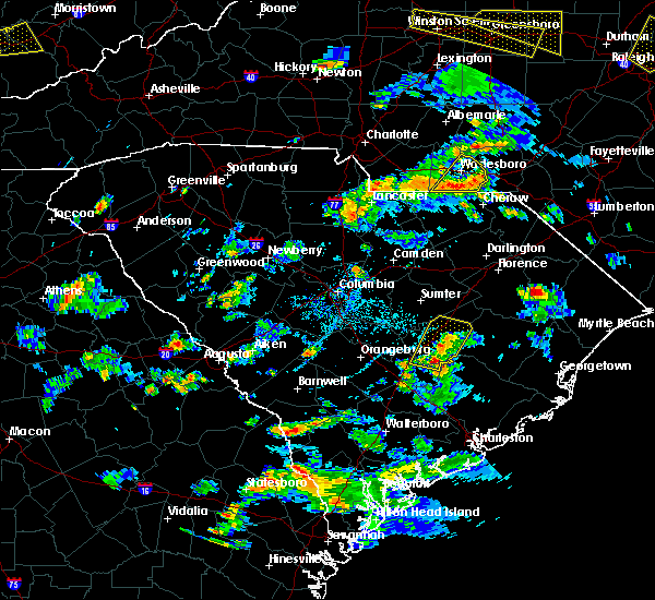 At 508 pm edt, a severe thunderstorm was located near eastern lake marion, or 16 miles south of manning, moving northeast at 25 mph (radar indicated). Hazards include 60 mph wind gusts and quarter size hail. Hail damage to vehicles is expected. Expect wind damage to roofs, siding, and trees. At 508 pm edt, a severe thunderstorm was located near eastern lake marion, or 16 miles south of manning, moving northeast at 25 mph (radar indicated). Hazards include 60 mph wind gusts and quarter size hail. Hail damage to vehicles is expected. Expect wind damage to roofs, siding, and trees.
|
| 9/10/2015 7:14 PM EDT |
 At 713 pm edt, doppler radar indicated a severe thunderstorm capable of producing quarter size hail and damaging winds in excess of 60 mph. this storm was located 11 miles northeast of manning, and moving east at 40 mph. At 713 pm edt, doppler radar indicated a severe thunderstorm capable of producing quarter size hail and damaging winds in excess of 60 mph. this storm was located 11 miles northeast of manning, and moving east at 40 mph.
|
| 8/11/2015 6:40 PM EDT |
 At 640 pm edt, doppler radar indicated a severe thunderstorm capable of producing quarter size hail and damaging winds in excess of 60 mph. this storm was located 10 miles southeast of manning, and moving east at 20 mph. At 640 pm edt, doppler radar indicated a severe thunderstorm capable of producing quarter size hail and damaging winds in excess of 60 mph. this storm was located 10 miles southeast of manning, and moving east at 20 mph.
|
| 7/13/2015 5:09 PM EDT |
 The national weather service in columbia has issued a * severe thunderstorm warning for. central clarendon county in central south carolina. until 615 pm edt * at 509 pm edt. Doppler radar indicated a severe thunderstorm capable of producing quarter size hail and damaging winds in excess. The national weather service in columbia has issued a * severe thunderstorm warning for. central clarendon county in central south carolina. until 615 pm edt * at 509 pm edt. Doppler radar indicated a severe thunderstorm capable of producing quarter size hail and damaging winds in excess.
|
| 7/2/2015 5:50 PM EDT |
 At 549 pm edt, doppler radar indicated a line of severe thunderstorms capable of producing damaging winds in excess of 60 mph. these storms were located along a line extending from near lydia to south sumter to 7 miles northwest of elloree to near bamberg, moving southeast at 45 mph. locations impacted include, sumter, orangeburg, manning, brookdale, south sumter, st. matthews, holly hill, branchville, summerton, bowman, elloree, millwood, mulberry, santee, turbeville, mayesville, pinewood, cameron, lynchburg and eutawville. At 549 pm edt, doppler radar indicated a line of severe thunderstorms capable of producing damaging winds in excess of 60 mph. these storms were located along a line extending from near lydia to south sumter to 7 miles northwest of elloree to near bamberg, moving southeast at 45 mph. locations impacted include, sumter, orangeburg, manning, brookdale, south sumter, st. matthews, holly hill, branchville, summerton, bowman, elloree, millwood, mulberry, santee, turbeville, mayesville, pinewood, cameron, lynchburg and eutawville.
|
| 7/2/2015 5:27 PM EDT |
 At 527 pm edt, doppler radar indicated a line of severe thunderstorms capable of producing damaging winds in excess of 60 mph. these storms were located along a line extending from 6 miles southwest of clyde to 10 miles southeast of camden to 7 miles east of eastover to st. matthews to 10 miles northeast of denmark, and moving east at 35 mph. At 527 pm edt, doppler radar indicated a line of severe thunderstorms capable of producing damaging winds in excess of 60 mph. these storms were located along a line extending from 6 miles southwest of clyde to 10 miles southeast of camden to 7 miles east of eastover to st. matthews to 10 miles northeast of denmark, and moving east at 35 mph.
|
| 6/30/2015 6:13 PM EDT | Trees down on old georgetown road. blocking vehicle traffic. time estimated by rada in clarendon county SC, 1.7 miles NE of Alcolu, SC |
| 6/30/2015 5:40 PM EDT |
 At 540 pm edt, doppler radar indicated a severe thunderstorm capable of producing damaging winds in excess of 60 mph. this storm was located 7 miles north of eastern lake marion, or 10 miles south of manning, and moving east at 25 mph. At 540 pm edt, doppler radar indicated a severe thunderstorm capable of producing damaging winds in excess of 60 mph. this storm was located 7 miles north of eastern lake marion, or 10 miles south of manning, and moving east at 25 mph.
|
| 6/30/2015 5:17 PM EDT |
 At 516 pm edt, doppler radar indicated a line of severe thunderstorms capable of producing damaging winds in excess of 60 mph. these storms were located along a line extending from 6 miles northeast of fort jackson to near bamberg, and moving east at 30 mph. nickel size hail may also accompany the damaging winds. At 516 pm edt, doppler radar indicated a line of severe thunderstorms capable of producing damaging winds in excess of 60 mph. these storms were located along a line extending from 6 miles northeast of fort jackson to near bamberg, and moving east at 30 mph. nickel size hail may also accompany the damaging winds.
|
| 6/27/2015 8:19 PM EDT |
 At 818 pm edt, doppler radar indicated a line of severe thunderstorms capable of producing damaging winds in excess of 60 mph. these storms were located along a line extending from near hebron to near elloree, moving east at 20 mph. locations impacted include, manning, summerton, elloree, santee, cameron, eutawville and vance. At 818 pm edt, doppler radar indicated a line of severe thunderstorms capable of producing damaging winds in excess of 60 mph. these storms were located along a line extending from near hebron to near elloree, moving east at 20 mph. locations impacted include, manning, summerton, elloree, santee, cameron, eutawville and vance.
|
| 6/27/2015 7:56 PM EDT |
 At 754 pm edt, doppler radar indicated a line of severe thunderstorms capable of producing damaging winds in excess of 60 mph. these storms were located along a line extending from near shiloh and turbeville, west to near paxville, lake marion, and cameron. At 754 pm edt, doppler radar indicated a line of severe thunderstorms capable of producing damaging winds in excess of 60 mph. these storms were located along a line extending from near shiloh and turbeville, west to near paxville, lake marion, and cameron.
|
| 6/27/2015 7:45 PM EDT |
 At 738 pm edt, doppler radar indicated a line of severe thunderstorms capable of producing damaging winds in excess of 60 mph. these storms were located along a line extending from near lamar to 11 miles south of cartersville to near elloree, moving east at 35 mph. locations impacted include, manning, summerton, turbeville, mayesville, pinewood, lynchburg, paxville, oswego, and privateer. At 738 pm edt, doppler radar indicated a line of severe thunderstorms capable of producing damaging winds in excess of 60 mph. these storms were located along a line extending from near lamar to 11 miles south of cartersville to near elloree, moving east at 35 mph. locations impacted include, manning, summerton, turbeville, mayesville, pinewood, lynchburg, paxville, oswego, and privateer.
|
| 6/27/2015 6:59 PM EDT |
 At 658 pm edt, doppler radar indicated a line of severe thunderstorms capable of producing damaging winds in excess of 60 mph. these storms were located along a line extending from 9 miles west of bishopville to near sumter to st. matthews, and moving east at 40 mph. At 658 pm edt, doppler radar indicated a line of severe thunderstorms capable of producing damaging winds in excess of 60 mph. these storms were located along a line extending from 9 miles west of bishopville to near sumter to st. matthews, and moving east at 40 mph.
|
| 6/18/2015 4:25 PM EDT | Trees and powerlines down just northeast of alcol in clarendon county SC, 4.5 miles SW of Alcolu, SC |
| 6/18/2015 4:11 PM EDT | At 411 pm edt, doppler radar indicated a severe thunderstorm capable of producing quarter size hail and damaging winds in excess of 60 mph. this storm was located 7 miles north of manning, and moving east at 10 mph. |
| 4/19/2015 6:03 PM EDT | At 558 pm edt, national weather service doppler radar continued to indicate a line of severe thunderstorms capable of producing damaging winds in excess of 60 mph. these storms were located along a line extending from oakland to 10 miles southeast of eutawville, or along a line extending from 11 miles northwest of sumter to 15 miles west of moncks corner, moving northeast at 40 mph. other locations in the warning include but are not limited to millwood, south sumter, mulberry, manning, mayesville, bishopville, turbeville and lynchburg. |
| 4/19/2015 5:24 PM EDT | At 522 pm edt, national weather service doppler radar indicated a line of severe thunderstorms capable of producing damaging winds in excess of 60 mph. these storms were located along a line extending from 13 miles west of eastover to 15 miles south of bowman, or along a line extending from 9 miles south of forest acres to 6 miles southwest of saint george, and moving northeast at 40 mph. * some communities in the warning area include sumter, summerton, st. matthews, south sumter, orangeburg, mulberry, millwood, manning, holly hill, elloree, eastover, brookdale, bowman, bishopville and oakland. |
| 4/8/2015 12:11 AM EDT | The national weather service in columbia has issued a * severe thunderstorm warning for. Southeastern calhoun county in central south carolina southwestern sumter county in central south carolina clarendon county in central south carolina eastern orangeburg county in central south carolina. |
| 4/8/2015 12:00 AM EDT | The national weather service in columbia has issued a * severe thunderstorm warning for. Southeastern lee county in central south carolina eastern sumter county in central south carolina northern clarendon county in central south carolina * until 1245 am edt. |
| 4/7/2015 11:12 PM EDT | The national weather service in columbia has issued a * severe thunderstorm warning for. Southern kershaw county in central south carolina lee county in central south carolina eastern richland county in central south carolina sumter county in central south carolina. |
| 8/17/2012 4:00 PM EDT | Tree on car mile marker 125 i9 in clarendon county SC, 1.5 miles NW of Alcolu, SC |
| 7/1/2012 6:00 PM EDT | Sheriff reported many trees down in the northern portions of the count in clarendon county SC, 6.4 miles WSW of Alcolu, SC |
| 1/1/0001 12:00 AM | Public reported shingles blown from roof of house along brewington road. wind estimated around 60 mp in clarendon county SC, 7.5 miles WSW of Alcolu, SC |
| 4/16/2011 3:28 PM EDT | Grapefruit sized hail reported 5.7 miles W of Alcolu, SC, softball size hail at hwy 301 and north brewington road causing damage to roofs and vehicles. |
Hail Maps for Alcolu, SC


Connect with Interactive Hail Maps