

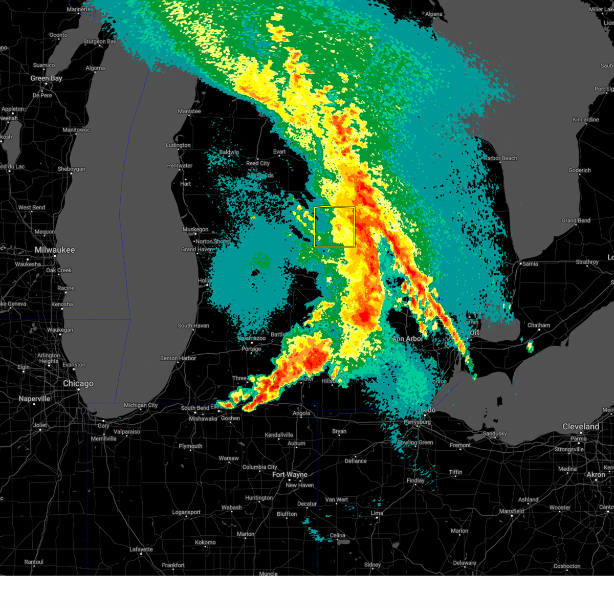
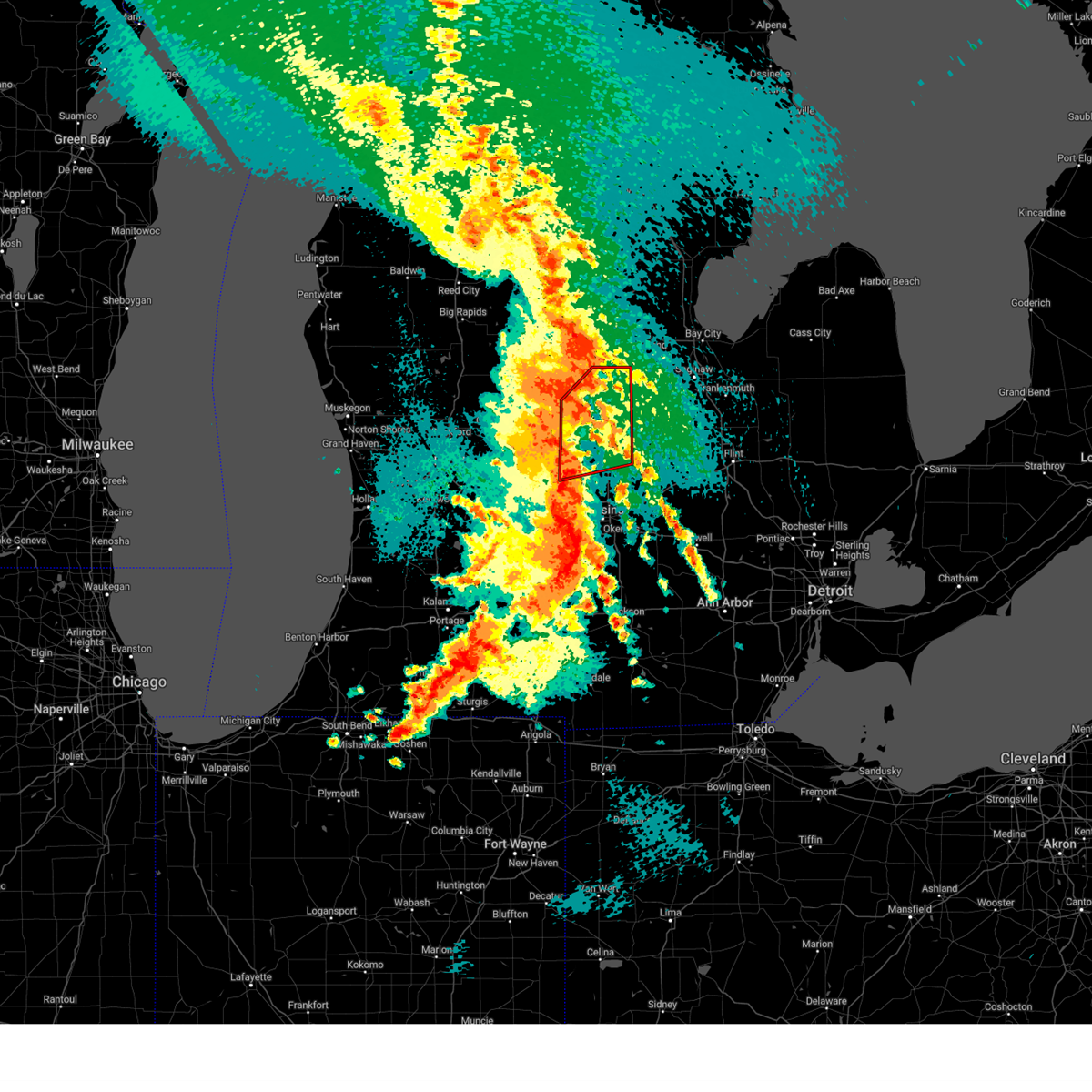
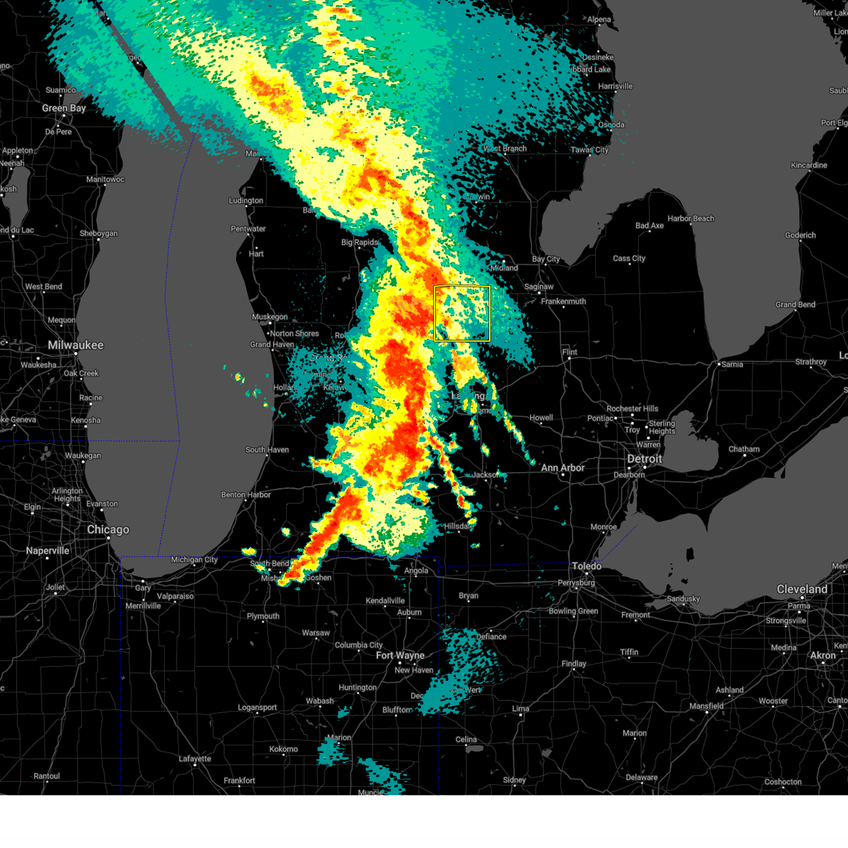
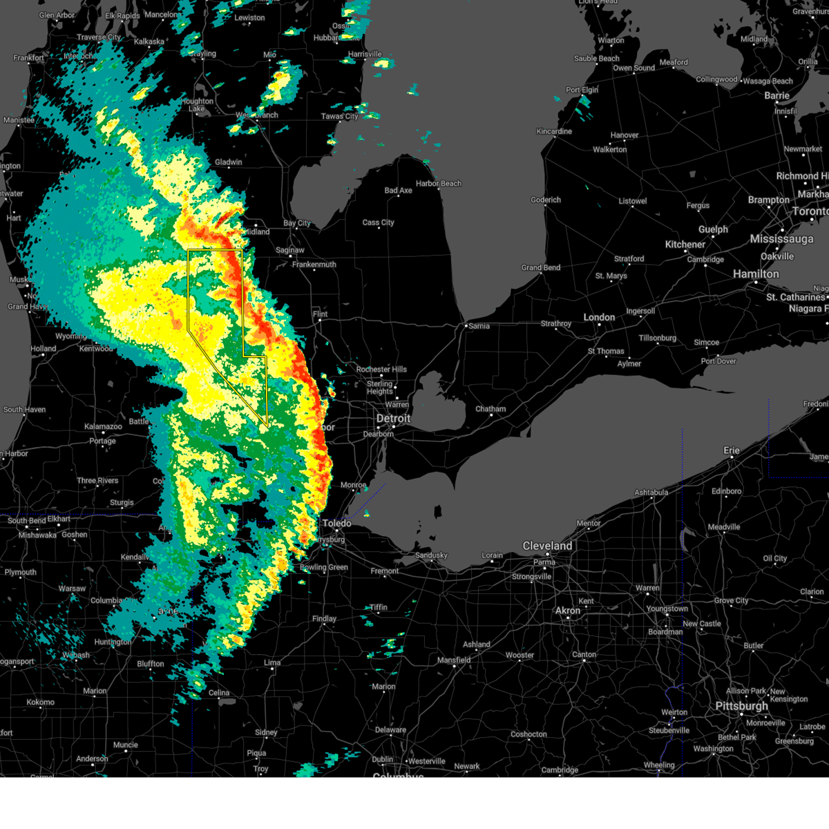
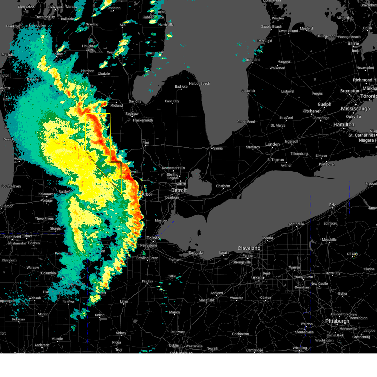
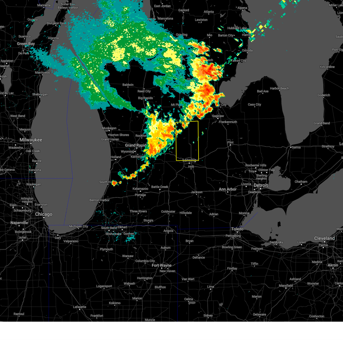
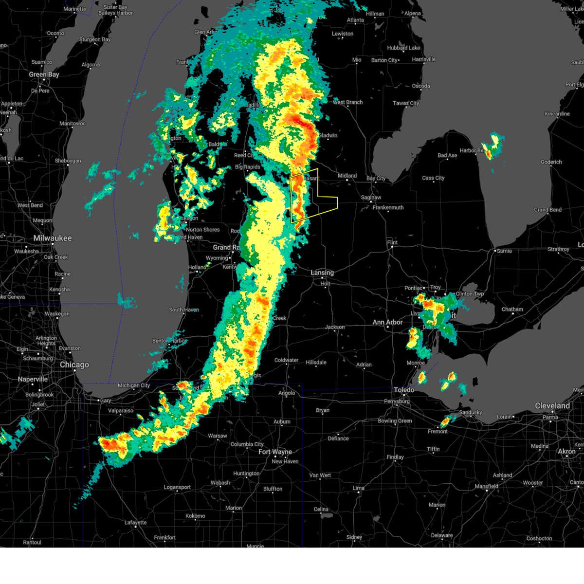
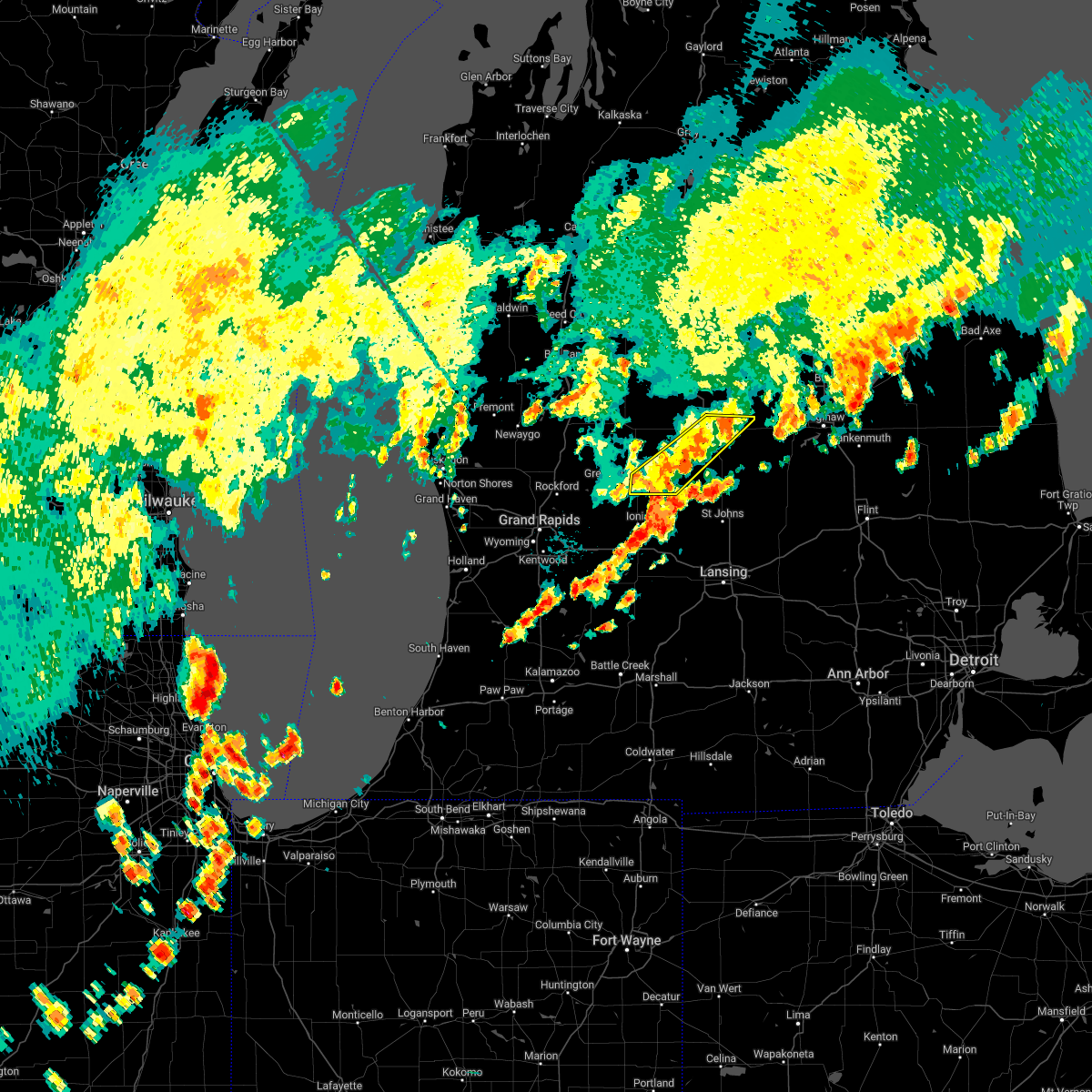
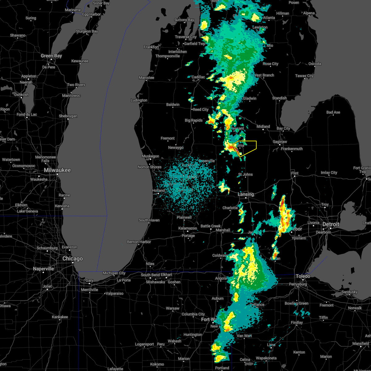
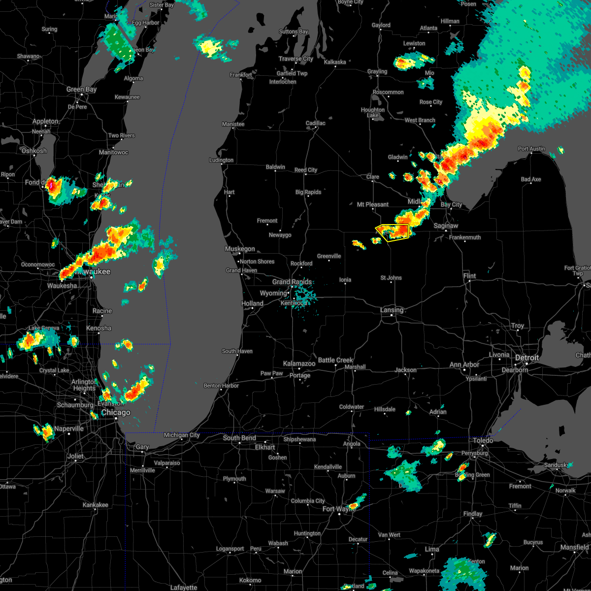
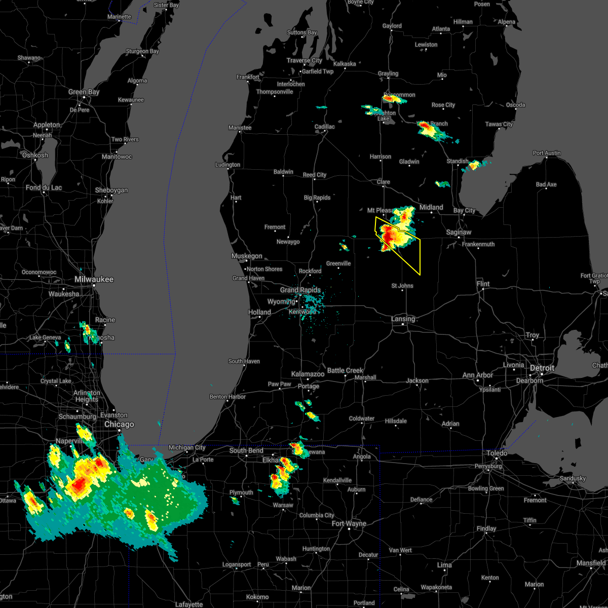
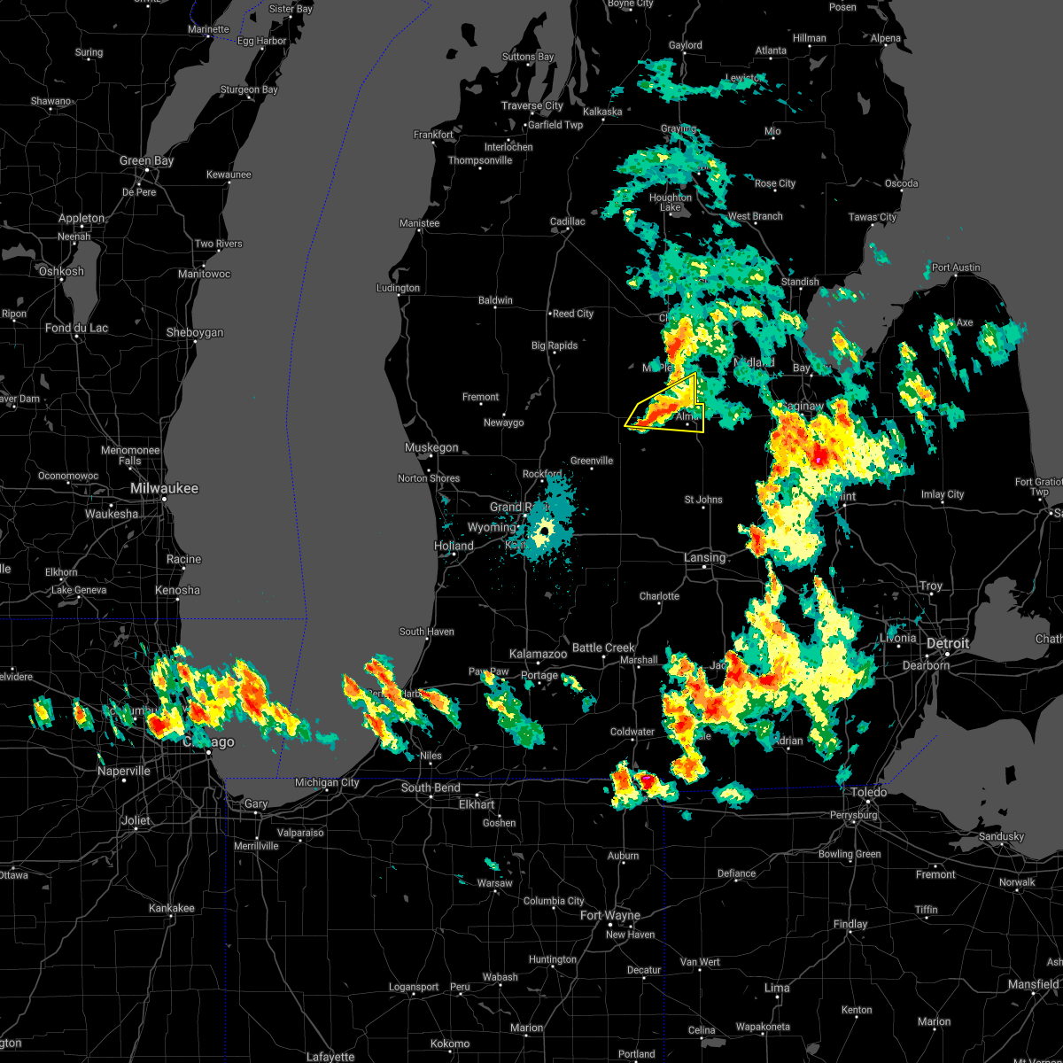
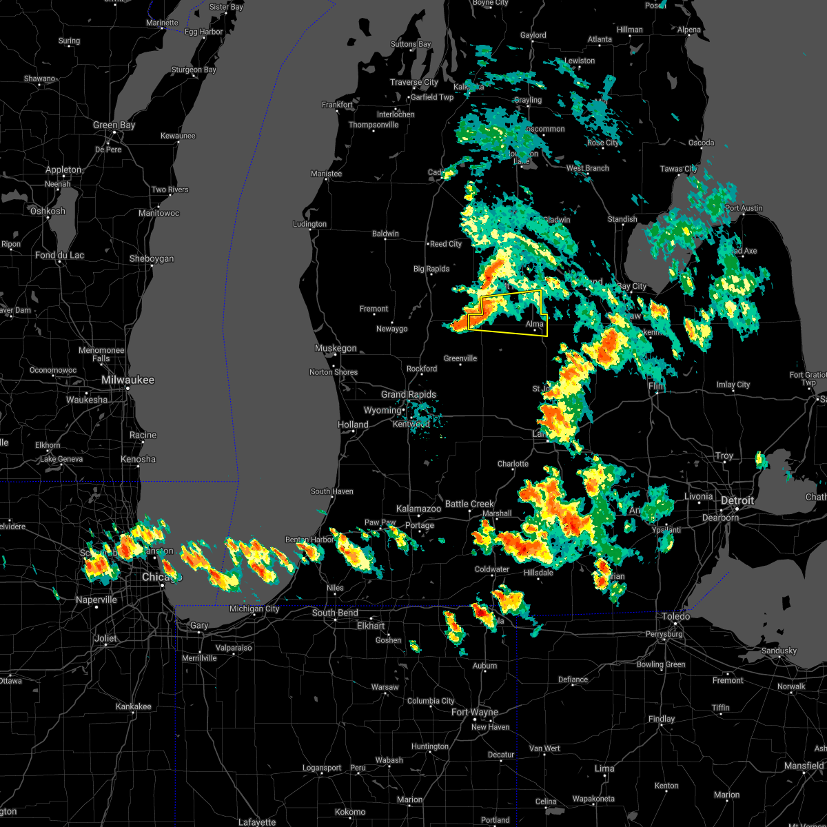
Hail Map for Alma, MI
The Alma, MI area has had 9 reports of on-the-ground hail by trained spotters, and has been under severe weather warnings 9 times during the past 12 months. Doppler radar has detected hail at or near Alma, MI on 28 occasions.
| Name: | Alma, MI |
| Where Located: | 55.3 miles WNW of Flint, MI |
| Map: | Google Map for Alma, MI |
| Population: | 9383 |
| Housing Units: | 3784 |
| More Info: | Search Google for Alma, MI |
5
The Top Recent Hail Date for Alma, MI is Sunday, July 27, 2014 (1st out of 28)

Hail and Wind Damage Spotted near Alma, MI
| Date / Time | Report Details |
|---|---|
| 5/16/2025 12:08 AM EDT |
 the severe thunderstorm warning has been cancelled and is no longer in effect the severe thunderstorm warning has been cancelled and is no longer in effect
|
| 5/15/2025 11:32 PM EDT |
 Torgrr the national weather service in grand rapids has issued a * tornado warning for, gratiot county in central michigan, northern clinton county in south central michigan, * until 1215 am edt. * at 1132 pm edt, severe thunderstorms capable of producing both tornadoes and extensive straight line wind damage were located along a line extending from 5 miles west of ithaca to 10 miles south of carson city, moving northeast at 50 mph (radar indicated rotation). Hazards include tornado. Flying debris will be dangerous to those caught without shelter. mobile homes will be damaged or destroyed. damage to roofs, windows, and vehicles will occur. Tree damage is likely. Torgrr the national weather service in grand rapids has issued a * tornado warning for, gratiot county in central michigan, northern clinton county in south central michigan, * until 1215 am edt. * at 1132 pm edt, severe thunderstorms capable of producing both tornadoes and extensive straight line wind damage were located along a line extending from 5 miles west of ithaca to 10 miles south of carson city, moving northeast at 50 mph (radar indicated rotation). Hazards include tornado. Flying debris will be dangerous to those caught without shelter. mobile homes will be damaged or destroyed. damage to roofs, windows, and vehicles will occur. Tree damage is likely.
|
| 5/15/2025 11:26 PM EDT |
 Svrgrr the national weather service in grand rapids has issued a * severe thunderstorm warning for, gratiot county in central michigan, * until 1230 am edt. * at 1126 pm edt, severe thunderstorms were located along a line extending from near shepherd to 8 miles west of ithaca to near carson city, moving east at 45 mph (radar indicated). Hazards include 60 mph wind gusts. expect damage to roofs, siding, and trees Svrgrr the national weather service in grand rapids has issued a * severe thunderstorm warning for, gratiot county in central michigan, * until 1230 am edt. * at 1126 pm edt, severe thunderstorms were located along a line extending from near shepherd to 8 miles west of ithaca to near carson city, moving east at 45 mph (radar indicated). Hazards include 60 mph wind gusts. expect damage to roofs, siding, and trees
|
| 3/30/2025 7:03 PM EDT |
 the severe thunderstorm warning has been cancelled and is no longer in effect the severe thunderstorm warning has been cancelled and is no longer in effect
|
| 3/30/2025 6:47 PM EDT |
 At 645 pm edt, severe thunderstorms were located along a line extending from 8 miles southwest of shepherd to near ann arbor, moving east at 70 mph. these are destructive storms for central and southern michigan (at 6:32 pm lansing asos gusted to 62 mph). Hazards include 80 mph wind gusts. Flying debris will be dangerous to those caught without shelter. mobile homes will be heavily damaged. expect considerable damage to roofs, windows, and vehicles. extensive tree damage and power outages are likely. Locations impacted include, alma, williamston, edgemont park, elm hall, ovid, ithaca, north star, bunker hill, bell oak, bath, gratiot community ai, holt, maple rapids, forest hill, breckenridge, dewitt, pompeii, sumner, east lansing, riverdale,. At 645 pm edt, severe thunderstorms were located along a line extending from 8 miles southwest of shepherd to near ann arbor, moving east at 70 mph. these are destructive storms for central and southern michigan (at 6:32 pm lansing asos gusted to 62 mph). Hazards include 80 mph wind gusts. Flying debris will be dangerous to those caught without shelter. mobile homes will be heavily damaged. expect considerable damage to roofs, windows, and vehicles. extensive tree damage and power outages are likely. Locations impacted include, alma, williamston, edgemont park, elm hall, ovid, ithaca, north star, bunker hill, bell oak, bath, gratiot community ai, holt, maple rapids, forest hill, breckenridge, dewitt, pompeii, sumner, east lansing, riverdale,.
|
| 3/30/2025 6:28 PM EDT | At 626 pm edt, severe thunderstorms were located along a line extending from lakeview to near grass lake, moving northeast at 55 mph. these are destructive storms for central and southern michigan (jackson asos reported 96 mph winds at 6:17 pm). Hazards include wind gusts in excess of 80 mph. Flying debris will be dangerous to those caught without shelter. mobile homes will be heavily damaged. expect considerable damage to roofs, windows, and vehicles. extensive tree damage and power outages are likely. Locations impacted include, alma, charlotte, elm hall, eden, jackson, bell oak, bath, forest hill, pompeii, spring arbor, riverdale, michigan center, eagle, onondaga, springport, oak point, dansville, lansing, norvell, bannister,. |
| 3/30/2025 6:07 PM EDT | At 606 pm edt, severe thunderstorms were located along a line extending from 9 miles south of portland to 7 miles west of cement city, moving east at 70 mph (trained weather spotters at 5 pm reported 70 mph winds southwest of nashville). Hazards include 70 mph wind gusts. Expect considerable tree damage. damage is likely to mobile homes, roofs, and outbuildings. Locations impacted include, alma, charlotte, elm hall, eden, jackson, bell oak, bath, forest hill, pompeii, spring arbor, riverdale, michigan center, eagle, onondaga, springport, oak point, dansville, lansing, norvell, bannister,. |
| 3/30/2025 5:56 PM EDT | Svrgrr the national weather service in grand rapids has issued a * severe thunderstorm warning for, jackson county in south central michigan, ingham county in south central michigan, gratiot county in central michigan, clinton county in south central michigan, eaton county in south central michigan, * until 730 pm edt. * at 555 pm edt, severe thunderstorms were located along a line extending from near lake odessa to 5 miles east of litchfield, moving east at 70 mph. these storms have a history of producing destructive wind gusts of 70 mph (radar indicated). Hazards include 70 mph wind gusts. Expect considerable tree damage. Damage is likely to mobile homes, roofs, and outbuildings. |
| 8/27/2024 3:55 PM EDT |
 Svrgrr the national weather service in grand rapids has issued a * severe thunderstorm warning for, gratiot county in central michigan, clinton county in south central michigan, * until 500 pm edt. * at 355 pm edt, severe thunderstorms were located along a line extending from 7 miles north of carson city, to 9 miles northeast of ionia, to near saranac, moving east at 55 mph (radar indicated. numerous power outages due to strong winds were reported in kent, montcalm, and ionia counties). Hazards include 60 mph wind gusts. expect damage to roofs, siding, and trees Svrgrr the national weather service in grand rapids has issued a * severe thunderstorm warning for, gratiot county in central michigan, clinton county in south central michigan, * until 500 pm edt. * at 355 pm edt, severe thunderstorms were located along a line extending from 7 miles north of carson city, to 9 miles northeast of ionia, to near saranac, moving east at 55 mph (radar indicated. numerous power outages due to strong winds were reported in kent, montcalm, and ionia counties). Hazards include 60 mph wind gusts. expect damage to roofs, siding, and trees
|
| 5/20/2024 8:51 PM EDT |
 Svrgrr the national weather service in grand rapids has issued a * severe thunderstorm warning for, central gratiot county in central michigan, * until 915 pm edt. * at 850 pm edt, a severe thunderstorm was located near ithaca, moving northeast at 30 mph (radar indicated). Hazards include 60 mph wind gusts. expect damage to roofs, siding, and trees Svrgrr the national weather service in grand rapids has issued a * severe thunderstorm warning for, central gratiot county in central michigan, * until 915 pm edt. * at 850 pm edt, a severe thunderstorm was located near ithaca, moving northeast at 30 mph (radar indicated). Hazards include 60 mph wind gusts. expect damage to roofs, siding, and trees
|
| 5/20/2024 8:18 PM EDT |
 At 818 pm edt, severe thunderstorms were located along a line extending from near mount pleasant to 6 miles northeast of carson city, moving northeast at 30 mph (radar indicated). Hazards include 60 mph wind gusts. Expect damage to roofs, siding, and trees. locations impacted include, mount pleasant, alma, ithaca, st. Louis, shepherd, breckenridge, wheeler, crystal, sumner, elm hall, gratiot community ai, vestaburg, forest hill, riverdale, delwin, winn, mount pleasant munic,. At 818 pm edt, severe thunderstorms were located along a line extending from near mount pleasant to 6 miles northeast of carson city, moving northeast at 30 mph (radar indicated). Hazards include 60 mph wind gusts. Expect damage to roofs, siding, and trees. locations impacted include, mount pleasant, alma, ithaca, st. Louis, shepherd, breckenridge, wheeler, crystal, sumner, elm hall, gratiot community ai, vestaburg, forest hill, riverdale, delwin, winn, mount pleasant munic,.
|
| 5/20/2024 7:42 PM EDT |
 Svrgrr the national weather service in grand rapids has issued a * severe thunderstorm warning for, northern gratiot county in central michigan, southern isabella county in central michigan, eastern montcalm county in central michigan, * until 845 pm edt. * at 741 pm edt, a severe thunderstorm was located over stanton, moving northeast at 30 mph (radar indicated). Hazards include 60 mph wind gusts. expect damage to roofs, siding, and trees Svrgrr the national weather service in grand rapids has issued a * severe thunderstorm warning for, northern gratiot county in central michigan, southern isabella county in central michigan, eastern montcalm county in central michigan, * until 845 pm edt. * at 741 pm edt, a severe thunderstorm was located over stanton, moving northeast at 30 mph (radar indicated). Hazards include 60 mph wind gusts. expect damage to roofs, siding, and trees
|
| 11/6/2023 10:11 AM EST |
 At 1010 am est, severe thunderstorms were located along a line extending from near oil city to near stanton, moving east at 70 mph (radar indicated). Hazards include 60 mph wind gusts and quarter size hail. Hail damage to vehicles is expected. expect wind damage to roofs, siding, and trees. locations impacted include, alma, stanton, st. louis, edmore, sidney, sumner, mcbride, westville, elm hall, cedar lake, vestaburg, forest hill, riverdale, wyman, kings corner, entrican, hail threat, radar indicated max hail size, 1. 00 in wind threat, radar indicated max wind gust, 60 mph. At 1010 am est, severe thunderstorms were located along a line extending from near oil city to near stanton, moving east at 70 mph (radar indicated). Hazards include 60 mph wind gusts and quarter size hail. Hail damage to vehicles is expected. expect wind damage to roofs, siding, and trees. locations impacted include, alma, stanton, st. louis, edmore, sidney, sumner, mcbride, westville, elm hall, cedar lake, vestaburg, forest hill, riverdale, wyman, kings corner, entrican, hail threat, radar indicated max hail size, 1. 00 in wind threat, radar indicated max wind gust, 60 mph.
|
| 11/6/2023 9:45 AM EST |
 At 944 am est, severe thunderstorms were located along a line extending from near lakeview to 6 miles northeast of sparta, moving east at 75 mph (radar indicated). Hazards include 60 mph wind gusts and quarter size hail. Hail damage to vehicles is expected. Expect wind damage to roofs, siding, and trees. At 944 am est, severe thunderstorms were located along a line extending from near lakeview to 6 miles northeast of sparta, moving east at 75 mph (radar indicated). Hazards include 60 mph wind gusts and quarter size hail. Hail damage to vehicles is expected. Expect wind damage to roofs, siding, and trees.
|
| 7/20/2023 1:08 PM EDT |
 At 108 pm edt, severe thunderstorms were located along a line extending from 7 miles east of edmore to 8 miles south of stanton, moving east at 45 mph (radar indicated). Hazards include 60 mph wind gusts and quarter size hail. Hail damage to vehicles is expected. Expect wind damage to roofs, siding, and trees. At 108 pm edt, severe thunderstorms were located along a line extending from 7 miles east of edmore to 8 miles south of stanton, moving east at 45 mph (radar indicated). Hazards include 60 mph wind gusts and quarter size hail. Hail damage to vehicles is expected. Expect wind damage to roofs, siding, and trees.
|
| 6/25/2023 6:27 PM EDT |
 The severe thunderstorm warning for gratiot and isabella counties will expire at 630 pm edt, the storms which prompted the warning have weakened and moved out of the warned area. therefore, the warning will be allowed to expire. a severe thunderstorm watch remains in effect until 700 pm edt for central michigan. The severe thunderstorm warning for gratiot and isabella counties will expire at 630 pm edt, the storms which prompted the warning have weakened and moved out of the warned area. therefore, the warning will be allowed to expire. a severe thunderstorm watch remains in effect until 700 pm edt for central michigan.
|
| 6/25/2023 6:04 PM EDT |
 At 604 pm edt, severe thunderstorms were located along a line extending from farwell to ithaca, moving northeast at 30 mph (radar indicated). Hazards include 60 mph wind gusts and penny size hail. Expect damage to roofs, siding, and trees. locations impacted include, mount pleasant, alma, clare, ithaca, st. louis, shepherd, breckenridge, rosebush, wheeler, north star, ashley, perrinton, brinton, loomis, gratiot community ai, bannister, forest hill, pompeii, delwin, beal city, hail threat, radar indicated max hail size, 0. 75 in wind threat, radar indicated max wind gust, 60 mph. At 604 pm edt, severe thunderstorms were located along a line extending from farwell to ithaca, moving northeast at 30 mph (radar indicated). Hazards include 60 mph wind gusts and penny size hail. Expect damage to roofs, siding, and trees. locations impacted include, mount pleasant, alma, clare, ithaca, st. louis, shepherd, breckenridge, rosebush, wheeler, north star, ashley, perrinton, brinton, loomis, gratiot community ai, bannister, forest hill, pompeii, delwin, beal city, hail threat, radar indicated max hail size, 0. 75 in wind threat, radar indicated max wind gust, 60 mph.
|
| 6/25/2023 5:32 PM EDT |
 At 531 pm edt, severe thunderstorms were located along a line extending from 6 miles northeast of mecosta to near carson city, moving northeast at 30 mph (radar indicated). Hazards include 60 mph wind gusts and penny size hail. expect damage to roofs, siding, and trees At 531 pm edt, severe thunderstorms were located along a line extending from 6 miles northeast of mecosta to near carson city, moving northeast at 30 mph (radar indicated). Hazards include 60 mph wind gusts and penny size hail. expect damage to roofs, siding, and trees
|
| 4/5/2023 11:07 AM EDT |
 The severe thunderstorm warning for gratiot county will expire at 1115 am edt, the storms which prompted the warning have moved out of the warned area. therefore, the warning will be allowed to expire. a tornado watch remains in effect until 400 pm edt for central michigan. The severe thunderstorm warning for gratiot county will expire at 1115 am edt, the storms which prompted the warning have moved out of the warned area. therefore, the warning will be allowed to expire. a tornado watch remains in effect until 400 pm edt for central michigan.
|
| 4/5/2023 10:34 AM EDT |
 At 1033 am edt, severe thunderstorms were located along a line extending from near edmore to near ionia, moving east at 75 mph (radar indicated). Hazards include 60 mph wind gusts. expect damage to roofs, siding, and trees At 1033 am edt, severe thunderstorms were located along a line extending from near edmore to near ionia, moving east at 75 mph (radar indicated). Hazards include 60 mph wind gusts. expect damage to roofs, siding, and trees
|
| 9/21/2022 9:57 AM EDT |
 The severe thunderstorm warning for gratiot county will expire at 1000 am edt, the storms which prompted the warning have moved out of the warned area. therefore, the warning will be allowed to expire. The severe thunderstorm warning for gratiot county will expire at 1000 am edt, the storms which prompted the warning have moved out of the warned area. therefore, the warning will be allowed to expire.
|
| 9/21/2022 9:17 AM EDT |
 At 917 am edt, severe thunderstorms were located along a line extending from near breckenridge to 5 miles southwest of alma, moving east at 40 mph (radar indicated). Hazards include 60 mph wind gusts and quarter size hail. Hail damage to vehicles is expected. Expect wind damage to roofs, siding, and trees. At 917 am edt, severe thunderstorms were located along a line extending from near breckenridge to 5 miles southwest of alma, moving east at 40 mph (radar indicated). Hazards include 60 mph wind gusts and quarter size hail. Hail damage to vehicles is expected. Expect wind damage to roofs, siding, and trees.
|
| 8/29/2022 4:31 PM EDT |
 At 430 pm edt, severe thunderstorms were located along a line extending from near ithaca to near st. johns to 6 miles northwest of charlotte, moving east at 55 mph (trained weather spotters). Hazards include 60 mph wind gusts and quarter size hail. Hail damage to vehicles is expected. expect wind damage to roofs, siding, and trees. locations impacted include, lansing, alma, charlotte, mason, st. johns, ithaca, east lansing, grand ledge, st. louis, williamston, potterville, breckenridge, elsie, edgemont park, dewitt, capital region inter, eureka, wheeler, sumner, ovid, hail threat, radar indicated max hail size, 1. 00 in wind threat, radar indicated max wind gust, 60 mph. At 430 pm edt, severe thunderstorms were located along a line extending from near ithaca to near st. johns to 6 miles northwest of charlotte, moving east at 55 mph (trained weather spotters). Hazards include 60 mph wind gusts and quarter size hail. Hail damage to vehicles is expected. expect wind damage to roofs, siding, and trees. locations impacted include, lansing, alma, charlotte, mason, st. johns, ithaca, east lansing, grand ledge, st. louis, williamston, potterville, breckenridge, elsie, edgemont park, dewitt, capital region inter, eureka, wheeler, sumner, ovid, hail threat, radar indicated max hail size, 1. 00 in wind threat, radar indicated max wind gust, 60 mph.
|
| 8/29/2022 3:47 PM EDT |
 At 345 pm edt, a line of severe thunderstorms was located along a line from grand rapids to near stanton, moving east at 45 mph. these storms have a history of producing wind damage and power outages. seek shelter inside a sturdy building (trained weather spotters). Hazards include 60 mph wind gusts and quarter size hail. Hail damage to vehicles is expected. Expect wind damage to roofs, siding, and trees. At 345 pm edt, a line of severe thunderstorms was located along a line from grand rapids to near stanton, moving east at 45 mph. these storms have a history of producing wind damage and power outages. seek shelter inside a sturdy building (trained weather spotters). Hazards include 60 mph wind gusts and quarter size hail. Hail damage to vehicles is expected. Expect wind damage to roofs, siding, and trees.
|
| 8/3/2022 2:55 PM EDT |
 At 255 pm edt, a severe thunderstorm was located 7 miles southwest of midland, moving east at 40 mph (radar indicated). Hazards include 60 mph wind gusts. Expect damage to roofs, siding, and trees. locations impacted include, alma, ithaca, st. louis, breckenridge, carson city, wheeler, crystal, sumner, sheridan, forest hill, butternut, fenwick, hail threat, radar indicated max hail size, <. 75 in wind threat, radar indicated max wind gust, 60 mph. At 255 pm edt, a severe thunderstorm was located 7 miles southwest of midland, moving east at 40 mph (radar indicated). Hazards include 60 mph wind gusts. Expect damage to roofs, siding, and trees. locations impacted include, alma, ithaca, st. louis, breckenridge, carson city, wheeler, crystal, sumner, sheridan, forest hill, butternut, fenwick, hail threat, radar indicated max hail size, <. 75 in wind threat, radar indicated max wind gust, 60 mph.
|
| 8/3/2022 2:37 PM EDT |
 At 236 pm edt, a severe thunderstorm was located near pleasant valley, or 7 miles northeast of alma, moving east at 40 mph (radar indicated). Hazards include 60 mph wind gusts. Expect damage to roofs, siding, and trees. locations impacted include, alma, greenville, ithaca, stanton, st. louis, breckenridge, carson city, wheeler, crystal, sidney, sumner, sheridan, mcbride, elm hall, cedar lake, vestaburg, forest hill, riverdale, butternut, fenwick, hail threat, radar indicated max hail size, <. 75 in wind threat, radar indicated max wind gust, 60 mph. At 236 pm edt, a severe thunderstorm was located near pleasant valley, or 7 miles northeast of alma, moving east at 40 mph (radar indicated). Hazards include 60 mph wind gusts. Expect damage to roofs, siding, and trees. locations impacted include, alma, greenville, ithaca, stanton, st. louis, breckenridge, carson city, wheeler, crystal, sidney, sumner, sheridan, mcbride, elm hall, cedar lake, vestaburg, forest hill, riverdale, butternut, fenwick, hail threat, radar indicated max hail size, <. 75 in wind threat, radar indicated max wind gust, 60 mph.
|
| 8/3/2022 2:11 PM EDT |
 At 210 pm edt, a severe thunderstorm was located 7 miles east of edmore, or 11 miles northeast of stanton, moving east at 40 mph (radar indicated). Hazards include 60 mph wind gusts. expect damage to roofs, siding, and trees At 210 pm edt, a severe thunderstorm was located 7 miles east of edmore, or 11 miles northeast of stanton, moving east at 40 mph (radar indicated). Hazards include 60 mph wind gusts. expect damage to roofs, siding, and trees
|
| 6/16/2022 3:48 AM EDT |
 At 348 am edt, a severe thunderstorm was located near pleasant valley, or 10 miles northeast of alma, moving east at 50 mph (radar indicated). Hazards include 60 mph wind gusts and quarter size hail. Hail damage to vehicles is expected. Expect wind damage to roofs, siding, and trees. At 348 am edt, a severe thunderstorm was located near pleasant valley, or 10 miles northeast of alma, moving east at 50 mph (radar indicated). Hazards include 60 mph wind gusts and quarter size hail. Hail damage to vehicles is expected. Expect wind damage to roofs, siding, and trees.
|
| 4/11/2022 4:58 AM EDT | Quarter sized hail reported 0.1 miles SE of Alma, MI, photo of quarter-sized hail reported via social media. |
| 4/11/2022 4:56 AM EDT |
 At 456 am edt, a severe thunderstorm was located over alma, moving northeast at 55 mph (radar indicated). Hazards include quarter size hail. damage to vehicles is expected At 456 am edt, a severe thunderstorm was located over alma, moving northeast at 55 mph (radar indicated). Hazards include quarter size hail. damage to vehicles is expected
|
| 4/11/2022 4:45 AM EDT | Quarter sized hail reported 1.4 miles NNW of Alma, MI, mostly pea sized hail. largest was quarter size. |
| 9/12/2021 7:34 PM EDT |
 At 733 pm edt, a severe thunderstorm was located near alma, moving east at 50 mph (radar indicated). Hazards include quarter size hail. Damage to vehicles is expected. locations impacted include, st. louis, ithaca and breckenridge. hail threat, radar indicated max hail size, 1. 00 in wind threat, radar indicated max wind gust, <50 mph. At 733 pm edt, a severe thunderstorm was located near alma, moving east at 50 mph (radar indicated). Hazards include quarter size hail. Damage to vehicles is expected. locations impacted include, st. louis, ithaca and breckenridge. hail threat, radar indicated max hail size, 1. 00 in wind threat, radar indicated max wind gust, <50 mph.
|
| 9/12/2021 7:16 PM EDT |
 At 715 pm edt, a severe thunderstorm was located over edmore, or 6 miles north of stanton, moving east at 50 mph (radar indicated). Hazards include quarter size hail. Damage to vehicles is expected. this severe thunderstorm will be near, alma and st. louis around 740 pm edt. ithaca around 745 pm edt. breckenridge around 750 pm edt. other locations impacted by this severe thunderstorm include mcbride, westville, elm hall, cedar lake, north star, vestaburg, forest hill, sumner, riverdale and ashley. hail threat, radar indicated max hail size, 1. 00 in wind threat, radar indicated max wind gust, <50 mph. At 715 pm edt, a severe thunderstorm was located over edmore, or 6 miles north of stanton, moving east at 50 mph (radar indicated). Hazards include quarter size hail. Damage to vehicles is expected. this severe thunderstorm will be near, alma and st. louis around 740 pm edt. ithaca around 745 pm edt. breckenridge around 750 pm edt. other locations impacted by this severe thunderstorm include mcbride, westville, elm hall, cedar lake, north star, vestaburg, forest hill, sumner, riverdale and ashley. hail threat, radar indicated max hail size, 1. 00 in wind threat, radar indicated max wind gust, <50 mph.
|
| 9/12/2021 5:23 PM EDT |
 The severe thunderstorm warning for northern gratiot county will expire at 530 pm edt, the storms which prompted the warning in gratiot county have moved out of the area. therefore, the warning will be allowed to expire. a severe thunderstorm watch remains in effect until 1100 pm edt for portions of central michigan. to report severe weather, contact your nearest law enforcement agency. they will relay your report to the national weather service grand rapids. The severe thunderstorm warning for northern gratiot county will expire at 530 pm edt, the storms which prompted the warning in gratiot county have moved out of the area. therefore, the warning will be allowed to expire. a severe thunderstorm watch remains in effect until 1100 pm edt for portions of central michigan. to report severe weather, contact your nearest law enforcement agency. they will relay your report to the national weather service grand rapids.
|
| 9/12/2021 5:02 PM EDT |
 At 501 pm edt, severe thunderstorms were located along a line extending from near st louis to 5 miles west of ithaca, moving east at 60 mph (radar indicated). Hazards include golf ball size hail. People and animals outdoors will be injured. expect damage to roofs, siding, windows, and vehicles. these severe storms will be near, breckenridge around 505 pm edt. thunderstorm damage threat, considerable hail threat, radar indicated max hail size, 1. 75 in wind threat, radar indicated max wind gust, <50 mph. At 501 pm edt, severe thunderstorms were located along a line extending from near st louis to 5 miles west of ithaca, moving east at 60 mph (radar indicated). Hazards include golf ball size hail. People and animals outdoors will be injured. expect damage to roofs, siding, windows, and vehicles. these severe storms will be near, breckenridge around 505 pm edt. thunderstorm damage threat, considerable hail threat, radar indicated max hail size, 1. 75 in wind threat, radar indicated max wind gust, <50 mph.
|
| 9/12/2021 4:56 PM EDT |
 At 455 pm edt, a severe thunderstorm was located near alma, moving east at 65 mph (radar indicated). Hazards include quarter size hail. Damage to vehicles is expected. this severe thunderstorm will be near, alma and st. louis around 500 pm edt. ithaca around 505 pm edt. breckenridge around 510 pm edt. hail threat, radar indicated max hail size, 1. 00 in wind threat, radar indicated max wind gust, <50 mph. At 455 pm edt, a severe thunderstorm was located near alma, moving east at 65 mph (radar indicated). Hazards include quarter size hail. Damage to vehicles is expected. this severe thunderstorm will be near, alma and st. louis around 500 pm edt. ithaca around 505 pm edt. breckenridge around 510 pm edt. hail threat, radar indicated max hail size, 1. 00 in wind threat, radar indicated max wind gust, <50 mph.
|
| 9/7/2021 4:08 PM EDT |
 At 407 pm edt, severe thunderstorms were located along a line extending from near merrill to near carson city, moving east at 65 mph (trained weather spotters). Hazards include 60 mph wind gusts and quarter size hail. Hail damage to vehicles is expected. expect wind damage to roofs, siding, and trees. locations impacted include, alma, ithaca, st. louis, breckenridge, wheeler, sumner, north star, ashley, perrinton, pompeii, middleton, bannister, hail threat, radar indicated max hail size, 1. 00 in wind threat, radar indicated max wind gust, 60 mph. At 407 pm edt, severe thunderstorms were located along a line extending from near merrill to near carson city, moving east at 65 mph (trained weather spotters). Hazards include 60 mph wind gusts and quarter size hail. Hail damage to vehicles is expected. expect wind damage to roofs, siding, and trees. locations impacted include, alma, ithaca, st. louis, breckenridge, wheeler, sumner, north star, ashley, perrinton, pompeii, middleton, bannister, hail threat, radar indicated max hail size, 1. 00 in wind threat, radar indicated max wind gust, 60 mph.
|
| 9/7/2021 3:40 PM EDT |
 At 339 pm edt, severe thunderstorms were located along a line extending from 5 miles northwest of merrill to 6 miles north of ionia, moving east at 40 mph (trained weather spotters. at 336 pm quarter sized hail was reported just east of alma). Hazards include 60 mph wind gusts and quarter size hail. Hail damage to vehicles is expected. expect wind damage to roofs, siding, and trees. locations impacted include, ionia, alma, st. johns, belding, portland, ithaca, grand ledge, st. louis, lake odessa, breckenridge, saranac, elsie, dewitt, eureka, wheeler, orleans, sumner, ovid, fowler, sebewa, hail threat, observed max hail size, 1. 00 in wind threat, radar indicated max wind gust, 60 mph. At 339 pm edt, severe thunderstorms were located along a line extending from 5 miles northwest of merrill to 6 miles north of ionia, moving east at 40 mph (trained weather spotters. at 336 pm quarter sized hail was reported just east of alma). Hazards include 60 mph wind gusts and quarter size hail. Hail damage to vehicles is expected. expect wind damage to roofs, siding, and trees. locations impacted include, ionia, alma, st. johns, belding, portland, ithaca, grand ledge, st. louis, lake odessa, breckenridge, saranac, elsie, dewitt, eureka, wheeler, orleans, sumner, ovid, fowler, sebewa, hail threat, observed max hail size, 1. 00 in wind threat, radar indicated max wind gust, 60 mph.
|
| 9/7/2021 3:36 PM EDT | Quarter sized hail reported 2.4 miles W of Alma, MI, at intersection of state rd and lincoln rd. |
| 9/7/2021 3:26 PM EDT |
 At 326 pm edt, a severe thunderstorm was located 6 miles southeast of carson city, or 12 miles southwest of ithaca, moving east at 35 mph (radar indicated). Hazards include 60 mph wind gusts and quarter size hail. Hail damage to vehicles is expected. Expect wind damage to roofs, siding, and trees. At 326 pm edt, a severe thunderstorm was located 6 miles southeast of carson city, or 12 miles southwest of ithaca, moving east at 35 mph (radar indicated). Hazards include 60 mph wind gusts and quarter size hail. Hail damage to vehicles is expected. Expect wind damage to roofs, siding, and trees.
|
| 8/28/2021 6:58 PM EDT |
 At 658 pm edt, severe thunderstorms were located along a line extending from near alma to 6 miles east of ithaca, moving northeast at 15 mph (radar indicated). Hazards include 60 mph wind gusts and quarter size hail. Hail damage to vehicles is expected. expect wind damage to roofs, siding, and trees. these severe storms will be near, breckenridge around 720 pm edt. other locations impacted by these severe thunderstorms include wheeler and north star. hail threat, radar indicated max hail size, 1. 00 in wind threat, radar indicated max wind gust, 60 mph. At 658 pm edt, severe thunderstorms were located along a line extending from near alma to 6 miles east of ithaca, moving northeast at 15 mph (radar indicated). Hazards include 60 mph wind gusts and quarter size hail. Hail damage to vehicles is expected. expect wind damage to roofs, siding, and trees. these severe storms will be near, breckenridge around 720 pm edt. other locations impacted by these severe thunderstorms include wheeler and north star. hail threat, radar indicated max hail size, 1. 00 in wind threat, radar indicated max wind gust, 60 mph.
|
| 8/28/2021 6:43 PM EDT |
 At 642 pm edt, severe thunderstorms were located along a line extending from near alma to near ithaca, moving northeast at 15 mph (radar indicated). Hazards include 60 mph wind gusts and quarter size hail. Hail damage to vehicles is expected. Expect wind damage to roofs, siding, and trees. At 642 pm edt, severe thunderstorms were located along a line extending from near alma to near ithaca, moving northeast at 15 mph (radar indicated). Hazards include 60 mph wind gusts and quarter size hail. Hail damage to vehicles is expected. Expect wind damage to roofs, siding, and trees.
|
| 8/28/2021 6:39 PM EDT | Awos station kamn alm in gratiot county MI, 4.2 miles NNE of Alma, MI |
| 8/28/2021 6:15 PM EDT |
 At 614 pm edt, a severe thunderstorm was located near merrill, or 11 miles west of freeland, moving northeast at 15 mph (radar indicated). Hazards include 60 mph wind gusts and quarter size hail. Hail damage to vehicles is expected. expect wind damage to roofs, siding, and trees. locations impacted include, alma, st. louis, breckenridge, wheeler, forest hill, hail threat, observed max hail size, 1. 00 in wind threat, radar indicated max wind gust, 60 mph. At 614 pm edt, a severe thunderstorm was located near merrill, or 11 miles west of freeland, moving northeast at 15 mph (radar indicated). Hazards include 60 mph wind gusts and quarter size hail. Hail damage to vehicles is expected. expect wind damage to roofs, siding, and trees. locations impacted include, alma, st. louis, breckenridge, wheeler, forest hill, hail threat, observed max hail size, 1. 00 in wind threat, radar indicated max wind gust, 60 mph.
|
| 8/28/2021 6:13 PM EDT | Quarter sized hail reported 2.4 miles W of Alma, MI, quarter size hail at n state road and w lincoln road. |
| 8/28/2021 5:58 PM EDT | Tree on hous in gratiot county MI, 4.3 miles SSE of Alma, MI |
| 8/28/2021 5:57 PM EDT |
 At 556 pm edt, a severe thunderstorm was located near breckenridge, or 12 miles east of alma, moving northeast at 15 mph (radar indicated). Hazards include 60 mph wind gusts. expect damage to roofs, siding, and trees At 556 pm edt, a severe thunderstorm was located near breckenridge, or 12 miles east of alma, moving northeast at 15 mph (radar indicated). Hazards include 60 mph wind gusts. expect damage to roofs, siding, and trees
|
| 8/24/2021 6:06 PM EDT |
 At 606 pm edt, a severe thunderstorm was located near carson city, or 10 miles southeast of stanton, moving east at 20 mph (radar indicated). Hazards include 60 mph wind gusts. expect damage to roofs, siding, and trees At 606 pm edt, a severe thunderstorm was located near carson city, or 10 miles southeast of stanton, moving east at 20 mph (radar indicated). Hazards include 60 mph wind gusts. expect damage to roofs, siding, and trees
|
| 8/11/2021 12:07 AM EDT |
 The severe thunderstorm warning for jackson, ingham, gratiot, isabella, clare and clinton counties will expire at 1215 am edt, the storms which prompted the warning have moved out of the area. therefore, the warning will be allowed to expire. a severe thunderstorm watch remains in effect until 300 am edt for south central and central michigan. The severe thunderstorm warning for jackson, ingham, gratiot, isabella, clare and clinton counties will expire at 1215 am edt, the storms which prompted the warning have moved out of the area. therefore, the warning will be allowed to expire. a severe thunderstorm watch remains in effect until 300 am edt for south central and central michigan.
|
| 8/10/2021 11:09 PM EDT |
 At 1108 pm edt, severe thunderstorms were located along a line extending from 9 miles south of mitchell state park to near canadian lakes to 6 miles east of greenville to near nashville to 5 miles west of union city, moving east at 55 mph (radar indicated). Hazards include 60 mph wind gusts. expect damage to roofs, siding, and trees At 1108 pm edt, severe thunderstorms were located along a line extending from 9 miles south of mitchell state park to near canadian lakes to 6 miles east of greenville to near nashville to 5 miles west of union city, moving east at 55 mph (radar indicated). Hazards include 60 mph wind gusts. expect damage to roofs, siding, and trees
|
| 7/24/2021 4:38 PM EDT |
 At 438 pm edt, a severe thunderstorm was located 7 miles west of ithaca, moving east at 35 mph (radar indicated). Hazards include 60 mph wind gusts. expect damage to roofs, siding, and trees At 438 pm edt, a severe thunderstorm was located 7 miles west of ithaca, moving east at 35 mph (radar indicated). Hazards include 60 mph wind gusts. expect damage to roofs, siding, and trees
|
| 6/12/2021 8:25 PM EDT |
 The severe thunderstorm warning for gratiot and eastern montcalm counties will expire at 830 pm edt, the storm near alma that prompted the warning has weakened below severe limits. a severe thunderstorm south of carson city will move southeast out of gratiot county. therefore, the warning will be allowed to expire. however, small hail, gusty winds and lightning are still possible with any remaining thunderstorms in the area. The severe thunderstorm warning for gratiot and eastern montcalm counties will expire at 830 pm edt, the storm near alma that prompted the warning has weakened below severe limits. a severe thunderstorm south of carson city will move southeast out of gratiot county. therefore, the warning will be allowed to expire. however, small hail, gusty winds and lightning are still possible with any remaining thunderstorms in the area.
|
| 6/12/2021 8:06 PM EDT |
 At 805 pm edt, a severe thunderstorm was located 7 miles east of edmore, or 11 miles west of alma. another severe storm was located just northwest of carson city. both storms were moving southeast at 30 mph (radar indicated). Hazards include 60 mph wind gusts and quarter size hail. Hail damage to vehicles is expected. expect wind damage to roofs, siding, and trees. locations impacted include, alma, ithaca, st. Louis, breckenridge, carson city, wheeler, crystal, sumner, north star, sheridan, ashley, perrinton, elm hall, cedar lake, bannister, vestaburg, forest hill, pompeii, riverdale, middleton,. At 805 pm edt, a severe thunderstorm was located 7 miles east of edmore, or 11 miles west of alma. another severe storm was located just northwest of carson city. both storms were moving southeast at 30 mph (radar indicated). Hazards include 60 mph wind gusts and quarter size hail. Hail damage to vehicles is expected. expect wind damage to roofs, siding, and trees. locations impacted include, alma, ithaca, st. Louis, breckenridge, carson city, wheeler, crystal, sumner, north star, sheridan, ashley, perrinton, elm hall, cedar lake, bannister, vestaburg, forest hill, pompeii, riverdale, middleton,.
|
| 6/12/2021 7:52 PM EDT |
 At 750 pm edt, a severe thunderstorm was located 7 miles northeast of edmore, or 11 miles southwest of mount pleasant. another severe storm was located southeast of stanton. both storms were moving east at 25 mph (radar indicated). Hazards include 60 mph wind gusts and quarter size hail. Hail damage to vehicles is expected. expect wind damage to roofs, siding, and trees. locations impacted include, alma, ithaca, stanton, st. Louis, shepherd, breckenridge, edmore, carson city, wheeler, crystal, sidney, sumner, north star, sheridan, ashley, perrinton, mcbride, westville, elm hall, cedar lake,. At 750 pm edt, a severe thunderstorm was located 7 miles northeast of edmore, or 11 miles southwest of mount pleasant. another severe storm was located southeast of stanton. both storms were moving east at 25 mph (radar indicated). Hazards include 60 mph wind gusts and quarter size hail. Hail damage to vehicles is expected. expect wind damage to roofs, siding, and trees. locations impacted include, alma, ithaca, stanton, st. Louis, shepherd, breckenridge, edmore, carson city, wheeler, crystal, sidney, sumner, north star, sheridan, ashley, perrinton, mcbride, westville, elm hall, cedar lake,.
|
| 6/12/2021 7:43 PM EDT |
 At 743 pm edt, a severe thunderstorm was located 6 miles northeast of edmore, or 11 miles southwest of mount pleasant, moving southeast at 35 mph (radar indicated). Hazards include golf ball size hail and 60 mph wind gusts. People and animals outdoors will be injured. expect hail damage to roofs, siding, windows, and vehicles. Expect wind damage to roofs, siding, and trees. At 743 pm edt, a severe thunderstorm was located 6 miles northeast of edmore, or 11 miles southwest of mount pleasant, moving southeast at 35 mph (radar indicated). Hazards include golf ball size hail and 60 mph wind gusts. People and animals outdoors will be injured. expect hail damage to roofs, siding, windows, and vehicles. Expect wind damage to roofs, siding, and trees.
|
| 6/12/2021 6:24 PM EDT |
 The severe thunderstorm warning for gratiot, northeastern clinton and eastern montcalm counties will expire at 630 pm edt, the storm which prompted the warning has moved out of the area. therefore, the warning will be allowed to expire. to report severe weather, contact your nearest law enforcement agency. they will relay your report to the national weather service grand rapids. The severe thunderstorm warning for gratiot, northeastern clinton and eastern montcalm counties will expire at 630 pm edt, the storm which prompted the warning has moved out of the area. therefore, the warning will be allowed to expire. to report severe weather, contact your nearest law enforcement agency. they will relay your report to the national weather service grand rapids.
|
| 6/12/2021 6:23 PM EDT |
 At 622 pm edt, a severe thunderstorm was located over durand, moving southeast at 35 mph. this is a very dangerous storm (radar indicated). Hazards include baseball size hail and 60 mph wind gusts. People and animals outdoors will be severely injured. expect shattered windows, extensive damage to roofs, siding, and vehicles. locations impacted include, alma, st. johns, ithaca, st. Louis, breckenridge, carson city, elsie, eureka, crystal, sumner, ovid, north star, maple rapids, ashley, perrinton, elm hall, cedar lake, bannister, vestaburg, pompeii,. At 622 pm edt, a severe thunderstorm was located over durand, moving southeast at 35 mph. this is a very dangerous storm (radar indicated). Hazards include baseball size hail and 60 mph wind gusts. People and animals outdoors will be severely injured. expect shattered windows, extensive damage to roofs, siding, and vehicles. locations impacted include, alma, st. johns, ithaca, st. Louis, breckenridge, carson city, elsie, eureka, crystal, sumner, ovid, north star, maple rapids, ashley, perrinton, elm hall, cedar lake, bannister, vestaburg, pompeii,.
|
| 6/12/2021 6:07 PM EDT |
 At 607 pm edt, a severe thunderstorm was located near owosso, moving southeast at 55 mph. this is a very dangerous storm (radar indicated). Hazards include baseball size hail and 60 mph wind gusts. People and animals outdoors will be severely injured. expect shattered windows, extensive damage to roofs, siding, and vehicles. locations impacted include, alma, st. johns, ithaca, st. Louis, breckenridge, carson city, elsie, eureka, crystal, sumner, ovid, north star, maple rapids, ashley, perrinton, elm hall, cedar lake, bannister, vestaburg, pompeii,. At 607 pm edt, a severe thunderstorm was located near owosso, moving southeast at 55 mph. this is a very dangerous storm (radar indicated). Hazards include baseball size hail and 60 mph wind gusts. People and animals outdoors will be severely injured. expect shattered windows, extensive damage to roofs, siding, and vehicles. locations impacted include, alma, st. johns, ithaca, st. Louis, breckenridge, carson city, elsie, eureka, crystal, sumner, ovid, north star, maple rapids, ashley, perrinton, elm hall, cedar lake, bannister, vestaburg, pompeii,.
|
| 6/12/2021 5:51 PM EDT |
 At 551 pm edt, a severe thunderstorm was located near elsie, or 11 miles northeast of st. johns, moving southeast at 15 mph (radar indicated). Hazards include 60 mph wind gusts and quarter size hail. Hail damage to vehicles is expected. expect wind damage to roofs, siding, and trees. locations impacted include, alma, st. johns, ithaca, st. Louis, breckenridge, carson city, elsie, eureka, crystal, sumner, ovid, north star, maple rapids, ashley, perrinton, elm hall, cedar lake, bannister, vestaburg, pompeii,. At 551 pm edt, a severe thunderstorm was located near elsie, or 11 miles northeast of st. johns, moving southeast at 15 mph (radar indicated). Hazards include 60 mph wind gusts and quarter size hail. Hail damage to vehicles is expected. expect wind damage to roofs, siding, and trees. locations impacted include, alma, st. johns, ithaca, st. Louis, breckenridge, carson city, elsie, eureka, crystal, sumner, ovid, north star, maple rapids, ashley, perrinton, elm hall, cedar lake, bannister, vestaburg, pompeii,.
|
| 6/12/2021 5:44 PM EDT |
 At 543 pm edt, a severe thunderstorm was located near elsie, or 11 miles northeast of st. johns, moving southeast at 35 mph (radar indicated). Hazards include 60 mph wind gusts and quarter size hail. Hail damage to vehicles is expected. Expect wind damage to roofs, siding, and trees. At 543 pm edt, a severe thunderstorm was located near elsie, or 11 miles northeast of st. johns, moving southeast at 35 mph (radar indicated). Hazards include 60 mph wind gusts and quarter size hail. Hail damage to vehicles is expected. Expect wind damage to roofs, siding, and trees.
|
| 6/12/2021 5:05 PM EDT |
 At 505 pm edt, a severe thunderstorm was located 6 miles south of breckenridge, or 6 miles east of ithaca, moving southeast at 40 mph (radar indicated). Hazards include 60 mph wind gusts and quarter size hail. Hail damage to vehicles is expected. expect wind damage to roofs, siding, and trees. locations impacted include, alma, ithaca, st. Louis, shepherd, breckenridge, wheeler, north star, ashley, forest hill,. At 505 pm edt, a severe thunderstorm was located 6 miles south of breckenridge, or 6 miles east of ithaca, moving southeast at 40 mph (radar indicated). Hazards include 60 mph wind gusts and quarter size hail. Hail damage to vehicles is expected. expect wind damage to roofs, siding, and trees. locations impacted include, alma, ithaca, st. Louis, shepherd, breckenridge, wheeler, north star, ashley, forest hill,.
|
| 6/12/2021 4:36 PM EDT |
 At 435 pm edt, a severe thunderstorm was located 7 miles southwest of shepherd, or 8 miles south of mount pleasant, moving southeast at 40 mph (radar indicated). Hazards include 60 mph wind gusts and quarter size hail. Hail damage to vehicles is expected. Expect wind damage to roofs, siding, and trees. At 435 pm edt, a severe thunderstorm was located 7 miles southwest of shepherd, or 8 miles south of mount pleasant, moving southeast at 40 mph (radar indicated). Hazards include 60 mph wind gusts and quarter size hail. Hail damage to vehicles is expected. Expect wind damage to roofs, siding, and trees.
|
| 8/28/2020 3:54 PM EDT |
 At 354 pm edt, a severe thunderstorm was located 7 miles north of carson city, or 9 miles west of ithaca, moving east at 35 mph (radar indicated). Hazards include 60 mph wind gusts. expect damage to roofs, siding, and trees At 354 pm edt, a severe thunderstorm was located 7 miles north of carson city, or 9 miles west of ithaca, moving east at 35 mph (radar indicated). Hazards include 60 mph wind gusts. expect damage to roofs, siding, and trees
|
| 7/19/2020 8:54 AM EDT |
 At 854 am edt, severe thunderstorms were located along a line extending from 8 miles southwest of shepherd to 7 miles west of carson city, moving east at 45 mph (radar indicated). Hazards include 60 mph wind gusts. expect damage to roofs, siding, and trees At 854 am edt, severe thunderstorms were located along a line extending from 8 miles southwest of shepherd to 7 miles west of carson city, moving east at 45 mph (radar indicated). Hazards include 60 mph wind gusts. expect damage to roofs, siding, and trees
|
| 6/10/2020 1:35 PM EDT |
 At 134 pm edt, severe thunderstorms were located along a line extending from near moddersville to 6 miles east of clare to near breckenridge to near elsie, moving northeast at 45 mph (radar indicated). Hazards include 60 mph wind gusts. Expect damage to roofs, siding, and trees. locations impacted include, mount pleasant, alma, clare, ithaca, st. Louis, shepherd, breckenridge, farwell, rosebush, harrison, wheeler, north star, ashley, perrinton, lake george, forest hill, pompeii, middleton, delwin, loomis,. At 134 pm edt, severe thunderstorms were located along a line extending from near moddersville to 6 miles east of clare to near breckenridge to near elsie, moving northeast at 45 mph (radar indicated). Hazards include 60 mph wind gusts. Expect damage to roofs, siding, and trees. locations impacted include, mount pleasant, alma, clare, ithaca, st. Louis, shepherd, breckenridge, farwell, rosebush, harrison, wheeler, north star, ashley, perrinton, lake george, forest hill, pompeii, middleton, delwin, loomis,.
|
| 6/10/2020 12:51 PM EDT |
 At 1250 pm edt, severe thunderstorms were located along a line extending from 5 miles south of big rapids to 5 miles southeast of stanton, moving northeast at 60 mph (radar indicated). Hazards include 60 mph wind gusts. expect damage to roofs, siding, and trees At 1250 pm edt, severe thunderstorms were located along a line extending from 5 miles south of big rapids to 5 miles southeast of stanton, moving northeast at 60 mph (radar indicated). Hazards include 60 mph wind gusts. expect damage to roofs, siding, and trees
|
| 6/3/2020 1:58 AM EDT |
 At 1252 am edt, severe thunderstorms were located along a line extending from near evart to near ionia, moving east at 50 mph (radar indicated). Hazards include 60 mph wind gusts. expect damage to roofs, siding, and trees At 1252 am edt, severe thunderstorms were located along a line extending from near evart to near ionia, moving east at 50 mph (radar indicated). Hazards include 60 mph wind gusts. expect damage to roofs, siding, and trees
|
| 6/3/2020 12:54 AM EDT |
 At 1252 am edt, severe thunderstorms were located along a line extending from near evart to near ionia, moving east at 50 mph (radar indicated). Hazards include 60 mph wind gusts. expect damage to roofs, siding, and trees At 1252 am edt, severe thunderstorms were located along a line extending from near evart to near ionia, moving east at 50 mph (radar indicated). Hazards include 60 mph wind gusts. expect damage to roofs, siding, and trees
|
| 9/5/2018 6:54 PM EDT |
 At 652 pm edt, a severe thunderstorm was located over ithaca, moving east at 45 mph (radar indicated). Hazards include 60 mph wind gusts. Expect damage to roofs, siding, and trees. Locations impacted include, alma, ithaca, breckenridge, sumner, ashley, perrinton, bannister,. At 652 pm edt, a severe thunderstorm was located over ithaca, moving east at 45 mph (radar indicated). Hazards include 60 mph wind gusts. Expect damage to roofs, siding, and trees. Locations impacted include, alma, ithaca, breckenridge, sumner, ashley, perrinton, bannister,.
|
| 9/5/2018 6:25 PM EDT |
 At 625 pm edt, a severe thunderstorm was located near stanton, moving east at 40 mph (radar indicated). Hazards include 60 mph wind gusts. expect damage to roofs, siding, and trees At 625 pm edt, a severe thunderstorm was located near stanton, moving east at 40 mph (radar indicated). Hazards include 60 mph wind gusts. expect damage to roofs, siding, and trees
|
| 9/1/2018 8:55 PM EDT |
 At 854 pm edt, a severe thunderstorm was located near shepherd, or 8 miles south of mount pleasant, moving east at 25 mph (radar indicated). Hazards include 60 mph wind gusts. Expect damage to roofs, siding, and trees. locations impacted include, alma, st. Louis, shepherd, forest hill, elm hall, cedar lake, riverdale, vestaburg,. At 854 pm edt, a severe thunderstorm was located near shepherd, or 8 miles south of mount pleasant, moving east at 25 mph (radar indicated). Hazards include 60 mph wind gusts. Expect damage to roofs, siding, and trees. locations impacted include, alma, st. Louis, shepherd, forest hill, elm hall, cedar lake, riverdale, vestaburg,.
|
| 9/1/2018 8:18 PM EDT |
 At 817 pm edt, a severe thunderstorm was located near edmore, or 12 miles north of stanton, moving east at 25 mph (radar indicated). Hazards include 60 mph wind gusts. expect damage to roofs, siding, and trees At 817 pm edt, a severe thunderstorm was located near edmore, or 12 miles north of stanton, moving east at 25 mph (radar indicated). Hazards include 60 mph wind gusts. expect damage to roofs, siding, and trees
|
| 5/27/2018 6:39 PM EDT |
 At 638 pm edt, a severe thunderstorm was located near alma, moving southeast at 15 mph (radar indicated). Hazards include 60 mph wind gusts and quarter size hail. Hail damage to vehicles is expected. expect wind damage to roofs, siding, and trees. locations impacted include, alma, ithaca, st. Louis, carson city, sumner, perrinton, elm hall, riverdale,. At 638 pm edt, a severe thunderstorm was located near alma, moving southeast at 15 mph (radar indicated). Hazards include 60 mph wind gusts and quarter size hail. Hail damage to vehicles is expected. expect wind damage to roofs, siding, and trees. locations impacted include, alma, ithaca, st. Louis, carson city, sumner, perrinton, elm hall, riverdale,.
|
| 5/27/2018 6:21 PM EDT |
 At 621 pm edt, a severe thunderstorm was located near alma, moving southeast at 20 mph (radar indicated). Hazards include 60 mph wind gusts and quarter size hail. Hail damage to vehicles is expected. Expect wind damage to roofs, siding, and trees. At 621 pm edt, a severe thunderstorm was located near alma, moving southeast at 20 mph (radar indicated). Hazards include 60 mph wind gusts and quarter size hail. Hail damage to vehicles is expected. Expect wind damage to roofs, siding, and trees.
|
| 8/20/2016 4:39 PM EDT |
 At 438 pm edt, severe thunderstorms were located along a line extending from near beaverton to near breckenridge to 9 miles north of st. johns, moving northeast at 40 mph (radar indicated). Hazards include 60 mph wind gusts. Expect damage to roofs. siding. and trees. locations impacted include, alma, st. johns, ithaca, st. Louis, breckenridge, elsie, eureka, wheeler, fowler, westphalia, maple rapids, ashley, perrinton, bannister,. At 438 pm edt, severe thunderstorms were located along a line extending from near beaverton to near breckenridge to 9 miles north of st. johns, moving northeast at 40 mph (radar indicated). Hazards include 60 mph wind gusts. Expect damage to roofs. siding. and trees. locations impacted include, alma, st. johns, ithaca, st. Louis, breckenridge, elsie, eureka, wheeler, fowler, westphalia, maple rapids, ashley, perrinton, bannister,.
|
| 8/20/2016 4:14 PM EDT |
 At 413 pm edt, severe thunderstorms were located along a line extending from rosebush to 8 miles south of ithaca to 9 miles northeast of portland, moving northeast at 40 mph (radar indicated). Hazards include 60 mph wind gusts. Expect damage to roofs. siding. And trees. At 413 pm edt, severe thunderstorms were located along a line extending from rosebush to 8 miles south of ithaca to 9 miles northeast of portland, moving northeast at 40 mph (radar indicated). Hazards include 60 mph wind gusts. Expect damage to roofs. siding. And trees.
|
| 8/20/2016 4:00 PM EDT |
 At 359 pm edt, severe thunderstorms were located along a line extending from rosebush to pleasant valley to 5 miles southwest of ithaca, moving northeast at 55 mph (radar indicated). Hazards include 60 mph wind gusts. Expect damage to roofs. siding. and trees. locations impacted include, mount pleasant, alma, st. johns, clare, ithaca, st. Louis, shepherd, breckenridge, carson city, elsie, rosebush, eureka, wheeler, sumner, fowler, westphalia, maple rapids, ashley, perrinton, hubbardston,. At 359 pm edt, severe thunderstorms were located along a line extending from rosebush to pleasant valley to 5 miles southwest of ithaca, moving northeast at 55 mph (radar indicated). Hazards include 60 mph wind gusts. Expect damage to roofs. siding. and trees. locations impacted include, mount pleasant, alma, st. johns, clare, ithaca, st. Louis, shepherd, breckenridge, carson city, elsie, rosebush, eureka, wheeler, sumner, fowler, westphalia, maple rapids, ashley, perrinton, hubbardston,.
|
| 8/20/2016 3:33 PM EDT |
 At 332 pm edt, severe thunderstorms were located along a line extending from edmore to carson city to near ionia, moving northeast at 55 mph (radar indicated). Hazards include 60 mph wind gusts. Expect damage to roofs. siding. And trees. At 332 pm edt, severe thunderstorms were located along a line extending from edmore to carson city to near ionia, moving northeast at 55 mph (radar indicated). Hazards include 60 mph wind gusts. Expect damage to roofs. siding. And trees.
|
| 10/24/2015 2:56 PM EDT |
 At 255 pm edt, severe thunderstorms were located along a line extending from near shepherd to ionia, moving northeast at 40 mph (radar indicated). Hazards include 60 mph wind gusts. Expect damage to roofs. Siding and trees. At 255 pm edt, severe thunderstorms were located along a line extending from near shepherd to ionia, moving northeast at 40 mph (radar indicated). Hazards include 60 mph wind gusts. Expect damage to roofs. Siding and trees.
|
| 9/8/2015 4:29 PM EDT |
 At 428 pm edt, severe thunderstorms were located along a line extending from near carson city to near alma to near breckenridge, moving east at 60 mph (radar indicated). Hazards include 60 mph wind gusts. Expect damage to roofs. siding and trees. these severe storms will be near, breckenridge around 435 pm edt. Other locations impacted by these severe thunderstorms include wheeler. At 428 pm edt, severe thunderstorms were located along a line extending from near carson city to near alma to near breckenridge, moving east at 60 mph (radar indicated). Hazards include 60 mph wind gusts. Expect damage to roofs. siding and trees. these severe storms will be near, breckenridge around 435 pm edt. Other locations impacted by these severe thunderstorms include wheeler.
|
| 9/8/2015 4:15 PM EDT |
 At 414 pm edt, severe thunderstorms were located along a line extending from 6 miles west of carson city to 6 miles southwest of alma to near st. louis, moving northeast at 60 mph (radar indicated). Hazards include 60 mph wind gusts. Expect damage to roofs. siding and trees. these severe storms will be near, alma around 420 pm edt. st. louis around 425 pm edt. ithaca around 435 pm edt. breckenridge around 440 pm edt. Other locations impacted by these severe thunderstorms include sumner, crystal, riverdale, wheeler, forest hill and elm hall. At 414 pm edt, severe thunderstorms were located along a line extending from 6 miles west of carson city to 6 miles southwest of alma to near st. louis, moving northeast at 60 mph (radar indicated). Hazards include 60 mph wind gusts. Expect damage to roofs. siding and trees. these severe storms will be near, alma around 420 pm edt. st. louis around 425 pm edt. ithaca around 435 pm edt. breckenridge around 440 pm edt. Other locations impacted by these severe thunderstorms include sumner, crystal, riverdale, wheeler, forest hill and elm hall.
|
| 9/8/2015 4:00 PM EDT |
 At 400 pm edt, a severe thunderstorm was located near edmore, moving northeast at 55 mph (radar indicated). Hazards include 60 mph wind gusts. Expect damage to roofs. siding and trees. this severe thunderstorm will be near, alma and st. louis around 415 pm edt. Other locations impacted by this severe thunderstorm include vestaburg, cedar lake, crystal, kings corner, riverdale, wheeler, westville, elm hall, sheridan and mcbride. At 400 pm edt, a severe thunderstorm was located near edmore, moving northeast at 55 mph (radar indicated). Hazards include 60 mph wind gusts. Expect damage to roofs. siding and trees. this severe thunderstorm will be near, alma and st. louis around 415 pm edt. Other locations impacted by this severe thunderstorm include vestaburg, cedar lake, crystal, kings corner, riverdale, wheeler, westville, elm hall, sheridan and mcbride.
|
| 9/3/2015 4:33 PM EDT |
 At 432 pm edt, severe thunderstorms were located along a line extending from stanton to near ithaca, moving southeast at 5 mph (radar indicated). Hazards include 60 mph wind gusts. Expect damage to roofs. siding and trees. Locations impacted include, alma, ithaca, stanton, edmore, carson city, crystal, sumner, sheridan, ashley, perrinton, mcbride, kings corner, fenwick, butternut, bannister, elm hall,. At 432 pm edt, severe thunderstorms were located along a line extending from stanton to near ithaca, moving southeast at 5 mph (radar indicated). Hazards include 60 mph wind gusts. Expect damage to roofs. siding and trees. Locations impacted include, alma, ithaca, stanton, edmore, carson city, crystal, sumner, sheridan, ashley, perrinton, mcbride, kings corner, fenwick, butternut, bannister, elm hall,.
|
| 9/3/2015 4:09 PM EDT |
 At 408 pm edt, severe thunderstorms were located along a line extending from near stanton to near ithaca, moving southeast at 25 mph (radar indicated). Hazards include 60 mph wind gusts. Expect damage to roofs. Siding and trees. At 408 pm edt, severe thunderstorms were located along a line extending from near stanton to near ithaca, moving southeast at 25 mph (radar indicated). Hazards include 60 mph wind gusts. Expect damage to roofs. Siding and trees.
|
| 9/3/2015 3:32 PM EDT |
 At 331 pm edt, a severe thunderstorm was located 9 miles east of edmore, moving east southeast at 20 mph (radar indicated). Hazards include 60 mph wind gusts. Expect damage to roofs. Siding and trees. At 331 pm edt, a severe thunderstorm was located 9 miles east of edmore, moving east southeast at 20 mph (radar indicated). Hazards include 60 mph wind gusts. Expect damage to roofs. Siding and trees.
|
| 7/27/2014 5:00 PM EDT | Quarter sized hail reported 0.4 miles W of Alma, MI |
| 5/8/2014 12:45 AM EDT | Quarter sized hail reported 0.8 miles S of Alma, MI, water was reported over roadways. |
| 4/12/2014 10:10 PM EDT | Damage to a garage roof and some power lines dow in gratiot county MI, 9.3 miles E of Alma, MI |
| 11/17/2013 4:25 PM EST | Tree down over north luce about 3/4 mile north of the intersection of north luce and west monroe in gratiot county MI, 3.2 miles SSE of Alma, MI |
| 11/17/2013 4:05 PM EST | Storm damage reported in gratiot county MI, 2.1 miles S of Alma, MI |
| 5/20/2013 5:30 PM EDT | Metal panel roof blown off of a car wash near the intersection of warwick drive and wright av in gratiot county MI, 1 miles SE of Alma, MI |
| 5/20/2013 5:10 PM EDT | Power poles down just east of alma on lincoln road. one person is trapped in their vehicle due to down lines. verified by alma police dept in gratiot county MI, 0.9 miles W of Alma, MI |
| 5/20/2013 5:10 PM EDT | Utility trailers blown onto their sides along m-46.several power poles broken. spotter also noted large tree limbs down in gratiot county MI, 2.1 miles S of Alma, MI |
| 5/20/2013 4:50 PM EDT | Spotter reported large trees and power lines down. trees were one to one and a half foot in diamete in gratiot county MI, 1.9 miles W of Alma, MI |
| 5/20/2013 4:20 PM EDT | Spotter reported several 5-6 inch tree limbs down in gratiot county MI, 0.6 miles N of Alma, MI |
| 7/27/2012 2:47 PM EDT | Quarter sized hail reported 0.9 miles W of Alma, MI |
| 7/27/2012 2:34 PM EDT | Golf Ball sized hail reported 0.1 miles SE of Alma, MI |
| 7/27/2012 2:31 PM EDT | Half Dollar sized hail reported 1.1 miles E of Alma, MI |
| 7/5/2012 3:10 AM EDT | Storm damage reported in gratiot county MI, 1.9 miles W of Alma, MI |
| 7/5/2012 3:10 AM EDT | Numerous trees down around alma in gratiot county MI, 0.1 miles SE of Alma, MI |
Hail Maps for Alma, MI


Connect with Interactive Hail Maps