

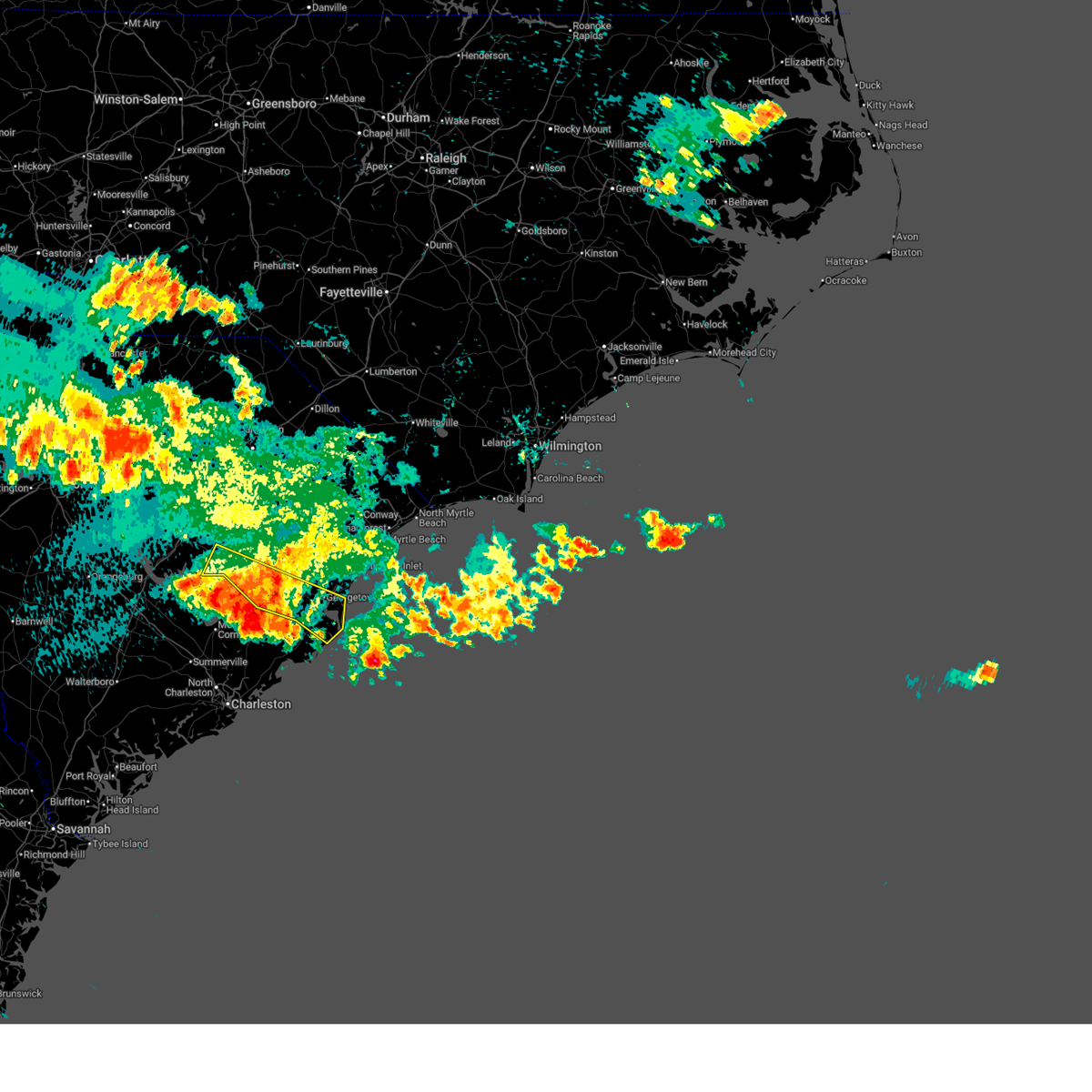
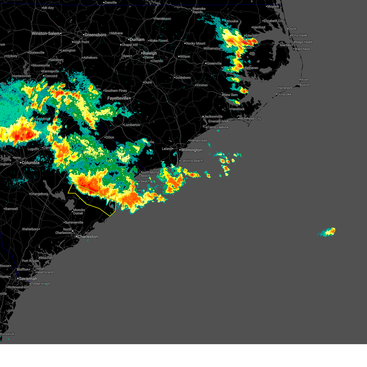
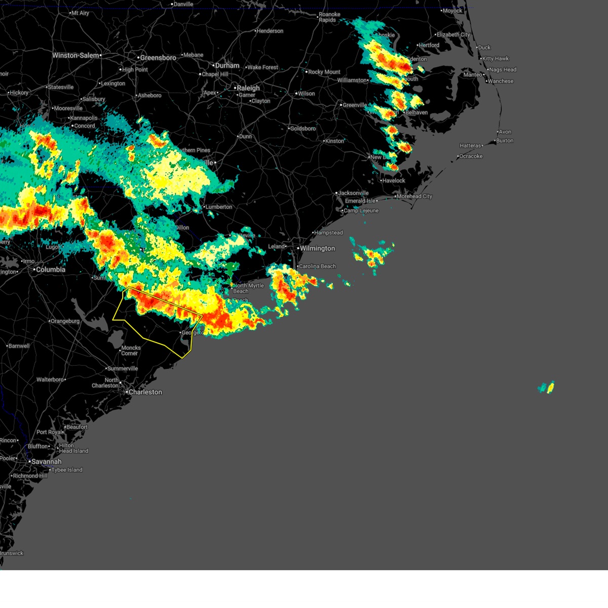
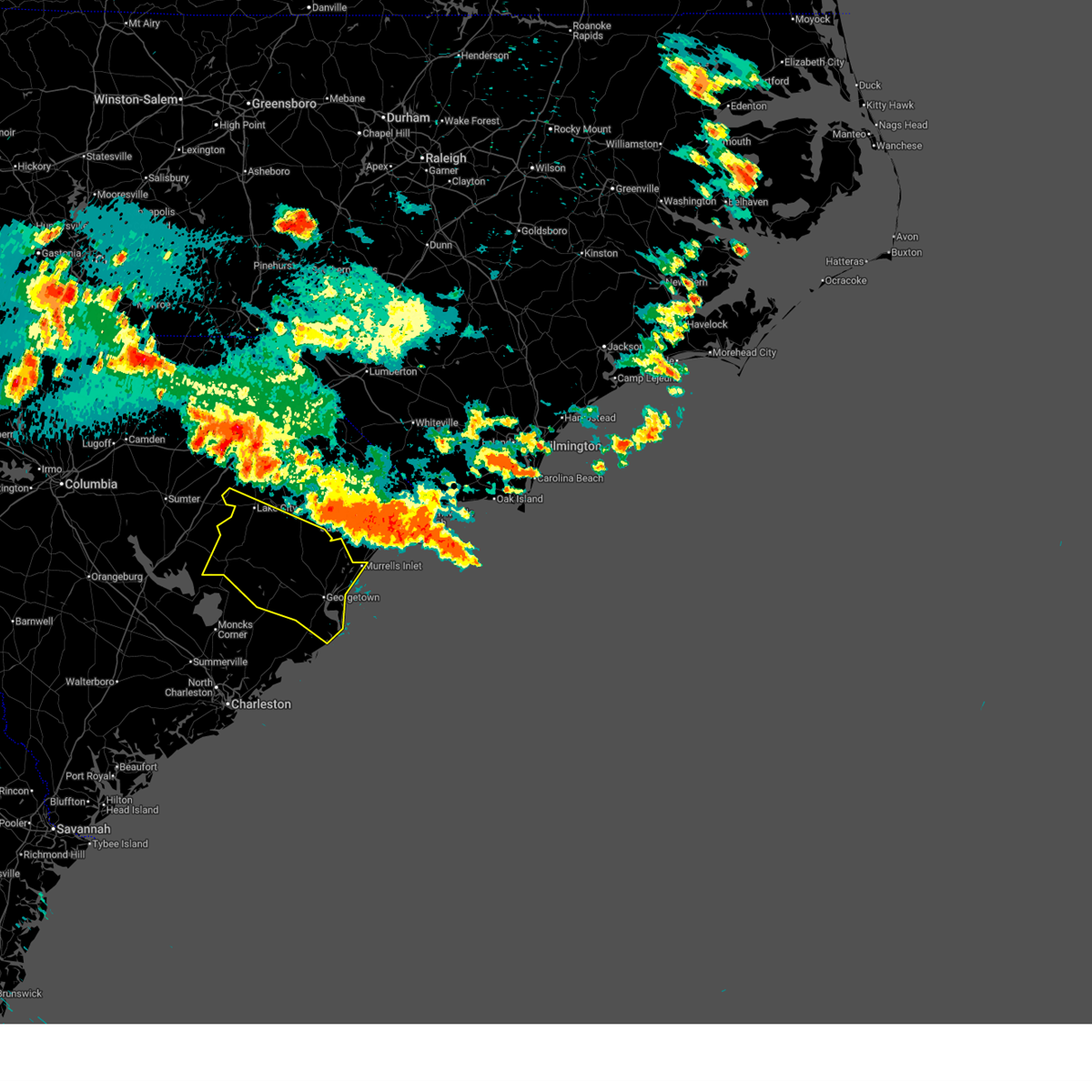
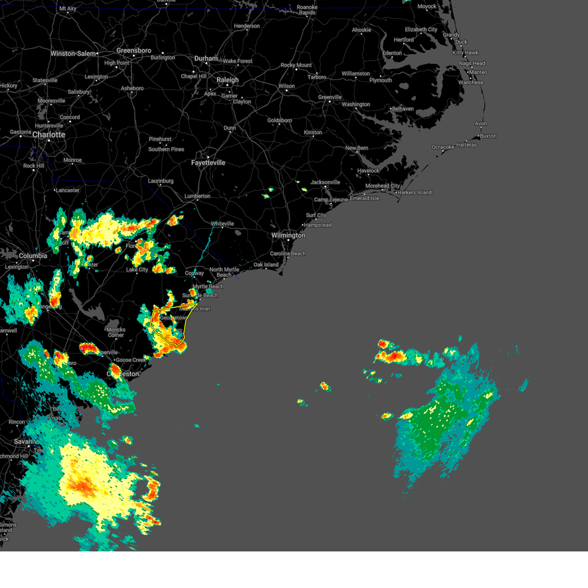
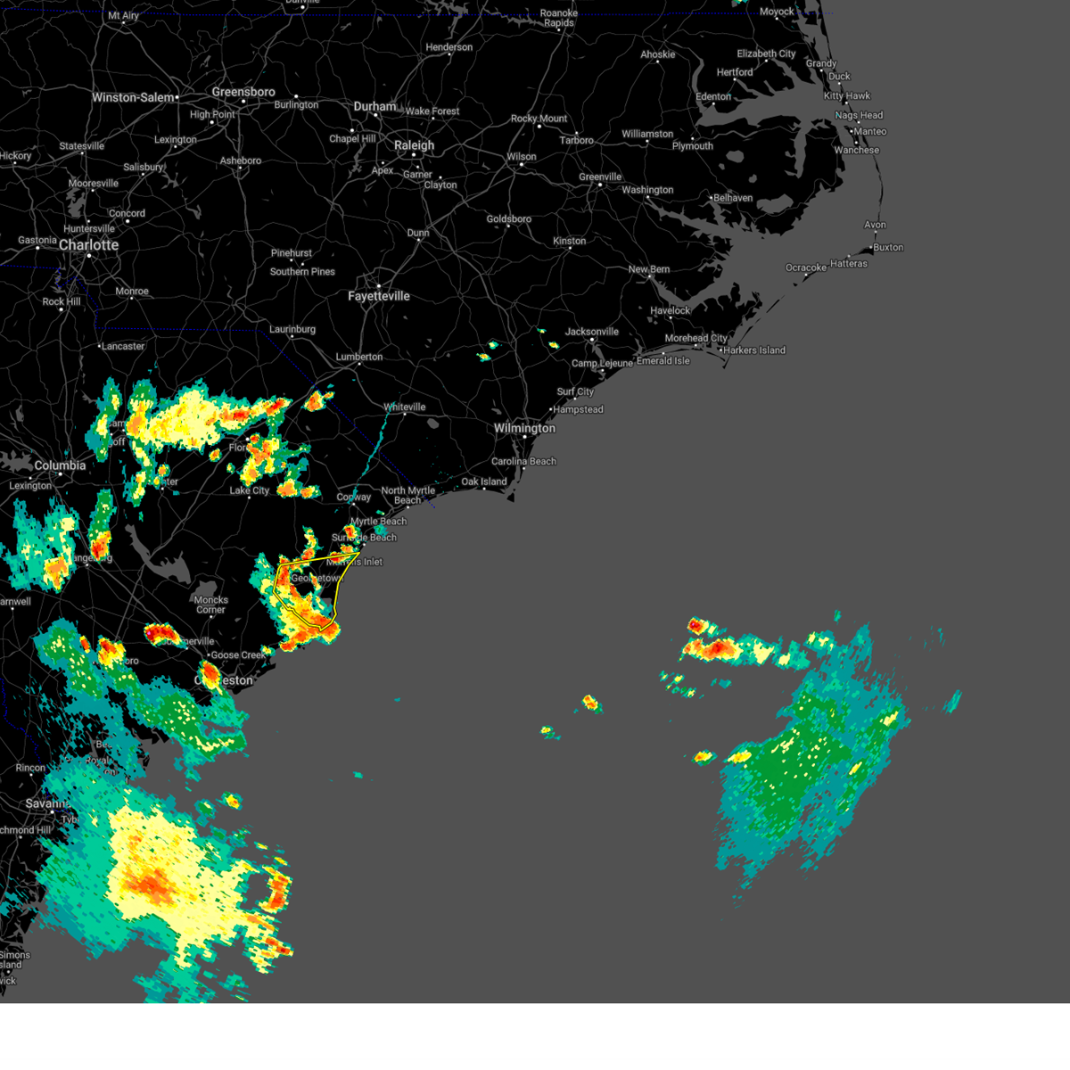
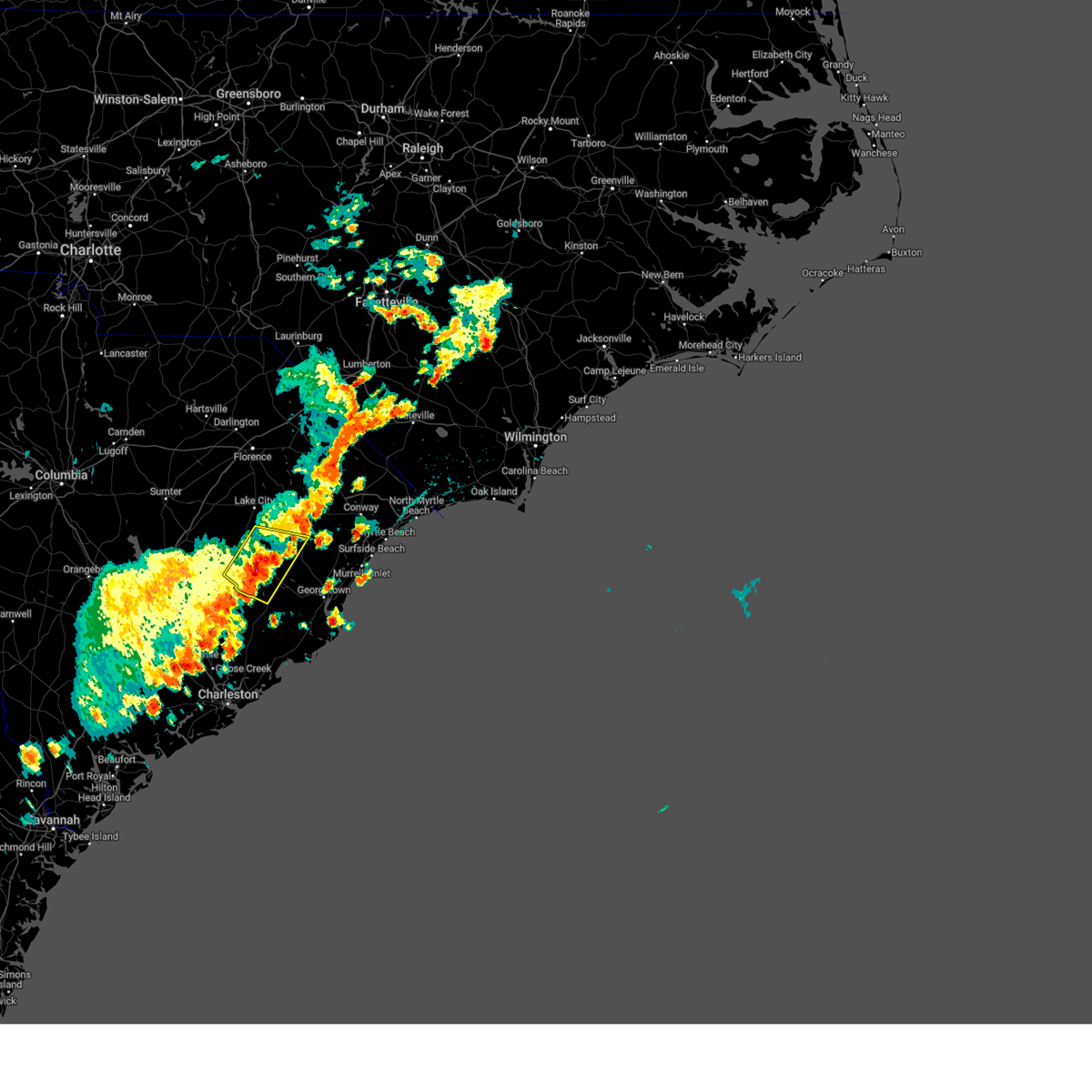
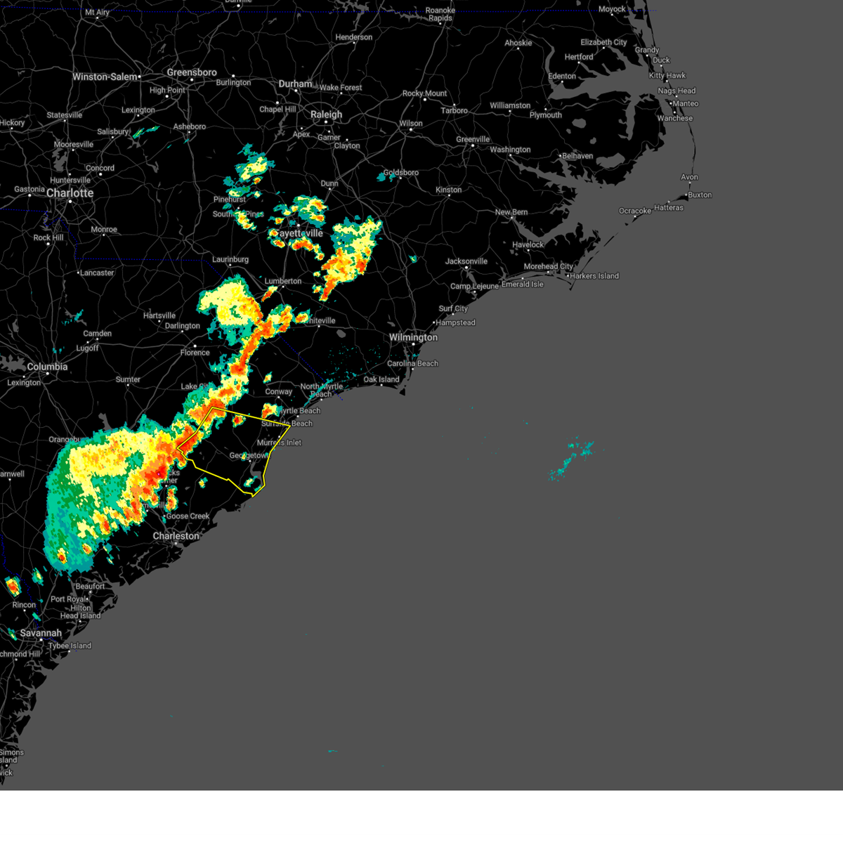
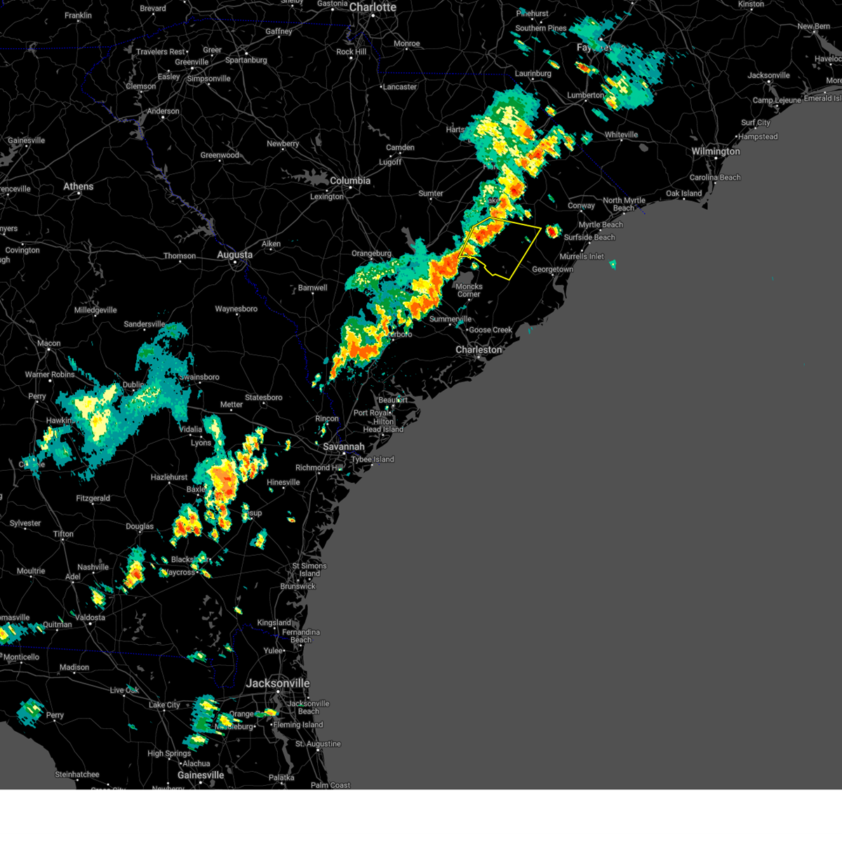
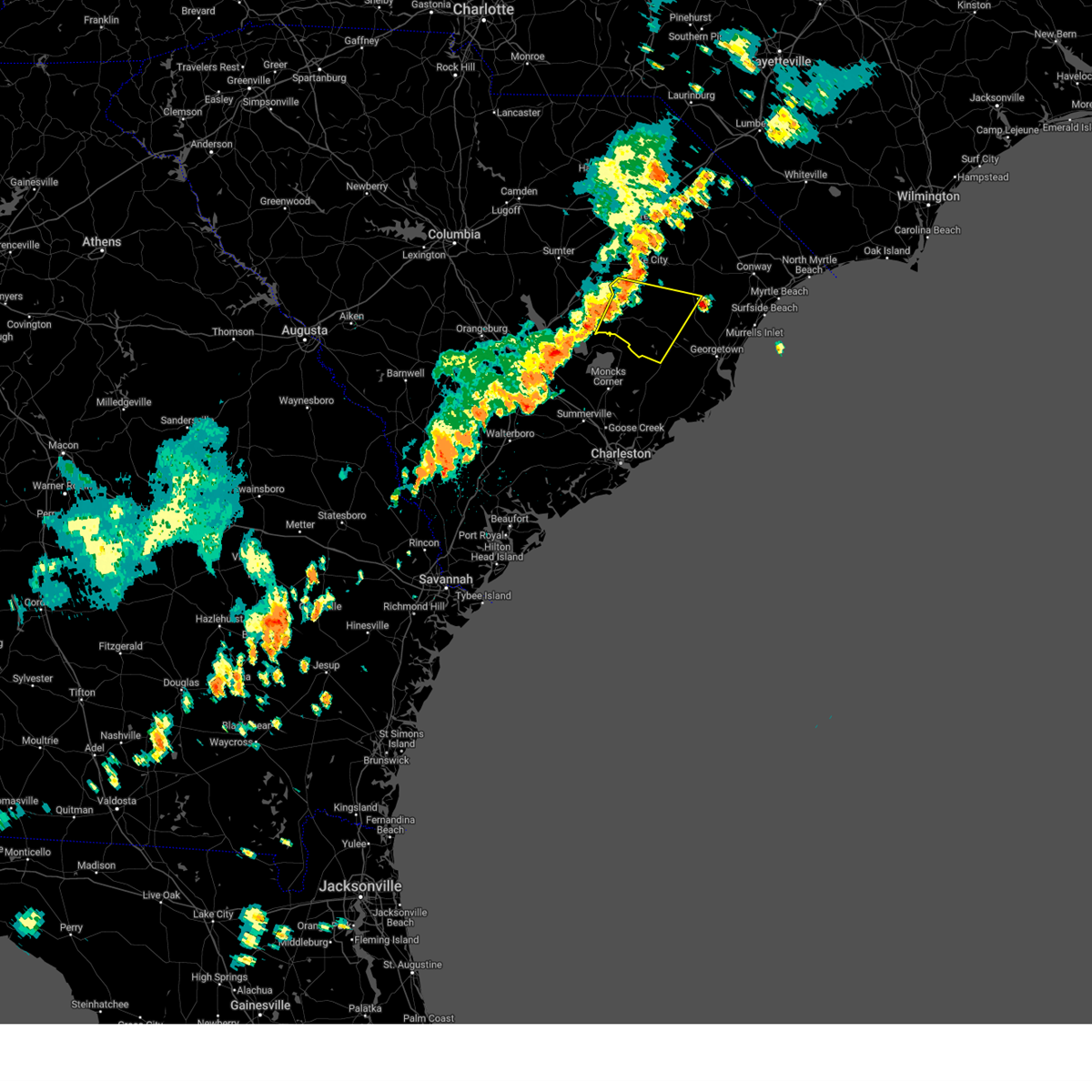
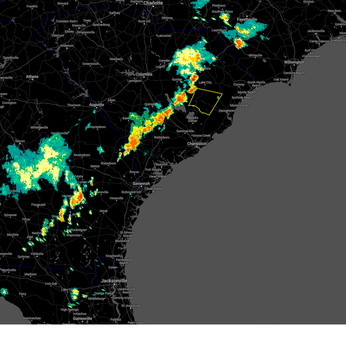
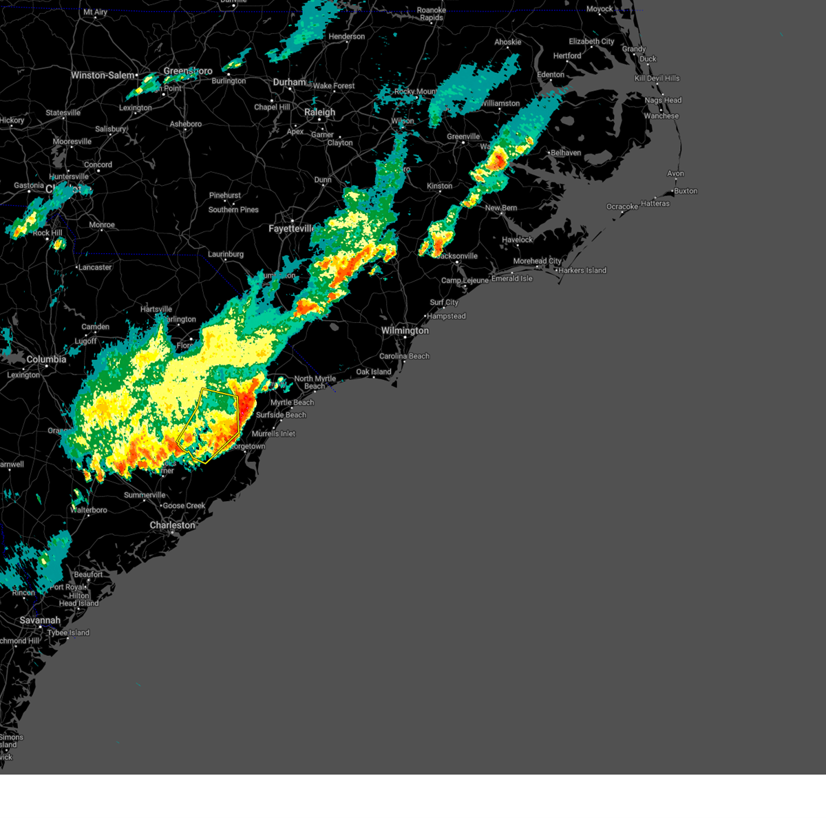
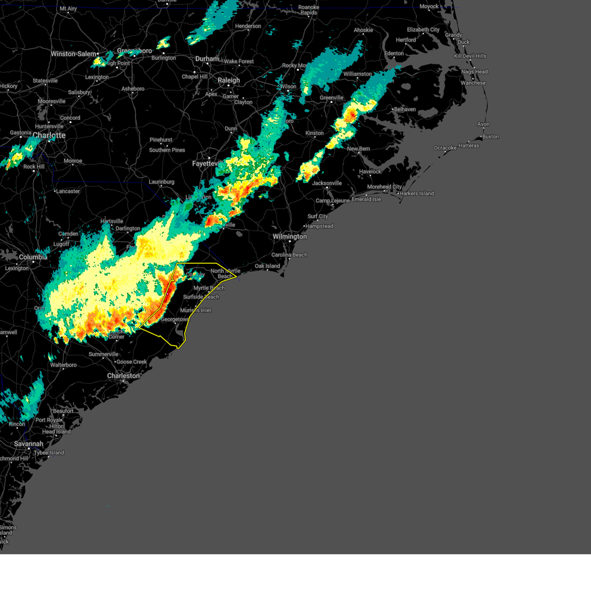
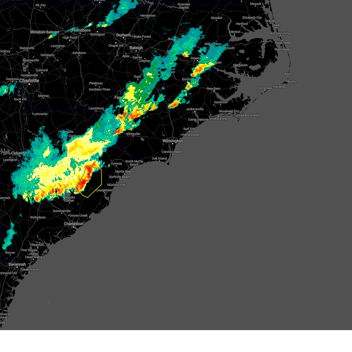
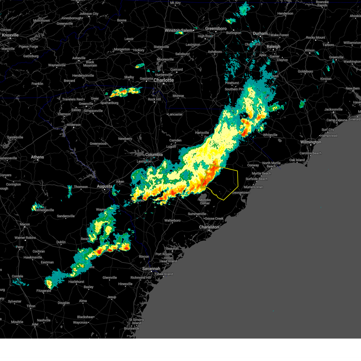
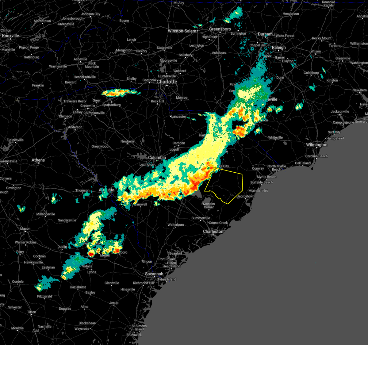
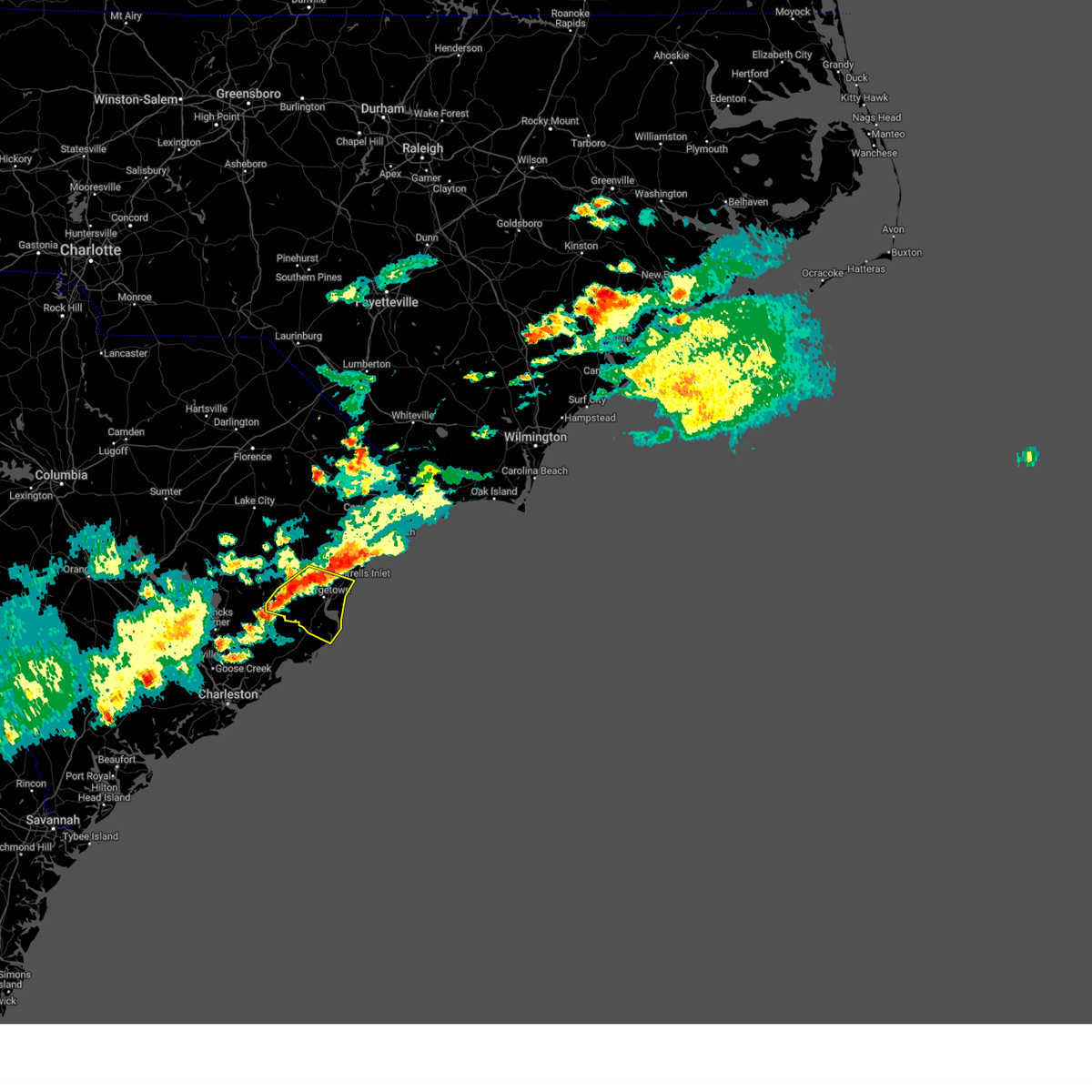
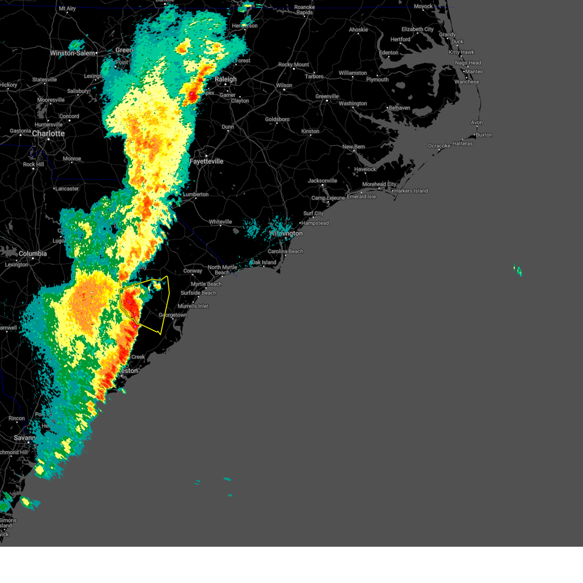
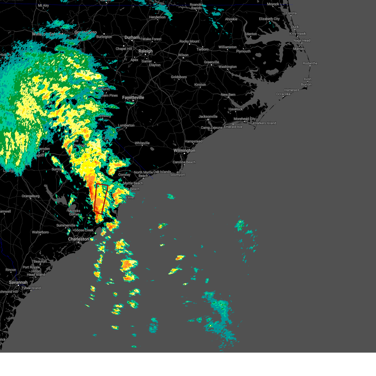
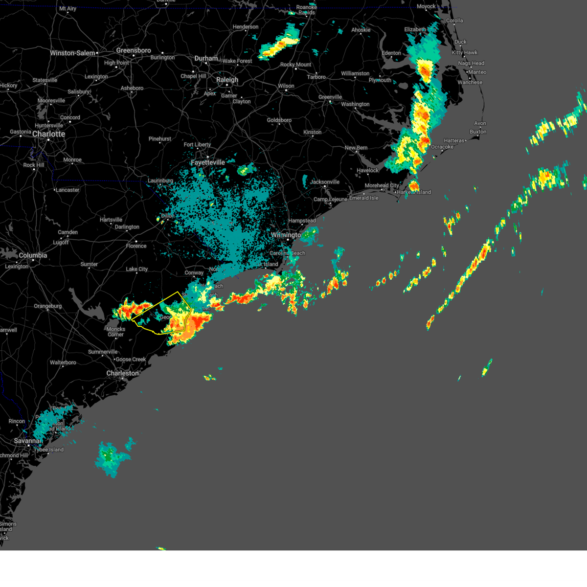
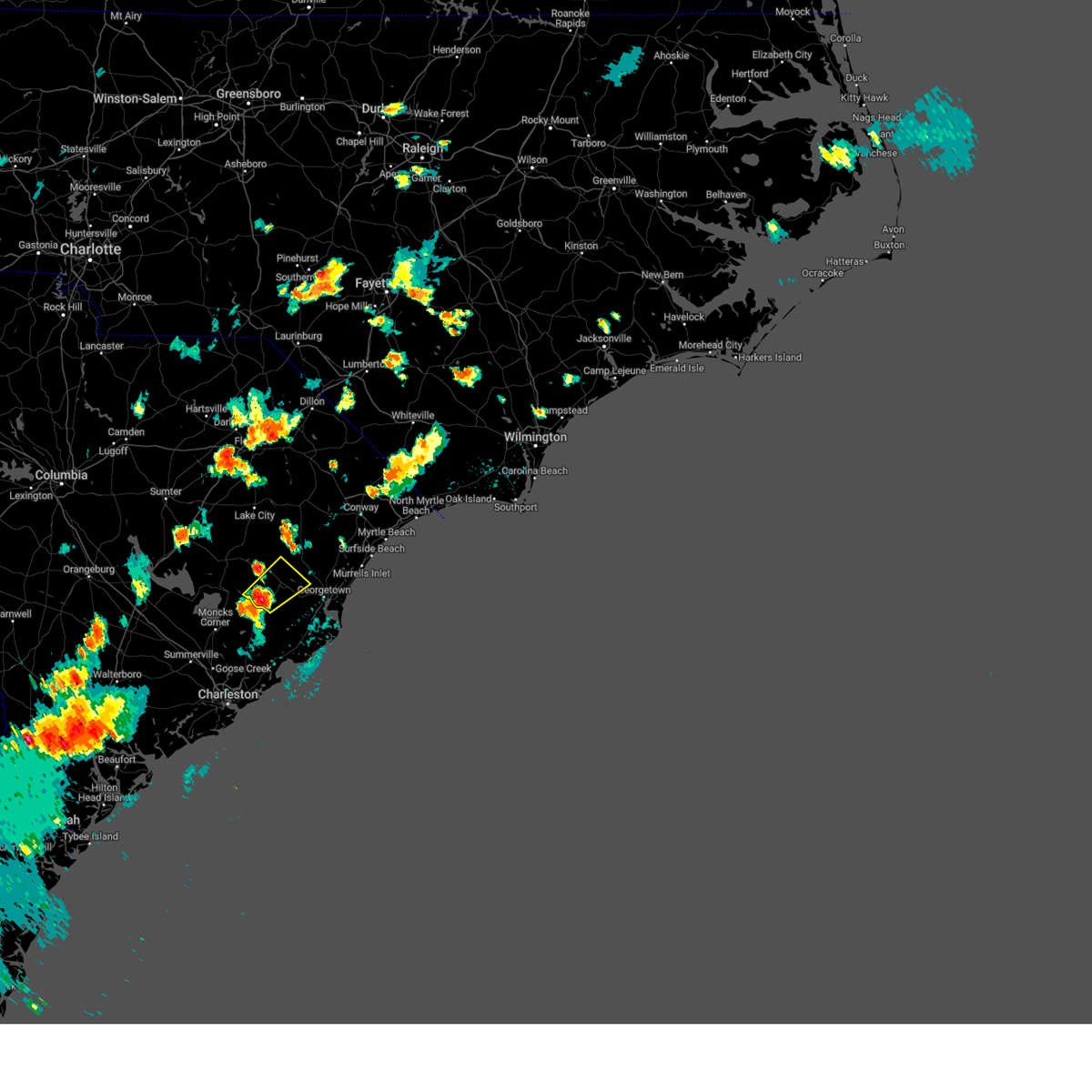
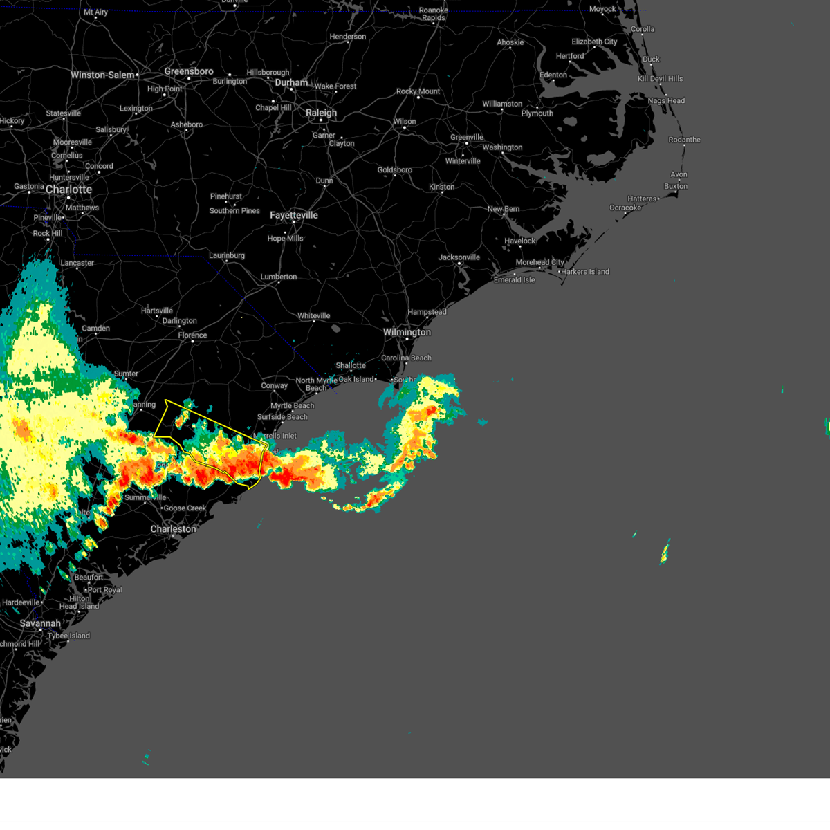
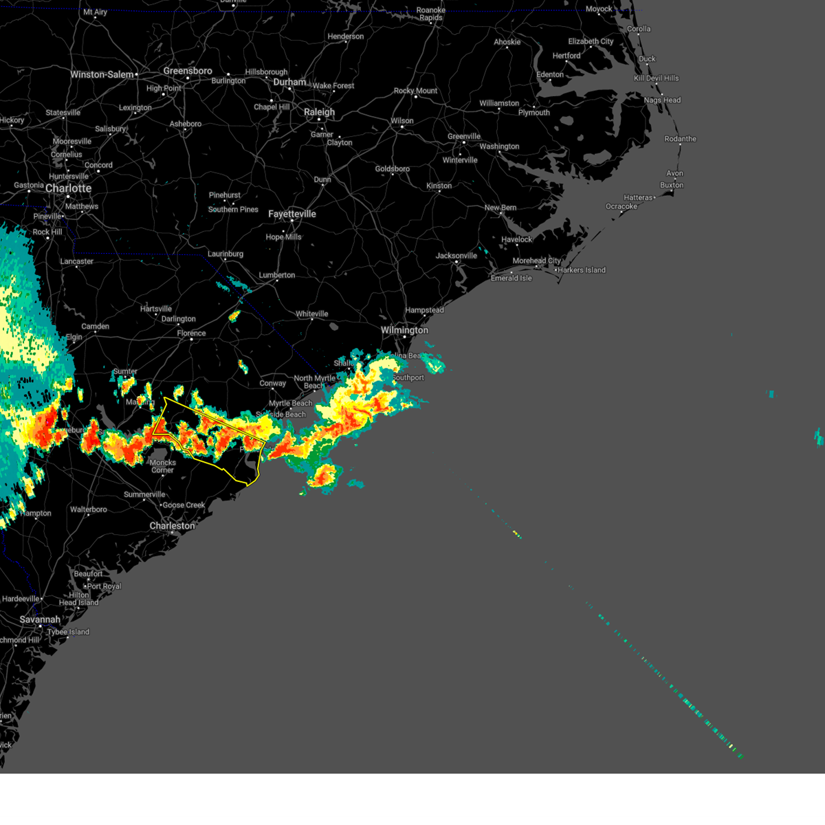
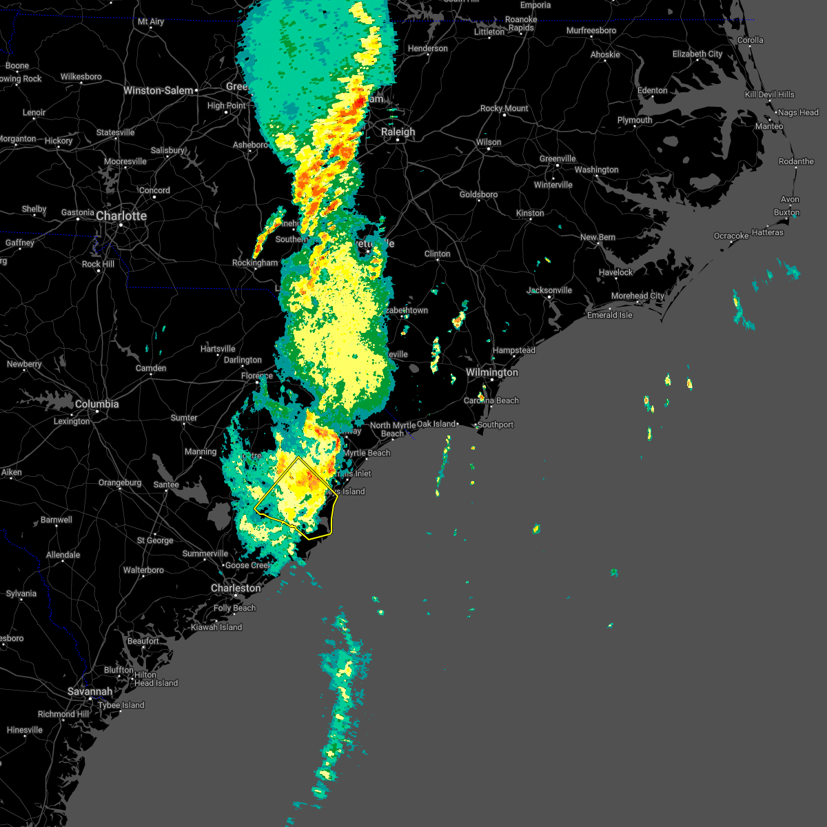
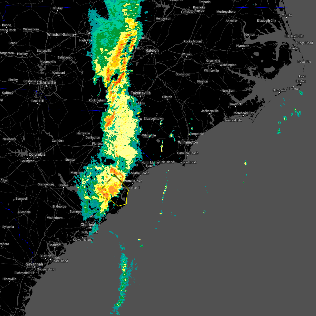
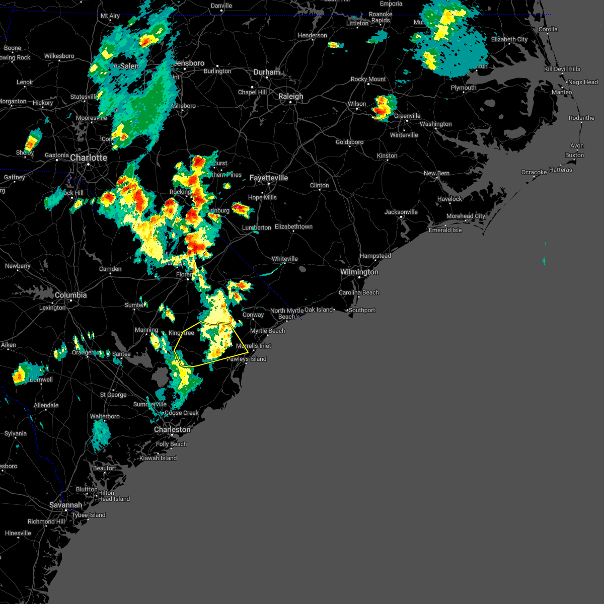
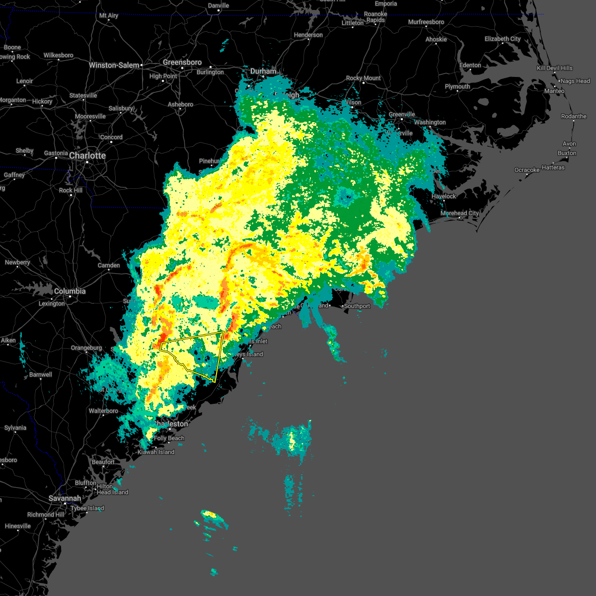
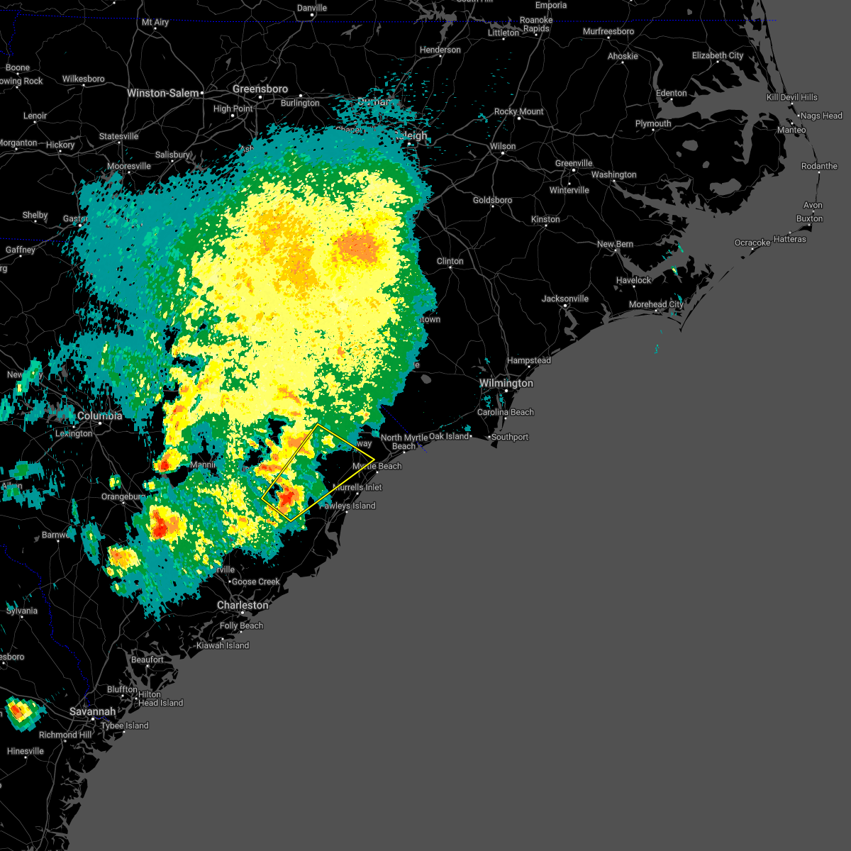
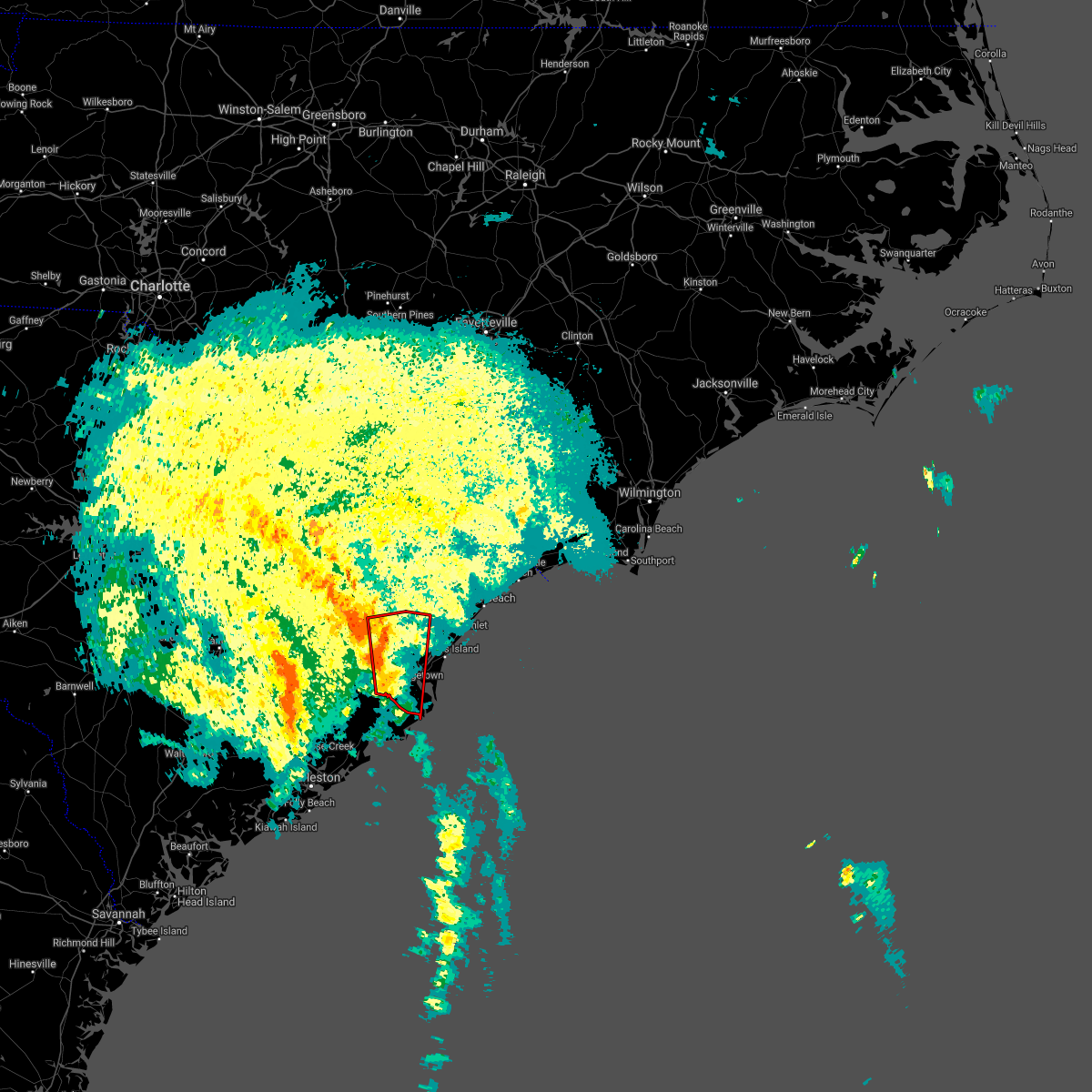
Hail Map for Andrews, SC
The Andrews, SC area has had 8 reports of on-the-ground hail by trained spotters, and has been under severe weather warnings 35 times during the past 12 months. Doppler radar has detected hail at or near Andrews, SC on 43 occasions, including 1 occasion during the past year.
| Name: | Andrews, SC |
| Where Located: | 31.2 miles NE of Charleston, SC |
| Map: | Google Map for Andrews, SC |
| Population: | 2861 |
| Housing Units: | 1247 |
| More Info: | Search Google for Andrews, SC |
1
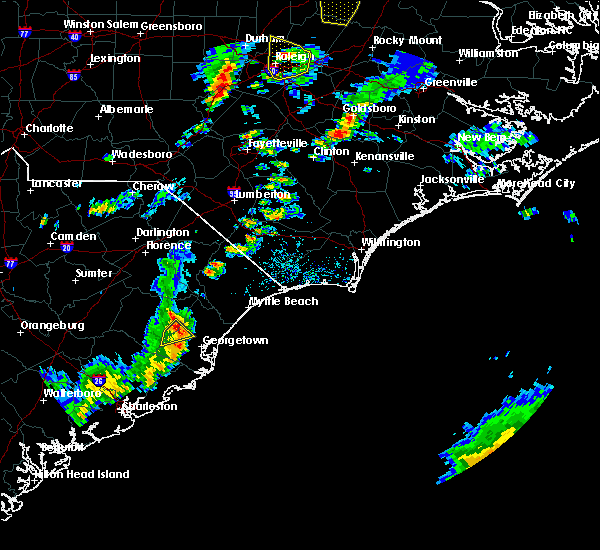
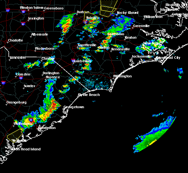
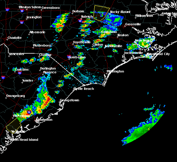
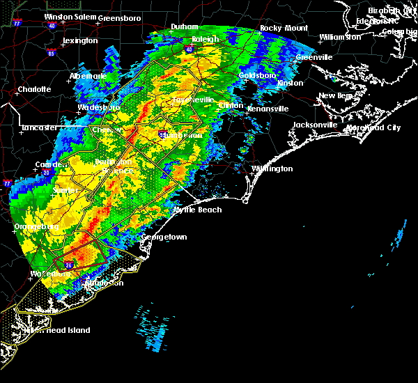
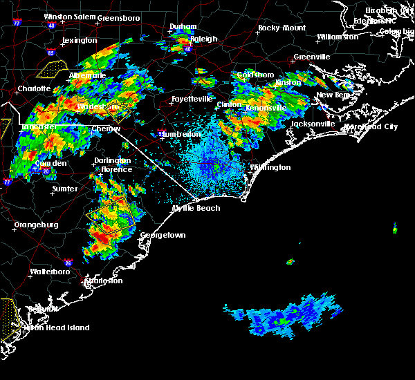
The Top Recent Hail Date for Andrews, SC is Wednesday, April 23, 2025 (10th out of 43)

Hail and Wind Damage Spotted near Andrews, SC
| Date / Time | Report Details |
|---|---|
| 7/10/2025 6:58 PM EDT | Svrilm the national weather service in wilmington has issued a * severe thunderstorm warning for, western georgetown county in northeastern south carolina, williamsburg county in northeastern south carolina, * until 745 pm edt. * at 658 pm edt, severe thunderstorms were located along a line extending from 6 miles northwest of gourdin to near sampit, moving northeast at 35 mph (radar indicated). Hazards include 60 mph wind gusts and quarter size hail. Minor hail damage to vehicles is possible. Expect wind damage to trees and power lines. |
| 6/25/2025 8:29 PM EDT |
 the severe thunderstorm warning has been cancelled and is no longer in effect the severe thunderstorm warning has been cancelled and is no longer in effect
|
| 6/25/2025 8:07 PM EDT |
 At 806 pm edt, severe thunderstorms were located along a line extending from near salters to near sampit, moving southwest at 30 mph (radar indicated). Hazards include 60 mph wind gusts and penny size hail. Expect wind damage to trees and power lines. Locations impacted include, georgetown, debordieu colony, yawkey south island, winyah bay entrance, andrews, north santee, salters, trio, warsaw, gourdin, sampit, lambert, graves, earle, lane, and greeleyville. At 806 pm edt, severe thunderstorms were located along a line extending from near salters to near sampit, moving southwest at 30 mph (radar indicated). Hazards include 60 mph wind gusts and penny size hail. Expect wind damage to trees and power lines. Locations impacted include, georgetown, debordieu colony, yawkey south island, winyah bay entrance, andrews, north santee, salters, trio, warsaw, gourdin, sampit, lambert, graves, earle, lane, and greeleyville.
|
| 6/25/2025 7:47 PM EDT |
 the severe thunderstorm warning has been cancelled and is no longer in effect the severe thunderstorm warning has been cancelled and is no longer in effect
|
| 6/25/2025 7:47 PM EDT |
 At 747 pm edt, severe thunderstorms were located along a line extending from near salters to pawleys island, moving southwest at 40 mph (law enforcement). Hazards include 60 mph wind gusts and nickel size hail. Expect wind damage to trees and power lines. Locations impacted include, georgetown, debordieu colony, kingstree, pawleys island, yawkey south island, winyah bay entrance, murrells inlet, andrews, north santee, rhems, cades, oatland, nesmith, plantersville, sampit, earle, hebron, morrisville, henry, and salters. At 747 pm edt, severe thunderstorms were located along a line extending from near salters to pawleys island, moving southwest at 40 mph (law enforcement). Hazards include 60 mph wind gusts and nickel size hail. Expect wind damage to trees and power lines. Locations impacted include, georgetown, debordieu colony, kingstree, pawleys island, yawkey south island, winyah bay entrance, murrells inlet, andrews, north santee, rhems, cades, oatland, nesmith, plantersville, sampit, earle, hebron, morrisville, henry, and salters.
|
| 6/25/2025 7:45 PM EDT | Tree down on roadway at us-17a and sc-41. a car crashed into the tree a short time later - no injurie in georgetown county SC, 7.9 miles NE of Andrews, SC |
| 6/25/2025 7:15 PM EDT |
 Svrilm the national weather service in wilmington has issued a * severe thunderstorm warning for, southern florence county in northeastern south carolina, georgetown county in northeastern south carolina, williamsburg county in northeastern south carolina, * until 845 pm edt. * at 714 pm edt, severe thunderstorms were located along a line extending from new hope to johnsonville, to dongola and socastee, to near the myrtle beach airport, moving south at 30 mph (radar indicated). Hazards include 60 mph wind gusts and quarter size hail. Minor hail damage to vehicles is possible. Expect wind damage to trees and power lines. Svrilm the national weather service in wilmington has issued a * severe thunderstorm warning for, southern florence county in northeastern south carolina, georgetown county in northeastern south carolina, williamsburg county in northeastern south carolina, * until 845 pm edt. * at 714 pm edt, severe thunderstorms were located along a line extending from new hope to johnsonville, to dongola and socastee, to near the myrtle beach airport, moving south at 30 mph (radar indicated). Hazards include 60 mph wind gusts and quarter size hail. Minor hail damage to vehicles is possible. Expect wind damage to trees and power lines.
|
| 6/9/2025 6:13 PM EDT |
 the severe thunderstorm warning has been cancelled and is no longer in effect the severe thunderstorm warning has been cancelled and is no longer in effect
|
| 6/9/2025 6:13 PM EDT |
 At 613 pm edt, severe thunderstorms were located along a line extending from near lambert to 6 miles south of yawkey south island, moving east at 40 mph (radar indicated). Hazards include 60 mph wind gusts. Expect wind damage to trees and power lines. Locations impacted include, georgetown, debordieu colony, pawleys island, yawkey south island, winyah bay entrance, murrells inlet, andrews, north santee, oatland, sampit, lambert, graves, litchfield beach, and georgetown memorial hospital. At 613 pm edt, severe thunderstorms were located along a line extending from near lambert to 6 miles south of yawkey south island, moving east at 40 mph (radar indicated). Hazards include 60 mph wind gusts. Expect wind damage to trees and power lines. Locations impacted include, georgetown, debordieu colony, pawleys island, yawkey south island, winyah bay entrance, murrells inlet, andrews, north santee, oatland, sampit, lambert, graves, litchfield beach, and georgetown memorial hospital.
|
| 6/9/2025 6:01 PM EDT |
 Svrilm the national weather service in wilmington has issued a * severe thunderstorm warning for, georgetown county in northeastern south carolina, southeastern williamsburg county in northeastern south carolina, * until 645 pm edt. * at 601 pm edt, severe thunderstorms were located along a line extending from near lambert to near santee coastal reserve, moving east at 40 mph (radar indicated). Hazards include 60 mph wind gusts. expect wind damage to trees and power lines Svrilm the national weather service in wilmington has issued a * severe thunderstorm warning for, georgetown county in northeastern south carolina, southeastern williamsburg county in northeastern south carolina, * until 645 pm edt. * at 601 pm edt, severe thunderstorms were located along a line extending from near lambert to near santee coastal reserve, moving east at 40 mph (radar indicated). Hazards include 60 mph wind gusts. expect wind damage to trees and power lines
|
| 6/8/2025 1:30 PM EDT | Tree down on cumbee r in georgetown county SC, 5.2 miles WSW of Andrews, SC |
| 6/8/2025 1:09 PM EDT |
 The storm which prompted the warning has moved out of the area. therefore, the warning will be allowed to expire. a severe thunderstorm watch remains in effect until 500 pm edt for northeastern south carolina. please send your reports of hail and/or wind damage, including trees or large limbs downed, by calling the national weather service office in wilmington at 1-800-697-3901. The storm which prompted the warning has moved out of the area. therefore, the warning will be allowed to expire. a severe thunderstorm watch remains in effect until 500 pm edt for northeastern south carolina. please send your reports of hail and/or wind damage, including trees or large limbs downed, by calling the national weather service office in wilmington at 1-800-697-3901.
|
| 6/8/2025 1:04 PM EDT |
 At 103 pm edt, a severe thunderstorm was located near trio, or 13 miles south of kingstree, moving east at 30 mph (radar indicated). Hazards include 60 mph wind gusts and quarter size hail. Minor hail damage to vehicles is possible. expect wind damage to trees and power lines. Locations impacted include, kingstree, salters, trio, warsaw, nesmith, gourdin, indiantown, earle, morrisville, henry, lane, stuckey, and williamsburg regional hospital. At 103 pm edt, a severe thunderstorm was located near trio, or 13 miles south of kingstree, moving east at 30 mph (radar indicated). Hazards include 60 mph wind gusts and quarter size hail. Minor hail damage to vehicles is possible. expect wind damage to trees and power lines. Locations impacted include, kingstree, salters, trio, warsaw, nesmith, gourdin, indiantown, earle, morrisville, henry, lane, stuckey, and williamsburg regional hospital.
|
| 6/8/2025 1:00 PM EDT |
 Svrilm the national weather service in wilmington has issued a * severe thunderstorm warning for, georgetown county in northeastern south carolina, south central horry county in northeastern south carolina, central williamsburg county in northeastern south carolina, * until 215 pm edt. * at 1259 pm edt, severe thunderstorms were located along a line extending from near indiantown to near earle to 6 miles southeast of gourdin, moving east at 35 mph (radar indicated). Hazards include 60 mph wind gusts and quarter size hail. Minor hail damage to vehicles is possible. Expect wind damage to trees and power lines. Svrilm the national weather service in wilmington has issued a * severe thunderstorm warning for, georgetown county in northeastern south carolina, south central horry county in northeastern south carolina, central williamsburg county in northeastern south carolina, * until 215 pm edt. * at 1259 pm edt, severe thunderstorms were located along a line extending from near indiantown to near earle to 6 miles southeast of gourdin, moving east at 35 mph (radar indicated). Hazards include 60 mph wind gusts and quarter size hail. Minor hail damage to vehicles is possible. Expect wind damage to trees and power lines.
|
| 6/8/2025 12:41 PM EDT |
 At 1241 pm edt, a severe thunderstorm was located near salters, or near kingstree, moving east at 30 mph (radar indicated). Hazards include 60 mph wind gusts and quarter size hail. Minor hail damage to vehicles is possible. expect wind damage to trees and power lines. Locations impacted include, kingstree, salters, trio, warsaw, nesmith, gourdin, indiantown, earle, morrisville, henry, lane, greeleyville, stuckey, and williamsburg regional hospital. At 1241 pm edt, a severe thunderstorm was located near salters, or near kingstree, moving east at 30 mph (radar indicated). Hazards include 60 mph wind gusts and quarter size hail. Minor hail damage to vehicles is possible. expect wind damage to trees and power lines. Locations impacted include, kingstree, salters, trio, warsaw, nesmith, gourdin, indiantown, earle, morrisville, henry, lane, greeleyville, stuckey, and williamsburg regional hospital.
|
| 6/8/2025 12:28 PM EDT |
 At 1228 pm edt, a severe thunderstorm was located 8 miles west of salters, or 11 miles west of kingstree, moving east at 30 mph (radar indicated). Hazards include 60 mph wind gusts and penny size hail. Expect wind damage to trees and power lines. Locations impacted include, kingstree, salters, trio, warsaw, nesmith, gourdin, indiantown, earle, morrisville, henry, lane, greeleyville, stuckey, and williamsburg regional hospital. At 1228 pm edt, a severe thunderstorm was located 8 miles west of salters, or 11 miles west of kingstree, moving east at 30 mph (radar indicated). Hazards include 60 mph wind gusts and penny size hail. Expect wind damage to trees and power lines. Locations impacted include, kingstree, salters, trio, warsaw, nesmith, gourdin, indiantown, earle, morrisville, henry, lane, greeleyville, stuckey, and williamsburg regional hospital.
|
| 6/8/2025 12:10 PM EDT |
 Svrilm the national weather service in wilmington has issued a * severe thunderstorm warning for, williamsburg county in northeastern south carolina, * until 115 pm edt. * at 1209 pm edt, a severe thunderstorm was located over santee cooper regional airport, or near manning, moving east at 35 mph (radar indicated). Hazards include 60 mph wind gusts and quarter size hail. Minor hail damage to vehicles is possible. Expect wind damage to trees and power lines. Svrilm the national weather service in wilmington has issued a * severe thunderstorm warning for, williamsburg county in northeastern south carolina, * until 115 pm edt. * at 1209 pm edt, a severe thunderstorm was located over santee cooper regional airport, or near manning, moving east at 35 mph (radar indicated). Hazards include 60 mph wind gusts and quarter size hail. Minor hail damage to vehicles is possible. Expect wind damage to trees and power lines.
|
| 5/30/2025 6:20 PM EDT | Tree down on roadway on n magnolia ave in andrew in georgetown county SC, 0.4 miles W of Andrews, SC |
| 5/30/2025 6:13 PM EDT |
 The storms which prompted the warning have moved out of most of the area. therefore, the warning will be allowed to expire. a new severe thunderstorm warning was issued at 611 pm edt for southeastern williamsburg county and georgetown county, valid until 715 pm edt. a severe thunderstorm watch remains in effect until 1100 pm edt for northeastern south carolina. please send your reports of hail and/or wind damage, including trees or large limbs downed, by calling the national weather service office in wilmington at 1-800-697-3901. The storms which prompted the warning have moved out of most of the area. therefore, the warning will be allowed to expire. a new severe thunderstorm warning was issued at 611 pm edt for southeastern williamsburg county and georgetown county, valid until 715 pm edt. a severe thunderstorm watch remains in effect until 1100 pm edt for northeastern south carolina. please send your reports of hail and/or wind damage, including trees or large limbs downed, by calling the national weather service office in wilmington at 1-800-697-3901.
|
| 5/30/2025 6:11 PM EDT |
 Svrilm the national weather service in wilmington has issued a * severe thunderstorm warning for, georgetown county in northeastern south carolina, horry county in northeastern south carolina, south central marion county in northeastern south carolina, southeastern williamsburg county in northeastern south carolina, * until 715 pm edt. * at 611 pm edt, severe thunderstorms were located along a line extending from near pee dee crossroads to near oatland to jamestown, moving east at 45 mph (radar indicated). Hazards include 60 mph wind gusts and quarter size hail. Minor hail damage to vehicles is possible. Expect wind damage to trees and power lines. Svrilm the national weather service in wilmington has issued a * severe thunderstorm warning for, georgetown county in northeastern south carolina, horry county in northeastern south carolina, south central marion county in northeastern south carolina, southeastern williamsburg county in northeastern south carolina, * until 715 pm edt. * at 611 pm edt, severe thunderstorms were located along a line extending from near pee dee crossroads to near oatland to jamestown, moving east at 45 mph (radar indicated). Hazards include 60 mph wind gusts and quarter size hail. Minor hail damage to vehicles is possible. Expect wind damage to trees and power lines.
|
| 5/30/2025 5:59 PM EDT |
 At 558 pm edt, severe thunderstorms were located along a line extending from near johnsonville to 7 miles north of trio to near saint stephen, moving east at 50 mph (radar indicated). Hazards include 60 mph wind gusts and quarter size hail. Minor hail damage to vehicles is possible. expect wind damage to trees and power lines. Locations impacted include, andrews, hemingway, outland, rhems, trio, warsaw, earle, morrisville, nesmith, henry, indiantown, and stuckey. At 558 pm edt, severe thunderstorms were located along a line extending from near johnsonville to 7 miles north of trio to near saint stephen, moving east at 50 mph (radar indicated). Hazards include 60 mph wind gusts and quarter size hail. Minor hail damage to vehicles is possible. expect wind damage to trees and power lines. Locations impacted include, andrews, hemingway, outland, rhems, trio, warsaw, earle, morrisville, nesmith, henry, indiantown, and stuckey.
|
| 5/30/2025 5:39 PM EDT |
 At 539 pm edt, severe thunderstorms were located along a line extending from lake city to near salters to eastern lake marion, moving east at 60 mph (radar indicated). Hazards include 60 mph wind gusts and quarter size hail. Minor hail damage to vehicles is possible. expect wind damage to trees and power lines. Locations impacted include, lake city, kingstree, andrews, hemingway, rhems, salters, trio, warsaw, cades, nesmith, gourdin, indiantown, outland, earle, hebron, morrisville, henry, lane, greeleyville, and stuckey. At 539 pm edt, severe thunderstorms were located along a line extending from lake city to near salters to eastern lake marion, moving east at 60 mph (radar indicated). Hazards include 60 mph wind gusts and quarter size hail. Minor hail damage to vehicles is possible. expect wind damage to trees and power lines. Locations impacted include, lake city, kingstree, andrews, hemingway, rhems, salters, trio, warsaw, cades, nesmith, gourdin, indiantown, outland, earle, hebron, morrisville, henry, lane, greeleyville, and stuckey.
|
| 5/30/2025 5:22 PM EDT |
 Svrilm the national weather service in wilmington has issued a * severe thunderstorm warning for, southwestern florence county in northeastern south carolina, northwestern georgetown county in northeastern south carolina, williamsburg county in northeastern south carolina, * until 615 pm edt. * at 521 pm edt, severe thunderstorms were located along a line extending from near woods bay state park to near manning to 7 miles south of santee state park, moving east at 55 mph (radar indicated). Hazards include 60 mph wind gusts. expect wind damage to trees and power lines Svrilm the national weather service in wilmington has issued a * severe thunderstorm warning for, southwestern florence county in northeastern south carolina, northwestern georgetown county in northeastern south carolina, williamsburg county in northeastern south carolina, * until 615 pm edt. * at 521 pm edt, severe thunderstorms were located along a line extending from near woods bay state park to near manning to 7 miles south of santee state park, moving east at 55 mph (radar indicated). Hazards include 60 mph wind gusts. expect wind damage to trees and power lines
|
| 4/23/2025 4:36 PM EDT |
 Svrilm the national weather service in wilmington has issued a * severe thunderstorm warning for, georgetown county in northeastern south carolina, * until 530 pm edt. * at 435 pm edt, a severe thunderstorm was located over oatland, or 9 miles northwest of georgetown, moving southeast at 10 mph (radar indicated). Hazards include 60 mph wind gusts and half dollar size hail. Minor hail damage to vehicles is possible. Expect wind damage to trees and power lines. Svrilm the national weather service in wilmington has issued a * severe thunderstorm warning for, georgetown county in northeastern south carolina, * until 530 pm edt. * at 435 pm edt, a severe thunderstorm was located over oatland, or 9 miles northwest of georgetown, moving southeast at 10 mph (radar indicated). Hazards include 60 mph wind gusts and half dollar size hail. Minor hail damage to vehicles is possible. Expect wind damage to trees and power lines.
|
| 3/31/2025 7:11 PM EDT |
 Svrilm the national weather service in wilmington has issued a * severe thunderstorm warning for, southeastern florence county in northeastern south carolina, georgetown county in northeastern south carolina, southwestern horry county in northeastern south carolina, south central marion county in northeastern south carolina, northeastern williamsburg county in northeastern south carolina, * until 800 pm edt. * at 711 pm edt, severe thunderstorms were located along a line extending from near johnsonville to near outland to near rhems to oatland to near mcclellanville, moving east at 45 mph (radar indicated). Hazards include 60 mph wind gusts and penny size hail. expect wind damage to trees and power lines Svrilm the national weather service in wilmington has issued a * severe thunderstorm warning for, southeastern florence county in northeastern south carolina, georgetown county in northeastern south carolina, southwestern horry county in northeastern south carolina, south central marion county in northeastern south carolina, northeastern williamsburg county in northeastern south carolina, * until 800 pm edt. * at 711 pm edt, severe thunderstorms were located along a line extending from near johnsonville to near outland to near rhems to oatland to near mcclellanville, moving east at 45 mph (radar indicated). Hazards include 60 mph wind gusts and penny size hail. expect wind damage to trees and power lines
|
| 3/31/2025 7:02 PM EDT |
 At 702 pm edt, severe thunderstorms were located along a line extending from near indiantown to near rhems to near lambert, moving east at 45 mph (radar indicated). Hazards include 60 mph wind gusts and penny size hail. Expect wind damage to trees and power lines. Locations impacted include, rhems, trio, warsaw, andrews, stuckey, nesmith, williamsburg regional hospital, indiantown, lambert, sampit, outland, earle, hemingway, kingstree, morrisville, and henry. At 702 pm edt, severe thunderstorms were located along a line extending from near indiantown to near rhems to near lambert, moving east at 45 mph (radar indicated). Hazards include 60 mph wind gusts and penny size hail. Expect wind damage to trees and power lines. Locations impacted include, rhems, trio, warsaw, andrews, stuckey, nesmith, williamsburg regional hospital, indiantown, lambert, sampit, outland, earle, hemingway, kingstree, morrisville, and henry.
|
| 3/31/2025 7:00 PM EDT | Tree reported down on county line road (sc hwy 41) near the intersection with miracle loo in williamsburg county SC, 5.3 miles SW of Andrews, SC |
| 3/31/2025 6:51 PM EDT |
 Remember, a severe thunderstorm warning still remains in effect for williamsburg and georgetown counties! a severe thunderstorm watch remains in effect until 1000 pm edt for northeastern south carolina. please send your reports of hail and/or wind damage, including trees or large limbs downed, by calling the national weather service office in wilmington at 1-800-697-3901. Remember, a severe thunderstorm warning still remains in effect for williamsburg and georgetown counties! a severe thunderstorm watch remains in effect until 1000 pm edt for northeastern south carolina. please send your reports of hail and/or wind damage, including trees or large limbs downed, by calling the national weather service office in wilmington at 1-800-697-3901.
|
| 3/31/2025 6:44 PM EDT |
 Svrilm the national weather service in wilmington has issued a * severe thunderstorm warning for, western georgetown county in northeastern south carolina, williamsburg county in northeastern south carolina, * until 715 pm edt. * at 644 pm edt, severe thunderstorms were located along a line extending from kingstree to near trio to near jamestown, moving east at 35 mph (radar indicated). Hazards include 60 mph wind gusts and quarter size hail. Minor hail damage to vehicles is possible. Expect wind damage to trees and power lines. Svrilm the national weather service in wilmington has issued a * severe thunderstorm warning for, western georgetown county in northeastern south carolina, williamsburg county in northeastern south carolina, * until 715 pm edt. * at 644 pm edt, severe thunderstorms were located along a line extending from kingstree to near trio to near jamestown, moving east at 35 mph (radar indicated). Hazards include 60 mph wind gusts and quarter size hail. Minor hail damage to vehicles is possible. Expect wind damage to trees and power lines.
|
| 3/31/2025 6:23 PM EDT |
 Svrilm the national weather service in wilmington has issued a * severe thunderstorm warning for, west central georgetown county in northeastern south carolina, south central williamsburg county in northeastern south carolina, * until 700 pm edt. * at 623 pm edt, a severe thunderstorm was located near saint stephen, or 16 miles south of kingstree, moving east at 40 mph (radar indicated). Hazards include 60 mph wind gusts and quarter size hail. Minor hail damage to vehicles is possible. Expect wind damage to trees and power lines. Svrilm the national weather service in wilmington has issued a * severe thunderstorm warning for, west central georgetown county in northeastern south carolina, south central williamsburg county in northeastern south carolina, * until 700 pm edt. * at 623 pm edt, a severe thunderstorm was located near saint stephen, or 16 miles south of kingstree, moving east at 40 mph (radar indicated). Hazards include 60 mph wind gusts and quarter size hail. Minor hail damage to vehicles is possible. Expect wind damage to trees and power lines.
|
| 3/31/2025 6:00 PM EDT | Tree reported down on county line road (sc hwy 41) near the intersection with miracle loo in williamsburg county SC, 5.3 miles SW of Andrews, SC |
| 9/27/2024 8:06 AM EDT |
 The storm which prompted the warning has weakened below severe limits, and no longer appears capable of producing a tornado. therefore, the warning will be allowed to expire. a tornado watch remains in effect until 600 pm edt for northeastern south carolina. please send your reports of hail and/or wind damage, including trees or large limbs downed, by calling the national weather service office in wilmington at 1-800-697-3901. The storm which prompted the warning has weakened below severe limits, and no longer appears capable of producing a tornado. therefore, the warning will be allowed to expire. a tornado watch remains in effect until 600 pm edt for northeastern south carolina. please send your reports of hail and/or wind damage, including trees or large limbs downed, by calling the national weather service office in wilmington at 1-800-697-3901.
|
| 9/27/2024 7:47 AM EDT |
 Torilm the national weather service in wilmington has issued a * tornado warning for, northwestern georgetown county in northeastern south carolina, east central williamsburg county in northeastern south carolina, * until 815 am edt. * at 747 am edt, a severe thunderstorm capable of producing a tornado was located over andrews, or 14 miles northwest of georgetown, moving north at 50 mph (radar indicated rotation). Hazards include tornado. Flying debris will be dangerous to those caught without shelter. mobile homes will be damaged or destroyed. damage to roofs, windows, and vehicles will occur. tree damage is likely. this dangerous storm will be near, warsaw around 750 am edt. rhems and morrisville around 755 am edt. Nesmith and henry around 800 am edt. Torilm the national weather service in wilmington has issued a * tornado warning for, northwestern georgetown county in northeastern south carolina, east central williamsburg county in northeastern south carolina, * until 815 am edt. * at 747 am edt, a severe thunderstorm capable of producing a tornado was located over andrews, or 14 miles northwest of georgetown, moving north at 50 mph (radar indicated rotation). Hazards include tornado. Flying debris will be dangerous to those caught without shelter. mobile homes will be damaged or destroyed. damage to roofs, windows, and vehicles will occur. tree damage is likely. this dangerous storm will be near, warsaw around 750 am edt. rhems and morrisville around 755 am edt. Nesmith and henry around 800 am edt.
|
| 9/27/2024 7:32 AM EDT |
 Torilm the national weather service in wilmington has issued a * tornado warning for, western georgetown county in northeastern south carolina, southeastern williamsburg county in northeastern south carolina, * until 800 am edt. * at 732 am edt, a severe thunderstorm capable of producing a tornado was located near lambert, or 14 miles north of mcclellanville, moving north at 50 mph (radar indicated rotation). Hazards include tornado. Flying debris will be dangerous to those caught without shelter. mobile homes will be damaged or destroyed. damage to roofs, windows, and vehicles will occur. tree damage is likely. this dangerous storm will be near, lambert around 735 am edt. andrews around 740 am edt. warsaw around 745 am edt. Rhems and morrisville around 755 am edt. Torilm the national weather service in wilmington has issued a * tornado warning for, western georgetown county in northeastern south carolina, southeastern williamsburg county in northeastern south carolina, * until 800 am edt. * at 732 am edt, a severe thunderstorm capable of producing a tornado was located near lambert, or 14 miles north of mcclellanville, moving north at 50 mph (radar indicated rotation). Hazards include tornado. Flying debris will be dangerous to those caught without shelter. mobile homes will be damaged or destroyed. damage to roofs, windows, and vehicles will occur. tree damage is likely. this dangerous storm will be near, lambert around 735 am edt. andrews around 740 am edt. warsaw around 745 am edt. Rhems and morrisville around 755 am edt.
|
| 9/27/2024 6:33 AM EDT |
 The storm which prompted the warning has moved out of the area. therefore, the warning has been allowed to expire. a tornado watch remains in effect until 800 am edt for northeastern south carolina. please send your reports of hail and/or wind damage, including trees or large limbs downed, by calling the national weather service office in wilmington at 1-800-697-3901. The storm which prompted the warning has moved out of the area. therefore, the warning has been allowed to expire. a tornado watch remains in effect until 800 am edt for northeastern south carolina. please send your reports of hail and/or wind damage, including trees or large limbs downed, by calling the national weather service office in wilmington at 1-800-697-3901.
|
| 9/27/2024 6:08 AM EDT |
 At 608 am edt, a severe thunderstorm capable of producing a tornado was located near andrews, or 13 miles west of georgetown, moving north at 60 mph (radar indicated rotation). Hazards include tornado. Flying debris will be dangerous to those caught without shelter. mobile homes will be damaged or destroyed. damage to roofs, windows, and vehicles will occur. tree damage is likely. This dangerous storm will be near, andrews and warsaw around 615 am edt. At 608 am edt, a severe thunderstorm capable of producing a tornado was located near andrews, or 13 miles west of georgetown, moving north at 60 mph (radar indicated rotation). Hazards include tornado. Flying debris will be dangerous to those caught without shelter. mobile homes will be damaged or destroyed. damage to roofs, windows, and vehicles will occur. tree damage is likely. This dangerous storm will be near, andrews and warsaw around 615 am edt.
|
| 9/27/2024 5:54 AM EDT |
 Torilm the national weather service in wilmington has issued a * tornado warning for, southwestern georgetown county in northeastern south carolina, southeastern williamsburg county in northeastern south carolina, * until 630 am edt. * at 554 am edt, a severe thunderstorm capable of producing a tornado was located over hampton plantation state park, or 8 miles north of mcclellanville, moving north at 60 mph (radar indicated rotation). Hazards include tornado. Flying debris will be dangerous to those caught without shelter. mobile homes will be damaged or destroyed. damage to roofs, windows, and vehicles will occur. tree damage is likely. this dangerous storm will be near, sampit around 600 am edt. Andrews and warsaw around 610 am edt. Torilm the national weather service in wilmington has issued a * tornado warning for, southwestern georgetown county in northeastern south carolina, southeastern williamsburg county in northeastern south carolina, * until 630 am edt. * at 554 am edt, a severe thunderstorm capable of producing a tornado was located over hampton plantation state park, or 8 miles north of mcclellanville, moving north at 60 mph (radar indicated rotation). Hazards include tornado. Flying debris will be dangerous to those caught without shelter. mobile homes will be damaged or destroyed. damage to roofs, windows, and vehicles will occur. tree damage is likely. this dangerous storm will be near, sampit around 600 am edt. Andrews and warsaw around 610 am edt.
|
| 8/19/2024 1:36 AM EDT |
 the severe thunderstorm warning has been cancelled and is no longer in effect the severe thunderstorm warning has been cancelled and is no longer in effect
|
| 8/19/2024 12:52 AM EDT |
 Svrilm the national weather service in wilmington has issued a * severe thunderstorm warning for, georgetown county in northeastern south carolina, southeastern williamsburg county in northeastern south carolina, * until 200 am edt. * at 1252 am edt, a severe thunderstorm was located near lambert, or 12 miles west of georgetown, moving northeast at 25 mph (radar indicated). Hazards include 60 mph wind gusts and nickel size hail. expect wind damage to trees and power lines Svrilm the national weather service in wilmington has issued a * severe thunderstorm warning for, georgetown county in northeastern south carolina, southeastern williamsburg county in northeastern south carolina, * until 200 am edt. * at 1252 am edt, a severe thunderstorm was located near lambert, or 12 miles west of georgetown, moving northeast at 25 mph (radar indicated). Hazards include 60 mph wind gusts and nickel size hail. expect wind damage to trees and power lines
|
| 8/19/2024 12:28 AM EDT |
 Svrilm the national weather service in wilmington has issued a * severe thunderstorm warning for, west central georgetown county in northeastern south carolina, southwestern williamsburg county in northeastern south carolina, * until 100 am edt. * at 1227 am edt, a severe thunderstorm was located near saint stephen, or 13 miles northeast of moncks corner, moving east at 20 mph (radar indicated). Hazards include 60 mph wind gusts and nickel size hail. expect wind damage to trees and power lines Svrilm the national weather service in wilmington has issued a * severe thunderstorm warning for, west central georgetown county in northeastern south carolina, southwestern williamsburg county in northeastern south carolina, * until 100 am edt. * at 1227 am edt, a severe thunderstorm was located near saint stephen, or 13 miles northeast of moncks corner, moving east at 20 mph (radar indicated). Hazards include 60 mph wind gusts and nickel size hail. expect wind damage to trees and power lines
|
| 7/15/2024 5:12 PM EDT |
 At 512 pm edt, a severe thunderstorm was located over warsaw, or 17 miles northwest of georgetown, moving northeast at 15 mph (radar indicated). Hazards include 60 mph wind gusts and penny size hail. Expect wind damage to trees and power lines. Locations impacted include, andrews, earle, and warsaw. At 512 pm edt, a severe thunderstorm was located over warsaw, or 17 miles northwest of georgetown, moving northeast at 15 mph (radar indicated). Hazards include 60 mph wind gusts and penny size hail. Expect wind damage to trees and power lines. Locations impacted include, andrews, earle, and warsaw.
|
| 7/15/2024 4:42 PM EDT |
 Svrilm the national weather service in wilmington has issued a * severe thunderstorm warning for, west central georgetown county in northeastern south carolina, southeastern williamsburg county in northeastern south carolina, * until 530 pm edt. * at 442 pm edt, a severe thunderstorm was located near earle, or 20 miles southeast of kingstree, moving northeast at 20 mph (radar indicated). Hazards include 60 mph wind gusts and penny size hail. expect wind damage to trees and power lines Svrilm the national weather service in wilmington has issued a * severe thunderstorm warning for, west central georgetown county in northeastern south carolina, southeastern williamsburg county in northeastern south carolina, * until 530 pm edt. * at 442 pm edt, a severe thunderstorm was located near earle, or 20 miles southeast of kingstree, moving northeast at 20 mph (radar indicated). Hazards include 60 mph wind gusts and penny size hail. expect wind damage to trees and power lines
|
| 1/9/2024 5:38 PM EST |
 At 536 pm est, severe thunderstorms were located along a line extending from prospect to near andrews, moving northeast at 70 mph (radar indicated). Hazards include 60 mph wind gusts. Expect wind damage to trees and power lines. Locations impacted include, marion, dillon, mullins, red springs, pembroke, andrews, maxton, johnsonville, latta, pamplico, rowland, hemingway, sellers, rhems, blue brick, hamer, nesmith, shannon, rains, and morrisville. At 536 pm est, severe thunderstorms were located along a line extending from prospect to near andrews, moving northeast at 70 mph (radar indicated). Hazards include 60 mph wind gusts. Expect wind damage to trees and power lines. Locations impacted include, marion, dillon, mullins, red springs, pembroke, andrews, maxton, johnsonville, latta, pamplico, rowland, hemingway, sellers, rhems, blue brick, hamer, nesmith, shannon, rains, and morrisville.
|
| 1/9/2024 4:59 PM EST |
 At 457 pm est, severe thunderstorms were located along a line extending from 8 miles southeast of hamlet to near gourdin, moving east at 55 mph (emergency management reported many trees down around darlington). Hazards include 60 mph wind gusts. expect wind damage to trees and power lines At 457 pm est, severe thunderstorms were located along a line extending from 8 miles southeast of hamlet to near gourdin, moving east at 55 mph (emergency management reported many trees down around darlington). Hazards include 60 mph wind gusts. expect wind damage to trees and power lines
|
| 8/7/2023 8:46 PM EDT |
 At 846 pm edt, a severe thunderstorm was located over goretown, or 16 miles northwest of little river, moving east at 75 mph (radar indicated). Hazards include 70 mph wind gusts and penny size hail. Expect considerable tree damage. damage is likely to mobile homes, roofs, and outbuildings. locations impacted include, myrtle beach, conway, north myrtle beach, georgetown, debordieu colony, surfside beach, shallotte, sunset beach, ocean isle beach, pawleys island, myrtle beach airport, little river, yawkey south island, murrells inlet, little river entrance, winyah bay entrance, socastee, red hill, springmaid pier, and garden city. thunderstorm damage threat, considerable hail threat, radar indicated max hail size, 0. 75 in wind threat, observed max wind gust, 70 mph. At 846 pm edt, a severe thunderstorm was located over goretown, or 16 miles northwest of little river, moving east at 75 mph (radar indicated). Hazards include 70 mph wind gusts and penny size hail. Expect considerable tree damage. damage is likely to mobile homes, roofs, and outbuildings. locations impacted include, myrtle beach, conway, north myrtle beach, georgetown, debordieu colony, surfside beach, shallotte, sunset beach, ocean isle beach, pawleys island, myrtle beach airport, little river, yawkey south island, murrells inlet, little river entrance, winyah bay entrance, socastee, red hill, springmaid pier, and garden city. thunderstorm damage threat, considerable hail threat, radar indicated max hail size, 0. 75 in wind threat, observed max wind gust, 70 mph.
|
| 8/7/2023 8:24 PM EDT |
 The severe thunderstorm warning for florence, south central darlington, northwestern marion and williamsburg counties will expire at 830 pm edt, the storm which prompted the warning has moved out of the area. therefore, the warning will be allowed to expire. however, gusty winds are still possible with this thunderstorm. a severe thunderstorm watch remains in effect until midnight edt for northeastern south carolina. remember, a tornado warning still remains in effect for central marion and central horry county until 8:45 pm edt. remember, a severe thunderstorm warning still remains in effect for eastern florence, marion, and eastern williamsburg county until 9:15 pm edt. The severe thunderstorm warning for florence, south central darlington, northwestern marion and williamsburg counties will expire at 830 pm edt, the storm which prompted the warning has moved out of the area. therefore, the warning will be allowed to expire. however, gusty winds are still possible with this thunderstorm. a severe thunderstorm watch remains in effect until midnight edt for northeastern south carolina. remember, a tornado warning still remains in effect for central marion and central horry county until 8:45 pm edt. remember, a severe thunderstorm warning still remains in effect for eastern florence, marion, and eastern williamsburg county until 9:15 pm edt.
|
| 8/7/2023 8:17 PM EDT |
 At 817 pm edt, a severe thunderstorm was located near marion, moving east at 75 mph (radar indicated). Hazards include 70 mph wind gusts and penny size hail. Expect considerable tree damage. Damage is likely to mobile homes, roofs, and outbuildings. At 817 pm edt, a severe thunderstorm was located near marion, moving east at 75 mph (radar indicated). Hazards include 70 mph wind gusts and penny size hail. Expect considerable tree damage. Damage is likely to mobile homes, roofs, and outbuildings.
|
| 8/7/2023 8:02 PM EDT |
 At 802 pm edt, a severe thunderstorm was located near florence, moving east at 50 mph (radar indicated). Hazards include 70 mph wind gusts and penny size hail. Expect considerable tree damage. damage is likely to mobile homes, roofs, and outbuildings. locations impacted include, florence, lake city, kingstree, andrews, timmonsville, johnsonville, pamplico, quinby, hemingway, blue brick, mars bluff, cades, poston, cartersville, nesmith, indiantown, gresham, earle, hebron, and morrisville. thunderstorm damage threat, considerable hail threat, radar indicated max hail size, 0. 75 in wind threat, observed max wind gust, 70 mph. At 802 pm edt, a severe thunderstorm was located near florence, moving east at 50 mph (radar indicated). Hazards include 70 mph wind gusts and penny size hail. Expect considerable tree damage. damage is likely to mobile homes, roofs, and outbuildings. locations impacted include, florence, lake city, kingstree, andrews, timmonsville, johnsonville, pamplico, quinby, hemingway, blue brick, mars bluff, cades, poston, cartersville, nesmith, indiantown, gresham, earle, hebron, and morrisville. thunderstorm damage threat, considerable hail threat, radar indicated max hail size, 0. 75 in wind threat, observed max wind gust, 70 mph.
|
| 8/7/2023 7:25 PM EDT |
 At 725 pm edt, a severe thunderstorm was located 8 miles southwest of woods bay state park, or 13 miles northeast of manning, moving east at 40 mph (radar indicated). Hazards include 60 mph wind gusts and penny size hail. expect wind damage to trees and power lines At 725 pm edt, a severe thunderstorm was located 8 miles southwest of woods bay state park, or 13 miles northeast of manning, moving east at 40 mph (radar indicated). Hazards include 60 mph wind gusts and penny size hail. expect wind damage to trees and power lines
|
| 7/23/2023 3:52 PM EDT |
 At 352 pm edt, a severe thunderstorm was located over jamestown, or 18 miles east of moncks corner, moving northeast at 10 mph (radar indicated). Hazards include 60 mph wind gusts and quarter size hail. Minor hail damage to vehicles is possible. Expect wind damage to trees and power lines. At 352 pm edt, a severe thunderstorm was located over jamestown, or 18 miles east of moncks corner, moving northeast at 10 mph (radar indicated). Hazards include 60 mph wind gusts and quarter size hail. Minor hail damage to vehicles is possible. Expect wind damage to trees and power lines.
|
| 7/22/2023 7:18 PM EDT |
 At 717 pm edt, a confirmed tornado was located near jamestown, or 14 miles northwest of mcclellanville, moving southeast at 25 mph (law enforcement confirmed tornado). Hazards include damaging tornado. Flying debris will be dangerous to those caught without shelter. mobile homes will be damaged or destroyed. damage to roofs, windows, and vehicles will occur. tree damage is likely. This tornadic thunderstorm will remain over mainly rural areas of west central georgetown and south central williamsburg counties. At 717 pm edt, a confirmed tornado was located near jamestown, or 14 miles northwest of mcclellanville, moving southeast at 25 mph (law enforcement confirmed tornado). Hazards include damaging tornado. Flying debris will be dangerous to those caught without shelter. mobile homes will be damaged or destroyed. damage to roofs, windows, and vehicles will occur. tree damage is likely. This tornadic thunderstorm will remain over mainly rural areas of west central georgetown and south central williamsburg counties.
|
| 7/22/2023 7:04 PM EDT |
 At 703 pm edt, law enforcement confirmed a tornado located near russellville, or 16 miles northeast of moncks corner, moving southeast at 25 mph (law enforcement confirmed tornado). Hazards include damaging tornado. Flying debris will be dangerous to those caught without shelter. mobile homes will be damaged or destroyed. damage to roofs, windows, and vehicles will occur. tree damage is likely. The tornado will be near, lambert around 720 pm edt. At 703 pm edt, law enforcement confirmed a tornado located near russellville, or 16 miles northeast of moncks corner, moving southeast at 25 mph (law enforcement confirmed tornado). Hazards include damaging tornado. Flying debris will be dangerous to those caught without shelter. mobile homes will be damaged or destroyed. damage to roofs, windows, and vehicles will occur. tree damage is likely. The tornado will be near, lambert around 720 pm edt.
|
| 7/20/2023 10:42 PM EDT |
 The severe thunderstorm warning for georgetown and central williamsburg counties will expire at 1045 pm edt, the storm which prompted the warning has weakened below severe limits, and no longer poses an immediate threat to life or property. therefore, the warning will be allowed to expire. however, gusty winds are still possible with this thunderstorm. The severe thunderstorm warning for georgetown and central williamsburg counties will expire at 1045 pm edt, the storm which prompted the warning has weakened below severe limits, and no longer poses an immediate threat to life or property. therefore, the warning will be allowed to expire. however, gusty winds are still possible with this thunderstorm.
|
| 7/20/2023 10:12 PM EDT | Williamsburg call center reported a tree down at rhodus avenue and santee road near andrews... s in williamsburg county SC, 8.2 miles NE of Andrews, SC |
| 7/20/2023 9:47 PM EDT |
 At 947 pm edt, a severe thunderstorm was located near trio, or 11 miles south of kingstree, moving east at 35 mph (radar indicated). Hazards include 60 mph wind gusts. expect wind damage to trees and power lines At 947 pm edt, a severe thunderstorm was located near trio, or 11 miles south of kingstree, moving east at 35 mph (radar indicated). Hazards include 60 mph wind gusts. expect wind damage to trees and power lines
|
| 5/27/2022 9:11 AM EDT |
 The severe thunderstorm warning for georgetown and southeastern williamsburg counties will expire at 915 am edt, the storm which prompted the warning has weakened below severe limits, and no longer poses an immediate threat to life or property. therefore, the warning will be allowed to expire. however gusty winds are still possible with this thunderstorm. The severe thunderstorm warning for georgetown and southeastern williamsburg counties will expire at 915 am edt, the storm which prompted the warning has weakened below severe limits, and no longer poses an immediate threat to life or property. therefore, the warning will be allowed to expire. however gusty winds are still possible with this thunderstorm.
|
| 5/27/2022 8:48 AM EDT |
 At 847 am edt, a severe thunderstorm was located over lambert, or 16 miles west of georgetown, moving northeast at 40 mph (radar indicated). Hazards include 60 mph wind gusts. expect wind damage to trees and power lines At 847 am edt, a severe thunderstorm was located over lambert, or 16 miles west of georgetown, moving northeast at 40 mph (radar indicated). Hazards include 60 mph wind gusts. expect wind damage to trees and power lines
|
| 5/6/2022 6:55 PM EDT |
 The severe thunderstorm warning for northern georgetown, south central marion and williamsburg counties will expire at 700 pm edt, the storm which prompted the warning has moved out of the western portion of the area. therefore, the warning will be allowed to expire. a new warning has been issued that better covers the threats. a severe thunderstorm watch remains in effect until 1000 pm edt for northeastern south carolina. a severe thunderstorm watch also remains in effect until 1000 pm edt for northeastern south carolina. The severe thunderstorm warning for northern georgetown, south central marion and williamsburg counties will expire at 700 pm edt, the storm which prompted the warning has moved out of the western portion of the area. therefore, the warning will be allowed to expire. a new warning has been issued that better covers the threats. a severe thunderstorm watch remains in effect until 1000 pm edt for northeastern south carolina. a severe thunderstorm watch also remains in effect until 1000 pm edt for northeastern south carolina.
|
| 5/6/2022 6:40 PM EDT |
 At 640 pm edt, a severe thunderstorm was located over earle, or 16 miles southeast of kingstree, moving east at 50 mph (radar indicated). Hazards include 60 mph wind gusts and penny size hail. Expect wind damage to trees and power lines. locations impacted include, kingstree, andrews, hemingway, rhems, trio, warsaw, salters, oatland, nesmith, indiantown, plantersville, outland, yauhannah, earle, morrisville, henry, lane, stuckey and williamsburg regional hospital. hail threat, radar indicated max hail size, 0. 75 in wind threat, radar indicated max wind gust, 60 mph. At 640 pm edt, a severe thunderstorm was located over earle, or 16 miles southeast of kingstree, moving east at 50 mph (radar indicated). Hazards include 60 mph wind gusts and penny size hail. Expect wind damage to trees and power lines. locations impacted include, kingstree, andrews, hemingway, rhems, trio, warsaw, salters, oatland, nesmith, indiantown, plantersville, outland, yauhannah, earle, morrisville, henry, lane, stuckey and williamsburg regional hospital. hail threat, radar indicated max hail size, 0. 75 in wind threat, radar indicated max wind gust, 60 mph.
|
| 5/6/2022 6:25 PM EDT |
 At 625 pm edt, a severe thunderstorm was located over gourdin, or 16 miles south of kingstree, moving east at 60 mph (radar indicated). Hazards include 60 mph wind gusts and penny size hail. expect wind damage to trees and power lines At 625 pm edt, a severe thunderstorm was located over gourdin, or 16 miles south of kingstree, moving east at 60 mph (radar indicated). Hazards include 60 mph wind gusts and penny size hail. expect wind damage to trees and power lines
|
| 4/7/2022 3:52 PM EDT |
 The severe thunderstorm warning for georgetown and southeastern williamsburg counties will expire at 400 pm edt, the storm which prompted the warning has moved out of the area. therefore, the warning will be allowed to expire. however small hail and gusty winds are still possible with this thunderstorm. a severe thunderstorm watch remains in effect until 700 pm edt for northeastern south carolina. remember, a severe thunderstorm warning still remains in effect for northern georgetown county. The severe thunderstorm warning for georgetown and southeastern williamsburg counties will expire at 400 pm edt, the storm which prompted the warning has moved out of the area. therefore, the warning will be allowed to expire. however small hail and gusty winds are still possible with this thunderstorm. a severe thunderstorm watch remains in effect until 700 pm edt for northeastern south carolina. remember, a severe thunderstorm warning still remains in effect for northern georgetown county.
|
| 4/7/2022 3:41 PM EDT |
 At 341 pm edt, a severe thunderstorm was located over oatland, or 8 miles northwest of georgetown, moving northeast at 40 mph (radar indicated). Hazards include 60 mph wind gusts and quarter size hail. Minor hail damage to vehicles is possible. expect wind damage to trees and power lines. locations impacted include, georgetown, debordieu colony, pawleys island, andrews, lambert, sampit, plantersville, graves, oatland, litchfield beach and georgetown memorial hospital. hail threat, radar indicated max hail size, 1. 00 in wind threat, radar indicated max wind gust, 60 mph. At 341 pm edt, a severe thunderstorm was located over oatland, or 8 miles northwest of georgetown, moving northeast at 40 mph (radar indicated). Hazards include 60 mph wind gusts and quarter size hail. Minor hail damage to vehicles is possible. expect wind damage to trees and power lines. locations impacted include, georgetown, debordieu colony, pawleys island, andrews, lambert, sampit, plantersville, graves, oatland, litchfield beach and georgetown memorial hospital. hail threat, radar indicated max hail size, 1. 00 in wind threat, radar indicated max wind gust, 60 mph.
|
| 4/7/2022 3:25 PM EDT |
 At 325 pm edt, a severe thunderstorm was located near lambert, or 13 miles west of georgetown, moving northeast at 40 mph (radar indicated). Hazards include 60 mph wind gusts and quarter size hail. Minor hail damage to vehicles is possible. Expect wind damage to trees and power lines. At 325 pm edt, a severe thunderstorm was located near lambert, or 13 miles west of georgetown, moving northeast at 40 mph (radar indicated). Hazards include 60 mph wind gusts and quarter size hail. Minor hail damage to vehicles is possible. Expect wind damage to trees and power lines.
|
| 4/6/2022 7:09 PM EDT |
 The severe thunderstorm warning for west central georgetown and southwestern williamsburg counties will expire at 715 pm edt, the storm which prompted the warning has weakened below severe limits, and has exited the warned area. therefore, the warning will be allowed to expire. The severe thunderstorm warning for west central georgetown and southwestern williamsburg counties will expire at 715 pm edt, the storm which prompted the warning has weakened below severe limits, and has exited the warned area. therefore, the warning will be allowed to expire.
|
| 4/6/2022 6:47 PM EDT |
 At 647 pm edt, a severe thunderstorm was located near trio, or 18 miles south of kingstree, moving northeast at 30 mph (radar indicated). Hazards include 60 mph wind gusts and quarter size hail. Minor hail damage to vehicles is possible. expect wind damage to trees and power lines. locations impacted include, andrews, trio, salters, earle, gourdin, lane and greeleyville. hail threat, radar indicated max hail size, 1. 00 in wind threat, radar indicated max wind gust, 60 mph. At 647 pm edt, a severe thunderstorm was located near trio, or 18 miles south of kingstree, moving northeast at 30 mph (radar indicated). Hazards include 60 mph wind gusts and quarter size hail. Minor hail damage to vehicles is possible. expect wind damage to trees and power lines. locations impacted include, andrews, trio, salters, earle, gourdin, lane and greeleyville. hail threat, radar indicated max hail size, 1. 00 in wind threat, radar indicated max wind gust, 60 mph.
|
| 4/6/2022 6:25 PM EDT |
 At 625 pm edt, a severe thunderstorm was located over bonneau, or 9 miles northeast of moncks corner, moving northeast at 30 mph (radar indicated). Hazards include 60 mph wind gusts and quarter size hail. Minor hail damage to vehicles is possible. Expect wind damage to trees and power lines. At 625 pm edt, a severe thunderstorm was located over bonneau, or 9 miles northeast of moncks corner, moving northeast at 30 mph (radar indicated). Hazards include 60 mph wind gusts and quarter size hail. Minor hail damage to vehicles is possible. Expect wind damage to trees and power lines.
|
| 4/5/2022 8:15 PM EDT |
 At 815 pm edt, a severe thunderstorm was located near andrews, or 18 miles west of georgetown, moving northeast at 70 mph (radar indicated). Hazards include 60 mph wind gusts. expect wind damage to trees and power lines At 815 pm edt, a severe thunderstorm was located near andrews, or 18 miles west of georgetown, moving northeast at 70 mph (radar indicated). Hazards include 60 mph wind gusts. expect wind damage to trees and power lines
|
| 4/5/2022 7:52 PM EDT |
 At 752 pm edt, severe thunderstorms were located along a line extending from near salters to near wadmalaw island, moving east at 60 mph (radar indicated). Hazards include 60 mph wind gusts. expect wind damage to trees and power lines At 752 pm edt, severe thunderstorms were located along a line extending from near salters to near wadmalaw island, moving east at 60 mph (radar indicated). Hazards include 60 mph wind gusts. expect wind damage to trees and power lines
|
| 4/5/2022 5:20 PM EDT |
 At 520 pm edt, a severe thunderstorm was located near morrisville, or 19 miles northwest of georgetown, moving northeast at 55 mph (radar indicated). Hazards include 60 mph wind gusts. Expect wind damage to trees and power lines. Locations impacted include, conway, red hill, socastee, andrews, johnsonville, hemingway, rhems, horry georgetown technical college conway campus, pee dee crossroads, poston, nesmith, brittons neck, indiantown, bucksport, dongola, outland, gresham, earle, morrisville and henry. At 520 pm edt, a severe thunderstorm was located near morrisville, or 19 miles northwest of georgetown, moving northeast at 55 mph (radar indicated). Hazards include 60 mph wind gusts. Expect wind damage to trees and power lines. Locations impacted include, conway, red hill, socastee, andrews, johnsonville, hemingway, rhems, horry georgetown technical college conway campus, pee dee crossroads, poston, nesmith, brittons neck, indiantown, bucksport, dongola, outland, gresham, earle, morrisville and henry.
|
| 4/5/2022 5:17 PM EDT |
 At 517 pm edt, a severe thunderstorm was located over warsaw, or 18 miles southeast of kingstree, moving northeast at 55 mph (radar indicated). Hazards include 60 mph wind gusts. expect wind damage to trees and power lines At 517 pm edt, a severe thunderstorm was located over warsaw, or 18 miles southeast of kingstree, moving northeast at 55 mph (radar indicated). Hazards include 60 mph wind gusts. expect wind damage to trees and power lines
|
| 1/3/2022 6:11 AM EST |
 The severe thunderstorm warning for florence, west central georgetown, southwestern dillon, northeastern darlington, marlboro and central williamsburg counties will expire at 615 am est, the storms which prompted the warning have moved out of the area. therefore, the warning will be allowed to expire. however gusty winds are still possible with these thunderstorms. a tornado watch remains in effect until 1100 am est for northeastern south carolina. The severe thunderstorm warning for florence, west central georgetown, southwestern dillon, northeastern darlington, marlboro and central williamsburg counties will expire at 615 am est, the storms which prompted the warning have moved out of the area. therefore, the warning will be allowed to expire. however gusty winds are still possible with these thunderstorms. a tornado watch remains in effect until 1100 am est for northeastern south carolina.
|
| 1/3/2022 5:51 AM EST |
 At 550 am est, severe thunderstorms were located along a line extending from 8 miles southwest of bennettsville to near salters, moving east at 40 mph (radar indicated). Hazards include 60 mph wind gusts. Expect wind damage to trees and power lines. locations impacted include, florence, bennettsville, lake city, darlington, kingstree, andrews, pamplico, quinby, mont clare, mars bluff, brownsville, cades, florence darlington technical college main campus, indiantown, earle, chavistown, new hope, trio, warsaw and hyman. hail threat, radar indicated max hail size, <. 75 in wind threat, observed max wind gust, 60 mph. At 550 am est, severe thunderstorms were located along a line extending from 8 miles southwest of bennettsville to near salters, moving east at 40 mph (radar indicated). Hazards include 60 mph wind gusts. Expect wind damage to trees and power lines. locations impacted include, florence, bennettsville, lake city, darlington, kingstree, andrews, pamplico, quinby, mont clare, mars bluff, brownsville, cades, florence darlington technical college main campus, indiantown, earle, chavistown, new hope, trio, warsaw and hyman. hail threat, radar indicated max hail size, <. 75 in wind threat, observed max wind gust, 60 mph.
|
| 1/3/2022 5:48 AM EST |
 At 548 am est, severe thunderstorms were located along a line extending from near mont clare to near trio, moving east at 40 mph (radar indicated). Hazards include 60 mph wind gusts. expect wind damage to trees and power lines At 548 am est, severe thunderstorms were located along a line extending from near mont clare to near trio, moving east at 40 mph (radar indicated). Hazards include 60 mph wind gusts. expect wind damage to trees and power lines
|
| 1/3/2022 5:29 AM EST |
 At 528 am est, severe thunderstorms were located along a line extending from near auburn to near saint stephen, moving east at 40 mph (radar indicated). Hazards include 60 mph wind gusts. Expect wind damage to trees and power lines. locations impacted include, florence, bennettsville, hartsville, lake city, darlington, kingstree, andrews, timmonsville, pamplico, lamar, quinby, brownsville, cades, darlington raceway, swift creek, chavistown, floyd, new hope, north hartsville and warsaw. hail threat, radar indicated max hail size, <. 75 in wind threat, radar indicated max wind gust, 60 mph. At 528 am est, severe thunderstorms were located along a line extending from near auburn to near saint stephen, moving east at 40 mph (radar indicated). Hazards include 60 mph wind gusts. Expect wind damage to trees and power lines. locations impacted include, florence, bennettsville, hartsville, lake city, darlington, kingstree, andrews, timmonsville, pamplico, lamar, quinby, brownsville, cades, darlington raceway, swift creek, chavistown, floyd, new hope, north hartsville and warsaw. hail threat, radar indicated max hail size, <. 75 in wind threat, radar indicated max wind gust, 60 mph.
|
| 1/3/2022 5:10 AM EST |
 At 509 am est, severe thunderstorms were located along a line extending from near kellytown to cross, moving northeast at 40 mph (radar indicated). Hazards include 60 mph wind gusts. expect wind damage to trees and power lines At 509 am est, severe thunderstorms were located along a line extending from near kellytown to cross, moving northeast at 40 mph (radar indicated). Hazards include 60 mph wind gusts. expect wind damage to trees and power lines
|
| 7/8/2021 4:31 AM EDT |
 At 431 am edt, a severe thunderstorm capable of producing a tornado was located near hampton plantation state park, or 11 miles north of mcclellanville, moving north at 45 mph (radar indicated rotation). Hazards include tornado. Flying debris will be dangerous to those caught without shelter. mobile homes will be damaged or destroyed. damage to roofs, windows, and vehicles will occur. tree damage is likely. this dangerous storm will be near, sampit around 440 am edt. georgetown and graves around 445 am edt. andrews around 450 am edt. oatland and warsaw around 455 am edt. rhems and morrisville around 500 am edt. Other locations impacted by this tornadic thunderstorm include georgetown memorial hospital. At 431 am edt, a severe thunderstorm capable of producing a tornado was located near hampton plantation state park, or 11 miles north of mcclellanville, moving north at 45 mph (radar indicated rotation). Hazards include tornado. Flying debris will be dangerous to those caught without shelter. mobile homes will be damaged or destroyed. damage to roofs, windows, and vehicles will occur. tree damage is likely. this dangerous storm will be near, sampit around 440 am edt. georgetown and graves around 445 am edt. andrews around 450 am edt. oatland and warsaw around 455 am edt. rhems and morrisville around 500 am edt. Other locations impacted by this tornadic thunderstorm include georgetown memorial hospital.
|
| 6/19/2020 4:53 PM EDT |
 The severe thunderstorm warning for west central georgetown and southeastern williamsburg counties will expire at 500 pm edt, the storm which prompted the warning has weakened below severe limits. therefore, the warning will be allowed to expire. however heavy rain is still possible with this thunderstorm. to report severe weather, contact your nearest law enforcement agency. they will relay your report to the national weather service in wilmington. The severe thunderstorm warning for west central georgetown and southeastern williamsburg counties will expire at 500 pm edt, the storm which prompted the warning has weakened below severe limits. therefore, the warning will be allowed to expire. however heavy rain is still possible with this thunderstorm. to report severe weather, contact your nearest law enforcement agency. they will relay your report to the national weather service in wilmington.
|
| 6/19/2020 4:35 PM EDT |
 At 435 pm edt, a severe thunderstorm was located over warsaw, or 16 miles northwest of georgetown, moving northeast at 15 mph (radar indicated). Hazards include 60 mph wind gusts and quarter size hail. Minor hail damage to vehicles is possible. expect wind damage to trees and power lines. Locations impacted include, andrews and warsaw. At 435 pm edt, a severe thunderstorm was located over warsaw, or 16 miles northwest of georgetown, moving northeast at 15 mph (radar indicated). Hazards include 60 mph wind gusts and quarter size hail. Minor hail damage to vehicles is possible. expect wind damage to trees and power lines. Locations impacted include, andrews and warsaw.
|
| 6/19/2020 4:24 PM EDT |
 At 423 pm edt, a severe thunderstorm was located over andrews, or 18 miles west of georgetown, moving northeast at 25 mph (radar indicated). Hazards include 60 mph wind gusts and quarter size hail. Minor hail damage to vehicles is possible. Expect wind damage to trees and power lines. At 423 pm edt, a severe thunderstorm was located over andrews, or 18 miles west of georgetown, moving northeast at 25 mph (radar indicated). Hazards include 60 mph wind gusts and quarter size hail. Minor hail damage to vehicles is possible. Expect wind damage to trees and power lines.
|
| 4/13/2020 8:10 AM EDT | Em reports trees and power lines down on kent rd... nw of city of georgetown in georgetown county SC, 5.7 miles WNW of Andrews, SC |
| 4/13/2020 7:41 AM EDT |
 At 740 am edt, a severe thunderstorm was located near bonneau, or 7 miles northeast of moncks corner, moving northeast at 60 mph (radar indicated). Hazards include 60 mph wind gusts. expect wind damage to trees and power lines At 740 am edt, a severe thunderstorm was located near bonneau, or 7 miles northeast of moncks corner, moving northeast at 60 mph (radar indicated). Hazards include 60 mph wind gusts. expect wind damage to trees and power lines
|
| 8/23/2019 4:51 PM EDT | Trees down adjacent to intersection of us 521 and boyd road in williamsburg county SC, 9 miles SE of Andrews, SC |
| 7/4/2019 2:57 PM EDT |
 At 257 pm edt, a severe thunderstorm was located near trio, or 17 miles south of kingstree, moving north at 20 mph (radar indicated). Hazards include 60 mph wind gusts and quarter size hail. Minor hail damage to vehicles is possible. Expect wind damage to trees and power lines. At 257 pm edt, a severe thunderstorm was located near trio, or 17 miles south of kingstree, moving north at 20 mph (radar indicated). Hazards include 60 mph wind gusts and quarter size hail. Minor hail damage to vehicles is possible. Expect wind damage to trees and power lines.
|
| 6/22/2019 7:55 PM EDT |
 At 754 pm edt, a severe thunderstorm was approaching georgetown, moving east at 40 mph (radar indicated). Hazards include 60 mph wind gusts. Expect wind damage to trees and power lines. Locations impacted include, georgetown, debordieu colony, yawkey south island, winyah bay entrance, andrews, north santee, lambert, sampit, graves, warsaw, earle and georgetown memorial hospital. At 754 pm edt, a severe thunderstorm was approaching georgetown, moving east at 40 mph (radar indicated). Hazards include 60 mph wind gusts. Expect wind damage to trees and power lines. Locations impacted include, georgetown, debordieu colony, yawkey south island, winyah bay entrance, andrews, north santee, lambert, sampit, graves, warsaw, earle and georgetown memorial hospital.
|
| 6/22/2019 7:15 PM EDT |
 At 715 pm edt, a severe thunderstorm was located near gourdin, or 15 miles south of kingstree, moving southeast at 35 mph (radar indicated). Hazards include 60 mph wind gusts and quarter size hail. Minor hail damage to vehicles is possible. Expect wind damage to trees and power lines. At 715 pm edt, a severe thunderstorm was located near gourdin, or 15 miles south of kingstree, moving southeast at 35 mph (radar indicated). Hazards include 60 mph wind gusts and quarter size hail. Minor hail damage to vehicles is possible. Expect wind damage to trees and power lines.
|
| 6/22/2019 6:14 AM EDT |
 At 614 am edt, severe thunderstorms were located along a line extending from near surfside beach to near yawkey south island, moving east at 85 mph (radar indicated). Hazards include 60 mph wind gusts and penny size hail. Expect wind damage to trees and power lines. Locations impacted include, myrtle beach, georgetown, debordieu colony, surfside beach, pawleys island, myrtle beach airport, socastee, yawkey south island, springmaid pier, garden city, murrells inlet, winyah bay entrance, andrews, johnsonville, hemingway, north santee, rhems, oatland, nesmith and indiantown. At 614 am edt, severe thunderstorms were located along a line extending from near surfside beach to near yawkey south island, moving east at 85 mph (radar indicated). Hazards include 60 mph wind gusts and penny size hail. Expect wind damage to trees and power lines. Locations impacted include, myrtle beach, georgetown, debordieu colony, surfside beach, pawleys island, myrtle beach airport, socastee, yawkey south island, springmaid pier, garden city, murrells inlet, winyah bay entrance, andrews, johnsonville, hemingway, north santee, rhems, oatland, nesmith and indiantown.
|
| 6/22/2019 5:44 AM EDT |
 At 543 am edt, severe thunderstorms were located along a line extending from near hannah to near saint stephen, moving southeast at 85 mph (radar indicated). Hazards include 60 mph wind gusts and nickel size hail. expect wind damage to trees and power lines At 543 am edt, severe thunderstorms were located along a line extending from near hannah to near saint stephen, moving southeast at 85 mph (radar indicated). Hazards include 60 mph wind gusts and nickel size hail. expect wind damage to trees and power lines
|
| 6/20/2019 5:50 PM EDT |
 At 520 pm edt, a severe thunderstorm was located near gourdin, or 12 miles southwest of kingstree, moving east at 45 mph (radar indicated). Hazards include 60 mph wind gusts and quarter size hail. Minor hail damage to vehicles is possible. Expect wind damage to trees and power lines. At 520 pm edt, a severe thunderstorm was located near gourdin, or 12 miles southwest of kingstree, moving east at 45 mph (radar indicated). Hazards include 60 mph wind gusts and quarter size hail. Minor hail damage to vehicles is possible. Expect wind damage to trees and power lines.
|
| 6/20/2019 5:20 PM EDT |
 At 520 pm edt, a severe thunderstorm was located near gourdin, or 12 miles southwest of kingstree, moving east at 45 mph (radar indicated). Hazards include 60 mph wind gusts and quarter size hail. Minor hail damage to vehicles is possible. Expect wind damage to trees and power lines. At 520 pm edt, a severe thunderstorm was located near gourdin, or 12 miles southwest of kingstree, moving east at 45 mph (radar indicated). Hazards include 60 mph wind gusts and quarter size hail. Minor hail damage to vehicles is possible. Expect wind damage to trees and power lines.
|
| 6/5/2019 2:39 PM EDT |
 At 239 pm edt, a severe thunderstorm was located near sampit, or 11 miles west of georgetown, moving northeast at 30 mph (radar indicated). Hazards include 60 mph wind gusts and quarter size hail. Minor hail damage to vehicles is possible. Expect wind damage to trees and power lines. At 239 pm edt, a severe thunderstorm was located near sampit, or 11 miles west of georgetown, moving northeast at 30 mph (radar indicated). Hazards include 60 mph wind gusts and quarter size hail. Minor hail damage to vehicles is possible. Expect wind damage to trees and power lines.
|
| 4/19/2019 3:41 PM EDT |
 At 341 pm edt, severe thunderstorms were located along a line extending from gresham to near santee coastal reserve, moving northeast at 75 mph (radar indicated). Hazards include 70 mph wind gusts. Expect considerable tree damage. Damage is likely to mobile homes, roofs, and outbuildings. At 341 pm edt, severe thunderstorms were located along a line extending from gresham to near santee coastal reserve, moving northeast at 75 mph (radar indicated). Hazards include 70 mph wind gusts. Expect considerable tree damage. Damage is likely to mobile homes, roofs, and outbuildings.
|
| 4/19/2019 3:27 PM EDT |
 At 326 pm edt, severe thunderstorms were located along a line extending from 8 miles south of cheraw to near dongola, moving northeast at 60 mph (radar indicated). Hazards include 70 mph wind gusts. Expect considerable tree damage. damage is likely to mobile homes, roofs, and outbuildings. these severe storms will be near, conway, chavistown and wallace around 335 pm edt. bennettsville and homewood around 340 pm edt. Other locations impacted by these severe thunderstorms include coward, stuckey, lane, blenheim, aynor, scranton, society hill, carolinas hospital system, lake city community hospital and mcleod regional medical center. At 326 pm edt, severe thunderstorms were located along a line extending from 8 miles south of cheraw to near dongola, moving northeast at 60 mph (radar indicated). Hazards include 70 mph wind gusts. Expect considerable tree damage. damage is likely to mobile homes, roofs, and outbuildings. these severe storms will be near, conway, chavistown and wallace around 335 pm edt. bennettsville and homewood around 340 pm edt. Other locations impacted by these severe thunderstorms include coward, stuckey, lane, blenheim, aynor, scranton, society hill, carolinas hospital system, lake city community hospital and mcleod regional medical center.
|
| 4/19/2019 2:54 PM EDT |
 At 254 pm edt, severe thunderstorms were located along a line extending from 7 miles northwest of bishopville to earle, moving northeast at 60 mph (radar indicated). Hazards include 70 mph wind gusts. Expect considerable tree damage. damage is likely to mobile homes, roofs, and outbuildings. severe thunderstorms will be near, andrews and warsaw around 300 pm edt. clyde, kellytown and morrisville around 305 pm edt. hartsville, rhems and north hartsville around 310 pm edt. outland and auburn around 315 pm edt. dongola around 325 pm edt. wallace around 330 pm edt. conway, bennettsville, chavistown and homewood around 335 pm edt. Other locations impacted by these severe thunderstorms include coward, stuckey, lane, greeleyville, blenheim, aynor, olanta, scranton, society hill and carolinas hospital system. At 254 pm edt, severe thunderstorms were located along a line extending from 7 miles northwest of bishopville to earle, moving northeast at 60 mph (radar indicated). Hazards include 70 mph wind gusts. Expect considerable tree damage. damage is likely to mobile homes, roofs, and outbuildings. severe thunderstorms will be near, andrews and warsaw around 300 pm edt. clyde, kellytown and morrisville around 305 pm edt. hartsville, rhems and north hartsville around 310 pm edt. outland and auburn around 315 pm edt. dongola around 325 pm edt. wallace around 330 pm edt. conway, bennettsville, chavistown and homewood around 335 pm edt. Other locations impacted by these severe thunderstorms include coward, stuckey, lane, greeleyville, blenheim, aynor, olanta, scranton, society hill and carolinas hospital system.
|
| 4/19/2019 2:17 PM EDT |
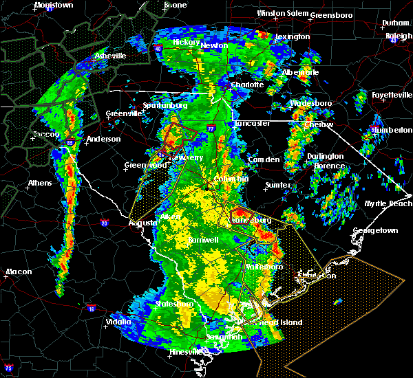 At 216 pm edt, severe thunderstorms were located along a line extending from 10 miles southeast of eastover to near crowfield plantation, moving northeast at 70 mph (radar indicated). Hazards include 70 mph wind gusts and penny size hail. Expect considerable tree damage. Damage is likely to mobile homes, roofs, and outbuildings. At 216 pm edt, severe thunderstorms were located along a line extending from 10 miles southeast of eastover to near crowfield plantation, moving northeast at 70 mph (radar indicated). Hazards include 70 mph wind gusts and penny size hail. Expect considerable tree damage. Damage is likely to mobile homes, roofs, and outbuildings.
|
| 7/23/2018 4:05 AM EDT |
 At 349 am edt, a severe thunderstorm was located near jamestown, or 19 miles northwest of mcclellanville, moving north at 20 mph (radar indicated). Hazards include 60 mph wind gusts and quarter size hail. Minor hail damage to vehicles is possible. Expect wind damage to trees and power lines. At 349 am edt, a severe thunderstorm was located near jamestown, or 19 miles northwest of mcclellanville, moving north at 20 mph (radar indicated). Hazards include 60 mph wind gusts and quarter size hail. Minor hail damage to vehicles is possible. Expect wind damage to trees and power lines.
|
| 7/23/2018 3:50 AM EDT |
 The national weather service in wilmington has issued a * severe thunderstorm warning for. southwest georgetown county in northeastern south carolina. southeast williamsburg county in northeastern south carolina. until 430 am edt. At 349 am edt, a severe thunderstorm was located near jamestown, or. The national weather service in wilmington has issued a * severe thunderstorm warning for. southwest georgetown county in northeastern south carolina. southeast williamsburg county in northeastern south carolina. until 430 am edt. At 349 am edt, a severe thunderstorm was located near jamestown, or.
|
| 6/24/2018 10:27 PM EDT |
 At 1026 pm edt, severe thunderstorms were located along a line extending from near kingstree to near saint stephen, moving southeast at 30 mph (radar indicated). Hazards include 60 mph wind gusts. Expect damage to trees and power lines. Locations impacted include, kingstree, andrews, trio, warsaw, salters, earle, morrisville, gourdin, lane and williamsburg regional hospital. At 1026 pm edt, severe thunderstorms were located along a line extending from near kingstree to near saint stephen, moving southeast at 30 mph (radar indicated). Hazards include 60 mph wind gusts. Expect damage to trees and power lines. Locations impacted include, kingstree, andrews, trio, warsaw, salters, earle, morrisville, gourdin, lane and williamsburg regional hospital.
|
| 6/24/2018 10:09 PM EDT |
 At 1009 pm edt, severe thunderstorms were located along a line extending from near kingstree to 7 miles west of gourdin, moving east at 35 mph (radar indicated). Hazards include 60 mph wind gusts. Expect damage to trees and power lines. Locations impacted include, kingstree, andrews, trio, warsaw, salters, earle, cades, morrisville, gourdin, lane, greeleyville and williamsburg regional hospital. At 1009 pm edt, severe thunderstorms were located along a line extending from near kingstree to 7 miles west of gourdin, moving east at 35 mph (radar indicated). Hazards include 60 mph wind gusts. Expect damage to trees and power lines. Locations impacted include, kingstree, andrews, trio, warsaw, salters, earle, cades, morrisville, gourdin, lane, greeleyville and williamsburg regional hospital.
|
| 6/24/2018 9:50 PM EDT |
 At 950 pm edt, severe thunderstorms were located along a line extending from 6 miles southwest of hebron to 6 miles north of lake marion, moving southeast at 35 mph (radar indicated). Hazards include 60 mph wind gusts. Expect damage to trees and power lines. Locations impacted include, kingstree, andrews, trio, warsaw, salters, cades, gourdin, earle, hebron, morrisville, lane, greeleyville and williamsburg regional hospital. At 950 pm edt, severe thunderstorms were located along a line extending from 6 miles southwest of hebron to 6 miles north of lake marion, moving southeast at 35 mph (radar indicated). Hazards include 60 mph wind gusts. Expect damage to trees and power lines. Locations impacted include, kingstree, andrews, trio, warsaw, salters, cades, gourdin, earle, hebron, morrisville, lane, greeleyville and williamsburg regional hospital.
|
| 6/24/2018 9:31 PM EDT |
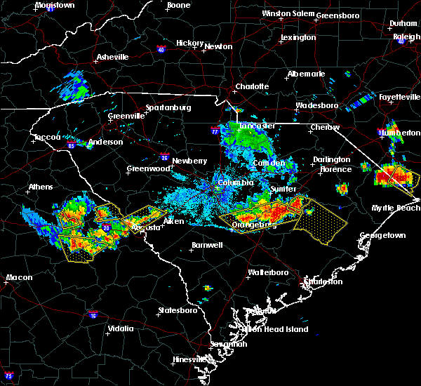 At 931 pm edt, severe thunderstorms were located along a line extending from 9 miles northwest of hebron to near summerton, moving southeast at 30 mph (radar indicated). Hazards include 60 mph wind gusts. expect damage trees and power lines At 931 pm edt, severe thunderstorms were located along a line extending from 9 miles northwest of hebron to near summerton, moving southeast at 30 mph (radar indicated). Hazards include 60 mph wind gusts. expect damage trees and power lines
|
| 3/20/2018 4:24 PM EDT |
 The severe thunderstorm warning for northwestern georgetown and southeastern williamsburg counties will expire at 430 pm edt, the storm which prompted the warning has weakened below severe limits, and no longer poses an immediate threat to life or property. therefore the warning will be allowed to expire. however small hail and heavy rain are still possible with this thunderstorm. a tornado watch remains in effect until 700 pm edt for northeastern south carolina. The severe thunderstorm warning for northwestern georgetown and southeastern williamsburg counties will expire at 430 pm edt, the storm which prompted the warning has weakened below severe limits, and no longer poses an immediate threat to life or property. therefore the warning will be allowed to expire. however small hail and heavy rain are still possible with this thunderstorm. a tornado watch remains in effect until 700 pm edt for northeastern south carolina.
|
| 3/20/2018 4:04 PM EDT |
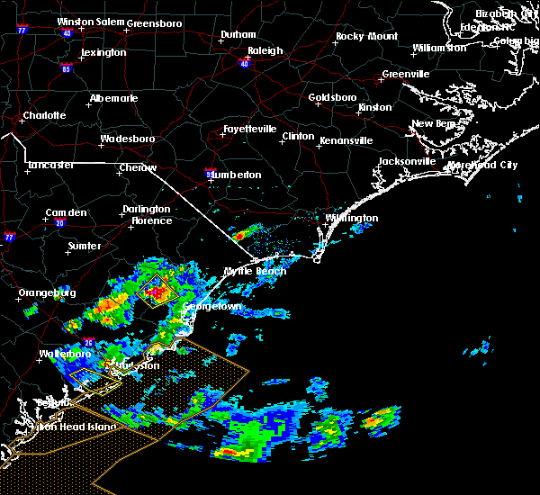 At 404 pm edt, a severe thunderstorm was located over morrisville, or 18 miles east of kingstree, moving northeast at 50 mph (radar indicated). Hazards include ping pong ball size hail and 60 mph wind gusts. People and animals outdoors will be injured. expect hail damage to roofs, siding, windows, and vehicles. expect wind damage to trees and power lines. locations impacted include, andrews, rhems, warsaw, nesmith, morrisville, henry and earle. A tornado watch remains in effect until 700 pm edt for northeastern south carolina. At 404 pm edt, a severe thunderstorm was located over morrisville, or 18 miles east of kingstree, moving northeast at 50 mph (radar indicated). Hazards include ping pong ball size hail and 60 mph wind gusts. People and animals outdoors will be injured. expect hail damage to roofs, siding, windows, and vehicles. expect wind damage to trees and power lines. locations impacted include, andrews, rhems, warsaw, nesmith, morrisville, henry and earle. A tornado watch remains in effect until 700 pm edt for northeastern south carolina.
|
| 3/20/2018 3:55 PM EDT | Quarter sized hail reported 6.4 miles ESE of Andrews, SC, reported by andrews industrial supply on county line rd. |
| 3/20/2018 3:55 PM EDT | Quarter sized hail reported 0.8 miles E of Andrews, SC, reported by andrews industrial supply on county line rd. |
| 3/20/2018 3:46 PM EDT |
 At 345 pm edt, a severe thunderstorm was located near trio, or 19 miles south of kingstree, moving northeast at 25 mph (radar indicated). Hazards include 60 mph wind gusts and quarter size hail. Minor hail damage to vehicles is possible. Expect wind damage to trees and power lines. At 345 pm edt, a severe thunderstorm was located near trio, or 19 miles south of kingstree, moving northeast at 25 mph (radar indicated). Hazards include 60 mph wind gusts and quarter size hail. Minor hail damage to vehicles is possible. Expect wind damage to trees and power lines.
|
| 7/8/2017 9:57 PM EDT |
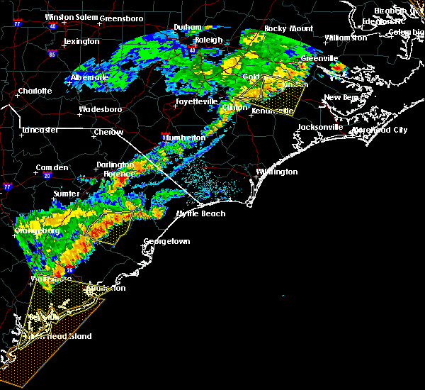 At 957 pm edt, a severe thunderstorm was located near indiantown, or 9 miles east of kingstree, moving east at 25 mph (radar indicated). Hazards include 60 mph wind gusts. Expect damage trees and power lines. Locations impacted include, kingstree, andrews, hemingway, trio, warsaw, salters, nesmith, gourdin, indiantown, earle, morrisville, henry, lane, stuckey and williamsburg regional hospital. At 957 pm edt, a severe thunderstorm was located near indiantown, or 9 miles east of kingstree, moving east at 25 mph (radar indicated). Hazards include 60 mph wind gusts. Expect damage trees and power lines. Locations impacted include, kingstree, andrews, hemingway, trio, warsaw, salters, nesmith, gourdin, indiantown, earle, morrisville, henry, lane, stuckey and williamsburg regional hospital.
|
| 7/8/2017 9:34 PM EDT |
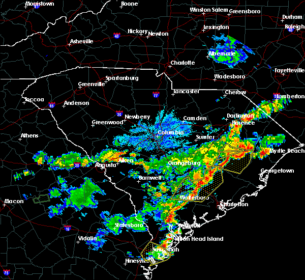 At 933 pm edt, a severe thunderstorm was located over greeleyville to kingstree, moving east at 25 mph (radar indicated). Hazards include 60 mph wind gusts and penny size hail. expect damage trees and power lines At 933 pm edt, a severe thunderstorm was located over greeleyville to kingstree, moving east at 25 mph (radar indicated). Hazards include 60 mph wind gusts and penny size hail. expect damage trees and power lines
|
| 6/3/2017 5:15 PM EDT |
 At 515 pm edt, a severe thunderstorm was located over henry, or 20 miles east of kingstree, moving south at 20 mph (radar indicated). Hazards include 60 mph wind gusts and quarter size hail. Minor hail damage to vehicles is possible. Expect wind damage to trees and power lines. At 515 pm edt, a severe thunderstorm was located over henry, or 20 miles east of kingstree, moving south at 20 mph (radar indicated). Hazards include 60 mph wind gusts and quarter size hail. Minor hail damage to vehicles is possible. Expect wind damage to trees and power lines.
|
| 5/29/2017 9:35 PM EDT |
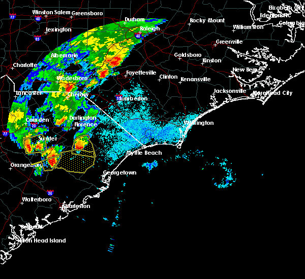 At 934 pm edt, a severe thunderstorm was located 10 miles west of salters, or 11 miles southeast of manning, moving east at 35 mph (radar indicated). Hazards include 60 mph wind gusts and quarter size hail. Minor hail damage to vehicles is possible. Expect wind damage to trees and power lines. At 934 pm edt, a severe thunderstorm was located 10 miles west of salters, or 11 miles southeast of manning, moving east at 35 mph (radar indicated). Hazards include 60 mph wind gusts and quarter size hail. Minor hail damage to vehicles is possible. Expect wind damage to trees and power lines.
|
| 5/28/2017 9:24 PM EDT |
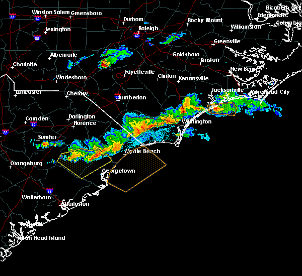 The severe thunderstorm warning for central georgetown and williamsburg counties will expire at 930 pm edt, the storm which prompted the warning has weakened below severe limits, and no longer poses an immediate threat to life or property. therefore the warning will be allowed to expire. however gusty winds are still possible with this thunderstorm. a severe thunderstorm watch remains in effect until 100 am edt for northeastern south carolina. The severe thunderstorm warning for central georgetown and williamsburg counties will expire at 930 pm edt, the storm which prompted the warning has weakened below severe limits, and no longer poses an immediate threat to life or property. therefore the warning will be allowed to expire. however gusty winds are still possible with this thunderstorm. a severe thunderstorm watch remains in effect until 100 am edt for northeastern south carolina.
|
| 5/28/2017 9:11 PM EDT |
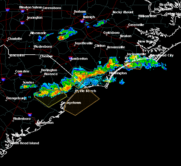 At 911 pm edt, a severe thunderstorm was located near outland, or 20 miles west of murrells inlet, moving east at 55 mph (radar indicated). Hazards include 60 mph wind gusts and quarter size hail. Minor hail damage to vehicles is possible. expect wind damage to trees and power lines. Locations impacted include, kingstree, andrews, hemingway, rhems, trio, warsaw, salters, oatland, nesmith, gourdin, indiantown, lambert, plantersville, outland, earle, yauhannah, morrisville, henry, lane and greeleyville. At 911 pm edt, a severe thunderstorm was located near outland, or 20 miles west of murrells inlet, moving east at 55 mph (radar indicated). Hazards include 60 mph wind gusts and quarter size hail. Minor hail damage to vehicles is possible. expect wind damage to trees and power lines. Locations impacted include, kingstree, andrews, hemingway, rhems, trio, warsaw, salters, oatland, nesmith, gourdin, indiantown, lambert, plantersville, outland, earle, yauhannah, morrisville, henry, lane and greeleyville.
|
| 5/28/2017 8:46 PM EDT |
 At 846 pm edt, a severe thunderstorm was located over cades, or near kingstree, moving east at 55 mph (radar indicated). Hazards include 60 mph wind gusts and quarter size hail. Minor hail damage to vehicles is possible. Expect wind damage to trees and power lines. At 846 pm edt, a severe thunderstorm was located over cades, or near kingstree, moving east at 55 mph (radar indicated). Hazards include 60 mph wind gusts and quarter size hail. Minor hail damage to vehicles is possible. Expect wind damage to trees and power lines.
|
| 4/5/2017 5:11 PM EDT |
 At 510 pm edt, a severe thunderstorm was located over trio, or 17 miles southeast of kingstree, moving northeast at 20 mph (radar indicated). Hazards include 60 mph wind gusts and quarter size hail. Hail damage to vehicles is expected. Expect wind damage to roofs, siding, and trees. At 510 pm edt, a severe thunderstorm was located over trio, or 17 miles southeast of kingstree, moving northeast at 20 mph (radar indicated). Hazards include 60 mph wind gusts and quarter size hail. Hail damage to vehicles is expected. Expect wind damage to roofs, siding, and trees.
|
| 4/3/2017 7:15 PM EDT |
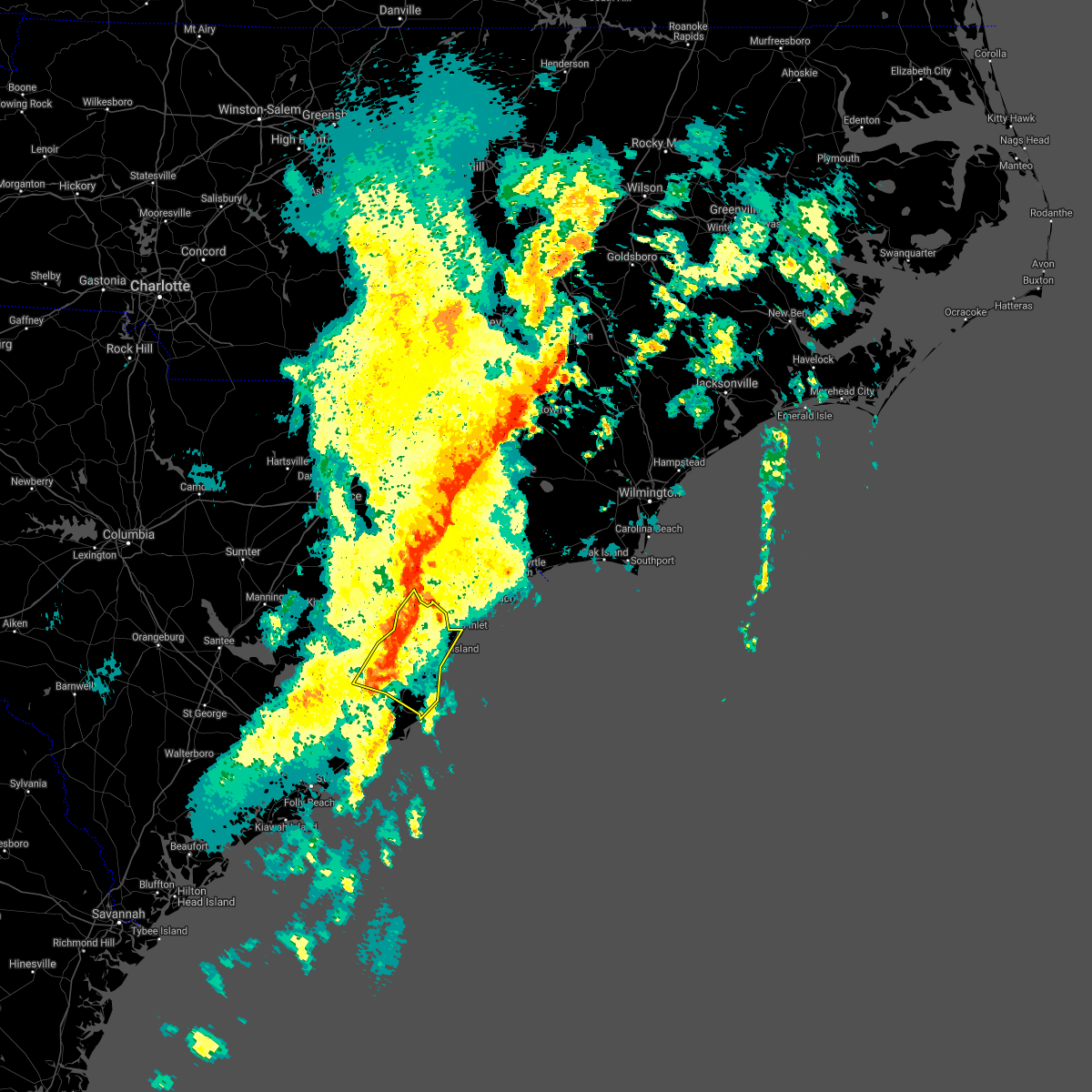 At 715 pm edt, a severe thunderstorm was located near oatland, or 13 miles northwest of georgetown, moving northeast at 50 mph (radar indicated). Hazards include 60 mph wind gusts and quarter size hail. Hail damage to vehicles is expected. expect wind damage to roofs, siding, and trees. Locations impacted include, georgetown, debordieu colony, pawleys island, murrells inlet, yawkey south island, winyah bay entrance, andrews, jackson, north santee, oatland, sampit, lambert, plantersville, graves, yauhannah, litchfield beach, waccamaw community hospital and georgetown memorial hospital. At 715 pm edt, a severe thunderstorm was located near oatland, or 13 miles northwest of georgetown, moving northeast at 50 mph (radar indicated). Hazards include 60 mph wind gusts and quarter size hail. Hail damage to vehicles is expected. expect wind damage to roofs, siding, and trees. Locations impacted include, georgetown, debordieu colony, pawleys island, murrells inlet, yawkey south island, winyah bay entrance, andrews, jackson, north santee, oatland, sampit, lambert, plantersville, graves, yauhannah, litchfield beach, waccamaw community hospital and georgetown memorial hospital.
|
| 4/3/2017 6:42 PM EDT |
 At 642 pm edt, a severe thunderstorm was located near bonneau, or 12 miles northeast of moncks corner, moving northeast at 50 mph (radar indicated). Hazards include 60 mph wind gusts and quarter size hail. Hail damage to vehicles is expected. Expect wind damage to roofs, siding, and trees. At 642 pm edt, a severe thunderstorm was located near bonneau, or 12 miles northeast of moncks corner, moving northeast at 50 mph (radar indicated). Hazards include 60 mph wind gusts and quarter size hail. Hail damage to vehicles is expected. Expect wind damage to roofs, siding, and trees.
|
| 2/15/2017 12:35 PM EST |
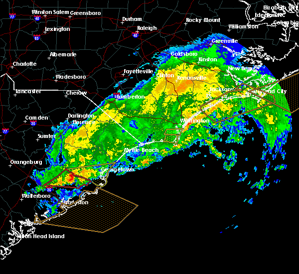 At 1235 pm est, a severe thunderstorm was located near jamestown, or 17 miles northeast of moncks corner, moving east at 70 mph (radar indicated). Hazards include 60 mph wind gusts. expect damage to roofs, siding, and trees At 1235 pm est, a severe thunderstorm was located near jamestown, or 17 miles northeast of moncks corner, moving east at 70 mph (radar indicated). Hazards include 60 mph wind gusts. expect damage to roofs, siding, and trees
|
| 8/18/2016 6:15 PM EDT |
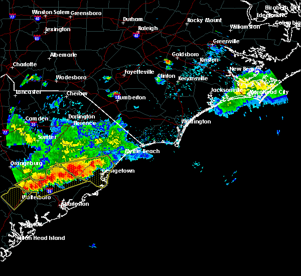 At 615 pm edt, a severe thunderstorm was located near sampit, or 12 miles west of georgetown, moving southeast at 25 mph (radar indicated). Hazards include 60 mph wind gusts and quarter size hail. Hail damage to vehicles is expected. expect wind damage to roofs, siding, and trees. Locations impacted include, georgetown, debordieu colony, pawleys island, winyah bay entrance, yawkey south island, andrews, jackson, warsaw, north santee, gourdin, earle, graves, plantersville, trio, oatland, lambert, litchfield beach, sampit, rhems and lane. At 615 pm edt, a severe thunderstorm was located near sampit, or 12 miles west of georgetown, moving southeast at 25 mph (radar indicated). Hazards include 60 mph wind gusts and quarter size hail. Hail damage to vehicles is expected. expect wind damage to roofs, siding, and trees. Locations impacted include, georgetown, debordieu colony, pawleys island, winyah bay entrance, yawkey south island, andrews, jackson, warsaw, north santee, gourdin, earle, graves, plantersville, trio, oatland, lambert, litchfield beach, sampit, rhems and lane.
|
| 8/18/2016 5:55 PM EDT |
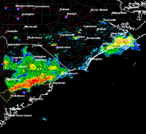 At 555 pm edt, a severe thunderstorm was located near andrews, or 16 miles west of georgetown, moving southeast at 25 mph (radar indicated). Hazards include 60 mph wind gusts and quarter size hail. Hail damage to vehicles is expected. Expect wind damage to roofs, siding, and trees. At 555 pm edt, a severe thunderstorm was located near andrews, or 16 miles west of georgetown, moving southeast at 25 mph (radar indicated). Hazards include 60 mph wind gusts and quarter size hail. Hail damage to vehicles is expected. Expect wind damage to roofs, siding, and trees.
|
| 8/18/2016 5:03 PM EDT |
 At 503 pm edt, a severe thunderstorm was located over outland, or 21 miles west of conway, moving southeast at 25 mph (radar indicated). Hazards include 60 mph wind gusts and quarter size hail. Hail damage to vehicles is expected. Expect wind damage to roofs, siding, and trees. At 503 pm edt, a severe thunderstorm was located over outland, or 21 miles west of conway, moving southeast at 25 mph (radar indicated). Hazards include 60 mph wind gusts and quarter size hail. Hail damage to vehicles is expected. Expect wind damage to roofs, siding, and trees.
|
| 7/31/2016 3:21 PM EDT |
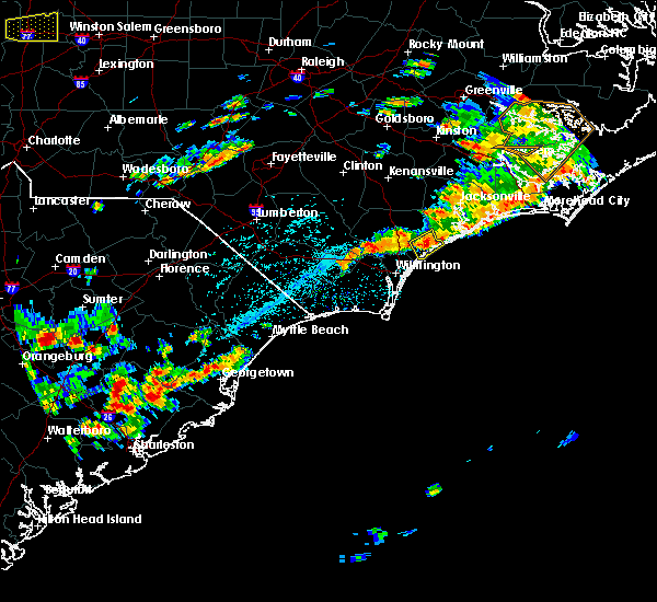 At 321 pm edt, a severe thunderstorm was located over oatland, or 7 miles northwest of georgetown, moving northeast at 20 mph (radar indicated). Hazards include 60 mph wind gusts and quarter size hail. Hail damage to vehicles is expected. Expect wind damage to roofs, siding, and trees. At 321 pm edt, a severe thunderstorm was located over oatland, or 7 miles northwest of georgetown, moving northeast at 20 mph (radar indicated). Hazards include 60 mph wind gusts and quarter size hail. Hail damage to vehicles is expected. Expect wind damage to roofs, siding, and trees.
|
| 7/9/2016 7:12 PM EDT |
 At 712 pm edt, a severe thunderstorm was located over andrews, or 15 miles west of georgetown, moving east at 15 mph (radar indicated). Hazards include 60 mph wind gusts and quarter size hail. Hail damage to vehicles is expected. expect wind damage to roofs, siding, and trees. Locations impacted include, andrews, earle, warsaw, graves, oatland and sampit. At 712 pm edt, a severe thunderstorm was located over andrews, or 15 miles west of georgetown, moving east at 15 mph (radar indicated). Hazards include 60 mph wind gusts and quarter size hail. Hail damage to vehicles is expected. expect wind damage to roofs, siding, and trees. Locations impacted include, andrews, earle, warsaw, graves, oatland and sampit.
|
| 7/9/2016 7:01 PM EDT | Reports of trees and powerlines down across andrews...on jones ave...park st...and s rosemary ave. time estimated by rada in georgetown county SC, 0.8 miles NNW of Andrews, SC |
| 7/9/2016 6:53 PM EDT |
 At 652 pm edt, a severe thunderstorm was located over earle, or 19 miles west of georgetown, moving east at 15 mph (radar indicated). Hazards include 60 mph wind gusts and quarter size hail. Hail damage to vehicles is expected. Expect wind damage to roofs, siding, and trees. At 652 pm edt, a severe thunderstorm was located over earle, or 19 miles west of georgetown, moving east at 15 mph (radar indicated). Hazards include 60 mph wind gusts and quarter size hail. Hail damage to vehicles is expected. Expect wind damage to roofs, siding, and trees.
|
| 7/9/2016 2:24 AM EDT |
 The severe thunderstorm warning for georgetown, southwestern horry and southeastern williamsburg counties will expire at 230 am edt, the storms which prompted the warning have moved out of the warned area, therefore the warning will be allowed to expire. The severe thunderstorm warning for georgetown, southwestern horry and southeastern williamsburg counties will expire at 230 am edt, the storms which prompted the warning have moved out of the warned area, therefore the warning will be allowed to expire.
|
| 7/9/2016 1:59 AM EDT |
 At 158 am edt, severe thunderstorms were located along a line extending from hand to near jamestown, moving southeast at 45 mph (radar indicated). Hazards include 60 mph wind gusts and penny size hail. Expect damage to roofs. siding. and trees. Locations impacted include, myrtle beach, conway, georgetown, debordieu colony, surfside beach, pawleys island, red hill, socastee, winyah bay entrance, yawkey south island, garden city, myrtle beach airport, murrells inlet, andrews, jackson, hickory grove, warsaw, homewood, dongola and north santee. At 158 am edt, severe thunderstorms were located along a line extending from hand to near jamestown, moving southeast at 45 mph (radar indicated). Hazards include 60 mph wind gusts and penny size hail. Expect damage to roofs. siding. and trees. Locations impacted include, myrtle beach, conway, georgetown, debordieu colony, surfside beach, pawleys island, red hill, socastee, winyah bay entrance, yawkey south island, garden city, myrtle beach airport, murrells inlet, andrews, jackson, hickory grove, warsaw, homewood, dongola and north santee.
|
| 7/9/2016 1:27 AM EDT |
 At 126 am edt, severe thunderstorms were located along a line extending from green sea to near trio, moving southeast at 45 mph (radar indicated). Hazards include 60 mph wind gusts and penny size hail. Expect damage to roofs. siding. And trees. At 126 am edt, severe thunderstorms were located along a line extending from green sea to near trio, moving southeast at 45 mph (radar indicated). Hazards include 60 mph wind gusts and penny size hail. Expect damage to roofs. siding. And trees.
|
| 7/7/2016 9:56 PM EDT |
 At 956 pm edt, severe thunderstorms were located along a line extending from 6 miles west of green sea to near horry to near brittons neck to near hannah to near hebron to 7 miles north of manning, moving east at 55 mph (radar indicated). Hazards include 60 mph wind gusts. Expect damage to roofs. siding. and trees. Locations impacted include, myrtle beach, conway, north myrtle beach, georgetown, marion, lake city, debordieu colony, mullins, surfside beach, sunset beach, kingstree, pawleys island, north myrtle beach airport, springmaid pier, socastee, little river, yawkey south island, myrtle beach airport, red hill and murrells inlet. At 956 pm edt, severe thunderstorms were located along a line extending from 6 miles west of green sea to near horry to near brittons neck to near hannah to near hebron to 7 miles north of manning, moving east at 55 mph (radar indicated). Hazards include 60 mph wind gusts. Expect damage to roofs. siding. and trees. Locations impacted include, myrtle beach, conway, north myrtle beach, georgetown, marion, lake city, debordieu colony, mullins, surfside beach, sunset beach, kingstree, pawleys island, north myrtle beach airport, springmaid pier, socastee, little river, yawkey south island, myrtle beach airport, red hill and murrells inlet.
|
| 7/7/2016 9:37 PM EDT |
 At 937 pm edt, severe thunderstorms were located along a line extending from near marion to 6 miles west of rains to near hyman to near sardis, moving east at 45 mph (radar indicated). Hazards include 60 mph wind gusts and penny size hail. Expect damage to roofs. siding. And trees. At 937 pm edt, severe thunderstorms were located along a line extending from near marion to 6 miles west of rains to near hyman to near sardis, moving east at 45 mph (radar indicated). Hazards include 60 mph wind gusts and penny size hail. Expect damage to roofs. siding. And trees.
|
| 6/28/2016 5:22 PM EDT |
 At 522 pm edt, a severe thunderstorm was located near trio, or 19 miles south of kingstree, moving east at 25 mph (radar indicated). Hazards include 60 mph wind gusts and quarter size hail. Hail damage to vehicles is expected. Expect wind damage to roofs, siding, and trees. At 522 pm edt, a severe thunderstorm was located near trio, or 19 miles south of kingstree, moving east at 25 mph (radar indicated). Hazards include 60 mph wind gusts and quarter size hail. Hail damage to vehicles is expected. Expect wind damage to roofs, siding, and trees.
|
| 6/25/2016 6:18 PM EDT |
 At 617 pm edt, a severe thunderstorm was located near hampton plantation state park, or 10 miles northwest of mcclellanville, moving south at 20 mph (radar indicated). Hazards include 60 mph wind gusts and quarter size hail. Hail damage to vehicles is expected. expect wind damage to roofs, siding, and trees. Locations impacted include, georgetown, winyah bay entrance, yawkey south island, andrews, north santee, oatland, lambert, sampit, graves and georgetown memorial hospital. At 617 pm edt, a severe thunderstorm was located near hampton plantation state park, or 10 miles northwest of mcclellanville, moving south at 20 mph (radar indicated). Hazards include 60 mph wind gusts and quarter size hail. Hail damage to vehicles is expected. expect wind damage to roofs, siding, and trees. Locations impacted include, georgetown, winyah bay entrance, yawkey south island, andrews, north santee, oatland, lambert, sampit, graves and georgetown memorial hospital.
|
| 6/25/2016 6:03 PM EDT |
 At 602 pm edt, a severe thunderstorm was located over lambert, or 16 miles west of georgetown, moving south at 20 mph (radar indicated). Hazards include 60 mph wind gusts and quarter size hail. Hail damage to vehicles is expected. expect wind damage to roofs, siding, and trees. Locations impacted include, georgetown, winyah bay entrance, yawkey south island, andrews, north santee, oatland, lambert, sampit, earle, graves and georgetown memorial hospital. At 602 pm edt, a severe thunderstorm was located over lambert, or 16 miles west of georgetown, moving south at 20 mph (radar indicated). Hazards include 60 mph wind gusts and quarter size hail. Hail damage to vehicles is expected. expect wind damage to roofs, siding, and trees. Locations impacted include, georgetown, winyah bay entrance, yawkey south island, andrews, north santee, oatland, lambert, sampit, earle, graves and georgetown memorial hospital.
|
| 6/25/2016 5:58 PM EDT | Tree down on hwy 521 a couple of miles northwest of andrew in williamsburg county SC, 3.4 miles SE of Andrews, SC |
| 6/25/2016 5:52 PM EDT | Multiple trees down across the town of andrew in georgetown county SC, 0.2 miles E of Andrews, SC |
| 6/25/2016 5:41 PM EDT | The severe thunderstorm warning for southeastern florence, northern georgetown and eastern williamsburg counties will expire at 545 pm edt, a new severe thunderstorm warning has been issued for portions of williamsburg and georgetown counties. this warning is in effect until 645 pm. |
| 6/25/2016 5:40 PM EDT |
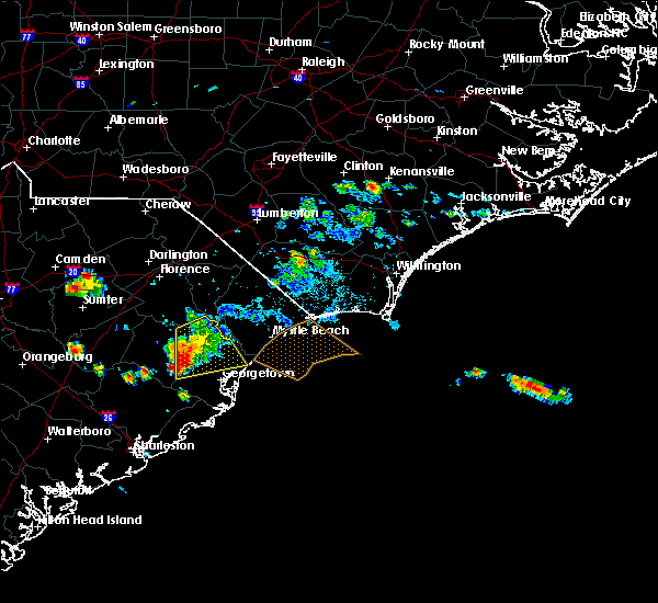 At 540 pm edt, a severe thunderstorm was located over andrews, or 18 miles west of georgetown, moving south at 20 mph (radar indicated). Hazards include 60 mph wind gusts and quarter size hail. Hail damage to vehicles is expected. Expect wind damage to roofs, siding, and trees. At 540 pm edt, a severe thunderstorm was located over andrews, or 18 miles west of georgetown, moving south at 20 mph (radar indicated). Hazards include 60 mph wind gusts and quarter size hail. Hail damage to vehicles is expected. Expect wind damage to roofs, siding, and trees.
|
| 6/25/2016 5:20 PM EDT |
 At 520 pm edt, a severe thunderstorm was located near rhems, or 20 miles northwest of georgetown, moving south at 30 mph (radar indicated). Hazards include 60 mph wind gusts and quarter size hail. Hail damage to vehicles is expected. expect wind damage to roofs, siding, and trees. Locations impacted include, andrews, jackson, johnsonville, hemingway, poston, warsaw, outland, earle, indiantown, plantersville, henry, oatland, nesmith, rhems, morrisville, yauhannah and stuckey. At 520 pm edt, a severe thunderstorm was located near rhems, or 20 miles northwest of georgetown, moving south at 30 mph (radar indicated). Hazards include 60 mph wind gusts and quarter size hail. Hail damage to vehicles is expected. expect wind damage to roofs, siding, and trees. Locations impacted include, andrews, jackson, johnsonville, hemingway, poston, warsaw, outland, earle, indiantown, plantersville, henry, oatland, nesmith, rhems, morrisville, yauhannah and stuckey.
|
| 6/25/2016 5:03 PM EDT |
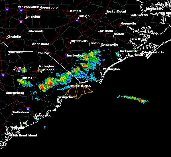 At 503 pm edt, a severe thunderstorm was located over hemingway, or 18 miles east of lake city, moving south at 30 mph (radar indicated). Hazards include 60 mph wind gusts and quarter size hail. Hail damage to vehicles is expected. Expect wind damage to roofs, siding, and trees. At 503 pm edt, a severe thunderstorm was located over hemingway, or 18 miles east of lake city, moving south at 30 mph (radar indicated). Hazards include 60 mph wind gusts and quarter size hail. Hail damage to vehicles is expected. Expect wind damage to roofs, siding, and trees.
|
| 6/24/2016 7:25 PM EDT |
 The severe thunderstorm warning for georgetown and south central williamsburg counties will expire at 730 pm edt, the storm which prompted the warning has weakened below severe limits, and no longer pose an immediate threat to life or property. therefore the warning will be allowed to expire. The severe thunderstorm warning for georgetown and south central williamsburg counties will expire at 730 pm edt, the storm which prompted the warning has weakened below severe limits, and no longer pose an immediate threat to life or property. therefore the warning will be allowed to expire.
|
| 6/24/2016 7:14 PM EDT |
 At 713 pm edt, a severe thunderstorm was located over debordieu colony, moving southeast at 25 mph (radar indicated). Hazards include 60 mph wind gusts. Expect damage to roofs. siding. and trees. Locations impacted include, georgetown, debordieu colony, pawleys island, winyah bay entrance, yawkey south island, murrells inlet, andrews, jackson, warsaw, north santee, earle, graves, plantersville, trio, oatland, lambert, litchfield beach, sampit, georgetown memorial hospital and waccamaw community hospital. At 713 pm edt, a severe thunderstorm was located over debordieu colony, moving southeast at 25 mph (radar indicated). Hazards include 60 mph wind gusts. Expect damage to roofs. siding. and trees. Locations impacted include, georgetown, debordieu colony, pawleys island, winyah bay entrance, yawkey south island, murrells inlet, andrews, jackson, warsaw, north santee, earle, graves, plantersville, trio, oatland, lambert, litchfield beach, sampit, georgetown memorial hospital and waccamaw community hospital.
|
| 6/24/2016 6:26 PM EDT |
 The severe thunderstorm warning for southern florence, northwestern georgetown, horry, central marion and williamsburg counties will expire at 630 pm edt, a new severe thunderstorm warning has been issued for portions of williamsburg and georgetown counties. that warning is in effect until 730 pm. The severe thunderstorm warning for southern florence, northwestern georgetown, horry, central marion and williamsburg counties will expire at 630 pm edt, a new severe thunderstorm warning has been issued for portions of williamsburg and georgetown counties. that warning is in effect until 730 pm.
|
| 6/24/2016 6:25 PM EDT |
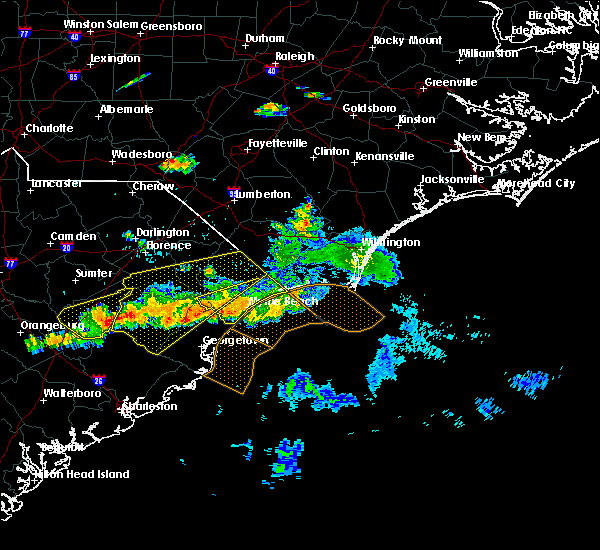 At 624 pm edt, a severe thunderstorm was located over rhems, or 15 miles northwest of georgetown, moving southeast at 25 mph (radar indicated). Hazards include 60 mph wind gusts. Expect damage to roofs. siding. And trees. At 624 pm edt, a severe thunderstorm was located over rhems, or 15 miles northwest of georgetown, moving southeast at 25 mph (radar indicated). Hazards include 60 mph wind gusts. Expect damage to roofs. siding. And trees.
|
| 6/24/2016 5:56 PM EDT |
 At 555 pm edt, a severe thunderstorm was located over pee dee crossroads, or near conway, moving east at 35 mph (radar indicated). Hazards include 60 mph wind gusts and quarter size hail. Hail damage to vehicles is expected. expect wind damage to roofs, siding, and trees. Locations impacted include, conway, lake city, kingstree, red hill, horry, andrews, loris, johnsonville, pamplico, hemingway, hickory grove, allsbrook, kingsburg, warsaw, gourdin, hebron, new hope, earle, henry and galivants ferry. At 555 pm edt, a severe thunderstorm was located over pee dee crossroads, or near conway, moving east at 35 mph (radar indicated). Hazards include 60 mph wind gusts and quarter size hail. Hail damage to vehicles is expected. expect wind damage to roofs, siding, and trees. Locations impacted include, conway, lake city, kingstree, red hill, horry, andrews, loris, johnsonville, pamplico, hemingway, hickory grove, allsbrook, kingsburg, warsaw, gourdin, hebron, new hope, earle, henry and galivants ferry.
|
| 6/24/2016 5:28 PM EDT |
 At 527 pm edt, severe thunderstorms were located from near olanta, to loris, moving east at 30 mph (radar indicated). Hazards include 60 mph wind gusts and quarter size hail. Hail damage to vehicles is expected. Expect wind damage to roofs, siding, and trees. At 527 pm edt, severe thunderstorms were located from near olanta, to loris, moving east at 30 mph (radar indicated). Hazards include 60 mph wind gusts and quarter size hail. Hail damage to vehicles is expected. Expect wind damage to roofs, siding, and trees.
|
| 6/17/2016 4:44 PM EDT | Tree down on gapway road near ethridge rd in georgetown county SC, 5.6 miles W of Andrews, SC |
| 6/17/2016 4:21 PM EDT |
 The severe thunderstorm warning for georgetown county will expire at 430 pm edt, the severe thunderstorm which prompted the warning has moved out of the warned area. therefore the warning will be allowed to expire. a severe thunderstorm watch remains in effect until 1000 pm edt for northeastern south carolina. The severe thunderstorm warning for georgetown county will expire at 430 pm edt, the severe thunderstorm which prompted the warning has moved out of the warned area. therefore the warning will be allowed to expire. a severe thunderstorm watch remains in effect until 1000 pm edt for northeastern south carolina.
|
| 6/17/2016 4:00 PM EDT | Tree down on downing loop road at gapway road in georgetown county SC, 1.5 miles W of Andrews, SC |
| 6/17/2016 3:57 PM EDT |
 At 357 pm edt, a severe thunderstorm was located near oatland, or 11 miles northwest of georgetown, moving southeast at 25 mph (radar indicated). Hazards include 60 mph wind gusts and quarter size hail. Hail damage to vehicles is expected. expect wind damage to roofs, siding, and trees. Locations impacted include, georgetown, debordieu colony, pawleys island, winyah bay entrance, yawkey south island, murrells inlet, andrews, jackson, north santee, graves, plantersville, oatland, litchfield beach, sampit and georgetown memorial hospital. At 357 pm edt, a severe thunderstorm was located near oatland, or 11 miles northwest of georgetown, moving southeast at 25 mph (radar indicated). Hazards include 60 mph wind gusts and quarter size hail. Hail damage to vehicles is expected. expect wind damage to roofs, siding, and trees. Locations impacted include, georgetown, debordieu colony, pawleys island, winyah bay entrance, yawkey south island, murrells inlet, andrews, jackson, north santee, graves, plantersville, oatland, litchfield beach, sampit and georgetown memorial hospital.
|
| 6/17/2016 3:45 PM EDT | Tree down on highway 527 in williamsburg county SC, 5.7 miles SSE of Andrews, SC |
| 6/17/2016 3:44 PM EDT | Tree down on gapway road near ethridge rd in georgetown county SC, 5.6 miles W of Andrews, SC |
| 6/17/2016 3:44 PM EDT |
 At 344 pm edt, a severe thunderstorm was located near morrisville, or 18 miles northwest of georgetown, moving southeast at 25 mph (radar indicated). Hazards include 60 mph wind gusts and quarter size hail. Hail damage to vehicles is expected. expect wind damage to roofs, siding, and trees. Locations impacted include, georgetown, debordieu colony, pawleys island, winyah bay entrance, yawkey south island, murrells inlet, andrews, jackson, warsaw, north santee, graves, plantersville, oatland, litchfield beach, sampit, nesmith, rhems, morrisville, earle and georgetown memorial hospital. At 344 pm edt, a severe thunderstorm was located near morrisville, or 18 miles northwest of georgetown, moving southeast at 25 mph (radar indicated). Hazards include 60 mph wind gusts and quarter size hail. Hail damage to vehicles is expected. expect wind damage to roofs, siding, and trees. Locations impacted include, georgetown, debordieu colony, pawleys island, winyah bay entrance, yawkey south island, murrells inlet, andrews, jackson, warsaw, north santee, graves, plantersville, oatland, litchfield beach, sampit, nesmith, rhems, morrisville, earle and georgetown memorial hospital.
|
| 6/17/2016 3:41 PM EDT | The tornado warning for west central georgetown and southwestern williamsburg counties will expire at 345 pm edt. the tornadic thunderstorm which prompted the warning has weakened. therefore the warning will be allowed to expire. A severe thunderstorm watch remains in effect until 1000 pm edt for northeastern south carolina. |
| 6/17/2016 3:25 PM EDT |
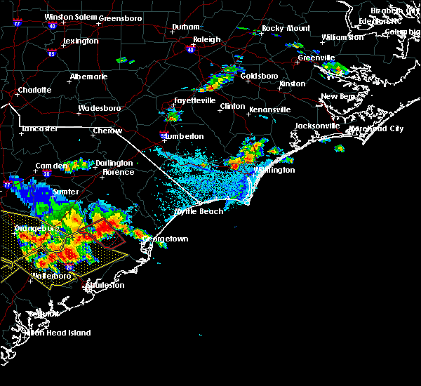 At 324 pm edt, a severe thunderstorm was located 8 miles southwest of indiantown, or 8 miles east of kingstree, moving southeast at 25 mph (radar indicated). Hazards include 60 mph wind gusts and quarter size hail. Hail damage to vehicles is expected. Expect wind damage to roofs, siding, and trees. At 324 pm edt, a severe thunderstorm was located 8 miles southwest of indiantown, or 8 miles east of kingstree, moving southeast at 25 mph (radar indicated). Hazards include 60 mph wind gusts and quarter size hail. Hail damage to vehicles is expected. Expect wind damage to roofs, siding, and trees.
|
| 6/17/2016 3:20 PM EDT |
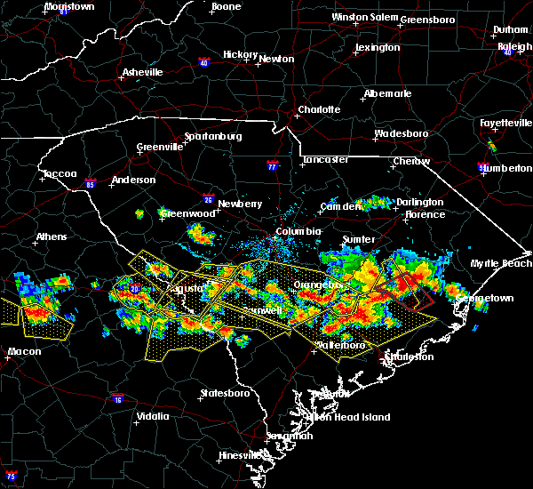 At 320 pm edt, a severe thunderstorm capable of producing a tornado was located over gourdin, or 12 miles southwest of kingstree, moving southeast at 30 mph (radar indicated rotation). Hazards include tornado...quarter size hail...and 60 mph wind gusts. Expect damage to mobile homes. roofs. and vehicles. this dangerous storm will be near, gourdin around 325 pm edt. Other locations impacted by this tornadic thunderstorm include lane. At 320 pm edt, a severe thunderstorm capable of producing a tornado was located over gourdin, or 12 miles southwest of kingstree, moving southeast at 30 mph (radar indicated rotation). Hazards include tornado...quarter size hail...and 60 mph wind gusts. Expect damage to mobile homes. roofs. and vehicles. this dangerous storm will be near, gourdin around 325 pm edt. Other locations impacted by this tornadic thunderstorm include lane.
|
| 9/10/2015 9:13 PM EDT |
 At 912 pm edt, doppler radar indicated a severe thunderstorm capable of producing damaging winds in excess of 60 mph. this storm was located near georgetown, moving east at 45 mph. locations impacted include, georgetown, debordieu colony, pawleys island, winyah bay entrance, yawkey south island, murrells inlet, andrews, jackson, warsaw, north santee, earle, graves, plantersville, oatland, lambert, litchfield beach, sampit, rhems, yauhannah and georgetown memorial hospital. At 912 pm edt, doppler radar indicated a severe thunderstorm capable of producing damaging winds in excess of 60 mph. this storm was located near georgetown, moving east at 45 mph. locations impacted include, georgetown, debordieu colony, pawleys island, winyah bay entrance, yawkey south island, murrells inlet, andrews, jackson, warsaw, north santee, earle, graves, plantersville, oatland, lambert, litchfield beach, sampit, rhems, yauhannah and georgetown memorial hospital.
|
| 9/10/2015 8:48 PM EDT |
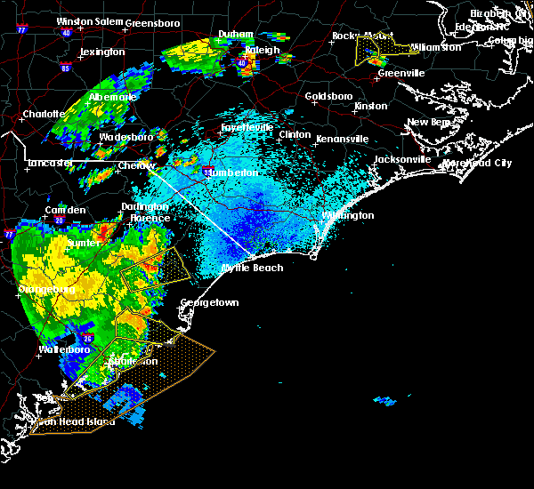 At 847 pm edt, doppler radar indicated a severe thunderstorm capable of producing damaging winds in excess of 60 mph. this storm was located over jamestown, or 19 miles northwest of mcclellanville, and moving east at 45 mph. At 847 pm edt, doppler radar indicated a severe thunderstorm capable of producing damaging winds in excess of 60 mph. this storm was located over jamestown, or 19 miles northwest of mcclellanville, and moving east at 45 mph.
|
| 7/13/2015 4:20 PM EDT |
 At 420 pm edt, doppler radar indicated a severe thunderstorm capable of producing quarter size hail and damaging winds in excess of 60 mph. this storm was located near indiantown, or 9 miles southeast of lake city, and moving southeast at 20 mph. At 420 pm edt, doppler radar indicated a severe thunderstorm capable of producing quarter size hail and damaging winds in excess of 60 mph. this storm was located near indiantown, or 9 miles southeast of lake city, and moving southeast at 20 mph.
|
| 7/2/2015 7:59 PM EDT |
 At 759 pm edt, doppler radar indicated a line of severe thunderstorms capable of producing damaging winds in excess of 60 mph. these storms were located along a line extending from dongola to near henry to warsaw to near jamestown, and moving southeast at 25 mph. At 759 pm edt, doppler radar indicated a line of severe thunderstorms capable of producing damaging winds in excess of 60 mph. these storms were located along a line extending from dongola to near henry to warsaw to near jamestown, and moving southeast at 25 mph.
|
| 7/2/2015 7:12 PM EDT |
 At 712 pm edt, doppler radar indicated a line of severe thunderstorms capable of producing quarter size hail and damaging winds in excess of 60 mph. these storms were located along a line extending from gapway to near rains to pamplico to kingstree to near gourdin, moving east at 25 mph. locations impacted include, marion, lake city, mullins, kingstree, horry, andrews, johnsonville, pamplico, hemingway, poston, kingsburg, warsaw, dongola, gourdin, earle, blue brick, trio, henry, galivants ferry and salters. this includes sc highway 22 between mile markers 1 and 4. At 712 pm edt, doppler radar indicated a line of severe thunderstorms capable of producing quarter size hail and damaging winds in excess of 60 mph. these storms were located along a line extending from gapway to near rains to pamplico to kingstree to near gourdin, moving east at 25 mph. locations impacted include, marion, lake city, mullins, kingstree, horry, andrews, johnsonville, pamplico, hemingway, poston, kingsburg, warsaw, dongola, gourdin, earle, blue brick, trio, henry, galivants ferry and salters. this includes sc highway 22 between mile markers 1 and 4.
|
| 7/2/2015 6:53 PM EDT |
 At 653 pm edt, doppler radar indicated a line of severe thunderstorms capable of producing quarter size hail and damaging winds in excess of 60 mph. these storms were located along a line extending from near oak grove to near new hope to kingstree, and moving east at 30 mph. At 653 pm edt, doppler radar indicated a line of severe thunderstorms capable of producing quarter size hail and damaging winds in excess of 60 mph. these storms were located along a line extending from near oak grove to near new hope to kingstree, and moving east at 30 mph.
|
| 6/30/2015 7:09 PM EDT | Tree down on hwy 521 and steadfast r in williamsburg county SC, 7.3 miles SE of Andrews, SC |
| 6/30/2015 7:05 PM EDT |
 At 705 pm edt, doppler radar indicated a line of severe thunderstorms capable of producing quarter size hail and damaging winds in excess of 60 mph. these storms were located along a line extending from brownsville to near pamplico to 7 miles southeast of kingstree, and moving northeast at 65 mph. At 705 pm edt, doppler radar indicated a line of severe thunderstorms capable of producing quarter size hail and damaging winds in excess of 60 mph. these storms were located along a line extending from brownsville to near pamplico to 7 miles southeast of kingstree, and moving northeast at 65 mph.
|
| 4/19/2015 7:29 PM EDT | At 727 pm edt, doppler radar indicated a line of severe thunderstorms capable of producing quarter size hail and damaging winds in excess of 60 mph. these storms were located along a line extending from near indiantown to santee coastal reserve, and moving northeast at 40 mph. |
| 4/19/2015 6:57 PM EDT | At 656 pm edt, trained weather spotters reported a line of severe thunderstorms producing damaging winds in excess of 60 mph. these storms were located along a line extending from near dovesville to near salters, moving northeast at 40 mph. locations impacted include, florence, hartsville, lake city, darlington, kingstree, andrews, timmonsville, johnsonville, pamplico, quinby, hemingway, kingsburg, warsaw, gourdin, hebron, earle, new hope, henry, salters and effingham. this includes the following highways, interstate 20 between mile markers 131 and 141. interstate 95 in south carolina near mile marker 146, and between mile markers 150 and 176. |
| 4/19/2015 6:09 PM EDT | The national weather service in wilmington nc has issued a * severe thunderstorm warning for. florence county in northeastern south carolina. darlington county in northeastern south carolina. williamsburg county in northeastern south carolina. Until 715 pm edt. |
| 5/23/2014 10:00 PM EDT | Quarter sized hail reported 0.2 miles E of Andrews, SC, relayed through nws charleston sc |
| 6/13/2012 6:50 PM EDT | Large trees dow in georgetown county SC, 0.2 miles E of Andrews, SC |
| 6/13/2012 6:40 PM EDT | 5 large trees across roadway. 2 other trees fell on 2 houses.. one person was trapped in vehicle by fallen power lines. 2 out buildings sustained a small to moderate am in georgetown county SC, 0.2 miles E of Andrews, SC |
| 1/1/0001 12:00 AM | Tree down on car on north magnolia av in georgetown county SC, 0.8 miles SSW of Andrews, SC |
| 1/1/0001 12:00 AM | A few trees reported down within the sampit are in georgetown county SC, 8.2 miles NW of Andrews, SC |
| 1/1/0001 12:00 AM | Quarter sized hail reported 1.1 miles NW of Andrews, SC, quarter size hail occurred along highway 501 east southeast of andrews. |
| 1/1/0001 12:00 AM | Golf Ball sized hail reported 1.4 miles N of Andrews, SC |
| 5/10/2011 7:30 PM EDT | Tennis Ball sized hail reported 0.2 miles E of Andrews, SC |
| 5/10/2011 7:29 PM EDT | Baseball sized hail reported 0.2 miles E of Andrews, SC, baseball size hail damaging vehicles in the area. |
| 1/1/0001 12:00 AM | Many trees down. indian hut road at tallowtree driv in georgetown county SC, 7 miles WNW of Andrews, SC |
| 1/1/0001 12:00 AM | Tree in the roadway at the intersection of hwy 17a and sc 4 in georgetown county SC, 2.7 miles N of Andrews, SC |
| 1/1/0001 12:00 AM | Trees down. small hail was also reporte in georgetown county SC, 0.2 miles E of Andrews, SC |
| 4/16/2011 5:43 PM EDT | Golf Ball sized hail reported 0.2 miles E of Andrews, SC, off duty fire fighter reports golf ball size hall near andrews. |
Hail Maps for Andrews, SC


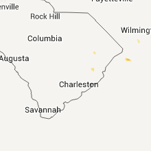


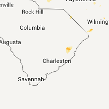


Connect with Interactive Hail Maps