

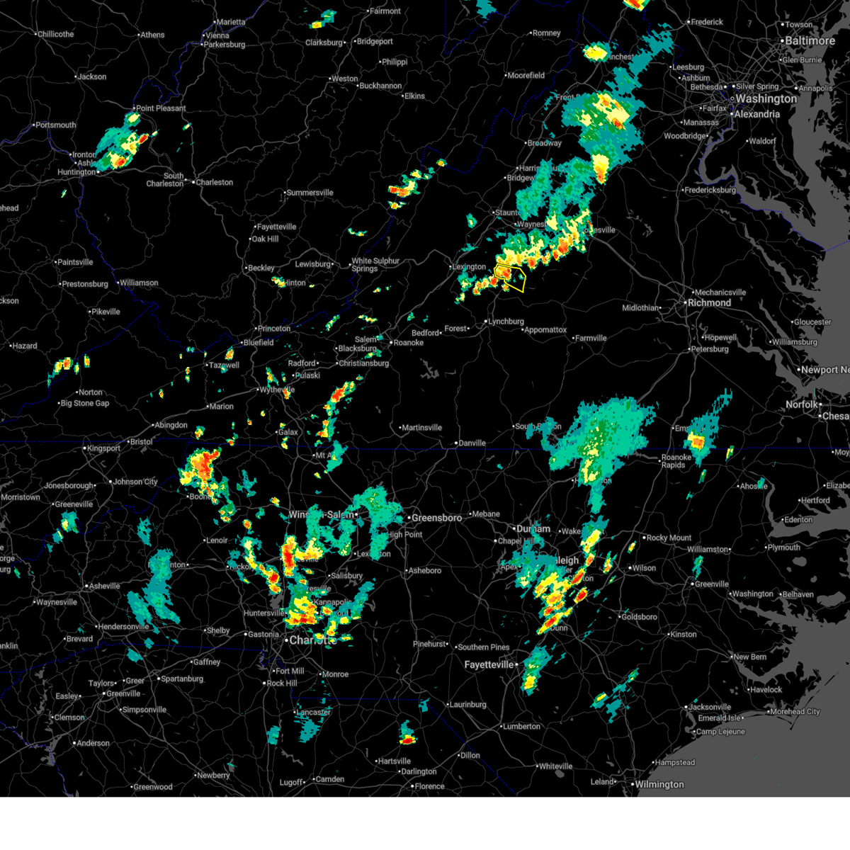
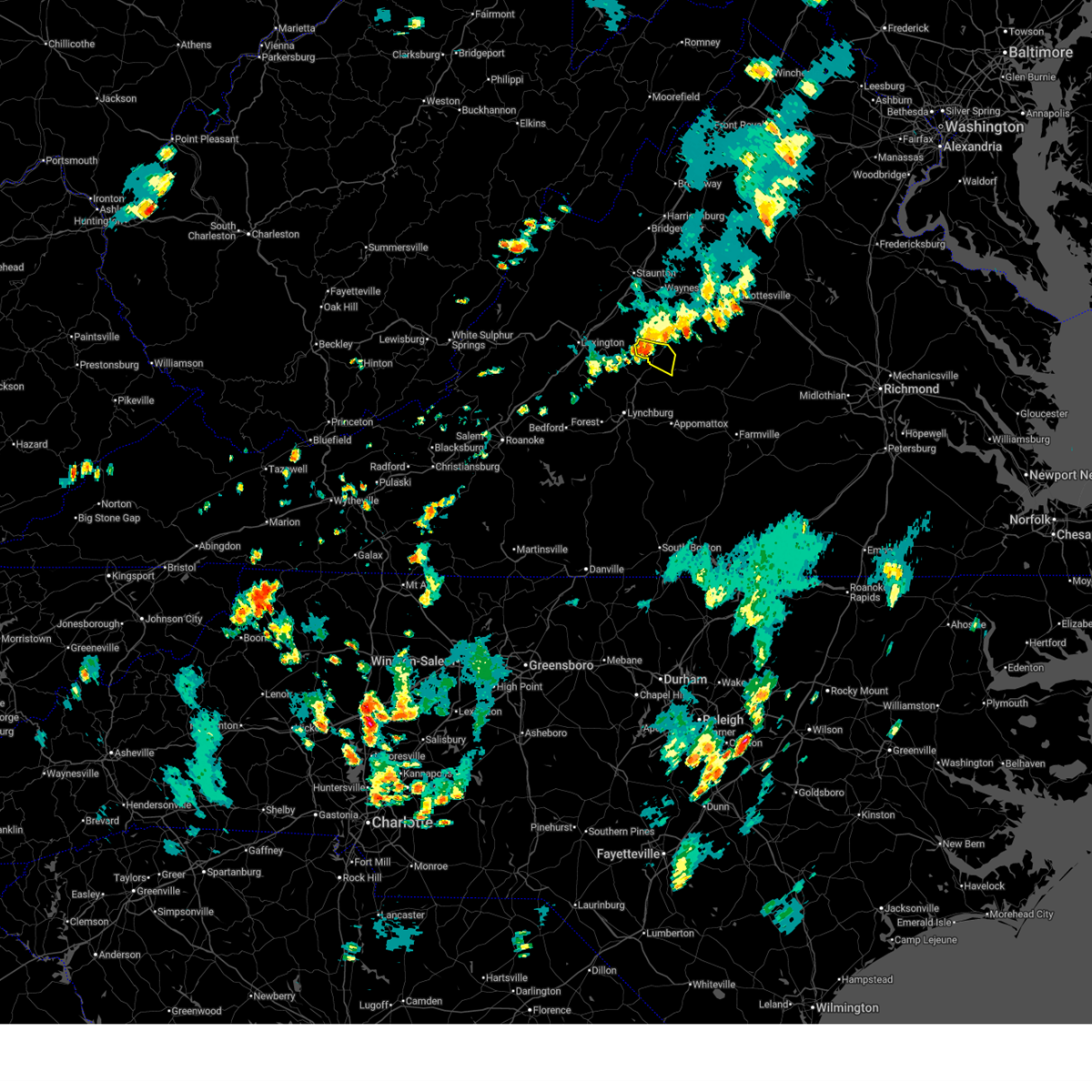
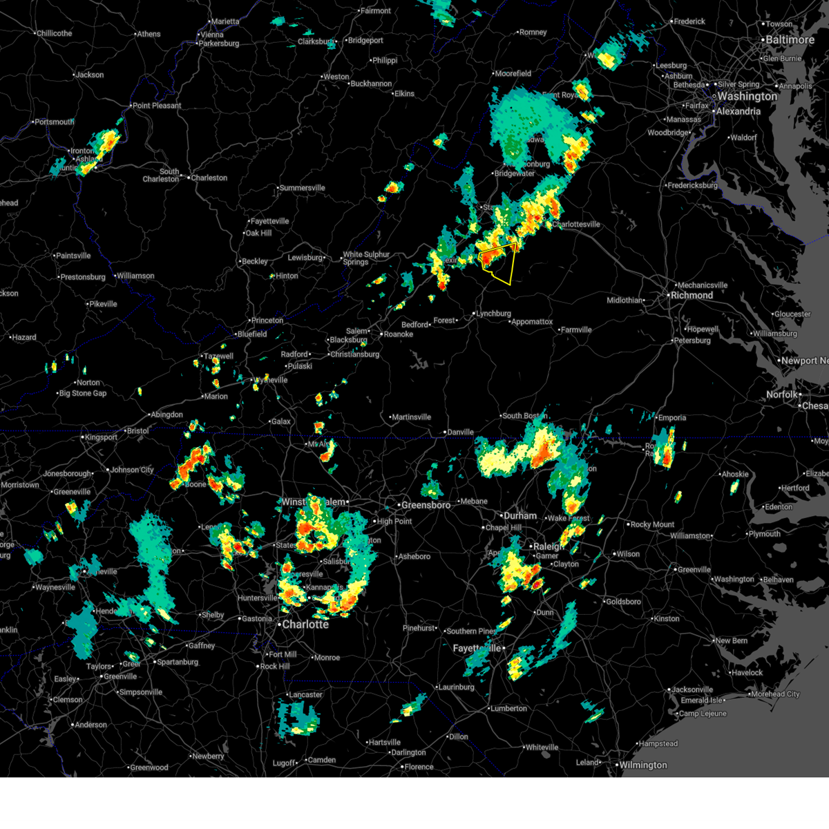
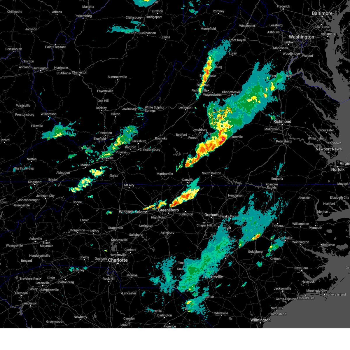
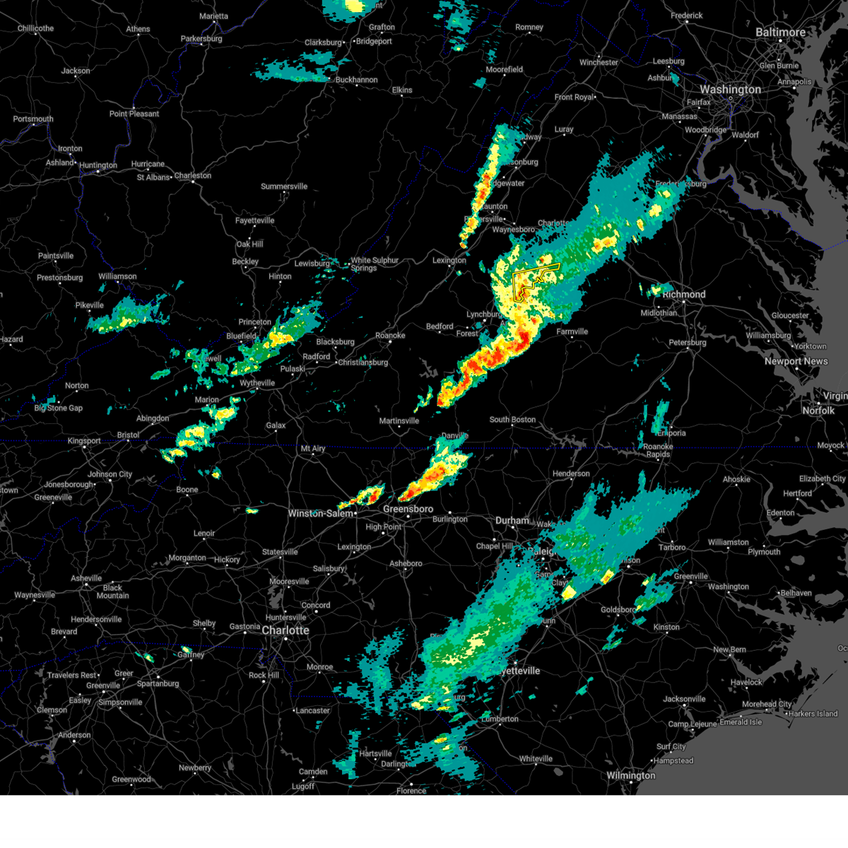
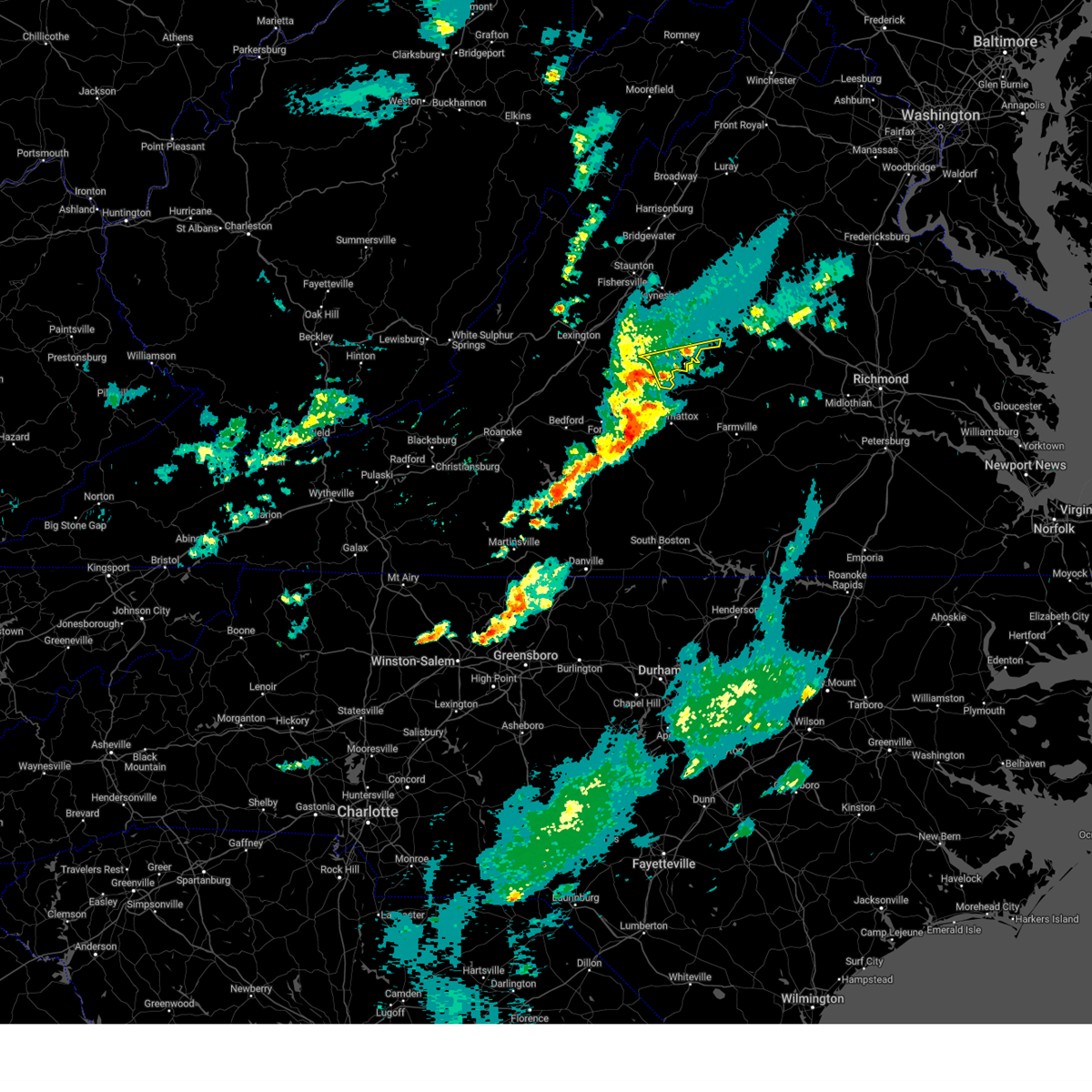
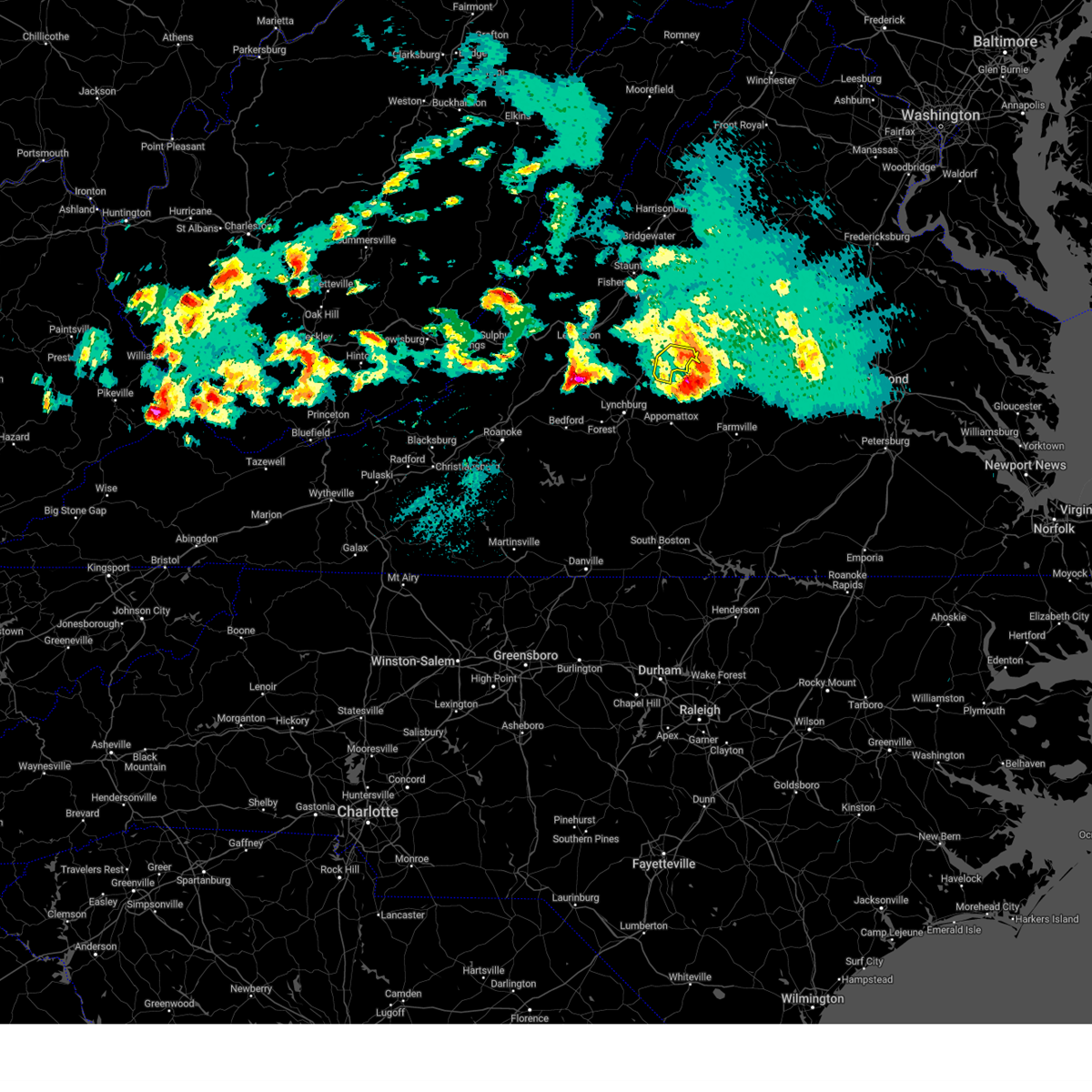
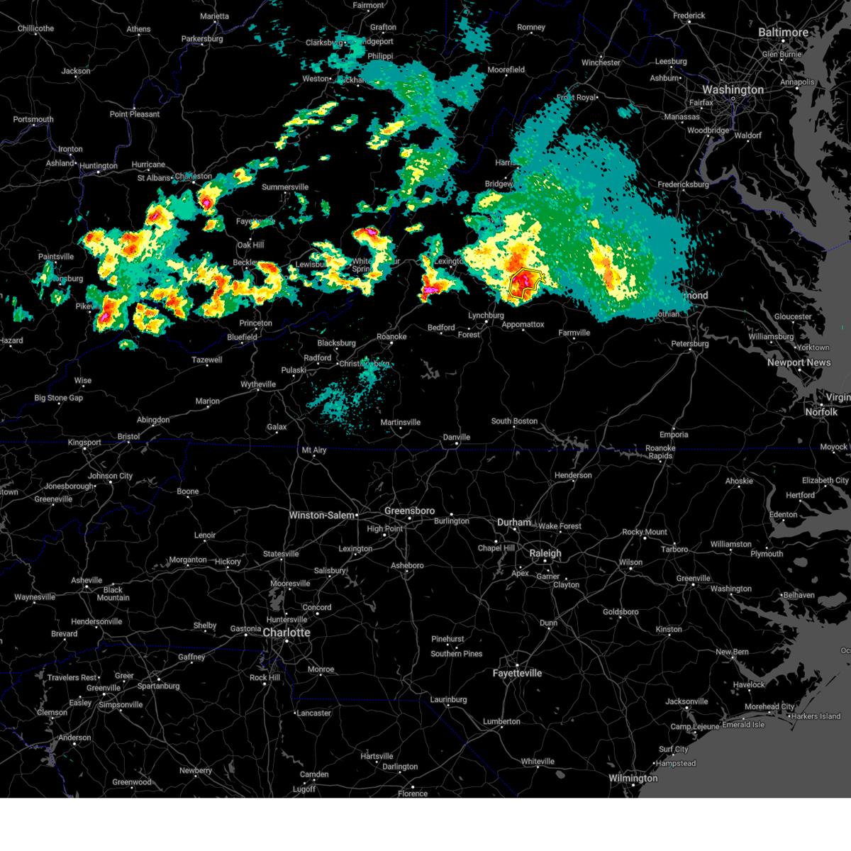
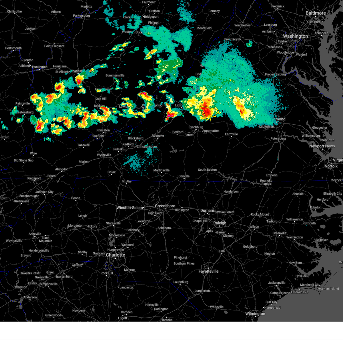
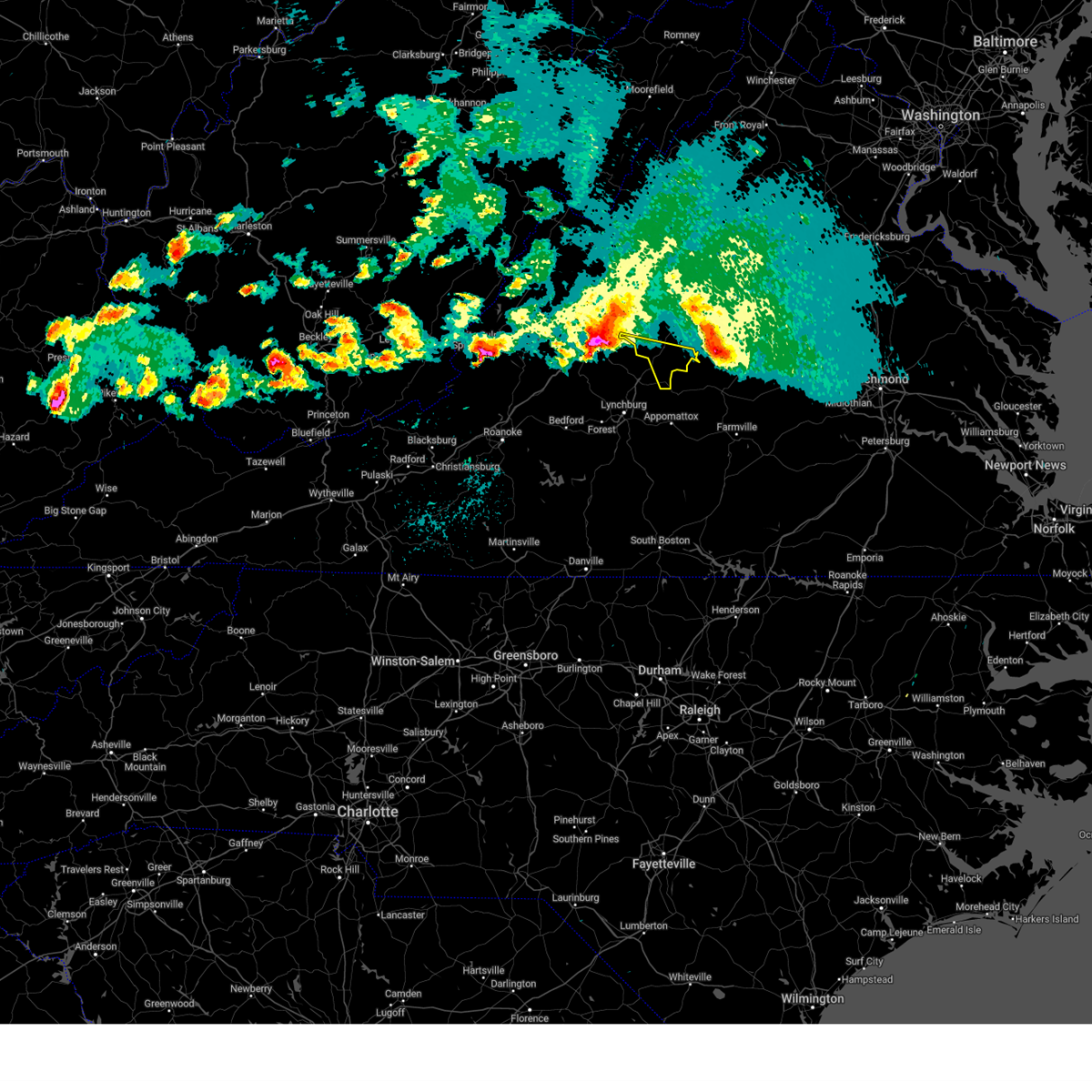
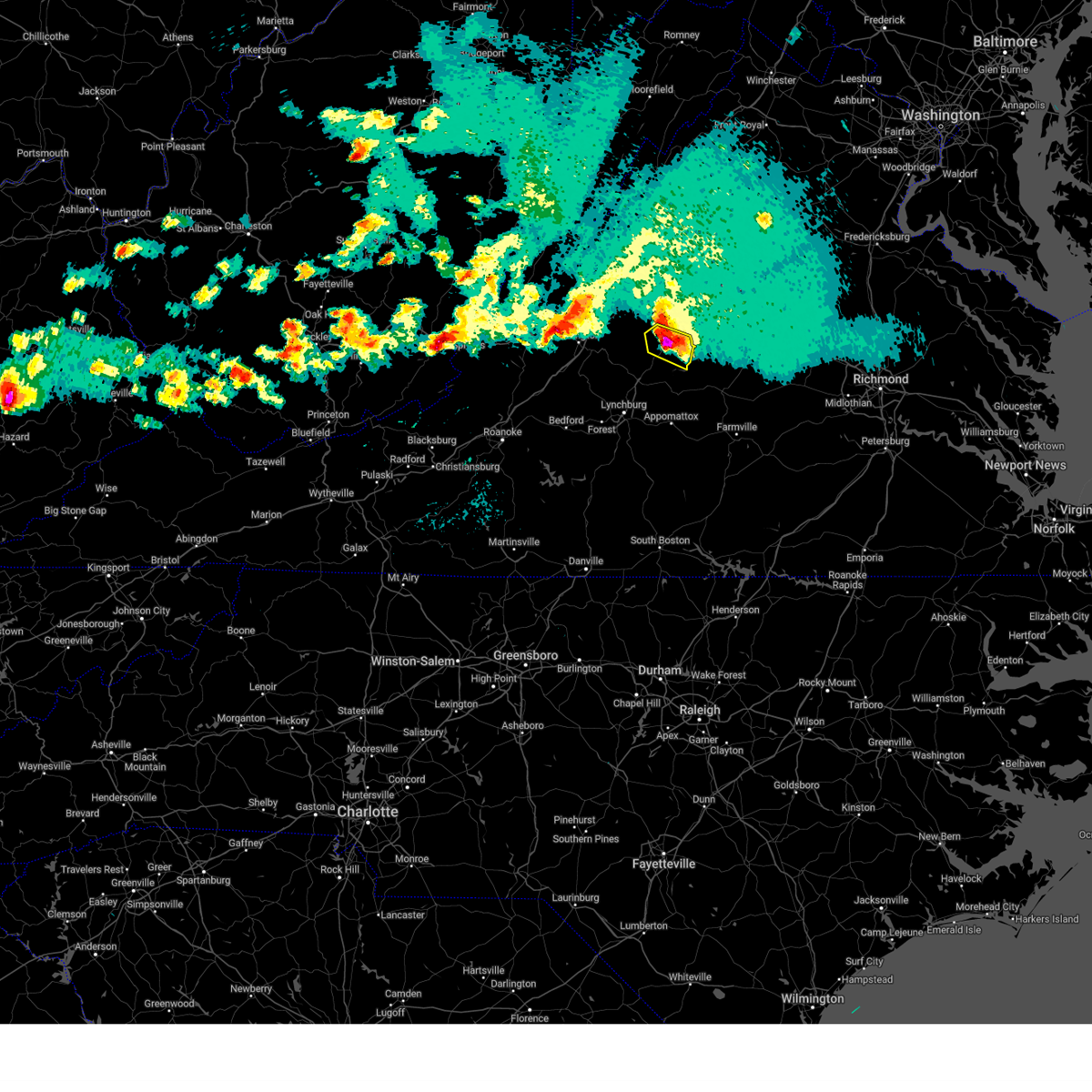
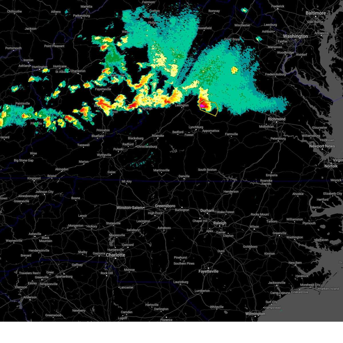
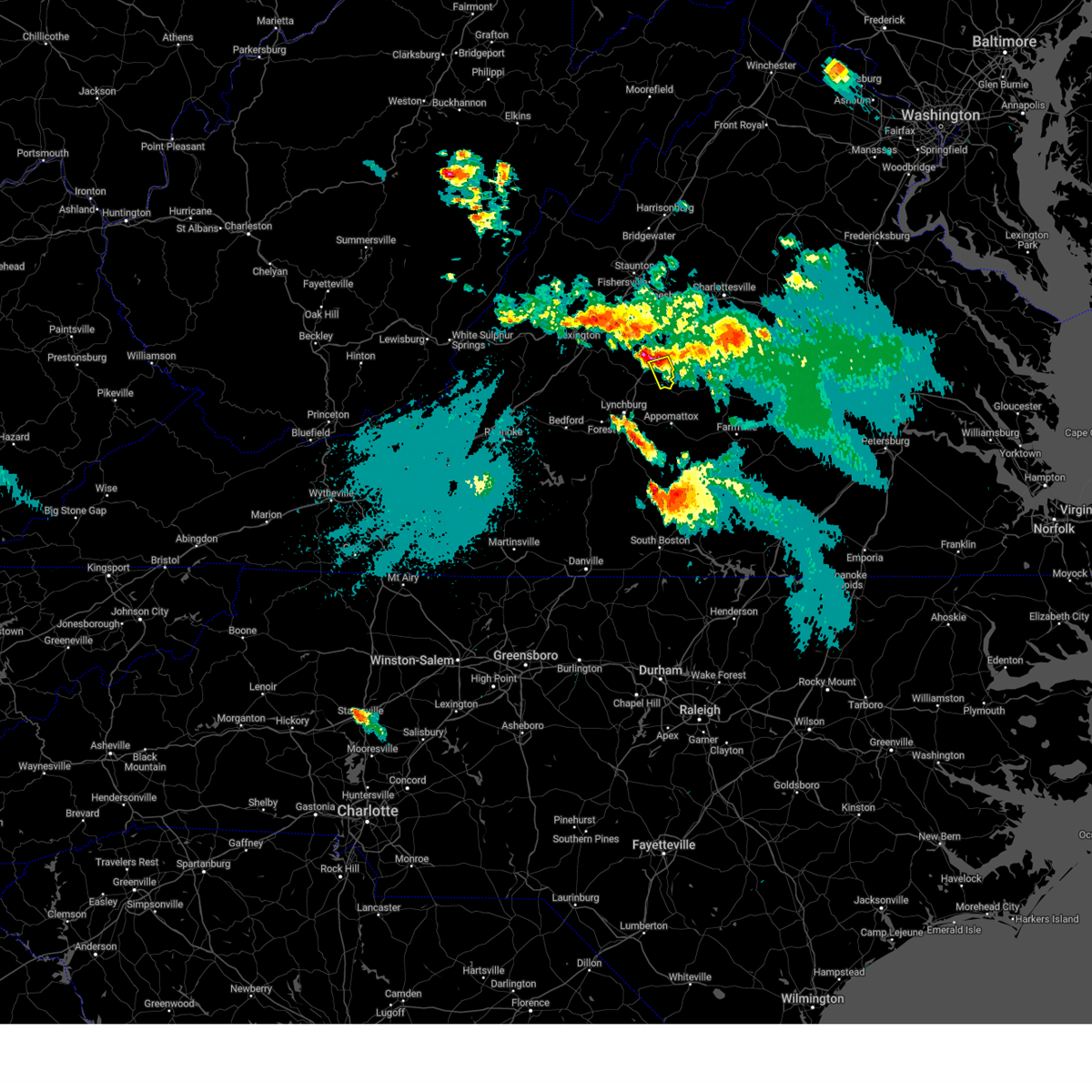
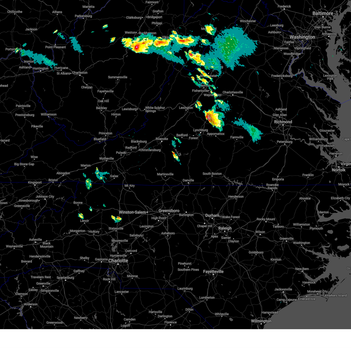
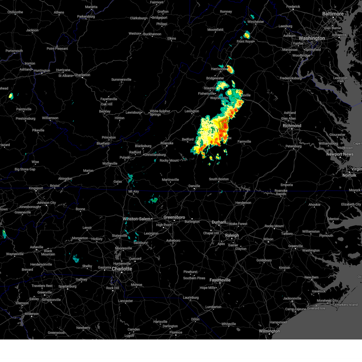
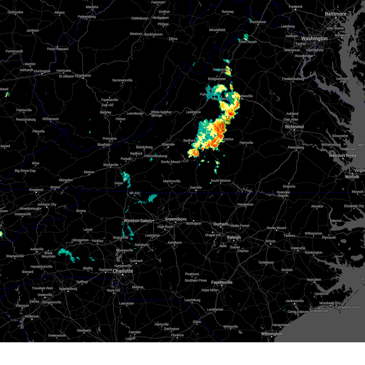
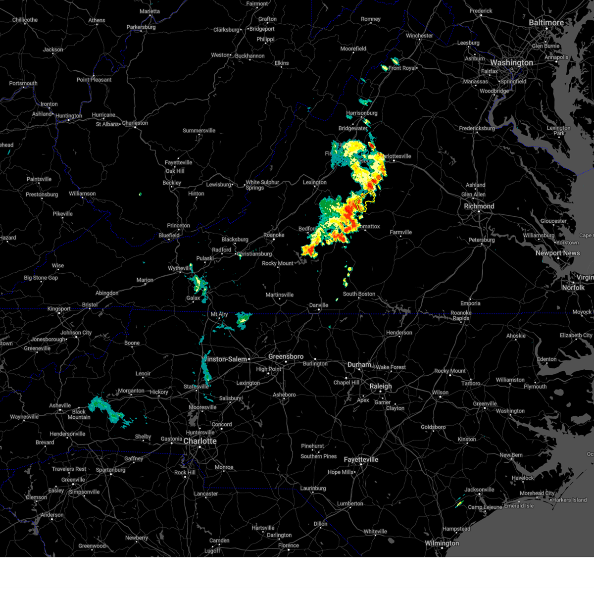
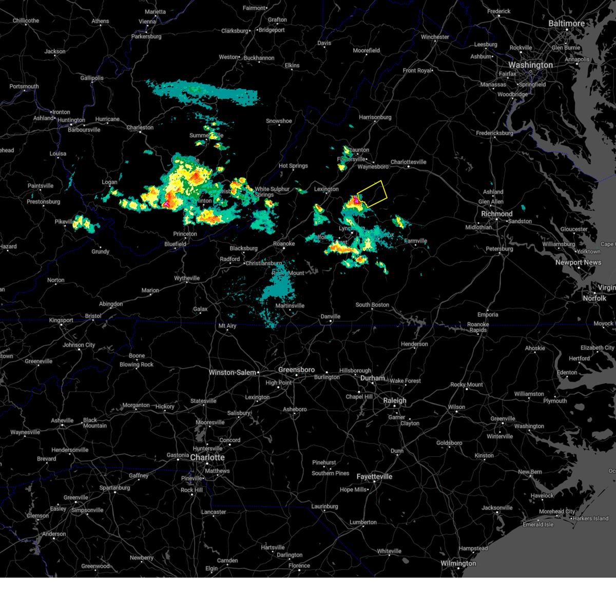
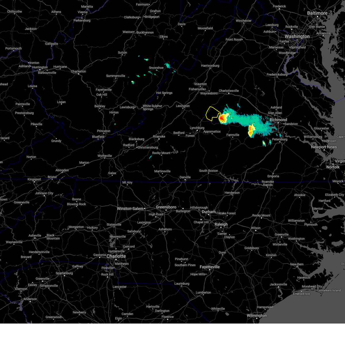
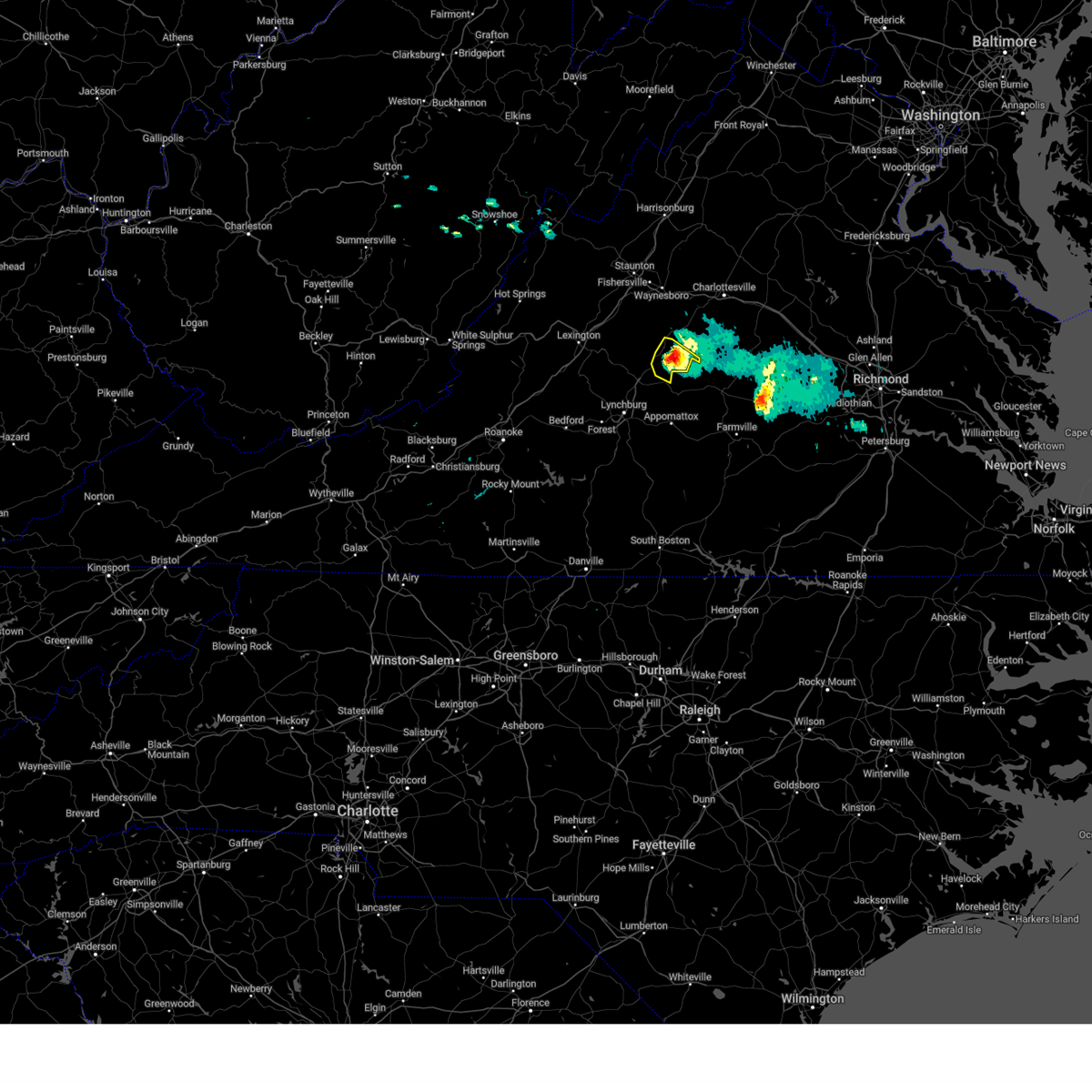
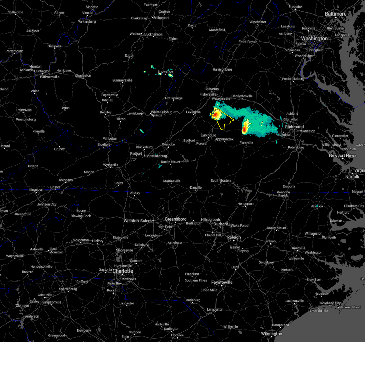
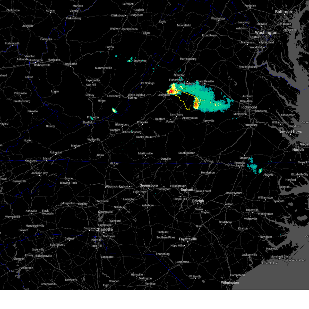
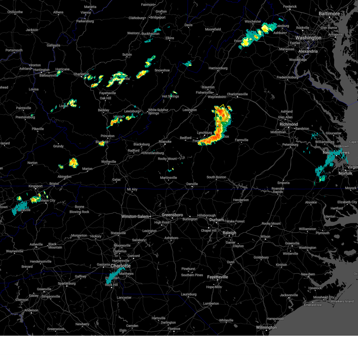
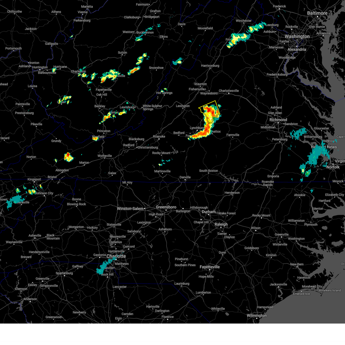
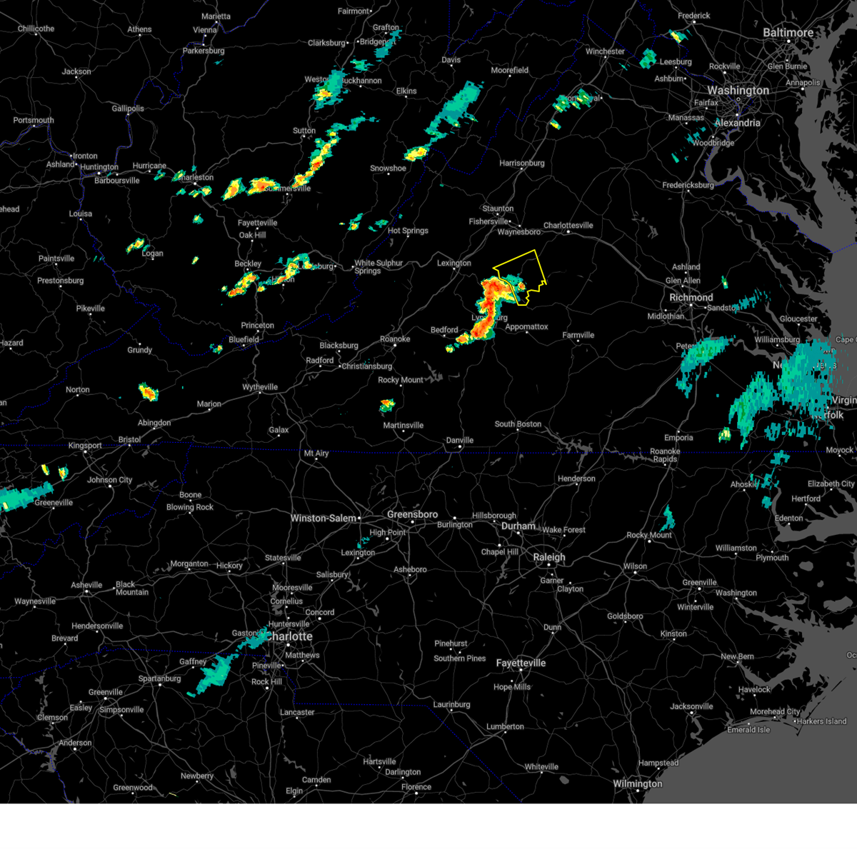
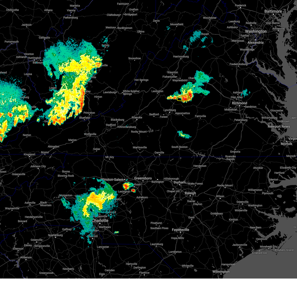
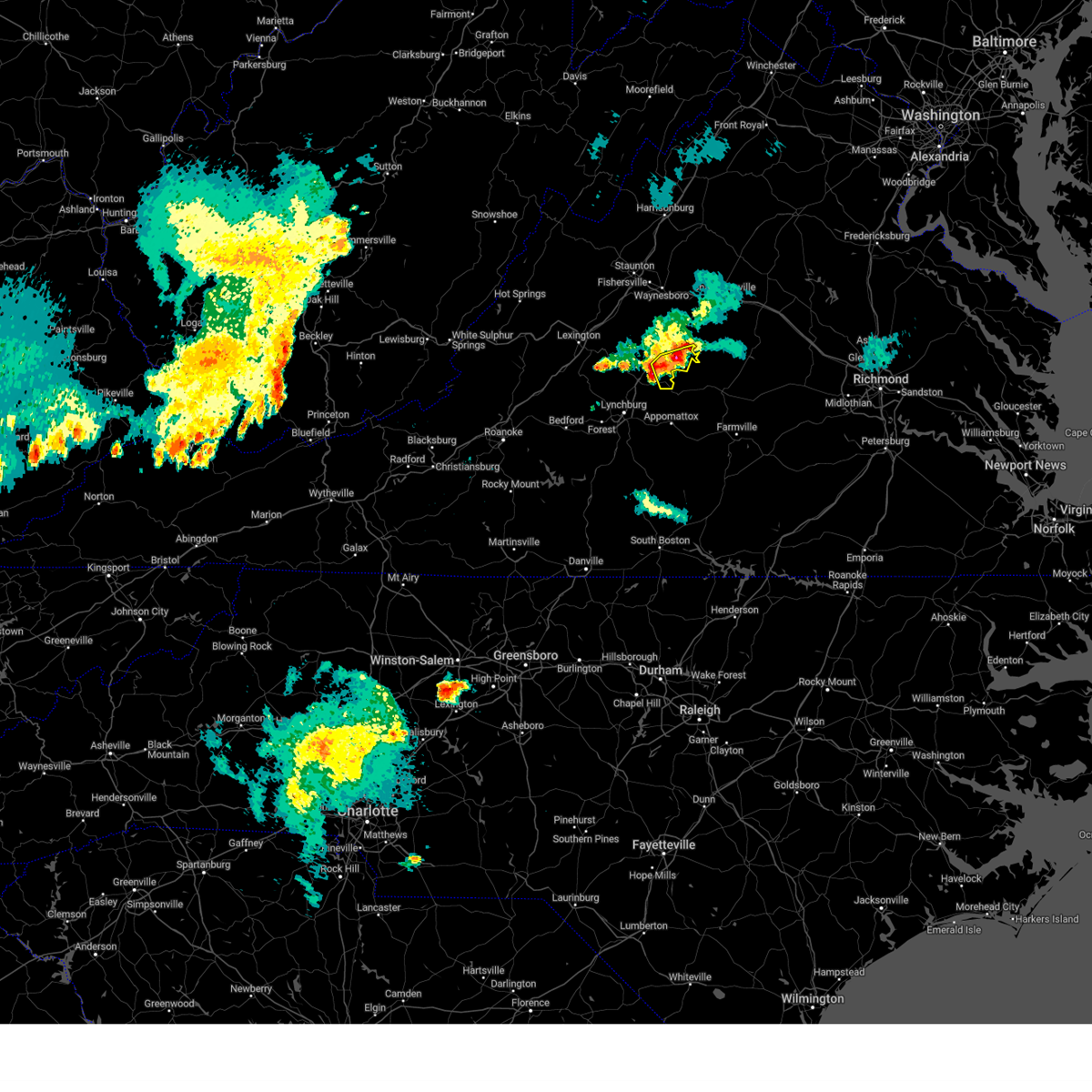
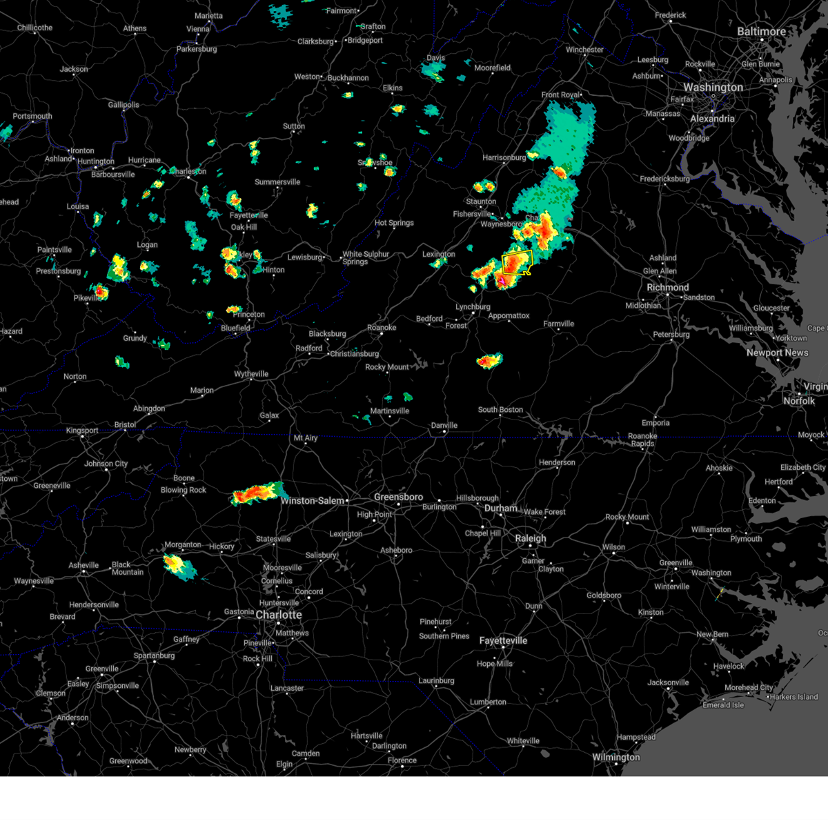
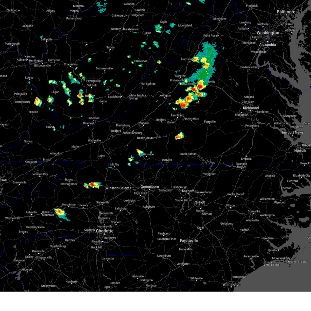
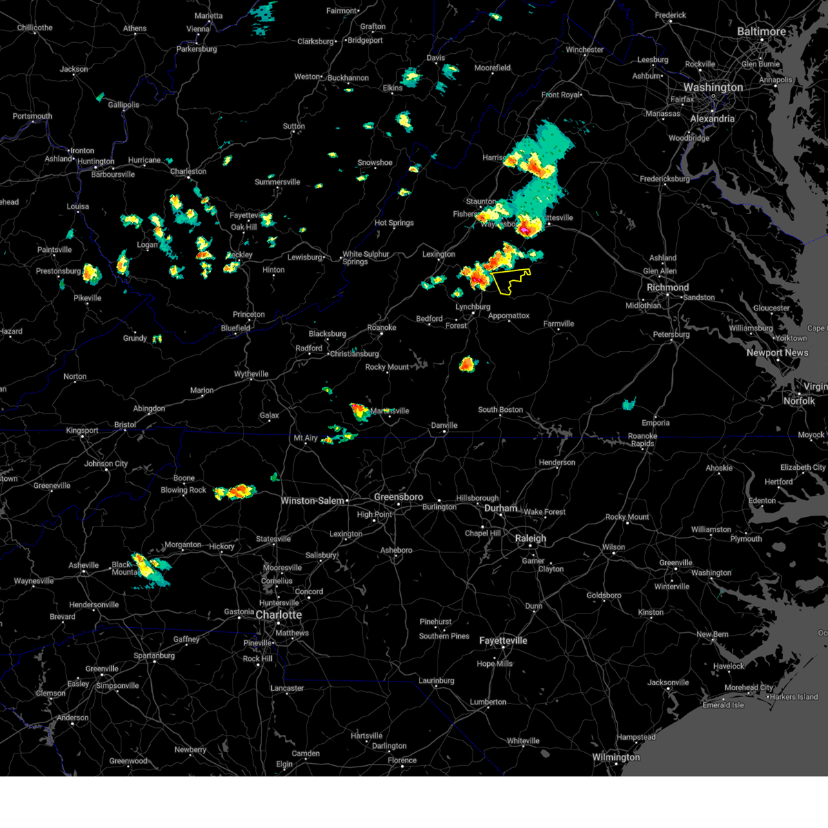
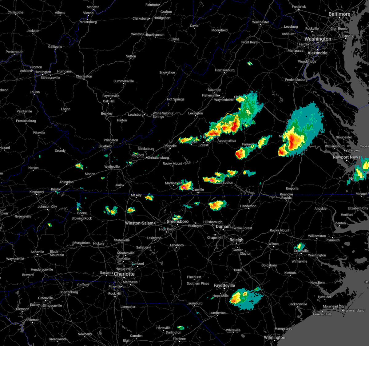
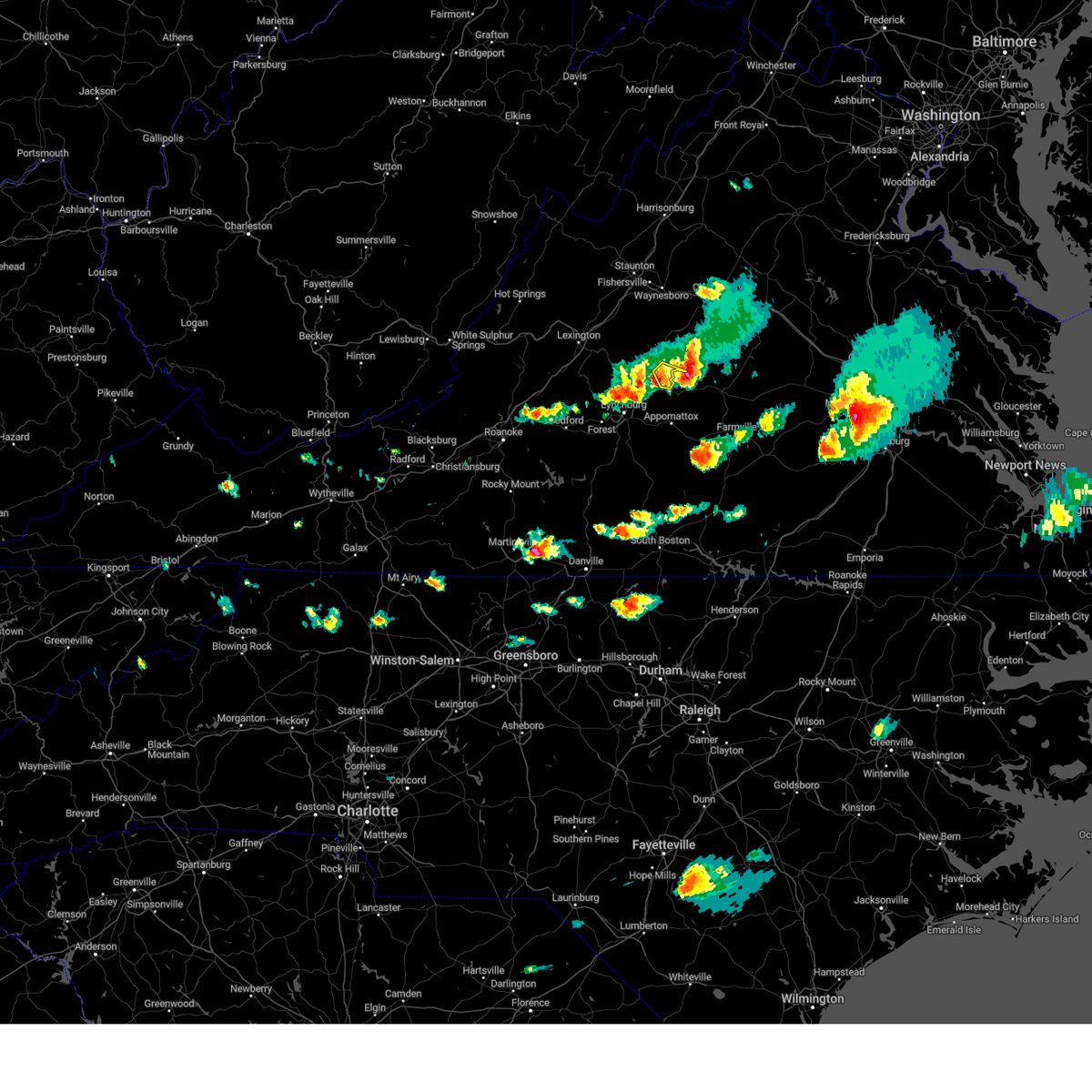
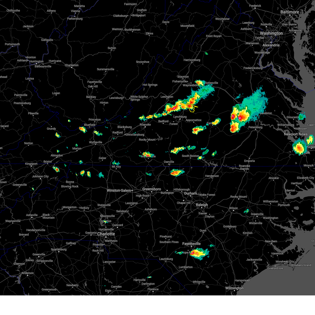
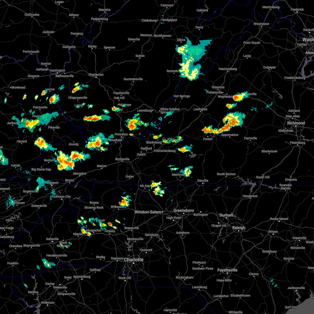
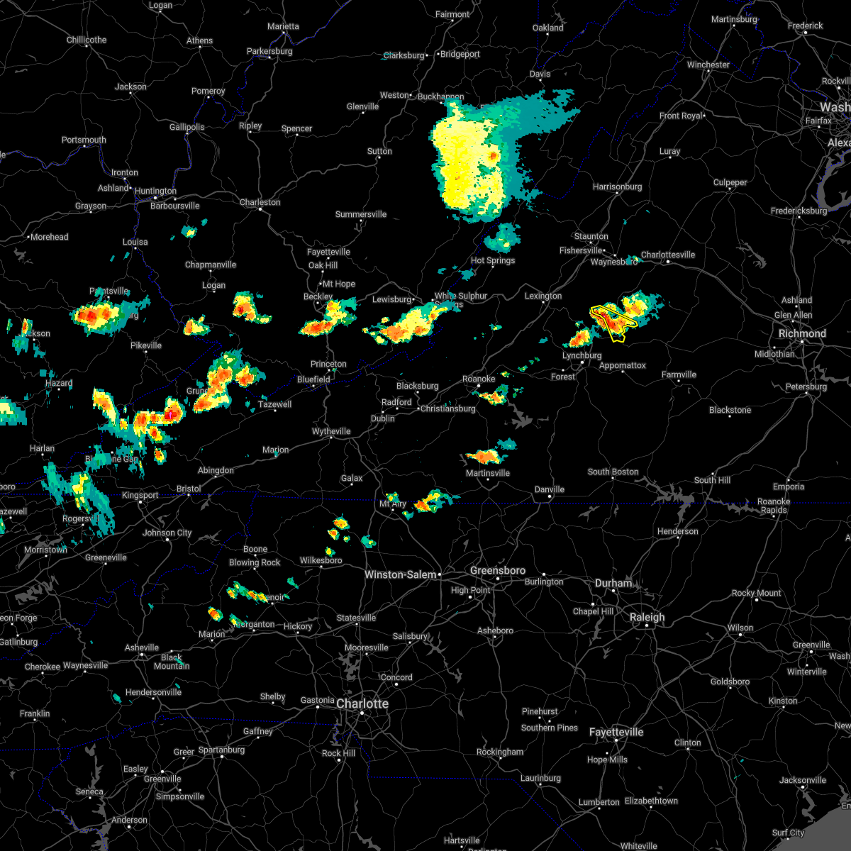
Hail Map for Arrington, VA
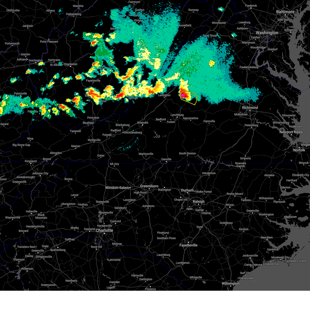
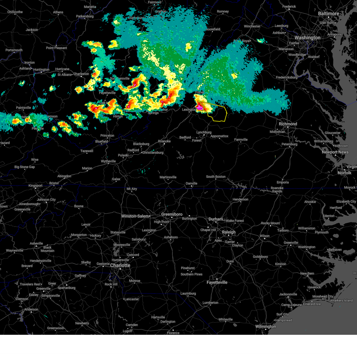
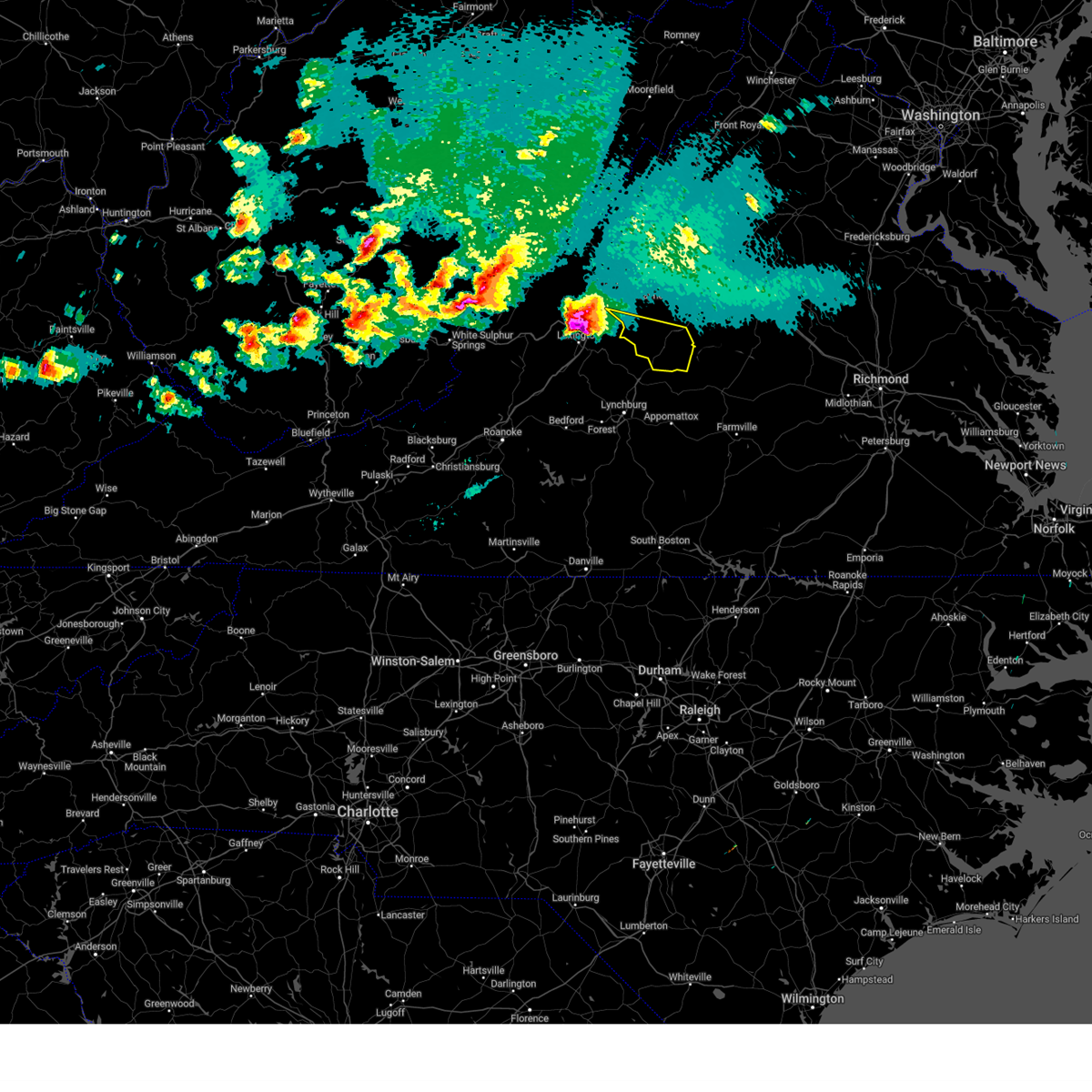
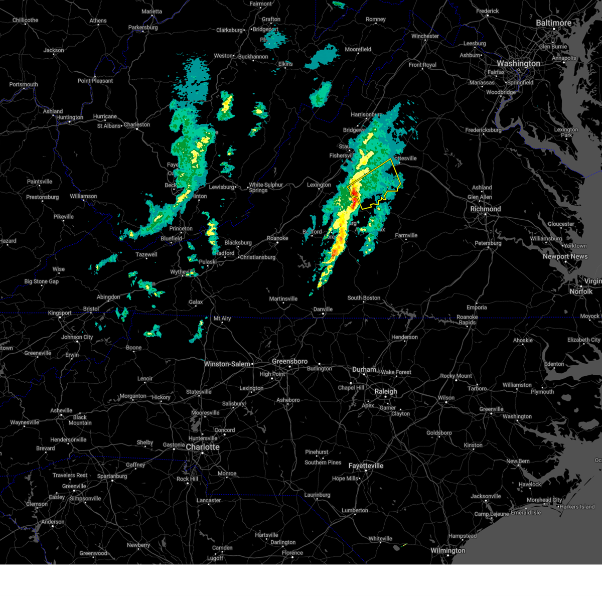
The Arrington, VA area has had 8 reports of on-the-ground hail by trained spotters, and has been under severe weather warnings 21 times during the past 12 months. Doppler radar has detected hail at or near Arrington, VA on 40 occasions, including 3 occasions during the past year.
| Name: | Arrington, VA |
| Where Located: | 64 miles ENE of Roanoke, VA |
| Map: | Google Map for Arrington, VA |
| Population: | 708 |
| Housing Units: | 309 |
| More Info: | Search Google for Arrington, VA |
5
The Top Recent Hail Date for Arrington, VA is Tuesday, December 31, 2024 (5th out of 40)

Hail and Wind Damage Spotted near Arrington, VA
| Date / Time | Report Details |
|---|---|
| 6/28/2025 5:32 PM EDT |
 the severe thunderstorm warning has been cancelled and is no longer in effect the severe thunderstorm warning has been cancelled and is no longer in effect
|
| 6/28/2025 5:25 PM EDT |
 At 524 pm edt, a severe thunderstorm was located near lowesville, or near clifford, moving east at 10 mph (radar indicated). Hazards include 60 mph wind gusts and quarter size hail. Damaging winds will cause some trees and large branches to fall. this could injure those outdoors, as well as damage homes and vehicles. roadways may become blocked by downed trees. localized power outages are possible. unsecured light objects may become projectiles. Locations impacted include, shipman, arrington, lovingston, jonesboro, roseland, massies mill, and piney river. At 524 pm edt, a severe thunderstorm was located near lowesville, or near clifford, moving east at 10 mph (radar indicated). Hazards include 60 mph wind gusts and quarter size hail. Damaging winds will cause some trees and large branches to fall. this could injure those outdoors, as well as damage homes and vehicles. roadways may become blocked by downed trees. localized power outages are possible. unsecured light objects may become projectiles. Locations impacted include, shipman, arrington, lovingston, jonesboro, roseland, massies mill, and piney river.
|
| 6/28/2025 4:58 PM EDT |
 Svrlwx the national weather service in sterling virginia has issued a * severe thunderstorm warning for, central nelson county in central virginia, * until 545 pm edt. * at 457 pm edt, a severe thunderstorm was located near lowesville, or 8 miles north of clifford, moving east at 10 mph (radar indicated). Hazards include 60 mph wind gusts and quarter size hail. Damaging winds will cause some trees and large branches to fall. this could injure those outdoors, as well as damage homes and vehicles. roadways may become blocked by downed trees. localized power outages are possible. Unsecured light objects may become projectiles. Svrlwx the national weather service in sterling virginia has issued a * severe thunderstorm warning for, central nelson county in central virginia, * until 545 pm edt. * at 457 pm edt, a severe thunderstorm was located near lowesville, or 8 miles north of clifford, moving east at 10 mph (radar indicated). Hazards include 60 mph wind gusts and quarter size hail. Damaging winds will cause some trees and large branches to fall. this could injure those outdoors, as well as damage homes and vehicles. roadways may become blocked by downed trees. localized power outages are possible. Unsecured light objects may become projectiles.
|
| 5/30/2025 5:21 PM EDT |
 The storm which prompted the warning has weakened below severe limits, and no longer poses an immediate threat to life or property. therefore, the warning will be allowed to expire. however, gusty winds are still possible with this thunderstorm. a tornado watch remains in effect until 800 pm edt for central virginia. The storm which prompted the warning has weakened below severe limits, and no longer poses an immediate threat to life or property. therefore, the warning will be allowed to expire. however, gusty winds are still possible with this thunderstorm. a tornado watch remains in effect until 800 pm edt for central virginia.
|
| 5/30/2025 5:13 PM EDT |
 At 512 pm edt, a severe thunderstorm was located near shipman, or 9 miles north of bent creek, moving east at 40 mph (radar indicated). Hazards include 60 mph wind gusts. Damaging winds will cause some trees and large branches to fall. this could injure those outdoors, as well as damage homes and vehicles. roadways may become blocked by downed trees. localized power outages are possible. unsecured light objects may become projectiles. Locations impacted include, norwood, five forks, shipman, wingina, gladstone, arrington, buffalo springs, and scottsville. At 512 pm edt, a severe thunderstorm was located near shipman, or 9 miles north of bent creek, moving east at 40 mph (radar indicated). Hazards include 60 mph wind gusts. Damaging winds will cause some trees and large branches to fall. this could injure those outdoors, as well as damage homes and vehicles. roadways may become blocked by downed trees. localized power outages are possible. unsecured light objects may become projectiles. Locations impacted include, norwood, five forks, shipman, wingina, gladstone, arrington, buffalo springs, and scottsville.
|
| 5/30/2025 4:47 PM EDT |
 Svrlwx the national weather service in sterling virginia has issued a * severe thunderstorm warning for, southeastern nelson county in central virginia, south central albemarle county in central virginia, * until 530 pm edt. * at 447 pm edt, a severe thunderstorm was located over amherst, moving east at 45 mph (radar indicated). Hazards include 60 mph wind gusts. Damaging winds will cause some trees and large branches to fall. this could injure those outdoors, as well as damage homes and vehicles. roadways may become blocked by downed trees. localized power outages are possible. Unsecured light objects may become projectiles. Svrlwx the national weather service in sterling virginia has issued a * severe thunderstorm warning for, southeastern nelson county in central virginia, south central albemarle county in central virginia, * until 530 pm edt. * at 447 pm edt, a severe thunderstorm was located over amherst, moving east at 45 mph (radar indicated). Hazards include 60 mph wind gusts. Damaging winds will cause some trees and large branches to fall. this could injure those outdoors, as well as damage homes and vehicles. roadways may become blocked by downed trees. localized power outages are possible. Unsecured light objects may become projectiles.
|
| 4/14/2025 9:35 PM EDT |
 the severe thunderstorm warning has been cancelled and is no longer in effect the severe thunderstorm warning has been cancelled and is no longer in effect
|
| 4/14/2025 9:27 PM EDT |
 At 926 pm edt, a severe thunderstorm was located near wingina, or 9 miles northeast of bent creek, moving east at 55 mph (radar indicated). Hazards include quarter size hail. Some hail damage to agriculture is expected. Locations impacted include, norwood, five forks, shipman, wingina, elma, arrington, buffalo springs, and lovingston. At 926 pm edt, a severe thunderstorm was located near wingina, or 9 miles northeast of bent creek, moving east at 55 mph (radar indicated). Hazards include quarter size hail. Some hail damage to agriculture is expected. Locations impacted include, norwood, five forks, shipman, wingina, elma, arrington, buffalo springs, and lovingston.
|
| 4/14/2025 9:17 PM EDT |
 At 917 pm edt, a severe thunderstorm was located near shipman, or near clifford, moving east at 55 mph (radar indicated). Hazards include quarter size hail. Some hail damage to agriculture is expected. Locations impacted include, norwood, five forks, tye river, jonesboro, lovingston, shipman, wingina, roseland, elma, arrington, buffalo springs, and massies mill. At 917 pm edt, a severe thunderstorm was located near shipman, or near clifford, moving east at 55 mph (radar indicated). Hazards include quarter size hail. Some hail damage to agriculture is expected. Locations impacted include, norwood, five forks, tye river, jonesboro, lovingston, shipman, wingina, roseland, elma, arrington, buffalo springs, and massies mill.
|
| 4/14/2025 9:01 PM EDT |
 Svrlwx the national weather service in sterling virginia has issued a * severe thunderstorm warning for, southern nelson county in central virginia, * until 945 pm edt. * at 901 pm edt, a severe thunderstorm was located over alto, or near forks of buffalo, moving east at 55 mph (radar indicated). Hazards include 60 mph wind gusts and half dollar size hail. Damaging winds will cause some trees and large branches to fall. this could injure those outdoors, as well as damage homes and vehicles. roadways may become blocked by downed trees. localized power outages are possible. Unsecured light objects may become projectiles. Svrlwx the national weather service in sterling virginia has issued a * severe thunderstorm warning for, southern nelson county in central virginia, * until 945 pm edt. * at 901 pm edt, a severe thunderstorm was located over alto, or near forks of buffalo, moving east at 55 mph (radar indicated). Hazards include 60 mph wind gusts and half dollar size hail. Damaging winds will cause some trees and large branches to fall. this could injure those outdoors, as well as damage homes and vehicles. roadways may become blocked by downed trees. localized power outages are possible. Unsecured light objects may become projectiles.
|
| 4/14/2025 8:37 PM EDT |
 At 836 pm edt, a severe thunderstorm was located near shipman, or 14 miles northeast of clifford, moving east at 55 mph (radar indicated). Hazards include ping pong ball size hail and 60 mph wind gusts. Damaging winds will cause some trees and large branches to fall. this could injure those outdoors, as well as damage homes and vehicles. roadways may become blocked by downed trees. localized power outages are possible. unsecured light objects may become projectiles. Locations impacted include, bryant, jonesboro, lovingston, schuyler, shipman, roseland, elma, rockfish, and arrington. At 836 pm edt, a severe thunderstorm was located near shipman, or 14 miles northeast of clifford, moving east at 55 mph (radar indicated). Hazards include ping pong ball size hail and 60 mph wind gusts. Damaging winds will cause some trees and large branches to fall. this could injure those outdoors, as well as damage homes and vehicles. roadways may become blocked by downed trees. localized power outages are possible. unsecured light objects may become projectiles. Locations impacted include, bryant, jonesboro, lovingston, schuyler, shipman, roseland, elma, rockfish, and arrington.
|
| 4/14/2025 8:30 PM EDT |
 At 830 pm edt, a severe thunderstorm was located near shipman, or 10 miles northeast of clifford, moving east at 45 mph (radar indicated). Hazards include ping pong ball size hail and 60 mph wind gusts. Damaging winds will cause some trees and large branches to fall. this could injure those outdoors, as well as damage homes and vehicles. roadways may become blocked by downed trees. localized power outages are possible. unsecured light objects may become projectiles. Locations impacted include, bryant, lovingston, shipman, roseland, tyro, rockfish, jonesboro, schuyler, elma, faber, massies mill, wintergreen, arrington, and nellysford. At 830 pm edt, a severe thunderstorm was located near shipman, or 10 miles northeast of clifford, moving east at 45 mph (radar indicated). Hazards include ping pong ball size hail and 60 mph wind gusts. Damaging winds will cause some trees and large branches to fall. this could injure those outdoors, as well as damage homes and vehicles. roadways may become blocked by downed trees. localized power outages are possible. unsecured light objects may become projectiles. Locations impacted include, bryant, lovingston, shipman, roseland, tyro, rockfish, jonesboro, schuyler, elma, faber, massies mill, wintergreen, arrington, and nellysford.
|
| 4/14/2025 8:30 PM EDT |
 the severe thunderstorm warning has been cancelled and is no longer in effect the severe thunderstorm warning has been cancelled and is no longer in effect
|
| 4/14/2025 8:13 PM EDT |
 At 813 pm edt, a severe thunderstorm was located near montebello, or 9 miles north of forks of buffalo, moving east at 55 mph (radar indicated). Hazards include ping pong ball size hail and 60 mph wind gusts. Damaging winds will cause some trees and large branches to fall. this could injure those outdoors, as well as damage homes and vehicles. roadways may become blocked by downed trees. localized power outages are possible. unsecured light objects may become projectiles. Locations impacted include, bryant, tye river, lovingston, shipman, roseland, montebello, arrington, tyro, rockfish, norwood, jonesboro, schuyler, wingina, elma, faber, massies mill, wintergreen, and nellysford. At 813 pm edt, a severe thunderstorm was located near montebello, or 9 miles north of forks of buffalo, moving east at 55 mph (radar indicated). Hazards include ping pong ball size hail and 60 mph wind gusts. Damaging winds will cause some trees and large branches to fall. this could injure those outdoors, as well as damage homes and vehicles. roadways may become blocked by downed trees. localized power outages are possible. unsecured light objects may become projectiles. Locations impacted include, bryant, tye river, lovingston, shipman, roseland, montebello, arrington, tyro, rockfish, norwood, jonesboro, schuyler, wingina, elma, faber, massies mill, wintergreen, and nellysford.
|
| 4/14/2025 7:59 PM EDT |
 Svrlwx the national weather service in sterling virginia has issued a * severe thunderstorm warning for, nelson county in central virginia, south central augusta county in western virginia, * until 845 pm edt. * at 759 pm edt, a severe thunderstorm was located near rockbridge baths, moving east at 55 mph (radar indicated). Hazards include ping pong ball size hail and 60 mph wind gusts. Damaging winds will cause some trees and large branches to fall. this could injure those outdoors, as well as damage homes and vehicles. roadways may become blocked by downed trees. localized power outages are possible. Unsecured light objects may become projectiles. Svrlwx the national weather service in sterling virginia has issued a * severe thunderstorm warning for, nelson county in central virginia, south central augusta county in western virginia, * until 845 pm edt. * at 759 pm edt, a severe thunderstorm was located near rockbridge baths, moving east at 55 mph (radar indicated). Hazards include ping pong ball size hail and 60 mph wind gusts. Damaging winds will cause some trees and large branches to fall. this could injure those outdoors, as well as damage homes and vehicles. roadways may become blocked by downed trees. localized power outages are possible. Unsecured light objects may become projectiles.
|
| 12/31/2024 4:04 PM EST | Quarter sized hail reported 0.6 miles SE of Arrington, VA |
| 12/31/2024 2:58 PM EST |
 Svrlwx the national weather service in sterling virginia has issued a * severe thunderstorm warning for, nelson county in central virginia, southwestern albemarle county in central virginia, * until 345 pm est. * at 258 pm est, a severe thunderstorm was located over clifford, moving northeast at 40 mph (radar indicated). Hazards include 60 mph wind gusts and quarter size hail. Damaging winds will cause some trees and large branches to fall. this could injure those outdoors, as well as damage homes and vehicles. roadways may become blocked by downed trees. localized power outages are possible. Unsecured light objects may become projectiles. Svrlwx the national weather service in sterling virginia has issued a * severe thunderstorm warning for, nelson county in central virginia, southwestern albemarle county in central virginia, * until 345 pm est. * at 258 pm est, a severe thunderstorm was located over clifford, moving northeast at 40 mph (radar indicated). Hazards include 60 mph wind gusts and quarter size hail. Damaging winds will cause some trees and large branches to fall. this could injure those outdoors, as well as damage homes and vehicles. roadways may become blocked by downed trees. localized power outages are possible. Unsecured light objects may become projectiles.
|
| 9/21/2024 8:13 PM EDT |
 Svrlwx the national weather service in sterling virginia has issued a * severe thunderstorm warning for, south central nelson county in central virginia, * until 845 pm edt. * at 813 pm edt, a severe thunderstorm was located near new glasgow, or near clifford, moving south at 20 mph (radar indicated). Hazards include 60 mph wind gusts and quarter size hail. Damaging winds will cause some trees and large branches to fall. this could injure those outdoors, as well as damage homes and vehicles. roadways may become blocked by downed trees. localized power outages are possible. Unsecured light objects may become projectiles. Svrlwx the national weather service in sterling virginia has issued a * severe thunderstorm warning for, south central nelson county in central virginia, * until 845 pm edt. * at 813 pm edt, a severe thunderstorm was located near new glasgow, or near clifford, moving south at 20 mph (radar indicated). Hazards include 60 mph wind gusts and quarter size hail. Damaging winds will cause some trees and large branches to fall. this could injure those outdoors, as well as damage homes and vehicles. roadways may become blocked by downed trees. localized power outages are possible. Unsecured light objects may become projectiles.
|
| 9/21/2024 5:50 PM EDT | Corrects previous tstm wnd dmg report from 4 n riverville. multiple trees reported down along the eastbound side of highway 60 in amherst county virginia. 911 call cent in amherst county VA, 7.4 miles NNE of Arrington, VA |
| 9/21/2024 5:35 PM EDT | Golf Ball sized hail reported 3.9 miles ENE of Arrington, VA, reported at business on geddes mountain road. |
| 9/21/2024 5:30 PM EDT |
 Svrlwx the national weather service in sterling virginia has issued a * severe thunderstorm warning for, south central nelson county in central virginia, * until 600 pm edt. * at 530 pm edt, a severe thunderstorm was located near new glasgow, or near clifford, moving southeast at 20 mph (radar indicated). Hazards include 60 mph wind gusts and half dollar size hail. Damaging winds will cause some trees and large branches to fall. this could injure those outdoors, as well as damage homes and vehicles. roadways may become blocked by downed trees. localized power outages are possible. Unsecured light objects may become projectiles. Svrlwx the national weather service in sterling virginia has issued a * severe thunderstorm warning for, south central nelson county in central virginia, * until 600 pm edt. * at 530 pm edt, a severe thunderstorm was located near new glasgow, or near clifford, moving southeast at 20 mph (radar indicated). Hazards include 60 mph wind gusts and half dollar size hail. Damaging winds will cause some trees and large branches to fall. this could injure those outdoors, as well as damage homes and vehicles. roadways may become blocked by downed trees. localized power outages are possible. Unsecured light objects may become projectiles.
|
| 7/30/2024 2:12 PM EDT |
 The storm which prompted the warning has weakened below severe limits, and no longer poses an immediate threat to life or property. therefore, the warning will be allowed to expire. however, heavy rain is still possible with this thunderstorm. to report severe weather, contact your nearest law enforcement agency. they will relay your report to the national weather service sterling virginia. The storm which prompted the warning has weakened below severe limits, and no longer poses an immediate threat to life or property. therefore, the warning will be allowed to expire. however, heavy rain is still possible with this thunderstorm. to report severe weather, contact your nearest law enforcement agency. they will relay your report to the national weather service sterling virginia.
|
| 7/30/2024 2:01 PM EDT |
 At 201 pm edt, a severe thunderstorm was located near bent creek, moving northeast at 20 mph (radar indicated). Hazards include 60 mph wind gusts. Damaging winds will cause some trees and large branches to fall. this could injure those outdoors, as well as damage homes and vehicles. roadways may become blocked by downed trees. localized power outages are possible. unsecured light objects may become projectiles. Locations impacted include, arrington, norwood, wingina, gladstone, five forks, and buffalo springs. At 201 pm edt, a severe thunderstorm was located near bent creek, moving northeast at 20 mph (radar indicated). Hazards include 60 mph wind gusts. Damaging winds will cause some trees and large branches to fall. this could injure those outdoors, as well as damage homes and vehicles. roadways may become blocked by downed trees. localized power outages are possible. unsecured light objects may become projectiles. Locations impacted include, arrington, norwood, wingina, gladstone, five forks, and buffalo springs.
|
| 7/30/2024 1:52 PM EDT | One tree downed across richmond hwy near piedmont rd in nelson county VA, 7.2 miles N of Arrington, VA |
| 7/30/2024 1:51 PM EDT |
 Svrlwx the national weather service in sterling virginia has issued a * severe thunderstorm warning for, southeastern nelson county in central virginia, * until 215 pm edt. * at 150 pm edt, a severe thunderstorm was located near bent creek, moving northeast at 20 mph (radar indicated). Hazards include 60 mph wind gusts and quarter size hail. Damaging winds will cause some trees and large branches to fall. this could injure those outdoors, as well as damage homes and vehicles. roadways may become blocked by downed trees. localized power outages are possible. Unsecured light objects may become projectiles. Svrlwx the national weather service in sterling virginia has issued a * severe thunderstorm warning for, southeastern nelson county in central virginia, * until 215 pm edt. * at 150 pm edt, a severe thunderstorm was located near bent creek, moving northeast at 20 mph (radar indicated). Hazards include 60 mph wind gusts and quarter size hail. Damaging winds will cause some trees and large branches to fall. this could injure those outdoors, as well as damage homes and vehicles. roadways may become blocked by downed trees. localized power outages are possible. Unsecured light objects may become projectiles.
|
| 5/26/2024 8:12 PM EDT |
 At 811 pm edt, severe thunderstorms were located along a line extending from 9 miles southwest of petersburg to 6 miles south of brandywine to near afton to near tower hill, moving east at 45 mph (radar indicated). Hazards include 60 mph wind gusts and quarter size hail. Damaging winds will cause some trees and large branches to fall. this could injure those outdoors, as well as damage homes and vehicles. roadways may become blocked by downed trees. localized power outages are possible. unsecured light objects may become projectiles. Locations impacted include, harrisonburg, staunton, waynesboro, franklin, stuarts draft, bridgewater, crozet, broadway, grottoes, timberville, massanutten, crimora, sherando, shipman, schuyler, wintergreen, afton, dale enterprise, fishersville, and verona. At 811 pm edt, severe thunderstorms were located along a line extending from 9 miles southwest of petersburg to 6 miles south of brandywine to near afton to near tower hill, moving east at 45 mph (radar indicated). Hazards include 60 mph wind gusts and quarter size hail. Damaging winds will cause some trees and large branches to fall. this could injure those outdoors, as well as damage homes and vehicles. roadways may become blocked by downed trees. localized power outages are possible. unsecured light objects may become projectiles. Locations impacted include, harrisonburg, staunton, waynesboro, franklin, stuarts draft, bridgewater, crozet, broadway, grottoes, timberville, massanutten, crimora, sherando, shipman, schuyler, wintergreen, afton, dale enterprise, fishersville, and verona.
|
| 5/26/2024 8:12 PM EDT |
 the severe thunderstorm warning has been cancelled and is no longer in effect the severe thunderstorm warning has been cancelled and is no longer in effect
|
| 5/26/2024 7:42 PM EDT |
 Svrlwx the national weather service in sterling virginia has issued a * severe thunderstorm warning for, nelson county in central virginia, rockingham county in western virginia, western albemarle county in central virginia, western greene county in central virginia, augusta county in western virginia, the city of staunton in western virginia, the city of harrisonburg in western virginia, the city of waynesboro in western virginia, eastern highland county in western virginia, pendleton county in eastern west virginia, southwestern hardy county in eastern west virginia, * until 845 pm edt. * at 742 pm edt, severe thunderstorms were located along a line extending from 13 miles southeast of elkins to monterey to near fairfield to near evington, moving east at 40 mph (radar indicated). Hazards include 60 mph wind gusts. Damaging winds will cause some trees and large branches to fall. this could injure those outdoors, as well as damage homes and vehicles. roadways may become blocked by downed trees. localized power outages are possible. Unsecured light objects may become projectiles. Svrlwx the national weather service in sterling virginia has issued a * severe thunderstorm warning for, nelson county in central virginia, rockingham county in western virginia, western albemarle county in central virginia, western greene county in central virginia, augusta county in western virginia, the city of staunton in western virginia, the city of harrisonburg in western virginia, the city of waynesboro in western virginia, eastern highland county in western virginia, pendleton county in eastern west virginia, southwestern hardy county in eastern west virginia, * until 845 pm edt. * at 742 pm edt, severe thunderstorms were located along a line extending from 13 miles southeast of elkins to monterey to near fairfield to near evington, moving east at 40 mph (radar indicated). Hazards include 60 mph wind gusts. Damaging winds will cause some trees and large branches to fall. this could injure those outdoors, as well as damage homes and vehicles. roadways may become blocked by downed trees. localized power outages are possible. Unsecured light objects may become projectiles.
|
| 5/26/2024 7:10 PM EDT |
 At 710 pm edt, severe thunderstorms were located along a line extending from near dailey to 6 miles northwest of greenbank to 7 miles north of mountain grove to near collierstown, moving east at 45 mph (radar indicated). Hazards include 60 mph wind gusts. Damaging winds will cause some trees and large branches to fall. this could injure those outdoors, as well as damage homes and vehicles. roadways may become blocked by downed trees. localized power outages are possible. unsecured light objects may become projectiles. Locations impacted include, staunton, franklin, monterey, stuarts draft, sherando, shipman, wintergreen, montebello, fishersville, verona, lyndhurst, nellysford, craigsville, greenville, arrington, lovingston, augusta springs, middlebrook, churchville, and deerfield. At 710 pm edt, severe thunderstorms were located along a line extending from near dailey to 6 miles northwest of greenbank to 7 miles north of mountain grove to near collierstown, moving east at 45 mph (radar indicated). Hazards include 60 mph wind gusts. Damaging winds will cause some trees and large branches to fall. this could injure those outdoors, as well as damage homes and vehicles. roadways may become blocked by downed trees. localized power outages are possible. unsecured light objects may become projectiles. Locations impacted include, staunton, franklin, monterey, stuarts draft, sherando, shipman, wintergreen, montebello, fishersville, verona, lyndhurst, nellysford, craigsville, greenville, arrington, lovingston, augusta springs, middlebrook, churchville, and deerfield.
|
| 5/26/2024 6:44 PM EDT |
 Svrlwx the national weather service in sterling virginia has issued a * severe thunderstorm warning for, central nelson county in central virginia, augusta county in western virginia, the city of staunton in western virginia, highland county in western virginia, pendleton county in eastern west virginia, * until 745 pm edt. * at 644 pm edt, severe thunderstorms were located along a line extending from 6 miles southeast of rock cave to 10 miles west of snowshoe to near marlinton to near low moor, moving east at 45 mph (radar indicated). Hazards include 60 mph wind gusts and quarter size hail. Damaging winds will cause some trees and large branches to fall. this could injure those outdoors, as well as damage homes and vehicles. roadways may become blocked by downed trees. localized power outages are possible. Unsecured light objects may become projectiles. Svrlwx the national weather service in sterling virginia has issued a * severe thunderstorm warning for, central nelson county in central virginia, augusta county in western virginia, the city of staunton in western virginia, highland county in western virginia, pendleton county in eastern west virginia, * until 745 pm edt. * at 644 pm edt, severe thunderstorms were located along a line extending from 6 miles southeast of rock cave to 10 miles west of snowshoe to near marlinton to near low moor, moving east at 45 mph (radar indicated). Hazards include 60 mph wind gusts and quarter size hail. Damaging winds will cause some trees and large branches to fall. this could injure those outdoors, as well as damage homes and vehicles. roadways may become blocked by downed trees. localized power outages are possible. Unsecured light objects may become projectiles.
|
| 4/1/2024 8:54 PM EDT |
 Svrlwx the national weather service in sterling virginia has issued a * severe thunderstorm warning for, central nelson county in central virginia, * until 930 pm edt. * at 854 pm edt, a severe thunderstorm was located over lowesville, or near clifford, moving east at 40 mph (radar indicated). Hazards include 60 mph wind gusts and quarter size hail. Damaging winds will cause some trees and large branches to fall. this could injure those outdoors, as well as damage homes and vehicles. roadways may become blocked by downed trees. localized power outages are possible. Unsecured light objects may become projectiles. Svrlwx the national weather service in sterling virginia has issued a * severe thunderstorm warning for, central nelson county in central virginia, * until 930 pm edt. * at 854 pm edt, a severe thunderstorm was located over lowesville, or near clifford, moving east at 40 mph (radar indicated). Hazards include 60 mph wind gusts and quarter size hail. Damaging winds will cause some trees and large branches to fall. this could injure those outdoors, as well as damage homes and vehicles. roadways may become blocked by downed trees. localized power outages are possible. Unsecured light objects may become projectiles.
|
| 3/31/2024 6:50 PM EDT |
 The storm which prompted the warning has moved out of the area. therefore, the warning will be allowed to expire. to report severe weather, contact your nearest law enforcement agency. they will relay your report to the national weather service sterling virginia. The storm which prompted the warning has moved out of the area. therefore, the warning will be allowed to expire. to report severe weather, contact your nearest law enforcement agency. they will relay your report to the national weather service sterling virginia.
|
| 3/31/2024 6:32 PM EDT |
 At 632 pm edt, a severe thunderstorm was located near shipman, or 11 miles north of bent creek, moving east at 50 mph (radar indicated). Hazards include 60 mph wind gusts and quarter size hail. Damaging winds will cause some trees and large branches to fall. this could injure those outdoors, as well as damage homes and vehicles. roadways may become blocked by downed trees. localized power outages are possible. unsecured light objects may become projectiles. Locations impacted include, shipman, arrington, lovingston, norwood, tye river, wingina, elma, and buffalo springs. At 632 pm edt, a severe thunderstorm was located near shipman, or 11 miles north of bent creek, moving east at 50 mph (radar indicated). Hazards include 60 mph wind gusts and quarter size hail. Damaging winds will cause some trees and large branches to fall. this could injure those outdoors, as well as damage homes and vehicles. roadways may become blocked by downed trees. localized power outages are possible. unsecured light objects may become projectiles. Locations impacted include, shipman, arrington, lovingston, norwood, tye river, wingina, elma, and buffalo springs.
|
| 3/31/2024 6:21 PM EDT |
 At 620 pm edt, a severe thunderstorm was located near shipman, or near clifford, moving southeast at 50 mph (radar indicated). Hazards include 60 mph wind gusts and quarter size hail. Damaging winds will cause some trees and large branches to fall. this could injure those outdoors, as well as damage homes and vehicles. roadways may become blocked by downed trees. localized power outages are possible. unsecured light objects may become projectiles. Locations impacted include, shipman, arrington, lovingston, bryant, tye river, allens creek, roseland, tyro, buffalo springs, norwood, five forks, jonesboro, wingina, gladstone, elma, and massies mill. At 620 pm edt, a severe thunderstorm was located near shipman, or near clifford, moving southeast at 50 mph (radar indicated). Hazards include 60 mph wind gusts and quarter size hail. Damaging winds will cause some trees and large branches to fall. this could injure those outdoors, as well as damage homes and vehicles. roadways may become blocked by downed trees. localized power outages are possible. unsecured light objects may become projectiles. Locations impacted include, shipman, arrington, lovingston, bryant, tye river, allens creek, roseland, tyro, buffalo springs, norwood, five forks, jonesboro, wingina, gladstone, elma, and massies mill.
|
| 3/31/2024 5:58 PM EDT |
 Svrlwx the national weather service in sterling virginia has issued a * severe thunderstorm warning for, nelson county in central virginia, * until 700 pm edt. * at 558 pm edt, a severe thunderstorm was located over vesuvius, or 10 miles east of rockbridge baths, moving east at 55 mph (radar indicated). Hazards include 60 mph wind gusts and quarter size hail. Damaging winds will cause some trees and large branches to fall. this could injure those outdoors, as well as damage homes and vehicles. roadways may become blocked by downed trees. localized power outages are possible. Unsecured light objects may become projectiles. Svrlwx the national weather service in sterling virginia has issued a * severe thunderstorm warning for, nelson county in central virginia, * until 700 pm edt. * at 558 pm edt, a severe thunderstorm was located over vesuvius, or 10 miles east of rockbridge baths, moving east at 55 mph (radar indicated). Hazards include 60 mph wind gusts and quarter size hail. Damaging winds will cause some trees and large branches to fall. this could injure those outdoors, as well as damage homes and vehicles. roadways may become blocked by downed trees. localized power outages are possible. Unsecured light objects may become projectiles.
|
| 7/28/2023 7:17 PM EDT |
 At 716 pm edt, severe thunderstorms were located along a line extending from 6 miles east of timberville to near clifford, moving east at 30 mph (law enforcement). Hazards include 60 mph wind gusts. Damaging winds will cause some trees and large branches to fall. this could injure those outdoors, as well as damage homes and vehicles. roadways may become blocked by downed trees. localized power outages are possible. unsecured light objects may become projectiles. locations impacted include, waynesboro, stuarts draft, crozet, grottoes, shenandoah, massanutten, crimora, stanley, sherando, shipman, schuyler, free union, wintergreen, afton, big meadows, fishersville, elkton, weyers cave, new market and lyndhurst. hail threat, radar indicated max hail size, <. 75 in wind threat, observed max wind gust, 60 mph. At 716 pm edt, severe thunderstorms were located along a line extending from 6 miles east of timberville to near clifford, moving east at 30 mph (law enforcement). Hazards include 60 mph wind gusts. Damaging winds will cause some trees and large branches to fall. this could injure those outdoors, as well as damage homes and vehicles. roadways may become blocked by downed trees. localized power outages are possible. unsecured light objects may become projectiles. locations impacted include, waynesboro, stuarts draft, crozet, grottoes, shenandoah, massanutten, crimora, stanley, sherando, shipman, schuyler, free union, wintergreen, afton, big meadows, fishersville, elkton, weyers cave, new market and lyndhurst. hail threat, radar indicated max hail size, <. 75 in wind threat, observed max wind gust, 60 mph.
|
| 7/28/2023 7:06 PM EDT | At least 6 trees down in the arrington are in nelson county VA, 0.6 miles SE of Arrington, VA |
| 7/28/2023 6:29 PM EDT |
 At 628 pm edt, severe thunderstorms were located along a line extending from 10 miles east of brandywine to near glasgow, moving east at 30 mph (radar indicated). Hazards include 60 mph wind gusts. Damaging winds will cause some trees and large branches to fall. this could injure those outdoors, as well as damage homes and vehicles. roadways may become blocked by downed trees. localized power outages are possible. Unsecured light objects may become projectiles. At 628 pm edt, severe thunderstorms were located along a line extending from 10 miles east of brandywine to near glasgow, moving east at 30 mph (radar indicated). Hazards include 60 mph wind gusts. Damaging winds will cause some trees and large branches to fall. this could injure those outdoors, as well as damage homes and vehicles. roadways may become blocked by downed trees. localized power outages are possible. Unsecured light objects may become projectiles.
|
| 1/1/0001 12:00 AM | Tree down on roa in appomattox county VA, 9.9 miles NNW of Arrington, VA |
| 7/3/2023 8:34 PM EDT |
 At 834 pm edt, a severe thunderstorm was located near shipman, or 14 miles northeast of clifford, moving east at 25 mph (radar indicated). Hazards include 60 mph wind gusts. Damaging winds will cause some trees and large branches to fall. this could injure those outdoors, as well as damage homes and vehicles. roadways may become blocked by downed trees. localized power outages are possible. unsecured light objects may become projectiles. locations impacted include, shipman, schuyler, arrington, lovingston, allens creek, rockfish, buffalo springs, norwood, five forks, gladstone, wingina, elma and faber. hail threat, radar indicated max hail size, <. 75 in wind threat, radar indicated max wind gust, 60 mph. At 834 pm edt, a severe thunderstorm was located near shipman, or 14 miles northeast of clifford, moving east at 25 mph (radar indicated). Hazards include 60 mph wind gusts. Damaging winds will cause some trees and large branches to fall. this could injure those outdoors, as well as damage homes and vehicles. roadways may become blocked by downed trees. localized power outages are possible. unsecured light objects may become projectiles. locations impacted include, shipman, schuyler, arrington, lovingston, allens creek, rockfish, buffalo springs, norwood, five forks, gladstone, wingina, elma and faber. hail threat, radar indicated max hail size, <. 75 in wind threat, radar indicated max wind gust, 60 mph.
|
| 7/3/2023 8:28 PM EDT |
 At 828 pm edt, a severe thunderstorm was located over shipman, or 12 miles northeast of clifford, moving east at 25 mph (radar indicated). Hazards include 60 mph wind gusts. Damaging winds will cause some trees and large branches to fall. this could injure those outdoors, as well as damage homes and vehicles. roadways may become blocked by downed trees. localized power outages are possible. unsecured light objects may become projectiles. locations impacted include, shipman, schuyler, arrington, lovingston, bryant, tye river, allens creek, roseland, rockfish, tyro, buffalo springs, norwood, five forks, jonesboro, gladstone, wingina, elma, faber and massies mill. hail threat, radar indicated max hail size, <. 75 in wind threat, radar indicated max wind gust, 60 mph. At 828 pm edt, a severe thunderstorm was located over shipman, or 12 miles northeast of clifford, moving east at 25 mph (radar indicated). Hazards include 60 mph wind gusts. Damaging winds will cause some trees and large branches to fall. this could injure those outdoors, as well as damage homes and vehicles. roadways may become blocked by downed trees. localized power outages are possible. unsecured light objects may become projectiles. locations impacted include, shipman, schuyler, arrington, lovingston, bryant, tye river, allens creek, roseland, rockfish, tyro, buffalo springs, norwood, five forks, jonesboro, gladstone, wingina, elma, faber and massies mill. hail threat, radar indicated max hail size, <. 75 in wind threat, radar indicated max wind gust, 60 mph.
|
| 7/3/2023 8:02 PM EDT |
 At 802 pm edt, a severe thunderstorm was located over clifford, moving east at 25 mph (radar indicated). Hazards include 60 mph wind gusts. Damaging winds will cause some trees and large branches to fall. this could injure those outdoors, as well as damage homes and vehicles. roadways may become blocked by downed trees. localized power outages are possible. Unsecured light objects may become projectiles. At 802 pm edt, a severe thunderstorm was located over clifford, moving east at 25 mph (radar indicated). Hazards include 60 mph wind gusts. Damaging winds will cause some trees and large branches to fall. this could injure those outdoors, as well as damage homes and vehicles. roadways may become blocked by downed trees. localized power outages are possible. Unsecured light objects may become projectiles.
|
| 7/3/2023 12:14 AM EDT |
 At 1214 am edt, a severe thunderstorm was located 7 miles east of schuyler, or 15 miles south of charlottesville, moving northeast at 40 mph (radar indicated). Hazards include 60 mph wind gusts and quarter size hail. Damaging winds will cause some trees and large branches to fall. this could injure those outdoors, as well as damage homes and vehicles. roadways may become blocked by downed trees. localized power outages are possible. unsecured light objects may become projectiles. locations impacted include, shipman, arrington, norwood, wingina and tye river. hail threat, radar indicated max hail size, 1. 00 in wind threat, radar indicated max wind gust, 60 mph. At 1214 am edt, a severe thunderstorm was located 7 miles east of schuyler, or 15 miles south of charlottesville, moving northeast at 40 mph (radar indicated). Hazards include 60 mph wind gusts and quarter size hail. Damaging winds will cause some trees and large branches to fall. this could injure those outdoors, as well as damage homes and vehicles. roadways may become blocked by downed trees. localized power outages are possible. unsecured light objects may become projectiles. locations impacted include, shipman, arrington, norwood, wingina and tye river. hail threat, radar indicated max hail size, 1. 00 in wind threat, radar indicated max wind gust, 60 mph.
|
| 7/3/2023 12:04 AM EDT | A tree fell down near variety mills rd and norwood r in nelson county VA, 5.1 miles WNW of Arrington, VA |
| 7/3/2023 12:02 AM EDT | A tree fell and brought down a powerline near the 3600 block of phoenix r in nelson county VA, 2.4 miles N of Arrington, VA |
| 7/3/2023 12:02 AM EDT | A tree fell down near phoenix rd and arrizona l in nelson county VA, 1.7 miles N of Arrington, VA |
| 7/2/2023 11:58 PM EDT |
 At 1158 pm edt, a severe thunderstorm was located near schuyler, or 15 miles north of bent creek, moving northeast at 40 mph (radar indicated). Hazards include 60 mph wind gusts and quarter size hail. Damaging winds will cause some trees and large branches to fall. this could injure those outdoors, as well as damage homes and vehicles. roadways may become blocked by downed trees. localized power outages are possible. Unsecured light objects may become projectiles. At 1158 pm edt, a severe thunderstorm was located near schuyler, or 15 miles north of bent creek, moving northeast at 40 mph (radar indicated). Hazards include 60 mph wind gusts and quarter size hail. Damaging winds will cause some trees and large branches to fall. this could injure those outdoors, as well as damage homes and vehicles. roadways may become blocked by downed trees. localized power outages are possible. Unsecured light objects may become projectiles.
|
| 6/26/2023 5:35 PM EDT |
 At 535 pm edt, a severe thunderstorm was located over new glasgow, or near clifford, moving east at 30 mph (radar indicated). Hazards include 60 mph wind gusts and quarter size hail. Damaging winds will cause some trees and large branches to fall. this could injure those outdoors, as well as damage homes and vehicles. roadways may become blocked by downed trees. localized power outages are possible. Unsecured light objects may become projectiles. At 535 pm edt, a severe thunderstorm was located over new glasgow, or near clifford, moving east at 30 mph (radar indicated). Hazards include 60 mph wind gusts and quarter size hail. Damaging winds will cause some trees and large branches to fall. this could injure those outdoors, as well as damage homes and vehicles. roadways may become blocked by downed trees. localized power outages are possible. Unsecured light objects may become projectiles.
|
| 6/26/2023 5:14 PM EDT |
 At 514 pm edt, a severe thunderstorm was located near shipman, or 15 miles north of bent creek, moving east at 20 mph (radar indicated). Hazards include 60 mph wind gusts and quarter size hail. Damaging winds will cause some trees and large branches to fall. this could injure those outdoors, as well as damage homes and vehicles. roadways may become blocked by downed trees. localized power outages are possible. unsecured light objects may become projectiles. locations impacted include, shipman, schuyler, lovingston, damon, elma, rockfish and faber. hail threat, radar indicated max hail size, 1. 00 in wind threat, radar indicated max wind gust, 60 mph. At 514 pm edt, a severe thunderstorm was located near shipman, or 15 miles north of bent creek, moving east at 20 mph (radar indicated). Hazards include 60 mph wind gusts and quarter size hail. Damaging winds will cause some trees and large branches to fall. this could injure those outdoors, as well as damage homes and vehicles. roadways may become blocked by downed trees. localized power outages are possible. unsecured light objects may become projectiles. locations impacted include, shipman, schuyler, lovingston, damon, elma, rockfish and faber. hail threat, radar indicated max hail size, 1. 00 in wind threat, radar indicated max wind gust, 60 mph.
|
| 6/26/2023 5:13 PM EDT |
 At 513 pm edt, a severe thunderstorm was located near bent creek, moving east at 20 mph (radar indicated). Hazards include 60 mph wind gusts and half dollar size hail. Damaging winds will cause some trees and large branches to fall. this could injure those outdoors, as well as damage homes and vehicles. roadways may become blocked by downed trees. localized power outages are possible. unsecured light objects may become projectiles. locations impacted include, arrington, norwood, five forks, tye river, allens creek, gladstone, wingina and buffalo springs. hail threat, radar indicated max hail size, 1. 25 in wind threat, radar indicated max wind gust, 60 mph. At 513 pm edt, a severe thunderstorm was located near bent creek, moving east at 20 mph (radar indicated). Hazards include 60 mph wind gusts and half dollar size hail. Damaging winds will cause some trees and large branches to fall. this could injure those outdoors, as well as damage homes and vehicles. roadways may become blocked by downed trees. localized power outages are possible. unsecured light objects may become projectiles. locations impacted include, arrington, norwood, five forks, tye river, allens creek, gladstone, wingina and buffalo springs. hail threat, radar indicated max hail size, 1. 25 in wind threat, radar indicated max wind gust, 60 mph.
|
| 6/26/2023 5:08 PM EDT | Quarter sized hail reported 2.5 miles SSW of Arrington, VA |
| 6/26/2023 4:55 PM EDT |
 At 455 pm edt, a severe thunderstorm was located near shipman, or 10 miles northeast of clifford, moving east at 20 mph (radar indicated). Hazards include 60 mph wind gusts and quarter size hail. Damaging winds will cause some trees and large branches to fall. this could injure those outdoors, as well as damage homes and vehicles. roadways may become blocked by downed trees. localized power outages are possible. Unsecured light objects may become projectiles. At 455 pm edt, a severe thunderstorm was located near shipman, or 10 miles northeast of clifford, moving east at 20 mph (radar indicated). Hazards include 60 mph wind gusts and quarter size hail. Damaging winds will cause some trees and large branches to fall. this could injure those outdoors, as well as damage homes and vehicles. roadways may become blocked by downed trees. localized power outages are possible. Unsecured light objects may become projectiles.
|
| 6/26/2023 4:45 PM EDT |
 At 444 pm edt, a severe thunderstorm was located near amherst, moving east at 20 mph (radar indicated). Hazards include 60 mph wind gusts and quarter size hail. Damaging winds will cause some trees and large branches to fall. this could injure those outdoors, as well as damage homes and vehicles. roadways may become blocked by downed trees. localized power outages are possible. Unsecured light objects may become projectiles. At 444 pm edt, a severe thunderstorm was located near amherst, moving east at 20 mph (radar indicated). Hazards include 60 mph wind gusts and quarter size hail. Damaging winds will cause some trees and large branches to fall. this could injure those outdoors, as well as damage homes and vehicles. roadways may become blocked by downed trees. localized power outages are possible. Unsecured light objects may become projectiles.
|
| 6/16/2023 2:57 PM EDT |
 The severe thunderstorm warning for southeastern nelson and south central albemarle counties will expire at 300 pm edt, the storms which prompted the warning have moved out of the area. therefore, the warning will be allowed to expire. to report severe weather, contact your nearest law enforcement agency. they will relay your report to the national weather service sterling virginia. The severe thunderstorm warning for southeastern nelson and south central albemarle counties will expire at 300 pm edt, the storms which prompted the warning have moved out of the area. therefore, the warning will be allowed to expire. to report severe weather, contact your nearest law enforcement agency. they will relay your report to the national weather service sterling virginia.
|
| 6/16/2023 2:53 PM EDT |
 At 253 pm edt, a severe thunderstorm was located near new glasgow, or near bent creek, moving southeast at 20 mph (radar indicated). Hazards include 60 mph wind gusts and quarter size hail. Damaging winds will cause some trees and large branches to fall. this could injure those outdoors, as well as damage homes and vehicles. roadways may become blocked by downed trees. localized power outages are possible. unsecured light objects may become projectiles. locations impacted include, arrington, norwood, gladstone, five forks, buffalo springs and allens creek. hail threat, radar indicated max hail size, 1. 00 in wind threat, radar indicated max wind gust, 60 mph. At 253 pm edt, a severe thunderstorm was located near new glasgow, or near bent creek, moving southeast at 20 mph (radar indicated). Hazards include 60 mph wind gusts and quarter size hail. Damaging winds will cause some trees and large branches to fall. this could injure those outdoors, as well as damage homes and vehicles. roadways may become blocked by downed trees. localized power outages are possible. unsecured light objects may become projectiles. locations impacted include, arrington, norwood, gladstone, five forks, buffalo springs and allens creek. hail threat, radar indicated max hail size, 1. 00 in wind threat, radar indicated max wind gust, 60 mph.
|
| 6/16/2023 2:41 PM EDT |
 At 240 pm edt, severe thunderstorms were located along a line extending from near schuyler to near new glasgow, moving southeast at 30 mph (radar indicated). Hazards include 60 mph wind gusts and quarter size hail. Damaging winds will cause some trees and large branches to fall. this could injure those outdoors, as well as damage homes and vehicles. roadways may become blocked by downed trees. localized power outages are possible. unsecured light objects may become projectiles. locations impacted include, shipman, schuyler, arrington, lovingston, wingina, elma and rockfish. hail threat, radar indicated max hail size, 1. 00 in wind threat, radar indicated max wind gust, 60 mph. At 240 pm edt, severe thunderstorms were located along a line extending from near schuyler to near new glasgow, moving southeast at 30 mph (radar indicated). Hazards include 60 mph wind gusts and quarter size hail. Damaging winds will cause some trees and large branches to fall. this could injure those outdoors, as well as damage homes and vehicles. roadways may become blocked by downed trees. localized power outages are possible. unsecured light objects may become projectiles. locations impacted include, shipman, schuyler, arrington, lovingston, wingina, elma and rockfish. hail threat, radar indicated max hail size, 1. 00 in wind threat, radar indicated max wind gust, 60 mph.
|
| 6/16/2023 2:34 PM EDT |
 At 234 pm edt, a severe thunderstorm was located near new glasgow, or near clifford, moving east at 35 mph (radar indicated). Hazards include 60 mph wind gusts and quarter size hail. Damaging winds will cause some trees and large branches to fall. this could injure those outdoors, as well as damage homes and vehicles. roadways may become blocked by downed trees. localized power outages are possible. Unsecured light objects may become projectiles. At 234 pm edt, a severe thunderstorm was located near new glasgow, or near clifford, moving east at 35 mph (radar indicated). Hazards include 60 mph wind gusts and quarter size hail. Damaging winds will cause some trees and large branches to fall. this could injure those outdoors, as well as damage homes and vehicles. roadways may become blocked by downed trees. localized power outages are possible. Unsecured light objects may become projectiles.
|
| 6/16/2023 2:20 PM EDT |
 At 220 pm edt, severe thunderstorms were located along a line extending from near wintergreen to lowesville, moving southeast at 30 mph (radar indicated). Hazards include 60 mph wind gusts and quarter size hail. Damaging winds will cause some trees and large branches to fall. this could injure those outdoors, as well as damage homes and vehicles. roadways may become blocked by downed trees. localized power outages are possible. unsecured light objects may become projectiles. locations impacted include, shipman, schuyler, nellysford, arrington, scottsville, esmont, lovingston, bryant, damon, covesville, roseland, rockfish, tyro, glendower, jonesboro, wingina, elma, faber and massies mill. hail threat, radar indicated max hail size, 1. 00 in wind threat, radar indicated max wind gust, 60 mph. At 220 pm edt, severe thunderstorms were located along a line extending from near wintergreen to lowesville, moving southeast at 30 mph (radar indicated). Hazards include 60 mph wind gusts and quarter size hail. Damaging winds will cause some trees and large branches to fall. this could injure those outdoors, as well as damage homes and vehicles. roadways may become blocked by downed trees. localized power outages are possible. unsecured light objects may become projectiles. locations impacted include, shipman, schuyler, nellysford, arrington, scottsville, esmont, lovingston, bryant, damon, covesville, roseland, rockfish, tyro, glendower, jonesboro, wingina, elma, faber and massies mill. hail threat, radar indicated max hail size, 1. 00 in wind threat, radar indicated max wind gust, 60 mph.
|
| 6/16/2023 2:09 PM EDT |
 At 208 pm edt, severe thunderstorms were located along a line extending from near wintergreen to near alto, moving southeast at 30 mph (radar indicated). Hazards include 60 mph wind gusts and quarter size hail. Damaging winds will cause some trees and large branches to fall. this could injure those outdoors, as well as damage homes and vehicles. roadways may become blocked by downed trees. localized power outages are possible. Unsecured light objects may become projectiles. At 208 pm edt, severe thunderstorms were located along a line extending from near wintergreen to near alto, moving southeast at 30 mph (radar indicated). Hazards include 60 mph wind gusts and quarter size hail. Damaging winds will cause some trees and large branches to fall. this could injure those outdoors, as well as damage homes and vehicles. roadways may become blocked by downed trees. localized power outages are possible. Unsecured light objects may become projectiles.
|
| 7/25/2022 3:31 PM EDT |
 At 330 pm edt, a severe thunderstorm was located over shipman, or 12 miles northeast of clifford, moving east at 20 mph (radar indicated). Hazards include 60 mph wind gusts. Damaging winds will cause some trees and large branches to fall. this could injure those outdoors, as well as damage homes and vehicles. roadways may become blocked by downed trees. localized power outages are possible. unsecured light objects may become projectiles. locations impacted include, shipman, lovingston, bryant, roseland, elma and jonesboro. hail threat, radar indicated max hail size, <. 75 in wind threat, radar indicated max wind gust, 60 mph. At 330 pm edt, a severe thunderstorm was located over shipman, or 12 miles northeast of clifford, moving east at 20 mph (radar indicated). Hazards include 60 mph wind gusts. Damaging winds will cause some trees and large branches to fall. this could injure those outdoors, as well as damage homes and vehicles. roadways may become blocked by downed trees. localized power outages are possible. unsecured light objects may become projectiles. locations impacted include, shipman, lovingston, bryant, roseland, elma and jonesboro. hail threat, radar indicated max hail size, <. 75 in wind threat, radar indicated max wind gust, 60 mph.
|
| 7/25/2022 3:09 PM EDT |
 At 309 pm edt, a severe thunderstorm was located near lowesville, or 7 miles north of clifford, moving east at 20 mph (radar indicated). Hazards include 60 mph wind gusts. Damaging winds will cause some trees and large branches to fall. this could injure those outdoors, as well as damage homes and vehicles. roadways may become blocked by downed trees. localized power outages are possible. Unsecured light objects may become projectiles. At 309 pm edt, a severe thunderstorm was located near lowesville, or 7 miles north of clifford, moving east at 20 mph (radar indicated). Hazards include 60 mph wind gusts. Damaging winds will cause some trees and large branches to fall. this could injure those outdoors, as well as damage homes and vehicles. roadways may become blocked by downed trees. localized power outages are possible. Unsecured light objects may become projectiles.
|
| 7/21/2022 5:45 PM EDT |
 At 545 pm edt, a severe thunderstorm was located near shipman, or 15 miles northeast of clifford, moving east at 20 mph (radar indicated). Hazards include 60 mph wind gusts. Damaging winds will cause some trees and large branches to fall. this could injure those outdoors, as well as damage homes and vehicles. roadways may become blocked by downed trees. localized power outages are possible. Unsecured light objects may become projectiles. At 545 pm edt, a severe thunderstorm was located near shipman, or 15 miles northeast of clifford, moving east at 20 mph (radar indicated). Hazards include 60 mph wind gusts. Damaging winds will cause some trees and large branches to fall. this could injure those outdoors, as well as damage homes and vehicles. roadways may become blocked by downed trees. localized power outages are possible. Unsecured light objects may become projectiles.
|
| 7/6/2022 5:37 PM EDT |
 The severe thunderstorm warning for southeastern nelson and southwestern albemarle counties will expire at 545 pm edt, the storms which prompted the warning have moved out of the area. therefore, the warning will be allowed to expire. however heavy rain is still possible with these thunderstorms. The severe thunderstorm warning for southeastern nelson and southwestern albemarle counties will expire at 545 pm edt, the storms which prompted the warning have moved out of the area. therefore, the warning will be allowed to expire. however heavy rain is still possible with these thunderstorms.
|
| 7/6/2022 5:24 PM EDT |
 At 524 pm edt, severe thunderstorms were located along a line extending from near schuyler to near bent creek, moving southeast at 25 mph (radar indicated). Hazards include 60 mph wind gusts. Damaging winds will cause some trees and large branches to fall. this could injure those outdoors, as well as damage homes and vehicles. roadways may become blocked by downed trees. localized power outages are possible. unsecured light objects may become projectiles. locations impacted include, schuyler, arrington, norwood, five forks, allens creek, wingina, gladstone and buffalo springs. hail threat, radar indicated max hail size, <. 75 in wind threat, radar indicated max wind gust, 60 mph. At 524 pm edt, severe thunderstorms were located along a line extending from near schuyler to near bent creek, moving southeast at 25 mph (radar indicated). Hazards include 60 mph wind gusts. Damaging winds will cause some trees and large branches to fall. this could injure those outdoors, as well as damage homes and vehicles. roadways may become blocked by downed trees. localized power outages are possible. unsecured light objects may become projectiles. locations impacted include, schuyler, arrington, norwood, five forks, allens creek, wingina, gladstone and buffalo springs. hail threat, radar indicated max hail size, <. 75 in wind threat, radar indicated max wind gust, 60 mph.
|
| 7/6/2022 5:01 PM EDT |
 At 500 pm edt, severe thunderstorms were located along a line extending from 6 miles north of schuyler to near shipman, moving southeast at 25 mph (radar indicated). Hazards include 60 mph wind gusts. Damaging winds will cause some trees and large branches to fall. this could injure those outdoors, as well as damage homes and vehicles. roadways may become blocked by downed trees. localized power outages are possible. Unsecured light objects may become projectiles. At 500 pm edt, severe thunderstorms were located along a line extending from 6 miles north of schuyler to near shipman, moving southeast at 25 mph (radar indicated). Hazards include 60 mph wind gusts. Damaging winds will cause some trees and large branches to fall. this could injure those outdoors, as well as damage homes and vehicles. roadways may become blocked by downed trees. localized power outages are possible. Unsecured light objects may become projectiles.
|
| 7/6/2022 4:55 PM EDT |
 The severe thunderstorm warning for southwestern nelson county will expire at 500 pm edt, the storm which prompted the warning will remain south of the area. therefore, the warning will be allowed to expire. however gusty winds and heavy rain are still possible with this thunderstorm. The severe thunderstorm warning for southwestern nelson county will expire at 500 pm edt, the storm which prompted the warning will remain south of the area. therefore, the warning will be allowed to expire. however gusty winds and heavy rain are still possible with this thunderstorm.
|
| 7/6/2022 4:40 PM EDT |
 At 439 pm edt, a severe thunderstorm was located over lowesville, or near clifford, moving southeast at 30 mph (radar indicated). Hazards include 60 mph wind gusts. Damaging winds will cause some trees and large branches to fall. this could injure those outdoors, as well as damage homes and vehicles. roadways may become blocked by downed trees. localized power outages are possible. unsecured light objects may become projectiles. locations impacted include, arrington, norwood, five forks, tye river, allens creek, gladstone, roseland, buffalo springs and massies mill. hail threat, radar indicated max hail size, <. 75 in wind threat, observed max wind gust, 60 mph. At 439 pm edt, a severe thunderstorm was located over lowesville, or near clifford, moving southeast at 30 mph (radar indicated). Hazards include 60 mph wind gusts. Damaging winds will cause some trees and large branches to fall. this could injure those outdoors, as well as damage homes and vehicles. roadways may become blocked by downed trees. localized power outages are possible. unsecured light objects may become projectiles. locations impacted include, arrington, norwood, five forks, tye river, allens creek, gladstone, roseland, buffalo springs and massies mill. hail threat, radar indicated max hail size, <. 75 in wind threat, observed max wind gust, 60 mph.
|
| 7/6/2022 4:17 PM EDT |
 At 416 pm edt, a severe thunderstorm was located over alto, or 7 miles north of forks of buffalo, moving southeast at 25 mph (radar indicated). Hazards include 60 mph wind gusts and quarter size hail. Damaging winds will cause some trees and large branches to fall. this could injure those outdoors, as well as damage homes and vehicles. roadways may become blocked by downed trees. localized power outages are possible. Unsecured light objects may become projectiles. At 416 pm edt, a severe thunderstorm was located over alto, or 7 miles north of forks of buffalo, moving southeast at 25 mph (radar indicated). Hazards include 60 mph wind gusts and quarter size hail. Damaging winds will cause some trees and large branches to fall. this could injure those outdoors, as well as damage homes and vehicles. roadways may become blocked by downed trees. localized power outages are possible. Unsecured light objects may become projectiles.
|
| 7/2/2022 3:09 PM EDT |
 The severe thunderstorm warning for southeastern nelson county will expire at 315 pm edt, the storm which prompted the warning has moved out of the area. therefore, the warning will be allowed to expire. a severe thunderstorm watch remains in effect until 900 pm edt for central virginia. The severe thunderstorm warning for southeastern nelson county will expire at 315 pm edt, the storm which prompted the warning has moved out of the area. therefore, the warning will be allowed to expire. a severe thunderstorm watch remains in effect until 900 pm edt for central virginia.
|
| 7/2/2022 3:03 PM EDT |
 At 303 pm edt, a severe thunderstorm was located near bent creek, moving southeast at 15 mph (radar indicated). Hazards include 60 mph wind gusts and quarter size hail. Damaging winds will cause some trees and large branches to fall. this could injure those outdoors, as well as damage homes and vehicles. roadways may become blocked by downed trees. localized power outages are possible. unsecured light objects may become projectiles. locations impacted include, arrington, norwood, five forks, tye river, wingina, gladstone and buffalo springs. hail threat, radar indicated max hail size, 1. 00 in wind threat, radar indicated max wind gust, 60 mph. At 303 pm edt, a severe thunderstorm was located near bent creek, moving southeast at 15 mph (radar indicated). Hazards include 60 mph wind gusts and quarter size hail. Damaging winds will cause some trees and large branches to fall. this could injure those outdoors, as well as damage homes and vehicles. roadways may become blocked by downed trees. localized power outages are possible. unsecured light objects may become projectiles. locations impacted include, arrington, norwood, five forks, tye river, wingina, gladstone and buffalo springs. hail threat, radar indicated max hail size, 1. 00 in wind threat, radar indicated max wind gust, 60 mph.
|
| 7/2/2022 2:52 PM EDT |
 At 251 pm edt, a severe thunderstorm was located near new glasgow, or near bent creek, moving southeast at 15 mph (radar indicated). Hazards include 60 mph wind gusts and quarter size hail. Damaging winds will cause some trees and large branches to fall. this could injure those outdoors, as well as damage homes and vehicles. roadways may become blocked by downed trees. localized power outages are possible. unsecured light objects may become projectiles. locations impacted include, arrington, norwood, five forks, tye river, wingina, gladstone and buffalo springs. hail threat, radar indicated max hail size, 1. 00 in wind threat, radar indicated max wind gust, 60 mph. At 251 pm edt, a severe thunderstorm was located near new glasgow, or near bent creek, moving southeast at 15 mph (radar indicated). Hazards include 60 mph wind gusts and quarter size hail. Damaging winds will cause some trees and large branches to fall. this could injure those outdoors, as well as damage homes and vehicles. roadways may become blocked by downed trees. localized power outages are possible. unsecured light objects may become projectiles. locations impacted include, arrington, norwood, five forks, tye river, wingina, gladstone and buffalo springs. hail threat, radar indicated max hail size, 1. 00 in wind threat, radar indicated max wind gust, 60 mph.
|
| 7/2/2022 2:45 PM EDT | A tree blew down near the 1460 block of piedmont r in nelson county VA, 7.9 miles N of Arrington, VA |
| 7/2/2022 2:29 PM EDT | Tree damage was reported near gladstone... including in the 1400 block of piedmont roa in nelson county VA, 7.9 miles N of Arrington, VA |
| 7/2/2022 2:27 PM EDT |
 At 226 pm edt, a severe thunderstorm was located near new glasgow, or near clifford, moving southeast at 15 mph (radar indicated). Hazards include 60 mph wind gusts and quarter size hail. Damaging winds will cause some trees and large branches to fall. this could injure those outdoors, as well as damage homes and vehicles. roadways may become blocked by downed trees. localized power outages are possible. Unsecured light objects may become projectiles. At 226 pm edt, a severe thunderstorm was located near new glasgow, or near clifford, moving southeast at 15 mph (radar indicated). Hazards include 60 mph wind gusts and quarter size hail. Damaging winds will cause some trees and large branches to fall. this could injure those outdoors, as well as damage homes and vehicles. roadways may become blocked by downed trees. localized power outages are possible. Unsecured light objects may become projectiles.
|
| 7/2/2022 2:05 PM EDT |
 At 205 pm edt, a severe thunderstorm was located near new glasgow, or near clifford, moving south at 10 mph (radar indicated). Hazards include 60 mph wind gusts and quarter size hail. Damaging winds will cause some trees and large branches to fall. this could injure those outdoors, as well as damage homes and vehicles. roadways may become blocked by downed trees. localized power outages are possible. unsecured light objects may become projectiles. locations impacted include, arrington, gladstone, buffalo springs, five forks, tye river and allens creek. hail threat, radar indicated max hail size, 1. 00 in wind threat, radar indicated max wind gust, 60 mph. At 205 pm edt, a severe thunderstorm was located near new glasgow, or near clifford, moving south at 10 mph (radar indicated). Hazards include 60 mph wind gusts and quarter size hail. Damaging winds will cause some trees and large branches to fall. this could injure those outdoors, as well as damage homes and vehicles. roadways may become blocked by downed trees. localized power outages are possible. unsecured light objects may become projectiles. locations impacted include, arrington, gladstone, buffalo springs, five forks, tye river and allens creek. hail threat, radar indicated max hail size, 1. 00 in wind threat, radar indicated max wind gust, 60 mph.
|
| 7/2/2022 1:47 PM EDT |
 At 147 pm edt, a severe thunderstorm was located near new glasgow, or near clifford, moving south at 10 mph (radar indicated). Hazards include 60 mph wind gusts and quarter size hail. Damaging winds will cause some trees and large branches to fall. this could injure those outdoors, as well as damage homes and vehicles. roadways may become blocked by downed trees. localized power outages are possible. Unsecured light objects may become projectiles. At 147 pm edt, a severe thunderstorm was located near new glasgow, or near clifford, moving south at 10 mph (radar indicated). Hazards include 60 mph wind gusts and quarter size hail. Damaging winds will cause some trees and large branches to fall. this could injure those outdoors, as well as damage homes and vehicles. roadways may become blocked by downed trees. localized power outages are possible. Unsecured light objects may become projectiles.
|
| 6/17/2022 5:12 PM EDT |
 At 512 pm edt, severe thunderstorms were located along a line extending from 6 miles southeast of wintergreen to oakville, moving east at 50 mph (radar indicated). Hazards include 60 mph wind gusts. Damaging winds will cause some trees and large branches to fall. this could injure those outdoors, as well as damage homes and vehicles. roadways may become blocked by downed trees. localized power outages are possible. Unsecured light objects may become projectiles. At 512 pm edt, severe thunderstorms were located along a line extending from 6 miles southeast of wintergreen to oakville, moving east at 50 mph (radar indicated). Hazards include 60 mph wind gusts. Damaging winds will cause some trees and large branches to fall. this could injure those outdoors, as well as damage homes and vehicles. roadways may become blocked by downed trees. localized power outages are possible. Unsecured light objects may become projectiles.
|
| 6/17/2022 5:05 PM EDT | Tree down in the 2200 block of piedmont r in nelson county VA, 7.2 miles N of Arrington, VA |
| 6/17/2022 5:01 PM EDT | Multiple reports of trees down between arringotn and colleen... v in nelson county VA, 3.2 miles SE of Arrington, VA |
| 6/17/2022 5:01 PM EDT |
 At 459 pm edt, severe thunderstorms were located near montebello, moving east at 45 mph (radar indicated). Hazards include 60 mph wind gusts. Damaging winds will cause some trees and large branches to fall. this could injure those outdoors, as well as damage homes and vehicles. roadways may become blocked by downed trees. localized power outages are possible. unsecured light objects may become projectiles. these severe storms will be near, sherando, lovingston, greenfield, and wintergreen around 515 pm edt. other locations impacted by these severe thunderstorms include allens creek, lovingston, north garden, covesville, tyro, buffalo springs, norwood, nellysford, jonesboro and gladstone. hail threat, radar indicated max hail size, <. 75 in wind threat, radar indicated max wind gust, 60 mph. At 459 pm edt, severe thunderstorms were located near montebello, moving east at 45 mph (radar indicated). Hazards include 60 mph wind gusts. Damaging winds will cause some trees and large branches to fall. this could injure those outdoors, as well as damage homes and vehicles. roadways may become blocked by downed trees. localized power outages are possible. unsecured light objects may become projectiles. these severe storms will be near, sherando, lovingston, greenfield, and wintergreen around 515 pm edt. other locations impacted by these severe thunderstorms include allens creek, lovingston, north garden, covesville, tyro, buffalo springs, norwood, nellysford, jonesboro and gladstone. hail threat, radar indicated max hail size, <. 75 in wind threat, radar indicated max wind gust, 60 mph.
|
| 6/17/2022 4:24 PM EDT |
 At 424 pm edt, severe thunderstorms were located along a line extending from near bells valley to collierstown to near snowden, moving southeast at 45 mph (trained weather spotters). Hazards include 60 mph wind gusts. Damaging winds will cause some trees and large branches to fall. this could injure those outdoors, as well as damage homes and vehicles. roadways may become blocked by downed trees. localized power outages are possible. Unsecured light objects may become projectiles. At 424 pm edt, severe thunderstorms were located along a line extending from near bells valley to collierstown to near snowden, moving southeast at 45 mph (trained weather spotters). Hazards include 60 mph wind gusts. Damaging winds will cause some trees and large branches to fall. this could injure those outdoors, as well as damage homes and vehicles. roadways may become blocked by downed trees. localized power outages are possible. Unsecured light objects may become projectiles.
|
| 6/2/2022 4:52 PM EDT |
 The severe thunderstorm warning for southeastern nelson and southwestern albemarle counties will expire at 500 pm edt, the storms which prompted the warning have moved out of the area. therefore, the warning will be allowed to expire. a severe thunderstorm watch remains in effect until 900 pm edt for central virginia. to report severe weather, contact your nearest law enforcement agency. they will relay your report to the national weather service sterling virginia. The severe thunderstorm warning for southeastern nelson and southwestern albemarle counties will expire at 500 pm edt, the storms which prompted the warning have moved out of the area. therefore, the warning will be allowed to expire. a severe thunderstorm watch remains in effect until 900 pm edt for central virginia. to report severe weather, contact your nearest law enforcement agency. they will relay your report to the national weather service sterling virginia.
|
| 6/2/2022 4:28 PM EDT |
 At 428 pm edt, severe thunderstorms were located along a line extending from 6 miles northeast of schuyler to near shipman, moving east at 30 mph (radar indicated). Hazards include 60 mph wind gusts. Damaging winds will cause some trees and large branches to fall. this could injure those outdoors, as well as damage homes and vehicles. roadways may become blocked by downed trees. localized power outages are possible. Unsecured light objects may become projectiles. At 428 pm edt, severe thunderstorms were located along a line extending from 6 miles northeast of schuyler to near shipman, moving east at 30 mph (radar indicated). Hazards include 60 mph wind gusts. Damaging winds will cause some trees and large branches to fall. this could injure those outdoors, as well as damage homes and vehicles. roadways may become blocked by downed trees. localized power outages are possible. Unsecured light objects may become projectiles.
|
| 6/2/2022 3:58 PM EDT |
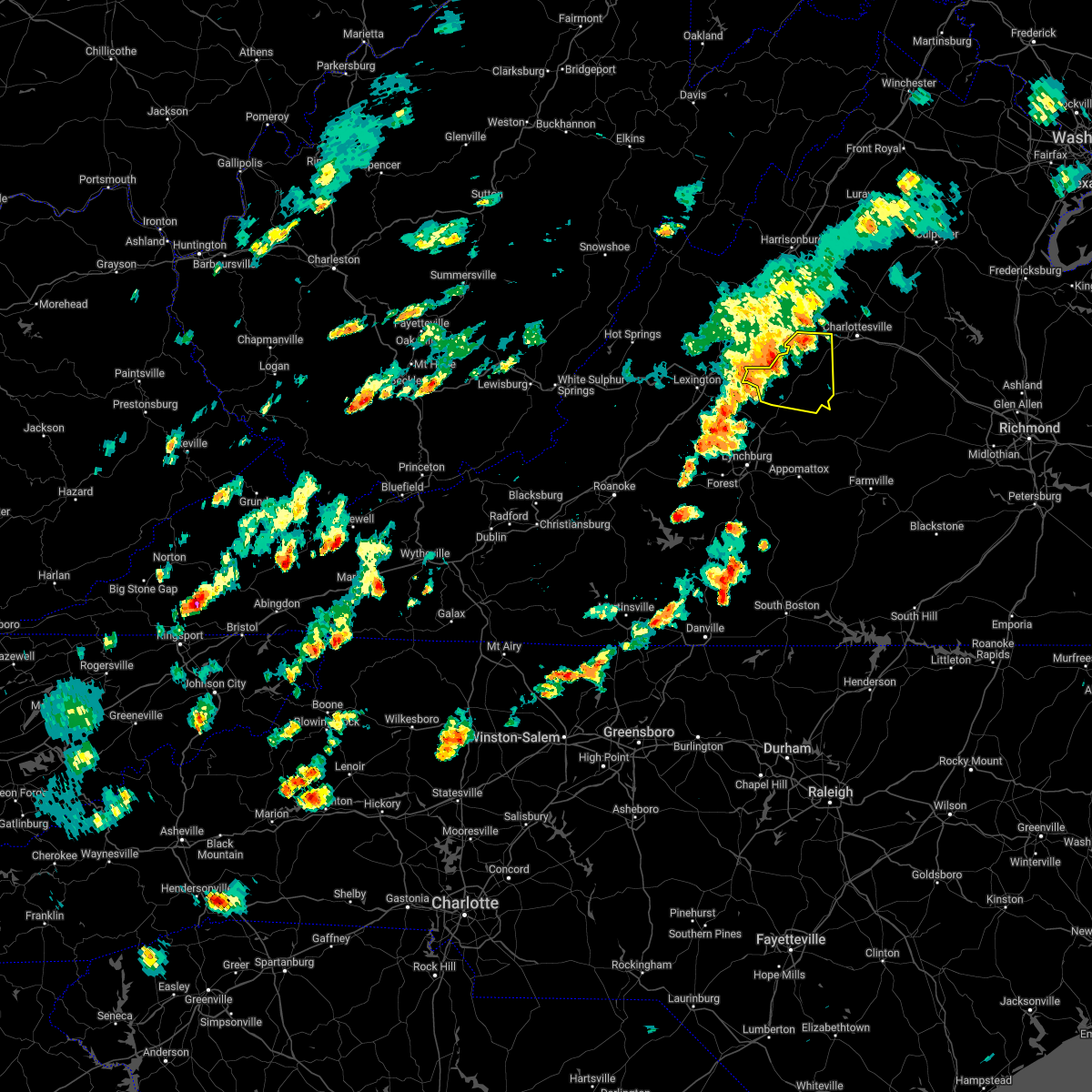 At 358 pm edt, severe thunderstorms were located along a line extending from near afton to near lowesville, moving east at 45 mph (radar indicated). Hazards include 60 mph wind gusts. Damaging winds will cause some trees and large branches to fall. this could injure those outdoors, as well as damage homes and vehicles. roadways may become blocked by downed trees. localized power outages are possible. unsecured light objects may become projectiles. locations impacted include, shipman, schuyler, wintergreen, montebello, afton, nellysford, arrington, lovingston, bryant, damon, north garden, batesville, covesville, roseland, tyro, rockfish, greenfield, jonesboro, elma and faber. hail threat, radar indicated max hail size, <. 75 in wind threat, radar indicated max wind gust, 60 mph. At 358 pm edt, severe thunderstorms were located along a line extending from near afton to near lowesville, moving east at 45 mph (radar indicated). Hazards include 60 mph wind gusts. Damaging winds will cause some trees and large branches to fall. this could injure those outdoors, as well as damage homes and vehicles. roadways may become blocked by downed trees. localized power outages are possible. unsecured light objects may become projectiles. locations impacted include, shipman, schuyler, wintergreen, montebello, afton, nellysford, arrington, lovingston, bryant, damon, north garden, batesville, covesville, roseland, tyro, rockfish, greenfield, jonesboro, elma and faber. hail threat, radar indicated max hail size, <. 75 in wind threat, radar indicated max wind gust, 60 mph.
|
| 6/2/2022 3:36 PM EDT |
 At 336 pm edt, a severe thunderstorm was located over cornwall, or 7 miles northeast of buena vista, moving east at 40 mph (radar indicated). Hazards include 60 mph wind gusts and quarter size hail. Damaging winds will cause some trees and large branches to fall. this could injure those outdoors, as well as damage homes and vehicles. roadways may become blocked by downed trees. localized power outages are possible. Unsecured light objects may become projectiles. At 336 pm edt, a severe thunderstorm was located over cornwall, or 7 miles northeast of buena vista, moving east at 40 mph (radar indicated). Hazards include 60 mph wind gusts and quarter size hail. Damaging winds will cause some trees and large branches to fall. this could injure those outdoors, as well as damage homes and vehicles. roadways may become blocked by downed trees. localized power outages are possible. Unsecured light objects may become projectiles.
|
| 5/27/2022 6:31 PM EDT |
 At 631 pm edt, a severe thunderstorm capable of producing a tornado was located over shipman, moving northeast at 35 mph (radar indicated rotation). Hazards include tornado and quarter size hail. For those in the direct path of a tornado touchdown, flying debris will be dangerous to those caught without shelter. damage to roofs, siding, and windows may occur. mobile homes may be damaged or destroyed. tree damage is likely. this dangerous storm will be near, schuyler around 645 pm edt. Other locations impacted by this tornadic thunderstorm include norwood, elma, rockfish, faber, lovingston and arrington. At 631 pm edt, a severe thunderstorm capable of producing a tornado was located over shipman, moving northeast at 35 mph (radar indicated rotation). Hazards include tornado and quarter size hail. For those in the direct path of a tornado touchdown, flying debris will be dangerous to those caught without shelter. damage to roofs, siding, and windows may occur. mobile homes may be damaged or destroyed. tree damage is likely. this dangerous storm will be near, schuyler around 645 pm edt. Other locations impacted by this tornadic thunderstorm include norwood, elma, rockfish, faber, lovingston and arrington.
|
| 5/27/2022 6:22 PM EDT | Three trees down in the arrington are in nelson county VA, 0.6 miles SE of Arrington, VA |
| 5/27/2022 6:17 PM EDT |
 At 616 pm edt, a severe thunderstorm was located near shipman, or 12 miles northeast of clifford, moving northeast at 30 mph (radar indicated). Hazards include 60 mph wind gusts and quarter size hail. Damaging winds will cause some trees and large branches to fall. this could injure those outdoors, as well as damage homes and vehicles. roadways may become blocked by downed trees. localized power outages are possible. unsecured light objects may become projectiles. Locations impacted include, shipman, schuyler, nellysford, arrington, lovingston, bryant, roseland, rockfish, greenfield, jonesboro, elma, faber and massies mill. At 616 pm edt, a severe thunderstorm was located near shipman, or 12 miles northeast of clifford, moving northeast at 30 mph (radar indicated). Hazards include 60 mph wind gusts and quarter size hail. Damaging winds will cause some trees and large branches to fall. this could injure those outdoors, as well as damage homes and vehicles. roadways may become blocked by downed trees. localized power outages are possible. unsecured light objects may become projectiles. Locations impacted include, shipman, schuyler, nellysford, arrington, lovingston, bryant, roseland, rockfish, greenfield, jonesboro, elma, faber and massies mill.
|
| 5/27/2022 6:11 PM EDT |
 At 610 pm edt, a severe thunderstorm capable of producing a tornado was located over new glasgow, or near clifford, moving northeast at 40 mph (radar indicated rotation). Hazards include tornado and quarter size hail. For those in the direct path of a tornado touchdown, flying debris will be dangerous to those caught without shelter. damage to roofs, siding, and windows may occur. mobile homes may be damaged or destroyed. tree damage is likely. this dangerous storm will be near, shipman around 630 pm edt. schuyler around 640 pm edt. Other locations impacted by this tornadic thunderstorm include norwood, tye river, lovingston, elma, arrington, rockfish, buffalo springs, faber and piney river. At 610 pm edt, a severe thunderstorm capable of producing a tornado was located over new glasgow, or near clifford, moving northeast at 40 mph (radar indicated rotation). Hazards include tornado and quarter size hail. For those in the direct path of a tornado touchdown, flying debris will be dangerous to those caught without shelter. damage to roofs, siding, and windows may occur. mobile homes may be damaged or destroyed. tree damage is likely. this dangerous storm will be near, shipman around 630 pm edt. schuyler around 640 pm edt. Other locations impacted by this tornadic thunderstorm include norwood, tye river, lovingston, elma, arrington, rockfish, buffalo springs, faber and piney river.
|
| 5/27/2022 5:55 PM EDT |
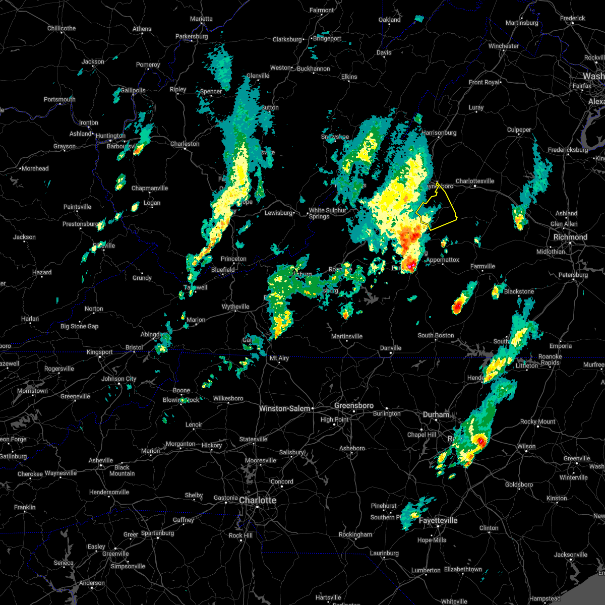 At 554 pm edt, a severe thunderstorm was located over clifford, moving northeast at 30 mph (radar indicated). Hazards include 60 mph wind gusts and quarter size hail. Damaging winds will cause some trees and large branches to fall. this could injure those outdoors, as well as damage homes and vehicles. roadways may become blocked by downed trees. localized power outages are possible. Unsecured light objects may become projectiles. At 554 pm edt, a severe thunderstorm was located over clifford, moving northeast at 30 mph (radar indicated). Hazards include 60 mph wind gusts and quarter size hail. Damaging winds will cause some trees and large branches to fall. this could injure those outdoors, as well as damage homes and vehicles. roadways may become blocked by downed trees. localized power outages are possible. Unsecured light objects may become projectiles.
|
| 5/27/2022 9:27 AM EDT |
 At 926 am edt, severe thunderstorms were located along a line extending from near free union to near tower hill, moving east at 45 mph (radar indicated). Hazards include 60 mph wind gusts. Damaging winds will cause some trees and large branches to fall. this could injure those outdoors, as well as damage homes and vehicles. roadways may become blocked by downed trees. localized power outages are possible. unsecured light objects may become projectiles. locations impacted include, charlottesville, crozet, shipman, schuyler, free union, westmoreland, hollymead, ivy, arrington, scottsville, esmont, allens creek, north garden, covesville, yancey mills, stony point, buffalo springs, flordon, norwood and scott stadium. hail threat, radar indicated max hail size, <. 75 in wind threat, radar indicated max wind gust, 60 mph. At 926 am edt, severe thunderstorms were located along a line extending from near free union to near tower hill, moving east at 45 mph (radar indicated). Hazards include 60 mph wind gusts. Damaging winds will cause some trees and large branches to fall. this could injure those outdoors, as well as damage homes and vehicles. roadways may become blocked by downed trees. localized power outages are possible. unsecured light objects may become projectiles. locations impacted include, charlottesville, crozet, shipman, schuyler, free union, westmoreland, hollymead, ivy, arrington, scottsville, esmont, allens creek, north garden, covesville, yancey mills, stony point, buffalo springs, flordon, norwood and scott stadium. hail threat, radar indicated max hail size, <. 75 in wind threat, radar indicated max wind gust, 60 mph.
|
| 5/27/2022 9:06 AM EDT |
 At 905 am edt, severe thunderstorms were located along a line extending from 6 miles south of afton to near spout spring, moving northeast at 45 mph (radar indicated). Hazards include 60 mph wind gusts. Damaging winds will cause some trees and large branches to fall. this could injure those outdoors, as well as damage homes and vehicles. roadways may become blocked by downed trees. localized power outages are possible. Unsecured light objects may become projectiles. At 905 am edt, severe thunderstorms were located along a line extending from 6 miles south of afton to near spout spring, moving northeast at 45 mph (radar indicated). Hazards include 60 mph wind gusts. Damaging winds will cause some trees and large branches to fall. this could injure those outdoors, as well as damage homes and vehicles. roadways may become blocked by downed trees. localized power outages are possible. Unsecured light objects may become projectiles.
|
| 5/27/2022 8:34 AM EDT |
 At 833 am edt, a severe thunderstorm was located near lowesville, or 10 miles north of clifford, moving northeast at 40 mph (radar indicated). Hazards include 60 mph wind gusts and quarter size hail. Damaging winds will cause some trees and large branches to fall. this could injure those outdoors, as well as damage homes and vehicles. roadways may become blocked by downed trees. localized power outages are possible. unsecured light objects may become projectiles. Locations impacted include, waynesboro, stuarts draft, crimora, sherando, shipman, schuyler, wintergreen, afton, fishersville, lyndhurst, nellysford, arrington, esmont, lovingston, piney river, north garden, covesville, yancey mills, tyro and jonesboro. At 833 am edt, a severe thunderstorm was located near lowesville, or 10 miles north of clifford, moving northeast at 40 mph (radar indicated). Hazards include 60 mph wind gusts and quarter size hail. Damaging winds will cause some trees and large branches to fall. this could injure those outdoors, as well as damage homes and vehicles. roadways may become blocked by downed trees. localized power outages are possible. unsecured light objects may become projectiles. Locations impacted include, waynesboro, stuarts draft, crimora, sherando, shipman, schuyler, wintergreen, afton, fishersville, lyndhurst, nellysford, arrington, esmont, lovingston, piney river, north garden, covesville, yancey mills, tyro and jonesboro.
|
| 5/27/2022 8:10 AM EDT |
 At 810 am edt, a severe thunderstorm was located over lowesville, or near clifford, moving northeast at 40 mph (radar indicated). Hazards include 60 mph wind gusts. Damaging winds will cause some trees and large branches to fall. this could injure those outdoors, as well as damage homes and vehicles. roadways may become blocked by downed trees. localized power outages are possible. unsecured light objects may become projectiles. Locations impacted include, waynesboro, stuarts draft, crimora, sherando, shipman, schuyler, wintergreen, afton, fishersville, lyndhurst, nellysford, arrington, esmont, lovingston, piney river, north garden, covesville, yancey mills, tyro and jonesboro. At 810 am edt, a severe thunderstorm was located over lowesville, or near clifford, moving northeast at 40 mph (radar indicated). Hazards include 60 mph wind gusts. Damaging winds will cause some trees and large branches to fall. this could injure those outdoors, as well as damage homes and vehicles. roadways may become blocked by downed trees. localized power outages are possible. unsecured light objects may become projectiles. Locations impacted include, waynesboro, stuarts draft, crimora, sherando, shipman, schuyler, wintergreen, afton, fishersville, lyndhurst, nellysford, arrington, esmont, lovingston, piney river, north garden, covesville, yancey mills, tyro and jonesboro.
|
| 5/27/2022 7:54 AM EDT |
 At 753 am edt, a severe thunderstorm was located near pleasant view, or 7 miles south of forks of buffalo, moving northeast at 45 mph (radar indicated). Hazards include 60 mph wind gusts. Damaging winds will cause some trees and large branches to fall. this could injure those outdoors, as well as damage homes and vehicles. roadways may become blocked by downed trees. localized power outages are possible. Unsecured light objects may become projectiles. At 753 am edt, a severe thunderstorm was located near pleasant view, or 7 miles south of forks of buffalo, moving northeast at 45 mph (radar indicated). Hazards include 60 mph wind gusts. Damaging winds will cause some trees and large branches to fall. this could injure those outdoors, as well as damage homes and vehicles. roadways may become blocked by downed trees. localized power outages are possible. Unsecured light objects may become projectiles.
|
| 5/22/2022 5:26 PM EDT | Tree down. time estimated from rada in amherst county VA, 6.2 miles ESE of Arrington, VA |
| 5/22/2022 5:22 PM EDT | Tree down. time estimated from rada in amherst county VA, 7.8 miles ESE of Arrington, VA |
| 5/22/2022 5:20 PM EDT |
 At 520 pm edt, severe thunderstorms were located along a line extending from afton to near lowesville to near amherst, moving east at 30 mph (radar indicated). Hazards include 60 mph wind gusts and quarter size hail. Damaging winds will cause some trees and large branches to fall. this could injure those outdoors, as well as damage homes and vehicles. roadways may become blocked by downed trees. localized power outages are possible. unsecured light objects may become projectiles. locations impacted include, sherando, shipman, schuyler, wintergreen, nellysford, arrington, scottsville, esmont, lovingston, allens creek, north garden, covesville, tyro, buffalo springs, norwood, jonesboro, gladstone, faber, massies mill and bryant. hail threat, radar indicated max hail size, 1. 00 in wind threat, radar indicated max wind gust, 60 mph. At 520 pm edt, severe thunderstorms were located along a line extending from afton to near lowesville to near amherst, moving east at 30 mph (radar indicated). Hazards include 60 mph wind gusts and quarter size hail. Damaging winds will cause some trees and large branches to fall. this could injure those outdoors, as well as damage homes and vehicles. roadways may become blocked by downed trees. localized power outages are possible. unsecured light objects may become projectiles. locations impacted include, sherando, shipman, schuyler, wintergreen, nellysford, arrington, scottsville, esmont, lovingston, allens creek, north garden, covesville, tyro, buffalo springs, norwood, jonesboro, gladstone, faber, massies mill and bryant. hail threat, radar indicated max hail size, 1. 00 in wind threat, radar indicated max wind gust, 60 mph.
|
| 5/22/2022 5:03 PM EDT |
 At 503 pm edt, severe thunderstorms were located along a line extending from stuarts draft to near lowesville to near pleasant view, moving east at 40 mph (radar indicated). Hazards include 60 mph wind gusts and quarter size hail. Damaging winds will cause some trees and large branches to fall. this could injure those outdoors, as well as damage homes and vehicles. roadways may become blocked by downed trees. localized power outages are possible. Unsecured light objects may become projectiles. At 503 pm edt, severe thunderstorms were located along a line extending from stuarts draft to near lowesville to near pleasant view, moving east at 40 mph (radar indicated). Hazards include 60 mph wind gusts and quarter size hail. Damaging winds will cause some trees and large branches to fall. this could injure those outdoors, as well as damage homes and vehicles. roadways may become blocked by downed trees. localized power outages are possible. Unsecured light objects may become projectiles.
|
| 5/21/2022 8:54 PM EDT | Tree down covering both lanes of patrick henry highwa in nelson county VA, 7.4 miles ESE of Arrington, VA |
| 5/6/2022 9:28 PM EDT |
 At 928 pm edt, severe thunderstorms were located along a line extending from near crimora to 8 miles south of crozet to near shipman, moving east at 40 mph (radar indicated). Hazards include 60 mph wind gusts. Damaging winds will cause some trees and large branches to fall. this could injure those outdoors, as well as damage homes and vehicles. roadways may become blocked by downed trees. localized power outages are possible. unsecured light objects may become projectiles. Locations impacted include, charlottesville, crozet, shipman, schuyler, campbell, westmoreland, hollymead, ivy, arrington, scottsville, esmont, allens creek, north garden, covesville, yancey mills, stony point, buffalo springs, flordon, norwood and scott stadium. At 928 pm edt, severe thunderstorms were located along a line extending from near crimora to 8 miles south of crozet to near shipman, moving east at 40 mph (radar indicated). Hazards include 60 mph wind gusts. Damaging winds will cause some trees and large branches to fall. this could injure those outdoors, as well as damage homes and vehicles. roadways may become blocked by downed trees. localized power outages are possible. unsecured light objects may become projectiles. Locations impacted include, charlottesville, crozet, shipman, schuyler, campbell, westmoreland, hollymead, ivy, arrington, scottsville, esmont, allens creek, north garden, covesville, yancey mills, stony point, buffalo springs, flordon, norwood and scott stadium.
|
| 5/6/2022 9:17 PM EDT |
 At 917 pm edt, a severe thunderstorm capable of producing a tornado was located over shipman, or 10 miles east of clifford, moving east at 35 mph (radar indicated rotation). Hazards include tornado. For those in the direct path of a tornado touchdown, flying debris will be dangerous to those caught without shelter. damage to roofs, siding, and windows may occur. mobile homes may be damaged or destroyed. tree damage is likely. This tornadic thunderstorm will remain over mainly rural areas of east central nelson and south central albemarle counties, including the following locations, elma, arrington, scottsville and esmont. At 917 pm edt, a severe thunderstorm capable of producing a tornado was located over shipman, or 10 miles east of clifford, moving east at 35 mph (radar indicated rotation). Hazards include tornado. For those in the direct path of a tornado touchdown, flying debris will be dangerous to those caught without shelter. damage to roofs, siding, and windows may occur. mobile homes may be damaged or destroyed. tree damage is likely. This tornadic thunderstorm will remain over mainly rural areas of east central nelson and south central albemarle counties, including the following locations, elma, arrington, scottsville and esmont.
|
| 5/6/2022 9:16 PM EDT |
 At 916 pm edt, severe thunderstorms were located along a line extending from near stuarts draft to near wintergreen to near new glasgow, moving east at 45 mph (radar indicated). Hazards include 60 mph wind gusts. Damaging winds will cause some trees and large branches to fall. this could injure those outdoors, as well as damage homes and vehicles. roadways may become blocked by downed trees. localized power outages are possible. unsecured light objects may become projectiles. locations impacted include, waynesboro, stuarts draft, sherando, shipman, wintergreen, afton, fishersville, lyndhurst, nellysford, arrington, lovingston, bryant, tye river, roseland, greenfield and afton mountain. hail threat, radar indicated max hail size, <. 75 in wind threat, radar indicated max wind gust, 60 mph. At 916 pm edt, severe thunderstorms were located along a line extending from near stuarts draft to near wintergreen to near new glasgow, moving east at 45 mph (radar indicated). Hazards include 60 mph wind gusts. Damaging winds will cause some trees and large branches to fall. this could injure those outdoors, as well as damage homes and vehicles. roadways may become blocked by downed trees. localized power outages are possible. unsecured light objects may become projectiles. locations impacted include, waynesboro, stuarts draft, sherando, shipman, wintergreen, afton, fishersville, lyndhurst, nellysford, arrington, lovingston, bryant, tye river, roseland, greenfield and afton mountain. hail threat, radar indicated max hail size, <. 75 in wind threat, radar indicated max wind gust, 60 mph.
|
| 5/6/2022 9:07 PM EDT |
 At 907 pm edt, a severe thunderstorm capable of producing a tornado was located near new glasgow, or near clifford, moving east at 35 mph (radar indicated rotation). Hazards include tornado. For those in the direct path of a tornado touchdown, flying debris will be dangerous to those caught without shelter. damage to roofs, siding, and windows may occur. mobile homes may be damaged or destroyed. tree damage is likely. this dangerous storm will be near, shipman around 925 pm edt. schuyler around 930 pm edt. Other locations impacted by this tornadic thunderstorm include norwood, tye river, lovingston, wingina, roseland, elma, arrington, buffalo springs, scottsville and esmont. At 907 pm edt, a severe thunderstorm capable of producing a tornado was located near new glasgow, or near clifford, moving east at 35 mph (radar indicated rotation). Hazards include tornado. For those in the direct path of a tornado touchdown, flying debris will be dangerous to those caught without shelter. damage to roofs, siding, and windows may occur. mobile homes may be damaged or destroyed. tree damage is likely. this dangerous storm will be near, shipman around 925 pm edt. schuyler around 930 pm edt. Other locations impacted by this tornadic thunderstorm include norwood, tye river, lovingston, wingina, roseland, elma, arrington, buffalo springs, scottsville and esmont.
|
| 5/6/2022 9:06 PM EDT |
 At 906 pm edt, severe thunderstorms were located along a line extending from stuarts draft to near wintergreen to new glasgow, moving east at 45 mph (radar indicated). Hazards include 60 mph wind gusts. Damaging winds will cause some trees and large branches to fall. this could injure those outdoors, as well as damage homes and vehicles. roadways may become blocked by downed trees. localized power outages are possible. Unsecured light objects may become projectiles. At 906 pm edt, severe thunderstorms were located along a line extending from stuarts draft to near wintergreen to new glasgow, moving east at 45 mph (radar indicated). Hazards include 60 mph wind gusts. Damaging winds will cause some trees and large branches to fall. this could injure those outdoors, as well as damage homes and vehicles. roadways may become blocked by downed trees. localized power outages are possible. Unsecured light objects may become projectiles.
|
| 5/6/2022 9:02 PM EDT |
 At 902 pm edt, a severe thunderstorm capable of producing a tornado was located over clifford, moving east at 35 mph (radar indicated rotation). Hazards include tornado. For those in the direct path of a tornado touchdown, flying debris will be dangerous to those caught without shelter. damage to roofs, siding, and windows may occur. mobile homes may be damaged or destroyed. tree damage is likely. this dangerous storm will be near, shipman around 925 pm edt. schuyler around 930 pm edt. Other locations impacted by this tornadic thunderstorm include norwood, tye river, lovingston, wingina, roseland, elma, arrington, buffalo springs, scottsville and esmont. At 902 pm edt, a severe thunderstorm capable of producing a tornado was located over clifford, moving east at 35 mph (radar indicated rotation). Hazards include tornado. For those in the direct path of a tornado touchdown, flying debris will be dangerous to those caught without shelter. damage to roofs, siding, and windows may occur. mobile homes may be damaged or destroyed. tree damage is likely. this dangerous storm will be near, shipman around 925 pm edt. schuyler around 930 pm edt. Other locations impacted by this tornadic thunderstorm include norwood, tye river, lovingston, wingina, roseland, elma, arrington, buffalo springs, scottsville and esmont.
|
| 5/6/2022 8:42 PM EDT |
 At 842 pm edt, severe thunderstorms were located along a line extending from near goshen to cornwall to near naola, moving east at 30 mph (radar indicated). Hazards include 60 mph wind gusts. Damaging winds will cause some trees and large branches to fall. this could injure those outdoors, as well as damage homes and vehicles. roadways may become blocked by downed trees. localized power outages are possible. Unsecured light objects may become projectiles. At 842 pm edt, severe thunderstorms were located along a line extending from near goshen to cornwall to near naola, moving east at 30 mph (radar indicated). Hazards include 60 mph wind gusts. Damaging winds will cause some trees and large branches to fall. this could injure those outdoors, as well as damage homes and vehicles. roadways may become blocked by downed trees. localized power outages are possible. Unsecured light objects may become projectiles.
|
| 10/25/2021 7:14 PM EDT |
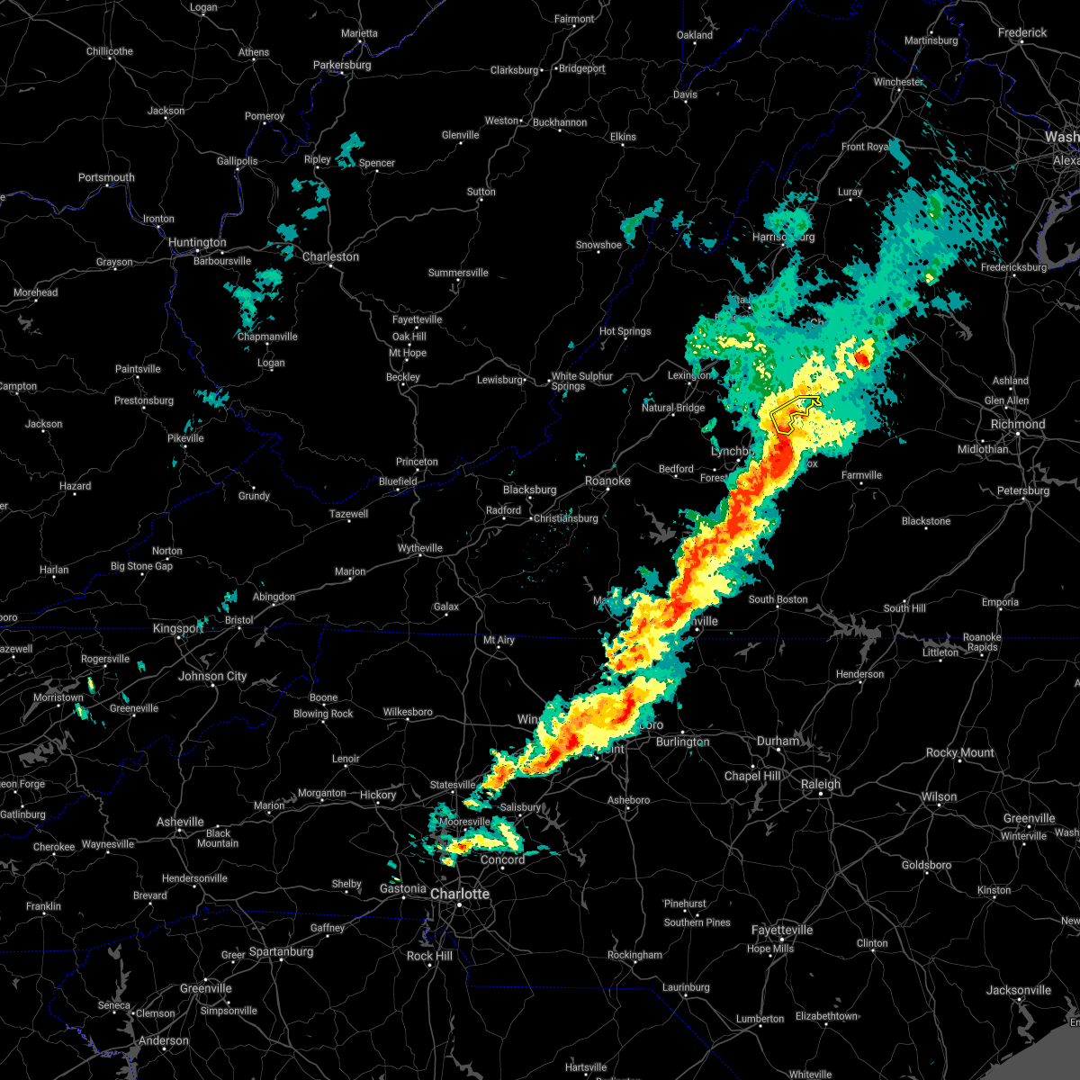 At 713 pm edt, severe thunderstorms were located along a line extending from near shipman to stonewall to altavista, moving east at 25 mph (radar indicated). Hazards include 60 mph wind gusts. Damaging winds will cause some trees and large branches to fall. this could injure those outdoors, as well as damage homes and vehicles. roadways may become blocked by downed trees. localized power outages are possible. unsecured light objects may become projectiles. locations impacted include, arrington, norwood, five forks, allens creek, wingina, gladstone and buffalo springs. hail threat, radar indicated max hail size, <. 75 in wind threat, radar indicated max wind gust, 60 mph. At 713 pm edt, severe thunderstorms were located along a line extending from near shipman to stonewall to altavista, moving east at 25 mph (radar indicated). Hazards include 60 mph wind gusts. Damaging winds will cause some trees and large branches to fall. this could injure those outdoors, as well as damage homes and vehicles. roadways may become blocked by downed trees. localized power outages are possible. unsecured light objects may become projectiles. locations impacted include, arrington, norwood, five forks, allens creek, wingina, gladstone and buffalo springs. hail threat, radar indicated max hail size, <. 75 in wind threat, radar indicated max wind gust, 60 mph.
|
| 10/25/2021 6:51 PM EDT |
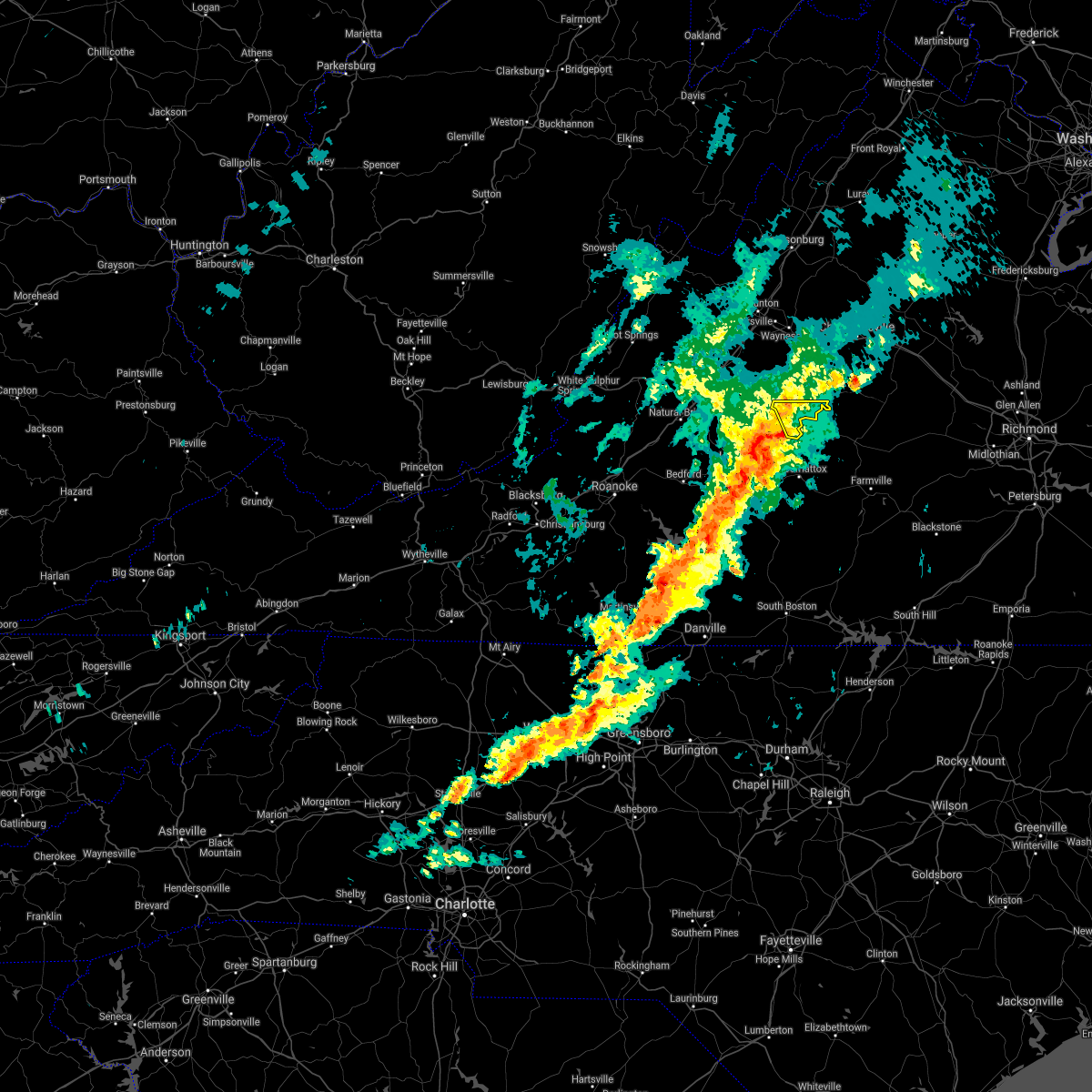 At 651 pm edt, severe thunderstorms were located along a line extending from near shipman to near stonewall to near leesville, moving east at 25 mph (radar indicated). Hazards include 60 mph wind gusts. Damaging winds will cause some trees and large branches to fall. this could injure those outdoors, as well as damage homes and vehicles. roadways may become blocked by downed trees. localized power outages are possible. Unsecured light objects may become projectiles. At 651 pm edt, severe thunderstorms were located along a line extending from near shipman to near stonewall to near leesville, moving east at 25 mph (radar indicated). Hazards include 60 mph wind gusts. Damaging winds will cause some trees and large branches to fall. this could injure those outdoors, as well as damage homes and vehicles. roadways may become blocked by downed trees. localized power outages are possible. Unsecured light objects may become projectiles.
|
| 8/13/2021 4:04 PM EDT | A tree was blown down by thunderstorm winds along river roa in buckingham county VA, 9.4 miles NNW of Arrington, VA |
| 8/13/2021 4:02 PM EDT |
 At 402 pm edt, severe thunderstorms were located along a line extending from near schuyler to near bent creek, moving east at 15 mph (radar indicated). Hazards include 60 mph wind gusts and quarter size hail. Damaging winds will cause some trees and large branches to fall. this could injure those outdoors, as well as damage homes and vehicles. roadways may become blocked by downed trees. localized power outages are possible. Unsecured light objects may become projectiles. At 402 pm edt, severe thunderstorms were located along a line extending from near schuyler to near bent creek, moving east at 15 mph (radar indicated). Hazards include 60 mph wind gusts and quarter size hail. Damaging winds will cause some trees and large branches to fall. this could injure those outdoors, as well as damage homes and vehicles. roadways may become blocked by downed trees. localized power outages are possible. Unsecured light objects may become projectiles.
|
| 8/10/2021 5:35 PM EDT |
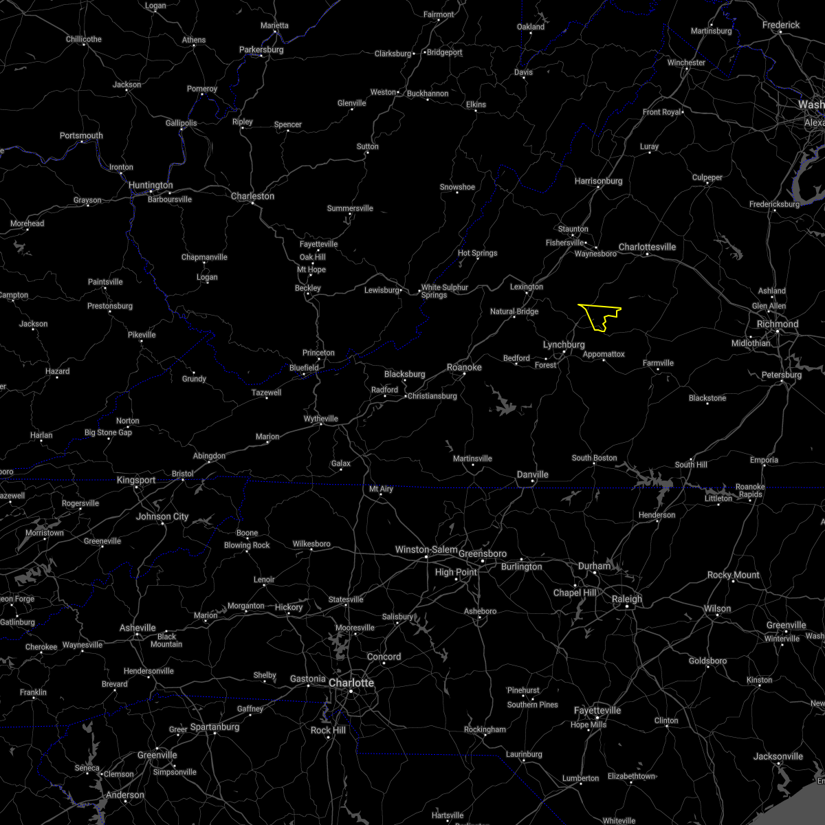 The severe thunderstorm warning for southeastern nelson county will expire at 545 pm edt, the storm which prompted the warning has weakened below severe limits, and has exited the warned area. therefore, the warning will be allowed to expire. The severe thunderstorm warning for southeastern nelson county will expire at 545 pm edt, the storm which prompted the warning has weakened below severe limits, and has exited the warned area. therefore, the warning will be allowed to expire.
|
| 8/10/2021 5:13 PM EDT |
 At 513 pm edt, a severe thunderstorm was located near new glasgow, or 8 miles east of clifford, moving east at 15 mph (radar indicated). Hazards include 60 mph wind gusts. Damaging winds will cause some trees and large branches to fall. this could injure those outdoors, as well as damage homes and vehicles. roadways may become blocked by downed trees. localized power outages are possible. unsecured light objects may become projectiles. locations impacted include, arrington, norwood, five forks, tye river, wingina, gladstone and buffalo springs. hail threat, radar indicated max hail size, <. 75 in wind threat, radar indicated max wind gust, 60 mph. At 513 pm edt, a severe thunderstorm was located near new glasgow, or 8 miles east of clifford, moving east at 15 mph (radar indicated). Hazards include 60 mph wind gusts. Damaging winds will cause some trees and large branches to fall. this could injure those outdoors, as well as damage homes and vehicles. roadways may become blocked by downed trees. localized power outages are possible. unsecured light objects may become projectiles. locations impacted include, arrington, norwood, five forks, tye river, wingina, gladstone and buffalo springs. hail threat, radar indicated max hail size, <. 75 in wind threat, radar indicated max wind gust, 60 mph.
|
| 8/10/2021 5:10 PM EDT | Numerous trees were blown down in and around gladston in nelson county VA, 8.9 miles NNW of Arrington, VA |
| 8/10/2021 5:05 PM EDT |
 At 505 pm edt, a severe thunderstorm was located near new glasgow, or near clifford, moving west at 10 mph (radar indicated). Hazards include 60 mph wind gusts. Damaging winds will cause some trees and large branches to fall. this could injure those outdoors, as well as damage homes and vehicles. roadways may become blocked by downed trees. localized power outages are possible. Unsecured light objects may become projectiles. At 505 pm edt, a severe thunderstorm was located near new glasgow, or near clifford, moving west at 10 mph (radar indicated). Hazards include 60 mph wind gusts. Damaging winds will cause some trees and large branches to fall. this could injure those outdoors, as well as damage homes and vehicles. roadways may become blocked by downed trees. localized power outages are possible. Unsecured light objects may become projectiles.
|
| 8/10/2021 5:01 PM EDT | Gladestone fire department reported numerous trees down to the north of the james rive in nelson county VA, 4.8 miles NNW of Arrington, VA |
| 8/10/2021 5:00 PM EDT | Numerous trees down in the bent creek are in appomattox county VA, 10.5 miles NNW of Arrington, VA |
| 7/28/2021 1:11 AM EDT |
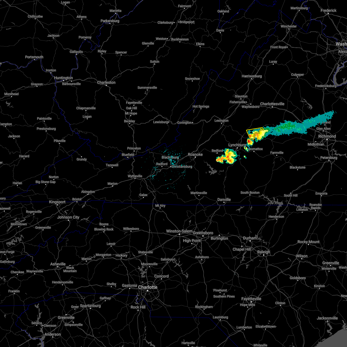 The severe thunderstorm warning for southeastern nelson county will expire at 115 am edt, the storms which prompted the warning have weakened below severe limits, and have exited the warned area. therefore, the warning will be allowed to expire. The severe thunderstorm warning for southeastern nelson county will expire at 115 am edt, the storms which prompted the warning have weakened below severe limits, and have exited the warned area. therefore, the warning will be allowed to expire.
|
| 7/28/2021 12:56 AM EDT |
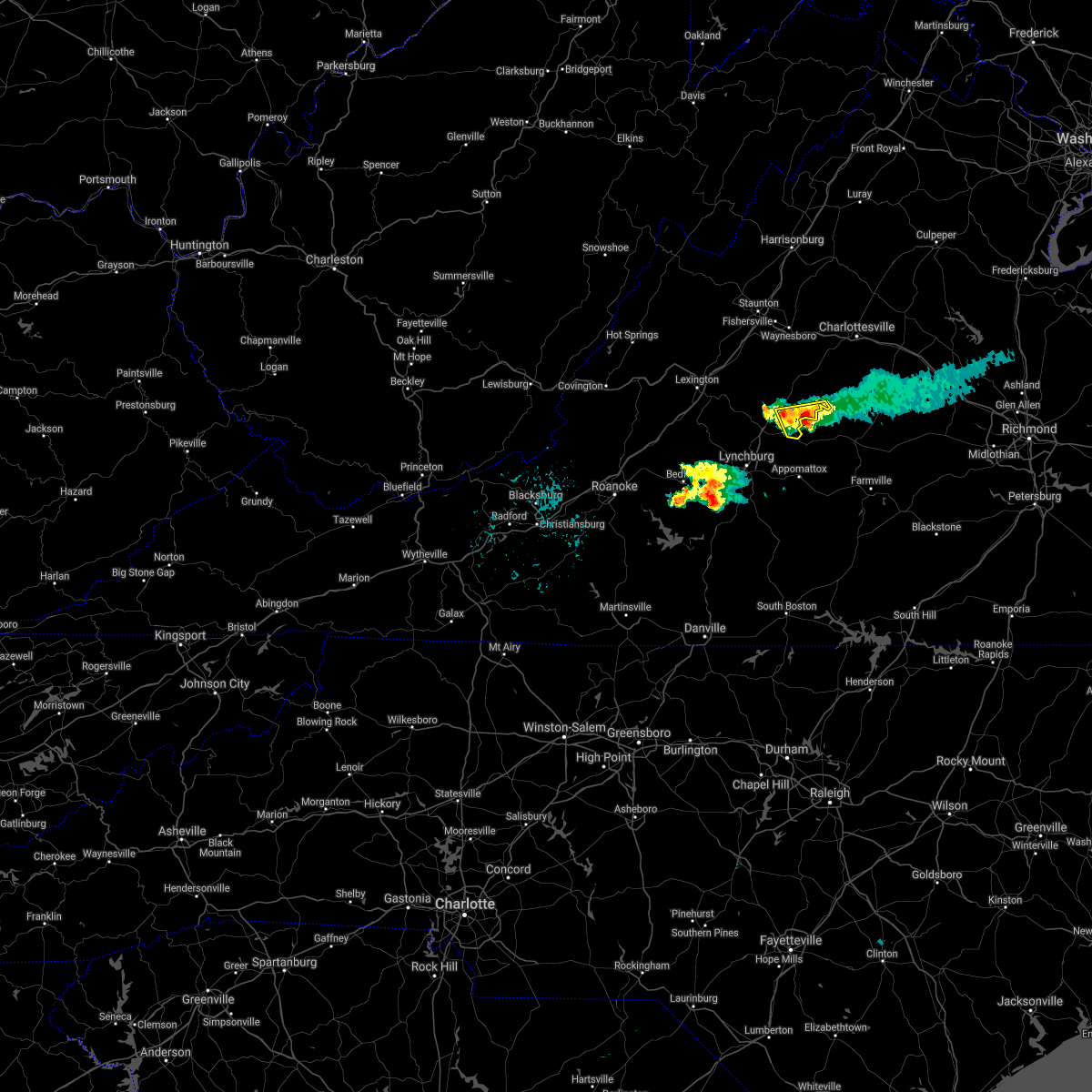 At 1255 am edt, severe thunderstorms were located along a line extending from near wingina to 6 miles south of shipman, moving east at 20 mph (radar indicated). Hazards include 60 mph wind gusts and quarter size hail. Damaging winds will cause some trees and large branches to fall. this could injure those outdoors, as well as damage homes and vehicles. roadways may become blocked by downed trees. localized power outages are possible. unsecured light objects may become projectiles. Locations impacted include, arrington, norwood, five forks, tye river, allens creek, wingina, gladstone and buffalo springs. At 1255 am edt, severe thunderstorms were located along a line extending from near wingina to 6 miles south of shipman, moving east at 20 mph (radar indicated). Hazards include 60 mph wind gusts and quarter size hail. Damaging winds will cause some trees and large branches to fall. this could injure those outdoors, as well as damage homes and vehicles. roadways may become blocked by downed trees. localized power outages are possible. unsecured light objects may become projectiles. Locations impacted include, arrington, norwood, five forks, tye river, allens creek, wingina, gladstone and buffalo springs.
|
| 7/28/2021 12:45 AM EDT | Tree down on va-29 near the amherst county lin in nelson county VA, 3.9 miles ENE of Arrington, VA |
| 7/28/2021 12:34 AM EDT |
 At 1234 am edt, severe thunderstorms were located along a line extending from near wingina to near new glasgow, moving east at 20 mph (radar indicated). Hazards include 60 mph wind gusts and quarter size hail. Damaging winds will cause some trees and large branches to fall. this could injure those outdoors, as well as damage homes and vehicles. roadways may become blocked by downed trees. localized power outages are possible. Unsecured light objects may become projectiles. At 1234 am edt, severe thunderstorms were located along a line extending from near wingina to near new glasgow, moving east at 20 mph (radar indicated). Hazards include 60 mph wind gusts and quarter size hail. Damaging winds will cause some trees and large branches to fall. this could injure those outdoors, as well as damage homes and vehicles. roadways may become blocked by downed trees. localized power outages are possible. Unsecured light objects may become projectiles.
|
| 7/27/2021 11:55 PM EDT |
 At 1155 pm edt, severe thunderstorms were located along a line extending from 7 miles east of wintergreen to near lowesville, moving east at 25 mph (radar indicated). Hazards include 60 mph wind gusts and quarter size hail. Damaging winds will cause some trees and large branches to fall. this could injure those outdoors, as well as damage homes and vehicles. roadways may become blocked by downed trees. localized power outages are possible. unsecured light objects may become projectiles. Locations impacted include, shipman, schuyler, nellysford, arrington, lovingston, bryant, tye river, roseland, tyro, rockfish, buffalo springs, norwood, jonesboro, elma, faber and massies mill. At 1155 pm edt, severe thunderstorms were located along a line extending from 7 miles east of wintergreen to near lowesville, moving east at 25 mph (radar indicated). Hazards include 60 mph wind gusts and quarter size hail. Damaging winds will cause some trees and large branches to fall. this could injure those outdoors, as well as damage homes and vehicles. roadways may become blocked by downed trees. localized power outages are possible. unsecured light objects may become projectiles. Locations impacted include, shipman, schuyler, nellysford, arrington, lovingston, bryant, tye river, roseland, tyro, rockfish, buffalo springs, norwood, jonesboro, elma, faber and massies mill.
|
| 7/27/2021 11:33 PM EDT |
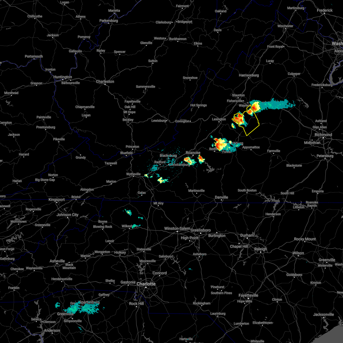 At 1133 pm edt, a severe thunderstorm was located over montebello, or 11 miles north of forks of buffalo, moving northeast at 20 mph (radar indicated). Hazards include 60 mph wind gusts and quarter size hail. Damaging winds will cause some trees and large branches to fall. this could injure those outdoors, as well as damage homes and vehicles. roadways may become blocked by downed trees. localized power outages are possible. Unsecured light objects may become projectiles. At 1133 pm edt, a severe thunderstorm was located over montebello, or 11 miles north of forks of buffalo, moving northeast at 20 mph (radar indicated). Hazards include 60 mph wind gusts and quarter size hail. Damaging winds will cause some trees and large branches to fall. this could injure those outdoors, as well as damage homes and vehicles. roadways may become blocked by downed trees. localized power outages are possible. Unsecured light objects may become projectiles.
|
| 7/26/2021 3:55 PM EDT | Tree down on the 3000 block of tye brook highway in nelson county VA, 4.9 miles SE of Arrington, VA |
| 7/26/2021 3:54 PM EDT |
 At 353 pm edt, a severe thunderstorm was located near shipman, or near clifford, moving south at 15 mph (radar indicated). Hazards include 60 mph wind gusts and quarter size hail. Damaging winds will cause some trees and large branches to fall. this could injure those outdoors, as well as damage homes and vehicles. roadways may become blocked by downed trees. localized power outages are possible. unsecured light objects may become projectiles. Locations impacted include, shipman, arrington, lovingston, tye river, roseland, buffalo springs, norwood, five forks, jonesboro, wingina, elma, massies mill and allens creek. At 353 pm edt, a severe thunderstorm was located near shipman, or near clifford, moving south at 15 mph (radar indicated). Hazards include 60 mph wind gusts and quarter size hail. Damaging winds will cause some trees and large branches to fall. this could injure those outdoors, as well as damage homes and vehicles. roadways may become blocked by downed trees. localized power outages are possible. unsecured light objects may become projectiles. Locations impacted include, shipman, arrington, lovingston, tye river, roseland, buffalo springs, norwood, five forks, jonesboro, wingina, elma, massies mill and allens creek.
|
| 7/26/2021 3:38 PM EDT |
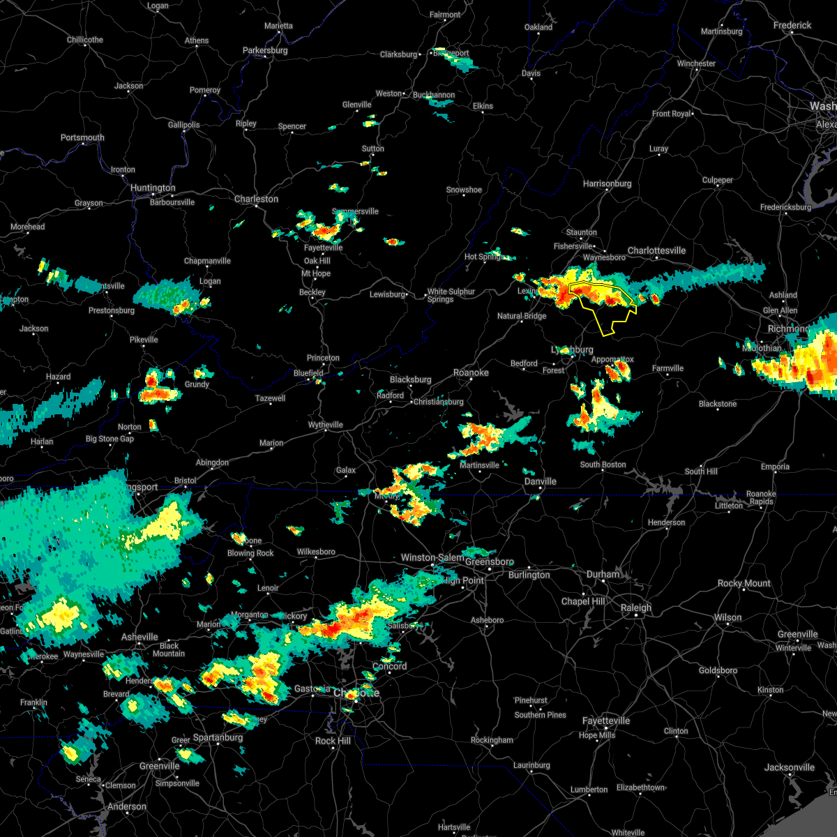 At 338 pm edt, a severe thunderstorm was located near shipman, or 8 miles northeast of clifford, moving south at 15 mph (radar indicated). Hazards include 60 mph wind gusts and quarter size hail. Damaging winds will cause some trees and large branches to fall. this could injure those outdoors, as well as damage homes and vehicles. roadways may become blocked by downed trees. localized power outages are possible. unsecured light objects may become projectiles. Locations impacted include, shipman, schuyler, montebello, arrington, lovingston, bryant, tye river, roseland, tyro, rockfish, buffalo springs, norwood, five forks, jonesboro, wingina, elma, massies mill and allens creek. At 338 pm edt, a severe thunderstorm was located near shipman, or 8 miles northeast of clifford, moving south at 15 mph (radar indicated). Hazards include 60 mph wind gusts and quarter size hail. Damaging winds will cause some trees and large branches to fall. this could injure those outdoors, as well as damage homes and vehicles. roadways may become blocked by downed trees. localized power outages are possible. unsecured light objects may become projectiles. Locations impacted include, shipman, schuyler, montebello, arrington, lovingston, bryant, tye river, roseland, tyro, rockfish, buffalo springs, norwood, five forks, jonesboro, wingina, elma, massies mill and allens creek.
|
| 7/26/2021 3:14 PM EDT |
 At 314 pm edt, a severe thunderstorm was located near wintergreen, or 14 miles north of clifford, moving south at 15 mph (radar indicated). Hazards include 60 mph wind gusts and half dollar size hail. Damaging winds will cause some trees and large branches to fall. this could injure those outdoors, as well as damage homes and vehicles. roadways may become blocked by downed trees. localized power outages are possible. Unsecured light objects may become projectiles. At 314 pm edt, a severe thunderstorm was located near wintergreen, or 14 miles north of clifford, moving south at 15 mph (radar indicated). Hazards include 60 mph wind gusts and half dollar size hail. Damaging winds will cause some trees and large branches to fall. this could injure those outdoors, as well as damage homes and vehicles. roadways may become blocked by downed trees. localized power outages are possible. Unsecured light objects may become projectiles.
|
| 7/26/2021 3:04 PM EDT |
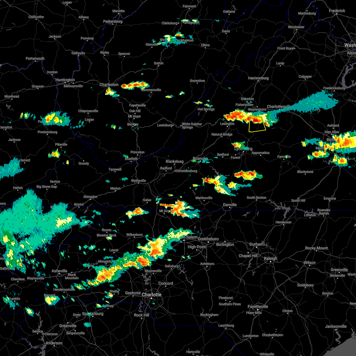 At 304 pm edt, a severe thunderstorm was located near wintergreen, or 14 miles northeast of clifford, moving south at 20 mph (radar indicated). Hazards include 60 mph wind gusts and quarter size hail. Damaging winds will cause some trees and large branches to fall. this could injure those outdoors, as well as damage homes and vehicles. roadways may become blocked by downed trees. localized power outages are possible. unsecured light objects may become projectiles. Locations impacted include, shipman, wintergreen, nellysford, lovingston, bryant, jonesboro, roseland, elma, tyro, massies mill and piney river. At 304 pm edt, a severe thunderstorm was located near wintergreen, or 14 miles northeast of clifford, moving south at 20 mph (radar indicated). Hazards include 60 mph wind gusts and quarter size hail. Damaging winds will cause some trees and large branches to fall. this could injure those outdoors, as well as damage homes and vehicles. roadways may become blocked by downed trees. localized power outages are possible. unsecured light objects may become projectiles. Locations impacted include, shipman, wintergreen, nellysford, lovingston, bryant, jonesboro, roseland, elma, tyro, massies mill and piney river.
|
| 7/26/2021 2:47 PM EDT |
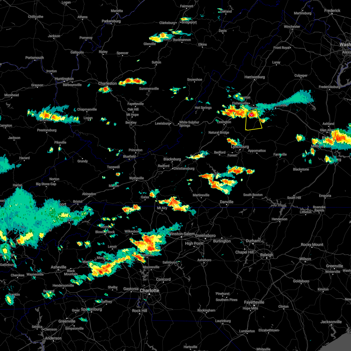 At 246 pm edt, a severe thunderstorm was located over wintergreen, or 10 miles south of waynesboro, moving south at 20 mph (radar indicated). Hazards include 60 mph wind gusts and quarter size hail. Damaging winds will cause some trees and large branches to fall. this could injure those outdoors, as well as damage homes and vehicles. roadways may become blocked by downed trees. localized power outages are possible. Unsecured light objects may become projectiles. At 246 pm edt, a severe thunderstorm was located over wintergreen, or 10 miles south of waynesboro, moving south at 20 mph (radar indicated). Hazards include 60 mph wind gusts and quarter size hail. Damaging winds will cause some trees and large branches to fall. this could injure those outdoors, as well as damage homes and vehicles. roadways may become blocked by downed trees. localized power outages are possible. Unsecured light objects may become projectiles.
|
| 6/9/2021 4:42 PM EDT |
 At 442 pm edt, a severe thunderstorm was located 7 miles northwest of schuyler, or 15 miles south of waynesboro, moving south at 15 mph (radar indicated). Hazards include 60 mph wind gusts and quarter size hail. Damaging winds will cause some trees and large branches to fall. this could injure those outdoors, as well as damage homes and vehicles. roadways may become blocked by downed trees. localized power outages are possible. Unsecured light objects may become projectiles. At 442 pm edt, a severe thunderstorm was located 7 miles northwest of schuyler, or 15 miles south of waynesboro, moving south at 15 mph (radar indicated). Hazards include 60 mph wind gusts and quarter size hail. Damaging winds will cause some trees and large branches to fall. this could injure those outdoors, as well as damage homes and vehicles. roadways may become blocked by downed trees. localized power outages are possible. Unsecured light objects may become projectiles.
|
| 5/4/2021 4:02 PM EDT |
 At 401 pm edt, severe thunderstorms were located along a line extending from 6 miles south of afton to near wingina, moving northeast at 45 mph (law enforcement. numerous trees have been downed in nelson county). Hazards include 60 mph wind gusts. Damaging winds will cause some trees and large branches to fall. this could injure those outdoors, as well as damage homes and vehicles. roadways may become blocked by downed trees. localized power outages are possible. unsecured light objects may become projectiles. Locations impacted include, crozet, shipman, schuyler, wintergreen, afton, nellysford, arrington, scottsville, esmont, lovingston, allens creek, north garden, covesville, yancey mills, buffalo springs, norwood, gladstone, faber, damon and greenwood. At 401 pm edt, severe thunderstorms were located along a line extending from 6 miles south of afton to near wingina, moving northeast at 45 mph (law enforcement. numerous trees have been downed in nelson county). Hazards include 60 mph wind gusts. Damaging winds will cause some trees and large branches to fall. this could injure those outdoors, as well as damage homes and vehicles. roadways may become blocked by downed trees. localized power outages are possible. unsecured light objects may become projectiles. Locations impacted include, crozet, shipman, schuyler, wintergreen, afton, nellysford, arrington, scottsville, esmont, lovingston, allens creek, north garden, covesville, yancey mills, buffalo springs, norwood, gladstone, faber, damon and greenwood.
|
| 5/4/2021 3:49 PM EDT | Several trees down near the intersection of old allen creek ln. and richmond hwy. in gladstone... v in nelson county VA, 7.4 miles NNW of Arrington, VA |
| 5/4/2021 3:46 PM EDT | Two trees blew down on wilson hill roa in nelson county VA, 1.6 miles ESE of Arrington, VA |
| 5/4/2021 3:36 PM EDT |
 At 336 pm edt, severe thunderstorms were located along a line extending from near montebello to near amherst, moving northeast at 45 mph (radar indicated). Hazards include 60 mph wind gusts. Damaging winds will cause some trees and large branches to fall. this could injure those outdoors, as well as damage homes and vehicles. roadways may become blocked by downed trees. localized power outages are possible. Unsecured light objects may become projectiles. At 336 pm edt, severe thunderstorms were located along a line extending from near montebello to near amherst, moving northeast at 45 mph (radar indicated). Hazards include 60 mph wind gusts. Damaging winds will cause some trees and large branches to fall. this could injure those outdoors, as well as damage homes and vehicles. roadways may become blocked by downed trees. localized power outages are possible. Unsecured light objects may become projectiles.
|
| 7/5/2020 4:02 PM EDT |
 At 402 pm edt, a severe thunderstorm was located near wingina, or 9 miles northeast of bent creek, moving southeast at 15 mph (radar indicated). Hazards include 60 mph wind gusts and quarter size hail. Damaging winds will cause some trees and large branches to fall. this could injure those outdoors, as well as damage homes and vehicles. roadways may become blocked by downed trees. localized power outages are possible. Unsecured light objects may become projectiles. At 402 pm edt, a severe thunderstorm was located near wingina, or 9 miles northeast of bent creek, moving southeast at 15 mph (radar indicated). Hazards include 60 mph wind gusts and quarter size hail. Damaging winds will cause some trees and large branches to fall. this could injure those outdoors, as well as damage homes and vehicles. roadways may become blocked by downed trees. localized power outages are possible. Unsecured light objects may become projectiles.
|
| 4/8/2020 6:21 AM EDT |
 At 621 am edt, severe thunderstorms were located along a line extending from 7 miles southeast of crozet to 6 miles west of schuyler to lowesville, moving southeast at 65 mph (radar indicated). Hazards include 60 mph wind gusts. Damaging winds will cause some trees and large branches to fall. this could injure those outdoors, as well as damage homes and vehicles. roadways may become blocked by downed trees. localized power outages are possible. unsecured light objects may become projectiles. Locations impacted include, shipman, schuyler, arrington, scottsville, esmont, lovingston, piney river, allens creek, north garden, covesville, buffalo springs, norwood, jonesboro, gladstone, faber, massies mill, bryant, tye river, damon and roseland. At 621 am edt, severe thunderstorms were located along a line extending from 7 miles southeast of crozet to 6 miles west of schuyler to lowesville, moving southeast at 65 mph (radar indicated). Hazards include 60 mph wind gusts. Damaging winds will cause some trees and large branches to fall. this could injure those outdoors, as well as damage homes and vehicles. roadways may become blocked by downed trees. localized power outages are possible. unsecured light objects may become projectiles. Locations impacted include, shipman, schuyler, arrington, scottsville, esmont, lovingston, piney river, allens creek, north garden, covesville, buffalo springs, norwood, jonesboro, gladstone, faber, massies mill, bryant, tye river, damon and roseland.
|
| 4/8/2020 6:00 AM EDT |
 At 600 am edt, severe thunderstorms were located along a line extending from near staunton to near stuarts draft to near rockbridge baths, moving southeast at 55 mph (radar indicated). Hazards include 60 mph wind gusts and quarter size hail. Damaging winds will cause some trees and large branches to fall. this could injure those outdoors, as well as damage homes and vehicles. roadways may become blocked by downed trees. localized power outages are possible. Unsecured light objects may become projectiles. At 600 am edt, severe thunderstorms were located along a line extending from near staunton to near stuarts draft to near rockbridge baths, moving southeast at 55 mph (radar indicated). Hazards include 60 mph wind gusts and quarter size hail. Damaging winds will cause some trees and large branches to fall. this could injure those outdoors, as well as damage homes and vehicles. roadways may become blocked by downed trees. localized power outages are possible. Unsecured light objects may become projectiles.
|
| 4/7/2020 10:56 PM EDT |
 At 1056 pm edt, a severe thunderstorm was located near new glasgow, or near clifford, moving southeast at 35 mph (radar indicated). Hazards include 60 mph wind gusts and quarter size hail. Damaging winds will cause some trees and large branches to fall. this could injure those outdoors, as well as damage homes and vehicles. roadways may become blocked by downed trees. localized power outages are possible. unsecured light objects may become projectiles. Locations impacted include, shipman, arrington, norwood, five forks, tye river, allens creek, wingina, gladstone, roseland and buffalo springs. At 1056 pm edt, a severe thunderstorm was located near new glasgow, or near clifford, moving southeast at 35 mph (radar indicated). Hazards include 60 mph wind gusts and quarter size hail. Damaging winds will cause some trees and large branches to fall. this could injure those outdoors, as well as damage homes and vehicles. roadways may become blocked by downed trees. localized power outages are possible. unsecured light objects may become projectiles. Locations impacted include, shipman, arrington, norwood, five forks, tye river, allens creek, wingina, gladstone, roseland and buffalo springs.
|
| 4/7/2020 10:46 PM EDT |
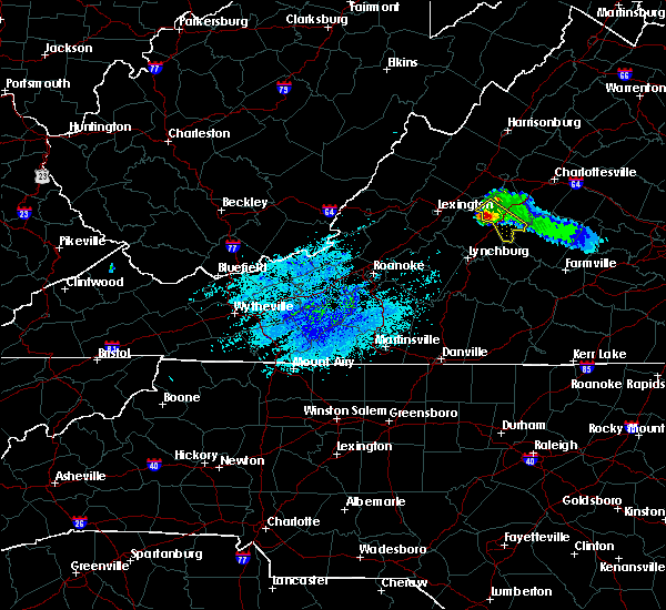 At 1046 pm edt, a severe thunderstorm was located over lowesville, or near clifford, moving southeast at 40 mph (radar indicated). Hazards include 60 mph wind gusts and quarter size hail. Damaging winds will cause some trees and large branches to fall. this could injure those outdoors, as well as damage homes and vehicles. roadways may become blocked by downed trees. localized power outages are possible. unsecured light objects may become projectiles. Locations impacted include, shipman, arrington, lovingston, bryant, tye river, allens creek, roseland, tyro, buffalo springs, norwood, five forks, jonesboro, wingina, gladstone and massies mill. At 1046 pm edt, a severe thunderstorm was located over lowesville, or near clifford, moving southeast at 40 mph (radar indicated). Hazards include 60 mph wind gusts and quarter size hail. Damaging winds will cause some trees and large branches to fall. this could injure those outdoors, as well as damage homes and vehicles. roadways may become blocked by downed trees. localized power outages are possible. unsecured light objects may become projectiles. Locations impacted include, shipman, arrington, lovingston, bryant, tye river, allens creek, roseland, tyro, buffalo springs, norwood, five forks, jonesboro, wingina, gladstone and massies mill.
|
| 4/7/2020 10:21 PM EDT |
 At 1020 pm edt, a severe thunderstorm was located over vesuvius, or 12 miles east of rockbridge baths, moving southeast at 35 mph (radar indicated). Hazards include 60 mph wind gusts and quarter size hail. Damaging winds will cause some trees and large branches to fall. this could injure those outdoors, as well as damage homes and vehicles. roadways may become blocked by downed trees. localized power outages are possible. Unsecured light objects may become projectiles. At 1020 pm edt, a severe thunderstorm was located over vesuvius, or 12 miles east of rockbridge baths, moving southeast at 35 mph (radar indicated). Hazards include 60 mph wind gusts and quarter size hail. Damaging winds will cause some trees and large branches to fall. this could injure those outdoors, as well as damage homes and vehicles. roadways may become blocked by downed trees. localized power outages are possible. Unsecured light objects may become projectiles.
|
| 9/28/2019 2:55 PM EDT |
 At 254 pm edt, a severe thunderstorm was located near alto, or 7 miles north of forks of buffalo, moving southeast at 25 mph (radar indicated). Hazards include 60 mph wind gusts. Damaging winds will cause some trees and large branches to fall. this could injure those outdoors, as well as damage homes and vehicles. roadways may become blocked by downed trees. localized power outages are possible. Unsecured light objects may become projectiles. At 254 pm edt, a severe thunderstorm was located near alto, or 7 miles north of forks of buffalo, moving southeast at 25 mph (radar indicated). Hazards include 60 mph wind gusts. Damaging winds will cause some trees and large branches to fall. this could injure those outdoors, as well as damage homes and vehicles. roadways may become blocked by downed trees. localized power outages are possible. Unsecured light objects may become projectiles.
|
| 9/9/2019 5:46 PM EDT |
 At 545 pm edt, a severe thunderstorm was located near bent creek, moving southeast at 25 mph (radar indicated). Hazards include 60 mph wind gusts and quarter size hail. Damaging winds will cause some trees and large branches to fall. this could injure those outdoors, as well as damage homes and vehicles. roadways may become blocked by downed trees. localized power outages are possible. unsecured light objects may become projectiles. Locations impacted include, gladstone, five forks and buffalo springs. At 545 pm edt, a severe thunderstorm was located near bent creek, moving southeast at 25 mph (radar indicated). Hazards include 60 mph wind gusts and quarter size hail. Damaging winds will cause some trees and large branches to fall. this could injure those outdoors, as well as damage homes and vehicles. roadways may become blocked by downed trees. localized power outages are possible. unsecured light objects may become projectiles. Locations impacted include, gladstone, five forks and buffalo springs.
|
| 9/9/2019 5:35 PM EDT | Multiple trees reported down in the gladstone are in nelson county VA, 2.8 miles NW of Arrington, VA |
| 9/9/2019 5:34 PM EDT |
 At 534 pm edt, a severe thunderstorm was located near new glasgow, or 7 miles east of clifford, moving southeast at 20 mph (radar indicated). Hazards include 60 mph wind gusts and quarter size hail. Damaging winds will cause some trees and large branches to fall. this could injure those outdoors, as well as damage homes and vehicles. roadways may become blocked by downed trees. localized power outages are possible. unsecured light objects may become projectiles. Locations impacted include, shipman, arrington, lovingston, norwood, five forks, tye river, gladstone and buffalo springs. At 534 pm edt, a severe thunderstorm was located near new glasgow, or 7 miles east of clifford, moving southeast at 20 mph (radar indicated). Hazards include 60 mph wind gusts and quarter size hail. Damaging winds will cause some trees and large branches to fall. this could injure those outdoors, as well as damage homes and vehicles. roadways may become blocked by downed trees. localized power outages are possible. unsecured light objects may become projectiles. Locations impacted include, shipman, arrington, lovingston, norwood, five forks, tye river, gladstone and buffalo springs.
|
| 9/9/2019 5:31 PM EDT | Multiple trees reported down in the piney river are in nelson county VA, 7.4 miles ESE of Arrington, VA |
| 9/9/2019 5:30 PM EDT | Tree reported down on tye brook highwa in nelson county VA, 6.7 miles ESE of Arrington, VA |
| 9/9/2019 5:15 PM EDT |
 At 515 pm edt, a severe thunderstorm was located near shipman, or 9 miles northeast of clifford, moving southeast at 25 mph (radar indicated). Hazards include 60 mph wind gusts and quarter size hail. Damaging winds will cause some trees and large branches to fall. this could injure those outdoors, as well as damage homes and vehicles. roadways may become blocked by downed trees. localized power outages are possible. Unsecured light objects may become projectiles. At 515 pm edt, a severe thunderstorm was located near shipman, or 9 miles northeast of clifford, moving southeast at 25 mph (radar indicated). Hazards include 60 mph wind gusts and quarter size hail. Damaging winds will cause some trees and large branches to fall. this could injure those outdoors, as well as damage homes and vehicles. roadways may become blocked by downed trees. localized power outages are possible. Unsecured light objects may become projectiles.
|
| 8/22/2019 3:34 PM EDT |
 At 334 pm edt, severe thunderstorms were located along a line extending from 7 miles northwest of schuyler to near bent creek, moving east at 25 mph (radar indicated). Hazards include 60 mph wind gusts. Damaging winds will cause some trees and large branches to fall. this could injure those outdoors, as well as damage homes and vehicles. roadways may become blocked by downed trees. localized power outages are possible. Unsecured light objects may become projectiles. At 334 pm edt, severe thunderstorms were located along a line extending from 7 miles northwest of schuyler to near bent creek, moving east at 25 mph (radar indicated). Hazards include 60 mph wind gusts. Damaging winds will cause some trees and large branches to fall. this could injure those outdoors, as well as damage homes and vehicles. roadways may become blocked by downed trees. localized power outages are possible. Unsecured light objects may become projectiles.
|
| 8/22/2019 3:19 PM EDT | Multiple trees reported down near rt. 29 between the oakridge and fresh water cove area in nelson county VA, 3.2 miles S of Arrington, VA |
| 8/22/2019 3:15 PM EDT |
 At 314 pm edt, a severe thunderstorm was located near shipman, or 8 miles northeast of clifford, moving east at 15 mph (radar indicated). Hazards include 60 mph wind gusts. Damaging winds will cause some trees and large branches to fall. this could injure those outdoors, as well as damage homes and vehicles. roadways may become blocked by downed trees. localized power outages are possible. unsecured light objects may become projectiles. Locations impacted include, shipman, arrington, lovingston, bryant, norwood, piney river, jonesboro, roseland and elma. At 314 pm edt, a severe thunderstorm was located near shipman, or 8 miles northeast of clifford, moving east at 15 mph (radar indicated). Hazards include 60 mph wind gusts. Damaging winds will cause some trees and large branches to fall. this could injure those outdoors, as well as damage homes and vehicles. roadways may become blocked by downed trees. localized power outages are possible. unsecured light objects may become projectiles. Locations impacted include, shipman, arrington, lovingston, bryant, norwood, piney river, jonesboro, roseland and elma.
|
| 8/22/2019 3:00 PM EDT |
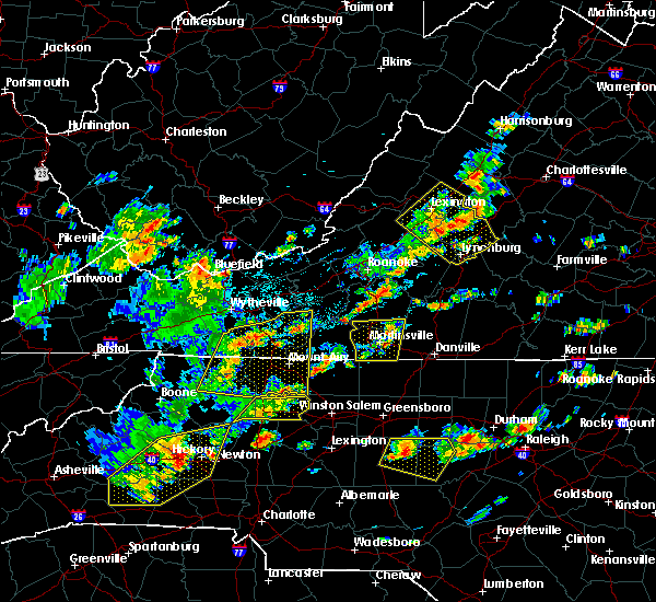 At 300 pm edt, a severe thunderstorm was located near lowesville, or 7 miles north of clifford, moving east at 15 mph (radar indicated). Hazards include 60 mph wind gusts. Damaging winds will cause some trees and large branches to fall. this could injure those outdoors, as well as damage homes and vehicles. roadways may become blocked by downed trees. localized power outages are possible. Unsecured light objects may become projectiles. At 300 pm edt, a severe thunderstorm was located near lowesville, or 7 miles north of clifford, moving east at 15 mph (radar indicated). Hazards include 60 mph wind gusts. Damaging winds will cause some trees and large branches to fall. this could injure those outdoors, as well as damage homes and vehicles. roadways may become blocked by downed trees. localized power outages are possible. Unsecured light objects may become projectiles.
|
| 7/22/2019 6:18 PM EDT | Tree down across portion of patrick henry hgwy just north of the bridg in nelson county VA, 7.4 miles ESE of Arrington, VA |
| 7/22/2019 5:37 PM EDT |
 At 537 pm edt, a severe thunderstorm was located near bent creek, moving northeast at 35 mph (radar indicated). Hazards include 60 mph wind gusts. Damaging winds will cause some trees and large branches to fall. this could injure those outdoors, as well as damage homes and vehicles. roadways may become blocked by downed trees. localized power outages are possible. Unsecured light objects may become projectiles. At 537 pm edt, a severe thunderstorm was located near bent creek, moving northeast at 35 mph (radar indicated). Hazards include 60 mph wind gusts. Damaging winds will cause some trees and large branches to fall. this could injure those outdoors, as well as damage homes and vehicles. roadways may become blocked by downed trees. localized power outages are possible. Unsecured light objects may become projectiles.
|
| 7/21/2019 3:25 PM EDT |
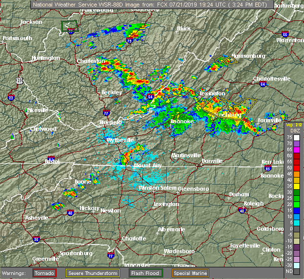 At 325 pm edt, severe thunderstorms were located along a line extending from near forks of buffalo to near riverville to andersonville, moving northeast at 20 mph (radar indicated). Hazards include 60 mph wind gusts and quarter size hail. Damaging winds will cause some trees and large branches to fall. this could injure those outdoors, as well as damage homes and vehicles. roadways may become blocked by downed trees. localized power outages are possible. unsecured light objects may become projectiles. Locations impacted include, arrington, norwood, five forks, tye river, wingina, gladstone, buffalo springs and allens creek. At 325 pm edt, severe thunderstorms were located along a line extending from near forks of buffalo to near riverville to andersonville, moving northeast at 20 mph (radar indicated). Hazards include 60 mph wind gusts and quarter size hail. Damaging winds will cause some trees and large branches to fall. this could injure those outdoors, as well as damage homes and vehicles. roadways may become blocked by downed trees. localized power outages are possible. unsecured light objects may become projectiles. Locations impacted include, arrington, norwood, five forks, tye river, wingina, gladstone, buffalo springs and allens creek.
|
| 7/21/2019 2:59 PM EDT |
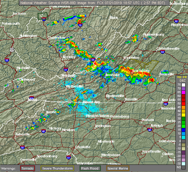 At 258 pm edt, severe thunderstorms were located along a line extending from near pleasant view to near stonewall to near hixburg, moving northeast at 15 mph (radar indicated). Hazards include 60 mph wind gusts and quarter size hail. Damaging winds will cause some trees and large branches to fall. this could injure those outdoors, as well as damage homes and vehicles. roadways may become blocked by downed trees. localized power outages are possible. Unsecured light objects may become projectiles. At 258 pm edt, severe thunderstorms were located along a line extending from near pleasant view to near stonewall to near hixburg, moving northeast at 15 mph (radar indicated). Hazards include 60 mph wind gusts and quarter size hail. Damaging winds will cause some trees and large branches to fall. this could injure those outdoors, as well as damage homes and vehicles. roadways may become blocked by downed trees. localized power outages are possible. Unsecured light objects may become projectiles.
|
| 7/15/2019 5:51 PM EDT |
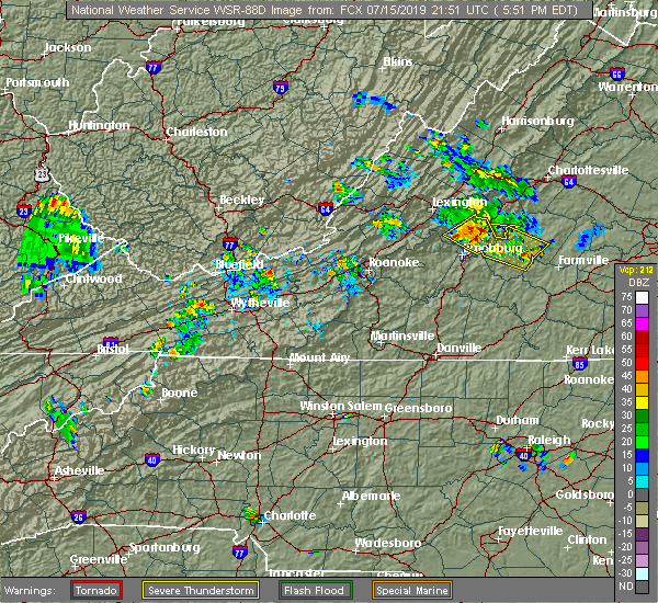 At 551 pm edt, a severe thunderstorm was located over clifford, moving east southeast at 30 mph (radar indicated). Hazards include 60 mph wind gusts and quarter size hail. Damaging winds will cause some trees and large branches to fall. this could injure those outdoors, as well as damage homes and vehicles. roadways may become blocked by downed trees. localized power outages are possible. Unsecured light objects may become projectiles. At 551 pm edt, a severe thunderstorm was located over clifford, moving east southeast at 30 mph (radar indicated). Hazards include 60 mph wind gusts and quarter size hail. Damaging winds will cause some trees and large branches to fall. this could injure those outdoors, as well as damage homes and vehicles. roadways may become blocked by downed trees. localized power outages are possible. Unsecured light objects may become projectiles.
|
| 7/15/2019 4:21 PM EDT |
 At 421 pm edt, a severe thunderstorm was located near shipman, or 8 miles north of bent creek, moving southeast at 15 mph (radar indicated). Hazards include 60 mph wind gusts. Damaging winds will cause some trees and large branches to fall. this could injure those outdoors, as well as damage homes and vehicles. roadways may become blocked by downed trees. localized power outages are possible. unsecured light objects may become projectiles. Locations impacted include, shipman, arrington, norwood, five forks, tye river, gladstone and buffalo springs. At 421 pm edt, a severe thunderstorm was located near shipman, or 8 miles north of bent creek, moving southeast at 15 mph (radar indicated). Hazards include 60 mph wind gusts. Damaging winds will cause some trees and large branches to fall. this could injure those outdoors, as well as damage homes and vehicles. roadways may become blocked by downed trees. localized power outages are possible. unsecured light objects may become projectiles. Locations impacted include, shipman, arrington, norwood, five forks, tye river, gladstone and buffalo springs.
|
| 7/15/2019 4:08 PM EDT |
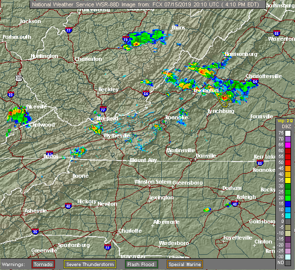 At 407 pm edt, a severe thunderstorm was located near shipman, or 7 miles northeast of clifford, moving south at 15 mph (radar indicated). Hazards include 60 mph wind gusts and quarter size hail. Damaging winds will cause some trees and large branches to fall. this could injure those outdoors, as well as damage homes and vehicles. roadways may become blocked by downed trees. localized power outages are possible. Unsecured light objects may become projectiles. At 407 pm edt, a severe thunderstorm was located near shipman, or 7 miles northeast of clifford, moving south at 15 mph (radar indicated). Hazards include 60 mph wind gusts and quarter size hail. Damaging winds will cause some trees and large branches to fall. this could injure those outdoors, as well as damage homes and vehicles. roadways may become blocked by downed trees. localized power outages are possible. Unsecured light objects may become projectiles.
|
| 7/15/2019 3:53 PM EDT |
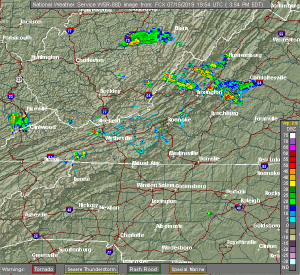 The severe thunderstorm warning for central nelson county will expire at 400 pm edt, the storm which prompted the warning has weakened below severe limits, and has exited the warned area. therefore, the warning will be allowed to expire. however gusty winds and heavy rain are still possible with this thunderstorm. The severe thunderstorm warning for central nelson county will expire at 400 pm edt, the storm which prompted the warning has weakened below severe limits, and has exited the warned area. therefore, the warning will be allowed to expire. however gusty winds and heavy rain are still possible with this thunderstorm.
|
| 7/15/2019 3:40 PM EDT |
 At 339 pm edt, a severe thunderstorm was located near shipman, or 11 miles northeast of clifford, moving southeast at 20 mph (radar indicated). Hazards include 60 mph wind gusts. Damaging winds will cause some trees and large branches to fall. this could injure those outdoors, as well as damage homes and vehicles. roadways may become blocked by downed trees. localized power outages are possible. unsecured light objects may become projectiles. Locations impacted include, shipman, arrington, lovingston and elma. At 339 pm edt, a severe thunderstorm was located near shipman, or 11 miles northeast of clifford, moving southeast at 20 mph (radar indicated). Hazards include 60 mph wind gusts. Damaging winds will cause some trees and large branches to fall. this could injure those outdoors, as well as damage homes and vehicles. roadways may become blocked by downed trees. localized power outages are possible. unsecured light objects may become projectiles. Locations impacted include, shipman, arrington, lovingston and elma.
|
| 7/15/2019 3:12 PM EDT |
 At 311 pm edt, a severe thunderstorm was located near wintergreen, or 13 miles south of waynesboro, moving south at 15 mph (radar indicated). Hazards include 60 mph wind gusts and quarter size hail. Damaging winds will cause some trees and large branches to fall. this could injure those outdoors, as well as damage homes and vehicles. roadways may become blocked by downed trees. localized power outages are possible. Unsecured light objects may become projectiles. At 311 pm edt, a severe thunderstorm was located near wintergreen, or 13 miles south of waynesboro, moving south at 15 mph (radar indicated). Hazards include 60 mph wind gusts and quarter size hail. Damaging winds will cause some trees and large branches to fall. this could injure those outdoors, as well as damage homes and vehicles. roadways may become blocked by downed trees. localized power outages are possible. Unsecured light objects may become projectiles.
|
| 7/6/2019 10:48 PM EDT |
 At 1047 pm edt, severe thunderstorms were located along a line extending from 7 miles northeast of schuyler to near shipman to 6 miles northeast of lowesville, moving southeast at 15 mph (radar indicated). Hazards include 60 mph wind gusts. Damaging winds will cause some trees and large branches to fall. this could injure those outdoors, as well as damage homes and vehicles. roadways may become blocked by downed trees. localized power outages are possible. unsecured light objects may become projectiles. Locations impacted include, shipman, schuyler, arrington, scottsville, esmont, lovingston, bryant, tye river, damon, covesville, roseland, tyro, rockfish, keene, glendower, alberene, jonesboro, elma, faber and massies mill. At 1047 pm edt, severe thunderstorms were located along a line extending from 7 miles northeast of schuyler to near shipman to 6 miles northeast of lowesville, moving southeast at 15 mph (radar indicated). Hazards include 60 mph wind gusts. Damaging winds will cause some trees and large branches to fall. this could injure those outdoors, as well as damage homes and vehicles. roadways may become blocked by downed trees. localized power outages are possible. unsecured light objects may become projectiles. Locations impacted include, shipman, schuyler, arrington, scottsville, esmont, lovingston, bryant, tye river, damon, covesville, roseland, tyro, rockfish, keene, glendower, alberene, jonesboro, elma, faber and massies mill.
|
| 7/6/2019 10:30 PM EDT |
 At 1030 pm edt, severe thunderstorms were located along a line extending from 7 miles north of schuyler to near shipman to near lowesville, moving southeast at 15 mph (radar indicated). Hazards include 60 mph wind gusts. Damaging winds will cause some trees and large branches to fall. this could injure those outdoors, as well as damage homes and vehicles. roadways may become blocked by downed trees. localized power outages are possible. unsecured light objects may become projectiles. Locations impacted include, shipman, schuyler, arrington, scottsville, esmont, lovingston, bryant, tye river, damon, north garden, covesville, roseland, woodridge, tyro, rockfish, keene, glendower, alberene, jonesboro and elma. At 1030 pm edt, severe thunderstorms were located along a line extending from 7 miles north of schuyler to near shipman to near lowesville, moving southeast at 15 mph (radar indicated). Hazards include 60 mph wind gusts. Damaging winds will cause some trees and large branches to fall. this could injure those outdoors, as well as damage homes and vehicles. roadways may become blocked by downed trees. localized power outages are possible. unsecured light objects may become projectiles. Locations impacted include, shipman, schuyler, arrington, scottsville, esmont, lovingston, bryant, tye river, damon, north garden, covesville, roseland, woodridge, tyro, rockfish, keene, glendower, alberene, jonesboro and elma.
|
| 7/6/2019 10:07 PM EDT |
 At 1007 pm edt, severe thunderstorms were located along a line extending from 7 miles southeast of afton to 6 miles southeast of wintergreen to near montebello, moving southeast at 15 mph (radar indicated). Hazards include 60 mph wind gusts. Damaging winds will cause some trees and large branches to fall. this could injure those outdoors, as well as damage homes and vehicles. roadways may become blocked by downed trees. localized power outages are possible. Unsecured light objects may become projectiles. At 1007 pm edt, severe thunderstorms were located along a line extending from 7 miles southeast of afton to 6 miles southeast of wintergreen to near montebello, moving southeast at 15 mph (radar indicated). Hazards include 60 mph wind gusts. Damaging winds will cause some trees and large branches to fall. this could injure those outdoors, as well as damage homes and vehicles. roadways may become blocked by downed trees. localized power outages are possible. Unsecured light objects may become projectiles.
|
| 6/29/2019 3:40 PM EDT |
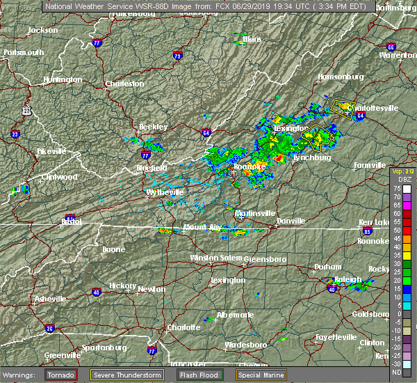 The severe thunderstorm warning for nelson county will expire at 345 pm edt, the storm which prompted the warning has weakened below severe limits, and has exited the warned area. therefore, the warning will be allowed to expire. to report severe weather, contact your nearest law enforcement agency. they will relay your report to the national weather service sterling virginia. The severe thunderstorm warning for nelson county will expire at 345 pm edt, the storm which prompted the warning has weakened below severe limits, and has exited the warned area. therefore, the warning will be allowed to expire. to report severe weather, contact your nearest law enforcement agency. they will relay your report to the national weather service sterling virginia.
|
| 6/29/2019 3:10 PM EDT |
 At 309 pm edt, a severe thunderstorm was located near shipman, or 12 miles northeast of clifford, moving southeast at 15 mph (radar indicated). Hazards include 60 mph wind gusts and quarter size hail. Damaging winds will cause some trees and large branches to fall. this could injure those outdoors, as well as damage homes and vehicles. roadways may become blocked by downed trees. localized power outages are possible. unsecured light objects may become projectiles. Locations impacted include, shipman, nellysford, arrington, lovingston, bryant, piney river, tye river, allens creek, roseland, rockfish, buffalo springs, norwood, five forks, jonesboro, gladstone, elma, massies mill and wingina. At 309 pm edt, a severe thunderstorm was located near shipman, or 12 miles northeast of clifford, moving southeast at 15 mph (radar indicated). Hazards include 60 mph wind gusts and quarter size hail. Damaging winds will cause some trees and large branches to fall. this could injure those outdoors, as well as damage homes and vehicles. roadways may become blocked by downed trees. localized power outages are possible. unsecured light objects may become projectiles. Locations impacted include, shipman, nellysford, arrington, lovingston, bryant, piney river, tye river, allens creek, roseland, rockfish, buffalo springs, norwood, five forks, jonesboro, gladstone, elma, massies mill and wingina.
|
| 6/29/2019 2:55 PM EDT |
 At 255 pm edt, a severe thunderstorm was located near wintergreen, or 13 miles north of clifford, moving southeast at 15 mph (radar indicated). Hazards include 60 mph wind gusts. Damaging winds will cause some trees and large branches to fall. this could injure those outdoors, as well as damage homes and vehicles. roadways may become blocked by downed trees. localized power outages are possible. Unsecured light objects may become projectiles. At 255 pm edt, a severe thunderstorm was located near wintergreen, or 13 miles north of clifford, moving southeast at 15 mph (radar indicated). Hazards include 60 mph wind gusts. Damaging winds will cause some trees and large branches to fall. this could injure those outdoors, as well as damage homes and vehicles. roadways may become blocked by downed trees. localized power outages are possible. Unsecured light objects may become projectiles.
|
| 4/19/2019 5:27 PM EDT |
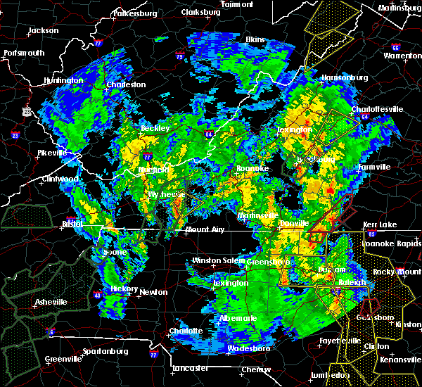 At 526 pm edt, a severe thunderstorm was located over shipman, or 12 miles north of bent creek, moving northeast at 50 mph (radar indicated). Hazards include 60 mph wind gusts. Damaging winds will cause some trees and large branches to fall. this could injure those outdoors, as well as damage homes and vehicles. roadways may become blocked by downed trees. localized power outages are possible. unsecured light objects may become projectiles. Locations impacted include, crozet, shipman, schuyler, nellysford, arrington, esmont, lovingston, damon, north garden, batesville, covesville, yancey mills, woodridge, rockfish, keene, glendower, overton, alberene, elma and faber. At 526 pm edt, a severe thunderstorm was located over shipman, or 12 miles north of bent creek, moving northeast at 50 mph (radar indicated). Hazards include 60 mph wind gusts. Damaging winds will cause some trees and large branches to fall. this could injure those outdoors, as well as damage homes and vehicles. roadways may become blocked by downed trees. localized power outages are possible. unsecured light objects may become projectiles. Locations impacted include, crozet, shipman, schuyler, nellysford, arrington, esmont, lovingston, damon, north garden, batesville, covesville, yancey mills, woodridge, rockfish, keene, glendower, overton, alberene, elma and faber.
|
| 4/19/2019 5:24 PM EDT | Tree down near variety mills road and wilson roa in nelson county VA, 1.8 miles WSW of Arrington, VA |
| 4/19/2019 5:24 PM EDT | Tree down near wilson hill road and us-2 in nelson county VA, 3.4 miles ESE of Arrington, VA |
| 4/19/2019 5:10 PM EDT |
 At 510 pm edt, a severe thunderstorm was located over riverville, or near bent creek, moving northeast at 55 mph (radar indicated). Hazards include 60 mph wind gusts. Damaging winds will cause some trees and large branches to fall. this could injure those outdoors, as well as damage homes and vehicles. roadways may become blocked by downed trees. localized power outages are possible. Unsecured light objects may become projectiles. At 510 pm edt, a severe thunderstorm was located over riverville, or near bent creek, moving northeast at 55 mph (radar indicated). Hazards include 60 mph wind gusts. Damaging winds will cause some trees and large branches to fall. this could injure those outdoors, as well as damage homes and vehicles. roadways may become blocked by downed trees. localized power outages are possible. Unsecured light objects may become projectiles.
|
| 4/14/2019 6:28 PM EDT |
 The severe thunderstorm warning for nelson and southeastern augusta counties will expire at 630 pm edt. the storm which prompted the warning is moving out of the area. therefore, the warning will be allowed to expire. A tornado watch remains in effect until 300 am edt for central and western virginia. The severe thunderstorm warning for nelson and southeastern augusta counties will expire at 630 pm edt. the storm which prompted the warning is moving out of the area. therefore, the warning will be allowed to expire. A tornado watch remains in effect until 300 am edt for central and western virginia.
|
| 4/14/2019 5:53 PM EDT |
 At 553 pm edt, a severe thunderstorm capable of producing a tornado was located near lowesville, or 8 miles north of clifford, moving northeast at 45 mph (radar indicated rotation). Hazards include tornado and quarter size hail. For those in the direct path of a tornado touchdown, flying debris will be dangerous to those caught without shelter. damage to roofs, siding, and windows may occur. mobile homes may be damaged or destroyed. tree damage is likely. Locations impacted include, lovingston, bryant, piney river, jonesboro, roseland, tyro and massies mill. At 553 pm edt, a severe thunderstorm capable of producing a tornado was located near lowesville, or 8 miles north of clifford, moving northeast at 45 mph (radar indicated rotation). Hazards include tornado and quarter size hail. For those in the direct path of a tornado touchdown, flying debris will be dangerous to those caught without shelter. damage to roofs, siding, and windows may occur. mobile homes may be damaged or destroyed. tree damage is likely. Locations impacted include, lovingston, bryant, piney river, jonesboro, roseland, tyro and massies mill.
|
| 4/14/2019 5:50 PM EDT |
 At 550 pm edt, a severe thunderstorm was located over lowesville, or near forks of buffalo, moving northeast at 45 mph (radar indicated). Hazards include 60 mph wind gusts. Damaging winds will cause some trees and large branches to fall. this could injure those outdoors, as well as damage homes and vehicles. roadways may become blocked by downed trees. localized power outages are possible. unsecured light objects may become projectiles. Locations impacted include, stuarts draft, sherando, wintergreen, montebello, lyndhurst, nellysford, arrington, lovingston, bryant, piney river, roseland, tyro, rockfish, greenfield, jonesboro, faber and massies mill. At 550 pm edt, a severe thunderstorm was located over lowesville, or near forks of buffalo, moving northeast at 45 mph (radar indicated). Hazards include 60 mph wind gusts. Damaging winds will cause some trees and large branches to fall. this could injure those outdoors, as well as damage homes and vehicles. roadways may become blocked by downed trees. localized power outages are possible. unsecured light objects may become projectiles. Locations impacted include, stuarts draft, sherando, wintergreen, montebello, lyndhurst, nellysford, arrington, lovingston, bryant, piney river, roseland, tyro, rockfish, greenfield, jonesboro, faber and massies mill.
|
| 4/14/2019 5:48 PM EDT |
 At 548 pm edt, a severe thunderstorm capable of producing a tornado was located over lowesville, or near forks of buffalo, moving northeast at 45 mph (radar indicated rotation). Hazards include tornado and quarter size hail. For those in the direct path of a tornado touchdown, flying debris will be dangerous to those caught without shelter. damage to roofs, siding, and windows may occur. mobile homes may be damaged or destroyed. tree damage is likely. Locations impacted include, lovingston, bryant, piney river, jonesboro, roseland, tyro and massies mill. At 548 pm edt, a severe thunderstorm capable of producing a tornado was located over lowesville, or near forks of buffalo, moving northeast at 45 mph (radar indicated rotation). Hazards include tornado and quarter size hail. For those in the direct path of a tornado touchdown, flying debris will be dangerous to those caught without shelter. damage to roofs, siding, and windows may occur. mobile homes may be damaged or destroyed. tree damage is likely. Locations impacted include, lovingston, bryant, piney river, jonesboro, roseland, tyro and massies mill.
|
| 4/14/2019 5:42 PM EDT |
 At 541 pm edt, a severe thunderstorm capable of producing a tornado was located over forks of buffalo, moving northeast at 45 mph (radar indicated rotation). Hazards include tornado and quarter size hail. For those in the direct path of a tornado touchdown, flying debris will be dangerous to those caught without shelter. damage to roofs, siding, and windows may occur. mobile homes may be damaged or destroyed. tree damage is likely. This tornadic thunderstorm will remain over mainly rural areas of west central nelson county, including the following locations, bryant, piney river, jonesboro, lovingston, roseland, tyro and massies mill. At 541 pm edt, a severe thunderstorm capable of producing a tornado was located over forks of buffalo, moving northeast at 45 mph (radar indicated rotation). Hazards include tornado and quarter size hail. For those in the direct path of a tornado touchdown, flying debris will be dangerous to those caught without shelter. damage to roofs, siding, and windows may occur. mobile homes may be damaged or destroyed. tree damage is likely. This tornadic thunderstorm will remain over mainly rural areas of west central nelson county, including the following locations, bryant, piney river, jonesboro, lovingston, roseland, tyro and massies mill.
|
| 4/14/2019 5:38 PM EDT |
 At 538 pm edt, a severe thunderstorm was located over pleasant view, or near forks of buffalo, moving northeast at 45 mph (radar indicated). Hazards include 60 mph wind gusts. Damaging winds will cause some trees and large branches to fall. this could injure those outdoors, as well as damage homes and vehicles. roadways may become blocked by downed trees. localized power outages are possible. Unsecured light objects may become projectiles. At 538 pm edt, a severe thunderstorm was located over pleasant view, or near forks of buffalo, moving northeast at 45 mph (radar indicated). Hazards include 60 mph wind gusts. Damaging winds will cause some trees and large branches to fall. this could injure those outdoors, as well as damage homes and vehicles. roadways may become blocked by downed trees. localized power outages are possible. Unsecured light objects may become projectiles.
|
| 4/8/2019 5:46 PM EDT | Tree reported down on the 1700 block off piedmont roa in nelson county VA, 7.9 miles N of Arrington, VA |
| 4/8/2019 4:56 PM EDT |
 At 456 pm edt, a severe thunderstorm was located near shipman, or 8 miles north of bent creek, moving east at 30 mph (trained weather spotters). Hazards include quarter to golf ball size hail and 60 mph wind gusts. Expect wind damage to trees and power lines. hail is large enough to dent and damage vehicles. some hail damage to roofs, siding, and windows is possible. Locations impacted include, shipman, arrington, norwood, five forks, tye river, allens creek, gladstone, buffalo springs and wingina. At 456 pm edt, a severe thunderstorm was located near shipman, or 8 miles north of bent creek, moving east at 30 mph (trained weather spotters). Hazards include quarter to golf ball size hail and 60 mph wind gusts. Expect wind damage to trees and power lines. hail is large enough to dent and damage vehicles. some hail damage to roofs, siding, and windows is possible. Locations impacted include, shipman, arrington, norwood, five forks, tye river, allens creek, gladstone, buffalo springs and wingina.
|
| 4/8/2019 4:48 PM EDT | Tree reported down on the 1700 block of piedmont roa in nelson county VA, 7.9 miles N of Arrington, VA |
| 4/8/2019 4:46 PM EDT |
 At 445 pm edt, a severe thunderstorm was located over new glasgow, or near clifford, moving east at 30 mph (trained weather spotters). Hazards include quarter to golf ball size hail and 60 mph wind gusts. Expect wind damage to trees and power lines. hail is large enough to dent and damage vehicles. some hail damage to roofs, siding, and windows is possible. Locations impacted include, shipman, schuyler, arrington, scottsville, esmont, lovingston, tye river, damon, allens creek, rockfish, buffalo springs, norwood, glendower, five forks, gladstone, elma, faber and wingina. At 445 pm edt, a severe thunderstorm was located over new glasgow, or near clifford, moving east at 30 mph (trained weather spotters). Hazards include quarter to golf ball size hail and 60 mph wind gusts. Expect wind damage to trees and power lines. hail is large enough to dent and damage vehicles. some hail damage to roofs, siding, and windows is possible. Locations impacted include, shipman, schuyler, arrington, scottsville, esmont, lovingston, tye river, damon, allens creek, rockfish, buffalo springs, norwood, glendower, five forks, gladstone, elma, faber and wingina.
|
| 4/8/2019 4:36 PM EDT |
 At 435 pm edt, a severe thunderstorm was located over clifford, moving east at 30 mph (trained weather spotters). Hazards include 60 mph wind gusts and quarter size hail. Damaging winds will cause some trees and large branches to fall. this could injure those outdoors, as well as damage homes and vehicles. roadways may become blocked by downed trees. localized power outages are possible. unsecured light objects may become projectiles. Locations impacted include, shipman, schuyler, arrington, scottsville, esmont, lovingston, tye river, damon, allens creek, roseland, rockfish, buffalo springs, norwood, keene, glendower, five forks, gladstone, elma, faber and wingina. At 435 pm edt, a severe thunderstorm was located over clifford, moving east at 30 mph (trained weather spotters). Hazards include 60 mph wind gusts and quarter size hail. Damaging winds will cause some trees and large branches to fall. this could injure those outdoors, as well as damage homes and vehicles. roadways may become blocked by downed trees. localized power outages are possible. unsecured light objects may become projectiles. Locations impacted include, shipman, schuyler, arrington, scottsville, esmont, lovingston, tye river, damon, allens creek, roseland, rockfish, buffalo springs, norwood, keene, glendower, five forks, gladstone, elma, faber and wingina.
|
| 4/8/2019 4:20 PM EDT |
 At 417 pm edt, a severe thunderstorm was located over pleasant view, or near forks of buffalo, moving east at 30 mph. additional thunderstorms were developing just west of wingina, and may produce gusty winds and hail (trained spotters and county 911 centers). Hazards include 60 mph wind gusts and quarter size hail. Damaging winds will cause some trees and large branches to fall. this could injure those outdoors, as well as damage homes and vehicles. roadways may become blocked by downed trees. localized power outages are possible. Unsecured light objects may become projectiles. At 417 pm edt, a severe thunderstorm was located over pleasant view, or near forks of buffalo, moving east at 30 mph. additional thunderstorms were developing just west of wingina, and may produce gusty winds and hail (trained spotters and county 911 centers). Hazards include 60 mph wind gusts and quarter size hail. Damaging winds will cause some trees and large branches to fall. this could injure those outdoors, as well as damage homes and vehicles. roadways may become blocked by downed trees. localized power outages are possible. Unsecured light objects may become projectiles.
|
| 8/13/2018 5:50 PM EDT |
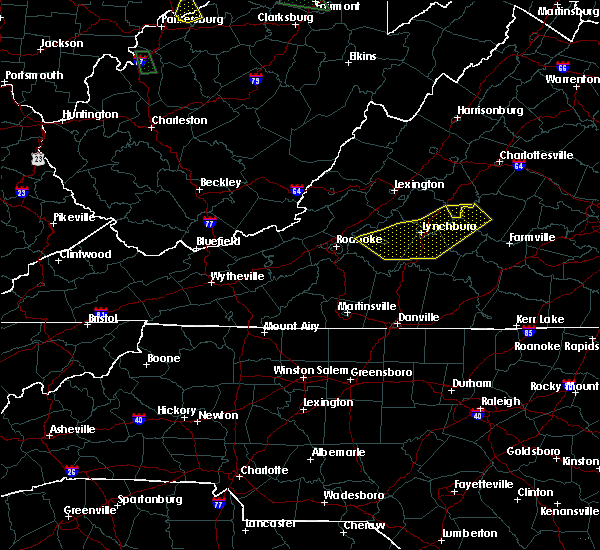 The severe thunderstorm warning for southeastern nelson county will expire at 600 pm edt, the storm which prompted the warning has moved out of the area. therefore the warning will be allowed to expire. however heavy rain is still possible with this thunderstorm. to report severe weather, contact your nearest law enforcement agency. they will relay your report to the national weather service sterling virginia. The severe thunderstorm warning for southeastern nelson county will expire at 600 pm edt, the storm which prompted the warning has moved out of the area. therefore the warning will be allowed to expire. however heavy rain is still possible with this thunderstorm. to report severe weather, contact your nearest law enforcement agency. they will relay your report to the national weather service sterling virginia.
|
| 8/13/2018 5:33 PM EDT |
 At 533 pm edt, a severe thunderstorm was located near bent creek, moving east at 15 mph (radar indicated). Hazards include 60 mph wind gusts. Damaging winds will cause some trees and large branches to fall. this could injure those outdoors, as well as damage homes and vehicles. roadways may become blocked by downed trees. localized power outages are possible. unsecured light objects may become projectiles. Locations impacted include, arrington, norwood, five forks, allens creek, gladstone, buffalo springs and wingina. At 533 pm edt, a severe thunderstorm was located near bent creek, moving east at 15 mph (radar indicated). Hazards include 60 mph wind gusts. Damaging winds will cause some trees and large branches to fall. this could injure those outdoors, as well as damage homes and vehicles. roadways may become blocked by downed trees. localized power outages are possible. unsecured light objects may become projectiles. Locations impacted include, arrington, norwood, five forks, allens creek, gladstone, buffalo springs and wingina.
|
| 8/13/2018 5:13 PM EDT |
 At 513 pm edt, a severe thunderstorm was located near wingina, or near bent creek, moving east at 20 mph (radar indicated). Hazards include 60 mph wind gusts and quarter size hail. Damaging winds will cause some trees and large branches to fall. this could injure those outdoors, as well as damage homes and vehicles. roadways may become blocked by downed trees. localized power outages are possible. Unsecured light objects may become projectiles. At 513 pm edt, a severe thunderstorm was located near wingina, or near bent creek, moving east at 20 mph (radar indicated). Hazards include 60 mph wind gusts and quarter size hail. Damaging winds will cause some trees and large branches to fall. this could injure those outdoors, as well as damage homes and vehicles. roadways may become blocked by downed trees. localized power outages are possible. Unsecured light objects may become projectiles.
|
| 8/8/2018 7:27 PM EDT | Trees down on tye brook highway near us 29 in nelson county VA, 3.6 miles SE of Arrington, VA |
| 8/8/2018 7:20 PM EDT |
 At 720 pm edt, severe thunderstorms were located along a line extending from near lake monticello to near schuyler to near new glasgow, moving east at 15 mph (radar indicated). Hazards include 60 mph wind gusts and quarter size hail. Damaging winds will cause some trees and large branches to fall. this could injure those outdoors, as well as damage homes and vehicles. roadways may become blocked by downed trees. localized power outages are possible. unsecured light objects may become projectiles. Locations impacted include, shipman, schuyler, arrington, scottsville, esmont, lovingston, piney river, allens creek, north garden, covesville, buffalo springs, norwood, gladstone, faber, tye river, damon, boyd tavern, roseland, woodridge and rockfish. At 720 pm edt, severe thunderstorms were located along a line extending from near lake monticello to near schuyler to near new glasgow, moving east at 15 mph (radar indicated). Hazards include 60 mph wind gusts and quarter size hail. Damaging winds will cause some trees and large branches to fall. this could injure those outdoors, as well as damage homes and vehicles. roadways may become blocked by downed trees. localized power outages are possible. unsecured light objects may become projectiles. Locations impacted include, shipman, schuyler, arrington, scottsville, esmont, lovingston, piney river, allens creek, north garden, covesville, buffalo springs, norwood, gladstone, faber, tye river, damon, boyd tavern, roseland, woodridge and rockfish.
|
| 8/8/2018 7:00 PM EDT |
 At 659 pm edt, severe thunderstorms were located along a line extending from 6 miles south of charlottesville to near shipman to clifford, moving east at 20 mph (radar indicated). Hazards include 60 mph wind gusts and quarter size hail. Damaging winds will cause some trees and large branches to fall. this could injure those outdoors, as well as damage homes and vehicles. roadways may become blocked by downed trees. localized power outages are possible. Unsecured light objects may become projectiles. At 659 pm edt, severe thunderstorms were located along a line extending from 6 miles south of charlottesville to near shipman to clifford, moving east at 20 mph (radar indicated). Hazards include 60 mph wind gusts and quarter size hail. Damaging winds will cause some trees and large branches to fall. this could injure those outdoors, as well as damage homes and vehicles. roadways may become blocked by downed trees. localized power outages are possible. Unsecured light objects may become projectiles.
|
| 7/11/2018 3:47 PM EDT |
 At 347 pm edt, a severe thunderstorm was located near shipman, or 8 miles east of clifford, moving south at 15 mph (radar indicated). Hazards include quarter size hail. Some hail damage to agriculture is expected. Locations impacted include, shipman, arrington, norwood, buffalo springs and tye river. At 347 pm edt, a severe thunderstorm was located near shipman, or 8 miles east of clifford, moving south at 15 mph (radar indicated). Hazards include quarter size hail. Some hail damage to agriculture is expected. Locations impacted include, shipman, arrington, norwood, buffalo springs and tye river.
|
| 7/11/2018 3:35 PM EDT | Downed tree on tye brook hwy/route 56 in nelson county VA, 3.2 miles SE of Arrington, VA |
| 7/11/2018 3:15 PM EDT |
 At 314 pm edt, a severe thunderstorm was located near shipman, or 11 miles northeast of clifford, moving south at 10 mph (radar indicated). Hazards include half dollar size hail. some hail damage to agriculture is expected At 314 pm edt, a severe thunderstorm was located near shipman, or 11 miles northeast of clifford, moving south at 10 mph (radar indicated). Hazards include half dollar size hail. some hail damage to agriculture is expected
|
| 6/9/2018 6:03 PM EDT |
 At 603 pm edt, a severe thunderstorm was located near buffalo springs, and is nearly stationary (radar indicated). Hazards include 70 mph wind gusts and ping pong ball size hail. Damaging winds will cause some trees and large branches to fall. this could injure those outdoors, as well as damage homes and vehicles. roadways may become blocked by downed trees. localized power outages are possible. unsecured light objects may become projectiles. Locations impacted include, arrington, norwood, five forks, tye river, allens creek, gladstone, buffalo springs and wingina. At 603 pm edt, a severe thunderstorm was located near buffalo springs, and is nearly stationary (radar indicated). Hazards include 70 mph wind gusts and ping pong ball size hail. Damaging winds will cause some trees and large branches to fall. this could injure those outdoors, as well as damage homes and vehicles. roadways may become blocked by downed trees. localized power outages are possible. unsecured light objects may become projectiles. Locations impacted include, arrington, norwood, five forks, tye river, allens creek, gladstone, buffalo springs and wingina.
|
| 6/9/2018 5:42 PM EDT |
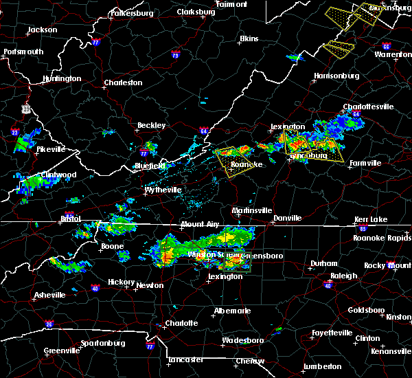 At 542 pm edt, a severe thunderstorm was located near bent creek, and is nearly stationary (radar indicated). Hazards include ping pong ball size hail and 60 mph wind gusts. Damaging winds will cause some trees and large branches to fall. this could injure those outdoors, as well as damage homes and vehicles. roadways may become blocked by downed trees. localized power outages are possible. Unsecured light objects may become projectiles. At 542 pm edt, a severe thunderstorm was located near bent creek, and is nearly stationary (radar indicated). Hazards include ping pong ball size hail and 60 mph wind gusts. Damaging winds will cause some trees and large branches to fall. this could injure those outdoors, as well as damage homes and vehicles. roadways may become blocked by downed trees. localized power outages are possible. Unsecured light objects may become projectiles.
|
| 5/14/2018 7:20 PM EDT |
 At 719 pm edt, severe thunderstorms were located along a line extending from near bumpass to near centenary, moving southeast at 40 mph (radar indicated). Hazards include 60 mph wind gusts and quarter size hail. Damaging winds will cause some trees and large branches to fall. this could injure those outdoors, as well as damage homes and vehicles. roadways may become blocked by downed trees. localized power outages are possible. unsecured light objects may become projectiles. Locations impacted include, shipman, schuyler, montebello, nellysford, arrington, scottsville, esmont, lovingston, allens creek, covesville, tyro, buffalo springs, norwood, jonesboro, gladstone, faber, massies mill, bryant, tye river and damon. At 719 pm edt, severe thunderstorms were located along a line extending from near bumpass to near centenary, moving southeast at 40 mph (radar indicated). Hazards include 60 mph wind gusts and quarter size hail. Damaging winds will cause some trees and large branches to fall. this could injure those outdoors, as well as damage homes and vehicles. roadways may become blocked by downed trees. localized power outages are possible. unsecured light objects may become projectiles. Locations impacted include, shipman, schuyler, montebello, nellysford, arrington, scottsville, esmont, lovingston, allens creek, covesville, tyro, buffalo springs, norwood, jonesboro, gladstone, faber, massies mill, bryant, tye river and damon.
|
| 5/14/2018 7:08 PM EDT |
 At 708 pm edt, severe thunderstorms with a history of producing damaging winds and hail were located along a line extending from near mineral to near centenary, moving southeast at 40 mph (radar indicated). Hazards include 60 mph wind gusts and quarter size hail. Damaging winds will cause some trees and large branches to fall. this could injure those outdoors, as well as damage homes and vehicles. roadways may become blocked by downed trees. localized power outages are possible. unsecured light objects may become projectiles. Locations impacted include, charlottesville, shipman, schuyler, wintergreen, montebello, campbell, westmoreland, hollymead, nellysford, ivy, arrington, scottsville, esmont, lovingston, allens creek, north garden, stony point, tyro, buffalo springs and gladstone. At 708 pm edt, severe thunderstorms with a history of producing damaging winds and hail were located along a line extending from near mineral to near centenary, moving southeast at 40 mph (radar indicated). Hazards include 60 mph wind gusts and quarter size hail. Damaging winds will cause some trees and large branches to fall. this could injure those outdoors, as well as damage homes and vehicles. roadways may become blocked by downed trees. localized power outages are possible. unsecured light objects may become projectiles. Locations impacted include, charlottesville, shipman, schuyler, wintergreen, montebello, campbell, westmoreland, hollymead, nellysford, ivy, arrington, scottsville, esmont, lovingston, allens creek, north garden, stony point, tyro, buffalo springs and gladstone.
|
| 5/14/2018 6:49 PM EDT |
 At 649 pm edt, severe thunderstorms with a history of producing damaging winds and hail were located along a line extending from near louisa to near shipman, moving southeast at 40 mph (radar indicated). Hazards include 60 mph wind gusts and quarter size hail. Damaging winds will cause some trees and large branches to fall. this could injure those outdoors, as well as damage homes and vehicles. roadways may become blocked by downed trees. localized power outages are possible. unsecured light objects may become projectiles. Locations impacted include, charlottesville, crozet, shipman, schuyler, free union, wintergreen, afton, montebello, campbell, westmoreland, hollymead, nellysford, ivy, arrington, scottsville, esmont, lovingston, allens creek, north garden and yancey mills. At 649 pm edt, severe thunderstorms with a history of producing damaging winds and hail were located along a line extending from near louisa to near shipman, moving southeast at 40 mph (radar indicated). Hazards include 60 mph wind gusts and quarter size hail. Damaging winds will cause some trees and large branches to fall. this could injure those outdoors, as well as damage homes and vehicles. roadways may become blocked by downed trees. localized power outages are possible. unsecured light objects may become projectiles. Locations impacted include, charlottesville, crozet, shipman, schuyler, free union, wintergreen, afton, montebello, campbell, westmoreland, hollymead, nellysford, ivy, arrington, scottsville, esmont, lovingston, allens creek, north garden and yancey mills.
|
| 5/14/2018 6:33 PM EDT |
 At 633 pm edt, severe thunderstorms were located along a line extending from near boswells tavern to near wintergreen, moving southeast at 40 mph (radar indicated). Hazards include 60 mph wind gusts and quarter size hail. Damaging winds will cause some trees and large branches to fall. this could injure those outdoors, as well as damage homes and vehicles. roadways may become blocked by downed trees. localized power outages are possible. unsecured light objects may become projectiles. Locations impacted include, charlottesville, crozet, shipman, schuyler, free union, wintergreen, afton, montebello, campbell, westmoreland, hollymead, nellysford, ivy, arrington, scottsville, esmont, lovingston, allens creek, north garden and yancey mills. At 633 pm edt, severe thunderstorms were located along a line extending from near boswells tavern to near wintergreen, moving southeast at 40 mph (radar indicated). Hazards include 60 mph wind gusts and quarter size hail. Damaging winds will cause some trees and large branches to fall. this could injure those outdoors, as well as damage homes and vehicles. roadways may become blocked by downed trees. localized power outages are possible. unsecured light objects may become projectiles. Locations impacted include, charlottesville, crozet, shipman, schuyler, free union, wintergreen, afton, montebello, campbell, westmoreland, hollymead, nellysford, ivy, arrington, scottsville, esmont, lovingston, allens creek, north garden and yancey mills.
|
| 5/14/2018 6:14 PM EDT |
 At 613 pm edt, severe thunderstorms were located along a line extending from 6 miles south of stanardsville to near vesuvius, moving southeast at 40 mph (radar indicated). Hazards include 60 mph wind gusts and quarter size hail. Damaging winds will cause some trees and large branches to fall. this could injure those outdoors, as well as damage homes and vehicles. roadways may become blocked by downed trees. localized power outages are possible. Unsecured light objects may become projectiles. At 613 pm edt, severe thunderstorms were located along a line extending from 6 miles south of stanardsville to near vesuvius, moving southeast at 40 mph (radar indicated). Hazards include 60 mph wind gusts and quarter size hail. Damaging winds will cause some trees and large branches to fall. this could injure those outdoors, as well as damage homes and vehicles. roadways may become blocked by downed trees. localized power outages are possible. Unsecured light objects may become projectiles.
|
| 5/14/2018 5:37 PM EDT |
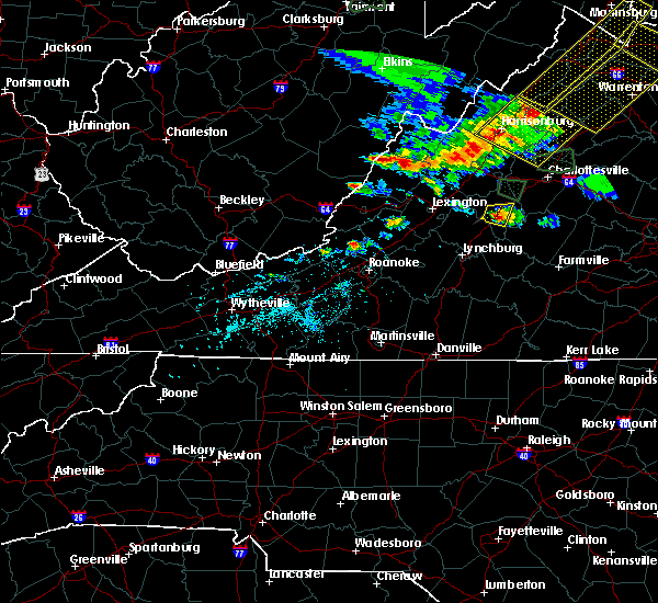 At 537 pm edt, a severe thunderstorm was located near shipman, or 8 miles northeast of clifford, and is nearly stationary (radar indicated). Hazards include 60 mph wind gusts and quarter size hail. Damaging winds will cause some trees and large branches to fall. this could injure those outdoors, as well as damage homes and vehicles. roadways may become blocked by downed trees. localized power outages are possible. unsecured light objects may become projectiles. Locations impacted include, shipman, arrington, lovingston, bryant, piney river, jonesboro, roseland and elma. At 537 pm edt, a severe thunderstorm was located near shipman, or 8 miles northeast of clifford, and is nearly stationary (radar indicated). Hazards include 60 mph wind gusts and quarter size hail. Damaging winds will cause some trees and large branches to fall. this could injure those outdoors, as well as damage homes and vehicles. roadways may become blocked by downed trees. localized power outages are possible. unsecured light objects may become projectiles. Locations impacted include, shipman, arrington, lovingston, bryant, piney river, jonesboro, roseland and elma.
|
| 5/14/2018 5:11 PM EDT |
 At 511 pm edt, a severe thunderstorm was located near lowesville, or 7 miles north of clifford, moving east at 5 mph (radar indicated). Hazards include 60 mph wind gusts and quarter size hail. Damaging winds will cause some trees and large branches to fall. this could injure those outdoors, as well as damage homes and vehicles. roadways may become blocked by downed trees. localized power outages are possible. Unsecured light objects may become projectiles. At 511 pm edt, a severe thunderstorm was located near lowesville, or 7 miles north of clifford, moving east at 5 mph (radar indicated). Hazards include 60 mph wind gusts and quarter size hail. Damaging winds will cause some trees and large branches to fall. this could injure those outdoors, as well as damage homes and vehicles. roadways may become blocked by downed trees. localized power outages are possible. Unsecured light objects may become projectiles.
|
| 5/10/2018 3:04 PM EDT |
 At 303 pm edt, severe thunderstorms were located along a line extending from 6 miles southwest of lake monticello to near riverville, moving east at 40 mph (radar indicated). Hazards include 60 mph wind gusts and quarter size hail. Damaging winds will cause some trees and large branches to fall. this could injure those outdoors, as well as damage homes and vehicles. roadways may become blocked by downed trees. localized power outages are possible. unsecured light objects may become projectiles. Locations impacted include, shipman, schuyler, arrington, scottsville, esmont, damon, allens creek, buffalo springs, norwood, glendower, keene, five forks, gladstone, elma, wingina and tye river. At 303 pm edt, severe thunderstorms were located along a line extending from 6 miles southwest of lake monticello to near riverville, moving east at 40 mph (radar indicated). Hazards include 60 mph wind gusts and quarter size hail. Damaging winds will cause some trees and large branches to fall. this could injure those outdoors, as well as damage homes and vehicles. roadways may become blocked by downed trees. localized power outages are possible. unsecured light objects may become projectiles. Locations impacted include, shipman, schuyler, arrington, scottsville, esmont, damon, allens creek, buffalo springs, norwood, glendower, keene, five forks, gladstone, elma, wingina and tye river.
|
| 5/10/2018 2:52 PM EDT | 1 tree down partially blocking us2 in nelson county VA, 3.2 miles E of Arrington, VA |
| 5/10/2018 2:47 PM EDT | Tree down on arrington rd 1 mi east of rt 29 in nelson county VA, 1.9 miles SE of Arrington, VA |
| 5/10/2018 2:43 PM EDT |
 At 240 pm edt, severe thunderstorms were located along a line extending from near schuyler to near falconerville, moving east at 40 mph (radar indicated). Hazards include 60 mph wind gusts and quarter size hail. penny size hail was reported near greenfield. Damaging winds will cause some trees and large branches to fall. this could injure those outdoors, as well as damage homes and vehicles. roadways may become blocked by downed trees. localized power outages are possible. unsecured light objects may become projectiles. Locations impacted include, shipman, schuyler, arrington, scottsville, esmont, lovingston, tye river, damon, allens creek, covesville, rockfish, buffalo springs, norwood, glendower, keene, five forks, alberene, gladstone, elma and faber. At 240 pm edt, severe thunderstorms were located along a line extending from near schuyler to near falconerville, moving east at 40 mph (radar indicated). Hazards include 60 mph wind gusts and quarter size hail. penny size hail was reported near greenfield. Damaging winds will cause some trees and large branches to fall. this could injure those outdoors, as well as damage homes and vehicles. roadways may become blocked by downed trees. localized power outages are possible. unsecured light objects may become projectiles. Locations impacted include, shipman, schuyler, arrington, scottsville, esmont, lovingston, tye river, damon, allens creek, covesville, rockfish, buffalo springs, norwood, glendower, keene, five forks, alberene, gladstone, elma and faber.
|
| 5/10/2018 2:42 PM EDT | Tree down near wilson rd and us rt 29 in nelson county VA, 3.4 miles ESE of Arrington, VA |
| 5/10/2018 2:35 PM EDT |
 At 234 pm edt, severe thunderstorms were located along a line extending from 6 miles north of schuyler to near pleasant view, moving east at 40 mph (radar indicated). Hazards include 60 mph wind gusts. Damaging winds will cause some trees and large branches to fall. this could injure those outdoors, as well as damage homes and vehicles. roadways may become blocked by downed trees. localized power outages are possible. Unsecured light objects may become projectiles. At 234 pm edt, severe thunderstorms were located along a line extending from 6 miles north of schuyler to near pleasant view, moving east at 40 mph (radar indicated). Hazards include 60 mph wind gusts. Damaging winds will cause some trees and large branches to fall. this could injure those outdoors, as well as damage homes and vehicles. roadways may become blocked by downed trees. localized power outages are possible. Unsecured light objects may become projectiles.
|
| 4/15/2018 7:50 PM EDT |
 At 749 pm edt, a line of severe thunderstorms were located along a line extending from 14 miles southeast of monterey to 7 miles southwest of staunton to near lowesville, moving north at 40 mph (radar indicated). Hazards include 60 mph wind gusts and quarter size hail. Damaging winds will cause some trees and large branches to fall. this could injure those outdoors, as well as damage homes and vehicles. roadways may become blocked by downed trees. localized power outages are possible. unsecured light objects may become projectiles. Locations impacted include, staunton, waynesboro, stuarts draft, sherando, shipman, schuyler, wintergreen, montebello, fishersville, verona, lyndhurst, nellysford, craigsville, greenville, arrington, lovingston, augusta springs, middlebrook, churchville and deerfield. At 749 pm edt, a line of severe thunderstorms were located along a line extending from 14 miles southeast of monterey to 7 miles southwest of staunton to near lowesville, moving north at 40 mph (radar indicated). Hazards include 60 mph wind gusts and quarter size hail. Damaging winds will cause some trees and large branches to fall. this could injure those outdoors, as well as damage homes and vehicles. roadways may become blocked by downed trees. localized power outages are possible. unsecured light objects may become projectiles. Locations impacted include, staunton, waynesboro, stuarts draft, sherando, shipman, schuyler, wintergreen, montebello, fishersville, verona, lyndhurst, nellysford, craigsville, greenville, arrington, lovingston, augusta springs, middlebrook, churchville and deerfield.
|
| 4/15/2018 7:31 PM EDT | Tree down near the intersection of diggs mountain rd. and arrington r in nelson county VA, 2 miles SSE of Arrington, VA |
| 4/15/2018 7:18 PM EDT | Three trees down near the intersection of tye river rd. and us-6 in nelson county VA, 7.2 miles N of Arrington, VA |
| 4/15/2018 7:10 PM EDT |
 At 708 pm edt, a line of severe thunderstorms were located along a line extending from near goshen to cornwall to near madison heights, moving north at 50 mph (radar indicated). Hazards include 60 mph wind gusts and quarter size hail. Damaging winds will cause some trees and large branches to fall. this could injure those outdoors, as well as damage homes and vehicles. roadways may become blocked by downed trees. localized power outages are possible. Unsecured light objects may become projectiles. At 708 pm edt, a line of severe thunderstorms were located along a line extending from near goshen to cornwall to near madison heights, moving north at 50 mph (radar indicated). Hazards include 60 mph wind gusts and quarter size hail. Damaging winds will cause some trees and large branches to fall. this could injure those outdoors, as well as damage homes and vehicles. roadways may become blocked by downed trees. localized power outages are possible. Unsecured light objects may become projectiles.
|
| 9/5/2017 4:56 PM EDT |
 The severe thunderstorm warning for southeastern nelson, southeastern madison, southwestern orange, albemarle and southeastern greene counties and the city of charlottesville will expire at 500 pm edt, the storms which prompted the warning have weakened below severe limits, and no longer pose an immediate threat to life or property. therefore the warning will be allowed to expire. however gusty winds and heavy rain are still possible with these thunderstorms. to report severe weather, contact your nearest law enforcement agency. they will relay your report to the national weather service sterling virginia. The severe thunderstorm warning for southeastern nelson, southeastern madison, southwestern orange, albemarle and southeastern greene counties and the city of charlottesville will expire at 500 pm edt, the storms which prompted the warning have weakened below severe limits, and no longer pose an immediate threat to life or property. therefore the warning will be allowed to expire. however gusty winds and heavy rain are still possible with these thunderstorms. to report severe weather, contact your nearest law enforcement agency. they will relay your report to the national weather service sterling virginia.
|
| 9/5/2017 4:44 PM EDT |
 At 444 pm edt, severe thunderstorms were located along a line extending from 6 miles east of stanardsville to near schuyler, moving east at 35 mph (radar indicated). Hazards include 60 mph wind gusts. Damaging winds will cause some trees and large branches to fall. this could injure those outdoors, as well as damage homes and vehicles. roadways may become blocked by downed trees. localized power outages are possible. unsecured light objects may become projectiles. Locations impacted include, charlottesville, shipman, schuyler, free union, westmoreland, hollymead, ruckersville, ivy, arrington, scottsville, esmont, lovingston, quinque, north garden, eheart, covesville, barboursville, stony point, flordon and montpelier station. At 444 pm edt, severe thunderstorms were located along a line extending from 6 miles east of stanardsville to near schuyler, moving east at 35 mph (radar indicated). Hazards include 60 mph wind gusts. Damaging winds will cause some trees and large branches to fall. this could injure those outdoors, as well as damage homes and vehicles. roadways may become blocked by downed trees. localized power outages are possible. unsecured light objects may become projectiles. Locations impacted include, charlottesville, shipman, schuyler, free union, westmoreland, hollymead, ruckersville, ivy, arrington, scottsville, esmont, lovingston, quinque, north garden, eheart, covesville, barboursville, stony point, flordon and montpelier station.
|
| 9/5/2017 4:34 PM EDT |
 At 432 pm edt, severe thunderstorms were located along a line extending from near stanardsville to schuyler, moving east at 35 mph (radar indicated). Hazards include 60 mph wind gusts. Damaging winds will cause some trees and large branches to fall. this could injure those outdoors, as well as damage homes and vehicles. roadways may become blocked by downed trees. localized power outages are possible. unsecured light objects may become projectiles. Locations impacted include, charlottesville, orange, crozet, shipman, schuyler, free union, campbell, westmoreland, hollymead, ruckersville, nellysford, ivy, arrington, scottsville, esmont, lovingston, north garden, eheart, barboursville and yancey mills. At 432 pm edt, severe thunderstorms were located along a line extending from near stanardsville to schuyler, moving east at 35 mph (radar indicated). Hazards include 60 mph wind gusts. Damaging winds will cause some trees and large branches to fall. this could injure those outdoors, as well as damage homes and vehicles. roadways may become blocked by downed trees. localized power outages are possible. unsecured light objects may become projectiles. Locations impacted include, charlottesville, orange, crozet, shipman, schuyler, free union, campbell, westmoreland, hollymead, ruckersville, nellysford, ivy, arrington, scottsville, esmont, lovingston, north garden, eheart, barboursville and yancey mills.
|
| 9/5/2017 4:12 PM EDT |
 At 411 pm edt, severe thunderstorms were located along a line extending from near free union to near shipman, moving east at 35 mph (radar indicated). Hazards include 60 mph wind gusts. Damaging winds will cause some trees and large branches to fall. this could injure those outdoors, as well as damage homes and vehicles. roadways may become blocked by downed trees. localized power outages are possible. Unsecured light objects may become projectiles. At 411 pm edt, severe thunderstorms were located along a line extending from near free union to near shipman, moving east at 35 mph (radar indicated). Hazards include 60 mph wind gusts. Damaging winds will cause some trees and large branches to fall. this could injure those outdoors, as well as damage homes and vehicles. roadways may become blocked by downed trees. localized power outages are possible. Unsecured light objects may become projectiles.
|
| 8/17/2017 8:06 PM EDT |
 The severe thunderstorm warning for southeastern nelson and southwestern albemarle counties will expire at 815 pm edt, the storm which prompted the warning has weakened below severe limits, and no longer pose an immediate threat to life or property. therefore the warning will be allowed to expire. however gusty winds are still possible with this thunderstorm. The severe thunderstorm warning for southeastern nelson and southwestern albemarle counties will expire at 815 pm edt, the storm which prompted the warning has weakened below severe limits, and no longer pose an immediate threat to life or property. therefore the warning will be allowed to expire. however gusty winds are still possible with this thunderstorm.
|
| 8/17/2017 7:47 PM EDT |
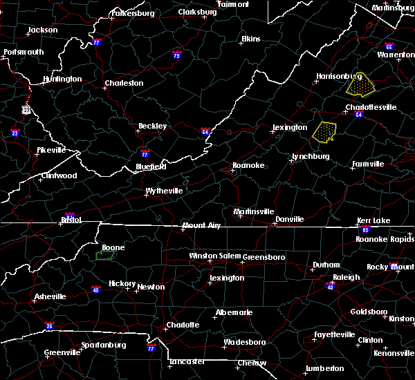 At 746 pm edt, a severe thunderstorm was located over shipman, or 13 miles north of bent creek, moving southeast at 20 mph (radar indicated). Hazards include 60 mph wind gusts and quarter size hail. Damaging winds will cause some trees and large branches to fall. this could injure those outdoors, as well as damage homes and vehicles. roadways may become blocked by downed trees. localized power outages are possible. unsecured light objects may become projectiles. Locations impacted include, shipman, schuyler, esmont, lovingston, damon, covesville, elma, rockfish, faber and wingina. At 746 pm edt, a severe thunderstorm was located over shipman, or 13 miles north of bent creek, moving southeast at 20 mph (radar indicated). Hazards include 60 mph wind gusts and quarter size hail. Damaging winds will cause some trees and large branches to fall. this could injure those outdoors, as well as damage homes and vehicles. roadways may become blocked by downed trees. localized power outages are possible. unsecured light objects may become projectiles. Locations impacted include, shipman, schuyler, esmont, lovingston, damon, covesville, elma, rockfish, faber and wingina.
|
| 8/17/2017 7:34 PM EDT |
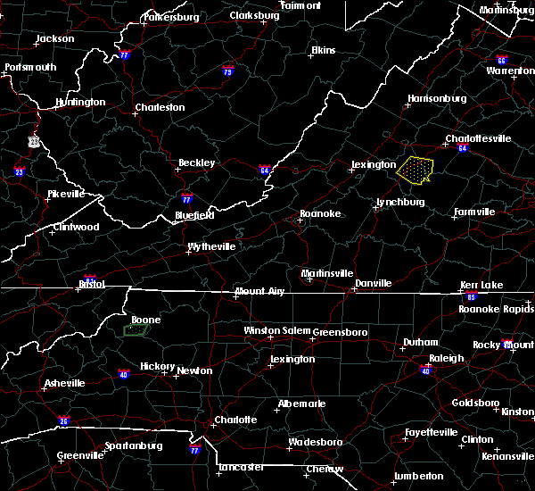 At 733 pm edt, a severe thunderstorm was located near shipman, or 12 miles northeast of clifford, moving east at 15 mph (radar indicated). Hazards include 60 mph wind gusts and quarter size hail. Damaging winds will cause some trees and large branches to fall. this could injure those outdoors, as well as damage homes and vehicles. roadways may become blocked by downed trees. localized power outages are possible. Unsecured light objects may become projectiles. At 733 pm edt, a severe thunderstorm was located near shipman, or 12 miles northeast of clifford, moving east at 15 mph (radar indicated). Hazards include 60 mph wind gusts and quarter size hail. Damaging winds will cause some trees and large branches to fall. this could injure those outdoors, as well as damage homes and vehicles. roadways may become blocked by downed trees. localized power outages are possible. Unsecured light objects may become projectiles.
|
| 5/5/2017 5:29 AM EDT |
 At 529 am edt, a severe thunderstorm was located near shipman, or 9 miles north of bent creek, moving northeast at 45 mph (radar indicated). Hazards include 60 mph wind gusts. Damaging winds will cause some trees and large branches to fall. this could injure those outdoors, as well as damage homes and vehicles. roadways may become blocked by downed trees. localized power outages are possible. Unsecured light objects may become projectiles. At 529 am edt, a severe thunderstorm was located near shipman, or 9 miles north of bent creek, moving northeast at 45 mph (radar indicated). Hazards include 60 mph wind gusts. Damaging winds will cause some trees and large branches to fall. this could injure those outdoors, as well as damage homes and vehicles. roadways may become blocked by downed trees. localized power outages are possible. Unsecured light objects may become projectiles.
|
| 3/1/2017 12:56 PM EST |
 At 1255 pm est, severe thunderstorms were located along a line extending from 7 miles south of madison to near schuyler, moving east at 50 mph (radar indicated). Hazards include 60 mph wind gusts. Damaging winds will cause some trees and large branches to fall. this could injure those outdoors, as well as damage homes and vehicles. roadways may become blocked by downed trees. localized power outages are possible. unsecured light objects may become projectiles. Locations impacted include, charlottesville, orange, shipman, schuyler, campbell, westmoreland, hollymead, gordonsville, ruckersville, ivy, arrington, scottsville, esmont, lovingston, allens creek, eheart, north garden, barboursville, stony point and verdiersville. At 1255 pm est, severe thunderstorms were located along a line extending from 7 miles south of madison to near schuyler, moving east at 50 mph (radar indicated). Hazards include 60 mph wind gusts. Damaging winds will cause some trees and large branches to fall. this could injure those outdoors, as well as damage homes and vehicles. roadways may become blocked by downed trees. localized power outages are possible. unsecured light objects may become projectiles. Locations impacted include, charlottesville, orange, shipman, schuyler, campbell, westmoreland, hollymead, gordonsville, ruckersville, ivy, arrington, scottsville, esmont, lovingston, allens creek, eheart, north garden, barboursville, stony point and verdiersville.
|
| 3/1/2017 12:32 PM EST |
 At 1232 pm est, severe thunderstorms were located along a line extending from 10 miles southeast of massanutten to near lowesville, moving east at 50 mph (radar indicated). Hazards include 60 mph wind gusts. Damaging winds will cause some trees and large branches to fall. this could injure those outdoors, as well as damage homes and vehicles. roadways may become blocked by downed trees. localized power outages are possible. Unsecured light objects may become projectiles. At 1232 pm est, severe thunderstorms were located along a line extending from 10 miles southeast of massanutten to near lowesville, moving east at 50 mph (radar indicated). Hazards include 60 mph wind gusts. Damaging winds will cause some trees and large branches to fall. this could injure those outdoors, as well as damage homes and vehicles. roadways may become blocked by downed trees. localized power outages are possible. Unsecured light objects may become projectiles.
|
| 8/6/2016 6:11 PM EDT |
 The severe thunderstorm warning for south central albemarle and southeastern nelson counties will expire at 615 pm edt, the storm which prompted the warning has weakened below severe limits, and no longer pose an immediate threat to life or property. therefore the warning will be allowed to expire. The severe thunderstorm warning for south central albemarle and southeastern nelson counties will expire at 615 pm edt, the storm which prompted the warning has weakened below severe limits, and no longer pose an immediate threat to life or property. therefore the warning will be allowed to expire.
|
| 8/6/2016 5:57 PM EDT |
 At 557 pm edt, a severe thunderstorm was located near wingina, or 9 miles north of bent creek, moving southeast at 25 mph (radar indicated). Hazards include 60 mph wind gusts. Damaging winds will cause some trees and large branches to fall. this could injure those outdoors, as well as damage homes and vehicles. roadways may become blocked by downed trees. localized power outages are possible. unsecured light objects may become projectiles. Locations impacted include, shipman, schuyler, arrington, norwood, rockfish, elma and wingina. At 557 pm edt, a severe thunderstorm was located near wingina, or 9 miles north of bent creek, moving southeast at 25 mph (radar indicated). Hazards include 60 mph wind gusts. Damaging winds will cause some trees and large branches to fall. this could injure those outdoors, as well as damage homes and vehicles. roadways may become blocked by downed trees. localized power outages are possible. unsecured light objects may become projectiles. Locations impacted include, shipman, schuyler, arrington, norwood, rockfish, elma and wingina.
|
| 8/6/2016 5:40 PM EDT |
 At 539 pm edt, a severe thunderstorm was located over shipman, or 13 miles northeast of clifford, moving southeast at 20 mph (radar indicated). Hazards include 60 mph wind gusts. Damaging winds will cause some trees and large branches to fall. this could injure those outdoors, as well as damage homes and vehicles. roadways may become blocked by downed trees. localized power outages are possible. Unsecured light objects may become projectiles. At 539 pm edt, a severe thunderstorm was located over shipman, or 13 miles northeast of clifford, moving southeast at 20 mph (radar indicated). Hazards include 60 mph wind gusts. Damaging winds will cause some trees and large branches to fall. this could injure those outdoors, as well as damage homes and vehicles. roadways may become blocked by downed trees. localized power outages are possible. Unsecured light objects may become projectiles.
|
| 7/19/2016 4:50 PM EDT |
 At 450 pm edt, a severe thunderstorm was located near shipman, or 7 miles northeast of clifford, moving southeast at 20 mph (radar indicated). Hazards include 60 mph wind gusts. Damaging winds will cause some trees and large branches to fall. Locations impacted include, shipman, arrington, lovingston and roseland. At 450 pm edt, a severe thunderstorm was located near shipman, or 7 miles northeast of clifford, moving southeast at 20 mph (radar indicated). Hazards include 60 mph wind gusts. Damaging winds will cause some trees and large branches to fall. Locations impacted include, shipman, arrington, lovingston and roseland.
|
| 7/19/2016 4:32 PM EDT |
 At 432 pm edt, a severe thunderstorm was located near lowesville, or 10 miles north of clifford, moving southeast at 15 mph (radar indicated). Hazards include 60 mph wind gusts and quarter size hail. Damaging winds will cause some trees and large branches to fall. this could injure those outdoors, as well as damage homes and vehicles. roadways may become blocked by downed trees. localized power outages are possible. Unsecured light objects may become projectiles. At 432 pm edt, a severe thunderstorm was located near lowesville, or 10 miles north of clifford, moving southeast at 15 mph (radar indicated). Hazards include 60 mph wind gusts and quarter size hail. Damaging winds will cause some trees and large branches to fall. this could injure those outdoors, as well as damage homes and vehicles. roadways may become blocked by downed trees. localized power outages are possible. Unsecured light objects may become projectiles.
|
| 6/23/2016 5:02 AM EDT |
 At 502 am edt, a severe thunderstorm was located near shipman, or 10 miles northeast of clifford, moving east at 40 mph (radar indicated). Hazards include 60 mph wind gusts. Damaging winds will cause some trees and large branches to fall. this could injure those outdoors, as well as damage homes and vehicles. roadways may become blocked by downed trees. localized power outages are possible. unsecured light objects may become projectiles. Locations impacted include, sherando, shipman, wintergreen, nellysford, arrington, lovingston, gladstone, buffalo springs, bryant, tye river, elma, allens creek, greenfield, wingina, faber, roseland, massies mill, tyro, norwood and rockfish. At 502 am edt, a severe thunderstorm was located near shipman, or 10 miles northeast of clifford, moving east at 40 mph (radar indicated). Hazards include 60 mph wind gusts. Damaging winds will cause some trees and large branches to fall. this could injure those outdoors, as well as damage homes and vehicles. roadways may become blocked by downed trees. localized power outages are possible. unsecured light objects may become projectiles. Locations impacted include, sherando, shipman, wintergreen, nellysford, arrington, lovingston, gladstone, buffalo springs, bryant, tye river, elma, allens creek, greenfield, wingina, faber, roseland, massies mill, tyro, norwood and rockfish.
|
| 6/23/2016 4:42 AM EDT |
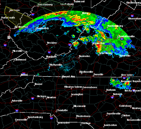 At 441 am edt, a severe thunderstorm was located over alto, or near forks of buffalo, moving east at 50 mph (radar indicated). Hazards include 60 mph wind gusts. Damaging winds will cause some trees and large branches to fall. this could injure those outdoors, as well as damage homes and vehicles. roadways may become blocked by downed trees. localized power outages are possible. Unsecured light objects may become projectiles. At 441 am edt, a severe thunderstorm was located over alto, or near forks of buffalo, moving east at 50 mph (radar indicated). Hazards include 60 mph wind gusts. Damaging winds will cause some trees and large branches to fall. this could injure those outdoors, as well as damage homes and vehicles. roadways may become blocked by downed trees. localized power outages are possible. Unsecured light objects may become projectiles.
|
| 6/16/2016 9:39 PM EDT | Measured wind gusts of 76.7 mph in gladestone in nelson county VA, 8.1 miles NNW of Arrington, VA |
| 6/16/2016 9:39 PM EDT | Measured wind gusts of 76.7 mph in gladestone in buckingham county VA, 9.7 miles NNW of Arrington, VA |
| 6/16/2016 8:42 PM EDT |
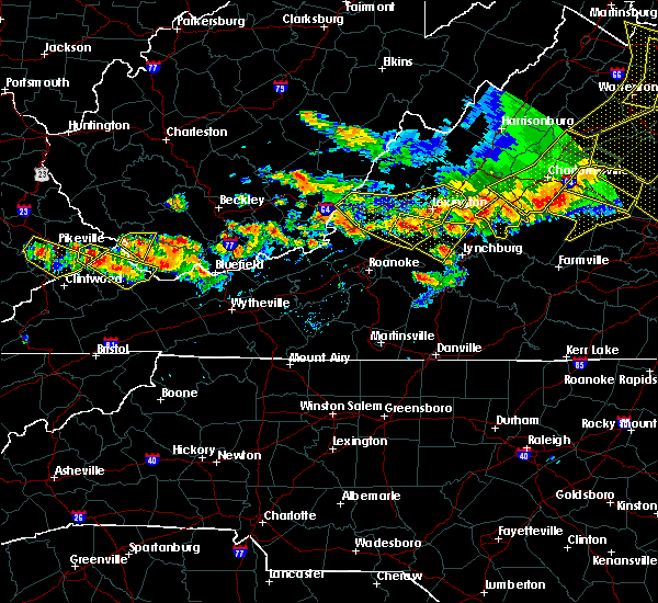 At 842 pm edt, severe thunderstorms were located along a line extending from 6 miles northwest of shipman to near lowesville, moving southeast at 20 mph (radar indicated). Hazards include 60 mph wind gusts. Damaging winds will cause some trees and large branches to fall. this could injure those outdoors, as well as damage homes and vehicles. roadways may become blocked by downed trees. localized power outages are possible. Unsecured light objects may become projectiles. At 842 pm edt, severe thunderstorms were located along a line extending from 6 miles northwest of shipman to near lowesville, moving southeast at 20 mph (radar indicated). Hazards include 60 mph wind gusts. Damaging winds will cause some trees and large branches to fall. this could injure those outdoors, as well as damage homes and vehicles. roadways may become blocked by downed trees. localized power outages are possible. Unsecured light objects may become projectiles.
|
| 6/5/2016 4:30 PM EDT |
 At 430 pm edt, a severe thunderstorm was located over amherst, moving northeast at 50 mph (radar indicated). Hazards include 60 mph wind gusts. Damaging winds will cause some trees and large branches to fall. this could injure those outdoors, as well as damage homes and vehicles. roadways may become blocked by downed trees. localized power outages are possible. Unsecured light objects may become projectiles. At 430 pm edt, a severe thunderstorm was located over amherst, moving northeast at 50 mph (radar indicated). Hazards include 60 mph wind gusts. Damaging winds will cause some trees and large branches to fall. this could injure those outdoors, as well as damage homes and vehicles. roadways may become blocked by downed trees. localized power outages are possible. Unsecured light objects may become projectiles.
|
| 6/2/2016 7:10 PM EDT | 911 call center reports one tree down along route 60. time estimated by rada in appomattox county VA, 11.6 miles NNW of Arrington, VA |
| 5/2/2016 4:57 PM EDT |
 At 456 pm edt, a severe thunderstorm was located near shipman, or 8 miles northeast of clifford, moving northeast at 30 mph (radar indicated). Hazards include ping pong ball size hail and 60 mph wind gusts. Hail damage to vehicles may occur along with damging wind gusts to trees. Locations impacted include, shipman, schuyler, nellysford, arrington, lovingston, rockfish, bryant, elma, greenfield, faber, jonesboro, roseland and massies mill. At 456 pm edt, a severe thunderstorm was located near shipman, or 8 miles northeast of clifford, moving northeast at 30 mph (radar indicated). Hazards include ping pong ball size hail and 60 mph wind gusts. Hail damage to vehicles may occur along with damging wind gusts to trees. Locations impacted include, shipman, schuyler, nellysford, arrington, lovingston, rockfish, bryant, elma, greenfield, faber, jonesboro, roseland and massies mill.
|
| 5/2/2016 4:50 PM EDT |
 At 449 pm edt, a severe thunderstorm was located near lowesville, or near clifford, moving northeast at 30 mph (radar indicated). Hazards include 60 mph wind gusts and quarter size hail. Hail damage to vehicles is possible. Expect wind damage to roofs, siding, and trees. At 449 pm edt, a severe thunderstorm was located near lowesville, or near clifford, moving northeast at 30 mph (radar indicated). Hazards include 60 mph wind gusts and quarter size hail. Hail damage to vehicles is possible. Expect wind damage to roofs, siding, and trees.
|
| 9/9/2015 5:19 PM EDT |
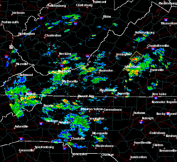 At 519 pm edt, doppler radar indicated a severe thunderstorm capable of producing quarter size hail. this storm was located over shipman, or 9 miles northeast of clifford, and moving northeast at 20 mph. At 519 pm edt, doppler radar indicated a severe thunderstorm capable of producing quarter size hail. this storm was located over shipman, or 9 miles northeast of clifford, and moving northeast at 20 mph.
|
| 8/4/2015 4:48 PM EDT |
 At 447 pm edt, doppler radar indicated a severe thunderstorm capable of producing quarter size hail and damaging winds in excess of 60 mph. this storm was located over shipman, or 12 miles northeast of clifford, and moving northeast at 35 mph. At 447 pm edt, doppler radar indicated a severe thunderstorm capable of producing quarter size hail and damaging winds in excess of 60 mph. this storm was located over shipman, or 12 miles northeast of clifford, and moving northeast at 35 mph.
|
| 7/14/2015 8:15 PM EDT |
 At 815 pm edt, doppler radar indicated a severe thunderstorm capable of producing quarter size hail and damaging winds in excess of 60 mph. this storm was located near shipman, or 10 miles north of bent creek, and moving east at 30 mph. At 815 pm edt, doppler radar indicated a severe thunderstorm capable of producing quarter size hail and damaging winds in excess of 60 mph. this storm was located near shipman, or 10 miles north of bent creek, and moving east at 30 mph.
|
| 7/13/2015 9:37 PM EDT |
 At 936 pm edt, doppler radar indicated a line of severe thunderstorms capable of producing damaging winds in excess of 60 mph. these storms were located along a line extending from near wintergreen to near amherst, moving east at 40 mph. locations impacted include, shipman, gladstone, buffalo springs, bryant, lovingston, elma, tye river, allens creek, wingina, faber, roseland, massies mill, tyro, norwood, rockfish, five forks, arrington and jonesboro. At 936 pm edt, doppler radar indicated a line of severe thunderstorms capable of producing damaging winds in excess of 60 mph. these storms were located along a line extending from near wintergreen to near amherst, moving east at 40 mph. locations impacted include, shipman, gladstone, buffalo springs, bryant, lovingston, elma, tye river, allens creek, wingina, faber, roseland, massies mill, tyro, norwood, rockfish, five forks, arrington and jonesboro.
|
| 7/13/2015 9:19 PM EDT |
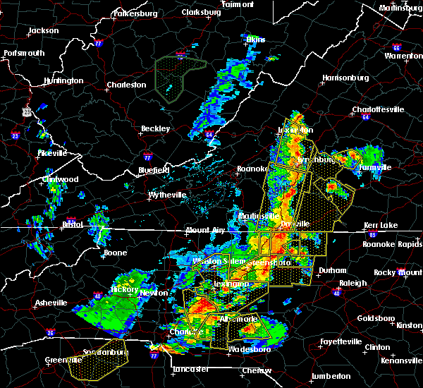 At 919 pm edt, doppler radar indicated a line of severe thunderstorms capable of producing damaging winds in excess of 60 mph. these storms were located along a line extending from near montebello to near falconerville, and moving east at 40 mph. At 919 pm edt, doppler radar indicated a line of severe thunderstorms capable of producing damaging winds in excess of 60 mph. these storms were located along a line extending from near montebello to near falconerville, and moving east at 40 mph.
|
| 7/13/2015 8:12 PM EDT |
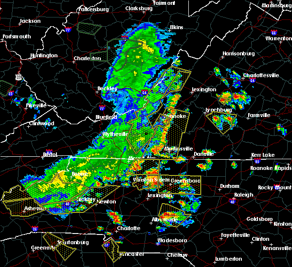 At 812 pm edt, doppler radar indicated a severe thunderstorm capable of producing damaging winds in excess of 60 mph. this storm was located near shipman, or 7 miles north of bent creek, and moving southeast at 15 mph. At 812 pm edt, doppler radar indicated a severe thunderstorm capable of producing damaging winds in excess of 60 mph. this storm was located near shipman, or 7 miles north of bent creek, and moving southeast at 15 mph.
|
| 6/30/2015 10:06 PM EDT |
 At 1006 pm edt, doppler radar indicated a severe thunderstorm capable of producing damaging winds in excess of 60 mph. this storm was located over riverville, or near bent creek, moving northeast at 25 mph. penny size hail may also accompany the damaging winds. locations impacted include, shipman, gladstone, norwood, buffalo springs, elma, tye river, five forks, wingina, arrington and allens creek. At 1006 pm edt, doppler radar indicated a severe thunderstorm capable of producing damaging winds in excess of 60 mph. this storm was located over riverville, or near bent creek, moving northeast at 25 mph. penny size hail may also accompany the damaging winds. locations impacted include, shipman, gladstone, norwood, buffalo springs, elma, tye river, five forks, wingina, arrington and allens creek.
|
| 6/30/2015 9:55 PM EDT |
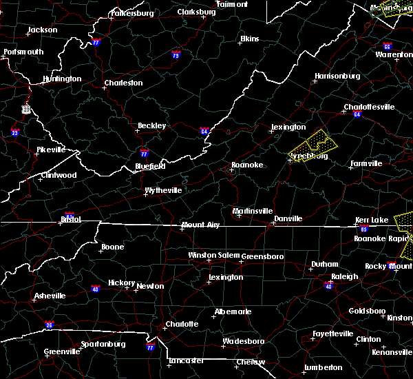 At 955 pm edt, doppler radar indicated a severe thunderstorm capable of producing damaging winds in excess of 60 mph. this storm was located near falconerville, or near amherst, and moving northeast at 20 mph. At 955 pm edt, doppler radar indicated a severe thunderstorm capable of producing damaging winds in excess of 60 mph. this storm was located near falconerville, or near amherst, and moving northeast at 20 mph.
|
| 6/25/2015 9:36 PM EDT |
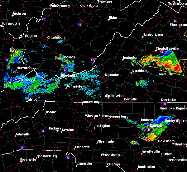 At 935 pm edt, doppler radar indicated a severe thunderstorm capable of producing quarter size hail and damaging winds in excess of 60 mph. this storm was located over shipman, or 11 miles north of bent creek, moving southeast at 30 mph. locations impacted include, shipman, schuyler, norwood, rockfish, buffalo springs, lovingston, elma, tye river, five forks, arrington, faber and wingina. At 935 pm edt, doppler radar indicated a severe thunderstorm capable of producing quarter size hail and damaging winds in excess of 60 mph. this storm was located over shipman, or 11 miles north of bent creek, moving southeast at 30 mph. locations impacted include, shipman, schuyler, norwood, rockfish, buffalo springs, lovingston, elma, tye river, five forks, arrington, faber and wingina.
|
| 6/25/2015 9:24 PM EDT |
 At 923 pm edt, doppler radar indicated a severe thunderstorm capable of producing quarter size hail and damaging winds in excess of 60 mph. this storm was located near shipman, or 9 miles northeast of clifford, and moving southeast at 30 mph. At 923 pm edt, doppler radar indicated a severe thunderstorm capable of producing quarter size hail and damaging winds in excess of 60 mph. this storm was located near shipman, or 9 miles northeast of clifford, and moving southeast at 30 mph.
|
| 6/1/2015 4:45 PM EDT | Several trees down blocking us-60 in nelson county VA, 8.4 miles NNW of Arrington, VA |
| 6/21/2014 5:33 PM EDT | One tree down along river road near the james river state park in buckingham county VA, 6.3 miles NW of Arrington, VA |
| 6/11/2014 1:46 AM EDT | A tree was reported down blocking the roadway on the 3600 block of lowesville roa in nelson county VA, 9.2 miles ESE of Arrington, VA |
| 7/28/2013 10:35 PM EDT | Tree fell blocking roadway of route 29 in southern nelson county in nelson county VA, 3.2 miles E of Arrington, VA |
| 7/24/2013 8:18 PM EDT | One tree down along james river roa in appomattox county VA, 10.5 miles NNW of Arrington, VA |
| 6/13/2013 2:28 PM EDT | Large tree down near norwood va in eastern nelson county in nelson county VA, 5.1 miles WNW of Arrington, VA |
| 5/7/2013 3:02 PM EDT | Quarter sized hail reported 4.1 miles WNW of Arrington, VA, quarter size hail |
| 4/12/2013 5:50 AM EDT | Measured gust on spears mountain in buckingham county VA, 9.4 miles NNW of Arrington, VA |
| 9/18/2012 1:10 PM EDT | Two trees down along norwood rd near gladston in nelson county VA, 5.3 miles NNW of Arrington, VA |
| 9/18/2012 1:06 PM EDT | Tree down along tye river road in the tye river are in nelson county VA, 3.2 miles NE of Arrington, VA |
| 7/27/2012 5:15 PM EDT | Tree down along route 60 at robertson ln in nelson county VA, 7.6 miles NNW of Arrington, VA |
| 7/27/2012 5:12 PM EDT | Numerous large tree limbs blown down along old galilee roa in amherst county VA, 8.6 miles N of Arrington, VA |
| 7/27/2012 5:07 PM EDT | Tree down along route 60 in nelson county VA, 7.6 miles NNW of Arrington, VA |
| 6/1/2012 2:15 PM EDT | Several large trees uprooted in nelson county VA, 7.1 miles ESE of Arrington, VA |
| 6/1/2012 2:09 PM EDT | Half Dollar sized hail reported 9 miles ESE of Arrington, VA, reported by nssl |
| 5/22/2012 5:55 PM EDT | Ping Pong Ball sized hail reported 0.6 miles SE of Arrington, VA, hail lasted for 5 to 10 minutes. |
| 1/1/0001 12:00 AM | Tree down on route 605 bent creek rd in appomattox county VA, 10.5 miles NNW of Arrington, VA |
| 1/1/0001 12:00 AM | Thunderstorm winds blew three trees down on river roa in buckingham county VA, 7.3 miles NW of Arrington, VA |
| 1/1/0001 12:00 AM | Around 40-50 trees down in the area from variety mills rd...williamstown rd and wilson r in nelson county VA, 2.9 miles W of Arrington, VA |
| 1/1/0001 12:00 AM | Trees down on arrington rd in nelson county VA, 0.6 miles SE of Arrington, VA |
| 1/1/0001 12:00 AM | Quarter sized hail reported 6.2 miles ESE of Arrington, VA, hail fell on rosemill road. a large oak tree was also blown down. |
| 1/1/0001 12:00 AM | Tree across road near intersection of richmond highway and rt 622 in the gladstone are in nelson county VA, 7.4 miles NNW of Arrington, VA |
| 1/1/0001 12:00 AM | Tree down onto road near intersection of patrick henry highway and tye brook highwa in nelson county VA, 7.7 miles ESE of Arrington, VA |
| 1/1/0001 12:00 AM | Thunderstorm wind gust measured with a home weather statio in buckingham county VA, 9.4 miles NNW of Arrington, VA |
| 1/1/0001 12:00 AM | Quarter sized hail reported 10.3 miles ESE of Arrington, VA, hail penny to quarter size |
| 1/1/0001 12:00 AM | Tree down in amherst county VA, 5.5 miles NE of Arrington, VA |
Hail Maps for Arrington, VA
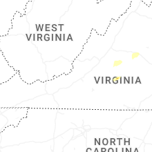


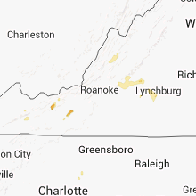


Connect with Interactive Hail Maps