

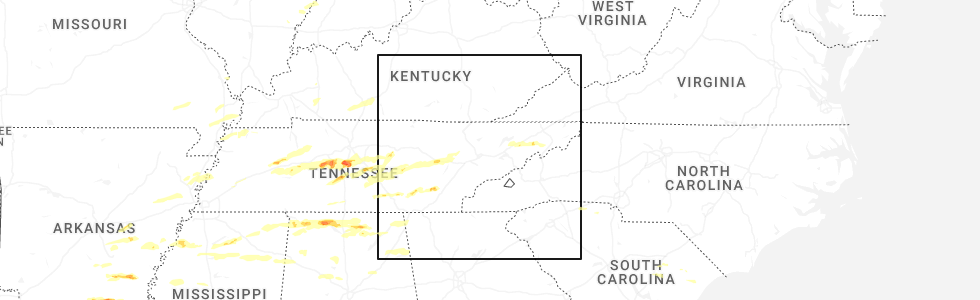
Hail Map for Bean Station, TN
The Bean Station, TN area has had 3 reports of on-the-ground hail by trained spotters, and has been under severe weather warnings 27 times during the past 12 months. Doppler radar has detected hail at or near Bean Station, TN on 40 occasions, including 1 occasion during the past year.
| Name: | Bean Station, TN |
| Where Located: | 42.6 miles NE of Knoxville, TN |
| Map: | Google Map for Bean Station, TN |
| Population: | 2826 |
| Housing Units: | 1294 |
| More Info: | Search Google for Bean Station, TN |
0
The Top Recent Hail Date for Bean Station, TN is Tuesday, May 20, 2025 (40th out of 40)
Hail and Wind Damage Spotted near Bean Station, TN
| Date / Time | Report Details |
|---|---|
| 6/13/2025 9:04 PM EDT |
 the severe thunderstorm warning has been cancelled and is no longer in effect the severe thunderstorm warning has been cancelled and is no longer in effect
|
| 6/13/2025 9:04 PM EDT |
 At 903 pm edt, a severe thunderstorm was located near morristown, moving east at 30 mph (radar indicated). Hazards include 60 mph wind gusts. Expect damage to roofs, siding, and trees. locations impacted include, morristown, jefferson city, dandridge, rutledge, bean station, white pine, new market, baneberry, thorn hill, and panther creek state park. this includes the following highways, interstate 40 in tennessee between mile markers 413 and 426. Interstate 81 in tennessee between mile markers 1 and 11. At 903 pm edt, a severe thunderstorm was located near morristown, moving east at 30 mph (radar indicated). Hazards include 60 mph wind gusts. Expect damage to roofs, siding, and trees. locations impacted include, morristown, jefferson city, dandridge, rutledge, bean station, white pine, new market, baneberry, thorn hill, and panther creek state park. this includes the following highways, interstate 40 in tennessee between mile markers 413 and 426. Interstate 81 in tennessee between mile markers 1 and 11.
|
| 6/13/2025 8:36 PM EDT |
 Svrmrx the national weather service in morristown has issued a * severe thunderstorm warning for, northeastern knox county in east tennessee, jefferson county in east tennessee, northwestern cocke county in east tennessee, central grainger county in east tennessee, north central sevier county in east tennessee, western hamblen county in east tennessee, * until 915 pm edt. * at 836 pm edt, a severe thunderstorm was located near new market, or near jefferson city, moving east at 30 mph (radar indicated). Hazards include 60 mph wind gusts and quarter size hail. Hail damage to vehicles is expected. Expect wind damage to roofs, siding, and trees. Svrmrx the national weather service in morristown has issued a * severe thunderstorm warning for, northeastern knox county in east tennessee, jefferson county in east tennessee, northwestern cocke county in east tennessee, central grainger county in east tennessee, north central sevier county in east tennessee, western hamblen county in east tennessee, * until 915 pm edt. * at 836 pm edt, a severe thunderstorm was located near new market, or near jefferson city, moving east at 30 mph (radar indicated). Hazards include 60 mph wind gusts and quarter size hail. Hail damage to vehicles is expected. Expect wind damage to roofs, siding, and trees.
|
| 6/6/2025 6:43 PM EDT |
 the severe thunderstorm warning has been cancelled and is no longer in effect the severe thunderstorm warning has been cancelled and is no longer in effect
|
| 6/6/2025 6:16 PM EDT | Svrmrx the national weather service in morristown has issued a * severe thunderstorm warning for, northeastern jefferson county in east tennessee, northwestern cocke county in east tennessee, central grainger county in east tennessee, hamblen county in east tennessee, * until 700 pm edt. * at 616 pm edt, a severe thunderstorm was located near morristown, moving east at 15 mph (radar indicated). Hazards include 60 mph wind gusts. expect damage to roofs, siding, and trees |
| 5/20/2025 4:30 PM EDT |
 Svrmrx the national weather service in morristown has issued a * severe thunderstorm warning for, southern hawkins county in east tennessee, northeastern jefferson county in east tennessee, northwestern cocke county in east tennessee, greene county in east tennessee, east central grainger county in east tennessee, hamblen county in east tennessee, * until 515 pm edt. * at 429 pm edt, a severe thunderstorm was located over morristown, moving east at 40 mph (radar indicated). Hazards include 60 mph wind gusts. expect damage to roofs, siding, and trees Svrmrx the national weather service in morristown has issued a * severe thunderstorm warning for, southern hawkins county in east tennessee, northeastern jefferson county in east tennessee, northwestern cocke county in east tennessee, greene county in east tennessee, east central grainger county in east tennessee, hamblen county in east tennessee, * until 515 pm edt. * at 429 pm edt, a severe thunderstorm was located over morristown, moving east at 40 mph (radar indicated). Hazards include 60 mph wind gusts. expect damage to roofs, siding, and trees
|
| 5/17/2025 2:15 AM EDT |
 Svrmrx the national weather service in morristown has issued a * severe thunderstorm warning for, southwestern hawkins county in east tennessee, south central anderson county in east tennessee, knox county in east tennessee, jefferson county in east tennessee, cocke county in east tennessee, greene county in east tennessee, grainger county in east tennessee, southwestern unicoi county in east tennessee, sevier county in east tennessee, northeastern blount county in east tennessee, southwestern washington county in east tennessee, southwestern hancock county in east tennessee, northeastern roane county in east tennessee, hamblen county in east tennessee, * until 315 am edt. * at 214 am edt, severe thunderstorms were located along a line extending from 6 miles south of sneedville to 10 miles northeast of knoxville to near oak ridge, moving east at 70 mph (radar indicated). Hazards include 70 mph wind gusts and nickel size hail. Expect considerable tree damage. Damage is likely to mobile homes, roofs, and outbuildings. Svrmrx the national weather service in morristown has issued a * severe thunderstorm warning for, southwestern hawkins county in east tennessee, south central anderson county in east tennessee, knox county in east tennessee, jefferson county in east tennessee, cocke county in east tennessee, greene county in east tennessee, grainger county in east tennessee, southwestern unicoi county in east tennessee, sevier county in east tennessee, northeastern blount county in east tennessee, southwestern washington county in east tennessee, southwestern hancock county in east tennessee, northeastern roane county in east tennessee, hamblen county in east tennessee, * until 315 am edt. * at 214 am edt, severe thunderstorms were located along a line extending from 6 miles south of sneedville to 10 miles northeast of knoxville to near oak ridge, moving east at 70 mph (radar indicated). Hazards include 70 mph wind gusts and nickel size hail. Expect considerable tree damage. Damage is likely to mobile homes, roofs, and outbuildings.
|
| 4/25/2025 1:58 PM EDT |
 The storms which prompted the warning have weakened below severe limits, and have exited the warned area. therefore, the warning will be allowed to expire. however, gusty winds and heavy rain are still possible with these thunderstorms. to report severe weather, contact your nearest law enforcement agency. they will relay your report to the national weather service morristown. The storms which prompted the warning have weakened below severe limits, and have exited the warned area. therefore, the warning will be allowed to expire. however, gusty winds and heavy rain are still possible with these thunderstorms. to report severe weather, contact your nearest law enforcement agency. they will relay your report to the national weather service morristown.
|
| 4/25/2025 1:51 PM EDT |
 At 151 pm edt, severe thunderstorms were located along a line extending from 7 miles northeast of maynardville to near new market to near jefferson city to near sevierville to 6 miles northwest of pigeon forge, moving northeast at 35 mph (radar indicated). Hazards include 60 mph wind gusts and penny size hail. Expect damage to roofs, siding, and trees. locations impacted include, newport, thorn hill, panther creek state park, bird crossing, buffalo springs, strawberry plains, mcmahan, dandridge, baneberry, and sevierville. this includes the following highways, interstate 40 in tennessee between mile markers 405 and 435. Interstate 81 in tennessee between mile markers 1 and 10. At 151 pm edt, severe thunderstorms were located along a line extending from 7 miles northeast of maynardville to near new market to near jefferson city to near sevierville to 6 miles northwest of pigeon forge, moving northeast at 35 mph (radar indicated). Hazards include 60 mph wind gusts and penny size hail. Expect damage to roofs, siding, and trees. locations impacted include, newport, thorn hill, panther creek state park, bird crossing, buffalo springs, strawberry plains, mcmahan, dandridge, baneberry, and sevierville. this includes the following highways, interstate 40 in tennessee between mile markers 405 and 435. Interstate 81 in tennessee between mile markers 1 and 10.
|
| 4/25/2025 1:51 PM EDT |
 the severe thunderstorm warning has been cancelled and is no longer in effect the severe thunderstorm warning has been cancelled and is no longer in effect
|
| 4/25/2025 1:44 PM EDT |
 At 143 pm edt, severe thunderstorms were located along a line extending from near maynardville to near new market to 7 miles southwest of jefferson city to near sevierville to 8 miles northwest of pigeon forge, moving northeast at 30 mph (radar indicated). Hazards include 60 mph wind gusts and penny size hail. Expect damage to roofs, siding, and trees. locations impacted include, luttrell, newport, panther creek state park, bird crossing, buffalo springs, strawberry plains, baneberry, sevierville, joppa, and jefferson city. this includes the following highways, interstate 40 in tennessee between mile markers 400 and 435. Interstate 81 in tennessee between mile markers 1 and 10. At 143 pm edt, severe thunderstorms were located along a line extending from near maynardville to near new market to 7 miles southwest of jefferson city to near sevierville to 8 miles northwest of pigeon forge, moving northeast at 30 mph (radar indicated). Hazards include 60 mph wind gusts and penny size hail. Expect damage to roofs, siding, and trees. locations impacted include, luttrell, newport, panther creek state park, bird crossing, buffalo springs, strawberry plains, baneberry, sevierville, joppa, and jefferson city. this includes the following highways, interstate 40 in tennessee between mile markers 400 and 435. Interstate 81 in tennessee between mile markers 1 and 10.
|
| 4/25/2025 1:44 PM EDT |
 the severe thunderstorm warning has been cancelled and is no longer in effect the severe thunderstorm warning has been cancelled and is no longer in effect
|
| 4/25/2025 1:36 PM EDT |
 Svrmrx the national weather service in morristown has issued a * severe thunderstorm warning for, eastern knox county in east tennessee, northeastern blount county in east tennessee, jefferson county in east tennessee, northwestern cocke county in east tennessee, grainger county in east tennessee, southeastern union county in east tennessee, northern sevier county in east tennessee, western hamblen county in east tennessee, * until 200 pm edt. * at 135 pm edt, severe thunderstorms were located along a line extending from 6 miles northeast of maynardville to 7 miles west of new market to 7 miles northwest of sevierville to 8 miles west of pigeon forge, moving northeast at 35 mph (radar indicated). Hazards include 60 mph wind gusts and penny size hail. expect damage to roofs, siding, and trees Svrmrx the national weather service in morristown has issued a * severe thunderstorm warning for, eastern knox county in east tennessee, northeastern blount county in east tennessee, jefferson county in east tennessee, northwestern cocke county in east tennessee, grainger county in east tennessee, southeastern union county in east tennessee, northern sevier county in east tennessee, western hamblen county in east tennessee, * until 200 pm edt. * at 135 pm edt, severe thunderstorms were located along a line extending from 6 miles northeast of maynardville to 7 miles west of new market to 7 miles northwest of sevierville to 8 miles west of pigeon forge, moving northeast at 35 mph (radar indicated). Hazards include 60 mph wind gusts and penny size hail. expect damage to roofs, siding, and trees
|
| 2/6/2025 9:46 PM EST |
 the tornado warning has been cancelled and is no longer in effect the tornado warning has been cancelled and is no longer in effect
|
| 2/6/2025 9:33 PM EST |
 At 933 pm est, a confirmed tornado was located near bean station, or 7 miles northeast of rutledge, moving east at 30 mph (radar confirmed tornado). Hazards include damaging tornado and quarter size hail. Flying debris will be dangerous to those caught without shelter. mobile homes will be damaged or destroyed. damage to roofs, windows, and vehicles will occur. tree damage is likely. this tornado will be near, bean station around 940 pm est. other locations impacted by this tornadic thunderstorm include lowland, thorn hill, and mooresburg. This includes interstate 81 in tennessee between mile markers 12 and 15. At 933 pm est, a confirmed tornado was located near bean station, or 7 miles northeast of rutledge, moving east at 30 mph (radar confirmed tornado). Hazards include damaging tornado and quarter size hail. Flying debris will be dangerous to those caught without shelter. mobile homes will be damaged or destroyed. damage to roofs, windows, and vehicles will occur. tree damage is likely. this tornado will be near, bean station around 940 pm est. other locations impacted by this tornadic thunderstorm include lowland, thorn hill, and mooresburg. This includes interstate 81 in tennessee between mile markers 12 and 15.
|
| 2/6/2025 9:29 PM EST |
 At 929 pm est, a severe thunderstorm capable of producing a tornado was located near rutledge, moving east at 45 mph (radar indicated rotation). Hazards include tornado and quarter size hail. Flying debris will be dangerous to those caught without shelter. mobile homes will be damaged or destroyed. damage to roofs, windows, and vehicles will occur. tree damage is likely. this dangerous storm will be near, bean station around 935 pm est. morristown around 940 pm est. russellville around 945 pm est. other locations impacted by this tornadic thunderstorm include lowland, thorn hill, and mooresburg. This includes interstate 81 in tennessee between mile markers 12 and 15. At 929 pm est, a severe thunderstorm capable of producing a tornado was located near rutledge, moving east at 45 mph (radar indicated rotation). Hazards include tornado and quarter size hail. Flying debris will be dangerous to those caught without shelter. mobile homes will be damaged or destroyed. damage to roofs, windows, and vehicles will occur. tree damage is likely. this dangerous storm will be near, bean station around 935 pm est. morristown around 940 pm est. russellville around 945 pm est. other locations impacted by this tornadic thunderstorm include lowland, thorn hill, and mooresburg. This includes interstate 81 in tennessee between mile markers 12 and 15.
|
| 2/6/2025 9:29 PM EST |
 the tornado warning has been cancelled and is no longer in effect the tornado warning has been cancelled and is no longer in effect
|
| 2/6/2025 9:25 PM EST | Half Dollar sized hail reported 9.3 miles ESE of Bean Station, TN, several trees down as well. |
| 2/6/2025 9:15 PM EST |
 Tormrx the national weather service in morristown has issued a * tornado warning for, southeastern claiborne county in east tennessee, southwestern hawkins county in east tennessee, northeastern grainger county in east tennessee, central hamblen county in east tennessee, * until 1000 pm est. * at 914 pm est, a severe thunderstorm capable of producing a tornado was located near new tazewell, or 8 miles northwest of rutledge, moving east at 45 mph (radar indicated rotation). Hazards include tornado and quarter size hail. Flying debris will be dangerous to those caught without shelter. mobile homes will be damaged or destroyed. damage to roofs, windows, and vehicles will occur. tree damage is likely. this dangerous storm will be near, rutledge around 920 pm est. bean station around 930 pm est. morristown around 935 pm est. russellville around 945 pm est. other locations impacted by this tornadic thunderstorm include lone mountain, thorn hill, mooresburg, and lowland. This includes interstate 81 in tennessee between mile markers 11 and 15. Tormrx the national weather service in morristown has issued a * tornado warning for, southeastern claiborne county in east tennessee, southwestern hawkins county in east tennessee, northeastern grainger county in east tennessee, central hamblen county in east tennessee, * until 1000 pm est. * at 914 pm est, a severe thunderstorm capable of producing a tornado was located near new tazewell, or 8 miles northwest of rutledge, moving east at 45 mph (radar indicated rotation). Hazards include tornado and quarter size hail. Flying debris will be dangerous to those caught without shelter. mobile homes will be damaged or destroyed. damage to roofs, windows, and vehicles will occur. tree damage is likely. this dangerous storm will be near, rutledge around 920 pm est. bean station around 930 pm est. morristown around 935 pm est. russellville around 945 pm est. other locations impacted by this tornadic thunderstorm include lone mountain, thorn hill, mooresburg, and lowland. This includes interstate 81 in tennessee between mile markers 11 and 15.
|
| 2/6/2025 9:02 PM EST |
 Svrmrx the national weather service in morristown has issued a * severe thunderstorm warning for, southeastern claiborne county in east tennessee, southwestern hancock county in east tennessee, northeastern grainger county in east tennessee, * until 945 pm est. * at 902 pm est, a severe thunderstorm was located near new tazewell, or 11 miles south of middlesboro, moving east at 40 mph (radar indicated). Hazards include 60 mph wind gusts and quarter size hail. Hail damage to vehicles is expected. Expect wind damage to roofs, siding, and trees. Svrmrx the national weather service in morristown has issued a * severe thunderstorm warning for, southeastern claiborne county in east tennessee, southwestern hancock county in east tennessee, northeastern grainger county in east tennessee, * until 945 pm est. * at 902 pm est, a severe thunderstorm was located near new tazewell, or 11 miles south of middlesboro, moving east at 40 mph (radar indicated). Hazards include 60 mph wind gusts and quarter size hail. Hail damage to vehicles is expected. Expect wind damage to roofs, siding, and trees.
|
| 8/1/2024 10:25 PM EDT |
 The storms which prompted the warning have weakened below severe limits, and no longer pose an immediate threat to life or property. therefore, the warning will be allowed to expire. however, gusty winds are still possible with these thunderstorms. The storms which prompted the warning have weakened below severe limits, and no longer pose an immediate threat to life or property. therefore, the warning will be allowed to expire. however, gusty winds are still possible with these thunderstorms.
|
| 8/1/2024 9:47 PM EDT |
 At 945 pm edt, severe thunderstorms were located along a line extending from pennington gap to near rutledge, moving east at 25 mph (county dispatch reported numerous trees down in the maynardville area). Hazards include 60 mph wind gusts. Expect damage to roofs, siding, and trees. Locations impacted include, sneedville, rutledge, jonesville, big stone gap, bean station, pennington gap, new market, blaine, thorn hill, and evanston. At 945 pm edt, severe thunderstorms were located along a line extending from pennington gap to near rutledge, moving east at 25 mph (county dispatch reported numerous trees down in the maynardville area). Hazards include 60 mph wind gusts. Expect damage to roofs, siding, and trees. Locations impacted include, sneedville, rutledge, jonesville, big stone gap, bean station, pennington gap, new market, blaine, thorn hill, and evanston.
|
| 8/1/2024 9:47 PM EDT |
 the severe thunderstorm warning has been cancelled and is no longer in effect the severe thunderstorm warning has been cancelled and is no longer in effect
|
| 8/1/2024 9:43 PM EDT |
 Svrmrx the national weather service in morristown has issued a * severe thunderstorm warning for, western sullivan county in east tennessee, hawkins county in east tennessee, central hancock county in east tennessee, north central cocke county in east tennessee, northern greene county in east tennessee, northeastern grainger county in east tennessee, hamblen county in east tennessee, * until 1030 pm edt. * at 940 pm edt, severe thunderstorms were located along a line extending from 7 miles east of sneedville to near bean station to near rutledge, moving east at 40 mph (radar indicated). Hazards include 60 mph wind gusts. expect damage to roofs, siding, and trees Svrmrx the national weather service in morristown has issued a * severe thunderstorm warning for, western sullivan county in east tennessee, hawkins county in east tennessee, central hancock county in east tennessee, north central cocke county in east tennessee, northern greene county in east tennessee, northeastern grainger county in east tennessee, hamblen county in east tennessee, * until 1030 pm edt. * at 940 pm edt, severe thunderstorms were located along a line extending from 7 miles east of sneedville to near bean station to near rutledge, moving east at 40 mph (radar indicated). Hazards include 60 mph wind gusts. expect damage to roofs, siding, and trees
|
| 8/1/2024 9:41 PM EDT |
 Svrmrx the national weather service in morristown has issued a * severe thunderstorm warning for, western sullivan county in east tennessee, hawkins county in east tennessee, central hancock county in east tennessee, north central cocke county in east tennessee, northern greene county in east tennessee, northeastern grainger county in east tennessee, hamblen county in east tennessee, * until 1030 pm edt. * at 940 pm edt, severe thunderstorms were located along a line extending from 7 miles east of sneedville to near bean station to near rutledge, moving east at 40 mph (radar indicated). Hazards include 60 mph wind gusts. expect damage to roofs, siding, and trees Svrmrx the national weather service in morristown has issued a * severe thunderstorm warning for, western sullivan county in east tennessee, hawkins county in east tennessee, central hancock county in east tennessee, north central cocke county in east tennessee, northern greene county in east tennessee, northeastern grainger county in east tennessee, hamblen county in east tennessee, * until 1030 pm edt. * at 940 pm edt, severe thunderstorms were located along a line extending from 7 miles east of sneedville to near bean station to near rutledge, moving east at 40 mph (radar indicated). Hazards include 60 mph wind gusts. expect damage to roofs, siding, and trees
|
| 8/1/2024 9:08 PM EDT |
 Svrmrx the national weather service in morristown has issued a * severe thunderstorm warning for, eastern claiborne county in east tennessee, hancock county in east tennessee, north central jefferson county in east tennessee, southeastern union county in east tennessee, grainger county in east tennessee, lee county in southwestern virginia, southwestern wise county in southwestern virginia, * until 1000 pm edt. * at 908 pm edt, severe thunderstorms were located along a line extending from three point to maynardville, moving east at 25 mph (radar indicated). Hazards include 60 mph wind gusts. expect damage to roofs, siding, and trees Svrmrx the national weather service in morristown has issued a * severe thunderstorm warning for, eastern claiborne county in east tennessee, hancock county in east tennessee, north central jefferson county in east tennessee, southeastern union county in east tennessee, grainger county in east tennessee, lee county in southwestern virginia, southwestern wise county in southwestern virginia, * until 1000 pm edt. * at 908 pm edt, severe thunderstorms were located along a line extending from three point to maynardville, moving east at 25 mph (radar indicated). Hazards include 60 mph wind gusts. expect damage to roofs, siding, and trees
|
| 7/30/2024 5:20 PM EDT |
 Svrmrx the national weather service in morristown has issued a * severe thunderstorm warning for, southeastern claiborne county in east tennessee, southwestern hawkins county in east tennessee, northeastern jefferson county in east tennessee, grainger county in east tennessee, hamblen county in east tennessee, * until 600 pm edt. * at 520 pm edt, severe thunderstorms were located along a line extending from near tazewell to 6 miles southwest of rutledge, moving southeast at 45 mph (radar indicated). Hazards include 60 mph wind gusts. expect damage to roofs, siding, and trees Svrmrx the national weather service in morristown has issued a * severe thunderstorm warning for, southeastern claiborne county in east tennessee, southwestern hawkins county in east tennessee, northeastern jefferson county in east tennessee, grainger county in east tennessee, hamblen county in east tennessee, * until 600 pm edt. * at 520 pm edt, severe thunderstorms were located along a line extending from near tazewell to 6 miles southwest of rutledge, moving southeast at 45 mph (radar indicated). Hazards include 60 mph wind gusts. expect damage to roofs, siding, and trees
|
| 7/30/2024 7:19 AM EDT |
 Svrmrx the national weather service in morristown has issued a * severe thunderstorm warning for, sullivan county in east tennessee, claiborne county in east tennessee, hawkins county in east tennessee, northern washington county in east tennessee, central hancock county in east tennessee, northern greene county in east tennessee, northeastern union county in east tennessee, grainger county in east tennessee, hamblen county in east tennessee, * until 815 am edt. * at 719 am edt, severe thunderstorms were located along a line extending from 10 miles southeast of pennington gap to 8 miles east of sneedville to 8 miles northwest of bean station to wilkerson, moving southeast at 30 mph (radar indicated). Hazards include 60 mph wind gusts. expect damage to roofs, siding, and trees Svrmrx the national weather service in morristown has issued a * severe thunderstorm warning for, sullivan county in east tennessee, claiborne county in east tennessee, hawkins county in east tennessee, northern washington county in east tennessee, central hancock county in east tennessee, northern greene county in east tennessee, northeastern union county in east tennessee, grainger county in east tennessee, hamblen county in east tennessee, * until 815 am edt. * at 719 am edt, severe thunderstorms were located along a line extending from 10 miles southeast of pennington gap to 8 miles east of sneedville to 8 miles northwest of bean station to wilkerson, moving southeast at 30 mph (radar indicated). Hazards include 60 mph wind gusts. expect damage to roofs, siding, and trees
|
| 6/30/2024 6:25 PM EDT |
 Svrmrx the national weather service in morristown has issued a * severe thunderstorm warning for, eastern jefferson county in east tennessee, northwestern cocke county in east tennessee, southwestern greene county in east tennessee, eastern grainger county in east tennessee, hamblen county in east tennessee, * until 715 pm edt. * at 625 pm edt, a severe thunderstorm was located near white pine, or near morristown, moving southeast at 20 mph (radar indicated). Hazards include 60 mph wind gusts and penny size hail. expect damage to roofs, siding, and trees Svrmrx the national weather service in morristown has issued a * severe thunderstorm warning for, eastern jefferson county in east tennessee, northwestern cocke county in east tennessee, southwestern greene county in east tennessee, eastern grainger county in east tennessee, hamblen county in east tennessee, * until 715 pm edt. * at 625 pm edt, a severe thunderstorm was located near white pine, or near morristown, moving southeast at 20 mph (radar indicated). Hazards include 60 mph wind gusts and penny size hail. expect damage to roofs, siding, and trees
|
| 5/27/2024 3:58 AM EDT |
 the severe thunderstorm warning has been cancelled and is no longer in effect the severe thunderstorm warning has been cancelled and is no longer in effect
|
| 5/27/2024 3:49 AM EDT |
 At 349 am edt, severe thunderstorms were located along a line extending from 6 miles northeast of russellville to near sevierville, moving east at 55 mph (radar indicated). Hazards include 60 mph wind gusts and quarter size hail. Hail damage to vehicles is expected. expect wind damage to roofs, siding, and trees. locations impacted include, morristown, sevierville, jefferson city, newport, dandridge, bean station, white pine, new market, baneberry, and russellville. this includes the following highways, interstate 40 in tennessee between mile markers 408 and 437. Interstate 81 in tennessee between mile markers 1 and 17. At 349 am edt, severe thunderstorms were located along a line extending from 6 miles northeast of russellville to near sevierville, moving east at 55 mph (radar indicated). Hazards include 60 mph wind gusts and quarter size hail. Hail damage to vehicles is expected. expect wind damage to roofs, siding, and trees. locations impacted include, morristown, sevierville, jefferson city, newport, dandridge, bean station, white pine, new market, baneberry, and russellville. this includes the following highways, interstate 40 in tennessee between mile markers 408 and 437. Interstate 81 in tennessee between mile markers 1 and 17.
|
| 5/27/2024 3:49 AM EDT |
 the severe thunderstorm warning has been cancelled and is no longer in effect the severe thunderstorm warning has been cancelled and is no longer in effect
|
| 5/27/2024 3:44 AM EDT |
 the severe thunderstorm warning has been cancelled and is no longer in effect the severe thunderstorm warning has been cancelled and is no longer in effect
|
| 5/27/2024 3:41 AM EDT |
 Svrmrx the national weather service in morristown has issued a * severe thunderstorm warning for, hawkins county in east tennessee, hancock county in east tennessee, north central greene county in east tennessee, northeastern grainger county in east tennessee, southeastern lee county in southwestern virginia, southwestern scott county in southwestern virginia, * until 430 am edt. * at 340 am edt, severe thunderstorms were located along a line extending from pennington gap to near bean station, moving east at 40 mph (radar indicated). Hazards include 60 mph wind gusts and quarter size hail. Hail damage to vehicles is expected. Expect wind damage to roofs, siding, and trees. Svrmrx the national weather service in morristown has issued a * severe thunderstorm warning for, hawkins county in east tennessee, hancock county in east tennessee, north central greene county in east tennessee, northeastern grainger county in east tennessee, southeastern lee county in southwestern virginia, southwestern scott county in southwestern virginia, * until 430 am edt. * at 340 am edt, severe thunderstorms were located along a line extending from pennington gap to near bean station, moving east at 40 mph (radar indicated). Hazards include 60 mph wind gusts and quarter size hail. Hail damage to vehicles is expected. Expect wind damage to roofs, siding, and trees.
|
| 5/27/2024 3:34 AM EDT |
 At 333 am edt, severe thunderstorms were located along a line extending from near cranks to near rutledge, moving east at 65 mph (radar indicated). Hazards include 60 mph wind gusts and quarter size hail. Hail damage to vehicles is expected. expect wind damage to roofs, siding, and trees. Locations impacted include, sneedville, jonesville, bean station, howard quarter, evanston, rose hill, treadway, ewing, and mooresburg. At 333 am edt, severe thunderstorms were located along a line extending from near cranks to near rutledge, moving east at 65 mph (radar indicated). Hazards include 60 mph wind gusts and quarter size hail. Hail damage to vehicles is expected. expect wind damage to roofs, siding, and trees. Locations impacted include, sneedville, jonesville, bean station, howard quarter, evanston, rose hill, treadway, ewing, and mooresburg.
|
| 5/27/2024 3:34 AM EDT |
 the severe thunderstorm warning has been cancelled and is no longer in effect the severe thunderstorm warning has been cancelled and is no longer in effect
|
| 5/27/2024 3:28 AM EDT |
 Svrmrx the national weather service in morristown has issued a * severe thunderstorm warning for, southwestern hawkins county in east tennessee, east central knox county in east tennessee, jefferson county in east tennessee, northwestern cocke county in east tennessee, northern sevier county in east tennessee, grainger county in east tennessee, hamblen county in east tennessee, * until 415 am edt. * at 328 am edt, severe thunderstorms were located along a line extending from 7 miles northeast of rutledge to 6 miles east of knoxville, moving east at 55 mph (radar indicated). Hazards include 60 mph wind gusts and quarter size hail. Hail damage to vehicles is expected. Expect wind damage to roofs, siding, and trees. Svrmrx the national weather service in morristown has issued a * severe thunderstorm warning for, southwestern hawkins county in east tennessee, east central knox county in east tennessee, jefferson county in east tennessee, northwestern cocke county in east tennessee, northern sevier county in east tennessee, grainger county in east tennessee, hamblen county in east tennessee, * until 415 am edt. * at 328 am edt, severe thunderstorms were located along a line extending from 7 miles northeast of rutledge to 6 miles east of knoxville, moving east at 55 mph (radar indicated). Hazards include 60 mph wind gusts and quarter size hail. Hail damage to vehicles is expected. Expect wind damage to roofs, siding, and trees.
|
| 5/27/2024 3:23 AM EDT |
 At 323 am edt, severe thunderstorms were located along a line extending from cubage to 7 miles northeast of maynardville, moving east at 35 mph (radar indicated). Hazards include 60 mph wind gusts and quarter size hail. Hail damage to vehicles is expected. expect wind damage to roofs, siding, and trees. Locations impacted include, sneedville, jonesville, new tazewell, bean station, tazewell, lone mountain, howard quarter, thorn hill, evanston, and rose hill. At 323 am edt, severe thunderstorms were located along a line extending from cubage to 7 miles northeast of maynardville, moving east at 35 mph (radar indicated). Hazards include 60 mph wind gusts and quarter size hail. Hail damage to vehicles is expected. expect wind damage to roofs, siding, and trees. Locations impacted include, sneedville, jonesville, new tazewell, bean station, tazewell, lone mountain, howard quarter, thorn hill, evanston, and rose hill.
|
| 5/27/2024 3:07 AM EDT |
 Svrmrx the national weather service in morristown has issued a * severe thunderstorm warning for, claiborne county in east tennessee, hancock county in east tennessee, northeastern union county in east tennessee, northern grainger county in east tennessee, southwestern lee county in southwestern virginia, * until 400 am edt. * at 306 am edt, severe thunderstorms were located along a line extending from east pineville to 9 miles northwest of maynardville, moving east at 35 mph (radar indicated). Hazards include 60 mph wind gusts and quarter size hail. Hail damage to vehicles is expected. Expect wind damage to roofs, siding, and trees. Svrmrx the national weather service in morristown has issued a * severe thunderstorm warning for, claiborne county in east tennessee, hancock county in east tennessee, northeastern union county in east tennessee, northern grainger county in east tennessee, southwestern lee county in southwestern virginia, * until 400 am edt. * at 306 am edt, severe thunderstorms were located along a line extending from east pineville to 9 miles northwest of maynardville, moving east at 35 mph (radar indicated). Hazards include 60 mph wind gusts and quarter size hail. Hail damage to vehicles is expected. Expect wind damage to roofs, siding, and trees.
|
| 5/26/2024 5:45 PM EDT |
 The storm which prompted the warning has moved out of the area. therefore, the warning will be allowed to expire. a tornado watch remains in effect until 700 pm edt for east tennessee. a severe thunderstorm watch remains in effect until 900 pm edt for east tennessee. remember, a severe thunderstorm warning still remains in effect for portions of jefferson, cocke, hamblen, and greene counties until 630 pm edt. The storm which prompted the warning has moved out of the area. therefore, the warning will be allowed to expire. a tornado watch remains in effect until 700 pm edt for east tennessee. a severe thunderstorm watch remains in effect until 900 pm edt for east tennessee. remember, a severe thunderstorm warning still remains in effect for portions of jefferson, cocke, hamblen, and greene counties until 630 pm edt.
|
| 5/26/2024 5:12 PM EDT |
 the tornado warning has been cancelled and is no longer in effect the tornado warning has been cancelled and is no longer in effect
|
| 5/26/2024 5:06 PM EDT |
 Svrmrx the national weather service in morristown has issued a * severe thunderstorm warning for, southwestern hawkins county in east tennessee, jefferson county in east tennessee, northern cocke county in east tennessee, western greene county in east tennessee, north central sevier county in east tennessee, central grainger county in east tennessee, hamblen county in east tennessee, * until 545 pm edt. * at 506 pm edt, a severe thunderstorm was located over jefferson city, moving east at 45 mph (trained weather spotters). Hazards include golf ball size hail and 70 mph wind gusts. People and animals outdoors will be injured. expect hail damage to roofs, siding, windows, and vehicles. expect considerable tree damage. Wind damage is also likely to mobile homes, roofs, and outbuildings. Svrmrx the national weather service in morristown has issued a * severe thunderstorm warning for, southwestern hawkins county in east tennessee, jefferson county in east tennessee, northern cocke county in east tennessee, western greene county in east tennessee, north central sevier county in east tennessee, central grainger county in east tennessee, hamblen county in east tennessee, * until 545 pm edt. * at 506 pm edt, a severe thunderstorm was located over jefferson city, moving east at 45 mph (trained weather spotters). Hazards include golf ball size hail and 70 mph wind gusts. People and animals outdoors will be injured. expect hail damage to roofs, siding, windows, and vehicles. expect considerable tree damage. Wind damage is also likely to mobile homes, roofs, and outbuildings.
|
| 5/26/2024 4:56 PM EDT |
 The storm which prompted the warning has moved out of the area. therefore, the warning will be allowed to expire. a tornado watch remains in effect until 700 pm edt for east tennessee. a severe thunderstorm watch remains in effect until 900 pm edt for east tennessee. remember, a tornado warning still remains in effect for portions of grainger, hamblen, and jefferson counties. The storm which prompted the warning has moved out of the area. therefore, the warning will be allowed to expire. a tornado watch remains in effect until 700 pm edt for east tennessee. a severe thunderstorm watch remains in effect until 900 pm edt for east tennessee. remember, a tornado warning still remains in effect for portions of grainger, hamblen, and jefferson counties.
|
| 5/26/2024 4:48 PM EDT |
 Tormrx the national weather service in morristown has issued a * tornado warning for, northern jefferson county in east tennessee, central grainger county in east tennessee, western hamblen county in east tennessee, * until 530 pm edt. * at 448 pm edt, a severe thunderstorm capable of producing a tornado was located near plainview, or 9 miles southeast of maynardville, moving east at 25 mph (radar indicated rotation). Hazards include tornado and half dollar size hail. Flying debris will be dangerous to those caught without shelter. mobile homes will be damaged or destroyed. damage to roofs, windows, and vehicles will occur. tree damage is likely. this dangerous storm will be near, new market around 505 pm edt. jefferson city around 510 pm edt. morristown around 520 pm edt. other locations impacted by this tornadic thunderstorm include alpha, buffalo springs, panther creek state park, and blaine. This includes interstate 81 in tennessee between mile markers 10 and 11. Tormrx the national weather service in morristown has issued a * tornado warning for, northern jefferson county in east tennessee, central grainger county in east tennessee, western hamblen county in east tennessee, * until 530 pm edt. * at 448 pm edt, a severe thunderstorm capable of producing a tornado was located near plainview, or 9 miles southeast of maynardville, moving east at 25 mph (radar indicated rotation). Hazards include tornado and half dollar size hail. Flying debris will be dangerous to those caught without shelter. mobile homes will be damaged or destroyed. damage to roofs, windows, and vehicles will occur. tree damage is likely. this dangerous storm will be near, new market around 505 pm edt. jefferson city around 510 pm edt. morristown around 520 pm edt. other locations impacted by this tornadic thunderstorm include alpha, buffalo springs, panther creek state park, and blaine. This includes interstate 81 in tennessee between mile markers 10 and 11.
|
| 5/26/2024 4:18 PM EDT |
 Svrmrx the national weather service in morristown has issued a * severe thunderstorm warning for, southeastern claiborne county in east tennessee, western hawkins county in east tennessee, northeastern anderson county in east tennessee, northeastern knox county in east tennessee, southwestern hancock county in east tennessee, northwestern jefferson county in east tennessee, union county in east tennessee, grainger county in east tennessee, central hamblen county in east tennessee, * until 500 pm edt. * at 417 pm edt, a severe thunderstorm was located near plainview, or 7 miles southwest of maynardville, moving northeast at 45 mph (radar indicated). Hazards include 60 mph wind gusts and quarter size hail. Hail damage to vehicles is expected. Expect wind damage to roofs, siding, and trees. Svrmrx the national weather service in morristown has issued a * severe thunderstorm warning for, southeastern claiborne county in east tennessee, western hawkins county in east tennessee, northeastern anderson county in east tennessee, northeastern knox county in east tennessee, southwestern hancock county in east tennessee, northwestern jefferson county in east tennessee, union county in east tennessee, grainger county in east tennessee, central hamblen county in east tennessee, * until 500 pm edt. * at 417 pm edt, a severe thunderstorm was located near plainview, or 7 miles southwest of maynardville, moving northeast at 45 mph (radar indicated). Hazards include 60 mph wind gusts and quarter size hail. Hail damage to vehicles is expected. Expect wind damage to roofs, siding, and trees.
|
| 5/8/2024 10:35 AM EDT | Ping Pong Ball sized hail reported 2.2 miles S of Bean Station, TN |
| 5/8/2024 10:25 AM EDT | Trees and power lines down countywid in grainger county TN, 2.2 miles S of Bean Station, TN |
| 5/8/2024 10:19 AM EDT |
 Svrmrx the national weather service in morristown has issued a * severe thunderstorm warning for, southwestern hawkins county in east tennessee, northeastern grainger county in east tennessee, hamblen county in east tennessee, * until 1100 am edt. * at 1018 am edt, a severe thunderstorm was located near rutledge, moving east at 40 mph. this is a destructive storm for grainger and hamblen counties (radar indicated). Hazards include 80 mph wind gusts and golf ball size hail. Flying debris will be dangerous to those caught without shelter. mobile homes will be heavily damaged. expect considerable damage to roofs, windows, and vehicles. Extensive tree damage and power outages are likely. Svrmrx the national weather service in morristown has issued a * severe thunderstorm warning for, southwestern hawkins county in east tennessee, northeastern grainger county in east tennessee, hamblen county in east tennessee, * until 1100 am edt. * at 1018 am edt, a severe thunderstorm was located near rutledge, moving east at 40 mph. this is a destructive storm for grainger and hamblen counties (radar indicated). Hazards include 80 mph wind gusts and golf ball size hail. Flying debris will be dangerous to those caught without shelter. mobile homes will be heavily damaged. expect considerable damage to roofs, windows, and vehicles. Extensive tree damage and power outages are likely.
|
| 2/28/2024 12:39 PM EST |
 Svrmrx the national weather service in morristown has issued a * severe thunderstorm warning for, sullivan county in east tennessee, hawkins county in east tennessee, northern washington county in east tennessee, central hancock county in east tennessee, northern greene county in east tennessee, northeastern grainger county in east tennessee, west central carter county in east tennessee, northeastern hamblen county in east tennessee, southern russell county in southwestern virginia, the city of bristol in southwestern virginia, southeastern scott county in southwestern virginia, southwestern washington county in southwestern virginia, * until 130 pm est. * at 1238 pm est, severe thunderstorms were located along a line extending from 6 miles northwest of kingsport to near rutledge, moving east at 40 mph (radar indicated). Hazards include 60 mph wind gusts. expect damage to roofs, siding, and trees Svrmrx the national weather service in morristown has issued a * severe thunderstorm warning for, sullivan county in east tennessee, hawkins county in east tennessee, northern washington county in east tennessee, central hancock county in east tennessee, northern greene county in east tennessee, northeastern grainger county in east tennessee, west central carter county in east tennessee, northeastern hamblen county in east tennessee, southern russell county in southwestern virginia, the city of bristol in southwestern virginia, southeastern scott county in southwestern virginia, southwestern washington county in southwestern virginia, * until 130 pm est. * at 1238 pm est, severe thunderstorms were located along a line extending from 6 miles northwest of kingsport to near rutledge, moving east at 40 mph (radar indicated). Hazards include 60 mph wind gusts. expect damage to roofs, siding, and trees
|
| 9/12/2023 3:45 PM EDT |
 At 345 pm edt, a severe thunderstorm was located near bean station, or 7 miles northeast of morristown, moving east at 30 mph (radar indicated). Hazards include 60 mph wind gusts and quarter size hail. Hail damage to vehicles is expected. expect wind damage to roofs, siding, and trees. locations impacted include, morristown, rogersville, bean station, russellville, mosheim, bulls gap, mooresburg, st. clair, and mccloud. this includes interstate 81 in tennessee between mile markers 20 and 27. hail threat, radar indicated max hail size, 1. 00 in wind threat, radar indicated max wind gust, 60 mph. At 345 pm edt, a severe thunderstorm was located near bean station, or 7 miles northeast of morristown, moving east at 30 mph (radar indicated). Hazards include 60 mph wind gusts and quarter size hail. Hail damage to vehicles is expected. expect wind damage to roofs, siding, and trees. locations impacted include, morristown, rogersville, bean station, russellville, mosheim, bulls gap, mooresburg, st. clair, and mccloud. this includes interstate 81 in tennessee between mile markers 20 and 27. hail threat, radar indicated max hail size, 1. 00 in wind threat, radar indicated max wind gust, 60 mph.
|
| 9/12/2023 3:24 PM EDT |
 At 324 pm edt, a severe thunderstorm was located near rutledge, moving east at 35 mph (radar indicated). Hazards include 60 mph wind gusts and quarter size hail. Hail damage to vehicles is expected. Expect wind damage to roofs, siding, and trees. At 324 pm edt, a severe thunderstorm was located near rutledge, moving east at 35 mph (radar indicated). Hazards include 60 mph wind gusts and quarter size hail. Hail damage to vehicles is expected. Expect wind damage to roofs, siding, and trees.
|
| 8/14/2023 11:39 PM EDT |
 At 1139 pm edt, a severe thunderstorm was located 7 miles south of russellville, or 7 miles southeast of morristown, moving east at 40 mph (radar indicated). Hazards include 60 mph wind gusts and penny size hail. Expect damage to roofs, siding, and trees. locations impacted include, morristown, white pine, baneberry, parrottsville, russellville, mosheim, bulls gap, bybee, alpha, and lowland. this includes the following highways, interstate 40 in tennessee between mile markers 420 and 424. interstate 81 in tennessee between mile markers 1 and 31. hail threat, radar indicated max hail size, 0. 75 in wind threat, radar indicated max wind gust, 60 mph. At 1139 pm edt, a severe thunderstorm was located 7 miles south of russellville, or 7 miles southeast of morristown, moving east at 40 mph (radar indicated). Hazards include 60 mph wind gusts and penny size hail. Expect damage to roofs, siding, and trees. locations impacted include, morristown, white pine, baneberry, parrottsville, russellville, mosheim, bulls gap, bybee, alpha, and lowland. this includes the following highways, interstate 40 in tennessee between mile markers 420 and 424. interstate 81 in tennessee between mile markers 1 and 31. hail threat, radar indicated max hail size, 0. 75 in wind threat, radar indicated max wind gust, 60 mph.
|
| 8/14/2023 11:23 PM EDT |
 At 1123 pm edt, a severe thunderstorm was located near jefferson city, moving east at 35 mph (radar indicated). Hazards include 60 mph wind gusts and penny size hail. expect damage to roofs, siding, and trees At 1123 pm edt, a severe thunderstorm was located near jefferson city, moving east at 35 mph (radar indicated). Hazards include 60 mph wind gusts and penny size hail. expect damage to roofs, siding, and trees
|
| 8/14/2023 9:42 PM EDT |
 At 942 pm edt, a severe thunderstorm was located near new market, or near jefferson city, moving east at 25 mph (radar indicated). Hazards include 60 mph wind gusts and quarter size hail. Hail damage to vehicles is expected. Expect wind damage to roofs, siding, and trees. At 942 pm edt, a severe thunderstorm was located near new market, or near jefferson city, moving east at 25 mph (radar indicated). Hazards include 60 mph wind gusts and quarter size hail. Hail damage to vehicles is expected. Expect wind damage to roofs, siding, and trees.
|
| 8/12/2023 3:39 PM EDT | A few trees dow in grainger county TN, 9.6 miles SE of Bean Station, TN |
| 8/12/2023 3:20 PM EDT |
 At 320 pm edt, a severe thunderstorm was located 9 miles northwest of bean station, or 12 miles southwest of sneedville, moving northeast at 30 mph (radar indicated). Hazards include 60 mph wind gusts. expect damage to roofs, siding, and trees At 320 pm edt, a severe thunderstorm was located 9 miles northwest of bean station, or 12 miles southwest of sneedville, moving northeast at 30 mph (radar indicated). Hazards include 60 mph wind gusts. expect damage to roofs, siding, and trees
|
| 8/7/2023 1:22 PM EDT |
 At 121 pm edt, a severe thunderstorm was located near morristown, moving east at 45 mph (radar indicated). Hazards include 60 mph wind gusts and quarter size hail. Hail damage to vehicles is expected. Expect wind damage to roofs, siding, and trees. At 121 pm edt, a severe thunderstorm was located near morristown, moving east at 45 mph (radar indicated). Hazards include 60 mph wind gusts and quarter size hail. Hail damage to vehicles is expected. Expect wind damage to roofs, siding, and trees.
|
| 8/7/2023 12:42 PM EDT |
 At 1241 pm edt, a severe thunderstorm was located 7 miles northwest of maynardville, moving east at 40 mph (radar indicated). Hazards include 60 mph wind gusts and quarter size hail. Hail damage to vehicles is expected. Expect wind damage to roofs, siding, and trees. At 1241 pm edt, a severe thunderstorm was located 7 miles northwest of maynardville, moving east at 40 mph (radar indicated). Hazards include 60 mph wind gusts and quarter size hail. Hail damage to vehicles is expected. Expect wind damage to roofs, siding, and trees.
|
| 7/29/2023 4:14 PM EDT |
 At 413 pm edt, a severe thunderstorm was located near tazewell, or 13 miles west of sneedville, moving southeast at 20 mph (radar indicated). Hazards include 60 mph wind gusts and half dollar size hail. Hail damage to vehicles is expected. Expect wind damage to roofs, siding, and trees. At 413 pm edt, a severe thunderstorm was located near tazewell, or 13 miles west of sneedville, moving southeast at 20 mph (radar indicated). Hazards include 60 mph wind gusts and half dollar size hail. Hail damage to vehicles is expected. Expect wind damage to roofs, siding, and trees.
|
| 6/26/2023 2:52 AM EDT |
 The severe thunderstorm warning for southwestern hawkins, knox, central anderson, northeastern blount, jefferson, northwestern cocke, west central greene, central grainger, southeastern union, northern sevier and hamblen counties will expire at 300 am edt, the storms which prompted the warning have moved out of the area. therefore, the warning will be allowed to expire. a severe thunderstorm watch remains in effect until 400 am edt for east tennessee. The severe thunderstorm warning for southwestern hawkins, knox, central anderson, northeastern blount, jefferson, northwestern cocke, west central greene, central grainger, southeastern union, northern sevier and hamblen counties will expire at 300 am edt, the storms which prompted the warning have moved out of the area. therefore, the warning will be allowed to expire. a severe thunderstorm watch remains in effect until 400 am edt for east tennessee.
|
| 6/26/2023 2:35 AM EDT |
 At 234 am edt, severe thunderstorms were located along a line extending from near rogersville to near rutledge, moving southeast at 40 mph (radar indicated). Hazards include 60 mph wind gusts. Expect damage to roofs, siding, and trees. locations impacted include, rogersville, rutledge, bean station, mooresburg, joppa, buffalo springs and klondike. hail threat, radar indicated max hail size, <. 75 in wind threat, radar indicated max wind gust, 60 mph. At 234 am edt, severe thunderstorms were located along a line extending from near rogersville to near rutledge, moving southeast at 40 mph (radar indicated). Hazards include 60 mph wind gusts. Expect damage to roofs, siding, and trees. locations impacted include, rogersville, rutledge, bean station, mooresburg, joppa, buffalo springs and klondike. hail threat, radar indicated max hail size, <. 75 in wind threat, radar indicated max wind gust, 60 mph.
|
| 6/26/2023 2:23 AM EDT |
 At 223 am edt, severe thunderstorms were located along a line extending from 6 miles east of sneedville to 7 miles west of rutledge, moving southeast at 40 mph (radar indicated). Hazards include 60 mph wind gusts. Expect damage to roofs, siding, and trees. locations impacted include, rogersville, sneedville, rutledge, new tazewell, bean station, tazewell, springdale, lone mountain, howard quarter and thorn hill. hail threat, radar indicated max hail size, <. 75 in wind threat, radar indicated max wind gust, 60 mph. At 223 am edt, severe thunderstorms were located along a line extending from 6 miles east of sneedville to 7 miles west of rutledge, moving southeast at 40 mph (radar indicated). Hazards include 60 mph wind gusts. Expect damage to roofs, siding, and trees. locations impacted include, rogersville, sneedville, rutledge, new tazewell, bean station, tazewell, springdale, lone mountain, howard quarter and thorn hill. hail threat, radar indicated max hail size, <. 75 in wind threat, radar indicated max wind gust, 60 mph.
|
| 6/26/2023 2:19 AM EDT |
 At 218 am edt, severe thunderstorms were located along a line extending from near bean station to near plainview to near knoxville to near oak ridge, moving southeast at 40 mph (radar indicated). Hazards include 60 mph wind gusts. expect damage to roofs, siding, and trees At 218 am edt, severe thunderstorms were located along a line extending from near bean station to near plainview to near knoxville to near oak ridge, moving southeast at 40 mph (radar indicated). Hazards include 60 mph wind gusts. expect damage to roofs, siding, and trees
|
| 6/26/2023 1:56 AM EDT |
 At 155 am edt, severe thunderstorms were located along a line extending from near hensley store to 12 miles north of maynardville, moving southeast at 35 mph (radar indicated). Hazards include 60 mph wind gusts. expect damage to roofs, siding, and trees At 155 am edt, severe thunderstorms were located along a line extending from near hensley store to 12 miles north of maynardville, moving southeast at 35 mph (radar indicated). Hazards include 60 mph wind gusts. expect damage to roofs, siding, and trees
|
| 6/11/2023 10:41 PM EDT |
 The severe thunderstorm warning for eastern claiborne, west central hawkins, hancock, north central jefferson, grainger, northwestern hamblen and south central lee counties will expire at 1045 pm edt, the storm which prompted the warning has weakened below severe limits, and has exited the warned area. therefore, the warning will be allowed to expire. however gusty winds are still possible with this thunderstorm. a severe thunderstorm watch remains in effect until 1100 pm edt for east tennessee, and southwestern virginia. The severe thunderstorm warning for eastern claiborne, west central hawkins, hancock, north central jefferson, grainger, northwestern hamblen and south central lee counties will expire at 1045 pm edt, the storm which prompted the warning has weakened below severe limits, and has exited the warned area. therefore, the warning will be allowed to expire. however gusty winds are still possible with this thunderstorm. a severe thunderstorm watch remains in effect until 1100 pm edt for east tennessee, and southwestern virginia.
|
| 6/11/2023 10:31 PM EDT |
 At 1031 pm edt, a severe thunderstorm was located near bean station, or 10 miles southwest of sneedville, moving east at 45 mph (radar indicated). Hazards include 60 mph wind gusts. Expect damage to roofs, siding, and trees. locations impacted include, morristown, sneedville, rutledge, bean station, blaine, howard quarter, thorn hill, panther creek state park, evanston and buffalo springs. hail threat, radar indicated max hail size, <. 75 in wind threat, radar indicated max wind gust, 60 mph. At 1031 pm edt, a severe thunderstorm was located near bean station, or 10 miles southwest of sneedville, moving east at 45 mph (radar indicated). Hazards include 60 mph wind gusts. Expect damage to roofs, siding, and trees. locations impacted include, morristown, sneedville, rutledge, bean station, blaine, howard quarter, thorn hill, panther creek state park, evanston and buffalo springs. hail threat, radar indicated max hail size, <. 75 in wind threat, radar indicated max wind gust, 60 mph.
|
| 6/11/2023 10:07 PM EDT |
 At 1006 pm edt, a severe thunderstorm was located near maynardville, moving northeast at 35 mph (radar indicated). Hazards include 60 mph wind gusts. expect damage to roofs, siding, and trees At 1006 pm edt, a severe thunderstorm was located near maynardville, moving northeast at 35 mph (radar indicated). Hazards include 60 mph wind gusts. expect damage to roofs, siding, and trees
|
| 5/16/2023 6:11 PM EDT |
 At 611 pm edt, a severe thunderstorm was located over rutledge, moving east at 40 mph (radar indicated). Hazards include 60 mph wind gusts and penny size hail. Expect damage to roofs, siding, and trees. locations impacted include, morristown, jefferson city, rutledge, bean station, white pine, panther creek state park, alpha, joppa and buffalo springs. this includes interstate 81 in tennessee between mile markers 4 and 9. hail threat, radar indicated max hail size, 0. 75 in wind threat, radar indicated max wind gust, 60 mph. At 611 pm edt, a severe thunderstorm was located over rutledge, moving east at 40 mph (radar indicated). Hazards include 60 mph wind gusts and penny size hail. Expect damage to roofs, siding, and trees. locations impacted include, morristown, jefferson city, rutledge, bean station, white pine, panther creek state park, alpha, joppa and buffalo springs. this includes interstate 81 in tennessee between mile markers 4 and 9. hail threat, radar indicated max hail size, 0. 75 in wind threat, radar indicated max wind gust, 60 mph.
|
| 5/16/2023 5:56 PM EDT |
 At 556 pm edt, a severe thunderstorm was located near maynardville, moving east at 40 mph (radar indicated). Hazards include 60 mph wind gusts and penny size hail. expect damage to roofs, siding, and trees At 556 pm edt, a severe thunderstorm was located near maynardville, moving east at 40 mph (radar indicated). Hazards include 60 mph wind gusts and penny size hail. expect damage to roofs, siding, and trees
|
| 5/16/2023 4:23 PM EDT |
 The severe thunderstorm warning for northeastern jefferson, central grainger and southwestern hamblen counties will expire at 430 pm edt, the storm which prompted the warning has weakened below severe limits, and no longer poses an immediate threat to life or property. therefore, the warning will be allowed to expire. however gusty winds are still possible with this thunderstorm. a severe thunderstorm watch remains in effect until 800 pm edt for east tennessee. The severe thunderstorm warning for northeastern jefferson, central grainger and southwestern hamblen counties will expire at 430 pm edt, the storm which prompted the warning has weakened below severe limits, and no longer poses an immediate threat to life or property. therefore, the warning will be allowed to expire. however gusty winds are still possible with this thunderstorm. a severe thunderstorm watch remains in effect until 800 pm edt for east tennessee.
|
| 5/16/2023 4:12 PM EDT |
 At 411 pm edt, a severe thunderstorm was located near rutledge, moving east at 30 mph (radar indicated). Hazards include 60 mph wind gusts and quarter size hail. Hail damage to vehicles is expected. expect wind damage to roofs, siding, and trees. locations impacted include, morristown, bean station, white pine, alpha and panther creek state park. this includes interstate 81 in tennessee between mile markers 6 and 7. hail threat, radar indicated max hail size, 1. 00 in wind threat, radar indicated max wind gust, 60 mph. At 411 pm edt, a severe thunderstorm was located near rutledge, moving east at 30 mph (radar indicated). Hazards include 60 mph wind gusts and quarter size hail. Hail damage to vehicles is expected. expect wind damage to roofs, siding, and trees. locations impacted include, morristown, bean station, white pine, alpha and panther creek state park. this includes interstate 81 in tennessee between mile markers 6 and 7. hail threat, radar indicated max hail size, 1. 00 in wind threat, radar indicated max wind gust, 60 mph.
|
| 5/16/2023 3:48 PM EDT |
 At 347 pm edt, a severe thunderstorm was located 7 miles east of plainview, or 7 miles east of maynardville, moving east at 30 mph (radar indicated). Hazards include 60 mph wind gusts and quarter size hail. Hail damage to vehicles is expected. Expect wind damage to roofs, siding, and trees. At 347 pm edt, a severe thunderstorm was located 7 miles east of plainview, or 7 miles east of maynardville, moving east at 30 mph (radar indicated). Hazards include 60 mph wind gusts and quarter size hail. Hail damage to vehicles is expected. Expect wind damage to roofs, siding, and trees.
|
| 3/25/2023 4:15 AM EDT | County dispatch reports a tree down in bean station. time estimated by rada in grainger county TN, 2.2 miles S of Bean Station, TN |
| 3/25/2023 3:59 AM EDT |
 At 359 am edt, severe thunderstorms were located along a line extending from near rutledge to near new market, moving east at 70 mph (radar indicated). Hazards include 60 mph wind gusts. expect damage to roofs, siding, and trees At 359 am edt, severe thunderstorms were located along a line extending from near rutledge to near new market, moving east at 70 mph (radar indicated). Hazards include 60 mph wind gusts. expect damage to roofs, siding, and trees
|
| 3/3/2023 4:07 PM EST |
 The severe thunderstorm warning for southwestern hawkins, south central hancock, northeastern jefferson, north central cocke, west central greene, northeastern grainger and hamblen counties will expire at 415 pm est, the storm which prompted the warning has weakened below severe limits, and no longer poses an immediate threat to life or property. therefore, the warning will be allowed to expire. however gusty winds are still possible with this thunderstorm. a tornado watch remains in effect until 800 pm est for east tennessee. The severe thunderstorm warning for southwestern hawkins, south central hancock, northeastern jefferson, north central cocke, west central greene, northeastern grainger and hamblen counties will expire at 415 pm est, the storm which prompted the warning has weakened below severe limits, and no longer poses an immediate threat to life or property. therefore, the warning will be allowed to expire. however gusty winds are still possible with this thunderstorm. a tornado watch remains in effect until 800 pm est for east tennessee.
|
| 3/3/2023 3:58 PM EST |
 At 357 pm est, a severe thunderstorm was located near white pine, or near morristown, moving northeast at 50 mph (radar indicated). Hazards include 60 mph wind gusts and penny size hail. Expect damage to roofs, siding, and trees. locations impacted include, morristown, bean station, white pine, russellville, mosheim, bulls gap, mooresburg, lowland, treadway and mohawk. this includes interstate 81 in tennessee between mile markers 4 and 23. hail threat, radar indicated max hail size, 0. 75 in wind threat, radar indicated max wind gust, 60 mph. At 357 pm est, a severe thunderstorm was located near white pine, or near morristown, moving northeast at 50 mph (radar indicated). Hazards include 60 mph wind gusts and penny size hail. Expect damage to roofs, siding, and trees. locations impacted include, morristown, bean station, white pine, russellville, mosheim, bulls gap, mooresburg, lowland, treadway and mohawk. this includes interstate 81 in tennessee between mile markers 4 and 23. hail threat, radar indicated max hail size, 0. 75 in wind threat, radar indicated max wind gust, 60 mph.
|
| 3/3/2023 3:48 PM EST |
 At 347 pm est, a severe thunderstorm was located near jefferson city, moving northeast at 50 mph (radar indicated). Hazards include 70 mph wind gusts and penny size hail. Expect considerable tree damage. damage is likely to mobile homes, roofs, and outbuildings. locations impacted include, morristown, jefferson city, dandridge, rutledge, bean station, white pine, new market, baneberry, russellville and mosheim. this includes the following highways, interstate 40 in tennessee between mile markers 409 and 428. Interstate 81 in tennessee between mile markers 1 and 24. At 347 pm est, a severe thunderstorm was located near jefferson city, moving northeast at 50 mph (radar indicated). Hazards include 70 mph wind gusts and penny size hail. Expect considerable tree damage. damage is likely to mobile homes, roofs, and outbuildings. locations impacted include, morristown, jefferson city, dandridge, rutledge, bean station, white pine, new market, baneberry, russellville and mosheim. this includes the following highways, interstate 40 in tennessee between mile markers 409 and 428. Interstate 81 in tennessee between mile markers 1 and 24.
|
| 3/3/2023 3:33 PM EST |
 At 332 pm est, a severe thunderstorm was located 10 miles northwest of sevierville, moving northeast at 50 mph (radar indicated). Hazards include 70 mph wind gusts and penny size hail. Expect considerable tree damage. Damage is likely to mobile homes, roofs, and outbuildings. At 332 pm est, a severe thunderstorm was located 10 miles northwest of sevierville, moving northeast at 50 mph (radar indicated). Hazards include 70 mph wind gusts and penny size hail. Expect considerable tree damage. Damage is likely to mobile homes, roofs, and outbuildings.
|
| 1/12/2023 1:37 PM EST |
 The severe thunderstorm warning for eastern jefferson, northwestern cocke, east central grainger, east central sevier and hamblen counties will expire at 145 pm est, the storm which prompted the warning has moved out of the area. therefore, the warning will be allowed to expire. however gusty winds are still possible with this thunderstorm. The severe thunderstorm warning for eastern jefferson, northwestern cocke, east central grainger, east central sevier and hamblen counties will expire at 145 pm est, the storm which prompted the warning has moved out of the area. therefore, the warning will be allowed to expire. however gusty winds are still possible with this thunderstorm.
|
| 1/12/2023 1:26 PM EST |
 At 126 pm est, a severe thunderstorm was located over white pine, or 8 miles south of morristown, moving northeast at 55 mph (radar indicated). Hazards include 70 mph wind gusts. Expect considerable tree damage. damage is likely to mobile homes, roofs, and outbuildings. locations impacted include, morristown, newport, dandridge, bean station, white pine, baneberry, parrottsville, panther creek state park, bird crossing and bybee. this includes the following highways, interstate 40 in tennessee between mile markers 420 and 438. Interstate 81 in tennessee between mile markers 1 and 15. At 126 pm est, a severe thunderstorm was located over white pine, or 8 miles south of morristown, moving northeast at 55 mph (radar indicated). Hazards include 70 mph wind gusts. Expect considerable tree damage. damage is likely to mobile homes, roofs, and outbuildings. locations impacted include, morristown, newport, dandridge, bean station, white pine, baneberry, parrottsville, panther creek state park, bird crossing and bybee. this includes the following highways, interstate 40 in tennessee between mile markers 420 and 438. Interstate 81 in tennessee between mile markers 1 and 15.
|
| 1/12/2023 1:18 PM EST |
 At 118 pm est, a severe thunderstorm was located over dandridge, moving northeast at 55 mph (radar indicated and public wind damage reported). Hazards include 70 mph wind gusts. Expect considerable tree damage. damage is likely to mobile homes, roofs, and outbuildings. locations impacted include, morristown, jefferson city, newport, dandridge, bean station, white pine, new market, baneberry, parrottsville and panther creek state park. this includes the following highways, interstate 40 in tennessee between mile markers 416 and 438. Interstate 81 in tennessee between mile markers 1 and 15. At 118 pm est, a severe thunderstorm was located over dandridge, moving northeast at 55 mph (radar indicated and public wind damage reported). Hazards include 70 mph wind gusts. Expect considerable tree damage. damage is likely to mobile homes, roofs, and outbuildings. locations impacted include, morristown, jefferson city, newport, dandridge, bean station, white pine, new market, baneberry, parrottsville and panther creek state park. this includes the following highways, interstate 40 in tennessee between mile markers 416 and 438. Interstate 81 in tennessee between mile markers 1 and 15.
|
| 1/12/2023 1:11 PM EST |
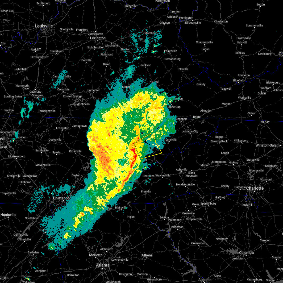 At 111 pm est, a severe thunderstorm was located near dandridge, moving northeast at 55 mph (radar indicated). Hazards include 70 mph wind gusts. Expect considerable tree damage. damage is likely to mobile homes, roofs, and outbuildings. locations impacted include, morristown, sevierville, jefferson city, newport, dandridge, bean station, white pine, new market, baneberry and parrottsville. this includes the following highways, interstate 40 in tennessee between mile markers 409 and 438. Interstate 81 in tennessee between mile markers 1 and 15. At 111 pm est, a severe thunderstorm was located near dandridge, moving northeast at 55 mph (radar indicated). Hazards include 70 mph wind gusts. Expect considerable tree damage. damage is likely to mobile homes, roofs, and outbuildings. locations impacted include, morristown, sevierville, jefferson city, newport, dandridge, bean station, white pine, new market, baneberry and parrottsville. this includes the following highways, interstate 40 in tennessee between mile markers 409 and 438. Interstate 81 in tennessee between mile markers 1 and 15.
|
| 1/12/2023 1:07 PM EST |
 At 106 pm est, a severe thunderstorm was located near sevierville, moving northeast at 55 mph (radar indicated and public reported). Hazards include 70 mph wind gusts. Expect considerable tree damage. Damage is likely to mobile homes, roofs, and outbuildings. At 106 pm est, a severe thunderstorm was located near sevierville, moving northeast at 55 mph (radar indicated and public reported). Hazards include 70 mph wind gusts. Expect considerable tree damage. Damage is likely to mobile homes, roofs, and outbuildings.
|
| 1/3/2023 3:38 PM EST |
 The severe thunderstorm warning for southeastern claiborne, southwestern hawkins, eastern knox, northeastern blount, jefferson, northwestern cocke, west central greene, grainger, northern sevier, southeastern union and hamblen counties will expire at 345 pm est, the storms which prompted the warning have weakened below severe limits, and have exited the warned area. therefore, the warning will be allowed to expire. however gusty winds are still possible with these thunderstorms. The severe thunderstorm warning for southeastern claiborne, southwestern hawkins, eastern knox, northeastern blount, jefferson, northwestern cocke, west central greene, grainger, northern sevier, southeastern union and hamblen counties will expire at 345 pm est, the storms which prompted the warning have weakened below severe limits, and have exited the warned area. therefore, the warning will be allowed to expire. however gusty winds are still possible with these thunderstorms.
|
| 1/3/2023 3:06 PM EST |
 At 305 pm est, severe thunderstorms were located along a line extending from 8 miles west of rutledge to 6 miles southeast of plainview to near rockford, moving east at 55 mph (radar indicated). Hazards include 60 mph wind gusts. expect damage to roofs, siding, and trees At 305 pm est, severe thunderstorms were located along a line extending from 8 miles west of rutledge to 6 miles southeast of plainview to near rockford, moving east at 55 mph (radar indicated). Hazards include 60 mph wind gusts. expect damage to roofs, siding, and trees
|
| 8/5/2022 4:38 PM EDT |
 At 438 pm edt, severe thunderstorms were located along a line extending from 8 miles south of hensley store to 7 miles southeast of russellville, moving northeast at 30 mph (radar indicated). Hazards include 60 mph wind gusts and nickel size hail. expect damage to roofs, siding, and trees At 438 pm edt, severe thunderstorms were located along a line extending from 8 miles south of hensley store to 7 miles southeast of russellville, moving northeast at 30 mph (radar indicated). Hazards include 60 mph wind gusts and nickel size hail. expect damage to roofs, siding, and trees
|
| 8/5/2022 4:38 PM EDT |
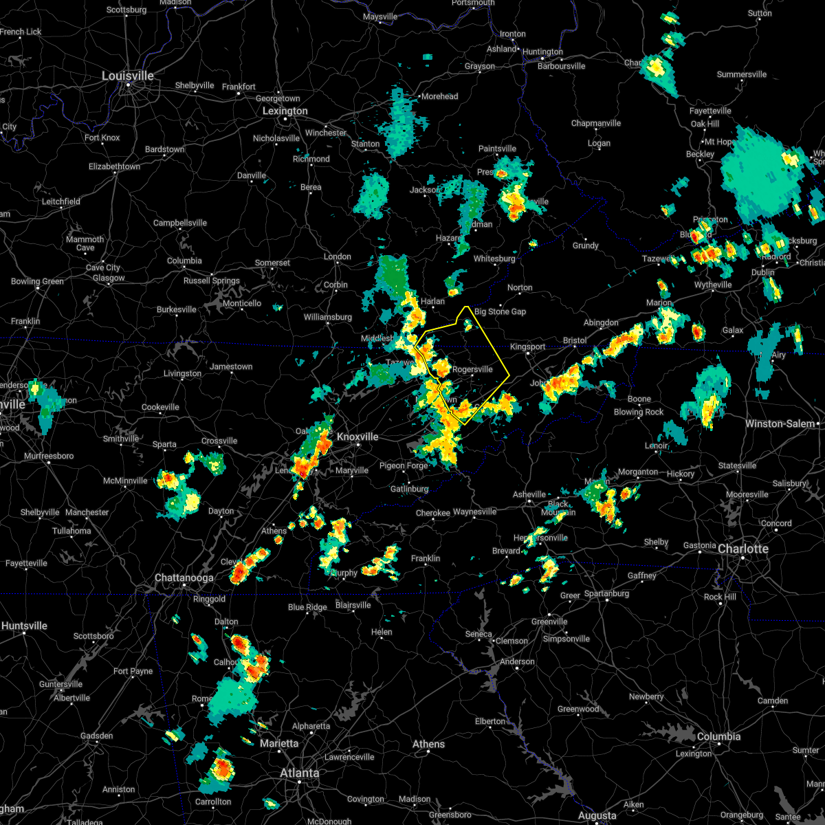 At 438 pm edt, severe thunderstorms were located along a line extending from 8 miles south of hensley store to 7 miles southeast of russellville, moving northeast at 30 mph (radar indicated). Hazards include 60 mph wind gusts and nickel size hail. expect damage to roofs, siding, and trees At 438 pm edt, severe thunderstorms were located along a line extending from 8 miles south of hensley store to 7 miles southeast of russellville, moving northeast at 30 mph (radar indicated). Hazards include 60 mph wind gusts and nickel size hail. expect damage to roofs, siding, and trees
|
| 7/12/2022 7:52 PM EDT |
 At 751 pm edt, a severe thunderstorm was located near plainview, or near maynardville, moving southeast at 20 mph (radar indicated). Hazards include 60 mph wind gusts and nickel size hail. expect damage to roofs, siding, and trees At 751 pm edt, a severe thunderstorm was located near plainview, or near maynardville, moving southeast at 20 mph (radar indicated). Hazards include 60 mph wind gusts and nickel size hail. expect damage to roofs, siding, and trees
|
| 7/8/2022 5:50 PM EDT |
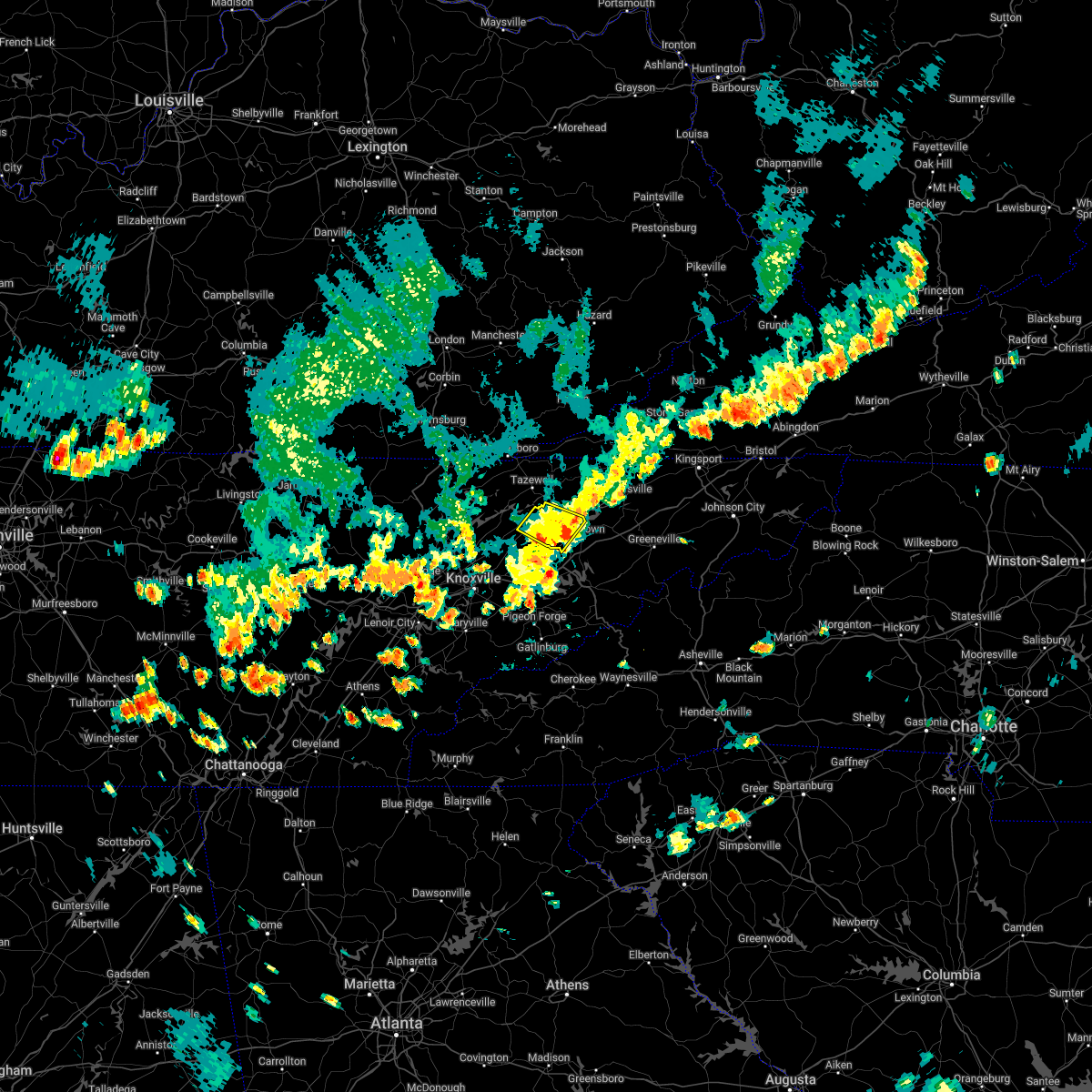 The severe thunderstorm warning for central grainger and northwestern hamblen counties will expire at 600 pm edt, the storm which prompted the warning has weakened below severe limits, and no longer poses an immediate threat to life or property. therefore, the warning will be allowed to expire. however heavy rain is still possible with this thunderstorm. The severe thunderstorm warning for central grainger and northwestern hamblen counties will expire at 600 pm edt, the storm which prompted the warning has weakened below severe limits, and no longer poses an immediate threat to life or property. therefore, the warning will be allowed to expire. however heavy rain is still possible with this thunderstorm.
|
| 7/8/2022 5:44 PM EDT |
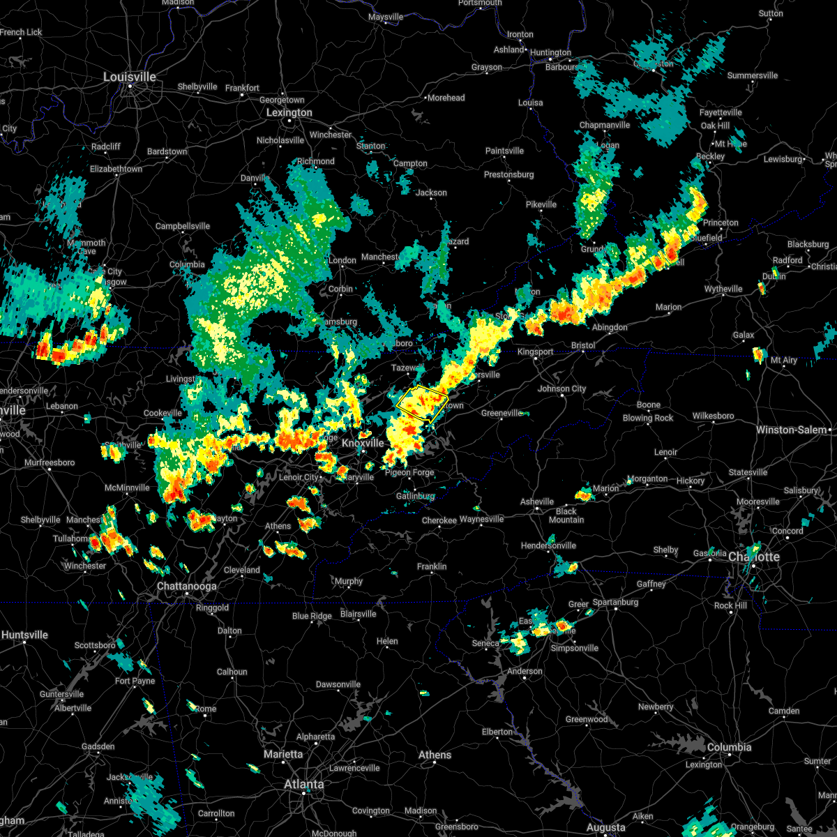 At 544 pm edt, a severe thunderstorm was located near morristown, moving southeast at 20 mph (radar indicated). Hazards include 60 mph wind gusts. Expect damage to roofs, siding, and trees. locations impacted include, morristown, rutledge, bean station, thorn hill, panther creek state park, alpha, joppa and buffalo springs. hail threat, radar indicated max hail size, <. 75 in wind threat, radar indicated max wind gust, 60 mph. At 544 pm edt, a severe thunderstorm was located near morristown, moving southeast at 20 mph (radar indicated). Hazards include 60 mph wind gusts. Expect damage to roofs, siding, and trees. locations impacted include, morristown, rutledge, bean station, thorn hill, panther creek state park, alpha, joppa and buffalo springs. hail threat, radar indicated max hail size, <. 75 in wind threat, radar indicated max wind gust, 60 mph.
|
| 7/8/2022 5:22 PM EDT |
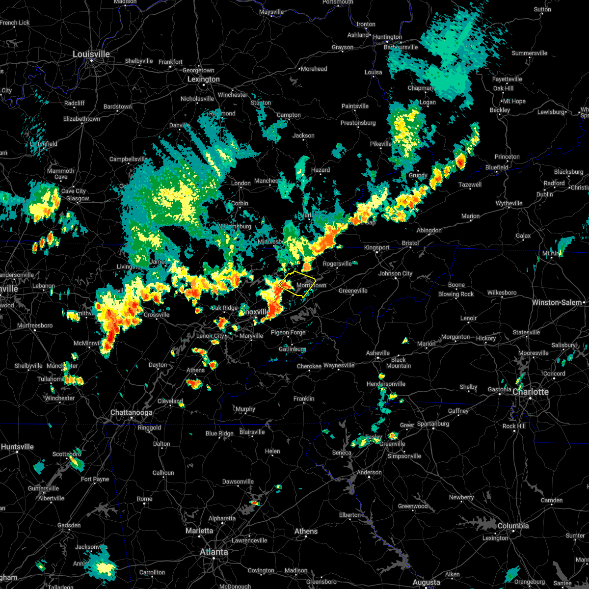 At 522 pm edt, a severe thunderstorm was located over rutledge, moving southeast at 20 mph (radar indicated). Hazards include 60 mph wind gusts. expect damage to roofs, siding, and trees At 522 pm edt, a severe thunderstorm was located over rutledge, moving southeast at 20 mph (radar indicated). Hazards include 60 mph wind gusts. expect damage to roofs, siding, and trees
|
| 7/6/2022 3:53 PM EDT |
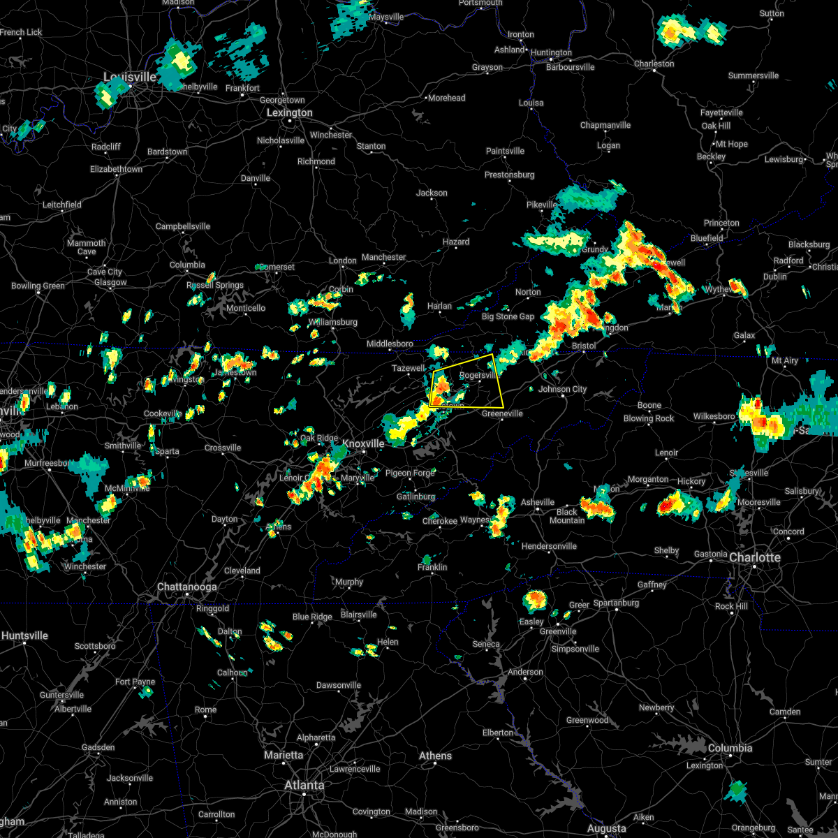 At 352 pm edt, a severe thunderstorm was located near bean station, or 8 miles south of sneedville, moving east at 20 mph (radar indicated). Hazards include 60 mph wind gusts and penny size hail. expect damage to roofs, siding, and trees At 352 pm edt, a severe thunderstorm was located near bean station, or 8 miles south of sneedville, moving east at 20 mph (radar indicated). Hazards include 60 mph wind gusts and penny size hail. expect damage to roofs, siding, and trees
|
| 5/18/2022 10:53 PM EDT |
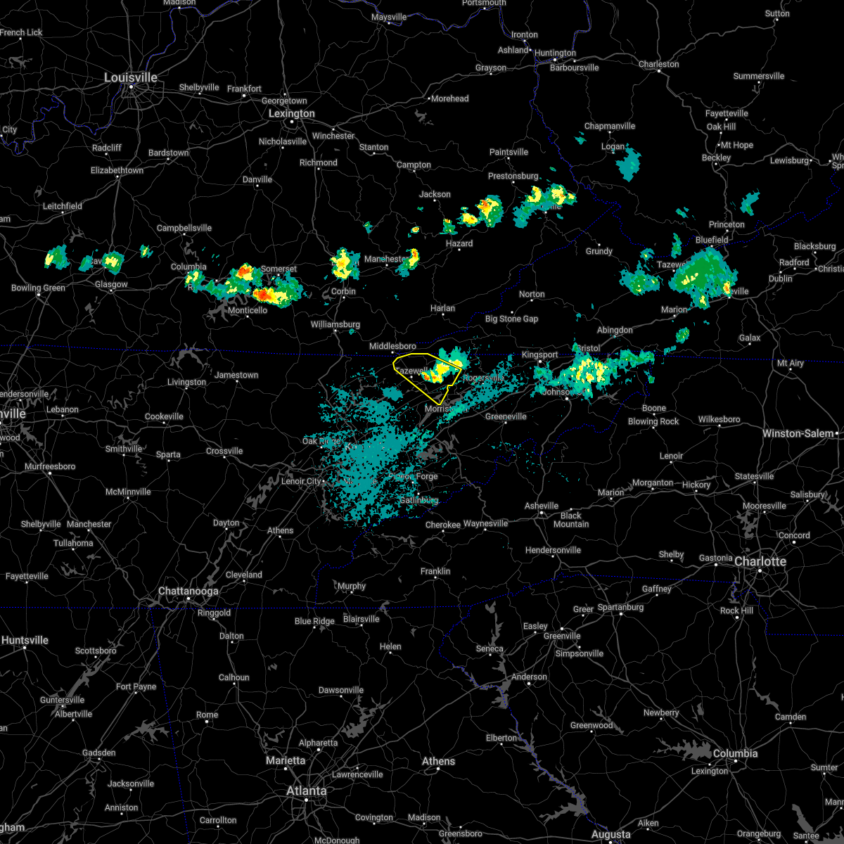 The severe thunderstorm warning for eastern claiborne, western hancock and northeastern grainger counties will expire at 1100 pm edt, the storm which prompted the warning has weakened below severe limits, and no longer poses an immediate threat to life or property. therefore, the warning will be allowed to expire. however gusty winds and heavy rain are still possible with this thunderstorm. The severe thunderstorm warning for eastern claiborne, western hancock and northeastern grainger counties will expire at 1100 pm edt, the storm which prompted the warning has weakened below severe limits, and no longer poses an immediate threat to life or property. therefore, the warning will be allowed to expire. however gusty winds and heavy rain are still possible with this thunderstorm.
|
| 5/18/2022 10:32 PM EDT |
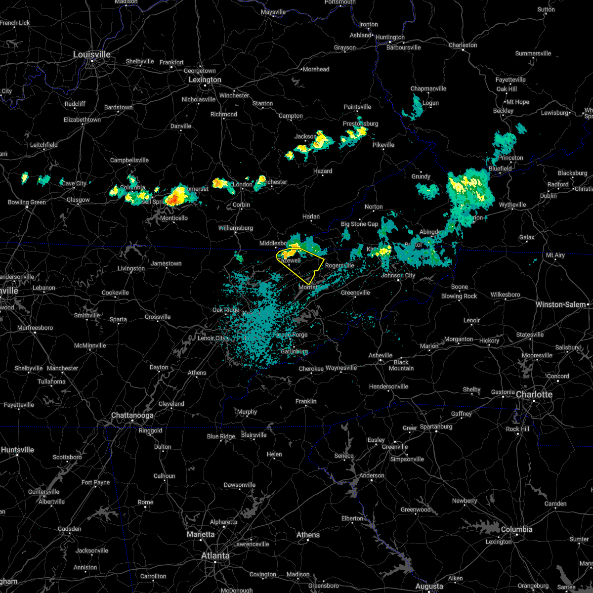 At 1030 pm edt, a severe thunderstorm was located near tazewell, or 11 miles southeast of middlesboro, moving southeast at 40 mph (radar indicated). Hazards include 60 mph wind gusts and quarter size hail. Hail damage to vehicles is expected. expect wind damage to roofs, siding, and trees. locations impacted include, new tazewell, bean station, tazewell, harrogate, howard quarter, thorn hill, evanston, arthur and powell river preserve. hail threat, radar indicated max hail size, 1. 00 in wind threat, radar indicated max wind gust, 60 mph. At 1030 pm edt, a severe thunderstorm was located near tazewell, or 11 miles southeast of middlesboro, moving southeast at 40 mph (radar indicated). Hazards include 60 mph wind gusts and quarter size hail. Hail damage to vehicles is expected. expect wind damage to roofs, siding, and trees. locations impacted include, new tazewell, bean station, tazewell, harrogate, howard quarter, thorn hill, evanston, arthur and powell river preserve. hail threat, radar indicated max hail size, 1. 00 in wind threat, radar indicated max wind gust, 60 mph.
|
| 5/18/2022 10:16 PM EDT |
 At 1016 pm edt, a severe thunderstorm was located over middlesboro, moving southeast at 40 mph (radar indicated). Hazards include 60 mph wind gusts and quarter size hail. Hail damage to vehicles is expected. Expect wind damage to roofs, siding, and trees. At 1016 pm edt, a severe thunderstorm was located over middlesboro, moving southeast at 40 mph (radar indicated). Hazards include 60 mph wind gusts and quarter size hail. Hail damage to vehicles is expected. Expect wind damage to roofs, siding, and trees.
|
| 5/6/2022 5:41 PM EDT |
 At 540 pm edt, severe thunderstorms were located along a line extending from 8 miles northeast of tazewell to near bean station to 7 miles north of russellville to near rogersville to near greeneville, moving northeast at 40 mph (radar indicated). Hazards include 60 mph wind gusts and quarter size hail. Hail damage to vehicles is expected. Expect wind damage to roofs, siding, and trees. At 540 pm edt, severe thunderstorms were located along a line extending from 8 miles northeast of tazewell to near bean station to 7 miles north of russellville to near rogersville to near greeneville, moving northeast at 40 mph (radar indicated). Hazards include 60 mph wind gusts and quarter size hail. Hail damage to vehicles is expected. Expect wind damage to roofs, siding, and trees.
|
| 5/6/2022 5:30 PM EDT |
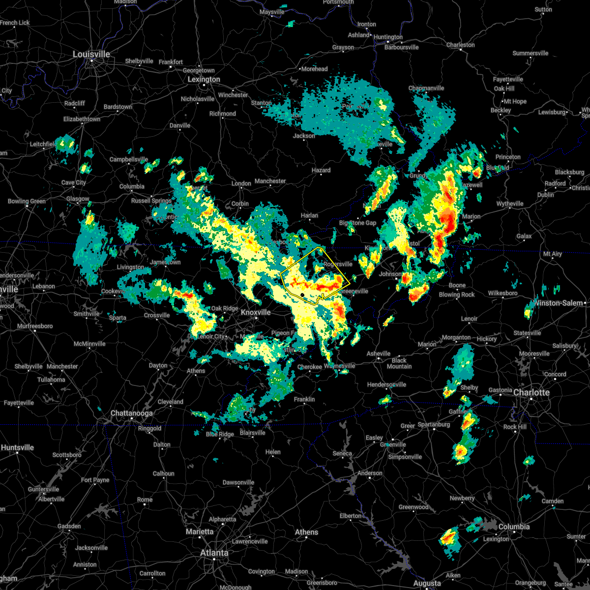 At 530 pm edt, severe thunderstorms were located along a line extending from 8 miles west of sneedville to 10 miles east of russellville, moving northeast at 55 mph (radar indicated). Hazards include 60 mph wind gusts and quarter size hail. Hail damage to vehicles is expected. expect wind damage to roofs, siding, and trees. locations impacted include, morristown, jefferson city, rogersville, sneedville, rutledge, bean station, white pine, russellville, mosheim and bulls gap. this includes interstate 81 in tennessee between mile markers 4 and 32. hail threat, radar indicated max hail size, 1. 00 in wind threat, radar indicated max wind gust, 60 mph. At 530 pm edt, severe thunderstorms were located along a line extending from 8 miles west of sneedville to 10 miles east of russellville, moving northeast at 55 mph (radar indicated). Hazards include 60 mph wind gusts and quarter size hail. Hail damage to vehicles is expected. expect wind damage to roofs, siding, and trees. locations impacted include, morristown, jefferson city, rogersville, sneedville, rutledge, bean station, white pine, russellville, mosheim and bulls gap. this includes interstate 81 in tennessee between mile markers 4 and 32. hail threat, radar indicated max hail size, 1. 00 in wind threat, radar indicated max wind gust, 60 mph.
|
| 5/6/2022 4:55 PM EDT |
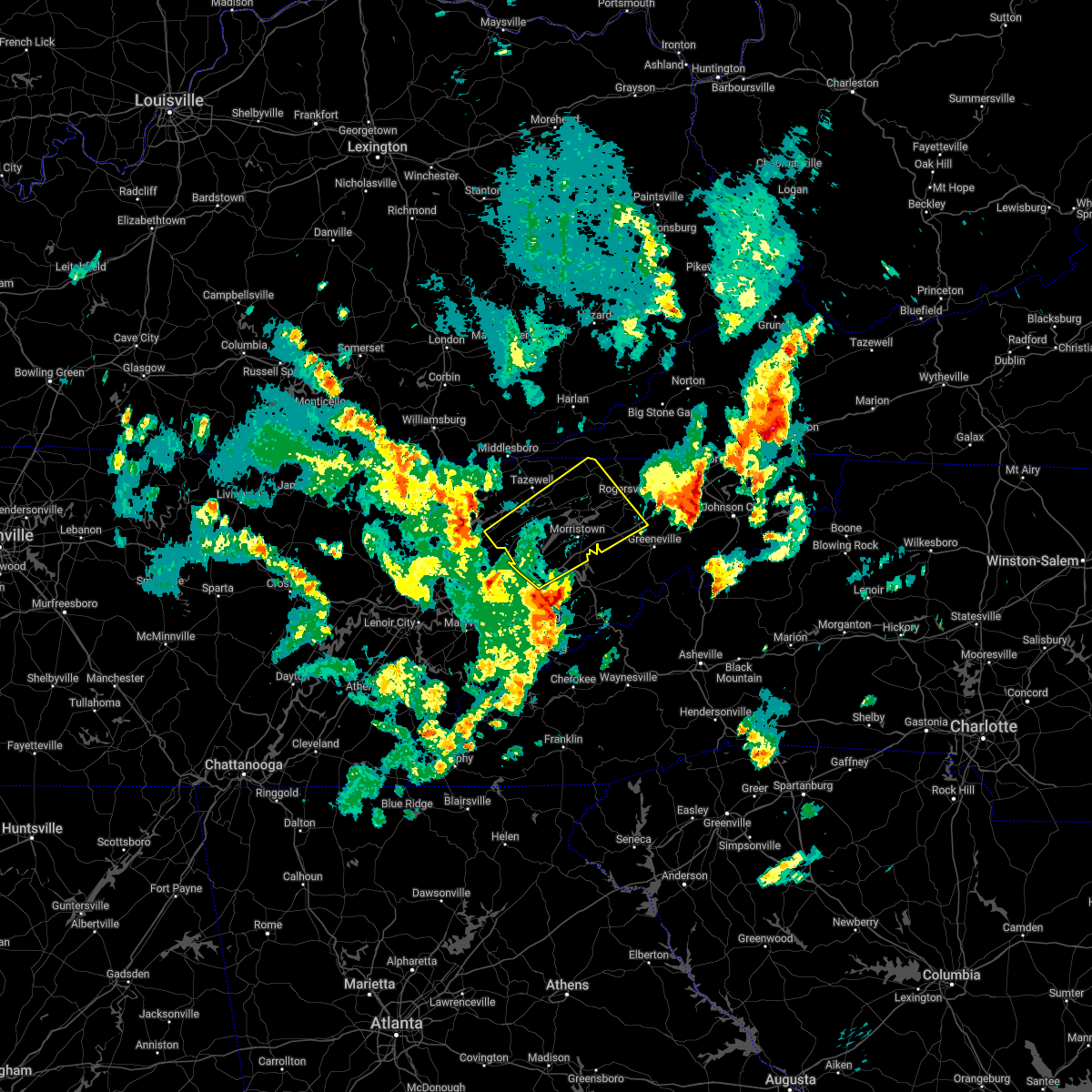 At 455 pm edt, severe thunderstorms were located along a line extending from near maynardville to near dandridge, moving northeast at 45 mph (radar indicated). Hazards include 60 mph wind gusts and quarter size hail. Hail damage to vehicles is expected. Expect wind damage to roofs, siding, and trees. At 455 pm edt, severe thunderstorms were located along a line extending from near maynardville to near dandridge, moving northeast at 45 mph (radar indicated). Hazards include 60 mph wind gusts and quarter size hail. Hail damage to vehicles is expected. Expect wind damage to roofs, siding, and trees.
|
| 5/6/2022 3:14 PM EDT |
 At 314 pm edt, a severe thunderstorm was located over new market, or near jefferson city, moving northeast at 45 mph (radar indicated). Hazards include 60 mph wind gusts and quarter size hail. Hail damage to vehicles is expected. Expect wind damage to roofs, siding, and trees. At 314 pm edt, a severe thunderstorm was located over new market, or near jefferson city, moving northeast at 45 mph (radar indicated). Hazards include 60 mph wind gusts and quarter size hail. Hail damage to vehicles is expected. Expect wind damage to roofs, siding, and trees.
|
| 5/6/2022 2:51 PM EDT |
 At 250 pm edt, a severe thunderstorm was located near sneedville, moving northeast at 35 mph (radar indicated). Hazards include 60 mph wind gusts and penny size hail. Expect damage to roofs, siding, and trees. locations impacted include, morristown, rogersville, sneedville, bean station, mooresburg, evanston, treadway and klondike. hail threat, radar indicated max hail size, 0. 75 in wind threat, radar indicated max wind gust, 60 mph. At 250 pm edt, a severe thunderstorm was located near sneedville, moving northeast at 35 mph (radar indicated). Hazards include 60 mph wind gusts and penny size hail. Expect damage to roofs, siding, and trees. locations impacted include, morristown, rogersville, sneedville, bean station, mooresburg, evanston, treadway and klondike. hail threat, radar indicated max hail size, 0. 75 in wind threat, radar indicated max wind gust, 60 mph.
|
| 5/6/2022 2:29 PM EDT |
 At 229 pm edt, a severe thunderstorm was located near bean station, or 10 miles northeast of rutledge, moving northeast at 35 mph (radar indicated). Hazards include 60 mph wind gusts and penny size hail. expect damage to roofs, siding, and trees At 229 pm edt, a severe thunderstorm was located near bean station, or 10 miles northeast of rutledge, moving northeast at 35 mph (radar indicated). Hazards include 60 mph wind gusts and penny size hail. expect damage to roofs, siding, and trees
|
| 12/11/2021 10:53 AM EST |
 At 1052 am est, severe thunderstorms were located along a line extending from near rutledge to near dandridge, moving east at 55 mph (radar indicated). Hazards include 60 mph wind gusts. expect damage to roofs, siding, and trees At 1052 am est, severe thunderstorms were located along a line extending from near rutledge to near dandridge, moving east at 55 mph (radar indicated). Hazards include 60 mph wind gusts. expect damage to roofs, siding, and trees
|
| 6/21/2021 6:41 PM EDT |
 At 641 pm edt, severe thunderstorms were located along a line extending from 8 miles north of bean station to russellville to 8 miles east of morristown to near white pine to baneberry, moving east at 45 mph (radar indicated). Hazards include 60 mph wind gusts. Expect damage to roofs, siding, and trees. locations impacted include, morristown, greeneville, rogersville, bean station, white pine, russellville, mosheim, bulls gap, mccloud and romeo. This includes interstate 81 in tennessee between mile markers 7 and 34. At 641 pm edt, severe thunderstorms were located along a line extending from 8 miles north of bean station to russellville to 8 miles east of morristown to near white pine to baneberry, moving east at 45 mph (radar indicated). Hazards include 60 mph wind gusts. Expect damage to roofs, siding, and trees. locations impacted include, morristown, greeneville, rogersville, bean station, white pine, russellville, mosheim, bulls gap, mccloud and romeo. This includes interstate 81 in tennessee between mile markers 7 and 34.
|
| 6/21/2021 6:27 PM EDT |
 At 627 pm edt, severe thunderstorms were located along a line extending from 7 miles east of tazewell to near morristown to 7 miles southwest of russellville to near white pine to near dandridge, moving east at 45 mph (radar indicated). Hazards include 60 mph wind gusts. Expect damage to roofs, siding, and trees. locations impacted include, morristown, greeneville, jefferson city, rogersville, dandridge, bean station, white pine, russellville, mosheim and bulls gap. this includes the following highways, interstate 40 in tennessee between mile markers 420 and 422. Interstate 81 in tennessee between mile markers 1 and 34. At 627 pm edt, severe thunderstorms were located along a line extending from 7 miles east of tazewell to near morristown to 7 miles southwest of russellville to near white pine to near dandridge, moving east at 45 mph (radar indicated). Hazards include 60 mph wind gusts. Expect damage to roofs, siding, and trees. locations impacted include, morristown, greeneville, jefferson city, rogersville, dandridge, bean station, white pine, russellville, mosheim and bulls gap. this includes the following highways, interstate 40 in tennessee between mile markers 420 and 422. Interstate 81 in tennessee between mile markers 1 and 34.
|
| 6/21/2021 6:02 PM EDT |
 At 601 pm edt, severe thunderstorms were located along a line extending from 7 miles west of new tazewell to 6 miles southwest of rutledge to new market to 9 miles north of sevierville to 8 miles east of knoxville, moving east at 45 mph (radar indicated). Hazards include 60 mph wind gusts and penny size hail. expect damage to roofs, siding, and trees At 601 pm edt, severe thunderstorms were located along a line extending from 7 miles west of new tazewell to 6 miles southwest of rutledge to new market to 9 miles north of sevierville to 8 miles east of knoxville, moving east at 45 mph (radar indicated). Hazards include 60 mph wind gusts and penny size hail. expect damage to roofs, siding, and trees
|
| 6/21/2021 5:24 PM EDT | Couple trees dow in hancock county TN, 8.4 miles S of Bean Station, TN |
| 6/21/2021 5:08 PM EDT |
 At 508 pm edt, a severe thunderstorm was located near bean station, or 11 miles south of sneedville, moving east at 30 mph (radar indicated). Hazards include 60 mph wind gusts and quarter size hail. Hail damage to vehicles is expected. Expect wind damage to roofs, siding, and trees. At 508 pm edt, a severe thunderstorm was located near bean station, or 11 miles south of sneedville, moving east at 30 mph (radar indicated). Hazards include 60 mph wind gusts and quarter size hail. Hail damage to vehicles is expected. Expect wind damage to roofs, siding, and trees.
|
| 5/28/2021 5:05 PM EDT |
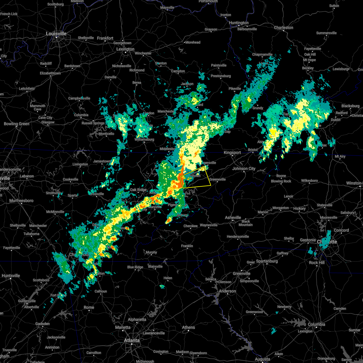 At 505 pm edt, a severe thunderstorm was located near jefferson city, moving east at 50 mph (radar indicated). Hazards include 70 mph wind gusts. Expect considerable tree damage. damage is likely to mobile homes, roofs, and outbuildings. locations impacted include, morristown, jefferson city, bean station, white pine, russellville, mosheim, bulls gap, panther creek state park, alpha and st. clair. This includes interstate 81 in tennessee between mile markers 1 and 24. At 505 pm edt, a severe thunderstorm was located near jefferson city, moving east at 50 mph (radar indicated). Hazards include 70 mph wind gusts. Expect considerable tree damage. damage is likely to mobile homes, roofs, and outbuildings. locations impacted include, morristown, jefferson city, bean station, white pine, russellville, mosheim, bulls gap, panther creek state park, alpha and st. clair. This includes interstate 81 in tennessee between mile markers 1 and 24.
|
| 5/28/2021 5:02 PM EDT |
 At 501 pm edt, a severe thunderstorm was located near jefferson city, moving east at 50 mph (radar indicated). Hazards include 60 mph wind gusts. expect damage to roofs, siding, and trees At 501 pm edt, a severe thunderstorm was located near jefferson city, moving east at 50 mph (radar indicated). Hazards include 60 mph wind gusts. expect damage to roofs, siding, and trees
|
| 3/27/2021 9:06 PM EDT |
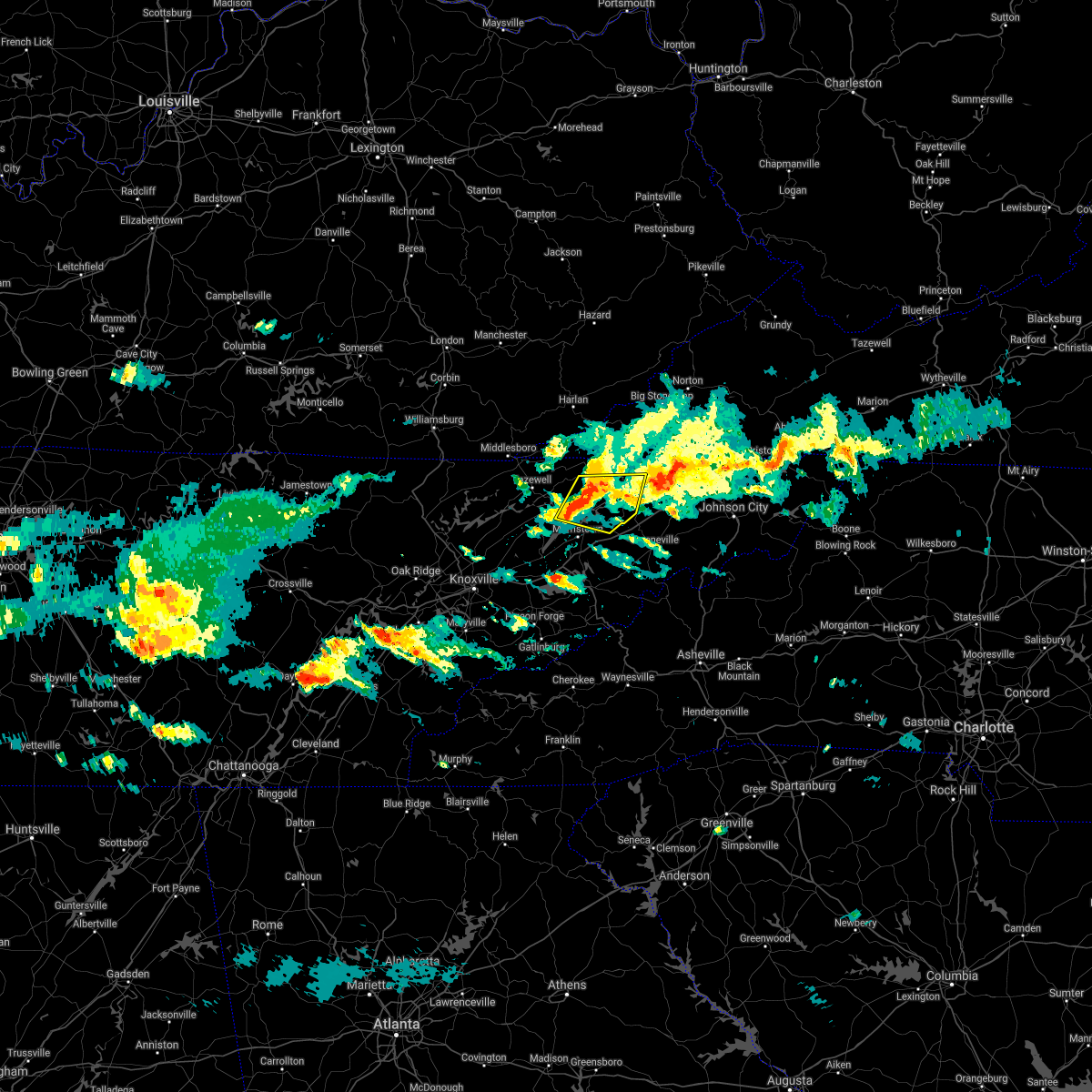 At 906 pm edt, a severe thunderstorm was located near bean station, or 8 miles south of sneedville, moving east at 45 mph (radar indicated). Hazards include 60 mph wind gusts and quarter size hail. Hail damage to vehicles is expected. expect wind damage to roofs, siding, and trees. locations impacted include, rogersville, bean station, surgoinsville, russellville, bulls gap, mooresburg, evanston, st. Clair, mccloud and treadway. At 906 pm edt, a severe thunderstorm was located near bean station, or 8 miles south of sneedville, moving east at 45 mph (radar indicated). Hazards include 60 mph wind gusts and quarter size hail. Hail damage to vehicles is expected. expect wind damage to roofs, siding, and trees. locations impacted include, rogersville, bean station, surgoinsville, russellville, bulls gap, mooresburg, evanston, st. Clair, mccloud and treadway.
|
| 3/27/2021 8:43 PM EDT |
 At 843 pm edt, a severe thunderstorm was located near tazewell, or 9 miles north of rutledge, moving east at 50 mph (radar indicated). Hazards include 60 mph wind gusts and quarter size hail. Hail damage to vehicles is expected. Expect wind damage to roofs, siding, and trees. At 843 pm edt, a severe thunderstorm was located near tazewell, or 9 miles north of rutledge, moving east at 50 mph (radar indicated). Hazards include 60 mph wind gusts and quarter size hail. Hail damage to vehicles is expected. Expect wind damage to roofs, siding, and trees.
|
| 3/27/2021 8:05 PM EDT |
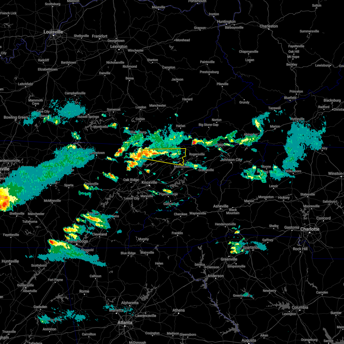 At 804 pm edt, a severe thunderstorm was located 10 miles south of pruden, or 11 miles northeast of la follette, moving east at 45 mph (radar indicated). Hazards include 60 mph wind gusts and quarter size hail. Hail damage to vehicles is expected. Expect wind damage to roofs, siding, and trees. At 804 pm edt, a severe thunderstorm was located 10 miles south of pruden, or 11 miles northeast of la follette, moving east at 45 mph (radar indicated). Hazards include 60 mph wind gusts and quarter size hail. Hail damage to vehicles is expected. Expect wind damage to roofs, siding, and trees.
|
| 3/27/2021 10:13 AM EDT |
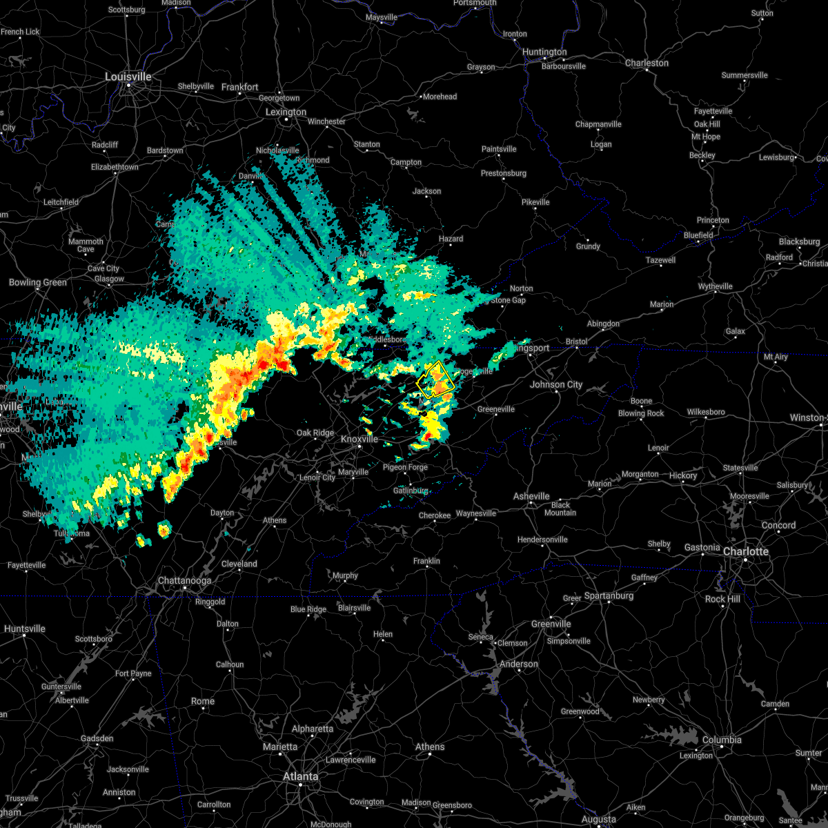 At 1012 am edt, a severe thunderstorm was located near bean station, or 11 miles north of morristown, moving northeast at 45 mph (radar indicated). Hazards include quarter size hail. Damage to vehicles is expected. Locations impacted include, bean station, thorn hill, mooresburg, evanston and treadway. At 1012 am edt, a severe thunderstorm was located near bean station, or 11 miles north of morristown, moving northeast at 45 mph (radar indicated). Hazards include quarter size hail. Damage to vehicles is expected. Locations impacted include, bean station, thorn hill, mooresburg, evanston and treadway.
|
| 3/27/2021 9:43 AM EDT |
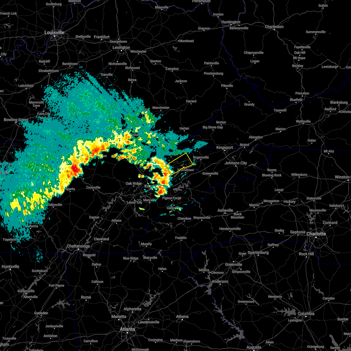 At 943 am edt, a severe thunderstorm was located 7 miles east of plainview, or 8 miles east of maynardville, moving northeast at 40 mph (radar indicated). Hazards include quarter size hail. damage to vehicles is expected At 943 am edt, a severe thunderstorm was located 7 miles east of plainview, or 8 miles east of maynardville, moving northeast at 40 mph (radar indicated). Hazards include quarter size hail. damage to vehicles is expected
|
| 3/26/2021 12:36 AM EDT |
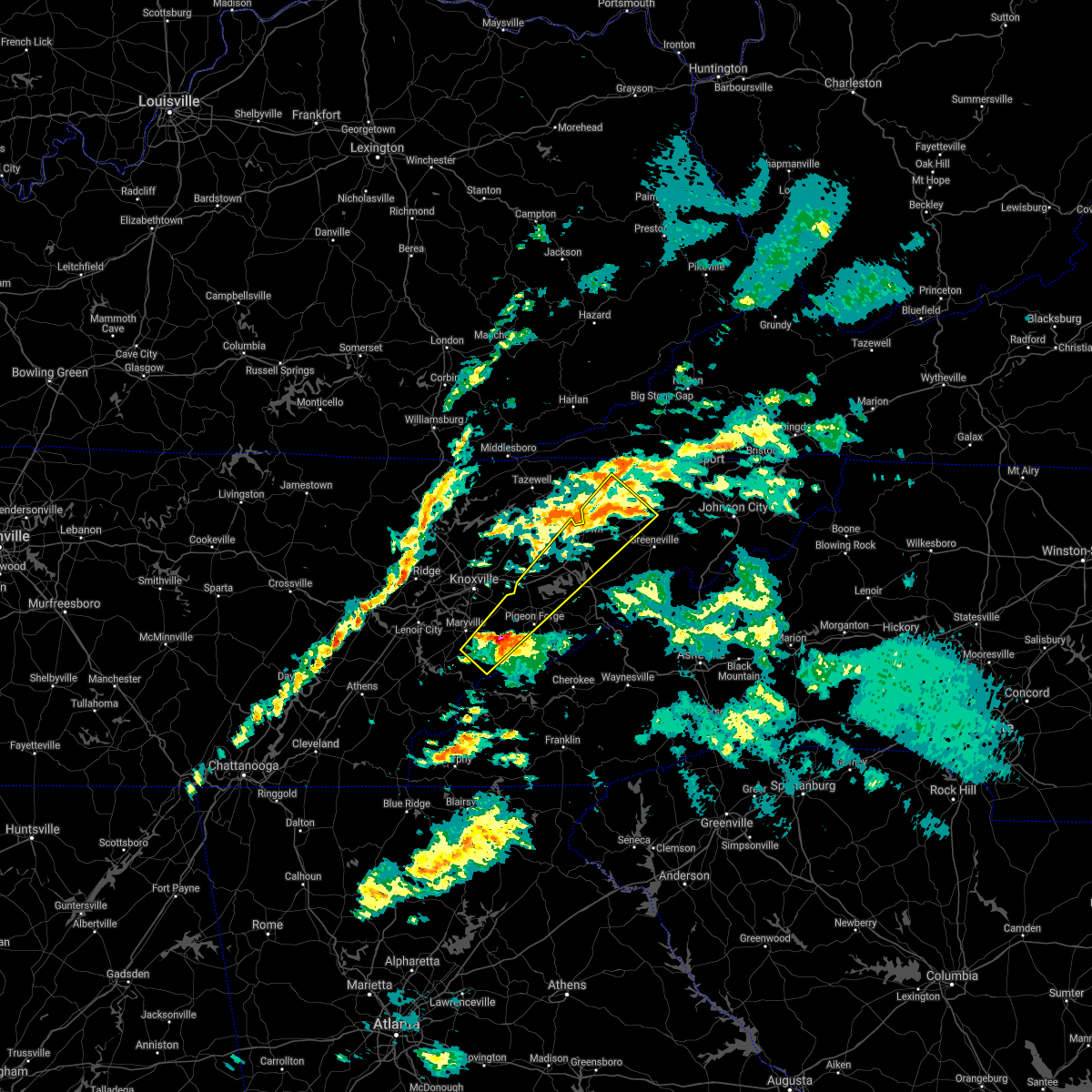 At 1236 am edt, a severe thunderstorm was located 9 miles southeast of eagleton village, or 10 miles east of maryville, moving northeast at 60 mph (radar indicated). Hazards include ping pong ball size hail and 60 mph wind gusts. People and animals outdoors will be injured. expect hail damage to roofs, siding, windows, and vehicles. Expect wind damage to roofs, siding, and trees. At 1236 am edt, a severe thunderstorm was located 9 miles southeast of eagleton village, or 10 miles east of maryville, moving northeast at 60 mph (radar indicated). Hazards include ping pong ball size hail and 60 mph wind gusts. People and animals outdoors will be injured. expect hail damage to roofs, siding, windows, and vehicles. Expect wind damage to roofs, siding, and trees.
|
| 7/31/2020 6:53 PM EDT |
 The severe thunderstorm warning for hawkins, east central claiborne, hancock, northwestern greene, northeastern grainger and northern hamblen counties will expire at 700 pm edt, the storms which prompted the warning have weakened below severe limits, and no longer pose an immediate threat to life or property. therefore, the warning will be allowed to expire. however gusty winds up to 50 mph will still be possible with these thunderstorms. The severe thunderstorm warning for hawkins, east central claiborne, hancock, northwestern greene, northeastern grainger and northern hamblen counties will expire at 700 pm edt, the storms which prompted the warning have weakened below severe limits, and no longer pose an immediate threat to life or property. therefore, the warning will be allowed to expire. however gusty winds up to 50 mph will still be possible with these thunderstorms.
|
| 7/31/2020 6:28 PM EDT |
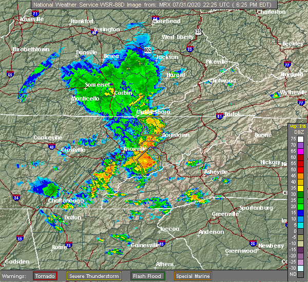 At 628 pm edt, severe thunderstorms were located along a line extending from 11 miles northeast of tazewell to near sneedville to near bean station to near morristown, moving east at 40 mph (radar indicated). Hazards include 60 mph wind gusts. expect damage to roofs, siding, and trees At 628 pm edt, severe thunderstorms were located along a line extending from 11 miles northeast of tazewell to near sneedville to near bean station to near morristown, moving east at 40 mph (radar indicated). Hazards include 60 mph wind gusts. expect damage to roofs, siding, and trees
|
| 7/31/2020 6:17 PM EDT |
 At 617 pm edt, severe thunderstorms were located along a line extending from 8 miles east of harrogate to 9 miles east of tazewell to 8 miles northwest of bean station to 6 miles northeast of rutledge, moving east at 55 mph (radar indicated). Hazards include 70 mph wind gusts. Expect considerable tree damage. damage is likely to mobile homes, roofs, and outbuildings. Locations impacted include, rutledge, new tazewell, bean station, tazewell, harrogate, howard quarter, thorn hill, evanston, powell river preserve and mooresburg. At 617 pm edt, severe thunderstorms were located along a line extending from 8 miles east of harrogate to 9 miles east of tazewell to 8 miles northwest of bean station to 6 miles northeast of rutledge, moving east at 55 mph (radar indicated). Hazards include 70 mph wind gusts. Expect considerable tree damage. damage is likely to mobile homes, roofs, and outbuildings. Locations impacted include, rutledge, new tazewell, bean station, tazewell, harrogate, howard quarter, thorn hill, evanston, powell river preserve and mooresburg.
|
| 7/31/2020 5:55 PM EDT |
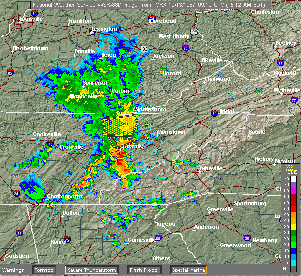 At 554 pm edt, severe thunderstorms were located along a line extending from 6 miles southeast of fonde to 6 miles west of new tazewell to 9 miles southwest of tazewell to near maynardville, moving east at 55 mph (radar indicated). Hazards include 70 mph wind gusts. Expect considerable tree damage. Damage is likely to mobile homes, roofs, and outbuildings. At 554 pm edt, severe thunderstorms were located along a line extending from 6 miles southeast of fonde to 6 miles west of new tazewell to 9 miles southwest of tazewell to near maynardville, moving east at 55 mph (radar indicated). Hazards include 70 mph wind gusts. Expect considerable tree damage. Damage is likely to mobile homes, roofs, and outbuildings.
|
| 7/24/2020 5:53 PM EDT |
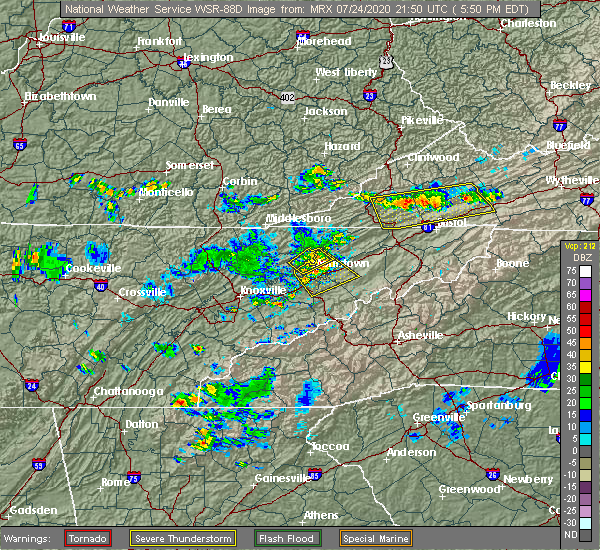 At 552 pm edt, a severe thunderstorm was located near russellville, or near morristown, moving southeast at 20 mph (radar indicated). Hazards include 60 mph wind gusts. Expect damage to roofs, siding, and trees. locations impacted include, morristown, greeneville, bean station, white pine, baneberry, russellville, mosheim, bulls gap, panther creek state park and bybee. this includes the following highways, interstate 40 in tennessee between mile markers 424 and 429. Interstate 81 in tennessee between mile markers 2 and 25. At 552 pm edt, a severe thunderstorm was located near russellville, or near morristown, moving southeast at 20 mph (radar indicated). Hazards include 60 mph wind gusts. Expect damage to roofs, siding, and trees. locations impacted include, morristown, greeneville, bean station, white pine, baneberry, russellville, mosheim, bulls gap, panther creek state park and bybee. this includes the following highways, interstate 40 in tennessee between mile markers 424 and 429. Interstate 81 in tennessee between mile markers 2 and 25.
|
| 7/24/2020 5:43 PM EDT |
 At 542 pm edt, a severe thunderstorm was located near bean station, or 9 miles north of morristown, moving southeast at 10 mph (radar indicated). Hazards include 60 mph wind gusts. Expect damage to roofs, siding, and trees. Locations impacted include, morristown, rutledge, bean station, mooresburg and panther creek state park. At 542 pm edt, a severe thunderstorm was located near bean station, or 9 miles north of morristown, moving southeast at 10 mph (radar indicated). Hazards include 60 mph wind gusts. Expect damage to roofs, siding, and trees. Locations impacted include, morristown, rutledge, bean station, mooresburg and panther creek state park.
|
| 7/24/2020 5:35 PM EDT |
 At 535 pm edt, a severe thunderstorm was located near russellville, or near morristown, moving southeast at 10 mph (radar indicated). Hazards include 60 mph wind gusts and penny size hail. expect damage to roofs, siding, and trees At 535 pm edt, a severe thunderstorm was located near russellville, or near morristown, moving southeast at 10 mph (radar indicated). Hazards include 60 mph wind gusts and penny size hail. expect damage to roofs, siding, and trees
|
| 7/24/2020 4:59 PM EDT |
 At 459 pm edt, a severe thunderstorm was located 8 miles southeast of tazewell, or 10 miles northeast of rutledge, moving southeast at 10 mph (radar indicated). Hazards include 60 mph wind gusts and penny size hail. expect damage to roofs, siding, and trees At 459 pm edt, a severe thunderstorm was located 8 miles southeast of tazewell, or 10 miles northeast of rutledge, moving southeast at 10 mph (radar indicated). Hazards include 60 mph wind gusts and penny size hail. expect damage to roofs, siding, and trees
|
| 6/21/2020 5:01 PM EDT | Several trees down blocking road in grainger county TN, 4.4 miles SSE of Bean Station, TN |
| 6/21/2020 4:57 PM EDT |
 At 456 pm edt, severe thunderstorms were located along a line extending from 7 miles northeast of russellville to near greeneville, moving east at 45 mph (radar indicated). Hazards include 60 mph wind gusts and penny size hail. Expect damage to roofs, siding, and trees. locations impacted include, morristown, greeneville, rogersville, bean station, tusculum, surgoinsville, parrottsville, russellville, mosheim and bulls gap. This includes interstate 81 in tennessee between mile markers 12 and 40. At 456 pm edt, severe thunderstorms were located along a line extending from 7 miles northeast of russellville to near greeneville, moving east at 45 mph (radar indicated). Hazards include 60 mph wind gusts and penny size hail. Expect damage to roofs, siding, and trees. locations impacted include, morristown, greeneville, rogersville, bean station, tusculum, surgoinsville, parrottsville, russellville, mosheim and bulls gap. This includes interstate 81 in tennessee between mile markers 12 and 40.
|
| 6/21/2020 4:54 PM EDT |
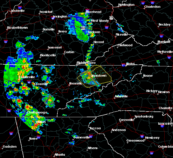 At 453 pm edt, a severe thunderstorm was located over bean station, or 11 miles south of sneedville, moving east at 35 mph (radar indicated). Hazards include 60 mph wind gusts and penny size hail. expect damage to roofs, siding, and trees At 453 pm edt, a severe thunderstorm was located over bean station, or 11 miles south of sneedville, moving east at 35 mph (radar indicated). Hazards include 60 mph wind gusts and penny size hail. expect damage to roofs, siding, and trees
|
| 6/21/2020 4:28 PM EDT |
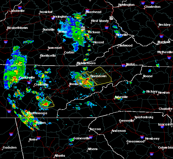 At 427 pm edt, severe thunderstorms were located along a line extending from near rutledge to near newport, moving east at 45 mph (radar indicated). Hazards include 60 mph wind gusts and penny size hail. expect damage to roofs, siding, and trees At 427 pm edt, severe thunderstorms were located along a line extending from near rutledge to near newport, moving east at 45 mph (radar indicated). Hazards include 60 mph wind gusts and penny size hail. expect damage to roofs, siding, and trees
|
| 6/19/2020 4:28 PM EDT |
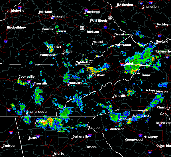 At 427 pm edt, a severe thunderstorm was located near bean station, or 9 miles west of rogersville, moving southeast at 15 mph (radar indicated). Hazards include ping pong ball size hail and 60 mph wind gusts. People and animals outdoors will be injured. expect hail damage to roofs, siding, windows, and vehicles. expect wind damage to roofs, siding, and trees. Locations impacted include, bean station and mooresburg. At 427 pm edt, a severe thunderstorm was located near bean station, or 9 miles west of rogersville, moving southeast at 15 mph (radar indicated). Hazards include ping pong ball size hail and 60 mph wind gusts. People and animals outdoors will be injured. expect hail damage to roofs, siding, windows, and vehicles. expect wind damage to roofs, siding, and trees. Locations impacted include, bean station and mooresburg.
|
| 6/19/2020 4:23 PM EDT |
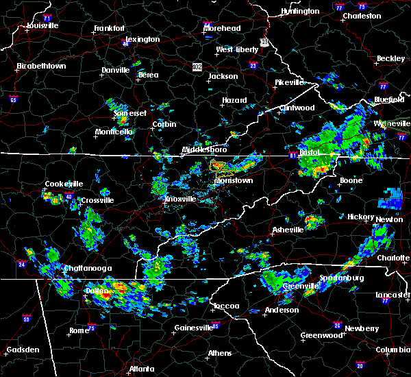 At 422 pm edt, a severe thunderstorm was located near bean station, or 9 miles south of sneedville, moving southeast at 15 mph (radar indicated). Hazards include 60 mph wind gusts and quarter size hail. Hail damage to vehicles is expected. Expect wind damage to roofs, siding, and trees. At 422 pm edt, a severe thunderstorm was located near bean station, or 9 miles south of sneedville, moving southeast at 15 mph (radar indicated). Hazards include 60 mph wind gusts and quarter size hail. Hail damage to vehicles is expected. Expect wind damage to roofs, siding, and trees.
|
| 5/28/2020 3:52 PM EDT |
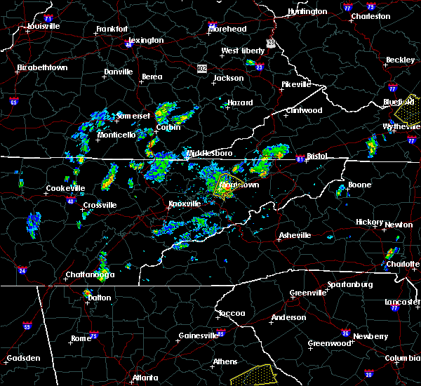 At 352 pm edt, a severe thunderstorm was located over russellville, or near morristown, moving northeast at 20 mph (radar indicated). Hazards include 60 mph wind gusts and quarter size hail. Hail damage to vehicles is expected. expect wind damage to roofs, siding, and trees. locations impacted include, morristown, bean station, russellville, bulls gap, mooresburg, st. clair and treadway. This includes interstate 81 in tennessee between mile markers 16 and 17. At 352 pm edt, a severe thunderstorm was located over russellville, or near morristown, moving northeast at 20 mph (radar indicated). Hazards include 60 mph wind gusts and quarter size hail. Hail damage to vehicles is expected. expect wind damage to roofs, siding, and trees. locations impacted include, morristown, bean station, russellville, bulls gap, mooresburg, st. clair and treadway. This includes interstate 81 in tennessee between mile markers 16 and 17.
|
| 5/28/2020 3:37 PM EDT |
 At 336 pm edt, a severe thunderstorm was located near morristown, moving northeast at 20 mph (radar indicated). Hazards include 60 mph wind gusts and quarter size hail. Hail damage to vehicles is expected. Expect wind damage to roofs, siding, and trees. At 336 pm edt, a severe thunderstorm was located near morristown, moving northeast at 20 mph (radar indicated). Hazards include 60 mph wind gusts and quarter size hail. Hail damage to vehicles is expected. Expect wind damage to roofs, siding, and trees.
|
| 3/29/2020 6:27 AM EDT |
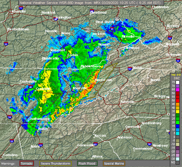 At 626 am edt, severe thunderstorms were located along a line extending from near sneedville to near white pine to near pigeon forge, moving east at 70 mph (radar indicated). Hazards include 60 mph wind gusts and penny size hail. Expect damage to roofs, siding, and trees. locations impacted include, morristown, sevierville, jefferson city, newport, rogersville, dandridge, pigeon forge, bean station, white pine and surgoinsville. this includes the following highways, interstate 40 in tennessee between mile markers 409 and 435. Interstate 81 in tennessee between mile markers 1 and 25. At 626 am edt, severe thunderstorms were located along a line extending from near sneedville to near white pine to near pigeon forge, moving east at 70 mph (radar indicated). Hazards include 60 mph wind gusts and penny size hail. Expect damage to roofs, siding, and trees. locations impacted include, morristown, sevierville, jefferson city, newport, rogersville, dandridge, pigeon forge, bean station, white pine and surgoinsville. this includes the following highways, interstate 40 in tennessee between mile markers 409 and 435. Interstate 81 in tennessee between mile markers 1 and 25.
|
| 3/29/2020 6:11 AM EDT |
 At 610 am edt, severe thunderstorms were located along a line extending from 7 miles east of tazewell to near maryville, moving northeast at 60 mph (radar indicated). Hazards include 60 mph wind gusts and penny size hail. expect damage to roofs, siding, and trees At 610 am edt, severe thunderstorms were located along a line extending from 7 miles east of tazewell to near maryville, moving northeast at 60 mph (radar indicated). Hazards include 60 mph wind gusts and penny size hail. expect damage to roofs, siding, and trees
|
| 1/11/2020 6:04 PM EST |
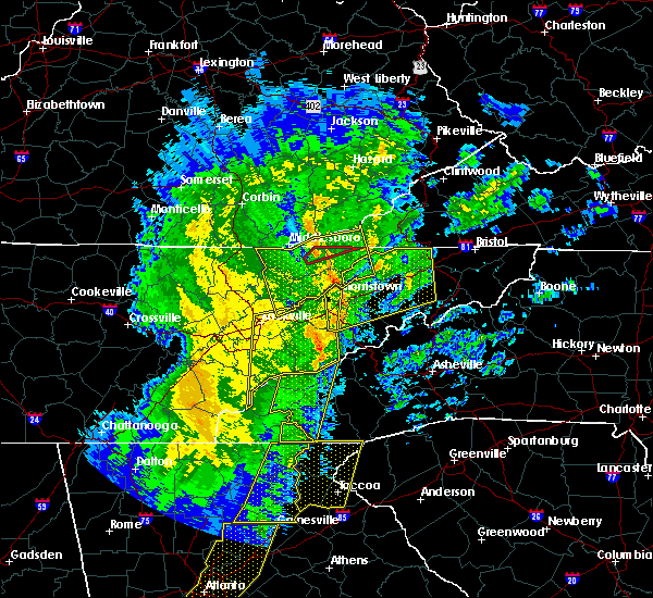 At 603 pm est, severe thunderstorms were located along a line extending from stony fork junction to 7 miles west of bean station, moving east at 60 mph (radar indicated). Hazards include 60 mph wind gusts. Expect damage to roofs, siding, and trees. Locations impacted include, rogersville, sneedville, rutledge, jonesville, new tazewell, bean station, tazewell, harrogate, lone mountain and howard quarter. At 603 pm est, severe thunderstorms were located along a line extending from stony fork junction to 7 miles west of bean station, moving east at 60 mph (radar indicated). Hazards include 60 mph wind gusts. Expect damage to roofs, siding, and trees. Locations impacted include, rogersville, sneedville, rutledge, jonesville, new tazewell, bean station, tazewell, harrogate, lone mountain and howard quarter.
|
| 1/11/2020 6:02 PM EST |
 At 602 pm est, severe thunderstorms were located along a line extending from near bean station to 7 miles west of newport, moving northeast at 55 mph (radar indicated). Hazards include 60 mph wind gusts. expect damage to roofs, siding, and trees At 602 pm est, severe thunderstorms were located along a line extending from near bean station to 7 miles west of newport, moving northeast at 55 mph (radar indicated). Hazards include 60 mph wind gusts. expect damage to roofs, siding, and trees
|
| 1/11/2020 5:37 PM EST |
 At 536 pm est, severe thunderstorms were located along a line extending from fonde to near plainview, moving northeast at 60 mph (radar indicated). Hazards include 60 mph wind gusts. expect damage to roofs, siding, and trees At 536 pm est, severe thunderstorms were located along a line extending from fonde to near plainview, moving northeast at 60 mph (radar indicated). Hazards include 60 mph wind gusts. expect damage to roofs, siding, and trees
|
| 1/11/2020 5:23 PM EST |
 At 522 pm est, severe thunderstorms were located along a line extending from near knoxville to 7 miles west of town of santeetlah, moving northeast at 70 mph (radar indicated). Hazards include 70 mph wind gusts. Expect considerable tree damage. Damage is likely to mobile homes, roofs, and outbuildings. At 522 pm est, severe thunderstorms were located along a line extending from near knoxville to 7 miles west of town of santeetlah, moving northeast at 70 mph (radar indicated). Hazards include 70 mph wind gusts. Expect considerable tree damage. Damage is likely to mobile homes, roofs, and outbuildings.
|
| 12/30/2019 1:42 AM EST |
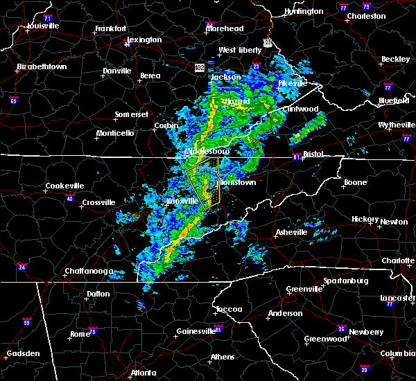 At 142 am est, severe thunderstorms were located along a line extending from tazewell to near dandridge, moving northeast at 55 mph (radar indicated). Hazards include 60 mph wind gusts. Expect damage to roofs, siding, and trees. Locations impacted include, morristown, jefferson city, dandridge, rutledge, new tazewell, bean station, tazewell, white pine, new market and baneberry. At 142 am est, severe thunderstorms were located along a line extending from tazewell to near dandridge, moving northeast at 55 mph (radar indicated). Hazards include 60 mph wind gusts. Expect damage to roofs, siding, and trees. Locations impacted include, morristown, jefferson city, dandridge, rutledge, new tazewell, bean station, tazewell, white pine, new market and baneberry.
|
| 12/30/2019 1:30 AM EST |
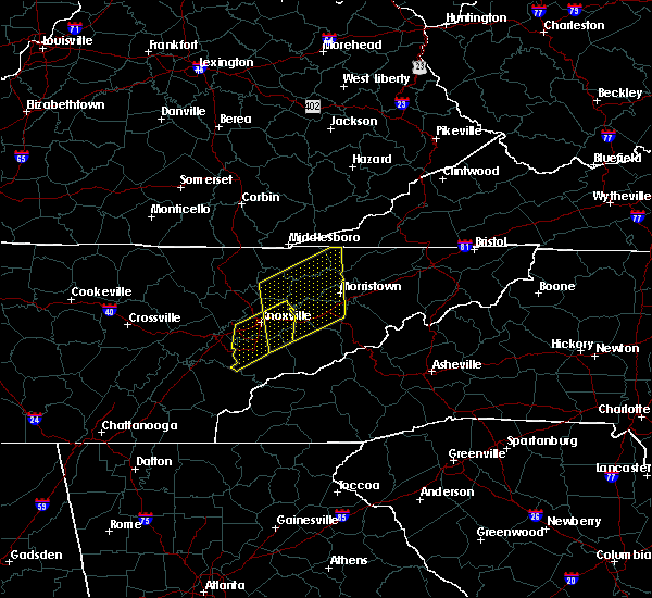 At 129 am est, severe thunderstorms were located along a line extending from 7 miles southwest of new tazewell to sevierville, moving northeast at 55 mph (radar indicated). Hazards include 60 mph wind gusts. Expect damage to roofs, siding, and trees. Locations impacted include, morristown, sevierville, jefferson city, dandridge, maynardville, rutledge, new tazewell, bean station, tazewell and white pine. At 129 am est, severe thunderstorms were located along a line extending from 7 miles southwest of new tazewell to sevierville, moving northeast at 55 mph (radar indicated). Hazards include 60 mph wind gusts. Expect damage to roofs, siding, and trees. Locations impacted include, morristown, sevierville, jefferson city, dandridge, maynardville, rutledge, new tazewell, bean station, tazewell and white pine.
|
| 12/30/2019 1:18 AM EST |
 At 118 am est, severe thunderstorms were located along a line extending from near maynardville to near eagleton village, moving northeast at 60 mph (radar indicated). Hazards include 60 mph wind gusts. expect damage to roofs, siding, and trees At 118 am est, severe thunderstorms were located along a line extending from near maynardville to near eagleton village, moving northeast at 60 mph (radar indicated). Hazards include 60 mph wind gusts. expect damage to roofs, siding, and trees
|
| 10/31/2019 12:12 PM EDT |
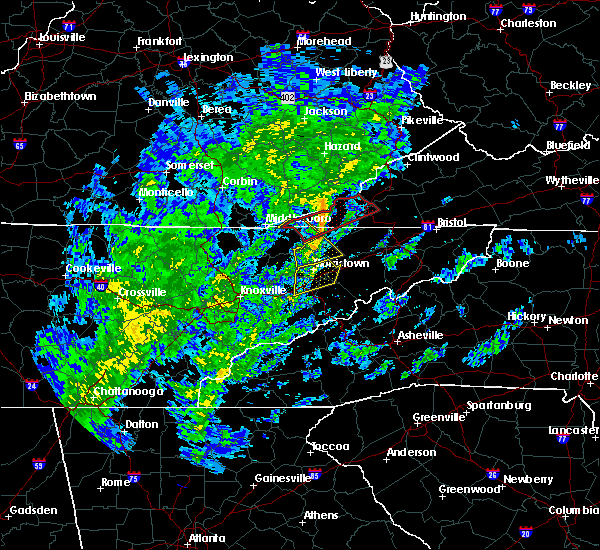 At 1211 pm edt, a severe thunderstorm was located near sneedville, moving northeast at 55 mph (radar indicated). Hazards include 60 mph wind gusts. Expect damage to roofs, siding, and trees. locations impacted include, sneedville, bean station, mooresburg, treadway, klondike and st. Clair. At 1211 pm edt, a severe thunderstorm was located near sneedville, moving northeast at 55 mph (radar indicated). Hazards include 60 mph wind gusts. Expect damage to roofs, siding, and trees. locations impacted include, sneedville, bean station, mooresburg, treadway, klondike and st. Clair.
|
| 10/31/2019 12:03 PM EDT |
 At 1202 pm edt, a severe thunderstorm was located near bean station, or 11 miles southwest of sneedville, moving northeast at 55 mph (radar indicated). Hazards include 60 mph wind gusts. Expect damage to roofs, siding, and trees. Locations impacted include, sneedville, bean station, thorn hill, mooresburg, treadway and klondike. At 1202 pm edt, a severe thunderstorm was located near bean station, or 11 miles southwest of sneedville, moving northeast at 55 mph (radar indicated). Hazards include 60 mph wind gusts. Expect damage to roofs, siding, and trees. Locations impacted include, sneedville, bean station, thorn hill, mooresburg, treadway and klondike.
|
| 10/31/2019 11:56 AM EDT |
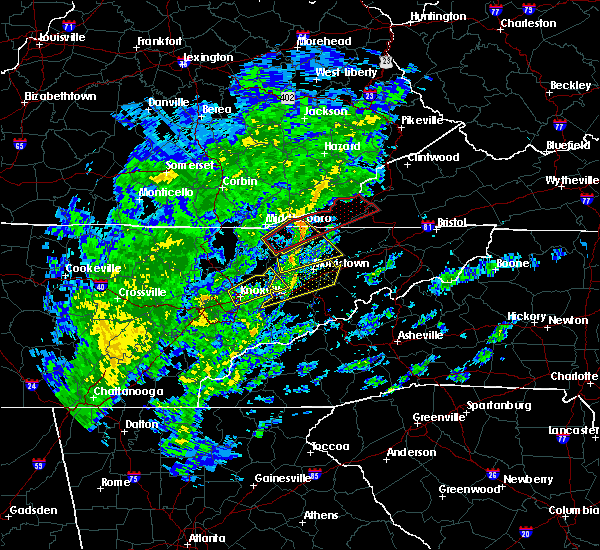 At 1156 am edt, a severe thunderstorm was located 7 miles northeast of rutledge, moving northeast at 55 mph (radar indicated). Hazards include 60 mph wind gusts. Expect damage to roofs, siding, and trees. Locations impacted include, sneedville, rutledge, bean station, thorn hill, mooresburg, evanston, buffalo springs, treadway and klondike. At 1156 am edt, a severe thunderstorm was located 7 miles northeast of rutledge, moving northeast at 55 mph (radar indicated). Hazards include 60 mph wind gusts. Expect damage to roofs, siding, and trees. Locations impacted include, sneedville, rutledge, bean station, thorn hill, mooresburg, evanston, buffalo springs, treadway and klondike.
|
| 10/31/2019 11:44 AM EDT |
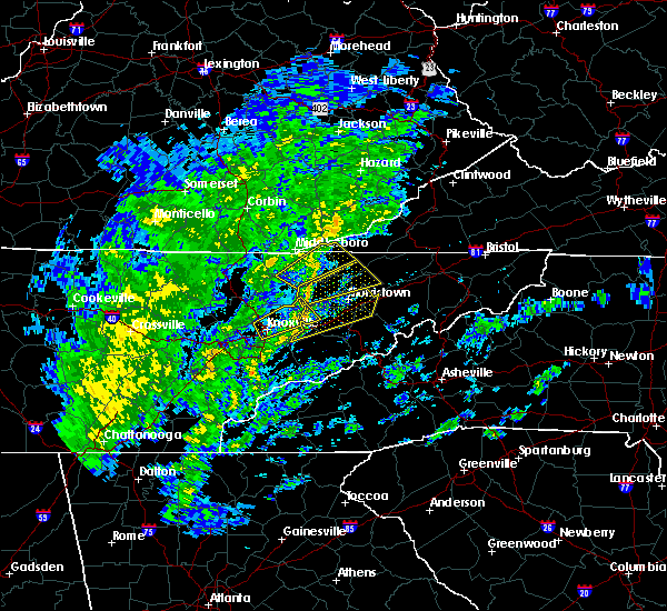 At 1144 am edt, severe thunderstorms were located along a line extending from near new market to 9 miles west of sevierville, moving northeast at 65 mph (radar indicated). Hazards include 60 mph wind gusts. expect damage to roofs, siding, and trees At 1144 am edt, severe thunderstorms were located along a line extending from near new market to 9 miles west of sevierville, moving northeast at 65 mph (radar indicated). Hazards include 60 mph wind gusts. expect damage to roofs, siding, and trees
|
| 10/31/2019 11:40 AM EDT |
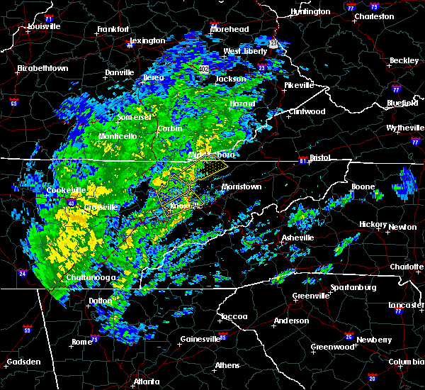 At 1140 am edt, a severe thunderstorm was located near rutledge, moving northeast at 55 mph (radar indicated). Hazards include 60 mph wind gusts. expect damage to roofs, siding, and trees At 1140 am edt, a severe thunderstorm was located near rutledge, moving northeast at 55 mph (radar indicated). Hazards include 60 mph wind gusts. expect damage to roofs, siding, and trees
|
| 6/24/2019 5:55 PM EDT |
 The severe thunderstorm warning for northern jefferson, central grainger and western hamblen counties will expire at 600 pm edt, the storm which prompted the warning has weakened below severe limits, and no longer poses an immediate threat to life or property. therefore, the warning will be allowed to expire. however gusty winds are still possible with this thunderstorm. a severe thunderstorm watch remains in effect until 900 pm edt for east tennessee. The severe thunderstorm warning for northern jefferson, central grainger and western hamblen counties will expire at 600 pm edt, the storm which prompted the warning has weakened below severe limits, and no longer poses an immediate threat to life or property. therefore, the warning will be allowed to expire. however gusty winds are still possible with this thunderstorm. a severe thunderstorm watch remains in effect until 900 pm edt for east tennessee.
|
| 6/24/2019 5:45 PM EDT |
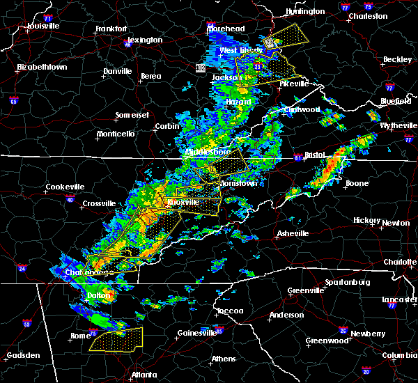 At 544 pm edt, a severe thunderstorm was located near new market, or 8 miles west of jefferson city, moving east at 35 mph (radar indicated). Hazards include 60 mph wind gusts. Expect damage to roofs, siding, and trees. Locations impacted include, morristown, jefferson city, bean station, white pine, new market, blaine, panther creek state park, alpha, joppa and buffalo springs. At 544 pm edt, a severe thunderstorm was located near new market, or 8 miles west of jefferson city, moving east at 35 mph (radar indicated). Hazards include 60 mph wind gusts. Expect damage to roofs, siding, and trees. Locations impacted include, morristown, jefferson city, bean station, white pine, new market, blaine, panther creek state park, alpha, joppa and buffalo springs.
|
| 6/24/2019 5:37 PM EDT |
 At 536 pm edt, a severe thunderstorm was located near rutledge, moving east at 45 mph (radar indicated). Hazards include 60 mph wind gusts and penny size hail. Expect damage to roofs, siding, and trees. Locations impacted include, new tazewell, bean station, tazewell, howard quarter, thorn hill and mooresburg. At 536 pm edt, a severe thunderstorm was located near rutledge, moving east at 45 mph (radar indicated). Hazards include 60 mph wind gusts and penny size hail. Expect damage to roofs, siding, and trees. Locations impacted include, new tazewell, bean station, tazewell, howard quarter, thorn hill and mooresburg.
|
| 6/24/2019 5:20 PM EDT |
 At 520 pm edt, a severe thunderstorm was located near plainview, or 7 miles south of maynardville, moving east at 40 mph (radar indicated). Hazards include 60 mph wind gusts. expect damage to roofs, siding, and trees At 520 pm edt, a severe thunderstorm was located near plainview, or 7 miles south of maynardville, moving east at 40 mph (radar indicated). Hazards include 60 mph wind gusts. expect damage to roofs, siding, and trees
|
| 6/24/2019 5:12 PM EDT |
 At 512 pm edt, a severe thunderstorm was located near maynardville, moving east at 45 mph (radar indicated). Hazards include 60 mph wind gusts and penny size hail. expect damage to roofs, siding, and trees At 512 pm edt, a severe thunderstorm was located near maynardville, moving east at 45 mph (radar indicated). Hazards include 60 mph wind gusts and penny size hail. expect damage to roofs, siding, and trees
|
| 6/22/2019 12:11 AM EDT |
 At 1155 pm edt, severe thunderstorms were located along a line extending from 7 miles south of hensley store to near pigeon forge, moving east at 50 mph (radar indicated). Hazards include 60 mph wind gusts. expect damage to roofs, siding, and trees At 1155 pm edt, severe thunderstorms were located along a line extending from 7 miles south of hensley store to near pigeon forge, moving east at 50 mph (radar indicated). Hazards include 60 mph wind gusts. expect damage to roofs, siding, and trees
|
| 6/22/2019 12:11 AM EDT |
 At 1211 am edt, severe thunderstorms were located along a line extending from near jonesville to gatlinburg, moving east at 45 mph (radar indicated). Hazards include 60 mph wind gusts. Expect damage to roofs, siding, and trees. Locations impacted include, morristown, sevierville, newport, rogersville, gatlinburg, dandridge, sneedville, jonesville, pigeon forge, bean station, white pine, surgoinsville, pennington gap, baneberry, parrottsville, smoky mountains-newfound gap, russellville, smoky mountains-big creek, smoky mountains-fontana area and smoky mountains-balsam mountain. At 1211 am edt, severe thunderstorms were located along a line extending from near jonesville to gatlinburg, moving east at 45 mph (radar indicated). Hazards include 60 mph wind gusts. Expect damage to roofs, siding, and trees. Locations impacted include, morristown, sevierville, newport, rogersville, gatlinburg, dandridge, sneedville, jonesville, pigeon forge, bean station, white pine, surgoinsville, pennington gap, baneberry, parrottsville, smoky mountains-newfound gap, russellville, smoky mountains-big creek, smoky mountains-fontana area and smoky mountains-balsam mountain.
|
| 6/21/2019 11:55 PM EDT |
 At 1155 pm edt, severe thunderstorms were located along a line extending from 7 miles south of hensley store to near pigeon forge, moving east at 50 mph (radar indicated). Hazards include 60 mph wind gusts. expect damage to roofs, siding, and trees At 1155 pm edt, severe thunderstorms were located along a line extending from 7 miles south of hensley store to near pigeon forge, moving east at 50 mph (radar indicated). Hazards include 60 mph wind gusts. expect damage to roofs, siding, and trees
|
| 6/21/2019 11:51 PM EDT |
 At 1151 pm edt, severe thunderstorms were located along a line extending from 7 miles southeast of cubage to 8 miles west of pigeon forge, moving east at 50 mph (radar indicated). Hazards include 60 mph wind gusts. Expect damage to roofs, siding, and trees. Locations impacted include, sevierville, jefferson city, dandridge, rutledge, pigeon forge, new tazewell, bean station, tazewell, new market, strawberry plains, blaine, lone mountain, howard quarter, rose hill, buffalo springs, kimberlin heights, ewing, joppa, seymour and kodak. At 1151 pm edt, severe thunderstorms were located along a line extending from 7 miles southeast of cubage to 8 miles west of pigeon forge, moving east at 50 mph (radar indicated). Hazards include 60 mph wind gusts. Expect damage to roofs, siding, and trees. Locations impacted include, sevierville, jefferson city, dandridge, rutledge, pigeon forge, new tazewell, bean station, tazewell, new market, strawberry plains, blaine, lone mountain, howard quarter, rose hill, buffalo springs, kimberlin heights, ewing, joppa, seymour and kodak.
|
| 6/21/2019 11:37 PM EDT |
 At 1137 pm edt, severe thunderstorms were located along a line extending from hutch to eagleton village, moving east at 50 mph (radar indicated). Hazards include 60 mph wind gusts. expect damage to roofs, siding, and trees At 1137 pm edt, severe thunderstorms were located along a line extending from hutch to eagleton village, moving east at 50 mph (radar indicated). Hazards include 60 mph wind gusts. expect damage to roofs, siding, and trees
|
| 4/14/2019 6:31 PM EDT |
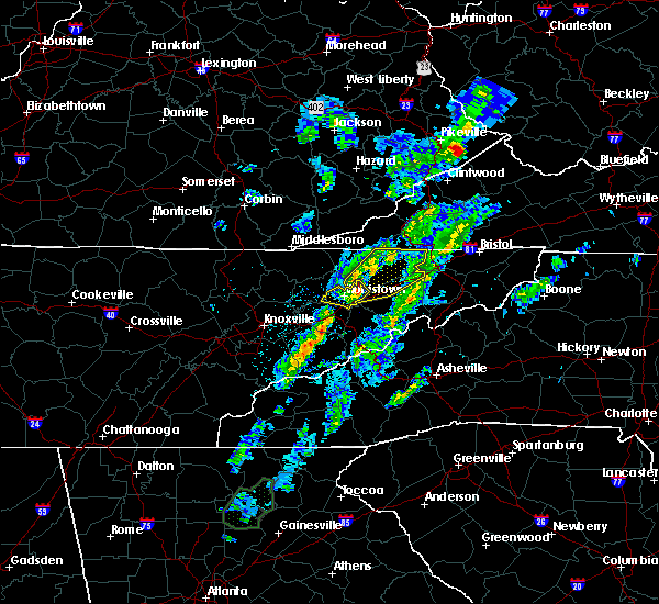 At 631 pm edt, a severe thunderstorm was located near russellville, or near morristown, moving northeast at 65 mph (radar indicated). Hazards include 60 mph wind gusts and penny size hail. expect damage to roofs, siding, and trees At 631 pm edt, a severe thunderstorm was located near russellville, or near morristown, moving northeast at 65 mph (radar indicated). Hazards include 60 mph wind gusts and penny size hail. expect damage to roofs, siding, and trees
|
| 4/14/2019 6:13 PM EDT |
 At 612 pm edt, a severe thunderstorm was located near new market, or near jefferson city, moving northeast at 65 mph (radar indicated). Hazards include 60 mph wind gusts and penny size hail. Expect damage to roofs, siding, and trees. Locations impacted include, morristown, jefferson city, dandridge, bean station, white pine, new market, russellville, bulls gap, panther creek state park, alpha, piedmont and lowland. At 612 pm edt, a severe thunderstorm was located near new market, or near jefferson city, moving northeast at 65 mph (radar indicated). Hazards include 60 mph wind gusts and penny size hail. Expect damage to roofs, siding, and trees. Locations impacted include, morristown, jefferson city, dandridge, bean station, white pine, new market, russellville, bulls gap, panther creek state park, alpha, piedmont and lowland.
|
| 4/14/2019 6:01 PM EDT |
 At 600 pm edt, a severe thunderstorm was located near sevierville, moving northeast at 65 mph (radar indicated). Hazards include 60 mph wind gusts and penny size hail. expect damage to roofs, siding, and trees At 600 pm edt, a severe thunderstorm was located near sevierville, moving northeast at 65 mph (radar indicated). Hazards include 60 mph wind gusts and penny size hail. expect damage to roofs, siding, and trees
|
| 11/6/2018 5:29 AM EST |
 At 529 am est, severe thunderstorms were located along a line extending from 9 miles east of tazewell to near jefferson city, moving east at 55 mph (radar indicated). Hazards include 60 mph wind gusts. expect damage to roofs, siding, and trees At 529 am est, severe thunderstorms were located along a line extending from 9 miles east of tazewell to near jefferson city, moving east at 55 mph (radar indicated). Hazards include 60 mph wind gusts. expect damage to roofs, siding, and trees
|
| 11/6/2018 5:12 AM EST |
 At 511 am est, severe thunderstorms were located along a line extending from 6 miles southwest of new tazewell to 7 miles southeast of plainview, moving northeast at 50 mph (radar indicated). Hazards include 60 mph wind gusts. Expect damage to roofs, siding, and trees. locations impacted include, maynardville, rutledge, new tazewell, tazewell, plainview, blaine, luttrell, springdale, lone mountain, howard quarter, thorn hill, rose hill, buffalo springs, sandlick and joppa. A tornado watch remains in effect until 900 am est for east tennessee. At 511 am est, severe thunderstorms were located along a line extending from 6 miles southwest of new tazewell to 7 miles southeast of plainview, moving northeast at 50 mph (radar indicated). Hazards include 60 mph wind gusts. Expect damage to roofs, siding, and trees. locations impacted include, maynardville, rutledge, new tazewell, tazewell, plainview, blaine, luttrell, springdale, lone mountain, howard quarter, thorn hill, rose hill, buffalo springs, sandlick and joppa. A tornado watch remains in effect until 900 am est for east tennessee.
|
| 11/6/2018 4:49 AM EST |
 At 449 am est, severe thunderstorms were located along a line extending from 10 miles southeast of la follette to near knoxville, moving northeast at 55 mph (radar indicated). Hazards include 60 mph wind gusts. expect damage to roofs, siding, and trees At 449 am est, severe thunderstorms were located along a line extending from 10 miles southeast of la follette to near knoxville, moving northeast at 55 mph (radar indicated). Hazards include 60 mph wind gusts. expect damage to roofs, siding, and trees
|
| 7/20/2018 10:23 PM EDT | Several trees down in grainger county... tennesse in grainger county TN, 2.3 miles SSW of Bean Station, TN |
| 7/20/2018 9:42 PM EDT |
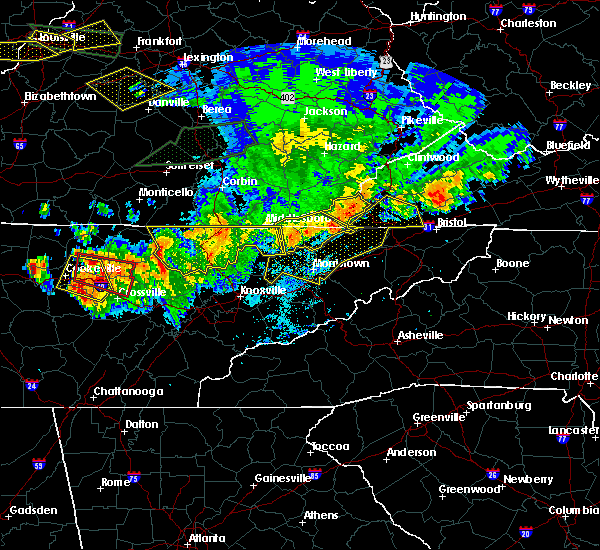 At 942 pm edt, severe thunderstorms were located along a line extending from near big stone gap to near jonesville to near sneedville to tazewell, moving southeast at 35 mph (radar indicated). Hazards include 60 mph wind gusts and penny size hail. expect damage to roofs, siding, and trees At 942 pm edt, severe thunderstorms were located along a line extending from near big stone gap to near jonesville to near sneedville to tazewell, moving southeast at 35 mph (radar indicated). Hazards include 60 mph wind gusts and penny size hail. expect damage to roofs, siding, and trees
|
| 7/16/2018 5:51 PM EDT |
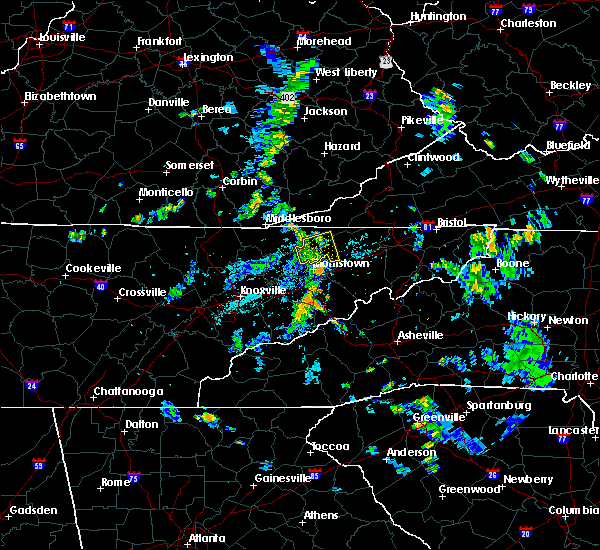 The severe thunderstorm warning for southwestern hawkins, central hancock and northeastern grainger counties will expire at 600 pm edt, the storm which prompted the warning has weakened below severe limits, and no longer poses an immediate threat to life or property. therefore, the warning will be allowed to expire. however gusty winds and heavy rain are still possible with this thunderstorm. The severe thunderstorm warning for southwestern hawkins, central hancock and northeastern grainger counties will expire at 600 pm edt, the storm which prompted the warning has weakened below severe limits, and no longer poses an immediate threat to life or property. therefore, the warning will be allowed to expire. however gusty winds and heavy rain are still possible with this thunderstorm.
|
| 7/16/2018 5:41 PM EDT |
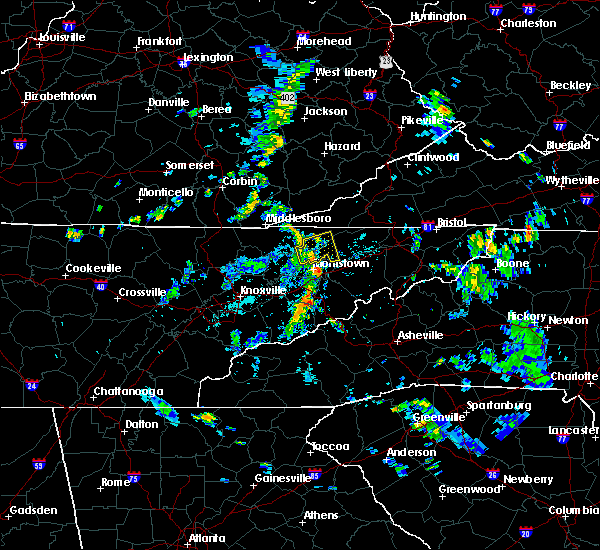 At 540 pm edt, a severe thunderstorm was located near bean station, or 11 miles northeast of rutledge, moving east at 20 mph (radar indicated). Hazards include 60 mph wind gusts. Expect damage to roofs, siding, and trees. locations impacted include, sneedville, bean station, thorn hill, mooresburg, evanston, st. Clair, treadway and klondike. At 540 pm edt, a severe thunderstorm was located near bean station, or 11 miles northeast of rutledge, moving east at 20 mph (radar indicated). Hazards include 60 mph wind gusts. Expect damage to roofs, siding, and trees. locations impacted include, sneedville, bean station, thorn hill, mooresburg, evanston, st. Clair, treadway and klondike.
|
| 7/16/2018 5:22 PM EDT |
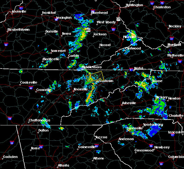 At 522 pm edt, a severe thunderstorm was located near rutledge, moving east at 20 mph (radar indicated). Hazards include 60 mph wind gusts and penny size hail. expect damage to roofs, siding, and trees At 522 pm edt, a severe thunderstorm was located near rutledge, moving east at 20 mph (radar indicated). Hazards include 60 mph wind gusts and penny size hail. expect damage to roofs, siding, and trees
|
| 6/26/2018 5:17 PM EDT |
 At 516 pm edt, severe thunderstorms were located along a line extending from 6 miles northeast of bean station to near new market to near knoxville, moving southeast at 45 mph (radar indicated). Hazards include 60 mph wind gusts and quarter size hail. Hail damage to vehicles is expected. expect wind damage to roofs, siding, and trees. Locations impacted include, knoxville, morristown, sevierville, jefferson city, dandridge, rutledge, bean station, white pine, plainview, new market, baneberry, russellville, strawberry plains, halls, blaine, bulls gap, panther creek state park, buffalo springs, kimberlin heights and mooresburg. At 516 pm edt, severe thunderstorms were located along a line extending from 6 miles northeast of bean station to near new market to near knoxville, moving southeast at 45 mph (radar indicated). Hazards include 60 mph wind gusts and quarter size hail. Hail damage to vehicles is expected. expect wind damage to roofs, siding, and trees. Locations impacted include, knoxville, morristown, sevierville, jefferson city, dandridge, rutledge, bean station, white pine, plainview, new market, baneberry, russellville, strawberry plains, halls, blaine, bulls gap, panther creek state park, buffalo springs, kimberlin heights and mooresburg.
|
| 6/26/2018 5:04 PM EDT |
 At 448 pm edt, severe thunderstorms were located along a line extending from near tazewell to near maynardville to 6 miles north of clinton, moving southeast at 45 mph (radar indicated). Hazards include 60 mph wind gusts and quarter size hail. Hail damage to vehicles is expected. Expect wind damage to roofs, siding, and trees. At 448 pm edt, severe thunderstorms were located along a line extending from near tazewell to near maynardville to 6 miles north of clinton, moving southeast at 45 mph (radar indicated). Hazards include 60 mph wind gusts and quarter size hail. Hail damage to vehicles is expected. Expect wind damage to roofs, siding, and trees.
|
| 6/26/2018 4:49 PM EDT |
 At 448 pm edt, severe thunderstorms were located along a line extending from near tazewell to near maynardville to 6 miles north of clinton, moving southeast at 45 mph (radar indicated). Hazards include 60 mph wind gusts and quarter size hail. Hail damage to vehicles is expected. Expect wind damage to roofs, siding, and trees. At 448 pm edt, severe thunderstorms were located along a line extending from near tazewell to near maynardville to 6 miles north of clinton, moving southeast at 45 mph (radar indicated). Hazards include 60 mph wind gusts and quarter size hail. Hail damage to vehicles is expected. Expect wind damage to roofs, siding, and trees.
|
| 6/26/2018 4:15 PM EDT |
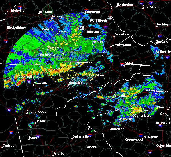 At 415 pm edt, a severe thunderstorm was located over russellville, or near morristown, moving southeast at 15 mph (radar indicated). Hazards include 60 mph wind gusts and quarter size hail. Hail damage to vehicles is expected. expect wind damage to roofs, siding, and trees. Locations impacted include, morristown, bean station, russellville, bulls gap, mooresburg and lowland. At 415 pm edt, a severe thunderstorm was located over russellville, or near morristown, moving southeast at 15 mph (radar indicated). Hazards include 60 mph wind gusts and quarter size hail. Hail damage to vehicles is expected. expect wind damage to roofs, siding, and trees. Locations impacted include, morristown, bean station, russellville, bulls gap, mooresburg and lowland.
|
| 6/26/2018 4:05 PM EDT | Couple trees dow in grainger county TN, 2.3 miles SSW of Bean Station, TN |
| 6/26/2018 4:02 PM EDT |
 At 401 pm edt, a severe thunderstorm was located near bean station, or near morristown, moving southeast at 20 mph (radar indicated). Hazards include 60 mph wind gusts and quarter size hail. Hail damage to vehicles is expected. Expect wind damage to roofs, siding, and trees. At 401 pm edt, a severe thunderstorm was located near bean station, or near morristown, moving southeast at 20 mph (radar indicated). Hazards include 60 mph wind gusts and quarter size hail. Hail damage to vehicles is expected. Expect wind damage to roofs, siding, and trees.
|
| 6/25/2018 3:04 PM EDT |
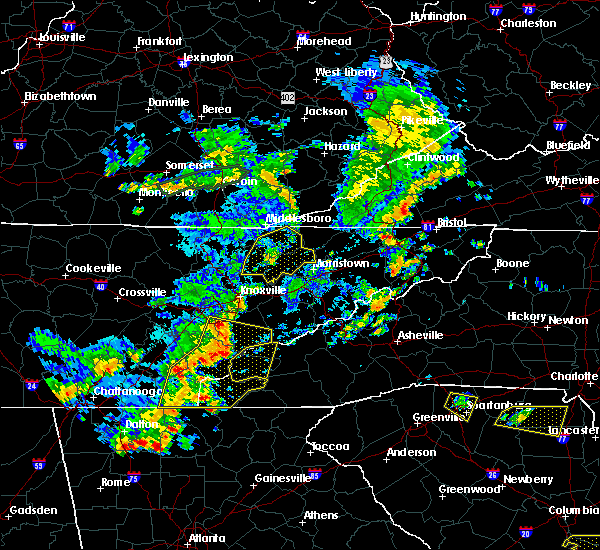 At 304 pm edt, a severe thunderstorm was located near rutledge, moving east at 40 mph (radar indicated). Hazards include 60 mph wind gusts and penny size hail. Expect damage to roofs, siding, and trees. Locations impacted include, maynardville, rutledge, new tazewell, bean station, tazewell, plainview, harrogate, blaine, luttrell, springdale, lone mountain, howard quarter, thorn hill, buffalo springs, paulette, rose hill, sharps chapel, sandlick, powell river preserve and joppa. At 304 pm edt, a severe thunderstorm was located near rutledge, moving east at 40 mph (radar indicated). Hazards include 60 mph wind gusts and penny size hail. Expect damage to roofs, siding, and trees. Locations impacted include, maynardville, rutledge, new tazewell, bean station, tazewell, plainview, harrogate, blaine, luttrell, springdale, lone mountain, howard quarter, thorn hill, buffalo springs, paulette, rose hill, sharps chapel, sandlick, powell river preserve and joppa.
|
| 6/25/2018 2:19 PM EDT |
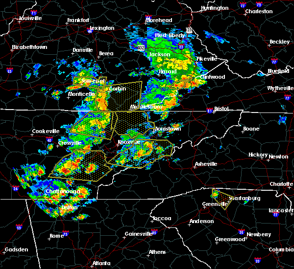 At 218 pm edt, severe thunderstorms were located along a line extending from red ash to near jacksboro, moving east at 40 mph (radar indicated). Hazards include 60 mph wind gusts and penny size hail. expect damage to roofs, siding, and trees At 218 pm edt, severe thunderstorms were located along a line extending from red ash to near jacksboro, moving east at 40 mph (radar indicated). Hazards include 60 mph wind gusts and penny size hail. expect damage to roofs, siding, and trees
|
| 6/24/2018 6:43 PM EDT |
 At 642 pm edt, a severe thunderstorm was located near bean station, or 10 miles northeast of morristown, moving east at 25 mph (radar indicated). Hazards include 60 mph wind gusts and quarter size hail. Hail damage to vehicles is expected. expect wind damage to roofs, siding, and trees. locations impacted include, morristown, rogersville, rutledge, bean station, russellville, mosheim, bulls gap, thorn hill, mccloud, treadway, mooresburg, st. Clair and mohawk. At 642 pm edt, a severe thunderstorm was located near bean station, or 10 miles northeast of morristown, moving east at 25 mph (radar indicated). Hazards include 60 mph wind gusts and quarter size hail. Hail damage to vehicles is expected. expect wind damage to roofs, siding, and trees. locations impacted include, morristown, rogersville, rutledge, bean station, russellville, mosheim, bulls gap, thorn hill, mccloud, treadway, mooresburg, st. Clair and mohawk.
|
| 6/24/2018 6:00 PM EDT |
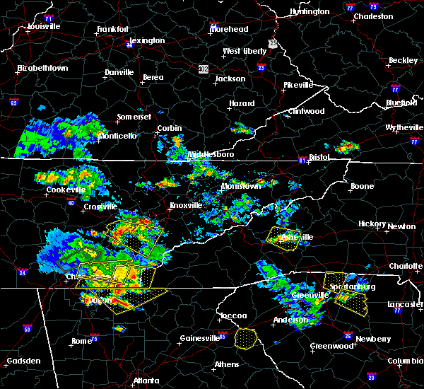 At 600 pm edt, a severe thunderstorm was located near tazewell, or 9 miles north of rutledge, moving east at 25 mph (radar indicated). Hazards include 60 mph wind gusts and quarter size hail. Hail damage to vehicles is expected. Expect wind damage to roofs, siding, and trees. At 600 pm edt, a severe thunderstorm was located near tazewell, or 9 miles north of rutledge, moving east at 25 mph (radar indicated). Hazards include 60 mph wind gusts and quarter size hail. Hail damage to vehicles is expected. Expect wind damage to roofs, siding, and trees.
|
| 5/31/2018 7:08 PM EDT |
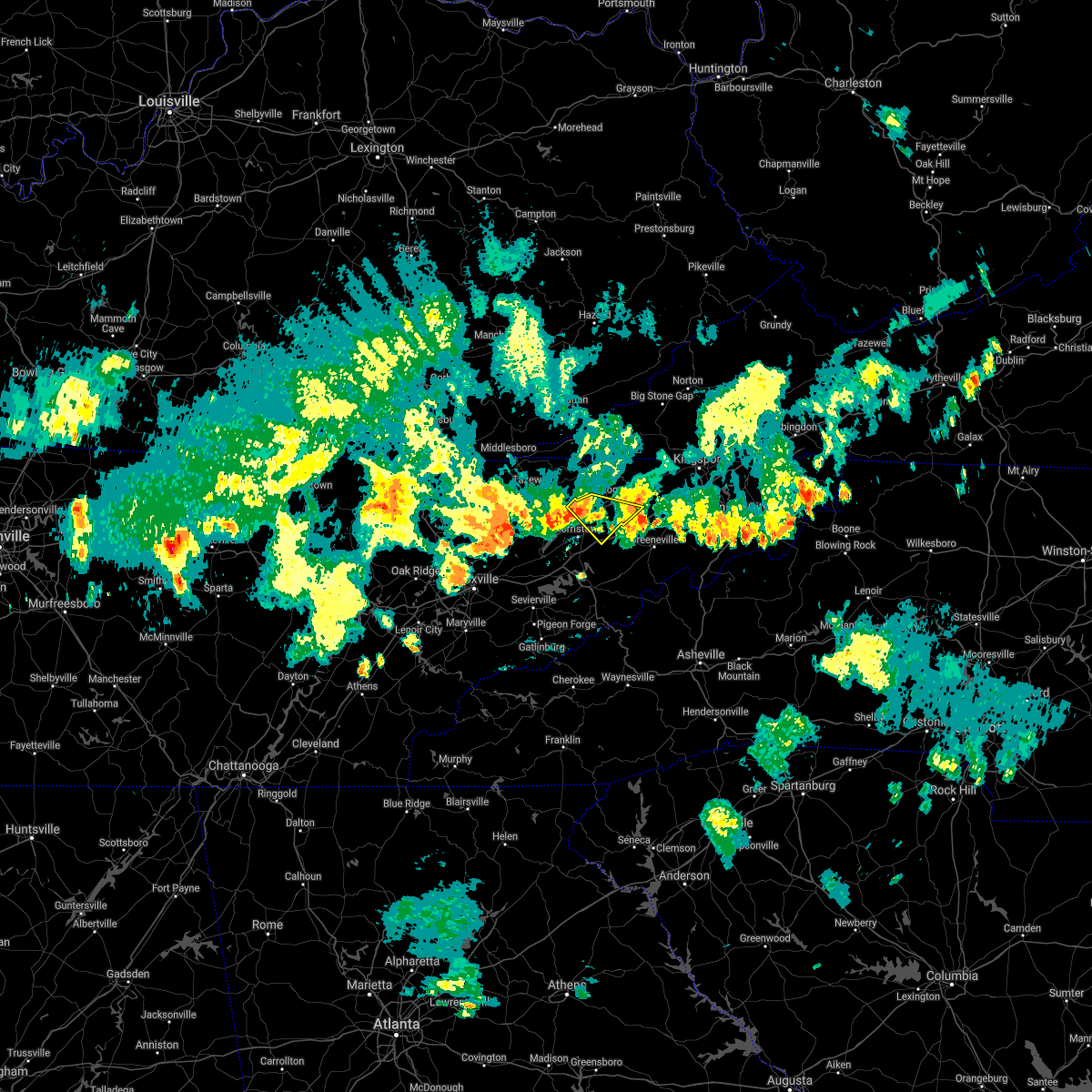 The severe thunderstorm warning for southwestern hawkins, northeastern grainger and northeastern hamblen counties will expire at 715 pm edt, the severe thunderstorm which prompted the warning has moved out of the warned area. **! therefore, the warning will be allowed to expire. The severe thunderstorm warning for southwestern hawkins, northeastern grainger and northeastern hamblen counties will expire at 715 pm edt, the severe thunderstorm which prompted the warning has moved out of the warned area. **! therefore, the warning will be allowed to expire.
|
| 5/31/2018 7:05 PM EDT |
 At 705 pm edt, a severe thunderstorm was located near morristown, moving southeast at 25 mph (radar indicated). Hazards include 60 mph wind gusts. Expect damage to roofs, siding, and trees. Locations impacted include, morristown, rutledge, bean station, white pine, panther creek state park, alpha and lowland. At 705 pm edt, a severe thunderstorm was located near morristown, moving southeast at 25 mph (radar indicated). Hazards include 60 mph wind gusts. Expect damage to roofs, siding, and trees. Locations impacted include, morristown, rutledge, bean station, white pine, panther creek state park, alpha and lowland.
|
| 5/31/2018 7:00 PM EDT |
 At 700 pm edt, a severe thunderstorm was located near rutledge, moving southeast at 20 mph (radar indicated). Hazards include 60 mph wind gusts. Expect damage to roofs, siding, and trees. Locations impacted include, morristown, jefferson city, dandridge, rutledge, bean station, white pine, new market, thorn hill, panther creek state park, alpha, buffalo springs and lowland. At 700 pm edt, a severe thunderstorm was located near rutledge, moving southeast at 20 mph (radar indicated). Hazards include 60 mph wind gusts. Expect damage to roofs, siding, and trees. Locations impacted include, morristown, jefferson city, dandridge, rutledge, bean station, white pine, new market, thorn hill, panther creek state park, alpha, buffalo springs and lowland.
|
| 5/31/2018 6:53 PM EDT |
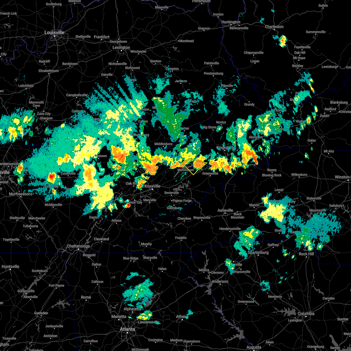 At 653 pm edt, a severe thunderstorm was located near rogersville, moving southeast at 25 mph (radar indicated). Hazards include 60 mph wind gusts. Expect damage to roofs, siding, and trees. locations impacted include, morristown, rogersville, bean station, russellville, bulls gap, mooresburg, st. Clair and mccloud. At 653 pm edt, a severe thunderstorm was located near rogersville, moving southeast at 25 mph (radar indicated). Hazards include 60 mph wind gusts. Expect damage to roofs, siding, and trees. locations impacted include, morristown, rogersville, bean station, russellville, bulls gap, mooresburg, st. Clair and mccloud.
|
| 5/31/2018 6:47 PM EDT |
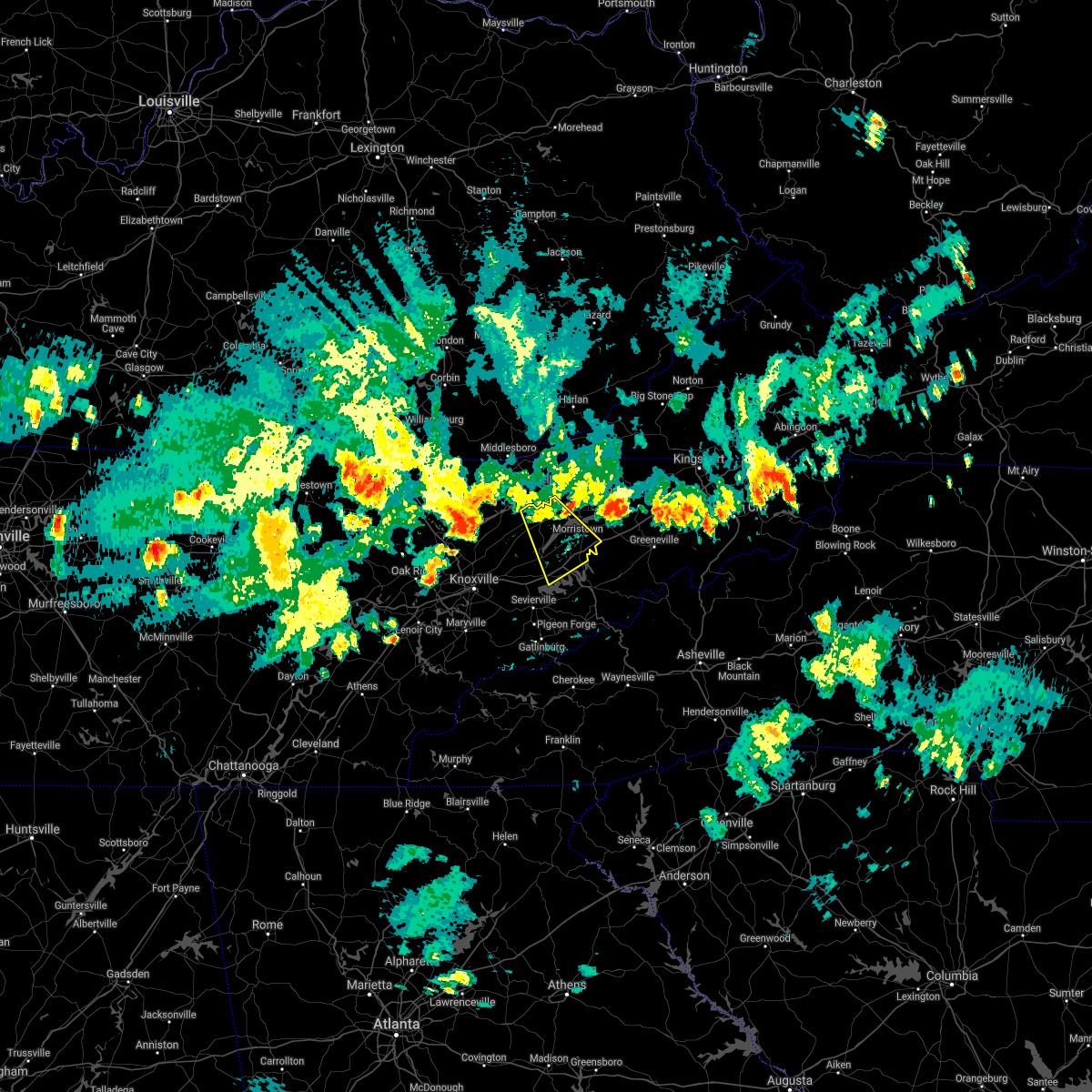 At 647 pm edt, a severe thunderstorm was located over rutledge, moving southeast at 35 mph (radar indicated). Hazards include 60 mph wind gusts and penny size hail. expect damage to roofs, siding, and trees At 647 pm edt, a severe thunderstorm was located over rutledge, moving southeast at 35 mph (radar indicated). Hazards include 60 mph wind gusts and penny size hail. expect damage to roofs, siding, and trees
|
| 5/31/2018 6:29 PM EDT |
 At 629 pm edt, a severe thunderstorm was located near bean station, or 10 miles south of sneedville, moving southeast at 30 mph (radar indicated). Hazards include 60 mph wind gusts. expect damage to roofs, siding, and trees At 629 pm edt, a severe thunderstorm was located near bean station, or 10 miles south of sneedville, moving southeast at 30 mph (radar indicated). Hazards include 60 mph wind gusts. expect damage to roofs, siding, and trees
|
| 4/4/2018 2:20 AM EDT |
 The severe thunderstorm warning for western hawkins, jefferson, central hancock, grainger and hamblen counties will expire at 230 am edt, the storms which prompted the warning have moved out of the area. therefore the warning will be allowed to expire. a severe thunderstorm watch remains in effect until 300 am edt for east tennessee. The severe thunderstorm warning for western hawkins, jefferson, central hancock, grainger and hamblen counties will expire at 230 am edt, the storms which prompted the warning have moved out of the area. therefore the warning will be allowed to expire. a severe thunderstorm watch remains in effect until 300 am edt for east tennessee.
|
| 4/4/2018 1:50 AM EDT |
 At 149 am edt, severe thunderstorms were located along a line extending from 6 miles northeast of rutledge to near new market, moving east at 55 mph (radar indicated). Hazards include 60 mph wind gusts. Expect damage to roofs, siding, and trees. Locations impacted include, morristown, jefferson city, dandridge, rutledge, bean station, white pine, new market, baneberry, russellville, strawberry plains, blaine, thorn hill, panther creek state park, buffalo springs, treadway, mooresburg, alpha, lowland, klondike and piedmont. At 149 am edt, severe thunderstorms were located along a line extending from 6 miles northeast of rutledge to near new market, moving east at 55 mph (radar indicated). Hazards include 60 mph wind gusts. Expect damage to roofs, siding, and trees. Locations impacted include, morristown, jefferson city, dandridge, rutledge, bean station, white pine, new market, baneberry, russellville, strawberry plains, blaine, thorn hill, panther creek state park, buffalo springs, treadway, mooresburg, alpha, lowland, klondike and piedmont.
|
| 4/4/2018 1:26 AM EDT |
 At 125 am edt, severe thunderstorms were located along a line extending from 7 miles north of maynardville to near knoxville, moving east at 50 mph (radar indicated). Hazards include 60 mph wind gusts. expect damage to roofs, siding, and trees At 125 am edt, severe thunderstorms were located along a line extending from 7 miles north of maynardville to near knoxville, moving east at 50 mph (radar indicated). Hazards include 60 mph wind gusts. expect damage to roofs, siding, and trees
|
| 3/17/2018 9:44 PM EDT |
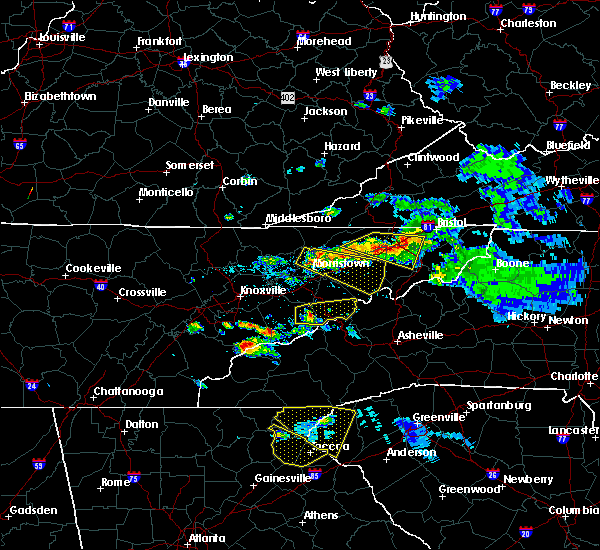 At 944 pm edt, a severe thunderstorm was located over russellville, or near morristown, moving east at 55 mph (radar indicated). Hazards include 60 mph wind gusts and quarter size hail. Hail damage to vehicles is expected. Expect wind damage to roofs, siding, and trees. At 944 pm edt, a severe thunderstorm was located over russellville, or near morristown, moving east at 55 mph (radar indicated). Hazards include 60 mph wind gusts and quarter size hail. Hail damage to vehicles is expected. Expect wind damage to roofs, siding, and trees.
|
| 3/17/2018 8:22 PM EDT |
 At 822 pm edt, a severe thunderstorm was located near bean station, or 10 miles west of rogersville, moving east at 45 mph (radar indicated). Hazards include 60 mph wind gusts and quarter size hail. Hail damage to vehicles is expected. expect wind damage to roofs, siding, and trees. locations impacted include, rogersville, bean station, bulls gap, mooresburg, st. Clair, treadway, mccloud and klondike. At 822 pm edt, a severe thunderstorm was located near bean station, or 10 miles west of rogersville, moving east at 45 mph (radar indicated). Hazards include 60 mph wind gusts and quarter size hail. Hail damage to vehicles is expected. expect wind damage to roofs, siding, and trees. locations impacted include, rogersville, bean station, bulls gap, mooresburg, st. Clair, treadway, mccloud and klondike.
|
| 3/17/2018 7:56 PM EDT |
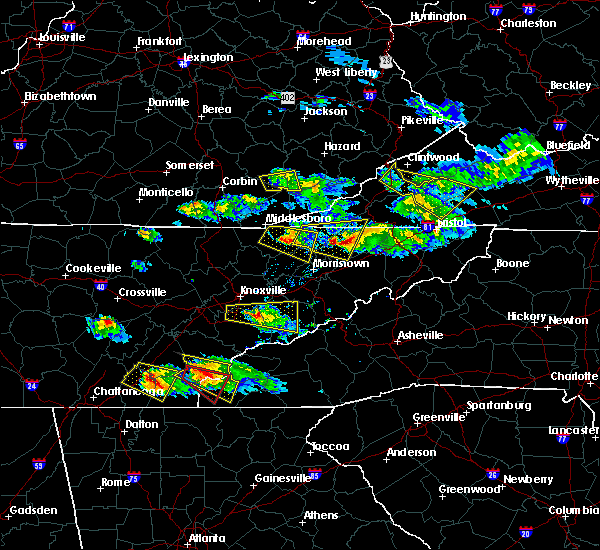 At 756 pm edt, a severe thunderstorm was located near tazewell, or 10 miles north of rutledge, moving east at 45 mph (radar indicated). Hazards include 60 mph wind gusts and quarter size hail. Hail damage to vehicles is expected. Expect wind damage to roofs, siding, and trees. At 756 pm edt, a severe thunderstorm was located near tazewell, or 10 miles north of rutledge, moving east at 45 mph (radar indicated). Hazards include 60 mph wind gusts and quarter size hail. Hail damage to vehicles is expected. Expect wind damage to roofs, siding, and trees.
|
| 3/17/2018 7:40 PM EDT |
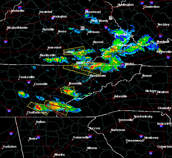 At 739 pm edt, a severe thunderstorm was located near tazewell, or 9 miles southeast of middlesboro, moving east at 45 mph (radar indicated). Hazards include 60 mph wind gusts and half dollar size hail. Hail damage to vehicles is expected. expect wind damage to roofs, siding, and trees. Locations impacted include, new tazewell, bean station, tazewell, harrogate, lone mountain, howard quarter, thorn hill, evanston, cumberland gap, arthur and powell river preserve. At 739 pm edt, a severe thunderstorm was located near tazewell, or 9 miles southeast of middlesboro, moving east at 45 mph (radar indicated). Hazards include 60 mph wind gusts and half dollar size hail. Hail damage to vehicles is expected. expect wind damage to roofs, siding, and trees. Locations impacted include, new tazewell, bean station, tazewell, harrogate, lone mountain, howard quarter, thorn hill, evanston, cumberland gap, arthur and powell river preserve.
|
| 3/17/2018 7:13 PM EDT |
 At 713 pm edt, a severe thunderstorm was located over wilkerson, or 14 miles west of middlesboro, moving east at 45 mph (radar indicated). Hazards include 60 mph wind gusts and quarter size hail. Hail damage to vehicles is expected. Expect wind damage to roofs, siding, and trees. At 713 pm edt, a severe thunderstorm was located over wilkerson, or 14 miles west of middlesboro, moving east at 45 mph (radar indicated). Hazards include 60 mph wind gusts and quarter size hail. Hail damage to vehicles is expected. Expect wind damage to roofs, siding, and trees.
|
| 7/6/2017 8:02 PM EDT |
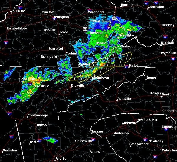 At 801 pm edt, severe thunderstorms were located along a line extending from 6 miles east of sneedville to near rutledge to 6 miles northeast of maynardville, moving northeast at 110 mph (radar indicated). Hazards include 60 mph wind gusts. Expect damage to roofs, siding, and trees. Locations impacted include, rogersville, maynardville, sneedville, rutledge, new tazewell, bean station, tazewell, plainview, surgoinsville, church hill, mount carmel, blaine, luttrell, lone mountain, howard quarter, buffalo springs, rose hill, treadway, big ridge state park and mooresburg. At 801 pm edt, severe thunderstorms were located along a line extending from 6 miles east of sneedville to near rutledge to 6 miles northeast of maynardville, moving northeast at 110 mph (radar indicated). Hazards include 60 mph wind gusts. Expect damage to roofs, siding, and trees. Locations impacted include, rogersville, maynardville, sneedville, rutledge, new tazewell, bean station, tazewell, plainview, surgoinsville, church hill, mount carmel, blaine, luttrell, lone mountain, howard quarter, buffalo springs, rose hill, treadway, big ridge state park and mooresburg.
|
| 7/6/2017 7:44 PM EDT |
 At 743 pm edt, severe thunderstorms were located along a line extending from near sneedville to near maynardville to 7 miles north of oliver springs, moving east at 35 mph (radar indicated). Hazards include 60 mph wind gusts. Expect damage to roofs, siding, and trees. Locations impacted include, knoxville, oak ridge, clinton, rogersville, maynardville, sneedville, rutledge, oliver springs, new tazewell, bean station, tazewell, plainview, surgoinsville, church hill, mount carmel, halls, blaine, lake city, norris and luttrell. At 743 pm edt, severe thunderstorms were located along a line extending from near sneedville to near maynardville to 7 miles north of oliver springs, moving east at 35 mph (radar indicated). Hazards include 60 mph wind gusts. Expect damage to roofs, siding, and trees. Locations impacted include, knoxville, oak ridge, clinton, rogersville, maynardville, sneedville, rutledge, oliver springs, new tazewell, bean station, tazewell, plainview, surgoinsville, church hill, mount carmel, halls, blaine, lake city, norris and luttrell.
|
| 7/6/2017 7:12 PM EDT |
 At 711 pm edt, severe thunderstorms were located along a line extending from near hutch to near la follette to 6 miles west of wartburg, moving east at 40 mph (radar indicated). Hazards include 60 mph wind gusts. expect damage to roofs, siding, and trees At 711 pm edt, severe thunderstorms were located along a line extending from near hutch to near la follette to 6 miles west of wartburg, moving east at 40 mph (radar indicated). Hazards include 60 mph wind gusts. expect damage to roofs, siding, and trees
|
| 5/27/2017 11:18 PM EDT |
 At 1117 pm edt, severe thunderstorms were located along a line extending from near bean station to baneberry to 7 miles east of gatlinburg, moving east at 60 mph (widespread trees and powerlines down along the line of storms). Hazards include 70 mph wind gusts and quarter size hail. Hail damage to vehicles is expected. expect considerable tree damage. wind damage is also likely to mobile homes, roofs, and outbuildings. locations impacted include, morristown, sevierville, jefferson city, newport, gatlinburg, dandridge, pigeon forge, bean station, white pine, baneberry, parrottsville, russellville, pittman center, del rio, bird crossing, fairgarden, panther creek s. p. Round mountain, cosby and harrisburg. At 1117 pm edt, severe thunderstorms were located along a line extending from near bean station to baneberry to 7 miles east of gatlinburg, moving east at 60 mph (widespread trees and powerlines down along the line of storms). Hazards include 70 mph wind gusts and quarter size hail. Hail damage to vehicles is expected. expect considerable tree damage. wind damage is also likely to mobile homes, roofs, and outbuildings. locations impacted include, morristown, sevierville, jefferson city, newport, gatlinburg, dandridge, pigeon forge, bean station, white pine, baneberry, parrottsville, russellville, pittman center, del rio, bird crossing, fairgarden, panther creek s. p. Round mountain, cosby and harrisburg.
|
| 5/27/2017 11:09 PM EDT |
 At 1108 pm edt, severe thunderstorms were located along a line extending from near bean station to near morristown to near dandridge to near gatlinburg, moving east at 55 mph (radar indicated). Hazards include 70 mph wind gusts. Expect considerable tree damage. Damage is likely to mobile homes, roofs, and outbuildings. At 1108 pm edt, severe thunderstorms were located along a line extending from near bean station to near morristown to near dandridge to near gatlinburg, moving east at 55 mph (radar indicated). Hazards include 70 mph wind gusts. Expect considerable tree damage. Damage is likely to mobile homes, roofs, and outbuildings.
|
| 5/27/2017 10:31 PM EDT |
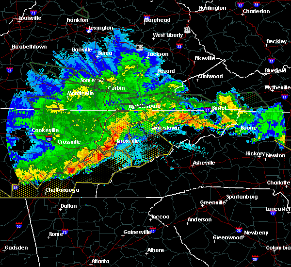 At 1031 pm edt, severe thunderstorms were located along a line extending from near wilkerson to 7 miles west of clinton to near oak ridge, moving southeast at 45 mph (radar indicated). Hazards include 70 mph wind gusts and quarter size hail. Hail damage to vehicles is expected. expect considerable tree damage. Wind damage is also likely to mobile homes, roofs, and outbuildings. At 1031 pm edt, severe thunderstorms were located along a line extending from near wilkerson to 7 miles west of clinton to near oak ridge, moving southeast at 45 mph (radar indicated). Hazards include 70 mph wind gusts and quarter size hail. Hail damage to vehicles is expected. expect considerable tree damage. Wind damage is also likely to mobile homes, roofs, and outbuildings.
|
| 5/4/2017 11:27 PM EDT |
 At 1126 pm edt, severe thunderstorms were located along a line extending from near harrogate to near morristown, moving northeast at 55 mph (radar indicated). Hazards include 60 mph wind gusts and quarter size hail. Hail damage to vehicles is expected. Expect wind damage to roofs, siding, and trees. At 1126 pm edt, severe thunderstorms were located along a line extending from near harrogate to near morristown, moving northeast at 55 mph (radar indicated). Hazards include 60 mph wind gusts and quarter size hail. Hail damage to vehicles is expected. Expect wind damage to roofs, siding, and trees.
|
| 5/4/2017 11:19 PM EDT |
 At 1118 pm edt, severe thunderstorms were located along a line extending from near tazewell to morristown, moving northeast at 55 mph (radar indicated). Hazards include 60 mph wind gusts and quarter size hail. Hail damage to vehicles is expected. expect wind damage to roofs, siding, and trees. locations impacted include, morristown, rutledge, new tazewell, bean station, tazewell, russellville, lone mountain, howard quarter, thorn hill, buffalo springs, sandlick, panther creek s. p. Alpha and lowland. At 1118 pm edt, severe thunderstorms were located along a line extending from near tazewell to morristown, moving northeast at 55 mph (radar indicated). Hazards include 60 mph wind gusts and quarter size hail. Hail damage to vehicles is expected. expect wind damage to roofs, siding, and trees. locations impacted include, morristown, rutledge, new tazewell, bean station, tazewell, russellville, lone mountain, howard quarter, thorn hill, buffalo springs, sandlick, panther creek s. p. Alpha and lowland.
|
| 5/4/2017 11:02 PM EDT |
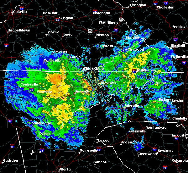 At 1102 pm edt, severe thunderstorms were located along a line extending from 8 miles west of rutledge to near new market, moving northeast at 45 mph (radar indicated). Hazards include 60 mph wind gusts and quarter size hail. Hail damage to vehicles is expected. Expect wind damage to roofs, siding, and trees. At 1102 pm edt, severe thunderstorms were located along a line extending from 8 miles west of rutledge to near new market, moving northeast at 45 mph (radar indicated). Hazards include 60 mph wind gusts and quarter size hail. Hail damage to vehicles is expected. Expect wind damage to roofs, siding, and trees.
|
| 4/5/2017 9:57 PM EDT |
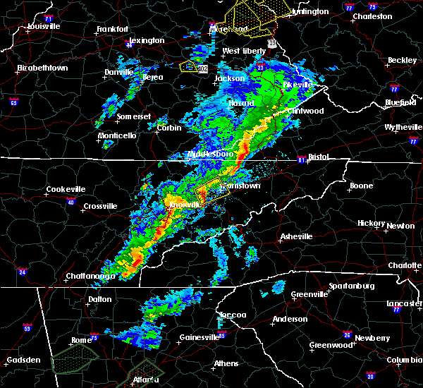 At 957 pm edt, a severe thunderstorm was located near jefferson city, moving northeast at 50 mph (radar indicated). Hazards include 60 mph wind gusts and nickel size hail. Expect damage to roofs, siding, and trees. locations impacted include, morristown, jefferson city, rutledge, bean station, white pine, new market, panther creek s. p. Alpha, buffalo springs and lowland. At 957 pm edt, a severe thunderstorm was located near jefferson city, moving northeast at 50 mph (radar indicated). Hazards include 60 mph wind gusts and nickel size hail. Expect damage to roofs, siding, and trees. locations impacted include, morristown, jefferson city, rutledge, bean station, white pine, new market, panther creek s. p. Alpha, buffalo springs and lowland.
|
| 4/5/2017 9:42 PM EDT |
 At 941 pm edt, a severe thunderstorm was located 7 miles west of new market, or 11 miles west of jefferson city, moving northeast at 50 mph (radar indicated). Hazards include 60 mph wind gusts and nickel size hail. expect damage to roofs, siding, and trees At 941 pm edt, a severe thunderstorm was located 7 miles west of new market, or 11 miles west of jefferson city, moving northeast at 50 mph (radar indicated). Hazards include 60 mph wind gusts and nickel size hail. expect damage to roofs, siding, and trees
|
| 2/25/2017 3:57 AM EST |
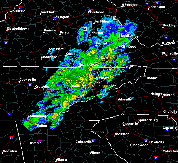 At 356 am est, severe thunderstorms were located along a line extending from 9 miles northwest of bean station to near dandridge, moving northeast at 50 mph (radar indicated). Hazards include 60 mph wind gusts and quarter size hail. Hail damage to vehicles is expected. Expect wind damage to roofs, siding, and trees. At 356 am est, severe thunderstorms were located along a line extending from 9 miles northwest of bean station to near dandridge, moving northeast at 50 mph (radar indicated). Hazards include 60 mph wind gusts and quarter size hail. Hail damage to vehicles is expected. Expect wind damage to roofs, siding, and trees.
|
| 2/25/2017 3:50 AM EST |
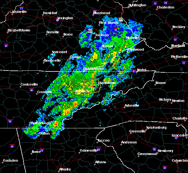 At 349 am est, severe thunderstorms were located along a line extending from 9 miles west of bean station to near rutledge to near jefferson city, moving northeast at 65 mph (radar indicated). Hazards include 60 mph wind gusts and quarter size hail. Hail damage to vehicles is expected. expect wind damage to roofs, siding, and trees. locations impacted include, morristown, jefferson city, dandridge, rutledge, bean station, white pine, new market, baneberry, thorn hill, buffalo springs, panther creek s. p. Alpha, piedmont, joppa and lowland. At 349 am est, severe thunderstorms were located along a line extending from 9 miles west of bean station to near rutledge to near jefferson city, moving northeast at 65 mph (radar indicated). Hazards include 60 mph wind gusts and quarter size hail. Hail damage to vehicles is expected. expect wind damage to roofs, siding, and trees. locations impacted include, morristown, jefferson city, dandridge, rutledge, bean station, white pine, new market, baneberry, thorn hill, buffalo springs, panther creek s. p. Alpha, piedmont, joppa and lowland.
|
| 2/25/2017 3:37 AM EST |
 At 336 am est, severe thunderstorms were located along a line extending from near plainview to 7 miles west of new market to 10 miles northwest of sevierville, moving northeast at 65 mph (radar indicated). Hazards include 60 mph wind gusts and quarter size hail. Hail damage to vehicles is expected. expect wind damage to roofs, siding, and trees. locations impacted include, morristown, sevierville, jefferson city, dandridge, rutledge, bean station, white pine, plainview, new market, baneberry, strawberry plains, blaine, luttrell, thorn hill, house mountain s. p. buffalo springs, panther creek s. p. Alpha, piedmont and joppa. At 336 am est, severe thunderstorms were located along a line extending from near plainview to 7 miles west of new market to 10 miles northwest of sevierville, moving northeast at 65 mph (radar indicated). Hazards include 60 mph wind gusts and quarter size hail. Hail damage to vehicles is expected. expect wind damage to roofs, siding, and trees. locations impacted include, morristown, sevierville, jefferson city, dandridge, rutledge, bean station, white pine, plainview, new market, baneberry, strawberry plains, blaine, luttrell, thorn hill, house mountain s. p. buffalo springs, panther creek s. p. Alpha, piedmont and joppa.
|
| 2/25/2017 3:25 AM EST |
 At 325 am est, severe thunderstorms were located along a line extending from 7 miles southwest of plainview to 6 miles east of knoxville to near rockford, moving northeast at 65 mph (radar indicated). Hazards include 60 mph wind gusts and quarter size hail. Hail damage to vehicles is expected. Expect wind damage to roofs, siding, and trees. At 325 am est, severe thunderstorms were located along a line extending from 7 miles southwest of plainview to 6 miles east of knoxville to near rockford, moving northeast at 65 mph (radar indicated). Hazards include 60 mph wind gusts and quarter size hail. Hail damage to vehicles is expected. Expect wind damage to roofs, siding, and trees.
|
| 11/30/2016 5:57 AM EST |
 At 556 am est, a severe thunderstorm was located near morristown, moving east at 45 mph (radar indicated). Hazards include 60 mph wind gusts. Expect damage to roofs. siding. and trees. locations impacted include, morristown, bean station, russellville, bulls gap, alpha, mooresburg, thorn hill, treadway and panther creek s. P At 556 am est, a severe thunderstorm was located near morristown, moving east at 45 mph (radar indicated). Hazards include 60 mph wind gusts. Expect damage to roofs. siding. and trees. locations impacted include, morristown, bean station, russellville, bulls gap, alpha, mooresburg, thorn hill, treadway and panther creek s. P
|
| 11/30/2016 5:38 AM EST |
 At 538 am est, a severe thunderstorm was located near rutledge, moving east at 30 mph (radar indicated). Hazards include 60 mph wind gusts. Expect damage to roofs. siding. And trees. At 538 am est, a severe thunderstorm was located near rutledge, moving east at 30 mph (radar indicated). Hazards include 60 mph wind gusts. Expect damage to roofs. siding. And trees.
|
| 8/28/2016 4:06 PM EDT |
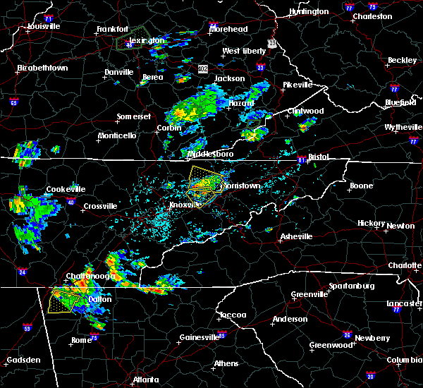 At 406 pm edt, a severe thunderstorm was located over rutledge, moving west at 20 mph (radar indicated). Hazards include 60 mph wind gusts and nickel size hail. Expect damage to roofs. siding. and trees. locations impacted include, rutledge, new tazewell, bean station, tazewell, lone mountain, joppa, thorn hill and panther creek s. P At 406 pm edt, a severe thunderstorm was located over rutledge, moving west at 20 mph (radar indicated). Hazards include 60 mph wind gusts and nickel size hail. Expect damage to roofs. siding. and trees. locations impacted include, rutledge, new tazewell, bean station, tazewell, lone mountain, joppa, thorn hill and panther creek s. P
|
| 8/28/2016 3:40 PM EDT |
 At 339 pm edt, a severe thunderstorm was located near bean station, or near morristown, moving west at 20 mph (radar indicated). Hazards include 60 mph wind gusts and nickel size hail. Expect damage to roofs. siding. And trees. At 339 pm edt, a severe thunderstorm was located near bean station, or near morristown, moving west at 20 mph (radar indicated). Hazards include 60 mph wind gusts and nickel size hail. Expect damage to roofs. siding. And trees.
|
| 8/28/2016 3:35 PM EDT |
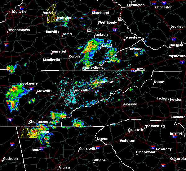 At 335 pm edt, a severe thunderstorm was located near russellville, or near morristown, moving west at 10 mph (radar indicated). Hazards include 60 mph wind gusts and nickel size hail. Expect damage to roofs. siding. and trees. locations impacted include, morristown, jefferson city, bean station, russellville, alpha and panther creek s. P At 335 pm edt, a severe thunderstorm was located near russellville, or near morristown, moving west at 10 mph (radar indicated). Hazards include 60 mph wind gusts and nickel size hail. Expect damage to roofs. siding. and trees. locations impacted include, morristown, jefferson city, bean station, russellville, alpha and panther creek s. P
|
| 8/28/2016 3:17 PM EDT |
 At 316 pm edt, a severe thunderstorm was located over russellville, or 7 miles east of morristown, moving southwest at 5 mph (radar indicated). Hazards include 60 mph wind gusts and nickel size hail. Expect damage to roofs. siding. And trees. At 316 pm edt, a severe thunderstorm was located over russellville, or 7 miles east of morristown, moving southwest at 5 mph (radar indicated). Hazards include 60 mph wind gusts and nickel size hail. Expect damage to roofs. siding. And trees.
|
| 7/8/2016 5:33 PM EDT |
 At 533 pm edt, severe thunderstorms were located along a line extending from jonesville to near sneedville to 11 miles west of rogersville to near bean station, moving east at 50 mph (radar indicated). Hazards include 60 mph wind gusts and penny size hail. Expect damage to roofs. siding. and trees. locations impacted include, sneedville, rutledge, jonesville, bean station, pennington gap, st. Charles, pattonsville, dryden, evanston, treadway, jasper, kyles ford and thorn hill. At 533 pm edt, severe thunderstorms were located along a line extending from jonesville to near sneedville to 11 miles west of rogersville to near bean station, moving east at 50 mph (radar indicated). Hazards include 60 mph wind gusts and penny size hail. Expect damage to roofs. siding. and trees. locations impacted include, sneedville, rutledge, jonesville, bean station, pennington gap, st. Charles, pattonsville, dryden, evanston, treadway, jasper, kyles ford and thorn hill.
|
| 7/8/2016 5:33 PM EDT |
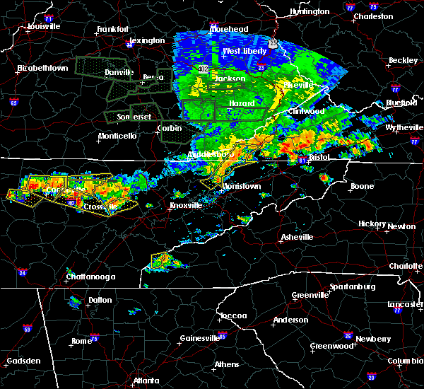 At 533 pm edt, severe thunderstorms were located along a line extending from jonesville to near sneedville to 11 miles west of rogersville to near bean station, moving east at 50 mph (radar indicated). Hazards include 60 mph wind gusts and penny size hail. Expect damage to roofs. siding. and trees. locations impacted include, sneedville, rutledge, jonesville, bean station, pennington gap, st. Charles, pattonsville, dryden, evanston, treadway, jasper, kyles ford and thorn hill. At 533 pm edt, severe thunderstorms were located along a line extending from jonesville to near sneedville to 11 miles west of rogersville to near bean station, moving east at 50 mph (radar indicated). Hazards include 60 mph wind gusts and penny size hail. Expect damage to roofs. siding. and trees. locations impacted include, sneedville, rutledge, jonesville, bean station, pennington gap, st. Charles, pattonsville, dryden, evanston, treadway, jasper, kyles ford and thorn hill.
|
| 7/8/2016 5:13 PM EDT |
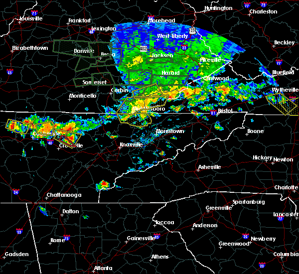 At 513 pm edt, severe thunderstorms were located along a line extending from kentenia to cubage to harrogate to 10 miles west of new tazewell, moving east at 50 mph (radar indicated). Hazards include 60 mph wind gusts and penny size hail. Expect damage to roofs. siding. And trees. At 513 pm edt, severe thunderstorms were located along a line extending from kentenia to cubage to harrogate to 10 miles west of new tazewell, moving east at 50 mph (radar indicated). Hazards include 60 mph wind gusts and penny size hail. Expect damage to roofs. siding. And trees.
|
| 7/7/2016 7:27 PM EDT |
 At 727 pm edt, a severe thunderstorm was located near morristown, moving east at 45 mph (radar indicated). Hazards include 60 mph wind gusts. Expect damage to roofs. siding. and trees. locations impacted include, morristown, jefferson city, bean station, new market, alpha and panther creek s. P At 727 pm edt, a severe thunderstorm was located near morristown, moving east at 45 mph (radar indicated). Hazards include 60 mph wind gusts. Expect damage to roofs. siding. and trees. locations impacted include, morristown, jefferson city, bean station, new market, alpha and panther creek s. P
|
| 7/7/2016 7:14 PM EDT |
 At 713 pm edt, a severe thunderstorm was located over rutledge, moving east at 40 mph (radar indicated). Hazards include 60 mph wind gusts. Expect damage to roofs. siding. and trees. locations impacted include, morristown, jefferson city, rutledge, bean station, new market, blaine, buffalo springs, alpha, joppa and panther creek s. P At 713 pm edt, a severe thunderstorm was located over rutledge, moving east at 40 mph (radar indicated). Hazards include 60 mph wind gusts. Expect damage to roofs. siding. and trees. locations impacted include, morristown, jefferson city, rutledge, bean station, new market, blaine, buffalo springs, alpha, joppa and panther creek s. P
|
| 7/7/2016 6:53 PM EDT |
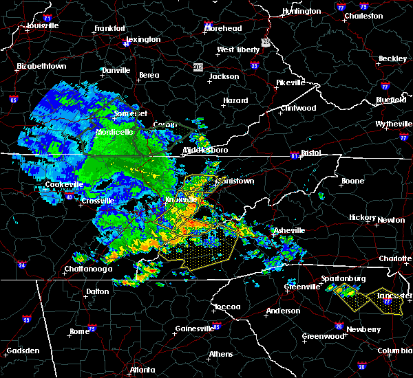 At 652 pm edt, severe thunderstorms were located along a line extending from near harrogate to 8 miles southwest of new tazewell to plainview, moving east at 45 mph (radar indicated). Hazards include 60 mph wind gusts. Expect damage to roofs. siding. And trees. At 652 pm edt, severe thunderstorms were located along a line extending from near harrogate to 8 miles southwest of new tazewell to plainview, moving east at 45 mph (radar indicated). Hazards include 60 mph wind gusts. Expect damage to roofs. siding. And trees.
|
| 7/6/2016 7:30 PM EDT | Several trees down near the cherokee lak in grainger county TN, 1.3 miles SE of Bean Station, TN |
| 7/6/2016 7:16 PM EDT |
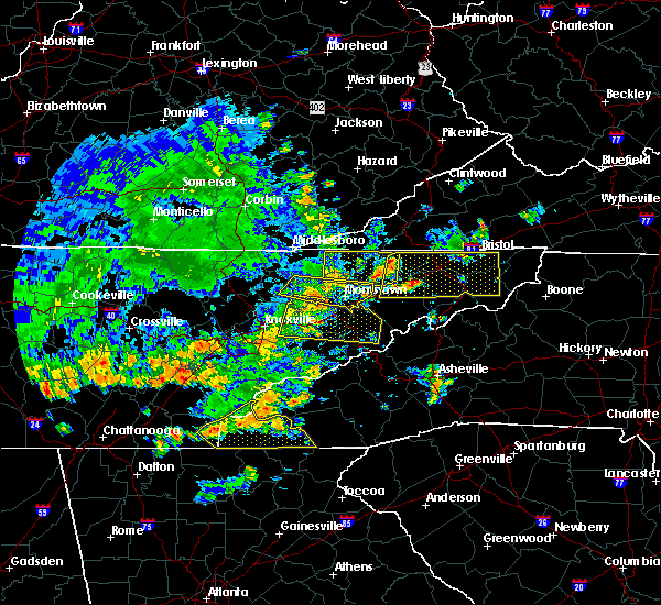 At 715 pm edt, a severe thunderstorm was located near rutledge, moving east at 45 mph (radar indicated). Hazards include 70 mph wind gusts. Expect considerable tree damage. damage is likely to mobile homes, roofs, and outbuildings. locations impacted include, morristown, maynardville, rutledge, bean station, russellville, mosheim, luttrell, bulls gap, st. clair, buffalo springs, alpha, rose hill, lowland, joppa, mooresburg, thorn hill and panther creek s. P At 715 pm edt, a severe thunderstorm was located near rutledge, moving east at 45 mph (radar indicated). Hazards include 70 mph wind gusts. Expect considerable tree damage. damage is likely to mobile homes, roofs, and outbuildings. locations impacted include, morristown, maynardville, rutledge, bean station, russellville, mosheim, luttrell, bulls gap, st. clair, buffalo springs, alpha, rose hill, lowland, joppa, mooresburg, thorn hill and panther creek s. P
|
| 7/6/2016 7:04 PM EDT |
 At 704 pm edt, a severe thunderstorm was located near rutledge, moving east at 35 mph (radar indicated). Hazards include 60 mph wind gusts. Expect damage to roofs. siding. And trees. At 704 pm edt, a severe thunderstorm was located near rutledge, moving east at 35 mph (radar indicated). Hazards include 60 mph wind gusts. Expect damage to roofs. siding. And trees.
|
| 7/6/2016 6:48 PM EDT |
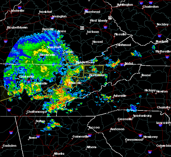 At 647 pm edt, a severe thunderstorm was located near bean station, or 8 miles south of sneedville, moving east at 15 mph (radar indicated). Hazards include 60 mph wind gusts and nickel size hail. Expect damage to roofs. siding. And trees. At 647 pm edt, a severe thunderstorm was located near bean station, or 8 miles south of sneedville, moving east at 15 mph (radar indicated). Hazards include 60 mph wind gusts and nickel size hail. Expect damage to roofs. siding. And trees.
|
| 7/4/2016 8:27 PM EDT |
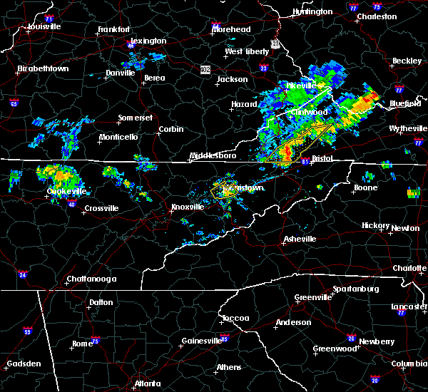 At 827 pm edt, a severe thunderstorm was located near morristown, moving northeast at 40 mph (radar indicated). Hazards include 60 mph wind gusts and nickel size hail. Expect damage to roofs. siding. And trees. At 827 pm edt, a severe thunderstorm was located near morristown, moving northeast at 40 mph (radar indicated). Hazards include 60 mph wind gusts and nickel size hail. Expect damage to roofs. siding. And trees.
|
| 7/4/2016 8:19 PM EDT |
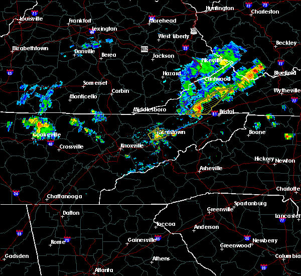 At 819 pm edt, a severe thunderstorm was located near morristown, moving northeast at 30 mph (radar indicated). Hazards include 60 mph wind gusts and penny size hail. Expect damage to roofs. siding. and trees. locations impacted include, morristown, bean station, russellville, alpha and panther creek s. P At 819 pm edt, a severe thunderstorm was located near morristown, moving northeast at 30 mph (radar indicated). Hazards include 60 mph wind gusts and penny size hail. Expect damage to roofs. siding. and trees. locations impacted include, morristown, bean station, russellville, alpha and panther creek s. P
|
| 7/4/2016 7:59 PM EDT |
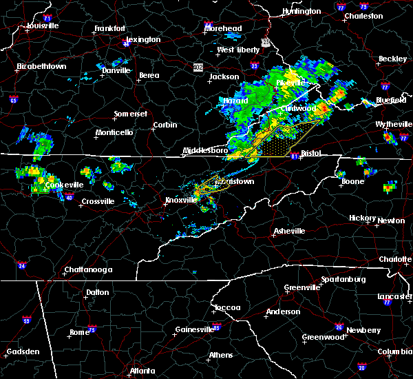 At 759 pm edt, a severe thunderstorm was located over new market, or near jefferson city, moving northeast at 30 mph (radar indicated). Hazards include 60 mph wind gusts and penny size hail. Expect damage to roofs. siding. And trees. At 759 pm edt, a severe thunderstorm was located over new market, or near jefferson city, moving northeast at 30 mph (radar indicated). Hazards include 60 mph wind gusts and penny size hail. Expect damage to roofs. siding. And trees.
|
| 7/4/2016 4:51 PM EDT |
 At 451 pm edt, a severe thunderstorm was located over morristown, moving east at 40 mph (radar indicated). Hazards include 60 mph wind gusts. Expect damage to roofs. siding. and trees. locations impacted include, morristown, jefferson city, rutledge, bean station, white pine, russellville, alpha, lowland, mooresburg and panther creek s. P At 451 pm edt, a severe thunderstorm was located over morristown, moving east at 40 mph (radar indicated). Hazards include 60 mph wind gusts. Expect damage to roofs. siding. and trees. locations impacted include, morristown, jefferson city, rutledge, bean station, white pine, russellville, alpha, lowland, mooresburg and panther creek s. P
|
| 7/4/2016 4:40 PM EDT |
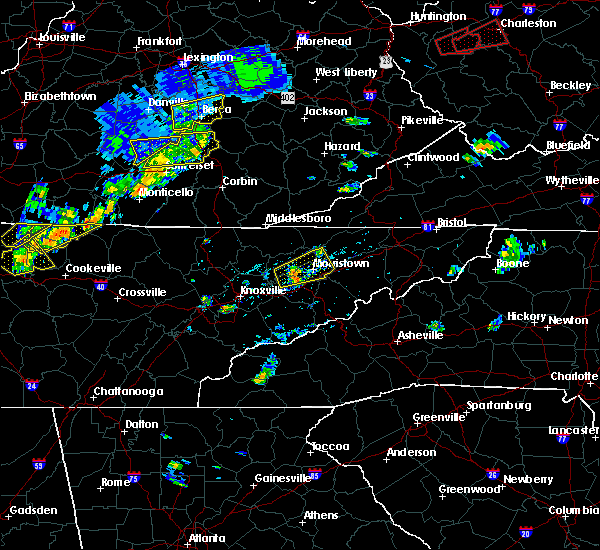 At 439 pm edt, a severe thunderstorm was located near jefferson city, moving east at 40 mph (radar indicated). Hazards include 60 mph wind gusts and nickel size hail. Expect damage to roofs. siding. And trees. At 439 pm edt, a severe thunderstorm was located near jefferson city, moving east at 40 mph (radar indicated). Hazards include 60 mph wind gusts and nickel size hail. Expect damage to roofs. siding. And trees.
|
| 6/23/2016 9:28 PM EDT |
 At 928 pm edt, severe thunderstorms were located along a line extending from near tazewell to 9 miles southeast of pennington gap, moving southeast at 40 mph (radar indicated). Hazards include 60 mph wind gusts. Expect damage to roofs. siding. And trees. At 928 pm edt, severe thunderstorms were located along a line extending from near tazewell to 9 miles southeast of pennington gap, moving southeast at 40 mph (radar indicated). Hazards include 60 mph wind gusts. Expect damage to roofs. siding. And trees.
|
| 6/23/2016 9:28 PM EDT |
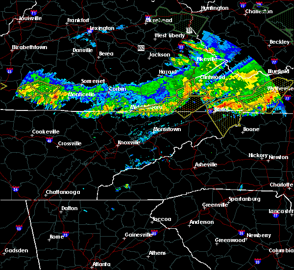 At 928 pm edt, severe thunderstorms were located along a line extending from near tazewell to 9 miles southeast of pennington gap, moving southeast at 40 mph (radar indicated). Hazards include 60 mph wind gusts. Expect damage to roofs. siding. And trees. At 928 pm edt, severe thunderstorms were located along a line extending from near tazewell to 9 miles southeast of pennington gap, moving southeast at 40 mph (radar indicated). Hazards include 60 mph wind gusts. Expect damage to roofs. siding. And trees.
|
| 6/2/2016 6:08 PM EDT |
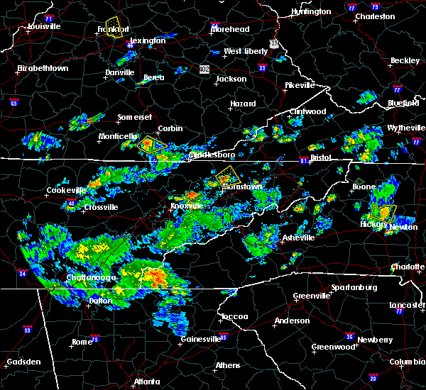 At 607 pm edt, a severe thunderstorm was located over bean station, or 10 miles north of morristown, moving northeast at 10 mph (radar indicated). Hazards include 60 mph wind gusts and quarter size hail. Hail damage to vehicles is expected. expect wind damage to roofs, siding, and trees. locations impacted include, sneedville, bean station, treadway, mooresburg, st. Clair and klondike. At 607 pm edt, a severe thunderstorm was located over bean station, or 10 miles north of morristown, moving northeast at 10 mph (radar indicated). Hazards include 60 mph wind gusts and quarter size hail. Hail damage to vehicles is expected. expect wind damage to roofs, siding, and trees. locations impacted include, sneedville, bean station, treadway, mooresburg, st. Clair and klondike.
|
| 6/2/2016 5:50 PM EDT |
 At 550 pm edt, a severe thunderstorm was located over bean station, or 8 miles north of morristown, moving northeast at 10 mph (radar indicated). Hazards include 60 mph wind gusts and quarter size hail. Hail damage to vehicles is expected. Expect wind damage to roofs, siding, and trees. At 550 pm edt, a severe thunderstorm was located over bean station, or 8 miles north of morristown, moving northeast at 10 mph (radar indicated). Hazards include 60 mph wind gusts and quarter size hail. Hail damage to vehicles is expected. Expect wind damage to roofs, siding, and trees.
|
| 5/12/2016 4:20 PM EDT |
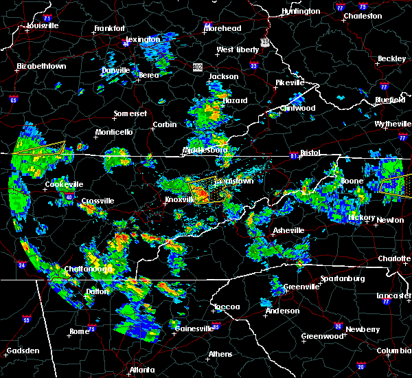 At 419 pm edt, severe thunderstorms were located along a line extending from near rutledge to near jefferson city to near dandridge, moving east at 25 mph (radar indicated). Hazards include 60 mph wind gusts. Expect damage to roofs. siding. and trees. Locations impacted include, morristown, jefferson city, dandridge, rutledge, white pine, new market, baneberry, russellville, lowland, buffalo springs, joppa, alpha, bybee and piedmont. At 419 pm edt, severe thunderstorms were located along a line extending from near rutledge to near jefferson city to near dandridge, moving east at 25 mph (radar indicated). Hazards include 60 mph wind gusts. Expect damage to roofs. siding. and trees. Locations impacted include, morristown, jefferson city, dandridge, rutledge, white pine, new market, baneberry, russellville, lowland, buffalo springs, joppa, alpha, bybee and piedmont.
|
| 5/12/2016 4:08 PM EDT |
 At 407 pm edt, severe thunderstorms were located along a line extending from 7 miles west of jefferson city to new market to 7 miles north of sevierville, moving east at 35 mph (radar indicated). Hazards include 60 mph wind gusts. Expect damage to roofs. siding. And trees. At 407 pm edt, severe thunderstorms were located along a line extending from 7 miles west of jefferson city to new market to 7 miles north of sevierville, moving east at 35 mph (radar indicated). Hazards include 60 mph wind gusts. Expect damage to roofs. siding. And trees.
|
| 3/1/2016 5:04 PM EST |
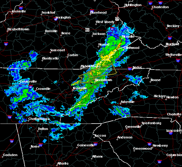 At 503 pm est, a severe thunderstorm was located 8 miles northwest of bean station, or 10 miles southwest of sneedville, moving east at 45 mph (radar indicated). Hazards include 60 mph wind gusts and penny size hail. Expect damage to roofs. siding. And trees. At 503 pm est, a severe thunderstorm was located 8 miles northwest of bean station, or 10 miles southwest of sneedville, moving east at 45 mph (radar indicated). Hazards include 60 mph wind gusts and penny size hail. Expect damage to roofs. siding. And trees.
|
| 3/1/2016 4:57 PM EST |
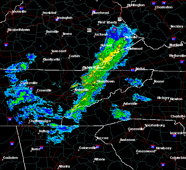 At 456 pm est, a severe thunderstorm was located near rutledge, moving east at 35 mph (radar indicated). Hazards include 60 mph wind gusts and penny size hail. Expect damage to roofs. siding. and trees. Locations impacted include, rutledge, new tazewell, tazewell, lone mountain, buffalo springs, howard quarter, joppa, sandlick and thorn hill. At 456 pm est, a severe thunderstorm was located near rutledge, moving east at 35 mph (radar indicated). Hazards include 60 mph wind gusts and penny size hail. Expect damage to roofs. siding. and trees. Locations impacted include, rutledge, new tazewell, tazewell, lone mountain, buffalo springs, howard quarter, joppa, sandlick and thorn hill.
|
| 3/1/2016 4:42 PM EST |
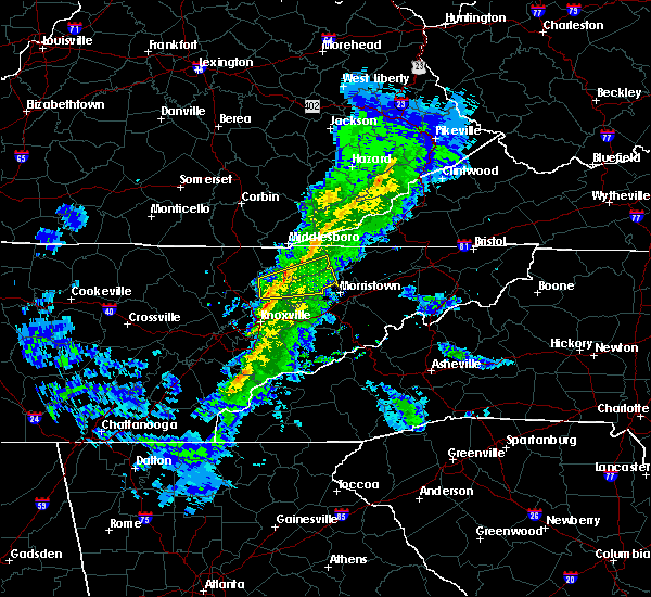 At 441 pm est, a severe thunderstorm was located near maynardville, moving east at 35 mph (radar indicated). Hazards include 60 mph wind gusts and penny size hail. Expect damage to roofs. siding. And trees. At 441 pm est, a severe thunderstorm was located near maynardville, moving east at 35 mph (radar indicated). Hazards include 60 mph wind gusts and penny size hail. Expect damage to roofs. siding. And trees.
|
| 9/30/2015 5:53 PM EDT |
 At 552 pm edt, severe thunderstorms were located along a line extending from near bean station to near morristown to near jefferson city, moving east at 35 mph (radar indicated). Hazards include 60 mph wind gusts. Expect damage to roofs. siding and trees. Locations impacted include, morristown, jefferson city, bean station, white pine, russellville, lowland and alpha. At 552 pm edt, severe thunderstorms were located along a line extending from near bean station to near morristown to near jefferson city, moving east at 35 mph (radar indicated). Hazards include 60 mph wind gusts. Expect damage to roofs. siding and trees. Locations impacted include, morristown, jefferson city, bean station, white pine, russellville, lowland and alpha.
|
| 9/30/2015 5:44 PM EDT |
 At 543 pm edt, severe thunderstorms were located along a line extending from near bean station to near morristown to near jefferson city, moving east at 25 mph (radar indicated). Hazards include 60 mph wind gusts. Expect damage to roofs. siding and trees. Locations impacted include, morristown, jefferson city, rutledge, bean station, white pine, new market, baneberry, russellville, lowland and alpha. At 543 pm edt, severe thunderstorms were located along a line extending from near bean station to near morristown to near jefferson city, moving east at 25 mph (radar indicated). Hazards include 60 mph wind gusts. Expect damage to roofs. siding and trees. Locations impacted include, morristown, jefferson city, rutledge, bean station, white pine, new market, baneberry, russellville, lowland and alpha.
|
| 9/30/2015 5:28 PM EDT |
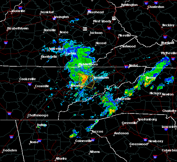 At 527 pm edt, severe thunderstorms were located along a line extending from near rutledge to 6 miles north of jefferson city to new market, moving east at 20 mph (radar indicated). Hazards include 60 mph wind gusts. Expect damage to roofs. Siding and trees. At 527 pm edt, severe thunderstorms were located along a line extending from near rutledge to 6 miles north of jefferson city to new market, moving east at 20 mph (radar indicated). Hazards include 60 mph wind gusts. Expect damage to roofs. Siding and trees.
|
| 9/30/2015 5:16 PM EDT |
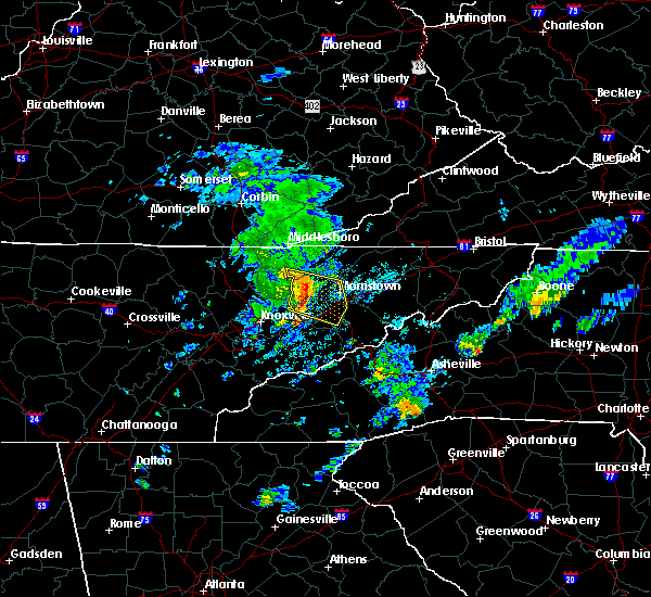 At 516 pm edt, severe thunderstorms were located along a line extending from near rutledge to near jefferson city to near new market, moving east at 20 mph (radar indicated). Hazards include 60 mph wind gusts and penny size hail. Expect damage to roofs. siding and trees. Locations impacted include, morristown, jefferson city, dandridge, rutledge, white pine, new market, baneberry, blaine, buffalo springs, joppa, sandlick, alpha and piedmont. At 516 pm edt, severe thunderstorms were located along a line extending from near rutledge to near jefferson city to near new market, moving east at 20 mph (radar indicated). Hazards include 60 mph wind gusts and penny size hail. Expect damage to roofs. siding and trees. Locations impacted include, morristown, jefferson city, dandridge, rutledge, white pine, new market, baneberry, blaine, buffalo springs, joppa, sandlick, alpha and piedmont.
|
| 9/30/2015 5:06 PM EDT |
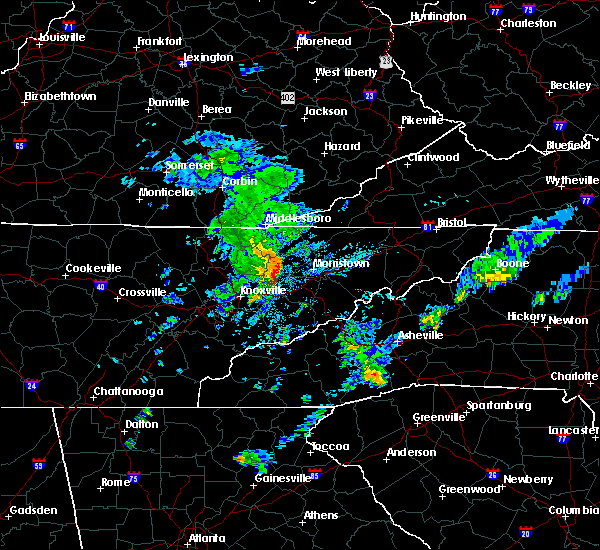 At 505 pm edt, severe thunderstorms were located along a line extending from near new tazewell to near rutledge to near new market, moving east at 25 mph (radar indicated). Hazards include 60 mph wind gusts and penny size hail. Expect damage to roofs. Siding and trees. At 505 pm edt, severe thunderstorms were located along a line extending from near new tazewell to near rutledge to near new market, moving east at 25 mph (radar indicated). Hazards include 60 mph wind gusts and penny size hail. Expect damage to roofs. Siding and trees.
|
| 8/10/2015 5:58 PM EDT |
 At 557 pm edt, severe thunderstorms were located along a line extending from 9 miles southeast of plainview to near dandridge to 8 miles northeast of gatlinburg, moving east at 10 mph (radar indicated). Hazards include 60 mph wind gusts. Expect damage to roofs. siding and trees. Locations impacted include, knoxville, morristown, sevierville, jefferson city, newport, gatlinburg, dandridge, rutledge, pigeon forge, white pine, new market, baneberry, strawberry plains, blaine, pittman center, lowland, kodak, buffalo springs, bird crossing and cosby. At 557 pm edt, severe thunderstorms were located along a line extending from 9 miles southeast of plainview to near dandridge to 8 miles northeast of gatlinburg, moving east at 10 mph (radar indicated). Hazards include 60 mph wind gusts. Expect damage to roofs. siding and trees. Locations impacted include, knoxville, morristown, sevierville, jefferson city, newport, gatlinburg, dandridge, rutledge, pigeon forge, white pine, new market, baneberry, strawberry plains, blaine, pittman center, lowland, kodak, buffalo springs, bird crossing and cosby.
|
| 8/10/2015 5:39 PM EDT |
 At 538 pm edt, severe thunderstorms were located along a line extending from 8 miles east of knoxville to 6 miles north of sevierville to near gatlinburg, moving northeast at 35 mph (radar indicated). Hazards include 60 mph wind gusts. Expect damage to roofs. Siding and trees. At 538 pm edt, severe thunderstorms were located along a line extending from 8 miles east of knoxville to 6 miles north of sevierville to near gatlinburg, moving northeast at 35 mph (radar indicated). Hazards include 60 mph wind gusts. Expect damage to roofs. Siding and trees.
|
| 7/14/2015 7:43 AM EDT |
 At 742 am edt, severe thunderstorms were located along a line extending from 9 miles northwest of jonesville to 11 miles west of sneedville to near harrogate-shawanee, moving southeast at 45 mph (radar indicated). Hazards include 60 mph wind gusts and nickel size hail. Expect damage to roofs. siding and trees. Locations impacted include, kingsport, morristown, rogersville, sneedville, jonesville, new tazewell, bean station, tazewell, surgoinsville, russellville, harrogate-shawanee, church hill, bulls gap, kyles ford, howard quarter, kepler, ewing, klondike, arthur and cumberland gap. At 742 am edt, severe thunderstorms were located along a line extending from 9 miles northwest of jonesville to 11 miles west of sneedville to near harrogate-shawanee, moving southeast at 45 mph (radar indicated). Hazards include 60 mph wind gusts and nickel size hail. Expect damage to roofs. siding and trees. Locations impacted include, kingsport, morristown, rogersville, sneedville, jonesville, new tazewell, bean station, tazewell, surgoinsville, russellville, harrogate-shawanee, church hill, bulls gap, kyles ford, howard quarter, kepler, ewing, klondike, arthur and cumberland gap.
|
| 7/14/2015 7:31 AM EDT |
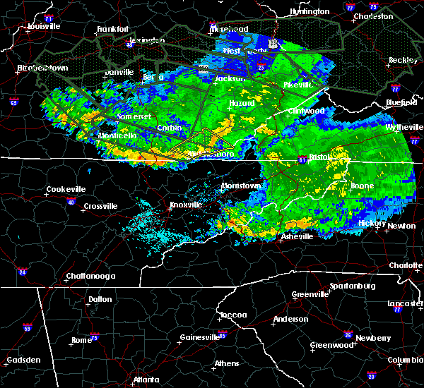 At 730 am edt, severe thunderstorms were located along a line extending from 19 miles northwest of jonesville to 9 miles northeast of harrogate-shawanee to 17 miles northwest of new tazewell, moving southeast at 55 mph (radar indicated). Hazards include 60 mph wind gusts and nickel size hail. Expect damage to roofs. Siding and trees. At 730 am edt, severe thunderstorms were located along a line extending from 19 miles northwest of jonesville to 9 miles northeast of harrogate-shawanee to 17 miles northwest of new tazewell, moving southeast at 55 mph (radar indicated). Hazards include 60 mph wind gusts and nickel size hail. Expect damage to roofs. Siding and trees.
|
| 7/13/2015 6:49 PM EDT |
 A severe thunderstorm warning remains in effect until 730 pm edt for east central grainger. greene. hamblen. southwestern hawkins. jefferson and central cocke counties. at 649 pm edt. severe thunderstorms were located along a line extending from 10 miles north of greeneville to near rutledge. Moving south at 30 mph. A severe thunderstorm warning remains in effect until 730 pm edt for east central grainger. greene. hamblen. southwestern hawkins. jefferson and central cocke counties. at 649 pm edt. severe thunderstorms were located along a line extending from 10 miles north of greeneville to near rutledge. Moving south at 30 mph.
|
| 7/13/2015 6:43 PM EDT |
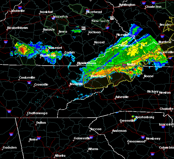 A severe thunderstorm warning remains in effect until 730 pm edt for northeastern grainger. greene. hamblen. hawkins. jefferson and central cocke counties. at 643 pm edt. severe thunderstorms were located along a line extending from 8 miles north of greeneville to near rutledge. Moving south at 30 mph. A severe thunderstorm warning remains in effect until 730 pm edt for northeastern grainger. greene. hamblen. hawkins. jefferson and central cocke counties. at 643 pm edt. severe thunderstorms were located along a line extending from 8 miles north of greeneville to near rutledge. Moving south at 30 mph.
|
| 7/13/2015 6:26 PM EDT |
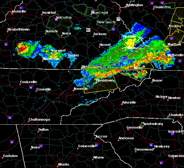 At 625 pm edt, severe thunderstorms were located along a line extending from near surgoinsville to near new tazewell, moving south at 30 mph (radar indicated). Hazards include 60 mph wind gusts and quarter size hail. Hail damage to vehicles is expected. Expect wind damage to roofs, siding and trees. At 625 pm edt, severe thunderstorms were located along a line extending from near surgoinsville to near new tazewell, moving south at 30 mph (radar indicated). Hazards include 60 mph wind gusts and quarter size hail. Hail damage to vehicles is expected. Expect wind damage to roofs, siding and trees.
|
| 7/13/2015 6:13 PM EDT |
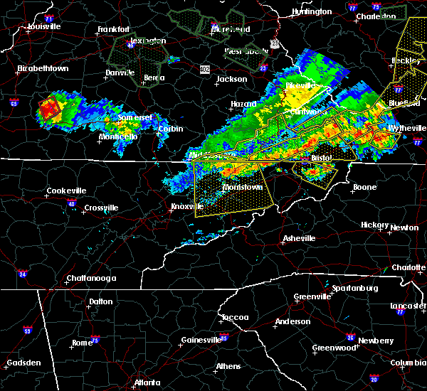 A severe thunderstorm warning remains in effect until 630 pm edt for grainger. greene. hamblen. north central sevier. eastern claiborne. hawkins. jefferson. northern cocke and hancock counties. at 611 pm edt. severe thunderstorms were located along a line extending from near surgoinsville to near tazewell. Moving south at. A severe thunderstorm warning remains in effect until 630 pm edt for grainger. greene. hamblen. north central sevier. eastern claiborne. hawkins. jefferson. northern cocke and hancock counties. at 611 pm edt. severe thunderstorms were located along a line extending from near surgoinsville to near tazewell. Moving south at.
|
| 7/13/2015 5:52 PM EDT |
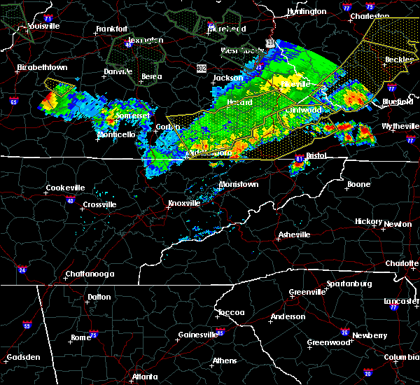 The national weather service in morristown has issued a * severe thunderstorm warning for. grainger county in east tennessee. greene county in east tennessee. hamblen county in east tennessee. North central sevier county in east tennessee. The national weather service in morristown has issued a * severe thunderstorm warning for. grainger county in east tennessee. greene county in east tennessee. hamblen county in east tennessee. North central sevier county in east tennessee.
|
| 6/26/2015 5:07 PM EDT | At 437 pm edt, a severe thunderstorm was located near tazewell, or 10 miles southeast of middlesboro, moving southeast at 15 mph (radar indicated). Hazards include 60 mph wind gusts and quarter size hail. Hail damage to vehicles is possible. Expect wind damage to roofs, siding and trees. |
| 6/26/2015 4:38 PM EDT | At 437 pm edt, a severe thunderstorm was located near tazewell, or 10 miles southeast of middlesboro, moving southeast at 15 mph (radar indicated). Hazards include 60 mph wind gusts and quarter size hail. Hail damage to vehicles is possible. Expect wind damage to roofs, siding and trees. |
| 6/18/2015 8:56 PM EDT | At 856 pm edt, a severe thunderstorm was located near jefferson city, moving northeast at 20 mph (radar indicated). Hazards include 60 mph wind gusts and nickel size hail. Expect damage to roofs. Siding and trees. |
| 6/8/2015 5:39 PM EDT | At 538 pm edt, a severe thunderstorm was located near new market, or 8 miles northwest of jefferson city, moving northeast at 35 mph (radar indicated). Hazards include 60 mph wind gusts and nickel size hail. Expect damage to roofs. siding and trees. locations impacted include, morristown, jefferson city, maynardville, rutledge, new tazewell, bean station, tazewell, plainview, new market, strawberry plains, blaine, luttrell, buffalo springs, alpha, lone mountain, rose hill, joppa, house mountain s. p,. Mascot and thorn hill. |
| 6/8/2015 5:20 PM EDT | At 519 pm edt, a severe thunderstorm was located over plainview, or near maynardville, moving northeast at 40 mph (radar indicated). Hazards include 60 mph wind gusts and nickel size hail. Expect damage to roofs. Siding and trees. |
| 4/26/2015 12:16 AM EDT | At 1215 am edt, a severe thunderstorm was located near rogersville, moving east at 45 mph (radar indicated). Hazards include 60 mph wind gusts and penny size hail. Expect damage to roofs. Siding and trees. |
| 4/26/2015 12:16 AM EDT | At 1215 am edt, a severe thunderstorm was located near rogersville, moving east at 45 mph (radar indicated). Hazards include 60 mph wind gusts and penny size hail. Expect damage to roofs. Siding and trees. |
| 4/19/2015 10:12 PM EDT | At 1011 pm edt, severe thunderstorms were located along a line extending from 6 miles south of jonesville to 9 miles southeast of russellville, moving east at 30 mph (radar indicated). Hazards include 60 mph wind gusts. Expect damage to roofs. siding and trees. locations impacted include, morristown, greeneville, rogersville, sneedville, surgoinsville, russellville, mosheim, bulls gap, kyles ford, mccloud, kepler, treadway, romeo, st. clair, klondike, mooresburg and mohawk. 75in. |
| 4/19/2015 9:56 PM EDT | At 956 pm edt, severe thunderstorms were located along a line extending from near sneedville to russellville, moving northeast at 35 mph (radar indicated). Hazards include 60 mph wind gusts. Expect damage to roofs. Siding and trees. |
| 4/19/2015 9:49 PM EDT | At 949 pm edt, severe thunderstorms were located along a line extending from 12 miles northwest of sneedville to near bean station, moving east at 60 mph (radar indicated). Hazards include 60 mph wind gusts. Expect damage to roofs. siding and trees. locations impacted include, sneedville, rutledge, new tazewell, bean station, tazewell, harrogate-shawanee, cumberland gap, evanston, springdale, howard quarter, thorn hill, ewing, treadway, lone mountain, rose hill, mooresburg, sandlick and arthur. 75in. |
| 4/19/2015 9:49 PM EDT | At 949 pm edt, severe thunderstorms were located along a line extending from 12 miles northwest of sneedville to near bean station, moving east at 60 mph (radar indicated). Hazards include 60 mph wind gusts. Expect damage to roofs. siding and trees. locations impacted include, sneedville, rutledge, new tazewell, bean station, tazewell, harrogate-shawanee, cumberland gap, evanston, springdale, howard quarter, thorn hill, ewing, treadway, lone mountain, rose hill, mooresburg, sandlick and arthur. 75in. |
| 4/19/2015 9:41 PM EDT | At 940 pm edt, severe thunderstorms were located along a line extending from rutledge to 14 miles southeast of gatlinburg, moving east at 35 mph (radar indicated). Hazards include 60 mph wind gusts. Expect damage to roofs. Siding and trees. |
| 4/19/2015 9:34 PM EDT | At 933 pm edt, severe thunderstorms were located along a line extending from near new market to 6 miles east of sevierville to near gatlinburg, moving east at 45 mph (radar indicated). Hazards include 60 mph wind gusts and penny size hail. Expect damage to roofs. siding and trees. locations impacted include, morristown, sevierville, jefferson city, newport, gatlinburg, dandridge, rutledge, pigeon forge, white pine, new market, baneberry, strawberry plains, blaine, pittman center, lowland, buffalo springs, bird crossing, cosby, alpha and bybee. 0. 75in. |
| 4/19/2015 9:29 PM EDT | The national weather service in morristown has issued a * severe thunderstorm warning for. west central hawkins county in eastern tennessee. hancock county in eastern tennessee. northern grainger county in eastern tennessee. North central hamblen county in eastern tennessee. |
| 4/19/2015 9:29 PM EDT | At 928 pm edt, severe thunderstorms were located along a line extending from near harrogate-shawanee to 7 miles east of maynardville, moving northeast at 45 mph (radar indicated). Hazards include 60 mph wind gusts. Expect damage to roofs. Siding and trees. |
| 4/19/2015 9:15 PM EDT | The national weather service in morristown has issued a * severe thunderstorm warning for. sevier county in eastern tennessee. western cocke county in eastern tennessee. jefferson county in eastern tennessee. Northeastern knox county in eastern tennessee. |
| 4/3/2015 7:51 PM EDT | A severe thunderstorm warning remains in effect until 815 pm edt for western washington. hawkins. central hancock. east central grainger. northeastern hamblen. northern greene and southwestern sullivan counties. at 751 pm edt. a severe thunderstorm was located near rogersville. Moving east at 45 mph. |
| 4/3/2015 7:35 PM EDT | The national weather service in morristown has issued a * severe thunderstorm warning for. western washington county in eastern tennessee. hawkins county in eastern tennessee. central hancock county in eastern tennessee. East central grainger county in eastern tennessee. |
| 7/10/2013 3:45 PM EDT | Power lines down on rocky springs rd and huntsman lan in grainger county TN, 2.3 miles SSW of Bean Station, TN |
| 8/1/2012 6:00 PM EDT | Quarter sized hail reported 4.9 miles E of Bean Station, TN |
| 7/31/2012 7:35 PM EDT | Dispatch reported a couple trees down on highway 37 in grainger county TN, 1.3 miles SE of Bean Station, TN |
| 1/1/0001 12:00 AM | Multiple trees down in grainger county TN, 2.3 miles SSW of Bean Station, TN |
Hail Maps for Bean Station, TN


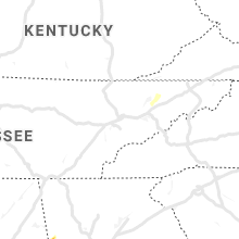

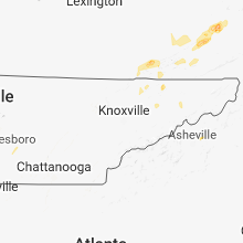

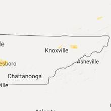


Connect with Interactive Hail Maps