

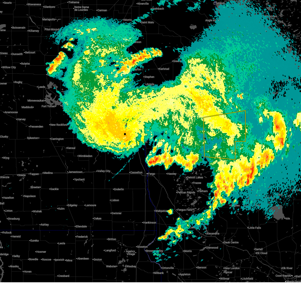
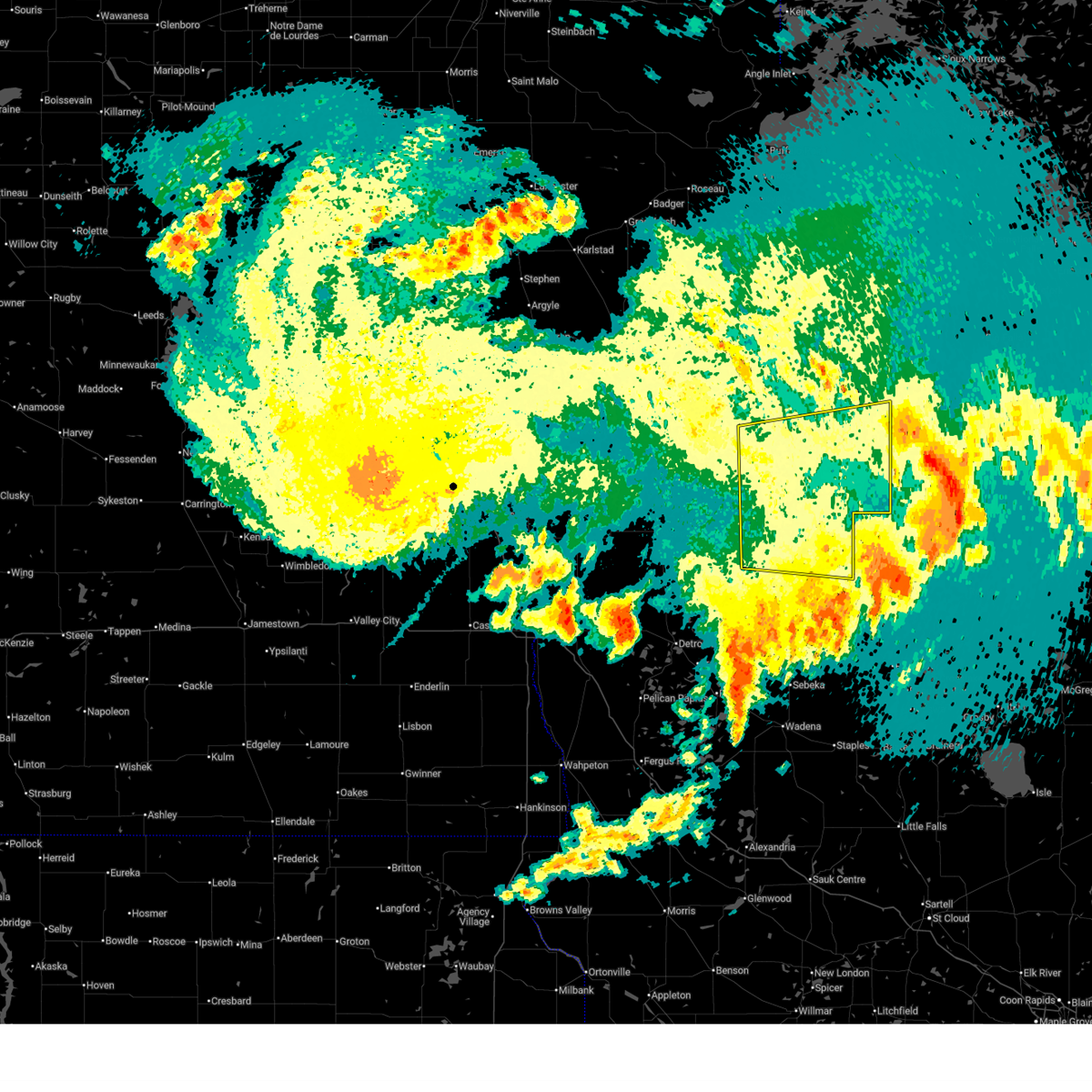
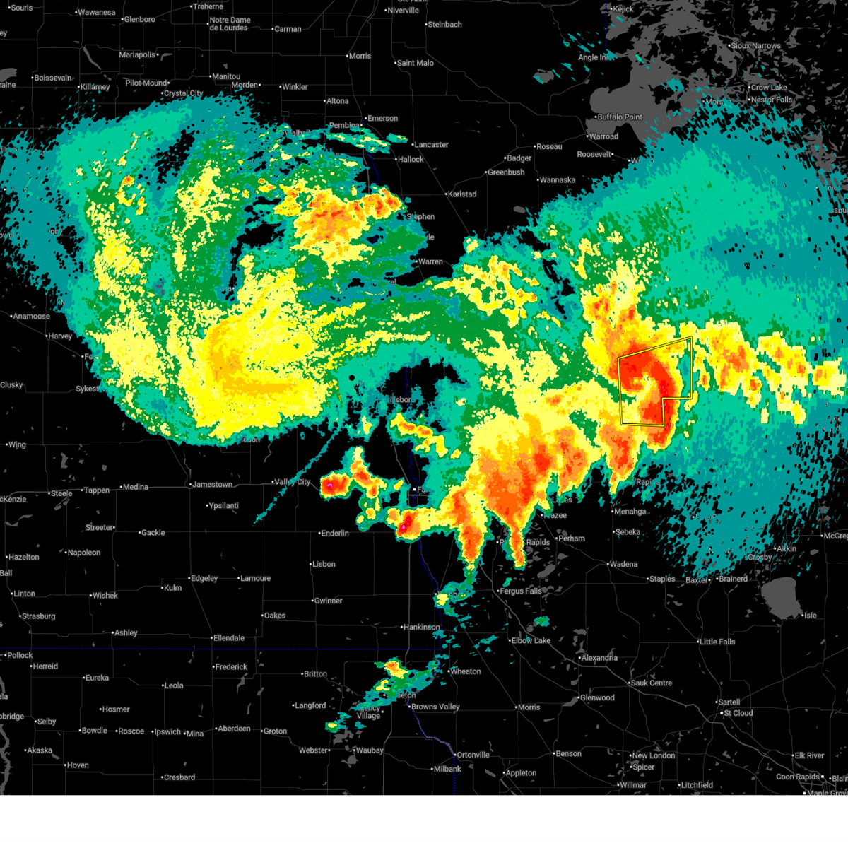
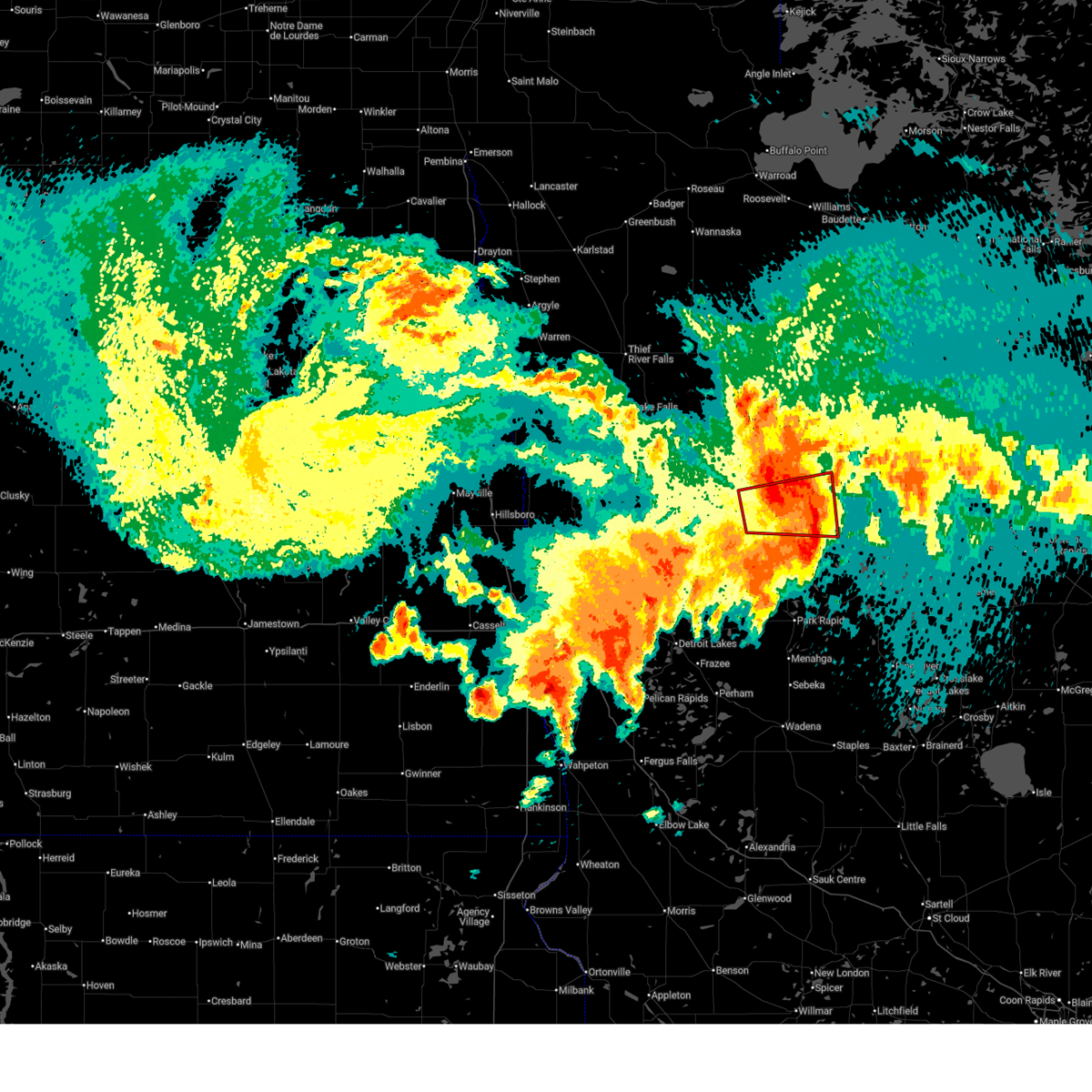
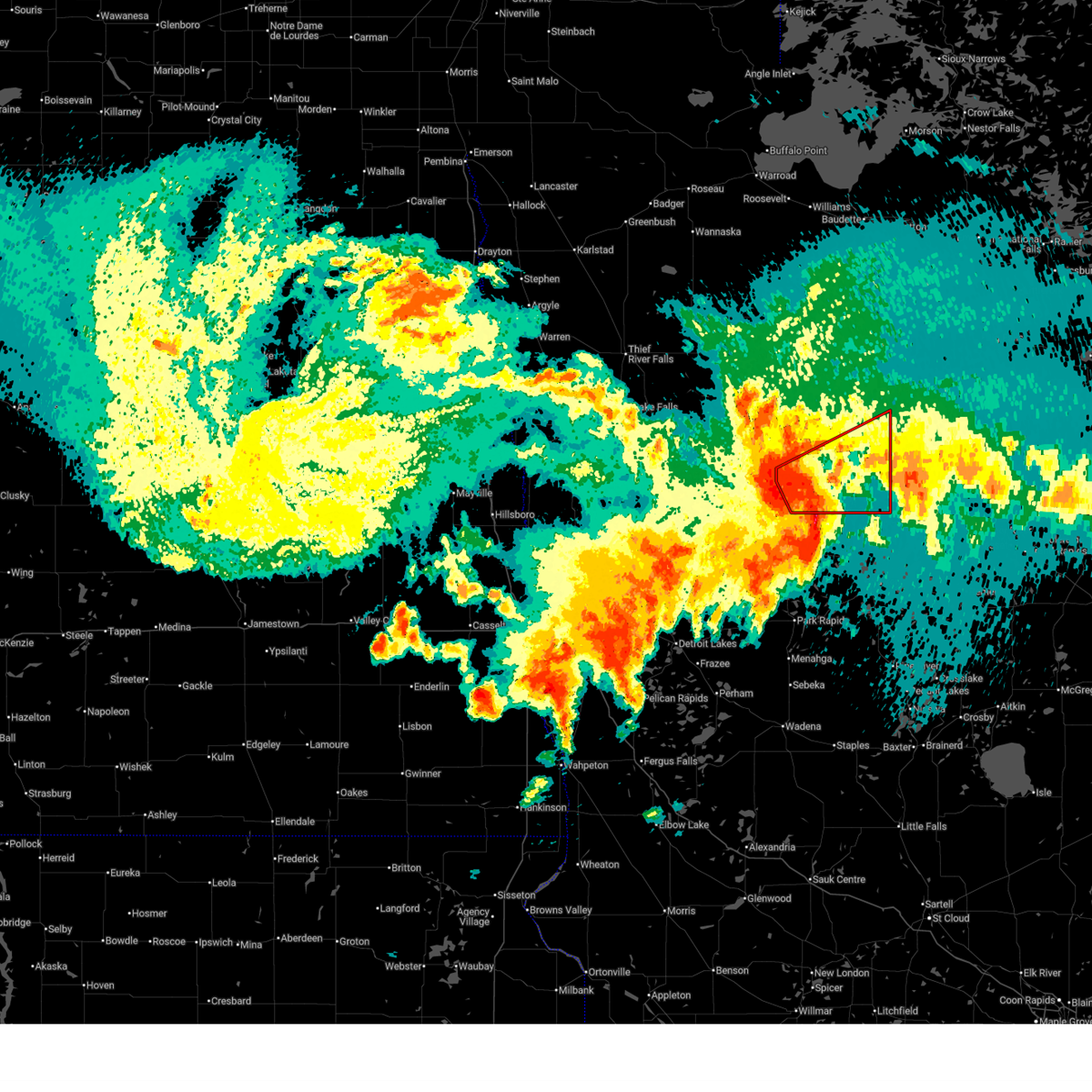
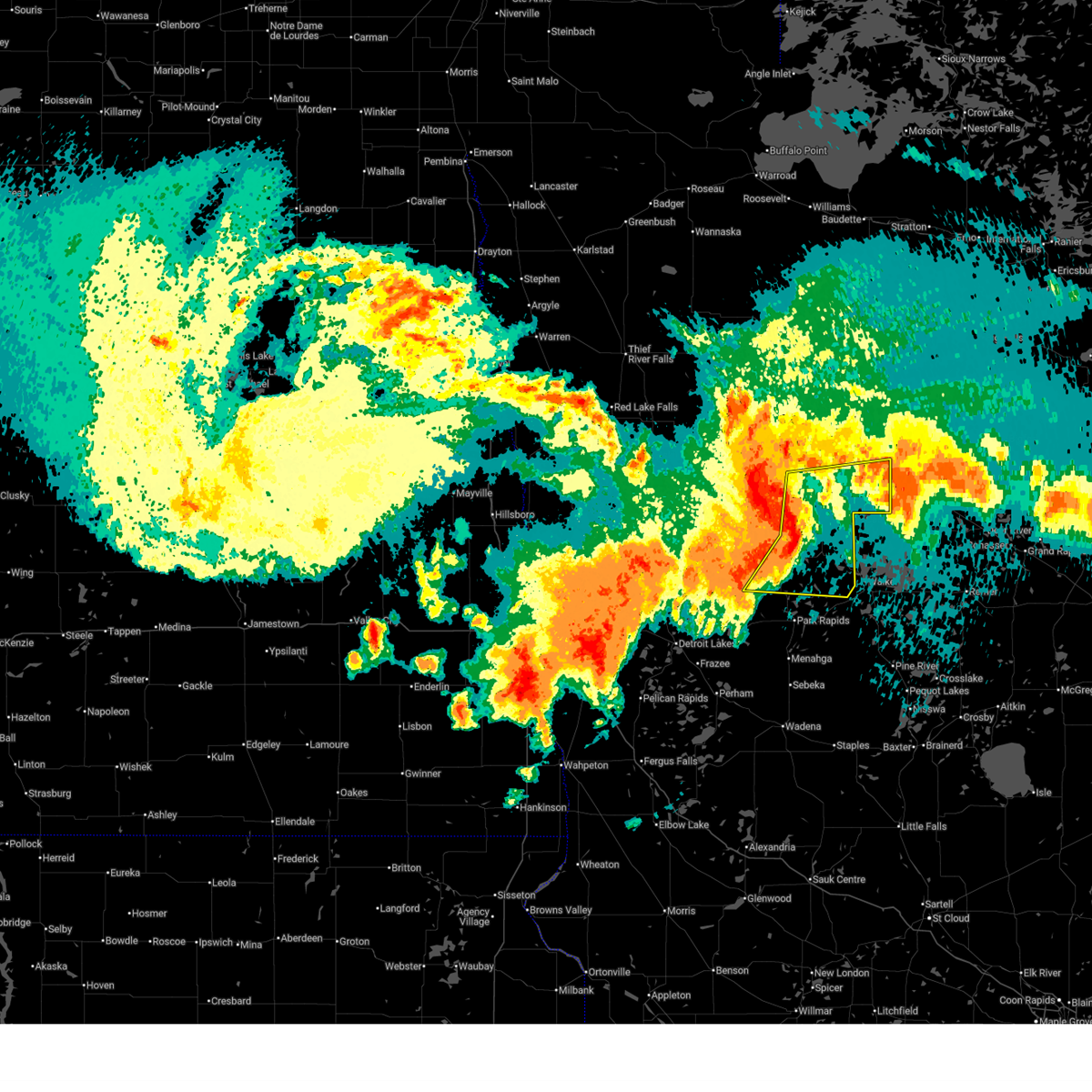
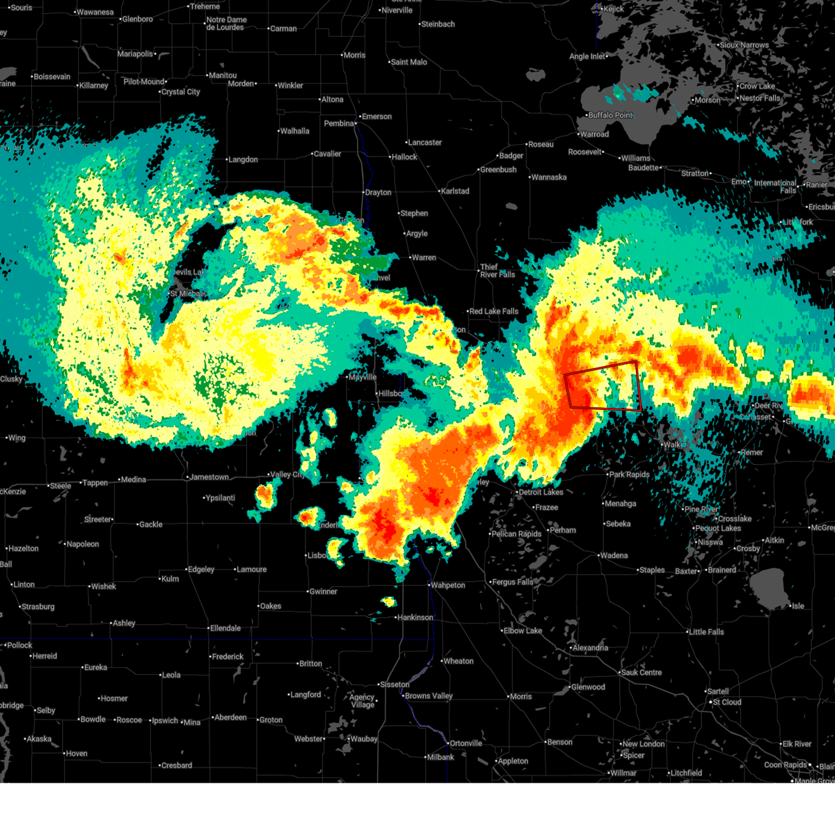
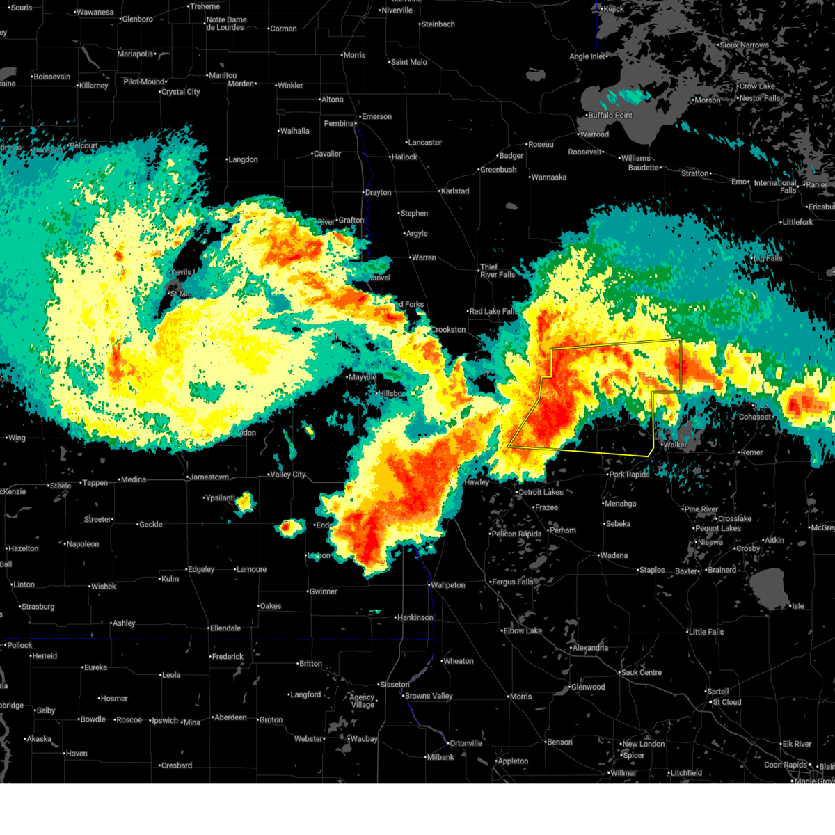
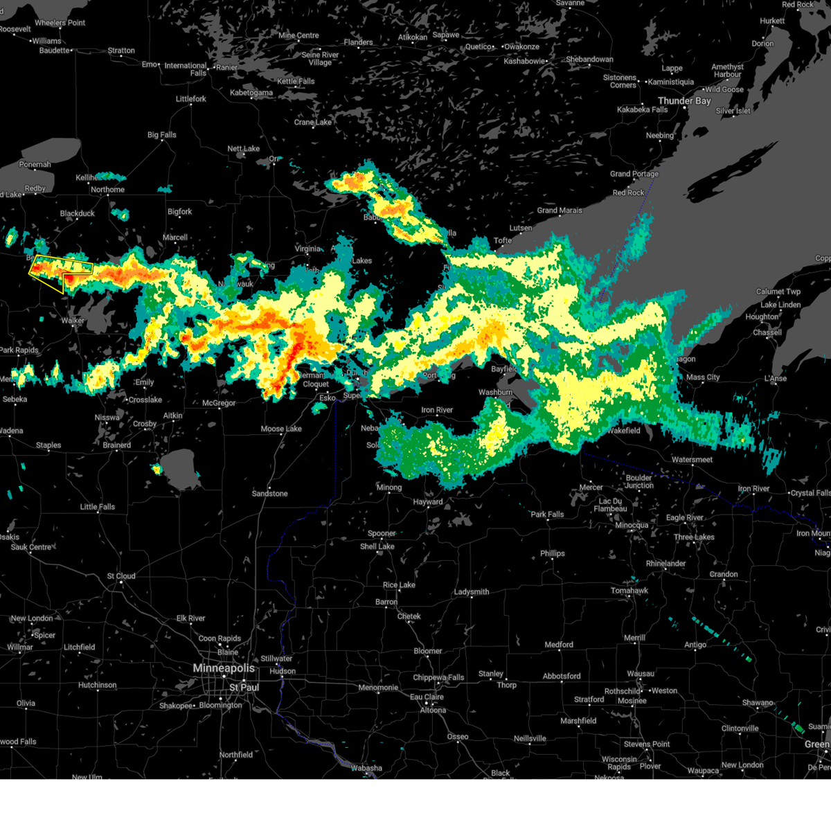
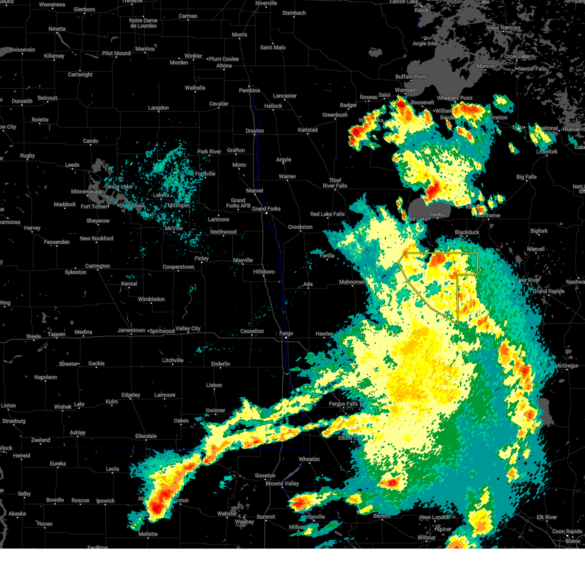
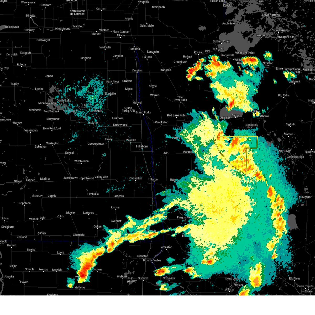
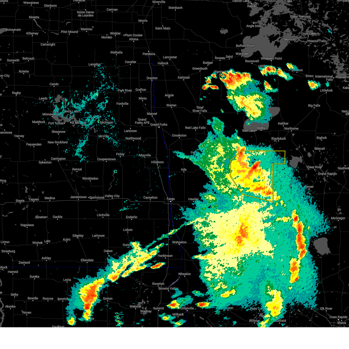
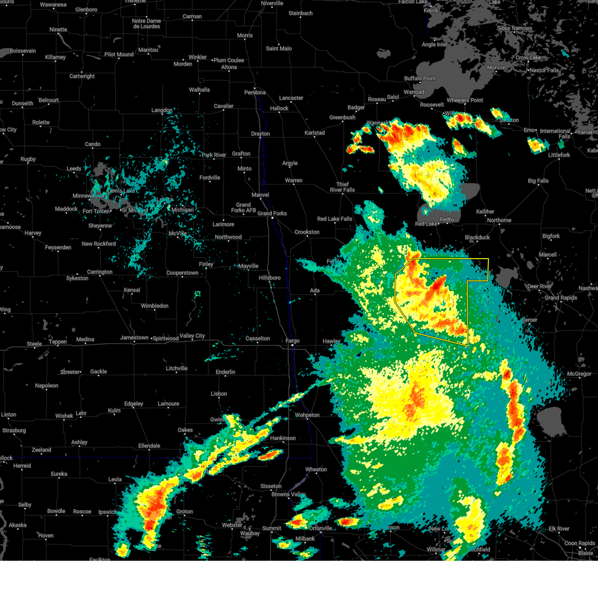
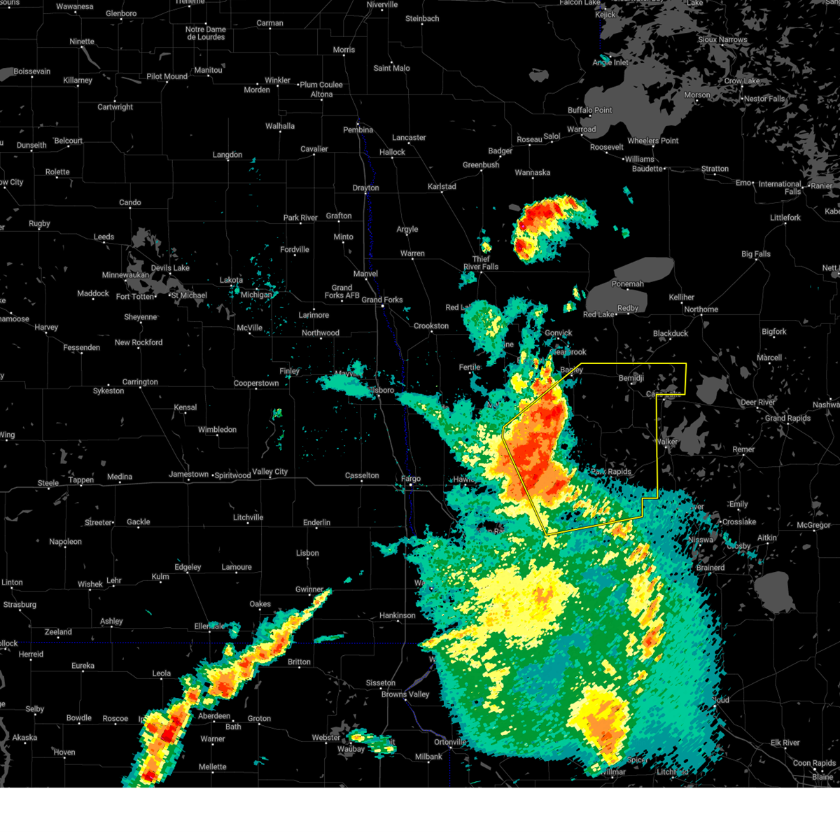
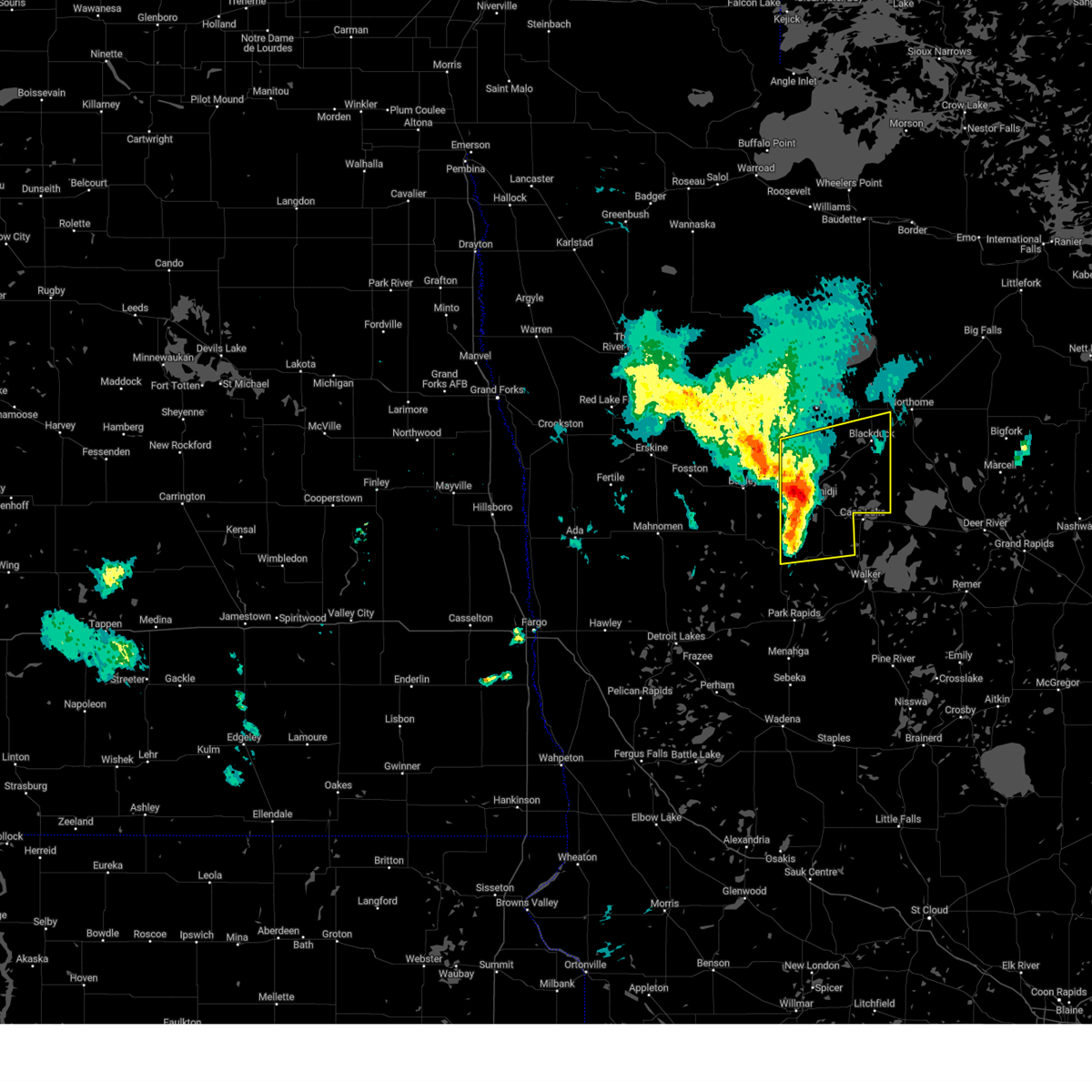
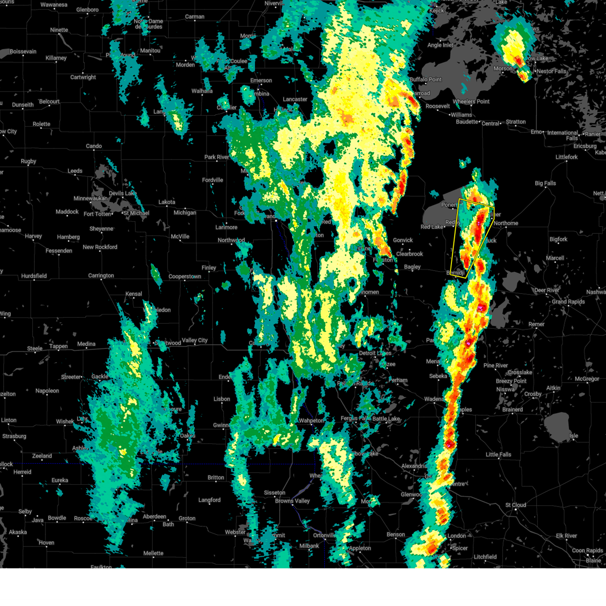
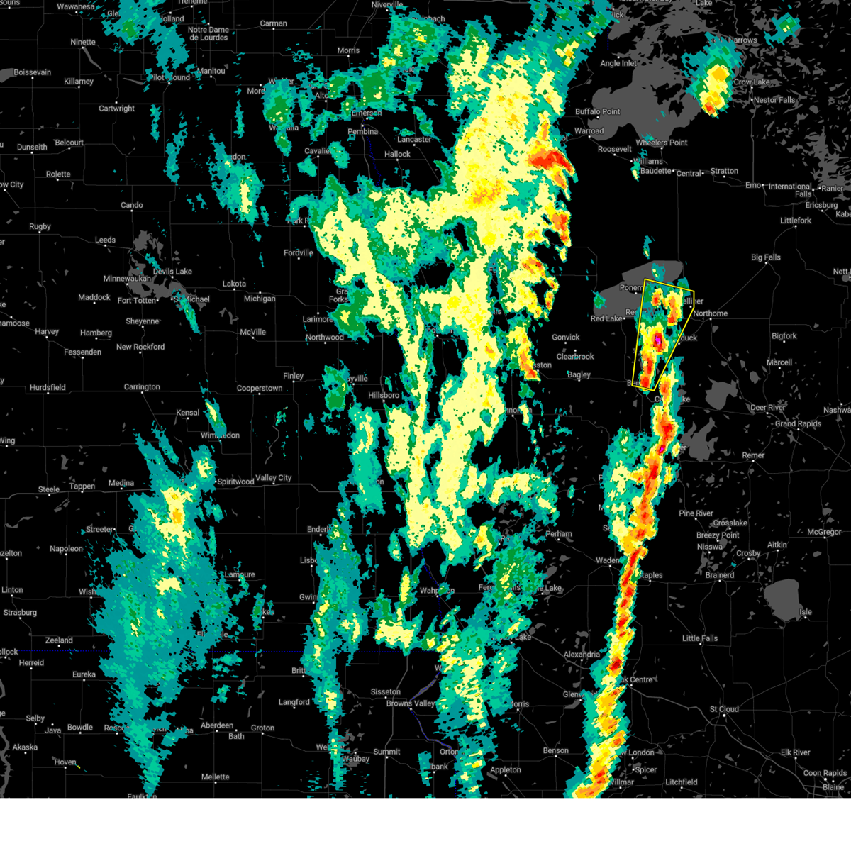
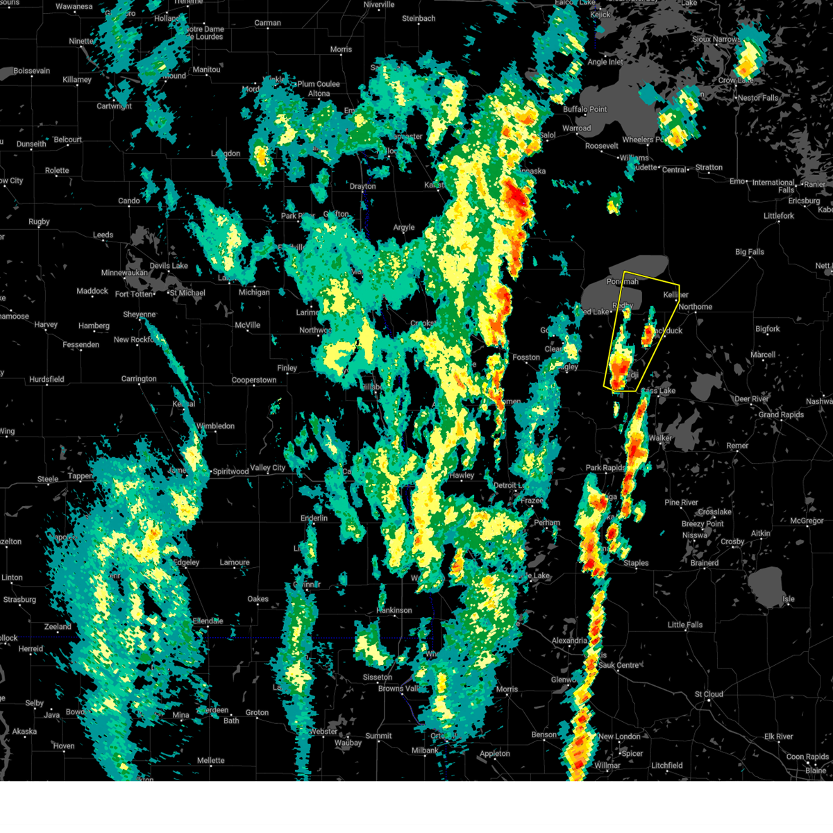
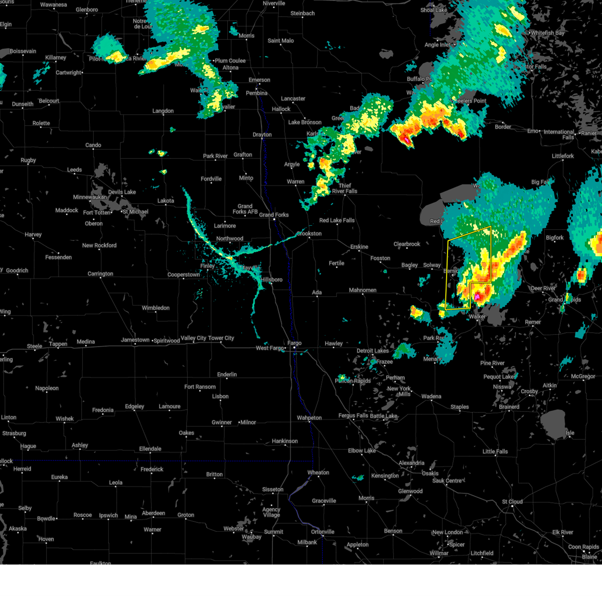
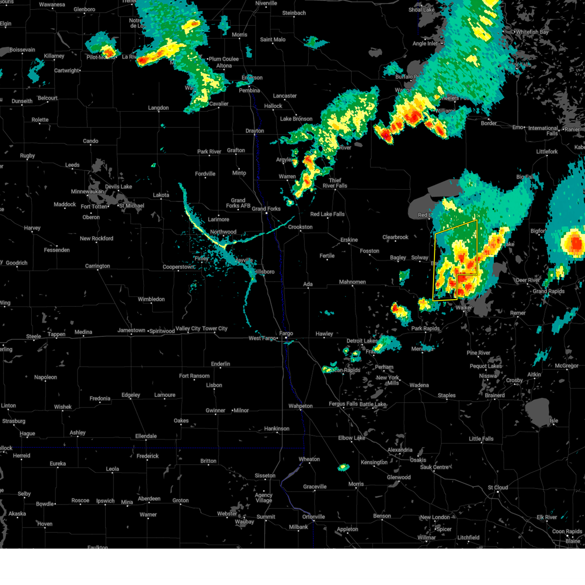
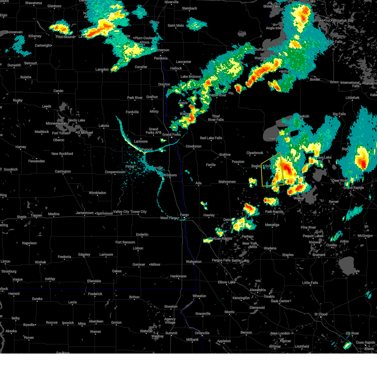
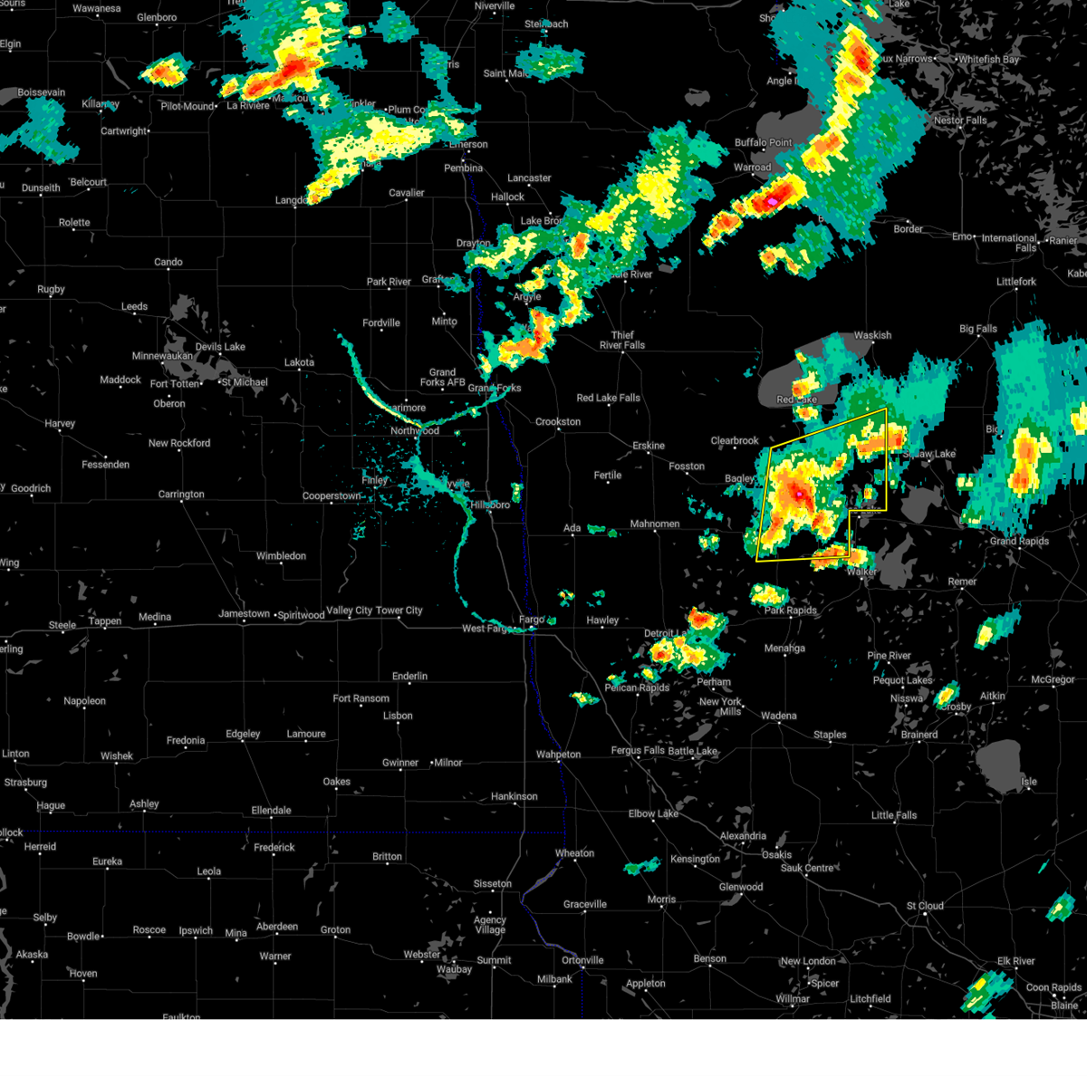
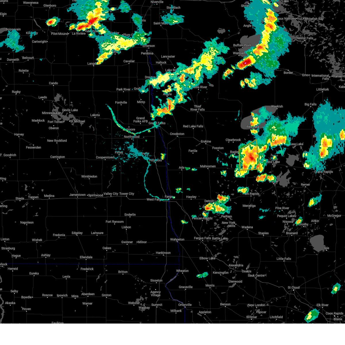
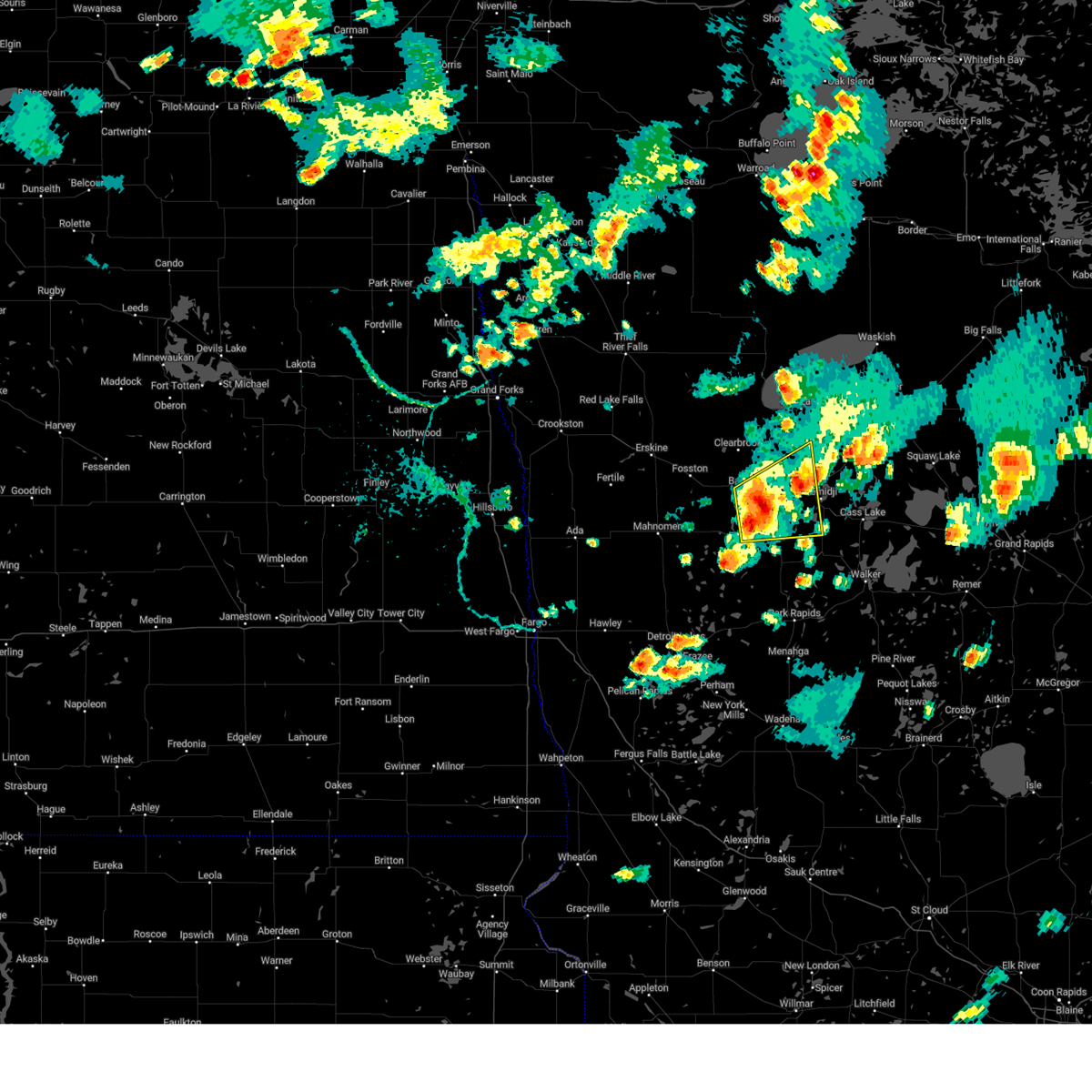
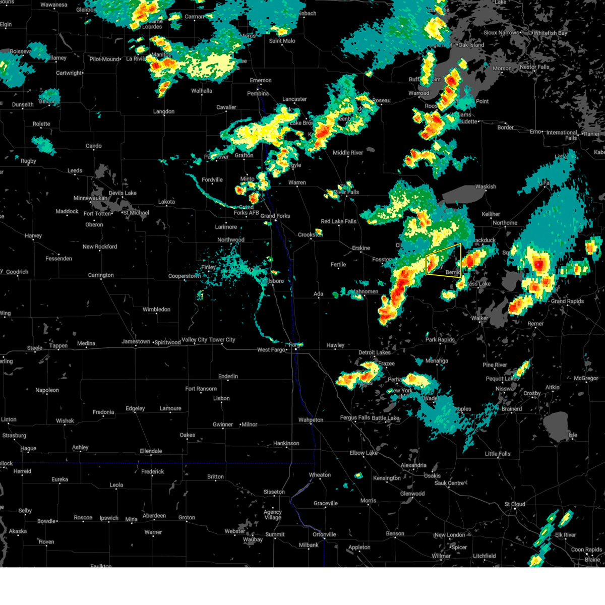
Hail Map for Bemidji, MN
The Bemidji, MN area has had 36 reports of on-the-ground hail by trained spotters, and has been under severe weather warnings 17 times during the past 12 months. Doppler radar has detected hail at or near Bemidji, MN on 47 occasions, including 2 occasions during the past year.
| Name: | Bemidji, MN |
| Where Located: | 0.5 miles NE of Bemidji, MN |
| Map: | Google Map for Bemidji, MN |
| Population: | 13431 |
| Housing Units: | 5748 |
| More Info: | Search Google for Bemidji, MN |
3
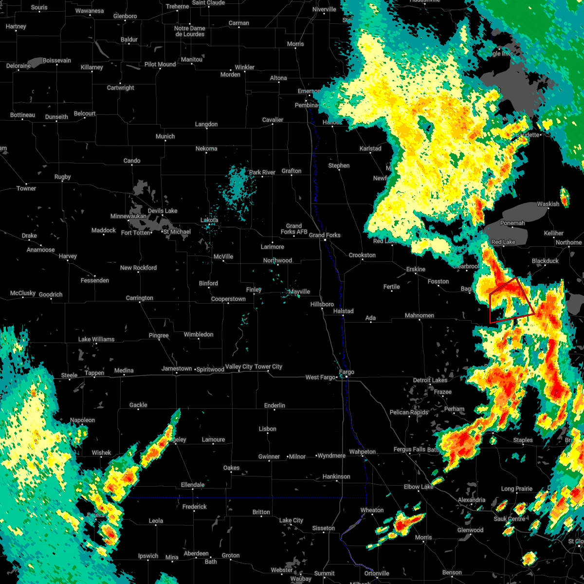
The Top Recent Hail Date for Bemidji, MN is Saturday, August 3, 2024 (11th out of 47)

Hail and Wind Damage Spotted near Bemidji, MN
| Date / Time | Report Details |
|---|---|
| 6/21/2025 1:37 AM CDT |
 the severe thunderstorm warning has been cancelled and is no longer in effect the severe thunderstorm warning has been cancelled and is no longer in effect
|
| 6/21/2025 1:16 AM CDT |
 Svrfgf the national weather service in grand forks has issued a * severe thunderstorm warning for, northern hubbard county in north central minnesota, southeastern beltrami county in north central minnesota, southeastern clearwater county in northwestern minnesota, * until 215 am cdt. * at 115 am cdt, severe thunderstorms were located along a line extending from near clearbrook to near zerkel, moving east at 25 mph. these are destructive storms for beltrami and hubbard counties (public. at 1:10am 92 mph wind gusts were recorded at the kbji asos). Hazards include 90 mph wind gusts. You are in a life-threatening situation. flying debris may be deadly to those caught without shelter. mobile homes will be heavily damaged or destroyed. homes and businesses will have substantial roof and window damage. expect extensive tree damage and power outages. severe thunderstorms will be near, shevlin, leonard, and lake itasca around 120 am cdt. solway around 125 am cdt. pinewood and debs around 130 am cdt. becida around 135 am cdt. Wilton around 140 am cdt. Svrfgf the national weather service in grand forks has issued a * severe thunderstorm warning for, northern hubbard county in north central minnesota, southeastern beltrami county in north central minnesota, southeastern clearwater county in northwestern minnesota, * until 215 am cdt. * at 115 am cdt, severe thunderstorms were located along a line extending from near clearbrook to near zerkel, moving east at 25 mph. these are destructive storms for beltrami and hubbard counties (public. at 1:10am 92 mph wind gusts were recorded at the kbji asos). Hazards include 90 mph wind gusts. You are in a life-threatening situation. flying debris may be deadly to those caught without shelter. mobile homes will be heavily damaged or destroyed. homes and businesses will have substantial roof and window damage. expect extensive tree damage and power outages. severe thunderstorms will be near, shevlin, leonard, and lake itasca around 120 am cdt. solway around 125 am cdt. pinewood and debs around 130 am cdt. becida around 135 am cdt. Wilton around 140 am cdt.
|
| 6/21/2025 12:58 AM CDT |
 The storms which prompted the warning have weakened below severe limits, and have exited the warned area. therefore, the warning will be allowed to expire. however, gusty winds are still possible with these thunderstorms. a tornado watch remains in effect until 300 am cdt for northwestern minnesota. a severe thunderstorm watch remains in effect until 700 am cdt for north central and northwestern minnesota. to report severe weather, contact your nearest law enforcement agency. they will relay your report to the national weather service grand forks. remember, a severe thunderstorm warning still remains in effect for beltrami. The storms which prompted the warning have weakened below severe limits, and have exited the warned area. therefore, the warning will be allowed to expire. however, gusty winds are still possible with these thunderstorms. a tornado watch remains in effect until 300 am cdt for northwestern minnesota. a severe thunderstorm watch remains in effect until 700 am cdt for north central and northwestern minnesota. to report severe weather, contact your nearest law enforcement agency. they will relay your report to the national weather service grand forks. remember, a severe thunderstorm warning still remains in effect for beltrami.
|
| 6/21/2025 12:57 AM CDT |
 Svrfgf the national weather service in grand forks has issued a * severe thunderstorm warning for, northeastern hubbard county in north central minnesota, southeastern beltrami county in north central minnesota, * until 115 am cdt. * at 1257 am cdt, a severe thunderstorm was located near lavinia, or 9 miles east of bemidji, moving east at 55 mph (public. tree damage in bemidji). Hazards include 70 mph wind gusts. Expect considerable tree damage. Damage is likely to mobile homes, roofs, and outbuildings. Svrfgf the national weather service in grand forks has issued a * severe thunderstorm warning for, northeastern hubbard county in north central minnesota, southeastern beltrami county in north central minnesota, * until 115 am cdt. * at 1257 am cdt, a severe thunderstorm was located near lavinia, or 9 miles east of bemidji, moving east at 55 mph (public. tree damage in bemidji). Hazards include 70 mph wind gusts. Expect considerable tree damage. Damage is likely to mobile homes, roofs, and outbuildings.
|
| 6/21/2025 12:50 AM CDT | There were reports of multiple branches down... power flashes... and home damage. winds were estimated at 80 mp in beltrami county MN, 0.4 miles ESE of Bemidji, MN |
| 6/21/2025 12:41 AM CDT |
 The tornado warning that was previously in effect has been reissued for beltrami and is in effect until 1:15am. please refer to that bulletin for the latest severe weather information. a severe thunderstorm watch remains in effect until 700 am cdt for north central and northwestern minnesota. The tornado warning that was previously in effect has been reissued for beltrami and is in effect until 1:15am. please refer to that bulletin for the latest severe weather information. a severe thunderstorm watch remains in effect until 700 am cdt for north central and northwestern minnesota.
|
| 6/21/2025 12:40 AM CDT |
 Torfgf the national weather service in grand forks has issued a * tornado warning for, southeastern beltrami county in north central minnesota, * until 115 am cdt. * at 1240 am cdt, a severe thunderstorm capable of producing a tornado was located over wilton, or near bemidji, moving east at 55 mph (radar indicated rotation). Hazards include tornado. Flying debris will be dangerous to those caught without shelter. mobile homes will be damaged or destroyed. damage to roofs, windows, and vehicles will occur. tree damage is likely. this dangerous storm will be near, bemidji and lavinia around 1245 am cdt. Turtle river around 1250 am cdt. Torfgf the national weather service in grand forks has issued a * tornado warning for, southeastern beltrami county in north central minnesota, * until 115 am cdt. * at 1240 am cdt, a severe thunderstorm capable of producing a tornado was located over wilton, or near bemidji, moving east at 55 mph (radar indicated rotation). Hazards include tornado. Flying debris will be dangerous to those caught without shelter. mobile homes will be damaged or destroyed. damage to roofs, windows, and vehicles will occur. tree damage is likely. this dangerous storm will be near, bemidji and lavinia around 1245 am cdt. Turtle river around 1250 am cdt.
|
| 6/21/2025 12:38 AM CDT |
 the severe thunderstorm warning has been cancelled and is no longer in effect the severe thunderstorm warning has been cancelled and is no longer in effect
|
| 6/21/2025 12:38 AM CDT |
 At 1237 am cdt, severe thunderstorms were located along a line extending from near bemidji to near lake george to two inlets, moving east at 70 mph (radar indicated). Hazards include 70 mph wind gusts. Expect considerable tree damage. damage is likely to mobile homes, roofs, and outbuildings. these severe storms will be near, bemidji, lake george, and lavinia around 1240 am cdt. laporte around 1245 am cdt. benedict around 1250 am cdt. Pennington around 1255 am cdt. At 1237 am cdt, severe thunderstorms were located along a line extending from near bemidji to near lake george to two inlets, moving east at 70 mph (radar indicated). Hazards include 70 mph wind gusts. Expect considerable tree damage. damage is likely to mobile homes, roofs, and outbuildings. these severe storms will be near, bemidji, lake george, and lavinia around 1240 am cdt. laporte around 1245 am cdt. benedict around 1250 am cdt. Pennington around 1255 am cdt.
|
| 6/21/2025 12:25 AM CDT |
 Torfgf the national weather service in grand forks has issued a * tornado warning for, northwestern hubbard county in north central minnesota, south central beltrami county in north central minnesota, southeastern clearwater county in northwestern minnesota, * until 1245 am cdt. * at 1224 am cdt, a severe thunderstorm capable of producing a tornado was located over upper rice lake, or 18 miles west of bemidji, moving east at 40 mph (radar indicated rotation). Hazards include tornado. Flying debris will be dangerous to those caught without shelter. mobile homes will be damaged or destroyed. damage to roofs, windows, and vehicles will occur. tree damage is likely. This dangerous storm will be near, alida around 1230 am cdt. Torfgf the national weather service in grand forks has issued a * tornado warning for, northwestern hubbard county in north central minnesota, south central beltrami county in north central minnesota, southeastern clearwater county in northwestern minnesota, * until 1245 am cdt. * at 1224 am cdt, a severe thunderstorm capable of producing a tornado was located over upper rice lake, or 18 miles west of bemidji, moving east at 40 mph (radar indicated rotation). Hazards include tornado. Flying debris will be dangerous to those caught without shelter. mobile homes will be damaged or destroyed. damage to roofs, windows, and vehicles will occur. tree damage is likely. This dangerous storm will be near, alida around 1230 am cdt.
|
| 6/21/2025 12:22 AM CDT |
 Svrfgf the national weather service in grand forks has issued a * severe thunderstorm warning for, hubbard county in north central minnesota, southeastern beltrami county in north central minnesota, eastern mahnomen county in northwestern minnesota, northeastern becker county in northwestern minnesota, clearwater county in northwestern minnesota, * until 100 am cdt. * at 1222 am cdt, severe thunderstorms were located along a line extending from near shevlin to near lake itasca to white earth nation, moving east at 70 mph (radar indicated). Hazards include 70 mph wind gusts. Expect considerable tree damage. damage is likely to mobile homes, roofs, and outbuildings. severe thunderstorms will be near, bad medicine lake, solway, and lake itasca around 1225 am cdt. bemidji, lake george, and wilton around 1230 am cdt. lavinia, kabekona, and rosby around 1235 am cdt. laporte, guthrie, and emmaville around 1240 am cdt. Benedict around 1245 am cdt. Svrfgf the national weather service in grand forks has issued a * severe thunderstorm warning for, hubbard county in north central minnesota, southeastern beltrami county in north central minnesota, eastern mahnomen county in northwestern minnesota, northeastern becker county in northwestern minnesota, clearwater county in northwestern minnesota, * until 100 am cdt. * at 1222 am cdt, severe thunderstorms were located along a line extending from near shevlin to near lake itasca to white earth nation, moving east at 70 mph (radar indicated). Hazards include 70 mph wind gusts. Expect considerable tree damage. damage is likely to mobile homes, roofs, and outbuildings. severe thunderstorms will be near, bad medicine lake, solway, and lake itasca around 1225 am cdt. bemidji, lake george, and wilton around 1230 am cdt. lavinia, kabekona, and rosby around 1235 am cdt. laporte, guthrie, and emmaville around 1240 am cdt. Benedict around 1245 am cdt.
|
| 8/3/2024 4:55 PM CDT |
 Svrfgf the national weather service in grand forks has issued a * severe thunderstorm warning for, northeastern hubbard county in north central minnesota, southeastern beltrami county in north central minnesota, * until 515 pm cdt. * at 455 pm cdt, a severe thunderstorm was located over rosby, or near bemidji, moving east at 40 mph (radar indicated). Hazards include 60 mph wind gusts and quarter size hail. Hail damage to vehicles is expected. Expect wind damage to roofs, siding, and trees. Svrfgf the national weather service in grand forks has issued a * severe thunderstorm warning for, northeastern hubbard county in north central minnesota, southeastern beltrami county in north central minnesota, * until 515 pm cdt. * at 455 pm cdt, a severe thunderstorm was located over rosby, or near bemidji, moving east at 40 mph (radar indicated). Hazards include 60 mph wind gusts and quarter size hail. Hail damage to vehicles is expected. Expect wind damage to roofs, siding, and trees.
|
| 8/3/2024 4:40 PM CDT | Quarter sized hail reported 0.6 miles NNE of Bemidji, MN, em reports hail around town varying from nickel to quarter sized. |
| 7/31/2024 3:52 PM CDT |
 The storms which prompted the warning have weakened below severe limits, and no longer pose an immediate threat to life or property. therefore, the warning will be allowed to expire. however, gusty winds are still possible with these thunderstorms. a severe thunderstorm watch remains in effect until 700 pm cdt for north central minnesota. The storms which prompted the warning have weakened below severe limits, and no longer pose an immediate threat to life or property. therefore, the warning will be allowed to expire. however, gusty winds are still possible with these thunderstorms. a severe thunderstorm watch remains in effect until 700 pm cdt for north central minnesota.
|
| 7/31/2024 3:46 PM CDT |
 the severe thunderstorm warning has been cancelled and is no longer in effect the severe thunderstorm warning has been cancelled and is no longer in effect
|
| 7/31/2024 3:46 PM CDT |
 At 346 pm cdt, severe thunderstorms were located along a line extending from lavinia to near cass lake to near webb lake, moving east at 45 mph (radar indicated). Hazards include 60 mph wind gusts and nickel size hail. Expect damage to roofs, siding, and trees. Locations impacted include, bemidji, bagley, lake george, wilton, shevlin, lavinia, and turtle river. At 346 pm cdt, severe thunderstorms were located along a line extending from lavinia to near cass lake to near webb lake, moving east at 45 mph (radar indicated). Hazards include 60 mph wind gusts and nickel size hail. Expect damage to roofs, siding, and trees. Locations impacted include, bemidji, bagley, lake george, wilton, shevlin, lavinia, and turtle river.
|
| 7/31/2024 3:40 PM CDT | Corrects previous tstm wnd dmg report from 3 e wilton. relayed report of tree damage and a flying porta potty that traveled 50ft at the bji airport. wind measured at 57 in beltrami county MN, 3.5 miles SE of Bemidji, MN |
| 7/31/2024 3:40 PM CDT | Handheld instrument measured. also several reports of large tree damage at area parks near the airpor in beltrami county MN, 5.4 miles ESE of Bemidji, MN |
| 7/31/2024 3:40 PM CDT | Corrects previous tstm wnd dmg report from 1 ne bemidji. dozens of trees down in diamond point park. trees down across the bemidji area. time estimate in beltrami county MN, 1 miles SW of Bemidji, MN |
| 7/31/2024 3:40 PM CDT | Corrects previous tstm wnd dmg report from 1 ne bemidji. dozens of trees down in diamond point park. trees down across the bemidji area. time estimate in beltrami county MN, 1 miles SW of Bemidji, MN |
| 7/31/2024 3:30 PM CDT |
 At 330 pm cdt, severe thunderstorms were located along a line extending from wilton to near nary to near chamberlain, moving east at 40 mph (radar indicated). Hazards include 60 mph wind gusts and nickel size hail. Expect damage to roofs, siding, and trees. Locations impacted include, bemidji, park rapids, bagley, bad medicine lake, akeley, nevis, and lake george. At 330 pm cdt, severe thunderstorms were located along a line extending from wilton to near nary to near chamberlain, moving east at 40 mph (radar indicated). Hazards include 60 mph wind gusts and nickel size hail. Expect damage to roofs, siding, and trees. Locations impacted include, bemidji, park rapids, bagley, bad medicine lake, akeley, nevis, and lake george.
|
| 7/31/2024 3:30 PM CDT |
 the severe thunderstorm warning has been cancelled and is no longer in effect the severe thunderstorm warning has been cancelled and is no longer in effect
|
| 7/31/2024 2:54 PM CDT |
 Svrfgf the national weather service in grand forks has issued a * severe thunderstorm warning for, northern wadena county in central minnesota, hubbard county in north central minnesota, northeastern otter tail county in west central minnesota, southeastern beltrami county in north central minnesota, southern mahnomen county in northwestern minnesota, becker county in northwestern minnesota, southern clearwater county in northwestern minnesota, * until 400 pm cdt. * at 253 pm cdt, severe thunderstorms were located along a line extending from white earth nation to near lake itasca to near menahga, moving east at 45 mph (radar indicated). Hazards include 60 mph wind gusts and nickel size hail. expect damage to roofs, siding, and trees Svrfgf the national weather service in grand forks has issued a * severe thunderstorm warning for, northern wadena county in central minnesota, hubbard county in north central minnesota, northeastern otter tail county in west central minnesota, southeastern beltrami county in north central minnesota, southern mahnomen county in northwestern minnesota, becker county in northwestern minnesota, southern clearwater county in northwestern minnesota, * until 400 pm cdt. * at 253 pm cdt, severe thunderstorms were located along a line extending from white earth nation to near lake itasca to near menahga, moving east at 45 mph (radar indicated). Hazards include 60 mph wind gusts and nickel size hail. expect damage to roofs, siding, and trees
|
| 7/31/2024 2:40 PM CDT | Relayed report of tree damage and a flying porta potty that traveled 50ft at the bji airport. wind measured at 57mp in beltrami county MN, 3.5 miles SE of Bemidji, MN |
| 6/28/2024 11:49 PM CDT | Emergency manager reports trees down in bemidji... power outages on the nw side of tow in beltrami county MN, 0.4 miles ESE of Bemidji, MN |
| 6/28/2024 11:30 PM CDT |
 Svrfgf the national weather service in grand forks has issued a * severe thunderstorm warning for, northern hubbard county in north central minnesota, southeastern beltrami county in north central minnesota, * until 1215 am cdt. * at 1129 pm cdt, a severe thunderstorm was located over wilton, or near bemidji, moving east at 50 mph (radar indicated). Hazards include 60 mph wind gusts and nickel size hail. expect damage to roofs, siding, and trees Svrfgf the national weather service in grand forks has issued a * severe thunderstorm warning for, northern hubbard county in north central minnesota, southeastern beltrami county in north central minnesota, * until 1215 am cdt. * at 1129 pm cdt, a severe thunderstorm was located over wilton, or near bemidji, moving east at 50 mph (radar indicated). Hazards include 60 mph wind gusts and nickel size hail. expect damage to roofs, siding, and trees
|
| 6/28/2024 11:20 PM CDT |
 At 1120 pm cdt, a severe thunderstorm was located over solway, or 11 miles west of bemidji, moving east at 55 mph (radar indicated). Hazards include 60 mph wind gusts and quarter size hail. Hail damage to vehicles is expected. expect wind damage to roofs, siding, and trees. Locations impacted include, bemidji, bagley, clearbrook, lake george, wilton, shevlin, and lavinia. At 1120 pm cdt, a severe thunderstorm was located over solway, or 11 miles west of bemidji, moving east at 55 mph (radar indicated). Hazards include 60 mph wind gusts and quarter size hail. Hail damage to vehicles is expected. expect wind damage to roofs, siding, and trees. Locations impacted include, bemidji, bagley, clearbrook, lake george, wilton, shevlin, and lavinia.
|
| 6/28/2024 11:20 PM CDT |
 the severe thunderstorm warning has been cancelled and is no longer in effect the severe thunderstorm warning has been cancelled and is no longer in effect
|
| 6/28/2024 10:53 PM CDT |
 Svrfgf the national weather service in grand forks has issued a * severe thunderstorm warning for, northwestern hubbard county in north central minnesota, southeastern polk county in northwestern minnesota, south central beltrami county in north central minnesota, eastern mahnomen county in northwestern minnesota, clearwater county in northwestern minnesota, * until 1145 pm cdt. * at 1053 pm cdt, a severe thunderstorm was located over northern white earth nation, or 36 miles west of bemidji, moving east at 55 mph (radar indicated). Hazards include 60 mph wind gusts and quarter size hail. Hail damage to vehicles is expected. Expect wind damage to roofs, siding, and trees. Svrfgf the national weather service in grand forks has issued a * severe thunderstorm warning for, northwestern hubbard county in north central minnesota, southeastern polk county in northwestern minnesota, south central beltrami county in north central minnesota, eastern mahnomen county in northwestern minnesota, clearwater county in northwestern minnesota, * until 1145 pm cdt. * at 1053 pm cdt, a severe thunderstorm was located over northern white earth nation, or 36 miles west of bemidji, moving east at 55 mph (radar indicated). Hazards include 60 mph wind gusts and quarter size hail. Hail damage to vehicles is expected. Expect wind damage to roofs, siding, and trees.
|
| 6/18/2024 5:14 AM CDT |
 Svrfgf the national weather service in grand forks has issued a * severe thunderstorm warning for, wadena county in central minnesota, hubbard county in north central minnesota, northeastern otter tail county in west central minnesota, southeastern beltrami county in north central minnesota, eastern becker county in northwestern minnesota, * until 545 am cdt. * at 514 am cdt, severe thunderstorms were located along a line extending from near shooks to 6 miles northwest of akeley to henning, moving east at 30 mph (radar indicated). Hazards include 60 mph wind gusts. expect damage to roofs, siding, and trees Svrfgf the national weather service in grand forks has issued a * severe thunderstorm warning for, wadena county in central minnesota, hubbard county in north central minnesota, northeastern otter tail county in west central minnesota, southeastern beltrami county in north central minnesota, eastern becker county in northwestern minnesota, * until 545 am cdt. * at 514 am cdt, severe thunderstorms were located along a line extending from near shooks to 6 miles northwest of akeley to henning, moving east at 30 mph (radar indicated). Hazards include 60 mph wind gusts. expect damage to roofs, siding, and trees
|
| 6/18/2024 4:52 AM CDT |
 At 451 am cdt, severe thunderstorms were located along a line extending from near kelliher to kabekona to near sebeka, moving east at 25 mph (radar indicated). Hazards include 70 mph wind gusts. Expect considerable tree damage. damage is likely to mobile homes, roofs, and outbuildings. Locations impacted include, bemidji, detroit lakes, park rapids, perham, frazee, menahga, and redby. At 451 am cdt, severe thunderstorms were located along a line extending from near kelliher to kabekona to near sebeka, moving east at 25 mph (radar indicated). Hazards include 70 mph wind gusts. Expect considerable tree damage. damage is likely to mobile homes, roofs, and outbuildings. Locations impacted include, bemidji, detroit lakes, park rapids, perham, frazee, menahga, and redby.
|
| 6/18/2024 4:52 AM CDT |
 the severe thunderstorm warning has been cancelled and is no longer in effect the severe thunderstorm warning has been cancelled and is no longer in effect
|
| 6/18/2024 4:20 AM CDT |
 Svrfgf the national weather service in grand forks has issued a * severe thunderstorm warning for, east central clay county in northwestern minnesota, wadena county in central minnesota, hubbard county in north central minnesota, southeastern polk county in northwestern minnesota, northeastern otter tail county in west central minnesota, southern beltrami county in north central minnesota, mahnomen county in northwestern minnesota, becker county in northwestern minnesota, clearwater county in northwestern minnesota, * until 515 am cdt. * at 419 am cdt, severe thunderstorms were located along a line extending from red lake nation to white earth nation to near pelican rapids, moving east at 55 mph (radar indicated). Hazards include 70 mph wind gusts. Expect considerable tree damage. Damage is likely to mobile homes, roofs, and outbuildings. Svrfgf the national weather service in grand forks has issued a * severe thunderstorm warning for, east central clay county in northwestern minnesota, wadena county in central minnesota, hubbard county in north central minnesota, southeastern polk county in northwestern minnesota, northeastern otter tail county in west central minnesota, southern beltrami county in north central minnesota, mahnomen county in northwestern minnesota, becker county in northwestern minnesota, clearwater county in northwestern minnesota, * until 515 am cdt. * at 419 am cdt, severe thunderstorms were located along a line extending from red lake nation to white earth nation to near pelican rapids, moving east at 55 mph (radar indicated). Hazards include 70 mph wind gusts. Expect considerable tree damage. Damage is likely to mobile homes, roofs, and outbuildings.
|
| 6/12/2024 4:45 PM CDT | Ping Pong Ball sized hail reported 9.5 miles N of Bemidji, MN, ping pong ball sized hail 10 miles south of bemidji. |
| 6/5/2024 3:45 PM CDT | Broke tree branches 4 to 6 inches in diamter... along with an old spruc in hubbard county MN, 9.4 miles NW of Bemidji, MN |
| 6/4/2024 2:12 PM CDT |
 The storm which prompted the warning has weakened below severe limits, and no longer poses an immediate threat to life or property. therefore, the warning will be allowed to expire. however, small hail and gusty winds are still possible with this thunderstorm. to report severe weather, contact your nearest law enforcement agency. they will relay your report to the national weather service grand forks. The storm which prompted the warning has weakened below severe limits, and no longer poses an immediate threat to life or property. therefore, the warning will be allowed to expire. however, small hail and gusty winds are still possible with this thunderstorm. to report severe weather, contact your nearest law enforcement agency. they will relay your report to the national weather service grand forks.
|
| 6/4/2024 2:00 PM CDT |
 At 200 pm cdt, a severe thunderstorm was located near nebish, or 21 miles north of bemidji, moving northeast at 50 mph (radar indicated). Hazards include 60 mph wind gusts and penny size hail. Expect damage to roofs, siding, and trees. Locations impacted include, bemidji, southeastern lower red lake, kelliher, southern upper red lake, tenstrike, lavinia, and turtle river. At 200 pm cdt, a severe thunderstorm was located near nebish, or 21 miles north of bemidji, moving northeast at 50 mph (radar indicated). Hazards include 60 mph wind gusts and penny size hail. Expect damage to roofs, siding, and trees. Locations impacted include, bemidji, southeastern lower red lake, kelliher, southern upper red lake, tenstrike, lavinia, and turtle river.
|
| 6/4/2024 1:39 PM CDT | Mature tree damage and downed power line in beltrami county MN, 8.1 miles SE of Bemidji, MN |
| 6/4/2024 1:35 PM CDT |
 Svrfgf the national weather service in grand forks has issued a * severe thunderstorm warning for, southeastern beltrami county in north central minnesota, * until 215 pm cdt. * at 134 pm cdt, a severe thunderstorm was located over bemidji, moving north at 55 mph (radar indicated). Hazards include 60 mph wind gusts and penny size hail. expect damage to roofs, siding, and trees Svrfgf the national weather service in grand forks has issued a * severe thunderstorm warning for, southeastern beltrami county in north central minnesota, * until 215 pm cdt. * at 134 pm cdt, a severe thunderstorm was located over bemidji, moving north at 55 mph (radar indicated). Hazards include 60 mph wind gusts and penny size hail. expect damage to roofs, siding, and trees
|
| 9/29/2023 9:18 AM CDT |
 At 918 am cdt, a severe thunderstorm was located near plantagenet lake, or 8 miles southwest of bemidji, moving northeast at 65 mph (radar indicated). Hazards include 60 mph wind gusts and quarter size hail. Hail damage to vehicles is expected. expect wind damage to roofs, siding, and trees. locations impacted include, bemidji, bagley, redby, blackduck, plantagenet lake, lake george and wilton. hail threat, observed max hail size, 1. 00 in wind threat, radar indicated max wind gust, 60 mph. At 918 am cdt, a severe thunderstorm was located near plantagenet lake, or 8 miles southwest of bemidji, moving northeast at 65 mph (radar indicated). Hazards include 60 mph wind gusts and quarter size hail. Hail damage to vehicles is expected. expect wind damage to roofs, siding, and trees. locations impacted include, bemidji, bagley, redby, blackduck, plantagenet lake, lake george and wilton. hail threat, observed max hail size, 1. 00 in wind threat, radar indicated max wind gust, 60 mph.
|
| 9/29/2023 9:00 AM CDT |
 At 858 am cdt, a severe thunderstorm was located over northern long lost lake, or 31 miles southwest of bemidji, moving northeast at 65 mph. at 855 am cdt, trained spotters reported quarter size hail near the highway intersection of highway 35 and 113 (trained weather spotters). Hazards include ping pong ball size hail and 60 mph wind gusts. People and animals outdoors will be injured. expect hail damage to roofs, siding, windows, and vehicles. expect wind damage to roofs, siding, and trees. locations impacted include, bemidji, bagley, redby, blackduck, plantagenet lake, bad medicine lake and lake george. hail threat, observed max hail size, 1. 50 in wind threat, radar indicated max wind gust, 60 mph. At 858 am cdt, a severe thunderstorm was located over northern long lost lake, or 31 miles southwest of bemidji, moving northeast at 65 mph. at 855 am cdt, trained spotters reported quarter size hail near the highway intersection of highway 35 and 113 (trained weather spotters). Hazards include ping pong ball size hail and 60 mph wind gusts. People and animals outdoors will be injured. expect hail damage to roofs, siding, windows, and vehicles. expect wind damage to roofs, siding, and trees. locations impacted include, bemidji, bagley, redby, blackduck, plantagenet lake, bad medicine lake and lake george. hail threat, observed max hail size, 1. 50 in wind threat, radar indicated max wind gust, 60 mph.
|
| 9/29/2023 8:54 AM CDT |
 At 854 am cdt, a severe thunderstorm was located near long lost lake, or 29 miles northeast of detroit lakes, moving northeast at 65 mph (radar indicated). Hazards include ping pong ball size hail and 60 mph wind gusts. People and animals outdoors will be injured. expect hail damage to roofs, siding, windows, and vehicles. Expect wind damage to roofs, siding, and trees. At 854 am cdt, a severe thunderstorm was located near long lost lake, or 29 miles northeast of detroit lakes, moving northeast at 65 mph (radar indicated). Hazards include ping pong ball size hail and 60 mph wind gusts. People and animals outdoors will be injured. expect hail damage to roofs, siding, windows, and vehicles. Expect wind damage to roofs, siding, and trees.
|
| 7/9/2023 8:37 PM CDT | Quarter sized hail reported 9.5 miles N of Bemidji, MN, quarter sized hail reported 10 s bemidji in hubbard county. |
| 7/9/2023 8:16 PM CDT | Half Dollar sized hail reported 8.9 miles NE of Bemidji, MN, public reports hail 9sw bemidji ranging in size from peas to half dollar. |
| 5/30/2023 7:23 PM CDT |
 The severe thunderstorm warning for northeastern hubbard and southeastern beltrami counties will expire at 730 pm cdt, the storms which prompted the warning have moved out of the area. therefore, the warning will be allowed to expire. The severe thunderstorm warning for northeastern hubbard and southeastern beltrami counties will expire at 730 pm cdt, the storms which prompted the warning have moved out of the area. therefore, the warning will be allowed to expire.
|
| 5/30/2023 7:14 PM CDT |
 At 713 pm cdt, severe thunderstorms were located along a line extending from near shooks to near wilkinson, moving northeast at 40 mph (radar indicated). Hazards include 60 mph wind gusts and quarter size hail. Hail damage to vehicles is expected. expect wind damage to roofs, siding, and trees. locations impacted include, bemidji, blackduck, plantagenet lake, tenstrike, lavinia, turtle river and laporte. hail threat, radar indicated max hail size, 1. 00 in wind threat, radar indicated max wind gust, 60 mph. At 713 pm cdt, severe thunderstorms were located along a line extending from near shooks to near wilkinson, moving northeast at 40 mph (radar indicated). Hazards include 60 mph wind gusts and quarter size hail. Hail damage to vehicles is expected. expect wind damage to roofs, siding, and trees. locations impacted include, bemidji, blackduck, plantagenet lake, tenstrike, lavinia, turtle river and laporte. hail threat, radar indicated max hail size, 1. 00 in wind threat, radar indicated max wind gust, 60 mph.
|
| 5/30/2023 6:57 PM CDT |
 The severe thunderstorm warning for northwestern hubbard, south central beltrami and southeastern clearwater counties will expire at 700 pm cdt, the storms which prompted the warning have moved out of the area. therefore, the warning will be allowed to expire. new warning in southern beltrami and northern hubbard continues till 730pm. The severe thunderstorm warning for northwestern hubbard, south central beltrami and southeastern clearwater counties will expire at 700 pm cdt, the storms which prompted the warning have moved out of the area. therefore, the warning will be allowed to expire. new warning in southern beltrami and northern hubbard continues till 730pm.
|
| 5/30/2023 6:45 PM CDT | Pontoon boat and lift overturned on schoolcraft rive in beltrami county MN, 4.6 miles NNE of Bemidji, MN |
| 5/30/2023 6:43 PM CDT |
 At 642 pm cdt, severe thunderstorms were located along a line extending from near nebish to near lake george, moving east at 40 mph (radar indicated). Hazards include 60 mph wind gusts and quarter size hail. Hail damage to vehicles is expected. Expect wind damage to roofs, siding, and trees. At 642 pm cdt, severe thunderstorms were located along a line extending from near nebish to near lake george, moving east at 40 mph (radar indicated). Hazards include 60 mph wind gusts and quarter size hail. Hail damage to vehicles is expected. Expect wind damage to roofs, siding, and trees.
|
| 5/30/2023 6:38 PM CDT |
 The severe thunderstorm warning for south central beltrami and east central clearwater counties will expire at 645 pm cdt, the storm which prompted the warning has moved out of the area. therefore, the warning will be allowed to expire. remember, a severe thunderstorm warning still remains in effect for eastern clearwater, southern beltrami, and northern hubbard counties till 7:00pm. The severe thunderstorm warning for south central beltrami and east central clearwater counties will expire at 645 pm cdt, the storm which prompted the warning has moved out of the area. therefore, the warning will be allowed to expire. remember, a severe thunderstorm warning still remains in effect for eastern clearwater, southern beltrami, and northern hubbard counties till 7:00pm.
|
| 5/30/2023 6:37 PM CDT |
 At 637 pm cdt, severe thunderstorms were located along a line extending from near solway to alida, moving east at 30 mph (trained weather spotters). Hazards include 60 mph wind gusts and half dollar size hail. Hail damage to vehicles is expected. expect wind damage to roofs, siding, and trees. locations impacted include, plantagenet lake, wilton, shevlin, solway, pinewood, alida and becida. hail threat, observed max hail size, 1. 25 in wind threat, radar indicated max wind gust, 60 mph. At 637 pm cdt, severe thunderstorms were located along a line extending from near solway to alida, moving east at 30 mph (trained weather spotters). Hazards include 60 mph wind gusts and half dollar size hail. Hail damage to vehicles is expected. expect wind damage to roofs, siding, and trees. locations impacted include, plantagenet lake, wilton, shevlin, solway, pinewood, alida and becida. hail threat, observed max hail size, 1. 25 in wind threat, radar indicated max wind gust, 60 mph.
|
| 5/30/2023 6:20 PM CDT |
 At 619 pm cdt, severe thunderstorms were located along a line extending from near shevlin to near zerkel, moving east at 30 mph. at 609 pm cdt, trained spotters reported quarter size hail in clearwater county (trained weather spotters). Hazards include 60 mph wind gusts and half dollar size hail. Hail damage to vehicles is expected. Expect wind damage to roofs, siding, and trees. At 619 pm cdt, severe thunderstorms were located along a line extending from near shevlin to near zerkel, moving east at 30 mph. at 609 pm cdt, trained spotters reported quarter size hail in clearwater county (trained weather spotters). Hazards include 60 mph wind gusts and half dollar size hail. Hail damage to vehicles is expected. Expect wind damage to roofs, siding, and trees.
|
| 5/30/2023 5:56 PM CDT |
 At 556 pm cdt, a severe thunderstorm was located over solway, or 12 miles west of bemidji, moving east at 20 mph (radar indicated). Hazards include 60 mph wind gusts and quarter size hail. Hail damage to vehicles is expected. Expect wind damage to roofs, siding, and trees. At 556 pm cdt, a severe thunderstorm was located over solway, or 12 miles west of bemidji, moving east at 20 mph (radar indicated). Hazards include 60 mph wind gusts and quarter size hail. Hail damage to vehicles is expected. Expect wind damage to roofs, siding, and trees.
|
| 7/23/2022 3:27 AM CDT |
 The severe thunderstorm warning for northeastern hubbard and southeastern beltrami counties will expire at 330 am cdt, the storms which prompted the warning have weakened below severe limits, and have exited the warned area. therefore, the warning will be allowed to expire. The severe thunderstorm warning for northeastern hubbard and southeastern beltrami counties will expire at 330 am cdt, the storms which prompted the warning have weakened below severe limits, and have exited the warned area. therefore, the warning will be allowed to expire.
|
| 7/23/2022 3:09 AM CDT |
 At 308 am cdt, severe thunderstorms were located along a line extending from 8 miles southeast of waskish to near decker lake to near benedict, moving east at 50 mph (radar indicated). Hazards include 60 mph wind gusts. Expect damage to roofs, siding, and trees. these severe thunderstorms will remain over mainly rural areas of northeastern hubbard and southeastern beltrami counties. hail threat, radar indicated max hail size, <. 75 in wind threat, radar indicated max wind gust, 60 mph. At 308 am cdt, severe thunderstorms were located along a line extending from 8 miles southeast of waskish to near decker lake to near benedict, moving east at 50 mph (radar indicated). Hazards include 60 mph wind gusts. Expect damage to roofs, siding, and trees. these severe thunderstorms will remain over mainly rural areas of northeastern hubbard and southeastern beltrami counties. hail threat, radar indicated max hail size, <. 75 in wind threat, radar indicated max wind gust, 60 mph.
|
| 7/23/2022 3:06 AM CDT | Measured by raws sit in beltrami county MN, 0.4 miles ESE of Bemidji, MN |
| 7/23/2022 2:45 AM CDT |
 At 244 am cdt, severe thunderstorms were located along a line extending from upper red lake to turtle river to near lake george, moving east at 50 mph (radar indicated). Hazards include 60 mph wind gusts. Expect damage to roofs, siding, and trees. severe thunderstorms will be near, shotley, turtle river and tenstrike around 250 am cdt. otto and kabekona around 255 am cdt. laporte and pennington around 300 am cdt. other locations in the path of these severe thunderstorms include benedict. hail threat, radar indicated max hail size, <. 75 in wind threat, radar indicated max wind gust, 60 mph. At 244 am cdt, severe thunderstorms were located along a line extending from upper red lake to turtle river to near lake george, moving east at 50 mph (radar indicated). Hazards include 60 mph wind gusts. Expect damage to roofs, siding, and trees. severe thunderstorms will be near, shotley, turtle river and tenstrike around 250 am cdt. otto and kabekona around 255 am cdt. laporte and pennington around 300 am cdt. other locations in the path of these severe thunderstorms include benedict. hail threat, radar indicated max hail size, <. 75 in wind threat, radar indicated max wind gust, 60 mph.
|
| 7/12/2022 4:10 PM CDT | Quarter sized hail reported 0.4 miles ESE of Bemidji, MN, picture relayed via social media. |
| 7/12/2022 4:10 PM CDT | Reports of trees snapped via social media. time estimated via rada in beltrami county MN, 0.4 miles ESE of Bemidji, MN |
| 7/10/2022 10:40 AM CDT |
 The severe thunderstorm warning for eastern hubbard, northeastern wadena and southeastern beltrami counties will expire at 1045 am cdt, the storms which prompted the warning have moved out of the area. therefore, the warning will be allowed to expire. a severe thunderstorm watch remains in effect until noon cdt for north central minnesota. The severe thunderstorm warning for eastern hubbard, northeastern wadena and southeastern beltrami counties will expire at 1045 am cdt, the storms which prompted the warning have moved out of the area. therefore, the warning will be allowed to expire. a severe thunderstorm watch remains in effect until noon cdt for north central minnesota.
|
| 7/10/2022 10:33 AM CDT |
 At 1033 am cdt, severe thunderstorms were located along a line extending from near sugar lake to near longville to 7 miles east of poplar, moving east at 75 mph (radar indicated). Hazards include 70 mph wind gusts and quarter size hail. Hail damage to vehicles is expected. expect considerable tree damage. wind damage is also likely to mobile homes, roofs, and outbuildings. these severe thunderstorms will remain over mainly rural areas of eastern hubbard, northeastern wadena and southeastern beltrami counties. thunderstorm damage threat, considerable hail threat, radar indicated max hail size, 1. 00 in wind threat, radar indicated max wind gust, 70 mph. At 1033 am cdt, severe thunderstorms were located along a line extending from near sugar lake to near longville to 7 miles east of poplar, moving east at 75 mph (radar indicated). Hazards include 70 mph wind gusts and quarter size hail. Hail damage to vehicles is expected. expect considerable tree damage. wind damage is also likely to mobile homes, roofs, and outbuildings. these severe thunderstorms will remain over mainly rural areas of eastern hubbard, northeastern wadena and southeastern beltrami counties. thunderstorm damage threat, considerable hail threat, radar indicated max hail size, 1. 00 in wind threat, radar indicated max wind gust, 70 mph.
|
| 7/10/2022 10:18 AM CDT |
 At 1017 am cdt, severe thunderstorms were located along a line extending from lavinia to near akeley to near blue grass, moving east at 55 mph (radar indicated). Hazards include 70 mph wind gusts and quarter size hail. Hail damage to vehicles is expected. expect considerable tree damage. wind damage is also likely to mobile homes, roofs, and outbuildings. locations impacted include, bemidji, wadena, park rapids, menahga, sebeka, staples airport and nevis. thunderstorm damage threat, considerable hail threat, radar indicated max hail size, 1. 00 in wind threat, radar indicated max wind gust, 70 mph. At 1017 am cdt, severe thunderstorms were located along a line extending from lavinia to near akeley to near blue grass, moving east at 55 mph (radar indicated). Hazards include 70 mph wind gusts and quarter size hail. Hail damage to vehicles is expected. expect considerable tree damage. wind damage is also likely to mobile homes, roofs, and outbuildings. locations impacted include, bemidji, wadena, park rapids, menahga, sebeka, staples airport and nevis. thunderstorm damage threat, considerable hail threat, radar indicated max hail size, 1. 00 in wind threat, radar indicated max wind gust, 70 mph.
|
| 7/10/2022 10:15 AM CDT |
 At 1015 am cdt, severe thunderstorms were located along a line extending from lavinia to akeley to near sebeka, moving east at 75 mph (radar indicated). Hazards include 70 mph wind gusts and quarter size hail. Hail damage to vehicles is expected. expect considerable tree damage. wind damage is also likely to mobile homes, roofs, and outbuildings. severe thunderstorms will be near, pennington around 1030 am cdt. thunderstorm damage threat, considerable hail threat, radar indicated max hail size, 1. 00 in wind threat, radar indicated max wind gust, 70 mph. At 1015 am cdt, severe thunderstorms were located along a line extending from lavinia to akeley to near sebeka, moving east at 75 mph (radar indicated). Hazards include 70 mph wind gusts and quarter size hail. Hail damage to vehicles is expected. expect considerable tree damage. wind damage is also likely to mobile homes, roofs, and outbuildings. severe thunderstorms will be near, pennington around 1030 am cdt. thunderstorm damage threat, considerable hail threat, radar indicated max hail size, 1. 00 in wind threat, radar indicated max wind gust, 70 mph.
|
| 7/10/2022 10:06 AM CDT |
 At 1006 am cdt, severe thunderstorms were located along a line extending from wilton to near emmaville to near sebeka, moving east at 70 mph (radar indicated). Hazards include 70 mph wind gusts and quarter size hail. Hail damage to vehicles is expected. expect considerable tree damage. wind damage is also likely to mobile homes, roofs, and outbuildings. locations impacted include, bemidji, nevis, lavinia, rosby, oylen and nimrod. thunderstorm damage threat, considerable hail threat, radar indicated max hail size, 1. 00 in wind threat, radar indicated max wind gust, 70 mph. At 1006 am cdt, severe thunderstorms were located along a line extending from wilton to near emmaville to near sebeka, moving east at 70 mph (radar indicated). Hazards include 70 mph wind gusts and quarter size hail. Hail damage to vehicles is expected. expect considerable tree damage. wind damage is also likely to mobile homes, roofs, and outbuildings. locations impacted include, bemidji, nevis, lavinia, rosby, oylen and nimrod. thunderstorm damage threat, considerable hail threat, radar indicated max hail size, 1. 00 in wind threat, radar indicated max wind gust, 70 mph.
|
| 7/10/2022 10:04 AM CDT |
 At 1004 am cdt, severe thunderstorms were located along a line extending from near birch beach to 11 miles southeast of oaks corner to near wilton, moving east at 35 mph (radar indicated). Hazards include 60 mph wind gusts and quarter size hail. Hail damage to vehicles is expected. expect wind damage to roofs, siding, and trees. severe thunderstorms will be near, lavinia around 1015 am cdt. wheelers point around 1020 am cdt. other locations in the path of these severe thunderstorms include turtle river and tenstrike. hail threat, radar indicated max hail size, 1. 00 in wind threat, radar indicated max wind gust, 60 mph. At 1004 am cdt, severe thunderstorms were located along a line extending from near birch beach to 11 miles southeast of oaks corner to near wilton, moving east at 35 mph (radar indicated). Hazards include 60 mph wind gusts and quarter size hail. Hail damage to vehicles is expected. expect wind damage to roofs, siding, and trees. severe thunderstorms will be near, lavinia around 1015 am cdt. wheelers point around 1020 am cdt. other locations in the path of these severe thunderstorms include turtle river and tenstrike. hail threat, radar indicated max hail size, 1. 00 in wind threat, radar indicated max wind gust, 60 mph.
|
| 7/10/2022 9:51 AM CDT |
 At 951 am cdt, severe thunderstorms were located along a line extending from roosevelt to upper red lake to near debs, moving east at 45 mph (radar indicated). Hazards include 60 mph wind gusts and quarter size hail. Hail damage to vehicles is expected. expect wind damage to roofs, siding, and trees. locations impacted include, fosston, redby, clearbrook, red lake, lower red lake, ponemah and gonvick. hail threat, radar indicated max hail size, 1. 00 in wind threat, radar indicated max wind gust, 60 mph. At 951 am cdt, severe thunderstorms were located along a line extending from roosevelt to upper red lake to near debs, moving east at 45 mph (radar indicated). Hazards include 60 mph wind gusts and quarter size hail. Hail damage to vehicles is expected. expect wind damage to roofs, siding, and trees. locations impacted include, fosston, redby, clearbrook, red lake, lower red lake, ponemah and gonvick. hail threat, radar indicated max hail size, 1. 00 in wind threat, radar indicated max wind gust, 60 mph.
|
| 7/10/2022 9:36 AM CDT |
 At 935 am cdt, severe thunderstorms were located along a line extending from 7 miles southwest of swift to red lake nation to near clearbrook, moving east at 45 mph (radar indicated). Hazards include 60 mph wind gusts and quarter size hail. Hail damage to vehicles is expected. expect wind damage to roofs, siding, and trees. locations impacted include, upper red lake, roosevelt, debs, pinewood, williams, island lake in beltrami county, puposky, shotley and nebish. hail threat, radar indicated max hail size, 1. 00 in wind threat, radar indicated max wind gust, 60 mph. At 935 am cdt, severe thunderstorms were located along a line extending from 7 miles southwest of swift to red lake nation to near clearbrook, moving east at 45 mph (radar indicated). Hazards include 60 mph wind gusts and quarter size hail. Hail damage to vehicles is expected. expect wind damage to roofs, siding, and trees. locations impacted include, upper red lake, roosevelt, debs, pinewood, williams, island lake in beltrami county, puposky, shotley and nebish. hail threat, radar indicated max hail size, 1. 00 in wind threat, radar indicated max wind gust, 60 mph.
|
| 7/10/2022 9:32 AM CDT |
 At 932 am cdt, severe thunderstorms were located along a line extending from lengby to white earth nation to near big mcdonald lake, moving east at 55 mph (radar indicated). Hazards include 70 mph wind gusts and quarter size hail. Hail damage to vehicles is expected. expect considerable tree damage. wind damage is also likely to mobile homes, roofs, and outbuildings. severe thunderstorms will be near, many point lake and pine bend around 935 am cdt. ebro, pine point and ponsford around 940 am cdt. other locations in the path of these severe thunderstorms include bagley, perham, richville, two inlets and shevlin. thunderstorm damage threat, considerable hail threat, radar indicated max hail size, 1. 00 in wind threat, radar indicated max wind gust, 70 mph. At 932 am cdt, severe thunderstorms were located along a line extending from lengby to white earth nation to near big mcdonald lake, moving east at 55 mph (radar indicated). Hazards include 70 mph wind gusts and quarter size hail. Hail damage to vehicles is expected. expect considerable tree damage. wind damage is also likely to mobile homes, roofs, and outbuildings. severe thunderstorms will be near, many point lake and pine bend around 935 am cdt. ebro, pine point and ponsford around 940 am cdt. other locations in the path of these severe thunderstorms include bagley, perham, richville, two inlets and shevlin. thunderstorm damage threat, considerable hail threat, radar indicated max hail size, 1. 00 in wind threat, radar indicated max wind gust, 70 mph.
|
| 7/10/2022 9:24 AM CDT |
 At 924 am cdt, severe thunderstorms were located along a line extending from near fosston to white earth nation to lake lida, moving east at 55 mph (radar indicated). Hazards include 60 mph wind gusts and quarter size hail. Hail damage to vehicles is expected. expect wind damage to roofs, siding, and trees. severe thunderstorms will be near, lengby, many point lake and island lake in mahnomen county around 930 am cdt. ebro, dent and vergas around 935 am cdt. pine point, ponsford and richville around 940 am cdt. other locations in the path of these severe thunderstorms include bagley, perham, shevlin and two inlets. hail threat, radar indicated max hail size, 1. 00 in wind threat, radar indicated max wind gust, 60 mph. At 924 am cdt, severe thunderstorms were located along a line extending from near fosston to white earth nation to lake lida, moving east at 55 mph (radar indicated). Hazards include 60 mph wind gusts and quarter size hail. Hail damage to vehicles is expected. expect wind damage to roofs, siding, and trees. severe thunderstorms will be near, lengby, many point lake and island lake in mahnomen county around 930 am cdt. ebro, dent and vergas around 935 am cdt. pine point, ponsford and richville around 940 am cdt. other locations in the path of these severe thunderstorms include bagley, perham, shevlin and two inlets. hail threat, radar indicated max hail size, 1. 00 in wind threat, radar indicated max wind gust, 60 mph.
|
| 7/10/2022 9:09 AM CDT |
 At 909 am cdt, severe thunderstorms were located along a line extending from near badger to red lake nation to near mcintosh, moving east at 50 mph (radar indicated). Hazards include 60 mph wind gusts and quarter size hail. Hail damage to vehicles is expected. expect wind damage to roofs, siding, and trees. severe thunderstorms will be near, red lake nation around 910 am cdt. malung, gully and wannaska around 920 am cdt. weme, pencer and gonvick around 925 am cdt. other locations in the path of these severe thunderstorms include clearbrook, thorhult, upper red lake and leonard. hail threat, radar indicated max hail size, 1. 00 in wind threat, radar indicated max wind gust, 60 mph. At 909 am cdt, severe thunderstorms were located along a line extending from near badger to red lake nation to near mcintosh, moving east at 50 mph (radar indicated). Hazards include 60 mph wind gusts and quarter size hail. Hail damage to vehicles is expected. expect wind damage to roofs, siding, and trees. severe thunderstorms will be near, red lake nation around 910 am cdt. malung, gully and wannaska around 920 am cdt. weme, pencer and gonvick around 925 am cdt. other locations in the path of these severe thunderstorms include clearbrook, thorhult, upper red lake and leonard. hail threat, radar indicated max hail size, 1. 00 in wind threat, radar indicated max wind gust, 60 mph.
|
| 6/24/2022 11:05 PM CDT |
 The severe thunderstorm warning for northeastern hubbard and southeastern beltrami counties will expire at 1115 pm cdt, the storms which prompted the warning have moved out of the area. therefore, the warning will be allowed to expire. however gusty winds are still possible with these thunderstorms. a severe thunderstorm watch remains in effect until 300 am cdt for north central minnesota. The severe thunderstorm warning for northeastern hubbard and southeastern beltrami counties will expire at 1115 pm cdt, the storms which prompted the warning have moved out of the area. therefore, the warning will be allowed to expire. however gusty winds are still possible with these thunderstorms. a severe thunderstorm watch remains in effect until 300 am cdt for north central minnesota.
|
| 6/24/2022 10:47 PM CDT |
 At 1046 pm cdt, severe thunderstorms were located along a line extending from kelliher to near alvwood to near cass lake, moving east at 45 mph (radar indicated). Hazards include 70 mph wind gusts and nickel size hail. Expect considerable tree damage. damage is likely to mobile homes, roofs, and outbuildings. These severe thunderstorms will remain over mainly rural areas of northeastern hubbard and southeastern beltrami counties. At 1046 pm cdt, severe thunderstorms were located along a line extending from kelliher to near alvwood to near cass lake, moving east at 45 mph (radar indicated). Hazards include 70 mph wind gusts and nickel size hail. Expect considerable tree damage. damage is likely to mobile homes, roofs, and outbuildings. These severe thunderstorms will remain over mainly rural areas of northeastern hubbard and southeastern beltrami counties.
|
| 6/24/2022 10:39 PM CDT |
 At 1039 pm cdt, severe thunderstorms were located along a line extending from near saum to near decker lake to near cass lake, moving east at 40 mph (radar indicated). Hazards include 70 mph wind gusts and nickel size hail. Expect considerable tree damage. damage is likely to mobile homes, roofs, and outbuildings. severe thunderstorms will be near, funkley around 1045 pm cdt. shooks around 1050 pm cdt. Kelliher around 1055 pm cdt. At 1039 pm cdt, severe thunderstorms were located along a line extending from near saum to near decker lake to near cass lake, moving east at 40 mph (radar indicated). Hazards include 70 mph wind gusts and nickel size hail. Expect considerable tree damage. damage is likely to mobile homes, roofs, and outbuildings. severe thunderstorms will be near, funkley around 1045 pm cdt. shooks around 1050 pm cdt. Kelliher around 1055 pm cdt.
|
| 6/24/2022 10:30 PM CDT |
 At 1030 pm cdt, severe thunderstorms were located along a line extending from saum to near turtle river to kabekona, moving east at 35 mph (radar indicated). Hazards include 70 mph wind gusts and nickel size hail. Expect considerable tree damage. damage is likely to mobile homes, roofs, and outbuildings. Locations impacted include, bemidji, redby, blackduck, red lake, lake george, wilton and tenstrike. At 1030 pm cdt, severe thunderstorms were located along a line extending from saum to near turtle river to kabekona, moving east at 35 mph (radar indicated). Hazards include 70 mph wind gusts and nickel size hail. Expect considerable tree damage. damage is likely to mobile homes, roofs, and outbuildings. Locations impacted include, bemidji, redby, blackduck, red lake, lake george, wilton and tenstrike.
|
| 6/24/2022 10:16 PM CDT |
 At 1016 pm cdt, severe thunderstorms were located along a line extending from lower red lake to lavinia to near lake george, moving east at 35 mph (radar indicated). Hazards include 70 mph wind gusts and nickel size hail. Expect considerable tree damage. damage is likely to mobile homes, roofs, and outbuildings. Locations impacted include, turtle river, guthrie, pennington and shooks. At 1016 pm cdt, severe thunderstorms were located along a line extending from lower red lake to lavinia to near lake george, moving east at 35 mph (radar indicated). Hazards include 70 mph wind gusts and nickel size hail. Expect considerable tree damage. damage is likely to mobile homes, roofs, and outbuildings. Locations impacted include, turtle river, guthrie, pennington and shooks.
|
| 6/24/2022 9:38 PM CDT |
 At 938 pm cdt, severe thunderstorms were located along a line extending from lower red lake to shevlin to white earth nation, moving east at 35 mph (radar indicated). Hazards include 70 mph wind gusts and nickel size hail. Expect considerable tree damage. damage is likely to mobile homes, roofs, and outbuildings. severe thunderstorms will be near, shevlin and southern lower red lake around 940 pm cdt. zerkel around 945 pm cdt. solway, little rock and pinewood around 950 pm cdt. red lake around 955 pm cdt. Other locations in the path of these severe thunderstorms include wilton and lake itasca. At 938 pm cdt, severe thunderstorms were located along a line extending from lower red lake to shevlin to white earth nation, moving east at 35 mph (radar indicated). Hazards include 70 mph wind gusts and nickel size hail. Expect considerable tree damage. damage is likely to mobile homes, roofs, and outbuildings. severe thunderstorms will be near, shevlin and southern lower red lake around 940 pm cdt. zerkel around 945 pm cdt. solway, little rock and pinewood around 950 pm cdt. red lake around 955 pm cdt. Other locations in the path of these severe thunderstorms include wilton and lake itasca.
|
| 6/24/2022 9:16 PM CDT |
 At 915 pm cdt, severe thunderstorms were located along a line extending from 6 miles southwest of carmel to near clearbrook to white earth nation, moving east at 30 mph (radar indicated). Hazards include 70 mph wind gusts and quarter size hail. Hail damage to vehicles is expected. expect considerable tree damage. wind damage is also likely to mobile homes, roofs, and outbuildings. Locations impacted include, leonard, jelle, zerkel, fourtown, malcolm, thorhult, upper rice lake, debs and alida. At 915 pm cdt, severe thunderstorms were located along a line extending from 6 miles southwest of carmel to near clearbrook to white earth nation, moving east at 30 mph (radar indicated). Hazards include 70 mph wind gusts and quarter size hail. Hail damage to vehicles is expected. expect considerable tree damage. wind damage is also likely to mobile homes, roofs, and outbuildings. Locations impacted include, leonard, jelle, zerkel, fourtown, malcolm, thorhult, upper rice lake, debs and alida.
|
| 6/24/2022 8:43 PM CDT |
 At 842 pm cdt, severe thunderstorms were located along a line extending from 6 miles north of mavie to near trail to white earth nation, moving east at 30 mph (radar indicated). Hazards include 70 mph wind gusts and quarter size hail. Hail damage to vehicles is expected. expect considerable tree damage. wind damage is also likely to mobile homes, roofs, and outbuildings. severe thunderstorms will be near, trail, olga and beaulieu around 850 pm cdt. gully around 855 pm cdt. espelie and weme around 900 pm cdt. Other locations in the path of these severe thunderstorms include gonvick, island lake in mahnomen county, grygla, clearbrook, pine bend and mahkonce. At 842 pm cdt, severe thunderstorms were located along a line extending from 6 miles north of mavie to near trail to white earth nation, moving east at 30 mph (radar indicated). Hazards include 70 mph wind gusts and quarter size hail. Hail damage to vehicles is expected. expect considerable tree damage. wind damage is also likely to mobile homes, roofs, and outbuildings. severe thunderstorms will be near, trail, olga and beaulieu around 850 pm cdt. gully around 855 pm cdt. espelie and weme around 900 pm cdt. Other locations in the path of these severe thunderstorms include gonvick, island lake in mahnomen county, grygla, clearbrook, pine bend and mahkonce.
|
| 6/24/2022 11:13 AM CDT |
 At 1112 am cdt, severe thunderstorms were located along a line extending from upper red lake to near puposky to near lake itasca, moving east at 20 mph (radar indicated). Hazards include 60 mph wind gusts and quarter size hail. Hail damage to vehicles is expected. expect wind damage to roofs, siding, and trees. locations impacted include, puposky, becida, nebish, turtle river, tenstrike, kabekona and hines. hail threat, radar indicated max hail size, 1. 00 in wind threat, radar indicated max wind gust, 60 mph. At 1112 am cdt, severe thunderstorms were located along a line extending from upper red lake to near puposky to near lake itasca, moving east at 20 mph (radar indicated). Hazards include 60 mph wind gusts and quarter size hail. Hail damage to vehicles is expected. expect wind damage to roofs, siding, and trees. locations impacted include, puposky, becida, nebish, turtle river, tenstrike, kabekona and hines. hail threat, radar indicated max hail size, 1. 00 in wind threat, radar indicated max wind gust, 60 mph.
|
| 6/24/2022 10:54 AM CDT |
 At 1054 am cdt, severe thunderstorms were located along a line extending from upper red lake to near debs to near lake itasca, moving east at 20 mph (public report of one inch hail south of red lake). Hazards include 60 mph wind gusts and quarter size hail. Hail damage to vehicles is expected. expect wind damage to roofs, siding, and trees. locations impacted include, island lake in beltrami county, puposky, becida, ponemah, nebish, turtle river and tenstrike. hail threat, observed max hail size, 1. 00 in wind threat, radar indicated max wind gust, 60 mph. At 1054 am cdt, severe thunderstorms were located along a line extending from upper red lake to near debs to near lake itasca, moving east at 20 mph (public report of one inch hail south of red lake). Hazards include 60 mph wind gusts and quarter size hail. Hail damage to vehicles is expected. expect wind damage to roofs, siding, and trees. locations impacted include, island lake in beltrami county, puposky, becida, ponemah, nebish, turtle river and tenstrike. hail threat, observed max hail size, 1. 00 in wind threat, radar indicated max wind gust, 60 mph.
|
| 6/24/2022 10:33 AM CDT |
 At 1032 am cdt, severe thunderstorms were located along a line extending from red lake nation to debs to zerkel, moving east at 20 mph (radar indicated). Hazards include 60 mph wind gusts and half dollar size hail. Hail damage to vehicles is expected. expect wind damage to roofs, siding, and trees. severe thunderstorms will be near, debs around 1035 am cdt. upper red lake, island lake in beltrami county and alida around 1040 am cdt. other locations in the path of these severe thunderstorms include ponemah, puposky, becida, nebish, turtle river, shotley and tenstrike. hail threat, radar indicated max hail size, 1. 25 in wind threat, radar indicated max wind gust, 60 mph. At 1032 am cdt, severe thunderstorms were located along a line extending from red lake nation to debs to zerkel, moving east at 20 mph (radar indicated). Hazards include 60 mph wind gusts and half dollar size hail. Hail damage to vehicles is expected. expect wind damage to roofs, siding, and trees. severe thunderstorms will be near, debs around 1035 am cdt. upper red lake, island lake in beltrami county and alida around 1040 am cdt. other locations in the path of these severe thunderstorms include ponemah, puposky, becida, nebish, turtle river, shotley and tenstrike. hail threat, radar indicated max hail size, 1. 25 in wind threat, radar indicated max wind gust, 60 mph.
|
| 6/24/2022 10:19 AM CDT |
 At 1018 am cdt, severe thunderstorms were located along a line extending from 7 miles west of oaks corner to red lake nation to weme, moving east at 25 mph (radar indicated). Hazards include ping pong ball size hail and 60 mph wind gusts. People and animals outdoors will be injured. expect hail damage to roofs, siding, windows, and vehicles. expect wind damage to roofs, siding, and trees. locations impacted include, bagley, redby, clearbrook, red lake, lower red lake, ponemah and gonvick. hail threat, radar indicated max hail size, 1. 50 in wind threat, radar indicated max wind gust, 60 mph. At 1018 am cdt, severe thunderstorms were located along a line extending from 7 miles west of oaks corner to red lake nation to weme, moving east at 25 mph (radar indicated). Hazards include ping pong ball size hail and 60 mph wind gusts. People and animals outdoors will be injured. expect hail damage to roofs, siding, windows, and vehicles. expect wind damage to roofs, siding, and trees. locations impacted include, bagley, redby, clearbrook, red lake, lower red lake, ponemah and gonvick. hail threat, radar indicated max hail size, 1. 50 in wind threat, radar indicated max wind gust, 60 mph.
|
| 6/24/2022 10:02 AM CDT |
 At 1000 am cdt, severe thunderstorms were located along a line extending from near gates corner to red lake nation to near olga, moving east at 25 mph (public report of golf ball to two inch size hail 5 miles east of goodridge minnesota). Hazards include golf ball size hail and 60 mph wind gusts. People and animals outdoors will be injured. expect hail damage to roofs, siding, windows, and vehicles. expect wind damage to roofs, siding, and trees. locations impacted include, gates corner, clearbrook, oaks corner, lower red lake, leonard and little rock. thunderstorm damage threat, considerable hail threat, radar indicated max hail size, 1. 75 in wind threat, radar indicated max wind gust, 60 mph. At 1000 am cdt, severe thunderstorms were located along a line extending from near gates corner to red lake nation to near olga, moving east at 25 mph (public report of golf ball to two inch size hail 5 miles east of goodridge minnesota). Hazards include golf ball size hail and 60 mph wind gusts. People and animals outdoors will be injured. expect hail damage to roofs, siding, windows, and vehicles. expect wind damage to roofs, siding, and trees. locations impacted include, gates corner, clearbrook, oaks corner, lower red lake, leonard and little rock. thunderstorm damage threat, considerable hail threat, radar indicated max hail size, 1. 75 in wind threat, radar indicated max wind gust, 60 mph.
|
| 6/24/2022 9:39 AM CDT |
 The national weather service in grand forks has issued a * severe thunderstorm warning for. northeastern red lake county in northwestern minnesota. southeastern polk county in northwestern minnesota. beltrami county in north central minnesota. Eastern pennington county in northwestern minnesota. The national weather service in grand forks has issued a * severe thunderstorm warning for. northeastern red lake county in northwestern minnesota. southeastern polk county in northwestern minnesota. beltrami county in north central minnesota. Eastern pennington county in northwestern minnesota.
|
| 6/20/2022 8:36 PM CDT |
 The tornado warning for northern hubbard and south central beltrami counties will expire at 845 pm cdt, the storm which prompted the warning has weakened below severe limits, and no longer appears capable of producing a tornado. therefore, the warning will be allowed to expire. a severe thunderstorm watch remains in effect until 1000 pm cdt for north central and northwestern minnesota. remember, a severe thunderstorm warning still remains in effect for southern beltrami county. The tornado warning for northern hubbard and south central beltrami counties will expire at 845 pm cdt, the storm which prompted the warning has weakened below severe limits, and no longer appears capable of producing a tornado. therefore, the warning will be allowed to expire. a severe thunderstorm watch remains in effect until 1000 pm cdt for north central and northwestern minnesota. remember, a severe thunderstorm warning still remains in effect for southern beltrami county.
|
| 6/20/2022 8:35 PM CDT | Large tree down north of the bemidji airport in northwest northern township and southwest turtle lake township. time estimated based on local wind sensor reports and ra in beltrami county MN, 6.3 miles SSE of Bemidji, MN |
| 6/20/2022 8:31 PM CDT |
 At 830 pm cdt, severe thunderstorms were located along a line extending from red lake nation to near cass lake to near huntersville, moving northeast at 55 mph (radar indicated). Hazards include 60 mph wind gusts and quarter size hail. Hail damage to vehicles is expected. expect wind damage to roofs, siding, and trees. locations impacted include, bemidji, park rapids, menahga, blackduck, sebeka, akeley and nevis. hail threat, radar indicated max hail size, 1. 00 in wind threat, radar indicated max wind gust, 60 mph. At 830 pm cdt, severe thunderstorms were located along a line extending from red lake nation to near cass lake to near huntersville, moving northeast at 55 mph (radar indicated). Hazards include 60 mph wind gusts and quarter size hail. Hail damage to vehicles is expected. expect wind damage to roofs, siding, and trees. locations impacted include, bemidji, park rapids, menahga, blackduck, sebeka, akeley and nevis. hail threat, radar indicated max hail size, 1. 00 in wind threat, radar indicated max wind gust, 60 mph.
|
| 6/20/2022 8:28 PM CDT |
 At 827 pm cdt, a severe thunderstorm capable of producing a tornado was located near bemidji, moving northeast at 60 mph (radar indicated rotation). Hazards include tornado and quarter size hail. Flying debris will be dangerous to those caught without shelter. mobile homes will be damaged or destroyed. damage to roofs, windows, and vehicles will occur. tree damage is likely. this dangerous storm will be near, bemidji, rosby and nary around 830 pm cdt. Other locations in the path of this tornadic thunderstorm include lavinia. At 827 pm cdt, a severe thunderstorm capable of producing a tornado was located near bemidji, moving northeast at 60 mph (radar indicated rotation). Hazards include tornado and quarter size hail. Flying debris will be dangerous to those caught without shelter. mobile homes will be damaged or destroyed. damage to roofs, windows, and vehicles will occur. tree damage is likely. this dangerous storm will be near, bemidji, rosby and nary around 830 pm cdt. Other locations in the path of this tornadic thunderstorm include lavinia.
|
| 6/20/2022 8:15 PM CDT |
 At 815 pm cdt, severe thunderstorms were located along a line extending from red lake nation to near nary to menahga, moving northeast at 70 mph (radar indicated). Hazards include 70 mph wind gusts and quarter size hail. Hail damage to vehicles is expected. expect considerable tree damage. wind damage is also likely to mobile homes, roofs, and outbuildings. locations impacted include, rosby, nary, island lake in beltrami county, badoura, chamberlain and pennington. thunderstorm damage threat, considerable hail threat, radar indicated max hail size, 1. 00 in wind threat, radar indicated max wind gust, 70 mph. At 815 pm cdt, severe thunderstorms were located along a line extending from red lake nation to near nary to menahga, moving northeast at 70 mph (radar indicated). Hazards include 70 mph wind gusts and quarter size hail. Hail damage to vehicles is expected. expect considerable tree damage. wind damage is also likely to mobile homes, roofs, and outbuildings. locations impacted include, rosby, nary, island lake in beltrami county, badoura, chamberlain and pennington. thunderstorm damage threat, considerable hail threat, radar indicated max hail size, 1. 00 in wind threat, radar indicated max wind gust, 70 mph.
|
| 6/20/2022 8:14 PM CDT |
 At 814 pm cdt, a severe thunderstorm capable of producing a tornado was located over alida, or 17 miles southwest of bemidji, moving northeast at 60 mph (radar indicated rotation). Hazards include tornado and quarter size hail. Flying debris will be dangerous to those caught without shelter. mobile homes will be damaged or destroyed. damage to roofs, windows, and vehicles will occur. tree damage is likely. this dangerous storm will be near, becida around 820 pm cdt. wilton around 825 pm cdt. bemidji and nary around 830 pm cdt. Other locations in the path of this tornadic thunderstorm include lavinia and rosby. At 814 pm cdt, a severe thunderstorm capable of producing a tornado was located over alida, or 17 miles southwest of bemidji, moving northeast at 60 mph (radar indicated rotation). Hazards include tornado and quarter size hail. Flying debris will be dangerous to those caught without shelter. mobile homes will be damaged or destroyed. damage to roofs, windows, and vehicles will occur. tree damage is likely. this dangerous storm will be near, becida around 820 pm cdt. wilton around 825 pm cdt. bemidji and nary around 830 pm cdt. Other locations in the path of this tornadic thunderstorm include lavinia and rosby.
|
| 6/20/2022 7:52 PM CDT |
 At 751 pm cdt, severe thunderstorms were located along a line extending from weme to near long lost lake to perham, moving northeast at 70 mph (radar indicated). Hazards include 70 mph wind gusts and nickel size hail. Expect considerable tree damage. damage is likely to mobile homes, roofs, and outbuildings. severe thunderstorms will be near, weme and long lost lake around 755 pm cdt. lake itasca, clearbrook and new york mills around 800 pm cdt. hillview, butler and becida around 805 pm cdt. debs, midway and kabekona around 810 pm cdt. other locations in the path of these severe thunderstorms include menahga, nary and island lake in beltrami county. thunderstorm damage threat, considerable hail threat, radar indicated max hail size, 0. 88 in wind threat, radar indicated max wind gust, 70 mph. At 751 pm cdt, severe thunderstorms were located along a line extending from weme to near long lost lake to perham, moving northeast at 70 mph (radar indicated). Hazards include 70 mph wind gusts and nickel size hail. Expect considerable tree damage. damage is likely to mobile homes, roofs, and outbuildings. severe thunderstorms will be near, weme and long lost lake around 755 pm cdt. lake itasca, clearbrook and new york mills around 800 pm cdt. hillview, butler and becida around 805 pm cdt. debs, midway and kabekona around 810 pm cdt. other locations in the path of these severe thunderstorms include menahga, nary and island lake in beltrami county. thunderstorm damage threat, considerable hail threat, radar indicated max hail size, 0. 88 in wind threat, radar indicated max wind gust, 70 mph.
|
| 6/20/2022 5:25 PM CDT |
 At 525 pm cdt, a severe thunderstorm was located over northeastern white earth nation, or 31 miles west of bemidji, moving northeast at 20 mph (radar indicated). Hazards include 70 mph wind gusts and quarter size hail. Hail damage to vehicles is expected. expect considerable tree damage. wind damage is also likely to mobile homes, roofs, and outbuildings. this severe thunderstorm will be near, bagley around 545 pm cdt. other locations in the path of this severe thunderstorm include shevlin, leonard, solway and pinewood. thunderstorm damage threat, considerable hail threat, radar indicated max hail size, 1. 00 in wind threat, radar indicated max wind gust, 70 mph. At 525 pm cdt, a severe thunderstorm was located over northeastern white earth nation, or 31 miles west of bemidji, moving northeast at 20 mph (radar indicated). Hazards include 70 mph wind gusts and quarter size hail. Hail damage to vehicles is expected. expect considerable tree damage. wind damage is also likely to mobile homes, roofs, and outbuildings. this severe thunderstorm will be near, bagley around 545 pm cdt. other locations in the path of this severe thunderstorm include shevlin, leonard, solway and pinewood. thunderstorm damage threat, considerable hail threat, radar indicated max hail size, 1. 00 in wind threat, radar indicated max wind gust, 70 mph.
|
| 5/30/2022 7:00 PM CDT | Large trees down along hwy 2... east of bemidj in beltrami county MN, 4.7 miles WNW of Bemidji, MN |
| 5/30/2022 7:00 PM CDT | Large trees down along hwy 2 east of bemidj in beltrami county MN, 4.8 miles W of Bemidji, MN |
| 5/30/2022 6:09 PM CDT | Several large trees broken dow in beltrami county MN, 9.4 miles SW of Bemidji, MN |
| 5/30/2022 6:01 PM CDT |
 At 601 pm cdt, severe thunderstorms were located along a line extending from near shevlin to near cass lake, moving north at 90 mph (radar indicated). Hazards include 60 mph wind gusts and penny size hail. Expect damage to roofs, siding, and trees. severe thunderstorms will be near, leonard and pinewood around 605 pm cdt. debs around 610 pm cdt. lower red lake, little rock and hines around 615 pm cdt. funkley and blackduck around 620 pm cdt. other locations in the path of these severe thunderstorms include shooks. hail threat, radar indicated max hail size, 0. 75 in wind threat, radar indicated max wind gust, 60 mph. At 601 pm cdt, severe thunderstorms were located along a line extending from near shevlin to near cass lake, moving north at 90 mph (radar indicated). Hazards include 60 mph wind gusts and penny size hail. Expect damage to roofs, siding, and trees. severe thunderstorms will be near, leonard and pinewood around 605 pm cdt. debs around 610 pm cdt. lower red lake, little rock and hines around 615 pm cdt. funkley and blackduck around 620 pm cdt. other locations in the path of these severe thunderstorms include shooks. hail threat, radar indicated max hail size, 0. 75 in wind threat, radar indicated max wind gust, 60 mph.
|
| 5/30/2022 5:33 PM CDT |
 At 533 pm cdt, severe thunderstorms were located along a line extending from white earth nation to esterdy, moving north at 50 mph (radar indicated). Hazards include 70 mph wind gusts and quarter size hail. Hail damage to vehicles is expected. expect considerable tree damage. Wind damage is also likely to mobile homes, roofs, and outbuildings. At 533 pm cdt, severe thunderstorms were located along a line extending from white earth nation to esterdy, moving north at 50 mph (radar indicated). Hazards include 70 mph wind gusts and quarter size hail. Hail damage to vehicles is expected. expect considerable tree damage. Wind damage is also likely to mobile homes, roofs, and outbuildings.
|
| 5/18/2022 4:27 PM CDT | Storm damage reported in beltrami county MN, 0.4 miles ESE of Bemidji, MN |
| 5/18/2022 4:13 PM CDT |
 At 413 pm cdt, a severe thunderstorm was located over bemidji, moving east at 60 mph. emergency managment reported damage within bemidji due to high wind (emergency management). Hazards include 60 mph wind gusts and quarter size hail. Hail damage to vehicles is expected. expect wind damage to roofs, siding, and trees. locations impacted include, bemidji, park rapids, akeley, nevis, lake george, wilton and osage. hail threat, radar indicated max hail size, 1. 00 in wind threat, radar indicated max wind gust, 60 mph. At 413 pm cdt, a severe thunderstorm was located over bemidji, moving east at 60 mph. emergency managment reported damage within bemidji due to high wind (emergency management). Hazards include 60 mph wind gusts and quarter size hail. Hail damage to vehicles is expected. expect wind damage to roofs, siding, and trees. locations impacted include, bemidji, park rapids, akeley, nevis, lake george, wilton and osage. hail threat, radar indicated max hail size, 1. 00 in wind threat, radar indicated max wind gust, 60 mph.
|
| 5/18/2022 4:12 PM CDT |
 At 410 pm cdt, a severe thunderstorm was located over bemidji, moving east at 60 mph. emergency managment reported damage within bemidji due to high wind (emergency management). Hazards include 60 mph wind gusts and nickel size hail. Expect damage to roofs, siding, and trees. locations impacted include, bemidji, park rapids, akeley, nevis, lake george, wilton and osage. hail threat, radar indicated max hail size, 0. 88 in wind threat, radar indicated max wind gust, 60 mph. At 410 pm cdt, a severe thunderstorm was located over bemidji, moving east at 60 mph. emergency managment reported damage within bemidji due to high wind (emergency management). Hazards include 60 mph wind gusts and nickel size hail. Expect damage to roofs, siding, and trees. locations impacted include, bemidji, park rapids, akeley, nevis, lake george, wilton and osage. hail threat, radar indicated max hail size, 0. 88 in wind threat, radar indicated max wind gust, 60 mph.
|
| 5/18/2022 4:03 PM CDT | Emergency management reports trees coming down around bemidji... small hail (dime size) downtown bemidji. 911 just aired at hwy 71 and anne street a trailer may have be in beltrami county MN, 0.4 miles ESE of Bemidji, MN |
| 5/18/2022 3:56 PM CDT |
 At 355 pm cdt, a severe thunderstorm was located near kabekona, or 14 miles south of bemidji, moving east at 60 mph (radar indicated). Hazards include 60 mph wind gusts and quarter size hail. Hail damage to vehicles is expected. expect wind damage to roofs, siding, and trees. locations impacted include, bemidji, park rapids, bagley, bad medicine lake, akeley, nevis and lake george. hail threat, radar indicated max hail size, 1. 00 in wind threat, radar indicated max wind gust, 60 mph. At 355 pm cdt, a severe thunderstorm was located near kabekona, or 14 miles south of bemidji, moving east at 60 mph (radar indicated). Hazards include 60 mph wind gusts and quarter size hail. Hail damage to vehicles is expected. expect wind damage to roofs, siding, and trees. locations impacted include, bemidji, park rapids, bagley, bad medicine lake, akeley, nevis and lake george. hail threat, radar indicated max hail size, 1. 00 in wind threat, radar indicated max wind gust, 60 mph.
|
| 5/18/2022 3:55 PM CDT |
 At 354 pm cdt, a severe thunderstorm was located near kabekona, or 14 miles south of bemidji, moving east at 60 mph (radar indicated). Hazards include 60 mph wind gusts and quarter size hail. Hail damage to vehicles is expected. expect wind damage to roofs, siding, and trees. locations impacted include, bemidji, park rapids, bagley, bad medicine lake, akeley, nevis and lake george. hail threat, radar indicated max hail size, 1. 00 in wind threat, radar indicated max wind gust, 60 mph. At 354 pm cdt, a severe thunderstorm was located near kabekona, or 14 miles south of bemidji, moving east at 60 mph (radar indicated). Hazards include 60 mph wind gusts and quarter size hail. Hail damage to vehicles is expected. expect wind damage to roofs, siding, and trees. locations impacted include, bemidji, park rapids, bagley, bad medicine lake, akeley, nevis and lake george. hail threat, radar indicated max hail size, 1. 00 in wind threat, radar indicated max wind gust, 60 mph.
|
| 5/18/2022 3:27 PM CDT |
 At 326 pm cdt, a severe thunderstorm was located over northeastern white earth nation, or 33 miles west of bemidji, moving east at 60 mph. at 315 pm cdt, a wind gust to 59 mph was reported at fosston (radar indicated). Hazards include 60 mph wind gusts and quarter size hail. Hail damage to vehicles is expected. Expect wind damage to roofs, siding, and trees. At 326 pm cdt, a severe thunderstorm was located over northeastern white earth nation, or 33 miles west of bemidji, moving east at 60 mph. at 315 pm cdt, a wind gust to 59 mph was reported at fosston (radar indicated). Hazards include 60 mph wind gusts and quarter size hail. Hail damage to vehicles is expected. Expect wind damage to roofs, siding, and trees.
|
| 5/18/2022 3:27 PM CDT |
 At 327 pm cdt, a severe thunderstorm was located over northeastern white earth nation, or 32 miles west of bemidji, moving east at 60 mph (radar indicated). Hazards include 60 mph wind gusts and quarter size hail. Hail damage to vehicles is expected. Expect wind damage to roofs, siding, and trees. At 327 pm cdt, a severe thunderstorm was located over northeastern white earth nation, or 32 miles west of bemidji, moving east at 60 mph (radar indicated). Hazards include 60 mph wind gusts and quarter size hail. Hail damage to vehicles is expected. Expect wind damage to roofs, siding, and trees.
|
| 5/9/2022 9:48 AM CDT |
 At 948 am cdt, a severe thunderstorm was located over wilkinson, or 19 miles southeast of bemidji, moving north at 70 mph (radar indicated). Hazards include quarter size hail. Damage to vehicles is expected. locations impacted include, guthrie, rosby and pennington. hail threat, radar indicated max hail size, 1. 00 in wind threat, radar indicated max wind gust, <50 mph. At 948 am cdt, a severe thunderstorm was located over wilkinson, or 19 miles southeast of bemidji, moving north at 70 mph (radar indicated). Hazards include quarter size hail. Damage to vehicles is expected. locations impacted include, guthrie, rosby and pennington. hail threat, radar indicated max hail size, 1. 00 in wind threat, radar indicated max wind gust, <50 mph.
|
| 5/9/2022 9:27 AM CDT |
 At 927 am cdt, a severe thunderstorm was located over badoura, or 42 miles south of bemidji, moving north at 70 mph (radar indicated). Hazards include quarter size hail. Damage to vehicles is expected. this severe thunderstorm will be near, akeley and nevis around 935 am cdt. benedict around 945 am cdt. other locations in the path of this severe thunderstorm include laporte, guthrie, rosby and pennington. hail threat, radar indicated max hail size, 1. 00 in wind threat, radar indicated max wind gust, <50 mph. At 927 am cdt, a severe thunderstorm was located over badoura, or 42 miles south of bemidji, moving north at 70 mph (radar indicated). Hazards include quarter size hail. Damage to vehicles is expected. this severe thunderstorm will be near, akeley and nevis around 935 am cdt. benedict around 945 am cdt. other locations in the path of this severe thunderstorm include laporte, guthrie, rosby and pennington. hail threat, radar indicated max hail size, 1. 00 in wind threat, radar indicated max wind gust, <50 mph.
|
| 9/16/2021 1:59 AM CDT |
 At 158 am cdt, a severe thunderstorm was located near fosston, or 37 miles west of bemidji, moving east at 40 mph (radar indicated). Hazards include 60 mph wind gusts and quarter size hail. Hail damage to vehicles is expected. expect wind damage to roofs, siding, and trees. this severe thunderstorm will be near, lengby and weme around 205 am cdt. ebro around 210 am cdt. other locations in the path of this severe thunderstorm include bagley, shevlin, pinewood and alida. hail threat, radar indicated max hail size, 1. 00 in wind threat, radar indicated max wind gust, 60 mph. At 158 am cdt, a severe thunderstorm was located near fosston, or 37 miles west of bemidji, moving east at 40 mph (radar indicated). Hazards include 60 mph wind gusts and quarter size hail. Hail damage to vehicles is expected. expect wind damage to roofs, siding, and trees. this severe thunderstorm will be near, lengby and weme around 205 am cdt. ebro around 210 am cdt. other locations in the path of this severe thunderstorm include bagley, shevlin, pinewood and alida. hail threat, radar indicated max hail size, 1. 00 in wind threat, radar indicated max wind gust, 60 mph.
|
| 7/28/2021 7:15 AM CDT | Quarter sized hail reported 0.4 miles ESE of Bemidji, MN, reported via social media. time estimated by radar. |
| 7/28/2021 7:15 AM CDT | Half Dollar sized hail reported 5.1 miles SE of Bemidji, MN, report relayed via social media. time estimated from radar. |
| 7/26/2021 5:44 PM CDT | Report of trees ben in beltrami county MN, 9.4 miles SW of Bemidji, MN |
| 7/23/2021 6:30 PM CDT | Quarter sized hail reported 3.2 miles E of Bemidji, MN, relayed via social media. |
| 7/23/2021 6:30 PM CDT | Trees down at bemidji high school. time is estimate in beltrami county MN, 0.4 miles ESE of Bemidji, MN |
| 7/23/2021 6:23 PM CDT | Quarter sized hail reported 3.2 miles E of Bemidji, MN, relayed via social media. |
| 7/23/2021 6:22 PM CDT |
 At 622 pm cdt, a severe thunderstorm was located over wilton, or near bemidji, moving east at 40 mph (radar indicated). Hazards include 60 mph wind gusts and quarter size hail. Hail damage to vehicles is expected. Expect wind damage to roofs, siding, and trees. At 622 pm cdt, a severe thunderstorm was located over wilton, or near bemidji, moving east at 40 mph (radar indicated). Hazards include 60 mph wind gusts and quarter size hail. Hail damage to vehicles is expected. Expect wind damage to roofs, siding, and trees.
|
| 9/2/2020 10:52 PM CDT |
 At 1052 pm cdt, severe thunderstorms were located along a line extending from near carp to near plantagenet lake, moving east at 55 mph (radar indicated). Hazards include 60 mph wind gusts. Expect damage to roofs, siding, and trees. Locations impacted include, bemidji, blackduck, plantagenet lake, wilton, tenstrike, lavinia and turtle river. At 1052 pm cdt, severe thunderstorms were located along a line extending from near carp to near plantagenet lake, moving east at 55 mph (radar indicated). Hazards include 60 mph wind gusts. Expect damage to roofs, siding, and trees. Locations impacted include, bemidji, blackduck, plantagenet lake, wilton, tenstrike, lavinia and turtle river.
|
| 9/2/2020 10:38 PM CDT |
 At 1038 pm cdt, severe thunderstorms were located along a line extending from near oaks corner to near alida, moving east at 55 mph (radar indicated). Hazards include 60 mph wind gusts and penny size hail. Expect damage to roofs, siding, and trees. Locations impacted include, bemidji, blackduck, plantagenet lake, kelliher, upper red lake, wilton and tenstrike. At 1038 pm cdt, severe thunderstorms were located along a line extending from near oaks corner to near alida, moving east at 55 mph (radar indicated). Hazards include 60 mph wind gusts and penny size hail. Expect damage to roofs, siding, and trees. Locations impacted include, bemidji, blackduck, plantagenet lake, kelliher, upper red lake, wilton and tenstrike.
|
| 9/2/2020 10:11 PM CDT |
 At 1011 pm cdt, severe thunderstorms were located along a line extending from near malcolm to near beaulieu, moving east at 55 mph (radar indicated). Hazards include 60 mph wind gusts and quarter size hail. Hail damage to vehicles is expected. Expect wind damage to roofs, siding, and trees. At 1011 pm cdt, severe thunderstorms were located along a line extending from near malcolm to near beaulieu, moving east at 55 mph (radar indicated). Hazards include 60 mph wind gusts and quarter size hail. Hail damage to vehicles is expected. Expect wind damage to roofs, siding, and trees.
|
| 9/1/2020 7:48 PM CDT | Quarter sized hail reported 6.8 miles N of Bemidji, MN, public report relayed by broadcast media |
| 8/14/2020 11:16 AM CDT |
 At 1116 am cdt, severe thunderstorms were located along a line extending from wilton to 6 miles northwest of kabekona to near two inlets, moving east at 65 mph (radar indicated). Hazards include 60 mph wind gusts. Expect damage to roofs, siding, and trees. these severe storms will be near, bemidji, kabekona and plantagenet lake around 1120 am cdt. guthrie, lavinia and lake bemidji state park around 1125 am cdt. nevis around 1130 am cdt. akeley around 1135 am cdt. pennington around 1140 am cdt. Other locations impacted by these severe thunderstorms include camp thunderbird east, camp thunderbird west and many point scout camp. At 1116 am cdt, severe thunderstorms were located along a line extending from wilton to 6 miles northwest of kabekona to near two inlets, moving east at 65 mph (radar indicated). Hazards include 60 mph wind gusts. Expect damage to roofs, siding, and trees. these severe storms will be near, bemidji, kabekona and plantagenet lake around 1120 am cdt. guthrie, lavinia and lake bemidji state park around 1125 am cdt. nevis around 1130 am cdt. akeley around 1135 am cdt. pennington around 1140 am cdt. Other locations impacted by these severe thunderstorms include camp thunderbird east, camp thunderbird west and many point scout camp.
|
| 8/14/2020 10:55 AM CDT |
 At 1054 am cdt, severe thunderstorms were located along a line extending from near ebro to near zerkel to 6 miles north of height of land lake, moving east at 65 mph (radar indicated). Hazards include 60 mph wind gusts. Expect damage to roofs, siding, and trees. severe thunderstorms will be near, zerkel, bagley and lower rice lake around 1055 am cdt. upper rice lake around 1100 am cdt. pine point, ponsford and lake itasca around 1105 am cdt. solway, two inlets and becida around 1110 am cdt. wilton and lake george around 1115 am cdt. Other locations impacted by these severe thunderstorms include camp thunderbird east, camp thunderbird west and many point scout camp. At 1054 am cdt, severe thunderstorms were located along a line extending from near ebro to near zerkel to 6 miles north of height of land lake, moving east at 65 mph (radar indicated). Hazards include 60 mph wind gusts. Expect damage to roofs, siding, and trees. severe thunderstorms will be near, zerkel, bagley and lower rice lake around 1055 am cdt. upper rice lake around 1100 am cdt. pine point, ponsford and lake itasca around 1105 am cdt. solway, two inlets and becida around 1110 am cdt. wilton and lake george around 1115 am cdt. Other locations impacted by these severe thunderstorms include camp thunderbird east, camp thunderbird west and many point scout camp.
|
| 8/14/2020 12:03 AM CDT |
 At 1202 am cdt, severe thunderstorms were located along a line extending from 11 miles southwest of loman to 10 miles north of craigville to alvwood, moving east at 45 mph (radar indicated). Hazards include 70 mph wind gusts and penny size hail. Expect tree damage. damage is likely to mobile homes, roofs, and outbuildings. Locations impacted include, bemidji, blackduck, wilton, tenstrike, lavinia, turtle river and solway. At 1202 am cdt, severe thunderstorms were located along a line extending from 11 miles southwest of loman to 10 miles north of craigville to alvwood, moving east at 45 mph (radar indicated). Hazards include 70 mph wind gusts and penny size hail. Expect tree damage. damage is likely to mobile homes, roofs, and outbuildings. Locations impacted include, bemidji, blackduck, wilton, tenstrike, lavinia, turtle river and solway.
|
| 8/14/2020 12:00 AM CDT |
 At 1159 pm cdt, severe thunderstorms were located along a line extending from near tulaby lake to near detroit lakes, moving east at 25 mph (radar indicated). Hazards include 70 mph wind gusts and quarter size hail. Expect tree damage. wind damage is also likely to mobile homes, roofs, and outbuildings. Locations impacted include, detroit lakes, toad lake, plantagenet lake, bad medicine lake, naytahwaush, height of land lake and tulaby lake. At 1159 pm cdt, severe thunderstorms were located along a line extending from near tulaby lake to near detroit lakes, moving east at 25 mph (radar indicated). Hazards include 70 mph wind gusts and quarter size hail. Expect tree damage. wind damage is also likely to mobile homes, roofs, and outbuildings. Locations impacted include, detroit lakes, toad lake, plantagenet lake, bad medicine lake, naytahwaush, height of land lake and tulaby lake.
|
| 8/13/2020 11:49 PM CDT |
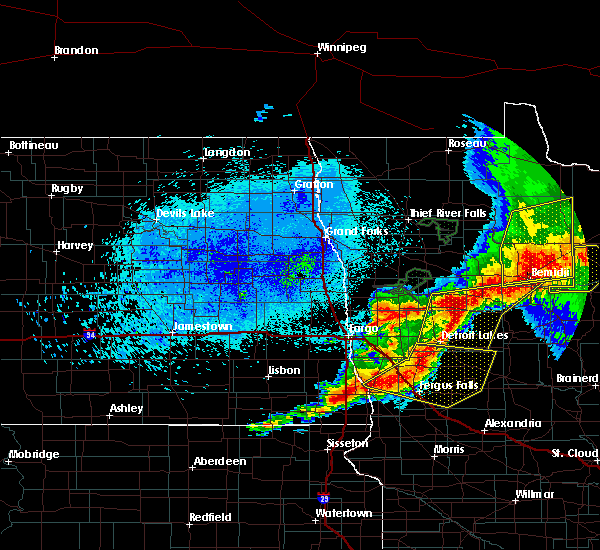 At 1149 pm cdt, severe thunderstorms were located along a line extending from 19 miles south of birchdale to 8 miles northwest of craigville to near blackduck, moving east at 45 mph (radar indicated). Hazards include 60 mph wind gusts and penny size hail. Expect damage to roofs, siding, and trees. Locations impacted include, bemidji, blackduck, kelliher, wilton, tenstrike, lavinia and turtle river. At 1149 pm cdt, severe thunderstorms were located along a line extending from 19 miles south of birchdale to 8 miles northwest of craigville to near blackduck, moving east at 45 mph (radar indicated). Hazards include 60 mph wind gusts and penny size hail. Expect damage to roofs, siding, and trees. Locations impacted include, bemidji, blackduck, kelliher, wilton, tenstrike, lavinia and turtle river.
|
| 8/13/2020 11:33 PM CDT |
 At 1133 pm cdt, severe thunderstorms were located along a line extending from near waubun to near shoreham, moving east at 25 mph (radar indicated). Hazards include 60 mph wind gusts and quarter size hail. Hail damage to vehicles is expected. Expect wind damage to roofs, siding, and trees. At 1133 pm cdt, severe thunderstorms were located along a line extending from near waubun to near shoreham, moving east at 25 mph (radar indicated). Hazards include 60 mph wind gusts and quarter size hail. Hail damage to vehicles is expected. Expect wind damage to roofs, siding, and trees.
|
| 8/13/2020 11:10 PM CDT |
 At 1109 pm cdt, severe thunderstorms were located along a line extending from near upper red lake to near northome to near wilton, moving east at 45 mph (radar indicated). Hazards include 70 mph wind gusts and penny size hail. Expect considerable tree damage. damage is likely to mobile homes, roofs, and outbuildings. severe thunderstorms will be near, big bog state recreation area, puposky and waskish around 1120 pm cdt. turtle river around 1130 pm cdt. tenstrike around 1135 pm cdt. hines around 1140 pm cdt. Blackduck around 1145 pm cdt. At 1109 pm cdt, severe thunderstorms were located along a line extending from near upper red lake to near northome to near wilton, moving east at 45 mph (radar indicated). Hazards include 70 mph wind gusts and penny size hail. Expect considerable tree damage. damage is likely to mobile homes, roofs, and outbuildings. severe thunderstorms will be near, big bog state recreation area, puposky and waskish around 1120 pm cdt. turtle river around 1130 pm cdt. tenstrike around 1135 pm cdt. hines around 1140 pm cdt. Blackduck around 1145 pm cdt.
|
| 8/13/2020 10:34 PM CDT |
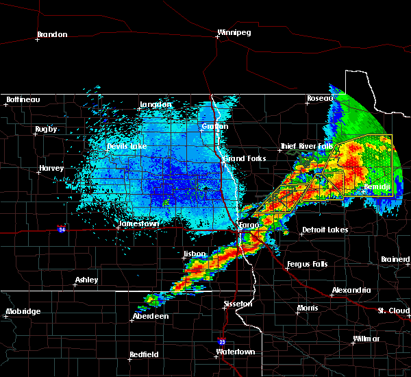 At 1034 pm cdt, severe thunderstorms were located along a line extending from 11 miles northwest of upper red lake to near solway, moving east at 30 mph (radar indicated). Hazards include 70 mph wind gusts and nickel size hail. Expect considerable tree damage. damage is likely to mobile homes, roofs, and outbuildings. these severe storms will be near, upper red lake around 1035 pm cdt. wilton around 1045 pm cdt. bemidji and plantagenet lake around 1050 pm cdt. lavinia, lake bemidji state park and rosby around 1100 pm cdt. Turtle river around 1110 pm cdt. At 1034 pm cdt, severe thunderstorms were located along a line extending from 11 miles northwest of upper red lake to near solway, moving east at 30 mph (radar indicated). Hazards include 70 mph wind gusts and nickel size hail. Expect considerable tree damage. damage is likely to mobile homes, roofs, and outbuildings. these severe storms will be near, upper red lake around 1035 pm cdt. wilton around 1045 pm cdt. bemidji and plantagenet lake around 1050 pm cdt. lavinia, lake bemidji state park and rosby around 1100 pm cdt. Turtle river around 1110 pm cdt.
|
| 8/13/2020 10:27 PM CDT |
 At 1027 pm cdt, severe thunderstorms were located along a line extending from 10 miles east of thorhult to near pinewood, moving northeast at 30 mph (radar indicated). Hazards include 60 mph wind gusts and nickel size hail. Expect damage to roofs, siding, and trees. these severe storms will be near, upper red lake around 1030 pm cdt. puposky around 1055 pm cdt. turtle river around 1100 pm cdt. nebish around 1105 pm cdt. Tenstrike around 1110 pm cdt. At 1027 pm cdt, severe thunderstorms were located along a line extending from 10 miles east of thorhult to near pinewood, moving northeast at 30 mph (radar indicated). Hazards include 60 mph wind gusts and nickel size hail. Expect damage to roofs, siding, and trees. these severe storms will be near, upper red lake around 1030 pm cdt. puposky around 1055 pm cdt. turtle river around 1100 pm cdt. nebish around 1105 pm cdt. Tenstrike around 1110 pm cdt.
|
| 8/13/2020 10:11 PM CDT |
 At 1011 pm cdt, severe thunderstorms were located along a line extending from 6 miles southeast of thorhult to shevlin, moving northeast at 30 mph (radar indicated). Hazards include 60 mph wind gusts and nickel size hail. Expect damage to roofs, siding, and trees. severe thunderstorms will be near, thorhult around 1015 pm cdt. upper red lake around 1020 pm cdt. puposky around 1050 pm cdt. nebish and turtle river around 1100 pm cdt. Tenstrike around 1110 pm cdt. At 1011 pm cdt, severe thunderstorms were located along a line extending from 6 miles southeast of thorhult to shevlin, moving northeast at 30 mph (radar indicated). Hazards include 60 mph wind gusts and nickel size hail. Expect damage to roofs, siding, and trees. severe thunderstorms will be near, thorhult around 1015 pm cdt. upper red lake around 1020 pm cdt. puposky around 1050 pm cdt. nebish and turtle river around 1100 pm cdt. Tenstrike around 1110 pm cdt.
|
| 8/9/2020 5:26 PM CDT |
 The severe thunderstorm warning for hubbard, southeastern polk, southeastern beltrami, northeastern mahnomen, northeastern becker and clearwater counties will expire at 530 pm cdt, the storms which prompted the warning have weakened below severe limits, and no longer poses an immediate threat to life or property. therefore, the warning will be allowed to expire. however gusty winds are still possible with these thunderstorms. a severe thunderstorm watch remains in effect until 700 pm cdt for north central and northwestern minnesota. The severe thunderstorm warning for hubbard, southeastern polk, southeastern beltrami, northeastern mahnomen, northeastern becker and clearwater counties will expire at 530 pm cdt, the storms which prompted the warning have weakened below severe limits, and no longer poses an immediate threat to life or property. therefore, the warning will be allowed to expire. however gusty winds are still possible with these thunderstorms. a severe thunderstorm watch remains in effect until 700 pm cdt for north central and northwestern minnesota.
|
| 8/9/2020 5:16 PM CDT |
 At 516 pm cdt, severe thunderstorms were located along a line extending from near solway to near two inlets, moving east at 50 mph (trained weather spotters). Hazards include 70 mph wind gusts and penny size hail. Expect considerable tree damage. damage is likely to mobile homes, roofs, and outbuildings. these severe storms will be near, wilton around 520 pm cdt. emmaville, plantagenet lake and camp wilderness around 525 pm cdt. lavinia and lake bemidji state park around 530 pm cdt. rosby and nary around 535 pm cdt. akeley around 540 pm cdt. Other locations impacted by these severe thunderstorms include camp thunderbird east and camp thunderbird west. At 516 pm cdt, severe thunderstorms were located along a line extending from near solway to near two inlets, moving east at 50 mph (trained weather spotters). Hazards include 70 mph wind gusts and penny size hail. Expect considerable tree damage. damage is likely to mobile homes, roofs, and outbuildings. these severe storms will be near, wilton around 520 pm cdt. emmaville, plantagenet lake and camp wilderness around 525 pm cdt. lavinia and lake bemidji state park around 530 pm cdt. rosby and nary around 535 pm cdt. akeley around 540 pm cdt. Other locations impacted by these severe thunderstorms include camp thunderbird east and camp thunderbird west.
|
| 8/9/2020 4:55 PM CDT |
 At 454 pm cdt, severe thunderstorms were located along a line extending from near hines to near rosby to near lake george, moving east at 45 mph. there are additional storms that will move through this area capable of severe wind gusts (trained weather spotters reported trees blown over). Hazards include 70 mph wind gusts and penny size hail. Expect considerable tree damage. damage is likely to mobile homes, roofs, and outbuildings. these severe storms will be near, tenstrike around 455 pm cdt. blackduck and hines around 500 pm cdt. kabekona around 505 pm cdt. laporte around 510 pm cdt. benedict around 515 pm cdt. Other locations impacted by these severe thunderstorms include camp thunderbird east and camp thunderbird west. At 454 pm cdt, severe thunderstorms were located along a line extending from near hines to near rosby to near lake george, moving east at 45 mph. there are additional storms that will move through this area capable of severe wind gusts (trained weather spotters reported trees blown over). Hazards include 70 mph wind gusts and penny size hail. Expect considerable tree damage. damage is likely to mobile homes, roofs, and outbuildings. these severe storms will be near, tenstrike around 455 pm cdt. blackduck and hines around 500 pm cdt. kabekona around 505 pm cdt. laporte around 510 pm cdt. benedict around 515 pm cdt. Other locations impacted by these severe thunderstorms include camp thunderbird east and camp thunderbird west.
|
| 8/9/2020 4:38 PM CDT |
 At 435 pm cdt, severe thunderstorms were located along a line extending from near nebish to near plantagenet lake to itasca state park, moving southeast at 50 mph (trained weather spotters report mature trees blown down 4 miles south of solway). Hazards include 70 mph wind gusts and penny size hail. Expect considerable tree damage. damage is likely to mobile homes, roofs, and outbuildings. severe thunderstorms will be near, plantagenet lake and bemidji around 440 pm cdt. nary and rosby around 445 pm cdt. tenstrike, guthrie and lake george around 450 pm cdt. camp wilderness, emmaville and hines around 455 pm cdt. akeley around 510 pm cdt. other locations impacted by these severe thunderstorms include camp thunderbird east and camp thunderbird west. There will be an additional thunderstorm capable of winds up to 70 mph moving through the area. At 435 pm cdt, severe thunderstorms were located along a line extending from near nebish to near plantagenet lake to itasca state park, moving southeast at 50 mph (trained weather spotters report mature trees blown down 4 miles south of solway). Hazards include 70 mph wind gusts and penny size hail. Expect considerable tree damage. damage is likely to mobile homes, roofs, and outbuildings. severe thunderstorms will be near, plantagenet lake and bemidji around 440 pm cdt. nary and rosby around 445 pm cdt. tenstrike, guthrie and lake george around 450 pm cdt. camp wilderness, emmaville and hines around 455 pm cdt. akeley around 510 pm cdt. other locations impacted by these severe thunderstorms include camp thunderbird east and camp thunderbird west. There will be an additional thunderstorm capable of winds up to 70 mph moving through the area.
|
| 8/9/2020 4:10 PM CDT |
 At 409 pm cdt, severe thunderstorms were located along a line extending from near debs to near bagley to mahnomen, moving east at 40 mph (radar indicated). Hazards include 70 mph wind gusts and penny size hail. Expect considerable tree damage. damage is likely to mobile homes, roofs, and outbuildings. these severe storms will be near, bagley and rice lake around 415 pm cdt. debs, upper rice lake and shevlin around 420 pm cdt. alida around 425 pm cdt. mahkonce and solway around 430 pm cdt. puposky, naytahwaush and roy lake around 435 pm cdt. Other locations impacted by these severe thunderstorms include camp thunderbird east and camp thunderbird west. At 409 pm cdt, severe thunderstorms were located along a line extending from near debs to near bagley to mahnomen, moving east at 40 mph (radar indicated). Hazards include 70 mph wind gusts and penny size hail. Expect considerable tree damage. damage is likely to mobile homes, roofs, and outbuildings. these severe storms will be near, bagley and rice lake around 415 pm cdt. debs, upper rice lake and shevlin around 420 pm cdt. alida around 425 pm cdt. mahkonce and solway around 430 pm cdt. puposky, naytahwaush and roy lake around 435 pm cdt. Other locations impacted by these severe thunderstorms include camp thunderbird east and camp thunderbird west.
|
| 8/9/2020 3:41 PM CDT |
 At 340 pm cdt, severe thunderstorms were located along a line extending from 6 miles southeast of roland to near mcintosh to near flaming, moving east at 50 mph (radar indicated). Hazards include 70 mph wind gusts and penny size hail. Expect considerable tree damage. damage is likely to mobile homes, roofs, and outbuildings. severe thunderstorms will be near, fosston and gully around 345 pm cdt. berner and rindal around 350 pm cdt. lengby around 355 pm cdt. ebro, bejou and weme around 400 pm cdt. mahnomen around 405 pm cdt. Other locations impacted by these severe thunderstorms include camp thunderbird east and camp thunderbird west. At 340 pm cdt, severe thunderstorms were located along a line extending from 6 miles southeast of roland to near mcintosh to near flaming, moving east at 50 mph (radar indicated). Hazards include 70 mph wind gusts and penny size hail. Expect considerable tree damage. damage is likely to mobile homes, roofs, and outbuildings. severe thunderstorms will be near, fosston and gully around 345 pm cdt. berner and rindal around 350 pm cdt. lengby around 355 pm cdt. ebro, bejou and weme around 400 pm cdt. mahnomen around 405 pm cdt. Other locations impacted by these severe thunderstorms include camp thunderbird east and camp thunderbird west.
|
| 8/8/2020 11:22 AM CDT |
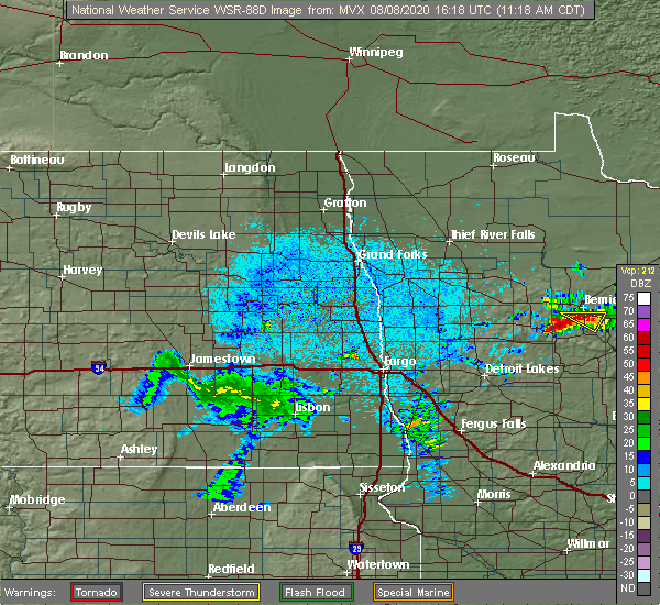 The severe thunderstorm warning for northeastern hubbard and south central beltrami counties will expire at 1130 am cdt, the storm which prompted the warning has weakened below severe limits, and no longer pose an immediate threat to life or property. therefore, the warning will be allowed to expire. however small hail and gusty winds are still possible with this thunderstorm. The severe thunderstorm warning for northeastern hubbard and south central beltrami counties will expire at 1130 am cdt, the storm which prompted the warning has weakened below severe limits, and no longer pose an immediate threat to life or property. therefore, the warning will be allowed to expire. however small hail and gusty winds are still possible with this thunderstorm.
|
| 8/8/2020 11:11 AM CDT |
 At 1110 am cdt, a severe thunderstorm was located near lavinia, or 8 miles east of bemidji, moving east at 30 mph. law enforcement reported quarter sized hail near lake plantagenet (law enforcement). Hazards include 60 mph wind gusts and quarter size hail. Hail damage to vehicles is expected. expect wind damage to roofs, siding, and trees. Locations impacted include, plantagenet lake, guthrie, rosby and nary. At 1110 am cdt, a severe thunderstorm was located near lavinia, or 8 miles east of bemidji, moving east at 30 mph. law enforcement reported quarter sized hail near lake plantagenet (law enforcement). Hazards include 60 mph wind gusts and quarter size hail. Hail damage to vehicles is expected. expect wind damage to roofs, siding, and trees. Locations impacted include, plantagenet lake, guthrie, rosby and nary.
|
| 8/8/2020 11:08 AM CDT | Quarter sized hail reported 7.9 miles NNW of Bemidji, MN, hail near lake plantagenet. near the beltrami county line. |
| 8/8/2020 11:08 AM CDT | Quarter sized hail reported 6.5 miles NNE of Bemidji, MN, hail near lake plantagenet. near the beltrami county line. |
| 8/8/2020 11:07 AM CDT | Quarter sized hail reported 4.6 miles NNE of Bemidji, MN, near lake plantagenet. |
| 8/8/2020 10:55 AM CDT | Ping Pong Ball sized hail reported 6.4 miles ENE of Bemidji, MN |
| 8/8/2020 10:52 AM CDT |
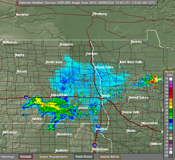 At 1052 am cdt, a severe thunderstorm was located over bemidji, moving east at 30 mph (radar indicated). Hazards include golf ball size hail and 60 mph wind gusts. People and animals outdoors will be injured. expect hail damage to roofs, siding, windows, and vehicles. expect wind damage to roofs, siding, and trees. Locations impacted include, bemidji, blackduck, plantagenet lake, wilton, tenstrike, lavinia and turtle river. At 1052 am cdt, a severe thunderstorm was located over bemidji, moving east at 30 mph (radar indicated). Hazards include golf ball size hail and 60 mph wind gusts. People and animals outdoors will be injured. expect hail damage to roofs, siding, windows, and vehicles. expect wind damage to roofs, siding, and trees. Locations impacted include, bemidji, blackduck, plantagenet lake, wilton, tenstrike, lavinia and turtle river.
|
| 8/8/2020 10:39 AM CDT |
 At 1038 am cdt, a severe thunderstorm was located over wilton, or near bemidji, moving east at 30 mph (radar indicated). Hazards include 60 mph wind gusts and quarter size hail. Hail damage to vehicles is expected. Expect wind damage to roofs, siding, and trees. At 1038 am cdt, a severe thunderstorm was located over wilton, or near bemidji, moving east at 30 mph (radar indicated). Hazards include 60 mph wind gusts and quarter size hail. Hail damage to vehicles is expected. Expect wind damage to roofs, siding, and trees.
|
| 8/7/2020 6:37 PM CDT |
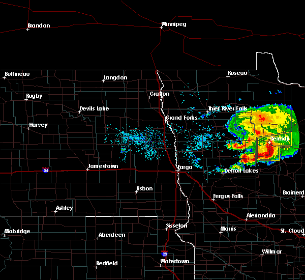 At 637 pm cdt, severe thunderstorms were located along a line extending from bemidji to near lake george, moving east at 30 mph (radar indicated). Hazards include 60 mph wind gusts and nickel size hail. Expect damage to roofs, siding, and trees. these severe storms will be near, bemidji and lake bemidji state park around 640 pm cdt. lavinia around 645 pm cdt. camp wilderness, rosby and nary around 650 pm cdt. benedict around 710 pm cdt. pennington around 715 pm cdt. Other locations impacted by these severe thunderstorms include camp thunderbird east and camp thunderbird west. At 637 pm cdt, severe thunderstorms were located along a line extending from bemidji to near lake george, moving east at 30 mph (radar indicated). Hazards include 60 mph wind gusts and nickel size hail. Expect damage to roofs, siding, and trees. these severe storms will be near, bemidji and lake bemidji state park around 640 pm cdt. lavinia around 645 pm cdt. camp wilderness, rosby and nary around 650 pm cdt. benedict around 710 pm cdt. pennington around 715 pm cdt. Other locations impacted by these severe thunderstorms include camp thunderbird east and camp thunderbird west.
|
| 8/7/2020 6:30 PM CDT | Trees down hwy 71 and glidden rd in beltrami county MN, 4.3 miles S of Bemidji, MN |
| 8/7/2020 6:18 PM CDT |
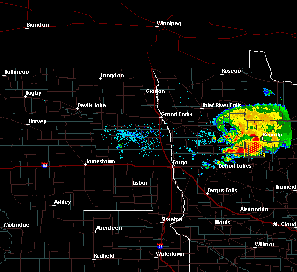 At 618 pm cdt, severe thunderstorms were located along a line extending from near wilton to lake george, moving east at 30 mph (radar indicated). Hazards include 60 mph wind gusts and nickel size hail. Expect damage to roofs, siding, and trees. severe thunderstorms will be near, wilton and camp wilderness around 620 pm cdt. bemidji around 625 pm cdt. kabekona around 630 pm cdt. lake bemidji state park and lavinia around 635 pm cdt. guthrie around 640 pm cdt. Other locations impacted by these severe thunderstorms include camp thunderbird east and camp thunderbird west. At 618 pm cdt, severe thunderstorms were located along a line extending from near wilton to lake george, moving east at 30 mph (radar indicated). Hazards include 60 mph wind gusts and nickel size hail. Expect damage to roofs, siding, and trees. severe thunderstorms will be near, wilton and camp wilderness around 620 pm cdt. bemidji around 625 pm cdt. kabekona around 630 pm cdt. lake bemidji state park and lavinia around 635 pm cdt. guthrie around 640 pm cdt. Other locations impacted by these severe thunderstorms include camp thunderbird east and camp thunderbird west.
|
| 8/7/2020 5:43 PM CDT |
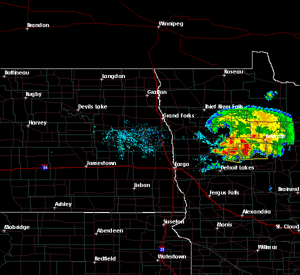 At 542 pm cdt, severe thunderstorms were located along a line extending from upper rice lake to near bad medicine lake, moving east at 35 mph (radar indicated). Hazards include 60 mph wind gusts and quarter size hail. Hail damage to vehicles is expected. expect wind damage to roofs, siding, and trees. these severe storms will be near, upper rice lake around 545 pm cdt. alida around 550 pm cdt. itasca state park and lake itasca around 550 pm cdt. becida around 600 pm cdt. lake george around 610 pm cdt. Other locations impacted by these severe thunderstorms include camp thunderbird east and camp thunderbird west. At 542 pm cdt, severe thunderstorms were located along a line extending from upper rice lake to near bad medicine lake, moving east at 35 mph (radar indicated). Hazards include 60 mph wind gusts and quarter size hail. Hail damage to vehicles is expected. expect wind damage to roofs, siding, and trees. these severe storms will be near, upper rice lake around 545 pm cdt. alida around 550 pm cdt. itasca state park and lake itasca around 550 pm cdt. becida around 600 pm cdt. lake george around 610 pm cdt. Other locations impacted by these severe thunderstorms include camp thunderbird east and camp thunderbird west.
|
| 8/7/2020 5:30 PM CDT |
 At 529 pm cdt, severe thunderstorms were located along a line extending from near rice lake to near bad medicine lake, moving east at 35 mph (radar indicated). Hazards include 60 mph wind gusts and quarter size hail. Hail damage to vehicles is expected. expect wind damage to roofs, siding, and trees. severe thunderstorms will be near, zerkel around 535 pm cdt. upper rice lake around 545 pm cdt. alida, two inlets and itasca state park around 550 pm cdt. becida around 600 pm cdt. lake george and emmaville around 610 pm cdt. Other locations impacted by these severe thunderstorms include camp thunderbird east, camp thunderbird west and many point scout camp. At 529 pm cdt, severe thunderstorms were located along a line extending from near rice lake to near bad medicine lake, moving east at 35 mph (radar indicated). Hazards include 60 mph wind gusts and quarter size hail. Hail damage to vehicles is expected. expect wind damage to roofs, siding, and trees. severe thunderstorms will be near, zerkel around 535 pm cdt. upper rice lake around 545 pm cdt. alida, two inlets and itasca state park around 550 pm cdt. becida around 600 pm cdt. lake george and emmaville around 610 pm cdt. Other locations impacted by these severe thunderstorms include camp thunderbird east, camp thunderbird west and many point scout camp.
|
| 7/17/2020 7:35 PM CDT | Branches and power lines down near the universit in beltrami county MN, 0.4 miles ESE of Bemidji, MN |
| 7/17/2020 7:28 PM CDT |
 At 727 pm cdt, severe thunderstorms were located along a line extending from near shooks to 7 miles southeast of hines to laporte, moving east at 60 mph (radar indicated). Hazards include 60 mph wind gusts and penny size hail. Expect damage to roofs, siding, and trees. these severe storms will be near, shooks and funkley around 730 pm cdt. Other locations impacted by these severe thunderstorms include camp thunderbird east and camp thunderbird west. At 727 pm cdt, severe thunderstorms were located along a line extending from near shooks to 7 miles southeast of hines to laporte, moving east at 60 mph (radar indicated). Hazards include 60 mph wind gusts and penny size hail. Expect damage to roofs, siding, and trees. these severe storms will be near, shooks and funkley around 730 pm cdt. Other locations impacted by these severe thunderstorms include camp thunderbird east and camp thunderbird west.
|
| 7/17/2020 7:10 PM CDT | Several trees blown dow in beltrami county MN, 5.5 miles E of Bemidji, MN |
| 7/17/2020 6:53 PM CDT |
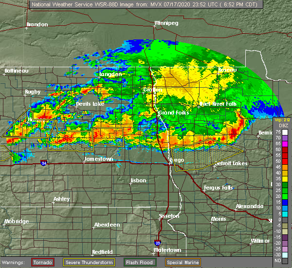 At 652 pm cdt, severe thunderstorms were located along a line extending from lower red lake to near leonard to near zerkel, moving east at 65 mph (radar indicated). Hazards include 60 mph wind gusts and penny size hail. Expect damage to roofs, siding, and trees. severe thunderstorms will be near, lower red lake, pinewood and debs around 655 pm cdt. little rock and red lake around 700 pm cdt. lake itasca, itasca state park and redby around 705 pm cdt. lake bemidji state park and becida around 710 pm cdt. turtle river, lake george and tenstrike around 715 pm cdt. Other locations impacted by these severe thunderstorms include camp thunderbird east and camp thunderbird west. At 652 pm cdt, severe thunderstorms were located along a line extending from lower red lake to near leonard to near zerkel, moving east at 65 mph (radar indicated). Hazards include 60 mph wind gusts and penny size hail. Expect damage to roofs, siding, and trees. severe thunderstorms will be near, lower red lake, pinewood and debs around 655 pm cdt. little rock and red lake around 700 pm cdt. lake itasca, itasca state park and redby around 705 pm cdt. lake bemidji state park and becida around 710 pm cdt. turtle river, lake george and tenstrike around 715 pm cdt. Other locations impacted by these severe thunderstorms include camp thunderbird east and camp thunderbird west.
|
| 7/17/2020 6:19 PM CDT |
 At 618 pm cdt, severe thunderstorms were located along a line extending from 8 miles northeast of berner to near leonard to island lake in mahnomen county, moving southeast at 75 mph (radar indicated). Hazards include 70 mph wind gusts and quarter size hail. Hail damage to vehicles is expected. expect considerable tree damage. wind damage is also likely to mobile homes, roofs, and outbuildings. these severe storms will be near, leonard and bagley around 620 pm cdt. rice lake, southwestern lower red lake and shevlin around 625 pm cdt. zerkel, solway and island lake in beltrami county around 630 pm cdt. wilton, bemidji and alida around 635 pm cdt. lake itasca, itasca state park and nebish around 640 pm cdt. Other locations impacted by these severe thunderstorms include camp thunderbird east and camp thunderbird west. At 618 pm cdt, severe thunderstorms were located along a line extending from 8 miles northeast of berner to near leonard to island lake in mahnomen county, moving southeast at 75 mph (radar indicated). Hazards include 70 mph wind gusts and quarter size hail. Hail damage to vehicles is expected. expect considerable tree damage. wind damage is also likely to mobile homes, roofs, and outbuildings. these severe storms will be near, leonard and bagley around 620 pm cdt. rice lake, southwestern lower red lake and shevlin around 625 pm cdt. zerkel, solway and island lake in beltrami county around 630 pm cdt. wilton, bemidji and alida around 635 pm cdt. lake itasca, itasca state park and nebish around 640 pm cdt. Other locations impacted by these severe thunderstorms include camp thunderbird east and camp thunderbird west.
|
| 7/17/2020 5:47 PM CDT |
 At 546 pm cdt, severe thunderstorms were located along a line extending from near thief river falls to terrebonne to near melvin, moving southeast at 75 mph (radar indicated). Hazards include 70 mph wind gusts and quarter size hail. Hail damage to vehicles is expected. expect considerable tree damage. wind damage is also likely to mobile homes, roofs, and outbuildings. severe thunderstorms will be near, brooks, mavie and plummer around 550 pm cdt. high landing, oklee and mentor around 555 pm cdt. trail and roland around 600 pm cdt. olga, winger and gully around 605 pm cdt. weme, clearbrook and gonvick around 610 pm cdt. Other locations impacted by these severe thunderstorms include camp thunderbird east and camp thunderbird west. At 546 pm cdt, severe thunderstorms were located along a line extending from near thief river falls to terrebonne to near melvin, moving southeast at 75 mph (radar indicated). Hazards include 70 mph wind gusts and quarter size hail. Hail damage to vehicles is expected. expect considerable tree damage. wind damage is also likely to mobile homes, roofs, and outbuildings. severe thunderstorms will be near, brooks, mavie and plummer around 550 pm cdt. high landing, oklee and mentor around 555 pm cdt. trail and roland around 600 pm cdt. olga, winger and gully around 605 pm cdt. weme, clearbrook and gonvick around 610 pm cdt. Other locations impacted by these severe thunderstorms include camp thunderbird east and camp thunderbird west.
|
| 7/13/2020 8:28 PM CDT |
 At 828 pm cdt, severe thunderstorms were located along a line extending from near lavinia to near lake george, moving east at 40 mph (radar indicated). Hazards include 60 mph wind gusts and quarter size hail. Hail damage to vehicles is expected. expect wind damage to roofs, siding, and trees. these severe storms will be near, turtle river around 830 pm cdt. laporte around 840 pm cdt. benedict and pennington around 845 pm cdt. Other locations impacted by these severe thunderstorms include camp thunderbird east and camp thunderbird west. At 828 pm cdt, severe thunderstorms were located along a line extending from near lavinia to near lake george, moving east at 40 mph (radar indicated). Hazards include 60 mph wind gusts and quarter size hail. Hail damage to vehicles is expected. expect wind damage to roofs, siding, and trees. these severe storms will be near, turtle river around 830 pm cdt. laporte around 840 pm cdt. benedict and pennington around 845 pm cdt. Other locations impacted by these severe thunderstorms include camp thunderbird east and camp thunderbird west.
|
| 7/13/2020 8:07 PM CDT |
 At 806 pm cdt, severe thunderstorms were located along a line extending from wilton to itasca state park, moving east at 40 mph (radar indicated). Hazards include 60 mph wind gusts and quarter size hail. Hail damage to vehicles is expected. expect wind damage to roofs, siding, and trees. severe thunderstorms will be near, wilton and bemidji around 810 pm cdt. lavinia and lake bemidji state park around 820 pm cdt. lake george, camp wilderness and turtle river around 825 pm cdt. kabekona around 830 pm cdt. laporte around 840 pm cdt. Other locations impacted by these severe thunderstorms include camp thunderbird east and camp thunderbird west. At 806 pm cdt, severe thunderstorms were located along a line extending from wilton to itasca state park, moving east at 40 mph (radar indicated). Hazards include 60 mph wind gusts and quarter size hail. Hail damage to vehicles is expected. expect wind damage to roofs, siding, and trees. severe thunderstorms will be near, wilton and bemidji around 810 pm cdt. lavinia and lake bemidji state park around 820 pm cdt. lake george, camp wilderness and turtle river around 825 pm cdt. kabekona around 830 pm cdt. laporte around 840 pm cdt. Other locations impacted by these severe thunderstorms include camp thunderbird east and camp thunderbird west.
|
| 7/9/2020 2:26 AM CDT | Quarter sized hail reported 8.4 miles S of Bemidji, MN, report of quarter hail and torrential rainfall 8 miles north of bemidji via social media. |
| 7/9/2020 2:17 AM CDT |
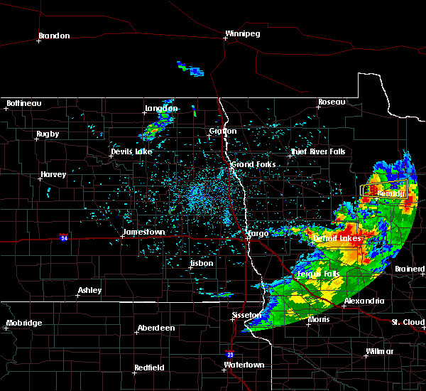 At 216 am cdt, a severe thunderstorm was located near puposky, or 8 miles north of bemidji, moving east at 30 mph (radar indicated). Hazards include ping pong ball size hail and 60 mph wind gusts. People and animals outdoors will be injured. expect hail damage to roofs, siding, windows, and vehicles. expect wind damage to roofs, siding, and trees. Locations impacted include, blackduck, tenstrike, turtle river, hines, puposky, lake bemidji state park and lavinia. At 216 am cdt, a severe thunderstorm was located near puposky, or 8 miles north of bemidji, moving east at 30 mph (radar indicated). Hazards include ping pong ball size hail and 60 mph wind gusts. People and animals outdoors will be injured. expect hail damage to roofs, siding, windows, and vehicles. expect wind damage to roofs, siding, and trees. Locations impacted include, blackduck, tenstrike, turtle river, hines, puposky, lake bemidji state park and lavinia.
|
| 7/9/2020 2:13 AM CDT |
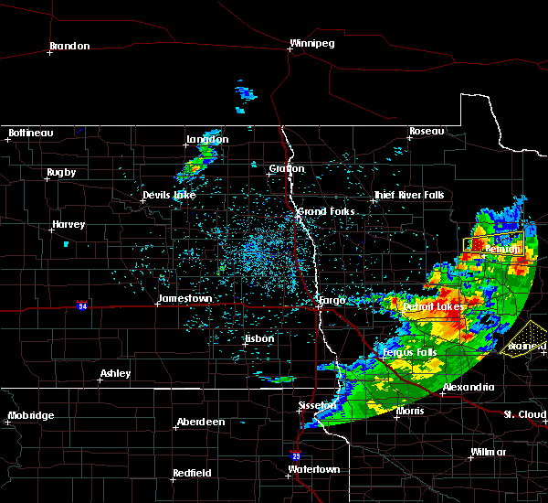 At 213 am cdt, a severe thunderstorm was located near wilton, or 8 miles northwest of bemidji, moving east at 30 mph (radar indicated). Hazards include ping pong ball size hail and 60 mph wind gusts. People and animals outdoors will be injured. expect hail damage to roofs, siding, windows, and vehicles. Expect wind damage to roofs, siding, and trees. At 213 am cdt, a severe thunderstorm was located near wilton, or 8 miles northwest of bemidji, moving east at 30 mph (radar indicated). Hazards include ping pong ball size hail and 60 mph wind gusts. People and animals outdoors will be injured. expect hail damage to roofs, siding, windows, and vehicles. Expect wind damage to roofs, siding, and trees.
|
| 7/9/2020 2:05 AM CDT |
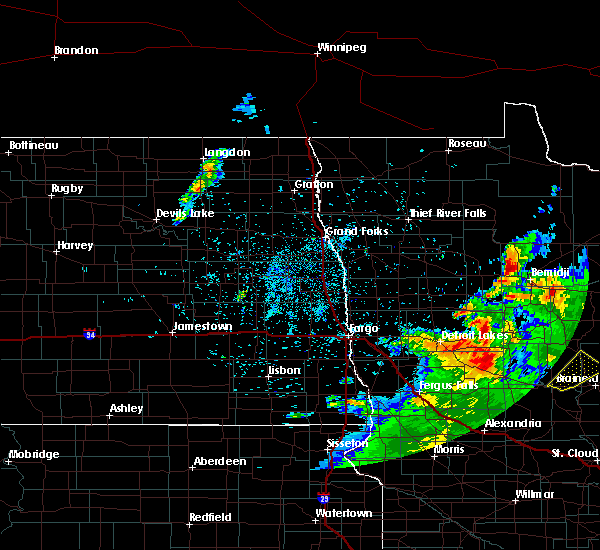 At 205 am cdt, a severe thunderstorm was located near pinewood, or 11 miles northwest of bemidji, moving east at 30 mph (radar indicated). Hazards include 60 mph wind gusts and quarter size hail. Hail damage to vehicles is expected. Expect wind damage to roofs, siding, and trees. At 205 am cdt, a severe thunderstorm was located near pinewood, or 11 miles northwest of bemidji, moving east at 30 mph (radar indicated). Hazards include 60 mph wind gusts and quarter size hail. Hail damage to vehicles is expected. Expect wind damage to roofs, siding, and trees.
|
| 6/7/2020 11:50 PM CDT |
 At 1150 pm cdt, severe thunderstorms were located along a line extending from 7 miles northeast of thorhult to upper red lake to near redby, moving northeast at 65 mph (radar indicated). Hazards include 60 mph wind gusts. Expect damage to roofs, siding, and trees. these severe storms will be near, upper red lake around 1155 pm cdt. saum around 1200 am cdt. shooks and shotley around 1205 am cdt. kelliher, big bog state recreation area and waskish around 1210 am cdt. Other locations impacted by these severe thunderstorms include camp thunderbird east and camp thunderbird west. At 1150 pm cdt, severe thunderstorms were located along a line extending from 7 miles northeast of thorhult to upper red lake to near redby, moving northeast at 65 mph (radar indicated). Hazards include 60 mph wind gusts. Expect damage to roofs, siding, and trees. these severe storms will be near, upper red lake around 1155 pm cdt. saum around 1200 am cdt. shooks and shotley around 1205 am cdt. kelliher, big bog state recreation area and waskish around 1210 am cdt. Other locations impacted by these severe thunderstorms include camp thunderbird east and camp thunderbird west.
|
| 6/7/2020 11:15 PM CDT |
 At 1114 pm cdt, severe thunderstorms were located along a line extending from near goodridge to near fosston to 6 miles southwest of tulaby lake, moving northeast at 45 mph (radar indicated). Hazards include 60 mph wind gusts. Expect damage to roofs, siding, and trees. severe thunderstorms will be near, weme and naytahwaush around 1125 pm cdt. clearbrook and gonvick around 1130 pm cdt. long lost lake and bad medicine lake around 1135 pm cdt. leonard around 1140 pm cdt. zerkel around 1145 pm cdt. Other locations impacted by these severe thunderstorms include camp thunderbird east, camp thunderbird west and many point scout camp. At 1114 pm cdt, severe thunderstorms were located along a line extending from near goodridge to near fosston to 6 miles southwest of tulaby lake, moving northeast at 45 mph (radar indicated). Hazards include 60 mph wind gusts. Expect damage to roofs, siding, and trees. severe thunderstorms will be near, weme and naytahwaush around 1125 pm cdt. clearbrook and gonvick around 1130 pm cdt. long lost lake and bad medicine lake around 1135 pm cdt. leonard around 1140 pm cdt. zerkel around 1145 pm cdt. Other locations impacted by these severe thunderstorms include camp thunderbird east, camp thunderbird west and many point scout camp.
|
| 9/21/2019 7:50 PM CDT |
 The severe thunderstorm warning for northern hubbard and south central beltrami counties will expire at 800 pm cdt, the storm which prompted the warning has weakened below severe limits, and no longer pose an immediate threat to life or property. therefore, the warning will be allowed to expire. The severe thunderstorm warning for northern hubbard and south central beltrami counties will expire at 800 pm cdt, the storm which prompted the warning has weakened below severe limits, and no longer pose an immediate threat to life or property. therefore, the warning will be allowed to expire.
|
| 9/21/2019 7:26 PM CDT |
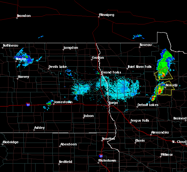 At 725 pm cdt, a severe thunderstorm was located over becida, or 12 miles southwest of bemidji, moving east at 45 mph (radar indicated). Hazards include 60 mph wind gusts and quarter size hail. Hail damage to vehicles is expected. expect wind damage to roofs, siding, and trees. Locations impacted include, bemidji, plantagenet lake, wilton, lavinia, turtle river, solway and kabekona. At 725 pm cdt, a severe thunderstorm was located over becida, or 12 miles southwest of bemidji, moving east at 45 mph (radar indicated). Hazards include 60 mph wind gusts and quarter size hail. Hail damage to vehicles is expected. expect wind damage to roofs, siding, and trees. Locations impacted include, bemidji, plantagenet lake, wilton, lavinia, turtle river, solway and kabekona.
|
| 9/21/2019 7:07 PM CDT |
 At 706 pm cdt, a severe thunderstorm was located over zerkel, or 27 miles southwest of bemidji, moving east at 45 mph (radar indicated). Hazards include 60 mph wind gusts and quarter size hail. Hail damage to vehicles is expected. expect wind damage to roofs, siding, and trees. Locations impacted include, bemidji, plantagenet lake, lake george, wilton, shevlin, lavinia and turtle river. At 706 pm cdt, a severe thunderstorm was located over zerkel, or 27 miles southwest of bemidji, moving east at 45 mph (radar indicated). Hazards include 60 mph wind gusts and quarter size hail. Hail damage to vehicles is expected. expect wind damage to roofs, siding, and trees. Locations impacted include, bemidji, plantagenet lake, lake george, wilton, shevlin, lavinia and turtle river.
|
| 9/21/2019 6:53 PM CDT |
 At 653 pm cdt, a severe thunderstorm was located over naytahwaush, or 30 miles north of detroit lakes, moving east at 45 mph (radar indicated). Hazards include two inch hail and 70 mph wind gusts. People and animals outdoors will be injured. expect hail damage to roofs, siding, windows, and vehicles. expect considerable tree damage. Wind damage is also likely to mobile homes, roofs, and outbuildings. At 653 pm cdt, a severe thunderstorm was located over naytahwaush, or 30 miles north of detroit lakes, moving east at 45 mph (radar indicated). Hazards include two inch hail and 70 mph wind gusts. People and animals outdoors will be injured. expect hail damage to roofs, siding, windows, and vehicles. expect considerable tree damage. Wind damage is also likely to mobile homes, roofs, and outbuildings.
|
| 9/5/2019 5:01 AM CDT |
 At 441 am cdt, a severe thunderstorm was located over becida, or 12 miles southwest of bemidji, moving southeast at 50 mph (radar indicated). Hazards include 60 mph wind gusts and quarter size hail. Hail damage to vehicles is expected. expect wind damage to roofs, siding, and trees. this severe thunderstorm will be near, plantagenet lake around 450 am cdt. nary and rosby around 455 am cdt. guthrie and kabekona around 500 am cdt. laporte around 505 am cdt. benedict around 510 am cdt. Other locations impacted by this severe thunderstorm include camp thunderbird east and camp thunderbird west. At 441 am cdt, a severe thunderstorm was located over becida, or 12 miles southwest of bemidji, moving southeast at 50 mph (radar indicated). Hazards include 60 mph wind gusts and quarter size hail. Hail damage to vehicles is expected. expect wind damage to roofs, siding, and trees. this severe thunderstorm will be near, plantagenet lake around 450 am cdt. nary and rosby around 455 am cdt. guthrie and kabekona around 500 am cdt. laporte around 505 am cdt. benedict around 510 am cdt. Other locations impacted by this severe thunderstorm include camp thunderbird east and camp thunderbird west.
|
| 9/5/2019 4:41 AM CDT |
 The national weather service in grand forks has issued a * severe thunderstorm warning for. northern hubbard county in north central minnesota. southeastern beltrami county in north central minnesota. until 545 am cdt. At 441 am cdt, a severe thunderstorm was located over becida, or 12. The national weather service in grand forks has issued a * severe thunderstorm warning for. northern hubbard county in north central minnesota. southeastern beltrami county in north central minnesota. until 545 am cdt. At 441 am cdt, a severe thunderstorm was located over becida, or 12.
|
| 9/5/2019 4:10 AM CDT |
 At 410 am cdt, severe thunderstorms were located along a line extending from 6 miles west of debs to near ebro to near lengby, moving southeast at 50 mph (law enforcement). Hazards include 60 mph wind gusts. Expect damage to roofs, siding, and trees. severe thunderstorms will be near, bagley, debs and leonard around 415 am cdt. shevlin around 420 am cdt. pinewood and mahkonce around 425 am cdt. rice lake, alida and lower rice lake around 430 am cdt. zerkel and wilton around 435 am cdt. Other locations impacted by these severe thunderstorms include camp thunderbird east and camp thunderbird west. At 410 am cdt, severe thunderstorms were located along a line extending from 6 miles west of debs to near ebro to near lengby, moving southeast at 50 mph (law enforcement). Hazards include 60 mph wind gusts. Expect damage to roofs, siding, and trees. severe thunderstorms will be near, bagley, debs and leonard around 415 am cdt. shevlin around 420 am cdt. pinewood and mahkonce around 425 am cdt. rice lake, alida and lower rice lake around 430 am cdt. zerkel and wilton around 435 am cdt. Other locations impacted by these severe thunderstorms include camp thunderbird east and camp thunderbird west.
|
| 8/17/2019 6:46 PM CDT |
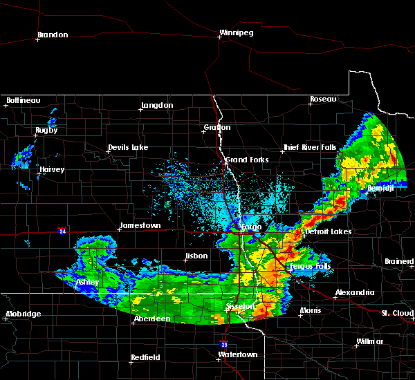 At 645 pm cdt, a severe thunderstorm was located near alida, or 21 miles southwest of bemidji, moving east at 30 mph (radar indicated). Hazards include 60 mph wind gusts and quarter size hail. Hail damage to vehicles is expected. Expect wind damage to roofs, siding, and trees. At 645 pm cdt, a severe thunderstorm was located near alida, or 21 miles southwest of bemidji, moving east at 30 mph (radar indicated). Hazards include 60 mph wind gusts and quarter size hail. Hail damage to vehicles is expected. Expect wind damage to roofs, siding, and trees.
|
| 7/8/2019 11:01 PM CDT |
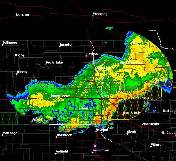 At 1101 pm cdt, a severe thunderstorm was located near rosy, or 25 miles northeast of bemidji, moving east at 35 mph (radar indicated). Hazards include 60 mph wind gusts. Expect damage to roofs, siding, and trees. Locations impacted include, bemidji, blackduck, kelliher, wilton, tenstrike, lavinia and turtle river. At 1101 pm cdt, a severe thunderstorm was located near rosy, or 25 miles northeast of bemidji, moving east at 35 mph (radar indicated). Hazards include 60 mph wind gusts. Expect damage to roofs, siding, and trees. Locations impacted include, bemidji, blackduck, kelliher, wilton, tenstrike, lavinia and turtle river.
|
| 7/8/2019 10:25 PM CDT |
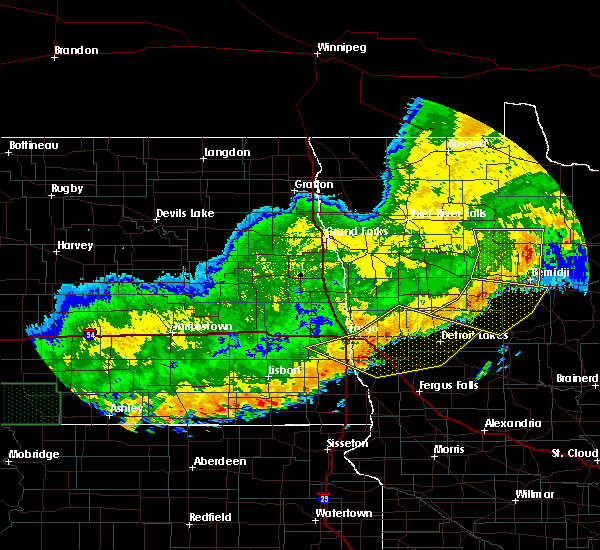 At 1025 pm cdt, a severe thunderstorm was located near puposky, or 13 miles north of bemidji, moving east at 35 mph (radar indicated). Hazards include 60 mph wind gusts. expect damage to roofs, siding, and trees At 1025 pm cdt, a severe thunderstorm was located near puposky, or 13 miles north of bemidji, moving east at 35 mph (radar indicated). Hazards include 60 mph wind gusts. expect damage to roofs, siding, and trees
|
| 7/8/2019 10:04 PM CDT |
 At 1003 pm cdt, a severe thunderstorm was located near debs, or 17 miles northwest of bemidji, moving east at 40 mph (radar indicated). Hazards include 60 mph wind gusts and penny size hail. Expect damage to roofs, siding, and trees. Locations impacted include, bemidji, bagley, redby, clearbrook, red lake, lower red lake and wilton. At 1003 pm cdt, a severe thunderstorm was located near debs, or 17 miles northwest of bemidji, moving east at 40 mph (radar indicated). Hazards include 60 mph wind gusts and penny size hail. Expect damage to roofs, siding, and trees. Locations impacted include, bemidji, bagley, redby, clearbrook, red lake, lower red lake and wilton.
|
| 7/8/2019 9:35 PM CDT |
 At 934 pm cdt, a severe thunderstorm was located near gonvick, or 33 miles northwest of bemidji, moving east at 40 mph (radar indicated). Hazards include 60 mph wind gusts and penny size hail. expect damage to roofs, siding, and trees At 934 pm cdt, a severe thunderstorm was located near gonvick, or 33 miles northwest of bemidji, moving east at 40 mph (radar indicated). Hazards include 60 mph wind gusts and penny size hail. expect damage to roofs, siding, and trees
|
| 7/3/2019 9:50 PM CDT | Quarter sized hail reported 0.4 miles ESE of Bemidji, MN, along division street |
| 7/3/2019 9:44 PM CDT |
 At 944 pm cdt, a severe thunderstorm was located over wilton, or near bemidji, moving north at 20 mph (radar indicated). Hazards include 60 mph wind gusts and quarter size hail. Hail damage to vehicles is expected. expect wind damage to roofs, siding, and trees. this severe storm will be near, bemidji around 945 pm cdt. lavinia around 955 pm cdt. lake bemidji state park around 1000 pm cdt. Puposky and turtle river around 1015 pm cdt. At 944 pm cdt, a severe thunderstorm was located over wilton, or near bemidji, moving north at 20 mph (radar indicated). Hazards include 60 mph wind gusts and quarter size hail. Hail damage to vehicles is expected. expect wind damage to roofs, siding, and trees. this severe storm will be near, bemidji around 945 pm cdt. lavinia around 955 pm cdt. lake bemidji state park around 1000 pm cdt. Puposky and turtle river around 1015 pm cdt.
|
| 7/3/2019 9:26 PM CDT |
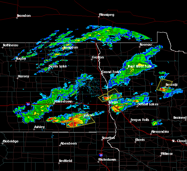 At 926 pm cdt, a severe thunderstorm was located near plantagenet lake, or 7 miles southwest of bemidji, moving north at 20 mph (radar indicated). Hazards include 60 mph wind gusts and quarter size hail. Hail damage to vehicles is expected. expect wind damage to roofs, siding, and trees. this severe thunderstorm will be near, bemidji and wilton around 940 pm cdt. lavinia around 950 pm cdt. lake bemidji state park around 955 pm cdt. puposky and turtle river around 1015 pm cdt. Other locations impacted by this severe thunderstorm include camp thunderbird east and camp thunderbird west. At 926 pm cdt, a severe thunderstorm was located near plantagenet lake, or 7 miles southwest of bemidji, moving north at 20 mph (radar indicated). Hazards include 60 mph wind gusts and quarter size hail. Hail damage to vehicles is expected. expect wind damage to roofs, siding, and trees. this severe thunderstorm will be near, bemidji and wilton around 940 pm cdt. lavinia around 950 pm cdt. lake bemidji state park around 955 pm cdt. puposky and turtle river around 1015 pm cdt. Other locations impacted by this severe thunderstorm include camp thunderbird east and camp thunderbird west.
|
| 6/30/2019 3:36 AM CDT |
 The severe thunderstorm warning for northeastern hubbard and southeastern beltrami counties will expire at 345 am cdt, the storm which prompted the warning has weakened below severe limits, and no longer pose an immediate threat to life or property. therefore, the warning will be allowed to expire. however small hail and gusty winds are still possible with this thunderstorm. a severe thunderstorm watch remains in effect until 500 am cdt for north central minnesota. to report severe weather, contact your nearest law enforcement agency. they will relay your report to the national weather service grand forks. The severe thunderstorm warning for northeastern hubbard and southeastern beltrami counties will expire at 345 am cdt, the storm which prompted the warning has weakened below severe limits, and no longer pose an immediate threat to life or property. therefore, the warning will be allowed to expire. however small hail and gusty winds are still possible with this thunderstorm. a severe thunderstorm watch remains in effect until 500 am cdt for north central minnesota. to report severe weather, contact your nearest law enforcement agency. they will relay your report to the national weather service grand forks.
|
| 6/30/2019 2:41 AM CDT |
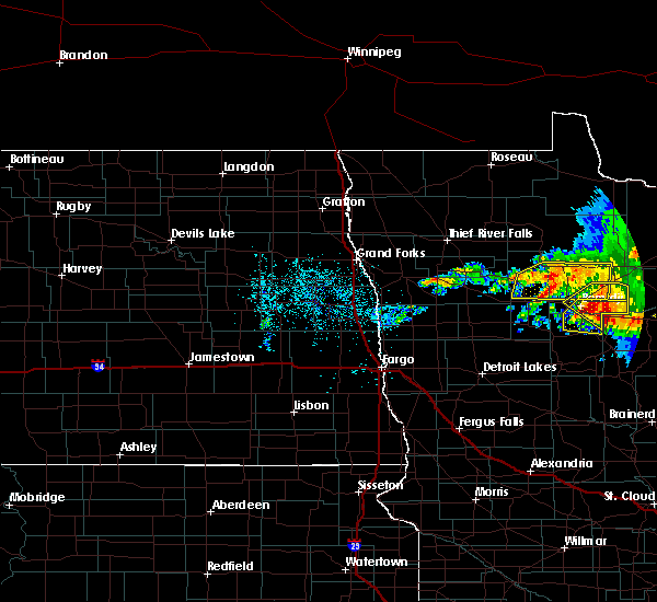 At 240 am cdt, a severe thunderstorm was located over bemidji, moving east at 35 mph (radar indicated). Hazards include 60 mph wind gusts and quarter size hail. Hail damage to vehicles is expected. Expect wind damage to roofs, siding, and trees. At 240 am cdt, a severe thunderstorm was located over bemidji, moving east at 35 mph (radar indicated). Hazards include 60 mph wind gusts and quarter size hail. Hail damage to vehicles is expected. Expect wind damage to roofs, siding, and trees.
|
| 6/30/2019 2:04 AM CDT |
 The national weather service in grand forks has issued a * severe thunderstorm warning for. northeastern hubbard county in north central minnesota. southeastern beltrami county in north central minnesota. until 245 am cdt. At 203 am cdt, a severe thunderstorm was located over lake bemidji. The national weather service in grand forks has issued a * severe thunderstorm warning for. northeastern hubbard county in north central minnesota. southeastern beltrami county in north central minnesota. until 245 am cdt. At 203 am cdt, a severe thunderstorm was located over lake bemidji.
|
| 6/4/2019 8:05 PM CDT | Quarter sized hail reported 5.8 miles NW of Bemidji, MN, beltrami em observed ongoing quarter size hail just south of county line in hubbard county. |
| 6/4/2019 7:46 PM CDT |
 At 746 pm cdt, a severe thunderstorm was located near rosby, or 9 miles southeast of bemidji, moving south at 20 mph (radar indicated). Hazards include two inch hail and 70 mph wind gusts. People and animals outdoors will be injured. expect hail damage to roofs, siding, windows, and vehicles. expect considerable tree damage. wind damage is also likely to mobile homes, roofs, and outbuildings. this severe storm will be near, nary around 755 pm cdt. guthrie and laporte around 815 pm cdt. Other locations impacted by this severe thunderstorm include camp thunderbird east and camp thunderbird west. At 746 pm cdt, a severe thunderstorm was located near rosby, or 9 miles southeast of bemidji, moving south at 20 mph (radar indicated). Hazards include two inch hail and 70 mph wind gusts. People and animals outdoors will be injured. expect hail damage to roofs, siding, windows, and vehicles. expect considerable tree damage. wind damage is also likely to mobile homes, roofs, and outbuildings. this severe storm will be near, nary around 755 pm cdt. guthrie and laporte around 815 pm cdt. Other locations impacted by this severe thunderstorm include camp thunderbird east and camp thunderbird west.
|
| 6/4/2019 7:40 PM CDT | Sheriff deputy reported that strong winds had downed 8-10 mature trees at their base and uprooting half a dozen reported via beltrami em in beltrami county MN, 5.7 miles W of Bemidji, MN |
| 6/4/2019 7:40 PM CDT | Hen Egg sized hail reported 6.7 miles W of Bemidji, MN, picture on social media with ruler of 2.1 inch hailstone with time estimated based on radar |
| 6/4/2019 7:39 PM CDT | Quarter sized hail reported 9.6 miles WNW of Bemidji, MN, em observed a wall cloud and quarter sized hail |
| 6/4/2019 7:36 PM CDT |
 At 736 pm cdt, a severe thunderstorm was located near rosby, or near bemidji, moving south at 15 mph (radar indicated). Hazards include 60 mph wind gusts and quarter size hail. Hail damage to vehicles is expected. expect wind damage to roofs, siding, and trees. this severe thunderstorm will be near, rosby around 750 pm cdt. plantagenet lake around 755 pm cdt. nary around 805 pm cdt. guthrie, kabekona and laporte around 815 pm cdt. Other locations impacted by this severe thunderstorm include camp thunderbird east and camp thunderbird west. At 736 pm cdt, a severe thunderstorm was located near rosby, or near bemidji, moving south at 15 mph (radar indicated). Hazards include 60 mph wind gusts and quarter size hail. Hail damage to vehicles is expected. expect wind damage to roofs, siding, and trees. this severe thunderstorm will be near, rosby around 750 pm cdt. plantagenet lake around 755 pm cdt. nary around 805 pm cdt. guthrie, kabekona and laporte around 815 pm cdt. Other locations impacted by this severe thunderstorm include camp thunderbird east and camp thunderbird west.
|
| 9/14/2018 11:03 PM CDT |
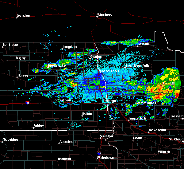 At 1103 pm cdt, a severe thunderstorm was located over plantagenet lake, or near bemidji, moving east at 40 mph (radar indicated). Hazards include quarter size hail. Damage to vehicles is expected. this severe storm will be near, bemidji around 1105 pm cdt. rosby, nary and lavinia around 1110 pm cdt. pennington around 1130 pm cdt. Other locations impacted by this severe thunderstorm include camp thunderbird east and camp thunderbird west. At 1103 pm cdt, a severe thunderstorm was located over plantagenet lake, or near bemidji, moving east at 40 mph (radar indicated). Hazards include quarter size hail. Damage to vehicles is expected. this severe storm will be near, bemidji around 1105 pm cdt. rosby, nary and lavinia around 1110 pm cdt. pennington around 1130 pm cdt. Other locations impacted by this severe thunderstorm include camp thunderbird east and camp thunderbird west.
|
| 9/14/2018 11:00 PM CDT | Golf Ball sized hail reported 6.9 miles E of Bemidji, MN |
| 9/14/2018 10:42 PM CDT |
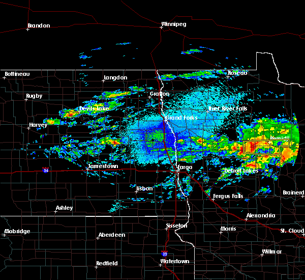 At 1041 pm cdt, a severe thunderstorm was located over southeastern upper rice lake, or 19 miles west of bemidji, moving east at 40 mph (radar indicated). Hazards include quarter size hail. Damage to vehicles is expected. this severe thunderstorm will be near, becida around 1055 pm cdt. wilton around 1100 pm cdt. plantagenet lake and bemidji around 1105 pm cdt. rosby, nary and lavinia around 1110 pm cdt. pennington around 1130 pm cdt. Other locations impacted by this severe thunderstorm include camp thunderbird east and camp thunderbird west. At 1041 pm cdt, a severe thunderstorm was located over southeastern upper rice lake, or 19 miles west of bemidji, moving east at 40 mph (radar indicated). Hazards include quarter size hail. Damage to vehicles is expected. this severe thunderstorm will be near, becida around 1055 pm cdt. wilton around 1100 pm cdt. plantagenet lake and bemidji around 1105 pm cdt. rosby, nary and lavinia around 1110 pm cdt. pennington around 1130 pm cdt. Other locations impacted by this severe thunderstorm include camp thunderbird east and camp thunderbird west.
|
| 9/14/2018 10:08 PM CDT |
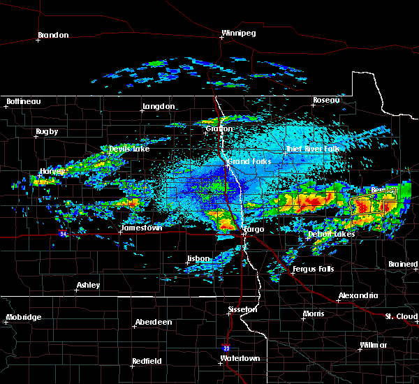 At 944 pm cdt, a severe thunderstorm was located over plantagenet lake, or 8 miles south of bemidji, moving east at 30 mph (radar indicated). Hazards include quarter size hail. Damage to vehicles is expected. this severe storm will be near, nary, rosby and guthrie around 955 pm cdt. Other locations impacted by this severe thunderstorm include camp thunderbird east and camp thunderbird west. At 944 pm cdt, a severe thunderstorm was located over plantagenet lake, or 8 miles south of bemidji, moving east at 30 mph (radar indicated). Hazards include quarter size hail. Damage to vehicles is expected. this severe storm will be near, nary, rosby and guthrie around 955 pm cdt. Other locations impacted by this severe thunderstorm include camp thunderbird east and camp thunderbird west.
|
| 9/14/2018 9:44 PM CDT |
 At 944 pm cdt, a severe thunderstorm was located over plantagenet lake, or 8 miles south of bemidji, moving east at 30 mph (radar indicated). Hazards include quarter size hail. Damage to vehicles is expected. this severe storm will be near, nary, rosby and guthrie around 955 pm cdt. Other locations impacted by this severe thunderstorm include camp thunderbird east and camp thunderbird west. At 944 pm cdt, a severe thunderstorm was located over plantagenet lake, or 8 miles south of bemidji, moving east at 30 mph (radar indicated). Hazards include quarter size hail. Damage to vehicles is expected. this severe storm will be near, nary, rosby and guthrie around 955 pm cdt. Other locations impacted by this severe thunderstorm include camp thunderbird east and camp thunderbird west.
|
| 9/14/2018 9:23 PM CDT |
 The national weather service in grand forks has issued a * severe thunderstorm warning for. northern hubbard county in north central minnesota. southeastern beltrami county in north central minnesota. until 1015 pm cdt. At 923 pm cdt, a severe thunderstorm was located over becida, or 14. The national weather service in grand forks has issued a * severe thunderstorm warning for. northern hubbard county in north central minnesota. southeastern beltrami county in north central minnesota. until 1015 pm cdt. At 923 pm cdt, a severe thunderstorm was located over becida, or 14.
|
| 9/12/2018 2:06 PM CDT |
 At 206 pm cdt, a severe thunderstorm was located over shevlin, or 16 miles west of bemidji, moving northeast at 40 mph (radar indicated). Hazards include golf ball size hail. People and animals outdoors will be injured. expect damage to roofs, siding, windows, and vehicles. this severe storm will be near, solway and pinewood around 215 pm cdt. wilton around 220 pm cdt. lake bemidji state park around 230 pm cdt. puposky around 235 pm cdt. Turtle river around 240 pm cdt. At 206 pm cdt, a severe thunderstorm was located over shevlin, or 16 miles west of bemidji, moving northeast at 40 mph (radar indicated). Hazards include golf ball size hail. People and animals outdoors will be injured. expect damage to roofs, siding, windows, and vehicles. this severe storm will be near, solway and pinewood around 215 pm cdt. wilton around 220 pm cdt. lake bemidji state park around 230 pm cdt. puposky around 235 pm cdt. Turtle river around 240 pm cdt.
|
| 9/12/2018 1:58 PM CDT |
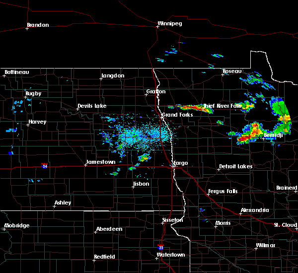 At 158 pm cdt, a severe thunderstorm was located near bagley, or 21 miles west of bemidji, moving northeast at 40 mph (radar indicated). Hazards include quarter size hail. Damage to vehicles is expected. this severe thunderstorm will be near, shevlin around 205 pm cdt. solway and pinewood around 215 pm cdt. wilton around 220 pm cdt. bemidji around 225 pm cdt. Puposky and lake bemidji state park around 235 pm cdt. At 158 pm cdt, a severe thunderstorm was located near bagley, or 21 miles west of bemidji, moving northeast at 40 mph (radar indicated). Hazards include quarter size hail. Damage to vehicles is expected. this severe thunderstorm will be near, shevlin around 205 pm cdt. solway and pinewood around 215 pm cdt. wilton around 220 pm cdt. bemidji around 225 pm cdt. Puposky and lake bemidji state park around 235 pm cdt.
|
| 8/27/2018 1:48 AM CDT |
 At 148 am cdt, severe thunderstorms were located along a line extending from near blackduck to kabekona, moving east at 45 mph (radar indicated). Hazards include 60 mph wind gusts and quarter size hail. Hail damage to vehicles is expected. expect wind damage to roofs, siding, and trees. Locations impacted include, bemidji, plantagenet lake, tenstrike, lavinia, turtle river, hines and guthrie. At 148 am cdt, severe thunderstorms were located along a line extending from near blackduck to kabekona, moving east at 45 mph (radar indicated). Hazards include 60 mph wind gusts and quarter size hail. Hail damage to vehicles is expected. expect wind damage to roofs, siding, and trees. Locations impacted include, bemidji, plantagenet lake, tenstrike, lavinia, turtle river, hines and guthrie.
|
| 8/27/2018 1:31 AM CDT |
 At 131 am cdt, severe thunderstorms were located along a line extending from near pinewood to near many point lake, moving east at 35 mph (radar indicated). Hazards include 60 mph wind gusts and quarter size hail. Hail damage to vehicles is expected. expect wind damage to roofs, siding, and trees. Locations impacted include, wilton, solway, pinewood, lake itasca, puposky, alida and becida. At 131 am cdt, severe thunderstorms were located along a line extending from near pinewood to near many point lake, moving east at 35 mph (radar indicated). Hazards include 60 mph wind gusts and quarter size hail. Hail damage to vehicles is expected. expect wind damage to roofs, siding, and trees. Locations impacted include, wilton, solway, pinewood, lake itasca, puposky, alida and becida.
|
| 8/27/2018 1:25 AM CDT |
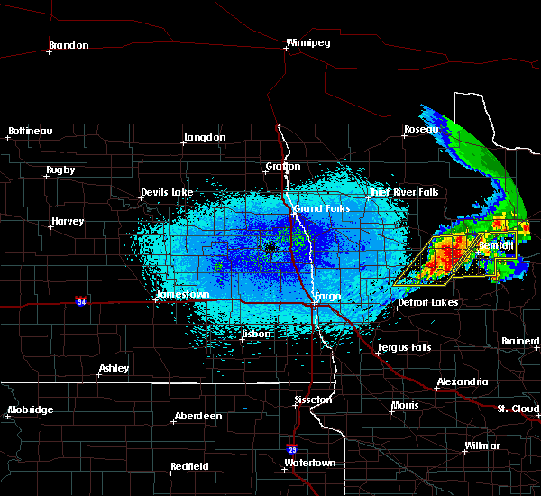 At 124 am cdt, severe thunderstorms were located along a line extending from near puposky to itasca state park, moving east at 40 mph (radar indicated). Hazards include 60 mph wind gusts and quarter size hail. Hail damage to vehicles is expected. Expect wind damage to roofs, siding, and trees. At 124 am cdt, severe thunderstorms were located along a line extending from near puposky to itasca state park, moving east at 40 mph (radar indicated). Hazards include 60 mph wind gusts and quarter size hail. Hail damage to vehicles is expected. Expect wind damage to roofs, siding, and trees.
|
| 8/27/2018 1:14 AM CDT |
 At 113 am cdt, severe thunderstorms were located along a line extending from near leonard to near white earth, moving east at 35 mph (radar indicated). Hazards include 60 mph wind gusts and quarter size hail. Hail damage to vehicles is expected. expect wind damage to roofs, siding, and trees. Locations impacted include, bagley, bad medicine lake, naytahwaush, wilton, tulaby lake, shevlin and white earth. At 113 am cdt, severe thunderstorms were located along a line extending from near leonard to near white earth, moving east at 35 mph (radar indicated). Hazards include 60 mph wind gusts and quarter size hail. Hail damage to vehicles is expected. expect wind damage to roofs, siding, and trees. Locations impacted include, bagley, bad medicine lake, naytahwaush, wilton, tulaby lake, shevlin and white earth.
|
| 8/27/2018 12:53 AM CDT |
 At 1253 am cdt, severe thunderstorms were located along a line extending from near weme to near ogema, moving east at 35 mph (radar indicated). Hazards include 60 mph wind gusts and quarter size hail. Hail damage to vehicles is expected. expect wind damage to roofs, siding, and trees. severe thunderstorms will be near, lengby and ebro around 1255 am cdt. weme around 100 am cdt. bagley around 110 am cdt. leonard and shevlin around 120 am cdt. tulaby lake around 125 am cdt. Other locations impacted by these severe thunderstorms include many point scout camp. At 1253 am cdt, severe thunderstorms were located along a line extending from near weme to near ogema, moving east at 35 mph (radar indicated). Hazards include 60 mph wind gusts and quarter size hail. Hail damage to vehicles is expected. expect wind damage to roofs, siding, and trees. severe thunderstorms will be near, lengby and ebro around 1255 am cdt. weme around 100 am cdt. bagley around 110 am cdt. leonard and shevlin around 120 am cdt. tulaby lake around 125 am cdt. Other locations impacted by these severe thunderstorms include many point scout camp.
|
| 6/29/2018 7:00 AM CDT | Deck boxes and furniture blown off deck. 2.01 inches of rain. reported via social medi in beltrami county MN, 3.6 miles S of Bemidji, MN |
| 6/29/2018 6:20 AM CDT |
 At 559 am cdt, severe thunderstorms were located along a line extending from upper red lake to near blackduck to near town of cass lake, moving east at 60 mph (radar indicated. at 548 am...a wind gust of 66 mph was reported at red lake). Hazards include 70 mph wind gusts and quarter size hail. Hail damage to vehicles is expected. expect considerable tree damage. wind damage is also likely to mobile homes, roofs, and outbuildings. These severe storms will be near, funkley and shooks around 605 am cdt. At 559 am cdt, severe thunderstorms were located along a line extending from upper red lake to near blackduck to near town of cass lake, moving east at 60 mph (radar indicated. at 548 am...a wind gust of 66 mph was reported at red lake). Hazards include 70 mph wind gusts and quarter size hail. Hail damage to vehicles is expected. expect considerable tree damage. wind damage is also likely to mobile homes, roofs, and outbuildings. These severe storms will be near, funkley and shooks around 605 am cdt.
|
| 6/29/2018 6:00 AM CDT |
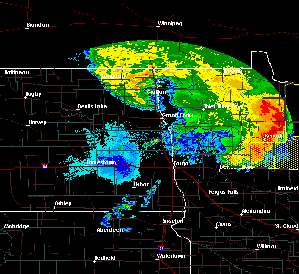 At 559 am cdt, severe thunderstorms were located along a line extending from upper red lake to near blackduck to near town of cass lake, moving east at 60 mph (radar indicated. at 548 am...a wind gust of 66 mph was reported at red lake). Hazards include 70 mph wind gusts and quarter size hail. Hail damage to vehicles is expected. expect considerable tree damage. wind damage is also likely to mobile homes, roofs, and outbuildings. These severe storms will be near, funkley and shooks around 605 am cdt. At 559 am cdt, severe thunderstorms were located along a line extending from upper red lake to near blackduck to near town of cass lake, moving east at 60 mph (radar indicated. at 548 am...a wind gust of 66 mph was reported at red lake). Hazards include 70 mph wind gusts and quarter size hail. Hail damage to vehicles is expected. expect considerable tree damage. wind damage is also likely to mobile homes, roofs, and outbuildings. These severe storms will be near, funkley and shooks around 605 am cdt.
|
| 6/29/2018 5:52 AM CDT |
 At 551 am cdt, severe thunderstorms were located along a line extending from upper red lake to near blackduck to rosby, moving east at 65 mph (radar indicated. at 548 am...a 66 mph wind gust was reported at red lake). Hazards include 70 mph wind gusts and quarter size hail. Hail damage to vehicles is expected. expect considerable tree damage. wind damage is also likely to mobile homes, roofs, and outbuildings. these severe storms will be near, blackduck and otto around 555 am cdt. waskish, big bog state recreation area and funkley around 600 am cdt. Pennington around 605 am cdt. At 551 am cdt, severe thunderstorms were located along a line extending from upper red lake to near blackduck to rosby, moving east at 65 mph (radar indicated. at 548 am...a 66 mph wind gust was reported at red lake). Hazards include 70 mph wind gusts and quarter size hail. Hail damage to vehicles is expected. expect considerable tree damage. wind damage is also likely to mobile homes, roofs, and outbuildings. these severe storms will be near, blackduck and otto around 555 am cdt. waskish, big bog state recreation area and funkley around 600 am cdt. Pennington around 605 am cdt.
|
| 6/29/2018 5:46 AM CDT |
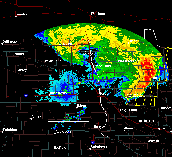 At 546 am cdt, severe thunderstorms were located along a line extending from upper red lake to near nebish to bemidji, moving east at 70 mph (radar indicated). Hazards include 70 mph wind gusts and quarter size hail. Hail damage to vehicles is expected. expect considerable tree damage. wind damage is also likely to mobile homes, roofs, and outbuildings. these severe storms will be near, hines around 550 am cdt. blackduck and otto around 555 am cdt. Big bog state recreation area, funkley and pennington around 600 am cdt. At 546 am cdt, severe thunderstorms were located along a line extending from upper red lake to near nebish to bemidji, moving east at 70 mph (radar indicated). Hazards include 70 mph wind gusts and quarter size hail. Hail damage to vehicles is expected. expect considerable tree damage. wind damage is also likely to mobile homes, roofs, and outbuildings. these severe storms will be near, hines around 550 am cdt. blackduck and otto around 555 am cdt. Big bog state recreation area, funkley and pennington around 600 am cdt.
|
| 6/29/2018 5:40 AM CDT | Numerous trees down 10 miles northwest of bemidji. reported by emergency manage in beltrami county MN, 10.2 miles SE of Bemidji, MN |
| 6/29/2018 5:23 AM CDT |
 At 522 am cdt, severe thunderstorms were located along a line extending from fourtown to 8 miles west of little rock to near upper rice lake, moving east at 65 mph (radar indicated). Hazards include 70 mph wind gusts and quarter size hail. Hail damage to vehicles is expected. expect considerable tree damage. wind damage is also likely to mobile homes, roofs, and outbuildings. severe thunderstorms will be near, lower red lake, thorhult and shevlin around 525 am cdt. little rock, solway and debs around 530 am cdt. red lake, island lake in beltrami county and wilton around 535 am cdt. bemidji, plantagenet lake and redby around 540 am cdt. Rosby, lavinia and lake bemidji state park around 545 am cdt. At 522 am cdt, severe thunderstorms were located along a line extending from fourtown to 8 miles west of little rock to near upper rice lake, moving east at 65 mph (radar indicated). Hazards include 70 mph wind gusts and quarter size hail. Hail damage to vehicles is expected. expect considerable tree damage. wind damage is also likely to mobile homes, roofs, and outbuildings. severe thunderstorms will be near, lower red lake, thorhult and shevlin around 525 am cdt. little rock, solway and debs around 530 am cdt. red lake, island lake in beltrami county and wilton around 535 am cdt. bemidji, plantagenet lake and redby around 540 am cdt. Rosby, lavinia and lake bemidji state park around 545 am cdt.
|
| 6/28/2018 2:30 PM CDT | Quarter sized hail reported 7.7 miles SW of Bemidji, MN, very heavy rain and penny to quarter sized hail. |
| 6/28/2018 2:30 PM CDT | Quarter sized hail reported 8.8 miles WSW of Bemidji, MN, very heavy rain and penny to quarter sized hail. |
| 6/28/2018 2:30 PM CDT |
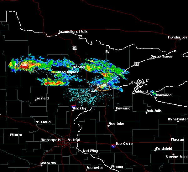 At 229 pm cdt, a severe thunderstorm was located near turtle river, or 12 miles east of bemidji, moving east at 35 mph (radar indicated). Hazards include ping pong ball size hail and 60 mph wind gusts. People and animals outdoors will be injured. expect hail damage to roofs, siding, windows, and vehicles. expect wind damage to roofs, siding, and trees. Locations impacted include, pennington and turtle river. At 229 pm cdt, a severe thunderstorm was located near turtle river, or 12 miles east of bemidji, moving east at 35 mph (radar indicated). Hazards include ping pong ball size hail and 60 mph wind gusts. People and animals outdoors will be injured. expect hail damage to roofs, siding, windows, and vehicles. expect wind damage to roofs, siding, and trees. Locations impacted include, pennington and turtle river.
|
| 6/28/2018 2:25 PM CDT | Ping Pong Ball sized hail reported 6.1 miles SW of Bemidji, MN, hail fell for several minutes. largest stones ranged from 1.25 to 1.5 inch diameter. report and photo posted to social media. |
| 6/28/2018 2:18 PM CDT |
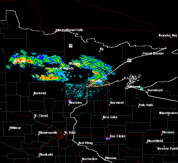 At 218 pm cdt, a severe thunderstorm was located over turtle river, or 7 miles northeast of bemidji, moving east at 35 mph (radar indicated). Hazards include 60 mph wind gusts and quarter size hail. Hail damage to vehicles is expected. expect wind damage to roofs, siding, and trees. this severe thunderstorm will be near, tenstrike around 225 pm cdt. Pennington around 245 pm cdt. At 218 pm cdt, a severe thunderstorm was located over turtle river, or 7 miles northeast of bemidji, moving east at 35 mph (radar indicated). Hazards include 60 mph wind gusts and quarter size hail. Hail damage to vehicles is expected. expect wind damage to roofs, siding, and trees. this severe thunderstorm will be near, tenstrike around 225 pm cdt. Pennington around 245 pm cdt.
|
| 6/17/2018 2:31 AM CDT |
 At 231 am cdt, a severe thunderstorm was located over ebro, or 27 miles west of bemidji, moving east at 30 mph (radar indicated). Hazards include 60 mph wind gusts. Expect damage to roofs, siding, and trees. this severe thunderstorm will be near, bagley around 240 am cdt. shevlin around 250 am cdt. solway and pinewood around 305 am cdt. wilton around 315 am cdt. Bemidji around 320 am cdt. At 231 am cdt, a severe thunderstorm was located over ebro, or 27 miles west of bemidji, moving east at 30 mph (radar indicated). Hazards include 60 mph wind gusts. Expect damage to roofs, siding, and trees. this severe thunderstorm will be near, bagley around 240 am cdt. shevlin around 250 am cdt. solway and pinewood around 305 am cdt. wilton around 315 am cdt. Bemidji around 320 am cdt.
|
| 7/21/2017 6:04 PM CDT |
 At 603 pm cdt, severe thunderstorms were located along a line extending from 6 miles west of pennington to near portage lake to near akeley, moving east at 45 mph (radar indicated). Hazards include 60 mph wind gusts and quarter size hail. Hail damage to vehicles is expected. expect wind damage to roofs, siding, and trees. These severe thunderstorms will remain over mainly rural areas of central hubbard and southeastern beltrami counties, including the following locations: camp thunderbird east and camp thunderbird west. At 603 pm cdt, severe thunderstorms were located along a line extending from 6 miles west of pennington to near portage lake to near akeley, moving east at 45 mph (radar indicated). Hazards include 60 mph wind gusts and quarter size hail. Hail damage to vehicles is expected. expect wind damage to roofs, siding, and trees. These severe thunderstorms will remain over mainly rural areas of central hubbard and southeastern beltrami counties, including the following locations: camp thunderbird east and camp thunderbird west.
|
| 7/21/2017 6:00 PM CDT | Large oak tree toppled on to house near lake andrusia. report posted via social media. time estimated based on rada in beltrami county MN, 7.6 miles WNW of Bemidji, MN |
| 7/21/2017 5:45 PM CDT | Several large trees were snapped or uproote in beltrami county MN, 6.9 miles SW of Bemidji, MN |
| 7/21/2017 5:44 PM CDT |
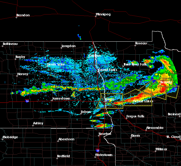 The national weather service in grand forks has issued a * severe thunderstorm warning for. hubbard county in north central minnesota. southeastern beltrami county in north central minnesota. southeastern clearwater county in northwestern minnesota. Until 630 pm cdt. The national weather service in grand forks has issued a * severe thunderstorm warning for. hubbard county in north central minnesota. southeastern beltrami county in north central minnesota. southeastern clearwater county in northwestern minnesota. Until 630 pm cdt.
|
| 7/21/2017 5:40 PM CDT | Numerous large tree branches and limbs broken down. power outage in beltrami county MN, 5 miles S of Bemidji, MN |
| 7/21/2017 5:37 PM CDT | Peak winds measured at the bemidji raws sitatio in beltrami county MN, 3.5 miles ESE of Bemidji, MN |
| 7/21/2017 5:33 PM CDT |
 At 531 pm cdt, severe thunderstorms were located along a line extending from nary to near long lost lake, moving east at 55 mph (radar indicated). Hazards include 70 mph wind gusts and quarter size hail. Hail damage to vehicles is expected. expect considerable tree damage. wind damage is also likely to mobile homes, roofs, and outbuildings. these severe storms will be near, nary, guthrie and rosby around 535 pm cdt. report from the bagley area had 2 inch hail with this storm. Other locations impacted by these severe thunderstorms include camp thunderbird east and camp thunderbird west. At 531 pm cdt, severe thunderstorms were located along a line extending from nary to near long lost lake, moving east at 55 mph (radar indicated). Hazards include 70 mph wind gusts and quarter size hail. Hail damage to vehicles is expected. expect considerable tree damage. wind damage is also likely to mobile homes, roofs, and outbuildings. these severe storms will be near, nary, guthrie and rosby around 535 pm cdt. report from the bagley area had 2 inch hail with this storm. Other locations impacted by these severe thunderstorms include camp thunderbird east and camp thunderbird west.
|
| 7/21/2017 5:13 PM CDT |
 At 512 pm cdt, a severe thunderstorm was located near alida, or 14 miles west of bemidji, moving east at 45 mph (radar indicated). Hazards include 70 mph wind gusts and quarter size hail. Hail damage to vehicles is expected. expect considerable tree damage. wind damage is also likely to mobile homes, roofs, and outbuildings. this severe storm will be near, becida around 520 pm cdt. plantagenet lake around 530 pm cdt. nary, rosby and kabekona around 535 pm cdt. guthrie around 540 pm cdt. laporte around 545 pm cdt. Other locations impacted by this severe thunderstorm include camp thunderbird east and camp thunderbird west. At 512 pm cdt, a severe thunderstorm was located near alida, or 14 miles west of bemidji, moving east at 45 mph (radar indicated). Hazards include 70 mph wind gusts and quarter size hail. Hail damage to vehicles is expected. expect considerable tree damage. wind damage is also likely to mobile homes, roofs, and outbuildings. this severe storm will be near, becida around 520 pm cdt. plantagenet lake around 530 pm cdt. nary, rosby and kabekona around 535 pm cdt. guthrie around 540 pm cdt. laporte around 545 pm cdt. Other locations impacted by this severe thunderstorm include camp thunderbird east and camp thunderbird west.
|
| 7/21/2017 4:51 PM CDT |
 At 450 pm cdt, a severe thunderstorm was located near ebro, or 27 miles west of bemidji, moving east at 45 mph (trained weather spotters). Hazards include 60 mph wind gusts and quarter size hail. Hail damage to vehicles is expected. expect wind damage to roofs, siding, and trees. this severe thunderstorm will be near, shevlin around 500 pm cdt. alida and upper rice lake around 505 pm cdt. solway around 510 pm cdt. becida around 520 pm cdt. bemidji and plantagenet lake around 525 pm cdt. Other locations impacted by this severe thunderstorm include camp thunderbird east and camp thunderbird west. At 450 pm cdt, a severe thunderstorm was located near ebro, or 27 miles west of bemidji, moving east at 45 mph (trained weather spotters). Hazards include 60 mph wind gusts and quarter size hail. Hail damage to vehicles is expected. expect wind damage to roofs, siding, and trees. this severe thunderstorm will be near, shevlin around 500 pm cdt. alida and upper rice lake around 505 pm cdt. solway around 510 pm cdt. becida around 520 pm cdt. bemidji and plantagenet lake around 525 pm cdt. Other locations impacted by this severe thunderstorm include camp thunderbird east and camp thunderbird west.
|
| 7/18/2017 1:38 AM CDT | Quarter sized hail reported 5.1 miles ESE of Bemidji, MN, nickel to quarter sized hail between wilton and bemidji |
| 7/6/2017 3:41 AM CDT |
 The severe thunderstorm warning for northeastern hubbard and southeastern beltrami counties will expire at 345 am cdt, the storms which prompted the warning have weakened below severe limits, and have exited the warned area. therefore the warning will be allowed to expire. a severe thunderstorm watch remains in effect until 500 am cdt for north central minnesota. The severe thunderstorm warning for northeastern hubbard and southeastern beltrami counties will expire at 345 am cdt, the storms which prompted the warning have weakened below severe limits, and have exited the warned area. therefore the warning will be allowed to expire. a severe thunderstorm watch remains in effect until 500 am cdt for north central minnesota.
|
| 7/6/2017 3:31 AM CDT |
 At 330 am cdt, severe thunderstorms were located along a line extending from wilton to leech lake, moving east at 50 mph (radar indicated). Hazards include quarter size hail. Damage to vehicles is expected. These severe storms will be near, nary around 340 am cdt. At 330 am cdt, severe thunderstorms were located along a line extending from wilton to leech lake, moving east at 50 mph (radar indicated). Hazards include quarter size hail. Damage to vehicles is expected. These severe storms will be near, nary around 340 am cdt.
|
| 7/6/2017 3:11 AM CDT |
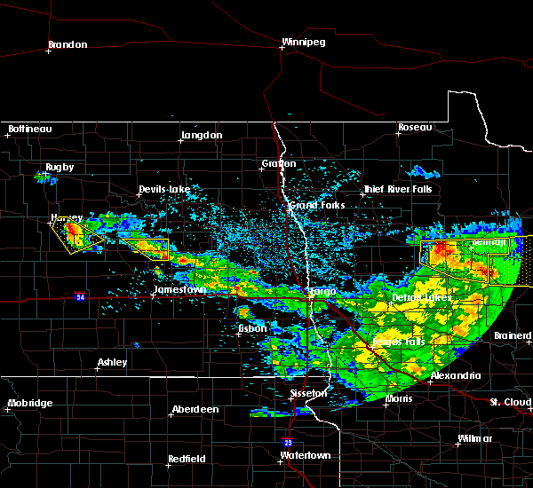 At 310 am cdt, severe thunderstorms were located along a line extending from near shevlin to laporte, moving east at 45 mph (radar indicated). Hazards include quarter size hail. Damage to vehicles is expected. these severe storms will be near, laporte and benedict around 315 am cdt. wilton around 330 am cdt. bemidji around 335 am cdt. lavinia around 340 am cdt. Turtle river around 345 am cdt. At 310 am cdt, severe thunderstorms were located along a line extending from near shevlin to laporte, moving east at 45 mph (radar indicated). Hazards include quarter size hail. Damage to vehicles is expected. these severe storms will be near, laporte and benedict around 315 am cdt. wilton around 330 am cdt. bemidji around 335 am cdt. lavinia around 340 am cdt. Turtle river around 345 am cdt.
|
| 7/6/2017 2:53 AM CDT |
 At 252 am cdt, severe thunderstorms were located along a line extending from near ebro to near lake george, moving east at 55 mph (radar indicated). Hazards include quarter size hail. Damage to vehicles is expected. severe thunderstorms will be near, lake george around 255 am cdt. kabekona around 300 am cdt. laporte, shevlin and guthrie around 305 am cdt. benedict and solway around 310 am cdt. Becida around 315 am cdt. At 252 am cdt, severe thunderstorms were located along a line extending from near ebro to near lake george, moving east at 55 mph (radar indicated). Hazards include quarter size hail. Damage to vehicles is expected. severe thunderstorms will be near, lake george around 255 am cdt. kabekona around 300 am cdt. laporte, shevlin and guthrie around 305 am cdt. benedict and solway around 310 am cdt. Becida around 315 am cdt.
|
| 7/4/2017 11:47 PM CDT |
 At 1146 pm cdt, a severe thunderstorm was located near rosby, or near bemidji, moving east at 30 mph (radar indicated). Hazards include 60 mph wind gusts and quarter size hail. Hail damage to vehicles is expected. expect wind damage to roofs, siding, and trees. This severe storm will be near, pennington around 1215 am cdt. At 1146 pm cdt, a severe thunderstorm was located near rosby, or near bemidji, moving east at 30 mph (radar indicated). Hazards include 60 mph wind gusts and quarter size hail. Hail damage to vehicles is expected. expect wind damage to roofs, siding, and trees. This severe storm will be near, pennington around 1215 am cdt.
|
| 7/4/2017 11:24 PM CDT |
 At 1123 pm cdt, a severe thunderstorm was located near wilton, or 8 miles west of bemidji, moving east at 30 mph (radar indicated). Hazards include 60 mph wind gusts and half dollar size hail. Hail damage to vehicles is expected. expect wind damage to roofs, siding, and trees. this severe thunderstorm will be near, wilton around 1130 pm cdt. bemidji around 1135 pm cdt. lavinia around 1145 pm cdt. rosby around 1150 pm cdt. Pennington around 1215 am cdt. At 1123 pm cdt, a severe thunderstorm was located near wilton, or 8 miles west of bemidji, moving east at 30 mph (radar indicated). Hazards include 60 mph wind gusts and half dollar size hail. Hail damage to vehicles is expected. expect wind damage to roofs, siding, and trees. this severe thunderstorm will be near, wilton around 1130 pm cdt. bemidji around 1135 pm cdt. lavinia around 1145 pm cdt. rosby around 1150 pm cdt. Pennington around 1215 am cdt.
|
| 6/21/2017 7:56 PM CDT |
 At 755 pm cdt, a severe thunderstorm was located near wilton, or 7 miles west of bemidji, moving east at 50 mph (radar indicated). Hazards include 60 mph wind gusts. Expect damage to roofs, siding, and trees. this severe storm will be near, bemidji around 800 pm cdt. rosby around 805 pm cdt. Lavinia around 810 pm cdt. At 755 pm cdt, a severe thunderstorm was located near wilton, or 7 miles west of bemidji, moving east at 50 mph (radar indicated). Hazards include 60 mph wind gusts. Expect damage to roofs, siding, and trees. this severe storm will be near, bemidji around 800 pm cdt. rosby around 805 pm cdt. Lavinia around 810 pm cdt.
|
| 6/21/2017 7:39 PM CDT |
 At 738 pm cdt, a severe thunderstorm was located over upper rice lake, or 22 miles west of bemidji, moving east at 60 mph (radar indicated). Hazards include golf ball size hail and 70 mph wind gusts. People and animals outdoors will be injured. expect hail damage to roofs, siding, windows, and vehicles. expect considerable tree damage. wind damage is also likely to mobile homes, roofs, and outbuildings. this severe storm will be near, upper rice lake around 740 pm cdt. alida around 745 pm cdt. becida around 750 pm cdt. wilton around 755 pm cdt. Bemidji around 800 pm cdt. At 738 pm cdt, a severe thunderstorm was located over upper rice lake, or 22 miles west of bemidji, moving east at 60 mph (radar indicated). Hazards include golf ball size hail and 70 mph wind gusts. People and animals outdoors will be injured. expect hail damage to roofs, siding, windows, and vehicles. expect considerable tree damage. wind damage is also likely to mobile homes, roofs, and outbuildings. this severe storm will be near, upper rice lake around 740 pm cdt. alida around 745 pm cdt. becida around 750 pm cdt. wilton around 755 pm cdt. Bemidji around 800 pm cdt.
|
| 6/21/2017 7:23 PM CDT |
 At 723 pm cdt, a severe thunderstorm was located near mahkonce, or 35 miles north of detroit lakes, moving east at 50 mph (radar indicated). Hazards include 60 mph wind gusts and quarter size hail. Hail damage to vehicles is expected. expect wind damage to roofs, siding, and trees. this severe thunderstorm will be near, naytahwaush around 725 pm cdt. roy lake, mahkonce and pine bend around 730 pm cdt. rice lake and lower rice lake around 735 pm cdt. zerkel around 740 pm cdt. Upper rice lake around 745 pm cdt. At 723 pm cdt, a severe thunderstorm was located near mahkonce, or 35 miles north of detroit lakes, moving east at 50 mph (radar indicated). Hazards include 60 mph wind gusts and quarter size hail. Hail damage to vehicles is expected. expect wind damage to roofs, siding, and trees. this severe thunderstorm will be near, naytahwaush around 725 pm cdt. roy lake, mahkonce and pine bend around 730 pm cdt. rice lake and lower rice lake around 735 pm cdt. zerkel around 740 pm cdt. Upper rice lake around 745 pm cdt.
|
| 6/13/2017 4:14 PM CDT |
 At 413 pm cdt, a severe thunderstorm was located over lavinia, or near bemidji, moving northeast at 40 mph (law enforcement. at 406 pm, law enforcement reported quarter size hail 10 miles north of bemidji). Hazards include 60 mph wind gusts and quarter size hail. Hail damage to vehicles is expected. expect wind damage to roofs, siding, and trees. this severe thunderstorm will be near, turtle river around 425 pm cdt. tenstrike around 440 pm cdt. hines around 445 pm cdt. blackduck around 500 pm cdt. Funkley and shooks around 515 pm cdt. At 413 pm cdt, a severe thunderstorm was located over lavinia, or near bemidji, moving northeast at 40 mph (law enforcement. at 406 pm, law enforcement reported quarter size hail 10 miles north of bemidji). Hazards include 60 mph wind gusts and quarter size hail. Hail damage to vehicles is expected. expect wind damage to roofs, siding, and trees. this severe thunderstorm will be near, turtle river around 425 pm cdt. tenstrike around 440 pm cdt. hines around 445 pm cdt. blackduck around 500 pm cdt. Funkley and shooks around 515 pm cdt.
|
| 6/13/2017 4:06 PM CDT | Quarter sized hail reported 10.5 miles S of Bemidji, MN, along irvine ave. |
| 6/13/2017 3:40 PM CDT |
 At 339 pm cdt, a severe thunderstorm was located over ebro, or 28 miles west of bemidji, moving northeast at 50 mph (public. at 335 pm, quarter size hail was reported 5 miles wnw of mahkonce). Hazards include 60 mph wind gusts and quarter size hail. Hail damage to vehicles is expected. expect wind damage to roofs, siding, and trees. this severe storm will be near, bagley around 345 pm cdt. shevlin around 350 pm cdt. Leonard, pinewood and debs around 400 pm cdt. At 339 pm cdt, a severe thunderstorm was located over ebro, or 28 miles west of bemidji, moving northeast at 50 mph (public. at 335 pm, quarter size hail was reported 5 miles wnw of mahkonce). Hazards include 60 mph wind gusts and quarter size hail. Hail damage to vehicles is expected. expect wind damage to roofs, siding, and trees. this severe storm will be near, bagley around 345 pm cdt. shevlin around 350 pm cdt. Leonard, pinewood and debs around 400 pm cdt.
|
| 6/13/2017 3:26 PM CDT |
 At 325 pm cdt, a severe thunderstorm was located over pine bend, or 30 miles west of bemidji, moving northeast at 40 mph (radar indicated). Hazards include 60 mph wind gusts and quarter size hail. Hail damage to vehicles is expected. expect wind damage to roofs, siding, and trees. this severe storm will be near, bagley around 340 pm cdt. shevlin around 345 pm cdt. clearbrook around 350 pm cdt. leonard around 355 pm cdt. Debs around 400 pm cdt. At 325 pm cdt, a severe thunderstorm was located over pine bend, or 30 miles west of bemidji, moving northeast at 40 mph (radar indicated). Hazards include 60 mph wind gusts and quarter size hail. Hail damage to vehicles is expected. expect wind damage to roofs, siding, and trees. this severe storm will be near, bagley around 340 pm cdt. shevlin around 345 pm cdt. clearbrook around 350 pm cdt. leonard around 355 pm cdt. Debs around 400 pm cdt.
|
| 6/13/2017 3:06 PM CDT |
 At 305 pm cdt, a severe thunderstorm was located near beaulieu, or 34 miles north of detroit lakes, moving northeast at 40 mph (radar indicated). Hazards include 60 mph wind gusts and quarter size hail. Hail damage to vehicles is expected. expect wind damage to roofs, siding, and trees. this severe thunderstorm will be near, mahkonce and roy lake around 315 pm cdt. island lake in mahnomen county and pine bend around 320 pm cdt. rice lake and lengby around 325 pm cdt. ebro around 330 pm cdt. Bagley around 340 pm cdt. At 305 pm cdt, a severe thunderstorm was located near beaulieu, or 34 miles north of detroit lakes, moving northeast at 40 mph (radar indicated). Hazards include 60 mph wind gusts and quarter size hail. Hail damage to vehicles is expected. expect wind damage to roofs, siding, and trees. this severe thunderstorm will be near, mahkonce and roy lake around 315 pm cdt. island lake in mahnomen county and pine bend around 320 pm cdt. rice lake and lengby around 325 pm cdt. ebro around 330 pm cdt. Bagley around 340 pm cdt.
|
| 7/21/2016 1:37 AM CDT |
 At 136 am cdt, severe thunderstorms were located along a line extending from 6 miles west of shooks to near ten mile lake to near poplar, moving southeast at 55 mph (radar indicated). Hazards include 70 mph wind gusts and quarter size hail. Hail damage to vehicles is expected. expect considerable tree damage. wind damage is also likely to mobile homes, roofs, and outbuildings. Locations impacted include, menahga, blackduck, sebeka, akeley, nevis, tenstrike and lavinia. At 136 am cdt, severe thunderstorms were located along a line extending from 6 miles west of shooks to near ten mile lake to near poplar, moving southeast at 55 mph (radar indicated). Hazards include 70 mph wind gusts and quarter size hail. Hail damage to vehicles is expected. expect considerable tree damage. wind damage is also likely to mobile homes, roofs, and outbuildings. Locations impacted include, menahga, blackduck, sebeka, akeley, nevis, tenstrike and lavinia.
|
| 7/21/2016 1:30 AM CDT |
 At 130 am cdt, severe thunderstorms were located along a line extending from 6 miles west of kelliher to near walker to poplar, moving southeast at 45 mph. these are very dangerous storms (radar indicated). Hazards include 80 mph wind gusts and quarter size hail. Flying debris will be dangerous to those caught without shelter. mobile homes will be heavily damaged. expect considerable damage to roofs, windows, and vehicles. extensive tree damage and power outages are likely. These severe thunderstorms will remain over mainly rural areas of northeastern otter tail, wadena, southeastern becker, southeastern beltrami and eastern hubbard counties. At 130 am cdt, severe thunderstorms were located along a line extending from 6 miles west of kelliher to near walker to poplar, moving southeast at 45 mph. these are very dangerous storms (radar indicated). Hazards include 80 mph wind gusts and quarter size hail. Flying debris will be dangerous to those caught without shelter. mobile homes will be heavily damaged. expect considerable damage to roofs, windows, and vehicles. extensive tree damage and power outages are likely. These severe thunderstorms will remain over mainly rural areas of northeastern otter tail, wadena, southeastern becker, southeastern beltrami and eastern hubbard counties.
|
| 7/21/2016 1:20 AM CDT | Numerous large trees broken down around town. roofing blown off building in beltrami county MN, 0.4 miles ESE of Bemidji, MN |
| 7/21/2016 1:13 AM CDT | Numerous large trees broken down around town. roofing blown off building in beltrami county MN, 0.4 miles ESE of Bemidji, MN |
| 7/21/2016 1:08 AM CDT |
 At 107 am cdt, severe thunderstorms were located along a line extending from red lake to near benedict to near butler, moving east at 55 mph. these are very dangerous storms (radar indicated). Hazards include 80 mph wind gusts and quarter size hail. Flying debris will be dangerous to those caught without shelter. mobile homes will be heavily damaged. expect considerable damage to roofs, windows, and vehicles. extensive tree damage and power outages are likely. these severe storms will be near, laporte and benedict around 110 am cdt. akeley and menahga around 115 am cdt. sebeka around 120 am cdt. blackduck and nimrod around 130 am cdt. oylen, funkley and shooks around 135 am cdt. Spotters are reporting numerous trees blown over and other significant wind damage along the entire line of thunderstorms. At 107 am cdt, severe thunderstorms were located along a line extending from red lake to near benedict to near butler, moving east at 55 mph. these are very dangerous storms (radar indicated). Hazards include 80 mph wind gusts and quarter size hail. Flying debris will be dangerous to those caught without shelter. mobile homes will be heavily damaged. expect considerable damage to roofs, windows, and vehicles. extensive tree damage and power outages are likely. these severe storms will be near, laporte and benedict around 110 am cdt. akeley and menahga around 115 am cdt. sebeka around 120 am cdt. blackduck and nimrod around 130 am cdt. oylen, funkley and shooks around 135 am cdt. Spotters are reporting numerous trees blown over and other significant wind damage along the entire line of thunderstorms.
|
| 7/21/2016 1:05 AM CDT | Peak winds measured at the bemidji airport /kbji in beltrami county MN, 3.5 miles ESE of Bemidji, MN |
| 7/21/2016 12:58 AM CDT | Mature trees broken down in wilton. power lines down as wel in beltrami county MN, 5.9 miles ESE of Bemidji, MN |
| 7/21/2016 12:43 AM CDT |
 At 1242 am cdt, severe thunderstorms were located along a line extending from near debs to near lake itasca to height of land lake, moving east at 65 mph. these are very dangerous storms (radar indicated). Hazards include 80 mph wind gusts and quarter size hail. Flying debris will be dangerous to those caught without shelter. mobile homes will be heavily damaged. expect considerable damage to roofs, windows, and vehicles. extensive tree damage and power outages are likely. severe thunderstorms will be near, lake itasca around 1245 am cdt. lake george and island lake in beltrami county around 1250 am cdt. wolf lake, puposky and emmaville around 1255 am cdt. midway and hillview around 100 am cdt. Tenstrike, menahga and akeley around 105 am cdt. At 1242 am cdt, severe thunderstorms were located along a line extending from near debs to near lake itasca to height of land lake, moving east at 65 mph. these are very dangerous storms (radar indicated). Hazards include 80 mph wind gusts and quarter size hail. Flying debris will be dangerous to those caught without shelter. mobile homes will be heavily damaged. expect considerable damage to roofs, windows, and vehicles. extensive tree damage and power outages are likely. severe thunderstorms will be near, lake itasca around 1245 am cdt. lake george and island lake in beltrami county around 1250 am cdt. wolf lake, puposky and emmaville around 1255 am cdt. midway and hillview around 100 am cdt. Tenstrike, menahga and akeley around 105 am cdt.
|
| 7/21/2016 12:31 AM CDT |
 At 1230 am cdt, severe thunderstorms were located along a line extending from near gonvick to near long lost lake to near richwood, moving southeast at 70 mph. these are very dangerous storms (radar indicated). Hazards include 80 mph wind gusts. Flying debris will be dangerous to those caught without shelter. mobile homes will be heavily damaged. expect considerable damage to roofs, windows, and vehicles. extensive tree damage and power outages are likely. these severe storms will be near, bad medicine lake, long lost lake and zerkel around 1235 am cdt. height of land lake, bagley and lake itasca around 1240 am cdt. toad lake, shevlin and pine point around 1245 am cdt. Wilton, snellman and wolf lake around 1250 am cdt. At 1230 am cdt, severe thunderstorms were located along a line extending from near gonvick to near long lost lake to near richwood, moving southeast at 70 mph. these are very dangerous storms (radar indicated). Hazards include 80 mph wind gusts. Flying debris will be dangerous to those caught without shelter. mobile homes will be heavily damaged. expect considerable damage to roofs, windows, and vehicles. extensive tree damage and power outages are likely. these severe storms will be near, bad medicine lake, long lost lake and zerkel around 1235 am cdt. height of land lake, bagley and lake itasca around 1240 am cdt. toad lake, shevlin and pine point around 1245 am cdt. Wilton, snellman and wolf lake around 1250 am cdt.
|
| 7/21/2016 12:16 AM CDT |
 At 1215 am cdt, severe thunderstorms were located along a line extending from near olga to flom, moving east at 60 mph. these are very dangerous storms (radar indicated. measured wind gust of 71 mph in mahnomen). Hazards include 80 mph wind gusts. Flying debris will be dangerous to those caught without shelter. mobile homes will be heavily damaged. expect considerable damage to roofs, windows, and vehicles. extensive tree damage and power outages are likely. these severe storms will be near, olga around 1220 am cdt. weme around 1225 am cdt. white earth, clearbrook and richwood around 1230 am cdt. bagley, tulaby lake and leonard around 1235 am cdt. Many point lake and shevlin around 1240 am cdt. At 1215 am cdt, severe thunderstorms were located along a line extending from near olga to flom, moving east at 60 mph. these are very dangerous storms (radar indicated. measured wind gust of 71 mph in mahnomen). Hazards include 80 mph wind gusts. Flying debris will be dangerous to those caught without shelter. mobile homes will be heavily damaged. expect considerable damage to roofs, windows, and vehicles. extensive tree damage and power outages are likely. these severe storms will be near, olga around 1220 am cdt. weme around 1225 am cdt. white earth, clearbrook and richwood around 1230 am cdt. bagley, tulaby lake and leonard around 1235 am cdt. Many point lake and shevlin around 1240 am cdt.
|
| 7/21/2016 12:10 AM CDT |
 At 1210 am cdt, severe thunderstorms were located along a line extending from 6 miles northeast of mcintosh to near syre, moving east at 60 mph (radar indicated). Hazards include 70 mph wind gusts. Expect considerable tree damage. damage is likely to mobile homes, roofs, and outbuildings. these severe storms will be near, waubun and olga around 1220 am cdt. ogema and weme around 1225 am cdt. white earth and clearbrook around 1230 am cdt. bagley and leonard around 1235 am cdt. Tulaby lake and shevlin around 1240 am cdt. At 1210 am cdt, severe thunderstorms were located along a line extending from 6 miles northeast of mcintosh to near syre, moving east at 60 mph (radar indicated). Hazards include 70 mph wind gusts. Expect considerable tree damage. damage is likely to mobile homes, roofs, and outbuildings. these severe storms will be near, waubun and olga around 1220 am cdt. ogema and weme around 1225 am cdt. white earth and clearbrook around 1230 am cdt. bagley and leonard around 1235 am cdt. Tulaby lake and shevlin around 1240 am cdt.
|
| 7/21/2016 12:03 AM CDT |
 At 1203 am cdt, severe thunderstorms were located along a line extending from 6 miles southwest of trail to near felton, moving east at 60 mph (radar indicated). Hazards include 60 mph wind gusts. Expect damage to roofs. siding. and trees. severe thunderstorms will be near, mcintosh around 1205 am cdt. olga and syre around 1210 am cdt. weme around 1215 am cdt. clearbrook around 1220 am cdt. Bagley around 1225 am cdt. At 1203 am cdt, severe thunderstorms were located along a line extending from 6 miles southwest of trail to near felton, moving east at 60 mph (radar indicated). Hazards include 60 mph wind gusts. Expect damage to roofs. siding. and trees. severe thunderstorms will be near, mcintosh around 1205 am cdt. olga and syre around 1210 am cdt. weme around 1215 am cdt. clearbrook around 1220 am cdt. Bagley around 1225 am cdt.
|
| 7/19/2016 10:45 PM CDT | Valvoline highway sign blown down along mn highway 19 in beltrami county MN, 2.8 miles NNW of Bemidji, MN |
| 7/19/2016 10:41 PM CDT |
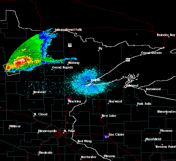 At 1040 pm cdt, a severe thunderstorm was located near cass lake, or 11 miles east of bemidji, moving east at 25 mph (radar indicated). Hazards include 60 mph wind gusts and nickel size hail. Expect damage to roofs. siding. and trees. this severe storm will be near, pennington around 1055 pm cdt. An additional storm near becida will continue to move east at 25 mph, with 60 mph wind gusts possible. At 1040 pm cdt, a severe thunderstorm was located near cass lake, or 11 miles east of bemidji, moving east at 25 mph (radar indicated). Hazards include 60 mph wind gusts and nickel size hail. Expect damage to roofs. siding. and trees. this severe storm will be near, pennington around 1055 pm cdt. An additional storm near becida will continue to move east at 25 mph, with 60 mph wind gusts possible.
|
| 7/19/2016 10:27 PM CDT |
 At 1026 pm cdt, severe thunderstorms were located along a line extending from 6 miles west of dixon lake to near alida, moving south at 25 mph (radar indicated. trees have been reported down due to strong winds within and to the north of bemedji). Hazards include 60 mph wind gusts and quarter size hail. Hail damage to vehicles is expected. expect wind damage to roofs, siding, and trees. these severe storms will be near, pennington around 1040 pm cdt. Lake george around 1100 pm cdt. At 1026 pm cdt, severe thunderstorms were located along a line extending from 6 miles west of dixon lake to near alida, moving south at 25 mph (radar indicated. trees have been reported down due to strong winds within and to the north of bemedji). Hazards include 60 mph wind gusts and quarter size hail. Hail damage to vehicles is expected. expect wind damage to roofs, siding, and trees. these severe storms will be near, pennington around 1040 pm cdt. Lake george around 1100 pm cdt.
|
| 7/19/2016 10:18 PM CDT | Widespread tree damage and power outages reported across northern bemidj in beltrami county MN, 2.4 miles SSE of Bemidji, MN |
| 7/19/2016 10:14 PM CDT |
 At 1013 pm cdt, severe thunderstorms were located along a line extending from 6 miles west of dixon lake to alida, moving southeast at 35 mph (radar indicated). Hazards include 60 mph wind gusts and quarter size hail. Hail damage to vehicles is expected. expect wind damage to roofs, siding, and trees. these severe storms will be near, bemidji around 1015 pm cdt. pennington around 1020 pm cdt. lake george around 1040 pm cdt. kabekona around 1045 pm cdt. Emmaville around 1055 pm cdt. At 1013 pm cdt, severe thunderstorms were located along a line extending from 6 miles west of dixon lake to alida, moving southeast at 35 mph (radar indicated). Hazards include 60 mph wind gusts and quarter size hail. Hail damage to vehicles is expected. expect wind damage to roofs, siding, and trees. these severe storms will be near, bemidji around 1015 pm cdt. pennington around 1020 pm cdt. lake george around 1040 pm cdt. kabekona around 1045 pm cdt. Emmaville around 1055 pm cdt.
|
| 7/19/2016 9:59 PM CDT |
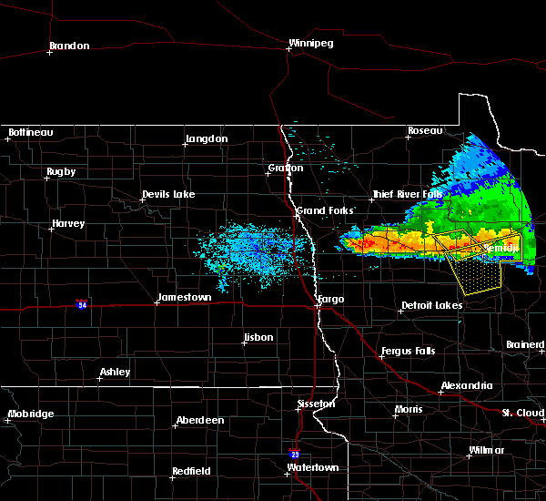 At 958 pm cdt, severe thunderstorms were located along a line extending from near tenstrike to near shevlin, moving southeast at 25 mph (radar indicated). Hazards include 60 mph wind gusts and quarter size hail. Hail damage to vehicles is expected. expect wind damage to roofs, siding, and trees. severe thunderstorms will be near, tenstrike and turtle river around 1000 pm cdt. alida around 1015 pm cdt. becida around 1025 pm cdt. pennington around 1030 pm cdt. Lake george and kabekona around 1050 pm cdt. At 958 pm cdt, severe thunderstorms were located along a line extending from near tenstrike to near shevlin, moving southeast at 25 mph (radar indicated). Hazards include 60 mph wind gusts and quarter size hail. Hail damage to vehicles is expected. expect wind damage to roofs, siding, and trees. severe thunderstorms will be near, tenstrike and turtle river around 1000 pm cdt. alida around 1015 pm cdt. becida around 1025 pm cdt. pennington around 1030 pm cdt. Lake george and kabekona around 1050 pm cdt.
|
| 7/19/2016 9:45 PM CDT | Quarter sized hail reported 10.6 miles SSE of Bemidji, MN |
| 7/19/2016 9:34 PM CDT |
 At 933 pm cdt, a severe thunderstorm was located near leonard, or 24 miles northwest of bemidji, moving southeast at 20 mph (radar indicated). Hazards include 60 mph wind gusts and quarter size hail. Hail damage to vehicles is expected. expect wind damage to roofs, siding, and trees. this severe thunderstorm will be near, leonard around 940 pm cdt. debs around 945 pm cdt. shevlin around 1000 pm cdt. pinewood around 1005 pm cdt. Solway around 1015 pm cdt. At 933 pm cdt, a severe thunderstorm was located near leonard, or 24 miles northwest of bemidji, moving southeast at 20 mph (radar indicated). Hazards include 60 mph wind gusts and quarter size hail. Hail damage to vehicles is expected. expect wind damage to roofs, siding, and trees. this severe thunderstorm will be near, leonard around 940 pm cdt. debs around 945 pm cdt. shevlin around 1000 pm cdt. pinewood around 1005 pm cdt. Solway around 1015 pm cdt.
|
| 7/19/2016 8:59 PM CDT |
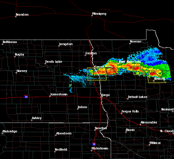 At 858 pm cdt, a severe thunderstorm was located near puposky, or 17 miles north of bemidji, moving southeast at 20 mph (radar indicated). Hazards include quarter size hail. Damage to vehicles is expected. this severe thunderstorm will be near, nebish around 900 pm cdt. puposky around 915 pm cdt. turtle river around 940 pm cdt. Bemidji and lavinia around 955 pm cdt. At 858 pm cdt, a severe thunderstorm was located near puposky, or 17 miles north of bemidji, moving southeast at 20 mph (radar indicated). Hazards include quarter size hail. Damage to vehicles is expected. this severe thunderstorm will be near, nebish around 900 pm cdt. puposky around 915 pm cdt. turtle river around 940 pm cdt. Bemidji and lavinia around 955 pm cdt.
|
| 7/19/2016 8:14 PM CDT |
 At 813 pm cdt, a severe thunderstorm was located near debs, or 23 miles northwest of bemidji, moving southeast at 40 mph (radar indicated). Hazards include 60 mph wind gusts and quarter size hail. Hail damage to vehicles is expected. expect wind damage to roofs, siding, and trees. this severe storm will be near, debs and leonard around 820 pm cdt. pinewood around 830 pm cdt. solway around 835 pm cdt. wilton around 840 pm cdt. Bemidji around 845 pm cdt. At 813 pm cdt, a severe thunderstorm was located near debs, or 23 miles northwest of bemidji, moving southeast at 40 mph (radar indicated). Hazards include 60 mph wind gusts and quarter size hail. Hail damage to vehicles is expected. expect wind damage to roofs, siding, and trees. this severe storm will be near, debs and leonard around 820 pm cdt. pinewood around 830 pm cdt. solway around 835 pm cdt. wilton around 840 pm cdt. Bemidji around 845 pm cdt.
|
| 7/19/2016 7:52 PM CDT |
 At 751 pm cdt, a severe thunderstorm was located near berner, or 34 miles northwest of bemidji, moving southeast at 35 mph (radar indicated). Hazards include 60 mph wind gusts and quarter size hail. Hail damage to vehicles is expected. expect wind damage to roofs, siding, and trees. this severe thunderstorm will be near, southwestern lower red lake around 755 pm cdt. leonard and debs around 815 pm cdt. pinewood around 825 pm cdt. shevlin around 830 pm cdt. Solway around 835 pm cdt. At 751 pm cdt, a severe thunderstorm was located near berner, or 34 miles northwest of bemidji, moving southeast at 35 mph (radar indicated). Hazards include 60 mph wind gusts and quarter size hail. Hail damage to vehicles is expected. expect wind damage to roofs, siding, and trees. this severe thunderstorm will be near, southwestern lower red lake around 755 pm cdt. leonard and debs around 815 pm cdt. pinewood around 825 pm cdt. shevlin around 830 pm cdt. Solway around 835 pm cdt.
|
| 7/11/2016 3:55 AM CDT |
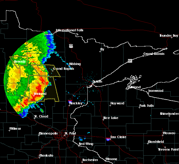 The severe thunderstorm warning for southeastern beltrami and northeastern hubbard counties will expire at 400 am cdt, the storms which prompted the warning have weakened below severe limits, and have exited the warned area. therefore the warning will be allowed to expire. a severe thunderstorm watch remains in effect until 900 am cdt for north central minnesota. The severe thunderstorm warning for southeastern beltrami and northeastern hubbard counties will expire at 400 am cdt, the storms which prompted the warning have weakened below severe limits, and have exited the warned area. therefore the warning will be allowed to expire. a severe thunderstorm watch remains in effect until 900 am cdt for north central minnesota.
|
| 7/11/2016 3:28 AM CDT |
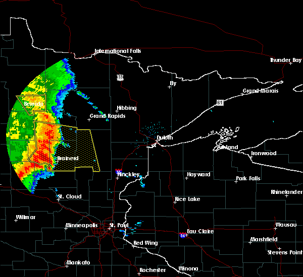 At 328 am cdt, severe thunderstorms were located along a line extending from blackduck to 6 miles north of pennington to near schley, moving east at 50 mph (radar indicated). Hazards include 60 mph wind gusts. Expect damage to roofs. siding. and trees. These severe thunderstorms will remain over mainly rural areas of southeastern beltrami and northeastern hubbard counties. At 328 am cdt, severe thunderstorms were located along a line extending from blackduck to 6 miles north of pennington to near schley, moving east at 50 mph (radar indicated). Hazards include 60 mph wind gusts. Expect damage to roofs. siding. and trees. These severe thunderstorms will remain over mainly rural areas of southeastern beltrami and northeastern hubbard counties.
|
| 7/11/2016 2:59 AM CDT |
 At 259 am cdt, severe thunderstorms were located along a line extending from debs to nary, moving east at 50 mph (radar indicated). Hazards include 60 mph wind gusts and penny size hail. Expect damage to roofs. siding. and trees. severe thunderstorms will be near, nary and rosby around 300 am cdt. puposky around 310 am cdt. pennington around 320 am cdt. tenstrike around 325 am cdt. Hines around 330 am cdt. At 259 am cdt, severe thunderstorms were located along a line extending from debs to nary, moving east at 50 mph (radar indicated). Hazards include 60 mph wind gusts and penny size hail. Expect damage to roofs. siding. and trees. severe thunderstorms will be near, nary and rosby around 300 am cdt. puposky around 310 am cdt. pennington around 320 am cdt. tenstrike around 325 am cdt. Hines around 330 am cdt.
|
| 7/11/2016 2:38 AM CDT |
 At 238 am cdt, severe thunderstorms were located along a line extending from near gonvick to near becida, moving east at 55 mph (radar indicated). Hazards include 60 mph wind gusts. Expect damage to roofs. siding. and trees. these severe storms will be near, becida around 240 am cdt. leonard and nary around 250 am cdt. Rosby around 255 am cdt. At 238 am cdt, severe thunderstorms were located along a line extending from near gonvick to near becida, moving east at 55 mph (radar indicated). Hazards include 60 mph wind gusts. Expect damage to roofs. siding. and trees. these severe storms will be near, becida around 240 am cdt. leonard and nary around 250 am cdt. Rosby around 255 am cdt.
|
| 7/11/2016 2:01 AM CDT |
 At 201 am cdt, severe thunderstorms were located along a line extending from near erskine to 6 miles south of beaulieu, moving east at 50 mph (radar indicated). Hazards include 60 mph wind gusts. Expect damage to roofs. siding. and trees. severe thunderstorms will be near, beaulieu around 205 am cdt. mahkonce around 210 am cdt. fosston around 220 am cdt. island lake in mahnomen county and lengby around 225 am cdt. Ebro and pine bend around 230 am cdt. At 201 am cdt, severe thunderstorms were located along a line extending from near erskine to 6 miles south of beaulieu, moving east at 50 mph (radar indicated). Hazards include 60 mph wind gusts. Expect damage to roofs. siding. and trees. severe thunderstorms will be near, beaulieu around 205 am cdt. mahkonce around 210 am cdt. fosston around 220 am cdt. island lake in mahnomen county and lengby around 225 am cdt. Ebro and pine bend around 230 am cdt.
|
| 7/5/2016 4:38 PM CDT | Several trees down in bemidji including across roads. estimated 50 to 60 mph wind in beltrami county MN, 0.4 miles ESE of Bemidji, MN |
| 6/17/2016 10:27 AM CDT | The severe thunderstorm warning for southeastern lake of the woods and beltrami counties will expire at 1030 am cdt, the storms which prompted the warning no longer pose a severe threat to the warned area. therefore the warning will be allowed to expire. however heavy rain is still possible with these thunderstorms. a severe thunderstorm watch remains in effect until 100 pm cdt for northwestern minnesota. |
| 6/17/2016 10:08 AM CDT |
 At 1006 am cdt, severe thunderstorms were located along a line extending from graceton to 11 miles southeast of carp to near lavinia, moving northeast at 50 mph (radar indicated). Hazards include 60 mph wind gusts and quarter size hail. Hail damage to vehicles is expected. expect wind damage to roofs, siding, and trees. the highest threat for damaging winds will be between baudette and waskish, including the city of carp. these severe storms will be near, pitt and graceton around 1010 am cdt. baudette and hines around 1020 am cdt. blackduck around 1025 am cdt. Funkley around 1030 am cdt. At 1006 am cdt, severe thunderstorms were located along a line extending from graceton to 11 miles southeast of carp to near lavinia, moving northeast at 50 mph (radar indicated). Hazards include 60 mph wind gusts and quarter size hail. Hail damage to vehicles is expected. expect wind damage to roofs, siding, and trees. the highest threat for damaging winds will be between baudette and waskish, including the city of carp. these severe storms will be near, pitt and graceton around 1010 am cdt. baudette and hines around 1020 am cdt. blackduck around 1025 am cdt. Funkley around 1030 am cdt.
|
| 6/17/2016 9:46 AM CDT |
 At 945 am cdt, severe thunderstorms were located along a line extending from norris camp to 10 miles north of upper red lake to near alida, moving east at 50 mph (radar indicated). Hazards include 60 mph wind gusts and quarter size hail. Hail damage to vehicles is expected. expect wind damage to roofs, siding, and trees. severe thunderstorms will be near, faunce around 955 am cdt. lavinia and graceton around 1005 am cdt. turtle river and pitt around 1010 am cdt. baudette around 1015 am cdt. Clementson and pennington around 1020 am cdt. At 945 am cdt, severe thunderstorms were located along a line extending from norris camp to 10 miles north of upper red lake to near alida, moving east at 50 mph (radar indicated). Hazards include 60 mph wind gusts and quarter size hail. Hail damage to vehicles is expected. expect wind damage to roofs, siding, and trees. severe thunderstorms will be near, faunce around 955 am cdt. lavinia and graceton around 1005 am cdt. turtle river and pitt around 1010 am cdt. baudette around 1015 am cdt. Clementson and pennington around 1020 am cdt.
|
| 6/17/2016 9:28 AM CDT |
 At 927 am cdt, severe thunderstorms were located along a line extending from near berner to near bagley to lower rice lake, moving east at 35 mph (radar indicated). Hazards include 60 mph wind gusts and quarter size hail. Hail damage to vehicles is expected. expect wind damage to roofs, siding, and trees. these severe storms will be near, shevlin, upper rice lake and leonard around 940 am cdt. southern lower red lake and alida around 945 am cdt. pinewood, solway and debs around 950 am cdt. little rock around 955 am cdt. Red lake, wilton and becida around 1000 am cdt. At 927 am cdt, severe thunderstorms were located along a line extending from near berner to near bagley to lower rice lake, moving east at 35 mph (radar indicated). Hazards include 60 mph wind gusts and quarter size hail. Hail damage to vehicles is expected. expect wind damage to roofs, siding, and trees. these severe storms will be near, shevlin, upper rice lake and leonard around 940 am cdt. southern lower red lake and alida around 945 am cdt. pinewood, solway and debs around 950 am cdt. little rock around 955 am cdt. Red lake, wilton and becida around 1000 am cdt.
|
| 6/17/2016 9:05 AM CDT |
 At 904 am cdt, severe thunderstorms were located along a line extending from near trail to lengby to near beaulieu, moving east at 25 mph (radar indicated). Hazards include 60 mph wind gusts and quarter size hail. Hail damage to vehicles is expected. expect wind damage to roofs, siding, and trees. severe thunderstorms will be near, lengby, olga and pine bend around 910 am cdt. gully and ebro around 915 am cdt. gonvick, mahkonce and weme around 925 am cdt. bagley around 930 am cdt. Clearbrook and roy lake around 935 am cdt. At 904 am cdt, severe thunderstorms were located along a line extending from near trail to lengby to near beaulieu, moving east at 25 mph (radar indicated). Hazards include 60 mph wind gusts and quarter size hail. Hail damage to vehicles is expected. expect wind damage to roofs, siding, and trees. severe thunderstorms will be near, lengby, olga and pine bend around 910 am cdt. gully and ebro around 915 am cdt. gonvick, mahkonce and weme around 925 am cdt. bagley around 930 am cdt. Clearbrook and roy lake around 935 am cdt.
|
| 5/26/2016 1:56 AM CDT |
 The severe thunderstorm warning for south central beltrami, southeastern clearwater and northwestern hubbard counties will expire at 200 am cdt, the storm which prompted the warning has weakened below severe limits, and no longer pose an immediate threat to life or property. therefore the warning will be allowed to expire. The severe thunderstorm warning for south central beltrami, southeastern clearwater and northwestern hubbard counties will expire at 200 am cdt, the storm which prompted the warning has weakened below severe limits, and no longer pose an immediate threat to life or property. therefore the warning will be allowed to expire.
|
| 5/26/2016 1:28 AM CDT |
 At 128 am cdt, a severe thunderstorm was located over wilton, or 7 miles west of bemidji, moving northeast at 30 mph (radar indicated). Hazards include quarter size hail. Damage to vehicles is expected. this severe storm will be near, bemidji around 130 am cdt. Turtle river and puposky around 150 am cdt. At 128 am cdt, a severe thunderstorm was located over wilton, or 7 miles west of bemidji, moving northeast at 30 mph (radar indicated). Hazards include quarter size hail. Damage to vehicles is expected. this severe storm will be near, bemidji around 130 am cdt. Turtle river and puposky around 150 am cdt.
|
| 5/26/2016 1:05 AM CDT |
 At 105 am cdt, a severe thunderstorm was located over alida, or 16 miles southwest of bemidji, moving northeast at 30 mph (radar indicated). Hazards include quarter size hail. Damage to vehicles is expected. this severe thunderstorm will be near, solway around 125 am cdt. bemidji and wilton around 130 am cdt. pinewood around 135 am cdt. Puposky around 155 am cdt. At 105 am cdt, a severe thunderstorm was located over alida, or 16 miles southwest of bemidji, moving northeast at 30 mph (radar indicated). Hazards include quarter size hail. Damage to vehicles is expected. this severe thunderstorm will be near, solway around 125 am cdt. bemidji and wilton around 130 am cdt. pinewood around 135 am cdt. Puposky around 155 am cdt.
|
| 9/17/2015 4:44 AM CDT |
 At 444 am cdt, a severe thunderstorm was located over rice lake, or 31 miles west of bemidji, moving northeast at 40 mph (radar indicated). Hazards include quarter size hail. Damage to vehicles is expected. this severe thunderstorm will be near, rice lake and lower rice lake around 445 am cdt. Upper rice lake around 455 am cdt. At 444 am cdt, a severe thunderstorm was located over rice lake, or 31 miles west of bemidji, moving northeast at 40 mph (radar indicated). Hazards include quarter size hail. Damage to vehicles is expected. this severe thunderstorm will be near, rice lake and lower rice lake around 445 am cdt. Upper rice lake around 455 am cdt.
|
| 9/6/2015 3:13 PM CDT |
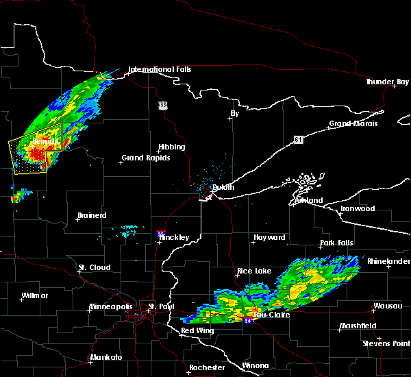 At 313 pm cdt, a severe thunderstorm was located over guthrie, or 11 miles south of bemidji, moving east at 15 mph (radar indicated). Hazards include 60 mph wind gusts and quarter size hail. Hail damage to vehicles is expected. expect wind damage to roofs, siding and trees. This severe thunderstorm will remain over mainly rural areas of southeastern beltrami and northeastern hubbard counties. At 313 pm cdt, a severe thunderstorm was located over guthrie, or 11 miles south of bemidji, moving east at 15 mph (radar indicated). Hazards include 60 mph wind gusts and quarter size hail. Hail damage to vehicles is expected. expect wind damage to roofs, siding and trees. This severe thunderstorm will remain over mainly rural areas of southeastern beltrami and northeastern hubbard counties.
|
| 9/6/2015 3:05 PM CDT | Half Dollar sized hail reported 9.5 miles N of Bemidji, MN, very heavy rainfall with intermittent large hail reported near highway 71. |
| 9/6/2015 2:58 PM CDT |
 At 258 pm cdt, a severe thunderstorm was located near nary, or 10 miles south of bemidji, moving east at 20 mph (radar indicated). Hazards include 60 mph wind gusts and quarter size hail. Hail damage to vehicles is expected. expect wind damage to roofs, siding and trees. this severe thunderstorm will be near, guthrie and nary around 310 pm cdt. Rosby around 315 pm cdt. At 258 pm cdt, a severe thunderstorm was located near nary, or 10 miles south of bemidji, moving east at 20 mph (radar indicated). Hazards include 60 mph wind gusts and quarter size hail. Hail damage to vehicles is expected. expect wind damage to roofs, siding and trees. this severe thunderstorm will be near, guthrie and nary around 310 pm cdt. Rosby around 315 pm cdt.
|
| 8/12/2015 11:10 PM CDT |
 At 1107 pm cdt, severe thunderstorms were located along a line extending from solway to near ebro to near beaulieu, moving south at 30 mph. in addition, a severe storm with over inch sized hail has developed out ahead of the line near lake itasca (radar indicated). Hazards include 70 mph wind gusts and half dollar size hail. Hail damage to vehicles is expected. expect considerable tree damage. wind damage is also likely to mobile homes, roofs and outbuildings. these severe storms will be near, rice lake around 1115 pm cdt. beaulieu, alida and upper rice lake around 1120 pm cdt. lower rice lake, roy lake and mahkonce around 1125 pm cdt. becida and zerkel around 1130 pm cdt. Waubun around 1135 pm cdt. At 1107 pm cdt, severe thunderstorms were located along a line extending from solway to near ebro to near beaulieu, moving south at 30 mph. in addition, a severe storm with over inch sized hail has developed out ahead of the line near lake itasca (radar indicated). Hazards include 70 mph wind gusts and half dollar size hail. Hail damage to vehicles is expected. expect considerable tree damage. wind damage is also likely to mobile homes, roofs and outbuildings. these severe storms will be near, rice lake around 1115 pm cdt. beaulieu, alida and upper rice lake around 1120 pm cdt. lower rice lake, roy lake and mahkonce around 1125 pm cdt. becida and zerkel around 1130 pm cdt. Waubun around 1135 pm cdt.
|
| 8/12/2015 10:42 PM CDT |
 At 1042 pm cdt, severe thunderstorms were located along a line extending from near pinewood to near bagley to near fosston, moving southeast at 35 mph (radar indicated). Hazards include 70 mph wind gusts and half dollar size hail. Hail damage to vehicles is expected. expect considerable tree damage. wind damage is also likely to mobile homes, roofs and outbuildings. severe thunderstorms will be near, leonard and ebro around 1045 pm cdt. bagley and pinewood around 1050 pm cdt. shevlin and solway around 1055 pm cdt. pine bend around 1100 pm cdt. Wilton and upper rice lake around 1105 pm cdt. At 1042 pm cdt, severe thunderstorms were located along a line extending from near pinewood to near bagley to near fosston, moving southeast at 35 mph (radar indicated). Hazards include 70 mph wind gusts and half dollar size hail. Hail damage to vehicles is expected. expect considerable tree damage. wind damage is also likely to mobile homes, roofs and outbuildings. severe thunderstorms will be near, leonard and ebro around 1045 pm cdt. bagley and pinewood around 1050 pm cdt. shevlin and solway around 1055 pm cdt. pine bend around 1100 pm cdt. Wilton and upper rice lake around 1105 pm cdt.
|
| 8/12/2015 10:20 PM CDT |
 At 1019 pm cdt, severe thunderstorms were located along a line extending from 9 miles northwest of berner to gully, moving southeast at 35 mph (radar indicated). Hazards include 60 mph wind gusts and quarter size hail. Hail damage to vehicles is expected. expect wind damage to roofs, siding and trees. severe thunderstorms will be near, gonvick around 1030 pm cdt. berner and weme around 1035 pm cdt. clearbrook around 1040 pm cdt. bagley and leonard around 1050 pm cdt. Shevlin and debs around 1100 pm cdt. At 1019 pm cdt, severe thunderstorms were located along a line extending from 9 miles northwest of berner to gully, moving southeast at 35 mph (radar indicated). Hazards include 60 mph wind gusts and quarter size hail. Hail damage to vehicles is expected. expect wind damage to roofs, siding and trees. severe thunderstorms will be near, gonvick around 1030 pm cdt. berner and weme around 1035 pm cdt. clearbrook around 1040 pm cdt. bagley and leonard around 1050 pm cdt. Shevlin and debs around 1100 pm cdt.
|
| 7/24/2015 2:17 AM CDT |
 At 215 am cdt, severe thunderstorms were located along a line extending from 7 miles southeast of hines to walker to near hillview, moving east at 50 mph (public). Hazards include 70 mph wind gusts and penny size hail. Expect considerable tree damage. damage is likely to mobile homes, roofs and outbuildings. damage has been reported in mahnomen and lake park. These severe storms will be near, huntersville and nimrod around 225 am cdt. At 215 am cdt, severe thunderstorms were located along a line extending from 7 miles southeast of hines to walker to near hillview, moving east at 50 mph (public). Hazards include 70 mph wind gusts and penny size hail. Expect considerable tree damage. damage is likely to mobile homes, roofs and outbuildings. damage has been reported in mahnomen and lake park. These severe storms will be near, huntersville and nimrod around 225 am cdt.
|
| 7/24/2015 1:55 AM CDT |
 At 153 am cdt, severe thunderstorms were located along a line extending from near puposky to near emmaville to near frazee, moving east at 45 mph (public). Hazards include 70 mph wind gusts and penny size hail. Expect considerable tree damage. damage is likely to mobile homes, roofs and outbuildings. power outages have been reported in lake park in becker county. these severe storms will be near, lake george, emmaville and puposky around 155 am cdt. turtle river, lavinia and nevis around 205 am cdt. tenstrike and butler around 210 am cdt. akeley, hillview, benedict, hines and midway around 215 am cdt. Sebeka, menahga and pennington around 225 am cdt. At 153 am cdt, severe thunderstorms were located along a line extending from near puposky to near emmaville to near frazee, moving east at 45 mph (public). Hazards include 70 mph wind gusts and penny size hail. Expect considerable tree damage. damage is likely to mobile homes, roofs and outbuildings. power outages have been reported in lake park in becker county. these severe storms will be near, lake george, emmaville and puposky around 155 am cdt. turtle river, lavinia and nevis around 205 am cdt. tenstrike and butler around 210 am cdt. akeley, hillview, benedict, hines and midway around 215 am cdt. Sebeka, menahga and pennington around 225 am cdt.
|
| 7/24/2015 1:24 AM CDT |
 At 123 am cdt, severe thunderstorms were located along a line extending from near leonard to near bad medicine lake to near cormorant, moving east at 55 mph (radar indicated). Hazards include 70 mph wind gusts and penny size hail. Expect considerable tree damage. damage is likely to mobile homes, roofs and outbuildings. severe thunderstorms will be near, bad medicine lake, clearbrook, many point lake, leonard and long lost lake around 125 am cdt. debs around 130 am cdt. detroit lakes, pinewood and two inlets around 135 am cdt. frazee, vergas and rochert around 140 am cdt. Lake george, height of land lake, puposky and nebish around 145 am cdt. At 123 am cdt, severe thunderstorms were located along a line extending from near leonard to near bad medicine lake to near cormorant, moving east at 55 mph (radar indicated). Hazards include 70 mph wind gusts and penny size hail. Expect considerable tree damage. damage is likely to mobile homes, roofs and outbuildings. severe thunderstorms will be near, bad medicine lake, clearbrook, many point lake, leonard and long lost lake around 125 am cdt. debs around 130 am cdt. detroit lakes, pinewood and two inlets around 135 am cdt. frazee, vergas and rochert around 140 am cdt. Lake george, height of land lake, puposky and nebish around 145 am cdt.
|
| 7/5/2015 6:15 PM CDT | Quarter sized hail reported 11.3 miles SW of Bemidji, MN, reported via social media. |
| 8/25/2013 7:30 PM CDT | Golf Ball sized hail reported 4.8 miles W of Bemidji, MN |
| 8/25/2013 7:22 PM CDT | Quarter sized hail reported 0.4 miles ESE of Bemidji, MN, hail on south end of bemidji |
| 8/25/2013 7:20 PM CDT | Quarter sized hail reported 1.6 miles WNW of Bemidji, MN |
| 8/15/2012 4:45 PM CDT | Quarter sized hail reported 13.4 miles NE of Bemidji, MN |
| 7/4/2012 1:25 PM CDT | Reports of trees down on north side of lake bemidj in beltrami county MN, 4.3 miles S of Bemidji, MN |
| 7/4/2012 1:15 PM CDT | Storm damage reported in beltrami county MN, 2.9 miles W of Bemidji, MN |
| 7/2/2012 7:05 PM CDT | Public report of a 60 ft spruce tree broken off about halfway up the tree with other limbs down in the area ... posted on kvly facebook site in beltrami county MN, 0.4 miles ESE of Bemidji, MN |
| 7/2/2012 7:00 PM CDT | Numerous trees down throughout the city of bemidji. street flooding as wel in beltrami county MN, 0.4 miles ESE of Bemidji, MN |
| 7/2/2012 7:00 PM CDT | Shingles blown off of a house in bemidji ... posted by general public on the kvly facebook page in beltrami county MN, 0.4 miles ESE of Bemidji, MN |
| 7/2/2012 7:00 PM CDT | Time estimated...a few roofs off of buildings at oaksville christian college and numerous trees down on campus in beltrami county MN, 2.9 miles NNE of Bemidji, MN |
| 7/2/2012 7:00 PM CDT | Time estimated...numerous large tree limbs broken down and trees uprooted. roofing material was torn of of buildings at oaksville christian college and around the lake in beltrami county MN, 2.9 miles NNE of Bemidji, MN |
| 7/2/2012 6:55 PM CDT | Wind sensor near lake plantagenet lost power at 56 mph while winds increased substantially higher over the next 10 minutes. numerous large tree limbs were snappe in hubbard county MN, 8.2 miles NE of Bemidji, MN |
| 5/18/2012 7:20 PM CDT | 100 yd row of trees laid down from south to in beltrami county MN, 6.7 miles W of Bemidji, MN |
| 5/18/2012 7:10 PM CDT | Beltrami county deputy reports small trees down at residence near highway two and hubbard county road 45...near grace lak in hubbard county MN, 6.9 miles NW of Bemidji, MN |
| 1/1/0001 12:00 AM | Reports of power poles snapped and power lines down in the nymor area of southeast bemidj in beltrami county MN, 3.6 miles NW of Bemidji, MN |
| 1/1/0001 12:00 AM | Via amateur radio... some siding blown off of the pamida store south of lake bemidj in beltrami county MN, 2.8 miles NNW of Bemidji, MN |
| 1/1/0001 12:00 AM | Large trees blown down along south side of lake bemidj in beltrami county MN, 2.8 miles NW of Bemidji, MN |
| 1/1/0001 12:00 AM | Ping Pong Ball sized hail reported 0.8 miles NW of Bemidji, MN |
| 1/1/0001 12:00 AM | Very strong winds and ping pong ball sized hai in beltrami county MN, 0.8 miles NW of Bemidji, MN |
| 1/1/0001 12:00 AM | Quarter sized hail reported 8.9 miles SE of Bemidji, MN, lots of quarter sized hail along hwy 89. |
| 1/1/0001 12:00 AM | Quarter sized hail reported 7.9 miles SE of Bemidji, MN, lots of quarter sized hail along hwy 89. |
| 1/1/0001 12:00 AM | Trees down on power lines in beltrami county MN, 1.5 miles W of Bemidji, MN |
| 1/1/0001 12:00 AM | Quarter sized hail reported 0.4 miles ESE of Bemidji, MN |
| 1/1/0001 12:00 AM | Stop light blown down...several trees down in beltrami county MN, 0.4 miles ESE of Bemidji, MN |
| 1/1/0001 12:00 AM | 60 foot 10 inch diameter pine blown over in beltrami county MN, 6.9 miles NE of Bemidji, MN |
| 1/1/0001 12:00 AM | Stop light blown down in beltrami county MN, 1.3 miles E of Bemidji, MN |
| 1/1/0001 12:00 AM | 14 inch diameter trees felled in north bemidji. street flooding reported as wel in beltrami county MN, 0.4 miles ESE of Bemidji, MN |
| 1/1/0001 12:00 AM | Report of down tree on county road 22 north of bemidj in beltrami county MN, 5 miles S of Bemidji, MN |
| 1/1/0001 12:00 AM | Report of down tree on county road 22 north of bemidj in beltrami county MN, 5 miles S of Bemidji, MN |
Hail Maps for Bemidji, MN
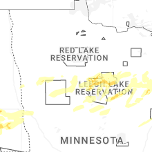


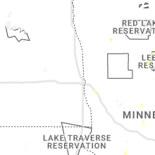


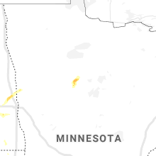


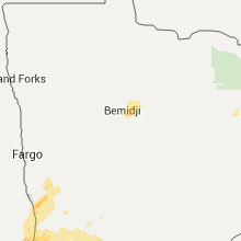


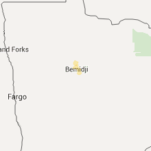


Connect with Interactive Hail Maps