

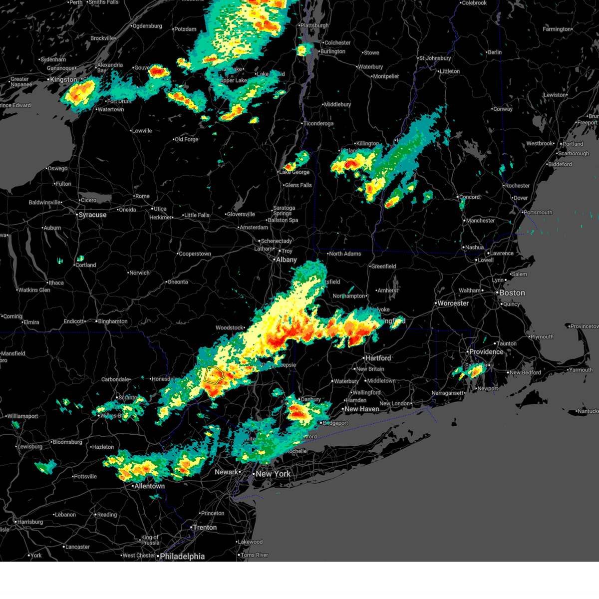
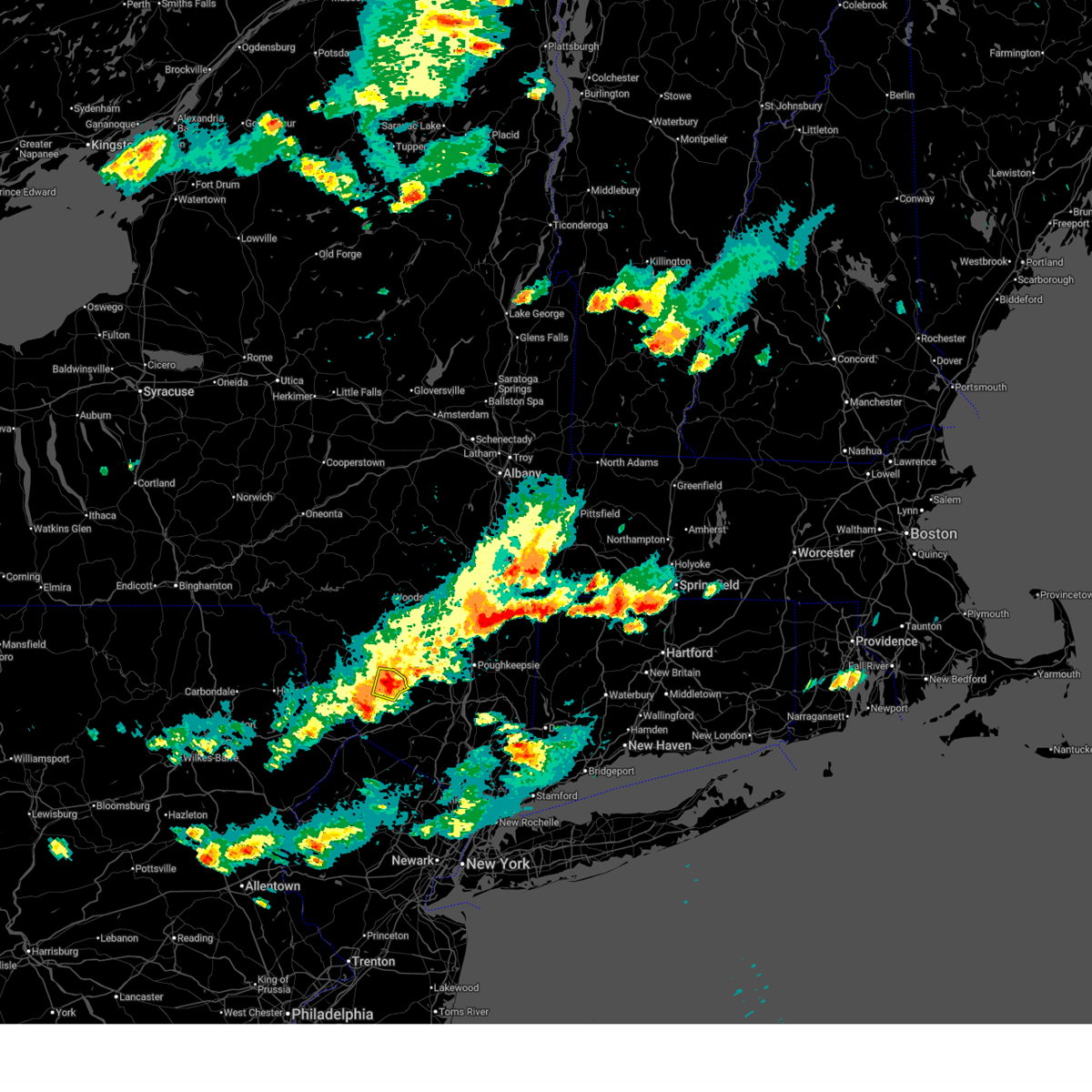
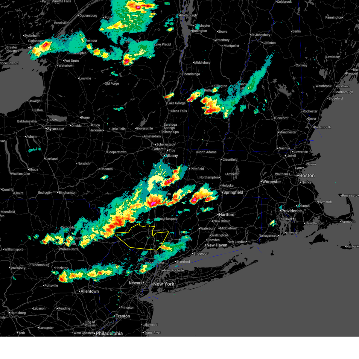
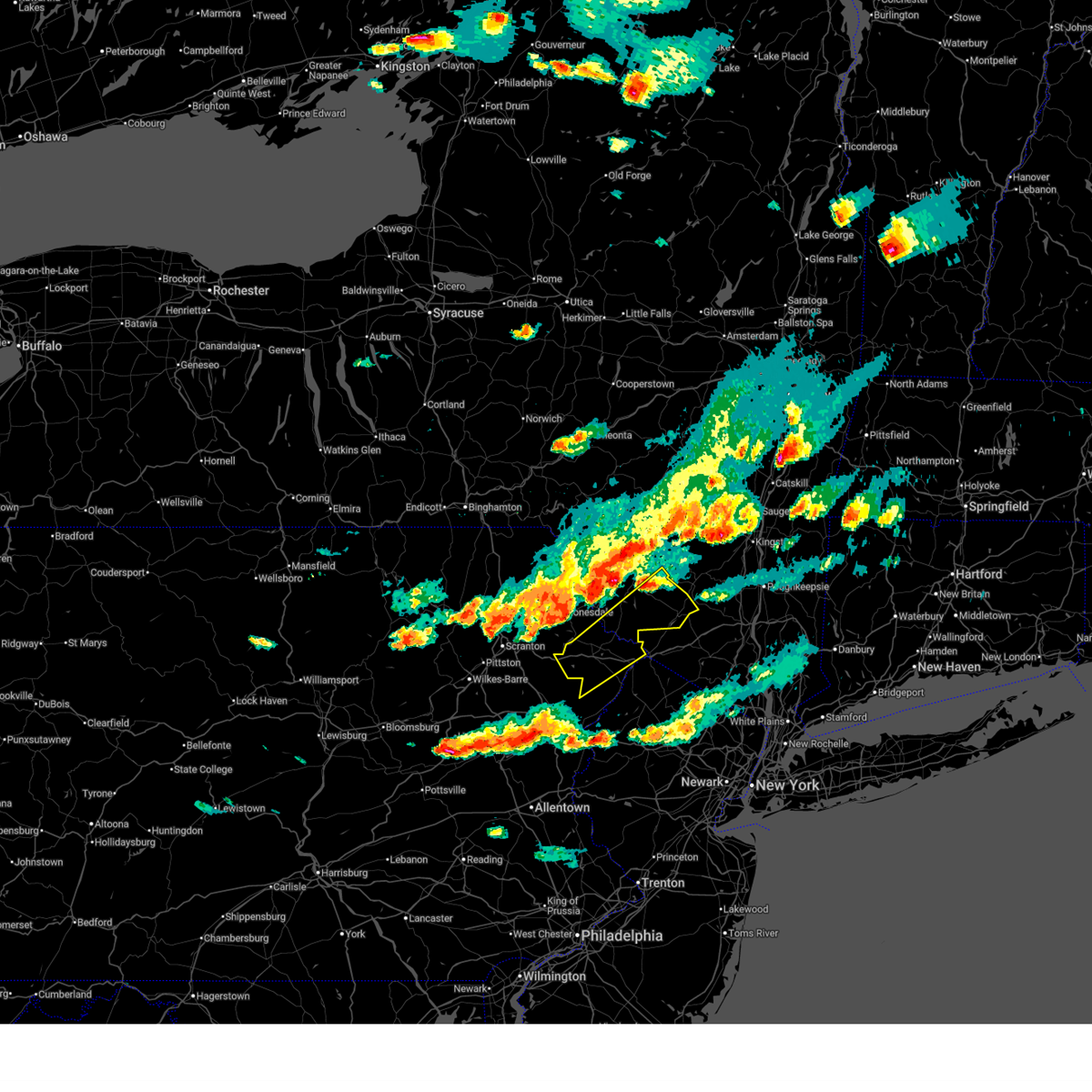
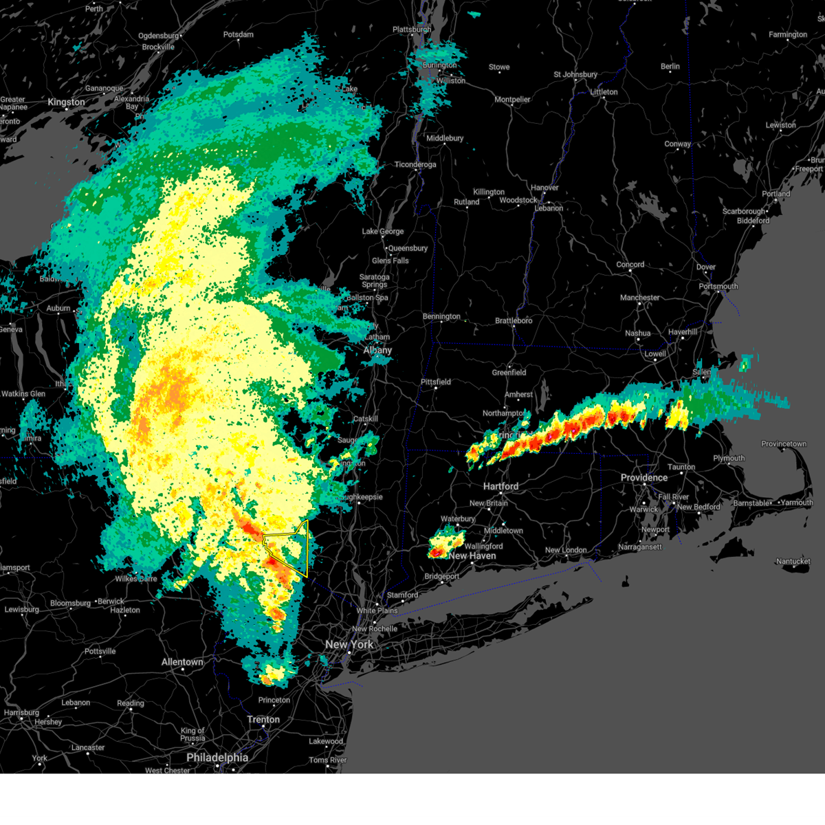
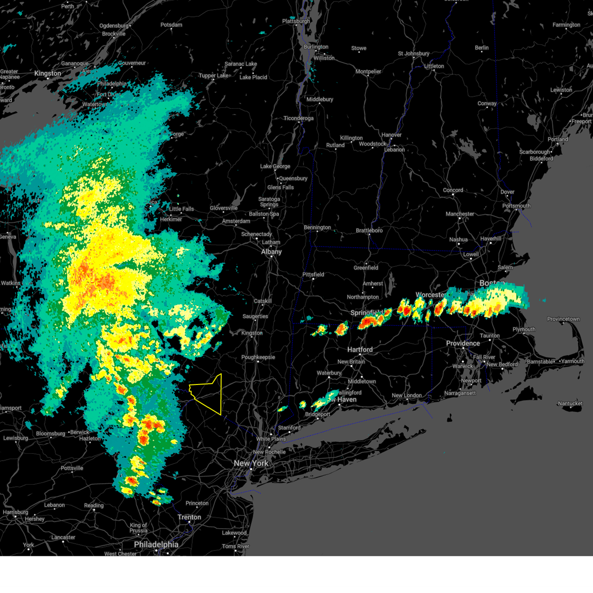
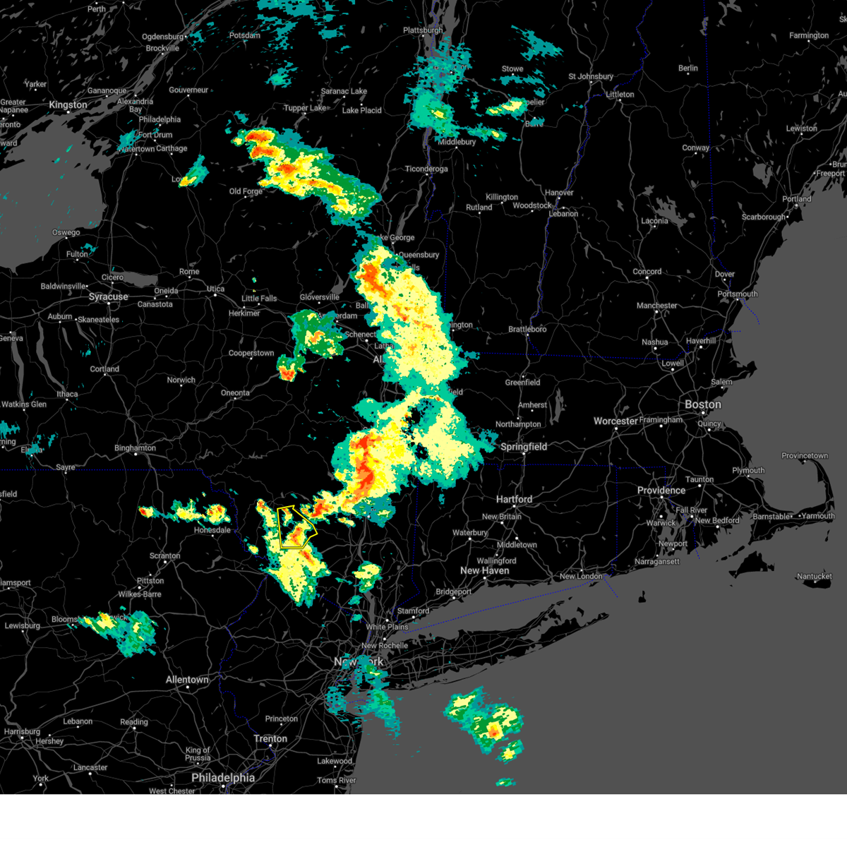
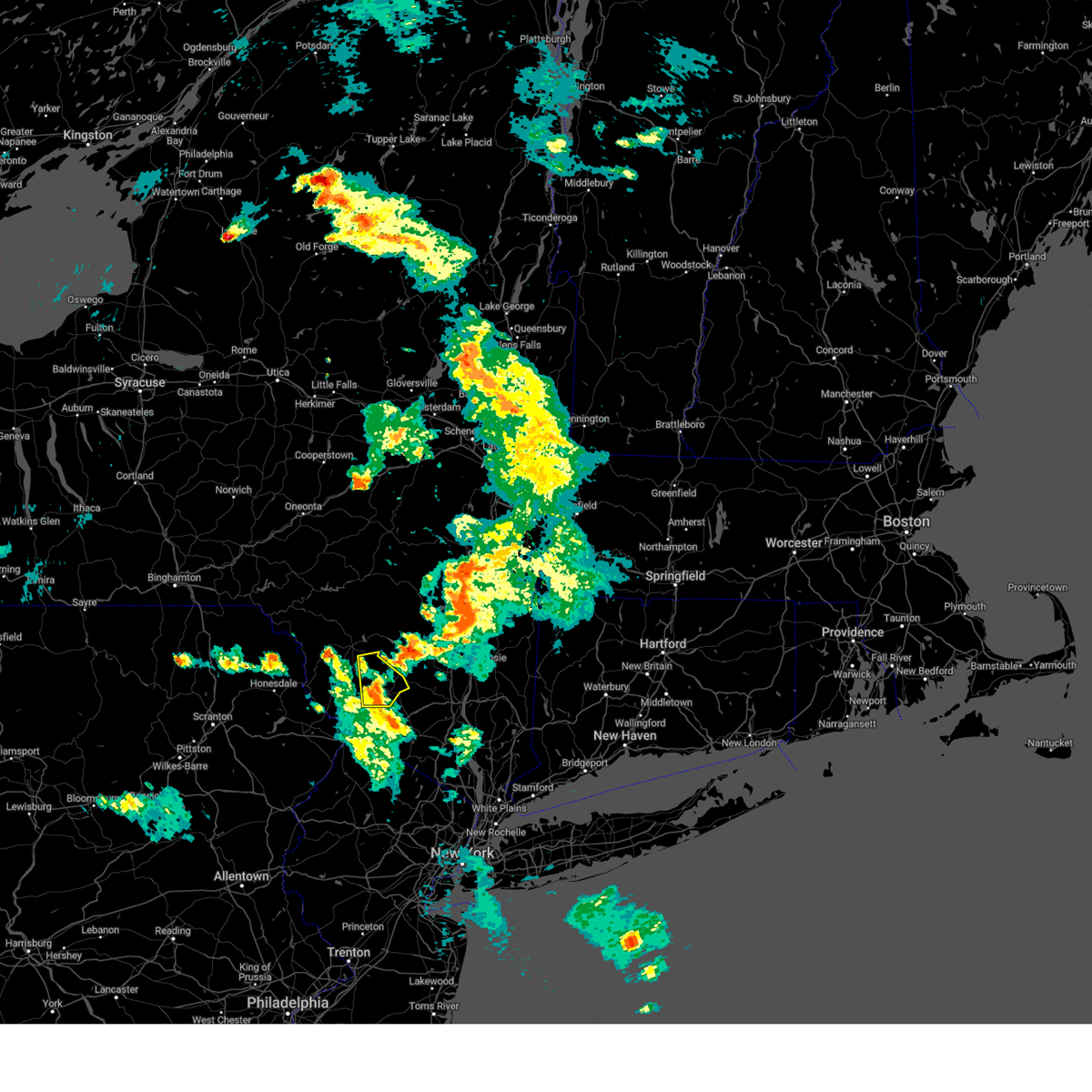
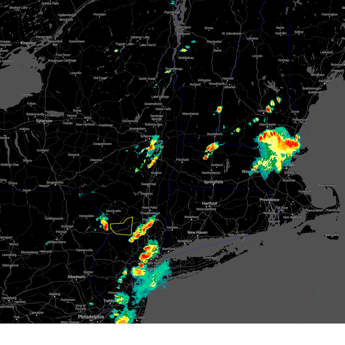
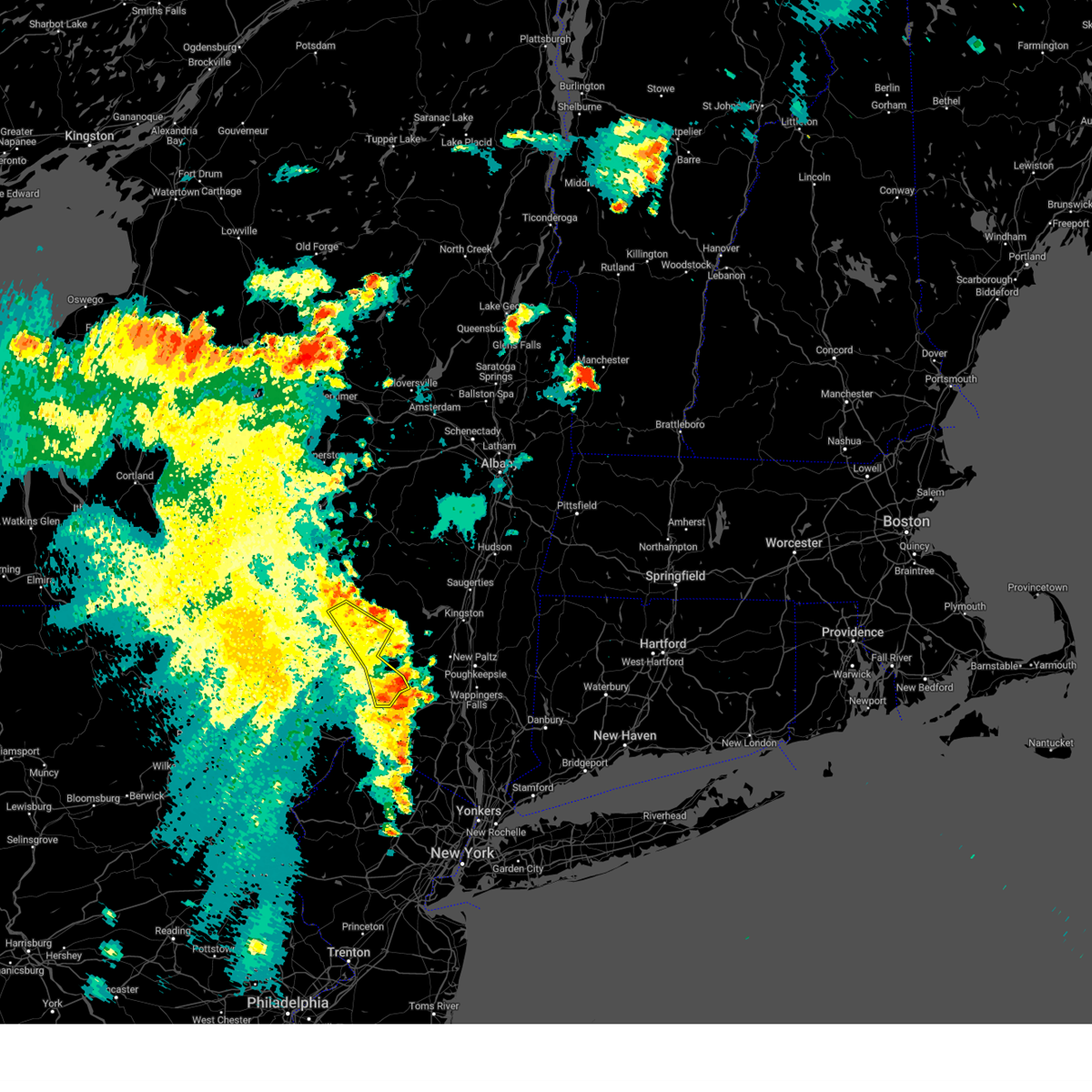
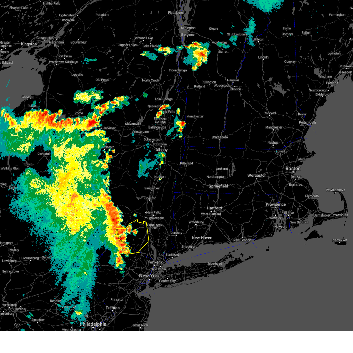
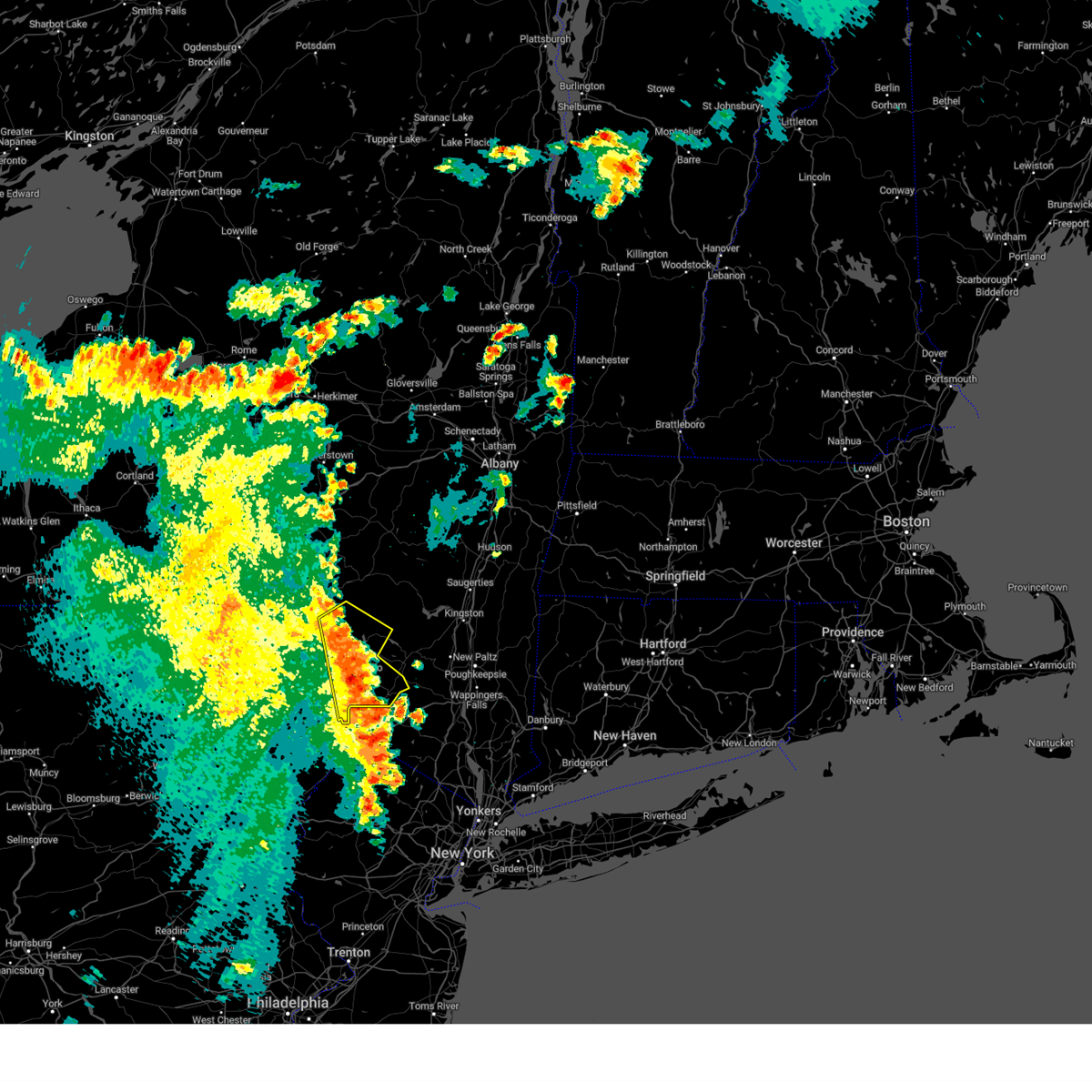
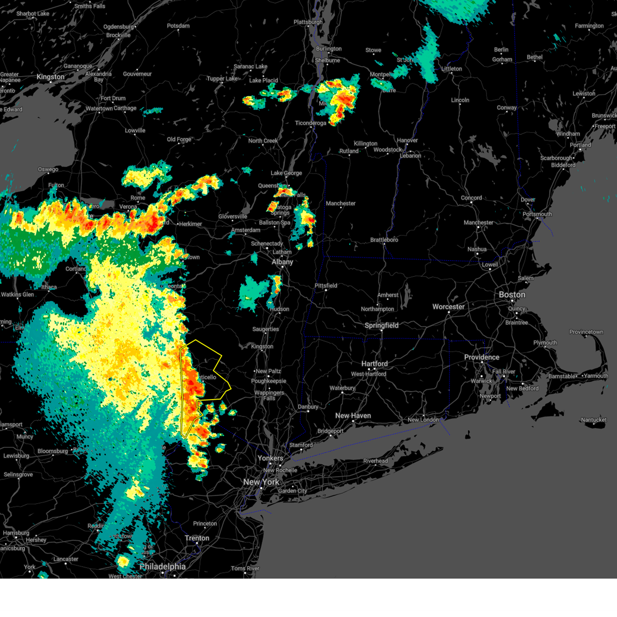
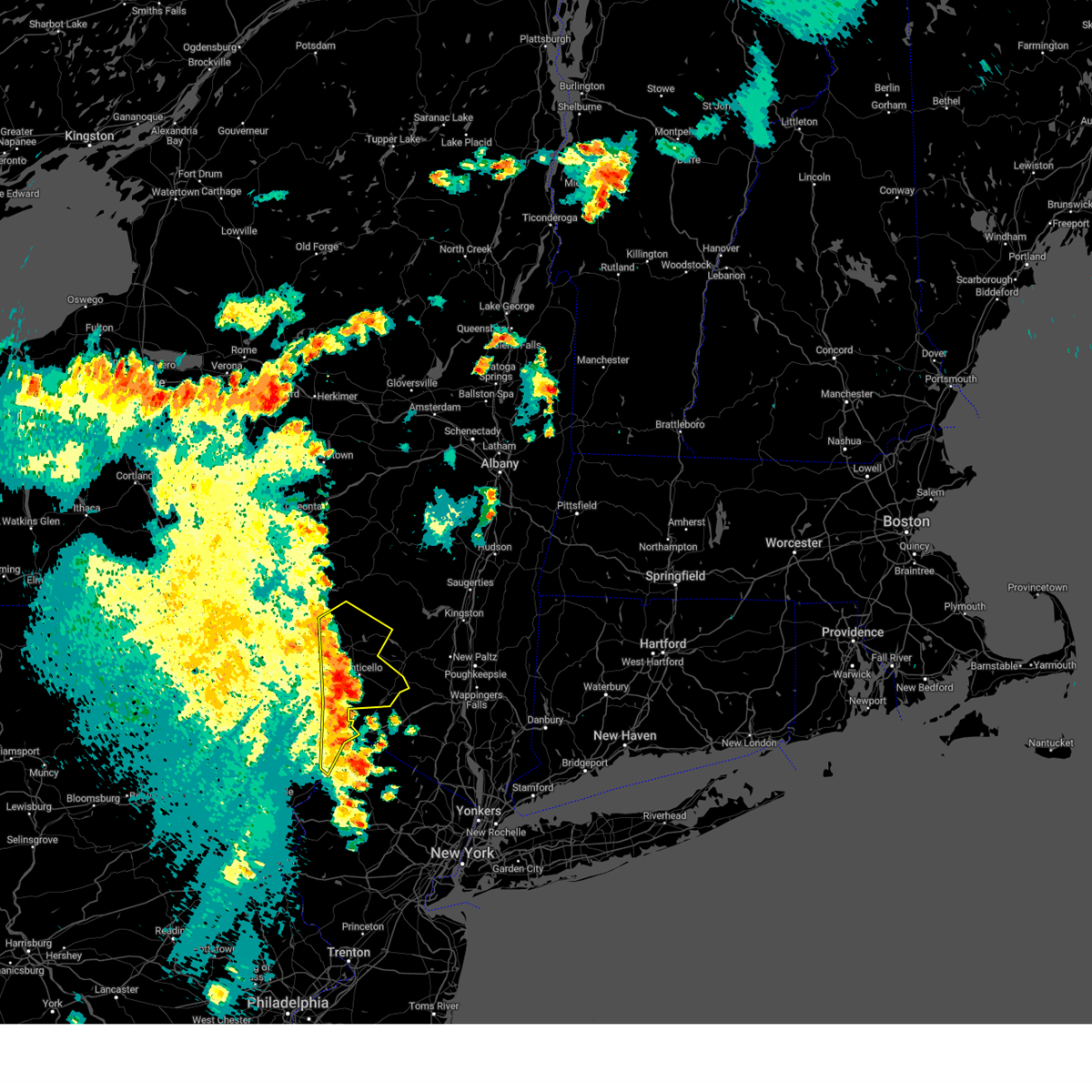
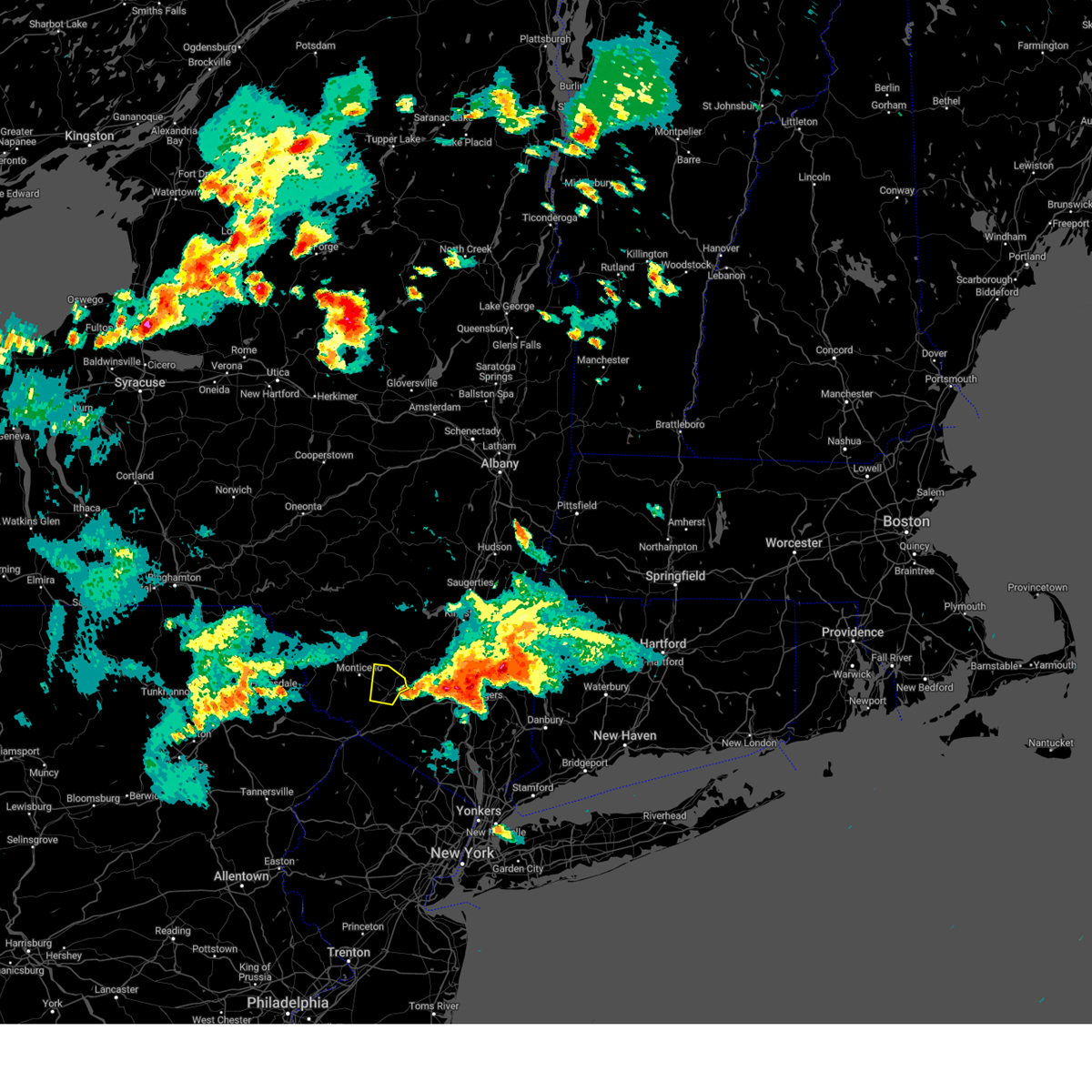
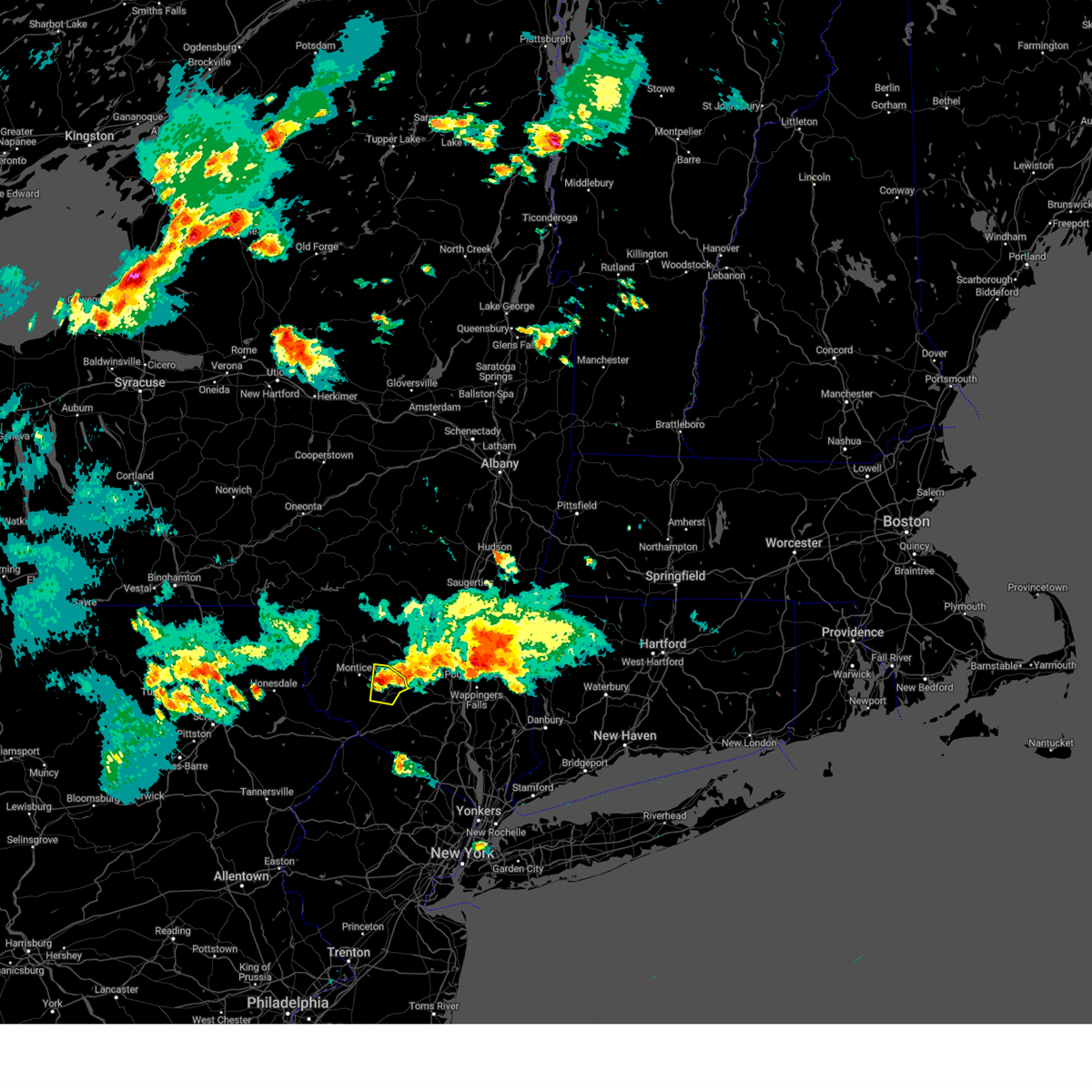
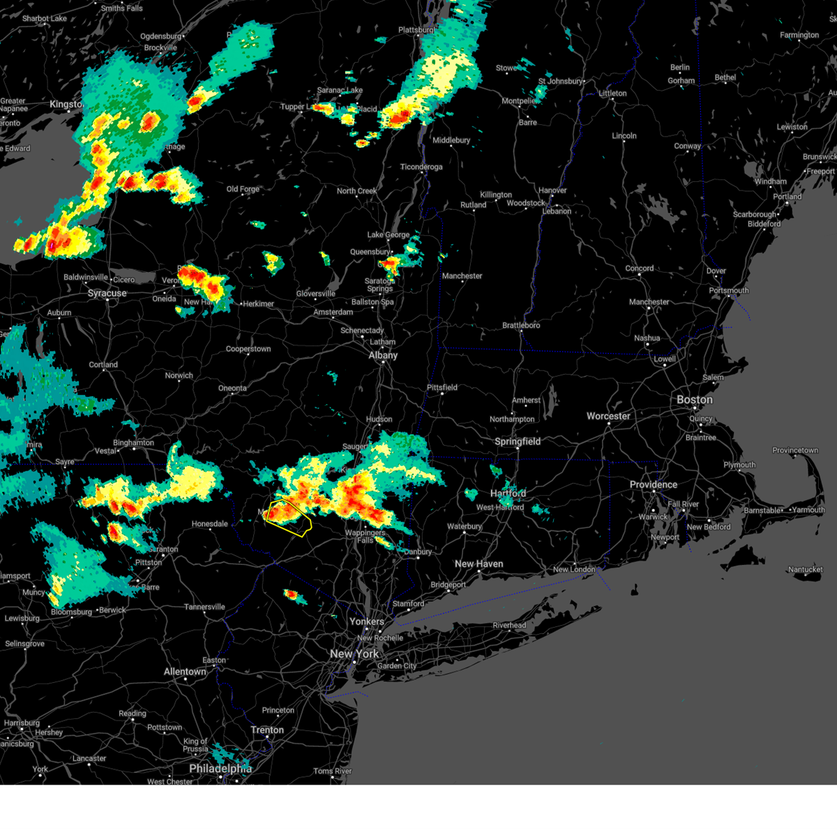
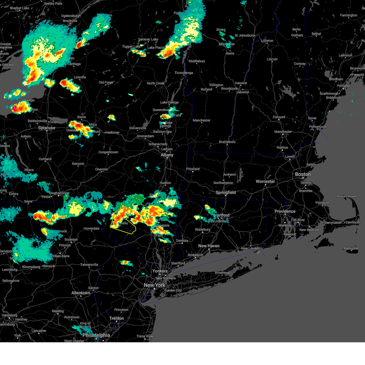
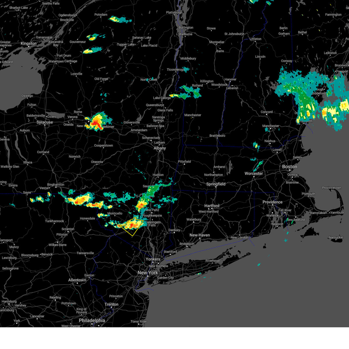
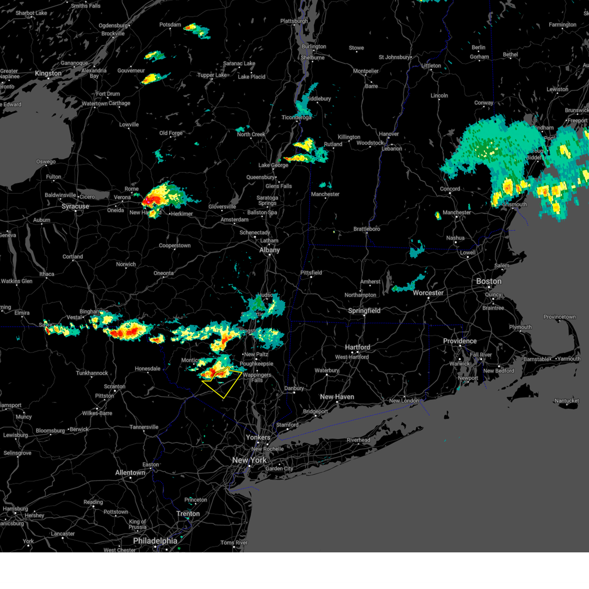
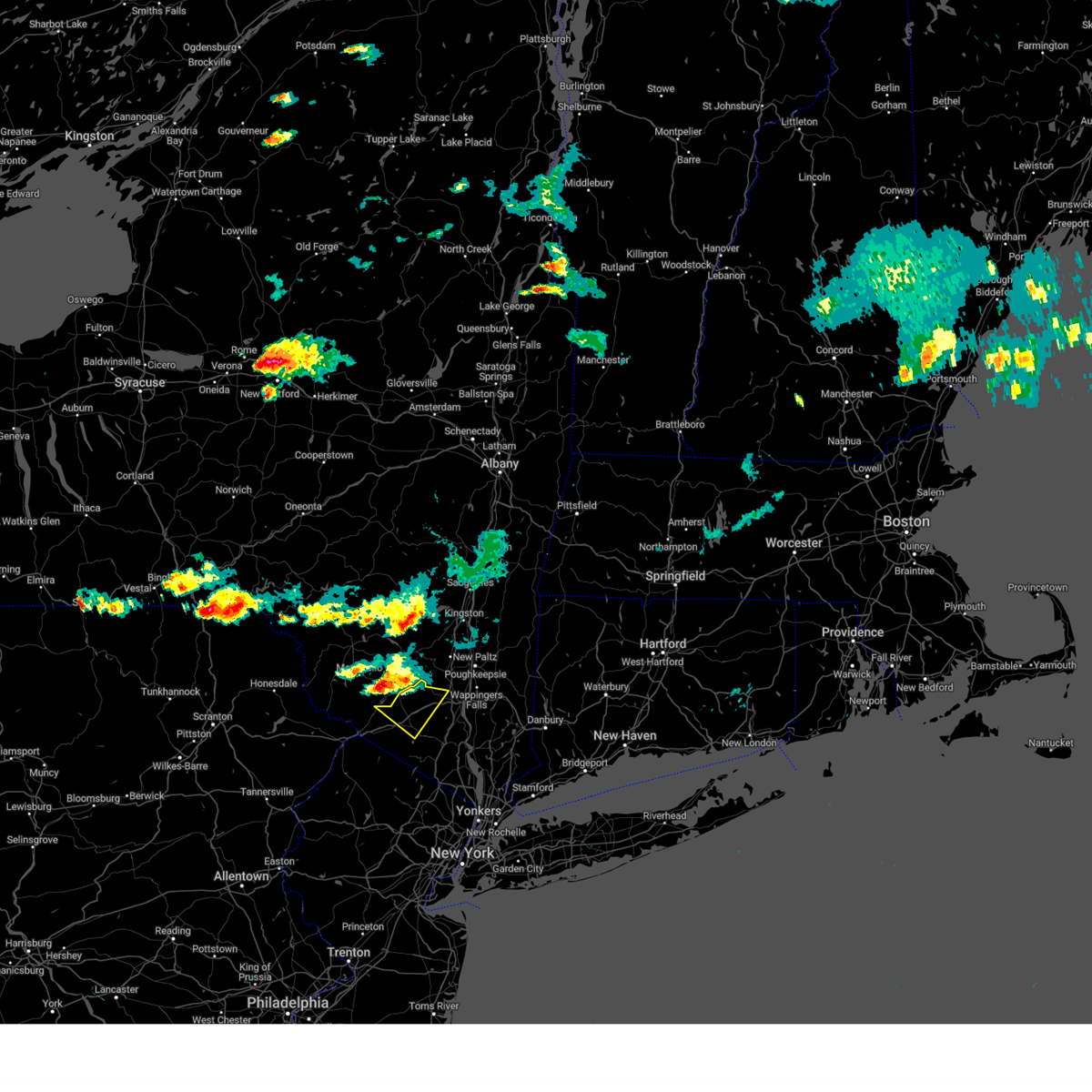
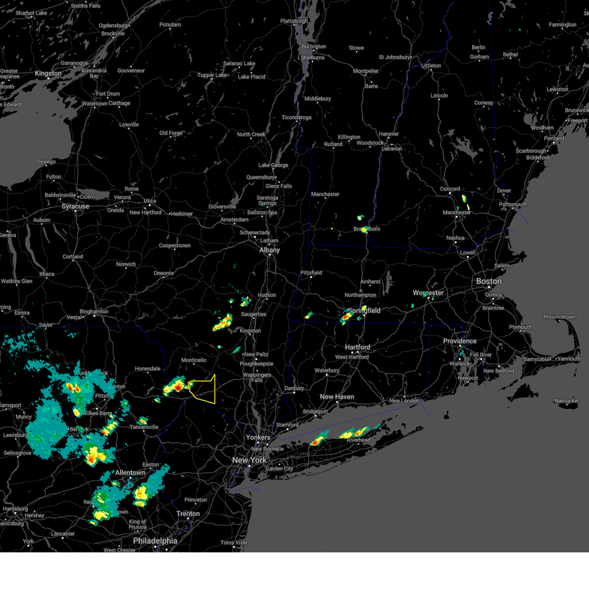
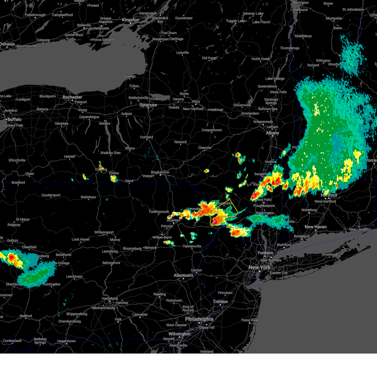
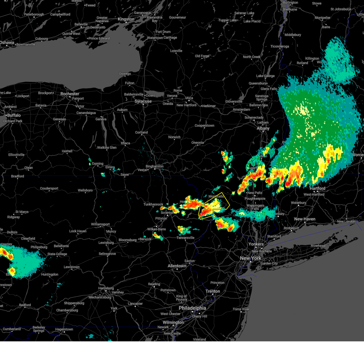
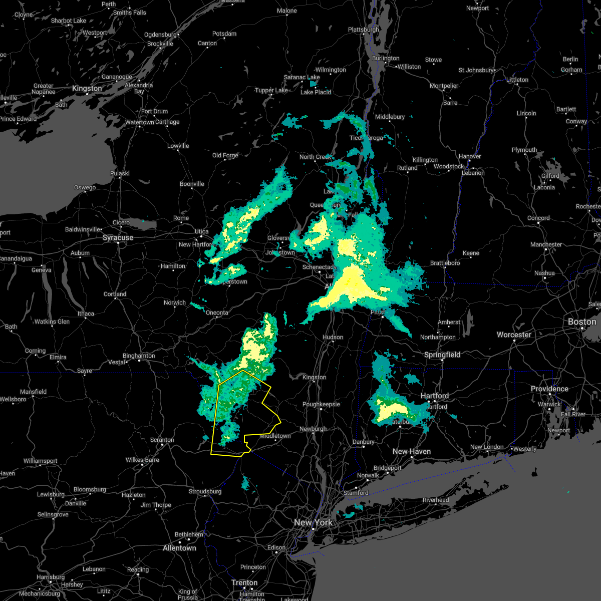
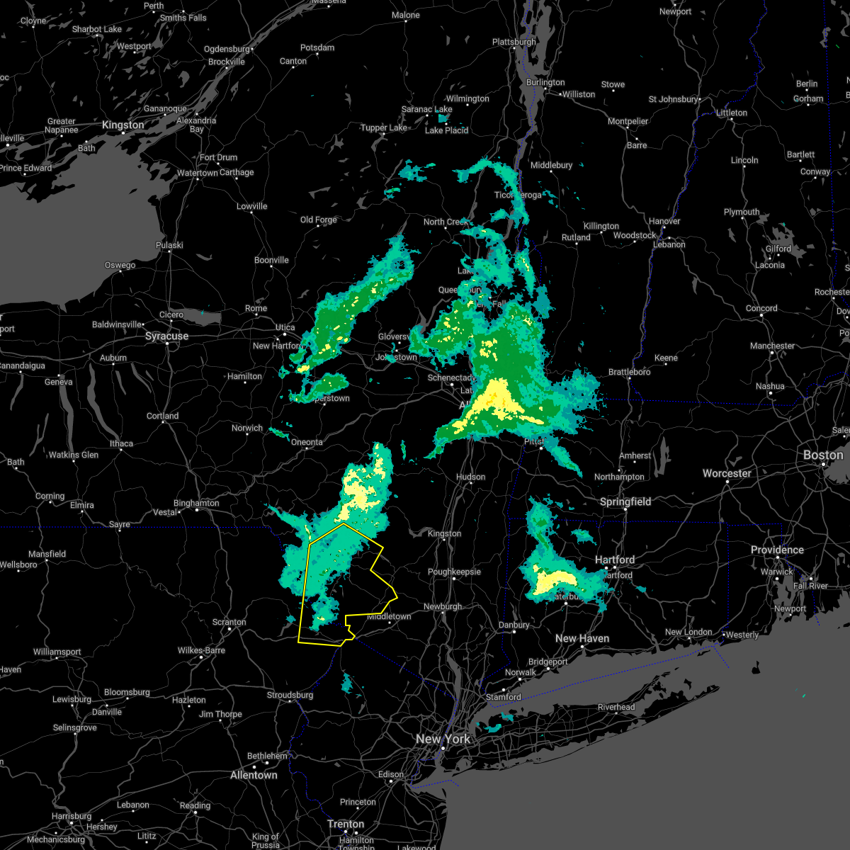
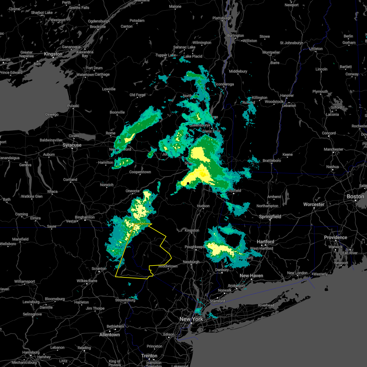
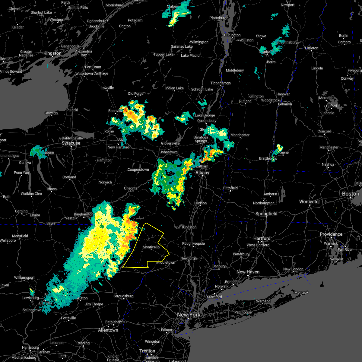
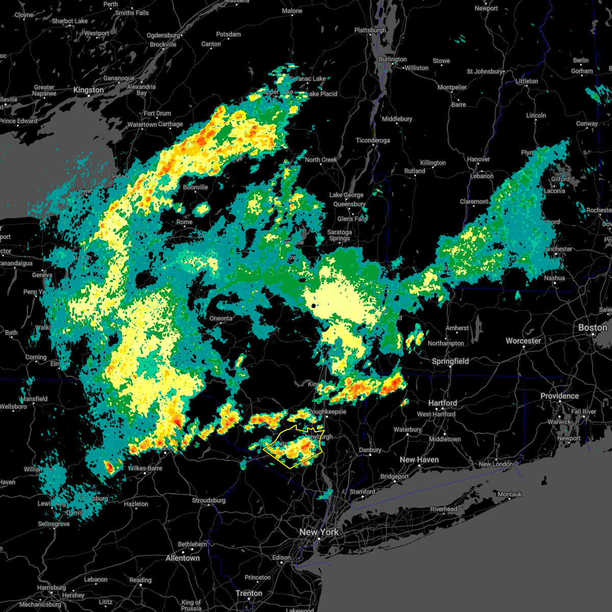
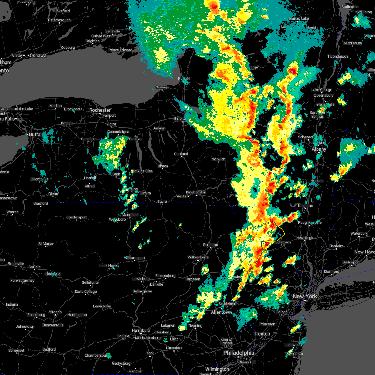
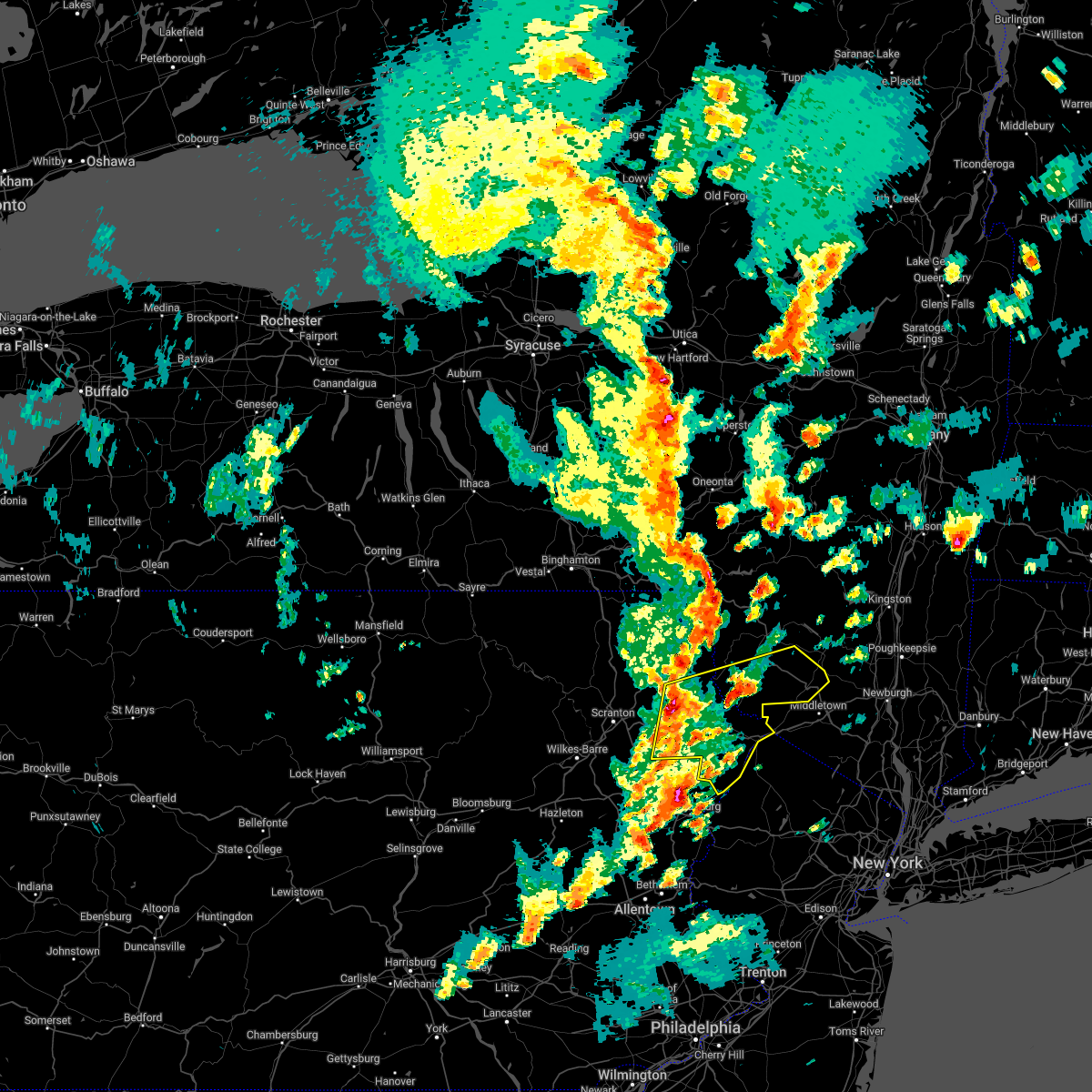
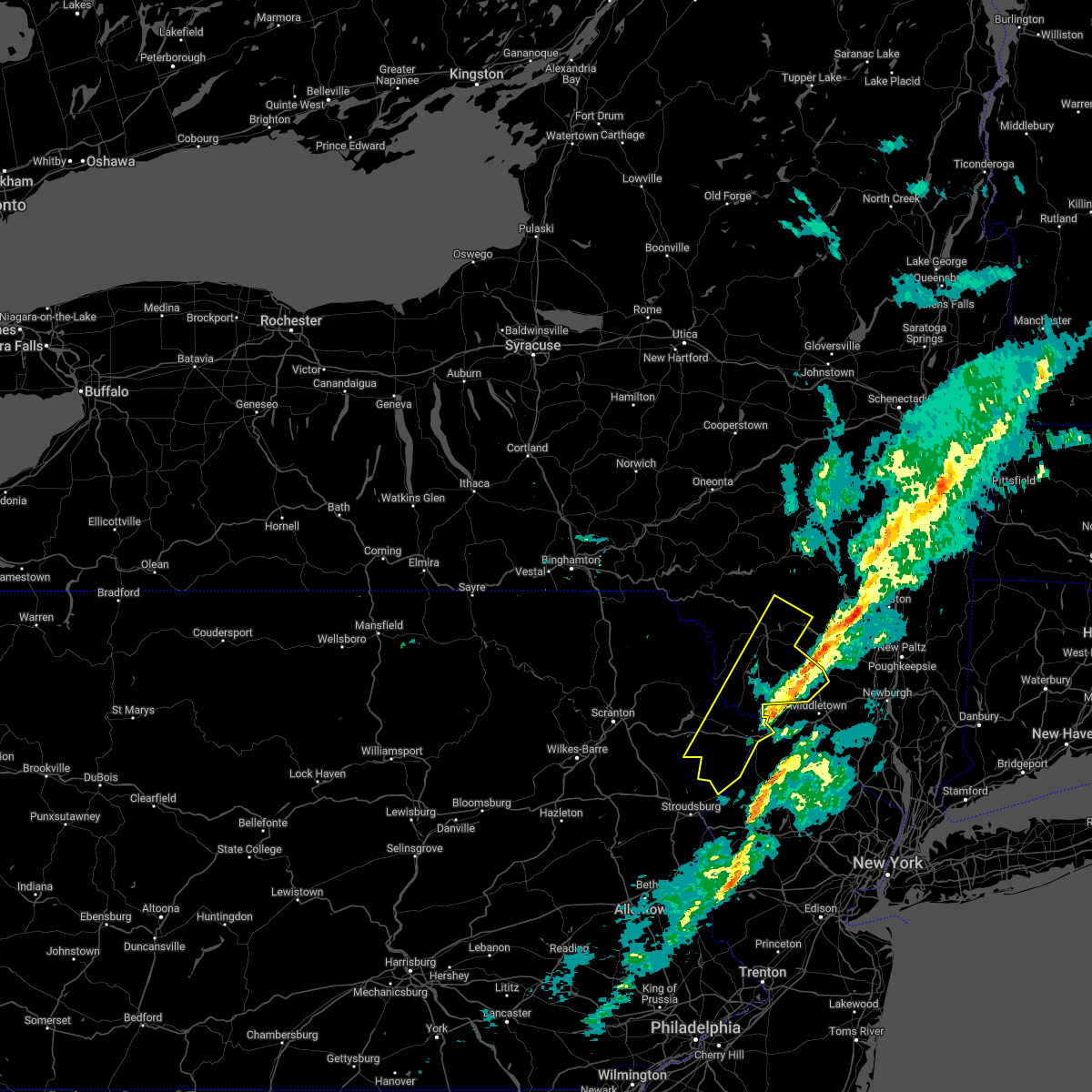
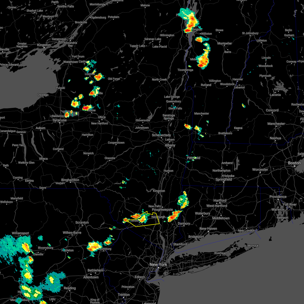
Hail Map for Bloomingburg, NY
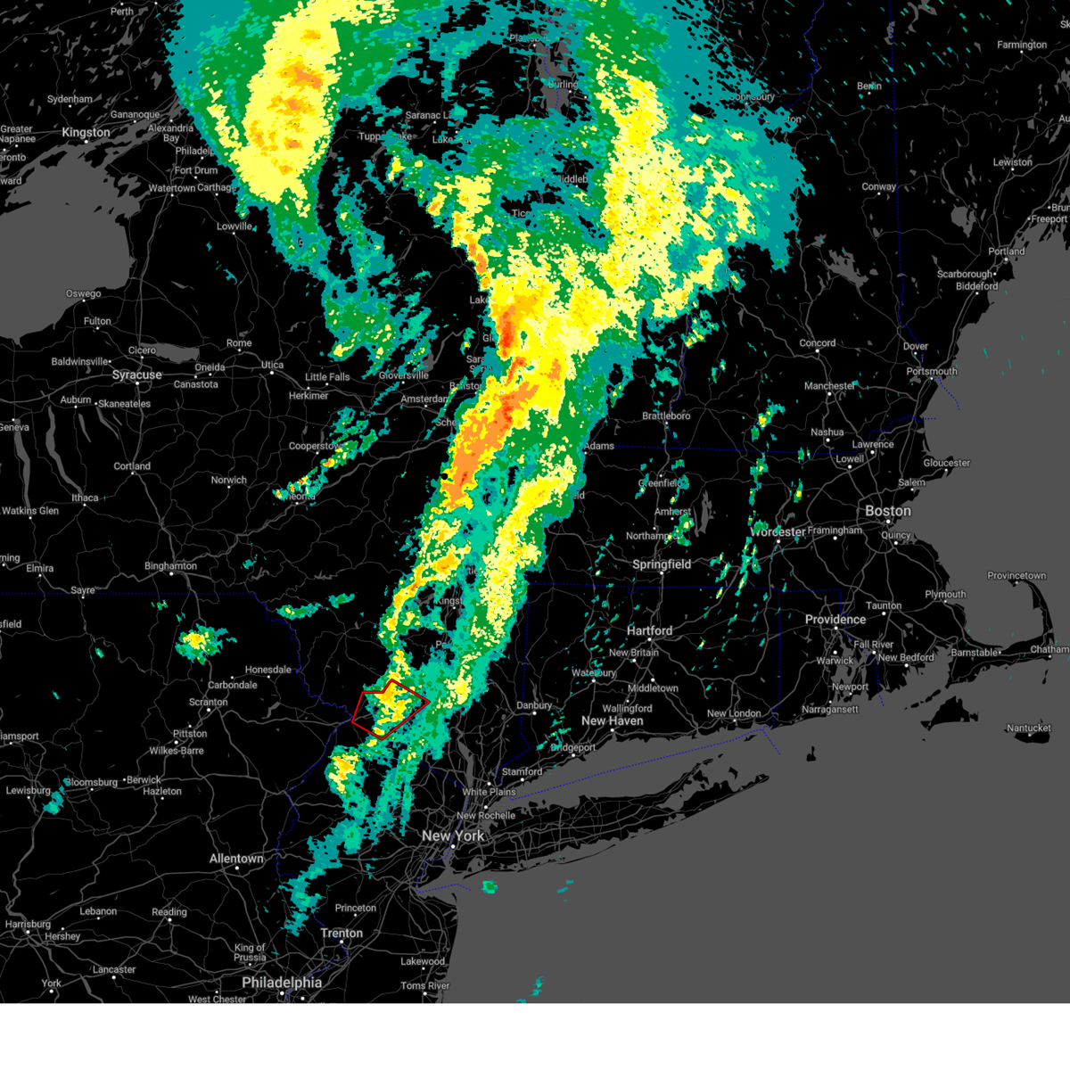
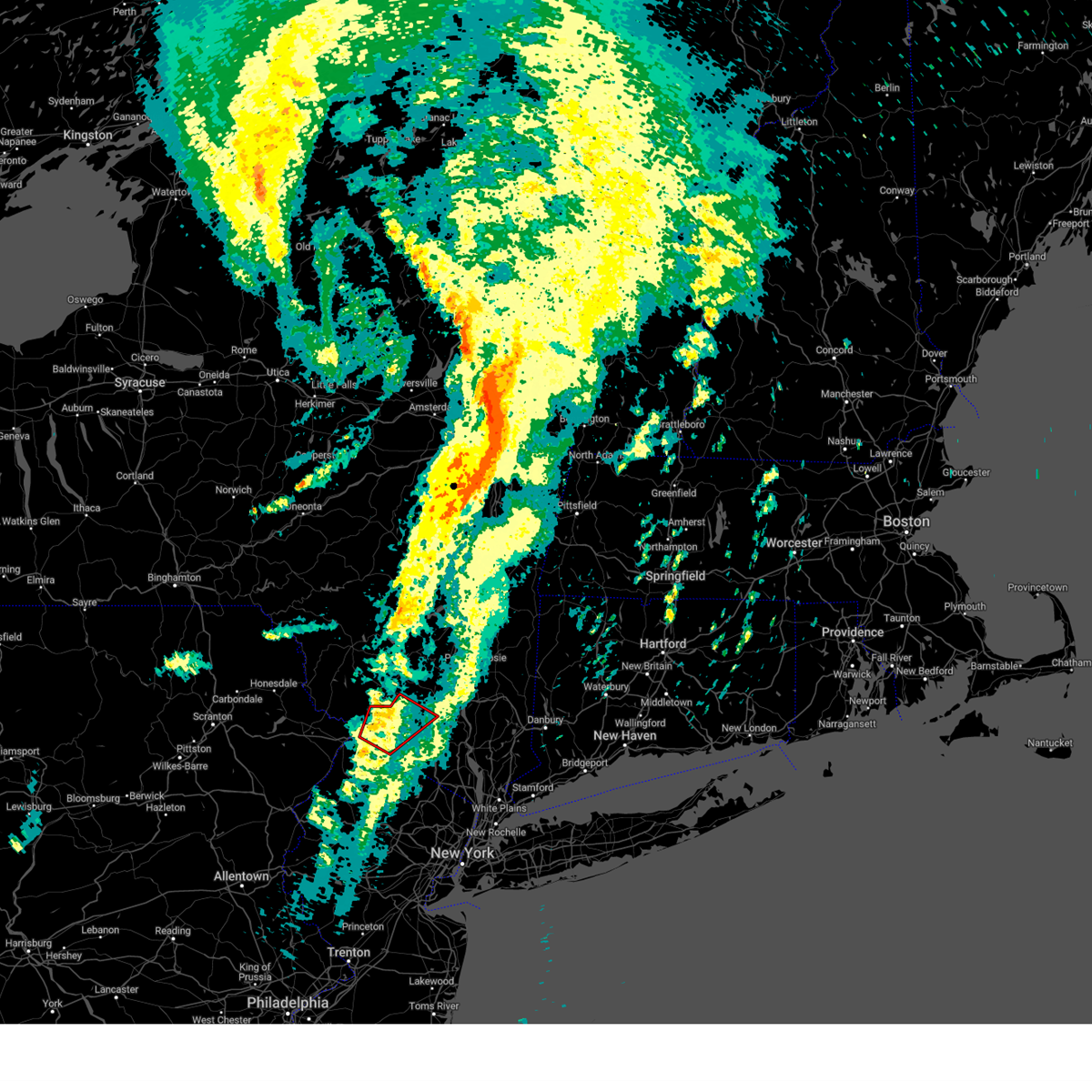
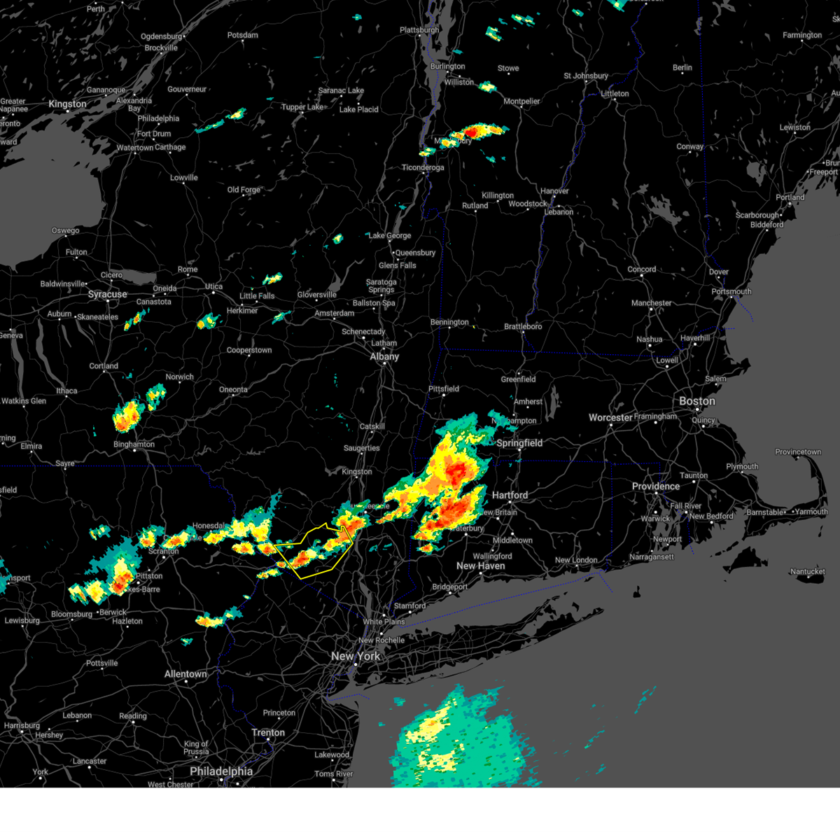
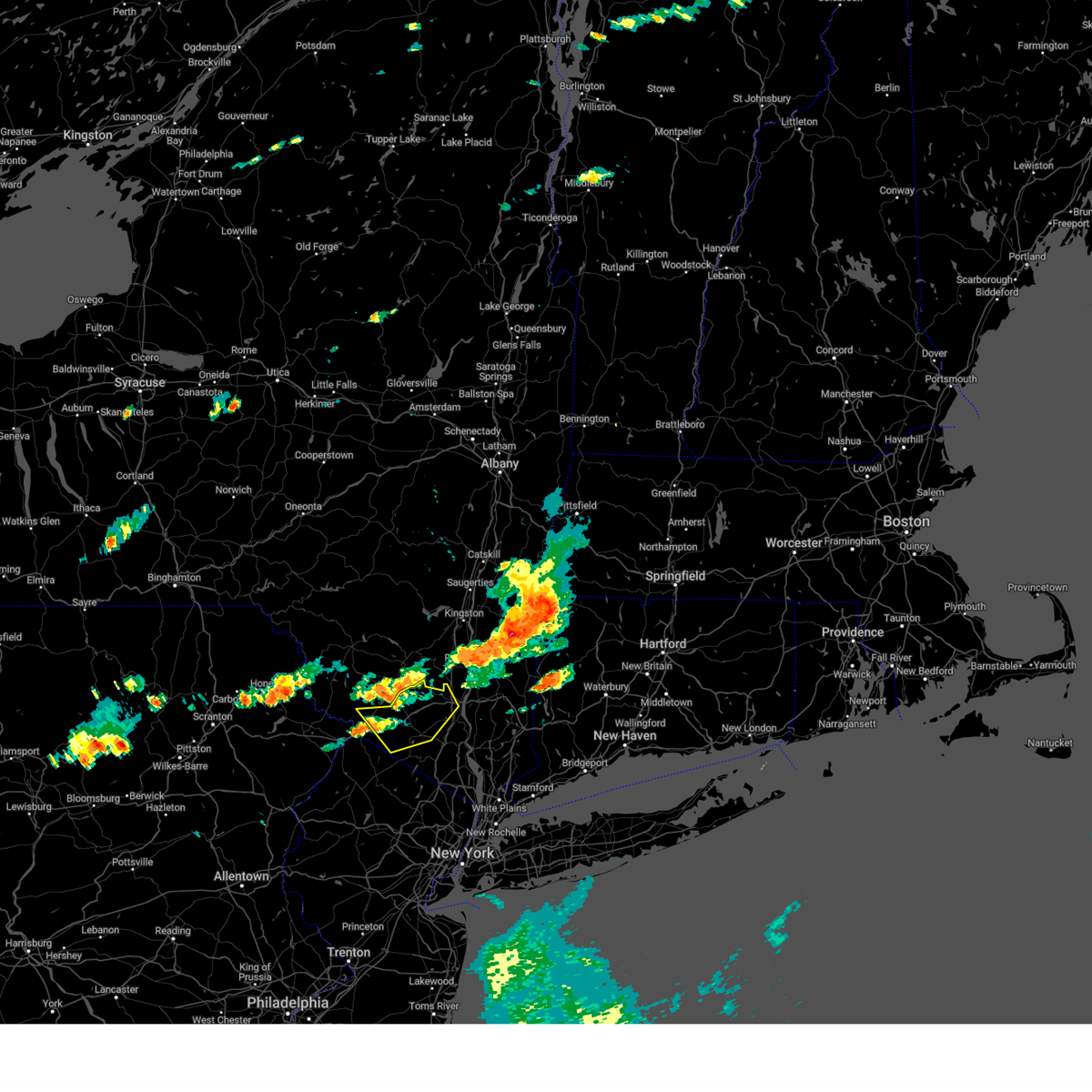
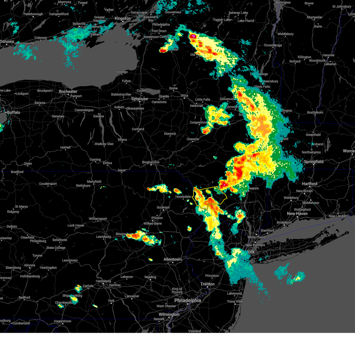
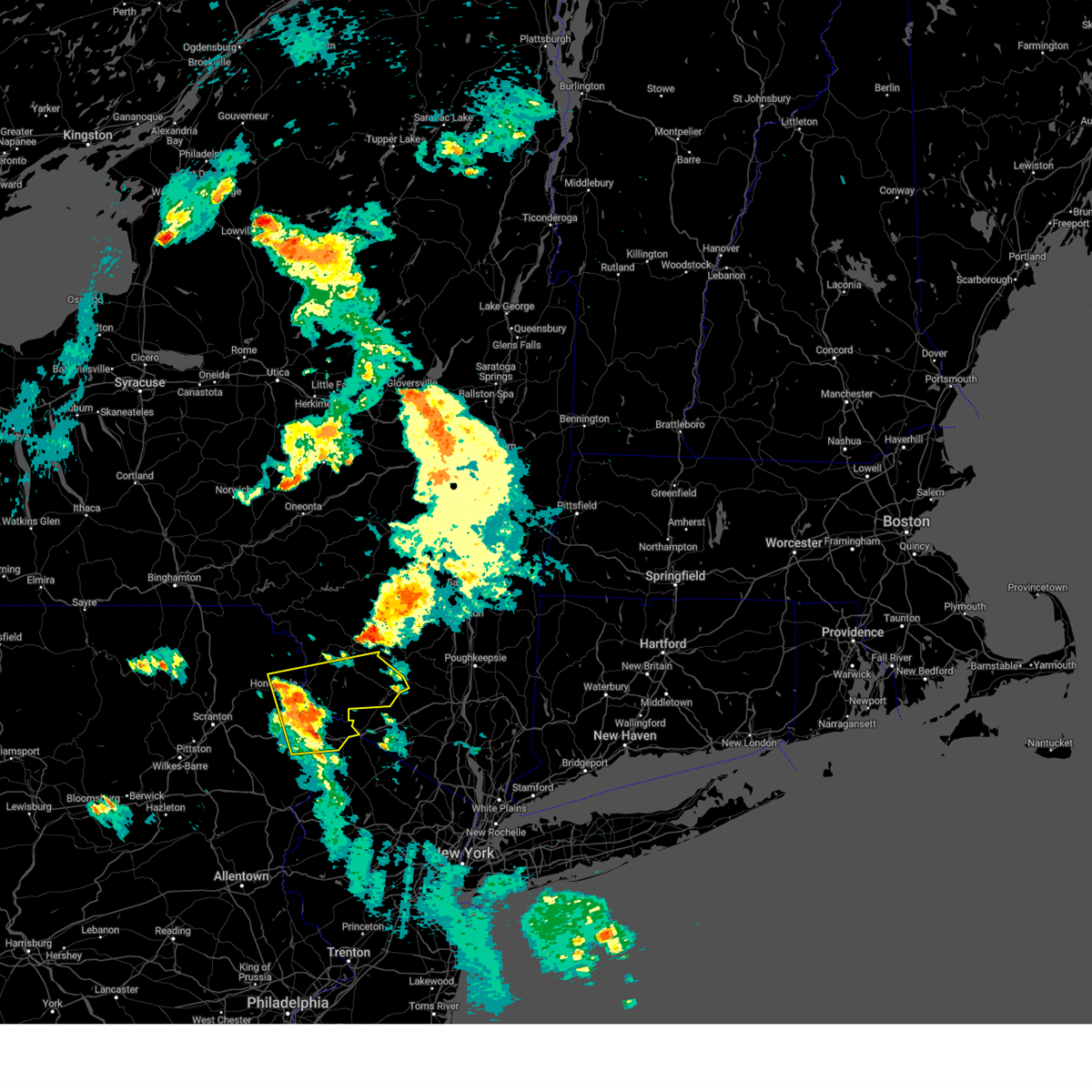
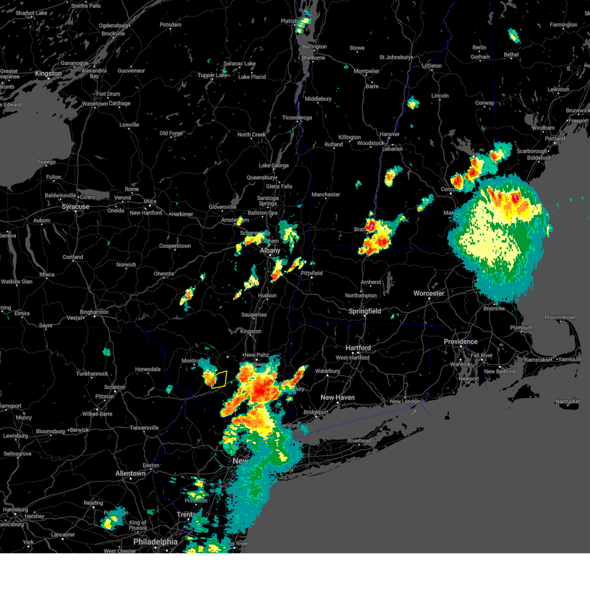
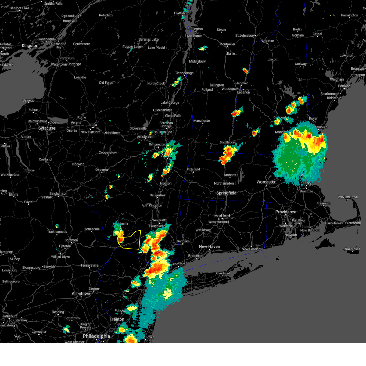
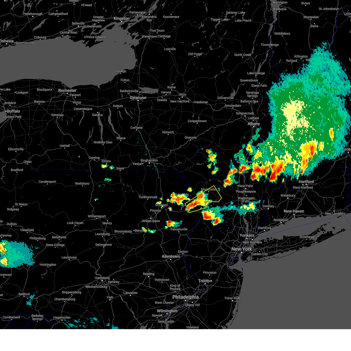
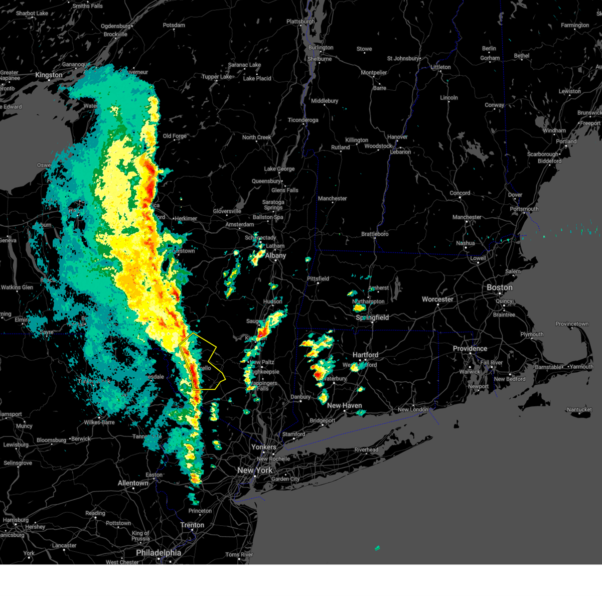
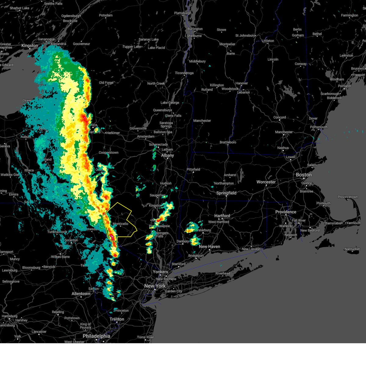
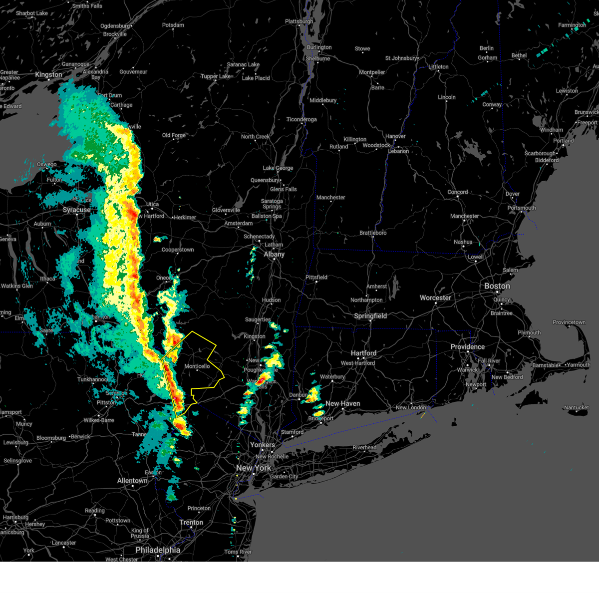
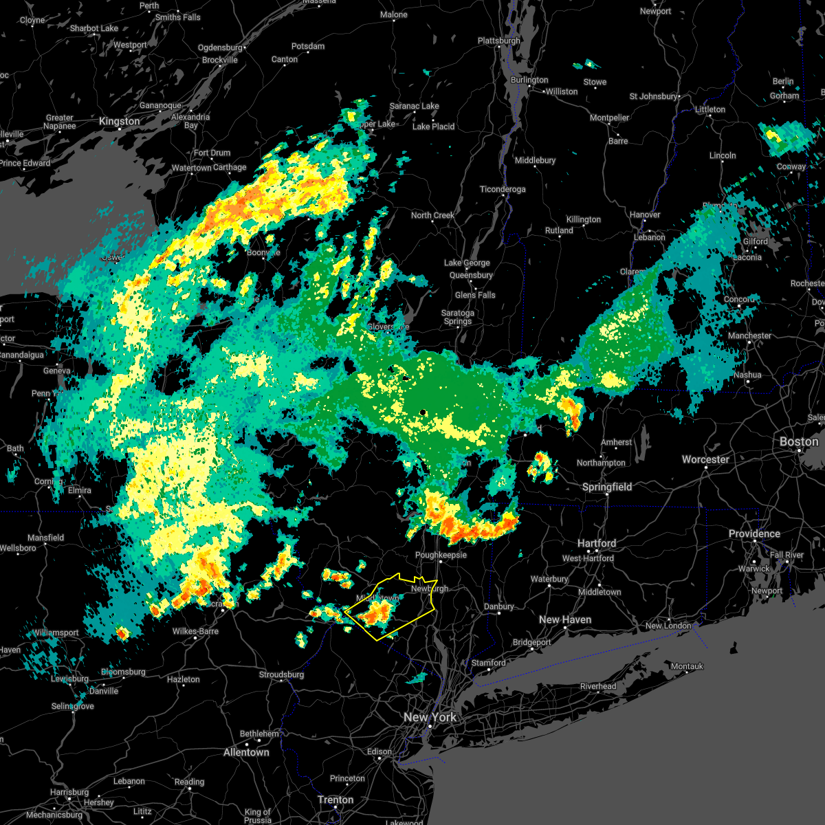
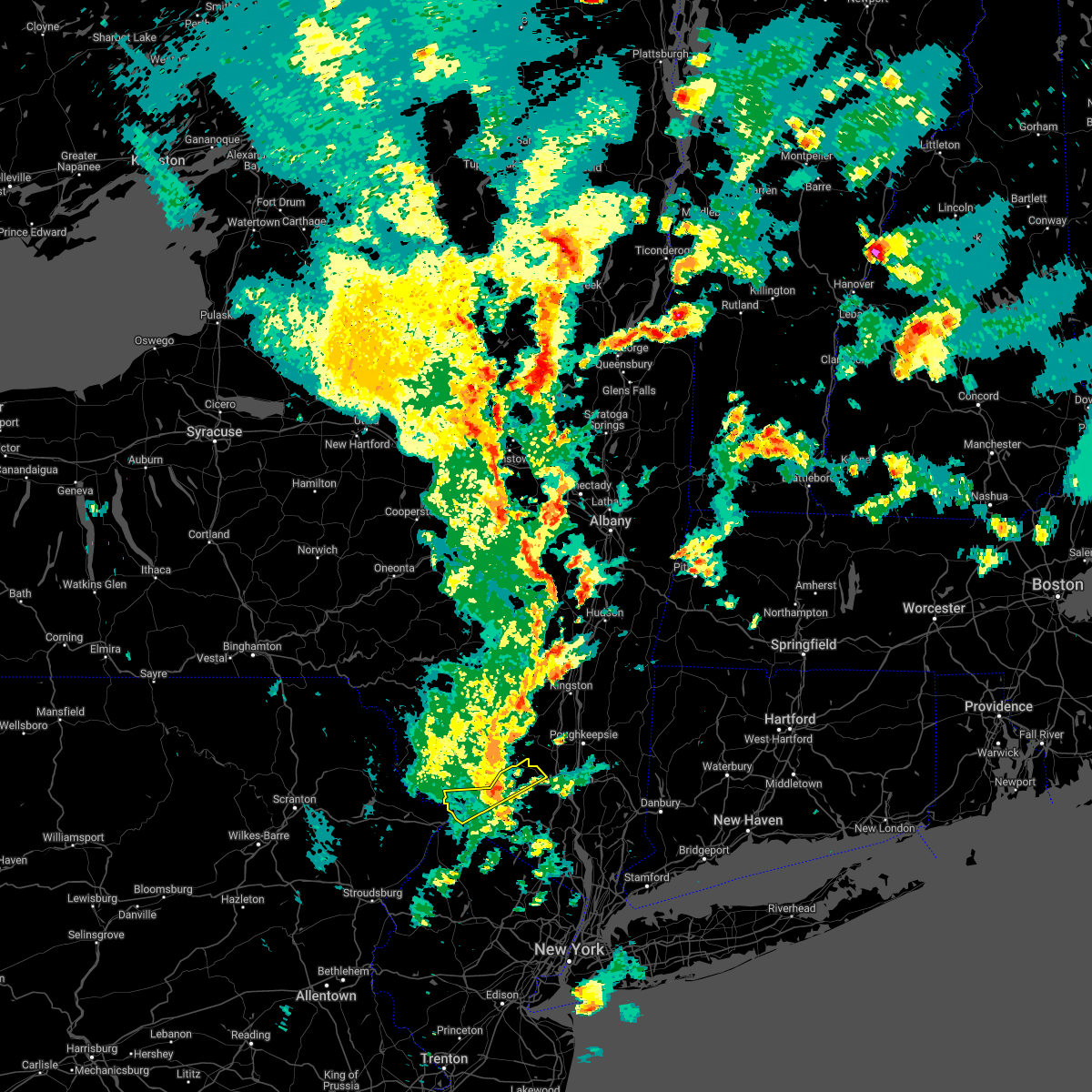
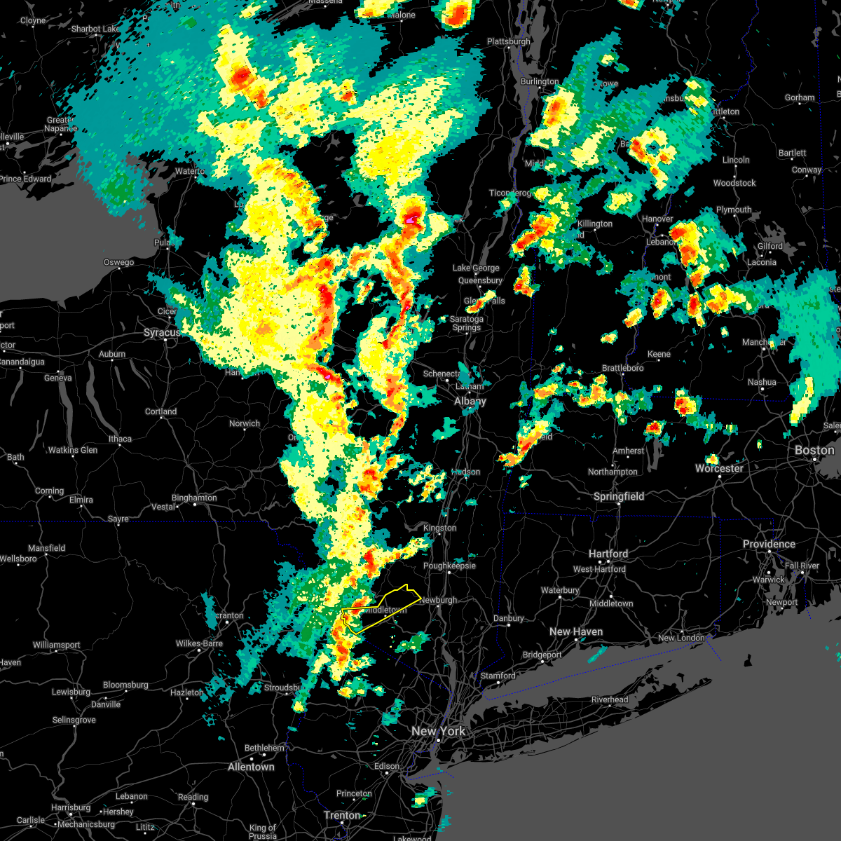
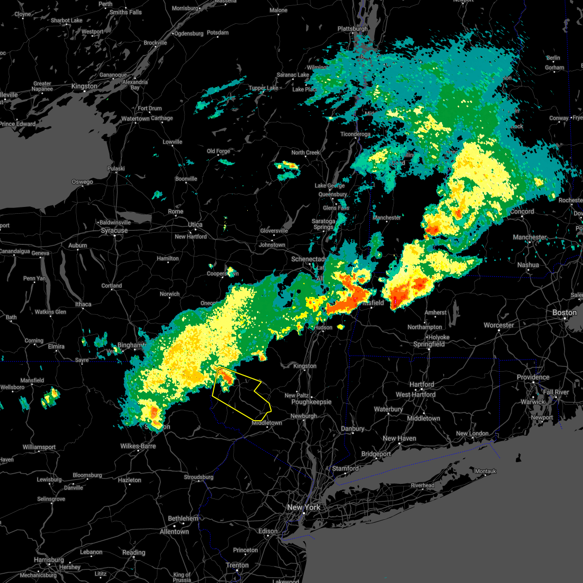
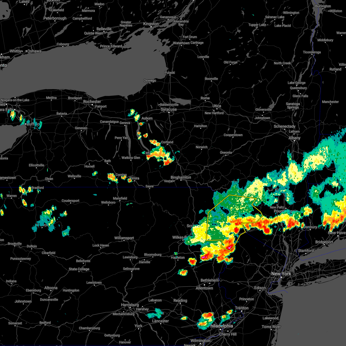
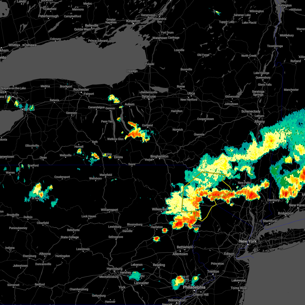
The Bloomingburg, NY area has had 1 report of on-the-ground hail by trained spotters, and has been under severe weather warnings 8 times during the past 12 months. Doppler radar has detected hail at or near Bloomingburg, NY on 23 occasions, including 1 occasion during the past year.
| Name: | Bloomingburg, NY |
| Where Located: | 64 miles E of Scranton, PA |
| Map: | Google Map for Bloomingburg, NY |
| Population: | 420 |
| Housing Units: | 221 |
| More Info: | Search Google for Bloomingburg, NY |
0
The Top Recent Hail Date for Bloomingburg, NY is Thursday, July 3, 2025 (10th out of 23)

Hail and Wind Damage Spotted near Bloomingburg, NY
| Date / Time | Report Details |
|---|---|
| 7/3/2025 5:26 PM EDT |
 The storm which prompted the warning has moved out of the area. therefore, the warning will be allowed to expire. The storm which prompted the warning has moved out of the area. therefore, the warning will be allowed to expire.
|
| 7/3/2025 5:20 PM EDT | Tree and wires down and on fire on arnott lane at goshen turnpik in orange county NY, 2.8 miles NW of Bloomingburg, NY |
| 7/3/2025 5:10 PM EDT |
 Svrbgm the national weather service in binghamton has issued a * severe thunderstorm warning for, southeastern sullivan county in central new york, * until 530 pm edt. * at 510 pm edt, a severe thunderstorm was located over wurtsboro, or 9 miles southwest of ellenville, moving east at 40 mph (radar indicated). Hazards include 60 mph wind gusts and half dollar size hail. Hail damage to vehicles is expected. Expect wind damage to roofs, siding, and trees. Svrbgm the national weather service in binghamton has issued a * severe thunderstorm warning for, southeastern sullivan county in central new york, * until 530 pm edt. * at 510 pm edt, a severe thunderstorm was located over wurtsboro, or 9 miles southwest of ellenville, moving east at 40 mph (radar indicated). Hazards include 60 mph wind gusts and half dollar size hail. Hail damage to vehicles is expected. Expect wind damage to roofs, siding, and trees.
|
| 7/3/2025 5:01 PM EDT |
 Svrokx the national weather service in upton ny has issued a * severe thunderstorm warning for, northern westchester county in southeastern new york, orange county in southeastern new york, western putnam county in southeastern new york, rockland county in southeastern new york, * until 600 pm edt. * at 500 pm edt, severe thunderstorms were located along a line extending from near woodridge to rock hill to hartwood to near highland lake, moving southeast at 35 mph (radar indicated). Hazards include 60 mph wind gusts and quarter size hail. Minor hail damage to vehicles is possible. expect wind damage to trees and power lines. severe thunderstorms will be near, cuddebackville around 505 pm edt. howells and otisville around 510 pm edt. middletown around 520 pm edt. walden and montgomery around 525 pm edt. goshen around 530 pm edt. chester around 535 pm edt. newburgh and gardnertown around 540 pm edt. monroe and new windsor around 545 pm edt. West point and harriman around 550 pm edt. Svrokx the national weather service in upton ny has issued a * severe thunderstorm warning for, northern westchester county in southeastern new york, orange county in southeastern new york, western putnam county in southeastern new york, rockland county in southeastern new york, * until 600 pm edt. * at 500 pm edt, severe thunderstorms were located along a line extending from near woodridge to rock hill to hartwood to near highland lake, moving southeast at 35 mph (radar indicated). Hazards include 60 mph wind gusts and quarter size hail. Minor hail damage to vehicles is possible. expect wind damage to trees and power lines. severe thunderstorms will be near, cuddebackville around 505 pm edt. howells and otisville around 510 pm edt. middletown around 520 pm edt. walden and montgomery around 525 pm edt. goshen around 530 pm edt. chester around 535 pm edt. newburgh and gardnertown around 540 pm edt. monroe and new windsor around 545 pm edt. West point and harriman around 550 pm edt.
|
| 7/3/2025 4:56 PM EDT |
 the severe thunderstorm warning has been cancelled and is no longer in effect the severe thunderstorm warning has been cancelled and is no longer in effect
|
| 7/3/2025 4:56 PM EDT |
 At 455 pm edt, severe thunderstorms were located along a line extending from near hazel to near rutledgedale to mayfield, moving east at 35 mph (radar indicated). Hazards include 60 mph wind gusts and quarter size hail. Hail damage to vehicles is expected. expect wind damage to roofs, siding, and trees. Locations impacted include, fallsburg, monticello, lackawaxen, blooming grove, paupack, south fallsburg, shohola, wurtsboro, milford, and woodridge. At 455 pm edt, severe thunderstorms were located along a line extending from near hazel to near rutledgedale to mayfield, moving east at 35 mph (radar indicated). Hazards include 60 mph wind gusts and quarter size hail. Hail damage to vehicles is expected. expect wind damage to roofs, siding, and trees. Locations impacted include, fallsburg, monticello, lackawaxen, blooming grove, paupack, south fallsburg, shohola, wurtsboro, milford, and woodridge.
|
| 7/3/2025 4:35 PM EDT |
 Svrbgm the national weather service in binghamton has issued a * severe thunderstorm warning for, sullivan county in central new york, central wayne county in northeastern pennsylvania, pike county in northeastern pennsylvania, * until 515 pm edt. * at 435 pm edt, severe thunderstorms were located along a line extending from livingston manor to near honesdale to near archbald, moving southeast at 35 mph (radar indicated). Hazards include 60 mph wind gusts and quarter size hail. Hail damage to vehicles is expected. Expect wind damage to roofs, siding, and trees. Svrbgm the national weather service in binghamton has issued a * severe thunderstorm warning for, sullivan county in central new york, central wayne county in northeastern pennsylvania, pike county in northeastern pennsylvania, * until 515 pm edt. * at 435 pm edt, severe thunderstorms were located along a line extending from livingston manor to near honesdale to near archbald, moving southeast at 35 mph (radar indicated). Hazards include 60 mph wind gusts and quarter size hail. Hail damage to vehicles is expected. Expect wind damage to roofs, siding, and trees.
|
| 8/9/2024 4:57 PM EDT |
 The storm which prompted the warning has weakened below severe limits, and no longer appears capable of producing a tornado. therefore, the warning will be allowed to expire. however, gusty winds are still possible with this thunderstorm. a tornado watch remains in effect until 1000 pm edt for southeastern new york. The storm which prompted the warning has weakened below severe limits, and no longer appears capable of producing a tornado. therefore, the warning will be allowed to expire. however, gusty winds are still possible with this thunderstorm. a tornado watch remains in effect until 1000 pm edt for southeastern new york.
|
| 8/9/2024 4:35 PM EDT |
 Torokx the national weather service in upton ny has issued a * tornado warning for, central orange county in southeastern new york, * until 500 pm edt. * at 435 pm edt, a severe thunderstorm capable of producing a tornado was located near high point, or near matamoras, moving northeast at 45 mph (radar indicated rotation). Hazards include tornado. Flying debris will be dangerous to those caught without shelter. mobile homes will be damaged or destroyed. damage to roofs, windows, and vehicles will occur. tree damage is likely. this dangerous storm will be near, unionville around 440 pm edt. Middletown and howells around 455 pm edt. Torokx the national weather service in upton ny has issued a * tornado warning for, central orange county in southeastern new york, * until 500 pm edt. * at 435 pm edt, a severe thunderstorm capable of producing a tornado was located near high point, or near matamoras, moving northeast at 45 mph (radar indicated rotation). Hazards include tornado. Flying debris will be dangerous to those caught without shelter. mobile homes will be damaged or destroyed. damage to roofs, windows, and vehicles will occur. tree damage is likely. this dangerous storm will be near, unionville around 440 pm edt. Middletown and howells around 455 pm edt.
|
| 6/30/2024 1:03 PM EDT |
 the severe thunderstorm warning has been cancelled and is no longer in effect the severe thunderstorm warning has been cancelled and is no longer in effect
|
| 6/30/2024 12:29 PM EDT |
 Svrokx the national weather service in upton ny has issued a * severe thunderstorm warning for, central orange county in southeastern new york, * until 115 pm edt. * at 1228 pm edt, severe thunderstorms were located along a line extending from 6 miles southeast of ellenville to near bloomingburg to near haven, moving southeast at 25 mph (radar indicated). Hazards include 60 mph wind gusts and penny size hail. Expect damage to trees and power lines. severe thunderstorms will be near, middletown and howells around 1235 pm edt. walden around 1240 pm edt. goshen around 1245 pm edt. Chester around 1255 pm edt. Svrokx the national weather service in upton ny has issued a * severe thunderstorm warning for, central orange county in southeastern new york, * until 115 pm edt. * at 1228 pm edt, severe thunderstorms were located along a line extending from 6 miles southeast of ellenville to near bloomingburg to near haven, moving southeast at 25 mph (radar indicated). Hazards include 60 mph wind gusts and penny size hail. Expect damage to trees and power lines. severe thunderstorms will be near, middletown and howells around 1235 pm edt. walden around 1240 pm edt. goshen around 1245 pm edt. Chester around 1255 pm edt.
|
| 6/26/2024 8:32 PM EDT |
 The storms which prompted the warning have moved into eastern orange and western rockland counties and have been replaced by a new warning. a severe thunderstorm watch remains in effect until midnight edt for northeastern new jersey, and southeastern new york. to report severe weather, contact your nearest law enforcement agency. they will relay your report to the national weather service upton ny. The storms which prompted the warning have moved into eastern orange and western rockland counties and have been replaced by a new warning. a severe thunderstorm watch remains in effect until midnight edt for northeastern new jersey, and southeastern new york. to report severe weather, contact your nearest law enforcement agency. they will relay your report to the national weather service upton ny.
|
| 6/26/2024 7:58 PM EDT |
 The storms which prompted the warning are moving out of the area. therefore, the warning will be allowed to expire. however, small hail, gusty winds and heavy rain are still possible with these thunderstorms through 9 pm. a severe thunderstorm watch remains in effect until midnight edt for southeastern new york. to report severe weather, contact your nearest law enforcement agency. they will relay your report to the national weather service upton ny. The storms which prompted the warning are moving out of the area. therefore, the warning will be allowed to expire. however, small hail, gusty winds and heavy rain are still possible with these thunderstorms through 9 pm. a severe thunderstorm watch remains in effect until midnight edt for southeastern new york. to report severe weather, contact your nearest law enforcement agency. they will relay your report to the national weather service upton ny.
|
| 6/26/2024 7:49 PM EDT |
 Svrokx the national weather service in upton ny has issued a * severe thunderstorm warning for, northern westchester county in southeastern new york, orange county in southeastern new york, western putnam county in southeastern new york, rockland county in southeastern new york, * until 830 pm edt. * at 749 pm edt, severe thunderstorms were located along a line extending from near smallwood to near unionville to near vernon valley, moving east at 55 mph (radar indicated). Hazards include 60 mph wind gusts and penny size hail. Expect damage to trees and power lines. severe thunderstorms will be near, warwick and florida around 755 pm edt. middletown and goshen around 800 pm edt. monroe around 805 pm edt. pomona and harriman around 810 pm edt. haverstraw and west point around 815 pm edt. Ossining and peekskill around 820 pm edt. Svrokx the national weather service in upton ny has issued a * severe thunderstorm warning for, northern westchester county in southeastern new york, orange county in southeastern new york, western putnam county in southeastern new york, rockland county in southeastern new york, * until 830 pm edt. * at 749 pm edt, severe thunderstorms were located along a line extending from near smallwood to near unionville to near vernon valley, moving east at 55 mph (radar indicated). Hazards include 60 mph wind gusts and penny size hail. Expect damage to trees and power lines. severe thunderstorms will be near, warwick and florida around 755 pm edt. middletown and goshen around 800 pm edt. monroe around 805 pm edt. pomona and harriman around 810 pm edt. haverstraw and west point around 815 pm edt. Ossining and peekskill around 820 pm edt.
|
| 6/26/2024 7:13 PM EDT |
 Svrokx the national weather service in upton ny has issued a * severe thunderstorm warning for, western orange county in southeastern new york, * until 800 pm edt. * at 713 pm edt, severe thunderstorms were located along a line extending from near narrowsburg to near bushkill to delaware water gap, moving northeast at 35 mph (radar indicated). Hazards include 60 mph wind gusts and penny size hail. Expect damage to trees and power lines. Severe thunderstorms will be near, port jervis around 745 pm edt. Svrokx the national weather service in upton ny has issued a * severe thunderstorm warning for, western orange county in southeastern new york, * until 800 pm edt. * at 713 pm edt, severe thunderstorms were located along a line extending from near narrowsburg to near bushkill to delaware water gap, moving northeast at 35 mph (radar indicated). Hazards include 60 mph wind gusts and penny size hail. Expect damage to trees and power lines. Severe thunderstorms will be near, port jervis around 745 pm edt.
|
| 6/22/2024 11:28 PM EDT |
 The storm which prompted the warning has weakened below severe limits, and has exited the warned area. therefore, the warning will be allowed to expire. The storm which prompted the warning has weakened below severe limits, and has exited the warned area. therefore, the warning will be allowed to expire.
|
| 6/22/2024 11:22 PM EDT |
 At 1121 pm edt, a severe thunderstorm was located over wurtsboro, or 10 miles southeast of monticello, moving east at 35 mph (radar indicated). Hazards include 60 mph wind gusts. Expect damage to roofs, siding, and trees. Locations impacted include, fallsburg, monticello, south fallsburg, wurtsboro, woodridge, bloomingburg, haven, phillipsport, hurleyville, and kiamesha. At 1121 pm edt, a severe thunderstorm was located over wurtsboro, or 10 miles southeast of monticello, moving east at 35 mph (radar indicated). Hazards include 60 mph wind gusts. Expect damage to roofs, siding, and trees. Locations impacted include, fallsburg, monticello, south fallsburg, wurtsboro, woodridge, bloomingburg, haven, phillipsport, hurleyville, and kiamesha.
|
| 6/22/2024 11:08 PM EDT |
 the severe thunderstorm warning has been cancelled and is no longer in effect the severe thunderstorm warning has been cancelled and is no longer in effect
|
| 6/22/2024 11:08 PM EDT |
 At 1108 pm edt, a severe thunderstorm was located over hartwood, or near monticello, moving east at 40 mph (radar indicated). Hazards include 60 mph wind gusts and penny size hail. Expect damage to roofs, siding, and trees. Locations impacted include, fallsburg, monticello, bethel, south fallsburg, shohola, tusten, cochecton, wurtsboro, woodridge, and bloomingburg. At 1108 pm edt, a severe thunderstorm was located over hartwood, or near monticello, moving east at 40 mph (radar indicated). Hazards include 60 mph wind gusts and penny size hail. Expect damage to roofs, siding, and trees. Locations impacted include, fallsburg, monticello, bethel, south fallsburg, shohola, tusten, cochecton, wurtsboro, woodridge, and bloomingburg.
|
| 6/22/2024 10:38 PM EDT |
 Svrbgm the national weather service in binghamton has issued a * severe thunderstorm warning for, southern sullivan county in central new york, east central wayne county in northeastern pennsylvania, central pike county in northeastern pennsylvania, * until 1130 pm edt. * at 1037 pm edt, a severe thunderstorm was located near lackawaxen, or 11 miles southeast of honesdale, moving east at 50 mph (radar indicated). Hazards include 60 mph wind gusts and penny size hail. expect damage to roofs, siding, and trees Svrbgm the national weather service in binghamton has issued a * severe thunderstorm warning for, southern sullivan county in central new york, east central wayne county in northeastern pennsylvania, central pike county in northeastern pennsylvania, * until 1130 pm edt. * at 1037 pm edt, a severe thunderstorm was located near lackawaxen, or 11 miles southeast of honesdale, moving east at 50 mph (radar indicated). Hazards include 60 mph wind gusts and penny size hail. expect damage to roofs, siding, and trees
|
| 9/8/2023 4:05 PM EDT |
 At 405 pm edt, a severe thunderstorm was located near middletown, moving east at 30 mph (radar indicated). Hazards include 60 mph wind gusts. Expect damage to trees and power lines. this severe thunderstorm will remain over mainly rural areas of north central orange county. hail threat, radar indicated max hail size, <. 75 in wind threat, radar indicated max wind gust, 60 mph. At 405 pm edt, a severe thunderstorm was located near middletown, moving east at 30 mph (radar indicated). Hazards include 60 mph wind gusts. Expect damage to trees and power lines. this severe thunderstorm will remain over mainly rural areas of north central orange county. hail threat, radar indicated max hail size, <. 75 in wind threat, radar indicated max wind gust, 60 mph.
|
| 9/8/2023 3:42 PM EDT |
 At 341 pm edt, a severe thunderstorm was located over huguenot, or near port jervis, moving east at 15 mph (radar indicated). Hazards include 60 mph wind gusts and penny size hail. Expect damage to trees and power lines. this severe storm will be near, cuddebackville and huguenot around 345 pm edt. otisville around 350 pm edt. middletown and howells around 405 pm edt. goshen around 425 pm edt. hail threat, radar indicated max hail size, 0. 75 in wind threat, radar indicated max wind gust, 60 mph. At 341 pm edt, a severe thunderstorm was located over huguenot, or near port jervis, moving east at 15 mph (radar indicated). Hazards include 60 mph wind gusts and penny size hail. Expect damage to trees and power lines. this severe storm will be near, cuddebackville and huguenot around 345 pm edt. otisville around 350 pm edt. middletown and howells around 405 pm edt. goshen around 425 pm edt. hail threat, radar indicated max hail size, 0. 75 in wind threat, radar indicated max wind gust, 60 mph.
|
| 9/8/2023 3:15 PM EDT |
 At 315 pm edt, a severe thunderstorm was located near glen spey, or 7 miles northwest of matamoras, moving east at 20 mph (radar indicated). Hazards include 60 mph wind gusts and quarter size hail. Minor hail damage to vehicles is possible. expect wind damage to trees and power lines. this severe thunderstorm will be near, port jervis around 325 pm edt. huguenot around 330 pm edt. cuddebackville around 345 pm edt. middletown around 405 pm edt. hail threat, radar indicated max hail size, 1. 00 in wind threat, radar indicated max wind gust, 60 mph. At 315 pm edt, a severe thunderstorm was located near glen spey, or 7 miles northwest of matamoras, moving east at 20 mph (radar indicated). Hazards include 60 mph wind gusts and quarter size hail. Minor hail damage to vehicles is possible. expect wind damage to trees and power lines. this severe thunderstorm will be near, port jervis around 325 pm edt. huguenot around 330 pm edt. cuddebackville around 345 pm edt. middletown around 405 pm edt. hail threat, radar indicated max hail size, 1. 00 in wind threat, radar indicated max wind gust, 60 mph.
|
| 9/7/2023 7:17 PM EDT | Quarter sized hail reported 1.5 miles SW of Bloomingburg, NY |
| 9/7/2023 7:16 PM EDT |
 At 716 pm edt, severe thunderstorms were located along a line extending from near willowemoc to phillipsport to high point, moving east at 25 mph (radar indicated). Hazards include 60 mph wind gusts. Expect damage to roofs, siding, and trees. locations impacted include, fallsburg, liberty, neversink, south fallsburg, wurtsboro, woodridge, bloomingburg, haven, phillipsport, and parksville. hail threat, radar indicated max hail size, <. 75 in wind threat, radar indicated max wind gust, 60 mph. At 716 pm edt, severe thunderstorms were located along a line extending from near willowemoc to phillipsport to high point, moving east at 25 mph (radar indicated). Hazards include 60 mph wind gusts. Expect damage to roofs, siding, and trees. locations impacted include, fallsburg, liberty, neversink, south fallsburg, wurtsboro, woodridge, bloomingburg, haven, phillipsport, and parksville. hail threat, radar indicated max hail size, <. 75 in wind threat, radar indicated max wind gust, 60 mph.
|
| 9/7/2023 7:02 PM EDT |
 At 702 pm edt, severe thunderstorms were located along a line extending from haven to highland lake, moving east at 20 mph (radar indicated). Hazards include 60 mph wind gusts. Expect damage to trees and power lines. severe thunderstorms will be near, middletown and warwick around 705 pm edt. florida around 710 pm edt. goshen and greenwood lake around 715 pm edt. chester around 725 pm edt. hail threat, radar indicated max hail size, <. 75 in wind threat, radar indicated max wind gust, 60 mph. At 702 pm edt, severe thunderstorms were located along a line extending from haven to highland lake, moving east at 20 mph (radar indicated). Hazards include 60 mph wind gusts. Expect damage to trees and power lines. severe thunderstorms will be near, middletown and warwick around 705 pm edt. florida around 710 pm edt. goshen and greenwood lake around 715 pm edt. chester around 725 pm edt. hail threat, radar indicated max hail size, <. 75 in wind threat, radar indicated max wind gust, 60 mph.
|
| 9/7/2023 7:02 PM EDT |
 At 702 pm edt, severe thunderstorms were located along a line extending from near willowemoc to near rock hill to high point, moving east at 25 mph (radar indicated). Hazards include 60 mph wind gusts. Expect damage to roofs, siding, and trees. locations impacted include, rockland, fallsburg, monticello, liberty, bethel, neversink, south fallsburg, wurtsboro, woodridge, and bloomingburg. hail threat, radar indicated max hail size, <. 75 in wind threat, radar indicated max wind gust, 60 mph. At 702 pm edt, severe thunderstorms were located along a line extending from near willowemoc to near rock hill to high point, moving east at 25 mph (radar indicated). Hazards include 60 mph wind gusts. Expect damage to roofs, siding, and trees. locations impacted include, rockland, fallsburg, monticello, liberty, bethel, neversink, south fallsburg, wurtsboro, woodridge, and bloomingburg. hail threat, radar indicated max hail size, <. 75 in wind threat, radar indicated max wind gust, 60 mph.
|
| 9/7/2023 6:44 PM EDT |
 At 644 pm edt, severe thunderstorms were located along a line extending from hazel to near monticello to near hainesville, moving east at 25 mph (radar indicated). Hazards include 60 mph wind gusts. expect damage to roofs, siding, and trees At 644 pm edt, severe thunderstorms were located along a line extending from hazel to near monticello to near hainesville, moving east at 25 mph (radar indicated). Hazards include 60 mph wind gusts. expect damage to roofs, siding, and trees
|
| 8/12/2023 8:11 PM EDT |
 The severe thunderstorm warning for southeastern sullivan county will expire at 815 pm edt, the storm which prompted the warning has moved out of the area. therefore, the warning will be allowed to expire. a tornado watch remains in effect until 900 pm edt for central new york. to report severe weather, contact your nearest law enforcement agency. they will relay your report to the national weather service binghamton. The severe thunderstorm warning for southeastern sullivan county will expire at 815 pm edt, the storm which prompted the warning has moved out of the area. therefore, the warning will be allowed to expire. a tornado watch remains in effect until 900 pm edt for central new york. to report severe weather, contact your nearest law enforcement agency. they will relay your report to the national weather service binghamton.
|
| 8/12/2023 7:47 PM EDT |
 At 746 pm edt, a severe thunderstorm was located over wurtsboro, or 9 miles east of monticello, moving east at 55 mph (radar indicated). Hazards include 60 mph wind gusts and quarter size hail. Hail damage to vehicles is expected. Expect wind damage to roofs, siding, and trees. At 746 pm edt, a severe thunderstorm was located over wurtsboro, or 9 miles east of monticello, moving east at 55 mph (radar indicated). Hazards include 60 mph wind gusts and quarter size hail. Hail damage to vehicles is expected. Expect wind damage to roofs, siding, and trees.
|
| 8/12/2023 7:31 PM EDT |
 At 731 pm edt, a severe thunderstorm was located over woodridge, or near monticello, moving east at 55 mph (radar indicated). Hazards include 60 mph wind gusts and penny size hail. Expect damage to roofs, siding, and trees. locations impacted include, fallsburg, monticello, south fallsburg, wurtsboro, woodridge, bloomingburg, phillipsport, harris, hurleyville and kiamesha. hail threat, radar indicated max hail size, 0. 75 in wind threat, radar indicated max wind gust, 60 mph. At 731 pm edt, a severe thunderstorm was located over woodridge, or near monticello, moving east at 55 mph (radar indicated). Hazards include 60 mph wind gusts and penny size hail. Expect damage to roofs, siding, and trees. locations impacted include, fallsburg, monticello, south fallsburg, wurtsboro, woodridge, bloomingburg, phillipsport, harris, hurleyville and kiamesha. hail threat, radar indicated max hail size, 0. 75 in wind threat, radar indicated max wind gust, 60 mph.
|
| 8/12/2023 7:06 PM EDT |
 At 706 pm edt, a severe thunderstorm was located over loch sheldrake, or near liberty, moving east at 35 mph (radar indicated). Hazards include 60 mph wind gusts and quarter size hail. Hail damage to vehicles is expected. Expect wind damage to roofs, siding, and trees. At 706 pm edt, a severe thunderstorm was located over loch sheldrake, or near liberty, moving east at 35 mph (radar indicated). Hazards include 60 mph wind gusts and quarter size hail. Hail damage to vehicles is expected. Expect wind damage to roofs, siding, and trees.
|
| 8/4/2023 9:08 PM EDT |
 The severe thunderstorm warning for northwestern orange county will expire at 915 pm edt, the storm which prompted the warning has weakened below severe limits, and no longer poses an immediate threat to life or property. therefore, the warning will be allowed to expire. however, heavy rain is still possible with this thunderstorm. a severe thunderstorm watch remains in effect until 1000 pm edt for southeastern new york. The severe thunderstorm warning for northwestern orange county will expire at 915 pm edt, the storm which prompted the warning has weakened below severe limits, and no longer poses an immediate threat to life or property. therefore, the warning will be allowed to expire. however, heavy rain is still possible with this thunderstorm. a severe thunderstorm watch remains in effect until 1000 pm edt for southeastern new york.
|
| 8/4/2023 8:49 PM EDT |
 At 849 pm edt, a severe thunderstorm was located over bloomingburg, or near middletown, moving southeast at 20 mph (radar indicated). Hazards include 60 mph wind gusts and quarter size hail. Minor hail damage to vehicles is possible. expect wind damage to trees and power lines. this severe storm will be near, howells around 855 pm edt. Goshen around 915 pm edt. At 849 pm edt, a severe thunderstorm was located over bloomingburg, or near middletown, moving southeast at 20 mph (radar indicated). Hazards include 60 mph wind gusts and quarter size hail. Minor hail damage to vehicles is possible. expect wind damage to trees and power lines. this severe storm will be near, howells around 855 pm edt. Goshen around 915 pm edt.
|
| 8/4/2023 8:31 PM EDT |
 At 831 pm edt, a severe thunderstorm was located over wurtsboro, or 8 miles southeast of monticello, moving southeast at 20 mph (radar indicated). Hazards include 60 mph wind gusts and quarter size hail. Minor hail damage to vehicles is possible. expect wind damage to trees and power lines. This severe thunderstorm will be near, howells around 850 pm edt. At 831 pm edt, a severe thunderstorm was located over wurtsboro, or 8 miles southeast of monticello, moving southeast at 20 mph (radar indicated). Hazards include 60 mph wind gusts and quarter size hail. Minor hail damage to vehicles is possible. expect wind damage to trees and power lines. This severe thunderstorm will be near, howells around 850 pm edt.
|
| 8/4/2023 8:19 PM EDT |
 At 819 pm edt, a severe thunderstorm was located near phillipsport, or 7 miles west of ellenville, moving southeast at 20 mph (radar indicated). Hazards include 60 mph wind gusts and quarter size hail. Hail damage to vehicles is expected. expect wind damage to roofs, siding, and trees. locations impacted include, wurtsboro, bloomingburg, highview, phillipsport, rock hill, spring glen, mt prosper, mountain dale, mt vernon and glen wild. hail threat, radar indicated max hail size, 1. 00 in wind threat, radar indicated max wind gust, 60 mph. At 819 pm edt, a severe thunderstorm was located near phillipsport, or 7 miles west of ellenville, moving southeast at 20 mph (radar indicated). Hazards include 60 mph wind gusts and quarter size hail. Hail damage to vehicles is expected. expect wind damage to roofs, siding, and trees. locations impacted include, wurtsboro, bloomingburg, highview, phillipsport, rock hill, spring glen, mt prosper, mountain dale, mt vernon and glen wild. hail threat, radar indicated max hail size, 1. 00 in wind threat, radar indicated max wind gust, 60 mph.
|
| 8/4/2023 8:03 PM EDT |
 At 803 pm edt, a severe thunderstorm was located over woodridge, or near monticello, moving southeast at 20 mph (radar indicated). Hazards include 60 mph wind gusts and quarter size hail. Hail damage to vehicles is expected. expect wind damage to roofs, siding, and trees. locations impacted include, fallsburg, monticello, south fallsburg, wurtsboro, woodridge, bloomingburg, phillipsport, hurleyville, kiamesha and rock hill. hail threat, radar indicated max hail size, 1. 00 in wind threat, radar indicated max wind gust, 60 mph. At 803 pm edt, a severe thunderstorm was located over woodridge, or near monticello, moving southeast at 20 mph (radar indicated). Hazards include 60 mph wind gusts and quarter size hail. Hail damage to vehicles is expected. expect wind damage to roofs, siding, and trees. locations impacted include, fallsburg, monticello, south fallsburg, wurtsboro, woodridge, bloomingburg, phillipsport, hurleyville, kiamesha and rock hill. hail threat, radar indicated max hail size, 1. 00 in wind threat, radar indicated max wind gust, 60 mph.
|
| 8/4/2023 7:45 PM EDT |
 At 745 pm edt, a severe thunderstorm was located over hurleyville, or near liberty, moving southeast at 20 mph (radar indicated). Hazards include 60 mph wind gusts and quarter size hail. Hail damage to vehicles is expected. Expect wind damage to roofs, siding, and trees. At 745 pm edt, a severe thunderstorm was located over hurleyville, or near liberty, moving southeast at 20 mph (radar indicated). Hazards include 60 mph wind gusts and quarter size hail. Hail damage to vehicles is expected. Expect wind damage to roofs, siding, and trees.
|
| 7/27/2023 4:38 PM EDT |
 At 438 pm edt, severe thunderstorms were located along a line extending from phillipsport to glen spey to mount cobb to near falls to near ricketts glen state park, moving southeast at 20 mph (radar indicated). Hazards include 60 mph wind gusts and penny size hail. Expect damage to roofs, siding, and trees. locations impacted include, scranton, falls, dunmore, carbondale, old forge, pittston, archbald, monticello, blakely and taylor. hail threat, radar indicated max hail size, 0. 75 in wind threat, radar indicated max wind gust, 60 mph. At 438 pm edt, severe thunderstorms were located along a line extending from phillipsport to glen spey to mount cobb to near falls to near ricketts glen state park, moving southeast at 20 mph (radar indicated). Hazards include 60 mph wind gusts and penny size hail. Expect damage to roofs, siding, and trees. locations impacted include, scranton, falls, dunmore, carbondale, old forge, pittston, archbald, monticello, blakely and taylor. hail threat, radar indicated max hail size, 0. 75 in wind threat, radar indicated max wind gust, 60 mph.
|
| 7/27/2023 4:12 PM EDT |
 At 412 pm edt, severe thunderstorms were located along a line extending from south fallsburg to near lackawaxen to archbald to kasson brook, moving southeast at 35 mph (radar indicated). Hazards include 60 mph wind gusts and penny size hail. expect damage to roofs, siding, and trees At 412 pm edt, severe thunderstorms were located along a line extending from south fallsburg to near lackawaxen to archbald to kasson brook, moving southeast at 35 mph (radar indicated). Hazards include 60 mph wind gusts and penny size hail. expect damage to roofs, siding, and trees
|
| 7/25/2023 12:39 PM EDT |
 At 1239 pm edt, a severe thunderstorm was located over glen spey, or 7 miles northwest of matamoras, moving east at 15 mph (radar indicated). Hazards include 60 mph wind gusts and quarter size hail. Minor hail damage to vehicles is possible. expect wind damage to trees and power lines. this severe thunderstorm will be near, port jervis around 110 pm edt. huguenot around 125 pm edt. cuddebackville around 130 pm edt. Howells and otisville around 145 pm edt. At 1239 pm edt, a severe thunderstorm was located over glen spey, or 7 miles northwest of matamoras, moving east at 15 mph (radar indicated). Hazards include 60 mph wind gusts and quarter size hail. Minor hail damage to vehicles is possible. expect wind damage to trees and power lines. this severe thunderstorm will be near, port jervis around 110 pm edt. huguenot around 125 pm edt. cuddebackville around 130 pm edt. Howells and otisville around 145 pm edt.
|
| 7/13/2023 10:31 PM EDT |
 At 1030 pm edt, a severe thunderstorm was located over glen spey, or 9 miles northwest of matamoras, moving east at 35 mph (radar indicated). Hazards include 60 mph wind gusts and quarter size hail. Hail damage to vehicles is expected. expect wind damage to roofs, siding, and trees. locations impacted include, fallsburg, monticello, south fallsburg, shohola, wurtsboro, woodridge, bloomingburg, haven, glen spey and kiamesha. hail threat, radar indicated max hail size, 1. 00 in wind threat, radar indicated max wind gust, 60 mph. At 1030 pm edt, a severe thunderstorm was located over glen spey, or 9 miles northwest of matamoras, moving east at 35 mph (radar indicated). Hazards include 60 mph wind gusts and quarter size hail. Hail damage to vehicles is expected. expect wind damage to roofs, siding, and trees. locations impacted include, fallsburg, monticello, south fallsburg, shohola, wurtsboro, woodridge, bloomingburg, haven, glen spey and kiamesha. hail threat, radar indicated max hail size, 1. 00 in wind threat, radar indicated max wind gust, 60 mph.
|
| 7/13/2023 10:21 PM EDT |
 At 1020 pm edt, a severe thunderstorm was located over shohola, or 12 miles northwest of montague, moving northeast at 45 mph (radar indicated). Hazards include 60 mph wind gusts and quarter size hail. Hail damage to vehicles is expected. expect wind damage to roofs, siding, and trees. locations impacted include, fallsburg, monticello, lackawaxen, south fallsburg, shohola, wurtsboro, woodridge, bloomingburg, haven and glen spey. hail threat, radar indicated max hail size, 1. 00 in wind threat, radar indicated max wind gust, 60 mph. At 1020 pm edt, a severe thunderstorm was located over shohola, or 12 miles northwest of montague, moving northeast at 45 mph (radar indicated). Hazards include 60 mph wind gusts and quarter size hail. Hail damage to vehicles is expected. expect wind damage to roofs, siding, and trees. locations impacted include, fallsburg, monticello, lackawaxen, south fallsburg, shohola, wurtsboro, woodridge, bloomingburg, haven and glen spey. hail threat, radar indicated max hail size, 1. 00 in wind threat, radar indicated max wind gust, 60 mph.
|
| 7/13/2023 10:06 PM EDT |
 At 1006 pm edt, a severe thunderstorm was located over lackawaxen, or 14 miles northwest of montague, moving northeast at 40 mph (radar indicated). Hazards include 60 mph wind gusts and quarter size hail. Hail damage to vehicles is expected. Expect wind damage to roofs, siding, and trees. At 1006 pm edt, a severe thunderstorm was located over lackawaxen, or 14 miles northwest of montague, moving northeast at 40 mph (radar indicated). Hazards include 60 mph wind gusts and quarter size hail. Hail damage to vehicles is expected. Expect wind damage to roofs, siding, and trees.
|
| 4/22/2023 7:39 PM EDT |
 At 739 pm edt, severe thunderstorms were located along a line extending from near livingston manor to hurleyville to hartwood, moving north at 55 mph (radar indicated). Hazards include 60 mph wind gusts and penny size hail. Expect damage to roofs, siding, and trees. locations impacted include, fallsburg, monticello, liberty, neversink, south fallsburg, wurtsboro, woodridge, bloomingburg, haven and phillipsport. hail threat, radar indicated max hail size, 0. 75 in wind threat, radar indicated max wind gust, 60 mph. At 739 pm edt, severe thunderstorms were located along a line extending from near livingston manor to hurleyville to hartwood, moving north at 55 mph (radar indicated). Hazards include 60 mph wind gusts and penny size hail. Expect damage to roofs, siding, and trees. locations impacted include, fallsburg, monticello, liberty, neversink, south fallsburg, wurtsboro, woodridge, bloomingburg, haven and phillipsport. hail threat, radar indicated max hail size, 0. 75 in wind threat, radar indicated max wind gust, 60 mph.
|
| 4/22/2023 7:16 PM EDT |
 At 716 pm edt, severe thunderstorms were located along a line extending from near jeffersonville to near smallwood to millrift, moving northeast at 30 mph (radar indicated). Hazards include 60 mph wind gusts and quarter size hail. Hail damage to vehicles is expected. expect wind damage to roofs, siding, and trees. locations impacted include, fallsburg, monticello, liberty, bethel, neversink, south fallsburg, wurtsboro, woodridge, bloomingburg and jeffersonville. hail threat, radar indicated max hail size, 1. 00 in wind threat, radar indicated max wind gust, 60 mph. At 716 pm edt, severe thunderstorms were located along a line extending from near jeffersonville to near smallwood to millrift, moving northeast at 30 mph (radar indicated). Hazards include 60 mph wind gusts and quarter size hail. Hail damage to vehicles is expected. expect wind damage to roofs, siding, and trees. locations impacted include, fallsburg, monticello, liberty, bethel, neversink, south fallsburg, wurtsboro, woodridge, bloomingburg and jeffersonville. hail threat, radar indicated max hail size, 1. 00 in wind threat, radar indicated max wind gust, 60 mph.
|
| 4/22/2023 6:57 PM EDT |
 At 656 pm edt, severe thunderstorms were located along a line extending from callicoon to near eldred to near milford, moving northeast at 30 mph (radar indicated). Hazards include 60 mph wind gusts and quarter size hail. Hail damage to vehicles is expected. Expect wind damage to roofs, siding, and trees. At 656 pm edt, severe thunderstorms were located along a line extending from callicoon to near eldred to near milford, moving northeast at 30 mph (radar indicated). Hazards include 60 mph wind gusts and quarter size hail. Hail damage to vehicles is expected. Expect wind damage to roofs, siding, and trees.
|
| 2/21/2023 4:46 PM EST |
 At 446 pm est, severe thunderstorms were located along a line extending from 7 miles northwest of willowemoc to near greeley, moving east at 45 mph (radar indicated). Hazards include 60 mph wind gusts. Expect damage to roofs, siding, and trees. locations impacted include, rockland, fallsburg, monticello, lackawaxen, liberty, bethel, damascus, neversink, south fallsburg and callicoon. hail threat, radar indicated max hail size, <. 75 in wind threat, radar indicated max wind gust, 60 mph. At 446 pm est, severe thunderstorms were located along a line extending from 7 miles northwest of willowemoc to near greeley, moving east at 45 mph (radar indicated). Hazards include 60 mph wind gusts. Expect damage to roofs, siding, and trees. locations impacted include, rockland, fallsburg, monticello, lackawaxen, liberty, bethel, damascus, neversink, south fallsburg and callicoon. hail threat, radar indicated max hail size, <. 75 in wind threat, radar indicated max wind gust, 60 mph.
|
| 2/21/2023 4:21 PM EST |
 At 421 pm est, severe thunderstorms were located along a line extending from near east branch to near arlington, moving east at 45 mph (radar indicated). Hazards include 60 mph wind gusts. expect damage to roofs, siding, and trees At 421 pm est, severe thunderstorms were located along a line extending from near east branch to near arlington, moving east at 45 mph (radar indicated). Hazards include 60 mph wind gusts. expect damage to roofs, siding, and trees
|
| 7/24/2022 7:25 PM EDT |
 At 724 pm edt, severe thunderstorms were located along a line extending from 8 miles southwest of woodland valley campground to monticello to near greeley, moving east at 40 mph (radar indicated). Hazards include 60 mph wind gusts. Expect damage to roofs, siding, and trees. these severe storms will be near, fallsburg, woodridge and rock hill around 730 pm edt. haven around 735 pm edt. wurtsboro and highview around 740 pm edt. bloomingburg, phillipsport and oakland around 745 pm edt. hail threat, radar indicated max hail size, <. 75 in wind threat, radar indicated max wind gust, 60 mph. At 724 pm edt, severe thunderstorms were located along a line extending from 8 miles southwest of woodland valley campground to monticello to near greeley, moving east at 40 mph (radar indicated). Hazards include 60 mph wind gusts. Expect damage to roofs, siding, and trees. these severe storms will be near, fallsburg, woodridge and rock hill around 730 pm edt. haven around 735 pm edt. wurtsboro and highview around 740 pm edt. bloomingburg, phillipsport and oakland around 745 pm edt. hail threat, radar indicated max hail size, <. 75 in wind threat, radar indicated max wind gust, 60 mph.
|
| 7/24/2022 7:03 PM EDT |
 At 703 pm edt, severe thunderstorms were located along a line extending from 6 miles northwest of willowemoc to near lava to paupack, moving east at 40 mph (radar indicated). Hazards include 60 mph wind gusts. Expect damage to roofs, siding, and trees. severe thunderstorms will be near, white lake and willowemoc around 710 pm edt. smallwood, mongaup valley and swan lake around 715 pm edt. maplewood and harris around 720 pm edt. monticello, south fallsburg and shohola around 725 pm edt. fallsburg, woodridge and rock hill around 730 pm edt. glen spey and haven around 735 pm edt. wurtsboro, phillipsport and highview around 740 pm edt. bloomingburg and oakland around 745 pm edt. hail threat, radar indicated max hail size, <. 75 in wind threat, radar indicated max wind gust, 60 mph. At 703 pm edt, severe thunderstorms were located along a line extending from 6 miles northwest of willowemoc to near lava to paupack, moving east at 40 mph (radar indicated). Hazards include 60 mph wind gusts. Expect damage to roofs, siding, and trees. severe thunderstorms will be near, white lake and willowemoc around 710 pm edt. smallwood, mongaup valley and swan lake around 715 pm edt. maplewood and harris around 720 pm edt. monticello, south fallsburg and shohola around 725 pm edt. fallsburg, woodridge and rock hill around 730 pm edt. glen spey and haven around 735 pm edt. wurtsboro, phillipsport and highview around 740 pm edt. bloomingburg and oakland around 745 pm edt. hail threat, radar indicated max hail size, <. 75 in wind threat, radar indicated max wind gust, 60 mph.
|
| 7/2/2022 1:10 AM EDT |
 At 110 am edt, a severe thunderstorm was located over goshen, moving northeast at 35 mph (radar indicated). Hazards include 60 mph wind gusts and quarter size hail. Minor hail damage to vehicles is possible. expect wind damage to trees and power lines. this severe storm will be near, montgomery around 125 am edt. walden around 135 am edt. newburgh and new windsor around 150 am edt. hail threat, radar indicated max hail size, 1. 00 in wind threat, radar indicated max wind gust, 60 mph. At 110 am edt, a severe thunderstorm was located over goshen, moving northeast at 35 mph (radar indicated). Hazards include 60 mph wind gusts and quarter size hail. Minor hail damage to vehicles is possible. expect wind damage to trees and power lines. this severe storm will be near, montgomery around 125 am edt. walden around 135 am edt. newburgh and new windsor around 150 am edt. hail threat, radar indicated max hail size, 1. 00 in wind threat, radar indicated max wind gust, 60 mph.
|
| 7/2/2022 12:53 AM EDT |
 At 1252 am edt, a severe thunderstorm was located near middletown, moving northeast at 35 mph (radar indicated). Hazards include 60 mph wind gusts and quarter size hail. Minor hail damage to vehicles is possible. expect wind damage to trees and power lines. this severe thunderstorm will be near, goshen around 105 am edt. chester around 110 am edt. montgomery around 125 am edt. walden around 135 am edt. newburgh and new windsor around 145 am edt. hail threat, radar indicated max hail size, 1. 00 in wind threat, radar indicated max wind gust, 60 mph. At 1252 am edt, a severe thunderstorm was located near middletown, moving northeast at 35 mph (radar indicated). Hazards include 60 mph wind gusts and quarter size hail. Minor hail damage to vehicles is possible. expect wind damage to trees and power lines. this severe thunderstorm will be near, goshen around 105 am edt. chester around 110 am edt. montgomery around 125 am edt. walden around 135 am edt. newburgh and new windsor around 145 am edt. hail threat, radar indicated max hail size, 1. 00 in wind threat, radar indicated max wind gust, 60 mph.
|
| 5/16/2022 3:55 PM EDT |
 At 355 pm edt, a severe thunderstorm was located near kerhonkson, or 8 miles west of new paltz, moving northeast at 70 mph (radar indicated). Hazards include 60 mph wind gusts and penny size hail. Expect damage to trees and power lines. This severe thunderstorm will remain over mainly rural areas of northwestern orange county. At 355 pm edt, a severe thunderstorm was located near kerhonkson, or 8 miles west of new paltz, moving northeast at 70 mph (radar indicated). Hazards include 60 mph wind gusts and penny size hail. Expect damage to trees and power lines. This severe thunderstorm will remain over mainly rural areas of northwestern orange county.
|
| 5/16/2022 3:31 PM EDT |
 At 330 pm edt, a severe thunderstorm was located over oakland, or 9 miles north of port jervis, moving northeast at 65 mph (radar indicated). Hazards include 60 mph wind gusts and penny size hail. Expect damage to trees and power lines. this severe thunderstorm will be near, howells around 335 pm edt. hail threat, radar indicated max hail size, 0. 75 in wind threat, radar indicated max wind gust, 60 mph. At 330 pm edt, a severe thunderstorm was located over oakland, or 9 miles north of port jervis, moving northeast at 65 mph (radar indicated). Hazards include 60 mph wind gusts and penny size hail. Expect damage to trees and power lines. this severe thunderstorm will be near, howells around 335 pm edt. hail threat, radar indicated max hail size, 0. 75 in wind threat, radar indicated max wind gust, 60 mph.
|
| 5/16/2022 3:21 PM EDT |
 At 321 pm edt, a severe thunderstorm was located over millrift, or near matamoras, moving northeast at 55 mph (radar indicated). Hazards include 60 mph wind gusts and quarter size hail. Hail damage to vehicles is expected. expect wind damage to roofs, siding, and trees. locations impacted include, fallsburg, bushkill, monticello, lackawaxen, blooming grove, bethel, south fallsburg, shohola, matamoras and tusten. hail threat, radar indicated max hail size, 1. 00 in wind threat, radar indicated max wind gust, 60 mph. At 321 pm edt, a severe thunderstorm was located over millrift, or near matamoras, moving northeast at 55 mph (radar indicated). Hazards include 60 mph wind gusts and quarter size hail. Hail damage to vehicles is expected. expect wind damage to roofs, siding, and trees. locations impacted include, fallsburg, bushkill, monticello, lackawaxen, blooming grove, bethel, south fallsburg, shohola, matamoras and tusten. hail threat, radar indicated max hail size, 1. 00 in wind threat, radar indicated max wind gust, 60 mph.
|
| 5/16/2022 2:42 PM EDT |
 At 242 pm edt, a severe thunderstorm was located over henryville, or near mount pocono, moving northeast at 40 mph (radar indicated). Hazards include 60 mph wind gusts and quarter size hail. Hail damage to vehicles is expected. Expect wind damage to roofs, siding, and trees. At 242 pm edt, a severe thunderstorm was located over henryville, or near mount pocono, moving northeast at 40 mph (radar indicated). Hazards include 60 mph wind gusts and quarter size hail. Hail damage to vehicles is expected. Expect wind damage to roofs, siding, and trees.
|
| 3/7/2022 8:42 PM EST |
 The severe thunderstorm warning for sullivan and pike counties will expire at 845 pm est, the storms which prompted the warning have moved out of the area. therefore, the warning will be allowed to expire. The severe thunderstorm warning for sullivan and pike counties will expire at 845 pm est, the storms which prompted the warning have moved out of the area. therefore, the warning will be allowed to expire.
|
| 3/7/2022 8:36 PM EST |
 At 835 pm est, severe thunderstorms were located along a line extending from lanesville to hartwood to near hope to near emmaus to near birdsboro, moving east at 60 mph (radar indicated). Hazards include 60 mph wind gusts. Expect damage to trees and power lines. these severe storms will be near, cuddebackville and otisville around 840 pm est. howells around 845 pm est. middletown around 850 pm est. montgomery around 855 pm est. walden around 900 pm est. bloomingdale and fairfield around 905 pm est. pompton lakes around 910 pm est. hail threat, radar indicated max hail size, <. 75 in wind threat, radar indicated max wind gust, 60 mph. At 835 pm est, severe thunderstorms were located along a line extending from lanesville to hartwood to near hope to near emmaus to near birdsboro, moving east at 60 mph (radar indicated). Hazards include 60 mph wind gusts. Expect damage to trees and power lines. these severe storms will be near, cuddebackville and otisville around 840 pm est. howells around 845 pm est. middletown around 850 pm est. montgomery around 855 pm est. walden around 900 pm est. bloomingdale and fairfield around 905 pm est. pompton lakes around 910 pm est. hail threat, radar indicated max hail size, <. 75 in wind threat, radar indicated max wind gust, 60 mph.
|
| 3/7/2022 8:13 PM EST |
 At 812 pm est, severe thunderstorms were located along a line extending from near willowemoc to near skytop, moving northeast at 60 mph (radar indicated). Hazards include 60 mph wind gusts. expect damage to roofs, siding, and trees At 812 pm est, severe thunderstorms were located along a line extending from near willowemoc to near skytop, moving northeast at 60 mph (radar indicated). Hazards include 60 mph wind gusts. expect damage to roofs, siding, and trees
|
| 3/7/2022 8:00 PM EST |
 At 759 pm est, severe thunderstorms were located along a line extending from near downsville to near prompton to beltzville state park to near bernville to near manheim, moving east at 60 mph (radar indicated). Hazards include 60 mph wind gusts. Expect damage to trees and power lines. severe thunderstorms will be near, cuddebackville around 835 pm est. otisville around 840 pm est. middletown and howells around 845 pm est. walden and montgomery around 855 pm est. pompton lakes and bloomingdale around 900 pm est. hail threat, radar indicated max hail size, <. 75 in wind threat, radar indicated max wind gust, 60 mph. At 759 pm est, severe thunderstorms were located along a line extending from near downsville to near prompton to beltzville state park to near bernville to near manheim, moving east at 60 mph (radar indicated). Hazards include 60 mph wind gusts. Expect damage to trees and power lines. severe thunderstorms will be near, cuddebackville around 835 pm est. otisville around 840 pm est. middletown and howells around 845 pm est. walden and montgomery around 855 pm est. pompton lakes and bloomingdale around 900 pm est. hail threat, radar indicated max hail size, <. 75 in wind threat, radar indicated max wind gust, 60 mph.
|
| 8/11/2021 5:10 PM EDT |
 At 510 pm edt, a severe thunderstorm was located near middletown, moving east at 10 mph (radar indicated). Hazards include 60 mph wind gusts and quarter size hail. Minor hail damage to vehicles is possible. expect wind damage to trees and power lines. this severe thunderstorm will be near, goshen around 530 pm edt. montgomery around 550 pm edt. walden around 600 pm edt. hail threat, radar indicated max hail size, 1. 00 in wind threat, radar indicated max wind gust, 60 mph. At 510 pm edt, a severe thunderstorm was located near middletown, moving east at 10 mph (radar indicated). Hazards include 60 mph wind gusts and quarter size hail. Minor hail damage to vehicles is possible. expect wind damage to trees and power lines. this severe thunderstorm will be near, goshen around 530 pm edt. montgomery around 550 pm edt. walden around 600 pm edt. hail threat, radar indicated max hail size, 1. 00 in wind threat, radar indicated max wind gust, 60 mph.
|
| 7/27/2021 5:09 PM EDT |
 At 509 pm edt, a severe thunderstorm was located over liberty, moving east at 45 mph (radar indicated). Hazards include 60 mph wind gusts. expect damage to roofs, siding, and trees At 509 pm edt, a severe thunderstorm was located over liberty, moving east at 45 mph (radar indicated). Hazards include 60 mph wind gusts. expect damage to roofs, siding, and trees
|
| 7/6/2021 5:21 PM EDT |
 The severe thunderstorm warning for sullivan, central wayne and pike counties will expire at 530 pm edt, the storms which prompted the warning have moved out of the area. therefore, the warning will be allowed to expire. a severe thunderstorm watch remains in effect until 800 pm edt for central new york, and northeastern pennsylvania. The severe thunderstorm warning for sullivan, central wayne and pike counties will expire at 530 pm edt, the storms which prompted the warning have moved out of the area. therefore, the warning will be allowed to expire. a severe thunderstorm watch remains in effect until 800 pm edt for central new york, and northeastern pennsylvania.
|
| 7/6/2021 5:06 PM EDT |
 At 506 pm edt, severe thunderstorms were located along a line extending from near ellenville to matamoras to delaware water gap, moving east at 70 mph (radar indicated). Hazards include 60 mph wind gusts. Expect damage to roofs, siding, and trees. Locations impacted include, fallsburg, bushkill, monticello, lackawaxen, blooming grove, honesdale, liberty, bethel, paupack and damascus. At 506 pm edt, severe thunderstorms were located along a line extending from near ellenville to matamoras to delaware water gap, moving east at 70 mph (radar indicated). Hazards include 60 mph wind gusts. Expect damage to roofs, siding, and trees. Locations impacted include, fallsburg, bushkill, monticello, lackawaxen, blooming grove, honesdale, liberty, bethel, paupack and damascus.
|
| 7/6/2021 4:41 PM EDT |
 At 441 pm edt, severe thunderstorms were located along a line extending from near white sulphur springs to near hawley to stoddartsville, moving east at 70 mph (radar indicated). Hazards include 60 mph wind gusts. expect damage to roofs, siding, and trees At 441 pm edt, severe thunderstorms were located along a line extending from near white sulphur springs to near hawley to stoddartsville, moving east at 70 mph (radar indicated). Hazards include 60 mph wind gusts. expect damage to roofs, siding, and trees
|
| 7/6/2021 4:14 PM EDT |
 At 414 pm edt, severe thunderstorms were located along a line extending from near walton to near equinunk to near forest city, moving east at 50 mph (radar indicated). Hazards include 60 mph wind gusts. Expect damage to roofs, siding, and trees. Locations impacted include, rockland, fallsburg, monticello, honesdale, liberty, bethel, damascus, jackson, neversink and south fallsburg. At 414 pm edt, severe thunderstorms were located along a line extending from near walton to near equinunk to near forest city, moving east at 50 mph (radar indicated). Hazards include 60 mph wind gusts. Expect damage to roofs, siding, and trees. Locations impacted include, rockland, fallsburg, monticello, honesdale, liberty, bethel, damascus, jackson, neversink and south fallsburg.
|
| 7/6/2021 3:42 PM EDT |
 At 342 pm edt, severe thunderstorms were located along a line extending from near sanitaria springs to near susquehanna to near montrose, moving east at 50 mph (radar indicated). Hazards include 60 mph wind gusts and quarter size hail. Hail damage to vehicles is expected. Expect wind damage to roofs, siding, and trees. At 342 pm edt, severe thunderstorms were located along a line extending from near sanitaria springs to near susquehanna to near montrose, moving east at 50 mph (radar indicated). Hazards include 60 mph wind gusts and quarter size hail. Hail damage to vehicles is expected. Expect wind damage to roofs, siding, and trees.
|
| 6/21/2021 9:26 PM EDT |
 At 926 pm edt, severe thunderstorms were located along a broken line extending from phillipsport to near montgomery to near goshen to near monroe to near ringwood to bloomingdale, moving east at 35 mph (radar indicated). Hazards include 60 mph wind gusts. Expect damage to trees and power lines. severe thunderstorms will be near, monroe and montgomery around 930 pm edt. walden around 935 pm edt. suffern and west point around 945 pm edt. newburgh and monsey around 950 pm edt. peekskill and nanuet around 955 pm edt. new city and nyack around 1000 pm edt. mahopac and upper nyack around 1005 pm edt. ossining and carmel around 1010 pm edt. mount kisco and lake carmel around 1015 pm edt. This includes the following new york state covid tent site, anthony wayne rec center. At 926 pm edt, severe thunderstorms were located along a broken line extending from phillipsport to near montgomery to near goshen to near monroe to near ringwood to bloomingdale, moving east at 35 mph (radar indicated). Hazards include 60 mph wind gusts. Expect damage to trees and power lines. severe thunderstorms will be near, monroe and montgomery around 930 pm edt. walden around 935 pm edt. suffern and west point around 945 pm edt. newburgh and monsey around 950 pm edt. peekskill and nanuet around 955 pm edt. new city and nyack around 1000 pm edt. mahopac and upper nyack around 1005 pm edt. ossining and carmel around 1010 pm edt. mount kisco and lake carmel around 1015 pm edt. This includes the following new york state covid tent site, anthony wayne rec center.
|
| 6/21/2021 9:24 PM EDT | Power poles dow in sullivan county NY, 0.3 miles SSW of Bloomingburg, NY |
| 6/21/2021 9:12 PM EDT |
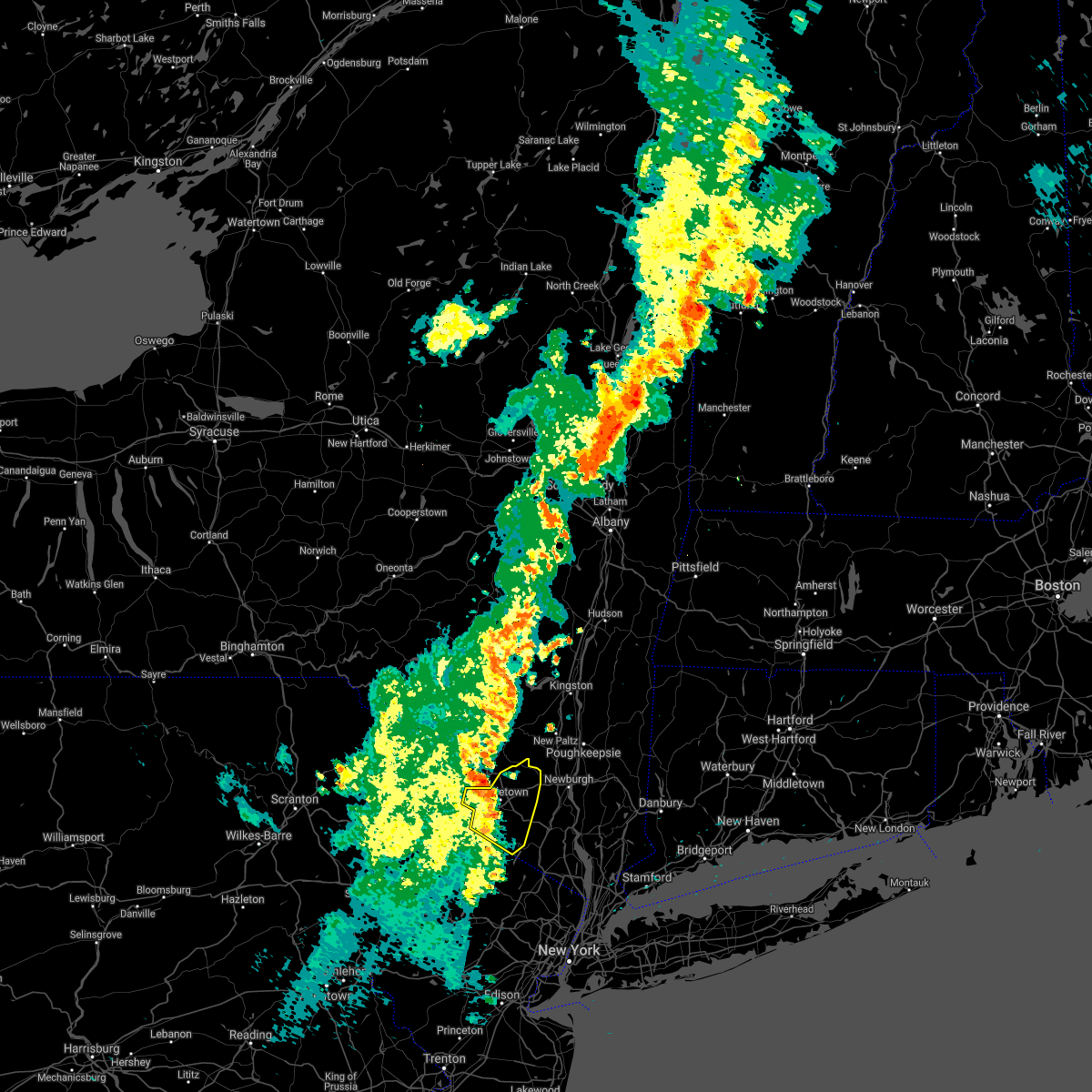 At 912 pm edt, severe thunderstorms were located along a line extending from haven to howells to near middletown to 6 miles north of vernon valley to near unionville, moving northeast at 45 mph (radar indicated). Hazards include 60 mph wind gusts. Expect damage to trees and power lines. these severe storms will be near, middletown and howells around 915 pm edt. goshen and chester around 930 pm edt. montgomery around 935 pm edt. Walden around 940 pm edt. At 912 pm edt, severe thunderstorms were located along a line extending from haven to howells to near middletown to 6 miles north of vernon valley to near unionville, moving northeast at 45 mph (radar indicated). Hazards include 60 mph wind gusts. Expect damage to trees and power lines. these severe storms will be near, middletown and howells around 915 pm edt. goshen and chester around 930 pm edt. montgomery around 935 pm edt. Walden around 940 pm edt.
|
| 6/21/2021 9:11 PM EDT |
 At 911 pm edt, a severe thunderstorm was located over haven, or 8 miles northwest of middletown, moving northeast at 45 mph (radar indicated). Hazards include 60 mph wind gusts and quarter size hail. Hail damage to vehicles is expected. Expect wind damage to roofs, siding, and trees. At 911 pm edt, a severe thunderstorm was located over haven, or 8 miles northwest of middletown, moving northeast at 45 mph (radar indicated). Hazards include 60 mph wind gusts and quarter size hail. Hail damage to vehicles is expected. Expect wind damage to roofs, siding, and trees.
|
| 6/21/2021 8:54 PM EDT |
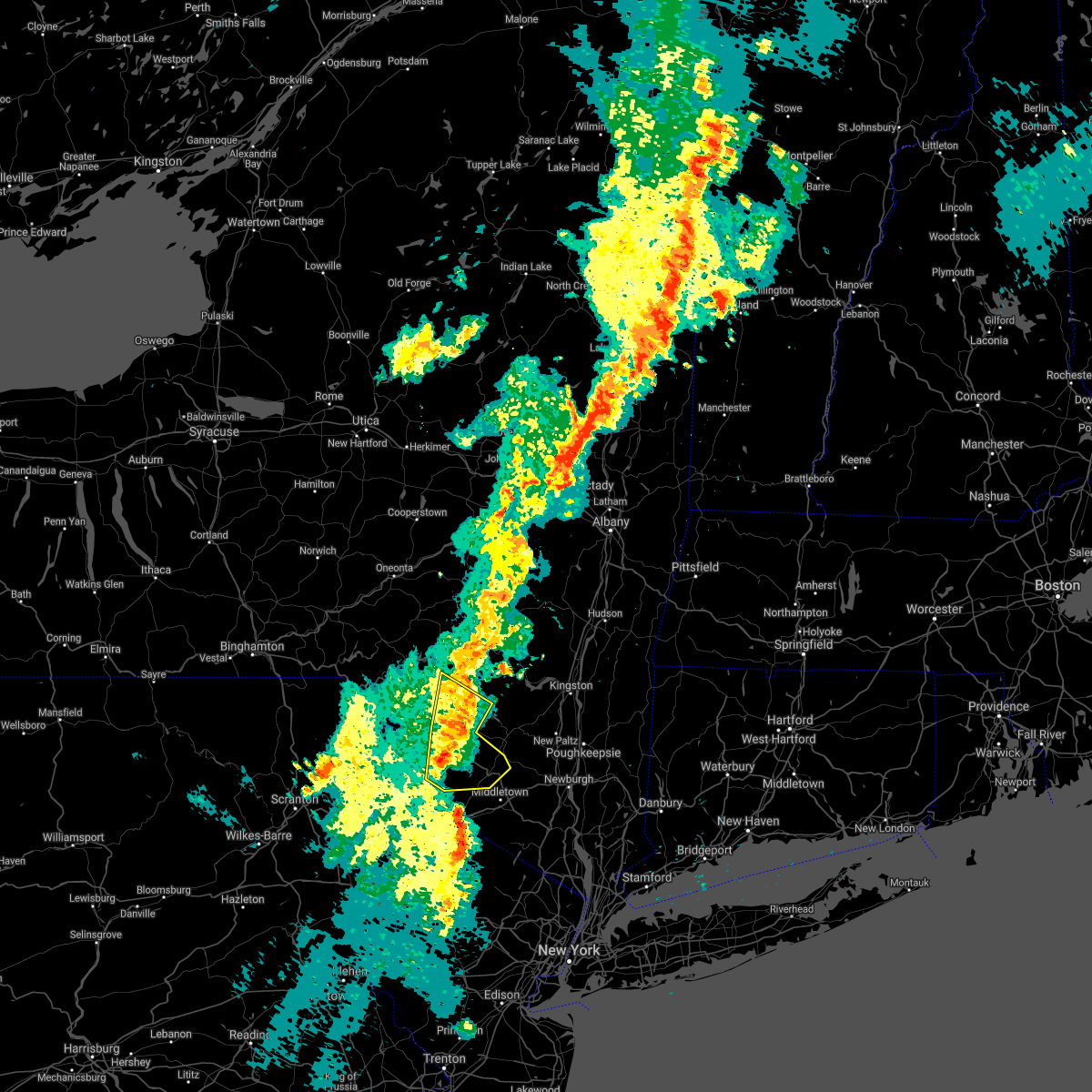 At 853 pm edt, severe thunderstorms were located along a line extending from livingstonville to near narrowsburg, moving northeast at 55 mph (radar indicated). Hazards include 60 mph wind gusts and quarter size hail. Hail damage to vehicles is expected. expect wind damage to roofs, siding, and trees. Locations impacted include, fallsburg, monticello, liberty, neversink, south fallsburg, wurtsboro, woodridge, bloomingburg, phillipsport and parksville. At 853 pm edt, severe thunderstorms were located along a line extending from livingstonville to near narrowsburg, moving northeast at 55 mph (radar indicated). Hazards include 60 mph wind gusts and quarter size hail. Hail damage to vehicles is expected. expect wind damage to roofs, siding, and trees. Locations impacted include, fallsburg, monticello, liberty, neversink, south fallsburg, wurtsboro, woodridge, bloomingburg, phillipsport and parksville.
|
| 6/21/2021 8:47 PM EDT |
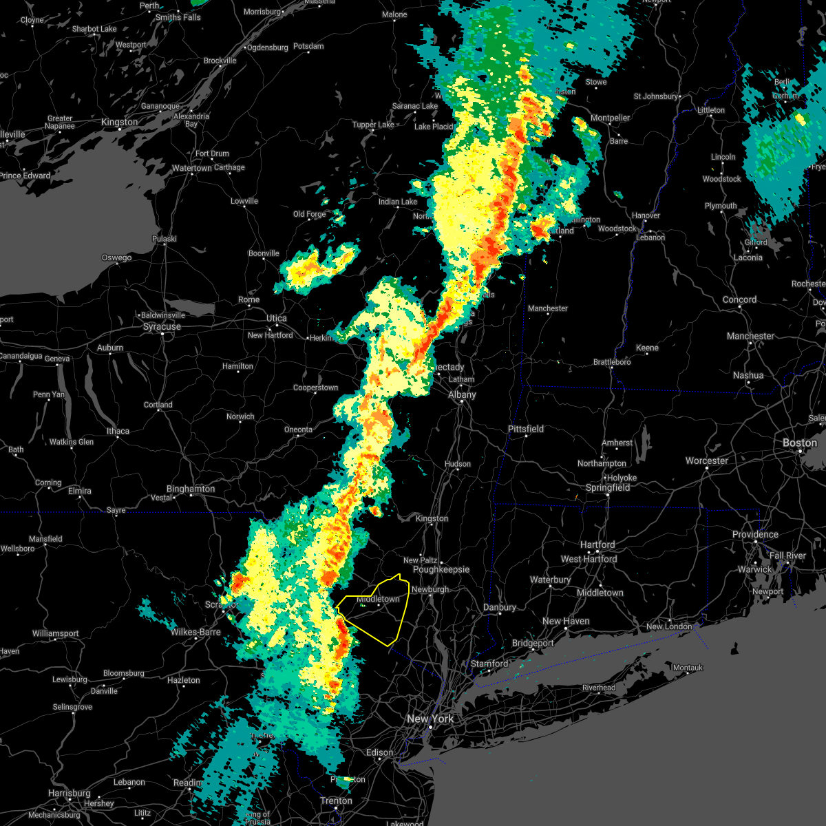 At 847 pm edt, severe thunderstorms were located along a line extending from near matamoras to high point to near sussex to pellettown to near branchville, moving northeast at 30 mph (radar indicated). Hazards include 60 mph wind gusts. Expect damage to trees and power lines. severe thunderstorms will be near, port jervis around 855 pm edt. huguenot and unionville around 900 pm edt. cuddebackville around 910 pm edt. otisville around 915 pm edt. middletown and howells around 920 pm edt. Warwick and goshen around 930 pm edt. At 847 pm edt, severe thunderstorms were located along a line extending from near matamoras to high point to near sussex to pellettown to near branchville, moving northeast at 30 mph (radar indicated). Hazards include 60 mph wind gusts. Expect damage to trees and power lines. severe thunderstorms will be near, port jervis around 855 pm edt. huguenot and unionville around 900 pm edt. cuddebackville around 910 pm edt. otisville around 915 pm edt. middletown and howells around 920 pm edt. Warwick and goshen around 930 pm edt.
|
| 6/21/2021 8:32 PM EDT |
 At 831 pm edt, severe thunderstorms were located along a line extending from roxbury to ledgerdale, moving northeast at 55 mph (radar indicated). Hazards include 60 mph wind gusts and quarter size hail. Hail damage to vehicles is expected. expect wind damage to roofs, siding, and trees. Locations impacted include, fallsburg, bushkill, monticello, lackawaxen, blooming grove, liberty, bethel, paupack, damascus and neversink. At 831 pm edt, severe thunderstorms were located along a line extending from roxbury to ledgerdale, moving northeast at 55 mph (radar indicated). Hazards include 60 mph wind gusts and quarter size hail. Hail damage to vehicles is expected. expect wind damage to roofs, siding, and trees. Locations impacted include, fallsburg, bushkill, monticello, lackawaxen, blooming grove, liberty, bethel, paupack, damascus and neversink.
|
| 6/21/2021 8:32 PM EDT |
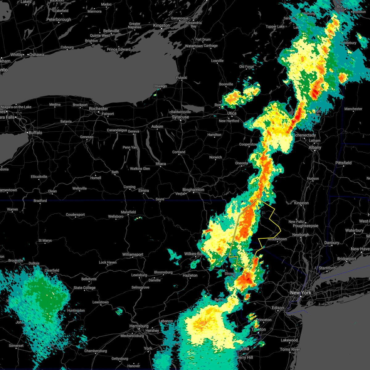 At 831 pm edt, severe thunderstorms were located along a line extending from roxbury to ledgerdale, moving northeast at 55 mph (radar indicated). Hazards include 60 mph wind gusts and quarter size hail. Hail damage to vehicles is expected. expect wind damage to roofs, siding, and trees. Locations impacted include, fallsburg, bushkill, monticello, lackawaxen, blooming grove, liberty, bethel, paupack, damascus and neversink. At 831 pm edt, severe thunderstorms were located along a line extending from roxbury to ledgerdale, moving northeast at 55 mph (radar indicated). Hazards include 60 mph wind gusts and quarter size hail. Hail damage to vehicles is expected. expect wind damage to roofs, siding, and trees. Locations impacted include, fallsburg, bushkill, monticello, lackawaxen, blooming grove, liberty, bethel, paupack, damascus and neversink.
|
| 6/21/2021 7:56 PM EDT |
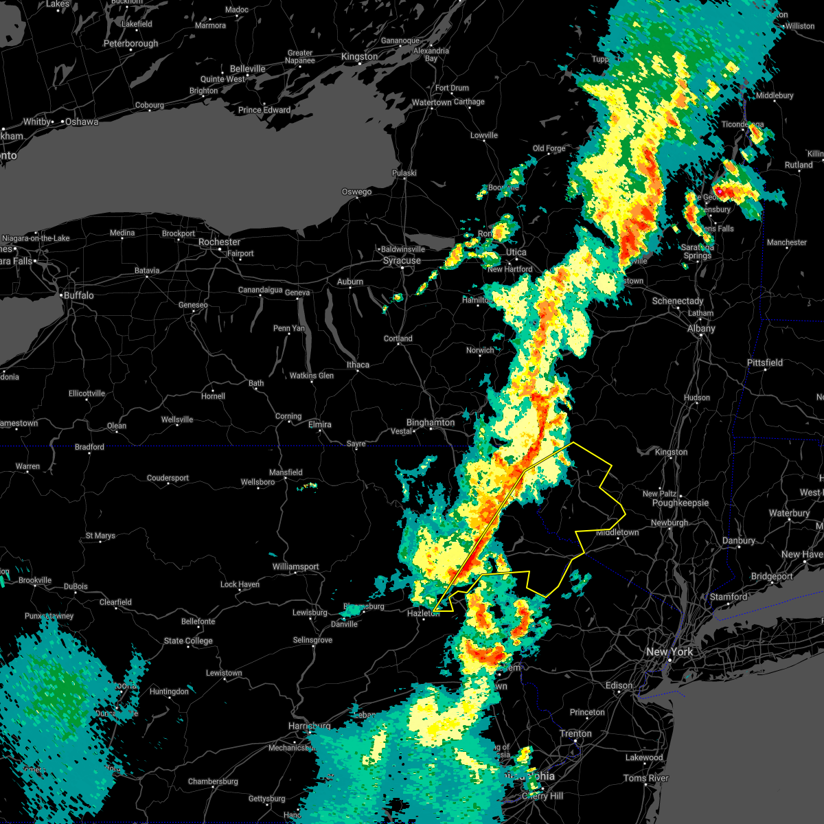 At 756 pm edt, severe thunderstorms were located along a line extending from corbett to near bear creek, moving northeast at 50 mph (radar indicated). Hazards include 60 mph wind gusts and quarter size hail. Hail damage to vehicles is expected. Expect wind damage to roofs, siding, and trees. At 756 pm edt, severe thunderstorms were located along a line extending from corbett to near bear creek, moving northeast at 50 mph (radar indicated). Hazards include 60 mph wind gusts and quarter size hail. Hail damage to vehicles is expected. Expect wind damage to roofs, siding, and trees.
|
| 6/9/2021 6:06 PM EDT | Trees and wires dow in sullivan county NY, 4.1 miles SSW of Bloomingburg, NY |
| 6/9/2021 6:02 PM EDT |
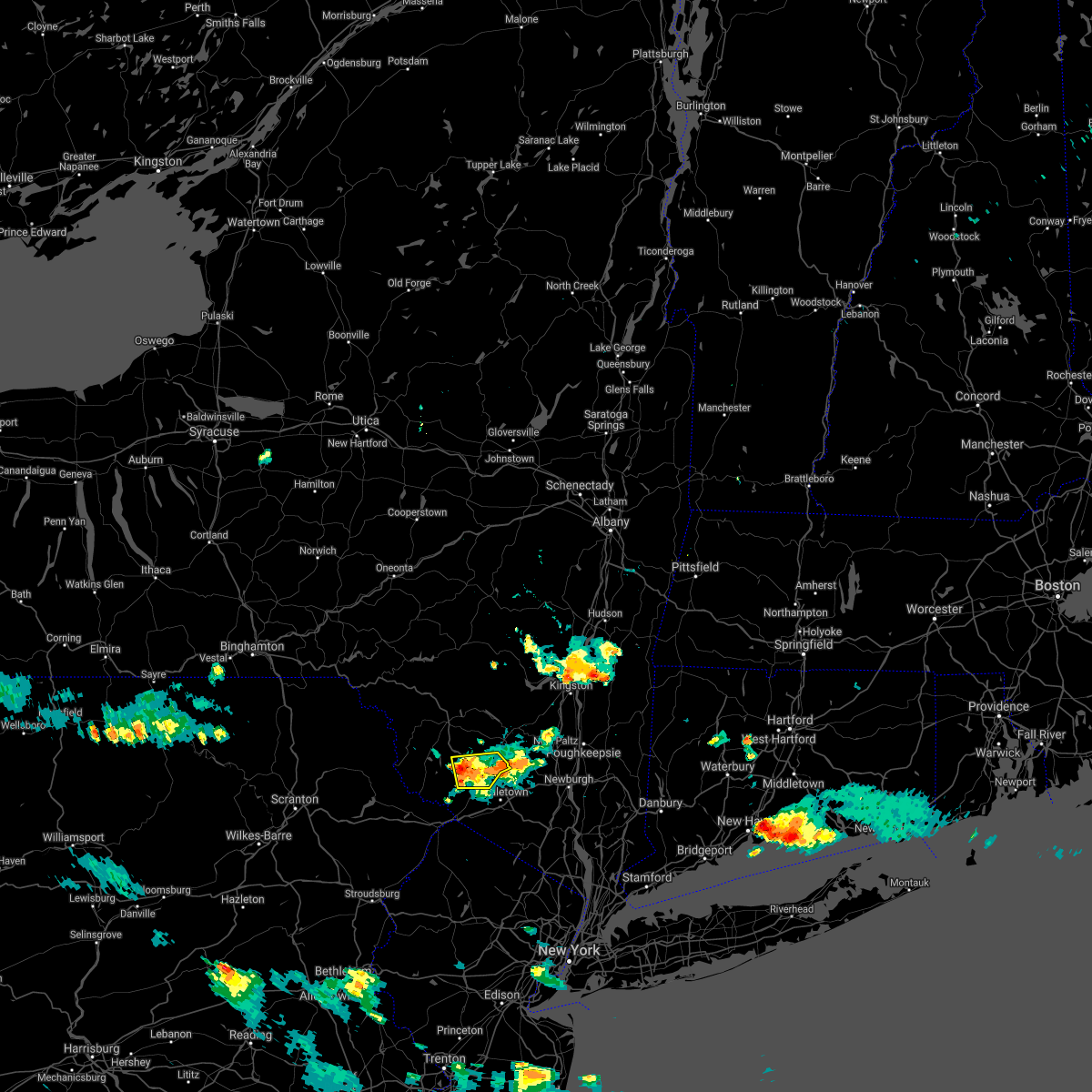 At 601 pm edt, a severe thunderstorm was located over haven, or 8 miles northwest of middletown, moving southeast at 15 mph (radar indicated). Hazards include 60 mph wind gusts and quarter size hail. Hail damage to vehicles is expected. expect wind damage to roofs, siding, and trees. Locations impacted include, monticello, wurtsboro, bloomingburg, highview, haven, phillipsport, hartwood, rock hill, mt prosper and basha kill. At 601 pm edt, a severe thunderstorm was located over haven, or 8 miles northwest of middletown, moving southeast at 15 mph (radar indicated). Hazards include 60 mph wind gusts and quarter size hail. Hail damage to vehicles is expected. expect wind damage to roofs, siding, and trees. Locations impacted include, monticello, wurtsboro, bloomingburg, highview, haven, phillipsport, hartwood, rock hill, mt prosper and basha kill.
|
| 6/9/2021 5:44 PM EDT |
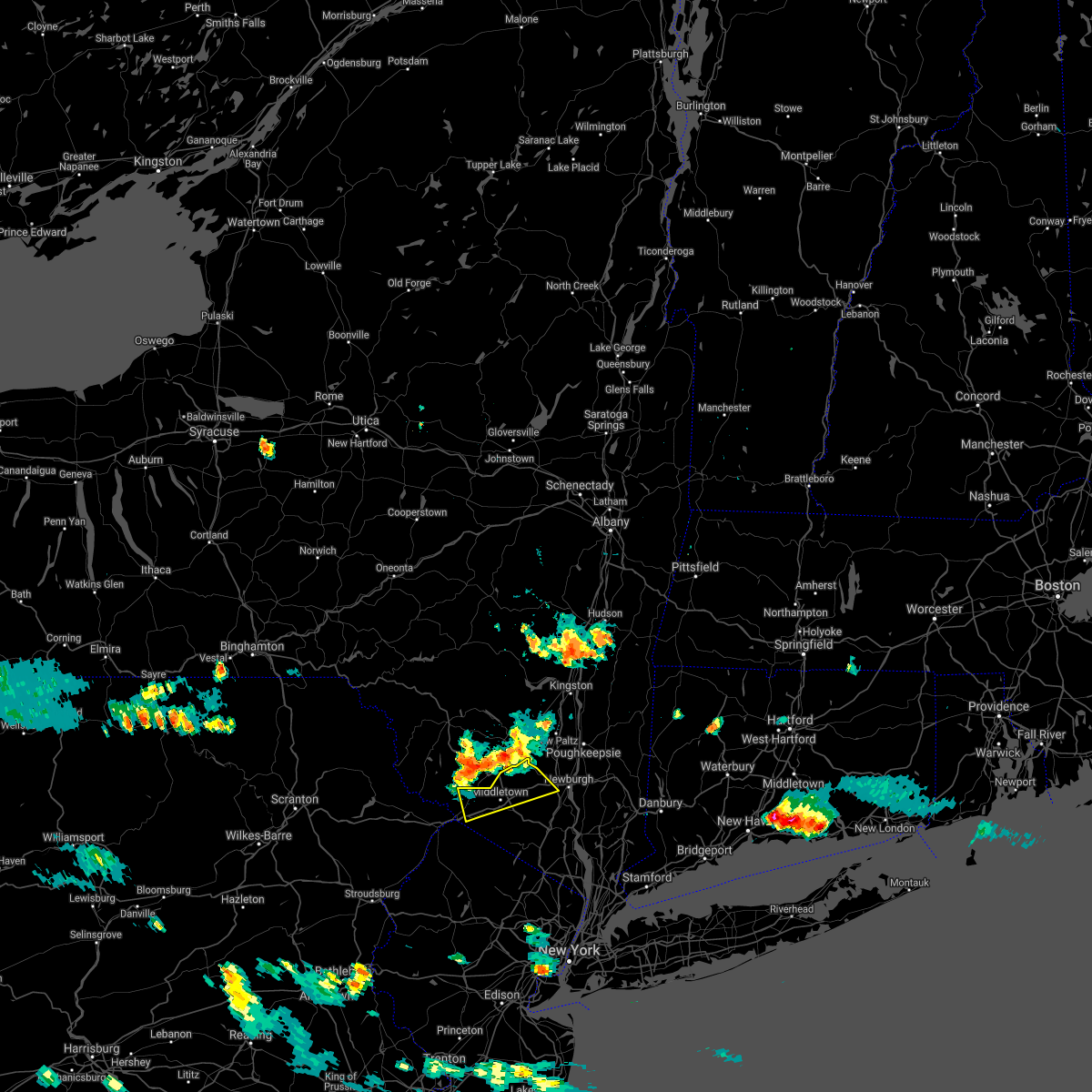 At 543 pm edt, a cluster of severe thunderstorms extended from near phillipsport to rock hill, moving southeast at 10 mph (radar indicated). Hazards include 60 mph wind gusts and quarter size hail. Minor hail damage to vehicles is possible. expect wind damage to trees and power lines. Severe thunderstorms will be near, middletown, walden, howells, montgomery, cuddebackville and otisville around 630 pm edt. At 543 pm edt, a cluster of severe thunderstorms extended from near phillipsport to rock hill, moving southeast at 10 mph (radar indicated). Hazards include 60 mph wind gusts and quarter size hail. Minor hail damage to vehicles is possible. expect wind damage to trees and power lines. Severe thunderstorms will be near, middletown, walden, howells, montgomery, cuddebackville and otisville around 630 pm edt.
|
| 6/9/2021 5:40 PM EDT |
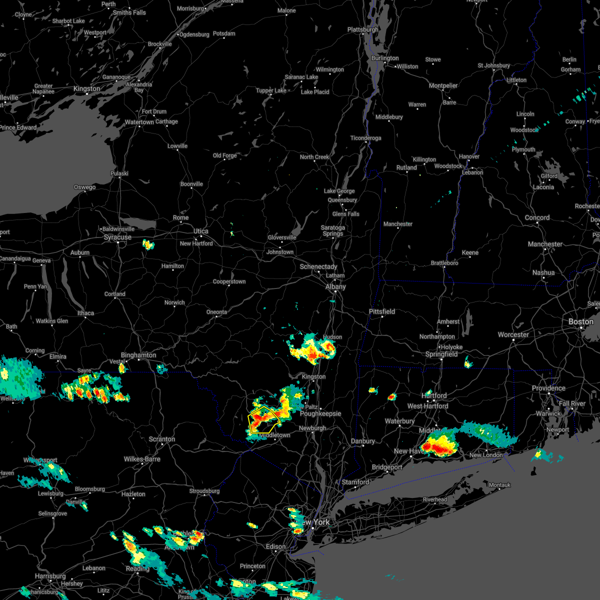 At 540 pm edt, a severe thunderstorm was located over rock hill, or near monticello, moving southeast at 15 mph (radar indicated). Hazards include 60 mph wind gusts and quarter size hail. Hail damage to vehicles is expected. Expect wind damage to roofs, siding, and trees. At 540 pm edt, a severe thunderstorm was located over rock hill, or near monticello, moving southeast at 15 mph (radar indicated). Hazards include 60 mph wind gusts and quarter size hail. Hail damage to vehicles is expected. Expect wind damage to roofs, siding, and trees.
|
| 11/15/2020 7:17 PM EST |
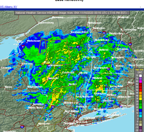 At 715 pm est, a severe thunderstorm was located near shohola, or 9 miles northwest of montague, moving east at 60 mph (radar indicated). Hazards include 60 mph wind gusts. Expect damage to trees and power lines. this severe thunderstorm will be near, port jervis around 725 pm est. cuddebackville and huguenot around 730 pm est. otisville around 735 pm est. middletown and howells around 740 pm est. goshen around 745 pm est. montgomery around 750 pm est. walden around 755 pm est. Newburgh and new windsor around 800 pm est. At 715 pm est, a severe thunderstorm was located near shohola, or 9 miles northwest of montague, moving east at 60 mph (radar indicated). Hazards include 60 mph wind gusts. Expect damage to trees and power lines. this severe thunderstorm will be near, port jervis around 725 pm est. cuddebackville and huguenot around 730 pm est. otisville around 735 pm est. middletown and howells around 740 pm est. goshen around 745 pm est. montgomery around 750 pm est. walden around 755 pm est. Newburgh and new windsor around 800 pm est.
|
| 8/27/2020 6:39 PM EDT |
 The severe thunderstorm warning for sullivan and central wayne counties will expire at 645 pm edt, the storm which prompted the warning has weakened below severe limits, and no longer poses an immediate threat to life or property. therefore, the warning will be allowed to expire. a tornado watch remains in effect until 700 pm edt for central new york, and northeastern pennsylvania. a severe thunderstorm watch remains in effect until 800 pm edt for northeastern pennsylvania. The severe thunderstorm warning for sullivan and central wayne counties will expire at 645 pm edt, the storm which prompted the warning has weakened below severe limits, and no longer poses an immediate threat to life or property. therefore, the warning will be allowed to expire. a tornado watch remains in effect until 700 pm edt for central new york, and northeastern pennsylvania. a severe thunderstorm watch remains in effect until 800 pm edt for northeastern pennsylvania.
|
| 8/27/2020 6:39 PM EDT |
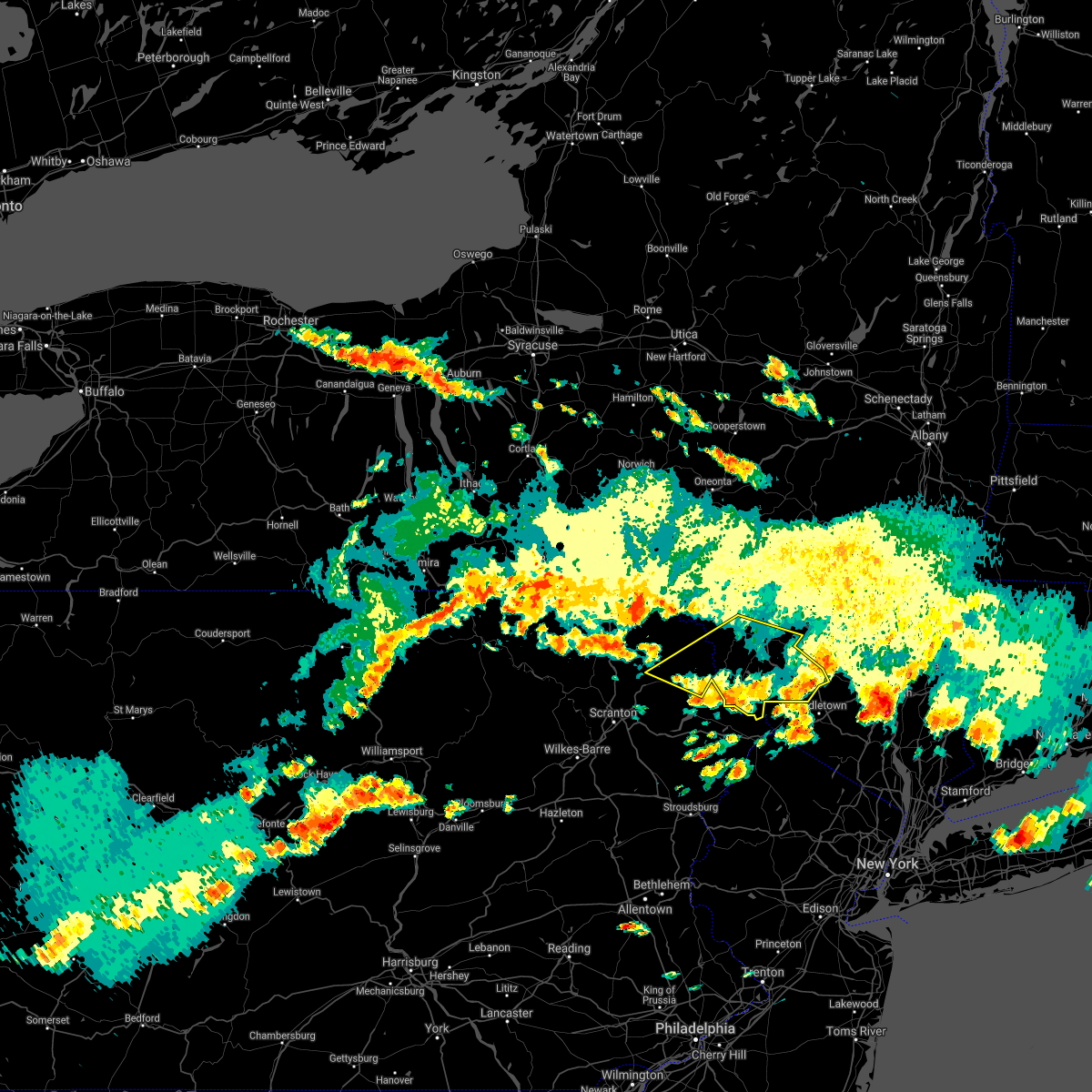 The severe thunderstorm warning for sullivan and central wayne counties will expire at 645 pm edt, the storm which prompted the warning has weakened below severe limits, and no longer poses an immediate threat to life or property. therefore, the warning will be allowed to expire. a tornado watch remains in effect until 700 pm edt for central new york, and northeastern pennsylvania. a severe thunderstorm watch remains in effect until 800 pm edt for northeastern pennsylvania. The severe thunderstorm warning for sullivan and central wayne counties will expire at 645 pm edt, the storm which prompted the warning has weakened below severe limits, and no longer poses an immediate threat to life or property. therefore, the warning will be allowed to expire. a tornado watch remains in effect until 700 pm edt for central new york, and northeastern pennsylvania. a severe thunderstorm watch remains in effect until 800 pm edt for northeastern pennsylvania.
|
| 8/27/2020 6:30 PM EDT |
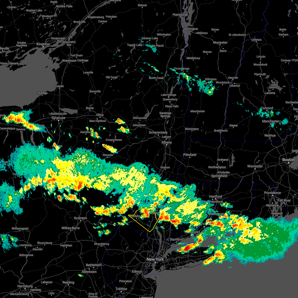 At 630 pm edt, a severe thunderstorm was located near montgomery, or near walden, moving east at 35 mph (radar indicated). Hazards include 70 mph wind gusts and quarter size hail. Minor hail damage to vehicles is possible. expect considerable tree damage. wind damage is also likely to mobile homes, roofs, and outbuildings. this severe storm will be near, newburgh and gardnertown around 640 pm edt. new windsor around 645 pm edt. West point around 650 pm edt. At 630 pm edt, a severe thunderstorm was located near montgomery, or near walden, moving east at 35 mph (radar indicated). Hazards include 70 mph wind gusts and quarter size hail. Minor hail damage to vehicles is possible. expect considerable tree damage. wind damage is also likely to mobile homes, roofs, and outbuildings. this severe storm will be near, newburgh and gardnertown around 640 pm edt. new windsor around 645 pm edt. West point around 650 pm edt.
|
| 8/27/2020 6:21 PM EDT |
 At 618 pm edt, a cluster of severe thunderstorms was located along a line from liberty to prompton, moving east at 50 mph (law enforcement). Hazards include 60 mph wind gusts and quarter size hail. Hail damage to vehicles is expected. expect wind damage to roofs, siding, and trees. Locations impacted include, fallsburg, monticello, honesdale, liberty, bethel, damascus, neversink, south fallsburg, callicoon and tusten. At 618 pm edt, a cluster of severe thunderstorms was located along a line from liberty to prompton, moving east at 50 mph (law enforcement). Hazards include 60 mph wind gusts and quarter size hail. Hail damage to vehicles is expected. expect wind damage to roofs, siding, and trees. Locations impacted include, fallsburg, monticello, honesdale, liberty, bethel, damascus, neversink, south fallsburg, callicoon and tusten.
|
| 8/27/2020 6:21 PM EDT |
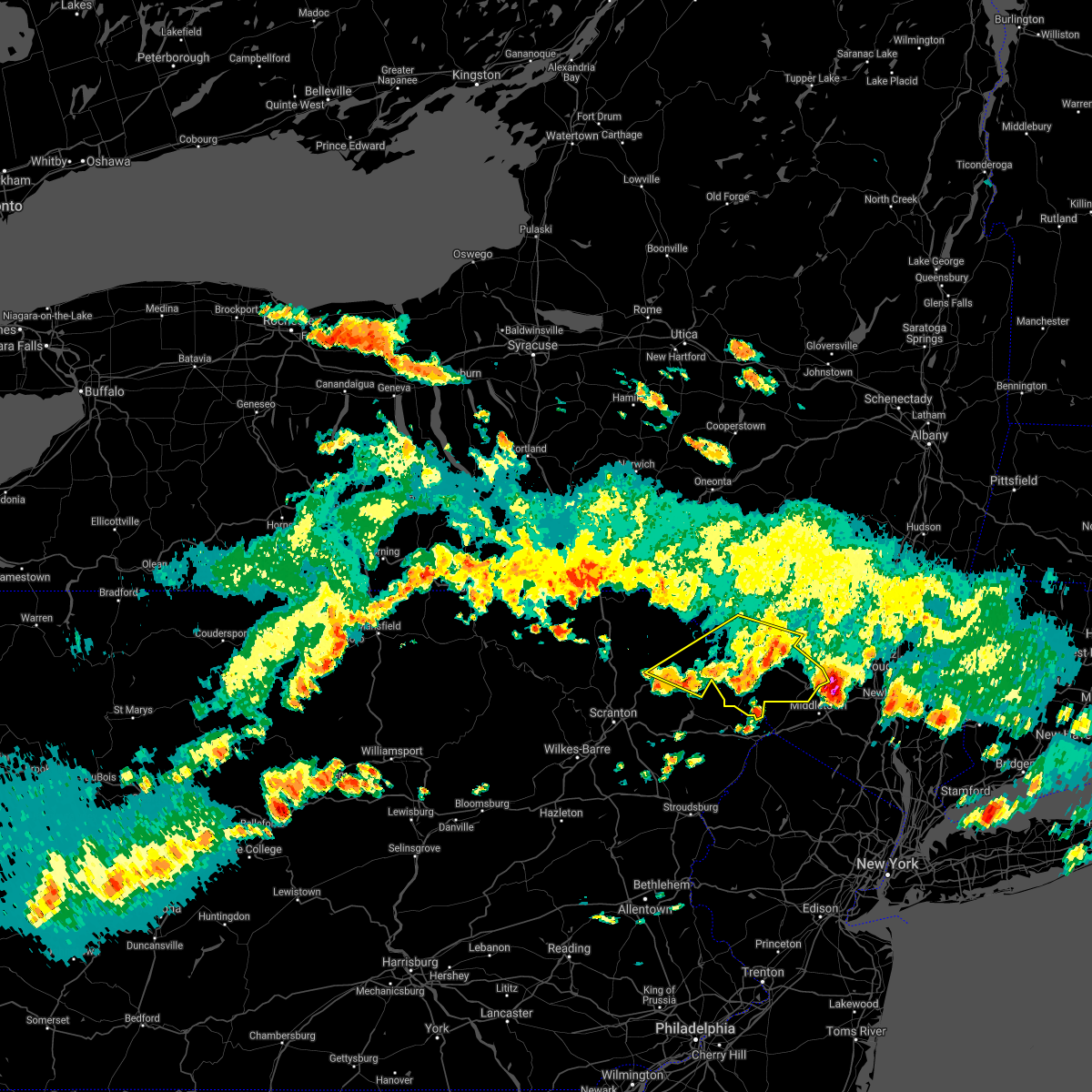 At 618 pm edt, a cluster of severe thunderstorms was located along a line from liberty to prompton, moving east at 50 mph (law enforcement). Hazards include 60 mph wind gusts and quarter size hail. Hail damage to vehicles is expected. expect wind damage to roofs, siding, and trees. Locations impacted include, fallsburg, monticello, honesdale, liberty, bethel, damascus, neversink, south fallsburg, callicoon and tusten. At 618 pm edt, a cluster of severe thunderstorms was located along a line from liberty to prompton, moving east at 50 mph (law enforcement). Hazards include 60 mph wind gusts and quarter size hail. Hail damage to vehicles is expected. expect wind damage to roofs, siding, and trees. Locations impacted include, fallsburg, monticello, honesdale, liberty, bethel, damascus, neversink, south fallsburg, callicoon and tusten.
|
| 8/27/2020 6:20 PM EDT | Tree down on a propane tan in sullivan county NY, 0.3 miles SSW of Bloomingburg, NY |
| 8/27/2020 6:03 PM EDT |
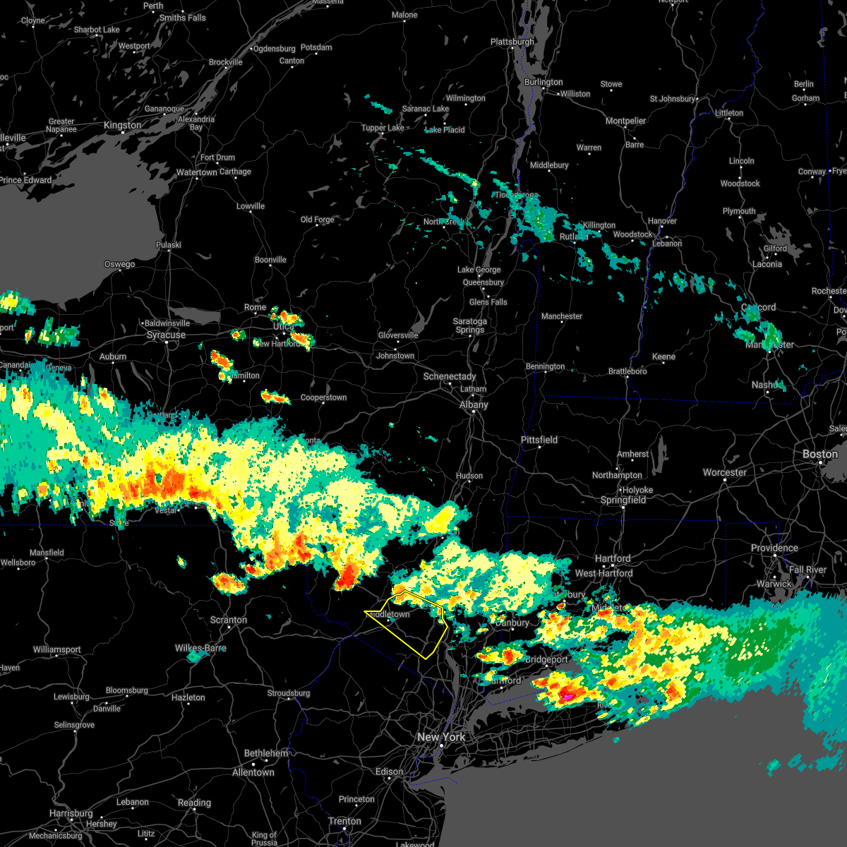 At 603 pm edt, a severe thunderstorm was located over rock hill, or near monticello, moving southeast at 45 mph (radar indicated). Hazards include 60 mph wind gusts and quarter size hail. Minor hail damage to vehicles is possible. expect wind damage to trees and power lines. this severe thunderstorm will be near, middletown around 620 pm edt. walden and montgomery around 625 pm edt. goshen and chester around 630 pm edt. monroe and new windsor around 640 pm edt. West point around 650 pm edt. At 603 pm edt, a severe thunderstorm was located over rock hill, or near monticello, moving southeast at 45 mph (radar indicated). Hazards include 60 mph wind gusts and quarter size hail. Minor hail damage to vehicles is possible. expect wind damage to trees and power lines. this severe thunderstorm will be near, middletown around 620 pm edt. walden and montgomery around 625 pm edt. goshen and chester around 630 pm edt. monroe and new windsor around 640 pm edt. West point around 650 pm edt.
|
| 8/27/2020 5:50 PM EDT |
 At 548 pm edt, a cluster of severe thunderstorms was located along a line from thompson to callicoon center, moving east at 50 mph (law enforcement). Hazards include 70 mph wind gusts and quarter size hail. Hail damage to vehicles is expected. expect considerable tree damage. Wind damage is also likely to mobile homes, roofs, and outbuildings. At 548 pm edt, a cluster of severe thunderstorms was located along a line from thompson to callicoon center, moving east at 50 mph (law enforcement). Hazards include 70 mph wind gusts and quarter size hail. Hail damage to vehicles is expected. expect considerable tree damage. Wind damage is also likely to mobile homes, roofs, and outbuildings.
|
| 8/27/2020 5:07 PM EDT |
 At 507 pm edt, a severe thunderstorm was located near new windsor, or near west point, moving southeast at 45 mph (radar indicated). Hazards include 60 mph wind gusts. Expect damage to trees and power lines. this severe storm will be near, new windsor around 510 pm edt. cold spring around 515 pm edt. west point around 520 pm edt. peekskill around 525 pm edt. Mahopac around 530 pm edt. At 507 pm edt, a severe thunderstorm was located near new windsor, or near west point, moving southeast at 45 mph (radar indicated). Hazards include 60 mph wind gusts. Expect damage to trees and power lines. this severe storm will be near, new windsor around 510 pm edt. cold spring around 515 pm edt. west point around 520 pm edt. peekskill around 525 pm edt. Mahopac around 530 pm edt.
|
| 8/27/2020 4:49 PM EDT |
 At 448 pm edt, a severe thunderstorm was located near bloomingburg, or 7 miles northeast of middletown, moving southeast at 45 mph (radar indicated). Hazards include 60 mph wind gusts. Expect damage to trees and power lines. this severe thunderstorm will be near, walden and goshen around 455 pm edt. gardnertown around 505 pm edt. newburgh and new windsor around 510 pm edt. cold spring around 515 pm edt. west point around 520 pm edt. peekskill around 525 pm edt. Mahopac around 530 pm edt. At 448 pm edt, a severe thunderstorm was located near bloomingburg, or 7 miles northeast of middletown, moving southeast at 45 mph (radar indicated). Hazards include 60 mph wind gusts. Expect damage to trees and power lines. this severe thunderstorm will be near, walden and goshen around 455 pm edt. gardnertown around 505 pm edt. newburgh and new windsor around 510 pm edt. cold spring around 515 pm edt. west point around 520 pm edt. peekskill around 525 pm edt. Mahopac around 530 pm edt.
|
| 8/27/2020 4:21 PM EDT |
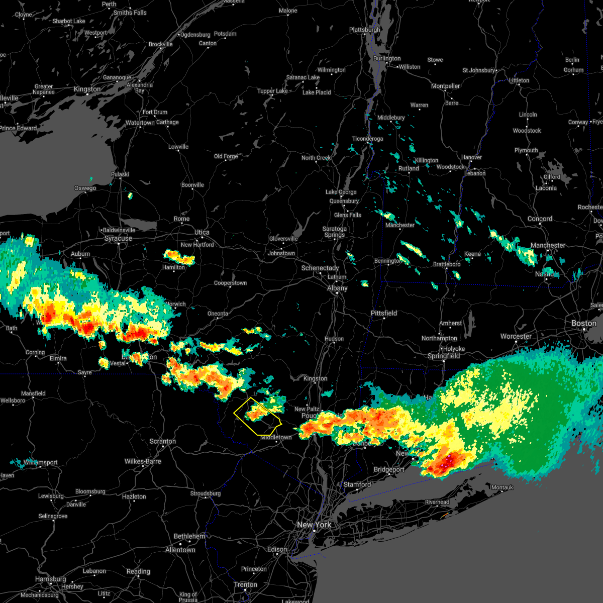 At 421 pm edt, a severe thunderstorm was located over kiamesha, or over monticello, moving southeast at 45 mph (radar indicated). Hazards include 60 mph wind gusts and quarter size hail. Hail damage to vehicles is expected. Expect wind damage to roofs, siding, and trees. At 421 pm edt, a severe thunderstorm was located over kiamesha, or over monticello, moving southeast at 45 mph (radar indicated). Hazards include 60 mph wind gusts and quarter size hail. Hail damage to vehicles is expected. Expect wind damage to roofs, siding, and trees.
|
| 8/27/2020 3:10 PM EDT |
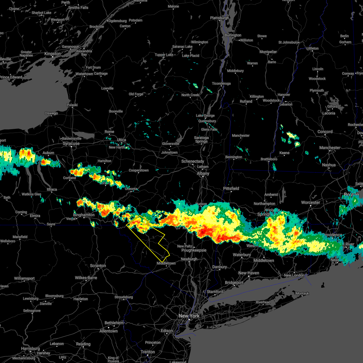 At 310 pm edt, a severe thunderstorm was located over roscoe, or 13 miles northwest of liberty, moving southeast at 50 mph (radar indicated). Hazards include 60 mph wind gusts and quarter size hail. Hail damage to vehicles is expected. Expect wind damage to roofs, siding, and trees. At 310 pm edt, a severe thunderstorm was located over roscoe, or 13 miles northwest of liberty, moving southeast at 50 mph (radar indicated). Hazards include 60 mph wind gusts and quarter size hail. Hail damage to vehicles is expected. Expect wind damage to roofs, siding, and trees.
|
| 7/22/2020 3:27 PM EDT |
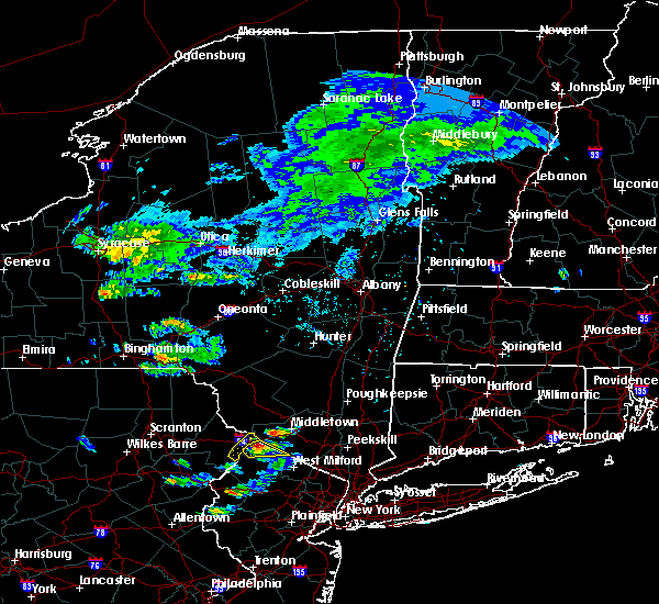 At 318 pm edt, a severe thunderstorm was located over high point, or near matamoras, moving northeast at 50 mph (radar indicated). Hazards include 60 mph wind gusts and quarter size hail. Minor hail damage to vehicles is possible. expect wind damage to trees and power lines. this severe thunderstorm will be near, middletown around 335 pm edt. goshen and chester around 340 pm edt. walden and montgomery around 350 pm edt. gardnertown around 400 pm edt. Newburgh around 405 pm edt. At 318 pm edt, a severe thunderstorm was located over high point, or near matamoras, moving northeast at 50 mph (radar indicated). Hazards include 60 mph wind gusts and quarter size hail. Minor hail damage to vehicles is possible. expect wind damage to trees and power lines. this severe thunderstorm will be near, middletown around 335 pm edt. goshen and chester around 340 pm edt. walden and montgomery around 350 pm edt. gardnertown around 400 pm edt. Newburgh around 405 pm edt.
|
| 7/19/2020 7:39 PM EDT |
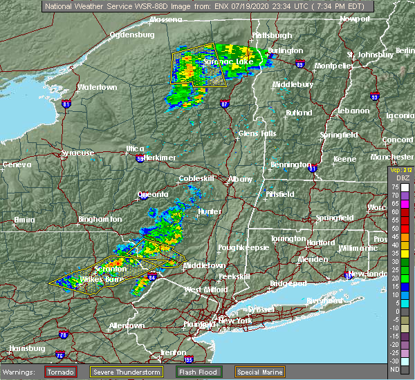 At 714 pm edt, severe thunderstorms were located along a line extending from near hazel to near damascus, moving east at 40 mph (radar indicated). Hazards include 60 mph wind gusts. expect damage to roofs, siding, and trees At 714 pm edt, severe thunderstorms were located along a line extending from near hazel to near damascus, moving east at 40 mph (radar indicated). Hazards include 60 mph wind gusts. expect damage to roofs, siding, and trees
|
| 7/19/2020 7:14 PM EDT |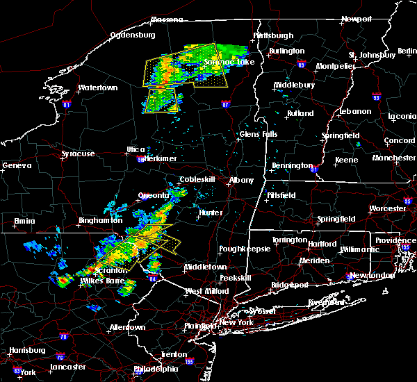
 At 714 pm edt, severe thunderstorms were located along a line extending from near hazel to near damascus, moving east at 40 mph (radar indicated). Hazards include 60 mph wind gusts. expect damage to roofs, siding, and trees At 714 pm edt, severe thunderstorms were located along a line extending from near hazel to near damascus, moving east at 40 mph (radar indicated). Hazards include 60 mph wind gusts. expect damage to roofs, siding, and trees
|
| 6/28/2020 3:05 PM EDT |
 At 305 pm edt, severe thunderstorms were located along a line extending from 7 miles north of willowemoc to near narrowsburg, moving southeast at 20 mph (radar indicated). Hazards include 60 mph wind gusts and quarter size hail. Hail damage to vehicles is expected. Expect wind damage to roofs, siding, and trees. At 305 pm edt, severe thunderstorms were located along a line extending from 7 miles north of willowemoc to near narrowsburg, moving southeast at 20 mph (radar indicated). Hazards include 60 mph wind gusts and quarter size hail. Hail damage to vehicles is expected. Expect wind damage to roofs, siding, and trees.
|
| 6/28/2020 3:05 PM EDT |
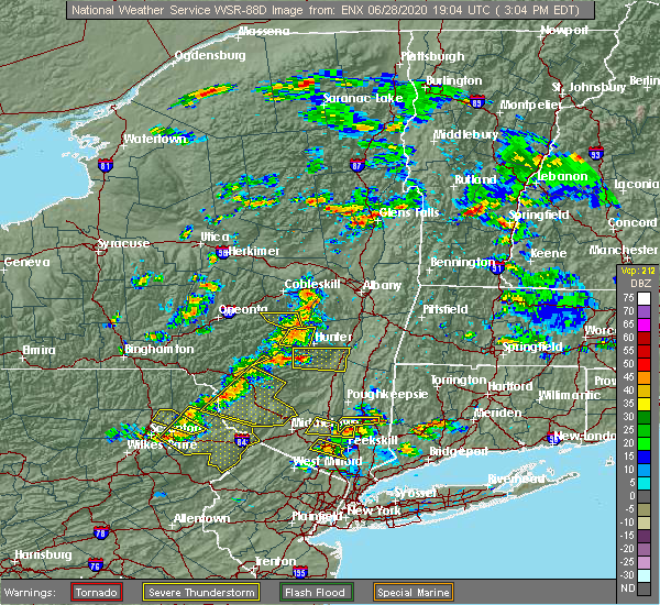 At 305 pm edt, severe thunderstorms were located along a line extending from 7 miles north of willowemoc to near narrowsburg, moving southeast at 20 mph (radar indicated). Hazards include 60 mph wind gusts and quarter size hail. Hail damage to vehicles is expected. Expect wind damage to roofs, siding, and trees. At 305 pm edt, severe thunderstorms were located along a line extending from 7 miles north of willowemoc to near narrowsburg, moving southeast at 20 mph (radar indicated). Hazards include 60 mph wind gusts and quarter size hail. Hail damage to vehicles is expected. Expect wind damage to roofs, siding, and trees.
|
| 6/28/2020 2:07 PM EDT |
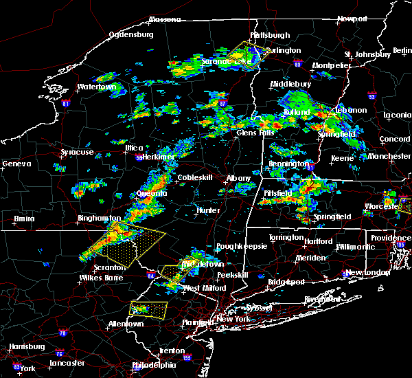 The severe thunderstorm warning for central orange county will expire at 215 pm edt, the storm which prompted the warning has weakened below severe limits, and no longer poses an immediate threat to life or property. therefore, the warning will be allowed to expire. however small hail, gusty winds and heavy rain are still possible with this thunderstorm. a severe thunderstorm watch remains in effect until 800 pm edt for southeastern new york. to report severe weather, contact your nearest law enforcement agency. they will relay your report to the national weather service upton ny. The severe thunderstorm warning for central orange county will expire at 215 pm edt, the storm which prompted the warning has weakened below severe limits, and no longer poses an immediate threat to life or property. therefore, the warning will be allowed to expire. however small hail, gusty winds and heavy rain are still possible with this thunderstorm. a severe thunderstorm watch remains in effect until 800 pm edt for southeastern new york. to report severe weather, contact your nearest law enforcement agency. they will relay your report to the national weather service upton ny.
|
| 6/28/2020 1:39 PM EDT |
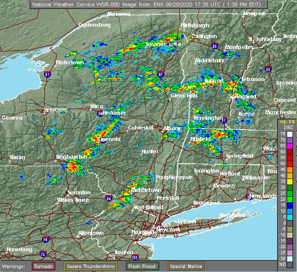 At 138 pm edt, a severe thunderstorm was located near unionville, or near port jervis, moving east at 15 mph (radar indicated). Hazards include 60 mph wind gusts and golf ball size hail. Minor damage to vehicles is possible. wind damage to roofs, siding, trees, and power lines is possible. This severe thunderstorm will be near, unionville around 150 pm edt. At 138 pm edt, a severe thunderstorm was located near unionville, or near port jervis, moving east at 15 mph (radar indicated). Hazards include 60 mph wind gusts and golf ball size hail. Minor damage to vehicles is possible. wind damage to roofs, siding, trees, and power lines is possible. This severe thunderstorm will be near, unionville around 150 pm edt.
|
| 6/3/2020 7:30 PM EDT |
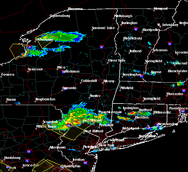 At 730 pm edt, severe thunderstorms were located along a line extending from near bloomingburg to port jervis to near pecks pond, moving southeast at 45 mph (radar indicated). Hazards include 60 mph wind gusts and penny size hail. Expect damage to trees and power lines. these severe storms will be near, middletown around 735 pm edt. walden and goshen around 740 pm edt. chester around 745 pm edt. florida around 750 pm edt. Warwick around 755 pm edt. At 730 pm edt, severe thunderstorms were located along a line extending from near bloomingburg to port jervis to near pecks pond, moving southeast at 45 mph (radar indicated). Hazards include 60 mph wind gusts and penny size hail. Expect damage to trees and power lines. these severe storms will be near, middletown around 735 pm edt. walden and goshen around 740 pm edt. chester around 745 pm edt. florida around 750 pm edt. Warwick around 755 pm edt.
|
| 6/3/2020 6:58 PM EDT |
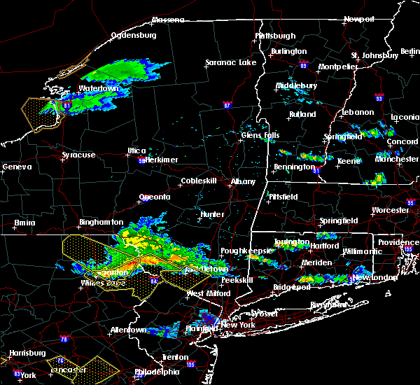 At 657 pm edt, severe thunderstorms were located along a line extending from near white lake to near narrowsburg to mount cobb, moving southeast at 45 mph (radar indicated). Hazards include 60 mph wind gusts and penny size hail. Expect damage to trees and power lines. severe thunderstorms will be near, port jervis around 725 pm edt. middletown around 730 pm edt. walden and goshen around 740 pm edt. chester around 745 pm edt. florida around 750 pm edt. Warwick around 755 pm edt. At 657 pm edt, severe thunderstorms were located along a line extending from near white lake to near narrowsburg to mount cobb, moving southeast at 45 mph (radar indicated). Hazards include 60 mph wind gusts and penny size hail. Expect damage to trees and power lines. severe thunderstorms will be near, port jervis around 725 pm edt. middletown around 730 pm edt. walden and goshen around 740 pm edt. chester around 745 pm edt. florida around 750 pm edt. Warwick around 755 pm edt.
|
| 10/31/2019 11:55 PM EDT |
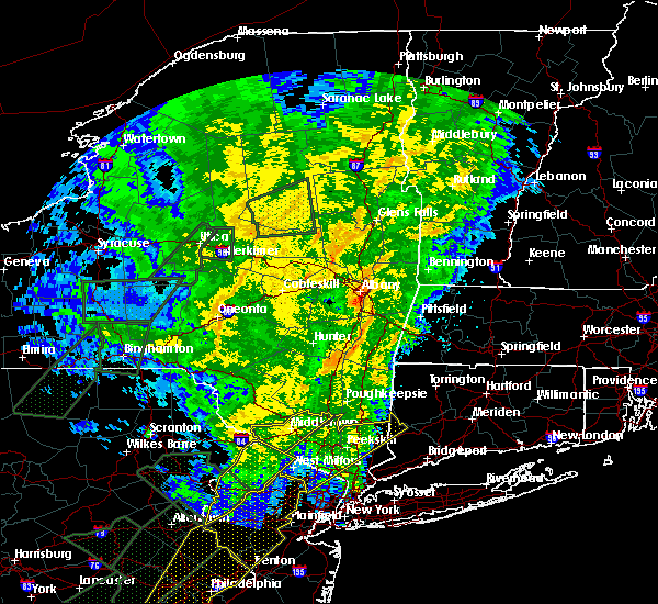 At 1155 pm edt, a severe thunderstorm was located over unionville, or 7 miles southeast of matamoras, moving northeast at 90 mph (radar indicated). Hazards include 60 mph wind gusts. Expect damage to trees and power lines. this severe thunderstorm will be near, florida around 1200 am edt. middletown and goshen around 1205 am edt. Walden and montgomery around 1210 am edt. At 1155 pm edt, a severe thunderstorm was located over unionville, or 7 miles southeast of matamoras, moving northeast at 90 mph (radar indicated). Hazards include 60 mph wind gusts. Expect damage to trees and power lines. this severe thunderstorm will be near, florida around 1200 am edt. middletown and goshen around 1205 am edt. Walden and montgomery around 1210 am edt.
|
| 8/8/2019 6:11 PM EDT |
 The severe thunderstorm warning for southern sullivan, southeastern lackawanna, southern wayne, east central luzerne and pike counties will expire at 615 pm edt, the storms which prompted the warning have weakened below severe limits, and are exiting the warned area. therefore, the warning will be allowed to expire. however gusty winds are still possible with these thunderstorms. The severe thunderstorm warning for southern sullivan, southeastern lackawanna, southern wayne, east central luzerne and pike counties will expire at 615 pm edt, the storms which prompted the warning have weakened below severe limits, and are exiting the warned area. therefore, the warning will be allowed to expire. however gusty winds are still possible with these thunderstorms.
|
| 8/8/2019 6:11 PM EDT |
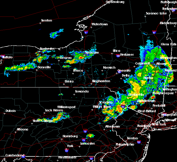 The severe thunderstorm warning for southern sullivan, southeastern lackawanna, southern wayne, east central luzerne and pike counties will expire at 615 pm edt, the storms which prompted the warning have weakened below severe limits, and are exiting the warned area. therefore, the warning will be allowed to expire. however gusty winds are still possible with these thunderstorms. The severe thunderstorm warning for southern sullivan, southeastern lackawanna, southern wayne, east central luzerne and pike counties will expire at 615 pm edt, the storms which prompted the warning have weakened below severe limits, and are exiting the warned area. therefore, the warning will be allowed to expire. however gusty winds are still possible with these thunderstorms.
|
| 8/8/2019 5:47 PM EDT |
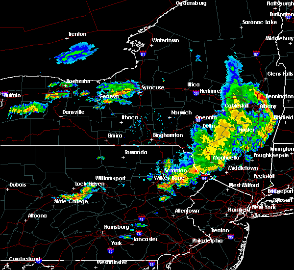 At 545 pm edt, severe thunderstorms were located along a line extending from near bear creek to near hawley to near rock hill, moving east at 40 mph (radar indicated). Hazards include 60 mph wind gusts and penny size hail. Expect damage to roofs, siding, and trees. Locations impacted include, scranton, fallsburg, port jervis, bushkill, monticello, lackawaxen, blooming grove, paupack, south fallsburg and shohola. At 545 pm edt, severe thunderstorms were located along a line extending from near bear creek to near hawley to near rock hill, moving east at 40 mph (radar indicated). Hazards include 60 mph wind gusts and penny size hail. Expect damage to roofs, siding, and trees. Locations impacted include, scranton, fallsburg, port jervis, bushkill, monticello, lackawaxen, blooming grove, paupack, south fallsburg and shohola.
|
| 8/8/2019 5:11 PM EDT |
 At 511 pm edt, severe thunderstorms were located along a line extending from livingston manor to near honesdale to near bear creek village, moving east at 50 mph (radar indicated). Hazards include 60 mph wind gusts and penny size hail. expect damage to roofs, siding, and trees At 511 pm edt, severe thunderstorms were located along a line extending from livingston manor to near honesdale to near bear creek village, moving east at 50 mph (radar indicated). Hazards include 60 mph wind gusts and penny size hail. expect damage to roofs, siding, and trees
|
| 7/30/2019 3:09 PM EDT |
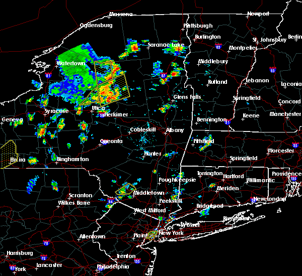 At 309 pm edt, a severe thunderstorm was located over oakland, or 9 miles north of port jervis, moving northeast at 15 mph (radar indicated). Hazards include quarter size hail. Damage to vehicles is expected. Locations impacted include, wurtsboro, otisville, bloomingburg, haven, phillipsport, oakland, rock hill, highview, hartwood and basha kill. At 309 pm edt, a severe thunderstorm was located over oakland, or 9 miles north of port jervis, moving northeast at 15 mph (radar indicated). Hazards include quarter size hail. Damage to vehicles is expected. Locations impacted include, wurtsboro, otisville, bloomingburg, haven, phillipsport, oakland, rock hill, highview, hartwood and basha kill.
|
| 7/30/2019 2:39 PM EDT |
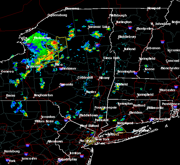 At 239 pm edt, a severe thunderstorm was located over millrift, or near port jervis, moving northeast at 20 mph (radar indicated). Hazards include quarter size hail. damage to vehicles is expected At 239 pm edt, a severe thunderstorm was located over millrift, or near port jervis, moving northeast at 20 mph (radar indicated). Hazards include quarter size hail. damage to vehicles is expected
|
| 7/20/2019 6:51 PM EDT |
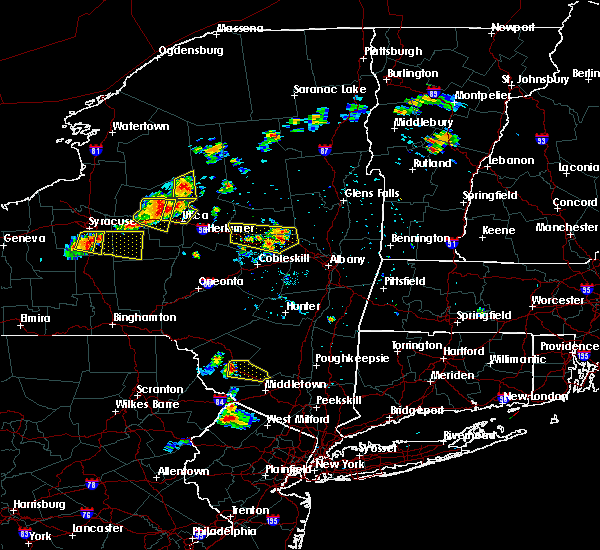 The national weather service in binghamton has issued a * severe thunderstorm warning for. east central sullivan county in central new york. until 745 pm edt. At 651 pm edt, a severe thunderstorm was located over maplewood, or over monticello, moving east at 20 mph. The national weather service in binghamton has issued a * severe thunderstorm warning for. east central sullivan county in central new york. until 745 pm edt. At 651 pm edt, a severe thunderstorm was located over maplewood, or over monticello, moving east at 20 mph.
|
| 6/26/2019 8:11 PM EDT |
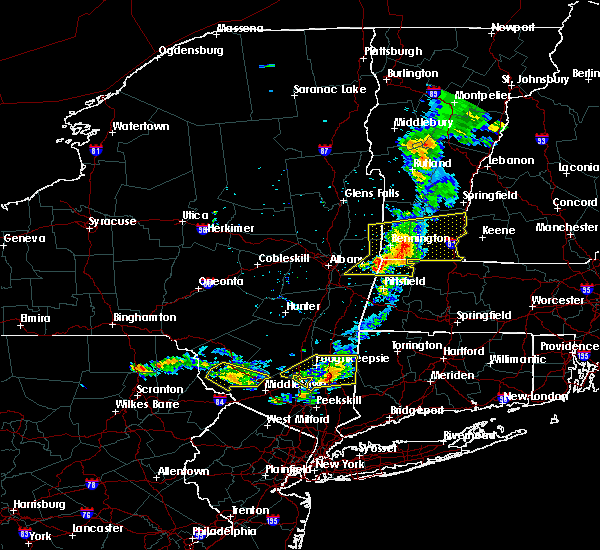 The severe thunderstorm warning for southern sullivan county will expire at 815 pm edt, the storm which prompted the warning has weakened below severe limits, and no longer poses an immediate threat to life or property. therefore, the warning will be allowed to expire. to report severe weather, contact your nearest law enforcement agency. they will relay your report to the national weather service binghamton. The severe thunderstorm warning for southern sullivan county will expire at 815 pm edt, the storm which prompted the warning has weakened below severe limits, and no longer poses an immediate threat to life or property. therefore, the warning will be allowed to expire. to report severe weather, contact your nearest law enforcement agency. they will relay your report to the national weather service binghamton.
|
| 6/26/2019 8:00 PM EDT |
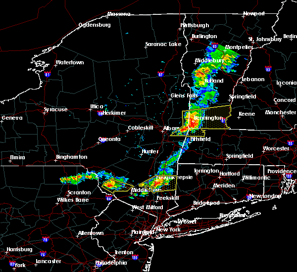 At 800 pm edt, a severe thunderstorm was located near monticello, moving southeast at 20 mph (radar indicated). Hazards include 60 mph wind gusts and penny size hail. Expect damage to roofs, siding, and trees. Locations impacted include, monticello, bethel, wurtsboro, otisville, bloomingburg, haven, kiamesha, rock hill, mongaup valley and highview. At 800 pm edt, a severe thunderstorm was located near monticello, moving southeast at 20 mph (radar indicated). Hazards include 60 mph wind gusts and penny size hail. Expect damage to roofs, siding, and trees. Locations impacted include, monticello, bethel, wurtsboro, otisville, bloomingburg, haven, kiamesha, rock hill, mongaup valley and highview.
|
| 6/26/2019 7:28 PM EDT |
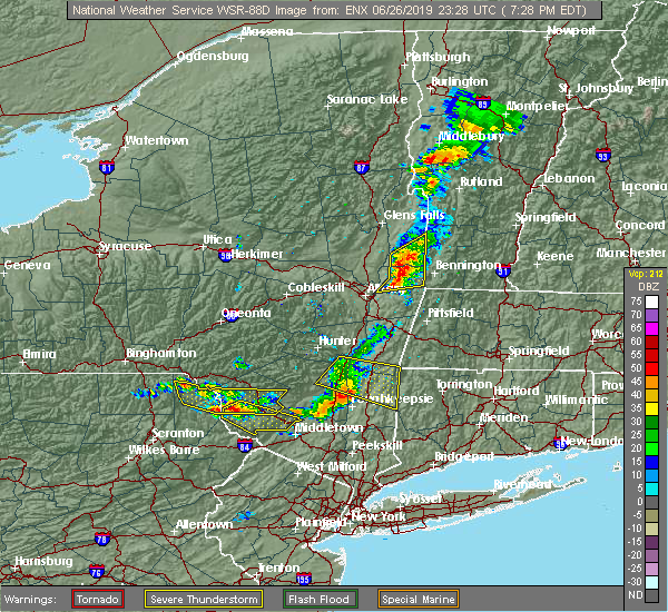 At 727 pm edt, a severe thunderstorm was located over bethel, or 11 miles west of monticello, moving southeast at 20 mph (radar indicated). Hazards include 60 mph wind gusts and penny size hail. expect damage to roofs, siding, and trees At 727 pm edt, a severe thunderstorm was located over bethel, or 11 miles west of monticello, moving southeast at 20 mph (radar indicated). Hazards include 60 mph wind gusts and penny size hail. expect damage to roofs, siding, and trees
|
| 6/1/2019 7:49 PM EDT |
 At 749 pm edt, a severe thunderstorm was located over wurtsboro, or 8 miles southwest of ellenville, moving east at 20 mph (radar indicated). Hazards include 60 mph wind gusts and penny size hail. Expect damage to roofs, siding, and trees. Locations impacted include, wurtsboro, otisville, bloomingburg, haven, phillipsport, rock hill, highview, thompsonville, mt vernon and glen wild. At 749 pm edt, a severe thunderstorm was located over wurtsboro, or 8 miles southwest of ellenville, moving east at 20 mph (radar indicated). Hazards include 60 mph wind gusts and penny size hail. Expect damage to roofs, siding, and trees. Locations impacted include, wurtsboro, otisville, bloomingburg, haven, phillipsport, rock hill, highview, thompsonville, mt vernon and glen wild.
|
| 6/1/2019 7:30 PM EDT |
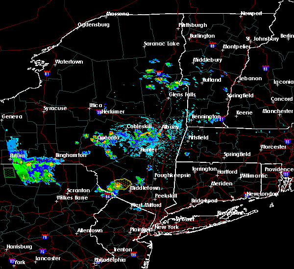 At 730 pm edt, a severe thunderstorm was located over rock hill, or near monticello, moving east at 20 mph (radar indicated). Hazards include 60 mph wind gusts and quarter size hail. Hail damage to vehicles is expected. Expect wind damage to roofs, siding, and trees. At 730 pm edt, a severe thunderstorm was located over rock hill, or near monticello, moving east at 20 mph (radar indicated). Hazards include 60 mph wind gusts and quarter size hail. Hail damage to vehicles is expected. Expect wind damage to roofs, siding, and trees.
|
| 5/19/2019 10:21 PM EDT |
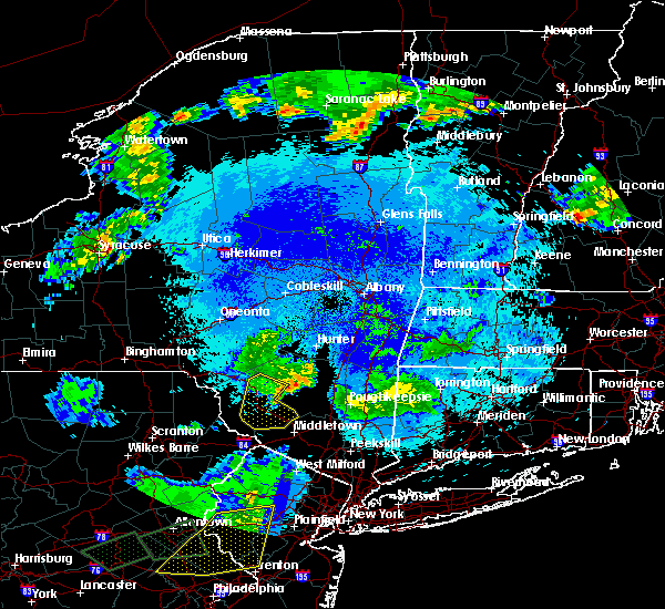 The severe thunderstorm warning for central sullivan county will expire at 1030 pm edt, the storms which prompted the warning have weakened below severe limits, and have exited the warned area. therefore, the warning will be allowed to expire. a severe thunderstorm watch remains in effect until 1100 pm edt for central new york. to report severe weather, contact your nearest law enforcement agency. they will relay your report to the national weather service binghamton. The severe thunderstorm warning for central sullivan county will expire at 1030 pm edt, the storms which prompted the warning have weakened below severe limits, and have exited the warned area. therefore, the warning will be allowed to expire. a severe thunderstorm watch remains in effect until 1100 pm edt for central new york. to report severe weather, contact your nearest law enforcement agency. they will relay your report to the national weather service binghamton.
|
| 5/19/2019 10:02 PM EDT |
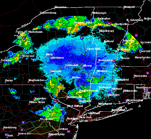 At 1001 pm edt, severe thunderstorms were located along a line extending from near willowemoc to near smallwood, moving east at 40 mph (radar indicated). Hazards include 60 mph wind gusts and quarter size hail. Hail damage to vehicles is expected. expect wind damage to roofs, siding, and trees. Locations impacted include, fallsburg, monticello, liberty, neversink, south fallsburg, wurtsboro, otisville, woodridge, bloomingburg and phillipsport. At 1001 pm edt, severe thunderstorms were located along a line extending from near willowemoc to near smallwood, moving east at 40 mph (radar indicated). Hazards include 60 mph wind gusts and quarter size hail. Hail damage to vehicles is expected. expect wind damage to roofs, siding, and trees. Locations impacted include, fallsburg, monticello, liberty, neversink, south fallsburg, wurtsboro, otisville, woodridge, bloomingburg and phillipsport.
|
| 5/19/2019 9:43 PM EDT |
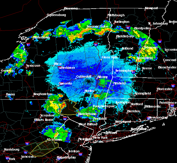 The national weather service in binghamton has issued a * severe thunderstorm warning for. sullivan county in central new york. until 1030 pm edt. At 943 pm edt, severe thunderstorms were located along a line extending from hazel to near lackawaxen, moving east at 40 mph. The national weather service in binghamton has issued a * severe thunderstorm warning for. sullivan county in central new york. until 1030 pm edt. At 943 pm edt, severe thunderstorms were located along a line extending from hazel to near lackawaxen, moving east at 40 mph.
|
| 5/19/2019 7:51 PM EDT |
 At 751 pm edt, severe thunderstorms were located along a line extending from near shohola to near milford to dingmans ferry to flatbrookville, moving northeast at 50 mph (radar indicated). Hazards include 60 mph wind gusts and quarter size hail. Hail damage to vehicles is expected. expect wind damage to roofs, siding, and trees. Locations impacted include, fallsburg, port jervis, bushkill, monticello, south fallsburg, shohola, matamoras, wurtsboro, otisville and milford. At 751 pm edt, severe thunderstorms were located along a line extending from near shohola to near milford to dingmans ferry to flatbrookville, moving northeast at 50 mph (radar indicated). Hazards include 60 mph wind gusts and quarter size hail. Hail damage to vehicles is expected. expect wind damage to roofs, siding, and trees. Locations impacted include, fallsburg, port jervis, bushkill, monticello, south fallsburg, shohola, matamoras, wurtsboro, otisville and milford.
|
| 5/19/2019 7:35 PM EDT |
 At 722 pm edt, severe thunderstorms were located along a line extending from skytop to near alpine mountain to reeders to saylorsburg, moving northeast at 40 mph (radar indicated). Hazards include 60 mph wind gusts and quarter size hail. Hail damage to vehicles is expected. Expect wind damage to roofs, siding, and trees. At 722 pm edt, severe thunderstorms were located along a line extending from skytop to near alpine mountain to reeders to saylorsburg, moving northeast at 40 mph (radar indicated). Hazards include 60 mph wind gusts and quarter size hail. Hail damage to vehicles is expected. Expect wind damage to roofs, siding, and trees.
|
| 5/19/2019 7:35 PM EDT |
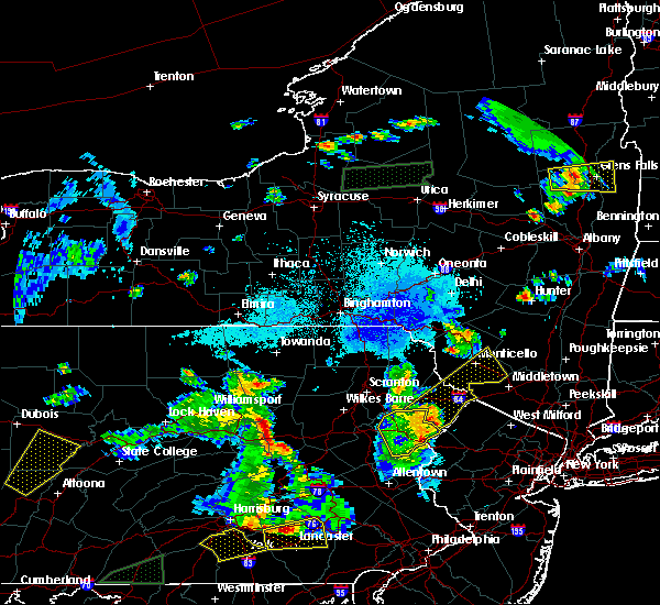 At 722 pm edt, severe thunderstorms were located along a line extending from skytop to near alpine mountain to reeders to saylorsburg, moving northeast at 40 mph (radar indicated). Hazards include 60 mph wind gusts and quarter size hail. Hail damage to vehicles is expected. Expect wind damage to roofs, siding, and trees. At 722 pm edt, severe thunderstorms were located along a line extending from skytop to near alpine mountain to reeders to saylorsburg, moving northeast at 40 mph (radar indicated). Hazards include 60 mph wind gusts and quarter size hail. Hail damage to vehicles is expected. Expect wind damage to roofs, siding, and trees.
|
| 5/19/2019 7:22 PM EDT |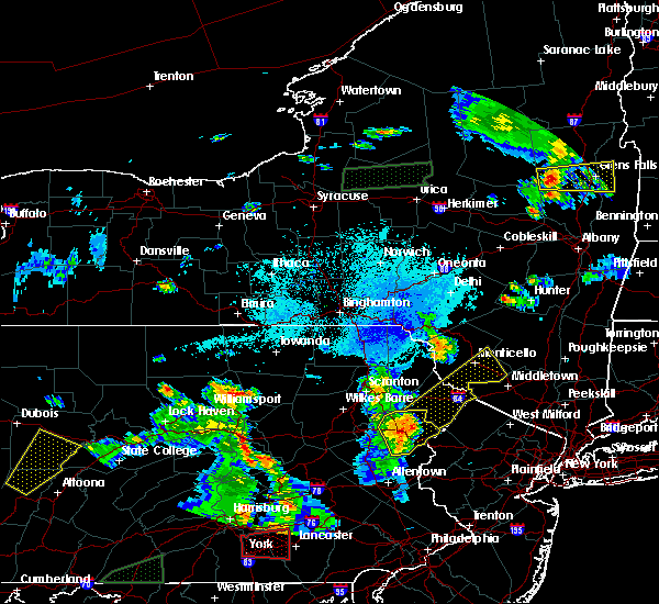
 At 722 pm edt, severe thunderstorms were located along a line extending from skytop to near alpine mountain to reeders to saylorsburg, moving northeast at 40 mph (radar indicated). Hazards include 60 mph wind gusts and quarter size hail. Hail damage to vehicles is expected. Expect wind damage to roofs, siding, and trees. At 722 pm edt, severe thunderstorms were located along a line extending from skytop to near alpine mountain to reeders to saylorsburg, moving northeast at 40 mph (radar indicated). Hazards include 60 mph wind gusts and quarter size hail. Hail damage to vehicles is expected. Expect wind damage to roofs, siding, and trees.
|
| 7/17/2018 12:16 PM EDT |
 At 1215 pm edt, severe thunderstorms were located along a line extending from near haven, to glen spey, to near greeley, to 6 miles northwest of bushkill, moving northeast at 30 mph (radar indicated). Hazards include 60 mph wind gusts and penny size hail. Expect damage to roofs, siding, and trees. Locations impacted include, port jervis, bushkill, shohola, matamoras, wurtsboro, otisville, milford, bloomingburg, haven and phillipsport. At 1215 pm edt, severe thunderstorms were located along a line extending from near haven, to glen spey, to near greeley, to 6 miles northwest of bushkill, moving northeast at 30 mph (radar indicated). Hazards include 60 mph wind gusts and penny size hail. Expect damage to roofs, siding, and trees. Locations impacted include, port jervis, bushkill, shohola, matamoras, wurtsboro, otisville, milford, bloomingburg, haven and phillipsport.
|
| 7/17/2018 12:06 PM EDT |
 At 1205 pm edt, severe thunderstorms were located along a line extending from near glen spey, to near shohola, to near pecks pond, to 6 miles northeast of alpine mountain, moving northeast at 30 mph (radar indicated). Hazards include 60 mph wind gusts. expect damage to roofs, siding, and trees At 1205 pm edt, severe thunderstorms were located along a line extending from near glen spey, to near shohola, to near pecks pond, to 6 miles northeast of alpine mountain, moving northeast at 30 mph (radar indicated). Hazards include 60 mph wind gusts. expect damage to roofs, siding, and trees
|
| 7/17/2018 12:06 PM EDT |
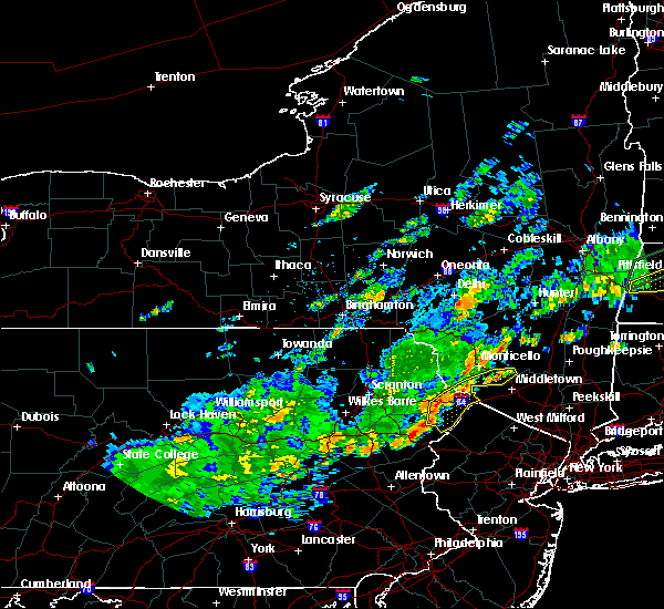 At 1205 pm edt, severe thunderstorms were located along a line extending from near glen spey, to near shohola, to near pecks pond, to 6 miles northeast of alpine mountain, moving northeast at 30 mph (radar indicated). Hazards include 60 mph wind gusts. expect damage to roofs, siding, and trees At 1205 pm edt, severe thunderstorms were located along a line extending from near glen spey, to near shohola, to near pecks pond, to 6 miles northeast of alpine mountain, moving northeast at 30 mph (radar indicated). Hazards include 60 mph wind gusts. expect damage to roofs, siding, and trees
|
| 6/18/2018 6:25 PM EDT |
 At 624 pm edt, a severe thunderstorm was located over bloomingburg, or near middletown, moving southeast at 45 mph (radar indicated). Hazards include 60 mph wind gusts. Expect damage to trees and power lines. this severe thunderstorm will be near, middletown around 630 pm edt. goshen and montgomery around 640 pm edt. chester around 650 pm edt. monroe around 655 pm edt. New windsor and harriman around 700 pm edt. At 624 pm edt, a severe thunderstorm was located over bloomingburg, or near middletown, moving southeast at 45 mph (radar indicated). Hazards include 60 mph wind gusts. Expect damage to trees and power lines. this severe thunderstorm will be near, middletown around 630 pm edt. goshen and montgomery around 640 pm edt. chester around 650 pm edt. monroe around 655 pm edt. New windsor and harriman around 700 pm edt.
|
| 6/18/2018 6:09 PM EDT |
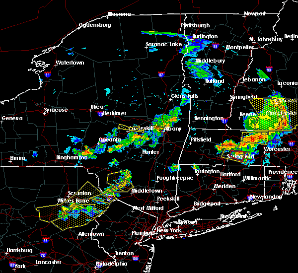 At 609 pm edt, severe thunderstorms were located along a line extending from near napanoch to near haven to hartwood, moving east at 45 mph (radar indicated). Hazards include 60 mph wind gusts. Expect damage to roofs, siding, and trees. Severe thunderstorms will be near, bloomingburg and phillipsport around 615 pm edt. At 609 pm edt, severe thunderstorms were located along a line extending from near napanoch to near haven to hartwood, moving east at 45 mph (radar indicated). Hazards include 60 mph wind gusts. Expect damage to roofs, siding, and trees. Severe thunderstorms will be near, bloomingburg and phillipsport around 615 pm edt.
|
| 6/18/2018 5:58 PM EDT |
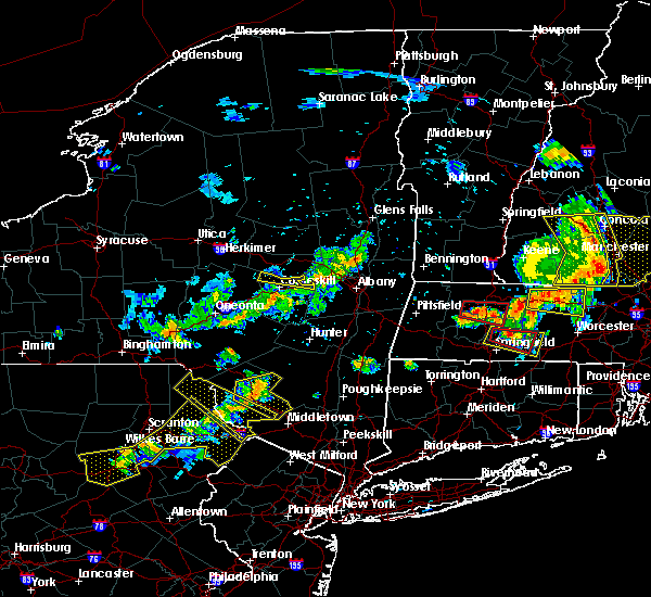 At 558 pm edt, severe thunderstorms were located along a line extending from monticello to near highland lake to near lackawaxen, moving east at 35 mph (radar indicated). Hazards include 60 mph wind gusts. Expect damage to roofs, siding, and trees. severe thunderstorms will be near, rock hill and thompsonville around 605 pm edt. wurtsboro, highview and phillipsport around 610 pm edt. haven around 615 pm edt. Otisville and bloomingburg around 620 pm edt. At 558 pm edt, severe thunderstorms were located along a line extending from monticello to near highland lake to near lackawaxen, moving east at 35 mph (radar indicated). Hazards include 60 mph wind gusts. Expect damage to roofs, siding, and trees. severe thunderstorms will be near, rock hill and thompsonville around 605 pm edt. wurtsboro, highview and phillipsport around 610 pm edt. haven around 615 pm edt. Otisville and bloomingburg around 620 pm edt.
|
| 6/18/2018 5:44 PM EDT |
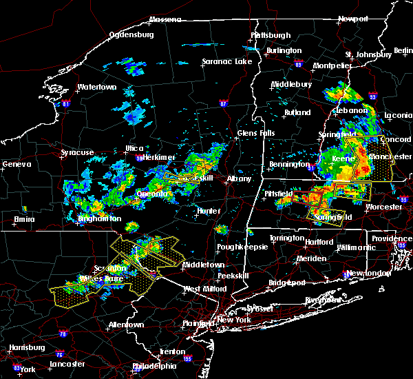 At 544 pm edt, a severe thunderstorm was located over swan lake, or near liberty, moving east at 40 mph (radar indicated). Hazards include 60 mph wind gusts. Expect damage to roofs, siding, and trees. this severe thunderstorm will be near, fallsburg, south fallsburg and woodbourne around 550 pm edt. woodridge and grahamsville around 555 pm edt. Phillipsport around 600 pm edt. At 544 pm edt, a severe thunderstorm was located over swan lake, or near liberty, moving east at 40 mph (radar indicated). Hazards include 60 mph wind gusts. Expect damage to roofs, siding, and trees. this severe thunderstorm will be near, fallsburg, south fallsburg and woodbourne around 550 pm edt. woodridge and grahamsville around 555 pm edt. Phillipsport around 600 pm edt.
|
| 5/15/2018 3:57 PM EDT |
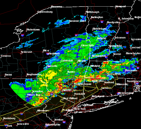 At 356 pm edt, a severe thunderstorm capable of producing a tornado was located near bloomingburg, or near middletown, moving east at 60 mph (radar indicated rotation). Hazards include tornado and quarter size hail. Flying debris will be dangerous to those caught without shelter. mobile homes will be damaged or destroyed. damage to roofs, windows, and vehicles will occur. tree damage is likely. this dangerous storm will be near, montgomery around 405 pm edt. walden around 410 pm edt. Newburgh and new windsor around 415 pm edt. At 356 pm edt, a severe thunderstorm capable of producing a tornado was located near bloomingburg, or near middletown, moving east at 60 mph (radar indicated rotation). Hazards include tornado and quarter size hail. Flying debris will be dangerous to those caught without shelter. mobile homes will be damaged or destroyed. damage to roofs, windows, and vehicles will occur. tree damage is likely. this dangerous storm will be near, montgomery around 405 pm edt. walden around 410 pm edt. Newburgh and new windsor around 415 pm edt.
|
| 5/15/2018 3:55 PM EDT |
 At 355 pm edt, severe thunderstorms were located along a line extending from near woodbourne to near wurtsboro to glen spey to paupack to near canadensis, moving east at 55 mph (radar indicated). Hazards include 70 mph wind gusts and quarter size hail. Hail damage to vehicles is expected. expect considerable tree damage. Wind damage is also likely to mobile homes, roofs, and outbuildings. At 355 pm edt, severe thunderstorms were located along a line extending from near woodbourne to near wurtsboro to glen spey to paupack to near canadensis, moving east at 55 mph (radar indicated). Hazards include 70 mph wind gusts and quarter size hail. Hail damage to vehicles is expected. expect considerable tree damage. Wind damage is also likely to mobile homes, roofs, and outbuildings.
|
| 5/15/2018 3:37 PM EDT |
 At 334 pm edt, severe thunderstorms were located along a line extending from white sulphur springs to near bethel to near sterling to mcadoo, moving east at 55 mph. several damage reports, associated with this line of thunderstorms, have been received at the national weather service in binghamton. a wind gust between 60 and 65 miles per hour was reported as the line passed over the wilkes- barre/scranton airport (trained weather spotters). Hazards include 70 mph wind gusts and quarter size hail. Hail damage to vehicles is expected. expect considerable tree damage. wind damage is also likely to mobile homes, roofs, and outbuildings. locations impacted include, scranton, wilkes-barre, hazleton, dunmore, kingston, fallsburg, nanticoke, plains, carbondale and port jervis. A tornado watch remains in effect until 800 pm edt for central new york, and northeastern pennsylvania. At 334 pm edt, severe thunderstorms were located along a line extending from white sulphur springs to near bethel to near sterling to mcadoo, moving east at 55 mph. several damage reports, associated with this line of thunderstorms, have been received at the national weather service in binghamton. a wind gust between 60 and 65 miles per hour was reported as the line passed over the wilkes- barre/scranton airport (trained weather spotters). Hazards include 70 mph wind gusts and quarter size hail. Hail damage to vehicles is expected. expect considerable tree damage. wind damage is also likely to mobile homes, roofs, and outbuildings. locations impacted include, scranton, wilkes-barre, hazleton, dunmore, kingston, fallsburg, nanticoke, plains, carbondale and port jervis. A tornado watch remains in effect until 800 pm edt for central new york, and northeastern pennsylvania.
|
| 5/15/2018 3:33 PM EDT |
 At 332 pm edt, severe thunderstorms were located along a line extending from white sulphur springs to near bethel to near sterling to mcadoo, moving east at 55 mph (radar indicated). Hazards include 70 mph wind gusts and quarter size hail. Hail damage to vehicles is expected. expect considerable tree damage. wind damage is also likely to mobile homes, roofs, and outbuildings. locations impacted include, scranton, wilkes-barre, hazleton, dunmore, kingston, fallsburg, nanticoke, plains, carbondale and port jervis. A tornado watch remains in effect until 800 pm edt for central new york, and northeastern pennsylvania. At 332 pm edt, severe thunderstorms were located along a line extending from white sulphur springs to near bethel to near sterling to mcadoo, moving east at 55 mph (radar indicated). Hazards include 70 mph wind gusts and quarter size hail. Hail damage to vehicles is expected. expect considerable tree damage. wind damage is also likely to mobile homes, roofs, and outbuildings. locations impacted include, scranton, wilkes-barre, hazleton, dunmore, kingston, fallsburg, nanticoke, plains, carbondale and port jervis. A tornado watch remains in effect until 800 pm edt for central new york, and northeastern pennsylvania.
|
| 5/15/2018 3:05 PM EDT |
 At 304 pm edt, severe thunderstorms were located along a line extending from stalker to near falls to rupert, moving east at 55 mph (radar indicated). Hazards include 70 mph wind gusts and quarter size hail. Hail damage to vehicles is expected. expect considerable tree damage. wind damage is also likely to mobile homes, roofs, and outbuildings. severe thunderstorms will be near, callicoon, hankins and stalker around 310 pm edt. scranton, dickson city and moosic around 315 pm edt. dunmore, olyphant and white sulphur springs around 320 pm edt. liberty, moscow and conyngham around 325 pm edt. hazleton, west hazleton and south fallsburg around 330 pm edt. fallsburg, sterling and woodridge around 335 pm edt. greentown around 340 pm edt. blooming grove and paupack around 345 pm edt. A tornado watch remains in effect until 800 pm edt for central new york, and northeastern pennsylvania. At 304 pm edt, severe thunderstorms were located along a line extending from stalker to near falls to rupert, moving east at 55 mph (radar indicated). Hazards include 70 mph wind gusts and quarter size hail. Hail damage to vehicles is expected. expect considerable tree damage. wind damage is also likely to mobile homes, roofs, and outbuildings. severe thunderstorms will be near, callicoon, hankins and stalker around 310 pm edt. scranton, dickson city and moosic around 315 pm edt. dunmore, olyphant and white sulphur springs around 320 pm edt. liberty, moscow and conyngham around 325 pm edt. hazleton, west hazleton and south fallsburg around 330 pm edt. fallsburg, sterling and woodridge around 335 pm edt. greentown around 340 pm edt. blooming grove and paupack around 345 pm edt. A tornado watch remains in effect until 800 pm edt for central new york, and northeastern pennsylvania.
|
| 8/22/2017 9:22 PM EDT |
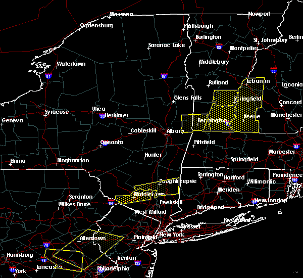 At 922 pm edt, a severe thunderstorm was located over haven, or near middletown, moving east at 50 mph (radar indicated). Hazards include 60 mph wind gusts. Expect damage to roofs, siding, and trees. this severe storm will be near, middletown around 925 pm edt. montgomery around 935 pm edt. Walden around 940 pm edt. At 922 pm edt, a severe thunderstorm was located over haven, or near middletown, moving east at 50 mph (radar indicated). Hazards include 60 mph wind gusts. Expect damage to roofs, siding, and trees. this severe storm will be near, middletown around 925 pm edt. montgomery around 935 pm edt. Walden around 940 pm edt.
|
| 8/22/2017 9:02 PM EDT |
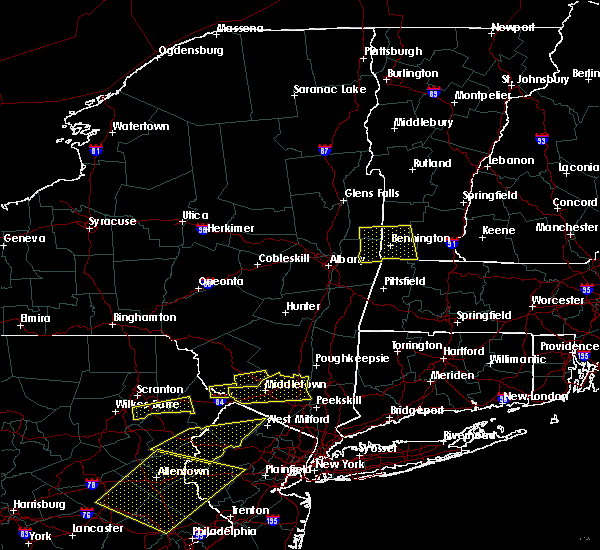 The national weather service in upton ny has issued a * severe thunderstorm warning for. orange county in southeastern new york. Until 945 pm edt * at 901 pm edt, a severe thunderstorm was located over haven, or 7 miles northwest of middletown, moving east at 45 mph. The national weather service in upton ny has issued a * severe thunderstorm warning for. orange county in southeastern new york. Until 945 pm edt * at 901 pm edt, a severe thunderstorm was located over haven, or 7 miles northwest of middletown, moving east at 45 mph.
|
| 8/22/2017 8:56 PM EDT |
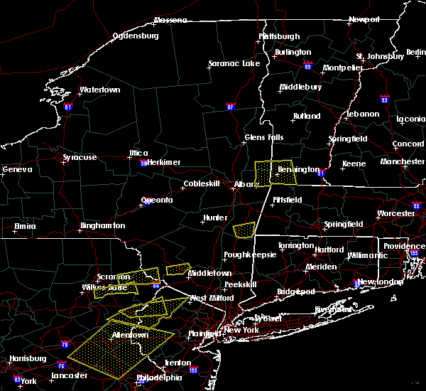 At 856 pm edt, a severe thunderstorm was located over oakland, or 9 miles northeast of port jervis, moving east at 30 mph (radar indicated). Hazards include 60 mph wind gusts. Expect damage to trees, and power lines. this severe thunderstorm will be near, haven around 905 pm edt. wurtsboro and highview around 910 pm edt. Bloomingburg and phillipsport around 915 pm edt. At 856 pm edt, a severe thunderstorm was located over oakland, or 9 miles northeast of port jervis, moving east at 30 mph (radar indicated). Hazards include 60 mph wind gusts. Expect damage to trees, and power lines. this severe thunderstorm will be near, haven around 905 pm edt. wurtsboro and highview around 910 pm edt. Bloomingburg and phillipsport around 915 pm edt.
|
| 6/30/2017 4:32 PM EDT |
 At 432 pm edt, a severe thunderstorm was located over huguenot, or near port jervis, moving northeast at 55 mph (radar indicated). Hazards include 60 mph wind gusts and quarter size hail. Hail damage to vehicles is expected. expect wind damage to roofs, siding, and trees. this severe thunderstorm will be near, cuddebackville around 435 pm edt. howells and otisville around 440 pm edt. middletown around 445 pm edt. Montgomery around 455 pm edt. At 432 pm edt, a severe thunderstorm was located over huguenot, or near port jervis, moving northeast at 55 mph (radar indicated). Hazards include 60 mph wind gusts and quarter size hail. Hail damage to vehicles is expected. expect wind damage to roofs, siding, and trees. this severe thunderstorm will be near, cuddebackville around 435 pm edt. howells and otisville around 440 pm edt. middletown around 445 pm edt. Montgomery around 455 pm edt.
|
| 6/19/2017 3:06 PM EDT |
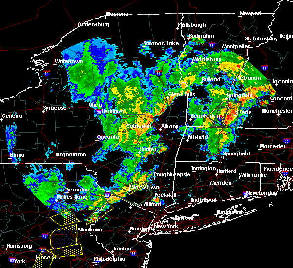 At 305 pm edt, a severe thunderstorm was located over modena, or near new paltz, moving northeast at 40 mph (radar indicated). Hazards include 60 mph wind gusts and quarter size hail. Hail damage to vehicles is expected. expect wind damage to roofs, siding, and trees. This severe thunderstorm will remain over mainly rural areas of northeastern orange county. At 305 pm edt, a severe thunderstorm was located over modena, or near new paltz, moving northeast at 40 mph (radar indicated). Hazards include 60 mph wind gusts and quarter size hail. Hail damage to vehicles is expected. expect wind damage to roofs, siding, and trees. This severe thunderstorm will remain over mainly rural areas of northeastern orange county.
|
| 6/19/2017 2:35 PM EDT |
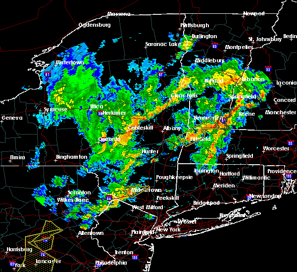 At 235 pm edt, a severe thunderstorm was located near howells, or near middletown, moving northeast at 40 mph (radar indicated). Hazards include 60 mph wind gusts and quarter size hail. Hail damage to vehicles is expected. expect wind damage to roofs, siding, and trees. this severe thunderstorm will be near, montgomery around 245 pm edt. Walden around 250 pm edt. At 235 pm edt, a severe thunderstorm was located near howells, or near middletown, moving northeast at 40 mph (radar indicated). Hazards include 60 mph wind gusts and quarter size hail. Hail damage to vehicles is expected. expect wind damage to roofs, siding, and trees. this severe thunderstorm will be near, montgomery around 245 pm edt. Walden around 250 pm edt.
|
| 2/25/2017 5:44 PM EST |
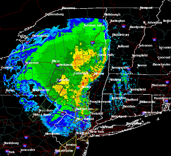 At 544 pm est, severe thunderstorms were located along a line extending from near ellenville to montgomery to 7 miles south of walden to near upper greenwood lake, moving northeast at 65 mph (radar indicated). Hazards include 60 mph wind gusts. Expect damage to roofs, siding, and trees. severe thunderstorms will be near, walden and new windsor around 550 pm est. newburgh and gardnertown around 555 pm est. west point around 605 pm est. cold spring around 610 pm est. Fahnestock state park around 615 pm est. At 544 pm est, severe thunderstorms were located along a line extending from near ellenville to montgomery to 7 miles south of walden to near upper greenwood lake, moving northeast at 65 mph (radar indicated). Hazards include 60 mph wind gusts. Expect damage to roofs, siding, and trees. severe thunderstorms will be near, walden and new windsor around 550 pm est. newburgh and gardnertown around 555 pm est. west point around 605 pm est. cold spring around 610 pm est. Fahnestock state park around 615 pm est.
|
| 2/25/2017 5:38 PM EST |
 The severe thunderstorm warning for southeastern sullivan and eastern pike counties will expire at 545 pm est, the storms which prompted the warning have weakened below severe limits, and have exited the warned area. therefore the warning will be allowed to expire. The severe thunderstorm warning for southeastern sullivan and eastern pike counties will expire at 545 pm est, the storms which prompted the warning have weakened below severe limits, and have exited the warned area. therefore the warning will be allowed to expire.
|
| 2/25/2017 5:37 PM EST |
 At 536 pm est, severe thunderstorms were located along a line extending from near bloomingburg to near middletown to near warwick to west milford, moving northeast at 95 mph (radar indicated). Hazards include 60 mph wind gusts. Expect damage to roofs, siding, and trees. severe thunderstorms will be near, monroe and montgomery around 540 pm est. walden around 545 pm est. newburgh and new windsor around 550 pm est. west point and cold spring around 555 pm est. Fahnestock state park around 600 pm est. At 536 pm est, severe thunderstorms were located along a line extending from near bloomingburg to near middletown to near warwick to west milford, moving northeast at 95 mph (radar indicated). Hazards include 60 mph wind gusts. Expect damage to roofs, siding, and trees. severe thunderstorms will be near, monroe and montgomery around 540 pm est. walden around 545 pm est. newburgh and new windsor around 550 pm est. west point and cold spring around 555 pm est. Fahnestock state park around 600 pm est.
|
| 2/25/2017 5:37 PM EST |
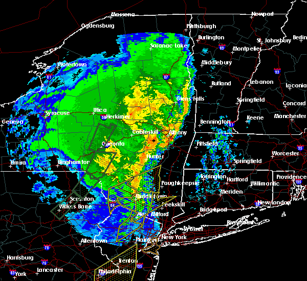 At 536 pm est, severe thunderstorms were located along a line extending from near bloomingburg to near middletown to near warwick to west milford, moving northeast at 95 mph (radar indicated). Hazards include 60 mph wind gusts. Expect damage to roofs, siding, and trees. severe thunderstorms will be near, monroe and montgomery around 540 pm est. walden around 545 pm est. newburgh and new windsor around 550 pm est. west point and cold spring around 555 pm est. Fahnestock state park around 600 pm est. At 536 pm est, severe thunderstorms were located along a line extending from near bloomingburg to near middletown to near warwick to west milford, moving northeast at 95 mph (radar indicated). Hazards include 60 mph wind gusts. Expect damage to roofs, siding, and trees. severe thunderstorms will be near, monroe and montgomery around 540 pm est. walden around 545 pm est. newburgh and new windsor around 550 pm est. west point and cold spring around 555 pm est. Fahnestock state park around 600 pm est.
|
| 2/25/2017 5:27 PM EST |
 At 525 pm est, severe thunderstorms were located along a line extending from woodridge to near unionville to near highland lake to near succasunna, moving northeast at 75 mph (radar indicated. at 454 pm, winds gusted to 55 mph at blairstown in northwest new jersey). Hazards include 60 mph wind gusts and penny size hail. Expect damage to roofs, siding, and trees. these severe storms will be near, middletown and howells around 530 pm est. warwick and goshen around 535 pm est. monroe and chester around 540 pm est. West milford and ringwood around 545 pm est. At 525 pm est, severe thunderstorms were located along a line extending from woodridge to near unionville to near highland lake to near succasunna, moving northeast at 75 mph (radar indicated. at 454 pm, winds gusted to 55 mph at blairstown in northwest new jersey). Hazards include 60 mph wind gusts and penny size hail. Expect damage to roofs, siding, and trees. these severe storms will be near, middletown and howells around 530 pm est. warwick and goshen around 535 pm est. monroe and chester around 540 pm est. West milford and ringwood around 545 pm est.
|
| 2/25/2017 5:02 PM EST |
 At 500 pm est, severe thunderstorms were located along a line extending from shohola to near milford to flatbrookville to near oxford to pipersville, moving northeast at 65 mph (radar indicated). Hazards include 60 mph wind gusts. Expect damage to roofs, siding, and trees. severe thunderstorms will be near, port jervis and huguenot around 510 pm est. cuddebackville and otisville around 515 pm est. unionville around 525 pm est. west milford around 530 pm est. middletown and goshen around 535 pm est. warwick and greenwood lake around 540 pm est. Monroe and walden around 545 pm est. At 500 pm est, severe thunderstorms were located along a line extending from shohola to near milford to flatbrookville to near oxford to pipersville, moving northeast at 65 mph (radar indicated). Hazards include 60 mph wind gusts. Expect damage to roofs, siding, and trees. severe thunderstorms will be near, port jervis and huguenot around 510 pm est. cuddebackville and otisville around 515 pm est. unionville around 525 pm est. west milford around 530 pm est. middletown and goshen around 535 pm est. warwick and greenwood lake around 540 pm est. Monroe and walden around 545 pm est.
|
| 2/25/2017 4:58 PM EST |
 At 458 pm est, severe thunderstorms were located along a line extending from bethel to near shohola to dingmans ferry, moving northeast at 40 mph (radar indicated). Hazards include 60 mph wind gusts. Expect damage to roofs, siding, and trees. severe thunderstorms will be near, smallwood, white lake and mongaup valley around 505 pm est. monticello, harris and maplewood around 510 pm est. port jervis, matamoras and hartwood around 515 pm est. fallsburg, south fallsburg and woodridge around 520 pm est. rock hill, haven and thompsonville around 525 pm est. wurtsboro, bloomingburg and highview around 530 pm est. Otisville and phillipsport around 535 pm est. At 458 pm est, severe thunderstorms were located along a line extending from bethel to near shohola to dingmans ferry, moving northeast at 40 mph (radar indicated). Hazards include 60 mph wind gusts. Expect damage to roofs, siding, and trees. severe thunderstorms will be near, smallwood, white lake and mongaup valley around 505 pm est. monticello, harris and maplewood around 510 pm est. port jervis, matamoras and hartwood around 515 pm est. fallsburg, south fallsburg and woodridge around 520 pm est. rock hill, haven and thompsonville around 525 pm est. wurtsboro, bloomingburg and highview around 530 pm est. Otisville and phillipsport around 535 pm est.
|
| 2/25/2017 4:58 PM EST |
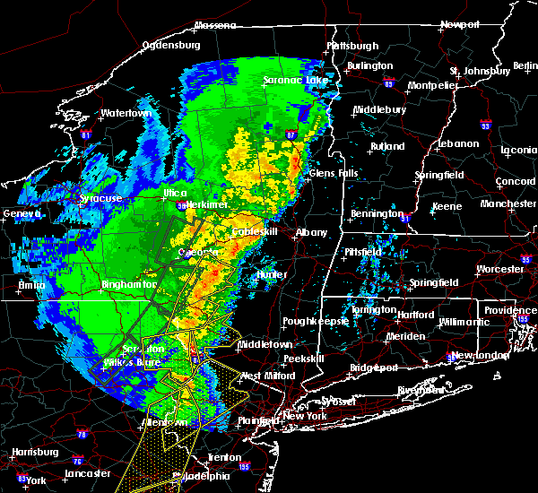 At 458 pm est, severe thunderstorms were located along a line extending from bethel to near shohola to dingmans ferry, moving northeast at 40 mph (radar indicated). Hazards include 60 mph wind gusts. Expect damage to roofs, siding, and trees. severe thunderstorms will be near, smallwood, white lake and mongaup valley around 505 pm est. monticello, harris and maplewood around 510 pm est. port jervis, matamoras and hartwood around 515 pm est. fallsburg, south fallsburg and woodridge around 520 pm est. rock hill, haven and thompsonville around 525 pm est. wurtsboro, bloomingburg and highview around 530 pm est. Otisville and phillipsport around 535 pm est. At 458 pm est, severe thunderstorms were located along a line extending from bethel to near shohola to dingmans ferry, moving northeast at 40 mph (radar indicated). Hazards include 60 mph wind gusts. Expect damage to roofs, siding, and trees. severe thunderstorms will be near, smallwood, white lake and mongaup valley around 505 pm est. monticello, harris and maplewood around 510 pm est. port jervis, matamoras and hartwood around 515 pm est. fallsburg, south fallsburg and woodridge around 520 pm est. rock hill, haven and thompsonville around 525 pm est. wurtsboro, bloomingburg and highview around 530 pm est. Otisville and phillipsport around 535 pm est.
|
| 8/14/2016 4:35 PM EDT |
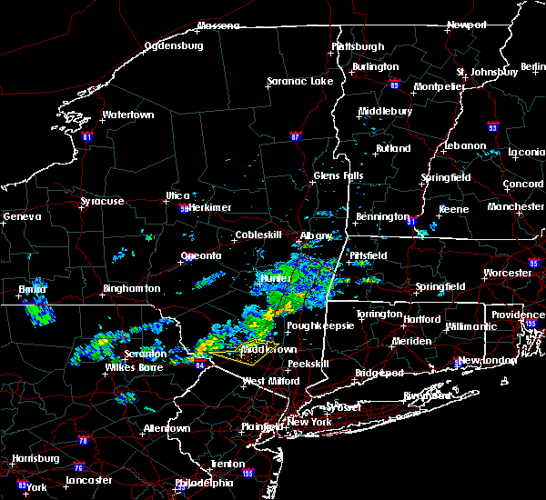 At 434 pm edt, severe thunderstorms were located along a line extending from near tillson to near middletown, moving east at 35 mph (radar indicated). Hazards include 60 mph wind gusts. Expect damage to roofs. siding. and trees. these severe storms will be near, chester around 445 pm edt. Other locations impacted by these severe thunderstorms include pine bush, maybrook, orange lake and scotchtown. At 434 pm edt, severe thunderstorms were located along a line extending from near tillson to near middletown, moving east at 35 mph (radar indicated). Hazards include 60 mph wind gusts. Expect damage to roofs. siding. and trees. these severe storms will be near, chester around 445 pm edt. Other locations impacted by these severe thunderstorms include pine bush, maybrook, orange lake and scotchtown.
|
| 8/14/2016 3:56 PM EDT |
 At 356 pm edt, severe thunderstorms were located along a line extending from 7 miles southwest of west shokan to near highland lake, moving east at 35 mph (radar indicated). Hazards include 60 mph wind gusts. Expect damage to roofs. siding. and trees. severe thunderstorms will be near, middletown around 430 pm edt. goshen around 440 pm edt. walden, chester and montgomery around 445 pm edt. Other locations impacted by these severe thunderstorms include pine bush, maybrook, orange lake and scotchtown. At 356 pm edt, severe thunderstorms were located along a line extending from 7 miles southwest of west shokan to near highland lake, moving east at 35 mph (radar indicated). Hazards include 60 mph wind gusts. Expect damage to roofs. siding. and trees. severe thunderstorms will be near, middletown around 430 pm edt. goshen around 440 pm edt. walden, chester and montgomery around 445 pm edt. Other locations impacted by these severe thunderstorms include pine bush, maybrook, orange lake and scotchtown.
|
| 8/13/2016 10:34 PM EDT |
 At 1034 pm edt, a severe thunderstorm was located near oakland, or 7 miles northeast of port jervis, moving east at 35 mph (radar indicated). Hazards include 60 mph wind gusts. Expect damage to roofs. siding. and trees. this severe thunderstorm will be near, middletown around 1050 pm edt. goshen around 1055 pm edt. walden and montgomery around 1105 pm edt. newburgh, new windsor and gardnertown around 1115 pm edt. Other locations impacted by this severe thunderstorm include washingtonville, maybrook, orange lake, balmville, cornwall on hudson, pine bush, firthcliffe, highland falls, vails gate and scotchtown. At 1034 pm edt, a severe thunderstorm was located near oakland, or 7 miles northeast of port jervis, moving east at 35 mph (radar indicated). Hazards include 60 mph wind gusts. Expect damage to roofs. siding. and trees. this severe thunderstorm will be near, middletown around 1050 pm edt. goshen around 1055 pm edt. walden and montgomery around 1105 pm edt. newburgh, new windsor and gardnertown around 1115 pm edt. Other locations impacted by this severe thunderstorm include washingtonville, maybrook, orange lake, balmville, cornwall on hudson, pine bush, firthcliffe, highland falls, vails gate and scotchtown.
|
| 7/25/2016 12:29 PM EDT |
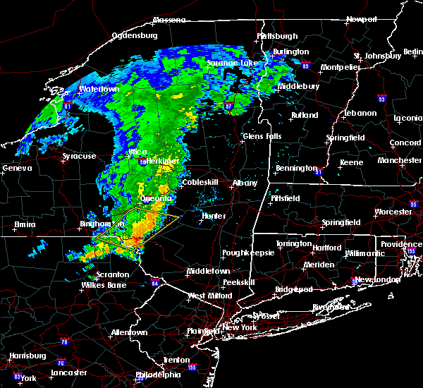 At 1228 pm edt, a severe thunderstorm was located near east branch, or 15 miles south of walton, moving east at 40 mph (radar indicated). Hazards include 60 mph wind gusts. Expect damage to roofs. siding. and trees. this severe thunderstorm will be near, roscoe around 1240 pm edt. jeffersonville, hazel and livingston manor around 1245 pm edt. white sulphur springs around 1250 pm edt. parksville and swan lake around 1255 pm edt. liberty and willowemoc around 100 pm edt. neversink, south fallsburg and loch sheldrake around 105 pm edt. Fallsburg, woodridge and grahamsville around 110 pm edt. At 1228 pm edt, a severe thunderstorm was located near east branch, or 15 miles south of walton, moving east at 40 mph (radar indicated). Hazards include 60 mph wind gusts. Expect damage to roofs. siding. and trees. this severe thunderstorm will be near, roscoe around 1240 pm edt. jeffersonville, hazel and livingston manor around 1245 pm edt. white sulphur springs around 1250 pm edt. parksville and swan lake around 1255 pm edt. liberty and willowemoc around 100 pm edt. neversink, south fallsburg and loch sheldrake around 105 pm edt. Fallsburg, woodridge and grahamsville around 110 pm edt.
|
| 6/5/2016 5:39 PM EDT |
 At 538 pm edt, severe thunderstorms were located along a line extending from near grahamsville to branchville, moving northeast at 45 mph (radar indicated). Hazards include 60 mph wind gusts. Expect damage to roofs. siding. and trees. severe thunderstorms will be near, unionville around 555 pm edt. warwick and florida around 610 pm edt. goshen and chester around 615 pm edt. monroe around 620 pm edt. montgomery around 625 pm edt. walden around 630 pm edt. new windsor around 635 pm edt. newburgh and gardnertown around 640 pm edt. Other locations impacted by these severe thunderstorms include washingtonville, central valley, maybrook, orange lake, balmville, cornwall on hudson, pine bush, highland mills, firthcliffe and kiryas joel. At 538 pm edt, severe thunderstorms were located along a line extending from near grahamsville to branchville, moving northeast at 45 mph (radar indicated). Hazards include 60 mph wind gusts. Expect damage to roofs. siding. and trees. severe thunderstorms will be near, unionville around 555 pm edt. warwick and florida around 610 pm edt. goshen and chester around 615 pm edt. monroe around 620 pm edt. montgomery around 625 pm edt. walden around 630 pm edt. new windsor around 635 pm edt. newburgh and gardnertown around 640 pm edt. Other locations impacted by these severe thunderstorms include washingtonville, central valley, maybrook, orange lake, balmville, cornwall on hudson, pine bush, highland mills, firthcliffe and kiryas joel.
|
| 6/5/2016 5:34 PM EDT |
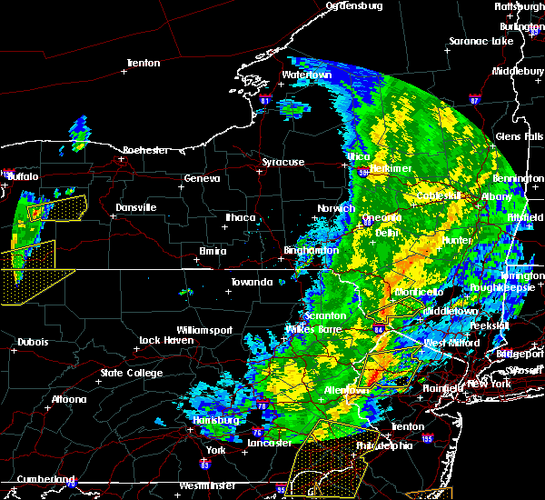 At 533 pm edt, a severe thunderstorm was located over hartwood, or 8 miles south of monticello, moving northeast at 40 mph (radar indicated). Hazards include 60 mph wind gusts. Expect damage to roofs. siding. and trees. this severe thunderstorm will be near, monticello and haven around 545 pm edt. otisville and rock hill around 550 pm edt. wurtsboro, bloomingburg and highview around 555 pm edt. Phillipsport around 600 pm edt. At 533 pm edt, a severe thunderstorm was located over hartwood, or 8 miles south of monticello, moving northeast at 40 mph (radar indicated). Hazards include 60 mph wind gusts. Expect damage to roofs. siding. and trees. this severe thunderstorm will be near, monticello and haven around 545 pm edt. otisville and rock hill around 550 pm edt. wurtsboro, bloomingburg and highview around 555 pm edt. Phillipsport around 600 pm edt.
|
| 2/24/2016 11:00 PM EST |
 At 1058 pm est, doppler radar indicated a severe thunderstorms moving across the warning area capable of producing damaging winds in excess of 60 mph. these storms were moving northeast at 0 to 50 mph. locations impacted include, white plains, newburgh, middletown, ossining, peekskill, haverstraw, tarrytown, mount kisco, dobbs ferry, port jervis, monroe, walden, nyack, warwick, goshen, sloatsburg, cold spring, nanuet, new city and north tarrytown. At 1058 pm est, doppler radar indicated a severe thunderstorms moving across the warning area capable of producing damaging winds in excess of 60 mph. these storms were moving northeast at 0 to 50 mph. locations impacted include, white plains, newburgh, middletown, ossining, peekskill, haverstraw, tarrytown, mount kisco, dobbs ferry, port jervis, monroe, walden, nyack, warwick, goshen, sloatsburg, cold spring, nanuet, new city and north tarrytown.
|
| 2/24/2016 10:35 PM EST |
 At 1032 pm est, doppler radar indicated an area of thunderstorms capable of producing damaging winds in excess of 60 mph. this activity will move across much of the lower hudson valley of new york. other locations impacted by this severe thunderstorm include west haverstraw, pleasantville, west nyack, balmville, highland mills, spring valley, thiells, irvington, grand view-on-huds and new hempstead. expect strong winds and heavy downpours with this activity. At 1032 pm est, doppler radar indicated an area of thunderstorms capable of producing damaging winds in excess of 60 mph. this activity will move across much of the lower hudson valley of new york. other locations impacted by this severe thunderstorm include west haverstraw, pleasantville, west nyack, balmville, highland mills, spring valley, thiells, irvington, grand view-on-huds and new hempstead. expect strong winds and heavy downpours with this activity.
|
| 8/3/2015 4:53 PM EDT |
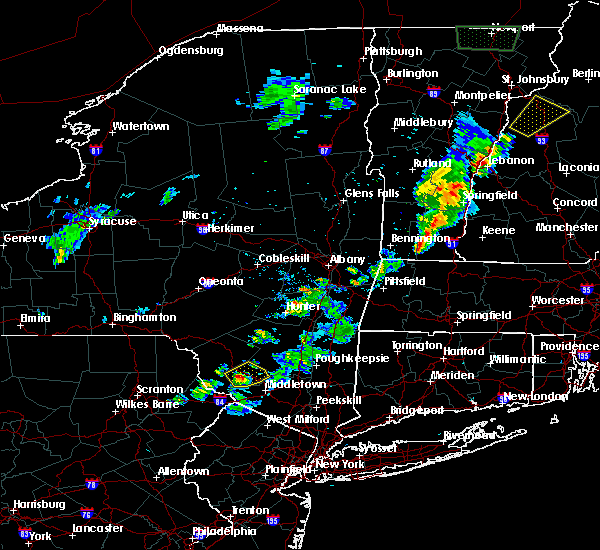 At 452 pm edt, a severe thunderstorm was located near hartwood, or near monticello, moving northeast at 55 mph (radar indicated). Hazards include 60 mph wind gusts and half dollar size hail. Hail damage to vehicles is expected. expect wind damage to roofs, siding and trees. this severe thunderstorm will be near, wurtsboro, woodridge and bloomingburg around 500 pm edt. Phillipsport around 505 pm edt. At 452 pm edt, a severe thunderstorm was located near hartwood, or near monticello, moving northeast at 55 mph (radar indicated). Hazards include 60 mph wind gusts and half dollar size hail. Hail damage to vehicles is expected. expect wind damage to roofs, siding and trees. this severe thunderstorm will be near, wurtsboro, woodridge and bloomingburg around 500 pm edt. Phillipsport around 505 pm edt.
|
| 5/27/2015 5:24 PM EDT | The severe thunderstorm warning for northeastern orange county will expire at 530 pm edt, the severe thunderstorm which prompted the warning has weakened. therefore, the warning will be allowed to expire. |
| 5/27/2015 5:15 PM EDT | At 515 pm edt, doppler radar indicated a severe thunderstorm capable of producing quarter size hail and damaging winds in excess of 60 mph. this storm was located near montgomery, or 7 miles northeast of middletown, moving northeast at 50 mph. this severe storm will be near, montgomery around 520 pm edt. walden around 525 pm edt. other locations impacted by this severe thunderstorm include pine bush, maybrook, orange lake and scotchtown. |
| 5/27/2015 5:00 PM EDT | At 459 pm edt, doppler radar indicated a severe thunderstorm capable of producing quarter size hail and damaging winds in excess of 60 mph. this storm was located over otisville, or near middletown, and moving northeast at 50 mph. * this severe thunderstorm will be near, middletown, bloomingburg and mechanicstown around 510 pm edt. goshen around 515 pm edt. montgomery around 520 pm edt. walden around 525 pm edt. gardnertown around 530 pm edt. other locations impacted by this severe thunderstorm include maybrook, orange lake, balmville, pine bush, scotchtown and washingtonville. |
Hail Maps for Bloomingburg, NY


Connect with Interactive Hail Maps