

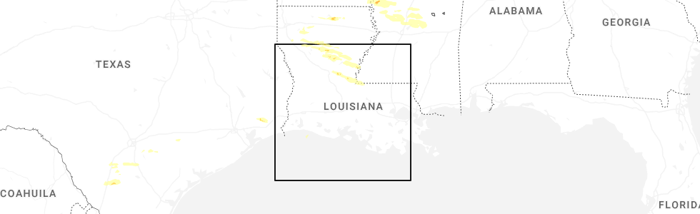
Hail Map for Bordelonville, LA
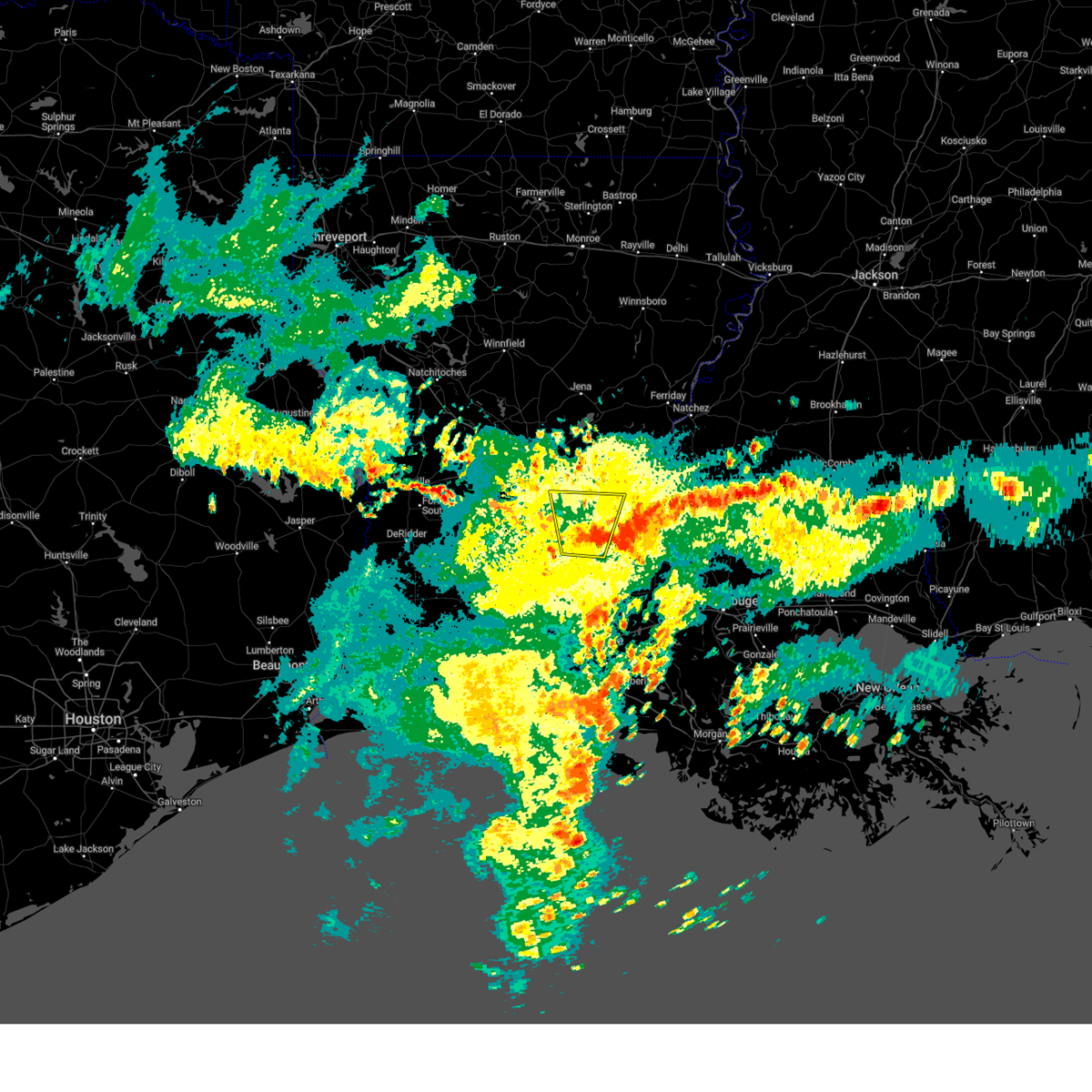
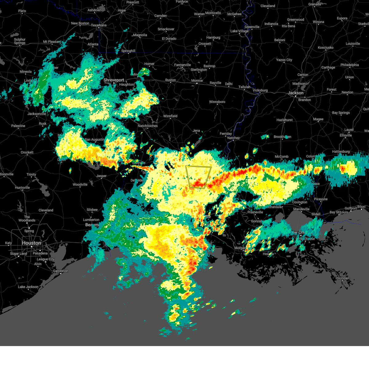
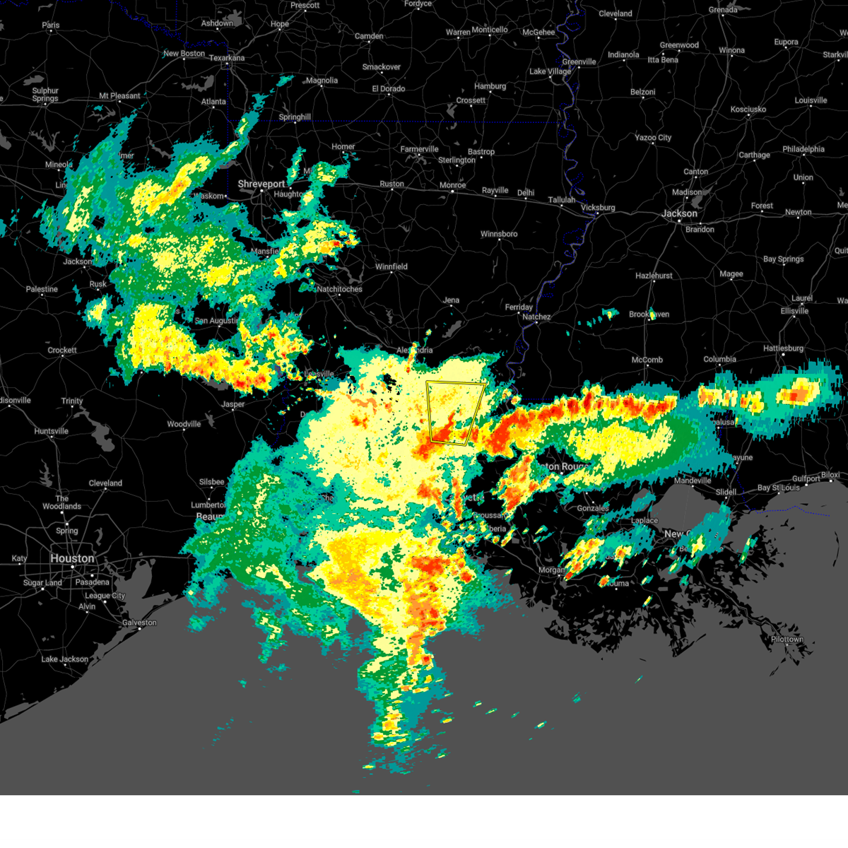
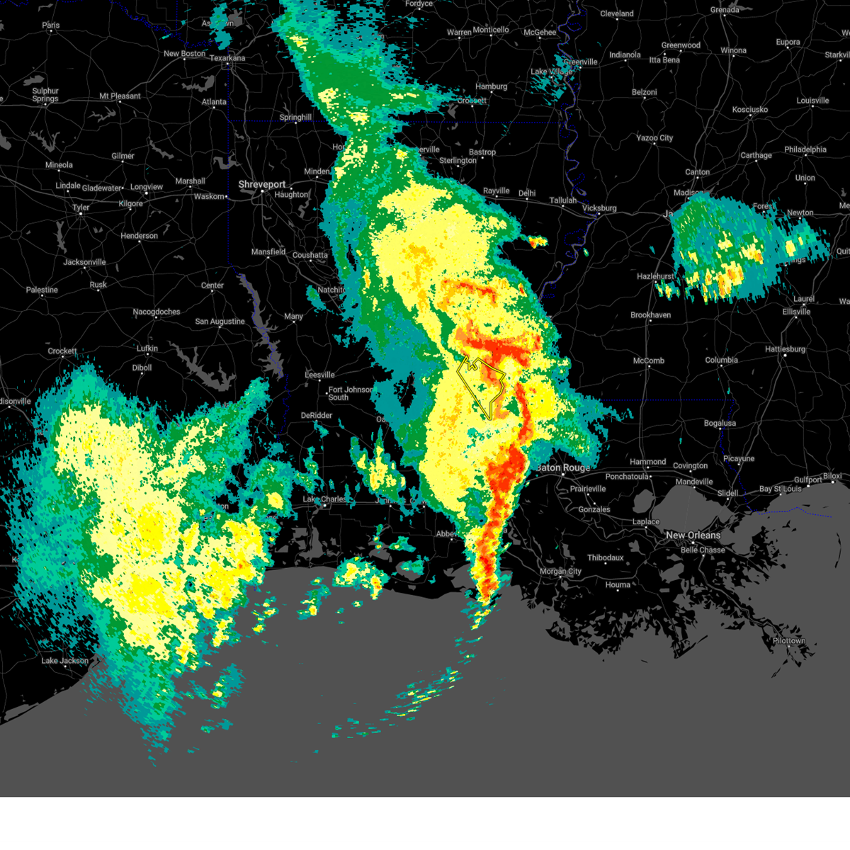
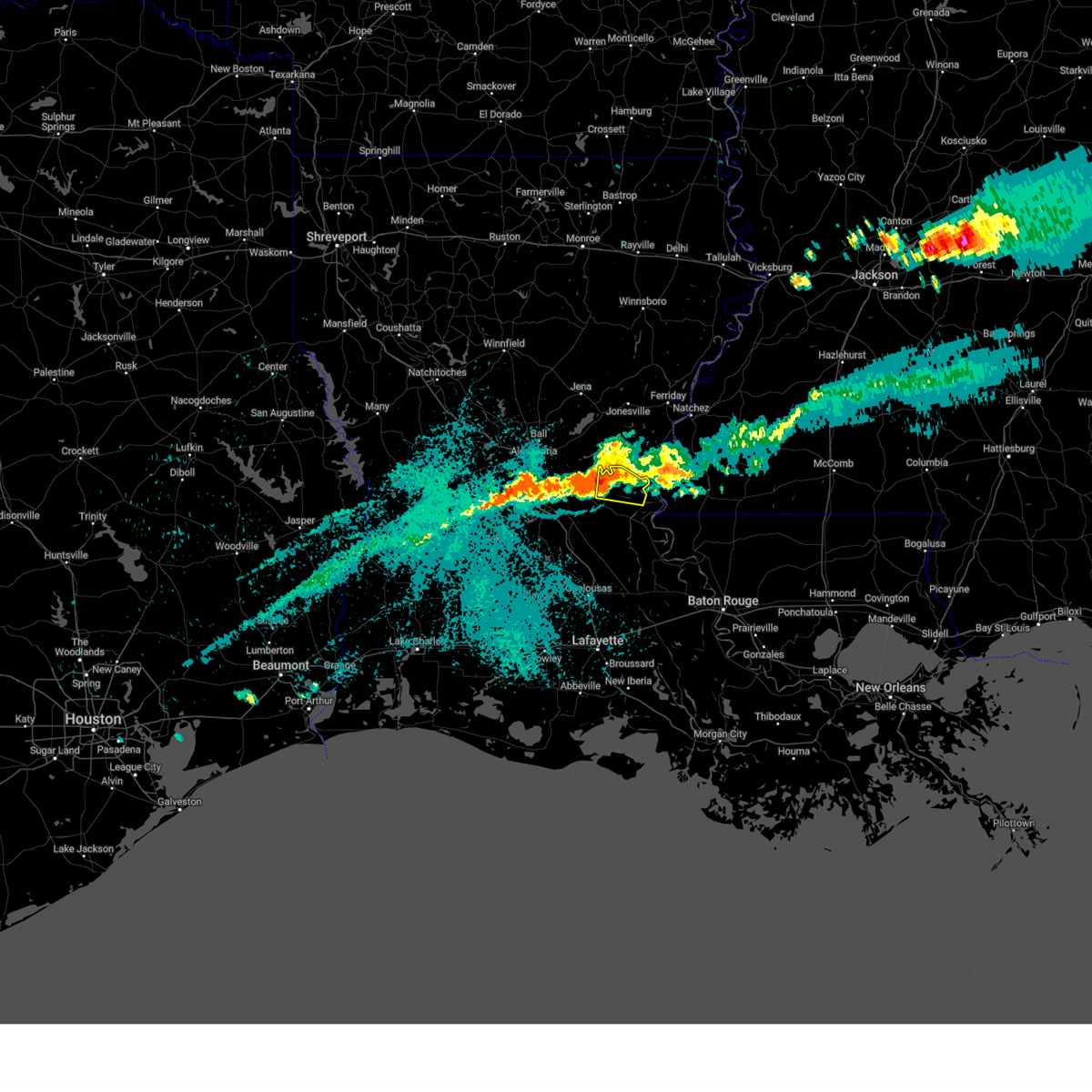
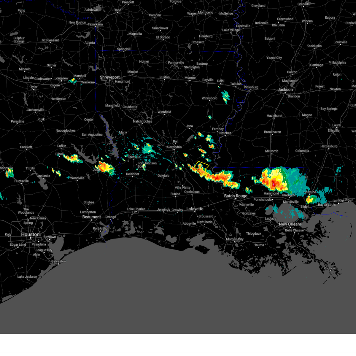
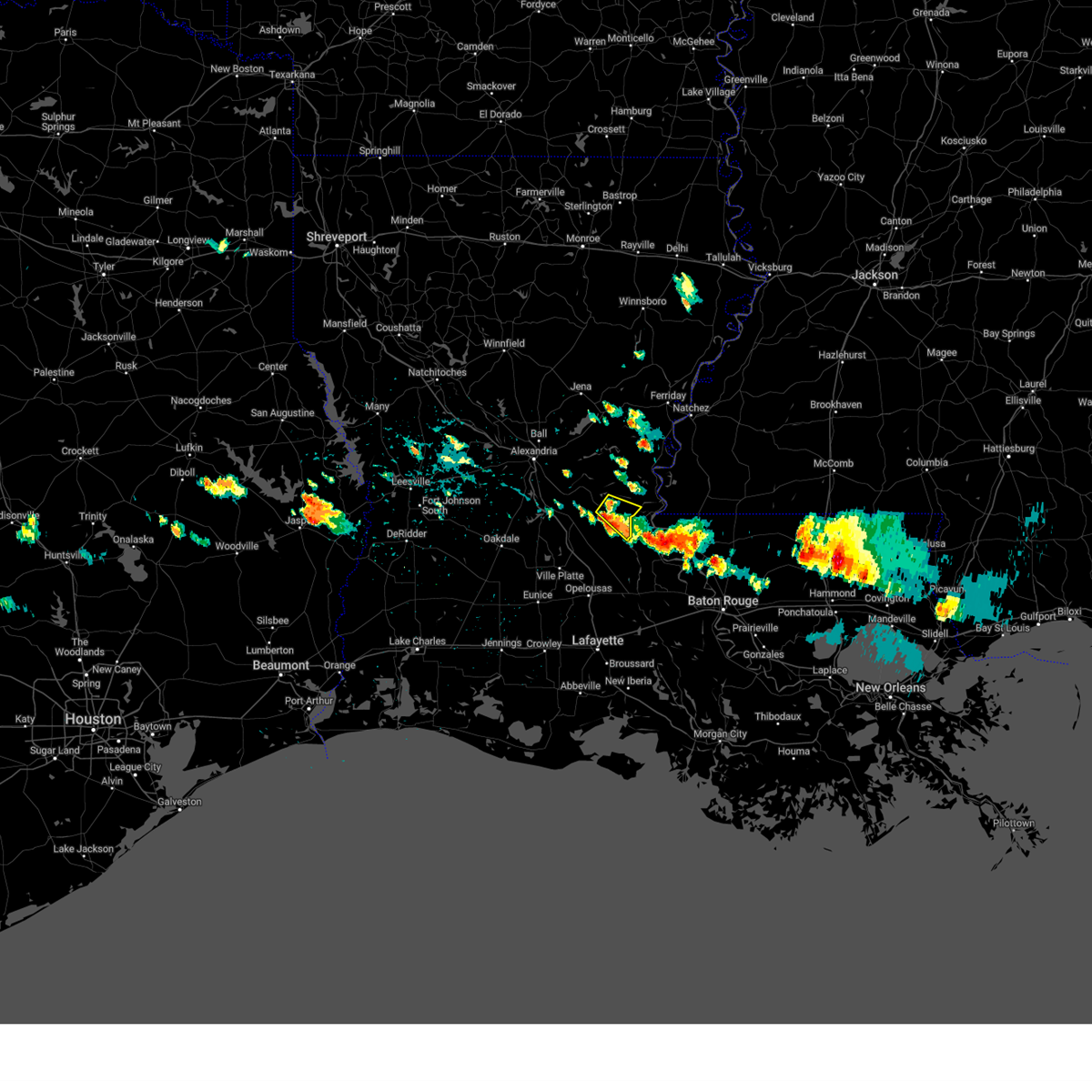
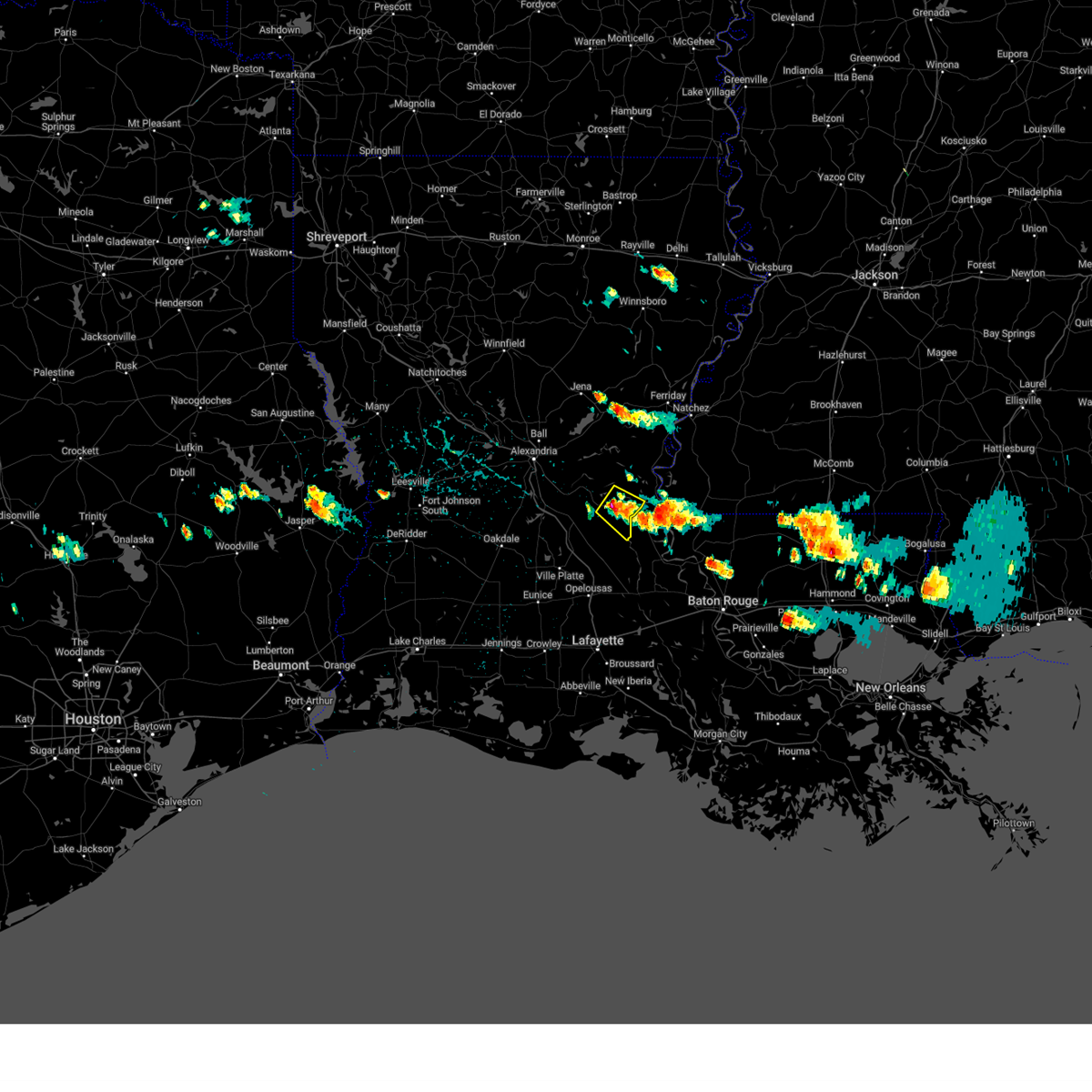
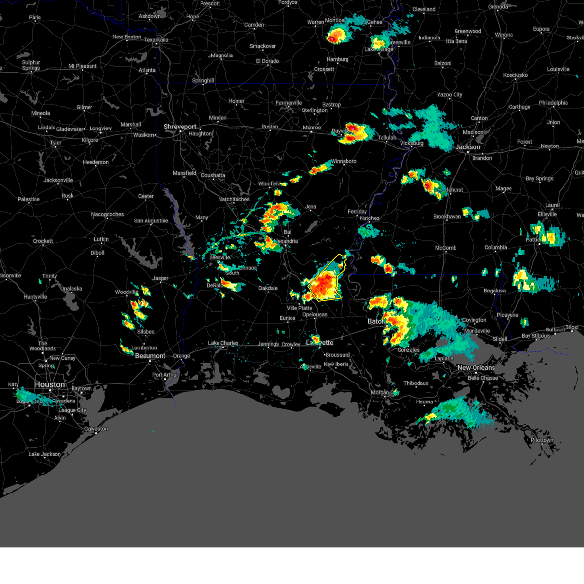
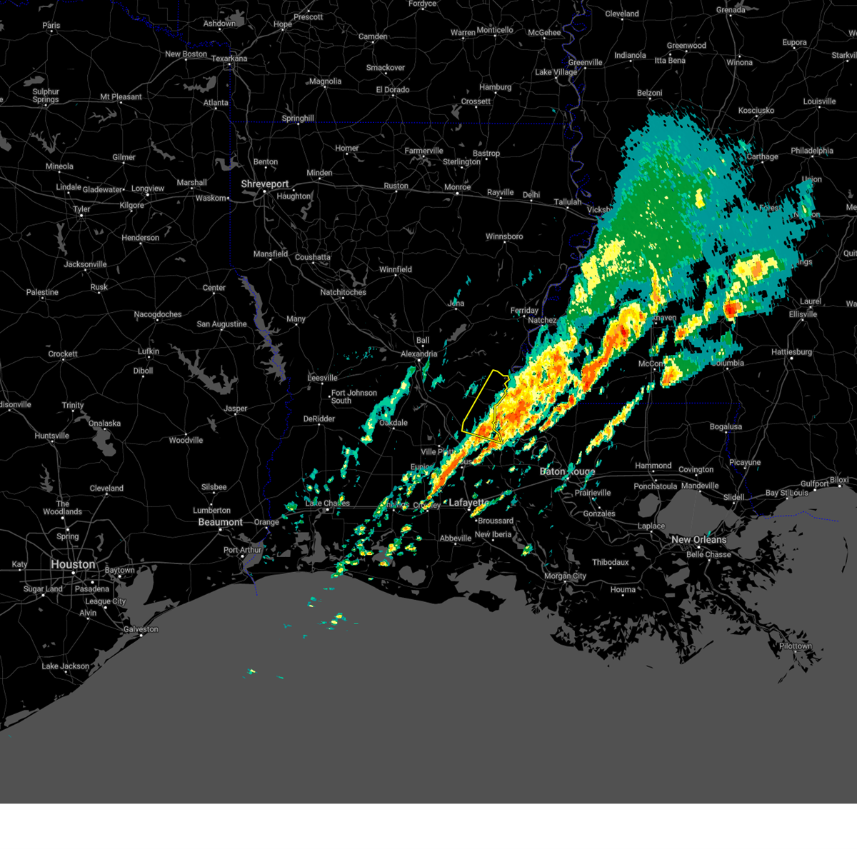
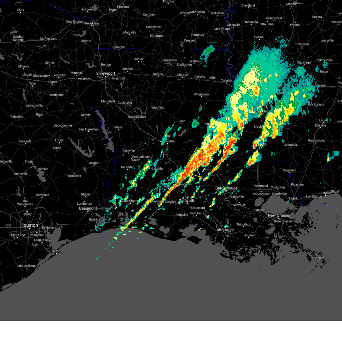
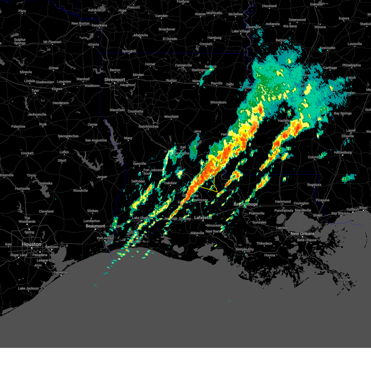
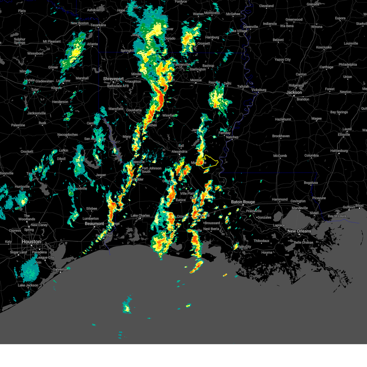
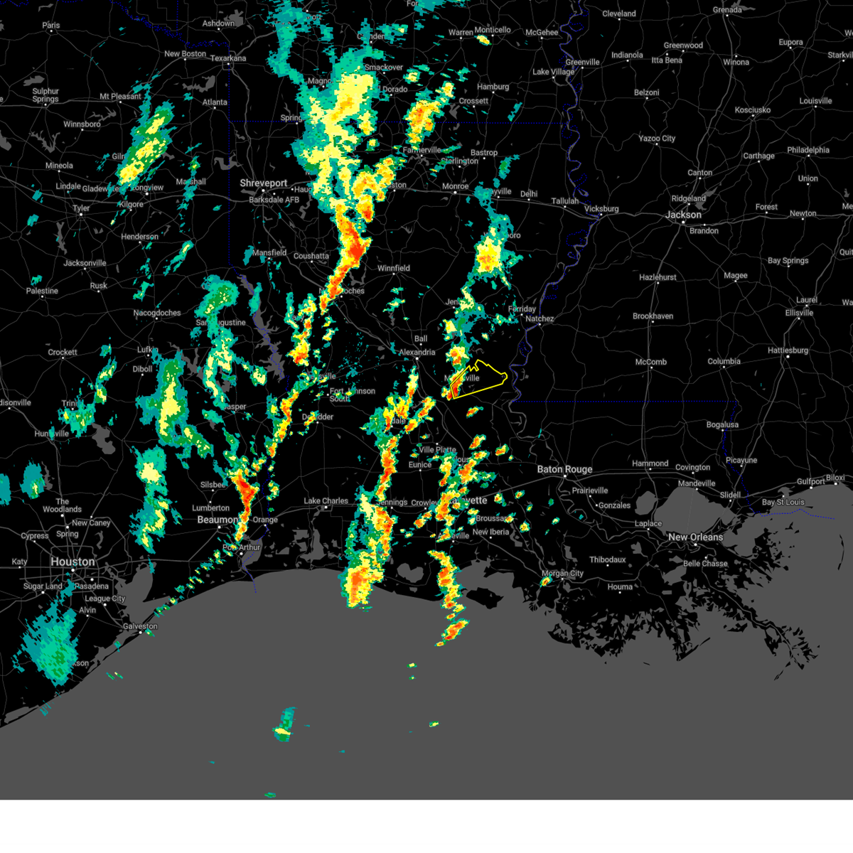
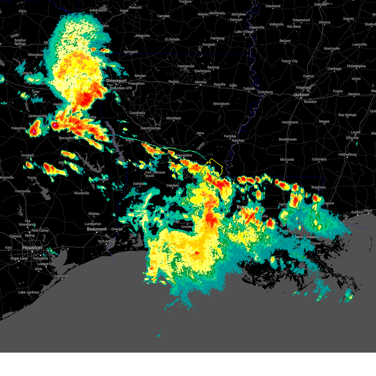
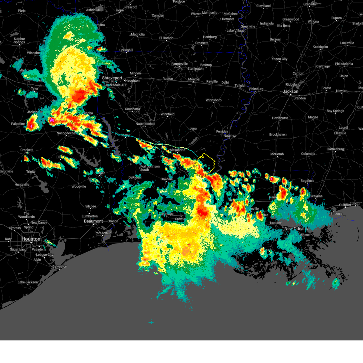
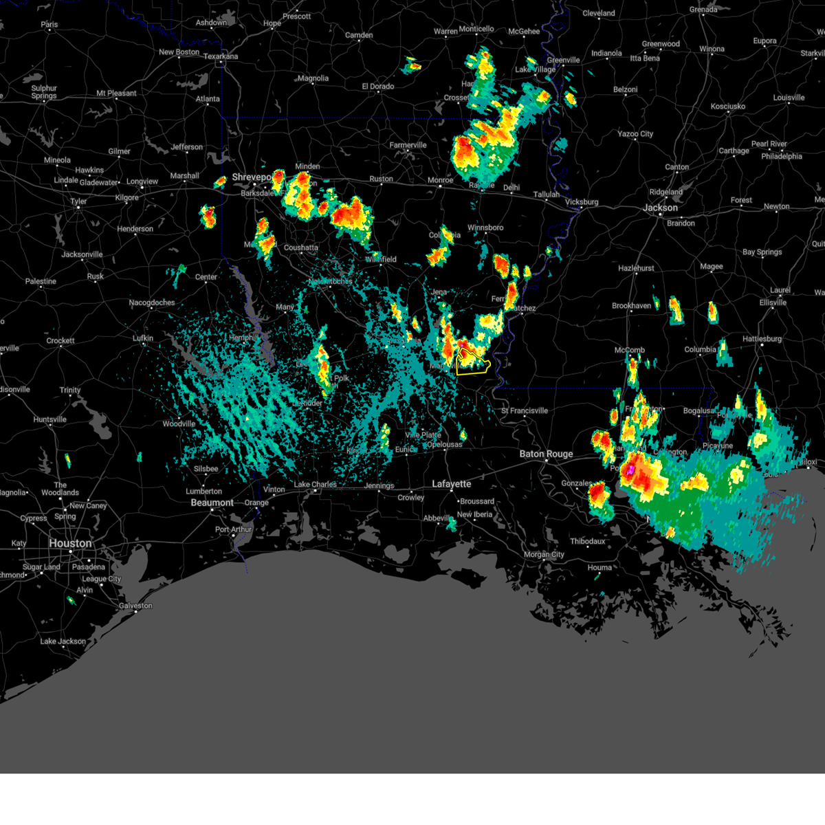
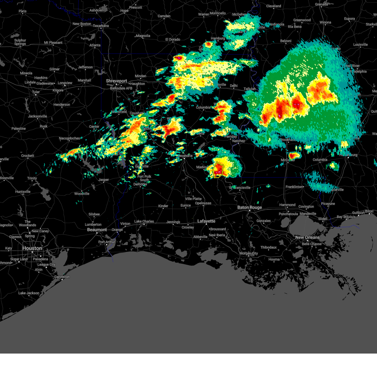
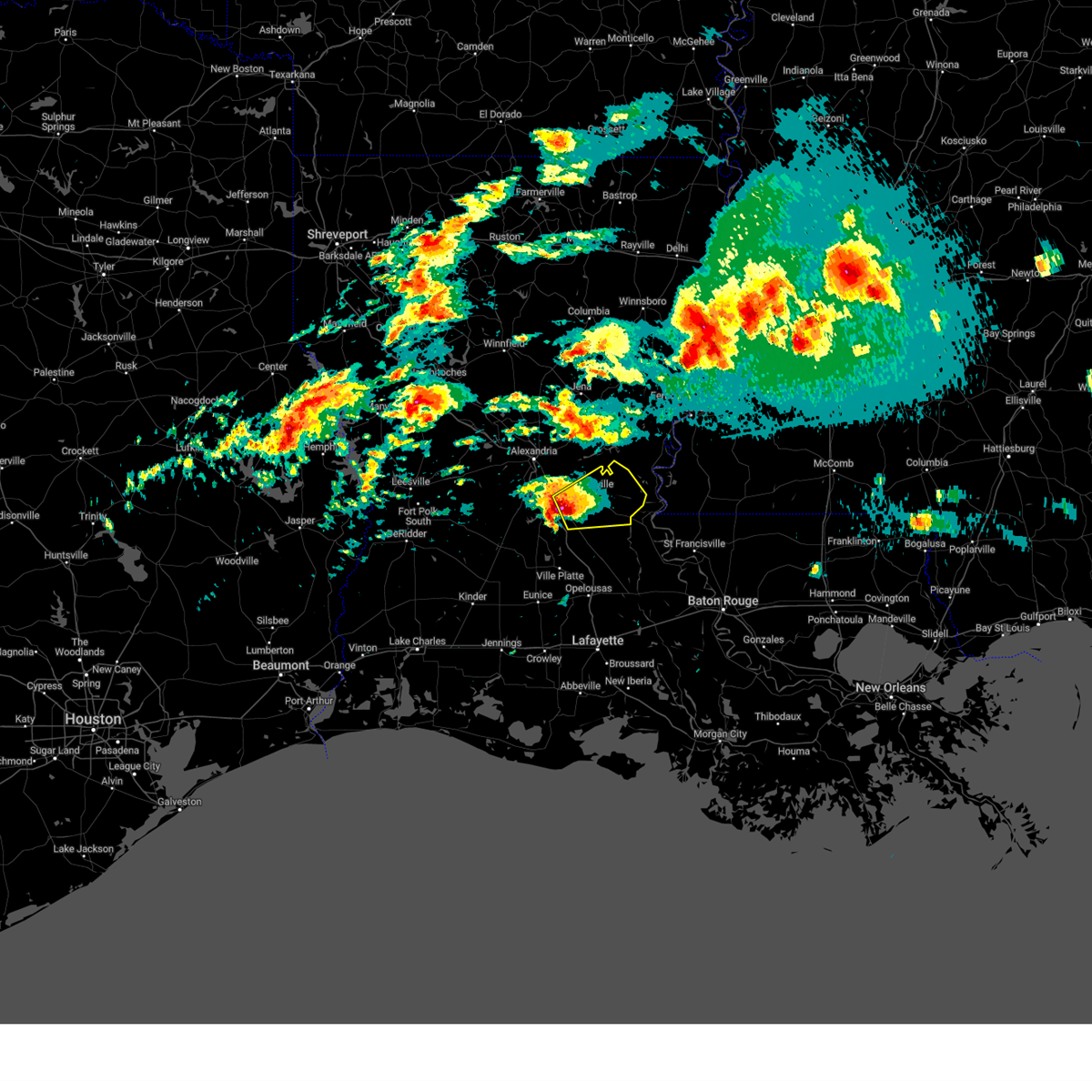
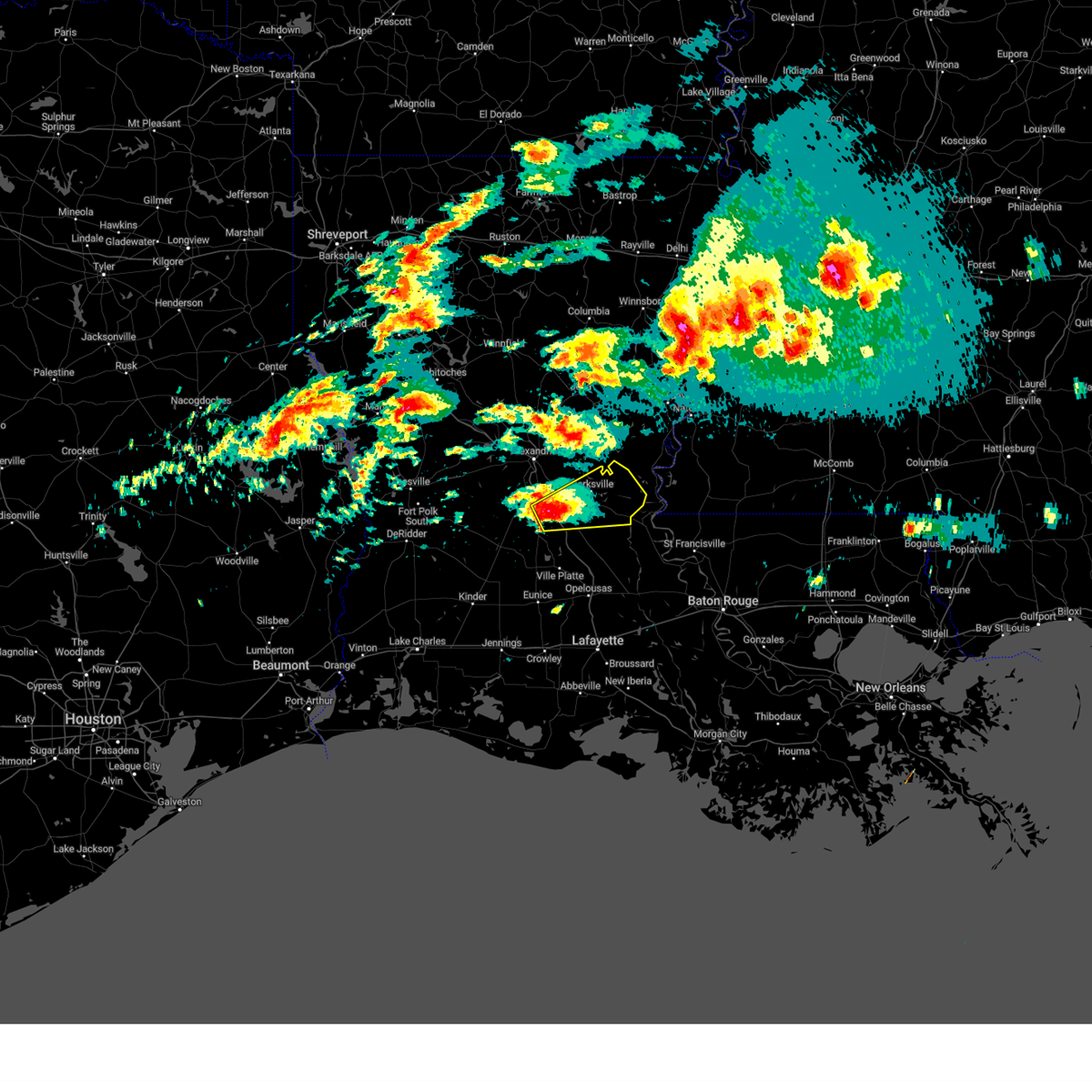
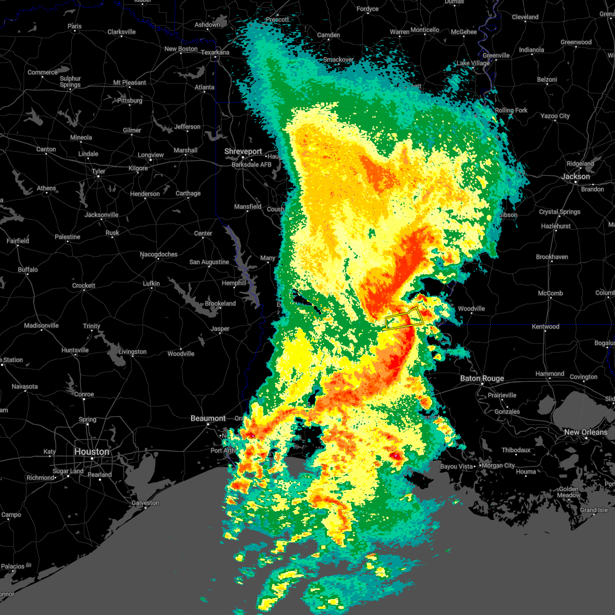
The Bordelonville, LA area has had 0 reports of on-the-ground hail by trained spotters, and has been under severe weather warnings 42 times during the past 12 months. Doppler radar has detected hail at or near Bordelonville, LA on 67 occasions, including 9 occasions during the past year.
| Name: | Bordelonville, LA |
| Where Located: | 61.1 miles N of Lafayette, LA |
| Map: | Google Map for Bordelonville, LA |
| Population: | 525 |
| Housing Units: | 271 |
| More Info: | Search Google for Bordelonville, LA |
1
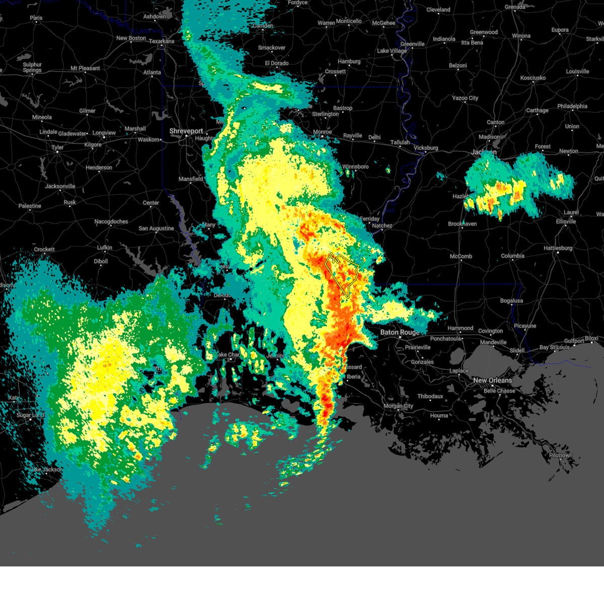
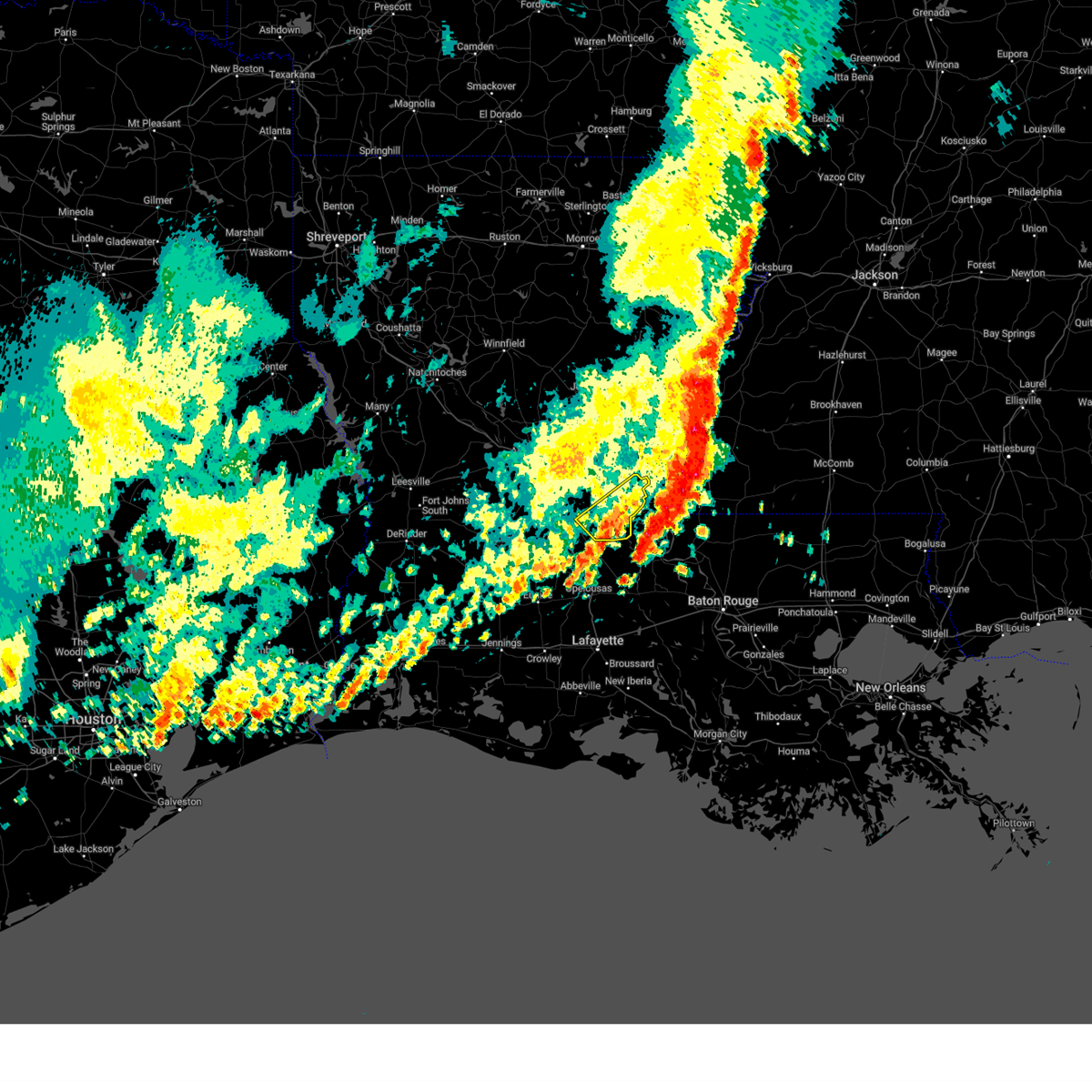
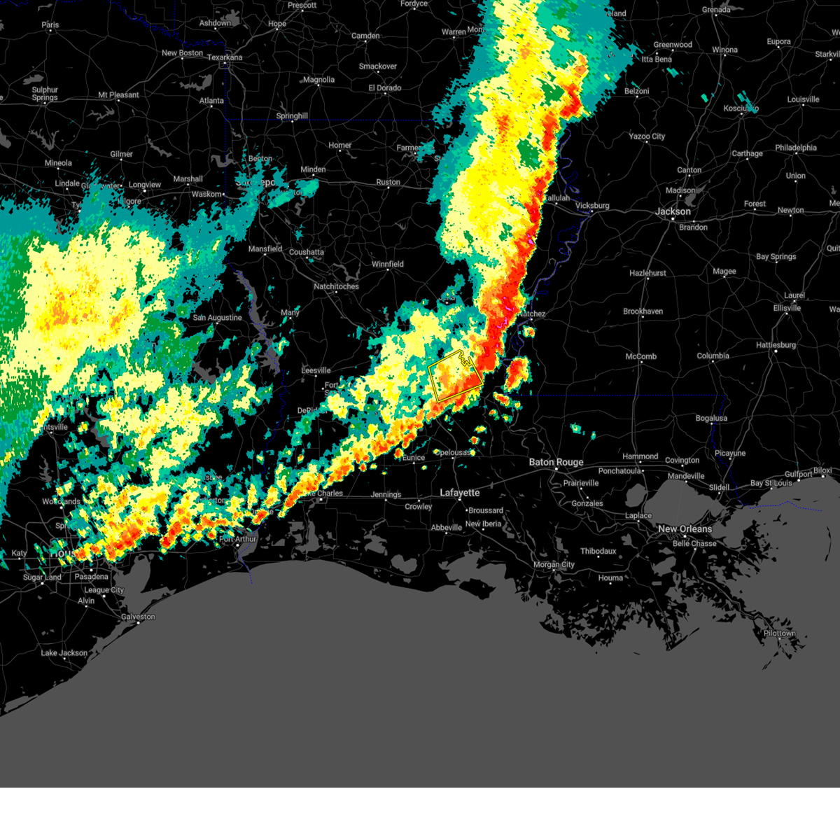
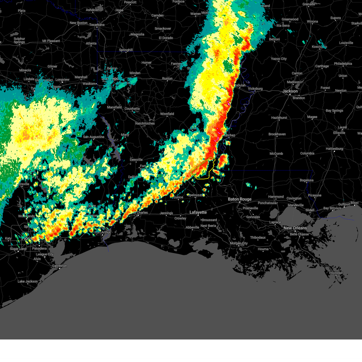
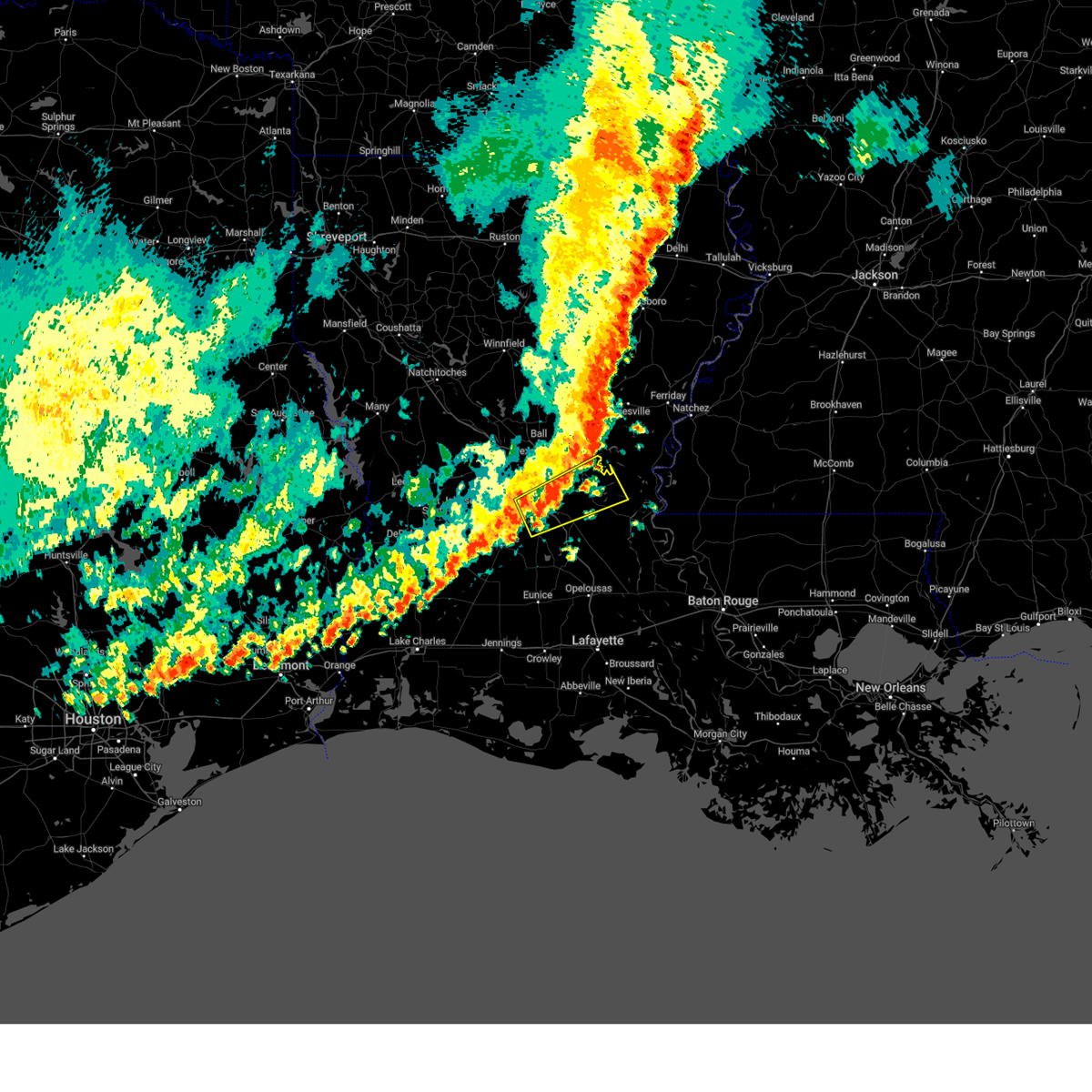
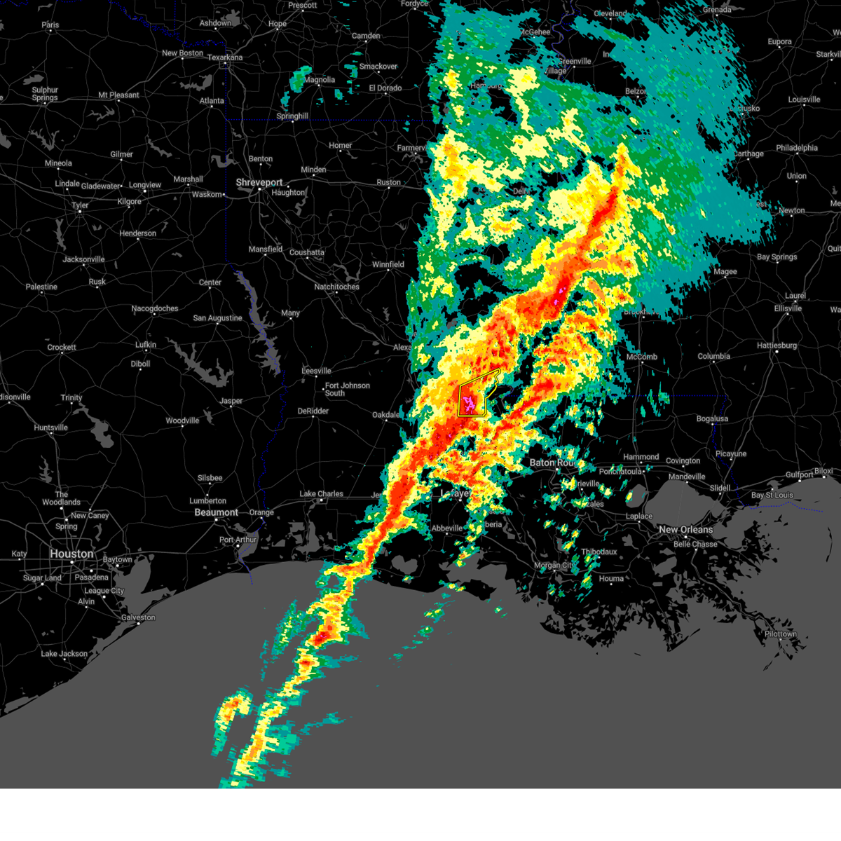
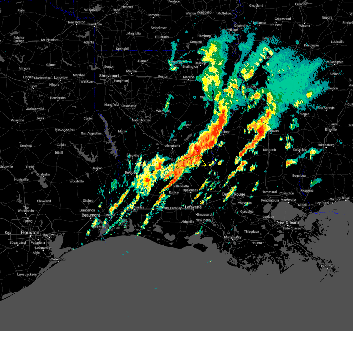
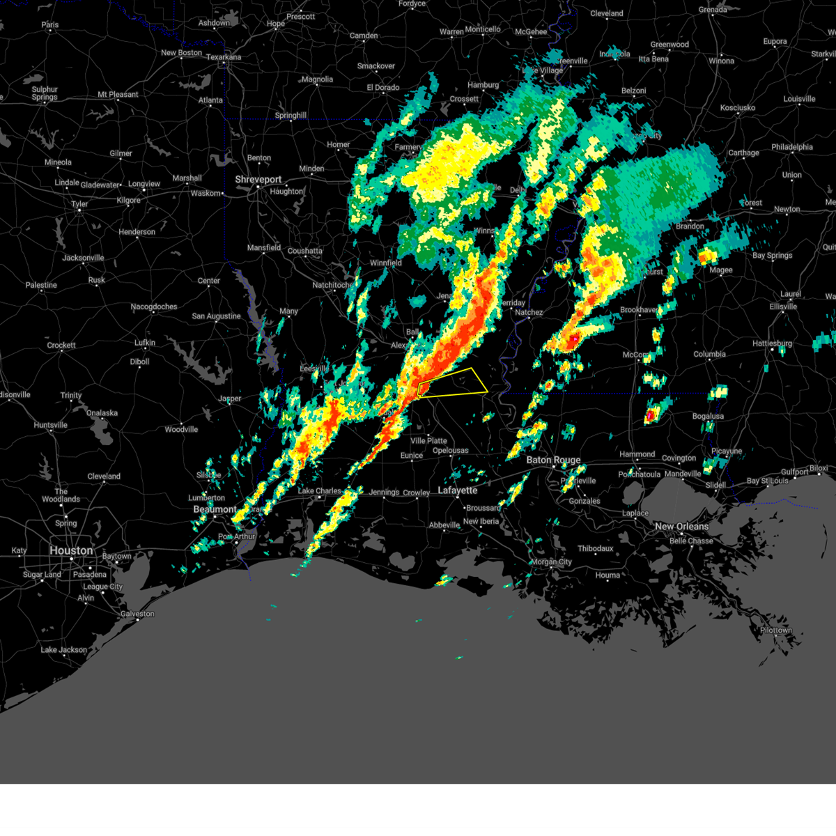
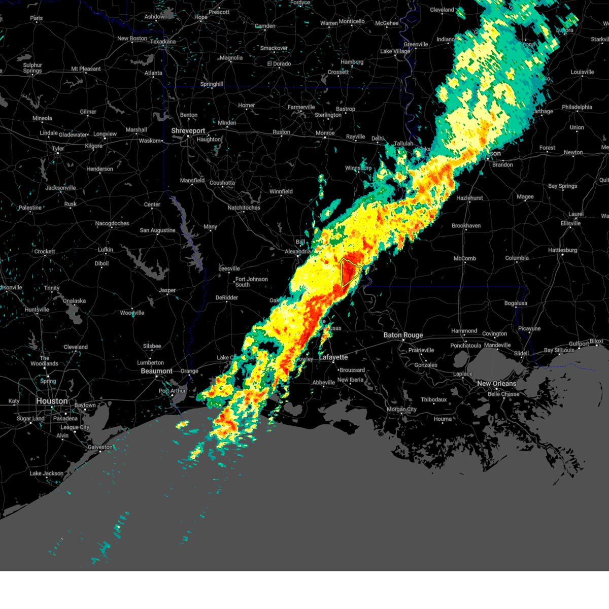
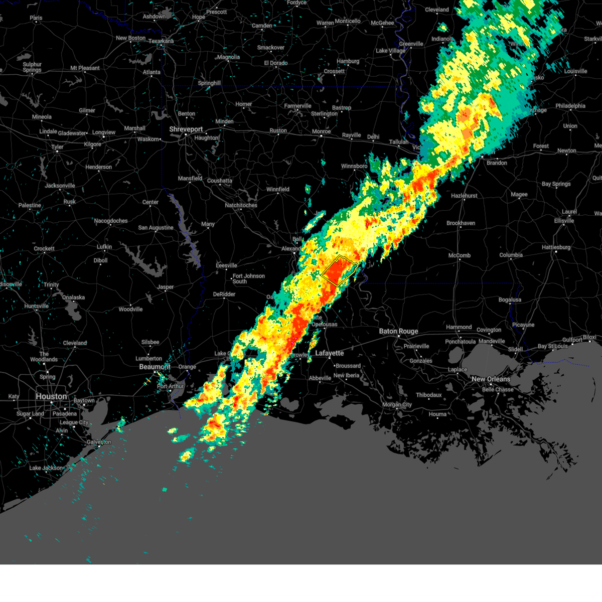
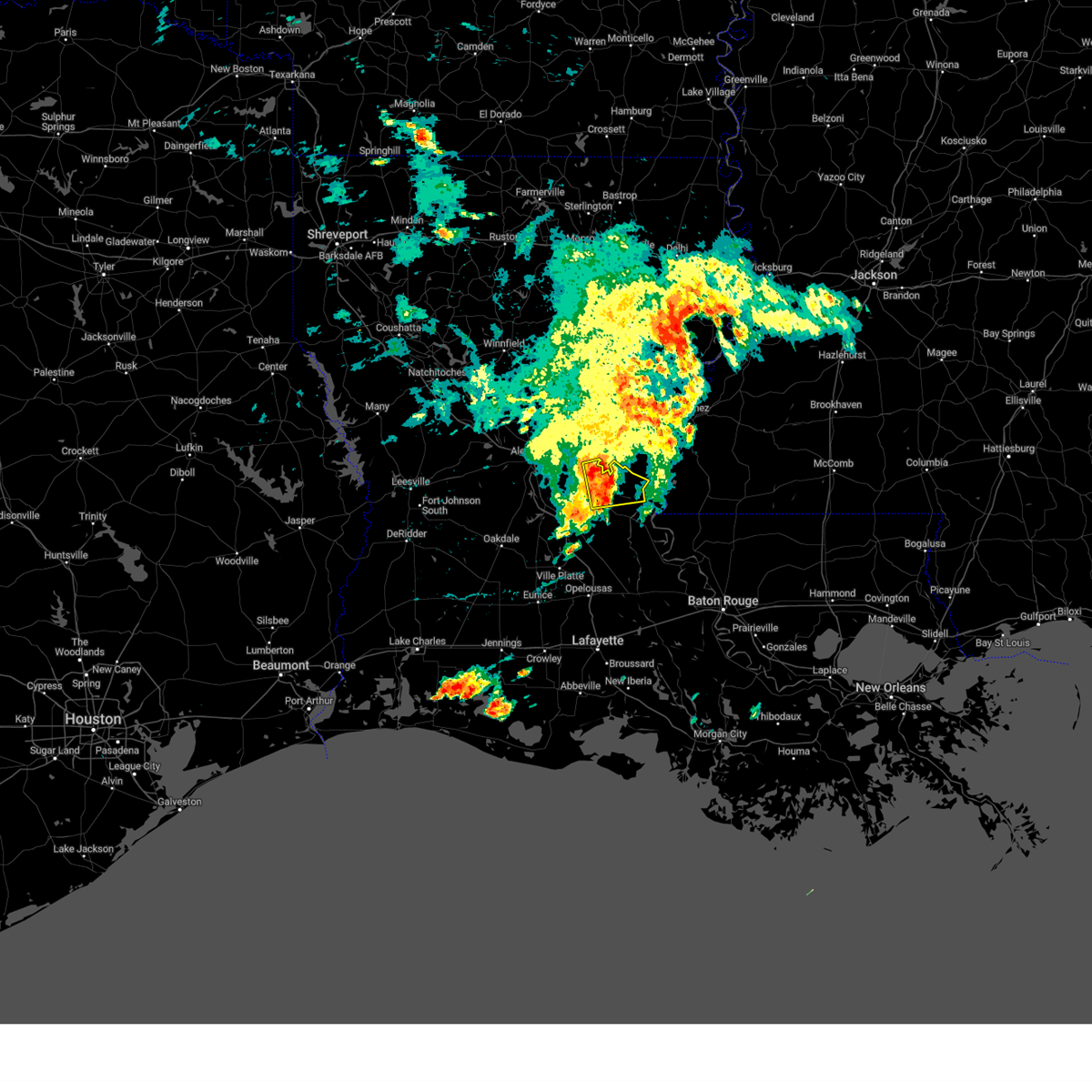
The Top Recent Hail Date for Bordelonville, LA is Tuesday, May 20, 2025 (14th out of 67)
Hail and Wind Damage Spotted near Bordelonville, LA
| Date / Time | Report Details |
|---|---|
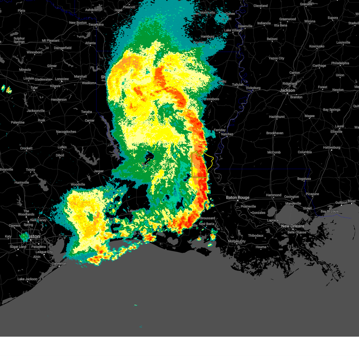
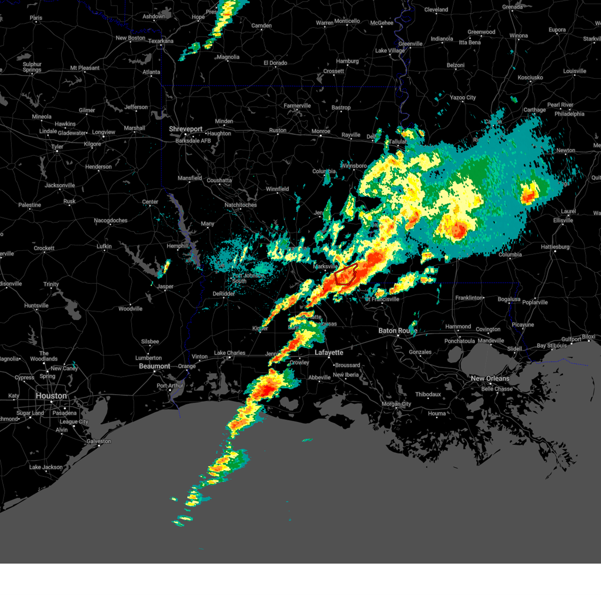
| 6/10/2025 1:36 PM CDT |
 the severe thunderstorm warning has been cancelled and is no longer in effect the severe thunderstorm warning has been cancelled and is no longer in effect
|
| 6/10/2025 1:00 PM CDT |
 Svrlch the national weather service in lake charles has issued a * severe thunderstorm warning for, central avoyelles parish in central louisiana, * until 200 pm cdt. * at 100 pm cdt, a severe thunderstorm was located over marksville, moving east at 15 mph (radar indicated). Hazards include 60 mph wind gusts and quarter size hail. Hail damage to vehicles is expected. Expect wind damage to roofs, siding, and trees. Svrlch the national weather service in lake charles has issued a * severe thunderstorm warning for, central avoyelles parish in central louisiana, * until 200 pm cdt. * at 100 pm cdt, a severe thunderstorm was located over marksville, moving east at 15 mph (radar indicated). Hazards include 60 mph wind gusts and quarter size hail. Hail damage to vehicles is expected. Expect wind damage to roofs, siding, and trees.
|
| 6/8/2025 4:26 PM CDT |
 The storm which prompted the warning has moved out of the area. therefore, the warning will be allowed to expire. The storm which prompted the warning has moved out of the area. therefore, the warning will be allowed to expire.
|
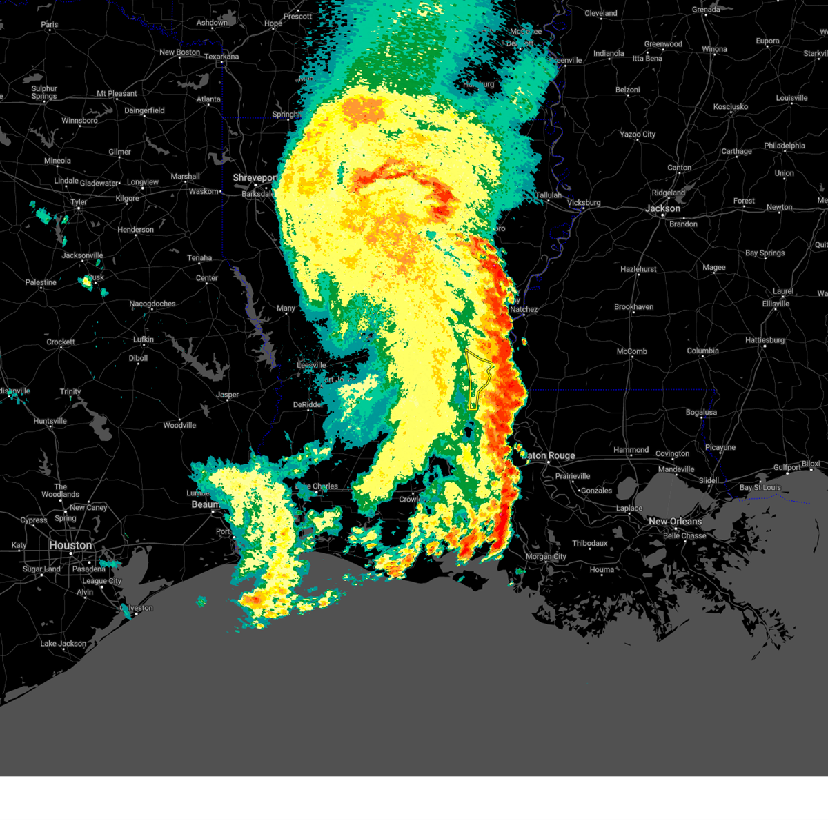
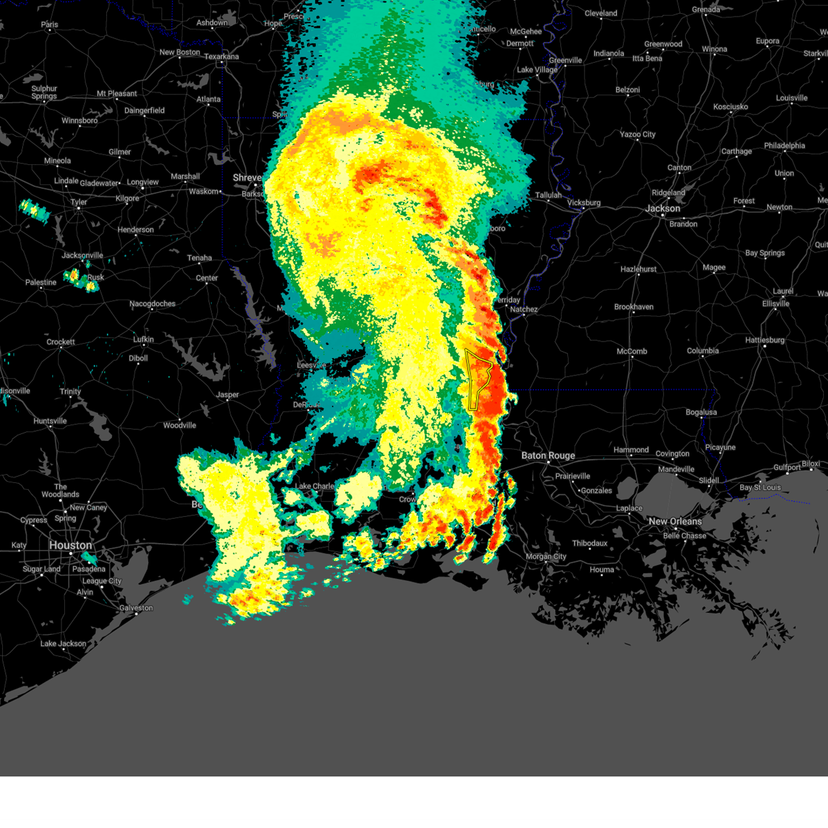
| 6/8/2025 3:57 PM CDT | Svrlch the national weather service in lake charles has issued a * severe thunderstorm warning for, east central avoyelles parish in central louisiana, * until 430 pm cdt. * at 357 pm cdt, a severe thunderstorm was located over moreauville, moving east at 20 mph (radar indicated). Hazards include quarter size hail. damage to vehicles is expected |
| 6/8/2025 3:47 PM CDT | At 347 pm cdt, a severe thunderstorm was located near moreauville, moving east at 20 mph (radar indicated). Hazards include quarter size hail. Damage to vehicles is expected. Locations impacted include, marksville, simmesport, moreauville, bordelonville, mansura, big bend, and hamburg. |
| 6/8/2025 3:32 PM CDT | Svrlch the national weather service in lake charles has issued a * severe thunderstorm warning for, central avoyelles parish in central louisiana, * until 400 pm cdt. * at 332 pm cdt, a severe thunderstorm was located over mansura, or near marksville, moving east at 20 mph (radar indicated). Hazards include quarter size hail. damage to vehicles is expected |
| 5/28/2025 4:57 PM CDT |
 the severe thunderstorm warning has been cancelled and is no longer in effect the severe thunderstorm warning has been cancelled and is no longer in effect
|
| 5/28/2025 4:45 PM CDT |
 At 445 pm cdt, a severe thunderstorm was located over whiteville, or near morrow, moving east at 15 mph (radar indicated). Hazards include 60 mph wind gusts and penny size hail. Expect damage to roofs, siding, and trees. locations impacted include, marksville, bunkie, moreauville, cheneyville, bordelonville, morrow, cottonport, mansura, hessmer, evergreen, plaucheville, echo, goudeau, indian lake, whiteville, big cane, dupont, st. Landry, and hamburg. At 445 pm cdt, a severe thunderstorm was located over whiteville, or near morrow, moving east at 15 mph (radar indicated). Hazards include 60 mph wind gusts and penny size hail. Expect damage to roofs, siding, and trees. locations impacted include, marksville, bunkie, moreauville, cheneyville, bordelonville, morrow, cottonport, mansura, hessmer, evergreen, plaucheville, echo, goudeau, indian lake, whiteville, big cane, dupont, st. Landry, and hamburg.
|
| 5/28/2025 4:30 PM CDT |
 Svrlch the national weather service in lake charles has issued a * severe thunderstorm warning for, southeastern rapides parish in central louisiana, northeastern evangeline parish in central louisiana, southwestern avoyelles parish in central louisiana, north central st. landry parish in central louisiana, * until 530 pm cdt. * at 430 pm cdt, a severe thunderstorm was located near whiteville, or 7 miles northeast of ville platte, moving north at 15 mph (radar indicated). Hazards include 60 mph wind gusts and penny size hail. expect damage to roofs, siding, and trees Svrlch the national weather service in lake charles has issued a * severe thunderstorm warning for, southeastern rapides parish in central louisiana, northeastern evangeline parish in central louisiana, southwestern avoyelles parish in central louisiana, north central st. landry parish in central louisiana, * until 530 pm cdt. * at 430 pm cdt, a severe thunderstorm was located near whiteville, or 7 miles northeast of ville platte, moving north at 15 mph (radar indicated). Hazards include 60 mph wind gusts and penny size hail. expect damage to roofs, siding, and trees
|
| 5/27/2025 5:51 AM CDT |
 The storm which prompted the warning has moved out of the area. therefore, the warning will be allowed to expire. The storm which prompted the warning has moved out of the area. therefore, the warning will be allowed to expire.
|
| 5/27/2025 5:22 AM CDT |
 Svrlch the national weather service in lake charles has issued a * severe thunderstorm warning for, eastern avoyelles parish in central louisiana, * until 600 am cdt. * at 521 am cdt, a severe thunderstorm was located over mansura, or near marksville, moving northeast at 40 mph (radar indicated). Hazards include 60 mph wind gusts and penny size hail. expect damage to roofs, siding, and trees Svrlch the national weather service in lake charles has issued a * severe thunderstorm warning for, eastern avoyelles parish in central louisiana, * until 600 am cdt. * at 521 am cdt, a severe thunderstorm was located over mansura, or near marksville, moving northeast at 40 mph (radar indicated). Hazards include 60 mph wind gusts and penny size hail. expect damage to roofs, siding, and trees
|
| 5/26/2025 1:01 PM CDT |
 the severe thunderstorm warning has been cancelled and is no longer in effect the severe thunderstorm warning has been cancelled and is no longer in effect
|
| 5/26/2025 12:31 PM CDT |
 the severe thunderstorm warning has been cancelled and is no longer in effect the severe thunderstorm warning has been cancelled and is no longer in effect
|
| 5/26/2025 12:29 PM CDT |
 Svrlch the national weather service in lake charles has issued a * severe thunderstorm warning for, southern avoyelles parish in central louisiana, * until 130 pm cdt. * at 1229 pm cdt, a severe thunderstorm was located over plaucheville, or near moreauville, moving northeast at 25 mph (radar indicated). Hazards include 60 mph wind gusts and penny size hail. expect damage to roofs, siding, and trees Svrlch the national weather service in lake charles has issued a * severe thunderstorm warning for, southern avoyelles parish in central louisiana, * until 130 pm cdt. * at 1229 pm cdt, a severe thunderstorm was located over plaucheville, or near moreauville, moving northeast at 25 mph (radar indicated). Hazards include 60 mph wind gusts and penny size hail. expect damage to roofs, siding, and trees
|
| 5/26/2025 12:19 PM CDT |
 the severe thunderstorm warning has been cancelled and is no longer in effect the severe thunderstorm warning has been cancelled and is no longer in effect
|
| 5/26/2025 12:19 PM CDT |
 At 1219 pm cdt, a severe thunderstorm was located near echo, or near effie, moving northeast at 30 mph (radar indicated). Hazards include 60 mph wind gusts and penny size hail. Expect damage to roofs, siding, and trees. Locations impacted include, marksville, bunkie, moreauville, bordelonville, effie, cottonport, mansura, hessmer, echo, brouillette, lake ophelia national wildlife refuge, poland, and ruby. At 1219 pm cdt, a severe thunderstorm was located near echo, or near effie, moving northeast at 30 mph (radar indicated). Hazards include 60 mph wind gusts and penny size hail. Expect damage to roofs, siding, and trees. Locations impacted include, marksville, bunkie, moreauville, bordelonville, effie, cottonport, mansura, hessmer, echo, brouillette, lake ophelia national wildlife refuge, poland, and ruby.
|
| 5/26/2025 11:51 AM CDT |
 Svrlch the national weather service in lake charles has issued a * severe thunderstorm warning for, southeastern rapides parish in central louisiana, north central evangeline parish in central louisiana, northwestern avoyelles parish in central louisiana, * until 1245 pm cdt. * at 1151 am cdt, a severe thunderstorm was located over lecompte, or near cheneyville, moving northeast at 30 mph (radar indicated). Hazards include 60 mph wind gusts and penny size hail. expect damage to roofs, siding, and trees Svrlch the national weather service in lake charles has issued a * severe thunderstorm warning for, southeastern rapides parish in central louisiana, north central evangeline parish in central louisiana, northwestern avoyelles parish in central louisiana, * until 1245 pm cdt. * at 1151 am cdt, a severe thunderstorm was located over lecompte, or near cheneyville, moving northeast at 30 mph (radar indicated). Hazards include 60 mph wind gusts and penny size hail. expect damage to roofs, siding, and trees
|
| 5/20/2025 10:17 PM CDT |
 the severe thunderstorm warning has been cancelled and is no longer in effect the severe thunderstorm warning has been cancelled and is no longer in effect
|
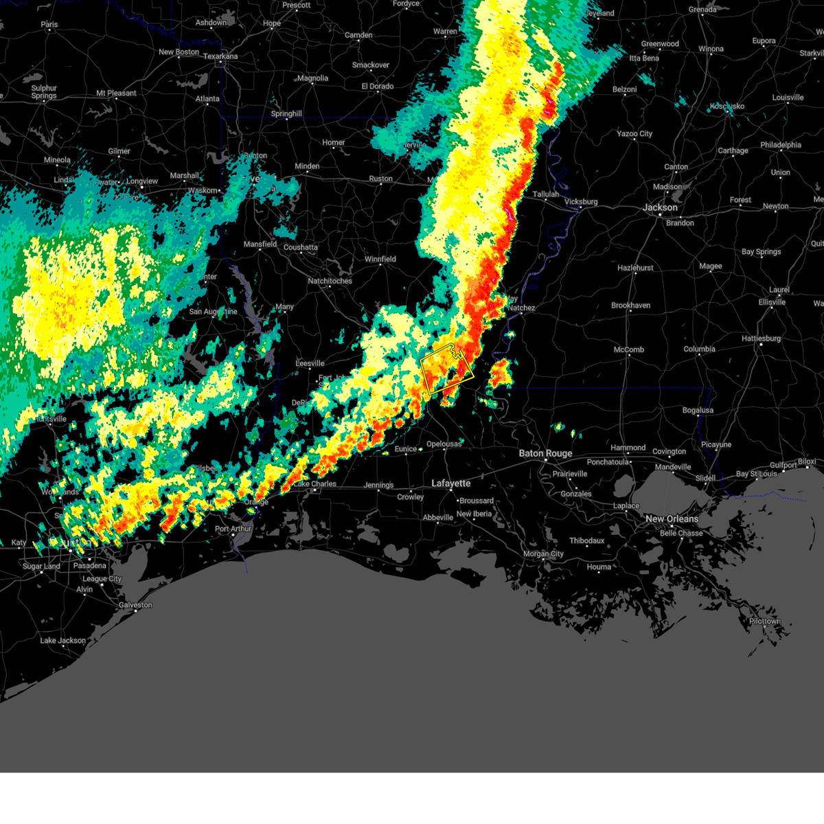
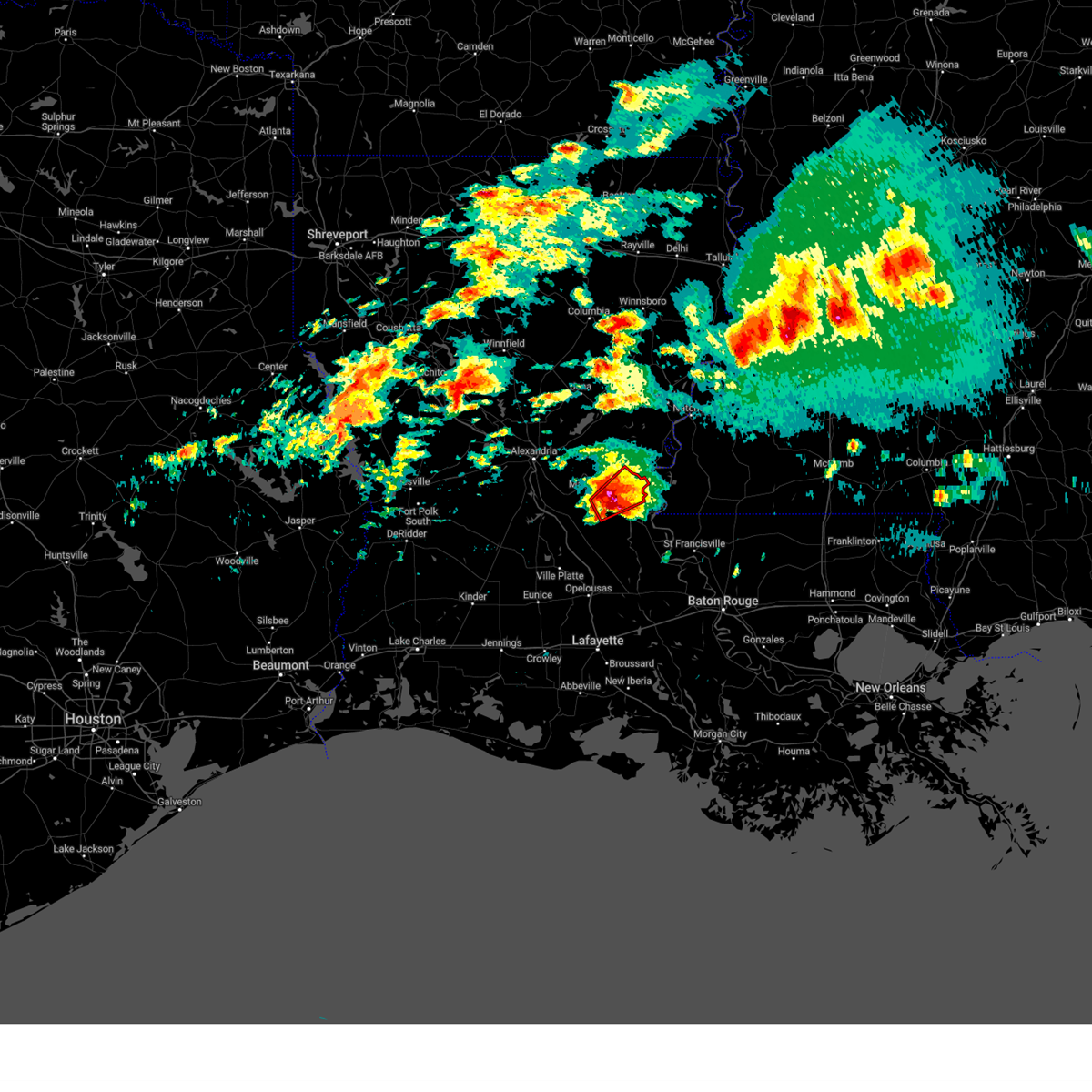
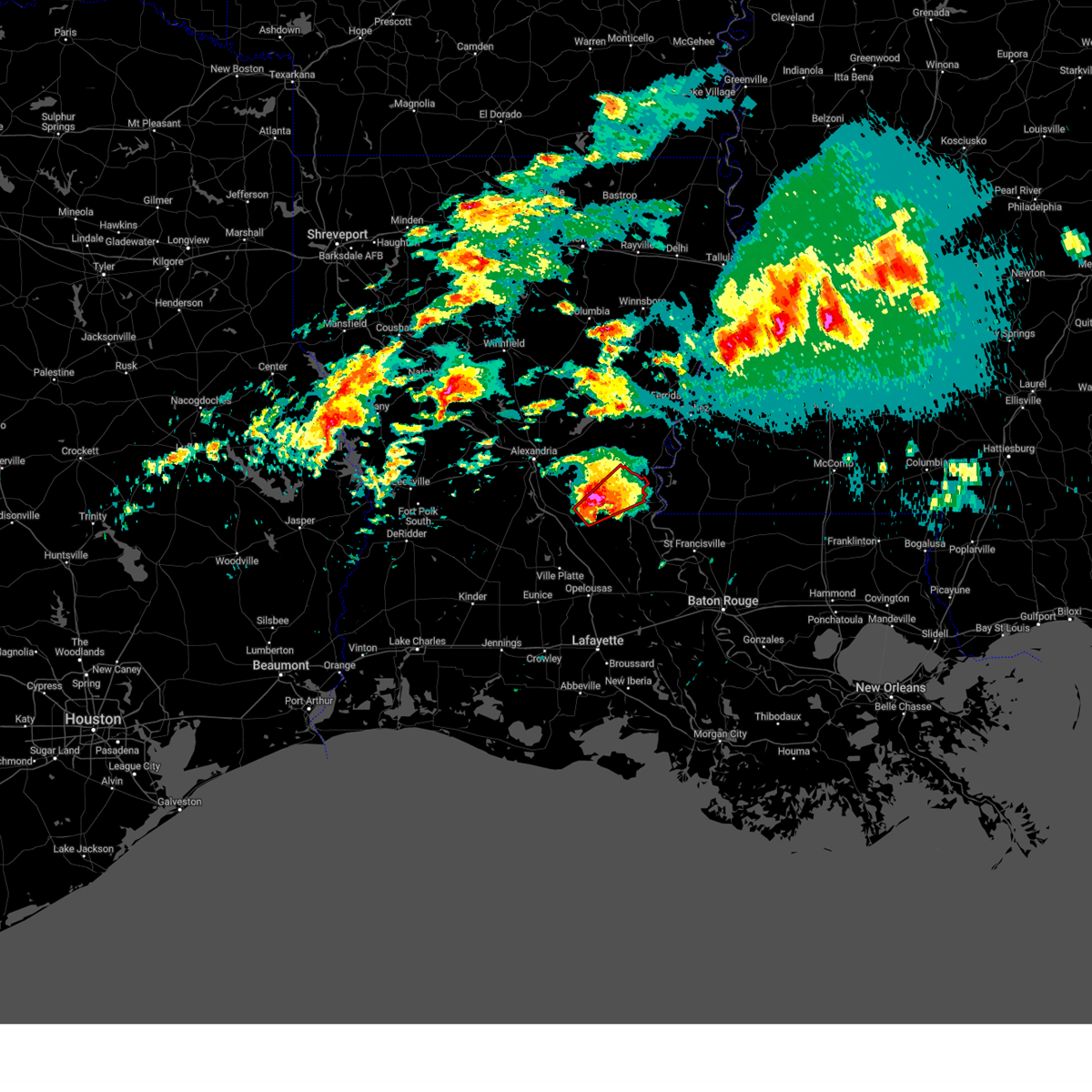
| 5/20/2025 10:00 PM CDT |
 At 1000 pm cdt, a severe thunderstorm was located near big bend, or near bordelonville, moving east at 30 mph (radar indicated). Hazards include 60 mph wind gusts and half dollar size hail. Hail damage to vehicles is expected. expect wind damage to roofs, siding, and trees. Locations impacted include, big bend. At 1000 pm cdt, a severe thunderstorm was located near big bend, or near bordelonville, moving east at 30 mph (radar indicated). Hazards include 60 mph wind gusts and half dollar size hail. Hail damage to vehicles is expected. expect wind damage to roofs, siding, and trees. Locations impacted include, big bend.
|
| 5/20/2025 9:44 PM CDT |
 Svrlch the national weather service in lake charles has issued a * severe thunderstorm warning for, northeastern avoyelles parish in central louisiana, * until 1030 pm cdt. * at 944 pm cdt, a severe thunderstorm was located near lake ophelia national wildlife refuge, or near bordelonville, moving east at 35 mph (radar indicated). Hazards include 60 mph wind gusts and half dollar size hail. Hail damage to vehicles is expected. Expect wind damage to roofs, siding, and trees. Svrlch the national weather service in lake charles has issued a * severe thunderstorm warning for, northeastern avoyelles parish in central louisiana, * until 1030 pm cdt. * at 944 pm cdt, a severe thunderstorm was located near lake ophelia national wildlife refuge, or near bordelonville, moving east at 35 mph (radar indicated). Hazards include 60 mph wind gusts and half dollar size hail. Hail damage to vehicles is expected. Expect wind damage to roofs, siding, and trees.
|
| 5/20/2025 9:37 PM CDT |
 the severe thunderstorm warning has been cancelled and is no longer in effect the severe thunderstorm warning has been cancelled and is no longer in effect
|
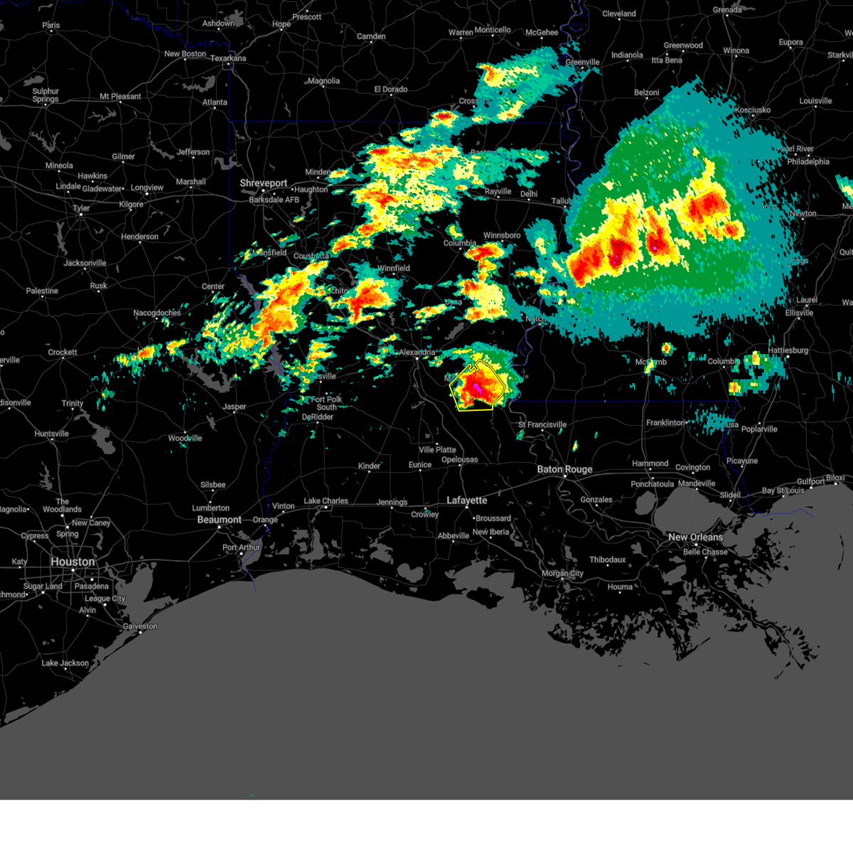
| 5/20/2025 9:37 PM CDT |
 At 937 pm cdt, a severe thunderstorm was located over brouillette, or near marksville, moving east at 30 mph (radar indicated). Hazards include ping pong ball size hail and 60 mph wind gusts. People and animals outdoors will be injured. expect hail damage to roofs, siding, windows, and vehicles. expect wind damage to roofs, siding, and trees. Locations impacted include, marksville, bordelonville, brouillette, and lake ophelia national wildlife refuge. At 937 pm cdt, a severe thunderstorm was located over brouillette, or near marksville, moving east at 30 mph (radar indicated). Hazards include ping pong ball size hail and 60 mph wind gusts. People and animals outdoors will be injured. expect hail damage to roofs, siding, windows, and vehicles. expect wind damage to roofs, siding, and trees. Locations impacted include, marksville, bordelonville, brouillette, and lake ophelia national wildlife refuge.
|
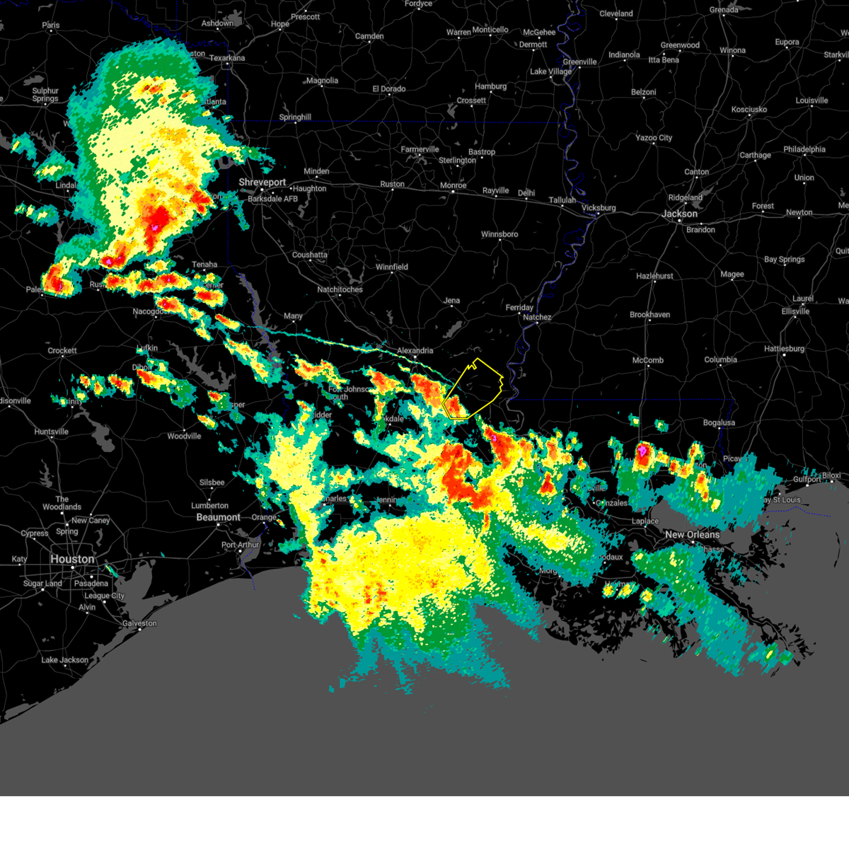
| 5/20/2025 9:21 PM CDT | At 921 pm cdt, a severe thunderstorm was located over effie, moving east at 25 mph (radar indicated). Hazards include golf ball size hail and 60 mph wind gusts. People and animals outdoors will be injured. expect hail damage to roofs, siding, windows, and vehicles. expect wind damage to roofs, siding, and trees. Locations impacted include, marksville, effie, bordelonville, brouillette, poland, centerpoint, lake ophelia national wildlife refuge, ruby, and deville. |
| 5/20/2025 9:01 PM CDT |
 Svrlch the national weather service in lake charles has issued a * severe thunderstorm warning for, northeastern rapides parish in central louisiana, northwestern avoyelles parish in central louisiana, * until 945 pm cdt. * at 901 pm cdt, a severe thunderstorm was located over kolin, or near pineville, moving east at 35 mph (radar indicated). Hazards include 60 mph wind gusts and half dollar size hail. Hail damage to vehicles is expected. Expect wind damage to roofs, siding, and trees. Svrlch the national weather service in lake charles has issued a * severe thunderstorm warning for, northeastern rapides parish in central louisiana, northwestern avoyelles parish in central louisiana, * until 945 pm cdt. * at 901 pm cdt, a severe thunderstorm was located over kolin, or near pineville, moving east at 35 mph (radar indicated). Hazards include 60 mph wind gusts and half dollar size hail. Hail damage to vehicles is expected. Expect wind damage to roofs, siding, and trees.
|
| 4/25/2025 5:24 PM CDT |
 the severe thunderstorm warning has been cancelled and is no longer in effect the severe thunderstorm warning has been cancelled and is no longer in effect
|
| 4/25/2025 5:18 PM CDT |
 At 517 pm cdt, a severe thunderstorm was located over plaucheville, or near moreauville, moving southeast at 15 mph (radar indicated). Hazards include 60 mph wind gusts and quarter size hail. Hail damage to vehicles is expected. expect wind damage to roofs, siding, and trees. Locations impacted include, hamburg, moreauville, simmesport, and plaucheville. At 517 pm cdt, a severe thunderstorm was located over plaucheville, or near moreauville, moving southeast at 15 mph (radar indicated). Hazards include 60 mph wind gusts and quarter size hail. Hail damage to vehicles is expected. expect wind damage to roofs, siding, and trees. Locations impacted include, hamburg, moreauville, simmesport, and plaucheville.
|
| 4/25/2025 4:44 PM CDT |
 Svrlch the national weather service in lake charles has issued a * severe thunderstorm warning for, southeastern avoyelles parish in central louisiana, * until 545 pm cdt. * at 443 pm cdt, a severe thunderstorm was located near bordelonville, moving southeast at 10 mph (radar indicated). Hazards include 60 mph wind gusts and quarter size hail. Hail damage to vehicles is expected. Expect wind damage to roofs, siding, and trees. Svrlch the national weather service in lake charles has issued a * severe thunderstorm warning for, southeastern avoyelles parish in central louisiana, * until 545 pm cdt. * at 443 pm cdt, a severe thunderstorm was located near bordelonville, moving southeast at 10 mph (radar indicated). Hazards include 60 mph wind gusts and quarter size hail. Hail damage to vehicles is expected. Expect wind damage to roofs, siding, and trees.
|
| 4/22/2025 4:13 PM CDT |
 Svrlch the national weather service in lake charles has issued a * severe thunderstorm warning for, southeastern avoyelles parish in central louisiana, northeastern st. landry parish in central louisiana, * until 515 pm cdt. * at 412 pm cdt, a severe thunderstorm was located over goudeau, or near morrow, moving northeast at 10 mph (radar indicated). Hazards include quarter size hail. damage to vehicles is expected Svrlch the national weather service in lake charles has issued a * severe thunderstorm warning for, southeastern avoyelles parish in central louisiana, northeastern st. landry parish in central louisiana, * until 515 pm cdt. * at 412 pm cdt, a severe thunderstorm was located over goudeau, or near morrow, moving northeast at 10 mph (radar indicated). Hazards include quarter size hail. damage to vehicles is expected
|
| 3/4/2025 1:57 PM CST |
 Svrlch the national weather service in lake charles has issued a * severe thunderstorm warning for, southeastern avoyelles parish in central louisiana, * until 215 pm cst. * at 157 pm cst, a severe thunderstorm was located over simmesport, moving northeast at 80 mph (radar indicated). Hazards include 60 mph wind gusts and penny size hail. expect damage to roofs, siding, and trees Svrlch the national weather service in lake charles has issued a * severe thunderstorm warning for, southeastern avoyelles parish in central louisiana, * until 215 pm cst. * at 157 pm cst, a severe thunderstorm was located over simmesport, moving northeast at 80 mph (radar indicated). Hazards include 60 mph wind gusts and penny size hail. expect damage to roofs, siding, and trees
|
| 2/12/2025 5:05 PM CST |
 The storm which prompted the warning has weakened below severe limits, and has exited the warned area. therefore, the warning will be allowed to expire. a tornado watch remains in effect until 800 pm cst for central louisiana. The storm which prompted the warning has weakened below severe limits, and has exited the warned area. therefore, the warning will be allowed to expire. a tornado watch remains in effect until 800 pm cst for central louisiana.
|
| 2/12/2025 4:38 PM CST |
 At 438 pm cst, a severe thunderstorm was located near black hawk, or 14 miles northeast of bordelonville, moving northeast at 60 mph (radar indicated). Hazards include 60 mph wind gusts and penny size hail. Expect damage to roofs, siding, and trees. Locations impacted include, bordelonville, bayou current, big cane, goudeau, dupont, big bend, hamburg, plaucheville, and simmesport. At 438 pm cst, a severe thunderstorm was located near black hawk, or 14 miles northeast of bordelonville, moving northeast at 60 mph (radar indicated). Hazards include 60 mph wind gusts and penny size hail. Expect damage to roofs, siding, and trees. Locations impacted include, bordelonville, bayou current, big cane, goudeau, dupont, big bend, hamburg, plaucheville, and simmesport.
|
| 2/12/2025 4:14 PM CST |
 Svrlch the national weather service in lake charles has issued a * severe thunderstorm warning for, southeastern avoyelles parish in central louisiana, northeastern st. landry parish in central louisiana, * until 515 pm cst. * at 414 pm cst, a severe thunderstorm was located over plaucheville, or near moreauville, moving northeast at 60 mph (radar indicated). Hazards include 60 mph wind gusts and penny size hail. expect damage to roofs, siding, and trees Svrlch the national weather service in lake charles has issued a * severe thunderstorm warning for, southeastern avoyelles parish in central louisiana, northeastern st. landry parish in central louisiana, * until 515 pm cst. * at 414 pm cst, a severe thunderstorm was located over plaucheville, or near moreauville, moving northeast at 60 mph (radar indicated). Hazards include 60 mph wind gusts and penny size hail. expect damage to roofs, siding, and trees
|
| 2/12/2025 3:37 PM CST |
 The storm which prompted the warning has weakened below severe limits, and no longer poses an immediate threat to life or property. therefore, the warning will be allowed to expire. however heavy rain is still possible with this thunderstorm. a tornado watch remains in effect until 800 pm cst for central louisiana. The storm which prompted the warning has weakened below severe limits, and no longer poses an immediate threat to life or property. therefore, the warning will be allowed to expire. however heavy rain is still possible with this thunderstorm. a tornado watch remains in effect until 800 pm cst for central louisiana.
|
| 2/12/2025 3:11 PM CST |
 Svrlch the national weather service in lake charles has issued a * severe thunderstorm warning for, southeastern rapides parish in central louisiana, central avoyelles parish in central louisiana, * until 345 pm cst. * at 311 pm cst, a severe thunderstorm was located near echo, or near cheneyville, moving east at 45 mph (radar indicated). Hazards include 60 mph wind gusts and penny size hail. expect damage to roofs, siding, and trees Svrlch the national weather service in lake charles has issued a * severe thunderstorm warning for, southeastern rapides parish in central louisiana, central avoyelles parish in central louisiana, * until 345 pm cst. * at 311 pm cst, a severe thunderstorm was located near echo, or near cheneyville, moving east at 45 mph (radar indicated). Hazards include 60 mph wind gusts and penny size hail. expect damage to roofs, siding, and trees
|
| 2/12/2025 1:28 PM CST |
 The storm which prompted the warning has moved out of the area. therefore, the warning will be allowed to expire. a tornado watch remains in effect until 800 pm cst for central louisiana. The storm which prompted the warning has moved out of the area. therefore, the warning will be allowed to expire. a tornado watch remains in effect until 800 pm cst for central louisiana.
|
| 2/12/2025 1:20 PM CST |
 Torlch the national weather service in lake charles has issued a * tornado warning for, northeastern avoyelles parish in central louisiana, * until 130 pm cst. * at 120 pm cst, a severe thunderstorm capable of producing a tornado was located near lake ophelia national wildlife refuge, or near bordelonville, moving northeast at 50 mph (radar indicated rotation). Hazards include tornado. Flying debris will be dangerous to those caught without shelter. mobile homes will be damaged or destroyed. damage to roofs, windows, and vehicles will occur. tree damage is likely. This tornadic thunderstorm will remain over mainly rural areas of northeastern avoyelles parish. Torlch the national weather service in lake charles has issued a * tornado warning for, northeastern avoyelles parish in central louisiana, * until 130 pm cst. * at 120 pm cst, a severe thunderstorm capable of producing a tornado was located near lake ophelia national wildlife refuge, or near bordelonville, moving northeast at 50 mph (radar indicated rotation). Hazards include tornado. Flying debris will be dangerous to those caught without shelter. mobile homes will be damaged or destroyed. damage to roofs, windows, and vehicles will occur. tree damage is likely. This tornadic thunderstorm will remain over mainly rural areas of northeastern avoyelles parish.
|
| 1/30/2025 11:18 PM CST |
 At 1118 pm cst, a severe thunderstorm was located near acme, or 11 miles northeast of bordelonville, moving northeast at 65 mph (radar indicated). Hazards include 60 mph wind gusts. Expect damage to roofs, siding, and trees. Locations impacted include, big bend, bordelonville, and lake ophelia national wildlife refuge. At 1118 pm cst, a severe thunderstorm was located near acme, or 11 miles northeast of bordelonville, moving northeast at 65 mph (radar indicated). Hazards include 60 mph wind gusts. Expect damage to roofs, siding, and trees. Locations impacted include, big bend, bordelonville, and lake ophelia national wildlife refuge.
|
| 1/30/2025 11:10 PM CST |
 Svrlch the national weather service in lake charles has issued a * severe thunderstorm warning for, central avoyelles parish in central louisiana, * until 1130 pm cst. * at 1109 pm cst, a severe thunderstorm was located over bordelonville, moving northeast at 65 mph (radar indicated). Hazards include 60 mph wind gusts. expect damage to roofs, siding, and trees Svrlch the national weather service in lake charles has issued a * severe thunderstorm warning for, central avoyelles parish in central louisiana, * until 1130 pm cst. * at 1109 pm cst, a severe thunderstorm was located over bordelonville, moving northeast at 65 mph (radar indicated). Hazards include 60 mph wind gusts. expect damage to roofs, siding, and trees
|
| 12/28/2024 5:09 PM CST |
 Svrlch the national weather service in lake charles has issued a * severe thunderstorm warning for, east central evangeline parish in central louisiana, avoyelles parish in central louisiana, northeastern st. landry parish in central louisiana, * until 615 pm cst. * at 509 pm cst, severe thunderstorms were located along a line extending from near acme to near indian lake, moving southeast at 60 mph (radar indicated). Hazards include 60 mph wind gusts. expect damage to roofs, siding, and trees Svrlch the national weather service in lake charles has issued a * severe thunderstorm warning for, east central evangeline parish in central louisiana, avoyelles parish in central louisiana, northeastern st. landry parish in central louisiana, * until 615 pm cst. * at 509 pm cst, severe thunderstorms were located along a line extending from near acme to near indian lake, moving southeast at 60 mph (radar indicated). Hazards include 60 mph wind gusts. expect damage to roofs, siding, and trees
|
| 11/5/2024 10:46 AM CST |
 the severe thunderstorm warning has been cancelled and is no longer in effect the severe thunderstorm warning has been cancelled and is no longer in effect
|
| 11/5/2024 10:36 AM CST |
 At 1036 am cst, a severe thunderstorm was located near brouillette, or near marksville, moving northeast at 20 mph (radar indicated). Hazards include 60 mph wind gusts. Expect damage to roofs, siding, and trees. Locations impacted include, marksville, bordelonville, brouillette, and lake ophelia national wildlife refuge. At 1036 am cst, a severe thunderstorm was located near brouillette, or near marksville, moving northeast at 20 mph (radar indicated). Hazards include 60 mph wind gusts. Expect damage to roofs, siding, and trees. Locations impacted include, marksville, bordelonville, brouillette, and lake ophelia national wildlife refuge.
|
| 11/5/2024 10:15 AM CST |
 Svrlch the national weather service in lake charles has issued a * severe thunderstorm warning for, central avoyelles parish in central louisiana, * until 1115 am cst. * at 1015 am cst, a severe thunderstorm was located over mansura, or near marksville, moving northeast at 20 mph (radar indicated). Hazards include 60 mph wind gusts. expect damage to roofs, siding, and trees Svrlch the national weather service in lake charles has issued a * severe thunderstorm warning for, central avoyelles parish in central louisiana, * until 1115 am cst. * at 1015 am cst, a severe thunderstorm was located over mansura, or near marksville, moving northeast at 20 mph (radar indicated). Hazards include 60 mph wind gusts. expect damage to roofs, siding, and trees
|
| 6/4/2024 3:44 PM CDT |
 Svrlch the national weather service in lake charles has issued a * severe thunderstorm warning for, lafayette parish in south central louisiana, eastern jefferson davis parish in southwestern louisiana, evangeline parish in central louisiana, acadia parish in southwestern louisiana, northwestern vermilion parish in southwestern louisiana, avoyelles parish in central louisiana, northwestern st. martin parish in south central louisiana, st. landry parish in central louisiana, allen parish in southwestern louisiana, * until 445 pm cdt. * at 344 pm cdt, severe thunderstorms were located along a line extending from near fort adams to ville platte to near reeves, moving southeast at 35 mph (radar indicated). Hazards include 60 mph wind gusts and nickel size hail. expect damage to roofs, siding, and trees Svrlch the national weather service in lake charles has issued a * severe thunderstorm warning for, lafayette parish in south central louisiana, eastern jefferson davis parish in southwestern louisiana, evangeline parish in central louisiana, acadia parish in southwestern louisiana, northwestern vermilion parish in southwestern louisiana, avoyelles parish in central louisiana, northwestern st. martin parish in south central louisiana, st. landry parish in central louisiana, allen parish in southwestern louisiana, * until 445 pm cdt. * at 344 pm cdt, severe thunderstorms were located along a line extending from near fort adams to ville platte to near reeves, moving southeast at 35 mph (radar indicated). Hazards include 60 mph wind gusts and nickel size hail. expect damage to roofs, siding, and trees
|
| 6/4/2024 2:39 PM CDT |
 Svrlch the national weather service in lake charles has issued a * severe thunderstorm warning for, southeastern rapides parish in central louisiana, northeastern jefferson davis parish in southwestern louisiana, evangeline parish in central louisiana, northeastern beauregard parish in southwestern louisiana, avoyelles parish in central louisiana, north central st. landry parish in central louisiana, southeastern vernon parish in west central louisiana, allen parish in southwestern louisiana, * until 345 pm cdt. * at 239 pm cdt, a severe thunderstorm was located over hineston, moving southeast at 10 mph (radar indicated). Hazards include 60 mph wind gusts and penny size hail. expect damage to roofs, siding, and trees Svrlch the national weather service in lake charles has issued a * severe thunderstorm warning for, southeastern rapides parish in central louisiana, northeastern jefferson davis parish in southwestern louisiana, evangeline parish in central louisiana, northeastern beauregard parish in southwestern louisiana, avoyelles parish in central louisiana, north central st. landry parish in central louisiana, southeastern vernon parish in west central louisiana, allen parish in southwestern louisiana, * until 345 pm cdt. * at 239 pm cdt, a severe thunderstorm was located over hineston, moving southeast at 10 mph (radar indicated). Hazards include 60 mph wind gusts and penny size hail. expect damage to roofs, siding, and trees
|
| 6/1/2024 5:39 PM CDT |
 the severe thunderstorm warning has been cancelled and is no longer in effect the severe thunderstorm warning has been cancelled and is no longer in effect
|
| 6/1/2024 5:33 PM CDT |
 At 533 pm cdt, a severe thunderstorm was located over moreauville, moving northeast at 25 mph (radar indicated). Hazards include 60 mph wind gusts and quarter size hail. Hail damage to vehicles is expected. expect wind damage to roofs, siding, and trees. Locations impacted include, marksville, simmesport, moreauville, bordelonville, cottonport, mansura, plaucheville, dupont, big bend, lake ophelia national wildlife refuge, brouillette, and hamburg. At 533 pm cdt, a severe thunderstorm was located over moreauville, moving northeast at 25 mph (radar indicated). Hazards include 60 mph wind gusts and quarter size hail. Hail damage to vehicles is expected. expect wind damage to roofs, siding, and trees. Locations impacted include, marksville, simmesport, moreauville, bordelonville, cottonport, mansura, plaucheville, dupont, big bend, lake ophelia national wildlife refuge, brouillette, and hamburg.
|
| 6/1/2024 5:14 PM CDT |
 Svrlch the national weather service in lake charles has issued a * severe thunderstorm warning for, avoyelles parish in central louisiana, * until 615 pm cdt. * at 514 pm cdt, a severe thunderstorm was located over evergreen, or near bunkie, moving northeast at 25 mph (radar indicated). Hazards include 60 mph wind gusts and quarter size hail. Hail damage to vehicles is expected. Expect wind damage to roofs, siding, and trees. Svrlch the national weather service in lake charles has issued a * severe thunderstorm warning for, avoyelles parish in central louisiana, * until 615 pm cdt. * at 514 pm cdt, a severe thunderstorm was located over evergreen, or near bunkie, moving northeast at 25 mph (radar indicated). Hazards include 60 mph wind gusts and quarter size hail. Hail damage to vehicles is expected. Expect wind damage to roofs, siding, and trees.
|
| 5/30/2024 11:35 PM CDT |
 The storms which prompted the warning have moved out of the area. therefore, the warning will be allowed to expire. a severe thunderstorm watch remains in effect until midnight cdt for central louisiana. The storms which prompted the warning have moved out of the area. therefore, the warning will be allowed to expire. a severe thunderstorm watch remains in effect until midnight cdt for central louisiana.
|
| 5/30/2024 11:23 PM CDT |
 At 1123 pm cdt, severe thunderstorms were located along a line extending from slocum to near fort adams to 6 miles northeast of batchelor, moving east at 35 mph (radar indicated). Hazards include 60 mph wind gusts and penny size hail. Expect damage to roofs, siding, and trees. Locations impacted include, simmesport and big bend. At 1123 pm cdt, severe thunderstorms were located along a line extending from slocum to near fort adams to 6 miles northeast of batchelor, moving east at 35 mph (radar indicated). Hazards include 60 mph wind gusts and penny size hail. Expect damage to roofs, siding, and trees. Locations impacted include, simmesport and big bend.
|
| 5/30/2024 10:58 PM CDT |
 The storms which prompted the warning continue and a new severe thunderstorm warning has been issued. a severe thunderstorm watch remains in effect until midnight cdt for central louisiana. remember, a severe thunderstorm warning still remains in effect for eastern portions of avoyelles parish until 1145 pm. The storms which prompted the warning continue and a new severe thunderstorm warning has been issued. a severe thunderstorm watch remains in effect until midnight cdt for central louisiana. remember, a severe thunderstorm warning still remains in effect for eastern portions of avoyelles parish until 1145 pm.
|
| 5/30/2024 10:57 PM CDT |
 Svrlch the national weather service in lake charles has issued a * severe thunderstorm warning for, avoyelles parish in central louisiana, * until 1145 pm cdt. * at 1057 pm cdt, severe thunderstorms were located along a line extending from lake ophelia national wildlife refuge to near simmesport to near bayou current, moving east at 35 mph (radar indicated). Hazards include 60 mph wind gusts and penny size hail. expect damage to roofs, siding, and trees Svrlch the national weather service in lake charles has issued a * severe thunderstorm warning for, avoyelles parish in central louisiana, * until 1145 pm cdt. * at 1057 pm cdt, severe thunderstorms were located along a line extending from lake ophelia national wildlife refuge to near simmesport to near bayou current, moving east at 35 mph (radar indicated). Hazards include 60 mph wind gusts and penny size hail. expect damage to roofs, siding, and trees
|
| 5/30/2024 10:16 PM CDT |
 At 1016 pm cdt, severe thunderstorms were located along a line extending from near holloway to near effie to near hessmer to near bunkie, moving east at 40 mph (radar indicated). Hazards include 60 mph wind gusts and penny size hail. Expect damage to roofs, siding, and trees. Locations impacted include, alexandria, pineville, marksville, bunkie, simmesport, moreauville, cheneyville, bordelonville, effie, ball, cottonport, mansura, hessmer, evergreen, plaucheville, tioga, goudeau, timber trails, esler regional airport, and lake ophelia national wildlife refuge. At 1016 pm cdt, severe thunderstorms were located along a line extending from near holloway to near effie to near hessmer to near bunkie, moving east at 40 mph (radar indicated). Hazards include 60 mph wind gusts and penny size hail. Expect damage to roofs, siding, and trees. Locations impacted include, alexandria, pineville, marksville, bunkie, simmesport, moreauville, cheneyville, bordelonville, effie, ball, cottonport, mansura, hessmer, evergreen, plaucheville, tioga, goudeau, timber trails, esler regional airport, and lake ophelia national wildlife refuge.
|
| 5/30/2024 9:56 PM CDT |
 Svrlch the national weather service in lake charles has issued a * severe thunderstorm warning for, rapides parish in central louisiana, northern evangeline parish in central louisiana, avoyelles parish in central louisiana, * until 1100 pm cdt. * at 956 pm cdt, severe thunderstorms were located along a line extending from near timber trails to near poland to near cheneyville to turkey creek, moving east at 30 mph (radar indicated). Hazards include 60 mph wind gusts and penny size hail. expect damage to roofs, siding, and trees Svrlch the national weather service in lake charles has issued a * severe thunderstorm warning for, rapides parish in central louisiana, northern evangeline parish in central louisiana, avoyelles parish in central louisiana, * until 1100 pm cdt. * at 956 pm cdt, severe thunderstorms were located along a line extending from near timber trails to near poland to near cheneyville to turkey creek, moving east at 30 mph (radar indicated). Hazards include 60 mph wind gusts and penny size hail. expect damage to roofs, siding, and trees
|
| 5/29/2024 2:04 PM CDT |
 At 204 pm cdt, a severe thunderstorm was located near lake ophelia national wildlife refuge, or near bordelonville, moving east at 40 mph (radar indicated). Hazards include 60 mph wind gusts and penny size hail. Expect damage to roofs, siding, and trees. Locations impacted include, marksville, moreauville, bordelonville, mansura, brouillette, big bend, and lake ophelia national wildlife refuge. At 204 pm cdt, a severe thunderstorm was located near lake ophelia national wildlife refuge, or near bordelonville, moving east at 40 mph (radar indicated). Hazards include 60 mph wind gusts and penny size hail. Expect damage to roofs, siding, and trees. Locations impacted include, marksville, moreauville, bordelonville, mansura, brouillette, big bend, and lake ophelia national wildlife refuge.
|
| 5/29/2024 2:04 PM CDT |
 the severe thunderstorm warning has been cancelled and is no longer in effect the severe thunderstorm warning has been cancelled and is no longer in effect
|
| 5/29/2024 1:47 PM CDT |
 Svrlch the national weather service in lake charles has issued a * severe thunderstorm warning for, southeastern rapides parish in central louisiana, central avoyelles parish in central louisiana, * until 215 pm cdt. * at 147 pm cdt, a severe thunderstorm was located near effie, moving east at 40 mph (radar indicated). Hazards include 60 mph wind gusts and penny size hail. expect damage to roofs, siding, and trees Svrlch the national weather service in lake charles has issued a * severe thunderstorm warning for, southeastern rapides parish in central louisiana, central avoyelles parish in central louisiana, * until 215 pm cdt. * at 147 pm cdt, a severe thunderstorm was located near effie, moving east at 40 mph (radar indicated). Hazards include 60 mph wind gusts and penny size hail. expect damage to roofs, siding, and trees
|
| 5/16/2024 8:27 PM CDT |
 The storms which prompted the warning have weakened below severe limits, and no longer pose an immediate threat to life or property. therefore, the warning will be allowed to expire. however gusty winds are still possible with these thunderstorms. a tornado watch remains in effect until 1000 pm cdt for central, south central and southwestern louisiana. The storms which prompted the warning have weakened below severe limits, and no longer pose an immediate threat to life or property. therefore, the warning will be allowed to expire. however gusty winds are still possible with these thunderstorms. a tornado watch remains in effect until 1000 pm cdt for central, south central and southwestern louisiana.
|
| 5/16/2024 8:05 PM CDT |
 At 805 pm cdt, severe thunderstorms were located along a line extending from near simmesport to near palmetto to near lawtell, moving east at 45 mph (radar indicated). Hazards include 60 mph wind gusts and penny size hail. Expect damage to roofs, siding, and trees. Locations impacted include, opelousas, eunice, carencro, ville platte, church point, simmesport, basile, iota, krotz springs, leonville, arnaudville, melville, moreauville, palmetto, bayou current, morrow, sunset, port barre, cottonport, and mansura. At 805 pm cdt, severe thunderstorms were located along a line extending from near simmesport to near palmetto to near lawtell, moving east at 45 mph (radar indicated). Hazards include 60 mph wind gusts and penny size hail. Expect damage to roofs, siding, and trees. Locations impacted include, opelousas, eunice, carencro, ville platte, church point, simmesport, basile, iota, krotz springs, leonville, arnaudville, melville, moreauville, palmetto, bayou current, morrow, sunset, port barre, cottonport, and mansura.
|
| 5/16/2024 8:05 PM CDT |
 the severe thunderstorm warning has been cancelled and is no longer in effect the severe thunderstorm warning has been cancelled and is no longer in effect
|
| 5/13/2024 6:07 PM CDT |
 the severe thunderstorm warning has been cancelled and is no longer in effect the severe thunderstorm warning has been cancelled and is no longer in effect
|
| 5/13/2024 6:07 PM CDT |
 At 607 pm cdt, severe thunderstorms were located along a line extending from near black hawk to near church point, moving east at 40 mph (radar indicated). Hazards include 60 mph wind gusts and quarter size hail. Hail damage to vehicles is expected. expect wind damage to roofs, siding, and trees. Locations impacted include, opelousas, church point, simmesport, krotz springs, leonville, arnaudville, melville, moreauville, palmetto, bordelonville, bayou current, morrow, sunset, port barre, washington, grand coteau, plaucheville, goudeau, prairie ronde, and lawtell. At 607 pm cdt, severe thunderstorms were located along a line extending from near black hawk to near church point, moving east at 40 mph (radar indicated). Hazards include 60 mph wind gusts and quarter size hail. Hail damage to vehicles is expected. expect wind damage to roofs, siding, and trees. Locations impacted include, opelousas, church point, simmesport, krotz springs, leonville, arnaudville, melville, moreauville, palmetto, bordelonville, bayou current, morrow, sunset, port barre, washington, grand coteau, plaucheville, goudeau, prairie ronde, and lawtell.
|
| 5/13/2024 5:47 PM CDT |
 Svrlch the national weather service in lake charles has issued a * severe thunderstorm warning for, southeastern evangeline parish in central louisiana, northern acadia parish in southwestern louisiana, avoyelles parish in central louisiana, st. landry parish in central louisiana, * until 630 pm cdt. * at 547 pm cdt, severe thunderstorms were located along a line extending from near acme to near richard, moving east at 40 mph (radar indicated). Hazards include 60 mph wind gusts and quarter size hail. Hail damage to vehicles is expected. Expect wind damage to roofs, siding, and trees. Svrlch the national weather service in lake charles has issued a * severe thunderstorm warning for, southeastern evangeline parish in central louisiana, northern acadia parish in southwestern louisiana, avoyelles parish in central louisiana, st. landry parish in central louisiana, * until 630 pm cdt. * at 547 pm cdt, severe thunderstorms were located along a line extending from near acme to near richard, moving east at 40 mph (radar indicated). Hazards include 60 mph wind gusts and quarter size hail. Hail damage to vehicles is expected. Expect wind damage to roofs, siding, and trees.
|
| 5/13/2024 5:37 PM CDT |
 At 537 pm cdt, severe thunderstorms were located along a line extending from near ville platte to bordelonville, moving east at 35 mph (radar indicated). Hazards include 60 mph wind gusts and quarter size hail. Hail damage to vehicles is expected. expect wind damage to roofs, siding, and trees. Locations impacted include, ville platte, bunkie, simmesport, moreauville, palmetto, bordelonville, bayou current, morrow, cottonport, mansura, hessmer, evergreen, plaucheville, goudeau, indian lake, chicot state park, whiteville, big cane, dupont, and big bend. At 537 pm cdt, severe thunderstorms were located along a line extending from near ville platte to bordelonville, moving east at 35 mph (radar indicated). Hazards include 60 mph wind gusts and quarter size hail. Hail damage to vehicles is expected. expect wind damage to roofs, siding, and trees. Locations impacted include, ville platte, bunkie, simmesport, moreauville, palmetto, bordelonville, bayou current, morrow, cottonport, mansura, hessmer, evergreen, plaucheville, goudeau, indian lake, chicot state park, whiteville, big cane, dupont, and big bend.
|
| 5/13/2024 5:37 PM CDT |
 the severe thunderstorm warning has been cancelled and is no longer in effect the severe thunderstorm warning has been cancelled and is no longer in effect
|
| 5/13/2024 4:56 PM CDT |
 Svrlch the national weather service in lake charles has issued a * severe thunderstorm warning for, southeastern rapides parish in central louisiana, evangeline parish in central louisiana, avoyelles parish in central louisiana, northeastern st. landry parish in central louisiana, east central allen parish in southwestern louisiana, * until 600 pm cdt. * at 456 pm cdt, severe thunderstorms were located along a line extending from near allen parish airport to plaucheville, moving northeast at 40 mph (radar indicated). Hazards include 60 mph wind gusts and quarter size hail. Hail damage to vehicles is expected. Expect wind damage to roofs, siding, and trees. Svrlch the national weather service in lake charles has issued a * severe thunderstorm warning for, southeastern rapides parish in central louisiana, evangeline parish in central louisiana, avoyelles parish in central louisiana, northeastern st. landry parish in central louisiana, east central allen parish in southwestern louisiana, * until 600 pm cdt. * at 456 pm cdt, severe thunderstorms were located along a line extending from near allen parish airport to plaucheville, moving northeast at 40 mph (radar indicated). Hazards include 60 mph wind gusts and quarter size hail. Hail damage to vehicles is expected. Expect wind damage to roofs, siding, and trees.
|
| 4/10/2024 8:07 AM CDT |
 The storms which prompted the warning have moved out of the area. therefore, the warning will be allowed to expire. however heavy rain is still possible with these thunderstorms. a tornado watch remains in effect until 900 am cdt for central louisiana. The storms which prompted the warning have moved out of the area. therefore, the warning will be allowed to expire. however heavy rain is still possible with these thunderstorms. a tornado watch remains in effect until 900 am cdt for central louisiana.
|
| 4/10/2024 7:38 AM CDT |
 At 738 am cdt, severe thunderstorms were located along a line extending from elmer to near bayou chicot to near washington, moving east at 60 mph (radar indicated). Hazards include 60 mph wind gusts and nickel size hail. Expect damage to roofs, siding, and trees. Locations impacted include, alexandria, opelousas, pineville, marksville, bunkie, simmesport, glenmora, melville, moreauville, cheneyville, turkey creek, palmetto, hineston, bordelonville, bayou current, alexandria international airport, morrow, effie, ball, and cottonport. At 738 am cdt, severe thunderstorms were located along a line extending from elmer to near bayou chicot to near washington, moving east at 60 mph (radar indicated). Hazards include 60 mph wind gusts and nickel size hail. Expect damage to roofs, siding, and trees. Locations impacted include, alexandria, opelousas, pineville, marksville, bunkie, simmesport, glenmora, melville, moreauville, cheneyville, turkey creek, palmetto, hineston, bordelonville, bayou current, alexandria international airport, morrow, effie, ball, and cottonport.
|
| 4/10/2024 7:38 AM CDT |
 the severe thunderstorm warning has been cancelled and is no longer in effect the severe thunderstorm warning has been cancelled and is no longer in effect
|
| 4/10/2024 7:18 AM CDT |
 Svrlch the national weather service in lake charles has issued a * severe thunderstorm warning for, rapides parish in central louisiana, evangeline parish in central louisiana, avoyelles parish in central louisiana, northern st. landry parish in central louisiana, southeastern vernon parish in west central louisiana, northeastern allen parish in southwestern louisiana, * until 815 am cdt. * at 718 am cdt, severe thunderstorms were located along a line extending from fullerton to near beaver to near eunice, moving northeast at 60 mph (radar indicated). Hazards include 60 mph wind gusts and quarter size hail. Hail damage to vehicles is expected. Expect wind damage to roofs, siding, and trees. Svrlch the national weather service in lake charles has issued a * severe thunderstorm warning for, rapides parish in central louisiana, evangeline parish in central louisiana, avoyelles parish in central louisiana, northern st. landry parish in central louisiana, southeastern vernon parish in west central louisiana, northeastern allen parish in southwestern louisiana, * until 815 am cdt. * at 718 am cdt, severe thunderstorms were located along a line extending from fullerton to near beaver to near eunice, moving northeast at 60 mph (radar indicated). Hazards include 60 mph wind gusts and quarter size hail. Hail damage to vehicles is expected. Expect wind damage to roofs, siding, and trees.
|
| 11/20/2023 7:57 PM CST |
 The tornado warning for east central avoyelles parish will expire at 800 pm cst, the storm which prompted the warning has moved out of the area. therefore, the warning will be allowed to expire. however small hail and gusty winds are still possible with this thunderstorm. &&. The tornado warning for east central avoyelles parish will expire at 800 pm cst, the storm which prompted the warning has moved out of the area. therefore, the warning will be allowed to expire. however small hail and gusty winds are still possible with this thunderstorm. &&.
|
| 11/20/2023 7:43 PM CST |
 At 743 pm cst, a confirmed tornado was located over big bend, or near simmesport, moving east at 40 mph (radar confirmed tornado). Hazards include damaging tornado. Flying debris will be dangerous to those caught without shelter. mobile homes will be damaged or destroyed. damage to roofs, windows, and vehicles will occur. tree damage is likely. This tornadic thunderstorm will remain over mainly rural areas of east central avoyelles parish, including the following locations, hamburg. At 743 pm cst, a confirmed tornado was located over big bend, or near simmesport, moving east at 40 mph (radar confirmed tornado). Hazards include damaging tornado. Flying debris will be dangerous to those caught without shelter. mobile homes will be damaged or destroyed. damage to roofs, windows, and vehicles will occur. tree damage is likely. This tornadic thunderstorm will remain over mainly rural areas of east central avoyelles parish, including the following locations, hamburg.
|
| 11/20/2023 7:28 PM CST |
 At 728 pm cst, a severe thunderstorm capable of producing a tornado was located over moreauville, moving east at 40 mph (radar indicated rotation). Hazards include tornado. Flying debris will be dangerous to those caught without shelter. mobile homes will be damaged or destroyed. damage to roofs, windows, and vehicles will occur. tree damage is likely. this dangerous storm will be near, simmesport, bordelonville, and big bend around 735 pm cst. Other locations impacted by this tornadic thunderstorm include hamburg. At 728 pm cst, a severe thunderstorm capable of producing a tornado was located over moreauville, moving east at 40 mph (radar indicated rotation). Hazards include tornado. Flying debris will be dangerous to those caught without shelter. mobile homes will be damaged or destroyed. damage to roofs, windows, and vehicles will occur. tree damage is likely. this dangerous storm will be near, simmesport, bordelonville, and big bend around 735 pm cst. Other locations impacted by this tornadic thunderstorm include hamburg.
|
| 11/20/2023 7:28 PM CST |
 The severe thunderstorm warning for southeastern rapides and avoyelles parishes will expire at 730 pm cst, the storm which prompted the warning has moved out of the area. therefore, the warning will be allowed to expire. &&. The severe thunderstorm warning for southeastern rapides and avoyelles parishes will expire at 730 pm cst, the storm which prompted the warning has moved out of the area. therefore, the warning will be allowed to expire. &&.
|
| 11/20/2023 6:29 PM CST |
 At 629 pm cst, a severe thunderstorm was located over ruby, or near effie, moving east at 25 mph (radar indicated). Hazards include 60 mph wind gusts and penny size hail. expect damage to roofs, siding, and trees At 629 pm cst, a severe thunderstorm was located over ruby, or near effie, moving east at 25 mph (radar indicated). Hazards include 60 mph wind gusts and penny size hail. expect damage to roofs, siding, and trees
|
| 9/8/2023 12:08 PM CDT |
 At 1208 pm cdt, severe thunderstorms were located along a line extending from near effie to near big bend, moving south at 25 mph (radar indicated). Hazards include 60 mph wind gusts and quarter size hail. Hail damage to vehicles is expected. Expect wind damage to roofs, siding, and trees. At 1208 pm cdt, severe thunderstorms were located along a line extending from near effie to near big bend, moving south at 25 mph (radar indicated). Hazards include 60 mph wind gusts and quarter size hail. Hail damage to vehicles is expected. Expect wind damage to roofs, siding, and trees.
|
| 9/7/2023 4:50 PM CDT |
 At 450 pm cdt, a severe thunderstorm was located near larto, or 15 miles north of bordelonville, moving south at 10 mph (radar indicated). Hazards include ping pong ball size hail and 60 mph wind gusts. People and animals outdoors will be injured. expect hail damage to roofs, siding, windows, and vehicles. expect wind damage to roofs, siding, and trees. locations impacted include, bordelonville and lake ophelia national wildlife refuge. hail threat, radar indicated max hail size, 1. 50 in wind threat, radar indicated max wind gust, 60 mph. At 450 pm cdt, a severe thunderstorm was located near larto, or 15 miles north of bordelonville, moving south at 10 mph (radar indicated). Hazards include ping pong ball size hail and 60 mph wind gusts. People and animals outdoors will be injured. expect hail damage to roofs, siding, windows, and vehicles. expect wind damage to roofs, siding, and trees. locations impacted include, bordelonville and lake ophelia national wildlife refuge. hail threat, radar indicated max hail size, 1. 50 in wind threat, radar indicated max wind gust, 60 mph.
|
| 9/7/2023 4:33 PM CDT |
 At 432 pm cdt, a severe thunderstorm was located over larto, or 17 miles south of jonesville, moving south at 10 mph (radar indicated). Hazards include 60 mph wind gusts and quarter size hail. Hail damage to vehicles is expected. Expect wind damage to roofs, siding, and trees. At 432 pm cdt, a severe thunderstorm was located over larto, or 17 miles south of jonesville, moving south at 10 mph (radar indicated). Hazards include 60 mph wind gusts and quarter size hail. Hail damage to vehicles is expected. Expect wind damage to roofs, siding, and trees.
|
| 7/22/2023 3:42 PM CDT |
 The severe thunderstorm warning for southeastern avoyelles parish will expire at 345 pm cdt, the storm which prompted the warning has weakened below severe limits, and no longer poses an immediate threat to life or property. therefore, the warning will be allowed to expire. however gusty winds and heavy rain are still possible with this thunderstorm. a severe thunderstorm watch remains in effect until 900 pm cdt for central louisiana. The severe thunderstorm warning for southeastern avoyelles parish will expire at 345 pm cdt, the storm which prompted the warning has weakened below severe limits, and no longer poses an immediate threat to life or property. therefore, the warning will be allowed to expire. however gusty winds and heavy rain are still possible with this thunderstorm. a severe thunderstorm watch remains in effect until 900 pm cdt for central louisiana.
|
| 7/22/2023 3:12 PM CDT |
 At 312 pm cdt, a severe thunderstorm was located over mansura, or near marksville, moving southeast at 20 mph (radar indicated). Hazards include 60 mph wind gusts and quarter size hail. Hail damage to vehicles is expected. Expect wind damage to roofs, siding, and trees. At 312 pm cdt, a severe thunderstorm was located over mansura, or near marksville, moving southeast at 20 mph (radar indicated). Hazards include 60 mph wind gusts and quarter size hail. Hail damage to vehicles is expected. Expect wind damage to roofs, siding, and trees.
|
| 6/20/2023 9:03 PM CDT |
 At 903 pm cdt, a severe thunderstorm was located near moreauville, moving southeast at 15 mph (radar indicated). Hazards include 60 mph wind gusts and quarter size hail. Hail damage to vehicles is expected. expect wind damage to roofs, siding, and trees. locations impacted include, marksville, bunkie, simmesport, moreauville, palmetto, bordelonville, bayou current, morrow, effie, cottonport, mansura, hessmer, evergreen, plaucheville, goudeau, big cane, dupont, poland, kolin and ruby. hail threat, radar indicated max hail size, 1. 00 in wind threat, radar indicated max wind gust, 60 mph. At 903 pm cdt, a severe thunderstorm was located near moreauville, moving southeast at 15 mph (radar indicated). Hazards include 60 mph wind gusts and quarter size hail. Hail damage to vehicles is expected. expect wind damage to roofs, siding, and trees. locations impacted include, marksville, bunkie, simmesport, moreauville, palmetto, bordelonville, bayou current, morrow, effie, cottonport, mansura, hessmer, evergreen, plaucheville, goudeau, big cane, dupont, poland, kolin and ruby. hail threat, radar indicated max hail size, 1. 00 in wind threat, radar indicated max wind gust, 60 mph.
|
| 6/20/2023 8:26 PM CDT |
 At 825 pm cdt, a band of severe thunderstorms were located from effie to marksville to big cane, moving southeast at 15 mph (radar indicated). Hazards include ping pong ball size hail and 60 mph wind gusts. People and animals outdoors will be injured. expect hail damage to roofs, siding, windows, and vehicles. Expect wind damage to roofs, siding, and trees. At 825 pm cdt, a band of severe thunderstorms were located from effie to marksville to big cane, moving southeast at 15 mph (radar indicated). Hazards include ping pong ball size hail and 60 mph wind gusts. People and animals outdoors will be injured. expect hail damage to roofs, siding, windows, and vehicles. Expect wind damage to roofs, siding, and trees.
|
| 6/20/2023 7:42 PM CDT |
 At 740 pm cdt, severe thunderstorms were located along a line extending from near effie to lecompte, moving southeast at 20 mph (radar indicated). Hazards include ping pong ball size hail and 60 mph wind gusts. People and animals outdoors will be injured. expect hail damage to roofs, siding, windows, and vehicles. Expect wind damage to roofs, siding, and trees. At 740 pm cdt, severe thunderstorms were located along a line extending from near effie to lecompte, moving southeast at 20 mph (radar indicated). Hazards include ping pong ball size hail and 60 mph wind gusts. People and animals outdoors will be injured. expect hail damage to roofs, siding, windows, and vehicles. Expect wind damage to roofs, siding, and trees.
|
| 6/20/2023 7:13 PM CDT |
 At 712 pm cdt, a severe thunderstorm was located over hessmer, or near marksville, moving south at 20 mph. this is a destructive storm for poland and echo areas (trained weather spotters). Hazards include baseball size hail and 60 mph wind gusts. People and animals outdoors will be severely injured. expect shattered windows, extensive damage to roofs, siding, and vehicles. locations impacted include, marksville, bunkie, moreauville, bordelonville, effie, cottonport, mansura, hessmer, evergreen, plaucheville, echo, centerpoint, ruby, deville and hamburg. thunderstorm damage threat, destructive hail threat, observed max hail size, 2. 75 in wind threat, radar indicated max wind gust, 60 mph. At 712 pm cdt, a severe thunderstorm was located over hessmer, or near marksville, moving south at 20 mph. this is a destructive storm for poland and echo areas (trained weather spotters). Hazards include baseball size hail and 60 mph wind gusts. People and animals outdoors will be severely injured. expect shattered windows, extensive damage to roofs, siding, and vehicles. locations impacted include, marksville, bunkie, moreauville, bordelonville, effie, cottonport, mansura, hessmer, evergreen, plaucheville, echo, centerpoint, ruby, deville and hamburg. thunderstorm damage threat, destructive hail threat, observed max hail size, 2. 75 in wind threat, radar indicated max wind gust, 60 mph.
|
| 6/20/2023 6:38 PM CDT |
 At 638 pm cdt, a severe thunderstorm was located over centerpoint, or near effie, moving south at 20 mph (radar indicated). Hazards include ping pong ball size hail and 60 mph wind gusts. People and animals outdoors will be injured. expect hail damage to roofs, siding, windows, and vehicles. Expect wind damage to roofs, siding, and trees. At 638 pm cdt, a severe thunderstorm was located over centerpoint, or near effie, moving south at 20 mph (radar indicated). Hazards include ping pong ball size hail and 60 mph wind gusts. People and animals outdoors will be injured. expect hail damage to roofs, siding, windows, and vehicles. Expect wind damage to roofs, siding, and trees.
|
| 6/16/2023 4:06 AM CDT |
 The severe thunderstorm warning for avoyelles parish will expire at 415 am cdt, the storms which prompted the warning have weakened below severe limits, and no longer pose an immediate threat to life or property. therefore, the warning will be allowed to expire. however gusty winds are still possible with these thunderstorms. a severe thunderstorm watch remains in effect until 1000 am cdt for central louisiana. The severe thunderstorm warning for avoyelles parish will expire at 415 am cdt, the storms which prompted the warning have weakened below severe limits, and no longer pose an immediate threat to life or property. therefore, the warning will be allowed to expire. however gusty winds are still possible with these thunderstorms. a severe thunderstorm watch remains in effect until 1000 am cdt for central louisiana.
|
| 6/16/2023 3:57 AM CDT |
 At 356 am cdt, severe thunderstorms were located along a line extending from jonesville to near poland, moving southeast at 55 mph (radar indicated). Hazards include 60 mph wind gusts and quarter size hail. Hail damage to vehicles is expected. expect wind damage to roofs, siding, and trees. locations impacted include, marksville, simmesport, moreauville, bordelonville, effie, cottonport, mansura, hessmer, plaucheville, brouillette, lake ophelia national wildlife refuge, big bend and hamburg. hail threat, radar indicated max hail size, 1. 00 in wind threat, radar indicated max wind gust, 60 mph. At 356 am cdt, severe thunderstorms were located along a line extending from jonesville to near poland, moving southeast at 55 mph (radar indicated). Hazards include 60 mph wind gusts and quarter size hail. Hail damage to vehicles is expected. expect wind damage to roofs, siding, and trees. locations impacted include, marksville, simmesport, moreauville, bordelonville, effie, cottonport, mansura, hessmer, plaucheville, brouillette, lake ophelia national wildlife refuge, big bend and hamburg. hail threat, radar indicated max hail size, 1. 00 in wind threat, radar indicated max wind gust, 60 mph.
|
| 6/16/2023 3:37 AM CDT |
 At 337 am cdt, severe thunderstorms were located along a line extending from near jena to near alexandria international airport, moving southeast at 55 mph (radar indicated). Hazards include 60 mph wind gusts and quarter size hail. Hail damage to vehicles is expected. expect wind damage to roofs, siding, and trees. locations impacted include, alexandria, pineville, marksville, simmesport, moreauville, bordelonville, effie, ball, cottonport, mansura, hessmer, plaucheville, tioga, timber trails, esler regional airport, lake ophelia national wildlife refuge, kingsville, poland, kolin and ruby. hail threat, radar indicated max hail size, 1. 00 in wind threat, radar indicated max wind gust, 60 mph. At 337 am cdt, severe thunderstorms were located along a line extending from near jena to near alexandria international airport, moving southeast at 55 mph (radar indicated). Hazards include 60 mph wind gusts and quarter size hail. Hail damage to vehicles is expected. expect wind damage to roofs, siding, and trees. locations impacted include, alexandria, pineville, marksville, simmesport, moreauville, bordelonville, effie, ball, cottonport, mansura, hessmer, plaucheville, tioga, timber trails, esler regional airport, lake ophelia national wildlife refuge, kingsville, poland, kolin and ruby. hail threat, radar indicated max hail size, 1. 00 in wind threat, radar indicated max wind gust, 60 mph.
|
| 6/16/2023 3:08 AM CDT |
 At 308 am cdt, severe thunderstorms were located along a line extending from 10 miles west of olla to 7 miles north of flatwoods, moving southeast at 55 mph (radar indicated). Hazards include 60 mph wind gusts and quarter size hail. Hail damage to vehicles is expected. Expect wind damage to roofs, siding, and trees. At 308 am cdt, severe thunderstorms were located along a line extending from 10 miles west of olla to 7 miles north of flatwoods, moving southeast at 55 mph (radar indicated). Hazards include 60 mph wind gusts and quarter size hail. Hail damage to vehicles is expected. Expect wind damage to roofs, siding, and trees.
|
| 3/26/2023 5:41 PM CDT |
 At 541 pm cdt, a severe thunderstorm was located near big bend, or 9 miles northeast of simmesport, moving east at 40 mph (radar indicated). Hazards include ping pong ball size hail and 60 mph wind gusts. People and animals outdoors will be injured. expect hail damage to roofs, siding, windows, and vehicles. expect wind damage to roofs, siding, and trees. Locations impacted include, big bend. At 541 pm cdt, a severe thunderstorm was located near big bend, or 9 miles northeast of simmesport, moving east at 40 mph (radar indicated). Hazards include ping pong ball size hail and 60 mph wind gusts. People and animals outdoors will be injured. expect hail damage to roofs, siding, windows, and vehicles. expect wind damage to roofs, siding, and trees. Locations impacted include, big bend.
|
| 3/26/2023 5:38 PM CDT |
 At 538 pm cdt, a severe thunderstorm was located over big bend, or 8 miles east of bordelonville, moving east at 40 mph (radar indicated). Hazards include ping pong ball size hail and 60 mph wind gusts. People and animals outdoors will be injured. expect hail damage to roofs, siding, windows, and vehicles. Expect wind damage to roofs, siding, and trees. At 538 pm cdt, a severe thunderstorm was located over big bend, or 8 miles east of bordelonville, moving east at 40 mph (radar indicated). Hazards include ping pong ball size hail and 60 mph wind gusts. People and animals outdoors will be injured. expect hail damage to roofs, siding, windows, and vehicles. Expect wind damage to roofs, siding, and trees.
|
| 3/26/2023 5:29 PM CDT |
 At 529 pm cdt, a severe thunderstorm capable of producing a tornado was located over moreauville, moving northeast at 50 mph (radar indicated rotation). Hazards include tornado and ping pong ball size hail. Flying debris will be dangerous to those caught without shelter. mobile homes will be damaged or destroyed. damage to roofs, windows, and vehicles will occur. tree damage is likely. this dangerous storm will be near, big bend around 540 pm cdt. Other locations impacted by this tornadic thunderstorm include hamburg. At 529 pm cdt, a severe thunderstorm capable of producing a tornado was located over moreauville, moving northeast at 50 mph (radar indicated rotation). Hazards include tornado and ping pong ball size hail. Flying debris will be dangerous to those caught without shelter. mobile homes will be damaged or destroyed. damage to roofs, windows, and vehicles will occur. tree damage is likely. this dangerous storm will be near, big bend around 540 pm cdt. Other locations impacted by this tornadic thunderstorm include hamburg.
|
| 3/26/2023 5:26 PM CDT |
 At 526 pm cdt, a severe thunderstorm was located near bordelonville, moving east at 40 mph (radar indicated). Hazards include ping pong ball size hail and 60 mph wind gusts. People and animals outdoors will be injured. expect hail damage to roofs, siding, windows, and vehicles. expect wind damage to roofs, siding, and trees. Locations impacted include, marksville, simmesport, moreauville, bordelonville, cottonport, mansura, hessmer, evergreen, plaucheville, brouillette, lake ophelia national wildlife refuge, big bend and hamburg. At 526 pm cdt, a severe thunderstorm was located near bordelonville, moving east at 40 mph (radar indicated). Hazards include ping pong ball size hail and 60 mph wind gusts. People and animals outdoors will be injured. expect hail damage to roofs, siding, windows, and vehicles. expect wind damage to roofs, siding, and trees. Locations impacted include, marksville, simmesport, moreauville, bordelonville, cottonport, mansura, hessmer, evergreen, plaucheville, brouillette, lake ophelia national wildlife refuge, big bend and hamburg.
|
| 3/26/2023 5:18 PM CDT |
 At 517 pm cdt, a severe thunderstorm capable of producing a tornado was located over cottonport, or near moreauville, moving northeast at 35 mph (radar indicated rotation). Hazards include tornado and hail up to two inches in diameter. Flying debris will be dangerous to those caught without shelter. mobile homes will be damaged or destroyed. damage to roofs, windows, and vehicles will occur. tree damage is likely. this dangerous storm will be near, moreauville around 525 pm cdt. bordelonville around 535 pm cdt. big bend and lake ophelia national wildlife refuge around 545 pm cdt. Other locations impacted by this tornadic thunderstorm include hamburg. At 517 pm cdt, a severe thunderstorm capable of producing a tornado was located over cottonport, or near moreauville, moving northeast at 35 mph (radar indicated rotation). Hazards include tornado and hail up to two inches in diameter. Flying debris will be dangerous to those caught without shelter. mobile homes will be damaged or destroyed. damage to roofs, windows, and vehicles will occur. tree damage is likely. this dangerous storm will be near, moreauville around 525 pm cdt. bordelonville around 535 pm cdt. big bend and lake ophelia national wildlife refuge around 545 pm cdt. Other locations impacted by this tornadic thunderstorm include hamburg.
|
| 3/26/2023 5:09 PM CDT |
 At 508 pm cdt, a severe thunderstorm was located over hessmer, or near bunkie, moving east at 40 mph (radar indicated). Hazards include two inch hail and 60 mph wind gusts. People and animals outdoors will be injured. expect hail damage to roofs, siding, windows, and vehicles. expect wind damage to roofs, siding, and trees. Locations impacted include, marksville, bunkie, simmesport, moreauville, bordelonville, cottonport, mansura, hessmer, evergreen, plaucheville, echo, brouillette, lake ophelia national wildlife refuge, big bend, dupont and hamburg. At 508 pm cdt, a severe thunderstorm was located over hessmer, or near bunkie, moving east at 40 mph (radar indicated). Hazards include two inch hail and 60 mph wind gusts. People and animals outdoors will be injured. expect hail damage to roofs, siding, windows, and vehicles. expect wind damage to roofs, siding, and trees. Locations impacted include, marksville, bunkie, simmesport, moreauville, bordelonville, cottonport, mansura, hessmer, evergreen, plaucheville, echo, brouillette, lake ophelia national wildlife refuge, big bend, dupont and hamburg.
|
| 3/26/2023 4:56 PM CDT |
 At 456 pm cdt, a severe thunderstorm was located over cheneyville, moving east at 40 mph (radar indicated). Hazards include two inch hail and 60 mph wind gusts. People and animals outdoors will be injured. expect hail damage to roofs, siding, windows, and vehicles. Expect wind damage to roofs, siding, and trees. At 456 pm cdt, a severe thunderstorm was located over cheneyville, moving east at 40 mph (radar indicated). Hazards include two inch hail and 60 mph wind gusts. People and animals outdoors will be injured. expect hail damage to roofs, siding, windows, and vehicles. Expect wind damage to roofs, siding, and trees.
|
| 2/8/2023 7:10 PM CST |
 At 710 pm cst, a severe thunderstorm was located over dupont, or near simmesport, moving northeast at 50 mph (radar indicated). Hazards include 60 mph wind gusts. expect damage to roofs, siding, and trees At 710 pm cst, a severe thunderstorm was located over dupont, or near simmesport, moving northeast at 50 mph (radar indicated). Hazards include 60 mph wind gusts. expect damage to roofs, siding, and trees
|
| 1/3/2023 6:25 PM CST |
 At 625 pm cst, a severe thunderstorm was located near lake ophelia national wildlife refuge, or near bordelonville, moving northeast at 35 mph (radar indicated). Hazards include golf ball size hail and 60 mph wind gusts. People and animals outdoors will be injured. expect hail damage to roofs, siding, windows, and vehicles. expect wind damage to roofs, siding, and trees. locations impacted include, marksville, bordelonville, brouillette and lake ophelia national wildlife refuge. thunderstorm damage threat, considerable hail threat, radar indicated max hail size, 1. 75 in wind threat, radar indicated max wind gust, 60 mph. At 625 pm cst, a severe thunderstorm was located near lake ophelia national wildlife refuge, or near bordelonville, moving northeast at 35 mph (radar indicated). Hazards include golf ball size hail and 60 mph wind gusts. People and animals outdoors will be injured. expect hail damage to roofs, siding, windows, and vehicles. expect wind damage to roofs, siding, and trees. locations impacted include, marksville, bordelonville, brouillette and lake ophelia national wildlife refuge. thunderstorm damage threat, considerable hail threat, radar indicated max hail size, 1. 75 in wind threat, radar indicated max wind gust, 60 mph.
|
| 1/3/2023 6:11 PM CST |
 At 610 pm cst, a severe thunderstorm was located over mansura, or over marksville, moving northeast at 35 mph (radar indicated). Hazards include 60 mph wind gusts and quarter size hail. Hail damage to vehicles is expected. Expect wind damage to roofs, siding, and trees. At 610 pm cst, a severe thunderstorm was located over mansura, or over marksville, moving northeast at 35 mph (radar indicated). Hazards include 60 mph wind gusts and quarter size hail. Hail damage to vehicles is expected. Expect wind damage to roofs, siding, and trees.
|
| 12/30/2022 4:59 AM CST |
 At 459 am cst, a severe thunderstorm was located over hessmer, or near marksville, moving east at 50 mph (radar indicated). Hazards include 60 mph wind gusts and nickel size hail. Expect damage to roofs, siding, and trees. locations impacted include, bunkie, moreauville, bordelonville, cottonport, mansura, hessmer and hamburg. hail threat, radar indicated max hail size, 0. 88 in wind threat, radar indicated max wind gust, 60 mph. At 459 am cst, a severe thunderstorm was located over hessmer, or near marksville, moving east at 50 mph (radar indicated). Hazards include 60 mph wind gusts and nickel size hail. Expect damage to roofs, siding, and trees. locations impacted include, bunkie, moreauville, bordelonville, cottonport, mansura, hessmer and hamburg. hail threat, radar indicated max hail size, 0. 88 in wind threat, radar indicated max wind gust, 60 mph.
|
| 12/30/2022 4:40 AM CST |
 At 440 am cst, a severe thunderstorm was located near cheneyville, moving east at 50 mph (radar indicated). Hazards include 60 mph wind gusts and nickel size hail. expect damage to roofs, siding, and trees At 440 am cst, a severe thunderstorm was located near cheneyville, moving east at 50 mph (radar indicated). Hazards include 60 mph wind gusts and nickel size hail. expect damage to roofs, siding, and trees
|
| 12/14/2022 9:57 AM CST |
 The tornado warning for southeastern avoyelles parish will expire at 1000 am cst, the storm which prompted the warning has weakened below severe limits, and no longer appears capable of producing a tornado. therefore, the warning will be allowed to expire. however gusty winds and heavy rain are still possible with this thunderstorm. to report severe weather, contact your nearest law enforcement agency. they will relay your report to the national weather service lake charles. The tornado warning for southeastern avoyelles parish will expire at 1000 am cst, the storm which prompted the warning has weakened below severe limits, and no longer appears capable of producing a tornado. therefore, the warning will be allowed to expire. however gusty winds and heavy rain are still possible with this thunderstorm. to report severe weather, contact your nearest law enforcement agency. they will relay your report to the national weather service lake charles.
|
| 12/14/2022 9:51 AM CST |
 At 951 am cst, a severe thunderstorm capable of producing a tornado was located over dupont, or 8 miles south of moreauville, moving northeast at 45 mph (radar indicated rotation). Hazards include tornado. Flying debris will be dangerous to those caught without shelter. mobile homes will be damaged or destroyed. damage to roofs, windows, and vehicles will occur. tree damage is likely. this dangerous storm will be near, moreauville around 1000 am cst. simmesport around 1005 am cst. Other locations impacted by this tornadic thunderstorm include hamburg. At 951 am cst, a severe thunderstorm capable of producing a tornado was located over dupont, or 8 miles south of moreauville, moving northeast at 45 mph (radar indicated rotation). Hazards include tornado. Flying debris will be dangerous to those caught without shelter. mobile homes will be damaged or destroyed. damage to roofs, windows, and vehicles will occur. tree damage is likely. this dangerous storm will be near, moreauville around 1000 am cst. simmesport around 1005 am cst. Other locations impacted by this tornadic thunderstorm include hamburg.
|
| 12/14/2022 9:36 AM CST |
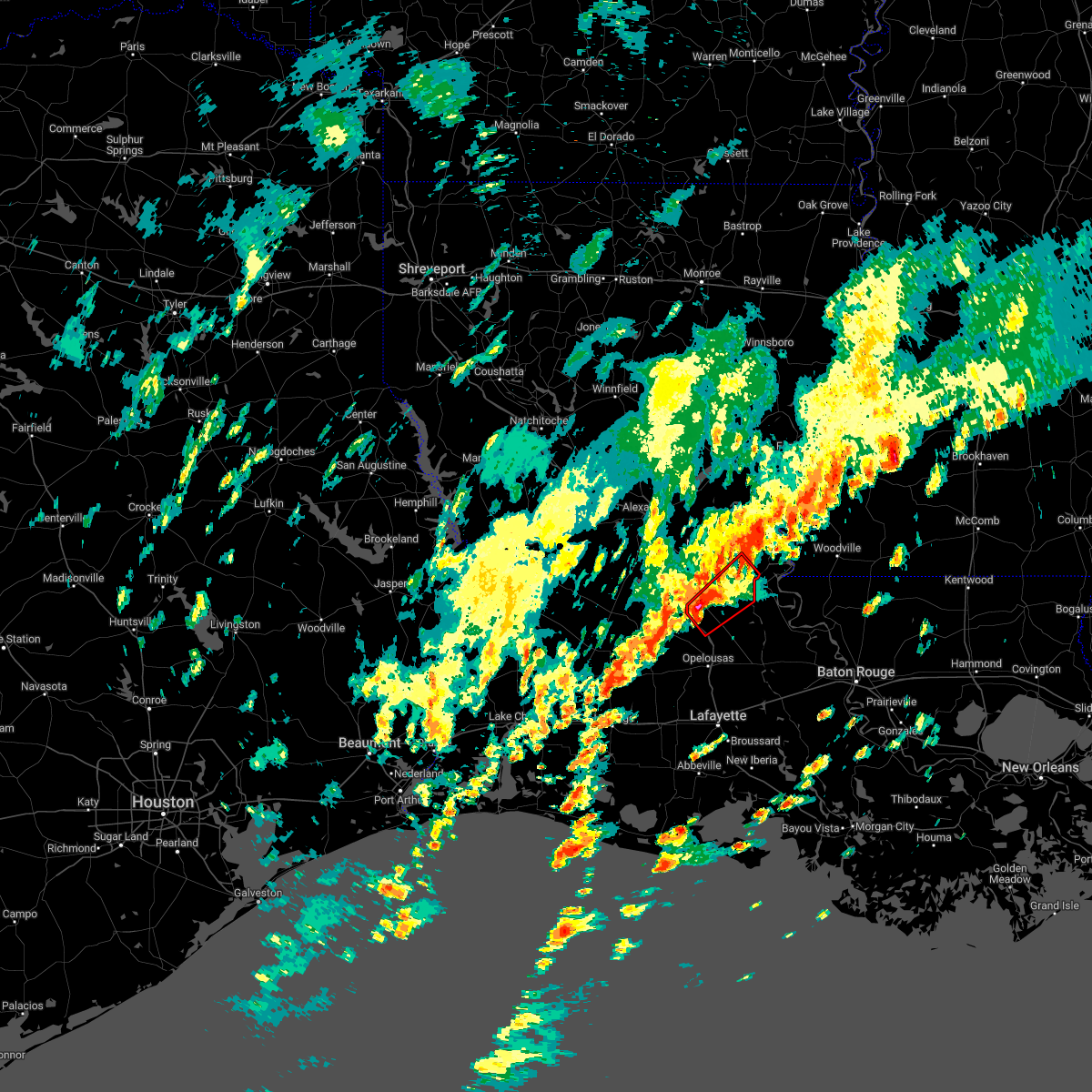 At 936 am cst, a severe thunderstorm capable of producing a tornado was located over morrow, moving northeast at 40 mph (radar indicated rotation). Hazards include tornado. Flying debris will be dangerous to those caught without shelter. mobile homes will be damaged or destroyed. damage to roofs, windows, and vehicles will occur. tree damage is likely. this dangerous storm will be near, goudeau and big cane around 945 am cst. plaucheville around 950 am cst. dupont around 955 am cst. simmesport and moreauville around 1000 am cst. Other locations impacted by this tornadic thunderstorm include hamburg. At 936 am cst, a severe thunderstorm capable of producing a tornado was located over morrow, moving northeast at 40 mph (radar indicated rotation). Hazards include tornado. Flying debris will be dangerous to those caught without shelter. mobile homes will be damaged or destroyed. damage to roofs, windows, and vehicles will occur. tree damage is likely. this dangerous storm will be near, goudeau and big cane around 945 am cst. plaucheville around 950 am cst. dupont around 955 am cst. simmesport and moreauville around 1000 am cst. Other locations impacted by this tornadic thunderstorm include hamburg.
|
| 12/14/2022 9:29 AM CST |
 At 928 am cst, a severe thunderstorm capable of producing a tornado was located over whiteville, or near morrow, moving northeast at 45 mph (radar indicated rotation). Hazards include tornado. Flying debris will be dangerous to those caught without shelter. mobile homes will be damaged or destroyed. damage to roofs, windows, and vehicles will occur. tree damage is likely. this dangerous storm will be near, morrow and big cane around 940 am cst. evergreen and goudeau around 945 am cst. cottonport, plaucheville and dupont around 950 am cst. moreauville around 955 am cst. simmesport around 1000 am cst. other locations impacted by this tornadic thunderstorm include hamburg. This includes interstate 49 between mile markers 33 and 45. At 928 am cst, a severe thunderstorm capable of producing a tornado was located over whiteville, or near morrow, moving northeast at 45 mph (radar indicated rotation). Hazards include tornado. Flying debris will be dangerous to those caught without shelter. mobile homes will be damaged or destroyed. damage to roofs, windows, and vehicles will occur. tree damage is likely. this dangerous storm will be near, morrow and big cane around 940 am cst. evergreen and goudeau around 945 am cst. cottonport, plaucheville and dupont around 950 am cst. moreauville around 955 am cst. simmesport around 1000 am cst. other locations impacted by this tornadic thunderstorm include hamburg. This includes interstate 49 between mile markers 33 and 45.
|
| 12/14/2022 3:25 AM CST |
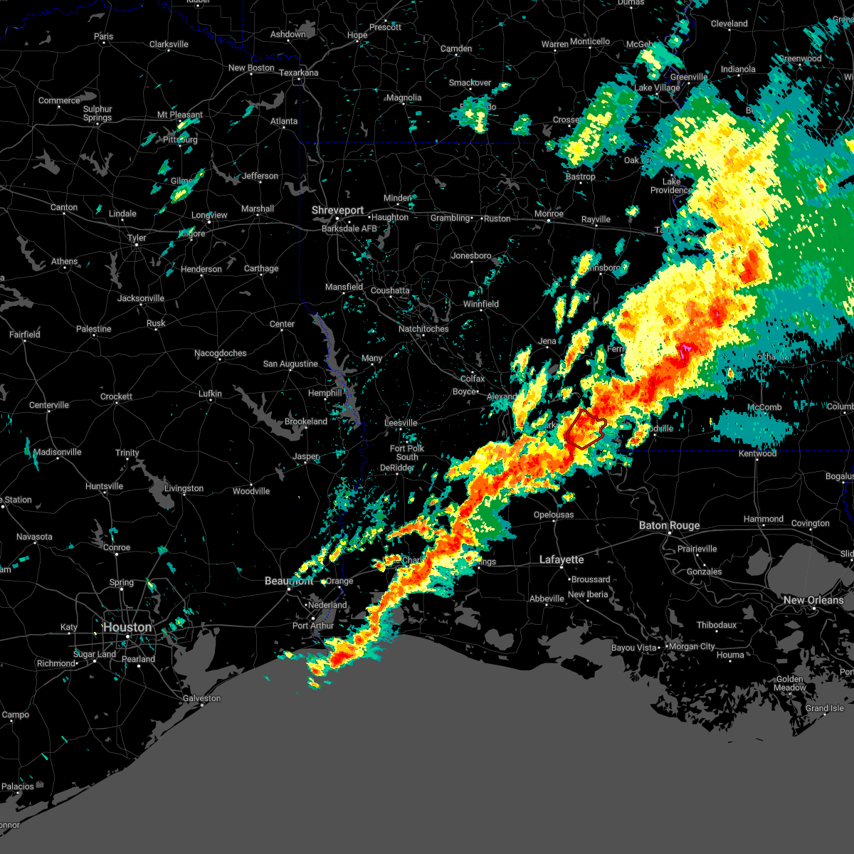 At 325 am cst, a severe thunderstorm capable of producing a tornado was located over bordelonville, moving northeast at 45 mph (radar indicated rotation). Hazards include tornado. Flying debris will be dangerous to those caught without shelter. mobile homes will be damaged or destroyed. damage to roofs, windows, and vehicles will occur. tree damage is likely. This dangerous storm will be near, big bend around 330 am cst. At 325 am cst, a severe thunderstorm capable of producing a tornado was located over bordelonville, moving northeast at 45 mph (radar indicated rotation). Hazards include tornado. Flying debris will be dangerous to those caught without shelter. mobile homes will be damaged or destroyed. damage to roofs, windows, and vehicles will occur. tree damage is likely. This dangerous storm will be near, big bend around 330 am cst.
|
| 12/14/2022 3:13 AM CST |
 At 313 am cst, a severe thunderstorm capable of producing a tornado was located over cottonport, or over moreauville, moving northeast at 35 mph (radar indicated rotation). Hazards include tornado. Flying debris will be dangerous to those caught without shelter. mobile homes will be damaged or destroyed. damage to roofs, windows, and vehicles will occur. tree damage is likely. this dangerous storm will be near, bordelonville around 330 am cst. big bend around 335 am cst. Other locations impacted by this tornadic thunderstorm include hamburg. At 313 am cst, a severe thunderstorm capable of producing a tornado was located over cottonport, or over moreauville, moving northeast at 35 mph (radar indicated rotation). Hazards include tornado. Flying debris will be dangerous to those caught without shelter. mobile homes will be damaged or destroyed. damage to roofs, windows, and vehicles will occur. tree damage is likely. this dangerous storm will be near, bordelonville around 330 am cst. big bend around 335 am cst. Other locations impacted by this tornadic thunderstorm include hamburg.
|
| 12/14/2022 3:05 AM CST |
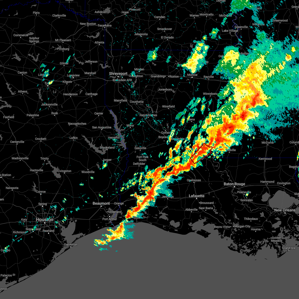 At 305 am cst, a severe thunderstorm capable of producing a tornado was located over cottonport, or 7 miles east of bunkie, moving northeast at 35 mph (radar indicated rotation). Hazards include tornado. Flying debris will be dangerous to those caught without shelter. mobile homes will be damaged or destroyed. damage to roofs, windows, and vehicles will occur. tree damage is likely. this dangerous storm will be near, plaucheville around 310 am cst. mansura around 315 am cst. moreauville around 320 am cst. bordelonville around 330 am cst. big bend around 335 am cst. Other locations impacted by this tornadic thunderstorm include hamburg. At 305 am cst, a severe thunderstorm capable of producing a tornado was located over cottonport, or 7 miles east of bunkie, moving northeast at 35 mph (radar indicated rotation). Hazards include tornado. Flying debris will be dangerous to those caught without shelter. mobile homes will be damaged or destroyed. damage to roofs, windows, and vehicles will occur. tree damage is likely. this dangerous storm will be near, plaucheville around 310 am cst. mansura around 315 am cst. moreauville around 320 am cst. bordelonville around 330 am cst. big bend around 335 am cst. Other locations impacted by this tornadic thunderstorm include hamburg.
|
| 12/14/2022 2:21 AM CST |
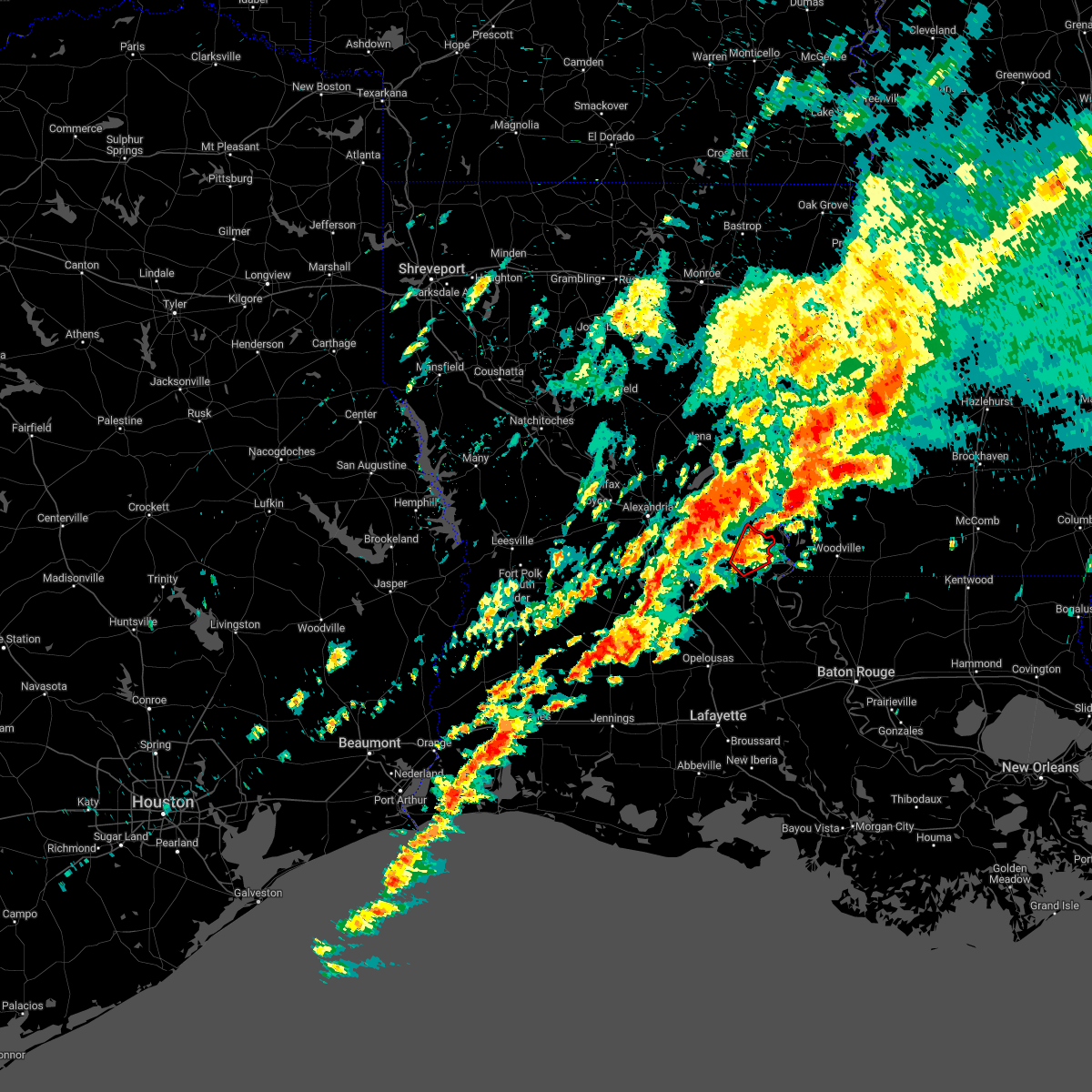 At 220 am cst, a severe thunderstorm capable of producing a tornado was located near bordelonville, moving northeast at 40 mph (radar indicated rotation). Hazards include tornado. Flying debris will be dangerous to those caught without shelter. mobile homes will be damaged or destroyed. damage to roofs, windows, and vehicles will occur. tree damage is likely. This dangerous storm will be near, big bend around 225 am cst. At 220 am cst, a severe thunderstorm capable of producing a tornado was located near bordelonville, moving northeast at 40 mph (radar indicated rotation). Hazards include tornado. Flying debris will be dangerous to those caught without shelter. mobile homes will be damaged or destroyed. damage to roofs, windows, and vehicles will occur. tree damage is likely. This dangerous storm will be near, big bend around 225 am cst.
|
| 12/14/2022 2:10 AM CST |
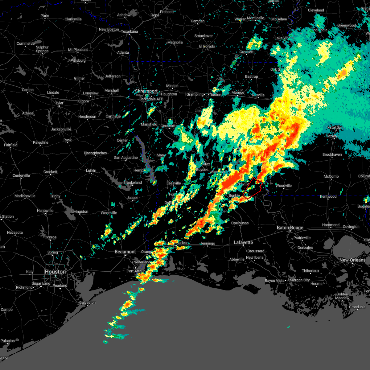 At 210 am cst, a severe thunderstorm capable of producing a tornado was located over plaucheville, or near moreauville, moving northeast at 35 mph (radar indicated rotation). Hazards include tornado. Flying debris will be dangerous to those caught without shelter. mobile homes will be damaged or destroyed. damage to roofs, windows, and vehicles will occur. tree damage is likely. this dangerous storm will be near, bordelonville around 225 am cst. big bend around 230 am cst. Other locations impacted by this tornadic thunderstorm include hamburg. At 210 am cst, a severe thunderstorm capable of producing a tornado was located over plaucheville, or near moreauville, moving northeast at 35 mph (radar indicated rotation). Hazards include tornado. Flying debris will be dangerous to those caught without shelter. mobile homes will be damaged or destroyed. damage to roofs, windows, and vehicles will occur. tree damage is likely. this dangerous storm will be near, bordelonville around 225 am cst. big bend around 230 am cst. Other locations impacted by this tornadic thunderstorm include hamburg.
|
| 11/29/2022 1:30 PM CST |
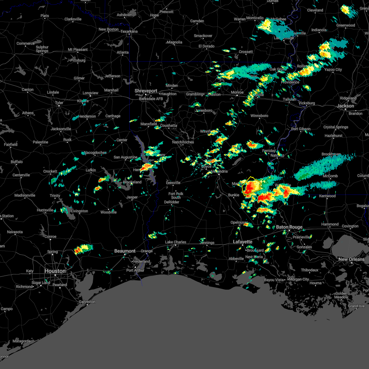 At 129 pm cst, a severe thunderstorm was located over bordelonville, moving northeast at 30 mph (radar indicated). Hazards include quarter size hail. Damage to vehicles is expected. locations impacted include, moreauville, bordelonville, big bend, lake ophelia national wildlife refuge and hamburg. hail threat, radar indicated max hail size, 1. 00 in wind threat, radar indicated max wind gust, <50 mph. At 129 pm cst, a severe thunderstorm was located over bordelonville, moving northeast at 30 mph (radar indicated). Hazards include quarter size hail. Damage to vehicles is expected. locations impacted include, moreauville, bordelonville, big bend, lake ophelia national wildlife refuge and hamburg. hail threat, radar indicated max hail size, 1. 00 in wind threat, radar indicated max wind gust, <50 mph.
|
| 11/29/2022 1:18 PM CST |
 At 118 pm cst, a severe thunderstorm was located over moreauville, moving northeast at 30 mph (radar indicated). Hazards include quarter size hail. damage to vehicles is expected At 118 pm cst, a severe thunderstorm was located over moreauville, moving northeast at 30 mph (radar indicated). Hazards include quarter size hail. damage to vehicles is expected
|
| 6/2/2022 6:43 PM CDT |
 At 642 pm cdt, a severe thunderstorm was located over brouillette, or near marksville, moving southeast at 20 mph (radar indicated). Hazards include 60 mph wind gusts and quarter size hail. Hail damage to vehicles is expected. Expect wind damage to roofs, siding, and trees. At 642 pm cdt, a severe thunderstorm was located over brouillette, or near marksville, moving southeast at 20 mph (radar indicated). Hazards include 60 mph wind gusts and quarter size hail. Hail damage to vehicles is expected. Expect wind damage to roofs, siding, and trees.
|
| 4/13/2022 8:07 PM CDT |
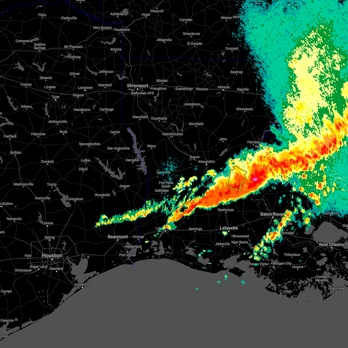 The severe thunderstorm warning for eastern avoyelles parish will expire at 815 pm cdt, the storms which prompted the warning will be moving out of the area. therefore, the warning will be allowed to expire. however gusty winds are still possible with these thunderstorms. a tornado watch remains in effect until 1000 pm cdt for central louisiana. The severe thunderstorm warning for eastern avoyelles parish will expire at 815 pm cdt, the storms which prompted the warning will be moving out of the area. therefore, the warning will be allowed to expire. however gusty winds are still possible with these thunderstorms. a tornado watch remains in effect until 1000 pm cdt for central louisiana.
|
| 4/13/2022 7:54 PM CDT |
 At 753 pm cdt, severe thunderstorms were located along a line extending from near big bend to near dupont, moving east at 45 mph (radar indicated). Hazards include 60 mph wind gusts and penny size hail. Expect damage to roofs, siding, and trees. locations impacted include, simmesport, moreauville, bordelonville, plaucheville, dupont, big bend, lake ophelia national wildlife refuge and hamburg. hail threat, radar indicated max hail size, 0. 75 in wind threat, radar indicated max wind gust, 60 mph. At 753 pm cdt, severe thunderstorms were located along a line extending from near big bend to near dupont, moving east at 45 mph (radar indicated). Hazards include 60 mph wind gusts and penny size hail. Expect damage to roofs, siding, and trees. locations impacted include, simmesport, moreauville, bordelonville, plaucheville, dupont, big bend, lake ophelia national wildlife refuge and hamburg. hail threat, radar indicated max hail size, 0. 75 in wind threat, radar indicated max wind gust, 60 mph.
|
| 4/13/2022 7:28 PM CDT |
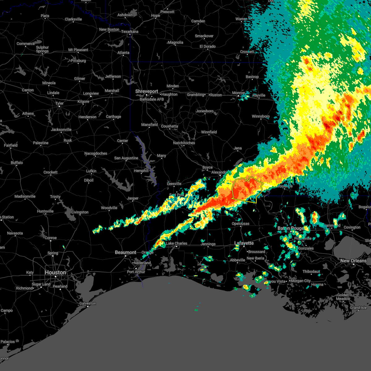 At 728 pm cdt, severe thunderstorms were located along a line extending from near effie to near bunkie, moving east at 40 mph (radar indicated). Hazards include 60 mph wind gusts and penny size hail. expect damage to roofs, siding, and trees At 728 pm cdt, severe thunderstorms were located along a line extending from near effie to near bunkie, moving east at 40 mph (radar indicated). Hazards include 60 mph wind gusts and penny size hail. expect damage to roofs, siding, and trees
|
| 3/30/2022 3:33 PM CDT |
 At 332 pm cdt, severe thunderstorms were located along a line extending from 6 miles northeast of port gibson to near kingston to near sunset, moving northeast at 45 mph (radar indicated). Hazards include 60 mph wind gusts. Expect damage to roofs, siding, and trees. Locations impacted include, lafayette, opelousas, scott, breaux bridge, rayne, carencro, church point, simmesport, krotz springs, leonville, arnaudville, melville, moreauville, palmetto, bordelonville, bayou current, morrow, sunset, port barre and duson. At 332 pm cdt, severe thunderstorms were located along a line extending from 6 miles northeast of port gibson to near kingston to near sunset, moving northeast at 45 mph (radar indicated). Hazards include 60 mph wind gusts. Expect damage to roofs, siding, and trees. Locations impacted include, lafayette, opelousas, scott, breaux bridge, rayne, carencro, church point, simmesport, krotz springs, leonville, arnaudville, melville, moreauville, palmetto, bordelonville, bayou current, morrow, sunset, port barre and duson.
|
| 3/30/2022 3:05 PM CDT |
 At 304 pm cdt, severe thunderstorms were located along a line extending from st. joseph to near slocum to near crowley, moving northeast at 45 mph (radar indicated). Hazards include 60 mph wind gusts. Expect damage to roofs, siding, and trees. Locations impacted include, lafayette, opelousas, crowley, eunice, scott, breaux bridge, rayne, carencro, ville platte, church point, simmesport, iota, krotz springs, leonville, arnaudville, melville, moreauville, palmetto, bordelonville and bayou current. At 304 pm cdt, severe thunderstorms were located along a line extending from st. joseph to near slocum to near crowley, moving northeast at 45 mph (radar indicated). Hazards include 60 mph wind gusts. Expect damage to roofs, siding, and trees. Locations impacted include, lafayette, opelousas, crowley, eunice, scott, breaux bridge, rayne, carencro, ville platte, church point, simmesport, iota, krotz springs, leonville, arnaudville, melville, moreauville, palmetto, bordelonville and bayou current.
|
| 3/30/2022 2:42 PM CDT |
 At 241 pm cdt, severe thunderstorms were located along a line extending from near lee bayou to lake ophelia national wildlife refuge to near jennings, moving east at 45 mph (radar indicated). Hazards include 60 mph wind gusts. expect damage to roofs, siding, and trees At 241 pm cdt, severe thunderstorms were located along a line extending from near lee bayou to lake ophelia national wildlife refuge to near jennings, moving east at 45 mph (radar indicated). Hazards include 60 mph wind gusts. expect damage to roofs, siding, and trees
|
| 3/30/2022 2:34 PM CDT |
 At 233 pm cdt, severe thunderstorms were located along a line extending from near lee bayou to brouillette to near mamou, moving east at 45 mph (radar indicated). Hazards include 60 mph wind gusts. Expect damage to roofs, siding, and trees. Locations impacted include, ville platte, marksville, bunkie, mamou, simmesport, moreauville, cheneyville, turkey creek, bordelonville, morrow, effie, cottonport, pine prairie, mansura, washington, hessmer, evergreen, plaucheville, bayou chicot and goudeau. At 233 pm cdt, severe thunderstorms were located along a line extending from near lee bayou to brouillette to near mamou, moving east at 45 mph (radar indicated). Hazards include 60 mph wind gusts. Expect damage to roofs, siding, and trees. Locations impacted include, ville platte, marksville, bunkie, mamou, simmesport, moreauville, cheneyville, turkey creek, bordelonville, morrow, effie, cottonport, pine prairie, mansura, washington, hessmer, evergreen, plaucheville, bayou chicot and goudeau.
|
| 3/30/2022 2:25 PM CDT |
 At 224 pm cdt, a severe thunderstorm capable of producing a tornado was located over hessmer, or near marksville, moving northeast at 40 mph (radar indicated rotation). Hazards include tornado. Flying debris will be dangerous to those caught without shelter. mobile homes will be damaged or destroyed. damage to roofs, windows, and vehicles will occur. tree damage is likely. this dangerous storm will be near, moreauville and brouillette around 235 pm cdt. bordelonville around 240 pm cdt. lake ophelia national wildlife refuge around 245 pm cdt. Other locations impacted by this tornadic thunderstorm include hamburg. At 224 pm cdt, a severe thunderstorm capable of producing a tornado was located over hessmer, or near marksville, moving northeast at 40 mph (radar indicated rotation). Hazards include tornado. Flying debris will be dangerous to those caught without shelter. mobile homes will be damaged or destroyed. damage to roofs, windows, and vehicles will occur. tree damage is likely. this dangerous storm will be near, moreauville and brouillette around 235 pm cdt. bordelonville around 240 pm cdt. lake ophelia national wildlife refuge around 245 pm cdt. Other locations impacted by this tornadic thunderstorm include hamburg.
|
| 3/30/2022 2:14 PM CDT |
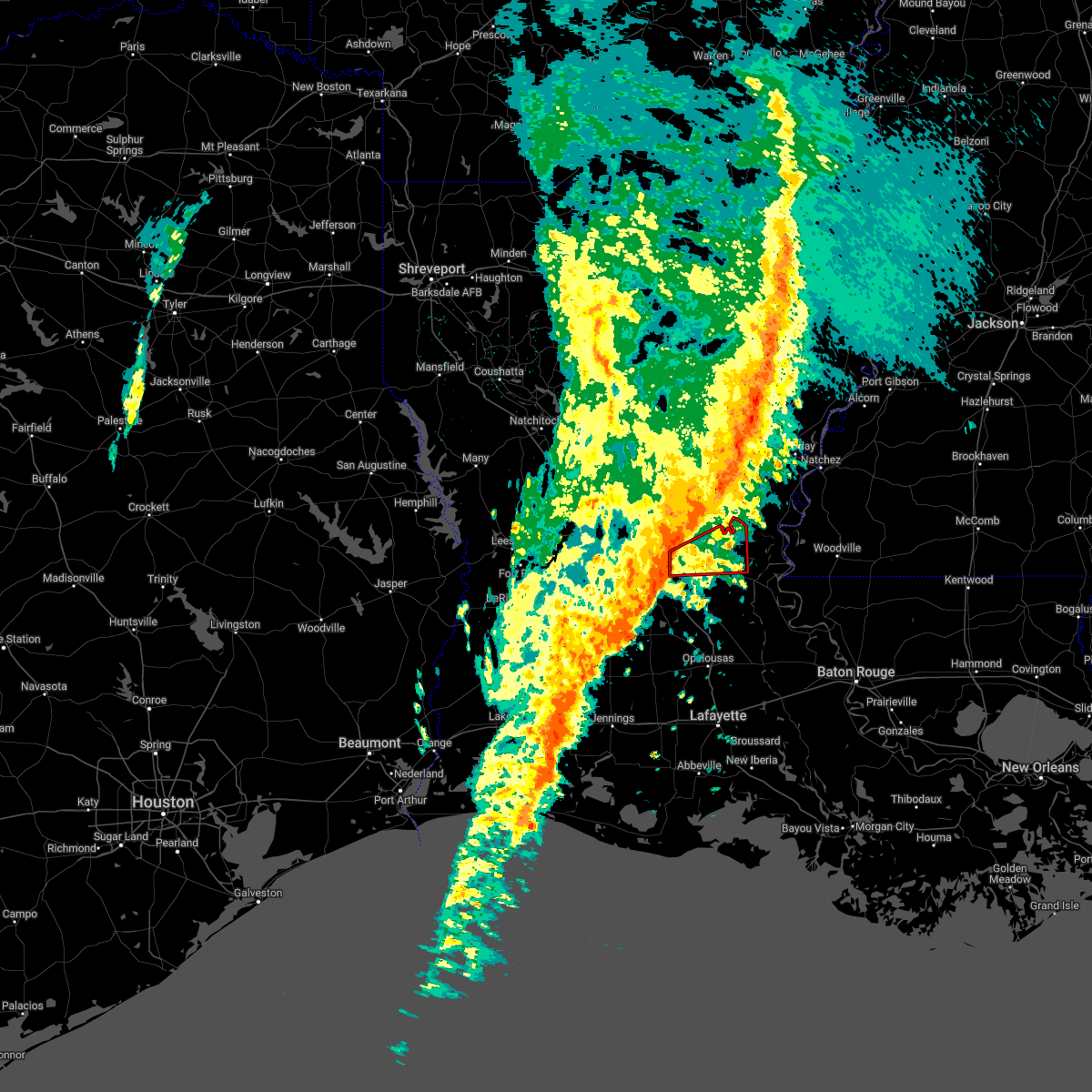 At 213 pm cdt, a severe thunderstorm capable of producing a tornado was located near cheneyville, moving east at 40 mph (radar indicated rotation). Hazards include tornado. Flying debris will be dangerous to those caught without shelter. mobile homes will be damaged or destroyed. damage to roofs, windows, and vehicles will occur. tree damage is likely. this dangerous storm will be near, hessmer around 225 pm cdt. mansura around 230 pm cdt. marksville and moreauville around 235 pm cdt. brouillette around 240 pm cdt. bordelonville and lake ophelia national wildlife refuge around 245 pm cdt. Other locations impacted by this tornadic thunderstorm include hamburg. At 213 pm cdt, a severe thunderstorm capable of producing a tornado was located near cheneyville, moving east at 40 mph (radar indicated rotation). Hazards include tornado. Flying debris will be dangerous to those caught without shelter. mobile homes will be damaged or destroyed. damage to roofs, windows, and vehicles will occur. tree damage is likely. this dangerous storm will be near, hessmer around 225 pm cdt. mansura around 230 pm cdt. marksville and moreauville around 235 pm cdt. brouillette around 240 pm cdt. bordelonville and lake ophelia national wildlife refuge around 245 pm cdt. Other locations impacted by this tornadic thunderstorm include hamburg.
|
| 3/30/2022 1:40 PM CDT |
 At 140 pm cdt, severe thunderstorms were located along a line extending from near midway to near glenmora to near kinder, moving east at 45 mph (radar indicated). Hazards include 60 mph wind gusts. expect damage to roofs, siding, and trees At 140 pm cdt, severe thunderstorms were located along a line extending from near midway to near glenmora to near kinder, moving east at 45 mph (radar indicated). Hazards include 60 mph wind gusts. expect damage to roofs, siding, and trees
|
| 5/10/2021 5:26 AM CDT |
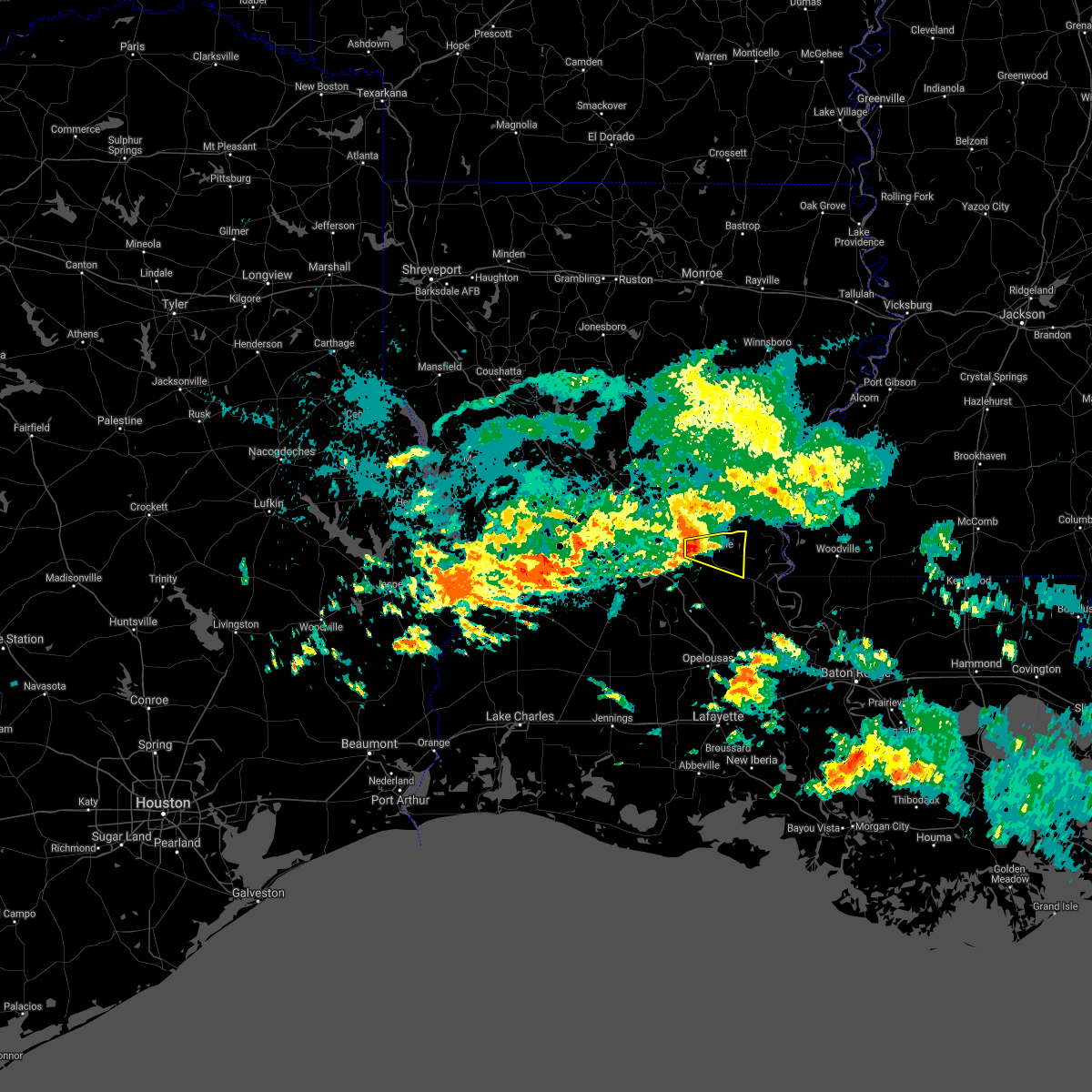 At 526 am cdt, a severe thunderstorm was located near marksville, moving east at 30 mph (radar indicated). Hazards include quarter size hail. Damage to vehicles is expected. Locations impacted include, marksville, moreauville, bordelonville, mansura, brouillette and hamburg. At 526 am cdt, a severe thunderstorm was located near marksville, moving east at 30 mph (radar indicated). Hazards include quarter size hail. Damage to vehicles is expected. Locations impacted include, marksville, moreauville, bordelonville, mansura, brouillette and hamburg.
|
| 5/10/2021 5:08 AM CDT |
 At 508 am cdt, a severe thunderstorm was located over poland, or 9 miles north of cheneyville, moving east at 30 mph (radar indicated). Hazards include 60 mph wind gusts and quarter size hail. Hail damage to vehicles is expected. expect wind damage to roofs, siding, and trees. Locations impacted include, marksville, moreauville, bordelonville, effie, cottonport, mansura, hessmer, plaucheville, echo, brouillette, lake ophelia national wildlife refuge, poland, centerpoint, ruby and hamburg. At 508 am cdt, a severe thunderstorm was located over poland, or 9 miles north of cheneyville, moving east at 30 mph (radar indicated). Hazards include 60 mph wind gusts and quarter size hail. Hail damage to vehicles is expected. expect wind damage to roofs, siding, and trees. Locations impacted include, marksville, moreauville, bordelonville, effie, cottonport, mansura, hessmer, plaucheville, echo, brouillette, lake ophelia national wildlife refuge, poland, centerpoint, ruby and hamburg.
|
| 5/10/2021 4:48 AM CDT |
 At 447 am cdt, a severe thunderstorm was located 7 miles northwest of lecompte, or 9 miles south of alexandria, moving east at 30 mph (radar indicated). Hazards include 60 mph wind gusts and quarter size hail. Hail damage to vehicles is expected. Expect wind damage to roofs, siding, and trees. At 447 am cdt, a severe thunderstorm was located 7 miles northwest of lecompte, or 9 miles south of alexandria, moving east at 30 mph (radar indicated). Hazards include 60 mph wind gusts and quarter size hail. Hail damage to vehicles is expected. Expect wind damage to roofs, siding, and trees.
|
| 5/4/2021 2:55 PM CDT |
 The severe thunderstorm warning for northern evangeline, avoyelles and north central st. landry parishes will expire at 300 pm cdt, the storms which prompted the warning have weakened. therefore, the warning will be allowed to expire. however small hail and gusty winds are still possible with these thunderstorms. a tornado watch remains in effect until 600 pm cdt for central louisiana. to report severe weather, contact your nearest law enforcement agency. they will relay your report to the national weather service lake charles. The severe thunderstorm warning for northern evangeline, avoyelles and north central st. landry parishes will expire at 300 pm cdt, the storms which prompted the warning have weakened. therefore, the warning will be allowed to expire. however small hail and gusty winds are still possible with these thunderstorms. a tornado watch remains in effect until 600 pm cdt for central louisiana. to report severe weather, contact your nearest law enforcement agency. they will relay your report to the national weather service lake charles.
|
| 5/4/2021 2:47 PM CDT |
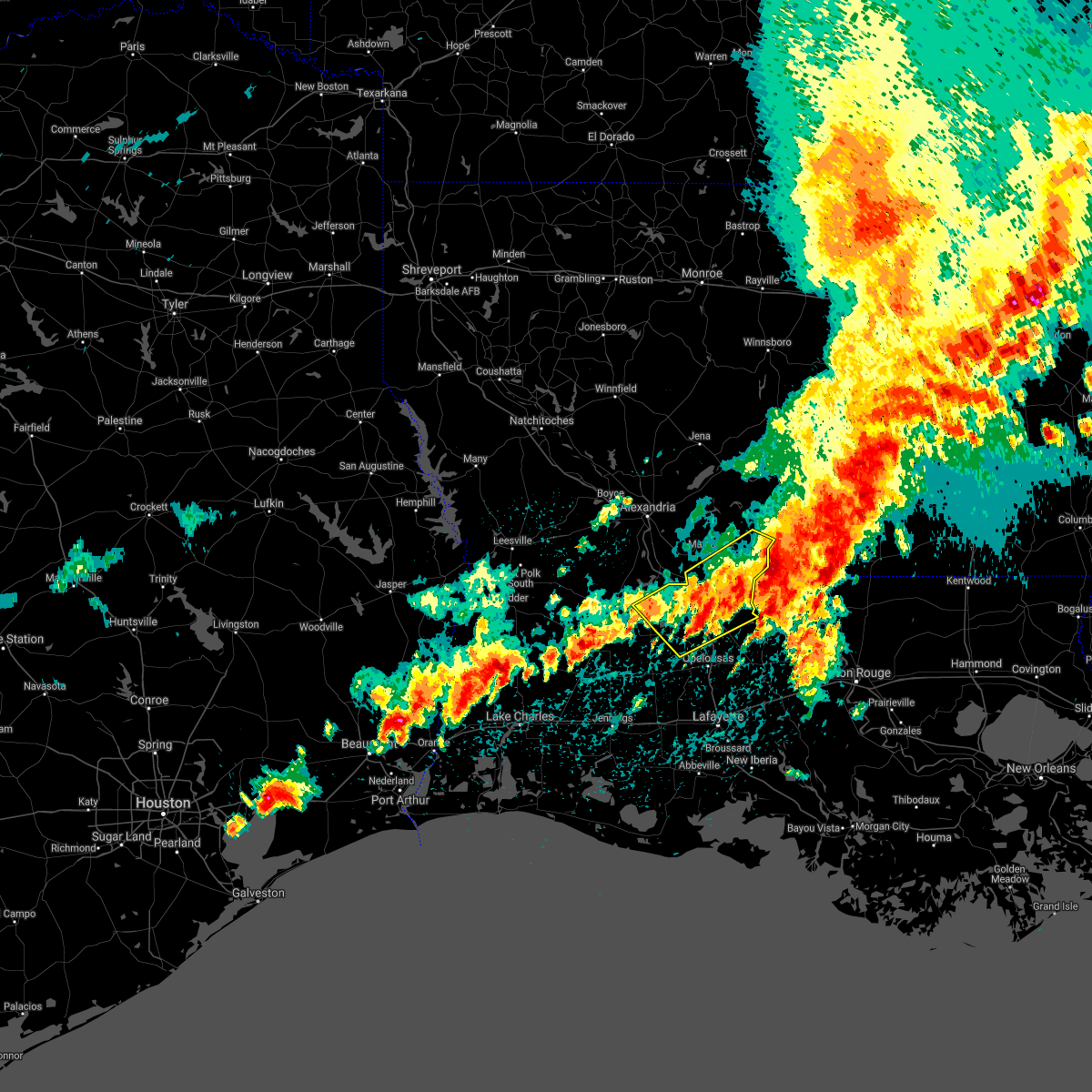 At 247 pm cdt, severe thunderstorms were located along a line extending from deer park to bunkie, moving northeast at 35 mph (radar indicated). Hazards include 60 mph wind gusts and nickel size hail. Expect damage to roofs, siding, and trees. Locations impacted include, ville platte, bunkie, simmesport, moreauville, turkey creek, bordelonville, bayou current, morrow, cottonport, pine prairie, mansura, hessmer, evergreen, plaucheville, bayou chicot, goudeau, indian lake, whiteville, big cane and dupont. At 247 pm cdt, severe thunderstorms were located along a line extending from deer park to bunkie, moving northeast at 35 mph (radar indicated). Hazards include 60 mph wind gusts and nickel size hail. Expect damage to roofs, siding, and trees. Locations impacted include, ville platte, bunkie, simmesport, moreauville, turkey creek, bordelonville, bayou current, morrow, cottonport, pine prairie, mansura, hessmer, evergreen, plaucheville, bayou chicot, goudeau, indian lake, whiteville, big cane and dupont.
|
| 5/4/2021 2:16 PM CDT |
 At 216 pm cdt, severe thunderstorms were located along a line extending from acme to near turkey creek, moving northeast at 35 mph (radar indicated). Hazards include 60 mph wind gusts and nickel size hail. expect damage to roofs, siding, and trees At 216 pm cdt, severe thunderstorms were located along a line extending from acme to near turkey creek, moving northeast at 35 mph (radar indicated). Hazards include 60 mph wind gusts and nickel size hail. expect damage to roofs, siding, and trees
|
| 4/23/2021 11:31 PM CDT |
 At 1130 pm cdt, a severe thunderstorm was located near simmesport, moving northeast at 45 mph (radar indicated). Hazards include 60 mph wind gusts and nickel size hail. Expect damage to roofs, siding, and trees. Locations impacted include, bunkie, simmesport, moreauville, bordelonville, cottonport, mansura, evergreen, plaucheville, goudeau, dupont, big bend and hamburg. At 1130 pm cdt, a severe thunderstorm was located near simmesport, moving northeast at 45 mph (radar indicated). Hazards include 60 mph wind gusts and nickel size hail. Expect damage to roofs, siding, and trees. Locations impacted include, bunkie, simmesport, moreauville, bordelonville, cottonport, mansura, evergreen, plaucheville, goudeau, dupont, big bend and hamburg.
|
| 4/23/2021 11:20 PM CDT |
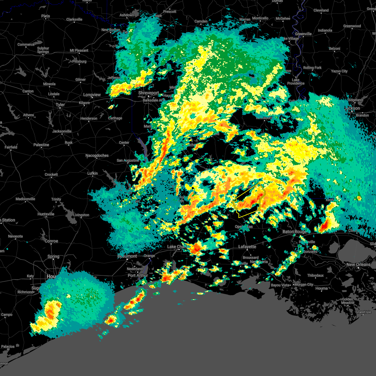 At 1119 pm cdt, a severe thunderstorm was located over goudeau, or near morrow, moving northeast at 45 mph (radar indicated). Hazards include 60 mph wind gusts and nickel size hail. Expect damage to roofs, siding, and trees. locations impacted include, bunkie, simmesport, moreauville, bordelonville, morrow, cottonport, mansura, hessmer, evergreen, plaucheville, goudeau, whiteville, big cane, dupont, big bend and hamburg. This includes interstate 49 between mile markers 35 and 38, between mile markers 41 and 42, and between mile markers 46 and 54. At 1119 pm cdt, a severe thunderstorm was located over goudeau, or near morrow, moving northeast at 45 mph (radar indicated). Hazards include 60 mph wind gusts and nickel size hail. Expect damage to roofs, siding, and trees. locations impacted include, bunkie, simmesport, moreauville, bordelonville, morrow, cottonport, mansura, hessmer, evergreen, plaucheville, goudeau, whiteville, big cane, dupont, big bend and hamburg. This includes interstate 49 between mile markers 35 and 38, between mile markers 41 and 42, and between mile markers 46 and 54.
|
| 4/23/2021 10:58 PM CDT |
 At 1058 pm cdt, a severe thunderstorm was located over indian lake, or 7 miles north of ville platte, moving east at 45 mph (radar indicated). Hazards include 60 mph wind gusts and nickel size hail. expect damage to roofs, siding, and trees At 1058 pm cdt, a severe thunderstorm was located over indian lake, or 7 miles north of ville platte, moving east at 45 mph (radar indicated). Hazards include 60 mph wind gusts and nickel size hail. expect damage to roofs, siding, and trees
|
| 4/23/2021 9:18 PM CDT |
 At 918 pm cdt, a severe thunderstorm was located over centerpoint, or near effie, moving east at 40 mph (radar indicated). Hazards include 60 mph wind gusts and penny size hail. Expect damage to roofs, siding, and trees. Locations impacted include, marksville, bordelonville, effie, deville, echo, brouillette, poland, kolin, centerpoint, lake ophelia national wildlife refuge and ruby. At 918 pm cdt, a severe thunderstorm was located over centerpoint, or near effie, moving east at 40 mph (radar indicated). Hazards include 60 mph wind gusts and penny size hail. Expect damage to roofs, siding, and trees. Locations impacted include, marksville, bordelonville, effie, deville, echo, brouillette, poland, kolin, centerpoint, lake ophelia national wildlife refuge and ruby.
|
| 4/23/2021 9:00 PM CDT |
 At 859 pm cdt, a severe thunderstorm was located near alexandria, moving east at 40 mph (radar indicated). Hazards include 60 mph wind gusts and penny size hail. expect damage to roofs, siding, and trees At 859 pm cdt, a severe thunderstorm was located near alexandria, moving east at 40 mph (radar indicated). Hazards include 60 mph wind gusts and penny size hail. expect damage to roofs, siding, and trees
|
| 4/7/2021 10:24 PM CDT |
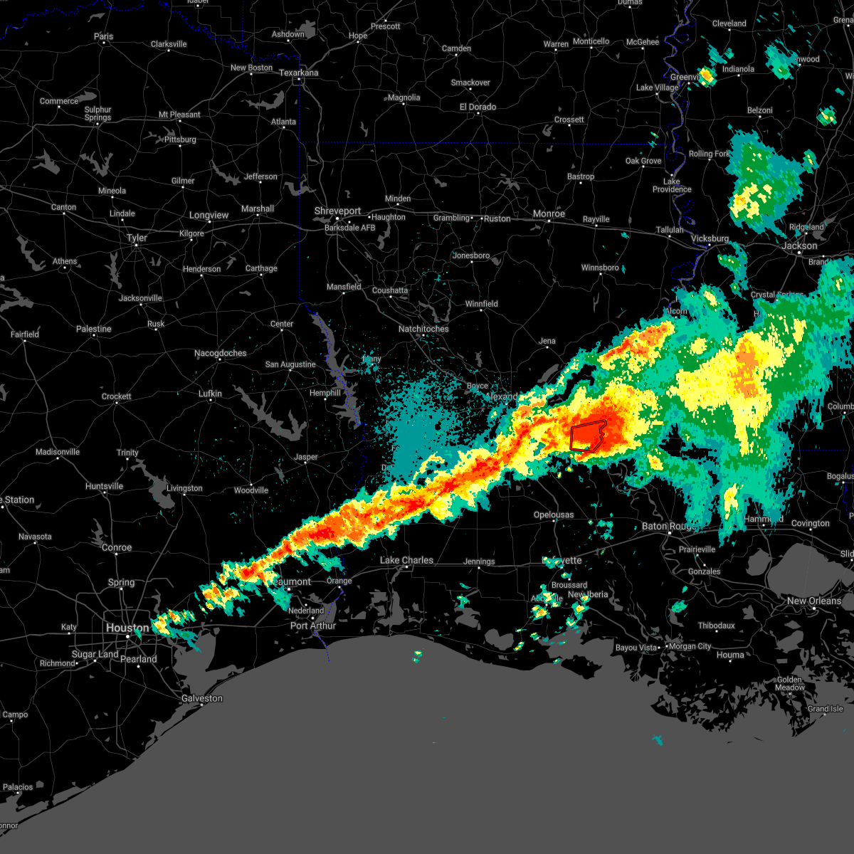 The tornado warning for east central avoyelles parish will expire at 1030 pm cdt, the storm which prompted the warning will be moving out of the area. therefore, the warning will be allowed to expire. The tornado warning for east central avoyelles parish will expire at 1030 pm cdt, the storm which prompted the warning will be moving out of the area. therefore, the warning will be allowed to expire.
|
| 4/7/2021 10:11 PM CDT |
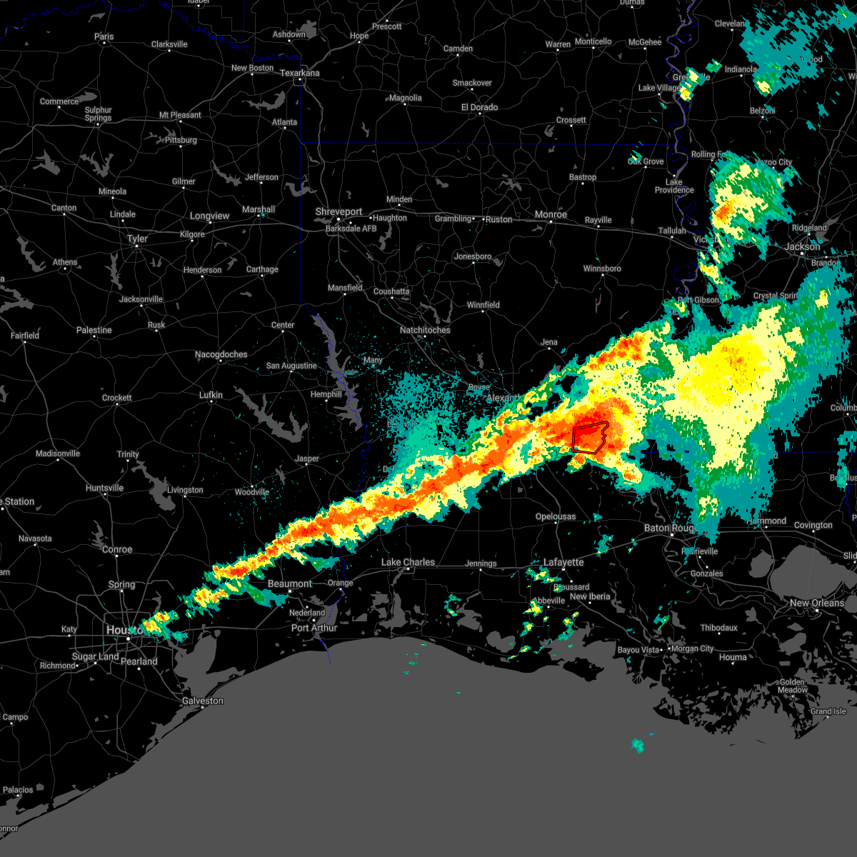 At 1011 pm cdt, a severe thunderstorm capable of producing a tornado was located over bordelonville, moving east at 30 mph (radar indicated rotation). Hazards include tornado and quarter size hail. Flying debris will be dangerous to those caught without shelter. mobile homes will be damaged or destroyed. damage to roofs, windows, and vehicles will occur. tree damage is likely. this dangerous storm will be near, big bend around 1020 pm cdt. Other locations impacted by this tornadic thunderstorm include hamburg. At 1011 pm cdt, a severe thunderstorm capable of producing a tornado was located over bordelonville, moving east at 30 mph (radar indicated rotation). Hazards include tornado and quarter size hail. Flying debris will be dangerous to those caught without shelter. mobile homes will be damaged or destroyed. damage to roofs, windows, and vehicles will occur. tree damage is likely. this dangerous storm will be near, big bend around 1020 pm cdt. Other locations impacted by this tornadic thunderstorm include hamburg.
|
| 4/7/2021 9:56 PM CDT |
 At 956 pm cdt, a severe thunderstorm capable of producing a tornado was located near moreauville, moving east at 35 mph (radar indicated rotation). Hazards include tornado and quarter size hail. Flying debris will be dangerous to those caught without shelter. mobile homes will be damaged or destroyed. damage to roofs, windows, and vehicles will occur. tree damage is likely. this dangerous storm will be near, bordelonville around 1005 pm cdt. simmesport around 1010 pm cdt. big bend around 1015 pm cdt. Other locations impacted by this tornadic thunderstorm include hamburg. At 956 pm cdt, a severe thunderstorm capable of producing a tornado was located near moreauville, moving east at 35 mph (radar indicated rotation). Hazards include tornado and quarter size hail. Flying debris will be dangerous to those caught without shelter. mobile homes will be damaged or destroyed. damage to roofs, windows, and vehicles will occur. tree damage is likely. this dangerous storm will be near, bordelonville around 1005 pm cdt. simmesport around 1010 pm cdt. big bend around 1015 pm cdt. Other locations impacted by this tornadic thunderstorm include hamburg.
|
| 4/7/2021 9:44 PM CDT |
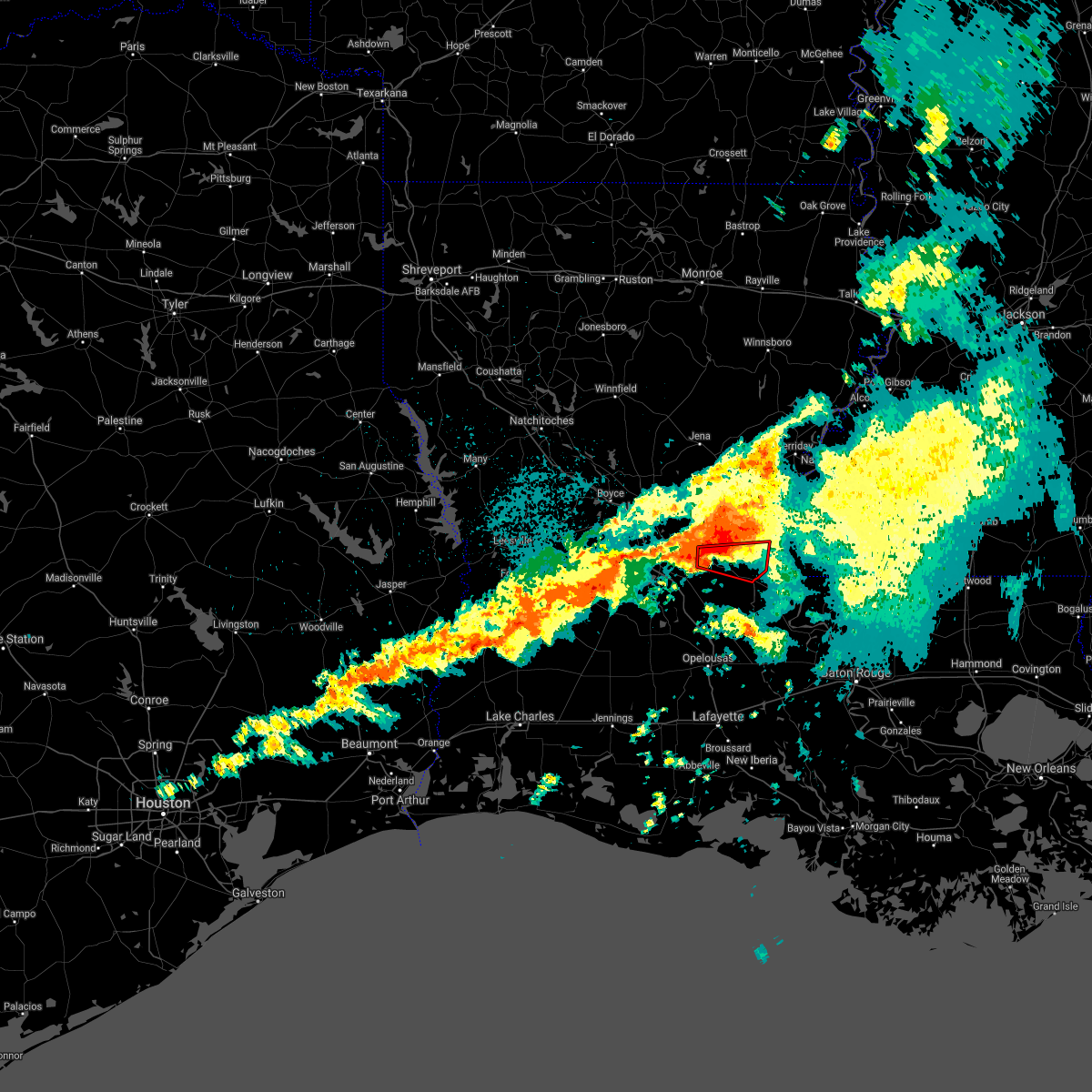 At 944 pm cdt, a severe thunderstorm capable of producing a tornado was located over marksville, moving east at 35 mph (radar indicated rotation). Hazards include tornado and quarter size hail. Flying debris will be dangerous to those caught without shelter. mobile homes will be damaged or destroyed. damage to roofs, windows, and vehicles will occur. tree damage is likely. this dangerous storm will be near, moreauville around 955 pm cdt. bordelonville around 1005 pm cdt. simmesport around 1010 pm cdt. big bend around 1015 pm cdt. Other locations impacted by this tornadic thunderstorm include hamburg. At 944 pm cdt, a severe thunderstorm capable of producing a tornado was located over marksville, moving east at 35 mph (radar indicated rotation). Hazards include tornado and quarter size hail. Flying debris will be dangerous to those caught without shelter. mobile homes will be damaged or destroyed. damage to roofs, windows, and vehicles will occur. tree damage is likely. this dangerous storm will be near, moreauville around 955 pm cdt. bordelonville around 1005 pm cdt. simmesport around 1010 pm cdt. big bend around 1015 pm cdt. Other locations impacted by this tornadic thunderstorm include hamburg.
|
| 4/7/2021 9:37 PM CDT |
 At 937 pm cdt, a severe thunderstorm was located near marksville, moving east at 40 mph (radar indicated). Hazards include 60 mph wind gusts and quarter size hail. Hail damage to vehicles is expected. Expect wind damage to roofs, siding, and trees. At 937 pm cdt, a severe thunderstorm was located near marksville, moving east at 40 mph (radar indicated). Hazards include 60 mph wind gusts and quarter size hail. Hail damage to vehicles is expected. Expect wind damage to roofs, siding, and trees.
|
| 12/23/2020 10:19 PM CST |
 At 1019 pm cst, a severe thunderstorm was located over moreauville, moving east at 40 mph (radar indicated). Hazards include 60 mph wind gusts. Expect damage to roofs, siding, and trees. Locations impacted include, simmesport, moreauville, bordelonville, plaucheville, big bend and hamburg. At 1019 pm cst, a severe thunderstorm was located over moreauville, moving east at 40 mph (radar indicated). Hazards include 60 mph wind gusts. Expect damage to roofs, siding, and trees. Locations impacted include, simmesport, moreauville, bordelonville, plaucheville, big bend and hamburg.
|
| 12/23/2020 9:59 PM CST |
 At 957 pm cst, a severe thunderstorm was located near hessmer, or near bunkie, moving east at 40 mph (radar indicated). Hazards include 60 mph wind gusts. expect damage to roofs, siding, and trees At 957 pm cst, a severe thunderstorm was located near hessmer, or near bunkie, moving east at 40 mph (radar indicated). Hazards include 60 mph wind gusts. expect damage to roofs, siding, and trees
|
| 9/23/2020 3:08 PM CDT |
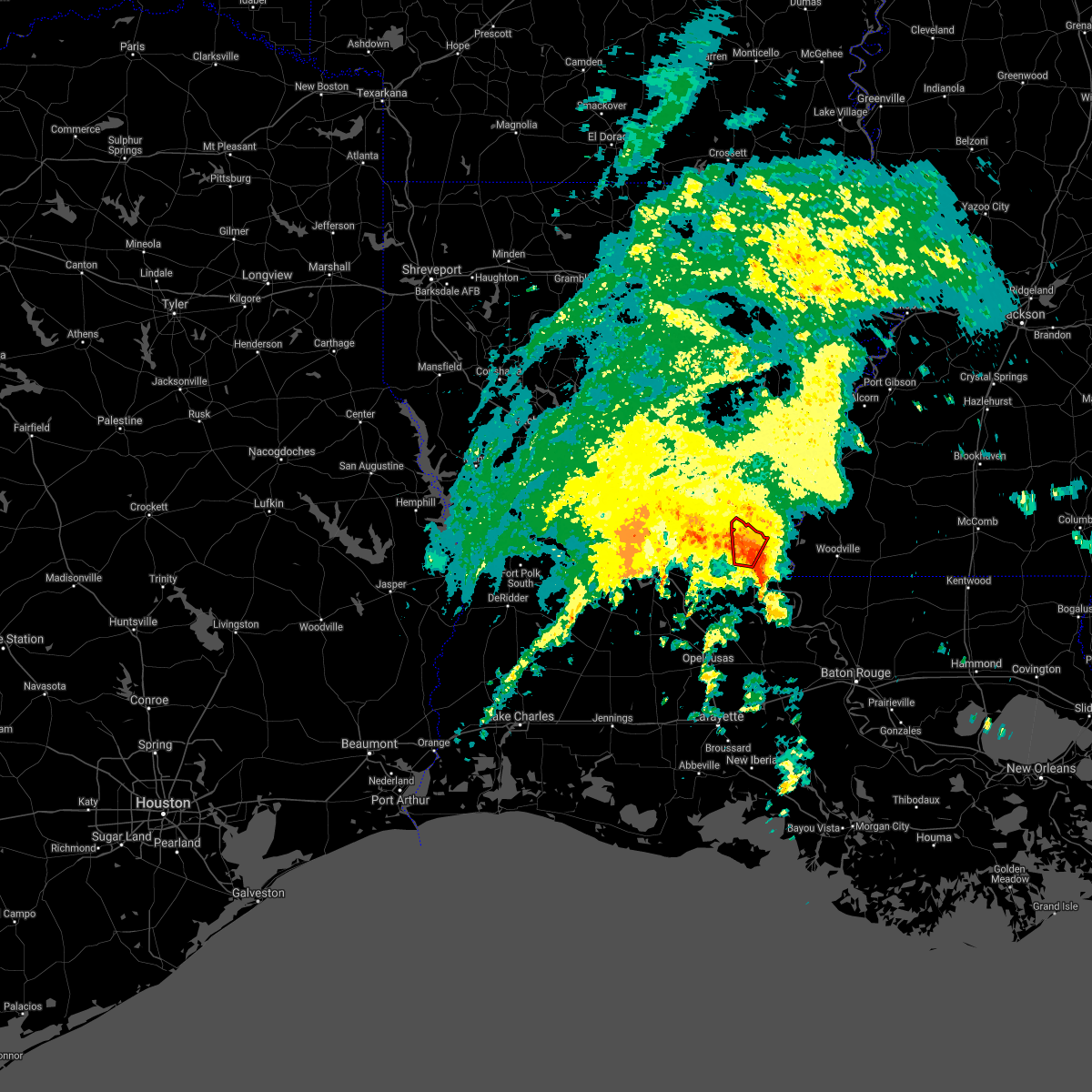 At 307 pm cdt, a severe thunderstorm capable of producing a tornado was located over bordelonville, moving north at 25 mph (radar indicated rotation). Hazards include tornado. Flying debris will be dangerous to those caught without shelter. mobile homes will be damaged or destroyed. damage to roofs, windows, and vehicles will occur. tree damage is likely. This dangerous storm will be near, lake ophelia national wildlife refuge around 325 pm cdt. At 307 pm cdt, a severe thunderstorm capable of producing a tornado was located over bordelonville, moving north at 25 mph (radar indicated rotation). Hazards include tornado. Flying debris will be dangerous to those caught without shelter. mobile homes will be damaged or destroyed. damage to roofs, windows, and vehicles will occur. tree damage is likely. This dangerous storm will be near, lake ophelia national wildlife refuge around 325 pm cdt.
|
| 9/23/2020 2:58 PM CDT |
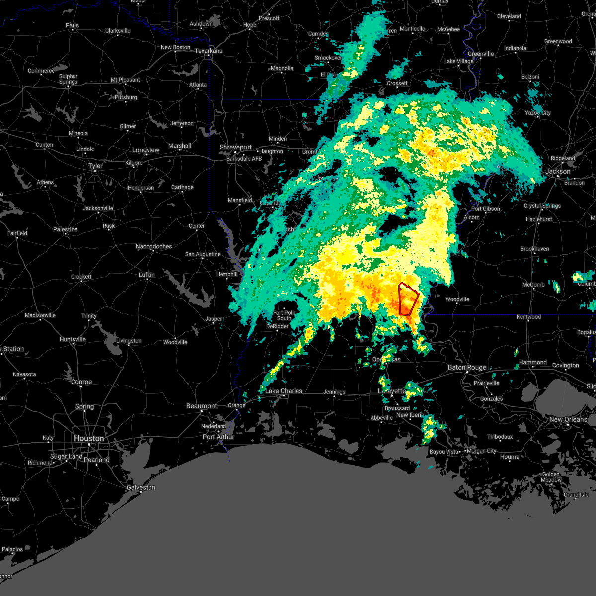 At 257 pm cdt, a severe thunderstorm capable of producing a tornado was located near bordelonville, moving north at 25 mph (radar indicated rotation). Hazards include tornado. Flying debris will be dangerous to those caught without shelter. mobile homes will be damaged or destroyed. damage to roofs, windows, and vehicles will occur. tree damage is likely. this dangerous storm will be near, bordelonville around 305 pm cdt. lake ophelia national wildlife refuge around 315 pm cdt. Other locations impacted by this tornadic thunderstorm include hamburg. At 257 pm cdt, a severe thunderstorm capable of producing a tornado was located near bordelonville, moving north at 25 mph (radar indicated rotation). Hazards include tornado. Flying debris will be dangerous to those caught without shelter. mobile homes will be damaged or destroyed. damage to roofs, windows, and vehicles will occur. tree damage is likely. this dangerous storm will be near, bordelonville around 305 pm cdt. lake ophelia national wildlife refuge around 315 pm cdt. Other locations impacted by this tornadic thunderstorm include hamburg.
|
| 9/23/2020 2:48 PM CDT |
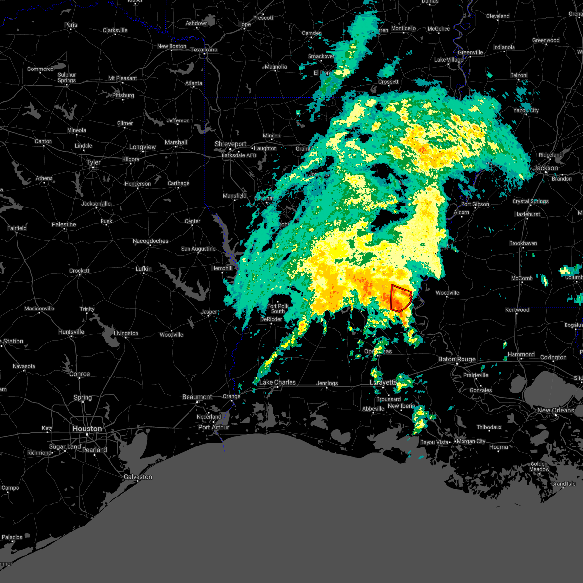 At 248 pm cdt, a severe thunderstorm capable of producing a tornado was located near simmesport, moving north at 25 mph (radar indicated rotation). Hazards include tornado. Flying debris will be dangerous to those caught without shelter. mobile homes will be damaged or destroyed. damage to roofs, windows, and vehicles will occur. tree damage is likely. this dangerous storm will be near, big bend around 300 pm cdt. bordelonville around 305 pm cdt. Other locations impacted by this tornadic thunderstorm include hamburg. At 248 pm cdt, a severe thunderstorm capable of producing a tornado was located near simmesport, moving north at 25 mph (radar indicated rotation). Hazards include tornado. Flying debris will be dangerous to those caught without shelter. mobile homes will be damaged or destroyed. damage to roofs, windows, and vehicles will occur. tree damage is likely. this dangerous storm will be near, big bend around 300 pm cdt. bordelonville around 305 pm cdt. Other locations impacted by this tornadic thunderstorm include hamburg.
|
| 9/23/2020 2:42 PM CDT |
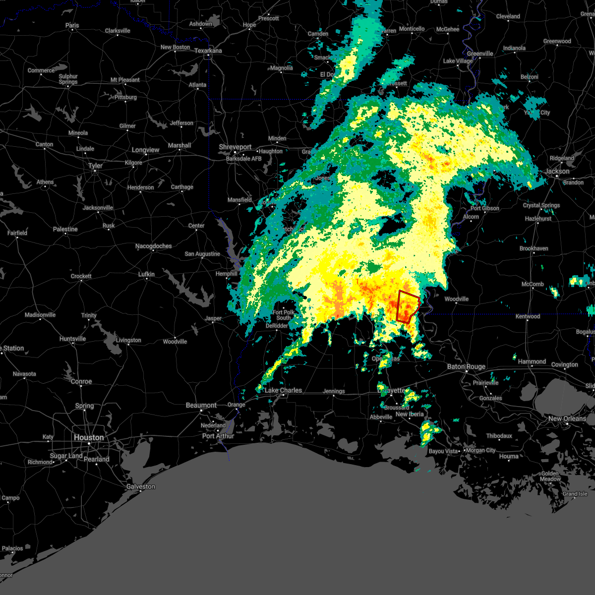 At 241 pm cdt, a severe thunderstorm capable of producing a tornado was located near simmesport, moving north at 30 mph (radar indicated rotation). Hazards include tornado. Flying debris will be dangerous to those caught without shelter. mobile homes will be damaged or destroyed. damage to roofs, windows, and vehicles will occur. tree damage is likely. this dangerous storm will be near, bordelonville and big bend around 255 pm cdt. Other locations impacted by this tornadic thunderstorm include hamburg. At 241 pm cdt, a severe thunderstorm capable of producing a tornado was located near simmesport, moving north at 30 mph (radar indicated rotation). Hazards include tornado. Flying debris will be dangerous to those caught without shelter. mobile homes will be damaged or destroyed. damage to roofs, windows, and vehicles will occur. tree damage is likely. this dangerous storm will be near, bordelonville and big bend around 255 pm cdt. Other locations impacted by this tornadic thunderstorm include hamburg.
|
| 9/23/2020 2:35 PM CDT |
 At 235 pm cdt, a severe thunderstorm capable of producing a tornado was located near dupont, or near simmesport, moving north at 30 mph (radar indicated rotation). Hazards include tornado. Flying debris will be dangerous to those caught without shelter. mobile homes will be damaged or destroyed. damage to roofs, windows, and vehicles will occur. tree damage is likely. this dangerous storm will be near, simmesport and moreauville around 245 pm cdt. bordelonville and big bend around 255 pm cdt. Other locations impacted by this tornadic thunderstorm include hamburg. At 235 pm cdt, a severe thunderstorm capable of producing a tornado was located near dupont, or near simmesport, moving north at 30 mph (radar indicated rotation). Hazards include tornado. Flying debris will be dangerous to those caught without shelter. mobile homes will be damaged or destroyed. damage to roofs, windows, and vehicles will occur. tree damage is likely. this dangerous storm will be near, simmesport and moreauville around 245 pm cdt. bordelonville and big bend around 255 pm cdt. Other locations impacted by this tornadic thunderstorm include hamburg.
|
| 4/29/2020 3:23 AM CDT |
 At 322 am cdt, severe thunderstorms were located along a line extending from 6 miles southeast of archie to 6 miles east of fort polk to near colmesneil, moving south at 45 mph (radar indicated). Hazards include 60 mph wind gusts and quarter size hail. Hail damage to vehicles is expected. expect wind damage to roofs, siding, and trees. locations impacted include, alexandria, pineville, de ridder, oakdale, jasper, leesville, marksville, woodville, newton, kirbyville, rosepine, glenmora, merryville, boyce, moreauville, anacoco, cheneyville, colmesneil, elizabeth and chester. This includes interstate 49 between mile markers 54 and 109. At 322 am cdt, severe thunderstorms were located along a line extending from 6 miles southeast of archie to 6 miles east of fort polk to near colmesneil, moving south at 45 mph (radar indicated). Hazards include 60 mph wind gusts and quarter size hail. Hail damage to vehicles is expected. expect wind damage to roofs, siding, and trees. locations impacted include, alexandria, pineville, de ridder, oakdale, jasper, leesville, marksville, woodville, newton, kirbyville, rosepine, glenmora, merryville, boyce, moreauville, anacoco, cheneyville, colmesneil, elizabeth and chester. This includes interstate 49 between mile markers 54 and 109.
|
| 4/29/2020 2:47 AM CDT |
 At 247 am cdt, severe thunderstorms were located along a line extending from near rosefield to near kurthwood to near huntington, moving south at 40 mph (radar indicated). Hazards include 60 mph wind gusts and quarter size hail. Hail damage to vehicles is expected. Expect wind damage to roofs, siding, and trees. At 247 am cdt, severe thunderstorms were located along a line extending from near rosefield to near kurthwood to near huntington, moving south at 40 mph (radar indicated). Hazards include 60 mph wind gusts and quarter size hail. Hail damage to vehicles is expected. Expect wind damage to roofs, siding, and trees.
|
| 4/23/2020 1:20 AM CDT |
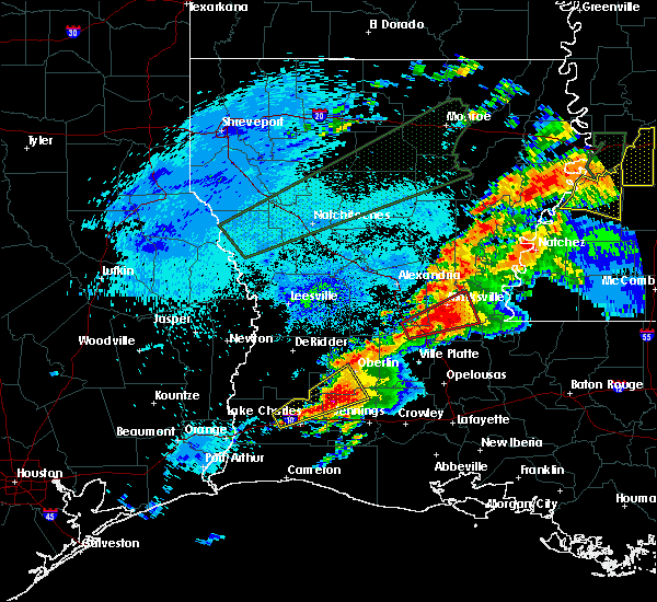 At 119 am cdt, a severe thunderstorm capable of producing a tornado was located over bunkie, moving northeast at 35 mph (radar indicated rotation). Hazards include tornado. Flying debris will be dangerous to those caught without shelter. mobile homes will be damaged or destroyed. damage to roofs, windows, and vehicles will occur. tree damage is likely. this dangerous storm will be near, hessmer around 125 am cdt. cottonport around 130 am cdt. marksville, mansura and plaucheville around 135 am cdt. moreauville around 140 am cdt. bordelonville around 145 am cdt. simmesport around 150 am cdt. Other locations impacted by this tornadic thunderstorm include hamburg. At 119 am cdt, a severe thunderstorm capable of producing a tornado was located over bunkie, moving northeast at 35 mph (radar indicated rotation). Hazards include tornado. Flying debris will be dangerous to those caught without shelter. mobile homes will be damaged or destroyed. damage to roofs, windows, and vehicles will occur. tree damage is likely. this dangerous storm will be near, hessmer around 125 am cdt. cottonport around 130 am cdt. marksville, mansura and plaucheville around 135 am cdt. moreauville around 140 am cdt. bordelonville around 145 am cdt. simmesport around 150 am cdt. Other locations impacted by this tornadic thunderstorm include hamburg.
|
| 4/23/2020 1:02 AM CDT |
 At 102 am cdt, a severe thunderstorm capable of producing a tornado was located near cheneyville, moving northeast at 40 mph (radar indicated rotation). Hazards include tornado. Flying debris will be dangerous to those caught without shelter. mobile homes will be damaged or destroyed. damage to roofs, windows, and vehicles will occur. tree damage is likely. this dangerous storm will be near, bunkie and cheneyville around 110 am cdt. evergreen around 120 am cdt. hessmer around 125 am cdt. cottonport and mansura around 130 am cdt. marksville and moreauville around 135 am cdt. bordelonville around 145 am cdt. other locations impacted by this tornadic thunderstorm include hamburg. This includes interstate 49 between mile markers 50 and 61. At 102 am cdt, a severe thunderstorm capable of producing a tornado was located near cheneyville, moving northeast at 40 mph (radar indicated rotation). Hazards include tornado. Flying debris will be dangerous to those caught without shelter. mobile homes will be damaged or destroyed. damage to roofs, windows, and vehicles will occur. tree damage is likely. this dangerous storm will be near, bunkie and cheneyville around 110 am cdt. evergreen around 120 am cdt. hessmer around 125 am cdt. cottonport and mansura around 130 am cdt. marksville and moreauville around 135 am cdt. bordelonville around 145 am cdt. other locations impacted by this tornadic thunderstorm include hamburg. This includes interstate 49 between mile markers 50 and 61.
|
| 1/11/2020 6:13 AM CST |
 At 612 am cst, severe thunderstorms were located along a line extending from black hawk to near melville to near krotz springs to st. martinville, moving northeast at 45 mph (radar indicated). Hazards include 60 mph wind gusts. expect damage to roofs, siding, and trees At 612 am cst, severe thunderstorms were located along a line extending from black hawk to near melville to near krotz springs to st. martinville, moving northeast at 45 mph (radar indicated). Hazards include 60 mph wind gusts. expect damage to roofs, siding, and trees
|
| 1/11/2020 5:39 AM CST |
 At 539 am cst, severe thunderstorms were located along a line extending from new era to near evergreen to near cankton to near esther, moving east at 40 mph (radar indicated). Hazards include 60 mph wind gusts. Expect damage to roofs, siding, and trees. locations impacted include, lafayette, new iberia, opelousas, abbeville, catahoula, scott, breaux bridge, rayne, carencro, ville platte, st. Martinville, marksville, kaplan, church point, bunkie, simmesport, krotz springs, leonville, arnaudville and melville. At 539 am cst, severe thunderstorms were located along a line extending from new era to near evergreen to near cankton to near esther, moving east at 40 mph (radar indicated). Hazards include 60 mph wind gusts. Expect damage to roofs, siding, and trees. locations impacted include, lafayette, new iberia, opelousas, abbeville, catahoula, scott, breaux bridge, rayne, carencro, ville platte, st. Martinville, marksville, kaplan, church point, bunkie, simmesport, krotz springs, leonville, arnaudville and melville.
|
| 1/11/2020 5:13 AM CST |
 At 513 am cst, severe thunderstorms were located along a line extending from 6 miles east of deville to near cheneyville to near branch to 6 miles northwest of forked island, moving east at 40 mph (radar indicated). Hazards include 60 mph wind gusts. expect damage to roofs, siding, and trees At 513 am cst, severe thunderstorms were located along a line extending from 6 miles east of deville to near cheneyville to near branch to 6 miles northwest of forked island, moving east at 40 mph (radar indicated). Hazards include 60 mph wind gusts. expect damage to roofs, siding, and trees
|
| 1/11/2020 4:57 AM CST |
 At 457 am cst, severe thunderstorms were located along a line extending from near esler regional airport to 14 miles northeast of rockefeller wildlife range, moving east at 40 mph (radar indicated). Hazards include 60 mph wind gusts. Expect damage to roofs, siding, and trees. Locations impacted include, lafayette, alexandria, opelousas, pineville, crowley, abbeville, eunice, jennings, scott, rayne, oakdale, carencro, ville platte, marksville, kaplan, church point, bunkie, mamou, lake arthur and basile. At 457 am cst, severe thunderstorms were located along a line extending from near esler regional airport to 14 miles northeast of rockefeller wildlife range, moving east at 40 mph (radar indicated). Hazards include 60 mph wind gusts. Expect damage to roofs, siding, and trees. Locations impacted include, lafayette, alexandria, opelousas, pineville, crowley, abbeville, eunice, jennings, scott, rayne, oakdale, carencro, ville platte, marksville, kaplan, church point, bunkie, mamou, lake arthur and basile.
|
| 1/11/2020 4:17 AM CST |
 At 416 am cst, severe thunderstorms were located along a line extending from near boyce to near grand chenier, moving east at 45 mph (radar indicated). Hazards include 60 mph wind gusts. expect damage to roofs, siding, and trees At 416 am cst, severe thunderstorms were located along a line extending from near boyce to near grand chenier, moving east at 45 mph (radar indicated). Hazards include 60 mph wind gusts. expect damage to roofs, siding, and trees
|
| 12/16/2019 2:09 PM CST |
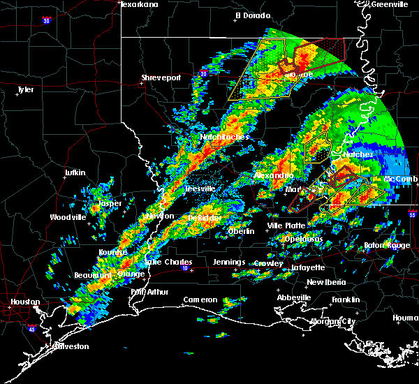 At 208 pm cst, a severe thunderstorm capable of producing a tornado was located near big bend, or 9 miles east of bordelonville, moving northeast at 40 mph (radar indicated rotation). Hazards include tornado. Flying debris will be dangerous to those caught without shelter. mobile homes will be damaged or destroyed. damage to roofs, windows, and vehicles will occur. tree damage is likely. This tornadic thunderstorm will remain over mainly rural areas of east central avoyelles parish. At 208 pm cst, a severe thunderstorm capable of producing a tornado was located near big bend, or 9 miles east of bordelonville, moving northeast at 40 mph (radar indicated rotation). Hazards include tornado. Flying debris will be dangerous to those caught without shelter. mobile homes will be damaged or destroyed. damage to roofs, windows, and vehicles will occur. tree damage is likely. This tornadic thunderstorm will remain over mainly rural areas of east central avoyelles parish.
|
| 12/16/2019 1:47 PM CST |
 At 146 pm cst, a severe thunderstorm capable of producing a tornado was located over plaucheville, or near moreauville, moving northeast at 15 mph (radar indicated rotation). Hazards include tornado. Flying debris will be dangerous to those caught without shelter. mobile homes will be damaged or destroyed. damage to roofs, windows, and vehicles will occur. tree damage is likely. this dangerous storm will be near, moreauville around 155 pm cst. simmesport, bordelonville and big bend around 215 pm cst. Other locations impacted by this tornadic thunderstorm include hamburg. At 146 pm cst, a severe thunderstorm capable of producing a tornado was located over plaucheville, or near moreauville, moving northeast at 15 mph (radar indicated rotation). Hazards include tornado. Flying debris will be dangerous to those caught without shelter. mobile homes will be damaged or destroyed. damage to roofs, windows, and vehicles will occur. tree damage is likely. this dangerous storm will be near, moreauville around 155 pm cst. simmesport, bordelonville and big bend around 215 pm cst. Other locations impacted by this tornadic thunderstorm include hamburg.
|
| 12/16/2019 1:24 PM CST |
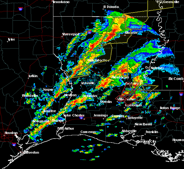 The tornado warning for central avoyelles parish will expire at 130 pm cst, the tornado threat has diminished and the tornado warning has been cancelled. however, damaging winds remain likely and a severe thunderstorm warning remains in effect for the area. a tornado watch remains in effect until 600 pm cst for central louisiana. remember, a severe thunderstorm warning still remains in effect for the east central portion of avoyelles parish. The tornado warning for central avoyelles parish will expire at 130 pm cst, the tornado threat has diminished and the tornado warning has been cancelled. however, damaging winds remain likely and a severe thunderstorm warning remains in effect for the area. a tornado watch remains in effect until 600 pm cst for central louisiana. remember, a severe thunderstorm warning still remains in effect for the east central portion of avoyelles parish.
|
| 12/16/2019 1:20 PM CST |
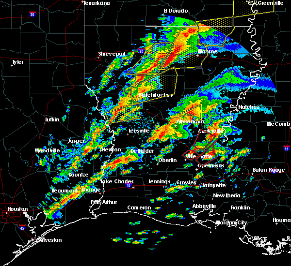 At 120 pm cst, a severe thunderstorm was located over big bend, or near bordelonville, moving northeast at 45 mph (radar indicated). Hazards include 60 mph wind gusts. expect damage to roofs, siding, and trees At 120 pm cst, a severe thunderstorm was located over big bend, or near bordelonville, moving northeast at 45 mph (radar indicated). Hazards include 60 mph wind gusts. expect damage to roofs, siding, and trees
|
| 12/16/2019 12:56 PM CST |
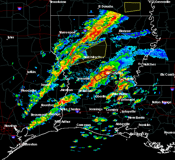 At 1256 pm cst, a severe thunderstorm capable of producing a tornado was located over cottonport, or near moreauville, moving northeast at 40 mph (radar indicated rotation). Hazards include tornado. Flying debris will be dangerous to those caught without shelter. mobile homes will be damaged or destroyed. damage to roofs, windows, and vehicles will occur. tree damage is likely. this dangerous storm will be near, marksville, moreauville and mansura around 105 pm cst. bordelonville around 115 pm cst. brouillette around 120 pm cst. Other locations impacted by this tornadic thunderstorm include hamburg. At 1256 pm cst, a severe thunderstorm capable of producing a tornado was located over cottonport, or near moreauville, moving northeast at 40 mph (radar indicated rotation). Hazards include tornado. Flying debris will be dangerous to those caught without shelter. mobile homes will be damaged or destroyed. damage to roofs, windows, and vehicles will occur. tree damage is likely. this dangerous storm will be near, marksville, moreauville and mansura around 105 pm cst. bordelonville around 115 pm cst. brouillette around 120 pm cst. Other locations impacted by this tornadic thunderstorm include hamburg.
|
| 12/16/2019 12:43 PM CST |
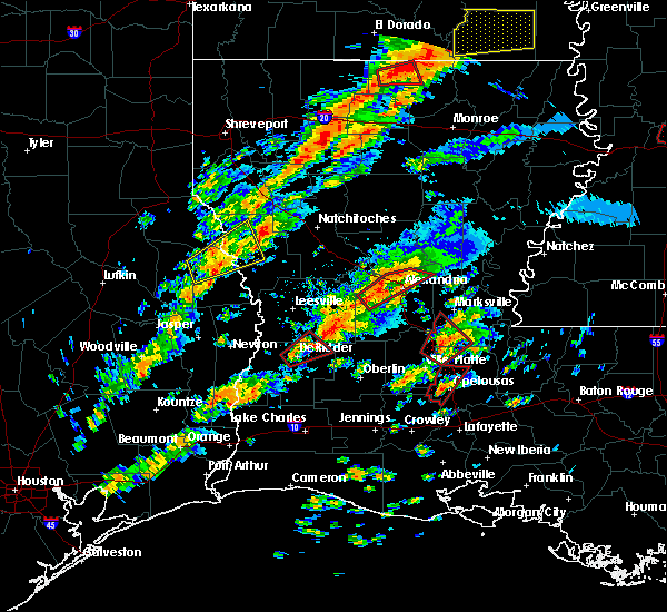 At 1242 pm cst, a severe thunderstorm capable of producing a tornado was located near morrow, moving northeast at 40 mph (radar indicated rotation). Hazards include tornado. Flying debris will be dangerous to those caught without shelter. mobile homes will be damaged or destroyed. damage to roofs, windows, and vehicles will occur. tree damage is likely. this dangerous storm will be near, cottonport and evergreen around 1255 pm cst. plaucheville and dupont around 100 pm cst. marksville, moreauville and mansura around 105 pm cst. bordelonville around 115 pm cst. brouillette around 120 pm cst. Other locations impacted by this tornadic thunderstorm include hamburg. At 1242 pm cst, a severe thunderstorm capable of producing a tornado was located near morrow, moving northeast at 40 mph (radar indicated rotation). Hazards include tornado. Flying debris will be dangerous to those caught without shelter. mobile homes will be damaged or destroyed. damage to roofs, windows, and vehicles will occur. tree damage is likely. this dangerous storm will be near, cottonport and evergreen around 1255 pm cst. plaucheville and dupont around 100 pm cst. marksville, moreauville and mansura around 105 pm cst. bordelonville around 115 pm cst. brouillette around 120 pm cst. Other locations impacted by this tornadic thunderstorm include hamburg.
|
| 5/9/2019 9:06 AM CDT |
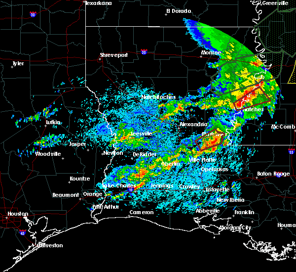 At 905 am cdt, a severe thunderstorm capable of producing a tornado was located near bordelonville, moving east at 20 mph (radar indicated rotation). Hazards include tornado and quarter size hail. Flying debris will be dangerous to those caught without shelter. mobile homes will be damaged or destroyed. damage to roofs, windows, and vehicles will occur. tree damage is likely. this dangerous storm will be near, big bend around 920 am cdt. Other locations impacted by this tornadic thunderstorm include hamburg. At 905 am cdt, a severe thunderstorm capable of producing a tornado was located near bordelonville, moving east at 20 mph (radar indicated rotation). Hazards include tornado and quarter size hail. Flying debris will be dangerous to those caught without shelter. mobile homes will be damaged or destroyed. damage to roofs, windows, and vehicles will occur. tree damage is likely. this dangerous storm will be near, big bend around 920 am cdt. Other locations impacted by this tornadic thunderstorm include hamburg.
|
| 5/9/2019 8:58 AM CDT |
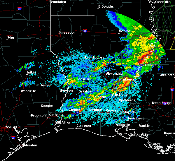 At 858 am cdt, a severe thunderstorm was located near bordelonville, moving east at 30 mph (radar indicated). Hazards include 60 mph wind gusts and quarter size hail. Hail damage to vehicles is expected. expect wind damage to roofs, siding, and trees. Locations impacted include, moreauville, bordelonville, big bend and hamburg. At 858 am cdt, a severe thunderstorm was located near bordelonville, moving east at 30 mph (radar indicated). Hazards include 60 mph wind gusts and quarter size hail. Hail damage to vehicles is expected. expect wind damage to roofs, siding, and trees. Locations impacted include, moreauville, bordelonville, big bend and hamburg.
|
| 5/9/2019 8:38 AM CDT |
 At 837 am cdt, a severe thunderstorm capable of producing a tornado was located over mansura, or near moreauville, moving northeast at 25 mph (radar indicated rotation). Hazards include tornado and quarter size hail. Flying debris will be dangerous to those caught without shelter. mobile homes will be damaged or destroyed. damage to roofs, windows, and vehicles will occur. tree damage is likely. this dangerous storm will be near, moreauville around 845 am cdt. bordelonville around 900 am cdt. big bend around 910 am cdt. Other locations impacted by this tornadic thunderstorm include hamburg. At 837 am cdt, a severe thunderstorm capable of producing a tornado was located over mansura, or near moreauville, moving northeast at 25 mph (radar indicated rotation). Hazards include tornado and quarter size hail. Flying debris will be dangerous to those caught without shelter. mobile homes will be damaged or destroyed. damage to roofs, windows, and vehicles will occur. tree damage is likely. this dangerous storm will be near, moreauville around 845 am cdt. bordelonville around 900 am cdt. big bend around 910 am cdt. Other locations impacted by this tornadic thunderstorm include hamburg.
|
| 5/9/2019 8:31 AM CDT |
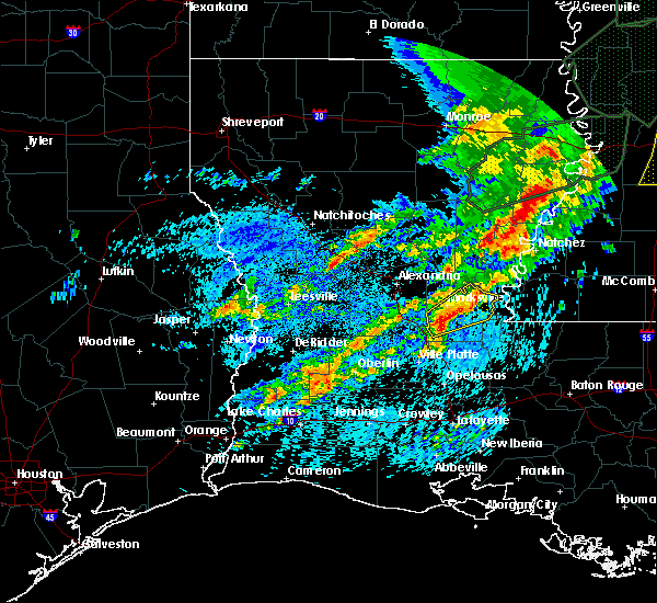 At 831 am cdt, a severe thunderstorm was located near hessmer, or near bunkie, moving northeast at 25 mph (radar indicated). Hazards include 60 mph wind gusts and quarter size hail. Hail damage to vehicles is expected. Expect wind damage to roofs, siding, and trees. At 831 am cdt, a severe thunderstorm was located near hessmer, or near bunkie, moving northeast at 25 mph (radar indicated). Hazards include 60 mph wind gusts and quarter size hail. Hail damage to vehicles is expected. Expect wind damage to roofs, siding, and trees.
|
| 4/25/2019 6:42 AM CDT |
 The severe thunderstorm warning for southeastern rapides and central avoyelles parishes will expire at 645 am cdt, the storm which prompted the warning has weakened below severe limits, and has exited the warned area. therefore, the warning will be allowed to expire. however gusty winds are still possible with this thunderstorm. a tornado watch remains in effect until 800 am cdt for central louisiana. The severe thunderstorm warning for southeastern rapides and central avoyelles parishes will expire at 645 am cdt, the storm which prompted the warning has weakened below severe limits, and has exited the warned area. therefore, the warning will be allowed to expire. however gusty winds are still possible with this thunderstorm. a tornado watch remains in effect until 800 am cdt for central louisiana.
|
| 4/25/2019 6:21 AM CDT |
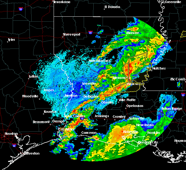 At 620 am cdt, a severe thunderstorm was located near cheneyville, moving east at 55 mph (radar indicated). Hazards include 60 mph wind gusts. Expect damage to roofs, siding, and trees. Locations impacted include, marksville, bunkie, simmesport, moreauville, cheneyville, bordelonville, cottonport, mansura, hessmer, echo, brouillette, lake ophelia national wildlife refuge, big bend and hamburg. At 620 am cdt, a severe thunderstorm was located near cheneyville, moving east at 55 mph (radar indicated). Hazards include 60 mph wind gusts. Expect damage to roofs, siding, and trees. Locations impacted include, marksville, bunkie, simmesport, moreauville, cheneyville, bordelonville, cottonport, mansura, hessmer, echo, brouillette, lake ophelia national wildlife refuge, big bend and hamburg.
|
| 4/25/2019 6:06 AM CDT |
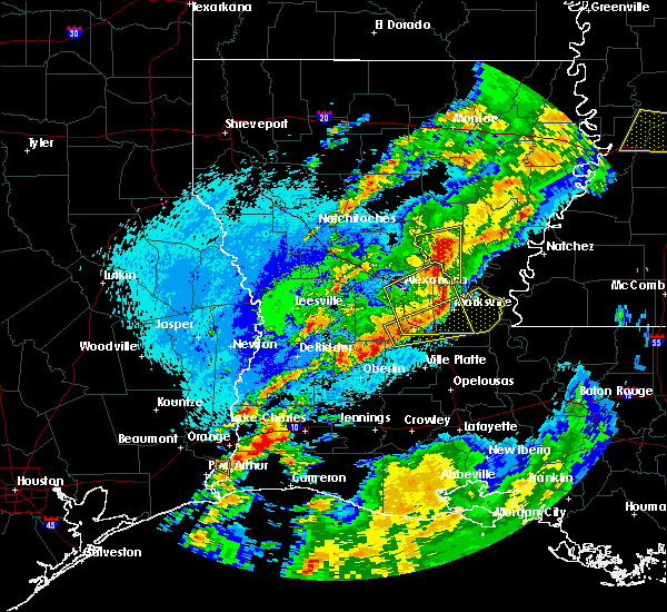 At 605 am cdt, a severe thunderstorm was located near glenmora, moving east at 55 mph (radar indicated). Hazards include 60 mph wind gusts. expect damage to roofs, siding, and trees At 605 am cdt, a severe thunderstorm was located near glenmora, moving east at 55 mph (radar indicated). Hazards include 60 mph wind gusts. expect damage to roofs, siding, and trees
|
| 4/7/2019 4:20 PM CDT |
 At 420 pm cdt, a severe thunderstorm was located over mansura, or near moreauville, moving north at 25 mph (radar indicated). Hazards include 60 mph wind gusts and penny size hail. Expect damage to roofs, siding, and trees. Locations impacted include, marksville, moreauville, bordelonville, cottonport, mansura, hessmer, brouillette, lake ophelia national wildlife refuge and hamburg. At 420 pm cdt, a severe thunderstorm was located over mansura, or near moreauville, moving north at 25 mph (radar indicated). Hazards include 60 mph wind gusts and penny size hail. Expect damage to roofs, siding, and trees. Locations impacted include, marksville, moreauville, bordelonville, cottonport, mansura, hessmer, brouillette, lake ophelia national wildlife refuge and hamburg.
|
| 4/7/2019 4:02 PM CDT |
 At 402 pm cdt, a severe thunderstorm was located near cottonport, or 7 miles north of morrow, moving north at 25 mph (radar indicated). Hazards include 60 mph wind gusts and penny size hail. expect damage to roofs, siding, and trees At 402 pm cdt, a severe thunderstorm was located near cottonport, or 7 miles north of morrow, moving north at 25 mph (radar indicated). Hazards include 60 mph wind gusts and penny size hail. expect damage to roofs, siding, and trees
|
| 11/7/2018 4:09 PM CST |
 At 408 pm cst, a severe thunderstorm was located over simmesport, moving northeast at 15 mph (radar indicated). Hazards include quarter size hail. damage to vehicles is expected At 408 pm cst, a severe thunderstorm was located over simmesport, moving northeast at 15 mph (radar indicated). Hazards include quarter size hail. damage to vehicles is expected
|
| 11/1/2018 1:53 AM CDT |
 The severe thunderstorm warning for eastern avoyelles and northeastern st. landry parishes will expire at 200 am cdt, the storms which prompted the warning have weakened below severe limits, and have exited the warned area. therefore, the warning will be allowed to expire. however gusty winds are still possible behind these thunderstorms. a tornado watch remains in effect until 400 am cdt for central louisiana. The severe thunderstorm warning for eastern avoyelles and northeastern st. landry parishes will expire at 200 am cdt, the storms which prompted the warning have weakened below severe limits, and have exited the warned area. therefore, the warning will be allowed to expire. however gusty winds are still possible behind these thunderstorms. a tornado watch remains in effect until 400 am cdt for central louisiana.
|
| 11/1/2018 1:27 AM CDT |
 At 127 am cdt, severe thunderstorms were located along a line extending from mayna to near dupont to washington, moving east at 35 mph (radar indicated). Hazards include 60 mph wind gusts. Expect damage to roofs, siding, and trees. locations impacted include, opelousas, simmesport, melville, moreauville, palmetto, bordelonville, bayou current, morrow, plaucheville, goudeau, lake ophelia national wildlife refuge, big cane, dupont, big bend, grand prairie, lebeau and hamburg. A tornado watch remains in effect until 400 am cdt for central louisiana. At 127 am cdt, severe thunderstorms were located along a line extending from mayna to near dupont to washington, moving east at 35 mph (radar indicated). Hazards include 60 mph wind gusts. Expect damage to roofs, siding, and trees. locations impacted include, opelousas, simmesport, melville, moreauville, palmetto, bordelonville, bayou current, morrow, plaucheville, goudeau, lake ophelia national wildlife refuge, big cane, dupont, big bend, grand prairie, lebeau and hamburg. A tornado watch remains in effect until 400 am cdt for central louisiana.
|
| 11/1/2018 1:09 AM CDT |
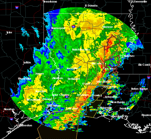 At 108 am cdt, a severe thunderstorm capable of producing a tornado was located over mansura, or over marksville, moving northeast at 50 mph (radar indicated rotation). Hazards include tornado. Flying debris will be dangerous to those caught without shelter. mobile homes will be damaged or destroyed. damage to roofs, windows, and vehicles will occur. tree damage is likely. Locations impacted include, marksville, bordelonville and mansura. At 108 am cdt, a severe thunderstorm capable of producing a tornado was located over mansura, or over marksville, moving northeast at 50 mph (radar indicated rotation). Hazards include tornado. Flying debris will be dangerous to those caught without shelter. mobile homes will be damaged or destroyed. damage to roofs, windows, and vehicles will occur. tree damage is likely. Locations impacted include, marksville, bordelonville and mansura.
|
| 11/1/2018 12:59 AM CDT |
 At 1259 am cdt, severe thunderstorms were located along a line extending from near holloway to near evergreen to near chataignier, moving east at 35 mph (radar indicated). Hazards include 60 mph wind gusts. expect damage to roofs, siding, and trees At 1259 am cdt, severe thunderstorms were located along a line extending from near holloway to near evergreen to near chataignier, moving east at 35 mph (radar indicated). Hazards include 60 mph wind gusts. expect damage to roofs, siding, and trees
|
| 11/1/2018 12:56 AM CDT |
 At 1255 am cdt, a severe thunderstorm capable of producing a tornado was located near bunkie, moving northeast at 45 mph (radar indicated rotation). Hazards include tornado. Flying debris will be dangerous to those caught without shelter. mobile homes will be damaged or destroyed. damage to roofs, windows, and vehicles will occur. Tree damage is likely. At 1255 am cdt, a severe thunderstorm capable of producing a tornado was located near bunkie, moving northeast at 45 mph (radar indicated rotation). Hazards include tornado. Flying debris will be dangerous to those caught without shelter. mobile homes will be damaged or destroyed. damage to roofs, windows, and vehicles will occur. Tree damage is likely.
|
| 4/6/2018 11:13 PM CDT |
 At 1112 pm cdt, severe thunderstorms were located along a line extending from near slocum to near echo to near leesville, moving southeast at 25 mph (radar indicated). Hazards include 60 mph wind gusts and quarter size hail. Hail damage to vehicles is expected. expect wind damage to roofs, siding, and trees. Locations impacted include, alexandria, pineville, marksville, effie, hessmer, deville, libuse, echo, brouillette, lake ophelia national wildlife refuge, poland, kolin, centerpoint and ruby. At 1112 pm cdt, severe thunderstorms were located along a line extending from near slocum to near echo to near leesville, moving southeast at 25 mph (radar indicated). Hazards include 60 mph wind gusts and quarter size hail. Hail damage to vehicles is expected. expect wind damage to roofs, siding, and trees. Locations impacted include, alexandria, pineville, marksville, effie, hessmer, deville, libuse, echo, brouillette, lake ophelia national wildlife refuge, poland, kolin, centerpoint and ruby.
|
| 4/6/2018 10:29 PM CDT |
 At 1028 pm cdt, severe thunderstorms were located along a line extending from near walters to near alexandria international airport to 9 miles west of hornbeck, moving southeast at 25 mph (radar indicated). Hazards include 60 mph wind gusts and quarter size hail. Hail damage to vehicles is expected. Expect wind damage to roofs, siding, and trees. At 1028 pm cdt, severe thunderstorms were located along a line extending from near walters to near alexandria international airport to 9 miles west of hornbeck, moving southeast at 25 mph (radar indicated). Hazards include 60 mph wind gusts and quarter size hail. Hail damage to vehicles is expected. Expect wind damage to roofs, siding, and trees.
|
| 5/28/2017 9:39 PM CDT |
 At 938 pm cdt, severe thunderstorms were located along a line extending from near brouillette to indian lake to near reddell, moving southeast at 35 mph (radar indicated). Hazards include 60 mph wind gusts and nickel size hail. Expect damage to roofs, siding, and trees. Locations impacted include, opelousas, oakdale, ville platte, marksville, bunkie, mamou, simmesport, leonville, melville, moreauville, cheneyville, turkey creek, palmetto, bordelonville, bayou current, morrow, effie, sunset, port barre and cottonport. At 938 pm cdt, severe thunderstorms were located along a line extending from near brouillette to indian lake to near reddell, moving southeast at 35 mph (radar indicated). Hazards include 60 mph wind gusts and nickel size hail. Expect damage to roofs, siding, and trees. Locations impacted include, opelousas, oakdale, ville platte, marksville, bunkie, mamou, simmesport, leonville, melville, moreauville, cheneyville, turkey creek, palmetto, bordelonville, bayou current, morrow, effie, sunset, port barre and cottonport.
|
| 5/28/2017 9:11 PM CDT |
 At 910 pm cdt, severe thunderstorms were located along a line extending from holloway to near turkey creek to 6 miles east of mittie, moving southeast at 40 mph (radar indicated). Hazards include 60 mph wind gusts and nickel size hail. expect damage to roofs, siding, and trees At 910 pm cdt, severe thunderstorms were located along a line extending from holloway to near turkey creek to 6 miles east of mittie, moving southeast at 40 mph (radar indicated). Hazards include 60 mph wind gusts and nickel size hail. expect damage to roofs, siding, and trees
|
| 4/30/2017 6:35 AM CDT |
 At 634 am cdt, scattered severe thunderstorms were scattered across the warned area, moving northeast at 45 mph (radar indicated). Hazards include 60 mph wind gusts and half dollar size hail. Hail damage to vehicles is expected. Expect wind damage to roofs, siding, and trees. At 634 am cdt, scattered severe thunderstorms were scattered across the warned area, moving northeast at 45 mph (radar indicated). Hazards include 60 mph wind gusts and half dollar size hail. Hail damage to vehicles is expected. Expect wind damage to roofs, siding, and trees.
|
| 4/30/2017 2:08 AM CDT |
 At 207 am cdt, severe thunderstorms were located along a line extending from 6 miles west of rosefield to near jena to holloway to iota, moving northeast at 45 mph (radar indicated). Hazards include 60 mph wind gusts and quarter size hail. Hail damage to vehicles is expected. expect wind damage to roofs, siding, and trees. locations impacted include, alexandria, opelousas, pineville, crowley, eunice, jennings, rayne, oakdale, ville platte, marksville, church point, bunkie, mamou, welsh, lake arthur, basile, iota, gueydan, glenmora and elton. A tornado watch remains in effect until 900 am cdt for central, south central and southwestern louisiana. At 207 am cdt, severe thunderstorms were located along a line extending from 6 miles west of rosefield to near jena to holloway to iota, moving northeast at 45 mph (radar indicated). Hazards include 60 mph wind gusts and quarter size hail. Hail damage to vehicles is expected. expect wind damage to roofs, siding, and trees. locations impacted include, alexandria, opelousas, pineville, crowley, eunice, jennings, rayne, oakdale, ville platte, marksville, church point, bunkie, mamou, welsh, lake arthur, basile, iota, gueydan, glenmora and elton. A tornado watch remains in effect until 900 am cdt for central, south central and southwestern louisiana.
|
| 4/30/2017 1:24 AM CDT |
 At 123 am cdt, severe thunderstorms were located along a line extending from near alexandria international airport to near glenmora to near duralde to 7 miles east of grand chenier, moving northeast at 45 mph (radar indicated). Hazards include 60 mph wind gusts and quarter size hail. Hail damage to vehicles is expected. Expect wind damage to roofs, siding, and trees. At 123 am cdt, severe thunderstorms were located along a line extending from near alexandria international airport to near glenmora to near duralde to 7 miles east of grand chenier, moving northeast at 45 mph (radar indicated). Hazards include 60 mph wind gusts and quarter size hail. Hail damage to vehicles is expected. Expect wind damage to roofs, siding, and trees.
|
| 1/2/2017 12:10 PM CST |
 At 1210 pm cst, severe thunderstorms were located along a line extending from near acme to near palmetto to near egan, moving east at 80 mph (radar indicated). Hazards include 60 mph wind gusts. Expect damage to roofs, siding, and trees. locations impacted include, opelousas, crowley, eunice, jennings, rayne, ville platte, marksville, church point, bunkie, mamou, simmesport, iota, leonville, arnaudville, melville, moreauville, palmetto, morrow, bordelonville and bayou current. A tornado watch remains in effect until 700 pm cst for south central, central and southwestern louisiana. At 1210 pm cst, severe thunderstorms were located along a line extending from near acme to near palmetto to near egan, moving east at 80 mph (radar indicated). Hazards include 60 mph wind gusts. Expect damage to roofs, siding, and trees. locations impacted include, opelousas, crowley, eunice, jennings, rayne, ville platte, marksville, church point, bunkie, mamou, simmesport, iota, leonville, arnaudville, melville, moreauville, palmetto, morrow, bordelonville and bayou current. A tornado watch remains in effect until 700 pm cst for south central, central and southwestern louisiana.
|
| 1/2/2017 12:03 PM CST |
 At 1202 pm cst, severe thunderstorms were located along a line extending from new era to near crowley, moving east at 45 mph (radar indicated). Hazards include 60 mph wind gusts. Expect damage to roofs, siding, and trees. locations impacted include, opelousas, crowley, eunice, jennings, rayne, ville platte, marksville, church point, bunkie, mamou, simmesport, basile, iota, leonville, arnaudville, melville, moreauville, turkey creek, palmetto and morrow. A tornado watch remains in effect until 700 pm cst for south central, central and southwestern louisiana. At 1202 pm cst, severe thunderstorms were located along a line extending from new era to near crowley, moving east at 45 mph (radar indicated). Hazards include 60 mph wind gusts. Expect damage to roofs, siding, and trees. locations impacted include, opelousas, crowley, eunice, jennings, rayne, ville platte, marksville, church point, bunkie, mamou, simmesport, basile, iota, leonville, arnaudville, melville, moreauville, turkey creek, palmetto and morrow. A tornado watch remains in effect until 700 pm cst for south central, central and southwestern louisiana.
|
| 1/2/2017 11:48 AM CST |
 At 1148 am cst, severe thunderstorms were located along a line extending from near larto to near egan, moving east at 55 mph (radar indicated). Hazards include 60 mph wind gusts. Expect damage to roofs, siding, and trees. locations impacted include, opelousas, crowley, eunice, jennings, rayne, ville platte, marksville, church point, bunkie, mamou, simmesport, basile, iota, leonville, arnaudville, melville, moreauville, cheneyville, turkey creek and palmetto. A tornado watch remains in effect until 200 pm cst for south central, central and southwestern louisiana. At 1148 am cst, severe thunderstorms were located along a line extending from near larto to near egan, moving east at 55 mph (radar indicated). Hazards include 60 mph wind gusts. Expect damage to roofs, siding, and trees. locations impacted include, opelousas, crowley, eunice, jennings, rayne, ville platte, marksville, church point, bunkie, mamou, simmesport, basile, iota, leonville, arnaudville, melville, moreauville, cheneyville, turkey creek and palmetto. A tornado watch remains in effect until 200 pm cst for south central, central and southwestern louisiana.
|
| 1/2/2017 11:27 AM CST |
 At 1126 am cst, severe thunderstorms were located along a line extending from near esler regional airport to pine island, moving east at 45 mph (radar indicated). Hazards include 60 mph wind gusts. expect damage to roofs, siding, and trees At 1126 am cst, severe thunderstorms were located along a line extending from near esler regional airport to pine island, moving east at 45 mph (radar indicated). Hazards include 60 mph wind gusts. expect damage to roofs, siding, and trees
|
| 11/30/2016 12:57 AM CST |
 At 1257 am cst, a severe thunderstorm was located near big bend, or near bordelonville, moving northeast at 50 mph (radar indicated). Hazards include 60 mph wind gusts and quarter size hail. Hail damage to vehicles is expected. Expect wind damage to roofs, siding, and trees. At 1257 am cst, a severe thunderstorm was located near big bend, or near bordelonville, moving northeast at 50 mph (radar indicated). Hazards include 60 mph wind gusts and quarter size hail. Hail damage to vehicles is expected. Expect wind damage to roofs, siding, and trees.
|
| 11/28/2016 4:18 PM CST |
 At 418 pm cst, a severe thunderstorm capable of producing a tornado was located over marksville, moving northeast at 40 mph (radar indicated rotation). Hazards include tornado. Flying debris will be dangerous to those caught without shelter. mobile homes will be damaged or destroyed. damage to roofs, windows, and vehicles will occur. tree damage is likely. this dangerous storm will be near, brouillette around 425 pm cst. bordelonville around 430 pm cst. Lake ophelia national wildlife refuge around 435 pm cst. At 418 pm cst, a severe thunderstorm capable of producing a tornado was located over marksville, moving northeast at 40 mph (radar indicated rotation). Hazards include tornado. Flying debris will be dangerous to those caught without shelter. mobile homes will be damaged or destroyed. damage to roofs, windows, and vehicles will occur. tree damage is likely. this dangerous storm will be near, brouillette around 425 pm cst. bordelonville around 430 pm cst. Lake ophelia national wildlife refuge around 435 pm cst.
|
| 4/30/2016 11:06 AM CDT |
 At 1105 am cdt, a severe thunderstorm was located near grand prairie, or 9 miles west of palmetto, moving northeast at 20 mph (radar indicated). Hazards include 60 mph wind gusts. Expect damage to roofs. siding. And trees. At 1105 am cdt, a severe thunderstorm was located near grand prairie, or 9 miles west of palmetto, moving northeast at 20 mph (radar indicated). Hazards include 60 mph wind gusts. Expect damage to roofs. siding. And trees.
|
| 2/15/2016 9:36 AM CST |
 At 935 am cst, a severe thunderstorm was located over cheneyville, moving east at 40 mph (radar indicated). Hazards include 60 mph wind gusts and quarter size hail. Hail damage to vehicles is expected. Expect wind damage to roofs, siding and trees. At 935 am cst, a severe thunderstorm was located over cheneyville, moving east at 40 mph (radar indicated). Hazards include 60 mph wind gusts and quarter size hail. Hail damage to vehicles is expected. Expect wind damage to roofs, siding and trees.
|
| 1/21/2016 3:49 PM CST | At 349 pm cst, severe thunderstorms were located along a line extending from near lake ophelia national wildlife refuge to 6 miles north of big bend to near moreauville, moving east at 50 mph (radar indicated). Hazards include 60 mph wind gusts and quarter size hail. Hail damage to vehicles is expected. expect wind damage to roofs, siding and trees. locations impacted include, marksville, bordelonville, effie, mansura, hessmer, brouillette and lake ophelia national wildlife refuge. A tornado watch remains in effect until 700 pm cst for central louisiana. |
| 1/21/2016 3:31 PM CST | At 331 pm cst, severe thunderstorms were located along a line extending from centerpoint to near echo to glenmora, moving northeast at 35 mph (radar indicated). Hazards include 60 mph wind gusts and quarter size hail. Hail damage to vehicles is expected. Expect wind damage to roofs, siding and trees. |
| 1/21/2016 2:49 PM CST | The national weather service in lake charles has issued a * severe thunderstorm warning for. northeastern avoyelles parish in central louisiana. until 315 pm cst * at 249 pm cst. a severe thunderstorm was located near bordelonville. Moving northeast at 40 mph. |
| 1/21/2016 2:35 PM CST | At 234 pm cst, a severe thunderstorm capable of producing a tornado was located over cottonport, or over moreauville, moving northeast at 40 mph (radar indicated rotation). Hazards include tornado and quarter size hail. Flying debris will be dangerous to those caught without shelter. mobile homes will be damaged or destroyed. damage to roofs, windows and vehicles will occur. tree damage is likely. this dangerous storm will be near, bordelonville and big bend around 245 pm cst. Other locations impacted by this tornadic thunderstorm include hamburg. |
| 1/21/2016 2:18 PM CST | At 218 pm cst, a severe thunderstorm capable of producing a tornado was located near evergreen, or near bunkie, moving northeast at 45 mph (radar indicated rotation). Hazards include tornado and quarter size hail. Flying debris will be dangerous to those caught without shelter. mobile homes will be damaged or destroyed. damage to roofs, windows and vehicles will occur. tree damage is likely. this dangerous storm will be near, cottonport and hessmer around 225 pm cst. mansura, plaucheville and dupont around 230 pm cst. marksville and moreauville around 235 pm cst. bordelonville and big bend around 245 pm cst. Other locations impacted by this tornadic thunderstorm include hamburg. |
| 1/21/2016 2:08 PM CST | At 208 pm cst, a severe thunderstorm was located over big bend, or near simmesport, moving northeast at 40 mph (radar indicated). Hazards include quarter size hail. damage to vehicles is expected |
| 1/8/2016 11:38 PM CST |
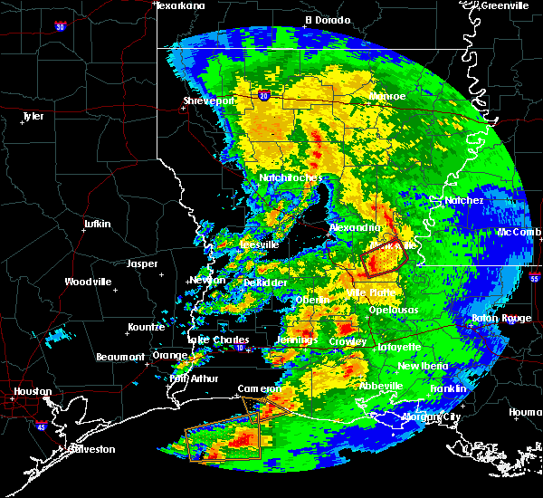 At 1136 pm cst, a severe thunderstorm capable of producing a tornado was located over mansura, or over moreauville, moving northeast at 40 mph. rotation has weakened since the warning was first issued. if this trend continues, the warning will be cancelled shortly (radar indicated rotation). Hazards include tornado and quarter size hail. Flying debris will be dangerous to those caught without shelter. mobile homes will be damaged or destroyed. damage to roofs, windows and vehicles will occur. tree damage is likely. this dangerous storm will be near, moreauville around 1140 pm cst. bordelonville around 1150 pm cst. big bend around 1200 am cst. Other locations impacted by this tornadic thunderstorm include hamburg. At 1136 pm cst, a severe thunderstorm capable of producing a tornado was located over mansura, or over moreauville, moving northeast at 40 mph. rotation has weakened since the warning was first issued. if this trend continues, the warning will be cancelled shortly (radar indicated rotation). Hazards include tornado and quarter size hail. Flying debris will be dangerous to those caught without shelter. mobile homes will be damaged or destroyed. damage to roofs, windows and vehicles will occur. tree damage is likely. this dangerous storm will be near, moreauville around 1140 pm cst. bordelonville around 1150 pm cst. big bend around 1200 am cst. Other locations impacted by this tornadic thunderstorm include hamburg.
|
| 1/8/2016 11:25 PM CST |
 At 1125 pm cst, a severe thunderstorm capable of producing a tornado was located over evergreen, or near bunkie, moving northeast at 40 mph (radar indicated rotation). Hazards include tornado and quarter size hail. Flying debris will be dangerous to those caught without shelter. mobile homes will be damaged or destroyed. damage to roofs, windows and vehicles will occur. tree damage is likely. this dangerous storm will be near, hessmer around 1130 pm cst. marksville, cottonport and mansura around 1135 pm cst. moreauville and plaucheville around 1140 pm cst. bordelonville around 1150 pm cst. big bend around 1200 am cst. Other locations impacted by this tornadic thunderstorm include hamburg. At 1125 pm cst, a severe thunderstorm capable of producing a tornado was located over evergreen, or near bunkie, moving northeast at 40 mph (radar indicated rotation). Hazards include tornado and quarter size hail. Flying debris will be dangerous to those caught without shelter. mobile homes will be damaged or destroyed. damage to roofs, windows and vehicles will occur. tree damage is likely. this dangerous storm will be near, hessmer around 1130 pm cst. marksville, cottonport and mansura around 1135 pm cst. moreauville and plaucheville around 1140 pm cst. bordelonville around 1150 pm cst. big bend around 1200 am cst. Other locations impacted by this tornadic thunderstorm include hamburg.
|
| 11/17/2015 6:30 PM CST |
 At 628 pm cst, severe thunderstorms were located along a line extending from effie to near marksville to moreauville to plaucheville to near morrow, moving northeast at 65 mph (radar indicated). Hazards include 60 mph wind gusts. Expect damage to roofs. siding and trees. locations impacted include, marksville, bunkie, simmesport, moreauville, bordelonville, effie, cottonport, mansura, hessmer, evergreen, plaucheville, big bend, goudeau, deville, brouillette, lake ophelia national wildlife refuge, dupont and hamburg. A tornado watch remains in effect until 800 pm cst for central louisiana. At 628 pm cst, severe thunderstorms were located along a line extending from effie to near marksville to moreauville to plaucheville to near morrow, moving northeast at 65 mph (radar indicated). Hazards include 60 mph wind gusts. Expect damage to roofs. siding and trees. locations impacted include, marksville, bunkie, simmesport, moreauville, bordelonville, effie, cottonport, mansura, hessmer, evergreen, plaucheville, big bend, goudeau, deville, brouillette, lake ophelia national wildlife refuge, dupont and hamburg. A tornado watch remains in effect until 800 pm cst for central louisiana.
|
| 11/17/2015 6:08 PM CST |
 At 607 pm cst, severe thunderstorms were located along a line extending from near cheneyville to near bunkie to near indian lake to near ville platte, moving northeast at 45 mph (radar indicated). Hazards include 60 mph wind gusts. Expect damage to roofs. Siding and trees. At 607 pm cst, severe thunderstorms were located along a line extending from near cheneyville to near bunkie to near indian lake to near ville platte, moving northeast at 45 mph (radar indicated). Hazards include 60 mph wind gusts. Expect damage to roofs. Siding and trees.
|
| 5/27/2015 8:08 AM CDT | At 807 am cdt, doppler radar indicated a line of severe thunderstorms capable of producing quarter size hail and damaging winds in excess of 60 mph. these storms were located along a line extending from cheneyville to 12 miles southeast of cameron, moving southeast at 25 mph. locations impacted include, opelousas, crowley, eunice, jennings, rayne, ville platte, marksville, kaplan, church point, bunkie, mamou, lake arthur, simmesport, iota, gueydan, moreauville, mermentau, palmetto, morrow and bordelonville. |
| 5/27/2015 7:27 AM CDT | At 726 am cdt, doppler radar indicated a line of severe thunderstorms capable of producing quarter size hail and damaging winds in excess of 60 mph. these storms were located along a line extending from near poland to cameron, and moving southeast at 25 mph. |
| 5/26/2015 12:52 AM CDT | The severe thunderstorm warning for calcasieu, northwestern cameron, jefferson davis, southeastern beauregard, eastern rapides, central st. landry, evangeline, avoyelles, acadia and southeastern allen parishes, southeastern orange and southeastern jefferson counties will expire at 100 am cdt, the storms which prompted the warning have weakened below severe limits and exited the warned area. therefore the warning will be allowed to expire. however gusty winds are still possible with these thunderstorms. |
| 5/26/2015 12:52 AM CDT | The severe thunderstorm warning for calcasieu, northwestern cameron, jefferson davis, southeastern beauregard, eastern rapides, central st. landry, evangeline, avoyelles, acadia and southeastern allen parishes, southeastern orange and southeastern jefferson counties will expire at 100 am cdt, the storms which prompted the warning have weakened below severe limits and exited the warned area. therefore the warning will be allowed to expire. however gusty winds are still possible with these thunderstorms. |
| 5/25/2015 11:29 PM CDT | At 1128 pm cdt, doppler radar indicated a line of severe thunderstorms capable of producing quarter size hail and damaging winds in excess of 60 mph. these storms were located along a line extending from esler regional airport to near elton to near port arthur, and moving southeast at 15 mph. |
| 5/25/2015 11:29 PM CDT | At 1128 pm cdt, doppler radar indicated a line of severe thunderstorms capable of producing quarter size hail and damaging winds in excess of 60 mph. these storms were located along a line extending from esler regional airport to near elton to near port arthur, and moving southeast at 15 mph. |
| 4/27/2015 8:01 AM CDT | At 801 am cdt, doppler radar indicated a line of severe thunderstorms capable of producing damaging winds in excess of 60 mph. these storms were located along a line extending from near alexandria international airport to near whiteville to near lyons point, and moving east at 55 mph. |
Hail Maps for Bordelonville, LA
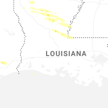
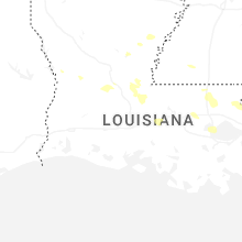
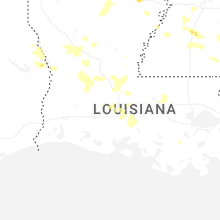
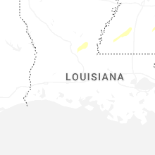


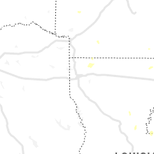


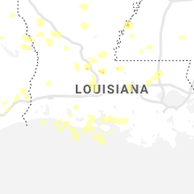


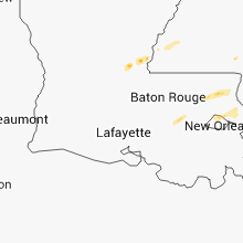


Connect with Interactive Hail Maps