

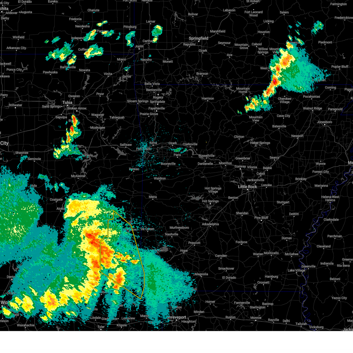
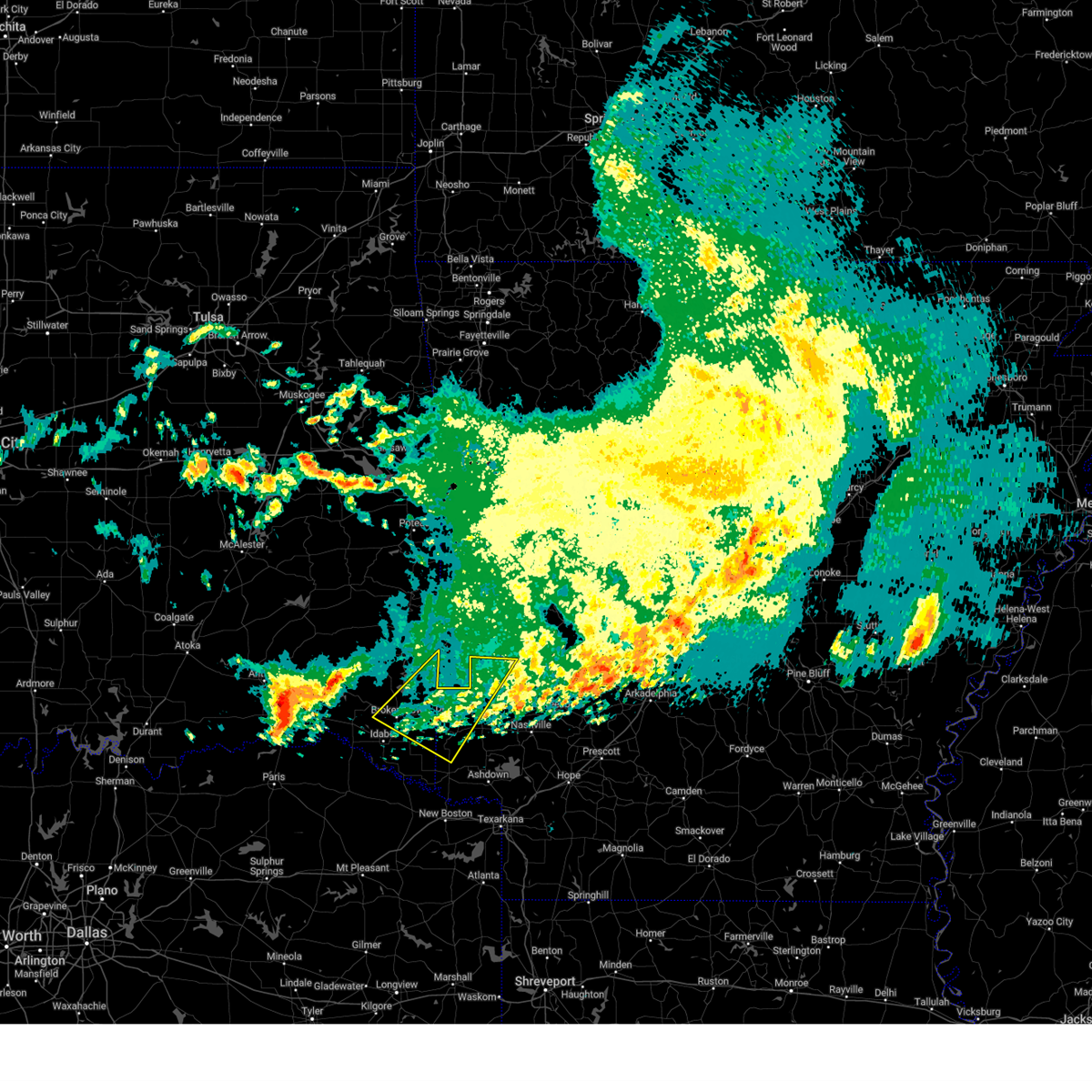
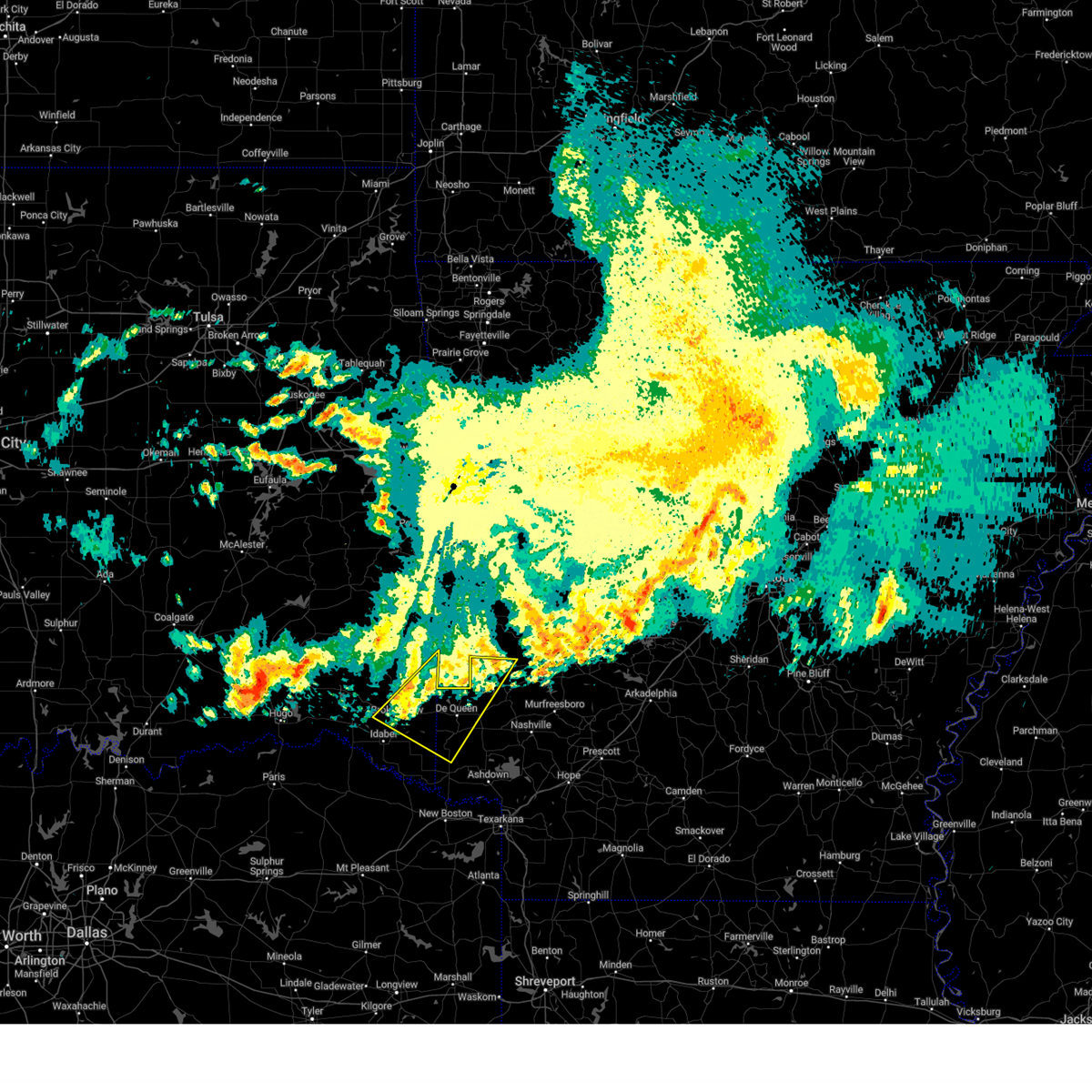
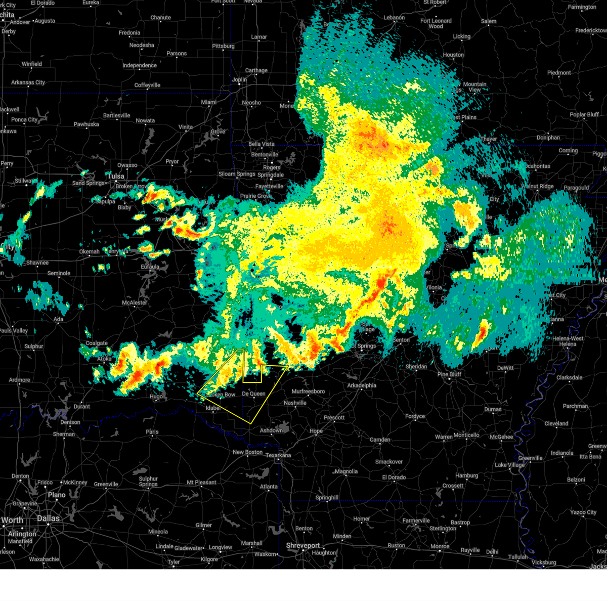
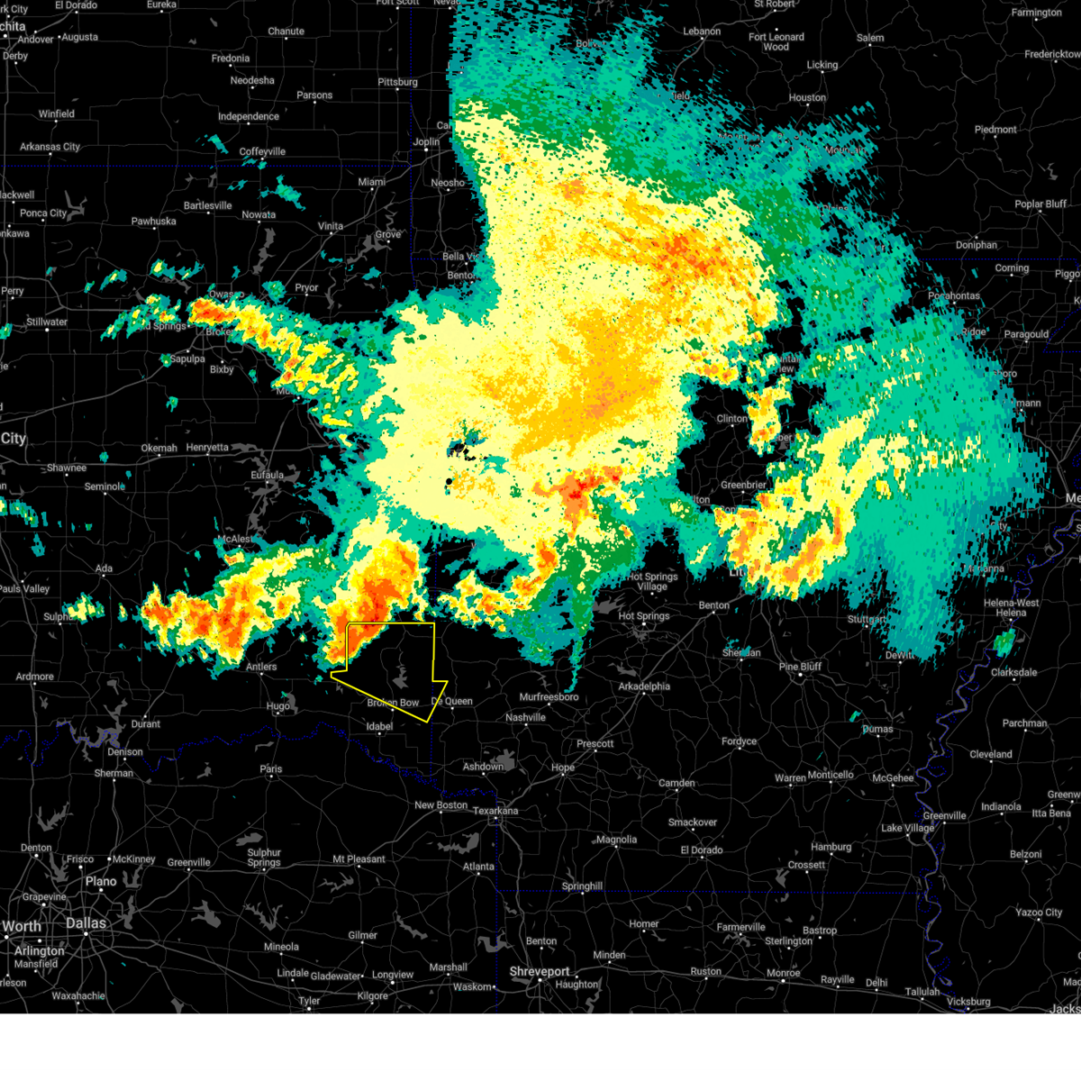
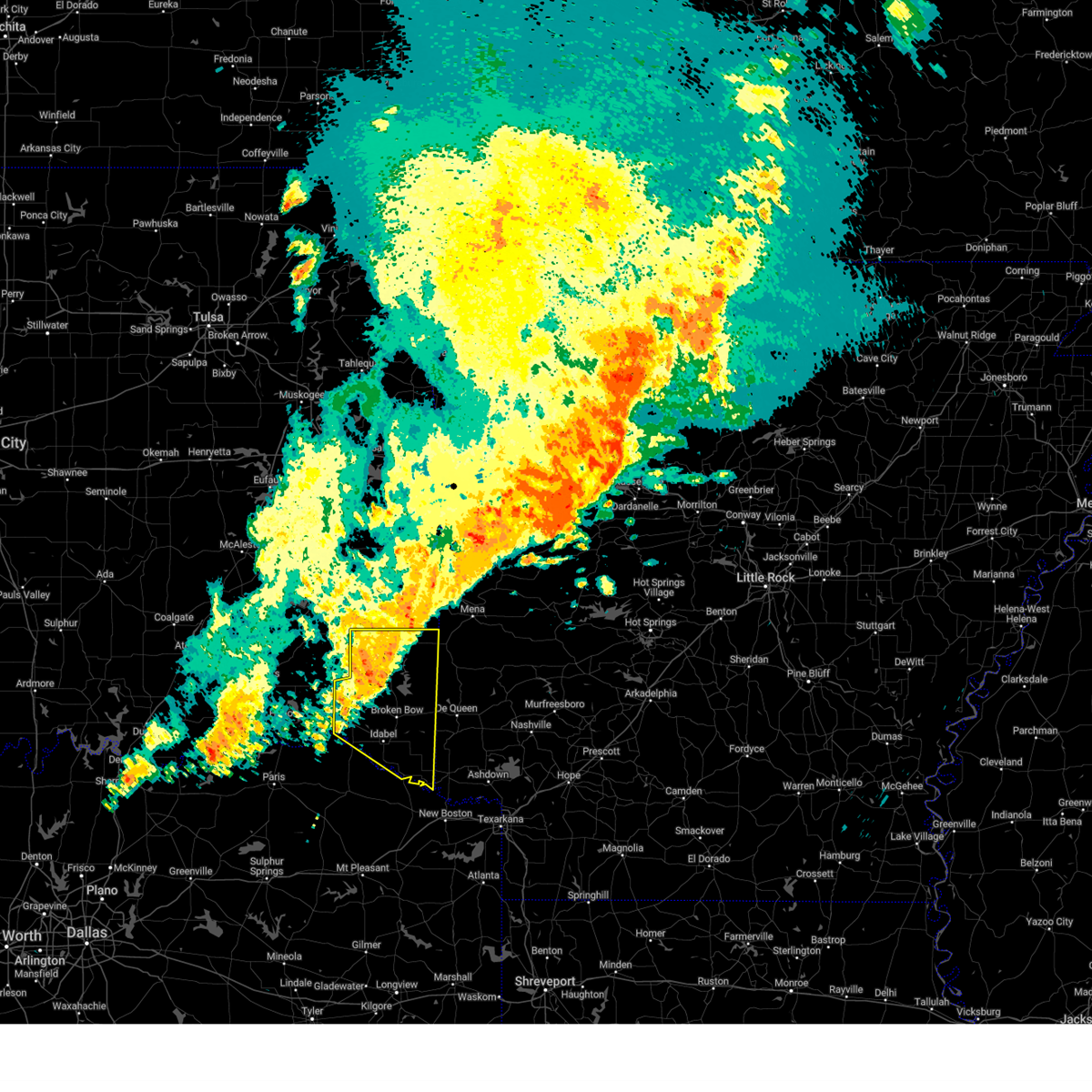
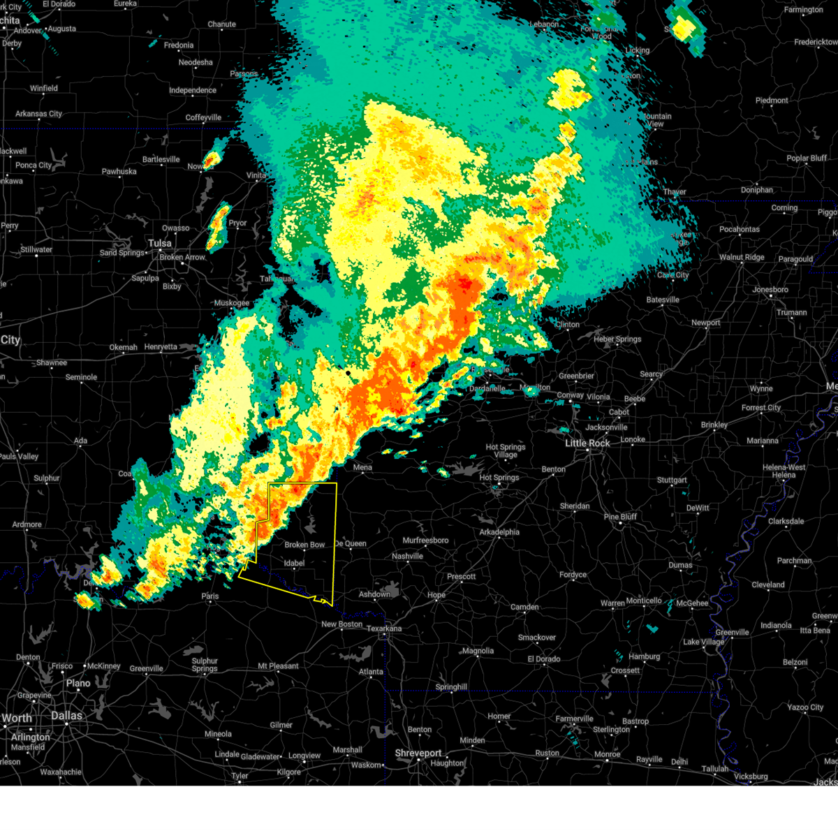
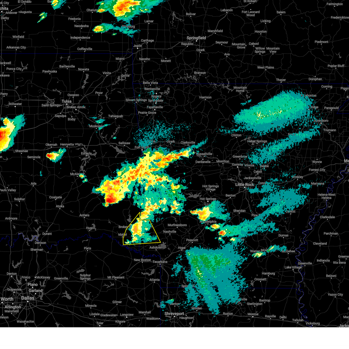
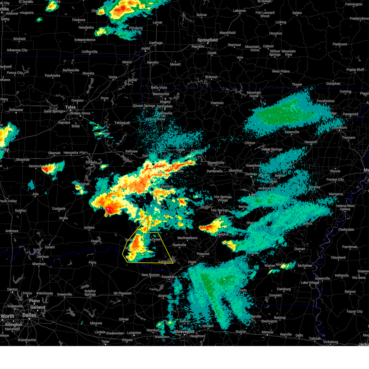
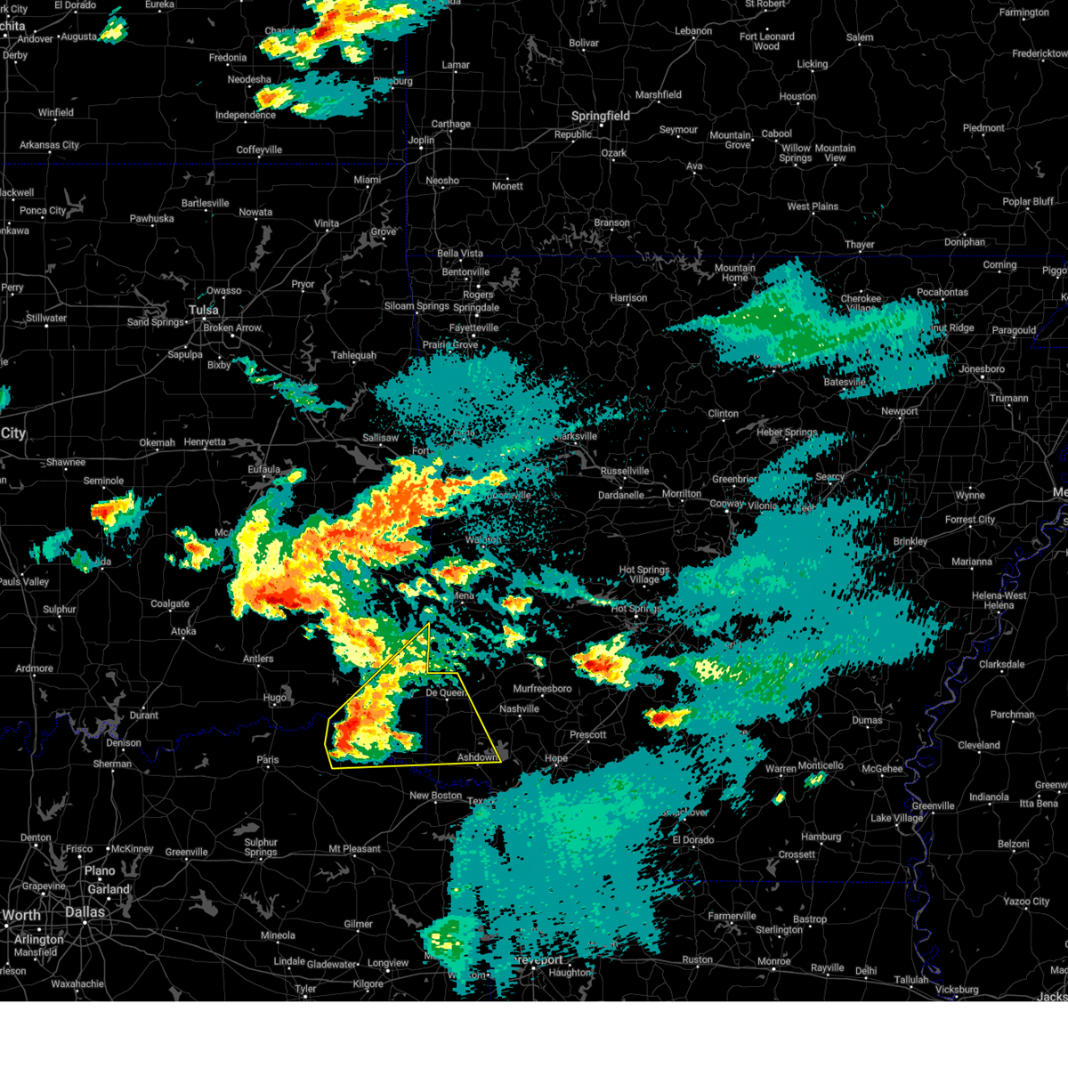
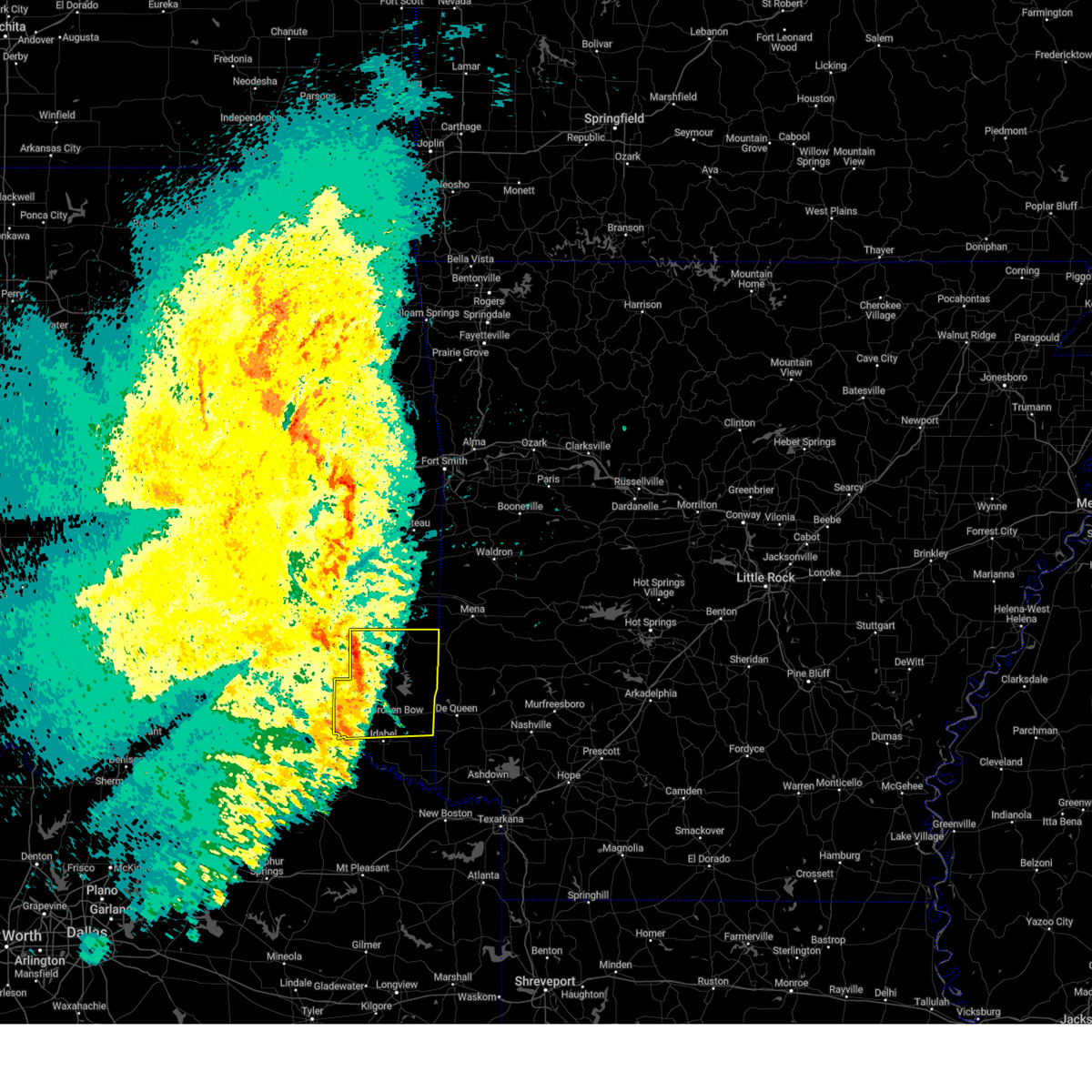
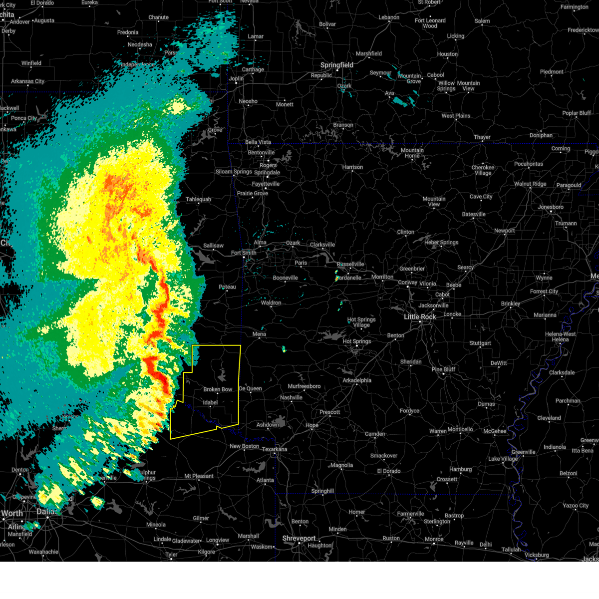
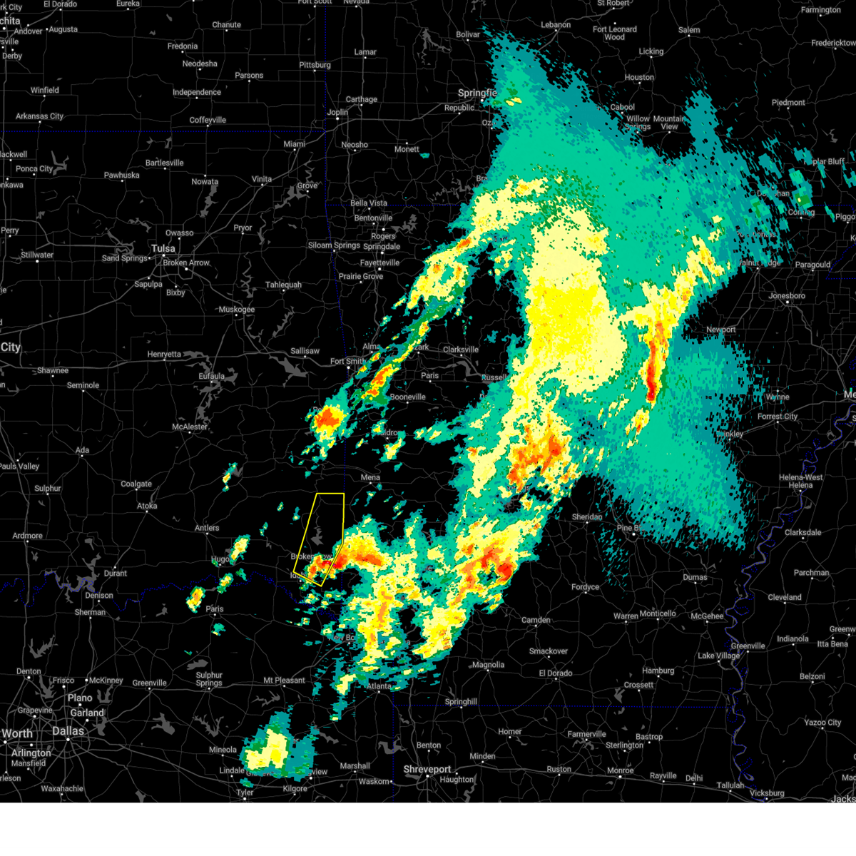
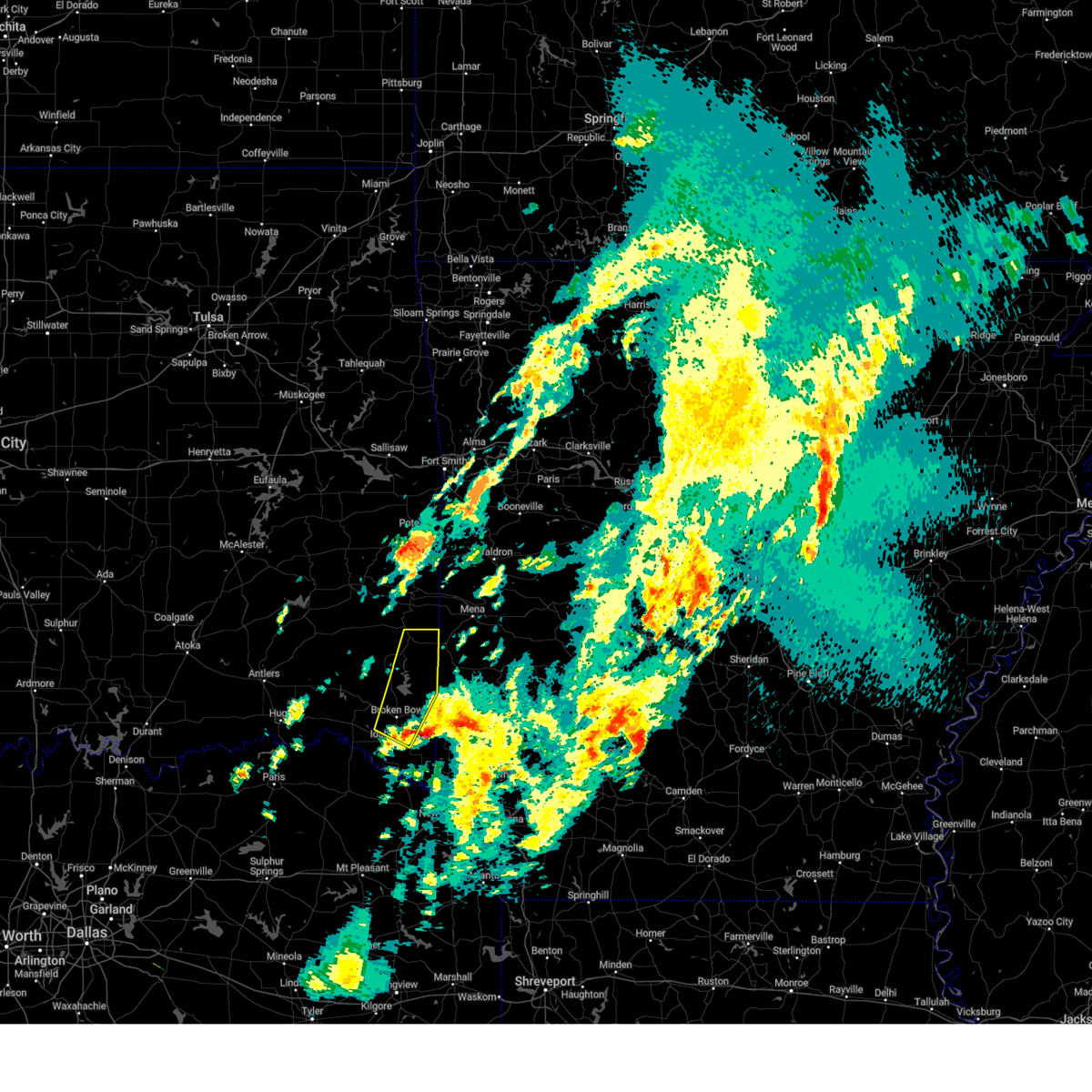
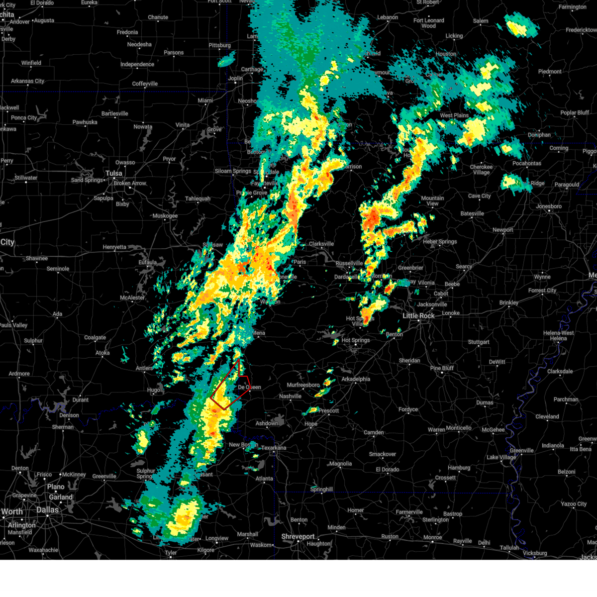
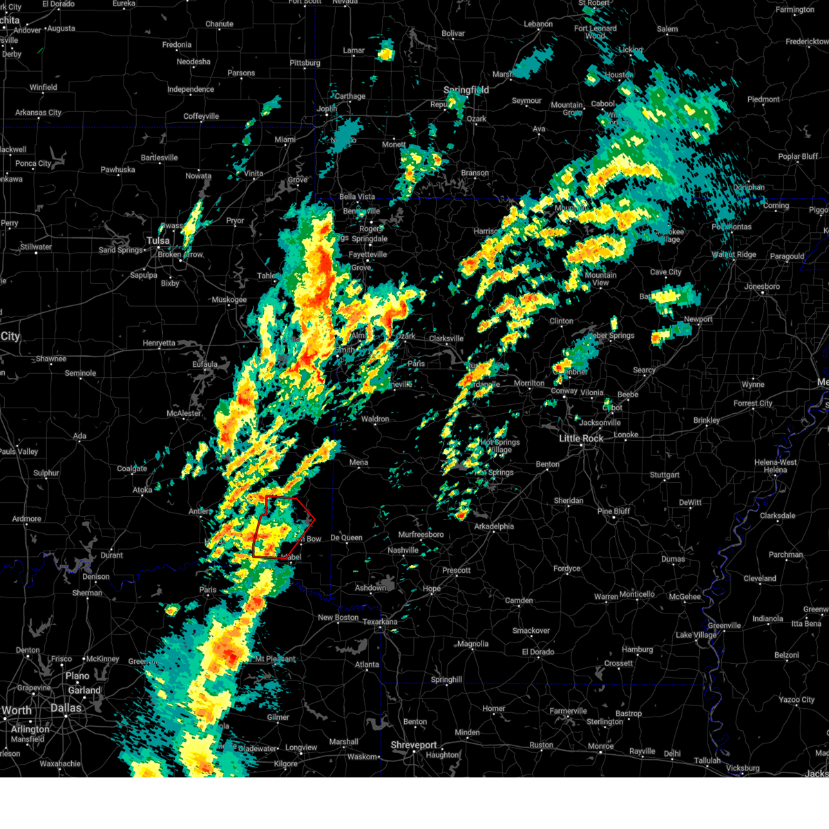
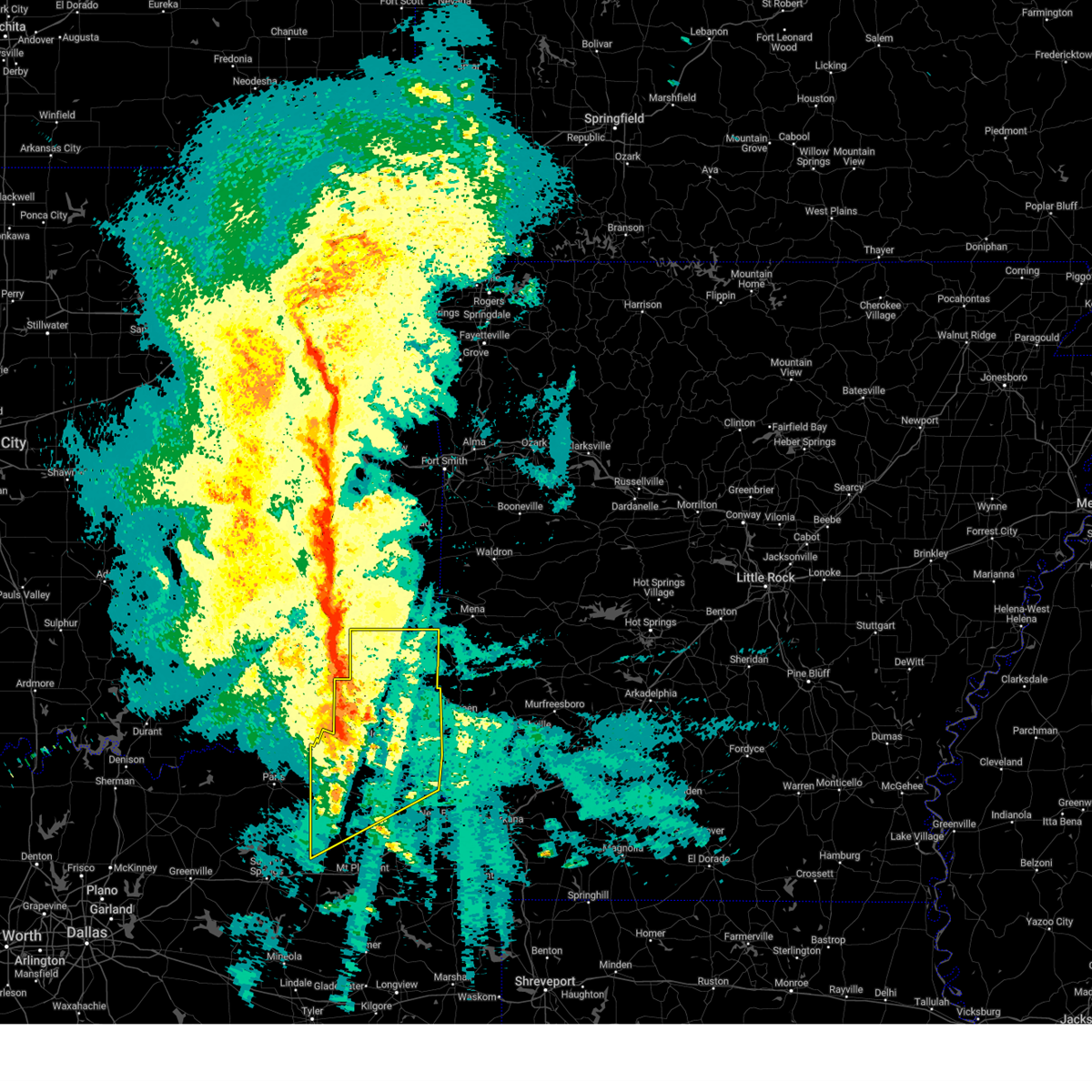
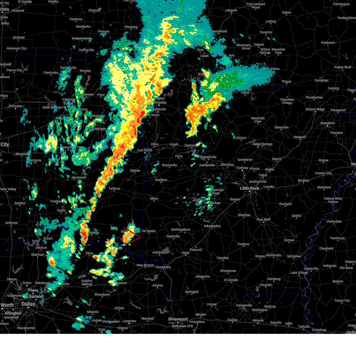
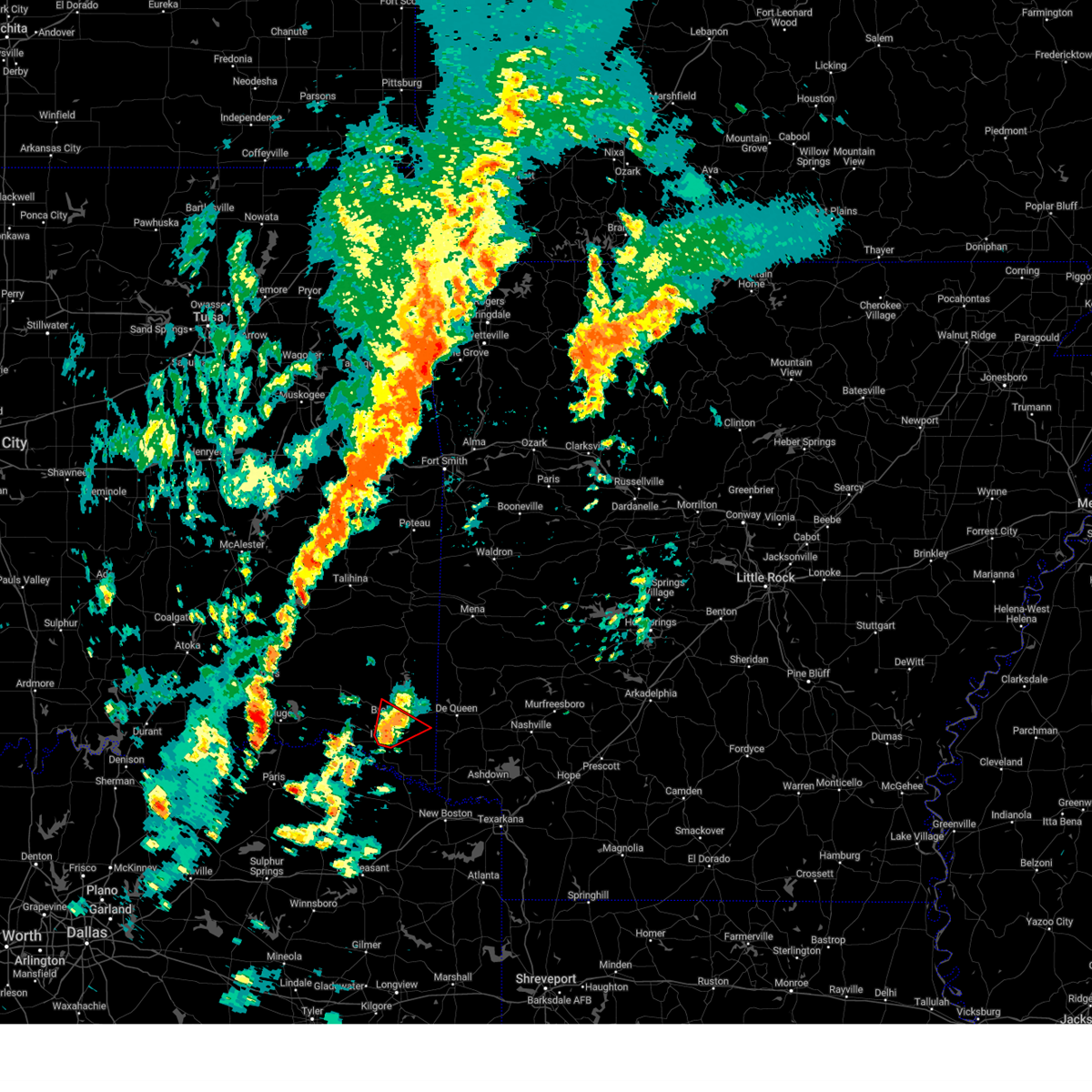
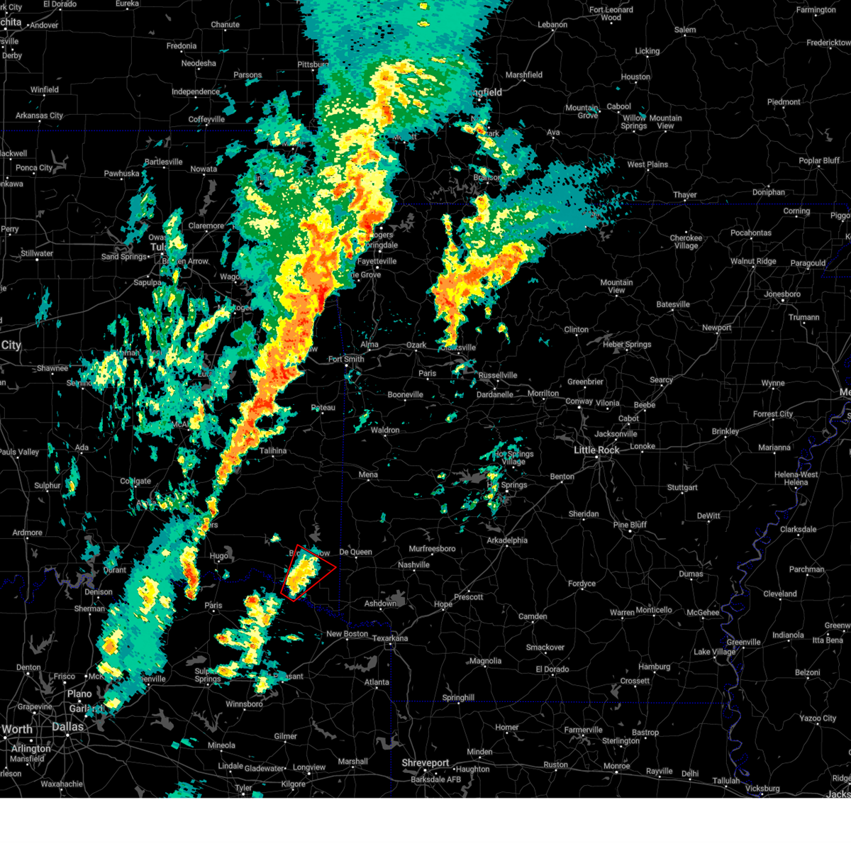
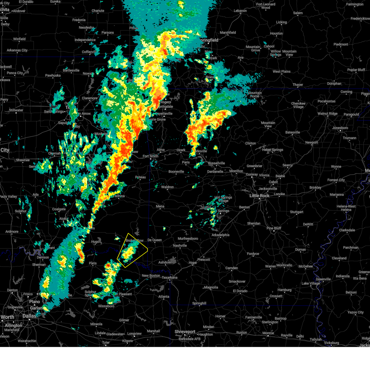
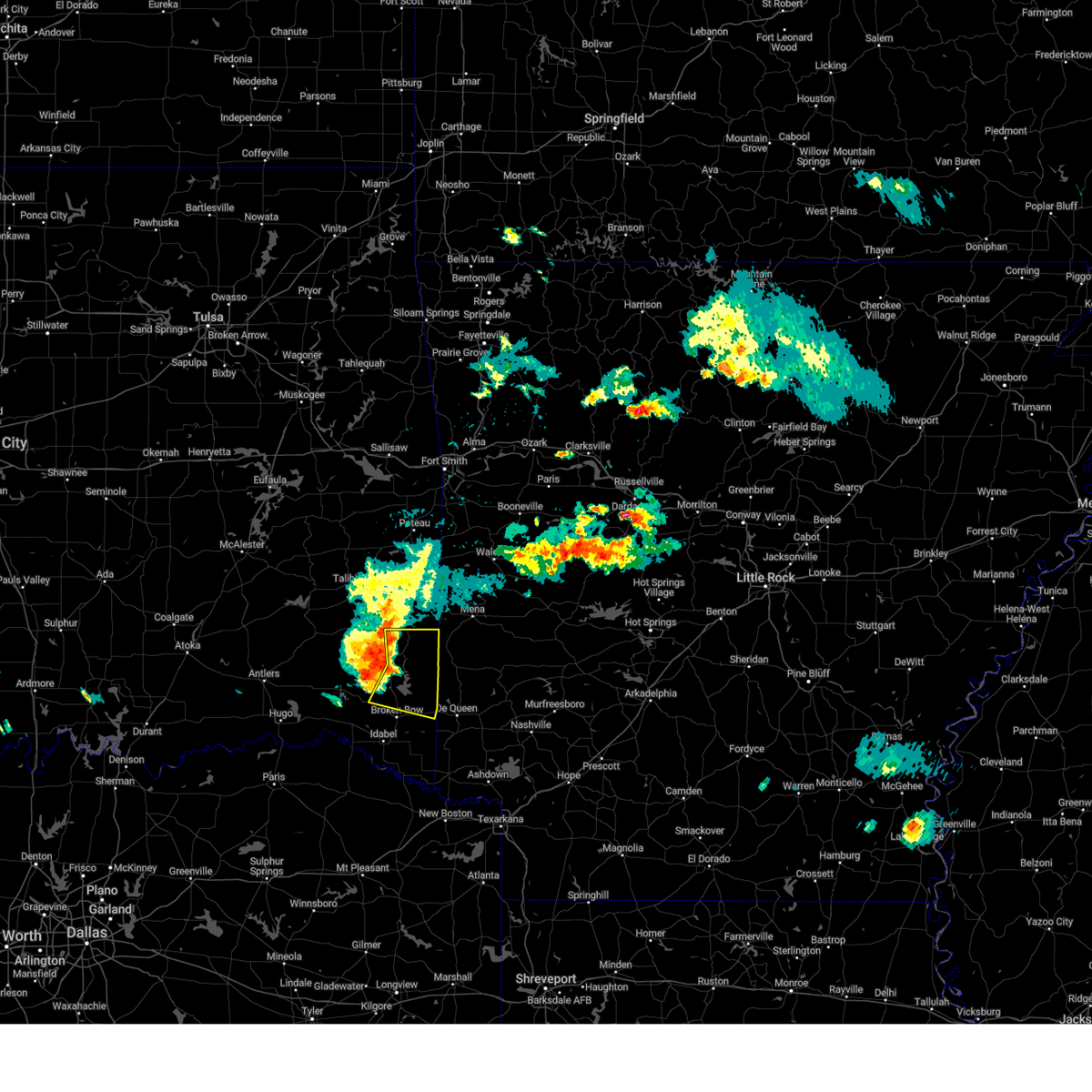
Hail Map for Broken Bow, OK
The Broken Bow, OK area has had 21 reports of on-the-ground hail by trained spotters, and has been under severe weather warnings 43 times during the past 12 months. Doppler radar has detected hail at or near Broken Bow, OK on 74 occasions, including 6 occasions during the past year.
| Name: | Broken Bow, OK |
| Where Located: | 51.7 miles W of Nashville, AR |
| Map: | Google Map for Broken Bow, OK |
| Population: | 4120 |
| Housing Units: | 1793 |
| More Info: | Search Google for Broken Bow, OK |
1
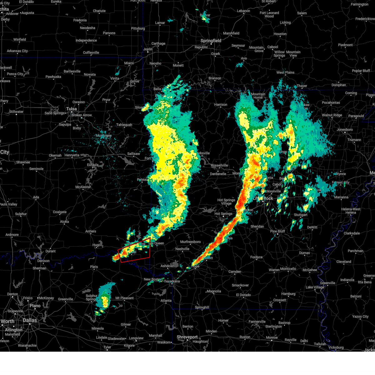
The Top Recent Hail Date for Broken Bow, OK is Sunday, May 25, 2025 (16th out of 74)

Hail and Wind Damage Spotted near Broken Bow, OK
| Date / Time | Report Details |
|---|---|
| 6/8/2025 11:11 PM CDT |
 Svrshv the national weather service in shreveport has issued a * severe thunderstorm warning for, central mccurtain county in southeastern oklahoma, western cass county in northeastern texas, northern franklin county in northeastern texas, western bowie county in northeastern texas, morris county in northeastern texas, titus county in northeastern texas, red river county in northeastern texas, * until 1230 am cdt. * at 1111 pm cdt, severe thunderstorms were located along a line extending from near raymond gary state park to near mount vernon, moving east at 50 mph (radar indicated). Hazards include 60 mph wind gusts and quarter size hail. Hail damage to vehicles is expected. Expect wind damage to roofs, siding, and trees. Svrshv the national weather service in shreveport has issued a * severe thunderstorm warning for, central mccurtain county in southeastern oklahoma, western cass county in northeastern texas, northern franklin county in northeastern texas, western bowie county in northeastern texas, morris county in northeastern texas, titus county in northeastern texas, red river county in northeastern texas, * until 1230 am cdt. * at 1111 pm cdt, severe thunderstorms were located along a line extending from near raymond gary state park to near mount vernon, moving east at 50 mph (radar indicated). Hazards include 60 mph wind gusts and quarter size hail. Hail damage to vehicles is expected. Expect wind damage to roofs, siding, and trees.
|
| 5/25/2025 7:38 PM CDT | Svrshv the national weather service in shreveport has issued a * severe thunderstorm warning for, northwestern little river county in southwestern arkansas, northwestern sevier county in southwestern arkansas, southeastern mccurtain county in southeastern oklahoma, * until 845 pm cdt. * at 738 pm cdt, a severe thunderstorm was located over idabel, or 24 miles west of horatio, moving northeast at 20 mph (radar indicated). Hazards include 60 mph wind gusts and quarter size hail. Hail damage to vehicles is expected. Expect wind damage to roofs, siding, and trees. |
| 5/24/2025 10:47 AM CDT |
 the severe thunderstorm warning has been cancelled and is no longer in effect the severe thunderstorm warning has been cancelled and is no longer in effect
|
| 5/24/2025 10:30 AM CDT |
 At 1030 am cdt, severe thunderstorms were located along a line extending from near hatfield to 8 miles northwest of idabel, moving southeast at 25 mph (radar indicated). Hazards include 60 mph wind gusts and quarter size hail. Hail damage to vehicles is expected. expect wind damage to roofs, siding, and trees. Locations impacted include, eagletown, broken bow, umpire, cerrogordo, de queen, hochatown, geneva, goodwater, athens, shinewell, burg, gillham, horatio, west line, oak hill, winthrop, golden, and west otis. At 1030 am cdt, severe thunderstorms were located along a line extending from near hatfield to 8 miles northwest of idabel, moving southeast at 25 mph (radar indicated). Hazards include 60 mph wind gusts and quarter size hail. Hail damage to vehicles is expected. expect wind damage to roofs, siding, and trees. Locations impacted include, eagletown, broken bow, umpire, cerrogordo, de queen, hochatown, geneva, goodwater, athens, shinewell, burg, gillham, horatio, west line, oak hill, winthrop, golden, and west otis.
|
| 5/24/2025 10:13 AM CDT |
 Svrshv the national weather service in shreveport has issued a * severe thunderstorm warning for, northwestern little river county in southwestern arkansas, northwestern sevier county in southwestern arkansas, northwestern howard county in southwestern arkansas, northern mccurtain county in southeastern oklahoma, * until 1100 am cdt. * at 1012 am cdt, severe thunderstorms were located along a line extending from near hatfield to 12 miles west of broken bow, moving southeast at 25 mph (radar indicated). Hazards include 60 mph wind gusts and quarter size hail. Hail damage to vehicles is expected. Expect wind damage to roofs, siding, and trees. Svrshv the national weather service in shreveport has issued a * severe thunderstorm warning for, northwestern little river county in southwestern arkansas, northwestern sevier county in southwestern arkansas, northwestern howard county in southwestern arkansas, northern mccurtain county in southeastern oklahoma, * until 1100 am cdt. * at 1012 am cdt, severe thunderstorms were located along a line extending from near hatfield to 12 miles west of broken bow, moving southeast at 25 mph (radar indicated). Hazards include 60 mph wind gusts and quarter size hail. Hail damage to vehicles is expected. Expect wind damage to roofs, siding, and trees.
|
| 5/24/2025 9:29 AM CDT |
 Svrshv the national weather service in shreveport has issued a * severe thunderstorm warning for, northwestern sevier county in southwestern arkansas, northern mccurtain county in southeastern oklahoma, * until 1015 am cdt. * at 927 am cdt, severe thunderstorms were located along a line extending from 6 miles north of muse to near octavia to 10 miles east of cloudy, moving east at 50 mph (radar indicated). Hazards include 60 mph wind gusts and half dollar size hail. Hail damage to vehicles is expected. Expect wind damage to roofs, siding, and trees. Svrshv the national weather service in shreveport has issued a * severe thunderstorm warning for, northwestern sevier county in southwestern arkansas, northern mccurtain county in southeastern oklahoma, * until 1015 am cdt. * at 927 am cdt, severe thunderstorms were located along a line extending from 6 miles north of muse to near octavia to 10 miles east of cloudy, moving east at 50 mph (radar indicated). Hazards include 60 mph wind gusts and half dollar size hail. Hail damage to vehicles is expected. Expect wind damage to roofs, siding, and trees.
|
| 5/20/2025 3:00 AM CDT | *** 1 inj *** tree fell on a home in the holly creek area. one occupant cut her head while exiting the home. all other occupants were saf in mccurtain county OK, 6.9 miles NE of Broken Bow, OK |
| 5/20/2025 2:37 AM CDT |
 Torshv the national weather service in shreveport has issued a * tornado warning for, central mccurtain county in southeastern oklahoma, north central red river county in northeastern texas, * until 315 am cdt. * at 237 am cdt, a severe thunderstorm capable of producing a tornado was located near manchester, or 17 miles north of clarksville, moving east at 40 mph (radar indicated rotation). Hazards include tornado and quarter size hail. Flying debris will be dangerous to those caught without shelter. mobile homes will be damaged or destroyed. damage to roofs, windows, and vehicles will occur. tree damage is likely. this dangerous storm will be near, idabel around 250 am cdt. Other locations impacted by this tornadic thunderstorm include eagletown, farmers hill, cerrogordo, millerton, goodwater, shinewell, silver city, haworth, holly creek, and garvin. Torshv the national weather service in shreveport has issued a * tornado warning for, central mccurtain county in southeastern oklahoma, north central red river county in northeastern texas, * until 315 am cdt. * at 237 am cdt, a severe thunderstorm capable of producing a tornado was located near manchester, or 17 miles north of clarksville, moving east at 40 mph (radar indicated rotation). Hazards include tornado and quarter size hail. Flying debris will be dangerous to those caught without shelter. mobile homes will be damaged or destroyed. damage to roofs, windows, and vehicles will occur. tree damage is likely. this dangerous storm will be near, idabel around 250 am cdt. Other locations impacted by this tornadic thunderstorm include eagletown, farmers hill, cerrogordo, millerton, goodwater, shinewell, silver city, haworth, holly creek, and garvin.
|
| 5/20/2025 1:09 AM CDT |
 Svrshv the national weather service in shreveport has issued a * severe thunderstorm warning for, northern mccurtain county in southeastern oklahoma, * until 215 am cdt. * at 108 am cdt, severe thunderstorms were located along a line extending from near yanush to near nashoba to 13 miles southeast of clayton lake state park to near cloudy to near rattan to near goodland to 6 miles south of boswell, moving east at 50 mph (radar indicated). Hazards include 60 mph wind gusts and penny size hail. expect damage to roofs, siding, and trees Svrshv the national weather service in shreveport has issued a * severe thunderstorm warning for, northern mccurtain county in southeastern oklahoma, * until 215 am cdt. * at 108 am cdt, severe thunderstorms were located along a line extending from near yanush to near nashoba to 13 miles southeast of clayton lake state park to near cloudy to near rattan to near goodland to 6 miles south of boswell, moving east at 50 mph (radar indicated). Hazards include 60 mph wind gusts and penny size hail. expect damage to roofs, siding, and trees
|
| 5/20/2025 12:04 AM CDT | the severe thunderstorm warning has been cancelled and is no longer in effect |
| 5/19/2025 11:23 PM CDT |
 Svrshv the national weather service in shreveport has issued a * severe thunderstorm warning for, mccurtain county in southeastern oklahoma, northern red river county in northeastern texas, * until 1215 am cdt. * at 1123 pm cdt, severe thunderstorms were located along a line extending from 11 miles southeast of cloudy to near raymond gary state park to paris, moving east at 45 mph (radar indicated). Hazards include 60 mph wind gusts and quarter size hail. Hail damage to vehicles is expected. Expect wind damage to roofs, siding, and trees. Svrshv the national weather service in shreveport has issued a * severe thunderstorm warning for, mccurtain county in southeastern oklahoma, northern red river county in northeastern texas, * until 1215 am cdt. * at 1123 pm cdt, severe thunderstorms were located along a line extending from 11 miles southeast of cloudy to near raymond gary state park to paris, moving east at 45 mph (radar indicated). Hazards include 60 mph wind gusts and quarter size hail. Hail damage to vehicles is expected. Expect wind damage to roofs, siding, and trees.
|
| 5/19/2025 9:33 PM CDT |
 At 933 pm cdt, severe thunderstorms were located along a line extending from near big cedar to 17 miles south of octavia to raymond gary state park, moving east at 30 mph (radar indicated). Hazards include 60 mph wind gusts and quarter size hail. Hail damage to vehicles is expected. expect wind damage to roofs, siding, and trees. Locations impacted include, eagletown, broken bow, idabel, moon, rufe, smithville, cerrogordo, hochatown, goodlake, watson, goodwater, battiest, pickens, shinewell, mount herman, haworth, wright city, glover, america, and garvin. At 933 pm cdt, severe thunderstorms were located along a line extending from near big cedar to 17 miles south of octavia to raymond gary state park, moving east at 30 mph (radar indicated). Hazards include 60 mph wind gusts and quarter size hail. Hail damage to vehicles is expected. expect wind damage to roofs, siding, and trees. Locations impacted include, eagletown, broken bow, idabel, moon, rufe, smithville, cerrogordo, hochatown, goodlake, watson, goodwater, battiest, pickens, shinewell, mount herman, haworth, wright city, glover, america, and garvin.
|
| 5/19/2025 9:20 PM CDT |
 Svrshv the national weather service in shreveport has issued a * severe thunderstorm warning for, mccurtain county in southeastern oklahoma, northern red river county in northeastern texas, * until 1000 pm cdt. * at 920 pm cdt, severe thunderstorms were located along a line extending from big cedar to 19 miles southwest of octavia to near sawyer, moving east at 30 mph (radar indicated). Hazards include 60 mph wind gusts and quarter size hail. Hail damage to vehicles is expected. Expect wind damage to roofs, siding, and trees. Svrshv the national weather service in shreveport has issued a * severe thunderstorm warning for, mccurtain county in southeastern oklahoma, northern red river county in northeastern texas, * until 1000 pm cdt. * at 920 pm cdt, severe thunderstorms were located along a line extending from big cedar to 19 miles southwest of octavia to near sawyer, moving east at 30 mph (radar indicated). Hazards include 60 mph wind gusts and quarter size hail. Hail damage to vehicles is expected. Expect wind damage to roofs, siding, and trees.
|
| 5/17/2025 9:46 PM CDT |
 At 945 pm cdt, a severe thunderstorm was located near gillham, or near de queen, moving northeast at 60 mph (radar indicated). Hazards include 60 mph wind gusts and quarter size hail. Hail damage to vehicles is expected. expect wind damage to roofs, siding, and trees. Locations impacted include, bokhoma, eagletown, broken bow, lockesburg, moon, cerrogordo, ben lomond, de queen, oak grove, geneva, central, goodwater, shinewell, arkinda, haworth, america, gillham, horatio, west line, and browntown. At 945 pm cdt, a severe thunderstorm was located near gillham, or near de queen, moving northeast at 60 mph (radar indicated). Hazards include 60 mph wind gusts and quarter size hail. Hail damage to vehicles is expected. expect wind damage to roofs, siding, and trees. Locations impacted include, bokhoma, eagletown, broken bow, lockesburg, moon, cerrogordo, ben lomond, de queen, oak grove, geneva, central, goodwater, shinewell, arkinda, haworth, america, gillham, horatio, west line, and browntown.
|
| 5/17/2025 9:46 PM CDT |
 the severe thunderstorm warning has been cancelled and is no longer in effect the severe thunderstorm warning has been cancelled and is no longer in effect
|
| 5/17/2025 9:31 PM CDT |
 At 931 pm cdt, a severe thunderstorm was located 7 miles east of broken bow, or 15 miles west of de queen, moving northeast at 60 mph (radar indicated). Hazards include 60 mph wind gusts and quarter size hail. Hail damage to vehicles is expected. expect wind damage to roofs, siding, and trees. Locations impacted include, eagletown, broken bow, idabel, moon, cerrogordo, hochatown, goodlake, geneva, central, goodwater, shinewell, arkinda, haworth, america, horatio, west line, oak hill, winthrop, bellview, and bokhoma. At 931 pm cdt, a severe thunderstorm was located 7 miles east of broken bow, or 15 miles west of de queen, moving northeast at 60 mph (radar indicated). Hazards include 60 mph wind gusts and quarter size hail. Hail damage to vehicles is expected. expect wind damage to roofs, siding, and trees. Locations impacted include, eagletown, broken bow, idabel, moon, cerrogordo, hochatown, goodlake, geneva, central, goodwater, shinewell, arkinda, haworth, america, horatio, west line, oak hill, winthrop, bellview, and bokhoma.
|
| 5/17/2025 9:31 PM CDT |
 the severe thunderstorm warning has been cancelled and is no longer in effect the severe thunderstorm warning has been cancelled and is no longer in effect
|
| 5/17/2025 9:14 PM CDT |
 Svrshv the national weather service in shreveport has issued a * severe thunderstorm warning for, northern little river county in southwestern arkansas, sevier county in southwestern arkansas, mccurtain county in southeastern oklahoma, northwestern bowie county in northeastern texas, northeastern red river county in northeastern texas, * until 1000 pm cdt. * at 913 pm cdt, a severe thunderstorm was located near idabel, or 22 miles northeast of clarksville, moving northeast at 60 mph (radar indicated). Hazards include 60 mph wind gusts and quarter size hail. Hail damage to vehicles is expected. Expect wind damage to roofs, siding, and trees. Svrshv the national weather service in shreveport has issued a * severe thunderstorm warning for, northern little river county in southwestern arkansas, sevier county in southwestern arkansas, mccurtain county in southeastern oklahoma, northwestern bowie county in northeastern texas, northeastern red river county in northeastern texas, * until 1000 pm cdt. * at 913 pm cdt, a severe thunderstorm was located near idabel, or 22 miles northeast of clarksville, moving northeast at 60 mph (radar indicated). Hazards include 60 mph wind gusts and quarter size hail. Hail damage to vehicles is expected. Expect wind damage to roofs, siding, and trees.
|
| 5/17/2025 8:48 PM CDT |
 At 848 pm cdt, a severe thunderstorm was located 7 miles north of manchester, or 22 miles east of hugo, moving northeast at 60 mph (radar indicated). Hazards include 60 mph wind gusts and quarter size hail. Hail damage to vehicles is expected. expect wind damage to roofs, siding, and trees. Locations impacted include, broken bow, farmers hill, idabel, millerton, woodland, redland, silver city, haworth, wright city, kanawha, holly creek, glover, garvin, manchester, valliant, kiomatia, slim, albion, oak hill, and golden. At 848 pm cdt, a severe thunderstorm was located 7 miles north of manchester, or 22 miles east of hugo, moving northeast at 60 mph (radar indicated). Hazards include 60 mph wind gusts and quarter size hail. Hail damage to vehicles is expected. expect wind damage to roofs, siding, and trees. Locations impacted include, broken bow, farmers hill, idabel, millerton, woodland, redland, silver city, haworth, wright city, kanawha, holly creek, glover, garvin, manchester, valliant, kiomatia, slim, albion, oak hill, and golden.
|
| 5/17/2025 8:33 PM CDT |
 Svrshv the national weather service in shreveport has issued a * severe thunderstorm warning for, southwestern mccurtain county in southeastern oklahoma, northwestern red river county in northeastern texas, * until 915 pm cdt. * at 833 pm cdt, a severe thunderstorm was located 8 miles east of arthur city, or 14 miles southeast of hugo, moving northeast at 60 mph (radar indicated). Hazards include 60 mph wind gusts and quarter size hail. Hail damage to vehicles is expected. Expect wind damage to roofs, siding, and trees. Svrshv the national weather service in shreveport has issued a * severe thunderstorm warning for, southwestern mccurtain county in southeastern oklahoma, northwestern red river county in northeastern texas, * until 915 pm cdt. * at 833 pm cdt, a severe thunderstorm was located 8 miles east of arthur city, or 14 miles southeast of hugo, moving northeast at 60 mph (radar indicated). Hazards include 60 mph wind gusts and quarter size hail. Hail damage to vehicles is expected. Expect wind damage to roofs, siding, and trees.
|
| 5/15/2025 7:10 AM CDT | Half Dollar sized hail reported 8.4 miles SSE of Broken Bow, OK, a picture of hail quarter to half dollar size was received by nws shreveport... via social media... in the areas of sugarberry/grape trail roads in hochatown. |
| 5/15/2025 6:54 AM CDT |
 Svrshv the national weather service in shreveport has issued a * severe thunderstorm warning for, northern mccurtain county in southeastern oklahoma, * until 800 am cdt. * at 654 am cdt, a severe thunderstorm was located 20 miles northwest of idabel, or 8 miles north of valliant, moving northeast at 45 mph (radar indicated). Hazards include 60 mph wind gusts and half dollar size hail. Hail damage to vehicles is expected. Expect wind damage to roofs, siding, and trees. Svrshv the national weather service in shreveport has issued a * severe thunderstorm warning for, northern mccurtain county in southeastern oklahoma, * until 800 am cdt. * at 654 am cdt, a severe thunderstorm was located 20 miles northwest of idabel, or 8 miles north of valliant, moving northeast at 45 mph (radar indicated). Hazards include 60 mph wind gusts and half dollar size hail. Hail damage to vehicles is expected. Expect wind damage to roofs, siding, and trees.
|
| 4/30/2025 1:29 PM CDT | Svrshv the national weather service in shreveport has issued a * severe thunderstorm warning for, northwestern sevier county in southwestern arkansas, eastern mccurtain county in southeastern oklahoma, * until 215 pm cdt. * at 129 pm cdt, severe thunderstorms were located along a line from 35 miles north of broken bow to 8 miles east of idabel, or along a line from 42 miles northwest of de queen to 20 miles northwest of foreman, moving northeast at 40 mph (radar indicated). Hazards include 60 mph wind gusts and small hail. expect damage to roofs, siding, and trees |
| 4/30/2025 12:30 PM CDT |
 Svrshv the national weather service in shreveport has issued a * severe thunderstorm warning for, mccurtain county in southeastern oklahoma, * until 130 pm cdt. * at 1230 pm cdt, severe thunderstorms were located along a line from 34 miles northwest of broken bow to 7 miles northeast of manchester, or along a line from 49 miles northwest of de queen to 20 miles north of clarksville, moving east at 30 mph (radar indicated). Hazards include 60 mph wind gusts and small hail. expect damage to roofs, siding, and trees Svrshv the national weather service in shreveport has issued a * severe thunderstorm warning for, mccurtain county in southeastern oklahoma, * until 130 pm cdt. * at 1230 pm cdt, severe thunderstorms were located along a line from 34 miles northwest of broken bow to 7 miles northeast of manchester, or along a line from 49 miles northwest of de queen to 20 miles north of clarksville, moving east at 30 mph (radar indicated). Hazards include 60 mph wind gusts and small hail. expect damage to roofs, siding, and trees
|
| 4/30/2025 11:37 AM CDT |
 Svrshv the national weather service in shreveport has issued a * severe thunderstorm warning for, mccurtain county in southeastern oklahoma, northern red river county in northeastern texas, * until 1230 pm cdt. * at 1137 am cdt, severe thunderstorms were located along a line from 30 miles northwest of manchester to 25 miles west of bogata, or along a line from 45 miles northwest of clarksville to 28 miles northwest of hagansport, moving east at 30 mph (radar indicated). Hazards include 60 mph wind gusts and small hail. expect damage to roofs, siding, and trees Svrshv the national weather service in shreveport has issued a * severe thunderstorm warning for, mccurtain county in southeastern oklahoma, northern red river county in northeastern texas, * until 1230 pm cdt. * at 1137 am cdt, severe thunderstorms were located along a line from 30 miles northwest of manchester to 25 miles west of bogata, or along a line from 45 miles northwest of clarksville to 28 miles northwest of hagansport, moving east at 30 mph (radar indicated). Hazards include 60 mph wind gusts and small hail. expect damage to roofs, siding, and trees
|
| 4/4/2025 9:20 PM CDT |
 At 920 pm cdt, a severe thunderstorm was located 7 miles east of broken bow, or 15 miles west of de queen, moving north at 55 mph (radar indicated). Hazards include two inch hail and 60 mph wind gusts. People and animals outdoors will be injured. expect hail damage to roofs, siding, windows, and vehicles. expect wind damage to roofs, siding, and trees. Locations impacted include, eagletown, plunketville, broken bow, holly creek, smithville, hochatown, watson, oak hill, and idabel. At 920 pm cdt, a severe thunderstorm was located 7 miles east of broken bow, or 15 miles west of de queen, moving north at 55 mph (radar indicated). Hazards include two inch hail and 60 mph wind gusts. People and animals outdoors will be injured. expect hail damage to roofs, siding, windows, and vehicles. expect wind damage to roofs, siding, and trees. Locations impacted include, eagletown, plunketville, broken bow, holly creek, smithville, hochatown, watson, oak hill, and idabel.
|
| 4/4/2025 9:16 PM CDT |
 Svrshv the national weather service in shreveport has issued a * severe thunderstorm warning for, northeastern mccurtain county in southeastern oklahoma, * until 1000 pm cdt. * at 916 pm cdt, a severe thunderstorm was located near broken bow, or 16 miles west of horatio, moving north at 55 mph (radar indicated). Hazards include 60 mph wind gusts and quarter size hail. Hail damage to vehicles is expected. Expect wind damage to roofs, siding, and trees. Svrshv the national weather service in shreveport has issued a * severe thunderstorm warning for, northeastern mccurtain county in southeastern oklahoma, * until 1000 pm cdt. * at 916 pm cdt, a severe thunderstorm was located near broken bow, or 16 miles west of horatio, moving north at 55 mph (radar indicated). Hazards include 60 mph wind gusts and quarter size hail. Hail damage to vehicles is expected. Expect wind damage to roofs, siding, and trees.
|
| 4/4/2025 4:47 PM CDT |
 At 447 pm cdt, a severe thunderstorm capable of producing a tornado was located near broken bow, or 19 miles west of horatio, moving northeast at 30 mph (radar indicated rotation). Hazards include tornado and half dollar size hail. Flying debris will be dangerous to those caught without shelter. mobile homes will be damaged or destroyed. damage to roofs, windows, and vehicles will occur. tree damage is likely. This tornadic thunderstorm will remain over mainly rural areas of northwestern sevier and east central mccurtain counties, including the following locations, eagletown, goodwater, west line, and haworth. At 447 pm cdt, a severe thunderstorm capable of producing a tornado was located near broken bow, or 19 miles west of horatio, moving northeast at 30 mph (radar indicated rotation). Hazards include tornado and half dollar size hail. Flying debris will be dangerous to those caught without shelter. mobile homes will be damaged or destroyed. damage to roofs, windows, and vehicles will occur. tree damage is likely. This tornadic thunderstorm will remain over mainly rural areas of northwestern sevier and east central mccurtain counties, including the following locations, eagletown, goodwater, west line, and haworth.
|
| 4/4/2025 4:24 PM CDT |
 Torshv the national weather service in shreveport has issued a * tornado warning for, northwestern sevier county in southwestern arkansas, southeastern mccurtain county in southeastern oklahoma, * until 530 pm cdt. * at 424 pm cdt, a severe thunderstorm capable of producing a tornado was located near idabel, or 21 miles northeast of clarksville, moving northeast at 30 mph (radar indicated rotation). Hazards include tornado and half dollar size hail. Flying debris will be dangerous to those caught without shelter. mobile homes will be damaged or destroyed. damage to roofs, windows, and vehicles will occur. tree damage is likely. this dangerous storm will be near, idabel around 430 pm cdt. broken bow around 440 pm cdt. Other locations impacted by this tornadic thunderstorm include eagletown, goodwater, west line, and haworth. Torshv the national weather service in shreveport has issued a * tornado warning for, northwestern sevier county in southwestern arkansas, southeastern mccurtain county in southeastern oklahoma, * until 530 pm cdt. * at 424 pm cdt, a severe thunderstorm capable of producing a tornado was located near idabel, or 21 miles northeast of clarksville, moving northeast at 30 mph (radar indicated rotation). Hazards include tornado and half dollar size hail. Flying debris will be dangerous to those caught without shelter. mobile homes will be damaged or destroyed. damage to roofs, windows, and vehicles will occur. tree damage is likely. this dangerous storm will be near, idabel around 430 pm cdt. broken bow around 440 pm cdt. Other locations impacted by this tornadic thunderstorm include eagletown, goodwater, west line, and haworth.
|
| 4/4/2025 4:16 PM CDT |
 Torshv the national weather service in shreveport has issued a * tornado warning for, northeastern mccurtain county in southeastern oklahoma, * until 500 pm cdt. * at 416 pm cdt, a severe thunderstorm capable of producing a tornado was located 14 miles north of broken bow, or 29 miles northwest of de queen, moving northeast at 35 mph (radar indicated rotation). Hazards include tornado and half dollar size hail. Flying debris will be dangerous to those caught without shelter. mobile homes will be damaged or destroyed. damage to roofs, windows, and vehicles will occur. tree damage is likely. This tornadic thunderstorm will remain over mainly rural areas of northeastern mccurtain county, including the following locations, plunketville, smithville, hochatown, watson, bethel, mount herman, and sherwood. Torshv the national weather service in shreveport has issued a * tornado warning for, northeastern mccurtain county in southeastern oklahoma, * until 500 pm cdt. * at 416 pm cdt, a severe thunderstorm capable of producing a tornado was located 14 miles north of broken bow, or 29 miles northwest of de queen, moving northeast at 35 mph (radar indicated rotation). Hazards include tornado and half dollar size hail. Flying debris will be dangerous to those caught without shelter. mobile homes will be damaged or destroyed. damage to roofs, windows, and vehicles will occur. tree damage is likely. This tornadic thunderstorm will remain over mainly rural areas of northeastern mccurtain county, including the following locations, plunketville, smithville, hochatown, watson, bethel, mount herman, and sherwood.
|
| 4/4/2025 4:00 PM CDT |
 Svrshv the national weather service in shreveport has issued a * severe thunderstorm warning for, northern mccurtain county in southeastern oklahoma, * until 500 pm cdt. * at 400 pm cdt, a severe thunderstorm was located 12 miles northwest of broken bow, or 32 miles west of de queen, moving northeast at 35 mph (radar indicated). Hazards include 60 mph wind gusts and half dollar size hail. Hail damage to vehicles is expected. Expect wind damage to roofs, siding, and trees. Svrshv the national weather service in shreveport has issued a * severe thunderstorm warning for, northern mccurtain county in southeastern oklahoma, * until 500 pm cdt. * at 400 pm cdt, a severe thunderstorm was located 12 miles northwest of broken bow, or 32 miles west of de queen, moving northeast at 35 mph (radar indicated). Hazards include 60 mph wind gusts and half dollar size hail. Hail damage to vehicles is expected. Expect wind damage to roofs, siding, and trees.
|
| 4/4/2025 3:39 PM CDT |
 At 339 pm cdt, a severe thunderstorm capable of producing a tornado was located 12 miles northwest of idabel, or 27 miles north of clarksville, moving northeast at 35 mph (radar indicated rotation). Hazards include tornado and half dollar size hail. Flying debris will be dangerous to those caught without shelter. mobile homes will be damaged or destroyed. damage to roofs, windows, and vehicles will occur. tree damage is likely. Locations impacted include, hochatown, millerton, mount herman, sherwood, wright city, glover, garvin, valliant, slim, bethel, oak hill, golden, and idabel. At 339 pm cdt, a severe thunderstorm capable of producing a tornado was located 12 miles northwest of idabel, or 27 miles north of clarksville, moving northeast at 35 mph (radar indicated rotation). Hazards include tornado and half dollar size hail. Flying debris will be dangerous to those caught without shelter. mobile homes will be damaged or destroyed. damage to roofs, windows, and vehicles will occur. tree damage is likely. Locations impacted include, hochatown, millerton, mount herman, sherwood, wright city, glover, garvin, valliant, slim, bethel, oak hill, golden, and idabel.
|
| 4/4/2025 3:39 PM CDT |
 the tornado warning has been cancelled and is no longer in effect the tornado warning has been cancelled and is no longer in effect
|
| 4/4/2025 3:20 PM CDT |
 Torshv the national weather service in shreveport has issued a * tornado warning for, northwestern mccurtain county in southeastern oklahoma, northwestern red river county in northeastern texas, * until 400 pm cdt. * at 320 pm cdt, a severe thunderstorm capable of producing a tornado was located over manchester, or 16 miles north of clarksville, moving northeast at 35 mph (radar indicated rotation). Hazards include tornado and half dollar size hail. Flying debris will be dangerous to those caught without shelter. mobile homes will be damaged or destroyed. damage to roofs, windows, and vehicles will occur. tree damage is likely. This tornadic thunderstorm will remain over mainly rural areas of northwestern mccurtain and northwestern red river counties, including the following locations, farmers hill, hochatown, millerton, mount herman, sherwood, redland, silver city, wright city, glover, and garvin. Torshv the national weather service in shreveport has issued a * tornado warning for, northwestern mccurtain county in southeastern oklahoma, northwestern red river county in northeastern texas, * until 400 pm cdt. * at 320 pm cdt, a severe thunderstorm capable of producing a tornado was located over manchester, or 16 miles north of clarksville, moving northeast at 35 mph (radar indicated rotation). Hazards include tornado and half dollar size hail. Flying debris will be dangerous to those caught without shelter. mobile homes will be damaged or destroyed. damage to roofs, windows, and vehicles will occur. tree damage is likely. This tornadic thunderstorm will remain over mainly rural areas of northwestern mccurtain and northwestern red river counties, including the following locations, farmers hill, hochatown, millerton, mount herman, sherwood, redland, silver city, wright city, glover, and garvin.
|
| 4/3/2025 1:39 PM CDT |
 Svrshv the national weather service in shreveport has issued a * severe thunderstorm warning for, northwestern sevier county in southwestern arkansas, central mccurtain county in southeastern oklahoma, northeastern red river county in northeastern texas, * until 230 pm cdt. * at 139 pm cdt, a severe thunderstorm was located 9 miles southwest of idabel, or 15 miles north of clarksville, moving northeast at 45 mph (radar indicated). Hazards include 60 mph wind gusts and quarter size hail. Hail damage to vehicles is expected. Expect wind damage to roofs, siding, and trees. Svrshv the national weather service in shreveport has issued a * severe thunderstorm warning for, northwestern sevier county in southwestern arkansas, central mccurtain county in southeastern oklahoma, northeastern red river county in northeastern texas, * until 230 pm cdt. * at 139 pm cdt, a severe thunderstorm was located 9 miles southwest of idabel, or 15 miles north of clarksville, moving northeast at 45 mph (radar indicated). Hazards include 60 mph wind gusts and quarter size hail. Hail damage to vehicles is expected. Expect wind damage to roofs, siding, and trees.
|
| 3/4/2025 7:43 AM CST |
 the severe thunderstorm warning has been cancelled and is no longer in effect the severe thunderstorm warning has been cancelled and is no longer in effect
|
| 3/4/2025 7:43 AM CST |
 At 743 am cst, severe thunderstorms were located along a line from over broken bow to 6 miles southeast of wilkerson, or along a line from 22 miles west of de queen to 10 miles northeast of mount pleasant, moving east at 50 mph (radar indicated). Hazards include 60 mph wind gusts and small hail. Expect damage to roofs, siding, and trees. Locations impacted include, clarksville, boxelder, idabel, broken bow, arkinda, avery, annona, haworth, garvin, holly creek, oak hill, golden, eagletown, goodwater, glover, hochatown, bokhoma, harris, moon and shinewell. At 743 am cst, severe thunderstorms were located along a line from over broken bow to 6 miles southeast of wilkerson, or along a line from 22 miles west of de queen to 10 miles northeast of mount pleasant, moving east at 50 mph (radar indicated). Hazards include 60 mph wind gusts and small hail. Expect damage to roofs, siding, and trees. Locations impacted include, clarksville, boxelder, idabel, broken bow, arkinda, avery, annona, haworth, garvin, holly creek, oak hill, golden, eagletown, goodwater, glover, hochatown, bokhoma, harris, moon and shinewell.
|
| 3/4/2025 7:24 AM CST |
 Svrshv the national weather service in shreveport has issued a * severe thunderstorm warning for, northwestern little river county in southwestern arkansas, northwestern sevier county in southwestern arkansas, mccurtain county in southeastern oklahoma, northwestern bowie county in northeastern texas, northern franklin county in northeastern texas, red river county in northeastern texas, northwestern titus county in northeastern texas, * until 815 am cst. * at 724 am cst, severe thunderstorms were located along a line from 10 miles northwest of idabel to 6 miles northeast of mount vernon, or along a line from 25 miles north of clarksville to 10 miles west of mount pleasant, moving east at 50 mph (radar indicated). Hazards include 60 mph wind gusts and quarter size hail. Hail damage to vehicles is expected. Expect wind damage to roofs, siding, and trees. Svrshv the national weather service in shreveport has issued a * severe thunderstorm warning for, northwestern little river county in southwestern arkansas, northwestern sevier county in southwestern arkansas, mccurtain county in southeastern oklahoma, northwestern bowie county in northeastern texas, northern franklin county in northeastern texas, red river county in northeastern texas, northwestern titus county in northeastern texas, * until 815 am cst. * at 724 am cst, severe thunderstorms were located along a line from 10 miles northwest of idabel to 6 miles northeast of mount vernon, or along a line from 25 miles north of clarksville to 10 miles west of mount pleasant, moving east at 50 mph (radar indicated). Hazards include 60 mph wind gusts and quarter size hail. Hail damage to vehicles is expected. Expect wind damage to roofs, siding, and trees.
|
| 11/4/2024 6:03 PM CST |
 Svrshv the national weather service in shreveport has issued a * severe thunderstorm warning for, northwestern little river county in southwestern arkansas, western sevier county in southwestern arkansas, southeastern mccurtain county in southeastern oklahoma, * until 645 pm cst. * at 603 pm cst, a severe thunderstorm was located 12 miles southeast of idabel, or 18 miles west of foreman, moving northeast at 40 mph (radar indicated). Hazards include 60 mph wind gusts and small hail. expect damage to roofs, siding, and trees Svrshv the national weather service in shreveport has issued a * severe thunderstorm warning for, northwestern little river county in southwestern arkansas, western sevier county in southwestern arkansas, southeastern mccurtain county in southeastern oklahoma, * until 645 pm cst. * at 603 pm cst, a severe thunderstorm was located 12 miles southeast of idabel, or 18 miles west of foreman, moving northeast at 40 mph (radar indicated). Hazards include 60 mph wind gusts and small hail. expect damage to roofs, siding, and trees
|
| 11/4/2024 5:51 PM CST |
 the tornado warning has been cancelled and is no longer in effect the tornado warning has been cancelled and is no longer in effect
|
| 11/4/2024 5:10 PM CST |
 Torshv the national weather service in shreveport has issued a * tornado warning for, northwestern sevier county in southwestern arkansas, northeastern mccurtain county in southeastern oklahoma, * until 600 pm cst. * at 510 pm cst, a severe thunderstorm capable of producing a tornado was located over broken bow, or 21 miles west of de queen, moving northeast at 35 mph (radar indicated rotation). Hazards include tornado. Flying debris will be dangerous to those caught without shelter. mobile homes will be damaged or destroyed. damage to roofs, windows and vehicles will occur. Tree damage is likely. Torshv the national weather service in shreveport has issued a * tornado warning for, northwestern sevier county in southwestern arkansas, northeastern mccurtain county in southeastern oklahoma, * until 600 pm cst. * at 510 pm cst, a severe thunderstorm capable of producing a tornado was located over broken bow, or 21 miles west of de queen, moving northeast at 35 mph (radar indicated rotation). Hazards include tornado. Flying debris will be dangerous to those caught without shelter. mobile homes will be damaged or destroyed. damage to roofs, windows and vehicles will occur. Tree damage is likely.
|
| 11/4/2024 5:02 PM CST |
 At 502 pm cst, a confirmed tornado was located near broken bow, or 23 miles west of horatio, moving northeast at 35 mph (weather spotters confirmed tornado). Hazards include damaging tornado. Flying debris will be dangerous to those caught without shelter. mobile homes will be damaged or destroyed. damage to roofs, windows and vehicles will occur. tree damage is likely. Locations impacted include, idabel, broken bow, holly creek and oak hill. At 502 pm cst, a confirmed tornado was located near broken bow, or 23 miles west of horatio, moving northeast at 35 mph (weather spotters confirmed tornado). Hazards include damaging tornado. Flying debris will be dangerous to those caught without shelter. mobile homes will be damaged or destroyed. damage to roofs, windows and vehicles will occur. tree damage is likely. Locations impacted include, idabel, broken bow, holly creek and oak hill.
|
| 11/4/2024 5:02 PM CST |
 the tornado warning has been cancelled and is no longer in effect the tornado warning has been cancelled and is no longer in effect
|
| 11/4/2024 4:46 PM CST |
 Torshv the national weather service in shreveport has issued a * tornado warning for, southeastern mccurtain county in southeastern oklahoma, northeastern red river county in northeastern texas, * until 515 pm cst. * at 446 pm cst, a severe thunderstorm capable of producing a tornado was located near idabel, or 20 miles northeast of clarksville, moving northeast at 35 mph (radar indicated rotation). Hazards include tornado. Flying debris will be dangerous to those caught without shelter. mobile homes will be damaged or destroyed. damage to roofs, windows and vehicles will occur. Tree damage is likely. Torshv the national weather service in shreveport has issued a * tornado warning for, southeastern mccurtain county in southeastern oklahoma, northeastern red river county in northeastern texas, * until 515 pm cst. * at 446 pm cst, a severe thunderstorm capable of producing a tornado was located near idabel, or 20 miles northeast of clarksville, moving northeast at 35 mph (radar indicated rotation). Hazards include tornado. Flying debris will be dangerous to those caught without shelter. mobile homes will be damaged or destroyed. damage to roofs, windows and vehicles will occur. Tree damage is likely.
|
| 11/4/2024 4:38 PM CST |
 Svrshv the national weather service in shreveport has issued a * severe thunderstorm warning for, southern mccurtain county in southeastern oklahoma, northeastern red river county in northeastern texas, * until 530 pm cst. * at 438 pm cst, a severe thunderstorm was located 9 miles southwest of idabel, or 15 miles northeast of clarksville, moving northeast at 35 mph (radar indicated). Hazards include 60 mph wind gusts and small hail. expect damage to roofs, siding, and trees Svrshv the national weather service in shreveport has issued a * severe thunderstorm warning for, southern mccurtain county in southeastern oklahoma, northeastern red river county in northeastern texas, * until 530 pm cst. * at 438 pm cst, a severe thunderstorm was located 9 miles southwest of idabel, or 15 miles northeast of clarksville, moving northeast at 35 mph (radar indicated). Hazards include 60 mph wind gusts and small hail. expect damage to roofs, siding, and trees
|
| 6/26/2024 11:04 AM CDT |
 Svrshv the national weather service in shreveport has issued a * severe thunderstorm warning for, western little river county in southwestern arkansas, western sevier county in southwestern arkansas, mccurtain county in southeastern oklahoma, northwestern cass county in northeastern texas, northeastern franklin county in northeastern texas, bowie county in northeastern texas, northern morris county in northeastern texas, titus county in northeastern texas, red river county in northeastern texas, * until 1145 am cdt. * at 1104 am cdt, a severe thunderstorm was located near idabel, or 18 miles northeast of clarksville, moving south at 55 mph (radar indicated). Hazards include 60 mph wind gusts. expect damage to roofs, siding, and trees Svrshv the national weather service in shreveport has issued a * severe thunderstorm warning for, western little river county in southwestern arkansas, western sevier county in southwestern arkansas, mccurtain county in southeastern oklahoma, northwestern cass county in northeastern texas, northeastern franklin county in northeastern texas, bowie county in northeastern texas, northern morris county in northeastern texas, titus county in northeastern texas, red river county in northeastern texas, * until 1145 am cdt. * at 1104 am cdt, a severe thunderstorm was located near idabel, or 18 miles northeast of clarksville, moving south at 55 mph (radar indicated). Hazards include 60 mph wind gusts. expect damage to roofs, siding, and trees
|
| 6/26/2024 10:45 AM CDT | *** 1 inj *** falling tree injured an individual in hochatow in mccurtain county OK, 6.7 miles S of Broken Bow, OK |
| 6/2/2024 7:27 PM CDT |
 At 726 pm cdt, severe thunderstorms were located along a line extending from near idabel to de kalb to near leesburg, moving east at 40 mph (radar indicated). Hazards include 60 mph wind gusts and nickel size hail. Expect damage to roofs, siding, and trees. Locations impacted include, mount pleasant, new boston, pittsburg, winnsboro, foreman, leesburg, boxelder, idabel, daingerfield, de kalb, naples, omaha, cason, us 259 and i 30 intersection, arkinda, cookville, scroggins, rocky branch, wilkerson, and newsome. At 726 pm cdt, severe thunderstorms were located along a line extending from near idabel to de kalb to near leesburg, moving east at 40 mph (radar indicated). Hazards include 60 mph wind gusts and nickel size hail. Expect damage to roofs, siding, and trees. Locations impacted include, mount pleasant, new boston, pittsburg, winnsboro, foreman, leesburg, boxelder, idabel, daingerfield, de kalb, naples, omaha, cason, us 259 and i 30 intersection, arkinda, cookville, scroggins, rocky branch, wilkerson, and newsome.
|
| 6/2/2024 7:11 PM CDT |
 Svrshv the national weather service in shreveport has issued a * severe thunderstorm warning for, western little river county in southwestern arkansas, southern mccurtain county in southeastern oklahoma, northwestern cass county in northeastern texas, franklin county in northeastern texas, northeastern wood county in northeastern texas, western bowie county in northeastern texas, morris county in northeastern texas, titus county in northeastern texas, camp county in northeastern texas, eastern red river county in northeastern texas, * until 800 pm cdt. * at 711 pm cdt, severe thunderstorms were located along a line extending from near idabel to 7 miles west of de kalb to near purley, moving east at 40 mph (radar indicated). Hazards include 60 mph wind gusts and nickel size hail. expect damage to roofs, siding, and trees Svrshv the national weather service in shreveport has issued a * severe thunderstorm warning for, western little river county in southwestern arkansas, southern mccurtain county in southeastern oklahoma, northwestern cass county in northeastern texas, franklin county in northeastern texas, northeastern wood county in northeastern texas, western bowie county in northeastern texas, morris county in northeastern texas, titus county in northeastern texas, camp county in northeastern texas, eastern red river county in northeastern texas, * until 800 pm cdt. * at 711 pm cdt, severe thunderstorms were located along a line extending from near idabel to 7 miles west of de kalb to near purley, moving east at 40 mph (radar indicated). Hazards include 60 mph wind gusts and nickel size hail. expect damage to roofs, siding, and trees
|
| 6/2/2024 6:37 PM CDT |
 Svrshv the national weather service in shreveport has issued a * severe thunderstorm warning for, southern mccurtain county in southeastern oklahoma, northern franklin county in northeastern texas, northwestern bowie county in northeastern texas, northwestern morris county in northeastern texas, northern titus county in northeastern texas, red river county in northeastern texas, * until 715 pm cdt. * at 636 pm cdt, severe thunderstorms were located along a line extending from near raymond gary state park to clarksville to 10 miles east of cooper lake state park, moving east at 40 mph (radar indicated). Hazards include 60 mph wind gusts and nickel size hail. expect damage to roofs, siding, and trees Svrshv the national weather service in shreveport has issued a * severe thunderstorm warning for, southern mccurtain county in southeastern oklahoma, northern franklin county in northeastern texas, northwestern bowie county in northeastern texas, northwestern morris county in northeastern texas, northern titus county in northeastern texas, red river county in northeastern texas, * until 715 pm cdt. * at 636 pm cdt, severe thunderstorms were located along a line extending from near raymond gary state park to clarksville to 10 miles east of cooper lake state park, moving east at 40 mph (radar indicated). Hazards include 60 mph wind gusts and nickel size hail. expect damage to roofs, siding, and trees
|
| 5/22/2024 2:22 PM CDT | Ping Pong Ball sized hail reported 14.7 miles SSE of Broken Bow, OK, quarter to ping pong ball size hail fell near carter mountain... near the intersection of highway 259 and timbuktu trail. |
| 5/4/2024 6:58 PM CDT |
 Svrshv the national weather service in shreveport has issued a * severe thunderstorm warning for, northeastern mccurtain county in southeastern oklahoma, * until 730 pm cdt. * at 657 pm cdt, severe thunderstorms were located along a line extending from near octavia to 21 miles west of vandervoort to 12 miles north of broken bow, moving east at 35 mph (radar indicated). Hazards include 60 mph wind gusts and quarter size hail. Hail damage to vehicles is expected. Expect wind damage to roofs, siding, and trees. Svrshv the national weather service in shreveport has issued a * severe thunderstorm warning for, northeastern mccurtain county in southeastern oklahoma, * until 730 pm cdt. * at 657 pm cdt, severe thunderstorms were located along a line extending from near octavia to 21 miles west of vandervoort to 12 miles north of broken bow, moving east at 35 mph (radar indicated). Hazards include 60 mph wind gusts and quarter size hail. Hail damage to vehicles is expected. Expect wind damage to roofs, siding, and trees.
|
| 5/4/2024 6:17 PM CDT |
 Svrshv the national weather service in shreveport has issued a * severe thunderstorm warning for, northwestern mccurtain county in southeastern oklahoma, * until 700 pm cdt. * at 616 pm cdt, a severe thunderstorm was located 8 miles east of cloudy, or 21 miles southeast of clayton, moving east at 30 mph (radar indicated). Hazards include 60 mph wind gusts and half dollar size hail. Hail damage to vehicles is expected. Expect wind damage to roofs, siding, and trees. Svrshv the national weather service in shreveport has issued a * severe thunderstorm warning for, northwestern mccurtain county in southeastern oklahoma, * until 700 pm cdt. * at 616 pm cdt, a severe thunderstorm was located 8 miles east of cloudy, or 21 miles southeast of clayton, moving east at 30 mph (radar indicated). Hazards include 60 mph wind gusts and half dollar size hail. Hail damage to vehicles is expected. Expect wind damage to roofs, siding, and trees.
|
| 4/26/2024 2:03 PM CDT |
 Svrshv the national weather service in shreveport has issued a * severe thunderstorm warning for, northern mccurtain county in southeastern oklahoma, * until 245 pm cdt. * at 201 pm cdt, a severe thunderstorm was located 11 miles northwest of idabel, or 27 miles north of clarksville, moving northeast at 45 mph (radar indicated). Hazards include 60 mph wind gusts and quarter size hail. Hail damage to vehicles is expected. Expect wind damage to roofs, siding, and trees. Svrshv the national weather service in shreveport has issued a * severe thunderstorm warning for, northern mccurtain county in southeastern oklahoma, * until 245 pm cdt. * at 201 pm cdt, a severe thunderstorm was located 11 miles northwest of idabel, or 27 miles north of clarksville, moving northeast at 45 mph (radar indicated). Hazards include 60 mph wind gusts and quarter size hail. Hail damage to vehicles is expected. Expect wind damage to roofs, siding, and trees.
|
| 3/14/2024 11:12 PM CDT |
 the severe thunderstorm warning has been cancelled and is no longer in effect the severe thunderstorm warning has been cancelled and is no longer in effect
|
| 3/14/2024 11:12 PM CDT |
 At 1111 pm cdt, a severe thunderstorm was located 12 miles north of broken bow, or 22 miles northwest of de queen, moving northeast at 50 mph (radar indicated). Hazards include 60 mph wind gusts and quarter size hail. Hail damage to vehicles is expected. expect wind damage to roofs, siding, and trees. Locations impacted include, broken bow, gillham, eagletown, hochatown, west line, bethel, mount herman, and sherwood. At 1111 pm cdt, a severe thunderstorm was located 12 miles north of broken bow, or 22 miles northwest of de queen, moving northeast at 50 mph (radar indicated). Hazards include 60 mph wind gusts and quarter size hail. Hail damage to vehicles is expected. expect wind damage to roofs, siding, and trees. Locations impacted include, broken bow, gillham, eagletown, hochatown, west line, bethel, mount herman, and sherwood.
|
| 3/14/2024 10:46 PM CDT |
 Svrshv the national weather service in shreveport has issued a * severe thunderstorm warning for, northwestern sevier county in southwestern arkansas, mccurtain county in southeastern oklahoma, northeastern red river county in northeastern texas, * until 1130 pm cdt. * at 1046 pm cdt, a severe thunderstorm was located near idabel, or 25 miles north of clarksville, moving northeast at 50 mph (radar indicated). Hazards include 60 mph wind gusts and half dollar size hail. Hail damage to vehicles is expected. Expect wind damage to roofs, siding, and trees. Svrshv the national weather service in shreveport has issued a * severe thunderstorm warning for, northwestern sevier county in southwestern arkansas, mccurtain county in southeastern oklahoma, northeastern red river county in northeastern texas, * until 1130 pm cdt. * at 1046 pm cdt, a severe thunderstorm was located near idabel, or 25 miles north of clarksville, moving northeast at 50 mph (radar indicated). Hazards include 60 mph wind gusts and half dollar size hail. Hail damage to vehicles is expected. Expect wind damage to roofs, siding, and trees.
|
| 3/14/2024 7:35 PM CDT |
 At 734 pm cdt, a severe thunderstorm was located 8 miles north of broken bow, or 22 miles west of de queen, moving northeast at 25 mph (radar indicated). Hazards include 60 mph wind gusts and quarter size hail. Hail damage to vehicles is expected. expect wind damage to roofs, siding, and trees. Locations impacted include, hochatown and mount herman. At 734 pm cdt, a severe thunderstorm was located 8 miles north of broken bow, or 22 miles west of de queen, moving northeast at 25 mph (radar indicated). Hazards include 60 mph wind gusts and quarter size hail. Hail damage to vehicles is expected. expect wind damage to roofs, siding, and trees. Locations impacted include, hochatown and mount herman.
|
| 3/14/2024 7:17 PM CDT |
 Svrshv the national weather service in shreveport has issued a * severe thunderstorm warning for, central mccurtain county in southeastern oklahoma, * until 800 pm cdt. * at 716 pm cdt, a severe thunderstorm was located near broken bow, or 25 miles west of de queen, moving northeast at 30 mph (radar indicated). Hazards include 60 mph wind gusts and quarter size hail. Hail damage to vehicles is expected. Expect wind damage to roofs, siding, and trees. Svrshv the national weather service in shreveport has issued a * severe thunderstorm warning for, central mccurtain county in southeastern oklahoma, * until 800 pm cdt. * at 716 pm cdt, a severe thunderstorm was located near broken bow, or 25 miles west of de queen, moving northeast at 30 mph (radar indicated). Hazards include 60 mph wind gusts and quarter size hail. Hail damage to vehicles is expected. Expect wind damage to roofs, siding, and trees.
|
| 9/24/2023 2:46 AM CDT |
 At 245 am cdt, severe thunderstorms were located along a line extending from near big cedar to near octavia to 20 miles west of vandervoort to 13 miles north of broken bow to 17 miles northwest of idabel, moving southeast at 40 mph (radar indicated). Hazards include 60 mph wind gusts and penny size hail. expect damage to roofs, siding, and trees At 245 am cdt, severe thunderstorms were located along a line extending from near big cedar to near octavia to 20 miles west of vandervoort to 13 miles north of broken bow to 17 miles northwest of idabel, moving southeast at 40 mph (radar indicated). Hazards include 60 mph wind gusts and penny size hail. expect damage to roofs, siding, and trees
|
| 9/6/2023 4:58 PM CDT |
 At 458 pm cdt, a severe thunderstorm was located 9 miles northwest of broken bow, or 29 miles west of de queen, moving southeast at 10 mph (radar indicated). Hazards include 60 mph wind gusts and quarter size hail. Hail damage to vehicles is expected. expect wind damage to roofs, siding, and trees. locations impacted include, broken bow, oak hill, glover, and golden. hail threat, radar indicated max hail size, 1. 00 in wind threat, radar indicated max wind gust, 60 mph. At 458 pm cdt, a severe thunderstorm was located 9 miles northwest of broken bow, or 29 miles west of de queen, moving southeast at 10 mph (radar indicated). Hazards include 60 mph wind gusts and quarter size hail. Hail damage to vehicles is expected. expect wind damage to roofs, siding, and trees. locations impacted include, broken bow, oak hill, glover, and golden. hail threat, radar indicated max hail size, 1. 00 in wind threat, radar indicated max wind gust, 60 mph.
|
| 9/6/2023 4:36 PM CDT | Received report of trees downed along 259a in beavers bend state par in mccurtain county OK, 7.7 miles SSW of Broken Bow, OK |
| 9/6/2023 4:35 PM CDT |
 At 435 pm cdt, a severe thunderstorm was located 12 miles northwest of broken bow, or 31 miles west of de queen, moving southeast at 10 mph (radar indicated). Hazards include 60 mph wind gusts and quarter size hail. Hail damage to vehicles is expected. Expect wind damage to roofs, siding, and trees. At 435 pm cdt, a severe thunderstorm was located 12 miles northwest of broken bow, or 31 miles west of de queen, moving southeast at 10 mph (radar indicated). Hazards include 60 mph wind gusts and quarter size hail. Hail damage to vehicles is expected. Expect wind damage to roofs, siding, and trees.
|
| 8/5/2023 3:41 PM CDT |
 At 340 pm cdt, a severe thunderstorm was located near broken bow, or 23 miles west of de queen, moving east at 5 mph (radar indicated). Hazards include 60 mph wind gusts and quarter size hail. Hail damage to vehicles is expected. Expect wind damage to roofs, siding, and trees. At 340 pm cdt, a severe thunderstorm was located near broken bow, or 23 miles west of de queen, moving east at 5 mph (radar indicated). Hazards include 60 mph wind gusts and quarter size hail. Hail damage to vehicles is expected. Expect wind damage to roofs, siding, and trees.
|
| 7/16/2023 1:12 PM CDT |
 At 111 pm cdt, severe thunderstorms were located along a line extending from 11 miles southeast of idabel to rocky branch to gladewater, moving east at 30 mph (radar indicated). Hazards include 60 mph wind gusts and quarter size hail. Hail damage to vehicles is expected. expect wind damage to roofs, siding, and trees. locations impacted include, longview, mount pleasant, kilgore, white oak, gladewater, gilmer, new boston, pittsburg, clarksville, foreman, leesburg, boxelder, idabel, hallsville, daingerfield, hughes springs, de kalb, lone star, naples and big sandy. hail threat, radar indicated max hail size, 1. 00 in wind threat, radar indicated max wind gust, 60 mph. At 111 pm cdt, severe thunderstorms were located along a line extending from 11 miles southeast of idabel to rocky branch to gladewater, moving east at 30 mph (radar indicated). Hazards include 60 mph wind gusts and quarter size hail. Hail damage to vehicles is expected. expect wind damage to roofs, siding, and trees. locations impacted include, longview, mount pleasant, kilgore, white oak, gladewater, gilmer, new boston, pittsburg, clarksville, foreman, leesburg, boxelder, idabel, hallsville, daingerfield, hughes springs, de kalb, lone star, naples and big sandy. hail threat, radar indicated max hail size, 1. 00 in wind threat, radar indicated max wind gust, 60 mph.
|
| 7/16/2023 12:34 PM CDT |
 At 1233 pm cdt, severe thunderstorms were located along a line extending from near manchester to near mount pleasant to near hawkins, moving east at 30 mph (radar indicated). Hazards include 60 mph wind gusts and quarter size hail. Hail damage to vehicles is expected. Expect wind damage to roofs, siding, and trees. At 1233 pm cdt, severe thunderstorms were located along a line extending from near manchester to near mount pleasant to near hawkins, moving east at 30 mph (radar indicated). Hazards include 60 mph wind gusts and quarter size hail. Hail damage to vehicles is expected. Expect wind damage to roofs, siding, and trees.
|
| 7/16/2023 11:38 AM CDT |
 At 1138 am cdt, severe thunderstorms were located along a line extending from near arthur city to 10 miles northeast of big creek lake to near lake sulphur springs, moving east at 40 mph (radar indicated). Hazards include 60 mph wind gusts and quarter size hail. Hail damage to vehicles is expected. Expect wind damage to roofs, siding, and trees. At 1138 am cdt, severe thunderstorms were located along a line extending from near arthur city to 10 miles northeast of big creek lake to near lake sulphur springs, moving east at 40 mph (radar indicated). Hazards include 60 mph wind gusts and quarter size hail. Hail damage to vehicles is expected. Expect wind damage to roofs, siding, and trees.
|
| 7/6/2023 2:51 AM CDT |
 At 251 am cdt, a severe thunderstorm was located 16 miles south of octavia, or 30 miles northwest of de queen, moving east at 20 mph (radar indicated). Hazards include 60 mph wind gusts and quarter size hail. Hail damage to vehicles is expected. Expect wind damage to roofs, siding, and trees. At 251 am cdt, a severe thunderstorm was located 16 miles south of octavia, or 30 miles northwest of de queen, moving east at 20 mph (radar indicated). Hazards include 60 mph wind gusts and quarter size hail. Hail damage to vehicles is expected. Expect wind damage to roofs, siding, and trees.
|
| 6/26/2023 5:00 AM CDT |
 At 500 am cdt, a severe thunderstorm was located over idabel, or 24 miles northeast of clarksville, moving southeast at 25 mph (radar indicated). Hazards include 60 mph wind gusts and quarter size hail. Hail damage to vehicles is expected. expect wind damage to roofs, siding, and trees. locations impacted include, idabel, haworth, albion, holly creek and bryarly. hail threat, radar indicated max hail size, 1. 00 in wind threat, radar indicated max wind gust, 60 mph. At 500 am cdt, a severe thunderstorm was located over idabel, or 24 miles northeast of clarksville, moving southeast at 25 mph (radar indicated). Hazards include 60 mph wind gusts and quarter size hail. Hail damage to vehicles is expected. expect wind damage to roofs, siding, and trees. locations impacted include, idabel, haworth, albion, holly creek and bryarly. hail threat, radar indicated max hail size, 1. 00 in wind threat, radar indicated max wind gust, 60 mph.
|
| 6/26/2023 4:54 AM CDT |
 At 454 am cdt, a severe thunderstorm was located over idabel, or 25 miles northeast of clarksville, moving southeast at 25 mph (radar indicated). Hazards include 60 mph wind gusts and quarter size hail. Hail damage to vehicles is expected. expect wind damage to roofs, siding, and trees. locations impacted include, idabel, broken bow, millerton, haworth, garvin, farmers hill, goodwater, shinewell, holly creek, albion, oak hill, bryarly and golden. hail threat, radar indicated max hail size, 1. 00 in wind threat, radar indicated max wind gust, 60 mph. At 454 am cdt, a severe thunderstorm was located over idabel, or 25 miles northeast of clarksville, moving southeast at 25 mph (radar indicated). Hazards include 60 mph wind gusts and quarter size hail. Hail damage to vehicles is expected. expect wind damage to roofs, siding, and trees. locations impacted include, idabel, broken bow, millerton, haworth, garvin, farmers hill, goodwater, shinewell, holly creek, albion, oak hill, bryarly and golden. hail threat, radar indicated max hail size, 1. 00 in wind threat, radar indicated max wind gust, 60 mph.
|
| 6/26/2023 4:22 AM CDT |
 At 422 am cdt, a severe thunderstorm was located 14 miles west of broken bow, or 30 miles east of hugo, moving southeast at 25 mph (radar indicated). Hazards include 60 mph wind gusts and quarter size hail. Hail damage to vehicles is expected. Expect wind damage to roofs, siding, and trees. At 422 am cdt, a severe thunderstorm was located 14 miles west of broken bow, or 30 miles east of hugo, moving southeast at 25 mph (radar indicated). Hazards include 60 mph wind gusts and quarter size hail. Hail damage to vehicles is expected. Expect wind damage to roofs, siding, and trees.
|
| 6/26/2023 4:03 AM CDT |
 At 403 am cdt, a severe thunderstorm was located 13 miles east of cloudy, or 29 miles southeast of clayton, moving east at 15 mph (radar indicated). Hazards include ping pong ball size hail and 60 mph wind gusts. People and animals outdoors will be injured. expect hail damage to roofs, siding, windows, and vehicles. expect wind damage to roofs, siding, and trees. locations impacted include, wright city, ringold, glover and golden. hail threat, radar indicated max hail size, 1. 50 in wind threat, radar indicated max wind gust, 60 mph. At 403 am cdt, a severe thunderstorm was located 13 miles east of cloudy, or 29 miles southeast of clayton, moving east at 15 mph (radar indicated). Hazards include ping pong ball size hail and 60 mph wind gusts. People and animals outdoors will be injured. expect hail damage to roofs, siding, windows, and vehicles. expect wind damage to roofs, siding, and trees. locations impacted include, wright city, ringold, glover and golden. hail threat, radar indicated max hail size, 1. 50 in wind threat, radar indicated max wind gust, 60 mph.
|
| 6/26/2023 3:40 AM CDT |
 At 339 am cdt, a severe thunderstorm was located 8 miles east of cloudy, or 22 miles southeast of clayton, moving southeast at 20 mph (radar indicated). Hazards include ping pong ball size hail and 60 mph wind gusts. People and animals outdoors will be injured. expect hail damage to roofs, siding, windows, and vehicles. Expect wind damage to roofs, siding, and trees. At 339 am cdt, a severe thunderstorm was located 8 miles east of cloudy, or 22 miles southeast of clayton, moving southeast at 20 mph (radar indicated). Hazards include ping pong ball size hail and 60 mph wind gusts. People and animals outdoors will be injured. expect hail damage to roofs, siding, windows, and vehicles. Expect wind damage to roofs, siding, and trees.
|
| 6/18/2023 6:14 AM CDT |
 At 614 am cdt, severe thunderstorms were located along a line extending from 8 miles east of raymond gary state park to 6 miles west of manchester to near powderly, moving east at 60 mph (radar indicated). Hazards include 60 mph wind gusts and half dollar size hail. Hail damage to vehicles is expected. Expect wind damage to roofs, siding, and trees. At 614 am cdt, severe thunderstorms were located along a line extending from 8 miles east of raymond gary state park to 6 miles west of manchester to near powderly, moving east at 60 mph (radar indicated). Hazards include 60 mph wind gusts and half dollar size hail. Hail damage to vehicles is expected. Expect wind damage to roofs, siding, and trees.
|
| 6/18/2023 6:02 AM CDT |
 At 602 am cdt, a severe thunderstorm was located over idabel, or 25 miles west of horatio, moving east at 45 mph (radar indicated). Hazards include 60 mph wind gusts and half dollar size hail. Hail damage to vehicles is expected. Expect wind damage to roofs, siding, and trees. At 602 am cdt, a severe thunderstorm was located over idabel, or 25 miles west of horatio, moving east at 45 mph (radar indicated). Hazards include 60 mph wind gusts and half dollar size hail. Hail damage to vehicles is expected. Expect wind damage to roofs, siding, and trees.
|
| 6/18/2023 12:23 AM CDT |
 At 1223 am cdt, severe thunderstorms were located along a line extending from whitesboro to 7 miles east of arthur city, moving east at 40 mph (radar indicated). Hazards include 70 mph wind gusts and nickel size hail. Expect considerable tree damage. damage is likely to mobile homes, roofs, and outbuildings. locations impacted include, de queen, clarksville, horatio, foreman, boxelder, idabel, broken bow, de kalb, bogata, gillham, arkinda, bagwell, manchester, wright city, valliant, detroit, deport, avery, millerton and annona. thunderstorm damage threat, considerable hail threat, radar indicated max hail size, 0. 88 in wind threat, radar indicated max wind gust, 70 mph. At 1223 am cdt, severe thunderstorms were located along a line extending from whitesboro to 7 miles east of arthur city, moving east at 40 mph (radar indicated). Hazards include 70 mph wind gusts and nickel size hail. Expect considerable tree damage. damage is likely to mobile homes, roofs, and outbuildings. locations impacted include, de queen, clarksville, horatio, foreman, boxelder, idabel, broken bow, de kalb, bogata, gillham, arkinda, bagwell, manchester, wright city, valliant, detroit, deport, avery, millerton and annona. thunderstorm damage threat, considerable hail threat, radar indicated max hail size, 0. 88 in wind threat, radar indicated max wind gust, 70 mph.
|
| 6/17/2023 11:59 PM CDT |
 At 1158 pm cdt, severe thunderstorms were located along a line extending from near tuskahoma to near sumner, moving east at 40 mph (radar indicated). Hazards include 60 mph wind gusts and nickel size hail. expect damage to roofs, siding, and trees At 1158 pm cdt, severe thunderstorms were located along a line extending from near tuskahoma to near sumner, moving east at 40 mph (radar indicated). Hazards include 60 mph wind gusts and nickel size hail. expect damage to roofs, siding, and trees
|
| 6/13/2023 10:07 PM CDT | Quarter sized hail reported 1.6 miles N of Broken Bow, OK |
| 6/13/2023 9:50 PM CDT |
 At 950 pm cdt, a severe thunderstorm was located just northwest of idabel, or 24 miles north of clarksville, moving east at 55 mph (radar indicated). Hazards include quarter size hail. damage to vehicles is expected At 950 pm cdt, a severe thunderstorm was located just northwest of idabel, or 24 miles north of clarksville, moving east at 55 mph (radar indicated). Hazards include quarter size hail. damage to vehicles is expected
|
| 6/13/2023 5:13 PM CDT |
 At 513 pm cdt, a severe thunderstorm was located just southwest of idabel, or 20 miles northeast of clarksville, moving northeast at 50 mph (radar indicated). Hazards include quarter size hail. Damage to vehicles is expected. locations impacted include, idabel, broken bow, haworth, eagletown, holly creek, cerrogordo and goodwater. hail threat, radar indicated max hail size, 1. 00 in wind threat, radar indicated max wind gust, <50 mph. At 513 pm cdt, a severe thunderstorm was located just southwest of idabel, or 20 miles northeast of clarksville, moving northeast at 50 mph (radar indicated). Hazards include quarter size hail. Damage to vehicles is expected. locations impacted include, idabel, broken bow, haworth, eagletown, holly creek, cerrogordo and goodwater. hail threat, radar indicated max hail size, 1. 00 in wind threat, radar indicated max wind gust, <50 mph.
|
| 6/13/2023 4:45 PM CDT |
 At 445 pm cdt, a severe thunderstorm was located near bagwell, or 11 miles northwest of clarksville, moving east at 55 mph (radar indicated). Hazards include half dollar size hail. damage to vehicles is expected At 445 pm cdt, a severe thunderstorm was located near bagwell, or 11 miles northwest of clarksville, moving east at 55 mph (radar indicated). Hazards include half dollar size hail. damage to vehicles is expected
|
| 6/13/2023 5:52 AM CDT |
 At 551 am cdt, a severe thunderstorm was located 15 miles southeast of cloudy, or 30 miles northeast of hugo, moving east at 45 mph (radar indicated). Hazards include 60 mph wind gusts and quarter size hail. Hail damage to vehicles is expected. Expect wind damage to roofs, siding, and trees. At 551 am cdt, a severe thunderstorm was located 15 miles southeast of cloudy, or 30 miles northeast of hugo, moving east at 45 mph (radar indicated). Hazards include 60 mph wind gusts and quarter size hail. Hail damage to vehicles is expected. Expect wind damage to roofs, siding, and trees.
|
| 6/10/2023 10:25 AM CDT |
 At 1025 am cdt, severe thunderstorms were located along a line extending from 8 miles west of de queen to 10 miles northwest of de kalb to near bogata, moving east at 35 mph (radar indicated). Hazards include 60 mph wind gusts and quarter size hail. Hail damage to vehicles is expected. expect wind damage to roofs, siding, and trees. locations impacted include, de queen, clarksville, horatio, foreman, boxelder, idabel, broken bow, de kalb, bogata, lockesburg, winthrop, arkinda, bagwell, detroit, avery, annona, haworth, eagletown, moon and cerrogordo. hail threat, radar indicated max hail size, 1. 00 in wind threat, radar indicated max wind gust, 60 mph. At 1025 am cdt, severe thunderstorms were located along a line extending from 8 miles west of de queen to 10 miles northwest of de kalb to near bogata, moving east at 35 mph (radar indicated). Hazards include 60 mph wind gusts and quarter size hail. Hail damage to vehicles is expected. expect wind damage to roofs, siding, and trees. locations impacted include, de queen, clarksville, horatio, foreman, boxelder, idabel, broken bow, de kalb, bogata, lockesburg, winthrop, arkinda, bagwell, detroit, avery, annona, haworth, eagletown, moon and cerrogordo. hail threat, radar indicated max hail size, 1. 00 in wind threat, radar indicated max wind gust, 60 mph.
|
| 6/10/2023 9:51 AM CDT |
 At 950 am cdt, severe thunderstorms were located along a line extending from 6 miles northwest of broken bow to 6 miles north of clarksville to near pattonville, moving east at 35 mph (radar indicated). Hazards include 60 mph wind gusts and quarter size hail. Hail damage to vehicles is expected. Expect wind damage to roofs, siding, and trees. At 950 am cdt, severe thunderstorms were located along a line extending from 6 miles northwest of broken bow to 6 miles north of clarksville to near pattonville, moving east at 35 mph (radar indicated). Hazards include 60 mph wind gusts and quarter size hail. Hail damage to vehicles is expected. Expect wind damage to roofs, siding, and trees.
|
| 5/19/2023 4:02 PM CDT |
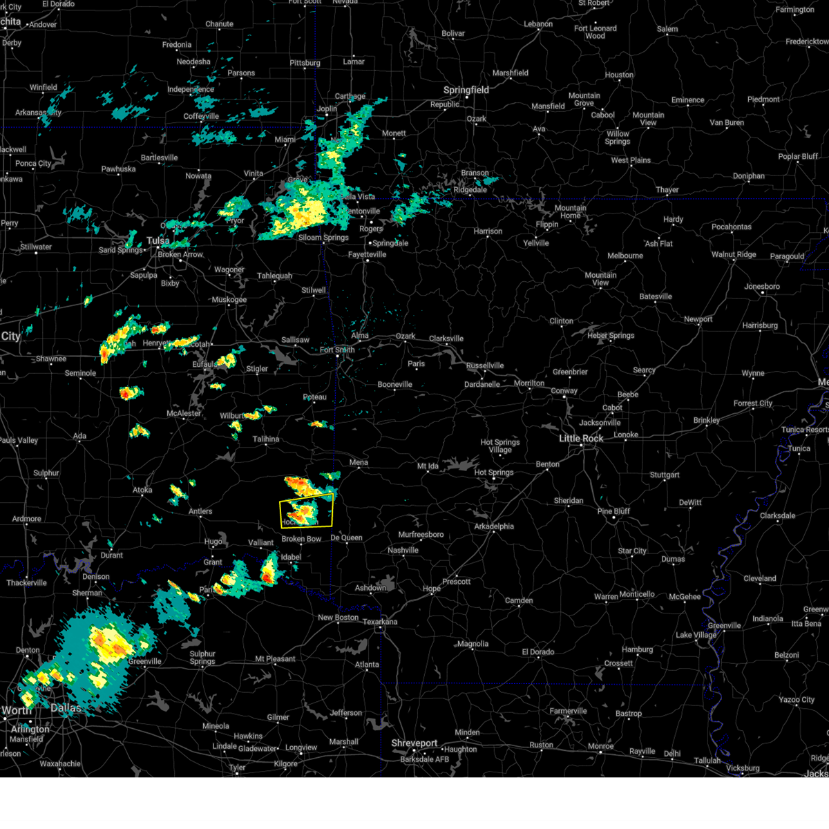 At 402 pm cdt, a severe thunderstorm was located 16 miles north of broken bow, or 26 miles northwest of de queen, moving east at 30 mph (radar indicated). Hazards include 60 mph wind gusts and quarter size hail. Hail damage to vehicles is expected. expect wind damage to roofs, siding, and trees. locations impacted include, hochatown, bethel, mount herman and sherwood. hail threat, radar indicated max hail size, 1. 00 in wind threat, radar indicated max wind gust, 60 mph. At 402 pm cdt, a severe thunderstorm was located 16 miles north of broken bow, or 26 miles northwest of de queen, moving east at 30 mph (radar indicated). Hazards include 60 mph wind gusts and quarter size hail. Hail damage to vehicles is expected. expect wind damage to roofs, siding, and trees. locations impacted include, hochatown, bethel, mount herman and sherwood. hail threat, radar indicated max hail size, 1. 00 in wind threat, radar indicated max wind gust, 60 mph.
|
| 5/19/2023 3:40 PM CDT |
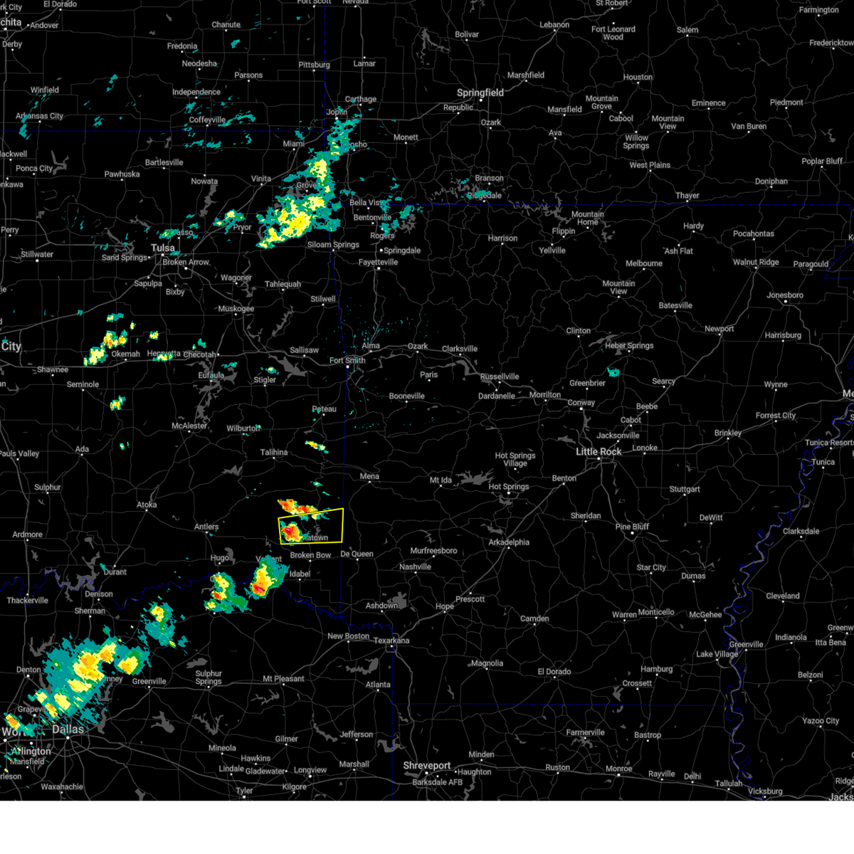 At 340 pm cdt, a severe thunderstorm was located 18 miles northwest of broken bow, or 34 miles southeast of clayton, moving east at 25 mph (radar indicated). Hazards include 60 mph wind gusts and quarter size hail. Hail damage to vehicles is expected. Expect wind damage to roofs, siding, and trees. At 340 pm cdt, a severe thunderstorm was located 18 miles northwest of broken bow, or 34 miles southeast of clayton, moving east at 25 mph (radar indicated). Hazards include 60 mph wind gusts and quarter size hail. Hail damage to vehicles is expected. Expect wind damage to roofs, siding, and trees.
|
| 5/7/2023 12:16 AM CDT |
 At 1216 am cdt, a severe thunderstorm was located near manchester, or 19 miles northwest of clarksville, moving northeast at 50 mph (radar indicated). Hazards include 60 mph wind gusts and quarter size hail. Hail damage to vehicles is expected. Expect wind damage to roofs, siding, and trees. At 1216 am cdt, a severe thunderstorm was located near manchester, or 19 miles northwest of clarksville, moving northeast at 50 mph (radar indicated). Hazards include 60 mph wind gusts and quarter size hail. Hail damage to vehicles is expected. Expect wind damage to roofs, siding, and trees.
|
| 3/11/2023 11:30 PM CDT |
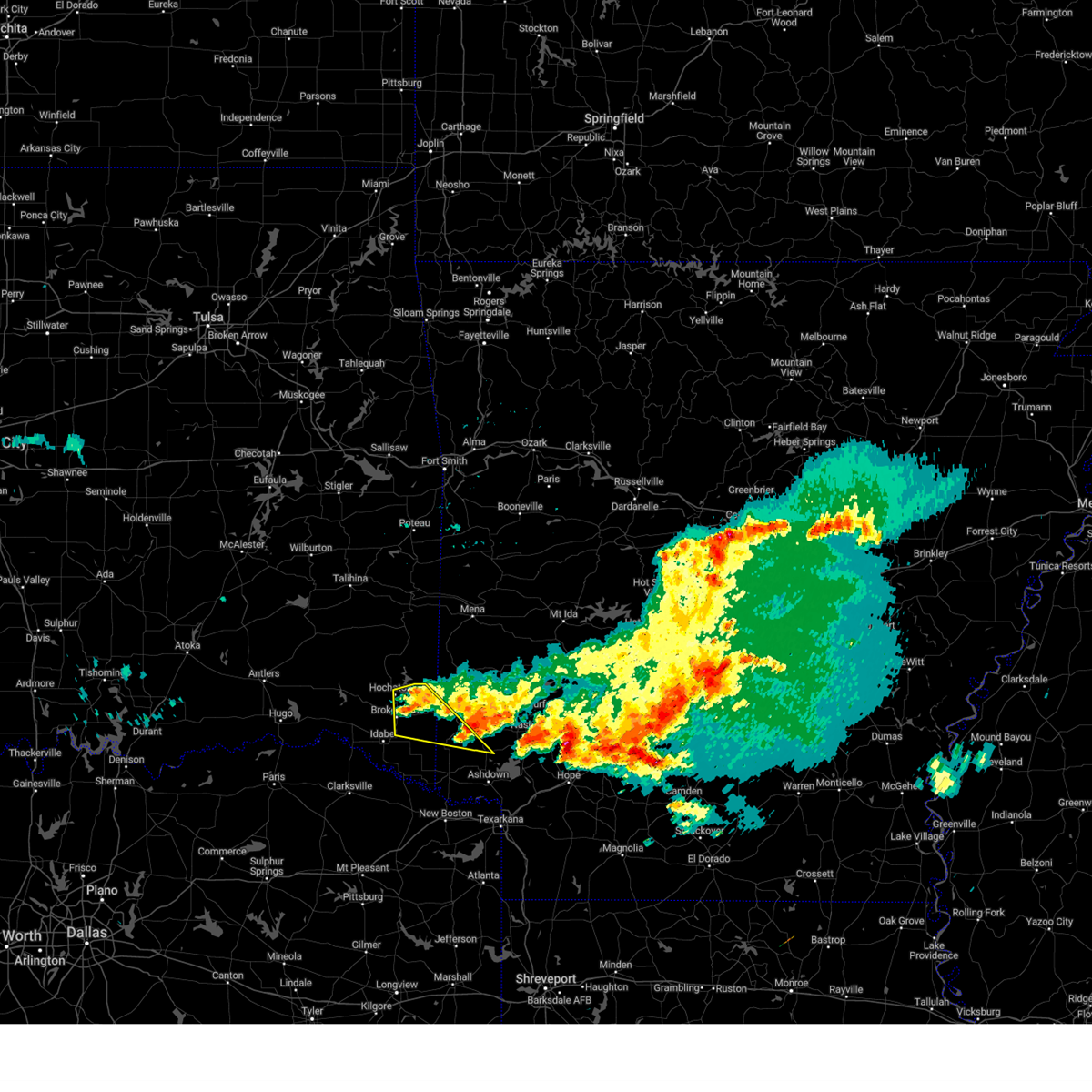 At 1029 pm cst, severe thunderstorms were located along a line extending from 9 miles northeast of broken bow to 11 miles southwest of gillham to de queen, moving southeast at 25 mph (radar indicated). Hazards include 60 mph wind gusts and quarter size hail. Hail damage to vehicles is expected. expect wind damage to roofs, siding, and trees. locations impacted include, de queen, horatio, broken bow, ben lomond, eagletown, cerrogordo, central, goodwater, west line, west otis and hochatown. hail threat, radar indicated max hail size, 1. 00 in wind threat, radar indicated max wind gust, 60 mph. At 1029 pm cst, severe thunderstorms were located along a line extending from 9 miles northeast of broken bow to 11 miles southwest of gillham to de queen, moving southeast at 25 mph (radar indicated). Hazards include 60 mph wind gusts and quarter size hail. Hail damage to vehicles is expected. expect wind damage to roofs, siding, and trees. locations impacted include, de queen, horatio, broken bow, ben lomond, eagletown, cerrogordo, central, goodwater, west line, west otis and hochatown. hail threat, radar indicated max hail size, 1. 00 in wind threat, radar indicated max wind gust, 60 mph.
|
| 3/11/2023 11:30 PM CDT |
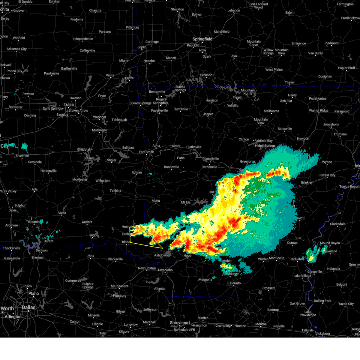 At 1029 pm cst, severe thunderstorms were located along a line extending from 9 miles northeast of broken bow to 11 miles southwest of gillham to de queen, moving southeast at 25 mph (radar indicated). Hazards include 60 mph wind gusts and quarter size hail. Hail damage to vehicles is expected. expect wind damage to roofs, siding, and trees. locations impacted include, de queen, horatio, broken bow, ben lomond, eagletown, cerrogordo, central, goodwater, west line, west otis and hochatown. hail threat, radar indicated max hail size, 1. 00 in wind threat, radar indicated max wind gust, 60 mph. At 1029 pm cst, severe thunderstorms were located along a line extending from 9 miles northeast of broken bow to 11 miles southwest of gillham to de queen, moving southeast at 25 mph (radar indicated). Hazards include 60 mph wind gusts and quarter size hail. Hail damage to vehicles is expected. expect wind damage to roofs, siding, and trees. locations impacted include, de queen, horatio, broken bow, ben lomond, eagletown, cerrogordo, central, goodwater, west line, west otis and hochatown. hail threat, radar indicated max hail size, 1. 00 in wind threat, radar indicated max wind gust, 60 mph.
|
| 3/11/2023 11:05 PM CDT |
 At 1005 pm cst, severe thunderstorms were located along a line extending from 17 miles north of idabel to 8 miles northeast of broken bow to 7 miles west of de queen, moving southeast at 30 mph (radar indicated). Hazards include 60 mph wind gusts and half dollar size hail. Hail damage to vehicles is expected. expect wind damage to roofs, siding, and trees. locations impacted include, de queen, horatio, broken bow, ben lomond, eagletown, cerrogordo, hochatown, central, goodwater, holly creek, glover, west line, oak hill and west otis. hail threat, radar indicated max hail size, 1. 25 in wind threat, radar indicated max wind gust, 60 mph. At 1005 pm cst, severe thunderstorms were located along a line extending from 17 miles north of idabel to 8 miles northeast of broken bow to 7 miles west of de queen, moving southeast at 30 mph (radar indicated). Hazards include 60 mph wind gusts and half dollar size hail. Hail damage to vehicles is expected. expect wind damage to roofs, siding, and trees. locations impacted include, de queen, horatio, broken bow, ben lomond, eagletown, cerrogordo, hochatown, central, goodwater, holly creek, glover, west line, oak hill and west otis. hail threat, radar indicated max hail size, 1. 25 in wind threat, radar indicated max wind gust, 60 mph.
|
| 3/11/2023 11:05 PM CDT |
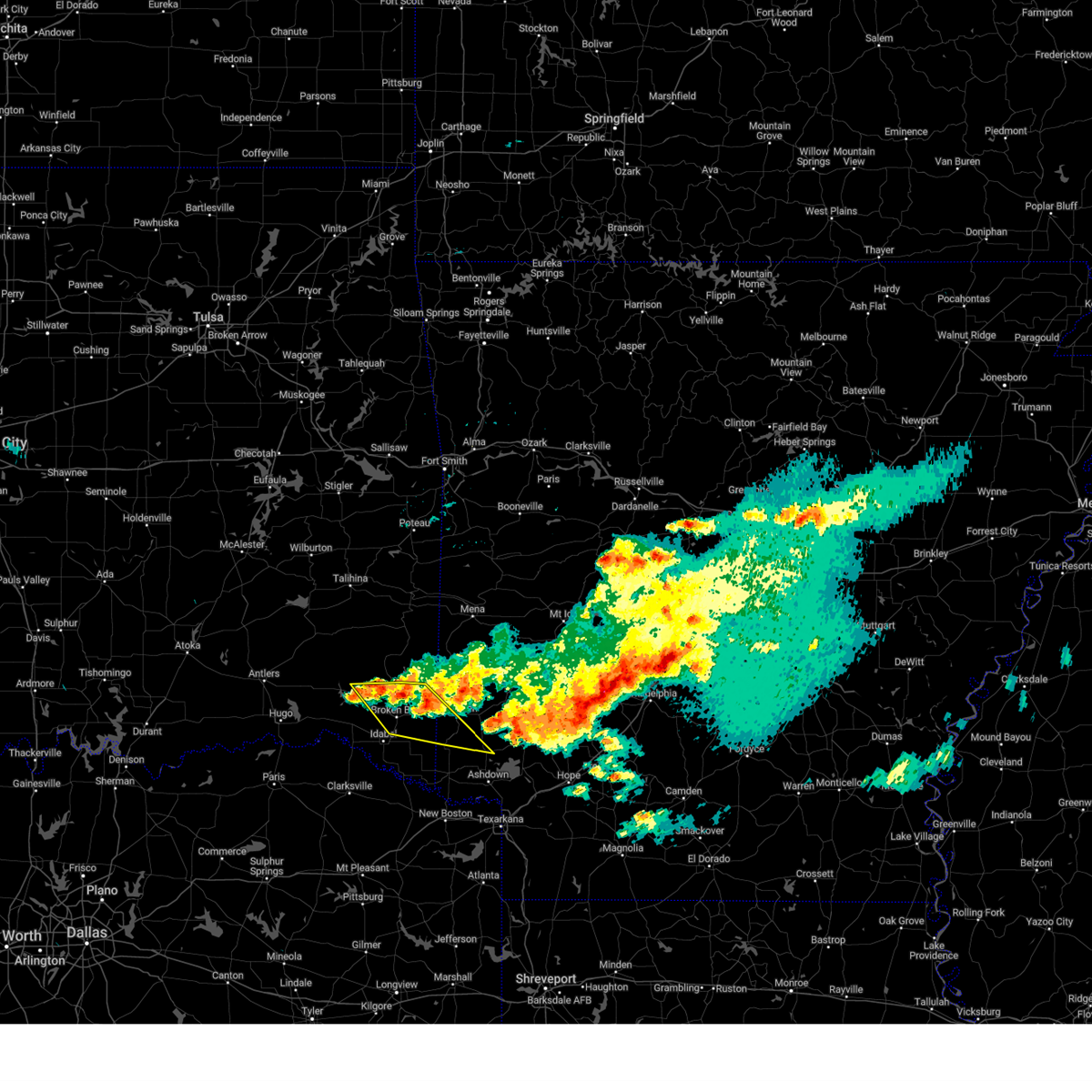 At 1005 pm cst, severe thunderstorms were located along a line extending from 17 miles north of idabel to 8 miles northeast of broken bow to 7 miles west of de queen, moving southeast at 30 mph (radar indicated). Hazards include 60 mph wind gusts and half dollar size hail. Hail damage to vehicles is expected. expect wind damage to roofs, siding, and trees. locations impacted include, de queen, horatio, broken bow, ben lomond, eagletown, cerrogordo, hochatown, central, goodwater, holly creek, glover, west line, oak hill and west otis. hail threat, radar indicated max hail size, 1. 25 in wind threat, radar indicated max wind gust, 60 mph. At 1005 pm cst, severe thunderstorms were located along a line extending from 17 miles north of idabel to 8 miles northeast of broken bow to 7 miles west of de queen, moving southeast at 30 mph (radar indicated). Hazards include 60 mph wind gusts and half dollar size hail. Hail damage to vehicles is expected. expect wind damage to roofs, siding, and trees. locations impacted include, de queen, horatio, broken bow, ben lomond, eagletown, cerrogordo, hochatown, central, goodwater, holly creek, glover, west line, oak hill and west otis. hail threat, radar indicated max hail size, 1. 25 in wind threat, radar indicated max wind gust, 60 mph.
|
| 3/11/2023 10:45 PM CDT | Half Dollar sized hail reported 6.6 miles SSW of Broken Bow, OK, reported around broken bow reservoir in the hochatown area. |
| 3/11/2023 10:45 PM CDT |
 At 945 pm cst, severe thunderstorms were located along a line extending from 16 miles southeast of cloudy to 19 miles north of idabel to 9 miles northeast of broken bow, moving southeast at 20 mph (radar indicated). Hazards include 60 mph wind gusts and half dollar size hail. Hail damage to vehicles is expected. Expect wind damage to roofs, siding, and trees. At 945 pm cst, severe thunderstorms were located along a line extending from 16 miles southeast of cloudy to 19 miles north of idabel to 9 miles northeast of broken bow, moving southeast at 20 mph (radar indicated). Hazards include 60 mph wind gusts and half dollar size hail. Hail damage to vehicles is expected. Expect wind damage to roofs, siding, and trees.
|
| 3/11/2023 10:40 PM CDT | Quarter sized hail reported 4.6 miles S of Broken Bow, OK, near the intersection of us hwy 259 and state hwy 259 a. |
| 3/11/2023 10:36 PM CDT |
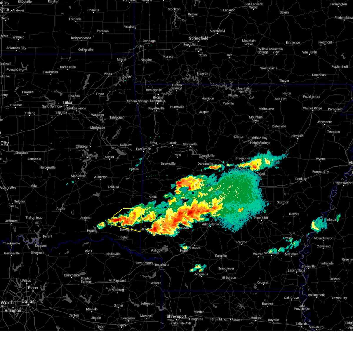 At 935 pm cst, severe thunderstorms were located along a line extending from 18 miles west of wickes to 13 miles north of broken bow to 22 miles north of idabel to 16 miles east of cloudy, moving southeast at 45 mph (trained weather spotters. at 930 cst, quarter-sized hail was reported north of broken bow and just west of broken bow lake). Hazards include 60 mph wind gusts and half dollar size hail. Hail damage to vehicles is expected. expect wind damage to roofs, siding, and trees. locations impacted include, plunketville, hochatown, watson, bethel, ringold, mount herman and sherwood. hail threat, radar indicated max hail size, 1. 25 in wind threat, radar indicated max wind gust, 60 mph. At 935 pm cst, severe thunderstorms were located along a line extending from 18 miles west of wickes to 13 miles north of broken bow to 22 miles north of idabel to 16 miles east of cloudy, moving southeast at 45 mph (trained weather spotters. at 930 cst, quarter-sized hail was reported north of broken bow and just west of broken bow lake). Hazards include 60 mph wind gusts and half dollar size hail. Hail damage to vehicles is expected. expect wind damage to roofs, siding, and trees. locations impacted include, plunketville, hochatown, watson, bethel, ringold, mount herman and sherwood. hail threat, radar indicated max hail size, 1. 25 in wind threat, radar indicated max wind gust, 60 mph.
|
| 3/11/2023 10:33 PM CDT | Half Dollar sized hail reported 10.4 miles SSE of Broken Bow, OK, reported in the hochatown area. |
| 3/11/2023 10:20 PM CDT |
 At 920 pm cst, a severe thunderstorm was located 18 miles northwest of broken bow, or 34 miles southeast of clayton, moving east at 30 mph (radar indicated). Hazards include 60 mph wind gusts and half dollar size hail. Hail damage to vehicles is expected. expect wind damage to roofs, siding, and trees. locations impacted include, plunketville, hochatown, watson, bethel, ringold, mount herman and sherwood. hail threat, radar indicated max hail size, 1. 25 in wind threat, radar indicated max wind gust, 60 mph. At 920 pm cst, a severe thunderstorm was located 18 miles northwest of broken bow, or 34 miles southeast of clayton, moving east at 30 mph (radar indicated). Hazards include 60 mph wind gusts and half dollar size hail. Hail damage to vehicles is expected. expect wind damage to roofs, siding, and trees. locations impacted include, plunketville, hochatown, watson, bethel, ringold, mount herman and sherwood. hail threat, radar indicated max hail size, 1. 25 in wind threat, radar indicated max wind gust, 60 mph.
|
| 3/11/2023 9:58 PM CDT |
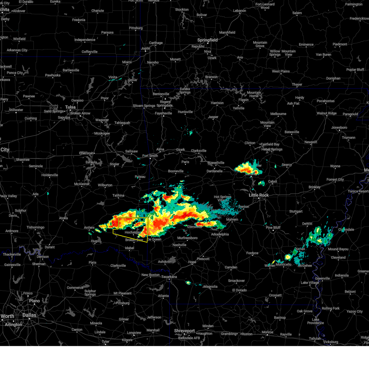 At 857 pm cst, a severe thunderstorm was located 8 miles east of cloudy, or 21 miles southeast of clayton, moving east at 45 mph (radar indicated). Hazards include 60 mph wind gusts and half dollar size hail. Hail damage to vehicles is expected. Expect wind damage to roofs, siding, and trees. At 857 pm cst, a severe thunderstorm was located 8 miles east of cloudy, or 21 miles southeast of clayton, moving east at 45 mph (radar indicated). Hazards include 60 mph wind gusts and half dollar size hail. Hail damage to vehicles is expected. Expect wind damage to roofs, siding, and trees.
|
| 3/2/2023 9:31 PM CST |
 At 930 pm cst, severe thunderstorms were located along a line extending from 10 miles southeast of octavia to 12 miles northwest of de queen to 10 miles east of broken bow to 7 miles west of horatio to 6 miles southwest of foreman to 9 miles east of dalby springs, moving east at 45 mph (radar indicated). Hazards include 60 mph wind gusts and penny size hail. Expect damage to roofs, siding, and trees. Locations impacted include, de queen, new boston, horatio, foreman, broken bow, de kalb, winthrop, gillham, arkinda, dalby springs, haworth, eagletown, moon, cerrogordo, spring hill, smithville, hochatown, goodlake, watson and goodwater. At 930 pm cst, severe thunderstorms were located along a line extending from 10 miles southeast of octavia to 12 miles northwest of de queen to 10 miles east of broken bow to 7 miles west of horatio to 6 miles southwest of foreman to 9 miles east of dalby springs, moving east at 45 mph (radar indicated). Hazards include 60 mph wind gusts and penny size hail. Expect damage to roofs, siding, and trees. Locations impacted include, de queen, new boston, horatio, foreman, broken bow, de kalb, winthrop, gillham, arkinda, dalby springs, haworth, eagletown, moon, cerrogordo, spring hill, smithville, hochatown, goodlake, watson and goodwater.
|
| 3/2/2023 8:57 PM CST |
 At 857 pm cst, severe thunderstorms were located along a line extending from near octavia to 10 miles northwest of broken bow to 8 miles east of manchester to 7 miles northeast of clarksville to near wilkerson, moving east at 30 mph (radar indicated). Hazards include 60 mph wind gusts and quarter size hail. Hail damage to vehicles is expected. Expect wind damage to roofs, siding, and trees. At 857 pm cst, severe thunderstorms were located along a line extending from near octavia to 10 miles northwest of broken bow to 8 miles east of manchester to 7 miles northeast of clarksville to near wilkerson, moving east at 30 mph (radar indicated). Hazards include 60 mph wind gusts and quarter size hail. Hail damage to vehicles is expected. Expect wind damage to roofs, siding, and trees.
|
| 3/2/2023 8:33 PM CST |
 At 832 pm cst, severe thunderstorms were located along a line extending from 13 miles southeast of albion to 14 miles northeast of fort towson to 7 miles southeast of raymond gary state park to near manchester to near bogata to near hagansport, moving east at 30 mph (radar indicated). Hazards include 60 mph wind gusts and quarter size hail. Hail damage to vehicles is expected. expect wind damage to roofs, siding, and trees. Locations impacted include, clarksville, hagansport, boxelder, idabel, broken bow, de kalb, bogata, us 259 and i 30 intersection, dalby springs, wilkerson, bagwell, manchester, wright city, valliant, detroit, deport, talco, avery, millerton and annona. At 832 pm cst, severe thunderstorms were located along a line extending from 13 miles southeast of albion to 14 miles northeast of fort towson to 7 miles southeast of raymond gary state park to near manchester to near bogata to near hagansport, moving east at 30 mph (radar indicated). Hazards include 60 mph wind gusts and quarter size hail. Hail damage to vehicles is expected. expect wind damage to roofs, siding, and trees. Locations impacted include, clarksville, hagansport, boxelder, idabel, broken bow, de kalb, bogata, us 259 and i 30 intersection, dalby springs, wilkerson, bagwell, manchester, wright city, valliant, detroit, deport, talco, avery, millerton and annona.
|
| 3/2/2023 8:03 PM CST |
 At 803 pm cst, severe thunderstorms were located along a line extending from near nashoba to near hugo lake state park to near powderly to 10 miles northeast of big creek lake, moving east at 40 mph (radar indicated). Hazards include 60 mph wind gusts and quarter size hail. Hail damage to vehicles is expected. Expect wind damage to roofs, siding, and trees. At 803 pm cst, severe thunderstorms were located along a line extending from near nashoba to near hugo lake state park to near powderly to 10 miles northeast of big creek lake, moving east at 40 mph (radar indicated). Hazards include 60 mph wind gusts and quarter size hail. Hail damage to vehicles is expected. Expect wind damage to roofs, siding, and trees.
|
| 3/2/2023 6:28 PM CST |
 At 627 pm cst, severe thunderstorms were located along a line extending from near octavia to 23 miles west of vandervoort to 13 miles west of broken bow, moving east at 20 mph (radar indicated). Hazards include 70 mph wind gusts and penny size hail. Expect considerable tree damage. Damage is likely to mobile homes, roofs, and outbuildings. At 627 pm cst, severe thunderstorms were located along a line extending from near octavia to 23 miles west of vandervoort to 13 miles west of broken bow, moving east at 20 mph (radar indicated). Hazards include 70 mph wind gusts and penny size hail. Expect considerable tree damage. Damage is likely to mobile homes, roofs, and outbuildings.
|
| 3/2/2023 6:23 PM CST |
 At 622 pm cst, a large and extremely dangerous tornado was located 14 miles north of broken bow, or 30 miles northwest of de queen, moving northeast at 40 mph. this is a particularly dangerous situation. take cover now! (radar indicated rotation). Hazards include damaging tornado. You are in a life-threatening situation. flying debris may be deadly to those caught without shelter. mobile homes will be destroyed. considerable damage to homes, businesses, and vehicles is likely and complete destruction is possible. Locations impacted include, wright city, glover, hochatown, bethel, battiest, mount herman and sherwood. At 622 pm cst, a large and extremely dangerous tornado was located 14 miles north of broken bow, or 30 miles northwest of de queen, moving northeast at 40 mph. this is a particularly dangerous situation. take cover now! (radar indicated rotation). Hazards include damaging tornado. You are in a life-threatening situation. flying debris may be deadly to those caught without shelter. mobile homes will be destroyed. considerable damage to homes, businesses, and vehicles is likely and complete destruction is possible. Locations impacted include, wright city, glover, hochatown, bethel, battiest, mount herman and sherwood.
|
| 3/2/2023 6:08 PM CST |
 At 607 pm cst, a severe thunderstorm capable of producing a tornado was located 16 miles northeast of fort towson, or 29 miles east of hugo, moving northeast at 35 mph (radar indicated rotation). Hazards include tornado and two inch hail. Flying debris will be dangerous to those caught without shelter. mobile homes will be damaged or destroyed. damage to roofs, windows, and vehicles will occur. tree damage is likely. Locations impacted include, wright city, valliant, rufe, glover, hochatown, slim, bethel, battiest, ringold, mount herman and sherwood. At 607 pm cst, a severe thunderstorm capable of producing a tornado was located 16 miles northeast of fort towson, or 29 miles east of hugo, moving northeast at 35 mph (radar indicated rotation). Hazards include tornado and two inch hail. Flying debris will be dangerous to those caught without shelter. mobile homes will be damaged or destroyed. damage to roofs, windows, and vehicles will occur. tree damage is likely. Locations impacted include, wright city, valliant, rufe, glover, hochatown, slim, bethel, battiest, ringold, mount herman and sherwood.
|
| 3/2/2023 5:40 PM CST |
 At 539 pm cst, a severe thunderstorm capable of producing a tornado was located over fort towson, or 12 miles east of hugo, moving northeast at 55 mph (radar indicated rotation). Hazards include tornado and hail up to two inches in diameter. Flying debris will be dangerous to those caught without shelter. mobile homes will be damaged or destroyed. damage to roofs, windows, and vehicles will occur. tree damage is likely. This tornadic thunderstorm will remain over mainly rural areas of northern mccurtain county, including the following locations, wright city, rufe, glover, hochatown, valliant, slim, bethel, battiest, ringold and mount herman. At 539 pm cst, a severe thunderstorm capable of producing a tornado was located over fort towson, or 12 miles east of hugo, moving northeast at 55 mph (radar indicated rotation). Hazards include tornado and hail up to two inches in diameter. Flying debris will be dangerous to those caught without shelter. mobile homes will be damaged or destroyed. damage to roofs, windows, and vehicles will occur. tree damage is likely. This tornadic thunderstorm will remain over mainly rural areas of northern mccurtain county, including the following locations, wright city, rufe, glover, hochatown, valliant, slim, bethel, battiest, ringold and mount herman.
|
| 1/3/2023 12:21 AM CST |
 At 1220 am cst, a severe thunderstorm was located 9 miles east of raymond gary state park, or 24 miles east of hugo, moving northeast at 55 mph (radar indicated). Hazards include 60 mph wind gusts and quarter size hail. Hail damage to vehicles is expected. Expect wind damage to roofs, siding, and trees. At 1220 am cst, a severe thunderstorm was located 9 miles east of raymond gary state park, or 24 miles east of hugo, moving northeast at 55 mph (radar indicated). Hazards include 60 mph wind gusts and quarter size hail. Hail damage to vehicles is expected. Expect wind damage to roofs, siding, and trees.
|
| 11/4/2022 7:05 PM CDT |
 At 704 pm cdt, a large and extremely dangerous tornado was located near broken bow, or 21 miles west of horatio, moving northeast at 45 mph. this is a particularly dangerous situation. take cover now! (radar indicated rotation). Hazards include damaging tornado. You are in a life-threatening situation. flying debris may be deadly to those caught without shelter. mobile homes will be destroyed. considerable damage to homes, businesses, and vehicles is likely and complete destruction is possible. the tornado will be near, gillham around 740 pm cdt. Other locations impacted by this tornadic thunderstorm include eagletown, plunketville, holly creek, cerrogordo, hochatown, goodwater, west line, oak hill and haworth. At 704 pm cdt, a large and extremely dangerous tornado was located near broken bow, or 21 miles west of horatio, moving northeast at 45 mph. this is a particularly dangerous situation. take cover now! (radar indicated rotation). Hazards include damaging tornado. You are in a life-threatening situation. flying debris may be deadly to those caught without shelter. mobile homes will be destroyed. considerable damage to homes, businesses, and vehicles is likely and complete destruction is possible. the tornado will be near, gillham around 740 pm cdt. Other locations impacted by this tornadic thunderstorm include eagletown, plunketville, holly creek, cerrogordo, hochatown, goodwater, west line, oak hill and haworth.
|
| 11/4/2022 7:03 PM CDT |
 At 702 pm cdt, a confirmed large and extremely dangerous tornado was located near broken bow, or 24 miles west of horatio, moving northeast at 45 mph. this is a particularly dangerous situation. take cover now! (radar confirmed tornado). Hazards include damaging tornado. You are in a life-threatening situation. flying debris may be deadly to those caught without shelter. mobile homes will be destroyed. considerable damage to homes, businesses, and vehicles is likely and complete destruction is possible. This tornadic thunderstorm will remain over mainly rural areas of southern mccurtain and northeastern red river counties, including the following locations, eagletown, farmers hill, cerrogordo, harris, goodwater, shinewell, silver city, haworth, holly creek and garvin. At 702 pm cdt, a confirmed large and extremely dangerous tornado was located near broken bow, or 24 miles west of horatio, moving northeast at 45 mph. this is a particularly dangerous situation. take cover now! (radar confirmed tornado). Hazards include damaging tornado. You are in a life-threatening situation. flying debris may be deadly to those caught without shelter. mobile homes will be destroyed. considerable damage to homes, businesses, and vehicles is likely and complete destruction is possible. This tornadic thunderstorm will remain over mainly rural areas of southern mccurtain and northeastern red river counties, including the following locations, eagletown, farmers hill, cerrogordo, harris, goodwater, shinewell, silver city, haworth, holly creek and garvin.
|
| 11/4/2022 6:46 PM CDT |
 At 644 pm cdt, a confirmed large and destructive tornado was located 9 miles southwest of idabel, or 14 miles northeast of clarksville, moving northeast at 45 mph. tornado emergency for idabel. this is a particularly dangerous situation. take cover now! (radar confirmed tornado). Hazards include deadly tornado. You are in a life-threatening situation. flying debris may be deadly to those caught without shelter. mobile homes will be destroyed. considerable damage to homes, businesses, and vehicles is likely and complete destruction is possible. the tornado will be near, idabel around 655 pm cdt. broken bow around 715 pm cdt. Other locations impacted by this tornadic thunderstorm include eagletown, farmers hill, cerrogordo, harris, goodwater, shinewell, silver city, haworth, holly creek and garvin. At 644 pm cdt, a confirmed large and destructive tornado was located 9 miles southwest of idabel, or 14 miles northeast of clarksville, moving northeast at 45 mph. tornado emergency for idabel. this is a particularly dangerous situation. take cover now! (radar confirmed tornado). Hazards include deadly tornado. You are in a life-threatening situation. flying debris may be deadly to those caught without shelter. mobile homes will be destroyed. considerable damage to homes, businesses, and vehicles is likely and complete destruction is possible. the tornado will be near, idabel around 655 pm cdt. broken bow around 715 pm cdt. Other locations impacted by this tornadic thunderstorm include eagletown, farmers hill, cerrogordo, harris, goodwater, shinewell, silver city, haworth, holly creek and garvin.
|
| 11/4/2022 6:36 PM CDT |
 At 635 pm cdt, a confirmed large and extremely dangerous tornado was located 8 miles north of clarksville, moving northeast at 45 mph. this is a particularly dangerous situation. take cover now! (law enforcement confirmed tornado). Hazards include damaging tornado. You are in a life-threatening situation. flying debris may be deadly to those caught without shelter. mobile homes will be destroyed. considerable damage to homes, businesses, and vehicles is likely and complete destruction is possible. the tornado will be near, idabel around 655 pm cdt. broken bow around 715 pm cdt. Other locations impacted by this tornadic thunderstorm include eagletown, farmers hill, cerrogordo, negley, harris, goodwater, annona, shinewell, silver city and english. At 635 pm cdt, a confirmed large and extremely dangerous tornado was located 8 miles north of clarksville, moving northeast at 45 mph. this is a particularly dangerous situation. take cover now! (law enforcement confirmed tornado). Hazards include damaging tornado. You are in a life-threatening situation. flying debris may be deadly to those caught without shelter. mobile homes will be destroyed. considerable damage to homes, businesses, and vehicles is likely and complete destruction is possible. the tornado will be near, idabel around 655 pm cdt. broken bow around 715 pm cdt. Other locations impacted by this tornadic thunderstorm include eagletown, farmers hill, cerrogordo, negley, harris, goodwater, annona, shinewell, silver city and english.
|
| 7/13/2022 4:27 PM CDT | Thunderstorm wind damage... including several trees downed... across the city of broken bo in mccurtain county OK, 1.6 miles N of Broken Bow, OK |
| 7/13/2022 4:22 PM CDT |
 At 421 pm cdt, a severe thunderstorm was located 16 miles north of broken bow, or 31 miles northwest of de queen, and is nearly stationary (radar indicated). Hazards include 60 mph wind gusts and quarter size hail. Hail damage to vehicles is expected. Expect wind damage to roofs, siding, and trees. At 421 pm cdt, a severe thunderstorm was located 16 miles north of broken bow, or 31 miles northwest of de queen, and is nearly stationary (radar indicated). Hazards include 60 mph wind gusts and quarter size hail. Hail damage to vehicles is expected. Expect wind damage to roofs, siding, and trees.
|
| 5/24/2022 5:03 PM CDT |
 At 503 pm cdt, a severe thunderstorm was located near idabel, or 25 miles northeast of clarksville, moving east at 25 mph (radar indicated). Hazards include 60 mph wind gusts and quarter size hail. Hail damage to vehicles is expected. Expect wind damage to roofs, siding, and trees. At 503 pm cdt, a severe thunderstorm was located near idabel, or 25 miles northeast of clarksville, moving east at 25 mph (radar indicated). Hazards include 60 mph wind gusts and quarter size hail. Hail damage to vehicles is expected. Expect wind damage to roofs, siding, and trees.
|
| 4/24/2022 9:28 PM CDT |
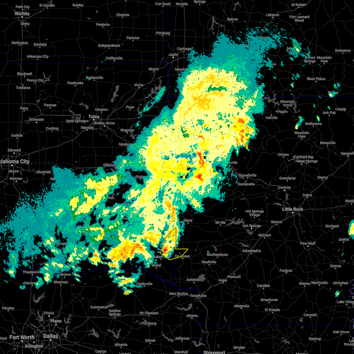 At 928 pm cdt, a severe thunderstorm was located 8 miles west of grannis, or 15 miles northwest of de queen, moving northeast at 45 mph (radar indicated). Hazards include 60 mph wind gusts and quarter size hail. Hail damage to vehicles is expected. expect wind damage to roofs, siding, and trees. locations impacted include, gillham, hochatown, eagletown, plunketville and watson. hail threat, radar indicated max hail size, 1. 00 in wind threat, radar indicated max wind gust, 60 mph. At 928 pm cdt, a severe thunderstorm was located 8 miles west of grannis, or 15 miles northwest of de queen, moving northeast at 45 mph (radar indicated). Hazards include 60 mph wind gusts and quarter size hail. Hail damage to vehicles is expected. expect wind damage to roofs, siding, and trees. locations impacted include, gillham, hochatown, eagletown, plunketville and watson. hail threat, radar indicated max hail size, 1. 00 in wind threat, radar indicated max wind gust, 60 mph.
|
| 4/24/2022 8:59 PM CDT |
 At 857 pm cdt, a severe thunderstorm was located 7 miles northwest of broken bow, or 28 miles west of de queen, moving northeast at 45 mph (radar indicated). Hazards include 60 mph wind gusts and quarter size hail. Hail damage to vehicles is expected. Expect wind damage to roofs, siding, and trees. At 857 pm cdt, a severe thunderstorm was located 7 miles northwest of broken bow, or 28 miles west of de queen, moving northeast at 45 mph (radar indicated). Hazards include 60 mph wind gusts and quarter size hail. Hail damage to vehicles is expected. Expect wind damage to roofs, siding, and trees.
|
| 4/24/2022 7:55 PM CDT |
 At 754 pm cdt, a severe thunderstorm was located near fort towson, or 12 miles east of hugo, moving northeast at 40 mph (radar indicated). Hazards include 60 mph wind gusts and quarter size hail. Hail damage to vehicles is expected. Expect wind damage to roofs, siding, and trees. At 754 pm cdt, a severe thunderstorm was located near fort towson, or 12 miles east of hugo, moving northeast at 40 mph (radar indicated). Hazards include 60 mph wind gusts and quarter size hail. Hail damage to vehicles is expected. Expect wind damage to roofs, siding, and trees.
|
| 4/4/2022 10:46 PM CDT |
 At 1046 pm cdt, a severe thunderstorm was located near broken bow, or 27 miles west of horatio, moving northeast at 30 mph (radar indicated). Hazards include 60 mph wind gusts and quarter size hail. Hail damage to vehicles is expected. expect wind damage to roofs, siding, and trees. locations impacted include, idabel, broken bow, garvin, holly creek, glover, oak hill and golden. hail threat, radar indicated max hail size, 1. 00 in wind threat, radar indicated max wind gust, 60 mph. At 1046 pm cdt, a severe thunderstorm was located near broken bow, or 27 miles west of horatio, moving northeast at 30 mph (radar indicated). Hazards include 60 mph wind gusts and quarter size hail. Hail damage to vehicles is expected. expect wind damage to roofs, siding, and trees. locations impacted include, idabel, broken bow, garvin, holly creek, glover, oak hill and golden. hail threat, radar indicated max hail size, 1. 00 in wind threat, radar indicated max wind gust, 60 mph.
|
| 4/4/2022 10:25 PM CDT |
 At 1024 pm cdt, a severe thunderstorm was located 9 miles west of idabel, or 19 miles north of clarksville, moving northeast at 30 mph (radar indicated). Hazards include 60 mph wind gusts and quarter size hail. Hail damage to vehicles is expected. Expect wind damage to roofs, siding, and trees. At 1024 pm cdt, a severe thunderstorm was located 9 miles west of idabel, or 19 miles north of clarksville, moving northeast at 30 mph (radar indicated). Hazards include 60 mph wind gusts and quarter size hail. Hail damage to vehicles is expected. Expect wind damage to roofs, siding, and trees.
|
| 3/30/2022 6:47 AM CDT |
 At 647 am cdt, severe thunderstorms were located along a line extending from 23 miles northeast of fort towson to near broken bow to 10 miles southwest of idabel to 7 miles west of boxelder to hagansport, moving northeast at 60 mph (radar indicated). Hazards include 60 mph wind gusts. expect damage to roofs, siding, and trees At 647 am cdt, severe thunderstorms were located along a line extending from 23 miles northeast of fort towson to near broken bow to 10 miles southwest of idabel to 7 miles west of boxelder to hagansport, moving northeast at 60 mph (radar indicated). Hazards include 60 mph wind gusts. expect damage to roofs, siding, and trees
|
| 3/30/2022 5:38 AM CDT |
 At 537 am cdt, severe thunderstorms were located along a line extending from near oleta to near cloudy to near fort towson to near raymond gary state park, moving northeast at 65 mph (radar indicated). Hazards include 60 mph wind gusts and penny size hail. expect damage to roofs, siding, and trees At 537 am cdt, severe thunderstorms were located along a line extending from near oleta to near cloudy to near fort towson to near raymond gary state park, moving northeast at 65 mph (radar indicated). Hazards include 60 mph wind gusts and penny size hail. expect damage to roofs, siding, and trees
|
| 3/21/2022 9:47 PM CDT |
 At 947 pm cdt, a severe thunderstorm was located over broken bow, or 21 miles west of de queen, moving northeast at 55 mph (radar indicated). Hazards include 60 mph wind gusts and penny size hail. Expect damage to roofs, siding, and trees. Locations impacted include, idabel, broken bow, haworth, garvin, bokhoma, eagletown, farmers hill, moon, cerrogordo, hochatown, goodlake, negley, harris, goodwater, shinewell, silver city, tom, holly creek, glover and america. At 947 pm cdt, a severe thunderstorm was located over broken bow, or 21 miles west of de queen, moving northeast at 55 mph (radar indicated). Hazards include 60 mph wind gusts and penny size hail. Expect damage to roofs, siding, and trees. Locations impacted include, idabel, broken bow, haworth, garvin, bokhoma, eagletown, farmers hill, moon, cerrogordo, hochatown, goodlake, negley, harris, goodwater, shinewell, silver city, tom, holly creek, glover and america.
|
| 3/21/2022 9:13 PM CDT |
 At 912 pm cdt, a severe thunderstorm was located 10 miles west of idabel, or 22 miles north of clarksville, moving northeast at 90 mph (radar indicated). Hazards include 60 mph wind gusts and penny size hail. expect damage to roofs, siding, and trees At 912 pm cdt, a severe thunderstorm was located 10 miles west of idabel, or 22 miles north of clarksville, moving northeast at 90 mph (radar indicated). Hazards include 60 mph wind gusts and penny size hail. expect damage to roofs, siding, and trees
|
| 12/10/2021 6:15 PM CST |
 At 615 pm cst, a severe thunderstorm was located near deport, or 7 miles northwest of hagansport, moving northeast at 55 mph (radar indicated). Hazards include 60 mph wind gusts and quarter size hail. Hail damage to vehicles is expected. Expect wind damage to roofs, siding, and trees. At 615 pm cst, a severe thunderstorm was located near deport, or 7 miles northwest of hagansport, moving northeast at 55 mph (radar indicated). Hazards include 60 mph wind gusts and quarter size hail. Hail damage to vehicles is expected. Expect wind damage to roofs, siding, and trees.
|
| 10/11/2021 12:26 AM CDT |
 At 1225 am cdt, severe thunderstorms were located along a line extending from near broken bow to 14 miles north of boxelder to 7 miles northeast of mount vernon, moving east at 50 mph (radar indicated). Hazards include 60 mph wind gusts and quarter size hail. Hail damage to vehicles is expected. Expect wind damage to roofs, siding, and trees. At 1225 am cdt, severe thunderstorms were located along a line extending from near broken bow to 14 miles north of boxelder to 7 miles northeast of mount vernon, moving east at 50 mph (radar indicated). Hazards include 60 mph wind gusts and quarter size hail. Hail damage to vehicles is expected. Expect wind damage to roofs, siding, and trees.
|
| 10/11/2021 12:20 AM CDT | Trees down on vehicle 3 miles west of broken bow on hwy in mccurtain county OK, 2.9 miles E of Broken Bow, OK |
| 10/11/2021 12:20 AM CDT |
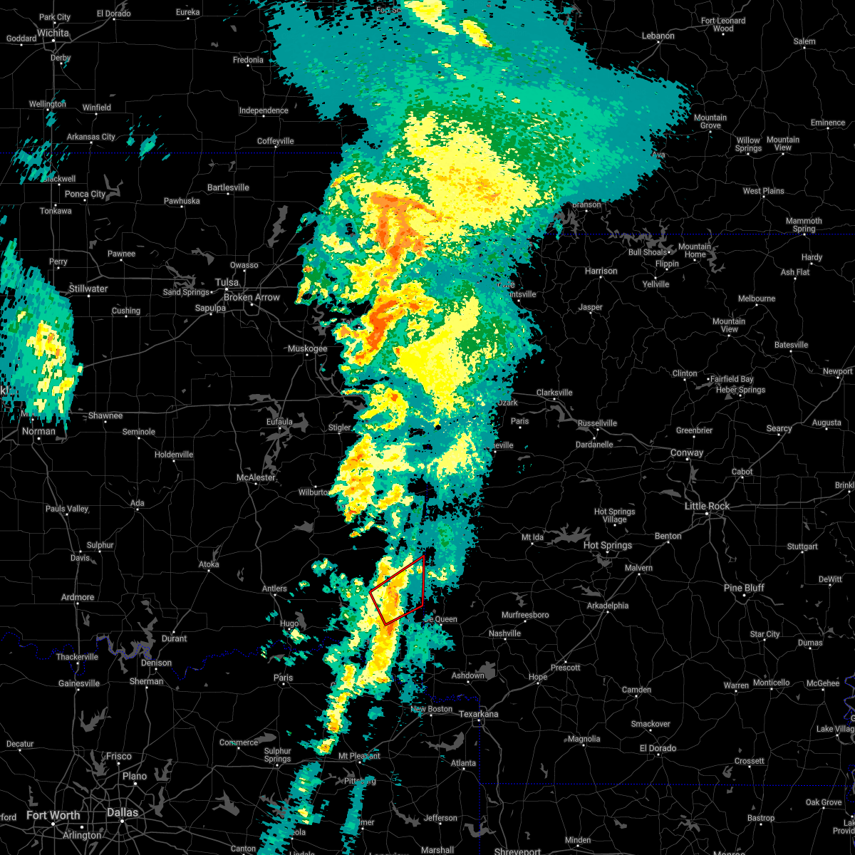 At 1219 am cdt, a severe thunderstorm capable of producing a tornado was located 13 miles southwest of vandervoort, or 22 miles northwest of de queen, moving northeast at 55 mph (radar indicated rotation). Hazards include tornado. Flying debris will be dangerous to those caught without shelter. mobile homes will be damaged or destroyed. damage to roofs, windows, and vehicles will occur. tree damage is likely. Locations impacted include, broken bow, hochatown, plunketville and watson. At 1219 am cdt, a severe thunderstorm capable of producing a tornado was located 13 miles southwest of vandervoort, or 22 miles northwest of de queen, moving northeast at 55 mph (radar indicated rotation). Hazards include tornado. Flying debris will be dangerous to those caught without shelter. mobile homes will be damaged or destroyed. damage to roofs, windows, and vehicles will occur. tree damage is likely. Locations impacted include, broken bow, hochatown, plunketville and watson.
|
| 10/10/2021 11:50 PM CDT |
 At 1149 pm cdt, a severe thunderstorm capable of producing a tornado was located 15 miles west of broken bow, or 29 miles east of hugo, moving northeast at 55 mph (radar indicated rotation). Hazards include tornado. Flying debris will be dangerous to those caught without shelter. mobile homes will be damaged or destroyed. damage to roofs, windows, and vehicles will occur. tree damage is likely. This tornadic thunderstorm will remain over mainly rural areas of central mccurtain county, including the following locations, plunketville, wright city, glover, hochatown, millerton, watson, slim, oak hill and golden. At 1149 pm cdt, a severe thunderstorm capable of producing a tornado was located 15 miles west of broken bow, or 29 miles east of hugo, moving northeast at 55 mph (radar indicated rotation). Hazards include tornado. Flying debris will be dangerous to those caught without shelter. mobile homes will be damaged or destroyed. damage to roofs, windows, and vehicles will occur. tree damage is likely. This tornadic thunderstorm will remain over mainly rural areas of central mccurtain county, including the following locations, plunketville, wright city, glover, hochatown, millerton, watson, slim, oak hill and golden.
|
| 10/10/2021 11:24 PM CDT |
 At 1123 pm cdt, severe thunderstorms were located along a line extending from near raymond gary state park to 7 miles southeast of paris to 6 miles northwest of sulphur springs, moving east at 45 mph (radar indicated). Hazards include 60 mph wind gusts and quarter size hail. Hail damage to vehicles is expected. Expect wind damage to roofs, siding, and trees. At 1123 pm cdt, severe thunderstorms were located along a line extending from near raymond gary state park to 7 miles southeast of paris to 6 miles northwest of sulphur springs, moving east at 45 mph (radar indicated). Hazards include 60 mph wind gusts and quarter size hail. Hail damage to vehicles is expected. Expect wind damage to roofs, siding, and trees.
|
| 5/18/2021 4:05 PM CDT |
 At 405 pm cdt, severe thunderstorms were located along a line extending from 15 miles west of grannis to near horatio to arkinda to 8 miles southwest of foreman to 7 miles southeast of de kalb, moving east at 45 mph (radar indicated). Hazards include 60 mph wind gusts and quarter size hail. Hail damage to vehicles is expected. expect wind damage to roofs, siding, and trees. Locations impacted include, de queen, ashdown, mineral springs, dierks, horatio, foreman, umpire, idabel, broken bow, lockesburg, wilton, winthrop, gillham, ben lomond, arkinda, athens, richmond, center point, oak grove and haworth. At 405 pm cdt, severe thunderstorms were located along a line extending from 15 miles west of grannis to near horatio to arkinda to 8 miles southwest of foreman to 7 miles southeast of de kalb, moving east at 45 mph (radar indicated). Hazards include 60 mph wind gusts and quarter size hail. Hail damage to vehicles is expected. expect wind damage to roofs, siding, and trees. Locations impacted include, de queen, ashdown, mineral springs, dierks, horatio, foreman, umpire, idabel, broken bow, lockesburg, wilton, winthrop, gillham, ben lomond, arkinda, athens, richmond, center point, oak grove and haworth.
|
| 5/18/2021 3:40 PM CDT | Tree down on sherry lan in mccurtain county OK, 1.6 miles N of Broken Bow, OK |
| 5/18/2021 3:33 PM CDT |
 At 333 pm cdt, severe thunderstorms were located along a line extending from 17 miles northwest of broken bow to near idabel to 9 miles north of boxelder to near wilkerson, moving east at 45 mph (radar indicated). Hazards include 60 mph wind gusts and quarter size hail. Hail damage to vehicles is expected. Expect wind damage to roofs, siding, and trees. At 333 pm cdt, severe thunderstorms were located along a line extending from 17 miles northwest of broken bow to near idabel to 9 miles north of boxelder to near wilkerson, moving east at 45 mph (radar indicated). Hazards include 60 mph wind gusts and quarter size hail. Hail damage to vehicles is expected. Expect wind damage to roofs, siding, and trees.
|
| 5/10/2021 10:21 PM CDT |
 At 956 pm cdt, a severe thunderstorm was located 10 miles west of broken bow, or 32 miles west of de queen, moving northeast at 50 mph (radar indicated). Hazards include quarter size hail. damage to vehicles is expected At 956 pm cdt, a severe thunderstorm was located 10 miles west of broken bow, or 32 miles west of de queen, moving northeast at 50 mph (radar indicated). Hazards include quarter size hail. damage to vehicles is expected
|
| 5/10/2021 10:21 PM CDT |
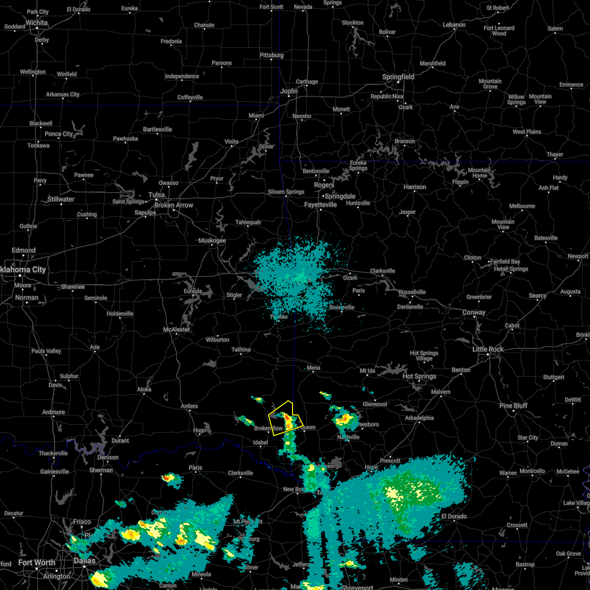 At 1021 pm cdt, a severe thunderstorm was located 14 miles northeast of broken bow, or 18 miles northwest of de queen, moving northeast at 50 mph (radar indicated). Hazards include quarter size hail. Damage to vehicles is expected. Locations impacted include, hochatown and eagletown. At 1021 pm cdt, a severe thunderstorm was located 14 miles northeast of broken bow, or 18 miles northwest of de queen, moving northeast at 50 mph (radar indicated). Hazards include quarter size hail. Damage to vehicles is expected. Locations impacted include, hochatown and eagletown.
|
| 5/10/2021 9:56 PM CDT |
 The national weather service in shreveport has issued a * severe thunderstorm warning for. northwestern sevier county in southwestern arkansas. central mccurtain county in southeastern oklahoma. until 1045 pm cdt. At 956 pm cdt, a severe thunderstorm was located 10 miles west of. The national weather service in shreveport has issued a * severe thunderstorm warning for. northwestern sevier county in southwestern arkansas. central mccurtain county in southeastern oklahoma. until 1045 pm cdt. At 956 pm cdt, a severe thunderstorm was located 10 miles west of.
|
| 5/10/2021 9:56 PM CDT |
 At 956 pm cdt, a severe thunderstorm was located 10 miles west of broken bow, or 32 miles west of de queen, moving northeast at 50 mph (radar indicated). Hazards include quarter size hail. damage to vehicles is expected At 956 pm cdt, a severe thunderstorm was located 10 miles west of broken bow, or 32 miles west of de queen, moving northeast at 50 mph (radar indicated). Hazards include quarter size hail. damage to vehicles is expected
|
| 5/10/2021 9:12 PM CDT |
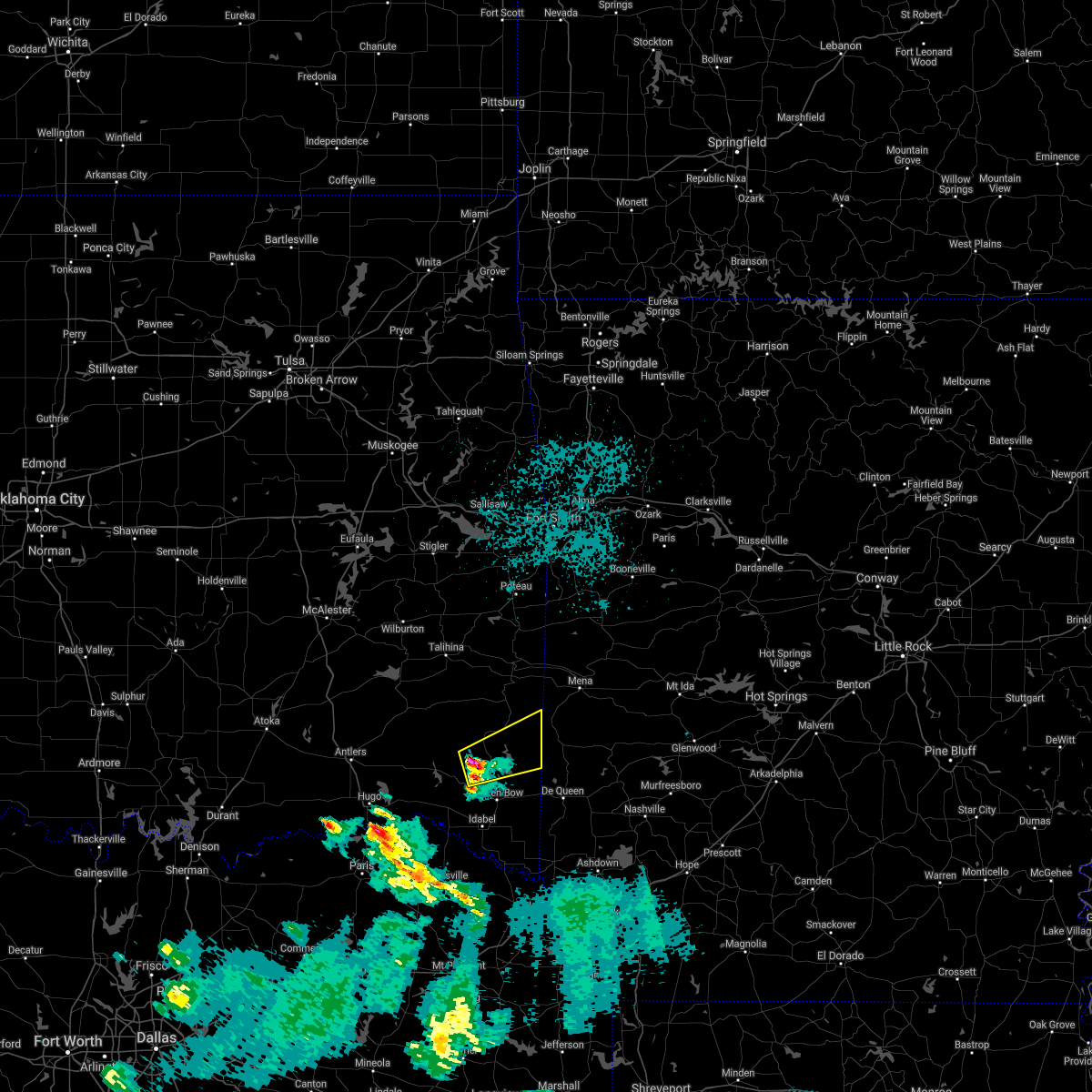 At 911 pm cdt, a severe thunderstorm was located 14 miles northwest of broken bow, or 31 miles west of de queen, moving east at 45 mph (radar indicated). Hazards include quarter size hail. damage to vehicles is expected At 911 pm cdt, a severe thunderstorm was located 14 miles northwest of broken bow, or 31 miles west of de queen, moving east at 45 mph (radar indicated). Hazards include quarter size hail. damage to vehicles is expected
|
| 5/3/2021 10:09 PM CDT |
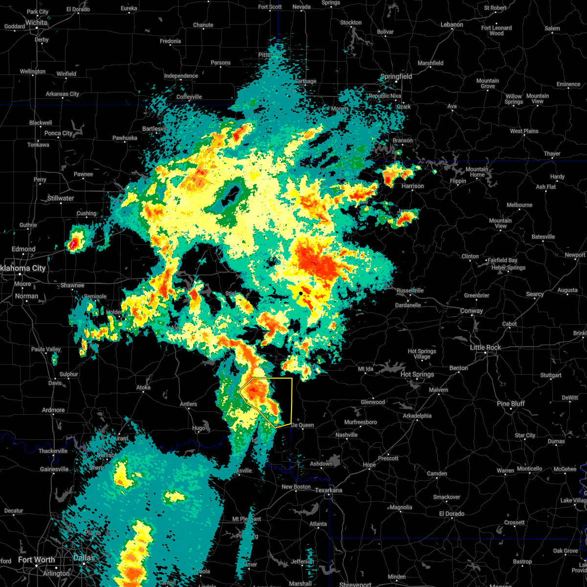 At 1009 pm cdt, severe thunderstorms were located along a line extending from 18 miles south of whitesboro to 9 miles south of octavia to 18 miles west of vandervoort to 10 miles northeast of broken bow, moving northeast at 40 mph (radar indicated). Hazards include 60 mph wind gusts and quarter size hail. Hail damage to vehicles is expected. Expect wind damage to roofs, siding, and trees. At 1009 pm cdt, severe thunderstorms were located along a line extending from 18 miles south of whitesboro to 9 miles south of octavia to 18 miles west of vandervoort to 10 miles northeast of broken bow, moving northeast at 40 mph (radar indicated). Hazards include 60 mph wind gusts and quarter size hail. Hail damage to vehicles is expected. Expect wind damage to roofs, siding, and trees.
|
| 4/24/2021 1:06 AM CDT |
 At 106 am cdt, severe thunderstorms were located along a line extending from 13 miles southwest of octavia to near boxelder, moving east at 55 mph (radar indicated). Hazards include 60 mph wind gusts. expect damage to roofs, siding, and trees At 106 am cdt, severe thunderstorms were located along a line extending from 13 miles southwest of octavia to near boxelder, moving east at 55 mph (radar indicated). Hazards include 60 mph wind gusts. expect damage to roofs, siding, and trees
|
| 4/9/2021 10:48 PM CDT |
 At 1047 pm cdt, severe thunderstorms were located along a line extending from 9 miles northeast of broken bow to near bogata, moving southeast at 50 mph. in addition, severe thunderstorms ahead of this line were located north of dekalb texas to southwest of horatio, moving east near 25 mph (radar indicated). Hazards include 60 mph wind gusts and half dollar size hail. Hail damage to vehicles is expected. Expect wind damage to roofs, siding, and trees. At 1047 pm cdt, severe thunderstorms were located along a line extending from 9 miles northeast of broken bow to near bogata, moving southeast at 50 mph. in addition, severe thunderstorms ahead of this line were located north of dekalb texas to southwest of horatio, moving east near 25 mph (radar indicated). Hazards include 60 mph wind gusts and half dollar size hail. Hail damage to vehicles is expected. Expect wind damage to roofs, siding, and trees.
|
| 2/28/2021 1:34 PM CST |
 At 133 pm cst, a severe thunderstorm was located 13 miles east of raymond gary state park, or 27 miles north of clarksville, moving east at 40 mph (radar indicated). Hazards include 60 mph wind gusts and quarter size hail. Hail damage to vehicles is expected. Expect wind damage to roofs, siding, and trees. At 133 pm cst, a severe thunderstorm was located 13 miles east of raymond gary state park, or 27 miles north of clarksville, moving east at 40 mph (radar indicated). Hazards include 60 mph wind gusts and quarter size hail. Hail damage to vehicles is expected. Expect wind damage to roofs, siding, and trees.
|
| 8/29/2020 9:56 PM CDT |
 At 956 pm cdt, severe thunderstorms were located along a line extending from near octavia to 9 miles west of grannis to 6 miles east of gillham to near narrows dam, moving south at 30 mph. additional strong to severe thunderstorms were indicated between muse and octavia in southern leflore county oklahoma, and was slowly moving south southeast and could affect portions of northern mccurtain county during the next half hour (radar indicated). Hazards include 70 mph wind gusts and nickel size hail. Expect considerable tree damage. damage is likely to mobile homes, roofs, and outbuildings. Locations impacted include, de queen, dierks, umpire, lockesburg, gillham, corinth, athens, center point, plunketville, silver ridge, smithville, hochatown, geneva, watson, mount herman, sherwood, muddy fork, lebanon, burg and provo. At 956 pm cdt, severe thunderstorms were located along a line extending from near octavia to 9 miles west of grannis to 6 miles east of gillham to near narrows dam, moving south at 30 mph. additional strong to severe thunderstorms were indicated between muse and octavia in southern leflore county oklahoma, and was slowly moving south southeast and could affect portions of northern mccurtain county during the next half hour (radar indicated). Hazards include 70 mph wind gusts and nickel size hail. Expect considerable tree damage. damage is likely to mobile homes, roofs, and outbuildings. Locations impacted include, de queen, dierks, umpire, lockesburg, gillham, corinth, athens, center point, plunketville, silver ridge, smithville, hochatown, geneva, watson, mount herman, sherwood, muddy fork, lebanon, burg and provo.
|
| 8/29/2020 9:56 PM CDT |
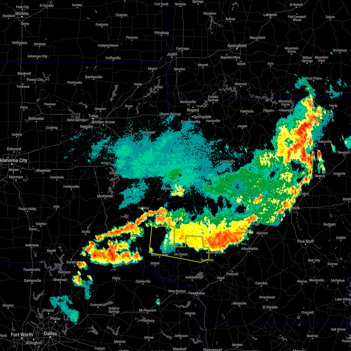 At 956 pm cdt, severe thunderstorms were located along a line extending from near octavia to 9 miles west of grannis to 6 miles east of gillham to near narrows dam, moving south at 30 mph. additional strong to severe thunderstorms were indicated between muse and octavia in southern leflore county oklahoma, and was slowly moving south southeast and could affect portions of northern mccurtain county during the next half hour (radar indicated). Hazards include 70 mph wind gusts and nickel size hail. Expect considerable tree damage. damage is likely to mobile homes, roofs, and outbuildings. Locations impacted include, de queen, dierks, umpire, lockesburg, gillham, corinth, athens, center point, plunketville, silver ridge, smithville, hochatown, geneva, watson, mount herman, sherwood, muddy fork, lebanon, burg and provo. At 956 pm cdt, severe thunderstorms were located along a line extending from near octavia to 9 miles west of grannis to 6 miles east of gillham to near narrows dam, moving south at 30 mph. additional strong to severe thunderstorms were indicated between muse and octavia in southern leflore county oklahoma, and was slowly moving south southeast and could affect portions of northern mccurtain county during the next half hour (radar indicated). Hazards include 70 mph wind gusts and nickel size hail. Expect considerable tree damage. damage is likely to mobile homes, roofs, and outbuildings. Locations impacted include, de queen, dierks, umpire, lockesburg, gillham, corinth, athens, center point, plunketville, silver ridge, smithville, hochatown, geneva, watson, mount herman, sherwood, muddy fork, lebanon, burg and provo.
|
| 8/29/2020 9:30 PM CDT | Large branches down north of broken bo in mccurtain county OK, 13.1 miles S of Broken Bow, OK |
| 8/29/2020 9:25 PM CDT |
 At 923 pm cdt, severe thunderstorms were located along a line extending from near big cedar to near hatfield to near hartley to near norman, moving south southeast at 35 mph (radar indicated). Hazards include 60 mph wind gusts and penny size hail. expect damage to roofs, siding, and trees At 923 pm cdt, severe thunderstorms were located along a line extending from near big cedar to near hatfield to near hartley to near norman, moving south southeast at 35 mph (radar indicated). Hazards include 60 mph wind gusts and penny size hail. expect damage to roofs, siding, and trees
|
| 8/29/2020 9:25 PM CDT |
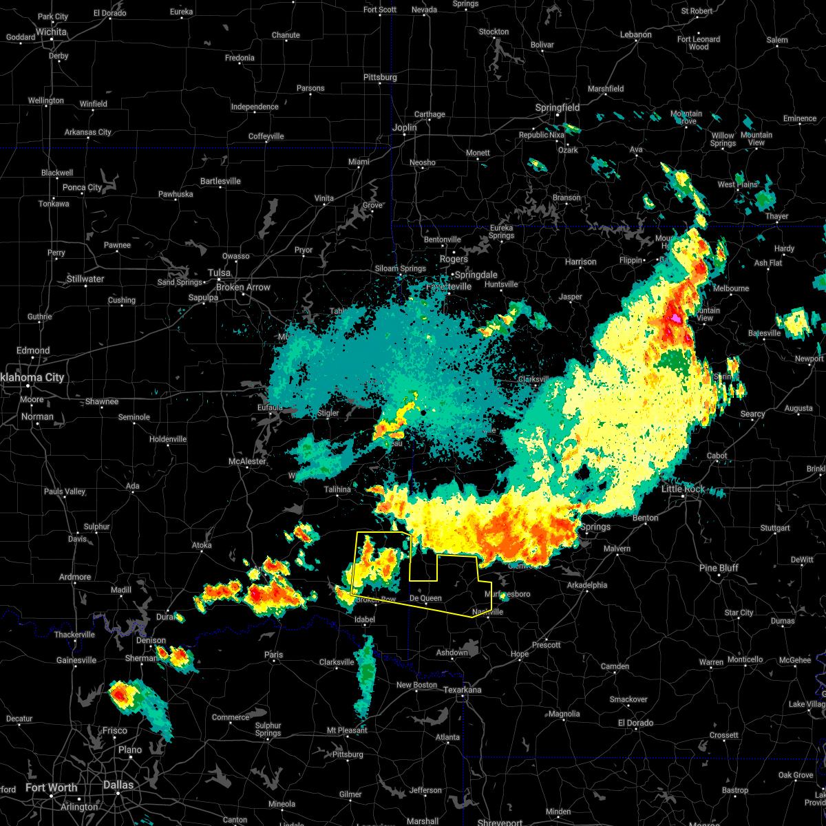 At 923 pm cdt, severe thunderstorms were located along a line extending from near big cedar to near hatfield to near hartley to near norman, moving south southeast at 35 mph (radar indicated). Hazards include 60 mph wind gusts and penny size hail. expect damage to roofs, siding, and trees At 923 pm cdt, severe thunderstorms were located along a line extending from near big cedar to near hatfield to near hartley to near norman, moving south southeast at 35 mph (radar indicated). Hazards include 60 mph wind gusts and penny size hail. expect damage to roofs, siding, and trees
|
| 8/29/2020 8:53 PM CDT |
 The severe thunderstorm warning for southwestern mccurtain and northeastern red river counties will expire at 900 pm cdt, the storm which prompted the warning has weakened below severe limits, and no longer poses an immediate threat to life or property. therefore, the warning will be allowed to expire. however heavy rain is still possible with this thunderstorm. a severe thunderstorm watch remains in effect until 100 am cdt for southeastern oklahoma, and northeastern texas. The severe thunderstorm warning for southwestern mccurtain and northeastern red river counties will expire at 900 pm cdt, the storm which prompted the warning has weakened below severe limits, and no longer poses an immediate threat to life or property. therefore, the warning will be allowed to expire. however heavy rain is still possible with this thunderstorm. a severe thunderstorm watch remains in effect until 100 am cdt for southeastern oklahoma, and northeastern texas.
|
| 8/29/2020 8:52 PM CDT |
 At 851 pm cdt, a severe thunderstorm was located 13 miles northeast of fort towson, or near ringold, moving east at 20 mph (radar indicated). Hazards include 60 mph wind gusts and quarter size hail. Hail damage to vehicles is expected. Expect wind damage to roofs, siding, and trees. At 851 pm cdt, a severe thunderstorm was located 13 miles northeast of fort towson, or near ringold, moving east at 20 mph (radar indicated). Hazards include 60 mph wind gusts and quarter size hail. Hail damage to vehicles is expected. Expect wind damage to roofs, siding, and trees.
|
| 8/29/2020 8:33 PM CDT |
 At 833 pm cdt, a severe thunderstorm was located near idabel, or 21 miles northeast of clarksville, moving east at 20 mph. another strong thunderstorm was located 8 miles north of clarksville, moving east northeast at 15 mph (radar indicated). Hazards include 60 mph wind gusts. Expect damage to roofs, siding, and trees. Locations impacted include, idabel, broken bow, negley, albion, holly creek and bryarly. At 833 pm cdt, a severe thunderstorm was located near idabel, or 21 miles northeast of clarksville, moving east at 20 mph. another strong thunderstorm was located 8 miles north of clarksville, moving east northeast at 15 mph (radar indicated). Hazards include 60 mph wind gusts. Expect damage to roofs, siding, and trees. Locations impacted include, idabel, broken bow, negley, albion, holly creek and bryarly.
|
| 8/29/2020 8:03 PM CDT |
 At 803 pm cdt, a severe thunderstorm was located along the red river 7 miles southwest of garvin, or 16 miles north of clarksville, moving east northeast at 15 mph (radar indicated). Hazards include 60 mph wind gusts and quarter size hail. Hail damage to vehicles is expected. Expect wind damage to roofs, siding, and trees. At 803 pm cdt, a severe thunderstorm was located along the red river 7 miles southwest of garvin, or 16 miles north of clarksville, moving east northeast at 15 mph (radar indicated). Hazards include 60 mph wind gusts and quarter size hail. Hail damage to vehicles is expected. Expect wind damage to roofs, siding, and trees.
|
| 7/30/2020 9:55 PM CDT |
 At 953 pm cdt, severe thunderstorms were located along a line extending from near mountain fork to 12 miles west of grannis to 10 miles northeast of clarksville, moving east at 50 mph (radar indicated). Hazards include 60 mph wind gusts and nickel size hail. expect damage to roofs, siding, and trees At 953 pm cdt, severe thunderstorms were located along a line extending from near mountain fork to 12 miles west of grannis to 10 miles northeast of clarksville, moving east at 50 mph (radar indicated). Hazards include 60 mph wind gusts and nickel size hail. expect damage to roofs, siding, and trees
|
| 7/30/2020 9:45 PM CDT |
 At 945 pm cdt, severe thunderstorms were located along a line extending from 7 miles west of octavia to 13 miles northwest of broken bow to 9 miles north of blossom, moving east at 35 mph (radar indicated). Hazards include 60 mph wind gusts and quarter size hail. Hail damage to vehicles is expected. expect wind damage to roofs, siding, and trees. Locations impacted include, idabel, broken bow, manchester, wright city, valliant, millerton, garvin, eagletown, smithville, hochatown, watson, mount herman, woodland, redland, kanawha, glover, kiomatia, bethel, oak hill and golden. At 945 pm cdt, severe thunderstorms were located along a line extending from 7 miles west of octavia to 13 miles northwest of broken bow to 9 miles north of blossom, moving east at 35 mph (radar indicated). Hazards include 60 mph wind gusts and quarter size hail. Hail damage to vehicles is expected. expect wind damage to roofs, siding, and trees. Locations impacted include, idabel, broken bow, manchester, wright city, valliant, millerton, garvin, eagletown, smithville, hochatown, watson, mount herman, woodland, redland, kanawha, glover, kiomatia, bethel, oak hill and golden.
|
| 7/30/2020 9:04 PM CDT |
 At 903 pm cdt, severe thunderstorms were located along a line extending from near tuskahoma to near oleta to 14 miles northwest of paris, moving east at 35 mph (radar indicated). Hazards include 60 mph wind gusts and quarter size hail. Hail damage to vehicles is expected. Expect wind damage to roofs, siding, and trees. At 903 pm cdt, severe thunderstorms were located along a line extending from near tuskahoma to near oleta to 14 miles northwest of paris, moving east at 35 mph (radar indicated). Hazards include 60 mph wind gusts and quarter size hail. Hail damage to vehicles is expected. Expect wind damage to roofs, siding, and trees.
|
| 7/12/2020 12:17 AM CDT |
 At 1216 am cdt, a severe thunderstorm was located 18 miles southwest of octavia, or 34 miles southeast of clayton, moving south at 35 mph (radar indicated). Hazards include 60 mph wind gusts and quarter size hail. Hail damage to vehicles is expected. Expect wind damage to roofs, siding, and trees. At 1216 am cdt, a severe thunderstorm was located 18 miles southwest of octavia, or 34 miles southeast of clayton, moving south at 35 mph (radar indicated). Hazards include 60 mph wind gusts and quarter size hail. Hail damage to vehicles is expected. Expect wind damage to roofs, siding, and trees.
|
| 7/11/2020 11:19 PM CDT |
 At 1118 pm cdt, a severe thunderstorm was located near muse, or 31 miles west of mena, moving south at 40 mph (radar indicated). Hazards include 60 mph wind gusts and quarter size hail. Hail damage to vehicles is expected. Expect wind damage to roofs, siding, and trees. At 1118 pm cdt, a severe thunderstorm was located near muse, or 31 miles west of mena, moving south at 40 mph (radar indicated). Hazards include 60 mph wind gusts and quarter size hail. Hail damage to vehicles is expected. Expect wind damage to roofs, siding, and trees.
|
| 6/21/2020 8:53 AM CDT |
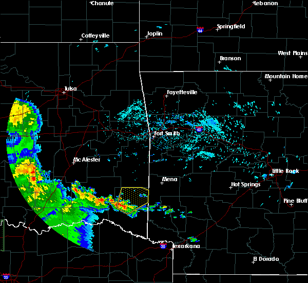 At 852 am cdt, a severe thunderstorm was located 16 miles north of broken bow, or 28 miles northwest of de queen, moving northeast at 30 mph (radar indicated). Hazards include 60 mph wind gusts and quarter size hail. Hail damage to vehicles is expected. expect wind damage to roofs, siding, and trees. Locations impacted include, plunketville, smithville, hochatown, watson, bethel, battiest, mount herman and sherwood. At 852 am cdt, a severe thunderstorm was located 16 miles north of broken bow, or 28 miles northwest of de queen, moving northeast at 30 mph (radar indicated). Hazards include 60 mph wind gusts and quarter size hail. Hail damage to vehicles is expected. expect wind damage to roofs, siding, and trees. Locations impacted include, plunketville, smithville, hochatown, watson, bethel, battiest, mount herman and sherwood.
|
| 6/21/2020 8:33 AM CDT |
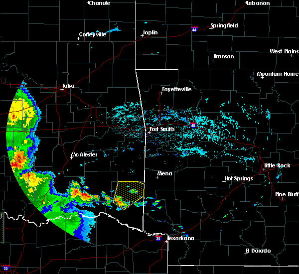 At 832 am cdt, a severe thunderstorm was located 11 miles northwest of broken bow, or 31 miles west of de queen, moving northeast at 25 mph (radar indicated). Hazards include 60 mph wind gusts and quarter size hail. Hail damage to vehicles is expected. Expect wind damage to roofs, siding, and trees. At 832 am cdt, a severe thunderstorm was located 11 miles northwest of broken bow, or 31 miles west of de queen, moving northeast at 25 mph (radar indicated). Hazards include 60 mph wind gusts and quarter size hail. Hail damage to vehicles is expected. Expect wind damage to roofs, siding, and trees.
|
| 5/24/2020 5:48 PM CDT |
 At 548 pm cdt, severe thunderstorms were located along a line extending from 13 miles east of raymond gary state park to 9 miles northeast of broken bow to 11 miles northwest of arkinda, moving northeast at 40 mph (radar indicated). Hazards include 60 mph wind gusts and quarter size hail. Hail damage to vehicles is expected. expect wind damage to roofs, siding, and trees. Locations impacted include, idabel, broken bow, wright city, valliant, millerton, haworth, garvin, eagletown, farmers hill, rufe, hochatown, goodwater, mount herman, sherwood, holly creek, glover, slim, oak hill, ringold and golden. At 548 pm cdt, severe thunderstorms were located along a line extending from 13 miles east of raymond gary state park to 9 miles northeast of broken bow to 11 miles northwest of arkinda, moving northeast at 40 mph (radar indicated). Hazards include 60 mph wind gusts and quarter size hail. Hail damage to vehicles is expected. expect wind damage to roofs, siding, and trees. Locations impacted include, idabel, broken bow, wright city, valliant, millerton, haworth, garvin, eagletown, farmers hill, rufe, hochatown, goodwater, mount herman, sherwood, holly creek, glover, slim, oak hill, ringold and golden.
|
| 5/24/2020 5:32 PM CDT |
 At 532 pm cdt, a severe thunderstorm was located near idabel, or 25 miles northeast of clarksville, moving north at 50 mph (radar indicated). Hazards include 60 mph wind gusts and quarter size hail. Hail damage to vehicles is expected. Expect wind damage to roofs, siding, and trees. At 532 pm cdt, a severe thunderstorm was located near idabel, or 25 miles northeast of clarksville, moving north at 50 mph (radar indicated). Hazards include 60 mph wind gusts and quarter size hail. Hail damage to vehicles is expected. Expect wind damage to roofs, siding, and trees.
|
| 5/23/2020 2:57 AM CDT |
 At 257 am cdt, a severe thunderstorm was located near idabel, or 27 miles north of clarksville, moving east at 30 mph (radar indicated). Hazards include 60 mph wind gusts and quarter size hail. Hail damage to vehicles is expected. expect wind damage to roofs, siding, and trees. Locations impacted include, idabel, broken bow, wright city, valliant, millerton, haworth, garvin, farmers hill, holly creek, glover, oak hill and golden. At 257 am cdt, a severe thunderstorm was located near idabel, or 27 miles north of clarksville, moving east at 30 mph (radar indicated). Hazards include 60 mph wind gusts and quarter size hail. Hail damage to vehicles is expected. expect wind damage to roofs, siding, and trees. Locations impacted include, idabel, broken bow, wright city, valliant, millerton, haworth, garvin, farmers hill, holly creek, glover, oak hill and golden.
|
| 5/23/2020 2:19 AM CDT |
 At 219 am cdt, a severe thunderstorm was located near manchester, or 18 miles southeast of hugo, moving east at 35 mph (radar indicated). Hazards include 60 mph wind gusts and quarter size hail. Hail damage to vehicles is expected. Expect wind damage to roofs, siding, and trees. At 219 am cdt, a severe thunderstorm was located near manchester, or 18 miles southeast of hugo, moving east at 35 mph (radar indicated). Hazards include 60 mph wind gusts and quarter size hail. Hail damage to vehicles is expected. Expect wind damage to roofs, siding, and trees.
|
| 5/23/2020 12:38 AM CDT | Large tree across highway 259 just north of sweet home road north of broken bo in mccurtain county OK, 0.5 miles S of Broken Bow, OK |
| 5/23/2020 12:38 AM CDT |
 At 1237 am cdt, a severe thunderstorm was located near broken bow, or 5 miles northwest of idabel, moving east at 30 mph (radar indicated). Hazards include 60 mph wind gusts and quarter size hail. Hail damage to vehicles is expected. expect wind damage to roofs, siding, and trees. Locations impacted include, idabel, broken bow, wright city, garvin, holly creek, glover, oak hill and golden. At 1237 am cdt, a severe thunderstorm was located near broken bow, or 5 miles northwest of idabel, moving east at 30 mph (radar indicated). Hazards include 60 mph wind gusts and quarter size hail. Hail damage to vehicles is expected. expect wind damage to roofs, siding, and trees. Locations impacted include, idabel, broken bow, wright city, garvin, holly creek, glover, oak hill and golden.
|
| 5/23/2020 12:26 AM CDT |
 At 1225 am cdt, a severe thunderstorm was located 10 miles northwest of idabel, or 15 miles west of broken bow, moving east at 30 mph (radar indicated). Hazards include 60 mph wind gusts and quarter size hail. Hail damage to vehicles is expected. expect wind damage to roofs, siding, and trees. Locations impacted include, idabel, broken bow, wright city, valliant, millerton, garvin, farmers hill, holly creek, glover, oak hill, golden and slim. At 1225 am cdt, a severe thunderstorm was located 10 miles northwest of idabel, or 15 miles west of broken bow, moving east at 30 mph (radar indicated). Hazards include 60 mph wind gusts and quarter size hail. Hail damage to vehicles is expected. expect wind damage to roofs, siding, and trees. Locations impacted include, idabel, broken bow, wright city, valliant, millerton, garvin, farmers hill, holly creek, glover, oak hill, golden and slim.
|
| 5/23/2020 12:14 AM CDT |
 At 1214 am cdt, a severe thunderstorm was located 13 miles northwest of idabel, or 28 miles north of clarksville, moving east at 30 mph (radar indicated). Hazards include 60 mph wind gusts and quarter size hail. Hail damage to vehicles is expected. expect wind damage to roofs, siding, and trees. Locations impacted include, idabel, broken bow, wright city, valliant, millerton, garvin, farmers hill, holly creek, glover, slim, oak hill and golden. At 1214 am cdt, a severe thunderstorm was located 13 miles northwest of idabel, or 28 miles north of clarksville, moving east at 30 mph (radar indicated). Hazards include 60 mph wind gusts and quarter size hail. Hail damage to vehicles is expected. expect wind damage to roofs, siding, and trees. Locations impacted include, idabel, broken bow, wright city, valliant, millerton, garvin, farmers hill, holly creek, glover, slim, oak hill and golden.
|
| 5/22/2020 11:56 PM CDT |
 At 1156 pm cdt, a severe thunderstorm was located near raymond gary state park, or 19 miles east of hugo, moving east at 30 mph (radar indicated). Hazards include 60 mph wind gusts and quarter size hail. Hail damage to vehicles is expected. Expect wind damage to roofs, siding, and trees. At 1156 pm cdt, a severe thunderstorm was located near raymond gary state park, or 19 miles east of hugo, moving east at 30 mph (radar indicated). Hazards include 60 mph wind gusts and quarter size hail. Hail damage to vehicles is expected. Expect wind damage to roofs, siding, and trees.
|
| 5/16/2020 4:34 PM CDT |
 At 433 pm cdt, a severe thunderstorm capable of producing a tornado was located near idabel, or 23 miles northwest of foreman, moving northwest at 20 mph. if you live in idabel, oklahoma, you need to take shelter immediately (radar indicated rotation). Hazards include tornado. Flying debris will be dangerous to those caught without shelter. mobile homes will be damaged or destroyed. damage to roofs, windows, and vehicles will occur. tree damage is likely. this dangerous storm will be near, idabel around 445 pm cdt. Other locations impacted by this tornadic thunderstorm include holly creek. At 433 pm cdt, a severe thunderstorm capable of producing a tornado was located near idabel, or 23 miles northwest of foreman, moving northwest at 20 mph. if you live in idabel, oklahoma, you need to take shelter immediately (radar indicated rotation). Hazards include tornado. Flying debris will be dangerous to those caught without shelter. mobile homes will be damaged or destroyed. damage to roofs, windows, and vehicles will occur. tree damage is likely. this dangerous storm will be near, idabel around 445 pm cdt. Other locations impacted by this tornadic thunderstorm include holly creek.
|
| 5/16/2020 4:23 PM CDT |
 At 423 pm cdt, a severe thunderstorm capable of producing a tornado was located 8 miles southeast of idabel, or 19 miles west of foreman, moving northwest at 20 mph (radar indicated rotation). Hazards include tornado. Flying debris will be dangerous to those caught without shelter. mobile homes will be damaged or destroyed. damage to roofs, windows, and vehicles will occur. tree damage is likely. this dangerous storm will be near, idabel around 445 pm cdt. Other locations impacted by this tornadic thunderstorm include holly creek. At 423 pm cdt, a severe thunderstorm capable of producing a tornado was located 8 miles southeast of idabel, or 19 miles west of foreman, moving northwest at 20 mph (radar indicated rotation). Hazards include tornado. Flying debris will be dangerous to those caught without shelter. mobile homes will be damaged or destroyed. damage to roofs, windows, and vehicles will occur. tree damage is likely. this dangerous storm will be near, idabel around 445 pm cdt. Other locations impacted by this tornadic thunderstorm include holly creek.
|
| 5/16/2020 3:47 PM CDT |
 At 347 pm cdt, a severe thunderstorm capable of producing a tornado was located over idabel, or 25 miles west of horatio, moving northwest at 25 mph (radar indicated rotation). Hazards include tornado. Flying debris will be dangerous to those caught without shelter. mobile homes will be damaged or destroyed. damage to roofs, windows, and vehicles will occur. tree damage is likely. This tornadic thunderstorm will remain over mainly rural areas of west central mccurtain county, including the following locations, wright city, holly creek, glover, garvin, slim, oak hill, golden and millerton. At 347 pm cdt, a severe thunderstorm capable of producing a tornado was located over idabel, or 25 miles west of horatio, moving northwest at 25 mph (radar indicated rotation). Hazards include tornado. Flying debris will be dangerous to those caught without shelter. mobile homes will be damaged or destroyed. damage to roofs, windows, and vehicles will occur. tree damage is likely. This tornadic thunderstorm will remain over mainly rural areas of west central mccurtain county, including the following locations, wright city, holly creek, glover, garvin, slim, oak hill, golden and millerton.
|
| 5/16/2020 3:31 PM CDT |
 At 331 pm cdt, a severe thunderstorm capable of producing a tornado was located near idabel, or 21 miles northwest of foreman, moving northwest at 20 mph (radar indicated rotation). Hazards include tornado. Flying debris will be dangerous to those caught without shelter. mobile homes will be damaged or destroyed. damage to roofs, windows, and vehicles will occur. tree damage is likely. this dangerous storm will be near, idabel around 345 pm cdt. Other locations impacted by this tornadic thunderstorm include holly creek. At 331 pm cdt, a severe thunderstorm capable of producing a tornado was located near idabel, or 21 miles northwest of foreman, moving northwest at 20 mph (radar indicated rotation). Hazards include tornado. Flying debris will be dangerous to those caught without shelter. mobile homes will be damaged or destroyed. damage to roofs, windows, and vehicles will occur. tree damage is likely. this dangerous storm will be near, idabel around 345 pm cdt. Other locations impacted by this tornadic thunderstorm include holly creek.
|
| 5/16/2020 3:22 PM CDT |
 At 322 pm cdt, a severe thunderstorm capable of producing a tornado was located 7 miles southeast of idabel, or 20 miles northwest of foreman, moving northwest at 20 mph (radar indicated rotation). Hazards include tornado. Flying debris will be dangerous to those caught without shelter. mobile homes will be damaged or destroyed. damage to roofs, windows, and vehicles will occur. tree damage is likely. this dangerous storm will be near, idabel around 340 pm cdt. Other locations impacted by this tornadic thunderstorm include holly creek and haworth. At 322 pm cdt, a severe thunderstorm capable of producing a tornado was located 7 miles southeast of idabel, or 20 miles northwest of foreman, moving northwest at 20 mph (radar indicated rotation). Hazards include tornado. Flying debris will be dangerous to those caught without shelter. mobile homes will be damaged or destroyed. damage to roofs, windows, and vehicles will occur. tree damage is likely. this dangerous storm will be near, idabel around 340 pm cdt. Other locations impacted by this tornadic thunderstorm include holly creek and haworth.
|
| 5/16/2020 3:11 PM CDT |
 At 311 pm cdt, a severe thunderstorm capable of producing a tornado was located 10 miles west of arkinda, or 15 miles northwest of foreman, moving northwest at 25 mph (radar indicated rotation). Hazards include tornado. Flying debris will be dangerous to those caught without shelter. mobile homes will be damaged or destroyed. damage to roofs, windows, and vehicles will occur. tree damage is likely. this dangerous storm will be near, idabel around 335 pm cdt. broken bow around 355 pm cdt. Other locations impacted by this tornadic thunderstorm include holly creek and haworth. At 311 pm cdt, a severe thunderstorm capable of producing a tornado was located 10 miles west of arkinda, or 15 miles northwest of foreman, moving northwest at 25 mph (radar indicated rotation). Hazards include tornado. Flying debris will be dangerous to those caught without shelter. mobile homes will be damaged or destroyed. damage to roofs, windows, and vehicles will occur. tree damage is likely. this dangerous storm will be near, idabel around 335 pm cdt. broken bow around 355 pm cdt. Other locations impacted by this tornadic thunderstorm include holly creek and haworth.
|
| 5/8/2020 4:25 AM CDT |
 The severe thunderstorm warning for southeastern mccurtain, northwestern bowie and red river counties will expire at 430 am cdt, the storms which prompted the warning have moved out of the area. therefore, the warning will be allowed to expire. a severe thunderstorm watch remains in effect until 1000 am cdt for southeastern oklahoma, and northeastern texas. The severe thunderstorm warning for southeastern mccurtain, northwestern bowie and red river counties will expire at 430 am cdt, the storms which prompted the warning have moved out of the area. therefore, the warning will be allowed to expire. a severe thunderstorm watch remains in effect until 1000 am cdt for southeastern oklahoma, and northeastern texas.
|
| 5/8/2020 4:14 AM CDT |
 At 413 am cdt, severe thunderstorms were located along a line extending from near vandervoort to 7 miles northwest of horatio to 10 miles southwest of arkinda to 8 miles northeast of boxelder to near clarksville, moving east at 60 mph (radar indicated). Hazards include 70 mph wind gusts and quarter size hail. Hail damage to vehicles is expected. expect considerable tree damage. wind damage is also likely to mobile homes, roofs, and outbuildings. Locations impacted include, clarksville, boxelder, idabel, broken bow, bagwell, manchester, detroit, avery, annona, haworth, plunketville, smithville, hochatown, negley, harris, watson, woodland, silver city, english and kanawha. At 413 am cdt, severe thunderstorms were located along a line extending from near vandervoort to 7 miles northwest of horatio to 10 miles southwest of arkinda to 8 miles northeast of boxelder to near clarksville, moving east at 60 mph (radar indicated). Hazards include 70 mph wind gusts and quarter size hail. Hail damage to vehicles is expected. expect considerable tree damage. wind damage is also likely to mobile homes, roofs, and outbuildings. Locations impacted include, clarksville, boxelder, idabel, broken bow, bagwell, manchester, detroit, avery, annona, haworth, plunketville, smithville, hochatown, negley, harris, watson, woodland, silver city, english and kanawha.
|
| 5/8/2020 3:57 AM CDT | Trees down in the lukfata area nw of broken bow and also in the golden area communit in mccurtain county OK, 4.6 miles E of Broken Bow, OK |
| 5/8/2020 3:54 AM CDT | Trees down... power lines from broken bow to red river... highways blocked... from mccurtain county sheriffs offic in mccurtain county OK, 0.9 miles N of Broken Bow, OK |
| 5/8/2020 3:24 AM CDT |
 At 323 am cdt, severe thunderstorms were located along a line extending from near stanley to near soper, moving southeast at 45 mph (radar indicated). Hazards include 70 mph wind gusts and quarter size hail. Hail damage to vehicles is expected. expect considerable tree damage. Wind damage is also likely to mobile homes, roofs, and outbuildings. At 323 am cdt, severe thunderstorms were located along a line extending from near stanley to near soper, moving southeast at 45 mph (radar indicated). Hazards include 70 mph wind gusts and quarter size hail. Hail damage to vehicles is expected. expect considerable tree damage. Wind damage is also likely to mobile homes, roofs, and outbuildings.
|
| 5/5/2020 5:00 AM CDT |
 At 500 am cdt, a severe thunderstorm was located 9 miles northwest of broken bow, or 28 miles west of de queen, moving east at 40 mph (radar indicated). Hazards include 60 mph wind gusts and quarter size hail. Hail damage to vehicles is expected. Expect wind damage to roofs, siding, and trees. At 500 am cdt, a severe thunderstorm was located 9 miles northwest of broken bow, or 28 miles west of de queen, moving east at 40 mph (radar indicated). Hazards include 60 mph wind gusts and quarter size hail. Hail damage to vehicles is expected. Expect wind damage to roofs, siding, and trees.
|
| 5/5/2020 5:00 AM CDT |
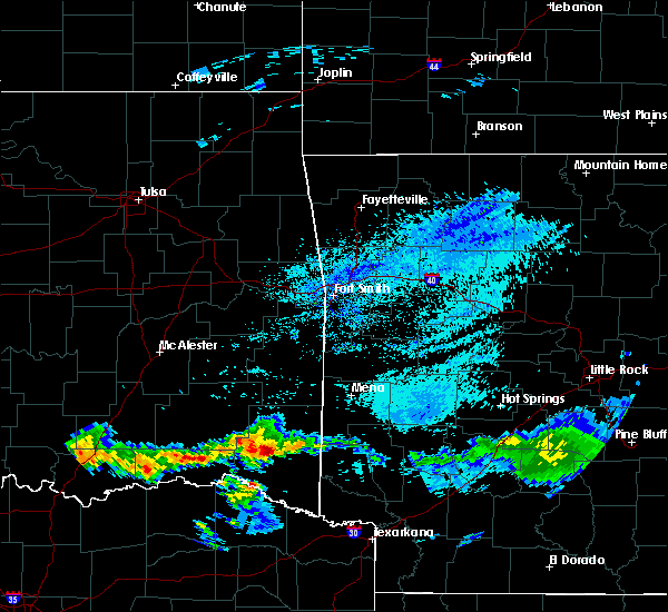 At 500 am cdt, a severe thunderstorm was located 9 miles northwest of broken bow, or 28 miles west of de queen, moving east at 40 mph (radar indicated). Hazards include 60 mph wind gusts and quarter size hail. Hail damage to vehicles is expected. Expect wind damage to roofs, siding, and trees. At 500 am cdt, a severe thunderstorm was located 9 miles northwest of broken bow, or 28 miles west of de queen, moving east at 40 mph (radar indicated). Hazards include 60 mph wind gusts and quarter size hail. Hail damage to vehicles is expected. Expect wind damage to roofs, siding, and trees.
|
| 5/5/2020 2:45 AM CDT |
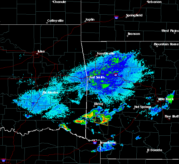 At 244 am cdt, a severe thunderstorm was located 10 miles northeast of broken bow, or 17 miles northwest of de queen, moving northeast at 35 mph (radar indicated). Hazards include 60 mph wind gusts and quarter size hail. Hail damage to vehicles is expected. Expect wind damage to roofs, siding, and trees. At 244 am cdt, a severe thunderstorm was located 10 miles northeast of broken bow, or 17 miles northwest of de queen, moving northeast at 35 mph (radar indicated). Hazards include 60 mph wind gusts and quarter size hail. Hail damage to vehicles is expected. Expect wind damage to roofs, siding, and trees.
|
| 5/5/2020 1:45 AM CDT |
 At 144 am cdt, a severe thunderstorm was located 12 miles southeast of octavia, or 25 miles southwest of mena, moving east at 40 mph (radar indicated). Hazards include 60 mph wind gusts and quarter size hail. Hail damage to vehicles is expected. Expect wind damage to roofs, siding, and trees. At 144 am cdt, a severe thunderstorm was located 12 miles southeast of octavia, or 25 miles southwest of mena, moving east at 40 mph (radar indicated). Hazards include 60 mph wind gusts and quarter size hail. Hail damage to vehicles is expected. Expect wind damage to roofs, siding, and trees.
|
| 4/28/2020 10:25 PM CDT |
 At 1025 pm cdt, severe thunderstorms were located along a line extending from near albert pike recreation area to 7 miles northeast of manchester, moving southeast at 60 mph (radar indicated). Hazards include 70 mph wind gusts and quarter size hail. Hail damage to vehicles is expected. expect considerable tree damage. Wind damage is also likely to mobile homes, roofs, and outbuildings. At 1025 pm cdt, severe thunderstorms were located along a line extending from near albert pike recreation area to 7 miles northeast of manchester, moving southeast at 60 mph (radar indicated). Hazards include 70 mph wind gusts and quarter size hail. Hail damage to vehicles is expected. expect considerable tree damage. Wind damage is also likely to mobile homes, roofs, and outbuildings.
|
| 4/28/2020 10:07 PM CDT |
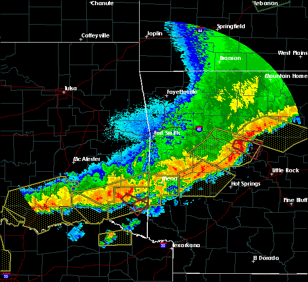 At 1006 pm cdt, a severe thunderstorm capable of producing a tornado was located 14 miles north of broken bow, or 25 miles northwest of de queen, moving southeast at 70 mph (radar indicated rotation). Hazards include tornado and half dollar size hail. Flying debris will be dangerous to those caught without shelter. mobile homes will be damaged or destroyed. damage to roofs, windows, and vehicles will occur. tree damage is likely. Locations impacted include, hochatown. At 1006 pm cdt, a severe thunderstorm capable of producing a tornado was located 14 miles north of broken bow, or 25 miles northwest of de queen, moving southeast at 70 mph (radar indicated rotation). Hazards include tornado and half dollar size hail. Flying debris will be dangerous to those caught without shelter. mobile homes will be damaged or destroyed. damage to roofs, windows, and vehicles will occur. tree damage is likely. Locations impacted include, hochatown.
|
| 4/28/2020 10:00 PM CDT |
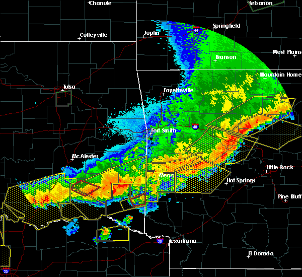 At 1000 pm cdt, a severe thunderstorm capable of producing a tornado was located 16 miles southwest of octavia, or 32 miles northwest of de queen, moving southeast at 70 mph (radar indicated rotation). Hazards include tornado. Flying debris will be dangerous to those caught without shelter. mobile homes will be damaged or destroyed. damage to roofs, windows, and vehicles will occur. tree damage is likely. This tornadic thunderstorm will remain over mainly rural areas of northeastern mccurtain county, including the following locations, hochatown, bethel, mount herman and sherwood. At 1000 pm cdt, a severe thunderstorm capable of producing a tornado was located 16 miles southwest of octavia, or 32 miles northwest of de queen, moving southeast at 70 mph (radar indicated rotation). Hazards include tornado. Flying debris will be dangerous to those caught without shelter. mobile homes will be damaged or destroyed. damage to roofs, windows, and vehicles will occur. tree damage is likely. This tornadic thunderstorm will remain over mainly rural areas of northeastern mccurtain county, including the following locations, hochatown, bethel, mount herman and sherwood.
|
| 4/28/2020 9:51 PM CDT |
 At 950 pm cdt, severe thunderstorms were located along a line extending from 6 miles southwest of mountain fork to near rattan, moving southeast at 35 mph (radar indicated). Hazards include 70 mph wind gusts and quarter size hail. Hail damage to vehicles is expected. expect considerable tree damage. Wind damage is also likely to mobile homes, roofs, and outbuildings. At 950 pm cdt, severe thunderstorms were located along a line extending from 6 miles southwest of mountain fork to near rattan, moving southeast at 35 mph (radar indicated). Hazards include 70 mph wind gusts and quarter size hail. Hail damage to vehicles is expected. expect considerable tree damage. Wind damage is also likely to mobile homes, roofs, and outbuildings.
|
| 4/28/2020 9:42 PM CDT |
 At 942 pm cdt, a severe thunderstorm was located 7 miles east of manchester, or 16 miles north of clarksville, moving east at 40 mph (radar indicated). Hazards include 60 mph wind gusts and half dollar size hail. Hail damage to vehicles is expected. Expect wind damage to roofs, siding, and trees. At 942 pm cdt, a severe thunderstorm was located 7 miles east of manchester, or 16 miles north of clarksville, moving east at 40 mph (radar indicated). Hazards include 60 mph wind gusts and half dollar size hail. Hail damage to vehicles is expected. Expect wind damage to roofs, siding, and trees.
|
| 4/28/2020 9:39 PM CDT |
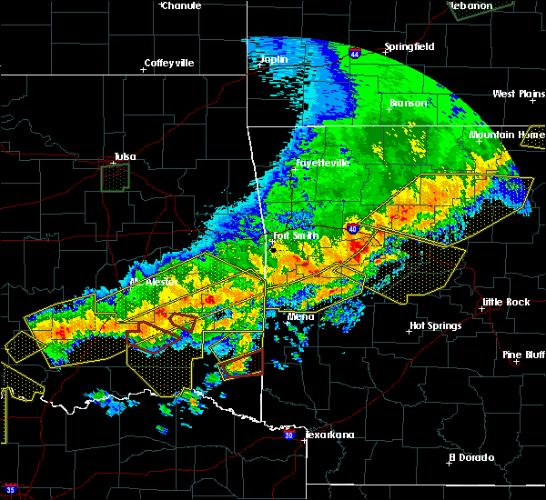 At 939 pm cdt, a severe thunderstorm capable of producing a tornado was located 11 miles north of broken bow, or 23 miles northwest of de queen, moving northeast at 40 mph (radar indicated rotation). Hazards include tornado and half dollar size hail. Flying debris will be dangerous to those caught without shelter. mobile homes will be damaged or destroyed. damage to roofs, windows, and vehicles will occur. tree damage is likely. Locations impacted include, hochatown. At 939 pm cdt, a severe thunderstorm capable of producing a tornado was located 11 miles north of broken bow, or 23 miles northwest of de queen, moving northeast at 40 mph (radar indicated rotation). Hazards include tornado and half dollar size hail. Flying debris will be dangerous to those caught without shelter. mobile homes will be damaged or destroyed. damage to roofs, windows, and vehicles will occur. tree damage is likely. Locations impacted include, hochatown.
|
| 4/28/2020 9:33 PM CDT |
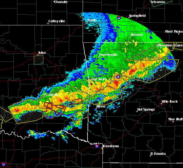 At 932 pm cdt, a severe thunderstorm capable of producing a tornado was located 8 miles north of broken bow, or 25 miles west of de queen, moving northeast at 40 mph (radar indicated rotation). Hazards include tornado and half dollar size hail. Flying debris will be dangerous to those caught without shelter. mobile homes will be damaged or destroyed. damage to roofs, windows, and vehicles will occur. tree damage is likely. This tornadic thunderstorm will remain over mainly rural areas of east central mccurtain county, including the following locations, hochatown. At 932 pm cdt, a severe thunderstorm capable of producing a tornado was located 8 miles north of broken bow, or 25 miles west of de queen, moving northeast at 40 mph (radar indicated rotation). Hazards include tornado and half dollar size hail. Flying debris will be dangerous to those caught without shelter. mobile homes will be damaged or destroyed. damage to roofs, windows, and vehicles will occur. tree damage is likely. This tornadic thunderstorm will remain over mainly rural areas of east central mccurtain county, including the following locations, hochatown.
|
| 4/28/2020 9:24 PM CDT |
 At 923 pm cdt, a severe thunderstorm was located 8 miles northwest of broken bow, or 27 miles west of de queen, moving northeast at 45 mph (radar indicated). Hazards include 60 mph wind gusts and quarter size hail. Hail damage to vehicles is expected. Expect wind damage to roofs, siding, and trees. At 923 pm cdt, a severe thunderstorm was located 8 miles northwest of broken bow, or 27 miles west of de queen, moving northeast at 45 mph (radar indicated). Hazards include 60 mph wind gusts and quarter size hail. Hail damage to vehicles is expected. Expect wind damage to roofs, siding, and trees.
|
| 4/22/2020 8:25 PM CDT |
 At 824 pm cdt, a severe thunderstorm capable of producing a tornado was located 7 miles southeast of broken bow, or 15 miles west of horatio, moving east at 30 mph (radar indicated rotation). Hazards include tornado and quarter size hail. Flying debris will be dangerous to those caught without shelter. mobile homes will be damaged or destroyed. damage to roofs, windows, and vehicles will occur. tree damage is likely. this dangerous storm will be near, de queen and horatio around 855 pm cdt. lockesburg around 915 pm cdt. Other locations impacted by this tornadic thunderstorm include eagletown, haworth, cerrogordo, oak grove, geneva, central, goodwater, west line, shinewell and bellview. At 824 pm cdt, a severe thunderstorm capable of producing a tornado was located 7 miles southeast of broken bow, or 15 miles west of horatio, moving east at 30 mph (radar indicated rotation). Hazards include tornado and quarter size hail. Flying debris will be dangerous to those caught without shelter. mobile homes will be damaged or destroyed. damage to roofs, windows, and vehicles will occur. tree damage is likely. this dangerous storm will be near, de queen and horatio around 855 pm cdt. lockesburg around 915 pm cdt. Other locations impacted by this tornadic thunderstorm include eagletown, haworth, cerrogordo, oak grove, geneva, central, goodwater, west line, shinewell and bellview.
|
| 4/22/2020 8:12 PM CDT |
 At 811 pm cdt, a severe thunderstorm capable of producing a tornado was located near manchester, or 19 miles southeast of hugo, moving east at 45 mph. we have also received reports of a tornado in progress just to the north of idabel (radar indicated rotation). Hazards include tornado and quarter size hail. Flying debris will be dangerous to those caught without shelter. mobile homes will be damaged or destroyed. damage to roofs, windows, and vehicles will occur. tree damage is likely. this dangerous storm will be near, manchester around 815 pm cdt. idabel around 845 pm cdt. Other locations impacted by this tornadic thunderstorm include bokhoma, eagletown, farmers hill, moon, cerrogordo, millerton, harris, goodwater, shinewell and woodland. At 811 pm cdt, a severe thunderstorm capable of producing a tornado was located near manchester, or 19 miles southeast of hugo, moving east at 45 mph. we have also received reports of a tornado in progress just to the north of idabel (radar indicated rotation). Hazards include tornado and quarter size hail. Flying debris will be dangerous to those caught without shelter. mobile homes will be damaged or destroyed. damage to roofs, windows, and vehicles will occur. tree damage is likely. this dangerous storm will be near, manchester around 815 pm cdt. idabel around 845 pm cdt. Other locations impacted by this tornadic thunderstorm include bokhoma, eagletown, farmers hill, moon, cerrogordo, millerton, harris, goodwater, shinewell and woodland.
|
| 4/22/2020 8:08 PM CDT |
 At 805 pm cdt, severe thunderstorms were located along a line extending from near raymond gary state park to 11 miles north of blossom to 8 miles northeast of paris, moving east at 40 mph (radar indicated). Hazards include 70 mph wind gusts and quarter size hail. Hail damage to vehicles is expected. expect considerable tree damage. Wind damage is also likely to mobile homes, roofs, and outbuildings. At 805 pm cdt, severe thunderstorms were located along a line extending from near raymond gary state park to 11 miles north of blossom to 8 miles northeast of paris, moving east at 40 mph (radar indicated). Hazards include 70 mph wind gusts and quarter size hail. Hail damage to vehicles is expected. expect considerable tree damage. Wind damage is also likely to mobile homes, roofs, and outbuildings.
|
| 4/22/2020 7:41 PM CDT |
 At 740 pm cdt, a severe thunderstorm capable of producing a tornado was located 7 miles east of manchester, or 18 miles north of clarksville, moving east at 35 mph (weather spotters reported funnel cloud). Hazards include tornado and quarter size hail. Flying debris will be dangerous to those caught without shelter. mobile homes will be damaged or destroyed. damage to roofs, windows, and vehicles will occur. tree damage is likely. this dangerous storm will be near, idabel around 800 pm cdt. Other locations impacted by this tornadic thunderstorm include bokhoma, eagletown, farmers hill, moon, cerrogordo, millerton, goodwater, shinewell, redland and silver city. At 740 pm cdt, a severe thunderstorm capable of producing a tornado was located 7 miles east of manchester, or 18 miles north of clarksville, moving east at 35 mph (weather spotters reported funnel cloud). Hazards include tornado and quarter size hail. Flying debris will be dangerous to those caught without shelter. mobile homes will be damaged or destroyed. damage to roofs, windows, and vehicles will occur. tree damage is likely. this dangerous storm will be near, idabel around 800 pm cdt. Other locations impacted by this tornadic thunderstorm include bokhoma, eagletown, farmers hill, moon, cerrogordo, millerton, goodwater, shinewell, redland and silver city.
|
| 4/22/2020 7:35 PM CDT |
 At 734 pm cdt, a severe thunderstorm capable of producing a tornado was located 7 miles west of idabel, or 19 miles north of clarksville, moving east at 45 mph (radar indicated rotation). Hazards include tornado. Flying debris will be dangerous to those caught without shelter. mobile homes will be damaged or destroyed. damage to roofs, windows, and vehicles will occur. tree damage is likely. this dangerous storm will be near, idabel around 745 pm cdt. Other locations impacted by this tornadic thunderstorm include farmers hill, millerton, woodland, redland, silver city, kanawha, holly creek, garvin, valliant and kiomatia. At 734 pm cdt, a severe thunderstorm capable of producing a tornado was located 7 miles west of idabel, or 19 miles north of clarksville, moving east at 45 mph (radar indicated rotation). Hazards include tornado. Flying debris will be dangerous to those caught without shelter. mobile homes will be damaged or destroyed. damage to roofs, windows, and vehicles will occur. tree damage is likely. this dangerous storm will be near, idabel around 745 pm cdt. Other locations impacted by this tornadic thunderstorm include farmers hill, millerton, woodland, redland, silver city, kanawha, holly creek, garvin, valliant and kiomatia.
|
| 4/22/2020 7:01 PM CDT |
 At 700 pm cdt, a confirmed tornado was located 10 miles south of sawyer, or 12 miles southeast of hugo, moving east at 40 mph (weather spotters confirmed tornado). Hazards include damaging tornado. Flying debris will be dangerous to those caught without shelter. mobile homes will be damaged or destroyed. damage to roofs, windows, and vehicles will occur. tree damage is likely. the tornado will be near, manchester around 720 pm cdt. idabel around 745 pm cdt. Other locations impacted by this tornadic thunderstorm include farmers hill, millerton, woodland, redland, silver city, kanawha, holly creek, garvin, valliant and kiomatia. At 700 pm cdt, a confirmed tornado was located 10 miles south of sawyer, or 12 miles southeast of hugo, moving east at 40 mph (weather spotters confirmed tornado). Hazards include damaging tornado. Flying debris will be dangerous to those caught without shelter. mobile homes will be damaged or destroyed. damage to roofs, windows, and vehicles will occur. tree damage is likely. the tornado will be near, manchester around 720 pm cdt. idabel around 745 pm cdt. Other locations impacted by this tornadic thunderstorm include farmers hill, millerton, woodland, redland, silver city, kanawha, holly creek, garvin, valliant and kiomatia.
|
| 4/22/2020 3:13 AM CDT |
 At 312 am cdt, a severe thunderstorm was located near broken bow, or 19 miles west of horatio, moving northeast at 35 mph (radar indicated). Hazards include 60 mph wind gusts and quarter size hail. Hail damage to vehicles is expected. expect wind damage to roofs, siding, and trees. Locations impacted include, de queen, horatio, idabel, broken bow, haworth, bokhoma, eagletown, moon, cerrogordo, goodwater, shinewell, holly creek, america, west line and west otis. At 312 am cdt, a severe thunderstorm was located near broken bow, or 19 miles west of horatio, moving northeast at 35 mph (radar indicated). Hazards include 60 mph wind gusts and quarter size hail. Hail damage to vehicles is expected. expect wind damage to roofs, siding, and trees. Locations impacted include, de queen, horatio, idabel, broken bow, haworth, bokhoma, eagletown, moon, cerrogordo, goodwater, shinewell, holly creek, america, west line and west otis.
|
| 4/22/2020 3:04 AM CDT |
 At 304 am cdt, a severe thunderstorm was located near idabel, or 23 miles west of horatio, moving northeast at 35 mph (radar indicated). Hazards include 60 mph wind gusts and quarter size hail. Hail damage to vehicles is expected. expect wind damage to roofs, siding, and trees. Locations impacted include, de queen, horatio, idabel, broken bow, wright city, valliant, millerton, haworth, garvin, eagletown, moon, cerrogordo, hochatown, goodwater, shinewell, redland, glover, america, west line and oak hill. At 304 am cdt, a severe thunderstorm was located near idabel, or 23 miles west of horatio, moving northeast at 35 mph (radar indicated). Hazards include 60 mph wind gusts and quarter size hail. Hail damage to vehicles is expected. expect wind damage to roofs, siding, and trees. Locations impacted include, de queen, horatio, idabel, broken bow, wright city, valliant, millerton, haworth, garvin, eagletown, moon, cerrogordo, hochatown, goodwater, shinewell, redland, glover, america, west line and oak hill.
|
| 4/22/2020 2:43 AM CDT |
 At 243 am cdt, a severe thunderstorm was located 8 miles southwest of idabel, or 17 miles north of clarksville, moving northeast at 35 mph (radar indicated). Hazards include 60 mph wind gusts and quarter size hail. Hail damage to vehicles is expected. Expect wind damage to roofs, siding, and trees. At 243 am cdt, a severe thunderstorm was located 8 miles southwest of idabel, or 17 miles north of clarksville, moving northeast at 35 mph (radar indicated). Hazards include 60 mph wind gusts and quarter size hail. Hail damage to vehicles is expected. Expect wind damage to roofs, siding, and trees.
|
| 4/12/2020 6:35 PM CDT |
 The severe thunderstorm warning for west central little river, southern mccurtain, northwestern bowie and eastern red river counties will expire at 645 pm cdt, the severe thunderstorm which prompted the warning has moved out of the warned area. therefore, the warning will be allowed to expire. a severe thunderstorm watch remains in effect until 800 pm cdt for southwestern arkansas, southeastern oklahoma, and northeastern texas. The severe thunderstorm warning for west central little river, southern mccurtain, northwestern bowie and eastern red river counties will expire at 645 pm cdt, the severe thunderstorm which prompted the warning has moved out of the warned area. therefore, the warning will be allowed to expire. a severe thunderstorm watch remains in effect until 800 pm cdt for southwestern arkansas, southeastern oklahoma, and northeastern texas.
|
| 4/12/2020 5:39 PM CDT |
 At 539 pm cdt, a severe thunderstorm was located near clarksville, moving east at 25 mph (radar indicated). Hazards include 60 mph wind gusts and half dollar size hail. Hail damage to vehicles is expected. Expect wind damage to roofs, siding, and trees. At 539 pm cdt, a severe thunderstorm was located near clarksville, moving east at 25 mph (radar indicated). Hazards include 60 mph wind gusts and half dollar size hail. Hail damage to vehicles is expected. Expect wind damage to roofs, siding, and trees.
|
| 3/19/2020 7:54 PM CDT |
 At 754 pm cdt, severe thunderstorms were located along a line extending from 8 miles west of hatfield to 6 miles northwest of bagwell, moving east at 35 mph (radar indicated). Hazards include 60 mph wind gusts and quarter size hail. Hail damage to vehicles is expected. expect wind damage to roofs, siding, and trees. Locations impacted include, idabel, broken bow, manchester, wright city, valliant, millerton, garvin, plunketville, farmers hill, smithville, hochatown, negley, watson, sherwood, woodland, redland, silver city, holly creek, glover and kiomatia. At 754 pm cdt, severe thunderstorms were located along a line extending from 8 miles west of hatfield to 6 miles northwest of bagwell, moving east at 35 mph (radar indicated). Hazards include 60 mph wind gusts and quarter size hail. Hail damage to vehicles is expected. expect wind damage to roofs, siding, and trees. Locations impacted include, idabel, broken bow, manchester, wright city, valliant, millerton, garvin, plunketville, farmers hill, smithville, hochatown, negley, watson, sherwood, woodland, redland, silver city, holly creek, glover and kiomatia.
|
| 3/19/2020 7:24 PM CDT |
 At 723 pm cdt, severe thunderstorms were located along a line extending from 16 miles southwest of octavia to 6 miles north of blossom, moving east at 40 mph (radar indicated). Hazards include 60 mph wind gusts and quarter size hail. Hail damage to vehicles is expected. Expect wind damage to roofs, siding, and trees. At 723 pm cdt, severe thunderstorms were located along a line extending from 16 miles southwest of octavia to 6 miles north of blossom, moving east at 40 mph (radar indicated). Hazards include 60 mph wind gusts and quarter size hail. Hail damage to vehicles is expected. Expect wind damage to roofs, siding, and trees.
|
| 1/10/2020 7:17 PM CST |
 At 717 pm cst, a severe thunderstorm was located 8 miles southeast of raymond gary state park, or 22 miles east of hugo, moving northeast at 45 mph (radar indicated). Hazards include 60 mph wind gusts and quarter size hail. Hail damage to vehicles is expected. expect wind damage to roofs, siding, and trees. Locations impacted include, broken bow, manchester, wright city, valliant, millerton, garvin, farmers hill, rufe, woodland, redland, kanawha, holly creek, glover, kiomatia, slim, oak hill, ringold and golden. At 717 pm cst, a severe thunderstorm was located 8 miles southeast of raymond gary state park, or 22 miles east of hugo, moving northeast at 45 mph (radar indicated). Hazards include 60 mph wind gusts and quarter size hail. Hail damage to vehicles is expected. expect wind damage to roofs, siding, and trees. Locations impacted include, broken bow, manchester, wright city, valliant, millerton, garvin, farmers hill, rufe, woodland, redland, kanawha, holly creek, glover, kiomatia, slim, oak hill, ringold and golden.
|
| 1/10/2020 6:58 PM CST |
 At 657 pm cst, a severe thunderstorm was located 10 miles west of manchester, or 15 miles northeast of paris, moving northeast at 45 mph (radar indicated). Hazards include 60 mph wind gusts and quarter size hail. Hail damage to vehicles is expected. Expect wind damage to roofs, siding, and trees. At 657 pm cst, a severe thunderstorm was located 10 miles west of manchester, or 15 miles northeast of paris, moving northeast at 45 mph (radar indicated). Hazards include 60 mph wind gusts and quarter size hail. Hail damage to vehicles is expected. Expect wind damage to roofs, siding, and trees.
|
| 10/21/2019 1:45 AM CDT |
 At 145 am cdt, severe thunderstorms were located along a line extending from 16 miles north of broken bow to idabel to near manchester, moving east at 50 mph (radar indicated). Hazards include 60 mph wind gusts and quarter size hail. Hail damage to vehicles is expected. Expect wind damage to roofs, siding, and trees. At 145 am cdt, severe thunderstorms were located along a line extending from 16 miles north of broken bow to idabel to near manchester, moving east at 50 mph (radar indicated). Hazards include 60 mph wind gusts and quarter size hail. Hail damage to vehicles is expected. Expect wind damage to roofs, siding, and trees.
|
| 10/21/2019 12:52 AM CDT |
 At 1252 am cdt, severe thunderstorms were located along a line extending from 10 miles east of nashoba to near oleta to near goodland, moving east at 40 mph (radar indicated). Hazards include 60 mph wind gusts and quarter size hail. Hail damage to vehicles is expected. Expect wind damage to roofs, siding, and trees. At 1252 am cdt, severe thunderstorms were located along a line extending from 10 miles east of nashoba to near oleta to near goodland, moving east at 40 mph (radar indicated). Hazards include 60 mph wind gusts and quarter size hail. Hail damage to vehicles is expected. Expect wind damage to roofs, siding, and trees.
|
| 10/20/2019 11:16 PM CDT |
 At 1116 pm cdt, severe thunderstorms were located along a line extending from near broken bow to near idabel to near clarksville to 10 miles west of hagansport, moving east at 45 mph (radar indicated. power lines were downed near valliant oklahoma with these storms, and a roof was removed off of a building). Hazards include 60 mph wind gusts. expect damage to roofs, siding, and trees At 1116 pm cdt, severe thunderstorms were located along a line extending from near broken bow to near idabel to near clarksville to 10 miles west of hagansport, moving east at 45 mph (radar indicated. power lines were downed near valliant oklahoma with these storms, and a roof was removed off of a building). Hazards include 60 mph wind gusts. expect damage to roofs, siding, and trees
|
| 10/6/2019 7:16 PM CDT | Tree reported down on red arrow roa in mccurtain county OK, 3.8 miles WNW of Broken Bow, OK |
| 10/6/2019 7:11 PM CDT |
 At 710 pm cdt, a severe thunderstorm was located 9 miles west of grannis, or 13 miles northwest of de queen, moving east at 25 mph (radar indicated). Hazards include 60 mph wind gusts and quarter size hail. Hail damage to vehicles is expected. expect wind damage to roofs, siding, and trees. Locations impacted include, de queen, broken bow, gillham, hochatown, eagletown and west line. At 710 pm cdt, a severe thunderstorm was located 9 miles west of grannis, or 13 miles northwest of de queen, moving east at 25 mph (radar indicated). Hazards include 60 mph wind gusts and quarter size hail. Hail damage to vehicles is expected. expect wind damage to roofs, siding, and trees. Locations impacted include, de queen, broken bow, gillham, hochatown, eagletown and west line.
|
| 10/6/2019 7:11 PM CDT |
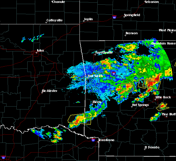 At 710 pm cdt, a severe thunderstorm was located 9 miles west of grannis, or 13 miles northwest of de queen, moving east at 25 mph (radar indicated). Hazards include 60 mph wind gusts and quarter size hail. Hail damage to vehicles is expected. expect wind damage to roofs, siding, and trees. Locations impacted include, de queen, broken bow, gillham, hochatown, eagletown and west line. At 710 pm cdt, a severe thunderstorm was located 9 miles west of grannis, or 13 miles northwest of de queen, moving east at 25 mph (radar indicated). Hazards include 60 mph wind gusts and quarter size hail. Hail damage to vehicles is expected. expect wind damage to roofs, siding, and trees. Locations impacted include, de queen, broken bow, gillham, hochatown, eagletown and west line.
|
| 10/6/2019 6:44 PM CDT |
 At 644 pm cdt, a severe thunderstorm was located 12 miles north of broken bow, or 22 miles northwest of de queen, moving east at 25 mph (radar indicated). Hazards include 60 mph wind gusts and quarter size hail. Hail damage to vehicles is expected. Expect wind damage to roofs, siding, and trees. At 644 pm cdt, a severe thunderstorm was located 12 miles north of broken bow, or 22 miles northwest of de queen, moving east at 25 mph (radar indicated). Hazards include 60 mph wind gusts and quarter size hail. Hail damage to vehicles is expected. Expect wind damage to roofs, siding, and trees.
|
| 10/6/2019 6:09 PM CDT | 3 large trees blown over in mt herman communit in mccurtain county OK, 18.1 miles SSE of Broken Bow, OK |
| 10/6/2019 6:09 PM CDT | Quarter sized hail reported 18.8 miles SSE of Broken Bow, OK, 1 inch hail reported in mt. herman ok and some tree damage reported... branches down. |
| 7/10/2019 5:39 PM CDT |
 At 538 pm cdt, severe thunderstorms were located along a line extending from 8 miles northeast of fort towson to near de queen to near okolona, moving south at 40 mph (radar indicated). Hazards include 60 mph wind gusts. Expect damage to roofs, siding, and trees. Locations impacted include, de queen, nashville, prescott, mineral springs, dierks, horatio, foreman, umpire, idabel, broken bow, lockesburg, emmet, wilton, blevins, perrytown, tollette, winthrop, washington, gillham and ben lomond. At 538 pm cdt, severe thunderstorms were located along a line extending from 8 miles northeast of fort towson to near de queen to near okolona, moving south at 40 mph (radar indicated). Hazards include 60 mph wind gusts. Expect damage to roofs, siding, and trees. Locations impacted include, de queen, nashville, prescott, mineral springs, dierks, horatio, foreman, umpire, idabel, broken bow, lockesburg, emmet, wilton, blevins, perrytown, tollette, winthrop, washington, gillham and ben lomond.
|
| 7/10/2019 5:30 PM CDT | Large limbs down near hochatow in mccurtain county OK, 10.2 miles S of Broken Bow, OK |
| 7/10/2019 4:59 PM CDT |
 The national weather service in shreveport has issued a * severe thunderstorm warning for. northern little river county in southwestern arkansas. northern hempstead county in southwestern arkansas. sevier county in southwestern arkansas. Howard county in southwestern arkansas. The national weather service in shreveport has issued a * severe thunderstorm warning for. northern little river county in southwestern arkansas. northern hempstead county in southwestern arkansas. sevier county in southwestern arkansas. Howard county in southwestern arkansas.
|
| 6/23/2019 7:45 PM CDT | Several trees downed in and around broken bow... oklahom in mccurtain county OK, 3.8 miles NNW of Broken Bow, OK |
| 6/23/2019 7:45 PM CDT |
 At 745 pm cdt, severe thunderstorms were located along a line extending from 7 miles south of albert pike recreation area to 11 miles northeast of cooper lake park doctors creek, moving east at 30 mph (radar indicated). Hazards include 60 mph wind gusts and quarter size hail. Hail damage to vehicles is expected. Expect wind damage to roofs, siding, and trees. At 745 pm cdt, severe thunderstorms were located along a line extending from 7 miles south of albert pike recreation area to 11 miles northeast of cooper lake park doctors creek, moving east at 30 mph (radar indicated). Hazards include 60 mph wind gusts and quarter size hail. Hail damage to vehicles is expected. Expect wind damage to roofs, siding, and trees.
|
| 6/23/2019 7:05 PM CDT |
 At 704 pm cdt, severe thunderstorms were located along a line extending from near hartley to near blossom, moving northeast at 25 mph (radar indicated). Hazards include 60 mph wind gusts and quarter size hail. Hail damage to vehicles is expected. Expect wind damage to roofs, siding, and trees. At 704 pm cdt, severe thunderstorms were located along a line extending from near hartley to near blossom, moving northeast at 25 mph (radar indicated). Hazards include 60 mph wind gusts and quarter size hail. Hail damage to vehicles is expected. Expect wind damage to roofs, siding, and trees.
|
| 6/23/2019 7:05 PM CDT |
 The national weather service in shreveport has issued a * severe thunderstorm warning for. northwestern sevier county in southwestern arkansas. central mccurtain county in southeastern oklahoma. northern red river county in northeastern texas. Until 745 pm cdt. The national weather service in shreveport has issued a * severe thunderstorm warning for. northwestern sevier county in southwestern arkansas. central mccurtain county in southeastern oklahoma. northern red river county in northeastern texas. Until 745 pm cdt.
|
| 6/23/2019 6:57 PM CDT | Trees down near lukfata baptist church just west of broken bo in mccurtain county OK, 2.9 miles NE of Broken Bow, OK |
| 6/19/2019 6:17 PM CDT |
 At 615 pm cdt, severe thunderstorms were located along a line extending from 7 miles southwest of vandervoort to near winthrop, moving east at 35 mph (radar indicated). Hazards include golf ball size hail and 60 mph wind gusts. People and animals outdoors will be injured. expect hail damage to roofs, siding, windows, and vehicles. Expect wind damage to roofs, siding, and trees. At 615 pm cdt, severe thunderstorms were located along a line extending from 7 miles southwest of vandervoort to near winthrop, moving east at 35 mph (radar indicated). Hazards include golf ball size hail and 60 mph wind gusts. People and animals outdoors will be injured. expect hail damage to roofs, siding, windows, and vehicles. Expect wind damage to roofs, siding, and trees.
|
| 6/19/2019 6:05 PM CDT | Half Dollar sized hail reported 5.1 miles N of Broken Bow, OK, public reports hail via social media pictures near broken bow. |
| 6/19/2019 6:00 PM CDT |
 At 559 pm cdt, severe thunderstorms were located along a line extending from 7 miles northwest of broken bow to 9 miles southeast of idabel, moving northeast at 35 mph (radar indicated). Hazards include golf ball size hail and 60 mph wind gusts. People and animals outdoors will be injured. expect hail damage to roofs, siding, windows, and vehicles. expect wind damage to roofs, siding, and trees. Locations impacted include, broken bow, eagletown, hochatown. At 559 pm cdt, severe thunderstorms were located along a line extending from 7 miles northwest of broken bow to 9 miles southeast of idabel, moving northeast at 35 mph (radar indicated). Hazards include golf ball size hail and 60 mph wind gusts. People and animals outdoors will be injured. expect hail damage to roofs, siding, windows, and vehicles. expect wind damage to roofs, siding, and trees. Locations impacted include, broken bow, eagletown, hochatown.
|
| 6/19/2019 5:46 PM CDT |
 At 544 pm cdt, a severe thunderstorm was located over idabel, or 24 miles northeast of clarksville, moving northeast at 30 mph. another severe thunderstorm was located over glover or near wright city and was moving east northeast near 30 mph (radar indicated). Hazards include golf ball size hail and 60 mph wind gusts. People and animals outdoors will be injured. expect hail damage to roofs, siding, windows, and vehicles. Expect wind damage to roofs, siding, and trees. At 544 pm cdt, a severe thunderstorm was located over idabel, or 24 miles northeast of clarksville, moving northeast at 30 mph. another severe thunderstorm was located over glover or near wright city and was moving east northeast near 30 mph (radar indicated). Hazards include golf ball size hail and 60 mph wind gusts. People and animals outdoors will be injured. expect hail damage to roofs, siding, windows, and vehicles. Expect wind damage to roofs, siding, and trees.
|
| 6/19/2019 5:31 PM CDT |
 At 530 pm cdt, a severe thunderstorm was located 7 miles southwest of idabel, or 17 miles northeast of clarksville, moving northeast at 30 mph (radar indicated). Hazards include 60 mph wind gusts and half dollar size hail. Hail damage to vehicles is expected. Expect wind damage to roofs, siding, and trees. At 530 pm cdt, a severe thunderstorm was located 7 miles southwest of idabel, or 17 miles northeast of clarksville, moving northeast at 30 mph (radar indicated). Hazards include 60 mph wind gusts and half dollar size hail. Hail damage to vehicles is expected. Expect wind damage to roofs, siding, and trees.
|
| 5/29/2019 4:58 PM CDT |
 At 458 pm cdt, a confirmed tornado was located 10 miles north of broken bow, or near hochatown, moving northeast at 35 mph (law enforcement confirmed tornado). Hazards include damaging tornado and quarter size hail. Flying debris will be dangerous to those caught without shelter. mobile homes will be damaged or destroyed. damage to roofs, windows, and vehicles will occur. tree damage is likely. Locations impacted include, broken bow and hochatown. At 458 pm cdt, a confirmed tornado was located 10 miles north of broken bow, or near hochatown, moving northeast at 35 mph (law enforcement confirmed tornado). Hazards include damaging tornado and quarter size hail. Flying debris will be dangerous to those caught without shelter. mobile homes will be damaged or destroyed. damage to roofs, windows, and vehicles will occur. tree damage is likely. Locations impacted include, broken bow and hochatown.
|
| 5/29/2019 4:43 PM CDT |
 At 442 pm cdt, a confirmed tornado was located 9 miles northwest of broken bow, near wright city approaching glover, moving northeast at 35 mph (law enforcement confirmed tornado). Hazards include damaging tornado and quarter size hail. Flying debris will be dangerous to those caught without shelter. mobile homes will be damaged or destroyed. damage to roofs, windows, and vehicles will occur. tree damage is likely. Locations impacted include, broken bow, wright city, millerton, garvin, glover, hochatown, oak hill and golden. At 442 pm cdt, a confirmed tornado was located 9 miles northwest of broken bow, near wright city approaching glover, moving northeast at 35 mph (law enforcement confirmed tornado). Hazards include damaging tornado and quarter size hail. Flying debris will be dangerous to those caught without shelter. mobile homes will be damaged or destroyed. damage to roofs, windows, and vehicles will occur. tree damage is likely. Locations impacted include, broken bow, wright city, millerton, garvin, glover, hochatown, oak hill and golden.
|
| 5/29/2019 4:25 PM CDT |
 At 425 pm cdt, a confirmed tornado was located 13 miles northwest of idabel, or 26 miles north of clarksville, moving northeast at 35 mph (law enforcement confirmed tornado). Hazards include damaging tornado and quarter size hail. Flying debris will be dangerous to those caught without shelter. mobile homes will be damaged or destroyed. damage to roofs, windows, and vehicles will occur. Tree damage is likely. At 425 pm cdt, a confirmed tornado was located 13 miles northwest of idabel, or 26 miles north of clarksville, moving northeast at 35 mph (law enforcement confirmed tornado). Hazards include damaging tornado and quarter size hail. Flying debris will be dangerous to those caught without shelter. mobile homes will be damaged or destroyed. damage to roofs, windows, and vehicles will occur. Tree damage is likely.
|
| 5/29/2019 4:14 PM CDT |
 The national weather service in shreveport has issued a * severe thunderstorm warning for. northern mccurtain county in southeastern oklahoma. northwestern red river county in northeastern texas. until 500 pm cdt. At 414 pm cdt, a severe thunderstorm was located 10 miles northeast. The national weather service in shreveport has issued a * severe thunderstorm warning for. northern mccurtain county in southeastern oklahoma. northwestern red river county in northeastern texas. until 500 pm cdt. At 414 pm cdt, a severe thunderstorm was located 10 miles northeast.
|
| 5/29/2019 4:14 PM CDT |
 At 414 pm cdt, a severe thunderstorm was located 10 miles northeast of manchester, or 23 miles north of clarksville, moving northeast at 35 mph (radar indicated). Hazards include 60 mph wind gusts and half dollar size hail. Hail damage to vehicles is expected. Expect wind damage to roofs, siding, and trees. At 414 pm cdt, a severe thunderstorm was located 10 miles northeast of manchester, or 23 miles north of clarksville, moving northeast at 35 mph (radar indicated). Hazards include 60 mph wind gusts and half dollar size hail. Hail damage to vehicles is expected. Expect wind damage to roofs, siding, and trees.
|
| 5/18/2019 2:21 PM CDT |
 At 219 pm cdt, a severe thunderstorm was located over idabel, or 24 miles northeast of clarksville, moving northeast at 55 mph (radar indicated). Hazards include 60 mph wind gusts. Expect damage to roofs, siding, and trees. Locations impacted include, idabel, broken bow, wright city, valliant, millerton, garvin, farmers hill, holly creek, glover, harris, oak hill and golden. At 219 pm cdt, a severe thunderstorm was located over idabel, or 24 miles northeast of clarksville, moving northeast at 55 mph (radar indicated). Hazards include 60 mph wind gusts. Expect damage to roofs, siding, and trees. Locations impacted include, idabel, broken bow, wright city, valliant, millerton, garvin, farmers hill, holly creek, glover, harris, oak hill and golden.
|
| 5/18/2019 2:06 PM CDT |
 At 204 pm cdt, a severe thunderstorm was located 16 miles north of broken bow, or 27 miles northwest of de queen, moving northeast at 50 mph. this storm has a history of tree damage near pine creek lake (radar indicated). Hazards include 60 mph wind gusts. Expect damage to roofs, siding, and trees. Locations impacted include, idabel, broken bow, wright city, valliant, millerton, garvin, farmers hill, hochatown, harris, battiest, mount herman, sherwood, holly creek, glover, bethel, oak hill and golden. At 204 pm cdt, a severe thunderstorm was located 16 miles north of broken bow, or 27 miles northwest of de queen, moving northeast at 50 mph. this storm has a history of tree damage near pine creek lake (radar indicated). Hazards include 60 mph wind gusts. Expect damage to roofs, siding, and trees. Locations impacted include, idabel, broken bow, wright city, valliant, millerton, garvin, farmers hill, hochatown, harris, battiest, mount herman, sherwood, holly creek, glover, bethel, oak hill and golden.
|
| 5/18/2019 1:43 PM CDT |
 At 142 pm cdt, a severe thunderstorm was located 11 miles northwest of idabel, or 29 miles north of clarksville, moving northeast at 50 mph (radar indicated). Hazards include 60 mph wind gusts and penny size hail. expect damage to roofs, siding, and trees At 142 pm cdt, a severe thunderstorm was located 11 miles northwest of idabel, or 29 miles north of clarksville, moving northeast at 50 mph (radar indicated). Hazards include 60 mph wind gusts and penny size hail. expect damage to roofs, siding, and trees
|
| 5/1/2019 9:30 PM CDT |
 At 930 pm cdt, severe thunderstorms were located along a line extending from near broken bow to clarksville to near hagansport, moving northeast at 45 mph (radar indicated). Hazards include golf ball size hail. People and animals outdoors will be injured. expect damage to roofs, siding, windows, and vehicles. Locations impacted include, clarksville, hagansport, boxelder, idabel, broken bow, mount vernon, bogata, wilkerson, purley, winfield, talco, annona, haworth, miller`s cove, eagletown, johntown, oak hill, hopewell, harts bluff and harris. At 930 pm cdt, severe thunderstorms were located along a line extending from near broken bow to clarksville to near hagansport, moving northeast at 45 mph (radar indicated). Hazards include golf ball size hail. People and animals outdoors will be injured. expect damage to roofs, siding, windows, and vehicles. Locations impacted include, clarksville, hagansport, boxelder, idabel, broken bow, mount vernon, bogata, wilkerson, purley, winfield, talco, annona, haworth, miller`s cove, eagletown, johntown, oak hill, hopewell, harts bluff and harris.
|
| 5/1/2019 9:08 PM CDT |
 At 908 pm cdt, severe thunderstorms were located along a line extending from 9 miles northeast of manchester to near bogata to 6 miles east of cooper lake park south sulphur, moving northeast at 40 mph (radar indicated). Hazards include quarter size hail. damage to vehicles is expected At 908 pm cdt, severe thunderstorms were located along a line extending from 9 miles northeast of manchester to near bogata to 6 miles east of cooper lake park south sulphur, moving northeast at 40 mph (radar indicated). Hazards include quarter size hail. damage to vehicles is expected
|
| 3/25/2019 1:38 AM CDT | Half Dollar sized hail reported 1.6 miles N of Broken Bow, OK, photo sent in social media. |
| 3/25/2019 1:20 AM CDT | Half Dollar sized hail reported 1.6 miles N of Broken Bow, OK, 1/2 dollar size hail in broken bow photo via social media. |
| 3/25/2019 1:12 AM CDT |
 At 112 am cdt, a severe thunderstorm was located over broken bow, or 20 miles west of horatio, moving east at 40 mph (trained weather spotters. at 102 am cdt, quarter size hail was reported 6 miles north of idabel by fire department officials). Hazards include 60 mph wind gusts and quarter size hail. Hail damage to vehicles is expected. expect wind damage to roofs, siding, and trees. Locations impacted include, idabel, broken bow, eagletown, holly creek and oak hill. At 112 am cdt, a severe thunderstorm was located over broken bow, or 20 miles west of horatio, moving east at 40 mph (trained weather spotters. at 102 am cdt, quarter size hail was reported 6 miles north of idabel by fire department officials). Hazards include 60 mph wind gusts and quarter size hail. Hail damage to vehicles is expected. expect wind damage to roofs, siding, and trees. Locations impacted include, idabel, broken bow, eagletown, holly creek and oak hill.
|
| 3/25/2019 1:02 AM CDT | Quarter sized hail reported 6.5 miles NE of Broken Bow, OK, holly creek fire department reports quarter size hail. |
| 3/25/2019 12:56 AM CDT |
 At 1255 am cdt, a severe thunderstorm was located near idabel, or 23 miles northeast of clarksville, moving east at 35 mph (radar indicated). Hazards include 60 mph wind gusts and quarter size hail. Hail damage to vehicles is expected. expect wind damage to roofs, siding, and trees. Locations impacted include, idabel, broken bow, garvin, eagletown, holly creek, cerrogordo, goodwater, oak hill, shinewell and golden. At 1255 am cdt, a severe thunderstorm was located near idabel, or 23 miles northeast of clarksville, moving east at 35 mph (radar indicated). Hazards include 60 mph wind gusts and quarter size hail. Hail damage to vehicles is expected. expect wind damage to roofs, siding, and trees. Locations impacted include, idabel, broken bow, garvin, eagletown, holly creek, cerrogordo, goodwater, oak hill, shinewell and golden.
|
| 3/25/2019 12:48 AM CDT |
 At 1248 am cdt, a severe thunderstorm was located 8 miles west of idabel, or 23 miles north of clarksville, moving east at 45 mph (radar indicated). Hazards include 60 mph wind gusts and quarter size hail. Hail damage to vehicles is expected. expect wind damage to roofs, siding, and trees. Locations impacted include, idabel, broken bow, valliant, millerton, garvin, eagletown, farmers hill, cerrogordo, goodwater, shinewell, holly creek, glover, albion, oak hill and golden. At 1248 am cdt, a severe thunderstorm was located 8 miles west of idabel, or 23 miles north of clarksville, moving east at 45 mph (radar indicated). Hazards include 60 mph wind gusts and quarter size hail. Hail damage to vehicles is expected. expect wind damage to roofs, siding, and trees. Locations impacted include, idabel, broken bow, valliant, millerton, garvin, eagletown, farmers hill, cerrogordo, goodwater, shinewell, holly creek, glover, albion, oak hill and golden.
|
| 3/25/2019 12:25 AM CDT |
 At 1225 am cdt, a severe thunderstorm was located near manchester, or 17 miles southeast of hugo, moving east at 45 mph (radar indicated). Hazards include 60 mph wind gusts and half dollar size hail. Hail damage to vehicles is expected. Expect wind damage to roofs, siding, and trees. At 1225 am cdt, a severe thunderstorm was located near manchester, or 17 miles southeast of hugo, moving east at 45 mph (radar indicated). Hazards include 60 mph wind gusts and half dollar size hail. Hail damage to vehicles is expected. Expect wind damage to roofs, siding, and trees.
|
| 3/9/2019 7:26 AM CST |
 At 726 am cst, severe thunderstorms were located along a line extending from 7 miles northwest of de queen to 9 miles west of horatio to 10 miles southeast of idabel to 11 miles east of clarksville, moving east at 60 mph (radar indicated). Hazards include 60 mph wind gusts and quarter size hail. Hail damage to vehicles is expected. expect wind damage to roofs, siding, and trees. Locations impacted include, de queen, clarksville, horatio, idabel, broken bow, lockesburg, winthrop, gillham, ben lomond, arkinda, oak grove, haworth, eagletown, moon, cerrogordo, geneva, central, goodwater, shinewell and america. At 726 am cst, severe thunderstorms were located along a line extending from 7 miles northwest of de queen to 9 miles west of horatio to 10 miles southeast of idabel to 11 miles east of clarksville, moving east at 60 mph (radar indicated). Hazards include 60 mph wind gusts and quarter size hail. Hail damage to vehicles is expected. expect wind damage to roofs, siding, and trees. Locations impacted include, de queen, clarksville, horatio, idabel, broken bow, lockesburg, winthrop, gillham, ben lomond, arkinda, oak grove, haworth, eagletown, moon, cerrogordo, geneva, central, goodwater, shinewell and america.
|
| 3/9/2019 7:08 AM CST |
 At 708 am cst, a severe thunderstorm was located 9 miles north of clarksville, moving northeast at 50 mph (radar indicated). Hazards include 60 mph wind gusts and quarter size hail. Hail damage to vehicles is expected. Expect wind damage to roofs, siding, and trees. At 708 am cst, a severe thunderstorm was located 9 miles north of clarksville, moving northeast at 50 mph (radar indicated). Hazards include 60 mph wind gusts and quarter size hail. Hail damage to vehicles is expected. Expect wind damage to roofs, siding, and trees.
|
| 11/30/2018 11:07 PM CST |
 At 1107 pm cst, severe thunderstorms were located along a line extending from near heavener to near octavia to 18 miles north of broken bow to 15 miles east of fort towson to near raymond gary state park, moving northeast at 65 mph (radar indicated). Hazards include 60 mph wind gusts and penny size hail. Expect damage to roofs, siding, and trees. Locations impacted include, broken bow, wright city, valliant, millerton, garvin, eagletown, plunketville, rufe, smithville, hochatown, watson, battiest, pickens, mount herman, sherwood, holly creek, glover, slim, bethel and oak hill. At 1107 pm cst, severe thunderstorms were located along a line extending from near heavener to near octavia to 18 miles north of broken bow to 15 miles east of fort towson to near raymond gary state park, moving northeast at 65 mph (radar indicated). Hazards include 60 mph wind gusts and penny size hail. Expect damage to roofs, siding, and trees. Locations impacted include, broken bow, wright city, valliant, millerton, garvin, eagletown, plunketville, rufe, smithville, hochatown, watson, battiest, pickens, mount herman, sherwood, holly creek, glover, slim, bethel and oak hill.
|
| 11/30/2018 10:38 PM CST |
 At 1038 pm cst, severe thunderstorms were located along a line extending from near whitesboro to 11 miles east of nashoba to 7 miles east of cloudy to near oleta, moving northeast at 40 mph (radar indicated). Hazards include 60 mph wind gusts and penny size hail. expect damage to roofs, siding, and trees At 1038 pm cst, severe thunderstorms were located along a line extending from near whitesboro to 11 miles east of nashoba to 7 miles east of cloudy to near oleta, moving northeast at 40 mph (radar indicated). Hazards include 60 mph wind gusts and penny size hail. expect damage to roofs, siding, and trees
|
| 8/17/2018 4:51 PM CDT |
 At 450 pm cdt, a severe thunderstorm was located near broken bow, or 19 miles west of horatio, moving southeast at 20 mph (radar indicated). Hazards include 60 mph wind gusts and penny size hail. expect damage to roofs, siding, and trees At 450 pm cdt, a severe thunderstorm was located near broken bow, or 19 miles west of horatio, moving southeast at 20 mph (radar indicated). Hazards include 60 mph wind gusts and penny size hail. expect damage to roofs, siding, and trees
|
| 8/13/2018 7:55 PM CDT |
 At 755 pm cdt, a severe thunderstorm was located 17 miles northwest of broken bow, or 34 miles west of de queen, moving northeast at 30 mph (radar indicated). Hazards include 60 mph wind gusts and penny size hail. Expect damage to roofs, siding, and trees. Locations impacted include, hochatown, mount herman and sherwood. At 755 pm cdt, a severe thunderstorm was located 17 miles northwest of broken bow, or 34 miles west of de queen, moving northeast at 30 mph (radar indicated). Hazards include 60 mph wind gusts and penny size hail. Expect damage to roofs, siding, and trees. Locations impacted include, hochatown, mount herman and sherwood.
|
| 8/13/2018 7:43 PM CDT |
 At 743 pm cdt, a severe thunderstorm was located 18 miles northwest of broken bow, or 31 miles east of hugo, moving northeast at 25 mph (radar indicated). Hazards include 60 mph wind gusts and penny size hail. Expect damage to roofs, siding, and trees. Locations impacted include, hochatown, mount herman and sherwood. At 743 pm cdt, a severe thunderstorm was located 18 miles northwest of broken bow, or 31 miles east of hugo, moving northeast at 25 mph (radar indicated). Hazards include 60 mph wind gusts and penny size hail. Expect damage to roofs, siding, and trees. Locations impacted include, hochatown, mount herman and sherwood.
|
| 8/13/2018 7:20 PM CDT |
 At 719 pm cdt, a severe thunderstorm was located 9 miles northeast of fort towson, or 22 miles east of hugo, moving east at 25 mph (radar indicated). Hazards include 60 mph wind gusts and penny size hail. expect damage to roofs, siding, and trees At 719 pm cdt, a severe thunderstorm was located 9 miles northeast of fort towson, or 22 miles east of hugo, moving east at 25 mph (radar indicated). Hazards include 60 mph wind gusts and penny size hail. expect damage to roofs, siding, and trees
|
| 6/24/2018 6:54 AM CDT |
 At 652 am cdt, severe thunderstorms were located along a line extending from 6 miles south of lake wister state park to 12 miles southeast of albion to near nashoba to near snow, moving east southeast at 50 mph (radar indicated). Hazards include 60 mph wind gusts and quarter size hail. Hail damage to vehicles is expected. Expect wind damage to roofs, siding, and trees. At 652 am cdt, severe thunderstorms were located along a line extending from 6 miles south of lake wister state park to 12 miles southeast of albion to near nashoba to near snow, moving east southeast at 50 mph (radar indicated). Hazards include 60 mph wind gusts and quarter size hail. Hail damage to vehicles is expected. Expect wind damage to roofs, siding, and trees.
|
| 5/23/2018 7:35 PM CDT |
 At 735 pm cdt, a severe thunderstorm was located 13 miles southwest of grannis, or 14 miles northwest of de queen, and is nearly stationary (radar indicated). Hazards include 60 mph wind gusts and quarter size hail. Hail damage to vehicles is expected. Expect wind damage to roofs, siding, and trees. At 735 pm cdt, a severe thunderstorm was located 13 miles southwest of grannis, or 14 miles northwest of de queen, and is nearly stationary (radar indicated). Hazards include 60 mph wind gusts and quarter size hail. Hail damage to vehicles is expected. Expect wind damage to roofs, siding, and trees.
|
| 5/23/2018 7:35 PM CDT |
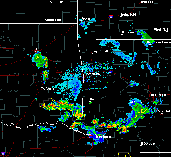 At 735 pm cdt, a severe thunderstorm was located 13 miles southwest of grannis, or 14 miles northwest of de queen, and is nearly stationary (radar indicated). Hazards include 60 mph wind gusts and quarter size hail. Hail damage to vehicles is expected. Expect wind damage to roofs, siding, and trees. At 735 pm cdt, a severe thunderstorm was located 13 miles southwest of grannis, or 14 miles northwest of de queen, and is nearly stationary (radar indicated). Hazards include 60 mph wind gusts and quarter size hail. Hail damage to vehicles is expected. Expect wind damage to roofs, siding, and trees.
|
| 5/23/2018 6:18 PM CDT |
 At 618 pm cdt, a severe thunderstorm was located 13 miles north of broken bow, or 28 miles northwest of de queen, moving northwest at 5 mph (radar indicated). Hazards include 60 mph wind gusts and penny size hail. expect damage to roofs, siding, and trees At 618 pm cdt, a severe thunderstorm was located 13 miles north of broken bow, or 28 miles northwest of de queen, moving northwest at 5 mph (radar indicated). Hazards include 60 mph wind gusts and penny size hail. expect damage to roofs, siding, and trees
|
| 5/15/2018 5:23 PM CDT |
 At 523 pm cdt, a severe thunderstorm was located 15 miles west of broken bow, or 30 miles east of hugo, moving southeast at 20 mph (radar indicated). Hazards include 60 mph wind gusts and quarter size hail. Hail damage to vehicles is expected. expect wind damage to roofs, siding, and trees. Locations impacted include, idabel, broken bow, wright city, valliant, millerton, garvin, farmers hill, rufe, silver city, holly creek, glover, slim, albion, oak hill, ringold and golden. At 523 pm cdt, a severe thunderstorm was located 15 miles west of broken bow, or 30 miles east of hugo, moving southeast at 20 mph (radar indicated). Hazards include 60 mph wind gusts and quarter size hail. Hail damage to vehicles is expected. expect wind damage to roofs, siding, and trees. Locations impacted include, idabel, broken bow, wright city, valliant, millerton, garvin, farmers hill, rufe, silver city, holly creek, glover, slim, albion, oak hill, ringold and golden.
|
| 5/15/2018 5:04 PM CDT |
 At 504 pm cdt, a severe thunderstorm was located 13 miles northeast of fort towson, or 25 miles northeast of hugo, moving southeast at 15 mph (radar indicated). Hazards include 60 mph wind gusts and quarter size hail. Hail damage to vehicles is expected. Expect wind damage to roofs, siding, and trees. At 504 pm cdt, a severe thunderstorm was located 13 miles northeast of fort towson, or 25 miles northeast of hugo, moving southeast at 15 mph (radar indicated). Hazards include 60 mph wind gusts and quarter size hail. Hail damage to vehicles is expected. Expect wind damage to roofs, siding, and trees.
|
| 4/13/2018 7:47 PM CDT |
 At 745 pm cdt, severe thunderstorms were located along a line extending from near hartley to near umpire to near lockesburg to winthrop to 8 miles north of de kalb, moving northeast at 50 mph. a second line of thunderstorms was located from hochatown, to broken bow, to idabel. these storms are moving east at 50 mph (radar indicated). Hazards include 60 mph wind gusts and quarter size hail. Hail damage to vehicles is expected. expect wind damage to roofs, siding, and trees. locations impacted include, de queen, ashdown, dierks, horatio, foreman, umpire, broken bow, lockesburg, wilton, winthrop, gillham, ben lomond, arkinda, center point, athens, oak grove, haworth, eagletown, silver ridge and moon. A tornado watch remains in effect until 1000 pm cdt for southwestern arkansas, southeastern oklahoma, and northeastern texas. At 745 pm cdt, severe thunderstorms were located along a line extending from near hartley to near umpire to near lockesburg to winthrop to 8 miles north of de kalb, moving northeast at 50 mph. a second line of thunderstorms was located from hochatown, to broken bow, to idabel. these storms are moving east at 50 mph (radar indicated). Hazards include 60 mph wind gusts and quarter size hail. Hail damage to vehicles is expected. expect wind damage to roofs, siding, and trees. locations impacted include, de queen, ashdown, dierks, horatio, foreman, umpire, broken bow, lockesburg, wilton, winthrop, gillham, ben lomond, arkinda, center point, athens, oak grove, haworth, eagletown, silver ridge and moon. A tornado watch remains in effect until 1000 pm cdt for southwestern arkansas, southeastern oklahoma, and northeastern texas.
|
| 4/13/2018 7:32 PM CDT |
 At 731 pm cdt, severe thunderstorms were located along a line extending from near wickes to near gillham to horatio to 6 miles southwest of arkinda to 7 miles west of de kalb, moving northeast at 50 mph (radar indicated). Hazards include 60 mph wind gusts and quarter size hail. Hail damage to vehicles is expected. expect wind damage to roofs, siding, and trees. locations impacted include, de queen, ashdown, dierks, horatio, foreman, umpire, broken bow, lockesburg, wilton, winthrop, gillham, ben lomond, arkinda, center point, athens, avery, oak grove, annona, haworth and eagletown. A tornado watch remains in effect until 1000 pm cdt for southwestern arkansas, southeastern oklahoma, and northeastern texas. At 731 pm cdt, severe thunderstorms were located along a line extending from near wickes to near gillham to horatio to 6 miles southwest of arkinda to 7 miles west of de kalb, moving northeast at 50 mph (radar indicated). Hazards include 60 mph wind gusts and quarter size hail. Hail damage to vehicles is expected. expect wind damage to roofs, siding, and trees. locations impacted include, de queen, ashdown, dierks, horatio, foreman, umpire, broken bow, lockesburg, wilton, winthrop, gillham, ben lomond, arkinda, center point, athens, avery, oak grove, annona, haworth and eagletown. A tornado watch remains in effect until 1000 pm cdt for southwestern arkansas, southeastern oklahoma, and northeastern texas.
|
| 4/13/2018 6:59 PM CDT |
 The national weather service in shreveport has issued a * severe thunderstorm warning for. little river county in southwestern arkansas. sevier county in southwestern arkansas. howard county in southwestern arkansas. Southeastern mccurtain county in southeastern oklahoma. The national weather service in shreveport has issued a * severe thunderstorm warning for. little river county in southwestern arkansas. sevier county in southwestern arkansas. howard county in southwestern arkansas. Southeastern mccurtain county in southeastern oklahoma.
|
| 4/13/2018 6:59 PM CDT |
 At 658 pm cdt, severe thunderstorms were located along a line extending from 11 miles east of broken bow to 10 miles east of idabel to 13 miles northwest of de kalb to 6 miles northeast of boxelder, moving northeast at 55 mph (radar indicated). Hazards include 60 mph wind gusts and quarter size hail. Hail damage to vehicles is expected. Expect wind damage to roofs, siding, and trees. At 658 pm cdt, severe thunderstorms were located along a line extending from 11 miles east of broken bow to 10 miles east of idabel to 13 miles northwest of de kalb to 6 miles northeast of boxelder, moving northeast at 55 mph (radar indicated). Hazards include 60 mph wind gusts and quarter size hail. Hail damage to vehicles is expected. Expect wind damage to roofs, siding, and trees.
|
| 4/6/2018 3:47 PM CDT |
 At 347 pm cdt, a severe thunderstorm was located over idabel, or 25 miles northeast of clarksville, moving east at 25 mph (radar indicated). Hazards include 60 mph wind gusts and quarter size hail. Hail damage to vehicles is expected. Expect wind damage to roofs, siding, and trees. At 347 pm cdt, a severe thunderstorm was located over idabel, or 25 miles northeast of clarksville, moving east at 25 mph (radar indicated). Hazards include 60 mph wind gusts and quarter size hail. Hail damage to vehicles is expected. Expect wind damage to roofs, siding, and trees.
|
| 4/6/2018 3:15 PM CDT | Quarter sized hail reported 5.8 miles N of Broken Bow, OK |
| 4/6/2018 3:08 PM CDT |
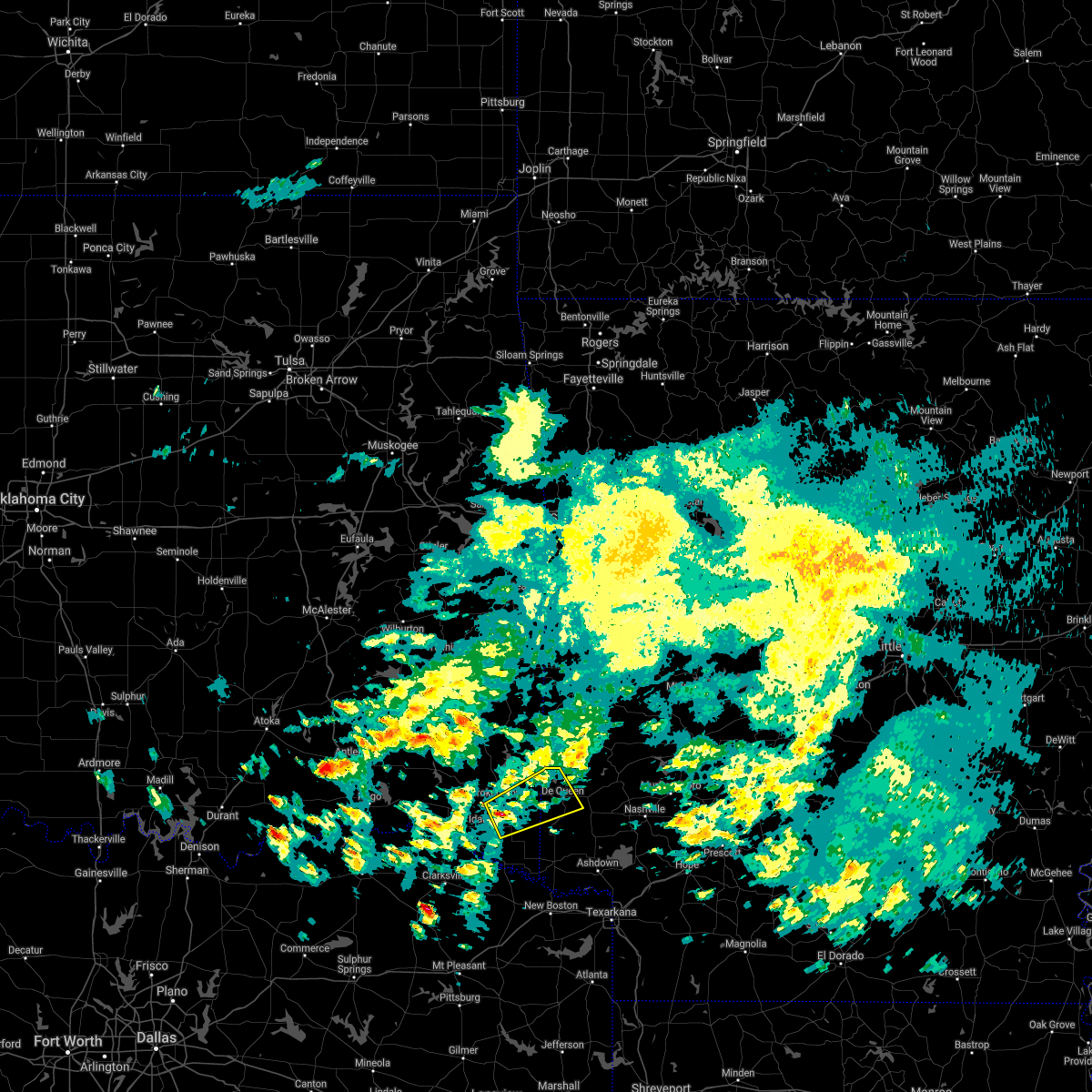 At 307 pm cdt, a severe thunderstorm was located near broken bow, or 20 miles west of horatio, moving northeast at 30 mph (radar indicated). Hazards include 60 mph wind gusts and quarter size hail. Hail damage to vehicles is expected. Expect wind damage to roofs, siding, and trees. At 307 pm cdt, a severe thunderstorm was located near broken bow, or 20 miles west of horatio, moving northeast at 30 mph (radar indicated). Hazards include 60 mph wind gusts and quarter size hail. Hail damage to vehicles is expected. Expect wind damage to roofs, siding, and trees.
|
| 4/3/2018 3:36 PM CDT |
 At 335 pm cdt, a severe thunderstorm was located near broken bow, or 19 miles west of de queen, moving east at 35 mph (radar indicated). Hazards include 60 mph wind gusts and quarter size hail. Hail damage to vehicles is expected. Expect wind damage to roofs, siding, and trees. At 335 pm cdt, a severe thunderstorm was located near broken bow, or 19 miles west of de queen, moving east at 35 mph (radar indicated). Hazards include 60 mph wind gusts and quarter size hail. Hail damage to vehicles is expected. Expect wind damage to roofs, siding, and trees.
|
| 4/3/2018 3:24 PM CDT |
 The severe thunderstorm warning for southwestern mccurtain, northwestern bowie and northern red river counties will expire at 330 pm cdt, the storm which prompted the warning has weakened below severe limits, and no longer poses an immediate threat to life or property. therefore the warning will be allowed to expire. however gusty winds and moderate to heavy rain are still possible with this thunderstorm. a severe thunderstorm watch remains in effect until 600 pm cdt for southeastern oklahoma, and northeastern texas. The severe thunderstorm warning for southwestern mccurtain, northwestern bowie and northern red river counties will expire at 330 pm cdt, the storm which prompted the warning has weakened below severe limits, and no longer poses an immediate threat to life or property. therefore the warning will be allowed to expire. however gusty winds and moderate to heavy rain are still possible with this thunderstorm. a severe thunderstorm watch remains in effect until 600 pm cdt for southeastern oklahoma, and northeastern texas.
|
| 4/3/2018 3:15 PM CDT |
 At 315 pm cdt, a severe thunderstorm was located near manchester, or 13 miles north of clarksville, moving east at 40 mph (radar indicated). Hazards include 60 mph wind gusts and quarter size hail. Hail damage to vehicles is expected. expect wind damage to roofs, siding, and trees. Locations impacted include, clarksville, idabel, bagwell, manchester, wright city, valliant, detroit, millerton, annona, garvin, farmers hill, negley, redland, english, silver city, kanawha, holly creek, glover, kiomatia and albion. At 315 pm cdt, a severe thunderstorm was located near manchester, or 13 miles north of clarksville, moving east at 40 mph (radar indicated). Hazards include 60 mph wind gusts and quarter size hail. Hail damage to vehicles is expected. expect wind damage to roofs, siding, and trees. Locations impacted include, clarksville, idabel, bagwell, manchester, wright city, valliant, detroit, millerton, annona, garvin, farmers hill, negley, redland, english, silver city, kanawha, holly creek, glover, kiomatia and albion.
|
| 4/3/2018 3:01 PM CDT |
 At 248 pm cdt, a severe thunderstorm was located 10 miles north of blossom, or 14 miles northeast of paris, moving east at 35 mph (radar indicated). Hazards include 60 mph wind gusts and quarter size hail. Hail damage to vehicles is expected. Expect wind damage to roofs, siding, and trees. At 248 pm cdt, a severe thunderstorm was located 10 miles north of blossom, or 14 miles northeast of paris, moving east at 35 mph (radar indicated). Hazards include 60 mph wind gusts and quarter size hail. Hail damage to vehicles is expected. Expect wind damage to roofs, siding, and trees.
|
| 4/3/2018 3:01 PM CDT |
 At 301 pm cdt, a severe thunderstorm was located near manchester, or 16 miles northwest of clarksville, moving east at 40 mph (radar indicated). Hazards include 60 mph wind gusts and half dollar size hail. Hail damage to vehicles is expected. expect wind damage to roofs, siding, and trees. Locations impacted include, clarksville, idabel, bagwell, manchester, wright city, valliant, detroit, millerton, annona, garvin, farmers hill, negley, woodland, redland, english, silver city, kanawha, holly creek, glover and kiomatia. At 301 pm cdt, a severe thunderstorm was located near manchester, or 16 miles northwest of clarksville, moving east at 40 mph (radar indicated). Hazards include 60 mph wind gusts and half dollar size hail. Hail damage to vehicles is expected. expect wind damage to roofs, siding, and trees. Locations impacted include, clarksville, idabel, bagwell, manchester, wright city, valliant, detroit, millerton, annona, garvin, farmers hill, negley, woodland, redland, english, silver city, kanawha, holly creek, glover and kiomatia.
|
| 4/3/2018 2:49 PM CDT |
 At 248 pm cdt, a severe thunderstorm was located 10 miles north of blossom, or 14 miles northeast of paris, moving east at 35 mph (radar indicated). Hazards include 60 mph wind gusts and quarter size hail. Hail damage to vehicles is expected. Expect wind damage to roofs, siding, and trees. At 248 pm cdt, a severe thunderstorm was located 10 miles north of blossom, or 14 miles northeast of paris, moving east at 35 mph (radar indicated). Hazards include 60 mph wind gusts and quarter size hail. Hail damage to vehicles is expected. Expect wind damage to roofs, siding, and trees.
|
| 4/3/2018 2:49 PM CDT |
 The national weather service in shreveport has issued a * severe thunderstorm warning for. southwestern mccurtain county in southeastern oklahoma. northwestern bowie county in northeastern texas. northern red river county in northeastern texas. Until 330 pm cdt. The national weather service in shreveport has issued a * severe thunderstorm warning for. southwestern mccurtain county in southeastern oklahoma. northwestern bowie county in northeastern texas. northern red river county in northeastern texas. Until 330 pm cdt.
|
| 2/24/2018 12:58 PM CST |
 At 1258 pm cst, severe thunderstorms were located along a line extending from 9 miles southeast of octavia to 12 miles northeast of broken bow to near idabel, moving northeast at 60 mph (radar indicated. at 1240 pm, wind damage was reported in wright city with these storms. expect damage to roofs, siding, and trees). Hazards include 60 mph wind gusts. At 1258 pm cst, severe thunderstorms were located along a line extending from 9 miles southeast of octavia to 12 miles northeast of broken bow to near idabel, moving northeast at 60 mph (radar indicated. at 1240 pm, wind damage was reported in wright city with these storms. expect damage to roofs, siding, and trees). Hazards include 60 mph wind gusts.
|
| 2/24/2018 12:50 PM CST |
 At 1250 pm cst, severe thunderstorms were located along a line extending from near octavia to 23 miles south of big cedar to broken bow to 7 miles north of clarksville, moving east at 45 mph (radar indicated). Hazards include 60 mph wind gusts. Expect damage to roofs, siding, and trees. locations impacted include, clarksville, idabel, broken bow, haworth, garvin, eagletown, moon, smithville, cerrogordo, hochatown, watson, goodwater, shinewell, mount herman, glover, america, bethel, oak hill, golden and bokhoma. A tornado watch remains in effect until 600 pm cst for southeastern oklahoma, and northeastern texas. At 1250 pm cst, severe thunderstorms were located along a line extending from near octavia to 23 miles south of big cedar to broken bow to 7 miles north of clarksville, moving east at 45 mph (radar indicated). Hazards include 60 mph wind gusts. Expect damage to roofs, siding, and trees. locations impacted include, clarksville, idabel, broken bow, haworth, garvin, eagletown, moon, smithville, cerrogordo, hochatown, watson, goodwater, shinewell, mount herman, glover, america, bethel, oak hill, golden and bokhoma. A tornado watch remains in effect until 600 pm cst for southeastern oklahoma, and northeastern texas.
|
| 2/24/2018 12:08 PM CST |
 At 1208 pm cst, severe thunderstorms were located along a line extending from near nashoba to near fort towson to near paris, moving east northeast at 50 mph (radar indicated). Hazards include 60 mph wind gusts. expect damage to roofs, siding, and trees At 1208 pm cst, severe thunderstorms were located along a line extending from near nashoba to near fort towson to near paris, moving east northeast at 50 mph (radar indicated). Hazards include 60 mph wind gusts. expect damage to roofs, siding, and trees
|
| 2/22/2018 11:55 AM CST |
 At 1154 am cst, a severe thunderstorm was located 9 miles west of idabel, or 20 miles north of clarksville, moving northeast at 55 mph (radar indicated). Hazards include 60 mph wind gusts and quarter size hail. Hail damage to vehicles is expected. Expect wind damage to roofs, siding, and trees. At 1154 am cst, a severe thunderstorm was located 9 miles west of idabel, or 20 miles north of clarksville, moving northeast at 55 mph (radar indicated). Hazards include 60 mph wind gusts and quarter size hail. Hail damage to vehicles is expected. Expect wind damage to roofs, siding, and trees.
|
| 1/21/2018 9:01 PM CST |
 At 901 pm cst, a severe thunderstorm was located near broken bow, or 17 miles west of de queen, moving northeast at 45 mph (radar indicated). Hazards include 60 mph wind gusts and quarter size hail. Hail damage to vehicles is expected. expect wind damage to roofs, siding, and trees. locations impacted include, broken bow, hochatown and eagletown. A tornado watch remains in effect until 1100 pm cst for southwestern arkansas, and southeastern oklahoma. At 901 pm cst, a severe thunderstorm was located near broken bow, or 17 miles west of de queen, moving northeast at 45 mph (radar indicated). Hazards include 60 mph wind gusts and quarter size hail. Hail damage to vehicles is expected. expect wind damage to roofs, siding, and trees. locations impacted include, broken bow, hochatown and eagletown. A tornado watch remains in effect until 1100 pm cst for southwestern arkansas, and southeastern oklahoma.
|
| 1/21/2018 9:01 PM CST |
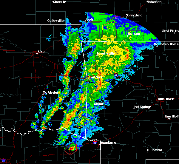 At 901 pm cst, a severe thunderstorm was located near broken bow, or 17 miles west of de queen, moving northeast at 45 mph (radar indicated). Hazards include 60 mph wind gusts and quarter size hail. Hail damage to vehicles is expected. expect wind damage to roofs, siding, and trees. locations impacted include, broken bow, hochatown and eagletown. A tornado watch remains in effect until 1100 pm cst for southwestern arkansas, and southeastern oklahoma. At 901 pm cst, a severe thunderstorm was located near broken bow, or 17 miles west of de queen, moving northeast at 45 mph (radar indicated). Hazards include 60 mph wind gusts and quarter size hail. Hail damage to vehicles is expected. expect wind damage to roofs, siding, and trees. locations impacted include, broken bow, hochatown and eagletown. A tornado watch remains in effect until 1100 pm cst for southwestern arkansas, and southeastern oklahoma.
|
| 1/21/2018 8:41 PM CST |
 At 841 pm cst, a severe thunderstorm was located over idabel, or 23 miles northeast of clarksville, moving northeast at 50 mph (radar indicated). Hazards include 60 mph wind gusts and quarter size hail. Hail damage to vehicles is expected. Expect wind damage to roofs, siding, and trees. At 841 pm cst, a severe thunderstorm was located over idabel, or 23 miles northeast of clarksville, moving northeast at 50 mph (radar indicated). Hazards include 60 mph wind gusts and quarter size hail. Hail damage to vehicles is expected. Expect wind damage to roofs, siding, and trees.
|
| 5/28/2017 1:07 AM CDT | Tree down blocking roadwa in mccurtain county OK, 1.7 miles NNE of Broken Bow, OK |
| 5/28/2017 12:31 AM CDT |
 At 1231 am cdt, a severe thunderstorm was located 10 miles east of nashoba, or 20 miles southeast of clayton, moving east at 55 mph (radar indicated). Hazards include 60 mph wind gusts and quarter size hail. Hail damage to vehicles is expected. Expect wind damage to roofs, siding, and trees. At 1231 am cdt, a severe thunderstorm was located 10 miles east of nashoba, or 20 miles southeast of clayton, moving east at 55 mph (radar indicated). Hazards include 60 mph wind gusts and quarter size hail. Hail damage to vehicles is expected. Expect wind damage to roofs, siding, and trees.
|
| 5/11/2017 4:56 PM CDT |
 At 456 pm cdt, a severe thunderstorm was located near idabel, or 23 miles northwest of foreman, moving northeast at 30 mph (radar indicated). Hazards include 60 mph wind gusts and quarter size hail. Hail damage to vehicles is expected. Expect wind damage to roofs, siding, and trees. At 456 pm cdt, a severe thunderstorm was located near idabel, or 23 miles northwest of foreman, moving northeast at 30 mph (radar indicated). Hazards include 60 mph wind gusts and quarter size hail. Hail damage to vehicles is expected. Expect wind damage to roofs, siding, and trees.
|
| 4/29/2017 9:05 PM CDT |
 The severe thunderstorm warning for south central mccurtain and eastern red river counties will expire at 915 pm cdt, the storm which prompted the warning has moved out of the area. therefore the warning will be allowed to expire. a tornado watch remains in effect until 1000 pm cdt for northeastern texas. The severe thunderstorm warning for south central mccurtain and eastern red river counties will expire at 915 pm cdt, the storm which prompted the warning has moved out of the area. therefore the warning will be allowed to expire. a tornado watch remains in effect until 1000 pm cdt for northeastern texas.
|
| 4/29/2017 9:03 PM CDT | Numerous large tree limbs down. a private weather station measured a 66 mph wind gust just northwest of eagletow in mccurtain county OK, 6.9 miles W of Broken Bow, OK |
| 4/29/2017 8:57 PM CDT |
 At 856 pm cdt, a severe thunderstorm was located 12 miles northeast of boxelder, moving northeast at 35 mph (radar indicated). Hazards include 60 mph wind gusts and nickel size hail. Expect damage to roofs, siding, and trees. locations impacted include, boxelder, idabel, avery, english, holly creek, lydia and bryarly. A tornado watch remains in effect until 1000 pm cdt for northeastern texas. At 856 pm cdt, a severe thunderstorm was located 12 miles northeast of boxelder, moving northeast at 35 mph (radar indicated). Hazards include 60 mph wind gusts and nickel size hail. Expect damage to roofs, siding, and trees. locations impacted include, boxelder, idabel, avery, english, holly creek, lydia and bryarly. A tornado watch remains in effect until 1000 pm cdt for northeastern texas.
|
| 4/29/2017 8:18 PM CDT |
 At 817 pm cdt, a severe thunderstorm was located over bogata, or 10 miles north of hagansport, moving northeast at 50 mph (radar indicated). Hazards include 60 mph wind gusts and nickel size hail. expect damage to roofs, siding, and trees At 817 pm cdt, a severe thunderstorm was located over bogata, or 10 miles north of hagansport, moving northeast at 50 mph (radar indicated). Hazards include 60 mph wind gusts and nickel size hail. expect damage to roofs, siding, and trees
|
| 4/29/2017 7:03 PM CDT | Numerous trees dow in mccurtain county OK, 6.9 miles W of Broken Bow, OK |
| 4/21/2017 10:18 PM CDT |
 At 1018 pm cdt, a severe thunderstorm was located 8 miles west of idabel, or 21 miles north of clarksville, moving east at 30 mph (radar indicated). Hazards include 60 mph wind gusts and quarter size hail. Hail damage to vehicles is expected. Expect wind damage to roofs, siding, and trees. At 1018 pm cdt, a severe thunderstorm was located 8 miles west of idabel, or 21 miles north of clarksville, moving east at 30 mph (radar indicated). Hazards include 60 mph wind gusts and quarter size hail. Hail damage to vehicles is expected. Expect wind damage to roofs, siding, and trees.
|
| 4/10/2017 8:36 PM CDT |
 The severe thunderstorm warning for central mccurtain county will expire at 845 pm cdt, the storm which prompted the warning has weakened below severe limits, and no longer poses an immediate threat to life or property. therefore the warning will be allowed to expire. however gusty winds are still possible with this thunderstorm. a severe thunderstorm watch remains in effect until 1100 pm cdt for southeastern oklahoma, and northeastern texas. to report severe weather, contact your nearest law enforcement agency. they will relay your report to the national weather service shreveport. The severe thunderstorm warning for central mccurtain county will expire at 845 pm cdt, the storm which prompted the warning has weakened below severe limits, and no longer poses an immediate threat to life or property. therefore the warning will be allowed to expire. however gusty winds are still possible with this thunderstorm. a severe thunderstorm watch remains in effect until 1100 pm cdt for southeastern oklahoma, and northeastern texas. to report severe weather, contact your nearest law enforcement agency. they will relay your report to the national weather service shreveport.
|
| 4/10/2017 8:19 PM CDT |
 At 819 pm cdt, a severe thunderstorm was located 7 miles northwest of idabel, or 24 miles north of clarksville, moving east at 30 mph (radar indicated). Hazards include 60 mph wind gusts and quarter size hail. Hail damage to vehicles is expected. expect wind damage to roofs, siding, and trees. Locations impacted include, idabel, broken bow, wright city, valliant, millerton, haworth, garvin, eagletown, farmers hill, hochatown, goodwater, shinewell, holly creek, glover, oak hill and golden. At 819 pm cdt, a severe thunderstorm was located 7 miles northwest of idabel, or 24 miles north of clarksville, moving east at 30 mph (radar indicated). Hazards include 60 mph wind gusts and quarter size hail. Hail damage to vehicles is expected. expect wind damage to roofs, siding, and trees. Locations impacted include, idabel, broken bow, wright city, valliant, millerton, haworth, garvin, eagletown, farmers hill, hochatown, goodwater, shinewell, holly creek, glover, oak hill and golden.
|
| 4/10/2017 8:04 PM CDT |
 At 803 pm cdt, a severe thunderstorm was located 8 miles northeast of manchester, or 22 miles north of clarksville, moving east at 40 mph (radar indicated). Hazards include 60 mph wind gusts and half dollar size hail. Hail damage to vehicles is expected. expect wind damage to roofs, siding, and trees. Locations impacted include, idabel, broken bow, manchester, wright city, valliant, millerton, haworth, garvin, eagletown, moon, hochatown, goodwater, shinewell, redland, kanawha, glover, america, kiomatia, oak hill and golden. At 803 pm cdt, a severe thunderstorm was located 8 miles northeast of manchester, or 22 miles north of clarksville, moving east at 40 mph (radar indicated). Hazards include 60 mph wind gusts and half dollar size hail. Hail damage to vehicles is expected. expect wind damage to roofs, siding, and trees. Locations impacted include, idabel, broken bow, manchester, wright city, valliant, millerton, haworth, garvin, eagletown, moon, hochatown, goodwater, shinewell, redland, kanawha, glover, america, kiomatia, oak hill and golden.
|
| 4/10/2017 7:39 PM CDT |
 At 738 pm cdt, a severe thunderstorm was located 9 miles west of manchester, or 16 miles southeast of hugo, moving east at 40 mph (radar indicated. at 734 pm cdt, golf ball size hail was reported 16 miles northeast of paris, tx). Hazards include golf ball size hail and 60 mph wind gusts. People and animals outdoors will be injured. expect hail damage to roofs, siding, windows, and vehicles. Expect wind damage to roofs, siding, and trees. At 738 pm cdt, a severe thunderstorm was located 9 miles west of manchester, or 16 miles southeast of hugo, moving east at 40 mph (radar indicated. at 734 pm cdt, golf ball size hail was reported 16 miles northeast of paris, tx). Hazards include golf ball size hail and 60 mph wind gusts. People and animals outdoors will be injured. expect hail damage to roofs, siding, windows, and vehicles. Expect wind damage to roofs, siding, and trees.
|
| 4/10/2017 3:10 PM CDT |
 At 309 pm cdt, a severe thunderstorm was located near manchester, or 18 miles northwest of clarksville, moving northeast at 30 mph (radar indicated). Hazards include 60 mph wind gusts and quarter size hail. Hail damage to vehicles is expected. Expect wind damage to roofs, siding, and trees. At 309 pm cdt, a severe thunderstorm was located near manchester, or 18 miles northwest of clarksville, moving northeast at 30 mph (radar indicated). Hazards include 60 mph wind gusts and quarter size hail. Hail damage to vehicles is expected. Expect wind damage to roofs, siding, and trees.
|
| 4/4/2017 9:19 PM CDT |
 At 919 pm cdt, a severe thunderstorm was located near manchester, or 13 miles northwest of clarksville, moving northeast at 50 mph (radar indicated). Hazards include 60 mph wind gusts and quarter size hail. Hail damage to vehicles is expected. expect wind damage to roofs, siding, and trees. Locations impacted include, idabel, broken bow, bagwell, manchester, wright city, valliant, detroit, millerton, haworth, garvin, farmers hill, negley, woodland, redland, silver city, kanawha, holly creek, glover, kiomatia and albion. At 919 pm cdt, a severe thunderstorm was located near manchester, or 13 miles northwest of clarksville, moving northeast at 50 mph (radar indicated). Hazards include 60 mph wind gusts and quarter size hail. Hail damage to vehicles is expected. expect wind damage to roofs, siding, and trees. Locations impacted include, idabel, broken bow, bagwell, manchester, wright city, valliant, detroit, millerton, haworth, garvin, farmers hill, negley, woodland, redland, silver city, kanawha, holly creek, glover, kiomatia and albion.
|
| 4/4/2017 9:10 PM CDT |
 At 909 pm cdt, a severe thunderstorm was located near blossom, or 13 miles east of paris, moving northeast at 50 mph (radar indicated). Hazards include 60 mph wind gusts and quarter size hail. Hail damage to vehicles is expected. Expect wind damage to roofs, siding, and trees. At 909 pm cdt, a severe thunderstorm was located near blossom, or 13 miles east of paris, moving northeast at 50 mph (radar indicated). Hazards include 60 mph wind gusts and quarter size hail. Hail damage to vehicles is expected. Expect wind damage to roofs, siding, and trees.
|
| 4/4/2017 9:02 PM CDT |
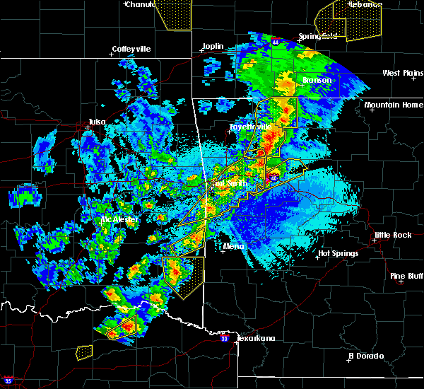 At 902 pm cdt, a severe thunderstorm was located 15 miles south of octavia, or 29 miles northwest of de queen, moving northeast at 55 mph (radar indicated). Hazards include 60 mph wind gusts and quarter size hail. Hail damage to vehicles is expected. Expect wind damage to roofs, siding, and trees. At 902 pm cdt, a severe thunderstorm was located 15 miles south of octavia, or 29 miles northwest of de queen, moving northeast at 55 mph (radar indicated). Hazards include 60 mph wind gusts and quarter size hail. Hail damage to vehicles is expected. Expect wind damage to roofs, siding, and trees.
|
| 4/4/2017 8:42 PM CDT |
 At 841 pm cdt, a severe thunderstorm was located 17 miles northwest of broken bow, or 30 miles east of hugo, moving northeast at 45 mph (radar indicated). Hazards include ping pong ball size hail and 60 mph wind gusts. People and animals outdoors will be injured. expect hail damage to roofs, siding, windows, and vehicles. expect wind damage to roofs, siding, and trees. Locations impacted include, broken bow, wright city, valliant, millerton, plunketville, rufe, smithville, hochatown, watson, battiest, mount herman, sherwood, glover, slim, bethel, oak hill, ringold and golden. At 841 pm cdt, a severe thunderstorm was located 17 miles northwest of broken bow, or 30 miles east of hugo, moving northeast at 45 mph (radar indicated). Hazards include ping pong ball size hail and 60 mph wind gusts. People and animals outdoors will be injured. expect hail damage to roofs, siding, windows, and vehicles. expect wind damage to roofs, siding, and trees. Locations impacted include, broken bow, wright city, valliant, millerton, plunketville, rufe, smithville, hochatown, watson, battiest, mount herman, sherwood, glover, slim, bethel, oak hill, ringold and golden.
|
| 4/4/2017 8:22 PM CDT |
 At 821 pm cdt, a severe thunderstorm was located near fort towson, or 19 miles east of hugo, moving northeast at 55 mph (radar indicated). Hazards include ping pong ball size hail and 60 mph wind gusts. People and animals outdoors will be injured. expect hail damage to roofs, siding, windows, and vehicles. Expect wind damage to roofs, siding, and trees. At 821 pm cdt, a severe thunderstorm was located near fort towson, or 19 miles east of hugo, moving northeast at 55 mph (radar indicated). Hazards include ping pong ball size hail and 60 mph wind gusts. People and animals outdoors will be injured. expect hail damage to roofs, siding, windows, and vehicles. Expect wind damage to roofs, siding, and trees.
|
| 3/27/2017 12:37 AM CDT |
 At 1236 am cdt, a severe thunderstorm was located 8 miles northwest of arkinda, or 14 miles southwest of horatio, moving northeast at 50 mph (radar indicated). Hazards include 60 mph wind gusts and quarter size hail. Hail damage to vehicles is expected. Expect wind damage to roofs, siding, and trees. At 1236 am cdt, a severe thunderstorm was located 8 miles northwest of arkinda, or 14 miles southwest of horatio, moving northeast at 50 mph (radar indicated). Hazards include 60 mph wind gusts and quarter size hail. Hail damage to vehicles is expected. Expect wind damage to roofs, siding, and trees.
|
| 3/27/2017 12:19 AM CDT |
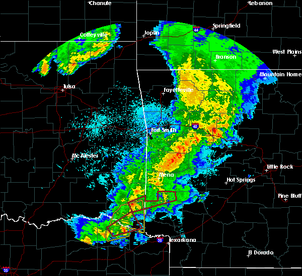 At 1219 am cdt, a severe thunderstorm capable of producing a tornado was located 7 miles northeast of broken bow, or 17 miles west of de queen, moving east at 45 mph (radar indicated rotation). Hazards include tornado. Flying debris will be dangerous to those caught without shelter. mobile homes will be damaged or destroyed. damage to roofs, windows, and vehicles will occur. tree damage is likely. this dangerous storm will be near, gillham around 1245 am cdt. umpire and athens around 100 am cdt. Other locations impacted by this tornadic thunderstorm include hochatown, eagletown and burg. At 1219 am cdt, a severe thunderstorm capable of producing a tornado was located 7 miles northeast of broken bow, or 17 miles west of de queen, moving east at 45 mph (radar indicated rotation). Hazards include tornado. Flying debris will be dangerous to those caught without shelter. mobile homes will be damaged or destroyed. damage to roofs, windows, and vehicles will occur. tree damage is likely. this dangerous storm will be near, gillham around 1245 am cdt. umpire and athens around 100 am cdt. Other locations impacted by this tornadic thunderstorm include hochatown, eagletown and burg.
|
| 3/27/2017 12:17 AM CDT |
 At 1217 am cdt, a severe thunderstorm capable of producing a tornado was located near clarksville, moving northeast at 55 mph (radar indicated rotation). Hazards include tornado and quarter size hail. Flying debris will be dangerous to those caught without shelter. mobile homes will be damaged or destroyed. damage to roofs, windows, and vehicles will occur. tree damage is likely. this dangerous storm will be near, idabel around 1235 am cdt. Other locations impacted by this tornadic thunderstorm include english, haworth, tom, goodlake, negley, harris and bryarly. At 1217 am cdt, a severe thunderstorm capable of producing a tornado was located near clarksville, moving northeast at 55 mph (radar indicated rotation). Hazards include tornado and quarter size hail. Flying debris will be dangerous to those caught without shelter. mobile homes will be damaged or destroyed. damage to roofs, windows, and vehicles will occur. tree damage is likely. this dangerous storm will be near, idabel around 1235 am cdt. Other locations impacted by this tornadic thunderstorm include english, haworth, tom, goodlake, negley, harris and bryarly.
|
| 3/27/2017 12:15 AM CDT |
 At 1214 am cdt, a severe thunderstorm was located 8 miles northeast of clarksville, moving east at 50 mph (radar indicated). Hazards include 60 mph wind gusts and penny size hail. Expect damage to roofs, siding, and trees. Locations impacted include, clarksville, idabel, broken bow, avery, millerton, annona, haworth, garvin, eagletown, moon, cerrogordo, goodwater, shinewell, glover, america, oak hill, golden, bokhoma, farmers hill and negley. At 1214 am cdt, a severe thunderstorm was located 8 miles northeast of clarksville, moving east at 50 mph (radar indicated). Hazards include 60 mph wind gusts and penny size hail. Expect damage to roofs, siding, and trees. Locations impacted include, clarksville, idabel, broken bow, avery, millerton, annona, haworth, garvin, eagletown, moon, cerrogordo, goodwater, shinewell, glover, america, oak hill, golden, bokhoma, farmers hill and negley.
|
| 3/26/2017 11:31 PM CDT |
 At 1131 pm cdt, a severe thunderstorm was located near blossom, or 14 miles east of paris, moving east at 30 mph (radar indicated). Hazards include 60 mph wind gusts and quarter size hail. Hail damage to vehicles is expected. Expect wind damage to roofs, siding, and trees. At 1131 pm cdt, a severe thunderstorm was located near blossom, or 14 miles east of paris, moving east at 30 mph (radar indicated). Hazards include 60 mph wind gusts and quarter size hail. Hail damage to vehicles is expected. Expect wind damage to roofs, siding, and trees.
|
| 9/17/2016 10:15 PM CDT |
 At 1014 pm cdt, a severe thunderstorm was located 7 miles south of idabel, or 18 miles northeast of clarksville, moving southeast at 35 mph (law enforcement). Hazards include 60 mph wind gusts and pea size hail. Expect damage to roofs. siding. and trees. Locations impacted include, idabel, haworth, bokhoma and harris. At 1014 pm cdt, a severe thunderstorm was located 7 miles south of idabel, or 18 miles northeast of clarksville, moving southeast at 35 mph (law enforcement). Hazards include 60 mph wind gusts and pea size hail. Expect damage to roofs. siding. and trees. Locations impacted include, idabel, haworth, bokhoma and harris.
|
| 9/17/2016 9:50 PM CDT |
 At 949 pm cdt, a severe thunderstorm was located 9 miles northwest of idabel, or 24 miles north of clarksville, moving southeast at 35 mph (radar indicated). Hazards include 60 mph wind gusts and penny size hail. Expect damage to roofs. siding. And trees. At 949 pm cdt, a severe thunderstorm was located 9 miles northwest of idabel, or 24 miles north of clarksville, moving southeast at 35 mph (radar indicated). Hazards include 60 mph wind gusts and penny size hail. Expect damage to roofs. siding. And trees.
|
| 9/17/2016 9:04 PM CDT |
 At 903 pm cdt, a severe thunderstorm was located 8 miles southeast of cloudy, or 23 miles northeast of hugo, moving southeast at 35 mph (radar indicated). Hazards include 60 mph wind gusts and penny size hail. Expect damage to roofs. siding. And trees. At 903 pm cdt, a severe thunderstorm was located 8 miles southeast of cloudy, or 23 miles northeast of hugo, moving southeast at 35 mph (radar indicated). Hazards include 60 mph wind gusts and penny size hail. Expect damage to roofs. siding. And trees.
|
| 8/9/2016 5:25 PM CDT | Tree down across golden glover road just north of the golden communit in mccurtain county OK, 9.3 miles E of Broken Bow, OK |
| 8/9/2016 5:22 PM CDT |
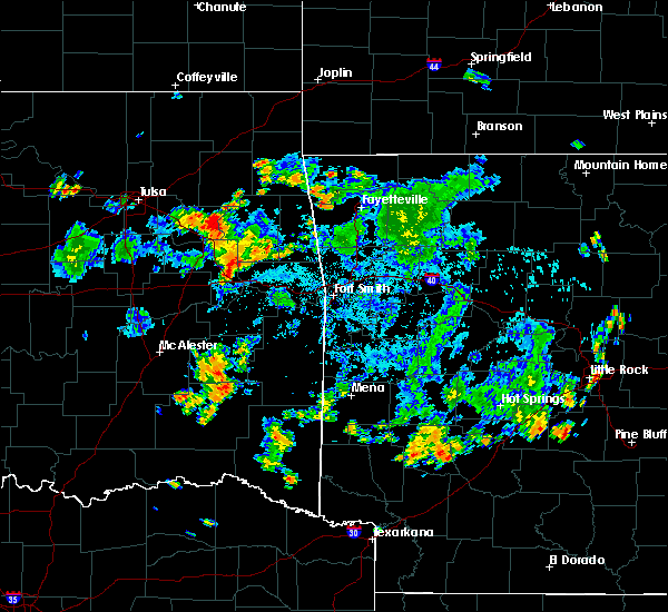 At 522 pm cdt, a severe thunderstorm was located 15 miles north of broken bow, or 3 miles north of hochatown, moving north at 15 mph (radar indicated). Hazards include 60 mph wind gusts and penny size hail. Expect damage to roofs. siding. And trees. At 522 pm cdt, a severe thunderstorm was located 15 miles north of broken bow, or 3 miles north of hochatown, moving north at 15 mph (radar indicated). Hazards include 60 mph wind gusts and penny size hail. Expect damage to roofs. siding. And trees.
|
| 7/14/2016 3:51 PM CDT |
 At 351 pm cdt, a severe thunderstorm was located 7 miles south of octavia, or near smithville, moving east at 40 mph (radar indicated). Hazards include 60 mph wind gusts and quarter size hail. Hail damage to vehicles is expected. Expect wind damage to roofs, siding, and trees. At 351 pm cdt, a severe thunderstorm was located 7 miles south of octavia, or near smithville, moving east at 40 mph (radar indicated). Hazards include 60 mph wind gusts and quarter size hail. Hail damage to vehicles is expected. Expect wind damage to roofs, siding, and trees.
|
| 5/9/2016 8:08 PM CDT |
 At 806 pm cdt, a severe thunderstorm was located near manchester, or 12 miles north of clarksville, moving east at 25 mph (radar indicated). Hazards include 60 mph wind gusts and half dollar size hail. Hail damage to vehicles is expected. expect wind damage to roofs, siding, and trees. locations impacted include, idabel, manchester, negley, silver city, bryarly, albion and farmers hill. A tornado watch remains in effect until 200 am cdt for southeastern oklahoma, and northeastern texas. At 806 pm cdt, a severe thunderstorm was located near manchester, or 12 miles north of clarksville, moving east at 25 mph (radar indicated). Hazards include 60 mph wind gusts and half dollar size hail. Hail damage to vehicles is expected. expect wind damage to roofs, siding, and trees. locations impacted include, idabel, manchester, negley, silver city, bryarly, albion and farmers hill. A tornado watch remains in effect until 200 am cdt for southeastern oklahoma, and northeastern texas.
|
| 5/9/2016 7:59 PM CDT |
 At 758 pm cdt, a severe thunderstorm was located near manchester, or 14 miles north of clarksville, moving east at 25 mph (radar indicated). Hazards include 60 mph wind gusts and half dollar size hail. Hail damage to vehicles is expected. Expect wind damage to roofs, siding, and trees. At 758 pm cdt, a severe thunderstorm was located near manchester, or 14 miles north of clarksville, moving east at 25 mph (radar indicated). Hazards include 60 mph wind gusts and half dollar size hail. Hail damage to vehicles is expected. Expect wind damage to roofs, siding, and trees.
|
| 5/9/2016 7:38 PM CDT |
 At 736 pm cdt, a severe thunderstorm was located between frogville and detriot, moving east at 25 mph (radar indicated). Hazards include 60 mph wind gusts and quarter size hail. Hail damage to vehicles is expected. expect wind damage to roofs, siding, and trees. locations impacted include, idabel, broken bow, bagwell, manchester, valliant, detroit, millerton, haworth, garvin, kiomatia, woodland, negley, oak hill, holly creek, harris, golden, bryarly, albion, farmers hill and kanawha. A tornado watch remains in effect until 200 am cdt for southeastern oklahoma, and northeastern texas. At 736 pm cdt, a severe thunderstorm was located between frogville and detriot, moving east at 25 mph (radar indicated). Hazards include 60 mph wind gusts and quarter size hail. Hail damage to vehicles is expected. expect wind damage to roofs, siding, and trees. locations impacted include, idabel, broken bow, bagwell, manchester, valliant, detroit, millerton, haworth, garvin, kiomatia, woodland, negley, oak hill, holly creek, harris, golden, bryarly, albion, farmers hill and kanawha. A tornado watch remains in effect until 200 am cdt for southeastern oklahoma, and northeastern texas.
|
| 5/9/2016 6:59 PM CDT |
 At 658 pm cdt, a severe thunderstorm was located 9 miles north of blossom, or 11 miles northeast of paris, moving east at 35 mph (radar indicated). Hazards include golf ball size hail and 70 mph wind gusts. People and animals outdoors will be injured. expect hail damage to roofs, siding, windows, and vehicles. expect considerable tree damage. Wind damage is also likely to mobile homes, roofs, and outbuildings. At 658 pm cdt, a severe thunderstorm was located 9 miles north of blossom, or 11 miles northeast of paris, moving east at 35 mph (radar indicated). Hazards include golf ball size hail and 70 mph wind gusts. People and animals outdoors will be injured. expect hail damage to roofs, siding, windows, and vehicles. expect considerable tree damage. Wind damage is also likely to mobile homes, roofs, and outbuildings.
|
| 4/29/2016 8:40 AM CDT |
 At 839 am cdt, a severe thunderstorm was located 5 miles northeast of broken bow, or 15 miles west of de queen, moving northeast at 60 mph (radar indicated). Hazards include 60 mph wind gusts and quarter size hail. Hail damage to vehicles is expected. Expect wind damage to roofs, siding, and trees. At 839 am cdt, a severe thunderstorm was located 5 miles northeast of broken bow, or 15 miles west of de queen, moving northeast at 60 mph (radar indicated). Hazards include 60 mph wind gusts and quarter size hail. Hail damage to vehicles is expected. Expect wind damage to roofs, siding, and trees.
|
| 4/27/2016 12:25 AM CDT | Trees reported down on stevens gap road in mccurtain county OK, 10.9 miles SSW of Broken Bow, OK |
| 4/27/2016 12:18 AM CDT |
 At 1218 am cdt, severe thunderstorms were located along a line extending from 13 miles west of octavia to 8 miles northwest of broken bow to 10 miles northeast of clarksville, moving east northeast at 45 mph (radar indicated). Hazards include 60 mph wind gusts. Expect damage to roofs. siding. and trees. Locations impacted include, idabel, broken bow, manchester, wright city, valliant, millerton, haworth, garvin, negley, oak hill, holly creek, golden, bethel, pickens, sherwood, bryarly, eagletown, hochatown, glover and redland. At 1218 am cdt, severe thunderstorms were located along a line extending from 13 miles west of octavia to 8 miles northwest of broken bow to 10 miles northeast of clarksville, moving east northeast at 45 mph (radar indicated). Hazards include 60 mph wind gusts. Expect damage to roofs. siding. and trees. Locations impacted include, idabel, broken bow, manchester, wright city, valliant, millerton, haworth, garvin, negley, oak hill, holly creek, golden, bethel, pickens, sherwood, bryarly, eagletown, hochatown, glover and redland.
|
| 4/26/2016 11:38 PM CDT |
 At 1136 pm cdt, a severe thunderstorm was located over fort towson, or 16 miles east of hugo, moving east at 55 mph (radar indicated). Hazards include 60 mph wind gusts and penny size hail. Expect damage to roofs. siding. And trees. At 1136 pm cdt, a severe thunderstorm was located over fort towson, or 16 miles east of hugo, moving east at 55 mph (radar indicated). Hazards include 60 mph wind gusts and penny size hail. Expect damage to roofs. siding. And trees.
|
| 4/11/2016 4:44 PM CDT |
 At 443 pm cdt, a severe thunderstorm was located near idabel, or 20 miles northeast of clarksville, moving east at 45 mph (radar indicated). Hazards include 60 mph wind gusts and quarter size hail. Hail damage to vehicles is expected. Expect wind damage to roofs, siding, and trees. At 443 pm cdt, a severe thunderstorm was located near idabel, or 20 miles northeast of clarksville, moving east at 45 mph (radar indicated). Hazards include 60 mph wind gusts and quarter size hail. Hail damage to vehicles is expected. Expect wind damage to roofs, siding, and trees.
|
| 3/13/2016 5:29 PM CDT |
 The national weather service in shreveport has issued a * severe thunderstorm warning for. northwestern howard county in southwestern arkansas. northwestern sevier county in southwestern arkansas. east central mccurtain county in southeastern oklahoma. Until 615 pm cdt. The national weather service in shreveport has issued a * severe thunderstorm warning for. northwestern howard county in southwestern arkansas. northwestern sevier county in southwestern arkansas. east central mccurtain county in southeastern oklahoma. Until 615 pm cdt.
|
| 3/13/2016 5:29 PM CDT |
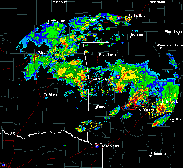 At 529 pm cdt, a severe thunderstorm was located near broken bow, or 20 miles west of horatio, moving northeast at 40 mph (radar indicated). Hazards include half dollar size hail. damage to vehicles is expected At 529 pm cdt, a severe thunderstorm was located near broken bow, or 20 miles west of horatio, moving northeast at 40 mph (radar indicated). Hazards include half dollar size hail. damage to vehicles is expected
|
| 12/23/2015 6:47 AM CST | Several trees and power lines down in broken bo in mccurtain county OK, 2.3 miles N of Broken Bow, OK |
| 12/23/2015 6:43 AM CST | Trees down on houses and on vehicles on sylvie road. power lines down as wel in mccurtain county OK, 1.6 miles N of Broken Bow, OK |
| 12/23/2015 6:37 AM CST | At 637 am cst, a severe thunderstorm was located just southwest of idabel, or 26 miles northeast of clarksville, moving northeast at 55 mph. other strong thunderstorms were near the mccurtain and sevier county line, or 5 miles west of dequeen, also moving northeast at 55 mph (radar indicated). Hazards include 60 mph wind gusts and quarter size hail. Hail damage to vehicles is expected. Expect wind damage to roofs, siding, and trees. |
| 12/23/2015 6:37 AM CST | At 637 am cst, a severe thunderstorm was located just southwest of idabel, or 26 miles northeast of clarksville, moving northeast at 55 mph. other strong thunderstorms were near the mccurtain and sevier county line, or 5 miles west of dequeen, also moving northeast at 55 mph (radar indicated). Hazards include 60 mph wind gusts and quarter size hail. Hail damage to vehicles is expected. Expect wind damage to roofs, siding, and trees. |
| 12/23/2015 5:56 AM CST |
 At 556 am cst, severe thunderstorms were located along a line extending from 13 miles south of octavia to 18 miles west of grannis to near broken bow to near idabel to near bagwell, moving east northeast at 45 mph (radar indicated). Hazards include 60 mph wind gusts and quarter size hail. Hail damage to vehicles is expected. expect wind damage to roofs, siding, and trees. locations impacted include, idabel, broken bow, bagwell, manchester, wright city, valliant, detroit, millerton, haworth, garvin, kiomatia, negley, oak hill, holly creek, shinewell, golden, bryarly, eagletown, plunketville and hochatown. A tornado watch remains in effect until 700 am cst for southeastern oklahoma and northeastern texas. At 556 am cst, severe thunderstorms were located along a line extending from 13 miles south of octavia to 18 miles west of grannis to near broken bow to near idabel to near bagwell, moving east northeast at 45 mph (radar indicated). Hazards include 60 mph wind gusts and quarter size hail. Hail damage to vehicles is expected. expect wind damage to roofs, siding, and trees. locations impacted include, idabel, broken bow, bagwell, manchester, wright city, valliant, detroit, millerton, haworth, garvin, kiomatia, negley, oak hill, holly creek, shinewell, golden, bryarly, eagletown, plunketville and hochatown. A tornado watch remains in effect until 700 am cst for southeastern oklahoma and northeastern texas.
|
| 12/23/2015 5:13 AM CST |
 At 513 am cst, a severe thunderstorm was located near raymond gary state park, or 12 miles southeast of hugo, moving northeast at 60 mph. another severe thunderstorm was indicated 10 miles west of paris, also moving northeast at 60 mph. this storm will affect northern and western red river county after 530 am (radar indicated). Hazards include 60 mph wind gusts and half dollar size hail. Hail damage to vehicles is expected. Expect wind damage to roofs, siding, and trees. At 513 am cst, a severe thunderstorm was located near raymond gary state park, or 12 miles southeast of hugo, moving northeast at 60 mph. another severe thunderstorm was indicated 10 miles west of paris, also moving northeast at 60 mph. this storm will affect northern and western red river county after 530 am (radar indicated). Hazards include 60 mph wind gusts and half dollar size hail. Hail damage to vehicles is expected. Expect wind damage to roofs, siding, and trees.
|
| 12/12/2015 8:47 PM CST |
 At 846 pm cst, severe thunderstorms were located along a line extending from octavia to near broken bow, moving northeast at 30 mph (radar indicated). Hazards include 60 mph wind gusts. Expect damage to roofs. siding. and trees. Locations impacted include, watson, bethel, sherwood, mount herman and smithville. At 846 pm cst, severe thunderstorms were located along a line extending from octavia to near broken bow, moving northeast at 30 mph (radar indicated). Hazards include 60 mph wind gusts. Expect damage to roofs. siding. and trees. Locations impacted include, watson, bethel, sherwood, mount herman and smithville.
|
| 12/12/2015 8:26 PM CST |
 At 825 pm cst, a severe thunderstorm was located 12 miles north of broken bow, or 28 miles west of de queen, moving northeast at 40 mph (radar indicated). Hazards include 60 mph wind gusts. Expect damage to roofs. siding. and trees. Locations impacted include, broken bow, oak hill, plunketville, hochatown, golden, watson and glover. At 825 pm cst, a severe thunderstorm was located 12 miles north of broken bow, or 28 miles west of de queen, moving northeast at 40 mph (radar indicated). Hazards include 60 mph wind gusts. Expect damage to roofs. siding. and trees. Locations impacted include, broken bow, oak hill, plunketville, hochatown, golden, watson and glover.
|
| 12/12/2015 8:21 PM CST |
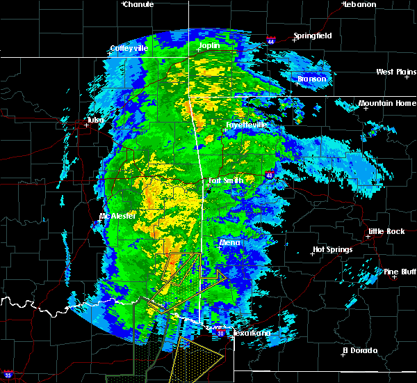 At 821 pm cst, a severe thunderstorm was located 13 miles north of broken bow, or 29 miles northwest of de queen, moving northeast at 40 mph (radar indicated). Hazards include 60 mph wind gusts. Expect damage to roofs. siding. And trees. At 821 pm cst, a severe thunderstorm was located 13 miles north of broken bow, or 29 miles northwest of de queen, moving northeast at 40 mph (radar indicated). Hazards include 60 mph wind gusts. Expect damage to roofs. siding. And trees.
|
| 12/12/2015 7:51 PM CST |
 At 750 pm cst, a severe thunderstorm was located 8 miles west of idabel, or 18 miles north of clarksville, moving northeast at 45 mph (radar indicated). Hazards include 60 mph wind gusts. Expect damage to roofs. siding. And trees. At 750 pm cst, a severe thunderstorm was located 8 miles west of idabel, or 18 miles north of clarksville, moving northeast at 45 mph (radar indicated). Hazards include 60 mph wind gusts. Expect damage to roofs. siding. And trees.
|
| 11/5/2015 8:02 PM CST |
 At 801 pm cst, a severe thunderstorm was located near raymond gary state park, or 19 miles east of hugo, moving northeast at 60 mph (radar indicated). Hazards include 60 mph wind gusts and nickel size hail. Expect damage to roofs. Siding and trees. At 801 pm cst, a severe thunderstorm was located near raymond gary state park, or 19 miles east of hugo, moving northeast at 60 mph (radar indicated). Hazards include 60 mph wind gusts and nickel size hail. Expect damage to roofs. Siding and trees.
|
| 7/4/2015 5:34 AM CDT |
 At 533 am cdt, a severe thunderstorm was located 11 miles west of de queen, moving east at 25 mph (radar indicated). Hazards include 60 mph wind gusts and quarter size hail. Hail damage to vehicles is expected. Expect wind damage to roofs, siding and trees. At 533 am cdt, a severe thunderstorm was located 11 miles west of de queen, moving east at 25 mph (radar indicated). Hazards include 60 mph wind gusts and quarter size hail. Hail damage to vehicles is expected. Expect wind damage to roofs, siding and trees.
|
| 7/4/2015 5:34 AM CDT |
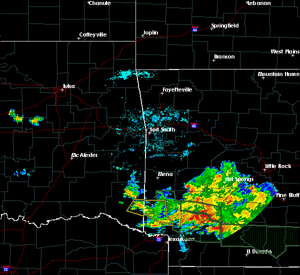 At 533 am cdt, a severe thunderstorm was located 11 miles west of de queen, moving east at 25 mph (radar indicated). Hazards include 60 mph wind gusts and quarter size hail. Hail damage to vehicles is expected. Expect wind damage to roofs, siding and trees. At 533 am cdt, a severe thunderstorm was located 11 miles west of de queen, moving east at 25 mph (radar indicated). Hazards include 60 mph wind gusts and quarter size hail. Hail damage to vehicles is expected. Expect wind damage to roofs, siding and trees.
|
| 6/26/2015 10:29 PM CDT | At 1028 pm cdt, severe thunderstorms were located along a line extending from 7 miles northwest of broken bow to 9 miles east of manchester, moving southeast at 25 mph (radar indicated). Hazards include 60 mph wind gusts and quarter size hail. Hail damage to vehicles is expected. expect wind damage to roofs, siding and trees. Locations impacted include, idabel, broken bow, wright city, valliant, millerton, haworth, garvin, oak hill, slim, holly creek, harris, golden, farmers hill and glover. |
| 6/26/2015 9:56 PM CDT | At 955 pm cdt, severe thunderstorms were located along a line extending from 10 miles southeast of cloudy to near manchester, moving east at 15 mph (radar indicated). Hazards include 60 mph wind gusts and quarter size hail. Hail damage to vehicles is expected. Expect wind damage to roofs, siding and trees. |
| 6/21/2015 5:50 PM CDT |
 At 550 pm cdt, severe thunderstorms were located along a line extending from 6 miles west of broken bow to 7 miles northwest of arkinda to 6 miles west of de kalb, moving northeast at 25 mph (radar indicated). Hazards include 60 mph wind gusts. Expect damage to roofs. siding and trees. Locations impacted include, boxelder, idabel, broken bow, avery, haworth, garvin, cerrogordo, bokhoma, moon, oak hill, tom, holly creek, harris, shinewell, golden, goodwater, eagletown, america, almont and glover. At 550 pm cdt, severe thunderstorms were located along a line extending from 6 miles west of broken bow to 7 miles northwest of arkinda to 6 miles west of de kalb, moving northeast at 25 mph (radar indicated). Hazards include 60 mph wind gusts. Expect damage to roofs. siding and trees. Locations impacted include, boxelder, idabel, broken bow, avery, haworth, garvin, cerrogordo, bokhoma, moon, oak hill, tom, holly creek, harris, shinewell, golden, goodwater, eagletown, america, almont and glover.
|
| 6/21/2015 5:30 PM CDT |
 At 530 pm cdt, severe thunderstorms were located along a line extending from 9 miles northeast of manchester to 7 miles southeast of idabel to 6 miles east of boxelder, moving northeast at 25 mph (radar indicated). Hazards include 60 mph wind gusts. Expect damage to roofs. siding and trees. Locations impacted include, clarksville, boxelder, idabel, broken bow, wright city, avery, millerton, annona, haworth, garvin, negley, oak hill, holly creek, shinewell, golden, bryarly, eagletown, glover, goodlake and cerrogordo. At 530 pm cdt, severe thunderstorms were located along a line extending from 9 miles northeast of manchester to 7 miles southeast of idabel to 6 miles east of boxelder, moving northeast at 25 mph (radar indicated). Hazards include 60 mph wind gusts. Expect damage to roofs. siding and trees. Locations impacted include, clarksville, boxelder, idabel, broken bow, wright city, avery, millerton, annona, haworth, garvin, negley, oak hill, holly creek, shinewell, golden, bryarly, eagletown, glover, goodlake and cerrogordo.
|
| 6/21/2015 4:53 PM CDT |
 At 453 pm cdt, severe thunderstorms were located along a line extending from near bagwell to 7 miles northeast of clarksville to 7 miles northwest of de kalb, moving northeast at 20 mph (radar indicated). Hazards include 60 mph wind gusts. Expect damage to roofs. Siding and trees. At 453 pm cdt, severe thunderstorms were located along a line extending from near bagwell to 7 miles northeast of clarksville to 7 miles northwest of de kalb, moving northeast at 20 mph (radar indicated). Hazards include 60 mph wind gusts. Expect damage to roofs. Siding and trees.
|
| 6/17/2015 3:00 PM CDT |
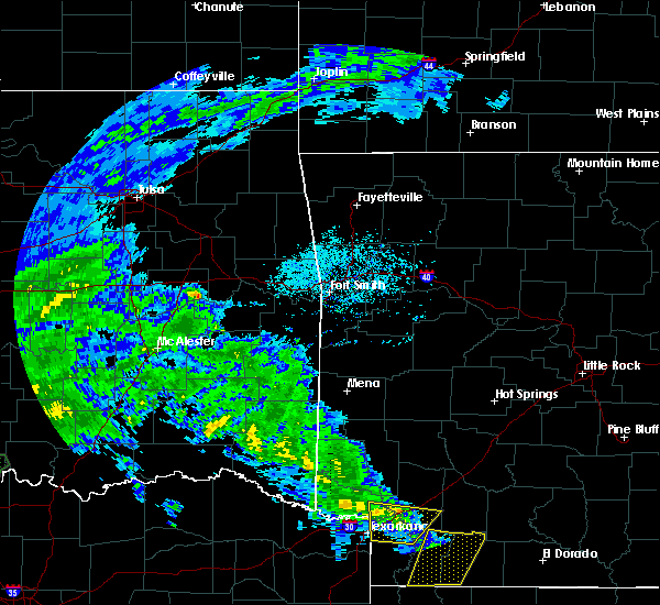 At 259 pm cdt, a severe thunderstorm was located 10 miles east of broken bow, or 11 miles west of de queen, moving north at 35 mph (radar indicated). Hazards include 60 mph wind gusts. Expect damage to roofs. Siding and trees. At 259 pm cdt, a severe thunderstorm was located 10 miles east of broken bow, or 11 miles west of de queen, moving north at 35 mph (radar indicated). Hazards include 60 mph wind gusts. Expect damage to roofs. Siding and trees.
|
| 5/30/2015 5:29 PM CDT | At 529 pm cdt, severe thunderstorms were located along a line extending from 12 miles north of broken bow to 8 miles northwest of idabel, moving east at 25 mph (radar indicated). Hazards include 60 mph wind gusts and quarter size hail. Hail damage to vehicles is expected. Expect wind damage to roofs, siding and trees. |
| 5/28/2015 10:26 AM CDT | At 1025 am cdt, a severe thunderstorm was located 12 miles northwest of broken bow, or 30 miles west of de queen, moving east at 40 mph (radar indicated). Hazards include 60 mph wind gusts and penny size hail. Expect damage to roofs. Siding and trees. |
| 5/25/2015 5:42 PM CDT | At 541 pm cdt, severe thunderstorms were located along a line extending from 6 miles west of hatfield to near horatio to 6 miles southwest of arkinda, moving east at 60 mph (radar indicated). Hazards include 60 mph wind gusts and quarter size hail. Hail damage to vehicles is expected. Expect wind damage to roofs, siding and trees. |
| 5/25/2015 5:42 PM CDT | At 541 pm cdt, severe thunderstorms were located along a line extending from 6 miles west of hatfield to near horatio to 6 miles southwest of arkinda, moving east at 60 mph (radar indicated). Hazards include 60 mph wind gusts and quarter size hail. Hail damage to vehicles is expected. Expect wind damage to roofs, siding and trees. |
| 5/25/2015 5:42 PM CDT | At 541 pm cdt, severe thunderstorms were located along a line extending from 6 miles west of hatfield to near horatio to 6 miles southwest of arkinda, moving east at 60 mph (radar indicated). Hazards include 60 mph wind gusts and quarter size hail. Hail damage to vehicles is expected. Expect wind damage to roofs, siding and trees. |
| 5/25/2015 5:30 PM CDT | At 530 pm cdt, severe thunderstorms were located along a line extending from near octavia to 8 miles north of broken bow to near idabel, moving northeast at 40 mph (radar indicated). Hazards include 60 mph wind gusts and quarter size hail. Hail damage to vehicles is expected. expect wind damage to roofs, siding and trees. locations impacted include, idabel, broken bow, millerton, haworth, garvin, cerrogordo, oak hill, holly creek, shinewell, golden, bethel, goodwater, sherwood, eagletown, farmers hill, smithville, mount herman, plunketville, hochatown and watson. A tornado watch remains in effect until 1000 pm cdt for southeastern oklahoma and northeastern texas. |
| 5/25/2015 5:08 PM CDT | At 508 pm cdt, severe thunderstorms were located along a line extending from 13 miles west of octavia to 9 miles west of broken bow to 7 miles southwest of idabel, moving northeast at 55 mph (radar indicated). Hazards include 60 mph wind gusts and quarter size hail. Hail damage to vehicles is expected. Expect wind damage to roofs, siding and trees. |
| 5/14/2015 8:47 PM CDT | At 840 pm cdt, a severe thunderstorm was located just northeast of eagletown, moving north northeast at 25 mph (radar indicated). Hazards include 60 mph wind gusts and nickel size hail. Expect damage to roofs. siding and trees. this severe thunderstorm will remain over mainly rural areas of northwestern sevier and east central mccurtain counties, including the following locations, eagletown, west line and hochatown. a slight decrease in intensity was indicated and should continue with a decreasing trend. 0. 88in. |
| 5/14/2015 8:47 PM CDT | At 840 pm cdt, a severe thunderstorm was located just northeast of eagletown, moving north northeast at 25 mph (radar indicated). Hazards include 60 mph wind gusts and nickel size hail. Expect damage to roofs. siding and trees. this severe thunderstorm will remain over mainly rural areas of northwestern sevier and east central mccurtain counties, including the following locations, eagletown, west line and hochatown. a slight decrease in intensity was indicated and should continue with a decreasing trend. 0. 88in. |
| 5/14/2015 8:02 PM CDT | At 759 pm cdt, a severe thunderstorm was located over idabel, or 25 miles west of horatio, moving north northeast at 20 mph. another severe thunderstorm was located just north of eagletown and also moving north northeast at 20 mph (trained weather spotters). Hazards include quarter size hail. Damage to vehicles is expected. this severe thunderstorm will be near, broken bow around 835 pm cdt. northwest parts of sevier county. other locations impacted by this severe thunderstorm include cerrogordo, west line, oak hill, holly creek, hochatown, goodwater and eagletown. 1. 00in. |
| 5/14/2015 8:02 PM CDT | At 759 pm cdt, a severe thunderstorm was located over idabel, or 25 miles west of horatio, moving north northeast at 20 mph. another severe thunderstorm was located just north of eagletown and also moving north northeast at 20 mph (trained weather spotters). Hazards include quarter size hail. Damage to vehicles is expected. this severe thunderstorm will be near, broken bow around 835 pm cdt. northwest parts of sevier county. other locations impacted by this severe thunderstorm include cerrogordo, west line, oak hill, holly creek, hochatown, goodwater and eagletown. 1. 00in. |
| 5/8/2015 9:15 PM CDT | Trees down along belpine loop rd between idabel and broken bo in mccurtain county OK, 5.8 miles NNE of Broken Bow, OK |
| 5/8/2015 9:13 PM CDT | At 913 pm cdt, severe thunderstorms were located along a line extending from 8 miles southwest of idabel to 5 miles south of broken bow to 8 miles west of horatio, moving north northeast at 10 mph (radar indicated). Hazards include 60 mph wind gusts and penny size hail. Expect damage to roofs. siding and trees. locations impacted include, idabel, broken bow, haworth, garvin, cerrogordo, bokhoma, moon, tom, holly creek, shinewell, goodwater, eagletown, farmers hill, america and oak hill. a tornado watch remains in effect until 300 am cdt for southeastern oklahoma and northeastern texas. 0. 75in. |
| 5/8/2015 8:36 PM CDT | At 836 pm cdt, severe thunderstorms were located along a line extending from 8 miles northeast of manchester to idabel to near arkinda, moving north northeast at 15 mph (radar indicated). Hazards include 60 mph wind gusts and nickel size hail. Expect damage to roofs. Siding and trees. |
| 4/24/2015 6:19 PM CDT | At 619 pm cdt, a severe thunderstorm was located 7 miles northeast of manchester, or 19 miles north of clarksville, moving east at 55 mph (radar indicated). Hazards include 60 mph wind gusts and quarter size hail. Hail damage to vehicles is expected. Expect wind damage to roofs, siding and trees. |
| 4/24/2015 6:19 PM CDT | At 619 pm cdt, a severe thunderstorm was located 7 miles northeast of manchester, or 19 miles north of clarksville, moving east at 55 mph (radar indicated). Hazards include 60 mph wind gusts and quarter size hail. Hail damage to vehicles is expected. Expect wind damage to roofs, siding and trees. |
| 3/26/2015 2:16 AM CDT | A severe thunderstorm warning remains in effect until 245 am cdt for northwestern little river. northwestern howard. northwestern sevier and east central mccurtain counties. at 215 am cdt. doppler radar indicated a severe thunderstorm capable of producing quarter size hail and damaging winds in excess of 60 mph. this storm was located 10 miles east of broken bow. Or 12 miles. |
| 3/26/2015 2:16 AM CDT | A severe thunderstorm warning remains in effect until 245 am cdt for northwestern little river. northwestern howard. northwestern sevier and east central mccurtain counties. at 215 am cdt. doppler radar indicated a severe thunderstorm capable of producing quarter size hail and damaging winds in excess of 60 mph. this storm was located 10 miles east of broken bow. Or 12 miles. |
| 3/26/2015 1:47 AM CDT | The national weather service in shreveport has issued a * severe thunderstorm warning for. northwestern little river county in southwestern arkansas. northwestern howard county in southwestern arkansas. western sevier county in southwestern arkansas. Central mccurtain county in southeastern oklahoma. |
| 3/26/2015 1:47 AM CDT | The national weather service in shreveport has issued a * severe thunderstorm warning for. northwestern little river county in southwestern arkansas. northwestern howard county in southwestern arkansas. western sevier county in southwestern arkansas. Central mccurtain county in southeastern oklahoma. |
| 3/26/2015 1:47 AM CDT | The national weather service in shreveport has issued a * severe thunderstorm warning for. northwestern little river county in southwestern arkansas. northwestern howard county in southwestern arkansas. western sevier county in southwestern arkansas. Central mccurtain county in southeastern oklahoma. |
| 3/25/2015 10:08 AM CDT | The national weather service in shreveport has issued a * severe thunderstorm warning for. northwestern little river county in southwestern arkansas. east central mccurtain county in southeastern oklahoma. western sevier county in southwestern arkansas. Until 1100 am cdt. |
| 3/25/2015 10:08 AM CDT | The national weather service in shreveport has issued a * severe thunderstorm warning for. northwestern little river county in southwestern arkansas. east central mccurtain county in southeastern oklahoma. western sevier county in southwestern arkansas. Until 1100 am cdt. |
| 10/2/2014 5:33 PM CDT | Trees down in city...numerous trees down in mccurtain county OK, 1.6 miles N of Broken Bow, OK |
| 8/8/2014 9:41 PM CDT | Trees down in hochatown in mccurtain county OK, 10.9 miles SSW of Broken Bow, OK |
| 7/23/2014 5:04 PM CDT | Trees and power lines down all over city of broken bow in mccurtain county OK, 1.6 miles N of Broken Bow, OK |
| 6/16/2013 8:28 PM CDT | Roof blown off house...large trees down in mccurtain county OK, 1.6 miles N of Broken Bow, OK |
| 6/16/2013 8:23 PM CDT | Quarter sized hail reported 1.6 miles N of Broken Bow, OK |
| 6/16/2013 8:21 PM CDT | Tree down and power line down in broken bow in mccurtain county OK, 1.6 miles N of Broken Bow, OK |
| 3/31/2013 8:05 AM CDT | Several trees down in the broken bow area in mccurtain county OK, 1.6 miles N of Broken Bow, OK |
| 8/17/2012 8:35 PM CDT | Awning blown off building 2 east of broken bow on hwy 70 and tree down in same area in mccurtain county OK, 2.8 miles NW of Broken Bow, OK |
| 8/17/2012 8:10 PM CDT | Storm damage reported in mccurtain county OK, 1.6 miles N of Broken Bow, OK |
| 8/17/2012 8:10 AM CDT | Storm damage reported in mccurtain county OK, 1.6 miles N of Broken Bow, OK |
| 7/26/2012 8:30 PM CDT | Tree down across a roadway near broken bow lak in mccurtain county OK, 10.9 miles SSW of Broken Bow, OK |
| 7/26/2012 7:55 PM CDT | Tree down on a house in the lake pine retreat are in mccurtain county OK, 10.9 miles SSW of Broken Bow, OK |
| 1/1/0001 12:00 AM | Ping Pong Ball sized hail reported 0.9 miles N of Broken Bow, OK, co op observer reports hail of all sizes with the largest being a little smaller than a golf ball |
| 9/18/2011 6:51 PM CDT | Golf Ball sized hail reported 0.9 miles N of Broken Bow, OK, golf ball hail reported one mile north of broken bow. |
| 1/1/0001 12:00 AM | Quarter sized hail reported 1.7 miles NNE of Broken Bow, OK, quarter size hail fell just west of broken bow. |
| 1/1/0001 12:00 AM | Several trees down in broken bo in mccurtain county OK, 1.6 miles N of Broken Bow, OK |
| 1/1/0001 12:00 AM | Quarter sized hail reported 10.9 miles SSW of Broken Bow, OK, quarter size hail fell in the hochatown community. |
| 1/1/0001 12:00 AM | Tree down across road in beavers bend state par in mccurtain county OK, 4.5 miles SSW of Broken Bow, OK |
| 1/1/0001 12:00 AM | Quarter sized hail reported 6.4 miles SSW of Broken Bow, OK, beavers bend / hochatown state park |
| 1/1/0001 12:00 AM | Quarter sized hail reported 1.6 miles N of Broken Bow, OK, quarter size hail in broken bow. |
| 1/1/0001 12:00 AM | Beavers bend state park several trees dow in mccurtain county OK, 10.9 miles SSW of Broken Bow, OK |
| 1/1/0001 12:00 AM | Power outage in broke in mccurtain county OK, 1.6 miles N of Broken Bow, OK |
| 1/1/0001 12:00 AM | Quarter sized hail reported 10.9 miles SSW of Broken Bow, OK, quarter size hail fell from the 2nd severe thunderstorm that tracked across beavers bend state park near broken bow lake. |
| 1/1/0001 12:00 AM | Quarter sized hail reported 10.9 miles SSW of Broken Bow, OK, quarter size hail falling at the beavers bend state park office near broken bow lake. |
Hail Maps for Broken Bow, OK
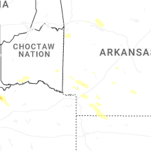

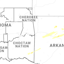
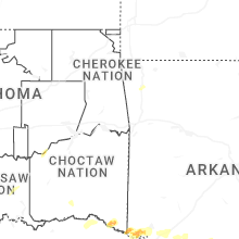

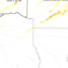


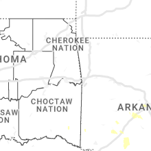


Connect with Interactive Hail Maps