

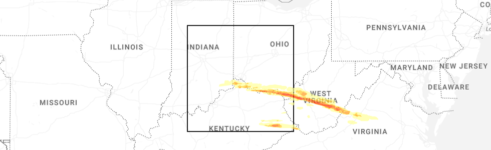
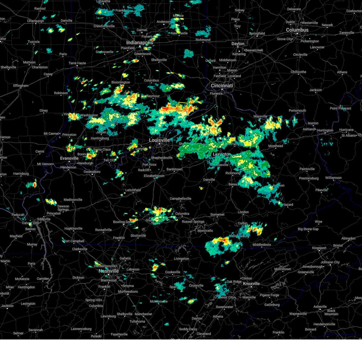
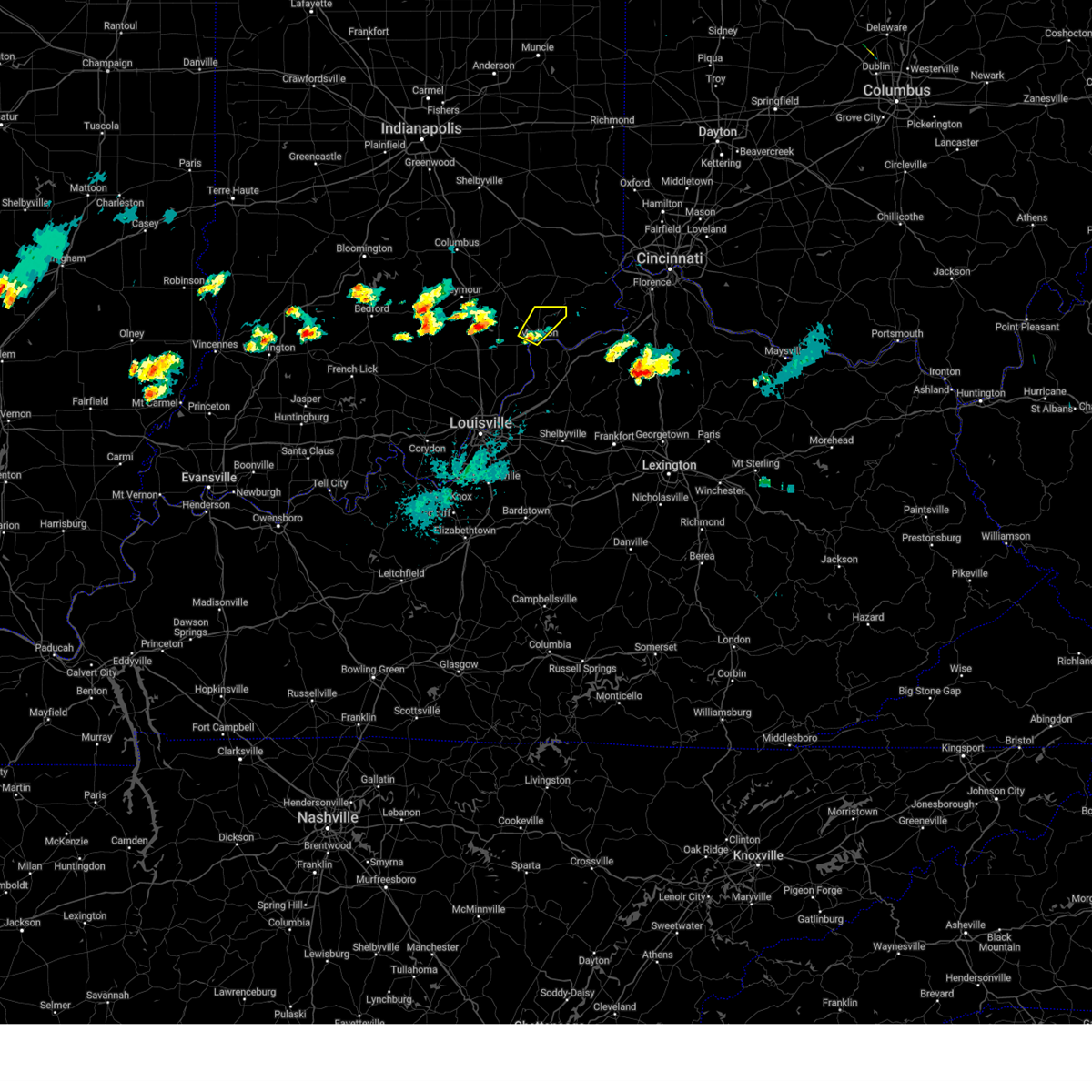
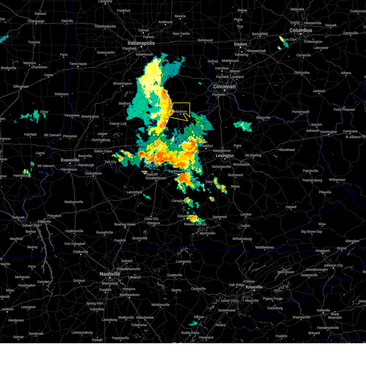
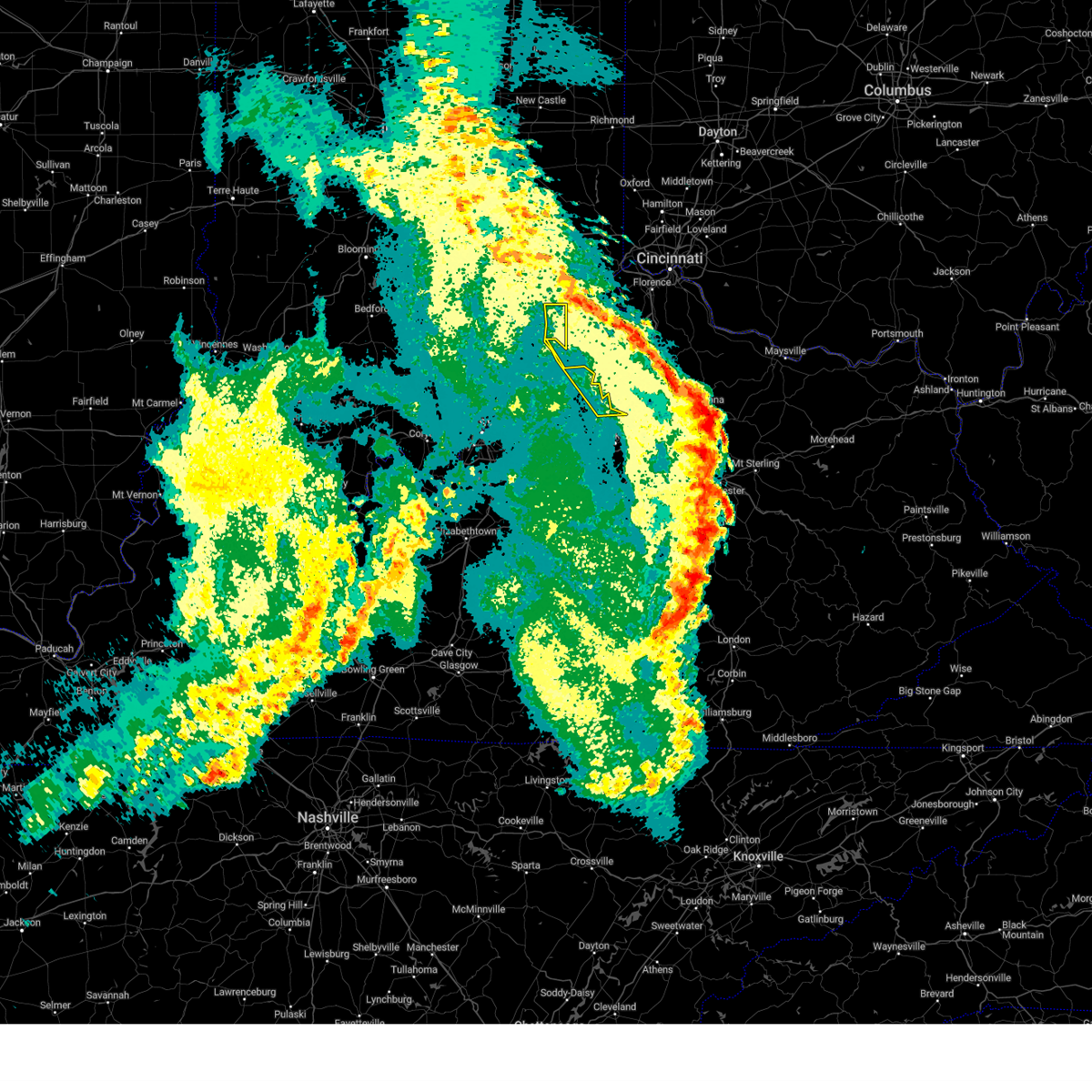
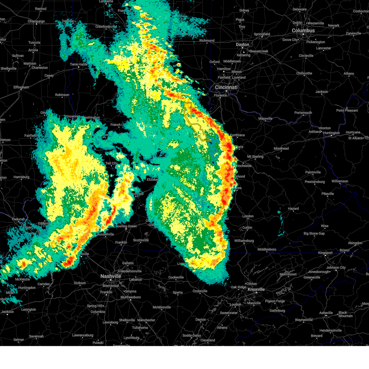
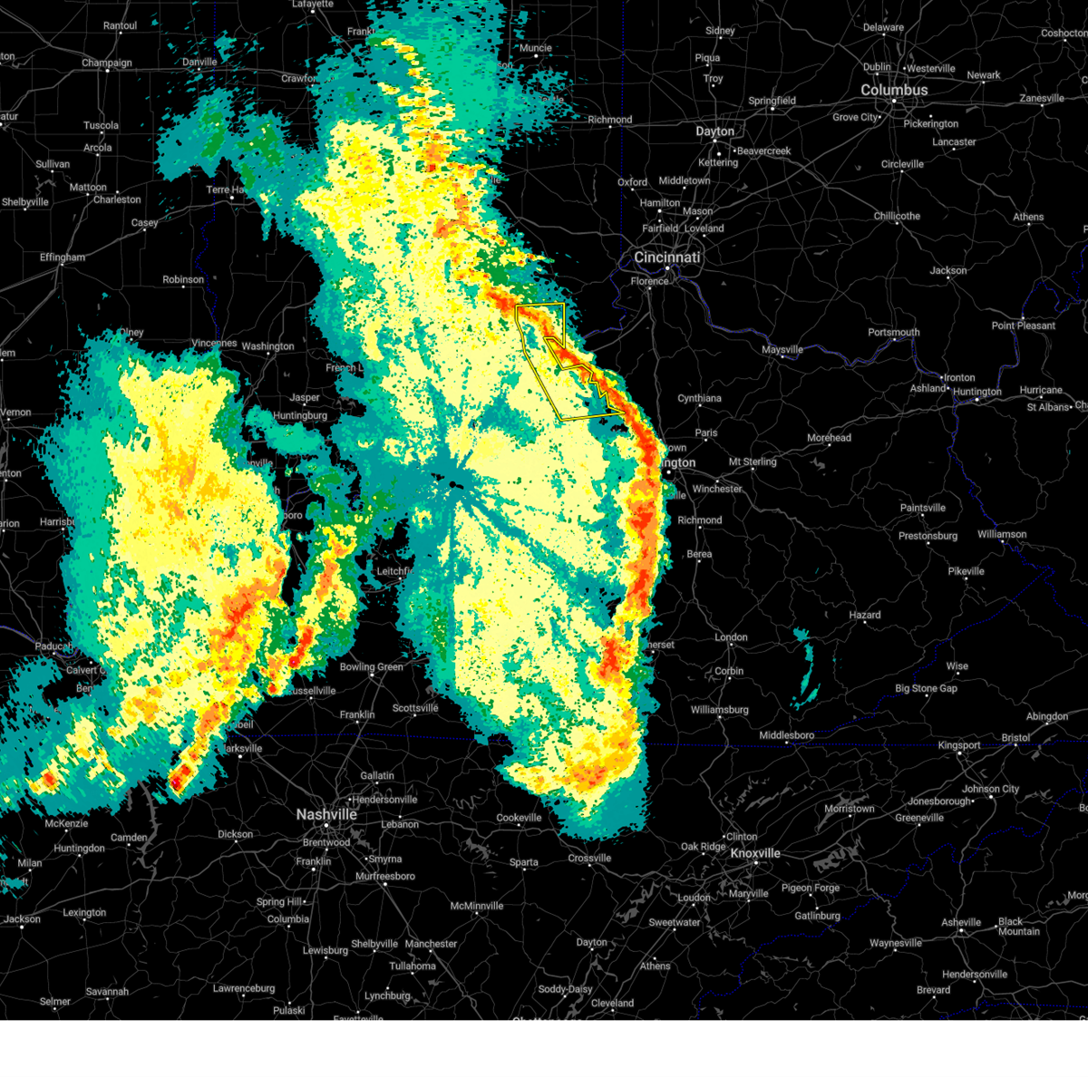
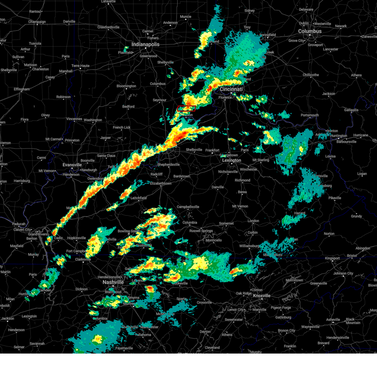
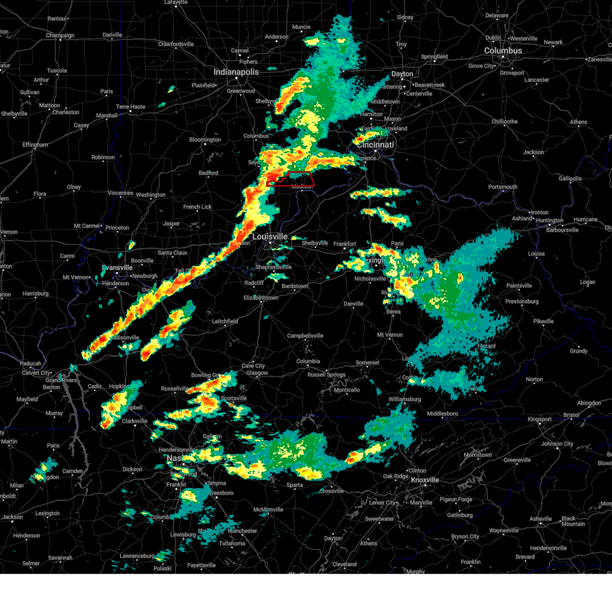
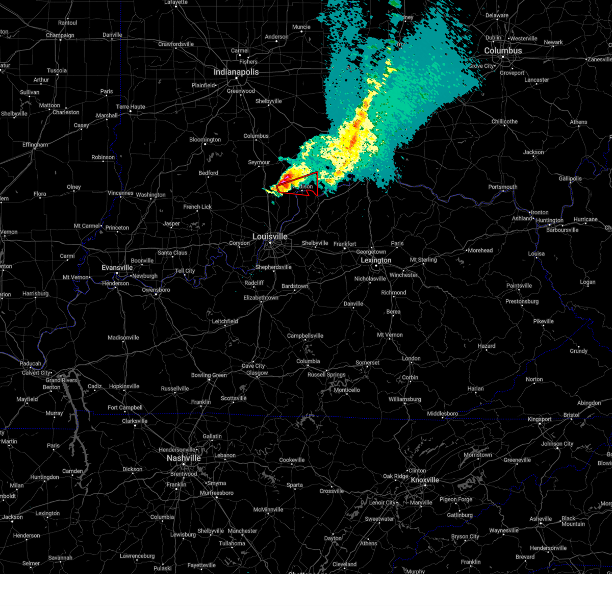
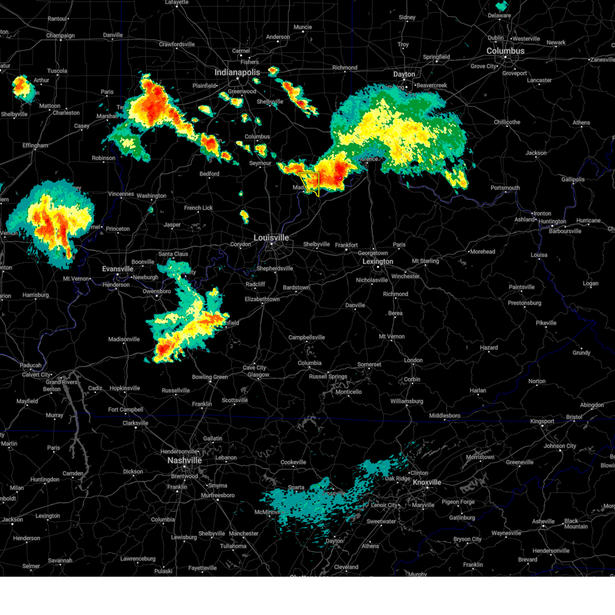
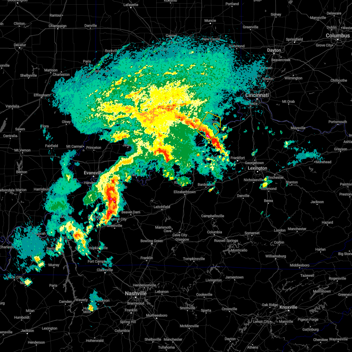
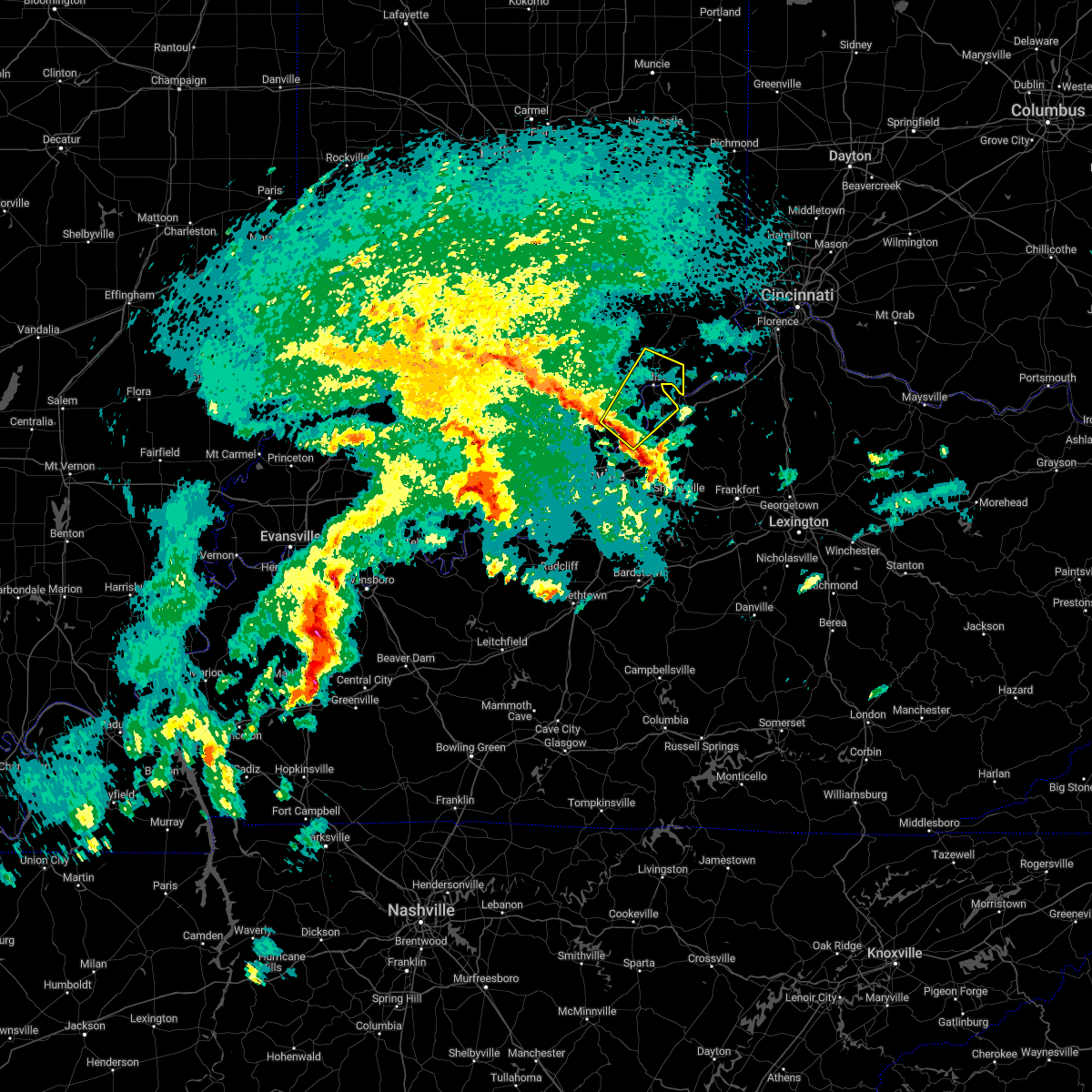
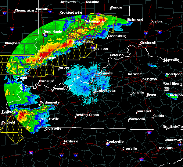
Hail Map for Canaan, IN
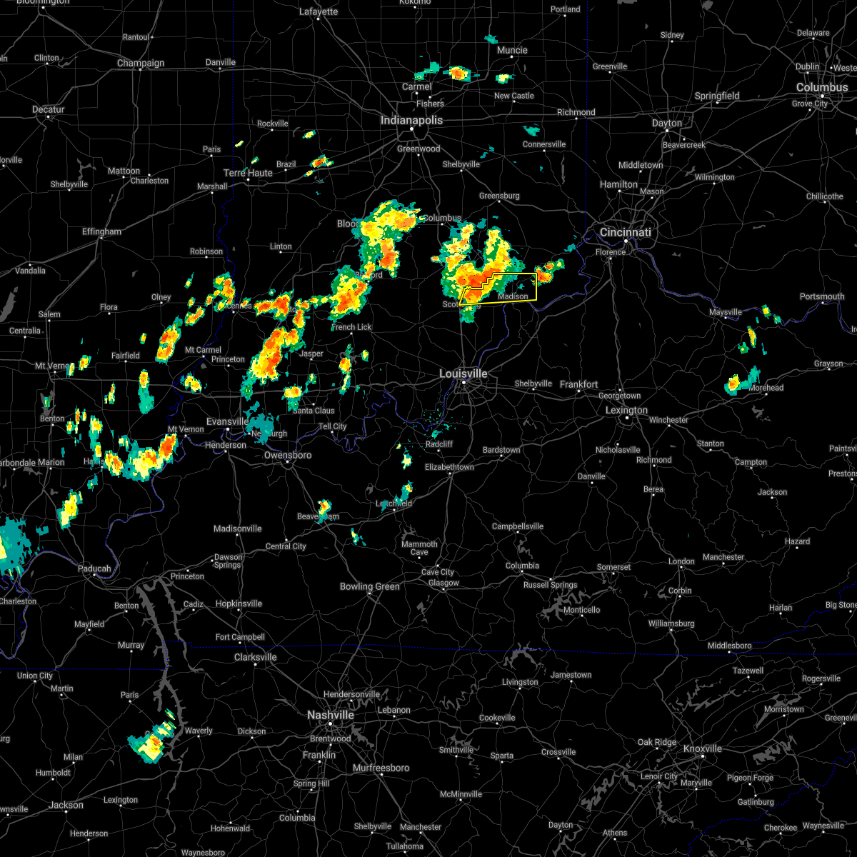
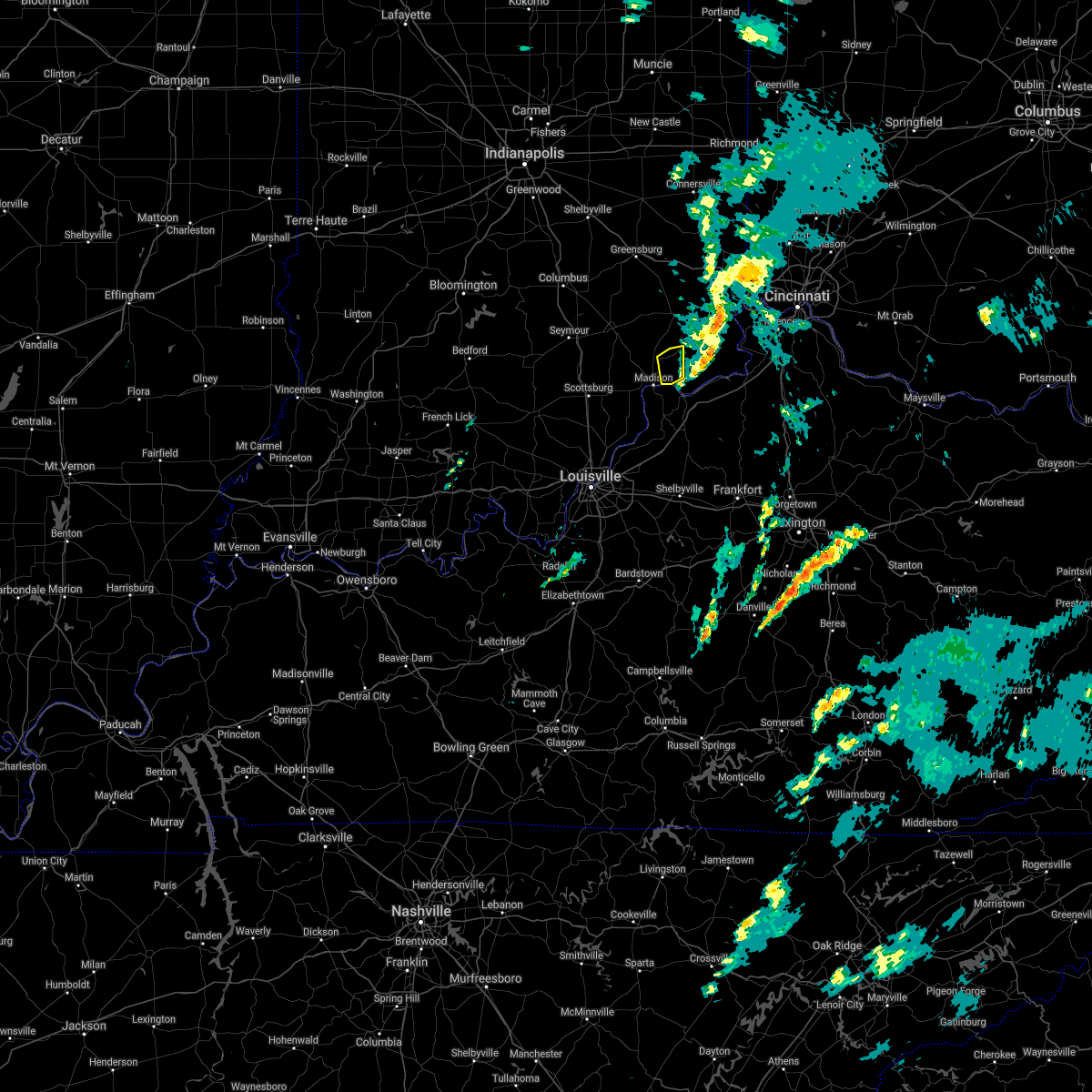
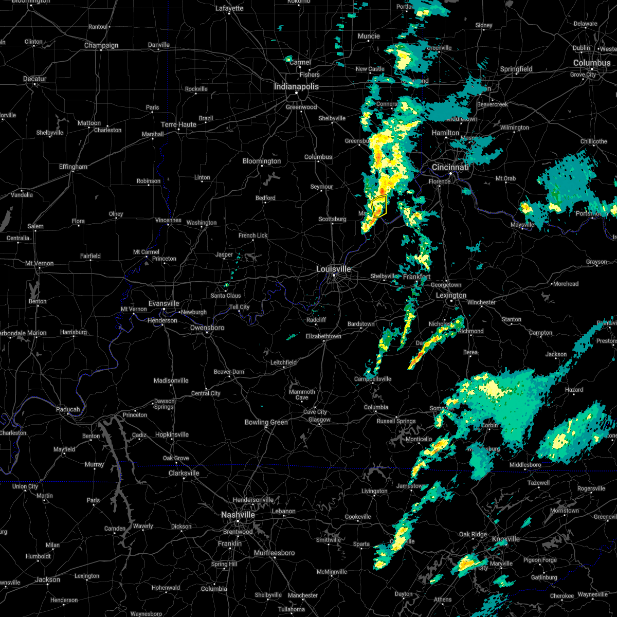
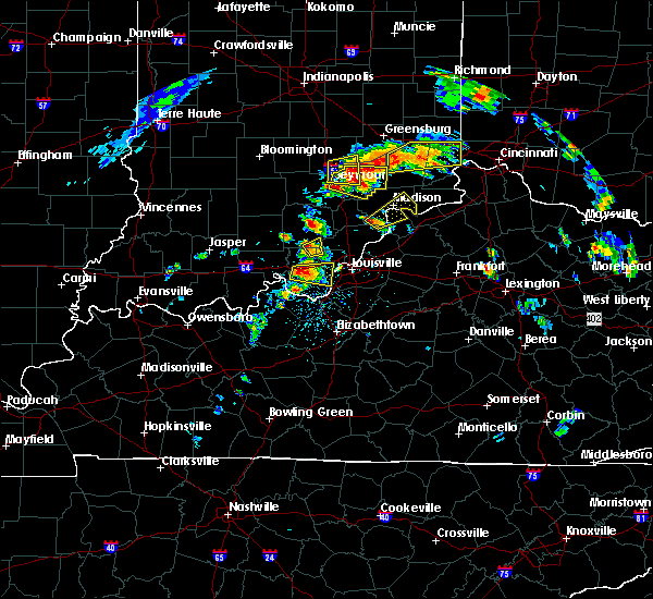
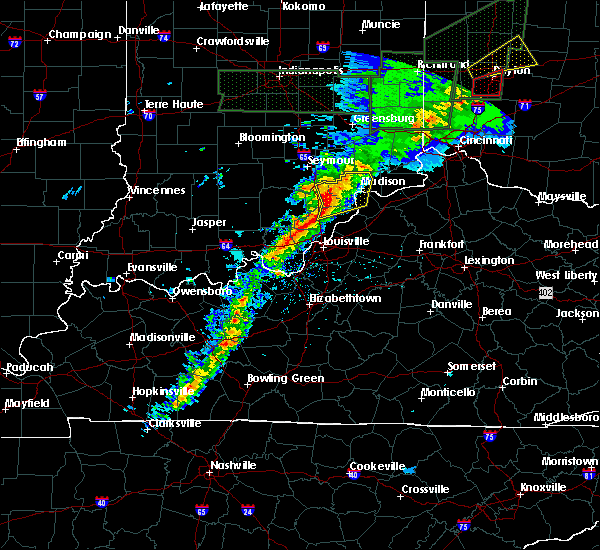
The Canaan, IN area has had 1 report of on-the-ground hail by trained spotters, and has been under severe weather warnings 16 times during the past 12 months. Doppler radar has detected hail at or near Canaan, IN on 43 occasions, including 4 occasions during the past year.
| Name: | Canaan, IN |
| Where Located: | 45.7 miles WSW of Cincinnati, OH |
| Map: | Google Map for Canaan, IN |
| Population: | 90 |
| Housing Units: | 36 |
| More Info: | Search Google for Canaan, IN |
1
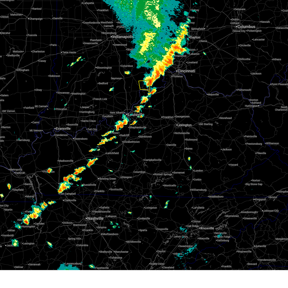
The Top Recent Hail Date for Canaan, IN is Monday, April 14, 2025 (10th out of 43)
Hail and Wind Damage Spotted near Canaan, IN
| Date / Time | Report Details |
|---|---|
| 6/18/2025 6:54 PM EDT |
 the severe thunderstorm warning has been cancelled and is no longer in effect the severe thunderstorm warning has been cancelled and is no longer in effect
|
| 6/18/2025 6:43 PM EDT |
 the severe thunderstorm warning has been cancelled and is no longer in effect the severe thunderstorm warning has been cancelled and is no longer in effect
|
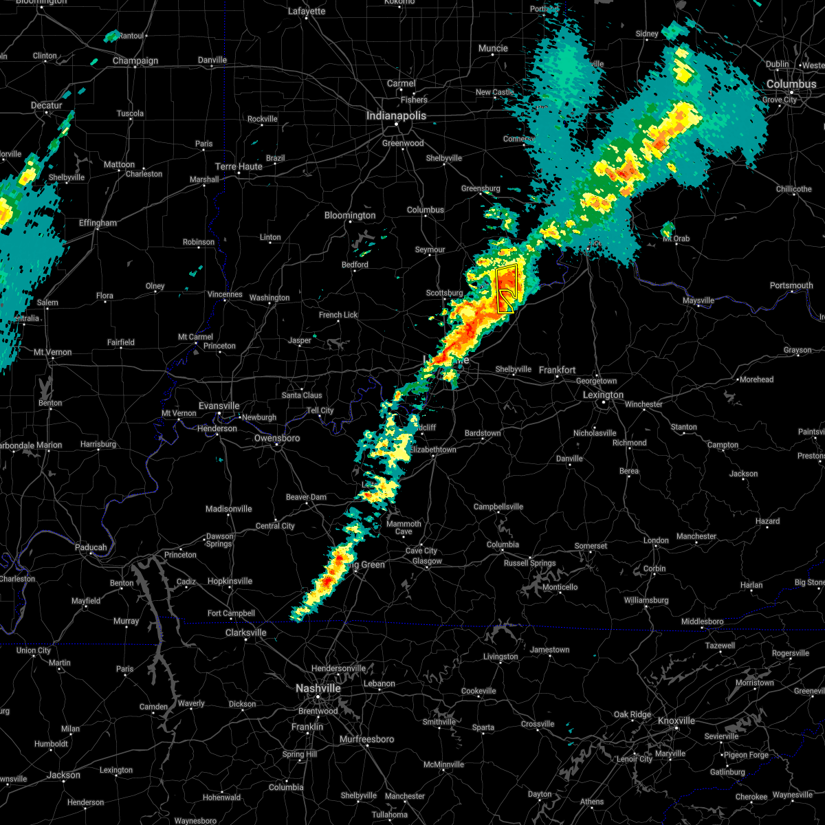
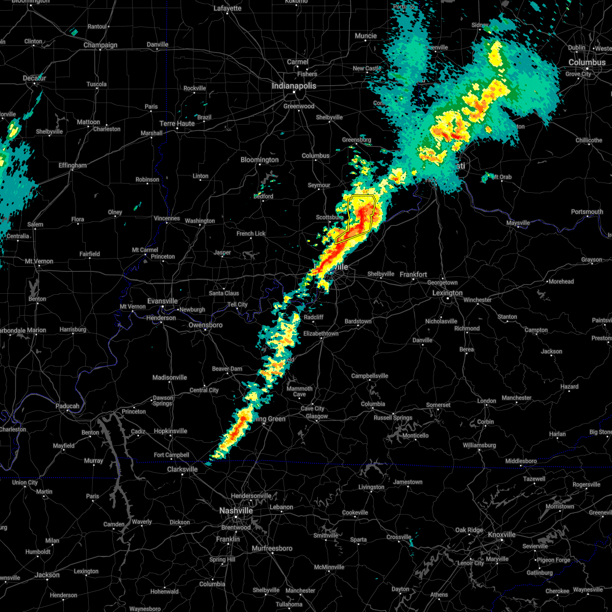
| 6/18/2025 6:43 PM EDT |
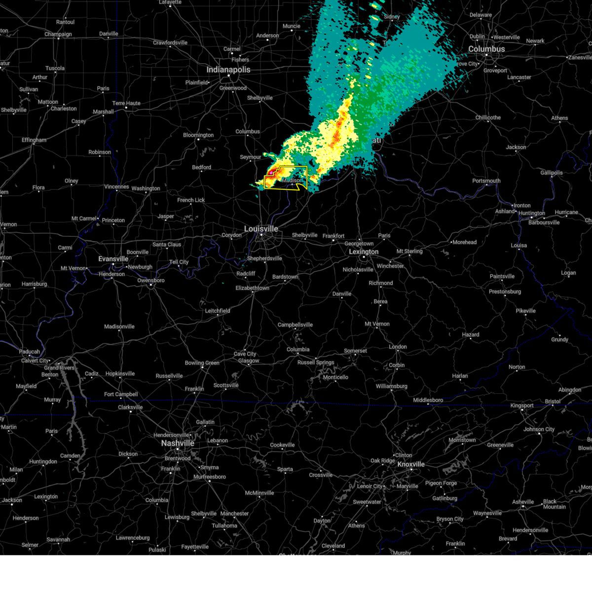
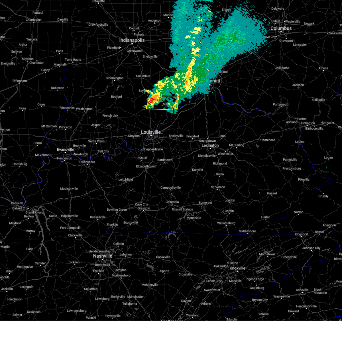
 At 643 pm edt, a severe thunderstorm was located 7 miles north of madison, moving northeast at 35 mph (radar indicated). Hazards include 60 mph wind gusts and quarter size hail. Hail damage to vehicles is expected. expect wind damage to roofs, siding, and trees. Locations impacted include, madison, brooksburg, canaan, north madison, ringwald, manville, china, belleview, bryantsburg, and barbersville. At 643 pm edt, a severe thunderstorm was located 7 miles north of madison, moving northeast at 35 mph (radar indicated). Hazards include 60 mph wind gusts and quarter size hail. Hail damage to vehicles is expected. expect wind damage to roofs, siding, and trees. Locations impacted include, madison, brooksburg, canaan, north madison, ringwald, manville, china, belleview, bryantsburg, and barbersville.
|
| 6/18/2025 6:25 PM EDT | Svrlmk the national weather service in louisville has issued a * severe thunderstorm warning for, jefferson county in south central indiana, northwestern trimble county in central kentucky, * until 715 pm edt. * at 625 pm edt, a severe thunderstorm was located 8 miles west of madison, moving northeast at 35 mph (radar indicated). Hazards include 60 mph wind gusts and quarter size hail. Hail damage to vehicles is expected. Expect wind damage to roofs, siding, and trees. |
| 6/18/2025 5:40 PM EDT |
 Svrlmk the national weather service in louisville has issued a * severe thunderstorm warning for, jefferson county in south central indiana, northern scott county in south central indiana, * until 630 pm edt. * at 534 pm edt, a severe thunderstorm was located 7 miles northwest of scottsburg, moving northeast at 50 mph (radar indicated). Hazards include 60 mph wind gusts and quarter size hail. Hail damage to vehicles is expected. Expect wind damage to roofs, siding, and trees. Svrlmk the national weather service in louisville has issued a * severe thunderstorm warning for, jefferson county in south central indiana, northern scott county in south central indiana, * until 630 pm edt. * at 534 pm edt, a severe thunderstorm was located 7 miles northwest of scottsburg, moving northeast at 50 mph (radar indicated). Hazards include 60 mph wind gusts and quarter size hail. Hail damage to vehicles is expected. Expect wind damage to roofs, siding, and trees.
|
| 5/13/2025 4:29 PM EDT |
 the severe thunderstorm warning has been cancelled and is no longer in effect the severe thunderstorm warning has been cancelled and is no longer in effect
|
| 5/13/2025 4:16 PM EDT |
 Svrlmk the national weather service in louisville has issued a * severe thunderstorm warning for, northeastern jefferson county in south central indiana, * until 445 pm edt. * at 415 pm edt, a severe thunderstorm was located near madison, moving northeast at 20 mph (radar indicated). Hazards include 60 mph wind gusts and quarter size hail. Hail damage to vehicles is expected. Expect wind damage to roofs, siding, and trees. Svrlmk the national weather service in louisville has issued a * severe thunderstorm warning for, northeastern jefferson county in south central indiana, * until 445 pm edt. * at 415 pm edt, a severe thunderstorm was located near madison, moving northeast at 20 mph (radar indicated). Hazards include 60 mph wind gusts and quarter size hail. Hail damage to vehicles is expected. Expect wind damage to roofs, siding, and trees.
|
| 4/30/2025 8:42 PM EDT |
 The storm which prompted the warning has weakened below severe limits, and no longer poses an immediate threat to life or property. therefore, the warning will be allowed to expire. however, small hail and gusty winds are still possible with this thunderstorm. to report severe weather, contact your nearest law enforcement agency. they will relay your report to the national weather service louisville. The storm which prompted the warning has weakened below severe limits, and no longer poses an immediate threat to life or property. therefore, the warning will be allowed to expire. however, small hail and gusty winds are still possible with this thunderstorm. to report severe weather, contact your nearest law enforcement agency. they will relay your report to the national weather service louisville.
|
| 4/30/2025 8:33 PM EDT |
 At 833 pm edt, a severe thunderstorm was located near madison, moving northeast at 25 mph (radar indicated). Hazards include 60 mph wind gusts and quarter size hail. Hail damage to vehicles is expected. expect wind damage to roofs, siding, and trees. Locations impacted include, madison, canaan, ringwald, china, belleview, bryantsburg, and barbersville. At 833 pm edt, a severe thunderstorm was located near madison, moving northeast at 25 mph (radar indicated). Hazards include 60 mph wind gusts and quarter size hail. Hail damage to vehicles is expected. expect wind damage to roofs, siding, and trees. Locations impacted include, madison, canaan, ringwald, china, belleview, bryantsburg, and barbersville.
|
| 4/30/2025 8:33 PM EDT |
 the severe thunderstorm warning has been cancelled and is no longer in effect the severe thunderstorm warning has been cancelled and is no longer in effect
|
| 4/30/2025 8:18 PM EDT |
 Svrlmk the national weather service in louisville has issued a * severe thunderstorm warning for, northeastern jefferson county in south central indiana, northern trimble county in central kentucky, * until 845 pm edt. * at 818 pm edt, a severe thunderstorm was located over madison, moving northeast at 30 mph (radar indicated). Hazards include 60 mph wind gusts and quarter size hail. Hail damage to vehicles is expected. Expect wind damage to roofs, siding, and trees. Svrlmk the national weather service in louisville has issued a * severe thunderstorm warning for, northeastern jefferson county in south central indiana, northern trimble county in central kentucky, * until 845 pm edt. * at 818 pm edt, a severe thunderstorm was located over madison, moving northeast at 30 mph (radar indicated). Hazards include 60 mph wind gusts and quarter size hail. Hail damage to vehicles is expected. Expect wind damage to roofs, siding, and trees.
|
| 4/3/2025 12:21 AM EDT | The storms which prompted the warning have weakened below severe limits, and have exited the warned area. therefore, the warning will be allowed to expire. however, gusty winds and heavy rain are still possible with these thunderstorms. a tornado watch remains in effect until 200 am edt for south central indiana, and central kentucky. to report severe weather, contact your nearest law enforcement agency. they will relay your report to the national weather service louisville. |
| 4/2/2025 11:39 PM EDT |
 Svrlmk the national weather service in louisville has issued a * severe thunderstorm warning for, southeastern harrison county in south central indiana, jefferson county in south central indiana, clark county in south central indiana, floyd county in south central indiana, scott county in south central indiana, oldham county in central kentucky, trimble county in central kentucky, central jefferson county in central kentucky, * until 1230 am edt. * at 1139 pm edt, severe thunderstorms were located along a line extending from 9 miles south of scottsburg to 7 miles west of pleasure ridge park, moving northeast at 75 mph (radar indicated). Hazards include 60 mph wind gusts. expect damage to roofs, siding, and trees Svrlmk the national weather service in louisville has issued a * severe thunderstorm warning for, southeastern harrison county in south central indiana, jefferson county in south central indiana, clark county in south central indiana, floyd county in south central indiana, scott county in south central indiana, oldham county in central kentucky, trimble county in central kentucky, central jefferson county in central kentucky, * until 1230 am edt. * at 1139 pm edt, severe thunderstorms were located along a line extending from 9 miles south of scottsburg to 7 miles west of pleasure ridge park, moving northeast at 75 mph (radar indicated). Hazards include 60 mph wind gusts. expect damage to roofs, siding, and trees
|
| 7/31/2024 4:42 PM EDT | The storms which prompted the warning have moved out of the area. therefore, the warning will be allowed to expire. however, gusty winds are still possible with these thunderstorms. a severe thunderstorm watch remains in effect until 800 pm edt for south central indiana, and central kentucky. to report severe weather, contact your nearest law enforcement agency. they will relay your report to the national weather service louisville. |
| 7/31/2024 4:23 PM EDT | At 422 pm edt, severe thunderstorms were located along a line extending from 13 miles southwest of versailles to near madison, moving east at 40 mph (radar indicated). Hazards include 60 mph wind gusts. Expect damage to roofs, siding, and trees. at 418 pm edt, winds gusts to 49 mph at the madison airport. these stronger winds soon will get into madison and points east. Locations impacted include, madison, hanover, smyrna, milton, brooksburg, canaan, north madison, manville, belleview, and bryantsburg. |
| 7/31/2024 4:09 PM EDT |
 Svrlmk the national weather service in louisville has issued a * severe thunderstorm warning for, jefferson county in south central indiana, northwestern trimble county in central kentucky, * until 445 pm edt. * at 408 pm edt, severe thunderstorms were located along a line extending from 8 miles southeast of vernon to 8 miles east of scottsburg, moving east at 40 mph (radar indicated). Hazards include 60 mph wind gusts. expect damage to roofs, siding, and trees Svrlmk the national weather service in louisville has issued a * severe thunderstorm warning for, jefferson county in south central indiana, northwestern trimble county in central kentucky, * until 445 pm edt. * at 408 pm edt, severe thunderstorms were located along a line extending from 8 miles southeast of vernon to 8 miles east of scottsburg, moving east at 40 mph (radar indicated). Hazards include 60 mph wind gusts. expect damage to roofs, siding, and trees
|
| 5/26/2024 1:20 PM EDT |
 The storm which prompted the warning has moved out of the area. therefore, the warning will be allowed to expire. however, gusty winds are still possible with this thunderstorm. The storm which prompted the warning has moved out of the area. therefore, the warning will be allowed to expire. however, gusty winds are still possible with this thunderstorm.
|
| 5/26/2024 1:07 PM EDT |
 the severe thunderstorm warning has been cancelled and is no longer in effect the severe thunderstorm warning has been cancelled and is no longer in effect
|
| 5/26/2024 1:07 PM EDT |
 At 107 pm edt, a severe thunderstorm was located 10 miles northwest of vevay, moving northeast at 40 mph (radar indicated). Hazards include 60 mph wind gusts. Expect damage to roofs, siding, and trees. Locations impacted include, brooksburg, canaan, port royal, manville, drennon springs, delville, slabtown, polsgrove, orville, and monitor. At 107 pm edt, a severe thunderstorm was located 10 miles northwest of vevay, moving northeast at 40 mph (radar indicated). Hazards include 60 mph wind gusts. Expect damage to roofs, siding, and trees. Locations impacted include, brooksburg, canaan, port royal, manville, drennon springs, delville, slabtown, polsgrove, orville, and monitor.
|
| 5/26/2024 1:05 PM EDT |
 At 104 pm edt, a severe thunderstorm was located 10 miles northeast of madison, moving northeast at 55 mph (radar indicated). Hazards include 60 mph wind gusts. Expect damage to roofs, siding, and trees. Locations impacted include, madison, new castle, bedford, pendleton, hanover, eminence, smyrna, pleasureville, campbellsburg, and milton. At 104 pm edt, a severe thunderstorm was located 10 miles northeast of madison, moving northeast at 55 mph (radar indicated). Hazards include 60 mph wind gusts. Expect damage to roofs, siding, and trees. Locations impacted include, madison, new castle, bedford, pendleton, hanover, eminence, smyrna, pleasureville, campbellsburg, and milton.
|
| 5/26/2024 1:05 PM EDT |
 the severe thunderstorm warning has been cancelled and is no longer in effect the severe thunderstorm warning has been cancelled and is no longer in effect
|
| 5/26/2024 12:25 PM EDT |
 Svrlmk the national weather service in louisville has issued a * severe thunderstorm warning for, jefferson county in south central indiana, central scott county in south central indiana, northeastern oldham county in central kentucky, northeastern shelby county in central kentucky, trimble county in central kentucky, henry county in central kentucky, northwestern franklin county in central kentucky, * until 130 pm edt. * at 1225 pm edt, a severe thunderstorm was located over la grange, moving northeast at 60 mph (radar indicated). Hazards include 70 mph wind gusts. Expect considerable tree damage. Damage is likely to mobile homes, roofs, and outbuildings. Svrlmk the national weather service in louisville has issued a * severe thunderstorm warning for, jefferson county in south central indiana, central scott county in south central indiana, northeastern oldham county in central kentucky, northeastern shelby county in central kentucky, trimble county in central kentucky, henry county in central kentucky, northwestern franklin county in central kentucky, * until 130 pm edt. * at 1225 pm edt, a severe thunderstorm was located over la grange, moving northeast at 60 mph (radar indicated). Hazards include 70 mph wind gusts. Expect considerable tree damage. Damage is likely to mobile homes, roofs, and outbuildings.
|
| 5/22/2024 7:46 PM EDT |
 The storm which prompted the warning has weakened below severe limits, and has exited the warned area. to report severe weather, contact the national weather service via x, facebook, our or website. you may also notify your nearest law enforcement agency and ask them to relay your report to the national weather service in louisville. The storm which prompted the warning has weakened below severe limits, and has exited the warned area. to report severe weather, contact the national weather service via x, facebook, our or website. you may also notify your nearest law enforcement agency and ask them to relay your report to the national weather service in louisville.
|
| 5/22/2024 7:35 PM EDT |
 At 735 pm edt, a severe thunderstorm was located 10 miles north of madison, moving northeast at 40 mph (radar indicated). Hazards include 60 mph wind gusts. Expect damage to roofs, siding, and trees. Locations impacted include, canaan, bryantsburg, and barbersville. At 735 pm edt, a severe thunderstorm was located 10 miles north of madison, moving northeast at 40 mph (radar indicated). Hazards include 60 mph wind gusts. Expect damage to roofs, siding, and trees. Locations impacted include, canaan, bryantsburg, and barbersville.
|
| 5/22/2024 7:21 PM EDT |
 Svrlmk the national weather service in louisville has issued a * severe thunderstorm warning for, northeastern jefferson county in south central indiana, * until 745 pm edt. * at 720 pm edt, a severe thunderstorm was located northwest of madison near wirt, moving northeast at 45 mph (radar indicated). Hazards include 60 mph wind gusts and penny size hail. expect damage to roofs, siding, and trees Svrlmk the national weather service in louisville has issued a * severe thunderstorm warning for, northeastern jefferson county in south central indiana, * until 745 pm edt. * at 720 pm edt, a severe thunderstorm was located northwest of madison near wirt, moving northeast at 45 mph (radar indicated). Hazards include 60 mph wind gusts and penny size hail. expect damage to roofs, siding, and trees
|
| 4/2/2024 5:47 PM EDT |
 the tornado warning has been cancelled and is no longer in effect the tornado warning has been cancelled and is no longer in effect
|
| 4/2/2024 5:26 PM EDT |
 Torlmk the national weather service in louisville has issued a * tornado warning for, northeastern jefferson county in south central indiana, * until 600 pm edt. * at 526 pm edt, a confirmed tornado was located 9 miles northwest of madison, moving northeast at 45 mph (law enforcement confirmed tornado). Hazards include damaging tornado. Flying debris will be dangerous to those caught without shelter. mobile homes will be damaged or destroyed. damage to roofs, windows, and vehicles will occur. tree damage is likely. This tornadic thunderstorm will remain over mainly rural areas of northeastern jefferson county, including the following locations, middlefork, canaan, five points, dupont, belleview, bryantsburg, and barbersville. Torlmk the national weather service in louisville has issued a * tornado warning for, northeastern jefferson county in south central indiana, * until 600 pm edt. * at 526 pm edt, a confirmed tornado was located 9 miles northwest of madison, moving northeast at 45 mph (law enforcement confirmed tornado). Hazards include damaging tornado. Flying debris will be dangerous to those caught without shelter. mobile homes will be damaged or destroyed. damage to roofs, windows, and vehicles will occur. tree damage is likely. This tornadic thunderstorm will remain over mainly rural areas of northeastern jefferson county, including the following locations, middlefork, canaan, five points, dupont, belleview, bryantsburg, and barbersville.
|
| 4/2/2024 5:20 PM EDT |
 the tornado warning has been cancelled and is no longer in effect the tornado warning has been cancelled and is no longer in effect
|
| 4/2/2024 5:20 PM EDT |
 At 520 pm edt, a confirmed tornado was located 8 miles north of madison, moving east at 60 mph (law enforcement confirmed tornado). Hazards include damaging tornado and quarter size hail. Flying debris will be dangerous to those caught without shelter. mobile homes will be damaged or destroyed. damage to roofs, windows, and vehicles will occur. tree damage is likely. Locations impacted include, dupont, middlefork, canaan, five points, manville, china, belleview, bryantsburg, and wirt. At 520 pm edt, a confirmed tornado was located 8 miles north of madison, moving east at 60 mph (law enforcement confirmed tornado). Hazards include damaging tornado and quarter size hail. Flying debris will be dangerous to those caught without shelter. mobile homes will be damaged or destroyed. damage to roofs, windows, and vehicles will occur. tree damage is likely. Locations impacted include, dupont, middlefork, canaan, five points, manville, china, belleview, bryantsburg, and wirt.
|
| 4/2/2024 5:10 PM EDT |
 At 510 pm edt, a confirmed tornado was located 10 miles south of vernon, moving east at 60 mph (law enforcement confirmed tornado). Hazards include damaging tornado and quarter size hail. Flying debris will be dangerous to those caught without shelter. mobile homes will be damaged or destroyed. damage to roofs, windows, and vehicles will occur. tree damage is likely. Locations impacted include, madison, smyrna, dupont, wakefield, middlefork, canaan, volga, manville, deputy, and belleview. At 510 pm edt, a confirmed tornado was located 10 miles south of vernon, moving east at 60 mph (law enforcement confirmed tornado). Hazards include damaging tornado and quarter size hail. Flying debris will be dangerous to those caught without shelter. mobile homes will be damaged or destroyed. damage to roofs, windows, and vehicles will occur. tree damage is likely. Locations impacted include, madison, smyrna, dupont, wakefield, middlefork, canaan, volga, manville, deputy, and belleview.
|
| 4/2/2024 5:03 PM EDT |
 At 502 pm edt, a severe thunderstorm capable of producing a tornado was located 7 miles north of scottsburg, moving east at 60 mph (radar indicated rotation). Hazards include tornado and quarter size hail. Flying debris will be dangerous to those caught without shelter. mobile homes will be damaged or destroyed. damage to roofs, windows, and vehicles will occur. tree damage is likely. This tornadic thunderstorm will remain over mainly rural areas of northern jefferson and northwestern scott counties, including the following locations, wakefield, middlefork, canaan, volga, manville, deputy, belleview, bryantsburg, five points, and ringwald. At 502 pm edt, a severe thunderstorm capable of producing a tornado was located 7 miles north of scottsburg, moving east at 60 mph (radar indicated rotation). Hazards include tornado and quarter size hail. Flying debris will be dangerous to those caught without shelter. mobile homes will be damaged or destroyed. damage to roofs, windows, and vehicles will occur. tree damage is likely. This tornadic thunderstorm will remain over mainly rural areas of northern jefferson and northwestern scott counties, including the following locations, wakefield, middlefork, canaan, volga, manville, deputy, belleview, bryantsburg, five points, and ringwald.
|
| 4/2/2024 5:03 PM EDT |
 the tornado warning has been cancelled and is no longer in effect the tornado warning has been cancelled and is no longer in effect
|
| 4/2/2024 4:54 PM EDT |
 Torlmk the national weather service in louisville has issued a * tornado warning for, northern jefferson county in south central indiana, northwestern scott county in south central indiana, northeastern washington county in south central indiana, * until 530 pm edt. * at 453 pm edt, a severe thunderstorm capable of producing a tornado was located 7 miles northwest of scottsburg, moving east at 60 mph (radar indicated rotation). Hazards include tornado and quarter size hail. Flying debris will be dangerous to those caught without shelter. mobile homes will be damaged or destroyed. damage to roofs, windows, and vehicles will occur. tree damage is likely. this dangerous storm will be near, scottsburg around 500 pm edt. Other locations impacted by this tornadic thunderstorm include wakefield, middlefork, canaan, volga, north madison, manville, deputy, belleview, bryantsburg, and pumpkin center. Torlmk the national weather service in louisville has issued a * tornado warning for, northern jefferson county in south central indiana, northwestern scott county in south central indiana, northeastern washington county in south central indiana, * until 530 pm edt. * at 453 pm edt, a severe thunderstorm capable of producing a tornado was located 7 miles northwest of scottsburg, moving east at 60 mph (radar indicated rotation). Hazards include tornado and quarter size hail. Flying debris will be dangerous to those caught without shelter. mobile homes will be damaged or destroyed. damage to roofs, windows, and vehicles will occur. tree damage is likely. this dangerous storm will be near, scottsburg around 500 pm edt. Other locations impacted by this tornadic thunderstorm include wakefield, middlefork, canaan, volga, north madison, manville, deputy, belleview, bryantsburg, and pumpkin center.
|
| 3/14/2024 1:48 PM EDT |
 Torlmk the national weather service in louisville has issued a * tornado warning for, central jefferson county in south central indiana, northwestern trimble county in central kentucky, * until 230 pm edt. * at 147 pm edt, a severe thunderstorm capable of producing a tornado was located 10 miles northeast of scottsburg, moving east at 45 mph (radar indicated rotation). Hazards include tornado and golf ball size hail. Flying debris will be dangerous to those caught without shelter. mobile homes will be damaged or destroyed. damage to roofs, windows, and vehicles will occur. tree damage is likely. this dangerous storm will be near, madison around 155 pm edt. Other locations impacted by this tornadic thunderstorm include wakefield, hanover, canaan, volga, north madison, kent, manville, belleview, madison municipal airport, and ringwald. Torlmk the national weather service in louisville has issued a * tornado warning for, central jefferson county in south central indiana, northwestern trimble county in central kentucky, * until 230 pm edt. * at 147 pm edt, a severe thunderstorm capable of producing a tornado was located 10 miles northeast of scottsburg, moving east at 45 mph (radar indicated rotation). Hazards include tornado and golf ball size hail. Flying debris will be dangerous to those caught without shelter. mobile homes will be damaged or destroyed. damage to roofs, windows, and vehicles will occur. tree damage is likely. this dangerous storm will be near, madison around 155 pm edt. Other locations impacted by this tornadic thunderstorm include wakefield, hanover, canaan, volga, north madison, kent, manville, belleview, madison municipal airport, and ringwald.
|
| 3/14/2024 1:43 PM EDT |
 At 143 pm edt, a severe thunderstorm was located 9 miles northeast of scottsburg, moving east at 50 mph (radar indicated). Hazards include golf ball size hail and 60 mph wind gusts. People and animals outdoors will be injured. expect hail damage to roofs, siding, windows, and vehicles. expect wind damage to roofs, siding, and trees. Locations impacted include, madison, hanover, smyrna, milton, kent, dupont, brooksburg, wakefield, canaan, and north madison. At 143 pm edt, a severe thunderstorm was located 9 miles northeast of scottsburg, moving east at 50 mph (radar indicated). Hazards include golf ball size hail and 60 mph wind gusts. People and animals outdoors will be injured. expect hail damage to roofs, siding, windows, and vehicles. expect wind damage to roofs, siding, and trees. Locations impacted include, madison, hanover, smyrna, milton, kent, dupont, brooksburg, wakefield, canaan, and north madison.
|
| 3/14/2024 1:35 PM EDT |
 Svrlmk the national weather service in louisville has issued a * severe thunderstorm warning for, jefferson county in south central indiana, northern scott county in south central indiana, northwestern trimble county in central kentucky, * until 215 pm edt. * at 135 pm edt, a severe thunderstorm was located near scottsburg, moving east at 50 mph (radar indicated). Hazards include 60 mph wind gusts and quarter size hail. Hail damage to vehicles is expected. Expect wind damage to roofs, siding, and trees. Svrlmk the national weather service in louisville has issued a * severe thunderstorm warning for, jefferson county in south central indiana, northern scott county in south central indiana, northwestern trimble county in central kentucky, * until 215 pm edt. * at 135 pm edt, a severe thunderstorm was located near scottsburg, moving east at 50 mph (radar indicated). Hazards include 60 mph wind gusts and quarter size hail. Hail damage to vehicles is expected. Expect wind damage to roofs, siding, and trees.
|
| 7/17/2023 1:13 AM EDT |
 At 112 am edt, a severe thunderstorm was located 11 miles northeast of scottsburg, moving east at 30 mph (radar indicated). Hazards include 60 mph wind gusts and quarter size hail. Hail damage to vehicles is expected. expect wind damage to roofs, siding, and trees. locations impacted include, madison, smyrna, dupont, wakefield, middlefork, canaan, volga, manville, deputy, and belleview. hail threat, radar indicated max hail size, 1. 00 in wind threat, radar indicated max wind gust, 60 mph. At 112 am edt, a severe thunderstorm was located 11 miles northeast of scottsburg, moving east at 30 mph (radar indicated). Hazards include 60 mph wind gusts and quarter size hail. Hail damage to vehicles is expected. expect wind damage to roofs, siding, and trees. locations impacted include, madison, smyrna, dupont, wakefield, middlefork, canaan, volga, manville, deputy, and belleview. hail threat, radar indicated max hail size, 1. 00 in wind threat, radar indicated max wind gust, 60 mph.
|
| 7/17/2023 1:03 AM EDT |
 At 102 am edt, a severe thunderstorm was located 8 miles northeast of scottsburg, moving east at 30 mph (radar indicated). Hazards include 60 mph wind gusts and quarter size hail. Hail damage to vehicles is expected. Expect wind damage to roofs, siding, and trees. At 102 am edt, a severe thunderstorm was located 8 miles northeast of scottsburg, moving east at 30 mph (radar indicated). Hazards include 60 mph wind gusts and quarter size hail. Hail damage to vehicles is expected. Expect wind damage to roofs, siding, and trees.
|
| 7/1/2023 1:25 AM EDT |
 The severe thunderstorm warning for northeastern jefferson county will expire at 130 am edt, the storm which prompted the warning has weakened below severe limits, and has exited the warned area. therefore, the warning will be allowed to expire. however gusty winds and heavy rain are still possible with this thunderstorm. The severe thunderstorm warning for northeastern jefferson county will expire at 130 am edt, the storm which prompted the warning has weakened below severe limits, and has exited the warned area. therefore, the warning will be allowed to expire. however gusty winds and heavy rain are still possible with this thunderstorm.
|
| 7/1/2023 12:59 AM EDT |
 At 1258 am edt, a severe thunderstorm was located 9 miles southwest of versailles, moving southeast at 35 mph (radar indicated). Hazards include 60 mph wind gusts and half dollar size hail. Hail damage to vehicles is expected. Expect wind damage to roofs, siding, and trees. At 1258 am edt, a severe thunderstorm was located 9 miles southwest of versailles, moving southeast at 35 mph (radar indicated). Hazards include 60 mph wind gusts and half dollar size hail. Hail damage to vehicles is expected. Expect wind damage to roofs, siding, and trees.
|
| 6/29/2023 4:57 PM EDT |
 The severe thunderstorm warning for jefferson, clark, floyd and scott counties will expire at 500 pm edt, the storms which prompted the warning have weakened below severe limits, and no longer pose an immediate threat to life or property. therefore, the warning will be allowed to expire. however gusty winds are still possible with these thunderstorms. a severe thunderstorm watch remains in effect until 800 pm edt for south central indiana. a severe thunderstorm watch also remains in effect until 900 pm edt for south central indiana, and central kentucky. The severe thunderstorm warning for jefferson, clark, floyd and scott counties will expire at 500 pm edt, the storms which prompted the warning have weakened below severe limits, and no longer pose an immediate threat to life or property. therefore, the warning will be allowed to expire. however gusty winds are still possible with these thunderstorms. a severe thunderstorm watch remains in effect until 800 pm edt for south central indiana. a severe thunderstorm watch also remains in effect until 900 pm edt for south central indiana, and central kentucky.
|
| 6/29/2023 4:48 PM EDT |
 At 447 pm edt, severe thunderstorms were located along a line extending from 9 miles north of madison to near new albany, moving southeast at 60 mph (radar indicated). Hazards include 60 mph wind gusts. Expect damage to roofs, siding, and trees. locations impacted include, louisville, jeffersonville, new albany, madison, scottsburg, clarksville, vienna, charlestown, sellersburg and lexington. hail threat, radar indicated max hail size, <. 75 in wind threat, radar indicated max wind gust, 60 mph. At 447 pm edt, severe thunderstorms were located along a line extending from 9 miles north of madison to near new albany, moving southeast at 60 mph (radar indicated). Hazards include 60 mph wind gusts. Expect damage to roofs, siding, and trees. locations impacted include, louisville, jeffersonville, new albany, madison, scottsburg, clarksville, vienna, charlestown, sellersburg and lexington. hail threat, radar indicated max hail size, <. 75 in wind threat, radar indicated max wind gust, 60 mph.
|
| 6/29/2023 4:15 PM EDT |
 At 414 pm edt, severe thunderstorms were located along a line extending from 8 miles northwest of seymour to near paoli, moving southeast at 60 mph (radar indicated). Hazards include 60 mph wind gusts and penny size hail. expect damage to roofs, siding, and trees At 414 pm edt, severe thunderstorms were located along a line extending from 8 miles northwest of seymour to near paoli, moving southeast at 60 mph (radar indicated). Hazards include 60 mph wind gusts and penny size hail. expect damage to roofs, siding, and trees
|
| 6/25/2023 6:24 PM EDT |
 At 624 pm edt, a severe thunderstorm was located over madison, moving southeast at 35 mph (radar indicated). Hazards include golf ball size hail and 60 mph wind gusts. People and animals outdoors will be injured. expect hail damage to roofs, siding, windows, and vehicles. expect wind damage to roofs, siding, and trees. locations impacted include, madison, hanover, milton, brooksburg, north madison, monitor, ringwald, manville, china and hanover beach. thunderstorm damage threat, considerable hail threat, radar indicated max hail size, 1. 75 in wind threat, radar indicated max wind gust, 60 mph. At 624 pm edt, a severe thunderstorm was located over madison, moving southeast at 35 mph (radar indicated). Hazards include golf ball size hail and 60 mph wind gusts. People and animals outdoors will be injured. expect hail damage to roofs, siding, windows, and vehicles. expect wind damage to roofs, siding, and trees. locations impacted include, madison, hanover, milton, brooksburg, north madison, monitor, ringwald, manville, china and hanover beach. thunderstorm damage threat, considerable hail threat, radar indicated max hail size, 1. 75 in wind threat, radar indicated max wind gust, 60 mph.
|
| 6/25/2023 6:10 PM EDT |
 At 610 pm edt, a severe thunderstorm was located 8 miles northwest of madison, moving southeast at 35 mph (radar indicated). Hazards include golf ball size hail and 60 mph wind gusts. People and animals outdoors will be injured. expect hail damage to roofs, siding, windows, and vehicles. Expect wind damage to roofs, siding, and trees. At 610 pm edt, a severe thunderstorm was located 8 miles northwest of madison, moving southeast at 35 mph (radar indicated). Hazards include golf ball size hail and 60 mph wind gusts. People and animals outdoors will be injured. expect hail damage to roofs, siding, windows, and vehicles. Expect wind damage to roofs, siding, and trees.
|
| 1/12/2023 6:00 AM EST |
 At 600 am est, a severe thunderstorm was located over madison, moving northeast at 50 mph (radar indicated). Hazards include quarter size hail. Damage to vehicles is expected. this severe thunderstorm will remain over mainly rural areas of central jefferson and northern trimble counties, including the following locations, middlefork, hanover, volga, north madison, kent, manville, trout, belleview, bryantsburg and madison municipal airport. hail threat, radar indicated max hail size, 1. 00 in wind threat, radar indicated max wind gust, <50 mph. At 600 am est, a severe thunderstorm was located over madison, moving northeast at 50 mph (radar indicated). Hazards include quarter size hail. Damage to vehicles is expected. this severe thunderstorm will remain over mainly rural areas of central jefferson and northern trimble counties, including the following locations, middlefork, hanover, volga, north madison, kent, manville, trout, belleview, bryantsburg and madison municipal airport. hail threat, radar indicated max hail size, 1. 00 in wind threat, radar indicated max wind gust, <50 mph.
|
| 1/12/2023 5:52 AM EST |
 At 552 am est, a severe thunderstorm was located 7 miles west of bedford, moving northeast at 50 mph (radar indicated). Hazards include quarter size hail. Damage to vehicles is expected. this severe storm will be near, bedford around 555 am est. other locations in the path of this severe thunderstorm include madison. hail threat, radar indicated max hail size, 1. 00 in wind threat, radar indicated max wind gust, <50 mph. At 552 am est, a severe thunderstorm was located 7 miles west of bedford, moving northeast at 50 mph (radar indicated). Hazards include quarter size hail. Damage to vehicles is expected. this severe storm will be near, bedford around 555 am est. other locations in the path of this severe thunderstorm include madison. hail threat, radar indicated max hail size, 1. 00 in wind threat, radar indicated max wind gust, <50 mph.
|
| 1/12/2023 5:44 AM EST |
 At 544 am est, a severe thunderstorm was located 11 miles west of bedford, moving northeast at 50 mph (radar indicated). Hazards include quarter size hail. Damage to vehicles is expected. this severe thunderstorm will be near, bedford around 555 am est. other locations in the path of this severe thunderstorm include madison. hail threat, radar indicated max hail size, 1. 00 in wind threat, radar indicated max wind gust, <50 mph. At 544 am est, a severe thunderstorm was located 11 miles west of bedford, moving northeast at 50 mph (radar indicated). Hazards include quarter size hail. Damage to vehicles is expected. this severe thunderstorm will be near, bedford around 555 am est. other locations in the path of this severe thunderstorm include madison. hail threat, radar indicated max hail size, 1. 00 in wind threat, radar indicated max wind gust, <50 mph.
|
| 5/20/2022 4:10 AM EDT |
 The severe thunderstorm warning for eastern jefferson county will expire at 415 am edt, the storm which prompted the warning has weakened below severe limits and no longer poses an immediate threat to life or property. The severe thunderstorm warning for eastern jefferson county will expire at 415 am edt, the storm which prompted the warning has weakened below severe limits and no longer poses an immediate threat to life or property.
|
| 5/20/2022 4:04 AM EDT |
 At 404 am edt, a severe thunderstorm was located 7 miles northeast of madison, moving east at 50 mph (radar indicated). Hazards include 60 mph wind gusts. Expect damage to roofs, siding, and trees. locations impacted include, madison, brooksburg, canaan, manville, and china. hail threat, radar indicated max hail size, <. 75 in wind threat, radar indicated max wind gust, 60 mph. At 404 am edt, a severe thunderstorm was located 7 miles northeast of madison, moving east at 50 mph (radar indicated). Hazards include 60 mph wind gusts. Expect damage to roofs, siding, and trees. locations impacted include, madison, brooksburg, canaan, manville, and china. hail threat, radar indicated max hail size, <. 75 in wind threat, radar indicated max wind gust, 60 mph.
|
| 5/20/2022 3:52 AM EDT |
 At 352 am edt, a severe thunderstorm was located 7 miles northwest of madison, moving east at 50 mph (radar indicated). Hazards include 60 mph wind gusts and penny size hail. expect damage to roofs, siding, and trees At 352 am edt, a severe thunderstorm was located 7 miles northwest of madison, moving east at 50 mph (radar indicated). Hazards include 60 mph wind gusts and penny size hail. expect damage to roofs, siding, and trees
|
| 5/19/2022 8:28 PM EDT | Tree reported down on power lines. time estimated from rada in switzerland county IN, 6.4 miles W of Canaan, IN |
| 5/19/2022 8:25 PM EDT |
 At 823 pm edt, a severe thunderstorm was located 9 miles southwest of dillsboro, moving east at 30 mph (radar indicated). Hazards include 60 mph wind gusts and quarter size hail. Hail damage to vehicles is expected. expect wind damage to roofs, siding, and trees. This severe thunderstorm will remain over mainly rural areas of northeastern jefferson county, including the following locations, middlefork, canaan, north madison, manville, belleview, bryantsburg, madison municipal airport, five points, ringwald and china. At 823 pm edt, a severe thunderstorm was located 9 miles southwest of dillsboro, moving east at 30 mph (radar indicated). Hazards include 60 mph wind gusts and quarter size hail. Hail damage to vehicles is expected. expect wind damage to roofs, siding, and trees. This severe thunderstorm will remain over mainly rural areas of northeastern jefferson county, including the following locations, middlefork, canaan, north madison, manville, belleview, bryantsburg, madison municipal airport, five points, ringwald and china.
|
| 5/19/2022 8:03 PM EDT |
 At 803 pm edt, a severe thunderstorm was located 11 miles northwest of madison, moving east at 30 mph (radar indicated). Hazards include 60 mph wind gusts and half dollar size hail. Hail damage to vehicles is expected. expect wind damage to roofs, siding, and trees. This severe thunderstorm will be near, madison around 810 pm edt. At 803 pm edt, a severe thunderstorm was located 11 miles northwest of madison, moving east at 30 mph (radar indicated). Hazards include 60 mph wind gusts and half dollar size hail. Hail damage to vehicles is expected. expect wind damage to roofs, siding, and trees. This severe thunderstorm will be near, madison around 810 pm edt.
|
| 7/10/2021 8:35 PM EDT |
 The severe thunderstorm warning for jefferson and northwestern trimble counties will expire at 845 pm edt, the storm which prompted the warning has weakened below severe limits, and no longer poses an immediate threat to life or property. therefore, the warning will be allowed to expire. however gusty winds are still possible with this thunderstorm. The severe thunderstorm warning for jefferson and northwestern trimble counties will expire at 845 pm edt, the storm which prompted the warning has weakened below severe limits, and no longer poses an immediate threat to life or property. therefore, the warning will be allowed to expire. however gusty winds are still possible with this thunderstorm.
|
| 7/10/2021 8:09 PM EDT |
 At 809 pm edt, a severe thunderstorm was located near madison, moving northeast at 35 mph (radar indicated). Hazards include 60 mph wind gusts. Expect damage to roofs, siding, and trees. This severe thunderstorm will be near, madison around 825 pm edt. At 809 pm edt, a severe thunderstorm was located near madison, moving northeast at 35 mph (radar indicated). Hazards include 60 mph wind gusts. Expect damage to roofs, siding, and trees. This severe thunderstorm will be near, madison around 825 pm edt.
|
| 7/8/2021 5:28 PM EDT |
 At 527 pm edt, severe thunderstorms were from 13 miles southwest of versailles to 11 miles northwest of carrollton to madison, moving east at 35 mph (radar indicated). Hazards include 65 mph wind gusts and penny size hail. Expect damage to roofs, siding, and trees. Locations in the path include, canaan, north madison, ringwald, manville, china, brooksburg, belleview, bryantsburg, and barbersville. At 527 pm edt, severe thunderstorms were from 13 miles southwest of versailles to 11 miles northwest of carrollton to madison, moving east at 35 mph (radar indicated). Hazards include 65 mph wind gusts and penny size hail. Expect damage to roofs, siding, and trees. Locations in the path include, canaan, north madison, ringwald, manville, china, brooksburg, belleview, bryantsburg, and barbersville.
|
| 7/8/2021 5:17 PM EDT |
 At 515 pm edt, severe thunderstorms were from 6 miles northwest of madison to 10 miles south of vernon, moving east at 20 mph (radar indicated). Hazards include 60 mph wind gusts and penny size hail. Expect damage to roofs, siding, and trees. Locations impacted include, madison, smyrna, kent, dupont, wakefield, middlefork, canaan, volga, north madison, and manville. At 515 pm edt, severe thunderstorms were from 6 miles northwest of madison to 10 miles south of vernon, moving east at 20 mph (radar indicated). Hazards include 60 mph wind gusts and penny size hail. Expect damage to roofs, siding, and trees. Locations impacted include, madison, smyrna, kent, dupont, wakefield, middlefork, canaan, volga, north madison, and manville.
|
| 7/8/2021 4:58 PM EDT |
 The national weather service in louisville has issued a * severe thunderstorm warning for. jefferson county in south central indiana. northeastern scott county in south central indiana. until 530 pm edt. At 457 pm edt, severe thunderstorms were from 6 miles southeast of. The national weather service in louisville has issued a * severe thunderstorm warning for. jefferson county in south central indiana. northeastern scott county in south central indiana. until 530 pm edt. At 457 pm edt, severe thunderstorms were from 6 miles southeast of.
|
| 3/25/2021 11:53 PM EDT |
 The severe thunderstorm warning for northeastern jefferson county will expire at midnight edt, the storm which prompted the warning has moved out of the area. therefore, the warning will be allowed to expire. The severe thunderstorm warning for northeastern jefferson county will expire at midnight edt, the storm which prompted the warning has moved out of the area. therefore, the warning will be allowed to expire.
|
| 3/25/2021 11:39 PM EDT |
 At 1138 pm edt, a severe thunderstorm was located 7 miles northeast of madison, moving northeast at 65 mph (radar indicated). Hazards include 70 mph wind gusts and quarter size hail. Hail damage to vehicles is expected. expect considerable tree damage. Wind damage is also likely to mobile homes, roofs, and outbuildings. At 1138 pm edt, a severe thunderstorm was located 7 miles northeast of madison, moving northeast at 65 mph (radar indicated). Hazards include 70 mph wind gusts and quarter size hail. Hail damage to vehicles is expected. expect considerable tree damage. Wind damage is also likely to mobile homes, roofs, and outbuildings.
|
| 4/8/2020 9:58 PM EDT |
 At 957 pm edt, a severe thunderstorm was located near north vernon, moving southeast at 60 mph (radar indicated). Hazards include 60 mph wind gusts. expect damage to roofs, siding, and trees At 957 pm edt, a severe thunderstorm was located near north vernon, moving southeast at 60 mph (radar indicated). Hazards include 60 mph wind gusts. expect damage to roofs, siding, and trees
|
| 3/20/2020 4:43 AM EDT |
 The severe thunderstorm warning for northeastern jefferson county will expire at 445 am edt, the storm which prompted the warning has weakened below severe limits, and has exited the warned area. therefore, the warning will be allowed to expire. however gusty winds and heavy rain are still possible with this thunderstorm. report severe weather to local law enforcement, post your report to the national weather service louisville facebook page, or tweet your report using hashtag l, m, k, spotter. The severe thunderstorm warning for northeastern jefferson county will expire at 445 am edt, the storm which prompted the warning has weakened below severe limits, and has exited the warned area. therefore, the warning will be allowed to expire. however gusty winds and heavy rain are still possible with this thunderstorm. report severe weather to local law enforcement, post your report to the national weather service louisville facebook page, or tweet your report using hashtag l, m, k, spotter.
|
| 3/20/2020 4:33 AM EDT |
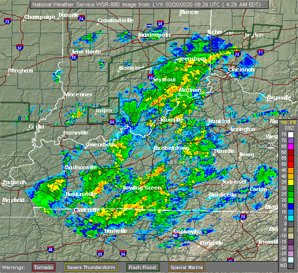 At 433 am edt, a severe thunderstorm was located 8 miles north of madison, moving east at 65 mph (radar indicated). Hazards include 60 mph wind gusts. expect damage to roofs, siding, and trees At 433 am edt, a severe thunderstorm was located 8 miles north of madison, moving east at 65 mph (radar indicated). Hazards include 60 mph wind gusts. expect damage to roofs, siding, and trees
|
| 4/12/2019 6:53 AM EDT |
 The severe thunderstorm warning for northwestern jefferson county will expire at 700 am edt, the storm which prompted the warning has moved out of the area. therefore, the warning will be allowed to expire. report severe weather to local law enforcement, post your report to the national weather service louisville facebook page, or tweet your report using hashtag l, m, k, spotter. The severe thunderstorm warning for northwestern jefferson county will expire at 700 am edt, the storm which prompted the warning has moved out of the area. therefore, the warning will be allowed to expire. report severe weather to local law enforcement, post your report to the national weather service louisville facebook page, or tweet your report using hashtag l, m, k, spotter.
|
| 4/12/2019 6:42 AM EDT |
 At 642 am edt, a severe thunderstorm was located 10 miles southeast of vernon, moving northeast at 55 mph (radar indicated). Hazards include 60 mph wind gusts and quarter size hail. Hail damage to vehicles is expected. Expect wind damage to roofs, siding, and trees. At 642 am edt, a severe thunderstorm was located 10 miles southeast of vernon, moving northeast at 55 mph (radar indicated). Hazards include 60 mph wind gusts and quarter size hail. Hail damage to vehicles is expected. Expect wind damage to roofs, siding, and trees.
|
| 8/7/2018 3:35 PM EDT |
 The severe thunderstorm warning for jefferson county will expire at 345 pm edt, the storm which prompted the warning has weakened below severe limits, and no longer poses an immediate threat to life or property. therefore, the warning will be allowed to expire. however gusty winds and heavy rain are still occurring with this thunderstorm. report severe weather to local law enforcement, post your report to the national weather service louisville facebook page, or tweet your report using hashtag l, m, k, spotter. The severe thunderstorm warning for jefferson county will expire at 345 pm edt, the storm which prompted the warning has weakened below severe limits, and no longer poses an immediate threat to life or property. therefore, the warning will be allowed to expire. however gusty winds and heavy rain are still occurring with this thunderstorm. report severe weather to local law enforcement, post your report to the national weather service louisville facebook page, or tweet your report using hashtag l, m, k, spotter.
|
| 8/7/2018 3:21 PM EDT |
 At 320 pm edt, a severe thunderstorm was located near madison, moving east at 30 mph (radar indicated. jefferson county 911 dispatch reported multiple trees down in madison and hanover hill). Hazards include 60 mph wind gusts and quarter size hail. Hail damage to vehicles is expected. expect wind damage to roofs, siding, and trees. Locations impacted include, madison, smyrna, dupont, wakefield, middlefork, canaan, volga, north madison, manville and belleview. At 320 pm edt, a severe thunderstorm was located near madison, moving east at 30 mph (radar indicated. jefferson county 911 dispatch reported multiple trees down in madison and hanover hill). Hazards include 60 mph wind gusts and quarter size hail. Hail damage to vehicles is expected. expect wind damage to roofs, siding, and trees. Locations impacted include, madison, smyrna, dupont, wakefield, middlefork, canaan, volga, north madison, manville and belleview.
|
| 8/7/2018 3:04 PM EDT |
 The national weather service in louisville has issued a * severe thunderstorm warning for. jefferson county in south central indiana. north central scott county in south central indiana. until 345 pm edt. At 303 pm edt, a severe thunderstorm was located 10 miles northwest. The national weather service in louisville has issued a * severe thunderstorm warning for. jefferson county in south central indiana. north central scott county in south central indiana. until 345 pm edt. At 303 pm edt, a severe thunderstorm was located 10 miles northwest.
|
| 7/20/2018 3:22 PM EDT |
 The severe thunderstorm warning for northeastern jefferson county will expire at 330 pm edt, the storm which prompted the warning has moved out of the area. therefore, the warning will be allowed to expire. a tornado watch remains in effect until 900 pm edt for south central indiana. report severe weather to local law enforcement, post your report to the national weather service louisville facebook page, or tweet your report using hashtag l, m, k, spotter. The severe thunderstorm warning for northeastern jefferson county will expire at 330 pm edt, the storm which prompted the warning has moved out of the area. therefore, the warning will be allowed to expire. a tornado watch remains in effect until 900 pm edt for south central indiana. report severe weather to local law enforcement, post your report to the national weather service louisville facebook page, or tweet your report using hashtag l, m, k, spotter.
|
| 7/20/2018 3:14 PM EDT |
 At 314 pm edt, a severe thunderstorm was located 9 miles northeast of madison, moving east at 45 mph (radar indicated). Hazards include 60 mph wind gusts and quarter size hail. Hail damage to vehicles is expected. Expect wind damage to roofs, siding, and trees. At 314 pm edt, a severe thunderstorm was located 9 miles northeast of madison, moving east at 45 mph (radar indicated). Hazards include 60 mph wind gusts and quarter size hail. Hail damage to vehicles is expected. Expect wind damage to roofs, siding, and trees.
|
| 7/20/2018 3:00 PM EDT |
 At 246 pm edt, a severe thunderstorm capable of producing a tornado was located 10 miles south of vernon, moving east at 20 mph (radar indicated rotation). Hazards include tornado and golf ball size hail. Flying debris will be dangerous to those caught without shelter. mobile homes will be damaged or destroyed. damage to roofs, windows, and vehicles will occur. Tree damage is likely. At 246 pm edt, a severe thunderstorm capable of producing a tornado was located 10 miles south of vernon, moving east at 20 mph (radar indicated rotation). Hazards include tornado and golf ball size hail. Flying debris will be dangerous to those caught without shelter. mobile homes will be damaged or destroyed. damage to roofs, windows, and vehicles will occur. Tree damage is likely.
|
| 7/20/2018 2:46 PM EDT |
 At 246 pm edt, a severe thunderstorm capable of producing a tornado was located 10 miles south of vernon, moving east at 20 mph (radar indicated rotation). Hazards include tornado and golf ball size hail. Flying debris will be dangerous to those caught without shelter. mobile homes will be damaged or destroyed. damage to roofs, windows, and vehicles will occur. Tree damage is likely. At 246 pm edt, a severe thunderstorm capable of producing a tornado was located 10 miles south of vernon, moving east at 20 mph (radar indicated rotation). Hazards include tornado and golf ball size hail. Flying debris will be dangerous to those caught without shelter. mobile homes will be damaged or destroyed. damage to roofs, windows, and vehicles will occur. Tree damage is likely.
|
| 7/20/2018 2:32 PM EDT |
 At 232 pm edt, a severe thunderstorm was located 9 miles south of vernon, moving east at 30 mph (radar indicated). Hazards include 70 mph wind gusts and half dollar size hail. Hail damage to vehicles is expected. expect considerable tree damage. Wind damage is also likely to mobile homes, roofs, and outbuildings. At 232 pm edt, a severe thunderstorm was located 9 miles south of vernon, moving east at 30 mph (radar indicated). Hazards include 70 mph wind gusts and half dollar size hail. Hail damage to vehicles is expected. expect considerable tree damage. Wind damage is also likely to mobile homes, roofs, and outbuildings.
|
| 7/20/2018 2:13 PM EDT |
 At 212 pm edt, a severe thunderstorm was located near madison, moving northeast at 25 mph (radar indicated). Hazards include 70 mph wind gusts and ping pong ball size hail. People and animals outdoors will be injured. expect hail damage to roofs, siding, windows, and vehicles. expect considerable tree damage. wind damage is also likely to mobile homes, roofs, and outbuildings. locations impacted include, madison, hanover, saluda, milton, brooksburg, canaan, north madison, manville, trout and madison municipal airport. A tornado watch remains in effect until 900 pm edt for south central indiana, and central kentucky. At 212 pm edt, a severe thunderstorm was located near madison, moving northeast at 25 mph (radar indicated). Hazards include 70 mph wind gusts and ping pong ball size hail. People and animals outdoors will be injured. expect hail damage to roofs, siding, windows, and vehicles. expect considerable tree damage. wind damage is also likely to mobile homes, roofs, and outbuildings. locations impacted include, madison, hanover, saluda, milton, brooksburg, canaan, north madison, manville, trout and madison municipal airport. A tornado watch remains in effect until 900 pm edt for south central indiana, and central kentucky.
|
| 7/20/2018 1:58 PM EDT |
 At 157 pm edt, a severe thunderstorm was located 11 miles southwest of madison, moving northeast at 25 mph (radar indicated). Hazards include 70 mph wind gusts and ping pong ball size hail. People and animals outdoors will be injured. expect hail damage to roofs, siding, windows, and vehicles. expect considerable tree damage. wind damage is also likely to mobile homes, roofs, and outbuildings. locations impacted include, madison, hanover, saluda, milton, brooksburg, canaan, north madison, manville, trout and madison municipal airport. A tornado watch remains in effect until 900 pm edt for south central indiana, and central kentucky. At 157 pm edt, a severe thunderstorm was located 11 miles southwest of madison, moving northeast at 25 mph (radar indicated). Hazards include 70 mph wind gusts and ping pong ball size hail. People and animals outdoors will be injured. expect hail damage to roofs, siding, windows, and vehicles. expect considerable tree damage. wind damage is also likely to mobile homes, roofs, and outbuildings. locations impacted include, madison, hanover, saluda, milton, brooksburg, canaan, north madison, manville, trout and madison municipal airport. A tornado watch remains in effect until 900 pm edt for south central indiana, and central kentucky.
|
| 7/20/2018 1:53 PM EDT |
 At 152 pm edt, a severe thunderstorm was located 10 miles southeast of scottsburg, moving northeast at 25 mph (radar indicated). Hazards include 70 mph wind gusts and ping pong ball size hail. People and animals outdoors will be injured. expect hail damage to roofs, siding, windows, and vehicles. expect considerable tree damage. Wind damage is also likely to mobile homes, roofs, and outbuildings. At 152 pm edt, a severe thunderstorm was located 10 miles southeast of scottsburg, moving northeast at 25 mph (radar indicated). Hazards include 70 mph wind gusts and ping pong ball size hail. People and animals outdoors will be injured. expect hail damage to roofs, siding, windows, and vehicles. expect considerable tree damage. Wind damage is also likely to mobile homes, roofs, and outbuildings.
|
| 6/26/2018 1:23 PM EDT |
 At 123 pm edt, severe thunderstorms were located along a line extending from 9 miles southeast of vernon to near madison to 10 miles north of prospect, moving northeast at 30 mph (radar indicated). Hazards include 60 mph wind gusts. expect damage to roofs, siding, and trees At 123 pm edt, severe thunderstorms were located along a line extending from 9 miles southeast of vernon to near madison to 10 miles north of prospect, moving northeast at 30 mph (radar indicated). Hazards include 60 mph wind gusts. expect damage to roofs, siding, and trees
|
| 5/31/2018 3:09 PM EDT | Trees downe in ripley county IN, 7.2 miles SW of Canaan, IN |
| 5/31/2018 2:35 PM EDT |
 At 235 pm edt, severe thunderstorms were located along a line extending from 9 miles south of vernon to brownsboro village, moving northeast at 50 mph (radar indicated). Hazards include 70 mph wind gusts. Expect considerable tree damage. Damage is likely to mobile homes, roofs, and outbuildings. At 235 pm edt, severe thunderstorms were located along a line extending from 9 miles south of vernon to brownsboro village, moving northeast at 50 mph (radar indicated). Hazards include 70 mph wind gusts. Expect considerable tree damage. Damage is likely to mobile homes, roofs, and outbuildings.
|
| 4/3/2018 4:43 PM EDT |
 The severe thunderstorm warning for jefferson, northeastern clark and northwestern trimble counties will expire at 445 pm edt, the storms which prompted the warning have moved out of the area. therefore the warning will be allowed to expire. a tornado watch remains in effect until 800 pm edt for south central indiana, and central kentucky. report severe weather to local law enforcement, post your report to the national weather service louisville facebook page, or tweet your report using hashtag l, m, k, spotter. The severe thunderstorm warning for jefferson, northeastern clark and northwestern trimble counties will expire at 445 pm edt, the storms which prompted the warning have moved out of the area. therefore the warning will be allowed to expire. a tornado watch remains in effect until 800 pm edt for south central indiana, and central kentucky. report severe weather to local law enforcement, post your report to the national weather service louisville facebook page, or tweet your report using hashtag l, m, k, spotter.
|
| 4/3/2018 4:41 PM EDT |
 At 441 pm edt, severe thunderstorms were located along a line extending from 11 miles south of versailles to bedford, moving northeast at 75 mph (radar indicated). Hazards include 60 mph wind gusts and penny size hail. expect damage to roofs, siding, and trees At 441 pm edt, severe thunderstorms were located along a line extending from 11 miles south of versailles to bedford, moving northeast at 75 mph (radar indicated). Hazards include 60 mph wind gusts and penny size hail. expect damage to roofs, siding, and trees
|
| 4/3/2018 4:33 PM EDT |
 At 432 pm edt, severe thunderstorms were located along a line extending from 9 miles southeast of vernon to near madison to 10 miles west of bedford, moving northeast at 45 mph (radar indicated). Hazards include 60 mph wind gusts and nickel size hail. Expect damage to roofs, siding, and trees. locations impacted include, madison, hanover, saluda, smyrna, milton, kent, dupont, wakefield, canaan and north madison. A tornado watch remains in effect until 800 pm edt for south central indiana, and central kentucky. At 432 pm edt, severe thunderstorms were located along a line extending from 9 miles southeast of vernon to near madison to 10 miles west of bedford, moving northeast at 45 mph (radar indicated). Hazards include 60 mph wind gusts and nickel size hail. Expect damage to roofs, siding, and trees. locations impacted include, madison, hanover, saluda, smyrna, milton, kent, dupont, wakefield, canaan and north madison. A tornado watch remains in effect until 800 pm edt for south central indiana, and central kentucky.
|
| 4/3/2018 4:19 PM EDT |
 At 419 pm edt, severe thunderstorms were located along a line extending from 11 miles south of vernon to 6 miles east of scottsburg to 13 miles north of prospect, moving northeast at 45 mph (radar indicated). Hazards include 60 mph wind gusts and nickel size hail. expect damage to roofs, siding, and trees At 419 pm edt, severe thunderstorms were located along a line extending from 11 miles south of vernon to 6 miles east of scottsburg to 13 miles north of prospect, moving northeast at 45 mph (radar indicated). Hazards include 60 mph wind gusts and nickel size hail. expect damage to roofs, siding, and trees
|
| 5/20/2017 7:39 PM EDT | A couple of trees downed in cross plains. time estimated by rada in ripley county IN, 7.2 miles SW of Canaan, IN |
| 5/20/2017 7:19 PM EDT |
 At 718 pm edt, a severe thunderstorm capable of producing a tornado was located near madison, moving northeast at 30 mph (radar indicated rotation). Hazards include tornado and quarter size hail. Flying debris will be dangerous to those caught without shelter. mobile homes will be damaged or destroyed. damage to roofs, windows, and vehicles will occur. tree damage is likely. Locations impacted include, middlefork, canaan, china, belleview, bryantsburg, wirt and barbersville. At 718 pm edt, a severe thunderstorm capable of producing a tornado was located near madison, moving northeast at 30 mph (radar indicated rotation). Hazards include tornado and quarter size hail. Flying debris will be dangerous to those caught without shelter. mobile homes will be damaged or destroyed. damage to roofs, windows, and vehicles will occur. tree damage is likely. Locations impacted include, middlefork, canaan, china, belleview, bryantsburg, wirt and barbersville.
|
| 5/20/2017 7:09 PM EDT |
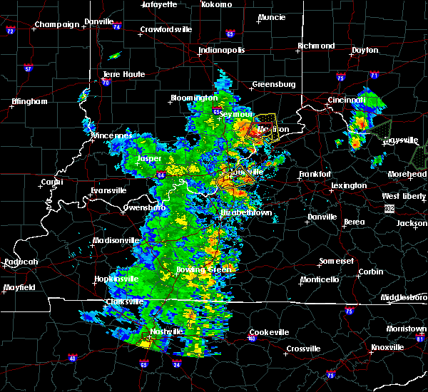 At 709 pm edt, a severe thunderstorm capable of producing a tornado was located near madison, moving northeast at 30 mph (radar indicated rotation). Hazards include tornado and quarter size hail. Flying debris will be dangerous to those caught without shelter. mobile homes will be damaged or destroyed. damage to roofs, windows, and vehicles will occur. Tree damage is likely. At 709 pm edt, a severe thunderstorm capable of producing a tornado was located near madison, moving northeast at 30 mph (radar indicated rotation). Hazards include tornado and quarter size hail. Flying debris will be dangerous to those caught without shelter. mobile homes will be damaged or destroyed. damage to roofs, windows, and vehicles will occur. Tree damage is likely.
|
| 5/20/2017 7:05 PM EDT |
 At 705 pm edt, a severe thunderstorm was located over madison, moving northeast at 35 mph (radar indicated). Hazards include 60 mph wind gusts and quarter size hail. Hail damage to vehicles is expected. Expect wind damage to roofs, siding, and trees. At 705 pm edt, a severe thunderstorm was located over madison, moving northeast at 35 mph (radar indicated). Hazards include 60 mph wind gusts and quarter size hail. Hail damage to vehicles is expected. Expect wind damage to roofs, siding, and trees.
|
| 5/20/2017 7:05 PM EDT |
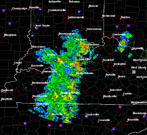 At 705 pm edt, a severe thunderstorm was located over madison, moving northeast at 35 mph (radar indicated). Hazards include 60 mph wind gusts and quarter size hail. Hail damage to vehicles is expected. Expect wind damage to roofs, siding, and trees. At 705 pm edt, a severe thunderstorm was located over madison, moving northeast at 35 mph (radar indicated). Hazards include 60 mph wind gusts and quarter size hail. Hail damage to vehicles is expected. Expect wind damage to roofs, siding, and trees.
|
| 5/19/2017 4:25 PM EDT |
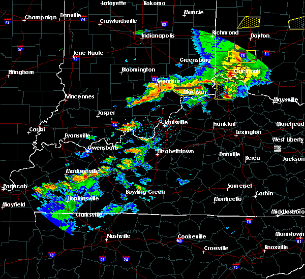 At 424 pm edt, a severe thunderstorm was located 10 miles southwest of dillsboro, moving northeast at 60 mph (radar indicated). Hazards include 60 mph wind gusts and penny size hail. Expect damage to roofs, siding, and trees. Locations impacted include, madison, dupont, middlefork, canaan, five points, ringwald, manville, china, belleview and bryantsburg. At 424 pm edt, a severe thunderstorm was located 10 miles southwest of dillsboro, moving northeast at 60 mph (radar indicated). Hazards include 60 mph wind gusts and penny size hail. Expect damage to roofs, siding, and trees. Locations impacted include, madison, dupont, middlefork, canaan, five points, ringwald, manville, china, belleview and bryantsburg.
|
| 5/19/2017 4:11 PM EDT |
 At 410 pm edt, a severe thunderstorm was located 7 miles northwest of madison, moving east at 60 mph (radar indicated). Hazards include 60 mph wind gusts and quarter size hail. Hail damage to vehicles is expected. Expect wind damage to roofs, siding, and trees. At 410 pm edt, a severe thunderstorm was located 7 miles northwest of madison, moving east at 60 mph (radar indicated). Hazards include 60 mph wind gusts and quarter size hail. Hail damage to vehicles is expected. Expect wind damage to roofs, siding, and trees.
|
| 5/19/2017 3:26 PM EDT |
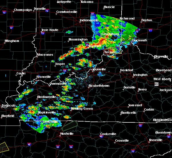 The tornado warning for northeastern jefferson county will expire at 330 pm edt, the storm which prompted the warning has weakened below severe limits, and is exiting the warned area. therefore, the warning will be allowed to expire. however small hail is still possible with this thunderstorm as it moves into switzerland county. report severe weather to local law enforcement, post your report to the national weather service louisville facebook page, or tweet your report using hashtag l, m, k, spotter. The tornado warning for northeastern jefferson county will expire at 330 pm edt, the storm which prompted the warning has weakened below severe limits, and is exiting the warned area. therefore, the warning will be allowed to expire. however small hail is still possible with this thunderstorm as it moves into switzerland county. report severe weather to local law enforcement, post your report to the national weather service louisville facebook page, or tweet your report using hashtag l, m, k, spotter.
|
| 5/19/2017 3:19 PM EDT |
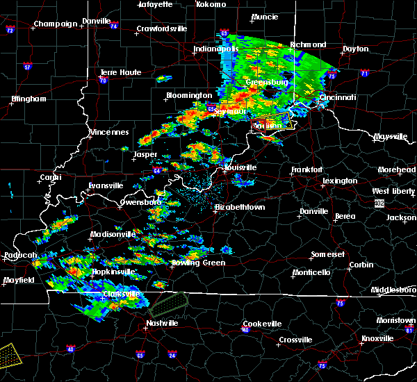 At 319 pm edt, a severe thunderstorm capable of producing a tornado was located near canaan, moving east at 40 mph (radar indicated rotation). Hazards include tornado. Flying debris will be dangerous to those caught without shelter. mobile homes will be damaged or destroyed. damage to roofs, windows, and vehicles will occur. tree damage is likely. Locations impacted include, bryantsburg, manville, china and barbersville. At 319 pm edt, a severe thunderstorm capable of producing a tornado was located near canaan, moving east at 40 mph (radar indicated rotation). Hazards include tornado. Flying debris will be dangerous to those caught without shelter. mobile homes will be damaged or destroyed. damage to roofs, windows, and vehicles will occur. tree damage is likely. Locations impacted include, bryantsburg, manville, china and barbersville.
|
| 5/19/2017 3:14 PM EDT |
 At 314 pm edt, a severe thunderstorm capable of producing a tornado was located just north of china, moving east at 20 mph (radar indicated rotation). Hazards include tornado. Flying debris will be dangerous to those caught without shelter. mobile homes will be damaged or destroyed. damage to roofs, windows, and vehicles will occur. tree damage is likely. Locations impacted include, canaan, belleview, bryantsburg, manville, and barbersville. At 314 pm edt, a severe thunderstorm capable of producing a tornado was located just north of china, moving east at 20 mph (radar indicated rotation). Hazards include tornado. Flying debris will be dangerous to those caught without shelter. mobile homes will be damaged or destroyed. damage to roofs, windows, and vehicles will occur. tree damage is likely. Locations impacted include, canaan, belleview, bryantsburg, manville, and barbersville.
|
| 5/19/2017 3:05 PM EDT |
 At 305 pm edt, a severe thunderstorm capable of producing a tornado was located just north of madison, moving east at 30 mph (radar indicated rotation). Hazards include tornado. Flying debris will be dangerous to those caught without shelter. mobile homes will be damaged or destroyed. damage to roofs, windows, and vehicles will occur. tree damage is likely. Locations impacted include, madison, canaan, north madison, ringwald, manville, china, belleview, bryantsburg, wirt and barbersville. At 305 pm edt, a severe thunderstorm capable of producing a tornado was located just north of madison, moving east at 30 mph (radar indicated rotation). Hazards include tornado. Flying debris will be dangerous to those caught without shelter. mobile homes will be damaged or destroyed. damage to roofs, windows, and vehicles will occur. tree damage is likely. Locations impacted include, madison, canaan, north madison, ringwald, manville, china, belleview, bryantsburg, wirt and barbersville.
|
| 5/19/2017 2:56 PM EDT |
 At 256 pm edt, a severe thunderstorm capable of producing a tornado was located near madison, moving east at 25 mph (radar indicated rotation). Hazards include tornado. Flying debris will be dangerous to those caught without shelter. mobile homes will be damaged or destroyed. damage to roofs, windows, and vehicles will occur. Tree damage is likely. At 256 pm edt, a severe thunderstorm capable of producing a tornado was located near madison, moving east at 25 mph (radar indicated rotation). Hazards include tornado. Flying debris will be dangerous to those caught without shelter. mobile homes will be damaged or destroyed. damage to roofs, windows, and vehicles will occur. Tree damage is likely.
|
| 5/19/2017 2:51 PM EDT |
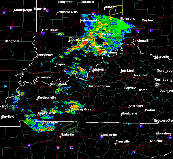 At 251 pm edt, a severe thunderstorm capable of producing a tornado was located 8 miles northwest of madison, moving east at 25 mph (radar indicated rotation). Hazards include tornado. Flying debris will be dangerous to those caught without shelter. mobile homes will be damaged or destroyed. damage to roofs, windows, and vehicles will occur. tree damage is likely. Locations impacted include, madison, smyrna, wakefield, middlefork, canaan, volga, north madison, manville, belleview and bryantsburg. At 251 pm edt, a severe thunderstorm capable of producing a tornado was located 8 miles northwest of madison, moving east at 25 mph (radar indicated rotation). Hazards include tornado. Flying debris will be dangerous to those caught without shelter. mobile homes will be damaged or destroyed. damage to roofs, windows, and vehicles will occur. tree damage is likely. Locations impacted include, madison, smyrna, wakefield, middlefork, canaan, volga, north madison, manville, belleview and bryantsburg.
|
| 5/19/2017 2:41 PM EDT |
 At 241 pm edt, a severe thunderstorm capable of producing a tornado was located 11 miles northwest of madison, moving east at 25 mph (radar indicated rotation). Hazards include tornado. Flying debris will be dangerous to those caught without shelter. mobile homes will be damaged or destroyed. damage to roofs, windows, and vehicles will occur. Tree damage is likely. At 241 pm edt, a severe thunderstorm capable of producing a tornado was located 11 miles northwest of madison, moving east at 25 mph (radar indicated rotation). Hazards include tornado. Flying debris will be dangerous to those caught without shelter. mobile homes will be damaged or destroyed. damage to roofs, windows, and vehicles will occur. Tree damage is likely.
|
| 5/19/2017 2:38 PM EDT |
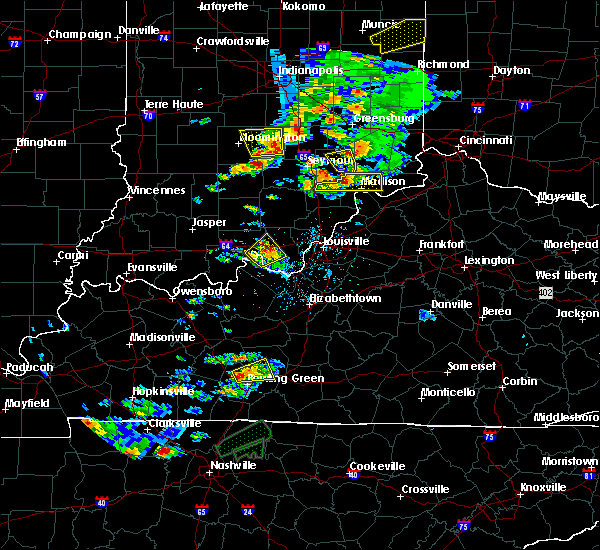 At 238 pm edt, a severe thunderstorm was located 11 miles south of vernon, moving east at 25 mph (radar indicated). Hazards include 60 mph wind gusts and quarter size hail. Hail damage to vehicles is expected. expect wind damage to roofs, siding, and trees. Locations impacted include, madison, austin, smyrna, dupont, wakefield, middlefork, canaan, volga, north madison and manville. At 238 pm edt, a severe thunderstorm was located 11 miles south of vernon, moving east at 25 mph (radar indicated). Hazards include 60 mph wind gusts and quarter size hail. Hail damage to vehicles is expected. expect wind damage to roofs, siding, and trees. Locations impacted include, madison, austin, smyrna, dupont, wakefield, middlefork, canaan, volga, north madison and manville.
|
| 5/19/2017 2:18 PM EDT |
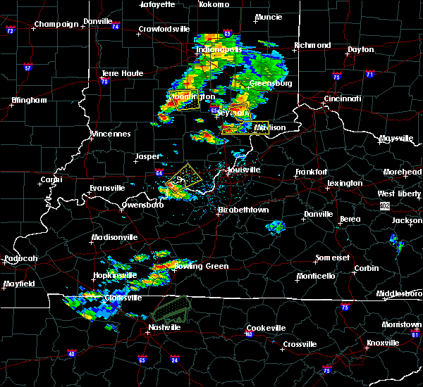 At 217 pm edt, a severe thunderstorm was located 7 miles north of scottsburg, moving east at 35 mph (radar indicated). Hazards include 60 mph wind gusts and quarter size hail. Hail damage to vehicles is expected. Expect wind damage to roofs, siding, and trees. At 217 pm edt, a severe thunderstorm was located 7 miles north of scottsburg, moving east at 35 mph (radar indicated). Hazards include 60 mph wind gusts and quarter size hail. Hail damage to vehicles is expected. Expect wind damage to roofs, siding, and trees.
|
| 4/29/2017 8:27 AM EDT |
 The severe thunderstorm warning for northeastern jefferson and trimble counties will expire at 830 am edt, the storm which prompted the warning has moved out of the area. therefore the warning will be allowed to expire. however gusty winds are still possible with this thunderstorm. report severe weather to local law enforcement, post your report to the national weather service louisville facebook page, or tweet your report using hashtag l, m, k, spotter. The severe thunderstorm warning for northeastern jefferson and trimble counties will expire at 830 am edt, the storm which prompted the warning has moved out of the area. therefore the warning will be allowed to expire. however gusty winds are still possible with this thunderstorm. report severe weather to local law enforcement, post your report to the national weather service louisville facebook page, or tweet your report using hashtag l, m, k, spotter.
|
| 4/29/2017 8:12 AM EDT |
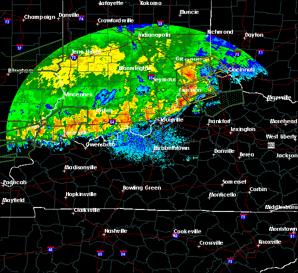 At 811 am edt, a severe thunderstorm was located near carrollton, moving east at 50 mph (radar indicated). Hazards include quarter size hail. Damage to vehicles is expected. Locations impacted include, madison, bedford, milton, brooksburg, canaan, monitor, manville and china. At 811 am edt, a severe thunderstorm was located near carrollton, moving east at 50 mph (radar indicated). Hazards include quarter size hail. Damage to vehicles is expected. Locations impacted include, madison, bedford, milton, brooksburg, canaan, monitor, manville and china.
|
| 4/29/2017 7:53 AM EDT |
 At 752 am edt, a severe thunderstorm was located near madison, moving east at 50 mph (public). Hazards include half dollar size hail. Damage to vehicles is expected. Locations impacted include, madison, bedford, hanover, saluda, smyrna, bethlehem, milton, kent, brooksburg and wakefield. At 752 am edt, a severe thunderstorm was located near madison, moving east at 50 mph (public). Hazards include half dollar size hail. Damage to vehicles is expected. Locations impacted include, madison, bedford, hanover, saluda, smyrna, bethlehem, milton, kent, brooksburg and wakefield.
|
| 4/29/2017 7:40 AM EDT |
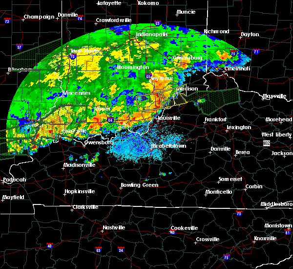 At 739 am edt, a severe thunderstorm was located 8 miles southeast of scottsburg, moving east at 50 mph (radar indicated). Hazards include 60 mph wind gusts and half dollar size hail. Hail damage to vehicles is expected. Expect wind damage to roofs, siding, and trees. At 739 am edt, a severe thunderstorm was located 8 miles southeast of scottsburg, moving east at 50 mph (radar indicated). Hazards include 60 mph wind gusts and half dollar size hail. Hail damage to vehicles is expected. Expect wind damage to roofs, siding, and trees.
|
| 4/28/2017 9:10 PM EDT |
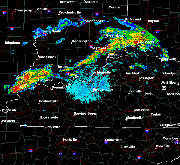 At 910 pm edt, a severe thunderstorm was located near vernon, moving east at 40 mph (radar indicated). Hazards include 70 mph wind gusts. Expect considerable tree damage. Damage is likely to mobile homes, roofs, and outbuildings. At 910 pm edt, a severe thunderstorm was located near vernon, moving east at 40 mph (radar indicated). Hazards include 70 mph wind gusts. Expect considerable tree damage. Damage is likely to mobile homes, roofs, and outbuildings.
|
| 3/1/2017 6:22 AM EST |
 At 621 am est, severe thunderstorms were located along a line extending from 8 miles north of brooksburg to 7 miles southwest of brandenburg, moving east at 55 mph (radar indicated). Hazards include 60 mph wind gusts. expect damage to roofs, siding, and trees At 621 am est, severe thunderstorms were located along a line extending from 8 miles north of brooksburg to 7 miles southwest of brandenburg, moving east at 55 mph (radar indicated). Hazards include 60 mph wind gusts. expect damage to roofs, siding, and trees
|
| 3/1/2017 5:57 AM EST |
 At 556 am est/456 am cst/, severe thunderstorms were located along a line extending from 9 miles northwest of scottsburg to 10 miles southwest of carefree town, moving east at 55 mph (radar indicated). Hazards include 60 mph wind gusts. expect damage to roofs, siding, and trees At 556 am est/456 am cst/, severe thunderstorms were located along a line extending from 9 miles northwest of scottsburg to 10 miles southwest of carefree town, moving east at 55 mph (radar indicated). Hazards include 60 mph wind gusts. expect damage to roofs, siding, and trees
|
| 3/1/2017 1:46 AM EST |
 At 145 am est, a severe thunderstorm was located 10 miles north of madison, moving east at 65 mph (radar indicated). Hazards include 60 mph wind gusts and quarter size hail. Hail damage to vehicles is expected. Expect wind damage to roofs, siding, and trees. At 145 am est, a severe thunderstorm was located 10 miles north of madison, moving east at 65 mph (radar indicated). Hazards include 60 mph wind gusts and quarter size hail. Hail damage to vehicles is expected. Expect wind damage to roofs, siding, and trees.
|
| 2/24/2017 6:51 PM EST |
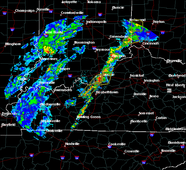 At 650 pm est, a severe thunderstorm was located near north madison, moving northeast at 50 mph (radar indicated). Hazards include 60 mph wind gusts and nickel size hail. Expect damage to roofs, siding, and trees. Locations impacted include, brooksburg, canaan, manville, china, belleview, bryantsburg and barbersville. At 650 pm est, a severe thunderstorm was located near north madison, moving northeast at 50 mph (radar indicated). Hazards include 60 mph wind gusts and nickel size hail. Expect damage to roofs, siding, and trees. Locations impacted include, brooksburg, canaan, manville, china, belleview, bryantsburg and barbersville.
|
| 2/24/2017 6:42 PM EST |
 At 641 pm est, a severe thunderstorm was located just west of madison, moving northeast at 55 mph (radar indicated). Hazards include 60 mph wind gusts and quarter size hail. Hail damage to vehicles is expected. Expect wind damage to roofs, siding, and trees. At 641 pm est, a severe thunderstorm was located just west of madison, moving northeast at 55 mph (radar indicated). Hazards include 60 mph wind gusts and quarter size hail. Hail damage to vehicles is expected. Expect wind damage to roofs, siding, and trees.
|
| 2/24/2017 6:42 PM EST |
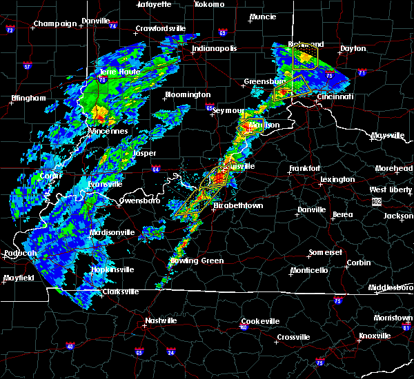 At 641 pm est, a severe thunderstorm was located just west of madison, moving northeast at 55 mph (radar indicated). Hazards include 60 mph wind gusts and quarter size hail. Hail damage to vehicles is expected. Expect wind damage to roofs, siding, and trees. At 641 pm est, a severe thunderstorm was located just west of madison, moving northeast at 55 mph (radar indicated). Hazards include 60 mph wind gusts and quarter size hail. Hail damage to vehicles is expected. Expect wind damage to roofs, siding, and trees.
|
| 10/19/2016 6:00 PM EDT | Several trees down along county road 1050 s. also some minor street flooding in the are in ripley county IN, 7.2 miles SW of Canaan, IN |
| 9/10/2016 3:29 PM EDT |
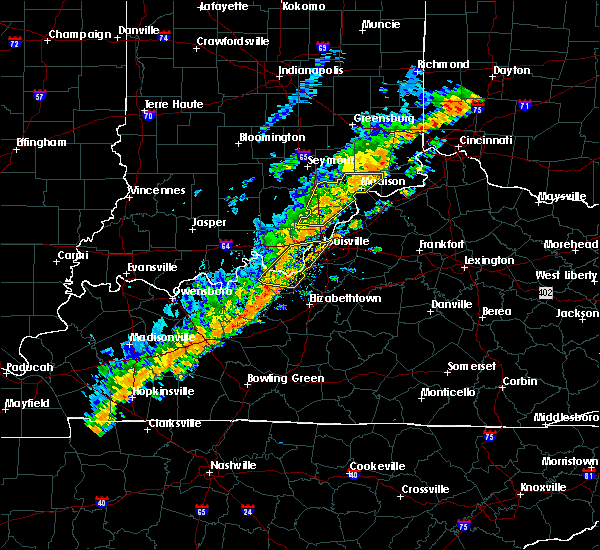 At 329 pm edt, severe thunderstorms were located along a line extending from 8 miles northwest of madison to 6 miles northeast of new providence town, moving east at 40 mph (radar indicated). Hazards include 60 mph wind gusts. Expect damage to roofs. siding. and trees. Locations impacted include, madison, scottsburg, new providence town, vienna, austin, lexington, hanover, saluda, smyrna and borden. At 329 pm edt, severe thunderstorms were located along a line extending from 8 miles northwest of madison to 6 miles northeast of new providence town, moving east at 40 mph (radar indicated). Hazards include 60 mph wind gusts. Expect damage to roofs. siding. and trees. Locations impacted include, madison, scottsburg, new providence town, vienna, austin, lexington, hanover, saluda, smyrna and borden.
|
| 9/10/2016 3:13 PM EDT |
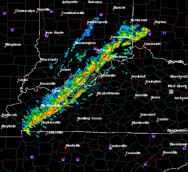 At 312 pm edt, severe thunderstorms were located along a line extending from 6 miles northeast of scottsburg to near new providence town, moving east at 40 mph (radar indicated). Hazards include 60 mph wind gusts. Expect damage to roofs. siding. And trees. At 312 pm edt, severe thunderstorms were located along a line extending from 6 miles northeast of scottsburg to near new providence town, moving east at 40 mph (radar indicated). Hazards include 60 mph wind gusts. Expect damage to roofs. siding. And trees.
|
| 7/8/2016 11:54 AM EDT |
 The severe thunderstorm warning for northeastern jefferson county will expire at noon edt, the storm which prompted the warning has moved out of the area. therefore the warning will be allowed to expire. a severe thunderstorm watch remains in effect until 600 pm edt for south central indiana, and central kentucky. report severe weather to local law enforcement, post your report to the national weather service louisville facebook page, or tweet your report using hashtag l, m, k, spotter. The severe thunderstorm warning for northeastern jefferson county will expire at noon edt, the storm which prompted the warning has moved out of the area. therefore the warning will be allowed to expire. a severe thunderstorm watch remains in effect until 600 pm edt for south central indiana, and central kentucky. report severe weather to local law enforcement, post your report to the national weather service louisville facebook page, or tweet your report using hashtag l, m, k, spotter.
|
| 7/8/2016 11:47 AM EDT |
 At 1144 am edt, a severe thunderstorm was located 8 miles north of brooksburg, moving northeast at 55 mph. several trees have been reported down by the jefferson county indiana road department (radar indicated). Hazards include 60 mph wind gusts. Expect damage to roofs. siding. and trees. Locations impacted include, madison, ringwald, canaan, manville, belleview, bryantsburg, barbersville and china. At 1144 am edt, a severe thunderstorm was located 8 miles north of brooksburg, moving northeast at 55 mph. several trees have been reported down by the jefferson county indiana road department (radar indicated). Hazards include 60 mph wind gusts. Expect damage to roofs. siding. and trees. Locations impacted include, madison, ringwald, canaan, manville, belleview, bryantsburg, barbersville and china.
|
| 7/8/2016 11:28 AM EDT |
 At 1127 am edt, a severe thunderstorm was located over madison, moving northeast at 50 mph (radar indicated). Hazards include 60 mph wind gusts. Expect damage to roofs. siding. And trees. At 1127 am edt, a severe thunderstorm was located over madison, moving northeast at 50 mph (radar indicated). Hazards include 60 mph wind gusts. Expect damage to roofs. siding. And trees.
|
| 7/8/2016 11:28 AM EDT |
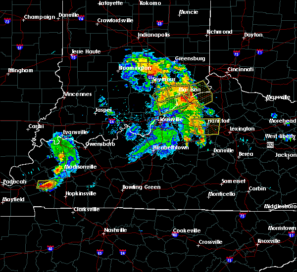 At 1127 am edt, a severe thunderstorm was located over madison, moving northeast at 50 mph (radar indicated). Hazards include 60 mph wind gusts. Expect damage to roofs. siding. And trees. At 1127 am edt, a severe thunderstorm was located over madison, moving northeast at 50 mph (radar indicated). Hazards include 60 mph wind gusts. Expect damage to roofs. siding. And trees.
|
| 7/8/2016 11:24 AM EDT |
 At 1123 am edt, a severe thunderstorm was located near madison, moving northeast at 50 mph (radar indicated). Hazards include 60 mph wind gusts. Expect damage to roofs. siding. and trees. Locations impacted include, madison, scottsburg, vienna, austin, lexington, hanover, smyrna, milton, kent and dupont. At 1123 am edt, a severe thunderstorm was located near madison, moving northeast at 50 mph (radar indicated). Hazards include 60 mph wind gusts. Expect damage to roofs. siding. and trees. Locations impacted include, madison, scottsburg, vienna, austin, lexington, hanover, smyrna, milton, kent and dupont.
|
| 7/8/2016 11:18 AM EDT |
 At 1115 am edt, a severe thunderstorm was located near scottsburg, moving east at 45 mph. this cluster of storms has a history of producing wind damage all the way back into western kentucky (radar indicated). Hazards include 60 mph wind gusts. Expect damage to roofs. siding. and trees. Locations impacted include, madison, scottsburg, vienna, austin, lexington, hanover, smyrna, milton, kent and dupont. At 1115 am edt, a severe thunderstorm was located near scottsburg, moving east at 45 mph. this cluster of storms has a history of producing wind damage all the way back into western kentucky (radar indicated). Hazards include 60 mph wind gusts. Expect damage to roofs. siding. and trees. Locations impacted include, madison, scottsburg, vienna, austin, lexington, hanover, smyrna, milton, kent and dupont.
|
| 7/8/2016 11:03 AM EDT |
 At 1102 am edt, a severe thunderstorm was located near scottsburg, moving northeast at 45 mph (law enforcement has reported several trees down across the area). Hazards include 60 mph wind gusts. Expect damage to roofs. siding. and trees. Locations impacted include, madison, scottsburg, salem, vienna, austin, lexington, hanover, new pekin, smyrna and milton. At 1102 am edt, a severe thunderstorm was located near scottsburg, moving northeast at 45 mph (law enforcement has reported several trees down across the area). Hazards include 60 mph wind gusts. Expect damage to roofs. siding. and trees. Locations impacted include, madison, scottsburg, salem, vienna, austin, lexington, hanover, new pekin, smyrna and milton.
|
| 7/8/2016 11:03 AM EDT |
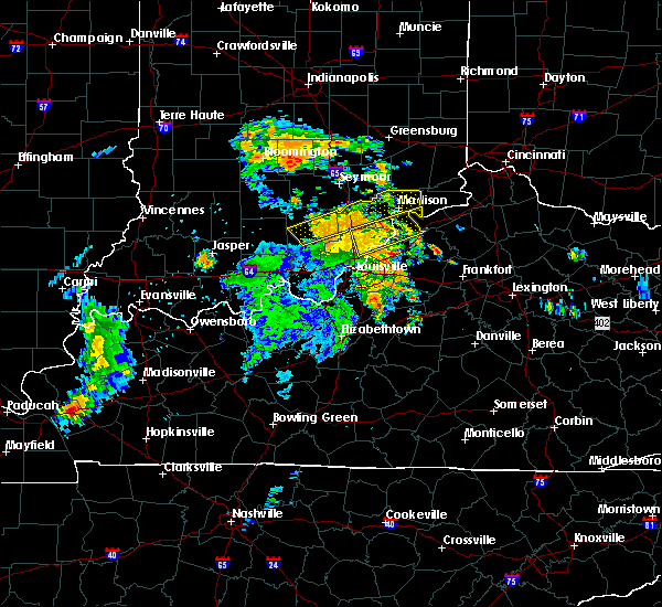 At 1102 am edt, a severe thunderstorm was located near scottsburg, moving northeast at 45 mph (law enforcement has reported several trees down across the area). Hazards include 60 mph wind gusts. Expect damage to roofs. siding. and trees. Locations impacted include, madison, scottsburg, salem, vienna, austin, lexington, hanover, new pekin, smyrna and milton. At 1102 am edt, a severe thunderstorm was located near scottsburg, moving northeast at 45 mph (law enforcement has reported several trees down across the area). Hazards include 60 mph wind gusts. Expect damage to roofs. siding. and trees. Locations impacted include, madison, scottsburg, salem, vienna, austin, lexington, hanover, new pekin, smyrna and milton.
|
| 7/8/2016 10:50 AM EDT |
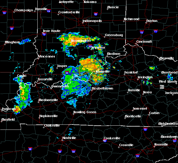 At 1049 am edt, a severe thunderstorm was located near salem, moving northeast at 50 mph (radar indicated). Hazards include 60 mph wind gusts. Expect damage to roofs. siding. And trees. At 1049 am edt, a severe thunderstorm was located near salem, moving northeast at 50 mph (radar indicated). Hazards include 60 mph wind gusts. Expect damage to roofs. siding. And trees.
|
| 5/11/2016 9:47 PM EDT |
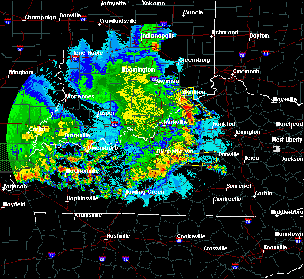 At 945 pm edt, a severe thunderstorm was located near brooksburg, moving northeast at 35 mph (public. trees were reported down in hanover). Hazards include 60 mph wind gusts and penny size hail. Expect damage to roofs. siding. and trees. Locations impacted include, madison, brooksburg, hanover, saluda, smyrna, milton, hanover beach, ringwald, canaan and belleview. At 945 pm edt, a severe thunderstorm was located near brooksburg, moving northeast at 35 mph (public. trees were reported down in hanover). Hazards include 60 mph wind gusts and penny size hail. Expect damage to roofs. siding. and trees. Locations impacted include, madison, brooksburg, hanover, saluda, smyrna, milton, hanover beach, ringwald, canaan and belleview.
|
| 5/11/2016 9:30 PM EDT |
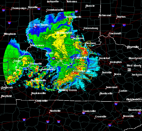 At 930 pm edt, a severe thunderstorm was located near madison, moving northeast at 35 mph (radar indicated). Hazards include 60 mph wind gusts and quarter size hail. Hail damage to vehicles is expected. Expect wind damage to roofs, siding, and trees. At 930 pm edt, a severe thunderstorm was located near madison, moving northeast at 35 mph (radar indicated). Hazards include 60 mph wind gusts and quarter size hail. Hail damage to vehicles is expected. Expect wind damage to roofs, siding, and trees.
|
| 4/26/2016 8:49 PM EDT |
 At 849 pm edt, a severe thunderstorm was located over scottsburg, moving east at 40 mph (radar indicated). Hazards include 60 mph wind gusts. Expect damage to roofs. siding. And trees. At 849 pm edt, a severe thunderstorm was located over scottsburg, moving east at 40 mph (radar indicated). Hazards include 60 mph wind gusts. Expect damage to roofs. siding. And trees.
|
| 4/26/2016 8:49 PM EDT |
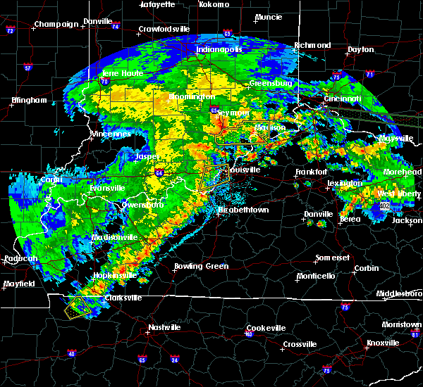 At 849 pm edt, a severe thunderstorm was located over scottsburg, moving east at 40 mph (radar indicated). Hazards include 60 mph wind gusts. Expect damage to roofs. siding. And trees. At 849 pm edt, a severe thunderstorm was located over scottsburg, moving east at 40 mph (radar indicated). Hazards include 60 mph wind gusts. Expect damage to roofs. siding. And trees.
|
| 12/23/2015 4:41 PM EST | At 440 pm est, a severe thunderstorm was located 8 miles north of brooksburg, moving east at 50 mph (radar indicated). Hazards include 60 mph wind gusts. Expect damage to roofs. Siding and trees. |
| 7/17/2015 9:35 PM EDT |
 At 934 pm edt, a severe thunderstorm was located 8 miles north of madison, and moving east at 40 mph (radar indicated). Hazards include 60 mph wind gusts. Expect damage to roofs. siding and trees. Locations impacted include, manville and brooksburg. At 934 pm edt, a severe thunderstorm was located 8 miles north of madison, and moving east at 40 mph (radar indicated). Hazards include 60 mph wind gusts. Expect damage to roofs. siding and trees. Locations impacted include, manville and brooksburg.
|
| 7/17/2015 9:35 PM EDT |
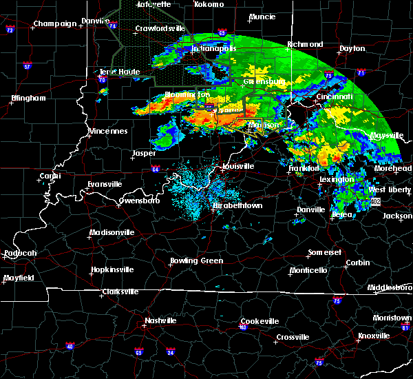 At 934 pm edt, a severe thunderstorm was located 8 miles north of madison, and moving east at 40 mph (radar indicated). Hazards include 60 mph wind gusts. Expect damage to roofs. siding and trees. Locations impacted include, manville and brooksburg. At 934 pm edt, a severe thunderstorm was located 8 miles north of madison, and moving east at 40 mph (radar indicated). Hazards include 60 mph wind gusts. Expect damage to roofs. siding and trees. Locations impacted include, manville and brooksburg.
|
| 7/17/2015 9:16 PM EDT |
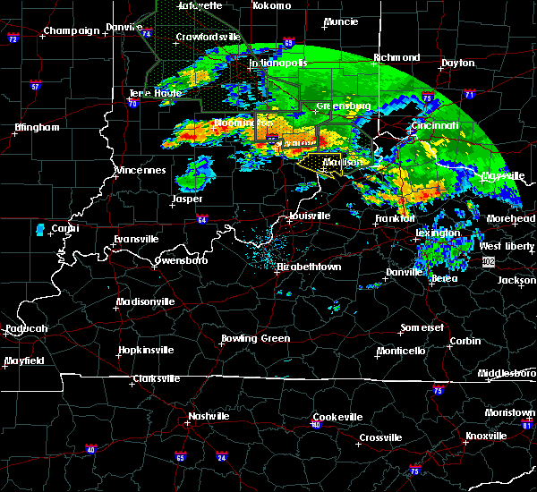 At 915 pm edt, a severe thunderstorm was located 6 miles southeast of vernon, and moving east at 40 mph (radar indicated). Hazards include 60 mph wind gusts. Expect damage to roofs. Siding and trees. At 915 pm edt, a severe thunderstorm was located 6 miles southeast of vernon, and moving east at 40 mph (radar indicated). Hazards include 60 mph wind gusts. Expect damage to roofs. Siding and trees.
|
| 7/13/2015 1:58 PM EDT |
 At 156 pm edt, severe thunderstorms were located along a line extending from 6 miles northwest of madison to 9 miles east of scottsburg to 6 miles southwest of scottsburg, and moving southeast at 50 mph (radar indicated). Hazards include 60 mph wind gusts. Expect damage to roofs. Siding and trees. At 156 pm edt, severe thunderstorms were located along a line extending from 6 miles northwest of madison to 9 miles east of scottsburg to 6 miles southwest of scottsburg, and moving southeast at 50 mph (radar indicated). Hazards include 60 mph wind gusts. Expect damage to roofs. Siding and trees.
|
| 7/13/2015 1:58 PM EDT |
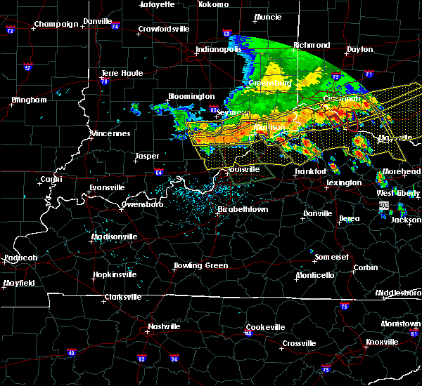 At 156 pm edt, severe thunderstorms were located along a line extending from 6 miles northwest of madison to 9 miles east of scottsburg to 6 miles southwest of scottsburg, and moving southeast at 50 mph (radar indicated). Hazards include 60 mph wind gusts. Expect damage to roofs. Siding and trees. At 156 pm edt, severe thunderstorms were located along a line extending from 6 miles northwest of madison to 9 miles east of scottsburg to 6 miles southwest of scottsburg, and moving southeast at 50 mph (radar indicated). Hazards include 60 mph wind gusts. Expect damage to roofs. Siding and trees.
|
| 7/13/2015 1:51 PM EDT |
 At 148 pm edt, severe thunderstorms were located along a line extending from 9 miles northwest of madison to scottsburg to 8 miles northeast of salem to 7 miles north of salem to salem, and moving southeast at 50 mph (radar indicated). Hazards include 60 mph wind gusts. Expect damage to roofs. siding and trees. Locations impacted include, madison, lexington, georgetown, smyrna, china, swanville, hanover, madison municipal airport, north madison, ringwald, canton, new salem, hanover beach, manville, new philadelphia, chelsea, saluda, harristown, milton and paynesville. At 148 pm edt, severe thunderstorms were located along a line extending from 9 miles northwest of madison to scottsburg to 8 miles northeast of salem to 7 miles north of salem to salem, and moving southeast at 50 mph (radar indicated). Hazards include 60 mph wind gusts. Expect damage to roofs. siding and trees. Locations impacted include, madison, lexington, georgetown, smyrna, china, swanville, hanover, madison municipal airport, north madison, ringwald, canton, new salem, hanover beach, manville, new philadelphia, chelsea, saluda, harristown, milton and paynesville.
|
| 7/13/2015 1:18 PM EDT |
 The national weather service in louisville has issued a * severe thunderstorm warning for. jefferson county in south central indiana. scott county in south central indiana. northern washington county in south central indiana. Northern trimble county in north central kentucky. The national weather service in louisville has issued a * severe thunderstorm warning for. jefferson county in south central indiana. scott county in south central indiana. northern washington county in south central indiana. Northern trimble county in north central kentucky.
|
| 7/13/2015 1:18 PM EDT |
 At 116 pm edt, severe thunderstorms were located along a line extending from 8 miles north of vernon to seymour to 8 miles west of brownstown, and moving south at 50 mph (radar indicated). Hazards include 60 mph wind gusts. Expect damage to roofs. Siding and trees. At 116 pm edt, severe thunderstorms were located along a line extending from 8 miles north of vernon to seymour to 8 miles west of brownstown, and moving south at 50 mph (radar indicated). Hazards include 60 mph wind gusts. Expect damage to roofs. Siding and trees.
|
| 4/9/2015 5:57 PM EDT | The severe thunderstorm warning for northern jefferson county will expire at 600 pm edt/500 pm cdt/. The storm which prompted the warning has weakened and moved out of the warned area. |
| 4/9/2015 5:46 PM EDT | A severe thunderstorm warning remains in effect for northern jefferson county until 600 pm edt. at 544 pm edt. a severe thunderstorm was located 7 miles northwest of madison. and moving northeast at 45 mph. hazard. 60 mph wind gusts and quarter size hail. source. Radar indicated. |
| 4/9/2015 5:35 PM EDT | The national weather service in louisville has issued a * severe thunderstorm warning for. jefferson county in south central indiana. until 600 pm edt * at 534 pm edt. a severe thunderstorm was located 9 miles west of madison. And moving northeast at 45 mph. |
| 4/9/2015 5:17 PM EDT | The severe thunderstorm warning for jefferson county will expire at 520 pm edt/420 pm cdt/. the storm which prompted the warning has weakened below severe limits. And no longer poses an immediate threat to life or property. |
| 4/9/2015 4:56 PM EDT | The national weather service in louisville has issued a * severe thunderstorm warning for. jefferson county in south central indiana. until 520 pm edt * at 454 pm edt. a severe thunderstorm was located 7 miles west of madison. And moving northeast at 50 mph. |
| 4/8/2015 6:46 PM EDT | The national weather service in louisville has issued a * severe thunderstorm warning for. northeastern jefferson county in south central indiana. until 715 pm edt * at 643 pm edt. a severe thunderstorm was located near madison. And moving east at 55 mph. |
| 4/8/2015 11:06 AM EDT | Quarter sized hail reported 6.4 miles W of Canaan, IN, time estimated from radar. |
| 5/21/2014 9:05 PM EDT | Side of barn and roof damaged... shed moved... trees down in ripley county IN, 5.7 miles SSE of Canaan, IN |
| 5/21/2014 6:45 PM EDT | Several trees dow in ripley county IN, 6.4 miles S of Canaan, IN |
| 5/21/2014 6:24 PM EDT | Side of barn and roof damaged...shed moved...trees down. corrected time of event based on rada in ripley county IN, 5.7 miles SSE of Canaan, IN |
| 9/7/2012 11:48 PM EDT | Tree downed on route 250 in pleasant townshi in switzerland county IN, 8 miles W of Canaan, IN |
| 7/1/2012 6:38 PM EDT | Trees down across northern jefferson count in jefferson county IN, 4.1 miles ENE of Canaan, IN |
Hail Maps for Canaan, IN
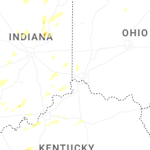
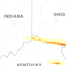


Connect with Interactive Hail Maps