

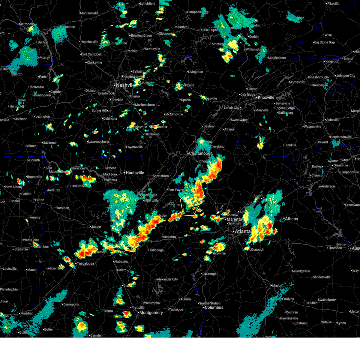
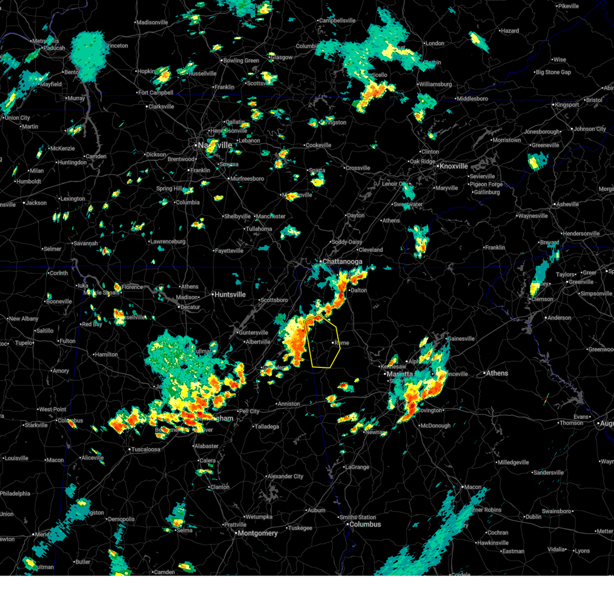
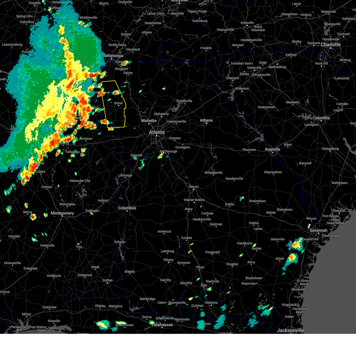
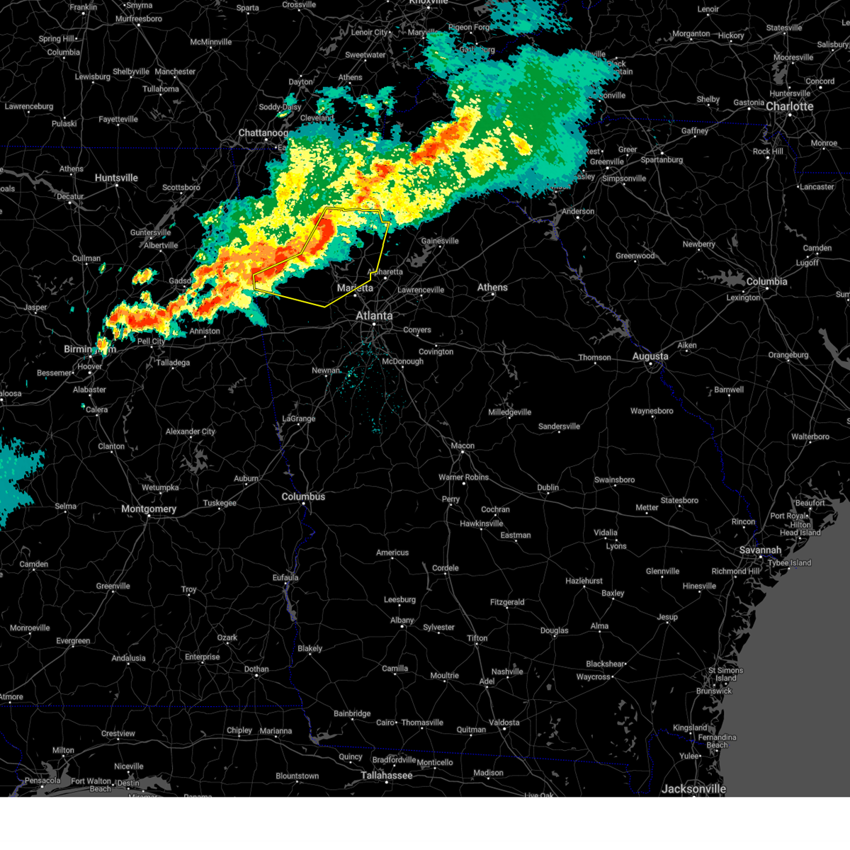
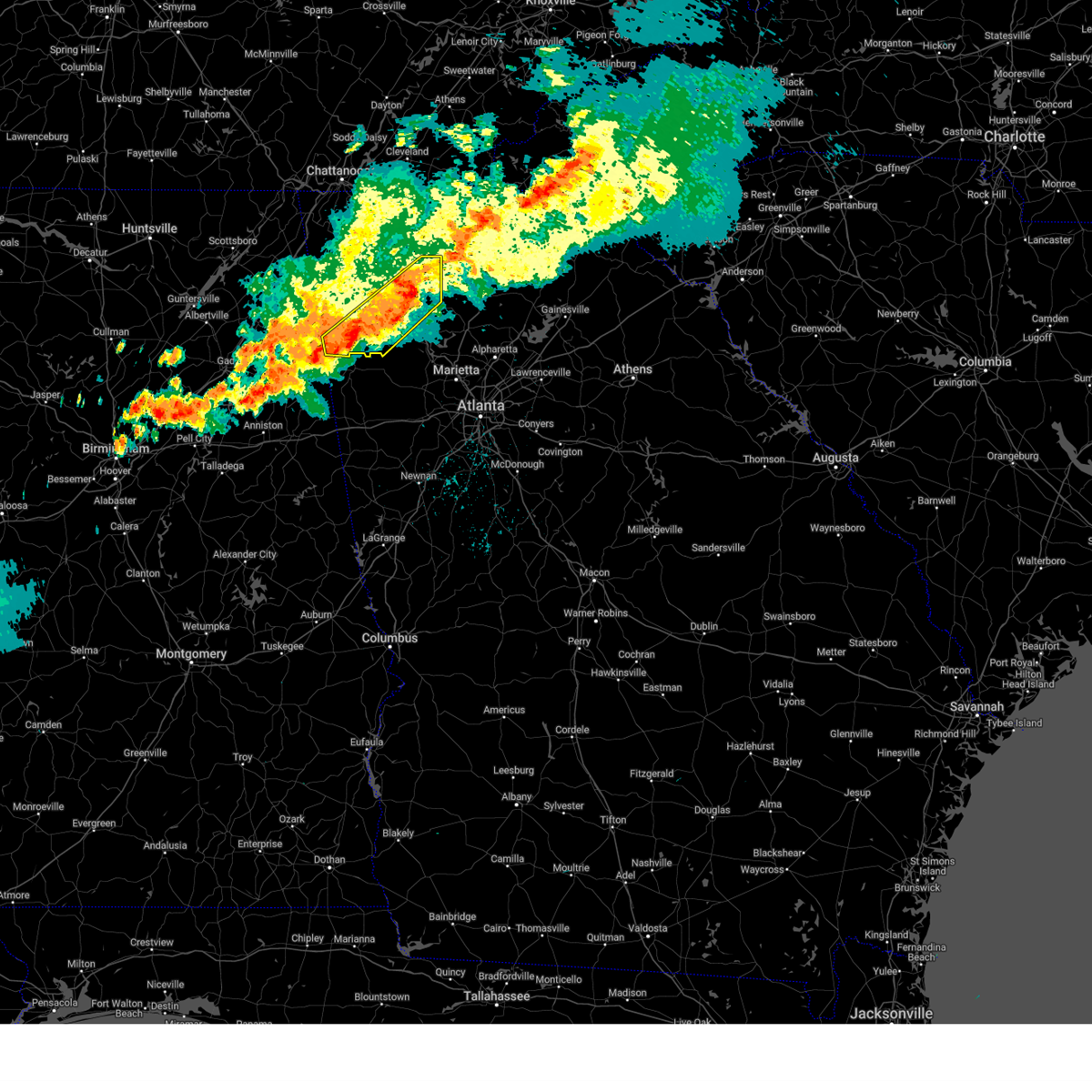
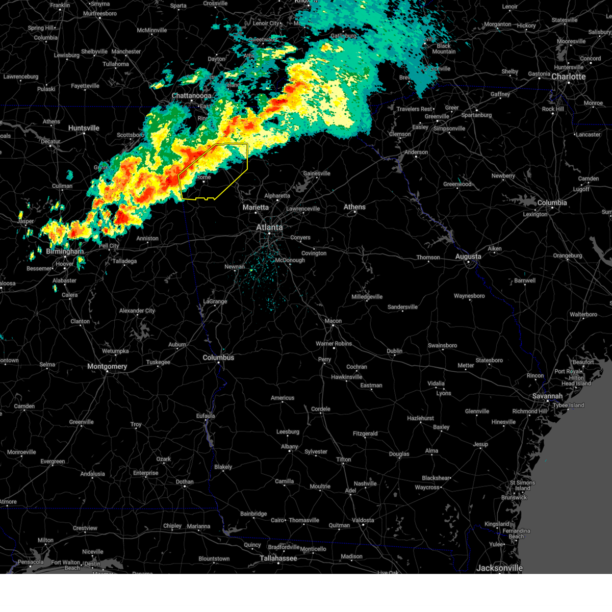
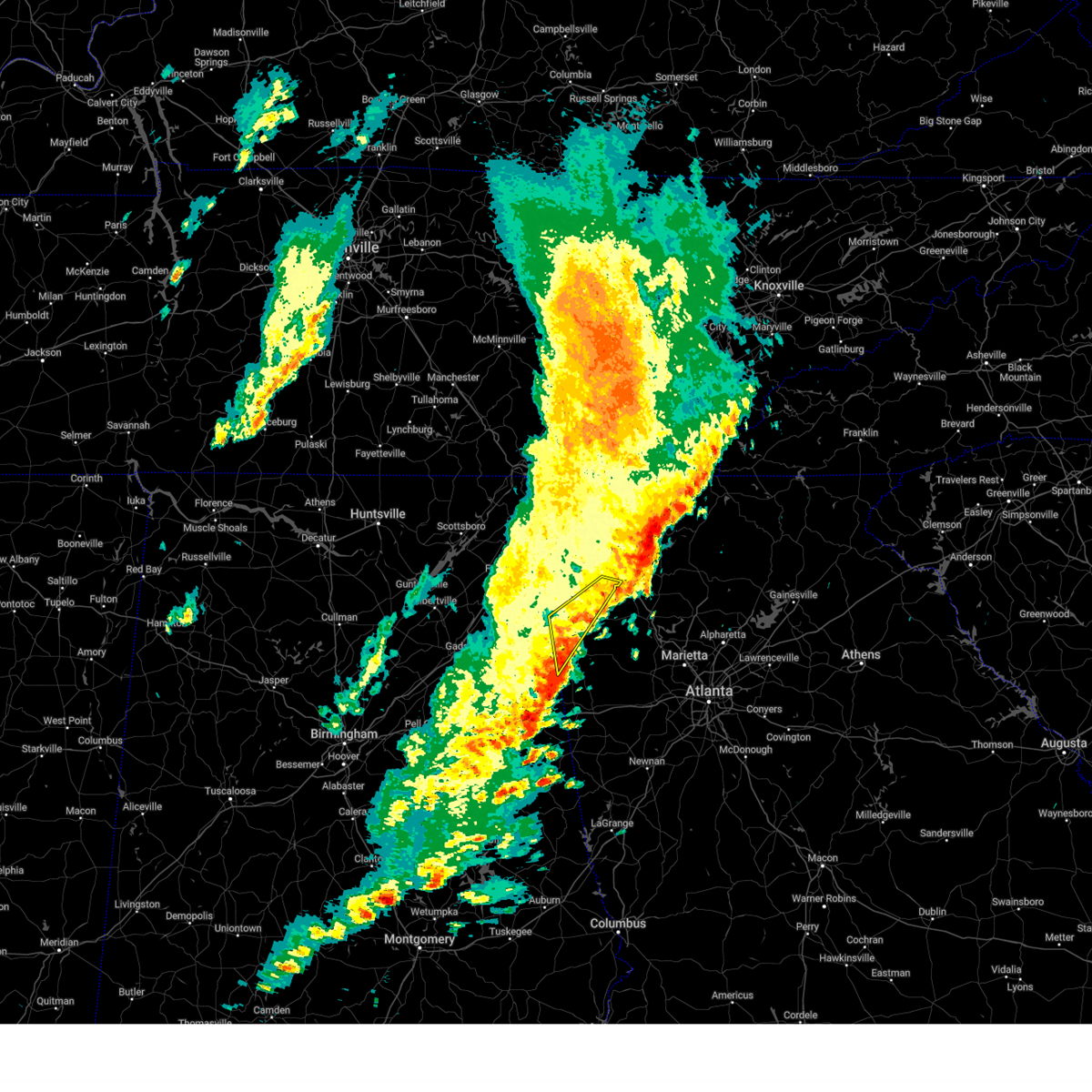
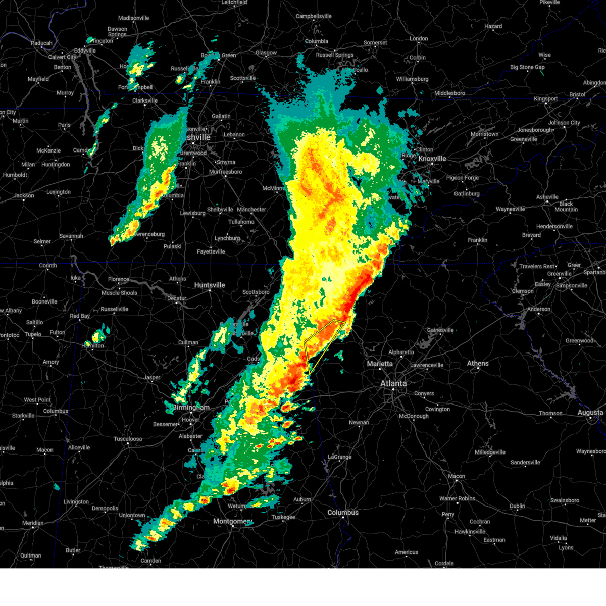
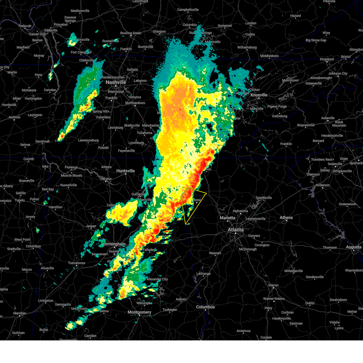
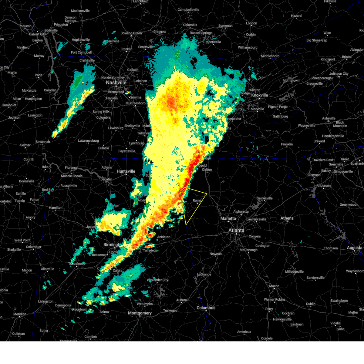
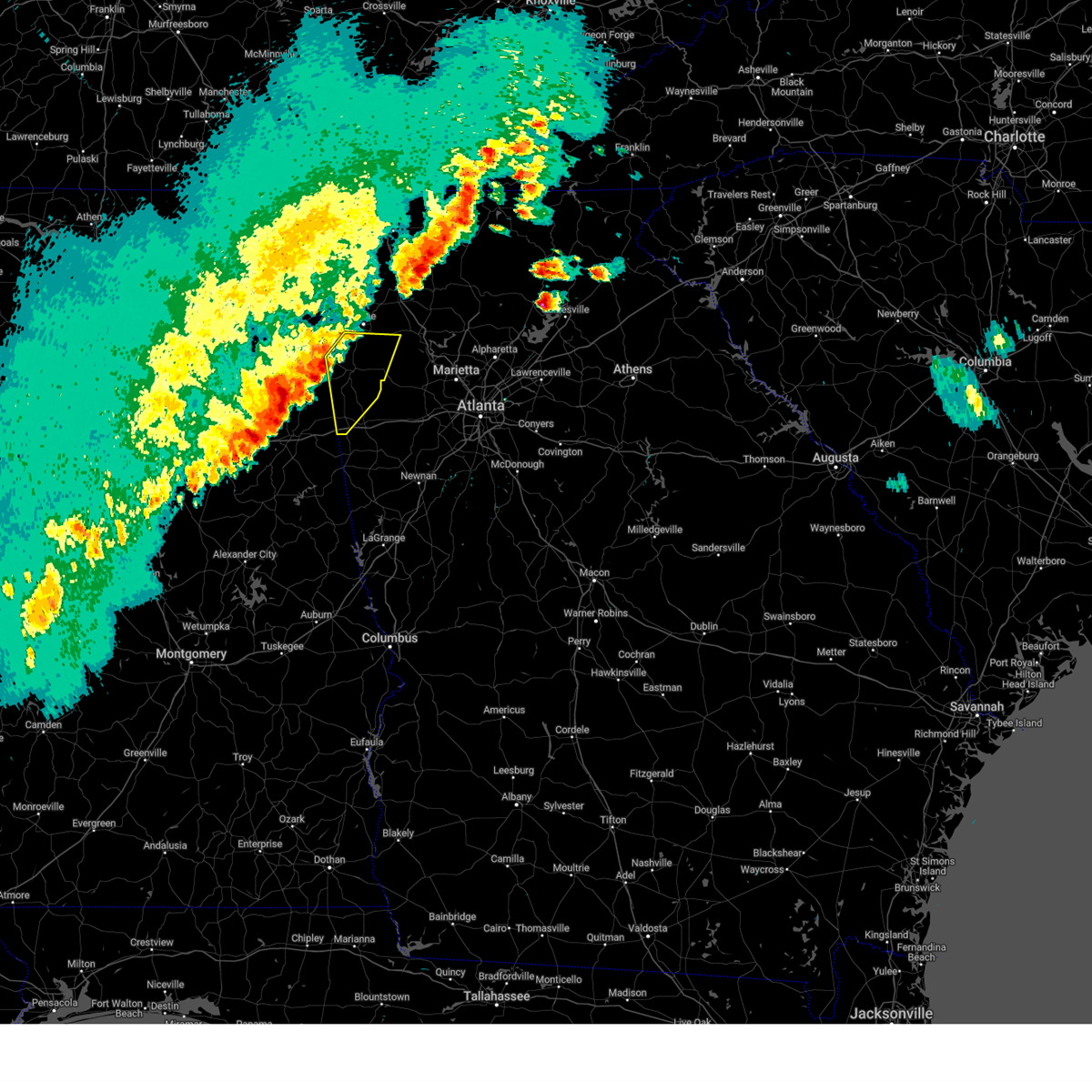
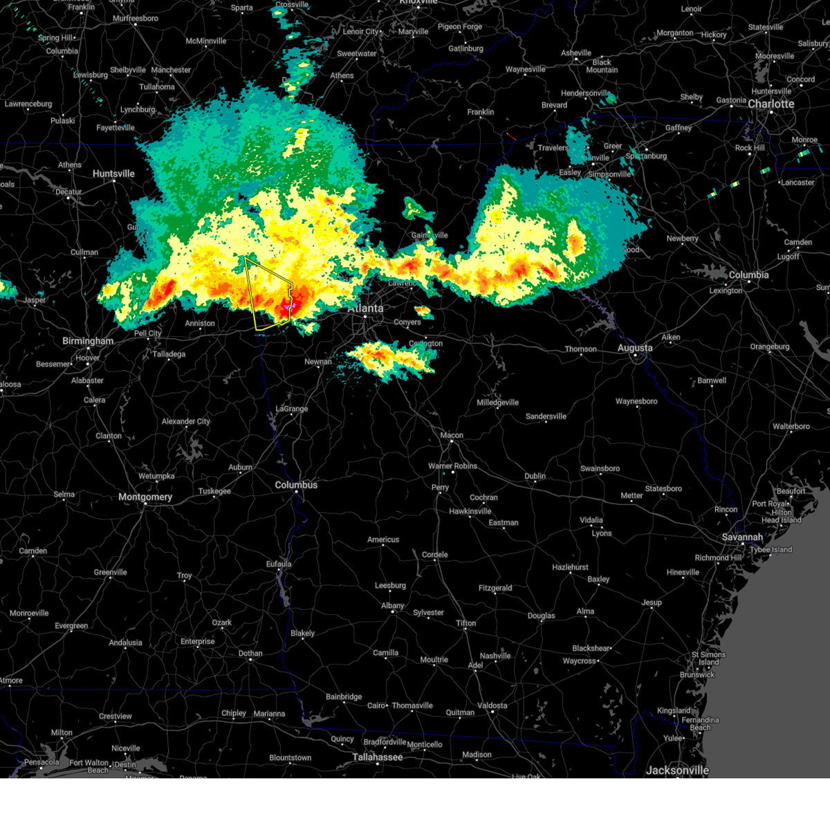
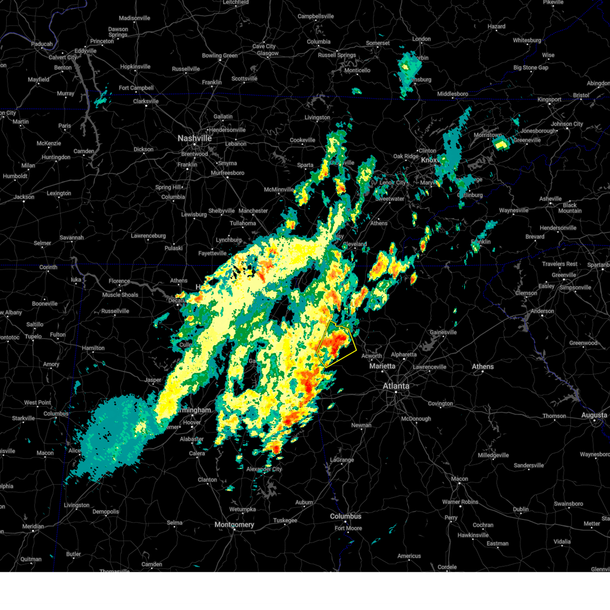
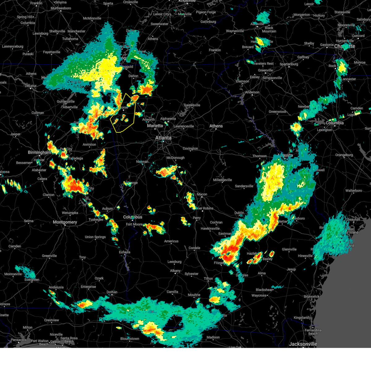
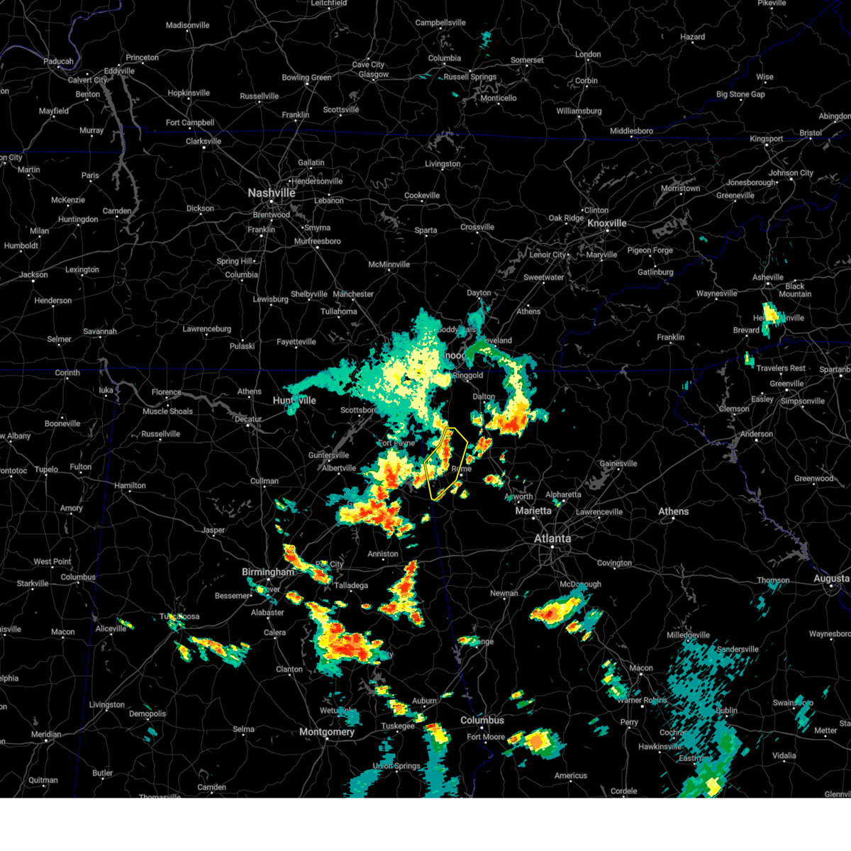
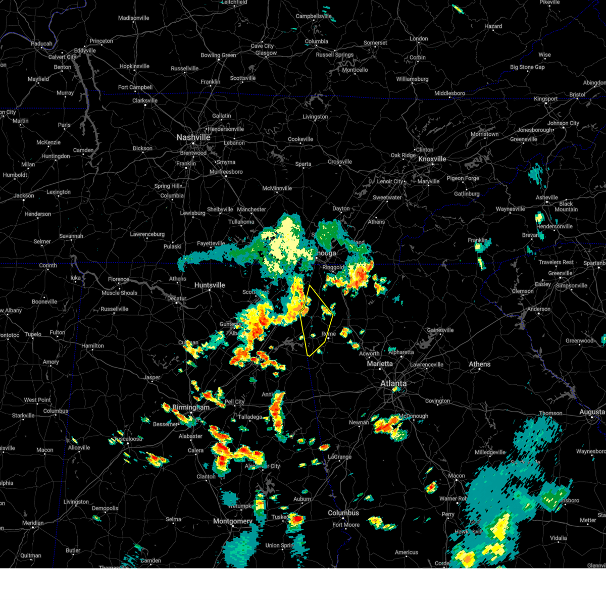
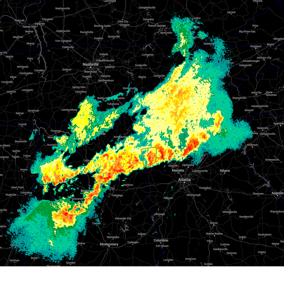
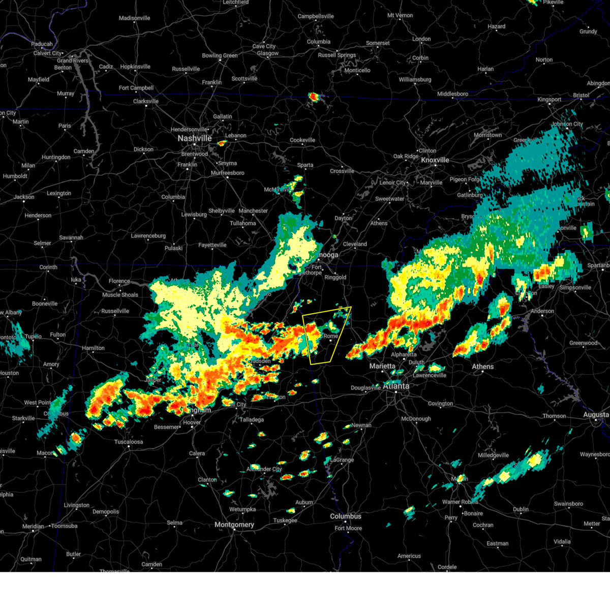
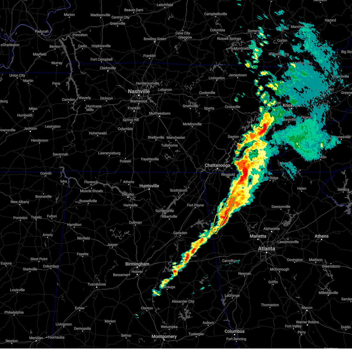
Hail Map for Cave Spring, GA
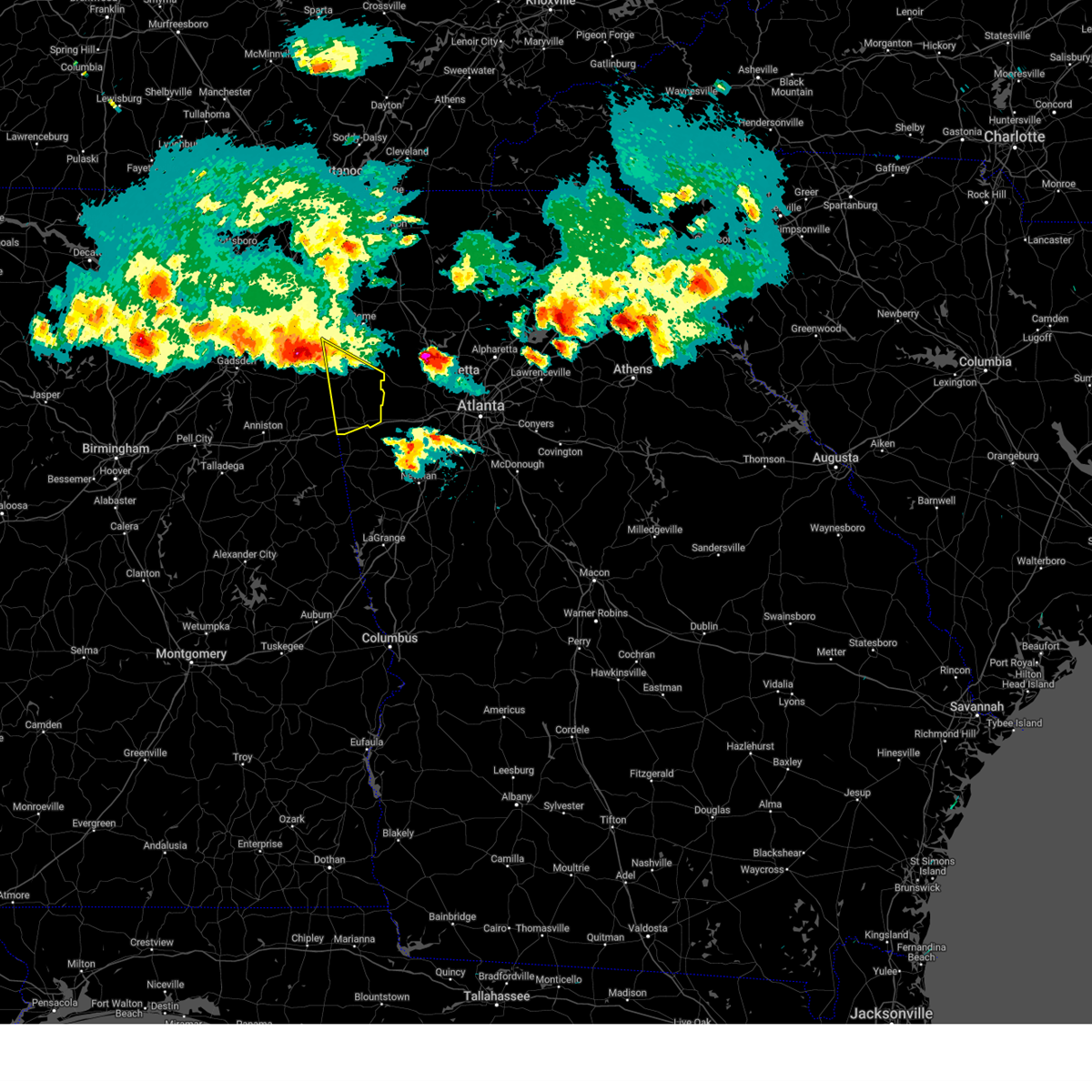
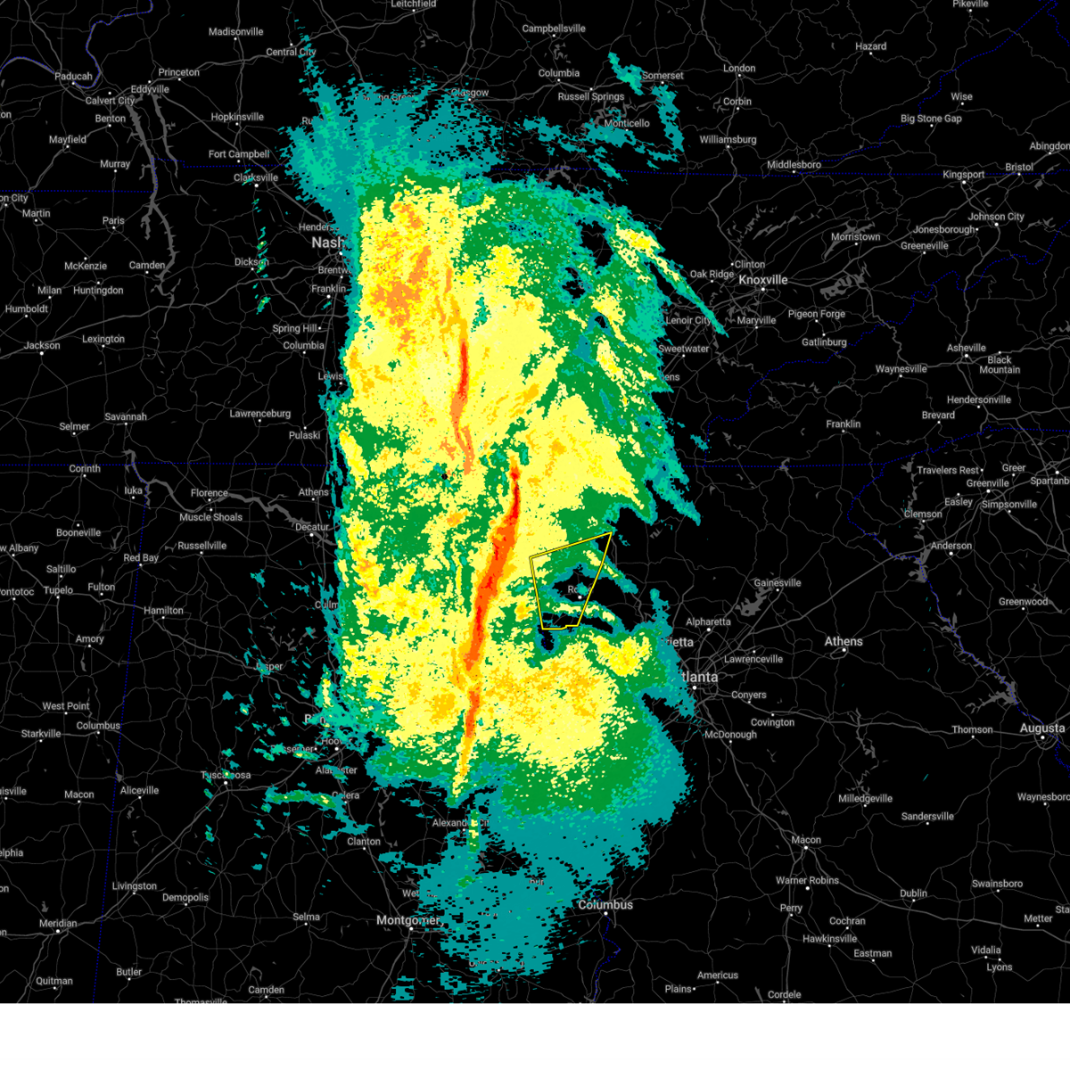
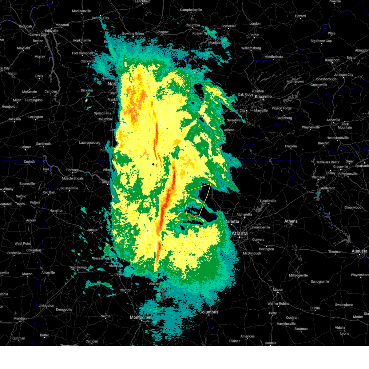
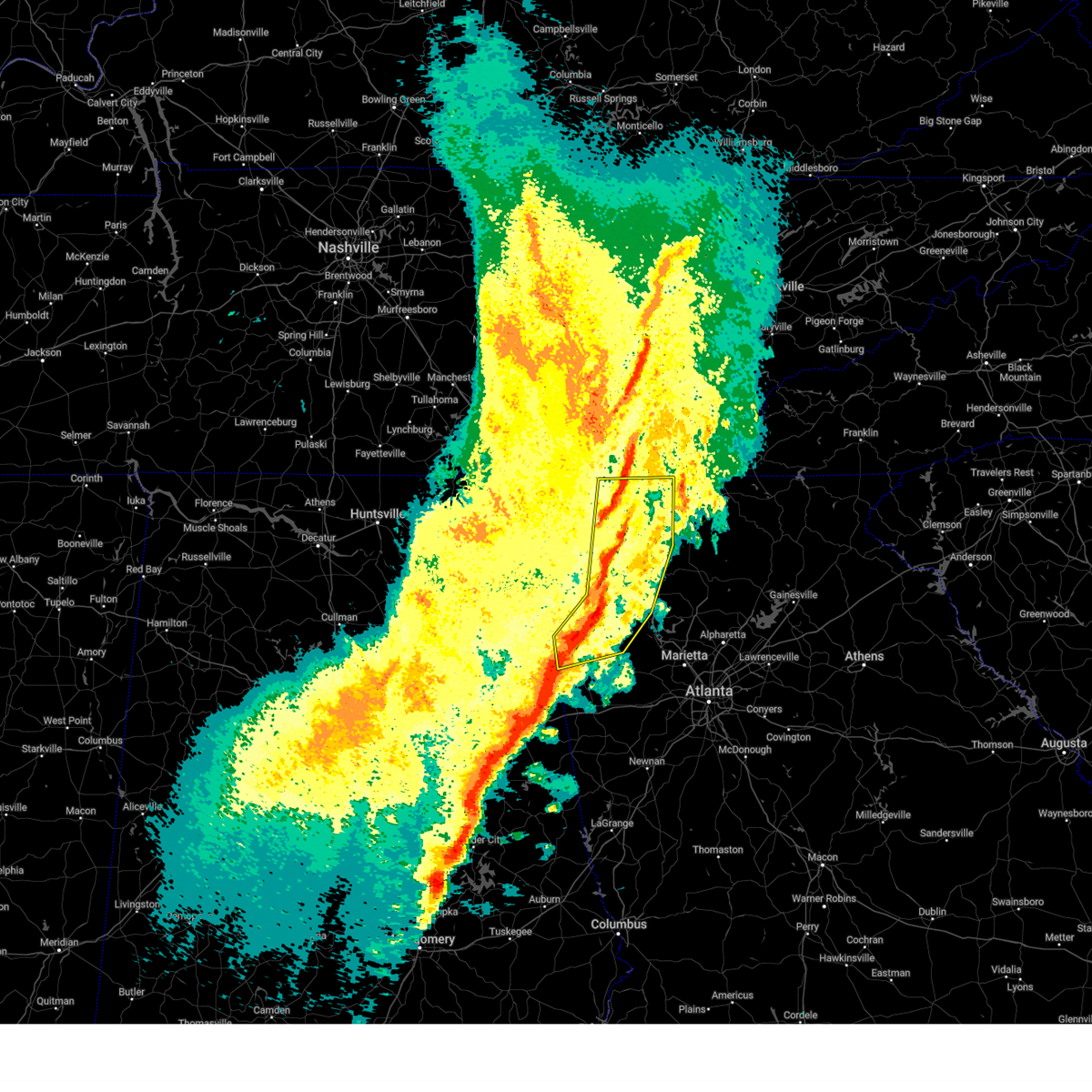
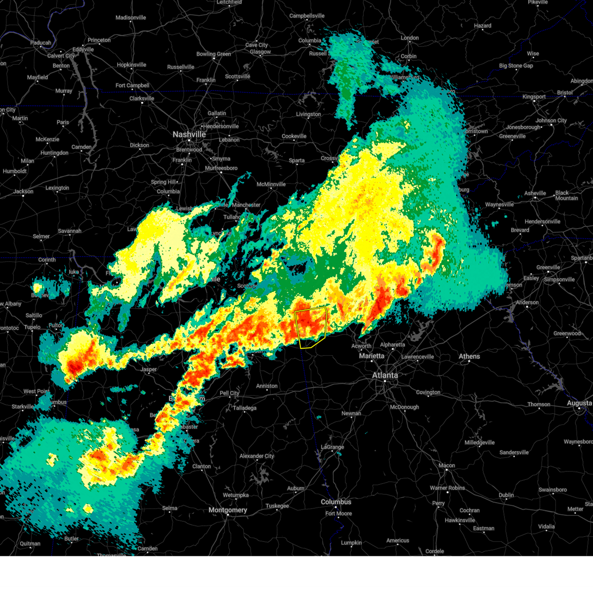
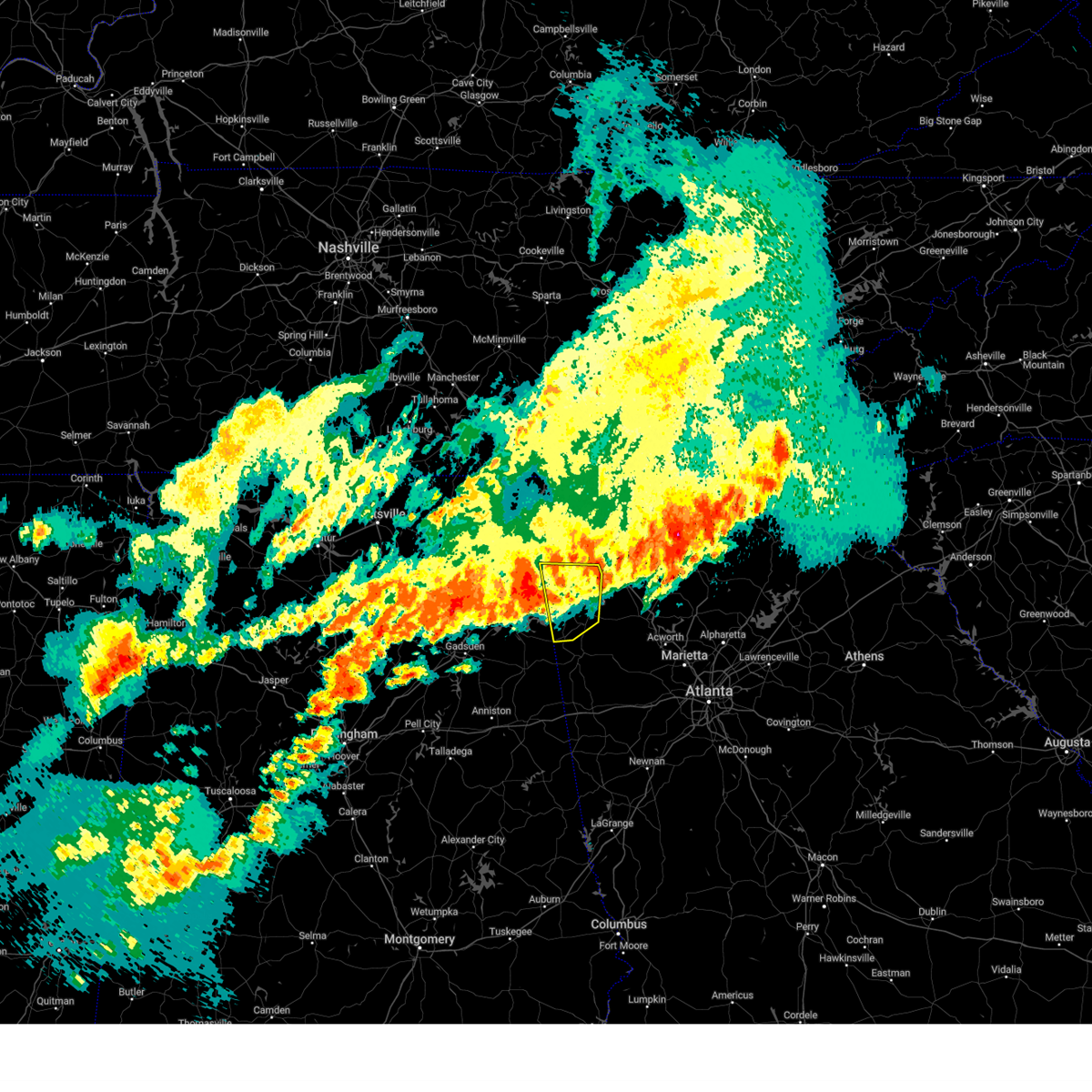
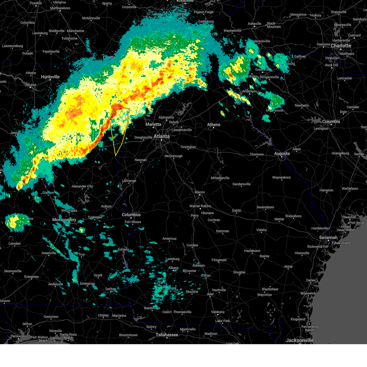
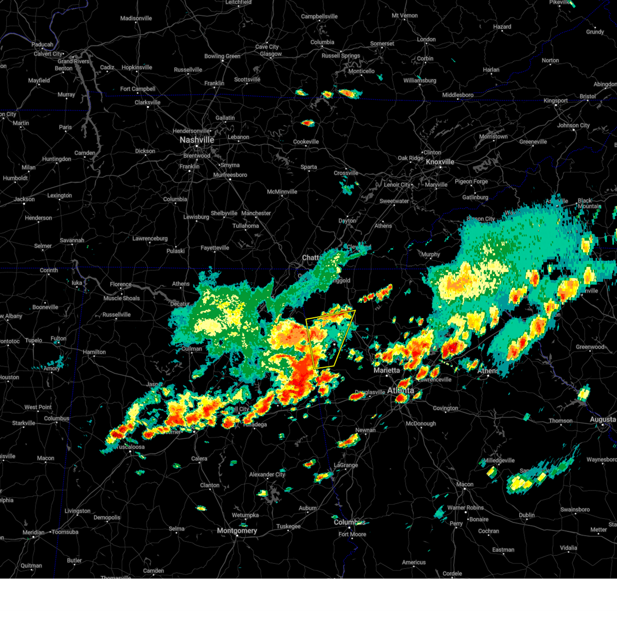
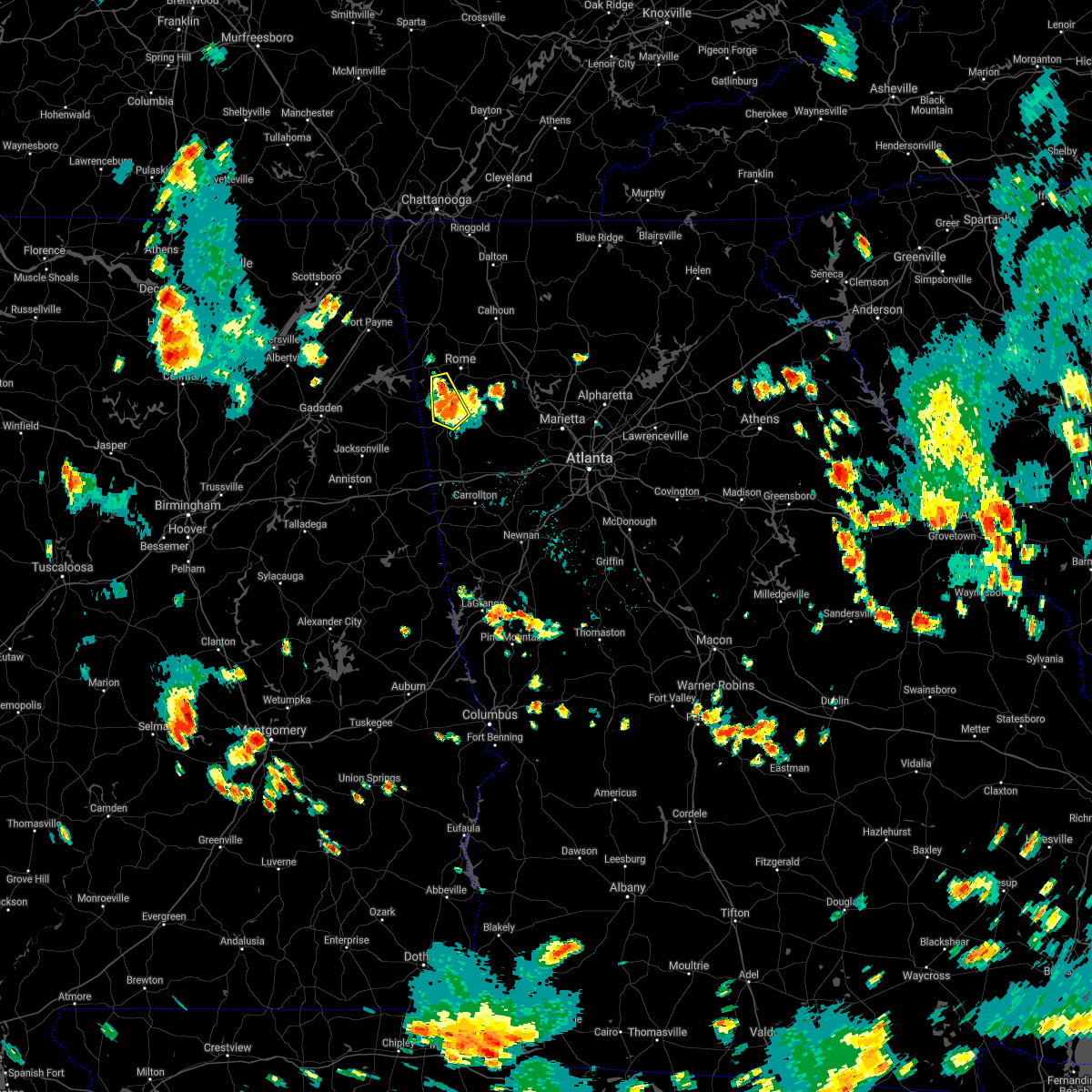
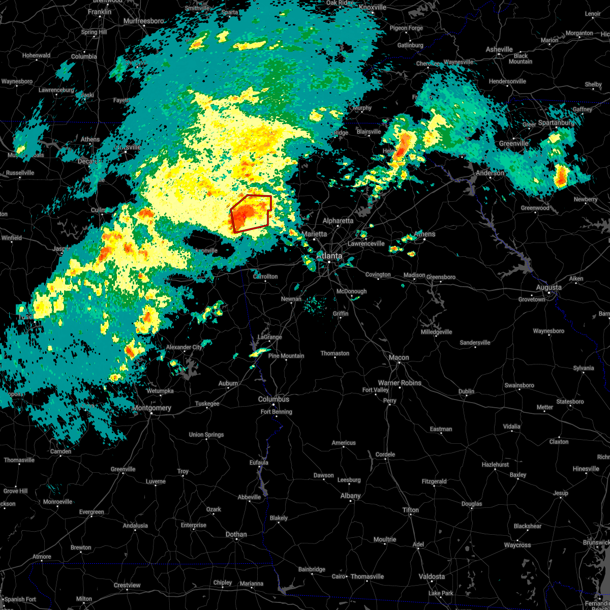
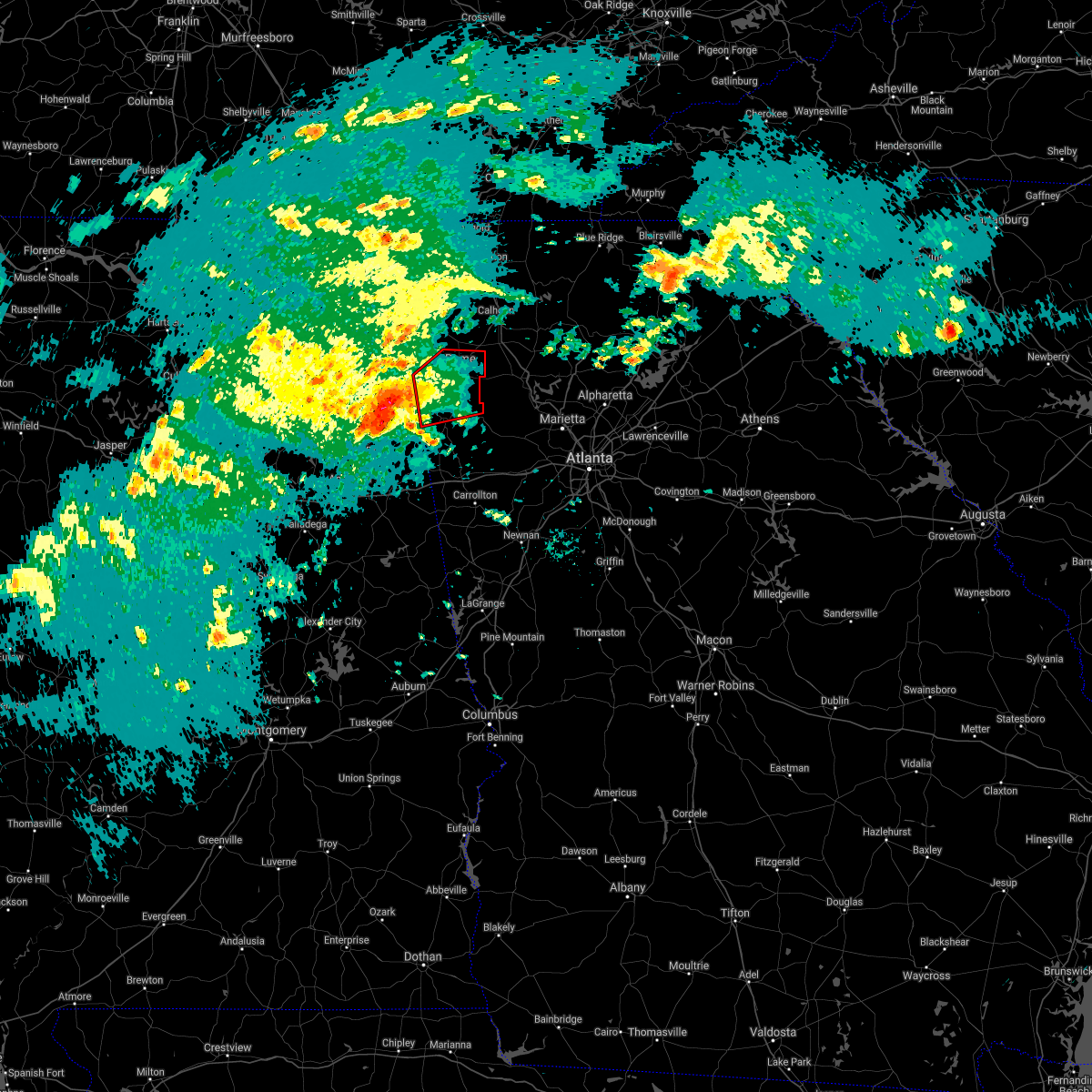
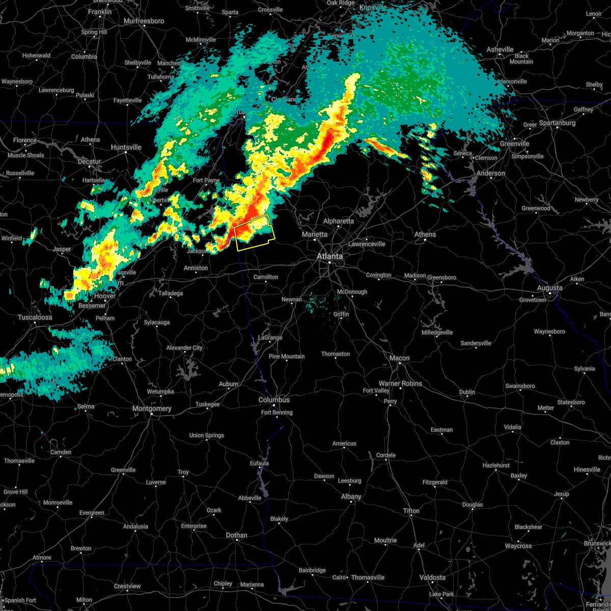
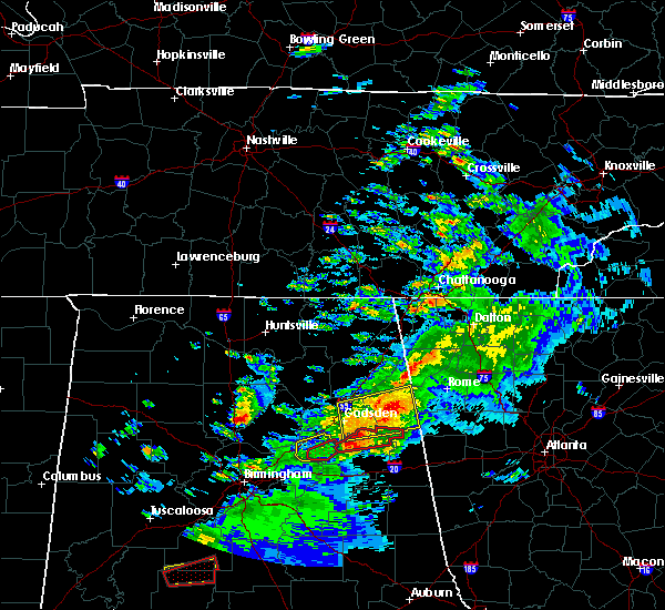
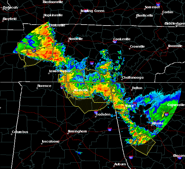
The Cave Spring, GA area has had 0 reports of on-the-ground hail by trained spotters, and has been under severe weather warnings 33 times during the past 12 months. Doppler radar has detected hail at or near Cave Spring, GA on 45 occasions, including 3 occasions during the past year.
| Name: | Cave Spring, GA |
| Where Located: | 59.7 miles WNW of Atlanta, GA |
| Map: | Google Map for Cave Spring, GA |
| Population: | 1200 |
| Housing Units: | 555 |
| More Info: | Search Google for Cave Spring, GA |
0
The Top Recent Hail Date for Cave Spring, GA is Thursday, April 10, 2025 (19th out of 45)

Hail and Wind Damage Spotted near Cave Spring, GA
| Date / Time | Report Details |
|---|---|
| 6/14/2025 4:49 PM EDT |
 the severe thunderstorm warning has been cancelled and is no longer in effect the severe thunderstorm warning has been cancelled and is no longer in effect
|
| 6/14/2025 4:32 PM EDT |
 At 432 pm edt, severe thunderstorms were located along a line extending from near holland to near cave spring, moving east at 30 mph (radar indicated). Hazards include 60 mph wind gusts and dime size hail. Expect damage to roofs, siding, and trees. Locations impacted include, rome, cedartown, cave spring, lindale, coosa, tidings, armuchee, and holland. At 432 pm edt, severe thunderstorms were located along a line extending from near holland to near cave spring, moving east at 30 mph (radar indicated). Hazards include 60 mph wind gusts and dime size hail. Expect damage to roofs, siding, and trees. Locations impacted include, rome, cedartown, cave spring, lindale, coosa, tidings, armuchee, and holland.
|
| 6/14/2025 4:10 PM EDT |
 Svrffc the national weather service in peachtree city has issued a * severe thunderstorm warning for, floyd county in northwestern georgia, northwestern polk county in northwestern georgia, chattooga county in northwestern georgia, * until 500 pm edt. * at 409 pm edt, severe thunderstorms were located along a line extending from broomtown to near coloma, moving east at 30 mph (radar indicated). Hazards include 60 mph wind gusts and dime size hail. expect damage to roofs, siding, and trees Svrffc the national weather service in peachtree city has issued a * severe thunderstorm warning for, floyd county in northwestern georgia, northwestern polk county in northwestern georgia, chattooga county in northwestern georgia, * until 500 pm edt. * at 409 pm edt, severe thunderstorms were located along a line extending from broomtown to near coloma, moving east at 30 mph (radar indicated). Hazards include 60 mph wind gusts and dime size hail. expect damage to roofs, siding, and trees
|
| 6/7/2025 4:38 PM EDT |
 Svrffc the national weather service in peachtree city has issued a * severe thunderstorm warning for, paulding county in northwestern georgia, haralson county in northwestern georgia, southwestern gilmer county in north central georgia, southwestern murray county in northwestern georgia, floyd county in northwestern georgia, south central whitfield county in northwestern georgia, southeastern walker county in northwestern georgia, gordon county in northwestern georgia, polk county in northwestern georgia, chattooga county in northwestern georgia, bartow county in northwestern georgia, * until 530 pm edt. * at 438 pm edt, severe thunderstorms were located along a line extending from near trion to near seney to near fruithurst, moving east at 55 mph (radar indicated). Hazards include 60 mph wind gusts. expect damage to roofs, siding, and trees Svrffc the national weather service in peachtree city has issued a * severe thunderstorm warning for, paulding county in northwestern georgia, haralson county in northwestern georgia, southwestern gilmer county in north central georgia, southwestern murray county in northwestern georgia, floyd county in northwestern georgia, south central whitfield county in northwestern georgia, southeastern walker county in northwestern georgia, gordon county in northwestern georgia, polk county in northwestern georgia, chattooga county in northwestern georgia, bartow county in northwestern georgia, * until 530 pm edt. * at 438 pm edt, severe thunderstorms were located along a line extending from near trion to near seney to near fruithurst, moving east at 55 mph (radar indicated). Hazards include 60 mph wind gusts. expect damage to roofs, siding, and trees
|
| 6/7/2025 3:58 PM EDT |
 Svrffc the national weather service in peachtree city has issued a * severe thunderstorm warning for, northern haralson county in northwestern georgia, floyd county in northwestern georgia, southwestern walker county in northwestern georgia, polk county in northwestern georgia, chattooga county in northwestern georgia, * until 445 pm edt. * at 357 pm edt, severe thunderstorms were located along a line extending from dutton to yellow creek falls to near sulphur springs, moving east at 45 mph (radar indicated). Hazards include 60 mph wind gusts. expect damage to roofs, siding, and trees Svrffc the national weather service in peachtree city has issued a * severe thunderstorm warning for, northern haralson county in northwestern georgia, floyd county in northwestern georgia, southwestern walker county in northwestern georgia, polk county in northwestern georgia, chattooga county in northwestern georgia, * until 445 pm edt. * at 357 pm edt, severe thunderstorms were located along a line extending from dutton to yellow creek falls to near sulphur springs, moving east at 45 mph (radar indicated). Hazards include 60 mph wind gusts. expect damage to roofs, siding, and trees
|
| 5/20/2025 11:51 PM EDT |
 At 1151 pm edt, severe thunderstorms were located along a line extending from near roundtop to near kingston to near etna, moving east at 40 mph (radar indicated). Hazards include 60 mph wind gusts. Expect damage to roofs, siding, and trees. Locations impacted include, marietta, canton, cartersville, dallas, cedartown, jasper, kennesaw, woodstock, acworth, holly springs, adairsville, rockmart, euharlee, hiram, emerson, ball ground, nelson, aragon, cave spring, and white. At 1151 pm edt, severe thunderstorms were located along a line extending from near roundtop to near kingston to near etna, moving east at 40 mph (radar indicated). Hazards include 60 mph wind gusts. Expect damage to roofs, siding, and trees. Locations impacted include, marietta, canton, cartersville, dallas, cedartown, jasper, kennesaw, woodstock, acworth, holly springs, adairsville, rockmart, euharlee, hiram, emerson, ball ground, nelson, aragon, cave spring, and white.
|
| 5/20/2025 11:49 PM EDT |
 Svrffc the national weather service in peachtree city has issued a * severe thunderstorm warning for, northern paulding county in northwestern georgia, cherokee county in north central georgia, northwestern cobb county in north central georgia, southeastern floyd county in northwestern georgia, southeastern gordon county in northwestern georgia, polk county in northwestern georgia, pickens county in north central georgia, bartow county in northwestern georgia, * until 1230 am edt. * at 1148 pm edt, severe thunderstorms were located along a line extending from near roundtop to kingston to near etna, moving east at 40 mph (radar indicated). Hazards include 60 mph wind gusts. expect damage to roofs, siding, and trees Svrffc the national weather service in peachtree city has issued a * severe thunderstorm warning for, northern paulding county in northwestern georgia, cherokee county in north central georgia, northwestern cobb county in north central georgia, southeastern floyd county in northwestern georgia, southeastern gordon county in northwestern georgia, polk county in northwestern georgia, pickens county in north central georgia, bartow county in northwestern georgia, * until 1230 am edt. * at 1148 pm edt, severe thunderstorms were located along a line extending from near roundtop to kingston to near etna, moving east at 40 mph (radar indicated). Hazards include 60 mph wind gusts. expect damage to roofs, siding, and trees
|
| 5/20/2025 11:49 PM EDT |
 At 1149 pm edt, severe thunderstorms were located along a line extending from carters to near forney, moving east at 35 mph (radar indicated). Hazards include 60 mph wind gusts. Expect damage to roofs, siding, and trees. Locations impacted include, rome, calhoun, adairsville, euharlee, cave spring, kingston, plainville, cassville, shannon, fairmount, ranger, carters, sonoraville, pinson, lindale, redbud, folsom, audubon, seney, and pine log. At 1149 pm edt, severe thunderstorms were located along a line extending from carters to near forney, moving east at 35 mph (radar indicated). Hazards include 60 mph wind gusts. Expect damage to roofs, siding, and trees. Locations impacted include, rome, calhoun, adairsville, euharlee, cave spring, kingston, plainville, cassville, shannon, fairmount, ranger, carters, sonoraville, pinson, lindale, redbud, folsom, audubon, seney, and pine log.
|
| 5/20/2025 11:49 PM EDT |
 the severe thunderstorm warning has been cancelled and is no longer in effect the severe thunderstorm warning has been cancelled and is no longer in effect
|
| 5/20/2025 11:13 PM EDT |
 Svrffc the national weather service in peachtree city has issued a * severe thunderstorm warning for, southwestern murray county in northwestern georgia, floyd county in northwestern georgia, gordon county in northwestern georgia, central chattooga county in northwestern georgia, central bartow county in northwestern georgia, * until midnight edt. * at 1112 pm edt, severe thunderstorms were located along a line extending from near sugar valley to near slackland, moving east at 35 mph (radar indicated). Hazards include 60 mph wind gusts. expect damage to roofs, siding, and trees Svrffc the national weather service in peachtree city has issued a * severe thunderstorm warning for, southwestern murray county in northwestern georgia, floyd county in northwestern georgia, gordon county in northwestern georgia, central chattooga county in northwestern georgia, central bartow county in northwestern georgia, * until midnight edt. * at 1112 pm edt, severe thunderstorms were located along a line extending from near sugar valley to near slackland, moving east at 35 mph (radar indicated). Hazards include 60 mph wind gusts. expect damage to roofs, siding, and trees
|
| 5/3/2025 6:41 PM EDT |
 The storms which prompted the warning have weakened below severe limits, and no longer pose an immediate threat to life or property. therefore, the warning will be allowed to expire. a severe thunderstorm watch remains in effect until 1100 pm edt for northwestern georgia. The storms which prompted the warning have weakened below severe limits, and no longer pose an immediate threat to life or property. therefore, the warning will be allowed to expire. a severe thunderstorm watch remains in effect until 1100 pm edt for northwestern georgia.
|
| 5/3/2025 6:31 PM EDT |
 the severe thunderstorm warning has been cancelled and is no longer in effect the severe thunderstorm warning has been cancelled and is no longer in effect
|
| 5/3/2025 6:31 PM EDT |
 At 631 pm edt, severe thunderstorms were located along a line extending from near plainville to near cave spring, moving east at 30 mph (radar indicated). Hazards include 60 mph wind gusts. Expect damage to roofs, siding, and trees. Locations impacted include, rome, cave spring, plainville, shannon, pinson, etna, lindale, coosa, and esom hill. At 631 pm edt, severe thunderstorms were located along a line extending from near plainville to near cave spring, moving east at 30 mph (radar indicated). Hazards include 60 mph wind gusts. Expect damage to roofs, siding, and trees. Locations impacted include, rome, cave spring, plainville, shannon, pinson, etna, lindale, coosa, and esom hill.
|
| 5/3/2025 6:02 PM EDT |
 At 602 pm edt, severe thunderstorms were located along a line extending from tidings to near coloma, moving east at 30 mph (trained weather spotters). Hazards include 60 mph wind gusts. Expect damage to roofs, siding, and trees. locations impacted include, rome, summerville, cave spring, plainville, shannon, lye i couldrly, pinson, etna, lindale, esom hill, tidings, armuchee, coosa, berryton, chattoogaville, james h. Floyd state park, and holland. At 602 pm edt, severe thunderstorms were located along a line extending from tidings to near coloma, moving east at 30 mph (trained weather spotters). Hazards include 60 mph wind gusts. Expect damage to roofs, siding, and trees. locations impacted include, rome, summerville, cave spring, plainville, shannon, lye i couldrly, pinson, etna, lindale, esom hill, tidings, armuchee, coosa, berryton, chattoogaville, james h. Floyd state park, and holland.
|
| 5/3/2025 5:39 PM EDT |
 Svrffc the national weather service in peachtree city has issued a * severe thunderstorm warning for, floyd county in northwestern georgia, southwestern gordon county in northwestern georgia, western polk county in northwestern georgia, southern chattooga county in northwestern georgia, * until 645 pm edt. * at 539 pm edt, severe thunderstorms were located along a line extending from near berryton to near slackland, moving east at 30 mph (radar indicated). Hazards include 60 mph wind gusts. expect damage to roofs, siding, and trees Svrffc the national weather service in peachtree city has issued a * severe thunderstorm warning for, floyd county in northwestern georgia, southwestern gordon county in northwestern georgia, western polk county in northwestern georgia, southern chattooga county in northwestern georgia, * until 645 pm edt. * at 539 pm edt, severe thunderstorms were located along a line extending from near berryton to near slackland, moving east at 30 mph (radar indicated). Hazards include 60 mph wind gusts. expect damage to roofs, siding, and trees
|
| 5/2/2025 8:03 PM EDT |
 Svrffc the national weather service in peachtree city has issued a * severe thunderstorm warning for, haralson county in northwestern georgia, southeastern floyd county in northwestern georgia, polk county in northwestern georgia, southwestern bartow county in northwestern georgia, * until 900 pm edt. * at 803 pm edt, severe thunderstorms were located along a line extending from near lindale to near liberty hill, moving east at 10 mph (radar indicated). Hazards include 60 mph wind gusts and quarter size hail. Hail damage to vehicles is expected. Expect wind damage to roofs, siding, and trees. Svrffc the national weather service in peachtree city has issued a * severe thunderstorm warning for, haralson county in northwestern georgia, southeastern floyd county in northwestern georgia, polk county in northwestern georgia, southwestern bartow county in northwestern georgia, * until 900 pm edt. * at 803 pm edt, severe thunderstorms were located along a line extending from near lindale to near liberty hill, moving east at 10 mph (radar indicated). Hazards include 60 mph wind gusts and quarter size hail. Hail damage to vehicles is expected. Expect wind damage to roofs, siding, and trees.
|
| 5/2/2025 7:01 PM EDT | Svrffc the national weather service in peachtree city has issued a * severe thunderstorm warning for, floyd county in northwestern georgia, western gordon county in northwestern georgia, northwestern polk county in northwestern georgia, central chattooga county in northwestern georgia, * until 800 pm edt. * at 701 pm edt, severe thunderstorms were located along a line extending from suttles mill to lyerly to near yellow creek falls, moving east at 35 mph (radar indicated). Hazards include 60 mph wind gusts and penny size hail. expect damage to roofs, siding, and trees |
| 4/10/2025 8:45 PM EDT |
 The storm which prompted the warning has moved out of the area. therefore, the warning has been allowed to expire. a severe thunderstorm watch remains in effect until midnight edt for northwestern georgia. The storm which prompted the warning has moved out of the area. therefore, the warning has been allowed to expire. a severe thunderstorm watch remains in effect until midnight edt for northwestern georgia.
|
| 4/10/2025 7:53 PM EDT |
 Svrffc the national weather service in peachtree city has issued a * severe thunderstorm warning for, haralson county in northwestern georgia, southwestern floyd county in northwestern georgia, polk county in northwestern georgia, * until 845 pm edt. * at 753 pm edt, a severe thunderstorm was located near pleasant gap, or near forney, moving southeast at 45 mph (radar indicated). Hazards include 60 mph wind gusts and quarter size hail. Hail damage to vehicles is expected. Expect wind damage to roofs, siding, and trees. Svrffc the national weather service in peachtree city has issued a * severe thunderstorm warning for, haralson county in northwestern georgia, southwestern floyd county in northwestern georgia, polk county in northwestern georgia, * until 845 pm edt. * at 753 pm edt, a severe thunderstorm was located near pleasant gap, or near forney, moving southeast at 45 mph (radar indicated). Hazards include 60 mph wind gusts and quarter size hail. Hail damage to vehicles is expected. Expect wind damage to roofs, siding, and trees.
|
| 3/5/2025 12:14 AM EST |
 The storms which prompted the warning have moved out of the area. therefore, the warning will be allowed to expire. a severe thunderstorm watch remains in effect until 400 am est for northwestern georgia. remember, a severe thunderstorm warning still remains in effect for floyd, chatooga, and gordon counties. The storms which prompted the warning have moved out of the area. therefore, the warning will be allowed to expire. a severe thunderstorm watch remains in effect until 400 am est for northwestern georgia. remember, a severe thunderstorm warning still remains in effect for floyd, chatooga, and gordon counties.
|
| 3/5/2025 12:11 AM EST |
 Svrffc the national weather service in peachtree city has issued a * severe thunderstorm warning for, paulding county in northwestern georgia, haralson county in northwestern georgia, northern carroll county in northwestern georgia, northwestern douglas county in north central georgia, southern murray county in northwestern georgia, floyd county in northwestern georgia, gordon county in northwestern georgia, polk county in northwestern georgia, chattooga county in northwestern georgia, bartow county in northwestern georgia, * until 100 am est. * at 1211 am est, severe thunderstorms were located along a line extending from trion to near fruithurst, moving east at 50 mph (radar indicated). Hazards include 60 mph wind gusts. expect damage to roofs, siding, and trees Svrffc the national weather service in peachtree city has issued a * severe thunderstorm warning for, paulding county in northwestern georgia, haralson county in northwestern georgia, northern carroll county in northwestern georgia, northwestern douglas county in north central georgia, southern murray county in northwestern georgia, floyd county in northwestern georgia, gordon county in northwestern georgia, polk county in northwestern georgia, chattooga county in northwestern georgia, bartow county in northwestern georgia, * until 100 am est. * at 1211 am est, severe thunderstorms were located along a line extending from trion to near fruithurst, moving east at 50 mph (radar indicated). Hazards include 60 mph wind gusts. expect damage to roofs, siding, and trees
|
| 3/4/2025 11:33 PM EST |
 Svrffc the national weather service in peachtree city has issued a * severe thunderstorm warning for, floyd county in northwestern georgia, western gordon county in northwestern georgia, chattooga county in northwestern georgia, * until 1215 am est. * at 1132 pm est, severe thunderstorms were located along a line extending from little river falls to near dog town to ballplay, moving east at 50 mph (radar indicated). Hazards include 60 mph wind gusts. expect damage to roofs, siding, and trees Svrffc the national weather service in peachtree city has issued a * severe thunderstorm warning for, floyd county in northwestern georgia, western gordon county in northwestern georgia, chattooga county in northwestern georgia, * until 1215 am est. * at 1132 pm est, severe thunderstorms were located along a line extending from little river falls to near dog town to ballplay, moving east at 50 mph (radar indicated). Hazards include 60 mph wind gusts. expect damage to roofs, siding, and trees
|
| 2/16/2025 3:24 AM EST |
 At 324 am est, severe thunderstorms were located along a line extending from tilton to near rome to near esom hill, moving east at 60 mph (radar indicated). Hazards include 60 mph wind gusts. Expect damage to roofs, siding, and trees. Locations impacted include, rome, dalton, cartersville, calhoun, cedartown, chatsworth, ringgold, adairsville, rockmart, euharlee, varnell, aragon, cave spring, eton, tunnel hill, white, cohutta, kingston, resaca, and plainville. At 324 am est, severe thunderstorms were located along a line extending from tilton to near rome to near esom hill, moving east at 60 mph (radar indicated). Hazards include 60 mph wind gusts. Expect damage to roofs, siding, and trees. Locations impacted include, rome, dalton, cartersville, calhoun, cedartown, chatsworth, ringgold, adairsville, rockmart, euharlee, varnell, aragon, cave spring, eton, tunnel hill, white, cohutta, kingston, resaca, and plainville.
|
| 2/16/2025 3:12 AM EST |
 At 312 am est, severe thunderstorms were located along a line extending from near villanow to near coosa to near spring garden, moving northeast at 75 mph (radar indicated). Hazards include 60 mph wind gusts. Expect damage to roofs, siding, and trees. Locations impacted include, rome, dalton, cartersville, calhoun, cedartown, lafayette, summerville, chatsworth, ringgold, fort oglethorpe, adairsville, rockmart, euharlee, trion, varnell, aragon, cave spring, eton, tunnel hill, and white. At 312 am est, severe thunderstorms were located along a line extending from near villanow to near coosa to near spring garden, moving northeast at 75 mph (radar indicated). Hazards include 60 mph wind gusts. Expect damage to roofs, siding, and trees. Locations impacted include, rome, dalton, cartersville, calhoun, cedartown, lafayette, summerville, chatsworth, ringgold, fort oglethorpe, adairsville, rockmart, euharlee, trion, varnell, aragon, cave spring, eton, tunnel hill, and white.
|
| 2/16/2025 2:59 AM EST |
 Svrffc the national weather service in peachtree city has issued a * severe thunderstorm warning for, catoosa county in northwestern georgia, west central gilmer county in north central georgia, murray county in northwestern georgia, floyd county in northwestern georgia, whitfield county in northwestern georgia, walker county in northwestern georgia, gordon county in northwestern georgia, polk county in northwestern georgia, chattooga county in northwestern georgia, bartow county in northwestern georgia, * until 345 am est. * at 259 am est, severe thunderstorms were located along a line extending from center post to waterhouse to near sulphur springs, moving northeast at 75 mph (radar indicated). Hazards include 60 mph wind gusts. expect damage to roofs, siding, and trees Svrffc the national weather service in peachtree city has issued a * severe thunderstorm warning for, catoosa county in northwestern georgia, west central gilmer county in north central georgia, murray county in northwestern georgia, floyd county in northwestern georgia, whitfield county in northwestern georgia, walker county in northwestern georgia, gordon county in northwestern georgia, polk county in northwestern georgia, chattooga county in northwestern georgia, bartow county in northwestern georgia, * until 345 am est. * at 259 am est, severe thunderstorms were located along a line extending from center post to waterhouse to near sulphur springs, moving northeast at 75 mph (radar indicated). Hazards include 60 mph wind gusts. expect damage to roofs, siding, and trees
|
| 9/25/2024 11:30 AM EDT |
 The storm which prompted the warning has weakened below severe limits, and no longer poses an immediate threat to life or property. therefore, the warning has been allowed to expire. however, gusty winds and heavy rain are still possible with this thunderstorm. The storm which prompted the warning has weakened below severe limits, and no longer poses an immediate threat to life or property. therefore, the warning has been allowed to expire. however, gusty winds and heavy rain are still possible with this thunderstorm.
|
| 9/25/2024 11:19 AM EDT |
 At 1119 am edt, a severe thunderstorm was located over rome, moving northeast at 30 mph (radar indicated). Hazards include 60 mph wind gusts and penny size hail. Expect damage to roofs, siding, and trees. Locations impacted include, rome, cedartown, euharlee, cave spring, kingston, shannon, seney, pinson, lindale, and armuchee. At 1119 am edt, a severe thunderstorm was located over rome, moving northeast at 30 mph (radar indicated). Hazards include 60 mph wind gusts and penny size hail. Expect damage to roofs, siding, and trees. Locations impacted include, rome, cedartown, euharlee, cave spring, kingston, shannon, seney, pinson, lindale, and armuchee.
|
| 9/25/2024 10:47 AM EDT |
 Svrffc the national weather service in peachtree city has issued a * severe thunderstorm warning for, floyd county in northwestern georgia, western polk county in northwestern georgia, western bartow county in northwestern georgia, * until 1130 am edt. * at 1046 am edt, a severe thunderstorm was located near cave spring, or near cedartown, moving northeast at 30 mph (radar indicated). Hazards include 60 mph wind gusts and nickel size hail. expect damage to roofs, siding, and trees Svrffc the national weather service in peachtree city has issued a * severe thunderstorm warning for, floyd county in northwestern georgia, western polk county in northwestern georgia, western bartow county in northwestern georgia, * until 1130 am edt. * at 1046 am edt, a severe thunderstorm was located near cave spring, or near cedartown, moving northeast at 30 mph (radar indicated). Hazards include 60 mph wind gusts and nickel size hail. expect damage to roofs, siding, and trees
|
| 7/29/2024 7:14 PM EDT |
 The storms which prompted the warning have moved out of the area. therefore, the warning will be allowed to expire. The storms which prompted the warning have moved out of the area. therefore, the warning will be allowed to expire.
|
| 7/29/2024 7:01 PM EDT |
 Svrffc the national weather service in peachtree city has issued a * severe thunderstorm warning for, floyd county in northwestern georgia, southwestern gordon county in northwestern georgia, polk county in northwestern georgia, western bartow county in northwestern georgia, * until 745 pm edt. * at 701 pm edt, severe thunderstorms were located along a line extending from near subligna to near rome to near cave spring, moving southeast at 25 mph (radar indicated). Hazards include 60 mph wind gusts and penny size hail. expect damage to roofs, siding, and trees Svrffc the national weather service in peachtree city has issued a * severe thunderstorm warning for, floyd county in northwestern georgia, southwestern gordon county in northwestern georgia, polk county in northwestern georgia, western bartow county in northwestern georgia, * until 745 pm edt. * at 701 pm edt, severe thunderstorms were located along a line extending from near subligna to near rome to near cave spring, moving southeast at 25 mph (radar indicated). Hazards include 60 mph wind gusts and penny size hail. expect damage to roofs, siding, and trees
|
| 7/29/2024 6:55 PM EDT |
 At 654 pm edt, severe thunderstorms were located along a line extending from near trion to near holland to cedar bluff, moving southeast at 25 mph (radar indicated). Hazards include 60 mph wind gusts and penny size hail. Expect damage to roofs, siding, and trees. locations impacted include, rome, summerville, trion, cave spring, lyerly, coosa, subligna, chattoogaville, tidings, armuchee, james h. Floyd state park, and holland. At 654 pm edt, severe thunderstorms were located along a line extending from near trion to near holland to cedar bluff, moving southeast at 25 mph (radar indicated). Hazards include 60 mph wind gusts and penny size hail. Expect damage to roofs, siding, and trees. locations impacted include, rome, summerville, trion, cave spring, lyerly, coosa, subligna, chattoogaville, tidings, armuchee, james h. Floyd state park, and holland.
|
| 7/29/2024 6:55 PM EDT |
 the severe thunderstorm warning has been cancelled and is no longer in effect the severe thunderstorm warning has been cancelled and is no longer in effect
|
| 7/29/2024 6:23 PM EDT |
 Svrffc the national weather service in peachtree city has issued a * severe thunderstorm warning for, western floyd county in northwestern georgia, south central walker county in northwestern georgia, chattooga county in northwestern georgia, * until 715 pm edt. * at 623 pm edt, severe thunderstorms were located along a line extending from near center post to near menlo to near little river canyon np, moving southeast at 25 mph (radar indicated). Hazards include 60 mph wind gusts and penny size hail. expect damage to roofs, siding, and trees Svrffc the national weather service in peachtree city has issued a * severe thunderstorm warning for, western floyd county in northwestern georgia, south central walker county in northwestern georgia, chattooga county in northwestern georgia, * until 715 pm edt. * at 623 pm edt, severe thunderstorms were located along a line extending from near center post to near menlo to near little river canyon np, moving southeast at 25 mph (radar indicated). Hazards include 60 mph wind gusts and penny size hail. expect damage to roofs, siding, and trees
|
| 5/27/2024 6:14 AM EDT |
 The storm which prompted the warning has weakened below severe limits, and no longer poses an immediate threat to life or property. therefore, the warning will be allowed to expire. however, gusty winds are still possible with this thunderstorm. The storm which prompted the warning has weakened below severe limits, and no longer poses an immediate threat to life or property. therefore, the warning will be allowed to expire. however, gusty winds are still possible with this thunderstorm.
|
| 5/27/2024 6:01 AM EDT |
 At 601 am edt, a severe thunderstorm was located near holland, or 8 miles northwest of rome, moving east at 45 mph (radar indicated). Hazards include 60 mph wind gusts and quarter size hail. Hail damage to vehicles is expected. expect wind damage to roofs, siding, and trees. locations impacted include, rome, summerville, cave spring, shannon, lyerly, lindale, tidings, armuchee, coosa, berryton, chattoogaville, james h. Floyd state park, and holland. At 601 am edt, a severe thunderstorm was located near holland, or 8 miles northwest of rome, moving east at 45 mph (radar indicated). Hazards include 60 mph wind gusts and quarter size hail. Hail damage to vehicles is expected. expect wind damage to roofs, siding, and trees. locations impacted include, rome, summerville, cave spring, shannon, lyerly, lindale, tidings, armuchee, coosa, berryton, chattoogaville, james h. Floyd state park, and holland.
|
| 5/27/2024 5:41 AM EDT |
 Svrffc the national weather service in peachtree city has issued a * severe thunderstorm warning for, floyd county in northwestern georgia, central chattooga county in northwestern georgia, * until 615 am edt. * at 541 am edt, a severe thunderstorm was located over blanche, or over little river canyon national preserve, moving east at 40 mph (radar indicated). Hazards include 60 mph wind gusts and quarter size hail. Hail damage to vehicles is expected. Expect wind damage to roofs, siding, and trees. Svrffc the national weather service in peachtree city has issued a * severe thunderstorm warning for, floyd county in northwestern georgia, central chattooga county in northwestern georgia, * until 615 am edt. * at 541 am edt, a severe thunderstorm was located over blanche, or over little river canyon national preserve, moving east at 40 mph (radar indicated). Hazards include 60 mph wind gusts and quarter size hail. Hail damage to vehicles is expected. Expect wind damage to roofs, siding, and trees.
|
| 5/25/2024 9:52 AM EDT |
 the severe thunderstorm warning has been cancelled and is no longer in effect the severe thunderstorm warning has been cancelled and is no longer in effect
|
| 5/25/2024 9:23 AM EDT |
 Svrffc the national weather service in peachtree city has issued a * severe thunderstorm warning for, northern paulding county in northwestern georgia, southern floyd county in northwestern georgia, polk county in northwestern georgia, southwestern bartow county in northwestern georgia, * until 1015 am edt. * at 923 am edt, a severe thunderstorm was located over cave spring, or near cedartown, moving east at 30 mph (radar indicated). Hazards include 60 mph wind gusts and quarter size hail. Hail damage to vehicles is expected. Expect wind damage to roofs, siding, and trees. Svrffc the national weather service in peachtree city has issued a * severe thunderstorm warning for, northern paulding county in northwestern georgia, southern floyd county in northwestern georgia, polk county in northwestern georgia, southwestern bartow county in northwestern georgia, * until 1015 am edt. * at 923 am edt, a severe thunderstorm was located over cave spring, or near cedartown, moving east at 30 mph (radar indicated). Hazards include 60 mph wind gusts and quarter size hail. Hail damage to vehicles is expected. Expect wind damage to roofs, siding, and trees.
|
| 5/9/2024 7:01 AM EDT |
 Svrffc the national weather service in peachtree city has issued a * severe thunderstorm warning for, cherokee county in north central georgia, southern lumpkin county in north central georgia, southeastern gilmer county in north central georgia, floyd county in northwestern georgia, dawson county in north central georgia, southern gordon county in northwestern georgia, pickens county in north central georgia, southern chattooga county in northwestern georgia, bartow county in northwestern georgia, * until 745 am edt. * at 701 am edt, severe thunderstorms were located along a line extending from amicalola falls state park to near broomtown, moving southeast at 55 mph (radar indicated). Hazards include 60 mph wind gusts. expect damage to roofs, siding, and trees Svrffc the national weather service in peachtree city has issued a * severe thunderstorm warning for, cherokee county in north central georgia, southern lumpkin county in north central georgia, southeastern gilmer county in north central georgia, floyd county in northwestern georgia, dawson county in north central georgia, southern gordon county in northwestern georgia, pickens county in north central georgia, southern chattooga county in northwestern georgia, bartow county in northwestern georgia, * until 745 am edt. * at 701 am edt, severe thunderstorms were located along a line extending from amicalola falls state park to near broomtown, moving southeast at 55 mph (radar indicated). Hazards include 60 mph wind gusts. expect damage to roofs, siding, and trees
|
| 3/15/2024 9:12 AM EDT |
 Svrffc the national weather service in peachtree city has issued a * severe thunderstorm warning for, haralson county in northwestern georgia, west central carroll county in northwestern georgia, southeastern floyd county in northwestern georgia, polk county in northwestern georgia, * until 1000 am edt. * at 912 am edt, severe thunderstorms were located along a line extending from near etna to near dearmanville, moving east at 40 mph (radar indicated). Hazards include 60 mph wind gusts. expect damage to roofs, siding, and trees Svrffc the national weather service in peachtree city has issued a * severe thunderstorm warning for, haralson county in northwestern georgia, west central carroll county in northwestern georgia, southeastern floyd county in northwestern georgia, polk county in northwestern georgia, * until 1000 am edt. * at 912 am edt, severe thunderstorms were located along a line extending from near etna to near dearmanville, moving east at 40 mph (radar indicated). Hazards include 60 mph wind gusts. expect damage to roofs, siding, and trees
|
| 8/7/2023 4:53 PM EDT |
 The severe thunderstorm warning for floyd, western gordon, northwestern polk and chattooga counties will expire at 500 pm edt, the severe thunderstorm which prompted the warning has been upgraded to account for more severe conditions in the warned area. a severe thunderstorm watch remains in effect until 800 pm edt for northwestern georgia. remember, a severe thunderstorm warning still remains in effect for floyd, godron, polk and chattooga counties. The severe thunderstorm warning for floyd, western gordon, northwestern polk and chattooga counties will expire at 500 pm edt, the severe thunderstorm which prompted the warning has been upgraded to account for more severe conditions in the warned area. a severe thunderstorm watch remains in effect until 800 pm edt for northwestern georgia. remember, a severe thunderstorm warning still remains in effect for floyd, godron, polk and chattooga counties.
|
| 8/7/2023 4:40 PM EDT |
 At 440 pm edt, severe thunderstorms were located along a line extending from lake marvin to sweetwater lake, moving east at 25 mph (radar indicated). Hazards include 70 mph wind gusts. Expect considerable tree damage. Damage is likely to mobile homes, roofs, and outbuildings. At 440 pm edt, severe thunderstorms were located along a line extending from lake marvin to sweetwater lake, moving east at 25 mph (radar indicated). Hazards include 70 mph wind gusts. Expect considerable tree damage. Damage is likely to mobile homes, roofs, and outbuildings.
|
| 8/7/2023 4:10 PM EDT |
 At 409 pm edt, a severe thunderstorm was located near holland, or 7 miles northwest of rome, moving east at 35 mph (radar indicated). Hazards include 60 mph wind gusts. expect damage to roofs, siding, and trees At 409 pm edt, a severe thunderstorm was located near holland, or 7 miles northwest of rome, moving east at 35 mph (radar indicated). Hazards include 60 mph wind gusts. expect damage to roofs, siding, and trees
|
| 8/6/2023 5:14 PM EDT |
 At 513 pm edt, severe thunderstorms were located along a line extending from near chesterfield to eastern weiss lake to near ball flat, moving east at 30 mph (radar indicated). Hazards include 60 mph wind gusts and penny size hail. expect damage to roofs, siding, and trees At 513 pm edt, severe thunderstorms were located along a line extending from near chesterfield to eastern weiss lake to near ball flat, moving east at 30 mph (radar indicated). Hazards include 60 mph wind gusts and penny size hail. expect damage to roofs, siding, and trees
|
| 8/6/2023 3:13 PM EDT | A tree was downed on a home on fannin street. no injurie in floyd county GA, 0.6 miles NE of Cave Spring, GA |
| 8/6/2023 3:13 PM EDT | A tree was downed onto a home on cedartown rd in cave spring. no injurie in floyd county GA, 1.1 miles NNE of Cave Spring, GA |
| 7/20/2023 5:57 PM EDT |
 At 557 pm edt, severe thunderstorms were located along a line extending from duluth to chattoogaville, moving southeast at 50 mph (radar indicated). Hazards include 70 mph wind gusts and penny size hail. Expect considerable tree damage. Damage is likely to mobile homes, roofs, and outbuildings. At 557 pm edt, severe thunderstorms were located along a line extending from duluth to chattoogaville, moving southeast at 50 mph (radar indicated). Hazards include 70 mph wind gusts and penny size hail. Expect considerable tree damage. Damage is likely to mobile homes, roofs, and outbuildings.
|
| 7/1/2023 5:06 PM EDT |
 At 505 pm edt, severe thunderstorms were located along a line extending from trion to near coosa to etna, moving southeast at 10 mph (radar indicated). Hazards include 60 mph wind gusts and quarter size hail. Hail damage to vehicles is expected. expect wind damage to roofs, siding, and trees. locations impacted include, rome, cedartown, cave spring, etna, lindale and coosa. hail threat, radar indicated max hail size, 1. 00 in wind threat, radar indicated max wind gust, 60 mph. At 505 pm edt, severe thunderstorms were located along a line extending from trion to near coosa to etna, moving southeast at 10 mph (radar indicated). Hazards include 60 mph wind gusts and quarter size hail. Hail damage to vehicles is expected. expect wind damage to roofs, siding, and trees. locations impacted include, rome, cedartown, cave spring, etna, lindale and coosa. hail threat, radar indicated max hail size, 1. 00 in wind threat, radar indicated max wind gust, 60 mph.
|
| 7/1/2023 4:44 PM EDT |
 At 444 pm edt, severe thunderstorms were located along a line extending from near trion to near coosa to near forney, moving southeast at 10 mph (radar indicated). Hazards include 60 mph wind gusts and quarter size hail. Hail damage to vehicles is expected. Expect wind damage to roofs, siding, and trees. At 444 pm edt, severe thunderstorms were located along a line extending from near trion to near coosa to near forney, moving southeast at 10 mph (radar indicated). Hazards include 60 mph wind gusts and quarter size hail. Hail damage to vehicles is expected. Expect wind damage to roofs, siding, and trees.
|
| 6/25/2023 5:48 PM EDT |
 At 548 pm edt, a severe thunderstorm was located over borden springs, or 8 miles east of piedmont, moving east at 25 mph (radar indicated). Hazards include 60 mph wind gusts and penny size hail. expect damage to roofs, siding, and trees At 548 pm edt, a severe thunderstorm was located over borden springs, or 8 miles east of piedmont, moving east at 25 mph (radar indicated). Hazards include 60 mph wind gusts and penny size hail. expect damage to roofs, siding, and trees
|
| 6/25/2023 5:46 PM EDT |
 At 546 pm edt, severe thunderstorms were located along a line extending from coosa to drew, moving southeast at 30 mph (radar indicated). Hazards include 60 mph wind gusts and penny size hail. Expect damage to roofs, siding, and trees. locations impacted include, rome, canton, cartersville, mountain park, roswell, johns creek, alpharetta, milton, woodstock, holly springs, adairsville, euharlee, emerson, ball ground, cave spring, white, waleska, kingston, free home and shannon. hail threat, radar indicated max hail size, 0. 75 in wind threat, radar indicated max wind gust, 60 mph. At 546 pm edt, severe thunderstorms were located along a line extending from coosa to drew, moving southeast at 30 mph (radar indicated). Hazards include 60 mph wind gusts and penny size hail. Expect damage to roofs, siding, and trees. locations impacted include, rome, canton, cartersville, mountain park, roswell, johns creek, alpharetta, milton, woodstock, holly springs, adairsville, euharlee, emerson, ball ground, cave spring, white, waleska, kingston, free home and shannon. hail threat, radar indicated max hail size, 0. 75 in wind threat, radar indicated max wind gust, 60 mph.
|
| 6/25/2023 5:14 PM EDT |
 At 514 pm edt, severe thunderstorms were located along a line extending from lyerly to reavis mountain, moving southeast at 25 mph (radar indicated). Hazards include 60 mph wind gusts and penny size hail. expect damage to roofs, siding, and trees At 514 pm edt, severe thunderstorms were located along a line extending from lyerly to reavis mountain, moving southeast at 25 mph (radar indicated). Hazards include 60 mph wind gusts and penny size hail. expect damage to roofs, siding, and trees
|
| 3/3/2023 3:06 PM EST |
 At 306 pm est, severe thunderstorms were located along a line extending from cave spring to near sweetwater lake, moving northeast at 55 mph (radar indicated). Hazards include 60 mph wind gusts. expect damage to roofs, siding, and trees At 306 pm est, severe thunderstorms were located along a line extending from cave spring to near sweetwater lake, moving northeast at 55 mph (radar indicated). Hazards include 60 mph wind gusts. expect damage to roofs, siding, and trees
|
| 3/3/2023 2:51 PM EST |
 At 250 pm est, severe thunderstorms were located along a line extending from rocky face to near armuchee to near coosa, moving east at 55 mph (radar indicated). Hazards include 60 mph wind gusts. Expect damage to roofs, siding, and trees. Locations impacted include, rome, cave spring, coosa, sugar valley, armuchee, everett springs and lake marvin. At 250 pm est, severe thunderstorms were located along a line extending from rocky face to near armuchee to near coosa, moving east at 55 mph (radar indicated). Hazards include 60 mph wind gusts. Expect damage to roofs, siding, and trees. Locations impacted include, rome, cave spring, coosa, sugar valley, armuchee, everett springs and lake marvin.
|
| 3/3/2023 2:44 PM EST |
 At 244 pm est, severe thunderstorms were located along a line extending from near armuchee to near cave spring to near forney, moving east at 50 mph (radar indicated). Hazards include 60 mph wind gusts and quarter size hail. Hail damage to vehicles is expected. Expect wind damage to roofs, siding, and trees. At 244 pm est, severe thunderstorms were located along a line extending from near armuchee to near cave spring to near forney, moving east at 50 mph (radar indicated). Hazards include 60 mph wind gusts and quarter size hail. Hail damage to vehicles is expected. Expect wind damage to roofs, siding, and trees.
|
| 3/3/2023 2:05 PM EST |
 At 205 pm est, severe thunderstorms were located along a line extending from hammondville to sand rock to southside, moving northeast at 50 mph (radar indicated). Hazards include 70 mph wind gusts. Expect considerable tree damage. Damage is likely to mobile homes, roofs, and outbuildings. At 205 pm est, severe thunderstorms were located along a line extending from hammondville to sand rock to southside, moving northeast at 50 mph (radar indicated). Hazards include 70 mph wind gusts. Expect considerable tree damage. Damage is likely to mobile homes, roofs, and outbuildings.
|
| 1/12/2023 1:43 PM EST |
 At 143 pm est, severe thunderstorms were located along a line extending from near coloma to near esom hill to near fruithurst, moving northeast at 55 mph (radar indicated). Hazards include 60 mph wind gusts and penny size hail. expect damage to roofs, siding, and trees At 143 pm est, severe thunderstorms were located along a line extending from near coloma to near esom hill to near fruithurst, moving northeast at 55 mph (radar indicated). Hazards include 60 mph wind gusts and penny size hail. expect damage to roofs, siding, and trees
|
| 2/17/2022 8:37 PM EST |
 At 836 pm est, severe thunderstorms were located along a line extending from calhoun to shannon to near lindale, moving east at 55 mph (radar indicated). Hazards include 60 mph wind gusts. expect damage to roofs, siding, and trees At 836 pm est, severe thunderstorms were located along a line extending from calhoun to shannon to near lindale, moving east at 55 mph (radar indicated). Hazards include 60 mph wind gusts. expect damage to roofs, siding, and trees
|
| 12/29/2021 10:45 PM EST |
 At 1045 pm est, severe thunderstorms were located along a line extending from adairsville to near cassville to esom hill, moving east at 50 mph (radar indicated). Hazards include 60 mph wind gusts. Expect damage to roofs, siding, and trees. locations impacted include, canton, cartersville, dallas, cedartown, kennesaw, woodstock, acworth, holly springs, adairsville, rockmart, euharlee, hiram, emerson, ball ground, aragon, cave spring, white, waleska, kingston and braswell. hail threat, radar indicated max hail size, <. 75 in wind threat, radar indicated max wind gust, 60 mph. At 1045 pm est, severe thunderstorms were located along a line extending from adairsville to near cassville to esom hill, moving east at 50 mph (radar indicated). Hazards include 60 mph wind gusts. Expect damage to roofs, siding, and trees. locations impacted include, canton, cartersville, dallas, cedartown, kennesaw, woodstock, acworth, holly springs, adairsville, rockmart, euharlee, hiram, emerson, ball ground, aragon, cave spring, white, waleska, kingston and braswell. hail threat, radar indicated max hail size, <. 75 in wind threat, radar indicated max wind gust, 60 mph.
|
| 12/29/2021 10:31 PM EST |
 At 1031 pm est, severe thunderstorms were located along a line extending from pinson to near lindale to near pleasant gap, moving east at 60 mph (radar indicated). Hazards include 60 mph wind gusts. expect damage to roofs, siding, and trees At 1031 pm est, severe thunderstorms were located along a line extending from pinson to near lindale to near pleasant gap, moving east at 60 mph (radar indicated). Hazards include 60 mph wind gusts. expect damage to roofs, siding, and trees
|
| 8/11/2021 5:08 PM EDT |
 At 508 pm edt, a severe thunderstorm was located near cedartown, moving north at 10 mph (radar indicated). Hazards include 60 mph wind gusts and penny size hail. expect damage to roofs, siding, and trees At 508 pm edt, a severe thunderstorm was located near cedartown, moving north at 10 mph (radar indicated). Hazards include 60 mph wind gusts and penny size hail. expect damage to roofs, siding, and trees
|
| 6/12/2021 4:18 PM EDT |
 At 418 pm edt, a severe thunderstorm was centered 3 miles west of cave spring moving south at 15 mph (radar indicated). Hazards include 60 mph wind gusts. Expect damage to roofs, siding, and trees. Locations impacted include, cedartown, cave spring, etna and esom hill. At 418 pm edt, a severe thunderstorm was centered 3 miles west of cave spring moving south at 15 mph (radar indicated). Hazards include 60 mph wind gusts. Expect damage to roofs, siding, and trees. Locations impacted include, cedartown, cave spring, etna and esom hill.
|
| 6/12/2021 3:54 PM EDT |
 At 353 pm edt, a severe thunderstorm was located near cave spring, or 9 miles northeast of forney, moving south at 10 mph (radar indicated). Hazards include 60 mph wind gusts. expect damage to roofs, siding, and trees At 353 pm edt, a severe thunderstorm was located near cave spring, or 9 miles northeast of forney, moving south at 10 mph (radar indicated). Hazards include 60 mph wind gusts. expect damage to roofs, siding, and trees
|
| 6/12/2021 3:40 PM EDT |
 At 340 pm edt, a severe thunderstorm was located near cave spring, or 9 miles southwest of rome, moving south at 20 mph (radar indicated). Hazards include 60 mph wind gusts. Expect damage to roofs, siding, and trees. Locations impacted include, cedartown, cave spring and fish creek. At 340 pm edt, a severe thunderstorm was located near cave spring, or 9 miles southwest of rome, moving south at 20 mph (radar indicated). Hazards include 60 mph wind gusts. Expect damage to roofs, siding, and trees. Locations impacted include, cedartown, cave spring and fish creek.
|
| 6/12/2021 3:20 PM EDT |
 At 319 pm edt, a severe thunderstorm was located just west of lindale, or 5 miles southwest of rome, moving south at 15 mph (radar indicated). Hazards include 60 mph wind gusts. expect damage to roofs, siding, and trees At 319 pm edt, a severe thunderstorm was located just west of lindale, or 5 miles southwest of rome, moving south at 15 mph (radar indicated). Hazards include 60 mph wind gusts. expect damage to roofs, siding, and trees
|
| 5/4/2021 2:31 PM EDT |
 At 216 pm edt, severe thunderstorms were located along a line extending from near coloma to near heflin, moving east at 50 mph (radar indicated). Hazards include 60 mph wind gusts. expect damage to roofs, siding, and trees At 216 pm edt, severe thunderstorms were located along a line extending from near coloma to near heflin, moving east at 50 mph (radar indicated). Hazards include 60 mph wind gusts. expect damage to roofs, siding, and trees
|
| 5/4/2021 2:16 PM EDT |
 At 216 pm edt, severe thunderstorms were located along a line extending from near coloma to near heflin, moving east at 50 mph (radar indicated). Hazards include 60 mph wind gusts. expect damage to roofs, siding, and trees At 216 pm edt, severe thunderstorms were located along a line extending from near coloma to near heflin, moving east at 50 mph (radar indicated). Hazards include 60 mph wind gusts. expect damage to roofs, siding, and trees
|
| 3/28/2021 9:39 AM EDT |
 The severe thunderstorm warning for southeastern floyd, northern polk and southwestern bartow counties will expire at 945 am edt, the storm which prompted the warning has weakened below severe limits, and no longer poses an immediate threat to life or property. therefore, the warning will be allowed to expire. however gusty winds are still possible with this thunderstorm. a severe thunderstorm watch remains in effect until 1100 am edt for northwestern georgia. to report severe weather, contact your nearest law enforcement agency. they will relay your report to the national weather service peachtree city. The severe thunderstorm warning for southeastern floyd, northern polk and southwestern bartow counties will expire at 945 am edt, the storm which prompted the warning has weakened below severe limits, and no longer poses an immediate threat to life or property. therefore, the warning will be allowed to expire. however gusty winds are still possible with this thunderstorm. a severe thunderstorm watch remains in effect until 1100 am edt for northwestern georgia. to report severe weather, contact your nearest law enforcement agency. they will relay your report to the national weather service peachtree city.
|
| 3/28/2021 9:28 AM EDT |
 At 928 am edt, a severe thunderstorm was located near lindale, or near rome, moving east at 40 mph (radar indicated). Hazards include 60 mph wind gusts. Expect damage to roofs, siding, and trees. Locations impacted include, cartersville, cedartown, euharlee, aragon, cave spring, taylorsville, seney, etna, lindale and stilesboro. At 928 am edt, a severe thunderstorm was located near lindale, or near rome, moving east at 40 mph (radar indicated). Hazards include 60 mph wind gusts. Expect damage to roofs, siding, and trees. Locations impacted include, cartersville, cedartown, euharlee, aragon, cave spring, taylorsville, seney, etna, lindale and stilesboro.
|
| 3/28/2021 9:14 AM EDT |
 At 914 am edt, a severe thunderstorm was located near cave spring, or 8 miles southwest of rome, moving east at 40 mph (radar indicated). Hazards include 60 mph wind gusts. expect damage to roofs, siding, and trees At 914 am edt, a severe thunderstorm was located near cave spring, or 8 miles southwest of rome, moving east at 40 mph (radar indicated). Hazards include 60 mph wind gusts. expect damage to roofs, siding, and trees
|
| 3/25/2021 4:53 PM EDT |
 At 452 pm edt, a severe thunderstorm capable of producing a tornado was located near cave spring, or 8 miles north of cedartown, moving east at 40 mph (radar indicated rotation). Hazards include tornado. Flying debris will be dangerous to those caught without shelter. mobile homes will be damaged or destroyed. damage to roofs, windows, and vehicles will occur. tree damage is likely. Locations impacted include, rome, cedartown, cave spring, shannon, seney and lindale. At 452 pm edt, a severe thunderstorm capable of producing a tornado was located near cave spring, or 8 miles north of cedartown, moving east at 40 mph (radar indicated rotation). Hazards include tornado. Flying debris will be dangerous to those caught without shelter. mobile homes will be damaged or destroyed. damage to roofs, windows, and vehicles will occur. tree damage is likely. Locations impacted include, rome, cedartown, cave spring, shannon, seney and lindale.
|
| 3/25/2021 4:40 PM EDT |
 At 439 pm edt, a severe thunderstorm capable of producing a tornado was located near forney, moving northeast at 45 mph (radar indicated rotation. this storm has a long history of tornadoes and damage). Hazards include tornado and quarter size hail. Flying debris will be dangerous to those caught without shelter. mobile homes will be damaged or destroyed. damage to roofs, windows, and vehicles will occur. tree damage is likely. Locations impacted include, rome, cedartown, cave spring, shannon, seney, lindale and coosa. At 439 pm edt, a severe thunderstorm capable of producing a tornado was located near forney, moving northeast at 45 mph (radar indicated rotation. this storm has a long history of tornadoes and damage). Hazards include tornado and quarter size hail. Flying debris will be dangerous to those caught without shelter. mobile homes will be damaged or destroyed. damage to roofs, windows, and vehicles will occur. tree damage is likely. Locations impacted include, rome, cedartown, cave spring, shannon, seney, lindale and coosa.
|
| 3/25/2021 4:21 PM EDT |
 At 419 pm edt, a severe thunderstorm capable of producing a tornado was located near spring garden, or near piedmont, moving northeast at 45 mph (radar indicated rotation. this storm has a history of producing strong tornadoes). Hazards include tornado and quarter size hail. Flying debris will be dangerous to those caught without shelter. mobile homes will be damaged or destroyed. damage to roofs, windows, and vehicles will occur. tree damage is likely. Locations impacted include, rome, cedartown, rockmart, aragon, cave spring, shannon, seney, etna, lindale, coosa and fish creek. At 419 pm edt, a severe thunderstorm capable of producing a tornado was located near spring garden, or near piedmont, moving northeast at 45 mph (radar indicated rotation. this storm has a history of producing strong tornadoes). Hazards include tornado and quarter size hail. Flying debris will be dangerous to those caught without shelter. mobile homes will be damaged or destroyed. damage to roofs, windows, and vehicles will occur. tree damage is likely. Locations impacted include, rome, cedartown, rockmart, aragon, cave spring, shannon, seney, etna, lindale, coosa and fish creek.
|
| 3/25/2021 4:18 PM EDT |
 At 416 pm edt, a tornado producing storm was located near knightens crossroads, or near piedmont, moving northeast at 45 mph (radar confirmed tornado). Hazards include damaging tornado and quarter size hail. Flying debris will be dangerous to those caught without shelter. mobile homes will be damaged or destroyed. damage to roofs, windows, and vehicles will occur. Tree damage is likely. At 416 pm edt, a tornado producing storm was located near knightens crossroads, or near piedmont, moving northeast at 45 mph (radar confirmed tornado). Hazards include damaging tornado and quarter size hail. Flying debris will be dangerous to those caught without shelter. mobile homes will be damaged or destroyed. damage to roofs, windows, and vehicles will occur. Tree damage is likely.
|
| 3/25/2021 12:31 PM EDT |
 At 1231 pm edt, a severe thunderstorm was located near esom hill, or near cedartown, moving east at 55 mph (radar indicated). Hazards include 60 mph wind gusts and quarter size hail. Hail damage to vehicles is expected. expect wind damage to roofs, siding, and trees. Locations impacted include, cedartown, rockmart, aragon, seney, fish creek, etna, felton, esom hill, antioch and van wert. At 1231 pm edt, a severe thunderstorm was located near esom hill, or near cedartown, moving east at 55 mph (radar indicated). Hazards include 60 mph wind gusts and quarter size hail. Hail damage to vehicles is expected. expect wind damage to roofs, siding, and trees. Locations impacted include, cedartown, rockmart, aragon, seney, fish creek, etna, felton, esom hill, antioch and van wert.
|
| 3/25/2021 12:21 PM EDT |
 At 1221 pm edt, a severe thunderstorm was located over borden springs, or near piedmont, moving east at 55 mph (radar indicated). Hazards include 60 mph wind gusts and penny size hail. expect damage to roofs, siding, and trees At 1221 pm edt, a severe thunderstorm was located over borden springs, or near piedmont, moving east at 55 mph (radar indicated). Hazards include 60 mph wind gusts and penny size hail. expect damage to roofs, siding, and trees
|
| 3/18/2021 12:12 AM EDT |
 At 1212 am edt, severe thunderstorms were located along a line extending from fullerton to near abernathy, moving east at 55 mph (radar indicated). Hazards include 60 mph wind gusts and penny size hail. expect damage to roofs, siding, and trees At 1212 am edt, severe thunderstorms were located along a line extending from fullerton to near abernathy, moving east at 55 mph (radar indicated). Hazards include 60 mph wind gusts and penny size hail. expect damage to roofs, siding, and trees
|
| 10/10/2020 6:44 PM EDT |
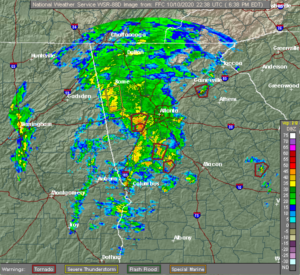 At 644 pm edt, a severe thunderstorm was located over antioch, or near cedartown, moving north at 50 mph (radar indicated). Hazards include 60 mph wind gusts. expect damage to roofs, siding, and trees At 644 pm edt, a severe thunderstorm was located over antioch, or near cedartown, moving north at 50 mph (radar indicated). Hazards include 60 mph wind gusts. expect damage to roofs, siding, and trees
|
| 4/13/2020 12:35 AM EDT |
 At 1235 am edt, severe thunderstorms were located along a line extending from sugar valley to near edwardsville, moving east at 55 mph (radar indicated). Hazards include 70 mph wind gusts. Expect considerable tree damage. damage is likely to mobile homes, roofs, and outbuildings. Locations impacted include, rome, cartersville, calhoun, cedartown, buchanan, bremen, adairsville, rockmart, euharlee, tallapoosa, aragon, cave spring, kingston, waco, braswell, plainville, taylorsville, shannon, cassville and yorkville. At 1235 am edt, severe thunderstorms were located along a line extending from sugar valley to near edwardsville, moving east at 55 mph (radar indicated). Hazards include 70 mph wind gusts. Expect considerable tree damage. damage is likely to mobile homes, roofs, and outbuildings. Locations impacted include, rome, cartersville, calhoun, cedartown, buchanan, bremen, adairsville, rockmart, euharlee, tallapoosa, aragon, cave spring, kingston, waco, braswell, plainville, taylorsville, shannon, cassville and yorkville.
|
| 4/13/2020 12:04 AM EDT |
 At 1203 am edt, severe thunderstorms were located along a line extending from near chesterfield to anniston army depot, moving east at 55 mph (radar indicated). Hazards include 60 mph wind gusts. expect damage to roofs, siding, and trees At 1203 am edt, severe thunderstorms were located along a line extending from near chesterfield to anniston army depot, moving east at 55 mph (radar indicated). Hazards include 60 mph wind gusts. expect damage to roofs, siding, and trees
|
| 3/24/2020 10:55 PM EDT |
 The national weather service in peachtree city has issued a * severe thunderstorm warning for. northeastern paulding county in northwestern georgia. cherokee county in north central georgia. northwestern cobb county in north central georgia. Floyd county in northwestern georgia. The national weather service in peachtree city has issued a * severe thunderstorm warning for. northeastern paulding county in northwestern georgia. cherokee county in north central georgia. northwestern cobb county in north central georgia. Floyd county in northwestern georgia.
|
| 1/11/2020 4:24 PM EST |
 The severe thunderstorm warning for catoosa, western murray, floyd, whitfield, southeastern walker, western gordon, northeastern chattooga and western bartow counties will expire at 430 pm est, the storms which prompted the warning have moved out of the area. therefore, the warning will be allowed to expire. however, a new warning has been issued just downstream a tornado watch remains in effect until 900 pm est for northwestern georgia. The severe thunderstorm warning for catoosa, western murray, floyd, whitfield, southeastern walker, western gordon, northeastern chattooga and western bartow counties will expire at 430 pm est, the storms which prompted the warning have moved out of the area. therefore, the warning will be allowed to expire. however, a new warning has been issued just downstream a tornado watch remains in effect until 900 pm est for northwestern georgia.
|
| 1/11/2020 4:07 PM EST |
 At 406 pm est, severe thunderstorms were located along a line extending from collegedale to near oostanaula to near lindale, moving northeast at 45 mph (radar indicated). Hazards include 60 mph wind gusts. Expect damage to roofs, siding, and trees. Locations impacted include, rome, dalton, calhoun, chatsworth, ringgold, adairsville, varnell, cave spring, tunnel hill, cohutta, kingston, resaca, plainville, taylorsville, shannon, pinson, subligna, lake marvin, beaverdale and coosa. At 406 pm est, severe thunderstorms were located along a line extending from collegedale to near oostanaula to near lindale, moving northeast at 45 mph (radar indicated). Hazards include 60 mph wind gusts. Expect damage to roofs, siding, and trees. Locations impacted include, rome, dalton, calhoun, chatsworth, ringgold, adairsville, varnell, cave spring, tunnel hill, cohutta, kingston, resaca, plainville, taylorsville, shannon, pinson, subligna, lake marvin, beaverdale and coosa.
|
| 1/11/2020 3:42 PM EST |
 At 341 pm est, severe thunderstorms were located along a line extending from fairview to near tidings to near forney, moving northeast at 45 mph (radar indicated). Hazards include 60 mph wind gusts. expect damage to roofs, siding, and trees At 341 pm est, severe thunderstorms were located along a line extending from fairview to near tidings to near forney, moving northeast at 45 mph (radar indicated). Hazards include 60 mph wind gusts. expect damage to roofs, siding, and trees
|
| 1/11/2020 3:41 PM EST |
 At 339 pm est, severe thunderstorms were located along a line extending from near chimneys s.p. to lafayette to near coosa, moving northeast at 60 mph (radar indicated). Hazards include 60 mph wind gusts. Expect damage to roofs, siding, and trees. Locations impacted include, rome, lafayette, summerville, ringgold, fort oglethorpe, chickamauga, trion, lookout mountain, cave spring, tunnel hill, shannon, lyerly, menlo, center post, pinson, subligna, blue spring, lake marvin, fairview and linwood. At 339 pm est, severe thunderstorms were located along a line extending from near chimneys s.p. to lafayette to near coosa, moving northeast at 60 mph (radar indicated). Hazards include 60 mph wind gusts. Expect damage to roofs, siding, and trees. Locations impacted include, rome, lafayette, summerville, ringgold, fort oglethorpe, chickamauga, trion, lookout mountain, cave spring, tunnel hill, shannon, lyerly, menlo, center post, pinson, subligna, blue spring, lake marvin, fairview and linwood.
|
| 1/11/2020 3:20 PM EST |
 At 319 pm est, severe thunderstorms were located along a line extending from 6 miles southwest of fiery gizzard s.p. to near mentone to near coloma, moving northeast at 60 mph (radar indicated). Hazards include 60 mph wind gusts. Expect damage to roofs, siding, and trees. Locations impacted include, rome, lafayette, summerville, ringgold, trenton, fort oglethorpe, rossville, chickamauga, trion, lookout mountain, cave spring, tunnel hill, shannon, lyerly, menlo, center post, pinson, subligna, fairview and coosa. At 319 pm est, severe thunderstorms were located along a line extending from 6 miles southwest of fiery gizzard s.p. to near mentone to near coloma, moving northeast at 60 mph (radar indicated). Hazards include 60 mph wind gusts. Expect damage to roofs, siding, and trees. Locations impacted include, rome, lafayette, summerville, ringgold, trenton, fort oglethorpe, rossville, chickamauga, trion, lookout mountain, cave spring, tunnel hill, shannon, lyerly, menlo, center post, pinson, subligna, fairview and coosa.
|
| 1/11/2020 3:00 PM EST |
 At 300 pm est, severe thunderstorms were located along a line extending from jericho to pine ridge to near reaves, moving northeast at 60 mph (radar indicated). Hazards include 60 mph wind gusts. expect damage to roofs, siding, and trees At 300 pm est, severe thunderstorms were located along a line extending from jericho to pine ridge to near reaves, moving northeast at 60 mph (radar indicated). Hazards include 60 mph wind gusts. expect damage to roofs, siding, and trees
|
| 6/22/2019 12:19 AM EDT |
 At 1218 am edt, severe thunderstorms were located along a line extending from near sugar valley to waterhouse, and are nearly stationary (radar indicated). Hazards include 60 mph wind gusts. Expect damage to roofs, siding, and trees. Locations impacted include, rome, dalton, calhoun, lafayette, summerville, chatsworth, ringgold, trion, varnell, cave spring, eton, tunnel hill, cohutta, resaca, plainville, shannon, lyerly, menlo, center post and crandall. At 1218 am edt, severe thunderstorms were located along a line extending from near sugar valley to waterhouse, and are nearly stationary (radar indicated). Hazards include 60 mph wind gusts. Expect damage to roofs, siding, and trees. Locations impacted include, rome, dalton, calhoun, lafayette, summerville, chatsworth, ringgold, trion, varnell, cave spring, eton, tunnel hill, cohutta, resaca, plainville, shannon, lyerly, menlo, center post and crandall.
|
| 6/21/2019 11:57 PM EDT |
 At 1157 pm edt, severe thunderstorms were located along a line extending from mill creek to chesterfield, moving south at 60 mph (radar indicated). Hazards include 60 mph wind gusts. expect damage to roofs, siding, and trees At 1157 pm edt, severe thunderstorms were located along a line extending from mill creek to chesterfield, moving south at 60 mph (radar indicated). Hazards include 60 mph wind gusts. expect damage to roofs, siding, and trees
|
| 6/20/2019 5:57 AM EDT |
 A severe thunderstorm warning remains in effect until 615 am edt for floyd and northwestern polk counties. at 556 am edt, severe thunderstorms were located along a line extending from near armuchee to near rome to near cedartown, moving east at 55 mph. hazard. 60 mph wind gusts. A severe thunderstorm warning remains in effect until 615 am edt for floyd and northwestern polk counties. at 556 am edt, severe thunderstorms were located along a line extending from near armuchee to near rome to near cedartown, moving east at 55 mph. hazard. 60 mph wind gusts.
|
| 6/20/2019 5:34 AM EDT |
 At 533 am edt, severe thunderstorms were located along a line extending from watson to eastern weiss lake to near coloma, moving northeast at 55 mph (radar indicated). Hazards include 60 mph wind gusts. expect damage to roofs, siding, and trees At 533 am edt, severe thunderstorms were located along a line extending from watson to eastern weiss lake to near coloma, moving northeast at 55 mph (radar indicated). Hazards include 60 mph wind gusts. expect damage to roofs, siding, and trees
|
| 5/9/2019 3:52 PM EDT |
 At 316 pm edt, severe thunderstorms were located along a line extending from forney to near sweetwater lake to mount cheaha, moving east at 40 mph (radar indicated). Hazards include 60 mph wind gusts. expect damage to roofs, siding, and trees At 316 pm edt, severe thunderstorms were located along a line extending from forney to near sweetwater lake to mount cheaha, moving east at 40 mph (radar indicated). Hazards include 60 mph wind gusts. expect damage to roofs, siding, and trees
|
| 5/9/2019 3:28 PM EDT |
 The national weather service in peachtree city has issued a * severe thunderstorm warning for. floyd county in northwestern georgia. south central whitfield county in northwestern georgia. southeastern walker county in northwestern georgia. Western gordon county in northwestern georgia. The national weather service in peachtree city has issued a * severe thunderstorm warning for. floyd county in northwestern georgia. south central whitfield county in northwestern georgia. southeastern walker county in northwestern georgia. Western gordon county in northwestern georgia.
|
| 5/9/2019 3:16 PM EDT |
 The national weather service in peachtree city has issued a * severe thunderstorm warning for. haralson county in northwestern georgia. southwestern carroll county in northwestern georgia. southern floyd county in northwestern georgia. Polk county in northwestern georgia. The national weather service in peachtree city has issued a * severe thunderstorm warning for. haralson county in northwestern georgia. southwestern carroll county in northwestern georgia. southern floyd county in northwestern georgia. Polk county in northwestern georgia.
|
| 3/14/2019 8:02 PM EDT |
 At 802 pm edt, a severe thunderstorm capable of producing a tornado was located over cave spring, or 7 miles east of forney, moving east at 20 mph (radar indicated rotation). Hazards include tornado and quarter size hail. Flying debris will be dangerous to those caught without shelter. mobile homes will be damaged or destroyed. damage to roofs, windows, and vehicles will occur. Tree damage is likely. At 802 pm edt, a severe thunderstorm capable of producing a tornado was located over cave spring, or 7 miles east of forney, moving east at 20 mph (radar indicated rotation). Hazards include tornado and quarter size hail. Flying debris will be dangerous to those caught without shelter. mobile homes will be damaged or destroyed. damage to roofs, windows, and vehicles will occur. Tree damage is likely.
|
| 3/14/2019 7:52 PM EDT |
 At 751 pm edt, a severe thunderstorm was located near forney, moving northeast at 35 mph (radar indicated). Hazards include 60 mph wind gusts and quarter size hail. Hail damage to vehicles is expected. expect wind damage to roofs, siding, and trees. locations impacted include, rome, cedartown, cave spring, seney, etna, lindale and coosa. A tornado watch remains in effect until 100 am edt for northwestern georgia. At 751 pm edt, a severe thunderstorm was located near forney, moving northeast at 35 mph (radar indicated). Hazards include 60 mph wind gusts and quarter size hail. Hail damage to vehicles is expected. expect wind damage to roofs, siding, and trees. locations impacted include, rome, cedartown, cave spring, seney, etna, lindale and coosa. A tornado watch remains in effect until 100 am edt for northwestern georgia.
|
| 3/14/2019 7:29 PM EDT |
 At 728 pm edt, a severe thunderstorm was 20 miles west of cave spring, moving northeast at 35 mph (radar indicated). Hazards include 60 mph wind gusts and quarter size hail. Hail damage to vehicles is expected. Expect wind damage to roofs, siding, and trees. At 728 pm edt, a severe thunderstorm was 20 miles west of cave spring, moving northeast at 35 mph (radar indicated). Hazards include 60 mph wind gusts and quarter size hail. Hail damage to vehicles is expected. Expect wind damage to roofs, siding, and trees.
|
| 6/28/2018 2:17 PM EDT |
 At 217 pm edt, severe thunderstorms were located along a line extending from near waterhouse to felton, moving south at 25 mph (radar indicated). Hazards include 60 mph wind gusts. Expect damage to roofs, siding, and trees. Locations impacted include, cedartown, cave spring, etna, antioch, esom hill and lindale. At 217 pm edt, severe thunderstorms were located along a line extending from near waterhouse to felton, moving south at 25 mph (radar indicated). Hazards include 60 mph wind gusts. Expect damage to roofs, siding, and trees. Locations impacted include, cedartown, cave spring, etna, antioch, esom hill and lindale.
|
| 6/28/2018 1:41 PM EDT |
 At 141 pm edt, severe thunderstorms were located along a line extending from 6 miles northeast of mentone to near holland to near cave spring, moving southwest at 10 mph (radar indicated). Hazards include 60 mph wind gusts. expect damage to roofs, siding, and trees At 141 pm edt, severe thunderstorms were located along a line extending from 6 miles northeast of mentone to near holland to near cave spring, moving southwest at 10 mph (radar indicated). Hazards include 60 mph wind gusts. expect damage to roofs, siding, and trees
|
| 6/25/2018 2:50 PM EDT | Tree down on cr 22 near the ga state line. time estimated from rada in cherokee county AL, 8.1 miles SE of Cave Spring, GA |
| 3/19/2018 9:51 PM EDT |
 At 950 pm edt, a severe thunderstorm was located over cedartown, moving east at 50 mph (radar indicated). Hazards include 70 mph wind gusts and quarter size hail. Hail damage to vehicles is expected. expect considerable tree damage. wind damage is also likely to mobile homes, roofs, and outbuildings. locations impacted include, cedartown, rockmart, aragon, cave spring, seney, fish creek, etna, esom hill, antioch, van wert and lindale. A tornado watch remains in effect until 400 am edt for northwestern georgia. At 950 pm edt, a severe thunderstorm was located over cedartown, moving east at 50 mph (radar indicated). Hazards include 70 mph wind gusts and quarter size hail. Hail damage to vehicles is expected. expect considerable tree damage. wind damage is also likely to mobile homes, roofs, and outbuildings. locations impacted include, cedartown, rockmart, aragon, cave spring, seney, fish creek, etna, esom hill, antioch, van wert and lindale. A tornado watch remains in effect until 400 am edt for northwestern georgia.
|
| 3/19/2018 9:43 PM EDT |
 At 942 pm edt, a severe thunderstorm capable of producing a tornado was located over forney, moving east at 35 mph (radar indicated rotation). Hazards include tornado and half dollar size hail. Flying debris will be dangerous to those caught without shelter. mobile homes will be damaged or destroyed. damage to roofs, windows, and vehicles will occur. Tree damage is likely. At 942 pm edt, a severe thunderstorm capable of producing a tornado was located over forney, moving east at 35 mph (radar indicated rotation). Hazards include tornado and half dollar size hail. Flying debris will be dangerous to those caught without shelter. mobile homes will be damaged or destroyed. damage to roofs, windows, and vehicles will occur. Tree damage is likely.
|
| 3/19/2018 9:36 PM EDT |
 At 936 pm edt, a severe thunderstorm was located over forney, moving east at 50 mph (radar indicated). Hazards include 60 mph wind gusts and half dollar size hail. Hail damage to vehicles is expected. Expect wind damage to roofs, siding, and trees. At 936 pm edt, a severe thunderstorm was located over forney, moving east at 50 mph (radar indicated). Hazards include 60 mph wind gusts and half dollar size hail. Hail damage to vehicles is expected. Expect wind damage to roofs, siding, and trees.
|
| 6/23/2017 5:27 PM EDT |
 At 527 pm edt, severe thunderstorms were located along a line extending from near chattoogaville to near cave spring to pleasant gap, moving northeast at 50 mph (radar indicated). Hazards include 60 mph wind gusts. expect damage to roofs, siding, and trees At 527 pm edt, severe thunderstorms were located along a line extending from near chattoogaville to near cave spring to pleasant gap, moving northeast at 50 mph (radar indicated). Hazards include 60 mph wind gusts. expect damage to roofs, siding, and trees
|
| 6/15/2017 5:08 PM EDT |
 At 508 pm edt, a severe thunderstorm was located over cedartown, moving east at 30 mph (radar indicated). Hazards include 60 mph wind gusts. Expect damage to roofs, siding, and trees. Locations impacted include, cedartown, rockmart, aragon, cave spring, seney, fish creek, etna, esom hill, antioch and van wert. At 508 pm edt, a severe thunderstorm was located over cedartown, moving east at 30 mph (radar indicated). Hazards include 60 mph wind gusts. Expect damage to roofs, siding, and trees. Locations impacted include, cedartown, rockmart, aragon, cave spring, seney, fish creek, etna, esom hill, antioch and van wert.
|
| 6/15/2017 4:48 PM EDT |
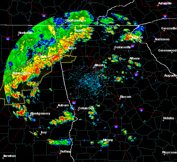 At 448 pm edt, a severe thunderstorm was located near etna, or near forney, moving east at 35 mph (radar indicated). Hazards include 60 mph wind gusts. expect damage to roofs, siding, and trees At 448 pm edt, a severe thunderstorm was located near etna, or near forney, moving east at 35 mph (radar indicated). Hazards include 60 mph wind gusts. expect damage to roofs, siding, and trees
|
| 6/15/2017 4:18 PM EDT |
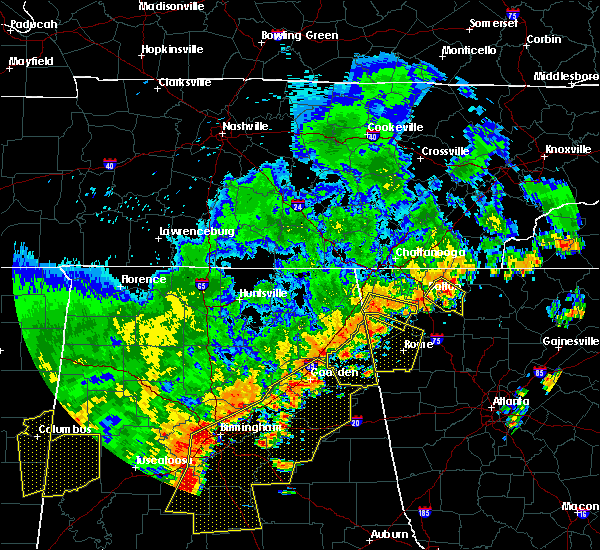 At 418 pm edt, severe thunderstorms were located along a line extending from near cloudland to new moon to near chesnut bay resort, moving east at 35 mph (radar indicated). Hazards include 60 mph wind gusts. expect damage to roofs, siding, and trees At 418 pm edt, severe thunderstorms were located along a line extending from near cloudland to new moon to near chesnut bay resort, moving east at 35 mph (radar indicated). Hazards include 60 mph wind gusts. expect damage to roofs, siding, and trees
|
| 5/28/2017 4:58 AM EDT |
 At 457 am edt, severe thunderstorms were located along a line extending from near forney to near etna to borden springs to near coleman lake and campground to sweetwater lake, moving east at 40 mph (radar indicated). Hazards include 60 mph wind gusts. expect damage to roofs, siding, and trees At 457 am edt, severe thunderstorms were located along a line extending from near forney to near etna to borden springs to near coleman lake and campground to sweetwater lake, moving east at 40 mph (radar indicated). Hazards include 60 mph wind gusts. expect damage to roofs, siding, and trees
|
| 4/5/2017 8:16 PM EDT |
 At 815 pm edt, a severe thunderstorm was located over borden springs, or 8 miles east of piedmont, moving east at 45 mph (radar indicated). Hazards include ping pong ball size hail and 60 mph wind gusts. People and animals outdoors will be injured. expect hail damage to roofs, siding, windows, and vehicles. Expect wind damage to roofs, siding, and trees. At 815 pm edt, a severe thunderstorm was located over borden springs, or 8 miles east of piedmont, moving east at 45 mph (radar indicated). Hazards include ping pong ball size hail and 60 mph wind gusts. People and animals outdoors will be injured. expect hail damage to roofs, siding, windows, and vehicles. Expect wind damage to roofs, siding, and trees.
|
| 3/21/2017 8:14 PM EDT |
 At 812 pm edt, severe thunderstorms were located extending from near hightower to near canton to near taylorsville to near forney, moving southeast at 50 mph (radar indicated, plus multiple reports of very strong winds knocking down trees and powerlines across northwest georgia). Hazards include 60 mph wind gusts and nickel size hail. expect damage to roofs, siding, and trees At 812 pm edt, severe thunderstorms were located extending from near hightower to near canton to near taylorsville to near forney, moving southeast at 50 mph (radar indicated, plus multiple reports of very strong winds knocking down trees and powerlines across northwest georgia). Hazards include 60 mph wind gusts and nickel size hail. expect damage to roofs, siding, and trees
|
| 9/12/2016 7:52 PM EDT |
 The severe thunderstorm warning for floyd county will expire at 800 pm edt, the storm which prompted the warning has weakened below severe limits, and no longer pose an immediate threat to life or property. therefore the warning will be allowed to expire. however gusty winds and heavy rain are still possible with this thunderstorm. The severe thunderstorm warning for floyd county will expire at 800 pm edt, the storm which prompted the warning has weakened below severe limits, and no longer pose an immediate threat to life or property. therefore the warning will be allowed to expire. however gusty winds and heavy rain are still possible with this thunderstorm.
|
| 9/12/2016 7:22 PM EDT |
 At 722 pm edt, a severe thunderstorm was located near seney, or 9 miles southeast of rome, moving northwest at 20 mph (radar indicated). Hazards include 60 mph wind gusts and quarter size hail. Hail damage to vehicles is expected. expect wind damage to roofs, siding, and trees. Other locations in the warning include but are not limited to rome, cave spring, coosa, lindale and seney. At 722 pm edt, a severe thunderstorm was located near seney, or 9 miles southeast of rome, moving northwest at 20 mph (radar indicated). Hazards include 60 mph wind gusts and quarter size hail. Hail damage to vehicles is expected. expect wind damage to roofs, siding, and trees. Other locations in the warning include but are not limited to rome, cave spring, coosa, lindale and seney.
|
| 6/17/2016 2:49 PM EDT |
 At 249 pm edt, severe thunderstorms were located along a line extending from near cave spring to near cedartown, moving southeast at 25 mph (radar indicated). Hazards include 60 mph wind gusts and quarter size hail. Hail damage to vehicles is expected. expect wind damage to roofs, siding, and trees. Other locations in the warning include but are not limited to cedartown, buchanan, bremen, cave spring, esom hill, fish creek, etna, felton, antioch and eubank lake. At 249 pm edt, severe thunderstorms were located along a line extending from near cave spring to near cedartown, moving southeast at 25 mph (radar indicated). Hazards include 60 mph wind gusts and quarter size hail. Hail damage to vehicles is expected. expect wind damage to roofs, siding, and trees. Other locations in the warning include but are not limited to cedartown, buchanan, bremen, cave spring, esom hill, fish creek, etna, felton, antioch and eubank lake.
|
| 6/15/2016 8:56 PM EDT |
 At 855 pm edt, severe thunderstorms were located along a line extending from near shannon to 7 miles east of eastern weiss lake, moving southeast at 40 mph (law enforcement). Hazards include 60 mph wind gusts. Expect damage to roofs. siding. and trees. Other locations in the warning include but are not limited to rome, cartersville, cedartown, adairsville, rockmart, euharlee , aragon, cave spring, kingston, braswell, plainville, taylorsville, shannon, cassville, esom hill, etna, armuchee, lindale, van wert and stilesboro. At 855 pm edt, severe thunderstorms were located along a line extending from near shannon to 7 miles east of eastern weiss lake, moving southeast at 40 mph (law enforcement). Hazards include 60 mph wind gusts. Expect damage to roofs. siding. and trees. Other locations in the warning include but are not limited to rome, cartersville, cedartown, adairsville, rockmart, euharlee , aragon, cave spring, kingston, braswell, plainville, taylorsville, shannon, cassville, esom hill, etna, armuchee, lindale, van wert and stilesboro.
|
| 6/12/2016 4:11 PM EDT | The severe thunderstorm warning for southeastern floyd county will expire at 415 pm edt, the storm which prompted the warning is weakening below severe limits. therefore the warning will be allowed to expire. however, small hail and gusty winds up to 35 mph are still possible with this thunderstorm. to report severe weather, contact your nearest law enforcement agency. they will relay your report to the national weather service peachtree city. |
| 6/12/2016 4:04 PM EDT |
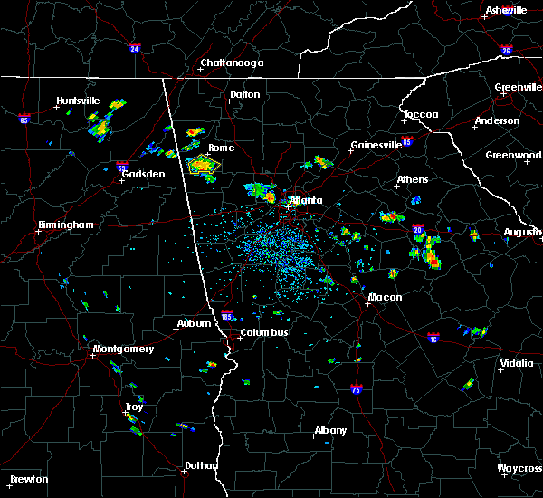 At 403 pm edt, a severe thunderstorm was located near cave spring, or southwest of rome, moving southeast at 10 mph (radar indicated). Hazards include 60 mph wind gusts and quarter size hail. Hail damage to vehicles is expected. expect wind damage to roofs, siding, and trees. Other locations in the warning include but are not limited to rome, cave spring and lindale. At 403 pm edt, a severe thunderstorm was located near cave spring, or southwest of rome, moving southeast at 10 mph (radar indicated). Hazards include 60 mph wind gusts and quarter size hail. Hail damage to vehicles is expected. expect wind damage to roofs, siding, and trees. Other locations in the warning include but are not limited to rome, cave spring and lindale.
|
| 6/12/2016 3:32 PM EDT |
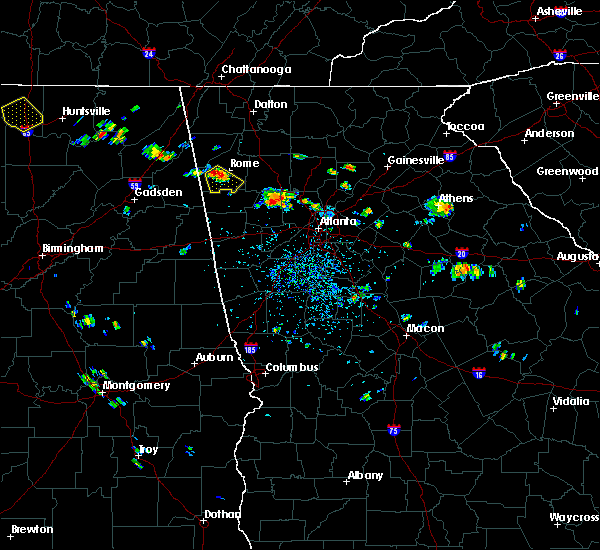 At 331 pm edt, a severe thunderstorm was located near rome, moving southeast at 10 mph (radar indicated). Hazards include 60 mph wind gusts and quarter size hail. Hail damage to vehicles is expected. expect wind damage to roofs, siding, and trees. Other locations in the warning include but are not limited to rome, cave spring, coosa and lindale. At 331 pm edt, a severe thunderstorm was located near rome, moving southeast at 10 mph (radar indicated). Hazards include 60 mph wind gusts and quarter size hail. Hail damage to vehicles is expected. expect wind damage to roofs, siding, and trees. Other locations in the warning include but are not limited to rome, cave spring, coosa and lindale.
|
| 4/6/2016 9:16 PM EDT |
 At 915 pm edt, a severe thunderstorm was located over cedartown, moving east at 40 mph (radar indicated). Hazards include 60 mph wind gusts and quarter size hail. Hail damage to vehicles is expected. expect wind damage to roofs, siding, and trees. Other locations in the warning include but are not limited to cartersville, dallas, cedartown, buchanan, rockmart, euharlee, hiram, tallapoosa, aragon, cave spring, braswell, taylorsville, yorkville, new hope, van wert, eubank lake, seney, new georgia, fish creek and draketown. At 915 pm edt, a severe thunderstorm was located over cedartown, moving east at 40 mph (radar indicated). Hazards include 60 mph wind gusts and quarter size hail. Hail damage to vehicles is expected. expect wind damage to roofs, siding, and trees. Other locations in the warning include but are not limited to cartersville, dallas, cedartown, buchanan, rockmart, euharlee, hiram, tallapoosa, aragon, cave spring, braswell, taylorsville, yorkville, new hope, van wert, eubank lake, seney, new georgia, fish creek and draketown.
|
| 6/26/2015 3:42 PM EDT | The floyd county 911 center reported a few trees down near fosters mill road and livingston roa in floyd county GA, 6.7 miles S of Cave Spring, GA |
| 6/26/2015 3:34 PM EDT | At 333 pm edt, a severe thunderstorm was located near cave spring, or 8 miles northeast of forney, moving northeast at 5 mph (radar indicated). Hazards include 60 mph wind gusts and nickel size hail. Expect damage to roofs. siding and trees. Other locations in the warning include but are not limited to rome, cave spring, coosa and lindale. |
| 4/19/2015 10:08 AM EDT | At 1007 am edt, severe thunderstorms were located along a line extending from near gaylesville to near pleasant gap to 6 miles south of heflin, moving northeast at 45 mph (radar indicated). Hazards include 60 mph wind gusts. Expect damage to roofs. siding and trees. other locations in the warning include but are not limited to rome, calhoun, cedartown, summerville, buchanan, bremen, adairsville, rockmart, euharlee, tallapoosa, trion, aragon, cave spring, kingston, resaca, waco, braswell, plainville, taylorsville and shannon. a tornado watch remains in effect until 300 pm edt for northwestern georgia. Possible. |
| 8/18/2014 5:15 PM EDT | Floyd county 911 relayed a report of two trees down across southern floyd count in floyd county GA, 1.9 miles W of Cave Spring, GA |
| 5/31/2014 6:30 PM EDT | 6 to 10 trees and a couple of power lines down along davis roa in floyd county GA, 0.6 miles NE of Cave Spring, GA |
| 4/11/2013 6:30 PM EDT | Tree down on southbound highway 100 at mountain home loo in polk county GA, 4.1 miles NNE of Cave Spring, GA |
| 3/18/2013 5:44 PM EDT | Several trees down in cave spring area. powerlines down on vehicle on padlock mountain roa in floyd county GA, 0.6 miles NE of Cave Spring, GA |
| 4/27/2011 9:11 PM EDT | Amateur radio relayed reports of trees down on a house with a person trapped insid in floyd county GA, 1.1 miles NNE of Cave Spring, GA |
| 1/1/0001 12:00 AM | Floyd county ema relayed a report of widespread tree damage near cave spring in floyd count in floyd county GA, 0.6 miles NE of Cave Spring, GA |
| 1/1/0001 12:00 AM | Public reported a flagpole snapped by strong winds west of cave spring near the georgia-alabama borde in floyd county GA, 5.1 miles E of Cave Spring, GA |
Hail Maps for Cave Spring, GA


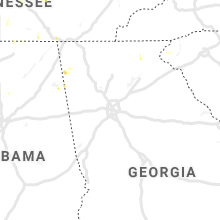


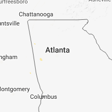


Connect with Interactive Hail Maps