

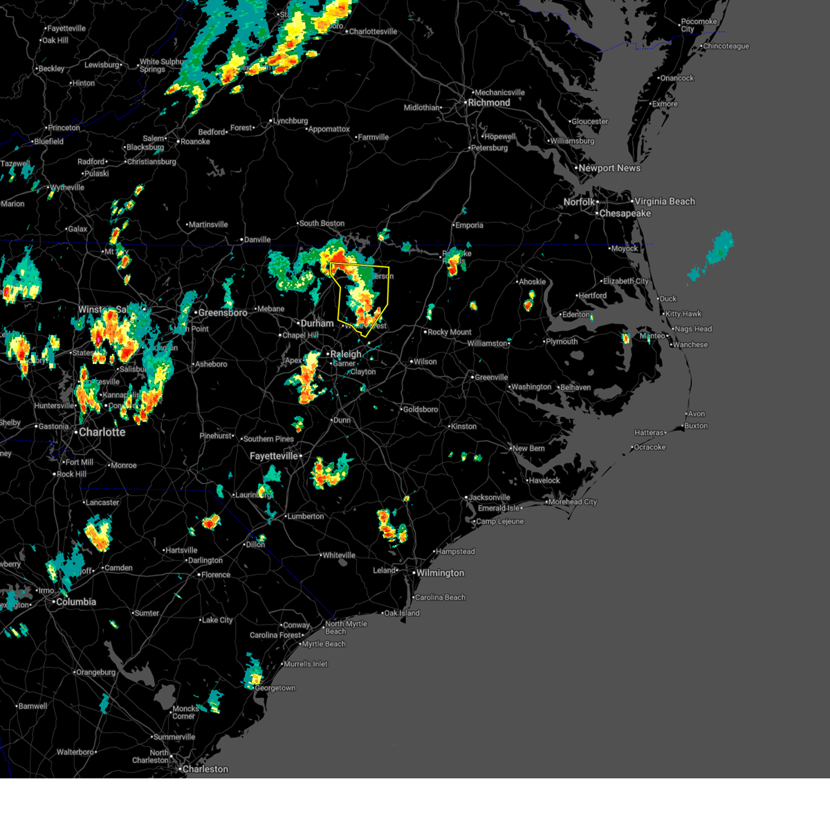
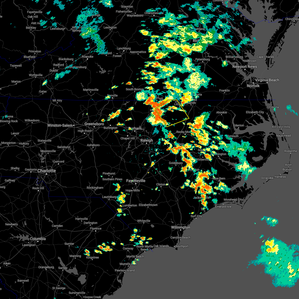
Hail Map for Centerville, NC
The Centerville, NC area has had 0 reports of on-the-ground hail by trained spotters, and has been under severe weather warnings 53 times during the past 12 months. Doppler radar has detected hail at or near Centerville, NC on 35 occasions, including 3 occasions during the past year.
| Name: | Centerville, NC |
| Where Located: | 40.7 miles NE of Raleigh, NC |
| Map: | Google Map for Centerville, NC |
| Population: | 89 |
| Housing Units: | 52 |
| More Info: | Search Google for Centerville, NC |
0
The Top Recent Hail Date for Centerville, NC is Wednesday, June 25, 2025 (30th out of 35)

Hail and Wind Damage Spotted near Centerville, NC
| Date / Time | Report Details |
|---|---|
| 7/9/2025 9:14 PM EDT | The storms which prompted the warning have weakened below severe limits, and no longer pose an immediate threat to life or property. therefore, the warning will be allowed to expire. however, gusty winds up to 50 to 55 mph and heavy rain are still possible with these thunderstorms. |
| 7/9/2025 8:37 PM EDT | Svrrah the national weather service in raleigh has issued a * severe thunderstorm warning for, vance county in central north carolina, warren county in central north carolina, western nash county in central north carolina, harnett county in central north carolina, southern granville county in central north carolina, northeastern lee county in central north carolina, northwestern halifax county in central north carolina, wake county in central north carolina, central johnston county in central north carolina, durham county in central north carolina, eastern chatham county in central north carolina, franklin county in central north carolina, * until 915 pm edt. * at 837 pm edt, severe thunderstorms were located along a line extending from near kittrell to rdu international to 9 miles east of sanford, moving southeast at 25 mph (radar indicated). Hazards include 60 mph wind gusts and quarter size hail. Hail damage to vehicles is expected. Expect wind damage to roofs, siding, and trees. |
| 6/28/2025 4:41 PM EDT |
 The storm which prompted the warning has weakened below severe limits, and no longer poses an immediate threat to life or property. therefore, the warning will be allowed to expire. however, gusty winds and heavy rain are still possible with this thunderstorm. The storm which prompted the warning has weakened below severe limits, and no longer poses an immediate threat to life or property. therefore, the warning will be allowed to expire. however, gusty winds and heavy rain are still possible with this thunderstorm.
|
| 6/28/2025 4:25 PM EDT |
 the severe thunderstorm warning has been cancelled and is no longer in effect the severe thunderstorm warning has been cancelled and is no longer in effect
|
| 6/28/2025 4:25 PM EDT |
 At 425 pm edt, a severe thunderstorm was located over louisburg, moving northeast at 10 mph (radar indicated). Hazards include 60 mph wind gusts. Expect damage to roofs, siding, and trees. Locations impacted include, henderson, oxford, louisburg, warrenton, franklinton, kittrell, bunn, youngsville, middleburg, and ingleside. At 425 pm edt, a severe thunderstorm was located over louisburg, moving northeast at 10 mph (radar indicated). Hazards include 60 mph wind gusts. Expect damage to roofs, siding, and trees. Locations impacted include, henderson, oxford, louisburg, warrenton, franklinton, kittrell, bunn, youngsville, middleburg, and ingleside.
|
| 6/28/2025 3:57 PM EDT |
 Svrrah the national weather service in raleigh has issued a * severe thunderstorm warning for, vance county in central north carolina, southwestern warren county in central north carolina, southeastern granville county in central north carolina, northeastern wake county in central north carolina, franklin county in central north carolina, * until 445 pm edt. * at 357 pm edt, a severe thunderstorm was located over kittrell, or 7 miles south of henderson, moving north at 10 mph (radar indicated). Hazards include 60 mph wind gusts. expect damage to roofs, siding, and trees Svrrah the national weather service in raleigh has issued a * severe thunderstorm warning for, vance county in central north carolina, southwestern warren county in central north carolina, southeastern granville county in central north carolina, northeastern wake county in central north carolina, franklin county in central north carolina, * until 445 pm edt. * at 357 pm edt, a severe thunderstorm was located over kittrell, or 7 miles south of henderson, moving north at 10 mph (radar indicated). Hazards include 60 mph wind gusts. expect damage to roofs, siding, and trees
|
| 6/25/2025 3:09 PM EDT |
 the severe thunderstorm warning has been cancelled and is no longer in effect the severe thunderstorm warning has been cancelled and is no longer in effect
|
| 6/25/2025 2:40 PM EDT |
 Svrrah the national weather service in raleigh has issued a * severe thunderstorm warning for, southeastern warren county in central north carolina, northeastern nash county in central north carolina, west central halifax county in central north carolina, northeastern franklin county in central north carolina, * until 330 pm edt. * at 240 pm edt, a severe thunderstorm was located 10 miles southeast of warrenton, moving south at 15 mph (radar indicated). Hazards include 60 mph wind gusts and penny size hail. expect damage to roofs, siding, and trees Svrrah the national weather service in raleigh has issued a * severe thunderstorm warning for, southeastern warren county in central north carolina, northeastern nash county in central north carolina, west central halifax county in central north carolina, northeastern franklin county in central north carolina, * until 330 pm edt. * at 240 pm edt, a severe thunderstorm was located 10 miles southeast of warrenton, moving south at 15 mph (radar indicated). Hazards include 60 mph wind gusts and penny size hail. expect damage to roofs, siding, and trees
|
| 6/19/2025 8:10 PM EDT |
 The storms which prompted the warning have weakened below severe limits, and have exited the warned area. therefore, the warning will be allowed to expire. however, gusty winds are still possible with these thunderstorms. a severe thunderstorm watch remains in effect until 1100 pm edt for central north carolina. The storms which prompted the warning have weakened below severe limits, and have exited the warned area. therefore, the warning will be allowed to expire. however, gusty winds are still possible with these thunderstorms. a severe thunderstorm watch remains in effect until 1100 pm edt for central north carolina.
|
| 6/19/2025 8:02 PM EDT | the severe thunderstorm warning has been cancelled and is no longer in effect |
| 6/19/2025 8:02 PM EDT | At 802 pm edt, severe thunderstorms were located along a line extending from 7 miles southeast of littleton to 6 miles southwest of halifax to near dortches, moving east at 55 mph (radar indicated). Hazards include 60 mph wind gusts. Expect damage to roofs, siding, and trees. Locations impacted include, roanoke rapids, halifax, littleton, enfield, weldon, castalia, centerville, glenview, medoc mountain state park and aventon. |
| 6/19/2025 7:46 PM EDT | At 746 pm edt, severe thunderstorms were located along a line extending from 8 miles west of ebony to near warrenton to 12 miles northeast of louisburg, moving east at 55 mph (radar indicated). Hazards include 60 mph wind gusts. Expect damage to roofs, siding, and trees. Locations impacted include, roanoke rapids, louisburg, warrenton, halifax, franklinton, norlina, littleton, enfield, weldon and youngsville. |
| 6/19/2025 7:35 PM EDT |
 the severe thunderstorm warning has been cancelled and is no longer in effect the severe thunderstorm warning has been cancelled and is no longer in effect
|
| 6/19/2025 7:35 PM EDT |
 At 735 pm edt, severe thunderstorms were located along a line extending from 7 miles northwest of norlina to near warrenton to 6 miles east of kittrell, moving east at 55 mph (radar indicated). Hazards include 60 mph wind gusts. Expect damage to roofs, siding, and trees. Locations impacted include, roanoke rapids, henderson, louisburg, warrenton, halifax, franklinton, norlina, littleton, kittrell and enfield. At 735 pm edt, severe thunderstorms were located along a line extending from 7 miles northwest of norlina to near warrenton to 6 miles east of kittrell, moving east at 55 mph (radar indicated). Hazards include 60 mph wind gusts. Expect damage to roofs, siding, and trees. Locations impacted include, roanoke rapids, henderson, louisburg, warrenton, halifax, franklinton, norlina, littleton, kittrell and enfield.
|
| 6/19/2025 7:10 PM EDT |
 Svrrah the national weather service in raleigh has issued a * severe thunderstorm warning for, vance county in central north carolina, warren county in central north carolina, northeastern nash county in central north carolina, eastern granville county in central north carolina, halifax county in central north carolina, franklin county in central north carolina, * until 815 pm edt. * at 710 pm edt, severe thunderstorms were located along a line extending from near clarksville to near oxford to creedmoor, moving east at 55 mph (radar indicated). Hazards include 60 mph wind gusts. expect damage to roofs, siding, and trees Svrrah the national weather service in raleigh has issued a * severe thunderstorm warning for, vance county in central north carolina, warren county in central north carolina, northeastern nash county in central north carolina, eastern granville county in central north carolina, halifax county in central north carolina, franklin county in central north carolina, * until 815 pm edt. * at 710 pm edt, severe thunderstorms were located along a line extending from near clarksville to near oxford to creedmoor, moving east at 55 mph (radar indicated). Hazards include 60 mph wind gusts. expect damage to roofs, siding, and trees
|
| 6/15/2025 7:14 PM EDT |
 Svrrah the national weather service in raleigh has issued a * severe thunderstorm warning for, southeastern warren county in central north carolina, nash county in central north carolina, northwestern edgecombe county in central north carolina, southwestern halifax county in central north carolina, northeastern franklin county in central north carolina, * until 815 pm edt. * at 714 pm edt, a severe thunderstorm was located 10 miles northwest of nashville, moving northeast at 35 mph (radar indicated). Hazards include 60 mph wind gusts and quarter size hail. Hail damage to vehicles is expected. Expect wind damage to roofs, siding, and trees. Svrrah the national weather service in raleigh has issued a * severe thunderstorm warning for, southeastern warren county in central north carolina, nash county in central north carolina, northwestern edgecombe county in central north carolina, southwestern halifax county in central north carolina, northeastern franklin county in central north carolina, * until 815 pm edt. * at 714 pm edt, a severe thunderstorm was located 10 miles northwest of nashville, moving northeast at 35 mph (radar indicated). Hazards include 60 mph wind gusts and quarter size hail. Hail damage to vehicles is expected. Expect wind damage to roofs, siding, and trees.
|
| 5/13/2025 7:50 PM EDT |
 The storm which prompted the warning has moved out of the area. therefore, the warning has been allowed to expire. to report severe weather, contact your nearest law enforcement agency. they will relay your report to the national weather service raleigh. The storm which prompted the warning has moved out of the area. therefore, the warning has been allowed to expire. to report severe weather, contact your nearest law enforcement agency. they will relay your report to the national weather service raleigh.
|
| 5/13/2025 7:29 PM EDT |
 At 728 pm edt, a severe thunderstorm was located 7 miles northwest of nashville, moving north at 35 mph (radar indicated). Hazards include ping pong ball size hail. People and animals outdoors will be injured. expect damage to roofs, siding, windows, and vehicles. Locations impacted include, rocky mount, nashville, dortches, bunn, red oak, sharpsburg, spring hope, whitakers, castalia, and centerville. At 728 pm edt, a severe thunderstorm was located 7 miles northwest of nashville, moving north at 35 mph (radar indicated). Hazards include ping pong ball size hail. People and animals outdoors will be injured. expect damage to roofs, siding, windows, and vehicles. Locations impacted include, rocky mount, nashville, dortches, bunn, red oak, sharpsburg, spring hope, whitakers, castalia, and centerville.
|
| 5/13/2025 7:29 PM EDT |
 the severe thunderstorm warning has been cancelled and is no longer in effect the severe thunderstorm warning has been cancelled and is no longer in effect
|
| 5/13/2025 6:57 PM EDT |
 Svrrah the national weather service in raleigh has issued a * severe thunderstorm warning for, nash county in central north carolina, east central wake county in central north carolina, northeastern johnston county in central north carolina, eastern franklin county in central north carolina, * until 745 pm edt. * at 657 pm edt, a severe thunderstorm was located near elm city, or 8 miles south of nashville, moving northeast at 50 mph (radar indicated). Hazards include 60 mph wind gusts and quarter size hail. expect wind damage to roofs, siding, and trees Svrrah the national weather service in raleigh has issued a * severe thunderstorm warning for, nash county in central north carolina, east central wake county in central north carolina, northeastern johnston county in central north carolina, eastern franklin county in central north carolina, * until 745 pm edt. * at 657 pm edt, a severe thunderstorm was located near elm city, or 8 miles south of nashville, moving northeast at 50 mph (radar indicated). Hazards include 60 mph wind gusts and quarter size hail. expect wind damage to roofs, siding, and trees
|
| 5/5/2025 3:49 PM EDT |
 At 348 pm edt, severe thunderstorms were located along a line extending from 10 miles northeast of louisburg to near nashville to 8 miles south of bailey, moving northeast at 30 mph (radar indicated). Hazards include quarter size hail. Damage to vehicles is expected. Locations impacted include, rocky mount, nashville, louisburg, wilson, elm city, dortches, bailey, bunn, micro, and red oak. At 348 pm edt, severe thunderstorms were located along a line extending from 10 miles northeast of louisburg to near nashville to 8 miles south of bailey, moving northeast at 30 mph (radar indicated). Hazards include quarter size hail. Damage to vehicles is expected. Locations impacted include, rocky mount, nashville, louisburg, wilson, elm city, dortches, bailey, bunn, micro, and red oak.
|
| 5/5/2025 3:33 PM EDT |
 At 332 pm edt, severe thunderstorms were located along a line extending from near louisburg to near bailey to 8 miles northeast of smithfield, moving northeast at 30 mph (radar indicated). Hazards include quarter size hail. Damage to vehicles is expected. Locations impacted include, rocky mount, smithfield, nashville, louisburg, wilson, franklinton, elm city, dortches, bailey, and bunn. At 332 pm edt, severe thunderstorms were located along a line extending from near louisburg to near bailey to 8 miles northeast of smithfield, moving northeast at 30 mph (radar indicated). Hazards include quarter size hail. Damage to vehicles is expected. Locations impacted include, rocky mount, smithfield, nashville, louisburg, wilson, franklinton, elm city, dortches, bailey, and bunn.
|
| 5/5/2025 3:33 PM EDT |
 the severe thunderstorm warning has been cancelled and is no longer in effect the severe thunderstorm warning has been cancelled and is no longer in effect
|
| 5/5/2025 3:12 PM EDT |
 Svrrah the national weather service in raleigh has issued a * severe thunderstorm warning for, southeastern warren county in central north carolina, nash county in central north carolina, west central halifax county in central north carolina, east central wake county in central north carolina, wilson county in central north carolina, northeastern johnston county in central north carolina, franklin county in central north carolina, * until 400 pm edt. * at 311 pm edt, severe thunderstorms were located along a line extending from near franklinton to near zebulon to near smithfield, moving northeast at 30 mph (radar indicated. at 2:37pm, quarter size hail was reported on i-540 between capital blvd and us 64). Hazards include quarter size hail. damage to vehicles is expected Svrrah the national weather service in raleigh has issued a * severe thunderstorm warning for, southeastern warren county in central north carolina, nash county in central north carolina, west central halifax county in central north carolina, east central wake county in central north carolina, wilson county in central north carolina, northeastern johnston county in central north carolina, franklin county in central north carolina, * until 400 pm edt. * at 311 pm edt, severe thunderstorms were located along a line extending from near franklinton to near zebulon to near smithfield, moving northeast at 30 mph (radar indicated. at 2:37pm, quarter size hail was reported on i-540 between capital blvd and us 64). Hazards include quarter size hail. damage to vehicles is expected
|
| 3/31/2025 7:38 PM EDT |
 Svrrah the national weather service in raleigh has issued a * severe thunderstorm warning for, southeastern warren county in central north carolina, northern nash county in central north carolina, halifax county in central north carolina, northeastern franklin county in central north carolina, * until 830 pm edt. * at 738 pm edt, a severe thunderstorm was located 7 miles northeast of louisburg, moving east at 50 mph (radar indicated). Hazards include 60 mph wind gusts and quarter size hail. Hail damage to vehicles is expected. Expect wind damage to roofs, siding, and trees. Svrrah the national weather service in raleigh has issued a * severe thunderstorm warning for, southeastern warren county in central north carolina, northern nash county in central north carolina, halifax county in central north carolina, northeastern franklin county in central north carolina, * until 830 pm edt. * at 738 pm edt, a severe thunderstorm was located 7 miles northeast of louisburg, moving east at 50 mph (radar indicated). Hazards include 60 mph wind gusts and quarter size hail. Hail damage to vehicles is expected. Expect wind damage to roofs, siding, and trees.
|
| 3/5/2025 1:26 PM EST |
 Svrrah the national weather service in raleigh has issued a * severe thunderstorm warning for, eastern warren county in central north carolina, northwestern halifax county in central north carolina, northeastern franklin county in central north carolina, * until 230 pm est. * at 126 pm est, a severe thunderstorm was located 9 miles northeast of louisburg, moving northeast at 40 mph (radar indicated). Hazards include 60 mph wind gusts. expect damage to roofs, siding, and trees Svrrah the national weather service in raleigh has issued a * severe thunderstorm warning for, eastern warren county in central north carolina, northwestern halifax county in central north carolina, northeastern franklin county in central north carolina, * until 230 pm est. * at 126 pm est, a severe thunderstorm was located 9 miles northeast of louisburg, moving northeast at 40 mph (radar indicated). Hazards include 60 mph wind gusts. expect damage to roofs, siding, and trees
|
| 3/5/2025 1:06 PM EST |
 The storms which prompted the warning have moved out part of the area. new severe thunderstorm warnings have been issued. a tornado watch remains in effect until 800 pm est for central north carolina. The storms which prompted the warning have moved out part of the area. new severe thunderstorm warnings have been issued. a tornado watch remains in effect until 800 pm est for central north carolina.
|
| 3/5/2025 12:51 PM EST |
 Svrrah the national weather service in raleigh has issued a * severe thunderstorm warning for, southeastern vance county in central north carolina, warren county in central north carolina, northwestern halifax county in central north carolina, northern franklin county in central north carolina, * until 130 pm est. * at 1251 pm est, a severe thunderstorm was located near louisburg, moving northeast at 40 mph (radar indicated). Hazards include 60 mph wind gusts. expect damage to roofs, siding, and trees Svrrah the national weather service in raleigh has issued a * severe thunderstorm warning for, southeastern vance county in central north carolina, warren county in central north carolina, northwestern halifax county in central north carolina, northern franklin county in central north carolina, * until 130 pm est. * at 1251 pm est, a severe thunderstorm was located near louisburg, moving northeast at 40 mph (radar indicated). Hazards include 60 mph wind gusts. expect damage to roofs, siding, and trees
|
| 3/5/2025 12:49 PM EST |
 the severe thunderstorm warning has been cancelled and is no longer in effect the severe thunderstorm warning has been cancelled and is no longer in effect
|
| 3/5/2025 12:49 PM EST |
 At 1248 pm est, severe thunderstorms were located along a line extending from 7 miles east of kittrell to near garner, moving northeast at 35 mph (radar indicated). Hazards include 60 mph wind gusts. Expect damage to roofs, siding, and trees. Locations impacted include, pilot, rolesville, ingleside, youngsville, zebulon, lake benson, bunn, centerville, wake forest, and knightdale. At 1248 pm est, severe thunderstorms were located along a line extending from 7 miles east of kittrell to near garner, moving northeast at 35 mph (radar indicated). Hazards include 60 mph wind gusts. Expect damage to roofs, siding, and trees. Locations impacted include, pilot, rolesville, ingleside, youngsville, zebulon, lake benson, bunn, centerville, wake forest, and knightdale.
|
| 3/5/2025 12:29 PM EST |
 the severe thunderstorm warning has been cancelled and is no longer in effect the severe thunderstorm warning has been cancelled and is no longer in effect
|
| 3/5/2025 12:29 PM EST |
 At 1229 pm est, severe thunderstorms were located along a line extending from near franklinton to near fuquay-varina, moving northeast at 35 mph (radar indicated). Hazards include 60 mph wind gusts. Expect damage to roofs, siding, and trees. Locations impacted include, pilot, rolesville, raleigh, ingleside, youngsville, lake wheeler, zebulon, lake benson, bunn, and centerville. At 1229 pm est, severe thunderstorms were located along a line extending from near franklinton to near fuquay-varina, moving northeast at 35 mph (radar indicated). Hazards include 60 mph wind gusts. Expect damage to roofs, siding, and trees. Locations impacted include, pilot, rolesville, raleigh, ingleside, youngsville, lake wheeler, zebulon, lake benson, bunn, and centerville.
|
| 3/5/2025 12:06 PM EST | Svrrah the national weather service in raleigh has issued a * severe thunderstorm warning for, south central warren county in central north carolina, southeastern granville county in central north carolina, wake county in central north carolina, southeastern durham county in central north carolina, franklin county in central north carolina, * until 115 pm est. * at 1205 pm est, severe thunderstorms were located along a line extending from near creedmoor to 11 miles northwest of lillington, moving northeast at 35 mph (radar indicated). Hazards include 60 mph wind gusts. expect damage to roofs, siding, and trees |
| 2/16/2025 9:32 AM EST |
 Svrrah the national weather service in raleigh has issued a * severe thunderstorm warning for, warren county in central north carolina, nash county in central north carolina, edgecombe county in central north carolina, halifax county in central north carolina, northeastern wake county in central north carolina, northern wilson county in central north carolina, northeastern johnston county in central north carolina, franklin county in central north carolina, * until 1015 am est. * at 932 am est, severe thunderstorms were located along a line extending from 7 miles southwest of ebony to 7 miles southeast of franklinton to near garner, moving east at 45 mph (radar indicated). Hazards include 60 mph wind gusts. expect damage to roofs, siding, and trees Svrrah the national weather service in raleigh has issued a * severe thunderstorm warning for, warren county in central north carolina, nash county in central north carolina, edgecombe county in central north carolina, halifax county in central north carolina, northeastern wake county in central north carolina, northern wilson county in central north carolina, northeastern johnston county in central north carolina, franklin county in central north carolina, * until 1015 am est. * at 932 am est, severe thunderstorms were located along a line extending from 7 miles southwest of ebony to 7 miles southeast of franklinton to near garner, moving east at 45 mph (radar indicated). Hazards include 60 mph wind gusts. expect damage to roofs, siding, and trees
|
| 2/16/2025 8:44 AM EST |
 Svrrah the national weather service in raleigh has issued a * severe thunderstorm warning for, vance county in central north carolina, warren county in central north carolina, western nash county in central north carolina, granville county in central north carolina, northwestern halifax county in central north carolina, wake county in central north carolina, northern johnston county in central north carolina, eastern durham county in central north carolina, northeastern chatham county in central north carolina, franklin county in central north carolina, * until 930 am est. * at 844 am est, severe thunderstorms were located along a line extending from 8 miles southeast of virgilina to 7 miles south of butner to 9 miles southeast of pittsboro, moving northeast at 65 mph (radar indicated). Hazards include 60 mph wind gusts. expect damage to roofs, siding, and trees Svrrah the national weather service in raleigh has issued a * severe thunderstorm warning for, vance county in central north carolina, warren county in central north carolina, western nash county in central north carolina, granville county in central north carolina, northwestern halifax county in central north carolina, wake county in central north carolina, northern johnston county in central north carolina, eastern durham county in central north carolina, northeastern chatham county in central north carolina, franklin county in central north carolina, * until 930 am est. * at 844 am est, severe thunderstorms were located along a line extending from 8 miles southeast of virgilina to 7 miles south of butner to 9 miles southeast of pittsboro, moving northeast at 65 mph (radar indicated). Hazards include 60 mph wind gusts. expect damage to roofs, siding, and trees
|
| 9/1/2024 3:33 PM EDT |
 Svrrah the national weather service in raleigh has issued a * severe thunderstorm warning for, northwestern nash county in central north carolina, northeastern wake county in central north carolina, franklin county in central north carolina, * until 415 pm edt. * at 333 pm edt, a severe thunderstorm was located near wake forest, or 11 miles southwest of louisburg, moving east at 20 mph (radar indicated). Hazards include 60 mph wind gusts. expect damage to roofs, siding, and trees Svrrah the national weather service in raleigh has issued a * severe thunderstorm warning for, northwestern nash county in central north carolina, northeastern wake county in central north carolina, franklin county in central north carolina, * until 415 pm edt. * at 333 pm edt, a severe thunderstorm was located near wake forest, or 11 miles southwest of louisburg, moving east at 20 mph (radar indicated). Hazards include 60 mph wind gusts. expect damage to roofs, siding, and trees
|
| 8/8/2024 7:22 PM EDT |
 Torrah the national weather service in raleigh has issued a * tornado warning for, warren county in central north carolina, northeastern franklin county in central north carolina, * until 745 pm edt. * at 722 pm edt, a severe thunderstorm capable of producing a tornado was located 9 miles south of warrenton, moving north at 40 mph (radar indicated rotation). Hazards include tornado. Flying debris will be dangerous to those caught without shelter. mobile homes will be damaged or destroyed. damage to roofs, windows, and vehicles will occur. tree damage is likely. this dangerous storm will be near, warrenton around 725 pm edt. norlina around 730 pm edt. Other locations impacted by this tornadic thunderstorm include afton, macon, wise, centerville, and lake gaston. Torrah the national weather service in raleigh has issued a * tornado warning for, warren county in central north carolina, northeastern franklin county in central north carolina, * until 745 pm edt. * at 722 pm edt, a severe thunderstorm capable of producing a tornado was located 9 miles south of warrenton, moving north at 40 mph (radar indicated rotation). Hazards include tornado. Flying debris will be dangerous to those caught without shelter. mobile homes will be damaged or destroyed. damage to roofs, windows, and vehicles will occur. tree damage is likely. this dangerous storm will be near, warrenton around 725 pm edt. norlina around 730 pm edt. Other locations impacted by this tornadic thunderstorm include afton, macon, wise, centerville, and lake gaston.
|
| 8/8/2024 10:56 AM EDT |
 The storm which prompted the warning has weakened below severe limits, and no longer appears capable of producing a tornado. therefore, the warning will be allowed to expire. a tornado watch remains in effect until 100 pm edt for central north carolina. The storm which prompted the warning has weakened below severe limits, and no longer appears capable of producing a tornado. therefore, the warning will be allowed to expire. a tornado watch remains in effect until 100 pm edt for central north carolina.
|
| 8/8/2024 10:49 AM EDT |
 At 1049 am edt, a severe thunderstorm capable of producing a tornado was located 14 miles southeast of warrenton, moving northwest at 40 mph (radar indicated rotation). Hazards include tornado. Flying debris will be dangerous to those caught without shelter. mobile homes will be damaged or destroyed. damage to roofs, windows, and vehicles will occur. tree damage is likely. Locations impacted include, centerville, arcola, and medoc mountain state park. At 1049 am edt, a severe thunderstorm capable of producing a tornado was located 14 miles southeast of warrenton, moving northwest at 40 mph (radar indicated rotation). Hazards include tornado. Flying debris will be dangerous to those caught without shelter. mobile homes will be damaged or destroyed. damage to roofs, windows, and vehicles will occur. tree damage is likely. Locations impacted include, centerville, arcola, and medoc mountain state park.
|
| 8/8/2024 10:43 AM EDT |
 At 1042 am edt, a severe thunderstorm capable of producing a tornado was located 12 miles northwest of dortches, or 13 miles north of nashville, moving northwest at 35 mph (radar indicated rotation). Hazards include tornado. Flying debris will be dangerous to those caught without shelter. mobile homes will be damaged or destroyed. damage to roofs, windows, and vehicles will occur. tree damage is likely. Locations impacted include, castalia, centerville, arcola, aventon, and medoc mountain state park. At 1042 am edt, a severe thunderstorm capable of producing a tornado was located 12 miles northwest of dortches, or 13 miles north of nashville, moving northwest at 35 mph (radar indicated rotation). Hazards include tornado. Flying debris will be dangerous to those caught without shelter. mobile homes will be damaged or destroyed. damage to roofs, windows, and vehicles will occur. tree damage is likely. Locations impacted include, castalia, centerville, arcola, aventon, and medoc mountain state park.
|
| 8/8/2024 10:36 AM EDT |
 At 1036 am edt, a severe thunderstorm capable of producing a tornado was located 8 miles northwest of dortches, or 9 miles north of nashville, moving northwest at 35 mph (radar indicated rotation). Hazards include tornado. Flying debris will be dangerous to those caught without shelter. mobile homes will be damaged or destroyed. damage to roofs, windows, and vehicles will occur. tree damage is likely. Locations impacted include, castalia, centerville, arcola, aventon, and medoc mountain state park. At 1036 am edt, a severe thunderstorm capable of producing a tornado was located 8 miles northwest of dortches, or 9 miles north of nashville, moving northwest at 35 mph (radar indicated rotation). Hazards include tornado. Flying debris will be dangerous to those caught without shelter. mobile homes will be damaged or destroyed. damage to roofs, windows, and vehicles will occur. tree damage is likely. Locations impacted include, castalia, centerville, arcola, aventon, and medoc mountain state park.
|
| 8/8/2024 10:32 AM EDT |
 Torrah the national weather service in raleigh has issued a * tornado warning for, southern warren county in central north carolina, northeastern nash county in central north carolina, west central halifax county in central north carolina, northeastern franklin county in central north carolina, * until 1100 am edt. * at 1032 am edt, a severe thunderstorm capable of producing a tornado was located near dortches, or 8 miles north of nashville, moving northwest at 45 mph (radar indicated rotation). Hazards include tornado. Flying debris will be dangerous to those caught without shelter. mobile homes will be damaged or destroyed. damage to roofs, windows, and vehicles will occur. tree damage is likely. This tornadic thunderstorm will remain over mainly rural areas of southern warren, northeastern nash, west central halifax and northeastern franklin counties, including the following locations, castalia, arcola, red oak, medoc mountain state park, and aventon. Torrah the national weather service in raleigh has issued a * tornado warning for, southern warren county in central north carolina, northeastern nash county in central north carolina, west central halifax county in central north carolina, northeastern franklin county in central north carolina, * until 1100 am edt. * at 1032 am edt, a severe thunderstorm capable of producing a tornado was located near dortches, or 8 miles north of nashville, moving northwest at 45 mph (radar indicated rotation). Hazards include tornado. Flying debris will be dangerous to those caught without shelter. mobile homes will be damaged or destroyed. damage to roofs, windows, and vehicles will occur. tree damage is likely. This tornadic thunderstorm will remain over mainly rural areas of southern warren, northeastern nash, west central halifax and northeastern franklin counties, including the following locations, castalia, arcola, red oak, medoc mountain state park, and aventon.
|
| 8/3/2024 6:12 PM EDT |
 At 611 pm edt, a severe thunderstorm was located 7 miles west of zebulon, or 11 miles east of raleigh, moving northeast at 40 mph (radar indicated). Hazards include 60 mph wind gusts. Expect damage to roofs, siding, and trees. Locations impacted include, louisburg, wake forest, kittrell, bunn, knightdale, rolesville, youngsville, centerville, ingleside, and falls lake. At 611 pm edt, a severe thunderstorm was located 7 miles west of zebulon, or 11 miles east of raleigh, moving northeast at 40 mph (radar indicated). Hazards include 60 mph wind gusts. Expect damage to roofs, siding, and trees. Locations impacted include, louisburg, wake forest, kittrell, bunn, knightdale, rolesville, youngsville, centerville, ingleside, and falls lake.
|
| 8/3/2024 5:39 PM EDT |
 Svrrah the national weather service in raleigh has issued a * severe thunderstorm warning for, southern vance county in central north carolina, wake county in central north carolina, franklin county in central north carolina, * until 645 pm edt. * at 538 pm edt, severe thunderstorms were located near lake wheeler and wake forest, moving northeast at 25 mph (radar indicated). Hazards include 60 mph wind gusts. expect damage to roofs, siding, and trees Svrrah the national weather service in raleigh has issued a * severe thunderstorm warning for, southern vance county in central north carolina, wake county in central north carolina, franklin county in central north carolina, * until 645 pm edt. * at 538 pm edt, severe thunderstorms were located near lake wheeler and wake forest, moving northeast at 25 mph (radar indicated). Hazards include 60 mph wind gusts. expect damage to roofs, siding, and trees
|
| 8/3/2024 5:01 PM EDT | The storms which prompted the warning have weakened below severe limits, and no longer pose an immediate threat to life or property. therefore, the warning has been allowed to expire. however, gusty winds and heavy rain are still possible with these thunderstorms. a severe thunderstorm watch remains in effect until 900 pm edt for central north carolina. |
| 8/3/2024 4:49 PM EDT |
 At 449 pm edt, severe thunderstorms were located along a line extending from near littleton to 6 miles northeast of wake forest, moving east at 40 mph (radar indicated). Hazards include 60 mph wind gusts and penny size hail. Expect damage to roofs, siding, and trees. Locations impacted include, louisburg, warrenton, franklinton, norlina, youngsville, macon, centerville, ingleside, afton, and wise. At 449 pm edt, severe thunderstorms were located along a line extending from near littleton to 6 miles northeast of wake forest, moving east at 40 mph (radar indicated). Hazards include 60 mph wind gusts and penny size hail. Expect damage to roofs, siding, and trees. Locations impacted include, louisburg, warrenton, franklinton, norlina, youngsville, macon, centerville, ingleside, afton, and wise.
|
| 8/3/2024 4:49 PM EDT |
 the severe thunderstorm warning has been cancelled and is no longer in effect the severe thunderstorm warning has been cancelled and is no longer in effect
|
| 8/3/2024 4:34 PM EDT |
 At 433 pm edt, severe thunderstorms were located along a line extending from near la crosse to 6 miles southwest of louisburg, moving northeast at 30 mph (radar indicated). Hazards include 60 mph wind gusts and penny size hail. Expect damage to roofs, siding, and trees. Locations impacted include, henderson, louisburg, warrenton, wake forest, franklinton, norlina, kittrell, youngsville, middleburg, and macon. At 433 pm edt, severe thunderstorms were located along a line extending from near la crosse to 6 miles southwest of louisburg, moving northeast at 30 mph (radar indicated). Hazards include 60 mph wind gusts and penny size hail. Expect damage to roofs, siding, and trees. Locations impacted include, henderson, louisburg, warrenton, wake forest, franklinton, norlina, kittrell, youngsville, middleburg, and macon.
|
| 8/3/2024 4:11 PM EDT |
 Svrrah the national weather service in raleigh has issued a * severe thunderstorm warning for, vance county in central north carolina, warren county in central north carolina, southeastern granville county in central north carolina, northeastern wake county in central north carolina, franklin county in central north carolina, * until 500 pm edt. * at 411 pm edt, severe thunderstorms were located along a line extending from 8 miles northwest of norlina to wake forest, moving northeast at 30 mph (radar indicated). Hazards include 60 mph wind gusts and quarter size hail. Hail damage to vehicles is expected. Expect wind damage to roofs, siding, and trees. Svrrah the national weather service in raleigh has issued a * severe thunderstorm warning for, vance county in central north carolina, warren county in central north carolina, southeastern granville county in central north carolina, northeastern wake county in central north carolina, franklin county in central north carolina, * until 500 pm edt. * at 411 pm edt, severe thunderstorms were located along a line extending from 8 miles northwest of norlina to wake forest, moving northeast at 30 mph (radar indicated). Hazards include 60 mph wind gusts and quarter size hail. Hail damage to vehicles is expected. Expect wind damage to roofs, siding, and trees.
|
| 7/24/2024 12:37 AM EDT |
 The storms which prompted the warning have weakened below severe limits, and no longer pose an immediate threat to life or property. therefore, the warning will be allowed to expire. however, heavy rain and gusty winds are still possible with these thunderstorms. The storms which prompted the warning have weakened below severe limits, and no longer pose an immediate threat to life or property. therefore, the warning will be allowed to expire. however, heavy rain and gusty winds are still possible with these thunderstorms.
|
| 7/24/2024 12:29 AM EDT |
 At 1229 am edt, severe thunderstorms were located along a line extending from near kittrell to near bunn to near garner to 8 miles southwest of clayton, moving northeast at 30 mph (radar indicated). Hazards include 60 mph wind gusts. Expect damage to roofs, siding, and trees. Locations impacted include, raleigh, henderson, louisburg, wake forest, garner, clayton, zebulon, franklinton, kittrell, and bunn. At 1229 am edt, severe thunderstorms were located along a line extending from near kittrell to near bunn to near garner to 8 miles southwest of clayton, moving northeast at 30 mph (radar indicated). Hazards include 60 mph wind gusts. Expect damage to roofs, siding, and trees. Locations impacted include, raleigh, henderson, louisburg, wake forest, garner, clayton, zebulon, franklinton, kittrell, and bunn.
|
| 7/24/2024 12:10 AM EDT |
 At 1210 am edt, severe thunderstorms were located along a line extending from near creedmoor to near wake forest to near fuquay-varina, moving northeast at 25 mph (radar indicated). Hazards include 60 mph wind gusts. Expect damage to roofs, siding, and trees. Locations impacted include, raleigh, cary, henderson, oxford, creedmoor, louisburg, wake forest, garner, fuquay-varina, and clayton. At 1210 am edt, severe thunderstorms were located along a line extending from near creedmoor to near wake forest to near fuquay-varina, moving northeast at 25 mph (radar indicated). Hazards include 60 mph wind gusts. Expect damage to roofs, siding, and trees. Locations impacted include, raleigh, cary, henderson, oxford, creedmoor, louisburg, wake forest, garner, fuquay-varina, and clayton.
|
| 7/23/2024 11:55 PM EDT |
 Svrrah the national weather service in raleigh has issued a * severe thunderstorm warning for, southern vance county in central north carolina, southern granville county in central north carolina, wake county in central north carolina, northwestern johnston county in central north carolina, franklin county in central north carolina, * until 1245 am edt. * at 1155 pm edt, severe thunderstorms were located along a line extending from near creedmoor to near raleigh to near fuquay-varina, moving northeast at 50 mph (radar indicated). Hazards include 60 mph wind gusts. expect damage to roofs, siding, and trees Svrrah the national weather service in raleigh has issued a * severe thunderstorm warning for, southern vance county in central north carolina, southern granville county in central north carolina, wake county in central north carolina, northwestern johnston county in central north carolina, franklin county in central north carolina, * until 1245 am edt. * at 1155 pm edt, severe thunderstorms were located along a line extending from near creedmoor to near raleigh to near fuquay-varina, moving northeast at 50 mph (radar indicated). Hazards include 60 mph wind gusts. expect damage to roofs, siding, and trees
|
| 6/6/2024 9:54 PM EDT |
 Svrrah the national weather service in raleigh has issued a * severe thunderstorm warning for, nash county in central north carolina, northeastern wake county in central north carolina, northwestern wilson county in central north carolina, northeastern johnston county in central north carolina, franklin county in central north carolina, * until 1045 pm edt. * at 953 pm edt, severe thunderstorms were located along a line extending from near louisburg to near zebulon to 8 miles northeast of clayton, moving east at 40 mph (radar indicated). Hazards include 60 mph wind gusts and quarter size hail. Hail damage to vehicles is expected. Expect wind damage to roofs, siding, and trees. Svrrah the national weather service in raleigh has issued a * severe thunderstorm warning for, nash county in central north carolina, northeastern wake county in central north carolina, northwestern wilson county in central north carolina, northeastern johnston county in central north carolina, franklin county in central north carolina, * until 1045 pm edt. * at 953 pm edt, severe thunderstorms were located along a line extending from near louisburg to near zebulon to 8 miles northeast of clayton, moving east at 40 mph (radar indicated). Hazards include 60 mph wind gusts and quarter size hail. Hail damage to vehicles is expected. Expect wind damage to roofs, siding, and trees.
|
| 4/3/2024 3:26 PM EDT |
 Svrrah the national weather service in raleigh has issued a * severe thunderstorm warning for, southeastern warren county in central north carolina, northeastern nash county in central north carolina, northwestern edgecombe county in central north carolina, halifax county in central north carolina, northeastern franklin county in central north carolina, * until 415 pm edt. * at 325 pm edt, a severe thunderstorm was located 11 miles north of nashville, moving northeast at 50 mph (radar indicated). Hazards include 60 mph wind gusts and quarter size hail. Hail damage to vehicles is expected. Expect wind damage to roofs, siding, and trees. Svrrah the national weather service in raleigh has issued a * severe thunderstorm warning for, southeastern warren county in central north carolina, northeastern nash county in central north carolina, northwestern edgecombe county in central north carolina, halifax county in central north carolina, northeastern franklin county in central north carolina, * until 415 pm edt. * at 325 pm edt, a severe thunderstorm was located 11 miles north of nashville, moving northeast at 50 mph (radar indicated). Hazards include 60 mph wind gusts and quarter size hail. Hail damage to vehicles is expected. Expect wind damage to roofs, siding, and trees.
|
| 1/9/2024 6:51 PM EST |
 At 651 pm est, severe thunderstorms were located along a line extending from near louisburg to 9 miles south of zebulon to 6 miles northeast of smithfield to 12 miles east of benson, moving northeast at 85 mph (radar indicated). Hazards include 60 mph wind gusts. expect damage to roofs, siding, and trees At 651 pm est, severe thunderstorms were located along a line extending from near louisburg to 9 miles south of zebulon to 6 miles northeast of smithfield to 12 miles east of benson, moving northeast at 85 mph (radar indicated). Hazards include 60 mph wind gusts. expect damage to roofs, siding, and trees
|
| 1/9/2024 6:15 PM EST |
 At 614 pm est, severe thunderstorms were located along a line extending from 10 miles west of norlina to near henderson to near wake forest to near raleigh, moving northeast at 75 mph (radar indicated). Hazards include 70 mph wind gusts. Expect considerable tree damage. damage is likely to mobile homes, roofs, and outbuildings. Locations impacted include, raleigh, cary, henderson, louisburg, warrenton, wake forest, garner, fuquay-varina, zebulon, and franklinton. At 614 pm est, severe thunderstorms were located along a line extending from 10 miles west of norlina to near henderson to near wake forest to near raleigh, moving northeast at 75 mph (radar indicated). Hazards include 70 mph wind gusts. Expect considerable tree damage. damage is likely to mobile homes, roofs, and outbuildings. Locations impacted include, raleigh, cary, henderson, louisburg, warrenton, wake forest, garner, fuquay-varina, zebulon, and franklinton.
|
| 1/9/2024 5:53 PM EST |
 At 553 pm est, severe thunderstorms were located along a line extending from near butner to 8 miles south of creedmoor to near cary, moving northeast at 70 mph (radar indicated). Hazards include 60 mph wind gusts. expect damage to roofs, siding, and trees At 553 pm est, severe thunderstorms were located along a line extending from near butner to 8 miles south of creedmoor to near cary, moving northeast at 70 mph (radar indicated). Hazards include 60 mph wind gusts. expect damage to roofs, siding, and trees
|
| 12/10/2023 4:38 PM EST |
 The severe thunderstorm warning for warren, northwestern halifax and northeastern franklin counties will expire at 445 pm est, the storm which prompted the warning has weakened below severe limits, and no longer poses an immediate threat to life or property. therefore, the warning will be allowed to expire. however, gusty winds and heavy rain are still possible with this thunderstorm. a tornado watch remains in effect until 800 pm est for central north carolina. The severe thunderstorm warning for warren, northwestern halifax and northeastern franklin counties will expire at 445 pm est, the storm which prompted the warning has weakened below severe limits, and no longer poses an immediate threat to life or property. therefore, the warning will be allowed to expire. however, gusty winds and heavy rain are still possible with this thunderstorm. a tornado watch remains in effect until 800 pm est for central north carolina.
|
| 12/10/2023 4:32 PM EST |
 At 432 pm est, a severe thunderstorm was located near louisburg, moving northeast at 60 mph (radar indicated). Hazards include 60 mph wind gusts. Expect damage to roofs, siding, and trees. Locations impacted include, warrenton, littleton, macon, centerville, arcola, airlie, lake gaston, southpointe and morningstar marinas, and roanoke rapids lake. At 432 pm est, a severe thunderstorm was located near louisburg, moving northeast at 60 mph (radar indicated). Hazards include 60 mph wind gusts. Expect damage to roofs, siding, and trees. Locations impacted include, warrenton, littleton, macon, centerville, arcola, airlie, lake gaston, southpointe and morningstar marinas, and roanoke rapids lake.
|
| 12/10/2023 4:25 PM EST |
 The tornado warning for southwestern warren and northeastern franklin counties will expire at 430 pm est, the storm which prompted the warning has weakened below severe limits, and no longer appears capable of producing a tornado. therefore, the warning will be allowed to expire. a tornado watch remains in effect until 800 pm est for central north carolina. The tornado warning for southwestern warren and northeastern franklin counties will expire at 430 pm est, the storm which prompted the warning has weakened below severe limits, and no longer appears capable of producing a tornado. therefore, the warning will be allowed to expire. a tornado watch remains in effect until 800 pm est for central north carolina.
|
| 12/10/2023 4:20 PM EST |
 At 420 pm est, a severe thunderstorm was located 8 miles south of warrenton, moving northeast at 40 mph (radar indicated). Hazards include 60 mph wind gusts. Expect damage to roofs, siding, and trees. Locations impacted include, louisburg, warrenton, littleton, macon, centerville, arcola, ingleside, airlie, afton, and lake gaston. At 420 pm est, a severe thunderstorm was located 8 miles south of warrenton, moving northeast at 40 mph (radar indicated). Hazards include 60 mph wind gusts. Expect damage to roofs, siding, and trees. Locations impacted include, louisburg, warrenton, littleton, macon, centerville, arcola, ingleside, airlie, afton, and lake gaston.
|
| 12/10/2023 4:17 PM EST |
 At 417 pm est, a severe thunderstorm capable of producing a tornado was located 10 miles northeast of louisburg, moving northeast at 35 mph (radar indicated rotation). Hazards include tornado. Flying debris will be dangerous to those caught without shelter. mobile homes will be damaged or destroyed. damage to roofs, windows, and vehicles will occur. tree damage is likely. Locations impacted include, louisburg, centerville, and ingleside. At 417 pm est, a severe thunderstorm capable of producing a tornado was located 10 miles northeast of louisburg, moving northeast at 35 mph (radar indicated rotation). Hazards include tornado. Flying debris will be dangerous to those caught without shelter. mobile homes will be damaged or destroyed. damage to roofs, windows, and vehicles will occur. tree damage is likely. Locations impacted include, louisburg, centerville, and ingleside.
|
| 12/10/2023 4:14 PM EST |
 At 413 pm est, a severe thunderstorm was located near warrenton, moving northeast at 65 mph (radar indicated). Hazards include 60 mph wind gusts. Expect damage to roofs, siding, and trees. Locations impacted include, louisburg, warrenton, norlina, littleton, bunn, macon, centerville, ingleside, afton, and wise. At 413 pm est, a severe thunderstorm was located near warrenton, moving northeast at 65 mph (radar indicated). Hazards include 60 mph wind gusts. Expect damage to roofs, siding, and trees. Locations impacted include, louisburg, warrenton, norlina, littleton, bunn, macon, centerville, ingleside, afton, and wise.
|
| 12/10/2023 4:09 PM EST |
 At 409 pm est, a severe thunderstorm capable of producing a tornado was located near louisburg, moving northeast at 40 mph (radar indicated rotation). Hazards include tornado. Flying debris will be dangerous to those caught without shelter. mobile homes will be damaged or destroyed. damage to roofs, windows, and vehicles will occur. tree damage is likely. This tornadic thunderstorm will remain over mainly rural areas of southwestern warren and northeastern franklin counties, including the following locations, ingleside and centerville. At 409 pm est, a severe thunderstorm capable of producing a tornado was located near louisburg, moving northeast at 40 mph (radar indicated rotation). Hazards include tornado. Flying debris will be dangerous to those caught without shelter. mobile homes will be damaged or destroyed. damage to roofs, windows, and vehicles will occur. tree damage is likely. This tornadic thunderstorm will remain over mainly rural areas of southwestern warren and northeastern franklin counties, including the following locations, ingleside and centerville.
|
| 12/10/2023 4:03 PM EST |
 At 403 pm est, a severe thunderstorm was located 10 miles northeast of louisburg, moving northeast at 55 mph (radar indicated). Hazards include 60 mph wind gusts. Expect damage to roofs, siding, and trees. Locations impacted include, louisburg, warrenton, wake forest, franklinton, norlina, littleton, bunn, rolesville, youngsville, and macon. At 403 pm est, a severe thunderstorm was located 10 miles northeast of louisburg, moving northeast at 55 mph (radar indicated). Hazards include 60 mph wind gusts. Expect damage to roofs, siding, and trees. Locations impacted include, louisburg, warrenton, wake forest, franklinton, norlina, littleton, bunn, rolesville, youngsville, and macon.
|
| 12/10/2023 4:02 PM EST |
 At 402 pm est, a severe thunderstorm capable of producing a tornado was located over louisburg, moving northeast at 35 mph (radar indicated rotation). Hazards include tornado. Flying debris will be dangerous to those caught without shelter. mobile homes will be damaged or destroyed. damage to roofs, windows, and vehicles will occur. tree damage is likely. this dangerous storm will be near, louisburg around 405 pm est. Other locations impacted by this tornadic thunderstorm include ingleside and centerville. At 402 pm est, a severe thunderstorm capable of producing a tornado was located over louisburg, moving northeast at 35 mph (radar indicated rotation). Hazards include tornado. Flying debris will be dangerous to those caught without shelter. mobile homes will be damaged or destroyed. damage to roofs, windows, and vehicles will occur. tree damage is likely. this dangerous storm will be near, louisburg around 405 pm est. Other locations impacted by this tornadic thunderstorm include ingleside and centerville.
|
| 12/10/2023 3:53 PM EST |
 At 353 pm est, a severe thunderstorm was located over louisburg, moving northeast at 65 mph (radar indicated). Hazards include 60 mph wind gusts. expect damage to roofs, siding, and trees At 353 pm est, a severe thunderstorm was located over louisburg, moving northeast at 65 mph (radar indicated). Hazards include 60 mph wind gusts. expect damage to roofs, siding, and trees
|
| 9/8/2023 5:40 PM EDT |
 At 540 pm edt, severe thunderstorms were located along a line extending from 13 miles southeast of warrenton to 8 miles west of scotland neck, moving north at 15 mph (radar indicated). Hazards include 60 mph wind gusts and quarter size hail. Hail damage to vehicles is expected. expect wind damage to roofs, siding, and trees. locations impacted include, warrenton, halifax, scotland neck, littleton, enfield, weldon, whitakers, macon, centerville and glenview. hail threat, radar indicated max hail size, 1. 00 in wind threat, radar indicated max wind gust, 60 mph. At 540 pm edt, severe thunderstorms were located along a line extending from 13 miles southeast of warrenton to 8 miles west of scotland neck, moving north at 15 mph (radar indicated). Hazards include 60 mph wind gusts and quarter size hail. Hail damage to vehicles is expected. expect wind damage to roofs, siding, and trees. locations impacted include, warrenton, halifax, scotland neck, littleton, enfield, weldon, whitakers, macon, centerville and glenview. hail threat, radar indicated max hail size, 1. 00 in wind threat, radar indicated max wind gust, 60 mph.
|
| 9/8/2023 5:34 PM EDT |
 At 534 pm edt, severe thunderstorms were located along a line extending from 14 miles southeast of warrenton to 6 miles southwest of scotland neck, moving northeast at 30 mph (radar indicated). Hazards include 60 mph wind gusts and quarter size hail. Hail damage to vehicles is expected. expect wind damage to roofs, siding, and trees. locations impacted include, warrenton, halifax, scotland neck, littleton, red oak, enfield, weldon, whitakers, hobgood and castalia. hail threat, radar indicated max hail size, 1. 00 in wind threat, radar indicated max wind gust, 60 mph. At 534 pm edt, severe thunderstorms were located along a line extending from 14 miles southeast of warrenton to 6 miles southwest of scotland neck, moving northeast at 30 mph (radar indicated). Hazards include 60 mph wind gusts and quarter size hail. Hail damage to vehicles is expected. expect wind damage to roofs, siding, and trees. locations impacted include, warrenton, halifax, scotland neck, littleton, red oak, enfield, weldon, whitakers, hobgood and castalia. hail threat, radar indicated max hail size, 1. 00 in wind threat, radar indicated max wind gust, 60 mph.
|
| 9/8/2023 5:23 PM EDT |
 At 523 pm edt, severe thunderstorms were located along a line extending from 12 miles northwest of nashville to near tarboro, moving north at 30 mph (radar indicated). Hazards include 60 mph wind gusts and quarter size hail. Hail damage to vehicles is expected. Expect wind damage to roofs, siding, and trees. At 523 pm edt, severe thunderstorms were located along a line extending from 12 miles northwest of nashville to near tarboro, moving north at 30 mph (radar indicated). Hazards include 60 mph wind gusts and quarter size hail. Hail damage to vehicles is expected. Expect wind damage to roofs, siding, and trees.
|
| 9/8/2023 5:21 PM EDT |
 At 521 pm edt, severe thunderstorms were located along a line extending from 6 miles northwest of nashville to near tarboro, moving east at 25 mph (radar indicated). Hazards include 60 mph wind gusts and quarter size hail. Hail damage to vehicles is expected. expect wind damage to roofs, siding, and trees. locations impacted include, rocky mount, tarboro, nashville, dortches, red oak, whitakers, castalia, centerville, leggett and glenview. hail threat, radar indicated max hail size, 1. 00 in wind threat, radar indicated max wind gust, 60 mph. At 521 pm edt, severe thunderstorms were located along a line extending from 6 miles northwest of nashville to near tarboro, moving east at 25 mph (radar indicated). Hazards include 60 mph wind gusts and quarter size hail. Hail damage to vehicles is expected. expect wind damage to roofs, siding, and trees. locations impacted include, rocky mount, tarboro, nashville, dortches, red oak, whitakers, castalia, centerville, leggett and glenview. hail threat, radar indicated max hail size, 1. 00 in wind threat, radar indicated max wind gust, 60 mph.
|
| 9/8/2023 4:52 PM EDT |
 At 451 pm edt, severe thunderstorms were located along a line extending from 8 miles southeast of bunn to 9 miles east of elm city, moving northeast at 25 mph (radar indicated). Hazards include 60 mph wind gusts and quarter size hail. Hail damage to vehicles is expected. Expect wind damage to roofs, siding, and trees. At 451 pm edt, severe thunderstorms were located along a line extending from 8 miles southeast of bunn to 9 miles east of elm city, moving northeast at 25 mph (radar indicated). Hazards include 60 mph wind gusts and quarter size hail. Hail damage to vehicles is expected. Expect wind damage to roofs, siding, and trees.
|
| 8/15/2023 5:13 PM EDT |
 At 513 pm edt, a severe thunderstorm was located 10 miles northeast of louisburg, moving east at 45 mph (emergency management). Hazards include 70 mph wind gusts and quarter size hail. Hail damage to vehicles is expected. expect considerable tree damage. wind damage is also likely to mobile homes, roofs, and outbuildings. locations impacted include, warrenton, littleton, macon, centerville, arcola, medoc mountain state park, airlie, afton and lake gaston. thunderstorm damage threat, considerable hail threat, radar indicated max hail size, 1. 00 in wind threat, observed max wind gust, 70 mph. At 513 pm edt, a severe thunderstorm was located 10 miles northeast of louisburg, moving east at 45 mph (emergency management). Hazards include 70 mph wind gusts and quarter size hail. Hail damage to vehicles is expected. expect considerable tree damage. wind damage is also likely to mobile homes, roofs, and outbuildings. locations impacted include, warrenton, littleton, macon, centerville, arcola, medoc mountain state park, airlie, afton and lake gaston. thunderstorm damage threat, considerable hail threat, radar indicated max hail size, 1. 00 in wind threat, observed max wind gust, 70 mph.
|
| 8/15/2023 5:02 PM EDT |
 At 502 pm edt, a severe thunderstorm was located near louisburg, moving east at 45 mph (emergency management). Hazards include 70 mph wind gusts and quarter size hail. Hail damage to vehicles is expected. expect considerable tree damage. wind damage is also likely to mobile homes, roofs, and outbuildings. locations impacted include, henderson, louisburg, warrenton, littleton, kittrell, macon, centerville, ingleside, medoc mountain state park and gillburg. thunderstorm damage threat, considerable hail threat, radar indicated max hail size, 1. 00 in wind threat, observed max wind gust, 70 mph. At 502 pm edt, a severe thunderstorm was located near louisburg, moving east at 45 mph (emergency management). Hazards include 70 mph wind gusts and quarter size hail. Hail damage to vehicles is expected. expect considerable tree damage. wind damage is also likely to mobile homes, roofs, and outbuildings. locations impacted include, henderson, louisburg, warrenton, littleton, kittrell, macon, centerville, ingleside, medoc mountain state park and gillburg. thunderstorm damage threat, considerable hail threat, radar indicated max hail size, 1. 00 in wind threat, observed max wind gust, 70 mph.
|
| 8/15/2023 4:49 PM EDT |
 At 449 pm edt, a severe thunderstorm was located near franklinton, or 10 miles west of louisburg, moving east at 45 mph (radar indicated). Hazards include 70 mph wind gusts and quarter size hail. Hail damage to vehicles is expected. expect considerable tree damage. Wind damage is also likely to mobile homes, roofs, and outbuildings. At 449 pm edt, a severe thunderstorm was located near franklinton, or 10 miles west of louisburg, moving east at 45 mph (radar indicated). Hazards include 70 mph wind gusts and quarter size hail. Hail damage to vehicles is expected. expect considerable tree damage. Wind damage is also likely to mobile homes, roofs, and outbuildings.
|
| 8/7/2023 8:29 PM EDT |
 At 829 pm edt, severe thunderstorms were located along a line extending from 13 miles northwest of dortches to near rocky mount to 6 miles south of wilson to 6 miles northeast of mount olive, moving east at 50 mph (radar indicated). Hazards include 70 mph wind gusts. Expect considerable tree damage. damage is likely to mobile homes, roofs, and outbuildings. Locations impacted include, rocky mount, goldsboro, tarboro, nashville, wilson, mount olive, scotland neck, elm city, fremont and dortches. At 829 pm edt, severe thunderstorms were located along a line extending from 13 miles northwest of dortches to near rocky mount to 6 miles south of wilson to 6 miles northeast of mount olive, moving east at 50 mph (radar indicated). Hazards include 70 mph wind gusts. Expect considerable tree damage. damage is likely to mobile homes, roofs, and outbuildings. Locations impacted include, rocky mount, goldsboro, tarboro, nashville, wilson, mount olive, scotland neck, elm city, fremont and dortches.
|
| 8/7/2023 8:26 PM EDT |
 At 826 pm edt, severe thunderstorms were located along a line extending from 13 miles northwest of dortches to rocky mount to 6 miles south of wilson to near mount olive, moving east at 50 mph (radar indicated). Hazards include 60 mph wind gusts. Expect damage to roofs, siding, and trees. Locations impacted include, rocky mount, goldsboro, tarboro, nashville, wilson, mount olive, scotland neck, elm city, fremont and dortches. At 826 pm edt, severe thunderstorms were located along a line extending from 13 miles northwest of dortches to rocky mount to 6 miles south of wilson to near mount olive, moving east at 50 mph (radar indicated). Hazards include 60 mph wind gusts. Expect damage to roofs, siding, and trees. Locations impacted include, rocky mount, goldsboro, tarboro, nashville, wilson, mount olive, scotland neck, elm city, fremont and dortches.
|
| 8/7/2023 8:14 PM EDT |
 At 813 pm edt, severe thunderstorms were located along a line extending from 7 miles northeast of louisburg to nashville to 8 miles northwest of fremont to 8 miles northwest of mount olive, moving east at 65 mph (radar indicated). Hazards include 60 mph wind gusts. Expect damage to roofs, siding, and trees. Locations impacted include, rocky mount, goldsboro, tarboro, smithfield, nashville, louisburg, wilson, mount olive, zebulon and scotland neck. At 813 pm edt, severe thunderstorms were located along a line extending from 7 miles northeast of louisburg to nashville to 8 miles northwest of fremont to 8 miles northwest of mount olive, moving east at 65 mph (radar indicated). Hazards include 60 mph wind gusts. Expect damage to roofs, siding, and trees. Locations impacted include, rocky mount, goldsboro, tarboro, smithfield, nashville, louisburg, wilson, mount olive, zebulon and scotland neck.
|
| 8/7/2023 7:53 PM EDT |
 At 752 pm edt, severe thunderstorms were located along a line extending from creedmoor to 7 miles southwest of zebulon to 6 miles southeast of dunn, moving east at 50 mph (radar indicated). Hazards include 60 mph wind gusts. expect damage to roofs, siding, and trees At 752 pm edt, severe thunderstorms were located along a line extending from creedmoor to 7 miles southwest of zebulon to 6 miles southeast of dunn, moving east at 50 mph (radar indicated). Hazards include 60 mph wind gusts. expect damage to roofs, siding, and trees
|
| 8/7/2023 7:45 PM EDT |
 At 744 pm edt, severe thunderstorms were located along a line extending from near creedmoor to 6 miles west of zebulon to 6 miles west of smithfield, moving east at 60 mph (radar indicated). Hazards include 70 mph wind gusts. Expect considerable tree damage. damage is likely to mobile homes, roofs, and outbuildings. Locations impacted include, raleigh, cary, smithfield, creedmoor, louisburg, wake forest, garner, fuquay-varina, clayton and butner. At 744 pm edt, severe thunderstorms were located along a line extending from near creedmoor to 6 miles west of zebulon to 6 miles west of smithfield, moving east at 60 mph (radar indicated). Hazards include 70 mph wind gusts. Expect considerable tree damage. damage is likely to mobile homes, roofs, and outbuildings. Locations impacted include, raleigh, cary, smithfield, creedmoor, louisburg, wake forest, garner, fuquay-varina, clayton and butner.
|
| 8/7/2023 7:31 PM EDT |
 At 731 pm edt, severe thunderstorms were located along a line extending from near butner to raleigh to near angier, moving east at 50 mph (radar indicated). Hazards include 70 mph wind gusts. Expect considerable tree damage. damage is likely to mobile homes, roofs, and outbuildings. Locations impacted include, raleigh, durham, cary, smithfield, creedmoor, louisburg, wake forest, garner, fuquay-varina and clayton. At 731 pm edt, severe thunderstorms were located along a line extending from near butner to raleigh to near angier, moving east at 50 mph (radar indicated). Hazards include 70 mph wind gusts. Expect considerable tree damage. damage is likely to mobile homes, roofs, and outbuildings. Locations impacted include, raleigh, durham, cary, smithfield, creedmoor, louisburg, wake forest, garner, fuquay-varina and clayton.
|
| 8/7/2023 7:23 PM EDT |
 At 723 pm edt, severe thunderstorms were located along a line extending from 6 miles northeast of hillsborough to 8 miles west of rdu international to 9 miles west of fuquay-varina, moving east at 45 mph (radar indicated). Hazards include 70 mph wind gusts. Expect considerable tree damage. damage is likely to mobile homes, roofs, and outbuildings. Locations impacted include, raleigh, durham, cary, chapel hill, smithfield, hillsborough, creedmoor, louisburg, wake forest and garner. At 723 pm edt, severe thunderstorms were located along a line extending from 6 miles northeast of hillsborough to 8 miles west of rdu international to 9 miles west of fuquay-varina, moving east at 45 mph (radar indicated). Hazards include 70 mph wind gusts. Expect considerable tree damage. damage is likely to mobile homes, roofs, and outbuildings. Locations impacted include, raleigh, durham, cary, chapel hill, smithfield, hillsborough, creedmoor, louisburg, wake forest and garner.
|
| 8/7/2023 7:04 PM EDT |
 At 704 pm edt, severe thunderstorms were located along a line extending from near mebane to 7 miles southwest of carrboro to near sanford, moving east at 55 mph (radar indicated). Hazards include 70 mph wind gusts. Expect considerable tree damage. Damage is likely to mobile homes, roofs, and outbuildings. At 704 pm edt, severe thunderstorms were located along a line extending from near mebane to 7 miles southwest of carrboro to near sanford, moving east at 55 mph (radar indicated). Hazards include 70 mph wind gusts. Expect considerable tree damage. Damage is likely to mobile homes, roofs, and outbuildings.
|
| 7/9/2023 2:24 PM EDT |
 At 223 pm edt, severe thunderstorms were located along a line extending from 11 miles south of boydton to near zebulon to dunn, moving east at 45 mph (radar indicated). Hazards include 60 mph wind gusts and penny size hail. expect damage to roofs, siding, and trees At 223 pm edt, severe thunderstorms were located along a line extending from 11 miles south of boydton to near zebulon to dunn, moving east at 45 mph (radar indicated). Hazards include 60 mph wind gusts and penny size hail. expect damage to roofs, siding, and trees
|
| 5/9/2023 6:30 PM EDT |
 At 629 pm edt, a severe thunderstorm was located 14 miles north of dortches, or 17 miles north of nashville, moving southeast at 40 mph (radar indicated). Hazards include 60 mph wind gusts and quarter size hail. Hail damage to vehicles is expected. Expect wind damage to roofs, siding, and trees. At 629 pm edt, a severe thunderstorm was located 14 miles north of dortches, or 17 miles north of nashville, moving southeast at 40 mph (radar indicated). Hazards include 60 mph wind gusts and quarter size hail. Hail damage to vehicles is expected. Expect wind damage to roofs, siding, and trees.
|
| 4/14/2023 6:43 PM EDT |
 At 643 pm edt, a severe thunderstorm was located 15 miles southeast of warrenton, moving north at 30 mph (radar indicated). Hazards include 60 mph wind gusts and half dollar size hail. Hail damage to vehicles is expected. Expect wind damage to roofs, siding, and trees. At 643 pm edt, a severe thunderstorm was located 15 miles southeast of warrenton, moving north at 30 mph (radar indicated). Hazards include 60 mph wind gusts and half dollar size hail. Hail damage to vehicles is expected. Expect wind damage to roofs, siding, and trees.
|
| 1/12/2023 9:26 PM EST |
 At 926 pm est, severe thunderstorms were located along a line extending from near warrenton to near wake forest to 6 miles south of lillington, moving northeast at 45 mph (radar indicated). Hazards include 60 mph wind gusts. expect damage to roofs, siding, and trees At 926 pm est, severe thunderstorms were located along a line extending from near warrenton to near wake forest to 6 miles south of lillington, moving northeast at 45 mph (radar indicated). Hazards include 60 mph wind gusts. expect damage to roofs, siding, and trees
|
| 11/11/2022 11:11 AM EST |
 At 1110 am est, a severe thunderstorm capable of producing a tornado was located 12 miles south of warrenton, moving north at 30 mph (radar indicated rotation). Hazards include tornado. Flying debris will be dangerous to those caught without shelter. mobile homes will be damaged or destroyed. damage to roofs, windows, and vehicles will occur. tree damage is likely. this dangerous storm will be near, warrenton around 1135 am est. norlina around 1140 am est. Other locations impacted by this tornadic thunderstorm include macon and centerville. At 1110 am est, a severe thunderstorm capable of producing a tornado was located 12 miles south of warrenton, moving north at 30 mph (radar indicated rotation). Hazards include tornado. Flying debris will be dangerous to those caught without shelter. mobile homes will be damaged or destroyed. damage to roofs, windows, and vehicles will occur. tree damage is likely. this dangerous storm will be near, warrenton around 1135 am est. norlina around 1140 am est. Other locations impacted by this tornadic thunderstorm include macon and centerville.
|
| 9/12/2022 4:19 PM EDT |
 At 418 pm edt, a severe thunderstorm was located near louisburg, moving east at 25 mph (radar indicated). Hazards include 60 mph wind gusts and penny size hail. expect damage to roofs, siding, and trees At 418 pm edt, a severe thunderstorm was located near louisburg, moving east at 25 mph (radar indicated). Hazards include 60 mph wind gusts and penny size hail. expect damage to roofs, siding, and trees
|
| 7/31/2022 2:41 PM EDT |
 At 240 pm edt, severe thunderstorms were located along a line extending from near warrenton to 15 miles south of littleton, moving northeast at 35 mph (radar indicated). Hazards include 60 mph wind gusts and quarter size hail. Hail damage to vehicles is expected. expect wind damage to roofs, siding, and trees. locations impacted include, warrenton, norlina, littleton, macon, centerville, arcola, medoc mountain state park, aventon, airlie and wise. hail threat, radar indicated max hail size, 1. 00 in wind threat, radar indicated max wind gust, 60 mph. At 240 pm edt, severe thunderstorms were located along a line extending from near warrenton to 15 miles south of littleton, moving northeast at 35 mph (radar indicated). Hazards include 60 mph wind gusts and quarter size hail. Hail damage to vehicles is expected. expect wind damage to roofs, siding, and trees. locations impacted include, warrenton, norlina, littleton, macon, centerville, arcola, medoc mountain state park, aventon, airlie and wise. hail threat, radar indicated max hail size, 1. 00 in wind threat, radar indicated max wind gust, 60 mph.
|
| 7/31/2022 2:30 PM EDT |
 At 229 pm edt, severe thunderstorms were located along a line extending from near norlina to 12 miles northeast of louisburg, moving northeast at 35 mph (radar indicated). Hazards include 60 mph wind gusts and quarter size hail. Hail damage to vehicles is expected. expect wind damage to roofs, siding, and trees. locations impacted include, warrenton, norlina, littleton, middleburg, macon, centerville, medoc mountain state park, aventon, afton and wise. hail threat, radar indicated max hail size, 1. 00 in wind threat, radar indicated max wind gust, 60 mph. At 229 pm edt, severe thunderstorms were located along a line extending from near norlina to 12 miles northeast of louisburg, moving northeast at 35 mph (radar indicated). Hazards include 60 mph wind gusts and quarter size hail. Hail damage to vehicles is expected. expect wind damage to roofs, siding, and trees. locations impacted include, warrenton, norlina, littleton, middleburg, macon, centerville, medoc mountain state park, aventon, afton and wise. hail threat, radar indicated max hail size, 1. 00 in wind threat, radar indicated max wind gust, 60 mph.
|
| 7/31/2022 2:17 PM EDT |
 At 217 pm edt, severe thunderstorms were located along a line extending from near henderson to 6 miles east of louisburg, moving northeast at 35 mph (radar indicated). Hazards include 60 mph wind gusts and quarter size hail. Hail damage to vehicles is expected. Expect wind damage to roofs, siding, and trees. At 217 pm edt, severe thunderstorms were located along a line extending from near henderson to 6 miles east of louisburg, moving northeast at 35 mph (radar indicated). Hazards include 60 mph wind gusts and quarter size hail. Hail damage to vehicles is expected. Expect wind damage to roofs, siding, and trees.
|
| 7/27/2022 7:38 PM EDT |
 The severe thunderstorm warning for southeastern warren, north central nash and northeastern franklin counties will expire at 745 pm edt, the storm which prompted the warning has moved out of the area. therefore, the warning will be allowed to expire. remember, a severe thunderstorm warning still remains in effect for southern warren and northern nash. The severe thunderstorm warning for southeastern warren, north central nash and northeastern franklin counties will expire at 745 pm edt, the storm which prompted the warning has moved out of the area. therefore, the warning will be allowed to expire. remember, a severe thunderstorm warning still remains in effect for southern warren and northern nash.
|
| 7/27/2022 7:36 PM EDT |
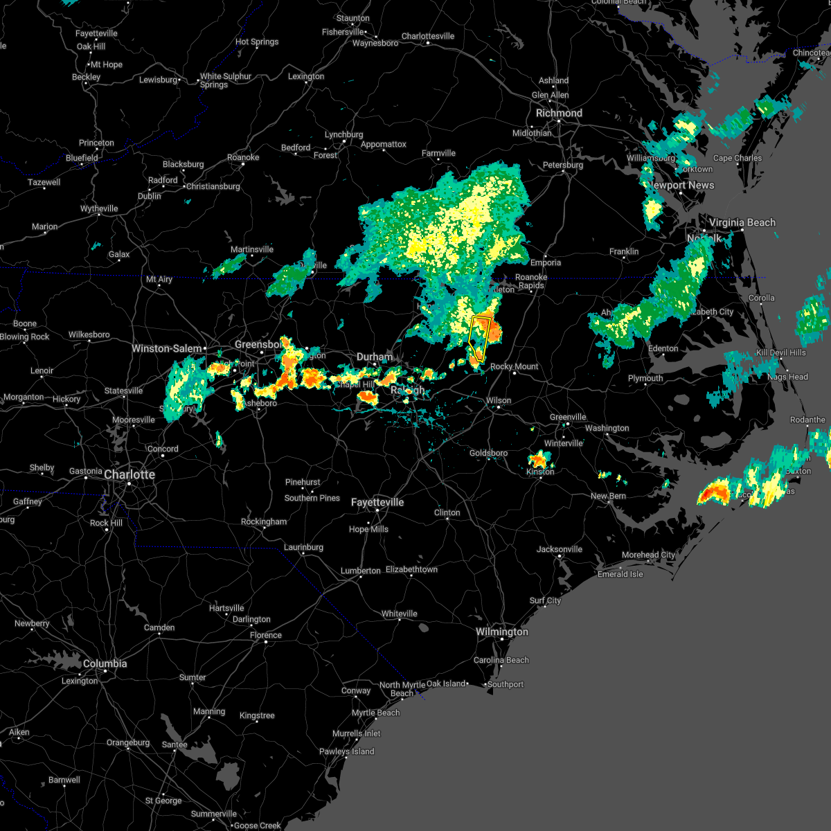 At 736 pm edt, a severe thunderstorm was located 13 miles south of littleton, or 15 miles southeast of warrenton, moving east at 30 mph (radar indicated). Hazards include 60 mph wind gusts. Expect damage to roofs, siding, and trees. locations impacted include, castalia and centerville. hail threat, radar indicated max hail size, <. 75 in wind threat, radar indicated max wind gust, 60 mph. At 736 pm edt, a severe thunderstorm was located 13 miles south of littleton, or 15 miles southeast of warrenton, moving east at 30 mph (radar indicated). Hazards include 60 mph wind gusts. Expect damage to roofs, siding, and trees. locations impacted include, castalia and centerville. hail threat, radar indicated max hail size, <. 75 in wind threat, radar indicated max wind gust, 60 mph.
|
| 7/27/2022 7:25 PM EDT |
 At 725 pm edt, a severe thunderstorm was located 12 miles southeast of warrenton, moving east at 20 mph (radar indicated). Hazards include 60 mph wind gusts. Expect damage to roofs, siding, and trees. locations impacted include, bunn, castalia and centerville. hail threat, radar indicated max hail size, <. 75 in wind threat, radar indicated max wind gust, 60 mph. At 725 pm edt, a severe thunderstorm was located 12 miles southeast of warrenton, moving east at 20 mph (radar indicated). Hazards include 60 mph wind gusts. Expect damage to roofs, siding, and trees. locations impacted include, bunn, castalia and centerville. hail threat, radar indicated max hail size, <. 75 in wind threat, radar indicated max wind gust, 60 mph.
|
| 7/27/2022 7:24 PM EDT |
 At 723 pm edt, a severe thunderstorm was located 13 miles southeast of warrenton, moving east at 20 mph (radar indicated). Hazards include 60 mph wind gusts. expect damage to roofs, siding, and trees At 723 pm edt, a severe thunderstorm was located 13 miles southeast of warrenton, moving east at 20 mph (radar indicated). Hazards include 60 mph wind gusts. expect damage to roofs, siding, and trees
|
| 7/27/2022 7:24 PM EDT |
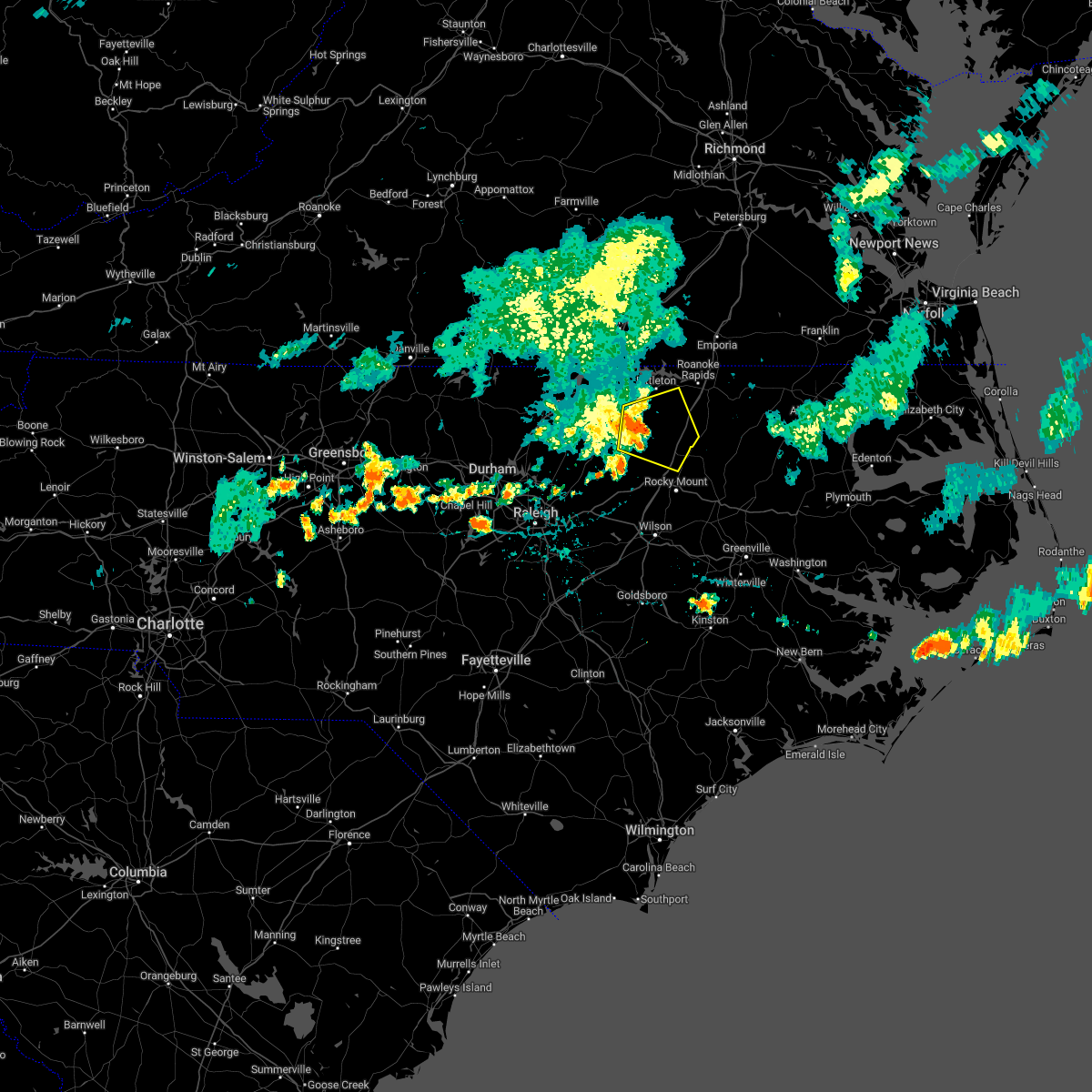 At 723 pm edt, a severe thunderstorm was located 13 miles southeast of warrenton, moving east at 20 mph (radar indicated). Hazards include 60 mph wind gusts. expect damage to roofs, siding, and trees At 723 pm edt, a severe thunderstorm was located 13 miles southeast of warrenton, moving east at 20 mph (radar indicated). Hazards include 60 mph wind gusts. expect damage to roofs, siding, and trees
|
| 7/27/2022 7:01 PM EDT |
 At 701 pm edt, a severe thunderstorm was located near kittrell, or 7 miles northwest of louisburg, moving southeast at 25 mph (radar indicated). Hazards include 60 mph wind gusts. expect damage to roofs, siding, and trees At 701 pm edt, a severe thunderstorm was located near kittrell, or 7 miles northwest of louisburg, moving southeast at 25 mph (radar indicated). Hazards include 60 mph wind gusts. expect damage to roofs, siding, and trees
|
| 7/16/2022 6:14 PM EDT |
 At 614 pm edt, a severe thunderstorm was located 7 miles southwest of littleton, or 11 miles east of warrenton, moving northeast at 30 mph (radar indicated). Hazards include 60 mph wind gusts. Expect damage to roofs, siding, and trees. locations impacted include, roanoke rapids, halifax, littleton, enfield, weldon, centerville, glenview, medoc mountain state park, aventon and arcola. hail threat, radar indicated max hail size, <. 75 in wind threat, radar indicated max wind gust, 60 mph. At 614 pm edt, a severe thunderstorm was located 7 miles southwest of littleton, or 11 miles east of warrenton, moving northeast at 30 mph (radar indicated). Hazards include 60 mph wind gusts. Expect damage to roofs, siding, and trees. locations impacted include, roanoke rapids, halifax, littleton, enfield, weldon, centerville, glenview, medoc mountain state park, aventon and arcola. hail threat, radar indicated max hail size, <. 75 in wind threat, radar indicated max wind gust, 60 mph.
|
| 7/16/2022 5:49 PM EDT |
 At 548 pm edt, a severe thunderstorm was located 11 miles northeast of louisburg, moving northeast at 30 mph (radar indicated). Hazards include 60 mph wind gusts. expect damage to roofs, siding, and trees At 548 pm edt, a severe thunderstorm was located 11 miles northeast of louisburg, moving northeast at 30 mph (radar indicated). Hazards include 60 mph wind gusts. expect damage to roofs, siding, and trees
|
| 7/16/2022 5:33 PM EDT |
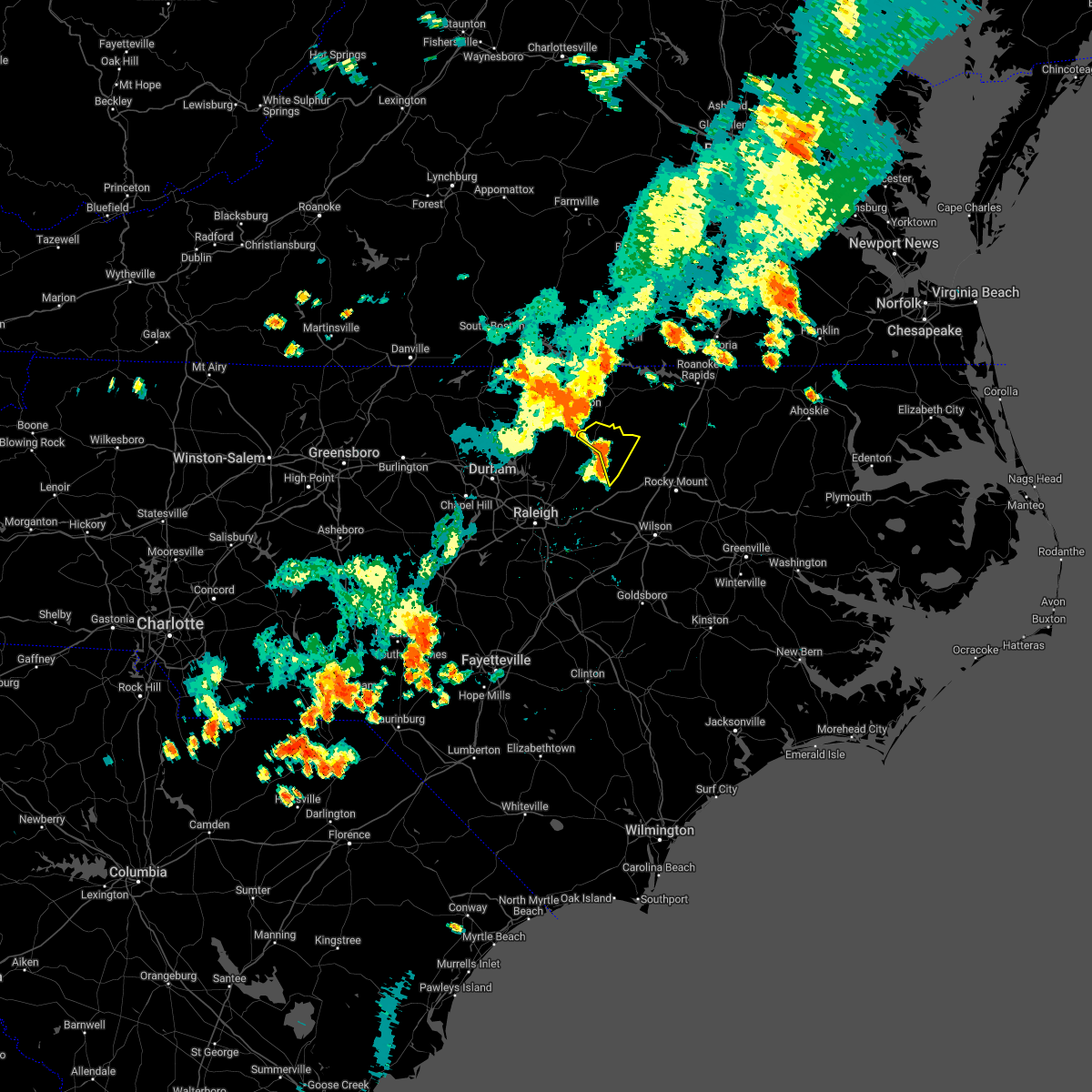 At 533 pm edt, a severe thunderstorm was located 7 miles northeast of louisburg, moving northeast at 40 mph (radar indicated). Hazards include 60 mph wind gusts. Expect damage to roofs, siding, and trees. locations impacted include, centerville and ingleside. hail threat, radar indicated max hail size, <. 75 in wind threat, radar indicated max wind gust, 60 mph. At 533 pm edt, a severe thunderstorm was located 7 miles northeast of louisburg, moving northeast at 40 mph (radar indicated). Hazards include 60 mph wind gusts. Expect damage to roofs, siding, and trees. locations impacted include, centerville and ingleside. hail threat, radar indicated max hail size, <. 75 in wind threat, radar indicated max wind gust, 60 mph.
|
| 7/16/2022 5:14 PM EDT |
 At 512 pm edt, a severe thunderstorm was located near louisburg, moving northeast at 25 mph (radar indicated). Hazards include 60 mph wind gusts. expect damage to roofs, siding, and trees At 512 pm edt, a severe thunderstorm was located near louisburg, moving northeast at 25 mph (radar indicated). Hazards include 60 mph wind gusts. expect damage to roofs, siding, and trees
|
| 7/5/2022 7:35 PM EDT |
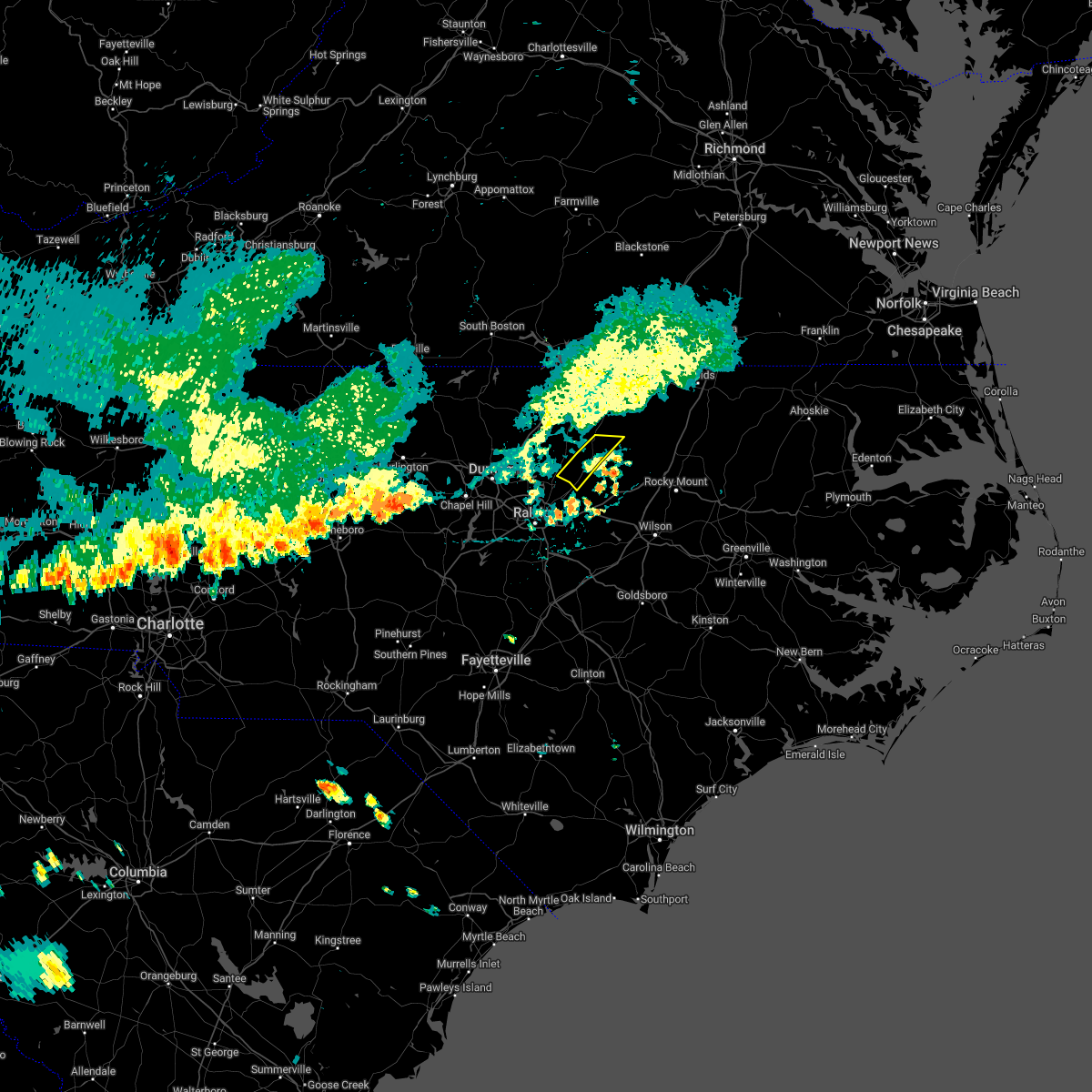 The severe thunderstorm warning for central franklin county will expire at 745 pm edt, the storm which prompted the warning has weakened below severe limits, and has exited the warned area. therefore, the warning will be allowed to expire. The severe thunderstorm warning for central franklin county will expire at 745 pm edt, the storm which prompted the warning has weakened below severe limits, and has exited the warned area. therefore, the warning will be allowed to expire.
|
| 7/5/2022 7:23 PM EDT |
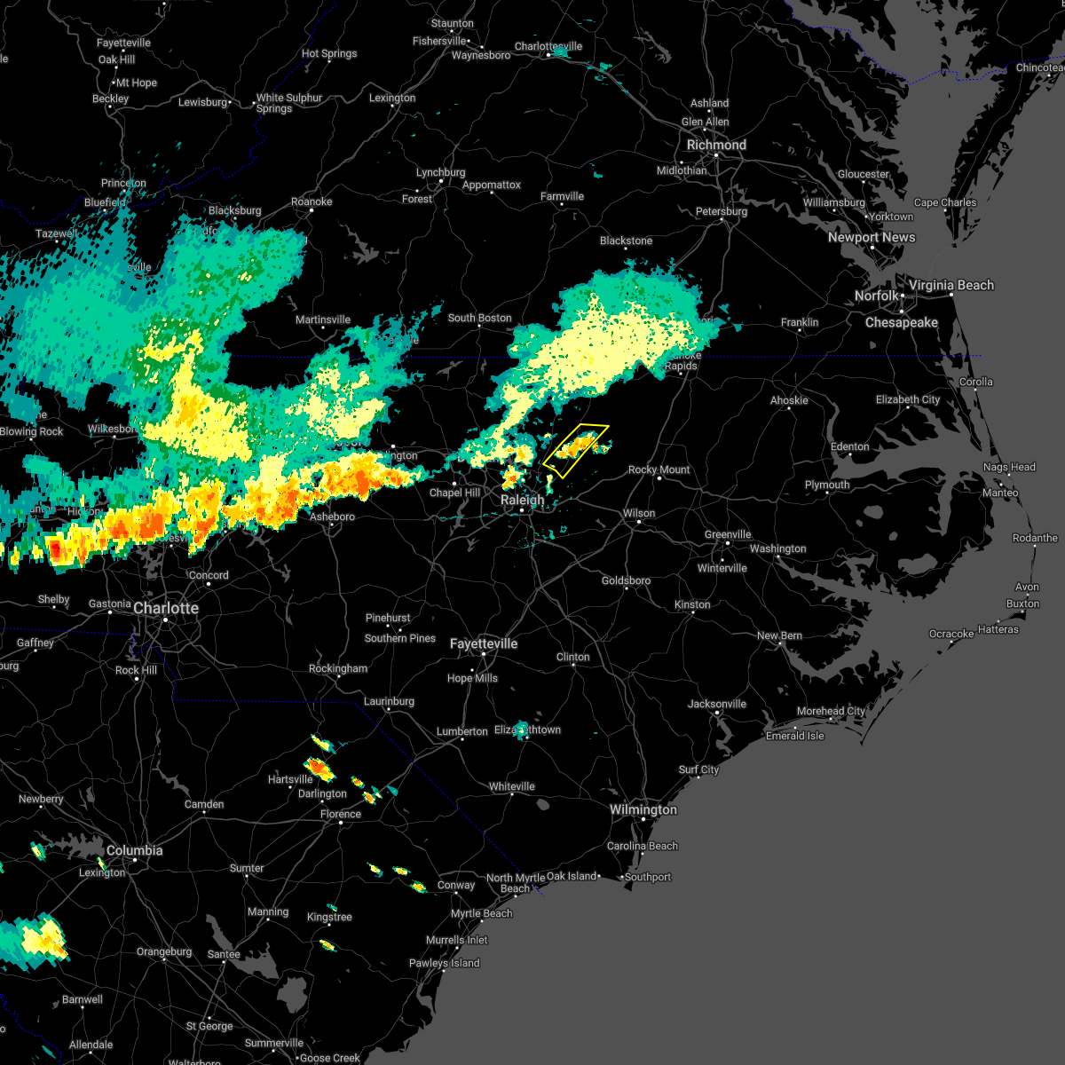 At 723 pm edt, a severe thunderstorm was located over louisburg, moving southeast at 15 mph (radar indicated). Hazards include 60 mph wind gusts. Expect damage to roofs, siding, and trees. locations impacted include, louisburg, youngsville, centerville and ingleside. hail threat, radar indicated max hail size, <. 75 in wind threat, radar indicated max wind gust, 60 mph. At 723 pm edt, a severe thunderstorm was located over louisburg, moving southeast at 15 mph (radar indicated). Hazards include 60 mph wind gusts. Expect damage to roofs, siding, and trees. locations impacted include, louisburg, youngsville, centerville and ingleside. hail threat, radar indicated max hail size, <. 75 in wind threat, radar indicated max wind gust, 60 mph.
|
| 7/5/2022 6:54 PM EDT |
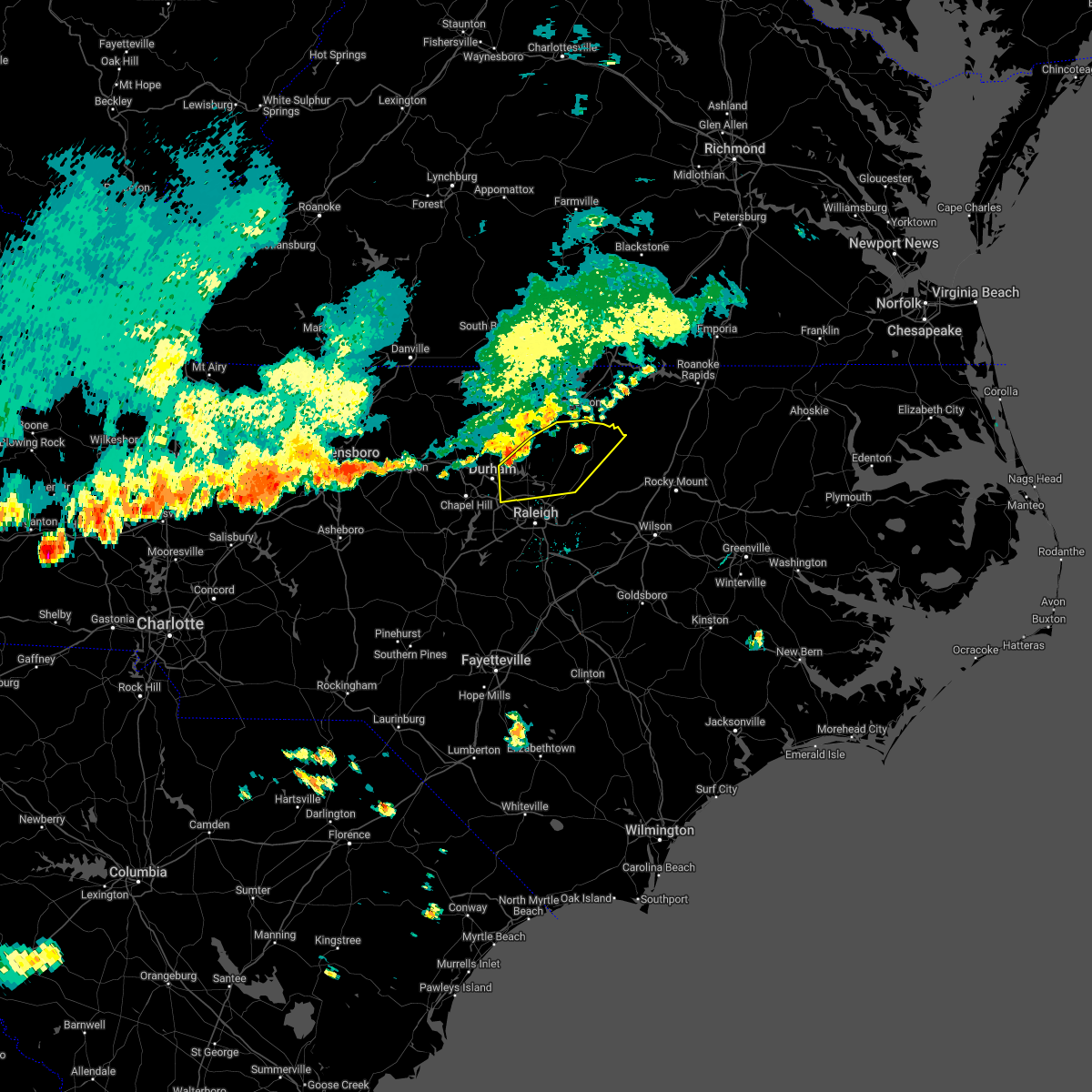 At 654 pm edt, a severe thunderstorm was located over butner, or near creedmoor, moving southeast at 20 mph (radar indicated). Hazards include 60 mph wind gusts. expect damage to roofs, siding, and trees At 654 pm edt, a severe thunderstorm was located over butner, or near creedmoor, moving southeast at 20 mph (radar indicated). Hazards include 60 mph wind gusts. expect damage to roofs, siding, and trees
|
| 6/17/2022 7:05 PM EDT |
 At 704 pm edt, severe thunderstorms were located along a line extending from 9 miles south of warrenton to 9 miles northwest of dortches to near nashville, moving east at 40 mph (radar indicated). Hazards include 70 mph wind gusts. Expect considerable tree damage. damage is likely to mobile homes, roofs, and outbuildings. locations impacted include, rocky mount, roanoke rapids, tarboro, nashville, louisburg, warrenton, halifax, scotland neck, elm city and dortches. thunderstorm damage threat, considerable hail threat, radar indicated max hail size, <. 75 in wind threat, radar indicated max wind gust, 70 mph. At 704 pm edt, severe thunderstorms were located along a line extending from 9 miles south of warrenton to 9 miles northwest of dortches to near nashville, moving east at 40 mph (radar indicated). Hazards include 70 mph wind gusts. Expect considerable tree damage. damage is likely to mobile homes, roofs, and outbuildings. locations impacted include, rocky mount, roanoke rapids, tarboro, nashville, louisburg, warrenton, halifax, scotland neck, elm city and dortches. thunderstorm damage threat, considerable hail threat, radar indicated max hail size, <. 75 in wind threat, radar indicated max wind gust, 70 mph.
|
| 6/17/2022 6:48 PM EDT |
 At 647 pm edt, severe thunderstorms were located along a line extending from near henderson to 14 miles north of bunn to 6 miles east of louisburg, moving east at 70 mph (radar indicated). Hazards include 70 mph wind gusts. Expect considerable tree damage. Damage is likely to mobile homes, roofs, and outbuildings. At 647 pm edt, severe thunderstorms were located along a line extending from near henderson to 14 miles north of bunn to 6 miles east of louisburg, moving east at 70 mph (radar indicated). Hazards include 70 mph wind gusts. Expect considerable tree damage. Damage is likely to mobile homes, roofs, and outbuildings.
|
| 5/27/2022 11:27 AM EDT |
 At 1126 am edt, severe thunderstorms were located along a line extending from near ebony to 8 miles southwest of littleton to 9 miles northwest of nashville, moving northeast at 35 mph (radar indicated). Hazards include 60 mph wind gusts. Expect damage to roofs, siding, and trees. locations impacted include, nashville, louisburg, warrenton, norlina, dortches, littleton, red oak, spring hope, castalia and macon. hail threat, radar indicated max hail size, <. 75 in wind threat, radar indicated max wind gust, 60 mph. At 1126 am edt, severe thunderstorms were located along a line extending from near ebony to 8 miles southwest of littleton to 9 miles northwest of nashville, moving northeast at 35 mph (radar indicated). Hazards include 60 mph wind gusts. Expect damage to roofs, siding, and trees. locations impacted include, nashville, louisburg, warrenton, norlina, dortches, littleton, red oak, spring hope, castalia and macon. hail threat, radar indicated max hail size, <. 75 in wind threat, radar indicated max wind gust, 60 mph.
|
| 5/27/2022 10:56 AM EDT |
 At 1055 am edt, severe thunderstorms were located along a line extending from near warrenton to near louisburg to near zebulon, moving northeast at 25 mph (radar indicated). Hazards include 60 mph wind gusts. expect damage to roofs, siding, and trees At 1055 am edt, severe thunderstorms were located along a line extending from near warrenton to near louisburg to near zebulon, moving northeast at 25 mph (radar indicated). Hazards include 60 mph wind gusts. expect damage to roofs, siding, and trees
|
| 5/23/2022 5:22 PM EDT |
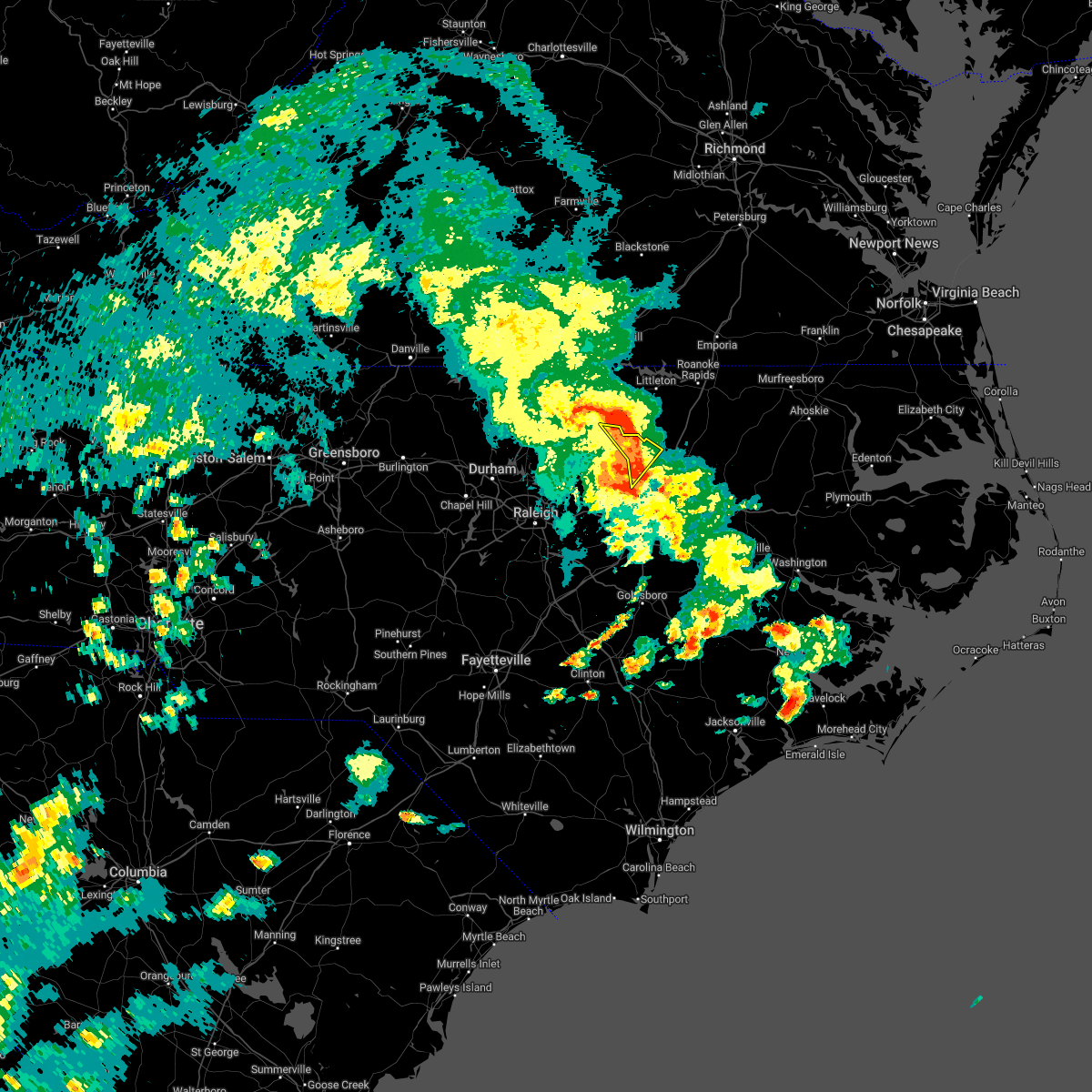 The severe thunderstorm warning for north central nash and northeastern franklin counties will expire at 530 pm edt, the storms which prompted the warning have moved out of the area. therefore, the warning will be allowed to expire. however gusty winds are still possible with these thunderstorms. The severe thunderstorm warning for north central nash and northeastern franklin counties will expire at 530 pm edt, the storms which prompted the warning have moved out of the area. therefore, the warning will be allowed to expire. however gusty winds are still possible with these thunderstorms.
|
| 5/23/2022 5:17 PM EDT |
 At 516 pm edt, severe thunderstorms were located along a line extending from 14 miles southeast of warrenton to 11 miles northwest of dortches to near nashville, moving northeast at 30 mph (radar indicated). Hazards include 60 mph wind gusts. Expect damage to roofs, siding, and trees. locations impacted include, castalia, centerville and aventon. hail threat, radar indicated max hail size, <. 75 in wind threat, radar indicated max wind gust, 60 mph. At 516 pm edt, severe thunderstorms were located along a line extending from 14 miles southeast of warrenton to 11 miles northwest of dortches to near nashville, moving northeast at 30 mph (radar indicated). Hazards include 60 mph wind gusts. Expect damage to roofs, siding, and trees. locations impacted include, castalia, centerville and aventon. hail threat, radar indicated max hail size, <. 75 in wind threat, radar indicated max wind gust, 60 mph.
|
| 5/23/2022 5:07 PM EDT |
 At 507 pm edt, severe thunderstorms were located along a line extending from 7 miles east of henderson to 10 miles northeast of louisburg to 8 miles northwest of nashville, moving northeast at 40 mph (radar indicated). Hazards include 70 mph wind gusts. Expect considerable tree damage. damage is likely to mobile homes, roofs, and outbuildings. Locations impacted include, henderson, kittrell, spring hope, castalia, centerville, ingleside, aventon, gillburg and south henderson. At 507 pm edt, severe thunderstorms were located along a line extending from 7 miles east of henderson to 10 miles northeast of louisburg to 8 miles northwest of nashville, moving northeast at 40 mph (radar indicated). Hazards include 70 mph wind gusts. Expect considerable tree damage. damage is likely to mobile homes, roofs, and outbuildings. Locations impacted include, henderson, kittrell, spring hope, castalia, centerville, ingleside, aventon, gillburg and south henderson.
|
| 5/23/2022 4:58 PM EDT |
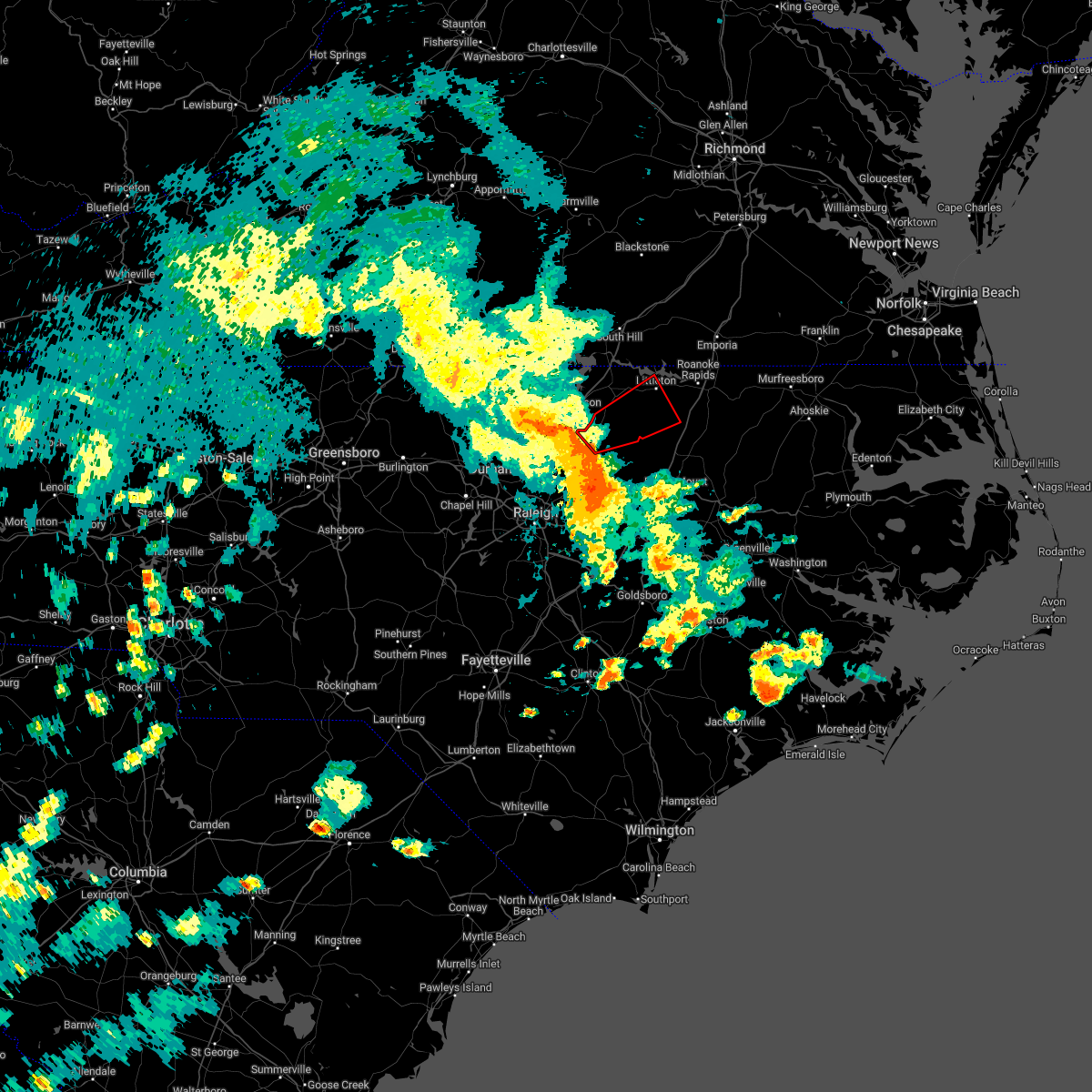 At 458 pm edt, a severe thunderstorm capable of producing a tornado was located 7 miles north of louisburg, moving northeast at 40 mph (radar indicated rotation). Hazards include tornado. Flying debris will be dangerous to those caught without shelter. mobile homes will be damaged or destroyed. damage to roofs, windows, and vehicles will occur. tree damage is likely. this dangerous storm will be near, littleton around 535 pm edt. Other locations impacted by this tornadic thunderstorm include arcola, ingleside, medoc mountain state park, airlie and afton. At 458 pm edt, a severe thunderstorm capable of producing a tornado was located 7 miles north of louisburg, moving northeast at 40 mph (radar indicated rotation). Hazards include tornado. Flying debris will be dangerous to those caught without shelter. mobile homes will be damaged or destroyed. damage to roofs, windows, and vehicles will occur. tree damage is likely. this dangerous storm will be near, littleton around 535 pm edt. Other locations impacted by this tornadic thunderstorm include arcola, ingleside, medoc mountain state park, airlie and afton.
|
| 5/23/2022 4:55 PM EDT |
 At 455 pm edt, severe thunderstorms were located along a line extending from near kittrell to near louisburg to near bunn, moving northeast at 45 mph (radar indicated). Hazards include 70 mph wind gusts. Expect considerable tree damage. damage is likely to mobile homes, roofs, and outbuildings. Locations impacted include, henderson, louisburg, franklinton, kittrell, bunn, spring hope, castalia, centerville, ingleside and aventon. At 455 pm edt, severe thunderstorms were located along a line extending from near kittrell to near louisburg to near bunn, moving northeast at 45 mph (radar indicated). Hazards include 70 mph wind gusts. Expect considerable tree damage. damage is likely to mobile homes, roofs, and outbuildings. Locations impacted include, henderson, louisburg, franklinton, kittrell, bunn, spring hope, castalia, centerville, ingleside and aventon.
|
| 5/23/2022 4:34 PM EDT |
 At 434 pm edt, severe thunderstorms were located along a line extending from 6 miles northwest of franklinton to 6 miles southeast of wake forest, moving northeast at 40 mph (trained weather spotters). Hazards include 60 mph wind gusts. expect damage to roofs, siding, and trees At 434 pm edt, severe thunderstorms were located along a line extending from 6 miles northwest of franklinton to 6 miles southeast of wake forest, moving northeast at 40 mph (trained weather spotters). Hazards include 60 mph wind gusts. expect damage to roofs, siding, and trees
|
| 5/16/2022 3:26 PM EDT |
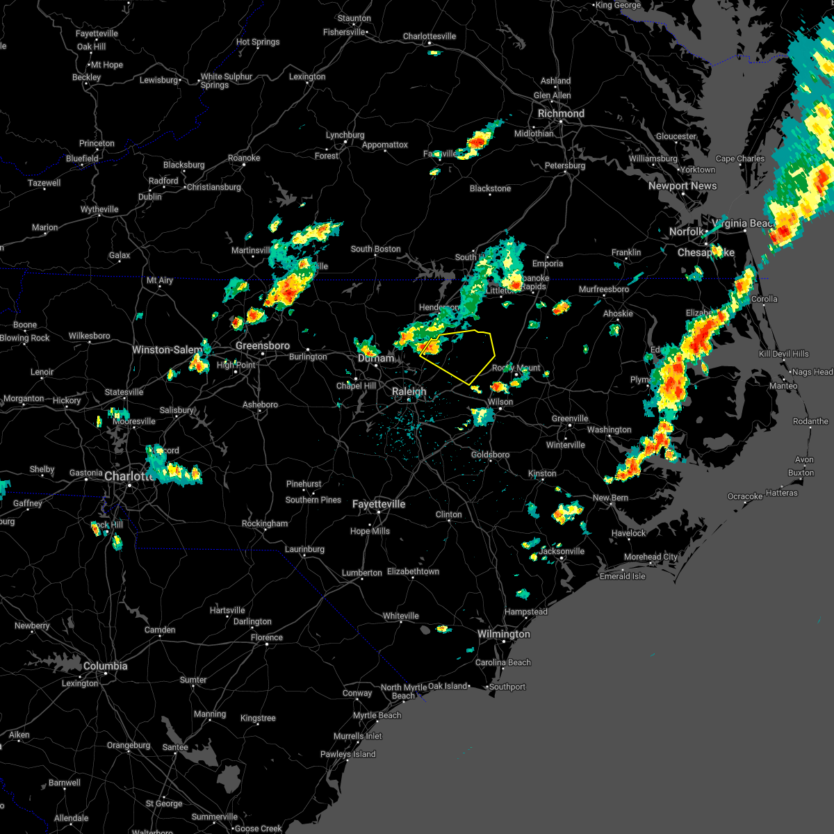 At 326 pm edt, a severe thunderstorm was located over franklinton, or 7 miles west of louisburg, moving east at 40 mph (radar indicated). Hazards include 60 mph wind gusts and quarter size hail. Hail damage to vehicles is expected. Expect wind damage to roofs, siding, and trees. At 326 pm edt, a severe thunderstorm was located over franklinton, or 7 miles west of louisburg, moving east at 40 mph (radar indicated). Hazards include 60 mph wind gusts and quarter size hail. Hail damage to vehicles is expected. Expect wind damage to roofs, siding, and trees.
|
| 5/6/2022 9:26 PM EDT |
 The severe thunderstorm warning for southern vance, nash, southern granville and franklin counties will expire at 930 pm edt, the storm which prompted the warning has moved out of the area. therefore, the warning will be allowed to expire. however gusty winds are still possible with this thunderstorm. a tornado watch remains in effect until midnight edt for central north carolina. The severe thunderstorm warning for southern vance, nash, southern granville and franklin counties will expire at 930 pm edt, the storm which prompted the warning has moved out of the area. therefore, the warning will be allowed to expire. however gusty winds are still possible with this thunderstorm. a tornado watch remains in effect until midnight edt for central north carolina.
|
| 5/6/2022 8:51 PM EDT |
 At 851 pm edt, a severe thunderstorm was located 7 miles south of creedmoor, moving northeast at 45 mph (radar indicated). Hazards include 60 mph wind gusts. expect damage to roofs, siding, and trees At 851 pm edt, a severe thunderstorm was located 7 miles south of creedmoor, moving northeast at 45 mph (radar indicated). Hazards include 60 mph wind gusts. expect damage to roofs, siding, and trees
|
| 5/6/2022 4:39 PM EDT |
 The severe thunderstorm warning for southern vance and franklin counties will expire at 445 pm edt, the storm which prompted the warning has weakened below severe limits, and no longer poses an immediate threat to life or property. therefore, the warning will be allowed to expire. however gusty winds are still possible with this thunderstorm. a tornado watch remains in effect until 1000 pm edt for central north carolina. The severe thunderstorm warning for southern vance and franklin counties will expire at 445 pm edt, the storm which prompted the warning has weakened below severe limits, and no longer poses an immediate threat to life or property. therefore, the warning will be allowed to expire. however gusty winds are still possible with this thunderstorm. a tornado watch remains in effect until 1000 pm edt for central north carolina.
|
| 5/6/2022 4:29 PM EDT |
 At 429 pm edt, a severe thunderstorm was located near louisburg, moving northeast at 55 mph (trained weather spotters). Hazards include 60 mph wind gusts and half dollar size hail. Hail damage to vehicles is expected. expect wind damage to roofs, siding, and trees. Locations impacted include, louisburg, franklinton, kittrell, youngsville, centerville, ingleside and gillburg. At 429 pm edt, a severe thunderstorm was located near louisburg, moving northeast at 55 mph (trained weather spotters). Hazards include 60 mph wind gusts and half dollar size hail. Hail damage to vehicles is expected. expect wind damage to roofs, siding, and trees. Locations impacted include, louisburg, franklinton, kittrell, youngsville, centerville, ingleside and gillburg.
|
| 5/6/2022 4:19 PM EDT |
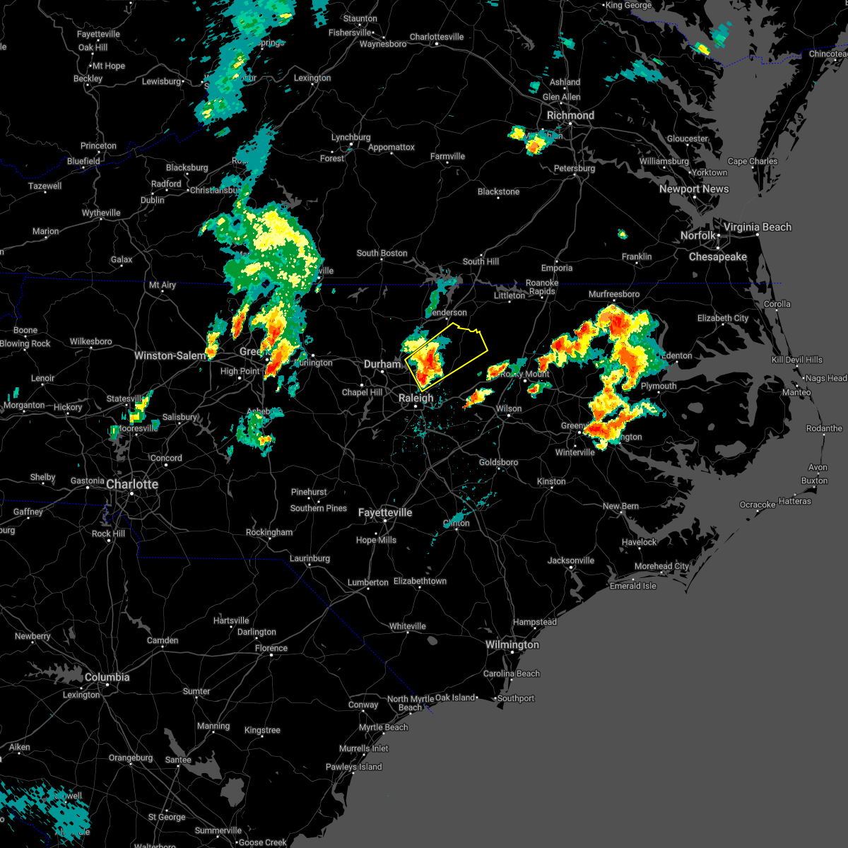 At 418 pm edt, a severe thunderstorm was located near wake forest, or 11 miles southeast of creedmoor, moving northeast at 40 mph (trained weather spotters have reported half dollar sized hail from the storm in cary and morrisville. rdu airport also measured a wind gust of 63 mph). Hazards include 60 mph wind gusts and half dollar size hail. Hail damage to vehicles is expected. expect wind damage to roofs, siding, and trees. Locations impacted include, louisburg, wake forest, franklinton, kittrell, rolesville, youngsville, centerville, ingleside, falls lake boat ramp and purnell. At 418 pm edt, a severe thunderstorm was located near wake forest, or 11 miles southeast of creedmoor, moving northeast at 40 mph (trained weather spotters have reported half dollar sized hail from the storm in cary and morrisville. rdu airport also measured a wind gust of 63 mph). Hazards include 60 mph wind gusts and half dollar size hail. Hail damage to vehicles is expected. expect wind damage to roofs, siding, and trees. Locations impacted include, louisburg, wake forest, franklinton, kittrell, rolesville, youngsville, centerville, ingleside, falls lake boat ramp and purnell.
|
| 5/6/2022 4:02 PM EDT |
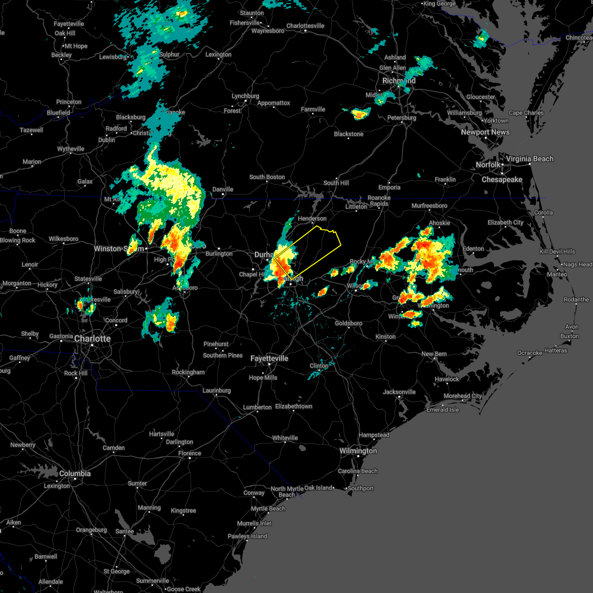 At 401 pm edt, a severe thunderstorm was located 8 miles northeast of rdu international, or 9 miles north of raleigh, moving northeast at 40 mph (radar indicated. trained spotters have also reported quarter sized hail with the storm, and a wind gust of 63 mph has been observed). Hazards include 60 mph wind gusts and quarter size hail. Hail damage to vehicles is expected. Expect wind damage to roofs, siding, and trees. At 401 pm edt, a severe thunderstorm was located 8 miles northeast of rdu international, or 9 miles north of raleigh, moving northeast at 40 mph (radar indicated. trained spotters have also reported quarter sized hail with the storm, and a wind gust of 63 mph has been observed). Hazards include 60 mph wind gusts and quarter size hail. Hail damage to vehicles is expected. Expect wind damage to roofs, siding, and trees.
|
| 4/26/2022 4:51 PM EDT |
 The severe thunderstorm warning for vance, warren, western nash, northwestern sampson, harnett, southeastern granville, northern cumberland, central wake, western wilson, johnston and franklin counties will expire at 500 pm edt, the storms which prompted the warning have moved east and new warnings have been issued to include areas farther east. therefore, the original warning will be allowed to expire. The severe thunderstorm warning for vance, warren, western nash, northwestern sampson, harnett, southeastern granville, northern cumberland, central wake, western wilson, johnston and franklin counties will expire at 500 pm edt, the storms which prompted the warning have moved east and new warnings have been issued to include areas farther east. therefore, the original warning will be allowed to expire.
|
| 4/26/2022 4:44 PM EDT |
 At 442 pm edt, severe thunderstorms were located along a line extending from near gasburg to near smithfield to near rex, moving east at 35 mph (radar indicated). Hazards include 60 mph wind gusts and quarter size hail. Hail damage is expected. expect wind damage to trees and subsequent damage to homes and businesses from falling trees. severe thunderstorms will be near, littleton around 450 pm edt. jerome around 505 pm edt. roanoke rapids and fremont around 510 pm edt. other locations impacted by these severe thunderstorms include pilot, mar-mac, salemburg, whitakers and medoc mountain state park. hail threat, radar indicated max hail size, 1. 00 in wind threat, radar indicated max wind gust, 60 mph. At 442 pm edt, severe thunderstorms were located along a line extending from near gasburg to near smithfield to near rex, moving east at 35 mph (radar indicated). Hazards include 60 mph wind gusts and quarter size hail. Hail damage is expected. expect wind damage to trees and subsequent damage to homes and businesses from falling trees. severe thunderstorms will be near, littleton around 450 pm edt. jerome around 505 pm edt. roanoke rapids and fremont around 510 pm edt. other locations impacted by these severe thunderstorms include pilot, mar-mac, salemburg, whitakers and medoc mountain state park. hail threat, radar indicated max hail size, 1. 00 in wind threat, radar indicated max wind gust, 60 mph.
|
| 4/26/2022 4:03 PM EDT |
 At 402 pm edt, severe thunderstorms were located along a line extending from near oxford to near garner to near pope afb, moving east at 35 mph (radar indicated). Hazards include 60 mph wind gusts and quarter size hail. Hail damage to vehicles is expected. expect wind damage to roofs, siding, and trees. severe thunderstorms will be near, oxford and garner around 405 pm edt. henderson, clayton and kittrell around 415 pm edt. fayetteville around 420 pm edt. zebulon around 430 pm edt. godwin around 440 pm edt. warrenton and norlina around 445 pm edt. dunn and bailey around 450 pm edt. benson around 455 pm edt. other locations impacted by these severe thunderstorms include pilot, gillburg, lake benson, falcon and selma. hail threat, radar indicated max hail size, 1. 00 in wind threat, radar indicated max wind gust, 60 mph. At 402 pm edt, severe thunderstorms were located along a line extending from near oxford to near garner to near pope afb, moving east at 35 mph (radar indicated). Hazards include 60 mph wind gusts and quarter size hail. Hail damage to vehicles is expected. expect wind damage to roofs, siding, and trees. severe thunderstorms will be near, oxford and garner around 405 pm edt. henderson, clayton and kittrell around 415 pm edt. fayetteville around 420 pm edt. zebulon around 430 pm edt. godwin around 440 pm edt. warrenton and norlina around 445 pm edt. dunn and bailey around 450 pm edt. benson around 455 pm edt. other locations impacted by these severe thunderstorms include pilot, gillburg, lake benson, falcon and selma. hail threat, radar indicated max hail size, 1. 00 in wind threat, radar indicated max wind gust, 60 mph.
|
| 4/7/2022 4:27 PM EDT |
 At 426 pm edt, a severe thunderstorm was located 8 miles east of louisburg, moving northeast at 50 mph (radar indicated). Hazards include 60 mph wind gusts and quarter size hail. Hail damage to vehicles is expected. Expect wind damage to roofs, siding, and trees. At 426 pm edt, a severe thunderstorm was located 8 miles east of louisburg, moving northeast at 50 mph (radar indicated). Hazards include 60 mph wind gusts and quarter size hail. Hail damage to vehicles is expected. Expect wind damage to roofs, siding, and trees.
|
| 4/7/2022 4:17 PM EDT |
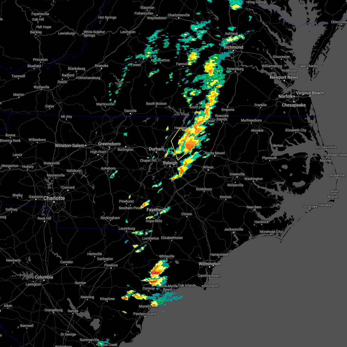 At 417 pm edt, a severe thunderstorm was located over louisburg, moving northeast at 45 mph (radar indicated). Hazards include 60 mph wind gusts and quarter size hail. Hail damage to vehicles is expected. expect wind damage to roofs, siding, and trees. locations impacted include, henderson, louisburg, wake forest, franklinton, kittrell, rolesville, youngsville, centerville, ingleside and gillburg. hail threat, radar indicated max hail size, 1. 00 in wind threat, radar indicated max wind gust, 60 mph. At 417 pm edt, a severe thunderstorm was located over louisburg, moving northeast at 45 mph (radar indicated). Hazards include 60 mph wind gusts and quarter size hail. Hail damage to vehicles is expected. expect wind damage to roofs, siding, and trees. locations impacted include, henderson, louisburg, wake forest, franklinton, kittrell, rolesville, youngsville, centerville, ingleside and gillburg. hail threat, radar indicated max hail size, 1. 00 in wind threat, radar indicated max wind gust, 60 mph.
|
| 4/7/2022 3:58 PM EDT |
 At 357 pm edt, a severe thunderstorm was located over raleigh, moving northeast at 50 mph (radar indicated). Hazards include 60 mph wind gusts and quarter size hail. Hail damage to vehicles is expected. expect wind damage to roofs, siding, and trees. locations impacted include, raleigh, cary, henderson, louisburg, wake forest, franklinton, kittrell, rdu international, morrisville and rolesville. hail threat, radar indicated max hail size, 1. 00 in wind threat, radar indicated max wind gust, 60 mph. At 357 pm edt, a severe thunderstorm was located over raleigh, moving northeast at 50 mph (radar indicated). Hazards include 60 mph wind gusts and quarter size hail. Hail damage to vehicles is expected. expect wind damage to roofs, siding, and trees. locations impacted include, raleigh, cary, henderson, louisburg, wake forest, franklinton, kittrell, rdu international, morrisville and rolesville. hail threat, radar indicated max hail size, 1. 00 in wind threat, radar indicated max wind gust, 60 mph.
|
| 4/7/2022 3:43 PM EDT |
 At 343 pm edt, a severe thunderstorm was located near cary, moving northeast at 50 mph (radar indicated). Hazards include 60 mph wind gusts and quarter size hail. Hail damage to vehicles is expected. Expect wind damage to roofs, siding, and trees. At 343 pm edt, a severe thunderstorm was located near cary, moving northeast at 50 mph (radar indicated). Hazards include 60 mph wind gusts and quarter size hail. Hail damage to vehicles is expected. Expect wind damage to roofs, siding, and trees.
|
| 3/7/2022 9:27 PM EST |
 At 927 pm est, a severe thunderstorm was located 8 miles north of dortches, or 12 miles north of nashville, moving east at 45 mph (radar indicated). Hazards include 60 mph wind gusts. Expect damage to roofs, siding, and trees. locations impacted include, rocky mount, halifax, scotland neck, dortches, red oak, enfield, whitakers, hobgood, castalia and centerville. hail threat, radar indicated max hail size, <. 75 in wind threat, radar indicated max wind gust, 60 mph. At 927 pm est, a severe thunderstorm was located 8 miles north of dortches, or 12 miles north of nashville, moving east at 45 mph (radar indicated). Hazards include 60 mph wind gusts. Expect damage to roofs, siding, and trees. locations impacted include, rocky mount, halifax, scotland neck, dortches, red oak, enfield, whitakers, hobgood, castalia and centerville. hail threat, radar indicated max hail size, <. 75 in wind threat, radar indicated max wind gust, 60 mph.
|
| 3/7/2022 9:15 PM EST |
 At 914 pm est, a severe thunderstorm was located 10 miles east of louisburg, moving east at 40 mph (radar indicated). Hazards include 60 mph wind gusts. expect damage to roofs, siding, and trees At 914 pm est, a severe thunderstorm was located 10 miles east of louisburg, moving east at 40 mph (radar indicated). Hazards include 60 mph wind gusts. expect damage to roofs, siding, and trees
|
| 3/7/2022 8:50 PM EST |
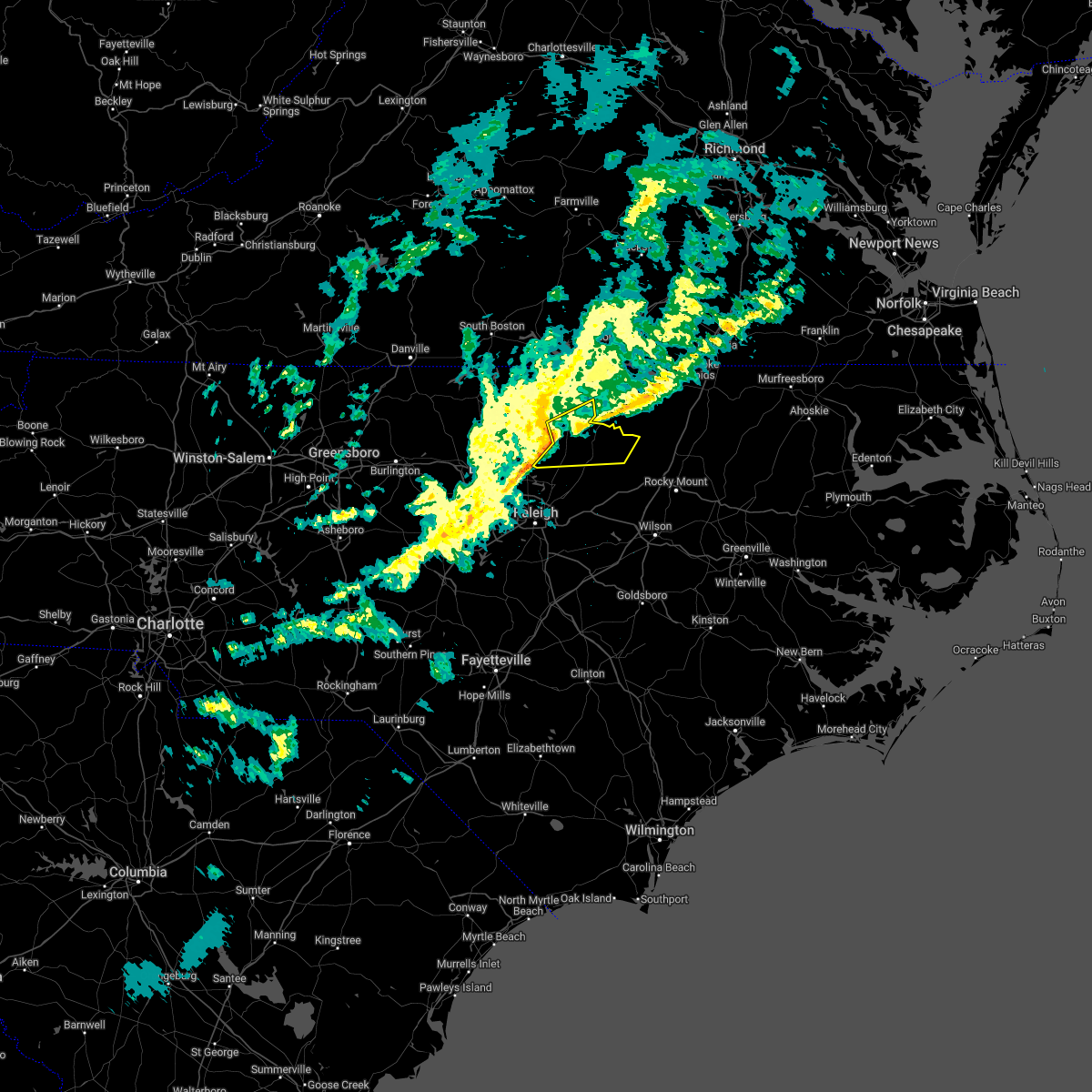 At 850 pm est, a severe thunderstorm was located near kittrell, or 8 miles northwest of louisburg, moving east at 55 mph (radar indicated). Hazards include 60 mph wind gusts. Expect damage to roofs, siding, and trees. locations impacted include, henderson, louisburg, franklinton, kittrell, centerville, ingleside, gillburg and south henderson. hail threat, radar indicated max hail size, <. 75 in wind threat, radar indicated max wind gust, 60 mph. At 850 pm est, a severe thunderstorm was located near kittrell, or 8 miles northwest of louisburg, moving east at 55 mph (radar indicated). Hazards include 60 mph wind gusts. Expect damage to roofs, siding, and trees. locations impacted include, henderson, louisburg, franklinton, kittrell, centerville, ingleside, gillburg and south henderson. hail threat, radar indicated max hail size, <. 75 in wind threat, radar indicated max wind gust, 60 mph.
|
| 3/7/2022 8:36 PM EST |
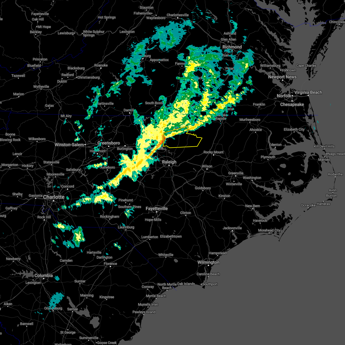 At 836 pm est, a severe thunderstorm was located near creedmoor, moving east at 50 mph (radar indicated). Hazards include 60 mph wind gusts. expect damage to roofs, siding, and trees At 836 pm est, a severe thunderstorm was located near creedmoor, moving east at 50 mph (radar indicated). Hazards include 60 mph wind gusts. expect damage to roofs, siding, and trees
|
| 9/8/2021 6:07 PM EDT |
 At 607 pm edt, a severe thunderstorm was located 9 miles northeast of louisburg, moving northeast at 25 mph (radar indicated). Hazards include 60 mph wind gusts and quarter size hail. Hail damage to vehicles is expected. expect wind damage to roofs, siding, and trees. locations impacted include, roanoke rapids, warrenton, littleton, weldon, macon, centerville, ingleside, medoc mountain state park, afton and lake gaston. hail threat, radar indicated max hail size, 1. 00 in wind threat, radar indicated max wind gust, 60 mph. At 607 pm edt, a severe thunderstorm was located 9 miles northeast of louisburg, moving northeast at 25 mph (radar indicated). Hazards include 60 mph wind gusts and quarter size hail. Hail damage to vehicles is expected. expect wind damage to roofs, siding, and trees. locations impacted include, roanoke rapids, warrenton, littleton, weldon, macon, centerville, ingleside, medoc mountain state park, afton and lake gaston. hail threat, radar indicated max hail size, 1. 00 in wind threat, radar indicated max wind gust, 60 mph.
|
| 9/8/2021 5:50 PM EDT |
 At 549 pm edt, a severe thunderstorm was located 9 miles northeast of louisburg, moving northeast at 20 mph (radar indicated). Hazards include 60 mph wind gusts and quarter size hail. Hail damage to vehicles is expected. Expect wind damage to roofs, siding, and trees. At 549 pm edt, a severe thunderstorm was located 9 miles northeast of louisburg, moving northeast at 20 mph (radar indicated). Hazards include 60 mph wind gusts and quarter size hail. Hail damage to vehicles is expected. Expect wind damage to roofs, siding, and trees.
|
| 7/8/2021 12:21 PM EDT |
 The tornado warning for north central nash and northeastern franklin counties will expire at 1230 pm edt, the storm which prompted the warning has weakened below severe limits, and no longer appears capable of producing a tornado. therefore, the warning will be allowed to expire. a tornado watch remains in effect until 300 pm edt for central north carolina. to report severe weather, contact your nearest law enforcement agency. they will relay your report to the national weather service raleigh. The tornado warning for north central nash and northeastern franklin counties will expire at 1230 pm edt, the storm which prompted the warning has weakened below severe limits, and no longer appears capable of producing a tornado. therefore, the warning will be allowed to expire. a tornado watch remains in effect until 300 pm edt for central north carolina. to report severe weather, contact your nearest law enforcement agency. they will relay your report to the national weather service raleigh.
|
| 7/8/2021 12:11 PM EDT |
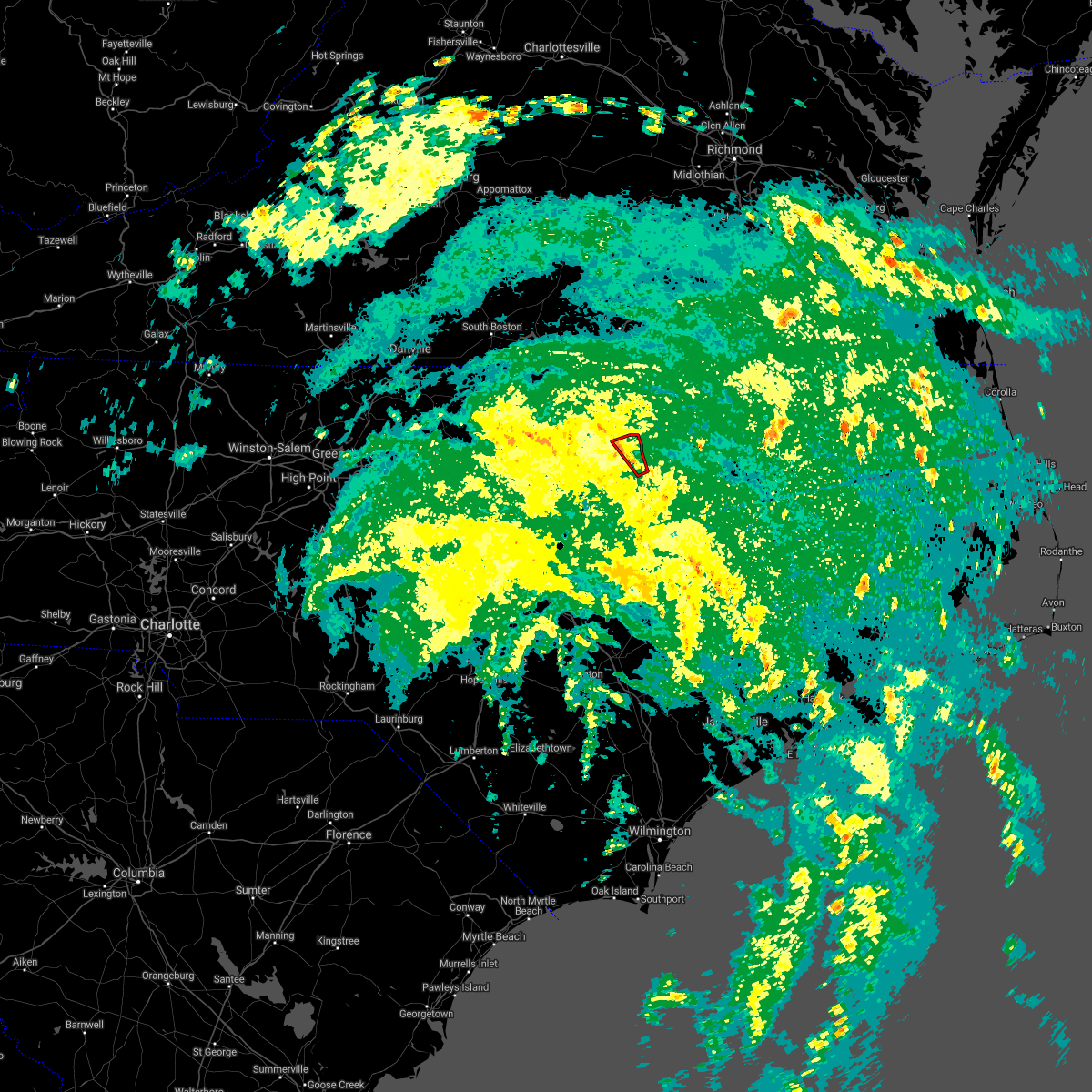 At 1211 pm edt, a severe thunderstorm capable of producing a tornado was located 7 miles northwest of nashville, moving northwest at 35 mph (radar indicated rotation). Hazards include tornado. Flying debris will be dangerous to those caught without shelter. mobile homes will be damaged or destroyed. damage to roofs, windows, and vehicles will occur. tree damage is likely. Locations impacted include, castalia and centerville. At 1211 pm edt, a severe thunderstorm capable of producing a tornado was located 7 miles northwest of nashville, moving northwest at 35 mph (radar indicated rotation). Hazards include tornado. Flying debris will be dangerous to those caught without shelter. mobile homes will be damaged or destroyed. damage to roofs, windows, and vehicles will occur. tree damage is likely. Locations impacted include, castalia and centerville.
|
| 7/8/2021 12:02 PM EDT |
 At 1202 pm edt, a severe thunderstorm capable of producing a tornado was located over nashville, moving northwest at 35 mph (radar indicated rotation). Hazards include tornado. Flying debris will be dangerous to those caught without shelter. mobile homes will be damaged or destroyed. damage to roofs, windows, and vehicles will occur. tree damage is likely. Locations impacted include, nashville, dortches, red oak, castalia, centerville and aventon. At 1202 pm edt, a severe thunderstorm capable of producing a tornado was located over nashville, moving northwest at 35 mph (radar indicated rotation). Hazards include tornado. Flying debris will be dangerous to those caught without shelter. mobile homes will be damaged or destroyed. damage to roofs, windows, and vehicles will occur. tree damage is likely. Locations impacted include, nashville, dortches, red oak, castalia, centerville and aventon.
|
| 7/8/2021 11:54 AM EDT |
 At 1154 am edt, a severe thunderstorm capable of producing a tornado was located over nashville, moving northwest at 40 mph (radar indicated rotation). Hazards include tornado. Flying debris will be dangerous to those caught without shelter. mobile homes will be damaged or destroyed. damage to roofs, windows, and vehicles will occur. tree damage is likely. This tornadic thunderstorm will remain over mainly rural areas of north central nash and northeastern franklin counties, including the following locations, castalia, red oak, aventon, centerville and tar river reservoir. At 1154 am edt, a severe thunderstorm capable of producing a tornado was located over nashville, moving northwest at 40 mph (radar indicated rotation). Hazards include tornado. Flying debris will be dangerous to those caught without shelter. mobile homes will be damaged or destroyed. damage to roofs, windows, and vehicles will occur. tree damage is likely. This tornadic thunderstorm will remain over mainly rural areas of north central nash and northeastern franklin counties, including the following locations, castalia, red oak, aventon, centerville and tar river reservoir.
|
| 7/1/2021 10:59 PM EDT |
 At 1059 pm edt, severe thunderstorms were located along a line extending from near oxford to near warrenton to 6 miles east of louisburg, moving northeast at 45 mph (radar indicated). Hazards include 60 mph wind gusts and nickel size hail. Expect damage to roofs, siding, and trees. Locations impacted include, henderson, oxford, warrenton, norlina, littleton, kittrell, stovall, middleburg, macon and centerville. At 1059 pm edt, severe thunderstorms were located along a line extending from near oxford to near warrenton to 6 miles east of louisburg, moving northeast at 45 mph (radar indicated). Hazards include 60 mph wind gusts and nickel size hail. Expect damage to roofs, siding, and trees. Locations impacted include, henderson, oxford, warrenton, norlina, littleton, kittrell, stovall, middleburg, macon and centerville.
|
| 7/1/2021 10:42 PM EDT |
 At 1041 pm edt, severe thunderstorms were located along a line extending from oxford to 7 miles northeast of louisburg to zebulon, moving northeast at 50 mph (radar indicated). Hazards include 60 mph wind gusts and nickel size hail. expect damage to roofs, siding, and trees At 1041 pm edt, severe thunderstorms were located along a line extending from oxford to 7 miles northeast of louisburg to zebulon, moving northeast at 50 mph (radar indicated). Hazards include 60 mph wind gusts and nickel size hail. expect damage to roofs, siding, and trees
|
| 3/18/2021 7:47 PM EDT |
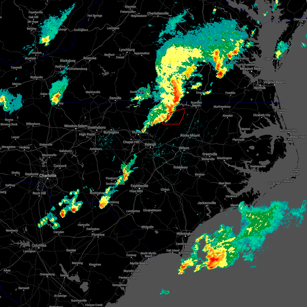 At 746 pm edt, a severe thunderstorm capable of producing a tornado was located near warrenton, moving east at 55 mph (radar indicated rotation). Hazards include tornado. Flying debris will be dangerous to those caught without shelter. mobile homes will be damaged or destroyed. damage to roofs, windows, and vehicles will occur. tree damage is likely. this dangerous storm will be near, littleton around 805 pm edt. Other locations impacted by this tornadic thunderstorm include arcola, afton, centerville and ingleside. At 746 pm edt, a severe thunderstorm capable of producing a tornado was located near warrenton, moving east at 55 mph (radar indicated rotation). Hazards include tornado. Flying debris will be dangerous to those caught without shelter. mobile homes will be damaged or destroyed. damage to roofs, windows, and vehicles will occur. tree damage is likely. this dangerous storm will be near, littleton around 805 pm edt. Other locations impacted by this tornadic thunderstorm include arcola, afton, centerville and ingleside.
|
| 3/18/2021 7:39 PM EDT |
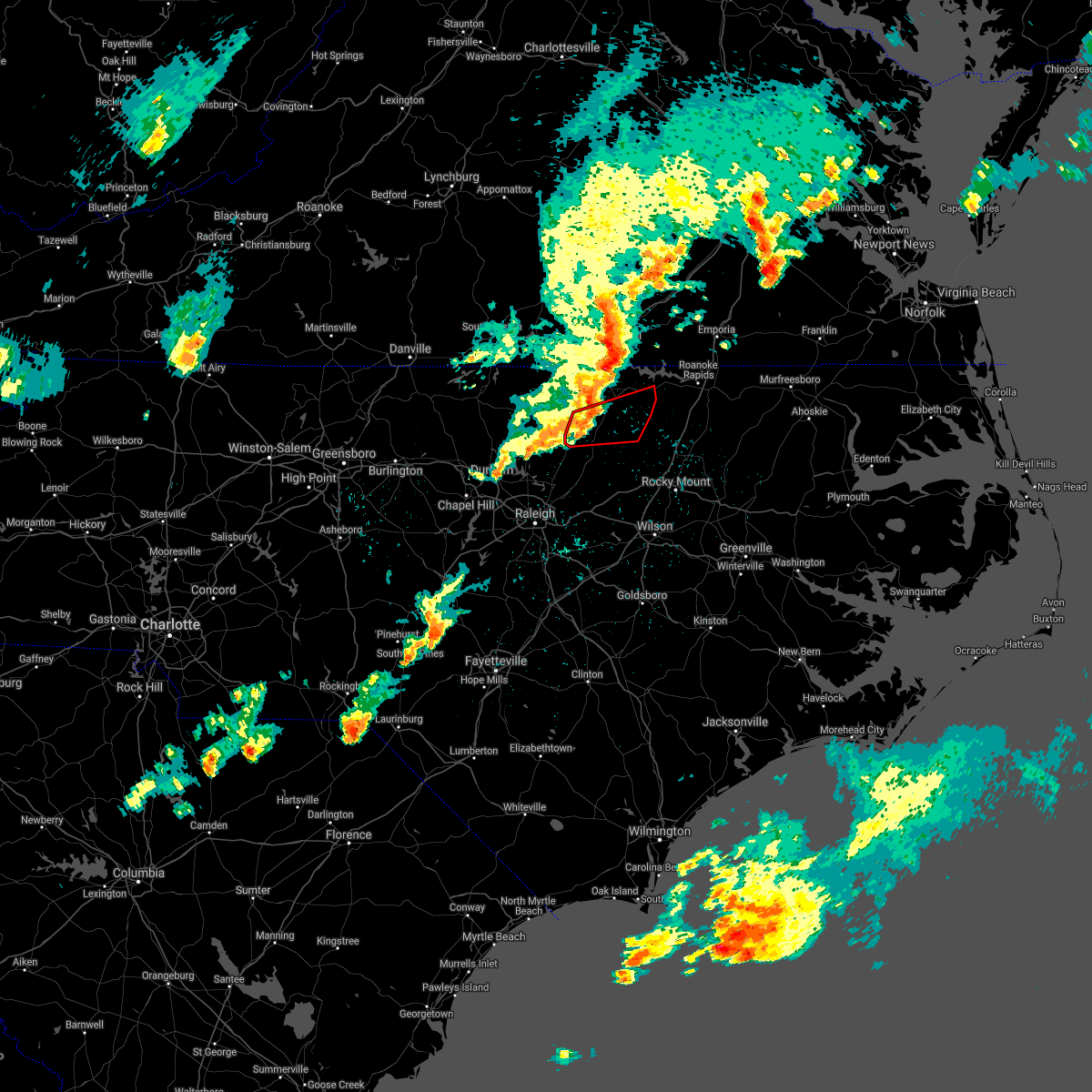 At 738 pm edt, a severe thunderstorm capable of producing a tornado was located near henderson, moving east at 50 mph (radar indicated rotation). Hazards include tornado. Flying debris will be dangerous to those caught without shelter. mobile homes will be damaged or destroyed. damage to roofs, windows, and vehicles will occur. tree damage is likely. this dangerous storm will be near, littleton around 805 pm edt. Other locations impacted by this tornadic thunderstorm include arcola, afton, south henderson, ingleside and centerville. At 738 pm edt, a severe thunderstorm capable of producing a tornado was located near henderson, moving east at 50 mph (radar indicated rotation). Hazards include tornado. Flying debris will be dangerous to those caught without shelter. mobile homes will be damaged or destroyed. damage to roofs, windows, and vehicles will occur. tree damage is likely. this dangerous storm will be near, littleton around 805 pm edt. Other locations impacted by this tornadic thunderstorm include arcola, afton, south henderson, ingleside and centerville.
|
| 3/18/2021 7:25 PM EDT |
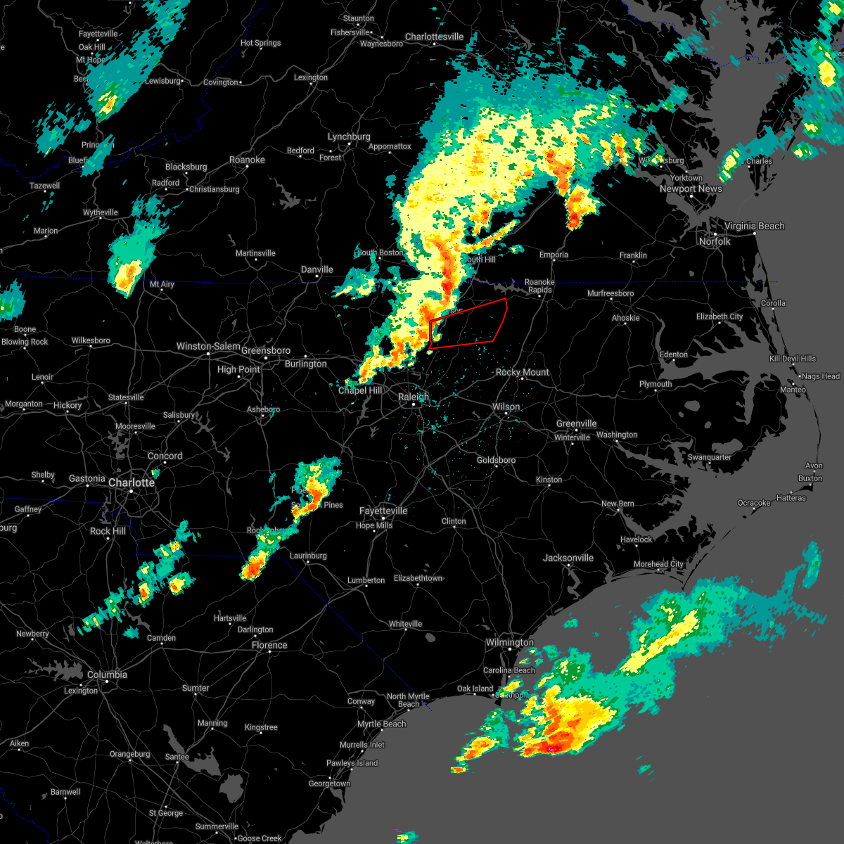 At 724 pm edt, a severe thunderstorm capable of producing a tornado was located near kittrell, or near oxford, moving east at 55 mph (radar indicated rotation). Hazards include tornado. Flying debris will be dangerous to those caught without shelter. mobile homes will be damaged or destroyed. damage to roofs, windows, and vehicles will occur. tree damage is likely. this dangerous storm will be near, henderson around 730 pm edt. littleton around 805 pm edt. Other locations impacted by this tornadic thunderstorm include arcola, afton, south henderson, ingleside and centerville. At 724 pm edt, a severe thunderstorm capable of producing a tornado was located near kittrell, or near oxford, moving east at 55 mph (radar indicated rotation). Hazards include tornado. Flying debris will be dangerous to those caught without shelter. mobile homes will be damaged or destroyed. damage to roofs, windows, and vehicles will occur. tree damage is likely. this dangerous storm will be near, henderson around 730 pm edt. littleton around 805 pm edt. Other locations impacted by this tornadic thunderstorm include arcola, afton, south henderson, ingleside and centerville.
|
| 12/24/2020 9:57 PM EST |
 The severe thunderstorm warning for western wayne, nash, southeastern warren, northeastern sampson, northwestern halifax, east central wake, western wilson, eastern johnston and central franklin counties will expire at 1000 pm est, the storms which prompted the warning have moved out of the area. therefore, the warning will be allowed to expire. a tornado watch remains in effect until 1100 pm est for central north carolina. remember, a severe thunderstorm warning still remains in effect for edgecombe, halifax, nash, wayne, and wilson counties until 11pm. The severe thunderstorm warning for western wayne, nash, southeastern warren, northeastern sampson, northwestern halifax, east central wake, western wilson, eastern johnston and central franklin counties will expire at 1000 pm est, the storms which prompted the warning have moved out of the area. therefore, the warning will be allowed to expire. a tornado watch remains in effect until 1100 pm est for central north carolina. remember, a severe thunderstorm warning still remains in effect for edgecombe, halifax, nash, wayne, and wilson counties until 11pm.
|
| 12/24/2020 9:38 PM EST |
 At 938 pm est, severe thunderstorms were located along a line extending from 7 miles southeast of warrenton to near bailey to 12 miles northwest of mount olive, moving northeast at 60 mph (radar indicated). Hazards include 60 mph wind gusts. Expect damage to roofs, siding, and trees. Locations impacted include, smithfield, clinton, nashville, louisburg, zebulon, littleton, bailey, bunn, micro and selma. At 938 pm est, severe thunderstorms were located along a line extending from 7 miles southeast of warrenton to near bailey to 12 miles northwest of mount olive, moving northeast at 60 mph (radar indicated). Hazards include 60 mph wind gusts. Expect damage to roofs, siding, and trees. Locations impacted include, smithfield, clinton, nashville, louisburg, zebulon, littleton, bailey, bunn, micro and selma.
|
| 12/24/2020 9:20 PM EST |
 At 919 pm est, severe thunderstorms were located along a line extending from louisburg to near clayton to 8 miles west of clinton, moving northeast at 65 mph (radar indicated). Hazards include 60 mph wind gusts. Expect damage to roofs, siding, and trees. Locations impacted include, smithfield, clinton, nashville, louisburg, clayton, zebulon, benson, littleton, bailey and bunn. At 919 pm est, severe thunderstorms were located along a line extending from louisburg to near clayton to 8 miles west of clinton, moving northeast at 65 mph (radar indicated). Hazards include 60 mph wind gusts. Expect damage to roofs, siding, and trees. Locations impacted include, smithfield, clinton, nashville, louisburg, clayton, zebulon, benson, littleton, bailey and bunn.
|
| 12/24/2020 8:58 PM EST |
 At 857 pm est, severe thunderstorms were located along a line extending from 6 miles southeast of raleigh to 6 miles northwest of godwin to near tolarsville, moving northeast at 70 mph (radar indicated). Hazards include 60 mph wind gusts. expect damage to roofs, siding, and trees At 857 pm est, severe thunderstorms were located along a line extending from 6 miles southeast of raleigh to 6 miles northwest of godwin to near tolarsville, moving northeast at 70 mph (radar indicated). Hazards include 60 mph wind gusts. expect damage to roofs, siding, and trees
|
| 7/28/2020 5:49 PM EDT |
 At 525 pm edt, severe thunderstorms were located along a line extending from near warrenton to near raleigh, moving southeast at 20 mph (radar indicated). Hazards include 60 mph wind gusts. expect damage to roofs, siding, and trees At 525 pm edt, severe thunderstorms were located along a line extending from near warrenton to near raleigh, moving southeast at 20 mph (radar indicated). Hazards include 60 mph wind gusts. expect damage to roofs, siding, and trees
|
| 7/28/2020 5:25 PM EDT |
 At 525 pm edt, severe thunderstorms were located along a line extending from near warrenton to near raleigh, moving southeast at 20 mph (radar indicated). Hazards include 60 mph wind gusts. expect damage to roofs, siding, and trees At 525 pm edt, severe thunderstorms were located along a line extending from near warrenton to near raleigh, moving southeast at 20 mph (radar indicated). Hazards include 60 mph wind gusts. expect damage to roofs, siding, and trees
|
| 7/17/2020 7:27 PM EDT |
 At 727 pm edt, a severe thunderstorm was located 13 miles north of nashville, moving southeast at 15 mph (radar indicated). Hazards include 60 mph wind gusts and quarter size hail. Hail damage to vehicles is expected. expect wind damage to roofs, siding, and trees. Locations impacted include, spring hope, castalia, centerville, glenview, arcola, medoc mountain state park, aventon and airlie. At 727 pm edt, a severe thunderstorm was located 13 miles north of nashville, moving southeast at 15 mph (radar indicated). Hazards include 60 mph wind gusts and quarter size hail. Hail damage to vehicles is expected. expect wind damage to roofs, siding, and trees. Locations impacted include, spring hope, castalia, centerville, glenview, arcola, medoc mountain state park, aventon and airlie.
|
| 7/17/2020 7:11 PM EDT |
 At 711 pm edt, a severe thunderstorm was located 12 miles southeast of warrenton, moving southeast at 15 mph (radar indicated). Hazards include 60 mph wind gusts and quarter size hail. Hail damage to vehicles is expected. Expect wind damage to roofs, siding, and trees. At 711 pm edt, a severe thunderstorm was located 12 miles southeast of warrenton, moving southeast at 15 mph (radar indicated). Hazards include 60 mph wind gusts and quarter size hail. Hail damage to vehicles is expected. Expect wind damage to roofs, siding, and trees.
|
| 6/19/2020 4:46 PM EDT |
 At 446 pm edt, a severe thunderstorm was located 10 miles southeast of warrenton, moving north at 30 mph (radar indicated). Hazards include 60 mph wind gusts and quarter size hail. Hail damage to vehicles is expected. expect wind damage to roofs, siding, and trees. Locations impacted include, warrenton, norlina, littleton, macon, centerville, arcola, afton, lake gaston, wise and southpointe and morningstar marinas. At 446 pm edt, a severe thunderstorm was located 10 miles southeast of warrenton, moving north at 30 mph (radar indicated). Hazards include 60 mph wind gusts and quarter size hail. Hail damage to vehicles is expected. expect wind damage to roofs, siding, and trees. Locations impacted include, warrenton, norlina, littleton, macon, centerville, arcola, afton, lake gaston, wise and southpointe and morningstar marinas.
|
| 6/19/2020 4:30 PM EDT |
 At 430 pm edt, a severe thunderstorm was located 10 miles east of louisburg, moving north at 30 mph (radar indicated). Hazards include 60 mph wind gusts and quarter size hail. Hail damage to vehicles is expected. Expect wind damage to roofs, siding, and trees. At 430 pm edt, a severe thunderstorm was located 10 miles east of louisburg, moving north at 30 mph (radar indicated). Hazards include 60 mph wind gusts and quarter size hail. Hail damage to vehicles is expected. Expect wind damage to roofs, siding, and trees.
|
| 6/19/2020 4:25 PM EDT |
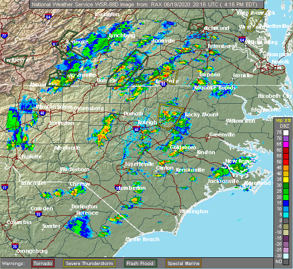 At 425 pm edt, a severe thunderstorm was located 9 miles east of louisburg, moving north at 30 mph (radar indicated). Hazards include 60 mph wind gusts and quarter size hail. Hail damage to vehicles is expected. expect wind damage to roofs, siding, and trees. Locations impacted include, red oak, spring hope, castalia, centerville and aventon. At 425 pm edt, a severe thunderstorm was located 9 miles east of louisburg, moving north at 30 mph (radar indicated). Hazards include 60 mph wind gusts and quarter size hail. Hail damage to vehicles is expected. expect wind damage to roofs, siding, and trees. Locations impacted include, red oak, spring hope, castalia, centerville and aventon.
|
| 6/19/2020 4:03 PM EDT |
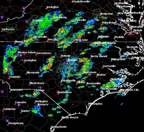 At 403 pm edt, a severe thunderstorm was located near bunn, or 12 miles west of nashville, moving north at 20 mph (radar indicated). Hazards include 60 mph wind gusts and quarter size hail. Hail damage to vehicles is expected. Expect wind damage to roofs, siding, and trees. At 403 pm edt, a severe thunderstorm was located near bunn, or 12 miles west of nashville, moving north at 20 mph (radar indicated). Hazards include 60 mph wind gusts and quarter size hail. Hail damage to vehicles is expected. Expect wind damage to roofs, siding, and trees.
|
| 4/26/2020 9:09 PM EDT |
 The severe thunderstorm warning for southwestern warren, southern vance and franklin counties will expire at 915 pm edt, the storm which prompted the warning has weakened below severe limits, and no longer poses an immediate threat to life or property. therefore, the warning will be allowed to expire. The severe thunderstorm warning for southwestern warren, southern vance and franklin counties will expire at 915 pm edt, the storm which prompted the warning has weakened below severe limits, and no longer poses an immediate threat to life or property. therefore, the warning will be allowed to expire.
|
| 4/26/2020 8:56 PM EDT |
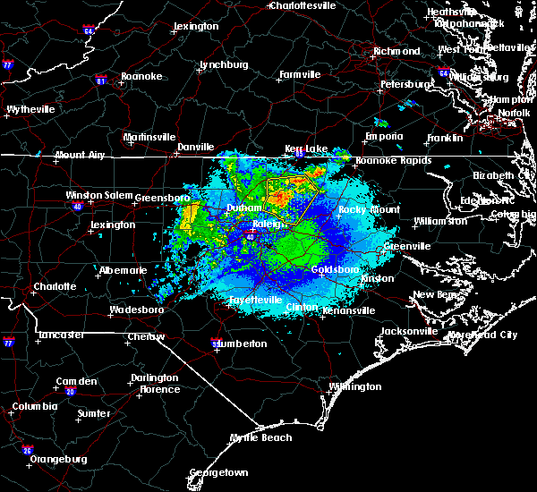 At 855 pm edt, a severe thunderstorm was located over louisburg, moving east at 40 mph (radar indicated). Hazards include 60 mph wind gusts. Expect damage to roofs, siding, and trees. Locations impacted include, henderson, louisburg, franklinton, kittrell, bunn, centerville, ingleside, gillburg, afton and south henderson. At 855 pm edt, a severe thunderstorm was located over louisburg, moving east at 40 mph (radar indicated). Hazards include 60 mph wind gusts. Expect damage to roofs, siding, and trees. Locations impacted include, henderson, louisburg, franklinton, kittrell, bunn, centerville, ingleside, gillburg, afton and south henderson.
|
| 4/26/2020 8:41 PM EDT |
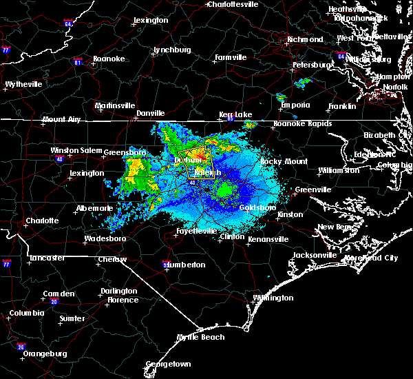 At 840 pm edt, a severe thunderstorm was located near franklinton, or 11 miles west of louisburg, moving east at 40 mph (radar indicated). Hazards include 60 mph wind gusts. expect damage to roofs, siding, and trees At 840 pm edt, a severe thunderstorm was located near franklinton, or 11 miles west of louisburg, moving east at 40 mph (radar indicated). Hazards include 60 mph wind gusts. expect damage to roofs, siding, and trees
|
| 4/13/2020 8:15 AM EDT |
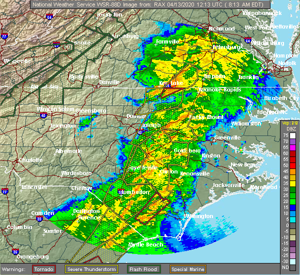 At 814 am edt, severe thunderstorms were located along a line extending from near ebony to 6 miles east of warrenton to 11 miles northeast of louisburg, moving east at 45 mph (radar indicated). Hazards include 60 mph wind gusts and penny size hail. Expect damage to roofs, siding, and trees. Locations impacted include, warrenton, norlina, littleton, macon, centerville, arcola, ingleside, drewry, afton and lake gaston. At 814 am edt, severe thunderstorms were located along a line extending from near ebony to 6 miles east of warrenton to 11 miles northeast of louisburg, moving east at 45 mph (radar indicated). Hazards include 60 mph wind gusts and penny size hail. Expect damage to roofs, siding, and trees. Locations impacted include, warrenton, norlina, littleton, macon, centerville, arcola, ingleside, drewry, afton and lake gaston.
|
| 4/13/2020 7:51 AM EDT |
 At 751 am edt, severe thunderstorms were located along a line extending from 7 miles southeast of wake forest to near garner to near fuquay-varina, moving northeast at 30 mph (radar indicated). Hazards include 60 mph wind gusts and penny size hail. expect damage to roofs, siding, and trees At 751 am edt, severe thunderstorms were located along a line extending from 7 miles southeast of wake forest to near garner to near fuquay-varina, moving northeast at 30 mph (radar indicated). Hazards include 60 mph wind gusts and penny size hail. expect damage to roofs, siding, and trees
|
| 4/13/2020 7:38 AM EDT |
 At 738 am edt, severe thunderstorms were located along a line extending from 11 miles north of henderson to near kittrell to creedmoor, moving east at 45 mph (radar indicated). Hazards include 60 mph wind gusts and penny size hail. expect damage to roofs, siding, and trees At 738 am edt, severe thunderstorms were located along a line extending from 11 miles north of henderson to near kittrell to creedmoor, moving east at 45 mph (radar indicated). Hazards include 60 mph wind gusts and penny size hail. expect damage to roofs, siding, and trees
|
| 4/8/2020 6:25 PM EDT |
 At 624 pm edt, severe thunderstorms were located along a line extending from near oxford to butner, moving southeast at 40 mph (radar indicated). Hazards include 60 mph wind gusts and quarter size hail. Hail damage to vehicles is expected. expect wind damage to roofs, siding, and trees. Locations impacted include, raleigh, durham, creedmoor, louisburg, wake forest, butner, franklinton, kittrell, bunn, rolesville, and falls lake. At 624 pm edt, severe thunderstorms were located along a line extending from near oxford to butner, moving southeast at 40 mph (radar indicated). Hazards include 60 mph wind gusts and quarter size hail. Hail damage to vehicles is expected. expect wind damage to roofs, siding, and trees. Locations impacted include, raleigh, durham, creedmoor, louisburg, wake forest, butner, franklinton, kittrell, bunn, rolesville, and falls lake.
|
| 4/8/2020 6:05 PM EDT |
 At 604 pm edt, severe thunderstorms were located along a line extending from 6 miles northwest of oxford to near rougemont, moving southeast at 45 mph (radar indicated). Hazards include 60 mph wind gusts and quarter size hail. Hail damage to vehicles is expected. Expect wind damage to roofs, siding, and trees. At 604 pm edt, severe thunderstorms were located along a line extending from 6 miles northwest of oxford to near rougemont, moving southeast at 45 mph (radar indicated). Hazards include 60 mph wind gusts and quarter size hail. Hail damage to vehicles is expected. Expect wind damage to roofs, siding, and trees.
|
| 2/6/2020 2:50 PM EST |
 At 249 pm est, severe thunderstorms were located along a line extending from 6 miles southeast of littleton to 11 miles southwest of halifax to near dortches to near bailey, moving northeast at 75 mph (radar indicated). Hazards include 70 mph wind gusts and penny size hail. Expect considerable tree damage. damage is likely to mobile homes, roofs, and outbuildings. Locations impacted include, rocky mount, roanoke rapids, nashville, garner, zebulon, dortches, littleton, bailey, bunn and knightdale. At 249 pm est, severe thunderstorms were located along a line extending from 6 miles southeast of littleton to 11 miles southwest of halifax to near dortches to near bailey, moving northeast at 75 mph (radar indicated). Hazards include 70 mph wind gusts and penny size hail. Expect considerable tree damage. damage is likely to mobile homes, roofs, and outbuildings. Locations impacted include, rocky mount, roanoke rapids, nashville, garner, zebulon, dortches, littleton, bailey, bunn and knightdale.
|
| 2/6/2020 2:37 PM EST |
 At 236 pm est, severe thunderstorms were located along a line extending from 9 miles southeast of warrenton to 12 miles northwest of dortches to near nashville to 6 miles southwest of zebulon, moving northeast at 80 mph (radar indicated). Hazards include 70 mph wind gusts and penny size hail. Expect considerable tree damage. damage is likely to mobile homes, roofs, and outbuildings. Locations impacted include, raleigh, rocky mount, roanoke rapids, henderson, nashville, louisburg, warrenton, garner, zebulon and dortches. At 236 pm est, severe thunderstorms were located along a line extending from 9 miles southeast of warrenton to 12 miles northwest of dortches to near nashville to 6 miles southwest of zebulon, moving northeast at 80 mph (radar indicated). Hazards include 70 mph wind gusts and penny size hail. Expect considerable tree damage. damage is likely to mobile homes, roofs, and outbuildings. Locations impacted include, raleigh, rocky mount, roanoke rapids, henderson, nashville, louisburg, warrenton, garner, zebulon and dortches.
|
| 2/6/2020 2:17 PM EST |
 At 217 pm est, severe thunderstorms were located along a line extending from near franklinton to near wake forest to 8 miles west of zebulon to near fuquay-varina, moving east at 75 mph (radar indicated). Hazards include 70 mph wind gusts and penny size hail. Expect considerable tree damage. Damage is likely to mobile homes, roofs, and outbuildings. At 217 pm est, severe thunderstorms were located along a line extending from near franklinton to near wake forest to 8 miles west of zebulon to near fuquay-varina, moving east at 75 mph (radar indicated). Hazards include 70 mph wind gusts and penny size hail. Expect considerable tree damage. Damage is likely to mobile homes, roofs, and outbuildings.
|
| 2/6/2020 1:49 PM EST |
 At 148 pm est, severe thunderstorms were located along a line extending from 7 miles southwest of ebony to 9 miles east of kittrell to franklinton, moving east at 55 mph (radar indicated). Hazards include 60 mph wind gusts. Expect damage to roofs, siding, and trees. Locations impacted include, roanoke rapids, henderson, louisburg, warrenton, franklinton, norlina, littleton, kittrell, youngsville and castalia. At 148 pm est, severe thunderstorms were located along a line extending from 7 miles southwest of ebony to 9 miles east of kittrell to franklinton, moving east at 55 mph (radar indicated). Hazards include 60 mph wind gusts. Expect damage to roofs, siding, and trees. Locations impacted include, roanoke rapids, henderson, louisburg, warrenton, franklinton, norlina, littleton, kittrell, youngsville and castalia.
|
| 2/6/2020 1:28 PM EST |
 At 127 pm est, severe thunderstorms were located along a line extending from 10 miles southeast of clarksville to near creedmoor to near pittsboro, moving east at 50 mph (radar indicated). Hazards include 60 mph wind gusts. expect damage to roofs, siding, and trees At 127 pm est, severe thunderstorms were located along a line extending from 10 miles southeast of clarksville to near creedmoor to near pittsboro, moving east at 50 mph (radar indicated). Hazards include 60 mph wind gusts. expect damage to roofs, siding, and trees
|
| 1/12/2020 12:47 AM EST |
 At 1246 am est, severe thunderstorms were located along a line extending from near ebony to 13 miles northwest of dortches to 8 miles north of bailey, moving east at 60 mph (radar indicated). Hazards include 60 mph wind gusts. Expect damage to roofs, siding, and trees. Locations impacted include, rocky mount, nashville, dortches, littleton, bailey, bunn, red oak, sharpsburg, spring hope and middlesex. At 1246 am est, severe thunderstorms were located along a line extending from near ebony to 13 miles northwest of dortches to 8 miles north of bailey, moving east at 60 mph (radar indicated). Hazards include 60 mph wind gusts. Expect damage to roofs, siding, and trees. Locations impacted include, rocky mount, nashville, dortches, littleton, bailey, bunn, red oak, sharpsburg, spring hope and middlesex.
|
| 1/12/2020 12:31 AM EST |
 At 1230 am est, severe thunderstorms were located along a line extending from 7 miles southeast of boydton to 9 miles north of louisburg to 7 miles east of wake forest, moving east at 65 mph (radar indicated). Hazards include 60 mph wind gusts. Expect damage to roofs, siding, and trees. Locations impacted include, rocky mount, henderson, nashville, louisburg, warrenton, franklinton, norlina, dortches, littleton and bailey. At 1230 am est, severe thunderstorms were located along a line extending from 7 miles southeast of boydton to 9 miles north of louisburg to 7 miles east of wake forest, moving east at 65 mph (radar indicated). Hazards include 60 mph wind gusts. Expect damage to roofs, siding, and trees. Locations impacted include, rocky mount, henderson, nashville, louisburg, warrenton, franklinton, norlina, dortches, littleton and bailey.
|
| 1/12/2020 12:00 AM EST |
 At 1200 am est, severe thunderstorms were located along a line extending from near scottsburg to 8 miles southwest of cary, moving northeast at 65 mph (radar indicated). Hazards include 60 mph wind gusts. expect damage to roofs, siding, and trees At 1200 am est, severe thunderstorms were located along a line extending from near scottsburg to 8 miles southwest of cary, moving northeast at 65 mph (radar indicated). Hazards include 60 mph wind gusts. expect damage to roofs, siding, and trees
|
| 10/31/2019 9:43 PM EDT |
 The severe thunderstorm warning for northeastern wake and franklin counties will expire at 945 pm edt, the storms which prompted the warning have weakened below severe limits, and no longer pose an immediate threat to life or property. therefore the warning will be allowed to expire. a tornado watch remains in effect until 1100 pm edt for central north carolina. The severe thunderstorm warning for northeastern wake and franklin counties will expire at 945 pm edt, the storms which prompted the warning have weakened below severe limits, and no longer pose an immediate threat to life or property. therefore the warning will be allowed to expire. a tornado watch remains in effect until 1100 pm edt for central north carolina.
|
| 10/31/2019 9:33 PM EDT |
 At 932 pm edt, severe thunderstorms were located along a line extending from near brunswick to 7 miles southwest of warrenton, moving northeast at 40 mph (radar indicated). Hazards include 60 mph wind gusts. Expect damage to roofs, siding, and trees. locations impacted include, roanoke rapids, warrenton, norlina, littleton, macon, centerville, medoc mountain state park, afton, lake gaston and southpointe and morningstar marinas. A tornado watch remains in effect until 1100 pm edt for central north carolina. At 932 pm edt, severe thunderstorms were located along a line extending from near brunswick to 7 miles southwest of warrenton, moving northeast at 40 mph (radar indicated). Hazards include 60 mph wind gusts. Expect damage to roofs, siding, and trees. locations impacted include, roanoke rapids, warrenton, norlina, littleton, macon, centerville, medoc mountain state park, afton, lake gaston and southpointe and morningstar marinas. A tornado watch remains in effect until 1100 pm edt for central north carolina.
|
| 10/31/2019 9:31 PM EDT |
 At 931 pm edt, severe thunderstorms were located along a line extending from near louisburg to near zebulon to near raleigh, moving northeast at 35 mph (radar indicated). Hazards include 60 mph wind gusts. Expect damage to roofs, siding, and trees. locations impacted include, raleigh, louisburg, garner, zebulon, bunn, knightdale, wendell, rolesville, centerville and pilot. A tornado watch remains in effect until 1100 pm edt for central north carolina. At 931 pm edt, severe thunderstorms were located along a line extending from near louisburg to near zebulon to near raleigh, moving northeast at 35 mph (radar indicated). Hazards include 60 mph wind gusts. Expect damage to roofs, siding, and trees. locations impacted include, raleigh, louisburg, garner, zebulon, bunn, knightdale, wendell, rolesville, centerville and pilot. A tornado watch remains in effect until 1100 pm edt for central north carolina.
|
| 10/31/2019 9:14 PM EDT |
 At 914 pm edt, severe thunderstorms were located along a line extending from 6 miles west of ebony to near kittrell, moving northeast at 40 mph (radar indicated). Hazards include 60 mph wind gusts. expect damage to roofs, siding, and trees At 914 pm edt, severe thunderstorms were located along a line extending from 6 miles west of ebony to near kittrell, moving northeast at 40 mph (radar indicated). Hazards include 60 mph wind gusts. expect damage to roofs, siding, and trees
|
| 10/31/2019 8:59 PM EDT |
 At 859 pm edt, severe thunderstorms were located along a line extending from near wake forest to near garner to fuquay-varina, moving northeast at 45 mph (radar indicated). Hazards include 60 mph wind gusts. expect damage to roofs, siding, and trees At 859 pm edt, severe thunderstorms were located along a line extending from near wake forest to near garner to fuquay-varina, moving northeast at 45 mph (radar indicated). Hazards include 60 mph wind gusts. expect damage to roofs, siding, and trees
|
| 8/19/2019 5:02 PM EDT |
 At 502 pm edt, severe thunderstorms were located along a line extending from near kittrell to 6 miles west of bunn to 9 miles south of wake forest, and are nearly stationary (radar indicated). Hazards include 60 mph wind gusts and quarter size hail. Hail damage to vehicles is expected. expect wind damage to roofs, siding, and trees. Locations impacted include, louisburg, wake forest, zebulon, franklinton, bunn, wendell, rolesville, youngsville, centerville and pilot. At 502 pm edt, severe thunderstorms were located along a line extending from near kittrell to 6 miles west of bunn to 9 miles south of wake forest, and are nearly stationary (radar indicated). Hazards include 60 mph wind gusts and quarter size hail. Hail damage to vehicles is expected. expect wind damage to roofs, siding, and trees. Locations impacted include, louisburg, wake forest, zebulon, franklinton, bunn, wendell, rolesville, youngsville, centerville and pilot.
|
| 8/19/2019 4:40 PM EDT |
 At 431 pm edt, a severe thunderstorm was located near bunn, or 7 miles southwest of louisburg, and is nearly stationary (radar indicated). Hazards include 60 mph wind gusts and penny size hail. expect damage to roofs, siding, and trees At 431 pm edt, a severe thunderstorm was located near bunn, or 7 miles southwest of louisburg, and is nearly stationary (radar indicated). Hazards include 60 mph wind gusts and penny size hail. expect damage to roofs, siding, and trees
|
| 8/19/2019 4:31 PM EDT |
 At 431 pm edt, a severe thunderstorm was located near bunn, or 7 miles southwest of louisburg, and is nearly stationary (radar indicated). Hazards include 60 mph wind gusts and penny size hail. expect damage to roofs, siding, and trees At 431 pm edt, a severe thunderstorm was located near bunn, or 7 miles southwest of louisburg, and is nearly stationary (radar indicated). Hazards include 60 mph wind gusts and penny size hail. expect damage to roofs, siding, and trees
|
| 8/17/2019 6:40 PM EDT |
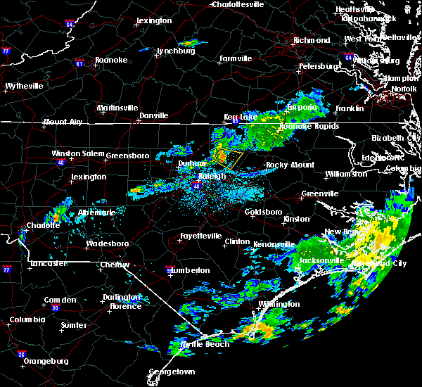 A severe thunderstorm warning remains in effect until 700 pm edt for northern franklin county. at 640 pm edt, a severe thunderstorm was located over louisburg, moving southeast at 15 mph. hazard. 60 mph wind gusts. source. Radar indicated. A severe thunderstorm warning remains in effect until 700 pm edt for northern franklin county. at 640 pm edt, a severe thunderstorm was located over louisburg, moving southeast at 15 mph. hazard. 60 mph wind gusts. source. Radar indicated.
|
| 8/17/2019 6:27 PM EDT |
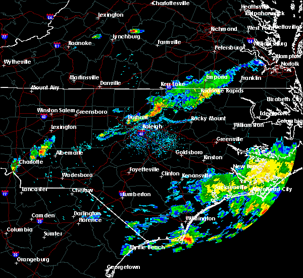 A severe thunderstorm warning remains in effect until 700 pm edt for southwestern warren. southeastern vance and franklin counties. at 626 pm edt, severe thunderstorms were located along a line extending from 7 miles southeast of henderson to near louisburg to near franklinton, moving southeast at 15 mph. hazard. 60 mph wind gusts. A severe thunderstorm warning remains in effect until 700 pm edt for southwestern warren. southeastern vance and franklin counties. at 626 pm edt, severe thunderstorms were located along a line extending from 7 miles southeast of henderson to near louisburg to near franklinton, moving southeast at 15 mph. hazard. 60 mph wind gusts.
|
| 8/17/2019 6:03 PM EDT |
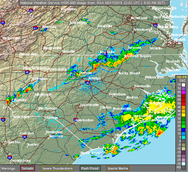 At 603 pm edt, severe thunderstorms were located along a line extending from 8 miles south of warrenton to near kittrell to franklinton, moving southeast at 5 mph (radar indicated). Hazards include 60 mph wind gusts. Expect damage to roofs, siding, and trees. Locations impacted include, henderson, nashville, louisburg, franklinton, dortches, kittrell, bunn, red oak, enfield and spring hope. At 603 pm edt, severe thunderstorms were located along a line extending from 8 miles south of warrenton to near kittrell to franklinton, moving southeast at 5 mph (radar indicated). Hazards include 60 mph wind gusts. Expect damage to roofs, siding, and trees. Locations impacted include, henderson, nashville, louisburg, franklinton, dortches, kittrell, bunn, red oak, enfield and spring hope.
|
| 8/17/2019 5:54 PM EDT |
 At 554 pm edt, severe thunderstorms were located along a line extending from 10 miles south of littleton to franklinton, moving southeast at 20 mph (radar indicated). Hazards include 60 mph wind gusts. expect damage to roofs, siding, and trees At 554 pm edt, severe thunderstorms were located along a line extending from 10 miles south of littleton to franklinton, moving southeast at 20 mph (radar indicated). Hazards include 60 mph wind gusts. expect damage to roofs, siding, and trees
|
| 8/13/2019 5:26 PM EDT |
 At 526 pm edt, severe thunderstorms were located along a line extending from 12 miles northwest of nashville to 6 miles east of louisburg to near bunn, moving east at 25 mph (radar indicated). Hazards include 60 mph wind gusts. expect damage to roofs, siding, and trees At 526 pm edt, severe thunderstorms were located along a line extending from 12 miles northwest of nashville to 6 miles east of louisburg to near bunn, moving east at 25 mph (radar indicated). Hazards include 60 mph wind gusts. expect damage to roofs, siding, and trees
|
| 8/13/2019 5:22 PM EDT |
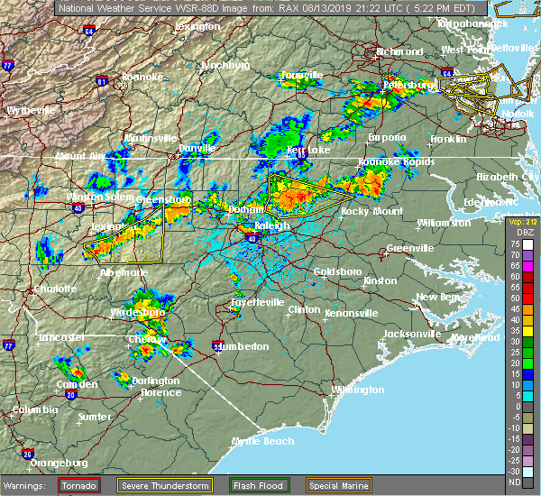 At 521 pm edt, severe thunderstorms were located along a line extending from 15 miles south of warrenton to louisburg, moving east at 35 mph (radar indicated). Hazards include 60 mph wind gusts. Expect damage to roofs, siding, and trees. Locations impacted include, louisburg, franklinton, youngsville, castalia, centerville, glenview, ingleside, aventon and medoc mountain state park. At 521 pm edt, severe thunderstorms were located along a line extending from 15 miles south of warrenton to louisburg, moving east at 35 mph (radar indicated). Hazards include 60 mph wind gusts. Expect damage to roofs, siding, and trees. Locations impacted include, louisburg, franklinton, youngsville, castalia, centerville, glenview, ingleside, aventon and medoc mountain state park.
|
| 8/13/2019 5:06 PM EDT |
 At 505 pm edt, severe thunderstorms were located along a line extending from 7 miles north of louisburg to franklinton, moving east at 30 mph (radar indicated). Hazards include 60 mph wind gusts. Expect damage to roofs, siding, and trees. Locations impacted include, henderson, louisburg, franklinton, kittrell, youngsville, castalia, centerville, glenview, ingleside and aventon. At 505 pm edt, severe thunderstorms were located along a line extending from 7 miles north of louisburg to franklinton, moving east at 30 mph (radar indicated). Hazards include 60 mph wind gusts. Expect damage to roofs, siding, and trees. Locations impacted include, henderson, louisburg, franklinton, kittrell, youngsville, castalia, centerville, glenview, ingleside and aventon.
|
| 8/13/2019 5:00 PM EDT |
 At 459 pm edt, severe thunderstorms were located along a line extending from 10 miles south of warrenton to near louisburg to near franklinton, moving southeast at 30 mph (radar indicated). Hazards include 60 mph wind gusts. Expect damage to roofs, siding, and trees. Locations impacted include, henderson, oxford, creedmoor, louisburg, butner, franklinton, kittrell, youngsville, stem and castalia. At 459 pm edt, severe thunderstorms were located along a line extending from 10 miles south of warrenton to near louisburg to near franklinton, moving southeast at 30 mph (radar indicated). Hazards include 60 mph wind gusts. Expect damage to roofs, siding, and trees. Locations impacted include, henderson, oxford, creedmoor, louisburg, butner, franklinton, kittrell, youngsville, stem and castalia.
|
| 8/13/2019 4:34 PM EDT |
 At 433 pm edt, severe thunderstorms were located along a line extending from 6 miles east of henderson to near creedmoor to near butner, moving east at 35 mph (radar indicated). Hazards include 60 mph wind gusts. expect damage to roofs, siding, and trees At 433 pm edt, severe thunderstorms were located along a line extending from 6 miles east of henderson to near creedmoor to near butner, moving east at 35 mph (radar indicated). Hazards include 60 mph wind gusts. expect damage to roofs, siding, and trees
|
| 8/7/2019 3:04 PM EDT |
 At 303 pm edt, severe thunderstorms were located along a line extending from 7 miles west of roanoke rapids to 11 miles south of littleton to near louisburg, moving east at 25 mph (radar indicated). Hazards include 60 mph wind gusts. Expect damage to roofs, siding, and trees. Locations impacted include, rocky mount, roanoke rapids, louisburg, warrenton, halifax, dortches, littleton, red oak, enfield and weldon. At 303 pm edt, severe thunderstorms were located along a line extending from 7 miles west of roanoke rapids to 11 miles south of littleton to near louisburg, moving east at 25 mph (radar indicated). Hazards include 60 mph wind gusts. Expect damage to roofs, siding, and trees. Locations impacted include, rocky mount, roanoke rapids, louisburg, warrenton, halifax, dortches, littleton, red oak, enfield and weldon.
|
| 8/7/2019 2:40 PM EDT |
 At 239 pm edt, severe thunderstorms were located along a line extending from littleton to 12 miles south of warrenton to franklinton, moving east at 25 mph (radar indicated). Hazards include 60 mph wind gusts. expect damage to roofs, siding, and trees At 239 pm edt, severe thunderstorms were located along a line extending from littleton to 12 miles south of warrenton to franklinton, moving east at 25 mph (radar indicated). Hazards include 60 mph wind gusts. expect damage to roofs, siding, and trees
|
| 7/7/2019 3:22 PM EDT |
 The severe thunderstorm warning for north central nash, south central warren and northeastern franklin counties will expire at 330 pm edt, the storm which prompted the warning has weakened below severe limits, and has exited the warned area. therefore, the warning will be allowed to expire. however heavy rain is still possible with this thunderstorm. The severe thunderstorm warning for north central nash, south central warren and northeastern franklin counties will expire at 330 pm edt, the storm which prompted the warning has weakened below severe limits, and has exited the warned area. therefore, the warning will be allowed to expire. however heavy rain is still possible with this thunderstorm.
|
| 7/7/2019 3:04 PM EDT |
 At 303 pm edt, a severe thunderstorm was located 14 miles east of louisburg, moving north at 20 mph (radar indicated). Hazards include 60 mph wind gusts and quarter size hail. Hail damage to vehicles is expected. expect wind damage to roofs, siding, and trees. Locations impacted include, castalia, centerville, ingleside and aventon. At 303 pm edt, a severe thunderstorm was located 14 miles east of louisburg, moving north at 20 mph (radar indicated). Hazards include 60 mph wind gusts and quarter size hail. Hail damage to vehicles is expected. expect wind damage to roofs, siding, and trees. Locations impacted include, castalia, centerville, ingleside and aventon.
|
| 7/7/2019 2:42 PM EDT |
 At 242 pm edt, a severe thunderstorm was located near louisburg, moving northeast at 20 mph (radar indicated). Hazards include 60 mph wind gusts and quarter size hail. Hail damage to vehicles is expected. Expect wind damage to roofs, siding, and trees. At 242 pm edt, a severe thunderstorm was located near louisburg, moving northeast at 20 mph (radar indicated). Hazards include 60 mph wind gusts and quarter size hail. Hail damage to vehicles is expected. Expect wind damage to roofs, siding, and trees.
|
| 7/4/2019 6:25 PM EDT |
 At 624 pm edt, a severe thunderstorm was located 14 miles south of littleton, or 15 miles southeast of warrenton, moving northeast at 15 mph (radar indicated). Hazards include 60 mph wind gusts and penny size hail. Expect damage to roofs, siding, and trees. Locations impacted include, roanoke rapids, louisburg, halifax, littleton, weldon, castalia, macon, centerville, glenview and medoc mountain state park. At 624 pm edt, a severe thunderstorm was located 14 miles south of littleton, or 15 miles southeast of warrenton, moving northeast at 15 mph (radar indicated). Hazards include 60 mph wind gusts and penny size hail. Expect damage to roofs, siding, and trees. Locations impacted include, roanoke rapids, louisburg, halifax, littleton, weldon, castalia, macon, centerville, glenview and medoc mountain state park.
|
| 7/4/2019 5:56 PM EDT |
 At 555 pm edt, a cluster of severe thunderstorms were located near louisburg, moving north at 15 mph (radar indicated). Hazards include 60 mph wind gusts and penny size hail. expect damage to roofs, siding, and trees At 555 pm edt, a cluster of severe thunderstorms were located near louisburg, moving north at 15 mph (radar indicated). Hazards include 60 mph wind gusts and penny size hail. expect damage to roofs, siding, and trees
|
| 6/20/2019 3:54 PM EDT |
 A severe thunderstorm warning remains in effect until 415 pm edt for southern granville. northern wake. southern durham and franklin counties. at 353 pm edt, a severe thunderstorm was located near louisburg, moving east at 45 mph. hazard. 60 mph wind gusts and penny size hail. A severe thunderstorm warning remains in effect until 415 pm edt for southern granville. northern wake. southern durham and franklin counties. at 353 pm edt, a severe thunderstorm was located near louisburg, moving east at 45 mph. hazard. 60 mph wind gusts and penny size hail.
|
| 6/20/2019 3:54 PM EDT |
 A severe thunderstorm warning remains in effect until 415 pm edt for southern vance. southern granville. northern wake. durham and franklin counties. at 352 pm edt, a severe thunderstorm was located near franklinton, or near louisburg, moving east at 45 mph. hazard. 60 mph wind gusts and penny size hail. A severe thunderstorm warning remains in effect until 415 pm edt for southern vance. southern granville. northern wake. durham and franklin counties. at 352 pm edt, a severe thunderstorm was located near franklinton, or near louisburg, moving east at 45 mph. hazard. 60 mph wind gusts and penny size hail.
|
| 6/20/2019 3:38 PM EDT |
 At 336 pm edt, a severe thunderstorm was located just north of rdu international, or 9 miles east of durham, moving east at 45 mph. other severe thunderstorms were located across southeastern durham, northern wake, southern granville and northwestern franklin counties (law enforcement). Hazards include 60 mph wind gusts. expect damage to roofs, siding, and trees At 336 pm edt, a severe thunderstorm was located just north of rdu international, or 9 miles east of durham, moving east at 45 mph. other severe thunderstorms were located across southeastern durham, northern wake, southern granville and northwestern franklin counties (law enforcement). Hazards include 60 mph wind gusts. expect damage to roofs, siding, and trees
|
| 6/5/2019 5:10 PM EDT |
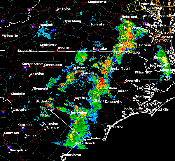 At 455 pm edt, a severe thunderstorm was located 11 miles east of louisburg, moving northeast at 25 mph (radar indicated). Hazards include 60 mph wind gusts and quarter size hail. Hail damage to vehicles is expected. expect wind damage to roofs, siding, and trees. Locations impacted include, enfield, castalia, centerville, glenview, arcola, medoc mountain state park and aventon. At 455 pm edt, a severe thunderstorm was located 11 miles east of louisburg, moving northeast at 25 mph (radar indicated). Hazards include 60 mph wind gusts and quarter size hail. Hail damage to vehicles is expected. expect wind damage to roofs, siding, and trees. Locations impacted include, enfield, castalia, centerville, glenview, arcola, medoc mountain state park and aventon.
|
| 6/5/2019 4:56 PM EDT |
 At 438 pm edt, a severe thunderstorm was located near louisburg, moving northeast at 30 mph (radar indicated). Hazards include 60 mph wind gusts and quarter size hail. Hail damage to vehicles is expected. Expect wind damage to roofs, siding, and trees. At 438 pm edt, a severe thunderstorm was located near louisburg, moving northeast at 30 mph (radar indicated). Hazards include 60 mph wind gusts and quarter size hail. Hail damage to vehicles is expected. Expect wind damage to roofs, siding, and trees.
|
| 6/5/2019 4:38 PM EDT |
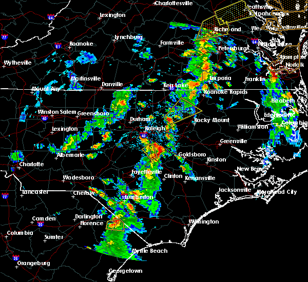 At 438 pm edt, a severe thunderstorm was located near louisburg, moving northeast at 30 mph (radar indicated). Hazards include 60 mph wind gusts and quarter size hail. Hail damage to vehicles is expected. Expect wind damage to roofs, siding, and trees. At 438 pm edt, a severe thunderstorm was located near louisburg, moving northeast at 30 mph (radar indicated). Hazards include 60 mph wind gusts and quarter size hail. Hail damage to vehicles is expected. Expect wind damage to roofs, siding, and trees.
|
| 5/31/2019 7:24 PM EDT |
 At 724 pm edt, a severe thunderstorm was located 9 miles east of louisburg, moving northeast at 20 mph (radar indicated). Hazards include half dollar size hail. Damage to vehicles is expected. Locations impacted include, castalia and centerville. At 724 pm edt, a severe thunderstorm was located 9 miles east of louisburg, moving northeast at 20 mph (radar indicated). Hazards include half dollar size hail. Damage to vehicles is expected. Locations impacted include, castalia and centerville.
|
| 5/31/2019 6:43 PM EDT |
 At 643 pm edt, a severe thunderstorm was located over bunn, or 11 miles south of louisburg, moving northeast at 20 mph (radar indicated). Hazards include half dollar size hail. damage to vehicles is expected At 643 pm edt, a severe thunderstorm was located over bunn, or 11 miles south of louisburg, moving northeast at 20 mph (radar indicated). Hazards include half dollar size hail. damage to vehicles is expected
|
| 4/19/2019 7:13 PM EDT |
 The severe thunderstorm warning for nash, warren, edgecombe, halifax and northeastern franklin counties will expire at 715 pm edt, the storms which prompted the warning have moved out of the area. therefore the warning will be allowed to expire. a tornado watch remains in effect until 800 pm edt for central north carolina. a tornado watch also remains in effect until midnight edt for central north carolina. The severe thunderstorm warning for nash, warren, edgecombe, halifax and northeastern franklin counties will expire at 715 pm edt, the storms which prompted the warning have moved out of the area. therefore the warning will be allowed to expire. a tornado watch remains in effect until 800 pm edt for central north carolina. a tornado watch also remains in effect until midnight edt for central north carolina.
|
| 4/19/2019 6:05 PM EDT |
 At 605 pm edt, a severe thunderstorm capable of producing a tornado was located 13 miles east of louisburg, moving northeast at 50 mph (radar indicated rotation). Hazards include tornado. Flying debris will be dangerous to those caught without shelter. mobile homes will be damaged or destroyed. damage to roofs, windows, and vehicles will occur. Tree damage is likely. At 605 pm edt, a severe thunderstorm capable of producing a tornado was located 13 miles east of louisburg, moving northeast at 50 mph (radar indicated rotation). Hazards include tornado. Flying debris will be dangerous to those caught without shelter. mobile homes will be damaged or destroyed. damage to roofs, windows, and vehicles will occur. Tree damage is likely.
|
| 4/19/2019 6:00 PM EDT |
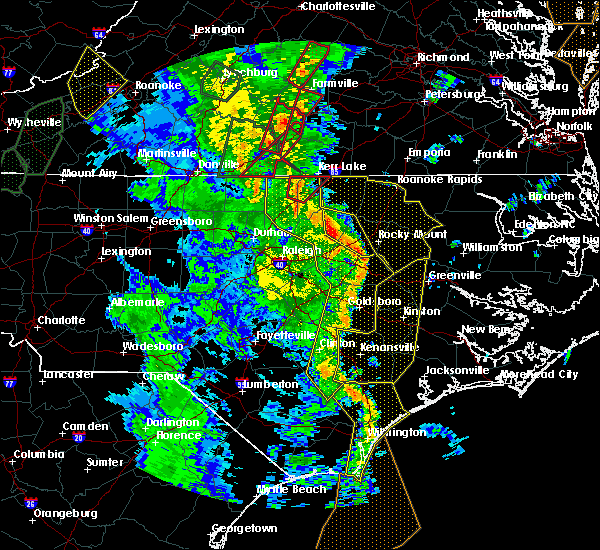 At 559 pm edt, a line of severe thunderstorms was moving through the area, located from henderson to louisburg to rocky mount, moving northeast at 50 mph (radar indicated). Hazards include 70 mph wind gusts. Expect considerable tree damage. Damage is likely to mobile homes, roofs, and outbuildings. At 559 pm edt, a line of severe thunderstorms was moving through the area, located from henderson to louisburg to rocky mount, moving northeast at 50 mph (radar indicated). Hazards include 70 mph wind gusts. Expect considerable tree damage. Damage is likely to mobile homes, roofs, and outbuildings.
|
| 4/19/2019 5:47 PM EDT |
 At 547 pm edt, severe thunderstorms were located along a line extending from near oxford to near zebulon to 6 miles southwest of walnut creek to near wallace, moving east at 55 mph (radar indicated). Hazards include 60 mph wind gusts and penny size hail. Expect damage to roofs, siding, and trees. locations impacted include, goldsboro, henderson, clinton, oxford, nashville, creedmoor, louisburg, wilson, butner and mount olive. a tornado watch remains in effect until 800 pm edt for central north carolina. A tornado watch also remains in effect until midnight edt for central north carolina. At 547 pm edt, severe thunderstorms were located along a line extending from near oxford to near zebulon to 6 miles southwest of walnut creek to near wallace, moving east at 55 mph (radar indicated). Hazards include 60 mph wind gusts and penny size hail. Expect damage to roofs, siding, and trees. locations impacted include, goldsboro, henderson, clinton, oxford, nashville, creedmoor, louisburg, wilson, butner and mount olive. a tornado watch remains in effect until 800 pm edt for central north carolina. A tornado watch also remains in effect until midnight edt for central north carolina.
|
| 4/19/2019 5:27 PM EDT |
 At 526 pm edt, severe thunderstorms were located along a line extending from 7 miles south of virgilina to near wake forest to 10 miles northwest of mount olive to 9 miles northwest of harrells, moving east at 55 mph (radar indicated). Hazards include 60 mph wind gusts and penny size hail. expect damage to roofs, siding, and trees At 526 pm edt, severe thunderstorms were located along a line extending from 7 miles south of virgilina to near wake forest to 10 miles northwest of mount olive to 9 miles northwest of harrells, moving east at 55 mph (radar indicated). Hazards include 60 mph wind gusts and penny size hail. expect damage to roofs, siding, and trees
|
| 4/15/2019 2:11 AM EDT |
 The severe thunderstorm warning for northeastern wake and franklin counties will expire at 215 am edt, the storm which prompted the warning has moved out of the area. therefore the warning will be allowed to expire. severe thunderstorm warning 27 is still in effect. a tornado watch remains in effect until 500 am edt for central north carolina. a tornado watch also remains in effect until 700 am edt for central north carolina. The severe thunderstorm warning for northeastern wake and franklin counties will expire at 215 am edt, the storm which prompted the warning has moved out of the area. therefore the warning will be allowed to expire. severe thunderstorm warning 27 is still in effect. a tornado watch remains in effect until 500 am edt for central north carolina. a tornado watch also remains in effect until 700 am edt for central north carolina.
|
| 4/15/2019 1:53 AM EDT |
 At 153 am edt, a severe thunderstorm was located 10 miles south of littleton, or 15 miles southeast of warrenton, moving northeast at 55 mph (radar indicated). Hazards include 60 mph wind gusts. Expect damage to roofs, siding, and trees. locations impacted include, louisburg, bunn, centerville and ingleside. a tornado watch remains in effect until 500 am edt for central north carolina. A tornado watch also remains in effect until 700 am edt for central north carolina. At 153 am edt, a severe thunderstorm was located 10 miles south of littleton, or 15 miles southeast of warrenton, moving northeast at 55 mph (radar indicated). Hazards include 60 mph wind gusts. Expect damage to roofs, siding, and trees. locations impacted include, louisburg, bunn, centerville and ingleside. a tornado watch remains in effect until 500 am edt for central north carolina. A tornado watch also remains in effect until 700 am edt for central north carolina.
|
| 4/15/2019 1:24 AM EDT |
 At 124 am edt, a severe thunderstorm was located over louisburg, moving northeast at 55 mph (radar indicated). Hazards include 60 mph wind gusts. expect damage to roofs, siding, and trees At 124 am edt, a severe thunderstorm was located over louisburg, moving northeast at 55 mph (radar indicated). Hazards include 60 mph wind gusts. expect damage to roofs, siding, and trees
|
| 4/8/2019 6:11 PM EDT |
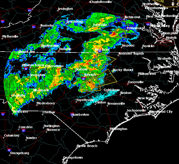 At 611 pm edt, a severe thunderstorm was located near louisburg, moving northeast at 40 mph (radar indicated). Hazards include 60 mph wind gusts. expect damage to roofs, siding, and trees At 611 pm edt, a severe thunderstorm was located near louisburg, moving northeast at 40 mph (radar indicated). Hazards include 60 mph wind gusts. expect damage to roofs, siding, and trees
|
| 10/11/2018 6:41 PM EDT |
 The severe thunderstorm warning for warren, nash, edgecombe, halifax and central franklin counties will expire at 645 pm edt, the gusty winds which prompted the warning have begun to subside. therefore the warning will be allowed to expire. however, gusty winds are still going to cause an issue across the area as tropical storm michael pushes northeast into virginia. The severe thunderstorm warning for warren, nash, edgecombe, halifax and central franklin counties will expire at 645 pm edt, the gusty winds which prompted the warning have begun to subside. therefore the warning will be allowed to expire. however, gusty winds are still going to cause an issue across the area as tropical storm michael pushes northeast into virginia.
|
| 10/11/2018 5:22 PM EDT |
 At 520 pm edt, a line of damaging winds mixing south along the western side of michael were located along a line extending from 6 miles southeast of hitesburg through creedmoor to near fuquay- varina, moving east at 25 mph. this line of wind gusts have produced extensive wind damage, and the high wind gusts could last for up to 30 minutes. an isolated spin up tornado is also not out of the question (radar indicated). Hazards include 60 mph wind gusts. expect damage to roofs, siding, and trees At 520 pm edt, a line of damaging winds mixing south along the western side of michael were located along a line extending from 6 miles southeast of hitesburg through creedmoor to near fuquay- varina, moving east at 25 mph. this line of wind gusts have produced extensive wind damage, and the high wind gusts could last for up to 30 minutes. an isolated spin up tornado is also not out of the question (radar indicated). Hazards include 60 mph wind gusts. expect damage to roofs, siding, and trees
|
| 9/14/2018 3:26 AM EDT |
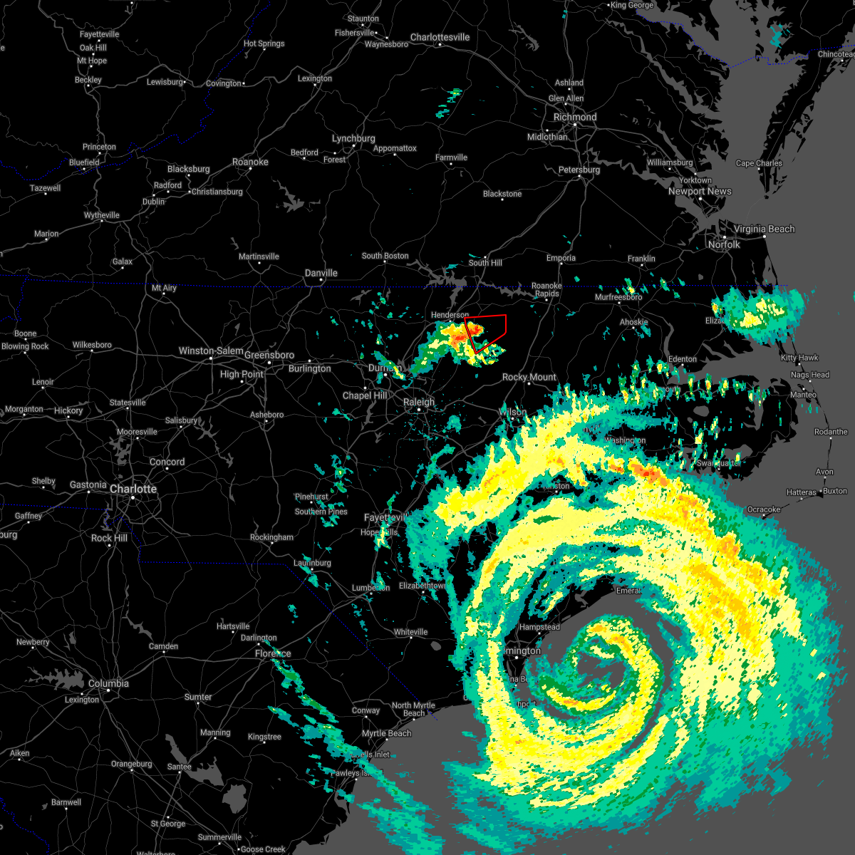 The tornado warning for southern warren and northeastern franklin counties will expire at 330 am edt, the storm which prompted the warning has weakened below severe limits, and no longer appears capable of producing a tornado. therefore the warning will be allowed to expire. The tornado warning for southern warren and northeastern franklin counties will expire at 330 am edt, the storm which prompted the warning has weakened below severe limits, and no longer appears capable of producing a tornado. therefore the warning will be allowed to expire.
|
| 9/14/2018 3:21 AM EDT |
 At 320 am edt, a severe thunderstorm capable of producing a tornado was located 10 miles south of warrenton, moving west at 45 mph (radar indicated rotation). Hazards include tornado. Flying debris will be dangerous to those caught without shelter. mobile homes will be damaged or destroyed. damage to roofs, windows, and vehicles will occur. tree damage is likely. Locations impacted include, centerville, afton and arcola. At 320 am edt, a severe thunderstorm capable of producing a tornado was located 10 miles south of warrenton, moving west at 45 mph (radar indicated rotation). Hazards include tornado. Flying debris will be dangerous to those caught without shelter. mobile homes will be damaged or destroyed. damage to roofs, windows, and vehicles will occur. tree damage is likely. Locations impacted include, centerville, afton and arcola.
|
| 9/14/2018 3:02 AM EDT |
 At 301 am edt, a severe thunderstorm capable of producing a tornado was located 8 miles south of littleton, or 14 miles southeast of warrenton, moving west at 45 mph (radar indicated rotation). Hazards include tornado. Flying debris will be dangerous to those caught without shelter. mobile homes will be damaged or destroyed. damage to roofs, windows, and vehicles will occur. Tree damage is likely. At 301 am edt, a severe thunderstorm capable of producing a tornado was located 8 miles south of littleton, or 14 miles southeast of warrenton, moving west at 45 mph (radar indicated rotation). Hazards include tornado. Flying debris will be dangerous to those caught without shelter. mobile homes will be damaged or destroyed. damage to roofs, windows, and vehicles will occur. Tree damage is likely.
|
| 8/7/2018 9:32 PM EDT |
 At 931 pm edt, a severe thunderstorm was located 8 miles northwest of louisburg, or 9 miles southeast of henderson, moving east at 45 mph (radar indicated). Hazards include 60 mph wind gusts. expect damage to trees At 931 pm edt, a severe thunderstorm was located 8 miles northwest of louisburg, or 9 miles southeast of henderson, moving east at 45 mph (radar indicated). Hazards include 60 mph wind gusts. expect damage to trees
|
| 7/23/2018 2:19 AM EDT |
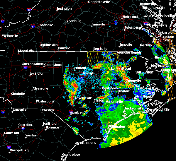 At 218 am edt, a severe thunderstorm was located near louisburg, moving northwest at 35 mph (radar indicated). Hazards include 60 mph wind gusts. Expect damage to roofs, siding, and trees. Locations impacted include, henderson, louisburg, warrenton, norlina, littleton, kittrell, middleburg, macon, centerville and gillburg. At 218 am edt, a severe thunderstorm was located near louisburg, moving northwest at 35 mph (radar indicated). Hazards include 60 mph wind gusts. Expect damage to roofs, siding, and trees. Locations impacted include, henderson, louisburg, warrenton, norlina, littleton, kittrell, middleburg, macon, centerville and gillburg.
|
| 7/23/2018 1:56 AM EDT |
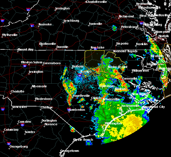 At 155 am edt, a severe thunderstorm was located near bunn, or 10 miles west of nashville, moving north at 40 mph (radar indicated). Hazards include 60 mph wind gusts. expect damage to roofs, siding, and trees At 155 am edt, a severe thunderstorm was located near bunn, or 10 miles west of nashville, moving north at 40 mph (radar indicated). Hazards include 60 mph wind gusts. expect damage to roofs, siding, and trees
|
| 5/22/2018 3:42 PM EDT |
 At 342 pm edt, a severe thunderstorm was located 8 miles southeast of warrenton, moving northeast at 30 mph (radar indicated). Hazards include 60 mph wind gusts and quarter size hail. Hail damage to vehicles is expected. Expect wind damage to roofs, siding, and trees. At 342 pm edt, a severe thunderstorm was located 8 miles southeast of warrenton, moving northeast at 30 mph (radar indicated). Hazards include 60 mph wind gusts and quarter size hail. Hail damage to vehicles is expected. Expect wind damage to roofs, siding, and trees.
|
| 5/21/2018 6:04 PM EDT |
 At 603 pm edt, severe thunderstorms were located along a line extending from near butner to near kittrell to 12 miles northwest of nashville, moving northeast at 10 mph (radar indicated). Hazards include 60 mph wind gusts and quarter size hail. Hail damage to vehicles is expected. Expect wind damage to roofs, siding, and trees. At 603 pm edt, severe thunderstorms were located along a line extending from near butner to near kittrell to 12 miles northwest of nashville, moving northeast at 10 mph (radar indicated). Hazards include 60 mph wind gusts and quarter size hail. Hail damage to vehicles is expected. Expect wind damage to roofs, siding, and trees.
|
| 5/21/2018 5:56 PM EDT |
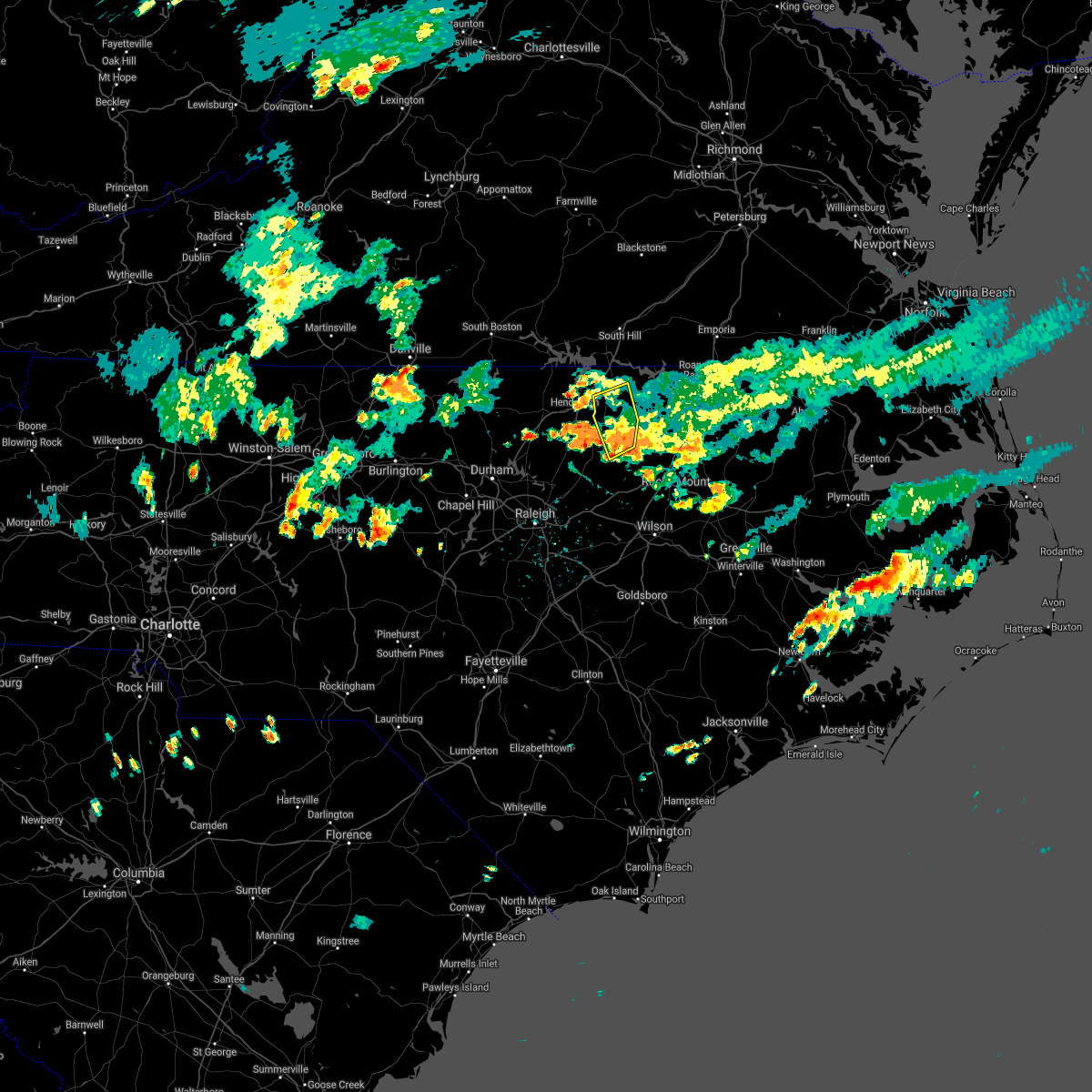 The severe thunderstorm warning for southwestern warren and northeastern franklin counties will expire at 600 pm edt. the storm which prompted the warning has weakened below severe limits, and has exited the warned area. therefore, the warning will be allowed to expire. However heavy rain is still possible with this thunderstorm. The severe thunderstorm warning for southwestern warren and northeastern franklin counties will expire at 600 pm edt. the storm which prompted the warning has weakened below severe limits, and has exited the warned area. therefore, the warning will be allowed to expire. However heavy rain is still possible with this thunderstorm.
|
| 5/21/2018 5:24 PM EDT |
 At 524 pm edt, a severe thunderstorm was located 10 miles south of warrenton, moving west at 5 mph (radar indicated). Hazards include 60 mph wind gusts and nickel size hail. Expect damage to roofs, siding, and trees. Locations impacted include, warrenton, macon, centerville and afton. At 524 pm edt, a severe thunderstorm was located 10 miles south of warrenton, moving west at 5 mph (radar indicated). Hazards include 60 mph wind gusts and nickel size hail. Expect damage to roofs, siding, and trees. Locations impacted include, warrenton, macon, centerville and afton.
|
| 5/21/2018 5:07 PM EDT |
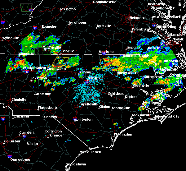 At 506 pm edt, a severe thunderstorm was located 10 miles southeast of warrenton, moving west at 5 mph (radar indicated). Hazards include 60 mph wind gusts and nickel size hail. expect damage to roofs, siding, and trees At 506 pm edt, a severe thunderstorm was located 10 miles southeast of warrenton, moving west at 5 mph (radar indicated). Hazards include 60 mph wind gusts and nickel size hail. expect damage to roofs, siding, and trees
|
| 5/10/2018 6:55 PM EDT |
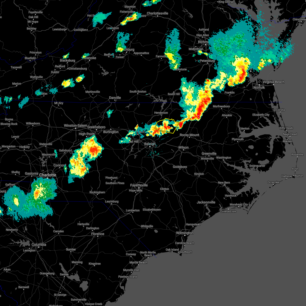 The severe thunderstorm warning for southern vance and franklin counties will expire at 700 pm edt, the storm which prompted the warning has weakened below severe limits, and no longer poses an immediate threat to life or property. therefore the warning will be allowed to expire. however gusty winds and heavy rain are still possible with this thunderstorm. a severe thunderstorm watch remains in effect until 1000 pm edt for central north carolina. The severe thunderstorm warning for southern vance and franklin counties will expire at 700 pm edt, the storm which prompted the warning has weakened below severe limits, and no longer poses an immediate threat to life or property. therefore the warning will be allowed to expire. however gusty winds and heavy rain are still possible with this thunderstorm. a severe thunderstorm watch remains in effect until 1000 pm edt for central north carolina.
|
| 5/10/2018 6:28 PM EDT |
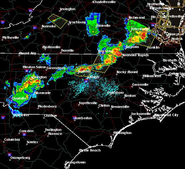 At 628 pm edt, a severe thunderstorm was located near louisburg, moving east at 30 mph (radar indicated). Hazards include 60 mph wind gusts and quarter size hail. Hail damage to vehicles is expected. expect wind damage to roofs, siding, and trees. Locations impacted include, louisburg, franklinton, kittrell, centerville and ingleside. At 628 pm edt, a severe thunderstorm was located near louisburg, moving east at 30 mph (radar indicated). Hazards include 60 mph wind gusts and quarter size hail. Hail damage to vehicles is expected. expect wind damage to roofs, siding, and trees. Locations impacted include, louisburg, franklinton, kittrell, centerville and ingleside.
|
| 5/10/2018 6:16 PM EDT |
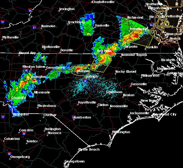 At 615 pm edt, a severe thunderstorm was located near franklinton, or near louisburg, moving east at 30 mph (radar indicated). Hazards include 60 mph wind gusts and quarter size hail. Hail damage to vehicles is expected. Expect wind damage to roofs, siding, and trees. At 615 pm edt, a severe thunderstorm was located near franklinton, or near louisburg, moving east at 30 mph (radar indicated). Hazards include 60 mph wind gusts and quarter size hail. Hail damage to vehicles is expected. Expect wind damage to roofs, siding, and trees.
|
| 4/15/2018 11:23 PM EDT |
 The national weather service in raleigh has issued a * severe thunderstorm warning for. northeastern nash county in central north carolina. warren county in central north carolina. northwestern edgecombe county in central north carolina. Halifax county in central north carolina. The national weather service in raleigh has issued a * severe thunderstorm warning for. northeastern nash county in central north carolina. warren county in central north carolina. northwestern edgecombe county in central north carolina. Halifax county in central north carolina.
|
| 4/15/2018 10:50 PM EDT |
 At 1048 pm edt, a line of severe thunderstorms stretched from near kerr lake to henderson to wake forest with individual cells moving north at 75 mph as the line moved east at around 20 mph (radar indicated). Hazards include 60 mph wind gusts. Expect damage to roofs, siding, and trees. locations impacted include, raleigh, henderson, louisburg, warrenton, wake forest, zebulon, franklinton, norlina, bailey and kittrell. a tornado watch remains in effect until 1100 pm edt for central north carolina. A tornado watch also remains in effect until 300 am edt for central north carolina. At 1048 pm edt, a line of severe thunderstorms stretched from near kerr lake to henderson to wake forest with individual cells moving north at 75 mph as the line moved east at around 20 mph (radar indicated). Hazards include 60 mph wind gusts. Expect damage to roofs, siding, and trees. locations impacted include, raleigh, henderson, louisburg, warrenton, wake forest, zebulon, franklinton, norlina, bailey and kittrell. a tornado watch remains in effect until 1100 pm edt for central north carolina. A tornado watch also remains in effect until 300 am edt for central north carolina.
|
| 4/15/2018 10:22 PM EDT |
 At 1021 pm edt, a line of severe thunderstorms stretched from near kerr lake to oxford to raleigh, with indivdual thunderstorm cells moving northeast at 80 mph (radar indicated). Hazards include 60 mph wind gusts. expect damage to roofs, siding, and trees At 1021 pm edt, a line of severe thunderstorms stretched from near kerr lake to oxford to raleigh, with indivdual thunderstorm cells moving northeast at 80 mph (radar indicated). Hazards include 60 mph wind gusts. expect damage to roofs, siding, and trees
|
| 4/15/2018 9:50 PM EDT |
 At 948 pm edt, a line of severe thunderstorms stretched from near rdu international airport to creedmoor to kerr lake, with individual storms moving north at 50 mph as the line shifts east (radar indicated). Hazards include 60 mph wind gusts. expect damage to roofs, siding, and trees At 948 pm edt, a line of severe thunderstorms stretched from near rdu international airport to creedmoor to kerr lake, with individual storms moving north at 50 mph as the line shifts east (radar indicated). Hazards include 60 mph wind gusts. expect damage to roofs, siding, and trees
|
| 3/18/2018 12:10 AM EDT |
 At 1209 am edt, severe thunderstorms were located along a line extending from 7 miles east of henderson to near louisburg to near bunn, moving east at 50 mph (radar indicated). Hazards include 60 mph wind gusts and quarter size hail. Hail damage to vehicles is expected. Expect wind damage to roofs, siding, and trees. At 1209 am edt, severe thunderstorms were located along a line extending from 7 miles east of henderson to near louisburg to near bunn, moving east at 50 mph (radar indicated). Hazards include 60 mph wind gusts and quarter size hail. Hail damage to vehicles is expected. Expect wind damage to roofs, siding, and trees.
|
| 7/23/2017 7:07 PM EDT |
 At 706 pm edt, severe thunderstorms were located along a line extending from bunn to 7 miles northeast of dortches to 7 miles west of rich square, moving northeast at 15 mph (radar indicated). Hazards include 60 mph wind gusts and penny size hail. Expect damage to roofs, siding, and trees. Locations impacted include, rocky mount, nashville, louisburg, halifax, zebulon, scotland neck, franklinton, dortches, bunn and rolesville. At 706 pm edt, severe thunderstorms were located along a line extending from bunn to 7 miles northeast of dortches to 7 miles west of rich square, moving northeast at 15 mph (radar indicated). Hazards include 60 mph wind gusts and penny size hail. Expect damage to roofs, siding, and trees. Locations impacted include, rocky mount, nashville, louisburg, halifax, zebulon, scotland neck, franklinton, dortches, bunn and rolesville.
|
| 7/23/2017 6:38 PM EDT |
 At 638 pm edt, severe thunderstorms were located along a line extending from 7 miles east of wake forest to dortches to 6 miles north of scotland neck, moving east at 20 mph (radar indicated). Hazards include 60 mph wind gusts and penny size hail. Expect damage to roofs, siding, and trees. Locations impacted include, raleigh, rocky mount, roanoke rapids, nashville, louisburg, halifax, wake forest, zebulon, scotland neck and franklinton. At 638 pm edt, severe thunderstorms were located along a line extending from 7 miles east of wake forest to dortches to 6 miles north of scotland neck, moving east at 20 mph (radar indicated). Hazards include 60 mph wind gusts and penny size hail. Expect damage to roofs, siding, and trees. Locations impacted include, raleigh, rocky mount, roanoke rapids, nashville, louisburg, halifax, wake forest, zebulon, scotland neck and franklinton.
|
| 7/23/2017 6:11 PM EDT |
 At 610 pm edt, severe thunderstorms were located along a line extending from near bunn to 9 miles southeast of louisburg, moving northeast at 15 mph (radar indicated). Hazards include 60 mph wind gusts and quarter size hail. Hail damage to vehicles is expected. Expect wind damage to roofs, siding, and trees. At 610 pm edt, severe thunderstorms were located along a line extending from near bunn to 9 miles southeast of louisburg, moving northeast at 15 mph (radar indicated). Hazards include 60 mph wind gusts and quarter size hail. Hail damage to vehicles is expected. Expect wind damage to roofs, siding, and trees.
|
| 5/11/2017 8:09 PM EDT |
 At 808 pm edt, a severe thunderstorm was located 7 miles northeast of louisburg, moving southeast at 30 mph (radar indicated). Hazards include 60 mph wind gusts and penny size hail. Expect damage to roofs, siding, and trees. Locations impacted include, louisburg, centerville and ingleside. At 808 pm edt, a severe thunderstorm was located 7 miles northeast of louisburg, moving southeast at 30 mph (radar indicated). Hazards include 60 mph wind gusts and penny size hail. Expect damage to roofs, siding, and trees. Locations impacted include, louisburg, centerville and ingleside.
|
| 5/11/2017 8:00 PM EDT |
 At 800 pm edt, a severe thunderstorm was located 9 miles north of louisburg, moving southeast at 30 mph (radar indicated). Hazards include 60 mph wind gusts and quarter size hail. Hail damage to vehicles is expected. expect wind damage to roofs, siding, and trees. Locations impacted include, louisburg, centerville, afton, arcola and ingleside. At 800 pm edt, a severe thunderstorm was located 9 miles north of louisburg, moving southeast at 30 mph (radar indicated). Hazards include 60 mph wind gusts and quarter size hail. Hail damage to vehicles is expected. expect wind damage to roofs, siding, and trees. Locations impacted include, louisburg, centerville, afton, arcola and ingleside.
|
| 5/11/2017 7:44 PM EDT |
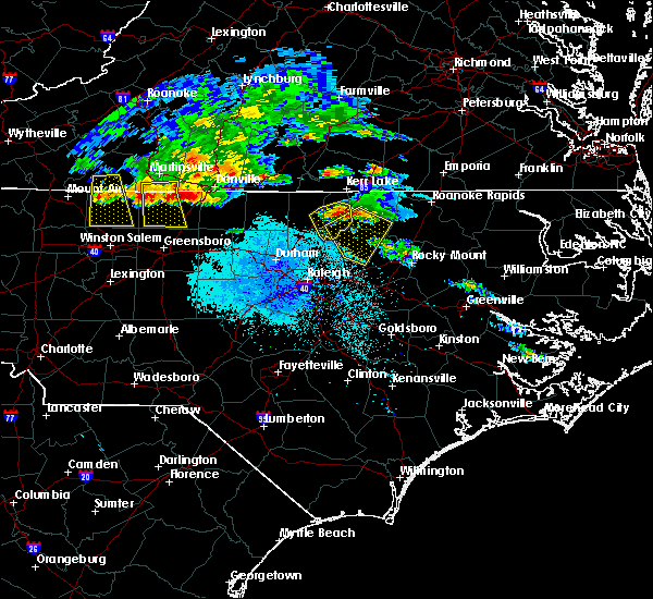 At 744 pm edt, a severe thunderstorm was located over henderson, moving southeast at 30 mph (radar indicated). Hazards include 60 mph wind gusts and quarter size hail. Hail damage to vehicles is expected. Expect wind damage to roofs, siding, and trees. At 744 pm edt, a severe thunderstorm was located over henderson, moving southeast at 30 mph (radar indicated). Hazards include 60 mph wind gusts and quarter size hail. Hail damage to vehicles is expected. Expect wind damage to roofs, siding, and trees.
|
| 5/5/2017 6:36 AM EDT |
 The severe thunderstorm warning for central nash and northeastern franklin counties will expire at 645 am edt, the storm which prompted the warning has moved out of the area. therefore the warning will be allowed to expire. a tornado watch remains in effect until 900 am edt for central north carolina. The severe thunderstorm warning for central nash and northeastern franklin counties will expire at 645 am edt, the storm which prompted the warning has moved out of the area. therefore the warning will be allowed to expire. a tornado watch remains in effect until 900 am edt for central north carolina.
|
| 5/5/2017 6:14 AM EDT |
 At 613 am edt, a severe thunderstorm was located 13 miles east of louisburg, moving northeast at 60 mph (radar indicated). Hazards include 60 mph wind gusts. Expect damage to roofs, siding, and trees. locations impacted include, rocky mount, nashville, dortches, red oak, sharpsburg, castalia, centerville, aventon and tar river reservoir. A tornado watch remains in effect until 900 am edt for central north carolina. At 613 am edt, a severe thunderstorm was located 13 miles east of louisburg, moving northeast at 60 mph (radar indicated). Hazards include 60 mph wind gusts. Expect damage to roofs, siding, and trees. locations impacted include, rocky mount, nashville, dortches, red oak, sharpsburg, castalia, centerville, aventon and tar river reservoir. A tornado watch remains in effect until 900 am edt for central north carolina.
|
| 5/5/2017 5:53 AM EDT |
 At 553 am edt, a severe thunderstorm was located near zebulon, or 16 miles southwest of nashville, moving northeast at 45 mph (radar indicated). Hazards include 60 mph wind gusts. expect damage to roofs, siding, and trees At 553 am edt, a severe thunderstorm was located near zebulon, or 16 miles southwest of nashville, moving northeast at 45 mph (radar indicated). Hazards include 60 mph wind gusts. expect damage to roofs, siding, and trees
|
| 7/19/2016 8:49 PM EDT |
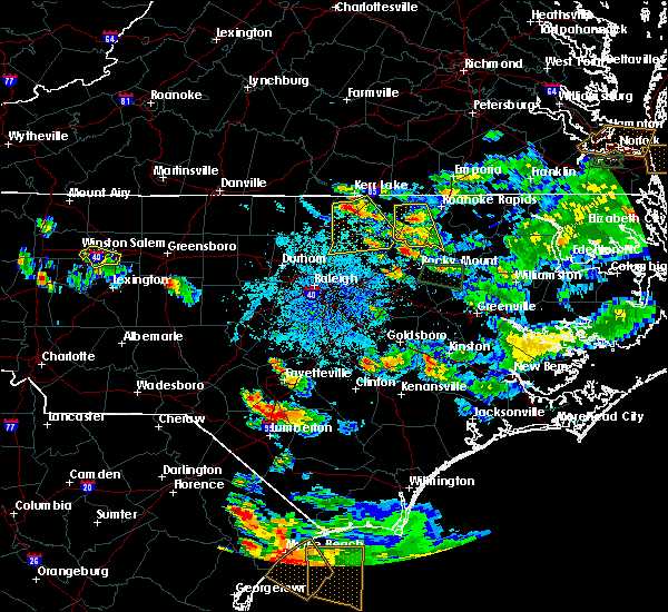 At 848 pm edt, a severe thunderstorm was located near middleburg, moving southeast at 25 mph (radar indicated). Hazards include 60 mph wind gusts. Expect damage to roofs. siding. And trees. At 848 pm edt, a severe thunderstorm was located near middleburg, moving southeast at 25 mph (radar indicated). Hazards include 60 mph wind gusts. Expect damage to roofs. siding. And trees.
|
| 7/16/2016 8:58 PM EDT | The severe thunderstorm warning for southern warren and franklin counties will expire at 900 pm edt, the storms which prompted the warning have weakened below severe limits, and no longer pose an immediate threat to life or property. therefore the warning will be allowed to expire. however heavy rain is still possible with these thunderstorms. to report severe weather, contact your nearest law enforcement agency. they will relay your report to the national weather service raleigh. |
| 7/16/2016 8:46 PM EDT |
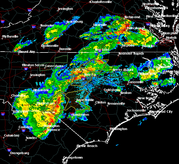 At 846 pm edt, severe thunderstorms were located along a line extending from near wake forest to 12 miles northeast of louisburg to 7 miles south of warrenton, moving east at 20 mph (radar indicated). Hazards include 60 mph wind gusts. Expect damage to roofs. siding. and trees. Locations impacted include, louisburg, franklinton, youngsville, centerville, ingleside and arcola. At 846 pm edt, severe thunderstorms were located along a line extending from near wake forest to 12 miles northeast of louisburg to 7 miles south of warrenton, moving east at 20 mph (radar indicated). Hazards include 60 mph wind gusts. Expect damage to roofs. siding. and trees. Locations impacted include, louisburg, franklinton, youngsville, centerville, ingleside and arcola.
|
| 7/16/2016 8:20 PM EDT |
 At 820 pm edt, severe thunderstorms were located along a line extending from near louisburg to 10 miles east of kittrell to 6 miles east of henderson, moving east at 25 mph (radar indicated). Hazards include 60 mph wind gusts. Expect damage to roofs. siding. and trees. Locations impacted include, henderson, creedmoor, louisburg, butner, franklinton, kittrell, youngsville, centerville, south henderson and gillburg. At 820 pm edt, severe thunderstorms were located along a line extending from near louisburg to 10 miles east of kittrell to 6 miles east of henderson, moving east at 25 mph (radar indicated). Hazards include 60 mph wind gusts. Expect damage to roofs. siding. and trees. Locations impacted include, henderson, creedmoor, louisburg, butner, franklinton, kittrell, youngsville, centerville, south henderson and gillburg.
|
| 7/16/2016 7:55 PM EDT |
 At 755 pm edt, severe thunderstorms were located along a line extending from creedmoor to near louisburg, moving northeast at 20 mph (radar indicated). Hazards include 60 mph wind gusts and penny size hail. Expect damage to roofs. siding. And trees. At 755 pm edt, severe thunderstorms were located along a line extending from creedmoor to near louisburg, moving northeast at 20 mph (radar indicated). Hazards include 60 mph wind gusts and penny size hail. Expect damage to roofs. siding. And trees.
|
| 7/15/2016 5:34 PM EDT |
 At 534 pm edt, severe thunderstorms were located along a line extending from 6 miles north of zebulon to 9 miles north of nashville, moving east at 5 mph (radar indicated). Hazards include 60 mph wind gusts. Expect damage to roofs. siding. and trees. Locations impacted include, rocky mount, nashville, louisburg, zebulon, dortches, bunn, red oak, spring hope, whitakers and castalia. At 534 pm edt, severe thunderstorms were located along a line extending from 6 miles north of zebulon to 9 miles north of nashville, moving east at 5 mph (radar indicated). Hazards include 60 mph wind gusts. Expect damage to roofs. siding. and trees. Locations impacted include, rocky mount, nashville, louisburg, zebulon, dortches, bunn, red oak, spring hope, whitakers and castalia.
|
| 7/15/2016 5:08 PM EDT |
 At 507 pm edt, a severe thunderstorm was located near bunn, or 11 miles south of louisburg, moving northeast at 15 mph (radar indicated). Hazards include 60 mph wind gusts and penny size hail. Expect damage to roofs. siding. And trees. At 507 pm edt, a severe thunderstorm was located near bunn, or 11 miles south of louisburg, moving northeast at 15 mph (radar indicated). Hazards include 60 mph wind gusts and penny size hail. Expect damage to roofs. siding. And trees.
|
| 7/8/2016 7:52 PM EDT |
 At 751 pm edt, severe thunderstorms were located along a line extending from near littleton to 8 miles northeast of bunn to near durham, moving southeast at 50 mph (radar indicated). Hazards include 60 mph wind gusts and penny size hail. Expect damage to roofs. siding. and trees. locations impacted include, raleigh, durham, cary, rocky mount, chapel hill, roanoke rapids, nashville, creedmoor, louisburg and warrenton. A severe thunderstorm watch remains in effect until midnight edt for central north carolina. At 751 pm edt, severe thunderstorms were located along a line extending from near littleton to 8 miles northeast of bunn to near durham, moving southeast at 50 mph (radar indicated). Hazards include 60 mph wind gusts and penny size hail. Expect damage to roofs. siding. and trees. locations impacted include, raleigh, durham, cary, rocky mount, chapel hill, roanoke rapids, nashville, creedmoor, louisburg and warrenton. A severe thunderstorm watch remains in effect until midnight edt for central north carolina.
|
| 7/8/2016 7:31 PM EDT |
 At 730 pm edt, severe thunderstorms were located along a line extending from near norlina to near kittrell to 6 miles south of rougemont, moving southeast at 50 mph (radar indicated). Hazards include 60 mph wind gusts and penny size hail. Expect damage to roofs. siding. and trees. locations impacted include, raleigh, durham, cary, rocky mount, chapel hill, roanoke rapids, henderson, nashville, creedmoor and louisburg. A severe thunderstorm watch remains in effect until midnight edt for central north carolina. At 730 pm edt, severe thunderstorms were located along a line extending from near norlina to near kittrell to 6 miles south of rougemont, moving southeast at 50 mph (radar indicated). Hazards include 60 mph wind gusts and penny size hail. Expect damage to roofs. siding. and trees. locations impacted include, raleigh, durham, cary, rocky mount, chapel hill, roanoke rapids, henderson, nashville, creedmoor and louisburg. A severe thunderstorm watch remains in effect until midnight edt for central north carolina.
|
| 7/8/2016 7:05 PM EDT |
 At 704 pm edt, severe thunderstorms were located along a line extending from near boydton to 6 miles north of oxford to near rougemont, moving southeast at 50 mph (radar indicated). Hazards include 60 mph wind gusts and penny size hail. Expect damage to roofs. siding. And trees. At 704 pm edt, severe thunderstorms were located along a line extending from near boydton to 6 miles north of oxford to near rougemont, moving southeast at 50 mph (radar indicated). Hazards include 60 mph wind gusts and penny size hail. Expect damage to roofs. siding. And trees.
|
| 7/8/2016 6:08 PM EDT |
 At 608 pm edt, a severe thunderstorm was located 10 miles south of warrenton, moving southeast at 25 mph (radar indicated). Hazards include 60 mph wind gusts and quarter size hail. Hail damage to vehicles is expected. Expect wind damage to roofs, siding, and trees. At 608 pm edt, a severe thunderstorm was located 10 miles south of warrenton, moving southeast at 25 mph (radar indicated). Hazards include 60 mph wind gusts and quarter size hail. Hail damage to vehicles is expected. Expect wind damage to roofs, siding, and trees.
|
| 6/23/2016 8:13 PM EDT |
 At 813 pm edt, severe thunderstorms were located along a line extending from 7 miles south of littleton to 15 miles north of dortches to 11 miles east of louisburg, moving southeast at 40 mph (radar indicated). Hazards include 60 mph wind gusts and quarter size hail. Hail damage to vehicles is expected. expect wind damage to roofs, siding, and trees. locations impacted include, rocky mount, warrenton, halifax, dortches, red oak, enfield, whitakers, castalia, centerville and medoc mountain state park. A severe thunderstorm watch remains in effect until 1100 pm edt for central north carolina. At 813 pm edt, severe thunderstorms were located along a line extending from 7 miles south of littleton to 15 miles north of dortches to 11 miles east of louisburg, moving southeast at 40 mph (radar indicated). Hazards include 60 mph wind gusts and quarter size hail. Hail damage to vehicles is expected. expect wind damage to roofs, siding, and trees. locations impacted include, rocky mount, warrenton, halifax, dortches, red oak, enfield, whitakers, castalia, centerville and medoc mountain state park. A severe thunderstorm watch remains in effect until 1100 pm edt for central north carolina.
|
| 6/23/2016 7:36 PM EDT |
 At 736 pm edt, a severe thunderstorm was located near warrenton, moving southeast at 30 mph (radar indicated). Hazards include ping pong ball size hail and 60 mph wind gusts. People and animals outdoors will be injured. expect hail damage to roofs, siding, windows, and vehicles. Expect wind damage to roofs, siding, and trees. At 736 pm edt, a severe thunderstorm was located near warrenton, moving southeast at 30 mph (radar indicated). Hazards include ping pong ball size hail and 60 mph wind gusts. People and animals outdoors will be injured. expect hail damage to roofs, siding, windows, and vehicles. Expect wind damage to roofs, siding, and trees.
|
| 6/22/2016 10:21 PM EDT |
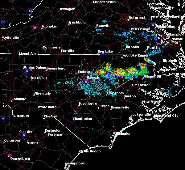 At 1020 pm edt, a severe thunderstorm was located 12 miles southeast of warrenton, moving east at 30 mph (radar indicated). Hazards include ping pong ball size hail and 60 mph wind gusts. People and animals outdoors may be injured. Expect possible hail damage to roofs, siding, windows, and trees. At 1020 pm edt, a severe thunderstorm was located 12 miles southeast of warrenton, moving east at 30 mph (radar indicated). Hazards include ping pong ball size hail and 60 mph wind gusts. People and animals outdoors may be injured. Expect possible hail damage to roofs, siding, windows, and trees.
|
| 6/22/2016 10:17 PM EDT |
 At 1017 pm edt, a severe thunderstorm was located 13 miles northwest of dortches, or 13 miles north of nashville, moving east at 35 mph (radar indicated). Hazards include ping pong ball size hail and 60 mph wind gusts. People and animals outdoors may be injured. expect possible hail damage to roofs, siding, windows, vehicles, roofs, siding, and trees. Locations impacted include, louisburg, bunn and centerville. At 1017 pm edt, a severe thunderstorm was located 13 miles northwest of dortches, or 13 miles north of nashville, moving east at 35 mph (radar indicated). Hazards include ping pong ball size hail and 60 mph wind gusts. People and animals outdoors may be injured. expect possible hail damage to roofs, siding, windows, vehicles, roofs, siding, and trees. Locations impacted include, louisburg, bunn and centerville.
|
| 6/22/2016 9:54 PM EDT |
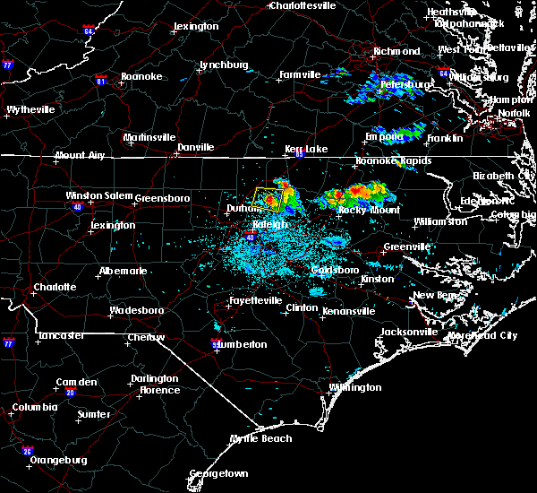 At 953 pm edt, a severe thunderstorm was located 8 miles north of louisburg, moving east at 35 mph (radar indicated). Hazards include 60 mph wind gusts and quarter size hail. Hail damage to vehicles is possible. Winds may damage roofs, siding, and trees. At 953 pm edt, a severe thunderstorm was located 8 miles north of louisburg, moving east at 35 mph (radar indicated). Hazards include 60 mph wind gusts and quarter size hail. Hail damage to vehicles is possible. Winds may damage roofs, siding, and trees.
|
| 6/5/2016 7:59 PM EDT |
 At 759 pm edt, severe thunderstorms were located along a line extending from near kittrell to 12 miles south of warrenton, moving northeast at 50 mph (radar indicated). Hazards include 60 mph wind gusts. Expect damage to roofs. siding. And trees. At 759 pm edt, severe thunderstorms were located along a line extending from near kittrell to 12 miles south of warrenton, moving northeast at 50 mph (radar indicated). Hazards include 60 mph wind gusts. Expect damage to roofs. siding. And trees.
|
| 5/2/2016 5:47 PM EDT |
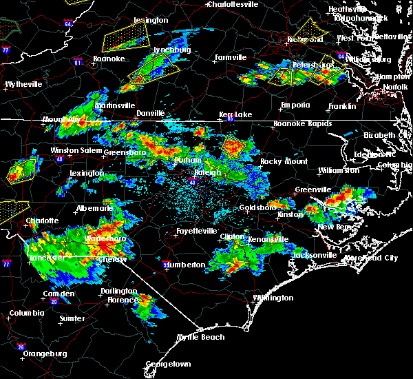 At 547 pm edt, a severe thunderstorm was located 9 miles south of warrenton, moving northeast at 35 mph (radar indicated). Hazards include 60 mph wind gusts and quarter size hail. Hail damage to vehicles is expected. expect wind damage to roofs, siding, and trees. Locations impacted include, centerville, afton and ingleside. At 547 pm edt, a severe thunderstorm was located 9 miles south of warrenton, moving northeast at 35 mph (radar indicated). Hazards include 60 mph wind gusts and quarter size hail. Hail damage to vehicles is expected. expect wind damage to roofs, siding, and trees. Locations impacted include, centerville, afton and ingleside.
|
| 5/2/2016 5:34 PM EDT |
 At 534 pm edt, a severe thunderstorm was located 8 miles northeast of louisburg, moving northeast at 35 mph (radar indicated). Hazards include ping pong ball size hail and 60 mph wind gusts. People and animals outdoors will be injured. expect hail damage to roofs, siding, windows, and vehicles. expect wind damage to roofs, siding, and trees. Locations impacted include, louisburg, centerville, ingleside and afton. At 534 pm edt, a severe thunderstorm was located 8 miles northeast of louisburg, moving northeast at 35 mph (radar indicated). Hazards include ping pong ball size hail and 60 mph wind gusts. People and animals outdoors will be injured. expect hail damage to roofs, siding, windows, and vehicles. expect wind damage to roofs, siding, and trees. Locations impacted include, louisburg, centerville, ingleside and afton.
|
| 5/2/2016 5:16 PM EDT |
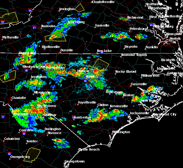 At 515 pm edt, a severe thunderstorm was located over louisburg, moving northeast at 35 mph (radar indicated). Hazards include ping pong ball size hail and 60 mph wind gusts. People and animals outdoors will be injured. expect hail damage to roofs, siding, windows, and vehicles. Expect wind damage to roofs, siding, and trees. At 515 pm edt, a severe thunderstorm was located over louisburg, moving northeast at 35 mph (radar indicated). Hazards include ping pong ball size hail and 60 mph wind gusts. People and animals outdoors will be injured. expect hail damage to roofs, siding, windows, and vehicles. Expect wind damage to roofs, siding, and trees.
|
| 4/28/2016 6:27 PM EDT |
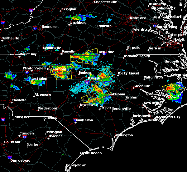 At 626 pm edt, a severe thunderstorm was located over bunn, or 10 miles south of louisburg, moving east at 35 mph (radar indicated). Hazards include 60 mph wind gusts and quarter size hail. Hail damage to vegetation is expected. expect wind damage to house siding, and trees. Locations impacted include, nashville, bunn, spring hope, castalia and centerville. At 626 pm edt, a severe thunderstorm was located over bunn, or 10 miles south of louisburg, moving east at 35 mph (radar indicated). Hazards include 60 mph wind gusts and quarter size hail. Hail damage to vegetation is expected. expect wind damage to house siding, and trees. Locations impacted include, nashville, bunn, spring hope, castalia and centerville.
|
| 4/28/2016 6:13 PM EDT |
 At 612 pm edt, a severe thunderstorm was located 7 miles west of bunn, or 12 miles south of louisburg, moving northeast at 35 mph (radar indicated). Hazards include 60 mph wind gusts and quarter size hail. Hail damage to vegetation is likely. Expect wind damage to house siding, and trees. At 612 pm edt, a severe thunderstorm was located 7 miles west of bunn, or 12 miles south of louisburg, moving northeast at 35 mph (radar indicated). Hazards include 60 mph wind gusts and quarter size hail. Hail damage to vegetation is likely. Expect wind damage to house siding, and trees.
|
| 3/14/2016 10:52 PM EDT |
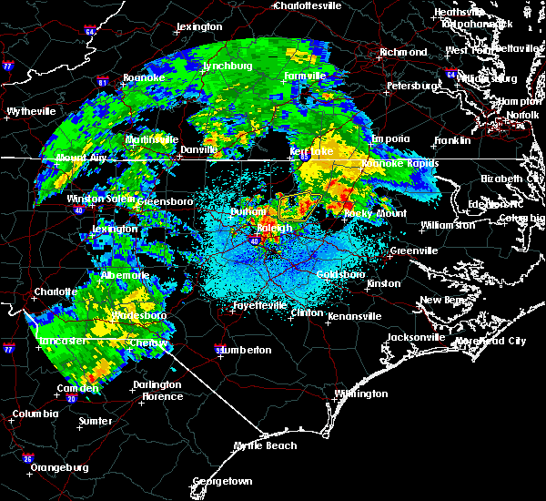 The severe thunderstorm warning for franklin county will expire at 1100 pm edt, the storm which prompted the warning has weakened below severe limits, and no longer poses an immediate threat to life or property. therefore the warning will be allowed to expire. The severe thunderstorm warning for franklin county will expire at 1100 pm edt, the storm which prompted the warning has weakened below severe limits, and no longer poses an immediate threat to life or property. therefore the warning will be allowed to expire.
|
| 3/14/2016 10:36 PM EDT |
 At 1017 pm edt, doppler radar indicated a severe thunderstorm capable of producing quarter size hail and damaging winds in excess of 58 mph. this storm was located near franklinton, or 10 miles west of louisburg, and moving east at 30 mph. At 1017 pm edt, doppler radar indicated a severe thunderstorm capable of producing quarter size hail and damaging winds in excess of 58 mph. this storm was located near franklinton, or 10 miles west of louisburg, and moving east at 30 mph.
|
| 3/14/2016 10:17 PM EDT |
 At 1017 pm edt, doppler radar indicated a severe thunderstorm capable of producing quarter size hail and damaging winds in excess of 58 mph. this storm was located near franklinton, or 10 miles west of louisburg, and moving east at 30 mph. At 1017 pm edt, doppler radar indicated a severe thunderstorm capable of producing quarter size hail and damaging winds in excess of 58 mph. this storm was located near franklinton, or 10 miles west of louisburg, and moving east at 30 mph.
|
| 3/13/2016 10:47 PM EDT |
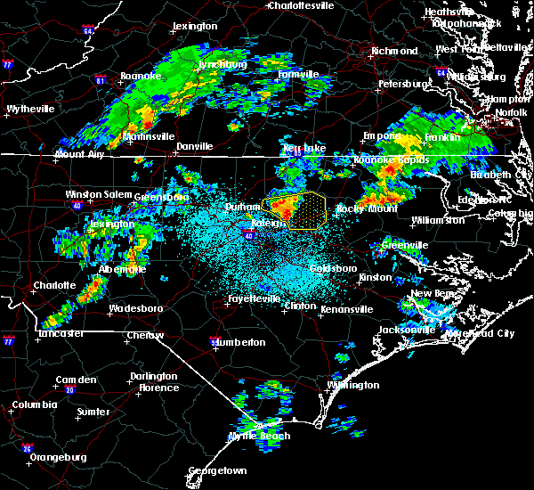 At 1046 pm edt, doppler radar continued to indicate a line of severe thunderstorms capable of producing quarter size hail and damaging winds in excess of 58 mph. these storms were located along a line extending from louisburg to near bunn, moving east at 35 mph. locations impacted include, nashville, louisburg, franklinton, bunn, red oak, spring hope, youngsville, castalia, centerville and pilot. At 1046 pm edt, doppler radar continued to indicate a line of severe thunderstorms capable of producing quarter size hail and damaging winds in excess of 58 mph. these storms were located along a line extending from louisburg to near bunn, moving east at 35 mph. locations impacted include, nashville, louisburg, franklinton, bunn, red oak, spring hope, youngsville, castalia, centerville and pilot.
|
| 3/13/2016 10:29 PM EDT |
 At 1028 pm edt, doppler radar indicated a line of severe thunderstorms capable of producing quarter size hail and damaging winds in excess of 58 mph. these storms were located along a line extending from near franklinton to 6 miles northwest of zebulon, and moving east at 35 mph. At 1028 pm edt, doppler radar indicated a line of severe thunderstorms capable of producing quarter size hail and damaging winds in excess of 58 mph. these storms were located along a line extending from near franklinton to 6 miles northwest of zebulon, and moving east at 35 mph.
|
| 3/13/2016 9:03 PM EDT |
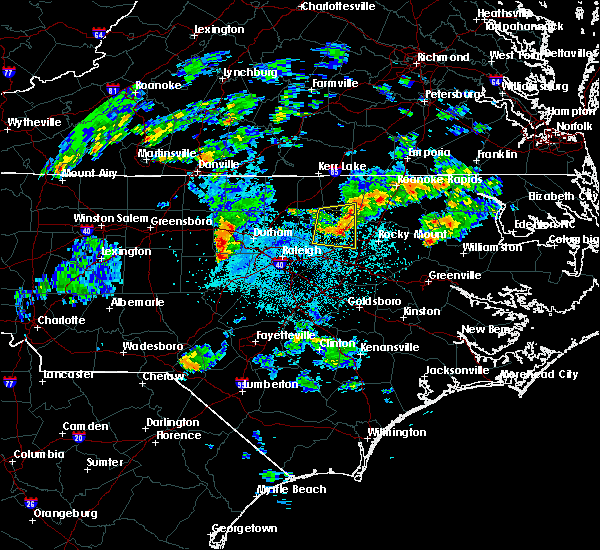 At 903 pm edt, doppler radar continued to indicate a severe thunderstorm capable of producing quarter size hail and damaging winds in excess of 58 mph. this storm was located 7 miles northwest of nashville, moving east at 30 mph. locations impacted include, castalia and centerville. At 903 pm edt, doppler radar continued to indicate a severe thunderstorm capable of producing quarter size hail and damaging winds in excess of 58 mph. this storm was located 7 miles northwest of nashville, moving east at 30 mph. locations impacted include, castalia and centerville.
|
| 3/13/2016 8:32 PM EDT |
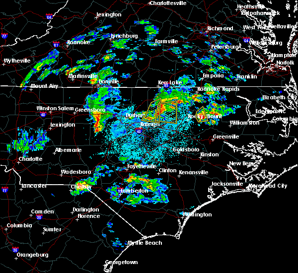 At 832 pm edt, doppler radar indicated a severe thunderstorm capable of producing quarter size hail and damaging winds in excess of 58 mph. this storm was located near louisburg, and moving east at 30 mph. At 832 pm edt, doppler radar indicated a severe thunderstorm capable of producing quarter size hail and damaging winds in excess of 58 mph. this storm was located near louisburg, and moving east at 30 mph.
|
| 2/24/2016 7:03 PM EST |
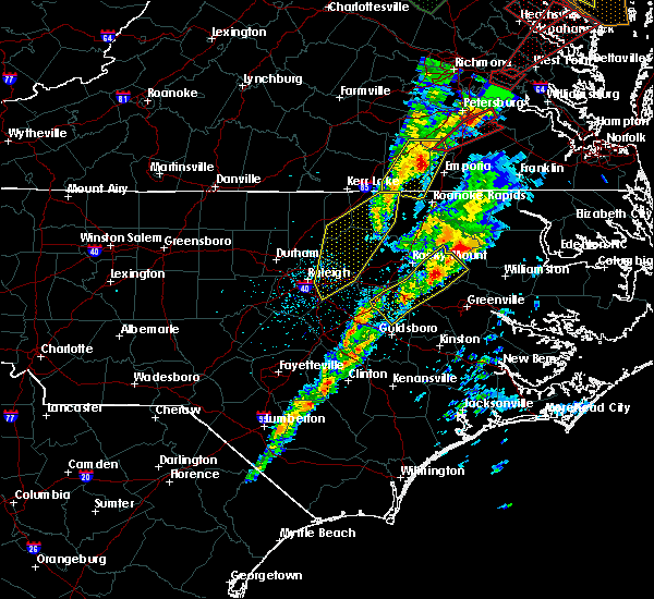 At 701 pm est, doppler radar continued to indicate a severe thunderstorm capable of producing damaging winds in excess of 58 mph. this storm was located near warrenton, moving northeast at 40 mph. locations impacted include, warrenton, lake gaston, arcola, afton. a tornado watch remains in effect until 1100 pm est for central north carolina. At 701 pm est, doppler radar continued to indicate a severe thunderstorm capable of producing damaging winds in excess of 58 mph. this storm was located near warrenton, moving northeast at 40 mph. locations impacted include, warrenton, lake gaston, arcola, afton. a tornado watch remains in effect until 1100 pm est for central north carolina.
|
| 2/24/2016 6:28 PM EST |
 At 626 pm est, doppler radar continued to indicate a line of severe thunderstorms capable of producing damaging winds in excess of 58 mph. the line extended from warrenton to littrell to wake forest, moving northeast at 40 mph. locations impacted include, henderson, louisburg, warrenton, wake forest, zebulon, franklinton, norlina, littleton and kittrell. a tornado watch remains in effect until 700 pm est for central north carolina. At 626 pm est, doppler radar continued to indicate a line of severe thunderstorms capable of producing damaging winds in excess of 58 mph. the line extended from warrenton to littrell to wake forest, moving northeast at 40 mph. locations impacted include, henderson, louisburg, warrenton, wake forest, zebulon, franklinton, norlina, littleton and kittrell. a tornado watch remains in effect until 700 pm est for central north carolina.
|
| 2/24/2016 6:19 PM EST |
 At 618 pm est, doppler radar continued to indicate a severe thunderstorm capable of producing a tornado. this dangerous storm was located 7 miles northeast of louisburg, moving northeast at 60 mph. locations impacted include, warrenton, norlina, littleton, macon, centerville, lake gaston, arcola, southpointe and morningstar marinas, ingleside and afton. At 618 pm est, doppler radar continued to indicate a severe thunderstorm capable of producing a tornado. this dangerous storm was located 7 miles northeast of louisburg, moving northeast at 60 mph. locations impacted include, warrenton, norlina, littleton, macon, centerville, lake gaston, arcola, southpointe and morningstar marinas, ingleside and afton.
|
| 2/24/2016 6:13 PM EST |
 At 611 pm est, doppler radar indicated a line of severe thunderstorms producing damaging winds to 60 mph. these storms were located over raleigh to wake forest to henderson, moving northeast at 40 mph. At 611 pm est, doppler radar indicated a line of severe thunderstorms producing damaging winds to 60 mph. these storms were located over raleigh to wake forest to henderson, moving northeast at 40 mph.
|
| 2/24/2016 6:11 PM EST |
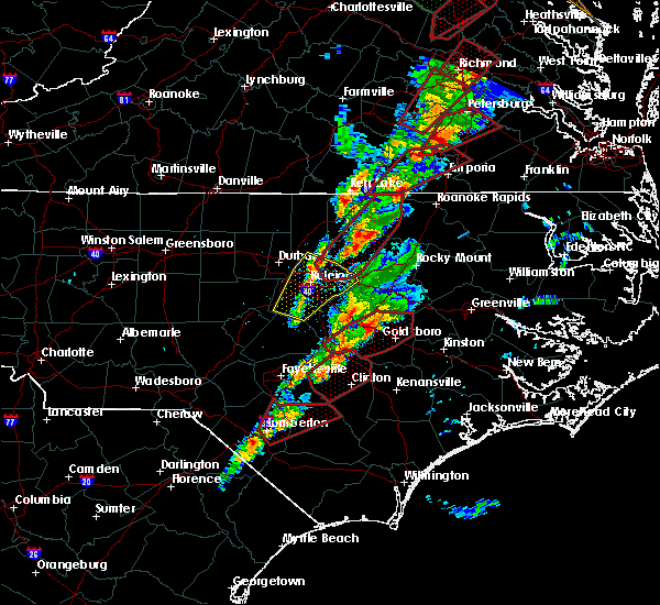 At 606 pm est, doppler radar continued to indicate a pair of supercell thunderstorms centered 2 miles south of louisburg and 2 miles southeast of lake gaston, respectively, both moving northeast at 65 mph. the storms will take similar paths as they race northeast at 65 mph through the warned area. locations impacted include, louisburg, warrenton, franklinton, norlina, littleton, bunn, youngsville, macon, centerville and southpointe and morningstar marinas. At 606 pm est, doppler radar continued to indicate a pair of supercell thunderstorms centered 2 miles south of louisburg and 2 miles southeast of lake gaston, respectively, both moving northeast at 65 mph. the storms will take similar paths as they race northeast at 65 mph through the warned area. locations impacted include, louisburg, warrenton, franklinton, norlina, littleton, bunn, youngsville, macon, centerville and southpointe and morningstar marinas.
|
| 2/24/2016 6:01 PM EST |
 At 558 pm est, doppler radar continued to indicate a pair of discrete supercell thunderstorms 3 miles east of warrenton in warren county, and 4 miles south of louisburg in southern franklin county, moving northeast at 65 mph. the storms will take similar paths as they race northeast at 60 mph through the warned area. locations impacted include, louisburg, warrenton, wake forest, franklinton, norlina, littleton, bunn, rolesville, youngsville and macon. At 558 pm est, doppler radar continued to indicate a pair of discrete supercell thunderstorms 3 miles east of warrenton in warren county, and 4 miles south of louisburg in southern franklin county, moving northeast at 65 mph. the storms will take similar paths as they race northeast at 60 mph through the warned area. locations impacted include, louisburg, warrenton, wake forest, franklinton, norlina, littleton, bunn, rolesville, youngsville and macon.
|
| 2/24/2016 5:51 PM EST |
 At 549 pm est, doppler radar continued to indicate a pair of discrete supercell thunderstorms over ingleside in northern franklin county and between new hope and rolesville in northern wake county. these dangerous storms were also located along a line extending from roughly 10 miles south of warrenton to 7 miles south of wake forest, moving northeast at 60 mph. the storms will take similar paths as they race northeast at 60 mph through the warned area. locations impacted include, raleigh, cary, louisburg, warrenton, wake forest, garner, franklinton, norlina, littleton and bunn. At 549 pm est, doppler radar continued to indicate a pair of discrete supercell thunderstorms over ingleside in northern franklin county and between new hope and rolesville in northern wake county. these dangerous storms were also located along a line extending from roughly 10 miles south of warrenton to 7 miles south of wake forest, moving northeast at 60 mph. the storms will take similar paths as they race northeast at 60 mph through the warned area. locations impacted include, raleigh, cary, louisburg, warrenton, wake forest, garner, franklinton, norlina, littleton and bunn.
|
| 2/24/2016 5:41 PM EST |
 At 541 pm est, doppler radar indicated a severe thunderstorm capable of producing a tornado. this dangerous storm was located near raleigh, and moving northeast at 75 mph. At 541 pm est, doppler radar indicated a severe thunderstorm capable of producing a tornado. this dangerous storm was located near raleigh, and moving northeast at 75 mph.
|
| 2/24/2016 5:33 PM EST |
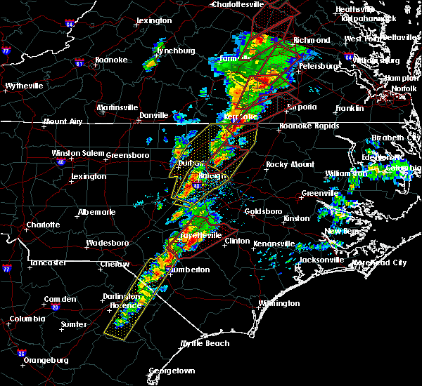 At 532 pm est, doppler radar continued to indicate a severe thunderstorm capable of producing both a tornado and damaging straight line winds in excess of 70 mph. this dangerous storm was located near louisburg, moving northeast at 65 mph. locations impacted include, louisburg, wake forest, franklinton, rolesville, youngsville, centerville and ingleside. At 532 pm est, doppler radar continued to indicate a severe thunderstorm capable of producing both a tornado and damaging straight line winds in excess of 70 mph. this dangerous storm was located near louisburg, moving northeast at 65 mph. locations impacted include, louisburg, wake forest, franklinton, rolesville, youngsville, centerville and ingleside.
|
| 2/24/2016 5:22 PM EST |
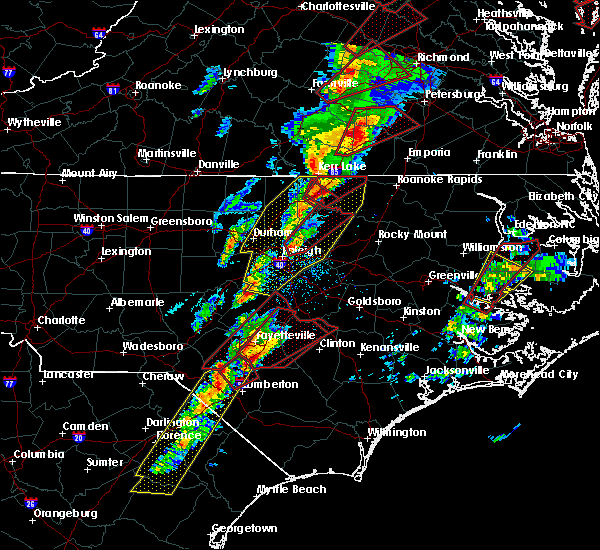 At 522 pm est, doppler radar indicated a severe thunderstorm capable of producing a tornado. this dangerous storm was located over wake forest, or 12 miles northeast of raleigh, and moving northeast at 60 mph. At 522 pm est, doppler radar indicated a severe thunderstorm capable of producing a tornado. this dangerous storm was located over wake forest, or 12 miles northeast of raleigh, and moving northeast at 60 mph.
|
| 2/24/2016 4:36 PM EST |
 At 435 pm est, doppler radar indicated a line of severe thunderstorms capable of producing large hail up to ping pong ball size and damaging winds in excess of 58 mph. in addition, a tornado may rapidly form in this line. the line was moving east northeast at 35 mph. At 435 pm est, doppler radar indicated a line of severe thunderstorms capable of producing large hail up to ping pong ball size and damaging winds in excess of 58 mph. in addition, a tornado may rapidly form in this line. the line was moving east northeast at 35 mph.
|
| 2/16/2016 6:56 AM EST |
 At 654 am est, the potential for a few damaging wind gusts continues along the line extending from dortches to near nashville, as the line moves northeast at 55 mph. locations impacted include, rocky mount, nashville, dortches, bailey, red oak, sharpsburg, spring hope, whitakers, castalia and centerville. At 654 am est, the potential for a few damaging wind gusts continues along the line extending from dortches to near nashville, as the line moves northeast at 55 mph. locations impacted include, rocky mount, nashville, dortches, bailey, red oak, sharpsburg, spring hope, whitakers, castalia and centerville.
|
| 2/16/2016 6:36 AM EST |
 At 635 am est, doppler radar continued to indicate a severe thunderstorm capable of producing damaging winds in excess of 58 mph. this storm was located near bunn, or 7 miles southeast of louisburg, moving northeast at 55 mph. locations impacted include, rocky mount, henderson, nashville, louisburg, dortches, bailey, kittrell, bunn, red oak and sharpsburg. At 635 am est, doppler radar continued to indicate a severe thunderstorm capable of producing damaging winds in excess of 58 mph. this storm was located near bunn, or 7 miles southeast of louisburg, moving northeast at 55 mph. locations impacted include, rocky mount, henderson, nashville, louisburg, dortches, bailey, kittrell, bunn, red oak and sharpsburg.
|
| 2/16/2016 6:21 AM EST |
 At 619 am est, doppler radar indicated a line of severe thunderstorms producing damaging wind to 60 mph. this line extended from near henderson to smithfield moving east at 50 mph. At 619 am est, doppler radar indicated a line of severe thunderstorms producing damaging wind to 60 mph. this line extended from near henderson to smithfield moving east at 50 mph.
|
| 2/3/2016 3:51 PM EST |
 The severe thunderstorm warning for franklin, southern vance, southeastern granville and northeastern wake counties will expire at 400 pm est, the storm which prompted the warning has weakened below severe limits, and no longer poses an immediate threat to life or property. therefore the warning will be allowed to expire. however heavy rain is still possible with this thunderstorm. The severe thunderstorm warning for franklin, southern vance, southeastern granville and northeastern wake counties will expire at 400 pm est, the storm which prompted the warning has weakened below severe limits, and no longer poses an immediate threat to life or property. therefore the warning will be allowed to expire. however heavy rain is still possible with this thunderstorm.
|
| 2/3/2016 3:28 PM EST |
 At 328 pm est, doppler radar continued to indicate a severe thunderstorm capable of producing damaging winds in excess of 58 mph. this storm was located near franklinton, or 9 miles east of creedmoor, moving east at 35 mph. locations impacted include, raleigh, henderson, louisburg, wake forest, zebulon, franklinton, kittrell, bunn, rolesville and youngsville. At 328 pm est, doppler radar continued to indicate a severe thunderstorm capable of producing damaging winds in excess of 58 mph. this storm was located near franklinton, or 9 miles east of creedmoor, moving east at 35 mph. locations impacted include, raleigh, henderson, louisburg, wake forest, zebulon, franklinton, kittrell, bunn, rolesville and youngsville.
|
| 2/3/2016 3:14 PM EST |
 At 314 pm est, doppler radar indicated a severe thunderstorm capable of producing damaging winds in excess of 58 mph. this storm was located over creedmoor, and moving east at 35 mph. At 314 pm est, doppler radar indicated a severe thunderstorm capable of producing damaging winds in excess of 58 mph. this storm was located over creedmoor, and moving east at 35 mph.
|
| 12/30/2015 12:42 PM EST |
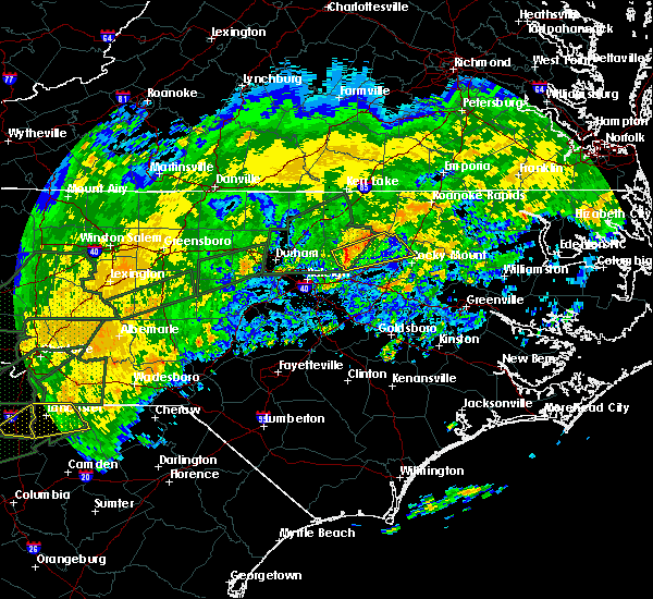 At 1241 pm est, doppler radar indicated a severe thunderstorm capable of producing damaging winds in excess of 58 mph. this storm was located near bunn, or 9 miles south of louisburg, and moving east at 45 mph. At 1241 pm est, doppler radar indicated a severe thunderstorm capable of producing damaging winds in excess of 58 mph. this storm was located near bunn, or 9 miles south of louisburg, and moving east at 45 mph.
|
| 7/18/2015 8:28 PM EDT |
 At 827 pm edt, doppler radar continued to indicate a severe thunderstorm capable of producing quarter size hail and damaging winds in excess of 58 mph. this storm was located near henderson, moving east at 25 mph. locations impacted include, henderson, warrenton, norlina, middleburg, macon, centerville, south henderson, gillburg, drewry and afton. At 827 pm edt, doppler radar continued to indicate a severe thunderstorm capable of producing quarter size hail and damaging winds in excess of 58 mph. this storm was located near henderson, moving east at 25 mph. locations impacted include, henderson, warrenton, norlina, middleburg, macon, centerville, south henderson, gillburg, drewry and afton.
|
| 7/18/2015 8:06 PM EDT |
 At 805 pm edt, doppler radar indicated a severe thunderstorm capable of producing quarter size hail and damaging winds in excess of 58 mph. this storm was located near oxford, and moving east at 25 mph. At 805 pm edt, doppler radar indicated a severe thunderstorm capable of producing quarter size hail and damaging winds in excess of 58 mph. this storm was located near oxford, and moving east at 25 mph.
|
| 7/18/2015 2:45 PM EDT |
 At 244 pm edt, doppler radar indicated a line of severe thunderstorms capable of producing damaging winds in excess of 58 mph. these storms were located along a line extending from 7 miles east of bunn to near zebulon, and moving east at 30 mph. At 244 pm edt, doppler radar indicated a line of severe thunderstorms capable of producing damaging winds in excess of 58 mph. these storms were located along a line extending from 7 miles east of bunn to near zebulon, and moving east at 30 mph.
|
| 7/18/2015 2:34 PM EDT |
 At 233 pm edt, doppler radar continued to indicate a line of severe thunderstorms capable of producing damaging winds in excess of 58 mph. these storms were located along a line extending from near louisburg to near zebulon, moving southeast at 35 mph. locations impacted include, raleigh, louisburg, wake forest, zebulon, franklinton, bunn, knightdale, wendell, rolesville and youngsville. At 233 pm edt, doppler radar continued to indicate a line of severe thunderstorms capable of producing damaging winds in excess of 58 mph. these storms were located along a line extending from near louisburg to near zebulon, moving southeast at 35 mph. locations impacted include, raleigh, louisburg, wake forest, zebulon, franklinton, bunn, knightdale, wendell, rolesville and youngsville.
|
| 7/18/2015 2:06 PM EDT |
 At 206 pm edt, doppler radar indicated a line of severe thunderstorms capable of producing damaging winds in excess of 58 mph. these storms were located along a line extending from near kittrell to 6 miles west of wake forest, and moving southeast at 35 mph. At 206 pm edt, doppler radar indicated a line of severe thunderstorms capable of producing damaging winds in excess of 58 mph. these storms were located along a line extending from near kittrell to 6 miles west of wake forest, and moving southeast at 35 mph.
|
| 7/5/2015 10:33 PM EDT |
 At 1033 pm edt, doppler radar continued to indicate a line of severe thunderstorms capable of producing damaging winds in excess of 58 mph. these storms were located along a line extending from near louisburg to near nashville, moving northeast at 35 mph. locations impacted include, spring hope, castalia, centerville and aventon. At 1033 pm edt, doppler radar continued to indicate a line of severe thunderstorms capable of producing damaging winds in excess of 58 mph. these storms were located along a line extending from near louisburg to near nashville, moving northeast at 35 mph. locations impacted include, spring hope, castalia, centerville and aventon.
|
| 7/5/2015 10:25 PM EDT |
 At 1025 pm edt, doppler radar continued to indicate a line of severe thunderstorms capable of producing damaging winds in excess of 58 mph. these storms were located along a line extending from near louisburg to near nashville, moving northeast at 30 mph. locations impacted include, bunn, spring hope, middlesex, castalia, centerville, pilot and aventon. At 1025 pm edt, doppler radar continued to indicate a line of severe thunderstorms capable of producing damaging winds in excess of 58 mph. these storms were located along a line extending from near louisburg to near nashville, moving northeast at 30 mph. locations impacted include, bunn, spring hope, middlesex, castalia, centerville, pilot and aventon.
|
| 7/5/2015 10:06 PM EDT |
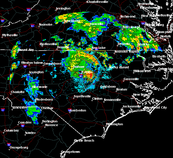 At 1006 pm edt, doppler radar indicated a line of severe thunderstorms capable of producing damaging winds in excess of 58 mph. these storms were located along a line extending from near wake forest to 9 miles south of zebulon, and moving northeast at 35 mph. At 1006 pm edt, doppler radar indicated a line of severe thunderstorms capable of producing damaging winds in excess of 58 mph. these storms were located along a line extending from near wake forest to 9 miles south of zebulon, and moving northeast at 35 mph.
|
| 6/20/2015 9:15 PM EDT | Couple of trees were reported down along person road near harris jones road in franklin county NC, 5.6 miles E of Centerville, NC |
| 6/20/2015 9:09 PM EDT |
 At 909 pm edt, doppler radar indicated a severe thunderstorm capable of producing damaging winds in excess of 58 mph. this storm was located 8 miles southeast of henderson, and moving east at 60 mph. At 909 pm edt, doppler radar indicated a severe thunderstorm capable of producing damaging winds in excess of 58 mph. this storm was located 8 miles southeast of henderson, and moving east at 60 mph.
|
| 6/20/2015 7:27 PM EDT |
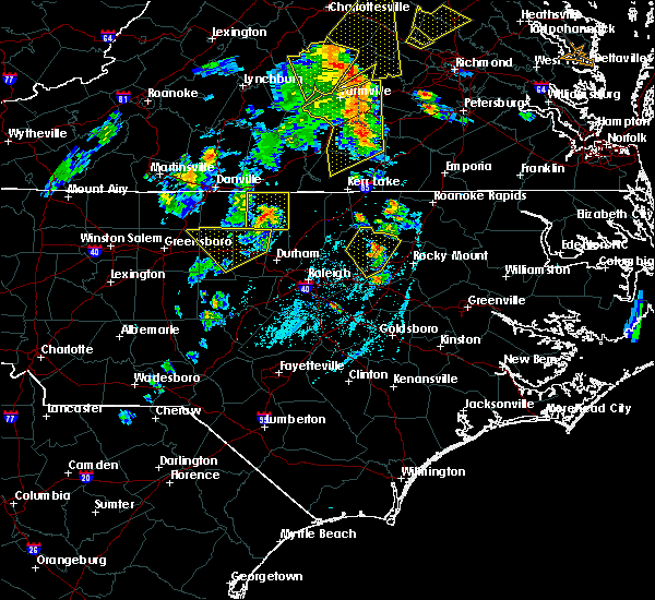 At 725 pm edt, doppler radar continued to indicate a severe thunderstorm capable of producing damaging wind gusts up to 60 mph. this storm was located 12 miles northwest of nashville, moving northeast at 35 mph. locations impacted include, castalia, centerville and aventon. At 725 pm edt, doppler radar continued to indicate a severe thunderstorm capable of producing damaging wind gusts up to 60 mph. this storm was located 12 miles northwest of nashville, moving northeast at 35 mph. locations impacted include, castalia, centerville and aventon.
|
| 6/20/2015 7:18 PM EDT |
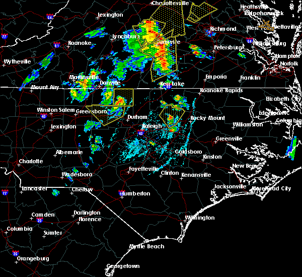 At 718 pm edt, doppler radar continued to indicate a severe thunderstorm capable of producing damaging wind gusts up to 60 mph. this storm was located 10 miles east of louisburg, moving northeast at 40 mph. locations impacted include, bunn, spring hope, castalia, centerville and aventon. At 718 pm edt, doppler radar continued to indicate a severe thunderstorm capable of producing damaging wind gusts up to 60 mph. this storm was located 10 miles east of louisburg, moving northeast at 40 mph. locations impacted include, bunn, spring hope, castalia, centerville and aventon.
|
| 6/20/2015 7:07 PM EDT |
 At 706 pm edt, doppler radar continued to indicate a severe thunderstorm capable of producing damaging winds up to 60 mph. this storm was located over bunn, or 9 miles south of louisburg, moving northeast at 45 mph. locations impacted include, louisburg, bunn, spring hope, castalia, centerville, pilot and aventon. At 706 pm edt, doppler radar continued to indicate a severe thunderstorm capable of producing damaging winds up to 60 mph. this storm was located over bunn, or 9 miles south of louisburg, moving northeast at 45 mph. locations impacted include, louisburg, bunn, spring hope, castalia, centerville, pilot and aventon.
|
| 6/20/2015 6:56 PM EDT |
 At 656 pm edt, doppler radar indicated a severe thunderstorm capable of producing dime size hail and damaging winds up to 60 mph. this storm was located near zebulon, or 14 miles south of louisburg, and moving northeast at 35 mph. At 656 pm edt, doppler radar indicated a severe thunderstorm capable of producing dime size hail and damaging winds up to 60 mph. this storm was located near zebulon, or 14 miles south of louisburg, and moving northeast at 35 mph.
|
| 6/18/2015 9:36 PM EDT | The severe thunderstorm warning for nash, franklin, northeastern wake, edgecombe and northern wilson counties will expire at 945 pm edt, the line of storms which prompted the warning have weakened below severe limits, and no longer poses an immediate threat to life or property. therefore the warning will be allowed to expire. however gusty winds and heavy rain are still possible with these thunderstorms. to report severe weather, contact your nearest law enforcement agency. they will relay your report to the national weather service raleigh. |
| 6/18/2015 8:40 PM EDT | At 840 pm edt, doppler radar indicated a line of severe thunderstorms capable of producing quarter size hail and damaging winds in excess of 58 mph. these storms were located along a line extending from near wake forest to near rocky mount, and moving east at 20 mph. |
| 6/28/2013 6:30 PM EDT | Tree down on hwy 58 at white-level r in franklin county NC, 3.2 miles N of Centerville, NC |
| 6/13/2013 5:33 PM EDT | Multiple trees down in the centerville area in franklin county NC, 0.3 miles S of Centerville, NC |
| 7/4/2012 6:25 PM EDT | Sweveral trees down in and near centerville. time estimated by rada in franklin county NC, 1.7 miles E of Centerville, NC |
| 7/4/2012 6:20 PM EDT | Numerous trees down across the county in franklin county NC, 2.9 miles E of Centerville, NC |
| 1/1/0001 12:00 AM | Two trees down in the southern part of the county... no further detail in warren county NC, 6.2 miles SSW of Centerville, NC |
Hail Maps for Centerville, NC

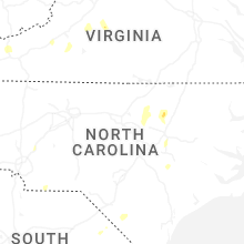


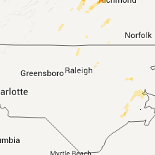


Connect with Interactive Hail Maps