

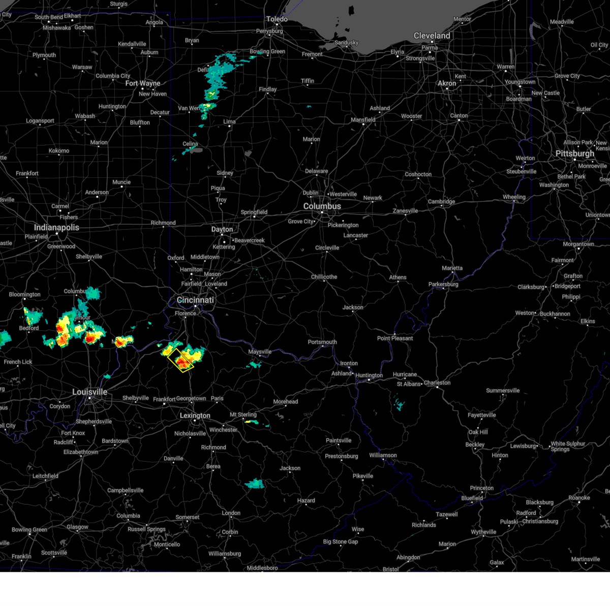
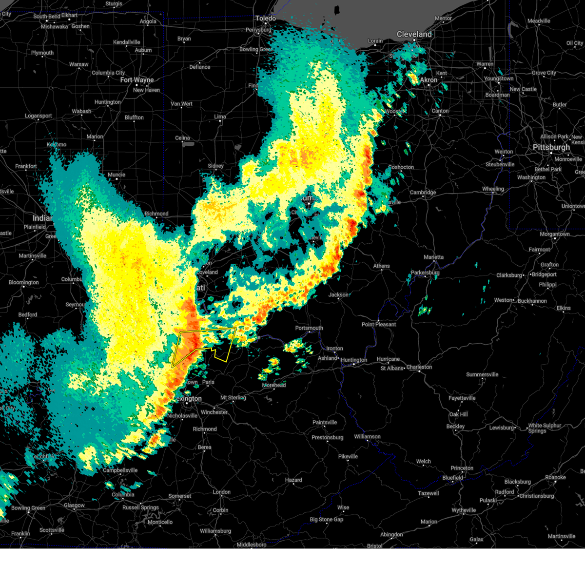
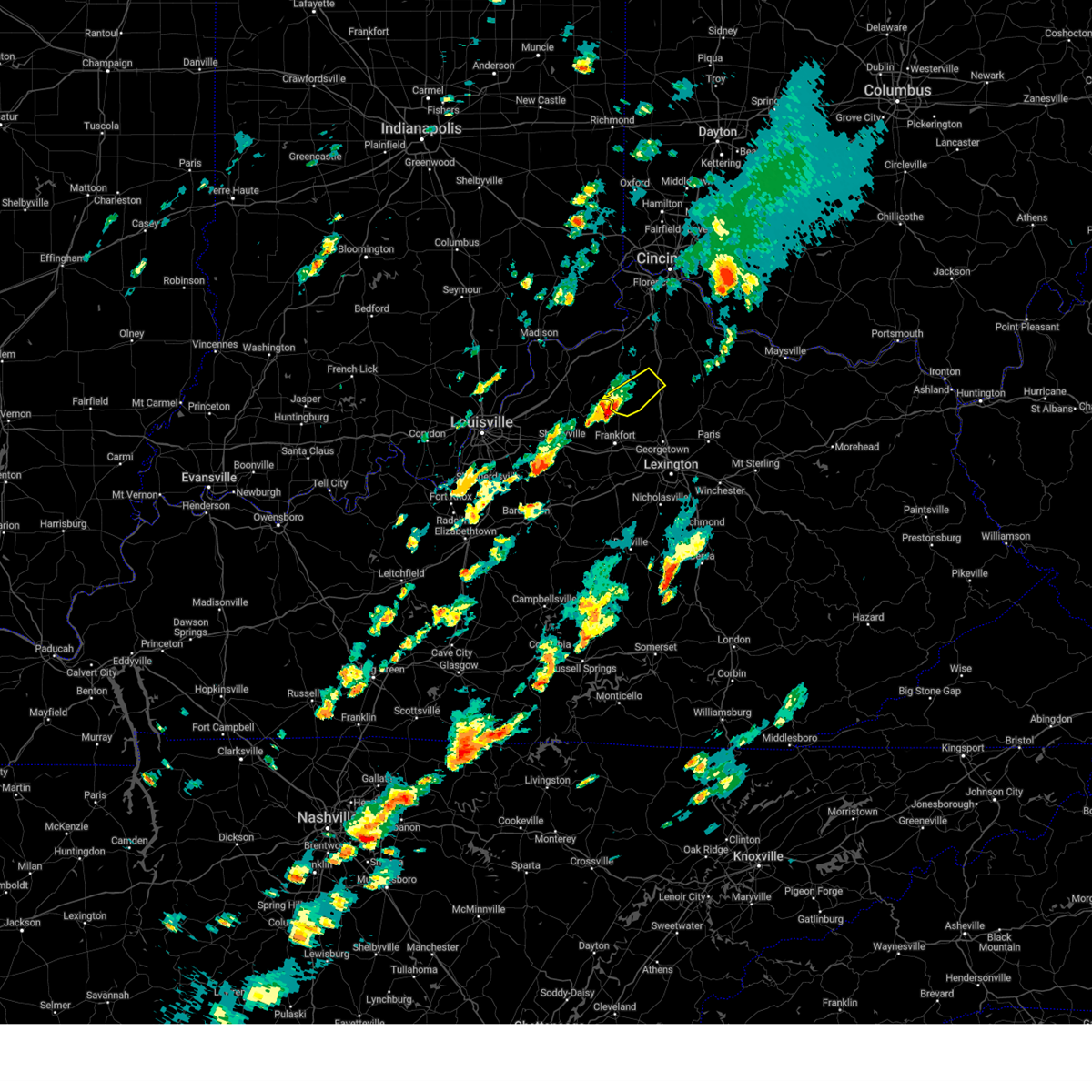
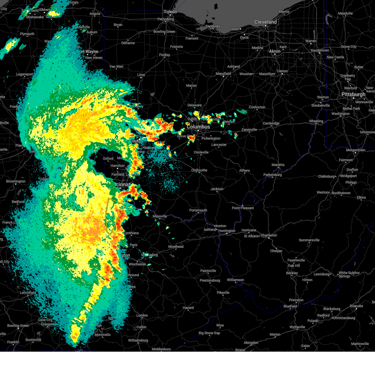
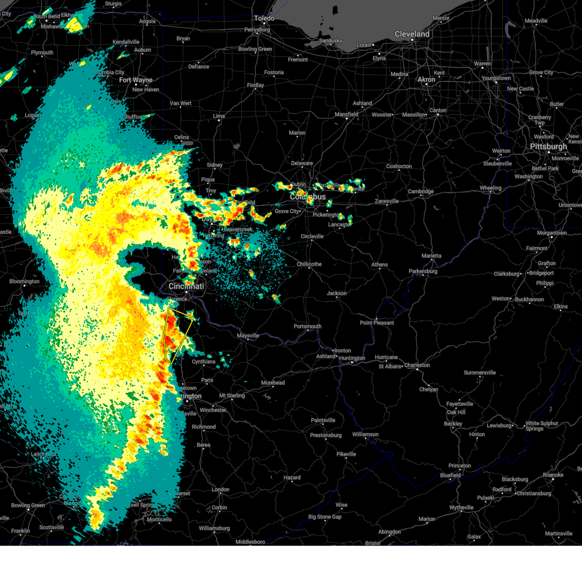
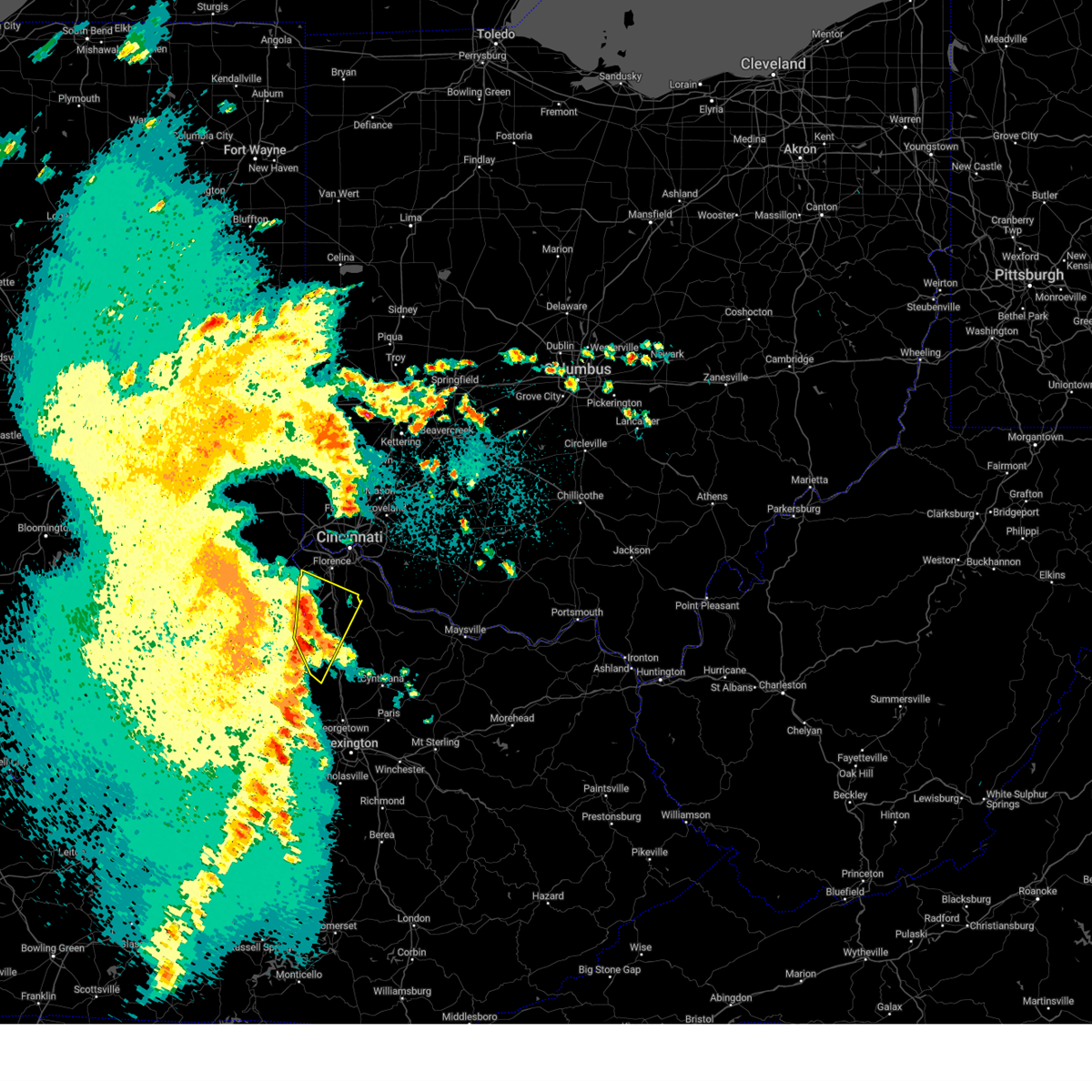
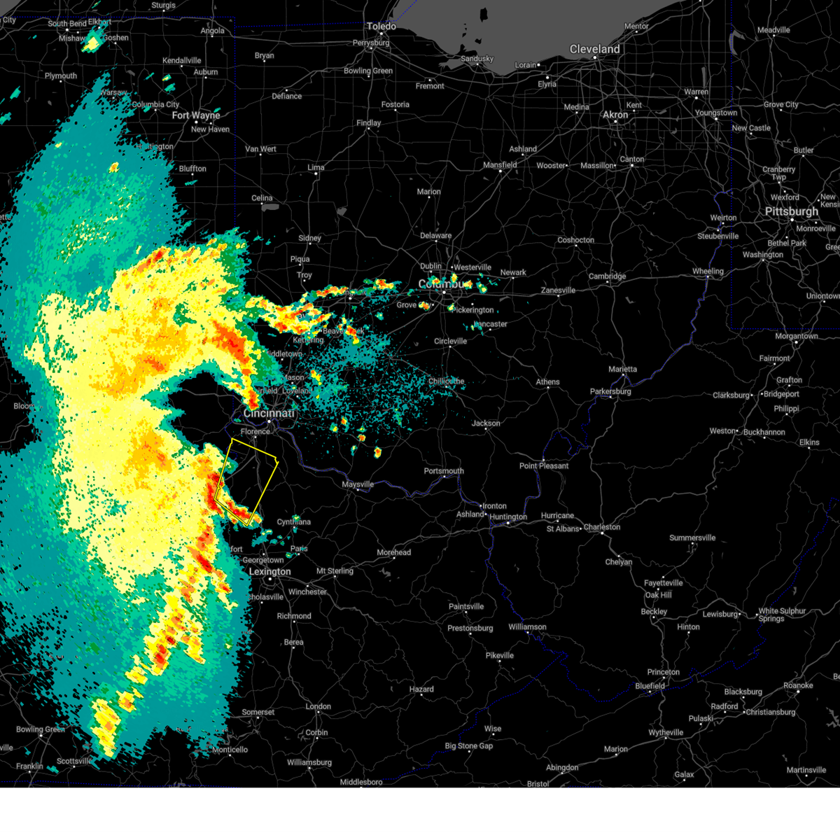
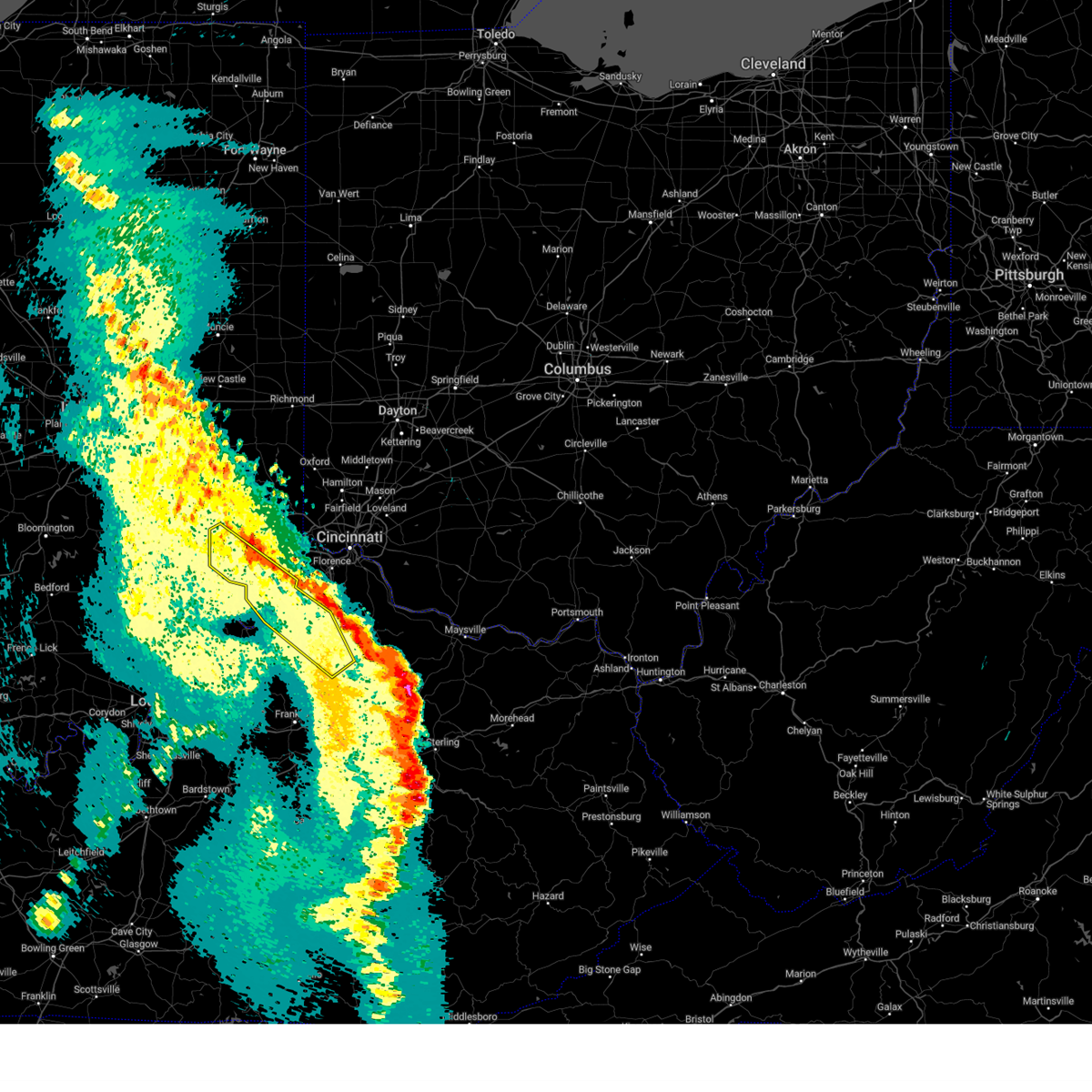
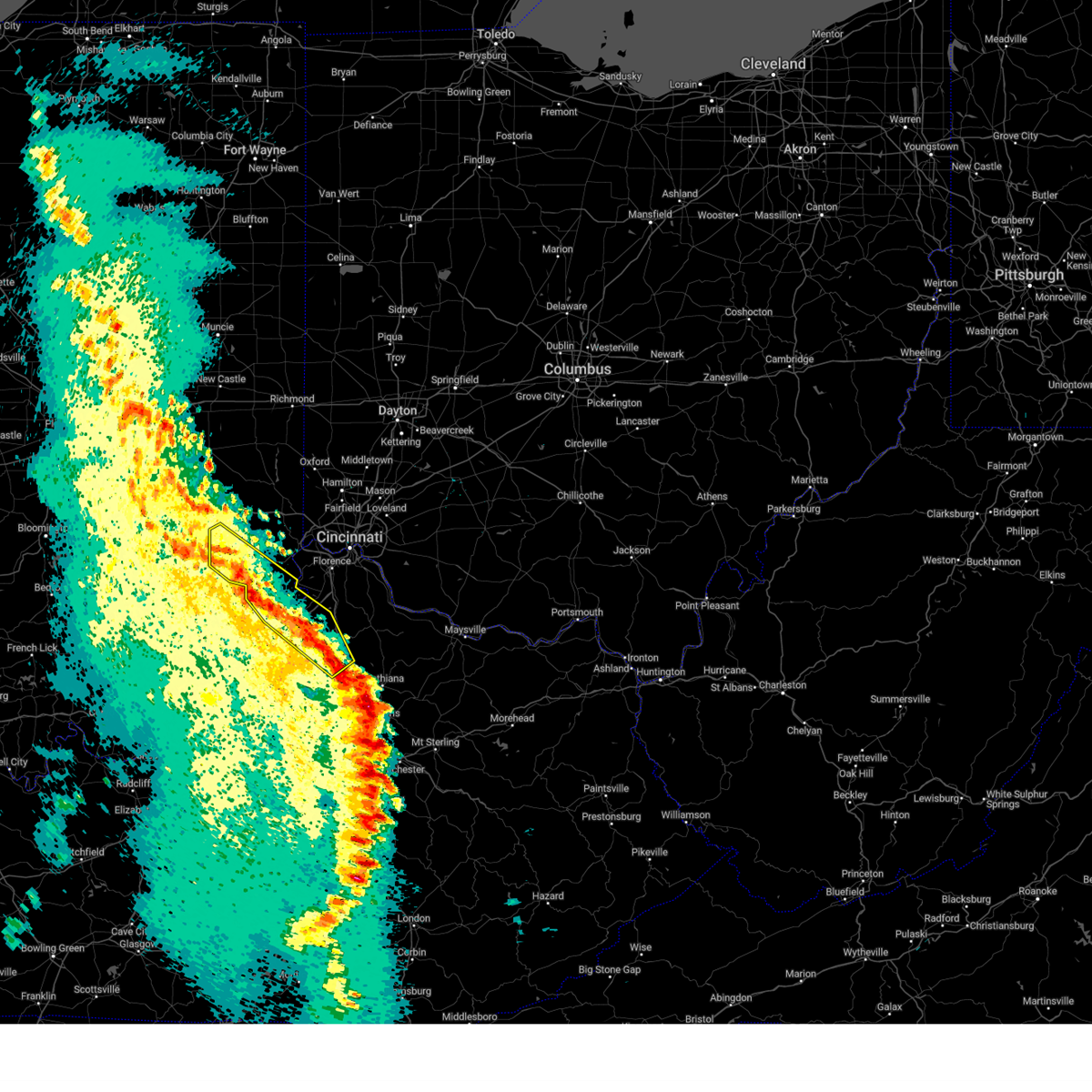
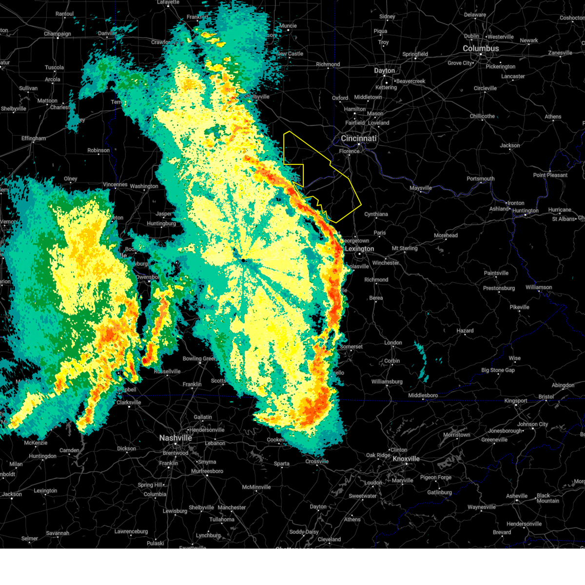
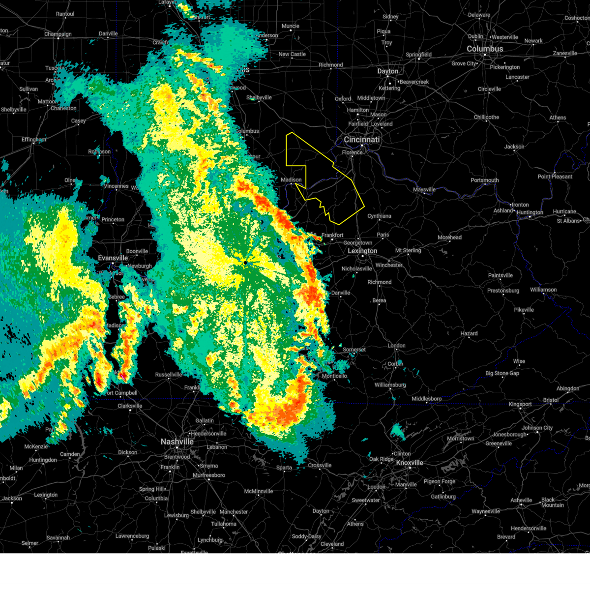
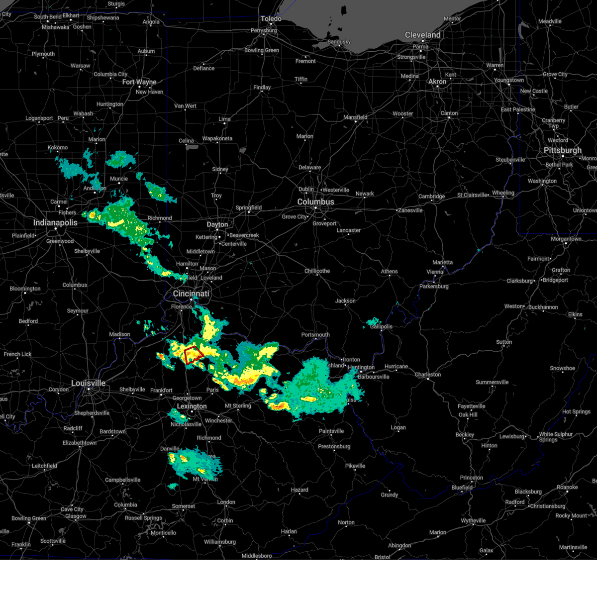
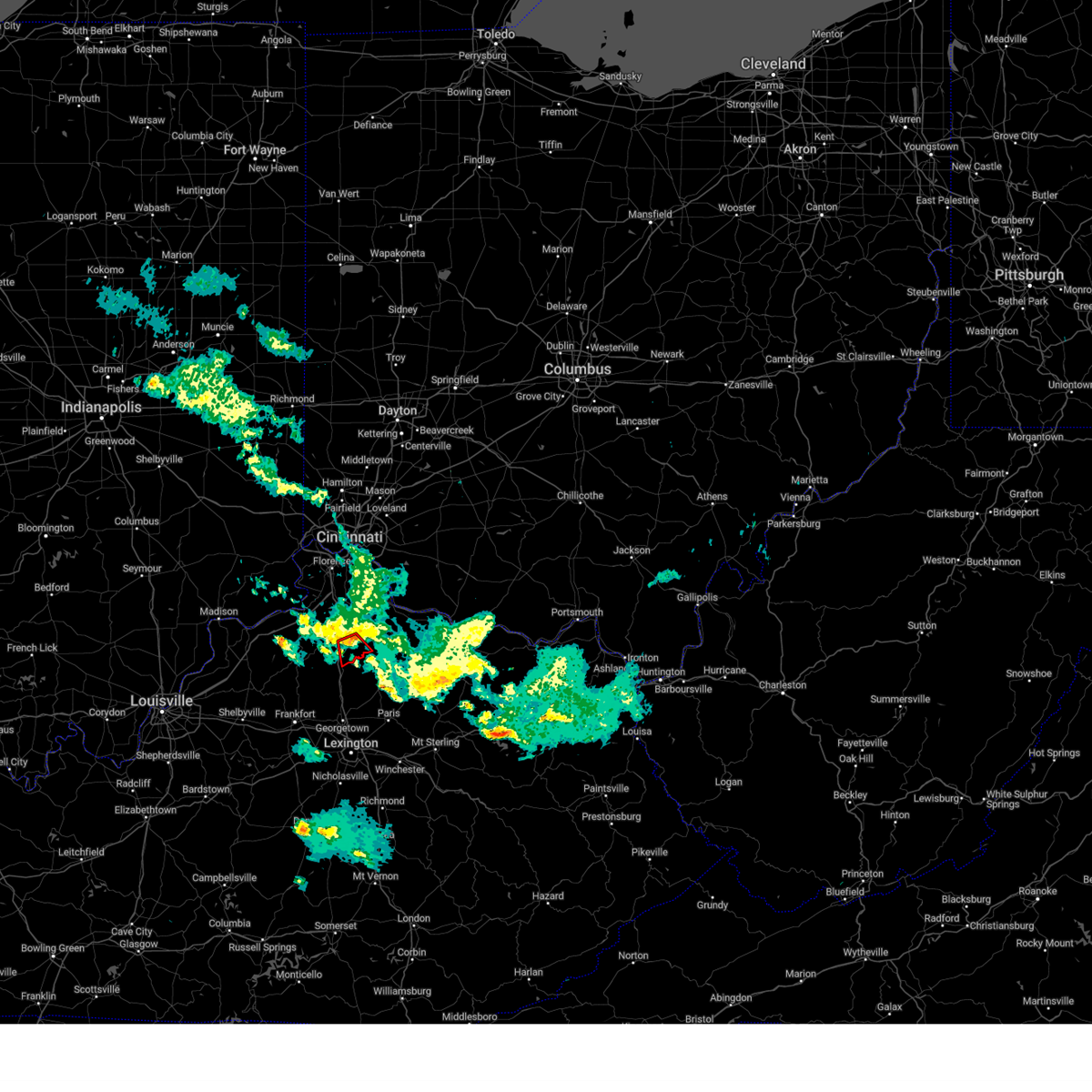
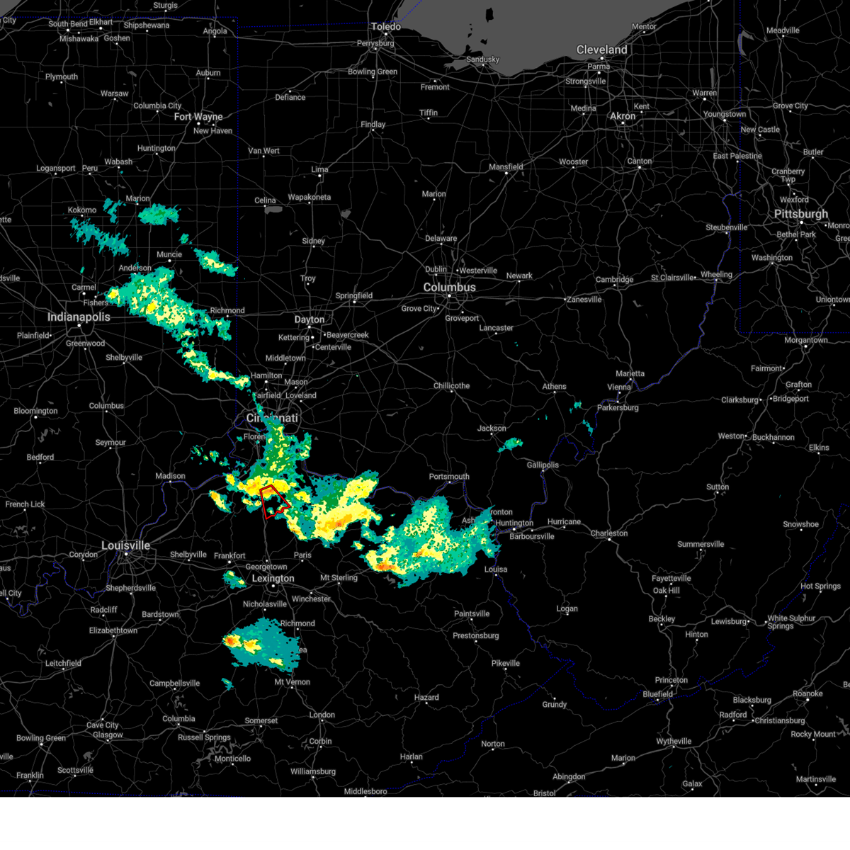
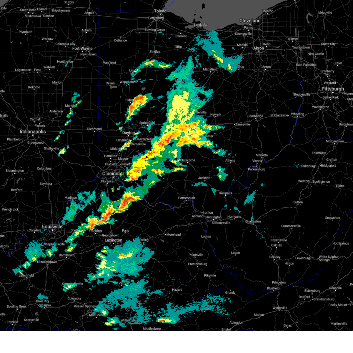
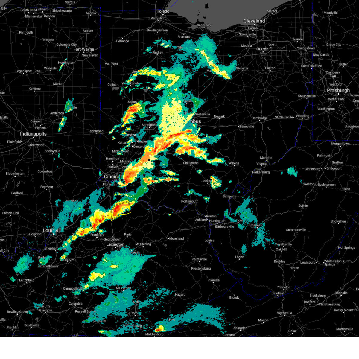
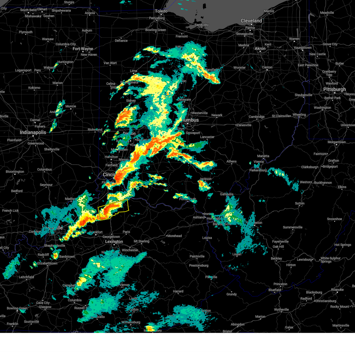
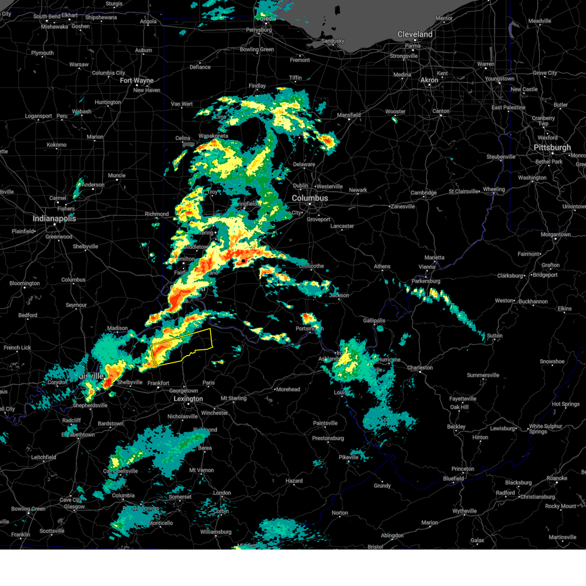
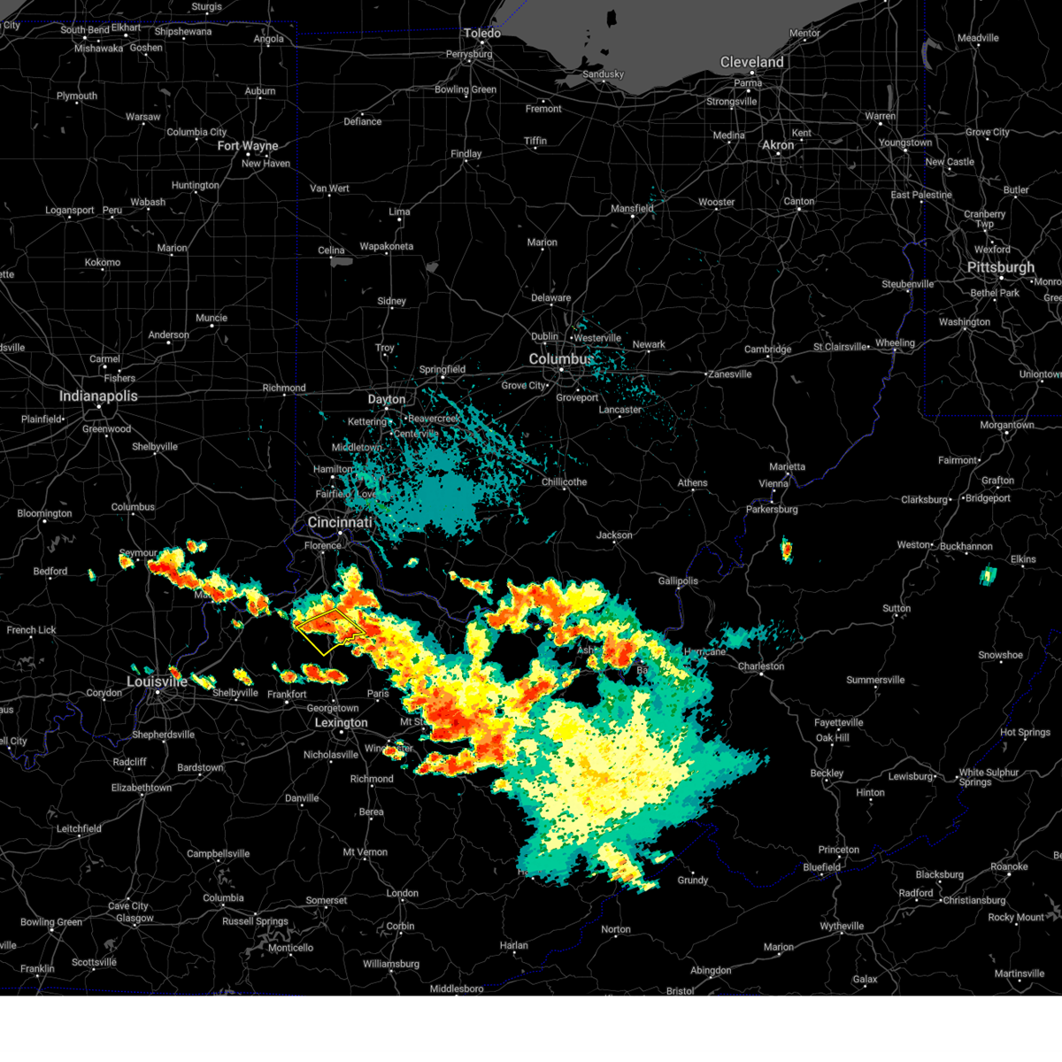
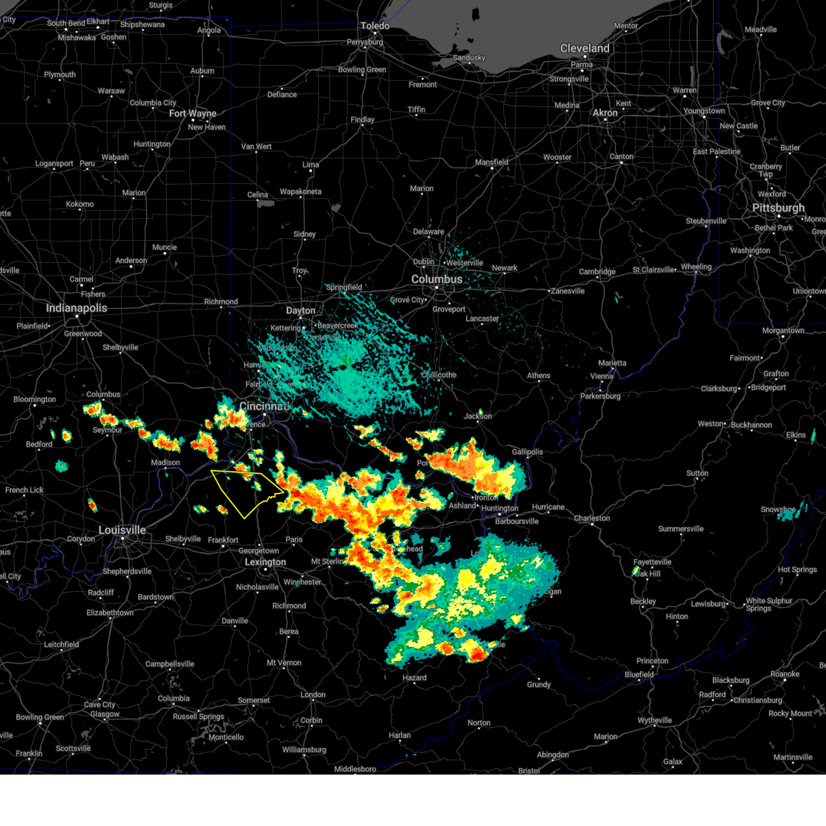
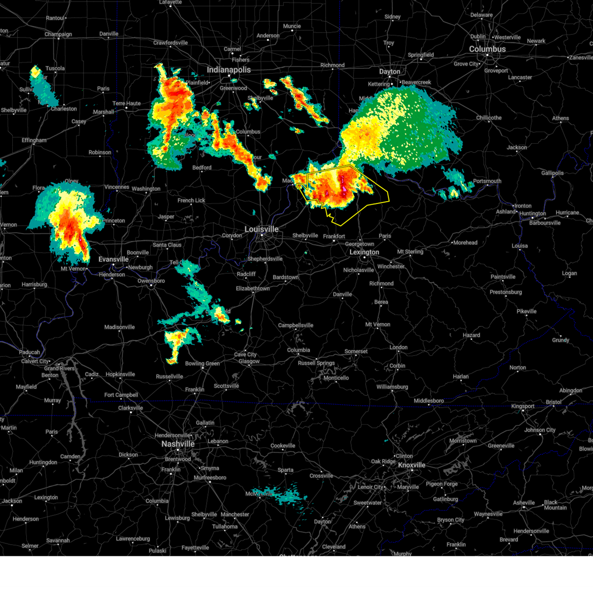
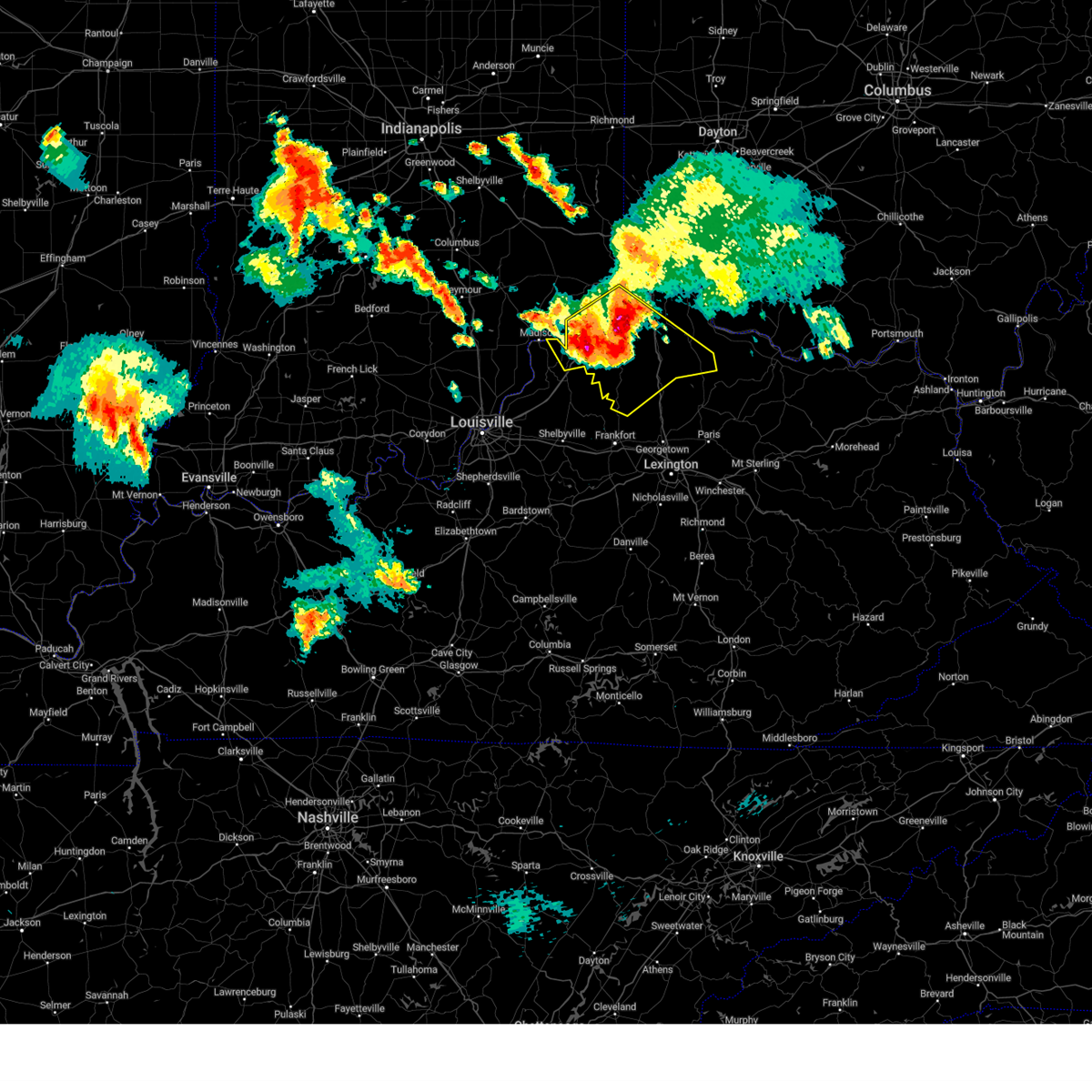
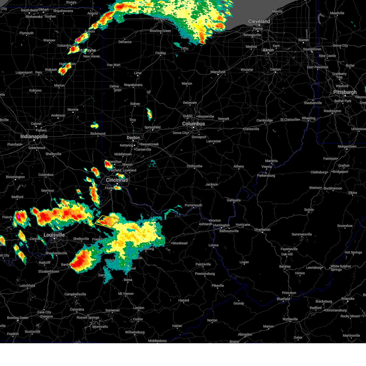
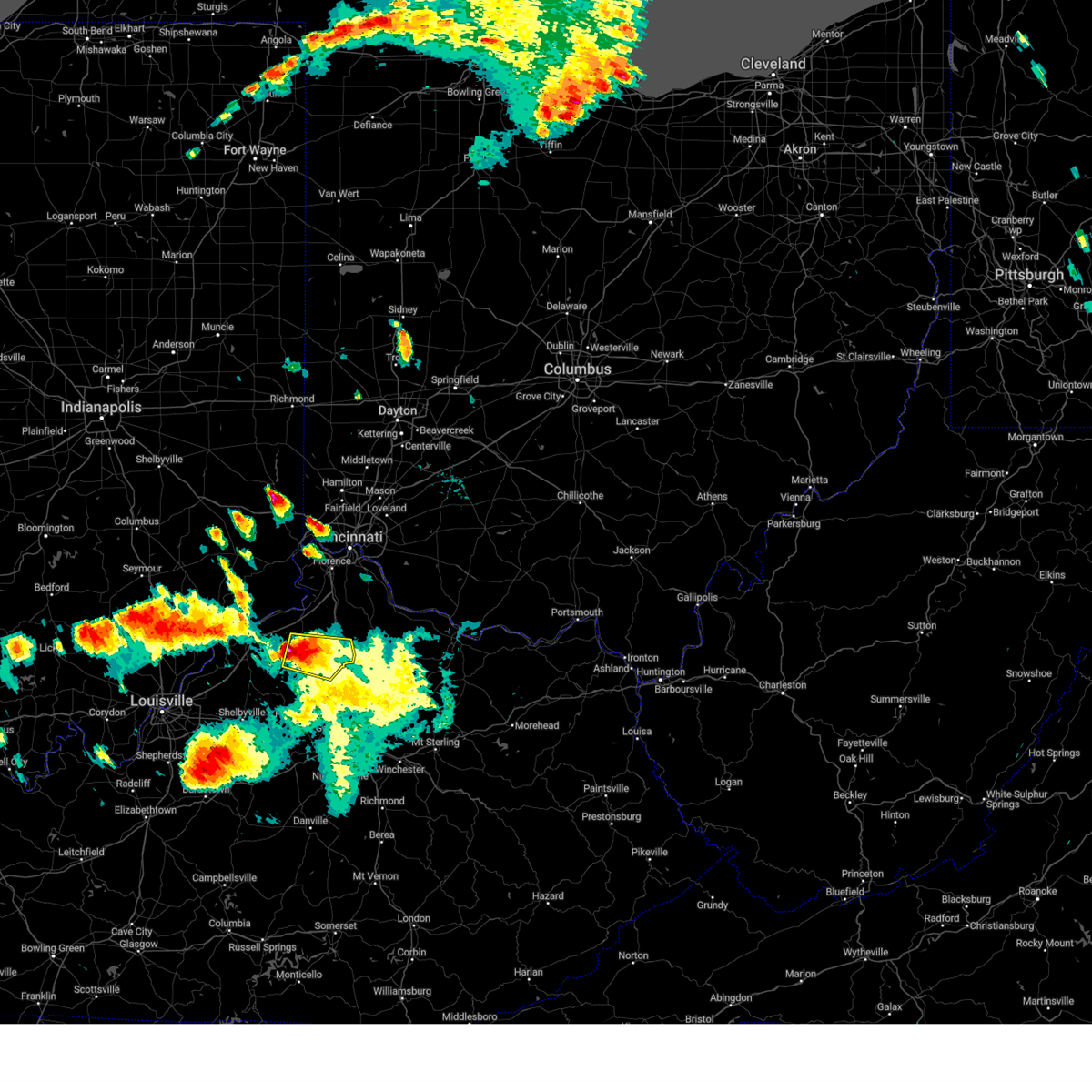
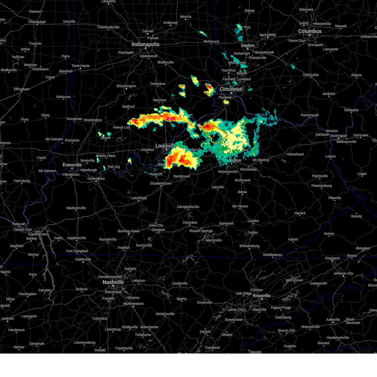
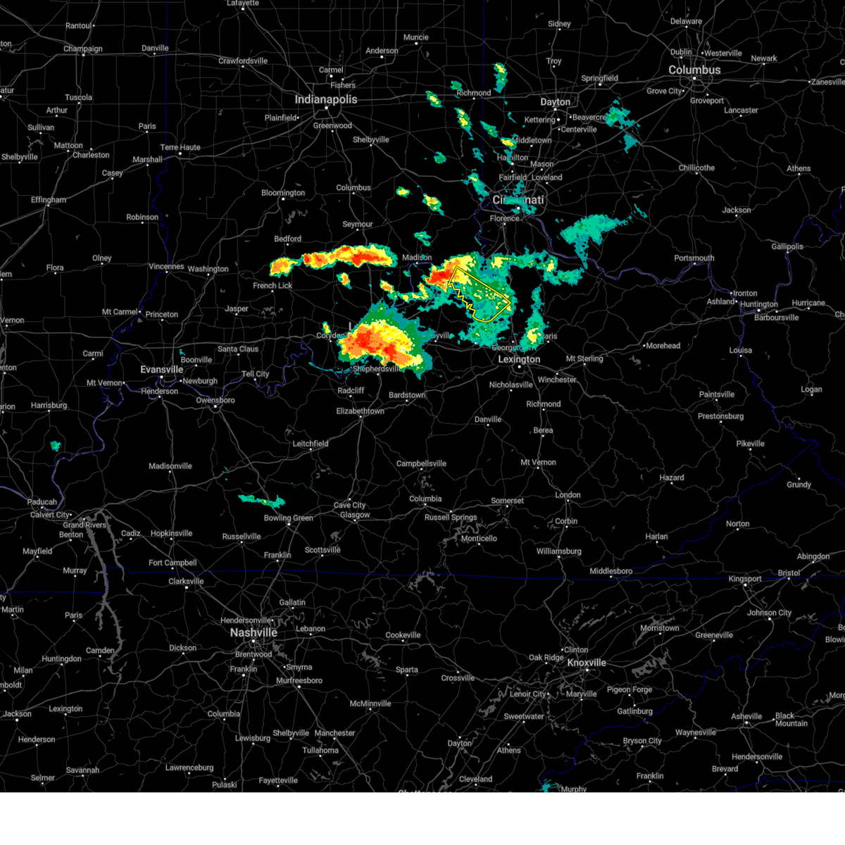
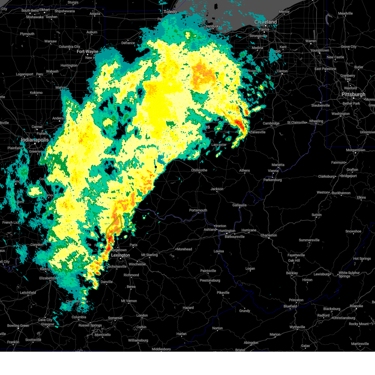
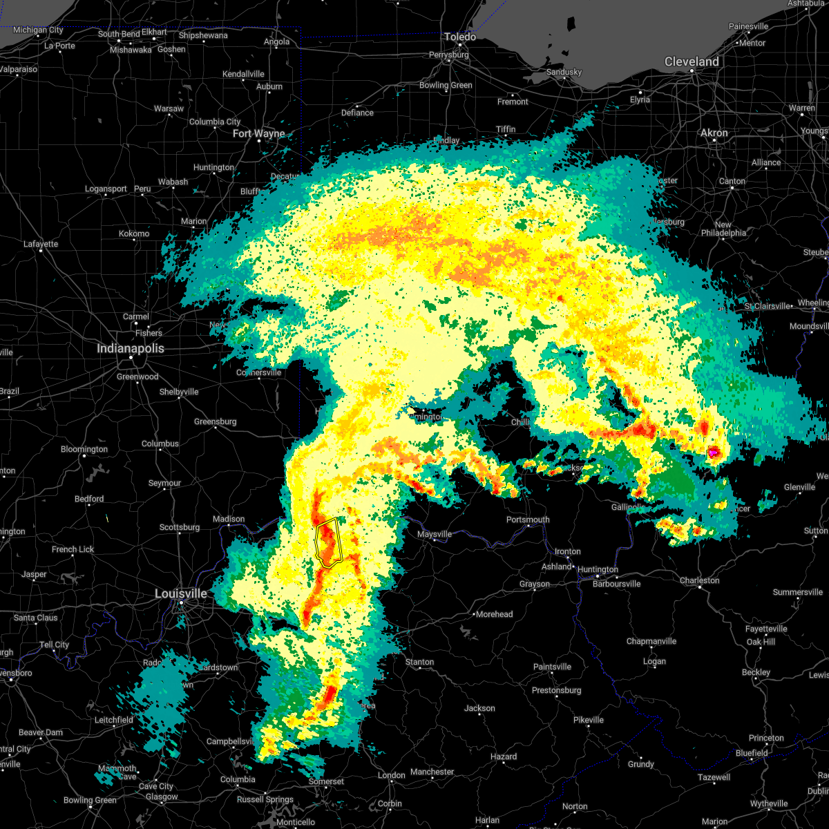
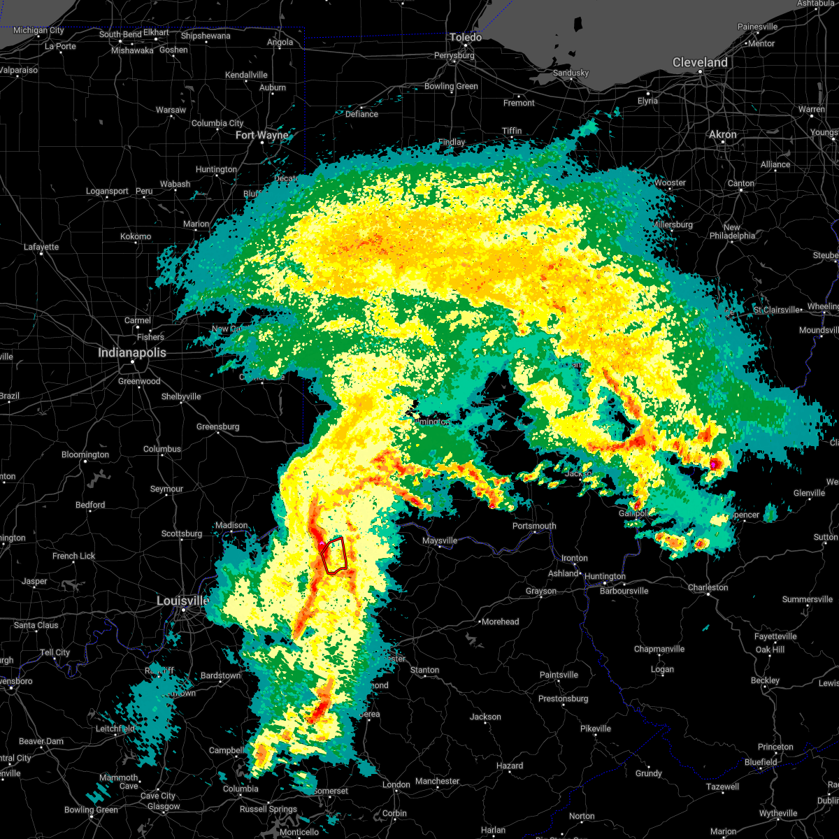
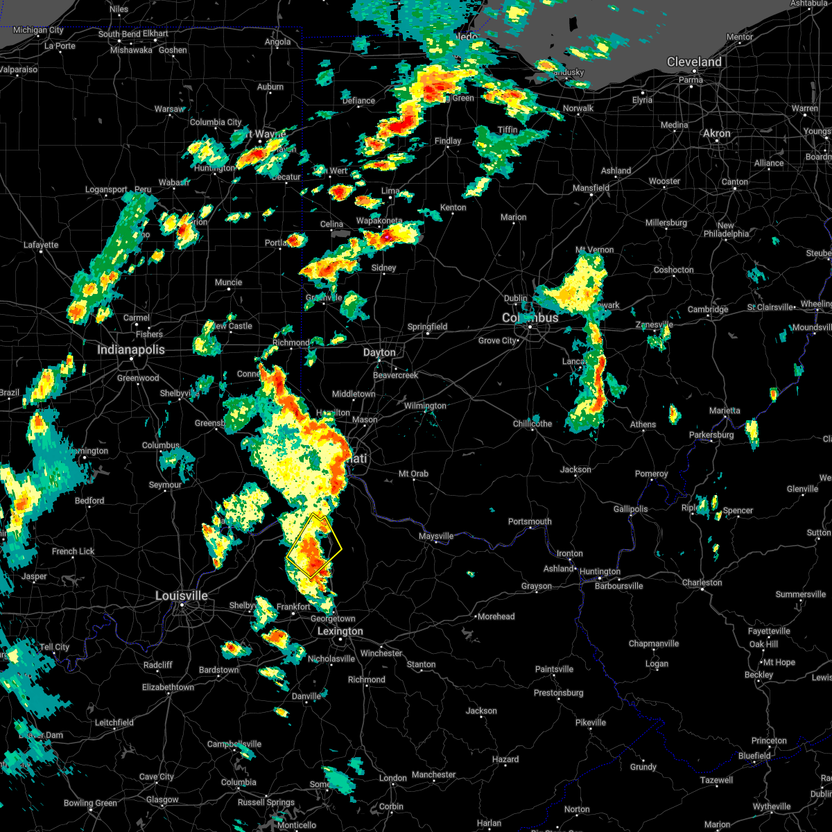
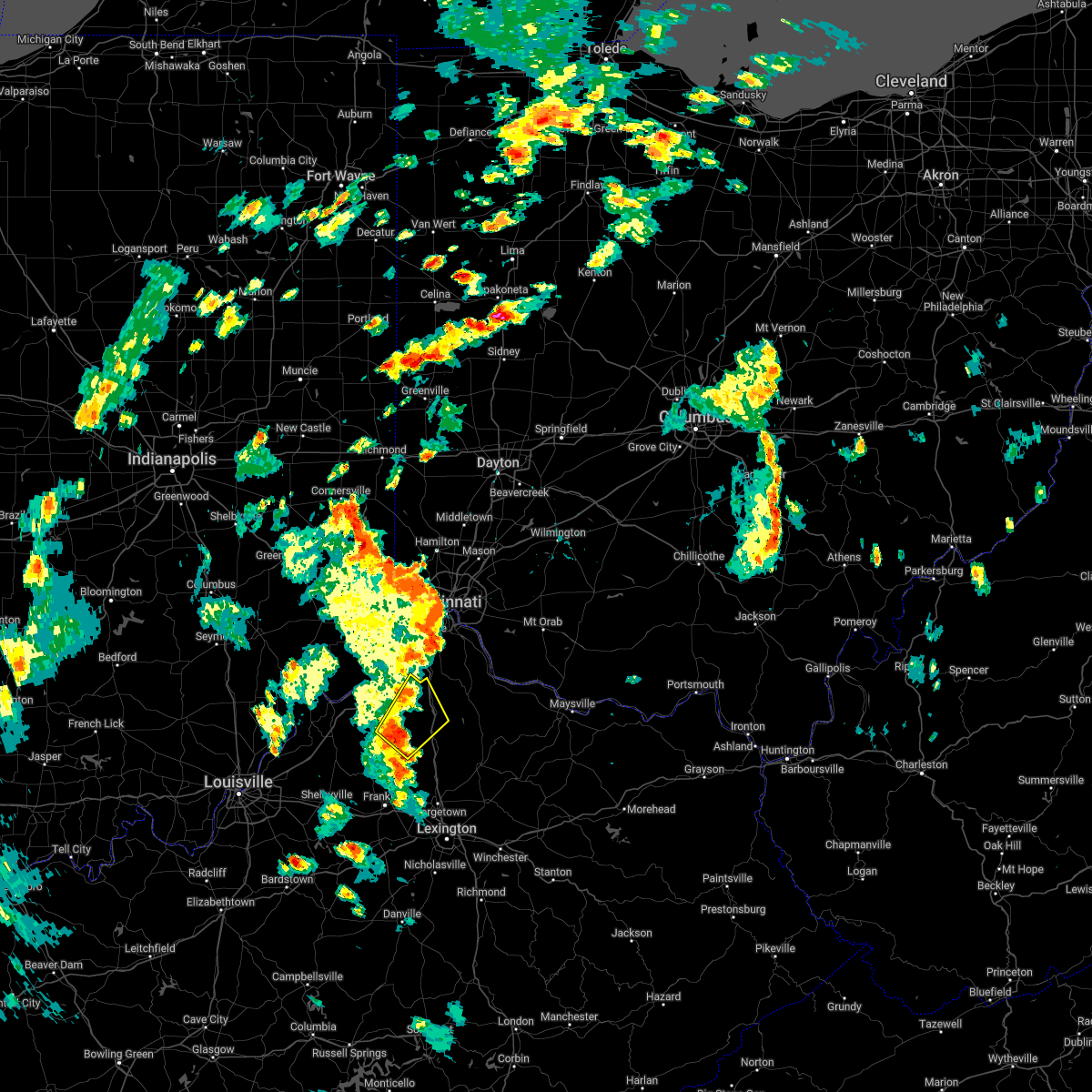
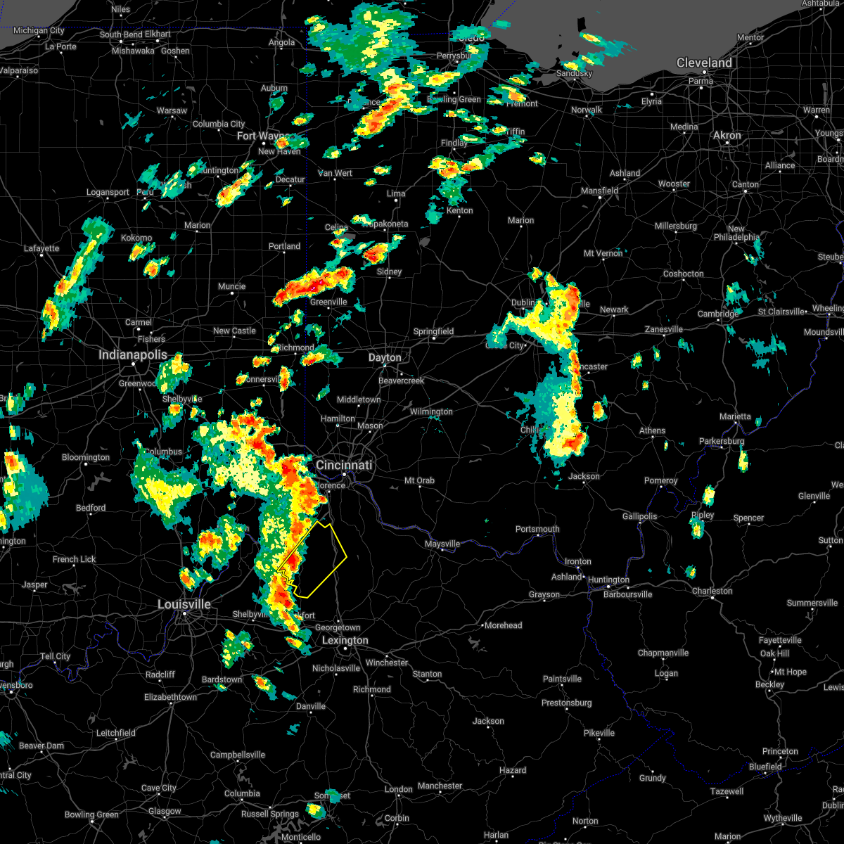
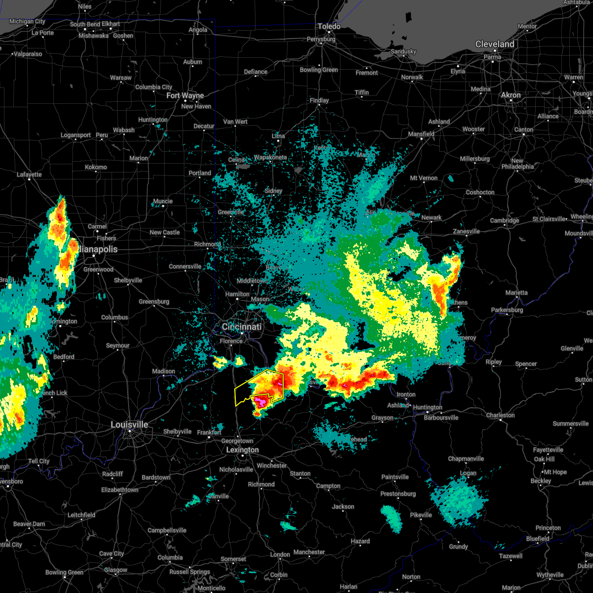
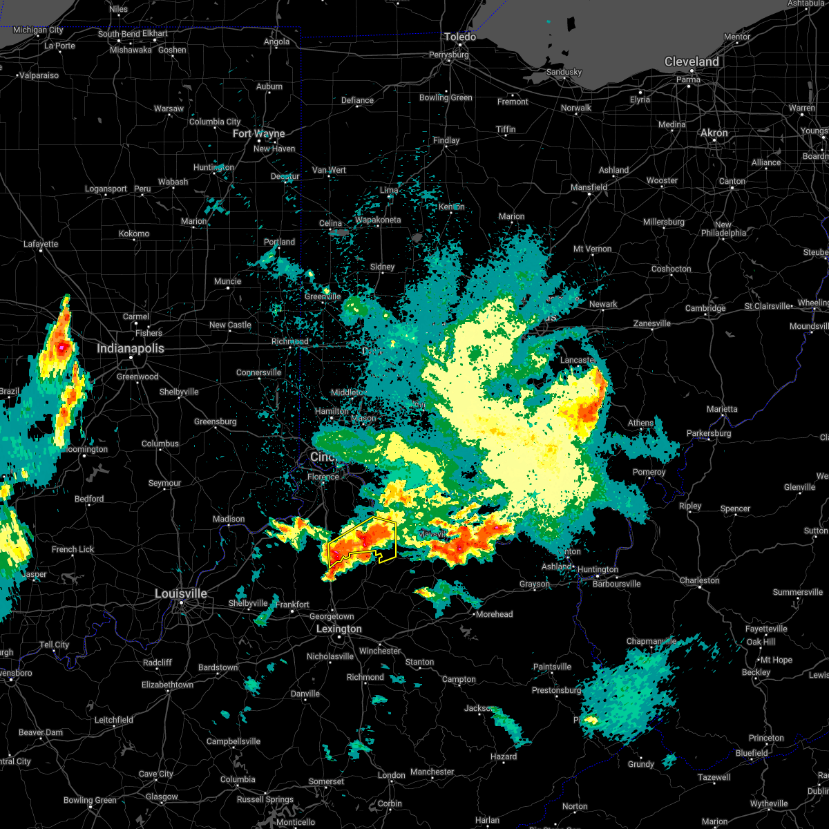
Hail Map for Corinth, KY
The Corinth, KY area has had 0 reports of on-the-ground hail by trained spotters, and has been under severe weather warnings 17 times during the past 12 months. Doppler radar has detected hail at or near Corinth, KY on 46 occasions, including 4 occasions during the past year.
| Name: | Corinth, KY |
| Where Located: | 42.4 miles S of Cincinnati, OH |
| Map: | Google Map for Corinth, KY |
| Population: | 232 |
| Housing Units: | 113 |
| More Info: | Search Google for Corinth, KY |
2
The Top Recent Hail Date for Corinth, KY is Thursday, August 29, 2024 (13th out of 46)

Hail and Wind Damage Spotted near Corinth, KY
| Date / Time | Report Details |
|---|---|
| 4/30/2025 8:25 PM EDT |
 The storm which prompted the warning has weakened below severe limits and no longer poses an immediate threat to life or property. therefore, the warning will be allowed to expire. however, small hail is still possible with this thunderstorm. please report previous wind damage or hail to the national weather service by going to our website at weather.gov/iln and submitting your report via social media. The storm which prompted the warning has weakened below severe limits and no longer poses an immediate threat to life or property. therefore, the warning will be allowed to expire. however, small hail is still possible with this thunderstorm. please report previous wind damage or hail to the national weather service by going to our website at weather.gov/iln and submitting your report via social media.
|
| 4/30/2025 8:19 PM EDT |
 At 819 pm edt, a severe thunderstorm was located 7 miles southwest of williamstown, moving northeast at 20 mph (radar indicated). Hazards include 60 mph wind gusts and quarter size hail. Minor hail damage to vehicles is possible. expect wind damage to trees and power lines. locations impacted include, twin bridges, keefer, stewartsville, needmore, holbrook, lawrenceville, and corinth. This includes i-75 in kentucky between mile markers 147 and 151. At 819 pm edt, a severe thunderstorm was located 7 miles southwest of williamstown, moving northeast at 20 mph (radar indicated). Hazards include 60 mph wind gusts and quarter size hail. Minor hail damage to vehicles is possible. expect wind damage to trees and power lines. locations impacted include, twin bridges, keefer, stewartsville, needmore, holbrook, lawrenceville, and corinth. This includes i-75 in kentucky between mile markers 147 and 151.
|
| 4/30/2025 8:09 PM EDT |
 At 809 pm edt, a severe thunderstorm was located near owenton, moving northeast at 20 mph (radar indicated). Hazards include 60 mph wind gusts and quarter size hail. Minor hail damage to vehicles is possible. expect wind damage to trees and power lines. locations impacted include, twin bridges, keefer, stewartsville, elk lake, needmore, holbrook, long ridge, lawrenceville, owenton, and corinth. This includes i-75 in kentucky between mile markers 147 and 151. At 809 pm edt, a severe thunderstorm was located near owenton, moving northeast at 20 mph (radar indicated). Hazards include 60 mph wind gusts and quarter size hail. Minor hail damage to vehicles is possible. expect wind damage to trees and power lines. locations impacted include, twin bridges, keefer, stewartsville, elk lake, needmore, holbrook, long ridge, lawrenceville, owenton, and corinth. This includes i-75 in kentucky between mile markers 147 and 151.
|
| 4/30/2025 8:02 PM EDT |
 At 802 pm edt, a severe thunderstorm was located near owenton, moving northeast at 20 mph (radar indicated). Hazards include 60 mph wind gusts and half dollar size hail. Minor hail damage to vehicles is possible. expect wind damage to trees and power lines. locations impacted include, twin bridges, keefer, owenton, stewartsville, elk lake, needmore, holbrook, long ridge, lawrenceville, and corinth. This includes i-75 in kentucky between mile markers 147 and 151. At 802 pm edt, a severe thunderstorm was located near owenton, moving northeast at 20 mph (radar indicated). Hazards include 60 mph wind gusts and half dollar size hail. Minor hail damage to vehicles is possible. expect wind damage to trees and power lines. locations impacted include, twin bridges, keefer, owenton, stewartsville, elk lake, needmore, holbrook, long ridge, lawrenceville, and corinth. This includes i-75 in kentucky between mile markers 147 and 151.
|
| 4/30/2025 7:56 PM EDT |
 Svriln the national weather service in wilmington has issued a * severe thunderstorm warning for, southern grant county in northern kentucky, central owen county in northern kentucky, * until 830 pm edt. * at 755 pm edt, a severe thunderstorm was located over owenton, moving northeast at 20 mph (radar indicated). Hazards include golf ball size hail and 60 mph wind gusts. People and animals outdoors will be injured. expect hail damage to roofs, siding, windows, and vehicles. Expect wind damage to trees and power lines. Svriln the national weather service in wilmington has issued a * severe thunderstorm warning for, southern grant county in northern kentucky, central owen county in northern kentucky, * until 830 pm edt. * at 755 pm edt, a severe thunderstorm was located over owenton, moving northeast at 20 mph (radar indicated). Hazards include golf ball size hail and 60 mph wind gusts. People and animals outdoors will be injured. expect hail damage to roofs, siding, windows, and vehicles. Expect wind damage to trees and power lines.
|
| 4/3/2025 1:22 AM EDT |
 the severe thunderstorm warning has been cancelled and is no longer in effect the severe thunderstorm warning has been cancelled and is no longer in effect
|
| 4/3/2025 1:22 AM EDT |
 At 121 am edt, a severe thunderstorm was located over lynchburg, moving east at 75 mph (radar indicated). Hazards include 70 mph wind gusts and penny size hail. Expect considerable tree damage. damage is likely to mobile homes, roofs, and outbuildings. locations impacted include, new richmond, atwood, bradford, lumberton, new palestine, bracht, morrisville, cowan lake state park, mulberry, woolcutt, clermont county airport, harmony, long ridge, california, lenoxburg, knoxville, russell, keefer, midland, and reesville. this includes the following interstates, i-71 in kentucky near mile marker 65. i-71 in ohio between mile markers 35 and 65. I-75 in kentucky between mile markers 143 and 167. At 121 am edt, a severe thunderstorm was located over lynchburg, moving east at 75 mph (radar indicated). Hazards include 70 mph wind gusts and penny size hail. Expect considerable tree damage. damage is likely to mobile homes, roofs, and outbuildings. locations impacted include, new richmond, atwood, bradford, lumberton, new palestine, bracht, morrisville, cowan lake state park, mulberry, woolcutt, clermont county airport, harmony, long ridge, california, lenoxburg, knoxville, russell, keefer, midland, and reesville. this includes the following interstates, i-71 in kentucky near mile marker 65. i-71 in ohio between mile markers 35 and 65. I-75 in kentucky between mile markers 143 and 167.
|
| 4/3/2025 1:16 AM EDT | Toriln the national weather service in wilmington has issued a * tornado warning for, central grant county in northern kentucky, central pendleton county in northern kentucky, * until 145 am edt. * at 116 am edt, a severe thunderstorm capable of producing a tornado was located 8 miles southwest of williamstown, moving northeast at 65 mph (radar indicated rotation). Hazards include tornado. Flying debris will be dangerous to those caught without shelter. mobile homes will be damaged or destroyed. damage to roofs, windows, and vehicles will occur. Tree damage is likely. |
| 4/3/2025 1:09 AM EDT |
 the severe thunderstorm warning has been cancelled and is no longer in effect the severe thunderstorm warning has been cancelled and is no longer in effect
|
| 4/3/2025 1:09 AM EDT |
 At 108 am edt, a severe thunderstorm was located 7 miles north of williamsburg, moving northeast at 70 mph (radar indicated). Hazards include 70 mph wind gusts and penny size hail. Expect considerable tree damage. damage is likely to mobile homes, roofs, and outbuildings. locations impacted include, new richmond, atwood, bradford, lumberton, new palestine, bracht, pekin, corwin, morrisville, cowan lake state park, mulberry, woolcutt, clermont county airport, harmony, long ridge, california, lenoxburg, knoxville, russell, and keefer. this includes the following interstates, i-71 in kentucky near mile marker 65. i-71 in ohio between mile markers 27 and 65. i-75 in kentucky between mile markers 143 and 167. I-75 in ohio between mile markers 40 and 43. At 108 am edt, a severe thunderstorm was located 7 miles north of williamsburg, moving northeast at 70 mph (radar indicated). Hazards include 70 mph wind gusts and penny size hail. Expect considerable tree damage. damage is likely to mobile homes, roofs, and outbuildings. locations impacted include, new richmond, atwood, bradford, lumberton, new palestine, bracht, pekin, corwin, morrisville, cowan lake state park, mulberry, woolcutt, clermont county airport, harmony, long ridge, california, lenoxburg, knoxville, russell, and keefer. this includes the following interstates, i-71 in kentucky near mile marker 65. i-71 in ohio between mile markers 27 and 65. i-75 in kentucky between mile markers 143 and 167. I-75 in ohio between mile markers 40 and 43.
|
| 4/3/2025 12:53 AM EDT | At 1253 am edt, a severe thunderstorm was located over coldstream, moving northeast at 75 mph (radar indicated). Hazards include 70 mph wind gusts and penny size hail. Expect considerable tree damage. damage is likely to mobile homes, roofs, and outbuildings. locations impacted include, franklin, new richmond, atwood, bradford, lumberton, new palestine, bracht, pekin, corwin, morrisville, cowan lake state park, mulberry, hunter, woolcutt, clermont county airport, harmony, long ridge, california, lenoxburg, and knoxville. this includes the following interstates, i-71 in kentucky near mile marker 65. i-71 in ohio between mile markers 20 and 65. i-75 in kentucky between mile markers 143 and 167. I-75 in ohio between mile markers 27 and 44. |
| 4/3/2025 12:47 AM EDT | Svriln the national weather service in wilmington has issued a * severe thunderstorm warning for, southern kenton county in northern kentucky, western bracken county in northern kentucky, campbell county in northern kentucky, grant county in northern kentucky, owen county in northern kentucky, pendleton county in northern kentucky, eastern gallatin county in northern kentucky, northeastern butler county in southwestern ohio, clermont county in southwestern ohio, western fayette county in central ohio, eastern hamilton county in southwestern ohio, northern brown county in southwestern ohio, warren county in southwestern ohio, clinton county in southwestern ohio, greene county in west central ohio, western highland county in south central ohio, southeastern montgomery county in west central ohio, * until 130 am edt. * at 1247 am edt, a severe thunderstorm was located over mariemont, moving east at 75 mph (radar indicated). Hazards include 60 mph wind gusts and penny size hail. expect damage to trees and power lines |
| 3/30/2025 10:55 PM EDT |
 At 1054 pm edt, severe thunderstorms were located along a line extending from near butler to 9 miles west of cynthiana, moving east at 70 mph (radar indicated). Hazards include 60 mph wind gusts and quarter size hail. Minor hail damage to vehicles is possible. expect wind damage to trees and power lines. locations impacted include, browning corner, stonewall, northcutt, natlee, germantown, powersville, morgan, camp northward, new columbus, johnsville, chatham, piqua, corinth, hittville, us route 62 at state route 875, goforth, abigail, woolcutt, neave, and dry ridge. This includes i-75 in kentucky between mile markers 143 and 160. At 1054 pm edt, severe thunderstorms were located along a line extending from near butler to 9 miles west of cynthiana, moving east at 70 mph (radar indicated). Hazards include 60 mph wind gusts and quarter size hail. Minor hail damage to vehicles is possible. expect wind damage to trees and power lines. locations impacted include, browning corner, stonewall, northcutt, natlee, germantown, powersville, morgan, camp northward, new columbus, johnsville, chatham, piqua, corinth, hittville, us route 62 at state route 875, goforth, abigail, woolcutt, neave, and dry ridge. This includes i-75 in kentucky between mile markers 143 and 160.
|
| 3/30/2025 10:28 PM EDT |
 Svriln the national weather service in wilmington has issued a * severe thunderstorm warning for, robertson county in northern kentucky, bracken county in northern kentucky, grant county in northern kentucky, owen county in northern kentucky, pendleton county in northern kentucky, * until 1130 pm edt. * at 1026 pm edt, severe thunderstorms were located along a line extending from 6 miles northwest of owenton to 9 miles east of shelbyville, moving east at 75 mph (radar indicated). Hazards include 60 mph wind gusts and quarter size hail. Minor hail damage to vehicles is possible. Expect wind damage to trees and power lines. Svriln the national weather service in wilmington has issued a * severe thunderstorm warning for, robertson county in northern kentucky, bracken county in northern kentucky, grant county in northern kentucky, owen county in northern kentucky, pendleton county in northern kentucky, * until 1130 pm edt. * at 1026 pm edt, severe thunderstorms were located along a line extending from 6 miles northwest of owenton to 9 miles east of shelbyville, moving east at 75 mph (radar indicated). Hazards include 60 mph wind gusts and quarter size hail. Minor hail damage to vehicles is possible. Expect wind damage to trees and power lines.
|
| 9/24/2024 4:52 PM EDT |
 The storm which prompted the warning has weakened below severe limits and has exited the warned area. therefore, the warning will be allowed to expire. a severe thunderstorm watch remains in effect until 800 pm edt for northern kentucky. please report previous wind damage or hail to the national weather service by going to our website at weather.gov/iln and submitting your report via social media. The storm which prompted the warning has weakened below severe limits and has exited the warned area. therefore, the warning will be allowed to expire. a severe thunderstorm watch remains in effect until 800 pm edt for northern kentucky. please report previous wind damage or hail to the national weather service by going to our website at weather.gov/iln and submitting your report via social media.
|
| 9/24/2024 4:42 PM EDT |
 At 440 pm edt, a severe thunderstorm was located 10 miles southeast of owenton, moving northeast at 35 mph (radar indicated). Hazards include 60 mph wind gusts and quarter size hail. Minor hail damage to vehicles is possible. expect wind damage to trees and power lines. locations impacted include, corinth, keefer, elk lake, new columbus, beechwood, lawrenceville, and natlee. This includes i-75 in kentucky between mile markers 144 and 148. At 440 pm edt, a severe thunderstorm was located 10 miles southeast of owenton, moving northeast at 35 mph (radar indicated). Hazards include 60 mph wind gusts and quarter size hail. Minor hail damage to vehicles is possible. expect wind damage to trees and power lines. locations impacted include, corinth, keefer, elk lake, new columbus, beechwood, lawrenceville, and natlee. This includes i-75 in kentucky between mile markers 144 and 148.
|
| 9/24/2024 4:18 PM EDT |
 Svriln the national weather service in wilmington has issued a * severe thunderstorm warning for, south central grant county in northern kentucky, southeastern owen county in northern kentucky, * until 500 pm edt. * at 418 pm edt, a severe thunderstorm was located 11 miles south of owenton, moving east at 35 mph (radar indicated). Hazards include 60 mph wind gusts and quarter size hail. Minor hail damage to vehicles is possible. Expect wind damage to trees and power lines. Svriln the national weather service in wilmington has issued a * severe thunderstorm warning for, south central grant county in northern kentucky, southeastern owen county in northern kentucky, * until 500 pm edt. * at 418 pm edt, a severe thunderstorm was located 11 miles south of owenton, moving east at 35 mph (radar indicated). Hazards include 60 mph wind gusts and quarter size hail. Minor hail damage to vehicles is possible. Expect wind damage to trees and power lines.
|
| 5/27/2024 12:51 AM EDT |
 The storm which prompted the warning has moved out of the area. therefore, the warning will be allowed to expire. a tornado watch remains in effect until 600 am edt for northern kentucky. please report previous wind damage or hail to the national weather service by going to our website at weather.gov/iln and submitting your report via social media. The storm which prompted the warning has moved out of the area. therefore, the warning will be allowed to expire. a tornado watch remains in effect until 600 am edt for northern kentucky. please report previous wind damage or hail to the national weather service by going to our website at weather.gov/iln and submitting your report via social media.
|
| 5/27/2024 12:37 AM EDT |
 At 1236 am edt, a severe thunderstorm was located over williamstown, moving north at 35 mph (radar indicated). Hazards include 60 mph wind gusts. Expect damage to trees and power lines. locations impacted include, williamstown, walton, union, crittenden, dry ridge, corinth, stewartsville, elk lake, atwood, ryle, northcutt, bracht, gardnersville, fiskburg, beaverlick, sherman, elliston, munk, morning view, and williamstown lake. this includes the following interstates, i-71 in kentucky between mile markers 67 and 77. I-75 in kentucky between mile markers 151 and 175. At 1236 am edt, a severe thunderstorm was located over williamstown, moving north at 35 mph (radar indicated). Hazards include 60 mph wind gusts. Expect damage to trees and power lines. locations impacted include, williamstown, walton, union, crittenden, dry ridge, corinth, stewartsville, elk lake, atwood, ryle, northcutt, bracht, gardnersville, fiskburg, beaverlick, sherman, elliston, munk, morning view, and williamstown lake. this includes the following interstates, i-71 in kentucky between mile markers 67 and 77. I-75 in kentucky between mile markers 151 and 175.
|
| 5/27/2024 12:37 AM EDT |
 the severe thunderstorm warning has been cancelled and is no longer in effect the severe thunderstorm warning has been cancelled and is no longer in effect
|
| 5/27/2024 12:27 AM EDT |
 At 1226 am edt, a severe thunderstorm was located near dry ridge, moving northeast at 45 mph. the kentucky mesonet near owenton measured a wind gust to 53 mph with these storms (radar indicated). Hazards include 60 mph wind gusts. Expect damaatge to trees and power lines. locations impacted include, williamstown, walton, union, crittenden, dry ridge, glencoe, corinth, patriot, stewartsville, elk lake, atwood, ryle, northcutt, big bone lick, interstate 71 at us route 127, steele bottom, waterloo, bracht, gardnersville, and fiskburg. this includes the following interstates, i-71 in kentucky between mile markers 60 and 77. I-75 in kentucky between mile markers 151 and 175. At 1226 am edt, a severe thunderstorm was located near dry ridge, moving northeast at 45 mph. the kentucky mesonet near owenton measured a wind gust to 53 mph with these storms (radar indicated). Hazards include 60 mph wind gusts. Expect damaatge to trees and power lines. locations impacted include, williamstown, walton, union, crittenden, dry ridge, glencoe, corinth, patriot, stewartsville, elk lake, atwood, ryle, northcutt, big bone lick, interstate 71 at us route 127, steele bottom, waterloo, bracht, gardnersville, and fiskburg. this includes the following interstates, i-71 in kentucky between mile markers 60 and 77. I-75 in kentucky between mile markers 151 and 175.
|
| 5/27/2024 12:14 AM EDT |
 Svriln the national weather service in wilmington has issued a * severe thunderstorm warning for, northeastern switzerland county in southeastern indiana, southern kenton county in northern kentucky, southern boone county in northern kentucky, grant county in northern kentucky, central owen county in northern kentucky, northwestern pendleton county in northern kentucky, gallatin county in northern kentucky, * until 100 am edt. * at 1214 am edt, a severe thunderstorm was located near owenton, moving north at 45 mph (radar indicated). Hazards include 60 mph wind gusts. expect damage to trees and power lines Svriln the national weather service in wilmington has issued a * severe thunderstorm warning for, northeastern switzerland county in southeastern indiana, southern kenton county in northern kentucky, southern boone county in northern kentucky, grant county in northern kentucky, central owen county in northern kentucky, northwestern pendleton county in northern kentucky, gallatin county in northern kentucky, * until 100 am edt. * at 1214 am edt, a severe thunderstorm was located near owenton, moving north at 45 mph (radar indicated). Hazards include 60 mph wind gusts. expect damage to trees and power lines
|
| 5/26/2024 1:32 PM EDT |
 the severe thunderstorm warning has been cancelled and is no longer in effect the severe thunderstorm warning has been cancelled and is no longer in effect
|
| 5/26/2024 1:15 PM EDT |
 At 115 pm edt, severe thunderstorms were located along a line extending from 11 miles west of greensburg to 7 miles southwest of williamstown, moving north at 45 mph (radar indicated). Hazards include 60 mph wind gusts and penny size hail. Expect damage to trees and power lines. locations impacted include, williamstown, dry ridge, versailles, vevay, osgood, warsaw, dillsboro, florence, kentucky speedway, pleasant, hartford, holton, glencoe, fairview, ghent, sanders, napoleon, corinth, sparta, and patriot. this includes the following interstates, i-71 in kentucky between mile markers 51 and 70. I-75 in kentucky between mile markers 143 and 160. At 115 pm edt, severe thunderstorms were located along a line extending from 11 miles west of greensburg to 7 miles southwest of williamstown, moving north at 45 mph (radar indicated). Hazards include 60 mph wind gusts and penny size hail. Expect damage to trees and power lines. locations impacted include, williamstown, dry ridge, versailles, vevay, osgood, warsaw, dillsboro, florence, kentucky speedway, pleasant, hartford, holton, glencoe, fairview, ghent, sanders, napoleon, corinth, sparta, and patriot. this includes the following interstates, i-71 in kentucky between mile markers 51 and 70. I-75 in kentucky between mile markers 143 and 160.
|
| 5/26/2024 12:46 PM EDT |
 At 1246 pm edt, severe thunderstorms were located along a line extending from 6 miles northeast of seymour to 6 miles northeast of frankfort, moving northeast at 45 mph (radar indicated). Hazards include 70 mph wind gusts and nickel size hail. Expect considerable tree damage. damage is likely to mobile homes, roofs, and outbuildings. locations impacted include, carrollton, williamstown, dry ridge, versailles, vevay, osgood, warsaw, dillsboro, owenton, florence, kentucky speedway, pleasant, hartford, holton, glencoe, fairview, ghent, sanders, napoleon, and corinth. this includes the following interstates, i-71 in kentucky between mile markers 39 and 70. I-75 in kentucky between mile markers 143 and 160. At 1246 pm edt, severe thunderstorms were located along a line extending from 6 miles northeast of seymour to 6 miles northeast of frankfort, moving northeast at 45 mph (radar indicated). Hazards include 70 mph wind gusts and nickel size hail. Expect considerable tree damage. damage is likely to mobile homes, roofs, and outbuildings. locations impacted include, carrollton, williamstown, dry ridge, versailles, vevay, osgood, warsaw, dillsboro, owenton, florence, kentucky speedway, pleasant, hartford, holton, glencoe, fairview, ghent, sanders, napoleon, and corinth. this includes the following interstates, i-71 in kentucky between mile markers 39 and 70. I-75 in kentucky between mile markers 143 and 160.
|
| 5/26/2024 12:26 PM EDT |
 Svriln the national weather service in wilmington has issued a * severe thunderstorm warning for, ohio county in southeastern indiana, ripley county in southeastern indiana, southwestern dearborn county in southeastern indiana, switzerland county in southeastern indiana, carroll county in northern kentucky, grant county in northern kentucky, owen county in northern kentucky, gallatin county in northern kentucky, * until 145 pm edt. * at 1226 pm edt, severe thunderstorms were located along a line extending from near salem to 7 miles east of taylorsville, moving north at 45 mph (radar indicated). Hazards include 70 mph wind gusts and nickel size hail. Expect considerable tree damage. Damage is likely to mobile homes, roofs, and outbuildings. Svriln the national weather service in wilmington has issued a * severe thunderstorm warning for, ohio county in southeastern indiana, ripley county in southeastern indiana, southwestern dearborn county in southeastern indiana, switzerland county in southeastern indiana, carroll county in northern kentucky, grant county in northern kentucky, owen county in northern kentucky, gallatin county in northern kentucky, * until 145 pm edt. * at 1226 pm edt, severe thunderstorms were located along a line extending from near salem to 7 miles east of taylorsville, moving north at 45 mph (radar indicated). Hazards include 70 mph wind gusts and nickel size hail. Expect considerable tree damage. Damage is likely to mobile homes, roofs, and outbuildings.
|
| 4/15/2024 9:14 PM EDT |
 The storm which prompted the warning has weakened below severe limits and no longer poses an immediate threat to life or property. therefore, the warning will be allowed to expire. however, small hail and gusty winds are still possible with this thunderstorm. please report previous wind damage or hail to the national weather service by going to our website at weather.gov/iln and submitting your report via social media. The storm which prompted the warning has weakened below severe limits and no longer poses an immediate threat to life or property. therefore, the warning will be allowed to expire. however, small hail and gusty winds are still possible with this thunderstorm. please report previous wind damage or hail to the national weather service by going to our website at weather.gov/iln and submitting your report via social media.
|
| 4/15/2024 8:51 PM EDT |
 At 850 pm edt, a severe thunderstorm was located over williamstown, moving east at 20 mph (radar indicated). Hazards include 60 mph wind gusts and quarter size hail. Minor hail damage to vehicles is possible. expect wind damage to trees and power lines. locations impacted include, williamstown, dry ridge, corinth, twin bridges, keefer, stewartsville, camp northward, cherry grove, holbrook, lawrenceville, williamstown lake, and cordova. This includes i-75 in kentucky between mile markers 145 and 160. At 850 pm edt, a severe thunderstorm was located over williamstown, moving east at 20 mph (radar indicated). Hazards include 60 mph wind gusts and quarter size hail. Minor hail damage to vehicles is possible. expect wind damage to trees and power lines. locations impacted include, williamstown, dry ridge, corinth, twin bridges, keefer, stewartsville, camp northward, cherry grove, holbrook, lawrenceville, williamstown lake, and cordova. This includes i-75 in kentucky between mile markers 145 and 160.
|
| 4/15/2024 8:51 PM EDT |
 the severe thunderstorm warning has been cancelled and is no longer in effect the severe thunderstorm warning has been cancelled and is no longer in effect
|
| 4/15/2024 8:39 PM EDT |
 Svriln the national weather service in wilmington has issued a * severe thunderstorm warning for, grant county in northern kentucky, northeastern owen county in northern kentucky, * until 915 pm edt. * at 839 pm edt, a severe thunderstorm was located near dry ridge, moving east at 20 mph (radar indicated). Hazards include 60 mph wind gusts and quarter size hail. Minor hail damage to vehicles is possible. Expect wind damage to trees and power lines. Svriln the national weather service in wilmington has issued a * severe thunderstorm warning for, grant county in northern kentucky, northeastern owen county in northern kentucky, * until 915 pm edt. * at 839 pm edt, a severe thunderstorm was located near dry ridge, moving east at 20 mph (radar indicated). Hazards include 60 mph wind gusts and quarter size hail. Minor hail damage to vehicles is possible. Expect wind damage to trees and power lines.
|
| 4/12/2024 7:45 PM EDT |
 The storm which prompted the warning has moved out of the area. therefore, the warning has been allowed to expire. however, small hail and gusty winds are still possible with this thunderstorm. please report previous tornadoes, wind damage or hail to the national weather service by going to our website at weather.gov/iln and submitting your report via social media. The storm which prompted the warning has moved out of the area. therefore, the warning has been allowed to expire. however, small hail and gusty winds are still possible with this thunderstorm. please report previous tornadoes, wind damage or hail to the national weather service by going to our website at weather.gov/iln and submitting your report via social media.
|
| 4/12/2024 7:38 PM EDT |
 At 737 pm edt, a severe thunderstorm capable of producing a tornado was located near williamstown, moving south at 35 mph (radar indicated rotation). Hazards include tornado. Flying debris will be dangerous to those caught without shelter. mobile homes will be damaged or destroyed. damage to roofs, windows, and vehicles will occur. tree damage is likely. locations impacted include, williamstown, morgan, corinth, marcus, camp northward, cherry grove, and cordova. This includes i-75 in kentucky between mile markers 152 and 154. At 737 pm edt, a severe thunderstorm capable of producing a tornado was located near williamstown, moving south at 35 mph (radar indicated rotation). Hazards include tornado. Flying debris will be dangerous to those caught without shelter. mobile homes will be damaged or destroyed. damage to roofs, windows, and vehicles will occur. tree damage is likely. locations impacted include, williamstown, morgan, corinth, marcus, camp northward, cherry grove, and cordova. This includes i-75 in kentucky between mile markers 152 and 154.
|
| 4/12/2024 7:34 PM EDT |
 Toriln the national weather service in wilmington has issued a * tornado warning for, southeastern grant county in northern kentucky, southwestern pendleton county in northern kentucky, * until 745 pm edt. * at 734 pm edt, a severe thunderstorm capable of producing a tornado was located over williamstown, moving south at 35 mph (radar indicated rotation). Hazards include tornado. Flying debris will be dangerous to those caught without shelter. mobile homes will be damaged or destroyed. damage to roofs, windows, and vehicles will occur. Tree damage is likely. Toriln the national weather service in wilmington has issued a * tornado warning for, southeastern grant county in northern kentucky, southwestern pendleton county in northern kentucky, * until 745 pm edt. * at 734 pm edt, a severe thunderstorm capable of producing a tornado was located over williamstown, moving south at 35 mph (radar indicated rotation). Hazards include tornado. Flying debris will be dangerous to those caught without shelter. mobile homes will be damaged or destroyed. damage to roofs, windows, and vehicles will occur. Tree damage is likely.
|
| 4/2/2024 7:07 PM EDT |
 The storm which prompted the warning has moved out of the area. therefore, the warning will be allowed to expire. however, heavy rain is still possible with this thunderstorm. a tornado watch remains in effect until 1000 pm edt for northern kentucky. please report previous wind damage or hail to the national weather service by going to our website at weather.gov/iln and submitting your report via social media. remember, a severe thunderstorm warning still remains in effect for eastern pendleton county!. The storm which prompted the warning has moved out of the area. therefore, the warning will be allowed to expire. however, heavy rain is still possible with this thunderstorm. a tornado watch remains in effect until 1000 pm edt for northern kentucky. please report previous wind damage or hail to the national weather service by going to our website at weather.gov/iln and submitting your report via social media. remember, a severe thunderstorm warning still remains in effect for eastern pendleton county!.
|
| 4/2/2024 6:54 PM EDT |
 the severe thunderstorm warning has been cancelled and is no longer in effect the severe thunderstorm warning has been cancelled and is no longer in effect
|
| 4/2/2024 6:54 PM EDT |
 At 653 pm edt, a severe thunderstorm was located 7 miles southwest of falmouth, moving east at 55 mph (radar indicated). Hazards include 60 mph wind gusts and quarter size hail. Minor hail damage to vehicles is possible. expect wind damage to trees and power lines. locations impacted include, williamstown, falmouth, morgan, corinth, goforth, browning corner, cherry grove, williamstown lake, knoxville, kincaid lake state park, marcus, catawba, camp northward, gene snyder airport, cordova, and mckinneysburg. This includes i-75 in kentucky between mile markers 152 and 154. At 653 pm edt, a severe thunderstorm was located 7 miles southwest of falmouth, moving east at 55 mph (radar indicated). Hazards include 60 mph wind gusts and quarter size hail. Minor hail damage to vehicles is possible. expect wind damage to trees and power lines. locations impacted include, williamstown, falmouth, morgan, corinth, goforth, browning corner, cherry grove, williamstown lake, knoxville, kincaid lake state park, marcus, catawba, camp northward, gene snyder airport, cordova, and mckinneysburg. This includes i-75 in kentucky between mile markers 152 and 154.
|
| 4/2/2024 6:42 PM EDT |
 At 642 pm edt, a severe thunderstorm was located near williamstown, moving east at 50 mph (radar indicated). Hazards include 60 mph wind gusts and quarter size hail. Minor hail damage to vehicles is possible. expect wind damage to trees and power lines. locations impacted include, williamstown, falmouth, dry ridge, morgan, corinth, browning corner, stewartsville, elk lake, camp northward, new columbus, goforth, cherry grove, williamstown lake, knoxville, kincaid lake state park, marcus, twin bridges, keefer, catawba, and needmore. This includes i-75 in kentucky between mile markers 144 and 159. At 642 pm edt, a severe thunderstorm was located near williamstown, moving east at 50 mph (radar indicated). Hazards include 60 mph wind gusts and quarter size hail. Minor hail damage to vehicles is possible. expect wind damage to trees and power lines. locations impacted include, williamstown, falmouth, dry ridge, morgan, corinth, browning corner, stewartsville, elk lake, camp northward, new columbus, goforth, cherry grove, williamstown lake, knoxville, kincaid lake state park, marcus, twin bridges, keefer, catawba, and needmore. This includes i-75 in kentucky between mile markers 144 and 159.
|
| 4/2/2024 6:26 PM EDT |
 Svriln the national weather service in wilmington has issued a * severe thunderstorm warning for, grant county in northern kentucky, central owen county in northern kentucky, pendleton county in northern kentucky, * until 715 pm edt. * at 626 pm edt, a severe thunderstorm was located near owenton, moving east at 55 mph (radar indicated). Hazards include 60 mph wind gusts and quarter size hail. Minor hail damage to vehicles is possible. Expect wind damage to trees and power lines. Svriln the national weather service in wilmington has issued a * severe thunderstorm warning for, grant county in northern kentucky, central owen county in northern kentucky, pendleton county in northern kentucky, * until 715 pm edt. * at 626 pm edt, a severe thunderstorm was located near owenton, moving east at 55 mph (radar indicated). Hazards include 60 mph wind gusts and quarter size hail. Minor hail damage to vehicles is possible. Expect wind damage to trees and power lines.
|
| 8/25/2023 5:30 PM EDT | Tree down on fork lick road. time estimated from rada in grant county KY, 2.9 miles SSW of Corinth, KY |
| 8/25/2023 5:29 PM EDT |
 At 529 pm edt, a severe thunderstorm was located near williamstown, moving southeast at 20 mph (radar indicated). Hazards include 60 mph wind gusts. Expect damage to trees and power lines. locations impacted include, williamstown, dry ridge, morgan, corinth, stewartsville, cherry grove, williamstown lake, marcus, twin bridges, keefer, camp northward, needmore, holbrook, lawrenceville, and cordova. this includes i-75 in kentucky between mile markers 144 and 158. hail threat, radar indicated max hail size, <. 75 in wind threat, radar indicated max wind gust, 60 mph. At 529 pm edt, a severe thunderstorm was located near williamstown, moving southeast at 20 mph (radar indicated). Hazards include 60 mph wind gusts. Expect damage to trees and power lines. locations impacted include, williamstown, dry ridge, morgan, corinth, stewartsville, cherry grove, williamstown lake, marcus, twin bridges, keefer, camp northward, needmore, holbrook, lawrenceville, and cordova. this includes i-75 in kentucky between mile markers 144 and 158. hail threat, radar indicated max hail size, <. 75 in wind threat, radar indicated max wind gust, 60 mph.
|
| 8/25/2023 5:22 PM EDT |
 At 522 pm edt, a severe thunderstorm was located near williamstown, moving southeast at 20 mph (radar indicated). Hazards include 60 mph wind gusts. Expect damage to trees and power lines. locations impacted include, williamstown, dry ridge, owenton, morgan, corinth, stewartsville, elk lake, cherry grove, long ridge, williamstown lake, natlee, marcus, twin bridges, keefer, camp northward, needmore, new columbus, holbrook, lawrenceville, and cordova. this includes i-75 in kentucky between mile markers 144 and 159. hail threat, radar indicated max hail size, <. 75 in wind threat, radar indicated max wind gust, 60 mph. At 522 pm edt, a severe thunderstorm was located near williamstown, moving southeast at 20 mph (radar indicated). Hazards include 60 mph wind gusts. Expect damage to trees and power lines. locations impacted include, williamstown, dry ridge, owenton, morgan, corinth, stewartsville, elk lake, cherry grove, long ridge, williamstown lake, natlee, marcus, twin bridges, keefer, camp northward, needmore, new columbus, holbrook, lawrenceville, and cordova. this includes i-75 in kentucky between mile markers 144 and 159. hail threat, radar indicated max hail size, <. 75 in wind threat, radar indicated max wind gust, 60 mph.
|
| 8/25/2023 5:11 PM EDT |
 At 511 pm edt, a severe thunderstorm was located over williamstown, moving southeast at 20 mph (radar indicated). Hazards include 60 mph wind gusts. expect damage to trees and power lines At 511 pm edt, a severe thunderstorm was located over williamstown, moving southeast at 20 mph (radar indicated). Hazards include 60 mph wind gusts. expect damage to trees and power lines
|
| 7/27/2023 9:54 PM EDT |
 The severe thunderstorm warning for owen county will expire at 1000 pm edt, the storm which prompted the warning has weakened below severe limits, and no longer poses an immediate threat to life or property. therefore, the warning will be allowed to expire. however heavy rain is still possible with this thunderstorm. please report previous wind damage or hail to the national weather service by going to our website at weather.gov/iln and submitting your report via social media. The severe thunderstorm warning for owen county will expire at 1000 pm edt, the storm which prompted the warning has weakened below severe limits, and no longer poses an immediate threat to life or property. therefore, the warning will be allowed to expire. however heavy rain is still possible with this thunderstorm. please report previous wind damage or hail to the national weather service by going to our website at weather.gov/iln and submitting your report via social media.
|
| 7/27/2023 9:36 PM EDT |
 At 935 pm edt, a severe thunderstorm was located over owenton, moving southeast at 25 mph (radar indicated). Hazards include 60 mph wind gusts. Expect damage to trees and power lines. locations impacted include, owenton, corinth, gratz, elk lake, beechwood, long ridge, wheatley, natlee, new liberty, squiresville, needmore, new columbus and elmer davis lake. hail threat, radar indicated max hail size, <. 75 in wind threat, radar indicated max wind gust, 60 mph. At 935 pm edt, a severe thunderstorm was located over owenton, moving southeast at 25 mph (radar indicated). Hazards include 60 mph wind gusts. Expect damage to trees and power lines. locations impacted include, owenton, corinth, gratz, elk lake, beechwood, long ridge, wheatley, natlee, new liberty, squiresville, needmore, new columbus and elmer davis lake. hail threat, radar indicated max hail size, <. 75 in wind threat, radar indicated max wind gust, 60 mph.
|
| 7/27/2023 9:24 PM EDT |
 At 923 pm edt, a severe thunderstorm was located near owenton, moving east at 30 mph (radar indicated). Hazards include 60 mph wind gusts. expect damage to trees and power lines At 923 pm edt, a severe thunderstorm was located near owenton, moving east at 30 mph (radar indicated). Hazards include 60 mph wind gusts. expect damage to trees and power lines
|
| 7/1/2023 2:28 AM EDT |
 At 228 am edt, severe thunderstorms were located along a line extending from 7 miles south of falmouth to 12 miles southeast of owenton, moving southeast at 45 mph (radar indicated). Hazards include 70 mph wind gusts and penny size hail. Expect considerable tree damage. Damage is likely to mobile homes, roofs, and outbuildings. At 228 am edt, severe thunderstorms were located along a line extending from 7 miles south of falmouth to 12 miles southeast of owenton, moving southeast at 45 mph (radar indicated). Hazards include 70 mph wind gusts and penny size hail. Expect considerable tree damage. Damage is likely to mobile homes, roofs, and outbuildings.
|
| 7/1/2023 2:08 AM EDT |
 At 207 am edt, severe thunderstorms were located along a line extending from falmouth to 9 miles west of cynthiana to 9 miles south of owenton, moving southeast at 50 mph (emergency management has reported trees down with the storm). Hazards include 70 mph wind gusts and quarter size hail. Minor hail damage to vehicles is possible. expect considerable tree damage. wind damage is also likely to mobile homes, roofs, and outbuildings. locations impacted include, carrollton, williamstown, falmouth, crittenden, dry ridge, vevay, warsaw, owenton, kentucky speedway, florence, morgan, glencoe, ghent, sanders, corinth, sparta, worthville, prestonville, monterey and gratz. this includes the following interstates, i-71 in kentucky between mile markers 39 and 65. i-75 in kentucky between mile markers 144 and 165. thunderstorm damage threat, considerable hail threat, radar indicated max hail size, 1. 00 in wind threat, observed max wind gust, 70 mph. At 207 am edt, severe thunderstorms were located along a line extending from falmouth to 9 miles west of cynthiana to 9 miles south of owenton, moving southeast at 50 mph (emergency management has reported trees down with the storm). Hazards include 70 mph wind gusts and quarter size hail. Minor hail damage to vehicles is possible. expect considerable tree damage. wind damage is also likely to mobile homes, roofs, and outbuildings. locations impacted include, carrollton, williamstown, falmouth, crittenden, dry ridge, vevay, warsaw, owenton, kentucky speedway, florence, morgan, glencoe, ghent, sanders, corinth, sparta, worthville, prestonville, monterey and gratz. this includes the following interstates, i-71 in kentucky between mile markers 39 and 65. i-75 in kentucky between mile markers 144 and 165. thunderstorm damage threat, considerable hail threat, radar indicated max hail size, 1. 00 in wind threat, observed max wind gust, 70 mph.
|
| 7/1/2023 1:54 AM EDT |
 At 154 am edt, severe thunderstorms were located along a line extending from near crittenden to 8 miles south of williamstown to 9 miles southwest of owenton, moving southeast at 50 mph (radar indicated). Hazards include 70 mph wind gusts and half dollar size hail. Minor hail damage to vehicles is possible. expect considerable tree damage. wind damage is also likely to mobile homes, roofs, and outbuildings. locations impacted include, carrollton, williamstown, walton, falmouth, crittenden, dry ridge, vevay, warsaw, owenton, florence, kentucky speedway, morgan, glencoe, ghent, sanders, corinth, sparta, patriot, worthville and prestonville. this includes the following interstates, i-71 in kentucky between mile markers 39 and 77. I-75 in kentucky between mile markers 144 and 173. At 154 am edt, severe thunderstorms were located along a line extending from near crittenden to 8 miles south of williamstown to 9 miles southwest of owenton, moving southeast at 50 mph (radar indicated). Hazards include 70 mph wind gusts and half dollar size hail. Minor hail damage to vehicles is possible. expect considerable tree damage. wind damage is also likely to mobile homes, roofs, and outbuildings. locations impacted include, carrollton, williamstown, walton, falmouth, crittenden, dry ridge, vevay, warsaw, owenton, florence, kentucky speedway, morgan, glencoe, ghent, sanders, corinth, sparta, patriot, worthville and prestonville. this includes the following interstates, i-71 in kentucky between mile markers 39 and 77. I-75 in kentucky between mile markers 144 and 173.
|
| 7/1/2023 1:41 AM EDT |
 At 140 am edt, severe thunderstorms were located along a line extending from walton to 7 miles northeast of owenton to 6 miles south of carrollton, moving southeast at 50 mph (emergency management). Hazards include 70 mph wind gusts and half dollar size hail. Minor hail damage to vehicles is possible. expect considerable tree damage. Wind damage is also likely to mobile homes, roofs, and outbuildings. At 140 am edt, severe thunderstorms were located along a line extending from walton to 7 miles northeast of owenton to 6 miles south of carrollton, moving southeast at 50 mph (emergency management). Hazards include 70 mph wind gusts and half dollar size hail. Minor hail damage to vehicles is possible. expect considerable tree damage. Wind damage is also likely to mobile homes, roofs, and outbuildings.
|
| 6/25/2023 7:41 PM EDT |
 At 740 pm edt, a severe thunderstorm was located 8 miles southwest of williamstown, moving east at 30 mph (radar indicated). Hazards include 60 mph wind gusts and quarter size hail. Minor hail damage to vehicles is possible. expect wind damage to trees and power lines. locations impacted include, owenton, corinth, elk lake, long ridge, natlee, keefer, camp northward, needmore, new columbus, holbrook, elmer davis lake, lawrenceville and cordova. this includes i-75 in kentucky between mile markers 144 and 151. hail threat, radar indicated max hail size, 1. 00 in wind threat, radar indicated max wind gust, 60 mph. At 740 pm edt, a severe thunderstorm was located 8 miles southwest of williamstown, moving east at 30 mph (radar indicated). Hazards include 60 mph wind gusts and quarter size hail. Minor hail damage to vehicles is possible. expect wind damage to trees and power lines. locations impacted include, owenton, corinth, elk lake, long ridge, natlee, keefer, camp northward, needmore, new columbus, holbrook, elmer davis lake, lawrenceville and cordova. this includes i-75 in kentucky between mile markers 144 and 151. hail threat, radar indicated max hail size, 1. 00 in wind threat, radar indicated max wind gust, 60 mph.
|
| 6/25/2023 7:23 PM EDT |
 At 722 pm edt, a severe thunderstorm was located over owenton, moving east at 30 mph (radar indicated). Hazards include 60 mph wind gusts and quarter size hail. Minor hail damage to vehicles is possible. Expect wind damage to trees and power lines. At 722 pm edt, a severe thunderstorm was located over owenton, moving east at 30 mph (radar indicated). Hazards include 60 mph wind gusts and quarter size hail. Minor hail damage to vehicles is possible. Expect wind damage to trees and power lines.
|
| 6/25/2023 7:09 PM EDT |
 At 708 pm edt, a severe thunderstorm was located near owenton, moving southeast at 40 mph (radar indicated). Hazards include 60 mph wind gusts and quarter size hail. Minor hail damage to vehicles is possible. expect wind damage to trees and power lines. locations impacted include, owenton, sanders, corinth, monterey, gratz, elk lake, beechwood, harmony, long ridge, wheatley, natlee, new liberty, squiresville, new columbus and elmer davis lake. hail threat, radar indicated max hail size, 1. 00 in wind threat, radar indicated max wind gust, 60 mph. At 708 pm edt, a severe thunderstorm was located near owenton, moving southeast at 40 mph (radar indicated). Hazards include 60 mph wind gusts and quarter size hail. Minor hail damage to vehicles is possible. expect wind damage to trees and power lines. locations impacted include, owenton, sanders, corinth, monterey, gratz, elk lake, beechwood, harmony, long ridge, wheatley, natlee, new liberty, squiresville, new columbus and elmer davis lake. hail threat, radar indicated max hail size, 1. 00 in wind threat, radar indicated max wind gust, 60 mph.
|
| 6/25/2023 6:48 PM EDT |
 At 647 pm edt, a severe thunderstorm was located 7 miles southeast of carrollton, moving southeast at 40 mph (radar indicated). Hazards include 60 mph wind gusts and quarter size hail. Minor hail damage to vehicles is possible. Expect wind damage to trees and power lines. At 647 pm edt, a severe thunderstorm was located 7 miles southeast of carrollton, moving southeast at 40 mph (radar indicated). Hazards include 60 mph wind gusts and quarter size hail. Minor hail damage to vehicles is possible. Expect wind damage to trees and power lines.
|
| 4/5/2023 6:09 PM EDT |
 At 609 pm edt, a severe thunderstorm was located 9 miles southeast of williamstown, moving east at 45 mph (radar indicated). Hazards include 60 mph wind gusts. Expect damage to trees and power lines. locations impacted include, williamstown, corinth, elk lake, beechwood, harmony, cherry grove, williamstown lake, natlee, keefer, camp northward, new columbus, lawrenceville and cordova. this includes i-75 in kentucky between mile markers 144 and 155. hail threat, radar indicated max hail size, <. 75 in wind threat, radar indicated max wind gust, 60 mph. At 609 pm edt, a severe thunderstorm was located 9 miles southeast of williamstown, moving east at 45 mph (radar indicated). Hazards include 60 mph wind gusts. Expect damage to trees and power lines. locations impacted include, williamstown, corinth, elk lake, beechwood, harmony, cherry grove, williamstown lake, natlee, keefer, camp northward, new columbus, lawrenceville and cordova. this includes i-75 in kentucky between mile markers 144 and 155. hail threat, radar indicated max hail size, <. 75 in wind threat, radar indicated max wind gust, 60 mph.
|
| 4/5/2023 5:40 PM EDT |
 At 540 pm edt, a severe thunderstorm was located near owenton, moving northeast at 55 mph (radar indicated). Hazards include 60 mph wind gusts. expect damage to trees and power lines At 540 pm edt, a severe thunderstorm was located near owenton, moving northeast at 55 mph (radar indicated). Hazards include 60 mph wind gusts. expect damage to trees and power lines
|
| 3/3/2023 4:44 PM EST |
 At 444 pm est, severe thunderstorms were located along a line extending from near villa hills to near williamstown, moving east at 45 mph (radar indicated). Hazards include 70 mph wind gusts. Expect considerable tree damage. Damage is likely to mobile homes, roofs, and outbuildings. At 444 pm est, severe thunderstorms were located along a line extending from near villa hills to near williamstown, moving east at 45 mph (radar indicated). Hazards include 70 mph wind gusts. Expect considerable tree damage. Damage is likely to mobile homes, roofs, and outbuildings.
|
| 3/3/2023 4:35 PM EST |
 At 435 pm est, severe thunderstorms were located along a line extending from ludlow to near williamstown, moving northeast at 65 mph (radar indicated). Hazards include 70 mph wind gusts. Expect considerable tree damage. damage is likely to mobile homes, roofs, and outbuildings. locations impacted include, covington, florence, independence, erlanger, edgewood, elsmere, fort mitchell, villa hills, taylor mill, fort wright, ludlow, williamstown, crescent springs, walton, crestview hills, park hills, lakeside park, falmouth, oakbrook and burlington. this includes the following interstates, i-71 in kentucky between mile markers 70 and 77. i-75 in kentucky between mile markers 144 and 191. thunderstorm damage threat, considerable hail threat, radar indicated max hail size, <. 75 in wind threat, radar indicated max wind gust, 70 mph. At 435 pm est, severe thunderstorms were located along a line extending from ludlow to near williamstown, moving northeast at 65 mph (radar indicated). Hazards include 70 mph wind gusts. Expect considerable tree damage. damage is likely to mobile homes, roofs, and outbuildings. locations impacted include, covington, florence, independence, erlanger, edgewood, elsmere, fort mitchell, villa hills, taylor mill, fort wright, ludlow, williamstown, crescent springs, walton, crestview hills, park hills, lakeside park, falmouth, oakbrook and burlington. this includes the following interstates, i-71 in kentucky between mile markers 70 and 77. i-75 in kentucky between mile markers 144 and 191. thunderstorm damage threat, considerable hail threat, radar indicated max hail size, <. 75 in wind threat, radar indicated max wind gust, 70 mph.
|
| 3/3/2023 4:31 PM EST |
 At 430 pm est, severe thunderstorms were located along a line extending from near erlanger to 8 miles southwest of williamstown, moving northeast at 55 mph (radar indicated). Hazards include 60 mph wind gusts. Expect damage to trees and power lines. locations impacted include, covington, florence, independence, erlanger, edgewood, elsmere, fort mitchell, villa hills, taylor mill, fort wright, ludlow, williamstown, crescent springs, walton, crestview hills, park hills, lakeside park, rising sun, falmouth and oakbrook. this includes the following interstates, i-71 in kentucky between mile markers 65 and 77. i-75 in kentucky between mile markers 144 and 191. hail threat, radar indicated max hail size, <. 75 in wind threat, radar indicated max wind gust, 60 mph. At 430 pm est, severe thunderstorms were located along a line extending from near erlanger to 8 miles southwest of williamstown, moving northeast at 55 mph (radar indicated). Hazards include 60 mph wind gusts. Expect damage to trees and power lines. locations impacted include, covington, florence, independence, erlanger, edgewood, elsmere, fort mitchell, villa hills, taylor mill, fort wright, ludlow, williamstown, crescent springs, walton, crestview hills, park hills, lakeside park, rising sun, falmouth and oakbrook. this includes the following interstates, i-71 in kentucky between mile markers 65 and 77. i-75 in kentucky between mile markers 144 and 191. hail threat, radar indicated max hail size, <. 75 in wind threat, radar indicated max wind gust, 60 mph.
|
| 3/3/2023 4:19 PM EST |
 At 419 pm est, severe thunderstorms were located along a line extending from oakbrook to 8 miles south of owenton, moving northeast at 65 mph (radar indicated). Hazards include 60 mph wind gusts. Expect damage to trees and power lines. locations impacted include, covington, florence, independence, erlanger, edgewood, elsmere, fort mitchell, villa hills, taylor mill, fort wright, ludlow, williamstown, crescent springs, walton, crestview hills, park hills, lakeside park, rising sun, falmouth and oakbrook. this includes the following interstates, i-71 in kentucky between mile markers 61 and 77. i-75 in kentucky between mile markers 144 and 191. hail threat, radar indicated max hail size, <. 75 in wind threat, radar indicated max wind gust, 60 mph. At 419 pm est, severe thunderstorms were located along a line extending from oakbrook to 8 miles south of owenton, moving northeast at 65 mph (radar indicated). Hazards include 60 mph wind gusts. Expect damage to trees and power lines. locations impacted include, covington, florence, independence, erlanger, edgewood, elsmere, fort mitchell, villa hills, taylor mill, fort wright, ludlow, williamstown, crescent springs, walton, crestview hills, park hills, lakeside park, rising sun, falmouth and oakbrook. this includes the following interstates, i-71 in kentucky between mile markers 61 and 77. i-75 in kentucky between mile markers 144 and 191. hail threat, radar indicated max hail size, <. 75 in wind threat, radar indicated max wind gust, 60 mph.
|
| 3/3/2023 4:06 PM EST |
 At 406 pm est, severe thunderstorms were located along a line extending from near patriot to 8 miles northwest of frankfort, moving northeast at 65 mph (radar indicated). Hazards include 60 mph wind gusts. expect damage to trees and power lines At 406 pm est, severe thunderstorms were located along a line extending from near patriot to 8 miles northwest of frankfort, moving northeast at 65 mph (radar indicated). Hazards include 60 mph wind gusts. expect damage to trees and power lines
|
| 1/12/2023 9:22 AM EST |
 At 922 am est, a severe thunderstorm was located near williamstown, moving east at 45 mph (radar indicated). Hazards include 60 mph wind gusts. Expect damage to trees and power lines. Locations impacted include, williamstown, dry ridge, corinth, keefer, stewartsville, camp northward, cherry grove, sherman, northcutt, lawrenceville, williamstown lake and cordova. At 922 am est, a severe thunderstorm was located near williamstown, moving east at 45 mph (radar indicated). Hazards include 60 mph wind gusts. Expect damage to trees and power lines. Locations impacted include, williamstown, dry ridge, corinth, keefer, stewartsville, camp northward, cherry grove, sherman, northcutt, lawrenceville, williamstown lake and cordova.
|
| 1/12/2023 9:21 AM EST |
 At 920 am est, a severe thunderstorm capable of producing a tornado was located over williamstown, moving east at 45 mph (radar indicated rotation). Hazards include tornado. Flying debris will be dangerous to those caught without shelter. mobile homes will be damaged or destroyed. damage to roofs, windows, and vehicles will occur. tree damage is likely. Locations impacted include, williamstown, dry ridge, corinth, keefer, camp northward, cherry grove, lawrenceville, williamstown lake and cordova. At 920 am est, a severe thunderstorm capable of producing a tornado was located over williamstown, moving east at 45 mph (radar indicated rotation). Hazards include tornado. Flying debris will be dangerous to those caught without shelter. mobile homes will be damaged or destroyed. damage to roofs, windows, and vehicles will occur. tree damage is likely. Locations impacted include, williamstown, dry ridge, corinth, keefer, camp northward, cherry grove, lawrenceville, williamstown lake and cordova.
|
| 1/12/2023 9:15 AM EST |
 At 915 am est, a severe thunderstorm capable of producing a tornado was located near williamstown, moving east at 45 mph (radar indicated rotation). Hazards include tornado. Flying debris will be dangerous to those caught without shelter. mobile homes will be damaged or destroyed. damage to roofs, windows, and vehicles will occur. tree damage is likely. Locations impacted include, williamstown, dry ridge, corinth, stewartsville, elk lake, cherry grove, williamstown lake, twin bridges, keefer, camp northward, needmore, holbrook, lawrenceville and cordova. At 915 am est, a severe thunderstorm capable of producing a tornado was located near williamstown, moving east at 45 mph (radar indicated rotation). Hazards include tornado. Flying debris will be dangerous to those caught without shelter. mobile homes will be damaged or destroyed. damage to roofs, windows, and vehicles will occur. tree damage is likely. Locations impacted include, williamstown, dry ridge, corinth, stewartsville, elk lake, cherry grove, williamstown lake, twin bridges, keefer, camp northward, needmore, holbrook, lawrenceville and cordova.
|
| 1/12/2023 9:07 AM EST |
 At 907 am est, a severe thunderstorm capable of producing a tornado was located near owenton, moving east at 45 mph (radar indicated rotation). Hazards include tornado. Flying debris will be dangerous to those caught without shelter. mobile homes will be damaged or destroyed. damage to roofs, windows, and vehicles will occur. Tree damage is likely. At 907 am est, a severe thunderstorm capable of producing a tornado was located near owenton, moving east at 45 mph (radar indicated rotation). Hazards include tornado. Flying debris will be dangerous to those caught without shelter. mobile homes will be damaged or destroyed. damage to roofs, windows, and vehicles will occur. Tree damage is likely.
|
| 1/12/2023 9:04 AM EST |
 At 904 am est, a severe thunderstorm was located over owenton, moving east at 45 mph (radar indicated). Hazards include 60 mph wind gusts. expect damage to trees and power lines At 904 am est, a severe thunderstorm was located over owenton, moving east at 45 mph (radar indicated). Hazards include 60 mph wind gusts. expect damage to trees and power lines
|
| 1/3/2023 8:02 AM EST |
 At 802 am est, a severe thunderstorm was located near williamstown, moving northeast at 60 mph (radar indicated). Hazards include 60 mph wind gusts. expect damage to trees and power lines At 802 am est, a severe thunderstorm was located near williamstown, moving northeast at 60 mph (radar indicated). Hazards include 60 mph wind gusts. expect damage to trees and power lines
|
| 11/29/2022 9:37 PM EST |
 The severe thunderstorm warning for southeastern grant, east central owen and pendleton counties will expire at 945 pm est, the storm which prompted the warning has weakened below severe limits, and no longer poses an immediate threat to life or property. therefore, the warning will be allowed to expire. please report previous wind damage or hail to the national weather service by going to our website at weather.gov/iln and submitting your report via social media. The severe thunderstorm warning for southeastern grant, east central owen and pendleton counties will expire at 945 pm est, the storm which prompted the warning has weakened below severe limits, and no longer poses an immediate threat to life or property. therefore, the warning will be allowed to expire. please report previous wind damage or hail to the national weather service by going to our website at weather.gov/iln and submitting your report via social media.
|
| 11/29/2022 9:27 PM EST |
 At 927 pm est, a severe thunderstorm was located 10 miles northeast of frankfort, moving northeast at 60 mph (radar indicated). Hazards include quarter size hail. Minor damage to vehicles is possible. locations impacted include, williamstown, falmouth, butler, morgan, corinth, goforth, browning corner, greenwood, cherry grove, williamstown lake, kincaid lake state park, marcus, keefer, catawba, camp northward, gene snyder airport, lawrenceville, cordova and mckinneysburg. hail threat, radar indicated max hail size, 1. 00 in wind threat, radar indicated max wind gust, <50 mph. At 927 pm est, a severe thunderstorm was located 10 miles northeast of frankfort, moving northeast at 60 mph (radar indicated). Hazards include quarter size hail. Minor damage to vehicles is possible. locations impacted include, williamstown, falmouth, butler, morgan, corinth, goforth, browning corner, greenwood, cherry grove, williamstown lake, kincaid lake state park, marcus, keefer, catawba, camp northward, gene snyder airport, lawrenceville, cordova and mckinneysburg. hail threat, radar indicated max hail size, 1. 00 in wind threat, radar indicated max wind gust, <50 mph.
|
| 11/29/2022 9:04 PM EST |
 At 904 pm est, a severe thunderstorm was located 10 miles northwest of lawrenceburg, moving northeast at 60 mph (radar indicated). Hazards include quarter size hail. minor damage to vehicles is possible At 904 pm est, a severe thunderstorm was located 10 miles northwest of lawrenceburg, moving northeast at 60 mph (radar indicated). Hazards include quarter size hail. minor damage to vehicles is possible
|
| 6/6/2022 4:09 PM EDT |
 The severe thunderstorm warning for grant, central owen and east central gallatin counties will expire at 415 pm edt, the storm which prompted the warning has weakened below severe limits, and no longer poses an immediate threat to life or property. therefore, the warning will be allowed to expire. however gusty winds are still possible with this thunderstorm. please report previous wind damage or hail to the national weather service by going to our website at weather.gov/iln and submitting your report via social media. The severe thunderstorm warning for grant, central owen and east central gallatin counties will expire at 415 pm edt, the storm which prompted the warning has weakened below severe limits, and no longer poses an immediate threat to life or property. therefore, the warning will be allowed to expire. however gusty winds are still possible with this thunderstorm. please report previous wind damage or hail to the national weather service by going to our website at weather.gov/iln and submitting your report via social media.
|
| 6/6/2022 4:01 PM EDT |
 At 400 pm edt, a severe thunderstorm was located 7 miles southwest of dry ridge, moving northeast at 25 mph (radar indicated). Hazards include 60 mph wind gusts and penny size hail. Expect damage to trees and power lines. locations impacted include, williamstown, crittenden, dry ridge, owenton, corinth, munk, stewartsville, elk lake, cherry grove, ryle, long ridge, eagle hill, twin bridges, keefer, needmore, holbrook, sherman, lawrenceville, elliston and verona. this includes the following interstates, i-71 in kentucky between mile markers 68 and 70. i-75 in kentucky between mile markers 148 and 165. hail threat, radar indicated max hail size, 0. 75 in wind threat, radar indicated max wind gust, 60 mph. At 400 pm edt, a severe thunderstorm was located 7 miles southwest of dry ridge, moving northeast at 25 mph (radar indicated). Hazards include 60 mph wind gusts and penny size hail. Expect damage to trees and power lines. locations impacted include, williamstown, crittenden, dry ridge, owenton, corinth, munk, stewartsville, elk lake, cherry grove, ryle, long ridge, eagle hill, twin bridges, keefer, needmore, holbrook, sherman, lawrenceville, elliston and verona. this includes the following interstates, i-71 in kentucky between mile markers 68 and 70. i-75 in kentucky between mile markers 148 and 165. hail threat, radar indicated max hail size, 0. 75 in wind threat, radar indicated max wind gust, 60 mph.
|
| 6/6/2022 3:36 PM EDT |
 At 336 pm edt, a severe thunderstorm was located over owenton, moving northeast at 25 mph (radar indicated). Hazards include 60 mph wind gusts and penny size hail. expect damage to trees and power lines At 336 pm edt, a severe thunderstorm was located over owenton, moving northeast at 25 mph (radar indicated). Hazards include 60 mph wind gusts and penny size hail. expect damage to trees and power lines
|
| 5/19/2022 11:52 PM EDT |
 The severe thunderstorm warning for robertson, western bracken, southeastern grant and pendleton counties will expire at midnight edt, an additional severe thunderstorm warning remains in effect for robertson and mason counties until 1230 am. a severe thunderstorm watch remains in effect until 200 am edt for northern kentucky. please report previous wind damage or hail to the national weather service by going to our website at weather.gov/iln and submitting your report via social media. The severe thunderstorm warning for robertson, western bracken, southeastern grant and pendleton counties will expire at midnight edt, an additional severe thunderstorm warning remains in effect for robertson and mason counties until 1230 am. a severe thunderstorm watch remains in effect until 200 am edt for northern kentucky. please report previous wind damage or hail to the national weather service by going to our website at weather.gov/iln and submitting your report via social media.
|
| 5/19/2022 11:30 PM EDT |
 At 1129 pm edt, one severe thunderstorm was located near falmouth, and another was located near cordova. these storms are moving east at 25 mph (radar indicated). Hazards include 60 mph wind gusts and half dollar size hail. Minor hail damage to vehicles is possible. expect wind damage to trees and power lines. locations impacted include, williamstown, falmouth, brooksville, morgan, corinth, browning corner, powersville, camp northward, johnsville, hittville, goforth, woolcutt, neave, milford, berlin, cherry grove, lenoxburg, santa fe and kincaid lake state park. this includes i-75 in kentucky near mile marker 143, and between mile markers 152 and 154. hail threat, radar indicated max hail size, 1. 25 in wind threat, radar indicated max wind gust, 60 mph. At 1129 pm edt, one severe thunderstorm was located near falmouth, and another was located near cordova. these storms are moving east at 25 mph (radar indicated). Hazards include 60 mph wind gusts and half dollar size hail. Minor hail damage to vehicles is possible. expect wind damage to trees and power lines. locations impacted include, williamstown, falmouth, brooksville, morgan, corinth, browning corner, powersville, camp northward, johnsville, hittville, goforth, woolcutt, neave, milford, berlin, cherry grove, lenoxburg, santa fe and kincaid lake state park. this includes i-75 in kentucky near mile marker 143, and between mile markers 152 and 154. hail threat, radar indicated max hail size, 1. 25 in wind threat, radar indicated max wind gust, 60 mph.
|
| 5/19/2022 11:23 PM EDT |
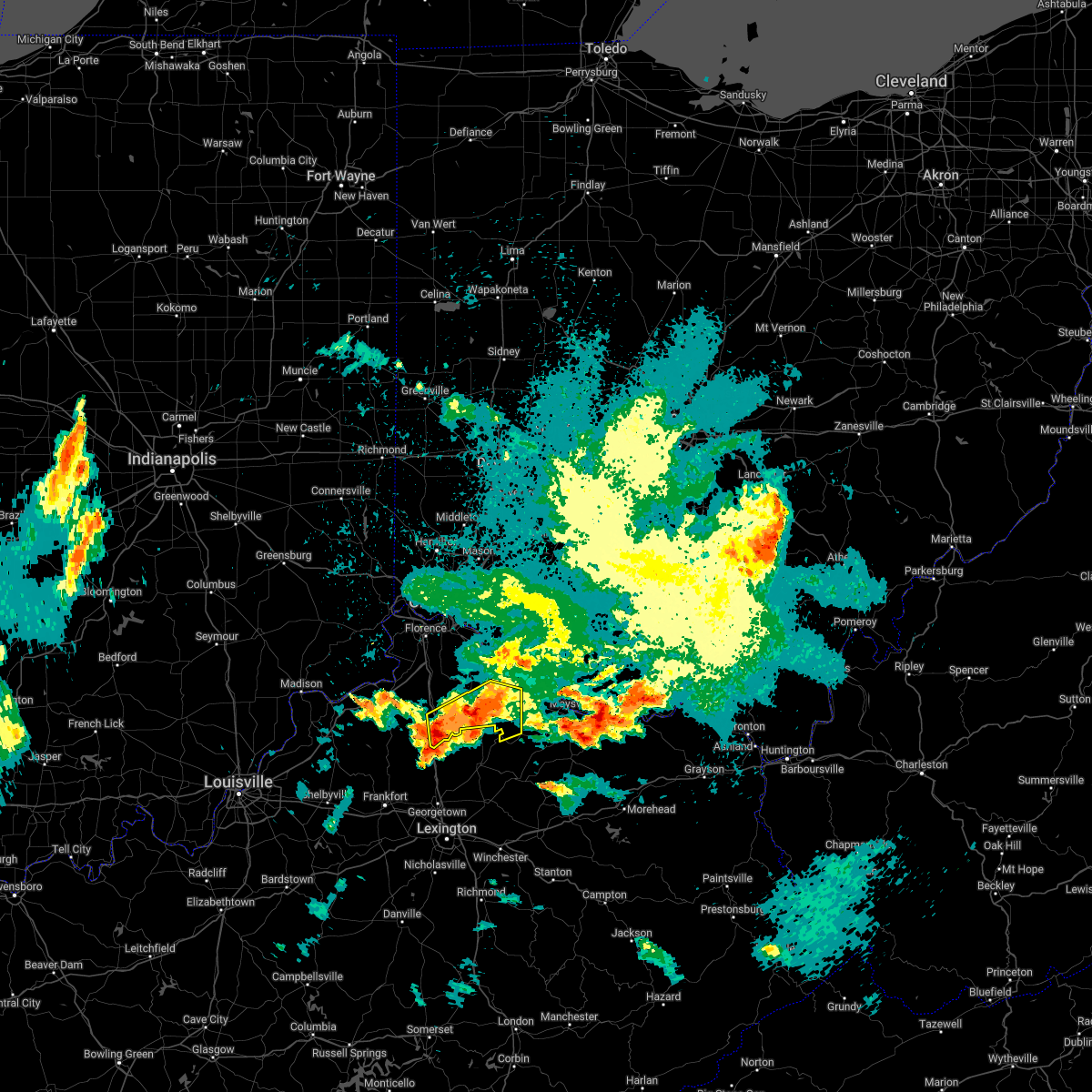 At 1123 pm edt, one severe thunderstorm was located near falmouth, and another severe thunderstorm was located near corinth. these storms are moving east at 30 mph (radar indicated). Hazards include 60 mph wind gusts and quarter size hail. Minor hail damage to vehicles is possible. expect wind damage to trees and power lines. locations impacted include, williamstown, falmouth, brooksville, morgan, corinth, browning corner, powersville, camp northward, johnsville, hittville, goforth, woolcutt, neave, milford, berlin, cherry grove, lenoxburg, santa fe and kincaid lake state park. this includes i-75 in kentucky between mile markers 143 and 155. hail threat, radar indicated max hail size, 1. 00 in wind threat, radar indicated max wind gust, 60 mph. At 1123 pm edt, one severe thunderstorm was located near falmouth, and another severe thunderstorm was located near corinth. these storms are moving east at 30 mph (radar indicated). Hazards include 60 mph wind gusts and quarter size hail. Minor hail damage to vehicles is possible. expect wind damage to trees and power lines. locations impacted include, williamstown, falmouth, brooksville, morgan, corinth, browning corner, powersville, camp northward, johnsville, hittville, goforth, woolcutt, neave, milford, berlin, cherry grove, lenoxburg, santa fe and kincaid lake state park. this includes i-75 in kentucky between mile markers 143 and 155. hail threat, radar indicated max hail size, 1. 00 in wind threat, radar indicated max wind gust, 60 mph.
|
| 5/19/2022 11:11 PM EDT |
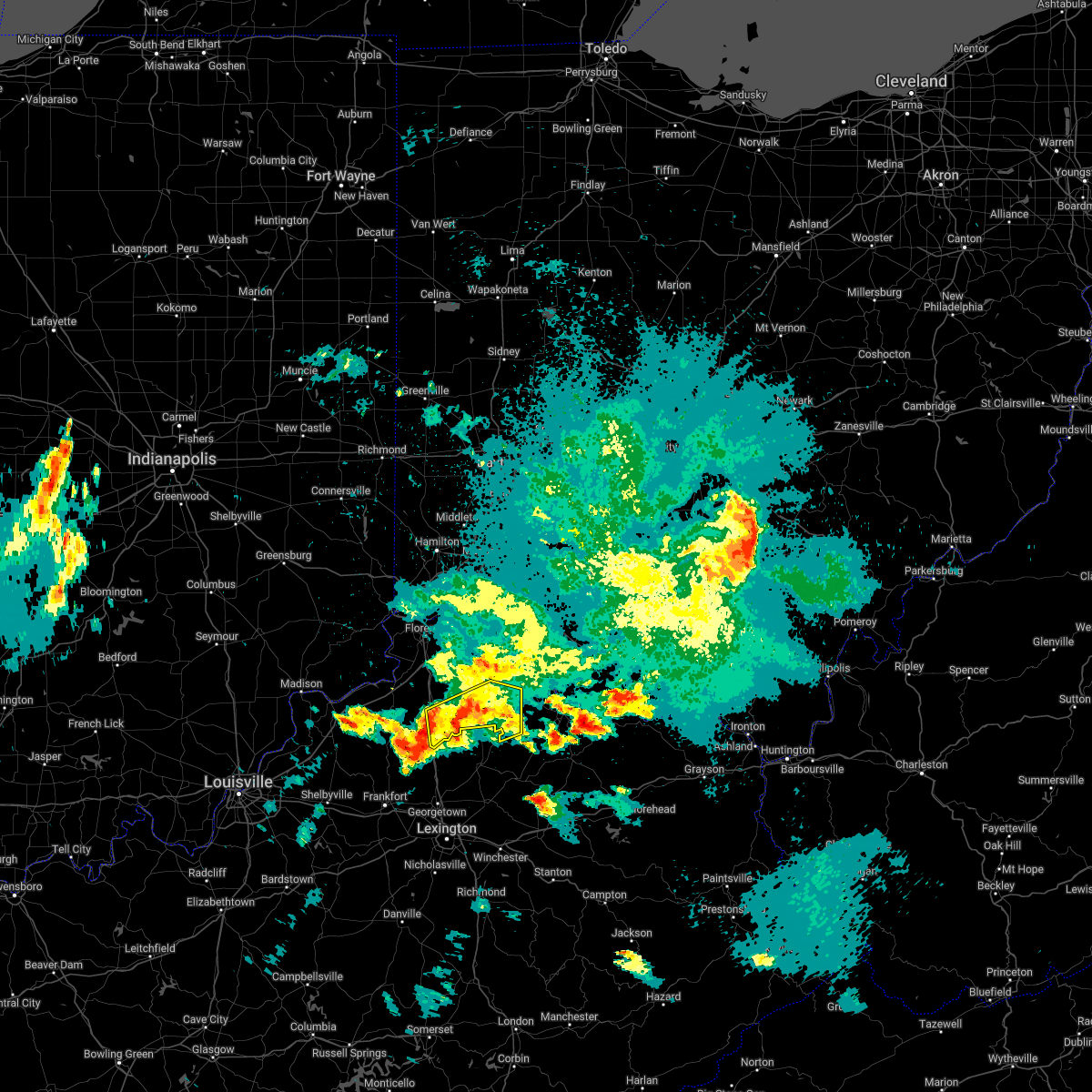 At 1111 pm edt, a severe thunderstorm was located near falmouth, moving east at 30 mph (radar indicated). Hazards include 60 mph wind gusts and quarter size hail. Minor hail damage to vehicles is possible. Expect wind damage to trees and power lines. At 1111 pm edt, a severe thunderstorm was located near falmouth, moving east at 30 mph (radar indicated). Hazards include 60 mph wind gusts and quarter size hail. Minor hail damage to vehicles is possible. Expect wind damage to trees and power lines.
|
| 5/14/2022 4:44 PM EDT |
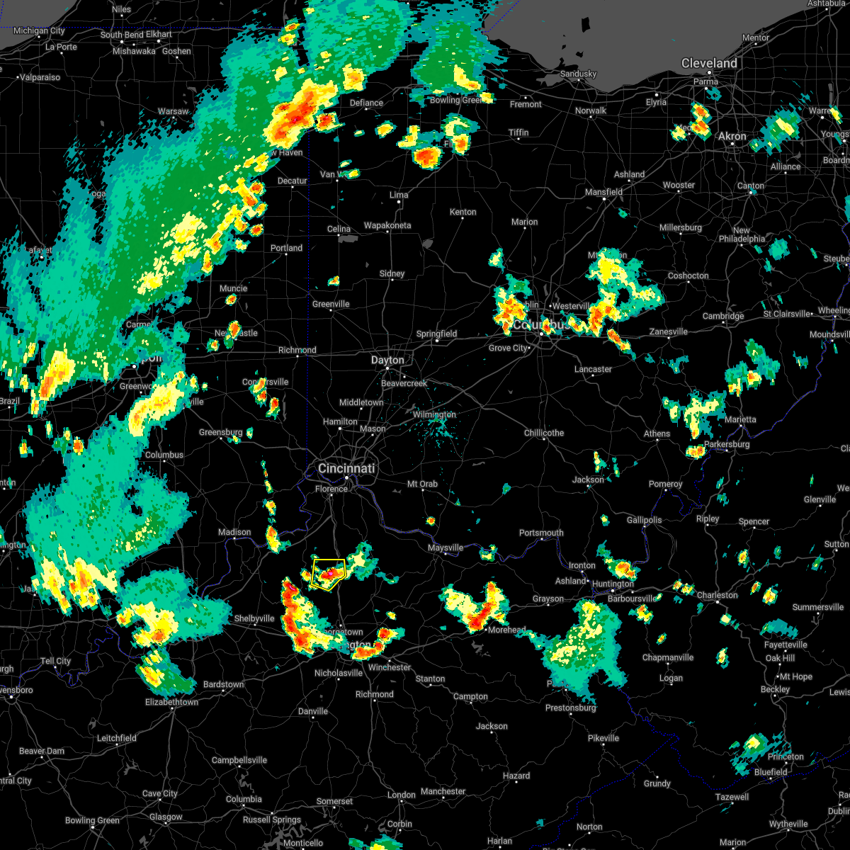 At 443 pm edt, a severe thunderstorm was located 8 miles southwest of williamstown, and is nearly stationary (radar indicated). Hazards include 60 mph wind gusts and quarter size hail. Minor hail damage to vehicles is possible. expect wind damage to trees and power lines. locations impacted include, williamstown, corinth, keefer, elk lake, needmore, new columbus, cherry grove, holbrook, lawrenceville and natlee. this includes i-75 in kentucky between mile markers 144 and 152. hail threat, radar indicated max hail size, 1. 00 in wind threat, radar indicated max wind gust, 60 mph. At 443 pm edt, a severe thunderstorm was located 8 miles southwest of williamstown, and is nearly stationary (radar indicated). Hazards include 60 mph wind gusts and quarter size hail. Minor hail damage to vehicles is possible. expect wind damage to trees and power lines. locations impacted include, williamstown, corinth, keefer, elk lake, needmore, new columbus, cherry grove, holbrook, lawrenceville and natlee. this includes i-75 in kentucky between mile markers 144 and 152. hail threat, radar indicated max hail size, 1. 00 in wind threat, radar indicated max wind gust, 60 mph.
|
| 5/14/2022 4:34 PM EDT |
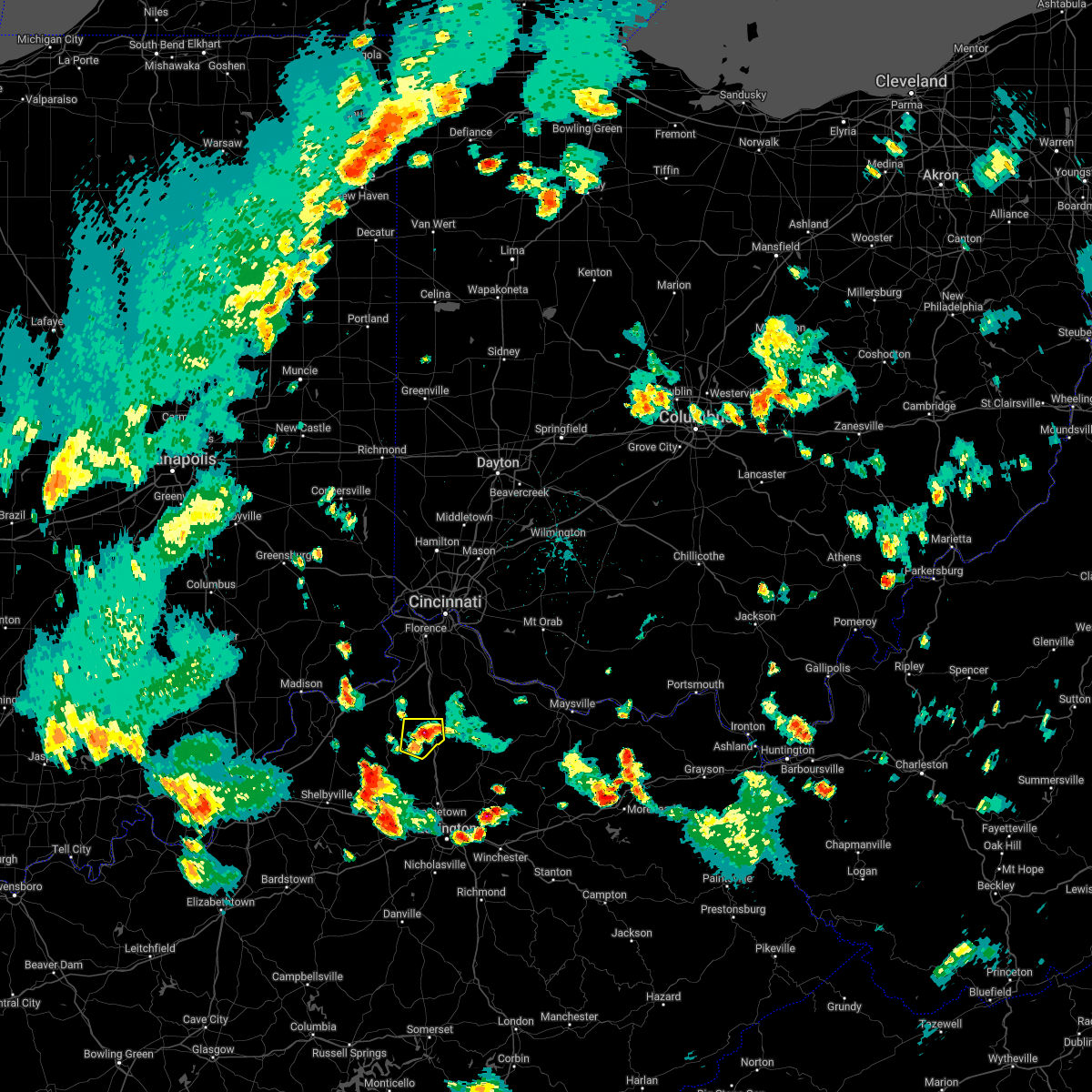 At 434 pm edt, a severe thunderstorm was located 7 miles southwest of williamstown, and is nearly stationary (radar indicated). Hazards include 60 mph wind gusts and quarter size hail. Minor hail damage to vehicles is possible. Expect wind damage to trees and power lines. At 434 pm edt, a severe thunderstorm was located 7 miles southwest of williamstown, and is nearly stationary (radar indicated). Hazards include 60 mph wind gusts and quarter size hail. Minor hail damage to vehicles is possible. Expect wind damage to trees and power lines.
|
| 4/13/2022 9:27 PM EDT |
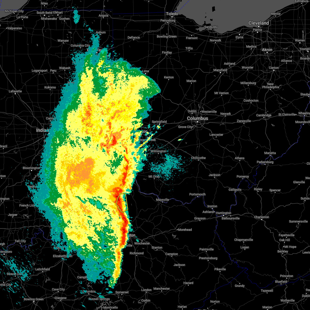 At 927 pm edt, a severe thunderstorm was located 7 miles southwest of williamstown, moving northeast at 45 mph (radar indicated). Hazards include 60 mph wind gusts and penny size hail. Expect damage to trees and power lines. locations impacted include, williamstown, crittenden, dry ridge, corinth, stewartsville, cherry grove, northcutt, williamstown lake, twin bridges, keefer, camp northward, sherman, lawrenceville and cordova. This includes i-75 in kentucky between mile markers 143 and 165. At 927 pm edt, a severe thunderstorm was located 7 miles southwest of williamstown, moving northeast at 45 mph (radar indicated). Hazards include 60 mph wind gusts and penny size hail. Expect damage to trees and power lines. locations impacted include, williamstown, crittenden, dry ridge, corinth, stewartsville, cherry grove, northcutt, williamstown lake, twin bridges, keefer, camp northward, sherman, lawrenceville and cordova. This includes i-75 in kentucky between mile markers 143 and 165.
|
| 4/13/2022 9:26 PM EDT |
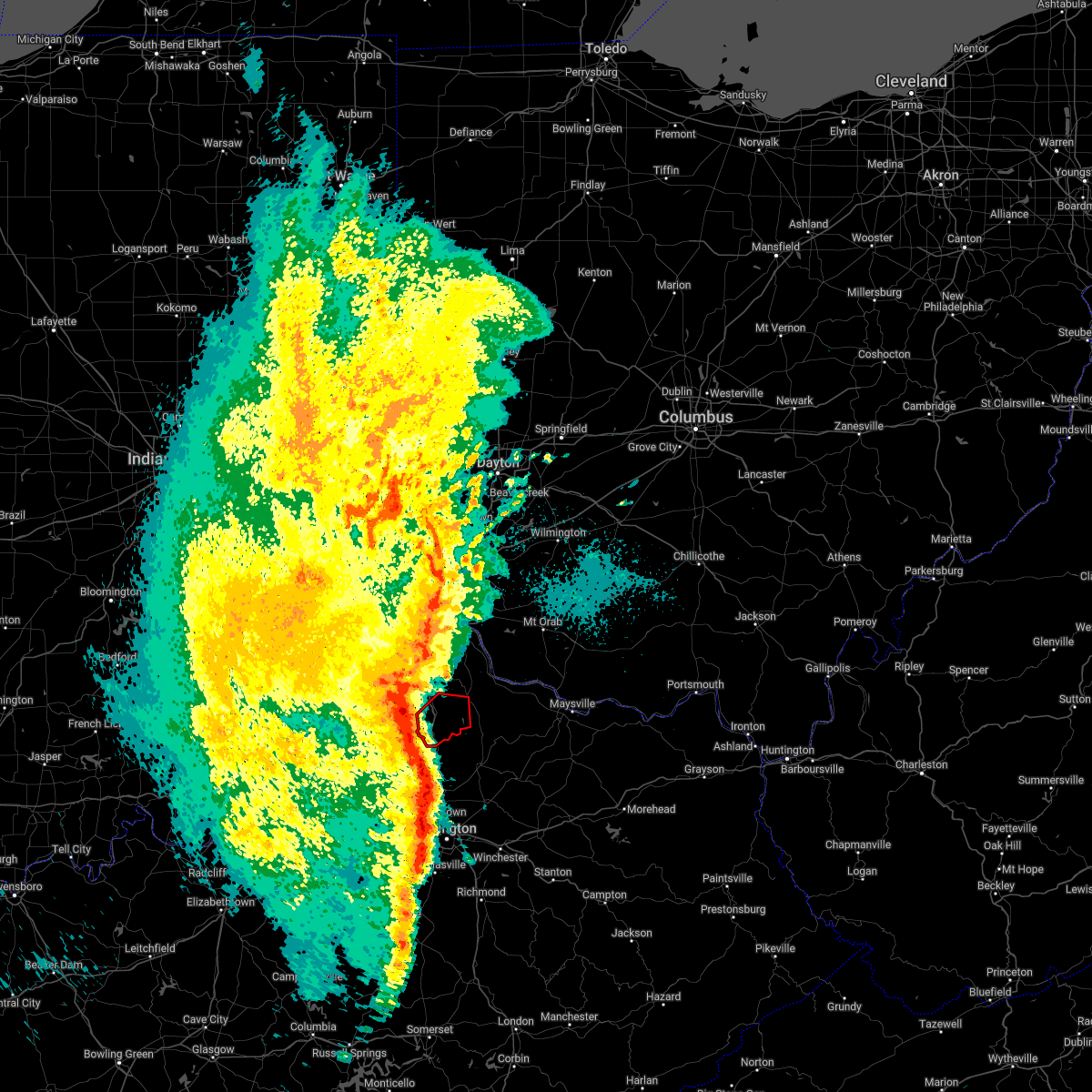 At 926 pm edt, a severe thunderstorm capable of producing a tornado was located 7 miles southwest of williamstown, moving east at 50 mph (radar indicated rotation). Hazards include tornado. Flying debris will be dangerous to those caught without shelter. mobile homes will be damaged or destroyed. damage to roofs, windows, and vehicles will occur. tree damage is likely. locations impacted include, williamstown, dry ridge, morgan, corinth, goforth, stewartsville, cherry grove, williamstown lake, knoxville, marcus, keefer, camp northward, gene snyder airport, lawrenceville and cordova. This includes i-75 in kentucky between mile markers 144 and 159. At 926 pm edt, a severe thunderstorm capable of producing a tornado was located 7 miles southwest of williamstown, moving east at 50 mph (radar indicated rotation). Hazards include tornado. Flying debris will be dangerous to those caught without shelter. mobile homes will be damaged or destroyed. damage to roofs, windows, and vehicles will occur. tree damage is likely. locations impacted include, williamstown, dry ridge, morgan, corinth, goforth, stewartsville, cherry grove, williamstown lake, knoxville, marcus, keefer, camp northward, gene snyder airport, lawrenceville and cordova. This includes i-75 in kentucky between mile markers 144 and 159.
|
| 1/1/0001 12:00 AM | Numerous tree branches down on us 25. time estimated from rada in grant county KY, 1.1 miles SSW of Corinth, KY |
| 1/1/0001 12:00 AM | Part of house blown onto owenton road. time estimated from rada in owen county KY, 1.2 miles NNE of Corinth, KY |
| 4/13/2022 9:21 PM EDT |
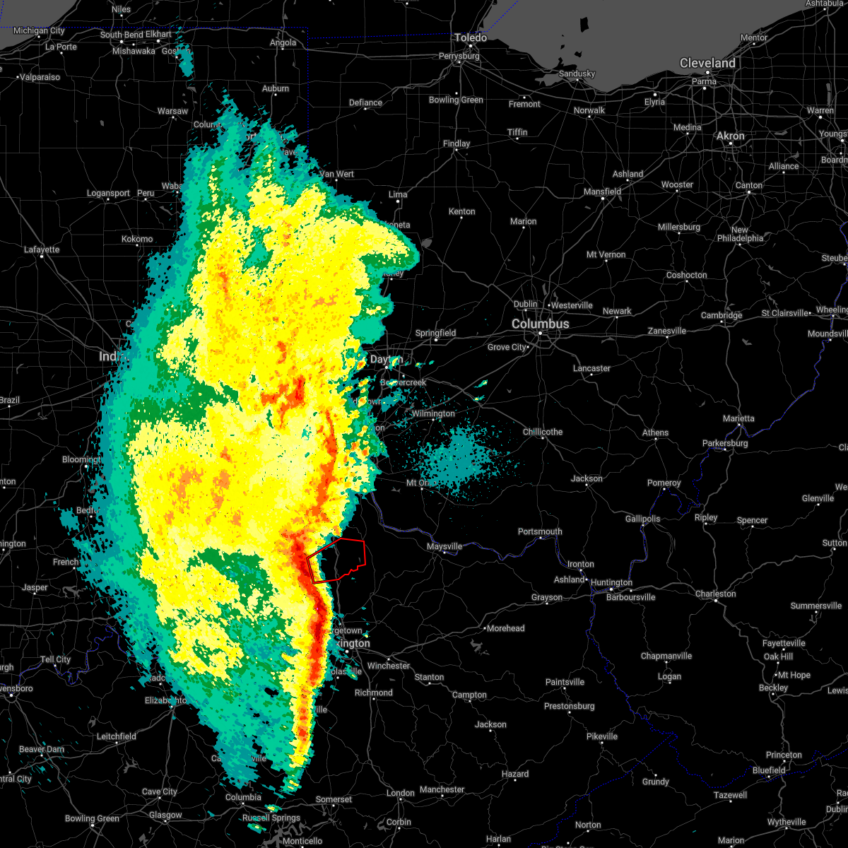 At 920 pm edt, a severe thunderstorm capable of producing a tornado was located near owenton, moving east at 55 mph (radar indicated rotation). Hazards include tornado. Flying debris will be dangerous to those caught without shelter. mobile homes will be damaged or destroyed. damage to roofs, windows, and vehicles will occur. Tree damage is likely. At 920 pm edt, a severe thunderstorm capable of producing a tornado was located near owenton, moving east at 55 mph (radar indicated rotation). Hazards include tornado. Flying debris will be dangerous to those caught without shelter. mobile homes will be damaged or destroyed. damage to roofs, windows, and vehicles will occur. Tree damage is likely.
|
| 4/13/2022 9:12 PM EDT |
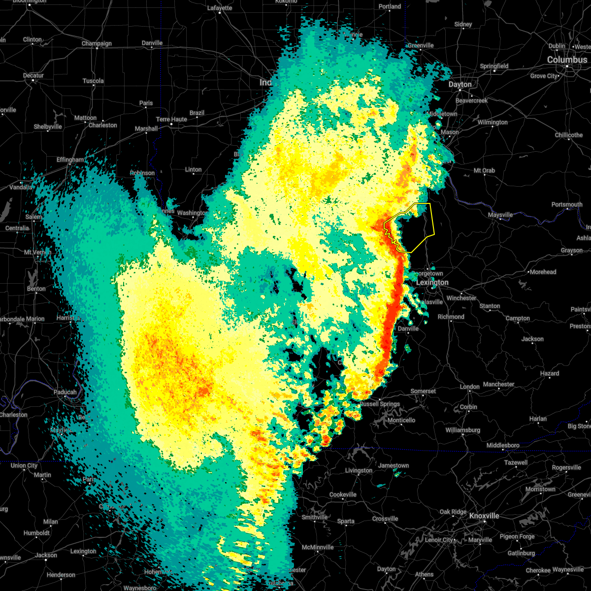 At 912 pm edt, a severe thunderstorm was located near owenton, moving northeast at 55 mph (radar indicated). Hazards include 70 mph wind gusts and penny size hail. Expect considerable tree damage. damage is likely to mobile homes, roofs, and outbuildings. locations impacted include, williamstown, crittenden, dry ridge, owenton, sanders, corinth, sparta, monterey, gratz, stewartsville, elk lake, beechwood, northcutt, wheatley, natlee, new liberty, camp northward, new columbus, elmer davis lake and sherman. This includes i-75 in kentucky between mile markers 144 and 165. At 912 pm edt, a severe thunderstorm was located near owenton, moving northeast at 55 mph (radar indicated). Hazards include 70 mph wind gusts and penny size hail. Expect considerable tree damage. damage is likely to mobile homes, roofs, and outbuildings. locations impacted include, williamstown, crittenden, dry ridge, owenton, sanders, corinth, sparta, monterey, gratz, stewartsville, elk lake, beechwood, northcutt, wheatley, natlee, new liberty, camp northward, new columbus, elmer davis lake and sherman. This includes i-75 in kentucky between mile markers 144 and 165.
|
| 4/13/2022 9:02 PM EDT |
 At 901 pm edt, a severe thunderstorm was located 10 miles southeast of new castle, moving northeast at 45 mph (radar indicated). Hazards include 70 mph wind gusts and penny size hail. Expect considerable tree damage. Damage is likely to mobile homes, roofs, and outbuildings. At 901 pm edt, a severe thunderstorm was located 10 miles southeast of new castle, moving northeast at 45 mph (radar indicated). Hazards include 70 mph wind gusts and penny size hail. Expect considerable tree damage. Damage is likely to mobile homes, roofs, and outbuildings.
|
| 8/27/2021 4:51 PM EDT |
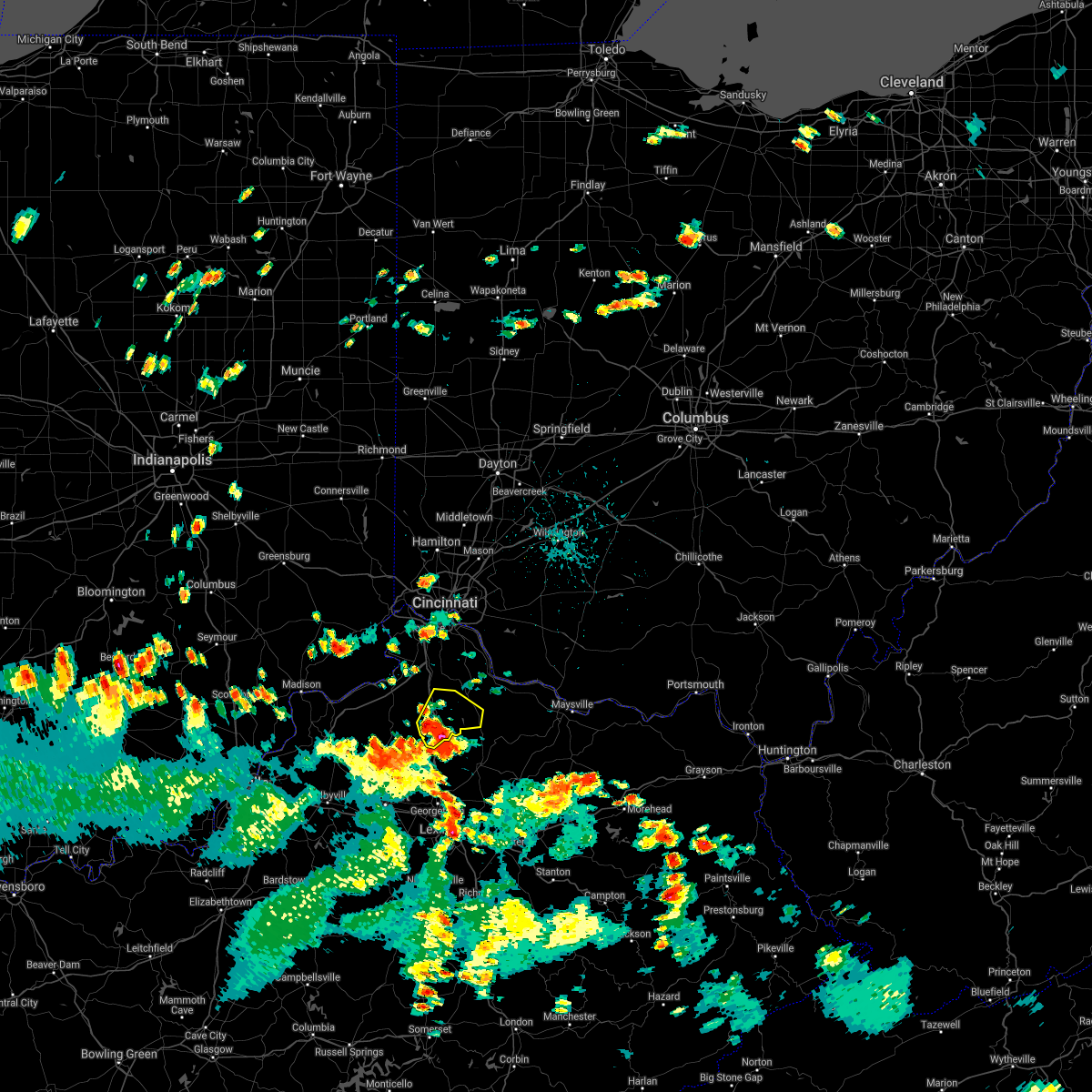 At 451 pm edt, a severe thunderstorm was located 7 miles southeast of williamstown, moving north at 15 mph (radar indicated). Hazards include 60 mph wind gusts. Expect damage to trees and power lines. locations impacted include, williamstown, falmouth, dry ridge, morgan, corinth, goforth, stewartsville, cherry grove, northcutt, williamstown lake, knoxville, marcus, keefer, camp northward, gene snyder airport, lawrenceville and cordova. this includes i-75 in kentucky between mile markers 143 and 160. hail threat, radar indicated max hail size, <. 75 in wind threat, radar indicated max wind gust, 60 mph. At 451 pm edt, a severe thunderstorm was located 7 miles southeast of williamstown, moving north at 15 mph (radar indicated). Hazards include 60 mph wind gusts. Expect damage to trees and power lines. locations impacted include, williamstown, falmouth, dry ridge, morgan, corinth, goforth, stewartsville, cherry grove, northcutt, williamstown lake, knoxville, marcus, keefer, camp northward, gene snyder airport, lawrenceville and cordova. this includes i-75 in kentucky between mile markers 143 and 160. hail threat, radar indicated max hail size, <. 75 in wind threat, radar indicated max wind gust, 60 mph.
|
| 8/27/2021 4:43 PM EDT | Tree knocked down in grant county KY, 1.6 miles WSW of Corinth, KY |
| 8/27/2021 4:39 PM EDT |
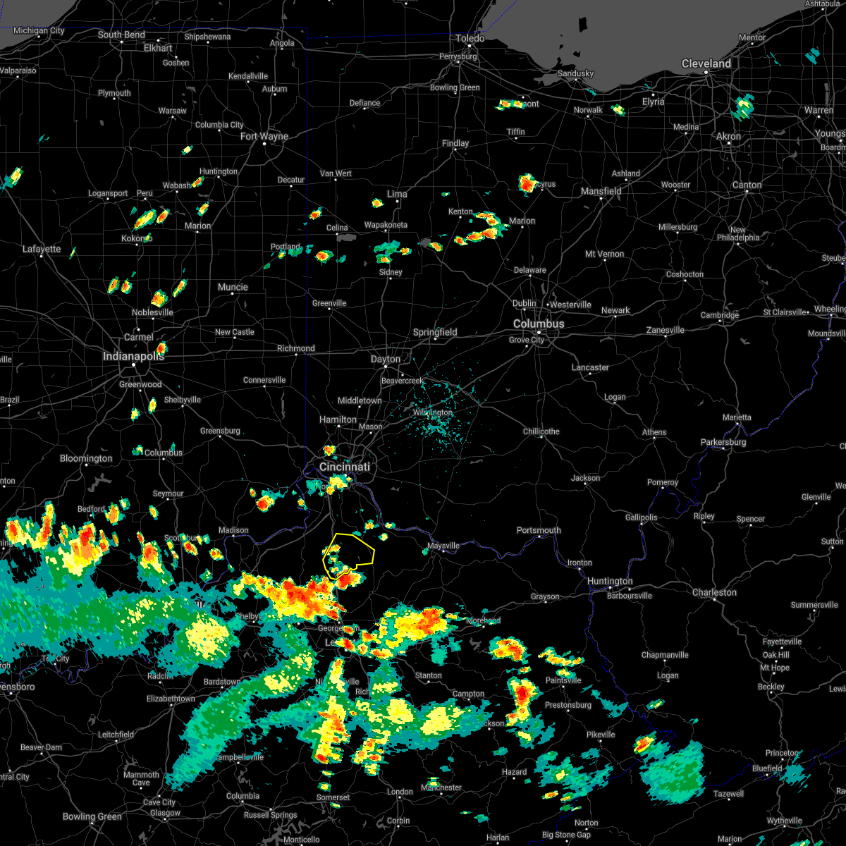 At 439 pm edt, a severe thunderstorm was located 9 miles south of williamstown, moving north at 20 mph (radar indicated). Hazards include 60 mph wind gusts. expect damage to trees and power lines At 439 pm edt, a severe thunderstorm was located 9 miles south of williamstown, moving north at 20 mph (radar indicated). Hazards include 60 mph wind gusts. expect damage to trees and power lines
|
| 6/18/2021 9:23 PM EDT |
 At 922 pm edt, severe thunderstorms were located along a line extending from union to near florence, moving southeast at 45 mph (radar indicated). Hazards include 70 mph wind gusts. Expect considerable tree damage. Damage is likely to mobile homes, roofs, and outbuildings. At 922 pm edt, severe thunderstorms were located along a line extending from union to near florence, moving southeast at 45 mph (radar indicated). Hazards include 70 mph wind gusts. Expect considerable tree damage. Damage is likely to mobile homes, roofs, and outbuildings.
|
| 4/8/2020 10:53 PM EDT |
 At 1053 pm edt, severe thunderstorms were located along a line extending from near neville to near owenton, moving southeast at 55 mph (radar indicated). Hazards include 60 mph wind gusts and penny size hail. expect damage to trees and power lines At 1053 pm edt, severe thunderstorms were located along a line extending from near neville to near owenton, moving southeast at 55 mph (radar indicated). Hazards include 60 mph wind gusts and penny size hail. expect damage to trees and power lines
|
| 4/8/2020 1:59 PM EDT |
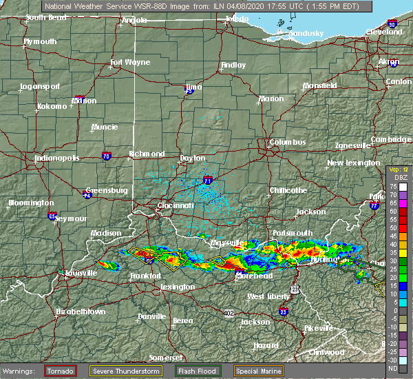 At 159 pm edt, a severe thunderstorm was located 8 miles east of owenton, moving southeast at 30 mph (radar indicated). Hazards include half dollar size hail. Minor damage to vehicles is possible. locations impacted include, corinth, keefer, lawrenceville, new columbus and cordova. This includes i-75 in kentucky between mile markers 144 and 150. At 159 pm edt, a severe thunderstorm was located 8 miles east of owenton, moving southeast at 30 mph (radar indicated). Hazards include half dollar size hail. Minor damage to vehicles is possible. locations impacted include, corinth, keefer, lawrenceville, new columbus and cordova. This includes i-75 in kentucky between mile markers 144 and 150.
|
| 4/8/2020 1:45 PM EDT |
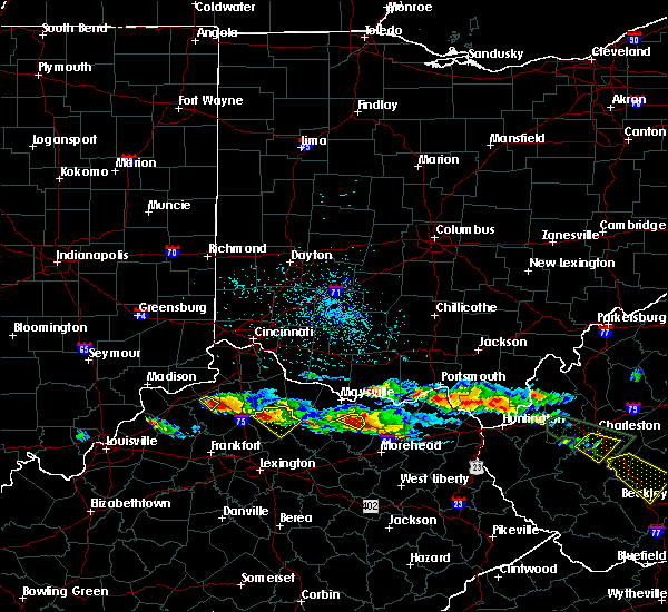 At 144 pm edt, a severe thunderstorm was located near owenton, moving southeast at 30 mph (radar indicated). Hazards include half dollar size hail. minor damage to vehicles is possible At 144 pm edt, a severe thunderstorm was located near owenton, moving southeast at 30 mph (radar indicated). Hazards include half dollar size hail. minor damage to vehicles is possible
|
| 1/11/2020 12:06 PM EST |
 The severe thunderstorm warning for grant, eastern owen and eastern gallatin counties will expire at 1215 pm est, the storms which prompted the warning have weakened below severe limits, and no longer pose an immediate threat to life or property. therefore, the warning will be allowed to expire. however gusty winds are still possible with these thunderstorms. a severe thunderstorm watch remains in effect until 500 pm est for southeastern indiana, and northern kentucky. please report previous wind damage or hail to the national weather service by going to our website at weather.gov/iln and submitting your report via social media. The severe thunderstorm warning for grant, eastern owen and eastern gallatin counties will expire at 1215 pm est, the storms which prompted the warning have weakened below severe limits, and no longer pose an immediate threat to life or property. therefore, the warning will be allowed to expire. however gusty winds are still possible with these thunderstorms. a severe thunderstorm watch remains in effect until 500 pm est for southeastern indiana, and northern kentucky. please report previous wind damage or hail to the national weather service by going to our website at weather.gov/iln and submitting your report via social media.
|
| 1/11/2020 11:59 AM EST |
 At 1159 am est, severe thunderstorms were located along a line extending from near patriot to 7 miles southeast of owenton, moving northeast at 70 mph (radar indicated). Hazards include 60 mph wind gusts. Expect damage to trees and power lines. locations impacted include, williamstown, crittenden, dry ridge, glencoe, corinth, stewartsville, elk lake, beechwood, ryle, northcutt, natlee, steele bottom, camp northward, new columbus, sherman, elliston, munk, cherry grove, williamstown lake and eagle hill. this includes the following interstates, i-71 in kentucky between mile markers 63 and 70. I-75 in kentucky between mile markers 144 and 166. At 1159 am est, severe thunderstorms were located along a line extending from near patriot to 7 miles southeast of owenton, moving northeast at 70 mph (radar indicated). Hazards include 60 mph wind gusts. Expect damage to trees and power lines. locations impacted include, williamstown, crittenden, dry ridge, glencoe, corinth, stewartsville, elk lake, beechwood, ryle, northcutt, natlee, steele bottom, camp northward, new columbus, sherman, elliston, munk, cherry grove, williamstown lake and eagle hill. this includes the following interstates, i-71 in kentucky between mile markers 63 and 70. I-75 in kentucky between mile markers 144 and 166.
|
| 1/11/2020 11:54 AM EST |
 At 1153 am est, severe thunderstorms were located along a line extending from near florence to 9 miles south of owenton, moving northeast at 70 mph (radar indicated). Hazards include 60 mph wind gusts. Expect damage to trees and power lines. locations impacted include, williamstown, crittenden, dry ridge, warsaw, owenton, kentucky speedway, glencoe, corinth, sparta, monterey, gratz, stewartsville, elk lake, beechwood, ryle, northcutt, interstate 71 at us route 127, natlee, steele bottom and new liberty. this includes the following interstates, i-71 in kentucky between mile markers 54 and 70. I-75 in kentucky between mile markers 144 and 166. At 1153 am est, severe thunderstorms were located along a line extending from near florence to 9 miles south of owenton, moving northeast at 70 mph (radar indicated). Hazards include 60 mph wind gusts. Expect damage to trees and power lines. locations impacted include, williamstown, crittenden, dry ridge, warsaw, owenton, kentucky speedway, glencoe, corinth, sparta, monterey, gratz, stewartsville, elk lake, beechwood, ryle, northcutt, interstate 71 at us route 127, natlee, steele bottom and new liberty. this includes the following interstates, i-71 in kentucky between mile markers 54 and 70. I-75 in kentucky between mile markers 144 and 166.
|
| 1/11/2020 11:40 AM EST |
 At 1140 am est, severe thunderstorms were located along a line extending from 6 miles south of carrollton to 8 miles west of frankfort, moving northeast at 70 mph (radar indicated). Hazards include 60 mph wind gusts. expect damage to trees and power lines At 1140 am est, severe thunderstorms were located along a line extending from 6 miles south of carrollton to 8 miles west of frankfort, moving northeast at 70 mph (radar indicated). Hazards include 60 mph wind gusts. expect damage to trees and power lines
|
| 8/20/2019 2:45 PM EDT | Report of a tree down on hinton webber roa in harrison county KY, 5.2 miles WNW of Corinth, KY |
| 6/16/2019 6:18 PM EDT | Tree down on friendship roa in harrison county KY, 4.2 miles WNW of Corinth, KY |
| 6/16/2019 5:55 PM EDT |
 The severe thunderstorm warning for northern scott and west central harrison counties will expire at 600 pm edt, the storm which prompted the warning has weakened below severe limits, and no longer poses an immediate threat to life or property. therefore, the warning will be allowed to expire. however gusty winds and heavy rain are still possible with this thunderstorm. a severe thunderstorm watch remains in effect until 1100 pm edt for central kentucky. The severe thunderstorm warning for northern scott and west central harrison counties will expire at 600 pm edt, the storm which prompted the warning has weakened below severe limits, and no longer poses an immediate threat to life or property. therefore, the warning will be allowed to expire. however gusty winds and heavy rain are still possible with this thunderstorm. a severe thunderstorm watch remains in effect until 1100 pm edt for central kentucky.
|
| 6/16/2019 5:33 PM EDT |
 At 533 pm edt, a severe thunderstorm was located 12 miles northwest of georgetown, moving east at 40 mph (radar indicated). Hazards include 60 mph wind gusts and quarter size hail. Hail damage to vehicles is expected. Expect wind damage to roofs, siding, and trees. At 533 pm edt, a severe thunderstorm was located 12 miles northwest of georgetown, moving east at 40 mph (radar indicated). Hazards include 60 mph wind gusts and quarter size hail. Hail damage to vehicles is expected. Expect wind damage to roofs, siding, and trees.
|
| 6/16/2019 5:28 PM EDT | Multiple trees blown down along hwy 330 from owenton to near corint in owen county KY, 6.7 miles ESE of Corinth, KY |
| 6/16/2019 5:02 PM EDT |
 At 502 pm edt, a severe thunderstorm was located 8 miles southwest of owenton, moving northeast at 25 mph (radar indicated). Hazards include 60 mph wind gusts and quarter size hail. Minor hail damage to vehicles is possible. Expect wind damage to trees and power lines. At 502 pm edt, a severe thunderstorm was located 8 miles southwest of owenton, moving northeast at 25 mph (radar indicated). Hazards include 60 mph wind gusts and quarter size hail. Minor hail damage to vehicles is possible. Expect wind damage to trees and power lines.
|
| 5/23/2019 5:50 PM EDT |
 At 550 pm edt, a severe thunderstorm was located near owenton, moving east at 45 mph (radar indicated). Hazards include 60 mph wind gusts and quarter size hail. Minor hail damage to vehicles is possible. expect wind damage to trees and power lines. locations impacted include, owenton, corinth, twin bridges, keefer, elk lake, beechwood, needmore, new columbus, holbrook, lawrenceville, long ridge and natlee. This includes i-75 in kentucky between mile markers 144 and 151. At 550 pm edt, a severe thunderstorm was located near owenton, moving east at 45 mph (radar indicated). Hazards include 60 mph wind gusts and quarter size hail. Minor hail damage to vehicles is possible. expect wind damage to trees and power lines. locations impacted include, owenton, corinth, twin bridges, keefer, elk lake, beechwood, needmore, new columbus, holbrook, lawrenceville, long ridge and natlee. This includes i-75 in kentucky between mile markers 144 and 151.
|
| 5/23/2019 5:38 PM EDT |
 At 538 pm edt, a severe thunderstorm was located near owenton, moving northeast at 30 mph (radar indicated). Hazards include 60 mph wind gusts and quarter size hail. Minor hail damage to vehicles is possible. expect wind damage to trees and power lines. locations impacted include, owenton, corinth, monterey, gratz, elk lake, beechwood, harmony, long ridge, natlee, twin bridges, squiresville, keefer, needmore, new columbus, holbrook, elmer davis lake and lawrenceville. This includes i-75 in kentucky between mile markers 144 and 151. At 538 pm edt, a severe thunderstorm was located near owenton, moving northeast at 30 mph (radar indicated). Hazards include 60 mph wind gusts and quarter size hail. Minor hail damage to vehicles is possible. expect wind damage to trees and power lines. locations impacted include, owenton, corinth, monterey, gratz, elk lake, beechwood, harmony, long ridge, natlee, twin bridges, squiresville, keefer, needmore, new columbus, holbrook, elmer davis lake and lawrenceville. This includes i-75 in kentucky between mile markers 144 and 151.
|
| 5/23/2019 5:20 PM EDT |
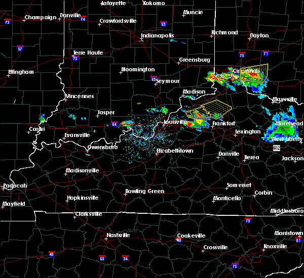 At 520 pm edt, a severe thunderstorm was located near new castle, moving east at 45 mph (radar indicated). Hazards include 60 mph wind gusts and quarter size hail. Minor hail damage to vehicles is possible. Expect wind damage to trees and power lines. At 520 pm edt, a severe thunderstorm was located near new castle, moving east at 45 mph (radar indicated). Hazards include 60 mph wind gusts and quarter size hail. Minor hail damage to vehicles is possible. Expect wind damage to trees and power lines.
|
| 3/14/2019 9:53 PM EDT |
 At 953 pm edt, severe thunderstorms were located along a line extending from near mount orab to 10 miles south of williamstown, moving northeast at 70 mph (radar indicated). Hazards include 60 mph wind gusts. expect damage to trees and power lines At 953 pm edt, severe thunderstorms were located along a line extending from near mount orab to 10 miles south of williamstown, moving northeast at 70 mph (radar indicated). Hazards include 60 mph wind gusts. expect damage to trees and power lines
|
| 3/14/2019 8:53 PM EDT |
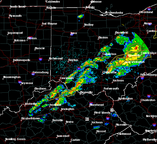 At 853 pm edt, a severe thunderstorm was located near dry ridge, moving northeast at 65 mph (radar indicated). Hazards include 60 mph wind gusts. Expect damage to trees and power lines. locations impacted include, williamstown, dry ridge, owenton, corinth, stewartsville, elk lake, cherry grove, long ridge, williamstown lake, eagle hill, twin bridges, keefer, camp northward, needmore, holbrook, lawrenceville and cordova. This includes i-75 in kentucky between mile markers 146 and 160. At 853 pm edt, a severe thunderstorm was located near dry ridge, moving northeast at 65 mph (radar indicated). Hazards include 60 mph wind gusts. Expect damage to trees and power lines. locations impacted include, williamstown, dry ridge, owenton, corinth, stewartsville, elk lake, cherry grove, long ridge, williamstown lake, eagle hill, twin bridges, keefer, camp northward, needmore, holbrook, lawrenceville and cordova. This includes i-75 in kentucky between mile markers 146 and 160.
|
| 3/14/2019 8:39 PM EDT |
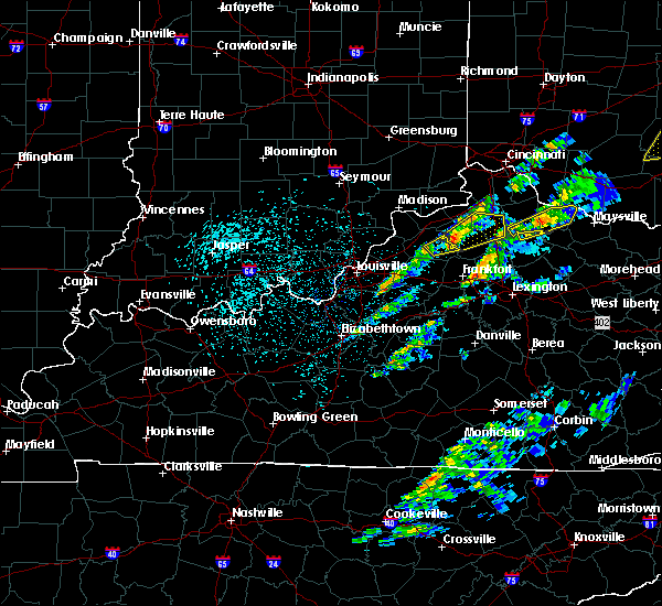 At 839 pm edt, a severe thunderstorm was located near owenton, moving northeast at 65 mph (radar indicated). Hazards include 60 mph wind gusts. Expect damage to trees and power lines. locations impacted include, williamstown, dry ridge, owenton, corinth, monterey, gratz, stewartsville, elk lake, cherry grove, long ridge, williamstown lake, eagle hill, new liberty, twin bridges, squiresville, keefer, camp northward, needmore, holbrook and elmer davis lake. This includes i-75 in kentucky between mile markers 146 and 160. At 839 pm edt, a severe thunderstorm was located near owenton, moving northeast at 65 mph (radar indicated). Hazards include 60 mph wind gusts. Expect damage to trees and power lines. locations impacted include, williamstown, dry ridge, owenton, corinth, monterey, gratz, stewartsville, elk lake, cherry grove, long ridge, williamstown lake, eagle hill, new liberty, twin bridges, squiresville, keefer, camp northward, needmore, holbrook and elmer davis lake. This includes i-75 in kentucky between mile markers 146 and 160.
|
| 3/14/2019 8:37 PM EDT |
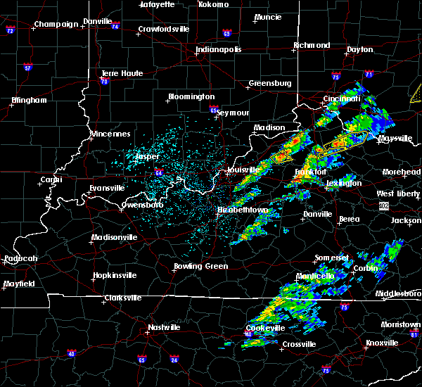 At 839 pm edt, a severe thunderstorm was located near owenton, moving northeast at 65 mph (radar indicated). Hazards include 60 mph wind gusts. Expect damage to trees and power lines. locations impacted include, williamstown, dry ridge, owenton, corinth, monterey, gratz, stewartsville, elk lake, cherry grove, long ridge, williamstown lake, eagle hill, new liberty, twin bridges, squiresville, keefer, camp northward, needmore, holbrook and elmer davis lake. This includes i-75 in kentucky between mile markers 146 and 160. At 839 pm edt, a severe thunderstorm was located near owenton, moving northeast at 65 mph (radar indicated). Hazards include 60 mph wind gusts. Expect damage to trees and power lines. locations impacted include, williamstown, dry ridge, owenton, corinth, monterey, gratz, stewartsville, elk lake, cherry grove, long ridge, williamstown lake, eagle hill, new liberty, twin bridges, squiresville, keefer, camp northward, needmore, holbrook and elmer davis lake. This includes i-75 in kentucky between mile markers 146 and 160.
|
| 3/14/2019 8:19 PM EDT |
 At 818 pm edt, a severe thunderstorm was located 10 miles southwest of williamstown, moving northeast at 60 mph (radar indicated). Hazards include 60 mph wind gusts and nickel size hail. Expect damage to trees and power lines. locations impacted include, williamstown, falmouth, butler, morgan, corinth, mount auburn, goforth, greenwood, cherry grove, williamstown lake, natlee, lenoxburg, kincaid lake state park, peach grove, knoxville, marcus, keefer, catawba, camp northward and new columbus. This includes i-75 in kentucky between mile markers 144 and 156. At 818 pm edt, a severe thunderstorm was located 10 miles southwest of williamstown, moving northeast at 60 mph (radar indicated). Hazards include 60 mph wind gusts and nickel size hail. Expect damage to trees and power lines. locations impacted include, williamstown, falmouth, butler, morgan, corinth, mount auburn, goforth, greenwood, cherry grove, williamstown lake, natlee, lenoxburg, kincaid lake state park, peach grove, knoxville, marcus, keefer, catawba, camp northward and new columbus. This includes i-75 in kentucky between mile markers 144 and 156.
|
| 3/14/2019 8:06 PM EDT |
 At 806 pm edt, a severe thunderstorm was located 9 miles south of owenton, moving northeast at 65 mph (radar indicated). Hazards include 60 mph wind gusts and nickel size hail. expect damage to trees and power lines At 806 pm edt, a severe thunderstorm was located 9 miles south of owenton, moving northeast at 65 mph (radar indicated). Hazards include 60 mph wind gusts and nickel size hail. expect damage to trees and power lines
|
| 7/20/2018 3:34 PM EDT |
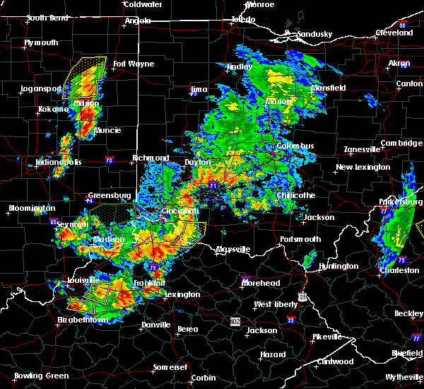 At 333 pm edt, a severe thunderstorm was located near owenton, moving east at 35 mph (radar indicated). Hazards include 60 mph wind gusts and quarter size hail. Minor hail damage to vehicles is possible. Expect wind damage to trees and power lines. At 333 pm edt, a severe thunderstorm was located near owenton, moving east at 35 mph (radar indicated). Hazards include 60 mph wind gusts and quarter size hail. Minor hail damage to vehicles is possible. Expect wind damage to trees and power lines.
|
| 6/26/2018 3:07 PM EDT |
 The severe thunderstorm warning for central grant county will expire at 315 pm edt, this warning has been replaced with another severe thunderstorm warning for portions of northern and eastern grant county. please report previous wind damage or hail to the national weather service by going to our website at weather.gov/iln and submitting your report via social media. The severe thunderstorm warning for central grant county will expire at 315 pm edt, this warning has been replaced with another severe thunderstorm warning for portions of northern and eastern grant county. please report previous wind damage or hail to the national weather service by going to our website at weather.gov/iln and submitting your report via social media.
|
| 6/26/2018 2:57 PM EDT |
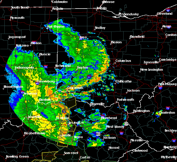 At 257 pm edt, a severe thunderstorm was located near dry ridge, moving northeast at 30 mph (radar indicated). Hazards include 60 mph wind gusts. Expect damage to trees and power lines. locations impacted include, williamstown, corinth, twin bridges, keefer, stewartsville, cherry grove, holbrook and lawrenceville. This includes i-75 in kentucky between mile markers 143 and 153. At 257 pm edt, a severe thunderstorm was located near dry ridge, moving northeast at 30 mph (radar indicated). Hazards include 60 mph wind gusts. Expect damage to trees and power lines. locations impacted include, williamstown, corinth, twin bridges, keefer, stewartsville, cherry grove, holbrook and lawrenceville. This includes i-75 in kentucky between mile markers 143 and 153.
|
| 6/26/2018 2:38 PM EDT |
 At 238 pm edt, a severe thunderstorm was located near owenton, moving northeast at 30 mph (radar indicated). Hazards include 60 mph wind gusts. Expect damage to trees and power lines. locations impacted include, williamstown, owenton, sanders, corinth, stewartsville, elk lake, beechwood, harmony, cherry grove, long ridge, wheatley, natlee, eagle hill, new liberty, twin bridges, keefer, needmore, new columbus, holbrook and lawrenceville. This includes i-75 in kentucky between mile markers 143 and 153. At 238 pm edt, a severe thunderstorm was located near owenton, moving northeast at 30 mph (radar indicated). Hazards include 60 mph wind gusts. Expect damage to trees and power lines. locations impacted include, williamstown, owenton, sanders, corinth, stewartsville, elk lake, beechwood, harmony, cherry grove, long ridge, wheatley, natlee, eagle hill, new liberty, twin bridges, keefer, needmore, new columbus, holbrook and lawrenceville. This includes i-75 in kentucky between mile markers 143 and 153.
|
| 6/26/2018 2:23 PM EDT |
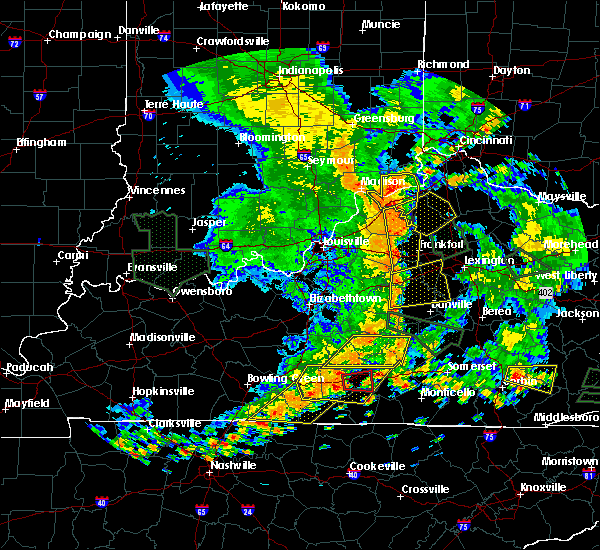 At 222 pm edt, a severe thunderstorm was located 8 miles west of owenton, moving east at 30 mph (radar indicated). Hazards include 60 mph wind gusts. expect damage to trees and power lines At 222 pm edt, a severe thunderstorm was located 8 miles west of owenton, moving east at 30 mph (radar indicated). Hazards include 60 mph wind gusts. expect damage to trees and power lines
|
| 6/1/2018 8:02 PM EDT |
 At 801 pm edt, a severe thunderstorm was located 7 miles northeast of owenton, moving southeast at 25 mph (radar indicated). Hazards include 60 mph wind gusts and quarter size hail. Minor hail damage to vehicles is possible. expect wind damage to trees and power lines. locations impacted include, williamstown, owenton, glencoe, corinth, sparta, stewartsville, elk lake, beechwood, harmony, cherry grove, long ridge, natlee, eagle hill, new liberty, twin bridges, keefer, camp northward, needmore, new columbus and holbrook. This includes i-75 in kentucky between mile markers 144 and 153. At 801 pm edt, a severe thunderstorm was located 7 miles northeast of owenton, moving southeast at 25 mph (radar indicated). Hazards include 60 mph wind gusts and quarter size hail. Minor hail damage to vehicles is possible. expect wind damage to trees and power lines. locations impacted include, williamstown, owenton, glencoe, corinth, sparta, stewartsville, elk lake, beechwood, harmony, cherry grove, long ridge, natlee, eagle hill, new liberty, twin bridges, keefer, camp northward, needmore, new columbus and holbrook. This includes i-75 in kentucky between mile markers 144 and 153.
|
| 6/1/2018 7:40 PM EDT |
 At 740 pm edt, a severe thunderstorm was located over kentucky speedway, moving southeast at 25 mph (radar indicated). Hazards include 60 mph wind gusts and quarter size hail. Minor hail damage to vehicles is possible. Expect wind damage to trees and power lines. At 740 pm edt, a severe thunderstorm was located over kentucky speedway, moving southeast at 25 mph (radar indicated). Hazards include 60 mph wind gusts and quarter size hail. Minor hail damage to vehicles is possible. Expect wind damage to trees and power lines.
|
| 5/31/2018 3:44 PM EDT |
 At 343 pm edt, severe thunderstorms were located along a line extending from near crittenden to 9 miles south of williamstown, moving east at 60 mph (law enforcement). Hazards include 70 mph wind gusts. Expect considerable tree damage. damage is likely to mobile homes, roofs, and outbuildings. locations impacted include, williamstown, falmouth, crittenden, dry ridge, butler, morgan, corinth, stewartsville, elk lake, beechwood, northcutt, natlee, gardnersville, camp northward, new columbus, sherman, elliston, goforth, munk and greenwood. This includes i-75 in kentucky between mile markers 144 and 166. At 343 pm edt, severe thunderstorms were located along a line extending from near crittenden to 9 miles south of williamstown, moving east at 60 mph (law enforcement). Hazards include 70 mph wind gusts. Expect considerable tree damage. damage is likely to mobile homes, roofs, and outbuildings. locations impacted include, williamstown, falmouth, crittenden, dry ridge, butler, morgan, corinth, stewartsville, elk lake, beechwood, northcutt, natlee, gardnersville, camp northward, new columbus, sherman, elliston, goforth, munk and greenwood. This includes i-75 in kentucky between mile markers 144 and 166.
|
| 5/31/2018 3:27 PM EDT |
 At 326 pm edt, severe thunderstorms were located along a line extending from near kentucky speedway to 9 miles south of owenton, moving east at 60 mph (radar indicated). Hazards include 70 mph wind gusts. Expect considerable tree damage. Damage is likely to mobile homes, roofs, and outbuildings. At 326 pm edt, severe thunderstorms were located along a line extending from near kentucky speedway to 9 miles south of owenton, moving east at 60 mph (radar indicated). Hazards include 70 mph wind gusts. Expect considerable tree damage. Damage is likely to mobile homes, roofs, and outbuildings.
|
| 5/31/2018 2:45 PM EDT |
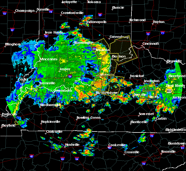 At 244 pm edt, severe thunderstorms were located along a line extending from 8 miles southwest of bedford to 8 miles east of shepherdsville, moving east at 55 mph (radar indicated). Hazards include 70 mph wind gusts. Expect considerable tree damage. Damage is likely to mobile homes, roofs, and outbuildings. At 244 pm edt, severe thunderstorms were located along a line extending from 8 miles southwest of bedford to 8 miles east of shepherdsville, moving east at 55 mph (radar indicated). Hazards include 70 mph wind gusts. Expect considerable tree damage. Damage is likely to mobile homes, roofs, and outbuildings.
|
| 4/3/2018 9:09 PM EDT |
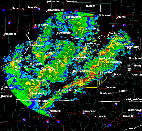 At 908 pm edt, a severe thunderstorm was located 10 miles southeast of owenton, moving east at 45 mph (radar indicated). Hazards include 60 mph wind gusts and quarter size hail. Minor hail damage to vehicles is possible. Expect wind damage to trees and power lines. At 908 pm edt, a severe thunderstorm was located 10 miles southeast of owenton, moving east at 45 mph (radar indicated). Hazards include 60 mph wind gusts and quarter size hail. Minor hail damage to vehicles is possible. Expect wind damage to trees and power lines.
|
| 4/3/2018 6:07 PM EDT |
 At 607 pm edt, severe thunderstorms were located along a line extending from bethel to 6 miles east of falmouth to 13 miles south of williamstown, moving southeast at 30 mph (radar indicated). Hazards include 60 mph wind gusts and quarter size hail. Minor hail damage to vehicles is possible. expect wind damage to trees and power lines. locations impacted include, falmouth, mount orab, bethel, augusta, felicity, brooksville, morgan, hamersville, corinth, moscow, neville, chilo, mount auburn, browning corner, bradford, willow grove, saltair, natlee, nicholsville and powersville. this includes i-75 in kentucky between mile markers 144 and 149. A tornado watch remains in effect until 800 pm edt for northern kentucky, and southwestern ohio. At 607 pm edt, severe thunderstorms were located along a line extending from bethel to 6 miles east of falmouth to 13 miles south of williamstown, moving southeast at 30 mph (radar indicated). Hazards include 60 mph wind gusts and quarter size hail. Minor hail damage to vehicles is possible. expect wind damage to trees and power lines. locations impacted include, falmouth, mount orab, bethel, augusta, felicity, brooksville, morgan, hamersville, corinth, moscow, neville, chilo, mount auburn, browning corner, bradford, willow grove, saltair, natlee, nicholsville and powersville. this includes i-75 in kentucky between mile markers 144 and 149. A tornado watch remains in effect until 800 pm edt for northern kentucky, and southwestern ohio.
|
| 4/3/2018 5:54 PM EDT |
 At 552 pm edt, severe thunderstorms were located along a line extending from near amelia to near falmouth to near owenton, moving east at 45 mph. the kentucky mesonet site in owen county gusted to 55 mph, and dime- sized hail was recently reported in alexandria. it is likely these storms are producing wind gusts to 60 mph, and large hail locally to a quarter size (radar indicated). Hazards include 60 mph wind gusts and quarter size hail. Minor hail damage to vehicles is possible. expect wind damage to trees and power lines. locations impacted include, williamstown, falmouth, mount orab, bethel, new richmond, augusta, felicity, brooksville, butler, morgan, hamersville, corinth, mentor, moscow, monterey, neville, california, chilo, browning corner and elk lake. this includes i-75 in kentucky between mile markers 144 and 156. A tornado watch remains in effect until 800 pm edt for northern kentucky, and southwestern ohio. At 552 pm edt, severe thunderstorms were located along a line extending from near amelia to near falmouth to near owenton, moving east at 45 mph. the kentucky mesonet site in owen county gusted to 55 mph, and dime- sized hail was recently reported in alexandria. it is likely these storms are producing wind gusts to 60 mph, and large hail locally to a quarter size (radar indicated). Hazards include 60 mph wind gusts and quarter size hail. Minor hail damage to vehicles is possible. expect wind damage to trees and power lines. locations impacted include, williamstown, falmouth, mount orab, bethel, new richmond, augusta, felicity, brooksville, butler, morgan, hamersville, corinth, mentor, moscow, monterey, neville, california, chilo, browning corner and elk lake. this includes i-75 in kentucky between mile markers 144 and 156. A tornado watch remains in effect until 800 pm edt for northern kentucky, and southwestern ohio.
|
| 4/3/2018 5:44 PM EDT |
 At 543 pm edt, severe thunderstorms were located along a line extending from alexandria to near williamstown to 8 miles southwest of owenton, moving east at 45 mph (radar indicated). Hazards include 60 mph wind gusts and quarter size hail. Minor hail damage to vehicles is possible. Expect wind damage to trees and power lines. At 543 pm edt, severe thunderstorms were located along a line extending from alexandria to near williamstown to 8 miles southwest of owenton, moving east at 45 mph (radar indicated). Hazards include 60 mph wind gusts and quarter size hail. Minor hail damage to vehicles is possible. Expect wind damage to trees and power lines.
|
| 5/19/2017 6:28 PM EDT |
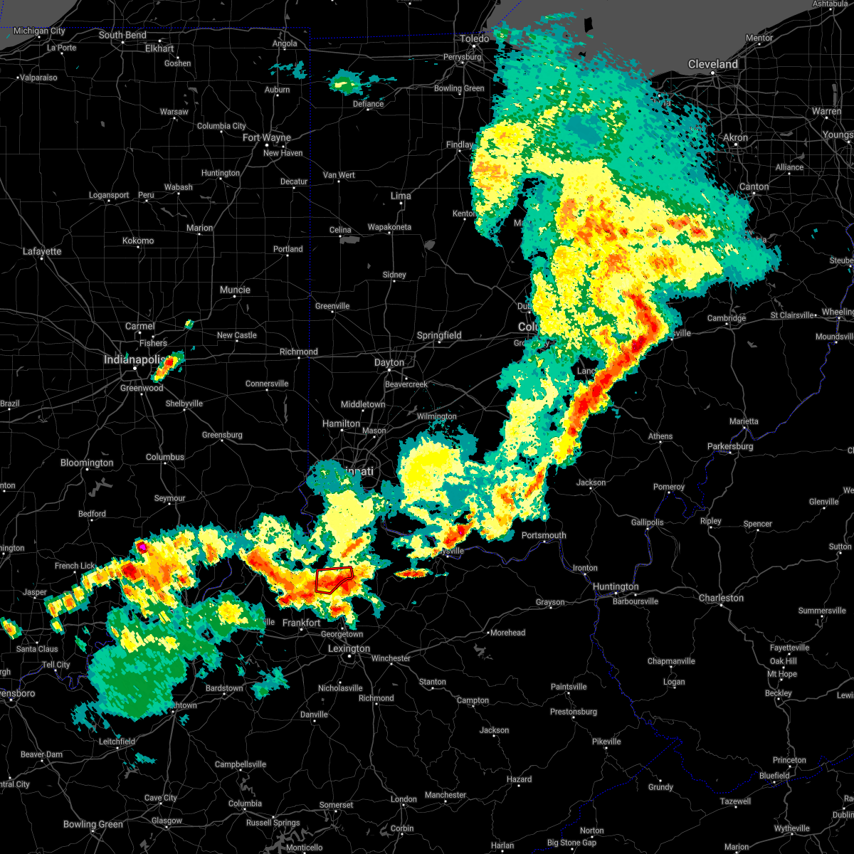 The tornado warning for southeastern grant and southeastern owen counties will expire at 630 pm edt, the storm which prompted the warning has moved out of the area. therefore, the warning will be allowed to expire. a severe thunderstorm watch remains in effect until 1100 pm edt for northern kentucky. please report previous tornadoes, wind damage or hail to the national weather service by going to our website at weather.gov/iln and submitting your report via social media. The tornado warning for southeastern grant and southeastern owen counties will expire at 630 pm edt, the storm which prompted the warning has moved out of the area. therefore, the warning will be allowed to expire. a severe thunderstorm watch remains in effect until 1100 pm edt for northern kentucky. please report previous tornadoes, wind damage or hail to the national weather service by going to our website at weather.gov/iln and submitting your report via social media.
|
| 5/19/2017 6:16 PM EDT |
 At 615 pm edt, a severe thunderstorm capable of producing a tornado was located 11 miles southeast of owenton, moving east at 30 mph (radar indicated rotation). Hazards include tornado. Flying debris will be dangerous to those caught without shelter. mobile homes will be damaged or destroyed. damage to roofs, windows, and vehicles will occur. tree damage is likely. locations impacted include, corinth, keefer, camp northward, new columbus, natlee, cordova, lawrenceville and elk lake. This includes i-75 in kentucky between mile markers 144 and 150. At 615 pm edt, a severe thunderstorm capable of producing a tornado was located 11 miles southeast of owenton, moving east at 30 mph (radar indicated rotation). Hazards include tornado. Flying debris will be dangerous to those caught without shelter. mobile homes will be damaged or destroyed. damage to roofs, windows, and vehicles will occur. tree damage is likely. locations impacted include, corinth, keefer, camp northward, new columbus, natlee, cordova, lawrenceville and elk lake. This includes i-75 in kentucky between mile markers 144 and 150.
|
| 5/19/2017 6:03 PM EDT |
 At 603 pm edt, a severe thunderstorm capable of producing a tornado was located 9 miles east of owenton, moving east at 35 mph (radar indicated rotation). Hazards include tornado. Flying debris will be dangerous to those caught without shelter. mobile homes will be damaged or destroyed. damage to roofs, windows, and vehicles will occur. Tree damage is likely. At 603 pm edt, a severe thunderstorm capable of producing a tornado was located 9 miles east of owenton, moving east at 35 mph (radar indicated rotation). Hazards include tornado. Flying debris will be dangerous to those caught without shelter. mobile homes will be damaged or destroyed. damage to roofs, windows, and vehicles will occur. Tree damage is likely.
|
| 5/19/2017 5:59 PM EDT |
 At 559 pm edt, a severe thunderstorm was located near owenton, moving east at 30 mph (radar indicated). Hazards include 60 mph wind gusts and quarter size hail. Hail damage to vehicles is expected. Expect wind damage to roofs, siding, and trees. At 559 pm edt, a severe thunderstorm was located near owenton, moving east at 30 mph (radar indicated). Hazards include 60 mph wind gusts and quarter size hail. Hail damage to vehicles is expected. Expect wind damage to roofs, siding, and trees.
|
| 4/30/2017 7:46 PM EDT |
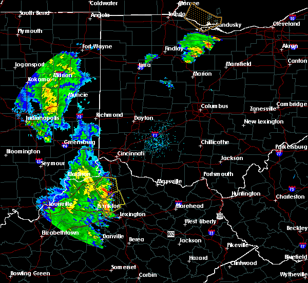 At 746 pm edt, a severe thunderstorm was located 7 miles southwest of dry ridge, moving northeast at 50 mph (radar indicated). Hazards include 60 mph wind gusts. Expect damage to roofs, siding, and trees. locations impacted include, williamstown, crittenden, dry ridge, owenton, corinth, stewartsville, elk lake, beechwood, northcutt, natlee, camp northward, new columbus, sherman, elliston, harmony, cherry grove, long ridge, williamstown lake, eagle hill and twin bridges. This includes i-75 in kentucky between mile markers 144 and 163. At 746 pm edt, a severe thunderstorm was located 7 miles southwest of dry ridge, moving northeast at 50 mph (radar indicated). Hazards include 60 mph wind gusts. Expect damage to roofs, siding, and trees. locations impacted include, williamstown, crittenden, dry ridge, owenton, corinth, stewartsville, elk lake, beechwood, northcutt, natlee, camp northward, new columbus, sherman, elliston, harmony, cherry grove, long ridge, williamstown lake, eagle hill and twin bridges. This includes i-75 in kentucky between mile markers 144 and 163.
|
| 4/30/2017 7:21 PM EDT |
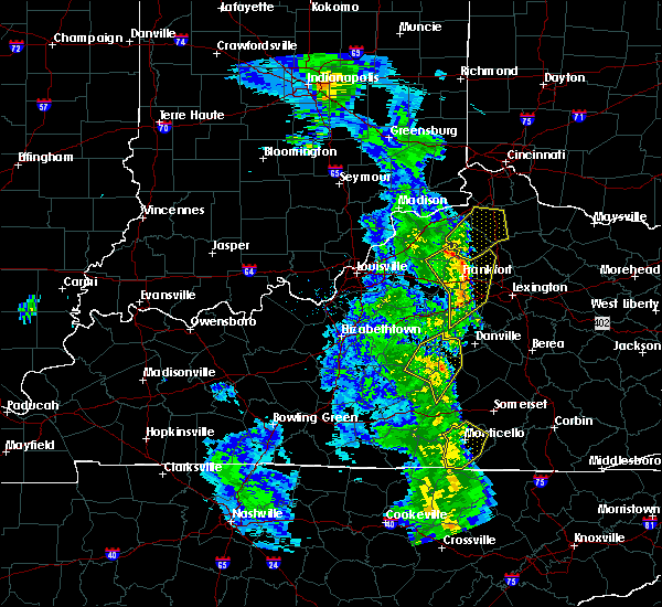 At 720 pm edt, a severe thunderstorm was located 11 miles north of frankfort, moving northeast at 50 mph (radar indicated). Hazards include 60 mph wind gusts. expect damage to roofs, siding, and trees At 720 pm edt, a severe thunderstorm was located 11 miles north of frankfort, moving northeast at 50 mph (radar indicated). Hazards include 60 mph wind gusts. expect damage to roofs, siding, and trees
|
| 4/29/2017 1:16 AM EDT |
 At 116 am edt, a severe thunderstorm was located over williamstown, moving east at 40 mph (radar indicated). Hazards include 60 mph wind gusts and quarter size hail. Hail damage to vehicles is expected. expect wind damage to roofs, siding, and trees. locations impacted include, williamstown, falmouth, crittenden, dry ridge, butler, morgan, corinth, browning corner, stewartsville, northcutt, gardnersville, camp northward, new columbus, sherman, goforth, greenwood, cherry grove, williamstown lake, kincaid lake state park and knoxville. This includes i-75 in kentucky between mile markers 143 and 163. At 116 am edt, a severe thunderstorm was located over williamstown, moving east at 40 mph (radar indicated). Hazards include 60 mph wind gusts and quarter size hail. Hail damage to vehicles is expected. expect wind damage to roofs, siding, and trees. locations impacted include, williamstown, falmouth, crittenden, dry ridge, butler, morgan, corinth, browning corner, stewartsville, northcutt, gardnersville, camp northward, new columbus, sherman, goforth, greenwood, cherry grove, williamstown lake, kincaid lake state park and knoxville. This includes i-75 in kentucky between mile markers 143 and 163.
|
| 4/29/2017 12:53 AM EDT |
 At 1253 am edt, a severe thunderstorm was located over owenton, moving east at 45 mph (radar indicated). Hazards include 60 mph wind gusts and quarter size hail. Hail damage to vehicles is expected. Expect wind damage to roofs, siding, and trees. At 1253 am edt, a severe thunderstorm was located over owenton, moving east at 45 mph (radar indicated). Hazards include 60 mph wind gusts and quarter size hail. Hail damage to vehicles is expected. Expect wind damage to roofs, siding, and trees.
|
| 4/5/2017 6:20 PM EDT |
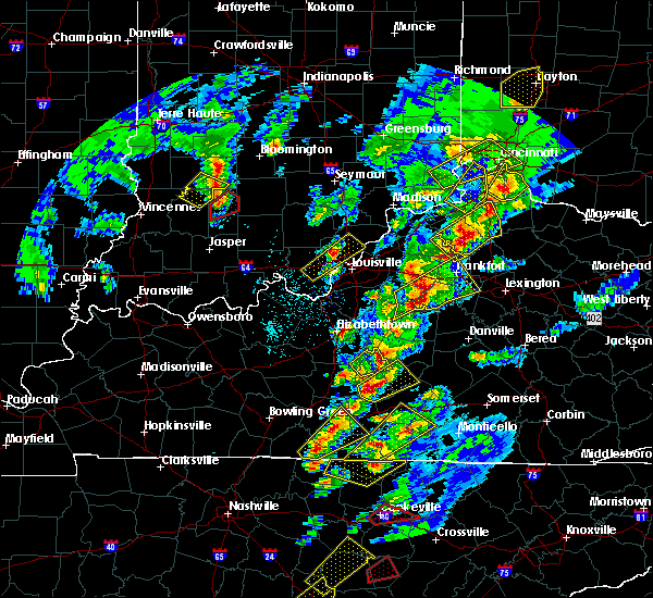 At 619 pm edt, a severe thunderstorm was located near owenton, moving northeast at 45 mph (radar indicated). Hazards include 70 mph wind gusts and ping pong ball size hail. People and animals outdoors will be injured. expect hail damage to roofs, siding, windows, and vehicles. expect considerable tree damage. wind damage is also likely to mobile homes, roofs, and outbuildings. locations impacted include, williamstown, crittenden, dry ridge, owenton, corinth, monterey, gratz, stewartsville, elk lake, beechwood, northcutt, natlee, camp northward, new columbus, elmer davis lake, sherman, harmony, cherry grove, long ridge and williamstown lake. This includes i-75 in kentucky between mile markers 144 and 165. At 619 pm edt, a severe thunderstorm was located near owenton, moving northeast at 45 mph (radar indicated). Hazards include 70 mph wind gusts and ping pong ball size hail. People and animals outdoors will be injured. expect hail damage to roofs, siding, windows, and vehicles. expect considerable tree damage. wind damage is also likely to mobile homes, roofs, and outbuildings. locations impacted include, williamstown, crittenden, dry ridge, owenton, corinth, monterey, gratz, stewartsville, elk lake, beechwood, northcutt, natlee, camp northward, new columbus, elmer davis lake, sherman, harmony, cherry grove, long ridge and williamstown lake. This includes i-75 in kentucky between mile markers 144 and 165.
|
| 4/5/2017 5:59 PM EDT |
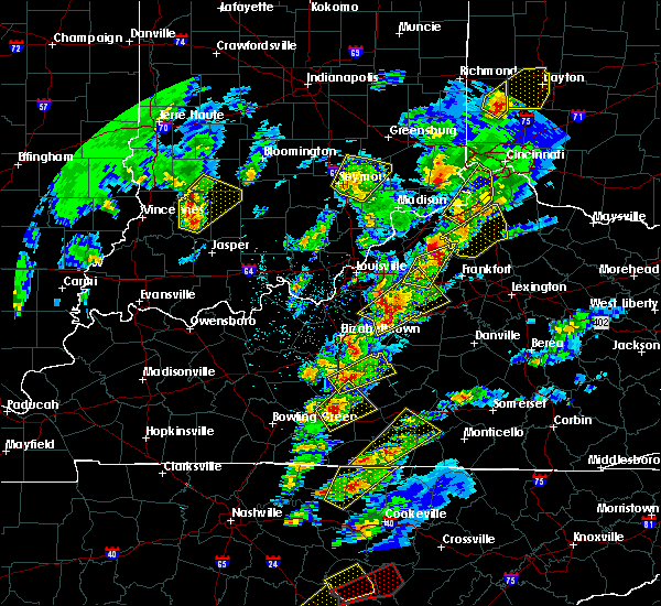 At 559 pm edt, a severe thunderstorm was located 8 miles east of new castle, moving northeast at 55 mph (radar indicated). Hazards include 60 mph wind gusts and quarter size hail. Hail damage to vehicles is expected. Expect wind damage to roofs, siding, and trees. At 559 pm edt, a severe thunderstorm was located 8 miles east of new castle, moving northeast at 55 mph (radar indicated). Hazards include 60 mph wind gusts and quarter size hail. Hail damage to vehicles is expected. Expect wind damage to roofs, siding, and trees.
|
| 3/1/2017 7:10 AM EST |
 At 709 am est, severe thunderstorms were located along a line extending from melbourne to 9 miles southeast of owenton, moving east at 60 mph (radar indicated). Hazards include 70 mph wind gusts and penny size hail. Expect considerable tree damage. damage is likely to mobile homes, roofs, and outbuildings. locations impacted include, cincinnati, alexandria, williamstown, falmouth, forestville, claryville, amelia, crittenden, mount orab, bethel, new richmond, williamsburg, dry ridge, batavia, augusta, silver grove, felicity, brooksville, butler and melbourne. this includes i-75 in kentucky between mile markers 144 and 166. A tornado watch remains in effect until 1100 am est for northern kentucky, and southwestern ohio. At 709 am est, severe thunderstorms were located along a line extending from melbourne to 9 miles southeast of owenton, moving east at 60 mph (radar indicated). Hazards include 70 mph wind gusts and penny size hail. Expect considerable tree damage. damage is likely to mobile homes, roofs, and outbuildings. locations impacted include, cincinnati, alexandria, williamstown, falmouth, forestville, claryville, amelia, crittenden, mount orab, bethel, new richmond, williamsburg, dry ridge, batavia, augusta, silver grove, felicity, brooksville, butler and melbourne. this includes i-75 in kentucky between mile markers 144 and 166. A tornado watch remains in effect until 1100 am est for northern kentucky, and southwestern ohio.
|
| 3/1/2017 7:00 AM EST |
 At 700 am est, severe thunderstorms were located along a line extending from newport to near owenton, moving east at 60 mph (radar indicated). Hazards include 70 mph wind gusts and penny size hail. Expect considerable tree damage. Damage is likely to mobile homes, roofs, and outbuildings. At 700 am est, severe thunderstorms were located along a line extending from newport to near owenton, moving east at 60 mph (radar indicated). Hazards include 70 mph wind gusts and penny size hail. Expect considerable tree damage. Damage is likely to mobile homes, roofs, and outbuildings.
|
| 3/1/2017 6:55 AM EST |
 At 654 am est, severe thunderstorms were located along a line extending from elsmere to owenton, moving east at 55 mph (radar and observation indicated. a 79 mph wind gust was measured at carrolton). Hazards include 70 mph wind gusts and penny size hail. Expect considerable tree damage. damage is likely to mobile homes, roofs, and outbuildings. locations impacted include, cincinnati, covington, florence, independence, erlanger, fort thomas, newport, edgewood, alexandria, elsmere, fort mitchell, villa hills, highland heights, taylor mill, bellevue, fort wright, dayton, ludlow, williamstown and southgate. this includes the following interstates, i-71 in kentucky between mile markers 58 and 77. i-71 in ohio between mile markers 0 and 1. i-75 in kentucky between mile markers 144 and 191. i-75 in ohio near mile marker 0. A tornado watch remains in effect until 1100 am est for southeastern indiana, northern kentucky, and southwestern ohio. At 654 am est, severe thunderstorms were located along a line extending from elsmere to owenton, moving east at 55 mph (radar and observation indicated. a 79 mph wind gust was measured at carrolton). Hazards include 70 mph wind gusts and penny size hail. Expect considerable tree damage. damage is likely to mobile homes, roofs, and outbuildings. locations impacted include, cincinnati, covington, florence, independence, erlanger, fort thomas, newport, edgewood, alexandria, elsmere, fort mitchell, villa hills, highland heights, taylor mill, bellevue, fort wright, dayton, ludlow, williamstown and southgate. this includes the following interstates, i-71 in kentucky between mile markers 58 and 77. i-71 in ohio between mile markers 0 and 1. i-75 in kentucky between mile markers 144 and 191. i-75 in ohio near mile marker 0. A tornado watch remains in effect until 1100 am est for southeastern indiana, northern kentucky, and southwestern ohio.
|
| 3/1/2017 6:49 AM EST |
 At 649 am est, severe thunderstorms were located along a line extending from near burlington to near kentucky speedway, moving east at 70 mph (radar indicated). Hazards include 60 mph wind gusts and penny size hail. Expect damage to roofs, siding, and trees. locations impacted include, cincinnati, covington, independence, erlanger, fort thomas, newport, edgewood, alexandria, elsmere, fort mitchell, villa hills, highland heights, taylor mill, bellevue, fort wright, dayton, ludlow, williamstown, southgate and crescent springs. this includes the following interstates, i-71 in kentucky between mile markers 48 and 77. i-71 in ohio between mile markers 0 and 1. i-75 in kentucky between mile markers 144 and 191. i-75 in ohio near mile marker 0. A tornado watch remains in effect until 1100 am est for southeastern indiana, northern kentucky, and southwestern ohio. At 649 am est, severe thunderstorms were located along a line extending from near burlington to near kentucky speedway, moving east at 70 mph (radar indicated). Hazards include 60 mph wind gusts and penny size hail. Expect damage to roofs, siding, and trees. locations impacted include, cincinnati, covington, independence, erlanger, fort thomas, newport, edgewood, alexandria, elsmere, fort mitchell, villa hills, highland heights, taylor mill, bellevue, fort wright, dayton, ludlow, williamstown, southgate and crescent springs. this includes the following interstates, i-71 in kentucky between mile markers 48 and 77. i-71 in ohio between mile markers 0 and 1. i-75 in kentucky between mile markers 144 and 191. i-75 in ohio near mile marker 0. A tornado watch remains in effect until 1100 am est for southeastern indiana, northern kentucky, and southwestern ohio.
|
| 3/1/2017 6:39 AM EST |
 At 639 am est, severe thunderstorms were located along a line extending from hidden valley to near carrollton, moving east at 55 mph (radar indicated). Hazards include 60 mph wind gusts and penny size hail. expect damage to roofs, siding, and trees At 639 am est, severe thunderstorms were located along a line extending from hidden valley to near carrollton, moving east at 55 mph (radar indicated). Hazards include 60 mph wind gusts and penny size hail. expect damage to roofs, siding, and trees
|
| 6/23/2016 4:30 PM EDT |
 At 430 pm edt, a severe thunderstorm was located 10 miles south of owenton, moving southeast at 25 mph (radar indicated). Hazards include 60 mph wind gusts and penny size hail. Expect damage to roofs. siding. And trees. At 430 pm edt, a severe thunderstorm was located 10 miles south of owenton, moving southeast at 25 mph (radar indicated). Hazards include 60 mph wind gusts and penny size hail. Expect damage to roofs. siding. And trees.
|
| 6/21/2016 1:58 PM EDT | The severe thunderstorm warning for south central grant and southeastern owen counties will expire at 200 pm edt. the storm which prompted the warning has moved out of the area. therefore the warning will be allowed to expire. please report previous wind damage or hail to the national weather service by going to our website at weather. Gov/iln and submitting. |
| 6/21/2016 1:52 PM EDT |
 At 152 pm edt, a severe thunderstorm was located 14 miles south of williamstown, moving southeast at 40 mph (radar indicated). Hazards include 60 mph wind gusts and quarter size hail. Hail damage to vehicles is expected. expect wind damage to roofs, siding, and trees. Locations impacted include, corinth and harmony. At 152 pm edt, a severe thunderstorm was located 14 miles south of williamstown, moving southeast at 40 mph (radar indicated). Hazards include 60 mph wind gusts and quarter size hail. Hail damage to vehicles is expected. expect wind damage to roofs, siding, and trees. Locations impacted include, corinth and harmony.
|
| 6/21/2016 1:47 PM EDT | Large limbs down along new columbus road. time estimated from rada in owen county KY, 2.8 miles NE of Corinth, KY |
| 6/21/2016 1:47 PM EDT | House damaged by straight line winds along mountain island road. time estimated from rada in owen county KY, 3.4 miles ENE of Corinth, KY |
| 6/21/2016 1:45 PM EDT |
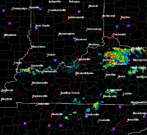 At 145 pm edt, a severe thunderstorm was located 9 miles southeast of owenton, moving southeast at 40 mph (radar indicated). Hazards include 60 mph wind gusts and quarter size hail. Hail damage to vehicles is expected. Expect wind damage to roofs, siding, and trees. At 145 pm edt, a severe thunderstorm was located 9 miles southeast of owenton, moving southeast at 40 mph (radar indicated). Hazards include 60 mph wind gusts and quarter size hail. Hail damage to vehicles is expected. Expect wind damage to roofs, siding, and trees.
|
| 5/1/2016 4:30 PM EDT |
 At 430 pm edt, a severe thunderstorm was located 13 miles south of williamstown, moving northeast at 20 mph (radar indicated). Hazards include 60 mph wind gusts and half dollar size hail. Hail damage to vehicles is expected. Expect wind damage to roofs, siding, and trees. At 430 pm edt, a severe thunderstorm was located 13 miles south of williamstown, moving northeast at 20 mph (radar indicated). Hazards include 60 mph wind gusts and half dollar size hail. Hail damage to vehicles is expected. Expect wind damage to roofs, siding, and trees.
|
| 3/31/2016 5:38 PM EDT |
 The severe thunderstorm warning for east central switzerland, western grant, gallatin and owen counties will expire at 545 pm edt, the storms which prompted the warning have weakened below severe limits and moved out of the warned area. therefore the warning will be allowed to expire. please report previous wind damage or hail to the national weather service by going to our website at weather.gov/iln and submit your report via social media. The severe thunderstorm warning for east central switzerland, western grant, gallatin and owen counties will expire at 545 pm edt, the storms which prompted the warning have weakened below severe limits and moved out of the warned area. therefore the warning will be allowed to expire. please report previous wind damage or hail to the national weather service by going to our website at weather.gov/iln and submit your report via social media.
|
| 3/31/2016 5:38 PM EDT |
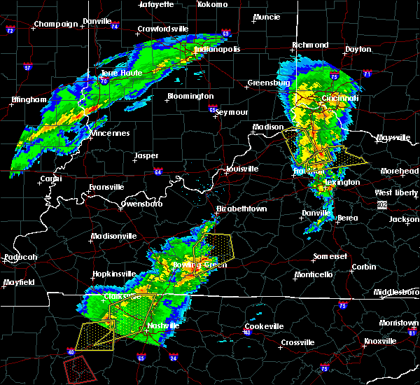 The severe thunderstorm warning for east central switzerland, western grant, gallatin and owen counties will expire at 545 pm edt, the storms which prompted the warning have weakened below severe limits and moved out of the warned area. therefore the warning will be allowed to expire. please report previous wind damage or hail to the national weather service by going to our website at weather.gov/iln and submit your report via social media. The severe thunderstorm warning for east central switzerland, western grant, gallatin and owen counties will expire at 545 pm edt, the storms which prompted the warning have weakened below severe limits and moved out of the warned area. therefore the warning will be allowed to expire. please report previous wind damage or hail to the national weather service by going to our website at weather.gov/iln and submit your report via social media.
|
| 3/31/2016 5:21 PM EDT |
 At 520 pm edt, radar indicated severe thunderstorms located along a line extending from near bedford to 9 miles east of shelbyville, moving northeast at 60 mph. storm hazards include, winds to 60 mph, penny size hail, locations impacted include, williamstown, warsaw, owenton, kentucky speedway, glencoe, sanders, corinth, sparta, harmony, interstate 71 at us route 127, egypt bottom and us route 42 at state route 184. this includes the following interstates, i-71 in kentucky between mile markers 54 and 68. i-75 in kentucky between mile markers 144 and 150. At 520 pm edt, radar indicated severe thunderstorms located along a line extending from near bedford to 9 miles east of shelbyville, moving northeast at 60 mph. storm hazards include, winds to 60 mph, penny size hail, locations impacted include, williamstown, warsaw, owenton, kentucky speedway, glencoe, sanders, corinth, sparta, harmony, interstate 71 at us route 127, egypt bottom and us route 42 at state route 184. this includes the following interstates, i-71 in kentucky between mile markers 54 and 68. i-75 in kentucky between mile markers 144 and 150.
|
| 3/31/2016 5:21 PM EDT |
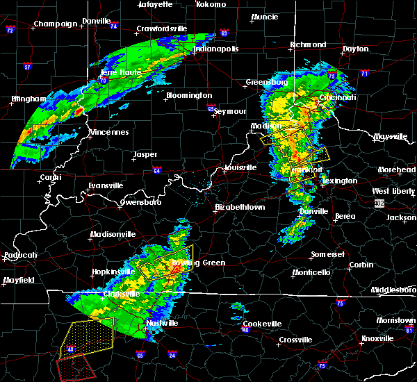 At 520 pm edt, radar indicated severe thunderstorms located along a line extending from near bedford to 9 miles east of shelbyville, moving northeast at 60 mph. storm hazards include, winds to 60 mph, penny size hail, locations impacted include, williamstown, warsaw, owenton, kentucky speedway, glencoe, sanders, corinth, sparta, harmony, interstate 71 at us route 127, egypt bottom and us route 42 at state route 184. this includes the following interstates, i-71 in kentucky between mile markers 54 and 68. i-75 in kentucky between mile markers 144 and 150. At 520 pm edt, radar indicated severe thunderstorms located along a line extending from near bedford to 9 miles east of shelbyville, moving northeast at 60 mph. storm hazards include, winds to 60 mph, penny size hail, locations impacted include, williamstown, warsaw, owenton, kentucky speedway, glencoe, sanders, corinth, sparta, harmony, interstate 71 at us route 127, egypt bottom and us route 42 at state route 184. this includes the following interstates, i-71 in kentucky between mile markers 54 and 68. i-75 in kentucky between mile markers 144 and 150.
|
| 3/31/2016 4:59 PM EDT |
 At 458 pm edt, radar indicated severe thunderstorms located along a line extending from 11 miles north of prospect to 7 miles northwest of taylorsville, moving east at 60 mph. storm hazards include, winds to 60 mph, penny size hail,. At 458 pm edt, radar indicated severe thunderstorms located along a line extending from 11 miles north of prospect to 7 miles northwest of taylorsville, moving east at 60 mph. storm hazards include, winds to 60 mph, penny size hail,.
|
| 12/23/2015 7:44 PM EST | At 743 pm est, radar indicated a severe thunderstorm located near owenton, moving east at 60 mph. storm hazards include, winds to 60 mph, penny size hail, frequent cloud to ground lightning, locations impacted include, williamstown, warsaw, owenton, kentucky speedway, glencoe, corinth, sparta, monterey, gratz and egypt bottom. this includes the following interstates, i-71 in kentucky between mile markers 56 and 68. i-75 in kentucky between mile markers 144 and 152. |
| 12/23/2015 7:44 PM EST | At 743 pm est, radar indicated a severe thunderstorm located near owenton, moving east at 60 mph. storm hazards include, winds to 60 mph, penny size hail, frequent cloud to ground lightning, locations impacted include, williamstown, warsaw, owenton, kentucky speedway, glencoe, corinth, sparta, monterey, gratz and egypt bottom. this includes the following interstates, i-71 in kentucky between mile markers 56 and 68. i-75 in kentucky between mile markers 144 and 152. |
| 12/23/2015 7:33 PM EST | At 732 pm est, radar indicated a severe thunderstorm located 7 miles southeast of carrollton, moving east at 55 mph. storm hazards include, winds to 60 mph, penny size hail, frequent cloud to ground lightning, locations impacted include, carrollton, williamstown, vevay, warsaw, owenton, kentucky speedway, glencoe, ghent, sanders, corinth, sparta, worthville, monterey, gratz and egypt bottom. this includes the following interstates, i-71 in kentucky between mile markers 39 and 68. i-75 in kentucky between mile markers 144 and 152. |
| 12/23/2015 7:33 PM EST | At 732 pm est, radar indicated a severe thunderstorm located 7 miles southeast of carrollton, moving east at 55 mph. storm hazards include, winds to 60 mph, penny size hail, frequent cloud to ground lightning, locations impacted include, carrollton, williamstown, vevay, warsaw, owenton, kentucky speedway, glencoe, ghent, sanders, corinth, sparta, worthville, monterey, gratz and egypt bottom. this includes the following interstates, i-71 in kentucky between mile markers 39 and 68. i-75 in kentucky between mile markers 144 and 152. |
| 12/23/2015 7:15 PM EST | The national weather service in wilmington has issued a * severe thunderstorm warning for. southern switzerland county in southeastern indiana. southwestern grant county in northern kentucky. gallatin county in northern kentucky. Owen county in northern kentucky. |
| 12/23/2015 7:15 PM EST | At 715 pm est, radar indicated a severe thunderstorm located near bedford, moving northeast at 65 mph. storm hazards include, winds to 60 mph, quarter size hail, frequent cloud to ground lightning, very heavy rain which may cause minor flooding,. |
| 7/13/2015 2:45 PM EDT | Trees blown down across the count in grant county KY, 0.6 miles WSW of Corinth, KY |
| 7/13/2015 2:43 PM EDT |
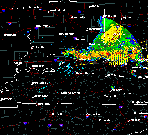 At 242 pm edt, radar indicated a severe thunderstorm located 9 miles southeast of owenton, moving southeast at 50 mph. storm hazards include, damaging winds to 70 mph, penny size hail, frequent cloud to ground lightning, very heavy rain which may cause minor flooding,. At 242 pm edt, radar indicated a severe thunderstorm located 9 miles southeast of owenton, moving southeast at 50 mph. storm hazards include, damaging winds to 70 mph, penny size hail, frequent cloud to ground lightning, very heavy rain which may cause minor flooding,.
|
| 7/13/2015 2:21 PM EDT |
 At 221 pm edt, radar indicated that the severe thunderstorms had strengthened. these storms were located along a line extending from near winchester to 9 miles west of owenton, moving southeast at 50 mph. storm hazards include, damaging winds to 70 mph, penny size hail, locations impacted include, maysville, georgetown, williamstown, falmouth, washington, crittenden, dry ridge, manchester, ripley, aberdeen, owenton, augusta, felicity, lewisburg, brooksville, butler, foxport, tollesboro, decatur and russellville. At 221 pm edt, radar indicated that the severe thunderstorms had strengthened. these storms were located along a line extending from near winchester to 9 miles west of owenton, moving southeast at 50 mph. storm hazards include, damaging winds to 70 mph, penny size hail, locations impacted include, maysville, georgetown, williamstown, falmouth, washington, crittenden, dry ridge, manchester, ripley, aberdeen, owenton, augusta, felicity, lewisburg, brooksville, butler, foxport, tollesboro, decatur and russellville.
|
| 7/13/2015 2:21 PM EDT |
 At 219 pm edt, severe thunderstorms were located along a line extending from 6 miles southwest of brooksville to 8 miles southeast of williamstown to 8 miles east of owenton, and moving south at 50 mph (radar indicated). Hazards include 60 mph wind gusts and quarter size hail. Hail damage to vehicles is expected. Expect wind damage to roofs, siding and trees. At 219 pm edt, severe thunderstorms were located along a line extending from 6 miles southwest of brooksville to 8 miles southeast of williamstown to 8 miles east of owenton, and moving south at 50 mph (radar indicated). Hazards include 60 mph wind gusts and quarter size hail. Hail damage to vehicles is expected. Expect wind damage to roofs, siding and trees.
|
| 7/13/2015 2:21 PM EDT |
 At 221 pm edt, radar indicated that the severe thunderstorms had strengthened. these storms were located along a line extending from near winchester to 9 miles west of owenton, moving southeast at 50 mph. storm hazards include, damaging winds to 70 mph, penny size hail, locations impacted include, maysville, georgetown, williamstown, falmouth, washington, crittenden, dry ridge, manchester, ripley, aberdeen, owenton, augusta, felicity, lewisburg, brooksville, butler, foxport, tollesboro, decatur and russellville. At 221 pm edt, radar indicated that the severe thunderstorms had strengthened. these storms were located along a line extending from near winchester to 9 miles west of owenton, moving southeast at 50 mph. storm hazards include, damaging winds to 70 mph, penny size hail, locations impacted include, maysville, georgetown, williamstown, falmouth, washington, crittenden, dry ridge, manchester, ripley, aberdeen, owenton, augusta, felicity, lewisburg, brooksville, butler, foxport, tollesboro, decatur and russellville.
|
| 7/13/2015 1:58 PM EDT |
 At 157 pm edt, radar indicated severe thunderstorms located along a line extending from near sardinia to near carrollton, moving southeast at 55 mph. storm hazards include, winds to 60 mph, penny size hail,. At 157 pm edt, radar indicated severe thunderstorms located along a line extending from near sardinia to near carrollton, moving southeast at 55 mph. storm hazards include, winds to 60 mph, penny size hail,.
|
| 7/10/2015 12:44 PM EDT |
 At 1240 pm edt, severe thunderstorms were located along a line extending from 12 miles southeast of owenton to paris to 7 miles north of winchester to 7 miles south of winchester, and moving east at 30 mph (radar indicated). Hazards include 60 mph wind gusts. Expect damage to roofs. siding and trees. Locations impacted include, cynthiana, lair, north middletown, ruddels mills, hinton, hunt, franklin, pinchem, blacks crossroads, bloomingdale, haggard, mount zion, rutland, millersburg, cotton branch, little rock, renaker, ruckerville, breckinridge and colville. At 1240 pm edt, severe thunderstorms were located along a line extending from 12 miles southeast of owenton to paris to 7 miles north of winchester to 7 miles south of winchester, and moving east at 30 mph (radar indicated). Hazards include 60 mph wind gusts. Expect damage to roofs. siding and trees. Locations impacted include, cynthiana, lair, north middletown, ruddels mills, hinton, hunt, franklin, pinchem, blacks crossroads, bloomingdale, haggard, mount zion, rutland, millersburg, cotton branch, little rock, renaker, ruckerville, breckinridge and colville.
|
| 7/10/2015 12:19 PM EDT |
 At 1217 pm edt, severe thunderstorms were located along a line extending from 9 miles south of owenton to 7 miles east of georgetown to bryan station to 6 miles west of danville, and moving east at 30 mph (radar indicated). Hazards include 60 mph wind gusts. Expect damage to roofs. Siding and trees. At 1217 pm edt, severe thunderstorms were located along a line extending from 9 miles south of owenton to 7 miles east of georgetown to bryan station to 6 miles west of danville, and moving east at 30 mph (radar indicated). Hazards include 60 mph wind gusts. Expect damage to roofs. Siding and trees.
|
| 6/30/2015 5:55 PM EDT |
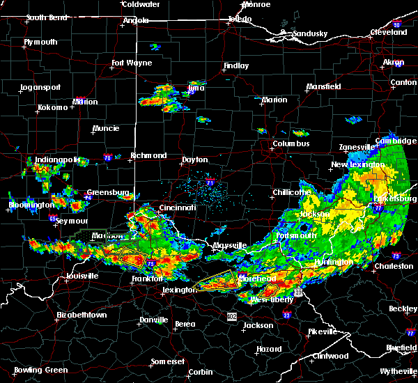 At 548 pm edt, radar indicated a severe thunderstorm located near elk lake, moving southeast at 25 mph. storm hazards include, winds to 60 mph, quarter size hail, * the severe thunderstorm will affect mainly rural areas of eastern owen and southern grant counties, including lawrenceville, keefer, natlee, new columbus, corinth and cordova. this includes the following interstate, i-75 between mile markers 145 and 150,. At 548 pm edt, radar indicated a severe thunderstorm located near elk lake, moving southeast at 25 mph. storm hazards include, winds to 60 mph, quarter size hail, * the severe thunderstorm will affect mainly rural areas of eastern owen and southern grant counties, including lawrenceville, keefer, natlee, new columbus, corinth and cordova. this includes the following interstate, i-75 between mile markers 145 and 150,.
|
| 6/26/2015 7:36 PM EDT | The severe thunderstorm warning for grant, pendleton and eastern owen counties will expire at 745 pm edt, the storm has moved out of the warned area, therefore this severe thunderstorm warning will be allowed to expire. however, another severe thunderstorm warning has been issued downstream. very heavy rain is still possible with this storm. please report previous wind damage or hail to the national weather service by going to our website at weather.gov/iln and submitting your report via social media. |
| 6/26/2015 7:18 PM EDT | At 716 pm edt, radar continued to indicate a severe thunderstorm located near williamstown lake, moving northeast at 25 mph. storm hazards include, winds to 60 mph, quarter size hail, very heavy rain which may cause minor flooding, locations impacted include, falmouth and butler. in addition, knoxville, goforth, gardnersville, morgan, gene snyder airport, greenwood, mckinneysburg and catawba are near the path of this storm. this includes the following interstate, i-75 between mile markers 145 and 161,. |
| 6/26/2015 6:57 PM EDT | At 654 pm edt, radar indicated a severe thunderstorm located near twin bridges, moving northeast at 25 mph. storm hazards include, winds to 60 mph, quarter size hail, very heavy rain which may cause minor flooding,. |
| 6/26/2015 6:53 PM EDT | Multiple trees downed near the intersection of us route 25 and corinth roa in grant county KY, 1.6 miles WSW of Corinth, KY |
| 6/26/2015 6:50 PM EDT | Multiple trees downed near the intersection of keefer and lawrenceville road in grant county KY, 5.5 miles SE of Corinth, KY |
| 6/26/2015 6:45 PM EDT | At 644 pm edt, radar continued to indicate a severe thunderstorm located near long ridge, moving northeast at 25 mph. storm hazards include, damaging winds to 70 mph, quarter size hail, frequent cloud to ground lightning, very heavy rain which may cause minor flooding, locations impacted include, williamstown, dry ridge and crittenden. in addition, us route 42 at state route 184, new columbus, ethridge, needmore, holbrook, glencoe, keefer and lawrenceville are near the path of this storm. this includes the following interstates, i-71 between mile markers 40 and 70, i-75 between mile markers 145 and 166,. |
| 6/26/2015 6:28 PM EDT | At 626 pm edt, radar indicated that the severe thunderstorm had strengthened. this storm was located near squiresville, moving northeast at 25 mph. storm hazards include, damaging winds to 70 mph, quarter size hail, frequent cloud to ground lightning, very heavy rain which may cause minor flooding, locations impacted include, owenton, kentucky speedway, williamstown, dry ridge and crittenden. in addition, eagle station, wheatley, beechwood, ghent, new liberty, sanders, carson and elk lake are near the path of this storm. this includes the following interstates, i-71 between mile markers 40 and 70, i-75 between mile markers 145 and 166,. |
| 6/26/2015 6:19 PM EDT | At 616 pm edt, radar indicated a severe thunderstorm located near gratz, moving northeast at 25 mph. storm hazards include, winds to 60 mph, quarter size hail, frequent cloud to ground lightning, very heavy rain which may cause minor flooding,. |
| 6/18/2015 2:36 PM EDT | The severe thunderstorm warning for southern grant and eastern owen counties will expire at 245 pm edt, the storm has weakened below severe limits, therefore the severe thunderstorm warning will be allowed to expire. another severe thunderstorm warning remains in effect for northern grant county until 300 pm. please report previous wind damage or hail to the national weather service by going to our website at weather.gov/iln and submitting your report via social media. |
| 6/18/2015 2:24 PM EDT | At 222 pm edt, emergency management officials reported pea sized hail. radar indicated that this severe thunderstorm was located near lawrenceville, moving east at 20 mph. storm hazards include, winds to 60 mph, quarter size hail, this storm will affect mainly rural areas of eastern owen and southern grant counties, including lawrenceville, keefer, corinth, cherry grove, cordova and camp northward. this includes the following interstate, i-75 between mile markers 145 and 155,. |
| 6/18/2015 2:07 PM EDT | At 205 pm edt, emergency management officials reported pea size hail. radar indicated that this severe thunderstorm was located near elk lake, moving east at 20 mph. storm hazards include, winds to 60 mph, quarter size hail, locations impacted include, dry ridge and williamstown. in addition, needmore, natlee, holbrook, twin bridges, new columbus, lawrenceville, keefer and stewartsville are near the path of this storm. this includes the following interstate, i-75 between mile markers 145 and 160,. |
| 6/18/2015 1:54 PM EDT | At 152 pm edt, radar indicated a severe thunderstorm located near owenton, moving east at 20 mph. storm hazards include, winds to 60 mph, quarter size hail,. |
| 5/11/2015 2:57 PM EDT | At 256 pm edt, severe thunderstorms were located along a line extending from 5 miles northeast of frankfort to lawrenceburg, and moving northeast at 40 mph (radar indicated). Hazards include 60 mph wind gusts. Expect damage to roofs. Siding and trees. |
| 4/9/2015 3:10 PM EDT | The severe thunderstorm warning for southeastern grant and southwestern pendleton counties will expire at 315 pm edt. the storm has weakened below severe limits. therefore the severe thunderstorm warning will be allowed to expire. please report previous wind damage or hail to the national weather service by going to our website at weather. Gov/iln and submitting. |
| 4/9/2015 3:01 PM EDT | A severe thunderstorm warning remains in effect until 315 pm edt for southeastern grant and southwestern pendleton counties. at 258 pm edt. radar continued to indicate a severe thunderstorm located near corinth. moving northeast at 45 mph. storm hazards include. Winds to 60 mph. |
| 4/9/2015 2:49 PM EDT | The national weather service in wilmington has issued a * severe thunderstorm warning for. southeastern grant county in northern kentucky. southwestern pendleton county in northern kentucky. southeastern owen county in northern kentucky. Until 315 pm edt. |
| 4/9/2015 2:48 PM EDT | The national weather service in louisville has issued a * severe thunderstorm warning for. northwestern harrison county in east central kentucky. north central scott county in east central kentucky. until 320 pm edt * at 247 pm edt. A severe thunderstorm was located 14 miles north of. |
| 4/8/2015 6:26 PM EDT | The national weather service in wilmington has issued a * severe thunderstorm warning for. grant county in northern kentucky. southwestern pendleton county in northern kentucky. eastern owen county in northern kentucky. Until 715 pm edt. |
| 4/8/2015 6:06 PM EDT | A severe thunderstorm warning remains in effect until 630 pm edt for grant and owen counties. at 603 pm edt. radar continued to indicate a severe thunderstorm located near gratz. moving east at 20 mph. storm hazards include. Winds to 60 mph. |
| 4/8/2015 5:57 PM EDT | The national weather service in wilmington has issued a * severe thunderstorm warning for. grant county in northern kentucky. owen county in northern kentucky. until 630 pm edt. at 555 pm edt. Radar indicated a severe thunderstorm located near. |
| 4/8/2015 11:21 AM EDT | The national weather service in wilmington has issued a * severe thunderstorm warning for. grant county in northern kentucky. gallatin county in northern kentucky. carroll county in northern kentucky. Southern pendleton county in northern kentucky. |
| 4/8/2015 11:21 AM EDT | The national weather service in wilmington has issued a * severe thunderstorm warning for. grant county in northern kentucky. gallatin county in northern kentucky. carroll county in northern kentucky. Southern pendleton county in northern kentucky. |
| 4/2/2015 4:58 PM EDT | The severe thunderstorm warning for southern owen county will expire at 500 pm edt. the storm has weakened below severe limits. therefore the severe thunderstorm warning will be allowed to expire. small hail and gusty winds are still possible with this storm. Additional thunderstorm development is possible and a severe. |
| 4/2/2015 4:46 PM EDT | A severe thunderstorm warning remains in effect until 500 pm edt for southern owen county. at 444 pm edt. radar continued to indicate a severe thunderstorm located near beechwood. moving east at 55 mph. storm hazards include. Winds to 60 mph. |
| 4/2/2015 4:35 PM EDT | The national weather service in wilmington has issued a * severe thunderstorm warning for. southern owen county in northern kentucky. until 500 pm edt. at 435 pm edt. radar indicated a severe thunderstorm located 6 miles southwest of monterey. Moving east at 55 mph. |
| 10/7/2014 3:48 PM EDT | One tree down in grant county KY, 1.6 miles WSW of Corinth, KY |
| 10/7/2014 3:40 PM EDT | Svrl lg trees down se part of county in owen county KY, 3.7 miles NE of Corinth, KY |
| 12/21/2013 11:25 PM EST | Several trees down across southern part of grant county...including along hwy 33 in grant county KY, 4 miles SW of Corinth, KY |
| 9/8/2012 12:56 AM EDT | Tree down. time estimated by rada in grant county KY, 1.6 miles WSW of Corinth, KY |
| 7/8/2012 5:00 PM EDT | Trees down. also pea size hai in grant county KY, 1.5 miles NE of Corinth, KY |
| 1/1/0001 12:00 AM | Trees down on sr 607 in owen county KY, 3.7 miles NE of Corinth, KY |
Hail Maps for Corinth, KY


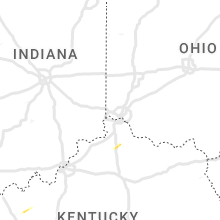


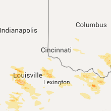

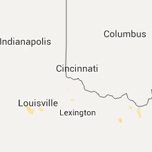


Connect with Interactive Hail Maps