

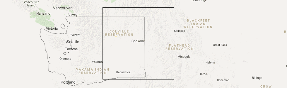
Hail Map for Coulee Dam, WA
The Coulee Dam, WA area has had 1 report of on-the-ground hail by trained spotters, and has been under severe weather warnings 0 times during the past 12 months. Doppler radar has detected hail at or near Coulee Dam, WA on 4 occasions.
| Name: | Coulee Dam, WA |
| Where Located: | 39.8 miles SE of Omak, WA |
| Map: | Google Map for Coulee Dam, WA |
| Population: | 1098 |
| Housing Units: | 534 |
| More Info: | Search Google for Coulee Dam, WA |
0
The Top Recent Hail Date for Coulee Dam, WA is Thursday, May 11, 2017 (4th out of 4)
Hail and Wind Damage Spotted near Coulee Dam, WA
| Date / Time | Report Details |
|---|---|
| 5/5/2017 3:07 AM PDT |
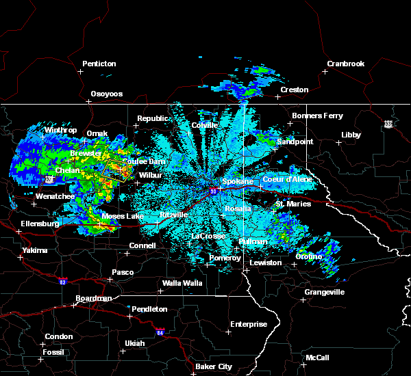 At 305 am pdt, doppler radar indicated a severe thunderstorm capable of producing damaging winds in excess of 60 mph. this storm was located 17 miles south of nespelem community, or 42 miles southeast of omak, moving north at 50 mph. nickel size hail may also accompany the damaging winds. locations impacted include, coulee dam, grand coulee, electric city, elmer city, spring canyon campground and bagdad junction. At 305 am pdt, doppler radar indicated a severe thunderstorm capable of producing damaging winds in excess of 60 mph. this storm was located 17 miles south of nespelem community, or 42 miles southeast of omak, moving north at 50 mph. nickel size hail may also accompany the damaging winds. locations impacted include, coulee dam, grand coulee, electric city, elmer city, spring canyon campground and bagdad junction.
|
| 5/5/2017 2:44 AM PDT |
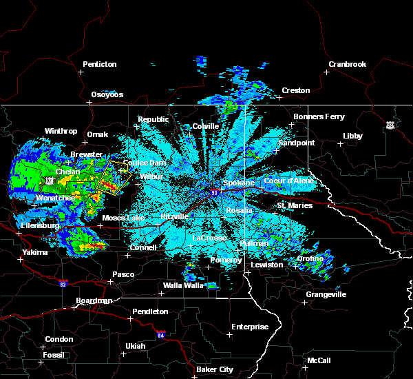 At 244 am pdt, doppler radar indicated a severe thunderstorm capable of producing quarter size hail and damaging winds in excess of 60 mph. this storm was located 10 miles northeast of banks lake south, or 40 miles north of moses lake, and moving north at 50 mph. At 244 am pdt, doppler radar indicated a severe thunderstorm capable of producing quarter size hail and damaging winds in excess of 60 mph. this storm was located 10 miles northeast of banks lake south, or 40 miles north of moses lake, and moving north at 50 mph.
|
| 8/25/2013 8:30 PM PDT | Roof partially torn off by wind at coulee dam casino. damage sustained to casino sign. half of roof reported damaged and water damage from following rai in okanogan county WA, 0.4 miles WSW of Coulee Dam, WA |
| 8/25/2013 8:30 PM PDT | Sherriffs dispatch reports numerous trees down within coulee dam city limits. report includes trees blocking in okanogan county WA, 0.4 miles WSW of Coulee Dam, WA |
| 7/17/2013 7:50 AM PDT | Quarter sized hail reported 5.7 miles S of Coulee Dam, WA |
Hail Maps for Coulee Dam, WA


Connect with Interactive Hail Maps