

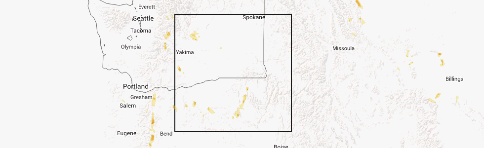
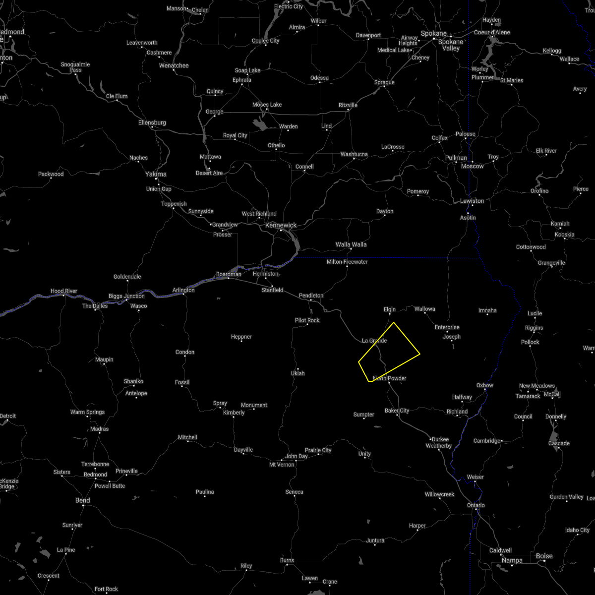
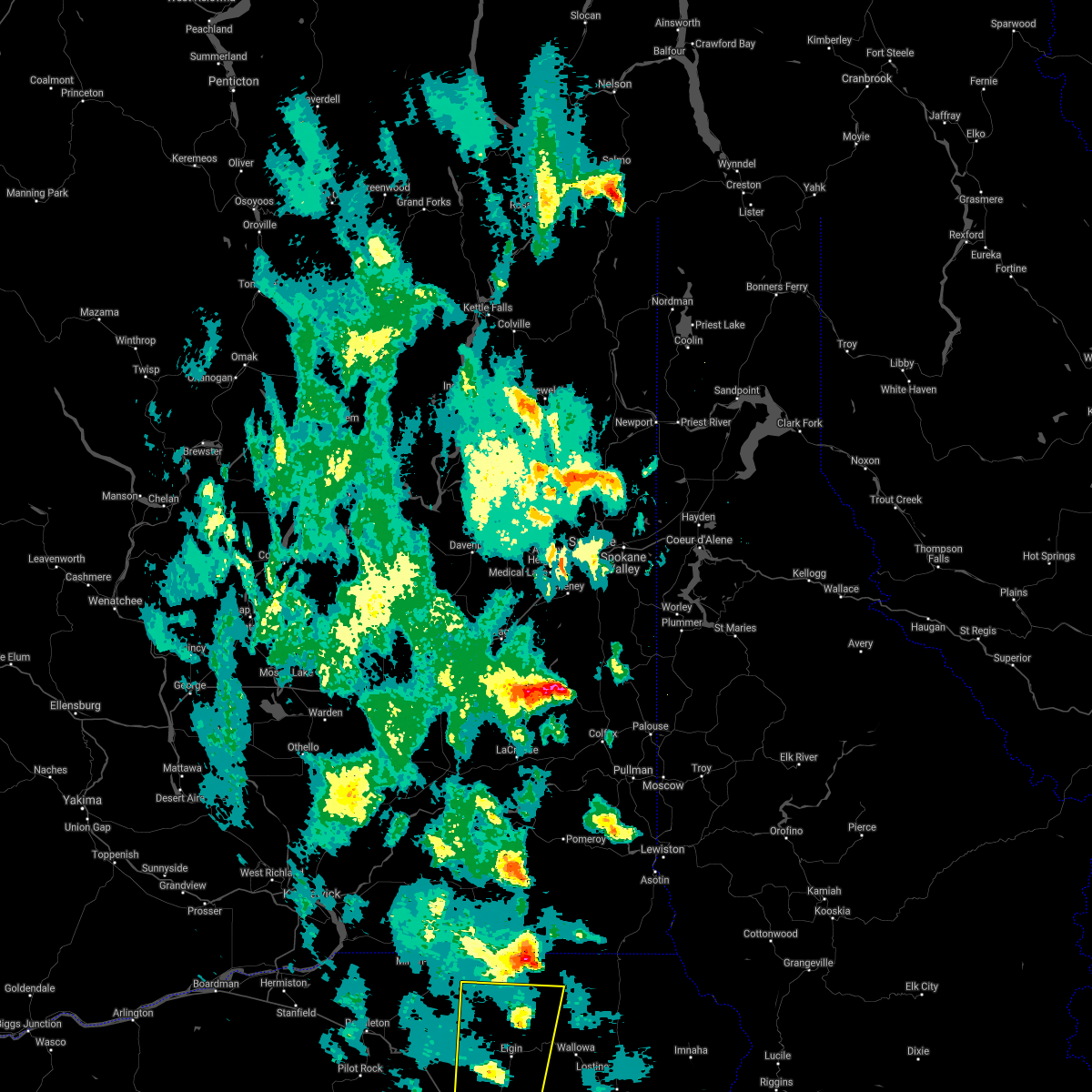
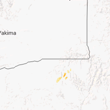
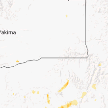
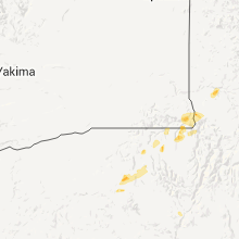
Hail Map for Cove, OR
The Cove, OR area has had 4 reports of on-the-ground hail by trained spotters, and has been under severe weather warnings 4 times during the past 12 months. Doppler radar has detected hail at or near Cove, OR on 4 occasions.
| Name: | Cove, OR |
| Where Located: | 59.2 miles SSE of Walla Walla, WA |
| Map: | Google Map for Cove, OR |
| Population: | 552 |
| Housing Units: | 257 |
| More Info: | Search Google for Cove, OR |
5
The Top Recent Hail Date for Cove, OR is Saturday, August 10, 2013 (1st out of 4)
Hail and Wind Damage Spotted near Cove, OR
| Date / Time | Report Details |
|---|---|
| 7/24/2024 6:41 PM PDT |
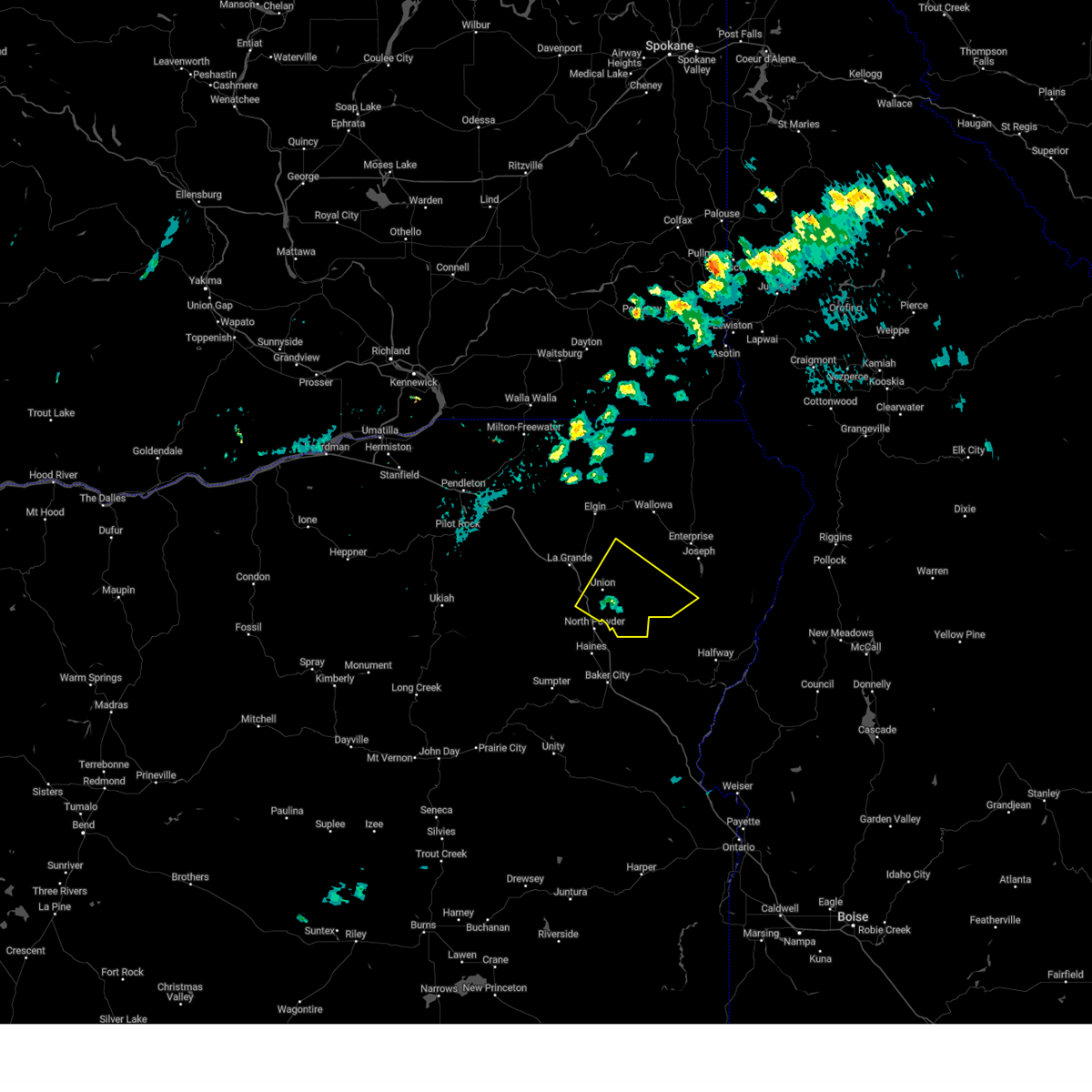
 The storm which prompted the warning has weakened below severe limits, and has exited the warned area. therefore, the warning will be allowed to expire. The storm which prompted the warning has weakened below severe limits, and has exited the warned area. therefore, the warning will be allowed to expire.
|
| 7/24/2024 6:33 PM PDT |
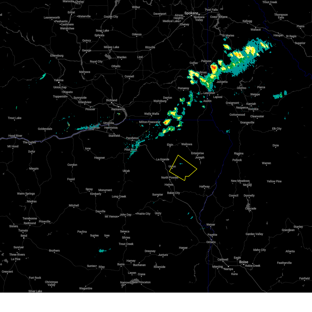
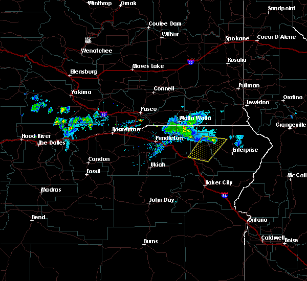
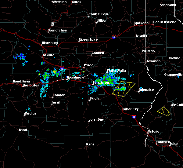
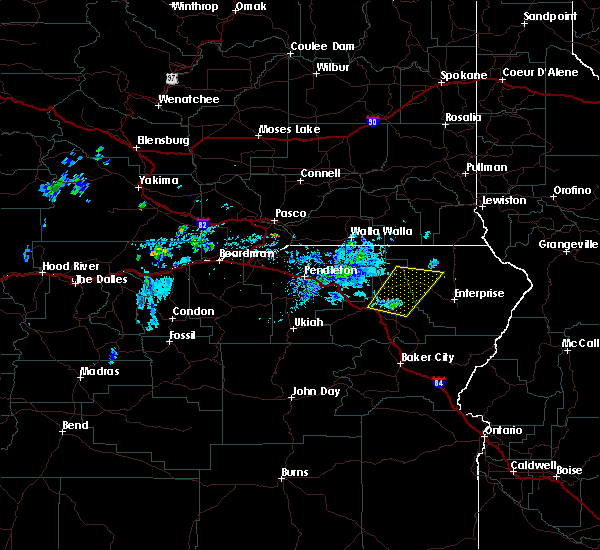
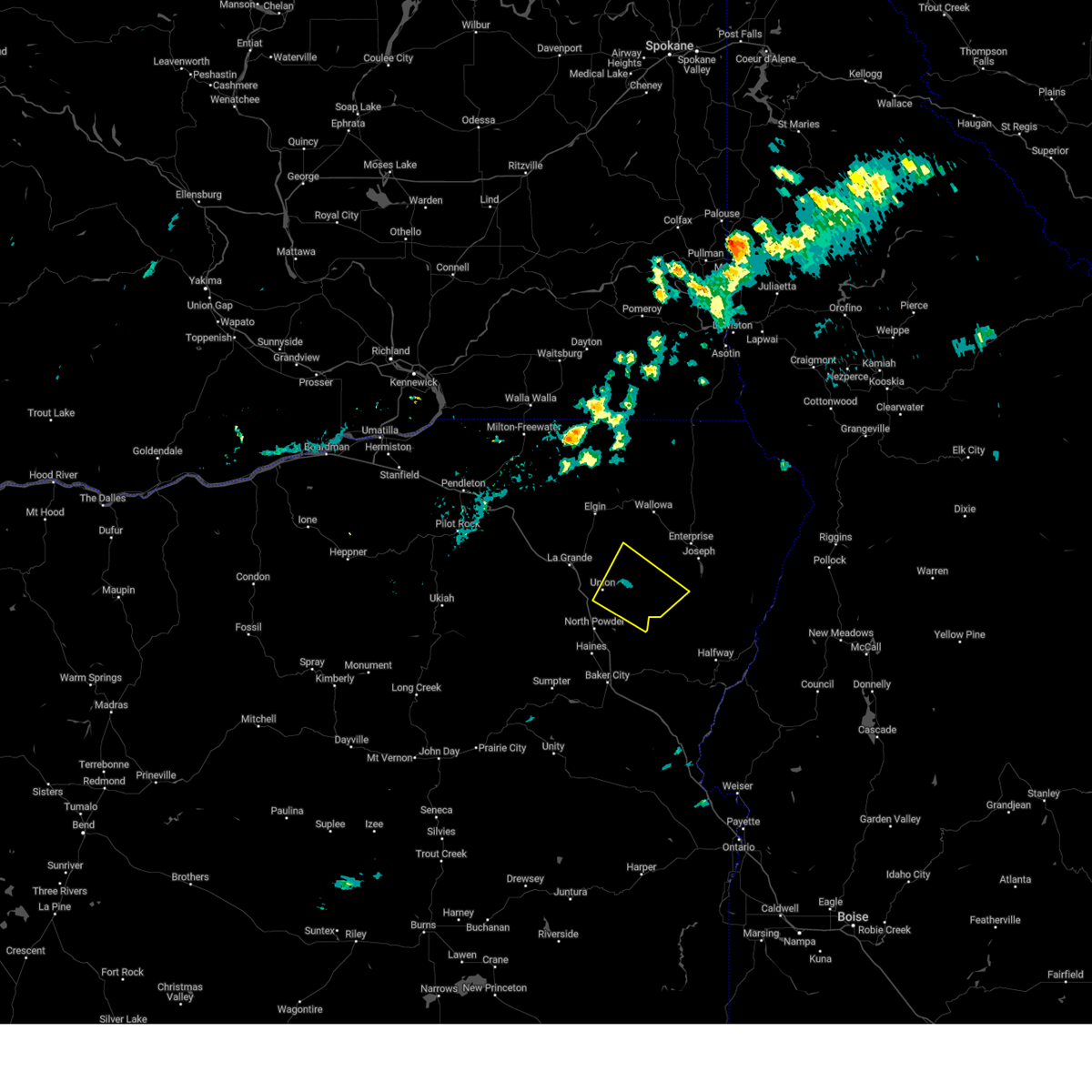 At 633 pm pdt, a severe thunderstorm was located near cove, or 20 miles east of la grande, moving northeast at 50 mph (radar indicated). Hazards include 60 mph wind gusts and quarter size hail. Hail damage to vehicles is expected. expect wind damage to roofs, siding, and trees. Locations impacted include, union and cove. At 633 pm pdt, a severe thunderstorm was located near cove, or 20 miles east of la grande, moving northeast at 50 mph (radar indicated). Hazards include 60 mph wind gusts and quarter size hail. Hail damage to vehicles is expected. expect wind damage to roofs, siding, and trees. Locations impacted include, union and cove.
|
| 7/24/2024 6:22 PM PDT |
 At 622 pm pdt, a severe thunderstorm was located near union, or 12 miles northeast of north powder, moving northeast at 50 mph (radar indicated). Hazards include ping pong ball size hail and 60 mph wind gusts. People and animals outdoors will be injured. expect hail damage to roofs, siding, windows, and vehicles. expect wind damage to roofs, siding, and trees. Locations impacted include, union, cove, pondosa, and telocaset. At 622 pm pdt, a severe thunderstorm was located near union, or 12 miles northeast of north powder, moving northeast at 50 mph (radar indicated). Hazards include ping pong ball size hail and 60 mph wind gusts. People and animals outdoors will be injured. expect hail damage to roofs, siding, windows, and vehicles. expect wind damage to roofs, siding, and trees. Locations impacted include, union, cove, pondosa, and telocaset.
|
| 7/24/2024 6:01 PM PDT |
 Svrpdt the national weather service in pendleton oregon has issued a * severe thunderstorm warning for, southeastern union county in northeastern oregon, southwestern wallowa county in northeastern oregon, * until 645 pm pdt. * at 600 pm pdt, a severe thunderstorm was located 7 miles southwest of north powder, moving northeast at 45 mph (radar indicated). Hazards include 60 mph wind gusts and half dollar size hail. Hail damage to vehicles is expected. Expect wind damage to roofs, siding, and trees. Svrpdt the national weather service in pendleton oregon has issued a * severe thunderstorm warning for, southeastern union county in northeastern oregon, southwestern wallowa county in northeastern oregon, * until 645 pm pdt. * at 600 pm pdt, a severe thunderstorm was located 7 miles southwest of north powder, moving northeast at 45 mph (radar indicated). Hazards include 60 mph wind gusts and half dollar size hail. Hail damage to vehicles is expected. Expect wind damage to roofs, siding, and trees.
|
| 8/3/2021 7:10 PM PDT |
 The severe thunderstorm warning for southeastern union county will expire at 715 pm pdt, the storm which prompted the warning has weakened below severe limits, and no longer poses an immediate threat to life or property. therefore, the warning will be allowed to expire. however small hail, gusty winds and heavy rain are still possible with this thunderstorm. The severe thunderstorm warning for southeastern union county will expire at 715 pm pdt, the storm which prompted the warning has weakened below severe limits, and no longer poses an immediate threat to life or property. therefore, the warning will be allowed to expire. however small hail, gusty winds and heavy rain are still possible with this thunderstorm.
|
| 8/3/2021 6:50 PM PDT |
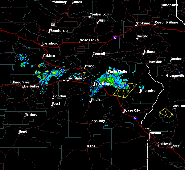
 At 648 pm pdt, a severe thunderstorm was located near union, or 9 miles north of north powder, moving east at 10 mph (radar indicated). Hazards include ping pong ball size hail continues to be indicated by doppler radar. this storm also contains frequent lightning and heavy rain. People and animals outdoors will be injured. expect damage to roofs, siding, windows, and vehicles. Locations impacted include, la grande, union, island city and cove. At 648 pm pdt, a severe thunderstorm was located near union, or 9 miles north of north powder, moving east at 10 mph (radar indicated). Hazards include ping pong ball size hail continues to be indicated by doppler radar. this storm also contains frequent lightning and heavy rain. People and animals outdoors will be injured. expect damage to roofs, siding, windows, and vehicles. Locations impacted include, la grande, union, island city and cove.
|
| 8/3/2021 6:23 PM PDT |
 At 622 pm pdt, a severe thunderstorm was located 10 miles west of union, or 11 miles south of la grande, moving east at 10 mph (trained weather spotters and doppler radar indicated). Hazards include ping pong ball size hail. People and animals outdoors will be injured. Expect damage to roofs, siding, windows, and vehicles. At 622 pm pdt, a severe thunderstorm was located 10 miles west of union, or 11 miles south of la grande, moving east at 10 mph (trained weather spotters and doppler radar indicated). Hazards include ping pong ball size hail. People and animals outdoors will be injured. Expect damage to roofs, siding, windows, and vehicles.
|
| 6/15/2021 2:10 AM PDT |
 At 209 am pdt, a severe thunderstorm was located 9 miles northeast of spout springs, or 26 miles southeast of walla walla, moving north at 40 mph (radar indicated). Hazards include 60 mph wind gusts and quarter size hail. Hail damage to vehicles is expected. Expect wind damage to roofs, siding, and trees. At 209 am pdt, a severe thunderstorm was located 9 miles northeast of spout springs, or 26 miles southeast of walla walla, moving north at 40 mph (radar indicated). Hazards include 60 mph wind gusts and quarter size hail. Hail damage to vehicles is expected. Expect wind damage to roofs, siding, and trees.
|
| 5/5/2016 7:16 PM PDT |
 At 714 pm pdt, doppler radar indicated a severe thunderstorm capable of producing quarter size hail and damaging winds in excess of 60 mph. this storm was located near minam, or 25 miles northwest of enterprise, moving northeast at 20 mph. in addition, at 705 pm the public reported quarter size hail, 13 miles east of elgin along highway 82. locations impacted include, la grande, elgin, island city, wallowa, cove, imbler, summerville and minam. At 714 pm pdt, doppler radar indicated a severe thunderstorm capable of producing quarter size hail and damaging winds in excess of 60 mph. this storm was located near minam, or 25 miles northwest of enterprise, moving northeast at 20 mph. in addition, at 705 pm the public reported quarter size hail, 13 miles east of elgin along highway 82. locations impacted include, la grande, elgin, island city, wallowa, cove, imbler, summerville and minam.
|
| 5/5/2016 6:55 PM PDT |
 At 652 pm pdt, doppler radar indicated a severe thunderstorm capable of producing quarter size hail and damaging winds in excess of 60 mph. this storm was located near elgin, or 21 miles northeast of la grande, moving north at 20 mph. in addition, at 605 pm a trained weather spotter reported quarter size hail, three miles southeast of la grande. locations impacted include, la grande, elgin, island city, wallowa, cove, imbler, summerville and minam. At 652 pm pdt, doppler radar indicated a severe thunderstorm capable of producing quarter size hail and damaging winds in excess of 60 mph. this storm was located near elgin, or 21 miles northeast of la grande, moving north at 20 mph. in addition, at 605 pm a trained weather spotter reported quarter size hail, three miles southeast of la grande. locations impacted include, la grande, elgin, island city, wallowa, cove, imbler, summerville and minam.
|
| 5/5/2016 6:44 PM PDT |
 At 644 pm pdt, doppler radar indicated a severe thunderstorm capable of producing quarter size hail and damaging winds in excess of 60 mph. this storm was located 7 miles southeast of elgin, or 17 miles northeast of la grande. this storm was nearly stationary. At 644 pm pdt, doppler radar indicated a severe thunderstorm capable of producing quarter size hail and damaging winds in excess of 60 mph. this storm was located 7 miles southeast of elgin, or 17 miles northeast of la grande. this storm was nearly stationary.
|
| 5/5/2016 6:19 PM PDT |
 At 619 pm pdt, doppler radar indicated a severe thunderstorm capable of producing quarter size hail and damaging winds in excess of 60 mph. this storm was located near imbler, or 8 miles northeast of la grande, and moving northeast at 30 mph. At 619 pm pdt, doppler radar indicated a severe thunderstorm capable of producing quarter size hail and damaging winds in excess of 60 mph. this storm was located near imbler, or 8 miles northeast of la grande, and moving northeast at 30 mph.
|
| 8/10/2013 6:04 PM PDT | Quarter sized hail reported 0.1 miles ESE of Cove, OR |
| 7/18/2012 6:40 PM PDT | Hen Egg sized hail reported 4.6 miles SE of Cove, OR, hail still going at 755 pm |
| 7/18/2012 5:57 PM PDT | Quarter sized hail reported 11 miles SE of Cove, OR |
| 1/1/0001 12:00 AM | Ping Pong Ball sized hail reported 2.9 miles NNW of Cove, OR, 1.5 inch in diameter hail reported in the high valley area. |
Hail Maps for Cove, OR

Connect with Interactive Hail Maps