

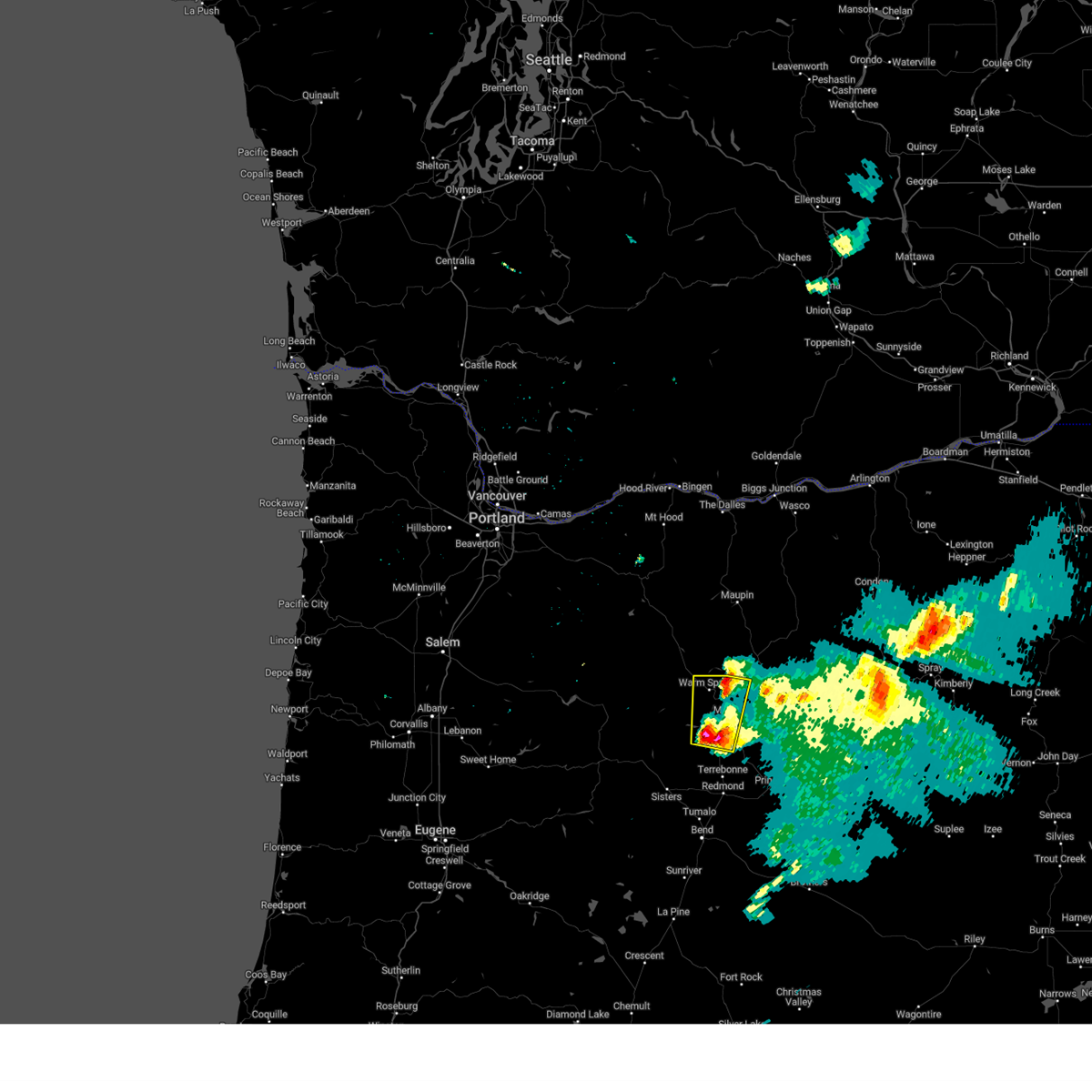
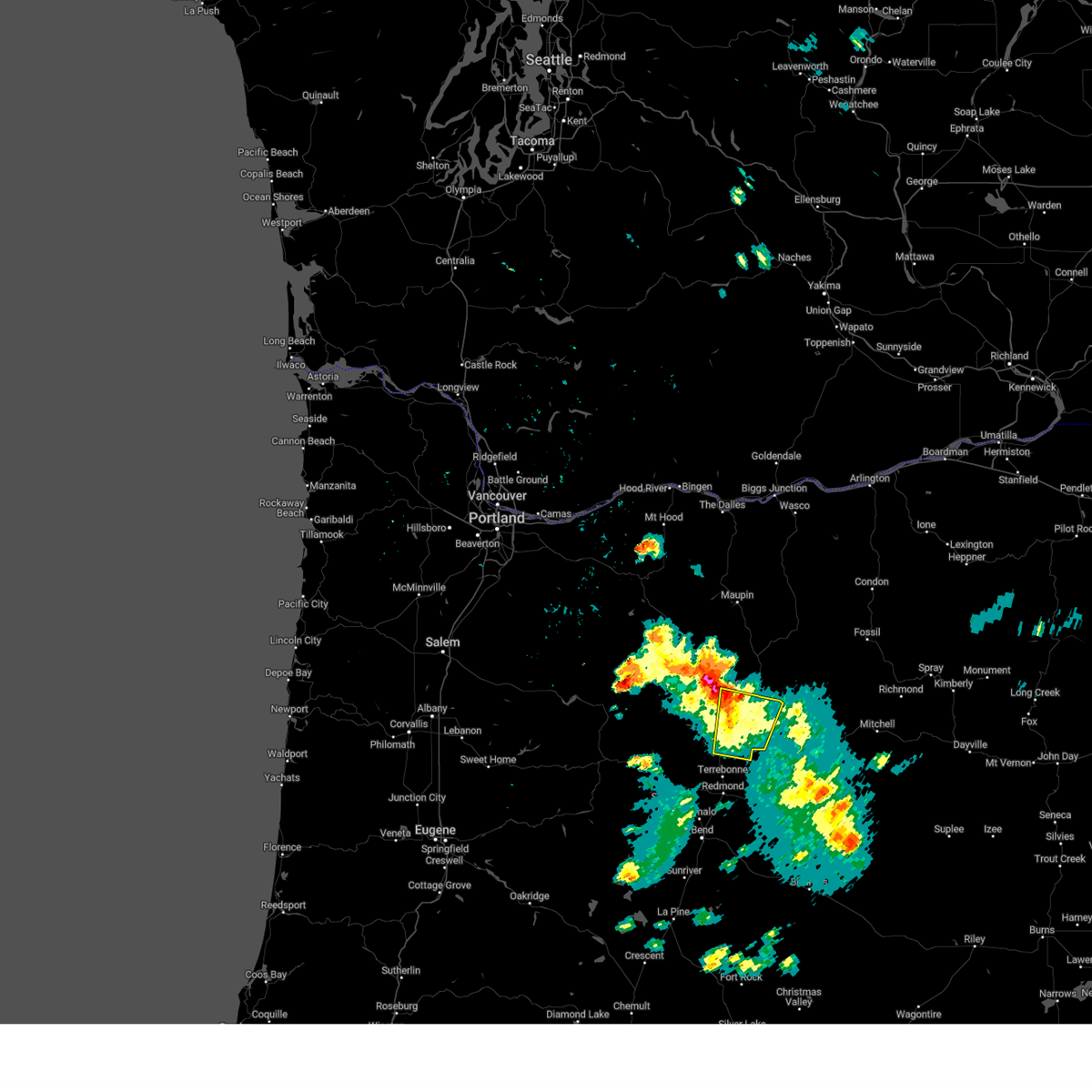
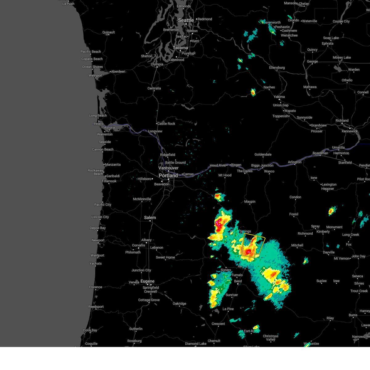
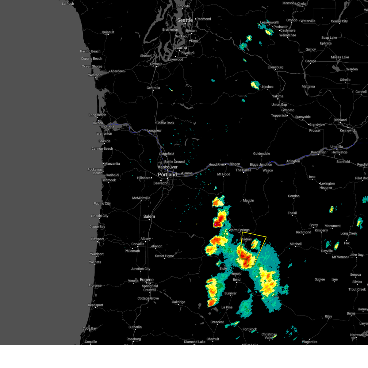
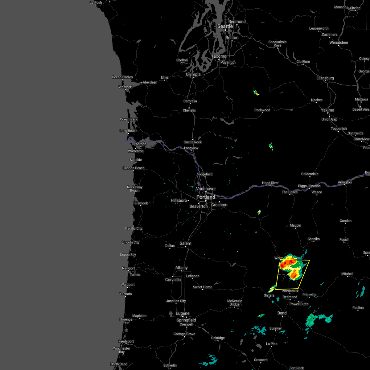
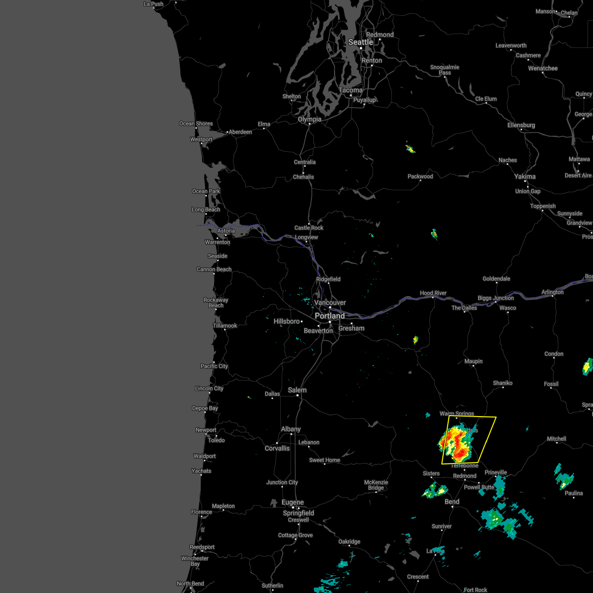
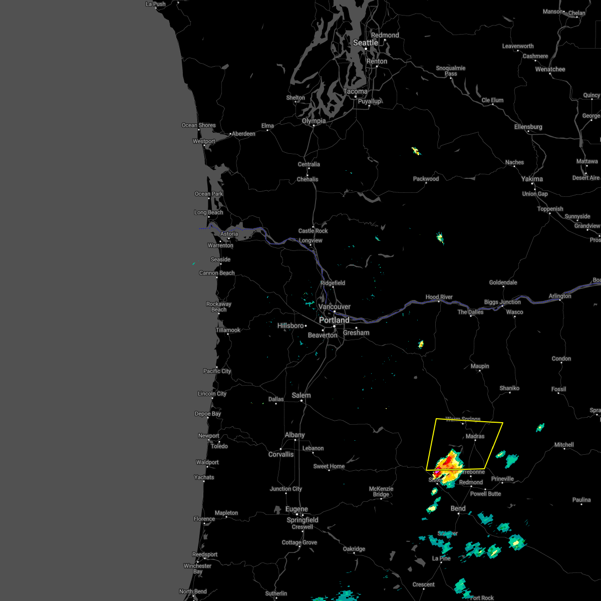
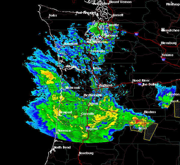
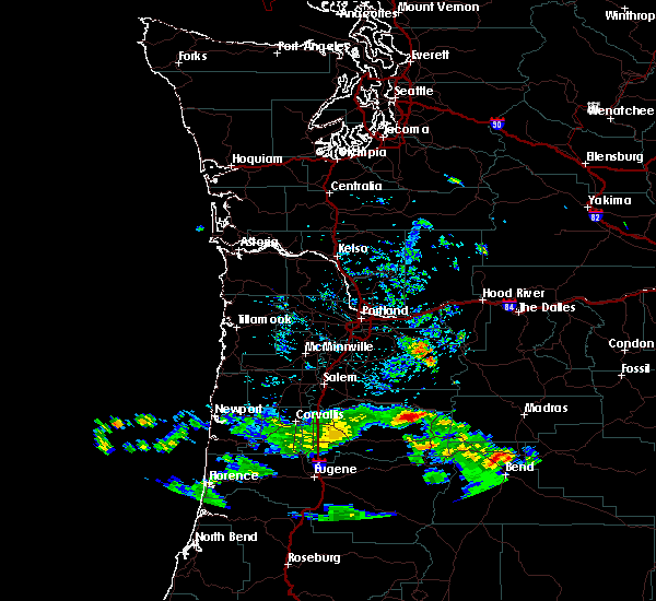
Hail Map for Culver, OR
The Culver, OR area has had 2 reports of on-the-ground hail by trained spotters, and has been under severe weather warnings 0 times during the past 12 months. Doppler radar has detected hail at or near Culver, OR on 10 occasions, including 1 occasion during the past year.
| Name: | Culver, OR |
| Where Located: | 23.8 miles NW of Bend, OR |
| Map: | Google Map for Culver, OR |
| Population: | 1357 |
| Housing Units: | 482 |
| More Info: | Search Google for Culver, OR |
0
The Top Recent Hail Date for Culver, OR is Sunday, August 4, 2024 (10th out of 10)

Hail and Wind Damage Spotted near Culver, OR
| Date / Time | Report Details |
|---|---|
| 5/20/2023 8:08 PM PDT |
 At 808 pm pdt, a severe thunderstorm was located near metolius, or near madras, moving north at 20 mph (radar indicated). Hazards include 60 mph wind gusts and quarter size hail. Hail damage to vehicles is expected. Expect wind damage to roofs, siding, and trees. At 808 pm pdt, a severe thunderstorm was located near metolius, or near madras, moving north at 20 mph (radar indicated). Hazards include 60 mph wind gusts and quarter size hail. Hail damage to vehicles is expected. Expect wind damage to roofs, siding, and trees.
|
| 5/19/2023 5:26 PM PDT |
 The severe thunderstorm warning for central jefferson county will expire at 530 pm pdt, the storm which prompted the warning has weakened below severe limits, and no longer poses an immediate threat to life or property. therefore, the warning will be allowed to expire. however small hail is still possible with this thunderstorm. to report severe weather, contact your nearest law enforcement agency. they will relay your report to the national weather service pendleton oregon. remember, a severe thunderstorm warning still remains in effect for jefferson and wasco counties. The severe thunderstorm warning for central jefferson county will expire at 530 pm pdt, the storm which prompted the warning has weakened below severe limits, and no longer poses an immediate threat to life or property. therefore, the warning will be allowed to expire. however small hail is still possible with this thunderstorm. to report severe weather, contact your nearest law enforcement agency. they will relay your report to the national weather service pendleton oregon. remember, a severe thunderstorm warning still remains in effect for jefferson and wasco counties.
|
| 5/19/2023 5:02 PM PDT |
 At 502 pm pdt, a severe thunderstorm was located near grizzly, or 8 miles southeast of madras, moving north at 20 mph (radar indicated). Hazards include 60 mph wind gusts and quarter size hail. Hail damage to vehicles is expected. expect wind damage to roofs, siding, and trees. locations impacted include, madras, culver, metolius and grizzly. hail threat, radar indicated max hail size, 1. 00 in wind threat, radar indicated max wind gust, 60 mph. At 502 pm pdt, a severe thunderstorm was located near grizzly, or 8 miles southeast of madras, moving north at 20 mph (radar indicated). Hazards include 60 mph wind gusts and quarter size hail. Hail damage to vehicles is expected. expect wind damage to roofs, siding, and trees. locations impacted include, madras, culver, metolius and grizzly. hail threat, radar indicated max hail size, 1. 00 in wind threat, radar indicated max wind gust, 60 mph.
|
| 5/19/2023 4:36 PM PDT |
 At 436 pm pdt, a severe thunderstorm was located near terrebonne, or 8 miles northeast of redmond, moving north at 20 mph (radar indicated). Hazards include 60 mph wind gusts and quarter size hail. Hail damage to vehicles is expected. Expect wind damage to roofs, siding, and trees. At 436 pm pdt, a severe thunderstorm was located near terrebonne, or 8 miles northeast of redmond, moving north at 20 mph (radar indicated). Hazards include 60 mph wind gusts and quarter size hail. Hail damage to vehicles is expected. Expect wind damage to roofs, siding, and trees.
|
| 6/23/2021 6:42 PM PDT |
 The severe thunderstorm warning for southwestern jefferson, west central crook and north central deschutes counties will expire at 645 pm pdt, the severe thunderstorm which prompted the warning has weakened and moved out of the warned area. therefore, the warning will be allowed to expire. The severe thunderstorm warning for southwestern jefferson, west central crook and north central deschutes counties will expire at 645 pm pdt, the severe thunderstorm which prompted the warning has weakened and moved out of the warned area. therefore, the warning will be allowed to expire.
|
| 6/23/2021 6:19 PM PDT |
 At 618 pm pdt, a severe thunderstorm was located near redmond, moving northeast at 10 mph (radar indicated). Hazards include 60 mph wind gusts and quarter size hail. Hail damage to vehicles is expected. expect wind damage to roofs, siding, and trees. Locations impacted include, bend, redmond, prineville, culver, tumalo, terrebonne, powell butte and deschutes river woods. At 618 pm pdt, a severe thunderstorm was located near redmond, moving northeast at 10 mph (radar indicated). Hazards include 60 mph wind gusts and quarter size hail. Hail damage to vehicles is expected. expect wind damage to roofs, siding, and trees. Locations impacted include, bend, redmond, prineville, culver, tumalo, terrebonne, powell butte and deschutes river woods.
|
| 6/23/2021 5:56 PM PDT |
 At 556 pm pdt, a severe thunderstorm was located near tumalo, or 8 miles north of bend, moving northeast at 10 mph (radar indicated). Hazards include 60 mph wind gusts and quarter size hail. Hail damage to vehicles is expected. Expect wind damage to roofs, siding, and trees. At 556 pm pdt, a severe thunderstorm was located near tumalo, or 8 miles north of bend, moving northeast at 10 mph (radar indicated). Hazards include 60 mph wind gusts and quarter size hail. Hail damage to vehicles is expected. Expect wind damage to roofs, siding, and trees.
|
| 8/17/2020 4:42 PM PDT |
 The severe thunderstorm warning for central jefferson county will expire at 445 pm pdt, the storm which prompted the warning has weakened below severe limits, and no longer poses an immediate threat to life or property. therefore, the warning will be allowed to expire. however gusty winds and heavy rain are still possible with this thunderstorm. a severe thunderstorm watch remains in effect until 1000 pm pdt for central oregon. The severe thunderstorm warning for central jefferson county will expire at 445 pm pdt, the storm which prompted the warning has weakened below severe limits, and no longer poses an immediate threat to life or property. therefore, the warning will be allowed to expire. however gusty winds and heavy rain are still possible with this thunderstorm. a severe thunderstorm watch remains in effect until 1000 pm pdt for central oregon.
|
| 8/17/2020 4:21 PM PDT |
 At 420 pm pdt, a severe thunderstorm was located near culver, or 9 miles southwest of madras, moving northeast at 25 mph (spotters report brief heavy rain and small hail). Hazards include 60 mph wind gusts, penny size hail and brief heavy rainfall. Expect damage to roofs, siding, and trees. Locations impacted include, madras, culver, metolius, warm springs and southern warm springs reservation. At 420 pm pdt, a severe thunderstorm was located near culver, or 9 miles southwest of madras, moving northeast at 25 mph (spotters report brief heavy rain and small hail). Hazards include 60 mph wind gusts, penny size hail and brief heavy rainfall. Expect damage to roofs, siding, and trees. Locations impacted include, madras, culver, metolius, warm springs and southern warm springs reservation.
|
| 8/17/2020 3:52 PM PDT |
 At 352 pm pdt, a severe thunderstorm was located 11 miles east of camp sherman, or 16 miles northwest of redmond, moving northeast at 25 mph (radar indicated). Hazards include 60 mph wind gusts and quarter size hail possible. Hail damage to vehicles is expected. Expect wind damage to roofs, siding, and trees. At 352 pm pdt, a severe thunderstorm was located 11 miles east of camp sherman, or 16 miles northwest of redmond, moving northeast at 25 mph (radar indicated). Hazards include 60 mph wind gusts and quarter size hail possible. Hail damage to vehicles is expected. Expect wind damage to roofs, siding, and trees.
|
| 5/30/2020 2:40 PM PDT | Media reports damage to homes. large trees down and power outages. rocks on road. estimated wind gusts of 80 to 100 mp in jefferson county OR, 0.3 miles NW of Culver, OR |
| 5/30/2020 2:35 PM PDT | Several large trees downed. damage to farm equipment. along hwy 97 5 to 10 miles south of madra in jefferson county OR, 4.2 miles W of Culver, OR |
| 5/30/2020 2:29 PM PDT | Via davis weather station vantage in jefferson county OR, 4.8 miles WSW of Culver, OR |
| 5/30/2020 2:24 PM PDT |
 At 223 pm pdt, a severe thunderstorm was located 9 miles northwest of terrebonne, or 12 miles northwest of redmond, moving north at 35 mph (radar indicated and spotter verified. this storm has multiple reports of wind damage and hail up to half dollar size). Hazards include 60 mph wind gusts and half dollar size hail. Hail damage to vehicles is expected. Expect wind damage to roofs, siding, and trees. At 223 pm pdt, a severe thunderstorm was located 9 miles northwest of terrebonne, or 12 miles northwest of redmond, moving north at 35 mph (radar indicated and spotter verified. this storm has multiple reports of wind damage and hail up to half dollar size). Hazards include 60 mph wind gusts and half dollar size hail. Hail damage to vehicles is expected. Expect wind damage to roofs, siding, and trees.
|
| 9/7/2017 3:44 PM PDT |
 At 343 pm pdt, a severe thunderstorm was located 9 miles east of sisters, or 9 miles west of redmond, moving north at 35 mph (radar indicated). Hazards include 60 mph wind gusts and quarter size hail. Hail damage to vehicles is expected. Expect wind damage to roofs, siding, and trees. At 343 pm pdt, a severe thunderstorm was located 9 miles east of sisters, or 9 miles west of redmond, moving north at 35 mph (radar indicated). Hazards include 60 mph wind gusts and quarter size hail. Hail damage to vehicles is expected. Expect wind damage to roofs, siding, and trees.
|
| 5/4/2017 10:53 PM PDT |
 At 1045 pm pdt, trained weather spotters reported a severe thunderstorm producing large damaging hail up to golf ball size and damaging winds in excess of 60 mph. this storm was located near culver, or 9 miles southwest of madras, and moving northeast at 45 mph. At 1045 pm pdt, trained weather spotters reported a severe thunderstorm producing large damaging hail up to golf ball size and damaging winds in excess of 60 mph. this storm was located near culver, or 9 miles southwest of madras, and moving northeast at 45 mph.
|
| 7/22/2014 7:05 PM PDT | Golf Ball sized hail reported 8.3 miles ESE of Culver, OR, a trained spotter reported 1 3/4 inch hail in the three rivers recreational area on the metolious arm of lake billy chinook. |
| 9/5/2013 3:45 PM PDT | Chimney blown off hous in jefferson county OR, 9 miles ESE of Culver, OR |
| 7/14/2012 7:30 PM PDT | Quarter sized hail reported 2.9 miles NE of Culver, OR, a family member of an nws employee camping at lake billy chinook reported quarter sized hail and 6 inches of water running through the camp ground due to heavy rain. |
Hail Maps for Culver, OR


Connect with Interactive Hail Maps