

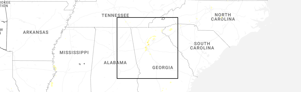
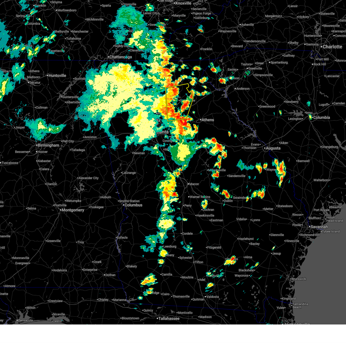
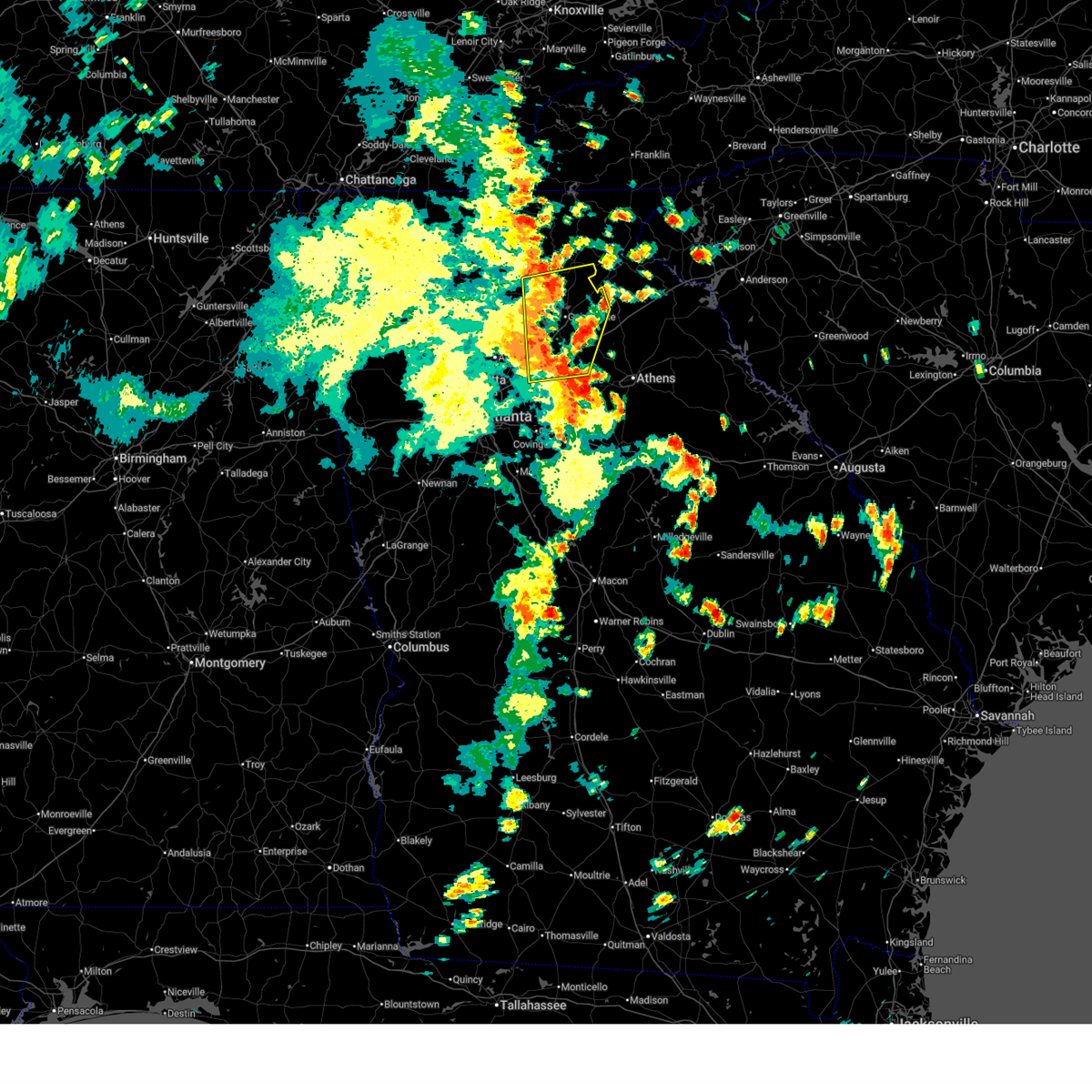
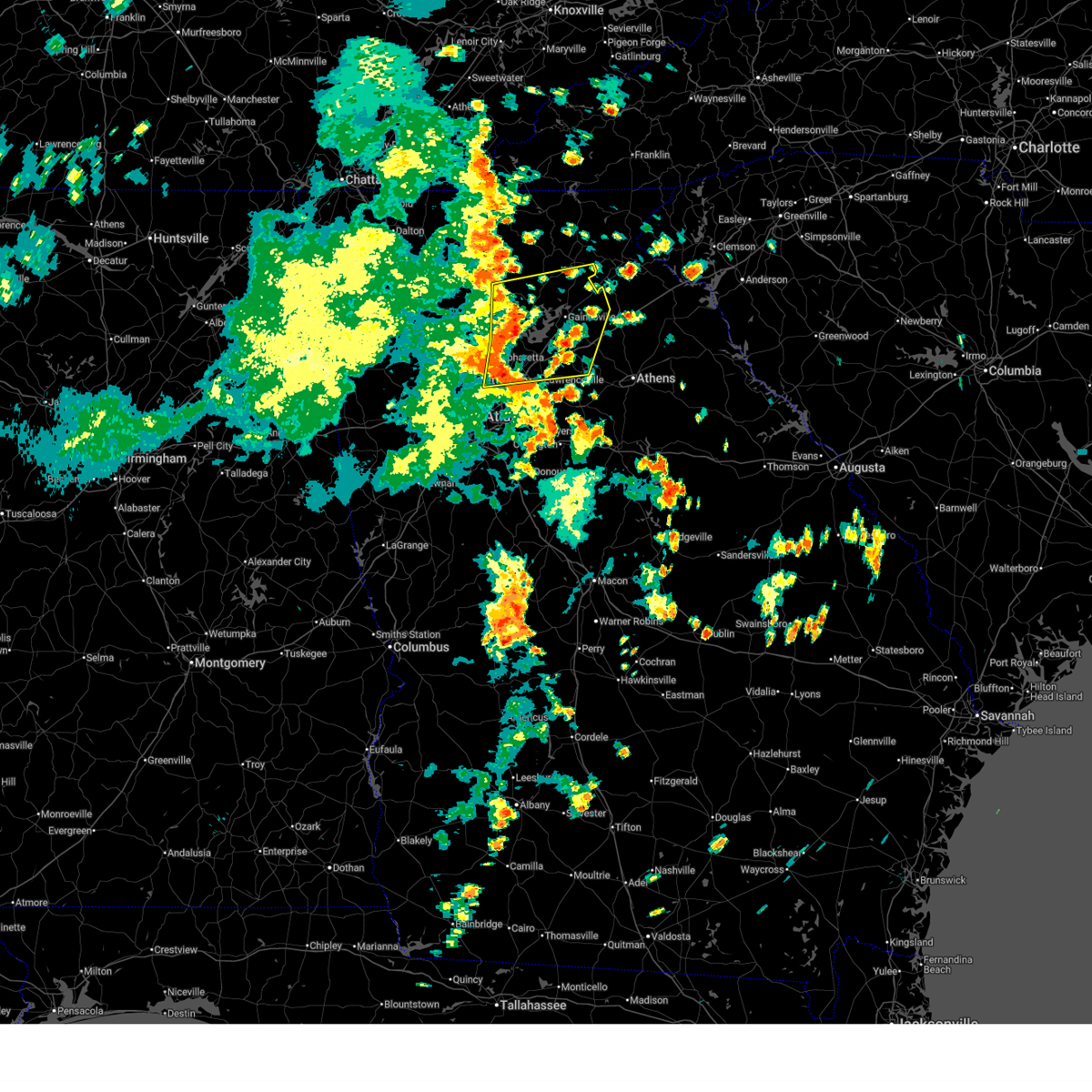
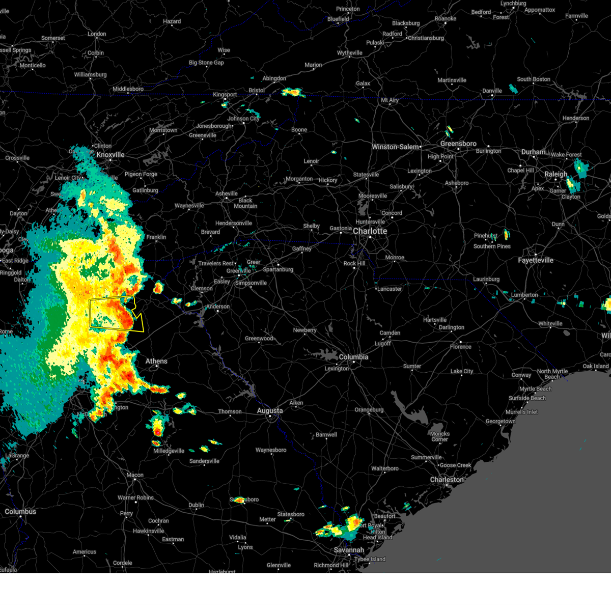
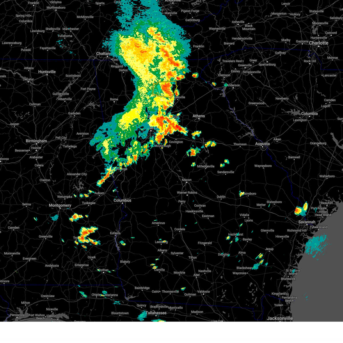
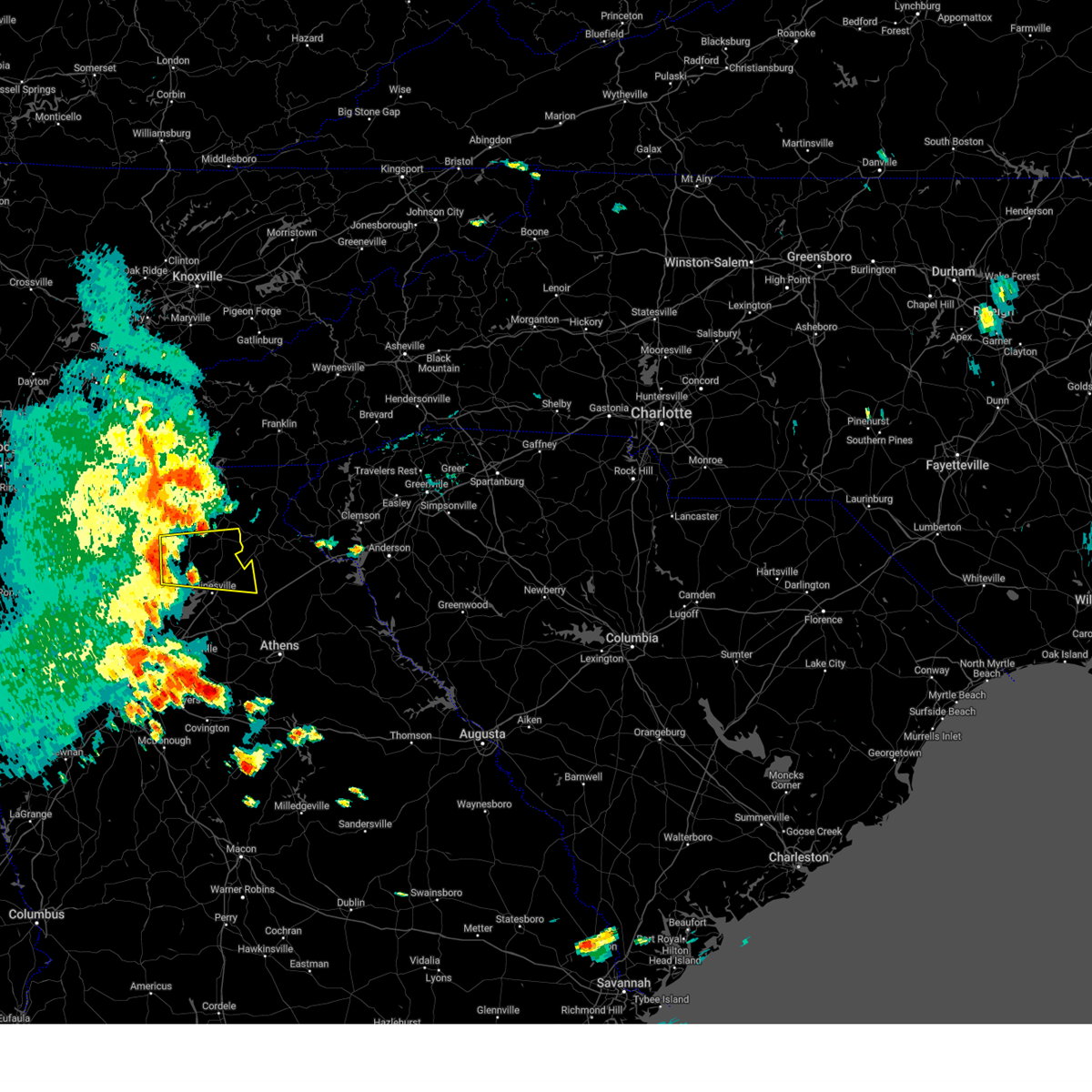
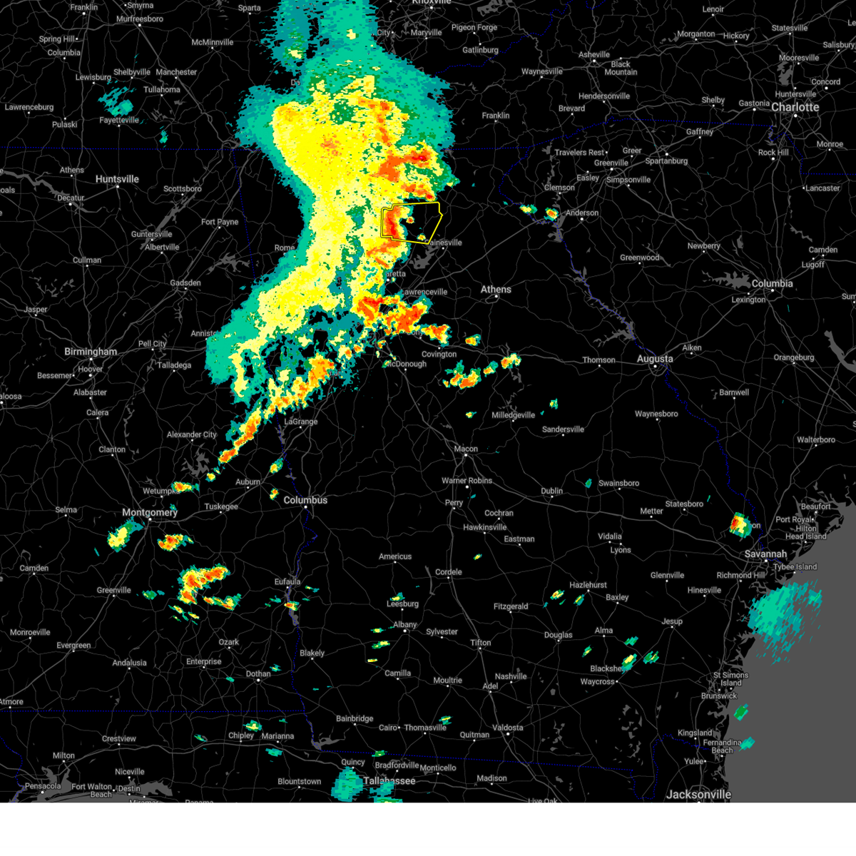
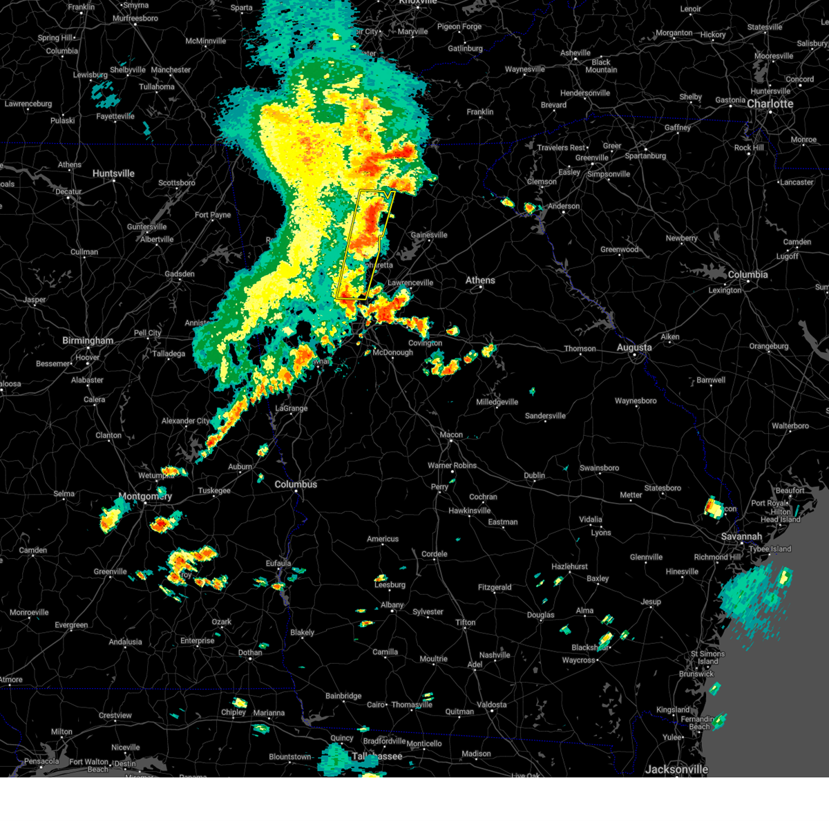
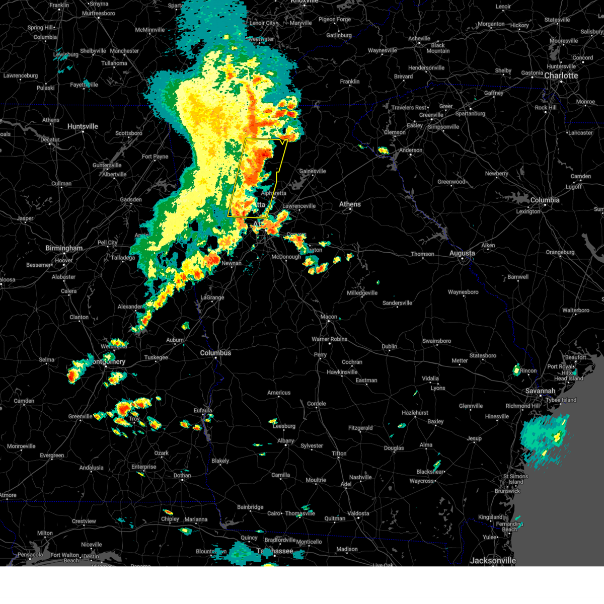
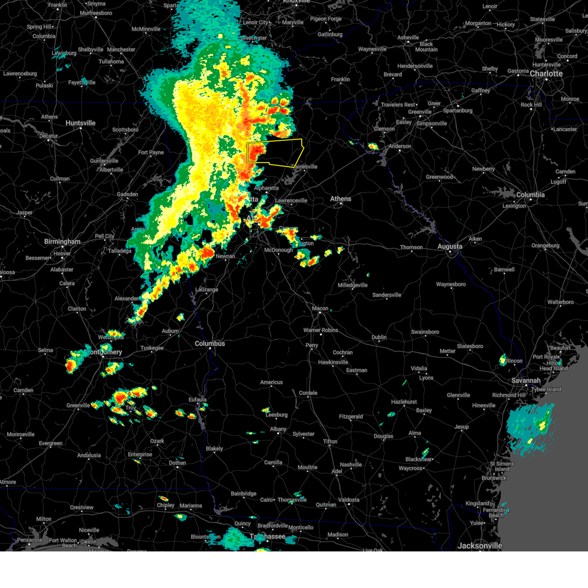
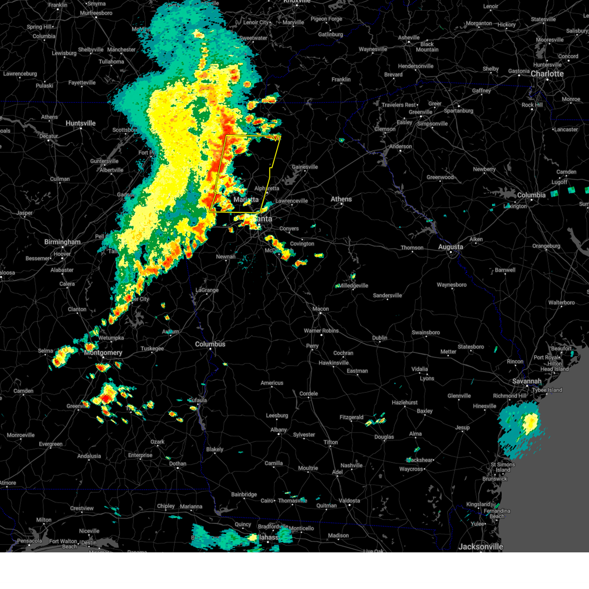
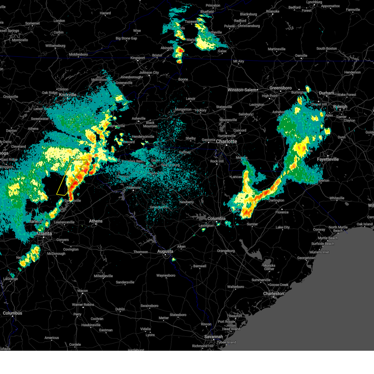
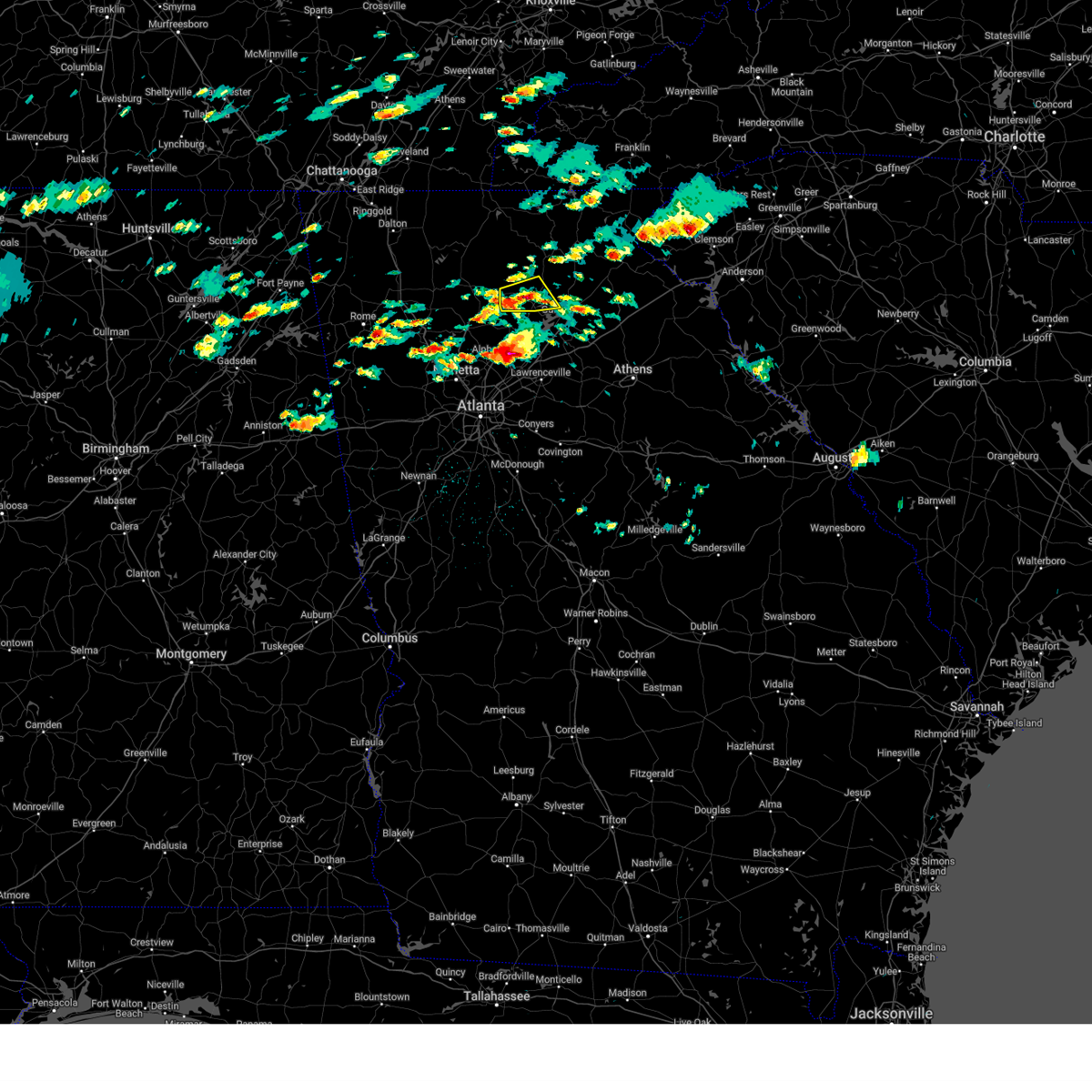
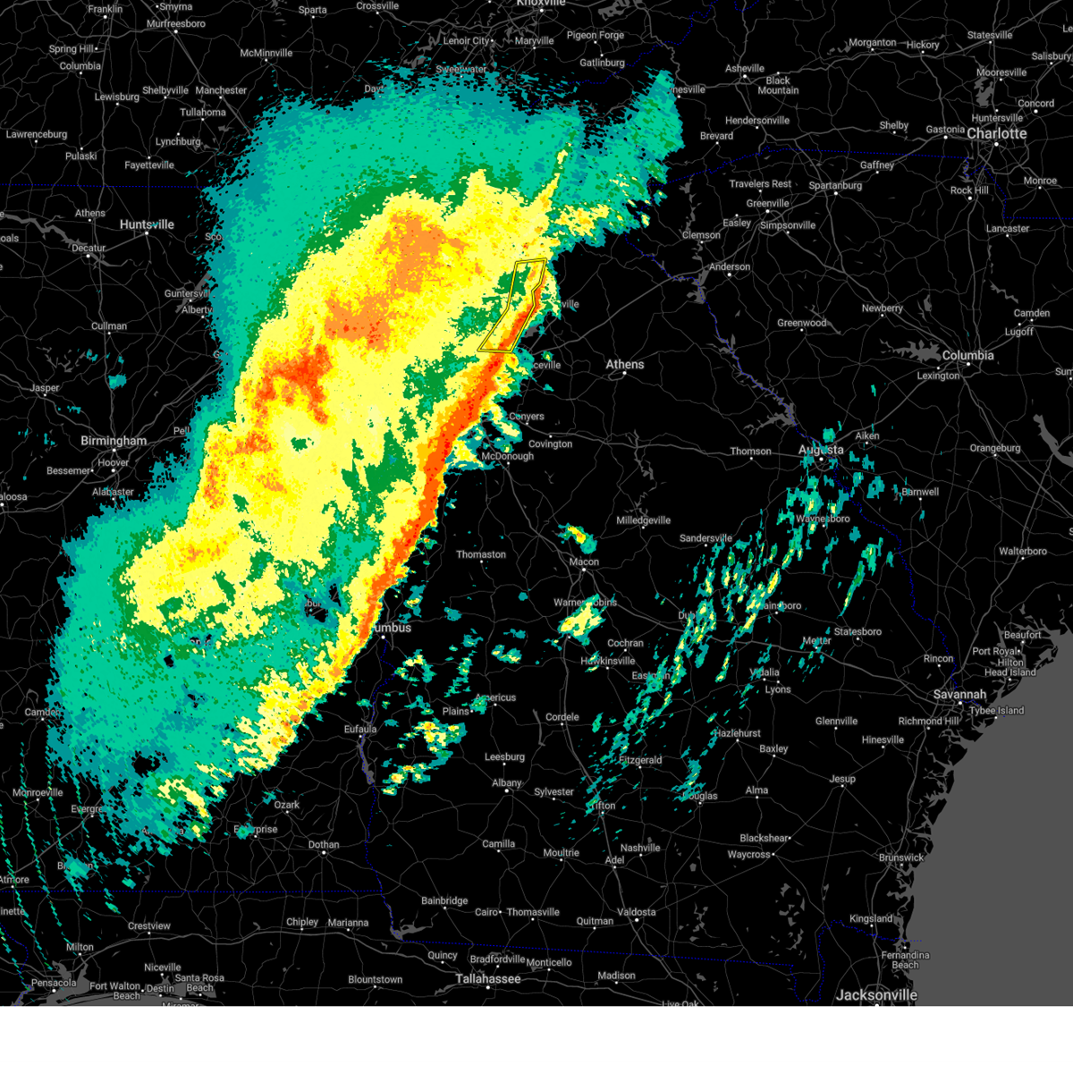
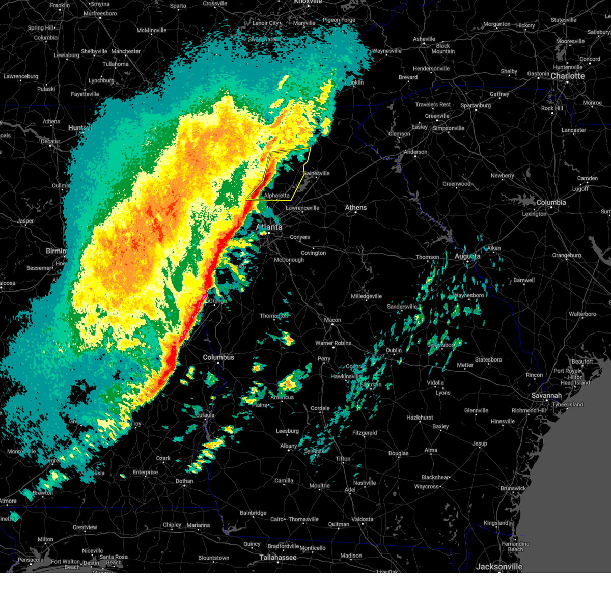
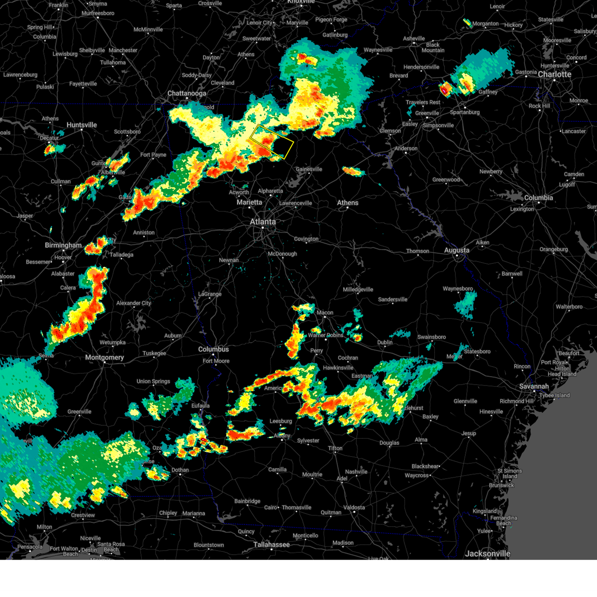
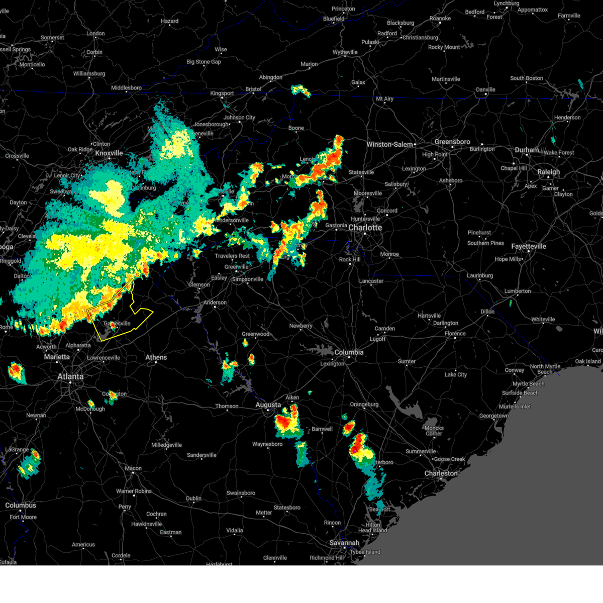
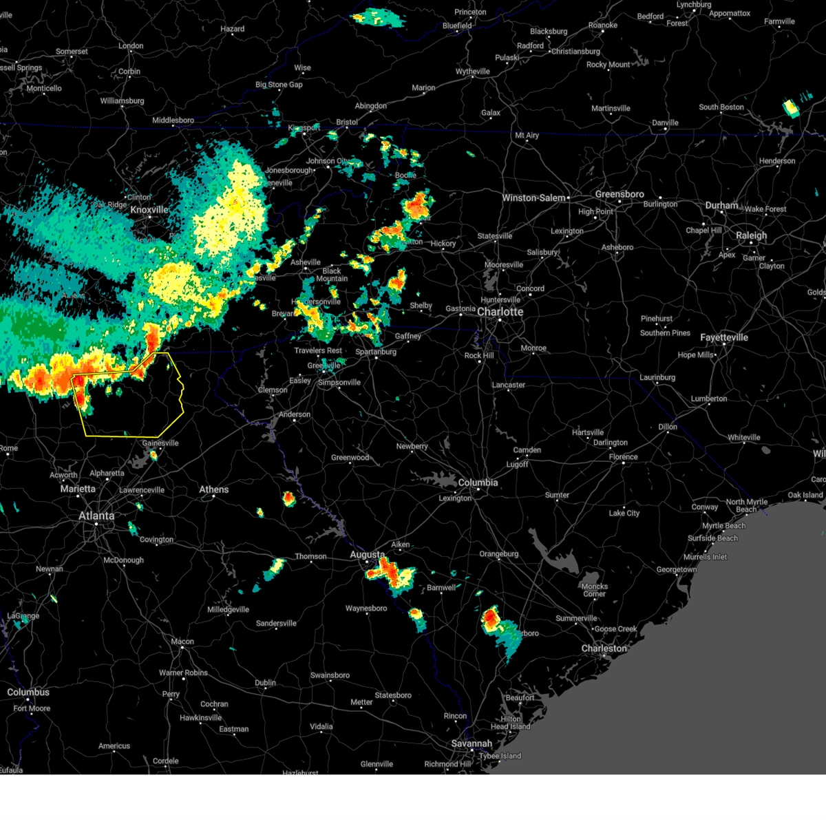
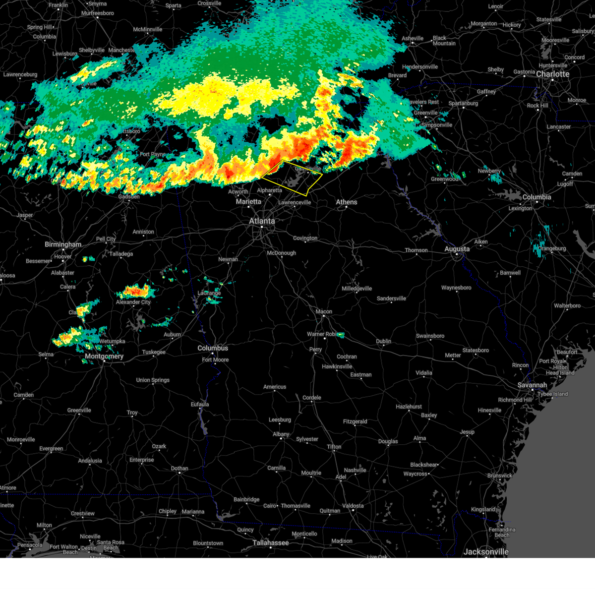
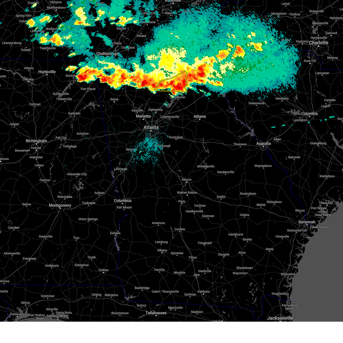
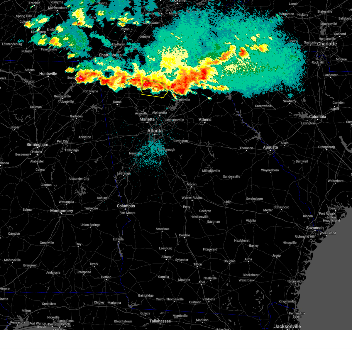
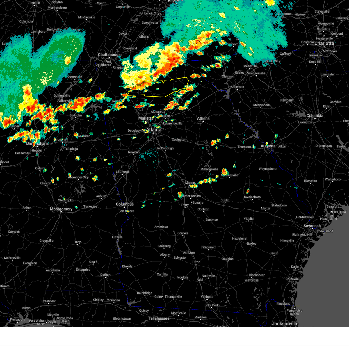
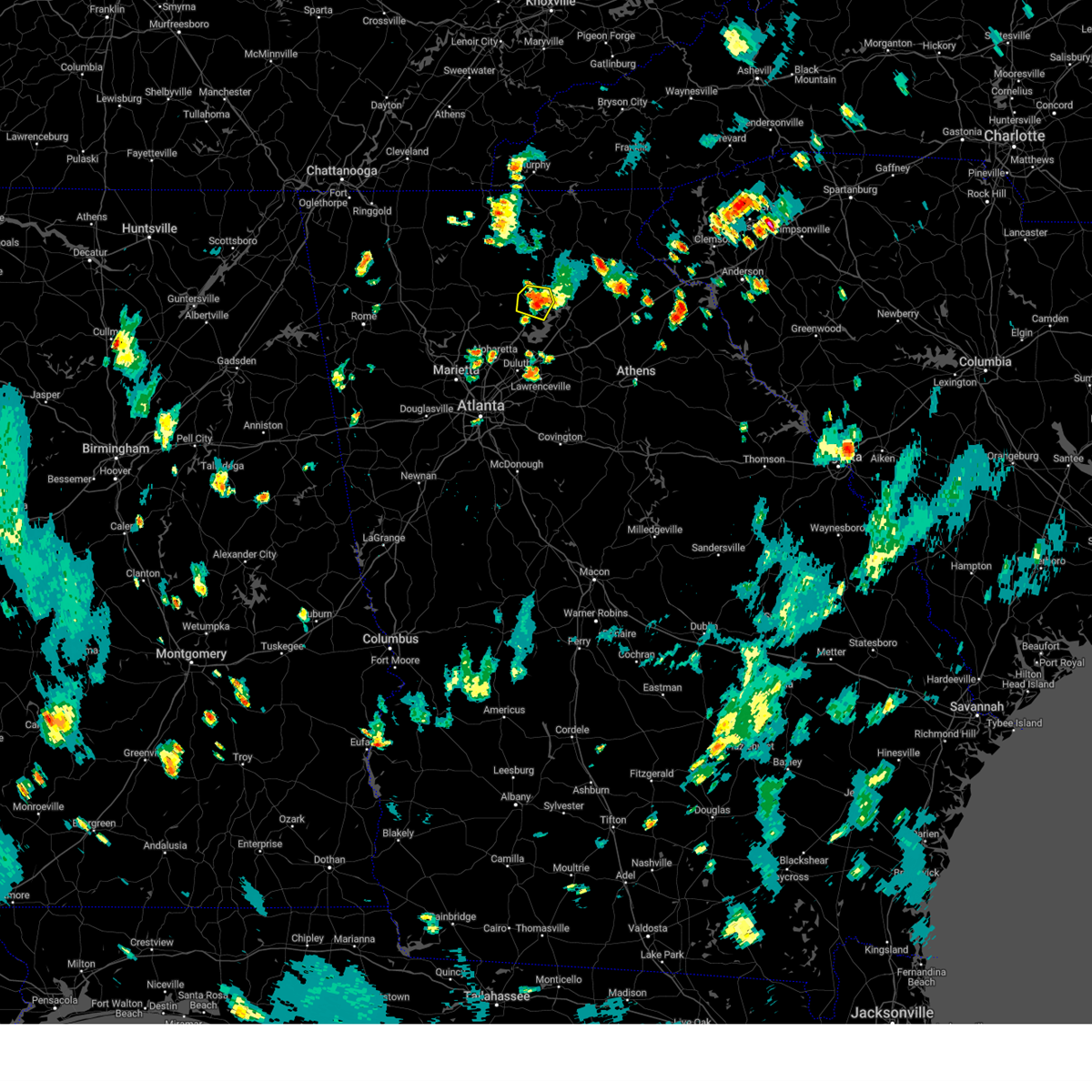
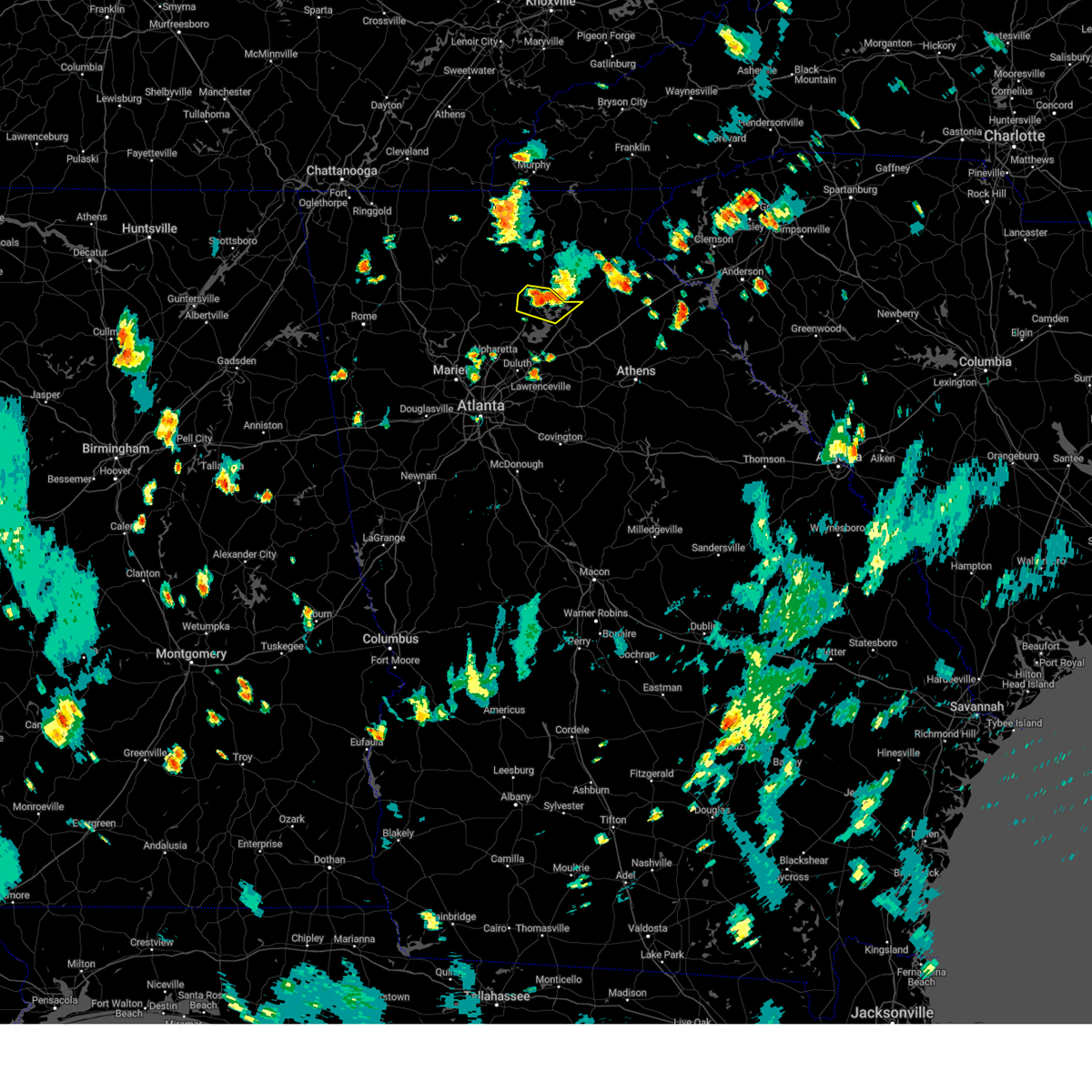
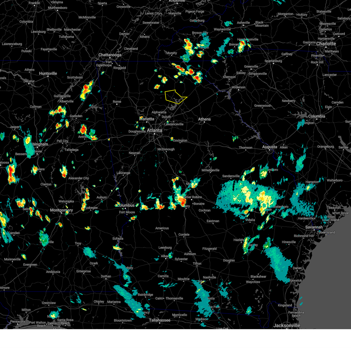
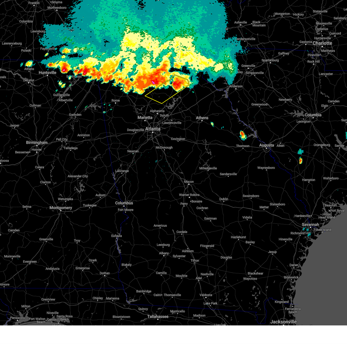
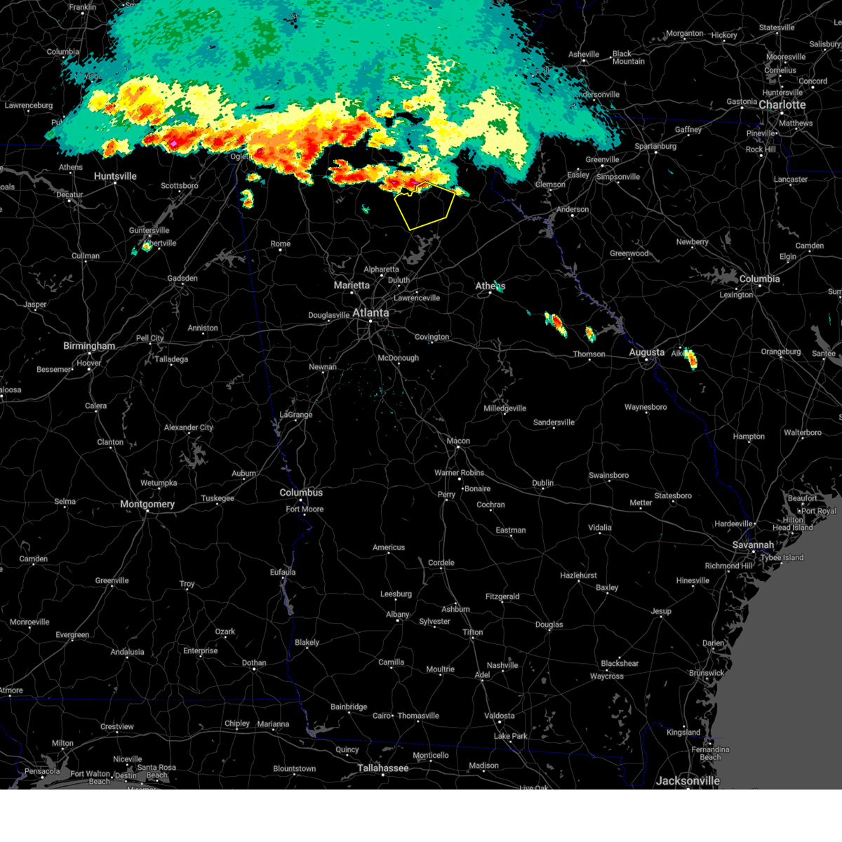
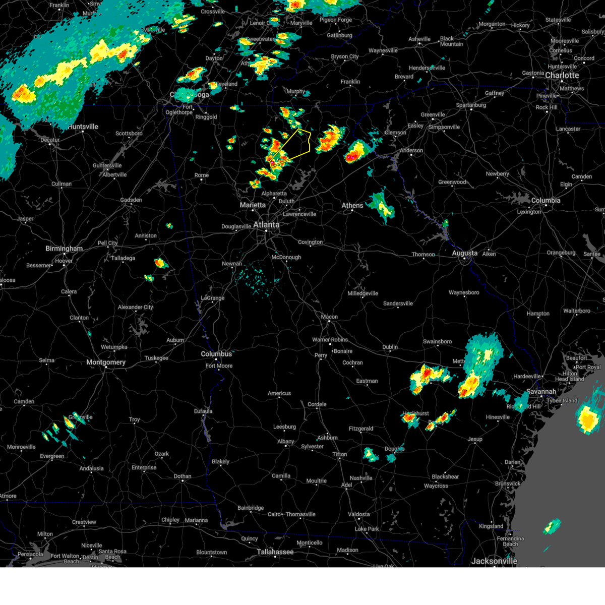
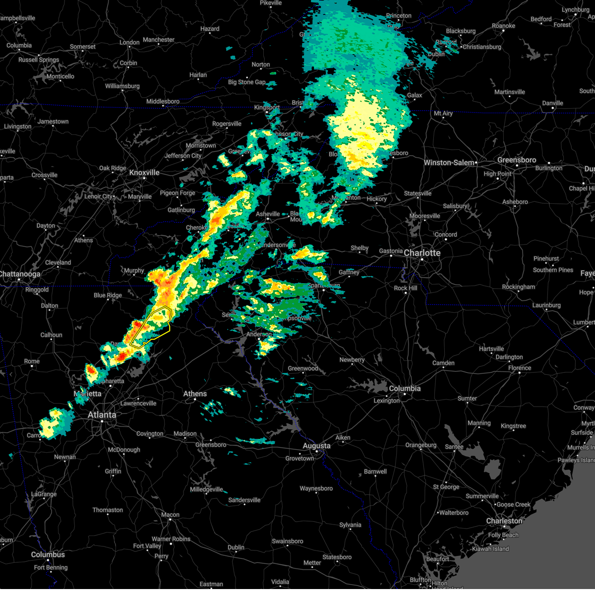
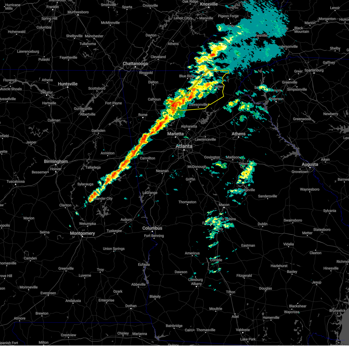
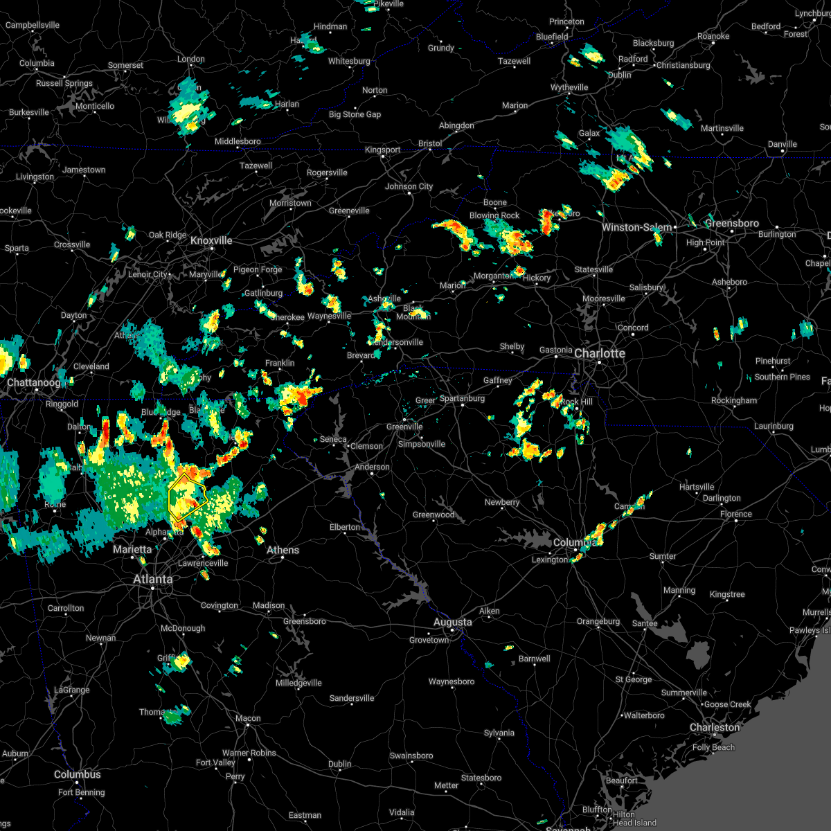
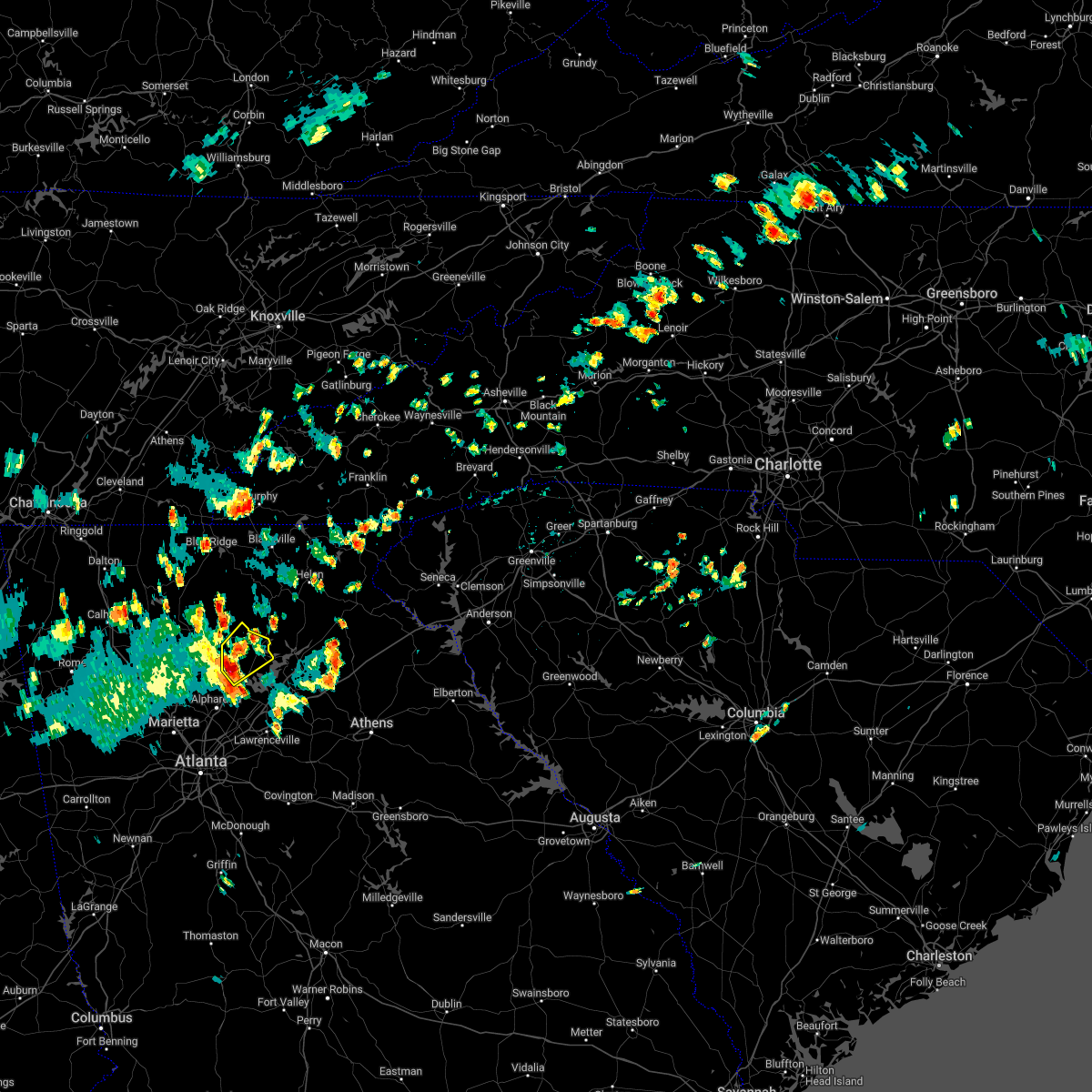
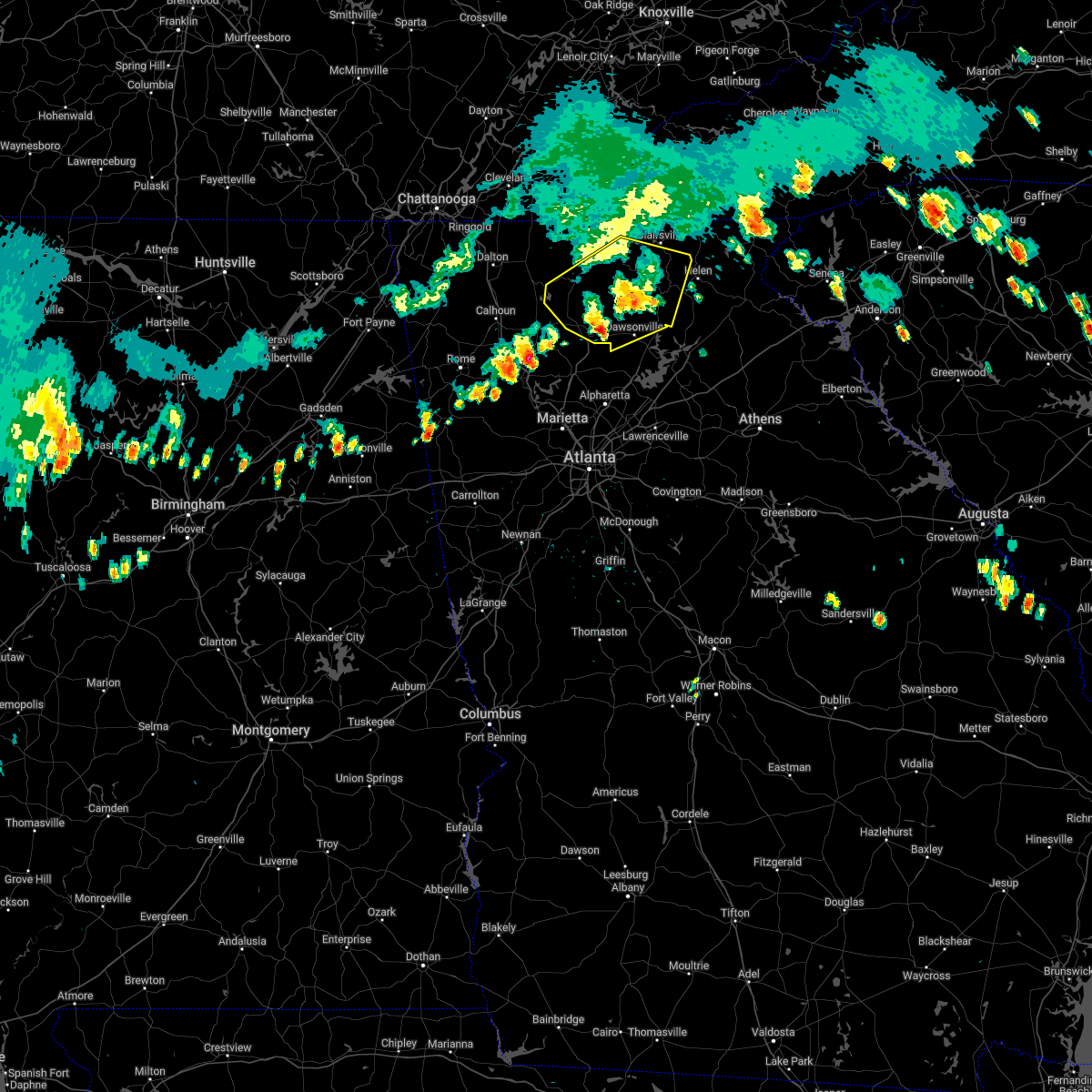
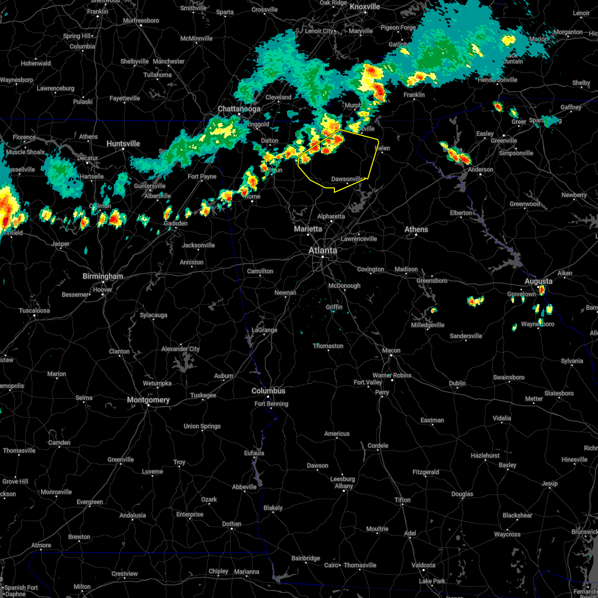
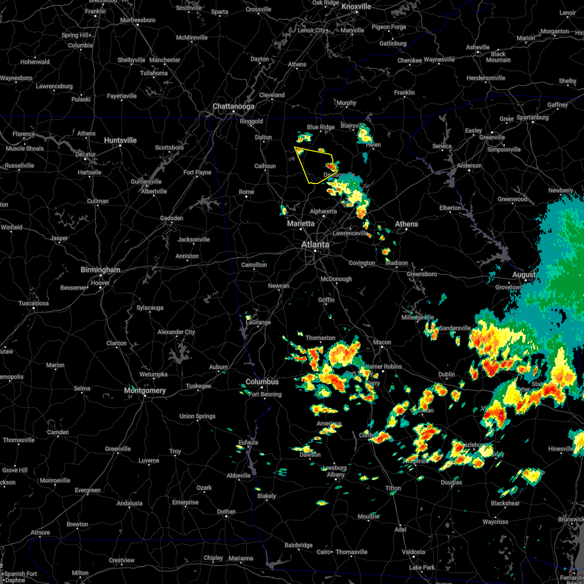
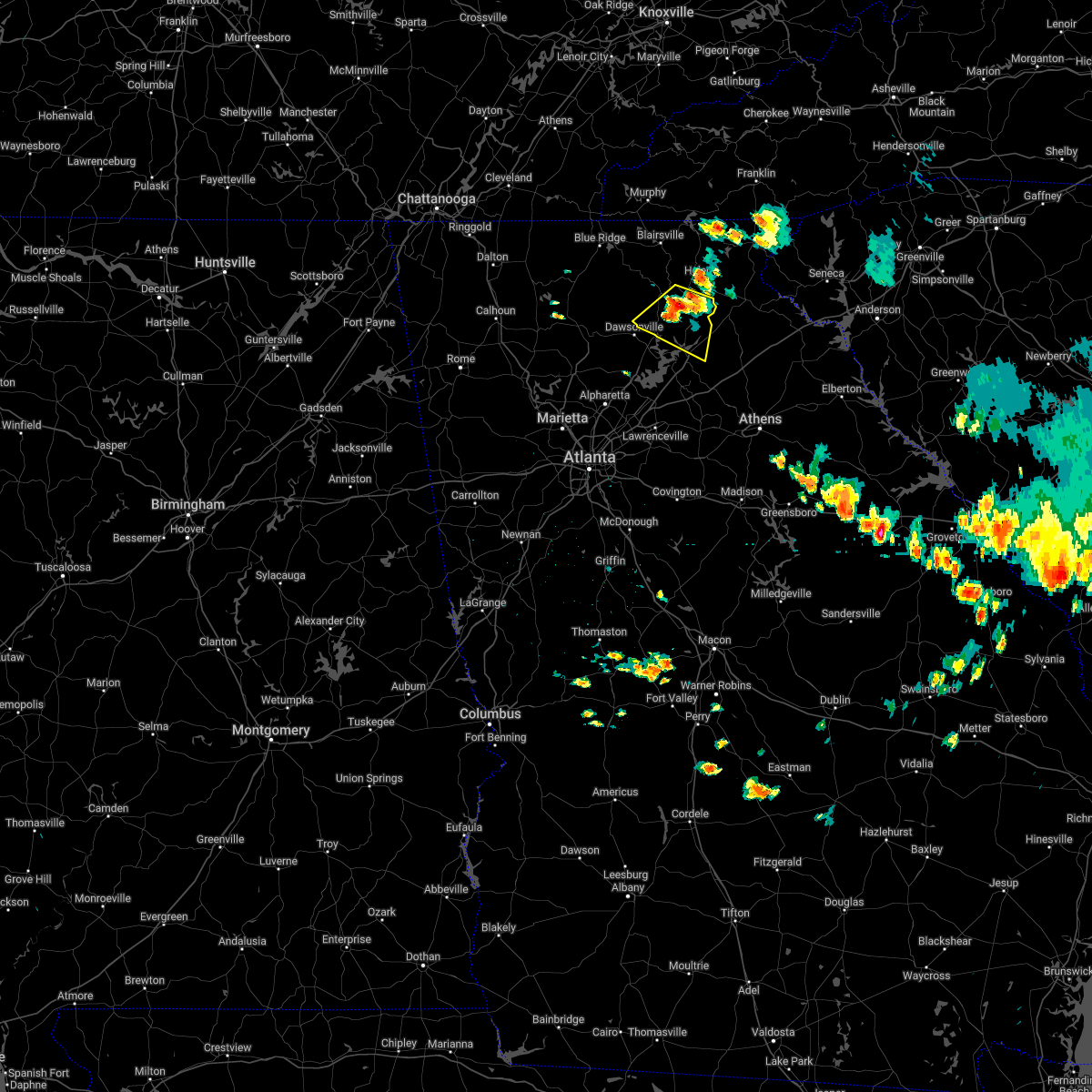
Hail Map for Dawsonville, GA
The Dawsonville, GA area has had 10 reports of on-the-ground hail by trained spotters, and has been under severe weather warnings 44 times during the past 12 months. Doppler radar has detected hail at or near Dawsonville, GA on 43 occasions, including 4 occasions during the past year.
| Name: | Dawsonville, GA |
| Where Located: | 49.8 miles NNE of Atlanta, GA |
| Map: | Google Map for Dawsonville, GA |
| Population: | 2536 |
| Housing Units: | 971 |
| More Info: | Search Google for Dawsonville, GA |
2
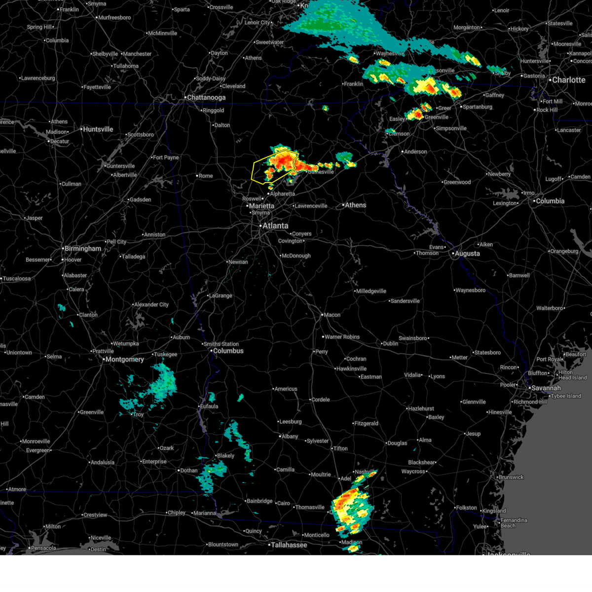
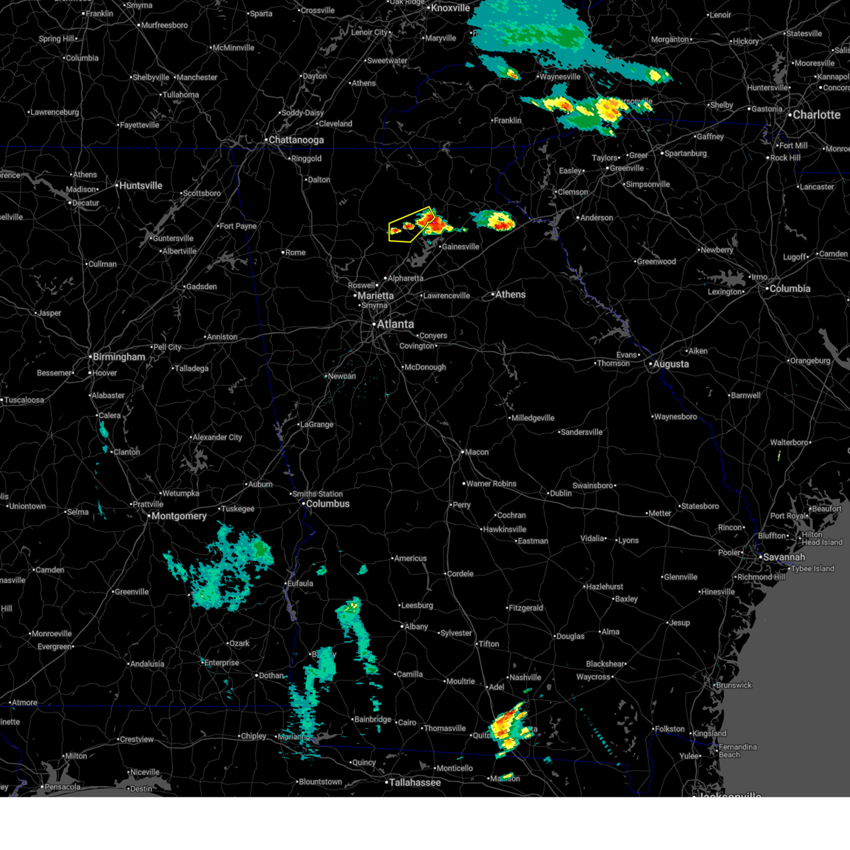
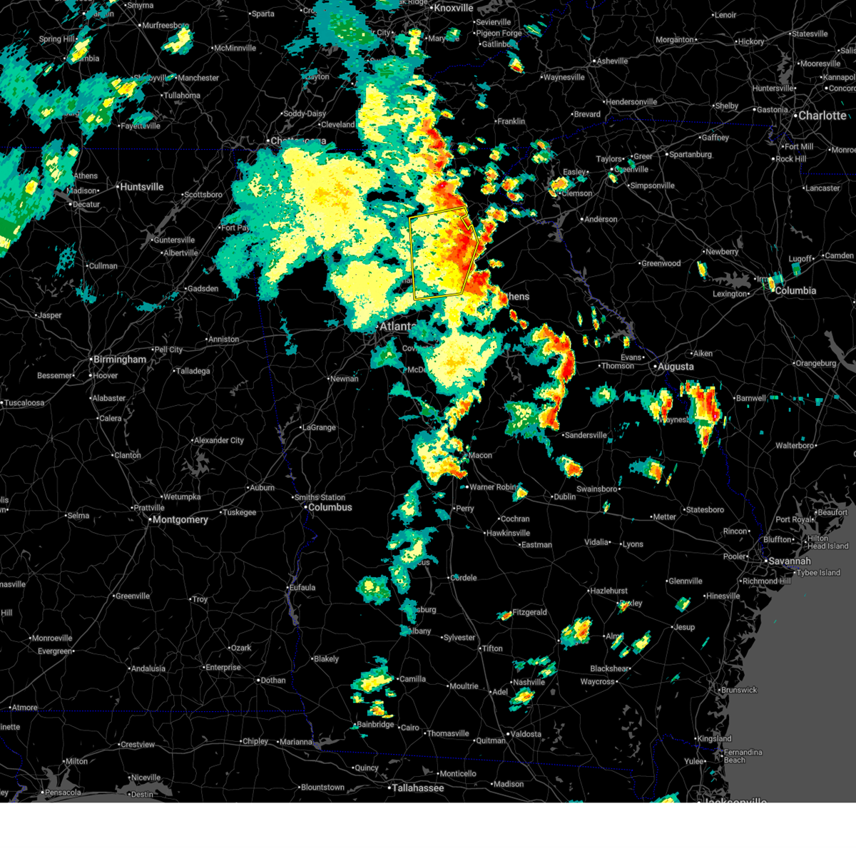
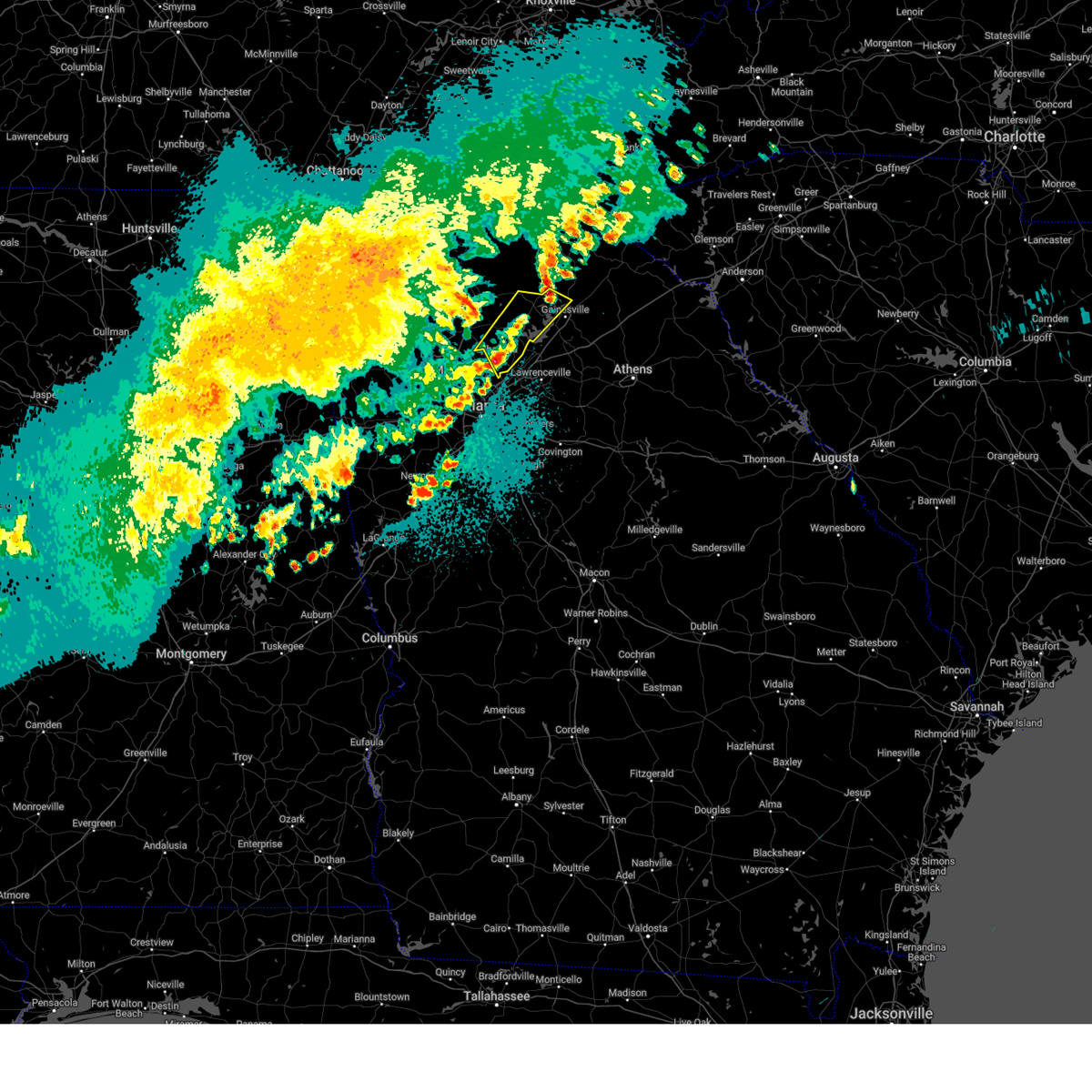
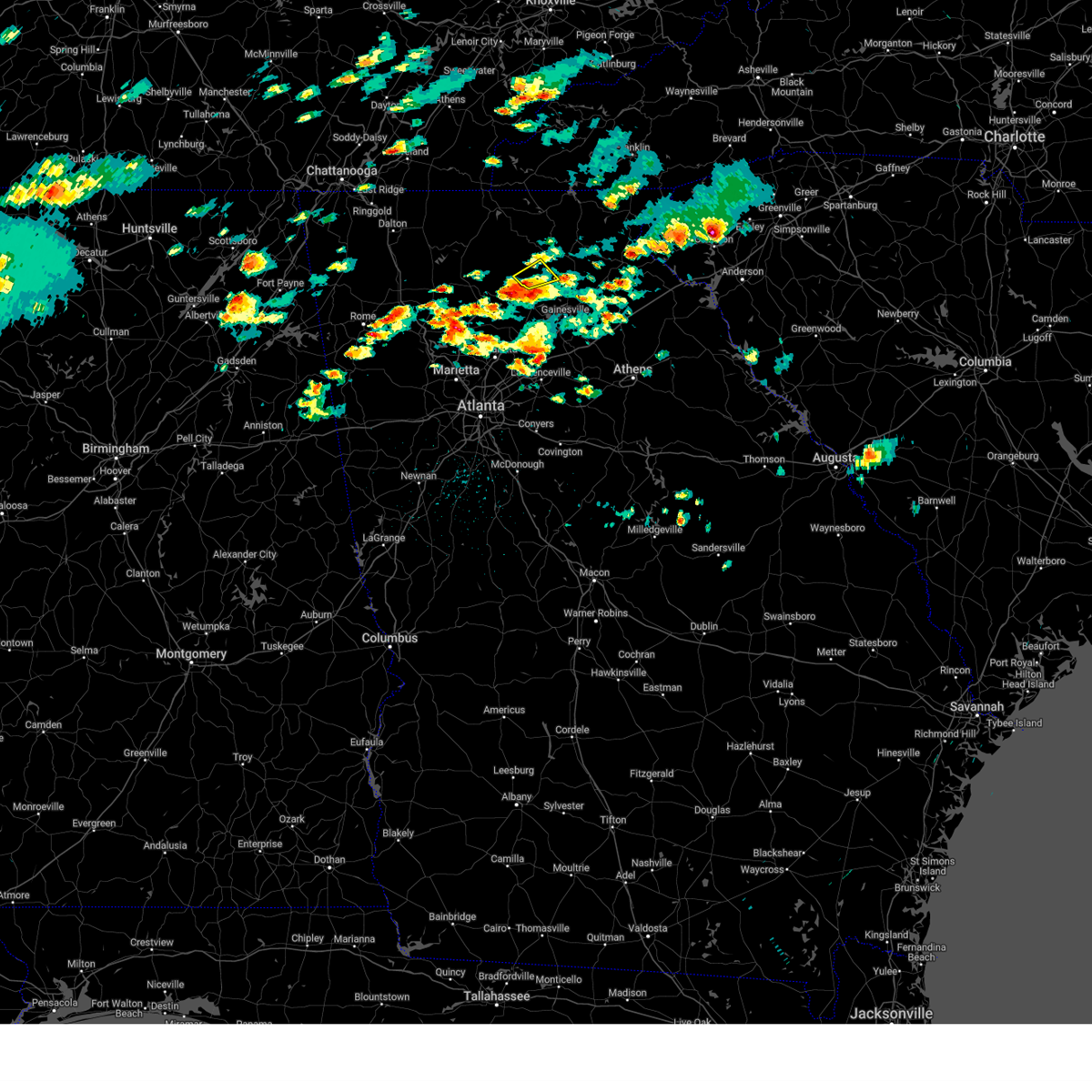
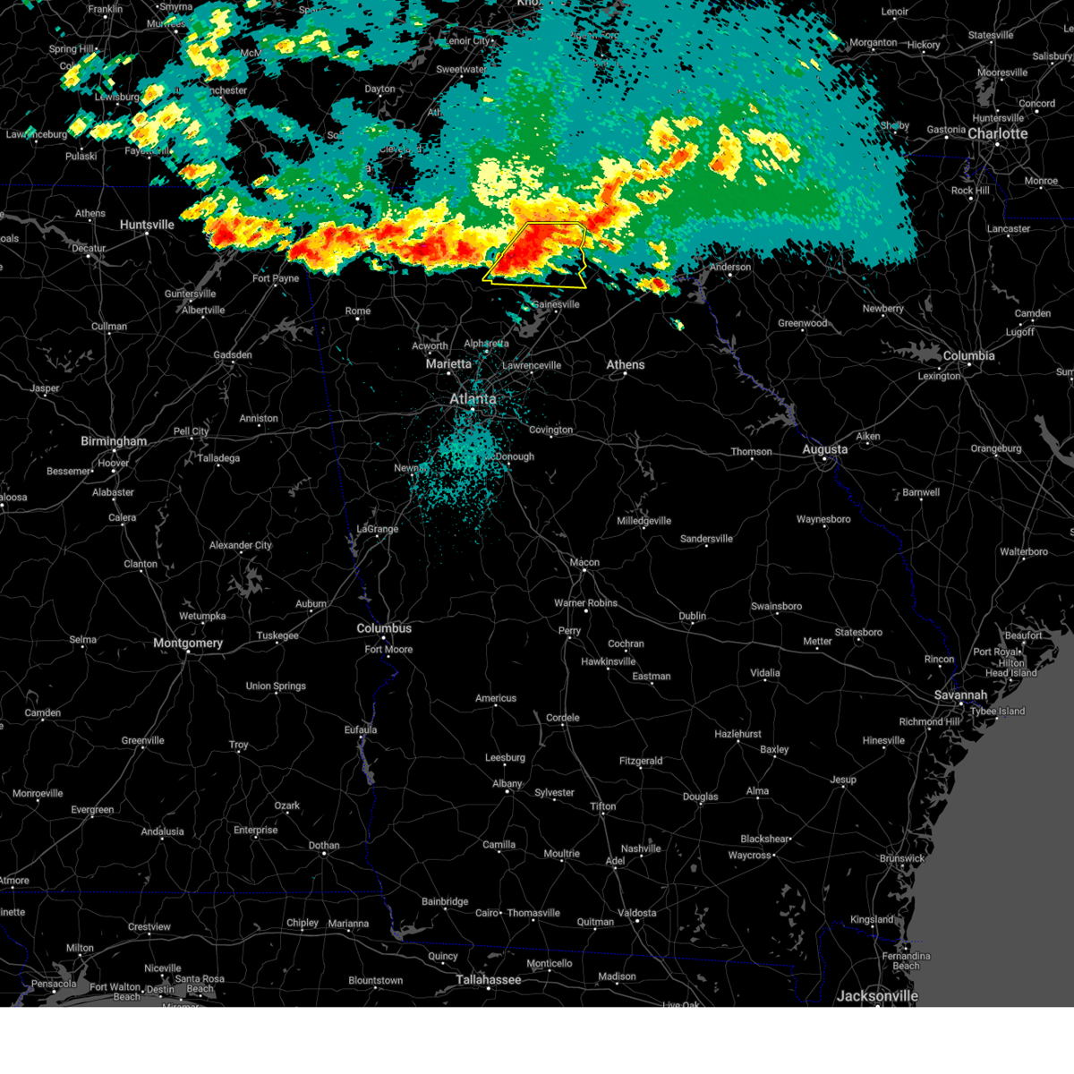
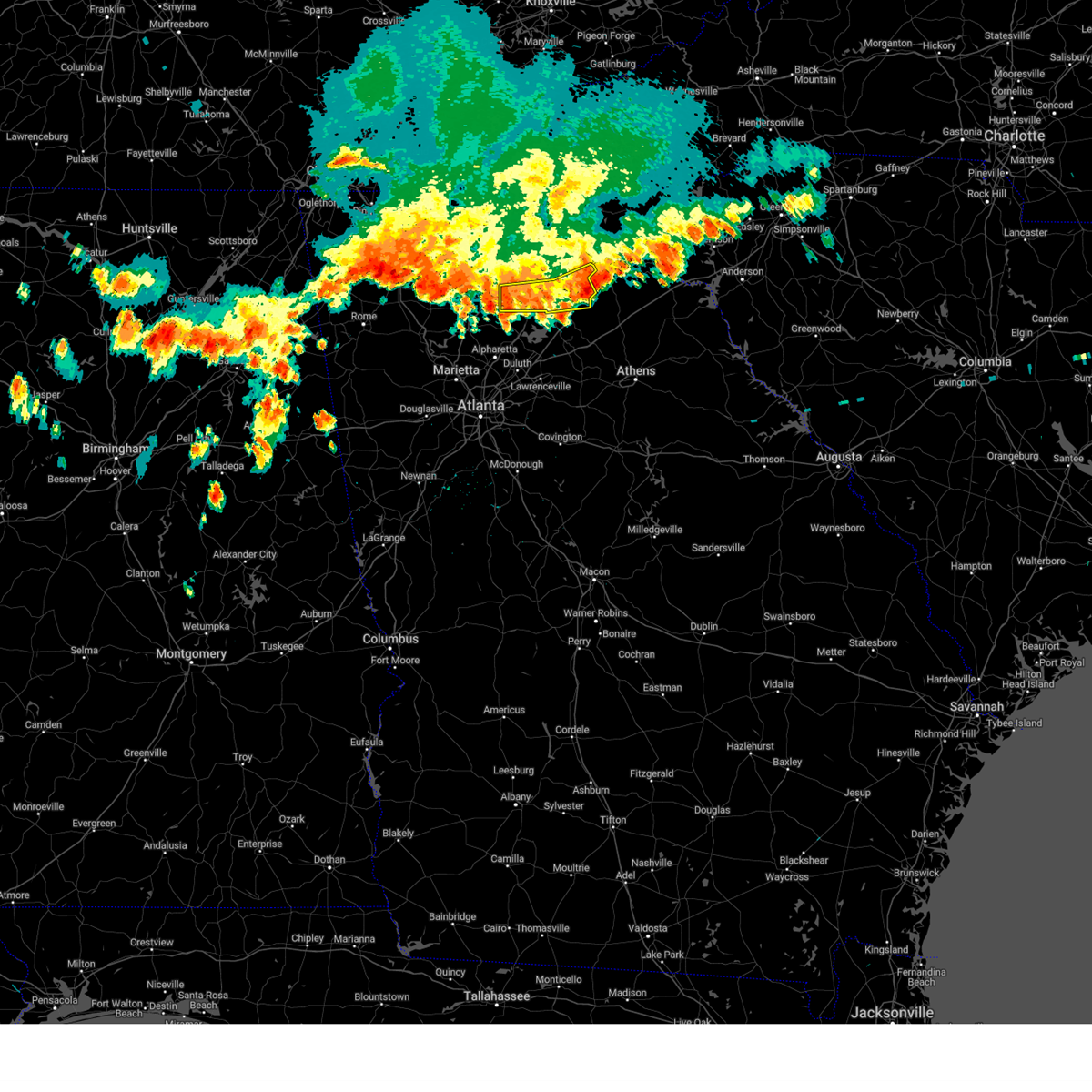
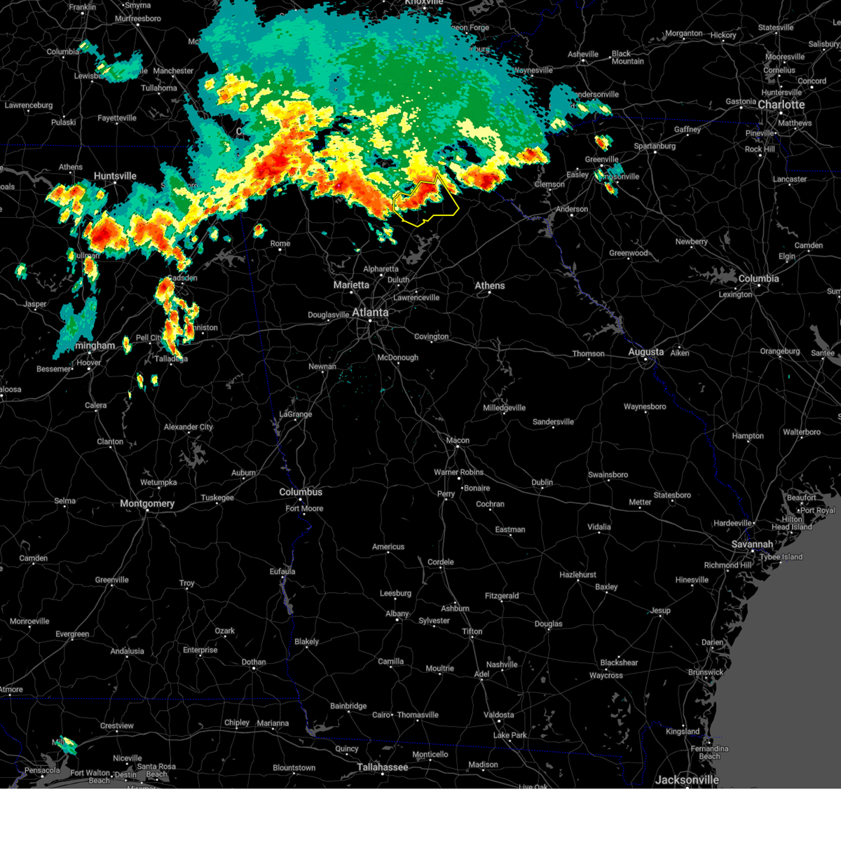
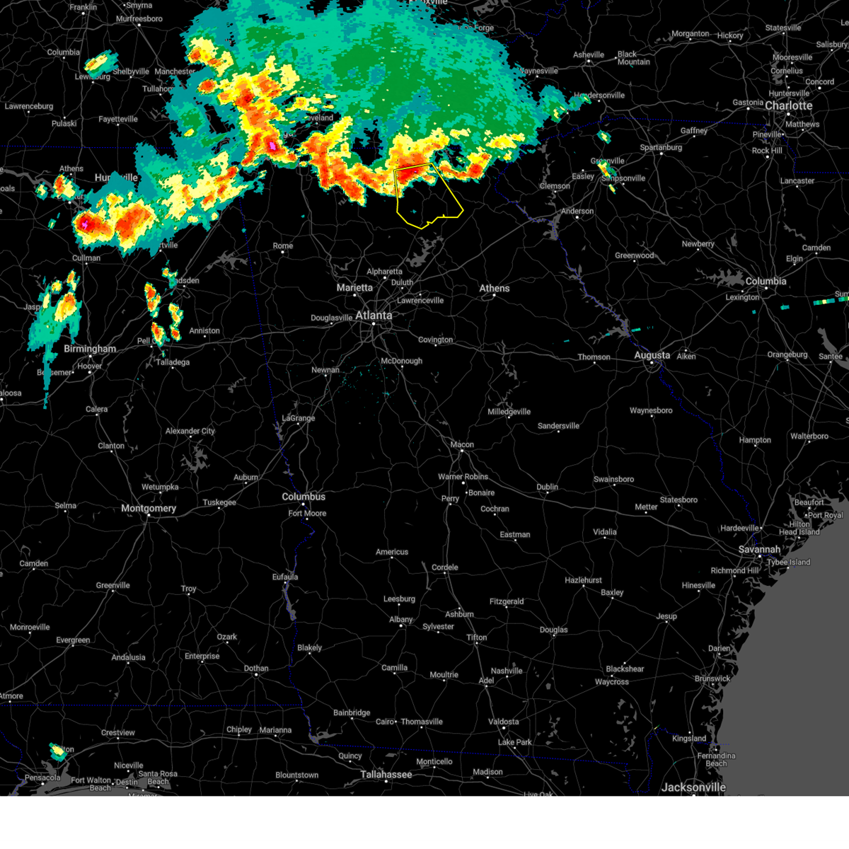
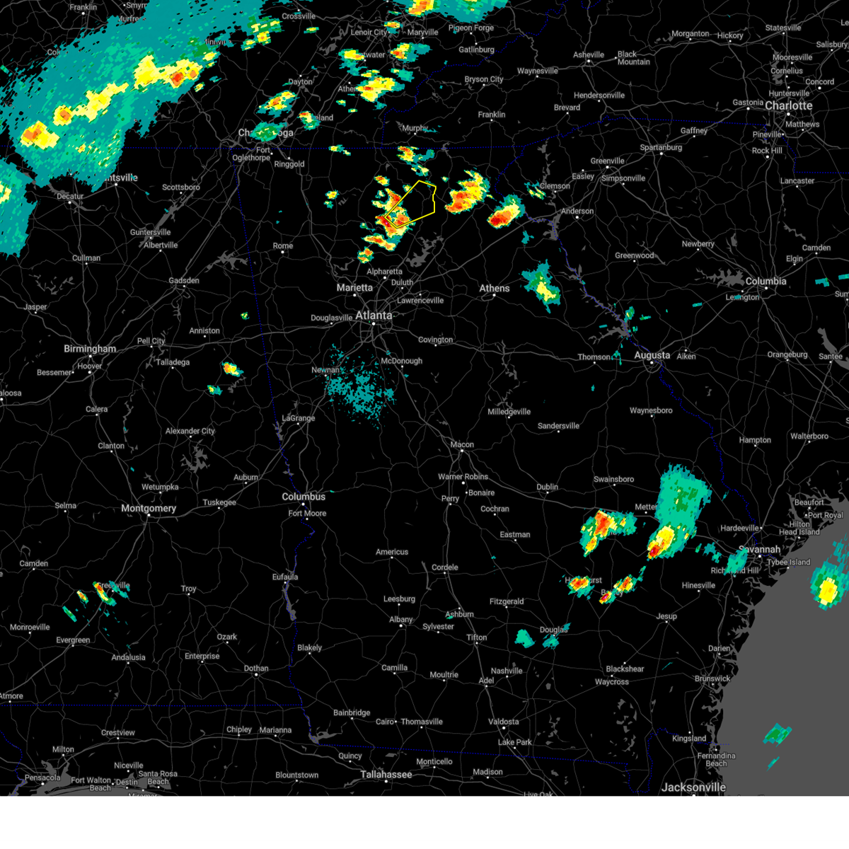
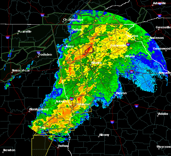
The Top Recent Hail Date for Dawsonville, GA is Thursday, June 26, 2025 (7th out of 43)
Hail and Wind Damage Spotted near Dawsonville, GA
| Date / Time | Report Details |
|---|---|
| 6/26/2025 3:45 PM EDT |
 Svrffc the national weather service in peachtree city has issued a * severe thunderstorm warning for, northeastern cherokee county in north central georgia, northwestern forsyth county in north central georgia, southwestern lumpkin county in north central georgia, dawson county in north central georgia, southeastern pickens county in north central georgia, * until 415 pm edt. * at 344 pm edt, a severe thunderstorm was located over dawsonville, moving southwest at 25 mph (radar indicated). Hazards include 60 mph wind gusts. expect damage to roofs, siding, and trees Svrffc the national weather service in peachtree city has issued a * severe thunderstorm warning for, northeastern cherokee county in north central georgia, northwestern forsyth county in north central georgia, southwestern lumpkin county in north central georgia, dawson county in north central georgia, southeastern pickens county in north central georgia, * until 415 pm edt. * at 344 pm edt, a severe thunderstorm was located over dawsonville, moving southwest at 25 mph (radar indicated). Hazards include 60 mph wind gusts. expect damage to roofs, siding, and trees
|
| 6/26/2025 3:33 PM EDT | Report of a tree on a home on river sound l in dawson county GA, 8.6 miles WNW of Dawsonville, GA |
| 6/26/2025 3:18 PM EDT |
 Svrffc the national weather service in peachtree city has issued a * severe thunderstorm warning for, southern lumpkin county in north central georgia, southern dawson county in north central georgia, * until 345 pm edt. * at 317 pm edt, a severe thunderstorm was located near murrayville, or near dahlonega, moving southwest at 20 mph (radar indicated). Hazards include 60 mph wind gusts and penny size hail. expect damage to roofs, siding, and trees Svrffc the national weather service in peachtree city has issued a * severe thunderstorm warning for, southern lumpkin county in north central georgia, southern dawson county in north central georgia, * until 345 pm edt. * at 317 pm edt, a severe thunderstorm was located near murrayville, or near dahlonega, moving southwest at 20 mph (radar indicated). Hazards include 60 mph wind gusts and penny size hail. expect damage to roofs, siding, and trees
|
| 6/17/2025 7:15 PM EDT |
 The storms which prompted the warning have moved out of the area. therefore, the warning will be allowed to expire. remember, a severe thunderstorm warning still remains in effect for hall, white, banks, and jackson counties. The storms which prompted the warning have moved out of the area. therefore, the warning will be allowed to expire. remember, a severe thunderstorm warning still remains in effect for hall, white, banks, and jackson counties.
|
| 6/17/2025 6:57 PM EDT |
 the severe thunderstorm warning has been cancelled and is no longer in effect the severe thunderstorm warning has been cancelled and is no longer in effect
|
| 6/17/2025 6:57 PM EDT |
 At 656 pm edt, severe thunderstorms were located along a line extending from garland to gainesville to near thompsons mill to hog mountain, moving east at 45 mph (radar indicated). Hazards include 60 mph wind gusts. Expect damage to roofs, siding, and trees. Locations impacted include, gainesville, lawrenceville, winder, jefferson, dahlonega, dawsonville, sugar hill, suwanee, buford, braselton, auburn, flowery branch, dacula, oakwood, lula, maysville, hoschton, clermont, pendergrass, and carl. At 656 pm edt, severe thunderstorms were located along a line extending from garland to gainesville to near thompsons mill to hog mountain, moving east at 45 mph (radar indicated). Hazards include 60 mph wind gusts. Expect damage to roofs, siding, and trees. Locations impacted include, gainesville, lawrenceville, winder, jefferson, dahlonega, dawsonville, sugar hill, suwanee, buford, braselton, auburn, flowery branch, dacula, oakwood, lula, maysville, hoschton, clermont, pendergrass, and carl.
|
| 6/17/2025 6:32 PM EDT |
 Svrffc the national weather service in peachtree city has issued a * severe thunderstorm warning for, northwestern dekalb county in north central georgia, northern gwinnett county in north central georgia, hall county in north central georgia, northwestern jackson county in northeastern georgia, northwestern barrow county in north central georgia, northeastern cherokee county in north central georgia, forsyth county in north central georgia, southern lumpkin county in north central georgia, western banks county in northeastern georgia, southern white county in northeastern georgia, dawson county in north central georgia, northeastern fulton county in north central georgia, southeastern pickens county in north central georgia, * until 715 pm edt. * at 631 pm edt, severe thunderstorms were located along a line extending from near juno to cumming to johns creek to near mechanicsville, moving east at 45 mph (radar indicated. at 615 pm a 54 mph wind gust was reported in canton). Hazards include 60 mph wind gusts. expect damage to roofs, siding, and trees Svrffc the national weather service in peachtree city has issued a * severe thunderstorm warning for, northwestern dekalb county in north central georgia, northern gwinnett county in north central georgia, hall county in north central georgia, northwestern jackson county in northeastern georgia, northwestern barrow county in north central georgia, northeastern cherokee county in north central georgia, forsyth county in north central georgia, southern lumpkin county in north central georgia, western banks county in northeastern georgia, southern white county in northeastern georgia, dawson county in north central georgia, northeastern fulton county in north central georgia, southeastern pickens county in north central georgia, * until 715 pm edt. * at 631 pm edt, severe thunderstorms were located along a line extending from near juno to cumming to johns creek to near mechanicsville, moving east at 45 mph (radar indicated. at 615 pm a 54 mph wind gust was reported in canton). Hazards include 60 mph wind gusts. expect damage to roofs, siding, and trees
|
| 6/7/2025 6:20 PM EDT |
 The storm which prompted the warning has weakened below severe limits, and no longer poses an immediate threat to life or property. therefore, the warning will be allowed to expire. however, gusty winds are still possible with this thunderstorm. a severe thunderstorm watch remains in effect until 900 pm edt for north central and northeastern georgia. The storm which prompted the warning has weakened below severe limits, and no longer poses an immediate threat to life or property. therefore, the warning will be allowed to expire. however, gusty winds are still possible with this thunderstorm. a severe thunderstorm watch remains in effect until 900 pm edt for north central and northeastern georgia.
|
| 6/7/2025 6:05 PM EDT |
 The storm which prompted the warning has moved out of the area. therefore, the warning will be allowed to expire. a severe thunderstorm watch remains in effect until 900 pm edt for north central and northeastern georgia. remember, a severe thunderstorm warning still remains in effect for lumpkin, eastern dawson, and western hall counties. The storm which prompted the warning has moved out of the area. therefore, the warning will be allowed to expire. a severe thunderstorm watch remains in effect until 900 pm edt for north central and northeastern georgia. remember, a severe thunderstorm warning still remains in effect for lumpkin, eastern dawson, and western hall counties.
|
| 6/7/2025 6:02 PM EDT | Multiple trees reported down... along with minor damage to a shed and trailers... along war hill park rd in the vicinity of townsend dr and brookwood d in dawson county GA, 9.4 miles NW of Dawsonville, GA |
| 6/7/2025 6:02 PM EDT |
 Svrffc the national weather service in peachtree city has issued a * severe thunderstorm warning for, lumpkin county in north central georgia, northwestern banks county in northeastern georgia, southern white county in northeastern georgia, southeastern dawson county in north central georgia, northern hall county in north central georgia, * until 630 pm edt. * at 602 pm edt, a severe thunderstorm was located over dawsonville, moving east at 45 mph (radar indicated). Hazards include 60 mph wind gusts. expect damage to roofs, siding, and trees Svrffc the national weather service in peachtree city has issued a * severe thunderstorm warning for, lumpkin county in north central georgia, northwestern banks county in northeastern georgia, southern white county in northeastern georgia, southeastern dawson county in north central georgia, northern hall county in north central georgia, * until 630 pm edt. * at 602 pm edt, a severe thunderstorm was located over dawsonville, moving east at 45 mph (radar indicated). Hazards include 60 mph wind gusts. expect damage to roofs, siding, and trees
|
| 6/7/2025 5:52 PM EDT | Several trees were downed in a wooded area off of bethany driv in dawson county GA, 6.1 miles NNW of Dawsonville, GA |
| 6/7/2025 5:52 PM EDT |
 The storms which prompted the warning have weakened below severe limits, and have exited the warned area. therefore, the warning will be allowed to expire. however, gusty winds and heavy rain are still possible with these thunderstorms. a severe thunderstorm watch remains in effect until 900 pm edt for north central georgia. remember, a severe thunderstorm warning still remains in effect for eastern pickens and western dawson counties. The storms which prompted the warning have weakened below severe limits, and have exited the warned area. therefore, the warning will be allowed to expire. however, gusty winds and heavy rain are still possible with these thunderstorms. a severe thunderstorm watch remains in effect until 900 pm edt for north central georgia. remember, a severe thunderstorm warning still remains in effect for eastern pickens and western dawson counties.
|
| 6/7/2025 5:51 PM EDT |
 At 550 pm edt, a severe thunderstorm was located over fausett lake, or 9 miles northwest of dawsonville, moving east at 35 mph (radar indicated). Hazards include 60 mph wind gusts and penny size hail. Expect damage to roofs, siding, and trees. Locations impacted include, dahlonega, dawsonville, dougherty, amicalola falls state park, marblehill, juno, fausett lake, murrayville, len foote hike inn, hollis lathem reservoir, auraria, garland, nimblewill, war hill park, and mckee. At 550 pm edt, a severe thunderstorm was located over fausett lake, or 9 miles northwest of dawsonville, moving east at 35 mph (radar indicated). Hazards include 60 mph wind gusts and penny size hail. Expect damage to roofs, siding, and trees. Locations impacted include, dahlonega, dawsonville, dougherty, amicalola falls state park, marblehill, juno, fausett lake, murrayville, len foote hike inn, hollis lathem reservoir, auraria, garland, nimblewill, war hill park, and mckee.
|
| 6/7/2025 5:51 PM EDT |
 the severe thunderstorm warning has been cancelled and is no longer in effect the severe thunderstorm warning has been cancelled and is no longer in effect
|
| 6/7/2025 5:47 PM EDT |
 At 547 pm edt, severe thunderstorms were located along a line extending from roy to jim r miller park, moving east at 45 mph (radar indicated). Hazards include 60 mph wind gusts. Expect damage to roofs, siding, and trees. Locations impacted include, atlanta, marietta, canton, jasper, mountain park, sandy springs, roswell, alpharetta, smyrna, milton, kennesaw, woodstock, holly springs, ball ground, nelson, free home, fair oaks, buffington, mount bethel, and amicalola falls state park. At 547 pm edt, severe thunderstorms were located along a line extending from roy to jim r miller park, moving east at 45 mph (radar indicated). Hazards include 60 mph wind gusts. Expect damage to roofs, siding, and trees. Locations impacted include, atlanta, marietta, canton, jasper, mountain park, sandy springs, roswell, alpharetta, smyrna, milton, kennesaw, woodstock, holly springs, ball ground, nelson, free home, fair oaks, buffington, mount bethel, and amicalola falls state park.
|
| 6/7/2025 5:47 PM EDT |
 the severe thunderstorm warning has been cancelled and is no longer in effect the severe thunderstorm warning has been cancelled and is no longer in effect
|
| 6/7/2025 5:35 PM EDT |
 the severe thunderstorm warning has been cancelled and is no longer in effect the severe thunderstorm warning has been cancelled and is no longer in effect
|
| 6/7/2025 5:35 PM EDT |
 At 535 pm edt, severe thunderstorms were located along a line extending from near talona to near powder springs, moving east at 45 mph (radar indicated). Hazards include 60 mph wind gusts. Expect damage to roofs, siding, and trees. Locations impacted include, atlanta, marietta, canton, cartersville, dallas, jasper, mountain park, sandy springs, roswell, alpharetta, smyrna, milton, kennesaw, woodstock, acworth, powder springs, holly springs, hiram, emerson, and ball ground. At 535 pm edt, severe thunderstorms were located along a line extending from near talona to near powder springs, moving east at 45 mph (radar indicated). Hazards include 60 mph wind gusts. Expect damage to roofs, siding, and trees. Locations impacted include, atlanta, marietta, canton, cartersville, dallas, jasper, mountain park, sandy springs, roswell, alpharetta, smyrna, milton, kennesaw, woodstock, acworth, powder springs, holly springs, hiram, emerson, and ball ground.
|
| 6/7/2025 5:33 PM EDT |
 Svrffc the national weather service in peachtree city has issued a * severe thunderstorm warning for, lumpkin county in north central georgia, southeastern gilmer county in north central georgia, dawson county in north central georgia, northwestern hall county in north central georgia, pickens county in north central georgia, * until 615 pm edt. * at 533 pm edt, a severe thunderstorm was located over jasper, moving east at 35 mph (radar indicated). Hazards include 60 mph wind gusts and penny size hail. expect damage to roofs, siding, and trees Svrffc the national weather service in peachtree city has issued a * severe thunderstorm warning for, lumpkin county in north central georgia, southeastern gilmer county in north central georgia, dawson county in north central georgia, northwestern hall county in north central georgia, pickens county in north central georgia, * until 615 pm edt. * at 533 pm edt, a severe thunderstorm was located over jasper, moving east at 35 mph (radar indicated). Hazards include 60 mph wind gusts and penny size hail. expect damage to roofs, siding, and trees
|
| 6/7/2025 5:14 PM EDT |
 Svrffc the national weather service in peachtree city has issued a * severe thunderstorm warning for, central paulding county in northwestern georgia, cherokee county in north central georgia, cobb county in north central georgia, west central lumpkin county in north central georgia, southern gilmer county in north central georgia, south central murray county in northwestern georgia, western dawson county in north central georgia, eastern gordon county in northwestern georgia, north central fulton county in north central georgia, pickens county in north central georgia, bartow county in northwestern georgia, * until 600 pm edt. * at 513 pm edt, severe thunderstorms were located along a line extending from carters to near yorkville, moving east at 40 mph (radar indicated). Hazards include 60 mph wind gusts. expect damage to roofs, siding, and trees Svrffc the national weather service in peachtree city has issued a * severe thunderstorm warning for, central paulding county in northwestern georgia, cherokee county in north central georgia, cobb county in north central georgia, west central lumpkin county in north central georgia, southern gilmer county in north central georgia, south central murray county in northwestern georgia, western dawson county in north central georgia, eastern gordon county in northwestern georgia, north central fulton county in north central georgia, pickens county in north central georgia, bartow county in northwestern georgia, * until 600 pm edt. * at 513 pm edt, severe thunderstorms were located along a line extending from carters to near yorkville, moving east at 40 mph (radar indicated). Hazards include 60 mph wind gusts. expect damage to roofs, siding, and trees
|
| 5/21/2025 12:19 AM EDT |
 Svrffc the national weather service in peachtree city has issued a * severe thunderstorm warning for, central paulding county in northwestern georgia, cherokee county in north central georgia, northwestern dekalb county in north central georgia, forsyth county in north central georgia, cobb county in north central georgia, northern gwinnett county in north central georgia, southern dawson county in north central georgia, hall county in north central georgia, northeastern fulton county in north central georgia, southeastern pickens county in north central georgia, * until 100 am edt. * at 1219 am edt, severe thunderstorms were located along a line extending from near marblehill to lebanon to near braswell, moving east at 50 mph (radar indicated). Hazards include 60 mph wind gusts and quarter size hail. Hail damage to vehicles is expected. Expect wind damage to roofs, siding, and trees. Svrffc the national weather service in peachtree city has issued a * severe thunderstorm warning for, central paulding county in northwestern georgia, cherokee county in north central georgia, northwestern dekalb county in north central georgia, forsyth county in north central georgia, cobb county in north central georgia, northern gwinnett county in north central georgia, southern dawson county in north central georgia, hall county in north central georgia, northeastern fulton county in north central georgia, southeastern pickens county in north central georgia, * until 100 am edt. * at 1219 am edt, severe thunderstorms were located along a line extending from near marblehill to lebanon to near braswell, moving east at 50 mph (radar indicated). Hazards include 60 mph wind gusts and quarter size hail. Hail damage to vehicles is expected. Expect wind damage to roofs, siding, and trees.
|
| 5/2/2025 9:38 PM EDT |
 The storm which prompted the warning has moved out of the area. therefore, the warning will be allowed to expire. a severe thunderstorm watch remains in effect until 200 am edt for north central and northeastern georgia. The storm which prompted the warning has moved out of the area. therefore, the warning will be allowed to expire. a severe thunderstorm watch remains in effect until 200 am edt for north central and northeastern georgia.
|
| 5/2/2025 9:26 PM EDT |
 Svrffc the national weather service in peachtree city has issued a * severe thunderstorm warning for, southeastern cherokee county in north central georgia, forsyth county in north central georgia, southeastern dawson county in north central georgia, northwestern hall county in north central georgia, northeastern fulton county in north central georgia, * until 1015 pm edt. * at 926 pm edt, a severe thunderstorm was located over coal mountain, or over cumming, moving northeast at 15 mph (radar indicated). Hazards include 60 mph wind gusts and penny size hail. expect damage to roofs, siding, and trees Svrffc the national weather service in peachtree city has issued a * severe thunderstorm warning for, southeastern cherokee county in north central georgia, forsyth county in north central georgia, southeastern dawson county in north central georgia, northwestern hall county in north central georgia, northeastern fulton county in north central georgia, * until 1015 pm edt. * at 926 pm edt, a severe thunderstorm was located over coal mountain, or over cumming, moving northeast at 15 mph (radar indicated). Hazards include 60 mph wind gusts and penny size hail. expect damage to roofs, siding, and trees
|
| 5/2/2025 9:23 PM EDT |
 the severe thunderstorm warning has been cancelled and is no longer in effect the severe thunderstorm warning has been cancelled and is no longer in effect
|
| 5/2/2025 9:23 PM EDT |
 At 923 pm edt, a severe thunderstorm was located over garland, or near dahlonega, moving east at 30 mph (radar indicated). Hazards include 60 mph wind gusts and penny size hail. Expect damage to roofs, siding, and trees. Locations impacted include, dahlonega, dawsonville, hiawassee, young harris, whitley gap shelter, blue mountain shelter, brasstown bald, titus, mountain scene, woods hole shelter, low gap shelter, camp coleman lake, owltown, vogel state park, auraria, track rock, tate city, macedonia, plum orchard gap shelter, and porter springs. At 923 pm edt, a severe thunderstorm was located over garland, or near dahlonega, moving east at 30 mph (radar indicated). Hazards include 60 mph wind gusts and penny size hail. Expect damage to roofs, siding, and trees. Locations impacted include, dahlonega, dawsonville, hiawassee, young harris, whitley gap shelter, blue mountain shelter, brasstown bald, titus, mountain scene, woods hole shelter, low gap shelter, camp coleman lake, owltown, vogel state park, auraria, track rock, tate city, macedonia, plum orchard gap shelter, and porter springs.
|
| 5/2/2025 8:52 PM EDT |
 Svrffc the national weather service in peachtree city has issued a * severe thunderstorm warning for, towns county in northeastern georgia, lumpkin county in north central georgia, southeastern gilmer county in north central georgia, northwestern white county in northeastern georgia, northern dawson county in north central georgia, northeastern pickens county in north central georgia, union county in north central georgia, southeastern fannin county in north central georgia, * until 945 pm edt. * at 852 pm edt, a severe thunderstorm was located over nimblewill, or 8 miles north of dawsonville, moving east at 30 mph (radar indicated). Hazards include 60 mph wind gusts and penny size hail. expect damage to roofs, siding, and trees Svrffc the national weather service in peachtree city has issued a * severe thunderstorm warning for, towns county in northeastern georgia, lumpkin county in north central georgia, southeastern gilmer county in north central georgia, northwestern white county in northeastern georgia, northern dawson county in north central georgia, northeastern pickens county in north central georgia, union county in north central georgia, southeastern fannin county in north central georgia, * until 945 pm edt. * at 852 pm edt, a severe thunderstorm was located over nimblewill, or 8 miles north of dawsonville, moving east at 30 mph (radar indicated). Hazards include 60 mph wind gusts and penny size hail. expect damage to roofs, siding, and trees
|
| 5/2/2025 1:41 PM EDT | The storm which prompted the warning has weakened below severe limits, and has exited the warned area. therefore, the warning will be allowed to expire. however, small hail is still possible with this thunderstorm. |
| 5/2/2025 1:29 PM EDT | At 128 pm edt, a severe thunderstorm was located over mckee, or over dawsonville, moving northeast at 15 mph (radar indicated). Hazards include 60 mph wind gusts and quarter size hail. Hail damage to vehicles is expected. expect wind damage to roofs, siding, and trees. Locations impacted include, dawsonville, dougherty, mckee, and auraria. |
| 5/2/2025 1:29 PM EDT | the severe thunderstorm warning has been cancelled and is no longer in effect |
| 5/2/2025 1:19 PM EDT |
 Svrffc the national weather service in peachtree city has issued a * severe thunderstorm warning for, southern lumpkin county in north central georgia, * until 200 pm edt. * at 119 pm edt, a severe thunderstorm was located near mckee, or near dawsonville, moving east at 15 mph (radar indicated). Hazards include 60 mph wind gusts and quarter size hail. Hail damage to vehicles is expected. Expect wind damage to roofs, siding, and trees. Svrffc the national weather service in peachtree city has issued a * severe thunderstorm warning for, southern lumpkin county in north central georgia, * until 200 pm edt. * at 119 pm edt, a severe thunderstorm was located near mckee, or near dawsonville, moving east at 15 mph (radar indicated). Hazards include 60 mph wind gusts and quarter size hail. Hail damage to vehicles is expected. Expect wind damage to roofs, siding, and trees.
|
| 5/2/2025 1:01 PM EDT |
 Svrffc the national weather service in peachtree city has issued a * severe thunderstorm warning for, southwestern lumpkin county in north central georgia, dawson county in north central georgia, northwestern hall county in north central georgia, * until 145 pm edt. * at 101 pm edt, a severe thunderstorm was located near hollis lathem reservoir, or near dawsonville, moving northeast at 15 mph (radar indicated). Hazards include 60 mph wind gusts and quarter size hail. Hail damage to vehicles is expected. Expect wind damage to roofs, siding, and trees. Svrffc the national weather service in peachtree city has issued a * severe thunderstorm warning for, southwestern lumpkin county in north central georgia, dawson county in north central georgia, northwestern hall county in north central georgia, * until 145 pm edt. * at 101 pm edt, a severe thunderstorm was located near hollis lathem reservoir, or near dawsonville, moving northeast at 15 mph (radar indicated). Hazards include 60 mph wind gusts and quarter size hail. Hail damage to vehicles is expected. Expect wind damage to roofs, siding, and trees.
|
| 4/25/2025 9:17 PM EDT |
 the severe thunderstorm warning has been cancelled and is no longer in effect the severe thunderstorm warning has been cancelled and is no longer in effect
|
| 4/25/2025 9:17 PM EDT |
 At 917 pm edt, a severe thunderstorm was located over mckee, or near dawsonville, moving east at 20 mph (radar indicated). Hazards include 60 mph wind gusts and quarter size hail. Hail damage to vehicles is expected. expect wind damage to roofs, siding, and trees. Locations impacted include, murrayville, auraria, dawsonville, garland, nimblewill, dahlonega, mckee, and juno. At 917 pm edt, a severe thunderstorm was located over mckee, or near dawsonville, moving east at 20 mph (radar indicated). Hazards include 60 mph wind gusts and quarter size hail. Hail damage to vehicles is expected. expect wind damage to roofs, siding, and trees. Locations impacted include, murrayville, auraria, dawsonville, garland, nimblewill, dahlonega, mckee, and juno.
|
| 4/25/2025 8:51 PM EDT |
 Svrffc the national weather service in peachtree city has issued a * severe thunderstorm warning for, southern lumpkin county in north central georgia, southwestern white county in northeastern georgia, central dawson county in north central georgia, northwestern hall county in north central georgia, east central pickens county in north central georgia, * until 930 pm edt. * at 851 pm edt, a severe thunderstorm was located over fausett lake, or 8 miles east of jasper, moving east at 20 mph (radar indicated). Hazards include 60 mph wind gusts and quarter size hail. Hail damage to vehicles is expected. Expect wind damage to roofs, siding, and trees. Svrffc the national weather service in peachtree city has issued a * severe thunderstorm warning for, southern lumpkin county in north central georgia, southwestern white county in northeastern georgia, central dawson county in north central georgia, northwestern hall county in north central georgia, east central pickens county in north central georgia, * until 930 pm edt. * at 851 pm edt, a severe thunderstorm was located over fausett lake, or 8 miles east of jasper, moving east at 20 mph (radar indicated). Hazards include 60 mph wind gusts and quarter size hail. Hail damage to vehicles is expected. Expect wind damage to roofs, siding, and trees.
|
| 4/10/2025 7:26 PM EDT |
 At 726 pm edt, a severe thunderstorm was located over dawsonville, moving east at 35 mph (emergency management). Hazards include golf ball size hail and 60 mph wind gusts. People and animals outdoors will be injured. expect hail damage to roofs, siding, windows, and vehicles. expect wind damage to roofs, siding, and trees. Locations impacted include, dougherty, dawsonville, silver city, mckee, and juno. At 726 pm edt, a severe thunderstorm was located over dawsonville, moving east at 35 mph (emergency management). Hazards include golf ball size hail and 60 mph wind gusts. People and animals outdoors will be injured. expect hail damage to roofs, siding, windows, and vehicles. expect wind damage to roofs, siding, and trees. Locations impacted include, dougherty, dawsonville, silver city, mckee, and juno.
|
| 4/10/2025 7:18 PM EDT |
 At 718 pm edt, a severe thunderstorm was located over juno, or near dawsonville, moving east at 35 mph (radar indicated). Hazards include 60 mph wind gusts and quarter size hail. Hail damage to vehicles is expected. expect wind damage to roofs, siding, and trees. Locations impacted include, dougherty, dawsonville, silver city, mckee, hollis lathem reservoir, and juno. At 718 pm edt, a severe thunderstorm was located over juno, or near dawsonville, moving east at 35 mph (radar indicated). Hazards include 60 mph wind gusts and quarter size hail. Hail damage to vehicles is expected. expect wind damage to roofs, siding, and trees. Locations impacted include, dougherty, dawsonville, silver city, mckee, hollis lathem reservoir, and juno.
|
| 4/10/2025 7:18 PM EDT |
 the severe thunderstorm warning has been cancelled and is no longer in effect the severe thunderstorm warning has been cancelled and is no longer in effect
|
| 4/10/2025 7:15 PM EDT | Golf Ball sized hail reported 5.9 miles E of Dawsonville, GA, golf ball sized hail reported along highway 53 near padgett road circle. |
| 4/10/2025 7:11 PM EDT | Golf Ball sized hail reported 7.7 miles E of Dawsonville, GA, em reports golf ball sized hail at the dawson and pickens county line. |
| 4/10/2025 7:07 PM EDT | Svrffc the national weather service in peachtree city has issued a * severe thunderstorm warning for, southwestern lumpkin county in north central georgia, dawson county in north central georgia, eastern pickens county in north central georgia, * until 745 pm edt. * at 707 pm edt, a severe thunderstorm was located over marblehill, or near jasper, moving east at 35 mph (radar indicated). Hazards include 60 mph wind gusts and quarter size hail. Hail damage to vehicles is expected. Expect wind damage to roofs, siding, and trees. |
| 4/10/2025 6:46 PM EDT | Quarter sized hail reported 7.7 miles NW of Dawsonville, GA, public call reports hail estimated 1 inch in size near intersection of parker forest and dawson forest rd east. |
| 2/16/2025 4:35 AM EST |
 At 434 am est, severe thunderstorms were located along a line extending from near porter springs to near dougherty to drew, moving east at 60 mph (radar indicated). Hazards include 60 mph wind gusts. Expect damage to roofs, siding, and trees. Locations impacted include, cumming, dahlonega, dawsonville, alpharetta, milton, dougherty, drew, coal mountain, brookwood, matt, silver city, chestatee, and auraria. At 434 am est, severe thunderstorms were located along a line extending from near porter springs to near dougherty to drew, moving east at 60 mph (radar indicated). Hazards include 60 mph wind gusts. Expect damage to roofs, siding, and trees. Locations impacted include, cumming, dahlonega, dawsonville, alpharetta, milton, dougherty, drew, coal mountain, brookwood, matt, silver city, chestatee, and auraria.
|
| 2/16/2025 4:35 AM EST |
 the severe thunderstorm warning has been cancelled and is no longer in effect the severe thunderstorm warning has been cancelled and is no longer in effect
|
| 2/16/2025 4:11 AM EST |
 Svrffc the national weather service in peachtree city has issued a * severe thunderstorm warning for, central cherokee county in north central georgia, forsyth county in north central georgia, southern lumpkin county in north central georgia, dawson county in north central georgia, northeastern fulton county in north central georgia, eastern pickens county in north central georgia, * until 445 am est. * at 411 am est, severe thunderstorms were located along a line extending from near lake tamarack to buffington to oak grove, moving east at 60 mph (radar indicated). Hazards include 60 mph wind gusts. expect damage to roofs, siding, and trees Svrffc the national weather service in peachtree city has issued a * severe thunderstorm warning for, central cherokee county in north central georgia, forsyth county in north central georgia, southern lumpkin county in north central georgia, dawson county in north central georgia, northeastern fulton county in north central georgia, eastern pickens county in north central georgia, * until 445 am est. * at 411 am est, severe thunderstorms were located along a line extending from near lake tamarack to buffington to oak grove, moving east at 60 mph (radar indicated). Hazards include 60 mph wind gusts. expect damage to roofs, siding, and trees
|
| 8/17/2024 5:55 PM EDT |
 The storm which prompted the warning has weakened below severe limits, and no longer poses an immediate threat to life or property. therefore, the warning will be allowed to expire. however, small hail, gusty winds and heavy rain are still possible with this thunderstorm. a severe thunderstorm watch remains in effect until 1000 pm edt for north central georgia. to report severe weather, contact your nearest law enforcement agency. they will relay your report to the national weather service peachtree city. The storm which prompted the warning has weakened below severe limits, and no longer poses an immediate threat to life or property. therefore, the warning will be allowed to expire. however, small hail, gusty winds and heavy rain are still possible with this thunderstorm. a severe thunderstorm watch remains in effect until 1000 pm edt for north central georgia. to report severe weather, contact your nearest law enforcement agency. they will relay your report to the national weather service peachtree city.
|
| 8/17/2024 5:52 PM EDT | Approximately 50 trees were reported down in big canoe in the vicinity of petit ridge drive and indian pipe driv in dawson county GA, 10.2 miles ESE of Dawsonville, GA |
| 8/17/2024 5:30 PM EDT | Svrffc the national weather service in peachtree city has issued a * severe thunderstorm warning for, southwestern lumpkin county in north central georgia, southeastern gilmer county in north central georgia, northwestern dawson county in north central georgia, southeastern fannin county in north central georgia, * until 600 pm edt. * at 529 pm edt, a severe thunderstorm was located over east ellijay, or near ellijay, moving southeast at 30 mph (radar indicated). Hazards include 60 mph wind gusts and quarter size hail. Hail damage to vehicles is expected. Expect wind damage to roofs, siding, and trees. |
| 7/30/2024 7:47 PM EDT | Multiple trees down along kellie bridge road between cowart road and love lady roa in dawson county GA, 7.7 miles ENE of Dawsonville, GA |
| 7/30/2024 7:39 PM EDT |
 Svrffc the national weather service in peachtree city has issued a * severe thunderstorm warning for, northeastern forsyth county in north central georgia, southern lumpkin county in north central georgia, northwestern banks county in northeastern georgia, white county in northeastern georgia, southeastern dawson county in north central georgia, hall county in north central georgia, * until 830 pm edt. * at 739 pm edt, severe thunderstorms were located along a line extending from sautee to near garland to dawsonville, moving southeast at 20 mph (radar indicated). Hazards include 60 mph wind gusts and quarter size hail. Hail damage to vehicles is expected. Expect wind damage to roofs, siding, and trees. Svrffc the national weather service in peachtree city has issued a * severe thunderstorm warning for, northeastern forsyth county in north central georgia, southern lumpkin county in north central georgia, northwestern banks county in northeastern georgia, white county in northeastern georgia, southeastern dawson county in north central georgia, hall county in north central georgia, * until 830 pm edt. * at 739 pm edt, severe thunderstorms were located along a line extending from sautee to near garland to dawsonville, moving southeast at 20 mph (radar indicated). Hazards include 60 mph wind gusts and quarter size hail. Hail damage to vehicles is expected. Expect wind damage to roofs, siding, and trees.
|
| 7/30/2024 7:17 PM EDT | Svrffc the national weather service in peachtree city has issued a * severe thunderstorm warning for, cherokee county in north central georgia, northern forsyth county in north central georgia, southeastern gilmer county in north central georgia, eastern floyd county in northwestern georgia, dawson county in north central georgia, gordon county in northwestern georgia, pickens county in north central georgia, bartow county in northwestern georgia, * until 800 pm edt. * at 716 pm edt, severe thunderstorms were located along a line extending from near amicalola falls state park to hinton to near everett springs, moving south at 35 mph (radar indicated). Hazards include 60 mph wind gusts and quarter size hail. Hail damage to vehicles is expected. Expect wind damage to roofs, siding, and trees. |
| 7/30/2024 6:55 PM EDT |
 Svrffc the national weather service in peachtree city has issued a * severe thunderstorm warning for, towns county in northeastern georgia, lumpkin county in north central georgia, gilmer county in north central georgia, white county in northeastern georgia, dawson county in north central georgia, northwestern hall county in north central georgia, eastern pickens county in north central georgia, union county in north central georgia, southeastern fannin county in north central georgia, * until 745 pm edt. * at 655 pm edt, severe thunderstorms were located along a line extending from young harris to near woods hole shelter to near fort mountain state park, moving south at 35 mph (radar indicated). Hazards include 60 mph wind gusts and quarter size hail. Hail damage to vehicles is expected. Expect wind damage to roofs, siding, and trees. Svrffc the national weather service in peachtree city has issued a * severe thunderstorm warning for, towns county in northeastern georgia, lumpkin county in north central georgia, gilmer county in north central georgia, white county in northeastern georgia, dawson county in north central georgia, northwestern hall county in north central georgia, eastern pickens county in north central georgia, union county in north central georgia, southeastern fannin county in north central georgia, * until 745 pm edt. * at 655 pm edt, severe thunderstorms were located along a line extending from young harris to near woods hole shelter to near fort mountain state park, moving south at 35 mph (radar indicated). Hazards include 60 mph wind gusts and quarter size hail. Hail damage to vehicles is expected. Expect wind damage to roofs, siding, and trees.
|
| 5/9/2024 7:33 AM EDT |
 Svrffc the national weather service in peachtree city has issued a * severe thunderstorm warning for, east central cherokee county in north central georgia, forsyth county in north central georgia, northeastern gwinnett county in north central georgia, southeastern dawson county in north central georgia, southern hall county in north central georgia, * until 815 am edt. * at 733 am edt, a severe thunderstorm was located over hightower, or 8 miles northwest of cumming, moving east at 50 mph (radar indicated). Hazards include 60 mph wind gusts and penny size hail. expect damage to roofs, siding, and trees Svrffc the national weather service in peachtree city has issued a * severe thunderstorm warning for, east central cherokee county in north central georgia, forsyth county in north central georgia, northeastern gwinnett county in north central georgia, southeastern dawson county in north central georgia, southern hall county in north central georgia, * until 815 am edt. * at 733 am edt, a severe thunderstorm was located over hightower, or 8 miles northwest of cumming, moving east at 50 mph (radar indicated). Hazards include 60 mph wind gusts and penny size hail. expect damage to roofs, siding, and trees
|
| 5/9/2024 7:01 AM EDT |
 Svrffc the national weather service in peachtree city has issued a * severe thunderstorm warning for, cherokee county in north central georgia, southern lumpkin county in north central georgia, southeastern gilmer county in north central georgia, floyd county in northwestern georgia, dawson county in north central georgia, southern gordon county in northwestern georgia, pickens county in north central georgia, southern chattooga county in northwestern georgia, bartow county in northwestern georgia, * until 745 am edt. * at 701 am edt, severe thunderstorms were located along a line extending from amicalola falls state park to near broomtown, moving southeast at 55 mph (radar indicated). Hazards include 60 mph wind gusts. expect damage to roofs, siding, and trees Svrffc the national weather service in peachtree city has issued a * severe thunderstorm warning for, cherokee county in north central georgia, southern lumpkin county in north central georgia, southeastern gilmer county in north central georgia, floyd county in northwestern georgia, dawson county in north central georgia, southern gordon county in northwestern georgia, pickens county in north central georgia, southern chattooga county in northwestern georgia, bartow county in northwestern georgia, * until 745 am edt. * at 701 am edt, severe thunderstorms were located along a line extending from amicalola falls state park to near broomtown, moving southeast at 55 mph (radar indicated). Hazards include 60 mph wind gusts. expect damage to roofs, siding, and trees
|
| 5/9/2024 12:55 AM EDT |
 the severe thunderstorm warning has been cancelled and is no longer in effect the severe thunderstorm warning has been cancelled and is no longer in effect
|
| 5/9/2024 12:55 AM EDT |
 At 1255 am edt, severe thunderstorms were located along a line extending from near batesville to juno, moving east at 25 mph (radar indicated). Hazards include 60 mph wind gusts and quarter size hail. Hail damage to vehicles is expected. expect wind damage to roofs, siding, and trees. Locations impacted include, dahlonega, cleveland, dawsonville, clermont, helen, unicoi state park, camp merrill, whitley gap shelter, robertstown, mossy creek, juno, camp coleman lake, auraria, anna ruby falls, garland, leaf, smithgall woods conservation are, porter springs, turners corner, and nimblewill. At 1255 am edt, severe thunderstorms were located along a line extending from near batesville to juno, moving east at 25 mph (radar indicated). Hazards include 60 mph wind gusts and quarter size hail. Hail damage to vehicles is expected. expect wind damage to roofs, siding, and trees. Locations impacted include, dahlonega, cleveland, dawsonville, clermont, helen, unicoi state park, camp merrill, whitley gap shelter, robertstown, mossy creek, juno, camp coleman lake, auraria, anna ruby falls, garland, leaf, smithgall woods conservation are, porter springs, turners corner, and nimblewill.
|
| 5/9/2024 12:52 AM EDT |
 Svrffc the national weather service in peachtree city has issued a * severe thunderstorm warning for, southern gilmer county in north central georgia, western dawson county in north central georgia, pickens county in north central georgia, * until 130 am edt. * at 1252 am edt, a severe thunderstorm was located over talona, or 8 miles northwest of jasper, moving east at 30 mph (radar indicated). Hazards include 60 mph wind gusts and quarter size hail. Hail damage to vehicles is expected. Expect wind damage to roofs, siding, and trees. Svrffc the national weather service in peachtree city has issued a * severe thunderstorm warning for, southern gilmer county in north central georgia, western dawson county in north central georgia, pickens county in north central georgia, * until 130 am edt. * at 1252 am edt, a severe thunderstorm was located over talona, or 8 miles northwest of jasper, moving east at 30 mph (radar indicated). Hazards include 60 mph wind gusts and quarter size hail. Hail damage to vehicles is expected. Expect wind damage to roofs, siding, and trees.
|
| 5/9/2024 12:32 AM EDT |
 Svrffc the national weather service in peachtree city has issued a * severe thunderstorm warning for, lumpkin county in north central georgia, white county in northeastern georgia, northwestern dawson county in north central georgia, northeastern hall county in north central georgia, southern union county in north central georgia, * until 115 am edt. * at 1231 am edt, severe thunderstorms were located along a line extending from low gap shelter to juno, moving east at 35 mph (radar indicated). Hazards include 60 mph wind gusts and quarter size hail. Hail damage to vehicles is expected. Expect wind damage to roofs, siding, and trees. Svrffc the national weather service in peachtree city has issued a * severe thunderstorm warning for, lumpkin county in north central georgia, white county in northeastern georgia, northwestern dawson county in north central georgia, northeastern hall county in north central georgia, southern union county in north central georgia, * until 115 am edt. * at 1231 am edt, severe thunderstorms were located along a line extending from low gap shelter to juno, moving east at 35 mph (radar indicated). Hazards include 60 mph wind gusts and quarter size hail. Hail damage to vehicles is expected. Expect wind damage to roofs, siding, and trees.
|
| 12/10/2023 1:11 AM EST |
 At 111 am est, a severe thunderstorm was located near silver city, or near dawsonville, moving northeast at 50 mph (radar indicated). Hazards include 60 mph wind gusts and quarter size hail. Hail damage to vehicles is expected. Expect wind damage to roofs, siding, and trees. At 111 am est, a severe thunderstorm was located near silver city, or near dawsonville, moving northeast at 50 mph (radar indicated). Hazards include 60 mph wind gusts and quarter size hail. Hail damage to vehicles is expected. Expect wind damage to roofs, siding, and trees.
|
| 8/7/2023 4:24 PM EDT |
 At 424 pm edt, severe thunderstorms were located along a line extending from near clermont to near lathemtown to george washington carver st pk, moving east at 65 mph (radar indicated). Hazards include 60 mph wind gusts and quarter size hail. Hail damage to vehicles is expected. expect wind damage to roofs, siding, and trees. locations impacted include, gainesville, canton, cartersville, woodstock, holly springs, emerson, ball ground, clermont, free home, buffington, dougherty, hickory flat, kellogg creek, red top mountain state park, hightower, matt, murrayville, lathemtown, hobgood park, and war hill park. hail threat, radar indicated max hail size, 1. 00 in wind threat, radar indicated max wind gust, 60 mph. At 424 pm edt, severe thunderstorms were located along a line extending from near clermont to near lathemtown to george washington carver st pk, moving east at 65 mph (radar indicated). Hazards include 60 mph wind gusts and quarter size hail. Hail damage to vehicles is expected. expect wind damage to roofs, siding, and trees. locations impacted include, gainesville, canton, cartersville, woodstock, holly springs, emerson, ball ground, clermont, free home, buffington, dougherty, hickory flat, kellogg creek, red top mountain state park, hightower, matt, murrayville, lathemtown, hobgood park, and war hill park. hail threat, radar indicated max hail size, 1. 00 in wind threat, radar indicated max wind gust, 60 mph.
|
| 8/7/2023 4:03 PM EDT |
 At 403 pm edt, severe thunderstorms were located along a line extending from near lake tamarack to near cartersville to taylorsville, moving east at 30 mph (radar indicated). Hazards include 60 mph wind gusts and quarter size hail. Hail damage to vehicles is expected. Expect wind damage to roofs, siding, and trees. At 403 pm edt, severe thunderstorms were located along a line extending from near lake tamarack to near cartersville to taylorsville, moving east at 30 mph (radar indicated). Hazards include 60 mph wind gusts and quarter size hail. Hail damage to vehicles is expected. Expect wind damage to roofs, siding, and trees.
|
| 8/7/2023 3:55 PM EDT |
 At 355 pm edt, severe thunderstorms were located along a line extending from near juno to near jasper to salacoa valley, moving east at 50 mph (radar indicated). Hazards include 60 mph wind gusts and penny size hail. Expect damage to roofs, siding, and trees. locations impacted include, dahlonega, jasper, cleveland, dawsonville, nelson, helen, talking rock, amicalola falls state park, sequoyah lake, juno, fausett lake, len foote hike inn, talmadge, tate, turners corner, qualatchee lake, mckee, camp merrill, marblehill, and camp coleman lake. hail threat, radar indicated max hail size, 0. 75 in wind threat, radar indicated max wind gust, 60 mph. At 355 pm edt, severe thunderstorms were located along a line extending from near juno to near jasper to salacoa valley, moving east at 50 mph (radar indicated). Hazards include 60 mph wind gusts and penny size hail. Expect damage to roofs, siding, and trees. locations impacted include, dahlonega, jasper, cleveland, dawsonville, nelson, helen, talking rock, amicalola falls state park, sequoyah lake, juno, fausett lake, len foote hike inn, talmadge, tate, turners corner, qualatchee lake, mckee, camp merrill, marblehill, and camp coleman lake. hail threat, radar indicated max hail size, 0. 75 in wind threat, radar indicated max wind gust, 60 mph.
|
| 8/7/2023 3:28 PM EDT |
 At 328 pm edt, severe thunderstorms were located along a line extending from cartecay to near blaine to near ranger, moving east at 50 mph (radar indicated). Hazards include 60 mph wind gusts and penny size hail. expect damage to roofs, siding, and trees At 328 pm edt, severe thunderstorms were located along a line extending from cartecay to near blaine to near ranger, moving east at 50 mph (radar indicated). Hazards include 60 mph wind gusts and penny size hail. expect damage to roofs, siding, and trees
|
| 7/28/2023 5:38 PM EDT |
 At 538 pm edt, a severe thunderstorm was located near chestatee, or 8 miles southeast of dawsonville, moving southwest at 10 mph (radar indicated). Hazards include 60 mph wind gusts. Expect damage to roofs, siding, and trees. locations impacted include, dawsonville, dougherty, silver city, chestatee, and war hill park. hail threat, radar indicated max hail size, <. 75 in wind threat, radar indicated max wind gust, 60 mph. At 538 pm edt, a severe thunderstorm was located near chestatee, or 8 miles southeast of dawsonville, moving southwest at 10 mph (radar indicated). Hazards include 60 mph wind gusts. Expect damage to roofs, siding, and trees. locations impacted include, dawsonville, dougherty, silver city, chestatee, and war hill park. hail threat, radar indicated max hail size, <. 75 in wind threat, radar indicated max wind gust, 60 mph.
|
| 7/28/2023 5:28 PM EDT | Couple of trees down on hwy 136 west of hwy 40 in dawson county GA, 7.1 miles WNW of Dawsonville, GA |
| 7/28/2023 5:28 PM EDT |
 At 527 pm edt, a severe thunderstorm was located over war hill park, or 8 miles southeast of dawsonville, moving southwest at 10 mph (radar indicated). Hazards include 60 mph wind gusts and penny size hail. Expect damage to roofs, siding, and trees. locations impacted include, gainesville, dawsonville, dougherty, silver city, chestatee, murrayville, and war hill park. hail threat, radar indicated max hail size, 0. 75 in wind threat, radar indicated max wind gust, 60 mph. At 527 pm edt, a severe thunderstorm was located over war hill park, or 8 miles southeast of dawsonville, moving southwest at 10 mph (radar indicated). Hazards include 60 mph wind gusts and penny size hail. Expect damage to roofs, siding, and trees. locations impacted include, gainesville, dawsonville, dougherty, silver city, chestatee, murrayville, and war hill park. hail threat, radar indicated max hail size, 0. 75 in wind threat, radar indicated max wind gust, 60 mph.
|
| 7/28/2023 5:06 PM EDT |
 At 506 pm edt, a severe thunderstorm was located near murrayville, or 9 miles northwest of gainesville, moving southwest at 10 mph (this storm has a history of producing tree damage and quarter size hail). Hazards include 60 mph wind gusts and penny size hail. expect damage to roofs, siding, and trees At 506 pm edt, a severe thunderstorm was located near murrayville, or 9 miles northwest of gainesville, moving southwest at 10 mph (this storm has a history of producing tree damage and quarter size hail). Hazards include 60 mph wind gusts and penny size hail. expect damage to roofs, siding, and trees
|
| 7/20/2023 6:00 PM EDT | Trees down on helens drive near kelly bridge roa in dawson county GA, 7.2 miles ENE of Dawsonville, GA |
| 7/20/2023 6:00 PM EDT | Reports of 50 to 60 trees down including 1 tree down on a home and 1535 power outages across dawson count in dawson county GA, 0.5 miles NNE of Dawsonville, GA |
| 7/20/2023 5:32 PM EDT | Several medium sized trees downed at the intersection of bear cub ridge and sanderlin mountain driv in dawson county GA, 10.3 miles ESE of Dawsonville, GA |
| 7/20/2023 5:12 PM EDT |
 At 512 pm edt, severe thunderstorms were located along a line extending from near jones creek to hinton, moving east at 50 mph (radar indicated). Hazards include 60 mph wind gusts and nickel size hail. expect damage to roofs, siding, and trees At 512 pm edt, severe thunderstorms were located along a line extending from near jones creek to hinton, moving east at 50 mph (radar indicated). Hazards include 60 mph wind gusts and nickel size hail. expect damage to roofs, siding, and trees
|
| 7/20/2023 4:34 PM EDT |
 At 433 pm edt, a severe thunderstorm was located near suches, or 10 miles north of dahlonega, moving southeast at 25 mph (radar indicated). Hazards include 60 mph wind gusts and quarter size hail. Hail damage to vehicles is expected. Expect wind damage to roofs, siding, and trees. At 433 pm edt, a severe thunderstorm was located near suches, or 10 miles north of dahlonega, moving southeast at 25 mph (radar indicated). Hazards include 60 mph wind gusts and quarter size hail. Hail damage to vehicles is expected. Expect wind damage to roofs, siding, and trees.
|
| 7/2/2023 6:57 PM EDT |
 The severe thunderstorm warning for towns, lumpkin, southeastern gilmer, northwestern white, dawson, northwestern hall, northeastern pickens, union and eastern fannin counties will expire at 700 pm edt, the storms which prompted the warning have weakened below severe limits, and no longer pose an immediate threat to life or property. therefore, the warning will be allowed to expire. however gusty winds are still possible with these thunderstorms. a severe thunderstorm watch remains in effect until 900 pm edt for north central and northeastern georgia. The severe thunderstorm warning for towns, lumpkin, southeastern gilmer, northwestern white, dawson, northwestern hall, northeastern pickens, union and eastern fannin counties will expire at 700 pm edt, the storms which prompted the warning have weakened below severe limits, and no longer pose an immediate threat to life or property. therefore, the warning will be allowed to expire. however gusty winds are still possible with these thunderstorms. a severe thunderstorm watch remains in effect until 900 pm edt for north central and northeastern georgia.
|
| 7/2/2023 6:24 PM EDT |
 At 623 pm edt, severe thunderstorms were located along a line extending from gumlog to near lake tamarack, moving east at 40 mph (radar indicated). Hazards include 60 mph wind gusts and quarter size hail. Hail damage to vehicles is expected. Expect wind damage to roofs, siding, and trees. At 623 pm edt, severe thunderstorms were located along a line extending from gumlog to near lake tamarack, moving east at 40 mph (radar indicated). Hazards include 60 mph wind gusts and quarter size hail. Hail damage to vehicles is expected. Expect wind damage to roofs, siding, and trees.
|
| 6/25/2023 5:21 PM EDT |
 At 520 pm edt, severe thunderstorms were located along a line extending from near dougherty to near hollingsworth, moving southeast at 30 mph (radar indicated). Hazards include 60 mph wind gusts. Expect damage to roofs, siding, and trees. locations impacted include, gainesville, dawsonville, lula, clermont, dougherty, mossy creek, silver city, murrayville, hollis lathem reservoir, auraria, leaf, war hill park, mckee and juno. hail threat, radar indicated max hail size, <. 75 in wind threat, radar indicated max wind gust, 60 mph. At 520 pm edt, severe thunderstorms were located along a line extending from near dougherty to near hollingsworth, moving southeast at 30 mph (radar indicated). Hazards include 60 mph wind gusts. Expect damage to roofs, siding, and trees. locations impacted include, gainesville, dawsonville, lula, clermont, dougherty, mossy creek, silver city, murrayville, hollis lathem reservoir, auraria, leaf, war hill park, mckee and juno. hail threat, radar indicated max hail size, <. 75 in wind threat, radar indicated max wind gust, 60 mph.
|
| 6/25/2023 4:54 PM EDT |
 At 453 pm edt, severe thunderstorms were located along a line extending from near juno to mossy creek, moving southeast at 30 mph (radar indicated). Hazards include 60 mph wind gusts and penny size hail. expect damage to roofs, siding, and trees At 453 pm edt, severe thunderstorms were located along a line extending from near juno to mossy creek, moving southeast at 30 mph (radar indicated). Hazards include 60 mph wind gusts and penny size hail. expect damage to roofs, siding, and trees
|
| 6/25/2023 4:46 PM EDT |
 At 446 pm edt, a severe thunderstorm was located over porter springs, or near dahlonega, moving southeast at 35 mph (radar indicated). Hazards include 60 mph wind gusts and quarter size hail. Hail damage to vehicles is expected. expect wind damage to roofs, siding, and trees. locations impacted include, dahlonega, cleveland, helen, camp merrill, whitley gap shelter, mossy creek, camp coleman lake, auraria, garland, leaf, smithgall woods conservation are, porter springs, turners corner, nimblewill, qualatchee lake and blood mountain shelter. hail threat, radar indicated max hail size, 1. 00 in wind threat, radar indicated max wind gust, 60 mph. At 446 pm edt, a severe thunderstorm was located over porter springs, or near dahlonega, moving southeast at 35 mph (radar indicated). Hazards include 60 mph wind gusts and quarter size hail. Hail damage to vehicles is expected. expect wind damage to roofs, siding, and trees. locations impacted include, dahlonega, cleveland, helen, camp merrill, whitley gap shelter, mossy creek, camp coleman lake, auraria, garland, leaf, smithgall woods conservation are, porter springs, turners corner, nimblewill, qualatchee lake and blood mountain shelter. hail threat, radar indicated max hail size, 1. 00 in wind threat, radar indicated max wind gust, 60 mph.
|
| 6/25/2023 4:23 PM EDT |
 At 423 pm edt, a severe thunderstorm was located near margret, or 11 miles southwest of blairsville, moving southeast at 35 mph (radar indicated). Hazards include 60 mph wind gusts and quarter size hail. Hail damage to vehicles is expected. Expect wind damage to roofs, siding, and trees. At 423 pm edt, a severe thunderstorm was located near margret, or 11 miles southwest of blairsville, moving southeast at 35 mph (radar indicated). Hazards include 60 mph wind gusts and quarter size hail. Hail damage to vehicles is expected. Expect wind damage to roofs, siding, and trees.
|
| 6/11/2023 9:04 PM EDT |
 At 904 pm edt, a severe thunderstorm was located near fausett lake, or 9 miles northwest of dawsonville, moving northeast at 40 mph (radar indicated). Hazards include 60 mph wind gusts and quarter size hail. Hail damage to vehicles is expected. expect wind damage to roofs, siding, and trees. locations impacted include, dahlonega, suches, camp merrill, porter springs, turners corner, nimblewill, woods hole shelter, blood mountain shelter, gooch mountain shelter, mckee and juno. hail threat, radar indicated max hail size, 1. 00 in wind threat, radar indicated max wind gust, 60 mph. At 904 pm edt, a severe thunderstorm was located near fausett lake, or 9 miles northwest of dawsonville, moving northeast at 40 mph (radar indicated). Hazards include 60 mph wind gusts and quarter size hail. Hail damage to vehicles is expected. expect wind damage to roofs, siding, and trees. locations impacted include, dahlonega, suches, camp merrill, porter springs, turners corner, nimblewill, woods hole shelter, blood mountain shelter, gooch mountain shelter, mckee and juno. hail threat, radar indicated max hail size, 1. 00 in wind threat, radar indicated max wind gust, 60 mph.
|
| 6/11/2023 8:52 PM EDT |
 At 852 pm edt, a severe thunderstorm was located over marblehill, or 7 miles east of jasper, moving northeast at 45 mph (radar indicated). Hazards include 60 mph wind gusts and quarter size hail. Hail damage to vehicles is expected. Expect wind damage to roofs, siding, and trees. At 852 pm edt, a severe thunderstorm was located over marblehill, or 7 miles east of jasper, moving northeast at 45 mph (radar indicated). Hazards include 60 mph wind gusts and quarter size hail. Hail damage to vehicles is expected. Expect wind damage to roofs, siding, and trees.
|
| 3/3/2023 5:00 PM EST |
 At 500 pm est, a severe thunderstorm was located over roswell, or near mountain park, moving northeast at 80 mph (radar indicated). Hazards include 60 mph wind gusts. expect damage to roofs, siding, and trees At 500 pm est, a severe thunderstorm was located over roswell, or near mountain park, moving northeast at 80 mph (radar indicated). Hazards include 60 mph wind gusts. expect damage to roofs, siding, and trees
|
| 3/3/2023 4:34 PM EST |
 At 434 pm est, severe thunderstorms were located along a line extending from camp coleman lake to auraria, moving northeast at 65 mph (radar indicated). Hazards include 60 mph wind gusts and penny size hail. expect damage to roofs, siding, and trees At 434 pm est, severe thunderstorms were located along a line extending from camp coleman lake to auraria, moving northeast at 65 mph (radar indicated). Hazards include 60 mph wind gusts and penny size hail. expect damage to roofs, siding, and trees
|
| 3/3/2023 4:25 PM EST | A tree was downed onto power lines on highway 13 in dawson county GA, 2.7 miles W of Dawsonville, GA |
| 3/3/2023 4:11 PM EST |
 At 411 pm est, severe thunderstorms were located along a line extending from ball ground to buffington to acworth, moving east at 55 mph (radar indicated). Hazards include 60 mph wind gusts. expect damage to roofs, siding, and trees At 411 pm est, severe thunderstorms were located along a line extending from ball ground to buffington to acworth, moving east at 55 mph (radar indicated). Hazards include 60 mph wind gusts. expect damage to roofs, siding, and trees
|
| 3/3/2023 3:52 PM EST |
 At 352 pm est, severe thunderstorms were located along a line extending from margret to amicalola falls state park to near talmadge, moving northeast at 65 mph (radar indicated). Hazards include 60 mph wind gusts and penny size hail. expect damage to roofs, siding, and trees At 352 pm est, severe thunderstorms were located along a line extending from margret to amicalola falls state park to near talmadge, moving northeast at 65 mph (radar indicated). Hazards include 60 mph wind gusts and penny size hail. expect damage to roofs, siding, and trees
|
| 8/9/2022 3:07 PM EDT |
 The severe thunderstorm warning for northwestern forsyth and southeastern dawson counties will expire at 315 pm edt, the storm which prompted the warning has weakened below severe limits, and has exited the warned area. therefore, the warning will be allowed to expire. The severe thunderstorm warning for northwestern forsyth and southeastern dawson counties will expire at 315 pm edt, the storm which prompted the warning has weakened below severe limits, and has exited the warned area. therefore, the warning will be allowed to expire.
|
| 8/9/2022 2:25 PM EDT |
 At 225 pm edt, a severe thunderstorm was located over silver city, or near dawsonville, moving northeast at 20 mph (radar indicated). Hazards include 60 mph wind gusts and quarter size hail. Hail damage to vehicles is expected. Expect wind damage to roofs, siding, and trees. At 225 pm edt, a severe thunderstorm was located over silver city, or near dawsonville, moving northeast at 20 mph (radar indicated). Hazards include 60 mph wind gusts and quarter size hail. Hail damage to vehicles is expected. Expect wind damage to roofs, siding, and trees.
|
| 7/13/2022 2:24 PM EDT | Large tree down on powerlines and across roadway on ga hwy 9 sout in dawson county GA, 1.2 miles NNW of Dawsonville, GA |
| 7/13/2022 2:20 PM EDT | Tree down across power lines at perimeter rd and shoal creek rd in dawson county GA, 0.6 miles NW of Dawsonville, GA |
| 6/17/2022 4:44 PM EDT |
 At 444 pm edt, a severe thunderstorm was located over hollis lathem reservoir, or 7 miles west of dawsonville, moving southeast at 30 mph (radar indicated). Hazards include 60 mph wind gusts and quarter size hail. Hail damage to vehicles is expected. Expect wind damage to roofs, siding, and trees. At 444 pm edt, a severe thunderstorm was located over hollis lathem reservoir, or 7 miles west of dawsonville, moving southeast at 30 mph (radar indicated). Hazards include 60 mph wind gusts and quarter size hail. Hail damage to vehicles is expected. Expect wind damage to roofs, siding, and trees.
|
| 6/17/2022 4:39 PM EDT |
 The severe thunderstorm warning for lumpkin, gilmer, northwestern white, dawson, pickens, central union and southeastern fannin counties will expire at 445 pm edt, the storms which prompted the warning have weakened below severe limits, and no longer pose an immediate threat to life or property. therefore, the warning will be allowed to expire. a severe thunderstorm watch remains in effect until 700 pm edt for north central, northeastern and northwestern georgia. to report severe weather, contact your nearest law enforcement agency. they will relay your report to the national weather service peachtree city. The severe thunderstorm warning for lumpkin, gilmer, northwestern white, dawson, pickens, central union and southeastern fannin counties will expire at 445 pm edt, the storms which prompted the warning have weakened below severe limits, and no longer pose an immediate threat to life or property. therefore, the warning will be allowed to expire. a severe thunderstorm watch remains in effect until 700 pm edt for north central, northeastern and northwestern georgia. to report severe weather, contact your nearest law enforcement agency. they will relay your report to the national weather service peachtree city.
|
| 6/17/2022 4:35 PM EDT | A tree was downed on castleberry bridge road near robins wa in lumpkin county GA, 3.5 miles SW of Dawsonville, GA |
| 6/17/2022 4:02 PM EDT |
 At 401 pm edt, severe thunderstorms were located along a line extending from hemp to near pisgah to near roundtop, moving southeast at 35 mph (radar indicated). Hazards include 60 mph wind gusts and quarter size hail. Hail damage to vehicles is expected. Expect wind damage to roofs, siding, and trees. At 401 pm edt, severe thunderstorms were located along a line extending from hemp to near pisgah to near roundtop, moving southeast at 35 mph (radar indicated). Hazards include 60 mph wind gusts and quarter size hail. Hail damage to vehicles is expected. Expect wind damage to roofs, siding, and trees.
|
| 6/14/2022 1:24 PM EDT |
 At 124 pm edt, a severe thunderstorm was located over amicalola falls state park, or 11 miles northeast of jasper, moving west at 10 mph (radar indicated). Hazards include 60 mph wind gusts and quarter size hail. Hail damage to vehicles is expected. Expect wind damage to roofs, siding, and trees. At 124 pm edt, a severe thunderstorm was located over amicalola falls state park, or 11 miles northeast of jasper, moving west at 10 mph (radar indicated). Hazards include 60 mph wind gusts and quarter size hail. Hail damage to vehicles is expected. Expect wind damage to roofs, siding, and trees.
|
| 6/14/2022 11:59 AM EDT |
 At 1158 am edt, a severe thunderstorm was located over garland, or near dahlonega, moving southwest at 15 mph (trained weather spotters). Hazards include 60 mph wind gusts and quarter size hail. Hail damage to vehicles is expected. Expect wind damage to roofs, siding, and trees. At 1158 am edt, a severe thunderstorm was located over garland, or near dahlonega, moving southwest at 15 mph (trained weather spotters). Hazards include 60 mph wind gusts and quarter size hail. Hail damage to vehicles is expected. Expect wind damage to roofs, siding, and trees.
|
| 2/17/2022 9:18 PM EST |
 At 918 pm est, severe thunderstorms were located along a line extending from fausett lake to near ball ground to near white, moving east at 60 mph (radar indicated). Hazards include 60 mph wind gusts. Expect damage to roofs, siding, and trees. Locations impacted include, canton, cartersville, jasper, ball ground, nelson, white, waleska, kingston, cassville, buffington, lake arrowhead, marblehill, juno, salacoa valley, lake tamarack, hollis lathem reservoir, sutallee, tate, reavis mountain and mckee. At 918 pm est, severe thunderstorms were located along a line extending from fausett lake to near ball ground to near white, moving east at 60 mph (radar indicated). Hazards include 60 mph wind gusts. Expect damage to roofs, siding, and trees. Locations impacted include, canton, cartersville, jasper, ball ground, nelson, white, waleska, kingston, cassville, buffington, lake arrowhead, marblehill, juno, salacoa valley, lake tamarack, hollis lathem reservoir, sutallee, tate, reavis mountain and mckee.
|
| 2/17/2022 9:01 PM EST |
 At 900 pm est, severe thunderstorms were located along a line extending from blaine to near white to near kingston, moving east at 60 mph (radar indicated). Hazards include 60 mph wind gusts. expect damage to roofs, siding, and trees At 900 pm est, severe thunderstorms were located along a line extending from blaine to near white to near kingston, moving east at 60 mph (radar indicated). Hazards include 60 mph wind gusts. expect damage to roofs, siding, and trees
|
| 12/29/2021 11:26 PM EST |
 At 1125 pm est, severe thunderstorms were located along a line extending from marblehill to hollis lathem reservoir to lathemtown to hickory flat to near due west, moving east at 55 mph (radar indicated). Hazards include 60 mph wind gusts. Expect damage to roofs, siding, and trees. locations impacted include, marietta, canton, cumming, dawsonville, sandy springs, roswell, johns creek, alpharetta, milton, kennesaw, woodstock, acworth, holly springs, ball ground, braswell, free home, buffington, dougherty, hickory flat and kellogg creek. hail threat, radar indicated max hail size, <. 75 in wind threat, radar indicated max wind gust, 60 mph. At 1125 pm est, severe thunderstorms were located along a line extending from marblehill to hollis lathem reservoir to lathemtown to hickory flat to near due west, moving east at 55 mph (radar indicated). Hazards include 60 mph wind gusts. Expect damage to roofs, siding, and trees. locations impacted include, marietta, canton, cumming, dawsonville, sandy springs, roswell, johns creek, alpharetta, milton, kennesaw, woodstock, acworth, holly springs, ball ground, braswell, free home, buffington, dougherty, hickory flat and kellogg creek. hail threat, radar indicated max hail size, <. 75 in wind threat, radar indicated max wind gust, 60 mph.
|
| 12/29/2021 11:08 PM EST |
 At 1108 pm est, severe thunderstorms were located along a line extending from near salacoa valley to waleska to little river landing to emerson to near braswell, moving east at 55 mph (radar indicated). Hazards include 60 mph wind gusts. expect damage to roofs, siding, and trees At 1108 pm est, severe thunderstorms were located along a line extending from near salacoa valley to waleska to little river landing to emerson to near braswell, moving east at 55 mph (radar indicated). Hazards include 60 mph wind gusts. expect damage to roofs, siding, and trees
|
| 6/14/2021 2:50 PM EDT | Multiple trees reported down along dean couch r in dawson county GA, 8.2 miles WNW of Dawsonville, GA |
| 6/14/2021 2:46 PM EDT | A tree was reported down on a home and powerline on w mountainside driv in dawson county GA, 7.7 miles WNW of Dawsonville, GA |
| 4/24/2021 7:28 PM EDT | Half Dollar sized hail reported 7.1 miles WNW of Dawsonville, GA, occurred near the intersection of ga-136 and ga-400. |
| 8/3/2020 3:13 PM EDT |
 The severe thunderstorm warning for northeastern forsyth, southeastern dawson and central hall counties will expire at 315 pm edt, the storm which prompted the warning has weakened below severe limits, and no longer poses an immediate threat to life or property. therefore, the warning will be allowed to expire. however gusty winds and heavy rain are still possible with this thunderstorm. The severe thunderstorm warning for northeastern forsyth, southeastern dawson and central hall counties will expire at 315 pm edt, the storm which prompted the warning has weakened below severe limits, and no longer poses an immediate threat to life or property. therefore, the warning will be allowed to expire. however gusty winds and heavy rain are still possible with this thunderstorm.
|
| 8/3/2020 3:05 PM EDT | Metal roofing ripped from the strip mall at the intersection of hwy 53 east and hwy 400. metal was blown into large power lines behind the building and severed the line in dawson county GA, 7.2 miles NW of Dawsonville, GA |
| 8/3/2020 2:41 PM EDT |
 At 241 pm edt, a severe thunderstorm was located over oscarville, or 7 miles west of gainesville, moving north at 15 mph (radar indicated). Hazards include 60 mph wind gusts and quarter size hail. Hail damage to vehicles is expected. Expect wind damage to roofs, siding, and trees. At 241 pm edt, a severe thunderstorm was located over oscarville, or 7 miles west of gainesville, moving north at 15 mph (radar indicated). Hazards include 60 mph wind gusts and quarter size hail. Hail damage to vehicles is expected. Expect wind damage to roofs, siding, and trees.
|
| 8/3/2020 1:16 PM EDT | Half Dollar sized hail reported 6.4 miles WNW of Dawsonville, GA, quarter- to half dollar-sized hail reported near the intersection of plainville rd and old calhoun rd. |
| 5/5/2020 6:42 PM EDT |
 At 642 pm edt, a severe thunderstorm was located over juno, or near dawsonville, moving east at 40 mph (radar indicated). Hazards include 60 mph wind gusts and quarter size hail. Hail damage to vehicles is expected. Expect wind damage to roofs, siding, and trees. At 642 pm edt, a severe thunderstorm was located over juno, or near dawsonville, moving east at 40 mph (radar indicated). Hazards include 60 mph wind gusts and quarter size hail. Hail damage to vehicles is expected. Expect wind damage to roofs, siding, and trees.
|
| 4/13/2020 2:01 AM EDT |
 At 201 am edt, a severe thunderstorm was located near lathemtown, or 10 miles northeast of canton, moving northeast at 55 mph (radar indicated). Hazards include 60 mph wind gusts. expect damage to roofs, siding, and trees At 201 am edt, a severe thunderstorm was located near lathemtown, or 10 miles northeast of canton, moving northeast at 55 mph (radar indicated). Hazards include 60 mph wind gusts. expect damage to roofs, siding, and trees
|
| 1/11/2020 5:52 PM EST | A tree fell down on a transformer sparking a fire on kelly bridge rd. time indicated by rada in dawson county GA, 6.6 miles NE of Dawsonville, GA |
| 1/11/2020 5:51 PM EST |
 At 551 pm est, severe thunderstorms were located along a line extending from titus to near war hill park, moving east at 40 mph (radar indicated). Hazards include 60 mph wind gusts. Expect damage to roofs, siding, and trees. Locations impacted include, gainesville, dahlonega, cleveland, dawsonville, hiawassee, lula, young harris, clermont, helen, unicoi state park, dougherty, robertstown, blue mountain shelter, mossy creek, titus, woods hole shelter, low gap shelter, murrayville, vogel state park and anna ruby falls. At 551 pm est, severe thunderstorms were located along a line extending from titus to near war hill park, moving east at 40 mph (radar indicated). Hazards include 60 mph wind gusts. Expect damage to roofs, siding, and trees. Locations impacted include, gainesville, dahlonega, cleveland, dawsonville, hiawassee, lula, young harris, clermont, helen, unicoi state park, dougherty, robertstown, blue mountain shelter, mossy creek, titus, woods hole shelter, low gap shelter, murrayville, vogel state park and anna ruby falls.
|
| 1/11/2020 5:44 PM EST | Tree down near the intersection of auraria and blackburn rd. time indicated by rada in lumpkin county GA, 6.3 miles WSW of Dawsonville, GA |
| 1/11/2020 5:33 PM EST |
 At 532 pm est, severe thunderstorms were located along a line extending from alexanders mill to dougherty, moving east at 45 mph (radar indicated). Hazards include 60 mph wind gusts. Expect damage to roofs, siding, and trees. Locations impacted include, len foote hike inn, margret, camp merrill, black gap shelter, stover creek shelter, hawk mountain shelter, nimblewill, jones creek, gaddistown, mckee, juno and springer mountain shelter. At 532 pm est, severe thunderstorms were located along a line extending from alexanders mill to dougherty, moving east at 45 mph (radar indicated). Hazards include 60 mph wind gusts. Expect damage to roofs, siding, and trees. Locations impacted include, len foote hike inn, margret, camp merrill, black gap shelter, stover creek shelter, hawk mountain shelter, nimblewill, jones creek, gaddistown, mckee, juno and springer mountain shelter.
|
| 1/11/2020 5:27 PM EST |
 At 526 pm est, severe thunderstorms were located along a line extending from alexanders mill to near silver city, moving east at 40 mph (radar indicated). Hazards include 60 mph wind gusts. expect damage to roofs, siding, and trees At 526 pm est, severe thunderstorms were located along a line extending from alexanders mill to near silver city, moving east at 40 mph (radar indicated). Hazards include 60 mph wind gusts. expect damage to roofs, siding, and trees
|
| 1/11/2020 5:13 PM EST |
 At 512 pm est, severe thunderstorms were located along a line extending from culberson to reavis mountain, moving east at 45 mph (radar indicated). Hazards include 60 mph wind gusts. Expect damage to roofs, siding, and trees. Locations impacted include, jasper, ellijay, blue ridge, nelson, east ellijay, morganton, talking rock, amicalola falls state park, sequoyah lake, loving, jones creek, juno, fausett lake, len foote hike inn, cartecay, pisgah, mineral bluff, talmadge, cherry log and tate. At 512 pm est, severe thunderstorms were located along a line extending from culberson to reavis mountain, moving east at 45 mph (radar indicated). Hazards include 60 mph wind gusts. Expect damage to roofs, siding, and trees. Locations impacted include, jasper, ellijay, blue ridge, nelson, east ellijay, morganton, talking rock, amicalola falls state park, sequoyah lake, loving, jones creek, juno, fausett lake, len foote hike inn, cartecay, pisgah, mineral bluff, talmadge, cherry log and tate.
|
| 1/11/2020 4:53 PM EST |
 At 453 pm est, severe thunderstorms were located along a line extending from copperhill to near talmadge, moving east at 45 mph (radar indicated). Hazards include 60 mph wind gusts. expect damage to roofs, siding, and trees At 453 pm est, severe thunderstorms were located along a line extending from copperhill to near talmadge, moving east at 45 mph (radar indicated). Hazards include 60 mph wind gusts. expect damage to roofs, siding, and trees
|
| 8/19/2019 4:22 PM EDT | Several trees reported down along dunroven way in northern forsyth county. time estimated from rada in forsyth county GA, 8.8 miles NW of Dawsonville, GA |
| 8/19/2019 4:01 PM EDT |
 At 401 pm edt, a severe thunderstorm was located over silver city, or near dawsonville, moving southwest at 5 mph (radar indicated). Hazards include 60 mph wind gusts and half dollar size hail. Hail damage to vehicles is expected. Expect wind damage to roofs, siding, and trees. At 401 pm edt, a severe thunderstorm was located over silver city, or near dawsonville, moving southwest at 5 mph (radar indicated). Hazards include 60 mph wind gusts and half dollar size hail. Hail damage to vehicles is expected. Expect wind damage to roofs, siding, and trees.
|
| 8/13/2019 9:59 PM EDT |
 At 959 pm edt, severe thunderstorms were located along a line extending from near amicalola falls state park to near dahlonega to smithgall woods conservation are to near mountain scene, moving southeast at 30 mph (radar indicated). Hazards include 60 mph wind gusts. expect damage to roofs, siding, and trees At 959 pm edt, severe thunderstorms were located along a line extending from near amicalola falls state park to near dahlonega to smithgall woods conservation are to near mountain scene, moving southeast at 30 mph (radar indicated). Hazards include 60 mph wind gusts. expect damage to roofs, siding, and trees
|
| 6/23/2019 5:09 PM EDT |
 The national weather service in peachtree city has issued a * severe thunderstorm warning for. western dawson county in north central georgia. eastern pickens county in north central georgia. until 600 pm edt. At 508 pm edt, a severe thunderstorm was located over jasper,. The national weather service in peachtree city has issued a * severe thunderstorm warning for. western dawson county in north central georgia. eastern pickens county in north central georgia. until 600 pm edt. At 508 pm edt, a severe thunderstorm was located over jasper,.
|
| 6/22/2019 9:40 PM EDT |
 The severe thunderstorm warning for northern cherokee, southwestern lumpkin, southern gilmer, western dawson and pickens counties will expire at 945 pm edt, the storm which prompted the warning has weakened below severe limits, and no longer poses an immediate threat to life or property. therefore, the warning will be allowed to expire. however gusty winds and heavy rain are still possible with this thunderstorm. a severe thunderstorm watch remains in effect until 1100 pm edt for north central and northwestern georgia. The severe thunderstorm warning for northern cherokee, southwestern lumpkin, southern gilmer, western dawson and pickens counties will expire at 945 pm edt, the storm which prompted the warning has weakened below severe limits, and no longer poses an immediate threat to life or property. therefore, the warning will be allowed to expire. however gusty winds and heavy rain are still possible with this thunderstorm. a severe thunderstorm watch remains in effect until 1100 pm edt for north central and northwestern georgia.
|
| 6/22/2019 9:30 PM EDT | Trees down across elliot family parkway se of emm in dawson county GA, 4.3 miles ESE of Dawsonville, GA |
| 6/22/2019 9:29 PM EDT |
 A severe thunderstorm warning remains in effect until 945 pm edt for northern cherokee. southwestern lumpkin. southern gilmer. western dawson and pickens counties. At 928 pm edt, a severe thunderstorm was located near hollis lathem reservoir, or 8 miles west of dawsonville, moving southeast at 60 mph. A severe thunderstorm warning remains in effect until 945 pm edt for northern cherokee. southwestern lumpkin. southern gilmer. western dawson and pickens counties. At 928 pm edt, a severe thunderstorm was located near hollis lathem reservoir, or 8 miles west of dawsonville, moving southeast at 60 mph.
|
| 6/22/2019 9:09 PM EDT |
 The national weather service in peachtree city has issued a * severe thunderstorm warning for. northern cherokee county in north central georgia. southwestern lumpkin county in north central georgia. southern gilmer county in north central georgia. Southeastern murray county in northwestern georgia. The national weather service in peachtree city has issued a * severe thunderstorm warning for. northern cherokee county in north central georgia. southwestern lumpkin county in north central georgia. southern gilmer county in north central georgia. Southeastern murray county in northwestern georgia.
|
| 6/22/2019 1:28 AM EDT |
 At 127 am edt, severe thunderstorms were located along a line extending from sautee to near murrayville, moving southeast at 30 mph (radar indicated). Hazards include 60 mph wind gusts. Expect damage to roofs, siding, and trees. Locations impacted include, dahlonega, cleveland, helen, unicoi state park, camp merrill, whitley gap shelter, robertstown, mossy creek, camp coleman lake, auraria, anna ruby falls, leaf, garland, smithgall woods conservation are, porter springs, turners corner, nimblewill, sautee, qualatchee lake and blood mountain shelter. At 127 am edt, severe thunderstorms were located along a line extending from sautee to near murrayville, moving southeast at 30 mph (radar indicated). Hazards include 60 mph wind gusts. Expect damage to roofs, siding, and trees. Locations impacted include, dahlonega, cleveland, helen, unicoi state park, camp merrill, whitley gap shelter, robertstown, mossy creek, camp coleman lake, auraria, anna ruby falls, leaf, garland, smithgall woods conservation are, porter springs, turners corner, nimblewill, sautee, qualatchee lake and blood mountain shelter.
|
| 6/22/2019 1:20 AM EDT | Trees down at 1875 hwy 9 in dawson county GA, 2.5 miles N of Dawsonville, GA |
| 6/22/2019 1:17 AM EDT |
 At 116 am edt, severe thunderstorms were located along a line extending from near sautee to canton, moving southeast at 45 mph (radar indicated). Hazards include 60 mph wind gusts. expect damage to roofs, siding, and trees At 116 am edt, severe thunderstorms were located along a line extending from near sautee to canton, moving southeast at 45 mph (radar indicated). Hazards include 60 mph wind gusts. expect damage to roofs, siding, and trees
|
| 6/22/2019 1:13 AM EDT |
 At 113 am edt, severe thunderstorms were located along a line extending from near long creek to near auraria, moving east at 70 mph (radar indicated). Hazards include 60 mph wind gusts. Expect damage to roofs, siding, and trees. Locations impacted include, dahlonega, cleveland, helen, suches, unicoi state park, robertstown, mossy creek, woods hole shelter, cartecay, pisgah, anna ruby falls, stover creek shelter, leaf, turners corner, sautee, gaddistown, qualatchee lake, margret, camp merrill and whitley gap shelter. At 113 am edt, severe thunderstorms were located along a line extending from near long creek to near auraria, moving east at 70 mph (radar indicated). Hazards include 60 mph wind gusts. Expect damage to roofs, siding, and trees. Locations impacted include, dahlonega, cleveland, helen, suches, unicoi state park, robertstown, mossy creek, woods hole shelter, cartecay, pisgah, anna ruby falls, stover creek shelter, leaf, turners corner, sautee, gaddistown, qualatchee lake, margret, camp merrill and whitley gap shelter.
|
| 6/22/2019 12:54 AM EDT |
 At 1253 am edt, severe thunderstorms were located along a line extending from near mountain scene to jasper, moving east at 70 mph (radar indicated). Hazards include 60 mph wind gusts. expect damage to roofs, siding, and trees At 1253 am edt, severe thunderstorms were located along a line extending from near mountain scene to jasper, moving east at 70 mph (radar indicated). Hazards include 60 mph wind gusts. expect damage to roofs, siding, and trees
|
| 6/22/2019 12:49 AM EDT |
 The national weather service in peachtree city has issued a * severe thunderstorm warning for. cherokee county in north central georgia. northwestern forsyth county in north central georgia. lumpkin county in north central georgia. Dawson county in north central georgia. The national weather service in peachtree city has issued a * severe thunderstorm warning for. cherokee county in north central georgia. northwestern forsyth county in north central georgia. lumpkin county in north central georgia. Dawson county in north central georgia.
|
| 5/11/2019 6:12 AM EDT |
 At 612 am edt, a severe thunderstorm was located over juno, or 7 miles northwest of dawsonville, moving east at 35 mph (radar indicated). Hazards include 60 mph wind gusts and quarter size hail. Hail damage to vehicles is expected. Expect wind damage to roofs, siding, and trees. At 612 am edt, a severe thunderstorm was located over juno, or 7 miles northwest of dawsonville, moving east at 35 mph (radar indicated). Hazards include 60 mph wind gusts and quarter size hail. Hail damage to vehicles is expected. Expect wind damage to roofs, siding, and trees.
|
| 7/21/2018 5:55 AM EDT | Initial em report of multiple trees down and some structural damage near the intersection of ga hwy 9 and hwy 136. time estimated from rada in dawson county GA, 1 miles SSE of Dawsonville, GA |
| 7/21/2018 5:44 AM EDT |
 At 544 am edt, severe thunderstorms were located along a line extending from near amicalola falls state park to hollis lathem reservoir to near buffington, moving southeast at 50 mph (radar indicated). Hazards include ping pong ball size hail and 60 mph wind gusts. People and animals outdoors will be injured. expect hail damage to roofs, siding, windows, and vehicles. Expect wind damage to roofs, siding, and trees. At 544 am edt, severe thunderstorms were located along a line extending from near amicalola falls state park to hollis lathem reservoir to near buffington, moving southeast at 50 mph (radar indicated). Hazards include ping pong ball size hail and 60 mph wind gusts. People and animals outdoors will be injured. expect hail damage to roofs, siding, windows, and vehicles. Expect wind damage to roofs, siding, and trees.
|
| 7/21/2018 5:06 AM EDT |
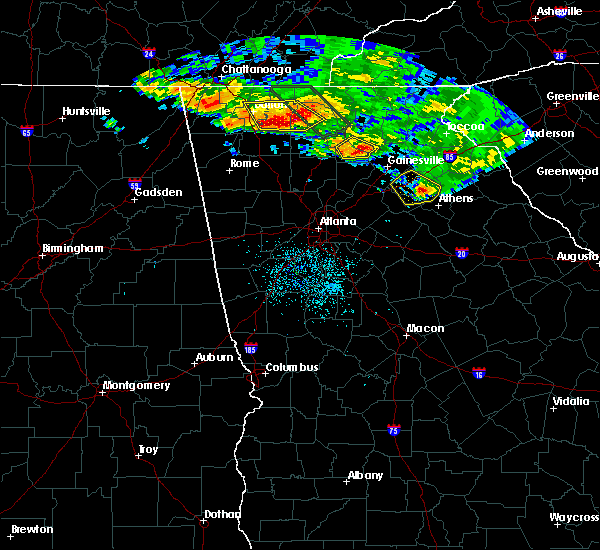 At 452 am edt, severe thunderstorms were located along a line extending from near auraria to near juno, moving southeast at 30 mph (radar indicated). Hazards include 60 mph wind gusts. Expect damage to roofs, siding, and trees. Locations impacted include, dahlonega, dawsonville, dougherty, mckee, juno and auraria. At 452 am edt, severe thunderstorms were located along a line extending from near auraria to near juno, moving southeast at 30 mph (radar indicated). Hazards include 60 mph wind gusts. Expect damage to roofs, siding, and trees. Locations impacted include, dahlonega, dawsonville, dougherty, mckee, juno and auraria.
|
| 7/21/2018 4:53 AM EDT |
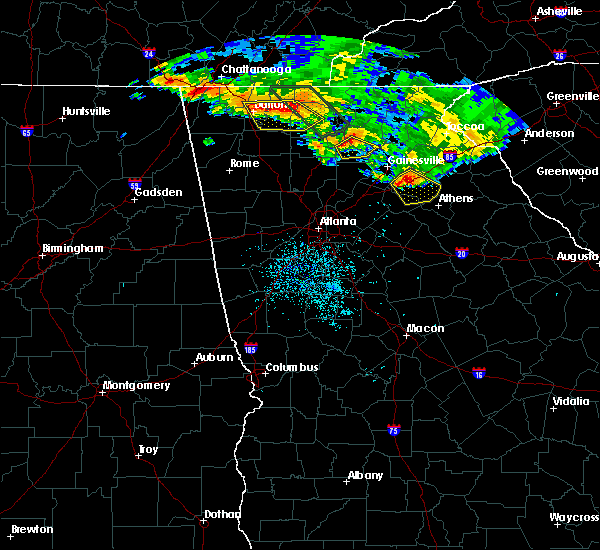 At 452 am edt, severe thunderstorms were located along a line extending from near auraria to near juno, moving southeast at 30 mph (radar indicated). Hazards include 60 mph wind gusts. Expect damage to roofs, siding, and trees. Locations impacted include, dahlonega, dawsonville, dougherty, mckee, juno and auraria. At 452 am edt, severe thunderstorms were located along a line extending from near auraria to near juno, moving southeast at 30 mph (radar indicated). Hazards include 60 mph wind gusts. Expect damage to roofs, siding, and trees. Locations impacted include, dahlonega, dawsonville, dougherty, mckee, juno and auraria.
|
| 7/21/2018 4:29 AM EDT |
 At 429 am edt, severe thunderstorms were located along a line extending from black gap shelter to near sequoyah lake, moving southeast at 30 mph (radar indicated). Hazards include 60 mph wind gusts and quarter size hail. Hail damage to vehicles is expected. Expect wind damage to roofs, siding, and trees. At 429 am edt, severe thunderstorms were located along a line extending from black gap shelter to near sequoyah lake, moving southeast at 30 mph (radar indicated). Hazards include 60 mph wind gusts and quarter size hail. Hail damage to vehicles is expected. Expect wind damage to roofs, siding, and trees.
|
| 7/21/2018 4:07 AM EDT |
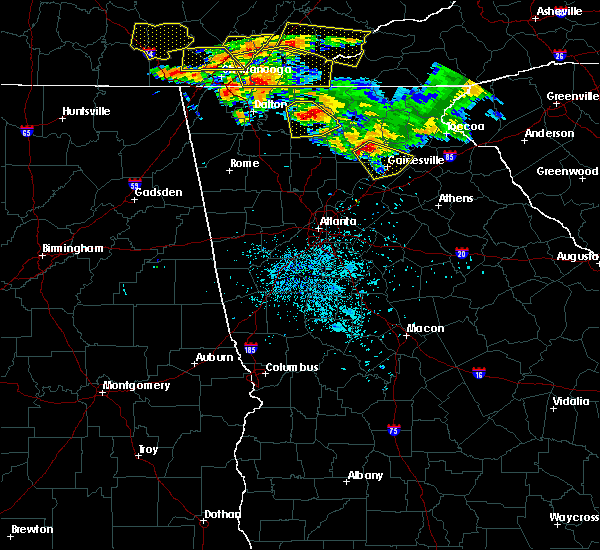 At 406 am edt, a severe thunderstorm was located over auraria, or near dawsonville, moving southeast at 30 mph (radar indicated). Hazards include 60 mph wind gusts and quarter size hail. Hail damage to vehicles is expected. expect wind damage to roofs, siding, and trees. Locations impacted include, gainesville, dahlonega, flowery branch, oakwood, lula, gillsville, dougherty, chestatee, murrayville, oscarville, auraria and war hill park. At 406 am edt, a severe thunderstorm was located over auraria, or near dawsonville, moving southeast at 30 mph (radar indicated). Hazards include 60 mph wind gusts and quarter size hail. Hail damage to vehicles is expected. expect wind damage to roofs, siding, and trees. Locations impacted include, gainesville, dahlonega, flowery branch, oakwood, lula, gillsville, dougherty, chestatee, murrayville, oscarville, auraria and war hill park.
|
| 7/21/2018 3:41 AM EDT |
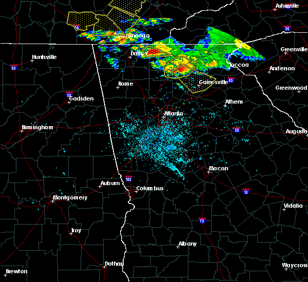 At 341 am edt, severe thunderstorms were located along a line extending from near camp merrill to near nimblewill to near fausett lake, moving southeast at 45 mph (radar indicated). Hazards include ping pong ball size hail and 60 mph wind gusts. People and animals outdoors will be injured. expect hail damage to roofs, siding, windows, and vehicles. Expect wind damage to roofs, siding, and trees. At 341 am edt, severe thunderstorms were located along a line extending from near camp merrill to near nimblewill to near fausett lake, moving southeast at 45 mph (radar indicated). Hazards include ping pong ball size hail and 60 mph wind gusts. People and animals outdoors will be injured. expect hail damage to roofs, siding, windows, and vehicles. Expect wind damage to roofs, siding, and trees.
|
| 7/21/2018 3:28 AM EDT |
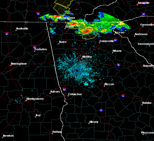 At 326 am edt, severe thunderstorms were located along a line extending from hawk mountain shelter to black gap shelter to near cartecay, moving southeast at 35 mph (radar indicated). Hazards include ping pong ball size hail and 60 mph wind gusts. People and animals outdoors will be injured. expect hail damage to roofs, siding, windows, and vehicles. expect wind damage to roofs, siding, and trees. Locations impacted include, dahlonega, dawsonville, suches, amicalola falls state park, sequoyah lake, margret, camp merrill, juno, fausett lake, springer mountain shelter, len foote hike inn, cartecay, black gap shelter, lake tamarack, auraria, stover creek shelter, hawk mountain shelter, porter springs, nimblewill and roy. At 326 am edt, severe thunderstorms were located along a line extending from hawk mountain shelter to black gap shelter to near cartecay, moving southeast at 35 mph (radar indicated). Hazards include ping pong ball size hail and 60 mph wind gusts. People and animals outdoors will be injured. expect hail damage to roofs, siding, windows, and vehicles. expect wind damage to roofs, siding, and trees. Locations impacted include, dahlonega, dawsonville, suches, amicalola falls state park, sequoyah lake, margret, camp merrill, juno, fausett lake, springer mountain shelter, len foote hike inn, cartecay, black gap shelter, lake tamarack, auraria, stover creek shelter, hawk mountain shelter, porter springs, nimblewill and roy.
|
| 7/21/2018 3:04 AM EDT |
 At 303 am edt, severe thunderstorms were located along a line extending from 4 miles north of ellijay to near pisgah to near dial, moving southeast at 40 mph (radar indicated). Hazards include 70 mph wind gusts and quarter size hail. Hail damage to vehicles is expected. expect considerable tree damage. Wind damage is also likely to mobile homes, roofs, and outbuildings. At 303 am edt, severe thunderstorms were located along a line extending from 4 miles north of ellijay to near pisgah to near dial, moving southeast at 40 mph (radar indicated). Hazards include 70 mph wind gusts and quarter size hail. Hail damage to vehicles is expected. expect considerable tree damage. Wind damage is also likely to mobile homes, roofs, and outbuildings.
|
| 7/6/2018 2:24 PM EDT | Report of roadway blockage and powerline damage at the intersection of duck thurmond road and ga hwy 53w in dawson county... g in dawson county GA, 3.1 miles E of Dawsonville, GA |
| 7/6/2018 2:24 PM EDT | Report of roadway blockage and powerline damamge on ga hwy 52 near cowart road in dawson county... g in dawson county GA, 6 miles E of Dawsonville, GA |
| 7/6/2018 2:24 PM EDT | Report of roadway blockage and powerline damamge on ga hwy 52 near cowart road in dawson county... g in dawson county GA, 6 miles E of Dawsonville, GA |
| 6/28/2018 10:50 AM EDT |
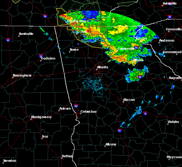 At 1049 am edt, severe thunderstorms were located along a line extending from near salem to north of ellijay to near cherry log, moving southeast at 45 mph (radar indicated). Hazards include 60 mph wind gusts. expect damage to roofs, siding, and trees At 1049 am edt, severe thunderstorms were located along a line extending from near salem to north of ellijay to near cherry log, moving southeast at 45 mph (radar indicated). Hazards include 60 mph wind gusts. expect damage to roofs, siding, and trees
|
| 6/22/2018 6:11 PM EDT |
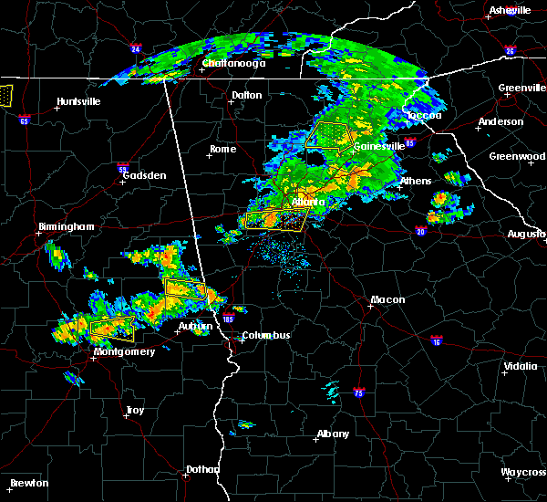 The severe thunderstorm warning for southern lumpkin, dawson and northwestern hall counties will expire at 615 pm edt, the storm which prompted the warning is weakening below severe limits and exiting the warned area. therefore, the warning will be allowed to expire. however gusty winds are still possible with this thunderstorm. The severe thunderstorm warning for southern lumpkin, dawson and northwestern hall counties will expire at 615 pm edt, the storm which prompted the warning is weakening below severe limits and exiting the warned area. therefore, the warning will be allowed to expire. however gusty winds are still possible with this thunderstorm.
|
| 6/22/2018 5:56 PM EDT |
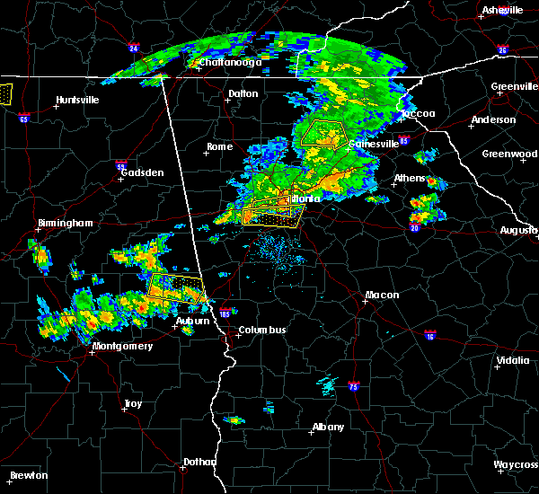 At 555 pm edt, a severe thunderstorm was located near dawsonville, moving northeast at 35 mph (radar indicated). Hazards include 60 mph wind gusts and penny size hail. Expect damage to roofs, siding, and trees. Locations impacted include, gainesville, dahlonega, dawsonville, dougherty, juno, murrayville, hollis lathem reservoir, auraria, garland, nimblewill, war hill park, mckee and silver city. At 555 pm edt, a severe thunderstorm was located near dawsonville, moving northeast at 35 mph (radar indicated). Hazards include 60 mph wind gusts and penny size hail. Expect damage to roofs, siding, and trees. Locations impacted include, gainesville, dahlonega, dawsonville, dougherty, juno, murrayville, hollis lathem reservoir, auraria, garland, nimblewill, war hill park, mckee and silver city.
|
| 6/22/2018 5:50 PM EDT | A tree was blown down on clayton wallace r in dawson county GA, 8.5 miles NW of Dawsonville, GA |
| 6/22/2018 5:50 PM EDT | A tree was blown down on sweetgum driv in dawson county GA, 7.6 miles NW of Dawsonville, GA |
| 6/22/2018 5:50 PM EDT | A tree was blown down on brights way at highway 5 in dawson county GA, 5.8 miles NW of Dawsonville, GA |
| 6/22/2018 5:38 PM EDT |
 At 537 pm edt, a severe thunderstorm was located over matt, moving northeast at 35 mph (radar indicated). Hazards include 60 mph wind gusts and penny size hail. expect damage to roofs, siding, and trees At 537 pm edt, a severe thunderstorm was located over matt, moving northeast at 35 mph (radar indicated). Hazards include 60 mph wind gusts and penny size hail. expect damage to roofs, siding, and trees
|
| 6/16/2018 1:16 PM EDT |
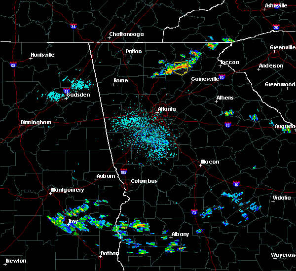 At 115 pm edt, a severe thunderstorm was located near dahlonega, and is nearly stationary (radar indicated). Hazards include 60 mph wind gusts and quarter size hail. Hail damage to vehicles is expected. Expect wind damage to roofs, siding, and trees. At 115 pm edt, a severe thunderstorm was located near dahlonega, and is nearly stationary (radar indicated). Hazards include 60 mph wind gusts and quarter size hail. Hail damage to vehicles is expected. Expect wind damage to roofs, siding, and trees.
|
| 6/1/2018 4:14 PM EDT |
 At 414 pm edt, a severe thunderstorm was located near war hill park, or 7 miles southeast of dawsonville, moving east at 25 mph (radar indicated). Hazards include 60 mph wind gusts and quarter size hail. Hail damage to vehicles is expected. Expect wind damage to roofs, siding, and trees. At 414 pm edt, a severe thunderstorm was located near war hill park, or 7 miles southeast of dawsonville, moving east at 25 mph (radar indicated). Hazards include 60 mph wind gusts and quarter size hail. Hail damage to vehicles is expected. Expect wind damage to roofs, siding, and trees.
|
| 6/1/2018 12:44 AM EDT |
 At 1243 am edt, severe thunderstorms were located along a line extending from silver city to near white, moving south at 25 mph (radar indicated). Hazards include 60 mph wind gusts and quarter size hail. Hail damage to vehicles is expected. Expect wind damage to roofs, siding, and trees. At 1243 am edt, severe thunderstorms were located along a line extending from silver city to near white, moving south at 25 mph (radar indicated). Hazards include 60 mph wind gusts and quarter size hail. Hail damage to vehicles is expected. Expect wind damage to roofs, siding, and trees.
|
| 9/5/2017 6:45 PM EDT | At us 19 and hwy 53... reports of wind damage included signs being blown off of the overpass and striking a vehicle as well as multiple reports of trees and power lines in dawson county GA, 7.2 miles NW of Dawsonville, GA |
| 9/5/2017 6:40 PM EDT | Reports of widespread trees and powerlines down in and around dawsonville. around 10 different incidents reported in the are in dawson county GA, 1.2 miles NNW of Dawsonville, GA |
| 7/6/2017 3:42 PM EDT |
 At 342 pm edt, severe thunderstorms were located along a line extending from margret to near juno to tate, moving east at 35 mph (radar indicated). Hazards include 60 mph wind gusts. Expect damage to roofs, siding, and trees. Locations impacted include, dahlonega, dawsonville, blairsville, suches, dougherty, amicalola falls state park, jones creek, woods hole shelter, juno, fausett lake, len foote hike inn, vogel state park, stover creek shelter, turners corner, gaddistown, mckee, margret, camp merrill, springer mountain shelter and owltown. At 342 pm edt, severe thunderstorms were located along a line extending from margret to near juno to tate, moving east at 35 mph (radar indicated). Hazards include 60 mph wind gusts. Expect damage to roofs, siding, and trees. Locations impacted include, dahlonega, dawsonville, blairsville, suches, dougherty, amicalola falls state park, jones creek, woods hole shelter, juno, fausett lake, len foote hike inn, vogel state park, stover creek shelter, turners corner, gaddistown, mckee, margret, camp merrill, springer mountain shelter and owltown.
|
| 7/6/2017 3:32 PM EDT |
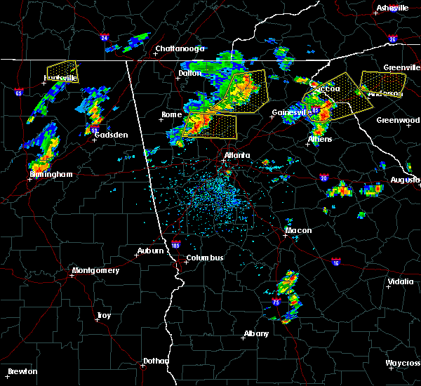 At 332 pm edt, severe thunderstorms were located along a line extending from dial to near fausett lake to near tate, moving east at 35 mph (radar indicated). Hazards include 60 mph wind gusts. Expect damage to roofs, siding, and trees. Locations impacted include, dahlonega, jasper, dawsonville, blairsville, nelson, suches, dougherty, amicalola falls state park, sequoyah lake, jones creek, woods hole shelter, juno, fausett lake, len foote hike inn, pisgah, vogel state park, tate, stover creek shelter, turners corner and gaddistown. At 332 pm edt, severe thunderstorms were located along a line extending from dial to near fausett lake to near tate, moving east at 35 mph (radar indicated). Hazards include 60 mph wind gusts. Expect damage to roofs, siding, and trees. Locations impacted include, dahlonega, jasper, dawsonville, blairsville, nelson, suches, dougherty, amicalola falls state park, sequoyah lake, jones creek, woods hole shelter, juno, fausett lake, len foote hike inn, pisgah, vogel state park, tate, stover creek shelter, turners corner and gaddistown.
|
| 7/6/2017 3:15 PM EDT |
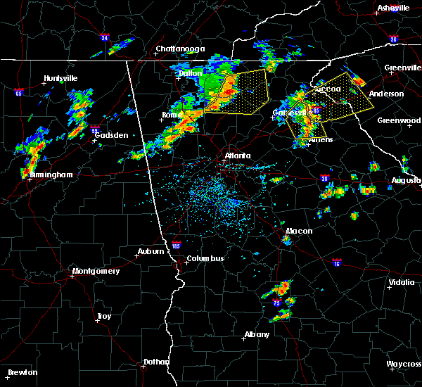 At 314 pm edt, severe thunderstorms were located along a line extending from near pisgah to near jasper to talmadge, moving east at 35 mph (radar indicated). Hazards include 60 mph wind gusts. expect damage to roofs, siding, and trees At 314 pm edt, severe thunderstorms were located along a line extending from near pisgah to near jasper to talmadge, moving east at 35 mph (radar indicated). Hazards include 60 mph wind gusts. expect damage to roofs, siding, and trees
|
| 7/5/2017 5:24 PM EDT |
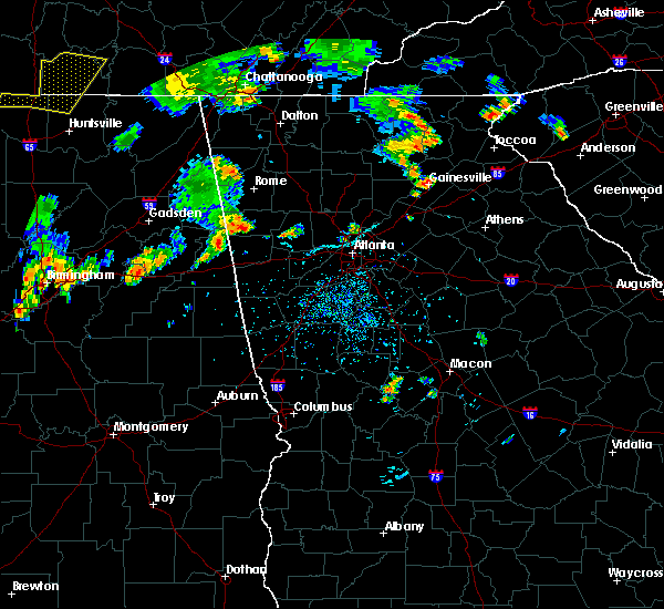 At 522 pm edt, a severe thunderstorm was located near dahlonega, moving east at 25 mph (radar indicated). Hazards include 60 mph wind gusts and quarter size hail. Hail damage to vehicles is expected. expect wind damage to roofs, siding, and trees. Locations impacted include, dahlonega, cleveland, suches, camp merrill, the woods hole shelter, camp coleman lake, auraria, the hawk mountain shelter, garland, porter springs, turners corner, nimblewill, the blood mountain shelter, the gooch mountain shelter and qualatchee lake. At 522 pm edt, a severe thunderstorm was located near dahlonega, moving east at 25 mph (radar indicated). Hazards include 60 mph wind gusts and quarter size hail. Hail damage to vehicles is expected. expect wind damage to roofs, siding, and trees. Locations impacted include, dahlonega, cleveland, suches, camp merrill, the woods hole shelter, camp coleman lake, auraria, the hawk mountain shelter, garland, porter springs, turners corner, nimblewill, the blood mountain shelter, the gooch mountain shelter and qualatchee lake.
|
| 7/5/2017 5:06 PM EDT |
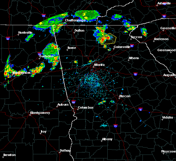 At 505 pm edt, a severe thunderstorm was located over nimblewill, moving east at 25 mph (radar indicated). Hazards include 60 mph wind gusts and quarter size hail. Hail damage to vehicles is expected. Expect wind damage to roofs, siding, and trees. At 505 pm edt, a severe thunderstorm was located over nimblewill, moving east at 25 mph (radar indicated). Hazards include 60 mph wind gusts and quarter size hail. Hail damage to vehicles is expected. Expect wind damage to roofs, siding, and trees.
|
| 3/21/2017 8:30 PM EDT | Multiple trees downed on power lines and vehicles in and around the dawsonville area in dawson county GA, 1.2 miles NNW of Dawsonville, GA |
| 3/21/2017 8:07 PM EDT |
 At 805 pm edt, severe thunderstorms were located extending from hot house to near morganton to amicalola falls state park to near tate, moving east at 45 mph (radar indicated, plus multiple reports of damage to trees and powerlines due to very strong winds). Hazards include 60 mph wind gusts and quarter size hail. Hail damage to vehicles is expected. Expect wind damage to roofs, siding, and trees. At 805 pm edt, severe thunderstorms were located extending from hot house to near morganton to amicalola falls state park to near tate, moving east at 45 mph (radar indicated, plus multiple reports of damage to trees and powerlines due to very strong winds). Hazards include 60 mph wind gusts and quarter size hail. Hail damage to vehicles is expected. Expect wind damage to roofs, siding, and trees.
|
| 3/1/2017 5:47 PM EST |
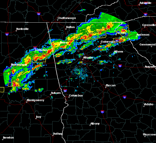 At 547 pm est, a severe thunderstorm was located over nimblewill, or 7 miles west of dahlonega, moving east at 60 mph (radar indicated). Hazards include 60 mph wind gusts and quarter size hail. Hail damage to vehicles is expected. Expect wind damage to roofs, siding, and trees. At 547 pm est, a severe thunderstorm was located over nimblewill, or 7 miles west of dahlonega, moving east at 60 mph (radar indicated). Hazards include 60 mph wind gusts and quarter size hail. Hail damage to vehicles is expected. Expect wind damage to roofs, siding, and trees.
|
| 2/25/2017 5:27 AM EST |
 At 527 am est, a severe thunderstorm was located over talmadge, or 10 miles southwest of jasper, moving east at 35 mph (radar indicated). Hazards include 60 mph wind gusts and quarter size hail. Hail damage to vehicles is expected. Expect wind damage to roofs, siding, and trees. At 527 am est, a severe thunderstorm was located over talmadge, or 10 miles southwest of jasper, moving east at 35 mph (radar indicated). Hazards include 60 mph wind gusts and quarter size hail. Hail damage to vehicles is expected. Expect wind damage to roofs, siding, and trees.
|
| 11/30/2016 1:58 PM EST |
 At 157 pm est, severe thunderstorms were located along a line extending from near lathemtown to near milton to near mechanicsville, moving northeast at 40 mph (radar indicated). Hazards include 60 mph wind gusts. Expect damage to roofs. siding. And trees. At 157 pm est, severe thunderstorms were located along a line extending from near lathemtown to near milton to near mechanicsville, moving northeast at 40 mph (radar indicated). Hazards include 60 mph wind gusts. Expect damage to roofs. siding. And trees.
|
| 7/21/2016 2:51 PM EDT |
 At 251 pm edt, severe thunderstorms were located along a line extending from 7 miles west of suches to near east ellijay, moving southeast at 15 mph (radar indicated). Hazards include 60 mph wind gusts and quarter size hail. Hail damage to vehicles is expected. expect wind damage to roofs, siding, and trees. Other locations in the warning include but are not limited to dahlonega, jasper, east ellijay, suches, amicalola falls state park, pisgah, stover creek shelter, talona, len foote hike inn, black gap shelter, fausett lake, lake tamarack, juno, nimblewill, hawk mountain shelter, gooch mountain shelter, auraria, porter springs, roy and gaddistown. At 251 pm edt, severe thunderstorms were located along a line extending from 7 miles west of suches to near east ellijay, moving southeast at 15 mph (radar indicated). Hazards include 60 mph wind gusts and quarter size hail. Hail damage to vehicles is expected. expect wind damage to roofs, siding, and trees. Other locations in the warning include but are not limited to dahlonega, jasper, east ellijay, suches, amicalola falls state park, pisgah, stover creek shelter, talona, len foote hike inn, black gap shelter, fausett lake, lake tamarack, juno, nimblewill, hawk mountain shelter, gooch mountain shelter, auraria, porter springs, roy and gaddistown.
|
| 6/1/2016 6:51 PM EDT |
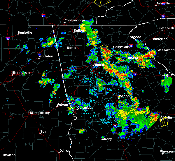 At 651 pm edt, a severe thunderstorm was located near cumming, moving north at 10 mph (radar indicated). Hazards include 60 mph wind gusts and quarter size hail. Hail damage to vehicles is expected. expect wind damage to roofs, siding, and trees. Other locations in the warning include but are not limited to cumming, dougherty, chestatee, silver city, coal mountain and matt. At 651 pm edt, a severe thunderstorm was located near cumming, moving north at 10 mph (radar indicated). Hazards include 60 mph wind gusts and quarter size hail. Hail damage to vehicles is expected. expect wind damage to roofs, siding, and trees. Other locations in the warning include but are not limited to cumming, dougherty, chestatee, silver city, coal mountain and matt.
|
| 4/6/2016 11:02 PM EDT |
 At 1102 pm edt, a severe thunderstorm was located near ball ground, or near canton, moving northeast at 35 mph (radar indicated). Hazards include 60 mph wind gusts and quarter size hail. Hail damage to vehicles is expected. expect wind damage to roofs, siding, and trees. Other locations in the warning include but are not limited to gainesville, canton, cumming, dahlonega, jasper, dawsonville, flowery branch, oakwood, ball ground, nelson, waleska, buffington, free home, dougherty, lathemtown, holbrook, aqualand park, union hill, drew and matt. At 1102 pm edt, a severe thunderstorm was located near ball ground, or near canton, moving northeast at 35 mph (radar indicated). Hazards include 60 mph wind gusts and quarter size hail. Hail damage to vehicles is expected. expect wind damage to roofs, siding, and trees. Other locations in the warning include but are not limited to gainesville, canton, cumming, dahlonega, jasper, dawsonville, flowery branch, oakwood, ball ground, nelson, waleska, buffington, free home, dougherty, lathemtown, holbrook, aqualand park, union hill, drew and matt.
|
| 8/10/2015 5:13 PM EDT | The forsyth county emergency manager reported one tree down at a c smith road and hopewell roa in forsyth county GA, 8.6 miles NNW of Dawsonville, GA |
| 8/10/2015 4:43 PM EDT | The dawson county emergency manager reported multiple trees down near grover burt road and hwy 13 in dawson county GA, 3.6 miles SSE of Dawsonville, GA |
| 8/10/2015 4:39 PM EDT | The dawson county emergency manager reported three trees down in the east central portion of the county. one tree is down at each of the following locations...ga hwy 53 in dawson county GA, 4.3 miles ENE of Dawsonville, GA |
| 8/10/2015 4:36 PM EDT | The dawson county emergency manager reported one tree down on hwy 52. the tree was blocking the highwa in dawson county GA, 10.5 miles SE of Dawsonville, GA |
| 7/14/2015 7:43 PM EDT |
 At 743 pm edt, severe thunderstorms were located extending from east of jasper to near nelson to ball ground, moving southeast at 30 mph (radar indicated). Hazards include 60 mph wind gusts and nickel size hail. Expect damage to roofs. siding and trees. Other locations in the warning include but are not limited to cumming, dawsonville, johns creek, alpharetta, milton, duluth, sugar hill, buffington, free home, dougherty, lathemtown, holbrook, union hill, drew, matt, mckee, ducktown, coal mountain, fausett lake and hollis lathem reservoir. At 743 pm edt, severe thunderstorms were located extending from east of jasper to near nelson to ball ground, moving southeast at 30 mph (radar indicated). Hazards include 60 mph wind gusts and nickel size hail. Expect damage to roofs. siding and trees. Other locations in the warning include but are not limited to cumming, dawsonville, johns creek, alpharetta, milton, duluth, sugar hill, buffington, free home, dougherty, lathemtown, holbrook, union hill, drew, matt, mckee, ducktown, coal mountain, fausett lake and hollis lathem reservoir.
|
| 6/26/2015 5:22 PM EDT | The dawson county 911 center reported three trees down along hwy 138 and hwy 13 in dawson county GA, 7.8 miles SE of Dawsonville, GA |
| 6/26/2015 5:15 PM EDT | The dawson county 911 center reported one tree down along hwy 9 sout in dawson county GA, 3.2 miles N of Dawsonville, GA |
| 6/26/2015 4:51 PM EDT | At 451 pm edt, a severe thunderstorm was located 7 miles northeast of free home, or 8 miles southwest of dawsonville, moving northeast at 5 mph (radar indicated). Hazards include 60 mph wind gusts and quarter size hail. Hail damage to vehicles is expected. expect wind damage to roofs, siding and trees. Other locations in the warning include but are not limited to cumming, dawsonville, dougherty, chestatee, matt, hightower, mckee, silver city, coal mountain, hollis lathem reservoir, war hill park and ducktown. |
| 6/24/2015 6:45 PM EDT | 911 call center received a report of a downed tree in north dawson count in dawson county GA, 11.3 miles SE of Dawsonville, GA |
| 6/24/2015 6:33 PM EDT |
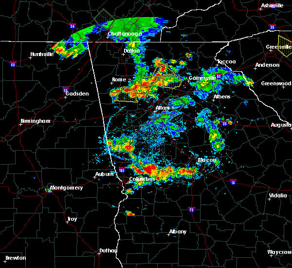 At 633 pm edt, a severe thunderstorm was located 8 miles east of jasper, moving south at 5 mph (radar indicated). Hazards include 60 mph wind gusts and quarter size hail. Hail damage to vehicles is expected. expect wind damage to roofs, siding and trees. Other locations in the warning include but are not limited to jasper, dawsonville, nelson, marblehill, amicalola falls state park, lake tamarack, mckee, len foote hike inn, sequoyah lake, juno, fausett lake and tate. At 633 pm edt, a severe thunderstorm was located 8 miles east of jasper, moving south at 5 mph (radar indicated). Hazards include 60 mph wind gusts and quarter size hail. Hail damage to vehicles is expected. expect wind damage to roofs, siding and trees. Other locations in the warning include but are not limited to jasper, dawsonville, nelson, marblehill, amicalola falls state park, lake tamarack, mckee, len foote hike inn, sequoyah lake, juno, fausett lake and tate.
|
| 6/24/2015 6:08 PM EDT |
 At 608 pm edt, a severe thunderstorm was located near dawsonville, and is nearly stationary (radar indicated). Hazards include 60 mph wind gusts and quarter size hail. Hail damage to vehicles is expected. expect wind damage to roofs, siding and trees. Other locations in the warning include but are not limited to cumming, dawsonville, dougherty, war hill park, chestatee, drew, matt, hightower, ducktown, silver city, coal mountain, hollis lathem reservoir and oscarville. At 608 pm edt, a severe thunderstorm was located near dawsonville, and is nearly stationary (radar indicated). Hazards include 60 mph wind gusts and quarter size hail. Hail damage to vehicles is expected. expect wind damage to roofs, siding and trees. Other locations in the warning include but are not limited to cumming, dawsonville, dougherty, war hill park, chestatee, drew, matt, hightower, ducktown, silver city, coal mountain, hollis lathem reservoir and oscarville.
|
| 4/20/2015 1:33 PM EDT | At 132 pm edt, a severe thunderstorm was located over buffington, or near canton, moving east at 30 mph (radar indicated). Hazards include 60 mph wind gusts and quarter size hail. Hail damage to vehicles is expected. expect wind damage to roofs, siding and trees. other locations in the warning include but are not limited to canton, cumming, dawsonville, ball ground, buffington, free home, dougherty, lathemtown, holbrook, union hill, war hill park, chestatee, drew, hickory flat, matt, hightower, ducktown, silver city, coal mountain and hollis lathem reservoir. a tornado watch remains in effect until 800 pm edt for north central georgia. 1. 00in. |
| 4/20/2015 1:04 PM EDT | At 103 pm edt, severe thunderstorms were located along a line extending from near clermont to near dawsonville, moving northeast at 45 mph (radar indicated). Hazards include 60 mph wind gusts and quarter size hail. Hail damage to vehicles is expected. expect wind damage to roofs, siding and trees. other locations in the warning include but are not limited to gainesville, dahlonega, cleveland, dawsonville, clermont, helen, unicoi state park, dougherty, sautee, mossy creek, garland, smithgall woods conservation are, leaf, qualatchee lake, auraria, murrayville, robertstown and batesville. 1. 00in. |
| 4/20/2015 1:00 PM EDT | At 1259 pm edt, severe thunderstorms were located along a line extending from near clermont to near dawsonville, moving northeast at 45 mph (radar indicated). Hazards include 60 mph wind gusts and quarter size hail. Hail damage to vehicles is expected. expect wind damage to roofs, siding and trees. other locations in the warning include but are not limited to gainesville, cumming, dahlonega, cleveland, dawsonville, clermont, helen, unicoi state park, dougherty, sautee, smithgall woods conservation are, leaf, qualatchee lake, matt, mckee, coal mountain, hollis lathem reservoir, mossy creek, garland and war hill park. 1. 00in. |
| 8/20/2014 2:54 PM EDT | Several trees down along hickory nut trail in dawson county GA, 8 miles WNW of Dawsonville, GA |
| 8/20/2014 1:54 PM EDT | Several trees down along hickory nut trail in dawson county GA, 8 miles WNW of Dawsonville, GA |
| 5/14/2014 8:20 PM EDT | Three trees were reported down across the count in dawson county GA, 1.2 miles NNW of Dawsonville, GA |
| 3/18/2013 6:25 PM EDT | Quarter sized hail reported 1.2 miles NNW of Dawsonville, GA |
| 8/10/2012 10:05 PM EDT | Dawson county 911 relayed a report of 2 downed power lines on cowart road. time estimated from rada in dawson county GA, 6.2 miles ENE of Dawsonville, GA |
| 8/10/2012 10:00 PM EDT | A couple of trees were blown down along georgia highway 53 near war hill park roa in dawson county GA, 8.1 miles NW of Dawsonville, GA |
| 7/10/2012 5:00 PM EDT | Multiple trees were reported down near highway in lumpkin county GA, 6.7 miles W of Dawsonville, GA |
| 6/4/2012 2:15 AM EDT | Quarter sized hail reported 6.8 miles W of Dawsonville, GA, the public estimated one inch hail lasting for a short time six miles east of dawsonville. |
| 6/4/2012 2:15 AM EDT | Quarter sized hail reported 6.9 miles WNW of Dawsonville, GA, the public estimated one inch hail lasting for a short time six miles east of dawsonville. |
| 5/17/2012 9:20 PM EDT | Quarter sized hail reported 5.9 miles NW of Dawsonville, GA, quarter sized hail reported on grizzle farm road southeast of dawsonville. |
| 4/17/2012 6:00 PM EDT | Quarter sized hail reported 5 miles NNE of Dawsonville, GA, a county official reported quarter sized hail at several locations across the southern portion of the county. |
| 1/1/0001 12:00 AM | Location just west of silver city. 5 trees down. 1 down on house. 3 of them were snapped in half. a power pole was snappe in forsyth county GA, 8.1 miles N of Dawsonville, GA |
| 1/1/0001 12:00 AM | Lumpkin county 911 relayed reports of 1-2 downed tree in lumpkin county GA, 8.6 miles S of Dawsonville, GA |
| 1/1/0001 12:00 AM | Tree down on power line on amicalola church roa in dawson county GA, 6.1 miles ESE of Dawsonville, GA |
| 1/1/0001 12:00 AM | Dawson county 911 relayed a report of at least 30-50 trees down across the count in dawson county GA, 1.2 miles NNW of Dawsonville, GA |
| 1/1/0001 12:00 AM | 6 trees and power lines dow in dawson county GA, 7.2 miles NW of Dawsonville, GA |
| 5/26/2011 5:49 PM EDT | Six power lines down on smith roa in forsyth county GA, 9.4 miles NNW of Dawsonville, GA |
| 1/1/0001 12:00 AM | Amateur radio relayed reports from dawson county emergency management of several downed trees in central dawson count in dawson county GA, 2.5 miles E of Dawsonville, GA |
| 1/1/0001 12:00 AM | Public reported measuring a gust of 62 mph and a wind of 28 mph with an anemometer on the pickens-dawson county lin in dawson county GA, 7.7 miles E of Dawsonville, GA |
Hail Maps for Dawsonville, GA


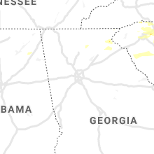


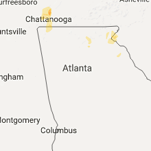


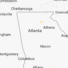

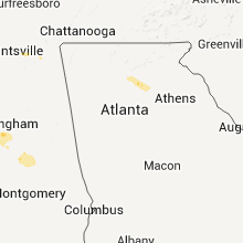


Connect with Interactive Hail Maps