

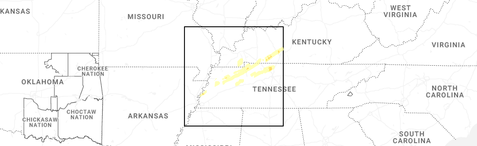
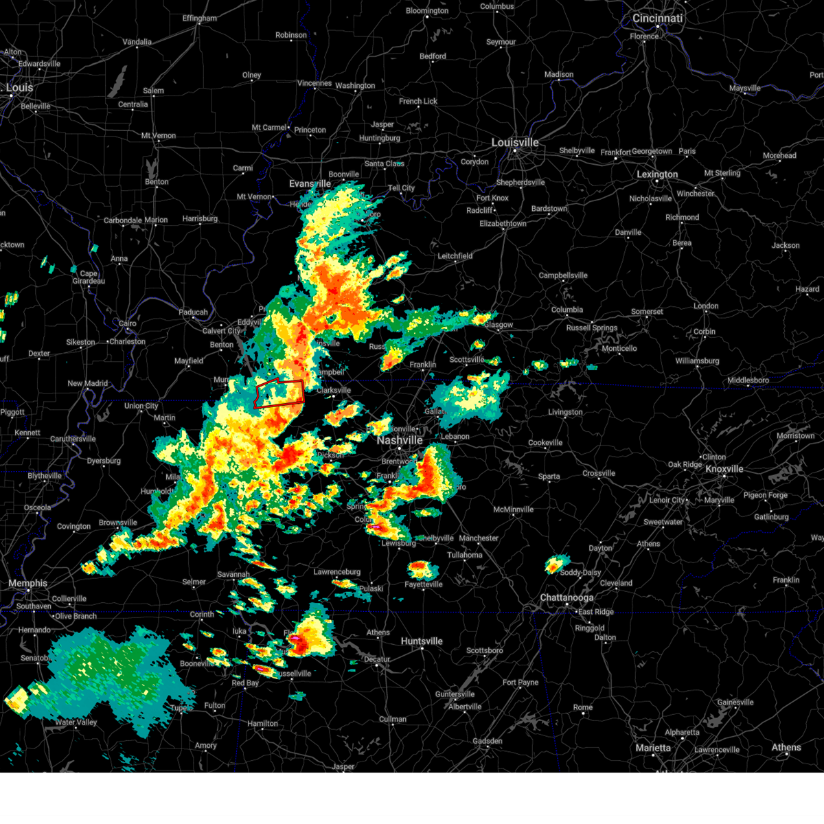
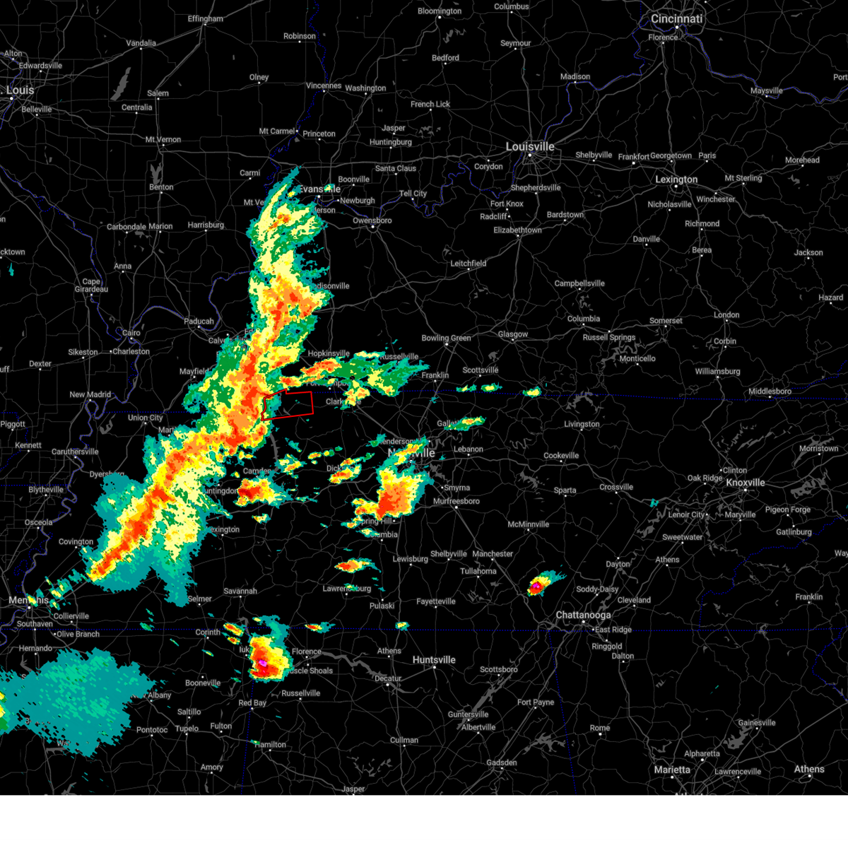
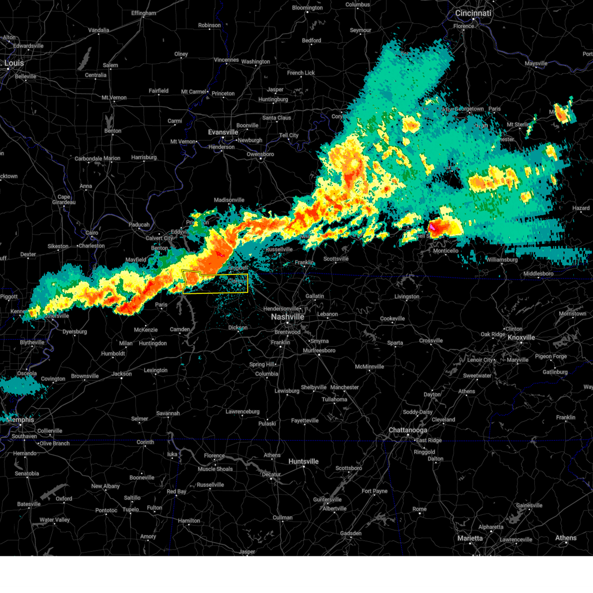
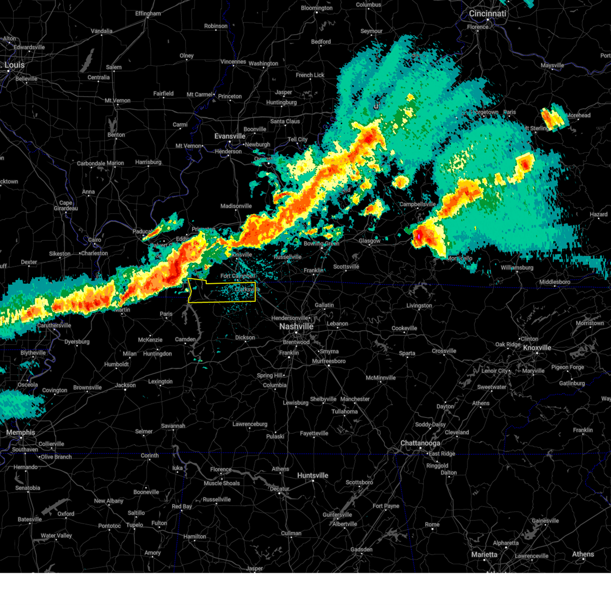
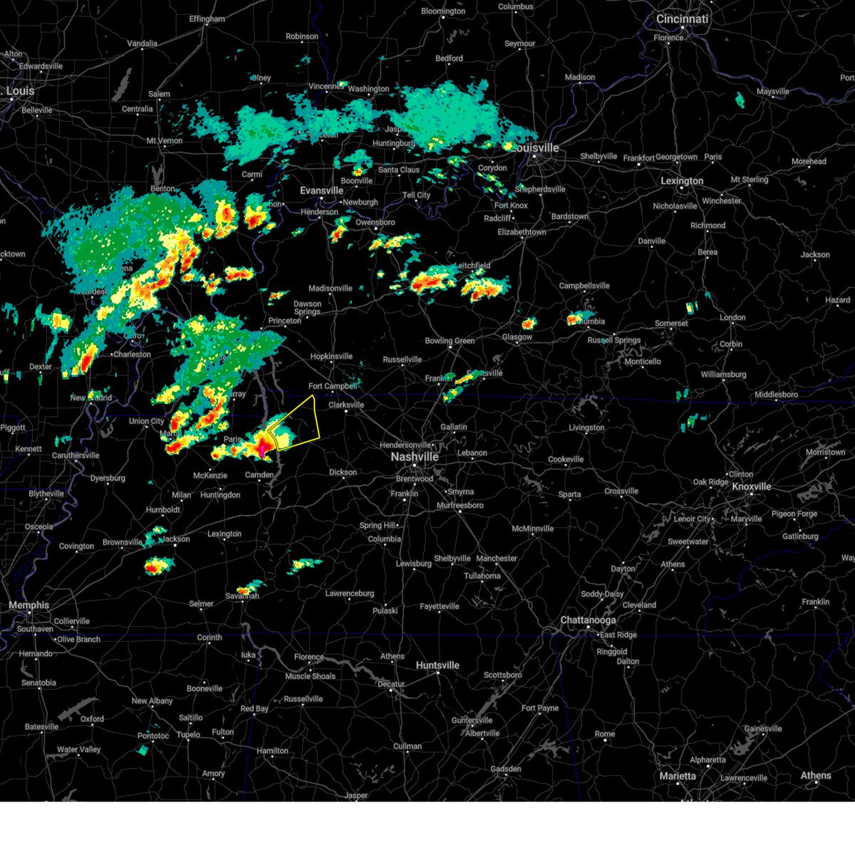
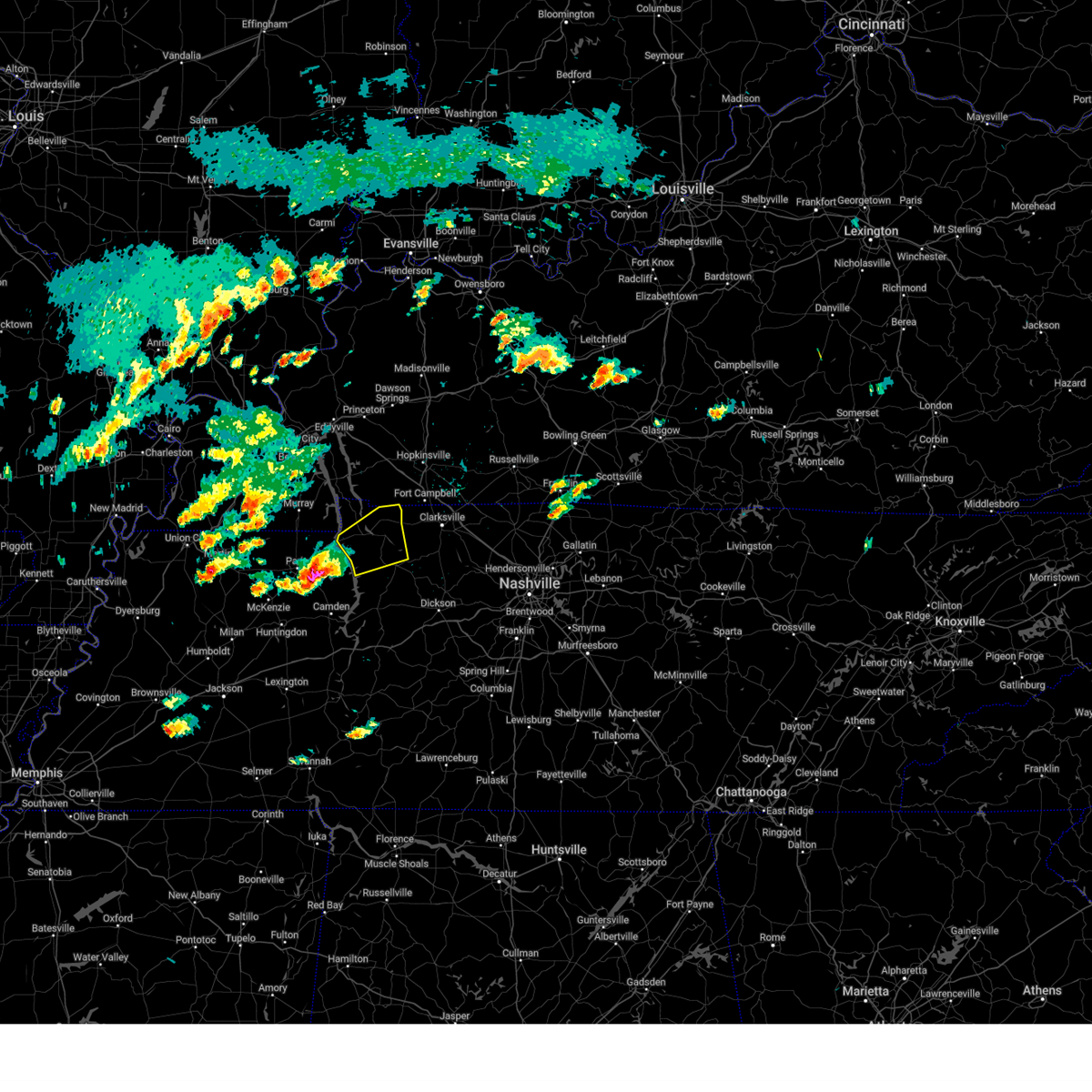
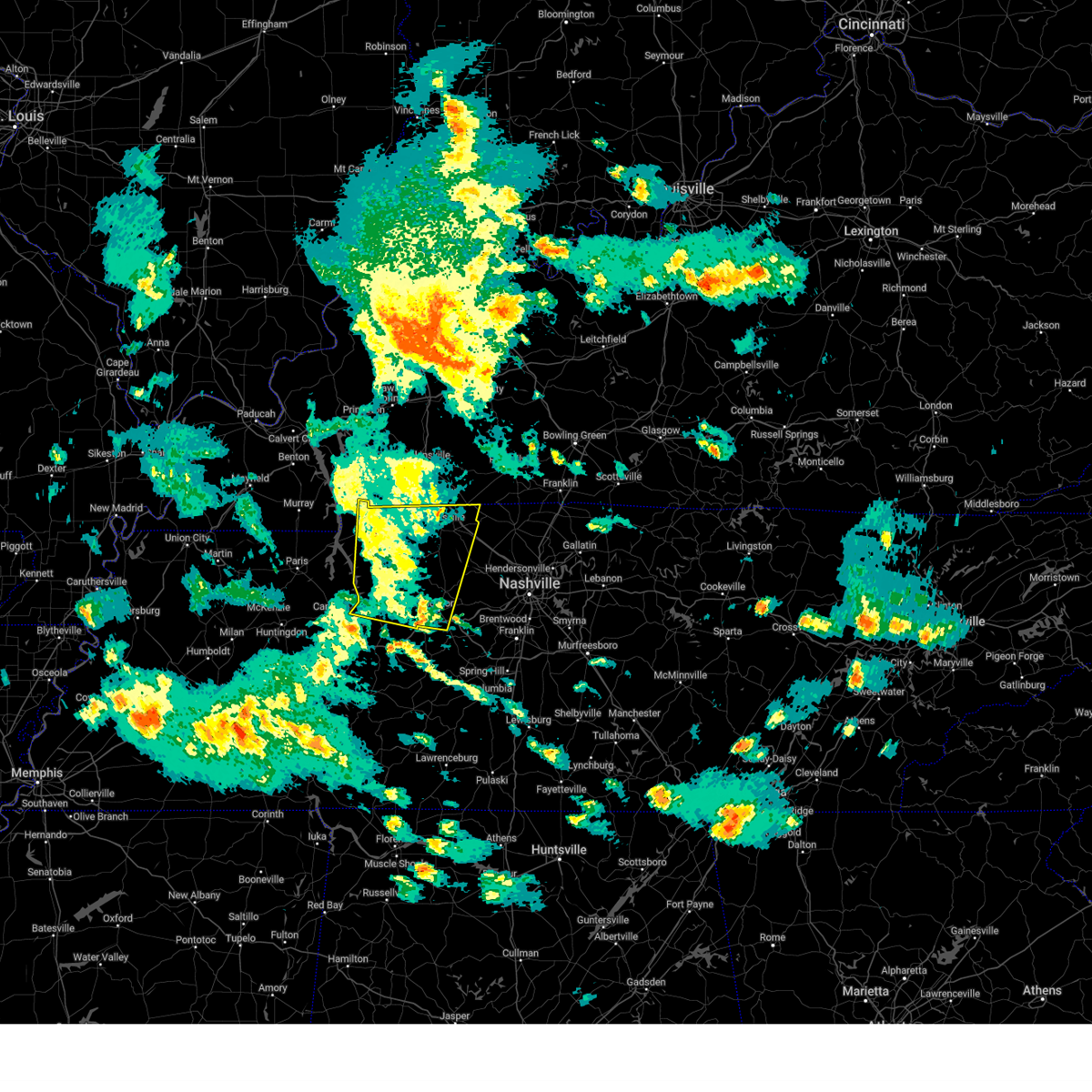
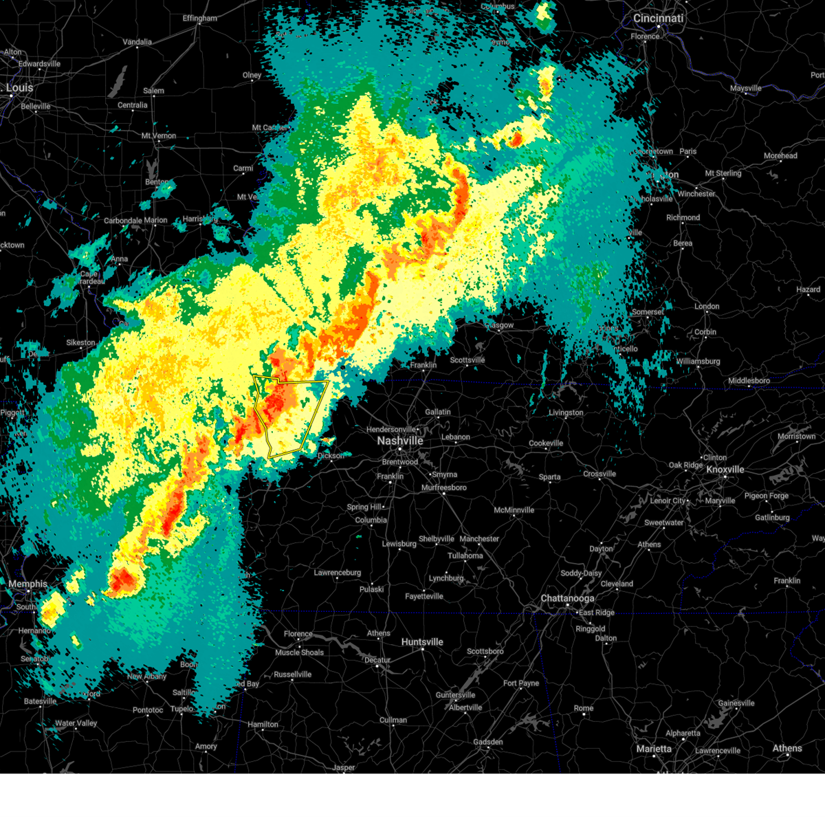
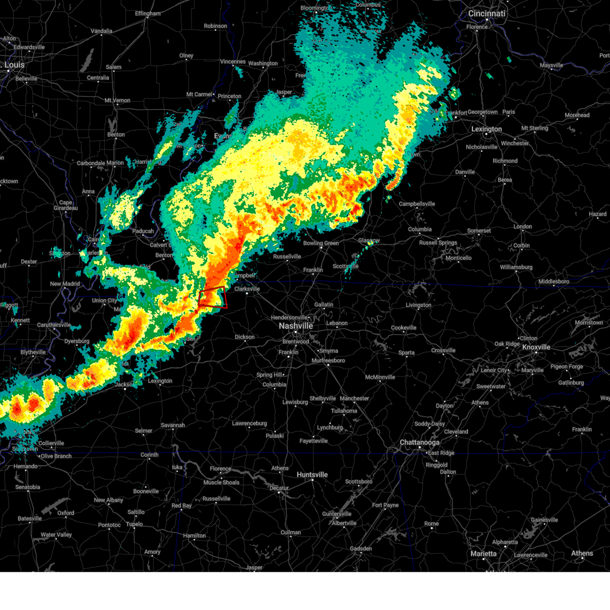
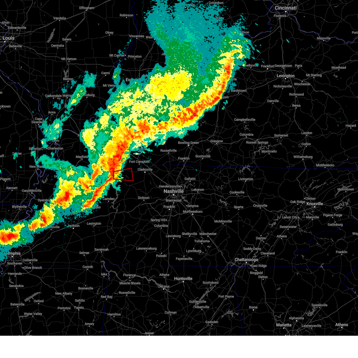
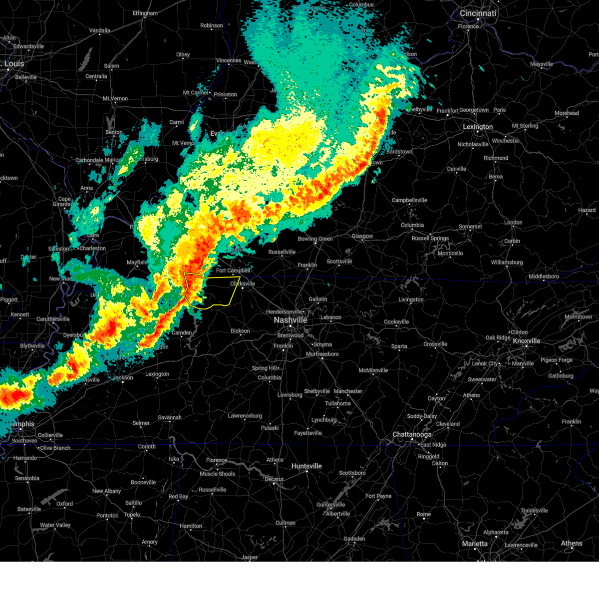
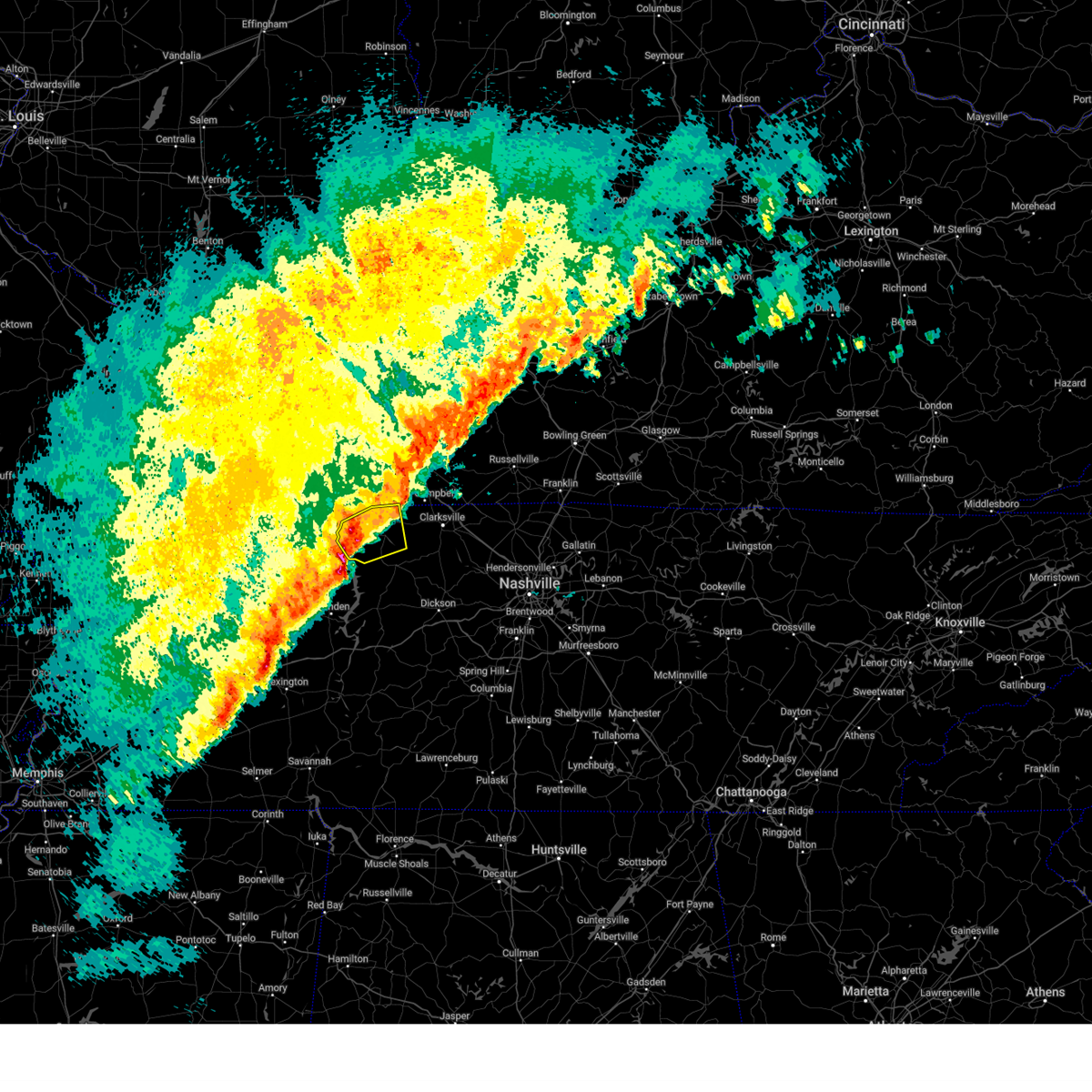
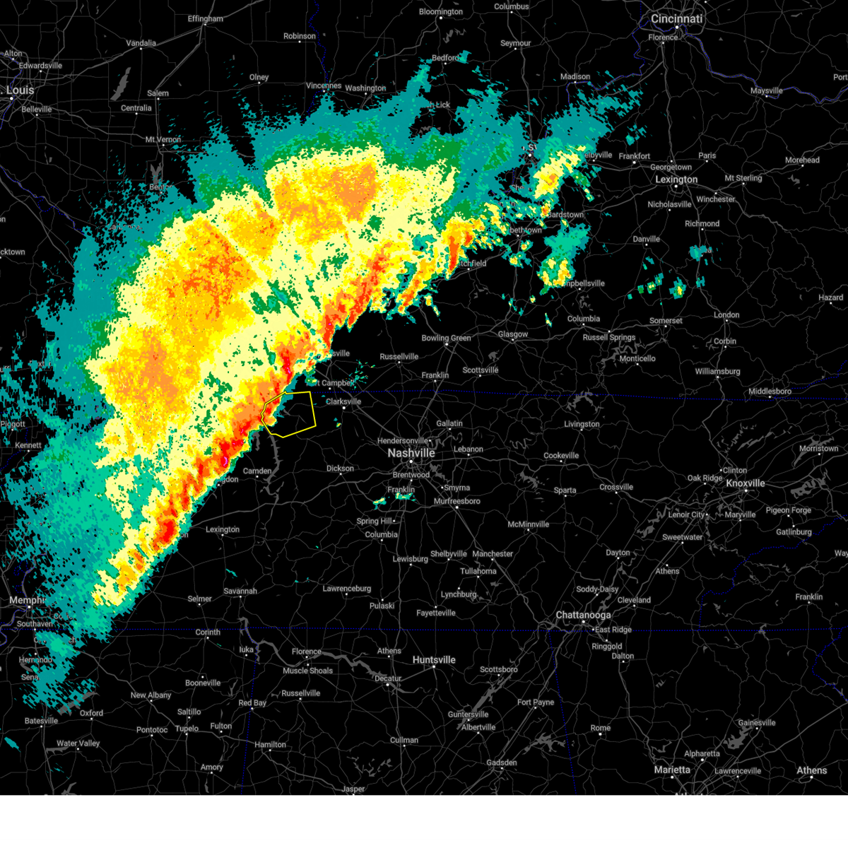
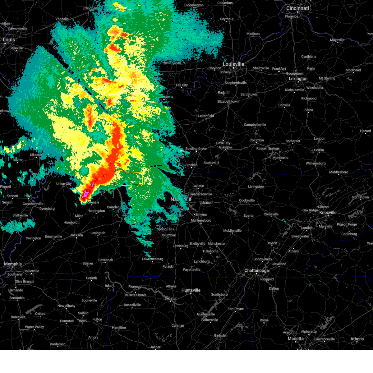
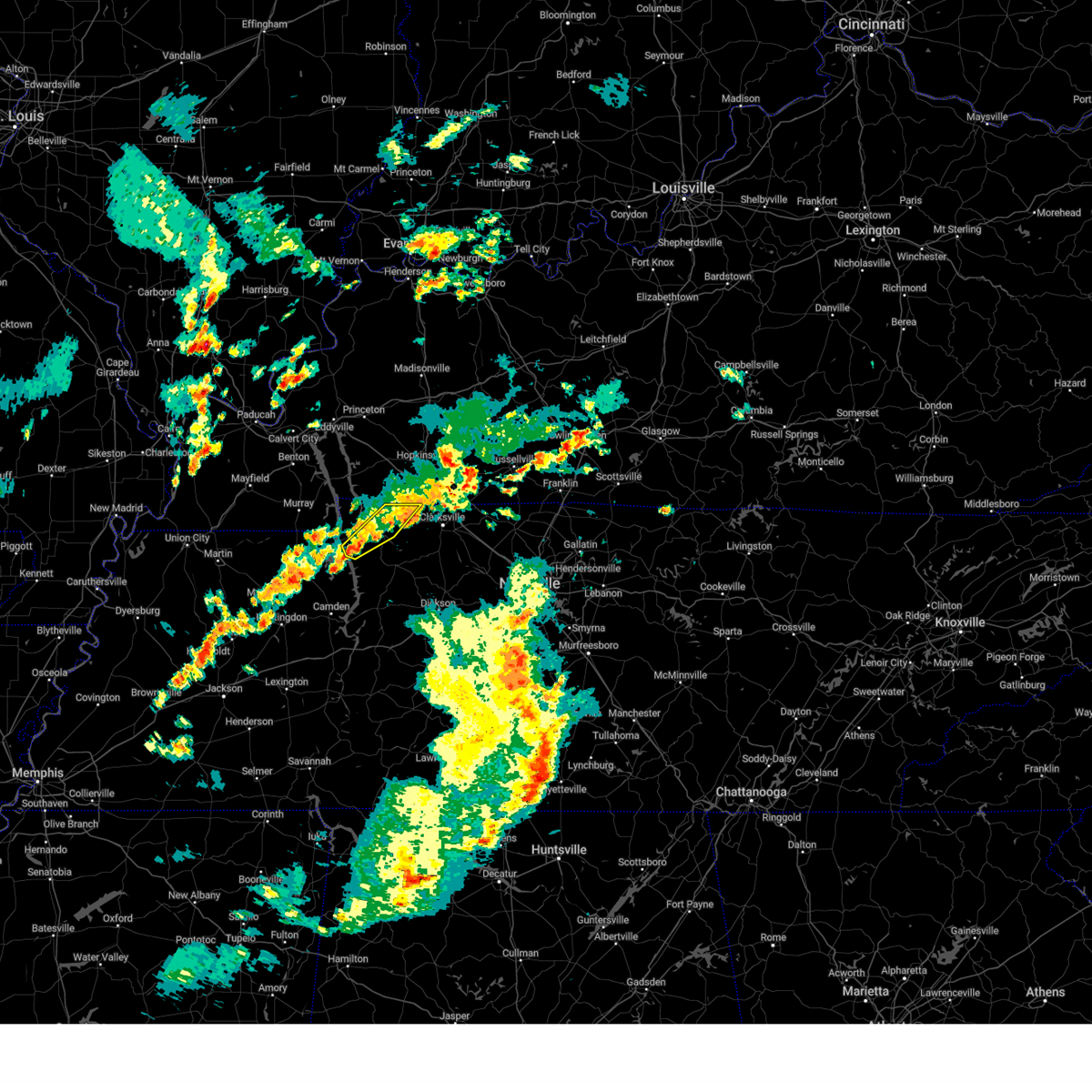
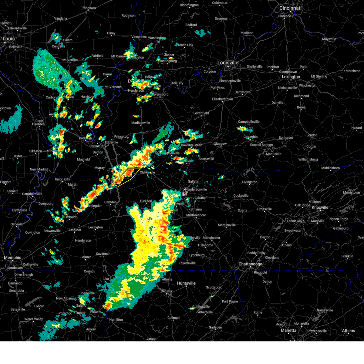
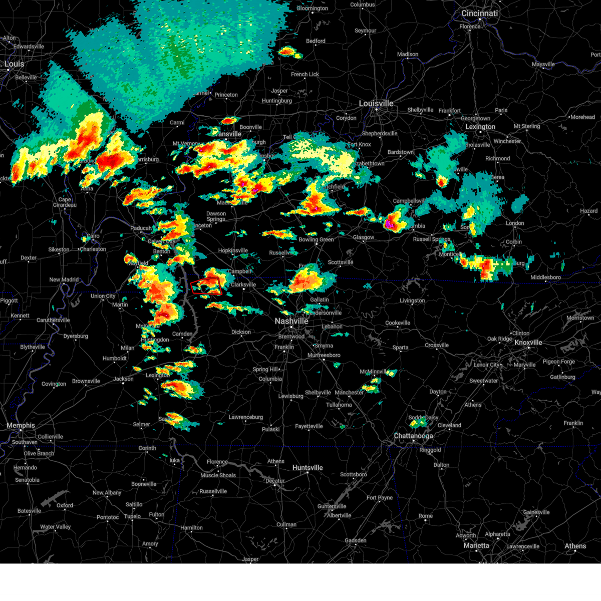
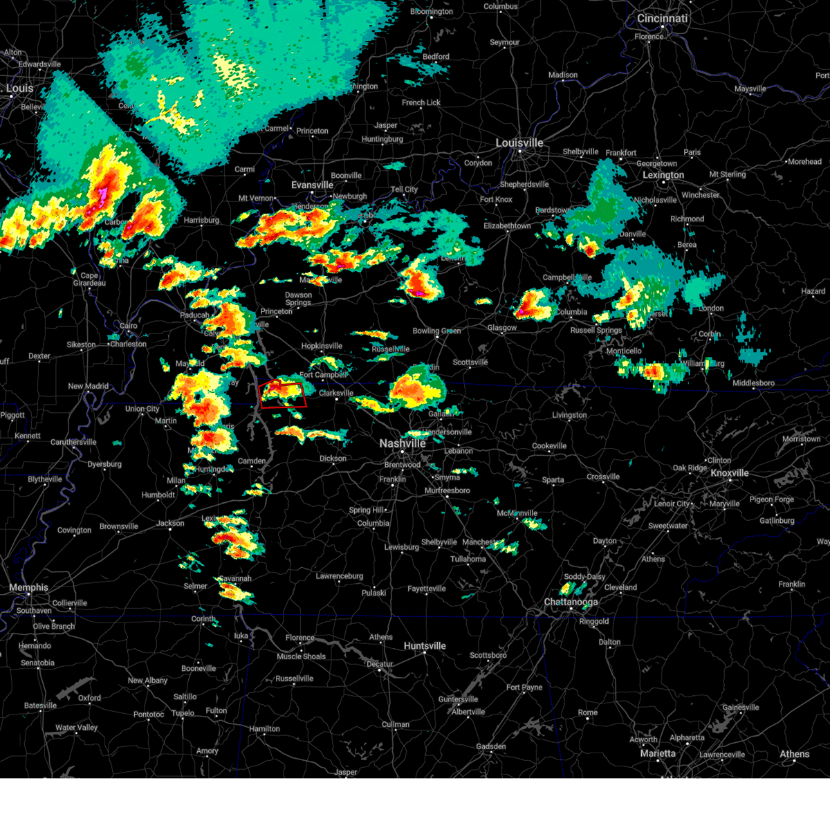
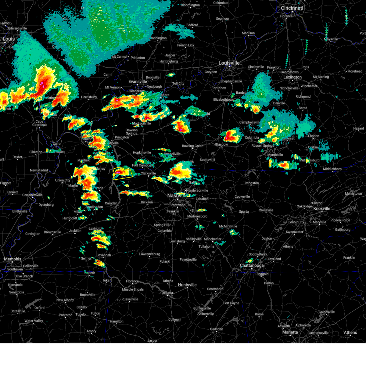
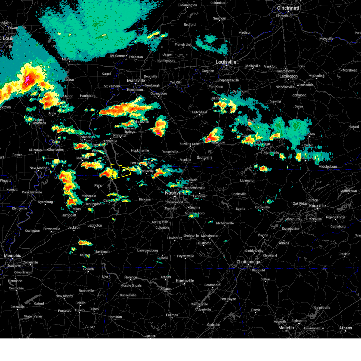
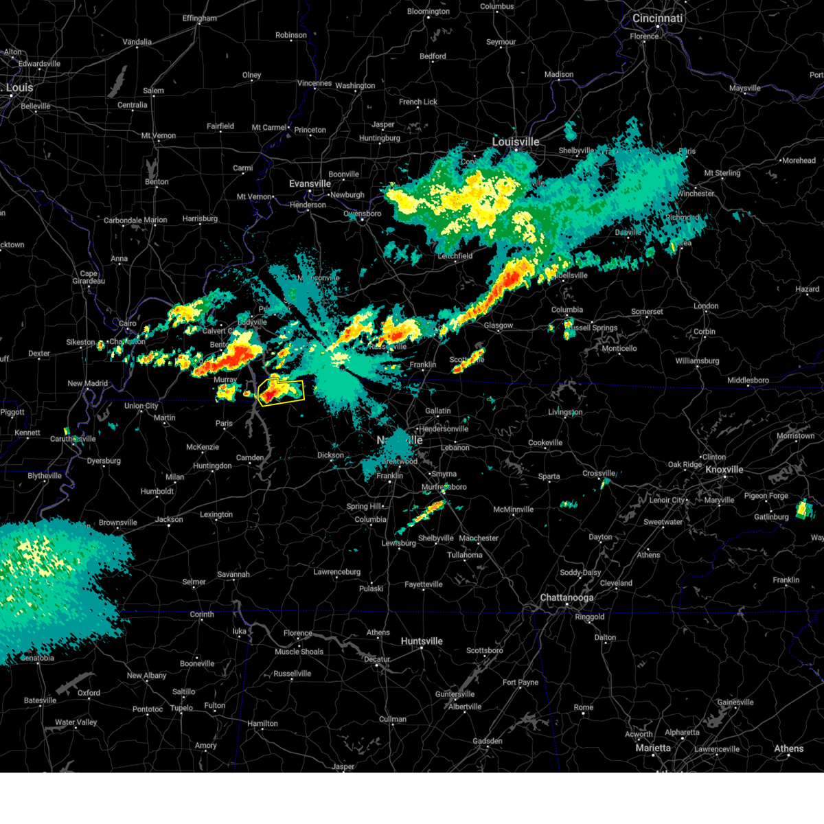
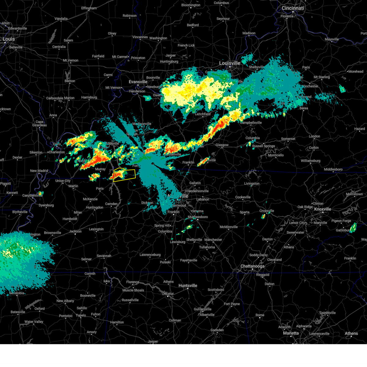
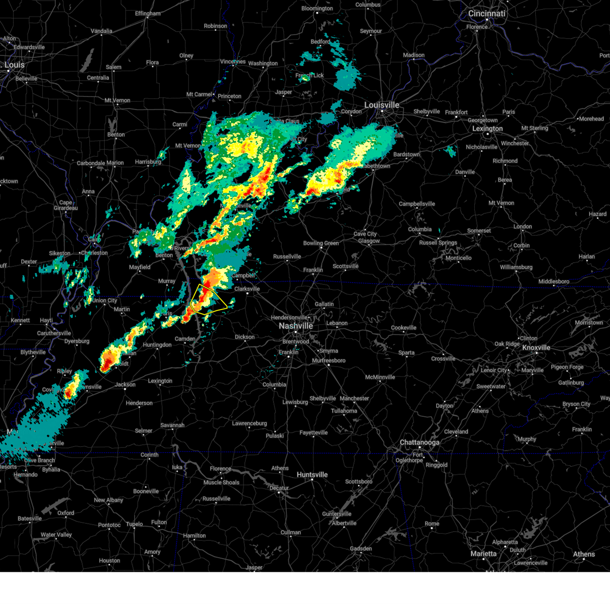
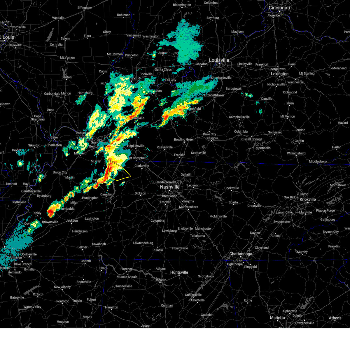
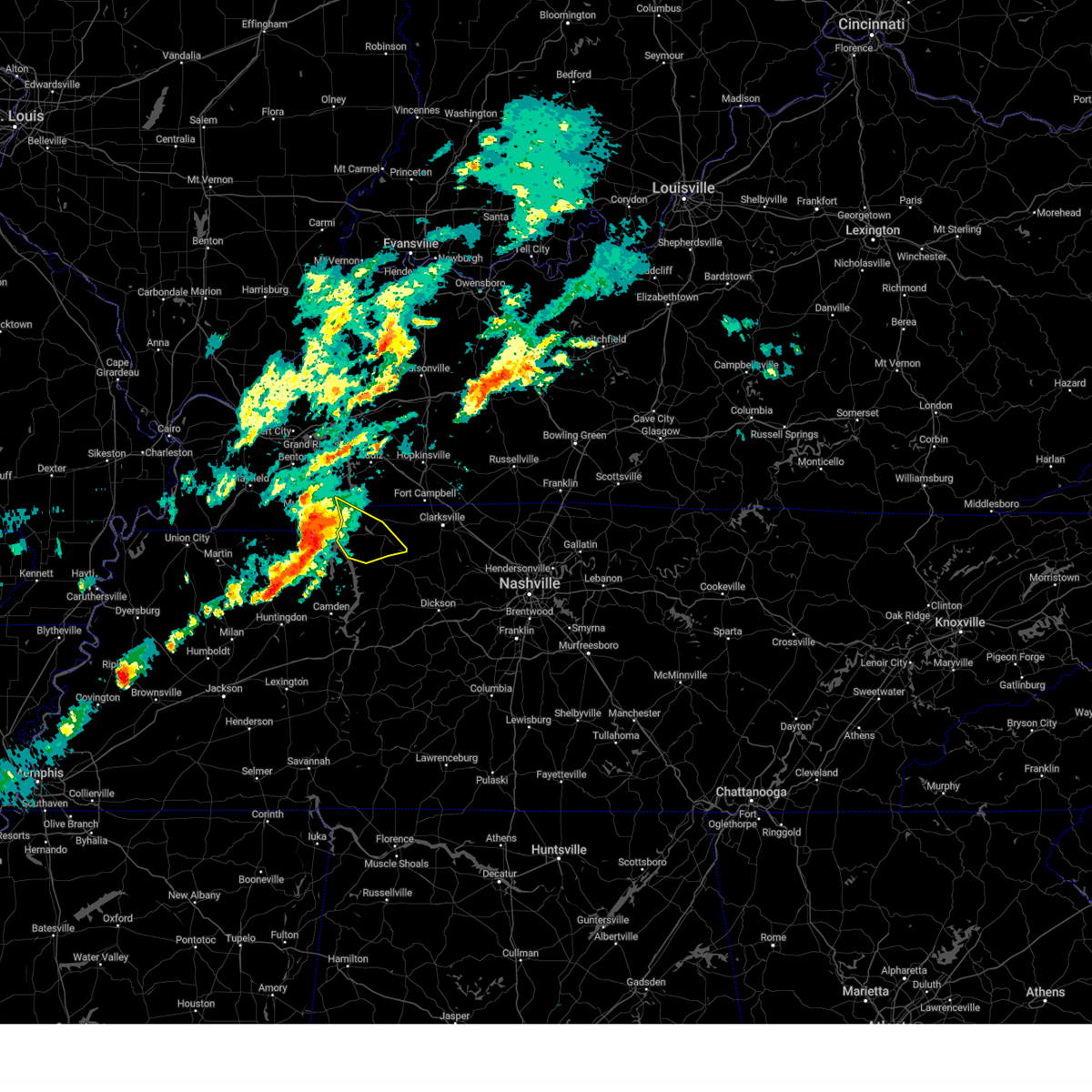
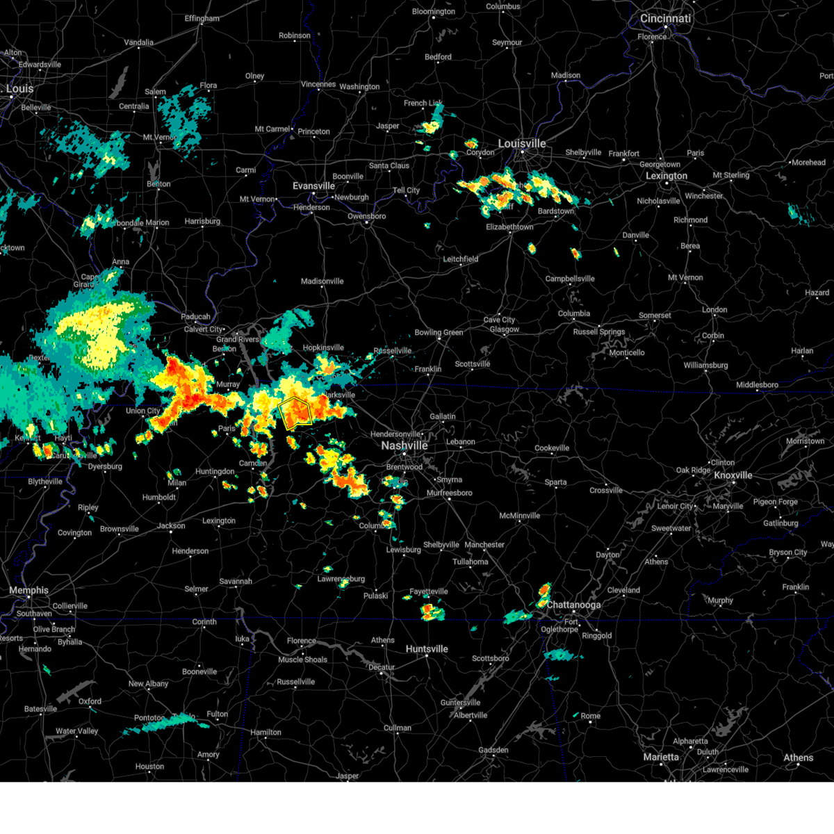
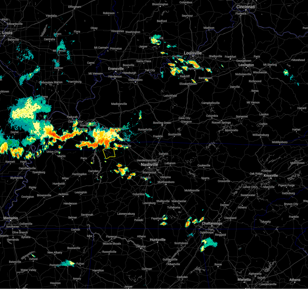
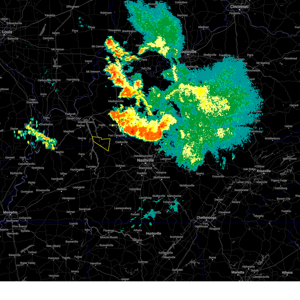
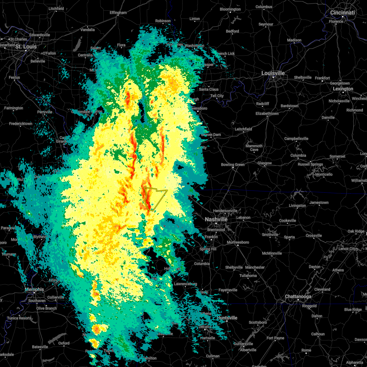
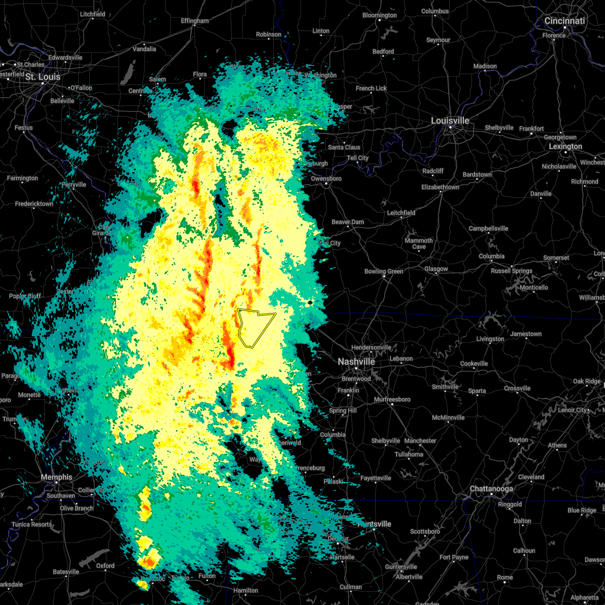
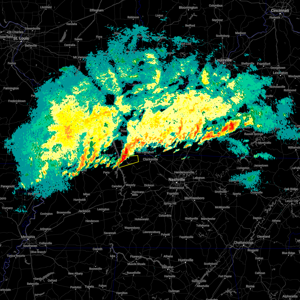
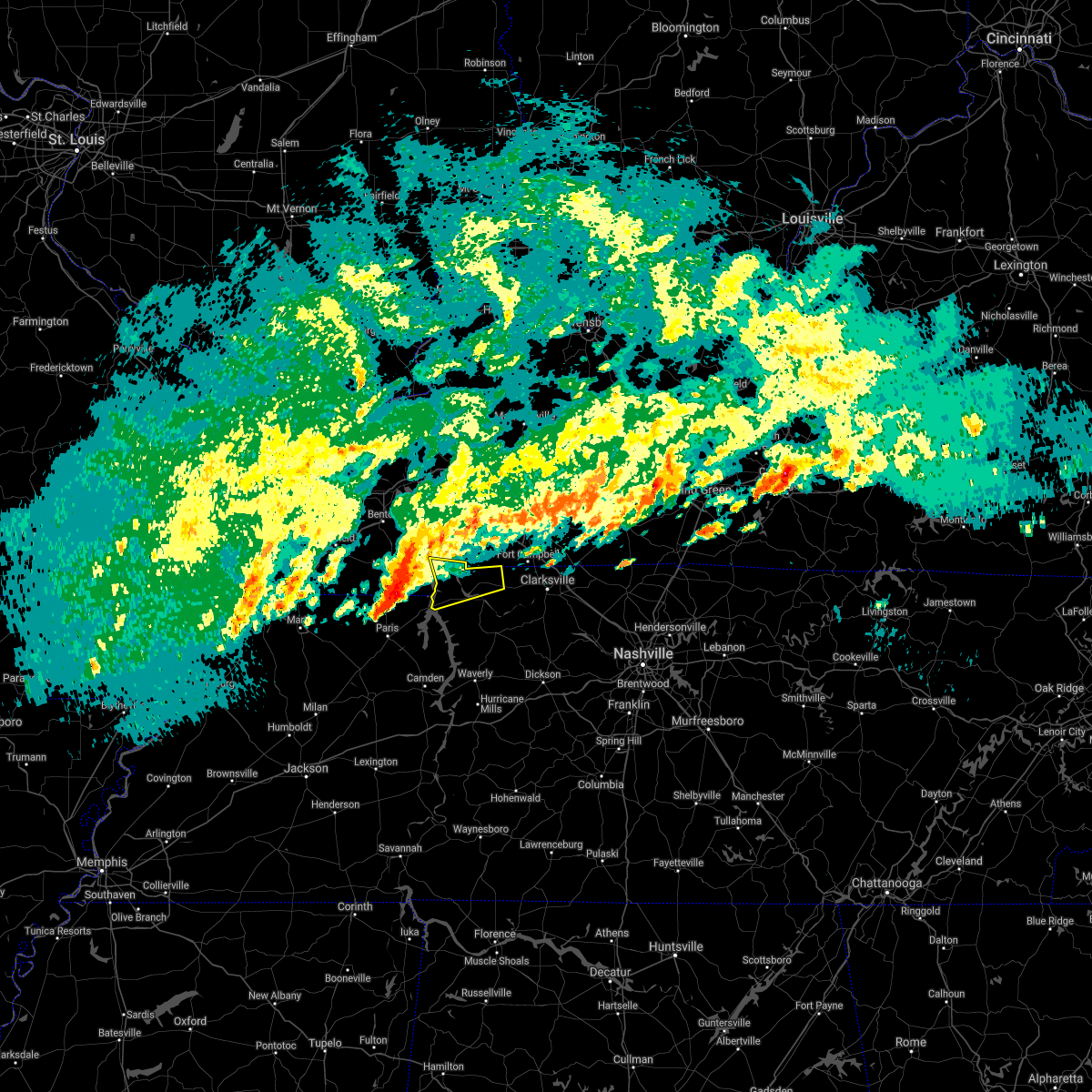
Hail Map for Dover, TN
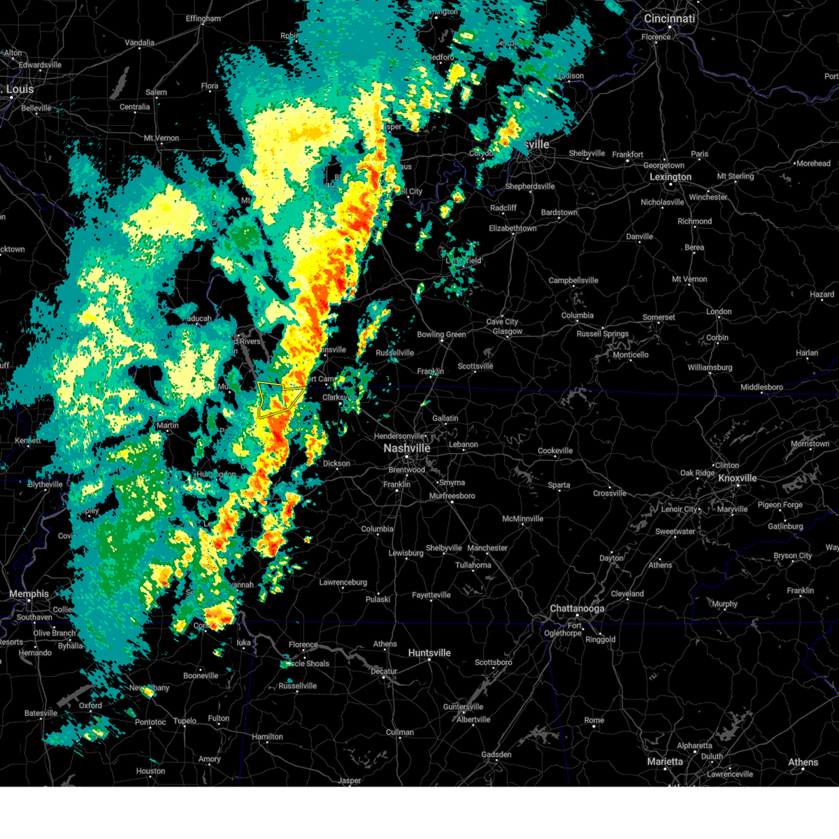
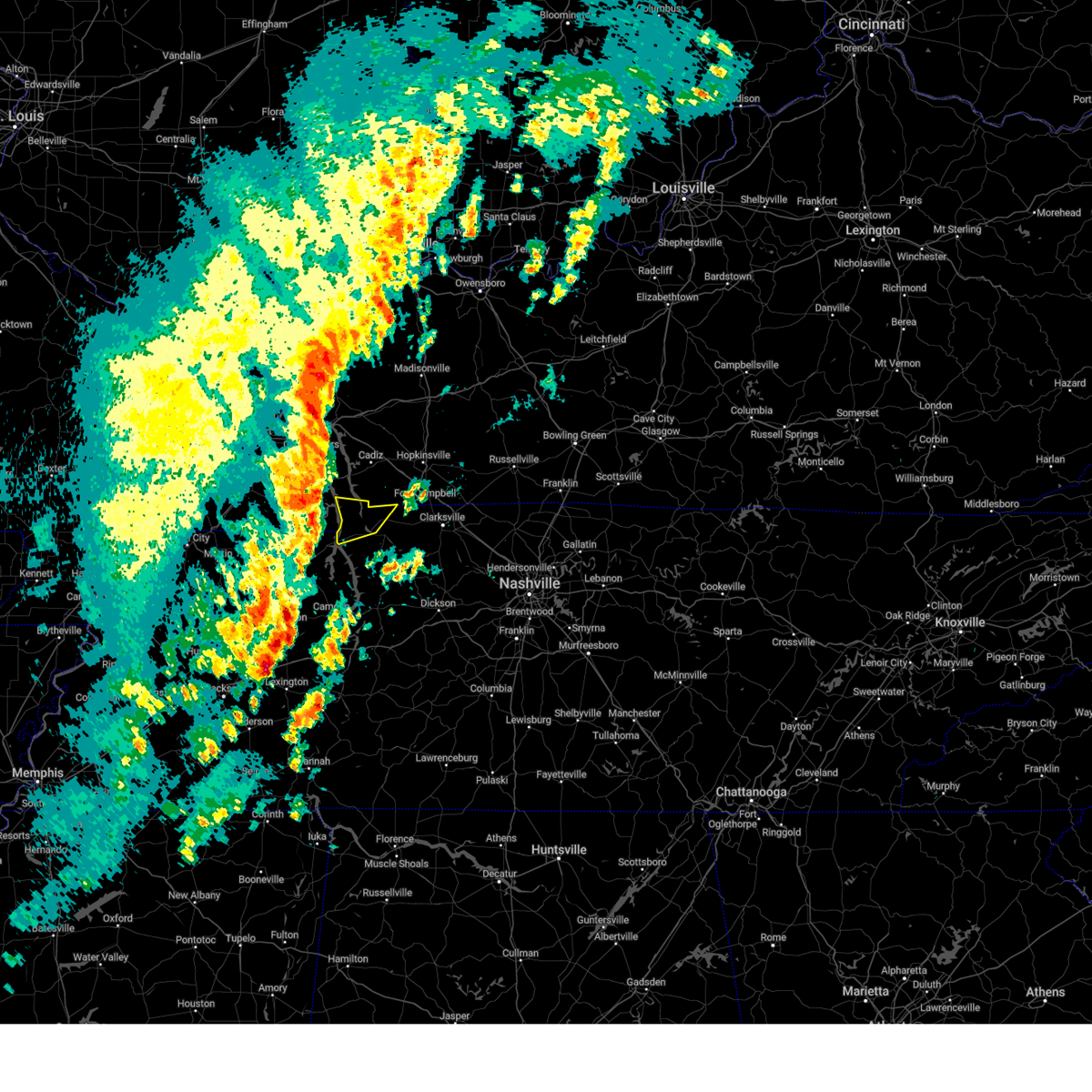
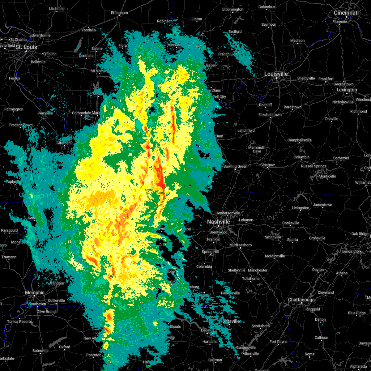
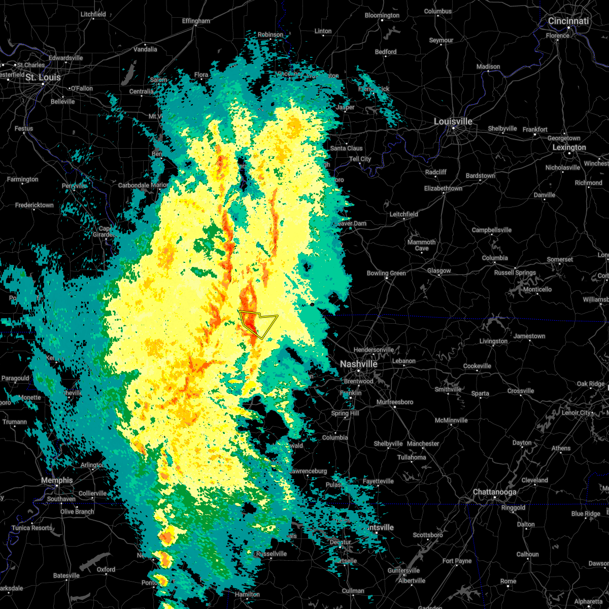
The Dover, TN area has had 8 reports of on-the-ground hail by trained spotters, and has been under severe weather warnings 35 times during the past 12 months. Doppler radar has detected hail at or near Dover, TN on 66 occasions, including 2 occasions during the past year.
| Name: | Dover, TN |
| Where Located: | 44.7 miles ENE of Mc Kenzie, TN |
| Map: | Google Map for Dover, TN |
| Population: | 1417 |
| Housing Units: | 701 |
| More Info: | Search Google for Dover, TN |
3
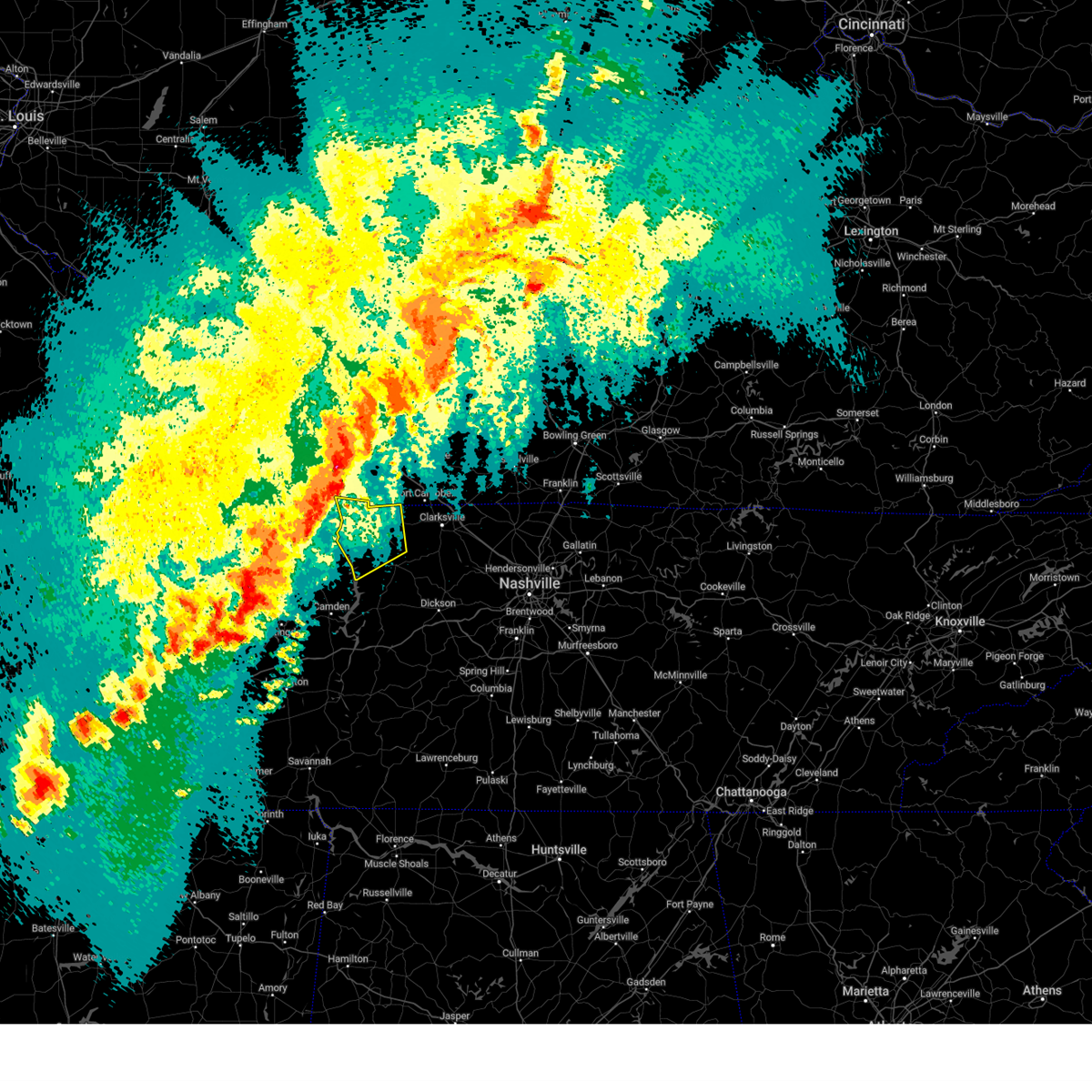
The Top Recent Hail Date for Dover, TN is Saturday, February 15, 2025 (6th out of 66)
Hail and Wind Damage Spotted near Dover, TN
| Date / Time | Report Details |
|---|---|
| 6/6/2025 5:10 PM CDT | At 509 pm cdt, a severe thunderstorm was located 10 miles northeast of erin, moving east at 45 mph (radar indicated). Hazards include 60 mph wind gusts and nickel size hail. Expect damage to roofs, siding, and trees. locations impacted include, clarksville, springfield, ashland city, dover, erin, coopertown, tennessee ridge, pleasant view, adams, vanleer, cedar hill, cumberland city, slayden, cheatham dam, palmyra, woodlawn, indian mound, and cunningham. This includes interstate 24 between mile markers 6 and 29. |
| 6/6/2025 5:01 PM CDT |
 Svrohx the national weather service in nashville has issued a * severe thunderstorm warning for, northern dickson county in middle tennessee, montgomery county in middle tennessee, southern stewart county in middle tennessee, houston county in middle tennessee, northern cheatham county in middle tennessee, western robertson county in middle tennessee, * until 545 pm cdt. * at 501 pm cdt, a severe thunderstorm was located near erin, moving east at 45 mph (radar indicated). Hazards include 60 mph wind gusts and nickel size hail. expect damage to roofs, siding, and trees Svrohx the national weather service in nashville has issued a * severe thunderstorm warning for, northern dickson county in middle tennessee, montgomery county in middle tennessee, southern stewart county in middle tennessee, houston county in middle tennessee, northern cheatham county in middle tennessee, western robertson county in middle tennessee, * until 545 pm cdt. * at 501 pm cdt, a severe thunderstorm was located near erin, moving east at 45 mph (radar indicated). Hazards include 60 mph wind gusts and nickel size hail. expect damage to roofs, siding, and trees
|
| 6/6/2025 2:57 PM CDT |
 the severe thunderstorm warning has been cancelled and is no longer in effect the severe thunderstorm warning has been cancelled and is no longer in effect
|
| 6/6/2025 2:49 PM CDT |
 At 249 pm cdt, a severe thunderstorm was located near tennessee ridge, or 7 miles northwest of erin, moving northeast at 40 mph (radar indicated). Hazards include 60 mph wind gusts and nickel size hail. Expect damage to roofs, siding, and trees. Locations impacted include, dover, erin, tennessee ridge, cumberland city, land between the lakes, and houston county airport. At 249 pm cdt, a severe thunderstorm was located near tennessee ridge, or 7 miles northwest of erin, moving northeast at 40 mph (radar indicated). Hazards include 60 mph wind gusts and nickel size hail. Expect damage to roofs, siding, and trees. Locations impacted include, dover, erin, tennessee ridge, cumberland city, land between the lakes, and houston county airport.
|
| 6/6/2025 2:29 PM CDT |
 Svrohx the national weather service in nashville has issued a * severe thunderstorm warning for, stewart county in middle tennessee, houston county in middle tennessee, northwestern humphreys county in middle tennessee, * until 315 pm cdt. * at 229 pm cdt, a severe thunderstorm was located 7 miles east of springville, or 12 miles north of camden, moving northeast at 35 mph (radar indicated). Hazards include 60 mph wind gusts and nickel size hail. expect damage to roofs, siding, and trees Svrohx the national weather service in nashville has issued a * severe thunderstorm warning for, stewart county in middle tennessee, houston county in middle tennessee, northwestern humphreys county in middle tennessee, * until 315 pm cdt. * at 229 pm cdt, a severe thunderstorm was located 7 miles east of springville, or 12 miles north of camden, moving northeast at 35 mph (radar indicated). Hazards include 60 mph wind gusts and nickel size hail. expect damage to roofs, siding, and trees
|
| 5/20/2025 5:03 PM CDT | At 503 pm cdt, severe thunderstorms were located along a line extending from hopkinsville to big rock to near tennessee ridge, moving east at 45 mph (radar indicated). Hazards include 60 mph wind gusts and quarter size hail. Hail damage to vehicles is expected. expect wind damage to roofs, siding, and trees. Locations impacted include, clarksville, erin, cumberland city, houston county airport, indian mound, palmyra, tennessee ridge, woodlawn, and dover. |
| 5/20/2025 4:56 PM CDT |
 The rotation associated with the storm that prompted the tornado warning has weakened, and no longer appears capable of producing a tornado. therefore the tornado warning will be allowed to expire. a tornado watch remains in effect until 1000 pm cdt for middle tennessee. remember, a severe thunderstorm warning still remains in effect for stewart and montgomery counties. The rotation associated with the storm that prompted the tornado warning has weakened, and no longer appears capable of producing a tornado. therefore the tornado warning will be allowed to expire. a tornado watch remains in effect until 1000 pm cdt for middle tennessee. remember, a severe thunderstorm warning still remains in effect for stewart and montgomery counties.
|
| 5/20/2025 4:46 PM CDT | Trees down in the 2000 block of highway 120 in big rock. time estimate in stewart county TN, 6.2 miles SSW of Dover, TN |
| 5/20/2025 4:40 PM CDT | Trees and powerlines down at highway 79 and onion hill west of dove in stewart county TN, 5.2 miles E of Dover, TN |
| 5/20/2025 4:40 PM CDT | Em reports downed trees and structure damage west of dover. time estimated from rada in stewart county TN, 1.9 miles E of Dover, TN |
| 5/20/2025 4:32 PM CDT |
 Torohx the national weather service in nashville has issued a * tornado warning for, central stewart county in middle tennessee, * until 500 pm cdt. * at 432 pm cdt, a severe thunderstorm capable of producing a tornado was located 7 miles northeast of paris landing state park, moving east at 50 mph (radar indicated rotation). Hazards include tornado and quarter size hail. Flying debris will be dangerous to those caught without shelter. mobile homes will be damaged or destroyed. damage to roofs, windows, and vehicles will occur. Tree damage is likely. Torohx the national weather service in nashville has issued a * tornado warning for, central stewart county in middle tennessee, * until 500 pm cdt. * at 432 pm cdt, a severe thunderstorm capable of producing a tornado was located 7 miles northeast of paris landing state park, moving east at 50 mph (radar indicated rotation). Hazards include tornado and quarter size hail. Flying debris will be dangerous to those caught without shelter. mobile homes will be damaged or destroyed. damage to roofs, windows, and vehicles will occur. Tree damage is likely.
|
| 5/20/2025 4:23 PM CDT | Svrohx the national weather service in nashville has issued a * severe thunderstorm warning for, western montgomery county in middle tennessee, stewart county in middle tennessee, houston county in middle tennessee, * until 530 pm cdt. * at 422 pm cdt, severe thunderstorms were located along a line extending from turkey bay to paris landing state park to routon, moving east at 45 mph (radar indicated). Hazards include 60 mph wind gusts and quarter size hail. Hail damage to vehicles is expected. Expect wind damage to roofs, siding, and trees. |
| 5/16/2025 9:58 PM CDT | Tree down on highway 49 at overlook rd. time estimated based on rada in stewart county TN, 3.8 miles WNW of Dover, TN |
| 5/16/2025 9:55 PM CDT | Svrohx the national weather service in nashville has issued a * severe thunderstorm warning for, northern dickson county in middle tennessee, montgomery county in middle tennessee, stewart county in middle tennessee, houston county in middle tennessee, northern cheatham county in middle tennessee, northeastern humphreys county in middle tennessee, robertson county in middle tennessee, * until 1100 pm cdt. * at 955 pm cdt, severe thunderstorms were located along a line extending from near guthrie to near routon, moving east at 60 mph (radar indicated). Hazards include 60 mph wind gusts and quarter size hail. Hail damage to vehicles is expected. Expect wind damage to roofs, siding, and trees. |
| 5/16/2025 9:30 PM CDT |
 At 930 pm cdt, a severe thunderstorm was located 10 miles southeast of cadiz, moving east at 65 mph (radar indicated). Hazards include 70 mph wind gusts and quarter size hail. Hail damage to vehicles is expected. expect considerable tree damage. wind damage is also likely to mobile homes, roofs, and outbuildings. locations impacted include, clarksville, land between the lakes, indian mound, dover, big rock, and woodlawn. This includes interstate 24 between mile markers 1 and 5. At 930 pm cdt, a severe thunderstorm was located 10 miles southeast of cadiz, moving east at 65 mph (radar indicated). Hazards include 70 mph wind gusts and quarter size hail. Hail damage to vehicles is expected. expect considerable tree damage. wind damage is also likely to mobile homes, roofs, and outbuildings. locations impacted include, clarksville, land between the lakes, indian mound, dover, big rock, and woodlawn. This includes interstate 24 between mile markers 1 and 5.
|
| 5/16/2025 9:04 PM CDT |
 Svrohx the national weather service in nashville has issued a * severe thunderstorm warning for, northwestern montgomery county in middle tennessee, stewart county in middle tennessee, * until 1000 pm cdt. * at 904 pm cdt, a severe thunderstorm was located near murray, moving east at 65 mph (radar indicated). Hazards include 70 mph wind gusts and quarter size hail. Hail damage to vehicles is expected. expect considerable tree damage. Wind damage is also likely to mobile homes, roofs, and outbuildings. Svrohx the national weather service in nashville has issued a * severe thunderstorm warning for, northwestern montgomery county in middle tennessee, stewart county in middle tennessee, * until 1000 pm cdt. * at 904 pm cdt, a severe thunderstorm was located near murray, moving east at 65 mph (radar indicated). Hazards include 70 mph wind gusts and quarter size hail. Hail damage to vehicles is expected. expect considerable tree damage. Wind damage is also likely to mobile homes, roofs, and outbuildings.
|
| 5/8/2025 1:14 PM CDT |
 At 114 pm cdt, a severe thunderstorm was located near springville, or 12 miles south of paris landing state park, moving east at 30 mph (radar indicated). Hazards include two inch hail and 60 mph wind gusts. People and animals outdoors will be injured. expect hail damage to roofs, siding, windows, and vehicles. expect wind damage to roofs, siding, and trees. Locations impacted include, houston county airport, indian mound, dover, tennessee ridge, cumberland city, and erin. At 114 pm cdt, a severe thunderstorm was located near springville, or 12 miles south of paris landing state park, moving east at 30 mph (radar indicated). Hazards include two inch hail and 60 mph wind gusts. People and animals outdoors will be injured. expect hail damage to roofs, siding, windows, and vehicles. expect wind damage to roofs, siding, and trees. Locations impacted include, houston county airport, indian mound, dover, tennessee ridge, cumberland city, and erin.
|
| 5/8/2025 12:55 PM CDT |
 Svrohx the national weather service in nashville has issued a * severe thunderstorm warning for, stewart county in middle tennessee, northwestern houston county in middle tennessee, * until 145 pm cdt. * at 1254 pm cdt, a severe thunderstorm was located over springville, or 7 miles east of paris, moving northeast at 35 mph (radar indicated). Hazards include 60 mph wind gusts and quarter size hail. Hail damage to vehicles is expected. Expect wind damage to roofs, siding, and trees. Svrohx the national weather service in nashville has issued a * severe thunderstorm warning for, stewart county in middle tennessee, northwestern houston county in middle tennessee, * until 145 pm cdt. * at 1254 pm cdt, a severe thunderstorm was located over springville, or 7 miles east of paris, moving northeast at 35 mph (radar indicated). Hazards include 60 mph wind gusts and quarter size hail. Hail damage to vehicles is expected. Expect wind damage to roofs, siding, and trees.
|
| 5/2/2025 11:24 AM CDT | Trees down reported in land between the lake in stewart county TN, 14.2 miles SSE of Dover, TN |
| 4/10/2025 4:27 PM CDT |
 At 427 pm cdt, severe thunderstorms were located along a line extending from near fort campbell to near waverly, moving east at 30 mph (emergency management). Hazards include 60 mph wind gusts. Expect damage to roofs, siding, and trees. locations impacted include, clarksville, charlotte, cumberland city, cheatham dam, mcewen, dover, palmyra, tennessee ridge, big rock, woodlawn, erin, waverly, vanleer, houston county airport, indian mound, slayden, burns, cunningham, dickson, and camden. this includes the following highways, interstate 40 between mile markers 164 and 173. Interstate 24 between mile markers 1 and 16. At 427 pm cdt, severe thunderstorms were located along a line extending from near fort campbell to near waverly, moving east at 30 mph (emergency management). Hazards include 60 mph wind gusts. Expect damage to roofs, siding, and trees. locations impacted include, clarksville, charlotte, cumberland city, cheatham dam, mcewen, dover, palmyra, tennessee ridge, big rock, woodlawn, erin, waverly, vanleer, houston county airport, indian mound, slayden, burns, cunningham, dickson, and camden. this includes the following highways, interstate 40 between mile markers 164 and 173. Interstate 24 between mile markers 1 and 16.
|
| 4/10/2025 4:13 PM CDT | Svrohx the national weather service in nashville has issued a * severe thunderstorm warning for, dickson county in middle tennessee, montgomery county in middle tennessee, stewart county in middle tennessee, houston county in middle tennessee, northwestern cheatham county in middle tennessee, northern humphreys county in middle tennessee, * until 500 pm cdt. * at 413 pm cdt, severe thunderstorms were located along a line extending from 7 miles east of big rock to near waverly, moving east at 30 mph (radar indicated). Hazards include 60 mph wind gusts. expect damage to roofs, siding, and trees |
| 4/10/2025 4:02 PM CDT | Tree and power pole fell on a mobile home. time estimate in stewart county TN, 7.9 miles SSW of Dover, TN |
| 4/2/2025 11:41 PM CDT | At 1140 pm cdt, severe thunderstorms were located along a line extending from oak grove to 7 miles northwest of waverly, moving east at 50 mph (radar indicated). Hazards include 60 mph wind gusts and quarter size hail. Hail damage to vehicles is expected. expect wind damage to roofs, siding, and trees. Locations impacted include, erin, cumberland city, houston county airport, indian mound, dover, tennessee ridge, big rock, woodlawn, clarksville, and camden. |
| 4/2/2025 11:29 PM CDT | The storm which prompted the warning has weakened below severe limits, and no longer appears capable of producing a tornado. therefore, the warning will be allowed to expire. a tornado watch remains in effect until midnight cdt for middle tennessee. |
| 4/2/2025 11:06 PM CDT |
 Torohx the national weather service in nashville has issued a * tornado warning for, stewart county in middle tennessee, northwestern houston county in middle tennessee, * until 1130 pm cdt. * at 1106 pm cdt, a severe thunderstorm capable of producing a tornado was located 8 miles southeast of paris landing state park, moving northeast at 50 mph (radar indicated rotation). Hazards include tornado and quarter size hail. Flying debris will be dangerous to those caught without shelter. mobile homes will be damaged or destroyed. damage to roofs, windows, and vehicles will occur. tree damage is likely. this dangerous storm will be near, dover around 1115 pm cdt. Other locations impacted by this tornadic thunderstorm include houston county airport, indian mound, and cumberland city. Torohx the national weather service in nashville has issued a * tornado warning for, stewart county in middle tennessee, northwestern houston county in middle tennessee, * until 1130 pm cdt. * at 1106 pm cdt, a severe thunderstorm capable of producing a tornado was located 8 miles southeast of paris landing state park, moving northeast at 50 mph (radar indicated rotation). Hazards include tornado and quarter size hail. Flying debris will be dangerous to those caught without shelter. mobile homes will be damaged or destroyed. damage to roofs, windows, and vehicles will occur. tree damage is likely. this dangerous storm will be near, dover around 1115 pm cdt. Other locations impacted by this tornadic thunderstorm include houston county airport, indian mound, and cumberland city.
|
| 4/2/2025 10:55 PM CDT |
 Svrohx the national weather service in nashville has issued a * severe thunderstorm warning for, western montgomery county in middle tennessee, stewart county in middle tennessee, houston county in middle tennessee, northwestern humphreys county in middle tennessee, * until midnight cdt. * at 1055 pm cdt, severe thunderstorms were located along a line extending from 7 miles north of big rock to 6 miles southwest of springville, moving northeast at 50 mph (radar indicated). Hazards include 60 mph wind gusts and quarter size hail. Hail damage to vehicles is expected. Expect wind damage to roofs, siding, and trees. Svrohx the national weather service in nashville has issued a * severe thunderstorm warning for, western montgomery county in middle tennessee, stewart county in middle tennessee, houston county in middle tennessee, northwestern humphreys county in middle tennessee, * until midnight cdt. * at 1055 pm cdt, severe thunderstorms were located along a line extending from 7 miles north of big rock to 6 miles southwest of springville, moving northeast at 50 mph (radar indicated). Hazards include 60 mph wind gusts and quarter size hail. Hail damage to vehicles is expected. Expect wind damage to roofs, siding, and trees.
|
| 4/2/2025 10:23 PM CDT | At 1023 pm cdt, a severe thunderstorm was located 8 miles west of paris landing state park, moving northeast at 65 mph (radar indicated). Hazards include 60 mph wind gusts and quarter size hail. Hail damage to vehicles is expected. expect wind damage to roofs, siding, and trees. Locations impacted include, cumberland city, houston county airport, land between the lakes, indian mound, dover, tennessee ridge, and big rock. |
| 4/2/2025 9:58 PM CDT |
 Svrohx the national weather service in nashville has issued a * severe thunderstorm warning for, stewart county in middle tennessee, northwestern houston county in middle tennessee, * until 1100 pm cdt. * at 957 pm cdt, severe thunderstorms were located along a line extending from near turkey bay to 6 miles northwest of paris landing state park to near mckenzie, moving northeast at 60 mph (radar indicated). Hazards include 60 mph wind gusts and quarter size hail. Hail damage to vehicles is expected. Expect wind damage to roofs, siding, and trees. Svrohx the national weather service in nashville has issued a * severe thunderstorm warning for, stewart county in middle tennessee, northwestern houston county in middle tennessee, * until 1100 pm cdt. * at 957 pm cdt, severe thunderstorms were located along a line extending from near turkey bay to 6 miles northwest of paris landing state park to near mckenzie, moving northeast at 60 mph (radar indicated). Hazards include 60 mph wind gusts and quarter size hail. Hail damage to vehicles is expected. Expect wind damage to roofs, siding, and trees.
|
| 4/2/2025 6:26 PM CDT | Svrohx the national weather service in nashville has issued a * severe thunderstorm warning for, montgomery county in middle tennessee, eastern stewart county in middle tennessee, northern houston county in middle tennessee, * until 730 pm cdt. * at 626 pm cdt, a severe thunderstorm was located near tennessee ridge, or near erin, moving northeast at 45 mph (radar indicated). Hazards include 60 mph wind gusts and quarter size hail. Hail damage to vehicles is expected. Expect wind damage to roofs, siding, and trees. |
| 4/2/2025 6:17 PM CDT | At 617 pm cdt, a severe thunderstorm was located 7 miles southwest of tennessee ridge, or 11 miles west of erin, moving northeast at 50 mph (radar indicated). Hazards include golf ball size hail and 60 mph wind gusts. People and animals outdoors will be injured. expect hail damage to roofs, siding, windows, and vehicles. expect wind damage to roofs, siding, and trees. Locations impacted include, houston county airport, dover, erin, and tennessee ridge. |
| 4/2/2025 5:53 PM CDT |
 Svrohx the national weather service in nashville has issued a * severe thunderstorm warning for, south central stewart county in middle tennessee, houston county in middle tennessee, northwestern humphreys county in middle tennessee, * until 630 pm cdt. * at 553 pm cdt, a severe thunderstorm was located near bruceton, or near camden, moving northeast at 50 mph (radar indicated). Hazards include tennis ball size hail and 60 mph wind gusts. People and animals outdoors will be injured. expect hail damage to roofs, siding, windows, and vehicles. Expect wind damage to roofs, siding, and trees. Svrohx the national weather service in nashville has issued a * severe thunderstorm warning for, south central stewart county in middle tennessee, houston county in middle tennessee, northwestern humphreys county in middle tennessee, * until 630 pm cdt. * at 553 pm cdt, a severe thunderstorm was located near bruceton, or near camden, moving northeast at 50 mph (radar indicated). Hazards include tennis ball size hail and 60 mph wind gusts. People and animals outdoors will be injured. expect hail damage to roofs, siding, windows, and vehicles. Expect wind damage to roofs, siding, and trees.
|
| 3/30/2025 9:34 PM CDT |
 the tornado warning has been cancelled and is no longer in effect the tornado warning has been cancelled and is no longer in effect
|
| 3/30/2025 9:32 PM CDT |
 At 932 pm cdt, severe thunderstorms were located along a line extending from near fort campbell to near erin, moving east at 50 mph (radar indicated). Hazards include 60 mph wind gusts and penny size hail. Expect damage to roofs, siding, and trees. Locations impacted include, indian mound, dover, big rock, cumberland city, woodlawn, and clarksville. At 932 pm cdt, severe thunderstorms were located along a line extending from near fort campbell to near erin, moving east at 50 mph (radar indicated). Hazards include 60 mph wind gusts and penny size hail. Expect damage to roofs, siding, and trees. Locations impacted include, indian mound, dover, big rock, cumberland city, woodlawn, and clarksville.
|
| 3/30/2025 9:31 PM CDT |
 At 930 pm cdt, a severe thunderstorm capable of producing a tornado was located 9 miles southeast of big rock, or 9 miles east of dover, moving east at 45 mph (radar indicated rotation). Hazards include tornado. Flying debris will be dangerous to those caught without shelter. mobile homes will be damaged or destroyed. damage to roofs, windows, and vehicles will occur. tree damage is likely. Locations impacted include, indian mound, big rock, cumberland city, and dover. At 930 pm cdt, a severe thunderstorm capable of producing a tornado was located 9 miles southeast of big rock, or 9 miles east of dover, moving east at 45 mph (radar indicated rotation). Hazards include tornado. Flying debris will be dangerous to those caught without shelter. mobile homes will be damaged or destroyed. damage to roofs, windows, and vehicles will occur. tree damage is likely. Locations impacted include, indian mound, big rock, cumberland city, and dover.
|
| 3/30/2025 9:20 PM CDT |
 At 920 pm cdt, severe thunderstorms were located along a line extending from 8 miles east of big rock to near tennessee ridge, moving east at 50 mph (radar indicated). Hazards include 70 mph wind gusts and penny size hail. Expect considerable tree damage. damage is likely to mobile homes, roofs, and outbuildings. Locations impacted include, cumberland city, land between the lakes, indian mound, dover, big rock, woodlawn, and clarksville. At 920 pm cdt, severe thunderstorms were located along a line extending from 8 miles east of big rock to near tennessee ridge, moving east at 50 mph (radar indicated). Hazards include 70 mph wind gusts and penny size hail. Expect considerable tree damage. damage is likely to mobile homes, roofs, and outbuildings. Locations impacted include, cumberland city, land between the lakes, indian mound, dover, big rock, woodlawn, and clarksville.
|
| 3/30/2025 9:16 PM CDT |
 At 916 pm cdt, a severe thunderstorm capable of producing a tornado was located over dover, moving east at 45 mph (radar indicated rotation). Hazards include tornado. Flying debris will be dangerous to those caught without shelter. mobile homes will be damaged or destroyed. damage to roofs, windows, and vehicles will occur. tree damage is likely. This tornadic thunderstorm will remain over mainly rural areas of southeastern stewart county, including the following locations, indian mound and cumberland city. At 916 pm cdt, a severe thunderstorm capable of producing a tornado was located over dover, moving east at 45 mph (radar indicated rotation). Hazards include tornado. Flying debris will be dangerous to those caught without shelter. mobile homes will be damaged or destroyed. damage to roofs, windows, and vehicles will occur. tree damage is likely. This tornadic thunderstorm will remain over mainly rural areas of southeastern stewart county, including the following locations, indian mound and cumberland city.
|
| 3/30/2025 9:07 PM CDT |
 Torohx the national weather service in nashville has issued a * tornado warning for, central stewart county in middle tennessee, * until 945 pm cdt. * at 906 pm cdt, a severe thunderstorm capable of producing a tornado was located near dover, moving east at 45 mph (radar indicated rotation). Hazards include tornado. Flying debris will be dangerous to those caught without shelter. mobile homes will be damaged or destroyed. damage to roofs, windows, and vehicles will occur. tree damage is likely. this dangerous storm will be near, dover around 910 pm cdt. Other locations impacted by this tornadic thunderstorm include indian mound and cumberland city. Torohx the national weather service in nashville has issued a * tornado warning for, central stewart county in middle tennessee, * until 945 pm cdt. * at 906 pm cdt, a severe thunderstorm capable of producing a tornado was located near dover, moving east at 45 mph (radar indicated rotation). Hazards include tornado. Flying debris will be dangerous to those caught without shelter. mobile homes will be damaged or destroyed. damage to roofs, windows, and vehicles will occur. tree damage is likely. this dangerous storm will be near, dover around 910 pm cdt. Other locations impacted by this tornadic thunderstorm include indian mound and cumberland city.
|
| 3/30/2025 9:03 PM CDT |
 At 902 pm cdt, severe thunderstorms were located along a line extending from 8 miles southeast of wranglers campground to 6 miles southeast of paris landing state park, moving east at 50 mph (radar indicated). Hazards include 70 mph wind gusts and penny size hail. Expect considerable tree damage. damage is likely to mobile homes, roofs, and outbuildings. Locations impacted include, cumberland city, land between the lakes, indian mound, dover, big rock, woodlawn, and clarksville. At 902 pm cdt, severe thunderstorms were located along a line extending from 8 miles southeast of wranglers campground to 6 miles southeast of paris landing state park, moving east at 50 mph (radar indicated). Hazards include 70 mph wind gusts and penny size hail. Expect considerable tree damage. damage is likely to mobile homes, roofs, and outbuildings. Locations impacted include, cumberland city, land between the lakes, indian mound, dover, big rock, woodlawn, and clarksville.
|
| 3/30/2025 8:40 PM CDT | Svrohx the national weather service in nashville has issued a * severe thunderstorm warning for, western montgomery county in middle tennessee, stewart county in middle tennessee, * until 945 pm cdt. * at 840 pm cdt, severe thunderstorms were located along a line extending from near birmingham ferry recreation area to 8 miles southwest of turkey bay to 8 miles north of paris, moving east at 50 mph (radar indicated). Hazards include 60 mph wind gusts and penny size hail. expect damage to roofs, siding, and trees |
| 2/15/2025 8:25 PM CST | Quarter sized hail reported 7.5 miles SW of Dover, TN, photo from facebook. |
| 2/15/2025 8:15 PM CST |
 At 815 pm cst, a severe thunderstorm was located near dover, moving east at 40 mph (radar indicated). Hazards include ping pong ball size hail and 60 mph wind gusts. People and animals outdoors will be injured. expect hail damage to roofs, siding, windows, and vehicles. expect wind damage to roofs, siding, and trees. Locations impacted include, dover, big rock, cumberland city, land between the lakes, and indian mound. At 815 pm cst, a severe thunderstorm was located near dover, moving east at 40 mph (radar indicated). Hazards include ping pong ball size hail and 60 mph wind gusts. People and animals outdoors will be injured. expect hail damage to roofs, siding, windows, and vehicles. expect wind damage to roofs, siding, and trees. Locations impacted include, dover, big rock, cumberland city, land between the lakes, and indian mound.
|
| 2/15/2025 7:53 PM CST |
 Svrohx the national weather service in nashville has issued a * severe thunderstorm warning for, stewart county in middle tennessee, * until 845 pm cst. * at 753 pm cst, a severe thunderstorm was located near springville, or 7 miles northeast of paris, moving northeast at 50 mph (radar indicated). Hazards include 60 mph wind gusts and quarter size hail. Hail damage to vehicles is expected. Expect wind damage to roofs, siding, and trees. Svrohx the national weather service in nashville has issued a * severe thunderstorm warning for, stewart county in middle tennessee, * until 845 pm cst. * at 753 pm cst, a severe thunderstorm was located near springville, or 7 miles northeast of paris, moving northeast at 50 mph (radar indicated). Hazards include 60 mph wind gusts and quarter size hail. Hail damage to vehicles is expected. Expect wind damage to roofs, siding, and trees.
|
| 5/26/2024 10:40 PM CDT |
 At 1040 pm cdt, severe thunderstorms were located along a line extending from adairville, kentucky to near clarksville to near paris landing state park, moving southeast at 40 mph (radar indicated). Hazards include 60 mph wind gusts and quarter size hail. Hail damage to vehicles is expected. expect wind damage to roofs, siding, and trees. locations impacted include, clarksville, springfield, dover, erin, white house, millersville, greenbrier, coopertown, ridgetop, cross plains, tennessee ridge, big rock, pleasant view, orlinda, adams, cedar hill, cumberland city, palmyra, woodlawn, and land between the lakes. this includes the following highways, interstate 65 between mile markers 105 and 121. Interstate 24 between mile markers 1 and 26. At 1040 pm cdt, severe thunderstorms were located along a line extending from adairville, kentucky to near clarksville to near paris landing state park, moving southeast at 40 mph (radar indicated). Hazards include 60 mph wind gusts and quarter size hail. Hail damage to vehicles is expected. expect wind damage to roofs, siding, and trees. locations impacted include, clarksville, springfield, dover, erin, white house, millersville, greenbrier, coopertown, ridgetop, cross plains, tennessee ridge, big rock, pleasant view, orlinda, adams, cedar hill, cumberland city, palmyra, woodlawn, and land between the lakes. this includes the following highways, interstate 65 between mile markers 105 and 121. Interstate 24 between mile markers 1 and 26.
|
| 5/26/2024 10:00 PM CDT |
 Svrohx the national weather service in nashville has issued a * severe thunderstorm warning for, montgomery county in middle tennessee, stewart county in middle tennessee, northern houston county in middle tennessee, northwestern cheatham county in middle tennessee, robertson county in middle tennessee, * until 1100 pm cdt. * at 959 pm cdt, severe thunderstorms were located along a line extending from lewisburg, kentucky to near the land between the lakes, moving southeast at 40 mph (radar indicated). Hazards include 60 mph wind gusts and quarter size hail. Hail damage to vehicles is expected. Expect wind damage to roofs, siding, and trees. Svrohx the national weather service in nashville has issued a * severe thunderstorm warning for, montgomery county in middle tennessee, stewart county in middle tennessee, northern houston county in middle tennessee, northwestern cheatham county in middle tennessee, robertson county in middle tennessee, * until 1100 pm cdt. * at 959 pm cdt, severe thunderstorms were located along a line extending from lewisburg, kentucky to near the land between the lakes, moving southeast at 40 mph (radar indicated). Hazards include 60 mph wind gusts and quarter size hail. Hail damage to vehicles is expected. Expect wind damage to roofs, siding, and trees.
|
| 5/26/2024 9:41 AM CDT |
 At 941 am cdt, severe thunderstorms were located along a line extending from near big rock to erin, moving east at 60 mph (radar indicated). Hazards include 70 mph wind gusts and nickel size hail. Expect considerable tree damage. damage is likely to mobile homes, roofs, and outbuildings. Locations impacted include, dover, erin, clarksville, tennessee ridge, big rock, cumberland city, slayden, indian mound, palmyra, cunningham, and woodlawn. At 941 am cdt, severe thunderstorms were located along a line extending from near big rock to erin, moving east at 60 mph (radar indicated). Hazards include 70 mph wind gusts and nickel size hail. Expect considerable tree damage. damage is likely to mobile homes, roofs, and outbuildings. Locations impacted include, dover, erin, clarksville, tennessee ridge, big rock, cumberland city, slayden, indian mound, palmyra, cunningham, and woodlawn.
|
| 5/26/2024 9:34 AM CDT |
 the severe thunderstorm warning has been cancelled and is no longer in effect the severe thunderstorm warning has been cancelled and is no longer in effect
|
| 5/26/2024 9:34 AM CDT |
 At 933 am cdt, severe thunderstorms were located along a line extending from 8 miles east of big rock to near tennessee ridge, moving east at 70 mph (radar indicated). Hazards include 70 mph wind gusts and nickel size hail. Expect considerable tree damage. damage is likely to mobile homes, roofs, and outbuildings. Locations impacted include, dover, erin, clarksville, tennessee ridge, big rock, cumberland city, slayden, palmyra, woodlawn, land between the lakes, houston county airport, indian mound, and cunningham. At 933 am cdt, severe thunderstorms were located along a line extending from 8 miles east of big rock to near tennessee ridge, moving east at 70 mph (radar indicated). Hazards include 70 mph wind gusts and nickel size hail. Expect considerable tree damage. damage is likely to mobile homes, roofs, and outbuildings. Locations impacted include, dover, erin, clarksville, tennessee ridge, big rock, cumberland city, slayden, palmyra, woodlawn, land between the lakes, houston county airport, indian mound, and cunningham.
|
| 5/26/2024 9:22 AM CDT |
 At 921 am cdt, severe thunderstorms were located along a line extending from near dover to near springville, moving east at 60 mph (radar indicated). Hazards include 70 mph wind gusts and nickel size hail. Expect considerable tree damage. damage is likely to mobile homes, roofs, and outbuildings. Locations impacted include, clarksville, dover, erin, mcewen, tennessee ridge, big rock, vanleer, cumberland city, slayden, palmyra, woodlawn, land between the lakes, houston county airport, indian mound, and cunningham. At 921 am cdt, severe thunderstorms were located along a line extending from near dover to near springville, moving east at 60 mph (radar indicated). Hazards include 70 mph wind gusts and nickel size hail. Expect considerable tree damage. damage is likely to mobile homes, roofs, and outbuildings. Locations impacted include, clarksville, dover, erin, mcewen, tennessee ridge, big rock, vanleer, cumberland city, slayden, palmyra, woodlawn, land between the lakes, houston county airport, indian mound, and cunningham.
|
| 5/26/2024 9:10 AM CDT |
 Svrohx the national weather service in nashville has issued a * severe thunderstorm warning for, northwestern dickson county in middle tennessee, western montgomery county in middle tennessee, stewart county in middle tennessee, houston county in middle tennessee, northeastern humphreys county in middle tennessee, * until 1000 am cdt. * at 910 am cdt, severe thunderstorms were located along a line extending from near paris landing state park to near paris, moving east at 65 mph (radar indicated). Hazards include 60 mph wind gusts and nickel size hail. expect damage to roofs, siding, and trees Svrohx the national weather service in nashville has issued a * severe thunderstorm warning for, northwestern dickson county in middle tennessee, western montgomery county in middle tennessee, stewart county in middle tennessee, houston county in middle tennessee, northeastern humphreys county in middle tennessee, * until 1000 am cdt. * at 910 am cdt, severe thunderstorms were located along a line extending from near paris landing state park to near paris, moving east at 65 mph (radar indicated). Hazards include 60 mph wind gusts and nickel size hail. expect damage to roofs, siding, and trees
|
| 5/26/2024 8:54 AM CDT | Emergency management reported trees down and power outages on north end of stewart count in stewart county TN, 8.7 miles S of Dover, TN |
| 5/26/2024 8:51 AM CDT |
 At 851 am cdt, severe thunderstorms were located along a line extending from canton to 9 miles north of paris landing state park to 6 miles northeast of cottage grove, moving east at 50 mph (radar indicated). Hazards include 70 mph wind gusts and nickel size hail. Expect considerable tree damage. damage is likely to mobile homes, roofs, and outbuildings. Locations impacted include, dover, big rock, land between the lakes, and indian mound. At 851 am cdt, severe thunderstorms were located along a line extending from canton to 9 miles north of paris landing state park to 6 miles northeast of cottage grove, moving east at 50 mph (radar indicated). Hazards include 70 mph wind gusts and nickel size hail. Expect considerable tree damage. damage is likely to mobile homes, roofs, and outbuildings. Locations impacted include, dover, big rock, land between the lakes, and indian mound.
|
| 5/26/2024 8:48 AM CDT | Sportter reported trees and power lines down between mile markers 2-5 on the woodland trace scenic byway in land between the lake in stewart county TN, 8.8 miles SE of Dover, TN |
| 5/26/2024 8:45 AM CDT |
 Svrohx the national weather service in nashville has issued a * severe thunderstorm warning for, northwestern montgomery county in middle tennessee, stewart county in middle tennessee, * until 930 am cdt. * at 845 am cdt, severe thunderstorms were located along a line extending from golden pond visitors center to 7 miles southeast of murray to near cottage grove, moving east at 50 mph (radar indicated). Hazards include 60 mph wind gusts and nickel size hail. expect damage to roofs, siding, and trees Svrohx the national weather service in nashville has issued a * severe thunderstorm warning for, northwestern montgomery county in middle tennessee, stewart county in middle tennessee, * until 930 am cdt. * at 845 am cdt, severe thunderstorms were located along a line extending from golden pond visitors center to 7 miles southeast of murray to near cottage grove, moving east at 50 mph (radar indicated). Hazards include 60 mph wind gusts and nickel size hail. expect damage to roofs, siding, and trees
|
| 5/14/2024 5:09 PM CDT |
 the severe thunderstorm warning has been cancelled and is no longer in effect the severe thunderstorm warning has been cancelled and is no longer in effect
|
| 5/14/2024 4:48 PM CDT |
 Svrohx the national weather service in nashville has issued a * severe thunderstorm warning for, northwestern montgomery county in middle tennessee, central stewart county in middle tennessee, * until 530 pm cdt. * at 448 pm cdt, a severe thunderstorm was located near dover, moving northeast at 20 mph (radar indicated). Hazards include 60 mph wind gusts and quarter size hail. Hail damage to vehicles is expected. Expect wind damage to roofs, siding, and trees. Svrohx the national weather service in nashville has issued a * severe thunderstorm warning for, northwestern montgomery county in middle tennessee, central stewart county in middle tennessee, * until 530 pm cdt. * at 448 pm cdt, a severe thunderstorm was located near dover, moving northeast at 20 mph (radar indicated). Hazards include 60 mph wind gusts and quarter size hail. Hail damage to vehicles is expected. Expect wind damage to roofs, siding, and trees.
|
| 5/8/2024 3:54 PM CDT |
 Svrohx the national weather service in nashville has issued a * severe thunderstorm warning for, southern stewart county in middle tennessee, northern houston county in middle tennessee, * until 445 pm cdt. * at 353 pm cdt, a severe thunderstorm was located near springville, or 10 miles south of paris landing state park, moving northeast at 35 mph (radar indicated). Hazards include 60 mph wind gusts and quarter size hail. Hail damage to vehicles is expected. Expect wind damage to roofs, siding, and trees. Svrohx the national weather service in nashville has issued a * severe thunderstorm warning for, southern stewart county in middle tennessee, northern houston county in middle tennessee, * until 445 pm cdt. * at 353 pm cdt, a severe thunderstorm was located near springville, or 10 miles south of paris landing state park, moving northeast at 35 mph (radar indicated). Hazards include 60 mph wind gusts and quarter size hail. Hail damage to vehicles is expected. Expect wind damage to roofs, siding, and trees.
|
| 5/8/2024 3:30 PM CDT | Tea Cup sized hail reported 8.8 miles S of Dover, TN |
| 5/8/2024 3:24 PM CDT |
 At 324 pm cdt, a severe thunderstorm capable of producing a tornado was located 5 miles northwest of dover, moving east at 30 mph (radar indicated rotation). Hazards include tornado and golf ball size hail. Flying debris will be dangerous to those caught without shelter. mobile homes will be damaged or destroyed. damage to roofs, windows, and vehicles will occur. tree damage is likely. this dangerous storm will be near, big rock around 330 pm cdt. Other locations impacted by this tornadic thunderstorm include land between the lakes and indian mound. At 324 pm cdt, a severe thunderstorm capable of producing a tornado was located 5 miles northwest of dover, moving east at 30 mph (radar indicated rotation). Hazards include tornado and golf ball size hail. Flying debris will be dangerous to those caught without shelter. mobile homes will be damaged or destroyed. damage to roofs, windows, and vehicles will occur. tree damage is likely. this dangerous storm will be near, big rock around 330 pm cdt. Other locations impacted by this tornadic thunderstorm include land between the lakes and indian mound.
|
| 5/8/2024 3:22 PM CDT | Quarter sized hail reported 8.7 miles S of Dover, TN |
| 5/8/2024 3:13 PM CDT |
 Torohx the national weather service in nashville has issued a * tornado warning for, northern stewart county in middle tennessee, * until 400 pm cdt. * at 312 pm cdt, a severe thunderstorm capable of producing a tornado was located 7 miles northwest of dover, or over the land between the lakes, moving east at 30 mph (radar indicated rotation). Hazards include tornado and golf ball size hail. Flying debris will be dangerous to those caught without shelter. mobile homes will be damaged or destroyed. damage to roofs, windows, and vehicles will occur. tree damage is likely. this dangerous storm will be near, big rock around 330 pm cdt. Other locations impacted by this tornadic thunderstorm include land between the lakes and indian mound. Torohx the national weather service in nashville has issued a * tornado warning for, northern stewart county in middle tennessee, * until 400 pm cdt. * at 312 pm cdt, a severe thunderstorm capable of producing a tornado was located 7 miles northwest of dover, or over the land between the lakes, moving east at 30 mph (radar indicated rotation). Hazards include tornado and golf ball size hail. Flying debris will be dangerous to those caught without shelter. mobile homes will be damaged or destroyed. damage to roofs, windows, and vehicles will occur. tree damage is likely. this dangerous storm will be near, big rock around 330 pm cdt. Other locations impacted by this tornadic thunderstorm include land between the lakes and indian mound.
|
| 5/8/2024 3:11 PM CDT |
 At 311 pm cdt, a severe thunderstorm was located 8 miles northwest of dover, moving east at 30 mph (radar indicated). Hazards include golf ball size hail and 60 mph wind gusts. People and animals outdoors will be injured. expect hail damage to roofs, siding, windows, and vehicles. expect wind damage to roofs, siding, and trees. Locations impacted include, big rock and land between the lakes. At 311 pm cdt, a severe thunderstorm was located 8 miles northwest of dover, moving east at 30 mph (radar indicated). Hazards include golf ball size hail and 60 mph wind gusts. People and animals outdoors will be injured. expect hail damage to roofs, siding, windows, and vehicles. expect wind damage to roofs, siding, and trees. Locations impacted include, big rock and land between the lakes.
|
| 5/8/2024 2:41 PM CDT |
 Svrohx the national weather service in nashville has issued a * severe thunderstorm warning for, northern stewart county in middle tennessee, * until 330 pm cdt. * at 240 pm cdt, a severe thunderstorm was located 8 miles northwest of paris landing state park, moving east at 35 mph (radar indicated). Hazards include 60 mph wind gusts and quarter size hail. Hail damage to vehicles is expected. Expect wind damage to roofs, siding, and trees. Svrohx the national weather service in nashville has issued a * severe thunderstorm warning for, northern stewart county in middle tennessee, * until 330 pm cdt. * at 240 pm cdt, a severe thunderstorm was located 8 miles northwest of paris landing state park, moving east at 35 mph (radar indicated). Hazards include 60 mph wind gusts and quarter size hail. Hail damage to vehicles is expected. Expect wind damage to roofs, siding, and trees.
|
| 5/8/2024 4:05 AM CDT |
 At 405 am cdt, a severe thunderstorm was located 7 miles northwest of dover, moving east at 35 mph (radar indicated). Hazards include ping pong ball size hail and 60 mph wind gusts. People and animals outdoors will be injured. expect hail damage to roofs, siding, windows, and vehicles. expect wind damage to roofs, siding, and trees. Locations impacted include, dover, big rock, land between the lakes, and indian mound. At 405 am cdt, a severe thunderstorm was located 7 miles northwest of dover, moving east at 35 mph (radar indicated). Hazards include ping pong ball size hail and 60 mph wind gusts. People and animals outdoors will be injured. expect hail damage to roofs, siding, windows, and vehicles. expect wind damage to roofs, siding, and trees. Locations impacted include, dover, big rock, land between the lakes, and indian mound.
|
| 5/8/2024 3:58 AM CDT |
 Svrohx the national weather service in nashville has issued a * severe thunderstorm warning for, northern stewart county in middle tennessee, * until 445 am cdt. * at 358 am cdt, a severe thunderstorm was located 7 miles northeast of paris landing state park, moving east at 30 mph (radar indicated). Hazards include 60 mph wind gusts and quarter size hail. Hail damage to vehicles is expected. Expect wind damage to roofs, siding, and trees. Svrohx the national weather service in nashville has issued a * severe thunderstorm warning for, northern stewart county in middle tennessee, * until 445 am cdt. * at 358 am cdt, a severe thunderstorm was located 7 miles northeast of paris landing state park, moving east at 30 mph (radar indicated). Hazards include 60 mph wind gusts and quarter size hail. Hail damage to vehicles is expected. Expect wind damage to roofs, siding, and trees.
|
| 4/8/2024 7:20 PM CDT | Ping Pong Ball sized hail reported 8.9 miles WSW of Dover, TN, facebook video of approximately ping pong size hail falling in indian mound. |
| 4/8/2024 6:55 PM CDT |
 Svrohx the national weather service in nashville has issued a * severe thunderstorm warning for, western montgomery county in middle tennessee, stewart county in middle tennessee, houston county in middle tennessee, north central humphreys county in middle tennessee, * until 745 pm cdt. * at 654 pm cdt, a severe thunderstorm was located near tennessee ridge, moving northeast at 50 mph (public). Hazards include golf ball size hail and 70 mph wind gusts. People and animals outdoors will be injured. expect hail damage to roofs, siding, windows, and vehicles. expect considerable tree damage. Wind damage is also likely to mobile homes, roofs, and outbuildings. Svrohx the national weather service in nashville has issued a * severe thunderstorm warning for, western montgomery county in middle tennessee, stewart county in middle tennessee, houston county in middle tennessee, north central humphreys county in middle tennessee, * until 745 pm cdt. * at 654 pm cdt, a severe thunderstorm was located near tennessee ridge, moving northeast at 50 mph (public). Hazards include golf ball size hail and 70 mph wind gusts. People and animals outdoors will be injured. expect hail damage to roofs, siding, windows, and vehicles. expect considerable tree damage. Wind damage is also likely to mobile homes, roofs, and outbuildings.
|
| 12/9/2023 1:25 PM CST |
 At 125 pm cst, severe thunderstorms were located along a line extending from 11 miles northeast of big rock to near dover, moving east at 35 mph (radar indicated). Hazards include 60 mph wind gusts and penny size hail. Expect damage to roofs, siding, and trees. locations impacted include, clarksville, dover, erin, tennessee ridge, big rock, cumberland city, indian mound, palmyra, cunningham, and woodlawn. this includes interstate 24 between mile markers 1 and 5. hail threat, radar indicated max hail size, 0. 75 in wind threat, radar indicated max wind gust, 60 mph. At 125 pm cst, severe thunderstorms were located along a line extending from 11 miles northeast of big rock to near dover, moving east at 35 mph (radar indicated). Hazards include 60 mph wind gusts and penny size hail. Expect damage to roofs, siding, and trees. locations impacted include, clarksville, dover, erin, tennessee ridge, big rock, cumberland city, indian mound, palmyra, cunningham, and woodlawn. this includes interstate 24 between mile markers 1 and 5. hail threat, radar indicated max hail size, 0. 75 in wind threat, radar indicated max wind gust, 60 mph.
|
| 12/9/2023 1:12 PM CST |
 At 112 pm cst, severe thunderstorms were located along a line extending from 7 miles north of big rock to 6 miles southwest of dover, moving northeast at 35 mph (radar indicated). Hazards include 60 mph wind gusts and penny size hail. Expect damage to roofs, siding, and trees. locations impacted include, dover, cumberland city, and land between the lakes. hail threat, radar indicated max hail size, 0. 75 in wind threat, radar indicated max wind gust, 60 mph. At 112 pm cst, severe thunderstorms were located along a line extending from 7 miles north of big rock to 6 miles southwest of dover, moving northeast at 35 mph (radar indicated). Hazards include 60 mph wind gusts and penny size hail. Expect damage to roofs, siding, and trees. locations impacted include, dover, cumberland city, and land between the lakes. hail threat, radar indicated max hail size, 0. 75 in wind threat, radar indicated max wind gust, 60 mph.
|
| 12/9/2023 1:11 PM CST |
 At 111 pm cst, severe thunderstorms were located along a line extending from 8 miles north of big rock to 6 miles southeast of paris landing state park, moving east at 35 mph (radar indicated). Hazards include 60 mph wind gusts and penny size hail. expect damage to roofs, siding, and trees At 111 pm cst, severe thunderstorms were located along a line extending from 8 miles north of big rock to 6 miles southeast of paris landing state park, moving east at 35 mph (radar indicated). Hazards include 60 mph wind gusts and penny size hail. expect damage to roofs, siding, and trees
|
| 12/9/2023 12:57 PM CST |
 At 1257 pm cst, severe thunderstorms were located along a line extending from 8 miles south of wranglers campground to 6 miles northeast of springville, moving northeast at 45 mph (radar indicated). Hazards include 60 mph wind gusts and penny size hail. Expect damage to roofs, siding, and trees. locations impacted include, dover, cumberland city, and land between the lakes. hail threat, radar indicated max hail size, 0. 75 in wind threat, radar indicated max wind gust, 60 mph. At 1257 pm cst, severe thunderstorms were located along a line extending from 8 miles south of wranglers campground to 6 miles northeast of springville, moving northeast at 45 mph (radar indicated). Hazards include 60 mph wind gusts and penny size hail. Expect damage to roofs, siding, and trees. locations impacted include, dover, cumberland city, and land between the lakes. hail threat, radar indicated max hail size, 0. 75 in wind threat, radar indicated max wind gust, 60 mph.
|
| 12/9/2023 12:37 PM CST |
 At 1237 pm cst, a severe thunderstorm was located near paris, moving northeast at 45 mph (radar indicated). Hazards include 60 mph wind gusts and penny size hail. expect damage to roofs, siding, and trees At 1237 pm cst, a severe thunderstorm was located near paris, moving northeast at 45 mph (radar indicated). Hazards include 60 mph wind gusts and penny size hail. expect damage to roofs, siding, and trees
|
| 8/26/2023 4:10 PM CDT |
 The severe thunderstorm warning for southeastern stewart county will expire at 415 pm cdt, the storm which prompted the warning has weakened below severe limits, and no longer poses an immediate threat to life or property. therefore, the warning will be allowed to expire. to report severe weather, contact your nearest law enforcement agency. they will relay your report to the national weather service nashville. The severe thunderstorm warning for southeastern stewart county will expire at 415 pm cdt, the storm which prompted the warning has weakened below severe limits, and no longer poses an immediate threat to life or property. therefore, the warning will be allowed to expire. to report severe weather, contact your nearest law enforcement agency. they will relay your report to the national weather service nashville.
|
| 8/26/2023 4:02 PM CDT |
 At 401 pm cdt, a severe thunderstorm was located near cumberland city, moving southeast at 20 mph (radar indicated). Hazards include 60 mph wind gusts and penny size hail. Expect damage to roofs, siding, and trees. locations impacted include, dover, cumberland city, and indian mound. hail threat, radar indicated max hail size, 0. 75 in wind threat, radar indicated max wind gust, 60 mph. At 401 pm cdt, a severe thunderstorm was located near cumberland city, moving southeast at 20 mph (radar indicated). Hazards include 60 mph wind gusts and penny size hail. Expect damage to roofs, siding, and trees. locations impacted include, dover, cumberland city, and indian mound. hail threat, radar indicated max hail size, 0. 75 in wind threat, radar indicated max wind gust, 60 mph.
|
| 8/26/2023 3:53 PM CDT | Severe thunderstorm winds downed numerous trees across portions of stewart county. time estimated via rada in stewart county TN, 0.5 miles SW of Dover, TN |
| 8/26/2023 3:46 PM CDT |
 At 345 pm cdt, a severe thunderstorm was located near indian mound, moving southeast at 15 mph (radar indicated). Hazards include 60 mph wind gusts and penny size hail. expect damage to roofs, siding, and trees At 345 pm cdt, a severe thunderstorm was located near indian mound, moving southeast at 15 mph (radar indicated). Hazards include 60 mph wind gusts and penny size hail. expect damage to roofs, siding, and trees
|
| 8/13/2023 2:19 PM CDT |
 At 219 pm cdt, severe thunderstorms were located along a line extending from big rock to near centerville, moving east at 45 mph (radar indicated). Hazards include 60 mph wind gusts. Expect damage to roofs, siding, and trees. locations impacted include, dover, erin, mcewen, tennessee ridge, big rock, cumberland city and indian mound. hail threat, radar indicated max hail size, <. 75 in wind threat, radar indicated max wind gust, 60 mph. At 219 pm cdt, severe thunderstorms were located along a line extending from big rock to near centerville, moving east at 45 mph (radar indicated). Hazards include 60 mph wind gusts. Expect damage to roofs, siding, and trees. locations impacted include, dover, erin, mcewen, tennessee ridge, big rock, cumberland city and indian mound. hail threat, radar indicated max hail size, <. 75 in wind threat, radar indicated max wind gust, 60 mph.
|
| 8/13/2023 2:09 PM CDT | Report of large tree down blocking highway 120 between big rock and bumpus mill in stewart county TN, 6.4 miles SSW of Dover, TN |
| 8/13/2023 1:43 PM CDT |
 At 143 pm cdt, severe thunderstorms were located along a line extending from land between the lakes to near new johnsonville, moving east at 45 mph (radar indicated). Hazards include 60 mph wind gusts. expect damage to roofs, siding, and trees At 143 pm cdt, severe thunderstorms were located along a line extending from land between the lakes to near new johnsonville, moving east at 45 mph (radar indicated). Hazards include 60 mph wind gusts. expect damage to roofs, siding, and trees
|
| 7/20/2023 12:25 PM CDT |
 The severe thunderstorm warning for western montgomery, stewart, houston and north central humphreys counties will expire at 1230 pm cdt, the storm which prompted the warning has weakened below severe limits, and no longer poses an immediate threat to life or property. therefore, the warning will be allowed to expire. however gusty winds and heavy rain are still possible with this thunderstorm. a severe thunderstorm watch remains in effect until 700 pm cdt for middle tennessee. The severe thunderstorm warning for western montgomery, stewart, houston and north central humphreys counties will expire at 1230 pm cdt, the storm which prompted the warning has weakened below severe limits, and no longer poses an immediate threat to life or property. therefore, the warning will be allowed to expire. however gusty winds and heavy rain are still possible with this thunderstorm. a severe thunderstorm watch remains in effect until 700 pm cdt for middle tennessee.
|
| 7/20/2023 11:50 AM CDT |
 At 1150 am cdt, a severe thunderstorm was located 10 miles south of turkey bay, moving southeast at 45 mph (radar indicated). Hazards include 60 mph wind gusts and penny size hail. expect damage to roofs, siding, and trees At 1150 am cdt, a severe thunderstorm was located 10 miles south of turkey bay, moving southeast at 45 mph (radar indicated). Hazards include 60 mph wind gusts and penny size hail. expect damage to roofs, siding, and trees
|
| 7/18/2023 2:57 PM CDT |
 At 256 pm cdt, severe thunderstorms were located along a line extending from near pembroke to 13 miles south of clarksville to 8 miles northwest of waverly, moving southeast at 50 mph (radar indicated). Hazards include 70 mph wind gusts and penny size hail. Expect considerable tree damage. damage is likely to mobile homes, roofs, and outbuildings. locations impacted include, clarksville, springfield, dickson, ashland city, waverly, camden, dover, erin, coopertown, white bluff, new johnsonville, mcewen, burns, guthrie, tennessee ridge, hurricane mills, pleasant view, charlotte, adams and vanleer. this includes the following highways, interstate 40 between mile markers 134 and 136. interstate 24 between mile markers 1 and 31. thunderstorm damage threat, considerable hail threat, radar indicated max hail size, 0. 75 in wind threat, radar indicated max wind gust, 70 mph. At 256 pm cdt, severe thunderstorms were located along a line extending from near pembroke to 13 miles south of clarksville to 8 miles northwest of waverly, moving southeast at 50 mph (radar indicated). Hazards include 70 mph wind gusts and penny size hail. Expect considerable tree damage. damage is likely to mobile homes, roofs, and outbuildings. locations impacted include, clarksville, springfield, dickson, ashland city, waverly, camden, dover, erin, coopertown, white bluff, new johnsonville, mcewen, burns, guthrie, tennessee ridge, hurricane mills, pleasant view, charlotte, adams and vanleer. this includes the following highways, interstate 40 between mile markers 134 and 136. interstate 24 between mile markers 1 and 31. thunderstorm damage threat, considerable hail threat, radar indicated max hail size, 0. 75 in wind threat, radar indicated max wind gust, 70 mph.
|
| 7/18/2023 2:40 PM CDT |
 At 240 pm cdt, severe thunderstorms were located along a line extending from hopkinsville to 11 miles northeast of erin to springville, moving southeast at 50 mph (radar indicated). Hazards include 70 mph wind gusts and penny size hail. Expect considerable tree damage. Damage is likely to mobile homes, roofs, and outbuildings. At 240 pm cdt, severe thunderstorms were located along a line extending from hopkinsville to 11 miles northeast of erin to springville, moving southeast at 50 mph (radar indicated). Hazards include 70 mph wind gusts and penny size hail. Expect considerable tree damage. Damage is likely to mobile homes, roofs, and outbuildings.
|
| 7/18/2023 2:25 PM CDT | 20 percent of stewart county without powe in stewart county TN, 0.4 miles NW of Dover, TN |
| 7/18/2023 2:25 PM CDT | Trees down on bumpus mills roa in stewart county TN, 4.6 miles S of Dover, TN |
| 7/18/2023 2:24 PM CDT | Trees down on wyatt hollow roa in stewart county TN, 5.7 miles ENE of Dover, TN |
| 7/18/2023 2:23 PM CDT | Estimated 60 mph winds in dove in stewart county TN, 0.4 miles NW of Dover, TN |
| 7/18/2023 2:20 PM CDT | Tree on vehicle on donelson parkwa in stewart county TN, 4.1 miles E of Dover, TN |
| 7/18/2023 2:17 PM CDT |
 At 216 pm cdt, severe thunderstorms were located along a line extending from cobb to near big rock to near paris, moving southeast at 50 mph (radar indicated). Hazards include 70 mph wind gusts and penny size hail. Expect considerable tree damage. damage is likely to mobile homes, roofs, and outbuildings. locations impacted include, clarksville, waverly, dover, erin, new johnsonville, tennessee ridge, big rock, vanleer, cumberland city, slayden, palmyra, woodlawn, houston county airport, land between the lakes, indian mound and cunningham. this includes interstate 24 between mile markers 1 and 5. thunderstorm damage threat, considerable hail threat, radar indicated max hail size, 0. 75 in wind threat, radar indicated max wind gust, 70 mph. At 216 pm cdt, severe thunderstorms were located along a line extending from cobb to near big rock to near paris, moving southeast at 50 mph (radar indicated). Hazards include 70 mph wind gusts and penny size hail. Expect considerable tree damage. damage is likely to mobile homes, roofs, and outbuildings. locations impacted include, clarksville, waverly, dover, erin, new johnsonville, tennessee ridge, big rock, vanleer, cumberland city, slayden, palmyra, woodlawn, houston county airport, land between the lakes, indian mound and cunningham. this includes interstate 24 between mile markers 1 and 5. thunderstorm damage threat, considerable hail threat, radar indicated max hail size, 0. 75 in wind threat, radar indicated max wind gust, 70 mph.
|
| 7/18/2023 1:51 PM CDT |
 At 150 pm cdt, severe thunderstorms were located along a line extending from 6 miles northwest of eddyville to 8 miles west of turkey bay to near lynnville, moving southeast at 50 mph (radar indicated). Hazards include 60 mph wind gusts and nickel size hail. expect damage to roofs, siding, and trees At 150 pm cdt, severe thunderstorms were located along a line extending from 6 miles northwest of eddyville to 8 miles west of turkey bay to near lynnville, moving southeast at 50 mph (radar indicated). Hazards include 60 mph wind gusts and nickel size hail. expect damage to roofs, siding, and trees
|
| 6/29/2023 3:23 PM CDT |
 At 323 pm cdt, a severe thunderstorm was located near wranglers campground, moving east at 30 mph (radar indicated). Hazards include 60 mph wind gusts and quarter size hail. Hail damage to vehicles is expected. Expect wind damage to roofs, siding, and trees. At 323 pm cdt, a severe thunderstorm was located near wranglers campground, moving east at 30 mph (radar indicated). Hazards include 60 mph wind gusts and quarter size hail. Hail damage to vehicles is expected. Expect wind damage to roofs, siding, and trees.
|
| 4/5/2023 2:51 PM CDT |
 The severe thunderstorm warning for northern stewart county will expire at 300 pm cdt, the storm which prompted the warning has weakened below severe limits, and no longer poses an immediate threat to life or property. therefore, the warning will be allowed to expire. a severe thunderstorm watch remains in effect until 900 pm cdt for middle tennessee. The severe thunderstorm warning for northern stewart county will expire at 300 pm cdt, the storm which prompted the warning has weakened below severe limits, and no longer poses an immediate threat to life or property. therefore, the warning will be allowed to expire. a severe thunderstorm watch remains in effect until 900 pm cdt for middle tennessee.
|
| 4/5/2023 2:13 PM CDT |
 At 213 pm cdt, a severe thunderstorm was located 7 miles northwest of paris landing state park, moving northeast at 55 mph (radar indicated). Hazards include 60 mph wind gusts. expect damage to roofs, siding, and trees At 213 pm cdt, a severe thunderstorm was located 7 miles northwest of paris landing state park, moving northeast at 55 mph (radar indicated). Hazards include 60 mph wind gusts. expect damage to roofs, siding, and trees
|
| 1/3/2023 4:04 AM CST |
 At 403 am cst, a severe thunderstorm was located near dover, moving northeast at 55 mph (radar indicated). Hazards include 60 mph wind gusts. expect damage to roofs, siding, and trees At 403 am cst, a severe thunderstorm was located near dover, moving northeast at 55 mph (radar indicated). Hazards include 60 mph wind gusts. expect damage to roofs, siding, and trees
|
| 7/26/2022 1:46 PM CDT | Trees down reported in indian mound. one one red top road. another report of a limb on a power line. time estimated via rada in stewart county TN, 10.1 miles WSW of Dover, TN |
| 7/26/2022 1:10 PM CDT | Corrects previous tstm wnd dmg report from 10 n cumberland city. trees reported down in indian mound. one on red top road. another report of a limb on a power line. tim in stewart county TN, 10.1 miles WSW of Dover, TN |
| 6/17/2022 9:03 AM CDT |
 At 902 am cdt, severe thunderstorms were located along a line extending from near dunmor to 12 miles east of murray, moving southeast at 45 mph (radar indicated). Hazards include 60 mph wind gusts and penny size hail. expect damage to roofs, siding, and trees At 902 am cdt, severe thunderstorms were located along a line extending from near dunmor to 12 miles east of murray, moving southeast at 45 mph (radar indicated). Hazards include 60 mph wind gusts and penny size hail. expect damage to roofs, siding, and trees
|
| 5/2/2022 7:00 PM CDT | Several trees down and power lines dow in calloway county KY, 12.6 miles E of Dover, TN |
| 5/2/2022 6:59 PM CDT | A healthy oak tree was blown over onto a house and damaged the roo in calloway county KY, 12.6 miles E of Dover, TN |
| 4/13/2022 5:29 PM CDT |
 At 529 pm cdt, severe thunderstorms were located along a line extending from near crofton to 7 miles southeast of big rock to 6 miles southeast of springville, moving east at 55 mph (radar indicated). Hazards include 60 mph wind gusts. expect damage to roofs, siding, and trees At 529 pm cdt, severe thunderstorms were located along a line extending from near crofton to 7 miles southeast of big rock to 6 miles southeast of springville, moving east at 55 mph (radar indicated). Hazards include 60 mph wind gusts. expect damage to roofs, siding, and trees
|
| 4/13/2022 5:11 PM CDT |
 At 511 pm cdt, severe thunderstorms were located along a line extending from cobb to 9 miles south of cadiz to near paris landing state park, moving east at 50 mph (radar indicated). Hazards include 60 mph wind gusts. Expect damage to roofs, siding, and trees. locations impacted include, dover, erin, clarksville, tennessee ridge, big rock, cumberland city, land between the lakes, houston county airport, indian mound and woodlawn. hail threat, radar indicated max hail size, <. 75 in wind threat, radar indicated max wind gust, 60 mph. At 511 pm cdt, severe thunderstorms were located along a line extending from cobb to 9 miles south of cadiz to near paris landing state park, moving east at 50 mph (radar indicated). Hazards include 60 mph wind gusts. Expect damage to roofs, siding, and trees. locations impacted include, dover, erin, clarksville, tennessee ridge, big rock, cumberland city, land between the lakes, houston county airport, indian mound and woodlawn. hail threat, radar indicated max hail size, <. 75 in wind threat, radar indicated max wind gust, 60 mph.
|
| 4/13/2022 4:46 PM CDT |
 At 445 pm cdt, severe thunderstorms were located along a line extending from near land between the lakes area to 8 miles east of murray to paris, moving east at 65 mph (radar indicated). Hazards include 60 mph wind gusts. expect damage to roofs, siding, and trees At 445 pm cdt, severe thunderstorms were located along a line extending from near land between the lakes area to 8 miles east of murray to paris, moving east at 65 mph (radar indicated). Hazards include 60 mph wind gusts. expect damage to roofs, siding, and trees
|
| 3/30/2022 7:33 PM CDT |
 At 732 pm cdt, severe thunderstorms were located along a line extending from near tennessee ridge to near waverly, moving northeast at 70 mph (radar indicated). Hazards include 70 mph wind gusts. Expect considerable tree damage. damage is likely to mobile homes, roofs, and outbuildings. Locations impacted include, waverly, dover, erin, new johnsonville, mcewen, tennessee ridge, big rock, cumberland city, land between the lakes, houston county airport and indian mound. At 732 pm cdt, severe thunderstorms were located along a line extending from near tennessee ridge to near waverly, moving northeast at 70 mph (radar indicated). Hazards include 70 mph wind gusts. Expect considerable tree damage. damage is likely to mobile homes, roofs, and outbuildings. Locations impacted include, waverly, dover, erin, new johnsonville, mcewen, tennessee ridge, big rock, cumberland city, land between the lakes, houston county airport and indian mound.
|
| 3/30/2022 7:19 PM CDT |
 At 719 pm cdt, severe thunderstorms were located along a line extending from near paris landing state park to near new johnsonville, moving northeast at 70 mph (radar indicated). Hazards include 60 mph wind gusts. expect damage to roofs, siding, and trees At 719 pm cdt, severe thunderstorms were located along a line extending from near paris landing state park to near new johnsonville, moving northeast at 70 mph (radar indicated). Hazards include 60 mph wind gusts. expect damage to roofs, siding, and trees
|
| 3/30/2022 6:26 PM CDT |
 The severe thunderstorm warning for northern stewart county will expire at 630 pm cdt, the storm which prompted the warning has moved out of the area. therefore, the warning will be allowed to expire. a tornado watch remains in effect until 100 am cdt for middle tennessee. to report severe weather, contact your nearest law enforcement agency. they will relay your report to the national weather service nashville. The severe thunderstorm warning for northern stewart county will expire at 630 pm cdt, the storm which prompted the warning has moved out of the area. therefore, the warning will be allowed to expire. a tornado watch remains in effect until 100 am cdt for middle tennessee. to report severe weather, contact your nearest law enforcement agency. they will relay your report to the national weather service nashville.
|
| 3/30/2022 6:16 PM CDT |
 At 616 pm cdt, a severe thunderstorm was located near bumpus mills, or 5 miles north of dover, moving northeast at 70 mph (radar indicated). Hazards include 70 mph wind gusts and penny size hail. Expect considerable tree damage. damage is likely to mobile homes, roofs, and outbuildings. locations impacted include, dover, big rock and land between the lakes. thunderstorm damage threat, considerable hail threat, radar indicated max hail size, 0. 75 in wind threat, radar indicated max wind gust, 70 mph. At 616 pm cdt, a severe thunderstorm was located near bumpus mills, or 5 miles north of dover, moving northeast at 70 mph (radar indicated). Hazards include 70 mph wind gusts and penny size hail. Expect considerable tree damage. damage is likely to mobile homes, roofs, and outbuildings. locations impacted include, dover, big rock and land between the lakes. thunderstorm damage threat, considerable hail threat, radar indicated max hail size, 0. 75 in wind threat, radar indicated max wind gust, 70 mph.
|
| 3/30/2022 6:07 PM CDT |
 At 607 pm cdt, a severe thunderstorm was located 5 miles southwest of dover, moving northeast at 70 mph (radar indicated). Hazards include 70 mph wind gusts and penny size hail. Expect considerable tree damage. damage is likely to mobile homes, roofs, and outbuildings. locations impacted include, dover, big rock and land between the lakes. thunderstorm damage threat, considerable hail threat, radar indicated max hail size, 0. 75 in wind threat, radar indicated max wind gust, 70 mph. At 607 pm cdt, a severe thunderstorm was located 5 miles southwest of dover, moving northeast at 70 mph (radar indicated). Hazards include 70 mph wind gusts and penny size hail. Expect considerable tree damage. damage is likely to mobile homes, roofs, and outbuildings. locations impacted include, dover, big rock and land between the lakes. thunderstorm damage threat, considerable hail threat, radar indicated max hail size, 0. 75 in wind threat, radar indicated max wind gust, 70 mph.
|
| 3/30/2022 6:05 PM CDT | Several trees down in western parts of the count in stewart county TN, 8.1 miles E of Dover, TN |
| 3/30/2022 6:00 PM CDT |
 At 600 pm cdt, a severe thunderstorm was located near paris landing state park, moving northeast at 70 mph (radar indicated). Hazards include 60 mph wind gusts and penny size hail. expect damage to roofs, siding, and trees At 600 pm cdt, a severe thunderstorm was located near paris landing state park, moving northeast at 70 mph (radar indicated). Hazards include 60 mph wind gusts and penny size hail. expect damage to roofs, siding, and trees
|
| 2/22/2022 7:41 AM CST |
 At 740 am cst, a severe thunderstorm was located near dover, moving east at 60 mph (radar indicated). Hazards include 60 mph wind gusts. expect damage to roofs, siding, and trees At 740 am cst, a severe thunderstorm was located near dover, moving east at 60 mph (radar indicated). Hazards include 60 mph wind gusts. expect damage to roofs, siding, and trees
|
| 1/1/2022 10:37 AM CST |
 At 1037 am cst, a severe thunderstorm was located over dover, moving northeast at 55 mph (radar indicated). Hazards include 60 mph wind gusts and penny size hail. expect damage to roofs, siding, and trees At 1037 am cst, a severe thunderstorm was located over dover, moving northeast at 55 mph (radar indicated). Hazards include 60 mph wind gusts and penny size hail. expect damage to roofs, siding, and trees
|
| 1/1/2022 2:39 AM CST |
 At 239 am cst, a severe thunderstorm was located 7 miles northwest of dover, moving east at 45 mph (radar indicated). Hazards include 60 mph wind gusts and penny size hail. Expect damage to roofs, siding, and trees. Locations impacted include, dover, bumpus mills, big rock and land between the lakes. At 239 am cst, a severe thunderstorm was located 7 miles northwest of dover, moving east at 45 mph (radar indicated). Hazards include 60 mph wind gusts and penny size hail. Expect damage to roofs, siding, and trees. Locations impacted include, dover, bumpus mills, big rock and land between the lakes.
|
| 1/1/2022 2:20 AM CST |
 At 220 am cst, a severe thunderstorm was located 8 miles northwest of paris landing state park, moving east at 50 mph (radar indicated). Hazards include 60 mph wind gusts and penny size hail. expect damage to roofs, siding, and trees At 220 am cst, a severe thunderstorm was located 8 miles northwest of paris landing state park, moving east at 50 mph (radar indicated). Hazards include 60 mph wind gusts and penny size hail. expect damage to roofs, siding, and trees
|
| 12/6/2021 4:18 AM CST | Concentrated area of downed trees near cross creeks wildlife refuge headquarter in stewart county TN, 3.1 miles W of Dover, TN |
| 12/6/2021 4:14 AM CST |
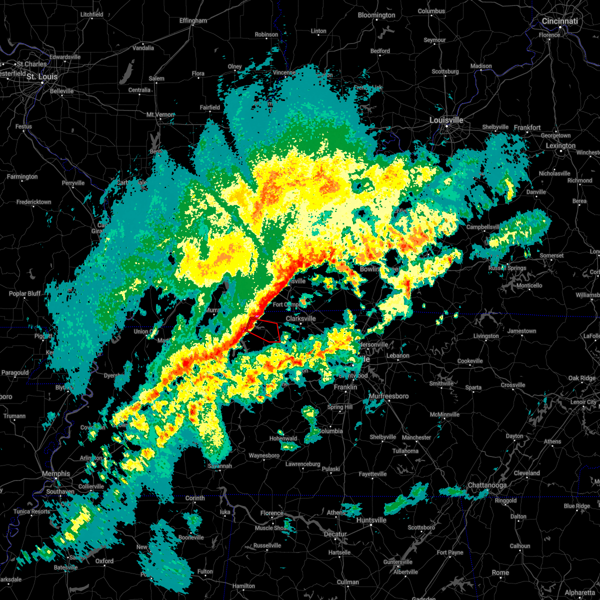 At 414 am cst, a severe thunderstorm capable of producing a tornado was located near dover, moving east at 55 mph (radar indicated rotation). Hazards include tornado. Flying debris will be dangerous to those caught without shelter. mobile homes will be damaged or destroyed. damage to roofs, windows, and vehicles will occur. tree damage is likely. This tornadic thunderstorm will remain over mainly rural areas of central stewart county, including the following locations, cumberland city and indian mound. At 414 am cst, a severe thunderstorm capable of producing a tornado was located near dover, moving east at 55 mph (radar indicated rotation). Hazards include tornado. Flying debris will be dangerous to those caught without shelter. mobile homes will be damaged or destroyed. damage to roofs, windows, and vehicles will occur. tree damage is likely. This tornadic thunderstorm will remain over mainly rural areas of central stewart county, including the following locations, cumberland city and indian mound.
|
| 12/6/2021 4:10 AM CST |
 At 409 am cst, severe thunderstorms were located along a line extending from hopkinsville, kentucky to springville, moving east at 55 mph (radar indicated). Hazards include 60 mph wind gusts. Expect damage to roofs, siding, and trees. locations impacted include, dover, erin, clarksville, tennessee ridge, big rock, cumberland city, land between the lakes, houston county airport, indian mound, palmyra and woodlawn. This includes interstate 24 between mile markers 1 and 6. At 409 am cst, severe thunderstorms were located along a line extending from hopkinsville, kentucky to springville, moving east at 55 mph (radar indicated). Hazards include 60 mph wind gusts. Expect damage to roofs, siding, and trees. locations impacted include, dover, erin, clarksville, tennessee ridge, big rock, cumberland city, land between the lakes, houston county airport, indian mound, palmyra and woodlawn. This includes interstate 24 between mile markers 1 and 6.
|
| 12/6/2021 3:54 AM CST |
 At 353 am cst, severe thunderstorms were located along a line extending from cadiz, kentucky to near paris, moving east at 55 mph (radar indicated). Hazards include 60 mph wind gusts. expect damage to roofs, siding, and trees At 353 am cst, severe thunderstorms were located along a line extending from cadiz, kentucky to near paris, moving east at 55 mph (radar indicated). Hazards include 60 mph wind gusts. expect damage to roofs, siding, and trees
|
| 7/31/2021 9:24 PM CDT |
 At 924 pm cdt, a severe thunderstorm was located over dover, moving southeast at 40 mph (radar indicated). Hazards include 60 mph wind gusts. Expect damage to roofs, siding, and trees. Locations impacted include, dover, erin, tennessee ridge, big rock, cumberland city, indian mound and palmyra. At 924 pm cdt, a severe thunderstorm was located over dover, moving southeast at 40 mph (radar indicated). Hazards include 60 mph wind gusts. Expect damage to roofs, siding, and trees. Locations impacted include, dover, erin, tennessee ridge, big rock, cumberland city, indian mound and palmyra.
|
| 7/31/2021 9:10 PM CDT |
 At 909 pm cdt, a severe thunderstorm was located 8 miles northwest of dover, or over the land between the lakes, moving southeast at 40 mph (radar indicated). Hazards include 60 mph wind gusts. expect damage to roofs, siding, and trees At 909 pm cdt, a severe thunderstorm was located 8 miles northwest of dover, or over the land between the lakes, moving southeast at 40 mph (radar indicated). Hazards include 60 mph wind gusts. expect damage to roofs, siding, and trees
|
| 6/12/2021 11:10 PM CDT |
 The severe thunderstorm warning for stewart and houston counties will expire at 1115 pm cdt, the storm which prompted the warning has moved out of the area. therefore, the warning will be allowed to expire. The severe thunderstorm warning for stewart and houston counties will expire at 1115 pm cdt, the storm which prompted the warning has moved out of the area. therefore, the warning will be allowed to expire.
|
| 6/12/2021 10:28 PM CDT |
 At 1027 pm cdt, a severe thunderstorm was located over dover, moving south at 25 mph (radar indicated). Hazards include 60 mph wind gusts and quarter size hail. Hail damage to vehicles is expected. Expect wind damage to roofs, siding, and trees. At 1027 pm cdt, a severe thunderstorm was located over dover, moving south at 25 mph (radar indicated). Hazards include 60 mph wind gusts and quarter size hail. Hail damage to vehicles is expected. Expect wind damage to roofs, siding, and trees.
|
| 6/12/2021 10:00 PM CDT |
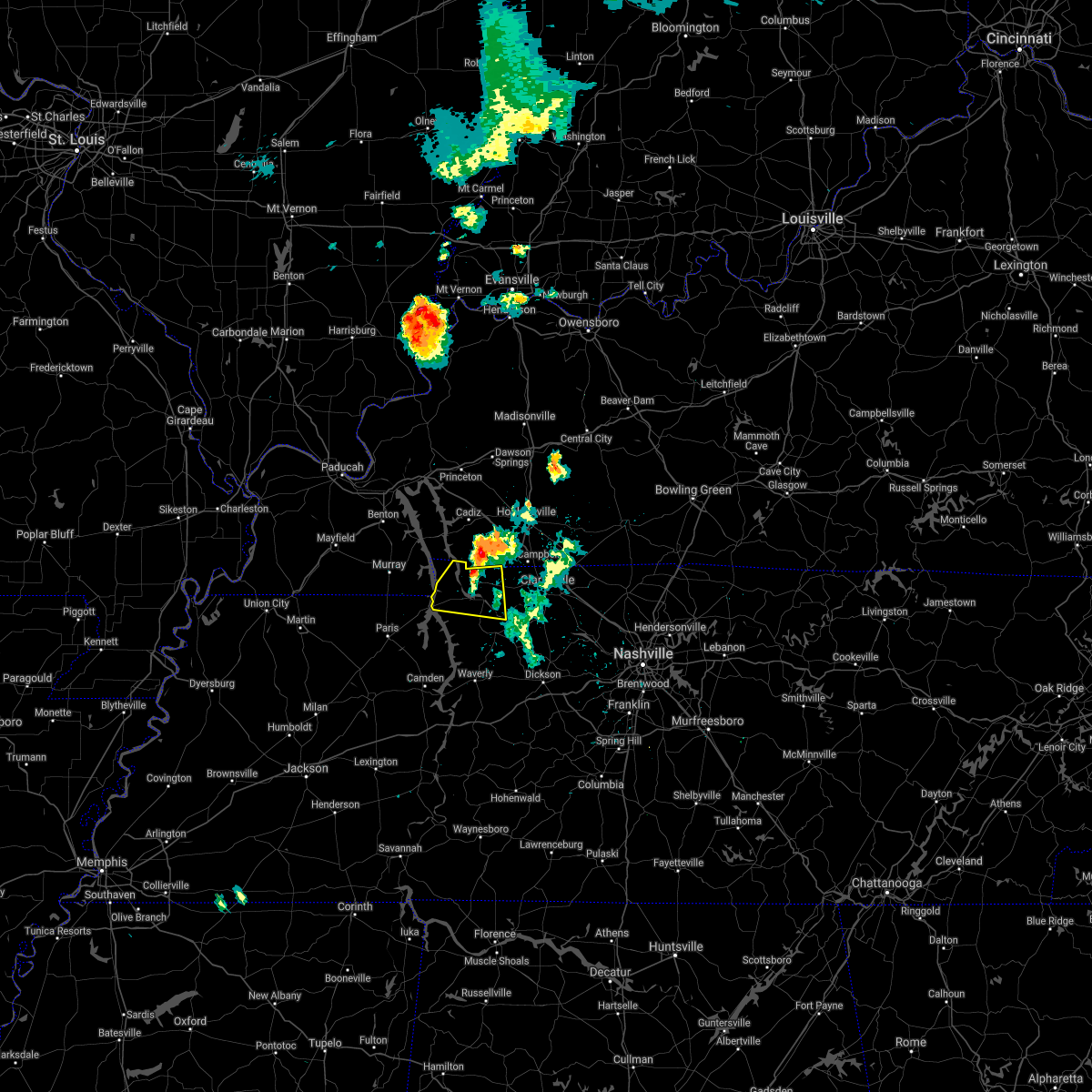 At 959 pm cdt, a severe thunderstorm was located near big rock, or 11 miles north of dover, moving south at 20 mph (radar indicated). Hazards include 60 mph wind gusts and quarter size hail. Hail damage to vehicles is expected. Expect wind damage to roofs, siding, and trees. At 959 pm cdt, a severe thunderstorm was located near big rock, or 11 miles north of dover, moving south at 20 mph (radar indicated). Hazards include 60 mph wind gusts and quarter size hail. Hail damage to vehicles is expected. Expect wind damage to roofs, siding, and trees.
|
| 5/6/2021 4:21 PM CDT |
 At 420 pm cdt, a severe thunderstorm was located 8 miles south of fort campbell, moving east at 30 mph (radar indicated). Hazards include 60 mph wind gusts. Expect damage to roofs, siding, and trees. locations impacted include, dover, clarksville, big rock, cumberland city, indian mound, palmyra, cunningham and woodlawn. This includes interstate 24 between mile markers 1 and 8. At 420 pm cdt, a severe thunderstorm was located 8 miles south of fort campbell, moving east at 30 mph (radar indicated). Hazards include 60 mph wind gusts. Expect damage to roofs, siding, and trees. locations impacted include, dover, clarksville, big rock, cumberland city, indian mound, palmyra, cunningham and woodlawn. This includes interstate 24 between mile markers 1 and 8.
|
| 5/6/2021 4:04 PM CDT |
 At 403 pm cdt, a severe thunderstorm was located near big rock, or 9 miles northeast of dover, moving east at 30 mph (radar indicated). Hazards include 60 mph wind gusts. expect damage to roofs, siding, and trees At 403 pm cdt, a severe thunderstorm was located near big rock, or 9 miles northeast of dover, moving east at 30 mph (radar indicated). Hazards include 60 mph wind gusts. expect damage to roofs, siding, and trees
|
| 5/4/2021 4:47 AM CDT | Numerous trees down and power outages across stewart county in stewart county TN, 0.4 miles NW of Dover, TN |
| 5/4/2021 4:22 AM CDT |
 At 421 am cdt, severe thunderstorms were located along a line extending from murray to near springville, moving east at 60 mph (radar indicated). Hazards include 60 mph wind gusts and penny size hail. Expect damage to roofs, siding, and trees. Locations impacted include, dover, erin, tennessee ridge, big rock, cumberland city, land between the lakes, houston county airport and indian mound. At 421 am cdt, severe thunderstorms were located along a line extending from murray to near springville, moving east at 60 mph (radar indicated). Hazards include 60 mph wind gusts and penny size hail. Expect damage to roofs, siding, and trees. Locations impacted include, dover, erin, tennessee ridge, big rock, cumberland city, land between the lakes, houston county airport and indian mound.
|
| 5/4/2021 4:12 AM CDT |
 At 412 am cdt, severe thunderstorms were located along a line extending from 8 miles northwest of murray to paris, moving east at 55 mph (radar indicated). Hazards include 60 mph wind gusts and penny size hail. expect damage to roofs, siding, and trees At 412 am cdt, severe thunderstorms were located along a line extending from 8 miles northwest of murray to paris, moving east at 55 mph (radar indicated). Hazards include 60 mph wind gusts and penny size hail. expect damage to roofs, siding, and trees
|
| 4/28/2021 7:39 PM CDT |
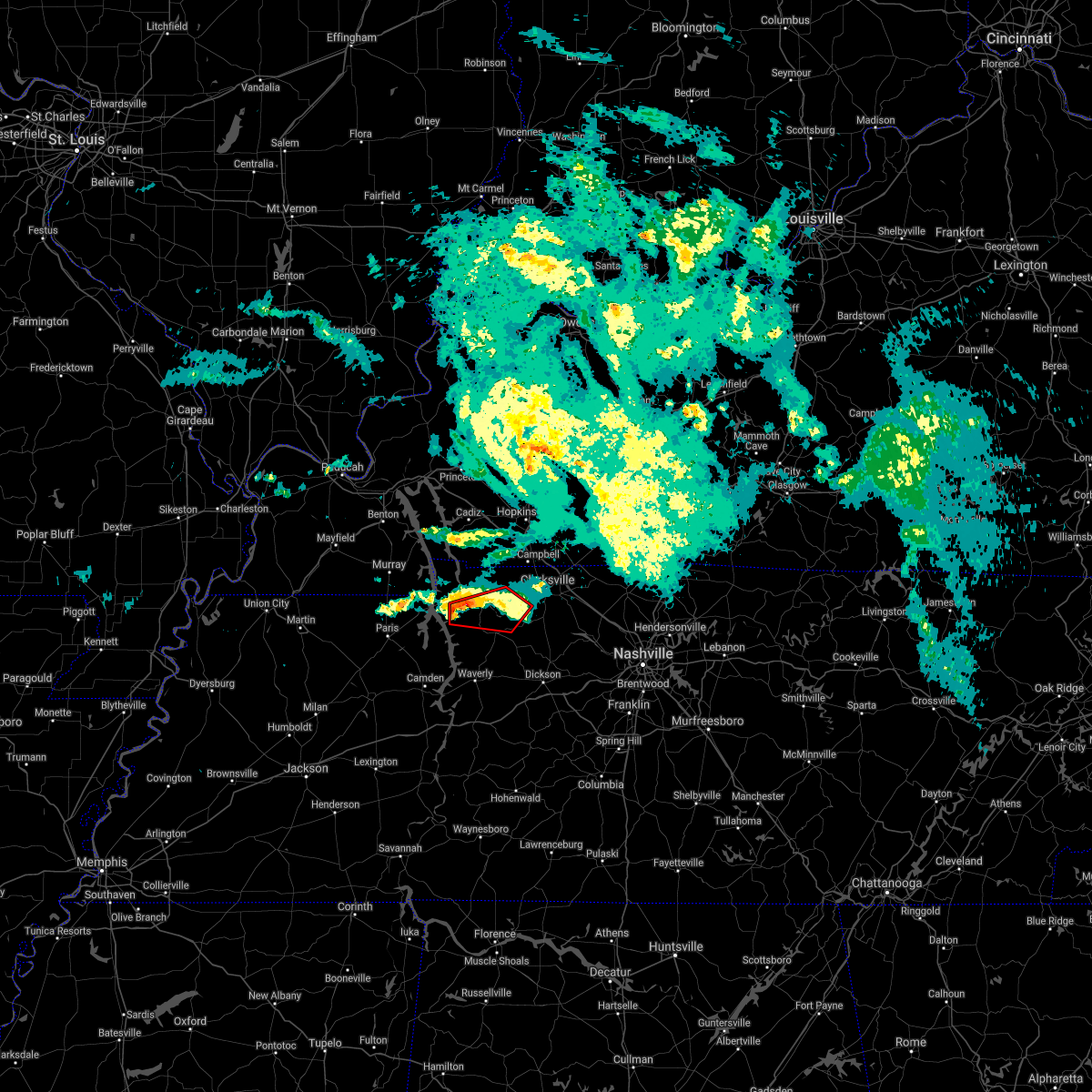 At 739 pm cdt, a severe thunderstorm capable of producing a tornado was located near dover, moving east at 25 mph (radar indicated rotation). Hazards include tornado. Flying debris will be dangerous to those caught without shelter. mobile homes will be damaged or destroyed. damage to roofs, windows, and vehicles will occur. tree damage is likely. this dangerous storm will be near, dover around 750 pm cdt. tennessee ridge around 800 pm cdt. Other locations impacted by this tornadic thunderstorm include cumberland city, indian mound and palmyra. At 739 pm cdt, a severe thunderstorm capable of producing a tornado was located near dover, moving east at 25 mph (radar indicated rotation). Hazards include tornado. Flying debris will be dangerous to those caught without shelter. mobile homes will be damaged or destroyed. damage to roofs, windows, and vehicles will occur. tree damage is likely. this dangerous storm will be near, dover around 750 pm cdt. tennessee ridge around 800 pm cdt. Other locations impacted by this tornadic thunderstorm include cumberland city, indian mound and palmyra.
|
| 4/28/2021 7:27 PM CDT |
 At 726 pm cdt, a severe thunderstorm capable of producing a tornado was located near paris landing state park, moving east at 30 mph (radar indicated rotation). Hazards include tornado. Flying debris will be dangerous to those caught without shelter. mobile homes will be damaged or destroyed. damage to roofs, windows, and vehicles will occur. tree damage is likely. this dangerous storm will be near, dover around 745 pm cdt. tennessee ridge around 750 pm cdt. erin around 800 pm cdt. other locations impacted by this tornadic thunderstorm include houston county airport and cumberland city. Numerous reports of damage have been received from henry county. At 726 pm cdt, a severe thunderstorm capable of producing a tornado was located near paris landing state park, moving east at 30 mph (radar indicated rotation). Hazards include tornado. Flying debris will be dangerous to those caught without shelter. mobile homes will be damaged or destroyed. damage to roofs, windows, and vehicles will occur. tree damage is likely. this dangerous storm will be near, dover around 745 pm cdt. tennessee ridge around 750 pm cdt. erin around 800 pm cdt. other locations impacted by this tornadic thunderstorm include houston county airport and cumberland city. Numerous reports of damage have been received from henry county.
|
| 4/28/2021 7:09 PM CDT |
 At 709 pm cdt, a severe thunderstorm capable of producing a tornado was located near paris landing state park, moving east at 30 mph (radar indicated rotation). Hazards include tornado. Flying debris will be dangerous to those caught without shelter. mobile homes will be damaged or destroyed. damage to roofs, windows, and vehicles will occur. tree damage is likely. this dangerous storm will be near, dover and tennessee ridge around 745 pm cdt. Other locations impacted by this tornadic thunderstorm include houston county airport and cumberland city. At 709 pm cdt, a severe thunderstorm capable of producing a tornado was located near paris landing state park, moving east at 30 mph (radar indicated rotation). Hazards include tornado. Flying debris will be dangerous to those caught without shelter. mobile homes will be damaged or destroyed. damage to roofs, windows, and vehicles will occur. tree damage is likely. this dangerous storm will be near, dover and tennessee ridge around 745 pm cdt. Other locations impacted by this tornadic thunderstorm include houston county airport and cumberland city.
|
| 8/31/2020 4:37 PM CDT |
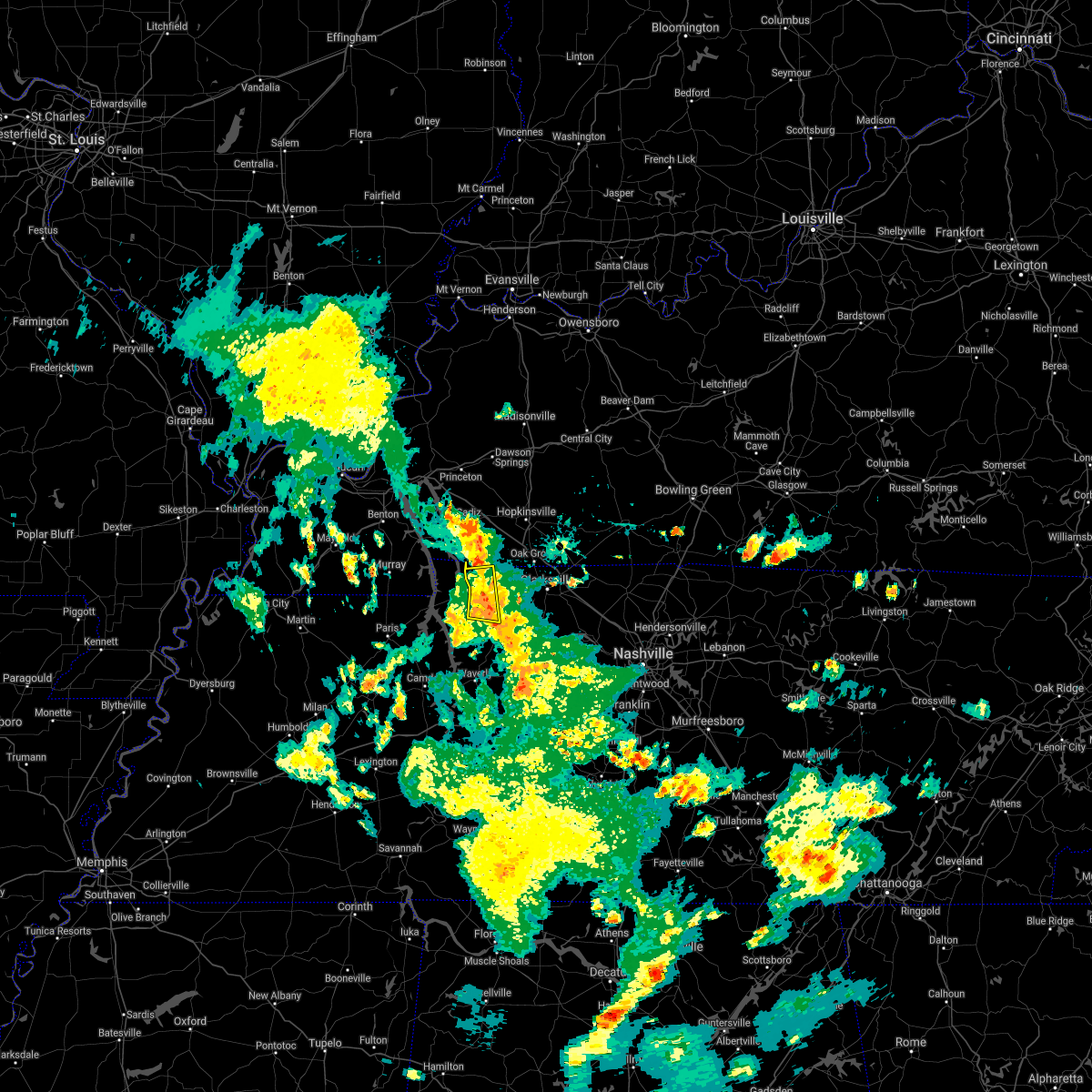 At 437 pm cdt, a severe thunderstorm was located near big rock, or 7 miles east of dover, moving east at 30 mph (radar indicated). Hazards include 60 mph wind gusts. Expect damage to roofs, siding, and trees. Locations impacted include, dover, big rock, cumberland city and indian mound. At 437 pm cdt, a severe thunderstorm was located near big rock, or 7 miles east of dover, moving east at 30 mph (radar indicated). Hazards include 60 mph wind gusts. Expect damage to roofs, siding, and trees. Locations impacted include, dover, big rock, cumberland city and indian mound.
|
| 8/31/2020 4:19 PM CDT |
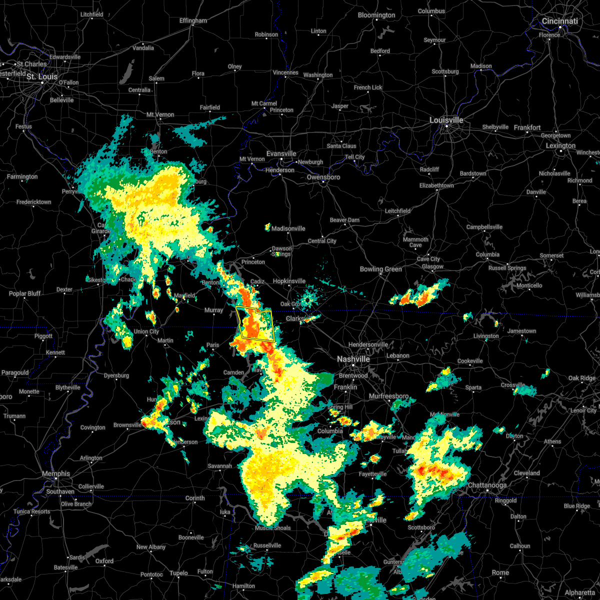 At 419 pm cdt, a severe thunderstorm was located over dover, moving east at 30 mph (radar indicated). Hazards include 60 mph wind gusts. expect damage to roofs, siding, and trees At 419 pm cdt, a severe thunderstorm was located over dover, moving east at 30 mph (radar indicated). Hazards include 60 mph wind gusts. expect damage to roofs, siding, and trees
|
| 7/12/2020 4:18 AM CDT |
 At 418 am cdt, a severe thunderstorm was located over dover, moving southeast at 35 mph (radar indicated). Hazards include 60 mph wind gusts. expect damage to roofs, siding, and trees At 418 am cdt, a severe thunderstorm was located over dover, moving southeast at 35 mph (radar indicated). Hazards include 60 mph wind gusts. expect damage to roofs, siding, and trees
|
| 5/3/2020 3:51 PM CDT | Tree on a house on twin oaks road. numerous trees down across western stewart county with appx 1000 people without power in stewart county TN, 3.6 miles E of Dover, TN |
| 5/3/2020 3:46 PM CDT |
 At 346 pm cdt, severe thunderstorms were located along a line extending from 6 miles southeast of cadiz to 7 miles northeast of big rock to 7 miles east of dover, moving east at 70 mph. these are very dangerous storms (radar indicated). Hazards include 80 mph wind gusts and penny size hail. Flying debris will be dangerous to those caught without shelter. mobile homes will be heavily damaged. expect considerable damage to roofs, windows, and vehicles. extensive tree damage and power outages are likely. Locations impacted include, dover, erin, tennessee ridge, big rock, cumberland city, land between the lakes, houston county airport and indian mound. At 346 pm cdt, severe thunderstorms were located along a line extending from 6 miles southeast of cadiz to 7 miles northeast of big rock to 7 miles east of dover, moving east at 70 mph. these are very dangerous storms (radar indicated). Hazards include 80 mph wind gusts and penny size hail. Flying debris will be dangerous to those caught without shelter. mobile homes will be heavily damaged. expect considerable damage to roofs, windows, and vehicles. extensive tree damage and power outages are likely. Locations impacted include, dover, erin, tennessee ridge, big rock, cumberland city, land between the lakes, houston county airport and indian mound.
|
| 5/3/2020 3:43 PM CDT | Storm damage reported in stewart county TN, 0.4 miles NW of Dover, TN |
| 5/3/2020 3:38 PM CDT | Trees down on highway 232 in stewart county TN, 7.6 miles ENE of Dover, TN |
| 5/3/2020 3:13 PM CDT |
 At 312 pm cdt, severe thunderstorms were located along a line extending from near murray to 12 miles northwest of paris landing state park to near paris, moving east at 70 mph (radar indicated). Hazards include 70 mph wind gusts and penny size hail. Expect considerable tree damage. Damage is likely to mobile homes, roofs, and outbuildings. At 312 pm cdt, severe thunderstorms were located along a line extending from near murray to 12 miles northwest of paris landing state park to near paris, moving east at 70 mph (radar indicated). Hazards include 70 mph wind gusts and penny size hail. Expect considerable tree damage. Damage is likely to mobile homes, roofs, and outbuildings.
|
| 4/8/2020 8:57 PM CDT |
 At 857 pm cdt, severe thunderstorms were located along a line extending from 7 miles northwest of elkton to near tennessee ridge, moving east at 45 mph (radar indicated). Hazards include 60 mph wind gusts and quarter size hail. Hail damage to vehicles is expected. Expect wind damage to roofs, siding, and trees. At 857 pm cdt, severe thunderstorms were located along a line extending from 7 miles northwest of elkton to near tennessee ridge, moving east at 45 mph (radar indicated). Hazards include 60 mph wind gusts and quarter size hail. Hail damage to vehicles is expected. Expect wind damage to roofs, siding, and trees.
|
| 4/8/2020 8:54 PM CDT | Quarter sized hail reported 0.4 miles NW of Dover, TN, report of quarter size hail and winds to 58 miles an hour. time estimated via radar. |
| 4/8/2020 8:42 PM CDT |
 At 841 pm cdt, a severe thunderstorm was located near dover, moving east at 45 mph (radar indicated). Hazards include 60 mph wind gusts and quarter size hail. Hail damage to vehicles is expected. expect wind damage to roofs, siding, and trees. Locations impacted include, dover, erin, tennessee ridge, big rock, cumberland city, houston county airport, land between the lakes and indian mound. At 841 pm cdt, a severe thunderstorm was located near dover, moving east at 45 mph (radar indicated). Hazards include 60 mph wind gusts and quarter size hail. Hail damage to vehicles is expected. expect wind damage to roofs, siding, and trees. Locations impacted include, dover, erin, tennessee ridge, big rock, cumberland city, houston county airport, land between the lakes and indian mound.
|
| 4/8/2020 8:13 PM CDT |
 At 813 pm cdt, a severe thunderstorm was located near murray, moving southeast at 45 mph (radar indicated). Hazards include 60 mph wind gusts and quarter size hail. Hail damage to vehicles is expected. Expect wind damage to roofs, siding, and trees. At 813 pm cdt, a severe thunderstorm was located near murray, moving southeast at 45 mph (radar indicated). Hazards include 60 mph wind gusts and quarter size hail. Hail damage to vehicles is expected. Expect wind damage to roofs, siding, and trees.
|
| 3/28/2020 10:15 PM CDT |
 At 1015 pm cdt, a severe thunderstorm was located near big rock, or 11 miles west of fort campbell north, moving northeast at 55 mph (radar indicated). Hazards include 70 mph wind gusts and penny size hail. Expect considerable tree damage. damage is likely to mobile homes, roofs, and outbuildings. Locations impacted include, dover and big rock. At 1015 pm cdt, a severe thunderstorm was located near big rock, or 11 miles west of fort campbell north, moving northeast at 55 mph (radar indicated). Hazards include 70 mph wind gusts and penny size hail. Expect considerable tree damage. damage is likely to mobile homes, roofs, and outbuildings. Locations impacted include, dover and big rock.
|
| 3/28/2020 10:05 PM CDT |
 At 1005 pm cdt, a severe thunderstorm was located near big rock, moving northeast at 55 mph (radar indicated). Hazards include 70 mph wind gusts and penny size hail. Expect considerable tree damage. damage is likely to mobile homes, roofs, and outbuildings. Locations impacted include, dover, big rock and land between the lakes. At 1005 pm cdt, a severe thunderstorm was located near big rock, moving northeast at 55 mph (radar indicated). Hazards include 70 mph wind gusts and penny size hail. Expect considerable tree damage. damage is likely to mobile homes, roofs, and outbuildings. Locations impacted include, dover, big rock and land between the lakes.
|
| 3/28/2020 10:01 PM CDT | Trees down on cox hollow rd...one on hous in stewart county TN, 0.4 miles NW of Dover, TN |
| 3/28/2020 9:43 PM CDT |
 At 943 pm cdt, a severe thunderstorm was located near paris landing state park, moving northeast at 55 mph (radar indicated). Hazards include 60 mph wind gusts and penny size hail. expect damage to roofs, siding, and trees At 943 pm cdt, a severe thunderstorm was located near paris landing state park, moving northeast at 55 mph (radar indicated). Hazards include 60 mph wind gusts and penny size hail. expect damage to roofs, siding, and trees
|
| 3/28/2020 7:25 PM CDT |
 At 725 pm cdt, a severe thunderstorm was located over big rock, or 9 miles northeast of dover, moving northeast at 50 mph (radar indicated). Hazards include golf ball size hail and 60 mph wind gusts. People and animals outdoors will be injured. expect hail damage to roofs, siding, windows, and vehicles. expect wind damage to roofs, siding, and trees. Locations impacted include, dover, big rock and indian mound. At 725 pm cdt, a severe thunderstorm was located over big rock, or 9 miles northeast of dover, moving northeast at 50 mph (radar indicated). Hazards include golf ball size hail and 60 mph wind gusts. People and animals outdoors will be injured. expect hail damage to roofs, siding, windows, and vehicles. expect wind damage to roofs, siding, and trees. Locations impacted include, dover, big rock and indian mound.
|
| 3/28/2020 7:19 PM CDT |
 At 718 pm cdt, a severe thunderstorm was located near dover, moving northeast at 50 mph (radar indicated). Hazards include ping pong ball size hail and 60 mph wind gusts. People and animals outdoors will be injured. expect hail damage to roofs, siding, windows, and vehicles. expect wind damage to roofs, siding, and trees. Locations impacted include, dover, big rock and indian mound. At 718 pm cdt, a severe thunderstorm was located near dover, moving northeast at 50 mph (radar indicated). Hazards include ping pong ball size hail and 60 mph wind gusts. People and animals outdoors will be injured. expect hail damage to roofs, siding, windows, and vehicles. expect wind damage to roofs, siding, and trees. Locations impacted include, dover, big rock and indian mound.
|
| 3/28/2020 7:14 PM CDT |
 At 713 pm cdt, a severe thunderstorm was located over dover, moving northeast at 45 mph (radar indicated). Hazards include 60 mph wind gusts and penny size hail. Expect damage to roofs, siding, and trees. Locations impacted include, dover, big rock and indian mound. At 713 pm cdt, a severe thunderstorm was located over dover, moving northeast at 45 mph (radar indicated). Hazards include 60 mph wind gusts and penny size hail. Expect damage to roofs, siding, and trees. Locations impacted include, dover, big rock and indian mound.
|
| 3/28/2020 7:06 PM CDT |
 At 705 pm cdt, a severe thunderstorm was located 7 miles east of paris landing state park, moving northeast at 45 mph (radar indicated). Hazards include 60 mph wind gusts and penny size hail. expect damage to roofs, siding, and trees At 705 pm cdt, a severe thunderstorm was located 7 miles east of paris landing state park, moving northeast at 45 mph (radar indicated). Hazards include 60 mph wind gusts and penny size hail. expect damage to roofs, siding, and trees
|
| 1/11/2020 7:15 AM CST | Just south of dover...numerous trees and power lines down. 730 homes without power in stewart county TN, 1 miles NNW of Dover, TN |
| 1/11/2020 7:11 AM CST |
 At 710 am cst, severe thunderstorms were located along a line extending from near cadiz to near new johnsonville, moving east at 45 mph (radar indicated). Hazards include 70 mph wind gusts. Expect considerable tree damage. damage is likely to mobile homes, roofs, and outbuildings. Locations impacted include, waverly, dover, erin, new johnsonville, mcewen, tennessee ridge, big rock, cumberland city, slayden, palmyra, woodlawn, houston county airport, land between the lakes and indian mound. At 710 am cst, severe thunderstorms were located along a line extending from near cadiz to near new johnsonville, moving east at 45 mph (radar indicated). Hazards include 70 mph wind gusts. Expect considerable tree damage. damage is likely to mobile homes, roofs, and outbuildings. Locations impacted include, waverly, dover, erin, new johnsonville, mcewen, tennessee ridge, big rock, cumberland city, slayden, palmyra, woodlawn, houston county airport, land between the lakes and indian mound.
|
| 1/11/2020 6:54 AM CST |
 At 653 am cst, severe thunderstorms were located along a line extending from near land between the lakes area to near bruceton, moving east at 45 mph (radar indicated). Hazards include 60 mph wind gusts. expect damage to roofs, siding, and trees At 653 am cst, severe thunderstorms were located along a line extending from near land between the lakes area to near bruceton, moving east at 45 mph (radar indicated). Hazards include 60 mph wind gusts. expect damage to roofs, siding, and trees
|
| 8/20/2019 5:32 PM CDT |
 At 532 pm cdt, a severe thunderstorm was located near tennessee ridge, or near erin, moving southeast at 10 mph (radar indicated). Hazards include 60 mph wind gusts. expect damage to roofs, siding, and trees At 532 pm cdt, a severe thunderstorm was located near tennessee ridge, or near erin, moving southeast at 10 mph (radar indicated). Hazards include 60 mph wind gusts. expect damage to roofs, siding, and trees
|
| 7/17/2019 9:57 PM CDT |
 At 956 pm cdt, severe thunderstorms were located along a line extending from near dover to near tennessee ridge to 10 miles east of springville, moving southeast at 35 mph. this storm does have a history of producing damaging wind gusts (radar indicated). Hazards include 60 mph wind gusts. expect damage to roofs, siding, and trees At 956 pm cdt, severe thunderstorms were located along a line extending from near dover to near tennessee ridge to 10 miles east of springville, moving southeast at 35 mph. this storm does have a history of producing damaging wind gusts (radar indicated). Hazards include 60 mph wind gusts. expect damage to roofs, siding, and trees
|
| 7/17/2019 9:36 PM CDT |
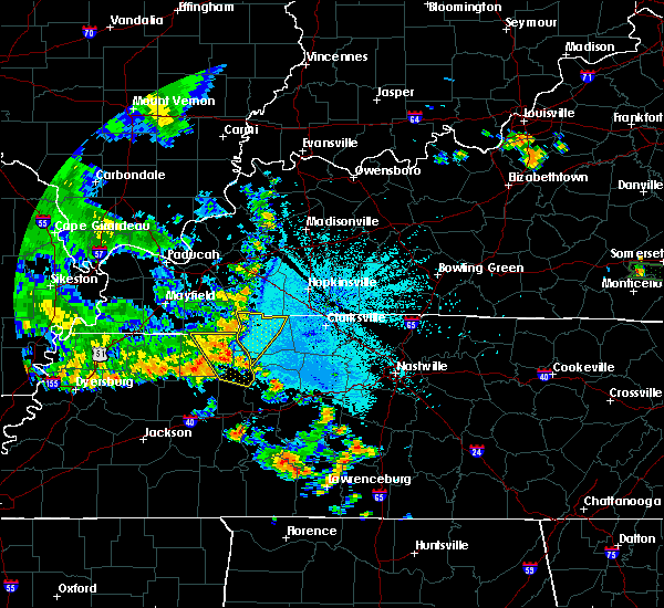 At 935 pm cdt, severe thunderstorms were located along a line extending from 7 miles southeast of canton to 9 miles northwest of dover to near paris landing state park, moving east at 35 mph. this storm does have a history of producing damaging winds. please take shelter prior to it reaching you (radar indicated). Hazards include 60 mph wind gusts. Expect damage to roofs, siding, and trees. Locations impacted include, dover, big rock, houston county airport and land between the lakes. At 935 pm cdt, severe thunderstorms were located along a line extending from 7 miles southeast of canton to 9 miles northwest of dover to near paris landing state park, moving east at 35 mph. this storm does have a history of producing damaging winds. please take shelter prior to it reaching you (radar indicated). Hazards include 60 mph wind gusts. Expect damage to roofs, siding, and trees. Locations impacted include, dover, big rock, houston county airport and land between the lakes.
|
| 7/17/2019 9:10 PM CDT |
 At 908 pm cdt, severe thunderstorms were located along a line extending from near land between the lakes area to 7 miles south of murray, moving east at 35 mph. these storms do have a history of producing wind damage in kentucky (radar indicated). Hazards include 60 mph wind gusts. expect damage to roofs, siding, and trees At 908 pm cdt, severe thunderstorms were located along a line extending from near land between the lakes area to 7 miles south of murray, moving east at 35 mph. these storms do have a history of producing wind damage in kentucky (radar indicated). Hazards include 60 mph wind gusts. expect damage to roofs, siding, and trees
|
| 6/23/2019 6:45 PM CDT | A tree down on the trace at hickman creek r in stewart county TN, 1.9 miles E of Dover, TN |
| 6/21/2019 6:50 PM CDT | Trees and powerlines down county wid in stewart county TN, 0.4 miles NW of Dover, TN |
| 6/21/2019 6:32 PM CDT |
 At 632 pm cdt, severe thunderstorms were located along a line extending from 8 miles northeast of big rock to near dover to near springville, moving southeast at 45 mph (radar indicated). Hazards include 70 mph wind gusts and quarter size hail. Hail damage to vehicles is expected. expect considerable tree damage. Wind damage is also likely to mobile homes, roofs, and outbuildings. At 632 pm cdt, severe thunderstorms were located along a line extending from 8 miles northeast of big rock to near dover to near springville, moving southeast at 45 mph (radar indicated). Hazards include 70 mph wind gusts and quarter size hail. Hail damage to vehicles is expected. expect considerable tree damage. Wind damage is also likely to mobile homes, roofs, and outbuildings.
|
| 6/21/2019 6:25 PM CDT |
 At 624 pm cdt, a severe thunderstorm was located 8 miles northwest of dover, moving southeast at 45 mph (radar indicated). Hazards include 70 mph wind gusts and quarter size hail. Hail damage to vehicles is expected. expect considerable tree damage. wind damage is also likely to mobile homes, roofs, and outbuildings. Locations impacted include, dover, big rock and land between the lakes. At 624 pm cdt, a severe thunderstorm was located 8 miles northwest of dover, moving southeast at 45 mph (radar indicated). Hazards include 70 mph wind gusts and quarter size hail. Hail damage to vehicles is expected. expect considerable tree damage. wind damage is also likely to mobile homes, roofs, and outbuildings. Locations impacted include, dover, big rock and land between the lakes.
|
| 6/21/2019 6:00 PM CDT |
 At 600 pm cdt, a severe thunderstorm was located 10 miles southwest of land between the lakes area, moving southeast at 45 mph (radar indicated). Hazards include 70 mph wind gusts and ping pong ball size hail. People and animals outdoors will be injured. expect hail damage to roofs, siding, windows, and vehicles. expect considerable tree damage. Wind damage is also likely to mobile homes, roofs, and outbuildings. At 600 pm cdt, a severe thunderstorm was located 10 miles southwest of land between the lakes area, moving southeast at 45 mph (radar indicated). Hazards include 70 mph wind gusts and ping pong ball size hail. People and animals outdoors will be injured. expect hail damage to roofs, siding, windows, and vehicles. expect considerable tree damage. Wind damage is also likely to mobile homes, roofs, and outbuildings.
|
| 6/19/2019 5:07 PM CDT |
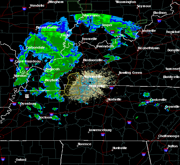 At 507 pm cdt, severe thunderstorms were located along a line extending from near cadiz, kentucky to near paris landing state park, moving east at 35 mph (radar indicated). Hazards include 60 mph wind gusts and quarter size hail. Hail damage to vehicles is expected. expect wind damage to roofs, siding, and trees. Locations impacted include, dover, big rock, cumberland city, land between the lakes and indian mound. At 507 pm cdt, severe thunderstorms were located along a line extending from near cadiz, kentucky to near paris landing state park, moving east at 35 mph (radar indicated). Hazards include 60 mph wind gusts and quarter size hail. Hail damage to vehicles is expected. expect wind damage to roofs, siding, and trees. Locations impacted include, dover, big rock, cumberland city, land between the lakes and indian mound.
|
| 6/19/2019 4:41 PM CDT |
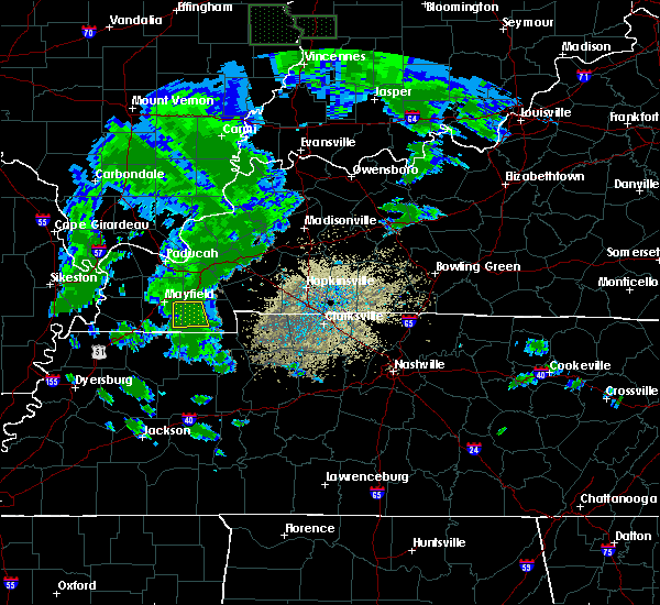 The national weather service in nashville has issued a * severe thunderstorm warning for. stewart county in middle tennessee. until 530 pm cdt. At 440 pm cdt, severe thunderstorms were located along a line extending from near murray, kentucky to near paris, moving east at. The national weather service in nashville has issued a * severe thunderstorm warning for. stewart county in middle tennessee. until 530 pm cdt. At 440 pm cdt, severe thunderstorms were located along a line extending from near murray, kentucky to near paris, moving east at.
|
| 12/31/2018 12:41 PM CST |
 At 1240 pm cst, severe thunderstorms were located along a line extending from 9 miles west of big rock to 9 miles southeast of paris landing state park, moving east at 50 mph. some weak rotation was indicated over land between the lakes (radar indicated). Hazards include 60 mph wind gusts. Expect damage to roofs, siding, and trees. Locations impacted include, dover, erin, tennessee ridge, big rock, land between the lakes, houston county airport and indian mound. At 1240 pm cst, severe thunderstorms were located along a line extending from 9 miles west of big rock to 9 miles southeast of paris landing state park, moving east at 50 mph. some weak rotation was indicated over land between the lakes (radar indicated). Hazards include 60 mph wind gusts. Expect damage to roofs, siding, and trees. Locations impacted include, dover, erin, tennessee ridge, big rock, land between the lakes, houston county airport and indian mound.
|
| 12/31/2018 12:40 PM CST | Numerous reports of trees down in the land between the lakes area and the western part of stweart county. time estimated via rada in stewart county TN, 6.4 miles E of Dover, TN |
| 12/31/2018 12:30 PM CST |
 At 1230 pm cst, severe thunderstorms were located along a line extending from 10 miles north of paris landing state park to near springville, moving east at 50 mph (radar indicated). Hazards include 60 mph wind gusts. expect damage to roofs, siding, and trees At 1230 pm cst, severe thunderstorms were located along a line extending from 10 miles north of paris landing state park to near springville, moving east at 50 mph (radar indicated). Hazards include 60 mph wind gusts. expect damage to roofs, siding, and trees
|
| 7/19/2018 9:24 PM CDT |
 The severe thunderstorm warning for central stewart county will expire at 930 pm cdt, the storm which prompted the warning has moved out of the area. therefore, the warning will be allowed to expire. The severe thunderstorm warning for central stewart county will expire at 930 pm cdt, the storm which prompted the warning has moved out of the area. therefore, the warning will be allowed to expire.
|
| 7/19/2018 9:08 PM CDT |
 At 907 pm cdt, a severe thunderstorm was located near dover, moving northeast at 25 mph (radar indicated). Hazards include 60 mph wind gusts and quarter size hail. Hail damage to vehicles is expected. expect wind damage to roofs, siding, and trees. Locations impacted include, dover and land between the lakes. At 907 pm cdt, a severe thunderstorm was located near dover, moving northeast at 25 mph (radar indicated). Hazards include 60 mph wind gusts and quarter size hail. Hail damage to vehicles is expected. expect wind damage to roofs, siding, and trees. Locations impacted include, dover and land between the lakes.
|
| 7/19/2018 8:52 PM CDT |
 At 852 pm cdt, a severe thunderstorm was located near dover, moving northeast at 10 mph (radar indicated). Hazards include 60 mph wind gusts and quarter size hail. Hail damage to vehicles is expected. Expect wind damage to roofs, siding, and trees. At 852 pm cdt, a severe thunderstorm was located near dover, moving northeast at 10 mph (radar indicated). Hazards include 60 mph wind gusts and quarter size hail. Hail damage to vehicles is expected. Expect wind damage to roofs, siding, and trees.
|
| 7/5/2018 7:07 PM CDT | Three large oak trees down behind the pool at paris landing. penny sized hail fell as wel in henry county TN, 13.4 miles ENE of Dover, TN |
| 7/5/2018 5:43 PM CDT | Trees down on highway 46 in stewart county TN, 8.8 miles W of Dover, TN |
| 7/5/2018 5:41 PM CDT |
 At 541 pm cdt, a severe thunderstorm was located 7 miles north of erin, moving southwest at 25 mph (radar indicated). Hazards include 60 mph wind gusts and penny size hail. expect damage to roofs, siding, and trees At 541 pm cdt, a severe thunderstorm was located 7 miles north of erin, moving southwest at 25 mph (radar indicated). Hazards include 60 mph wind gusts and penny size hail. expect damage to roofs, siding, and trees
|
| 6/28/2018 9:16 PM CDT | A few trees down on old highway 79 east of dove in stewart county TN, 5.4 miles W of Dover, TN |
| 6/28/2018 9:16 PM CDT |
 At 916 pm cdt, a severe thunderstorm was located 7 miles northeast of erin, moving southeast at 60 mph (radar indicated). Hazards include 60 mph wind gusts. Expect damage to roofs, siding, and trees. Locations impacted include, dover, clarksville, big rock, cumberland city, land between the lakes, indian mound, palmyra and woodlawn. At 916 pm cdt, a severe thunderstorm was located 7 miles northeast of erin, moving southeast at 60 mph (radar indicated). Hazards include 60 mph wind gusts. Expect damage to roofs, siding, and trees. Locations impacted include, dover, clarksville, big rock, cumberland city, land between the lakes, indian mound, palmyra and woodlawn.
|
| 6/28/2018 8:41 PM CDT |
 At 840 pm cdt, a severe thunderstorm was located near cadiz, moving southeast at 60 mph (radar indicated). Hazards include 60 mph wind gusts. expect damage to roofs, siding, and trees At 840 pm cdt, a severe thunderstorm was located near cadiz, moving southeast at 60 mph (radar indicated). Hazards include 60 mph wind gusts. expect damage to roofs, siding, and trees
|
| 6/28/2018 12:19 PM CDT |
 At 1219 pm cdt, severe thunderstorms were located along a line extending from near big rock to near mcewen, moving southeast at 45 mph (radar indicated). Hazards include 60 mph wind gusts and quarter size hail. Hail damage to vehicles is expected. expect wind damage to roofs, siding, and trees. Locations impacted include, waverly, camden, dover, erin, new johnsonville, mcewen, tennessee ridge, hurricane mills, big rock, cumberland city, houston county airport, land between the lakes and indian mound. At 1219 pm cdt, severe thunderstorms were located along a line extending from near big rock to near mcewen, moving southeast at 45 mph (radar indicated). Hazards include 60 mph wind gusts and quarter size hail. Hail damage to vehicles is expected. expect wind damage to roofs, siding, and trees. Locations impacted include, waverly, camden, dover, erin, new johnsonville, mcewen, tennessee ridge, hurricane mills, big rock, cumberland city, houston county airport, land between the lakes and indian mound.
|
| 6/28/2018 12:05 PM CDT | Emergency manager reported trees down county wid in stewart county TN, 0.4 miles NW of Dover, TN |
| 6/28/2018 11:44 AM CDT |
 At 1144 am cdt, severe thunderstorms were located along a line extending from land between the lakes to near paris, moving southeast at 40 mph (radar indicated). Hazards include 60 mph wind gusts and quarter size hail. Hail damage to vehicles is expected. Expect wind damage to roofs, siding, and trees. At 1144 am cdt, severe thunderstorms were located along a line extending from land between the lakes to near paris, moving southeast at 40 mph (radar indicated). Hazards include 60 mph wind gusts and quarter size hail. Hail damage to vehicles is expected. Expect wind damage to roofs, siding, and trees.
|
| 6/24/2018 10:13 PM CDT |
 At 1013 pm cdt, a severe thunderstorm was located over big rock, or 7 miles northeast of dover, moving east at 20 mph (radar indicated). Hazards include 60 mph wind gusts and quarter size hail. Hail damage to vehicles is expected. Expect wind damage to roofs, siding, and trees. At 1013 pm cdt, a severe thunderstorm was located over big rock, or 7 miles northeast of dover, moving east at 20 mph (radar indicated). Hazards include 60 mph wind gusts and quarter size hail. Hail damage to vehicles is expected. Expect wind damage to roofs, siding, and trees.
|
| 6/24/2018 10:02 PM CDT |
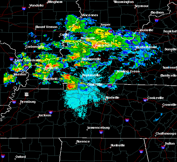 At 1001 pm cdt, a severe thunderstorm was located near big rock, or near dover, moving east at 20 mph (radar indicated). Hazards include 60 mph wind gusts and quarter size hail. Hail damage to vehicles is expected. expect wind damage to roofs, siding, and trees. Locations impacted include, dover, big rock, land between the lakes and indian mound. At 1001 pm cdt, a severe thunderstorm was located near big rock, or near dover, moving east at 20 mph (radar indicated). Hazards include 60 mph wind gusts and quarter size hail. Hail damage to vehicles is expected. expect wind damage to roofs, siding, and trees. Locations impacted include, dover, big rock, land between the lakes and indian mound.
|
| 6/24/2018 9:45 PM CDT |
 At 944 pm cdt, a severe thunderstorm was located 9 miles northwest of dover, moving east at 25 mph (radar indicated). Hazards include 60 mph wind gusts and quarter size hail. Hail damage to vehicles is expected. Expect wind damage to roofs, siding, and trees. At 944 pm cdt, a severe thunderstorm was located 9 miles northwest of dover, moving east at 25 mph (radar indicated). Hazards include 60 mph wind gusts and quarter size hail. Hail damage to vehicles is expected. Expect wind damage to roofs, siding, and trees.
|
| 6/24/2018 8:43 PM CDT |
 At 842 pm cdt, a severe thunderstorm was located near big rock, or 7 miles northeast of dover, moving east at 25 mph (radar indicated). Hazards include 60 mph wind gusts. expect damage to roofs, siding, and trees At 842 pm cdt, a severe thunderstorm was located near big rock, or 7 miles northeast of dover, moving east at 25 mph (radar indicated). Hazards include 60 mph wind gusts. expect damage to roofs, siding, and trees
|
| 6/24/2018 8:34 PM CDT |
 At 833 pm cdt, a severe thunderstorm was located near big rock, or near dover, moving east at 25 mph (radar indicated). Hazards include 60 mph wind gusts and quarter size hail. Hail damage to vehicles is expected. expect wind damage to roofs, siding, and trees. Locations impacted include, dover, big rock, cumberland city and indian mound. At 833 pm cdt, a severe thunderstorm was located near big rock, or near dover, moving east at 25 mph (radar indicated). Hazards include 60 mph wind gusts and quarter size hail. Hail damage to vehicles is expected. expect wind damage to roofs, siding, and trees. Locations impacted include, dover, big rock, cumberland city and indian mound.
|
| 6/24/2018 8:20 PM CDT |
 At 820 pm cdt, a severe thunderstorm was located near dover, moving east at 25 mph (radar indicated). Hazards include 60 mph wind gusts and quarter size hail. Hail damage to vehicles is expected. expect wind damage to roofs, siding, and trees. Locations impacted include, dover, big rock, cumberland city, land between the lakes and indian mound. At 820 pm cdt, a severe thunderstorm was located near dover, moving east at 25 mph (radar indicated). Hazards include 60 mph wind gusts and quarter size hail. Hail damage to vehicles is expected. expect wind damage to roofs, siding, and trees. Locations impacted include, dover, big rock, cumberland city, land between the lakes and indian mound.
|
| 6/24/2018 8:04 PM CDT |
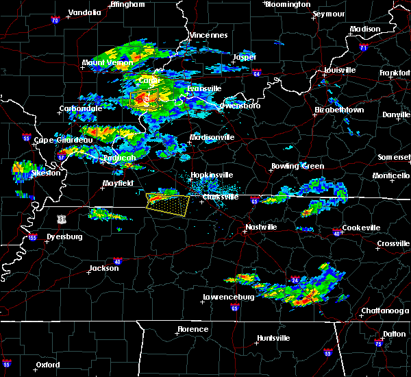 At 804 pm cdt, a severe thunderstorm was located 9 miles northwest of dover, moving east at 25 mph (radar indicated). Hazards include 60 mph wind gusts and quarter size hail. Hail damage to vehicles is expected. Expect wind damage to roofs, siding, and trees. At 804 pm cdt, a severe thunderstorm was located 9 miles northwest of dover, moving east at 25 mph (radar indicated). Hazards include 60 mph wind gusts and quarter size hail. Hail damage to vehicles is expected. Expect wind damage to roofs, siding, and trees.
|
| 4/3/2018 8:34 PM CDT | Tree down on house at 1741 hwy 49 in stewart county TN, 3.5 miles WNW of Dover, TN |
| 2/24/2018 8:29 PM CST |
 At 828 pm cst, a severe thunderstorm capable of producing a tornado was located near dover, moving northeast at 55 mph (radar indicated rotation). Hazards include tornado. Flying debris will be dangerous to those caught without shelter. mobile homes will be damaged or destroyed. damage to roofs, windows, and vehicles will occur. tree damage is likely. this dangerous storm will be near, clarksville around 855 pm cst. Other locations impacted by this tornadic thunderstorm include indian mound, palmyra, slayden, cumberland city, cunningham and woodlawn. At 828 pm cst, a severe thunderstorm capable of producing a tornado was located near dover, moving northeast at 55 mph (radar indicated rotation). Hazards include tornado. Flying debris will be dangerous to those caught without shelter. mobile homes will be damaged or destroyed. damage to roofs, windows, and vehicles will occur. tree damage is likely. this dangerous storm will be near, clarksville around 855 pm cst. Other locations impacted by this tornadic thunderstorm include indian mound, palmyra, slayden, cumberland city, cunningham and woodlawn.
|
| 2/24/2018 8:24 PM CST |
 At 824 pm cst, a severe thunderstorm capable of producing a tornado was located near dover, moving northeast at 55 mph (radar indicated rotation). Hazards include tornado. Flying debris will be dangerous to those caught without shelter. mobile homes will be damaged or destroyed. damage to roofs, windows, and vehicles will occur. tree damage is likely. this dangerous storm will be near, big rock around 835 pm cst. Other locations impacted by this tornadic thunderstorm include land between the lakes, houston county airport, indian mound and cumberland city. At 824 pm cst, a severe thunderstorm capable of producing a tornado was located near dover, moving northeast at 55 mph (radar indicated rotation). Hazards include tornado. Flying debris will be dangerous to those caught without shelter. mobile homes will be damaged or destroyed. damage to roofs, windows, and vehicles will occur. tree damage is likely. this dangerous storm will be near, big rock around 835 pm cst. Other locations impacted by this tornadic thunderstorm include land between the lakes, houston county airport, indian mound and cumberland city.
|
| 2/24/2018 8:17 PM CST |
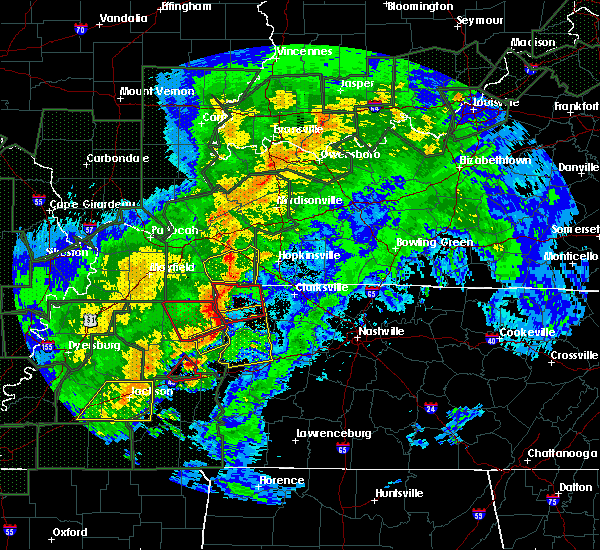 At 817 pm cst, a severe thunderstorm capable of producing a tornado was located near paris landing state park, moving northeast at 55 mph (radar indicated rotation). Hazards include tornado. Flying debris will be dangerous to those caught without shelter. mobile homes will be damaged or destroyed. damage to roofs, windows, and vehicles will occur. tree damage is likely. this dangerous storm will be near, dover around 825 pm cst. big rock around 835 pm cst. Other locations impacted by this tornadic thunderstorm include land between the lakes, houston county airport, indian mound and cumberland city. At 817 pm cst, a severe thunderstorm capable of producing a tornado was located near paris landing state park, moving northeast at 55 mph (radar indicated rotation). Hazards include tornado. Flying debris will be dangerous to those caught without shelter. mobile homes will be damaged or destroyed. damage to roofs, windows, and vehicles will occur. tree damage is likely. this dangerous storm will be near, dover around 825 pm cst. big rock around 835 pm cst. Other locations impacted by this tornadic thunderstorm include land between the lakes, houston county airport, indian mound and cumberland city.
|
| 2/24/2018 8:01 PM CST |
 At 801 pm cst, a severe thunderstorm was located near paris landing state park, moving northeast at 55 mph (radar indicated). Hazards include 60 mph wind gusts. expect damage to roofs, siding, and trees At 801 pm cst, a severe thunderstorm was located near paris landing state park, moving northeast at 55 mph (radar indicated). Hazards include 60 mph wind gusts. expect damage to roofs, siding, and trees
|
| 11/18/2017 3:21 PM CST |
 At 321 pm cst, severe thunderstorms were located along a line extending from near big rock to near tennessee ridge, moving east at 55 mph (radar indicated). Hazards include 60 mph wind gusts. Expect damage to roofs, siding, and trees. Locations impacted include, dover, erin, clarksville, tennessee ridge, big rock, cumberland city, houston county airport, indian mound and woodlawn. At 321 pm cst, severe thunderstorms were located along a line extending from near big rock to near tennessee ridge, moving east at 55 mph (radar indicated). Hazards include 60 mph wind gusts. Expect damage to roofs, siding, and trees. Locations impacted include, dover, erin, clarksville, tennessee ridge, big rock, cumberland city, houston county airport, indian mound and woodlawn.
|
| 11/18/2017 3:07 PM CST |
 At 306 pm cst, severe thunderstorms were located along a line extending from land between the lakes to near big sandy, moving east at 50 mph (radar indicated. at 405 pm, trees were reportedly blown down in calloway county, kentucky with this line of storms). Hazards include 60 mph wind gusts. expect damage to roofs, siding, and trees At 306 pm cst, severe thunderstorms were located along a line extending from land between the lakes to near big sandy, moving east at 50 mph (radar indicated. at 405 pm, trees were reportedly blown down in calloway county, kentucky with this line of storms). Hazards include 60 mph wind gusts. expect damage to roofs, siding, and trees
|
| 5/27/2017 7:41 PM CDT |
 At 741 pm cdt, a severe thunderstorm was located 10 miles east of erin, moving east at 45 mph (radar indicated). Hazards include 70 mph wind gusts and quarter size hail. Hail damage to vehicles is expected. expect considerable tree damage. Wind damage is also likely to mobile homes, roofs, and outbuildings. At 741 pm cdt, a severe thunderstorm was located 10 miles east of erin, moving east at 45 mph (radar indicated). Hazards include 70 mph wind gusts and quarter size hail. Hail damage to vehicles is expected. expect considerable tree damage. Wind damage is also likely to mobile homes, roofs, and outbuildings.
|
| 5/27/2017 7:22 PM CDT |
 At 721 pm cdt, a severe thunderstorm was located 7 miles northwest of dover, moving southeast at 55 mph (radar indicated). Hazards include 70 mph wind gusts and quarter size hail. Hail damage to vehicles is expected. expect considerable tree damage. Wind damage is also likely to mobile homes, roofs, and outbuildings. At 721 pm cdt, a severe thunderstorm was located 7 miles northwest of dover, moving southeast at 55 mph (radar indicated). Hazards include 70 mph wind gusts and quarter size hail. Hail damage to vehicles is expected. expect considerable tree damage. Wind damage is also likely to mobile homes, roofs, and outbuildings.
|
| 5/27/2017 6:31 PM CDT |
 At 631 pm cdt, a severe thunderstorm was located near erin, moving east at 55 mph (radar indicated). Hazards include 70 mph wind gusts and quarter size hail. Hail damage to vehicles is expected. expect considerable tree damage. Wind damage is also likely to mobile homes, roofs, and outbuildings. At 631 pm cdt, a severe thunderstorm was located near erin, moving east at 55 mph (radar indicated). Hazards include 70 mph wind gusts and quarter size hail. Hail damage to vehicles is expected. expect considerable tree damage. Wind damage is also likely to mobile homes, roofs, and outbuildings.
|
| 5/27/2017 6:05 PM CDT | Tree down at highway 79 and highway 23 in stewart county TN, 8.1 miles E of Dover, TN |
| 5/27/2017 6:04 PM CDT |
 At 604 pm cdt, an line of severe thunderstorms was centered near dover, moving southeast at 55 mph (radar indicated). Hazards include 70 mph wind gusts and quarter size hail. Hail damage to vehicles is expected. expect considerable tree damage. Wind damage is also likely to mobile homes, roofs, and outbuildings. At 604 pm cdt, an line of severe thunderstorms was centered near dover, moving southeast at 55 mph (radar indicated). Hazards include 70 mph wind gusts and quarter size hail. Hail damage to vehicles is expected. expect considerable tree damage. Wind damage is also likely to mobile homes, roofs, and outbuildings.
|
| 5/27/2017 6:01 PM CDT | Tree down on bumpus mills road. time estimated based on rada in stewart county TN, 2.6 miles SSW of Dover, TN |
| 3/30/2017 6:32 PM CDT |
 At 632 pm cdt, a severe thunderstorm was located near big rock, or 7 miles northeast of dover, moving northeast at 45 mph (radar indicated). Hazards include 60 mph wind gusts and penny size hail. Expect damage to roofs, siding, and trees. Locations impacted include, dover, clarksville, big rock, indian mound and woodlawn. At 632 pm cdt, a severe thunderstorm was located near big rock, or 7 miles northeast of dover, moving northeast at 45 mph (radar indicated). Hazards include 60 mph wind gusts and penny size hail. Expect damage to roofs, siding, and trees. Locations impacted include, dover, clarksville, big rock, indian mound and woodlawn.
|
| 3/30/2017 6:21 PM CDT |
 At 621 pm cdt, a severe thunderstorm was located near big rock, or 12 miles west of fort campbell north, moving northeast at 45 mph (radar indicated). Hazards include 60 mph wind gusts and penny size hail. expect damage to roofs, siding, and trees At 621 pm cdt, a severe thunderstorm was located near big rock, or 12 miles west of fort campbell north, moving northeast at 45 mph (radar indicated). Hazards include 60 mph wind gusts and penny size hail. expect damage to roofs, siding, and trees
|
| 3/27/2017 2:59 PM CDT |
 At 259 pm cdt, severe thunderstorms were located along a line extending from near fort campbell north to 8 miles northwest of waverly, moving east at 25 mph (radar indicated). Hazards include 60 mph wind gusts and quarter size hail. Hail damage to vehicles is expected. expect wind damage to roofs, siding, and trees. Locations impacted include, camden, dover, erin, clarksville, tennessee ridge, big rock, cumberland city, houston county airport, indian mound, palmyra and woodlawn. At 259 pm cdt, severe thunderstorms were located along a line extending from near fort campbell north to 8 miles northwest of waverly, moving east at 25 mph (radar indicated). Hazards include 60 mph wind gusts and quarter size hail. Hail damage to vehicles is expected. expect wind damage to roofs, siding, and trees. Locations impacted include, camden, dover, erin, clarksville, tennessee ridge, big rock, cumberland city, houston county airport, indian mound, palmyra and woodlawn.
|
| 3/27/2017 2:51 PM CDT |
 At 251 pm cdt, severe thunderstorms were located along a line extending from fort campbell north to tennessee ridge, moving east at 25 mph (radar indicated). Hazards include 60 mph wind gusts and quarter size hail. Hail damage to vehicles is expected. expect wind damage to roofs, siding, and trees. Locations impacted include, camden, dover, erin, clarksville, tennessee ridge, big rock, cumberland city, houston county airport, indian mound, palmyra and woodlawn. At 251 pm cdt, severe thunderstorms were located along a line extending from fort campbell north to tennessee ridge, moving east at 25 mph (radar indicated). Hazards include 60 mph wind gusts and quarter size hail. Hail damage to vehicles is expected. expect wind damage to roofs, siding, and trees. Locations impacted include, camden, dover, erin, clarksville, tennessee ridge, big rock, cumberland city, houston county airport, indian mound, palmyra and woodlawn.
|
| 3/27/2017 2:39 PM CDT |
 At 239 pm cdt, severe thunderstorms were located along a line extending from near big rock to near waverly, moving northeast at 25 mph (radar indicated). Hazards include 60 mph wind gusts and quarter size hail. Hail damage to vehicles is expected. Expect wind damage to roofs, siding, and trees. At 239 pm cdt, severe thunderstorms were located along a line extending from near big rock to near waverly, moving northeast at 25 mph (radar indicated). Hazards include 60 mph wind gusts and quarter size hail. Hail damage to vehicles is expected. Expect wind damage to roofs, siding, and trees.
|
| 3/27/2017 2:18 PM CDT |
 At 217 pm cdt, a severe thunderstorm was located 10 miles northwest of dover, moving east at 25 mph (public). Hazards include 60 mph wind gusts and half dollar size hail. Hail damage to vehicles is expected. expect wind damage to roofs, siding, and trees. Locations impacted include, dover, big rock and land between the lakes. At 217 pm cdt, a severe thunderstorm was located 10 miles northwest of dover, moving east at 25 mph (public). Hazards include 60 mph wind gusts and half dollar size hail. Hail damage to vehicles is expected. expect wind damage to roofs, siding, and trees. Locations impacted include, dover, big rock and land between the lakes.
|
| 3/27/2017 2:02 PM CDT |
 At 201 pm cdt, a severe thunderstorm was located 9 miles north of paris landing state park, moving northeast at 20 mph (public). Hazards include golf ball size hail and 60 mph wind gusts. People and animals outdoors will be injured. expect hail damage to roofs, siding, windows, and vehicles. expect wind damage to roofs, siding, and trees. Locations impacted include, dover, big rock and land between the lakes. At 201 pm cdt, a severe thunderstorm was located 9 miles north of paris landing state park, moving northeast at 20 mph (public). Hazards include golf ball size hail and 60 mph wind gusts. People and animals outdoors will be injured. expect hail damage to roofs, siding, windows, and vehicles. expect wind damage to roofs, siding, and trees. Locations impacted include, dover, big rock and land between the lakes.
|
| 3/27/2017 1:56 PM CDT |
 At 156 pm cdt, a severe thunderstorm was located 8 miles north of paris landing state park, moving northeast at 20 mph (radar indicated). Hazards include 60 mph wind gusts and half dollar size hail. Hail damage to vehicles is expected. Expect wind damage to roofs, siding, and trees. At 156 pm cdt, a severe thunderstorm was located 8 miles north of paris landing state park, moving northeast at 20 mph (radar indicated). Hazards include 60 mph wind gusts and half dollar size hail. Hail damage to vehicles is expected. Expect wind damage to roofs, siding, and trees.
|
| 3/9/2017 9:53 PM CST |
 At 952 pm cst, a severe thunderstorm was located near dover, moving east at 55 mph (radar indicated). Hazards include 60 mph wind gusts and quarter size hail. Hail damage to vehicles is expected. Expect wind damage to roofs, siding, and trees. At 952 pm cst, a severe thunderstorm was located near dover, moving east at 55 mph (radar indicated). Hazards include 60 mph wind gusts and quarter size hail. Hail damage to vehicles is expected. Expect wind damage to roofs, siding, and trees.
|
| 3/9/2017 9:48 PM CST | Emergency manager reported trees down on upper standing rock road and leatherwood road. time estimated via rada in stewart county TN, 5.2 miles N of Dover, TN |
| 3/9/2017 9:45 PM CST |
 At 945 pm cst, a severe thunderstorm was located near dover, moving east at 55 mph (radar indicated). Hazards include 60 mph wind gusts and quarter size hail. Hail damage to vehicles is expected. expect wind damage to roofs, siding, and trees. Locations impacted include, dover, tennessee ridge, big rock, houston county airport, land between the lakes and indian mound. At 945 pm cst, a severe thunderstorm was located near dover, moving east at 55 mph (radar indicated). Hazards include 60 mph wind gusts and quarter size hail. Hail damage to vehicles is expected. expect wind damage to roofs, siding, and trees. Locations impacted include, dover, tennessee ridge, big rock, houston county airport, land between the lakes and indian mound.
|
| 3/9/2017 9:29 PM CST |
 At 928 pm cst, a severe thunderstorm was located near paris landing state park, moving east at 50 mph (radar indicated). Hazards include 60 mph wind gusts and quarter size hail. Hail damage to vehicles is expected. Expect wind damage to roofs, siding, and trees. At 928 pm cst, a severe thunderstorm was located near paris landing state park, moving east at 50 mph (radar indicated). Hazards include 60 mph wind gusts and quarter size hail. Hail damage to vehicles is expected. Expect wind damage to roofs, siding, and trees.
|
| 3/1/2017 6:17 AM CST |
 At 616 am cst, severe thunderstorms were located along a line extending from 7 miles east of big rock to near mcewen to 12 miles northeast of linden, moving east at 60 mph (radar indicated). Hazards include 70 mph wind gusts. Expect considerable tree damage. damage is likely to mobile homes, roofs, and outbuildings. locations impacted include, clarksville, dickson, waverly, centerville, dover, erin, mcewen, burns, tennessee ridge, hurricane mills, big rock, charlotte, lobelville, vanleer, cumberland city, slayden, bon aqua, palmyra, bucksnort and nunnelly. A tornado watch remains in effect until 1000 am cst for middle tennessee. At 616 am cst, severe thunderstorms were located along a line extending from 7 miles east of big rock to near mcewen to 12 miles northeast of linden, moving east at 60 mph (radar indicated). Hazards include 70 mph wind gusts. Expect considerable tree damage. damage is likely to mobile homes, roofs, and outbuildings. locations impacted include, clarksville, dickson, waverly, centerville, dover, erin, mcewen, burns, tennessee ridge, hurricane mills, big rock, charlotte, lobelville, vanleer, cumberland city, slayden, bon aqua, palmyra, bucksnort and nunnelly. A tornado watch remains in effect until 1000 am cst for middle tennessee.
|
| 3/1/2017 6:12 AM CST | 911 reported a few frees down on joiner hollow roa in stewart county TN, 6.1 miles SSW of Dover, TN |
| 3/1/2017 6:06 AM CST | Numerous trees and power lines down in the area. winds were estimated at 70 mp in henry county TN, 13.4 miles ENE of Dover, TN |
| 3/1/2017 5:54 AM CST |
 At 553 am cst, severe thunderstorms were located along a line extending from 10 miles north of paris landing state park to near new johnsonville to 6 miles east of natchez trace state park, moving east at 70 mph (radar indicated). Hazards include 70 mph wind gusts. Expect considerable tree damage. Damage is likely to mobile homes, roofs, and outbuildings. At 553 am cst, severe thunderstorms were located along a line extending from 10 miles north of paris landing state park to near new johnsonville to 6 miles east of natchez trace state park, moving east at 70 mph (radar indicated). Hazards include 70 mph wind gusts. Expect considerable tree damage. Damage is likely to mobile homes, roofs, and outbuildings.
|
| 12/17/2016 8:22 PM CST |
 The severe thunderstorm warning for stewart, northern houston and southwestern montgomery counties will expire at 830 pm cst, the storm which prompted the warning has moved out of the area. therefore the warning will be allowed to expire. a tornado watch remains in effect until 900 pm cst for middle tennessee. The severe thunderstorm warning for stewart, northern houston and southwestern montgomery counties will expire at 830 pm cst, the storm which prompted the warning has moved out of the area. therefore the warning will be allowed to expire. a tornado watch remains in effect until 900 pm cst for middle tennessee.
|
| 12/17/2016 8:03 PM CST |
 At 802 pm cst, a severe thunderstorm was located over tennessee ridge, or near erin, moving northeast at 60 mph (radar indicated). Hazards include 60 mph wind gusts and quarter size hail. Hail damage to vehicles is expected. expect wind damage to roofs, siding, and trees. locations impacted include, dover, erin, tennessee ridge, big rock, cumberland city, houston county airport and indian mound. A tornado watch remains in effect until 900 pm cst for middle tennessee. At 802 pm cst, a severe thunderstorm was located over tennessee ridge, or near erin, moving northeast at 60 mph (radar indicated). Hazards include 60 mph wind gusts and quarter size hail. Hail damage to vehicles is expected. expect wind damage to roofs, siding, and trees. locations impacted include, dover, erin, tennessee ridge, big rock, cumberland city, houston county airport and indian mound. A tornado watch remains in effect until 900 pm cst for middle tennessee.
|
| 12/17/2016 7:46 PM CST |
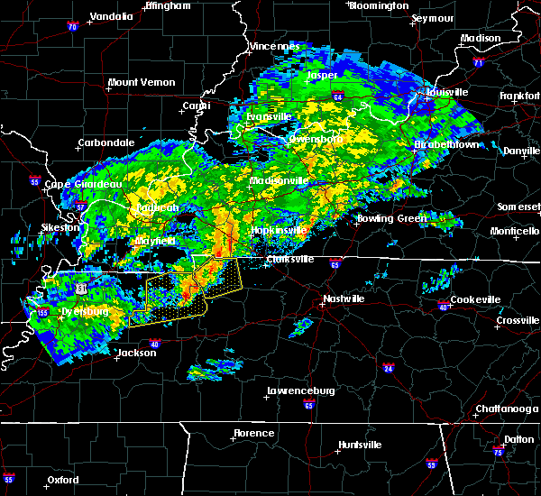 At 746 pm cst, a severe thunderstorm was located over springville, or 10 miles east of paris, moving northeast at 55 mph (radar indicated). Hazards include 60 mph wind gusts. expect damage to roofs, siding, and trees At 746 pm cst, a severe thunderstorm was located over springville, or 10 miles east of paris, moving northeast at 55 mph (radar indicated). Hazards include 60 mph wind gusts. expect damage to roofs, siding, and trees
|
| 7/14/2016 11:58 AM CDT | The severe thunderstorm warning for central stewart county will expire at noon cdt. the storm which prompted the warning has weakened below severe limits. and no longer poses an immediate threat to life or property. Therefore the warning will be allowed to expire. |
| 7/14/2016 11:43 AM CDT |
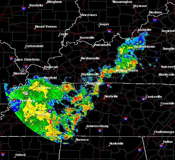 At 1142 am cdt, a severe thunderstorm was located near dover, moving east at 30 mph (radar indicated). Hazards include 60 mph wind gusts and quarter size hail. Hail damage to vehicles is expected. expect wind damage to roofs, siding, and trees. Locations impacted include, dover, big rock, indian mound and land between the lakes. At 1142 am cdt, a severe thunderstorm was located near dover, moving east at 30 mph (radar indicated). Hazards include 60 mph wind gusts and quarter size hail. Hail damage to vehicles is expected. expect wind damage to roofs, siding, and trees. Locations impacted include, dover, big rock, indian mound and land between the lakes.
|
| 7/14/2016 11:25 AM CDT |
 At 1125 am cdt, a severe thunderstorm was located near paris landing state park, moving east at 25 mph (radar indicated). Hazards include 60 mph wind gusts and quarter size hail. Hail damage to vehicles is expected. Expect wind damage to roofs, siding, and trees. At 1125 am cdt, a severe thunderstorm was located near paris landing state park, moving east at 25 mph (radar indicated). Hazards include 60 mph wind gusts and quarter size hail. Hail damage to vehicles is expected. Expect wind damage to roofs, siding, and trees.
|
| 7/8/2016 7:56 PM CDT |
 At 756 pm cdt, severe thunderstorms were located along a line extending from near oak grove to mcewen, moving east at 45 mph (emergency management. at 750 pm cdt...numerous trees and power lines were blown down across stewart county with these storms). Hazards include 60 mph wind gusts and penny size hail. Expect damage to roofs. siding. and trees. Locations impacted include, clarksville, waverly, camden, dover, erin, new johnsonville, mcewen, tennessee ridge, hurricane mills, vanleer, cumberland city, slayden, houston county airport, indian mound, palmyra, woodlawn and cunningham. At 756 pm cdt, severe thunderstorms were located along a line extending from near oak grove to mcewen, moving east at 45 mph (emergency management. at 750 pm cdt...numerous trees and power lines were blown down across stewart county with these storms). Hazards include 60 mph wind gusts and penny size hail. Expect damage to roofs. siding. and trees. Locations impacted include, clarksville, waverly, camden, dover, erin, new johnsonville, mcewen, tennessee ridge, hurricane mills, vanleer, cumberland city, slayden, houston county airport, indian mound, palmyra, woodlawn and cunningham.
|
| 7/8/2016 7:48 PM CDT |
 At 746 pm cdt, severe thunderstorms were located along a line extending from near fort campbell to waverly, moving east at 45 mph (emergency management. at 725 pm cdt...trees and power lines were blown down on highway 232 in stewart county with these storms). Hazards include 60 mph wind gusts and penny size hail. Expect damage to roofs. siding. and trees. Locations impacted include, clarksville, waverly, camden, dover, erin, new johnsonville, mcewen, tennessee ridge, hurricane mills, big rock, vanleer, cumberland city, slayden, houston county airport, indian mound, land between the lakes, palmyra, woodlawn and cunningham. At 746 pm cdt, severe thunderstorms were located along a line extending from near fort campbell to waverly, moving east at 45 mph (emergency management. at 725 pm cdt...trees and power lines were blown down on highway 232 in stewart county with these storms). Hazards include 60 mph wind gusts and penny size hail. Expect damage to roofs. siding. and trees. Locations impacted include, clarksville, waverly, camden, dover, erin, new johnsonville, mcewen, tennessee ridge, hurricane mills, big rock, vanleer, cumberland city, slayden, houston county airport, indian mound, land between the lakes, palmyra, woodlawn and cunningham.
|
| 7/8/2016 7:34 PM CDT |
 At 733 pm cdt, severe thunderstorms were located along a line extending from big rock to waverly, moving east at 35 mph (radar indicated). Hazards include 60 mph wind gusts and penny size hail. Expect damage to roofs. siding. And trees. At 733 pm cdt, severe thunderstorms were located along a line extending from big rock to waverly, moving east at 35 mph (radar indicated). Hazards include 60 mph wind gusts and penny size hail. Expect damage to roofs. siding. And trees.
|
| 7/8/2016 7:25 PM CDT | Trees and power lines down on highway 232 in stewart county TN, 8.1 miles E of Dover, TN |
| 7/8/2016 7:20 PM CDT | Trees down on the trace road in stewart county TN, 10.5 miles ENE of Dover, TN |
| 7/8/2016 7:19 PM CDT |
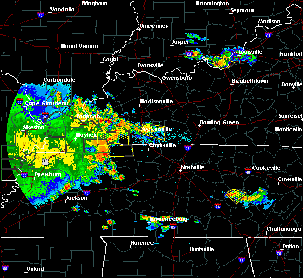 At 719 pm cdt, a severe thunderstorm was located near big rock, or 7 miles north of dover, moving east at 45 mph (radar indicated). Hazards include 60 mph wind gusts and penny size hail. Expect damage to roofs. siding. and trees. Locations impacted include, dover, big rock, indian mound and land between the lakes. At 719 pm cdt, a severe thunderstorm was located near big rock, or 7 miles north of dover, moving east at 45 mph (radar indicated). Hazards include 60 mph wind gusts and penny size hail. Expect damage to roofs. siding. and trees. Locations impacted include, dover, big rock, indian mound and land between the lakes.
|
| 7/8/2016 6:56 PM CDT |
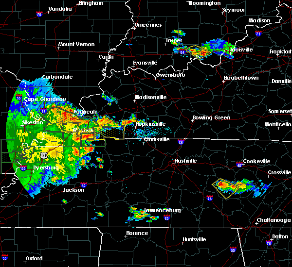 At 655 pm cdt, a severe thunderstorm was located near of murray, moving east at 55 mph (radar indicated). Hazards include 60 mph wind gusts and penny size hail. Expect damage to roofs. siding. And trees. At 655 pm cdt, a severe thunderstorm was located near of murray, moving east at 55 mph (radar indicated). Hazards include 60 mph wind gusts and penny size hail. Expect damage to roofs. siding. And trees.
|
| 7/6/2016 3:03 PM CDT |
 At 303 pm cdt, severe thunderstorms were located along a line extending from pembroke to near erin, moving east at 50 mph (radar indicated). Hazards include 60 mph wind gusts and penny size hail. Expect damage to roofs. siding. and trees. Locations impacted include, dover, clarksville, big rock, cumberland city, palmyra, woodlawn, indian mound, cunningham and land between the lakes. At 303 pm cdt, severe thunderstorms were located along a line extending from pembroke to near erin, moving east at 50 mph (radar indicated). Hazards include 60 mph wind gusts and penny size hail. Expect damage to roofs. siding. and trees. Locations impacted include, dover, clarksville, big rock, cumberland city, palmyra, woodlawn, indian mound, cunningham and land between the lakes.
|
| 7/6/2016 3:00 PM CDT | Numerous trees dow in stewart county TN, 8.2 miles SW of Dover, TN |
| 7/6/2016 2:51 PM CDT |
 At 250 pm cdt, severe thunderstorms were located along a line extending from near hopkinsville to near tennessee ridge, moving east at 55 mph (radar indicated). Hazards include 60 mph wind gusts and penny size hail. Expect damage to roofs. siding. and trees. Locations impacted include, dover, clarksville, big rock, cumberland city, palmyra, woodlawn, indian mound, cunningham and land between the lakes. At 250 pm cdt, severe thunderstorms were located along a line extending from near hopkinsville to near tennessee ridge, moving east at 55 mph (radar indicated). Hazards include 60 mph wind gusts and penny size hail. Expect damage to roofs. siding. and trees. Locations impacted include, dover, clarksville, big rock, cumberland city, palmyra, woodlawn, indian mound, cunningham and land between the lakes.
|
| 7/6/2016 2:48 PM CDT | Trees were reported down across dove in stewart county TN, 0.4 miles NW of Dover, TN |
| 7/6/2016 2:29 PM CDT |
 At 228 pm cdt, severe thunderstorms were located along a line extending from farmersville to near paris landing state park, moving east at 35 mph (radar indicated. at 215 pm cdt...a wind gust of 58 mph was measured in murray, kentucky and widespread wind damage was reported in calloway county, kentucky with these storms). Hazards include 60 mph wind gusts and penny size hail. Expect damage to roofs. siding. and trees. Locations impacted include, dover, clarksville, big rock, cumberland city, palmyra, woodlawn, indian mound, cunningham and land between the lakes. At 228 pm cdt, severe thunderstorms were located along a line extending from farmersville to near paris landing state park, moving east at 35 mph (radar indicated. at 215 pm cdt...a wind gust of 58 mph was measured in murray, kentucky and widespread wind damage was reported in calloway county, kentucky with these storms). Hazards include 60 mph wind gusts and penny size hail. Expect damage to roofs. siding. and trees. Locations impacted include, dover, clarksville, big rock, cumberland city, palmyra, woodlawn, indian mound, cunningham and land between the lakes.
|
| 7/6/2016 2:23 PM CDT |
 At 222 pm cdt, severe thunderstorms were located along a line extending from near farmersville to paris landing state park, moving east at 35 mph (radar indicated). Hazards include 60 mph wind gusts. Expect damage to roofs. siding. And trees. At 222 pm cdt, severe thunderstorms were located along a line extending from near farmersville to paris landing state park, moving east at 35 mph (radar indicated). Hazards include 60 mph wind gusts. Expect damage to roofs. siding. And trees.
|
| 6/15/2016 2:58 PM CDT |
 The national weather service in nashville has issued a * severe thunderstorm warning for. southern stewart county in middle tennessee. houston county in middle tennessee. southwestern montgomery county in middle tennessee. Northern humphreys county in middle tennessee. The national weather service in nashville has issued a * severe thunderstorm warning for. southern stewart county in middle tennessee. houston county in middle tennessee. southwestern montgomery county in middle tennessee. Northern humphreys county in middle tennessee.
|
| 6/15/2016 2:50 PM CDT |
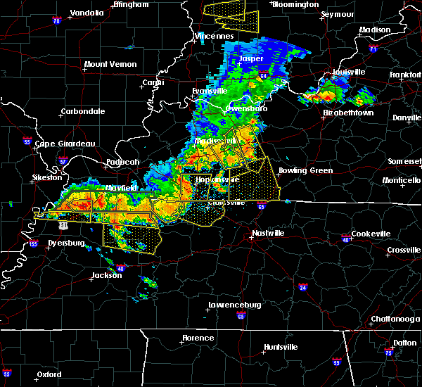 At 248 pm cdt, a severe thunderstorm was located near big rock, or 8 miles northeast of dover, moving southeast at 45 mph (trained weather spotters). Hazards include 70 mph wind gusts. Expect considerable tree damage. damage is likely to mobile homes, roofs, and outbuildings. Locations impacted include, dover, big rock, indian mound and land between the lakes. At 248 pm cdt, a severe thunderstorm was located near big rock, or 8 miles northeast of dover, moving southeast at 45 mph (trained weather spotters). Hazards include 70 mph wind gusts. Expect considerable tree damage. damage is likely to mobile homes, roofs, and outbuildings. Locations impacted include, dover, big rock, indian mound and land between the lakes.
|
| 6/15/2016 2:45 PM CDT | Also starting to get reports of power outage in stewart county TN, 0.4 miles NW of Dover, TN |
| 6/15/2016 2:33 PM CDT |
 At 232 pm cdt, a severe thunderstorm was located near dover, moving southeast at 45 mph (radar indicated). Hazards include 70 mph wind gusts and penny size hail. Expect considerable tree damage. damage is likely to mobile homes, roofs, and outbuildings. Locations impacted include, dover, big rock, houston county airport, indian mound and land between the lakes. At 232 pm cdt, a severe thunderstorm was located near dover, moving southeast at 45 mph (radar indicated). Hazards include 70 mph wind gusts and penny size hail. Expect considerable tree damage. damage is likely to mobile homes, roofs, and outbuildings. Locations impacted include, dover, big rock, houston county airport, indian mound and land between the lakes.
|
| 6/15/2016 2:14 PM CDT |
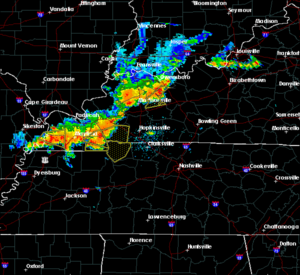 At 212 pm cdt, a severe thunderstorm was located 10 miles east of murray, moving southeast at 45 mph (radar indicated). Hazards include 70 mph wind gusts and penny size hail. Expect considerable tree damage. Damage is likely to mobile homes, roofs, and outbuildings. At 212 pm cdt, a severe thunderstorm was located 10 miles east of murray, moving southeast at 45 mph (radar indicated). Hazards include 70 mph wind gusts and penny size hail. Expect considerable tree damage. Damage is likely to mobile homes, roofs, and outbuildings.
|
| 5/12/2016 1:13 PM CDT | The severe thunderstorm warning for southeastern stewart, northeastern humphreys and houston counties will expire at 115 pm cdt, the storm which prompted the warning has weakened below severe limits, and no longer pose an immediate threat to life or property. therefore the warning will be allowed to expire. however gusty winds are still possible with this thunderstorm. |
| 5/12/2016 1:01 PM CDT |
 At 101 pm cdt, a severe thunderstorm was located over tennessee ridge, or near erin, moving northeast at 40 mph (radar indicated). Hazards include 60 mph wind gusts. Expect damage to roofs. siding. and trees. Locations impacted include, waverly, dover, erin, tennessee ridge, cumberland city and houston county airport. At 101 pm cdt, a severe thunderstorm was located over tennessee ridge, or near erin, moving northeast at 40 mph (radar indicated). Hazards include 60 mph wind gusts. Expect damage to roofs. siding. and trees. Locations impacted include, waverly, dover, erin, tennessee ridge, cumberland city and houston county airport.
|
| 5/12/2016 12:47 PM CDT |
 At 1246 pm cdt, a severe thunderstorm was located 10 miles east of springville, or 13 miles southeast of paris landing state park, moving northeast at 40 mph (radar indicated). Hazards include 60 mph wind gusts and penny size hail. Expect damage to roofs. siding. And trees. At 1246 pm cdt, a severe thunderstorm was located 10 miles east of springville, or 13 miles southeast of paris landing state park, moving northeast at 40 mph (radar indicated). Hazards include 60 mph wind gusts and penny size hail. Expect damage to roofs. siding. And trees.
|
| 5/10/2016 4:02 PM CDT |
 At 402 pm cdt, a severe thunderstorm was located near big rock, or 7 miles north of dover, moving northeast at 30 mph (radar indicated). Hazards include 60 mph wind gusts and quarter size hail. Hail damage to vehicles is expected. Expect wind damage to roofs, siding, and trees. At 402 pm cdt, a severe thunderstorm was located near big rock, or 7 miles north of dover, moving northeast at 30 mph (radar indicated). Hazards include 60 mph wind gusts and quarter size hail. Hail damage to vehicles is expected. Expect wind damage to roofs, siding, and trees.
|
| 5/1/2016 3:13 PM CDT |
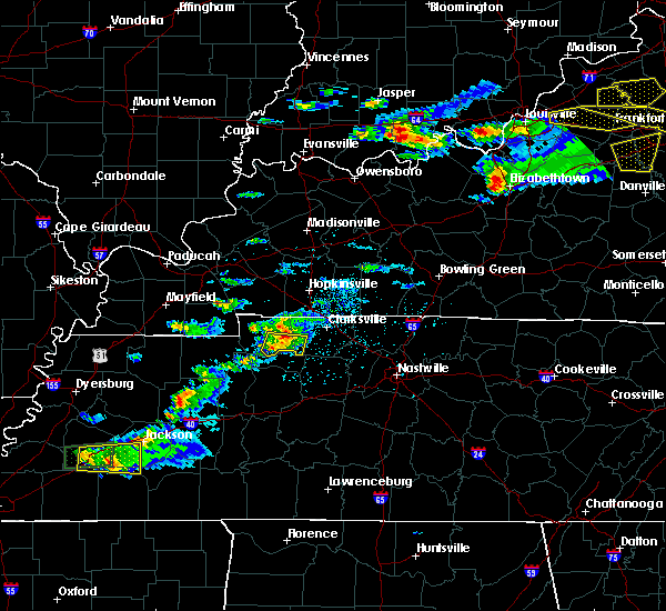 At 312 pm cdt, a severe thunderstorm was located 8 miles southeast of big rock, or 9 miles east of dover, moving east at 25 mph (radar indicated). Hazards include 60 mph wind gusts and quarter size hail. Hail damage to vehicles is expected. expect wind damage to roofs, siding, and trees. Locations impacted include, cumberland city and indian mound. At 312 pm cdt, a severe thunderstorm was located 8 miles southeast of big rock, or 9 miles east of dover, moving east at 25 mph (radar indicated). Hazards include 60 mph wind gusts and quarter size hail. Hail damage to vehicles is expected. expect wind damage to roofs, siding, and trees. Locations impacted include, cumberland city and indian mound.
|
| 5/1/2016 2:56 PM CDT |
 At 256 pm cdt, a severe thunderstorm was located near dover, moving east at 25 mph (radar indicated). Hazards include 60 mph wind gusts and quarter size hail. Hail damage to vehicles is expected. Expect wind damage to roofs, siding, and trees. At 256 pm cdt, a severe thunderstorm was located near dover, moving east at 25 mph (radar indicated). Hazards include 60 mph wind gusts and quarter size hail. Hail damage to vehicles is expected. Expect wind damage to roofs, siding, and trees.
|
| 5/1/2016 2:47 PM CDT |
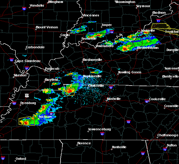 At 246 pm cdt, a severe thunderstorm was located near dover, moving east at 25 mph (radar indicated). Hazards include 60 mph wind gusts and quarter size hail. Hail damage to vehicles is expected. expect wind damage to roofs, siding, and trees. Locations impacted include, dover and tennessee ridge. At 246 pm cdt, a severe thunderstorm was located near dover, moving east at 25 mph (radar indicated). Hazards include 60 mph wind gusts and quarter size hail. Hail damage to vehicles is expected. expect wind damage to roofs, siding, and trees. Locations impacted include, dover and tennessee ridge.
|
| 5/1/2016 2:29 PM CDT |
 At 228 pm cdt, a severe thunderstorm was located near paris landing state park, moving east at 30 mph (emergency management reported at 221 pm numerous trees and power lines down along with quarter size hail in calloway county kentucky with this storm). Hazards include 60 mph wind gusts and quarter size hail. Hail damage to vehicles is expected. expect wind damage to roofs, siding, and trees. Locations impacted include, dover, tennessee ridge and land between the lakes. At 228 pm cdt, a severe thunderstorm was located near paris landing state park, moving east at 30 mph (emergency management reported at 221 pm numerous trees and power lines down along with quarter size hail in calloway county kentucky with this storm). Hazards include 60 mph wind gusts and quarter size hail. Hail damage to vehicles is expected. expect wind damage to roofs, siding, and trees. Locations impacted include, dover, tennessee ridge and land between the lakes.
|
| 5/1/2016 2:20 PM CDT | Trees and powerlines down in henry county TN, 13.4 miles ENE of Dover, TN |
| 5/1/2016 2:14 PM CDT |
 At 214 pm cdt, a severe thunderstorm was located near paris landing state park, moving east at 30 mph (radar indicated). Hazards include 60 mph wind gusts and half dollar size hail. Hail damage to vehicles is expected. Expect wind damage to roofs, siding, and trees. At 214 pm cdt, a severe thunderstorm was located near paris landing state park, moving east at 30 mph (radar indicated). Hazards include 60 mph wind gusts and half dollar size hail. Hail damage to vehicles is expected. Expect wind damage to roofs, siding, and trees.
|
| 4/27/2016 5:14 PM CDT |
 At 514 pm cdt, severe thunderstorms were located along a line extending from big rock to 11 miles south of clarksville, moving northeast at 40 mph (radar indicated). Hazards include 60 mph wind gusts and penny size hail. Expect damage to roofs. siding. and trees. Locations impacted include, dover, clarksville, big rock, cumberland city, palmyra, woodlawn, indian mound and cunningham. At 514 pm cdt, severe thunderstorms were located along a line extending from big rock to 11 miles south of clarksville, moving northeast at 40 mph (radar indicated). Hazards include 60 mph wind gusts and penny size hail. Expect damage to roofs. siding. and trees. Locations impacted include, dover, clarksville, big rock, cumberland city, palmyra, woodlawn, indian mound and cunningham.
|
| 4/27/2016 4:54 PM CDT |
 At 453 pm cdt, severe thunderstorms were located along a line extending from 8 miles southwest of dover to 7 miles northeast of mcewen, moving northeast at 40 mph (radar indicated). Hazards include 60 mph wind gusts and quarter size hail. Hail damage to vehicles is expected. Expect wind damage to roofs, siding, and trees. At 453 pm cdt, severe thunderstorms were located along a line extending from 8 miles southwest of dover to 7 miles northeast of mcewen, moving northeast at 40 mph (radar indicated). Hazards include 60 mph wind gusts and quarter size hail. Hail damage to vehicles is expected. Expect wind damage to roofs, siding, and trees.
|
| 4/26/2016 8:11 PM CDT |
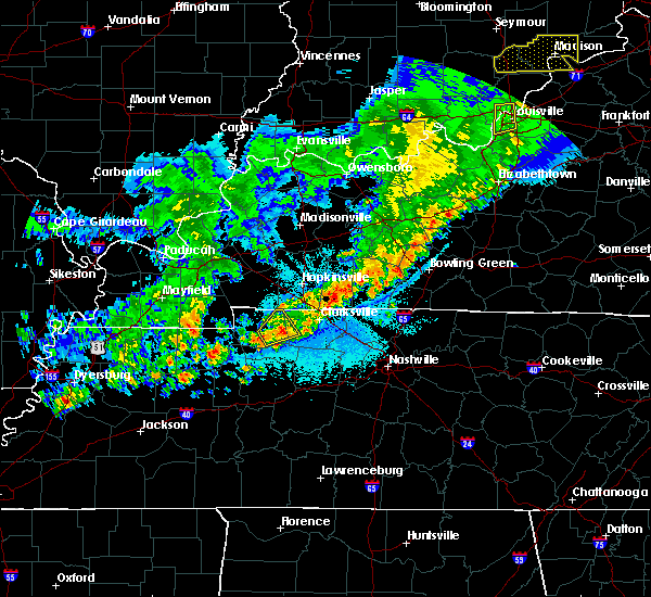 The severe thunderstorm warning for eastern stewart and west central montgomery counties will expire at 815 pm cdt, the storm which prompted the warning has weakened below severe limits, and no longer pose an immediate threat to life or property. therefore the warning will be allowed to expire. The severe thunderstorm warning for eastern stewart and west central montgomery counties will expire at 815 pm cdt, the storm which prompted the warning has weakened below severe limits, and no longer pose an immediate threat to life or property. therefore the warning will be allowed to expire.
|
| 4/26/2016 7:50 PM CDT |
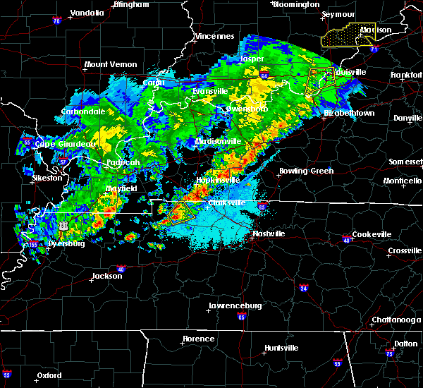 At 750 pm cdt, a severe thunderstorm was located near dover, moving northeast at 15 mph (radar indicated). Hazards include 60 mph wind gusts and quarter size hail. Hail damage to vehicles is expected. Expect wind damage to roofs, siding, and trees. At 750 pm cdt, a severe thunderstorm was located near dover, moving northeast at 15 mph (radar indicated). Hazards include 60 mph wind gusts and quarter size hail. Hail damage to vehicles is expected. Expect wind damage to roofs, siding, and trees.
|
| 12/23/2015 5:24 PM CST | At 523 pm cst, a severe thunderstorm was located over paris landing state park, moving northeast at 60 mph (radar indicated). Hazards include 60 mph wind gusts and quarter size hail. Hail damage to vehicles is expected. expect wind damage to roofs, siding and trees. locations impacted include, dover, big rock and land between the lakes. A tornado watch remains in effect until 1100 pm cst for central tennessee. |
| 12/23/2015 5:08 PM CST | At 507 pm cst, a severe thunderstorm was located over paris, moving northeast at 60 mph (radar indicated). Hazards include 60 mph wind gusts and quarter size hail. Hail damage to vehicles is expected. Expect wind damage to roofs, siding and trees. |
| 10/12/2015 6:27 PM CDT | The severe thunderstorm warning for eastern stewart and montgomery counties will expire at 630 pm cdt, the storms which prompted the warning have weakened below severe limits, and no longer pose an immediate threat to life or property. therefore the warning will be allowed to expire. however gusty winds of 30 to 40 mph are still possible with these thunderstorms. |
| 10/12/2015 6:15 PM CDT |
 At 614 pm cdt, severe thunderstorms were located along a line extending from near fort campbell to dover, moving east at 50 mph (radar indicated). Hazards include 60 mph wind gusts and penny size hail. Expect damage to roofs. siding and trees. Locations impacted include, dover, clarksville, big rock, cumberland city, palmyra, woodlawn, cunningham and indian mound. At 614 pm cdt, severe thunderstorms were located along a line extending from near fort campbell to dover, moving east at 50 mph (radar indicated). Hazards include 60 mph wind gusts and penny size hail. Expect damage to roofs. siding and trees. Locations impacted include, dover, clarksville, big rock, cumberland city, palmyra, woodlawn, cunningham and indian mound.
|
| 10/12/2015 5:59 PM CDT |
 At 558 pm cdt, severe thunderstorms were located along a line extending from near big rock to near paris landing state park, moving east at 50 mph (radar indicated). Hazards include 60 mph wind gusts and quarter size hail. Hail damage to vehicles is expected. Expect wind damage to roofs, siding and trees. At 558 pm cdt, severe thunderstorms were located along a line extending from near big rock to near paris landing state park, moving east at 50 mph (radar indicated). Hazards include 60 mph wind gusts and quarter size hail. Hail damage to vehicles is expected. Expect wind damage to roofs, siding and trees.
|
| 6/8/2015 2:48 PM CDT |
 At 245 pm cdt, a severe thunderstorm was located 7 miles northwest of big rock, and moving east at 40 mph (radar indicated). Hazards include 60 mph wind gusts. Expect damage to roofs. siding and trees. The severe thunderstorm will be near, big rock around 255 pm cdt. At 245 pm cdt, a severe thunderstorm was located 7 miles northwest of big rock, and moving east at 40 mph (radar indicated). Hazards include 60 mph wind gusts. Expect damage to roofs. siding and trees. The severe thunderstorm will be near, big rock around 255 pm cdt.
|
| 6/8/2015 2:35 PM CDT |
 At 230 pm cdt, a severe thunderstorm was located 13 miles northwest of dover, and moving east at 45 mph (radar indicated). Hazards include 60 mph wind gusts and penny size hail. Expect damage to roofs. siding and trees. The severe thunderstorm will be near, big rock around 245 pm cdt. At 230 pm cdt, a severe thunderstorm was located 13 miles northwest of dover, and moving east at 45 mph (radar indicated). Hazards include 60 mph wind gusts and penny size hail. Expect damage to roofs. siding and trees. The severe thunderstorm will be near, big rock around 245 pm cdt.
|
| 6/23/2014 1:00 PM CDT | Roof torn off a barn on taylor chapel road in stewart county TN, 5.2 miles NE of Dover, TN |
| 12/21/2013 7:54 PM CST | Roof was blown off of a home on frank earhart road in dove in stewart county TN, 0.4 miles NW of Dover, TN |
| 10/31/2013 10:25 PM CDT | A downed power line caused a tree to catch on fire in lockwood hollo in stewart county TN, 3.2 miles ENE of Dover, TN |
| 6/26/2013 10:36 PM CDT | An older...small...weak and shallow rooted tree was blown down in dover in stewart county TN, 0.4 miles NW of Dover, TN |
| 1/30/2013 1:25 AM CST | A couple of trees down scattered across the count in stewart county TN, 0.4 miles NW of Dover, TN |
| 9/6/2012 8:10 PM CDT | Tree blown down on leatherwood road in stewart county TN, 1.1 miles SSW of Dover, TN |
| 8/1/2012 5:15 PM CDT | Near the indian mound community...highway 46 blocked in several locations by fallen trees and powerline in stewart county TN, 7 miles W of Dover, TN |
| 8/1/2012 5:08 PM CDT | Trees down around the indian mound community in stewart count in stewart county TN, 7 miles W of Dover, TN |
| 8/1/2012 5:04 PM CDT | Quarter sized hail reported 7 miles SW of Dover, TN, also estimated winds at 65mph. |
| 6/11/2012 4:36 PM CDT | A tree was downed in the land between the lakes regio in stewart county TN, 9.6 miles SE of Dover, TN |
| 9/25/2011 3:50 PM CDT | Quarter sized hail reported 0.4 miles NW of Dover, TN, public reported penny to quarter size hail in dover |
| 1/1/0001 12:00 AM | Trees down along hwy 232 near kentucky lak in stewart county TN, 10 miles NE of Dover, TN |
| 1/1/0001 12:00 AM | Trees down and partially blocking hwy 4 in stewart county TN, 1 miles NNW of Dover, TN |
| 1/1/0001 12:00 AM | Quarter sized hail reported 2.4 miles N of Dover, TN, hail was observed on lick creek road |
| 1/1/0001 12:00 AM | Sheriffs office rpts tree down on house on earl coppage road in the town of big roc in stewart county TN, 4.8 miles SW of Dover, TN |
| 1/1/0001 12:00 AM | Sheriffs office rpts tree down on house at 400 block of north hancock road in the town of big roc in stewart county TN, 4.8 miles SW of Dover, TN |
| 1/1/0001 12:00 AM | Sheriffs relays public report of possible tornado damage in the town of big rock on cherry hollow rd. roof blown off house...trailer lifted off groun in stewart county TN, 4.8 miles SW of Dover, TN |
| 1/1/0001 12:00 AM | A tree was blown down in dove in stewart county TN, 0.4 miles NW of Dover, TN |
| 1/1/0001 12:00 AM | Numerous trees were blown down across stewart county. at least 2 trees fell on home in stewart county TN, 0.4 miles NW of Dover, TN |
| 1/1/0001 12:00 AM | A couple trees were blown dow in stewart county TN, 5.7 miles SW of Dover, TN |
| 1/1/0001 12:00 AM | Sheriff dispatch relayed rpt of downed power lines from school bus drive in stewart county TN, 0.4 miles NW of Dover, TN |
| 1/1/0001 12:00 AM | Numerous tree down and power outages. water reported over highway 12 in stewart county TN, 0.4 miles NW of Dover, TN |
| 1/1/0001 12:00 AM | Very heavy rain in stewart county TN, 0.4 miles NW of Dover, TN |
| 1/1/0001 12:00 AM | Storm damage reported in stewart county TN, 0.4 miles NW of Dover, TN |
Hail Maps for Dover, TN


Connect with Interactive Hail Maps