

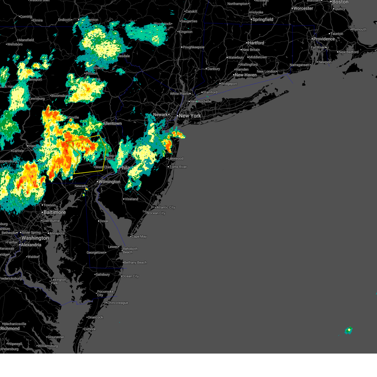
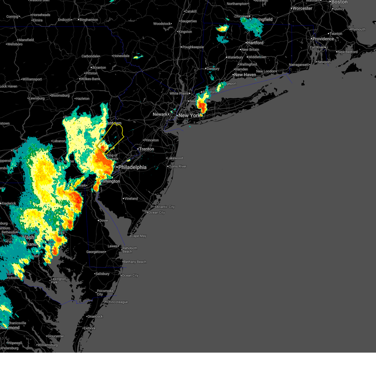
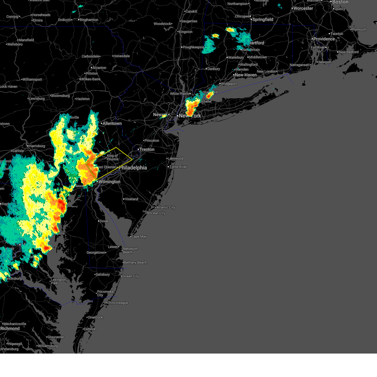
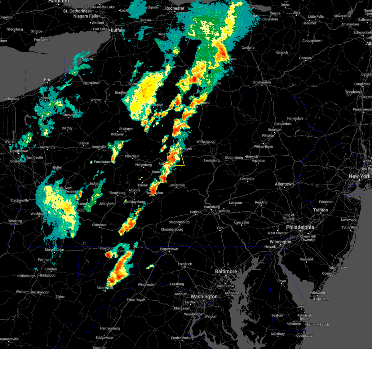
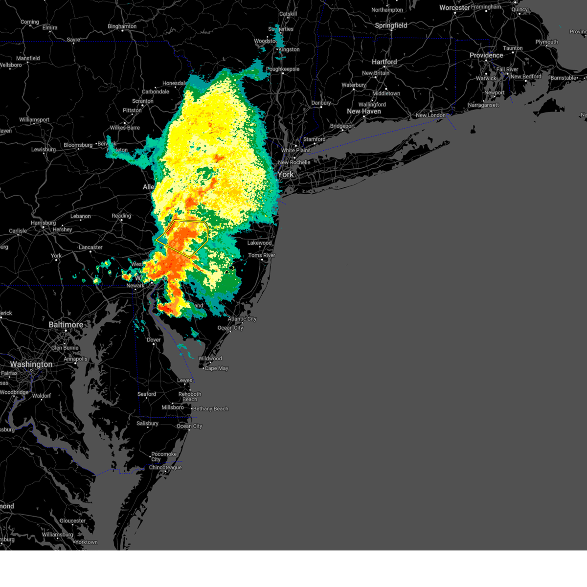
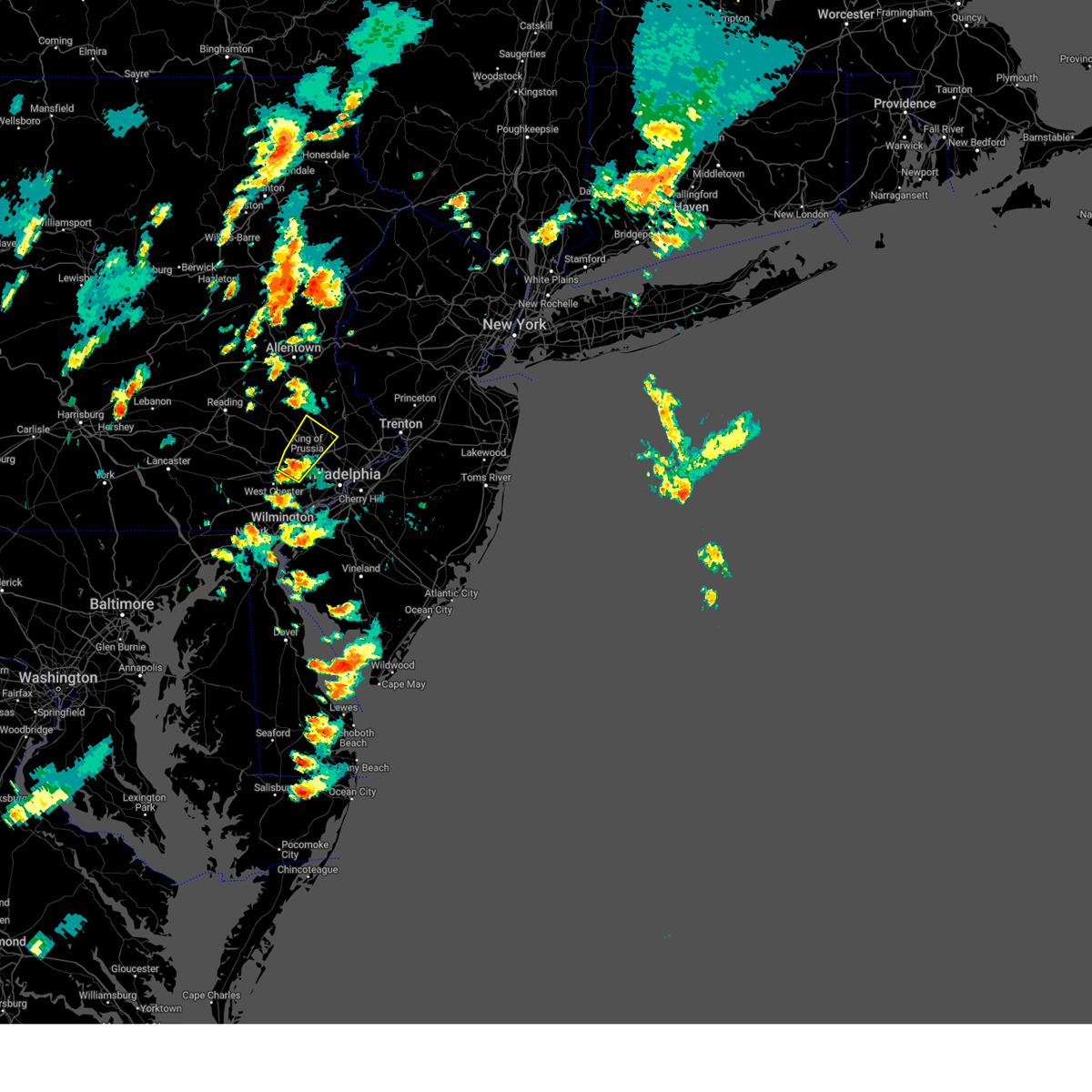
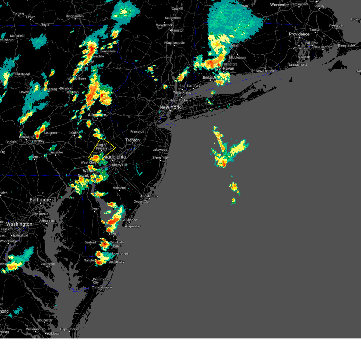
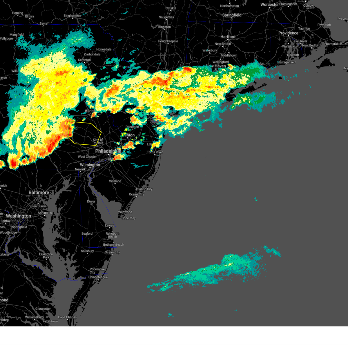
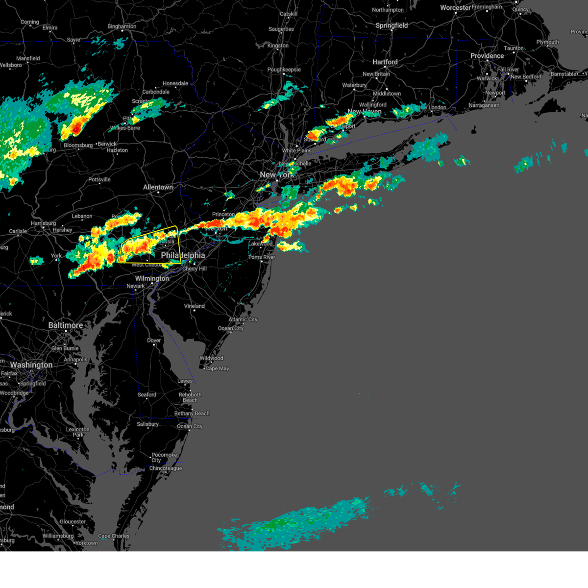
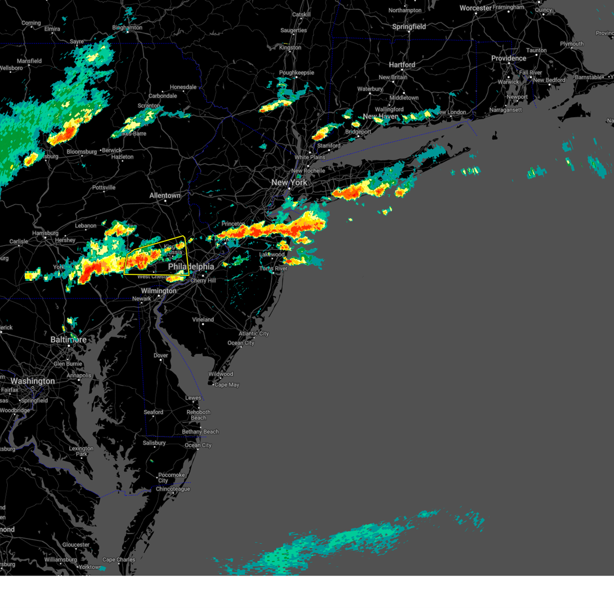
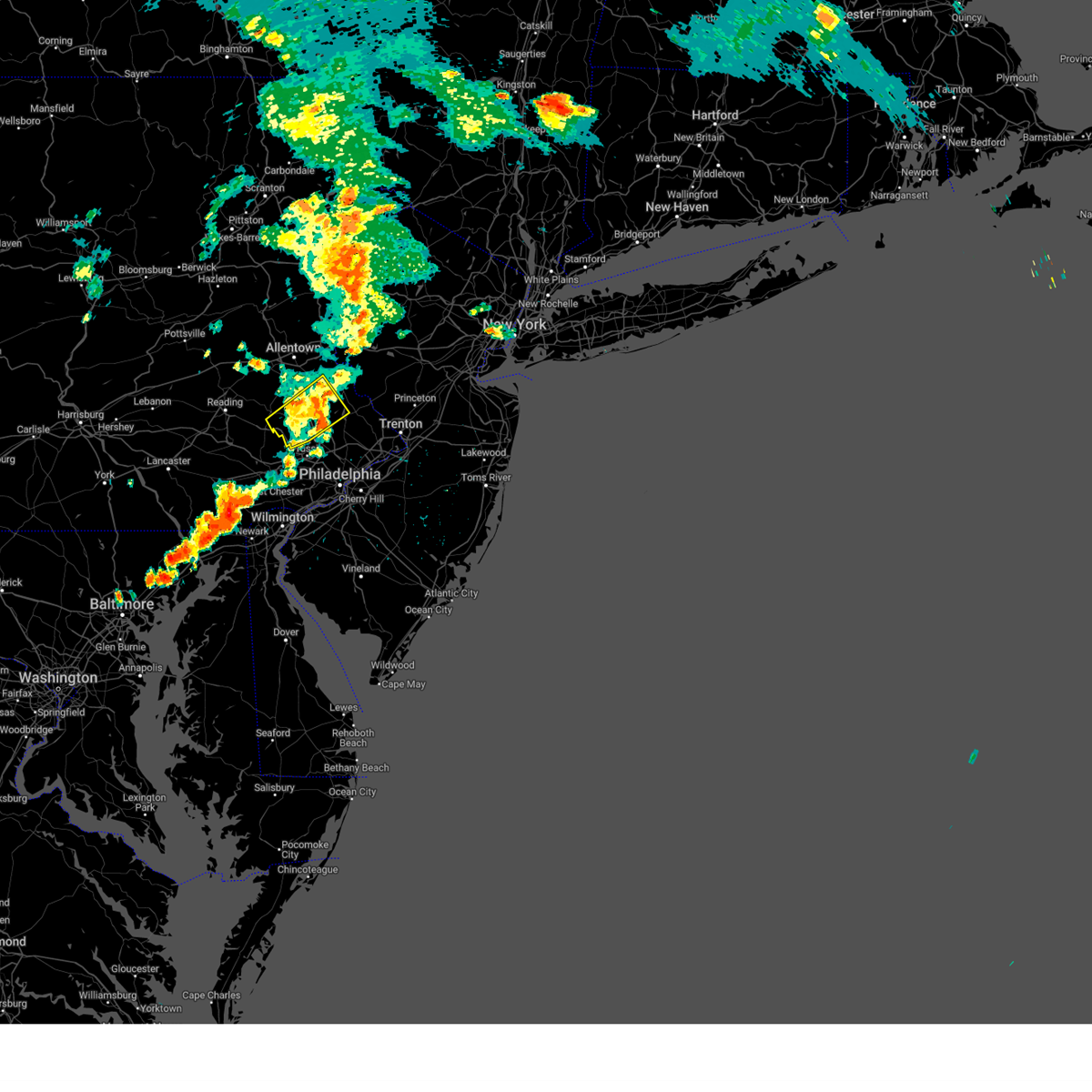
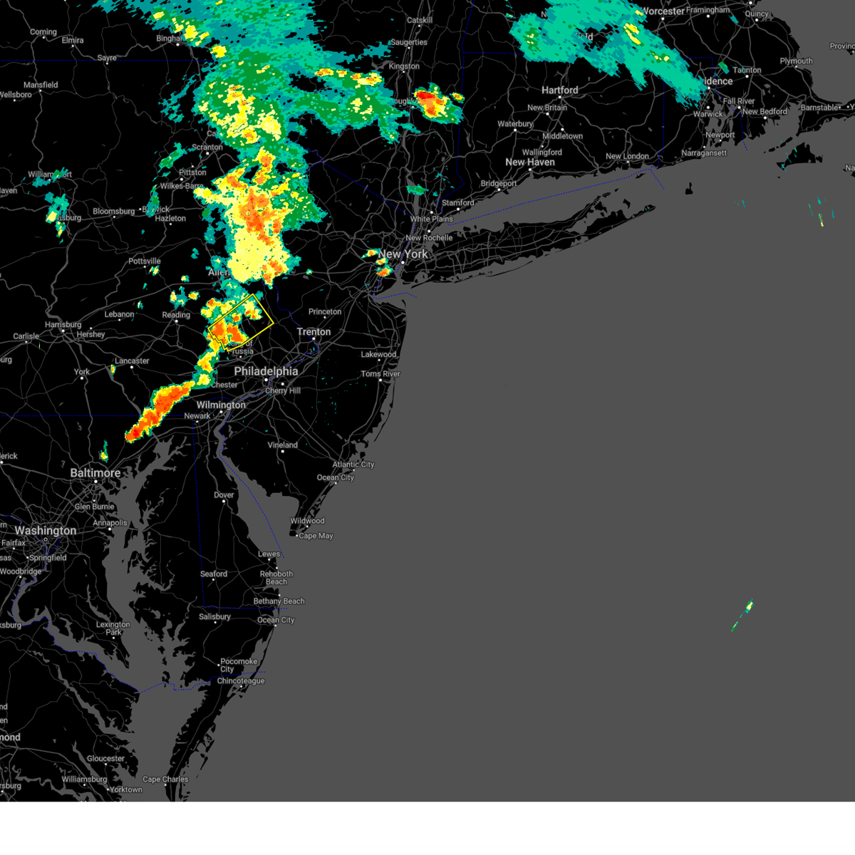
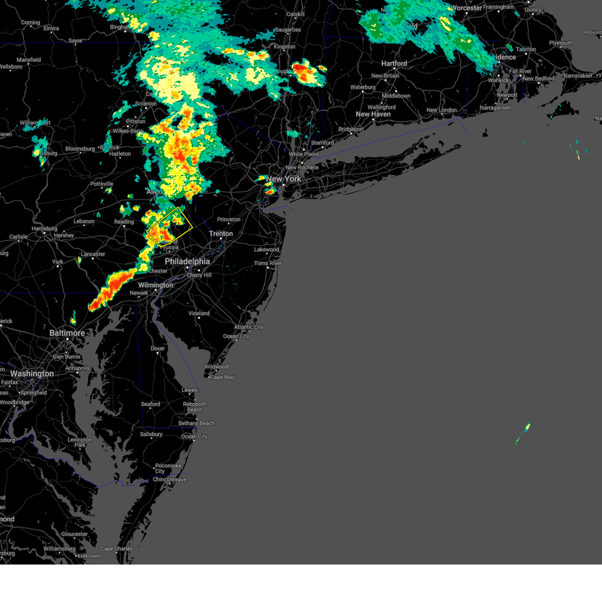
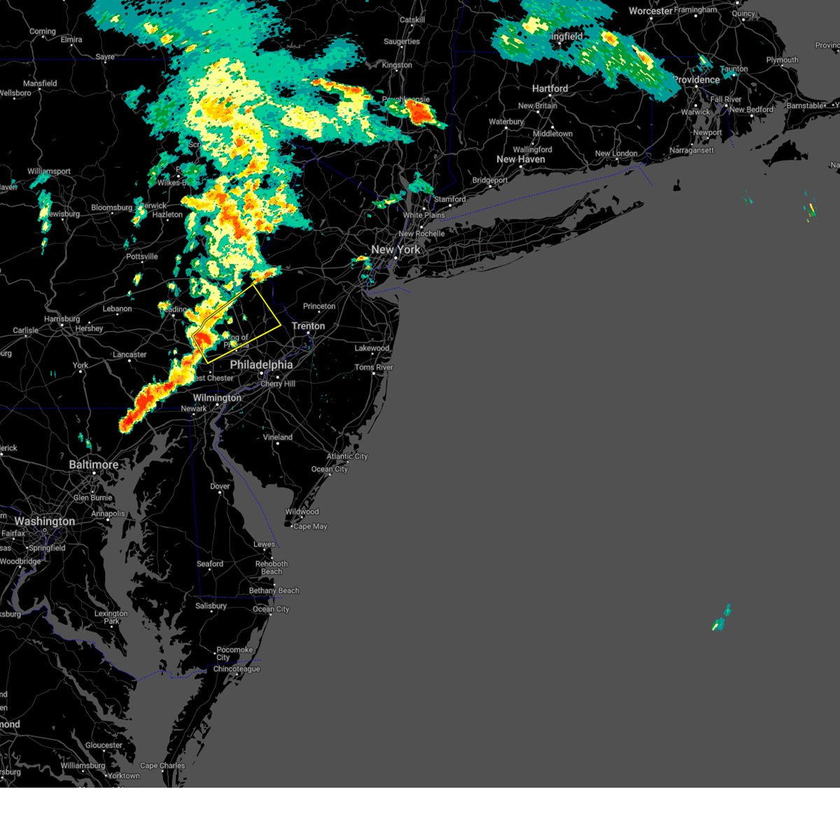
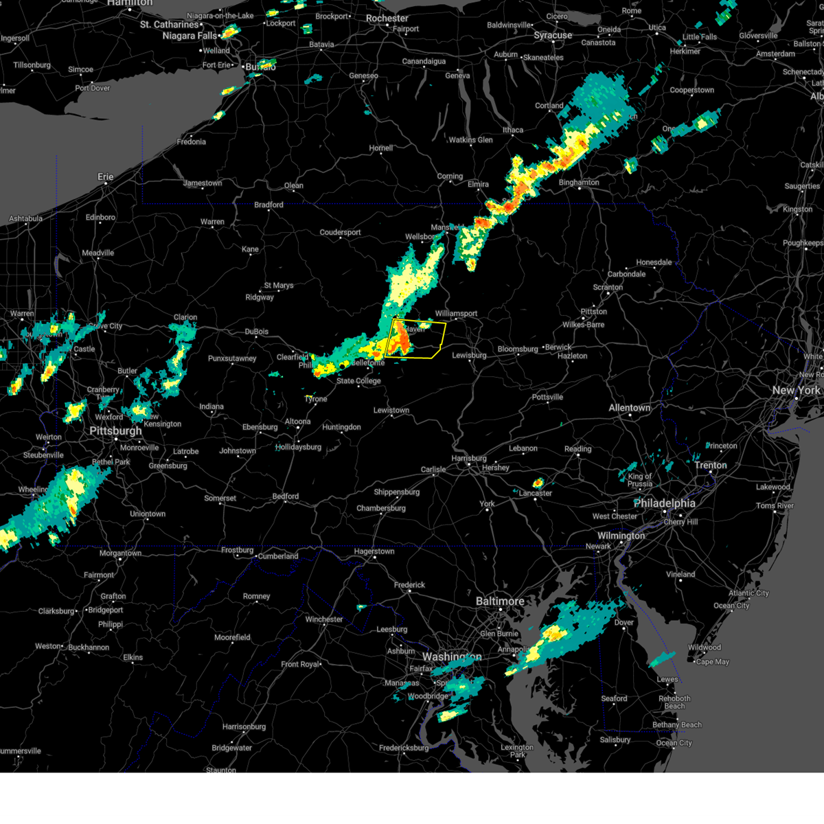
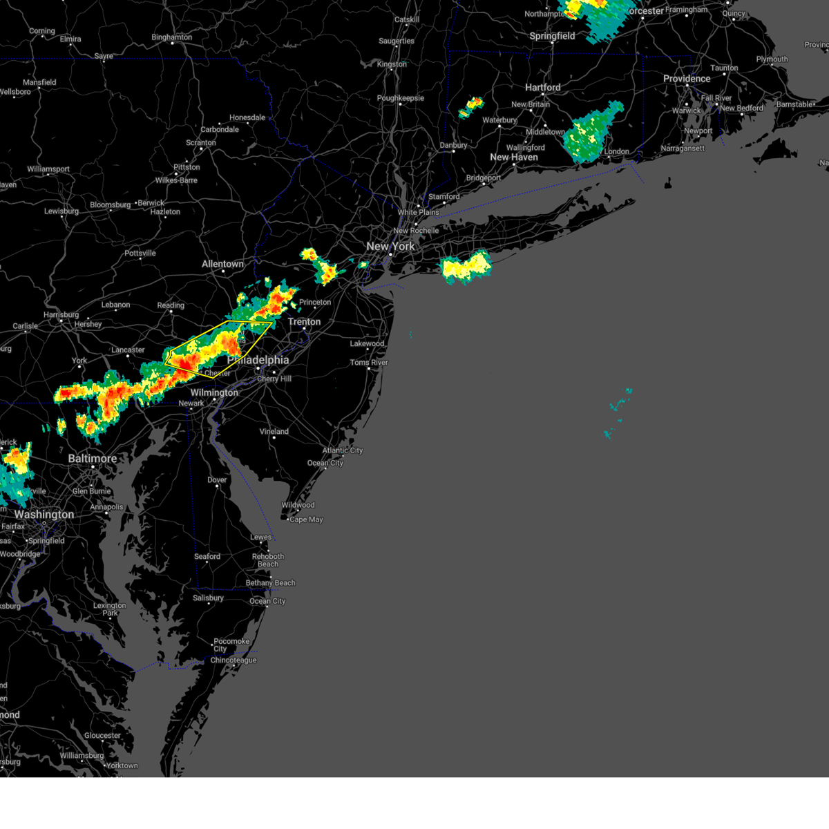
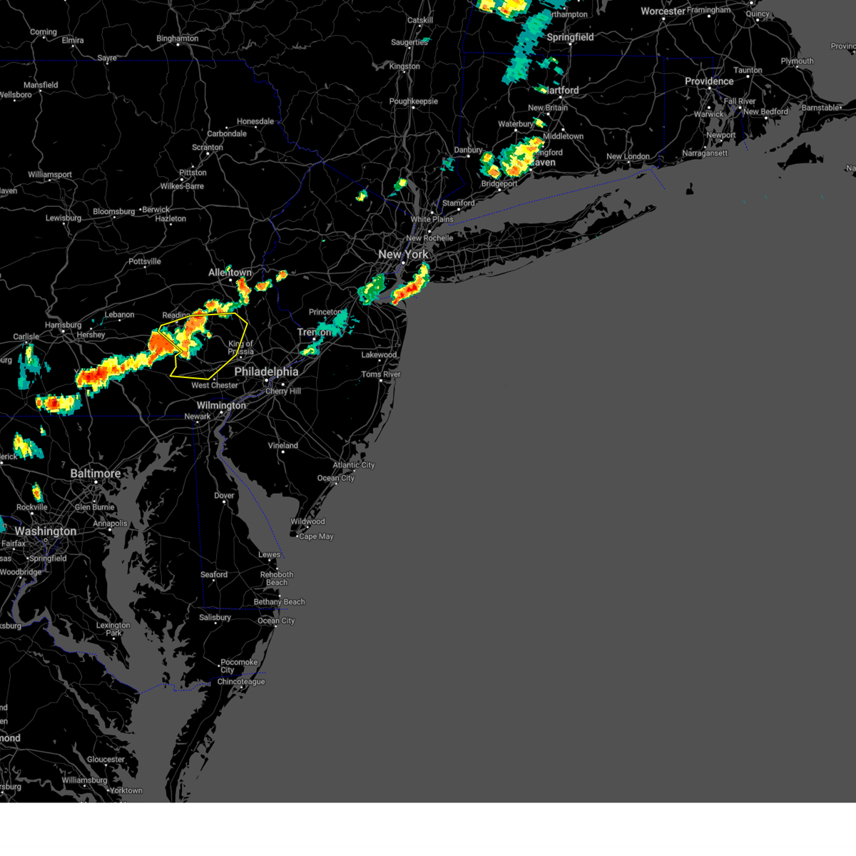
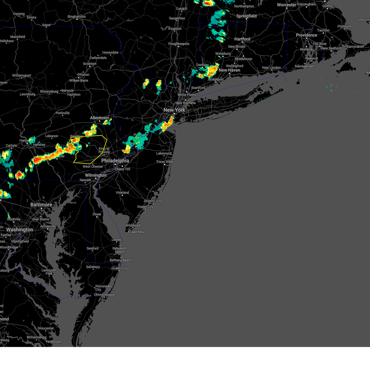
Hail Map for Eagleville, PA
The Eagleville, PA area has had 0 reports of on-the-ground hail by trained spotters, and has been under severe weather warnings 64 times during the past 12 months. Doppler radar has detected hail at or near Eagleville, PA on 54 occasions, including 3 occasions during the past year.
| Name: | Eagleville, PA |
| Where Located: | 83.5 miles WSW of Brooklyn, NY |
| Map: | Google Map for Eagleville, PA |
| Population: | 4800 |
| Housing Units: | 1194 |
| More Info: | Search Google for Eagleville, PA |
3
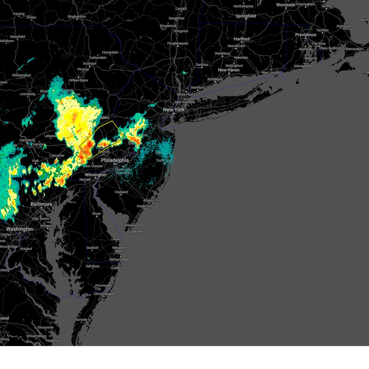
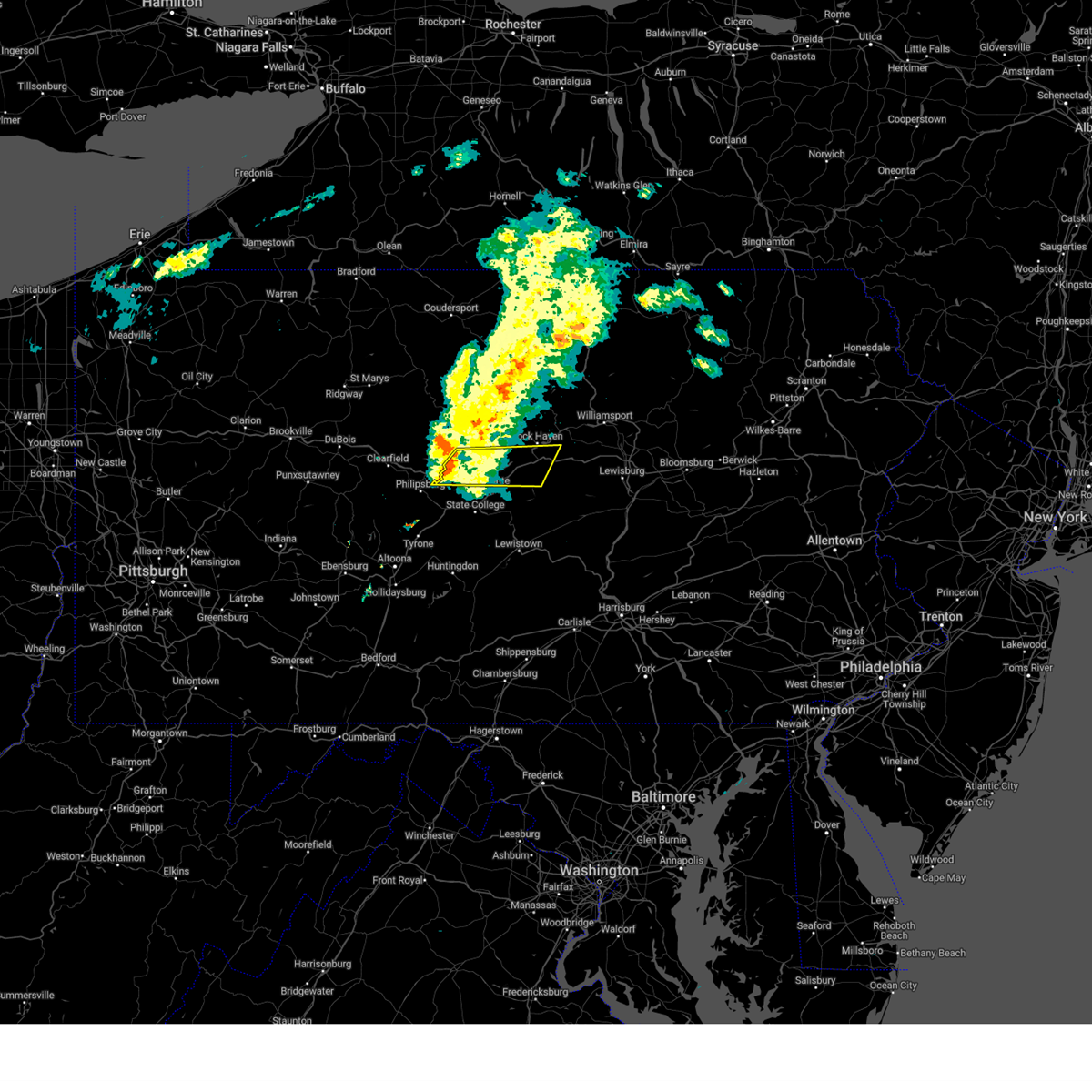
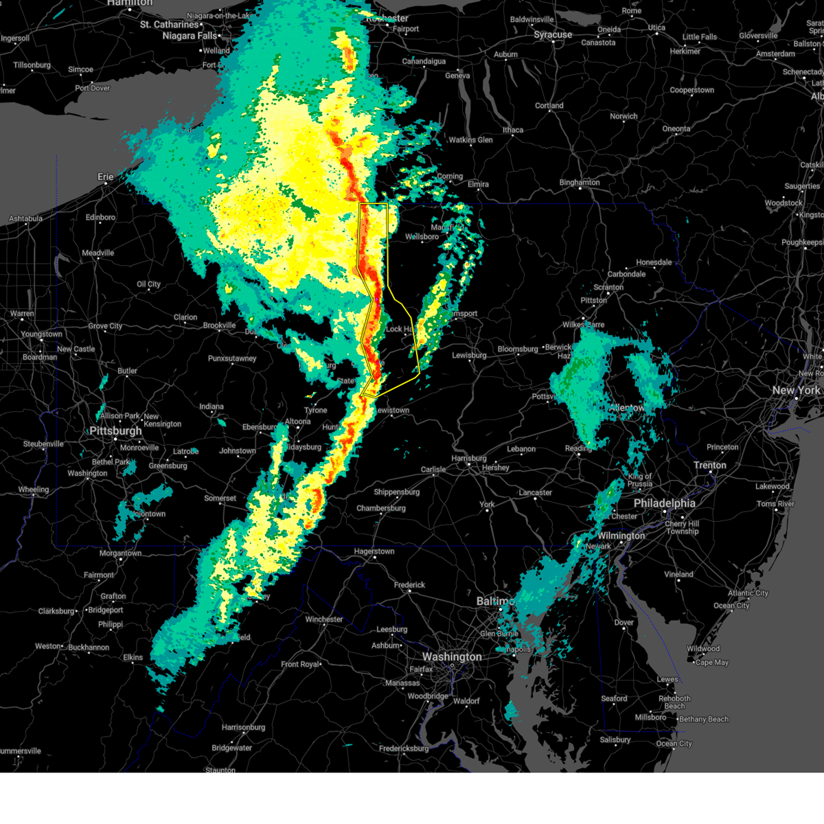
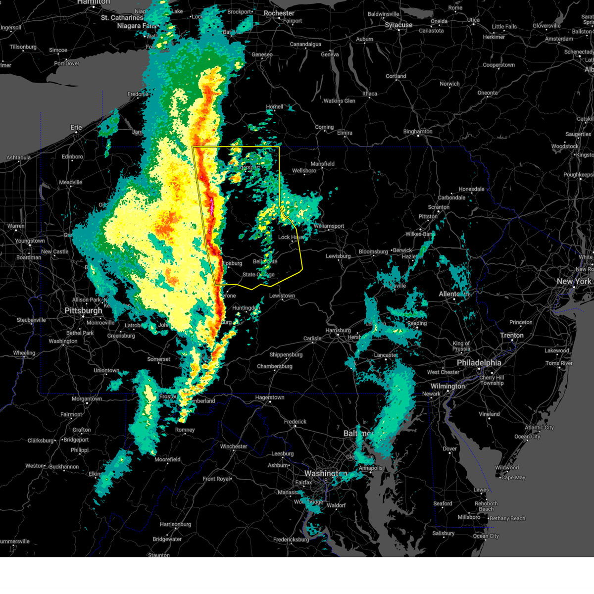
The Top Recent Hail Date for Eagleville, PA is Sunday, August 18, 2024 (7th out of 54)

Hail and Wind Damage Spotted near Eagleville, PA
| Date / Time | Report Details |
|---|---|
| 6/30/2025 11:47 PM EDT |
 Svrphi the national weather service in mount holly nj has issued a * severe thunderstorm warning for, southeastern berks county in eastern pennsylvania, northwestern montgomery county in southeastern pennsylvania, chester county in southeastern pennsylvania, west central delaware county in southeastern pennsylvania, * until 1230 am edt. * at 1146 pm edt, severe thunderstorms were located along a line extending from denver to near new holland to near gap, moving east at 45 mph (radar indicated). Hazards include 60 mph wind gusts and penny size hail. damage to roofs, siding, trees, and power lines is possible Svrphi the national weather service in mount holly nj has issued a * severe thunderstorm warning for, southeastern berks county in eastern pennsylvania, northwestern montgomery county in southeastern pennsylvania, chester county in southeastern pennsylvania, west central delaware county in southeastern pennsylvania, * until 1230 am edt. * at 1146 pm edt, severe thunderstorms were located along a line extending from denver to near new holland to near gap, moving east at 45 mph (radar indicated). Hazards include 60 mph wind gusts and penny size hail. damage to roofs, siding, trees, and power lines is possible
|
| 6/26/2025 6:29 PM EDT | Svrphi the national weather service in mount holly nj has issued a * severe thunderstorm warning for, southeastern berks county in eastern pennsylvania, southwestern montgomery county in southeastern pennsylvania, chester county in southeastern pennsylvania, central delaware county in southeastern pennsylvania, * until 715 pm edt. * at 629 pm edt, severe thunderstorms were located along a line extending from cedarville to near elverson to paradise, moving southeast at 30 mph (radar indicated). Hazards include 60 mph wind gusts and quarter size hail. Minor damage to vehicles is possible. Wind damage to roofs, siding, trees, and power lines is possible. |
| 6/25/2025 7:13 PM EDT | the severe thunderstorm warning has been cancelled and is no longer in effect |
| 6/25/2025 7:01 PM EDT | At 701 pm edt, a severe thunderstorm was located near royersford, or 19 miles north of west chester, moving southeast at 25 mph (radar indicated). Hazards include 60 mph wind gusts. Damage to roofs, siding, trees, and power lines is possible. Locations impacted include, pottstown, phoenixville, lansdale, west norriton, east norriton, collegeville, royersford, trappe, schwenksville, pughtown, spring mount, valley forge, chester springs, gilbertsville, cedarville, skippack, stowe, spring city, north wales, and harleysville. |
| 6/25/2025 7:01 PM EDT | the severe thunderstorm warning has been cancelled and is no longer in effect |
| 6/25/2025 6:41 PM EDT | Svrphi the national weather service in mount holly nj has issued a * severe thunderstorm warning for, southeastern berks county in eastern pennsylvania, northwestern montgomery county in southeastern pennsylvania, northeastern chester county in southeastern pennsylvania, * until 730 pm edt. * at 641 pm edt, a severe thunderstorm was located over gilbertsville, or 13 miles east of reading, moving southeast at 25 mph (radar indicated). Hazards include 60 mph wind gusts. damage to roofs, siding, trees, and power lines is possible |
| 6/19/2025 5:31 PM EDT |
 Svrphi the national weather service in mount holly nj has issued a * severe thunderstorm warning for, central montgomery county in southeastern pennsylvania, northwestern bucks county in southeastern pennsylvania, * until 615 pm edt. * at 530 pm edt, a severe thunderstorm was located over schwenksville, or 22 miles northwest of philadelphia, moving northeast at 35 mph (radar indicated). Hazards include 60 mph wind gusts and penny size hail. damage to roofs, siding, trees, and power lines is possible Svrphi the national weather service in mount holly nj has issued a * severe thunderstorm warning for, central montgomery county in southeastern pennsylvania, northwestern bucks county in southeastern pennsylvania, * until 615 pm edt. * at 530 pm edt, a severe thunderstorm was located over schwenksville, or 22 miles northwest of philadelphia, moving northeast at 35 mph (radar indicated). Hazards include 60 mph wind gusts and penny size hail. damage to roofs, siding, trees, and power lines is possible
|
| 6/19/2025 5:13 PM EDT |
 Svrphi the national weather service in mount holly nj has issued a * severe thunderstorm warning for, north central new castle county in northern delaware, northwestern burlington county in southern new jersey, southeastern montgomery county in southeastern pennsylvania, south central bucks county in southeastern pennsylvania, southeastern chester county in southeastern pennsylvania, philadelphia county in southeastern pennsylvania, delaware county in southeastern pennsylvania, * until 600 pm edt. * at 513 pm edt, a severe thunderstorm was located over westtown, or over west chester, moving northeast at 55 mph (radar indicated). Hazards include 70 mph wind gusts and quarter size hail. Minor damage to vehicles is possible. expect considerable tree damage. Wind damage is also likely to mobile homes, roofs, and outbuildings. Svrphi the national weather service in mount holly nj has issued a * severe thunderstorm warning for, north central new castle county in northern delaware, northwestern burlington county in southern new jersey, southeastern montgomery county in southeastern pennsylvania, south central bucks county in southeastern pennsylvania, southeastern chester county in southeastern pennsylvania, philadelphia county in southeastern pennsylvania, delaware county in southeastern pennsylvania, * until 600 pm edt. * at 513 pm edt, a severe thunderstorm was located over westtown, or over west chester, moving northeast at 55 mph (radar indicated). Hazards include 70 mph wind gusts and quarter size hail. Minor damage to vehicles is possible. expect considerable tree damage. Wind damage is also likely to mobile homes, roofs, and outbuildings.
|
| 6/9/2025 8:58 PM EDT |
 The tornado threat has diminished and the tornado warning has been cancelled. however, large hail and damaging winds remain likely and a severe thunderstorm warning remains in effect for the area. a severe thunderstorm watch remains in effect until 1000 pm edt for central and north central pennsylvania. The tornado threat has diminished and the tornado warning has been cancelled. however, large hail and damaging winds remain likely and a severe thunderstorm warning remains in effect for the area. a severe thunderstorm watch remains in effect until 1000 pm edt for central and north central pennsylvania.
|
| 6/9/2025 8:45 PM EDT |
 At 843 pm edt, a severe thunderstorm was located over bald eagle state park, moving east at 20 mph (radar indicated). Hazards include 70 mph wind gusts and quarter size hail. Hail damage to vehicles is expected. expect considerable tree damage. wind damage is also likely to mobile homes, roofs, and outbuildings. locations impacted include, lamar, mill hall, blanchard, rebersburg, madisonburg, monument, bald eagle state park, howard, and beech creek. For those driving on interstate 80, this includes areas between the bellefonte and lock haven exits, specifically from mile markers 162 to 175. At 843 pm edt, a severe thunderstorm was located over bald eagle state park, moving east at 20 mph (radar indicated). Hazards include 70 mph wind gusts and quarter size hail. Hail damage to vehicles is expected. expect considerable tree damage. wind damage is also likely to mobile homes, roofs, and outbuildings. locations impacted include, lamar, mill hall, blanchard, rebersburg, madisonburg, monument, bald eagle state park, howard, and beech creek. For those driving on interstate 80, this includes areas between the bellefonte and lock haven exits, specifically from mile markers 162 to 175.
|
| 6/9/2025 8:35 PM EDT |
 At 835 pm edt, a severe thunderstorm capable of producing a tornado was located over bald eagle state park, moving northeast at 30 mph (radar indicated rotation). Hazards include tornado and quarter size hail. Flying debris will be dangerous to those caught without shelter. mobile homes will be damaged or destroyed. damage to roofs, windows, and vehicles will occur. tree damage is likely. this dangerous storm will be near, blanchard, lamar, and bald eagle state park around 840 pm edt. lock haven, flemington, and castanea around 850 pm edt. other locations impacted by this tornadic thunderstorm include beech creek, howard, and lock haven university. For those driving on interstate 80, this includes areas between the bellefonte and loganton exits, specifically from mile markers 164 to 179. At 835 pm edt, a severe thunderstorm capable of producing a tornado was located over bald eagle state park, moving northeast at 30 mph (radar indicated rotation). Hazards include tornado and quarter size hail. Flying debris will be dangerous to those caught without shelter. mobile homes will be damaged or destroyed. damage to roofs, windows, and vehicles will occur. tree damage is likely. this dangerous storm will be near, blanchard, lamar, and bald eagle state park around 840 pm edt. lock haven, flemington, and castanea around 850 pm edt. other locations impacted by this tornadic thunderstorm include beech creek, howard, and lock haven university. For those driving on interstate 80, this includes areas between the bellefonte and loganton exits, specifically from mile markers 164 to 179.
|
| 6/9/2025 8:33 PM EDT |
 At 832 pm edt, a severe thunderstorm was located over bald eagle state park, moving northeast at 20 mph. this is a destructive storm for howard, blanchard, and lamar (radar indicated). Hazards include 80 mph wind gusts and quarter size hail. Flying debris will be dangerous to those caught without shelter. mobile homes will be heavily damaged. expect considerable damage to roofs, windows, and vehicles. extensive tree damage and power outages are likely. locations impacted include, bellefonte, pleasant gap, lamar, zion, mill hall, milesburg, millheim, blanchard, aaronsburg, rebersburg, madisonburg, and monument. for those driving on interstate 80, this includes areas between the snow shoe and lock haven exits, specifically from mile markers 154 to 175. This includes interstate 99 from mile markers 80 to 85. At 832 pm edt, a severe thunderstorm was located over bald eagle state park, moving northeast at 20 mph. this is a destructive storm for howard, blanchard, and lamar (radar indicated). Hazards include 80 mph wind gusts and quarter size hail. Flying debris will be dangerous to those caught without shelter. mobile homes will be heavily damaged. expect considerable damage to roofs, windows, and vehicles. extensive tree damage and power outages are likely. locations impacted include, bellefonte, pleasant gap, lamar, zion, mill hall, milesburg, millheim, blanchard, aaronsburg, rebersburg, madisonburg, and monument. for those driving on interstate 80, this includes areas between the snow shoe and lock haven exits, specifically from mile markers 154 to 175. This includes interstate 99 from mile markers 80 to 85.
|
| 6/9/2025 8:25 PM EDT |
 Torctp the national weather service in state college pa has issued a * tornado warning for, central centre county in central pennsylvania, south central clinton county in north central pennsylvania, * until 900 pm edt. * at 825 pm edt, a severe thunderstorm capable of producing a tornado was located over bald eagle state park, moving northeast at 35 mph (radar indicated rotation). Hazards include tornado and quarter size hail. Flying debris will be dangerous to those caught without shelter. mobile homes will be damaged or destroyed. damage to roofs, windows, and vehicles will occur. tree damage is likely. this dangerous storm will be near, blanchard, lamar, and bald eagle state park around 830 pm edt. flemington, mill hall, and mackeyville around 840 pm edt. lock haven and castanea around 850 pm edt. other locations impacted by this tornadic thunderstorm include beech creek, howard, and lock haven university. For those driving on interstate 80, this includes areas between the milesburg and loganton exits, specifically from mile markers 159 to 179. Torctp the national weather service in state college pa has issued a * tornado warning for, central centre county in central pennsylvania, south central clinton county in north central pennsylvania, * until 900 pm edt. * at 825 pm edt, a severe thunderstorm capable of producing a tornado was located over bald eagle state park, moving northeast at 35 mph (radar indicated rotation). Hazards include tornado and quarter size hail. Flying debris will be dangerous to those caught without shelter. mobile homes will be damaged or destroyed. damage to roofs, windows, and vehicles will occur. tree damage is likely. this dangerous storm will be near, blanchard, lamar, and bald eagle state park around 830 pm edt. flemington, mill hall, and mackeyville around 840 pm edt. lock haven and castanea around 850 pm edt. other locations impacted by this tornadic thunderstorm include beech creek, howard, and lock haven university. For those driving on interstate 80, this includes areas between the milesburg and loganton exits, specifically from mile markers 159 to 179.
|
| 6/9/2025 8:20 PM EDT |
 At 819 pm edt, a severe thunderstorm was located over milesburg, moving east at 20 mph. this is a destructive storm for bellefonte, zion, milesburg, and howard (radar indicated). Hazards include 80 mph wind gusts and quarter size hail. Flying debris will be dangerous to those caught without shelter. mobile homes will be heavily damaged. expect considerable damage to roofs, windows, and vehicles. extensive tree damage and power outages are likely. locations impacted include, bellefonte, pleasant gap, lamar, zion, mill hall, milesburg, millheim, blanchard, aaronsburg, rebersburg, madisonburg, and monument. for those driving on interstate 80, this includes areas between the snow shoe and lock haven exits, specifically from mile markers 150 to 175. This includes interstate 99 from mile markers 78 to 85. At 819 pm edt, a severe thunderstorm was located over milesburg, moving east at 20 mph. this is a destructive storm for bellefonte, zion, milesburg, and howard (radar indicated). Hazards include 80 mph wind gusts and quarter size hail. Flying debris will be dangerous to those caught without shelter. mobile homes will be heavily damaged. expect considerable damage to roofs, windows, and vehicles. extensive tree damage and power outages are likely. locations impacted include, bellefonte, pleasant gap, lamar, zion, mill hall, milesburg, millheim, blanchard, aaronsburg, rebersburg, madisonburg, and monument. for those driving on interstate 80, this includes areas between the snow shoe and lock haven exits, specifically from mile markers 150 to 175. This includes interstate 99 from mile markers 78 to 85.
|
| 6/9/2025 8:11 PM EDT |
 Svrctp the national weather service in state college pa has issued a * severe thunderstorm warning for, central centre county in central pennsylvania, south central clinton county in north central pennsylvania, * until 900 pm edt. * at 810 pm edt, a severe thunderstorm was located over milesburg, moving east at 20 mph (radar indicated). Hazards include 60 mph wind gusts and quarter size hail. Hail damage to vehicles is expected. Expect wind damage to roofs, siding, and trees. Svrctp the national weather service in state college pa has issued a * severe thunderstorm warning for, central centre county in central pennsylvania, south central clinton county in north central pennsylvania, * until 900 pm edt. * at 810 pm edt, a severe thunderstorm was located over milesburg, moving east at 20 mph (radar indicated). Hazards include 60 mph wind gusts and quarter size hail. Hail damage to vehicles is expected. Expect wind damage to roofs, siding, and trees.
|
| 5/16/2025 12:08 PM EDT |
 The storm which prompted the warning has weakened below severe limits, and no longer poses an immediate threat to life or property. therefore, the warning will be allowed to expire. however gusty winds and heavy rainfall leading to flash flooding are still possible with this thunderstorm. a flash flood warning remains in effect until 330 pm edt for portions of this area. a severe thunderstorm watch remains in effect until 500 pm edt for southern and central new jersey, and southeastern pennsylvania. to report severe weather, contact your nearest law enforcement agency. they will relay your report to the national weather service mount holly nj. The storm which prompted the warning has weakened below severe limits, and no longer poses an immediate threat to life or property. therefore, the warning will be allowed to expire. however gusty winds and heavy rainfall leading to flash flooding are still possible with this thunderstorm. a flash flood warning remains in effect until 330 pm edt for portions of this area. a severe thunderstorm watch remains in effect until 500 pm edt for southern and central new jersey, and southeastern pennsylvania. to report severe weather, contact your nearest law enforcement agency. they will relay your report to the national weather service mount holly nj.
|
| 5/16/2025 11:55 AM EDT |
 At 1154 am edt, a severe thunderstorm was located near lansdale, or 14 miles northwest of philadelphia, moving east at 35 mph (radar indicated). Hazards include 60 mph wind gusts. Damage to roofs, siding, trees, and power lines is possible. Locations impacted include, philadelphia, bensalem, norristown, lansdale, west norriton, east norriton, doylestown, conshohocken, palmyra, hatboro, ambler, collegeville, jenkintown, chalfont, hatfield, rockledge, newtown, abington, langhorne, and bryn athyn. At 1154 am edt, a severe thunderstorm was located near lansdale, or 14 miles northwest of philadelphia, moving east at 35 mph (radar indicated). Hazards include 60 mph wind gusts. Damage to roofs, siding, trees, and power lines is possible. Locations impacted include, philadelphia, bensalem, norristown, lansdale, west norriton, east norriton, doylestown, conshohocken, palmyra, hatboro, ambler, collegeville, jenkintown, chalfont, hatfield, rockledge, newtown, abington, langhorne, and bryn athyn.
|
| 5/16/2025 11:39 AM EDT | At 1139 am edt, a severe thunderstorm was located near hatfield, or 20 miles northwest of philadelphia, moving east at 35 mph (radar indicated). Hazards include 60 mph wind gusts and quarter size hail. Minor damage to vehicles is possible. wind damage to roofs, siding, trees, and power lines is possible. Locations impacted include, philadelphia, bensalem, norristown, lansdale, west norriton, east norriton, doylestown, conshohocken, palmyra, hatboro, souderton, ambler, collegeville, jenkintown, chalfont, trappe, hatfield, rockledge, newtown, and abington. |
| 5/16/2025 11:39 AM EDT | the severe thunderstorm warning has been cancelled and is no longer in effect |
| 5/16/2025 11:22 AM EDT |
 Svrphi the national weather service in mount holly nj has issued a * severe thunderstorm warning for, montgomery county in southeastern pennsylvania, central bucks county in southeastern pennsylvania, northeastern chester county in southeastern pennsylvania, northern philadelphia county in southeastern pennsylvania, * until 1215 pm edt. * at 1122 am edt, a severe thunderstorm was located near spring mount, or 21 miles east of reading, moving east at 35 mph. this storm has a history of producing wind damage in berks county (radar indicated). Hazards include 60 mph wind gusts and quarter size hail. Minor damage to vehicles is possible. Wind damage to roofs, siding, trees, and power lines is possible. Svrphi the national weather service in mount holly nj has issued a * severe thunderstorm warning for, montgomery county in southeastern pennsylvania, central bucks county in southeastern pennsylvania, northeastern chester county in southeastern pennsylvania, northern philadelphia county in southeastern pennsylvania, * until 1215 pm edt. * at 1122 am edt, a severe thunderstorm was located near spring mount, or 21 miles east of reading, moving east at 35 mph. this storm has a history of producing wind damage in berks county (radar indicated). Hazards include 60 mph wind gusts and quarter size hail. Minor damage to vehicles is possible. Wind damage to roofs, siding, trees, and power lines is possible.
|
| 5/3/2025 9:30 PM EDT |
 The storm which prompted the warning has weakened below severe limits, and has exited the warned area. therefore, the warning has been allowed to expire. however gusty winds are still possible with this thunderstorm. a severe thunderstorm watch remains in effect until 1100 pm edt for northwestern new jersey, and eastern and southeastern pennsylvania. to report severe weather, contact your nearest law enforcement agency. they will relay your report to the national weather service mount holly nj. The storm which prompted the warning has weakened below severe limits, and has exited the warned area. therefore, the warning has been allowed to expire. however gusty winds are still possible with this thunderstorm. a severe thunderstorm watch remains in effect until 1100 pm edt for northwestern new jersey, and eastern and southeastern pennsylvania. to report severe weather, contact your nearest law enforcement agency. they will relay your report to the national weather service mount holly nj.
|
| 5/3/2025 9:11 PM EDT |
 At 911 pm edt, a severe thunderstorm was located over cedarville, or 16 miles southeast of reading, moving northeast at 30 mph (radar indicated). Hazards include 60 mph wind gusts and quarter size hail. Minor damage to vehicles is possible. wind damage to roofs, siding, trees, and power lines is possible. locations impacted include, fricks, boyertown, pottsgrove, dublin, evansburg, hatfield, perkasie, pughtown, eagleville, stowe, pennsburg, spring mount, bechtelsville, lansdale, montgomeryville, doylestown, schwenksville, chalfont, phoenixville, and silverdale. this includes the following highways, pennsylvania turnpike between mile markers 306 and 316. Northeast extension between mile markers 27 and 49. At 911 pm edt, a severe thunderstorm was located over cedarville, or 16 miles southeast of reading, moving northeast at 30 mph (radar indicated). Hazards include 60 mph wind gusts and quarter size hail. Minor damage to vehicles is possible. wind damage to roofs, siding, trees, and power lines is possible. locations impacted include, fricks, boyertown, pottsgrove, dublin, evansburg, hatfield, perkasie, pughtown, eagleville, stowe, pennsburg, spring mount, bechtelsville, lansdale, montgomeryville, doylestown, schwenksville, chalfont, phoenixville, and silverdale. this includes the following highways, pennsylvania turnpike between mile markers 306 and 316. Northeast extension between mile markers 27 and 49.
|
| 5/3/2025 8:47 PM EDT |
 Svrphi the national weather service in mount holly nj has issued a * severe thunderstorm warning for, southeastern berks county in eastern pennsylvania, southeastern lehigh county in eastern pennsylvania, northwestern montgomery county in southeastern pennsylvania, northwestern bucks county in southeastern pennsylvania, northern chester county in southeastern pennsylvania, south central northampton county in eastern pennsylvania, * until 930 pm edt. * at 846 pm edt, a severe thunderstorm was located over glenmoore, or 13 miles east of new holland, moving northeast at 40 mph (radar indicated). Hazards include 60 mph wind gusts and quarter size hail. Minor damage to vehicles is possible. Wind damage to roofs, siding, trees, and power lines is possible. Svrphi the national weather service in mount holly nj has issued a * severe thunderstorm warning for, southeastern berks county in eastern pennsylvania, southeastern lehigh county in eastern pennsylvania, northwestern montgomery county in southeastern pennsylvania, northwestern bucks county in southeastern pennsylvania, northern chester county in southeastern pennsylvania, south central northampton county in eastern pennsylvania, * until 930 pm edt. * at 846 pm edt, a severe thunderstorm was located over glenmoore, or 13 miles east of new holland, moving northeast at 40 mph (radar indicated). Hazards include 60 mph wind gusts and quarter size hail. Minor damage to vehicles is possible. Wind damage to roofs, siding, trees, and power lines is possible.
|
| 4/29/2025 7:11 PM EDT | At 710 pm edt, severe thunderstorms were located along a line extending from south renovo to blanchard to strodes mills, moving east at 65 mph. these are destructive storms for lock haven! (radar indicated). Hazards include 80 mph wind gusts. Flying debris will be dangerous to those caught without shelter. mobile homes will be heavily damaged. expect considerable damage to roofs, windows, and vehicles. extensive tree damage and power outages are likely. locations impacted include, monument, glen union, flemington, coburn, madisonburg, rebersburg, mcelhattan, millheim, keating, beech creek, castanea, and lock haven university. For those driving on interstate 80, this includes areas between the bellefonte and mile run exits, specifically from mile markers 169 to 195. |
| 4/29/2025 6:51 PM EDT |
 Svrctp the national weather service in state college pa has issued a * severe thunderstorm warning for, eastern centre county in central pennsylvania, clinton county in north central pennsylvania, * until 730 pm edt. * at 651 pm edt, severe thunderstorms were located along a line extending from near karthaus to snow shoe to raystown dam, moving east at 65 mph (radar indicated). Hazards include 60 mph wind gusts. expect damage to roofs, siding, and trees Svrctp the national weather service in state college pa has issued a * severe thunderstorm warning for, eastern centre county in central pennsylvania, clinton county in north central pennsylvania, * until 730 pm edt. * at 651 pm edt, severe thunderstorms were located along a line extending from near karthaus to snow shoe to raystown dam, moving east at 65 mph (radar indicated). Hazards include 60 mph wind gusts. expect damage to roofs, siding, and trees
|
| 4/19/2025 3:32 PM EDT |
 the severe thunderstorm warning has been cancelled and is no longer in effect the severe thunderstorm warning has been cancelled and is no longer in effect
|
| 4/19/2025 3:15 PM EDT |
 Svrctp the national weather service in state college pa has issued a * severe thunderstorm warning for, central centre county in central pennsylvania, southeastern clinton county in north central pennsylvania, * until 345 pm edt. * at 314 pm edt, severe thunderstorms were located along a line extending from clarence to black moshannon state park, moving east at 65 mph (radar indicated). Hazards include 60 mph wind gusts and nickel size hail. expect damage to roofs, siding, and trees Svrctp the national weather service in state college pa has issued a * severe thunderstorm warning for, central centre county in central pennsylvania, southeastern clinton county in north central pennsylvania, * until 345 pm edt. * at 314 pm edt, severe thunderstorms were located along a line extending from clarence to black moshannon state park, moving east at 65 mph (radar indicated). Hazards include 60 mph wind gusts and nickel size hail. expect damage to roofs, siding, and trees
|
| 4/15/2025 4:48 PM EDT |
 The storms which prompted the warning have weakened below severe limits, and no longer pose an immediate threat to life or property. therefore, the warning has been allowed to expire. however, a wind advisory remains in effect until 8 pm edt. strong westerly winds gusting up to 50 mph could result in some additional tree damage and isolated power outages through early evening. The storms which prompted the warning have weakened below severe limits, and no longer pose an immediate threat to life or property. therefore, the warning has been allowed to expire. however, a wind advisory remains in effect until 8 pm edt. strong westerly winds gusting up to 50 mph could result in some additional tree damage and isolated power outages through early evening.
|
| 4/15/2025 4:38 PM EDT |
 At 437 pm edt, an outflow boundary capable of producing damaging winds was located along a line extending from near frenchtown to near richboro to drexel hill, moving east at 55 mph (law enforcement reported wind damage. at 419 pm edt, a 56 mph wind gust was measured at the pottstown limerick airport). Hazards include 60 mph wind gusts. Damage to roofs, siding, trees, and power lines is possible. locations impacted include, fricks, modena, coffeetown, emmaus, evansburg, hatfield, blue bell, perkasie, maple glen, pughtown, bryn mawr, north catasauqua, ancient oaks, pennsburg, doylestown, gradyville, fountain hill, south coatesville, bethlehem, and souderton. this includes the following highways, pennsylvania turnpike between mile markers 300 and 339. northeast extension between mile markers 21 and 61. interstate 76 in pennsylvania between mile markers 327 and 335. interstate 78 in pennsylvania between mile markers 51 and 76. Interstate 476 in pennsylvania between mile markers 10 and 19. At 437 pm edt, an outflow boundary capable of producing damaging winds was located along a line extending from near frenchtown to near richboro to drexel hill, moving east at 55 mph (law enforcement reported wind damage. at 419 pm edt, a 56 mph wind gust was measured at the pottstown limerick airport). Hazards include 60 mph wind gusts. Damage to roofs, siding, trees, and power lines is possible. locations impacted include, fricks, modena, coffeetown, emmaus, evansburg, hatfield, blue bell, perkasie, maple glen, pughtown, bryn mawr, north catasauqua, ancient oaks, pennsburg, doylestown, gradyville, fountain hill, south coatesville, bethlehem, and souderton. this includes the following highways, pennsylvania turnpike between mile markers 300 and 339. northeast extension between mile markers 21 and 61. interstate 76 in pennsylvania between mile markers 327 and 335. interstate 78 in pennsylvania between mile markers 51 and 76. Interstate 476 in pennsylvania between mile markers 10 and 19.
|
| 4/15/2025 4:14 PM EDT |
 At 413 pm edt, showers and an outflow boundary producing severe wind gusts were located along a line extending from hellertown to spring mount to near lionville, moving east at 55 mph (emergency management. at 343 pm edt, a 62 mph wind gust was measured at the reading regional airport. several areas of wind damage have been reported across berks county). Hazards include 60 mph wind gusts and penny size hail. Damage to roofs, siding, trees, and power lines is possible. locations impacted include, fricks, modena, coffeetown, emmaus, evansburg, new morgan, hatfield, blue bell, perkasie, maple glen, pughtown, bryn mawr, north catasauqua, ancient oaks, pennsburg, doylestown, gradyville, fountain hill, south coatesville, and bethlehem. this includes the following highways, pennsylvania turnpike between mile markers 296 and 339. northeast extension between mile markers 21 and 61. interstate 76 in pennsylvania between mile markers 327 and 335. interstate 78 in pennsylvania between mile markers 37 and 76. interstate 476 in pennsylvania between mile markers 10 and 19. Interstate 176 in pennsylvania between mile markers 1 and 11. At 413 pm edt, showers and an outflow boundary producing severe wind gusts were located along a line extending from hellertown to spring mount to near lionville, moving east at 55 mph (emergency management. at 343 pm edt, a 62 mph wind gust was measured at the reading regional airport. several areas of wind damage have been reported across berks county). Hazards include 60 mph wind gusts and penny size hail. Damage to roofs, siding, trees, and power lines is possible. locations impacted include, fricks, modena, coffeetown, emmaus, evansburg, new morgan, hatfield, blue bell, perkasie, maple glen, pughtown, bryn mawr, north catasauqua, ancient oaks, pennsburg, doylestown, gradyville, fountain hill, south coatesville, and bethlehem. this includes the following highways, pennsylvania turnpike between mile markers 296 and 339. northeast extension between mile markers 21 and 61. interstate 76 in pennsylvania between mile markers 327 and 335. interstate 78 in pennsylvania between mile markers 37 and 76. interstate 476 in pennsylvania between mile markers 10 and 19. Interstate 176 in pennsylvania between mile markers 1 and 11.
|
| 4/15/2025 3:56 PM EDT |
 Svrphi the national weather service in mount holly nj has issued a * severe thunderstorm warning for, berks county in eastern pennsylvania, lehigh county in eastern pennsylvania, montgomery county in southeastern pennsylvania, northwestern bucks county in southeastern pennsylvania, northeastern chester county in southeastern pennsylvania, central delaware county in southeastern pennsylvania, southern northampton county in eastern pennsylvania, * until 445 pm edt. * at 353 pm edt, showers and an outflow boundary producing severe wind gusts were located along a line extending from near claussville to near birdsboro to churchtown, moving east at 55 mph (trained weather spotters. at 343 pm edt, a 62 mph wind gust was measured at the reading regional airport. several areas of wind damage have been reported across berks county). Hazards include 60 mph wind gusts. damage to roofs, siding, trees, and power lines is possible Svrphi the national weather service in mount holly nj has issued a * severe thunderstorm warning for, berks county in eastern pennsylvania, lehigh county in eastern pennsylvania, montgomery county in southeastern pennsylvania, northwestern bucks county in southeastern pennsylvania, northeastern chester county in southeastern pennsylvania, central delaware county in southeastern pennsylvania, southern northampton county in eastern pennsylvania, * until 445 pm edt. * at 353 pm edt, showers and an outflow boundary producing severe wind gusts were located along a line extending from near claussville to near birdsboro to churchtown, moving east at 55 mph (trained weather spotters. at 343 pm edt, a 62 mph wind gust was measured at the reading regional airport. several areas of wind damage have been reported across berks county). Hazards include 60 mph wind gusts. damage to roofs, siding, trees, and power lines is possible
|
| 3/16/2025 3:13 PM EDT |
 At 312 pm edt, severe thunderstorms were located along a line extending from whitesville to cherry springs state park to near hyner to zion to whipple dam state park, moving northeast at 55 mph (trained weather spotters). Hazards include 70 mph wind gusts and quarter size hail. Hail damage to vehicles is expected. expect considerable tree damage. wind damage is also likely to mobile homes, roofs, and outbuildings. locations impacted include, tussey mountain ski area, monument, glen union, flemington, galeton, harrison valley, coburn, zion, madisonburg, rebersburg, bald eagle state park, and millheim. for those driving on interstate 80, this includes areas between the snow shoe and loganton exits, specifically from mile markers 157 to 182. This includes interstate 99 from mile markers 81 to 85. At 312 pm edt, severe thunderstorms were located along a line extending from whitesville to cherry springs state park to near hyner to zion to whipple dam state park, moving northeast at 55 mph (trained weather spotters). Hazards include 70 mph wind gusts and quarter size hail. Hail damage to vehicles is expected. expect considerable tree damage. wind damage is also likely to mobile homes, roofs, and outbuildings. locations impacted include, tussey mountain ski area, monument, glen union, flemington, galeton, harrison valley, coburn, zion, madisonburg, rebersburg, bald eagle state park, and millheim. for those driving on interstate 80, this includes areas between the snow shoe and loganton exits, specifically from mile markers 157 to 182. This includes interstate 99 from mile markers 81 to 85.
|
| 3/16/2025 3:13 PM EDT |
 the severe thunderstorm warning has been cancelled and is no longer in effect the severe thunderstorm warning has been cancelled and is no longer in effect
|
| 3/16/2025 2:27 PM EDT |
 Svrctp the national weather service in state college pa has issued a * severe thunderstorm warning for, cameron county in north central pennsylvania, centre county in central pennsylvania, eastern clearfield county in central pennsylvania, clinton county in north central pennsylvania, eastern elk county in north central pennsylvania, eastern mckean county in north central pennsylvania, potter county in north central pennsylvania, * until 345 pm edt. * at 226 pm edt, severe thunderstorms were located along a line extending from rew to betula to benezette to medix run to jeffries to sinking valley, moving east at 35 mph (trained weather spotters). Hazards include 70 mph wind gusts and quarter size hail. Hail damage to vehicles is expected. expect considerable tree damage. Wind damage is also likely to mobile homes, roofs, and outbuildings. Svrctp the national weather service in state college pa has issued a * severe thunderstorm warning for, cameron county in north central pennsylvania, centre county in central pennsylvania, eastern clearfield county in central pennsylvania, clinton county in north central pennsylvania, eastern elk county in north central pennsylvania, eastern mckean county in north central pennsylvania, potter county in north central pennsylvania, * until 345 pm edt. * at 226 pm edt, severe thunderstorms were located along a line extending from rew to betula to benezette to medix run to jeffries to sinking valley, moving east at 35 mph (trained weather spotters). Hazards include 70 mph wind gusts and quarter size hail. Hail damage to vehicles is expected. expect considerable tree damage. Wind damage is also likely to mobile homes, roofs, and outbuildings.
|
| 8/18/2024 4:05 PM EDT |
 The storm which prompted the warning has weakened below severe limits, and no longer poses an immediate threat to life or property. therefore, the warning will be allowed to expire. however heavy rain is still possible with this thunderstorm. a severe thunderstorm watch remains in effect until 1000 pm edt for southeastern pennsylvania. to report severe weather, contact your nearest law enforcement agency. they will relay your report to the national weather service mount holly nj. The storm which prompted the warning has weakened below severe limits, and no longer poses an immediate threat to life or property. therefore, the warning will be allowed to expire. however heavy rain is still possible with this thunderstorm. a severe thunderstorm watch remains in effect until 1000 pm edt for southeastern pennsylvania. to report severe weather, contact your nearest law enforcement agency. they will relay your report to the national weather service mount holly nj.
|
| 8/18/2024 3:51 PM EDT |
 At 351 pm edt, a severe thunderstorm was located near valley forge, or 14 miles northeast of west chester, moving northeast at 25 mph (radar indicated). Hazards include 60 mph wind gusts and half dollar size hail. Minor damage to vehicles is possible. wind damage to roofs, siding, trees, and power lines is possible. locations impacted include, norristown, phoenixville, lansdale, west norriton, east norriton, collegeville, trappe, king of prussia, skippack, bridgeport, north wales, harleysville, evansburg, audubon, eagleville, trooper, kulpsville, blue bell, and montgomeryville. this includes the following highways, pennsylvania turnpike between mile markers 326 and 330. northeast extension between mile markers 23 and 33. Interstate 76 in pennsylvania between mile markers 327 and 329. At 351 pm edt, a severe thunderstorm was located near valley forge, or 14 miles northeast of west chester, moving northeast at 25 mph (radar indicated). Hazards include 60 mph wind gusts and half dollar size hail. Minor damage to vehicles is possible. wind damage to roofs, siding, trees, and power lines is possible. locations impacted include, norristown, phoenixville, lansdale, west norriton, east norriton, collegeville, trappe, king of prussia, skippack, bridgeport, north wales, harleysville, evansburg, audubon, eagleville, trooper, kulpsville, blue bell, and montgomeryville. this includes the following highways, pennsylvania turnpike between mile markers 326 and 330. northeast extension between mile markers 23 and 33. Interstate 76 in pennsylvania between mile markers 327 and 329.
|
| 8/18/2024 3:51 PM EDT |
 the severe thunderstorm warning has been cancelled and is no longer in effect the severe thunderstorm warning has been cancelled and is no longer in effect
|
| 8/18/2024 3:41 PM EDT |
 At 341 pm edt, a severe thunderstorm was located over valley forge, or 10 miles northeast of west chester, moving northeast at 25 mph (radar indicated). Hazards include 60 mph wind gusts and half dollar size hail. Minor damage to vehicles is possible. wind damage to roofs, siding, trees, and power lines is possible. locations impacted include, norristown, phoenixville, lansdale, west norriton, east norriton, ambler, collegeville, trappe, valley forge, paoli, king of prussia, plymouth meeting, radnor township, skippack, bridgeport, north wales, malvern, west conshohocken, harleysville, and evansburg. this includes the following highways, pennsylvania turnpike between mile markers 319 and 333. northeast extension between mile markers 21 and 33. interstate 76 in pennsylvania between mile markers 327 and 330. Interstate 476 in pennsylvania near mile marker 18. At 341 pm edt, a severe thunderstorm was located over valley forge, or 10 miles northeast of west chester, moving northeast at 25 mph (radar indicated). Hazards include 60 mph wind gusts and half dollar size hail. Minor damage to vehicles is possible. wind damage to roofs, siding, trees, and power lines is possible. locations impacted include, norristown, phoenixville, lansdale, west norriton, east norriton, ambler, collegeville, trappe, valley forge, paoli, king of prussia, plymouth meeting, radnor township, skippack, bridgeport, north wales, malvern, west conshohocken, harleysville, and evansburg. this includes the following highways, pennsylvania turnpike between mile markers 319 and 333. northeast extension between mile markers 21 and 33. interstate 76 in pennsylvania between mile markers 327 and 330. Interstate 476 in pennsylvania near mile marker 18.
|
| 8/18/2024 3:41 PM EDT |
 the severe thunderstorm warning has been cancelled and is no longer in effect the severe thunderstorm warning has been cancelled and is no longer in effect
|
| 8/18/2024 3:34 PM EDT |
 Svrphi the national weather service in mount holly nj has issued a * severe thunderstorm warning for, central montgomery county in southeastern pennsylvania, northeastern chester county in southeastern pennsylvania, northwestern philadelphia county in southeastern pennsylvania, north central delaware county in southeastern pennsylvania, * until 415 pm edt. * at 334 pm edt, a severe thunderstorm was located over paoli, or 7 miles northeast of west chester, moving northeast at 25 mph (radar indicated). Hazards include 60 mph wind gusts and penny size hail. damage to roofs, siding, trees, and power lines is possible Svrphi the national weather service in mount holly nj has issued a * severe thunderstorm warning for, central montgomery county in southeastern pennsylvania, northeastern chester county in southeastern pennsylvania, northwestern philadelphia county in southeastern pennsylvania, north central delaware county in southeastern pennsylvania, * until 415 pm edt. * at 334 pm edt, a severe thunderstorm was located over paoli, or 7 miles northeast of west chester, moving northeast at 25 mph (radar indicated). Hazards include 60 mph wind gusts and penny size hail. damage to roofs, siding, trees, and power lines is possible
|
| 8/6/2024 7:57 PM EDT |
 the severe thunderstorm warning has been cancelled and is no longer in effect the severe thunderstorm warning has been cancelled and is no longer in effect
|
| 8/6/2024 7:45 PM EDT |
 At 745 pm edt, a severe thunderstorm was located over cedarville, or 13 miles southeast of reading, moving east at 25 mph (radar indicated). Hazards include 60 mph wind gusts. Damage to roofs, siding, trees, and power lines is possible. locations impacted include, pottstown, phoenixville, west norriton, souderton, birdsboro, collegeville, royersford, trappe, east greenville, schwenksville, elverson, bally, bechtelsville, green lane, new morgan, pughtown, spring mount, geryville, gilbertsville, and cedarville. this includes the following highways, pennsylvania turnpike between mile markers 296 and 304. northeast extension between mile markers 30 and 38. Interstate 176 in pennsylvania between mile markers 1 and 8. At 745 pm edt, a severe thunderstorm was located over cedarville, or 13 miles southeast of reading, moving east at 25 mph (radar indicated). Hazards include 60 mph wind gusts. Damage to roofs, siding, trees, and power lines is possible. locations impacted include, pottstown, phoenixville, west norriton, souderton, birdsboro, collegeville, royersford, trappe, east greenville, schwenksville, elverson, bally, bechtelsville, green lane, new morgan, pughtown, spring mount, geryville, gilbertsville, and cedarville. this includes the following highways, pennsylvania turnpike between mile markers 296 and 304. northeast extension between mile markers 30 and 38. Interstate 176 in pennsylvania between mile markers 1 and 8.
|
| 8/6/2024 7:30 PM EDT | At 730 pm edt, a severe thunderstorm was located near birdsboro, or 10 miles east of reading, moving east at 25 mph (radar indicated). Hazards include 60 mph wind gusts. Damage to roofs, siding, trees, and power lines is possible. locations impacted include, reading, pottstown, phoenixville, west norriton, souderton, birdsboro, collegeville, royersford, trappe, east greenville, schwenksville, elverson, bally, bechtelsville, green lane, new morgan, pughtown, spring mount, geryville, and gilbertsville. this includes the following highways, pennsylvania turnpike between mile markers 296 and 304. northeast extension between mile markers 30 and 38. Interstate 176 in pennsylvania between mile markers 1 and 11. |
| 8/6/2024 7:20 PM EDT | At 720 pm edt, a severe thunderstorm was located over birdsboro, or 7 miles southeast of reading, moving east at 25 mph (radar indicated). Hazards include 60 mph wind gusts. Damage to roofs, siding, trees, and power lines is possible. locations impacted include, reading, pottstown, phoenixville, west norriton, wyomissing, souderton, birdsboro, collegeville, royersford, fleetwood, laureldale, trappe, east greenville, leesport, schwenksville, elverson, bally, bechtelsville, green lane, and new morgan. this includes the following highways, pennsylvania turnpike between mile markers 296 and 304. northeast extension between mile markers 30 and 38. Interstate 176 in pennsylvania between mile markers 1 and 11. |
| 8/6/2024 7:09 PM EDT |
 Svrphi the national weather service in mount holly nj has issued a * severe thunderstorm warning for, southeastern berks county in eastern pennsylvania, northwestern montgomery county in southeastern pennsylvania, northeastern chester county in southeastern pennsylvania, * until 815 pm edt. * at 708 pm edt, a severe thunderstorm was located near birdsboro, or near reading, moving east at 25 mph (radar indicated). Hazards include 60 mph wind gusts. damage to roofs, siding, trees, and power lines is possible Svrphi the national weather service in mount holly nj has issued a * severe thunderstorm warning for, southeastern berks county in eastern pennsylvania, northwestern montgomery county in southeastern pennsylvania, northeastern chester county in southeastern pennsylvania, * until 815 pm edt. * at 708 pm edt, a severe thunderstorm was located near birdsboro, or near reading, moving east at 25 mph (radar indicated). Hazards include 60 mph wind gusts. damage to roofs, siding, trees, and power lines is possible
|
| 8/6/2024 4:15 PM EDT |
 At 415 pm edt, a severe thunderstorm was located over chester springs, or 7 miles north of west chester, moving east at 20 mph (radar indicated). Hazards include 60 mph wind gusts. Damage to roofs, siding, trees, and power lines is possible. locations impacted include, philadelphia, west chester, norristown, phoenixville, lansdale, west norriton, east norriton, coatesville, yeadon, downingtown, conshohocken, ambler, collegeville, royersford, narberth, parkesburg, trappe, hatfield, east lansdowne, and honey brook. this includes the following highways, pennsylvania turnpike between mile markers 300 and 337. northeast extension between mile markers 21 and 31. interstate 76 in pennsylvania between mile markers 327 and 339, and mile marker 342 and near mile marker 346. Interstate 476 in pennsylvania between mile markers 5 and 19. At 415 pm edt, a severe thunderstorm was located over chester springs, or 7 miles north of west chester, moving east at 20 mph (radar indicated). Hazards include 60 mph wind gusts. Damage to roofs, siding, trees, and power lines is possible. locations impacted include, philadelphia, west chester, norristown, phoenixville, lansdale, west norriton, east norriton, coatesville, yeadon, downingtown, conshohocken, ambler, collegeville, royersford, narberth, parkesburg, trappe, hatfield, east lansdowne, and honey brook. this includes the following highways, pennsylvania turnpike between mile markers 300 and 337. northeast extension between mile markers 21 and 31. interstate 76 in pennsylvania between mile markers 327 and 339, and mile marker 342 and near mile marker 346. Interstate 476 in pennsylvania between mile markers 5 and 19.
|
| 8/6/2024 4:00 PM EDT |
 Svrphi the national weather service in mount holly nj has issued a * severe thunderstorm warning for, southwestern montgomery county in southeastern pennsylvania, central chester county in southeastern pennsylvania, western philadelphia county in southeastern pennsylvania, northeastern delaware county in southeastern pennsylvania, * until 500 pm edt. * at 400 pm edt, a severe thunderstorm was located over lionville, or near west chester, moving east at 15 mph (radar indicated). Hazards include 60 mph wind gusts and penny size hail. damage to roofs, siding, trees, and power lines is possible Svrphi the national weather service in mount holly nj has issued a * severe thunderstorm warning for, southwestern montgomery county in southeastern pennsylvania, central chester county in southeastern pennsylvania, western philadelphia county in southeastern pennsylvania, northeastern delaware county in southeastern pennsylvania, * until 500 pm edt. * at 400 pm edt, a severe thunderstorm was located over lionville, or near west chester, moving east at 15 mph (radar indicated). Hazards include 60 mph wind gusts and penny size hail. damage to roofs, siding, trees, and power lines is possible
|
| 8/2/2024 4:22 PM EDT |
 The storm which prompted the warning has weakened below severe limits, and has exited the warned area. therefore, the warning will be allowed to expire. a severe thunderstorm watch remains in effect until 900 pm edt for southeastern pennsylvania. The storm which prompted the warning has weakened below severe limits, and has exited the warned area. therefore, the warning will be allowed to expire. a severe thunderstorm watch remains in effect until 900 pm edt for southeastern pennsylvania.
|
| 8/2/2024 4:05 PM EDT |
 the severe thunderstorm warning has been cancelled and is no longer in effect the severe thunderstorm warning has been cancelled and is no longer in effect
|
| 8/2/2024 4:05 PM EDT |
 At 404 pm edt, a severe thunderstorm was located near schwenksville, or 20 miles north of west chester, moving northeast at 30 mph (radar indicated). Hazards include 60 mph wind gusts. Damage to roofs, siding, trees, and power lines is possible. locations impacted include, pottstown, phoenixville, lansdale, quakertown, perkasie, doylestown, souderton, collegeville, royersford, chalfont, trappe, hatfield, dublin, schwenksville, green lane, fricks, spring mount, gilbertsville, skippack, and telford. This includes northeast extension between mile markers 27 and 43. At 404 pm edt, a severe thunderstorm was located near schwenksville, or 20 miles north of west chester, moving northeast at 30 mph (radar indicated). Hazards include 60 mph wind gusts. Damage to roofs, siding, trees, and power lines is possible. locations impacted include, pottstown, phoenixville, lansdale, quakertown, perkasie, doylestown, souderton, collegeville, royersford, chalfont, trappe, hatfield, dublin, schwenksville, green lane, fricks, spring mount, gilbertsville, skippack, and telford. This includes northeast extension between mile markers 27 and 43.
|
| 8/2/2024 3:48 PM EDT |
 Svrphi the national weather service in mount holly nj has issued a * severe thunderstorm warning for, montgomery county in southeastern pennsylvania, northwestern bucks county in southeastern pennsylvania, northeastern chester county in southeastern pennsylvania, * until 430 pm edt. * at 347 pm edt, a severe thunderstorm was located over pughtown, or 16 miles north of west chester, moving northeast at 30 mph (radar indicated). Hazards include 60 mph wind gusts. damage to roofs, siding, trees, and power lines is possible Svrphi the national weather service in mount holly nj has issued a * severe thunderstorm warning for, montgomery county in southeastern pennsylvania, northwestern bucks county in southeastern pennsylvania, northeastern chester county in southeastern pennsylvania, * until 430 pm edt. * at 347 pm edt, a severe thunderstorm was located over pughtown, or 16 miles north of west chester, moving northeast at 30 mph (radar indicated). Hazards include 60 mph wind gusts. damage to roofs, siding, trees, and power lines is possible
|
| 7/24/2024 7:51 PM EDT |
 Svrctp the national weather service in state college pa has issued a * severe thunderstorm warning for, east central centre county in central pennsylvania, southeastern clinton county in north central pennsylvania, southwestern lycoming county in north central pennsylvania, * until 815 pm edt. * at 751 pm edt, a severe thunderstorm was located over mill hall, moving east at 30 mph (radar indicated). Hazards include 60 mph wind gusts. expect damage to roofs, siding, and trees Svrctp the national weather service in state college pa has issued a * severe thunderstorm warning for, east central centre county in central pennsylvania, southeastern clinton county in north central pennsylvania, southwestern lycoming county in north central pennsylvania, * until 815 pm edt. * at 751 pm edt, a severe thunderstorm was located over mill hall, moving east at 30 mph (radar indicated). Hazards include 60 mph wind gusts. expect damage to roofs, siding, and trees
|
| 7/17/2024 3:44 PM EDT |
 the severe thunderstorm warning has been cancelled and is no longer in effect the severe thunderstorm warning has been cancelled and is no longer in effect
|
| 7/17/2024 3:35 PM EDT |
 At 335 pm edt, a severe thunderstorm was located over chestnut hill, or near philadelphia, moving east at 35 mph (trained weather spotters). Hazards include 60 mph wind gusts and quarter size hail. Minor damage to vehicles is possible. wind damage to roofs, siding, trees, and power lines is possible. locations impacted include, philadelphia, camden, gloucester city, cherry hill, bensalem, evesham, mount laurel, norristown, chester, voorhees, lindenwold, lansdale, west norriton, east norriton, bellmawr, yeadon, woodbury, riverside, conshohocken, and palmyra. this includes the following highways, new jersey turnpike between exits 3 and 4. pennsylvania turnpike between mile markers 320 and 354. northeast extension between mile markers 21 and 29. interstate 95 in pennsylvania between mile markers 6 and 38. interstate 76 in pennsylvania between mile markers 327 and 351. interstate 76 in new jersey between mile markers 0 and 3. interstate 295 in new jersey between mile markers 22 and 41. interstate 676 in pennsylvania between mile markers 0 and 1. interstate 676 in new jersey between mile markers 0 and 4. Interstate 476 in pennsylvania between mile markers 0 and 19. At 335 pm edt, a severe thunderstorm was located over chestnut hill, or near philadelphia, moving east at 35 mph (trained weather spotters). Hazards include 60 mph wind gusts and quarter size hail. Minor damage to vehicles is possible. wind damage to roofs, siding, trees, and power lines is possible. locations impacted include, philadelphia, camden, gloucester city, cherry hill, bensalem, evesham, mount laurel, norristown, chester, voorhees, lindenwold, lansdale, west norriton, east norriton, bellmawr, yeadon, woodbury, riverside, conshohocken, and palmyra. this includes the following highways, new jersey turnpike between exits 3 and 4. pennsylvania turnpike between mile markers 320 and 354. northeast extension between mile markers 21 and 29. interstate 95 in pennsylvania between mile markers 6 and 38. interstate 76 in pennsylvania between mile markers 327 and 351. interstate 76 in new jersey between mile markers 0 and 3. interstate 295 in new jersey between mile markers 22 and 41. interstate 676 in pennsylvania between mile markers 0 and 1. interstate 676 in new jersey between mile markers 0 and 4. Interstate 476 in pennsylvania between mile markers 0 and 19.
|
| 7/17/2024 3:22 PM EDT |
 At 321 pm edt, a severe thunderstorm was located over king of prussia, or 12 miles northwest of philadelphia, moving east at 35 mph. this storm has a history of producing wind damage in chester county (trained weather spotters). Hazards include 60 mph wind gusts and quarter size hail. Minor damage to vehicles is possible. wind damage to roofs, siding, trees, and power lines is possible. locations impacted include, philadelphia, camden, west chester, gloucester city, cherry hill, bensalem, evesham, mount laurel, norristown, chester, voorhees, lindenwold, phoenixville, lansdale, west norriton, east norriton, bellmawr, yeadon, westtown, and woodbury. this includes the following highways, new jersey turnpike between exits 3 and 4. pennsylvania turnpike between mile markers 313 and 354. northeast extension between mile markers 21 and 30. interstate 95 in pennsylvania between mile markers 6 and 38. interstate 76 in pennsylvania between mile markers 327 and 351. interstate 76 in new jersey between mile markers 0 and 3. interstate 295 in new jersey between mile markers 21 and 41. interstate 676 in pennsylvania between mile markers 0 and 1. interstate 676 in new jersey between mile markers 0 and 4. Interstate 476 in pennsylvania between mile markers 0 and 19. At 321 pm edt, a severe thunderstorm was located over king of prussia, or 12 miles northwest of philadelphia, moving east at 35 mph. this storm has a history of producing wind damage in chester county (trained weather spotters). Hazards include 60 mph wind gusts and quarter size hail. Minor damage to vehicles is possible. wind damage to roofs, siding, trees, and power lines is possible. locations impacted include, philadelphia, camden, west chester, gloucester city, cherry hill, bensalem, evesham, mount laurel, norristown, chester, voorhees, lindenwold, phoenixville, lansdale, west norriton, east norriton, bellmawr, yeadon, westtown, and woodbury. this includes the following highways, new jersey turnpike between exits 3 and 4. pennsylvania turnpike between mile markers 313 and 354. northeast extension between mile markers 21 and 30. interstate 95 in pennsylvania between mile markers 6 and 38. interstate 76 in pennsylvania between mile markers 327 and 351. interstate 76 in new jersey between mile markers 0 and 3. interstate 295 in new jersey between mile markers 21 and 41. interstate 676 in pennsylvania between mile markers 0 and 1. interstate 676 in new jersey between mile markers 0 and 4. Interstate 476 in pennsylvania between mile markers 0 and 19.
|
| 7/17/2024 3:05 PM EDT |
 Svrphi the national weather service in mount holly nj has issued a * severe thunderstorm warning for, northwestern camden county in southern new jersey, north central gloucester county in southern new jersey, northwestern burlington county in southern new jersey, southern montgomery county in southeastern pennsylvania, south central bucks county in southeastern pennsylvania, northeastern chester county in southeastern pennsylvania, philadelphia county in southeastern pennsylvania, delaware county in southeastern pennsylvania, * until 400 pm edt. * at 305 pm edt, a severe thunderstorm was located near paoli, or 8 miles northeast of west chester, moving east at 35 mph (radar indicated). Hazards include 60 mph wind gusts and quarter size hail. Minor damage to vehicles is possible. Wind damage to roofs, siding, trees, and power lines is possible. Svrphi the national weather service in mount holly nj has issued a * severe thunderstorm warning for, northwestern camden county in southern new jersey, north central gloucester county in southern new jersey, northwestern burlington county in southern new jersey, southern montgomery county in southeastern pennsylvania, south central bucks county in southeastern pennsylvania, northeastern chester county in southeastern pennsylvania, philadelphia county in southeastern pennsylvania, delaware county in southeastern pennsylvania, * until 400 pm edt. * at 305 pm edt, a severe thunderstorm was located near paoli, or 8 miles northeast of west chester, moving east at 35 mph (radar indicated). Hazards include 60 mph wind gusts and quarter size hail. Minor damage to vehicles is possible. Wind damage to roofs, siding, trees, and power lines is possible.
|
| 7/16/2024 8:27 PM EDT |
 At 826 pm edt, severe thunderstorms were located along a line extending from lansdale to near conshohocken to near marshallton, moving east at 30 mph (radar indicated. at 8:16 pm edt, emergency management reported numerous trees and wires down across western chester county). Hazards include 70 mph wind gusts and quarter size hail. Minor damage to vehicles is possible. expect considerable tree damage. wind damage is also likely to mobile homes, roofs, and outbuildings. locations impacted include, west chester, norristown, phoenixville, lansdale, west norriton, east norriton, coatesville, westtown, downingtown, conshohocken, ambler, collegeville, royersford, parkesburg, trappe, schwenksville, cheyney, pughtown, bryn mawr, and marshallton. this includes the following highways, pennsylvania turnpike between mile markers 305 and 339. northeast extension between mile markers 21 and 31. interstate 76 in pennsylvania between mile markers 327 and 335. Interstate 476 in pennsylvania between mile markers 11 and 19. At 826 pm edt, severe thunderstorms were located along a line extending from lansdale to near conshohocken to near marshallton, moving east at 30 mph (radar indicated. at 8:16 pm edt, emergency management reported numerous trees and wires down across western chester county). Hazards include 70 mph wind gusts and quarter size hail. Minor damage to vehicles is possible. expect considerable tree damage. wind damage is also likely to mobile homes, roofs, and outbuildings. locations impacted include, west chester, norristown, phoenixville, lansdale, west norriton, east norriton, coatesville, westtown, downingtown, conshohocken, ambler, collegeville, royersford, parkesburg, trappe, schwenksville, cheyney, pughtown, bryn mawr, and marshallton. this includes the following highways, pennsylvania turnpike between mile markers 305 and 339. northeast extension between mile markers 21 and 31. interstate 76 in pennsylvania between mile markers 327 and 335. Interstate 476 in pennsylvania between mile markers 11 and 19.
|
| 7/16/2024 8:19 PM EDT |
 At 818 pm edt, severe thunderstorms were located along a line extending from near lansdale to near king of prussia to near coatesville, moving east at 30 mph (radar indicated). Hazards include 70 mph wind gusts and quarter size hail. Minor damage to vehicles is possible. expect considerable tree damage. wind damage is also likely to mobile homes, roofs, and outbuildings. locations impacted include, west chester, norristown, phoenixville, lansdale, west norriton, east norriton, coatesville, westtown, downingtown, conshohocken, ambler, collegeville, royersford, parkesburg, trappe, schwenksville, cheyney, pughtown, bryn mawr, and marshallton. this includes the following highways, pennsylvania turnpike between mile markers 305 and 339. northeast extension between mile markers 21 and 31. interstate 76 in pennsylvania between mile markers 327 and 335. Interstate 476 in pennsylvania between mile markers 11 and 19. At 818 pm edt, severe thunderstorms were located along a line extending from near lansdale to near king of prussia to near coatesville, moving east at 30 mph (radar indicated). Hazards include 70 mph wind gusts and quarter size hail. Minor damage to vehicles is possible. expect considerable tree damage. wind damage is also likely to mobile homes, roofs, and outbuildings. locations impacted include, west chester, norristown, phoenixville, lansdale, west norriton, east norriton, coatesville, westtown, downingtown, conshohocken, ambler, collegeville, royersford, parkesburg, trappe, schwenksville, cheyney, pughtown, bryn mawr, and marshallton. this includes the following highways, pennsylvania turnpike between mile markers 305 and 339. northeast extension between mile markers 21 and 31. interstate 76 in pennsylvania between mile markers 327 and 335. Interstate 476 in pennsylvania between mile markers 11 and 19.
|
| 7/16/2024 7:54 PM EDT |
 Svrphi the national weather service in mount holly nj has issued a * severe thunderstorm warning for, central montgomery county in southeastern pennsylvania, central bucks county in southeastern pennsylvania, northern chester county in southeastern pennsylvania, northwestern delaware county in southeastern pennsylvania, * until 900 pm edt. * at 754 pm edt, severe thunderstorms were located along a line extending from near royersford to near glenmoore to near honey brook, moving east at 30 mph (radar indicated). Hazards include 70 mph wind gusts and quarter size hail. Minor damage to vehicles is possible. expect considerable tree damage. Wind damage is also likely to mobile homes, roofs, and outbuildings. Svrphi the national weather service in mount holly nj has issued a * severe thunderstorm warning for, central montgomery county in southeastern pennsylvania, central bucks county in southeastern pennsylvania, northern chester county in southeastern pennsylvania, northwestern delaware county in southeastern pennsylvania, * until 900 pm edt. * at 754 pm edt, severe thunderstorms were located along a line extending from near royersford to near glenmoore to near honey brook, moving east at 30 mph (radar indicated). Hazards include 70 mph wind gusts and quarter size hail. Minor damage to vehicles is possible. expect considerable tree damage. Wind damage is also likely to mobile homes, roofs, and outbuildings.
|
| 7/16/2024 7:44 PM EDT |
 At 744 pm edt, severe thunderstorms were located along a line extending from near pottstown to near glenmoore to near gap, moving east at 30 mph (radar indicated). Hazards include 70 mph wind gusts and quarter size hail. Minor damage to vehicles is possible. expect considerable tree damage. wind damage is also likely to mobile homes, roofs, and outbuildings. locations impacted include, pottstown, phoenixville, coatesville, downingtown, souderton, birdsboro, collegeville, royersford, trappe, honey brook, schwenksville, elverson, bechtelsville, green lane, new morgan, pughtown, spring mount, gilbertsville, lionville-marchwood, and valley forge. this includes the following highways, pennsylvania turnpike between mile markers 296 and 322. northeast extension between mile markers 32 and 38. Interstate 176 in pennsylvania between mile markers 1 and 11. At 744 pm edt, severe thunderstorms were located along a line extending from near pottstown to near glenmoore to near gap, moving east at 30 mph (radar indicated). Hazards include 70 mph wind gusts and quarter size hail. Minor damage to vehicles is possible. expect considerable tree damage. wind damage is also likely to mobile homes, roofs, and outbuildings. locations impacted include, pottstown, phoenixville, coatesville, downingtown, souderton, birdsboro, collegeville, royersford, trappe, honey brook, schwenksville, elverson, bechtelsville, green lane, new morgan, pughtown, spring mount, gilbertsville, lionville-marchwood, and valley forge. this includes the following highways, pennsylvania turnpike between mile markers 296 and 322. northeast extension between mile markers 32 and 38. Interstate 176 in pennsylvania between mile markers 1 and 11.
|
| 7/16/2024 7:24 PM EDT |
 At 724 pm edt, severe thunderstorms were located along a line extending from near birdsboro to churchtown to near new holland, moving east at 25 mph (radar indicated). Hazards include 70 mph wind gusts and quarter size hail. Minor damage to vehicles is possible. expect considerable tree damage. wind damage is also likely to mobile homes, roofs, and outbuildings. locations impacted include, reading, pottstown, phoenixville, coatesville, wyomissing, downingtown, souderton, birdsboro, collegeville, royersford, sinking spring, trappe, honey brook, schwenksville, elverson, bechtelsville, green lane, new morgan, pughtown, and spring mount. this includes the following highways, pennsylvania turnpike between mile markers 296 and 322. northeast extension between mile markers 32 and 38. Interstate 176 in pennsylvania between mile markers 1 and 11. At 724 pm edt, severe thunderstorms were located along a line extending from near birdsboro to churchtown to near new holland, moving east at 25 mph (radar indicated). Hazards include 70 mph wind gusts and quarter size hail. Minor damage to vehicles is possible. expect considerable tree damage. wind damage is also likely to mobile homes, roofs, and outbuildings. locations impacted include, reading, pottstown, phoenixville, coatesville, wyomissing, downingtown, souderton, birdsboro, collegeville, royersford, sinking spring, trappe, honey brook, schwenksville, elverson, bechtelsville, green lane, new morgan, pughtown, and spring mount. this includes the following highways, pennsylvania turnpike between mile markers 296 and 322. northeast extension between mile markers 32 and 38. Interstate 176 in pennsylvania between mile markers 1 and 11.
|
| 7/16/2024 7:06 PM EDT |
 Svrphi the national weather service in mount holly nj has issued a * severe thunderstorm warning for, southeastern berks county in eastern pennsylvania, northwestern montgomery county in southeastern pennsylvania, northern chester county in southeastern pennsylvania, * until 800 pm edt. * at 706 pm edt, severe thunderstorms were located along a line extending from near reading to near churchtown to leacock, moving east at 30 mph (radar indicated). Hazards include 60 mph wind gusts. damage to roofs, siding, trees, and power lines is possible Svrphi the national weather service in mount holly nj has issued a * severe thunderstorm warning for, southeastern berks county in eastern pennsylvania, northwestern montgomery county in southeastern pennsylvania, northern chester county in southeastern pennsylvania, * until 800 pm edt. * at 706 pm edt, severe thunderstorms were located along a line extending from near reading to near churchtown to leacock, moving east at 30 mph (radar indicated). Hazards include 60 mph wind gusts. damage to roofs, siding, trees, and power lines is possible
|
| 7/10/2024 7:02 PM EDT | Svrctp the national weather service in state college pa has issued a * severe thunderstorm warning for, east central centre county in central pennsylvania, southeastern clinton county in north central pennsylvania, * until 745 pm edt. * at 702 pm edt, severe thunderstorms were located along a line extending from blanchard to lamar to madisonburg to spring mills, moving northeast at 30 mph (radar indicated). Hazards include 60 mph wind gusts. expect damage to roofs, siding, and trees |
| 7/10/2024 4:45 PM EDT |
 Svrctp the national weather service in state college pa has issued a * severe thunderstorm warning for, central centre county in central pennsylvania, southeastern clinton county in north central pennsylvania, * until 545 pm edt. * at 445 pm edt, a severe thunderstorm was located over bald eagle state park, moving northeast at 35 mph (radar indicated). Hazards include 60 mph wind gusts. expect damage to roofs, siding, and trees Svrctp the national weather service in state college pa has issued a * severe thunderstorm warning for, central centre county in central pennsylvania, southeastern clinton county in north central pennsylvania, * until 545 pm edt. * at 445 pm edt, a severe thunderstorm was located over bald eagle state park, moving northeast at 35 mph (radar indicated). Hazards include 60 mph wind gusts. expect damage to roofs, siding, and trees
|
| 6/30/2024 4:27 PM EDT |
 The storm which prompted the warning has moved out of the area. therefore, the warning will be allowed to expire. however gusty winds are still possible with this thunderstorm. a severe thunderstorm watch remains in effect until 700 pm edt for southeastern pennsylvania. to report severe weather, contact your nearest law enforcement agency. they will relay your report to the national weather service mount holly nj. a new severe thunderstorm warning was issued for southeastern montgomery county, east central chester county, and delaware county. refer to that bulletin for the updated information. The storm which prompted the warning has moved out of the area. therefore, the warning will be allowed to expire. however gusty winds are still possible with this thunderstorm. a severe thunderstorm watch remains in effect until 700 pm edt for southeastern pennsylvania. to report severe weather, contact your nearest law enforcement agency. they will relay your report to the national weather service mount holly nj. a new severe thunderstorm warning was issued for southeastern montgomery county, east central chester county, and delaware county. refer to that bulletin for the updated information.
|
| 6/30/2024 4:25 PM EDT |
 Svrphi the national weather service in mount holly nj has issued a * severe thunderstorm warning for, northwestern camden county in southern new jersey, north central gloucester county in southern new jersey, northwestern burlington county in southern new jersey, southeastern montgomery county in southeastern pennsylvania, southern bucks county in southeastern pennsylvania, east central chester county in southeastern pennsylvania, philadelphia county in southeastern pennsylvania, delaware county in southeastern pennsylvania, * until 515 pm edt. * at 424 pm edt, severe thunderstorms were located along a line extending from souderton to norristown to near gradyville, moving southeast at 35 mph (radar indicated). Hazards include 60 mph wind gusts. damage to roofs, siding, trees, and power lines is possible Svrphi the national weather service in mount holly nj has issued a * severe thunderstorm warning for, northwestern camden county in southern new jersey, north central gloucester county in southern new jersey, northwestern burlington county in southern new jersey, southeastern montgomery county in southeastern pennsylvania, southern bucks county in southeastern pennsylvania, east central chester county in southeastern pennsylvania, philadelphia county in southeastern pennsylvania, delaware county in southeastern pennsylvania, * until 515 pm edt. * at 424 pm edt, severe thunderstorms were located along a line extending from souderton to norristown to near gradyville, moving southeast at 35 mph (radar indicated). Hazards include 60 mph wind gusts. damage to roofs, siding, trees, and power lines is possible
|
| 6/30/2024 4:21 PM EDT |
 At 421 pm edt, a severe thunderstorm was located over king of prussia, or 12 miles northeast of west chester, moving east at 35 mph (radar indicated). Hazards include 60 mph wind gusts and penny size hail. Damage to roofs, siding, trees, and power lines is possible. locations impacted include, norristown, lansdale, west norriton, east norriton, yeadon, conshohocken, ambler, collegeville, narberth, east lansdowne, bryn mawr, trout lake, radnor township, broomall, newtown square, king of prussia, drexel hill, valley forge, plymouth meeting, and paoli. this includes the following highways, pennsylvania turnpike between mile markers 321 and 341. northeast extension between mile markers 21 and 30. interstate 76 in pennsylvania between mile markers 327 and 338. Interstate 476 in pennsylvania between mile markers 6 and 19. At 421 pm edt, a severe thunderstorm was located over king of prussia, or 12 miles northeast of west chester, moving east at 35 mph (radar indicated). Hazards include 60 mph wind gusts and penny size hail. Damage to roofs, siding, trees, and power lines is possible. locations impacted include, norristown, lansdale, west norriton, east norriton, yeadon, conshohocken, ambler, collegeville, narberth, east lansdowne, bryn mawr, trout lake, radnor township, broomall, newtown square, king of prussia, drexel hill, valley forge, plymouth meeting, and paoli. this includes the following highways, pennsylvania turnpike between mile markers 321 and 341. northeast extension between mile markers 21 and 30. interstate 76 in pennsylvania between mile markers 327 and 338. Interstate 476 in pennsylvania between mile markers 6 and 19.
|
| 6/30/2024 4:05 PM EDT |
 the severe thunderstorm warning has been cancelled and is no longer in effect the severe thunderstorm warning has been cancelled and is no longer in effect
|
| 6/30/2024 4:05 PM EDT |
 At 404 pm edt, a severe thunderstorm was located over chester springs, or 11 miles north of west chester, moving east at 25 mph (radar indicated). Hazards include 60 mph wind gusts and penny size hail. Damage to roofs, siding, trees, and power lines is possible. locations impacted include, philadelphia, west chester, norristown, pottstown, phoenixville, lansdale, west norriton, east norriton, coatesville, yeadon, downingtown, conshohocken, hatboro, ambler, collegeville, royersford, jenkintown, narberth, trappe, and east lansdowne. this includes the following highways, pennsylvania turnpike between mile markers 303 and 343. northeast extension between mile markers 21 and 30. interstate 76 in pennsylvania between mile markers 327 and 338. Interstate 476 in pennsylvania between mile markers 5 and 19. At 404 pm edt, a severe thunderstorm was located over chester springs, or 11 miles north of west chester, moving east at 25 mph (radar indicated). Hazards include 60 mph wind gusts and penny size hail. Damage to roofs, siding, trees, and power lines is possible. locations impacted include, philadelphia, west chester, norristown, pottstown, phoenixville, lansdale, west norriton, east norriton, coatesville, yeadon, downingtown, conshohocken, hatboro, ambler, collegeville, royersford, jenkintown, narberth, trappe, and east lansdowne. this includes the following highways, pennsylvania turnpike between mile markers 303 and 343. northeast extension between mile markers 21 and 30. interstate 76 in pennsylvania between mile markers 327 and 338. Interstate 476 in pennsylvania between mile markers 5 and 19.
|
| 6/30/2024 3:52 PM EDT |
 Svrphi the national weather service in mount holly nj has issued a * severe thunderstorm warning for, southeastern berks county in eastern pennsylvania, montgomery county in southeastern pennsylvania, northeastern chester county in southeastern pennsylvania, northeastern delaware county in southeastern pennsylvania, * until 430 pm edt. * at 352 pm edt, a severe thunderstorm was located over pughtown, or 15 miles north of west chester, moving east at 30 mph (radar indicated). Hazards include 60 mph wind gusts and penny size hail. damage to roofs, siding, trees, and power lines is possible Svrphi the national weather service in mount holly nj has issued a * severe thunderstorm warning for, southeastern berks county in eastern pennsylvania, montgomery county in southeastern pennsylvania, northeastern chester county in southeastern pennsylvania, northeastern delaware county in southeastern pennsylvania, * until 430 pm edt. * at 352 pm edt, a severe thunderstorm was located over pughtown, or 15 miles north of west chester, moving east at 30 mph (radar indicated). Hazards include 60 mph wind gusts and penny size hail. damage to roofs, siding, trees, and power lines is possible
|
| 6/30/2024 12:55 PM EDT |
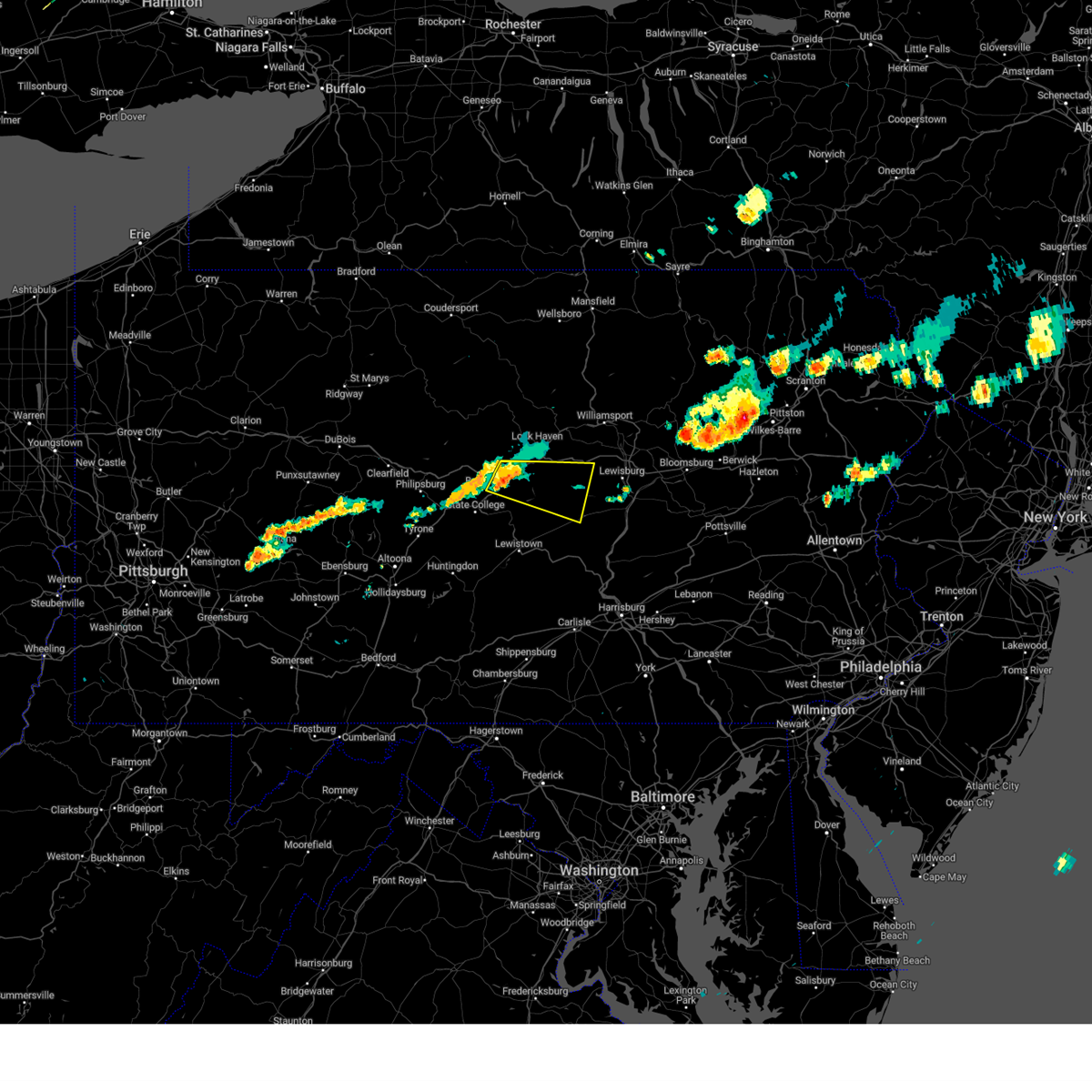 Svrctp the national weather service in state college pa has issued a * severe thunderstorm warning for, east central centre county in central pennsylvania, southeastern clinton county in north central pennsylvania, northeastern mifflin county in central pennsylvania, northwestern snyder county in central pennsylvania, southwestern union county in central pennsylvania, * until 130 pm edt. * at 1254 pm edt, a severe thunderstorm was located over zion, moving east at 40 mph (radar indicated). Hazards include 60 mph wind gusts and quarter size hail. Hail damage to vehicles is expected. Expect wind damage to roofs, siding, and trees. Svrctp the national weather service in state college pa has issued a * severe thunderstorm warning for, east central centre county in central pennsylvania, southeastern clinton county in north central pennsylvania, northeastern mifflin county in central pennsylvania, northwestern snyder county in central pennsylvania, southwestern union county in central pennsylvania, * until 130 pm edt. * at 1254 pm edt, a severe thunderstorm was located over zion, moving east at 40 mph (radar indicated). Hazards include 60 mph wind gusts and quarter size hail. Hail damage to vehicles is expected. Expect wind damage to roofs, siding, and trees.
|
| 6/29/2024 8:24 PM EDT |
 The storm which prompted the warning has moved out of the area. therefore, the warning will be allowed to expire. however gusty winds are still possible with this thunderstorm. a severe thunderstorm watch remains in effect until 1100 pm edt for eastern and southeastern pennsylvania. to report severe weather, contact your nearest law enforcement agency. they will relay your report to the national weather service mount holly nj. a new severe thunderstorm warning still remains in effect for northern montgomery county until 915 pm edt. refer to that bulletin for the updated information. The storm which prompted the warning has moved out of the area. therefore, the warning will be allowed to expire. however gusty winds are still possible with this thunderstorm. a severe thunderstorm watch remains in effect until 1100 pm edt for eastern and southeastern pennsylvania. to report severe weather, contact your nearest law enforcement agency. they will relay your report to the national weather service mount holly nj. a new severe thunderstorm warning still remains in effect for northern montgomery county until 915 pm edt. refer to that bulletin for the updated information.
|
| 6/29/2024 8:08 PM EDT |
 At 808 pm edt, a severe thunderstorm was located near birdsboro, or 10 miles southeast of reading, moving east at 25 mph (radar indicated). Hazards include 60 mph wind gusts. Damage to roofs, siding, trees, and power lines is possible. locations impacted include, norristown, pottstown, phoenixville, west norriton, east norriton, souderton, birdsboro, collegeville, royersford, trappe, schwenksville, bechtelsville, green lane, pughtown, spring mount, gilbertsville, cedarville, king of prussia, skippack, and stowe. This includes northeast extension between mile markers 27 and 38. At 808 pm edt, a severe thunderstorm was located near birdsboro, or 10 miles southeast of reading, moving east at 25 mph (radar indicated). Hazards include 60 mph wind gusts. Damage to roofs, siding, trees, and power lines is possible. locations impacted include, norristown, pottstown, phoenixville, west norriton, east norriton, souderton, birdsboro, collegeville, royersford, trappe, schwenksville, bechtelsville, green lane, pughtown, spring mount, gilbertsville, cedarville, king of prussia, skippack, and stowe. This includes northeast extension between mile markers 27 and 38.
|
| 6/29/2024 7:46 PM EDT |
 Svrphi the national weather service in mount holly nj has issued a * severe thunderstorm warning for, southeastern berks county in eastern pennsylvania, northwestern montgomery county in southeastern pennsylvania, northeastern chester county in southeastern pennsylvania, * until 830 pm edt. * at 746 pm edt, a severe thunderstorm was located near wyomissing, or near reading, moving east at 35 mph (radar indicated). Hazards include 60 mph wind gusts. damage to roofs, siding, trees, and power lines is possible Svrphi the national weather service in mount holly nj has issued a * severe thunderstorm warning for, southeastern berks county in eastern pennsylvania, northwestern montgomery county in southeastern pennsylvania, northeastern chester county in southeastern pennsylvania, * until 830 pm edt. * at 746 pm edt, a severe thunderstorm was located near wyomissing, or near reading, moving east at 35 mph (radar indicated). Hazards include 60 mph wind gusts. damage to roofs, siding, trees, and power lines is possible
|
| 6/29/2024 3:54 PM EDT |
 At 354 pm edt, severe thunderstorms were located along a line extending from lamar to bellefonte to ramblewood, moving east at 45 mph (radar indicated). Hazards include 60 mph wind gusts. Expect damage to roofs, siding, and trees. locations impacted include, state college, bellefonte, tyrone, park forest village, boalsburg, pleasant gap, lamar, stormstown, lemont, bald eagle, zion, and houserville. for those driving on interstate 80, this includes areas between the snow shoe and jersey shore exits, specifically from mile markers 153 to 188. This includes interstate 99 from mile markers 50 to 85. At 354 pm edt, severe thunderstorms were located along a line extending from lamar to bellefonte to ramblewood, moving east at 45 mph (radar indicated). Hazards include 60 mph wind gusts. Expect damage to roofs, siding, and trees. locations impacted include, state college, bellefonte, tyrone, park forest village, boalsburg, pleasant gap, lamar, stormstown, lemont, bald eagle, zion, and houserville. for those driving on interstate 80, this includes areas between the snow shoe and jersey shore exits, specifically from mile markers 153 to 188. This includes interstate 99 from mile markers 50 to 85.
|
| 6/29/2024 3:32 PM EDT |
 Svrctp the national weather service in state college pa has issued a * severe thunderstorm warning for, northeastern blair county in central pennsylvania, centre county in central pennsylvania, southeastern clinton county in north central pennsylvania, northeastern huntingdon county in central pennsylvania, * until 415 pm edt. * at 332 pm edt, severe thunderstorms were located along a line extending from near milesburg to black moshannon state park to bald eagle, moving east at 45 mph (radar indicated). Hazards include 60 mph wind gusts. expect damage to roofs, siding, and trees Svrctp the national weather service in state college pa has issued a * severe thunderstorm warning for, northeastern blair county in central pennsylvania, centre county in central pennsylvania, southeastern clinton county in north central pennsylvania, northeastern huntingdon county in central pennsylvania, * until 415 pm edt. * at 332 pm edt, severe thunderstorms were located along a line extending from near milesburg to black moshannon state park to bald eagle, moving east at 45 mph (radar indicated). Hazards include 60 mph wind gusts. expect damage to roofs, siding, and trees
|
| 6/26/2024 5:59 PM EDT |
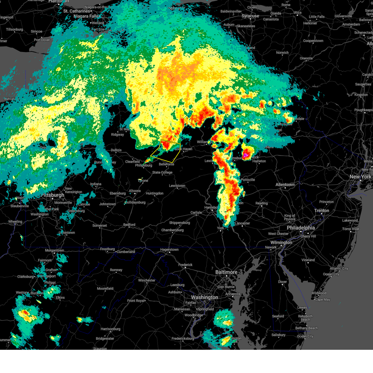 The storms which prompted the warning have weakened below severe limits, and have exited the warned area. therefore, the warning will be allowed to expire. however, gusty winds are still possible with these thunderstorms. a severe thunderstorm watch remains in effect until 900 pm edt for central and north central pennsylvania. The storms which prompted the warning have weakened below severe limits, and have exited the warned area. therefore, the warning will be allowed to expire. however, gusty winds are still possible with these thunderstorms. a severe thunderstorm watch remains in effect until 900 pm edt for central and north central pennsylvania.
|
| 6/26/2024 5:53 PM EDT |
 At 553 pm edt, severe thunderstorms were located along a line extending from south renovo to near monument to near clarence, moving east at 45 mph (radar indicated). Hazards include 60 mph wind gusts. Expect damage to roofs, siding, and trees. Locations impacted include, blanchard, clarence, pine glen, monument, westport, glen union, bald eagle state park, howard, beech creek, and orviston. At 553 pm edt, severe thunderstorms were located along a line extending from south renovo to near monument to near clarence, moving east at 45 mph (radar indicated). Hazards include 60 mph wind gusts. Expect damage to roofs, siding, and trees. Locations impacted include, blanchard, clarence, pine glen, monument, westport, glen union, bald eagle state park, howard, beech creek, and orviston.
|
| 6/26/2024 5:42 PM EDT |
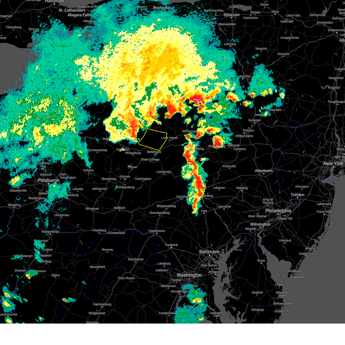 Svrctp the national weather service in state college pa has issued a * severe thunderstorm warning for, northwestern centre county in central pennsylvania, central clinton county in north central pennsylvania, * until 600 pm edt. * at 542 pm edt, severe thunderstorms were located along a line extending from westport to keating to pine glen, moving east at 45 mph (radar indicated). Hazards include 60 mph wind gusts. expect damage to roofs, siding, and trees Svrctp the national weather service in state college pa has issued a * severe thunderstorm warning for, northwestern centre county in central pennsylvania, central clinton county in north central pennsylvania, * until 600 pm edt. * at 542 pm edt, severe thunderstorms were located along a line extending from westport to keating to pine glen, moving east at 45 mph (radar indicated). Hazards include 60 mph wind gusts. expect damage to roofs, siding, and trees
|
| 6/23/2024 8:29 PM EDT |
 the severe thunderstorm warning has been cancelled and is no longer in effect the severe thunderstorm warning has been cancelled and is no longer in effect
|
| 6/23/2024 8:29 PM EDT |
 At 828 pm edt, severe thunderstorms were located along a line extending from flemington to julian to tyrone, moving east at 50 mph (radar indicated). Hazards include 60 mph wind gusts. Expect damage to roofs, siding, and trees. locations impacted include, state college, lock haven, huntingdon, bellefonte, tyrone, park forest village, carroll, woodward, boalsburg, pleasant gap, lamar, and stormstown. for those driving on interstate 80, this includes areas between the snow shoe and mile run exits, specifically from mile markers 148 to 195. This includes interstate 99 from mile markers 42 to 85. At 828 pm edt, severe thunderstorms were located along a line extending from flemington to julian to tyrone, moving east at 50 mph (radar indicated). Hazards include 60 mph wind gusts. Expect damage to roofs, siding, and trees. locations impacted include, state college, lock haven, huntingdon, bellefonte, tyrone, park forest village, carroll, woodward, boalsburg, pleasant gap, lamar, and stormstown. for those driving on interstate 80, this includes areas between the snow shoe and mile run exits, specifically from mile markers 148 to 195. This includes interstate 99 from mile markers 42 to 85.
|
| 6/23/2024 8:13 PM EDT |
 Svrctp the national weather service in state college pa has issued a * severe thunderstorm warning for, northeastern blair county in central pennsylvania, centre county in central pennsylvania, southeastern clearfield county in central pennsylvania, southeastern clinton county in north central pennsylvania, northern huntingdon county in central pennsylvania, * until 930 pm edt. * at 813 pm edt, severe thunderstorms were located along a line extending from monument to south philipsburg to blandburg, moving east at 50 mph (radar indicated). Hazards include 60 mph wind gusts. expect damage to roofs, siding, and trees Svrctp the national weather service in state college pa has issued a * severe thunderstorm warning for, northeastern blair county in central pennsylvania, centre county in central pennsylvania, southeastern clearfield county in central pennsylvania, southeastern clinton county in north central pennsylvania, northern huntingdon county in central pennsylvania, * until 930 pm edt. * at 813 pm edt, severe thunderstorms were located along a line extending from monument to south philipsburg to blandburg, moving east at 50 mph (radar indicated). Hazards include 60 mph wind gusts. expect damage to roofs, siding, and trees
|
| 6/17/2024 8:08 PM EDT |
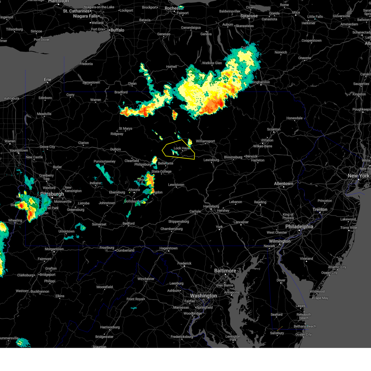 The storm which prompted the warning has weakened below severe limits, and no longer poses an immediate threat to life or property. therefore, the warning will be allowed to expire. The storm which prompted the warning has weakened below severe limits, and no longer poses an immediate threat to life or property. therefore, the warning will be allowed to expire.
|
| 6/17/2024 7:19 PM EDT |
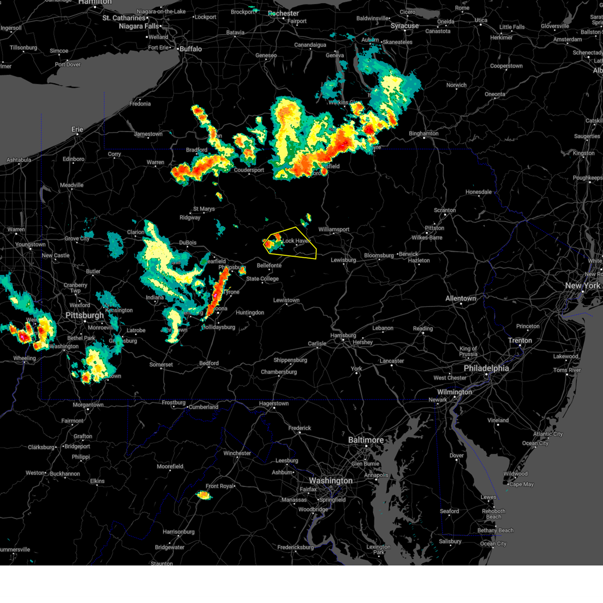 Svrctp the national weather service in state college pa has issued a * severe thunderstorm warning for, northeastern centre county in central pennsylvania, southeastern clinton county in north central pennsylvania, * until 815 pm edt. * at 718 pm edt, a severe thunderstorm was located over monument, moving east at 15 mph (radar indicated). Hazards include 60 mph wind gusts and quarter size hail. Hail damage to vehicles is expected. Expect wind damage to roofs, siding, and trees. Svrctp the national weather service in state college pa has issued a * severe thunderstorm warning for, northeastern centre county in central pennsylvania, southeastern clinton county in north central pennsylvania, * until 815 pm edt. * at 718 pm edt, a severe thunderstorm was located over monument, moving east at 15 mph (radar indicated). Hazards include 60 mph wind gusts and quarter size hail. Hail damage to vehicles is expected. Expect wind damage to roofs, siding, and trees.
|
| 6/14/2024 5:37 PM EDT |
 Svrphi the national weather service in mount holly nj has issued a * severe thunderstorm warning for, south central hunterdon county in northwestern new jersey, northwestern camden county in southern new jersey, mercer county in central new jersey, northwestern burlington county in southern new jersey, southeastern montgomery county in southeastern pennsylvania, bucks county in southeastern pennsylvania, east central chester county in southeastern pennsylvania, philadelphia county in southeastern pennsylvania, northern delaware county in southeastern pennsylvania, * until 615 pm edt. * at 536 pm edt, severe thunderstorms were located along a line extending from dublin to radnor township, moving east at 35 mph (radar indicated). Hazards include 60 mph wind gusts. damage to roofs, siding, trees, and power lines is possible Svrphi the national weather service in mount holly nj has issued a * severe thunderstorm warning for, south central hunterdon county in northwestern new jersey, northwestern camden county in southern new jersey, mercer county in central new jersey, northwestern burlington county in southern new jersey, southeastern montgomery county in southeastern pennsylvania, bucks county in southeastern pennsylvania, east central chester county in southeastern pennsylvania, philadelphia county in southeastern pennsylvania, northern delaware county in southeastern pennsylvania, * until 615 pm edt. * at 536 pm edt, severe thunderstorms were located along a line extending from dublin to radnor township, moving east at 35 mph (radar indicated). Hazards include 60 mph wind gusts. damage to roofs, siding, trees, and power lines is possible
|
| 4/14/2024 6:32 PM EDT |
 At 632 pm edt, severe thunderstorms were located along a line extending from near flemington to plymptonville, moving east at 70 mph (radar indicated). Hazards include 60 mph wind gusts and quarter size hail. Hail damage to vehicles is expected. expect wind damage to roofs, siding, and trees. locations impacted include, dubois, clearfield, bellefonte, sandy, philipsburg, woodland, curwensville, lamar, hyde, milesburg, plymptonville, and rockton. for those driving on interstate 80, this includes areas between the dubois route 255 and lock haven exits, specifically from mile markers 110 to 173. This includes interstate 99 near mile marker 85. At 632 pm edt, severe thunderstorms were located along a line extending from near flemington to plymptonville, moving east at 70 mph (radar indicated). Hazards include 60 mph wind gusts and quarter size hail. Hail damage to vehicles is expected. expect wind damage to roofs, siding, and trees. locations impacted include, dubois, clearfield, bellefonte, sandy, philipsburg, woodland, curwensville, lamar, hyde, milesburg, plymptonville, and rockton. for those driving on interstate 80, this includes areas between the dubois route 255 and lock haven exits, specifically from mile markers 110 to 173. This includes interstate 99 near mile marker 85.
|
| 4/14/2024 6:32 PM EDT |
 the severe thunderstorm warning has been cancelled and is no longer in effect the severe thunderstorm warning has been cancelled and is no longer in effect
|
| 4/14/2024 6:09 PM EDT |
 Svrctp the national weather service in state college pa has issued a * severe thunderstorm warning for, southeastern cameron county in north central pennsylvania, central centre county in central pennsylvania, northern clearfield county in central pennsylvania, southwestern clinton county in north central pennsylvania, southeastern elk county in north central pennsylvania, * until 645 pm edt. * at 609 pm edt, severe thunderstorms were located along a line extending from near keating to near brockway, moving east at 60 mph (trained weather spotters). Hazards include 60 mph wind gusts and quarter size hail. Hail damage to vehicles is expected. Expect wind damage to roofs, siding, and trees. Svrctp the national weather service in state college pa has issued a * severe thunderstorm warning for, southeastern cameron county in north central pennsylvania, central centre county in central pennsylvania, northern clearfield county in central pennsylvania, southwestern clinton county in north central pennsylvania, southeastern elk county in north central pennsylvania, * until 645 pm edt. * at 609 pm edt, severe thunderstorms were located along a line extending from near keating to near brockway, moving east at 60 mph (trained weather spotters). Hazards include 60 mph wind gusts and quarter size hail. Hail damage to vehicles is expected. Expect wind damage to roofs, siding, and trees.
|
| 12/3/2023 6:26 PM EST |
 The severe thunderstorm warning for central centre county will expire at 630 pm est, the storms which prompted the warning have weakened below severe limits, and have exited the warned area. therefore, the warning will be allowed to expire. The severe thunderstorm warning for central centre county will expire at 630 pm est, the storms which prompted the warning have weakened below severe limits, and have exited the warned area. therefore, the warning will be allowed to expire.
|
| 12/3/2023 6:07 PM EST |
 At 607 pm est, severe thunderstorms were located along a line extending from monument to pleasant gap to pine grove mills, moving east at 50 mph (radar indicated). Hazards include 60 mph wind gusts. Expect damage to roofs, siding, and trees. locations impacted include, state college, bellefonte, boalsburg, pleasant gap, lamar, lemont, zion, houserville, pine grove mills, centre hall, milesburg, and ramblewood. for those driving on interstate 80, this includes areas between the snow shoe and lamar exits, specifically from mile markers 155 to 171. this includes interstate 99 from mile markers 77 to 85. hail threat, radar indicated max hail size, <. 75 in wind threat, radar indicated max wind gust, 60 mph. At 607 pm est, severe thunderstorms were located along a line extending from monument to pleasant gap to pine grove mills, moving east at 50 mph (radar indicated). Hazards include 60 mph wind gusts. Expect damage to roofs, siding, and trees. locations impacted include, state college, bellefonte, boalsburg, pleasant gap, lamar, lemont, zion, houserville, pine grove mills, centre hall, milesburg, and ramblewood. for those driving on interstate 80, this includes areas between the snow shoe and lamar exits, specifically from mile markers 155 to 171. this includes interstate 99 from mile markers 77 to 85. hail threat, radar indicated max hail size, <. 75 in wind threat, radar indicated max wind gust, 60 mph.
|
| 12/3/2023 5:55 PM EST |
 At 554 pm est, severe thunderstorms were located along a line extending from keating to rock springs, moving east at 50 mph (radar indicated). Hazards include 60 mph wind gusts. Expect damage to roofs, siding, and trees. locations impacted include, state college, bellefonte, park forest village, boalsburg, pleasant gap, lamar, stormstown, lemont, zion, houserville, pine grove mills, and centre hall. for those driving on interstate 80, this includes areas between the kylertown and lamar exits, specifically from mile markers 139 to 171. this includes interstate 99 from mile markers 56 to 85. hail threat, radar indicated max hail size, <. 75 in wind threat, radar indicated max wind gust, 60 mph. At 554 pm est, severe thunderstorms were located along a line extending from keating to rock springs, moving east at 50 mph (radar indicated). Hazards include 60 mph wind gusts. Expect damage to roofs, siding, and trees. locations impacted include, state college, bellefonte, park forest village, boalsburg, pleasant gap, lamar, stormstown, lemont, zion, houserville, pine grove mills, and centre hall. for those driving on interstate 80, this includes areas between the kylertown and lamar exits, specifically from mile markers 139 to 171. this includes interstate 99 from mile markers 56 to 85. hail threat, radar indicated max hail size, <. 75 in wind threat, radar indicated max wind gust, 60 mph.
|
| 12/3/2023 5:41 PM EST |
 At 539 pm est, a line of gusty showers with possible thunder was extending from karthaus to bald eagle, moving east at 50 mph (radar indicated). Hazards include 60 mph wind gusts. expect damage to roofs, siding, and trees At 539 pm est, a line of gusty showers with possible thunder was extending from karthaus to bald eagle, moving east at 50 mph (radar indicated). Hazards include 60 mph wind gusts. expect damage to roofs, siding, and trees
|
| 9/9/2023 4:53 PM EDT |
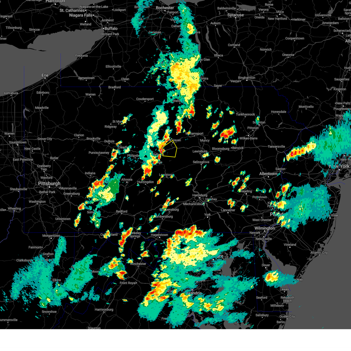 At 453 pm edt, a severe thunderstorm was located over lamar, moving east at 25 mph (radar indicated). Hazards include 60 mph wind gusts and penny size hail. Expect damage to roofs, siding, and trees. locations impacted include, lock haven, lamar, mill hall, flemington, castanea, blanchard, rebersburg, madisonburg, bald eagle state park, mackeyville, howard and beech creek. for those driving on interstate 80, this includes areas between the bellefonte and loganton exits, specifically from mile markers 165 to 181. hail threat, radar indicated max hail size, 0. 75 in wind threat, radar indicated max wind gust, 60 mph. At 453 pm edt, a severe thunderstorm was located over lamar, moving east at 25 mph (radar indicated). Hazards include 60 mph wind gusts and penny size hail. Expect damage to roofs, siding, and trees. locations impacted include, lock haven, lamar, mill hall, flemington, castanea, blanchard, rebersburg, madisonburg, bald eagle state park, mackeyville, howard and beech creek. for those driving on interstate 80, this includes areas between the bellefonte and loganton exits, specifically from mile markers 165 to 181. hail threat, radar indicated max hail size, 0. 75 in wind threat, radar indicated max wind gust, 60 mph.
|
| 9/9/2023 4:32 PM EDT |
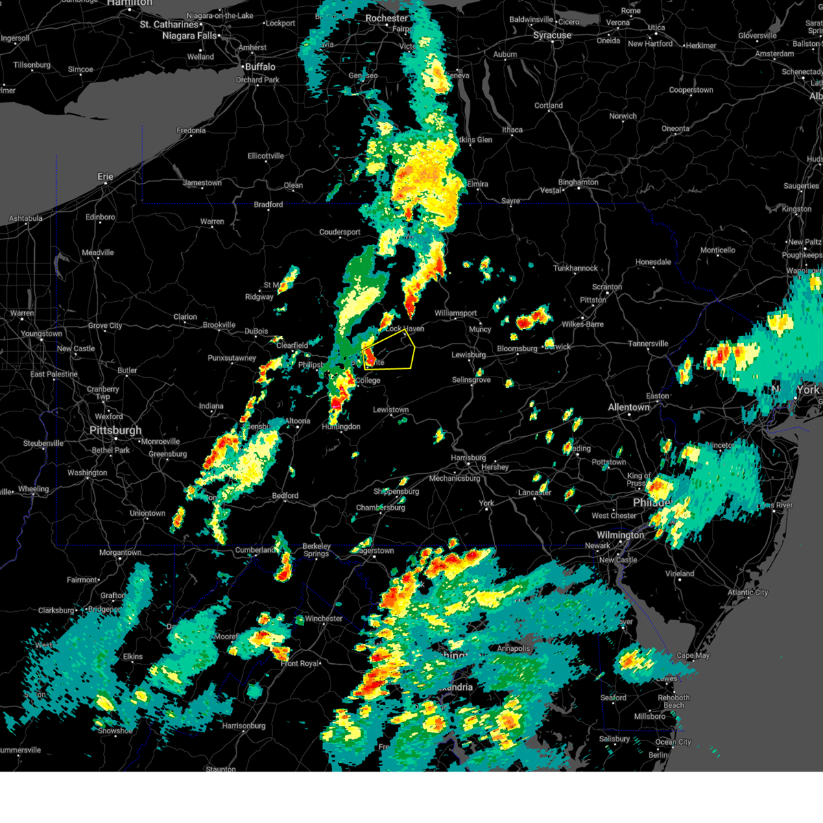 At 432 pm edt, a severe thunderstorm was located over milesburg, moving east at 25 mph (radar indicated). Hazards include 60 mph wind gusts and penny size hail. expect damage to roofs, siding, and trees At 432 pm edt, a severe thunderstorm was located over milesburg, moving east at 25 mph (radar indicated). Hazards include 60 mph wind gusts and penny size hail. expect damage to roofs, siding, and trees
|
| 9/8/2023 11:19 PM EDT |
 At 1118 pm edt, a severe thunderstorm was located over conshohocken, or 8 miles northwest of philadelphia, moving northeast at 25 mph (radar indicated). Hazards include 60 mph wind gusts and quarter size hail. Minor damage to vehicles is possible. wind damage to roofs, siding, trees, and power lines is possible. locations impacted include, philadelphia, camden, gloucester city, norristown, west deptford, phoenixville, lansdale, west norriton, east norriton, yeadon, woodbury, conshohocken, palmyra, hatboro, souderton, folcroft, ambler, paulsboro, collegeville and jenkintown. this includes the following highways, pennsylvania turnpike between mile markers 320 and 345. northeast extension between mile markers 21 and 36. interstate 95 in pennsylvania between mile markers 11 and 32. interstate 76 in pennsylvania between mile markers 327 and 351. interstate 76 in new jersey between mile markers 2 and 3. interstate 295 in new jersey between mile markers 20 and 24. interstate 676 in pennsylvania between mile markers 0 and 1. interstate 676 in new jersey between mile markers 0 and 4. interstate 476 in pennsylvania between mile markers 6 and 19. hail threat, radar indicated max hail size, 1. 00 in wind threat, radar indicated max wind gust, 60 mph. At 1118 pm edt, a severe thunderstorm was located over conshohocken, or 8 miles northwest of philadelphia, moving northeast at 25 mph (radar indicated). Hazards include 60 mph wind gusts and quarter size hail. Minor damage to vehicles is possible. wind damage to roofs, siding, trees, and power lines is possible. locations impacted include, philadelphia, camden, gloucester city, norristown, west deptford, phoenixville, lansdale, west norriton, east norriton, yeadon, woodbury, conshohocken, palmyra, hatboro, souderton, folcroft, ambler, paulsboro, collegeville and jenkintown. this includes the following highways, pennsylvania turnpike between mile markers 320 and 345. northeast extension between mile markers 21 and 36. interstate 95 in pennsylvania between mile markers 11 and 32. interstate 76 in pennsylvania between mile markers 327 and 351. interstate 76 in new jersey between mile markers 2 and 3. interstate 295 in new jersey between mile markers 20 and 24. interstate 676 in pennsylvania between mile markers 0 and 1. interstate 676 in new jersey between mile markers 0 and 4. interstate 476 in pennsylvania between mile markers 6 and 19. hail threat, radar indicated max hail size, 1. 00 in wind threat, radar indicated max wind gust, 60 mph.
|
| 9/8/2023 10:58 PM EDT |
 At 1058 pm edt, a severe thunderstorm was located over newtown square, or 11 miles east of west chester, moving northeast at 30 mph (radar indicated). Hazards include 60 mph wind gusts and quarter size hail. Minor damage to vehicles is possible. Wind damage to roofs, siding, trees, and power lines is possible. At 1058 pm edt, a severe thunderstorm was located over newtown square, or 11 miles east of west chester, moving northeast at 30 mph (radar indicated). Hazards include 60 mph wind gusts and quarter size hail. Minor damage to vehicles is possible. Wind damage to roofs, siding, trees, and power lines is possible.
|
| 9/7/2023 6:50 PM EDT |
 The severe thunderstorm warning for west central montgomery, eastern chester and west central delaware counties will expire at 700 pm edt, the storms which prompted the warning have weakened below severe limits, and no longer pose an immediate threat to life or property. therefore, the warning will be allowed to expire. a severe thunderstorm watch remains in effect until 900 pm edt for southeastern pennsylvania. to report severe weather, contact your nearest law enforcement agency. they will relay your report to the national weather service mount holly nj. The severe thunderstorm warning for west central montgomery, eastern chester and west central delaware counties will expire at 700 pm edt, the storms which prompted the warning have weakened below severe limits, and no longer pose an immediate threat to life or property. therefore, the warning will be allowed to expire. a severe thunderstorm watch remains in effect until 900 pm edt for southeastern pennsylvania. to report severe weather, contact your nearest law enforcement agency. they will relay your report to the national weather service mount holly nj.
|
| 9/7/2023 6:34 PM EDT |
 At 634 pm edt, severe thunderstorms were located along a line extending from pughtown to near kennett square, moving northeast at 30 mph (radar indicated). Hazards include 60 mph wind gusts and quarter size hail. Minor damage to vehicles is possible. wind damage to roofs, siding, trees, and power lines is possible. locations impacted include, west chester, phoenixville, west norriton, westtown, downingtown, kennett square, collegeville, royersford, trappe, schwenksville, cheyney, pughtown, marshallton, spring mount, lionville-marchwood, valley forge, paoli, chester springs, lionville and hockessin. this includes pennsylvania turnpike between mile markers 311 and 325. hail threat, radar indicated max hail size, 1. 00 in wind threat, radar indicated max wind gust, 60 mph. At 634 pm edt, severe thunderstorms were located along a line extending from pughtown to near kennett square, moving northeast at 30 mph (radar indicated). Hazards include 60 mph wind gusts and quarter size hail. Minor damage to vehicles is possible. wind damage to roofs, siding, trees, and power lines is possible. locations impacted include, west chester, phoenixville, west norriton, westtown, downingtown, kennett square, collegeville, royersford, trappe, schwenksville, cheyney, pughtown, marshallton, spring mount, lionville-marchwood, valley forge, paoli, chester springs, lionville and hockessin. this includes pennsylvania turnpike between mile markers 311 and 325. hail threat, radar indicated max hail size, 1. 00 in wind threat, radar indicated max wind gust, 60 mph.
|
| 9/7/2023 6:18 PM EDT |
 At 618 pm edt, severe thunderstorms were located along a line extending from near downingtown to north star, moving northeast at 25 mph (radar indicated). Hazards include 60 mph wind gusts and quarter size hail. Minor damage to vehicles is possible. Wind damage to roofs, siding, trees, and power lines is possible. At 618 pm edt, severe thunderstorms were located along a line extending from near downingtown to north star, moving northeast at 25 mph (radar indicated). Hazards include 60 mph wind gusts and quarter size hail. Minor damage to vehicles is possible. Wind damage to roofs, siding, trees, and power lines is possible.
|
| 8/13/2023 12:54 AM EDT |
 At 1254 am edt, severe thunderstorms were located along a line extending from near quakertown to fricks to near east norriton, moving east at 55 mph (radar indicated). Hazards include 70 mph wind gusts and penny size hail. Expect considerable tree damage. damage is likely to mobile homes, roofs, and outbuildings. locations impacted include, philadelphia, bensalem, ewing, norristown, lansdale, west norriton, east norriton, quakertown, perkasie, doylestown, byram, hatboro, souderton, bedminster, ambler, collegeville, royersford, jenkintown, chalfont and tinicum. this includes the following highways, pennsylvania turnpike between mile markers 334 and 356. northeast extension between mile markers 21 and 45. thunderstorm damage threat, considerable hail threat, radar indicated max hail size, 0. 75 in wind threat, radar indicated max wind gust, 70 mph. At 1254 am edt, severe thunderstorms were located along a line extending from near quakertown to fricks to near east norriton, moving east at 55 mph (radar indicated). Hazards include 70 mph wind gusts and penny size hail. Expect considerable tree damage. damage is likely to mobile homes, roofs, and outbuildings. locations impacted include, philadelphia, bensalem, ewing, norristown, lansdale, west norriton, east norriton, quakertown, perkasie, doylestown, byram, hatboro, souderton, bedminster, ambler, collegeville, royersford, jenkintown, chalfont and tinicum. this includes the following highways, pennsylvania turnpike between mile markers 334 and 356. northeast extension between mile markers 21 and 45. thunderstorm damage threat, considerable hail threat, radar indicated max hail size, 0. 75 in wind threat, radar indicated max wind gust, 70 mph.
|
| 8/13/2023 12:41 AM EDT |
 At 1241 am edt, severe thunderstorms were located along a line extending from near zionsville to green lane to near royersford, moving east at 55 mph (radar indicated). Hazards include 70 mph wind gusts and penny size hail. Expect considerable tree damage. damage is likely to mobile homes, roofs, and outbuildings. locations impacted include, philadelphia, bensalem, ewing, norristown, pottstown, phoenixville, lansdale, west norriton, east norriton, emmaus, quakertown, perkasie, doylestown, byram, hatboro, souderton, bedminster, ambler, collegeville and royersford. this includes the following highways, pennsylvania turnpike between mile markers 334 and 356. northeast extension between mile markers 21 and 51. thunderstorm damage threat, considerable hail threat, radar indicated max hail size, 0. 75 in wind threat, radar indicated max wind gust, 70 mph. At 1241 am edt, severe thunderstorms were located along a line extending from near zionsville to green lane to near royersford, moving east at 55 mph (radar indicated). Hazards include 70 mph wind gusts and penny size hail. Expect considerable tree damage. damage is likely to mobile homes, roofs, and outbuildings. locations impacted include, philadelphia, bensalem, ewing, norristown, pottstown, phoenixville, lansdale, west norriton, east norriton, emmaus, quakertown, perkasie, doylestown, byram, hatboro, souderton, bedminster, ambler, collegeville and royersford. this includes the following highways, pennsylvania turnpike between mile markers 334 and 356. northeast extension between mile markers 21 and 51. thunderstorm damage threat, considerable hail threat, radar indicated max hail size, 0. 75 in wind threat, radar indicated max wind gust, 70 mph.
|
| 8/13/2023 12:33 AM EDT |
 At 1233 am edt, severe thunderstorms were located along a line extending from lyons to gilbertsville to near elverson, moving east at 55 mph (radar indicated). Hazards include 70 mph wind gusts and penny size hail. Expect considerable tree damage. damage is likely to mobile homes, roofs, and outbuildings. locations impacted include, philadelphia, bensalem, ewing, norristown, pottstown, phoenixville, lansdale, west norriton, east norriton, emmaus, quakertown, perkasie, doylestown, byram, conshohocken, hatboro, souderton, bedminster, ambler and birdsboro. this includes the following highways, pennsylvania turnpike between mile markers 296 and 308, and between mile markers 316 and 355. northeast extension between mile markers 21 and 51. interstate 95 in pennsylvania near mile marker 27. interstate 76 in pennsylvania between mile markers 327 and 341. interstate 476 in pennsylvania between mile markers 12 and 19. interstate 176 in pennsylvania between mile markers 1 and 5. thunderstorm damage threat, considerable hail threat, radar indicated max hail size, 0. 75 in wind threat, radar indicated max wind gust, 70 mph. At 1233 am edt, severe thunderstorms were located along a line extending from lyons to gilbertsville to near elverson, moving east at 55 mph (radar indicated). Hazards include 70 mph wind gusts and penny size hail. Expect considerable tree damage. damage is likely to mobile homes, roofs, and outbuildings. locations impacted include, philadelphia, bensalem, ewing, norristown, pottstown, phoenixville, lansdale, west norriton, east norriton, emmaus, quakertown, perkasie, doylestown, byram, conshohocken, hatboro, souderton, bedminster, ambler and birdsboro. this includes the following highways, pennsylvania turnpike between mile markers 296 and 308, and between mile markers 316 and 355. northeast extension between mile markers 21 and 51. interstate 95 in pennsylvania near mile marker 27. interstate 76 in pennsylvania between mile markers 327 and 341. interstate 476 in pennsylvania between mile markers 12 and 19. interstate 176 in pennsylvania between mile markers 1 and 5. thunderstorm damage threat, considerable hail threat, radar indicated max hail size, 0. 75 in wind threat, radar indicated max wind gust, 70 mph.
|
| 8/13/2023 12:24 AM EDT |
 At 1224 am edt, severe thunderstorms were located along a line extending from near fleetwood to near birdsboro to near terre hill, moving east at 55 mph (radar indicated). Hazards include 60 mph wind gusts and penny size hail. damage to roofs, siding, trees, and power lines is possible At 1224 am edt, severe thunderstorms were located along a line extending from near fleetwood to near birdsboro to near terre hill, moving east at 55 mph (radar indicated). Hazards include 60 mph wind gusts and penny size hail. damage to roofs, siding, trees, and power lines is possible
|
| 8/12/2023 7:10 PM EDT |
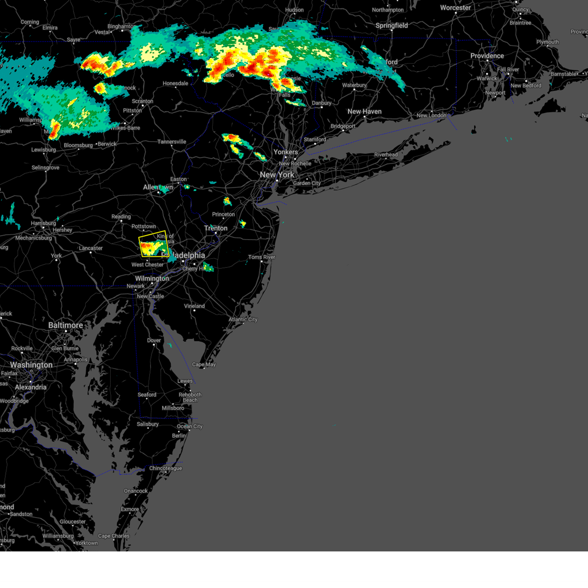 At 710 pm edt, a severe thunderstorm was located over chester springs, or 10 miles north of west chester, moving east at 15 mph (radar indicated). Hazards include 60 mph wind gusts and quarter size hail. Minor damage to vehicles is possible. wind damage to roofs, siding, trees, and power lines is possible. locations impacted include, phoenixville, west norriton, collegeville, royersford, trappe, valley forge, paoli, chester springs, pughtown, lionville, trout lake, radnor township, king of prussia, lionville-marchwood, skippack, spring city, malvern, exton, evansburg and audubon. this includes the following highways, pennsylvania turnpike between mile markers 311 and 329. interstate 76 in pennsylvania between mile markers 327 and 329. interstate 476 in pennsylvania between mile markers 11 and 13. hail threat, radar indicated max hail size, 1. 00 in wind threat, radar indicated max wind gust, 60 mph. At 710 pm edt, a severe thunderstorm was located over chester springs, or 10 miles north of west chester, moving east at 15 mph (radar indicated). Hazards include 60 mph wind gusts and quarter size hail. Minor damage to vehicles is possible. wind damage to roofs, siding, trees, and power lines is possible. locations impacted include, phoenixville, west norriton, collegeville, royersford, trappe, valley forge, paoli, chester springs, pughtown, lionville, trout lake, radnor township, king of prussia, lionville-marchwood, skippack, spring city, malvern, exton, evansburg and audubon. this includes the following highways, pennsylvania turnpike between mile markers 311 and 329. interstate 76 in pennsylvania between mile markers 327 and 329. interstate 476 in pennsylvania between mile markers 11 and 13. hail threat, radar indicated max hail size, 1. 00 in wind threat, radar indicated max wind gust, 60 mph.
|
| 8/12/2023 6:47 PM EDT |
 At 647 pm edt, a severe thunderstorm was located near lionville, or 9 miles northwest of west chester, moving east at 15 mph (radar indicated). Hazards include 60 mph wind gusts and quarter size hail. Minor damage to vehicles is possible. Wind damage to roofs, siding, trees, and power lines is possible. At 647 pm edt, a severe thunderstorm was located near lionville, or 9 miles northwest of west chester, moving east at 15 mph (radar indicated). Hazards include 60 mph wind gusts and quarter size hail. Minor damage to vehicles is possible. Wind damage to roofs, siding, trees, and power lines is possible.
|
| 8/12/2023 3:49 PM EDT |
 At 349 pm edt, a severe thunderstorm was located over reading, moving east at 30 mph (radar indicated). Hazards include 60 mph wind gusts and penny size hail. damage to roofs, siding, trees, and power lines is possible At 349 pm edt, a severe thunderstorm was located over reading, moving east at 30 mph (radar indicated). Hazards include 60 mph wind gusts and penny size hail. damage to roofs, siding, trees, and power lines is possible
|
| 8/7/2023 7:06 PM EDT |
 At 706 pm edt, severe thunderstorms were located along a line extending from near dublin to bensalem to near glassboro, moving northeast at 55 mph (emergency management). Hazards include 70 mph wind gusts and nickel size hail. Expect considerable tree damage. damage is likely to mobile homes, roofs, and outbuildings. locations impacted include, philadelphia, trenton, camden, gloucester city, cherry hill, bensalem, evesham, mount laurel, ewing, norristown, willingboro, voorhees, medford, pottstown, glassboro, lindenwold, lansdale, west norriton, east norriton and lumberton. this includes the following highways, new jersey turnpike between exits 3 and 8. pennsylvania turnpike between mile markers 333 and 359. northeast extension between mile markers 21 and 39. interstate 95 in pennsylvania between mile markers 22 and 40. interstate 76 in new jersey between mile markers 0 and 2. interstate 195 in new jersey between mile markers 0 and 7. interstate 295 in new jersey between mile markers 26 and 76. interstate 676 in new jersey near mile marker 0, and between mile markers 3 and 4. atlantic city expressway between mile markers 32 and 44. thunderstorm damage threat, considerable hail threat, radar indicated max hail size, 0. 88 in wind threat, observed max wind gust, 70 mph. At 706 pm edt, severe thunderstorms were located along a line extending from near dublin to bensalem to near glassboro, moving northeast at 55 mph (emergency management). Hazards include 70 mph wind gusts and nickel size hail. Expect considerable tree damage. damage is likely to mobile homes, roofs, and outbuildings. locations impacted include, philadelphia, trenton, camden, gloucester city, cherry hill, bensalem, evesham, mount laurel, ewing, norristown, willingboro, voorhees, medford, pottstown, glassboro, lindenwold, lansdale, west norriton, east norriton and lumberton. this includes the following highways, new jersey turnpike between exits 3 and 8. pennsylvania turnpike between mile markers 333 and 359. northeast extension between mile markers 21 and 39. interstate 95 in pennsylvania between mile markers 22 and 40. interstate 76 in new jersey between mile markers 0 and 2. interstate 195 in new jersey between mile markers 0 and 7. interstate 295 in new jersey between mile markers 26 and 76. interstate 676 in new jersey near mile marker 0, and between mile markers 3 and 4. atlantic city expressway between mile markers 32 and 44. thunderstorm damage threat, considerable hail threat, radar indicated max hail size, 0. 88 in wind threat, observed max wind gust, 70 mph.
|
| 8/7/2023 6:52 PM EDT |
 At 651 pm edt, severe thunderstorms were located along a line extending from spring mount to germantown to alloway, moving northeast at 55 mph (emergency management). Hazards include 70 mph wind gusts and nickel size hail. Expect considerable tree damage. damage is likely to mobile homes, roofs, and outbuildings. locations impacted include, philadelphia, trenton, camden, middletown, gloucester city, cherry hill, bensalem, evesham, mount laurel, ewing, norristown, chester, willingboro, deptford, voorhees, medford, pottstown, west deptford, glassboro and lindenwold. this includes the following highways, new jersey turnpike between exits 1 and 8. pennsylvania turnpike between mile markers 321 and 359. northeast extension between mile markers 21 and 39. interstate 95 in pennsylvania between mile markers 5 and 40. interstate 76 in pennsylvania between mile markers 327 and 351. interstate 76 in new jersey between mile markers 0 and 3. interstate 195 in new jersey between mile markers 0 and 7. interstate 295 in new jersey between mile markers 6 and 76. interstate 676 in pennsylvania between mile markers 0 and 1. interstate 676 in new jersey between mile markers 0 and 4. interstate 476 in pennsylvania between mile markers 0 and 4, and between mile markers 6 and 19. interstate 176 in pennsylvania near mile marker 3. atlantic city expressway between mile markers 32 and 44. thunderstorm damage threat, considerable hail threat, radar indicated max hail size, 0. 88 in wind threat, observed max wind gust, 70 mph. At 651 pm edt, severe thunderstorms were located along a line extending from spring mount to germantown to alloway, moving northeast at 55 mph (emergency management). Hazards include 70 mph wind gusts and nickel size hail. Expect considerable tree damage. damage is likely to mobile homes, roofs, and outbuildings. locations impacted include, philadelphia, trenton, camden, middletown, gloucester city, cherry hill, bensalem, evesham, mount laurel, ewing, norristown, chester, willingboro, deptford, voorhees, medford, pottstown, west deptford, glassboro and lindenwold. this includes the following highways, new jersey turnpike between exits 1 and 8. pennsylvania turnpike between mile markers 321 and 359. northeast extension between mile markers 21 and 39. interstate 95 in pennsylvania between mile markers 5 and 40. interstate 76 in pennsylvania between mile markers 327 and 351. interstate 76 in new jersey between mile markers 0 and 3. interstate 195 in new jersey between mile markers 0 and 7. interstate 295 in new jersey between mile markers 6 and 76. interstate 676 in pennsylvania between mile markers 0 and 1. interstate 676 in new jersey between mile markers 0 and 4. interstate 476 in pennsylvania between mile markers 0 and 4, and between mile markers 6 and 19. interstate 176 in pennsylvania near mile marker 3. atlantic city expressway between mile markers 32 and 44. thunderstorm damage threat, considerable hail threat, radar indicated max hail size, 0. 88 in wind threat, observed max wind gust, 70 mph.
|
| 8/7/2023 6:21 PM EDT |
 At 620 pm edt, severe thunderstorms were located along a line extending from near honey brook to near kennett square to near cecilton, moving northeast at 55 mph (emergency management). Hazards include 70 mph wind gusts and nickel size hail. Expect considerable tree damage. Damage is likely to mobile homes, roofs, and outbuildings. At 620 pm edt, severe thunderstorms were located along a line extending from near honey brook to near kennett square to near cecilton, moving northeast at 55 mph (emergency management). Hazards include 70 mph wind gusts and nickel size hail. Expect considerable tree damage. Damage is likely to mobile homes, roofs, and outbuildings.
|
| 8/4/2023 3:10 PM EDT |
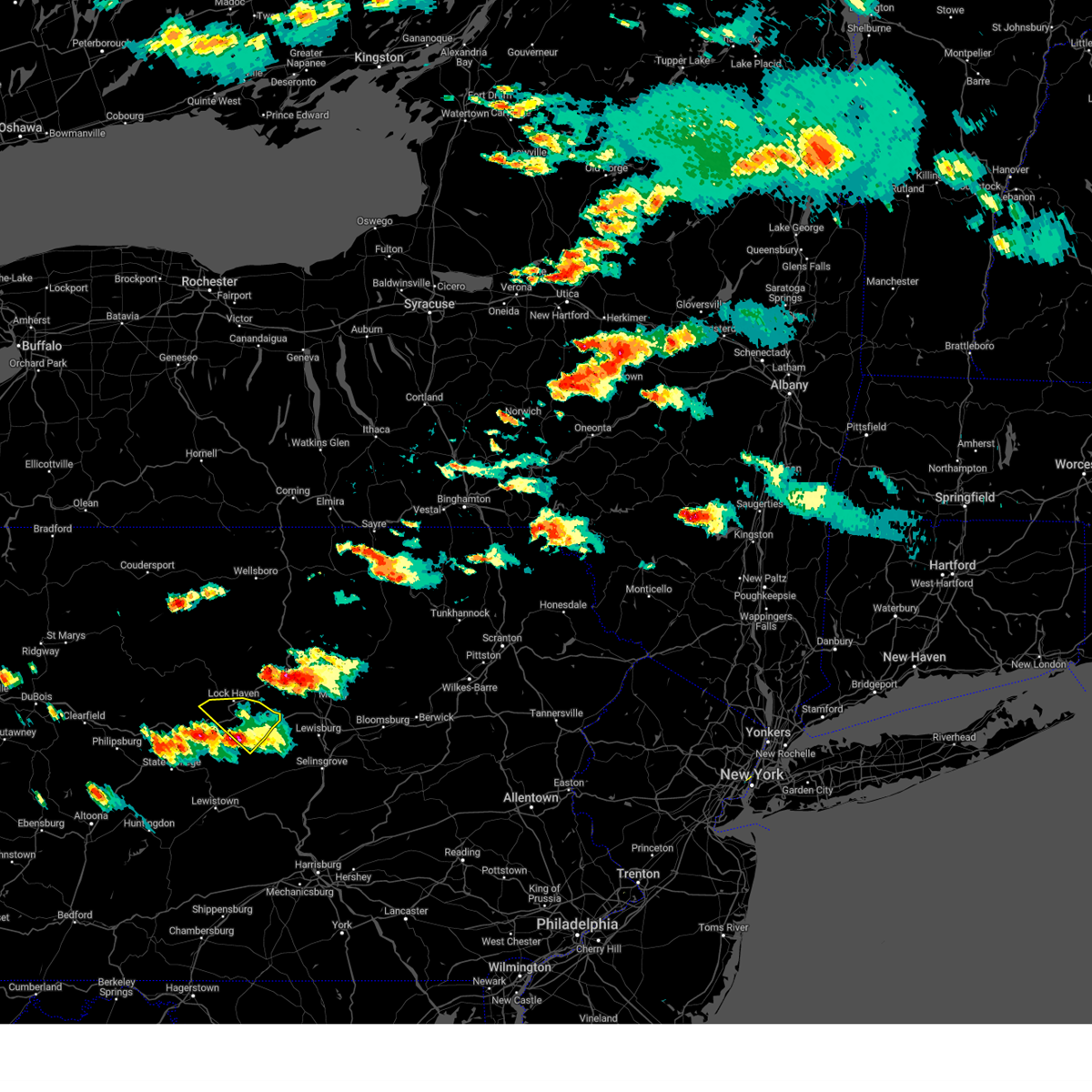 The severe thunderstorm warning for east central centre and southeastern clinton counties will expire at 315 pm edt, the storm which prompted the warning has weakened below severe limits, and has exited the warned area. therefore, the warning will be allowed to expire. a severe thunderstorm watch remains in effect until 800 pm edt for central and north central pennsylvania. to report severe weather, contact your nearest law enforcement agency. they will relay your report to the national weather service state college pa. The severe thunderstorm warning for east central centre and southeastern clinton counties will expire at 315 pm edt, the storm which prompted the warning has weakened below severe limits, and has exited the warned area. therefore, the warning will be allowed to expire. a severe thunderstorm watch remains in effect until 800 pm edt for central and north central pennsylvania. to report severe weather, contact your nearest law enforcement agency. they will relay your report to the national weather service state college pa.
|
| 8/4/2023 2:45 PM EDT |
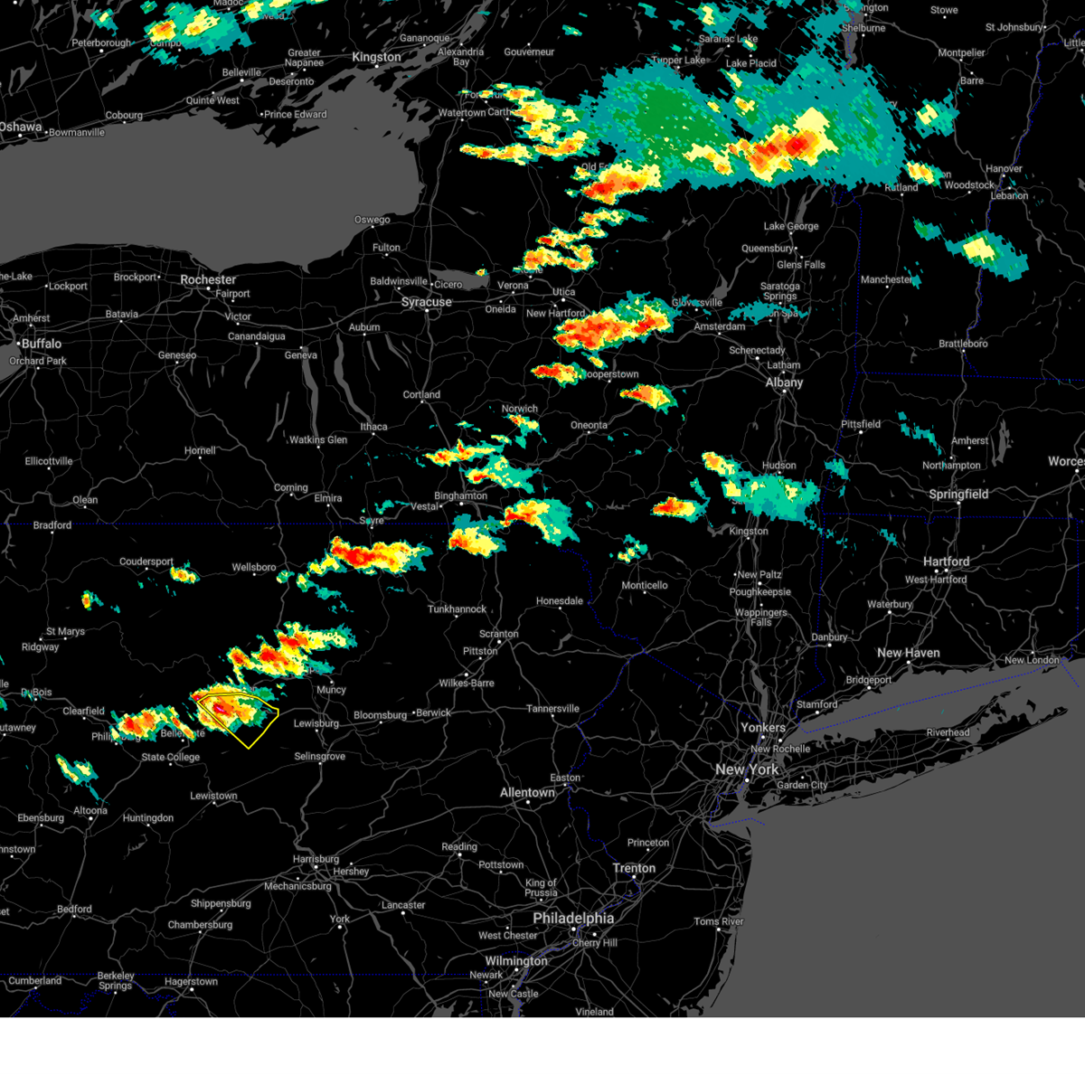 At 245 pm edt, a severe thunderstorm was located over castanea, moving southeast at 30 mph (radar indicated). Hazards include 60 mph wind gusts and nickel size hail. Expect damage to roofs, siding, and trees. locations impacted include, lock haven, carroll, woodward, lamar, mill hall, dunnstown, flemington, castanea, blanchard, rebersburg, mackeyville and beech creek. for those driving on interstate 80, this includes areas between the bellefonte and mile run exits, specifically from mile markers 171 to 195. hail threat, radar indicated max hail size, 0. 88 in wind threat, radar indicated max wind gust, 60 mph. At 245 pm edt, a severe thunderstorm was located over castanea, moving southeast at 30 mph (radar indicated). Hazards include 60 mph wind gusts and nickel size hail. Expect damage to roofs, siding, and trees. locations impacted include, lock haven, carroll, woodward, lamar, mill hall, dunnstown, flemington, castanea, blanchard, rebersburg, mackeyville and beech creek. for those driving on interstate 80, this includes areas between the bellefonte and mile run exits, specifically from mile markers 171 to 195. hail threat, radar indicated max hail size, 0. 88 in wind threat, radar indicated max wind gust, 60 mph.
|
| 8/4/2023 2:27 PM EDT |
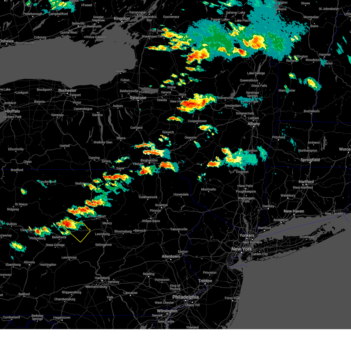 At 227 pm edt, a severe thunderstorm was located over monument, moving southeast at 30 mph (radar indicated). Hazards include 60 mph wind gusts and nickel size hail. expect damage to roofs, siding, and trees At 227 pm edt, a severe thunderstorm was located over monument, moving southeast at 30 mph (radar indicated). Hazards include 60 mph wind gusts and nickel size hail. expect damage to roofs, siding, and trees
|
| 7/25/2023 3:47 PM EDT |
 At 347 pm edt, severe thunderstorms were located along a line extending from near east norriton to near paoli to near kennett square, moving southeast at 10 mph (radar indicated). Hazards include 60 mph wind gusts and quarter size hail. Minor damage to vehicles is possible. wind damage to roofs, siding, trees, and power lines is possible. locations impacted include, philadelphia, west chester, norristown, chester, phoenixville, west norriton, east norriton, coatesville, yeadon, westtown, downingtown, conshohocken, swarthmore, kennett square, collegeville, narberth, trappe, east lansdowne, arden and talleyville. this includes the following highways, pennsylvania turnpike between mile markers 311 and 337. northeast extension between mile markers 21 and 31. interstate 95 in pennsylvania between mile markers 0 and 7. interstate 95 in delaware near mile marker 23. interstate 76 in pennsylvania between mile markers 327 and 342. interstate 476 in pennsylvania between mile markers 0 and 19. hail threat, radar indicated max hail size, 1. 00 in wind threat, radar indicated max wind gust, 60 mph. At 347 pm edt, severe thunderstorms were located along a line extending from near east norriton to near paoli to near kennett square, moving southeast at 10 mph (radar indicated). Hazards include 60 mph wind gusts and quarter size hail. Minor damage to vehicles is possible. wind damage to roofs, siding, trees, and power lines is possible. locations impacted include, philadelphia, west chester, norristown, chester, phoenixville, west norriton, east norriton, coatesville, yeadon, westtown, downingtown, conshohocken, swarthmore, kennett square, collegeville, narberth, trappe, east lansdowne, arden and talleyville. this includes the following highways, pennsylvania turnpike between mile markers 311 and 337. northeast extension between mile markers 21 and 31. interstate 95 in pennsylvania between mile markers 0 and 7. interstate 95 in delaware near mile marker 23. interstate 76 in pennsylvania between mile markers 327 and 342. interstate 476 in pennsylvania between mile markers 0 and 19. hail threat, radar indicated max hail size, 1. 00 in wind threat, radar indicated max wind gust, 60 mph.
|
| 7/25/2023 3:21 PM EDT |
 At 321 pm edt, severe thunderstorms were located along a line extending from near lansdale to near paoli to near coatesville, moving southeast at 10 mph (radar indicated). Hazards include 60 mph wind gusts and quarter size hail. Minor damage to vehicles is possible. Wind damage to roofs, siding, trees, and power lines is possible. At 321 pm edt, severe thunderstorms were located along a line extending from near lansdale to near paoli to near coatesville, moving southeast at 10 mph (radar indicated). Hazards include 60 mph wind gusts and quarter size hail. Minor damage to vehicles is possible. Wind damage to roofs, siding, trees, and power lines is possible.
|
| 7/25/2023 2:36 PM EDT |
 At 235 pm edt, a severe thunderstorm was located near collegeville, or 18 miles northwest of philadelphia, moving east at 25 mph (radar indicated). Hazards include 60 mph wind gusts and nickel size hail. damage to roofs, siding, trees, and power lines is possible At 235 pm edt, a severe thunderstorm was located near collegeville, or 18 miles northwest of philadelphia, moving east at 25 mph (radar indicated). Hazards include 60 mph wind gusts and nickel size hail. damage to roofs, siding, trees, and power lines is possible
|
| 7/25/2023 2:32 PM EDT |
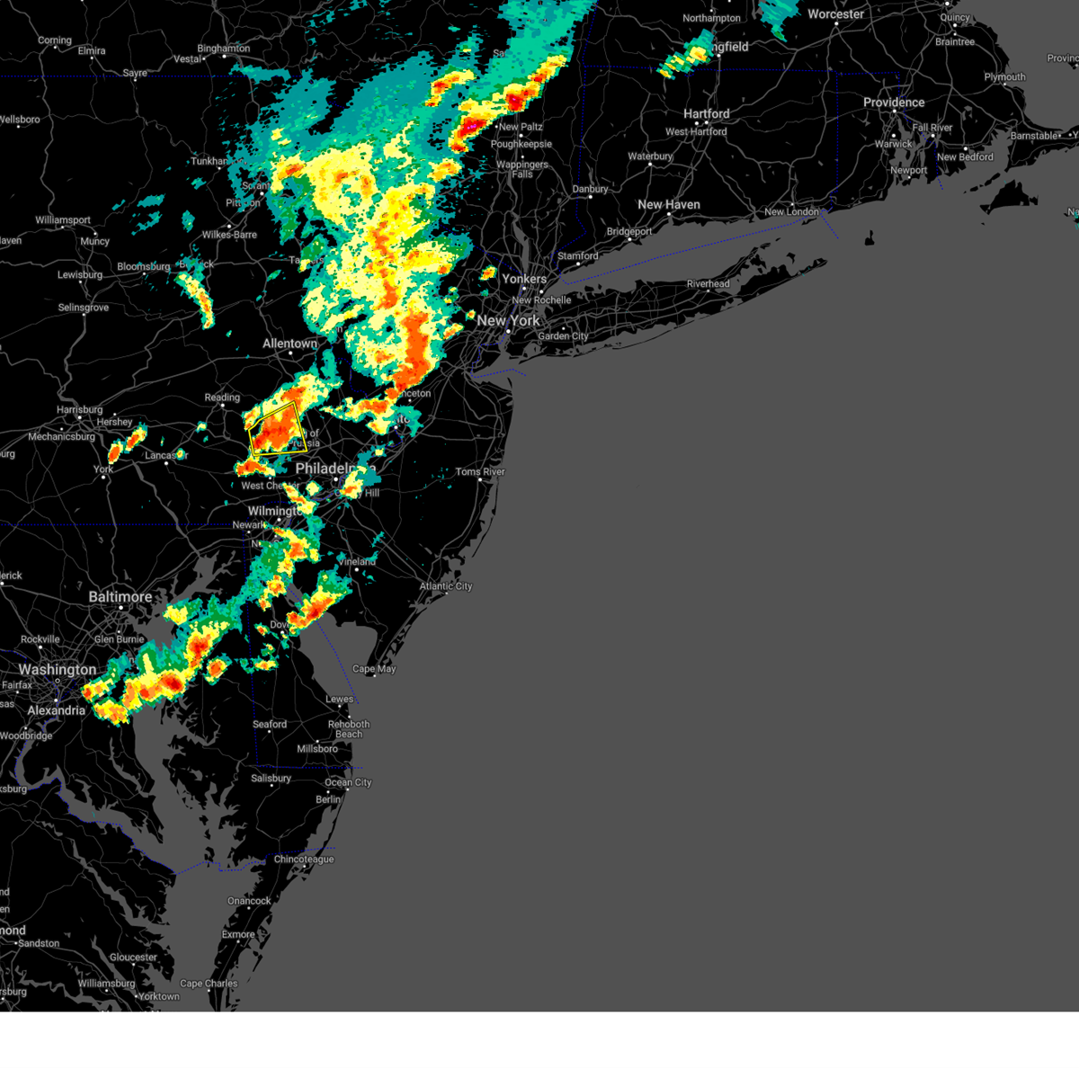 At 232 pm edt, a severe thunderstorm was located over royersford, or 16 miles north of west chester, moving east at 20 mph (radar indicated). Hazards include 60 mph wind gusts and penny size hail. Damage to roofs, siding, trees, and power lines is possible. locations impacted include, pottstown, phoenixville, west norriton, collegeville, royersford, trappe, schwenksville, green lane, pughtown, spring mount, valley forge, chester springs, cedarville, king of prussia, skippack, stowe, spring city, pottsgrove, south pottstown and evansburg. this includes pennsylvania turnpike near mile marker 309. hail threat, radar indicated max hail size, 0. 75 in wind threat, radar indicated max wind gust, 60 mph. At 232 pm edt, a severe thunderstorm was located over royersford, or 16 miles north of west chester, moving east at 20 mph (radar indicated). Hazards include 60 mph wind gusts and penny size hail. Damage to roofs, siding, trees, and power lines is possible. locations impacted include, pottstown, phoenixville, west norriton, collegeville, royersford, trappe, schwenksville, green lane, pughtown, spring mount, valley forge, chester springs, cedarville, king of prussia, skippack, stowe, spring city, pottsgrove, south pottstown and evansburg. this includes pennsylvania turnpike near mile marker 309. hail threat, radar indicated max hail size, 0. 75 in wind threat, radar indicated max wind gust, 60 mph.
|
| 7/25/2023 2:14 PM EDT |
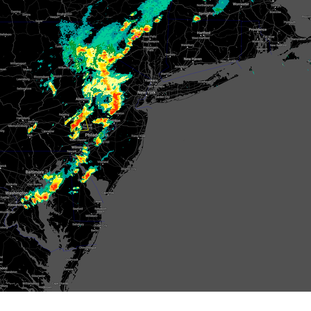 At 214 pm edt, a severe thunderstorm was located over pughtown, or 15 miles north of west chester, moving east at 20 mph (radar indicated). Hazards include 60 mph wind gusts and penny size hail. damage to roofs, siding, trees, and power lines is possible At 214 pm edt, a severe thunderstorm was located over pughtown, or 15 miles north of west chester, moving east at 20 mph (radar indicated). Hazards include 60 mph wind gusts and penny size hail. damage to roofs, siding, trees, and power lines is possible
|
| 7/21/2023 3:58 AM EDT |
 The severe thunderstorm warning for southeastern lehigh, central montgomery, western bucks, northwestern philadelphia, south central northampton and northern delaware counties will expire at 400 am edt, the storms which prompted the warning have weakened below severe limits, and no longer pose an immediate threat to life or property. therefore, the warning will be allowed to expire. however gusty winds and heavy rain are still possible with these thunderstorms. a severe thunderstorm watch remains in effect until 500 am edt for northwestern new jersey, and eastern and southeastern pennsylvania. The severe thunderstorm warning for southeastern lehigh, central montgomery, western bucks, northwestern philadelphia, south central northampton and northern delaware counties will expire at 400 am edt, the storms which prompted the warning have weakened below severe limits, and no longer pose an immediate threat to life or property. therefore, the warning will be allowed to expire. however gusty winds and heavy rain are still possible with these thunderstorms. a severe thunderstorm watch remains in effect until 500 am edt for northwestern new jersey, and eastern and southeastern pennsylvania.
|
| 7/21/2023 3:47 AM EDT |
 At 346 am edt, severe thunderstorms were located along a line extending from bloomsbury to near chalfont to germantown, moving east at 30 mph (radar indicated). Hazards include 60 mph wind gusts and penny size hail. Damage to roofs, siding, trees, and power lines is possible. locations impacted include, philadelphia, bethlehem, norristown, lansdale, west norriton, east norriton, quakertown, perkasie, doylestown, conshohocken, hatboro, souderton, bedminster, ambler, hellertown, jenkintown, chalfont, tinicum, hatfield and dublin. this includes the following highways, pennsylvania turnpike between mile markers 327 and 345. northeast extension between mile markers 21 and 38. interstate 76 in pennsylvania between mile markers 327 and 338. interstate 78 in pennsylvania between mile markers 66 and 71. Interstate 476 in pennsylvania between mile markers 13 and 19. At 346 am edt, severe thunderstorms were located along a line extending from bloomsbury to near chalfont to germantown, moving east at 30 mph (radar indicated). Hazards include 60 mph wind gusts and penny size hail. Damage to roofs, siding, trees, and power lines is possible. locations impacted include, philadelphia, bethlehem, norristown, lansdale, west norriton, east norriton, quakertown, perkasie, doylestown, conshohocken, hatboro, souderton, bedminster, ambler, hellertown, jenkintown, chalfont, tinicum, hatfield and dublin. this includes the following highways, pennsylvania turnpike between mile markers 327 and 345. northeast extension between mile markers 21 and 38. interstate 76 in pennsylvania between mile markers 327 and 338. interstate 78 in pennsylvania between mile markers 66 and 71. Interstate 476 in pennsylvania between mile markers 13 and 19.
|
| 7/21/2023 3:17 AM EDT |
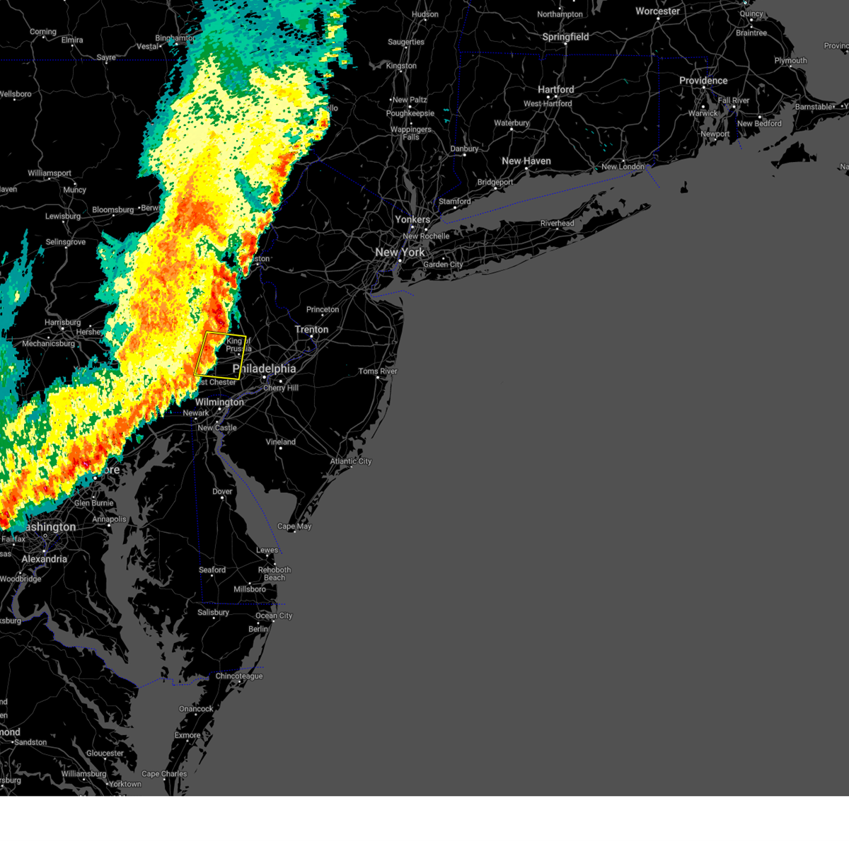 At 317 am edt, a severe thunderstorm was located over phoenixville, or 12 miles north of west chester, moving east at 30 mph (radar indicated). Hazards include 60 mph wind gusts and penny size hail. Damage to roofs, siding, trees, and power lines is possible. locations impacted include, west chester, norristown, pottstown, phoenixville, west norriton, east norriton, downingtown, collegeville, royersford, trappe, pughtown, radnor township, lionville-marchwood, valley forge, paoli, chester springs, newtown square, lionville, king of prussia and broomall. this includes the following highways, pennsylvania turnpike between mile markers 309 and 329. northeast extension near mile marker 28. Interstate 76 in pennsylvania between mile markers 327 and 329. At 317 am edt, a severe thunderstorm was located over phoenixville, or 12 miles north of west chester, moving east at 30 mph (radar indicated). Hazards include 60 mph wind gusts and penny size hail. Damage to roofs, siding, trees, and power lines is possible. locations impacted include, west chester, norristown, pottstown, phoenixville, west norriton, east norriton, downingtown, collegeville, royersford, trappe, pughtown, radnor township, lionville-marchwood, valley forge, paoli, chester springs, newtown square, lionville, king of prussia and broomall. this includes the following highways, pennsylvania turnpike between mile markers 309 and 329. northeast extension near mile marker 28. Interstate 76 in pennsylvania between mile markers 327 and 329.
|
| 7/21/2023 3:13 AM EDT |
 At 313 am edt, severe thunderstorms were located along a line extending from near lehigh university to schwenksville to near west chester, moving east at 40 mph (radar indicated). Hazards include 60 mph wind gusts and penny size hail. damage to roofs, siding, trees, and power lines is possible At 313 am edt, severe thunderstorms were located along a line extending from near lehigh university to schwenksville to near west chester, moving east at 40 mph (radar indicated). Hazards include 60 mph wind gusts and penny size hail. damage to roofs, siding, trees, and power lines is possible
|
| 7/21/2023 2:42 AM EDT |
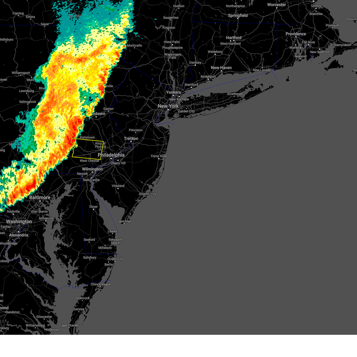 At 241 am edt, a severe thunderstorm was located over new morgan, or 11 miles northeast of new holland, moving east at 35 mph (radar indicated). Hazards include 60 mph wind gusts and penny size hail. damage to roofs, siding, trees, and power lines is possible At 241 am edt, a severe thunderstorm was located over new morgan, or 11 miles northeast of new holland, moving east at 35 mph (radar indicated). Hazards include 60 mph wind gusts and penny size hail. damage to roofs, siding, trees, and power lines is possible
|
| 7/20/2023 9:59 PM EDT |
 At 958 pm edt, severe thunderstorms were located along a line extending from near cammal to glen union to monument, moving east at 40 mph (radar indicated). Hazards include 60 mph wind gusts. Expect damage to roofs, siding, and trees. severe thunderstorms will be near, cammal around 1000 pm edt. lock haven, little pine state park and waterville around 1010 pm edt. jersey shore, mcelhattan and castanea around 1020 pm edt. cogan station around 1030 pm edt. duboistown, collomsville and carroll around 1040 pm edt. other locations impacted by these severe thunderstorms include garden view, oval, loganton, south williamsport and salladasburg. for those driving on interstate 80, this includes areas between the bellefonte and mile run exits, specifically from mile markers 172 to 194. this includes interstate 180 from mile markers 14 to 29. hail threat, radar indicated max hail size, <. 75 in wind threat, radar indicated max wind gust, 60 mph. At 958 pm edt, severe thunderstorms were located along a line extending from near cammal to glen union to monument, moving east at 40 mph (radar indicated). Hazards include 60 mph wind gusts. Expect damage to roofs, siding, and trees. severe thunderstorms will be near, cammal around 1000 pm edt. lock haven, little pine state park and waterville around 1010 pm edt. jersey shore, mcelhattan and castanea around 1020 pm edt. cogan station around 1030 pm edt. duboistown, collomsville and carroll around 1040 pm edt. other locations impacted by these severe thunderstorms include garden view, oval, loganton, south williamsport and salladasburg. for those driving on interstate 80, this includes areas between the bellefonte and mile run exits, specifically from mile markers 172 to 194. this includes interstate 180 from mile markers 14 to 29. hail threat, radar indicated max hail size, <. 75 in wind threat, radar indicated max wind gust, 60 mph.
|
| 7/20/2023 9:33 PM EDT |
 At 933 pm edt, severe thunderstorms were located along a line extending from renovo to pine glen to curwensville, moving east at 55 mph (radar indicated). Hazards include 60 mph wind gusts. expect damage to roofs, siding, and trees At 933 pm edt, severe thunderstorms were located along a line extending from renovo to pine glen to curwensville, moving east at 55 mph (radar indicated). Hazards include 60 mph wind gusts. expect damage to roofs, siding, and trees
|
| 7/14/2023 4:10 PM EDT |
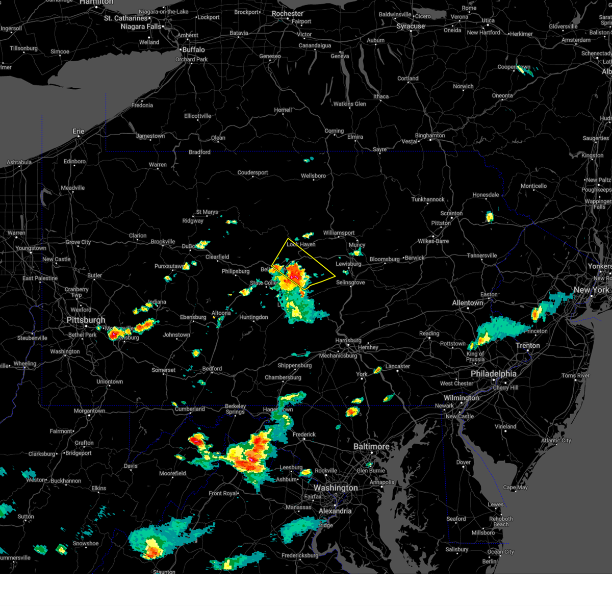 At 409 pm edt, a severe thunderstorm was located near millheim, moving northeast at 30 mph (radar indicated). Hazards include 60 mph wind gusts and quarter size hail. Hail damage to vehicles is expected. expect wind damage to roofs, siding, and trees. locations impacted include, lock haven, woodward, lamar, zion, mill hall, flemington, castanea, millheim, blanchard, aaronsburg, rebersburg and spring mills. for those driving on interstate 80, this includes areas between the milesburg and jersey shore exits, specifically from mile markers 159 to 185. hail threat, radar indicated max hail size, 1. 00 in wind threat, radar indicated max wind gust, 60 mph. At 409 pm edt, a severe thunderstorm was located near millheim, moving northeast at 30 mph (radar indicated). Hazards include 60 mph wind gusts and quarter size hail. Hail damage to vehicles is expected. expect wind damage to roofs, siding, and trees. locations impacted include, lock haven, woodward, lamar, zion, mill hall, flemington, castanea, millheim, blanchard, aaronsburg, rebersburg and spring mills. for those driving on interstate 80, this includes areas between the milesburg and jersey shore exits, specifically from mile markers 159 to 185. hail threat, radar indicated max hail size, 1. 00 in wind threat, radar indicated max wind gust, 60 mph.
|
| 7/14/2023 3:48 PM EDT |
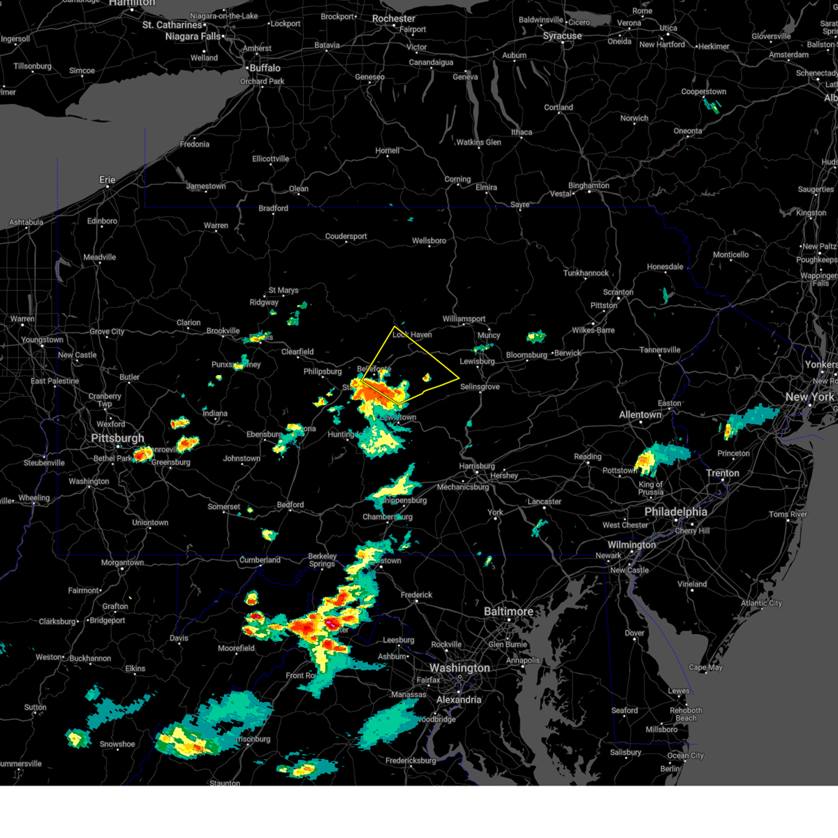 At 347 pm edt, a severe thunderstorm was located near pleasant gap, moving northeast at 25 mph (radar indicated). Hazards include 60 mph wind gusts and quarter size hail. Hail damage to vehicles is expected. Expect wind damage to roofs, siding, and trees. At 347 pm edt, a severe thunderstorm was located near pleasant gap, moving northeast at 25 mph (radar indicated). Hazards include 60 mph wind gusts and quarter size hail. Hail damage to vehicles is expected. Expect wind damage to roofs, siding, and trees.
|
| 7/13/2023 11:59 PM EDT |
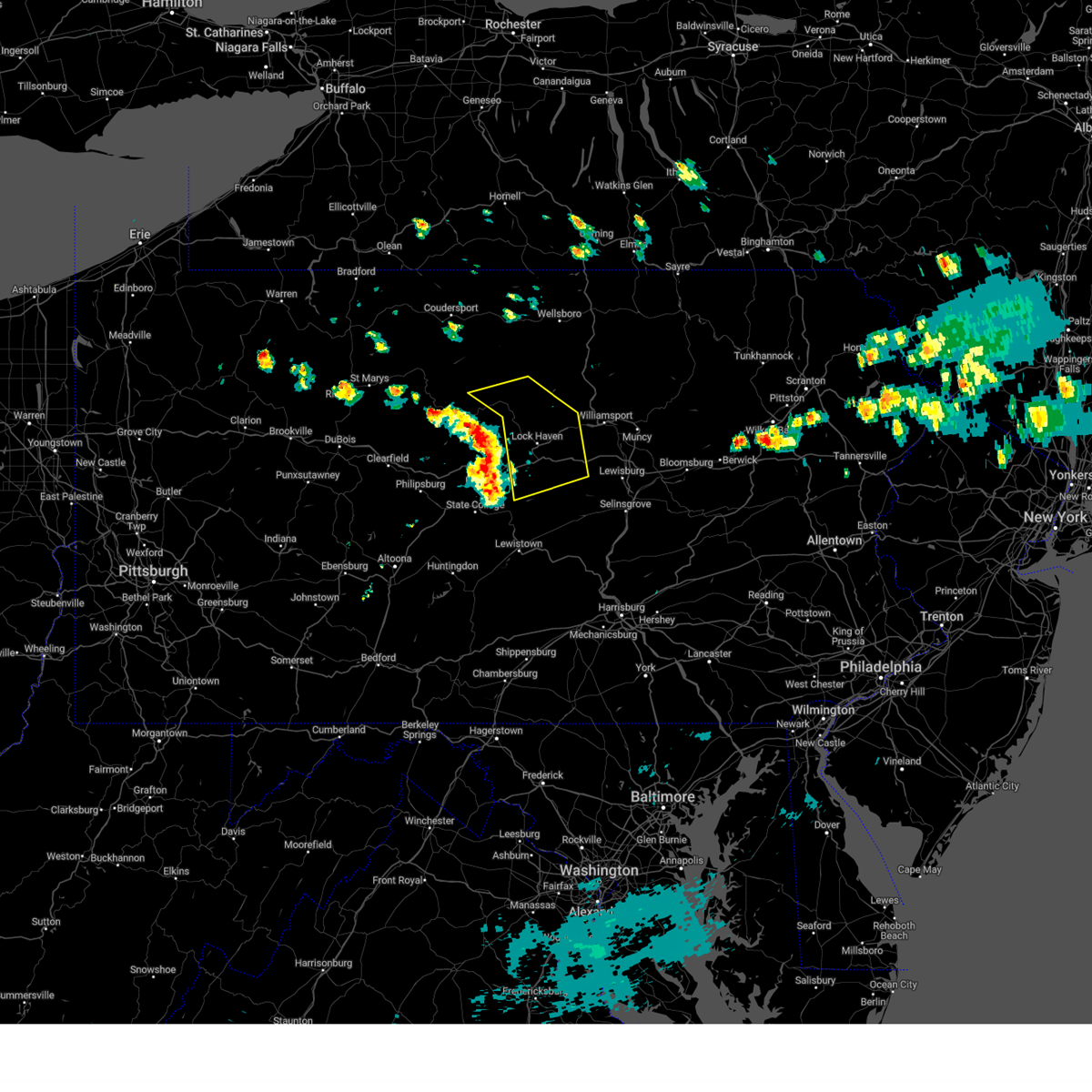 At 1159 pm edt, severe thunderstorms were located along a line extending from near kettle creek state park to monument to centre hall, moving east at 40 mph (radar indicated). Hazards include 60 mph wind gusts. expect damage to roofs, siding, and trees At 1159 pm edt, severe thunderstorms were located along a line extending from near kettle creek state park to monument to centre hall, moving east at 40 mph (radar indicated). Hazards include 60 mph wind gusts. expect damage to roofs, siding, and trees
|
| 7/7/2023 3:30 PM EDT |
 At 330 pm edt, severe thunderstorms were located along a line extending from near spring mount to valley forge to west chester, moving east at 15 mph (radar indicated). Hazards include 60 mph wind gusts. Damage to roofs, siding, trees, and power lines is possible. locations impacted include, west chester, norristown, phoenixville, lansdale, west norriton, east norriton, westtown, downingtown, conshohocken, collegeville, royersford, trappe, hatfield, schwenksville, green lane, cheyney, bryn mawr, marshallton, trout lake and radnor township. this includes the following highways, pennsylvania turnpike between mile markers 312 and 335. northeast extension between mile markers 21 and 34. interstate 76 in pennsylvania between mile markers 327 and 335. interstate 476 in pennsylvania between mile markers 10 and 19. hail threat, radar indicated max hail size, <. 75 in wind threat, radar indicated max wind gust, 60 mph. At 330 pm edt, severe thunderstorms were located along a line extending from near spring mount to valley forge to west chester, moving east at 15 mph (radar indicated). Hazards include 60 mph wind gusts. Damage to roofs, siding, trees, and power lines is possible. locations impacted include, west chester, norristown, phoenixville, lansdale, west norriton, east norriton, westtown, downingtown, conshohocken, collegeville, royersford, trappe, hatfield, schwenksville, green lane, cheyney, bryn mawr, marshallton, trout lake and radnor township. this includes the following highways, pennsylvania turnpike between mile markers 312 and 335. northeast extension between mile markers 21 and 34. interstate 76 in pennsylvania between mile markers 327 and 335. interstate 476 in pennsylvania between mile markers 10 and 19. hail threat, radar indicated max hail size, <. 75 in wind threat, radar indicated max wind gust, 60 mph.
|
| 7/7/2023 3:21 PM EDT |
 At 321 pm edt, severe thunderstorms were located along a line extending from green lane to near phoenixville to marshallton, moving east at 10 mph (radar indicated). Hazards include 60 mph wind gusts. damage to roofs, siding, trees, and power lines is possible At 321 pm edt, severe thunderstorms were located along a line extending from green lane to near phoenixville to marshallton, moving east at 10 mph (radar indicated). Hazards include 60 mph wind gusts. damage to roofs, siding, trees, and power lines is possible
|
| 6/27/2023 4:09 PM EDT |
 At 409 pm edt, a severe thunderstorm was located over plymouth meeting, or 12 miles northwest of philadelphia, moving east at 20 mph (radar indicated). Hazards include 60 mph wind gusts and quarter size hail. Minor damage to vehicles is possible. wind damage to roofs, siding, trees, and power lines is possible. locations impacted include, philadelphia, norristown, lansdale, west norriton, east norriton, conshohocken, hatboro, ambler, jenkintown, rockledge, abington, bryn athyn, willow grove, northeast philadelphia, plymouth meeting, chestnut hill, andalusia, king of prussia, horsham and bridgeport. this includes the following highways, pennsylvania turnpike between mile markers 329 and 346. northeast extension between mile markers 21 and 27. interstate 76 in pennsylvania between mile markers 330 and 335. interstate 476 in pennsylvania between mile markers 15 and 19. hail threat, radar indicated max hail size, 1. 00 in wind threat, radar indicated max wind gust, 60 mph. At 409 pm edt, a severe thunderstorm was located over plymouth meeting, or 12 miles northwest of philadelphia, moving east at 20 mph (radar indicated). Hazards include 60 mph wind gusts and quarter size hail. Minor damage to vehicles is possible. wind damage to roofs, siding, trees, and power lines is possible. locations impacted include, philadelphia, norristown, lansdale, west norriton, east norriton, conshohocken, hatboro, ambler, jenkintown, rockledge, abington, bryn athyn, willow grove, northeast philadelphia, plymouth meeting, chestnut hill, andalusia, king of prussia, horsham and bridgeport. this includes the following highways, pennsylvania turnpike between mile markers 329 and 346. northeast extension between mile markers 21 and 27. interstate 76 in pennsylvania between mile markers 330 and 335. interstate 476 in pennsylvania between mile markers 15 and 19. hail threat, radar indicated max hail size, 1. 00 in wind threat, radar indicated max wind gust, 60 mph.
|
| 6/27/2023 3:57 PM EDT |
 At 357 pm edt, a severe thunderstorm was located over norristown, or 14 miles northwest of philadelphia, moving east at 25 mph (radar indicated). Hazards include 60 mph wind gusts and quarter size hail. Minor damage to vehicles is possible. Wind damage to roofs, siding, trees, and power lines is possible. At 357 pm edt, a severe thunderstorm was located over norristown, or 14 miles northwest of philadelphia, moving east at 25 mph (radar indicated). Hazards include 60 mph wind gusts and quarter size hail. Minor damage to vehicles is possible. Wind damage to roofs, siding, trees, and power lines is possible.
|
| 6/26/2023 9:57 PM EDT |
 At 956 pm edt, a severe thunderstorm was located over east norriton, or 15 miles northwest of philadelphia, moving northeast at 30 mph (radar indicated). Hazards include 60 mph wind gusts and nickel size hail. Damage to roofs, siding, trees, and power lines is possible. locations impacted include, norristown, lansdale, west norriton, east norriton, conshohocken, hatboro, souderton, ambler, collegeville, trappe, hatfield, bryn athyn, willow grove, plymouth meeting, king of prussia, horsham, skippack, bridgeport, north wales and west conshohocken. this includes the following highways, pennsylvania turnpike between mile markers 328 and 346. northeast extension between mile markers 21 and 32. interstate 76 in pennsylvania between mile markers 329 and 333. interstate 476 in pennsylvania between mile markers 15 and 19. hail threat, radar indicated max hail size, 0. 88 in wind threat, radar indicated max wind gust, 60 mph. At 956 pm edt, a severe thunderstorm was located over east norriton, or 15 miles northwest of philadelphia, moving northeast at 30 mph (radar indicated). Hazards include 60 mph wind gusts and nickel size hail. Damage to roofs, siding, trees, and power lines is possible. locations impacted include, norristown, lansdale, west norriton, east norriton, conshohocken, hatboro, souderton, ambler, collegeville, trappe, hatfield, bryn athyn, willow grove, plymouth meeting, king of prussia, horsham, skippack, bridgeport, north wales and west conshohocken. this includes the following highways, pennsylvania turnpike between mile markers 328 and 346. northeast extension between mile markers 21 and 32. interstate 76 in pennsylvania between mile markers 329 and 333. interstate 476 in pennsylvania between mile markers 15 and 19. hail threat, radar indicated max hail size, 0. 88 in wind threat, radar indicated max wind gust, 60 mph.
|
| 6/26/2023 9:47 PM EDT |
 At 947 pm edt, a severe thunderstorm was located over west norriton, or 14 miles northeast of west chester, moving northeast at 25 mph (radar indicated). Hazards include 60 mph wind gusts and nickel size hail. damage to roofs, siding, trees, and power lines is possible At 947 pm edt, a severe thunderstorm was located over west norriton, or 14 miles northeast of west chester, moving northeast at 25 mph (radar indicated). Hazards include 60 mph wind gusts and nickel size hail. damage to roofs, siding, trees, and power lines is possible
|
| 6/16/2023 11:58 AM EDT |
 At 1157 am edt, severe thunderstorms were located along a line extending from green lane to near conshohocken to near penns grove, moving east at 45 mph (radar indicated). Hazards include 60 mph wind gusts and quarter size hail. Minor damage to vehicles is possible. Wind damage to roofs, siding, trees, and power lines is possible. At 1157 am edt, severe thunderstorms were located along a line extending from green lane to near conshohocken to near penns grove, moving east at 45 mph (radar indicated). Hazards include 60 mph wind gusts and quarter size hail. Minor damage to vehicles is possible. Wind damage to roofs, siding, trees, and power lines is possible.
|
| 6/16/2023 11:41 AM EDT |
 At 1141 am edt, severe thunderstorms were located along a line extending from pughtown to near west chester to near hockessin, moving east at 35 mph (radar indicated). Hazards include 60 mph wind gusts and quarter size hail. Minor damage to vehicles is possible. wind damage to roofs, siding, trees, and power lines is possible. locations impacted include, wilmington, west chester, norristown, chester, pottstown, phoenixville, west norriton, east norriton, westtown, downingtown, conshohocken, folcroft, swarthmore, kennett square, birdsboro, collegeville, royersford, narberth, trappe and schwenksville. this includes the following highways, pennsylvania turnpike between mile markers 306 and 335. northeast extension between mile markers 21 and 25. interstate 95 in pennsylvania between mile markers 0 and 10. interstate 95 in delaware between mile markers 15 and 23. interstate 76 in pennsylvania between mile markers 327 and 335. interstate 295 in new jersey between mile markers 10 and 15. Interstate 476 in pennsylvania between mile markers 0 and 19. At 1141 am edt, severe thunderstorms were located along a line extending from pughtown to near west chester to near hockessin, moving east at 35 mph (radar indicated). Hazards include 60 mph wind gusts and quarter size hail. Minor damage to vehicles is possible. wind damage to roofs, siding, trees, and power lines is possible. locations impacted include, wilmington, west chester, norristown, chester, pottstown, phoenixville, west norriton, east norriton, westtown, downingtown, conshohocken, folcroft, swarthmore, kennett square, birdsboro, collegeville, royersford, narberth, trappe and schwenksville. this includes the following highways, pennsylvania turnpike between mile markers 306 and 335. northeast extension between mile markers 21 and 25. interstate 95 in pennsylvania between mile markers 0 and 10. interstate 95 in delaware between mile markers 15 and 23. interstate 76 in pennsylvania between mile markers 327 and 335. interstate 295 in new jersey between mile markers 10 and 15. Interstate 476 in pennsylvania between mile markers 0 and 19.
|
| 6/16/2023 11:20 AM EDT |
 At 1119 am edt, severe thunderstorms were located along a line extending from elverson to near coatesville to near kemblesville, moving east at 35 mph (radar indicated). Hazards include 60 mph wind gusts and quarter size hail. Minor damage to vehicles is possible. Wind damage to roofs, siding, trees, and power lines is possible. At 1119 am edt, severe thunderstorms were located along a line extending from elverson to near coatesville to near kemblesville, moving east at 35 mph (radar indicated). Hazards include 60 mph wind gusts and quarter size hail. Minor damage to vehicles is possible. Wind damage to roofs, siding, trees, and power lines is possible.
|
| 6/6/2023 3:56 PM EDT |
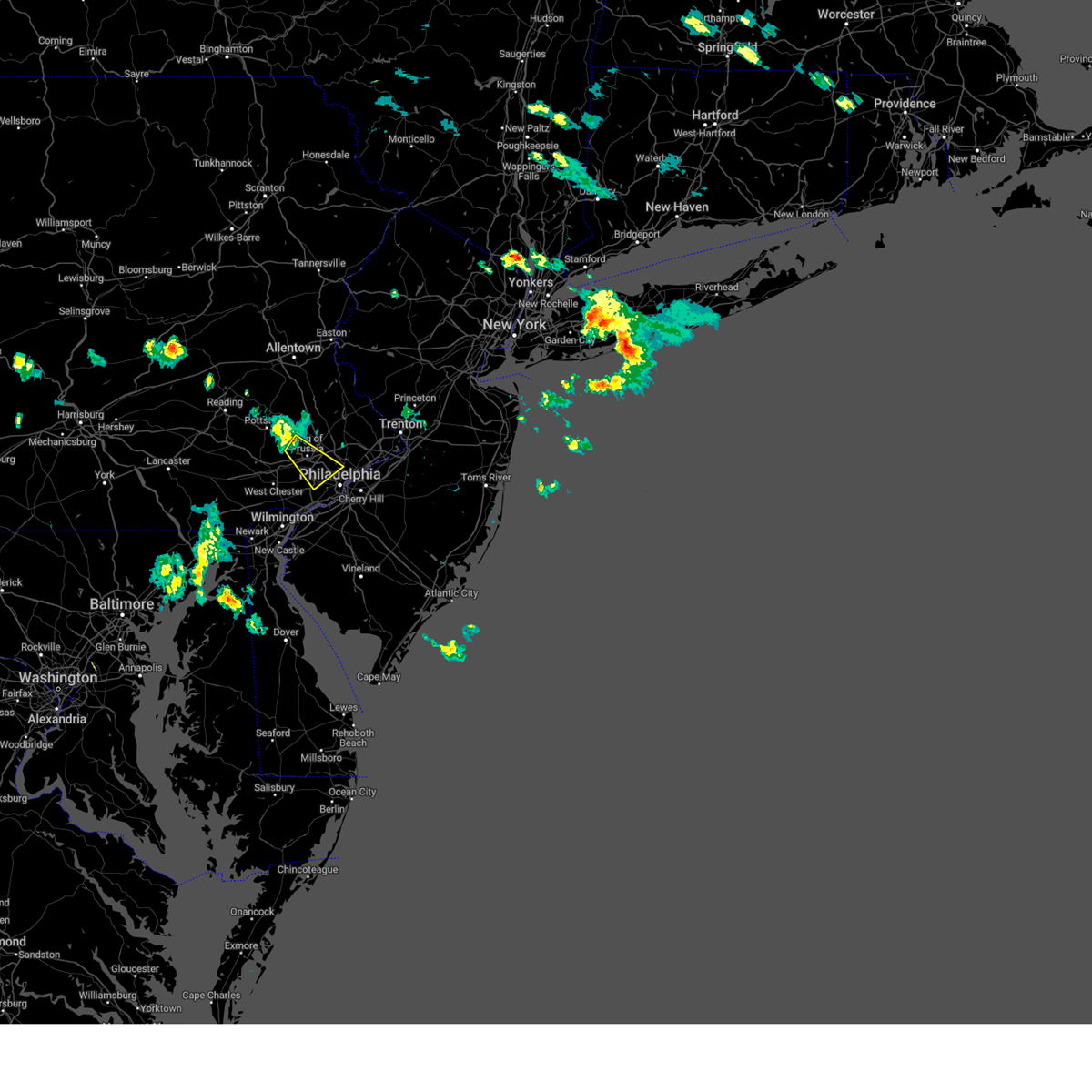 At 356 pm edt, a severe thunderstorm was located over collegeville, or 16 miles northeast of west chester, moving southeast at 20 mph (radar indicated). Hazards include 60 mph wind gusts and nickel size hail. damage to roofs, siding, trees, and power lines is possible At 356 pm edt, a severe thunderstorm was located over collegeville, or 16 miles northeast of west chester, moving southeast at 20 mph (radar indicated). Hazards include 60 mph wind gusts and nickel size hail. damage to roofs, siding, trees, and power lines is possible
|
| 4/1/2023 6:54 PM EDT |
 The severe thunderstorm warning for hunterdon, southwestern morris, southern warren, southeastern berks, southeastern lehigh, montgomery, northwestern bucks, northeastern chester and south central northampton counties will expire at 700 pm edt, the storms which prompted the warning have moved out of the area. therefore, the warning will be allowed to expire. however gusty winds are still possible through this evening. a tornado watch remains in effect until 1000 pm edt for northern and northwestern new jersey, and southeastern pennsylvania. a severe thunderstorm watch remains in effect until 800 pm edt for eastern pennsylvania. The severe thunderstorm warning for hunterdon, southwestern morris, southern warren, southeastern berks, southeastern lehigh, montgomery, northwestern bucks, northeastern chester and south central northampton counties will expire at 700 pm edt, the storms which prompted the warning have moved out of the area. therefore, the warning will be allowed to expire. however gusty winds are still possible through this evening. a tornado watch remains in effect until 1000 pm edt for northern and northwestern new jersey, and southeastern pennsylvania. a severe thunderstorm watch remains in effect until 800 pm edt for eastern pennsylvania.
|
| 4/1/2023 6:37 PM EDT |
 At 637 pm edt, severe thunderstorms were located along a line extending from doylestown to plymouth meeting to near west chester, moving east at 50 mph (radar indicated). Hazards include 70 mph wind gusts and penny size hail. Expect considerable tree damage. Damage is likely to mobile homes, roofs, and outbuildings. At 637 pm edt, severe thunderstorms were located along a line extending from doylestown to plymouth meeting to near west chester, moving east at 50 mph (radar indicated). Hazards include 70 mph wind gusts and penny size hail. Expect considerable tree damage. Damage is likely to mobile homes, roofs, and outbuildings.
|
| 4/1/2023 6:27 PM EDT |
 At 627 pm edt, severe thunderstorms were located along a line extending from long valley to frenchtown to near phoenixville, moving east at 50 mph (radar indicated). Hazards include 60 mph wind gusts and penny size hail. Damage to roofs, siding, trees, and power lines is possible. locations impacted include, norristown, pottstown, phoenixville, lansdale, west norriton, east norriton, quakertown, perkasie, doylestown, byram, souderton, bedminster, washington, birdsboro, collegeville, royersford, flemington, chalfont, tinicum and high bridge. this includes the following highways, pennsylvania turnpike between mile markers 296 and 303, and between mile markers 326 and 328. northeast extension between mile markers 23 and 46. interstate 76 in pennsylvania near mile marker 327. interstate 78 in new jersey between mile markers 1 and 26. interstate 176 in pennsylvania between mile markers 1 and 3. hail threat, radar indicated max hail size, 0. 75 in wind threat, radar indicated max wind gust, 60 mph. At 627 pm edt, severe thunderstorms were located along a line extending from long valley to frenchtown to near phoenixville, moving east at 50 mph (radar indicated). Hazards include 60 mph wind gusts and penny size hail. Damage to roofs, siding, trees, and power lines is possible. locations impacted include, norristown, pottstown, phoenixville, lansdale, west norriton, east norriton, quakertown, perkasie, doylestown, byram, souderton, bedminster, washington, birdsboro, collegeville, royersford, flemington, chalfont, tinicum and high bridge. this includes the following highways, pennsylvania turnpike between mile markers 296 and 303, and between mile markers 326 and 328. northeast extension between mile markers 23 and 46. interstate 76 in pennsylvania near mile marker 327. interstate 78 in new jersey between mile markers 1 and 26. interstate 176 in pennsylvania between mile markers 1 and 3. hail threat, radar indicated max hail size, 0. 75 in wind threat, radar indicated max wind gust, 60 mph.
|
| 4/1/2023 6:08 PM EDT |
 At 608 pm edt, severe thunderstorms were located along a line extending from pleasant valley to near cedarville, moving east at 45 mph (radar indicated). Hazards include 60 mph wind gusts and penny size hail. Damage to roofs, siding, trees, and power lines is possible. locations impacted include, allentown, easton, bethlehem, norristown, pottstown, phoenixville, lansdale, west norriton, forks, east norriton, emmaus, hackettstown, quakertown, perkasie, doylestown, byram, wilson, souderton, bedminster and washington. this includes the following highways, pennsylvania turnpike between mile markers 296 and 303, and between mile markers 326 and 328. northeast extension between mile markers 23 and 54. interstate 76 in pennsylvania near mile marker 327. interstate 78 in pennsylvania between mile markers 57 and 76. interstate 78 in new jersey between mile markers 0 and 26. interstate 176 in pennsylvania between mile markers 1 and 10. hail threat, radar indicated max hail size, 0. 75 in wind threat, radar indicated max wind gust, 60 mph. At 608 pm edt, severe thunderstorms were located along a line extending from pleasant valley to near cedarville, moving east at 45 mph (radar indicated). Hazards include 60 mph wind gusts and penny size hail. Damage to roofs, siding, trees, and power lines is possible. locations impacted include, allentown, easton, bethlehem, norristown, pottstown, phoenixville, lansdale, west norriton, forks, east norriton, emmaus, hackettstown, quakertown, perkasie, doylestown, byram, wilson, souderton, bedminster and washington. this includes the following highways, pennsylvania turnpike between mile markers 296 and 303, and between mile markers 326 and 328. northeast extension between mile markers 23 and 54. interstate 76 in pennsylvania near mile marker 327. interstate 78 in pennsylvania between mile markers 57 and 76. interstate 78 in new jersey between mile markers 0 and 26. interstate 176 in pennsylvania between mile markers 1 and 10. hail threat, radar indicated max hail size, 0. 75 in wind threat, radar indicated max wind gust, 60 mph.
|
| 4/1/2023 5:53 PM EDT |
 At 552 pm edt, severe thunderstorms were located along a line extending from tatamy to near emmaus to birdsboro, moving east at 50 mph (radar indicated). Hazards include 60 mph wind gusts and penny size hail. damage to roofs, siding, trees, and power lines is possible At 552 pm edt, severe thunderstorms were located along a line extending from tatamy to near emmaus to birdsboro, moving east at 50 mph (radar indicated). Hazards include 60 mph wind gusts and penny size hail. damage to roofs, siding, trees, and power lines is possible
|
| 4/1/2023 3:43 PM EDT |
 At 342 pm edt, severe thunderstorms were located along a line extending from troupsburg to cammal to seven mountains, moving east at 45 mph (radar indicated). Hazards include 60 mph wind gusts. Expect damage to roofs, siding, and trees. locations impacted include, state college, lock haven, bellefonte, park forest village, carroll, woodward, boalsburg, pleasant gap, philipsburg, lamar, stormstown and lemont. for those driving on interstate 80, this includes areas between the kylertown and mile run exits, specifically from mile markers 140 to 193. this includes interstate 99 from mile markers 56 to 85. hail threat, radar indicated max hail size, <. 75 in wind threat, radar indicated max wind gust, 60 mph. At 342 pm edt, severe thunderstorms were located along a line extending from troupsburg to cammal to seven mountains, moving east at 45 mph (radar indicated). Hazards include 60 mph wind gusts. Expect damage to roofs, siding, and trees. locations impacted include, state college, lock haven, bellefonte, park forest village, carroll, woodward, boalsburg, pleasant gap, philipsburg, lamar, stormstown and lemont. for those driving on interstate 80, this includes areas between the kylertown and mile run exits, specifically from mile markers 140 to 193. this includes interstate 99 from mile markers 56 to 85. hail threat, radar indicated max hail size, <. 75 in wind threat, radar indicated max wind gust, 60 mph.
|
| 4/1/2023 3:07 PM EDT |
 At 307 pm edt, severe thunderstorms were located along a line extending from near shinglehouse to cameron to woodland, moving northeast at 40 mph (radar indicated). Hazards include 70 mph wind gusts. Expect considerable tree damage. Damage is likely to mobile homes, roofs, and outbuildings. At 307 pm edt, severe thunderstorms were located along a line extending from near shinglehouse to cameron to woodland, moving northeast at 40 mph (radar indicated). Hazards include 70 mph wind gusts. Expect considerable tree damage. Damage is likely to mobile homes, roofs, and outbuildings.
|
| 8/21/2022 1:27 PM EDT |
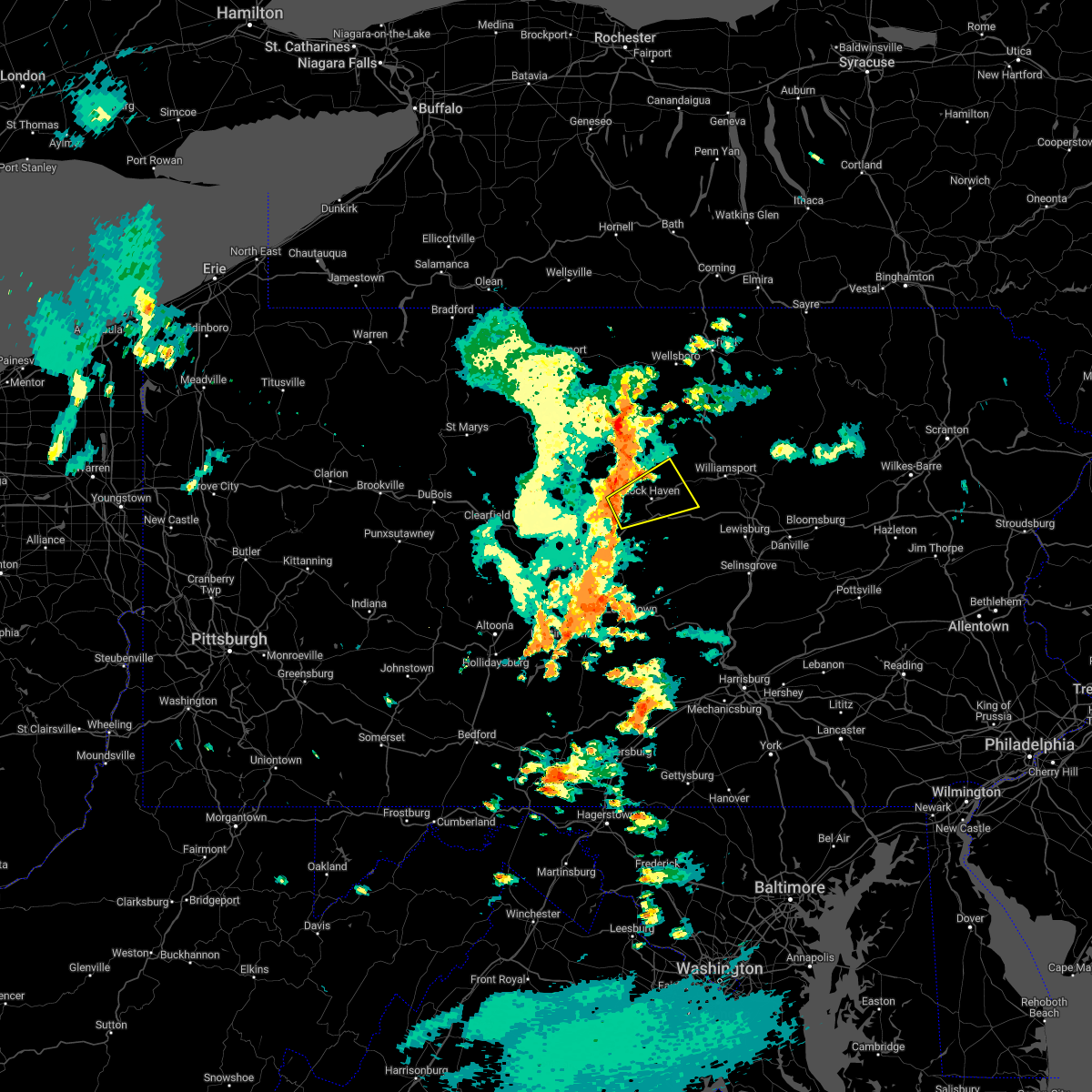 At 125 pm edt, a severe thunderstorm was located near beech creek, moving northeast at 25 mph (radar indicated). Hazards include 60 mph wind gusts and penny size hail. expect damage to roofs, siding, and trees At 125 pm edt, a severe thunderstorm was located near beech creek, moving northeast at 25 mph (radar indicated). Hazards include 60 mph wind gusts and penny size hail. expect damage to roofs, siding, and trees
|
| 8/4/2022 2:06 PM EDT |
 The severe thunderstorm warning for east central centre and southeastern clinton counties will expire at 215 pm edt, the storm which prompted the warning has weakened below severe limits, and has exited the warned area. therefore, the warning will be allowed to expire. however gusty winds are still possible with this thunderstorm. The severe thunderstorm warning for east central centre and southeastern clinton counties will expire at 215 pm edt, the storm which prompted the warning has weakened below severe limits, and has exited the warned area. therefore, the warning will be allowed to expire. however gusty winds are still possible with this thunderstorm.
|
| 8/4/2022 1:44 PM EDT |
 At 143 pm edt, a severe thunderstorm was located over mackeyville, moving east at 35 mph (radar indicated). Hazards include 60 mph wind gusts and quarter size hail. Hail damage to vehicles is expected. expect wind damage to roofs, siding, and trees. locations impacted include, lock haven, carroll, lamar, mill hall, avis, dunnstown, flemington, castanea, blanchard, mcelhattan, mackeyville and bald eagle state park. for those driving on interstate 80, this includes areas between the bellefonte and mile run exits, specifically from mile markers 168 to 195. hail threat, radar indicated max hail size, 1. 00 in wind threat, radar indicated max wind gust, 60 mph. At 143 pm edt, a severe thunderstorm was located over mackeyville, moving east at 35 mph (radar indicated). Hazards include 60 mph wind gusts and quarter size hail. Hail damage to vehicles is expected. expect wind damage to roofs, siding, and trees. locations impacted include, lock haven, carroll, lamar, mill hall, avis, dunnstown, flemington, castanea, blanchard, mcelhattan, mackeyville and bald eagle state park. for those driving on interstate 80, this includes areas between the bellefonte and mile run exits, specifically from mile markers 168 to 195. hail threat, radar indicated max hail size, 1. 00 in wind threat, radar indicated max wind gust, 60 mph.
|
| 8/4/2022 1:26 PM EDT |
 At 126 pm edt, a severe thunderstorm was located over bald eagle state park, moving east at 35 mph (radar indicated). Hazards include 60 mph wind gusts and quarter size hail. Hail damage to vehicles is expected. Expect wind damage to roofs, siding, and trees. At 126 pm edt, a severe thunderstorm was located over bald eagle state park, moving east at 35 mph (radar indicated). Hazards include 60 mph wind gusts and quarter size hail. Hail damage to vehicles is expected. Expect wind damage to roofs, siding, and trees.
|
| 7/28/2022 8:06 PM EDT |
 At 806 pm edt, a severe thunderstorm was located over paoli, or near west chester, moving east at 40 mph (radar indicated). Hazards include 60 mph wind gusts. Damage to roofs, siding, trees, and power lines is possible. locations impacted include, west chester, phoenixville, west norriton, westtown, downingtown, cheyney, marshallton, lima, lionville-marchwood, gradyville, valley forge, paoli, chester springs, newtown square, lionville, king of prussia, radnor township, west goshen, brookhaven and malvern. this includes the following highways, pennsylvania turnpike between mile markers 312 and 327. interstate 76 in pennsylvania near mile marker 327. hail threat, radar indicated max hail size, <. 75 in wind threat, radar indicated max wind gust, 60 mph. At 806 pm edt, a severe thunderstorm was located over paoli, or near west chester, moving east at 40 mph (radar indicated). Hazards include 60 mph wind gusts. Damage to roofs, siding, trees, and power lines is possible. locations impacted include, west chester, phoenixville, west norriton, westtown, downingtown, cheyney, marshallton, lima, lionville-marchwood, gradyville, valley forge, paoli, chester springs, newtown square, lionville, king of prussia, radnor township, west goshen, brookhaven and malvern. this includes the following highways, pennsylvania turnpike between mile markers 312 and 327. interstate 76 in pennsylvania near mile marker 327. hail threat, radar indicated max hail size, <. 75 in wind threat, radar indicated max wind gust, 60 mph.
|
| 7/28/2022 7:53 PM EDT |
 At 753 pm edt, a severe thunderstorm was located over lionville, or near west chester, moving east at 40 mph (radar indicated). Hazards include 60 mph wind gusts. Damage to roofs, siding, trees, and power lines is possible. locations impacted include, west chester, phoenixville, west norriton, coatesville, westtown, downingtown, cheyney, marshallton, lima, lionville-marchwood, gradyville, valley forge, glenmoore, paoli, chester springs, newtown square, lionville, king of prussia, radnor township and west goshen. this includes the following highways, pennsylvania turnpike between mile markers 304 and 327. interstate 76 in pennsylvania near mile marker 327. hail threat, radar indicated max hail size, <. 75 in wind threat, radar indicated max wind gust, 60 mph. At 753 pm edt, a severe thunderstorm was located over lionville, or near west chester, moving east at 40 mph (radar indicated). Hazards include 60 mph wind gusts. Damage to roofs, siding, trees, and power lines is possible. locations impacted include, west chester, phoenixville, west norriton, coatesville, westtown, downingtown, cheyney, marshallton, lima, lionville-marchwood, gradyville, valley forge, glenmoore, paoli, chester springs, newtown square, lionville, king of prussia, radnor township and west goshen. this includes the following highways, pennsylvania turnpike between mile markers 304 and 327. interstate 76 in pennsylvania near mile marker 327. hail threat, radar indicated max hail size, <. 75 in wind threat, radar indicated max wind gust, 60 mph.
|
| 7/28/2022 7:29 PM EDT |
 At 729 pm edt, a severe thunderstorm was located near honey brook, or 8 miles southeast of new holland, moving east at 40 mph (radar indicated). Hazards include 60 mph wind gusts. damage to roofs, siding, trees, and power lines is possible At 729 pm edt, a severe thunderstorm was located near honey brook, or 8 miles southeast of new holland, moving east at 40 mph (radar indicated). Hazards include 60 mph wind gusts. damage to roofs, siding, trees, and power lines is possible
|
| 7/28/2022 6:26 PM EDT |
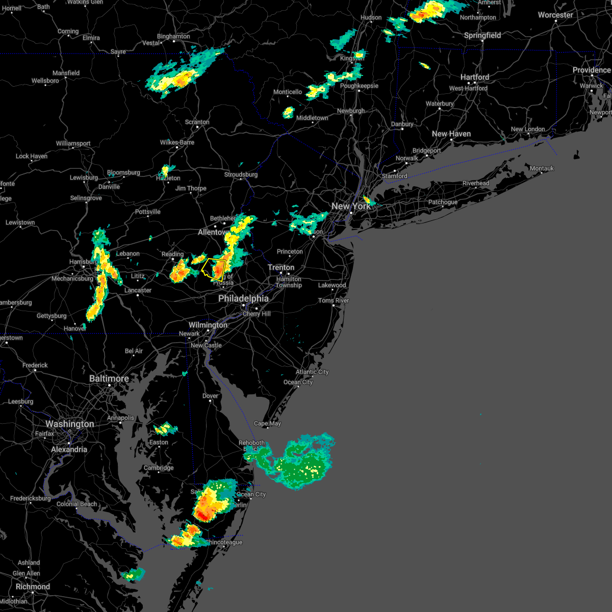 The severe thunderstorm warning for west central montgomery county will expire at 630 pm edt, the storm which prompted the warning has weakened below severe limits, and no longer poses an immediate threat to life or property. therefore, the warning will be allowed to expire. however gusty winds and heavy rain are still possible with this thunderstorm. The severe thunderstorm warning for west central montgomery county will expire at 630 pm edt, the storm which prompted the warning has weakened below severe limits, and no longer poses an immediate threat to life or property. therefore, the warning will be allowed to expire. however gusty winds and heavy rain are still possible with this thunderstorm.
|
| 7/28/2022 6:16 PM EDT |
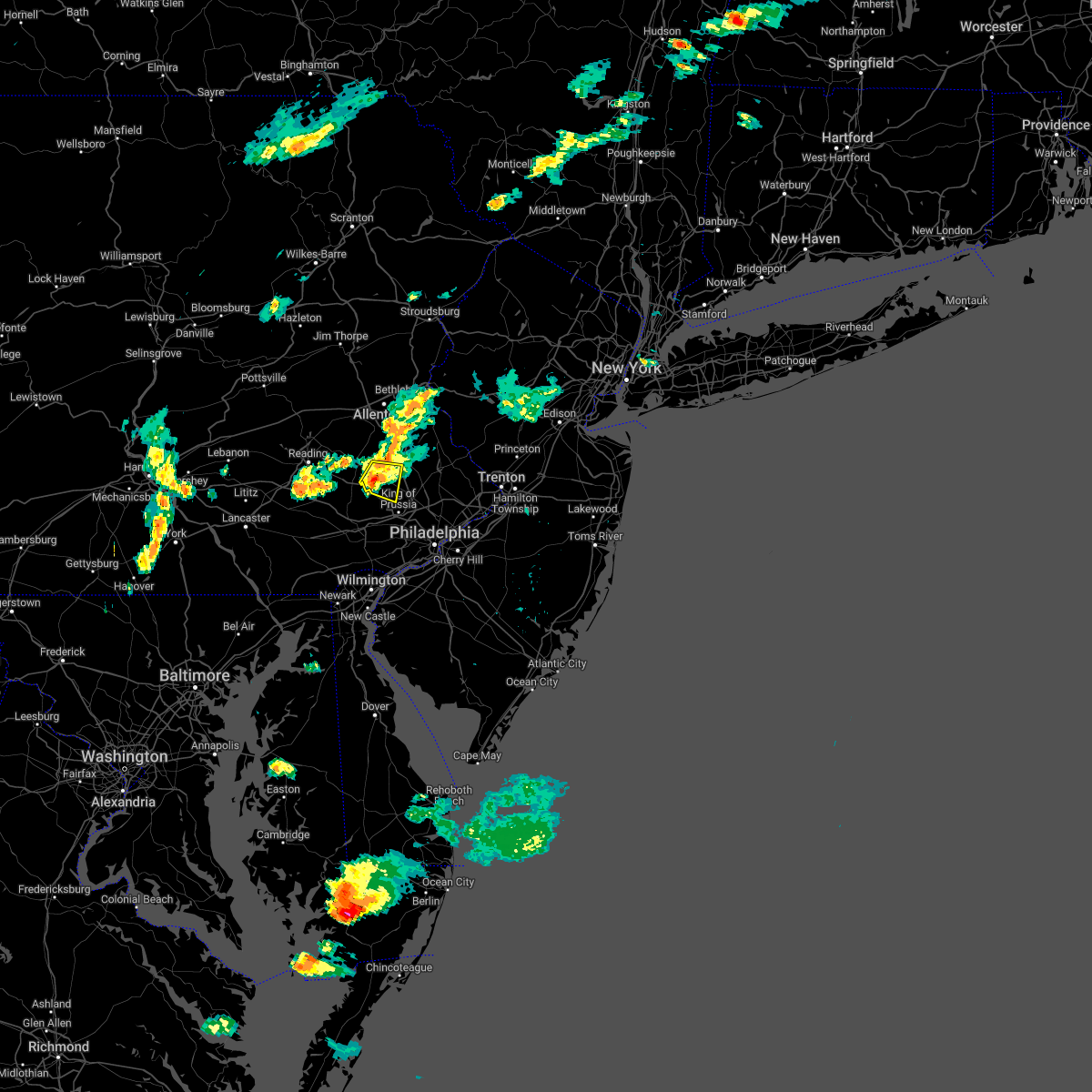 At 615 pm edt, a severe thunderstorm was located near spring mount, or 21 miles south of allentown, moving east at 30 mph (radar indicated). Hazards include 60 mph wind gusts. Damage to roofs, siding, trees, and power lines is possible. locations impacted include, pottstown, collegeville, royersford, trappe, schwenksville, green lane, spring mount, skippack, harleysville, evansburg, eagleville, sanatoga, trooper and pottsgrove. This includes northeast extension between mile markers 34 and 35. At 615 pm edt, a severe thunderstorm was located near spring mount, or 21 miles south of allentown, moving east at 30 mph (radar indicated). Hazards include 60 mph wind gusts. Damage to roofs, siding, trees, and power lines is possible. locations impacted include, pottstown, collegeville, royersford, trappe, schwenksville, green lane, spring mount, skippack, harleysville, evansburg, eagleville, sanatoga, trooper and pottsgrove. This includes northeast extension between mile markers 34 and 35.
|
| 7/28/2022 6:06 PM EDT |
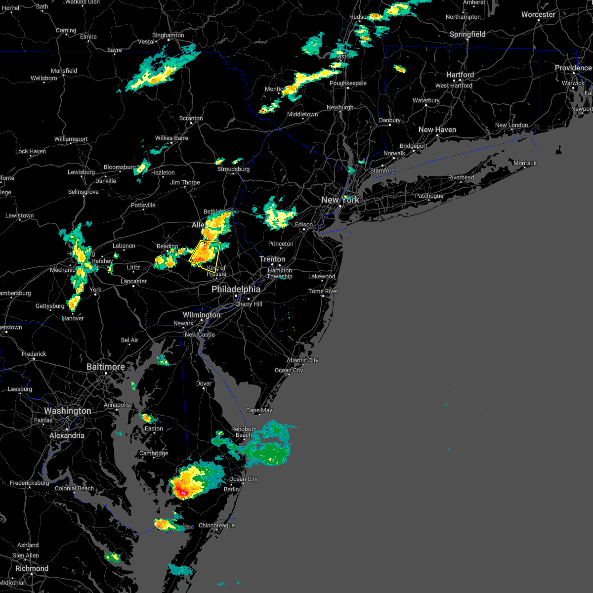 At 606 pm edt, a severe thunderstorm was located over spring mount, or 20 miles south of allentown, moving east at 30 mph (radar indicated). Hazards include 60 mph wind gusts. Damage to roofs, siding, trees, and power lines is possible. locations impacted include, pottstown, collegeville, royersford, trappe, east greenville, schwenksville, green lane, geryville, spring mount, gilbertsville, skippack, stowe, boyertown, pennsburg, red hill, trumbauersville, harleysville, pottsgrove, evansburg and eagleville. This includes northeast extension between mile markers 34 and 42. At 606 pm edt, a severe thunderstorm was located over spring mount, or 20 miles south of allentown, moving east at 30 mph (radar indicated). Hazards include 60 mph wind gusts. Damage to roofs, siding, trees, and power lines is possible. locations impacted include, pottstown, collegeville, royersford, trappe, east greenville, schwenksville, green lane, geryville, spring mount, gilbertsville, skippack, stowe, boyertown, pennsburg, red hill, trumbauersville, harleysville, pottsgrove, evansburg and eagleville. This includes northeast extension between mile markers 34 and 42.
|
| 7/28/2022 5:54 PM EDT |
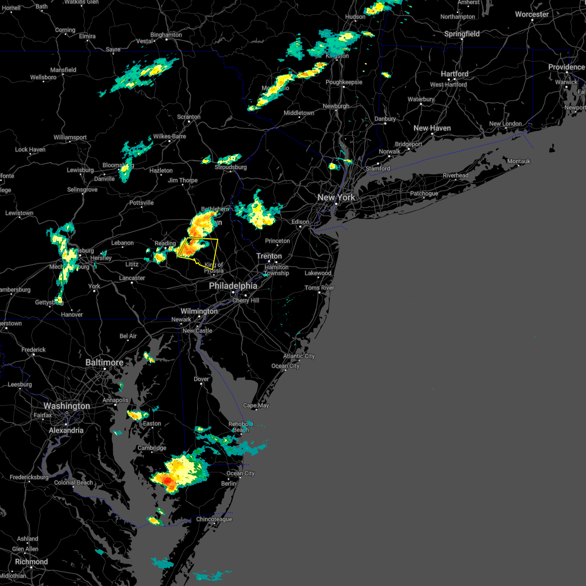 At 554 pm edt, a severe thunderstorm was located over gilbertsville, or 17 miles east of reading, moving east at 30 mph (radar indicated). Hazards include 60 mph wind gusts. Damage to roofs, siding, trees, and power lines is possible. locations impacted include, pottstown, collegeville, royersford, trappe, east greenville, schwenksville, bally, bechtelsville, green lane, spring mount, gilbertsville, skippack, stowe, boyertown, pennsburg, red hill, trumbauersville, harleysville, pottsgrove and evansburg. This includes northeast extension between mile markers 34 and 41. At 554 pm edt, a severe thunderstorm was located over gilbertsville, or 17 miles east of reading, moving east at 30 mph (radar indicated). Hazards include 60 mph wind gusts. Damage to roofs, siding, trees, and power lines is possible. locations impacted include, pottstown, collegeville, royersford, trappe, east greenville, schwenksville, bally, bechtelsville, green lane, spring mount, gilbertsville, skippack, stowe, boyertown, pennsburg, red hill, trumbauersville, harleysville, pottsgrove and evansburg. This includes northeast extension between mile markers 34 and 41.
|
| 7/28/2022 5:38 PM EDT |
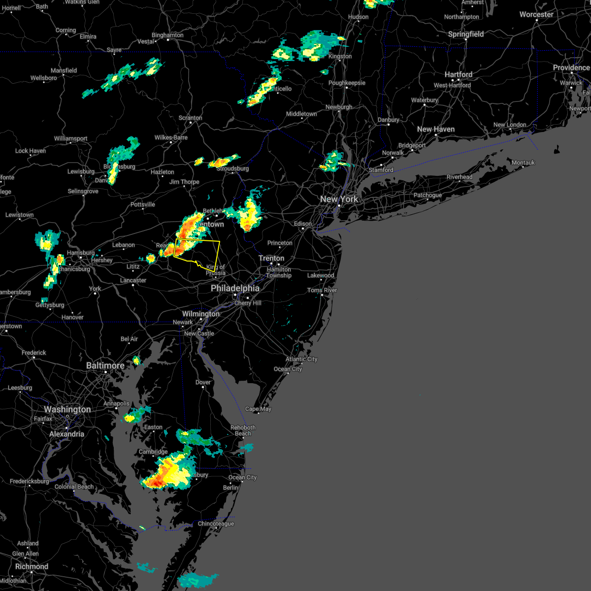 At 537 pm edt, a severe thunderstorm was located near birdsboro, or 9 miles east of reading, moving east at 25 mph (radar indicated). Hazards include 60 mph wind gusts. damage to roofs, siding, trees, and power lines is possible At 537 pm edt, a severe thunderstorm was located near birdsboro, or 9 miles east of reading, moving east at 25 mph (radar indicated). Hazards include 60 mph wind gusts. damage to roofs, siding, trees, and power lines is possible
|
| 7/2/2022 12:37 AM EDT |
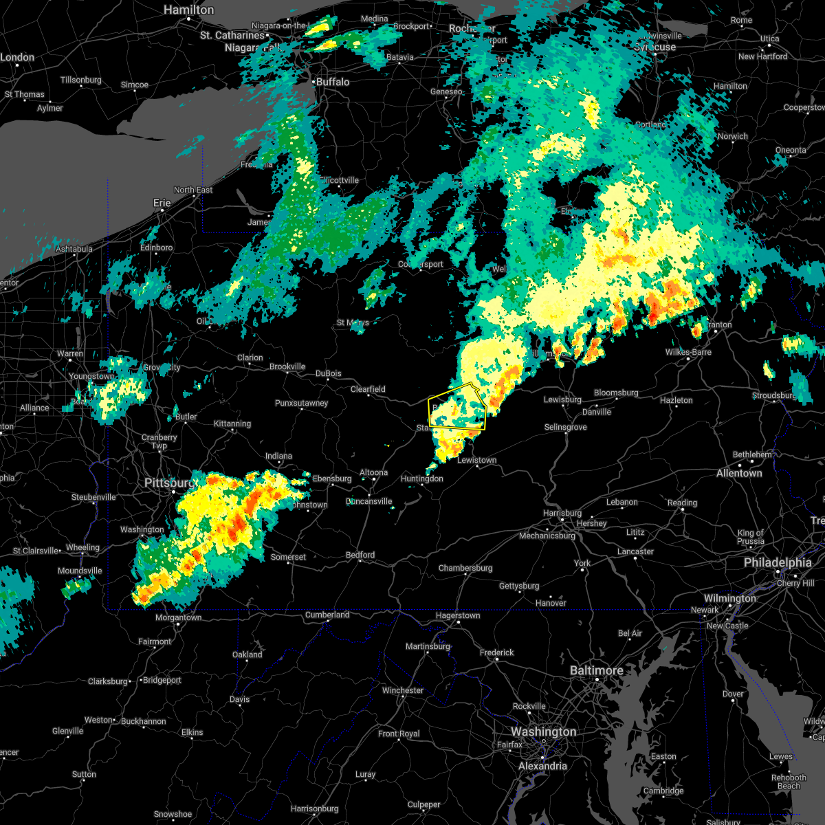 The severe thunderstorm warning for central centre county will expire at 1245 am edt, the storm which prompted the warning has moved out of the area. therefore, the warning will be allowed to expire. to report severe weather, contact your nearest law enforcement agency. they will relay your report to the national weather service state college pa. The severe thunderstorm warning for central centre county will expire at 1245 am edt, the storm which prompted the warning has moved out of the area. therefore, the warning will be allowed to expire. to report severe weather, contact your nearest law enforcement agency. they will relay your report to the national weather service state college pa.
|
| 7/2/2022 12:25 AM EDT |
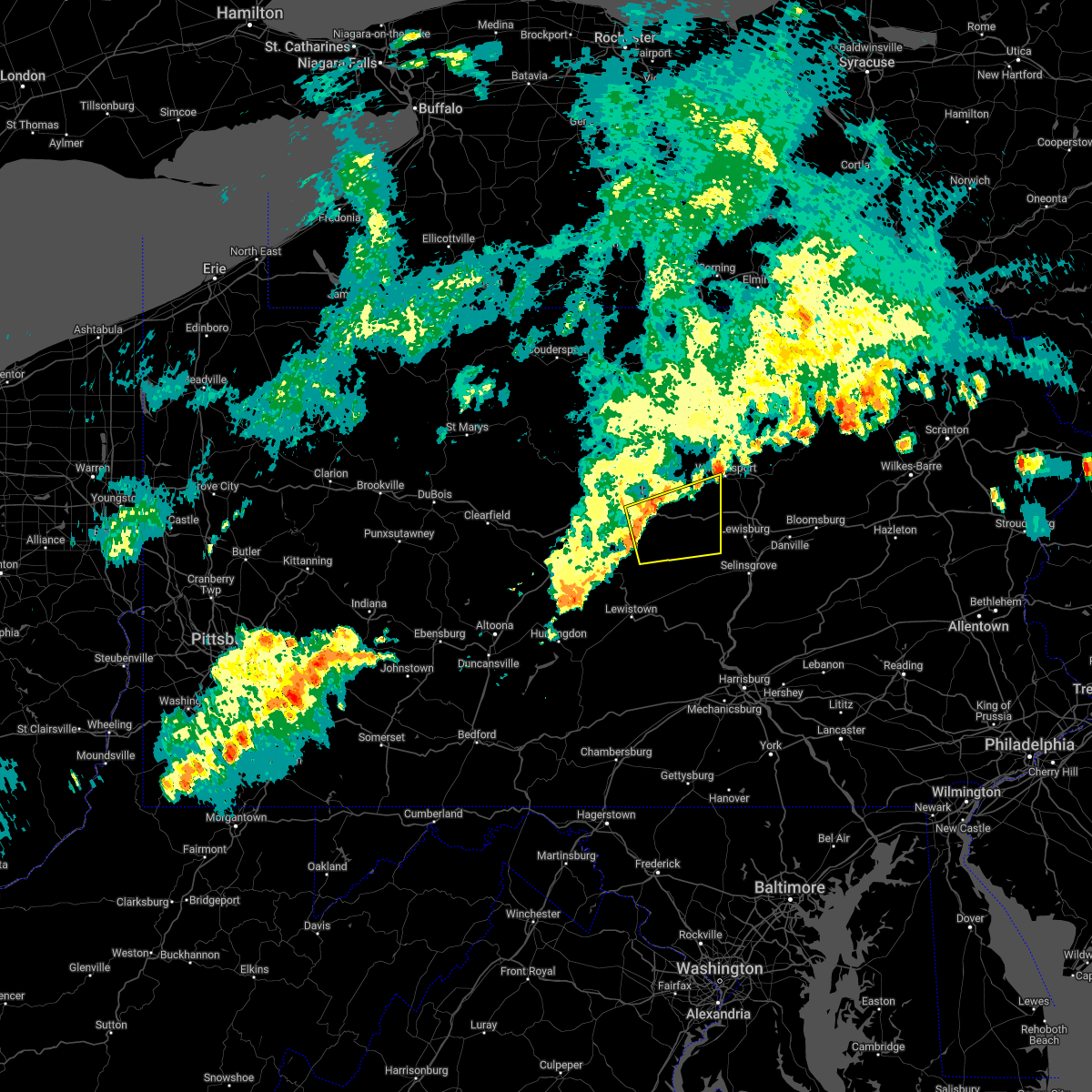 At 1225 am edt, a severe thunderstorm was located over mackeyville, moving east at 30 mph (radar indicated). Hazards include 60 mph wind gusts. expect damage to roofs, siding, and trees At 1225 am edt, a severe thunderstorm was located over mackeyville, moving east at 30 mph (radar indicated). Hazards include 60 mph wind gusts. expect damage to roofs, siding, and trees
|
| 7/2/2022 12:05 AM EDT |
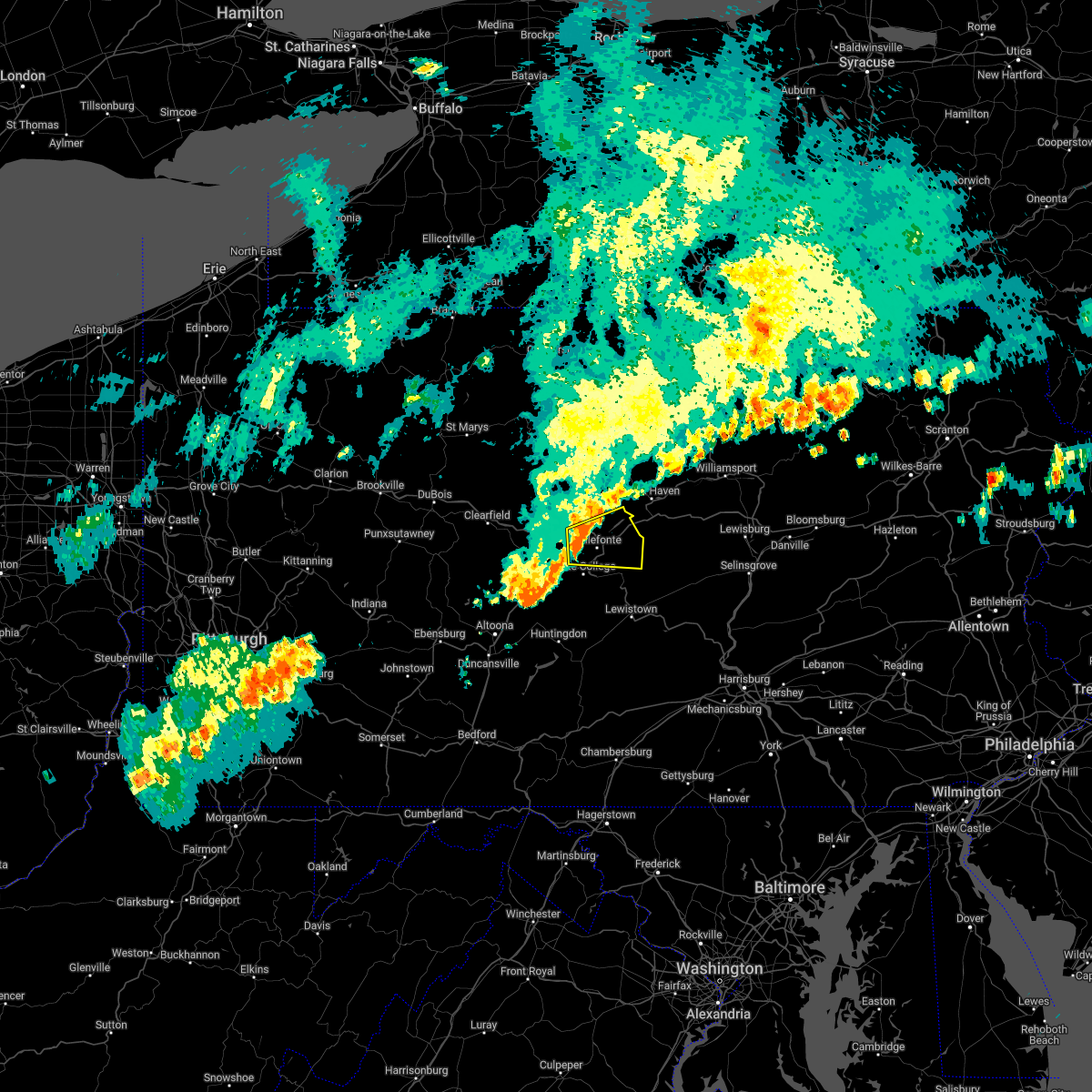 At 1204 am edt, a severe thunderstorm was located over milesburg, moving east at 40 mph (radar indicated). Hazards include 60 mph wind gusts. expect damage to roofs, siding, and trees At 1204 am edt, a severe thunderstorm was located over milesburg, moving east at 40 mph (radar indicated). Hazards include 60 mph wind gusts. expect damage to roofs, siding, and trees
|
| 6/16/2022 6:38 PM EDT |
 At 638 pm edt, a severe thunderstorm was located over bald eagle state park, moving southeast at 30 mph (radar indicated). Hazards include 70 mph wind gusts and quarter size hail. Hail damage to vehicles is expected. expect considerable tree damage. wind damage is also likely to mobile homes, roofs, and outbuildings. this severe storm will be near, blanchard around 640 pm edt. lamar around 650 pm edt. other locations impacted by this severe thunderstorm include howard. for those driving on interstate 80, this includes areas between the bellefonte and lock haven exits, specifically from mile markers 163 to 174. thunderstorm damage threat, considerable hail threat, radar indicated max hail size, 1. 00 in wind threat, radar indicated max wind gust, 70 mph. At 638 pm edt, a severe thunderstorm was located over bald eagle state park, moving southeast at 30 mph (radar indicated). Hazards include 70 mph wind gusts and quarter size hail. Hail damage to vehicles is expected. expect considerable tree damage. wind damage is also likely to mobile homes, roofs, and outbuildings. this severe storm will be near, blanchard around 640 pm edt. lamar around 650 pm edt. other locations impacted by this severe thunderstorm include howard. for those driving on interstate 80, this includes areas between the bellefonte and lock haven exits, specifically from mile markers 163 to 174. thunderstorm damage threat, considerable hail threat, radar indicated max hail size, 1. 00 in wind threat, radar indicated max wind gust, 70 mph.
|
| 6/16/2022 6:27 PM EDT |
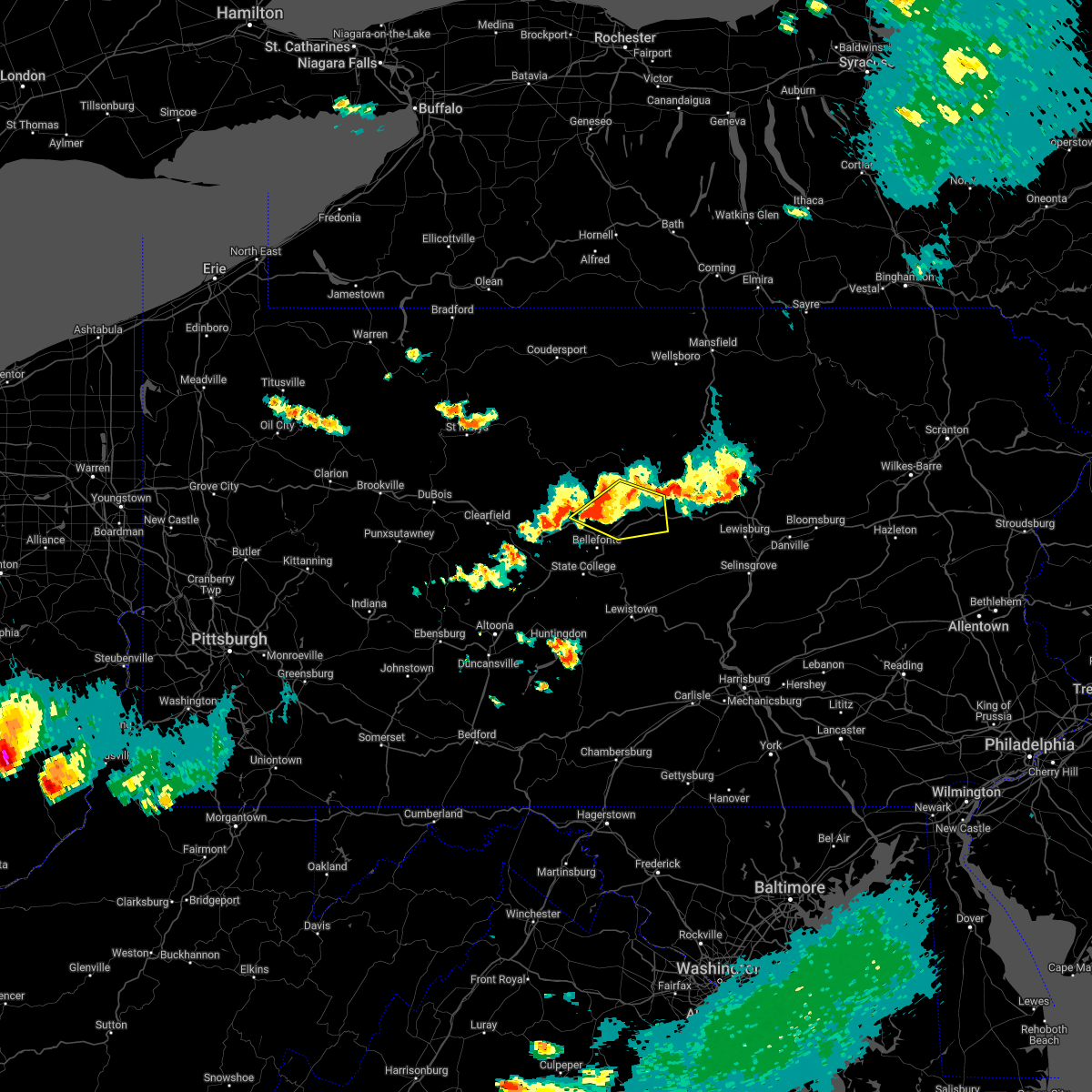 At 626 pm edt, a severe thunderstorm was located over bald eagle state park, moving southeast at 40 mph (radar indicated). Hazards include 70 mph wind gusts and quarter size hail. Hail damage to vehicles is expected. expect considerable tree damage. wind damage is also likely to mobile homes, roofs, and outbuildings. this severe storm will be near, blanchard around 630 pm edt. lamar, mackeyville and mill hall around 640 pm edt. other locations impacted by this severe thunderstorm include orviston, howard, beech creek and lock haven university. for those driving on interstate 80, this includes areas between the bellefonte and loganton exits, specifically from mile markers 163 to 182. this includes the following highways, route 220 from west of lamar on i-80 to lock haven. state road 120 from north of lock haven to lock haven. thunderstorm damage threat, considerable hail threat, radar indicated max hail size, 1. 00 in wind threat, radar indicated max wind gust, 70 mph. At 626 pm edt, a severe thunderstorm was located over bald eagle state park, moving southeast at 40 mph (radar indicated). Hazards include 70 mph wind gusts and quarter size hail. Hail damage to vehicles is expected. expect considerable tree damage. wind damage is also likely to mobile homes, roofs, and outbuildings. this severe storm will be near, blanchard around 630 pm edt. lamar, mackeyville and mill hall around 640 pm edt. other locations impacted by this severe thunderstorm include orviston, howard, beech creek and lock haven university. for those driving on interstate 80, this includes areas between the bellefonte and loganton exits, specifically from mile markers 163 to 182. this includes the following highways, route 220 from west of lamar on i-80 to lock haven. state road 120 from north of lock haven to lock haven. thunderstorm damage threat, considerable hail threat, radar indicated max hail size, 1. 00 in wind threat, radar indicated max wind gust, 70 mph.
|
| 6/16/2022 6:00 PM EDT |
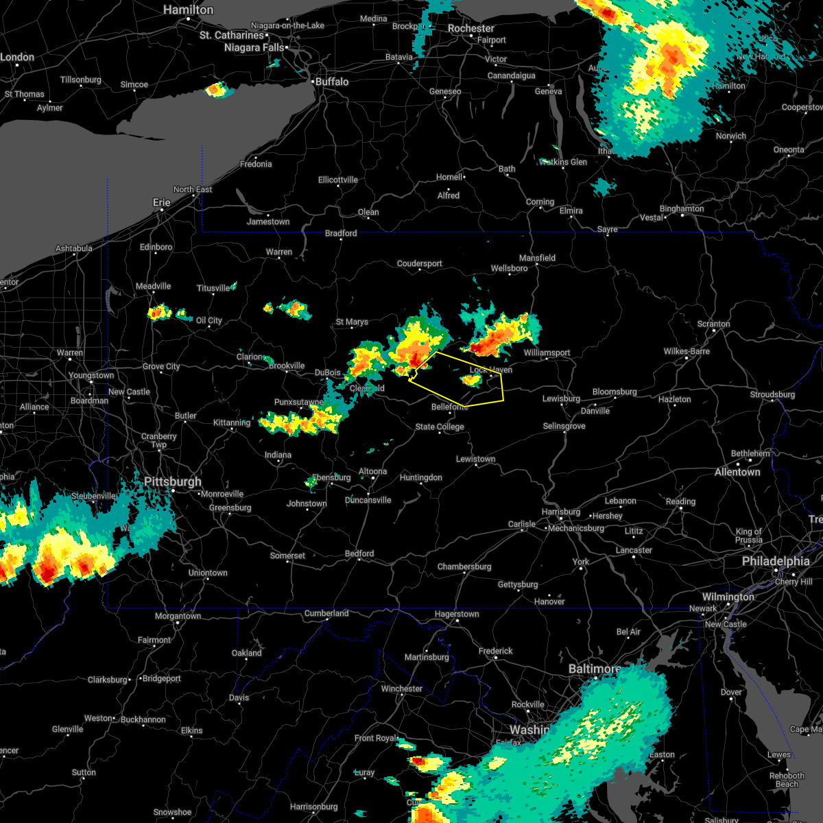 At 559 pm edt, a severe thunderstorm was located near keating, moving east at 40 mph (radar indicated). Hazards include 70 mph wind gusts and half dollar size hail. Hail damage to vehicles is expected. expect considerable tree damage. Wind damage is also likely to mobile homes, roofs, and outbuildings. At 559 pm edt, a severe thunderstorm was located near keating, moving east at 40 mph (radar indicated). Hazards include 70 mph wind gusts and half dollar size hail. Hail damage to vehicles is expected. expect considerable tree damage. Wind damage is also likely to mobile homes, roofs, and outbuildings.
|
| 6/1/2022 7:05 PM EDT |
 At 704 pm edt, a severe thunderstorm was located over king of prussia, or 13 miles northeast of west chester, moving east at 10 mph (radar indicated). Hazards include 60 mph wind gusts and half dollar size hail. Minor damage to vehicles is possible. wind damage to roofs, siding, trees, and power lines is possible. locations impacted include, philadelphia, norristown, phoenixville, west norriton, east norriton, yeadon, conshohocken, swarthmore, narberth, east lansdowne, morris park, bryn mawr, trout lake, radnor township, gradyville, broomall, newtown square, roxborough, king of prussia and drexel hill. this includes the following highways, pennsylvania turnpike between mile markers 319 and 336. northeast extension near mile marker 21. interstate 76 in pennsylvania between mile markers 327 and 339. interstate 476 in pennsylvania between mile markers 2 and 19. hail threat, radar indicated max hail size, 1. 25 in wind threat, radar indicated max wind gust, 60 mph. At 704 pm edt, a severe thunderstorm was located over king of prussia, or 13 miles northeast of west chester, moving east at 10 mph (radar indicated). Hazards include 60 mph wind gusts and half dollar size hail. Minor damage to vehicles is possible. wind damage to roofs, siding, trees, and power lines is possible. locations impacted include, philadelphia, norristown, phoenixville, west norriton, east norriton, yeadon, conshohocken, swarthmore, narberth, east lansdowne, morris park, bryn mawr, trout lake, radnor township, gradyville, broomall, newtown square, roxborough, king of prussia and drexel hill. this includes the following highways, pennsylvania turnpike between mile markers 319 and 336. northeast extension near mile marker 21. interstate 76 in pennsylvania between mile markers 327 and 339. interstate 476 in pennsylvania between mile markers 2 and 19. hail threat, radar indicated max hail size, 1. 25 in wind threat, radar indicated max wind gust, 60 mph.
|
| 6/1/2022 6:45 PM EDT |
 At 645 pm edt, a severe thunderstorm was located over valley forge, or 11 miles northeast of west chester, moving east at 10 mph (radar indicated). Hazards include 60 mph wind gusts and half dollar size hail. Minor damage to vehicles is possible. Wind damage to roofs, siding, trees, and power lines is possible. At 645 pm edt, a severe thunderstorm was located over valley forge, or 11 miles northeast of west chester, moving east at 10 mph (radar indicated). Hazards include 60 mph wind gusts and half dollar size hail. Minor damage to vehicles is possible. Wind damage to roofs, siding, trees, and power lines is possible.
|
| 5/22/2022 5:57 PM EDT |
 The severe thunderstorm warning for southern montgomery and chester counties will expire at 600 pm edt, the storms which prompted the warning have weakened below severe limits, and have exited the warned area. therefore, the warning will be allowed to expire. however, gusty winds and heavy rain are still possible with these thunderstorms. a severe thunderstorm watch remains in effect until 900 pm edt for northern delaware, and eastern and southeastern pennsylvania. The severe thunderstorm warning for southern montgomery and chester counties will expire at 600 pm edt, the storms which prompted the warning have weakened below severe limits, and have exited the warned area. therefore, the warning will be allowed to expire. however, gusty winds and heavy rain are still possible with these thunderstorms. a severe thunderstorm watch remains in effect until 900 pm edt for northern delaware, and eastern and southeastern pennsylvania.
|
| 5/22/2022 5:34 PM EDT |
 At 534 pm edt, severe thunderstorms were located along a line extending from spring mount to near cochranville, moving east at 30 mph (radar indicated). Hazards include 60 mph wind gusts and nickel size hail. Damage to roofs, siding, trees, and power lines is possible. locations impacted include, west chester, norristown, phoenixville, west norriton, east norriton, coatesville, westtown, downingtown, conshohocken, ambler, kennett square, collegeville, oxford, royersford, parkesburg, trappe, west grove, glen roy, pughtown and mount vernon. this includes the following highways, pennsylvania turnpike between mile markers 305 and 338. northeast extension between mile markers 21 and 26. interstate 76 in pennsylvania between mile markers 327 and 334. interstate 476 in pennsylvania between mile markers 15 and 19. hail threat, radar indicated max hail size, 0. 88 in wind threat, radar indicated max wind gust, 60 mph. At 534 pm edt, severe thunderstorms were located along a line extending from spring mount to near cochranville, moving east at 30 mph (radar indicated). Hazards include 60 mph wind gusts and nickel size hail. Damage to roofs, siding, trees, and power lines is possible. locations impacted include, west chester, norristown, phoenixville, west norriton, east norriton, coatesville, westtown, downingtown, conshohocken, ambler, kennett square, collegeville, oxford, royersford, parkesburg, trappe, west grove, glen roy, pughtown and mount vernon. this includes the following highways, pennsylvania turnpike between mile markers 305 and 338. northeast extension between mile markers 21 and 26. interstate 76 in pennsylvania between mile markers 327 and 334. interstate 476 in pennsylvania between mile markers 15 and 19. hail threat, radar indicated max hail size, 0. 88 in wind threat, radar indicated max wind gust, 60 mph.
|
| 5/22/2022 5:08 PM EDT |
 At 507 pm edt, severe thunderstorms were located along a line extending from elverson to near holtwood, moving east at 30 mph (radar indicated). Hazards include 60 mph wind gusts and nickel size hail. damage to roofs, siding, trees, and power lines is possible At 507 pm edt, severe thunderstorms were located along a line extending from elverson to near holtwood, moving east at 30 mph (radar indicated). Hazards include 60 mph wind gusts and nickel size hail. damage to roofs, siding, trees, and power lines is possible
|
| 5/22/2022 4:51 PM EDT |
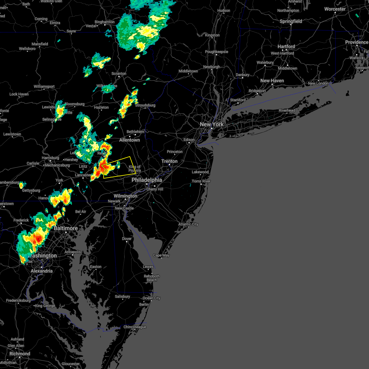 At 451 pm edt, a severe thunderstorm was located over elverson, or 12 miles southeast of reading, moving east at 25 mph (radar indicated). Hazards include 60 mph wind gusts and quarter size hail. Minor damage to vehicles is possible. wind damage to roofs, siding, trees, and power lines is possible. locations impacted include, pottstown, phoenixville, west norriton, collegeville, royersford, trappe, honey brook, schwenksville, elverson, new morgan, pughtown, spring mount, valley forge, glenmoore, chester springs, cedarville, king of prussia, stowe, spring city and pottsgrove. this includes the following highways, pennsylvania turnpike between mile markers 296 and 312. interstate 176 in pennsylvania between mile markers 1 and 5. hail threat, radar indicated max hail size, 1. 00 in wind threat, radar indicated max wind gust, 60 mph. At 451 pm edt, a severe thunderstorm was located over elverson, or 12 miles southeast of reading, moving east at 25 mph (radar indicated). Hazards include 60 mph wind gusts and quarter size hail. Minor damage to vehicles is possible. wind damage to roofs, siding, trees, and power lines is possible. locations impacted include, pottstown, phoenixville, west norriton, collegeville, royersford, trappe, honey brook, schwenksville, elverson, new morgan, pughtown, spring mount, valley forge, glenmoore, chester springs, cedarville, king of prussia, stowe, spring city and pottsgrove. this includes the following highways, pennsylvania turnpike between mile markers 296 and 312. interstate 176 in pennsylvania between mile markers 1 and 5. hail threat, radar indicated max hail size, 1. 00 in wind threat, radar indicated max wind gust, 60 mph.
|
| 5/22/2022 4:34 PM EDT |
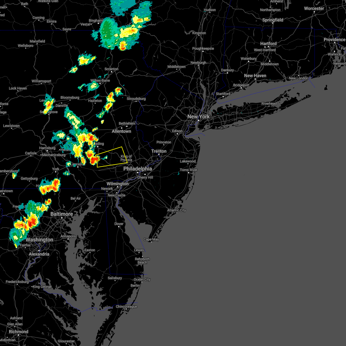 At 434 pm edt, a severe thunderstorm was located over churchtown, or 7 miles east of new holland, moving east at 25 mph (radar indicated). Hazards include 60 mph wind gusts and nickel size hail. damage to roofs, siding, trees, and power lines is possible At 434 pm edt, a severe thunderstorm was located over churchtown, or 7 miles east of new holland, moving east at 25 mph (radar indicated). Hazards include 60 mph wind gusts and nickel size hail. damage to roofs, siding, trees, and power lines is possible
|
| 5/20/2022 4:00 PM EDT |
 At 400 pm edt, severe thunderstorms were located along a line extending from near lansdale to germantown to philadelphia international arpt, moving east at 45 mph (radar indicated). Hazards include 60 mph wind gusts and half dollar size hail. Minor damage to vehicles is possible. wind damage to roofs, siding, trees, and power lines is possible. locations impacted include, philadelphia, trenton, camden, gloucester city, cherry hill, bensalem, mount laurel, ewing, norristown, chester, willingboro, deptford, voorhees, west deptford, glassboro, lindenwold, lansdale, west norriton, east norriton and princeton. this includes the following highways, new jersey turnpike between exits 3 and 6a. pennsylvania turnpike between mile markers 330 and 359. northeast extension between mile markers 21 and 32. interstate 95 in pennsylvania between mile markers 4 and 40. interstate 76 in pennsylvania between mile markers 330 and 351. interstate 76 in new jersey between mile markers 0 and 3. interstate 295 in new jersey between mile markers 14 and 51, and between mile markers 65 and 76. interstate 676 in pennsylvania between mile markers 0 and 1. interstate 676 in new jersey between mile markers 0 and 4. interstate 476 in pennsylvania between mile markers 0 and 19. atlantic city expressway between mile markers 41 and 44. hail threat, radar indicated max hail size, 1. 25 in wind threat, radar indicated max wind gust, 60 mph. At 400 pm edt, severe thunderstorms were located along a line extending from near lansdale to germantown to philadelphia international arpt, moving east at 45 mph (radar indicated). Hazards include 60 mph wind gusts and half dollar size hail. Minor damage to vehicles is possible. wind damage to roofs, siding, trees, and power lines is possible. locations impacted include, philadelphia, trenton, camden, gloucester city, cherry hill, bensalem, mount laurel, ewing, norristown, chester, willingboro, deptford, voorhees, west deptford, glassboro, lindenwold, lansdale, west norriton, east norriton and princeton. this includes the following highways, new jersey turnpike between exits 3 and 6a. pennsylvania turnpike between mile markers 330 and 359. northeast extension between mile markers 21 and 32. interstate 95 in pennsylvania between mile markers 4 and 40. interstate 76 in pennsylvania between mile markers 330 and 351. interstate 76 in new jersey between mile markers 0 and 3. interstate 295 in new jersey between mile markers 14 and 51, and between mile markers 65 and 76. interstate 676 in pennsylvania between mile markers 0 and 1. interstate 676 in new jersey between mile markers 0 and 4. interstate 476 in pennsylvania between mile markers 0 and 19. atlantic city expressway between mile markers 41 and 44. hail threat, radar indicated max hail size, 1. 25 in wind threat, radar indicated max wind gust, 60 mph.
|
| 5/20/2022 3:37 PM EDT |
 At 337 pm edt, severe thunderstorms were located along a line extending from near east norriton to newtown square to talleyville, moving east at 45 mph (radar indicated). Hazards include 60 mph wind gusts and quarter size hail. Minor damage to vehicles is possible. Wind damage to roofs, siding, trees, and power lines is possible. At 337 pm edt, severe thunderstorms were located along a line extending from near east norriton to newtown square to talleyville, moving east at 45 mph (radar indicated). Hazards include 60 mph wind gusts and quarter size hail. Minor damage to vehicles is possible. Wind damage to roofs, siding, trees, and power lines is possible.
|
| 5/16/2022 5:17 PM EDT |
 At 517 pm edt, a severe thunderstorm was located near new morgan, or 8 miles south of reading, moving east at 50 mph (radar indicated). Hazards include 60 mph wind gusts and quarter size hail. Minor damage to vehicles is possible. Wind damage to roofs, siding, trees, and power lines is possible. At 517 pm edt, a severe thunderstorm was located near new morgan, or 8 miles south of reading, moving east at 50 mph (radar indicated). Hazards include 60 mph wind gusts and quarter size hail. Minor damage to vehicles is possible. Wind damage to roofs, siding, trees, and power lines is possible.
|
| 4/14/2022 5:20 PM EDT |
 At 520 pm edt, severe thunderstorms were located along a line extending from near ambler to swedesboro, moving east at 40 mph (radar indicated). Hazards include 60 mph wind gusts. Damage to roofs, siding, trees, and power lines is possible. locations impacted include, philadelphia, camden, norristown, chester, deptford, west deptford, west norriton, east norriton, bellmawr, yeadon, woodbury, pitman, conshohocken, folcroft, ambler, swarthmore, paulsboro, westville, narberth and woodbury heights. this includes the following highways, new jersey turnpike near exit 2. pennsylvania turnpike between mile markers 326 and 339. northeast extension between mile markers 21 and 26. interstate 95 in pennsylvania between mile markers 1 and 22. interstate 76 in pennsylvania between mile markers 327 and 351. interstate 295 in new jersey between mile markers 9 and 25. interstate 676 in pennsylvania between mile markers 0 and 1. interstate 476 in pennsylvania between mile markers 0 and 19. hail threat, radar indicated max hail size, <. 75 in wind threat, radar indicated max wind gust, 60 mph. At 520 pm edt, severe thunderstorms were located along a line extending from near ambler to swedesboro, moving east at 40 mph (radar indicated). Hazards include 60 mph wind gusts. Damage to roofs, siding, trees, and power lines is possible. locations impacted include, philadelphia, camden, norristown, chester, deptford, west deptford, west norriton, east norriton, bellmawr, yeadon, woodbury, pitman, conshohocken, folcroft, ambler, swarthmore, paulsboro, westville, narberth and woodbury heights. this includes the following highways, new jersey turnpike near exit 2. pennsylvania turnpike between mile markers 326 and 339. northeast extension between mile markers 21 and 26. interstate 95 in pennsylvania between mile markers 1 and 22. interstate 76 in pennsylvania between mile markers 327 and 351. interstate 295 in new jersey between mile markers 9 and 25. interstate 676 in pennsylvania between mile markers 0 and 1. interstate 476 in pennsylvania between mile markers 0 and 19. hail threat, radar indicated max hail size, <. 75 in wind threat, radar indicated max wind gust, 60 mph.
|
| 4/14/2022 5:01 PM EDT |
 At 501 pm edt, severe thunderstorms were located along a line extending from valley forge to delaware memorial bridge, moving east at 35 mph (radar indicated). Hazards include 60 mph wind gusts. Damage to roofs, siding, trees, and power lines is possible. locations impacted include, philadelphia, camden, wilmington, west chester, norristown, chester, deptford, west deptford, phoenixville, west norriton, east norriton, pennsville, bellmawr, yeadon, westtown, woodbury, pitman, carneys point, conshohocken and folcroft. this includes the following highways, new jersey turnpike between exits 1 and 2. pennsylvania turnpike between mile markers 316 and 339. northeast extension between mile markers 21 and 26. interstate 95 in pennsylvania between mile markers 0 and 22. interstate 95 in delaware between mile markers 12 and 23. interstate 76 in pennsylvania between mile markers 327 and 351. interstate 295 in new jersey between mile markers 0 and 25. interstate 676 in pennsylvania between mile markers 0 and 1. interstate 476 in pennsylvania between mile markers 0 and 19. hail threat, radar indicated max hail size, <. 75 in wind threat, radar indicated max wind gust, 60 mph. At 501 pm edt, severe thunderstorms were located along a line extending from valley forge to delaware memorial bridge, moving east at 35 mph (radar indicated). Hazards include 60 mph wind gusts. Damage to roofs, siding, trees, and power lines is possible. locations impacted include, philadelphia, camden, wilmington, west chester, norristown, chester, deptford, west deptford, phoenixville, west norriton, east norriton, pennsville, bellmawr, yeadon, westtown, woodbury, pitman, carneys point, conshohocken and folcroft. this includes the following highways, new jersey turnpike between exits 1 and 2. pennsylvania turnpike between mile markers 316 and 339. northeast extension between mile markers 21 and 26. interstate 95 in pennsylvania between mile markers 0 and 22. interstate 95 in delaware between mile markers 12 and 23. interstate 76 in pennsylvania between mile markers 327 and 351. interstate 295 in new jersey between mile markers 0 and 25. interstate 676 in pennsylvania between mile markers 0 and 1. interstate 476 in pennsylvania between mile markers 0 and 19. hail threat, radar indicated max hail size, <. 75 in wind threat, radar indicated max wind gust, 60 mph.
|
| 4/14/2022 4:42 PM EDT |
 At 442 pm edt, severe thunderstorms were located along a line extending from lionville-marchwood to bear, moving east at 40 mph (radar indicated). Hazards include 60 mph wind gusts. damage to roofs, siding, trees, and power lines is possible At 442 pm edt, severe thunderstorms were located along a line extending from lionville-marchwood to bear, moving east at 40 mph (radar indicated). Hazards include 60 mph wind gusts. damage to roofs, siding, trees, and power lines is possible
|
| 3/31/2022 10:03 PM EDT |
 At 1003 pm edt, severe thunderstorms were located along a line extending from near califon to stockton to east norriton to kennett square, moving northeast at 45 mph (radar indicated). Hazards include 60 mph wind gusts and penny size hail. Damage to roofs, siding, trees, and power lines is possible. locations impacted include, philadelphia, trenton, camden, west chester, bensalem, bridgewater, ewing, norristown, dover, phoenixville, lansdale, west norriton, east norriton, yeadon, westtown, perkasie, doylestown, byram, downingtown and conshohocken. this includes the following highways, pennsylvania turnpike between mile markers 312 and 354. northeast extension between mile markers 21 and 33. interstate 95 in pennsylvania between mile markers 2 and 14, and between mile markers 21 and 28. interstate 76 in pennsylvania between mile markers 327 and 349. interstate 78 in new jersey between mile markers 7 and 32. interstate 295 in new jersey between mile markers 71 and 76. interstate 287 in new jersey between mile markers 19 and 24. interstate 676 in pennsylvania between mile markers 0 and 1. interstate 476 in pennsylvania between mile markers 0 and 19. hail threat, radar indicated max hail size, 0. 75 in wind threat, radar indicated max wind gust, 60 mph. At 1003 pm edt, severe thunderstorms were located along a line extending from near califon to stockton to east norriton to kennett square, moving northeast at 45 mph (radar indicated). Hazards include 60 mph wind gusts and penny size hail. Damage to roofs, siding, trees, and power lines is possible. locations impacted include, philadelphia, trenton, camden, west chester, bensalem, bridgewater, ewing, norristown, dover, phoenixville, lansdale, west norriton, east norriton, yeadon, westtown, perkasie, doylestown, byram, downingtown and conshohocken. this includes the following highways, pennsylvania turnpike between mile markers 312 and 354. northeast extension between mile markers 21 and 33. interstate 95 in pennsylvania between mile markers 2 and 14, and between mile markers 21 and 28. interstate 76 in pennsylvania between mile markers 327 and 349. interstate 78 in new jersey between mile markers 7 and 32. interstate 295 in new jersey between mile markers 71 and 76. interstate 287 in new jersey between mile markers 19 and 24. interstate 676 in pennsylvania between mile markers 0 and 1. interstate 476 in pennsylvania between mile markers 0 and 19. hail threat, radar indicated max hail size, 0. 75 in wind threat, radar indicated max wind gust, 60 mph.
|
| 3/31/2022 9:36 PM EDT |
 At 935 pm edt, severe thunderstorms were located along a line extending from old orchard to souderton to near lionville-marchwood to near oxford, moving east at 45 mph (radar indicated). Hazards include 60 mph wind gusts and penny size hail. damage to roofs, siding, trees, and power lines is possible At 935 pm edt, severe thunderstorms were located along a line extending from old orchard to souderton to near lionville-marchwood to near oxford, moving east at 45 mph (radar indicated). Hazards include 60 mph wind gusts and penny size hail. damage to roofs, siding, trees, and power lines is possible
|
| 3/31/2022 9:32 PM EDT |
 At 931 pm edt, severe thunderstorms were located along a line extending from springtown to quakertown to near souderton to phoenixville to oxford, moving northeast at 55 mph (radar indicated). Hazards include 60 mph wind gusts and penny size hail. Damage to roofs, siding, trees, and power lines is possible. locations impacted include, west chester, norristown, pottstown, phoenixville, lansdale, west norriton, east norriton, coatesville, westtown, quakertown, perkasie, doylestown, byram, downingtown, souderton, bedminster, kennett square, collegeville, oxford and royersford. this includes the following highways, pennsylvania turnpike between mile markers 303 and 332. northeast extension between mile markers 21 and 49. interstate 76 in pennsylvania between mile markers 327 and 329. interstate 78 in pennsylvania between mile markers 62 and 63. hail threat, radar indicated max hail size, 0. 75 in wind threat, radar indicated max wind gust, 60 mph. At 931 pm edt, severe thunderstorms were located along a line extending from springtown to quakertown to near souderton to phoenixville to oxford, moving northeast at 55 mph (radar indicated). Hazards include 60 mph wind gusts and penny size hail. Damage to roofs, siding, trees, and power lines is possible. locations impacted include, west chester, norristown, pottstown, phoenixville, lansdale, west norriton, east norriton, coatesville, westtown, quakertown, perkasie, doylestown, byram, downingtown, souderton, bedminster, kennett square, collegeville, oxford and royersford. this includes the following highways, pennsylvania turnpike between mile markers 303 and 332. northeast extension between mile markers 21 and 49. interstate 76 in pennsylvania between mile markers 327 and 329. interstate 78 in pennsylvania between mile markers 62 and 63. hail threat, radar indicated max hail size, 0. 75 in wind threat, radar indicated max wind gust, 60 mph.
|
| 3/31/2022 9:10 PM EDT |
 At 910 pm edt, severe thunderstorms were located along a line extending from near bally to near bechtelsville to cedarville to near honey brook to near glen roy, moving northeast at 50 mph (radar indicated). Hazards include 60 mph wind gusts and penny size hail. Damage to roofs, siding, trees, and power lines is possible. locations impacted include, west chester, norristown, pottstown, phoenixville, lansdale, west norriton, east norriton, coatesville, emmaus, westtown, quakertown, perkasie, doylestown, byram, downingtown, souderton, bedminster, kennett square, birdsboro and collegeville. this includes the following highways, pennsylvania turnpike between mile markers 299 and 332. northeast extension between mile markers 21 and 52. interstate 76 in pennsylvania between mile markers 327 and 329. interstate 78 in pennsylvania between mile markers 61 and 63. hail threat, radar indicated max hail size, 0. 75 in wind threat, radar indicated max wind gust, 60 mph. At 910 pm edt, severe thunderstorms were located along a line extending from near bally to near bechtelsville to cedarville to near honey brook to near glen roy, moving northeast at 50 mph (radar indicated). Hazards include 60 mph wind gusts and penny size hail. Damage to roofs, siding, trees, and power lines is possible. locations impacted include, west chester, norristown, pottstown, phoenixville, lansdale, west norriton, east norriton, coatesville, emmaus, westtown, quakertown, perkasie, doylestown, byram, downingtown, souderton, bedminster, kennett square, birdsboro and collegeville. this includes the following highways, pennsylvania turnpike between mile markers 299 and 332. northeast extension between mile markers 21 and 52. interstate 76 in pennsylvania between mile markers 327 and 329. interstate 78 in pennsylvania between mile markers 61 and 63. hail threat, radar indicated max hail size, 0. 75 in wind threat, radar indicated max wind gust, 60 mph.
|
| 3/31/2022 8:47 PM EDT |
 At 846 pm edt, severe thunderstorms were located along a line extending from near wyomissing to near churchtown to near strasburg to near wakefield, moving northeast at 50 mph (radar indicated). Hazards include 60 mph wind gusts and penny size hail. damage to roofs, siding, trees, and power lines is possible At 846 pm edt, severe thunderstorms were located along a line extending from near wyomissing to near churchtown to near strasburg to near wakefield, moving northeast at 50 mph (radar indicated). Hazards include 60 mph wind gusts and penny size hail. damage to roofs, siding, trees, and power lines is possible
|
| 3/31/2022 2:22 PM EDT |
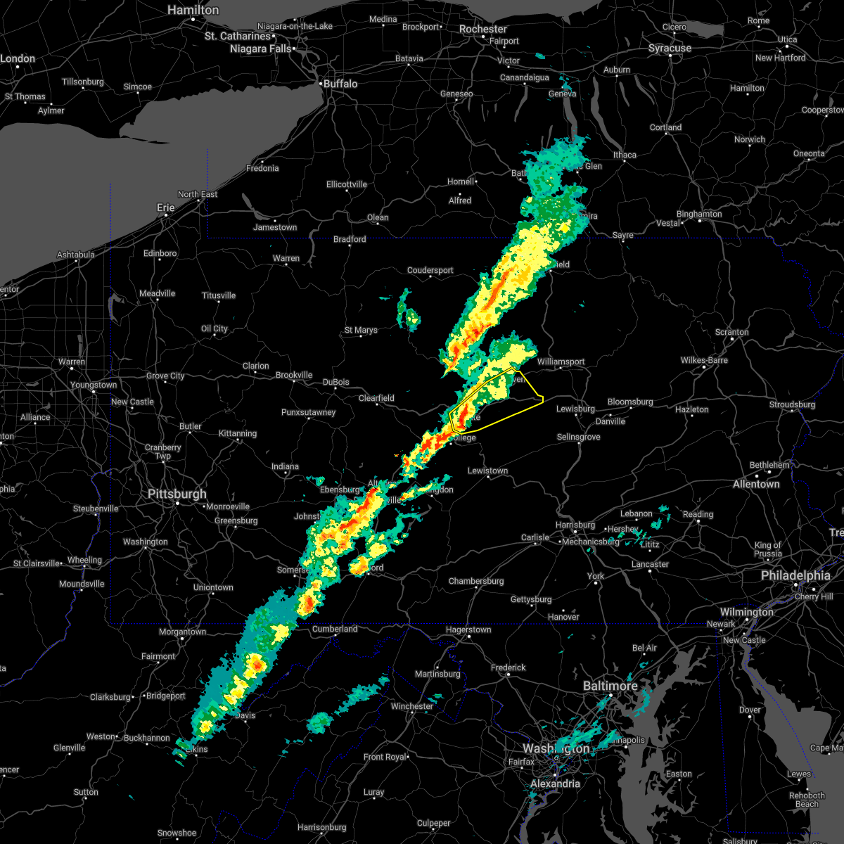 At 221 pm edt, a severe thunderstorm was located over zion, moving northeast at 45 mph (radar indicated). Hazards include 70 mph wind gusts and nickel size hail. Expect considerable tree damage. Damage is likely to mobile homes, roofs, and outbuildings. At 221 pm edt, a severe thunderstorm was located over zion, moving northeast at 45 mph (radar indicated). Hazards include 70 mph wind gusts and nickel size hail. Expect considerable tree damage. Damage is likely to mobile homes, roofs, and outbuildings.
|
| 3/7/2022 9:03 PM EST |
 At 903 pm est, severe showers and embedded thunderstorms were located along a line extending from near hatboro to near stanton, moving east at 55 mph. this line has a history of producing areas of wind damage (radar indicated). Hazards include 70 mph wind gusts. Expect considerable tree damage. damage is likely to mobile homes, roofs, and outbuildings. locations impacted include, philadelphia, camden, wilmington, bensalem, norristown, chester, west norriton, east norriton, yeadon, westtown, carneys point, conshohocken, palmyra, hatboro, folcroft, ambler, swarthmore, elsmere, paulsboro and penns grove. this includes the following highways, pennsylvania turnpike between mile markers 322 and 352. northeast extension between mile markers 21 and 25. interstate 95 in pennsylvania between mile markers 0 and 16, and between mile markers 19 and 35. interstate 95 in delaware between mile markers 12 and 23. interstate 76 in pennsylvania between mile markers 327 and 350. interstate 676 in pennsylvania between mile markers 0 and 1. interstate 476 in pennsylvania between mile markers 0 and 19. thunderstorm damage threat, considerable hail threat, radar indicated max hail size, <. 75 in wind threat, radar indicated max wind gust, 70 mph. At 903 pm est, severe showers and embedded thunderstorms were located along a line extending from near hatboro to near stanton, moving east at 55 mph. this line has a history of producing areas of wind damage (radar indicated). Hazards include 70 mph wind gusts. Expect considerable tree damage. damage is likely to mobile homes, roofs, and outbuildings. locations impacted include, philadelphia, camden, wilmington, bensalem, norristown, chester, west norriton, east norriton, yeadon, westtown, carneys point, conshohocken, palmyra, hatboro, folcroft, ambler, swarthmore, elsmere, paulsboro and penns grove. this includes the following highways, pennsylvania turnpike between mile markers 322 and 352. northeast extension between mile markers 21 and 25. interstate 95 in pennsylvania between mile markers 0 and 16, and between mile markers 19 and 35. interstate 95 in delaware between mile markers 12 and 23. interstate 76 in pennsylvania between mile markers 327 and 350. interstate 676 in pennsylvania between mile markers 0 and 1. interstate 476 in pennsylvania between mile markers 0 and 19. thunderstorm damage threat, considerable hail threat, radar indicated max hail size, <. 75 in wind threat, radar indicated max wind gust, 70 mph.
|
| 3/7/2022 8:48 PM EST |
 At 847 pm est, severe showers and embedded thunderstorms were located along a line extending from near collegeville to pleasant hill, moving east at 50 mph. this line has a history or producing areas of wind damage (radar indicated). Hazards include 70 mph wind gusts. Expect considerable tree damage. damage is likely to mobile homes, roofs, and outbuildings. locations impacted include, philadelphia, camden, wilmington, west chester, bensalem, norristown, chester, phoenixville, west norriton, east norriton, coatesville, yeadon, westtown, carneys point, downingtown, conshohocken, palmyra, hatboro, folcroft and ambler. this includes the following highways, pennsylvania turnpike between mile markers 306 and 352. northeast extension between mile markers 21 and 25. interstate 95 in pennsylvania between mile markers 0 and 16, and between mile markers 19 and 35. interstate 95 in delaware between mile markers 12 and 23. interstate 76 in pennsylvania between mile markers 327 and 350. interstate 676 in pennsylvania between mile markers 0 and 1. interstate 476 in pennsylvania between mile markers 0 and 19. thunderstorm damage threat, considerable hail threat, radar indicated max hail size, <. 75 in wind threat, radar indicated max wind gust, 70 mph. At 847 pm est, severe showers and embedded thunderstorms were located along a line extending from near collegeville to pleasant hill, moving east at 50 mph. this line has a history or producing areas of wind damage (radar indicated). Hazards include 70 mph wind gusts. Expect considerable tree damage. damage is likely to mobile homes, roofs, and outbuildings. locations impacted include, philadelphia, camden, wilmington, west chester, bensalem, norristown, chester, phoenixville, west norriton, east norriton, coatesville, yeadon, westtown, carneys point, downingtown, conshohocken, palmyra, hatboro, folcroft and ambler. this includes the following highways, pennsylvania turnpike between mile markers 306 and 352. northeast extension between mile markers 21 and 25. interstate 95 in pennsylvania between mile markers 0 and 16, and between mile markers 19 and 35. interstate 95 in delaware between mile markers 12 and 23. interstate 76 in pennsylvania between mile markers 327 and 350. interstate 676 in pennsylvania between mile markers 0 and 1. interstate 476 in pennsylvania between mile markers 0 and 19. thunderstorm damage threat, considerable hail threat, radar indicated max hail size, <. 75 in wind threat, radar indicated max wind gust, 70 mph.
|
| 3/7/2022 8:21 PM EST |
 At 820 pm est, severe showers and embedded thunderstorms were located along a line extending from near lyons to near delta, moving east at 60 mph. this line has had a history of producing areas of wind damage (radar indicated). Hazards include 60 mph wind gusts. damage to roofs, siding, trees, and power lines is possible At 820 pm est, severe showers and embedded thunderstorms were located along a line extending from near lyons to near delta, moving east at 60 mph. this line has had a history of producing areas of wind damage (radar indicated). Hazards include 60 mph wind gusts. damage to roofs, siding, trees, and power lines is possible
|
| 3/7/2022 5:59 PM EST |
 At 559 pm est, severe thunderstorms were located along a line extending from south corning to blanchard to williamsburg, moving east at 50 mph (radar indicated). Hazards include 60 mph wind gusts. expect damage to roofs, siding, and trees At 559 pm est, severe thunderstorms were located along a line extending from south corning to blanchard to williamsburg, moving east at 50 mph (radar indicated). Hazards include 60 mph wind gusts. expect damage to roofs, siding, and trees
|
| 3/7/2022 5:39 PM EST |
 At 538 pm est, severe thunderstorms were located along a line extending from bath to near keating to ogletown, moving northeast at 75 mph (radar indicated). Hazards include 60 mph wind gusts. Expect damage to roofs, siding, and trees. locations impacted include, state college, lock haven, bellefonte, mansfield, wellsboro, philipsburg, renovo, park forest village, boalsburg, wharton, keating, morris, pleasant gap, lamar, stormstown, lemont, zion, elkland, houserville and mill hall. for those driving on interstate 80, this includes areas between the kylertown and lock haven exits, specifically from mile markers 139 to 176. this includes interstate 99 from mile markers 56 to 85. hail threat, radar indicated max hail size, <. 75 in wind threat, radar indicated max wind gust, 60 mph. At 538 pm est, severe thunderstorms were located along a line extending from bath to near keating to ogletown, moving northeast at 75 mph (radar indicated). Hazards include 60 mph wind gusts. Expect damage to roofs, siding, and trees. locations impacted include, state college, lock haven, bellefonte, mansfield, wellsboro, philipsburg, renovo, park forest village, boalsburg, wharton, keating, morris, pleasant gap, lamar, stormstown, lemont, zion, elkland, houserville and mill hall. for those driving on interstate 80, this includes areas between the kylertown and lock haven exits, specifically from mile markers 139 to 176. this includes interstate 99 from mile markers 56 to 85. hail threat, radar indicated max hail size, <. 75 in wind threat, radar indicated max wind gust, 60 mph.
|
| 3/7/2022 5:22 PM EST |
 At 522 pm est, severe thunderstorms were located along a line extending from canisteo to near karthaus to near boswell, moving northeast at 60 mph (radar indicated). Hazards include 60 mph wind gusts. expect damage to roofs, siding, and trees At 522 pm est, severe thunderstorms were located along a line extending from canisteo to near karthaus to near boswell, moving northeast at 60 mph (radar indicated). Hazards include 60 mph wind gusts. expect damage to roofs, siding, and trees
|
| 12/11/2021 9:29 PM EST |
 At 929 pm est, severe thunderstorms were located along a line extending from annandale to glen westover, moving east at 35 mph (public). Hazards include 60 mph wind gusts. Damage to roofs, siding, trees, and power lines is possible. locations impacted include, philadelphia, wilmington, newark, west chester, norristown, chester, phoenixville, lansdale, west norriton, east norriton, pennsville, yeadon, westtown, perkasie, doylestown, byram, downingtown, conshohocken, hatboro and souderton. this includes the following highways, pennsylvania turnpike between mile markers 312 and 350. northeast extension between mile markers 21 and 37. interstate 95 in pennsylvania between mile markers 0 and 11. interstate 95 in delaware between mile markers 7 and 23. interstate 76 in pennsylvania between mile markers 327 and 346. interstate 295 in new jersey near mile marker 0. interstate 676 in pennsylvania near mile marker 0. Interstate 476 in pennsylvania between mile markers 0 and 19. At 929 pm est, severe thunderstorms were located along a line extending from annandale to glen westover, moving east at 35 mph (public). Hazards include 60 mph wind gusts. Damage to roofs, siding, trees, and power lines is possible. locations impacted include, philadelphia, wilmington, newark, west chester, norristown, chester, phoenixville, lansdale, west norriton, east norriton, pennsville, yeadon, westtown, perkasie, doylestown, byram, downingtown, conshohocken, hatboro and souderton. this includes the following highways, pennsylvania turnpike between mile markers 312 and 350. northeast extension between mile markers 21 and 37. interstate 95 in pennsylvania between mile markers 0 and 11. interstate 95 in delaware between mile markers 7 and 23. interstate 76 in pennsylvania between mile markers 327 and 346. interstate 295 in new jersey near mile marker 0. interstate 676 in pennsylvania near mile marker 0. Interstate 476 in pennsylvania between mile markers 0 and 19.
|
| 12/11/2021 9:01 PM EST |
 At 900 pm est, severe thunderstorms were located along a line extending from alpha to rising sun, moving east at 35 mph (radar indicated). Hazards include 60 mph wind gusts. damage to roofs, siding, trees, and power lines is possible At 900 pm est, severe thunderstorms were located along a line extending from alpha to rising sun, moving east at 35 mph (radar indicated). Hazards include 60 mph wind gusts. damage to roofs, siding, trees, and power lines is possible
|
| 9/23/2021 12:45 PM EDT |
 At 1245 pm edt, severe thunderstorms were located along a line extending from near gilbertsville to near spring mount to narberth, moving north at 45 mph (radar indicated). Hazards include 60 mph wind gusts. Damage to roofs, siding, trees, and power lines is possible. locations impacted include, philadelphia, norristown, chester, pottstown, phoenixville, west norriton, east norriton, yeadon, conshohocken, folcroft, swarthmore, collegeville, royersford, narberth, trappe, east lansdowne, schwenksville, green lane, darby township and morris park. this includes the following highways, pennsylvania turnpike between mile markers 326 and 337. northeast extension between mile markers 21 and 38. interstate 95 in pennsylvania between mile markers 1 and 9. interstate 76 in pennsylvania between mile markers 327 and 340. interstate 295 in new jersey between mile markers 10 and 11. Interstate 476 in pennsylvania between mile markers 0 and 11, and between mile markers 13 and 19. At 1245 pm edt, severe thunderstorms were located along a line extending from near gilbertsville to near spring mount to narberth, moving north at 45 mph (radar indicated). Hazards include 60 mph wind gusts. Damage to roofs, siding, trees, and power lines is possible. locations impacted include, philadelphia, norristown, chester, pottstown, phoenixville, west norriton, east norriton, yeadon, conshohocken, folcroft, swarthmore, collegeville, royersford, narberth, trappe, east lansdowne, schwenksville, green lane, darby township and morris park. this includes the following highways, pennsylvania turnpike between mile markers 326 and 337. northeast extension between mile markers 21 and 38. interstate 95 in pennsylvania between mile markers 1 and 9. interstate 76 in pennsylvania between mile markers 327 and 340. interstate 295 in new jersey between mile markers 10 and 11. Interstate 476 in pennsylvania between mile markers 0 and 11, and between mile markers 13 and 19.
|
| 9/23/2021 12:34 PM EDT |
 At 1234 pm edt, severe thunderstorms were located along a line extending from near pughtown to collegeville to darby township, moving north at 45 mph (radar indicated). Hazards include 60 mph wind gusts. Damage to roofs, siding, trees, and power lines is possible. locations impacted include, philadelphia, norristown, chester, pottstown, phoenixville, west norriton, east norriton, yeadon, carneys point, conshohocken, folcroft, swarthmore, collegeville, royersford, narberth, trappe, east lansdowne, schwenksville, green lane and pughtown. this includes the following highways, pennsylvania turnpike between mile markers 316 and 337. northeast extension between mile markers 21 and 38. interstate 95 in pennsylvania between mile markers 1 and 9. interstate 76 in pennsylvania between mile markers 327 and 340. interstate 295 in new jersey between mile markers 4 and 10. Interstate 476 in pennsylvania between mile markers 0 and 19. At 1234 pm edt, severe thunderstorms were located along a line extending from near pughtown to collegeville to darby township, moving north at 45 mph (radar indicated). Hazards include 60 mph wind gusts. Damage to roofs, siding, trees, and power lines is possible. locations impacted include, philadelphia, norristown, chester, pottstown, phoenixville, west norriton, east norriton, yeadon, carneys point, conshohocken, folcroft, swarthmore, collegeville, royersford, narberth, trappe, east lansdowne, schwenksville, green lane and pughtown. this includes the following highways, pennsylvania turnpike between mile markers 316 and 337. northeast extension between mile markers 21 and 38. interstate 95 in pennsylvania between mile markers 1 and 9. interstate 76 in pennsylvania between mile markers 327 and 340. interstate 295 in new jersey between mile markers 4 and 10. Interstate 476 in pennsylvania between mile markers 0 and 19.
|
| 9/23/2021 12:22 PM EDT |
 At 1221 pm edt, severe thunderstorms were located along a line extending from downingtown to near paoli to near chester township, moving northeast at 45 mph (radar indicated). Hazards include 60 mph wind gusts. Damage to roofs, siding, trees, and power lines is possible. locations impacted include, philadelphia, wilmington, west chester, norristown, chester, pottstown, phoenixville, lansdale, west norriton, east norriton, pennsville, yeadon, westtown, carneys point, downingtown, conshohocken, folcroft, swarthmore, penns grove and collegeville. this includes the following highways, pennsylvania turnpike between mile markers 309 and 337. northeast extension between mile markers 21 and 38. interstate 95 in pennsylvania between mile markers 0 and 9. interstate 95 in delaware between mile markers 17 and 23. interstate 76 in pennsylvania between mile markers 327 and 340. interstate 295 in new jersey between mile markers 2 and 10. Interstate 476 in pennsylvania between mile markers 0 and 19. At 1221 pm edt, severe thunderstorms were located along a line extending from downingtown to near paoli to near chester township, moving northeast at 45 mph (radar indicated). Hazards include 60 mph wind gusts. Damage to roofs, siding, trees, and power lines is possible. locations impacted include, philadelphia, wilmington, west chester, norristown, chester, pottstown, phoenixville, lansdale, west norriton, east norriton, pennsville, yeadon, westtown, carneys point, downingtown, conshohocken, folcroft, swarthmore, penns grove and collegeville. this includes the following highways, pennsylvania turnpike between mile markers 309 and 337. northeast extension between mile markers 21 and 38. interstate 95 in pennsylvania between mile markers 0 and 9. interstate 95 in delaware between mile markers 17 and 23. interstate 76 in pennsylvania between mile markers 327 and 340. interstate 295 in new jersey between mile markers 2 and 10. Interstate 476 in pennsylvania between mile markers 0 and 19.
|
| 9/23/2021 12:12 PM EDT |
 At 1212 pm edt, severe thunderstorms were located along a line extending from near marshallton to westtown to penns grove, moving north at 45 mph (radar indicated). Hazards include 60 mph wind gusts. damage to roofs, siding, trees, and power lines is possible At 1212 pm edt, severe thunderstorms were located along a line extending from near marshallton to westtown to penns grove, moving north at 45 mph (radar indicated). Hazards include 60 mph wind gusts. damage to roofs, siding, trees, and power lines is possible
|
| 9/1/2021 5:54 PM EDT |
 The severe thunderstorm warning for south central hunterdon, southwestern mercer, montgomery, southern bucks, northeastern chester, philadelphia and eastern delaware counties will expire at 600 pm edt, the storm which prompted the warning has weakened below severe limits, and no longer poses an immediate threat to life or property. therefore, the warning will be allowed to expire. a tornado watch remains in effect until 1000 pm edt for northern delaware, southern, central and northwestern new jersey, and southeastern pennsylvania. The severe thunderstorm warning for south central hunterdon, southwestern mercer, montgomery, southern bucks, northeastern chester, philadelphia and eastern delaware counties will expire at 600 pm edt, the storm which prompted the warning has weakened below severe limits, and no longer poses an immediate threat to life or property. therefore, the warning will be allowed to expire. a tornado watch remains in effect until 1000 pm edt for northern delaware, southern, central and northwestern new jersey, and southeastern pennsylvania.
|
| 9/1/2021 5:29 PM EDT |
 At 529 pm edt, a severe thunderstorm was located over jenkintown, or near philadelphia, moving northeast at 55 mph (radar indicated). Hazards include 60 mph wind gusts. Damage to roofs, siding, trees, and power lines is possible. locations impacted include, philadelphia, trenton, camden, bensalem, ewing, norristown, chester, phoenixville, lansdale, west norriton, east norriton, yeadon, bristol, doylestown, byram, conshohocken, palmyra, hatboro, souderton and folcroft. this includes the following highways, pennsylvania turnpike between mile markers 326 and 359. northeast extension between mile markers 21 and 33. interstate 95 in pennsylvania between mile markers 0 and 40. interstate 76 in pennsylvania between mile markers 327 and 351. interstate 195 in new jersey near mile marker 0. interstate 295 in new jersey near mile marker 60, and between mile markers 75 and 76. interstate 676 in pennsylvania between mile markers 0 and 1. Interstate 476 in pennsylvania between mile markers 0 and 19. At 529 pm edt, a severe thunderstorm was located over jenkintown, or near philadelphia, moving northeast at 55 mph (radar indicated). Hazards include 60 mph wind gusts. Damage to roofs, siding, trees, and power lines is possible. locations impacted include, philadelphia, trenton, camden, bensalem, ewing, norristown, chester, phoenixville, lansdale, west norriton, east norriton, yeadon, bristol, doylestown, byram, conshohocken, palmyra, hatboro, souderton and folcroft. this includes the following highways, pennsylvania turnpike between mile markers 326 and 359. northeast extension between mile markers 21 and 33. interstate 95 in pennsylvania between mile markers 0 and 40. interstate 76 in pennsylvania between mile markers 327 and 351. interstate 195 in new jersey near mile marker 0. interstate 295 in new jersey near mile marker 60, and between mile markers 75 and 76. interstate 676 in pennsylvania between mile markers 0 and 1. Interstate 476 in pennsylvania between mile markers 0 and 19.
|
| 9/1/2021 5:13 PM EDT |
 At 513 pm edt, a severe thunderstorm was located over newtown square, or 12 miles east of west chester, moving northeast at 55 mph (radar indicated). Hazards include 60 mph wind gusts. damage to roofs, siding, trees, and power lines is possible At 513 pm edt, a severe thunderstorm was located over newtown square, or 12 miles east of west chester, moving northeast at 55 mph (radar indicated). Hazards include 60 mph wind gusts. damage to roofs, siding, trees, and power lines is possible
|
| 8/19/2021 12:47 AM EDT |
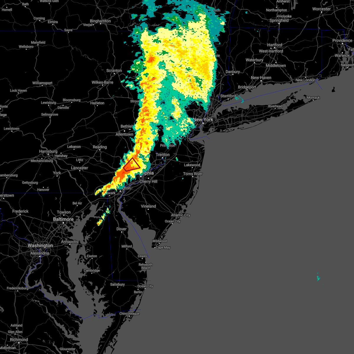 At 1247 am edt, a severe thunderstorm capable of producing a tornado was located over king of prussia, or 12 miles northeast of west chester, moving northeast at 10 mph (radar indicated rotation). Hazards include tornado. Flying debris will be dangerous to those caught without shelter. mobile homes will be damaged or destroyed. damage to roofs, windows, and vehicles will occur. Tree damage is likely. At 1247 am edt, a severe thunderstorm capable of producing a tornado was located over king of prussia, or 12 miles northeast of west chester, moving northeast at 10 mph (radar indicated rotation). Hazards include tornado. Flying debris will be dangerous to those caught without shelter. mobile homes will be damaged or destroyed. damage to roofs, windows, and vehicles will occur. Tree damage is likely.
|
| 8/18/2021 2:12 PM EDT |
 At 212 pm edt, a severe thunderstorm was located over spring mills, moving north at 40 mph (radar indicated). Hazards include 60 mph wind gusts. Expect damage to roofs, siding, and trees. this severe thunderstorm will be near, lamar and bald eagle state park around 220 pm edt. lock haven, blanchard, mill hall, mackeyville, flemington and castanea around 230 pm edt. glen union around 240 pm edt. other locations impacted by this severe thunderstorm include howard, beech creek and lock haven university. For those driving on interstate 80, this includes areas between the bellefonte and loganton exits, specifically from mile markers 164 to 179. At 212 pm edt, a severe thunderstorm was located over spring mills, moving north at 40 mph (radar indicated). Hazards include 60 mph wind gusts. Expect damage to roofs, siding, and trees. this severe thunderstorm will be near, lamar and bald eagle state park around 220 pm edt. lock haven, blanchard, mill hall, mackeyville, flemington and castanea around 230 pm edt. glen union around 240 pm edt. other locations impacted by this severe thunderstorm include howard, beech creek and lock haven university. For those driving on interstate 80, this includes areas between the bellefonte and loganton exits, specifically from mile markers 164 to 179.
|
| 8/11/2021 7:25 PM EDT |
 At 725 pm edt, severe thunderstorms were located along a line extending from near willow grove to beckett, moving east at 30 mph (radar indicated). Hazards include 60 mph wind gusts. Damage to roofs, siding, trees, and power lines is possible. locations impacted include, philadelphia, camden, wilmington, west chester, gloucester city, bensalem, norristown, chester, deptford, west deptford, glassboro, phoenixville, lansdale, west norriton, east norriton, bellmawr, yeadon, westtown, woodbury and pitman. this includes the following highways, new jersey turnpike between exits 2 and 3. pennsylvania turnpike between mile markers 316 and 354. northeast extension between mile markers 21 and 34. interstate 95 in pennsylvania between mile markers 0 and 36. interstate 95 in delaware between mile markers 16 and 23. interstate 76 in pennsylvania between mile markers 327 and 351. interstate 76 in new jersey between mile markers 0 and 3. interstate 295 in new jersey between mile markers 9 and 31. interstate 676 in pennsylvania between mile markers 0 and 1. interstate 676 in new jersey between mile markers 0 and 4. interstate 476 in pennsylvania between mile markers 0 and 19. hail threat, radar indicated max hail size, <. 75 in wind threat, observed max wind gust, 60 mph. At 725 pm edt, severe thunderstorms were located along a line extending from near willow grove to beckett, moving east at 30 mph (radar indicated). Hazards include 60 mph wind gusts. Damage to roofs, siding, trees, and power lines is possible. locations impacted include, philadelphia, camden, wilmington, west chester, gloucester city, bensalem, norristown, chester, deptford, west deptford, glassboro, phoenixville, lansdale, west norriton, east norriton, bellmawr, yeadon, westtown, woodbury and pitman. this includes the following highways, new jersey turnpike between exits 2 and 3. pennsylvania turnpike between mile markers 316 and 354. northeast extension between mile markers 21 and 34. interstate 95 in pennsylvania between mile markers 0 and 36. interstate 95 in delaware between mile markers 16 and 23. interstate 76 in pennsylvania between mile markers 327 and 351. interstate 76 in new jersey between mile markers 0 and 3. interstate 295 in new jersey between mile markers 9 and 31. interstate 676 in pennsylvania between mile markers 0 and 1. interstate 676 in new jersey between mile markers 0 and 4. interstate 476 in pennsylvania between mile markers 0 and 19. hail threat, radar indicated max hail size, <. 75 in wind threat, observed max wind gust, 60 mph.
|
| 8/11/2021 7:11 PM EDT |
 At 711 pm edt, severe thunderstorms were located along a line extending from near ambler to near arden, moving east at 30 mph (radar indicated. also, these storms have a history of producing wind damage in chester county). Hazards include 60 mph wind gusts and penny size hail. damage to roofs, siding, trees, and power lines is possible At 711 pm edt, severe thunderstorms were located along a line extending from near ambler to near arden, moving east at 30 mph (radar indicated. also, these storms have a history of producing wind damage in chester county). Hazards include 60 mph wind gusts and penny size hail. damage to roofs, siding, trees, and power lines is possible
|
| 8/11/2021 6:49 PM EDT |
 At 649 pm edt, severe thunderstorms were located along a line extending from trappe to kemblesville, moving east at 40 mph (radar indicated). Hazards include 60 mph wind gusts and penny size hail. Damage to roofs, siding, trees, and power lines is possible. locations impacted include, wilmington, west chester, norristown, pottstown, phoenixville, west norriton, east norriton, coatesville, westtown, downingtown, elsmere, kennett square, birdsboro, collegeville, oxford, royersford, parkesburg, trappe, west grove and honey brook. this includes the following highways, pennsylvania turnpike between mile markers 298 and 331. northeast extension between mile markers 24 and 27. interstate 95 in pennsylvania near mile marker 0. interstate 95 in delaware between mile markers 13 and 23. interstate 76 in pennsylvania between mile markers 327 and 330. interstate 476 in pennsylvania between mile markers 12 and 14. hail threat, radar indicated max hail size, 0. 75 in wind threat, radar indicated max wind gust, 60 mph. At 649 pm edt, severe thunderstorms were located along a line extending from trappe to kemblesville, moving east at 40 mph (radar indicated). Hazards include 60 mph wind gusts and penny size hail. Damage to roofs, siding, trees, and power lines is possible. locations impacted include, wilmington, west chester, norristown, pottstown, phoenixville, west norriton, east norriton, coatesville, westtown, downingtown, elsmere, kennett square, birdsboro, collegeville, oxford, royersford, parkesburg, trappe, west grove and honey brook. this includes the following highways, pennsylvania turnpike between mile markers 298 and 331. northeast extension between mile markers 24 and 27. interstate 95 in pennsylvania near mile marker 0. interstate 95 in delaware between mile markers 13 and 23. interstate 76 in pennsylvania between mile markers 327 and 330. interstate 476 in pennsylvania between mile markers 12 and 14. hail threat, radar indicated max hail size, 0. 75 in wind threat, radar indicated max wind gust, 60 mph.
|
| 8/11/2021 6:26 PM EDT |
 At 626 pm edt, severe thunderstorms were located along a line extending from near elverson to near rising sun, moving east at 40 mph (radar indicated). Hazards include 60 mph wind gusts and penny size hail. damage to roofs, siding, trees, and power lines is possible At 626 pm edt, severe thunderstorms were located along a line extending from near elverson to near rising sun, moving east at 40 mph (radar indicated). Hazards include 60 mph wind gusts and penny size hail. damage to roofs, siding, trees, and power lines is possible
|
| 8/10/2021 5:07 PM EDT |
 At 506 pm edt, severe thunderstorms were located along a line extending from nazareth to ottsville to near chester springs, moving east at 30 mph (radar indicated). Hazards include 60 mph wind gusts. Damage to roofs, siding, trees, and power lines is possible. locations impacted include, norristown, pottstown, phoenixville, lansdale, west norriton, east norriton, emmaus, quakertown, perkasie, souderton, bedminster, collegeville, royersford, chalfont, tinicum, trappe, hatfield, east greenville, dublin and honey brook. this includes the following highways, pennsylvania turnpike between mile markers 300 and 328. northeast extension between mile markers 24 and 51. interstate 76 in pennsylvania between mile markers 327 and 328. hail threat, radar indicated max hail size, <. 75 in wind threat, radar indicated max wind gust, 60 mph. At 506 pm edt, severe thunderstorms were located along a line extending from nazareth to ottsville to near chester springs, moving east at 30 mph (radar indicated). Hazards include 60 mph wind gusts. Damage to roofs, siding, trees, and power lines is possible. locations impacted include, norristown, pottstown, phoenixville, lansdale, west norriton, east norriton, emmaus, quakertown, perkasie, souderton, bedminster, collegeville, royersford, chalfont, tinicum, trappe, hatfield, east greenville, dublin and honey brook. this includes the following highways, pennsylvania turnpike between mile markers 300 and 328. northeast extension between mile markers 24 and 51. interstate 76 in pennsylvania between mile markers 327 and 328. hail threat, radar indicated max hail size, <. 75 in wind threat, radar indicated max wind gust, 60 mph.
|
| 8/10/2021 4:56 PM EDT |
 At 456 pm edt, severe thunderstorms were located along a line extending from near beersville to near pleasant valley to near chester springs, moving east at 30 mph (radar indicated). Hazards include 60 mph wind gusts. Damage to roofs, siding, trees, and power lines is possible. locations impacted include, allentown, easton, bethlehem, norristown, pottstown, phoenixville, lansdale, west norriton, forks, east norriton, emmaus, northampton, quakertown, perkasie, wilson, souderton, bedminster, hellertown, nazareth and palmerton. this includes the following highways, pennsylvania turnpike between mile markers 296 and 328. northeast extension between mile markers 24 and 51. interstate 76 in pennsylvania between mile markers 327 and 328. interstate 78 in pennsylvania between mile markers 57 and 76. interstate 176 in pennsylvania between mile markers 1 and 3. hail threat, radar indicated max hail size, <. 75 in wind threat, radar indicated max wind gust, 60 mph. At 456 pm edt, severe thunderstorms were located along a line extending from near beersville to near pleasant valley to near chester springs, moving east at 30 mph (radar indicated). Hazards include 60 mph wind gusts. Damage to roofs, siding, trees, and power lines is possible. locations impacted include, allentown, easton, bethlehem, norristown, pottstown, phoenixville, lansdale, west norriton, forks, east norriton, emmaus, northampton, quakertown, perkasie, wilson, souderton, bedminster, hellertown, nazareth and palmerton. this includes the following highways, pennsylvania turnpike between mile markers 296 and 328. northeast extension between mile markers 24 and 51. interstate 76 in pennsylvania between mile markers 327 and 328. interstate 78 in pennsylvania between mile markers 57 and 76. interstate 176 in pennsylvania between mile markers 1 and 3. hail threat, radar indicated max hail size, <. 75 in wind threat, radar indicated max wind gust, 60 mph.
|
| 8/10/2021 4:33 PM EDT |
 At 432 pm edt, severe thunderstorms were located along a line extending from palmerton to emmaus to elverson, moving east at 35 mph (radar indicated). Hazards include 60 mph wind gusts. damage to roofs, siding, trees, and power lines is possible At 432 pm edt, severe thunderstorms were located along a line extending from palmerton to emmaus to elverson, moving east at 35 mph (radar indicated). Hazards include 60 mph wind gusts. damage to roofs, siding, trees, and power lines is possible
|
| 7/21/2021 3:05 PM EDT |
 At 305 pm edt, a severe thunderstorm was located over east norriton, or 15 miles northwest of philadelphia, moving east at 35 mph (radar indicated). Hazards include 70 mph wind gusts and half dollar size hail. Minor damage to vehicles is possible. expect considerable tree damage. wind damage is also likely to mobile homes, roofs, and outbuildings. locations impacted include, philadelphia, bensalem, norristown, lansdale, west norriton, east norriton, hatboro, souderton, ambler, collegeville, jenkintown, hatfield, beverly, rockledge, abington, langhorne, bryn athyn, ivyland, wissinoming and feasterville-trevose. this includes the following highways, pennsylvania turnpike between mile markers 331 and 355. northeast extension between mile markers 21 and 35. interstate 95 in pennsylvania between mile markers 27 and 29, and between mile markers 32 and 38. Interstate 476 in pennsylvania near mile marker 19. At 305 pm edt, a severe thunderstorm was located over east norriton, or 15 miles northwest of philadelphia, moving east at 35 mph (radar indicated). Hazards include 70 mph wind gusts and half dollar size hail. Minor damage to vehicles is possible. expect considerable tree damage. wind damage is also likely to mobile homes, roofs, and outbuildings. locations impacted include, philadelphia, bensalem, norristown, lansdale, west norriton, east norriton, hatboro, souderton, ambler, collegeville, jenkintown, hatfield, beverly, rockledge, abington, langhorne, bryn athyn, ivyland, wissinoming and feasterville-trevose. this includes the following highways, pennsylvania turnpike between mile markers 331 and 355. northeast extension between mile markers 21 and 35. interstate 95 in pennsylvania between mile markers 27 and 29, and between mile markers 32 and 38. Interstate 476 in pennsylvania near mile marker 19.
|
| 7/21/2021 2:48 PM EDT |
 At 248 pm edt, a severe thunderstorm was located over schwenksville, or 20 miles north of west chester, moving east at 35 mph (radar indicated). Hazards include 60 mph wind gusts and quarter size hail. Minor damage to vehicles is possible. Wind damage to roofs, siding, trees, and power lines is possible. At 248 pm edt, a severe thunderstorm was located over schwenksville, or 20 miles north of west chester, moving east at 35 mph (radar indicated). Hazards include 60 mph wind gusts and quarter size hail. Minor damage to vehicles is possible. Wind damage to roofs, siding, trees, and power lines is possible.
|
| 7/21/2021 2:14 PM EDT |
 At 214 pm edt, a group of severe thunderstorms were located over gilbertsville, or 16 miles east of reading, moving east at 40 mph (radar indicated). Hazards include 60 mph wind gusts and quarter size hail. Minor damage to vehicles is possible. Wind damage to roofs, siding, trees, and power lines is possible. At 214 pm edt, a group of severe thunderstorms were located over gilbertsville, or 16 miles east of reading, moving east at 40 mph (radar indicated). Hazards include 60 mph wind gusts and quarter size hail. Minor damage to vehicles is possible. Wind damage to roofs, siding, trees, and power lines is possible.
|
| 7/13/2021 7:59 PM EDT |
 At 759 pm edt, severe thunderstorms were located along a line extending from monument to near zion to potters mills to near seven mountains to belleville, moving northeast at 45 mph. these are very dangerous storms (radar indicated). Hazards include 80 mph wind gusts and quarter size hail. Flying debris will be dangerous to those caught without shelter. mobile homes will be heavily damaged. expect considerable damage to roofs, windows, and vehicles. extensive tree damage and power outages are likely. severe thunderstorms will be near, monument, potters mills, zion and bald eagle state park around 800 pm edt. lewistown, lamar, spring mills, highland park, burnham, madisonburg, blanchard, juniata terrace and glen union around 810 pm edt. lock haven, poe valley state park, reeds gap state park, rebersburg, aaronsburg, mackeyville, coburn, mill hall, millheim and castanea around 820 pm edt. woodward, avis, mcelhattan, dunnstown and mcclure around 830 pm edt. other locations impacted by these severe thunderstorms include siglerville, howard, maitland, wagner, hartleton, barrville, loganton, orviston, mccall dam state park and beech creek. for those driving on interstate 80, this includes areas between the milesburg and mile run exits, specifically from mile markers 159 to 194. This includes interstate 99 from mile markers 82 to 85. At 759 pm edt, severe thunderstorms were located along a line extending from monument to near zion to potters mills to near seven mountains to belleville, moving northeast at 45 mph. these are very dangerous storms (radar indicated). Hazards include 80 mph wind gusts and quarter size hail. Flying debris will be dangerous to those caught without shelter. mobile homes will be heavily damaged. expect considerable damage to roofs, windows, and vehicles. extensive tree damage and power outages are likely. severe thunderstorms will be near, monument, potters mills, zion and bald eagle state park around 800 pm edt. lewistown, lamar, spring mills, highland park, burnham, madisonburg, blanchard, juniata terrace and glen union around 810 pm edt. lock haven, poe valley state park, reeds gap state park, rebersburg, aaronsburg, mackeyville, coburn, mill hall, millheim and castanea around 820 pm edt. woodward, avis, mcelhattan, dunnstown and mcclure around 830 pm edt. other locations impacted by these severe thunderstorms include siglerville, howard, maitland, wagner, hartleton, barrville, loganton, orviston, mccall dam state park and beech creek. for those driving on interstate 80, this includes areas between the milesburg and mile run exits, specifically from mile markers 159 to 194. This includes interstate 99 from mile markers 82 to 85.
|
| 7/13/2021 7:16 PM EDT |
 At 716 pm edt, severe thunderstorms were located along a line extending from black moshannon state park to near port matilda to near franklinville to near spruce creek to huntingdon, moving northeast at 25 mph (radar indicated). Hazards include 70 mph wind gusts and penny size hail. Expect considerable tree damage. damage is likely to mobile homes, roofs, and outbuildings. severe thunderstorms will be near, black moshannon state park, stormstown and port matilda around 720 pm edt. rock springs, julian, ramblewood and park forest village around 730 pm edt. pine grove mills, whipple dam state park, mcalevys fort, allensville, houserville and snow shoe around 740 pm edt. bellefonte, state college, boalsburg, milesburg, pleasant gap and lemont around 750 pm edt. other locations impacted by these severe thunderstorms include barrville, orviston, longfellow, mcconnellstown, siglerville, mill creek, howard, petersburg, maitland and alexandria. for those driving on interstate 80, this includes areas between the kylertown and lamar exits, specifically from mile markers 143 to 170. This includes interstate 99 from mile markers 57 to 85. At 716 pm edt, severe thunderstorms were located along a line extending from black moshannon state park to near port matilda to near franklinville to near spruce creek to huntingdon, moving northeast at 25 mph (radar indicated). Hazards include 70 mph wind gusts and penny size hail. Expect considerable tree damage. damage is likely to mobile homes, roofs, and outbuildings. severe thunderstorms will be near, black moshannon state park, stormstown and port matilda around 720 pm edt. rock springs, julian, ramblewood and park forest village around 730 pm edt. pine grove mills, whipple dam state park, mcalevys fort, allensville, houserville and snow shoe around 740 pm edt. bellefonte, state college, boalsburg, milesburg, pleasant gap and lemont around 750 pm edt. other locations impacted by these severe thunderstorms include barrville, orviston, longfellow, mcconnellstown, siglerville, mill creek, howard, petersburg, maitland and alexandria. for those driving on interstate 80, this includes areas between the kylertown and lamar exits, specifically from mile markers 143 to 170. This includes interstate 99 from mile markers 57 to 85.
|
| 7/11/2021 7:31 PM EDT |
 At 731 pm edt, severe thunderstorms were located along a line extending from near zion to near coburn to alfarata to near juniata terrace to near allensville to near blacklog, moving northeast at 35 mph (radar indicated). Hazards include 70 mph wind gusts. Expect considerable tree damage. damage is likely to mobile homes, roofs, and outbuildings. severe thunderstorms will be near, belltown, millheim, aaronsburg, coburn, lamar, madisonburg, rebersburg, reeds gap state park, poe valley state park and bald eagle state park around 740 pm edt. woodward, mackeyville, mcclure, weikert and mill hall around 750 pm edt. mcalisterville, beaver springs, troxelville, alfarata, laurelton center, snyder-middleswart state park, castanea, flemington and dunnstown around 800 pm edt. mifflinburg, mexico, r. b. winter state park, sand bridge state park, paxtonville, richfield, middleburg, forest hill, carroll and penns creek around 810 pm edt. other locations impacted by these severe thunderstorms include beavertown, port royal, wagner, thompsontown, mccall dam state park, atkinson mills, east salem, mifflin, mifflintown and siglerville. For those driving on interstate 80, this includes areas between the milesburg and mile run exits, specifically from mile markers 158 to 196. At 731 pm edt, severe thunderstorms were located along a line extending from near zion to near coburn to alfarata to near juniata terrace to near allensville to near blacklog, moving northeast at 35 mph (radar indicated). Hazards include 70 mph wind gusts. Expect considerable tree damage. damage is likely to mobile homes, roofs, and outbuildings. severe thunderstorms will be near, belltown, millheim, aaronsburg, coburn, lamar, madisonburg, rebersburg, reeds gap state park, poe valley state park and bald eagle state park around 740 pm edt. woodward, mackeyville, mcclure, weikert and mill hall around 750 pm edt. mcalisterville, beaver springs, troxelville, alfarata, laurelton center, snyder-middleswart state park, castanea, flemington and dunnstown around 800 pm edt. mifflinburg, mexico, r. b. winter state park, sand bridge state park, paxtonville, richfield, middleburg, forest hill, carroll and penns creek around 810 pm edt. other locations impacted by these severe thunderstorms include beavertown, port royal, wagner, thompsontown, mccall dam state park, atkinson mills, east salem, mifflin, mifflintown and siglerville. For those driving on interstate 80, this includes areas between the milesburg and mile run exits, specifically from mile markers 158 to 196.
|
| 7/11/2021 7:06 PM EDT |
 At 705 pm edt, a severe thunderstorm capable of producing a tornado was located over blanchard, moving northeast at 20 mph (radar indicated rotation). Hazards include tornado. Flying debris will be dangerous to those caught without shelter. mobile homes will be damaged or destroyed. damage to roofs, windows, and vehicles will occur. tree damage is likely. this dangerous storm will be near, mill hall around 720 pm edt. other locations impacted by this tornadic thunderstorm include beech creek. This includes route 220 near mill hall. At 705 pm edt, a severe thunderstorm capable of producing a tornado was located over blanchard, moving northeast at 20 mph (radar indicated rotation). Hazards include tornado. Flying debris will be dangerous to those caught without shelter. mobile homes will be damaged or destroyed. damage to roofs, windows, and vehicles will occur. tree damage is likely. this dangerous storm will be near, mill hall around 720 pm edt. other locations impacted by this tornadic thunderstorm include beech creek. This includes route 220 near mill hall.
|
| 7/11/2021 6:48 PM EDT |
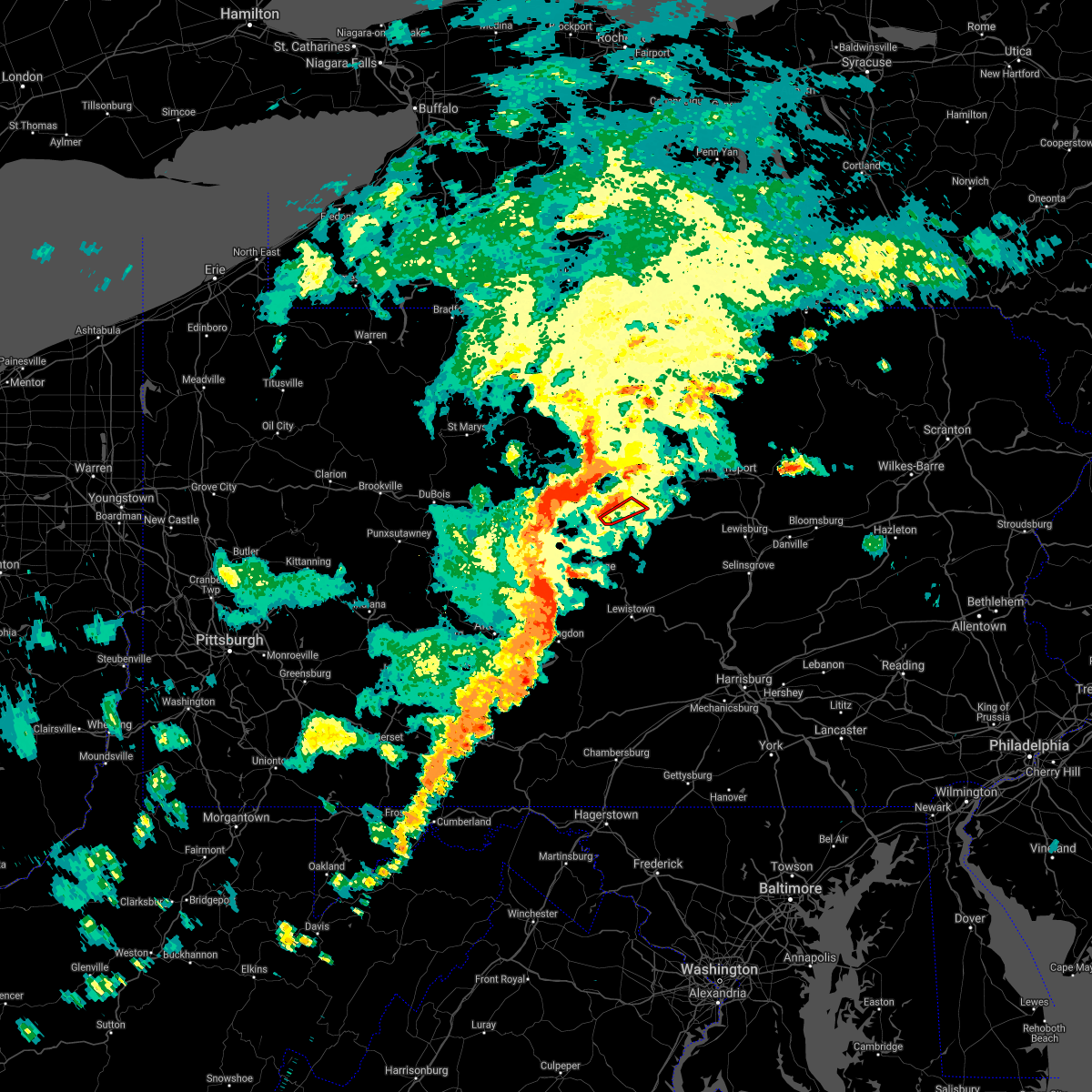 At 648 pm edt, a severe thunderstorm capable of producing a tornado was located over bald eagle state park, moving northeast at 20 mph (radar indicated rotation). Hazards include tornado. Flying debris will be dangerous to those caught without shelter. mobile homes will be damaged or destroyed. damage to roofs, windows, and vehicles will occur. tree damage is likely. this dangerous storm will be near, bald eagle state park around 650 pm edt. blanchard around 700 pm edt. mill hall around 710 pm edt. other locations impacted by this tornadic thunderstorm include beech creek. This includes route 220 near mill hall. At 648 pm edt, a severe thunderstorm capable of producing a tornado was located over bald eagle state park, moving northeast at 20 mph (radar indicated rotation). Hazards include tornado. Flying debris will be dangerous to those caught without shelter. mobile homes will be damaged or destroyed. damage to roofs, windows, and vehicles will occur. tree damage is likely. this dangerous storm will be near, bald eagle state park around 650 pm edt. blanchard around 700 pm edt. mill hall around 710 pm edt. other locations impacted by this tornadic thunderstorm include beech creek. This includes route 220 near mill hall.
|
| 7/11/2021 6:23 PM EDT |
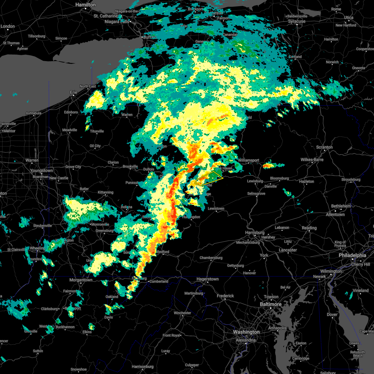 At 622 pm edt, a severe thunderstorm was located near milesburg, moving northeast at 25 mph (radar indicated). Hazards include 60 mph wind gusts. Expect damage to roofs, siding, and trees. this severe thunderstorm will be near, bald eagle state park around 640 pm edt. blanchard around 700 pm edt. other locations impacted by this severe thunderstorm include howard and beech creek. for those driving on interstate 80, this includes areas between the snow shoe and lock haven exits, specifically between mile markers 149 and 157, and from mile markers 168 to 176. This includes route 220 from near lamar on i-80 to near mackeyville on i-80. At 622 pm edt, a severe thunderstorm was located near milesburg, moving northeast at 25 mph (radar indicated). Hazards include 60 mph wind gusts. Expect damage to roofs, siding, and trees. this severe thunderstorm will be near, bald eagle state park around 640 pm edt. blanchard around 700 pm edt. other locations impacted by this severe thunderstorm include howard and beech creek. for those driving on interstate 80, this includes areas between the snow shoe and lock haven exits, specifically between mile markers 149 and 157, and from mile markers 168 to 176. This includes route 220 from near lamar on i-80 to near mackeyville on i-80.
|
| 7/8/2021 5:55 PM EDT |
 The severe thunderstorm warning for southeastern montgomery, northeastern chester, northwestern philadelphia and central delaware counties will expire at 600 pm edt, the storm which prompted the warning has weakened below severe limits, and no longer poses an immediate threat to life or property. therefore, the warning will be allowed to expire. however gusty winds are still possible with this thunderstorm. a severe thunderstorm watch remains in effect until 900 pm edt for southeastern pennsylvania. The severe thunderstorm warning for southeastern montgomery, northeastern chester, northwestern philadelphia and central delaware counties will expire at 600 pm edt, the storm which prompted the warning has weakened below severe limits, and no longer poses an immediate threat to life or property. therefore, the warning will be allowed to expire. however gusty winds are still possible with this thunderstorm. a severe thunderstorm watch remains in effect until 900 pm edt for southeastern pennsylvania.
|
| 7/8/2021 5:39 PM EDT |
 At 539 pm edt, a severe thunderstorm was located over radnor township, or 11 miles east of west chester, moving northeast at 35 mph (radar indicated). Hazards include 60 mph wind gusts and penny size hail. Damage to roofs, siding, trees, and power lines is possible. locations impacted include, philadelphia, norristown, phoenixville, west norriton, east norriton, conshohocken, ambler, swarthmore, collegeville, narberth, trappe, bryn mawr, lima, trout lake, radnor township, gradyville, valley forge, broomall, plymouth meeting and paoli. this includes the following highways, pennsylvania turnpike between mile markers 319 and 339. northeast extension between mile markers 21 and 24. interstate 76 in pennsylvania between mile markers 327 and 337. Interstate 476 in pennsylvania between mile markers 3 and 19. At 539 pm edt, a severe thunderstorm was located over radnor township, or 11 miles east of west chester, moving northeast at 35 mph (radar indicated). Hazards include 60 mph wind gusts and penny size hail. Damage to roofs, siding, trees, and power lines is possible. locations impacted include, philadelphia, norristown, phoenixville, west norriton, east norriton, conshohocken, ambler, swarthmore, collegeville, narberth, trappe, bryn mawr, lima, trout lake, radnor township, gradyville, valley forge, broomall, plymouth meeting and paoli. this includes the following highways, pennsylvania turnpike between mile markers 319 and 339. northeast extension between mile markers 21 and 24. interstate 76 in pennsylvania between mile markers 327 and 337. Interstate 476 in pennsylvania between mile markers 3 and 19.
|
| 7/8/2021 5:21 PM EDT |
 At 521 pm edt, a severe thunderstorm was located over concordville, or 8 miles southeast of west chester, moving northeast at 35 mph (radar indicated). Hazards include 60 mph wind gusts and penny size hail. damage to roofs, siding, trees, and power lines is possible At 521 pm edt, a severe thunderstorm was located over concordville, or 8 miles southeast of west chester, moving northeast at 35 mph (radar indicated). Hazards include 60 mph wind gusts and penny size hail. damage to roofs, siding, trees, and power lines is possible
|
| 7/7/2021 6:56 PM EDT |
 At 656 pm edt, severe thunderstorms were located along a line extending from near karthaus to 6 miles northeast of clarence to near bald eagle state park to near madisonburg to near poe valley state park, moving northeast at 30 mph (radar indicated). Hazards include 70 mph wind gusts and quarter size hail. Hail damage to vehicles is expected. expect considerable tree damage. wind damage is also likely to mobile homes, roofs, and outbuildings. severe thunderstorms will be near, madisonburg, bald eagle state park, spring mills, monument, reeds gap state park, potters mills and belltown around 700 pm edt. rebersburg, blanchard, poe valley state park, coburn, aaronsburg, millheim and lamar around 710 pm edt. lock haven, weikert, mill hall, woodward, keating, flemington, snyder-middleswart state park and mackeyville around 720 pm edt. dunnstown, laurelton center, glen union, westport, castanea and troxelville around 730 pm edt. other locations impacted by these severe thunderstorms include siglerville, howard, hartleton, loganton, orviston, mccall dam state park, beech creek and lock haven university. for those driving on interstate 80, this includes areas between the snow shoe and mile run exits, specifically near mile marker 155, and from mile markers 158 to 194. This includes interstate 99 near mile marker 85. At 656 pm edt, severe thunderstorms were located along a line extending from near karthaus to 6 miles northeast of clarence to near bald eagle state park to near madisonburg to near poe valley state park, moving northeast at 30 mph (radar indicated). Hazards include 70 mph wind gusts and quarter size hail. Hail damage to vehicles is expected. expect considerable tree damage. wind damage is also likely to mobile homes, roofs, and outbuildings. severe thunderstorms will be near, madisonburg, bald eagle state park, spring mills, monument, reeds gap state park, potters mills and belltown around 700 pm edt. rebersburg, blanchard, poe valley state park, coburn, aaronsburg, millheim and lamar around 710 pm edt. lock haven, weikert, mill hall, woodward, keating, flemington, snyder-middleswart state park and mackeyville around 720 pm edt. dunnstown, laurelton center, glen union, westport, castanea and troxelville around 730 pm edt. other locations impacted by these severe thunderstorms include siglerville, howard, hartleton, loganton, orviston, mccall dam state park, beech creek and lock haven university. for those driving on interstate 80, this includes areas between the snow shoe and mile run exits, specifically near mile marker 155, and from mile markers 158 to 194. This includes interstate 99 near mile marker 85.
|
| 7/7/2021 6:36 PM EDT |
 At 636 pm edt, severe thunderstorms were located along a line extending from near lecontes mills to near pine glen to near moshannon to julian to boalsburg to near seven mountains, moving east at 40 mph (radar indicated). Hazards include 70 mph wind gusts and quarter size hail. Hail damage to vehicles is expected. expect considerable tree damage. wind damage is also likely to mobile homes, roofs, and outbuildings. severe thunderstorms will be near, state college, seven mountains, boalsburg, snow shoe, clarence, lemont, houserville and reedsville around 640 pm edt. bellefonte, centre hall, potters mills, milesburg, pleasant gap, milroy and reeds gap state park around 650 pm edt. spring mills, zion, monument, poe valley state park, bald eagle state park and belltown around 700 pm edt. lock haven, lamar, millheim, aaronsburg, coburn, blanchard, madisonburg, woodward, rebersburg and mackeyville around 710 pm edt. other locations impacted by these severe thunderstorms include barrville, orviston, mccall dam state park, beech creek, kylertown, grassflat, siglerville, howard, loganton and unionville. for those driving on interstate 80, this includes areas between the penfield and jersey shore exits, specifically between mile markers 117 and 123, between mile markers 125 and 126, between mile markers 133 and 135, and from mile markers 138 to 189. This includes interstate 99 from mile markers 67 to 85. At 636 pm edt, severe thunderstorms were located along a line extending from near lecontes mills to near pine glen to near moshannon to julian to boalsburg to near seven mountains, moving east at 40 mph (radar indicated). Hazards include 70 mph wind gusts and quarter size hail. Hail damage to vehicles is expected. expect considerable tree damage. wind damage is also likely to mobile homes, roofs, and outbuildings. severe thunderstorms will be near, state college, seven mountains, boalsburg, snow shoe, clarence, lemont, houserville and reedsville around 640 pm edt. bellefonte, centre hall, potters mills, milesburg, pleasant gap, milroy and reeds gap state park around 650 pm edt. spring mills, zion, monument, poe valley state park, bald eagle state park and belltown around 700 pm edt. lock haven, lamar, millheim, aaronsburg, coburn, blanchard, madisonburg, woodward, rebersburg and mackeyville around 710 pm edt. other locations impacted by these severe thunderstorms include barrville, orviston, mccall dam state park, beech creek, kylertown, grassflat, siglerville, howard, loganton and unionville. for those driving on interstate 80, this includes areas between the penfield and jersey shore exits, specifically between mile markers 117 and 123, between mile markers 125 and 126, between mile markers 133 and 135, and from mile markers 138 to 189. This includes interstate 99 from mile markers 67 to 85.
|
| 7/6/2021 6:13 PM EDT |
 At 613 pm edt, a severe thunderstorm was located over norristown, or 12 miles northwest of philadelphia, moving east at 30 mph (public). Hazards include 60 mph wind gusts and penny size hail. damage to roofs, siding, trees, and power lines is possible At 613 pm edt, a severe thunderstorm was located over norristown, or 12 miles northwest of philadelphia, moving east at 30 mph (public). Hazards include 60 mph wind gusts and penny size hail. damage to roofs, siding, trees, and power lines is possible
|
| 7/6/2021 6:02 PM EDT |
 At 602 pm edt, a severe thunderstorm was located over valley forge, or 11 miles northeast of west chester, moving east at 30 mph (radar indicated). Hazards include 60 mph wind gusts and penny size hail. Damage to roofs, siding, trees, and power lines is possible. locations impacted include, philadelphia, west chester, norristown, phoenixville, west norriton, east norriton, yeadon, conshohocken, ambler, collegeville, royersford, narberth, trappe, east lansdowne, morris park, bryn mawr, trout lake, radnor township, gradyville and broomall. this includes the following highways, pennsylvania turnpike between mile markers 313 and 340. northeast extension between mile markers 21 and 26. interstate 95 in pennsylvania between mile markers 15 and 17. interstate 76 in pennsylvania between mile markers 327 and 350. interstate 676 in pennsylvania between mile markers 0 and 1. Interstate 476 in pennsylvania between mile markers 4 and 19. At 602 pm edt, a severe thunderstorm was located over valley forge, or 11 miles northeast of west chester, moving east at 30 mph (radar indicated). Hazards include 60 mph wind gusts and penny size hail. Damage to roofs, siding, trees, and power lines is possible. locations impacted include, philadelphia, west chester, norristown, phoenixville, west norriton, east norriton, yeadon, conshohocken, ambler, collegeville, royersford, narberth, trappe, east lansdowne, morris park, bryn mawr, trout lake, radnor township, gradyville and broomall. this includes the following highways, pennsylvania turnpike between mile markers 313 and 340. northeast extension between mile markers 21 and 26. interstate 95 in pennsylvania between mile markers 15 and 17. interstate 76 in pennsylvania between mile markers 327 and 350. interstate 676 in pennsylvania between mile markers 0 and 1. Interstate 476 in pennsylvania between mile markers 4 and 19.
|
| 7/6/2021 5:34 PM EDT |
 At 533 pm edt, a severe thunderstorm was located over glenmoore, or 11 miles northwest of west chester, moving east at 25 mph (radar indicated). Hazards include 60 mph wind gusts and penny size hail. damage to roofs, siding, trees, and power lines is possible At 533 pm edt, a severe thunderstorm was located over glenmoore, or 11 miles northwest of west chester, moving east at 25 mph (radar indicated). Hazards include 60 mph wind gusts and penny size hail. damage to roofs, siding, trees, and power lines is possible
|
| 7/6/2021 5:34 PM EDT |
 At 533 pm edt, trained spotters reported wind damage and quarter sized hail from severe thunderstorms located near ambler, or 11 miles northwest of philadelphia, moving east at 30 mph (trained weather spotters). Hazards include 60 mph wind gusts and quarter size hail. Minor damage to vehicles is possible. wind damage to roofs, siding, trees, and power lines is possible. locations impacted include, philadelphia, bensalem, norristown, phoenixville, lansdale, west norriton, east norriton, riverside, conshohocken, palmyra, hatboro, ambler, collegeville, royersford, jenkintown, narberth, trappe, beverly, rockledge and newtown. this includes the following highways, pennsylvania turnpike between mile markers 318 and 354. northeast extension between mile markers 21 and 29. interstate 95 in pennsylvania between mile markers 26 and 38. interstate 76 in pennsylvania between mile markers 327 and 341. Interstate 476 in pennsylvania between mile markers 9 and 19. At 533 pm edt, trained spotters reported wind damage and quarter sized hail from severe thunderstorms located near ambler, or 11 miles northwest of philadelphia, moving east at 30 mph (trained weather spotters). Hazards include 60 mph wind gusts and quarter size hail. Minor damage to vehicles is possible. wind damage to roofs, siding, trees, and power lines is possible. locations impacted include, philadelphia, bensalem, norristown, phoenixville, lansdale, west norriton, east norriton, riverside, conshohocken, palmyra, hatboro, ambler, collegeville, royersford, jenkintown, narberth, trappe, beverly, rockledge and newtown. this includes the following highways, pennsylvania turnpike between mile markers 318 and 354. northeast extension between mile markers 21 and 29. interstate 95 in pennsylvania between mile markers 26 and 38. interstate 76 in pennsylvania between mile markers 327 and 341. Interstate 476 in pennsylvania between mile markers 9 and 19.
|
| 7/6/2021 5:11 PM EDT |
 At 510 pm edt, a severe thunderstorm was located over valley forge, or 13 miles northeast of west chester, moving east at 30 mph (radar indicated). Hazards include 60 mph wind gusts and penny size hail. damage to roofs, siding, trees, and power lines is possible At 510 pm edt, a severe thunderstorm was located over valley forge, or 13 miles northeast of west chester, moving east at 30 mph (radar indicated). Hazards include 60 mph wind gusts and penny size hail. damage to roofs, siding, trees, and power lines is possible
|
| 7/1/2021 4:14 PM EDT |
 At 413 pm edt, severe thunderstorms were located along a line extending from gardenville to ambler to near bear, moving east at 30 mph (law enforcement. several reports of wind damage have been received from chester county). Hazards include 60 mph wind gusts. Damage to roofs, siding, trees, and power lines is possible. locations impacted include, philadelphia, wilmington, newark, west chester, norristown, chester, lansdale, west norriton, east norriton, pennsville, yeadon, westtown, doylestown, conshohocken, hatboro, folcroft, ambler, swarthmore, elsmere and new castle. this includes the following highways, pennsylvania turnpike between mile markers 322 and 348. northeast extension between mile markers 21 and 29. interstate 95 in pennsylvania between mile markers 0 and 10. interstate 95 in delaware between mile markers 1 and 23. interstate 76 in pennsylvania between mile markers 327 and 343. interstate 295 in new jersey near mile marker 0. Interstate 476 in pennsylvania between mile markers 0 and 19. At 413 pm edt, severe thunderstorms were located along a line extending from gardenville to ambler to near bear, moving east at 30 mph (law enforcement. several reports of wind damage have been received from chester county). Hazards include 60 mph wind gusts. Damage to roofs, siding, trees, and power lines is possible. locations impacted include, philadelphia, wilmington, newark, west chester, norristown, chester, lansdale, west norriton, east norriton, pennsville, yeadon, westtown, doylestown, conshohocken, hatboro, folcroft, ambler, swarthmore, elsmere and new castle. this includes the following highways, pennsylvania turnpike between mile markers 322 and 348. northeast extension between mile markers 21 and 29. interstate 95 in pennsylvania between mile markers 0 and 10. interstate 95 in delaware between mile markers 1 and 23. interstate 76 in pennsylvania between mile markers 327 and 343. interstate 295 in new jersey near mile marker 0. Interstate 476 in pennsylvania between mile markers 0 and 19.
|
| 7/1/2021 3:50 PM EDT |
 At 350 pm edt, severe thunderstorms were located along a line extending from perkasie to near valley forge to near pleasant hill, moving east at 30 mph (law enforcement). Hazards include 60 mph wind gusts. damage to roofs, siding, trees, and power lines is possible At 350 pm edt, severe thunderstorms were located along a line extending from perkasie to near valley forge to near pleasant hill, moving east at 30 mph (law enforcement). Hazards include 60 mph wind gusts. damage to roofs, siding, trees, and power lines is possible
|
| 7/1/2021 3:41 PM EDT |
 At 340 pm edt, severe thunderstorms were located along a line extending from quakertown to phoenixville to near cochranville, moving east at 35 mph. the most dangerous part of the storm was near chester springs (law enforcement. trees were reported downed in west caln township). Hazards include 60 mph wind gusts. Damage to roofs, siding, trees, and power lines is possible. locations impacted include, west chester, pottstown, phoenixville, lansdale, west norriton, east norriton, coatesville, quakertown, perkasie, downingtown, souderton, bedminster, kennett square, collegeville, oxford, royersford, parkesburg, trappe, hatfield and east greenville. this includes the following highways, pennsylvania turnpike between mile markers 300 and 326. Northeast extension between mile markers 25 and 47. At 340 pm edt, severe thunderstorms were located along a line extending from quakertown to phoenixville to near cochranville, moving east at 35 mph. the most dangerous part of the storm was near chester springs (law enforcement. trees were reported downed in west caln township). Hazards include 60 mph wind gusts. Damage to roofs, siding, trees, and power lines is possible. locations impacted include, west chester, pottstown, phoenixville, lansdale, west norriton, east norriton, coatesville, quakertown, perkasie, downingtown, souderton, bedminster, kennett square, collegeville, oxford, royersford, parkesburg, trappe, hatfield and east greenville. this includes the following highways, pennsylvania turnpike between mile markers 300 and 326. Northeast extension between mile markers 25 and 47.
|
| 7/1/2021 3:31 PM EDT |
 At 330 pm edt, severe thunderstorms were located along a line extending from geryville to near chester springs to homeville, moving east at 35 mph (radar indicated). Hazards include 60 mph wind gusts. Damage to roofs, siding, trees, and power lines is possible. locations impacted include, west chester, pottstown, phoenixville, lansdale, west norriton, east norriton, coatesville, quakertown, perkasie, downingtown, souderton, bedminster, kennett square, collegeville, oxford, royersford, parkesburg, trappe, hatfield and east greenville. this includes the following highways, pennsylvania turnpike between mile markers 300 and 326. Northeast extension between mile markers 25 and 47. At 330 pm edt, severe thunderstorms were located along a line extending from geryville to near chester springs to homeville, moving east at 35 mph (radar indicated). Hazards include 60 mph wind gusts. Damage to roofs, siding, trees, and power lines is possible. locations impacted include, west chester, pottstown, phoenixville, lansdale, west norriton, east norriton, coatesville, quakertown, perkasie, downingtown, souderton, bedminster, kennett square, collegeville, oxford, royersford, parkesburg, trappe, hatfield and east greenville. this includes the following highways, pennsylvania turnpike between mile markers 300 and 326. Northeast extension between mile markers 25 and 47.
|
| 7/1/2021 3:13 PM EDT |
 At 313 pm edt, severe thunderstorms were located along a line extending from bechtelsville to glenmoore to near quarryville, moving east at 35 mph (radar indicated). Hazards include 60 mph wind gusts. damage to roofs, siding, trees, and power lines is possible At 313 pm edt, severe thunderstorms were located along a line extending from bechtelsville to glenmoore to near quarryville, moving east at 35 mph (radar indicated). Hazards include 60 mph wind gusts. damage to roofs, siding, trees, and power lines is possible
|
| 6/29/2021 10:07 PM EDT |
 The severe thunderstorm warning for east central centre county will expire at 1015 pm edt, the storm which prompted the warning has weakened below severe limits, and no longer poses an immediate threat to life or property. therefore, the warning will be allowed to expire. The severe thunderstorm warning for east central centre county will expire at 1015 pm edt, the storm which prompted the warning has weakened below severe limits, and no longer poses an immediate threat to life or property. therefore, the warning will be allowed to expire.
|
| 6/29/2021 9:53 PM EDT |
 At 953 pm edt, a severe thunderstorm was located near bald eagle state park, moving northeast at 30 mph (radar indicated). Hazards include 60 mph wind gusts. Expect damage to roofs, siding, and trees. locations impacted include, lamar, zion, rebersburg, madisonburg, bald eagle state park, howard, beech creek and mccall dam state park. For those driving on interstate 80, this includes areas between the bellefonte and lamar exits, specifically from mile markers 162 to 170. At 953 pm edt, a severe thunderstorm was located near bald eagle state park, moving northeast at 30 mph (radar indicated). Hazards include 60 mph wind gusts. Expect damage to roofs, siding, and trees. locations impacted include, lamar, zion, rebersburg, madisonburg, bald eagle state park, howard, beech creek and mccall dam state park. For those driving on interstate 80, this includes areas between the bellefonte and lamar exits, specifically from mile markers 162 to 170.
|
| 6/29/2021 9:43 PM EDT |
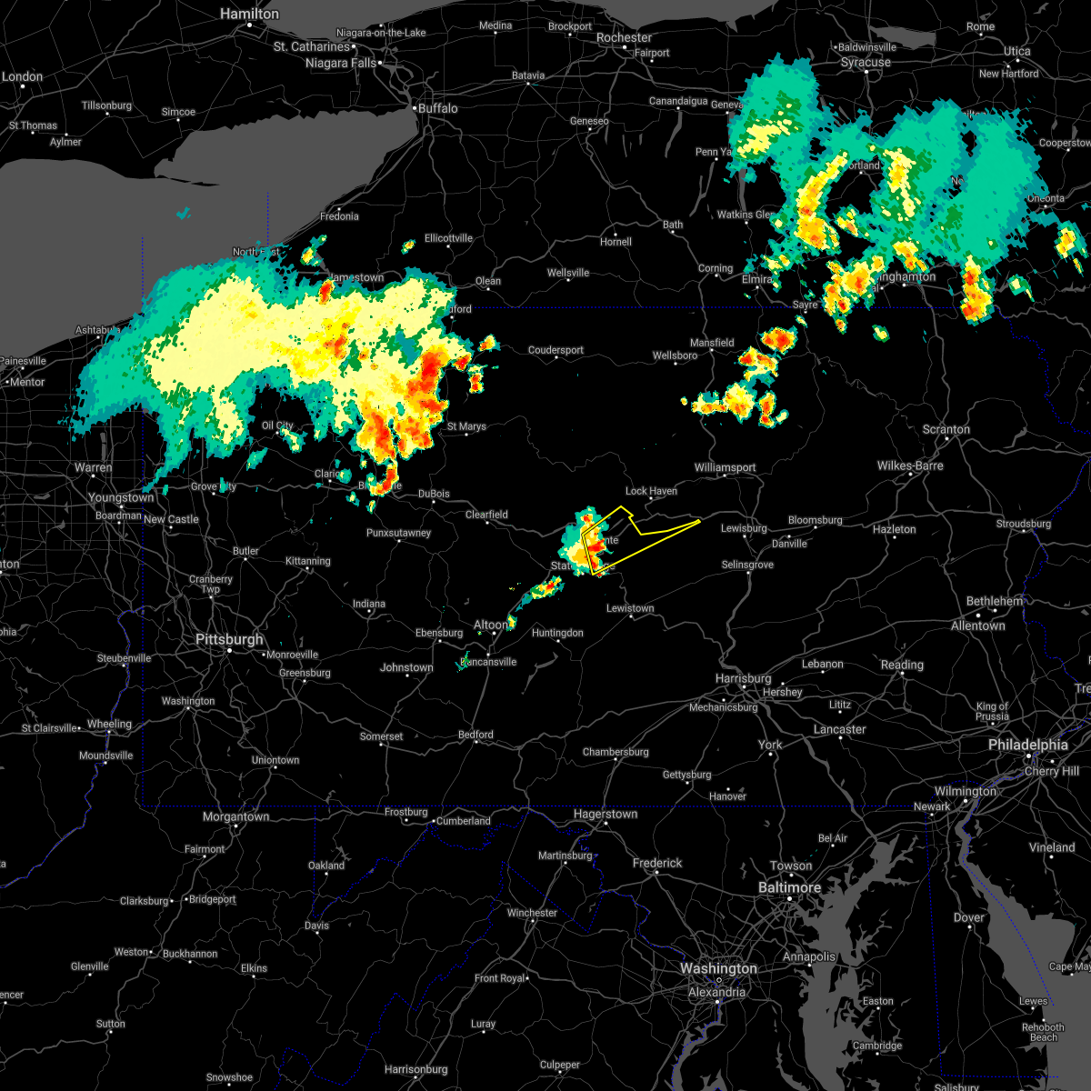 At 943 pm edt, a severe thunderstorm was located near zion, moving northeast at 30 mph (radar indicated). Hazards include 60 mph wind gusts. Expect damage to roofs, siding, and trees. locations impacted include, bellefonte, pleasant gap, lamar, lemont, zion, houserville, centre hall, milesburg, blanchard, rebersburg, madisonburg, bald eagle state park, howard, beech creek and mccall dam state park. for those driving on interstate 80, this includes areas between the snow shoe and lamar exits, specifically from mile markers 154 to 170. This includes interstate 99 from mile markers 77 to 85. At 943 pm edt, a severe thunderstorm was located near zion, moving northeast at 30 mph (radar indicated). Hazards include 60 mph wind gusts. Expect damage to roofs, siding, and trees. locations impacted include, bellefonte, pleasant gap, lamar, lemont, zion, houserville, centre hall, milesburg, blanchard, rebersburg, madisonburg, bald eagle state park, howard, beech creek and mccall dam state park. for those driving on interstate 80, this includes areas between the snow shoe and lamar exits, specifically from mile markers 154 to 170. This includes interstate 99 from mile markers 77 to 85.
|
| 6/29/2021 9:30 PM EDT |
 At 930 pm edt, a severe thunderstorm was located over bellefonte, moving northeast at 30 mph (radar indicated). Hazards include 60 mph wind gusts. expect damage to roofs, siding, and trees At 930 pm edt, a severe thunderstorm was located over bellefonte, moving northeast at 30 mph (radar indicated). Hazards include 60 mph wind gusts. expect damage to roofs, siding, and trees
|
| 6/21/2021 5:08 PM EDT |
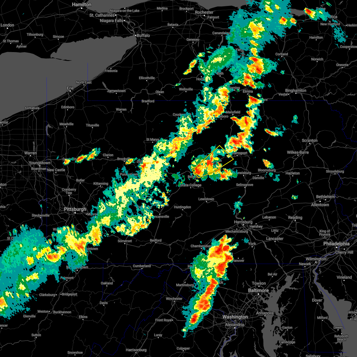 At 507 pm edt, severe thunderstorms were located along a line extending from near lock haven to castanea to mackeyville, moving northeast at 50 mph (radar indicated). Hazards include 60 mph wind gusts and nickel size hail. expect damage to roofs, siding, and trees At 507 pm edt, severe thunderstorms were located along a line extending from near lock haven to castanea to mackeyville, moving northeast at 50 mph (radar indicated). Hazards include 60 mph wind gusts and nickel size hail. expect damage to roofs, siding, and trees
|
| 6/14/2021 8:00 PM EDT |
 At 759 pm edt, a severe thunderstorm was located near west chester, moving east at 20 mph (radar indicated). Hazards include 70 mph wind gusts and quarter size hail. Minor damage to vehicles is possible. expect considerable tree damage. wind damage is also likely to mobile homes, roofs, and outbuildings. locations impacted include, philadelphia, west chester, norristown, phoenixville, west norriton, east norriton, coatesville, yeadon, westtown, downingtown, conshohocken, hatboro, ambler, jenkintown, narberth, parkesburg, east lansdowne, rockledge, abington and bryn athyn. this includes the following highways, pennsylvania turnpike between mile markers 309 and 350. northeast extension between mile markers 21 and 26. interstate 95 in pennsylvania between mile markers 22 and 33. interstate 76 in pennsylvania between mile markers 327 and 345. interstate 676 in pennsylvania between mile markers 0 and 1. Interstate 476 in pennsylvania between mile markers 5 and 19. At 759 pm edt, a severe thunderstorm was located near west chester, moving east at 20 mph (radar indicated). Hazards include 70 mph wind gusts and quarter size hail. Minor damage to vehicles is possible. expect considerable tree damage. wind damage is also likely to mobile homes, roofs, and outbuildings. locations impacted include, philadelphia, west chester, norristown, phoenixville, west norriton, east norriton, coatesville, yeadon, westtown, downingtown, conshohocken, hatboro, ambler, jenkintown, narberth, parkesburg, east lansdowne, rockledge, abington and bryn athyn. this includes the following highways, pennsylvania turnpike between mile markers 309 and 350. northeast extension between mile markers 21 and 26. interstate 95 in pennsylvania between mile markers 22 and 33. interstate 76 in pennsylvania between mile markers 327 and 345. interstate 676 in pennsylvania between mile markers 0 and 1. Interstate 476 in pennsylvania between mile markers 5 and 19.
|
| 6/14/2021 7:55 PM EDT |
 At 754 pm edt, a severe thunderstorm was located over downingtown, or near west chester, moving east at 20 mph. other storms were developing northeast into lower montgomery county and may also become severe (radar indicated). Hazards include 60 mph wind gusts and quarter size hail. Minor damage to vehicles is possible. Wind damage to roofs, siding, trees, and power lines is possible. At 754 pm edt, a severe thunderstorm was located over downingtown, or near west chester, moving east at 20 mph. other storms were developing northeast into lower montgomery county and may also become severe (radar indicated). Hazards include 60 mph wind gusts and quarter size hail. Minor damage to vehicles is possible. Wind damage to roofs, siding, trees, and power lines is possible.
|
| 5/26/2021 5:56 PM EDT |
 At 555 pm edt, severe thunderstorms were located along a line extending from near white house station to near new hope to valley forge, moving east at 30 mph (radar indicated). Hazards include 70 mph wind gusts and penny size hail. Expect considerable tree damage. damage is likely to mobile homes, roofs, and outbuildings. locations impacted include, philadelphia, ewing, norristown, phoenixville, lansdale, west norriton, east norriton, doylestown, byram, downingtown, conshohocken, hatboro, ambler, collegeville, flemington, jenkintown, narberth, chalfont, tinicum and pennington. this includes the following highways, pennsylvania turnpike between mile markers 311 and 349. northeast extension between mile markers 21 and 29. interstate 76 in pennsylvania between mile markers 327 and 338. interstate 295 in new jersey between mile markers 73 and 76. Interstate 476 in pennsylvania between mile markers 10 and 19. At 555 pm edt, severe thunderstorms were located along a line extending from near white house station to near new hope to valley forge, moving east at 30 mph (radar indicated). Hazards include 70 mph wind gusts and penny size hail. Expect considerable tree damage. damage is likely to mobile homes, roofs, and outbuildings. locations impacted include, philadelphia, ewing, norristown, phoenixville, lansdale, west norriton, east norriton, doylestown, byram, downingtown, conshohocken, hatboro, ambler, collegeville, flemington, jenkintown, narberth, chalfont, tinicum and pennington. this includes the following highways, pennsylvania turnpike between mile markers 311 and 349. northeast extension between mile markers 21 and 29. interstate 76 in pennsylvania between mile markers 327 and 338. interstate 295 in new jersey between mile markers 73 and 76. Interstate 476 in pennsylvania between mile markers 10 and 19.
|
| 5/26/2021 5:56 PM EDT |
 At 527 pm edt, severe thunderstorms were located along a line extending from milford to dublin to glenmoore, moving east at 30 mph (radar indicated). Hazards include 70 mph wind gusts and penny size hail. Expect considerable tree damage. Damage is likely to mobile homes, roofs, and outbuildings. At 527 pm edt, severe thunderstorms were located along a line extending from milford to dublin to glenmoore, moving east at 30 mph (radar indicated). Hazards include 70 mph wind gusts and penny size hail. Expect considerable tree damage. Damage is likely to mobile homes, roofs, and outbuildings.
|
| 5/26/2021 5:27 PM EDT |
 At 527 pm edt, severe thunderstorms were located along a line extending from milford to dublin to glenmoore, moving east at 30 mph (radar indicated). Hazards include 70 mph wind gusts and penny size hail. Expect considerable tree damage. Damage is likely to mobile homes, roofs, and outbuildings. At 527 pm edt, severe thunderstorms were located along a line extending from milford to dublin to glenmoore, moving east at 30 mph (radar indicated). Hazards include 70 mph wind gusts and penny size hail. Expect considerable tree damage. Damage is likely to mobile homes, roofs, and outbuildings.
|
| 5/26/2021 5:19 PM EDT |
 At 518 pm edt, severe thunderstorms were located along a line extending from springtown to near geryville to pughtown, moving east at 30 mph (radar indicated). Hazards include 70 mph wind gusts and penny size hail. Expect considerable tree damage. damage is likely to mobile homes, roofs, and outbuildings. locations impacted include, bethlehem, norristown, pottstown, phoenixville, lansdale, west norriton, east norriton, quakertown, perkasie, doylestown, souderton, bedminster, hellertown, collegeville, royersford, chalfont, tinicum, trappe, hatfield and east greenville. this includes the following highways, pennsylvania turnpike between mile markers 298 and 304, and between mile markers 330 and 333. northeast extension between mile markers 21 and 48. interstate 78 in pennsylvania between mile markers 66 and 72. Interstate 476 in pennsylvania between mile markers 18 and 19. At 518 pm edt, severe thunderstorms were located along a line extending from springtown to near geryville to pughtown, moving east at 30 mph (radar indicated). Hazards include 70 mph wind gusts and penny size hail. Expect considerable tree damage. damage is likely to mobile homes, roofs, and outbuildings. locations impacted include, bethlehem, norristown, pottstown, phoenixville, lansdale, west norriton, east norriton, quakertown, perkasie, doylestown, souderton, bedminster, hellertown, collegeville, royersford, chalfont, tinicum, trappe, hatfield and east greenville. this includes the following highways, pennsylvania turnpike between mile markers 298 and 304, and between mile markers 330 and 333. northeast extension between mile markers 21 and 48. interstate 78 in pennsylvania between mile markers 66 and 72. Interstate 476 in pennsylvania between mile markers 18 and 19.
|
| 5/26/2021 4:46 PM EDT |
 At 445 pm edt, severe thunderstorms were located along a line extending from near coffeetown to near bechtelsville to new morgan, moving east at 45 mph (radar indicated). Hazards include 70 mph wind gusts and penny size hail. Expect considerable tree damage. Damage is likely to mobile homes, roofs, and outbuildings. At 445 pm edt, severe thunderstorms were located along a line extending from near coffeetown to near bechtelsville to new morgan, moving east at 45 mph (radar indicated). Hazards include 70 mph wind gusts and penny size hail. Expect considerable tree damage. Damage is likely to mobile homes, roofs, and outbuildings.
|
| 3/28/2021 6:34 PM EDT |
 At 633 pm edt, severe thunderstorms were located along a line extending from chester springs to newark, moving east at 45 mph (radar indicated). Hazards include 60 mph wind gusts. Damage to roofs, siding, trees, and power lines is possible. locations impacted include, wilmington, newark, west chester, norristown, phoenixville, west norriton, east norriton, pennsville, westtown, carneys point, downingtown, elsmere, kennett square, new castle, penns grove, west grove, delaware city, newport, arden and stanton. this includes the following highways, pennsylvania turnpike between mile markers 310 and 331. northeast extension near mile marker 24. interstate 95 in pennsylvania between mile markers 0 and 1. interstate 95 in delaware between mile markers 1 and 23. interstate 76 in pennsylvania between mile markers 327 and 330. Interstate 476 in pennsylvania between mile markers 12 and 14. At 633 pm edt, severe thunderstorms were located along a line extending from chester springs to newark, moving east at 45 mph (radar indicated). Hazards include 60 mph wind gusts. Damage to roofs, siding, trees, and power lines is possible. locations impacted include, wilmington, newark, west chester, norristown, phoenixville, west norriton, east norriton, pennsville, westtown, carneys point, downingtown, elsmere, kennett square, new castle, penns grove, west grove, delaware city, newport, arden and stanton. this includes the following highways, pennsylvania turnpike between mile markers 310 and 331. northeast extension near mile marker 24. interstate 95 in pennsylvania between mile markers 0 and 1. interstate 95 in delaware between mile markers 1 and 23. interstate 76 in pennsylvania between mile markers 327 and 330. Interstate 476 in pennsylvania between mile markers 12 and 14.
|
| 3/28/2021 6:12 PM EDT |
 At 612 pm edt, severe thunderstorms were located along a line extending from honey brook to rising sun, moving east at 45 mph (radar indicated). Hazards include 60 mph wind gusts. damage to roofs, siding, trees, and power lines is possible At 612 pm edt, severe thunderstorms were located along a line extending from honey brook to rising sun, moving east at 45 mph (radar indicated). Hazards include 60 mph wind gusts. damage to roofs, siding, trees, and power lines is possible
|
| 11/30/2020 3:39 PM EST |
 The severe thunderstorm warning for northern new castle, northwestern salem, northwestern gloucester, southeastern montgomery, southeastern chester, philadelphia and delaware counties will expire at 345 pm est, the storm which prompted the warning has weakened below severe limits, and no longer poses an immediate threat to life or property. therefore, the warning will be allowed to expire. however gusty winds are still possible with this thunderstorm. a tornado watch remains in effect until 700 pm est for northern delaware, southern new jersey, and southeastern pennsylvania. The severe thunderstorm warning for northern new castle, northwestern salem, northwestern gloucester, southeastern montgomery, southeastern chester, philadelphia and delaware counties will expire at 345 pm est, the storm which prompted the warning has weakened below severe limits, and no longer poses an immediate threat to life or property. therefore, the warning will be allowed to expire. however gusty winds are still possible with this thunderstorm. a tornado watch remains in effect until 700 pm est for northern delaware, southern new jersey, and southeastern pennsylvania.
|
| 11/30/2020 3:28 PM EST |
 At 327 pm est, a severe thunderstorm was located over lima, or 10 miles east of west chester, moving northeast at 70 mph (radar indicated). Hazards include 60 mph wind gusts. Damage to roofs, siding, trees, and power lines is possible. locations impacted include, philadelphia, camden, wilmington, newark, middletown, west chester, norristown, chester, west norriton, east norriton, pennsville, yeadon, westtown, carneys point, conshohocken, folcroft, ambler, swarthmore, elsmere and paulsboro. this includes the following highways, pennsylvania turnpike between mile markers 320 and 340. northeast extension between mile markers 21 and 26. interstate 95 in pennsylvania between mile markers 0 and 15, and between mile markers 20 and 29. interstate 95 in delaware between mile markers 1 and 23. interstate 76 in pennsylvania between mile markers 327 and 349. interstate 295 in new jersey between mile markers 0 and 14. interstate 676 in pennsylvania between mile markers 0 and 1. Interstate 476 in pennsylvania between mile markers 0 and 19. At 327 pm est, a severe thunderstorm was located over lima, or 10 miles east of west chester, moving northeast at 70 mph (radar indicated). Hazards include 60 mph wind gusts. Damage to roofs, siding, trees, and power lines is possible. locations impacted include, philadelphia, camden, wilmington, newark, middletown, west chester, norristown, chester, west norriton, east norriton, pennsville, yeadon, westtown, carneys point, conshohocken, folcroft, ambler, swarthmore, elsmere and paulsboro. this includes the following highways, pennsylvania turnpike between mile markers 320 and 340. northeast extension between mile markers 21 and 26. interstate 95 in pennsylvania between mile markers 0 and 15, and between mile markers 20 and 29. interstate 95 in delaware between mile markers 1 and 23. interstate 76 in pennsylvania between mile markers 327 and 349. interstate 295 in new jersey between mile markers 0 and 14. interstate 676 in pennsylvania between mile markers 0 and 1. Interstate 476 in pennsylvania between mile markers 0 and 19.
|
| 11/30/2020 3:01 PM EST |
 At 301 pm est, a severe thunderstorm was located over elkton, moving northeast at 70 mph (radar indicated). Hazards include 60 mph wind gusts. damage to roofs, siding, trees, and power lines is possible At 301 pm est, a severe thunderstorm was located over elkton, moving northeast at 70 mph (radar indicated). Hazards include 60 mph wind gusts. damage to roofs, siding, trees, and power lines is possible
|
| 11/15/2020 7:20 PM EST |
 At 718 pm est, intense showers and embedded severe thunderstorms were located along a line extending from near dingmans ferry to harmony to near ottsville to near pottstown, moving east at 60 mph. this line may contain little or no lightning. do not wait until you hear thunder before taking cover (radar indicated). Hazards include 60 mph wind gusts. Damage to roofs, siding, trees, and power lines is possible. locations impacted include, easton, newton, montague, bethlehem, pottstown, dover, phoenixville, lansdale, west norriton, hopatcong, forks, east norriton, east stroudsburg, hackettstown, quakertown, perkasie, doylestown, byram, wilson and hatboro. this includes the following highways, pennsylvania turnpike between mile markers 342 and 347. northeast extension between mile markers 23 and 48. interstate 78 in pennsylvania between mile markers 62 and 76. interstate 78 in new jersey between mile markers 0 and 25. interstate 80 in pennsylvania between mile markers 309 and 314. Interstate 80 in new jersey between mile markers 0 and 38. At 718 pm est, intense showers and embedded severe thunderstorms were located along a line extending from near dingmans ferry to harmony to near ottsville to near pottstown, moving east at 60 mph. this line may contain little or no lightning. do not wait until you hear thunder before taking cover (radar indicated). Hazards include 60 mph wind gusts. Damage to roofs, siding, trees, and power lines is possible. locations impacted include, easton, newton, montague, bethlehem, pottstown, dover, phoenixville, lansdale, west norriton, hopatcong, forks, east norriton, east stroudsburg, hackettstown, quakertown, perkasie, doylestown, byram, wilson and hatboro. this includes the following highways, pennsylvania turnpike between mile markers 342 and 347. northeast extension between mile markers 23 and 48. interstate 78 in pennsylvania between mile markers 62 and 76. interstate 78 in new jersey between mile markers 0 and 25. interstate 80 in pennsylvania between mile markers 309 and 314. Interstate 80 in new jersey between mile markers 0 and 38.
|
| 11/15/2020 6:44 PM EST |
 At 643 pm est, intense showers and some embedded severe thunderstorms were located along a line extending from near sterling to near jordan valley to near fleetwood to near terre hill, moving northeast at 70 mph. this line may contain little or no lightning. do not wait until you hear thunder before taking cover (radar indicated). Hazards include 60 mph wind gusts. damage to roofs, siding, trees, and power lines is possible At 643 pm est, intense showers and some embedded severe thunderstorms were located along a line extending from near sterling to near jordan valley to near fleetwood to near terre hill, moving northeast at 70 mph. this line may contain little or no lightning. do not wait until you hear thunder before taking cover (radar indicated). Hazards include 60 mph wind gusts. damage to roofs, siding, trees, and power lines is possible
|
| 8/29/2020 7:49 PM EDT |
 At 749 pm edt, severe thunderstorms were located along a line extending from near clinton to royersford, moving southeast at 30 mph (radar indicated). Hazards include 60 mph wind gusts and penny size hail. Damage to roofs, siding, trees, and power lines is possible. locations impacted include, norristown, pottstown, phoenixville, lansdale, west norriton, east norriton, quakertown, perkasie, doylestown, byram, souderton, bedminster, collegeville, royersford, flemington, chalfont, tinicum, trappe, hatfield and clinton. this includes the following highways, pennsylvania turnpike between mile markers 326 and 328. northeast extension between mile markers 22 and 44. interstate 76 in pennsylvania near mile marker 327. Interstate 78 in new jersey between mile markers 8 and 18. At 749 pm edt, severe thunderstorms were located along a line extending from near clinton to royersford, moving southeast at 30 mph (radar indicated). Hazards include 60 mph wind gusts and penny size hail. Damage to roofs, siding, trees, and power lines is possible. locations impacted include, norristown, pottstown, phoenixville, lansdale, west norriton, east norriton, quakertown, perkasie, doylestown, byram, souderton, bedminster, collegeville, royersford, flemington, chalfont, tinicum, trappe, hatfield and clinton. this includes the following highways, pennsylvania turnpike between mile markers 326 and 328. northeast extension between mile markers 22 and 44. interstate 76 in pennsylvania near mile marker 327. Interstate 78 in new jersey between mile markers 8 and 18.
|
| 8/29/2020 7:16 PM EDT |
 At 716 pm edt, severe thunderstorms were located along a line extending from harmony to near birdsboro, moving southeast at 35 mph (radar indicated). Hazards include 60 mph wind gusts and quarter size hail. Minor damage to vehicles is possible. Wind damage to roofs, siding, trees, and power lines is possible. At 716 pm edt, severe thunderstorms were located along a line extending from harmony to near birdsboro, moving southeast at 35 mph (radar indicated). Hazards include 60 mph wind gusts and quarter size hail. Minor damage to vehicles is possible. Wind damage to roofs, siding, trees, and power lines is possible.
|
| 8/28/2020 4:10 PM EDT |
 At 410 pm edt, severe thunderstorms were located along a line extending from doylestown to collegeville, moving southeast at 45 mph (radar indicated). Hazards include 70 mph wind gusts and quarter size hail. Minor damage to vehicles is possible. expect considerable tree damage. wind damage is also likely to mobile homes, roofs, and outbuildings. locations impacted include, philadelphia, camden, west chester, bensalem, ewing, norristown, phoenixville, lansdale, west norriton, east norriton, yeadon, westtown, burlington, bristol, perkasie, doylestown, byram, conshohocken, palmyra and hatboro. this includes the following highways, pennsylvania turnpike between mile markers 321 and 358. northeast extension between mile markers 21 and 38. interstate 95 in pennsylvania between mile markers 10 and 40. interstate 76 in pennsylvania between mile markers 327 and 351. interstate 676 in pennsylvania between mile markers 0 and 1. Interstate 476 in pennsylvania between mile markers 4 and 19. At 410 pm edt, severe thunderstorms were located along a line extending from doylestown to collegeville, moving southeast at 45 mph (radar indicated). Hazards include 70 mph wind gusts and quarter size hail. Minor damage to vehicles is possible. expect considerable tree damage. wind damage is also likely to mobile homes, roofs, and outbuildings. locations impacted include, philadelphia, camden, west chester, bensalem, ewing, norristown, phoenixville, lansdale, west norriton, east norriton, yeadon, westtown, burlington, bristol, perkasie, doylestown, byram, conshohocken, palmyra and hatboro. this includes the following highways, pennsylvania turnpike between mile markers 321 and 358. northeast extension between mile markers 21 and 38. interstate 95 in pennsylvania between mile markers 10 and 40. interstate 76 in pennsylvania between mile markers 327 and 351. interstate 676 in pennsylvania between mile markers 0 and 1. Interstate 476 in pennsylvania between mile markers 4 and 19.
|
| 8/28/2020 3:56 PM EDT |
 At 355 pm edt, severe thunderstorms were located along a line extending from near perkasie to pottstown, moving southeast at 45 mph (radar indicated). Hazards include 60 mph wind gusts and quarter size hail. Minor damage to vehicles is possible. Wind damage to roofs, siding, trees, and power lines is possible. At 355 pm edt, severe thunderstorms were located along a line extending from near perkasie to pottstown, moving southeast at 45 mph (radar indicated). Hazards include 60 mph wind gusts and quarter size hail. Minor damage to vehicles is possible. Wind damage to roofs, siding, trees, and power lines is possible.
|
| 8/27/2020 8:45 PM EDT |
 At 845 pm edt, severe thunderstorms were located along a line extending from alpha to near pughtown, moving southeast at 50 mph (radar indicated. this storm has a history of producing wind gusts over 60 mph). Hazards include 60 mph wind gusts and quarter size hail. Minor damage to vehicles is possible. wind damage to roofs, siding, trees, and power lines is possible. locations impacted include, allentown, norristown, pottstown, phoenixville, lansdale, west norriton, east norriton, emmaus, quakertown, perkasie, doylestown, conshohocken, hatboro, souderton, bedminster, ambler, collegeville, royersford, chalfont and trappe. this includes the following highways, pennsylvania turnpike between mile markers 323 and 343. northeast extension between mile markers 21 and 52. interstate 76 in pennsylvania between mile markers 327 and 335. interstate 78 in pennsylvania between mile markers 59 and 63. Interstate 476 in pennsylvania between mile markers 14 and 19. At 845 pm edt, severe thunderstorms were located along a line extending from alpha to near pughtown, moving southeast at 50 mph (radar indicated. this storm has a history of producing wind gusts over 60 mph). Hazards include 60 mph wind gusts and quarter size hail. Minor damage to vehicles is possible. wind damage to roofs, siding, trees, and power lines is possible. locations impacted include, allentown, norristown, pottstown, phoenixville, lansdale, west norriton, east norriton, emmaus, quakertown, perkasie, doylestown, conshohocken, hatboro, souderton, bedminster, ambler, collegeville, royersford, chalfont and trappe. this includes the following highways, pennsylvania turnpike between mile markers 323 and 343. northeast extension between mile markers 21 and 52. interstate 76 in pennsylvania between mile markers 327 and 335. interstate 78 in pennsylvania between mile markers 59 and 63. Interstate 476 in pennsylvania between mile markers 14 and 19.
|
| 8/27/2020 8:26 PM EDT |
 At 826 pm edt, severe thunderstorms were located along a line extending from near beersville to near wyomissing, moving southeast at 50 mph (radar indicated. a wind gust of 58 mph was also recently reported at reading airport). Hazards include 60 mph wind gusts and quarter size hail. Minor damage to vehicles is possible. Wind damage to roofs, siding, trees, and power lines is possible. At 826 pm edt, severe thunderstorms were located along a line extending from near beersville to near wyomissing, moving southeast at 50 mph (radar indicated. a wind gust of 58 mph was also recently reported at reading airport). Hazards include 60 mph wind gusts and quarter size hail. Minor damage to vehicles is possible. Wind damage to roofs, siding, trees, and power lines is possible.
|
| 8/4/2020 10:51 AM EDT |
 At 1051 am edt, a severe thunderstorm capable of producing a tornado was located near east norriton, or 18 miles northwest of philadelphia, moving northwest at 40 mph (radar indicated rotation). Hazards include tornado. Flying debris will be dangerous to those caught without shelter. mobile homes will be damaged or destroyed. damage to roofs, windows, and vehicles will occur. Tree damage is likely. At 1051 am edt, a severe thunderstorm capable of producing a tornado was located near east norriton, or 18 miles northwest of philadelphia, moving northwest at 40 mph (radar indicated rotation). Hazards include tornado. Flying debris will be dangerous to those caught without shelter. mobile homes will be damaged or destroyed. damage to roofs, windows, and vehicles will occur. Tree damage is likely.
|
| 7/24/2020 12:42 AM EDT |
 At 1242 am edt, a severe thunderstorm was located over chalfont, or 18 miles north of philadelphia, moving east at 55 mph (radar indicated). Hazards include 60 mph wind gusts and penny size hail. damage to roofs, siding, trees, and power lines is possible At 1242 am edt, a severe thunderstorm was located over chalfont, or 18 miles north of philadelphia, moving east at 55 mph (radar indicated). Hazards include 60 mph wind gusts and penny size hail. damage to roofs, siding, trees, and power lines is possible
|
| 7/22/2020 5:29 PM EDT |
 At 528 pm edt, severe thunderstorms were located along a line extending from pleasant valley to near collegeville, moving east at 30 mph (law enforcement). Hazards include 60 mph wind gusts and penny size hail. Damage to roofs, siding, trees, and power lines is possible. locations impacted include, philadelphia, norristown, phoenixville, lansdale, west norriton, east norriton, quakertown, perkasie, doylestown, conshohocken, souderton, bedminster, ambler, collegeville, royersford, narberth, chalfont, tinicum, trappe and hatfield. this includes the following highways, pennsylvania turnpike between mile markers 312 and 339. northeast extension between mile markers 21 and 48. interstate 76 in pennsylvania between mile markers 327 and 339. Interstate 476 in pennsylvania between mile markers 12 and 19. At 528 pm edt, severe thunderstorms were located along a line extending from pleasant valley to near collegeville, moving east at 30 mph (law enforcement). Hazards include 60 mph wind gusts and penny size hail. Damage to roofs, siding, trees, and power lines is possible. locations impacted include, philadelphia, norristown, phoenixville, lansdale, west norriton, east norriton, quakertown, perkasie, doylestown, conshohocken, souderton, bedminster, ambler, collegeville, royersford, narberth, chalfont, tinicum, trappe and hatfield. this includes the following highways, pennsylvania turnpike between mile markers 312 and 339. northeast extension between mile markers 21 and 48. interstate 76 in pennsylvania between mile markers 327 and 339. Interstate 476 in pennsylvania between mile markers 12 and 19.
|
| 7/22/2020 5:09 PM EDT |
 The national weather service in mount holly nj has issued a * severe thunderstorm warning for. east central berks county in eastern pennsylvania. southeastern lehigh county in eastern pennsylvania. montgomery county in southeastern pennsylvania. Northwestern bucks county in southeastern pennsylvania. The national weather service in mount holly nj has issued a * severe thunderstorm warning for. east central berks county in eastern pennsylvania. southeastern lehigh county in eastern pennsylvania. montgomery county in southeastern pennsylvania. Northwestern bucks county in southeastern pennsylvania.
|
| 7/6/2020 5:53 PM EDT |
 At 553 pm edt, severe thunderstorms were located along a line extending from near green lane to fleetwood, moving southeast at 10 mph (radar indicated). Hazards include 60 mph wind gusts and quarter size hail. Minor damage to vehicles is possible. Wind damage to roofs, siding, trees, and power lines is possible. At 553 pm edt, severe thunderstorms were located along a line extending from near green lane to fleetwood, moving southeast at 10 mph (radar indicated). Hazards include 60 mph wind gusts and quarter size hail. Minor damage to vehicles is possible. Wind damage to roofs, siding, trees, and power lines is possible.
|
| 7/6/2020 3:52 PM EDT |
 At 352 pm edt, severe thunderstorms were located along a line extending from near royersford to valley forge to conshohocken, moving southeast at 5 mph (radar indicated). Hazards include 60 mph wind gusts and quarter size hail. Minor damage to vehicles is possible. Wind damage to roofs, siding, trees, and power lines is possible. At 352 pm edt, severe thunderstorms were located along a line extending from near royersford to valley forge to conshohocken, moving southeast at 5 mph (radar indicated). Hazards include 60 mph wind gusts and quarter size hail. Minor damage to vehicles is possible. Wind damage to roofs, siding, trees, and power lines is possible.
|
| 7/6/2020 3:34 PM EDT |
 At 334 pm edt, severe thunderstorms were located along a line extending from near royersford to conshohocken, and are nearly stationary (radar indicated). Hazards include 60 mph wind gusts and quarter size hail. Minor damage to vehicles is possible. wind damage to roofs, siding, trees, and power lines is possible. locations impacted include, philadelphia, norristown, phoenixville, west norriton, east norriton, conshohocken, collegeville, royersford, narberth, trappe, bryn mawr, trout lake, radnor township, valley forge, plymouth meeting, paoli, king of prussia, bridgeport, spring city and malvern. this includes the following highways, pennsylvania turnpike between mile markers 317 and 335. northeast extension between mile markers 21 and 26. interstate 76 in pennsylvania between mile markers 327 and 337. Interstate 476 in pennsylvania between mile markers 10 and 19. At 334 pm edt, severe thunderstorms were located along a line extending from near royersford to conshohocken, and are nearly stationary (radar indicated). Hazards include 60 mph wind gusts and quarter size hail. Minor damage to vehicles is possible. wind damage to roofs, siding, trees, and power lines is possible. locations impacted include, philadelphia, norristown, phoenixville, west norriton, east norriton, conshohocken, collegeville, royersford, narberth, trappe, bryn mawr, trout lake, radnor township, valley forge, plymouth meeting, paoli, king of prussia, bridgeport, spring city and malvern. this includes the following highways, pennsylvania turnpike between mile markers 317 and 335. northeast extension between mile markers 21 and 26. interstate 76 in pennsylvania between mile markers 327 and 337. Interstate 476 in pennsylvania between mile markers 10 and 19.
|
| 7/6/2020 3:11 PM EDT |
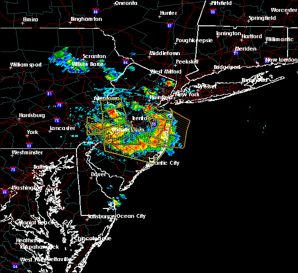 At 310 pm edt, severe thunderstorms were located along a line extending from phoenixville to plymouth meeting, moving south at 5 mph (radar indicated). Hazards include 60 mph wind gusts and quarter size hail. Minor damage to vehicles is possible. Wind damage to roofs, siding, trees, and power lines is possible. At 310 pm edt, severe thunderstorms were located along a line extending from phoenixville to plymouth meeting, moving south at 5 mph (radar indicated). Hazards include 60 mph wind gusts and quarter size hail. Minor damage to vehicles is possible. Wind damage to roofs, siding, trees, and power lines is possible.
|
| 7/6/2020 2:43 PM EDT |
 At 242 pm edt, a severe thunderstorm was located over east norriton, or 13 miles northwest of philadelphia, moving southeast at 20 mph (radar indicated). Hazards include 60 mph wind gusts and quarter size hail. Minor damage to vehicles is possible. wind damage to roofs, siding, trees, and power lines is possible. locations impacted include, norristown, west norriton, east norriton, conshohocken, collegeville, royersford, trappe, schwenksville, king of prussia, spring mount, plymouth meeting, skippack, bridgeport, west conshohocken, evansburg, audubon, eagleville, trooper, kulpsville and sanatoga. this includes the following highways, pennsylvania turnpike between mile markers 328 and 333. northeast extension between mile markers 22 and 29. interstate 76 in pennsylvania between mile markers 330 and 333. Interstate 476 in pennsylvania between mile markers 16 and 19. At 242 pm edt, a severe thunderstorm was located over east norriton, or 13 miles northwest of philadelphia, moving southeast at 20 mph (radar indicated). Hazards include 60 mph wind gusts and quarter size hail. Minor damage to vehicles is possible. wind damage to roofs, siding, trees, and power lines is possible. locations impacted include, norristown, west norriton, east norriton, conshohocken, collegeville, royersford, trappe, schwenksville, king of prussia, spring mount, plymouth meeting, skippack, bridgeport, west conshohocken, evansburg, audubon, eagleville, trooper, kulpsville and sanatoga. this includes the following highways, pennsylvania turnpike between mile markers 328 and 333. northeast extension between mile markers 22 and 29. interstate 76 in pennsylvania between mile markers 330 and 333. Interstate 476 in pennsylvania between mile markers 16 and 19.
|
| 7/6/2020 2:27 PM EDT |
 At 227 pm edt, a severe thunderstorm was located over collegeville, or 18 miles northeast of west chester, moving southeast at 20 mph (radar indicated). Hazards include 60 mph wind gusts and quarter size hail. Minor damage to vehicles is possible. Wind damage to roofs, siding, trees, and power lines is possible. At 227 pm edt, a severe thunderstorm was located over collegeville, or 18 miles northeast of west chester, moving southeast at 20 mph (radar indicated). Hazards include 60 mph wind gusts and quarter size hail. Minor damage to vehicles is possible. Wind damage to roofs, siding, trees, and power lines is possible.
|
| 6/4/2020 10:55 PM EDT |
 At 1054 pm edt, severe thunderstorms were located along a line extending from near hatfield to near chestnut hill to tinicum township, moving east at 40 mph (radar indicated). Hazards include 60 mph wind gusts. Damage to roofs, siding, trees, and power lines is possible. locations impacted include, philadelphia, camden, gloucester city, cherry hill, bensalem, mount laurel, norristown, chester, willingboro, lansdale, west norriton, east norriton, lumberton, florence, bellmawr, yeadon, woodbury, burlington, bristol and mount holly. this includes the following highways, interstate 295 in new jersey between mile markers 20 and 55. interstate 95 in pennsylvania between mile markers 2 and 40. new jersey turnpike between exits 4 and 6a. interstate 476 in pennsylvania between mile markers 0 and 19. pennsylvania turnpike between exits 326 and 353. northeast extension between exits a20 and a31. interstate 676 in new jersey between mile markers 0 and 4. interstate 676 in pennsylvania between mile markers 0 and 1. interstate 76 in new jersey between mile markers 0 and 3. Interstate 76 in pennsylvania between mile markers 327 and 351. At 1054 pm edt, severe thunderstorms were located along a line extending from near hatfield to near chestnut hill to tinicum township, moving east at 40 mph (radar indicated). Hazards include 60 mph wind gusts. Damage to roofs, siding, trees, and power lines is possible. locations impacted include, philadelphia, camden, gloucester city, cherry hill, bensalem, mount laurel, norristown, chester, willingboro, lansdale, west norriton, east norriton, lumberton, florence, bellmawr, yeadon, woodbury, burlington, bristol and mount holly. this includes the following highways, interstate 295 in new jersey between mile markers 20 and 55. interstate 95 in pennsylvania between mile markers 2 and 40. new jersey turnpike between exits 4 and 6a. interstate 476 in pennsylvania between mile markers 0 and 19. pennsylvania turnpike between exits 326 and 353. northeast extension between exits a20 and a31. interstate 676 in new jersey between mile markers 0 and 4. interstate 676 in pennsylvania between mile markers 0 and 1. interstate 76 in new jersey between mile markers 0 and 3. Interstate 76 in pennsylvania between mile markers 327 and 351.
|
| 6/4/2020 10:44 PM EDT |
 At 1043 pm edt, severe thunderstorms were located along a line extending from near spring mount to near valley forge to chester township, moving northeast at 40 mph. radar data shows an area of more focused damaging winds moving into far northern delaware county (radar indicated). Hazards include 60 mph wind gusts. Damage to roofs, siding, trees, and power lines is possible. locations impacted include, philadelphia, camden, wilmington, gloucester city, cherry hill, bensalem, mount laurel, norristown, chester, willingboro, pottstown, west deptford, phoenixville, lansdale, west norriton, east norriton, lumberton, florence, bellmawr and yeadon. this includes the following highways, interstate 295 in new jersey between mile markers 20 and 55. interstate 95 in pennsylvania between mile markers 0 and 40. new jersey turnpike between exits 4 and 6a. interstate 95 in delaware between mile markers 15 and 23. interstate 476 in pennsylvania between mile markers 0 and 19. pennsylvania turnpike between exits 320 and 353. northeast extension between exits a20 and a31. interstate 676 in new jersey between mile markers 0 and 4. interstate 676 in pennsylvania between mile markers 0 and 1. interstate 76 in new jersey between mile markers 0 and 3. Interstate 76 in pennsylvania between mile markers 327 and 351. At 1043 pm edt, severe thunderstorms were located along a line extending from near spring mount to near valley forge to chester township, moving northeast at 40 mph. radar data shows an area of more focused damaging winds moving into far northern delaware county (radar indicated). Hazards include 60 mph wind gusts. Damage to roofs, siding, trees, and power lines is possible. locations impacted include, philadelphia, camden, wilmington, gloucester city, cherry hill, bensalem, mount laurel, norristown, chester, willingboro, pottstown, west deptford, phoenixville, lansdale, west norriton, east norriton, lumberton, florence, bellmawr and yeadon. this includes the following highways, interstate 295 in new jersey between mile markers 20 and 55. interstate 95 in pennsylvania between mile markers 0 and 40. new jersey turnpike between exits 4 and 6a. interstate 95 in delaware between mile markers 15 and 23. interstate 476 in pennsylvania between mile markers 0 and 19. pennsylvania turnpike between exits 320 and 353. northeast extension between exits a20 and a31. interstate 676 in new jersey between mile markers 0 and 4. interstate 676 in pennsylvania between mile markers 0 and 1. interstate 76 in new jersey between mile markers 0 and 3. Interstate 76 in pennsylvania between mile markers 327 and 351.
|
| 6/4/2020 10:44 PM EDT |
 At 1030 pm edt, severe thunderstorms were located along a line extending from near cedarville to near west chester to near talleyville, moving northeast at 40 mph (radar indicated). Hazards include 60 mph wind gusts. damage to roofs, siding, trees, and power lines is possible At 1030 pm edt, severe thunderstorms were located along a line extending from near cedarville to near west chester to near talleyville, moving northeast at 40 mph (radar indicated). Hazards include 60 mph wind gusts. damage to roofs, siding, trees, and power lines is possible
|
| 6/4/2020 10:44 PM EDT |
 At 1043 pm edt, severe thunderstorms were located along a line extending from near spring mount to near valley forge to chester township, moving northeast at 40 mph. radar data shows an area of more focused damaging winds moving into far northern delaware county (radar indicated). Hazards include 60 mph wind gusts. Damage to roofs, siding, trees, and power lines is possible. locations impacted include, philadelphia, camden, wilmington, gloucester city, cherry hill, bensalem, mount laurel, norristown, chester, willingboro, pottstown, west deptford, phoenixville, lansdale, west norriton, east norriton, lumberton, florence, bellmawr and yeadon. this includes the following highways, interstate 295 in new jersey between mile markers 20 and 55. interstate 95 in pennsylvania between mile markers 0 and 40. new jersey turnpike between exits 4 and 6a. interstate 95 in delaware between mile markers 15 and 23. interstate 476 in pennsylvania between mile markers 0 and 19. pennsylvania turnpike between exits 320 and 353. northeast extension between exits a20 and a31. interstate 676 in new jersey between mile markers 0 and 4. interstate 676 in pennsylvania between mile markers 0 and 1. interstate 76 in new jersey between mile markers 0 and 3. Interstate 76 in pennsylvania between mile markers 327 and 351. At 1043 pm edt, severe thunderstorms were located along a line extending from near spring mount to near valley forge to chester township, moving northeast at 40 mph. radar data shows an area of more focused damaging winds moving into far northern delaware county (radar indicated). Hazards include 60 mph wind gusts. Damage to roofs, siding, trees, and power lines is possible. locations impacted include, philadelphia, camden, wilmington, gloucester city, cherry hill, bensalem, mount laurel, norristown, chester, willingboro, pottstown, west deptford, phoenixville, lansdale, west norriton, east norriton, lumberton, florence, bellmawr and yeadon. this includes the following highways, interstate 295 in new jersey between mile markers 20 and 55. interstate 95 in pennsylvania between mile markers 0 and 40. new jersey turnpike between exits 4 and 6a. interstate 95 in delaware between mile markers 15 and 23. interstate 476 in pennsylvania between mile markers 0 and 19. pennsylvania turnpike between exits 320 and 353. northeast extension between exits a20 and a31. interstate 676 in new jersey between mile markers 0 and 4. interstate 676 in pennsylvania between mile markers 0 and 1. interstate 76 in new jersey between mile markers 0 and 3. Interstate 76 in pennsylvania between mile markers 327 and 351.
|
| 6/4/2020 10:31 PM EDT |
 At 1030 pm edt, severe thunderstorms were located along a line extending from near cedarville to near west chester to near talleyville, moving northeast at 40 mph (radar indicated). Hazards include 60 mph wind gusts. damage to roofs, siding, trees, and power lines is possible At 1030 pm edt, severe thunderstorms were located along a line extending from near cedarville to near west chester to near talleyville, moving northeast at 40 mph (radar indicated). Hazards include 60 mph wind gusts. damage to roofs, siding, trees, and power lines is possible
|
| 6/3/2020 7:08 PM EDT |
 At 707 pm edt, severe thunderstorms were located along a line extending from near westtown to gradyville to norristown, moving southeast at 50 mph. these are very dangerous storms (emergency management). Hazards include 80 mph wind gusts and quarter size hail. Flying debris will be dangerous to those caught without shelter. mobile homes will be heavily damaged. expect considerable damage to roofs, windows, and vehicles. extensive tree damage and power outages are likely. locations impacted include, philadelphia, camden, wilmington, vineland, west chester, gloucester city, cherry hill, evesham, mount laurel, norristown, chester, deptford, voorhees, medford, west deptford, glassboro, lindenwold, phoenixville, west norriton and east norriton. this includes the following highways, atlantic city expressway between mile markers 30 and 44. interstate 295 in new jersey between mile markers 4 and 42. interstate 95 in pennsylvania between mile markers 0 and 32. new jersey turnpike between exits 1 and 4. interstate 95 in delaware between mile markers 15 and 23. interstate 476 in pennsylvania between mile markers 0 and 19. pennsylvania turnpike between exits 312 and 340. northeast extension near exit a20. interstate 676 in new jersey between mile markers 0 and 4. interstate 676 in pennsylvania between mile markers 0 and 1. interstate 76 in new jersey between mile markers 0 and 3. Interstate 76 in pennsylvania between mile markers 327 and 351. At 707 pm edt, severe thunderstorms were located along a line extending from near westtown to gradyville to norristown, moving southeast at 50 mph. these are very dangerous storms (emergency management). Hazards include 80 mph wind gusts and quarter size hail. Flying debris will be dangerous to those caught without shelter. mobile homes will be heavily damaged. expect considerable damage to roofs, windows, and vehicles. extensive tree damage and power outages are likely. locations impacted include, philadelphia, camden, wilmington, vineland, west chester, gloucester city, cherry hill, evesham, mount laurel, norristown, chester, deptford, voorhees, medford, west deptford, glassboro, lindenwold, phoenixville, west norriton and east norriton. this includes the following highways, atlantic city expressway between mile markers 30 and 44. interstate 295 in new jersey between mile markers 4 and 42. interstate 95 in pennsylvania between mile markers 0 and 32. new jersey turnpike between exits 1 and 4. interstate 95 in delaware between mile markers 15 and 23. interstate 476 in pennsylvania between mile markers 0 and 19. pennsylvania turnpike between exits 312 and 340. northeast extension near exit a20. interstate 676 in new jersey between mile markers 0 and 4. interstate 676 in pennsylvania between mile markers 0 and 1. interstate 76 in new jersey between mile markers 0 and 3. Interstate 76 in pennsylvania between mile markers 327 and 351.
|
| 6/3/2020 7:02 PM EDT |
 At 701 pm edt, severe thunderstorms were located along a line extending from marshallton to near paoli to near west norriton, moving southeast at 50 mph (emergency management). Hazards include 70 mph wind gusts and quarter size hail. Minor damage to vehicles is possible. expect considerable tree damage. Wind damage is also likely to mobile homes, roofs, and outbuildings. At 701 pm edt, severe thunderstorms were located along a line extending from marshallton to near paoli to near west norriton, moving southeast at 50 mph (emergency management). Hazards include 70 mph wind gusts and quarter size hail. Minor damage to vehicles is possible. expect considerable tree damage. Wind damage is also likely to mobile homes, roofs, and outbuildings.
|
| 6/3/2020 6:54 PM EDT |
 At 653 pm edt, severe thunderstorms were located along a line extending from near glenmoore to chester springs to phoenixville, moving southeast at 40 mph (emergency management). Hazards include 70 mph wind gusts. Expect considerable tree damage. damage is likely to mobile homes, roofs, and outbuildings. locations impacted include, west chester, norristown, pottstown, phoenixville, west norriton, coatesville, downingtown, collegeville, royersford, parkesburg, trappe, honey brook, elverson, cochranville, pughtown, marshallton, lionville-marchwood, valley forge, glenmoore and paoli. this includes the following highways, pennsylvania turnpike between exits 312 and 326. Interstate 76 in pennsylvania between mile markers 327 and 328. At 653 pm edt, severe thunderstorms were located along a line extending from near glenmoore to chester springs to phoenixville, moving southeast at 40 mph (emergency management). Hazards include 70 mph wind gusts. Expect considerable tree damage. damage is likely to mobile homes, roofs, and outbuildings. locations impacted include, west chester, norristown, pottstown, phoenixville, west norriton, coatesville, downingtown, collegeville, royersford, parkesburg, trappe, honey brook, elverson, cochranville, pughtown, marshallton, lionville-marchwood, valley forge, glenmoore and paoli. this includes the following highways, pennsylvania turnpike between exits 312 and 326. Interstate 76 in pennsylvania between mile markers 327 and 328.
|
| 6/3/2020 6:26 PM EDT |
 At 625 pm edt, severe thunderstorms were located along a line extending from adamstown to near birdsboro to 6 miles southwest of bechtelsville, moving southeast at 30 mph (radar indicated). Hazards include 70 mph wind gusts. Expect considerable tree damage. Damage is likely to mobile homes, roofs, and outbuildings. At 625 pm edt, severe thunderstorms were located along a line extending from adamstown to near birdsboro to 6 miles southwest of bechtelsville, moving southeast at 30 mph (radar indicated). Hazards include 70 mph wind gusts. Expect considerable tree damage. Damage is likely to mobile homes, roofs, and outbuildings.
|
| 6/3/2020 5:11 PM EDT |
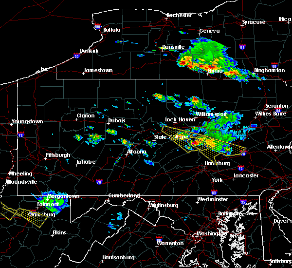 The severe thunderstorm warning for east central centre, southern union and south central clinton counties will expire at 515 pm edt, the storm which prompted the warning has moved out of the area. therefore, the warning will be allowed to expire. a severe thunderstorm watch remains in effect until 1000 pm edt for central and north central pennsylvania. to report severe weather, contact your nearest law enforcement agency. they will relay your report to the national weather service state college pa. The severe thunderstorm warning for east central centre, southern union and south central clinton counties will expire at 515 pm edt, the storm which prompted the warning has moved out of the area. therefore, the warning will be allowed to expire. a severe thunderstorm watch remains in effect until 1000 pm edt for central and north central pennsylvania. to report severe weather, contact your nearest law enforcement agency. they will relay your report to the national weather service state college pa.
|
| 6/3/2020 4:52 PM EDT |
 At 452 pm edt, a severe thunderstorm was located over troxelville, moving southeast at 50 mph (radar indicated). Hazards include 60 mph wind gusts and quarter size hail. Hail damage to vehicles is expected. expect wind damage to trees, roofs, and siding. locations impacted include, mifflinburg, woodward, winfield, lamar, millheim, blanchard, penns creek, aaronsburg, rebersburg, coburn, madisonburg, weikert, bald eagle state park, laurelton center, new berlin, howard, beech creek and hartleton. For those driving on interstate 80, this includes areas between the bellefonte and lock haven exits, specifically from mile markers 164 to 175. At 452 pm edt, a severe thunderstorm was located over troxelville, moving southeast at 50 mph (radar indicated). Hazards include 60 mph wind gusts and quarter size hail. Hail damage to vehicles is expected. expect wind damage to trees, roofs, and siding. locations impacted include, mifflinburg, woodward, winfield, lamar, millheim, blanchard, penns creek, aaronsburg, rebersburg, coburn, madisonburg, weikert, bald eagle state park, laurelton center, new berlin, howard, beech creek and hartleton. For those driving on interstate 80, this includes areas between the bellefonte and lock haven exits, specifically from mile markers 164 to 175.
|
| 6/3/2020 4:11 PM EDT |
 At 410 pm edt, a severe thunderstorm was located over monument, moving southeast at 35 mph (radar indicated). Hazards include 60 mph wind gusts and quarter size hail. Hail damage to vehicles is expected. Expect wind damage to trees, roofs, and siding. At 410 pm edt, a severe thunderstorm was located over monument, moving southeast at 35 mph (radar indicated). Hazards include 60 mph wind gusts and quarter size hail. Hail damage to vehicles is expected. Expect wind damage to trees, roofs, and siding.
|
| 6/3/2020 12:02 PM EDT |
 At 1200 pm edt, severe thunderstorms were located along a line extending from near springtown to near souderton to royersford, moving east at 70 mph. these are very dangerous storms (radar indicated). Hazards include 80 mph wind gusts and penny size hail. Flying debris will be dangerous to those caught without shelter. mobile homes will be heavily damaged. expect considerable damage to roofs, windows, and vehicles. extensive tree damage and power outages are likely. locations impacted include, allentown, reading, pottstown, lansdale, east norriton, emmaus, quakertown, perkasie, doylestown, byram, souderton, bedminster, hellertown, birdsboro, collegeville, royersford, flemington, chalfont, tinicum and trappe. this includes the following highways, interstate 78 in pennsylvania between mile markers 51 and 64. northeast extension between exits a31 and a56. Interstate 176 in pennsylvania between mile markers 6 and 11. At 1200 pm edt, severe thunderstorms were located along a line extending from near springtown to near souderton to royersford, moving east at 70 mph. these are very dangerous storms (radar indicated). Hazards include 80 mph wind gusts and penny size hail. Flying debris will be dangerous to those caught without shelter. mobile homes will be heavily damaged. expect considerable damage to roofs, windows, and vehicles. extensive tree damage and power outages are likely. locations impacted include, allentown, reading, pottstown, lansdale, east norriton, emmaus, quakertown, perkasie, doylestown, byram, souderton, bedminster, hellertown, birdsboro, collegeville, royersford, flemington, chalfont, tinicum and trappe. this includes the following highways, interstate 78 in pennsylvania between mile markers 51 and 64. northeast extension between exits a31 and a56. Interstate 176 in pennsylvania between mile markers 6 and 11.
|
| 6/3/2020 11:59 AM EDT |
 At 1157 am edt, severe thunderstorms were located along a line extending from near ferndale to near trappe to near honey brook, moving east at 90 mph. these are very dangerous storms (radar indicated). Hazards include 80 mph wind gusts. reading airport measured an earlier wind gust of 83 mph with these storms. numerous reports of wind damage have been received. Flying debris will be dangerous to those caught without shelter. mobile homes will be heavily damaged. expect considerable damage to roofs, windows, and vehicles. Extensive tree damage and power outages are likely. At 1157 am edt, severe thunderstorms were located along a line extending from near ferndale to near trappe to near honey brook, moving east at 90 mph. these are very dangerous storms (radar indicated). Hazards include 80 mph wind gusts. reading airport measured an earlier wind gust of 83 mph with these storms. numerous reports of wind damage have been received. Flying debris will be dangerous to those caught without shelter. mobile homes will be heavily damaged. expect considerable damage to roofs, windows, and vehicles. Extensive tree damage and power outages are likely.
|
| 6/3/2020 11:38 AM EDT |
 At 1137 am edt, severe thunderstorms were located along a line extending from ancient oaks to fleetwood to near kleinfeltersville, moving east at 75 mph. these are very dangerous storms (radar indicated). Hazards include 80 mph wind gusts and penny size hail. a wind gust of 83 mph was recently measured at reading airport. Flying debris will be dangerous to those caught without shelter. mobile homes will be heavily damaged. expect considerable damage to roofs, windows, and vehicles. Extensive tree damage and power outages are likely. At 1137 am edt, severe thunderstorms were located along a line extending from ancient oaks to fleetwood to near kleinfeltersville, moving east at 75 mph. these are very dangerous storms (radar indicated). Hazards include 80 mph wind gusts and penny size hail. a wind gust of 83 mph was recently measured at reading airport. Flying debris will be dangerous to those caught without shelter. mobile homes will be heavily damaged. expect considerable damage to roofs, windows, and vehicles. Extensive tree damage and power outages are likely.
|
| 4/21/2020 1:17 PM EDT |
 At 116 pm edt, severe thunderstorms were located along a line extending from near glen gardner to souderton to near downingtown, moving east at 40 mph. the strongest winds with the storm are in montgomery and bucks counties (radar indicated). Hazards include 60 mph wind gusts. Damage to roofs, siding, trees, and power lines is possible. locations impacted include, philadelphia, west chester, norristown, pottstown, phoenixville, lansdale, west norriton, east norriton, coatesville, westtown, quakertown, perkasie, doylestown, byram, downingtown, conshohocken, hatboro, souderton, bedminster and washington. this includes the following highways, interstate 78 in new jersey between mile markers 1 and 27. interstate 476 in pennsylvania between mile markers 9 and 19. pennsylvania turnpike between exits 312 and 343. northeast extension between exits a20 and a31. Interstate 76 in pennsylvania between mile markers 327 and 336. At 116 pm edt, severe thunderstorms were located along a line extending from near glen gardner to souderton to near downingtown, moving east at 40 mph. the strongest winds with the storm are in montgomery and bucks counties (radar indicated). Hazards include 60 mph wind gusts. Damage to roofs, siding, trees, and power lines is possible. locations impacted include, philadelphia, west chester, norristown, pottstown, phoenixville, lansdale, west norriton, east norriton, coatesville, westtown, quakertown, perkasie, doylestown, byram, downingtown, conshohocken, hatboro, souderton, bedminster and washington. this includes the following highways, interstate 78 in new jersey between mile markers 1 and 27. interstate 476 in pennsylvania between mile markers 9 and 19. pennsylvania turnpike between exits 312 and 343. northeast extension between exits a20 and a31. Interstate 76 in pennsylvania between mile markers 327 and 336.
|
| 4/21/2020 1:04 PM EDT |
 At 103 pm edt, severe thunderstorms were located along a line extending from pleasant valley to near green lane to near parkesburg, moving east at 40 mph (radar indicated). Hazards include 60 mph wind gusts. damage to roofs, siding, trees, and power lines is possible At 103 pm edt, severe thunderstorms were located along a line extending from pleasant valley to near green lane to near parkesburg, moving east at 40 mph (radar indicated). Hazards include 60 mph wind gusts. damage to roofs, siding, trees, and power lines is possible
|
| 4/13/2020 1:25 PM EDT |
 At 125 pm edt, severe thunderstorms were located along a line extending from 7 miles northeast of clarence to near milesburg to rock springs to near huntingdon, moving east at 45 mph (radar indicated). Hazards include 60 mph wind gusts and penny size hail. Expect damage to trees, roofs, and siding. severe thunderstorms will be near, bellefonte, state college, milesburg, monument and pleasant gap around 130 pm edt. bald eagle state park, allensville, zion, boalsburg, lemont and houserville around 140 pm edt. lock haven, lamar, belleville, potters mills, seven mountains, strodes mills, flemington, castanea, milroy and dunnstown around 150 pm edt. lewistown, juniata terrace, avis, highland park, burnham, mcelhattan, poe valley state park, yeagertown, mackeyville and reedsville around 200 pm edt. other locations impacted by these severe thunderstorms include wagner, barrville, orviston, mccall dam state park, longfellow, beech creek, mcconnellstown, siglerville, howard and petersburg. for those driving on interstate 80, this includes areas between the snow shoe and mile run exits, specifically from mile markers 148 to 195. this includes interstate 99 from mile markers 67 to 85. This includes the following covid-19 test sites, mount nittany health. At 125 pm edt, severe thunderstorms were located along a line extending from 7 miles northeast of clarence to near milesburg to rock springs to near huntingdon, moving east at 45 mph (radar indicated). Hazards include 60 mph wind gusts and penny size hail. Expect damage to trees, roofs, and siding. severe thunderstorms will be near, bellefonte, state college, milesburg, monument and pleasant gap around 130 pm edt. bald eagle state park, allensville, zion, boalsburg, lemont and houserville around 140 pm edt. lock haven, lamar, belleville, potters mills, seven mountains, strodes mills, flemington, castanea, milroy and dunnstown around 150 pm edt. lewistown, juniata terrace, avis, highland park, burnham, mcelhattan, poe valley state park, yeagertown, mackeyville and reedsville around 200 pm edt. other locations impacted by these severe thunderstorms include wagner, barrville, orviston, mccall dam state park, longfellow, beech creek, mcconnellstown, siglerville, howard and petersburg. for those driving on interstate 80, this includes areas between the snow shoe and mile run exits, specifically from mile markers 148 to 195. this includes interstate 99 from mile markers 67 to 85. This includes the following covid-19 test sites, mount nittany health.
|
| 4/13/2020 12:45 PM EDT |
 At 1244 pm edt, severe thunderstorms were located along a line extending from jeffries to near blandburg to 6 miles southeast of prince gallitzin state park to lilly, moving east at 50 mph (radar indicated). Hazards include 60 mph wind gusts and penny size hail. Expect damage to trees, roofs, and siding. severe thunderstorms will be near, bellwood, houtzdale, woodland, jeffries and south philipsburg around 1250 pm edt. tyrone, sandy ridge, birmingham, tipton, north philipsburg, philipsburg, osceola mills, bald eagle and chester hill around 100 pm edt. port matilda, franklinville, moshannon, warriors mark, stormstown, canoe creek state park, williamsburg, sinking valley, spruce creek and black moshannon state park around 110 pm edt. state college, huntingdon, rock springs, ramblewood, julian, park forest village, snow shoe, houserville, clarence and whipple dam state park around 120 pm edt. other locations impacted by these severe thunderstorms include west decatur, tunnelhill, ramey, cassandra, brisbin, mcconnellstown, howard, petersburg, alexandria and unionville. for those driving on interstate 80, this includes areas between the woodland and lamar exits, specifically from mile markers 126 to 170. this includes interstate 99 from mile markers 26 to 85. This includes the following covid-19 test sites, mount nittany health, and upmc. At 1244 pm edt, severe thunderstorms were located along a line extending from jeffries to near blandburg to 6 miles southeast of prince gallitzin state park to lilly, moving east at 50 mph (radar indicated). Hazards include 60 mph wind gusts and penny size hail. Expect damage to trees, roofs, and siding. severe thunderstorms will be near, bellwood, houtzdale, woodland, jeffries and south philipsburg around 1250 pm edt. tyrone, sandy ridge, birmingham, tipton, north philipsburg, philipsburg, osceola mills, bald eagle and chester hill around 100 pm edt. port matilda, franklinville, moshannon, warriors mark, stormstown, canoe creek state park, williamsburg, sinking valley, spruce creek and black moshannon state park around 110 pm edt. state college, huntingdon, rock springs, ramblewood, julian, park forest village, snow shoe, houserville, clarence and whipple dam state park around 120 pm edt. other locations impacted by these severe thunderstorms include west decatur, tunnelhill, ramey, cassandra, brisbin, mcconnellstown, howard, petersburg, alexandria and unionville. for those driving on interstate 80, this includes areas between the woodland and lamar exits, specifically from mile markers 126 to 170. this includes interstate 99 from mile markers 26 to 85. This includes the following covid-19 test sites, mount nittany health, and upmc.
|
| 4/9/2020 2:07 PM EDT |
 The severe thunderstorm warning for montgomery, south central bucks, northeastern chester, western philadelphia and delaware counties will expire at 215 pm edt, the storm which prompted the warning has moved out of the area. therefore, the warning will be allowed to expire. however gusty winds are still possible and a wind advisory remains in effect. a severe thunderstorm watch remains in effect until 400 pm edt for southern new jersey, and southeastern pennsylvania. The severe thunderstorm warning for montgomery, south central bucks, northeastern chester, western philadelphia and delaware counties will expire at 215 pm edt, the storm which prompted the warning has moved out of the area. therefore, the warning will be allowed to expire. however gusty winds are still possible and a wind advisory remains in effect. a severe thunderstorm watch remains in effect until 400 pm edt for southern new jersey, and southeastern pennsylvania.
|
| 4/9/2020 1:50 PM EDT |
 At 149 pm edt, a severe thunderstorm was located over king of prussia, or 12 miles west of philadelphia, moving east at 55 mph (radar indicated). Hazards include 60 mph wind gusts. Damage to roofs, siding, trees, and power lines is possible. locations impacted include, philadelphia, west chester, norristown, chester, pottstown, phoenixville, lansdale, west norriton, east norriton, yeadon, westtown, downingtown, conshohocken, hatboro, folcroft, ambler, swarthmore, collegeville, royersford and jenkintown. people attending covid-19 drive through testing should seek safe shelter immediately! this includes the following highways, interstate 95 in pennsylvania between mile markers 7 and 16, and near mile marker 22. interstate 476 in pennsylvania between mile markers 0 and 19. pennsylvania turnpike between exits 312 and 343. northeast extension between exits a20 and a31. interstate 676 in pennsylvania between mile markers 0 and 1. Interstate 76 in pennsylvania between mile markers 327 and 350. At 149 pm edt, a severe thunderstorm was located over king of prussia, or 12 miles west of philadelphia, moving east at 55 mph (radar indicated). Hazards include 60 mph wind gusts. Damage to roofs, siding, trees, and power lines is possible. locations impacted include, philadelphia, west chester, norristown, chester, pottstown, phoenixville, lansdale, west norriton, east norriton, yeadon, westtown, downingtown, conshohocken, hatboro, folcroft, ambler, swarthmore, collegeville, royersford and jenkintown. people attending covid-19 drive through testing should seek safe shelter immediately! this includes the following highways, interstate 95 in pennsylvania between mile markers 7 and 16, and near mile marker 22. interstate 476 in pennsylvania between mile markers 0 and 19. pennsylvania turnpike between exits 312 and 343. northeast extension between exits a20 and a31. interstate 676 in pennsylvania between mile markers 0 and 1. Interstate 76 in pennsylvania between mile markers 327 and 350.
|
| 4/9/2020 1:37 PM EDT |
 At 137 pm edt, a severe thunderstorm was located near chester springs, or 9 miles north of west chester, moving east at 55 mph (radar indicated). Hazards include 60 mph wind gusts. Damage to roofs, siding, trees, and power lines is possible. locations impacted include, philadelphia, west chester, norristown, chester, pottstown, phoenixville, lansdale, west norriton, east norriton, coatesville, yeadon, westtown, downingtown, conshohocken, hatboro, folcroft, ambler, swarthmore, collegeville and royersford. people attending covid-19 drive through testing should seek safe shelter immediately! this includes the following highways, interstate 95 in pennsylvania between mile markers 7 and 16, and near mile marker 22. interstate 476 in pennsylvania between mile markers 0 and 19. pennsylvania turnpike between exits 312 and 343. northeast extension between exits a20 and a31. interstate 676 in pennsylvania between mile markers 0 and 1. Interstate 76 in pennsylvania between mile markers 327 and 350. At 137 pm edt, a severe thunderstorm was located near chester springs, or 9 miles north of west chester, moving east at 55 mph (radar indicated). Hazards include 60 mph wind gusts. Damage to roofs, siding, trees, and power lines is possible. locations impacted include, philadelphia, west chester, norristown, chester, pottstown, phoenixville, lansdale, west norriton, east norriton, coatesville, yeadon, westtown, downingtown, conshohocken, hatboro, folcroft, ambler, swarthmore, collegeville and royersford. people attending covid-19 drive through testing should seek safe shelter immediately! this includes the following highways, interstate 95 in pennsylvania between mile markers 7 and 16, and near mile marker 22. interstate 476 in pennsylvania between mile markers 0 and 19. pennsylvania turnpike between exits 312 and 343. northeast extension between exits a20 and a31. interstate 676 in pennsylvania between mile markers 0 and 1. Interstate 76 in pennsylvania between mile markers 327 and 350.
|
| 4/9/2020 1:26 PM EDT |
 At 125 pm edt, a severe thunderstorm was located over glenmoore, or 12 miles northwest of west chester, moving east at 55 mph (radar indicated). Hazards include 60 mph wind gusts. damage to roofs, siding, trees, and power lines is possible At 125 pm edt, a severe thunderstorm was located over glenmoore, or 12 miles northwest of west chester, moving east at 55 mph (radar indicated). Hazards include 60 mph wind gusts. damage to roofs, siding, trees, and power lines is possible
|
| 4/9/2020 1:05 PM EDT |
 The severe thunderstorm warning for central montgomery, northwestern bucks and central chester counties will expire at 115 pm edt, the storms which prompted the warning have moved out of the area. therefore, the warning will be allowed to expire. however, gusty winds are still possible with these thunderstorms. a severe thunderstorm watch remains in effect until 400 pm edt for southeastern pennsylvania. to report severe weather, contact your nearest law enforcement agency. they will relay your report to the national weather service mount holly nj. The severe thunderstorm warning for central montgomery, northwestern bucks and central chester counties will expire at 115 pm edt, the storms which prompted the warning have moved out of the area. therefore, the warning will be allowed to expire. however, gusty winds are still possible with these thunderstorms. a severe thunderstorm watch remains in effect until 400 pm edt for southeastern pennsylvania. to report severe weather, contact your nearest law enforcement agency. they will relay your report to the national weather service mount holly nj.
|
| 4/9/2020 1:00 PM EDT |
 At 100 pm edt, severe thunderstorms were located along a line extending from near bloomsbury to near fricks to marshallton, moving east at 45 mph (radar indicated). Hazards include 60 mph wind gusts and penny size hail. damage to roofs, siding, trees, and power lines is possible At 100 pm edt, severe thunderstorms were located along a line extending from near bloomsbury to near fricks to marshallton, moving east at 45 mph (radar indicated). Hazards include 60 mph wind gusts and penny size hail. damage to roofs, siding, trees, and power lines is possible
|
| 4/9/2020 12:52 PM EDT |
 At 1251 pm edt, severe thunderstorms were located along a line extending from quakertown to royersford to near coatesville, moving east at 50 mph (radar indicated). Hazards include 60 mph wind gusts and penny size hail. Damage to roofs, siding, trees, and power lines is possible. locations impacted include, west chester, norristown, pottstown, phoenixville, lansdale, west norriton, east norriton, coatesville, quakertown, perkasie, downingtown, souderton, bedminster, collegeville, royersford, chalfont, parkesburg, trappe, hatfield and dublin. this includes the following highways, pennsylvania turnpike between exits 312 and 326. northeast extension between exits a31 and a44. Interstate 76 in pennsylvania near mile marker 327. At 1251 pm edt, severe thunderstorms were located along a line extending from quakertown to royersford to near coatesville, moving east at 50 mph (radar indicated). Hazards include 60 mph wind gusts and penny size hail. Damage to roofs, siding, trees, and power lines is possible. locations impacted include, west chester, norristown, pottstown, phoenixville, lansdale, west norriton, east norriton, coatesville, quakertown, perkasie, downingtown, souderton, bedminster, collegeville, royersford, chalfont, parkesburg, trappe, hatfield and dublin. this includes the following highways, pennsylvania turnpike between exits 312 and 326. northeast extension between exits a31 and a44. Interstate 76 in pennsylvania near mile marker 327.
|
| 4/9/2020 12:23 PM EDT |
 At 1222 pm edt, severe thunderstorms were located along a line extending from laureldale to near adamstown to near strasburg, moving east at 55 mph (radar indicated). Hazards include 60 mph wind gusts and penny size hail. damage to roofs, siding, trees, and power lines is possible At 1222 pm edt, severe thunderstorms were located along a line extending from laureldale to near adamstown to near strasburg, moving east at 55 mph (radar indicated). Hazards include 60 mph wind gusts and penny size hail. damage to roofs, siding, trees, and power lines is possible
|
| 3/3/2020 9:20 PM EST |
 The severe thunderstorm warning for north central new castle, southeastern lehigh, montgomery, bucks, chester, northwestern delaware and southeastern northampton counties will expire at 930 pm est, the storms which prompted the warning have moved out of the area. therefore, the warning will be allowed to expire. however gusty winds are still possible with these thunderstorms. to report severe weather, contact your nearest law enforcement agency. they will relay your report to the national weather service mount holly nj. The severe thunderstorm warning for north central new castle, southeastern lehigh, montgomery, bucks, chester, northwestern delaware and southeastern northampton counties will expire at 930 pm est, the storms which prompted the warning have moved out of the area. therefore, the warning will be allowed to expire. however gusty winds are still possible with these thunderstorms. to report severe weather, contact your nearest law enforcement agency. they will relay your report to the national weather service mount holly nj.
|
| 3/3/2020 9:12 PM EST |
 At 911 pm est, severe thunderstorms were located along a line extending from alpha to lansdale to near marshallton, moving east at 45 mph (radar indicated). Hazards include 60 mph wind gusts. Damage to roofs, siding, trees, and power lines is possible. locations impacted include, easton, west chester, bethlehem, norristown, pottstown, phoenixville, lansdale, west norriton, forks, east norriton, coatesville, westtown, quakertown, perkasie, doylestown, byram, wilson, downingtown, conshohocken and hatboro. this includes the following highways, interstate 78 in pennsylvania between mile markers 64 and 76. interstate 476 in pennsylvania between mile markers 10 and 19. pennsylvania turnpike between exits 312 and 343. northeast extension between exits a20 and a44. Interstate 76 in pennsylvania between mile markers 327 and 335. At 911 pm est, severe thunderstorms were located along a line extending from alpha to lansdale to near marshallton, moving east at 45 mph (radar indicated). Hazards include 60 mph wind gusts. Damage to roofs, siding, trees, and power lines is possible. locations impacted include, easton, west chester, bethlehem, norristown, pottstown, phoenixville, lansdale, west norriton, forks, east norriton, coatesville, westtown, quakertown, perkasie, doylestown, byram, wilson, downingtown, conshohocken and hatboro. this includes the following highways, interstate 78 in pennsylvania between mile markers 64 and 76. interstate 476 in pennsylvania between mile markers 10 and 19. pennsylvania turnpike between exits 312 and 343. northeast extension between exits a20 and a44. Interstate 76 in pennsylvania between mile markers 327 and 335.
|
| 3/3/2020 9:09 PM EST |
 At 908 pm est, severe thunderstorms were located along a line extending from great meadows-vienna to chalfont to fair hill, moving southeast at 40 mph (radar indicated). Hazards include 60 mph wind gusts. damage to roofs, siding, trees, and power lines is possible At 908 pm est, severe thunderstorms were located along a line extending from great meadows-vienna to chalfont to fair hill, moving southeast at 40 mph (radar indicated). Hazards include 60 mph wind gusts. damage to roofs, siding, trees, and power lines is possible
|
| 3/3/2020 8:39 PM EST |
 At 838 pm est, severe thunderstorms were located along a line extending from near schnecksville to near elverson to quarryville, moving east at 45 mph (radar indicated). Hazards include 60 mph wind gusts. damage to roofs, siding, trees, and power lines is possible At 838 pm est, severe thunderstorms were located along a line extending from near schnecksville to near elverson to quarryville, moving east at 45 mph (radar indicated). Hazards include 60 mph wind gusts. damage to roofs, siding, trees, and power lines is possible
|
| 2/7/2020 9:43 AM EST |
 At 942 am est, severe thunderstorms were located along a line extending from near bally to near lionville-marchwood, moving northeast at 45 mph (radar indicated). Hazards include 70 mph wind gusts and penny size hail. Expect considerable tree damage. Damage is likely to mobile homes, roofs, and outbuildings. At 942 am est, severe thunderstorms were located along a line extending from near bally to near lionville-marchwood, moving northeast at 45 mph (radar indicated). Hazards include 70 mph wind gusts and penny size hail. Expect considerable tree damage. Damage is likely to mobile homes, roofs, and outbuildings.
|
| 2/7/2020 9:22 AM EST |
 At 920 am est, severe thunderstorms were located along a line extending from reading to near parkesburg to near aberdeen proving ground, moving northeast at 65 mph. numerous trees have been reported down along with numerous power outages due to high winds along and ahead of this line of storms (radar indicated). Hazards include 70 mph wind gusts and penny size hail. Expect considerable tree damage. damage is likely to mobile homes, roofs, and outbuildings. locations impacted include, reading, wilmington, newark, middletown, west chester, elkton, calvert, pottstown, phoenixville, coatesville, westtown, wyomissing, downingtown, elsmere, kennett square, birdsboro, collegeville, oxford, kutztown and royersford. this includes the following highways, interstate 78 in pennsylvania between mile markers 43 and 44. interstate 95 in maryland between mile markers 91 and 109. interstate 95 in delaware between mile markers 0 and 11. pennsylvania turnpike between exits 298 and 320. Interstate 176 in pennsylvania between mile markers 1 and 11. At 920 am est, severe thunderstorms were located along a line extending from reading to near parkesburg to near aberdeen proving ground, moving northeast at 65 mph. numerous trees have been reported down along with numerous power outages due to high winds along and ahead of this line of storms (radar indicated). Hazards include 70 mph wind gusts and penny size hail. Expect considerable tree damage. damage is likely to mobile homes, roofs, and outbuildings. locations impacted include, reading, wilmington, newark, middletown, west chester, elkton, calvert, pottstown, phoenixville, coatesville, westtown, wyomissing, downingtown, elsmere, kennett square, birdsboro, collegeville, oxford, kutztown and royersford. this includes the following highways, interstate 78 in pennsylvania between mile markers 43 and 44. interstate 95 in maryland between mile markers 91 and 109. interstate 95 in delaware between mile markers 0 and 11. pennsylvania turnpike between exits 298 and 320. Interstate 176 in pennsylvania between mile markers 1 and 11.
|
| 2/7/2020 8:52 AM EST |
 At 851 am est, severe thunderstorms were located along a line extending from mountville to delta to essex, moving northeast at 60 mph. this storm has a history of producing wind damage across portions of maryland (radar indicated). Hazards include 70 mph wind gusts and penny size hail. Expect considerable tree damage. Damage is likely to mobile homes, roofs, and outbuildings. At 851 am est, severe thunderstorms were located along a line extending from mountville to delta to essex, moving northeast at 60 mph. this storm has a history of producing wind damage across portions of maryland (radar indicated). Hazards include 70 mph wind gusts and penny size hail. Expect considerable tree damage. Damage is likely to mobile homes, roofs, and outbuildings.
|
| 10/31/2019 11:15 PM EDT |
 At 1114 pm edt, severe thunderstorms were located along a line extending from riegelsville to newark, moving northeast at 60 mph (radar indicated). Hazards include 60 mph wind gusts. damage to roofs, siding, trees, and power lines is possible At 1114 pm edt, severe thunderstorms were located along a line extending from riegelsville to newark, moving northeast at 60 mph (radar indicated). Hazards include 60 mph wind gusts. damage to roofs, siding, trees, and power lines is possible
|
| 10/31/2019 11:01 PM EDT |
 At 1101 pm edt, severe thunderstorms were located along a line extending from near quakertown to west nottingham, moving northeast at 50 mph (radar indicated). Hazards include 60 mph wind gusts. Damage to roofs, siding, trees, and power lines is possible. locations impacted include, west chester, elkton, calvert, norristown, pottstown, phoenixville, lansdale, west norriton, east norriton, coatesville, westtown, quakertown, perkasie, doylestown, downingtown, conshohocken, souderton, bedminster, ambler and kennett square. this includes the following highways, interstate 95 in maryland between mile markers 91 and 109. Interstate 95 in delaware near mile marker 0. At 1101 pm edt, severe thunderstorms were located along a line extending from near quakertown to west nottingham, moving northeast at 50 mph (radar indicated). Hazards include 60 mph wind gusts. Damage to roofs, siding, trees, and power lines is possible. locations impacted include, west chester, elkton, calvert, norristown, pottstown, phoenixville, lansdale, west norriton, east norriton, coatesville, westtown, quakertown, perkasie, doylestown, downingtown, conshohocken, souderton, bedminster, ambler and kennett square. this includes the following highways, interstate 95 in maryland between mile markers 91 and 109. Interstate 95 in delaware near mile marker 0.
|
| 10/31/2019 10:23 PM EDT |
 At 1023 pm edt, severe thunderstorms were located along a line extending from east greenville to near aberdeen, moving northeast at 65 mph (radar indicated). Hazards include 60 mph wind gusts. damage to roofs, siding, trees, and power lines is possible At 1023 pm edt, severe thunderstorms were located along a line extending from east greenville to near aberdeen, moving northeast at 65 mph (radar indicated). Hazards include 60 mph wind gusts. damage to roofs, siding, trees, and power lines is possible
|
| 8/21/2019 4:38 PM EDT |
 At 406 pm edt, a severe thunderstorm was located over phoenixville, or 14 miles north of west chester, moving east at 20 mph (radar indicated). Hazards include 60 mph wind gusts and quarter size hail. Minor damage to vehicles is possible. Wind damage to roofs, siding, trees, and power lines is possible. At 406 pm edt, a severe thunderstorm was located over phoenixville, or 14 miles north of west chester, moving east at 20 mph (radar indicated). Hazards include 60 mph wind gusts and quarter size hail. Minor damage to vehicles is possible. Wind damage to roofs, siding, trees, and power lines is possible.
|
| 8/21/2019 4:17 PM EDT |
 At 417 pm edt, a severe thunderstorm was located over west norriton, or 15 miles northeast of west chester, moving east at 20 mph (radar indicated). Hazards include 60 mph wind gusts and quarter size hail. Minor damage to vehicles is possible. wind damage to roofs, siding, trees, and power lines is possible. Locations impacted include, norristown, phoenixville, west norriton, east norriton, conshohocken, ambler, collegeville, royersford, trappe, schwenksville, bryn mawr, valley forge, plymouth meeting, king of prussia, radnor township, horsham, skippack, bridgeport, spring city and north wales. At 417 pm edt, a severe thunderstorm was located over west norriton, or 15 miles northeast of west chester, moving east at 20 mph (radar indicated). Hazards include 60 mph wind gusts and quarter size hail. Minor damage to vehicles is possible. wind damage to roofs, siding, trees, and power lines is possible. Locations impacted include, norristown, phoenixville, west norriton, east norriton, conshohocken, ambler, collegeville, royersford, trappe, schwenksville, bryn mawr, valley forge, plymouth meeting, king of prussia, radnor township, horsham, skippack, bridgeport, spring city and north wales.
|
| 8/21/2019 4:07 PM EDT |
 At 406 pm edt, a severe thunderstorm was located over phoenixville, or 14 miles north of west chester, moving east at 20 mph (radar indicated). Hazards include 60 mph wind gusts and quarter size hail. Minor damage to vehicles is possible. Wind damage to roofs, siding, trees, and power lines is possible. At 406 pm edt, a severe thunderstorm was located over phoenixville, or 14 miles north of west chester, moving east at 20 mph (radar indicated). Hazards include 60 mph wind gusts and quarter size hail. Minor damage to vehicles is possible. Wind damage to roofs, siding, trees, and power lines is possible.
|
| 8/21/2019 3:22 PM EDT |
 At 321 pm edt, a severe thunderstorm was located near birdsboro, or 10 miles southeast of reading, moving east at 20 mph (radar indicated). Hazards include 60 mph wind gusts and quarter size hail. Minor damage to vehicles is possible. wind damage to roofs, siding, trees, and power lines is possible. locations impacted include, pottstown, birdsboro, collegeville, royersford, trappe, east greenville, schwenksville, bally, bechtelsville, green lane, spring mount, gilbertsville, cedarville, stowe, boyertown, pennsburg, spring city, red hill, st. Lawrence and pottsgrove. At 321 pm edt, a severe thunderstorm was located near birdsboro, or 10 miles southeast of reading, moving east at 20 mph (radar indicated). Hazards include 60 mph wind gusts and quarter size hail. Minor damage to vehicles is possible. wind damage to roofs, siding, trees, and power lines is possible. locations impacted include, pottstown, birdsboro, collegeville, royersford, trappe, east greenville, schwenksville, bally, bechtelsville, green lane, spring mount, gilbertsville, cedarville, stowe, boyertown, pennsburg, spring city, red hill, st. Lawrence and pottsgrove.
|
| 8/21/2019 3:08 PM EDT |
 At 308 pm edt, a severe thunderstorm was located over birdsboro, or near reading, moving east at 20 mph (radar indicated). Hazards include 60 mph wind gusts and quarter size hail. Minor damage to vehicles is possible. Wind damage to roofs, siding, trees, and power lines is possible. At 308 pm edt, a severe thunderstorm was located over birdsboro, or near reading, moving east at 20 mph (radar indicated). Hazards include 60 mph wind gusts and quarter size hail. Minor damage to vehicles is possible. Wind damage to roofs, siding, trees, and power lines is possible.
|
| 8/8/2019 2:53 PM EDT |
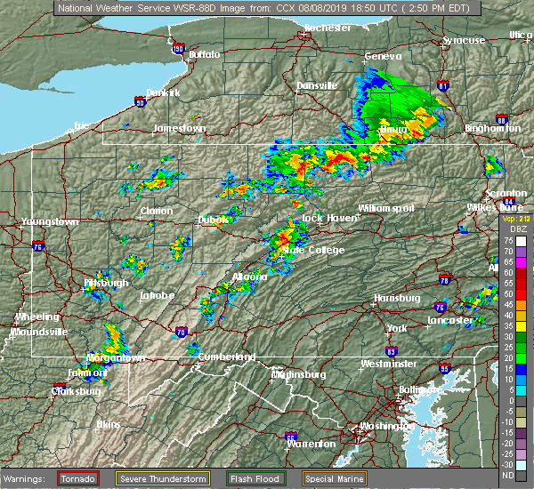 At 253 pm edt, a severe thunderstorm was located over milesburg, moving east at 45 mph. this storm has a history of producing wind damage (radar indicated). Hazards include 60 mph wind gusts. Expect damage to trees, roofs, and siding. locations impacted include, bellefonte, pleasant gap, lamar, lemont, zion, houserville, centre hall, milesburg, millheim, blanchard, aaronsburg, rebersburg, spring mills, coburn, madisonburg, julian, bald eagle state park, mackeyville, howard and unionville. for those driving on interstate 80, this includes areas between the snow shoe and loganton exits, specifically from mile markers 151 to 180. This includes interstate 99 from mile markers 69 to 85. At 253 pm edt, a severe thunderstorm was located over milesburg, moving east at 45 mph. this storm has a history of producing wind damage (radar indicated). Hazards include 60 mph wind gusts. Expect damage to trees, roofs, and siding. locations impacted include, bellefonte, pleasant gap, lamar, lemont, zion, houserville, centre hall, milesburg, millheim, blanchard, aaronsburg, rebersburg, spring mills, coburn, madisonburg, julian, bald eagle state park, mackeyville, howard and unionville. for those driving on interstate 80, this includes areas between the snow shoe and loganton exits, specifically from mile markers 151 to 180. This includes interstate 99 from mile markers 69 to 85.
|
| 8/8/2019 2:34 PM EDT |
 At 233 pm edt, a severe thunderstorm was located over black moshannon state park, moving east at 45 mph. this storm has a history of producing wind damage (radar indicated). Hazards include 60 mph wind gusts. expect damage to trees, roofs, and siding At 233 pm edt, a severe thunderstorm was located over black moshannon state park, moving east at 45 mph. this storm has a history of producing wind damage (radar indicated). Hazards include 60 mph wind gusts. expect damage to trees, roofs, and siding
|
| 7/31/2019 3:25 PM EDT |
 At 308 pm edt, severe thunderstorms were located along a line extending from near byram to valley forge to near west chester, moving east at 20 mph (radar indicated). Hazards include 60 mph wind gusts and penny size hail. Damage to roofs, siding, trees, and power lines is possible. Locations impacted include, philadelphia, wilmington, west chester, norristown, phoenixville, lansdale, west norriton, east norriton, westtown, perkasie, doylestown, byram, downingtown, conshohocken, hatboro, souderton, bedminster, ambler, swarthmore and kennett square. At 308 pm edt, severe thunderstorms were located along a line extending from near byram to valley forge to near west chester, moving east at 20 mph (radar indicated). Hazards include 60 mph wind gusts and penny size hail. Damage to roofs, siding, trees, and power lines is possible. Locations impacted include, philadelphia, wilmington, west chester, norristown, phoenixville, lansdale, west norriton, east norriton, westtown, perkasie, doylestown, byram, downingtown, conshohocken, hatboro, souderton, bedminster, ambler, swarthmore and kennett square.
|
| 7/31/2019 3:25 PM EDT |
 The severe thunderstorm warning for north central new castle, southeastern hunterdon, northwestern mercer, montgomery, central bucks, eastern chester, northwestern philadelphia and delaware counties will expire at 330 pm edt, a new severe thunderstorm warning is now in effect. please refer to warning 290 which is in effect until 4:15 pm. a severe thunderstorm watch remains in effect until 900 pm edt for northern delaware, central and northwestern new jersey, and southeastern pennsylvania. to report severe weather, contact your nearest law enforcement agency. they will relay your report to the national weather service mount holly nj. The severe thunderstorm warning for north central new castle, southeastern hunterdon, northwestern mercer, montgomery, central bucks, eastern chester, northwestern philadelphia and delaware counties will expire at 330 pm edt, a new severe thunderstorm warning is now in effect. please refer to warning 290 which is in effect until 4:15 pm. a severe thunderstorm watch remains in effect until 900 pm edt for northern delaware, central and northwestern new jersey, and southeastern pennsylvania. to report severe weather, contact your nearest law enforcement agency. they will relay your report to the national weather service mount holly nj.
|
| 7/31/2019 3:08 PM EDT |
 At 308 pm edt, severe thunderstorms were located along a line extending from near byram to valley forge to near west chester, moving east at 20 mph (radar indicated). Hazards include 60 mph wind gusts and penny size hail. Damage to roofs, siding, trees, and power lines is possible. Locations impacted include, philadelphia, wilmington, west chester, norristown, phoenixville, lansdale, west norriton, east norriton, westtown, perkasie, doylestown, byram, downingtown, conshohocken, hatboro, souderton, bedminster, ambler, swarthmore and kennett square. At 308 pm edt, severe thunderstorms were located along a line extending from near byram to valley forge to near west chester, moving east at 20 mph (radar indicated). Hazards include 60 mph wind gusts and penny size hail. Damage to roofs, siding, trees, and power lines is possible. Locations impacted include, philadelphia, wilmington, west chester, norristown, phoenixville, lansdale, west norriton, east norriton, westtown, perkasie, doylestown, byram, downingtown, conshohocken, hatboro, souderton, bedminster, ambler, swarthmore and kennett square.
|
| 7/31/2019 2:46 PM EDT |
 At 246 pm edt, severe thunderstorms were located along a line extending from ottsville to near phoenixville to near marshallton, moving east at 20 mph (radar indicated). Hazards include 60 mph wind gusts and penny size hail. damage to roofs, siding, trees, and power lines is possible At 246 pm edt, severe thunderstorms were located along a line extending from ottsville to near phoenixville to near marshallton, moving east at 20 mph (radar indicated). Hazards include 60 mph wind gusts and penny size hail. damage to roofs, siding, trees, and power lines is possible
|
| 7/21/2019 11:42 PM EDT |
 The severe thunderstorm warning for northeastern berks, montgomery, lehigh and northwestern bucks counties will expire at 1145 pm edt, the storms which prompted the warning have moved out of the initial warning area and a new severe thunderstorm warning has taken its place until 12:30 am edt. The severe thunderstorm warning for northeastern berks, montgomery, lehigh and northwestern bucks counties will expire at 1145 pm edt, the storms which prompted the warning have moved out of the initial warning area and a new severe thunderstorm warning has taken its place until 12:30 am edt.
|
| 7/21/2019 11:05 PM EDT |
 At 1105 pm edt, severe thunderstorms were located along a line extending from kutztown to near schwenksville, moving east at 30 mph (radar indicated). Hazards include 60 mph wind gusts. damage to roofs, siding, trees, and power lines is possible At 1105 pm edt, severe thunderstorms were located along a line extending from kutztown to near schwenksville, moving east at 30 mph (radar indicated). Hazards include 60 mph wind gusts. damage to roofs, siding, trees, and power lines is possible
|
| 7/17/2019 8:15 PM EDT |
 At 814 pm edt, severe thunderstorms were located along a line extending from dublin to near buena, moving northeast at 30 mph (radar indicated). Hazards include 60 mph wind gusts. damage to roofs, siding, trees, and power lines is possible At 814 pm edt, severe thunderstorms were located along a line extending from dublin to near buena, moving northeast at 30 mph (radar indicated). Hazards include 60 mph wind gusts. damage to roofs, siding, trees, and power lines is possible
|
| 7/17/2019 7:53 PM EDT |
 The severe thunderstorm warning for northeastern new castle, northwestern salem, northwestern gloucester, western montgomery, eastern chester and delaware counties will expire at 800 pm edt, the storms which prompted the warning have weakened below severe limits, and no longer pose an immediate threat to life or property. therefore, the warning will be allowed to expire. however gusty winds up to 40 mph and heavy rain are still possible with these thunderstorms. a severe thunderstorm watch remains in effect until 1000 pm edt for southern new jersey, and southeastern pennsylvania. a severe thunderstorm watch also remains in effect until midnight edt for northern delaware, and southern new jersey. The severe thunderstorm warning for northeastern new castle, northwestern salem, northwestern gloucester, western montgomery, eastern chester and delaware counties will expire at 800 pm edt, the storms which prompted the warning have weakened below severe limits, and no longer pose an immediate threat to life or property. therefore, the warning will be allowed to expire. however gusty winds up to 40 mph and heavy rain are still possible with these thunderstorms. a severe thunderstorm watch remains in effect until 1000 pm edt for southern new jersey, and southeastern pennsylvania. a severe thunderstorm watch also remains in effect until midnight edt for northern delaware, and southern new jersey.
|
| 7/17/2019 7:39 PM EDT |
 At 738 pm edt, severe thunderstorms were located along a line extending from royersford to near carneys point, moving northeast at 35 mph. this storm has a history of producing wind damage (law enforcement). Hazards include 70 mph wind gusts. Expect considerable tree damage. damage is likely to mobile homes, roofs, and outbuildings. Locations impacted include, wilmington, west chester, norristown, chester, pottstown, phoenixville, west norriton, east norriton, pennsville, westtown, carneys point, downingtown, folcroft, swarthmore, elsmere, paulsboro, kennett square, new castle, penns grove and collegeville. At 738 pm edt, severe thunderstorms were located along a line extending from royersford to near carneys point, moving northeast at 35 mph. this storm has a history of producing wind damage (law enforcement). Hazards include 70 mph wind gusts. Expect considerable tree damage. damage is likely to mobile homes, roofs, and outbuildings. Locations impacted include, wilmington, west chester, norristown, chester, pottstown, phoenixville, west norriton, east norriton, pennsville, westtown, carneys point, downingtown, folcroft, swarthmore, elsmere, paulsboro, kennett square, new castle, penns grove and collegeville.
|
| 7/17/2019 7:39 PM EDT |
 At 715 pm edt, severe thunderstorms were located along a line extending from near elverson to near glasgow, moving northeast at 30 mph (radar indicated). Hazards include 70 mph wind gusts. Expect considerable tree damage. Damage is likely to mobile homes, roofs, and outbuildings. At 715 pm edt, severe thunderstorms were located along a line extending from near elverson to near glasgow, moving northeast at 30 mph (radar indicated). Hazards include 70 mph wind gusts. Expect considerable tree damage. Damage is likely to mobile homes, roofs, and outbuildings.
|
| 7/17/2019 7:15 PM EDT |
 At 715 pm edt, severe thunderstorms were located along a line extending from near elverson to near glasgow, moving northeast at 30 mph (radar indicated). Hazards include 70 mph wind gusts. Expect considerable tree damage. Damage is likely to mobile homes, roofs, and outbuildings. At 715 pm edt, severe thunderstorms were located along a line extending from near elverson to near glasgow, moving northeast at 30 mph (radar indicated). Hazards include 70 mph wind gusts. Expect considerable tree damage. Damage is likely to mobile homes, roofs, and outbuildings.
|
| 7/6/2019 4:16 PM EDT |
 At 416 pm edt, severe thunderstorms were located along a line extending from near cammal to monument to near julian to warriors mark, moving east at 40 mph (radar indicated). Hazards include 60 mph wind gusts. Expect damage to trees, roofs, and siding. locations impacted include, state college, lock haven, bellefonte, park forest village, boalsburg, pleasant gap, lamar, stormstown, lemont, zion, houserville, mill hall, pine grove mills, avis, dunnstown, flemington, centre hall, castanea, milesburg and millheim. for those driving on interstate 80, this includes areas between the snow shoe and jersey shore exits, specifically from mile markers 149 to 188. This includes interstate 99 from mile markers 58 to 85. At 416 pm edt, severe thunderstorms were located along a line extending from near cammal to monument to near julian to warriors mark, moving east at 40 mph (radar indicated). Hazards include 60 mph wind gusts. Expect damage to trees, roofs, and siding. locations impacted include, state college, lock haven, bellefonte, park forest village, boalsburg, pleasant gap, lamar, stormstown, lemont, zion, houserville, mill hall, pine grove mills, avis, dunnstown, flemington, centre hall, castanea, milesburg and millheim. for those driving on interstate 80, this includes areas between the snow shoe and jersey shore exits, specifically from mile markers 149 to 188. This includes interstate 99 from mile markers 58 to 85.
|
| 7/6/2019 3:43 PM EDT |
 At 342 pm edt, severe thunderstorms were located along a line extending from cross fork to karthaus to near chester hill to 8 miles north of prince gallitzin state park, moving east at 35 mph (radar indicated). Hazards include 60 mph wind gusts. expect damage to trees, roofs, and siding At 342 pm edt, severe thunderstorms were located along a line extending from cross fork to karthaus to near chester hill to 8 miles north of prince gallitzin state park, moving east at 35 mph (radar indicated). Hazards include 60 mph wind gusts. expect damage to trees, roofs, and siding
|
| 7/2/2019 7:51 PM EDT |
 The severe thunderstorm warning for southeastern berks, southern montgomery, northeastern chester, philadelphia and delaware counties will expire at 800 pm edt, the storm which prompted the warning has weakened below severe limits, and no longer poses an immediate threat to life or property. therefore, the warning will be allowed to expire. however heavy rain is still possible with this thunderstorm. The severe thunderstorm warning for southeastern berks, southern montgomery, northeastern chester, philadelphia and delaware counties will expire at 800 pm edt, the storm which prompted the warning has weakened below severe limits, and no longer poses an immediate threat to life or property. therefore, the warning will be allowed to expire. however heavy rain is still possible with this thunderstorm.
|
| 7/2/2019 7:12 PM EDT |
 At 711 pm edt, a severe thunderstorm was located over pughtown, or 14 miles north of west chester, moving southeast at 40 mph (radar indicated). Hazards include 70 mph wind gusts. Expect considerable tree damage. Damage is likely to mobile homes, roofs, and outbuildings. At 711 pm edt, a severe thunderstorm was located over pughtown, or 14 miles north of west chester, moving southeast at 40 mph (radar indicated). Hazards include 70 mph wind gusts. Expect considerable tree damage. Damage is likely to mobile homes, roofs, and outbuildings.
|
| 6/29/2019 4:59 PM EDT |
 At 458 pm edt, severe thunderstorms were located along a line extending from near renovo to near williamsport, moving southeast at 35 mph (radar indicated). Hazards include 60 mph wind gusts and penny size hail. expect damage to trees, roofs, and siding At 458 pm edt, severe thunderstorms were located along a line extending from near renovo to near williamsport, moving southeast at 35 mph (radar indicated). Hazards include 60 mph wind gusts and penny size hail. expect damage to trees, roofs, and siding
|
| 6/29/2019 4:39 PM EDT |
 The severe thunderstorm warning for southeastern montgomery, southeastern chester, philadelphia and delaware counties will expire at 445 pm edt, the storms which prompted the warning have moved out of the area. therefore, the warning will be allowed to expire. a severe thunderstorm watch remains in effect until 700 pm edt for northern delaware, southern new jersey, and southeastern pennsylvania. to report severe weather, contact your nearest law enforcement agency. they will relay your report to the national weather service mount holly nj. The severe thunderstorm warning for southeastern montgomery, southeastern chester, philadelphia and delaware counties will expire at 445 pm edt, the storms which prompted the warning have moved out of the area. therefore, the warning will be allowed to expire. a severe thunderstorm watch remains in effect until 700 pm edt for northern delaware, southern new jersey, and southeastern pennsylvania. to report severe weather, contact your nearest law enforcement agency. they will relay your report to the national weather service mount holly nj.
|
| 6/29/2019 4:24 PM EDT |
 At 423 pm edt, severe thunderstorms were located along a line extending from near ambler to near arden, moving southeast at 45 mph. the most dangerous part of the storm was near king of prussia (public. numerous reports of wind damage have been received from chester and montgomery counties). Hazards include 70 mph wind gusts and quarter size hail. Minor damage to vehicles is possible. expect considerable tree damage. wind damage is also likely to mobile homes, roofs, and outbuildings. Locations impacted include, philadelphia, camden, norristown, chester, lansdale, west norriton, east norriton, yeadon, westtown, conshohocken, hatboro, souderton, folcroft, ambler, swarthmore, paulsboro, jenkintown, narberth, hatfield and east lansdowne. At 423 pm edt, severe thunderstorms were located along a line extending from near ambler to near arden, moving southeast at 45 mph. the most dangerous part of the storm was near king of prussia (public. numerous reports of wind damage have been received from chester and montgomery counties). Hazards include 70 mph wind gusts and quarter size hail. Minor damage to vehicles is possible. expect considerable tree damage. wind damage is also likely to mobile homes, roofs, and outbuildings. Locations impacted include, philadelphia, camden, norristown, chester, lansdale, west norriton, east norriton, yeadon, westtown, conshohocken, hatboro, souderton, folcroft, ambler, swarthmore, paulsboro, jenkintown, narberth, hatfield and east lansdowne.
|
| 6/29/2019 4:09 PM EDT |
 At 408 pm edt, severe thunderstorms were located along a line extending from near east norriton to near kennett square, moving southeast at 45 mph (public. widespread wind damage is occurring with these storms). Hazards include 70 mph wind gusts and quarter size hail. Minor damage to vehicles is possible. expect considerable tree damage. wind damage is also likely to mobile homes, roofs, and outbuildings. Locations impacted include, philadelphia, camden, west chester, norristown, chester, phoenixville, lansdale, west norriton, east norriton, yeadon, westtown, downingtown, conshohocken, hatboro, souderton, folcroft, ambler, swarthmore, paulsboro and kennett square. At 408 pm edt, severe thunderstorms were located along a line extending from near east norriton to near kennett square, moving southeast at 45 mph (public. widespread wind damage is occurring with these storms). Hazards include 70 mph wind gusts and quarter size hail. Minor damage to vehicles is possible. expect considerable tree damage. wind damage is also likely to mobile homes, roofs, and outbuildings. Locations impacted include, philadelphia, camden, west chester, norristown, chester, phoenixville, lansdale, west norriton, east norriton, yeadon, westtown, downingtown, conshohocken, hatboro, souderton, folcroft, ambler, swarthmore, paulsboro and kennett square.
|
| 6/29/2019 3:52 PM EDT |
 At 352 pm edt, severe thunderstorms were located along a line extending from near spring mount to near coatesville, moving southeast at 45 mph (public. several reports of wind damage and hail have been received from berks and chester counties in association with these storms). Hazards include 70 mph wind gusts and quarter size hail. Minor damage to vehicles is possible. expect considerable tree damage. Wind damage is also likely to mobile homes, roofs, and outbuildings. At 352 pm edt, severe thunderstorms were located along a line extending from near spring mount to near coatesville, moving southeast at 45 mph (public. several reports of wind damage and hail have been received from berks and chester counties in association with these storms). Hazards include 70 mph wind gusts and quarter size hail. Minor damage to vehicles is possible. expect considerable tree damage. Wind damage is also likely to mobile homes, roofs, and outbuildings.
|
| 6/28/2019 7:26 PM EDT |
 The severe thunderstorm warning for southeastern montgomery, philadelphia and northeastern delaware counties will expire at 730 pm edt, the storm which prompted the warning has weakened below severe limits, and no longer poses an immediate threat to life or property. therefore, the warning will be allowed to expire. however gusty winds and heavy rain are still possible with this thunderstorm. several reports of wind damage have been received from the collegeville area. The severe thunderstorm warning for southeastern montgomery, philadelphia and northeastern delaware counties will expire at 730 pm edt, the storm which prompted the warning has weakened below severe limits, and no longer poses an immediate threat to life or property. therefore, the warning will be allowed to expire. however gusty winds and heavy rain are still possible with this thunderstorm. several reports of wind damage have been received from the collegeville area.
|
| 6/28/2019 7:11 PM EDT |
 At 710 pm edt, a severe thunderstorm was located over king of prussia, or 14 miles northeast of west chester, moving southeast at 20 mph (law enforcement reported wind damage from this storm in collegeville around 652 pm). Hazards include 70 mph wind gusts and quarter size hail. Minor damage to vehicles is possible. expect considerable tree damage. wind damage is also likely to mobile homes, roofs, and outbuildings. Locations impacted include, philadelphia, norristown, west norriton, east norriton, yeadon, conshohocken, ambler, jenkintown, narberth, rockledge, abington, wissinoming, morris park, germantown, northeast philadelphia, center city, bryn mawr, south philadelphia, plymouth meeting and kensington. At 710 pm edt, a severe thunderstorm was located over king of prussia, or 14 miles northeast of west chester, moving southeast at 20 mph (law enforcement reported wind damage from this storm in collegeville around 652 pm). Hazards include 70 mph wind gusts and quarter size hail. Minor damage to vehicles is possible. expect considerable tree damage. wind damage is also likely to mobile homes, roofs, and outbuildings. Locations impacted include, philadelphia, norristown, west norriton, east norriton, yeadon, conshohocken, ambler, jenkintown, narberth, rockledge, abington, wissinoming, morris park, germantown, northeast philadelphia, center city, bryn mawr, south philadelphia, plymouth meeting and kensington.
|
| 6/28/2019 6:50 PM EDT |
 At 650 pm edt, a severe thunderstorm was located over collegeville, or 17 miles northeast of west chester, moving southeast at 30 mph (radar indicated). Hazards include 70 mph wind gusts and quarter size hail. Minor damage to vehicles is possible. expect considerable tree damage. Wind damage is also likely to mobile homes, roofs, and outbuildings. At 650 pm edt, a severe thunderstorm was located over collegeville, or 17 miles northeast of west chester, moving southeast at 30 mph (radar indicated). Hazards include 70 mph wind gusts and quarter size hail. Minor damage to vehicles is possible. expect considerable tree damage. Wind damage is also likely to mobile homes, roofs, and outbuildings.
|
| 6/20/2019 2:59 PM EDT |
 At 258 pm edt, severe thunderstorms were located along a line extending from bryn mawr to talleyville, moving east at 30 mph (radar indicated). Hazards include 60 mph wind gusts and penny size hail. Damage to roofs, siding, trees, and power lines is possible. Locations impacted include, philadelphia, wilmington, newark, west chester, norristown, chester, west norriton, east norriton, pennsville, yeadon, westtown, carneys point, conshohocken, hatboro, folcroft, ambler, swarthmore, elsmere, paulsboro and new castle. At 258 pm edt, severe thunderstorms were located along a line extending from bryn mawr to talleyville, moving east at 30 mph (radar indicated). Hazards include 60 mph wind gusts and penny size hail. Damage to roofs, siding, trees, and power lines is possible. Locations impacted include, philadelphia, wilmington, newark, west chester, norristown, chester, west norriton, east norriton, pennsville, yeadon, westtown, carneys point, conshohocken, hatboro, folcroft, ambler, swarthmore, elsmere, paulsboro and new castle.
|
| 6/20/2019 2:59 PM EDT |
 At 232 pm edt, severe thunderstorms were located along a line extending from lionville to kemblesville, moving east at 30 mph (radar indicated). Hazards include 60 mph wind gusts and penny size hail. damage to roofs, siding, trees, and power lines is possible At 232 pm edt, severe thunderstorms were located along a line extending from lionville to kemblesville, moving east at 30 mph (radar indicated). Hazards include 60 mph wind gusts and penny size hail. damage to roofs, siding, trees, and power lines is possible
|
| 6/20/2019 2:59 PM EDT |
 At 258 pm edt, severe thunderstorms were located along a line extending from bryn mawr to talleyville, moving east at 30 mph (radar indicated). Hazards include 60 mph wind gusts and penny size hail. Damage to roofs, siding, trees, and power lines is possible. Locations impacted include, philadelphia, wilmington, newark, west chester, norristown, chester, west norriton, east norriton, pennsville, yeadon, westtown, carneys point, conshohocken, hatboro, folcroft, ambler, swarthmore, elsmere, paulsboro and new castle. At 258 pm edt, severe thunderstorms were located along a line extending from bryn mawr to talleyville, moving east at 30 mph (radar indicated). Hazards include 60 mph wind gusts and penny size hail. Damage to roofs, siding, trees, and power lines is possible. Locations impacted include, philadelphia, wilmington, newark, west chester, norristown, chester, west norriton, east norriton, pennsville, yeadon, westtown, carneys point, conshohocken, hatboro, folcroft, ambler, swarthmore, elsmere, paulsboro and new castle.
|
| 6/20/2019 2:33 PM EDT |
 At 232 pm edt, severe thunderstorms were located along a line extending from lionville to kemblesville, moving east at 30 mph (radar indicated). Hazards include 60 mph wind gusts and penny size hail. damage to roofs, siding, trees, and power lines is possible At 232 pm edt, severe thunderstorms were located along a line extending from lionville to kemblesville, moving east at 30 mph (radar indicated). Hazards include 60 mph wind gusts and penny size hail. damage to roofs, siding, trees, and power lines is possible
|
| 6/2/2019 7:54 PM EDT |
 The severe thunderstorm warning for south central hunterdon, central montgomery and central bucks counties will expire at 800 pm edt, the storm which prompted the warning has weakened below severe limits, and no longer poses an immediate threat to life or property. therefore, the warning will be allowed to expire. however gusty winds are still possible with this thunderstorm. a severe thunderstorm watch remains in effect until 1000 pm edt for central and northwestern new jersey, and eastern and southeastern pennsylvania. The severe thunderstorm warning for south central hunterdon, central montgomery and central bucks counties will expire at 800 pm edt, the storm which prompted the warning has weakened below severe limits, and no longer poses an immediate threat to life or property. therefore, the warning will be allowed to expire. however gusty winds are still possible with this thunderstorm. a severe thunderstorm watch remains in effect until 1000 pm edt for central and northwestern new jersey, and eastern and southeastern pennsylvania.
|
| 6/2/2019 7:30 PM EDT |
 At 729 pm edt, a severe thunderstorm was located over spring mount, or 20 miles south of allentown, moving east at 45 mph (radar indicated). Hazards include 60 mph wind gusts and quarter size hail. Minor damage to vehicles is possible. wind damage to roofs, siding, trees, and power lines is possible. Locations impacted include, lansdale, east norriton, perkasie, doylestown, byram, hatboro, souderton, bedminster, ambler, collegeville, royersford, chalfont, tinicum, trappe, hatfield, new hope, newtown, dublin, langhorne and schwenksville. At 729 pm edt, a severe thunderstorm was located over spring mount, or 20 miles south of allentown, moving east at 45 mph (radar indicated). Hazards include 60 mph wind gusts and quarter size hail. Minor damage to vehicles is possible. wind damage to roofs, siding, trees, and power lines is possible. Locations impacted include, lansdale, east norriton, perkasie, doylestown, byram, hatboro, souderton, bedminster, ambler, collegeville, royersford, chalfont, tinicum, trappe, hatfield, new hope, newtown, dublin, langhorne and schwenksville.
|
| 6/2/2019 7:11 PM EDT |
 At 711 pm edt, a severe thunderstorm was located over pottstown, or 14 miles east of reading, moving east at 55 mph (radar indicated). Hazards include 60 mph wind gusts and quarter size hail. Minor damage to vehicles is possible. Wind damage to roofs, siding, trees, and power lines is possible. At 711 pm edt, a severe thunderstorm was located over pottstown, or 14 miles east of reading, moving east at 55 mph (radar indicated). Hazards include 60 mph wind gusts and quarter size hail. Minor damage to vehicles is possible. Wind damage to roofs, siding, trees, and power lines is possible.
|
| 6/2/2019 3:51 PM EDT |
 The severe thunderstorm warning for northeastern new castle, south central montgomery, eastern chester, western philadelphia and delaware counties will expire at 400 pm edt, the storm which prompted the warning has weakened below severe limits, and no longer poses an immediate threat to life or property. therefore, the warning will be allowed to expire. however small hail and heavy rain are still possible with this thunderstorm. a severe thunderstorm watch remains in effect until 1000 pm edt for northern delaware, southern new jersey, and southeastern pennsylvania. The severe thunderstorm warning for northeastern new castle, south central montgomery, eastern chester, western philadelphia and delaware counties will expire at 400 pm edt, the storm which prompted the warning has weakened below severe limits, and no longer poses an immediate threat to life or property. therefore, the warning will be allowed to expire. however small hail and heavy rain are still possible with this thunderstorm. a severe thunderstorm watch remains in effect until 1000 pm edt for northern delaware, southern new jersey, and southeastern pennsylvania.
|
| 6/2/2019 3:34 PM EDT |
 At 334 pm edt, a severe thunderstorm was located over cheyney, or near west chester, moving east at 30 mph (radar indicated). Hazards include 60 mph wind gusts and quarter size hail. Minor damage to vehicles is possible. wind damage to roofs, siding, trees, and power lines is possible. Locations impacted include, philadelphia, west chester, norristown, chester, phoenixville, west norriton, east norriton, yeadon, westtown, conshohocken, folcroft, ambler, swarthmore, paulsboro, narberth, east lansdowne, arden, talleyville, elam and bryn mawr. At 334 pm edt, a severe thunderstorm was located over cheyney, or near west chester, moving east at 30 mph (radar indicated). Hazards include 60 mph wind gusts and quarter size hail. Minor damage to vehicles is possible. wind damage to roofs, siding, trees, and power lines is possible. Locations impacted include, philadelphia, west chester, norristown, chester, phoenixville, west norriton, east norriton, yeadon, westtown, conshohocken, folcroft, ambler, swarthmore, paulsboro, narberth, east lansdowne, arden, talleyville, elam and bryn mawr.
|
| 6/2/2019 3:18 PM EDT |
 At 318 pm edt, a severe thunderstorm was located over marshallton, or near west chester, moving east at 25 mph (radar indicated). Hazards include 60 mph wind gusts and half dollar size hail. Minor damage to vehicles is possible. Wind damage to roofs, siding, trees, and power lines is possible. At 318 pm edt, a severe thunderstorm was located over marshallton, or near west chester, moving east at 25 mph (radar indicated). Hazards include 60 mph wind gusts and half dollar size hail. Minor damage to vehicles is possible. Wind damage to roofs, siding, trees, and power lines is possible.
|
| 5/29/2019 5:49 PM EDT |
 The national weather service in mount holly nj has issued a * severe thunderstorm warning for. northeastern new castle county in northern delaware. southeastern berks county in eastern pennsylvania. southern montgomery county in southeastern pennsylvania. Chester county in southeastern pennsylvania. The national weather service in mount holly nj has issued a * severe thunderstorm warning for. northeastern new castle county in northern delaware. southeastern berks county in eastern pennsylvania. southern montgomery county in southeastern pennsylvania. Chester county in southeastern pennsylvania.
|
| 5/29/2019 4:18 PM EDT |
 At 417 pm edt, a severe thunderstorm was located over laureldale, or near reading, moving east at 40 mph (radar indicated). Hazards include 70 mph wind gusts and ping pong ball size hail. People and animals outdoors will be injured. expect hail damage to roofs, siding, windows, and vehicles. expect considerable tree damage. Wind damage is also likely to mobile homes, roofs, and outbuildings. At 417 pm edt, a severe thunderstorm was located over laureldale, or near reading, moving east at 40 mph (radar indicated). Hazards include 70 mph wind gusts and ping pong ball size hail. People and animals outdoors will be injured. expect hail damage to roofs, siding, windows, and vehicles. expect considerable tree damage. Wind damage is also likely to mobile homes, roofs, and outbuildings.
|
| 5/29/2019 3:30 PM EDT |
 At 330 pm edt, severe thunderstorms were located along a line extending from near milesburg to 6 miles north of huntingdon to near cresson, moving east at 40 mph (radar indicated). Hazards include 60 mph wind gusts and quarter size hail. Hail damage to vehicles is expected. Expect wind damage to trees, roofs, and siding. At 330 pm edt, severe thunderstorms were located along a line extending from near milesburg to 6 miles north of huntingdon to near cresson, moving east at 40 mph (radar indicated). Hazards include 60 mph wind gusts and quarter size hail. Hail damage to vehicles is expected. Expect wind damage to trees, roofs, and siding.
|
| 5/29/2019 3:16 PM EDT |
 At 315 pm edt, severe thunderstorms were located along a line extending from near trout run to bald eagle state park, moving east at 40 mph (radar indicated). Hazards include 60 mph wind gusts and quarter size hail. Expect wind damage to trees, roofs, and siding. Hail damage to vehicles is expected. At 315 pm edt, severe thunderstorms were located along a line extending from near trout run to bald eagle state park, moving east at 40 mph (radar indicated). Hazards include 60 mph wind gusts and quarter size hail. Expect wind damage to trees, roofs, and siding. Hail damage to vehicles is expected.
|
| 5/29/2019 2:56 PM EDT |
 At 256 pm edt, severe thunderstorms were located along a line extending from cammal to near glen union to 6 miles north of lecontes mills, moving east at 40 mph (radar indicated). Hazards include 60 mph wind gusts and penny size hail. Expect damage to trees, roofs, and siding. Locations impacted include, lock haven, jersey shore, mill hall, avis, dunnstown, flemington, castanea, karthaus, blanchard, mcelhattan, pine glen, monument, glen union, waterville, hyner, cogan station, lecontes mills, cammal, little pine state park and beech creek. At 256 pm edt, severe thunderstorms were located along a line extending from cammal to near glen union to 6 miles north of lecontes mills, moving east at 40 mph (radar indicated). Hazards include 60 mph wind gusts and penny size hail. Expect damage to trees, roofs, and siding. Locations impacted include, lock haven, jersey shore, mill hall, avis, dunnstown, flemington, castanea, karthaus, blanchard, mcelhattan, pine glen, monument, glen union, waterville, hyner, cogan station, lecontes mills, cammal, little pine state park and beech creek.
|
| 5/29/2019 2:26 PM EDT |
 At 226 pm edt, severe thunderstorms were located along a line extending from near cross fork to near kettle creek state park to near force, moving east at 40 mph (radar indicated). Hazards include 60 mph wind gusts and quarter size hail. Hail damage to vehicles is expected. Expect wind damage to trees, roofs, and siding. At 226 pm edt, severe thunderstorms were located along a line extending from near cross fork to near kettle creek state park to near force, moving east at 40 mph (radar indicated). Hazards include 60 mph wind gusts and quarter size hail. Hail damage to vehicles is expected. Expect wind damage to trees, roofs, and siding.
|
| 5/29/2019 1:41 PM EDT |
 At 140 pm edt, a severe thunderstorm was located over blanchard, moving east at 35 mph (radar indicated). Hazards include 60 mph wind gusts and half dollar size hail. Hail damage to vehicles is expected. expect wind damage to trees, roofs, and siding. this severe thunderstorm will be near, castanea, dunnstown and rebersburg around 150 pm edt. carroll around 210 pm edt. other locations impacted by this severe thunderstorm include loganton, howard, mccall dam state park, beech creek and lock haven university. For those driving on interstate 80, this includes areas between the bellefonte and mile run exits, specifically from mile markers 167 to 195. At 140 pm edt, a severe thunderstorm was located over blanchard, moving east at 35 mph (radar indicated). Hazards include 60 mph wind gusts and half dollar size hail. Hail damage to vehicles is expected. expect wind damage to trees, roofs, and siding. this severe thunderstorm will be near, castanea, dunnstown and rebersburg around 150 pm edt. carroll around 210 pm edt. other locations impacted by this severe thunderstorm include loganton, howard, mccall dam state park, beech creek and lock haven university. For those driving on interstate 80, this includes areas between the bellefonte and mile run exits, specifically from mile markers 167 to 195.
|
| 5/28/2019 6:55 PM EDT |
 The severe thunderstorm warning for west central montgomery county will expire at 700 pm edt, the storm which prompted the warning has moved out of the area. therefore, the warning will be allowed to expire. a tornado watch remains in effect until 1000 pm edt for southeastern pennsylvania. The severe thunderstorm warning for west central montgomery county will expire at 700 pm edt, the storm which prompted the warning has moved out of the area. therefore, the warning will be allowed to expire. a tornado watch remains in effect until 1000 pm edt for southeastern pennsylvania.
|
| 5/28/2019 6:48 PM EDT |
 At 647 pm edt, a severe thunderstorm was located over trappe, or 18 miles north of west chester, moving southeast at 55 mph (radar indicated). Hazards include 60 mph wind gusts and quarter size hail. Minor damage to vehicles is possible. wind damage to roofs, siding, trees, and power lines is possible. Locations impacted include, pottstown, collegeville, trappe, schwenksville, green lane, spring mount, skippack, sanatoga, pottsgrove, evansburg, harleysville and eagleville. At 647 pm edt, a severe thunderstorm was located over trappe, or 18 miles north of west chester, moving southeast at 55 mph (radar indicated). Hazards include 60 mph wind gusts and quarter size hail. Minor damage to vehicles is possible. wind damage to roofs, siding, trees, and power lines is possible. Locations impacted include, pottstown, collegeville, trappe, schwenksville, green lane, spring mount, skippack, sanatoga, pottsgrove, evansburg, harleysville and eagleville.
|
| 5/28/2019 6:30 PM EDT |
 At 630 pm edt, a severe thunderstorm was located near bechtelsville, or 11 miles east of reading, moving southeast at 50 mph (radar indicated). Hazards include 60 mph wind gusts and quarter size hail. Minor damage to vehicles is possible. wind damage to roofs, siding, trees, and power lines is possible. Locations impacted include, pottstown, quakertown, collegeville, trappe, east greenville, schwenksville, bally, bechtelsville, green lane, geryville, spring mount, gilbertsville, skippack, stowe, boyertown, pennsburg, red hill, trumbauersville, harleysville and pottsgrove. At 630 pm edt, a severe thunderstorm was located near bechtelsville, or 11 miles east of reading, moving southeast at 50 mph (radar indicated). Hazards include 60 mph wind gusts and quarter size hail. Minor damage to vehicles is possible. wind damage to roofs, siding, trees, and power lines is possible. Locations impacted include, pottstown, quakertown, collegeville, trappe, east greenville, schwenksville, bally, bechtelsville, green lane, geryville, spring mount, gilbertsville, skippack, stowe, boyertown, pennsburg, red hill, trumbauersville, harleysville and pottsgrove.
|
| 5/28/2019 6:16 PM EDT |
 At 616 pm edt, a severe thunderstorm was located over leesport, or 7 miles north of reading, moving east at 40 mph (radar indicated). Hazards include 60 mph wind gusts and quarter size hail. Minor damage to vehicles is possible. Wind damage to roofs, siding, trees, and power lines is possible. At 616 pm edt, a severe thunderstorm was located over leesport, or 7 miles north of reading, moving east at 40 mph (radar indicated). Hazards include 60 mph wind gusts and quarter size hail. Minor damage to vehicles is possible. Wind damage to roofs, siding, trees, and power lines is possible.
|
| 5/19/2019 9:46 PM EDT |
 At 946 pm edt, severe thunderstorms were located along a line extending from alpha to hatfield to near elverson, moving east at 40 mph (radar indicated). Hazards include 60 mph wind gusts and quarter size hail. Minor damage to vehicles is possible. Wind damage to roofs, siding, trees, and power lines is possible. At 946 pm edt, severe thunderstorms were located along a line extending from alpha to hatfield to near elverson, moving east at 40 mph (radar indicated). Hazards include 60 mph wind gusts and quarter size hail. Minor damage to vehicles is possible. Wind damage to roofs, siding, trees, and power lines is possible.
|
| 5/19/2019 8:40 PM EDT |
 The severe thunderstorm warning for north central centre and southwestern clinton counties will expire at 845 pm edt, the storm which prompted the warning has weakened below severe limits, and has exited the warned area. therefore, the warning will be allowed to expire. a severe thunderstorm watch remains in effect until 1100 pm edt for central and north central pennsylvania. The severe thunderstorm warning for north central centre and southwestern clinton counties will expire at 845 pm edt, the storm which prompted the warning has weakened below severe limits, and has exited the warned area. therefore, the warning will be allowed to expire. a severe thunderstorm watch remains in effect until 1100 pm edt for central and north central pennsylvania.
|
| 5/19/2019 8:21 PM EDT |
 At 821 pm edt, a severe thunderstorm was located over clarence, moving northeast at 40 mph (radar indicated). Hazards include 60 mph wind gusts and quarter size hail. Hail damage to vehicles is expected. expect wind damage to trees, roofs, and siding. locations impacted include, milesburg, snow shoe, blanchard, clarence, moshannon, pine glen, monument, bald eagle state park, howard, beech creek and orviston. For those driving on interstate 80, this includes areas between the kylertown and milesburg exits, specifically from mile markers 146 to 157. At 821 pm edt, a severe thunderstorm was located over clarence, moving northeast at 40 mph (radar indicated). Hazards include 60 mph wind gusts and quarter size hail. Hail damage to vehicles is expected. expect wind damage to trees, roofs, and siding. locations impacted include, milesburg, snow shoe, blanchard, clarence, moshannon, pine glen, monument, bald eagle state park, howard, beech creek and orviston. For those driving on interstate 80, this includes areas between the kylertown and milesburg exits, specifically from mile markers 146 to 157.
|
| 5/19/2019 7:53 PM EDT |
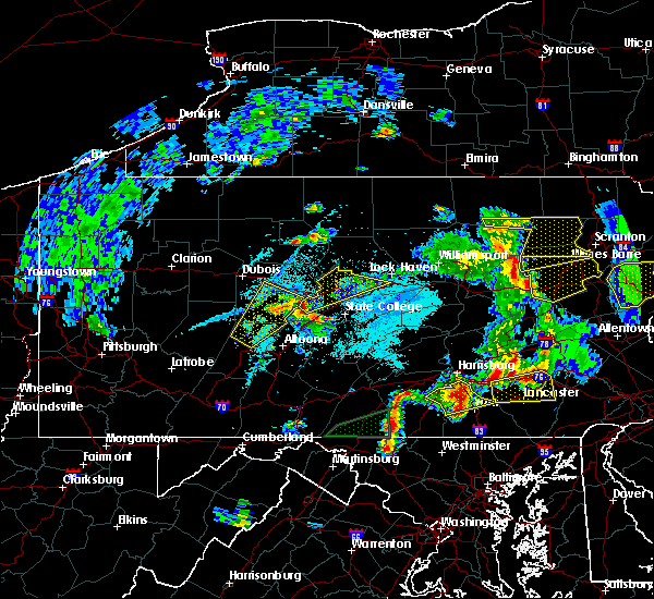 At 753 pm edt, a severe thunderstorm was located over south philipsburg, moving northeast at 40 mph (radar indicated). Hazards include 60 mph wind gusts and quarter size hail. Hail damage to vehicles is expected. Expect wind damage to trees, roofs, and siding. At 753 pm edt, a severe thunderstorm was located over south philipsburg, moving northeast at 40 mph (radar indicated). Hazards include 60 mph wind gusts and quarter size hail. Hail damage to vehicles is expected. Expect wind damage to trees, roofs, and siding.
|
| 4/26/2019 5:28 PM EDT |
 At 528 pm edt, a severe thunderstorm was located over morris park, or near philadelphia, moving northeast at 45 mph (radar indicated). Hazards include 60 mph wind gusts. damage to roofs, siding, trees, and power lines is possible At 528 pm edt, a severe thunderstorm was located over morris park, or near philadelphia, moving northeast at 45 mph (radar indicated). Hazards include 60 mph wind gusts. damage to roofs, siding, trees, and power lines is possible
|
| 4/15/2019 3:27 AM EDT |
 At 327 am edt, severe thunderstorms were located along a line extending from tinicum to paoli, moving northeast at 45 mph (radar indicated). Hazards include 60 mph wind gusts and penny size hail. damage to roofs, siding, trees, and power lines is possible At 327 am edt, severe thunderstorms were located along a line extending from tinicum to paoli, moving northeast at 45 mph (radar indicated). Hazards include 60 mph wind gusts and penny size hail. damage to roofs, siding, trees, and power lines is possible
|
| 4/14/2019 11:34 PM EDT |
 At 1134 pm edt, severe thunderstorms were located along a line extending from near south renovo to near lemont to mount union, moving east at 50 mph (radar indicated). Hazards include 60 mph wind gusts and penny size hail. expect damage to roofs, siding, and trees At 1134 pm edt, severe thunderstorms were located along a line extending from near south renovo to near lemont to mount union, moving east at 50 mph (radar indicated). Hazards include 60 mph wind gusts and penny size hail. expect damage to roofs, siding, and trees
|
| 11/2/2018 11:23 PM EDT |
 At 1122 pm edt, a severe thunderstorm capable of producing a tornado was located over west norriton, or 15 miles northwest of philadelphia, moving east at 40 mph (radar indicated rotation). Hazards include tornado. Flying debris will be dangerous to those caught without shelter. mobile homes will be damaged or destroyed. damage to roofs, windows, and vehicles will occur. tree damage is likely. this dangerous storm will be near, chestnut hill around 1130 pm edt. lansdale and ambler around 1135 pm edt. jenkintown, chalfont and abington around 1140 pm edt. hatboro, bryn athyn and willow grove around 1145 pm edt. philadelphia, ivyland and feasterville around 1150 pm edt. langhorne, richboro and feasterville-trevose around 1155 pm edt. new hope, newtown and langhorn around 1200 am edt. levittown around 1205 am edt. Other locations impacted by this tornadic thunderstorm include churchville, hulmeville, horsham, evansburg, fort washington, bridgeport, blue bell, maple glen, eagleville and flourtown. At 1122 pm edt, a severe thunderstorm capable of producing a tornado was located over west norriton, or 15 miles northwest of philadelphia, moving east at 40 mph (radar indicated rotation). Hazards include tornado. Flying debris will be dangerous to those caught without shelter. mobile homes will be damaged or destroyed. damage to roofs, windows, and vehicles will occur. tree damage is likely. this dangerous storm will be near, chestnut hill around 1130 pm edt. lansdale and ambler around 1135 pm edt. jenkintown, chalfont and abington around 1140 pm edt. hatboro, bryn athyn and willow grove around 1145 pm edt. philadelphia, ivyland and feasterville around 1150 pm edt. langhorne, richboro and feasterville-trevose around 1155 pm edt. new hope, newtown and langhorn around 1200 am edt. levittown around 1205 am edt. Other locations impacted by this tornadic thunderstorm include churchville, hulmeville, horsham, evansburg, fort washington, bridgeport, blue bell, maple glen, eagleville and flourtown.
|
| 11/2/2018 11:14 PM EDT |
 At 1114 pm edt, severe thunderstorms were located along a line extending from near green lane to north star, moving northeast at 35 mph (radar indicated). Hazards include 60 mph wind gusts and penny size hail. Damage to roofs, siding, trees, and power lines is possible. Locations impacted include, philadelphia, wilmington, newark, west chester, norristown, chester, pottstown, phoenixville, lansdale, west norriton, east norriton, yeadon, westtown, quakertown, perkasie, doylestown, byram, downingtown, conshohocken and souderton. At 1114 pm edt, severe thunderstorms were located along a line extending from near green lane to north star, moving northeast at 35 mph (radar indicated). Hazards include 60 mph wind gusts and penny size hail. Damage to roofs, siding, trees, and power lines is possible. Locations impacted include, philadelphia, wilmington, newark, west chester, norristown, chester, pottstown, phoenixville, lansdale, west norriton, east norriton, yeadon, westtown, quakertown, perkasie, doylestown, byram, downingtown, conshohocken and souderton.
|
| 11/2/2018 10:53 PM EDT |
 At 1052 pm edt, severe thunderstorms were located along a line extending from near pottstown to pleasant hill, moving northeast at 35 mph (radar indicated). Hazards include 60 mph wind gusts and penny size hail. damage to roofs, siding, trees, and power lines is possible At 1052 pm edt, severe thunderstorms were located along a line extending from near pottstown to pleasant hill, moving northeast at 35 mph (radar indicated). Hazards include 60 mph wind gusts and penny size hail. damage to roofs, siding, trees, and power lines is possible
|
| 10/2/2018 6:37 PM EDT |
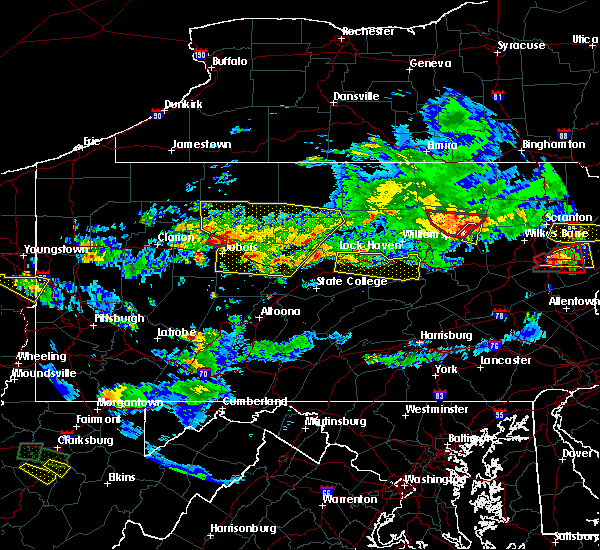 At 636 pm edt, a severe thunderstorm was located over blanchard, moving east at 30 mph (radar indicated). Hazards include 60 mph wind gusts and half dollar size hail. Hail damage to vehicles is expected. Expect wind damage to roofs, siding, and trees. At 636 pm edt, a severe thunderstorm was located over blanchard, moving east at 30 mph (radar indicated). Hazards include 60 mph wind gusts and half dollar size hail. Hail damage to vehicles is expected. Expect wind damage to roofs, siding, and trees.
|
| 9/26/2018 7:34 PM EDT |
 At 734 pm edt, severe thunderstorms were located along a line extending from pottstown to near octoraro, moving east at 20 mph (radar indicated). Hazards include 60 mph wind gusts and penny size hail. Damage to roofs, siding, trees, and power lines is possible. Locations impacted include, wilmington, newark, west chester, elkton, calvert, norristown, pottstown, phoenixville, lansdale, west norriton, east norriton, coatesville, westtown, downingtown, conshohocken, souderton, ambler, elsmere, kennett square and birdsboro. At 734 pm edt, severe thunderstorms were located along a line extending from pottstown to near octoraro, moving east at 20 mph (radar indicated). Hazards include 60 mph wind gusts and penny size hail. Damage to roofs, siding, trees, and power lines is possible. Locations impacted include, wilmington, newark, west chester, elkton, calvert, norristown, pottstown, phoenixville, lansdale, west norriton, east norriton, coatesville, westtown, downingtown, conshohocken, souderton, ambler, elsmere, kennett square and birdsboro.
|
| 9/26/2018 7:06 PM EDT |
 At 705 pm edt, severe thunderstorms were located along a line extending from near birdsboro to near delta, moving east at 30 mph (radar indicated). Hazards include 60 mph wind gusts and penny size hail. damage to roofs, siding, trees, and power lines is possible At 705 pm edt, severe thunderstorms were located along a line extending from near birdsboro to near delta, moving east at 30 mph (radar indicated). Hazards include 60 mph wind gusts and penny size hail. damage to roofs, siding, trees, and power lines is possible
|
| 8/13/2018 8:51 PM EDT |
 At 850 pm edt, a severe thunderstorm was located over east norriton, or 15 miles northwest of philadelphia, moving northeast at 10 mph. there are some other storms within this warning. it will not take as much wind to down some trees due to the saturated ground (radar indicated). Hazards include 60 mph wind gusts. damage to roofs, siding, trees, and power lines is possible At 850 pm edt, a severe thunderstorm was located over east norriton, or 15 miles northwest of philadelphia, moving northeast at 10 mph. there are some other storms within this warning. it will not take as much wind to down some trees due to the saturated ground (radar indicated). Hazards include 60 mph wind gusts. damage to roofs, siding, trees, and power lines is possible
|
| 7/3/2018 7:22 PM EDT |
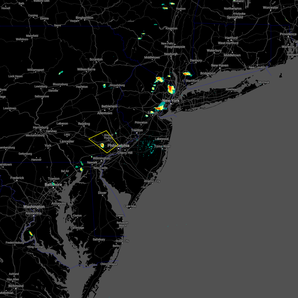 At 722 pm edt, severe thunderstorms were located along a line extending from near phoenixville to near newtown square, moving northwest at 10 mph (radar indicated). Hazards include 60 mph wind gusts and quarter size hail. Minor damage to vehicles is possible. Wind damage to roofs, siding, trees, and power lines is possible. At 722 pm edt, severe thunderstorms were located along a line extending from near phoenixville to near newtown square, moving northwest at 10 mph (radar indicated). Hazards include 60 mph wind gusts and quarter size hail. Minor damage to vehicles is possible. Wind damage to roofs, siding, trees, and power lines is possible.
|
| 6/18/2018 8:31 PM EDT |
 At 829 pm edt, severe thunderstorms were located along a line extending from near stockton in new jersey to near pottstown in pennsylvania, moving east at 35 mph (radar indicated). Hazards include 60 mph wind gusts. Damage to roofs, siding, trees, and power lines is possible. Locations impacted include, norristown, pottstown, phoenixville, lansdale, west norriton, east norriton, doylestown, conshohocken, souderton, ambler, collegeville, royersford, chalfont, trappe, hatfield, new hope, schwenksville, ivyland, stockton and fricks. At 829 pm edt, severe thunderstorms were located along a line extending from near stockton in new jersey to near pottstown in pennsylvania, moving east at 35 mph (radar indicated). Hazards include 60 mph wind gusts. Damage to roofs, siding, trees, and power lines is possible. Locations impacted include, norristown, pottstown, phoenixville, lansdale, west norriton, east norriton, doylestown, conshohocken, souderton, ambler, collegeville, royersford, chalfont, trappe, hatfield, new hope, schwenksville, ivyland, stockton and fricks.
|
| 6/18/2018 7:41 PM EDT |
 At 740 pm edt, severe thunderstorms were located along a line extending from near hellertown to near new morgan, moving east at 35 mph (radar indicated). Hazards include 60 mph wind gusts. damage to roofs, siding, trees, and power lines is possible At 740 pm edt, severe thunderstorms were located along a line extending from near hellertown to near new morgan, moving east at 35 mph (radar indicated). Hazards include 60 mph wind gusts. damage to roofs, siding, trees, and power lines is possible
|
| 5/15/2018 5:53 PM EDT |
 At 552 pm edt, a severe thunderstorm was located over bryn athyn, or 10 miles northeast of philadelphia, moving east at 60 mph (radar indicated). Hazards include 60 mph wind gusts and penny size hail. damage to roofs, siding, trees, and power lines is possible At 552 pm edt, a severe thunderstorm was located over bryn athyn, or 10 miles northeast of philadelphia, moving east at 60 mph (radar indicated). Hazards include 60 mph wind gusts and penny size hail. damage to roofs, siding, trees, and power lines is possible
|
| 5/15/2018 5:27 PM EDT |
 At 526 pm edt, severe thunderstorms were located along a line extending from near little neck to near paoli, moving east at 50 mph (radar indicated). Hazards include 70 mph wind gusts and quarter size hail. Minor damage to vehicles is possible. expect considerable tree damage. wind damage is also likely to mobile homes, roofs, and outbuildings. Locations impacted include, new brunswick, perth amboy, somerville, somerset, edison, east brunswick, bridgewater, south brunswick, sayreville, north brunswick, ewing, norristown, carteret, pottstown, phoenixville, lansdale, west norriton, middlesex, east norriton and princeton. At 526 pm edt, severe thunderstorms were located along a line extending from near little neck to near paoli, moving east at 50 mph (radar indicated). Hazards include 70 mph wind gusts and quarter size hail. Minor damage to vehicles is possible. expect considerable tree damage. wind damage is also likely to mobile homes, roofs, and outbuildings. Locations impacted include, new brunswick, perth amboy, somerville, somerset, edison, east brunswick, bridgewater, south brunswick, sayreville, north brunswick, ewing, norristown, carteret, pottstown, phoenixville, lansdale, west norriton, middlesex, east norriton and princeton.
|
| 5/15/2018 5:22 PM EDT |
 At 521 pm edt, severe thunderstorms were located along a line extending from near keansburg to valley forge, moving east at 60 mph (radar indicated). Hazards include 60 mph wind gusts and nickel size hail. strong winds precede the heaviest rains and thunder. damage to roofs, siding, trees, and power lines is possible At 521 pm edt, severe thunderstorms were located along a line extending from near keansburg to valley forge, moving east at 60 mph (radar indicated). Hazards include 60 mph wind gusts and nickel size hail. strong winds precede the heaviest rains and thunder. damage to roofs, siding, trees, and power lines is possible
|
| 5/15/2018 5:10 PM EDT |
 At 510 pm edt, severe thunderstorms were located along a line extending from new york to near glenmoore, moving southeast at 25 mph (radar indicated). Hazards include 70 mph wind gusts and quarter size hail. Minor damage to vehicles is possible. expect considerable tree damage. wind damage is also likely to mobile homes, roofs, and outbuildings. Locations impacted include, allentown, reading, new brunswick, perth amboy, morristown, somerville, somerset, edison, bethlehem, east brunswick, bridgewater, south brunswick, sayreville, north brunswick, ewing, norristown, carteret, pottstown, dover and phoenixville. At 510 pm edt, severe thunderstorms were located along a line extending from new york to near glenmoore, moving southeast at 25 mph (radar indicated). Hazards include 70 mph wind gusts and quarter size hail. Minor damage to vehicles is possible. expect considerable tree damage. wind damage is also likely to mobile homes, roofs, and outbuildings. Locations impacted include, allentown, reading, new brunswick, perth amboy, morristown, somerville, somerset, edison, bethlehem, east brunswick, bridgewater, south brunswick, sayreville, north brunswick, ewing, norristown, carteret, pottstown, dover and phoenixville.
|
| 5/15/2018 4:41 PM EDT |
 At 441 pm edt, severe thunderstorms were located along a line extending from near hawthorne to spring ridge, moving east at 55 mph (radar indicated). Hazards include 70 mph wind gusts and quarter size hail. Minor damage to vehicles is possible. expect considerable tree damage. Wind damage is also likely to mobile homes, roofs, and outbuildings. At 441 pm edt, severe thunderstorms were located along a line extending from near hawthorne to spring ridge, moving east at 55 mph (radar indicated). Hazards include 70 mph wind gusts and quarter size hail. Minor damage to vehicles is possible. expect considerable tree damage. Wind damage is also likely to mobile homes, roofs, and outbuildings.
|
| 5/15/2018 2:19 PM EDT |
 At 218 pm edt, severe thunderstorms were located along a line extending from near trout run to near mcelhattan to near zion to state college, moving east at 60 mph. these are very dangerous storms (radar indicated). Hazards include 70 to 80 mph wind gusts. Flying debris will be dangerous to those caught without shelter. mobile homes will be heavily damaged. expect considerable damage to roofs, windows, and vehicles. extensive tree damage and power outages are likely. locations impacted include, state college, lock haven, bellefonte, jersey shore, waterville, flemington, ramblewood, zion, pine grove mills and madisonburg. The fastest winds appear to be moving through lamar and spring mills. At 218 pm edt, severe thunderstorms were located along a line extending from near trout run to near mcelhattan to near zion to state college, moving east at 60 mph. these are very dangerous storms (radar indicated). Hazards include 70 to 80 mph wind gusts. Flying debris will be dangerous to those caught without shelter. mobile homes will be heavily damaged. expect considerable damage to roofs, windows, and vehicles. extensive tree damage and power outages are likely. locations impacted include, state college, lock haven, bellefonte, jersey shore, waterville, flemington, ramblewood, zion, pine grove mills and madisonburg. The fastest winds appear to be moving through lamar and spring mills.
|
| 5/15/2018 1:42 PM EDT |
 At 141 pm edt, severe thunderstorms were located along a line extending from hyner to moshannon to houtzdale to near blandburg, moving east at 60 mph (radar indicated). Hazards include 70 mph wind gusts. Expect considerable tree damage. Damage is likely to mobile homes, roofs, and outbuildings. At 141 pm edt, severe thunderstorms were located along a line extending from hyner to moshannon to houtzdale to near blandburg, moving east at 60 mph (radar indicated). Hazards include 70 mph wind gusts. Expect considerable tree damage. Damage is likely to mobile homes, roofs, and outbuildings.
|
| 5/4/2018 6:00 PM EDT |
 At 559 pm edt, severe thunderstorms were located along a line extending from near wharton to near hicks run to near rockton, moving east at 40 mph (radar indicated). Hazards include 70 mph wind gusts. Expect considerable tree damage. Damage is likely to mobile homes, roofs, and outbuildings. At 559 pm edt, severe thunderstorms were located along a line extending from near wharton to near hicks run to near rockton, moving east at 40 mph (radar indicated). Hazards include 70 mph wind gusts. Expect considerable tree damage. Damage is likely to mobile homes, roofs, and outbuildings.
|
| 4/27/2018 9:31 PM EDT |
 At 931 pm edt, a severe thunderstorm was located over lamar, moving east at 30 mph (radar indicated). Hazards include 60 mph wind gusts. Expect damage to trees and power lines. this severe storm will be near, mackeyville, rebersburg and mill hall around 940 pm edt. castanea around 950 pm edt. carroll around 1000 pm edt. Other locations impacted by this severe thunderstorm include loganton, howard, mccall dam state park and beech creek. At 931 pm edt, a severe thunderstorm was located over lamar, moving east at 30 mph (radar indicated). Hazards include 60 mph wind gusts. Expect damage to trees and power lines. this severe storm will be near, mackeyville, rebersburg and mill hall around 940 pm edt. castanea around 950 pm edt. carroll around 1000 pm edt. Other locations impacted by this severe thunderstorm include loganton, howard, mccall dam state park and beech creek.
|
| 4/27/2018 9:02 PM EDT |
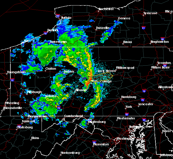 At 902 pm edt, a severe thunderstorm was located over milesburg, moving east at 30 mph (radar indicated). Hazards include 60 mph wind gusts. expect damage to trees and power lines At 902 pm edt, a severe thunderstorm was located over milesburg, moving east at 30 mph (radar indicated). Hazards include 60 mph wind gusts. expect damage to trees and power lines
|
| 9/5/2017 6:13 PM EDT |
 The severe thunderstorm warning for southern berks, central montgomery and chester counties will expire at 615 pm edt, the storms which prompted the warning have weakened below severe limits, and no longer pose an immediate threat to life or property. therefore the warning will be allowed to expire. a severe thunderstorm watch remains in effect until 900 pm edt for eastern and southeastern pennsylvania. remember, a severe thunderstorm warning still remains in effect for parts of eastern berks county and northern montgomery county until 630 pm edt. The severe thunderstorm warning for southern berks, central montgomery and chester counties will expire at 615 pm edt, the storms which prompted the warning have weakened below severe limits, and no longer pose an immediate threat to life or property. therefore the warning will be allowed to expire. a severe thunderstorm watch remains in effect until 900 pm edt for eastern and southeastern pennsylvania. remember, a severe thunderstorm warning still remains in effect for parts of eastern berks county and northern montgomery county until 630 pm edt.
|
| 9/5/2017 5:35 PM EDT |
 At 534 pm edt, severe thunderstorms were located along a line extending from near laureldale to churchtown to near quarryville, moving east at 40 mph (radar indicated. this storm has a history of producing large hail and damaging winds over york and lancaster counties in southern pennsylvania). Hazards include 60 mph wind gusts and quarter size hail. Minor damage to vehicles is possible. expect damage to trees and power lines. these severe storms will be near, reading, wyomissing, laureldale, leesport, honey brook, new morgan, spring ridge and fairview hgts around 540 pm edt. fleetwood and elverson around 545 pm edt. birdsboro, lyons and glenmoore around 550 pm edt. parkesburg, topton, bechtelsville, cochranville and gilbertsville around 555 pm edt. pottstown, coatesville, west grove, bally, pughtown, cedarville and chester springs around 600 pm edt. phoenixville, kennett square, royersford and east greenville around 605 pm edt. downingtown, trappe, marshallton, geryville and valley forge around 610 pm edt. west chester, norristown, west norriton, east norriton, westtown, collegeville, schwenksville and spring mount around 615 pm edt. Other locations impacted by these severe thunderstorms include harleysville, west lawn, boyertown, west reading, modena, pottsgrove, lorane, kenhorst, south pottstown and thorndale. At 534 pm edt, severe thunderstorms were located along a line extending from near laureldale to churchtown to near quarryville, moving east at 40 mph (radar indicated. this storm has a history of producing large hail and damaging winds over york and lancaster counties in southern pennsylvania). Hazards include 60 mph wind gusts and quarter size hail. Minor damage to vehicles is possible. expect damage to trees and power lines. these severe storms will be near, reading, wyomissing, laureldale, leesport, honey brook, new morgan, spring ridge and fairview hgts around 540 pm edt. fleetwood and elverson around 545 pm edt. birdsboro, lyons and glenmoore around 550 pm edt. parkesburg, topton, bechtelsville, cochranville and gilbertsville around 555 pm edt. pottstown, coatesville, west grove, bally, pughtown, cedarville and chester springs around 600 pm edt. phoenixville, kennett square, royersford and east greenville around 605 pm edt. downingtown, trappe, marshallton, geryville and valley forge around 610 pm edt. west chester, norristown, west norriton, east norriton, westtown, collegeville, schwenksville and spring mount around 615 pm edt. Other locations impacted by these severe thunderstorms include harleysville, west lawn, boyertown, west reading, modena, pottsgrove, lorane, kenhorst, south pottstown and thorndale.
|
| 9/5/2017 5:19 PM EDT |
 At 518 pm edt, severe thunderstorms were located along a line extending from near womelsdorf to leola to sunnyburn, moving east at 40 mph (radar and spotter indicated. this storm has a history of producing large hail and damaging winds over york and lancaster counties in southern pennsylvania). Hazards include 60 mph wind gusts and quarter size hail. Minor damage to vehicles is possible. expect damage to trees and power lines. severe thunderstorms will be near, sinking spring, wernersville and robesonia around 525 pm edt. reading, wyomissing, leesport, spring ridge and fairview hgts around 530 pm edt. laureldale and honey brook around 535 pm edt. birdsboro, fleetwood, elverson, new morgan, mount vernon and glen roy around 540 pm edt. oxford, lyons, homeville and glenmoore around 545 pm edt. cochranville around 550 pm edt. pottstown, west grove, bally, bechtelsville, pughtown, gilbertsville, chester springs, cedarville, lionville-marchwood and lionville around 555 pm edt. royersford and east greenville around 600 pm edt. Other locations impacted by these severe thunderstorms include harleysville, west lawn, boyertown, west reading, modena, pottsgrove, lorane, kenhorst, south pottstown and thorndale. At 518 pm edt, severe thunderstorms were located along a line extending from near womelsdorf to leola to sunnyburn, moving east at 40 mph (radar and spotter indicated. this storm has a history of producing large hail and damaging winds over york and lancaster counties in southern pennsylvania). Hazards include 60 mph wind gusts and quarter size hail. Minor damage to vehicles is possible. expect damage to trees and power lines. severe thunderstorms will be near, sinking spring, wernersville and robesonia around 525 pm edt. reading, wyomissing, leesport, spring ridge and fairview hgts around 530 pm edt. laureldale and honey brook around 535 pm edt. birdsboro, fleetwood, elverson, new morgan, mount vernon and glen roy around 540 pm edt. oxford, lyons, homeville and glenmoore around 545 pm edt. cochranville around 550 pm edt. pottstown, west grove, bally, bechtelsville, pughtown, gilbertsville, chester springs, cedarville, lionville-marchwood and lionville around 555 pm edt. royersford and east greenville around 600 pm edt. Other locations impacted by these severe thunderstorms include harleysville, west lawn, boyertown, west reading, modena, pottsgrove, lorane, kenhorst, south pottstown and thorndale.
|
| 8/22/2017 10:58 PM EDT |
 At 1058 pm edt, severe thunderstorms were located along a line extending from pipersville to hollywood beach, moving east at 40 mph (radar indicated). Hazards include 60 mph wind gusts and quarter size hail. Minor damage to vehicles is possible. Expect damage to trees and power lines. At 1058 pm edt, severe thunderstorms were located along a line extending from pipersville to hollywood beach, moving east at 40 mph (radar indicated). Hazards include 60 mph wind gusts and quarter size hail. Minor damage to vehicles is possible. Expect damage to trees and power lines.
|
| 8/22/2017 10:42 PM EDT |
 At 1042 pm edt, severe thunderstorms were located along a line extending from near schwenksville to charlestown, moving east at 45 mph (radar indicated). Hazards include 60 mph wind gusts and quarter size hail. Minor damage to vehicles is possible. expect damage to trees and power lines. Locations impacted include, philadelphia, camden, wilmington, newark, middletown, west chester, elkton, gloucester city, calvert, bensalem, ewing, norristown, chester, deptford, pottstown, west deptford, phoenixville, lansdale, west norriton and east norriton. At 1042 pm edt, severe thunderstorms were located along a line extending from near schwenksville to charlestown, moving east at 45 mph (radar indicated). Hazards include 60 mph wind gusts and quarter size hail. Minor damage to vehicles is possible. expect damage to trees and power lines. Locations impacted include, philadelphia, camden, wilmington, newark, middletown, west chester, elkton, gloucester city, calvert, bensalem, ewing, norristown, chester, deptford, pottstown, west deptford, phoenixville, lansdale, west norriton and east norriton.
|
| 8/22/2017 10:07 PM EDT |
 At 1007 pm edt, severe thunderstorms were located along a line extending from near elverson to near pleasant hills, moving east at 55 mph (radar indicated). Hazards include 60 mph wind gusts and quarter size hail. Minor damage to vehicles is possible. Expect damage to trees and power lines. At 1007 pm edt, severe thunderstorms were located along a line extending from near elverson to near pleasant hills, moving east at 55 mph (radar indicated). Hazards include 60 mph wind gusts and quarter size hail. Minor damage to vehicles is possible. Expect damage to trees and power lines.
|
| 8/22/2017 9:58 PM EDT |
 At 958 pm edt, a severe thunderstorm was located over pottstown, or 16 miles east of reading, moving east at 40 mph (radar indicated). Hazards include 60 mph wind gusts and quarter size hail. Minor damage to vehicles is possible. expect damage to trees and power lines. Locations impacted include, pottstown, phoenixville, west norriton, birdsboro, collegeville, royersford, trappe, east greenville, honey brook, schwenksville, elverson, bally, bechtelsville, green lane, new morgan, pughtown, spring mount, gilbertsville, valley forge and glenmoore. At 958 pm edt, a severe thunderstorm was located over pottstown, or 16 miles east of reading, moving east at 40 mph (radar indicated). Hazards include 60 mph wind gusts and quarter size hail. Minor damage to vehicles is possible. expect damage to trees and power lines. Locations impacted include, pottstown, phoenixville, west norriton, birdsboro, collegeville, royersford, trappe, east greenville, honey brook, schwenksville, elverson, bally, bechtelsville, green lane, new morgan, pughtown, spring mount, gilbertsville, valley forge and glenmoore.
|
| 8/22/2017 9:34 PM EDT |
 At 933 pm edt, severe thunderstorms were located along a line extending from washington to ottsville to near bally, moving east at 50 mph. trees have been reported down in several locations in northampton county (radar indicated). Hazards include 70 mph wind gusts and quarter size hail. Minor damage to vehicles is possible. expect considerable tree damage. wind damage is also likely to mobile homes, roofs, and outbuildings. Locations impacted include, reading, easton, bethlehem, norristown, pottstown, phoenixville, lansdale, west norriton, east norriton, wyomissing, quakertown, perkasie, doylestown, byram, wilson, souderton, bedminster, washington, hellertown and birdsboro. At 933 pm edt, severe thunderstorms were located along a line extending from washington to ottsville to near bally, moving east at 50 mph. trees have been reported down in several locations in northampton county (radar indicated). Hazards include 70 mph wind gusts and quarter size hail. Minor damage to vehicles is possible. expect considerable tree damage. wind damage is also likely to mobile homes, roofs, and outbuildings. Locations impacted include, reading, easton, bethlehem, norristown, pottstown, phoenixville, lansdale, west norriton, east norriton, wyomissing, quakertown, perkasie, doylestown, byram, wilson, souderton, bedminster, washington, hellertown and birdsboro.
|
| 8/22/2017 9:23 PM EDT |
 At 922 pm edt, a severe thunderstorm was located over adamstown, or 7 miles southwest of reading, moving east at 40 mph (radar indicated). Hazards include 60 mph wind gusts and quarter size hail. Minor damage to vehicles is possible. Expect damage to trees and power lines. At 922 pm edt, a severe thunderstorm was located over adamstown, or 7 miles southwest of reading, moving east at 40 mph (radar indicated). Hazards include 60 mph wind gusts and quarter size hail. Minor damage to vehicles is possible. Expect damage to trees and power lines.
|
| 8/22/2017 9:12 PM EDT |
 At 912 pm edt, severe thunderstorms were located along a line extending from near belvidere to bechtelsville, moving east at 55 mph (radar indicated). Hazards include 70 mph wind gusts and quarter size hail. Minor damage to vehicles is possible. expect considerable tree damage. wind damage is also likely to mobile homes, roofs, and outbuildings. Locations impacted include, allentown, reading, easton, bethlehem, norristown, pottstown, phoenixville, lansdale, west norriton, forks, east norriton, emmaus, wyomissing, northampton, quakertown, perkasie, doylestown, byram, wilson and souderton. At 912 pm edt, severe thunderstorms were located along a line extending from near belvidere to bechtelsville, moving east at 55 mph (radar indicated). Hazards include 70 mph wind gusts and quarter size hail. Minor damage to vehicles is possible. expect considerable tree damage. wind damage is also likely to mobile homes, roofs, and outbuildings. Locations impacted include, allentown, reading, easton, bethlehem, norristown, pottstown, phoenixville, lansdale, west norriton, forks, east norriton, emmaus, wyomissing, northampton, quakertown, perkasie, doylestown, byram, wilson and souderton.
|
| 8/22/2017 8:58 PM EDT |
 At 845 pm edt, severe thunderstorms were located along a line extending from kunkletown to near spring ridge, moving east at 55 mph (radar indicated). Hazards include golf ball size hail and 70 mph wind gusts. People and animals outdoors will be injured. expect hail damage to roofs, siding, windows, and vehicles. expect considerable tree damage. Wind damage is also likely to mobile homes, roofs, and outbuildings. At 845 pm edt, severe thunderstorms were located along a line extending from kunkletown to near spring ridge, moving east at 55 mph (radar indicated). Hazards include golf ball size hail and 70 mph wind gusts. People and animals outdoors will be injured. expect hail damage to roofs, siding, windows, and vehicles. expect considerable tree damage. Wind damage is also likely to mobile homes, roofs, and outbuildings.
|
| 8/22/2017 8:58 PM EDT |
 At 856 pm edt, severe thunderstorms were located along a line extending from pen argyl to near laureldale, moving east at 55 mph (radar indicated. a report from social media showed dime size hail in kutztown). Hazards include 70 mph wind gusts and ping pong ball size hail. People and animals outdoors will be injured. expect hail damage to roofs, siding, windows, and vehicles. expect considerable tree damage. wind damage is also likely to mobile homes, roofs, and outbuildings. Locations impacted include, allentown, reading, easton, bethlehem, norristown, pottstown, phoenixville, lansdale, west norriton, forks, east norriton, emmaus, wyomissing, northampton, quakertown, perkasie, doylestown, byram, wilson and souderton. At 856 pm edt, severe thunderstorms were located along a line extending from pen argyl to near laureldale, moving east at 55 mph (radar indicated. a report from social media showed dime size hail in kutztown). Hazards include 70 mph wind gusts and ping pong ball size hail. People and animals outdoors will be injured. expect hail damage to roofs, siding, windows, and vehicles. expect considerable tree damage. wind damage is also likely to mobile homes, roofs, and outbuildings. Locations impacted include, allentown, reading, easton, bethlehem, norristown, pottstown, phoenixville, lansdale, west norriton, forks, east norriton, emmaus, wyomissing, northampton, quakertown, perkasie, doylestown, byram, wilson and souderton.
|
| 8/22/2017 8:45 PM EDT |
 At 845 pm edt, severe thunderstorms were located along a line extending from kunkletown to near spring ridge, moving east at 55 mph (radar indicated). Hazards include golf ball size hail and 70 mph wind gusts. People and animals outdoors will be injured. expect hail damage to roofs, siding, windows, and vehicles. expect considerable tree damage. Wind damage is also likely to mobile homes, roofs, and outbuildings. At 845 pm edt, severe thunderstorms were located along a line extending from kunkletown to near spring ridge, moving east at 55 mph (radar indicated). Hazards include golf ball size hail and 70 mph wind gusts. People and animals outdoors will be injured. expect hail damage to roofs, siding, windows, and vehicles. expect considerable tree damage. Wind damage is also likely to mobile homes, roofs, and outbuildings.
|
| 8/19/2017 6:44 PM EDT |
 At 642 pm edt, severe thunderstorms were located along a line extending from rebersburg to near reeds gap state park to juniata terrace to near rockhill furnace to near waterfall, moving east at 45 mph (radar indicated). Hazards include 60 mph wind gusts and penny size hail. Expect damage to trees and power lines. these severe storms will affect, rebersburg, aaronsburg, millheim, madisonburg, poe valley state park coburn and woodward. Other locations impacted by these severe thunderstorms include saltillo, cassville, shade gap, mapleton, mccall dam state park, mill creek, kistler, shirleysburg, coalmont and orbisonia. At 642 pm edt, severe thunderstorms were located along a line extending from rebersburg to near reeds gap state park to juniata terrace to near rockhill furnace to near waterfall, moving east at 45 mph (radar indicated). Hazards include 60 mph wind gusts and penny size hail. Expect damage to trees and power lines. these severe storms will affect, rebersburg, aaronsburg, millheim, madisonburg, poe valley state park coburn and woodward. Other locations impacted by these severe thunderstorms include saltillo, cassville, shade gap, mapleton, mccall dam state park, mill creek, kistler, shirleysburg, coalmont and orbisonia.
|
| 8/19/2017 6:10 PM EDT |
 At 529 pm edt, severe thunderstorms were located along a line extending from plymptonville to near blandburg to sankertown to westmont, moving east at 45 mph (radar indicated). Hazards include 60 mph wind gusts and penny size hail. Expect damage to trees and power lines. severe thunderstorms will be near, blandburg around 530 pm edt. tyrone, hollidaysburg, duncansville, lakemont, bald eagle, birmingham, horseshoe curve, tipton and sinking valley around 540 pm edt. franklinville, royer, warriors mark, canoe creek state park, spruce creek, black moshannon state park, roaring spring, pine glen and north philipsburg around 550 pm edt. rock springs, snow shoe, clarence, whipple dam state park, moshannon, ski gap, entriken, williamsburg, trough creek state park and ramblewood around 600 pm edt. other locations impacted by these severe thunderstorms include saltillo, shade gap, mapleton, mcconnellstown, shirleysburg, howard, petersburg, east freedom, alexandria and orbisonia. for those driving on interstate 80, this includes areas between the kylertown and lamar exits, specifically from mile markers 139 to 171. this includes the following interstates, the pennsylvania turnpike from mile markers 184 to 186. Interstate 99 from mile markers 15 to 85. At 529 pm edt, severe thunderstorms were located along a line extending from plymptonville to near blandburg to sankertown to westmont, moving east at 45 mph (radar indicated). Hazards include 60 mph wind gusts and penny size hail. Expect damage to trees and power lines. severe thunderstorms will be near, blandburg around 530 pm edt. tyrone, hollidaysburg, duncansville, lakemont, bald eagle, birmingham, horseshoe curve, tipton and sinking valley around 540 pm edt. franklinville, royer, warriors mark, canoe creek state park, spruce creek, black moshannon state park, roaring spring, pine glen and north philipsburg around 550 pm edt. rock springs, snow shoe, clarence, whipple dam state park, moshannon, ski gap, entriken, williamsburg, trough creek state park and ramblewood around 600 pm edt. other locations impacted by these severe thunderstorms include saltillo, shade gap, mapleton, mcconnellstown, shirleysburg, howard, petersburg, east freedom, alexandria and orbisonia. for those driving on interstate 80, this includes areas between the kylertown and lamar exits, specifically from mile markers 139 to 171. this includes the following interstates, the pennsylvania turnpike from mile markers 184 to 186. Interstate 99 from mile markers 15 to 85.
|
| 8/19/2017 5:29 PM EDT |
 At 529 pm edt, severe thunderstorms were located along a line extending from plymptonville to near blandburg to sankertown to westmont, moving east at 45 mph (radar indicated). Hazards include 60 mph wind gusts and penny size hail. Expect damage to trees and power lines. severe thunderstorms will be near, blandburg around 530 pm edt. tyrone, hollidaysburg, duncansville, lakemont, bald eagle, birmingham, horseshoe curve, tipton and sinking valley around 540 pm edt. franklinville, royer, warriors mark, canoe creek state park, spruce creek, black moshannon state park, roaring spring, pine glen and north philipsburg around 550 pm edt. rock springs, snow shoe, clarence, whipple dam state park, moshannon, ski gap, entriken, williamsburg, trough creek state park and ramblewood around 600 pm edt. other locations impacted by these severe thunderstorms include saltillo, shade gap, mapleton, mcconnellstown, shirleysburg, howard, petersburg, east freedom, alexandria and orbisonia. for those driving on interstate 80, this includes areas between the kylertown and lamar exits, specifically from mile markers 139 to 171. this includes the following interstates, the pennsylvania turnpike from mile markers 184 to 186. Interstate 99 from mile markers 15 to 85. At 529 pm edt, severe thunderstorms were located along a line extending from plymptonville to near blandburg to sankertown to westmont, moving east at 45 mph (radar indicated). Hazards include 60 mph wind gusts and penny size hail. Expect damage to trees and power lines. severe thunderstorms will be near, blandburg around 530 pm edt. tyrone, hollidaysburg, duncansville, lakemont, bald eagle, birmingham, horseshoe curve, tipton and sinking valley around 540 pm edt. franklinville, royer, warriors mark, canoe creek state park, spruce creek, black moshannon state park, roaring spring, pine glen and north philipsburg around 550 pm edt. rock springs, snow shoe, clarence, whipple dam state park, moshannon, ski gap, entriken, williamsburg, trough creek state park and ramblewood around 600 pm edt. other locations impacted by these severe thunderstorms include saltillo, shade gap, mapleton, mcconnellstown, shirleysburg, howard, petersburg, east freedom, alexandria and orbisonia. for those driving on interstate 80, this includes areas between the kylertown and lamar exits, specifically from mile markers 139 to 171. this includes the following interstates, the pennsylvania turnpike from mile markers 184 to 186. Interstate 99 from mile markers 15 to 85.
|
| 8/18/2017 5:11 PM EDT |
 The national weather service in mount holly nj has issued a * severe thunderstorm warning for. southeastern hunterdon county in northwestern new jersey. northwestern mercer county in central new jersey. southwestern somerset county in northern new jersey. Montgomery county in southeastern pennsylvania. The national weather service in mount holly nj has issued a * severe thunderstorm warning for. southeastern hunterdon county in northwestern new jersey. northwestern mercer county in central new jersey. southwestern somerset county in northern new jersey. Montgomery county in southeastern pennsylvania.
|
| 8/18/2017 4:58 PM EDT |
 At 458 pm edt, a severe thunderstorm was located near green lane, or 16 miles south of allentown, moving east at 30 mph (radar indicated). Hazards include 60 mph wind gusts and nickel size hail. Expect damage to trees and power lines. Locations impacted include, norristown, pottstown, lansdale, west norriton, east norriton, perkasie, souderton, collegeville, trappe, hatfield, dublin, schwenksville, green lane, fricks, spring mount, geryville, gilbertsville, skippack, stowe and telford. At 458 pm edt, a severe thunderstorm was located near green lane, or 16 miles south of allentown, moving east at 30 mph (radar indicated). Hazards include 60 mph wind gusts and nickel size hail. Expect damage to trees and power lines. Locations impacted include, norristown, pottstown, lansdale, west norriton, east norriton, perkasie, souderton, collegeville, trappe, hatfield, dublin, schwenksville, green lane, fricks, spring mount, geryville, gilbertsville, skippack, stowe and telford.
|
| 8/18/2017 4:41 PM EDT |
 At 441 pm edt, a severe thunderstorm was located over gilbertsville, or 18 miles east of reading, moving east at 25 mph (radar indicated). Hazards include 70 mph wind gusts and quarter size hail. Minor damage to vehicles is possible. expect considerable tree damage. wind damage is also likely to mobile homes, roofs, and outbuildings. Locations impacted include, norristown, pottstown, lansdale, west norriton, east norriton, perkasie, souderton, collegeville, trappe, hatfield, east greenville, dublin, schwenksville, bally, bechtelsville, green lane, fricks, spring mount, geryville and gilbertsville. At 441 pm edt, a severe thunderstorm was located over gilbertsville, or 18 miles east of reading, moving east at 25 mph (radar indicated). Hazards include 70 mph wind gusts and quarter size hail. Minor damage to vehicles is possible. expect considerable tree damage. wind damage is also likely to mobile homes, roofs, and outbuildings. Locations impacted include, norristown, pottstown, lansdale, west norriton, east norriton, perkasie, souderton, collegeville, trappe, hatfield, east greenville, dublin, schwenksville, bally, bechtelsville, green lane, fricks, spring mount, geryville and gilbertsville.
|
| 8/18/2017 4:24 PM EDT |
 At 424 pm edt, a severe thunderstorm was located near bechtelsville, or 12 miles east of reading, moving east at 25 mph (radar indicated). Hazards include 60 mph wind gusts and quarter size hail. Minor damage to vehicles is possible. Expect damage to trees and power lines. At 424 pm edt, a severe thunderstorm was located near bechtelsville, or 12 miles east of reading, moving east at 25 mph (radar indicated). Hazards include 60 mph wind gusts and quarter size hail. Minor damage to vehicles is possible. Expect damage to trees and power lines.
|
| 8/4/2017 5:08 PM EDT |
 At 507 pm edt, a severe thunderstorm was located over pleasant gap, moving north at 40 mph (radar indicated). Hazards include 60 mph wind gusts. Hail damage to vehicles is possible. expect wind damage to trees and power lines. Locations impacted include, bellefonte, state college, monument, potters mills, zion, houserville, milesburg, bald eagle state park, blanchard and boalsburg. At 507 pm edt, a severe thunderstorm was located over pleasant gap, moving north at 40 mph (radar indicated). Hazards include 60 mph wind gusts. Hail damage to vehicles is possible. expect wind damage to trees and power lines. Locations impacted include, bellefonte, state college, monument, potters mills, zion, houserville, milesburg, bald eagle state park, blanchard and boalsburg.
|
| 8/4/2017 4:30 PM EDT |
 At 429 pm edt, a severe thunderstorm was located near allensville, moving north at 40 mph (radar indicated). Hazards include 60 mph wind gusts and quarter size hail. Hail damage to vehicles is possible. Expect wind damage to trees and power lines. At 429 pm edt, a severe thunderstorm was located near allensville, moving north at 40 mph (radar indicated). Hazards include 60 mph wind gusts and quarter size hail. Hail damage to vehicles is possible. Expect wind damage to trees and power lines.
|
| 8/2/2017 1:43 PM EDT |
 At 142 pm edt, a severe thunderstorm was located over east norriton, or 14 miles northwest of philadelphia, moving northeast at 15 mph (radar indicated). Hazards include quarter size hail. Minor damage to vehicles is possible. Locations impacted include, norristown, west norriton, east norriton, conshohocken, ambler, plymouth meeting, bryn mawr, king of prussia, willow grove, skippack, bridgeport, west conshohocken, audubon, fort washington, blue bell, eagleville, flourtown, oreland, trooper and spring house. At 142 pm edt, a severe thunderstorm was located over east norriton, or 14 miles northwest of philadelphia, moving northeast at 15 mph (radar indicated). Hazards include quarter size hail. Minor damage to vehicles is possible. Locations impacted include, norristown, west norriton, east norriton, conshohocken, ambler, plymouth meeting, bryn mawr, king of prussia, willow grove, skippack, bridgeport, west conshohocken, audubon, fort washington, blue bell, eagleville, flourtown, oreland, trooper and spring house.
|
| 8/2/2017 1:30 PM EDT |
 At 130 pm edt, a severe thunderstorm was located over king of prussia, or 14 miles northwest of philadelphia, moving northeast at 15 mph (radar indicated). Hazards include quarter size hail. minor damage to vehicles is possible At 130 pm edt, a severe thunderstorm was located over king of prussia, or 14 miles northwest of philadelphia, moving northeast at 15 mph (radar indicated). Hazards include quarter size hail. minor damage to vehicles is possible
|
| 7/24/2017 7:59 PM EDT |
 A severe thunderstorm warning remains in effect until 815 pm edt for central montgomery and central bucks counties. at 758 pm edt, severe thunderstorms were located along a line extending from doylestown to plymouth meeting, moving east at 30 mph. hazard. 60 mph wind gusts and penny size hail. source. Radar indicated. A severe thunderstorm warning remains in effect until 815 pm edt for central montgomery and central bucks counties. at 758 pm edt, severe thunderstorms were located along a line extending from doylestown to plymouth meeting, moving east at 30 mph. hazard. 60 mph wind gusts and penny size hail. source. Radar indicated.
|
| 7/24/2017 7:26 PM EDT |
 At 725 pm edt, a severe thunderstorm was located near pottstown, or 20 miles east of reading, moving east at 35 mph (radar indicated). Hazards include 60 mph wind gusts and penny size hail. expect damage to trees and power lines At 725 pm edt, a severe thunderstorm was located near pottstown, or 20 miles east of reading, moving east at 35 mph (radar indicated). Hazards include 60 mph wind gusts and penny size hail. expect damage to trees and power lines
|
| 7/22/2017 5:50 PM EDT |
 At 549 pm edt, severe thunderstorms were located along a line extending from valley forge to near westtown, moving east at 35 mph (radar indicated). Hazards include 60 mph wind gusts. expect damage to trees and power lines At 549 pm edt, severe thunderstorms were located along a line extending from valley forge to near westtown, moving east at 35 mph (radar indicated). Hazards include 60 mph wind gusts. expect damage to trees and power lines
|
| 7/22/2017 5:18 PM EDT |
 At 516 pm edt, severe thunderstorms were located along a line extending from near elverson to near parkesburg, moving southeast at 30 mph (doppler radar and emergency management. lancaster county 911 center reported downed trees when the storm moved through ephrata and new holland). Hazards include 60 mph wind gusts. expect damage to trees and power lines At 516 pm edt, severe thunderstorms were located along a line extending from near elverson to near parkesburg, moving southeast at 30 mph (doppler radar and emergency management. lancaster county 911 center reported downed trees when the storm moved through ephrata and new holland). Hazards include 60 mph wind gusts. expect damage to trees and power lines
|
| 7/13/2017 5:44 PM EDT |
 At 543 pm edt, a severe thunderstorm was located over collegeville, or 20 miles northeast of west chester, moving east at 25 mph (radar indicated). Hazards include 60 mph wind gusts. Expect damage to trees and power lines. this severe thunderstorm will be near, east norriton around 550 pm edt. lansdale, souderton and hatfield around 600 pm edt. ambler around 605 pm edt. perkasie and fricks around 610 pm edt. chalfont and dublin around 615 pm edt. doylestown and ivyland around 625 pm edt. Other locations impacted by this severe thunderstorm include harleysville, sellersville, horsham, warminster heights, evansburg, silverdale, audubon, telford, blue bell and maple glen. At 543 pm edt, a severe thunderstorm was located over collegeville, or 20 miles northeast of west chester, moving east at 25 mph (radar indicated). Hazards include 60 mph wind gusts. Expect damage to trees and power lines. this severe thunderstorm will be near, east norriton around 550 pm edt. lansdale, souderton and hatfield around 600 pm edt. ambler around 605 pm edt. perkasie and fricks around 610 pm edt. chalfont and dublin around 615 pm edt. doylestown and ivyland around 625 pm edt. Other locations impacted by this severe thunderstorm include harleysville, sellersville, horsham, warminster heights, evansburg, silverdale, audubon, telford, blue bell and maple glen.
|
| 7/1/2017 5:24 PM EDT |
 At 524 pm edt, severe thunderstorms were located along a line extending from near lansdale to delaware memorial bridge, moving east at 35 mph (trained weather spotters). Hazards include 60 mph wind gusts and penny size hail. Expect damage to trees and power lines. Locations impacted include, philadelphia, trenton, camden, wilmington, newark, west chester, gloucester city, cherry hill, bensalem, ewing, norristown, chester, deptford, west deptford, glassboro, lindenwold, phoenixville, lansdale, west norriton and east norriton. At 524 pm edt, severe thunderstorms were located along a line extending from near lansdale to delaware memorial bridge, moving east at 35 mph (trained weather spotters). Hazards include 60 mph wind gusts and penny size hail. Expect damage to trees and power lines. Locations impacted include, philadelphia, trenton, camden, wilmington, newark, west chester, gloucester city, cherry hill, bensalem, ewing, norristown, chester, deptford, west deptford, glassboro, lindenwold, phoenixville, lansdale, west norriton and east norriton.
|
| 7/1/2017 5:01 PM EDT |
 At 500 pm edt, severe thunderstorms were located along a line extending from spring mount to glen westover, moving east at 40 mph (radar indicated). Hazards include 60 mph wind gusts and nickel size hail. expect damage to trees and power lines At 500 pm edt, severe thunderstorms were located along a line extending from spring mount to glen westover, moving east at 40 mph (radar indicated). Hazards include 60 mph wind gusts and nickel size hail. expect damage to trees and power lines
|
| 7/1/2017 4:57 PM EDT |
 At 456 pm edt, severe thunderstorms were located along a line extending from bloomsbury to springtown to near marshallton, moving east at 40 mph (trained weather spotters). Hazards include 65 mph wind gusts and quarter size hail. Minor damage to vehicles is possible. expect damage to trees and power lines. Locations impacted include, allentown, easton, west chester, bethlehem, norristown, pottstown, phoenixville, lansdale, west norriton, forks, east norriton, coatesville, emmaus, westtown, northampton, quakertown, perkasie, doylestown, byram and wilson. At 456 pm edt, severe thunderstorms were located along a line extending from bloomsbury to springtown to near marshallton, moving east at 40 mph (trained weather spotters). Hazards include 65 mph wind gusts and quarter size hail. Minor damage to vehicles is possible. expect damage to trees and power lines. Locations impacted include, allentown, easton, west chester, bethlehem, norristown, pottstown, phoenixville, lansdale, west norriton, forks, east norriton, coatesville, emmaus, westtown, northampton, quakertown, perkasie, doylestown, byram and wilson.
|
| 7/1/2017 4:41 PM EDT |
 At 441 pm edt, severe thunderstorms were located along a line extending from old orchard to emmaus to cochranville, moving east at 40 mph (radar indicated). Hazards include 60 mph wind gusts and quarter size hail. Minor damage to vehicles is possible. expect damage to trees and power lines. Locations impacted include, allentown, easton, west chester, bethlehem, norristown, pottstown, phoenixville, lansdale, west norriton, forks, east norriton, coatesville, emmaus, westtown, northampton, quakertown, perkasie, doylestown, byram and wilson. At 441 pm edt, severe thunderstorms were located along a line extending from old orchard to emmaus to cochranville, moving east at 40 mph (radar indicated). Hazards include 60 mph wind gusts and quarter size hail. Minor damage to vehicles is possible. expect damage to trees and power lines. Locations impacted include, allentown, easton, west chester, bethlehem, norristown, pottstown, phoenixville, lansdale, west norriton, forks, east norriton, coatesville, emmaus, westtown, northampton, quakertown, perkasie, doylestown, byram and wilson.
|
| 7/1/2017 4:24 PM EDT |
 At 423 pm edt, severe thunderstorms were located along a line extending from near allentown to topton to near quarryville, moving east at 40 mph (radar indicated). Hazards include 60 mph wind gusts and quarter size hail. Minor damage to vehicles is possible. Expect damage to trees and power lines. At 423 pm edt, severe thunderstorms were located along a line extending from near allentown to topton to near quarryville, moving east at 40 mph (radar indicated). Hazards include 60 mph wind gusts and quarter size hail. Minor damage to vehicles is possible. Expect damage to trees and power lines.
|
| 6/23/2017 5:33 PM EDT |
 At 533 pm edt, a severe thunderstorm was located over adamstown, or near ephrata, moving east at 40 mph (radar indicated). Hazards include 60 mph wind gusts. expect damage to trees and power lines At 533 pm edt, a severe thunderstorm was located over adamstown, or near ephrata, moving east at 40 mph (radar indicated). Hazards include 60 mph wind gusts. expect damage to trees and power lines
|
| 6/21/2017 4:15 PM EDT |
 At 414 pm edt, severe thunderstorms were located along a line extending from near souderton to near schwenksville to chester springs, moving east at 35 mph (local fire department and trained weather spotter reported several trees and wires down in pottstown from the severe thunderstorm that moved through just after 4 pm). Hazards include 60 mph wind gusts. Expect damage to trees and power lines. Locations impacted include, norristown, phoenixville, lansdale, west norriton, east norriton, conshohocken, hatboro, souderton, ambler, collegeville, royersford, chalfont, trappe, hatfield, schwenksville, bryn athyn, ivyland, pughtown, spring mount and king of prussia. At 414 pm edt, severe thunderstorms were located along a line extending from near souderton to near schwenksville to chester springs, moving east at 35 mph (local fire department and trained weather spotter reported several trees and wires down in pottstown from the severe thunderstorm that moved through just after 4 pm). Hazards include 60 mph wind gusts. Expect damage to trees and power lines. Locations impacted include, norristown, phoenixville, lansdale, west norriton, east norriton, conshohocken, hatboro, souderton, ambler, collegeville, royersford, chalfont, trappe, hatfield, schwenksville, bryn athyn, ivyland, pughtown, spring mount and king of prussia.
|
| 6/21/2017 4:02 PM EDT |
 At 402 pm edt, severe thunderstorms were located along a line extending from near east greenville to near gilbertsville to near elverson, moving east at 35 mph (radar indicated). Hazards include 60 mph wind gusts. expect damage to trees and power lines At 402 pm edt, severe thunderstorms were located along a line extending from near east greenville to near gilbertsville to near elverson, moving east at 35 mph (radar indicated). Hazards include 60 mph wind gusts. expect damage to trees and power lines
|
| 6/19/2017 4:34 PM EDT |
 At 433 pm edt, severe thunderstorms were located along a line extending from valley forge to near paoli to stanton, moving northeast at 35 mph (radar indicated). Hazards include 60 mph wind gusts. Expect damage to trees and power lines. severe thunderstorms will be near, phoenixville, valley forge, paoli, newtown square, gradyville, lima and nether providence township around 440 pm edt. west norriton, king of prussia, trout lake and broomall around 445 pm edt. norristown, east norriton, radnor township, bryn mawr, elam, morris park and drexel hill around 450 pm edt. conshohocken, narberth, chelsea and roxborough around 455 pm edt. ambler, plymouth meeting, chestnut hill, beckett, chester township and germantown around 500 pm edt. chester and swedesboro around 505 pm edt. swarthmore, jenkintown, abington, gibbstown, philadelphia international arpt and mullica hill around 510 pm edt. philadelphia, gloucester city, deptford, west deptford, bellmawr, yeadon, woodbury, hatboro, folcroft and paulsboro around 515 pm edt. Other locations impacted by these severe thunderstorms include oak valley, clifton heights, collingdale, churchville, merchantville, marcus hook, trainer, eddystone, village green-green ridge and pennsauken. At 433 pm edt, severe thunderstorms were located along a line extending from valley forge to near paoli to stanton, moving northeast at 35 mph (radar indicated). Hazards include 60 mph wind gusts. Expect damage to trees and power lines. severe thunderstorms will be near, phoenixville, valley forge, paoli, newtown square, gradyville, lima and nether providence township around 440 pm edt. west norriton, king of prussia, trout lake and broomall around 445 pm edt. norristown, east norriton, radnor township, bryn mawr, elam, morris park and drexel hill around 450 pm edt. conshohocken, narberth, chelsea and roxborough around 455 pm edt. ambler, plymouth meeting, chestnut hill, beckett, chester township and germantown around 500 pm edt. chester and swedesboro around 505 pm edt. swarthmore, jenkintown, abington, gibbstown, philadelphia international arpt and mullica hill around 510 pm edt. philadelphia, gloucester city, deptford, west deptford, bellmawr, yeadon, woodbury, hatboro, folcroft and paulsboro around 515 pm edt. Other locations impacted by these severe thunderstorms include oak valley, clifton heights, collingdale, churchville, merchantville, marcus hook, trainer, eddystone, village green-green ridge and pennsauken.
|
| 6/19/2017 4:22 PM EDT |
 At 421 pm edt, severe thunderstorms were located along a line extending from near downingtown to near kennett square to ladenberg, moving northeast at 45 mph (radar indicated this storm was intensifying). Hazards include 60 mph wind gusts may be co9me widespread. Expect damage to trees and power lines. these severe storms will be near, downingtown around 425 pm edt. lionville, lionville-marchwood and marshallton around 430 pm edt. west chester and chester springs around 435 pm edt. phoenixville, royersford, elam and valley forge around 440 pm edt. norristown, west norriton, east norriton, westtown, collegeville, trappe, paoli, cheyney, concordville and gradyville around 445 pm edt. Other locations impacted by these severe thunderstorms include exton, south coatesville, modena, thorndale, chester heights, evansburg, malvern, west goshen, audubon and chesterbrook. At 421 pm edt, severe thunderstorms were located along a line extending from near downingtown to near kennett square to ladenberg, moving northeast at 45 mph (radar indicated this storm was intensifying). Hazards include 60 mph wind gusts may be co9me widespread. Expect damage to trees and power lines. these severe storms will be near, downingtown around 425 pm edt. lionville, lionville-marchwood and marshallton around 430 pm edt. west chester and chester springs around 435 pm edt. phoenixville, royersford, elam and valley forge around 440 pm edt. norristown, west norriton, east norriton, westtown, collegeville, trappe, paoli, cheyney, concordville and gradyville around 445 pm edt. Other locations impacted by these severe thunderstorms include exton, south coatesville, modena, thorndale, chester heights, evansburg, malvern, west goshen, audubon and chesterbrook.
|
| 6/19/2017 4:07 PM EDT |
 At 407 pm edt, severe thunderstorms were located along a line extending from parkesburg to near homeville to lombard, moving northeast at 45 mph (radar indicated). Hazards include 60 mph wind gusts. Expect damage to trees and power lines. severe thunderstorms will be near, parkesburg, west grove and cochranville around 410 pm edt. coatesville around 415 pm edt. ladenberg and kemblesville around 420 pm edt. downingtown, north star and pike creek around 425 pm edt. kennett square, lionville-marchwood, hockessin, lionville, marshallton, chester springs and ashland around 430 pm edt. west chester around 435 pm edt. phoenixville, royersford, elam and valley forge around 440 pm edt. norristown, west norriton, east norriton, westtown, collegeville, trappe, paoli, cheyney, concordville and gradyville around 445 pm edt. Other locations impacted by these severe thunderstorms include harleysville, exton, south coatesville, modena, thorndale, chester heights, evansburg, malvern, west goshen and audubon. At 407 pm edt, severe thunderstorms were located along a line extending from parkesburg to near homeville to lombard, moving northeast at 45 mph (radar indicated). Hazards include 60 mph wind gusts. Expect damage to trees and power lines. severe thunderstorms will be near, parkesburg, west grove and cochranville around 410 pm edt. coatesville around 415 pm edt. ladenberg and kemblesville around 420 pm edt. downingtown, north star and pike creek around 425 pm edt. kennett square, lionville-marchwood, hockessin, lionville, marshallton, chester springs and ashland around 430 pm edt. west chester around 435 pm edt. phoenixville, royersford, elam and valley forge around 440 pm edt. norristown, west norriton, east norriton, westtown, collegeville, trappe, paoli, cheyney, concordville and gradyville around 445 pm edt. Other locations impacted by these severe thunderstorms include harleysville, exton, south coatesville, modena, thorndale, chester heights, evansburg, malvern, west goshen and audubon.
|
| 6/19/2017 3:25 PM EDT |
 At 324 pm edt, severe thunderstorms were located along a line extending from near gilbertsville to near pughtown, moving east at 40 mph (radar indicated). Hazards include 60 mph wind gusts. Expect damage to trees and power lines. these severe storms will be near, gilbertsville around 330 pm edt. royersford and green lane around 340 pm edt. collegeville, trappe and schwenksville around 345 pm edt. spring mount around 350 pm edt. east norriton around 355 pm edt. Other locations impacted by these severe thunderstorms include harleysville, boyertown, pottsgrove, south pottstown, evansburg, spring city, stowe, sanatoga, kenilworth and halfway house. At 324 pm edt, severe thunderstorms were located along a line extending from near gilbertsville to near pughtown, moving east at 40 mph (radar indicated). Hazards include 60 mph wind gusts. Expect damage to trees and power lines. these severe storms will be near, gilbertsville around 330 pm edt. royersford and green lane around 340 pm edt. collegeville, trappe and schwenksville around 345 pm edt. spring mount around 350 pm edt. east norriton around 355 pm edt. Other locations impacted by these severe thunderstorms include harleysville, boyertown, pottsgrove, south pottstown, evansburg, spring city, stowe, sanatoga, kenilworth and halfway house.
|
| 6/19/2017 3:08 PM EDT |
 At 307 pm edt, severe thunderstorms were located along a line extending from near reading to near new morgan, moving east at 40 mph (radar indicated). Hazards include 60 mph wind gusts. Expect damage to trees and power lines. severe thunderstorms will be near, birdsboro around 315 pm edt. pottstown and pughtown around 325 pm edt. gilbertsville and cedarville around 330 pm edt. phoenixville and royersford around 335 pm edt. collegeville, trappe, schwenksville, green lane and spring mount around 345 pm edt. east norriton around 355 pm edt. Other locations impacted by these severe thunderstorms include harleysville, boyertown, pottsgrove, lorane, south pottstown, evansburg, amity gardens, spring city, stowe and sanatoga. At 307 pm edt, severe thunderstorms were located along a line extending from near reading to near new morgan, moving east at 40 mph (radar indicated). Hazards include 60 mph wind gusts. Expect damage to trees and power lines. severe thunderstorms will be near, birdsboro around 315 pm edt. pottstown and pughtown around 325 pm edt. gilbertsville and cedarville around 330 pm edt. phoenixville and royersford around 335 pm edt. collegeville, trappe, schwenksville, green lane and spring mount around 345 pm edt. east norriton around 355 pm edt. Other locations impacted by these severe thunderstorms include harleysville, boyertown, pottsgrove, lorane, south pottstown, evansburg, amity gardens, spring city, stowe and sanatoga.
|
| 6/15/2017 6:59 PM EDT |
 At 658 pm edt, severe thunderstorms were located along a line extending from near wharton to 6 miles north of lecontes mills to near houtzdale, moving east at 30 mph (radar indicated). Hazards include 60 mph wind gusts. expect damage to trees and power lines At 658 pm edt, severe thunderstorms were located along a line extending from near wharton to 6 miles north of lecontes mills to near houtzdale, moving east at 30 mph (radar indicated). Hazards include 60 mph wind gusts. expect damage to trees and power lines
|
| 5/30/2017 3:11 PM EDT |
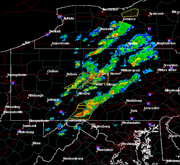 At 311 pm edt, a severe thunderstorm was located over snow shoe, moving east at 40 mph (radar indicated). Hazards include 60 mph wind gusts and quarter size hail. Hail damage to vehicles is possible. Expect wind damage to trees and power lines. At 311 pm edt, a severe thunderstorm was located over snow shoe, moving east at 40 mph (radar indicated). Hazards include 60 mph wind gusts and quarter size hail. Hail damage to vehicles is possible. Expect wind damage to trees and power lines.
|
| 5/1/2017 4:52 PM EDT |
 At 451 pm edt, severe thunderstorms were located along a line extending from near emporium to prince gallitzin state park, moving east at 35 mph (radar indicated). Hazards include 60 mph wind gusts. expect damage to roofs, siding, and trees At 451 pm edt, severe thunderstorms were located along a line extending from near emporium to prince gallitzin state park, moving east at 35 mph (radar indicated). Hazards include 60 mph wind gusts. expect damage to roofs, siding, and trees
|
| 4/29/2017 4:20 AM EDT |
 At 419 am edt, severe thunderstorms were located along a line extending from near souderton to near lansdale to king of prussia, moving east at 65 mph (radar indicated). Hazards include 60 mph wind gusts and penny size hail. expect damage to roofs, siding, and trees At 419 am edt, severe thunderstorms were located along a line extending from near souderton to near lansdale to king of prussia, moving east at 65 mph (radar indicated). Hazards include 60 mph wind gusts and penny size hail. expect damage to roofs, siding, and trees
|
| 3/1/2017 2:25 PM EST |
 At 225 pm est, severe thunderstorms were located along a line extending from shoemakersville to near reamstown, moving east at 60 mph (radar indicated). Hazards include 60 mph wind gusts. Expect damage to roofs, siding, and trees. these severe storms will be near, fleetwood, shoemakersville and lenhartsville around 230 pm est. kutztown, topton, elverson, lyons and new morgan around 235 pm est. birdsboro and claussville around 240 pm est. allentown, emmaus, ancient oaks, cedarville, coffeetown, zionsville and pughtown around 245 pm est. pottstown, northampton, royersford, bechtelsville and gilbertsville around 250 pm est. bethlehem, collegeville, trappe, schwenksville, bally, steuben, lehigh university and spring mount around 255 pm est. east greenville, green lane and geryville around 300 pm est. Other locations impacted by these severe thunderstorms include harleysville, west lawn, boyertown, west reading, pottsgrove, lorane, kenhorst, hokendauqua, south pottstown and thorndale. At 225 pm est, severe thunderstorms were located along a line extending from shoemakersville to near reamstown, moving east at 60 mph (radar indicated). Hazards include 60 mph wind gusts. Expect damage to roofs, siding, and trees. these severe storms will be near, fleetwood, shoemakersville and lenhartsville around 230 pm est. kutztown, topton, elverson, lyons and new morgan around 235 pm est. birdsboro and claussville around 240 pm est. allentown, emmaus, ancient oaks, cedarville, coffeetown, zionsville and pughtown around 245 pm est. pottstown, northampton, royersford, bechtelsville and gilbertsville around 250 pm est. bethlehem, collegeville, trappe, schwenksville, bally, steuben, lehigh university and spring mount around 255 pm est. east greenville, green lane and geryville around 300 pm est. Other locations impacted by these severe thunderstorms include harleysville, west lawn, boyertown, west reading, pottsgrove, lorane, kenhorst, hokendauqua, south pottstown and thorndale.
|
| 3/1/2017 2:09 PM EST |
 At 209 pm est, severe thunderstorms were located along a line extending from strausstown to columbia, moving east at 60 mph (radar indicated). Hazards include 60 mph wind gusts. expect damage to roofs, siding, and trees At 209 pm est, severe thunderstorms were located along a line extending from strausstown to columbia, moving east at 60 mph (radar indicated). Hazards include 60 mph wind gusts. expect damage to roofs, siding, and trees
|
| 2/25/2017 4:41 PM EST |
 At 441 pm est, severe thunderstorms were located along a line extending from near stormville to near belfast to pleasant valley to paoli, moving northeast at 70 mph (radar indicated). Hazards include 60 mph wind gusts and nickel size hail. Expect damage to roofs, siding, and trees. these severe storms will be near, hellertown, bangor, pen argyl, wind gap, ferndale, belfast, tatamy, east bangor, riegelsville and springtown around 445 pm est. easton, forks, east norriton, wilson, collegeville, trappe, belvidere, alpha, west easton and milford around 450 pm est. lansdale, ambler, blairstown, harmony, hope, bloomsbury and great meadows-vienna around 455 pm est. doylestown, souderton, washington, chalfont, hatfield, oxford, dublin, glen gardner, hampton and brass castle around 500 pm est. Other locations impacted by these severe thunderstorms include churchville, stockertown, evansburg, malvern, west goshen, fort washington, bridgeport, blue bell, maple glen and eagleville. At 441 pm est, severe thunderstorms were located along a line extending from near stormville to near belfast to pleasant valley to paoli, moving northeast at 70 mph (radar indicated). Hazards include 60 mph wind gusts and nickel size hail. Expect damage to roofs, siding, and trees. these severe storms will be near, hellertown, bangor, pen argyl, wind gap, ferndale, belfast, tatamy, east bangor, riegelsville and springtown around 445 pm est. easton, forks, east norriton, wilson, collegeville, trappe, belvidere, alpha, west easton and milford around 450 pm est. lansdale, ambler, blairstown, harmony, hope, bloomsbury and great meadows-vienna around 455 pm est. doylestown, souderton, washington, chalfont, hatfield, oxford, dublin, glen gardner, hampton and brass castle around 500 pm est. Other locations impacted by these severe thunderstorms include churchville, stockertown, evansburg, malvern, west goshen, fort washington, bridgeport, blue bell, maple glen and eagleville.
|
| 2/25/2017 4:17 PM EST |
 At 416 pm est, severe thunderstorms were located along a line extending from claussville to near topton to pottstown to near kennett square, moving northeast at 55 mph (radar indicated). Hazards include 60 mph wind gusts and nickel size hail. Expect damage to roofs, siding, and trees. severe thunderstorms will be near, royersford, trappe, topton, bally, bechtelsville, ancient oaks, claussville, coffeetown, gilbertsville and schnecksville around 420 pm est. allentown, emmaus, east greenville, schwenksville, green lane, spring mount and lionville around 425 pm est. westtown, northampton, souderton, hatfield, lehigh university, beersville, cheyney, gradyville, geryville and lionville-marchwood around 430 pm est. bethlehem, quakertown, perkasie, hellertown, bath, steuben, paoli, newtown square, valley forge and springtown around 435 pm est. west norriton, forks, wilson, bedminster, nazareth, dublin, belfast, west easton, tatamy and riegelsville around 440 pm est. easton, norristown, east norriton, conshohocken, narberth, tinicum, pen argyl, wind gap, alpha and ferndale around 445 pm est. byram, ambler, bangor, harmony, frenchtown, milford, east bangor, bloomsbury, stockton and erwinna around 450 pm est. washington, jenkintown, high bridge, belvidere, rockledge, oxford, abington, glen gardner, hampton and brass castle around 455 pm est. Other locations impacted by these severe thunderstorms include boyertown, churchville, pottsgrove, hokendauqua, thorndale, stockertown, evansburg, malvern, west goshen and fort washington. At 416 pm est, severe thunderstorms were located along a line extending from claussville to near topton to pottstown to near kennett square, moving northeast at 55 mph (radar indicated). Hazards include 60 mph wind gusts and nickel size hail. Expect damage to roofs, siding, and trees. severe thunderstorms will be near, royersford, trappe, topton, bally, bechtelsville, ancient oaks, claussville, coffeetown, gilbertsville and schnecksville around 420 pm est. allentown, emmaus, east greenville, schwenksville, green lane, spring mount and lionville around 425 pm est. westtown, northampton, souderton, hatfield, lehigh university, beersville, cheyney, gradyville, geryville and lionville-marchwood around 430 pm est. bethlehem, quakertown, perkasie, hellertown, bath, steuben, paoli, newtown square, valley forge and springtown around 435 pm est. west norriton, forks, wilson, bedminster, nazareth, dublin, belfast, west easton, tatamy and riegelsville around 440 pm est. easton, norristown, east norriton, conshohocken, narberth, tinicum, pen argyl, wind gap, alpha and ferndale around 445 pm est. byram, ambler, bangor, harmony, frenchtown, milford, east bangor, bloomsbury, stockton and erwinna around 450 pm est. washington, jenkintown, high bridge, belvidere, rockledge, oxford, abington, glen gardner, hampton and brass castle around 455 pm est. Other locations impacted by these severe thunderstorms include boyertown, churchville, pottsgrove, hokendauqua, thorndale, stockertown, evansburg, malvern, west goshen and fort washington.
|
| 2/12/2017 11:10 PM EST |
 At 1108 pm est, severe thunderstorms were located along a line extending from near plymouth meeting to near bel air north, moving east at 60 mph (radar indicated). Hazards include 60 mph wind gusts. expect damage to roofs, siding, and trees At 1108 pm est, severe thunderstorms were located along a line extending from near plymouth meeting to near bel air north, moving east at 60 mph (radar indicated). Hazards include 60 mph wind gusts. expect damage to roofs, siding, and trees
|
| 10/30/2016 5:48 PM EDT |
 At 547 pm edt, severe thunderstorms were located along a line extending from collegeville to west chester to kennett square, moving east at 40 mph (radar indicated). Hazards include 60 mph wind gusts. Expect damage to roofs. siding. and trees. severe thunderstorms will be near, west norriton, collegeville, trappe, cheyney and valley forge around 550 pm edt. norristown, lansdale, east norriton, conshohocken, gradyville, lima, king of prussia and paoli around 555 pm edt. newtown square, broomall, plymouth meeting and concordville around 600 pm edt. wilmington, ambler, swarthmore, penns grove, arden, nether providence township, trout lake, chelsea, bryn mawr and radnor township around 605 pm edt. yeadon, hatboro, folcroft, jenkintown, narberth, east lansdowne, abington, willow grove, drexel hill and morris park around 610 pm edt. chester, national park, rockledge, bryn athyn, ivyland, south philadelphia, beckett, roxborough and germantown around 615 pm edt. philadelphia, westville, swedesboro, brooklawn, feasterville- trevose, feasterville, ben franklin bridge, gibbstown, center city and kensington around 620 pm edt. camden, gloucester city, bensalem, west deptford, bellmawr, paulsboro, beverly, newtown, langhorne and audubon park around 625 pm edt. Other locations impacted by these severe thunderstorms include oreland, marcus hook, lawnside, barrington, woodlyn, boothwyn, trainer, springfield, west conshohocken and edgewater park. At 547 pm edt, severe thunderstorms were located along a line extending from collegeville to west chester to kennett square, moving east at 40 mph (radar indicated). Hazards include 60 mph wind gusts. Expect damage to roofs. siding. and trees. severe thunderstorms will be near, west norriton, collegeville, trappe, cheyney and valley forge around 550 pm edt. norristown, lansdale, east norriton, conshohocken, gradyville, lima, king of prussia and paoli around 555 pm edt. newtown square, broomall, plymouth meeting and concordville around 600 pm edt. wilmington, ambler, swarthmore, penns grove, arden, nether providence township, trout lake, chelsea, bryn mawr and radnor township around 605 pm edt. yeadon, hatboro, folcroft, jenkintown, narberth, east lansdowne, abington, willow grove, drexel hill and morris park around 610 pm edt. chester, national park, rockledge, bryn athyn, ivyland, south philadelphia, beckett, roxborough and germantown around 615 pm edt. philadelphia, westville, swedesboro, brooklawn, feasterville- trevose, feasterville, ben franklin bridge, gibbstown, center city and kensington around 620 pm edt. camden, gloucester city, bensalem, west deptford, bellmawr, paulsboro, beverly, newtown, langhorne and audubon park around 625 pm edt. Other locations impacted by these severe thunderstorms include oreland, marcus hook, lawnside, barrington, woodlyn, boothwyn, trainer, springfield, west conshohocken and edgewater park.
|
| 10/20/2016 10:10 PM EDT |
 At 1009 pm edt, a severe thunderstorm was located over lamar and lock haven, moving northeast at 30 mph (radar indicated). Hazards include 60 mph wind gusts and penny size hail. Expect damage to roofs. siding. and trees. this severe thunderstorm will be near, mackeyville, mill hall, castanea and flemington around 1020 pm edt. mcelhattan and dunnstown around 1030 pm edt. jersey shore and avis around 1040 pm edt. collomsville around 1050 pm edt. other locations impacted by this severe thunderstorm include salladasburg, south williamsport, oval, garden view, loganton, beech creek, williamsport airport, little league world series complex and lock haven university. for those driving on interstate 80, this includes areas between the bellefonte and jersey shore exits, specifically from mile markers 170 to 189. This includes interstate 180 from mile markers 16 to 29. At 1009 pm edt, a severe thunderstorm was located over lamar and lock haven, moving northeast at 30 mph (radar indicated). Hazards include 60 mph wind gusts and penny size hail. Expect damage to roofs. siding. and trees. this severe thunderstorm will be near, mackeyville, mill hall, castanea and flemington around 1020 pm edt. mcelhattan and dunnstown around 1030 pm edt. jersey shore and avis around 1040 pm edt. collomsville around 1050 pm edt. other locations impacted by this severe thunderstorm include salladasburg, south williamsport, oval, garden view, loganton, beech creek, williamsport airport, little league world series complex and lock haven university. for those driving on interstate 80, this includes areas between the bellefonte and jersey shore exits, specifically from mile markers 170 to 189. This includes interstate 180 from mile markers 16 to 29.
|
| 8/16/2016 8:21 PM EDT |
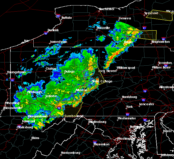 At 821 pm edt, severe thunderstorms were located along a line extending from kettle creek state park to monument to near milesburg to houserville, moving northeast at 55 mph (radar indicated). Hazards include 60 mph wind gusts. Expect damage to roofs. siding. and trees. Locations impacted include, mcalevys fort, aaronsburg, whipple dam state park, centre hall, south renovo, blanchard, pleasant gap, potters mills, poe valley state park, bald eagle state park, millheim, monument, lamar, westport, renovo, coburn, madisonburg, spring mills, boalsburg and zion. At 821 pm edt, severe thunderstorms were located along a line extending from kettle creek state park to monument to near milesburg to houserville, moving northeast at 55 mph (radar indicated). Hazards include 60 mph wind gusts. Expect damage to roofs. siding. and trees. Locations impacted include, mcalevys fort, aaronsburg, whipple dam state park, centre hall, south renovo, blanchard, pleasant gap, potters mills, poe valley state park, bald eagle state park, millheim, monument, lamar, westport, renovo, coburn, madisonburg, spring mills, boalsburg and zion.
|
| 8/16/2016 7:59 PM EDT |
 At 759 pm edt, severe thunderstorms were located along a line extending from near karthaus to near julian to stormstown to franklinville, moving northeast at 55 mph (radar indicated). Hazards include 60 mph wind gusts. Expect damage to roofs. siding. And trees. At 759 pm edt, severe thunderstorms were located along a line extending from near karthaus to near julian to stormstown to franklinville, moving northeast at 55 mph (radar indicated). Hazards include 60 mph wind gusts. Expect damage to roofs. siding. And trees.
|
| 8/12/2016 5:21 PM EDT |
 At 520 pm edt, a severe thunderstorm was located over conshohocken, or 8 miles northwest of philadelphia, moving east at 35 mph (radar indicated). Hazards include 60 mph wind gusts. Expect damage to. siding. and trees. Locations impacted include, norristown, phoenixville, west norriton, east norriton, conshohocken, ambler, collegeville, narberth, trappe, plymouth meeting, valley forge, bryn mawr, king of prussia, radnor township, trout lake, paoli, newtown square, broomall and skippack. At 520 pm edt, a severe thunderstorm was located over conshohocken, or 8 miles northwest of philadelphia, moving east at 35 mph (radar indicated). Hazards include 60 mph wind gusts. Expect damage to. siding. and trees. Locations impacted include, norristown, phoenixville, west norriton, east norriton, conshohocken, ambler, collegeville, narberth, trappe, plymouth meeting, valley forge, bryn mawr, king of prussia, radnor township, trout lake, paoli, newtown square, broomall and skippack.
|
| 8/12/2016 4:49 PM EDT |
 At 448 pm edt, a severe thunderstorm was located over lionville, or 7 miles north of west chester, moving east at 35 mph (radar indicated). Hazards include 60 mph wind gusts. Expect damage to roofs. siding. And trees. At 448 pm edt, a severe thunderstorm was located over lionville, or 7 miles north of west chester, moving east at 35 mph (radar indicated). Hazards include 60 mph wind gusts. Expect damage to roofs. siding. And trees.
|
| 7/25/2016 6:01 PM EDT |
 At 601 pm edt, a severe thunderstorm was located over lansdale, or 16 miles northwest of philadelphia, moving east at 25 mph (radar indicated). Hazards include 60 mph wind gusts and quarter size hail. Hail damage to vehicles is expected. expect wind damage to roofs, siding, and trees. this severe thunderstorm will be near, chalfont around 605 pm edt. ambler and plymouth meeting around 610 pm edt. hatboro, jenkintown, abington, ivyland and willow grove around 625 pm edt. rockledge and bryn athyn around 630 pm edt. richboro around 635 pm edt. philadelphia, newtown, feasterville, feasterville-trevose, northeast philadelphia, holmesburg and tacony around 640 pm edt. bensalem, willingboro, burlington, bristol, riverside, beverly , tullytown, langhorne, langhorn and andalusia around 645 pm edt. Other locations impacted by this severe thunderstorm include oreland, brittany farms-highlands, eagleville, edgewater park, montgomeryville, delanco, cornwells heights-eddington, north wales, kulpsville and woodbourne. At 601 pm edt, a severe thunderstorm was located over lansdale, or 16 miles northwest of philadelphia, moving east at 25 mph (radar indicated). Hazards include 60 mph wind gusts and quarter size hail. Hail damage to vehicles is expected. expect wind damage to roofs, siding, and trees. this severe thunderstorm will be near, chalfont around 605 pm edt. ambler and plymouth meeting around 610 pm edt. hatboro, jenkintown, abington, ivyland and willow grove around 625 pm edt. rockledge and bryn athyn around 630 pm edt. richboro around 635 pm edt. philadelphia, newtown, feasterville, feasterville-trevose, northeast philadelphia, holmesburg and tacony around 640 pm edt. bensalem, willingboro, burlington, bristol, riverside, beverly , tullytown, langhorne, langhorn and andalusia around 645 pm edt. Other locations impacted by this severe thunderstorm include oreland, brittany farms-highlands, eagleville, edgewater park, montgomeryville, delanco, cornwells heights-eddington, north wales, kulpsville and woodbourne.
|
| 7/25/2016 4:00 PM EDT |
 At 400 pm edt, severe thunderstorms were located along a line extending from near keating to near woodland, moving east at 45 mph (radar indicated). Hazards include 60 mph wind gusts and penny size hail. Expect damage to roofs. siding. And trees. At 400 pm edt, severe thunderstorms were located along a line extending from near keating to near woodland, moving east at 45 mph (radar indicated). Hazards include 60 mph wind gusts and penny size hail. Expect damage to roofs. siding. And trees.
|
| 6/8/2016 11:27 AM EDT |
 At 1127 am edt, severe thunderstorms were located along a line extending from collegeville to near gradyville to greenville, moving east at 45 mph (radar indicated). Hazards include 60 mph wind gusts. Expect damage to roofs. siding. and trees. severe thunderstorms will be near, norristown, west norriton, east norriton, newtown square, broomall, king of prussia, chester township and radnor township around 1135 am edt. chester, conshohocken, swarthmore, nether providence township, plymouth meeting, trout lake and bryn mawr around 1140 am edt. yeadon, folcroft, ambler, paulsboro, narberth, east lansdowne, beckett, darby township, drexel hill and morris park around 1145 am edt. jenkintown, national park, swedesboro, abington, willow grove, south philadelphia, gibbstown and germantown around 1150 am edt. camden, gloucester city, west deptford, bellmawr, woodbury, hatboro, westville, rockledge, brooklawn and bryn athyn around 1155 am edt. philadelphia, deptford, palmyra, magnolia, woodbury heights, feasterville, ashland, feasterville-trevose, erlton-ellisburg and golden triangle around 1200 pm edt. cherry hill, bensalem, voorhees, glassboro, lindenwold, pitman, riverside, beverly, langhorne and springdale around 1205 pm edt. evesham, mount laurel, willingboro, burlington, bristol, clayton, marlton, levittown and marlton lakes around 1210 pm edt. Other locations impacted by these severe thunderstorms include oreland, springfield, west conshohocken, colwyn, glenolden, cornwells heights-eddington, collingswood, darby, trooper and nws office. At 1127 am edt, severe thunderstorms were located along a line extending from collegeville to near gradyville to greenville, moving east at 45 mph (radar indicated). Hazards include 60 mph wind gusts. Expect damage to roofs. siding. and trees. severe thunderstorms will be near, norristown, west norriton, east norriton, newtown square, broomall, king of prussia, chester township and radnor township around 1135 am edt. chester, conshohocken, swarthmore, nether providence township, plymouth meeting, trout lake and bryn mawr around 1140 am edt. yeadon, folcroft, ambler, paulsboro, narberth, east lansdowne, beckett, darby township, drexel hill and morris park around 1145 am edt. jenkintown, national park, swedesboro, abington, willow grove, south philadelphia, gibbstown and germantown around 1150 am edt. camden, gloucester city, west deptford, bellmawr, woodbury, hatboro, westville, rockledge, brooklawn and bryn athyn around 1155 am edt. philadelphia, deptford, palmyra, magnolia, woodbury heights, feasterville, ashland, feasterville-trevose, erlton-ellisburg and golden triangle around 1200 pm edt. cherry hill, bensalem, voorhees, glassboro, lindenwold, pitman, riverside, beverly, langhorne and springdale around 1205 pm edt. evesham, mount laurel, willingboro, burlington, bristol, clayton, marlton, levittown and marlton lakes around 1210 pm edt. Other locations impacted by these severe thunderstorms include oreland, springfield, west conshohocken, colwyn, glenolden, cornwells heights-eddington, collingswood, darby, trooper and nws office.
|
| 6/5/2016 5:46 PM EDT |
 At 545 pm edt, severe thunderstorms were located along a line extending from chalfont to lima to near salem, moving southeast at 40 mph (radar indicated). Hazards include 60 mph wind gusts. Expect damage to roofs. siding. and trees. Locations impacted include, philadelphia, camden, wilmington, west chester, gloucester city, cherry hill, bensalem, norristown, chester, deptford, west deptford, glassboro, lindenwold, lansdale, west norriton, east norriton, pennsville, bellmawr, yeadon and westtown. At 545 pm edt, severe thunderstorms were located along a line extending from chalfont to lima to near salem, moving southeast at 40 mph (radar indicated). Hazards include 60 mph wind gusts. Expect damage to roofs. siding. and trees. Locations impacted include, philadelphia, camden, wilmington, west chester, gloucester city, cherry hill, bensalem, norristown, chester, deptford, west deptford, glassboro, lindenwold, lansdale, west norriton, east norriton, pennsville, bellmawr, yeadon and westtown.
|
| 6/5/2016 5:23 PM EDT |
 At 522 pm edt, severe thunderstorms were located along a line extending from near geryville to lionville to north star, moving east at 55 mph (radar indicated). Hazards include 60 mph wind gusts. Expect damage to roofs. siding. And trees. At 522 pm edt, severe thunderstorms were located along a line extending from near geryville to lionville to north star, moving east at 55 mph (radar indicated). Hazards include 60 mph wind gusts. Expect damage to roofs. siding. And trees.
|
| 2/16/2016 12:29 PM EST |
 At 1228 pm est, doppler radar indicated a line of severe thunderstorms capable of producing damaging winds in excess of 60 mph. these storms were located along a line extending from royersford to elmer to near laurel lake, and moving north at 75 mph. At 1228 pm est, doppler radar indicated a line of severe thunderstorms capable of producing damaging winds in excess of 60 mph. these storms were located along a line extending from royersford to elmer to near laurel lake, and moving north at 75 mph.
|
| 10/9/2015 5:10 PM EDT |
 The tornado warning for northeastern chester and southwestern montgomery counties will expire at 515 pm edt, the tornadic thunderstorm which prompted the warning has weakened. therefore the warning will be allowed to expire. The tornado warning for northeastern chester and southwestern montgomery counties will expire at 515 pm edt, the tornadic thunderstorm which prompted the warning has weakened. therefore the warning will be allowed to expire.
|
| 10/9/2015 4:57 PM EDT |
 At 456 pm edt, doppler radar indicated a severe thunderstorm capable of producing damaging winds in excess of 65 mph. this storm was located near king of prussia, or 12 miles northeast of west chester, moving east at 45 mph. penny size hail may also accompany the damaging winds. locations impacted include, philadelphia, norristown, pottstown, phoenixville, lansdale, west norriton, east norriton, yeadon, conshohocken, hatboro, folcroft, ambler, swarthmore, collegeville, royersford, jenkintown, narberth, trappe, east lansdowne and rockledge. At 456 pm edt, doppler radar indicated a severe thunderstorm capable of producing damaging winds in excess of 65 mph. this storm was located near king of prussia, or 12 miles northeast of west chester, moving east at 45 mph. penny size hail may also accompany the damaging winds. locations impacted include, philadelphia, norristown, pottstown, phoenixville, lansdale, west norriton, east norriton, yeadon, conshohocken, hatboro, folcroft, ambler, swarthmore, collegeville, royersford, jenkintown, narberth, trappe, east lansdowne and rockledge.
|
| 10/9/2015 4:47 PM EDT |
 At 446 pm edt, doppler radar indicated a severe thunderstorm capable of producing a tornado. this dangerous storm was located over royersford, or 14 miles north of west chester, and moving east at 45 mph. At 446 pm edt, doppler radar indicated a severe thunderstorm capable of producing a tornado. this dangerous storm was located over royersford, or 14 miles north of west chester, and moving east at 45 mph.
|
| 10/9/2015 4:39 PM EDT |
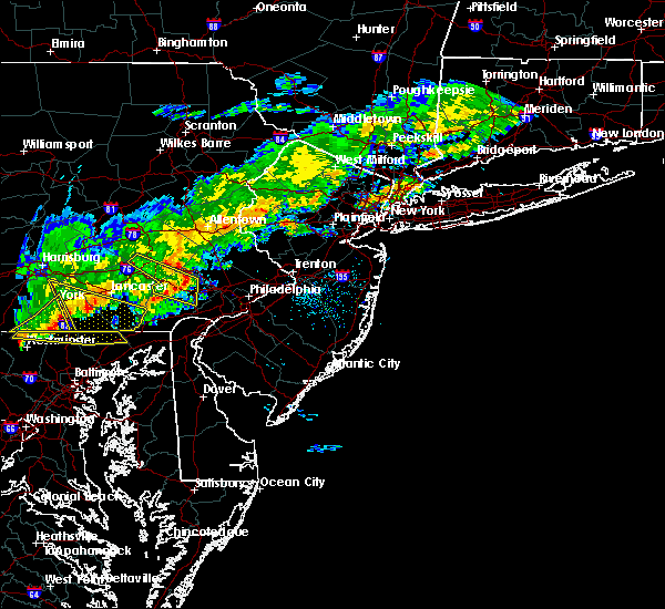 At 437 pm edt, doppler radar indicated a severe thunderstorm capable of producing damaging winds in excess of 65 mph. this storm was located over pughtown, or 12 miles north of west chester, and moving east at 45 mph. penny size hail may also accompany the damaging winds. At 437 pm edt, doppler radar indicated a severe thunderstorm capable of producing damaging winds in excess of 65 mph. this storm was located over pughtown, or 12 miles north of west chester, and moving east at 45 mph. penny size hail may also accompany the damaging winds.
|
| 7/19/2015 9:30 PM EDT |
 At 929 pm edt, doppler radar indicated a severe thunderstorm capable of producing damaging winds in excess of 60 mph. this storm was located near glen union, moving east at 40 mph. locations impacted include, lock haven, bald eagle state park, black moshannon state park, blanchard, carroll, castanea, clarence, hyner, lamar, mackeyville, mcelhattan, milesburg, mill hall, monument, moshannon and pine glen. At 929 pm edt, doppler radar indicated a severe thunderstorm capable of producing damaging winds in excess of 60 mph. this storm was located near glen union, moving east at 40 mph. locations impacted include, lock haven, bald eagle state park, black moshannon state park, blanchard, carroll, castanea, clarence, hyner, lamar, mackeyville, mcelhattan, milesburg, mill hall, monument, moshannon and pine glen.
|
| 7/19/2015 9:00 PM EDT |
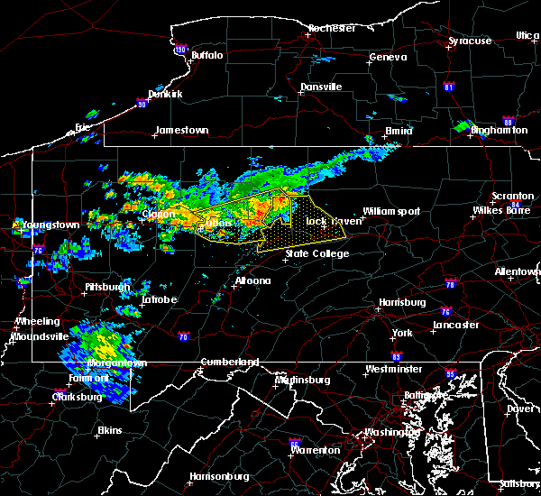 At 900 pm edt, doppler radar indicated a severe thunderstorm capable of producing damaging winds around 60 mph. this storm was located near keating, and moving east at 40 mph. At 900 pm edt, doppler radar indicated a severe thunderstorm capable of producing damaging winds around 60 mph. this storm was located near keating, and moving east at 40 mph.
|
| 7/9/2015 7:29 PM EDT |
 At 728 pm edt, doppler radar indicated a line of severe thunderstorms capable of producing damaging winds in excess of 60 mph. these storms were located along a line extending from near quakertown to near fricks to near lansdale to king of prussia to downingtown, moving northeast at 50 mph. these severe storms will be near, lansdale, quakertown, perkasie, doylestown, bedminster, chalfont, hatfield, dublin, gardenville and pipersville around 735 pm edt. byram, ambler, royersford, tinicum, ferndale, lumberville, revere and ottsville around 740 pm edt. philadelphia, hatboro, collegeville, trappe, new hope, newtown, bryn athyn, ivyland, willow grove and richboro around 745 pm edt. At 728 pm edt, doppler radar indicated a line of severe thunderstorms capable of producing damaging winds in excess of 60 mph. these storms were located along a line extending from near quakertown to near fricks to near lansdale to king of prussia to downingtown, moving northeast at 50 mph. these severe storms will be near, lansdale, quakertown, perkasie, doylestown, bedminster, chalfont, hatfield, dublin, gardenville and pipersville around 735 pm edt. byram, ambler, royersford, tinicum, ferndale, lumberville, revere and ottsville around 740 pm edt. philadelphia, hatboro, collegeville, trappe, new hope, newtown, bryn athyn, ivyland, willow grove and richboro around 745 pm edt.
|
| 7/9/2015 7:16 PM EDT |
 At 713 pm edt, doppler radar indicated a line of severe thunderstorms capable of producing damaging winds in excess of 60 mph. these storms were located along a line extending from bally to schwenksville to phoenixville to near coatesville to near parkesburg, moving east at 50 mph. doppler radar is indicating the strongest wind is across northern chester county and into northern montgomery county. this will move into portions of bucks county. these severe storms will be near, phoenixville, west norriton, collegeville, trappe, east greenville, schwenksville, green lane, geryville, valley forge and spring mount around 720 pm edt. norristown, lansdale, east norriton, conshohocken, souderton, hatfield, king of prussia, radnor township and chester springs around 725 pm edt. quakertown, chalfont, plymouth meeting and fricks around 730 pm edt. perkasie, doylestown, ambler, dublin and paoli around 735 pm edt. hatboro, bedminster, bryn athyn, ivyland, pipersville, willow grove, ottsville and revere around 740 pm edt. philadelphia, byram, tinicum, new hope, newtown, richboro, gardenville, lumberville, erwinna and woodside around 745 pm edt. At 713 pm edt, doppler radar indicated a line of severe thunderstorms capable of producing damaging winds in excess of 60 mph. these storms were located along a line extending from bally to schwenksville to phoenixville to near coatesville to near parkesburg, moving east at 50 mph. doppler radar is indicating the strongest wind is across northern chester county and into northern montgomery county. this will move into portions of bucks county. these severe storms will be near, phoenixville, west norriton, collegeville, trappe, east greenville, schwenksville, green lane, geryville, valley forge and spring mount around 720 pm edt. norristown, lansdale, east norriton, conshohocken, souderton, hatfield, king of prussia, radnor township and chester springs around 725 pm edt. quakertown, chalfont, plymouth meeting and fricks around 730 pm edt. perkasie, doylestown, ambler, dublin and paoli around 735 pm edt. hatboro, bedminster, bryn athyn, ivyland, pipersville, willow grove, ottsville and revere around 740 pm edt. philadelphia, byram, tinicum, new hope, newtown, richboro, gardenville, lumberville, erwinna and woodside around 745 pm edt.
|
| 7/9/2015 6:57 PM EDT |
 At 655 pm edt, doppler radar indicated a line of severe thunderstorms capable of producing damaging winds in excess of 60 mph. these storms were located along a line extending from near fleetwood to near cedarville to near glenmoore to parkesburg to quarryville, and moving northeast at 50 mph. this line of storms has had a history of wind damage. * severe thunderstorms will be near, pottstown around 700 pm edt. bally, bechtelsville, pughtown, gilbertsville and cedarville around 705 pm edt. downingtown, royersford, east greenville and green lane around 710 pm edt. trappe, schwenksville, lionville-marchwood, lionville and geryville around 715 pm edt. quakertown, spring mount and marshallton around 720 pm edt. phoenixville, souderton, hatfield and valley forge around 725 pm edt. west norriton, perkasie, collegeville, chester springs, ottsville and fricks around 730 pm edt. east norriton, dublin, ferndale, revere, erwinna, paoli and plymouth meeting around 735 pm edt. At 655 pm edt, doppler radar indicated a line of severe thunderstorms capable of producing damaging winds in excess of 60 mph. these storms were located along a line extending from near fleetwood to near cedarville to near glenmoore to parkesburg to quarryville, and moving northeast at 50 mph. this line of storms has had a history of wind damage. * severe thunderstorms will be near, pottstown around 700 pm edt. bally, bechtelsville, pughtown, gilbertsville and cedarville around 705 pm edt. downingtown, royersford, east greenville and green lane around 710 pm edt. trappe, schwenksville, lionville-marchwood, lionville and geryville around 715 pm edt. quakertown, spring mount and marshallton around 720 pm edt. phoenixville, souderton, hatfield and valley forge around 725 pm edt. west norriton, perkasie, collegeville, chester springs, ottsville and fricks around 730 pm edt. east norriton, dublin, ferndale, revere, erwinna, paoli and plymouth meeting around 735 pm edt.
|
| 6/30/2015 4:08 PM EDT |
 At 407 pm edt, doppler radar indicated a severe thunderstorm capable of producing quarter size hail and damaging winds in excess of 60 mph. this storm was located over ivyland, or 14 miles north of philadelphia, moving northeast at 45 mph. locations impacted include, ewing, norristown, lansdale, west norriton, east norriton, doylestown, conshohocken, hatboro, ambler, chalfont, hatfield, new hope, yardley, newtown, langhorne, bryn athyn, ivyland, plymouth meeting, willow grove and woodside. At 407 pm edt, doppler radar indicated a severe thunderstorm capable of producing quarter size hail and damaging winds in excess of 60 mph. this storm was located over ivyland, or 14 miles north of philadelphia, moving northeast at 45 mph. locations impacted include, ewing, norristown, lansdale, west norriton, east norriton, doylestown, conshohocken, hatboro, ambler, chalfont, hatfield, new hope, yardley, newtown, langhorne, bryn athyn, ivyland, plymouth meeting, willow grove and woodside.
|
| 6/30/2015 3:45 PM EDT |
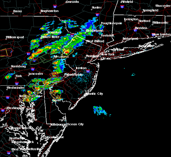 At 344 pm edt, doppler radar indicated a severe thunderstorm capable of producing quarter size hail and damaging winds in excess of 60 mph. this storm was located over king of prussia, or 13 miles northeast of west chester, and moving northeast at 45 mph. At 344 pm edt, doppler radar indicated a severe thunderstorm capable of producing quarter size hail and damaging winds in excess of 60 mph. this storm was located over king of prussia, or 13 miles northeast of west chester, and moving northeast at 45 mph.
|
| 6/30/2015 3:36 PM EDT |
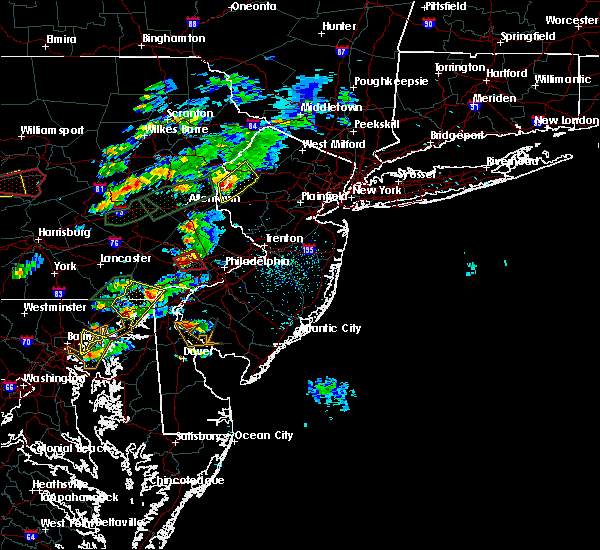 At 335 pm edt, doppler radar indicated a severe thunderstorm capable of producing a tornado. this dangerous storm was located over paoli, or 7 miles northeast of west chester. this dangerous storm was nearly stationary. locations impacted include, norristown, phoenixville, west norriton, valley forge, radnor township, bryn mawr, king of prussia, paoli, bridgeport, malvern, west conshohocken, eagleville, devon-berwyn, trooper, chesterbrook, audubon and ardmore. At 335 pm edt, doppler radar indicated a severe thunderstorm capable of producing a tornado. this dangerous storm was located over paoli, or 7 miles northeast of west chester. this dangerous storm was nearly stationary. locations impacted include, norristown, phoenixville, west norriton, valley forge, radnor township, bryn mawr, king of prussia, paoli, bridgeport, malvern, west conshohocken, eagleville, devon-berwyn, trooper, chesterbrook, audubon and ardmore.
|
| 6/30/2015 3:22 PM EDT |
 At 322 pm edt, doppler radar indicated a severe thunderstorm capable of producing a tornado. this dangerous storm was located near west chester, and moving east at 20 mph. At 322 pm edt, doppler radar indicated a severe thunderstorm capable of producing a tornado. this dangerous storm was located near west chester, and moving east at 20 mph.
|
| 6/30/2015 3:05 PM EDT |
 At 305 pm edt, doppler radar indicated a severe thunderstorm capable of producing quarter size hail and damaging winds in excess of 60 mph. this storm was located over lionville, or near west chester, moving northeast at 25 mph. locations impacted include, west chester, norristown, phoenixville, west norriton, east norriton, downingtown, conshohocken, collegeville, royersford, trappe, schwenksville, valley forge, marshallton, bryn mawr, king of prussia, chester springs, radnor township, paoli, lionville-marchwood and lionville. At 305 pm edt, doppler radar indicated a severe thunderstorm capable of producing quarter size hail and damaging winds in excess of 60 mph. this storm was located over lionville, or near west chester, moving northeast at 25 mph. locations impacted include, west chester, norristown, phoenixville, west norriton, east norriton, downingtown, conshohocken, collegeville, royersford, trappe, schwenksville, valley forge, marshallton, bryn mawr, king of prussia, chester springs, radnor township, paoli, lionville-marchwood and lionville.
|
| 6/30/2015 2:52 PM EDT |
 At 251 pm edt, doppler radar indicated a severe thunderstorm capable of producing quarter size hail and damaging winds in excess of 60 mph. this storm was located over coatesville, or 8 miles west of west chester, and moving northeast at 25 mph. At 251 pm edt, doppler radar indicated a severe thunderstorm capable of producing quarter size hail and damaging winds in excess of 60 mph. this storm was located over coatesville, or 8 miles west of west chester, and moving northeast at 25 mph.
|
| 6/23/2015 5:38 PM EDT |
 At 537 pm edt, doppler radar indicated a line of severe thunderstorms capable of producing destructive winds in excess of 70 mph. these storms were located along a line extending from near east norriton to near westtown to near aberdeen, and moving east at 45 mph. this line has had a history of damaging winds. please take this warning seriously. At 537 pm edt, doppler radar indicated a line of severe thunderstorms capable of producing destructive winds in excess of 70 mph. these storms were located along a line extending from near east norriton to near westtown to near aberdeen, and moving east at 45 mph. this line has had a history of damaging winds. please take this warning seriously.
|
| 6/23/2015 5:05 PM EDT |
 At 504 pm edt, doppler radar indicated a severe thunderstorm capable of producing damaging winds in excess of 60 mph. this storm was located near churchtown, or near new holland, and moving east at 45 mph. * this severe thunderstorm will be near, honey brook around 510 pm edt. elverson around 515 pm edt. coatesville and glenmoore around 520 pm edt. downingtown around 525 pm edt. lionville, lionville-marchwood, chester springs and pughtown around 530 pm edt. west chester around 535 pm edt. phoenixville, paoli and valley forge around 540 pm edt. west norriton, radnor township, king of prussia and gradyville around 545 pm edt. other locations impacted by this severe thunderstorm include south coatesville, west goshen, malvern, evansburg, modena, thorndale, devon-berwyn, exton, atglen and chesterbrook. At 504 pm edt, doppler radar indicated a severe thunderstorm capable of producing damaging winds in excess of 60 mph. this storm was located near churchtown, or near new holland, and moving east at 45 mph. * this severe thunderstorm will be near, honey brook around 510 pm edt. elverson around 515 pm edt. coatesville and glenmoore around 520 pm edt. downingtown around 525 pm edt. lionville, lionville-marchwood, chester springs and pughtown around 530 pm edt. west chester around 535 pm edt. phoenixville, paoli and valley forge around 540 pm edt. west norriton, radnor township, king of prussia and gradyville around 545 pm edt. other locations impacted by this severe thunderstorm include south coatesville, west goshen, malvern, evansburg, modena, thorndale, devon-berwyn, exton, atglen and chesterbrook.
|
| 6/23/2015 8:20 AM EDT |
 The severe thunderstorm warning for southeastern lycoming, central union, southeastern clinton and southeastern centre counties will expire at 830 am edt, the line of storms which prompted the warning have weakened below severe limits, and no longer poses an immediate threat to life or property. therefore the warning will be allowed to expire. The severe thunderstorm warning for southeastern lycoming, central union, southeastern clinton and southeastern centre counties will expire at 830 am edt, the line of storms which prompted the warning have weakened below severe limits, and no longer poses an immediate threat to life or property. therefore the warning will be allowed to expire.
|
| 6/23/2015 8:03 AM EDT |
 At 802 am edt, doppler radar indicated a line of severe thunderstorms capable of producing destructive winds in excess of 70 mph. these storms were located along a line extending from near arnot to near glen union to pine glen. these storms were nearly stationary. locations impacted include, jersey shore, lock haven, montoursville, williamsport, aaronsburg, allenwood, avis, bald eagle state park, barbours, biggertown, blanchard, carroll, castanea, centre hall, coburn, collomsville, duboistown, dunnstown, elimsport and flemington. At 802 am edt, doppler radar indicated a line of severe thunderstorms capable of producing destructive winds in excess of 70 mph. these storms were located along a line extending from near arnot to near glen union to pine glen. these storms were nearly stationary. locations impacted include, jersey shore, lock haven, montoursville, williamsport, aaronsburg, allenwood, avis, bald eagle state park, barbours, biggertown, blanchard, carroll, castanea, centre hall, coburn, collomsville, duboistown, dunnstown, elimsport and flemington.
|
| 6/23/2015 7:14 AM EDT |
 At 712 am edt, doppler radar indicated a line of severe thunderstorms capable of producing damaging winds of 60 to 70 mph. these storms were located along a line extending from near arnot to near south renovo to pine glen, and moving east at 70 mph. At 712 am edt, doppler radar indicated a line of severe thunderstorms capable of producing damaging winds of 60 to 70 mph. these storms were located along a line extending from near arnot to near south renovo to pine glen, and moving east at 70 mph.
|
| 6/12/2015 8:29 PM EDT |
 At 828 pm edt, doppler radar indicated a line of severe thunderstorms capable of producing damaging winds in excess of 60 mph. these storms were located along a line extending from near keating to near milesburg to near birmingham, moving east at 55 mph. locations impacted include, jersey shore, lewisburg, lock haven, mifflinburg, montoursville, williamsport, aaronsburg, alfarata, allenwood, avis, beaver springs, belltown, blanchard, burnham, carroll, castanea, coburn, cogan station, collomsville and duboistown. At 828 pm edt, doppler radar indicated a line of severe thunderstorms capable of producing damaging winds in excess of 60 mph. these storms were located along a line extending from near keating to near milesburg to near birmingham, moving east at 55 mph. locations impacted include, jersey shore, lewisburg, lock haven, mifflinburg, montoursville, williamsport, aaronsburg, alfarata, allenwood, avis, beaver springs, belltown, blanchard, burnham, carroll, castanea, coburn, cogan station, collomsville and duboistown.
|
| 6/12/2015 8:19 PM EDT |
 At 818 pm edt, doppler radar indicated a line of severe thunderstorms capable of producing damaging winds in excess of 60 mph. these storms were located along a line extending from near karthaus to near black moshannon state park to near tipton. these storms were nearly stationary. locations impacted include, bellefonte, jersey shore, lewisburg, lewistown, lock haven, mifflinburg, montoursville, state college, williamsport, aaronsburg, alfarata, allenwood, avis, bald eagle state park, beaver springs, belltown, blanchard, boalsburg, burnham and carroll. At 818 pm edt, doppler radar indicated a line of severe thunderstorms capable of producing damaging winds in excess of 60 mph. these storms were located along a line extending from near karthaus to near black moshannon state park to near tipton. these storms were nearly stationary. locations impacted include, bellefonte, jersey shore, lewisburg, lewistown, lock haven, mifflinburg, montoursville, state college, williamsport, aaronsburg, alfarata, allenwood, avis, bald eagle state park, beaver springs, belltown, blanchard, boalsburg, burnham and carroll.
|
| 6/12/2015 7:42 PM EDT |
 At 741 pm edt, doppler radar indicated a line of severe thunderstorms capable of producing damaging winds around 60 mph. these storms were located along a line extending from near karthaus to near black moshannon state park to near tipton, and moving east at 45 mph. At 741 pm edt, doppler radar indicated a line of severe thunderstorms capable of producing damaging winds around 60 mph. these storms were located along a line extending from near karthaus to near black moshannon state park to near tipton, and moving east at 45 mph.
|
| 6/12/2015 7:42 PM EDT |
 The national weather service in state college pa has issued a * severe thunderstorm warning for. northeastern blair county in central pennsylvania. northern mifflin county in central pennsylvania. northern huntingdon county in central pennsylvania. Southwestern lycoming county in north central pennsylvania. The national weather service in state college pa has issued a * severe thunderstorm warning for. northeastern blair county in central pennsylvania. northern mifflin county in central pennsylvania. northern huntingdon county in central pennsylvania. Southwestern lycoming county in north central pennsylvania.
|
| 6/12/2015 7:32 PM EDT |
 At 731 pm edt, local law enforcement reported a line of severe thunderstorms which has downed trees and wires in parts of clearfield county. these storms were located along a line extending from clear creek state park to near brookville to near rural valley. these storms were nearly stationary. locations impacted include, bellefonte, clearfield, state college, tyrone, bald eagle, bald eagle state park, black moshannon state park, blanchard, blandburg, boalsburg, centre hall, chester hill, clarence, curwensville, force, glen union, houserville, houtzdale, hyde and hyner. At 731 pm edt, local law enforcement reported a line of severe thunderstorms which has downed trees and wires in parts of clearfield county. these storms were located along a line extending from clear creek state park to near brookville to near rural valley. these storms were nearly stationary. locations impacted include, bellefonte, clearfield, state college, tyrone, bald eagle, bald eagle state park, black moshannon state park, blanchard, blandburg, boalsburg, centre hall, chester hill, clarence, curwensville, force, glen union, houserville, houtzdale, hyde and hyner.
|
| 6/12/2015 6:32 PM EDT |
 At 631 pm edt, doppler radar indicated a line of severe thunderstorms capable of producing damaging winds of 60 to 70 mph. these storms were located along a line extending from clear creek state park to near brookville to near rural valley, and moving east at 50 mph. At 631 pm edt, doppler radar indicated a line of severe thunderstorms capable of producing damaging winds of 60 to 70 mph. these storms were located along a line extending from clear creek state park to near brookville to near rural valley, and moving east at 50 mph.
|
| 6/12/2015 5:36 PM EDT |
 The severe thunderstorm warning for northeastern chester, southeastern berks and montgomery counties will expire at 545 pm edt, the severe thunderstorm which prompted the warning has weakened. therefore the warning will be allowed to expire. The severe thunderstorm warning for northeastern chester, southeastern berks and montgomery counties will expire at 545 pm edt, the severe thunderstorm which prompted the warning has weakened. therefore the warning will be allowed to expire.
|
| 6/12/2015 5:10 PM EDT |
 At 510 pm edt, doppler radar indicated a severe thunderstorm capable of producing damaging winds in excess of 60 mph. this storm was located near pughtown, or 13 miles north of west chester, moving northeast at 25 mph. locations impacted include, pottstown, phoenixville, lansdale, west norriton, east norriton, souderton, birdsboro, collegeville, royersford, trappe, hatfield, east greenville, schwenksville, elverson, bally, bechtelsville, green lane, glenmoore, cedarville and chester springs. At 510 pm edt, doppler radar indicated a severe thunderstorm capable of producing damaging winds in excess of 60 mph. this storm was located near pughtown, or 13 miles north of west chester, moving northeast at 25 mph. locations impacted include, pottstown, phoenixville, lansdale, west norriton, east norriton, souderton, birdsboro, collegeville, royersford, trappe, hatfield, east greenville, schwenksville, elverson, bally, bechtelsville, green lane, glenmoore, cedarville and chester springs.
|
| 6/12/2015 4:57 PM EDT |
 At 455 pm edt, doppler radar indicated a severe thunderstorm capable of producing damaging winds in excess of 60 mph. this storm was located over glenmoore, or 11 miles northwest of west chester, and moving east at 25 mph. At 455 pm edt, doppler radar indicated a severe thunderstorm capable of producing damaging winds in excess of 60 mph. this storm was located over glenmoore, or 11 miles northwest of west chester, and moving east at 25 mph.
|
| 6/8/2015 7:19 PM EDT | At 718 pm edt, doppler radar indicated a severe thunderstorm capable of producing quarter size hail and damaging winds in excess of 60 mph. this storm was located over pottstown, or 18 miles east of reading, and moving east at 45 mph. |
| 5/27/2015 5:32 PM EDT | At 531 pm edt, doppler radar indicated a severe thunderstorm capable of producing damaging winds in excess of 60 mph. this storm was located near collegeville, moving northeast at 35 mph. locations impacted include, norristown, phoenixville, lansdale, west norriton, east norriton, perkasie, doylestown, conshohocken, hatboro, souderton, ambler, collegeville, royersford, chalfont, trappe, hatfield, dublin, schwenksville, ivyland and valley forge. |
| 5/27/2015 5:07 PM EDT | At 506 pm edt, doppler radar indicated a severe thunderstorm capable of producing damaging winds in excess of 60 mph. this storm was located over lionville, and moving northeast at 35 mph. |
| 5/11/2015 11:36 PM EDT | At 1135 pm edt, doppler radar indicated a line of severe thunderstorms capable of producing damaging winds in excess of 60 mph. these storms were located along a line extending from near tamarack to near monument to near milesburg to near mcalevys fort to near trough creek state park, moving east at 45 mph. locations impacted include, state college, lock haven, lewistown, huntingdon, bellefonte, park forest village, carroll, woodward, boalsburg, keating, pleasant gap, lamar, mount union, stormstown, lemont, burnham, zion, martinsburg, belleville and houserville. |
| 5/11/2015 11:06 PM EDT | At 1106 pm edt, doppler radar indicated a line of severe thunderstorms capable of producing damaging winds around 60 mph. these storms were located along a line extending from near hicks run to near lecontes mills to near north philipsburg to birmingham to near roaring spring, and moving east at 45 mph. |
| 4/20/2015 7:55 PM EDT | At 754 pm edt, doppler radar indicated a severe thunderstorm capable of producing large hail up to ping pong ball size and destructive winds in excess of 70 mph. this storm was located over centre hall, moving northeast at 30 mph. locations impacted include, state college, bellefonte, park forest village, woodward, boalsburg, pleasant gap, lamar, stormstown, lemont, zion, houserville, mill hall, pine grove mills, flemington, centre hall, milesburg, millheim, ramblewood, blanchard and aaronsburg. |
| 4/20/2015 7:22 PM EDT | At 721 pm edt, doppler radar indicated a severe thunderstorm capable of producing large hail up to ping pong ball size and damaging winds of 60 to 70 mph. this storm was located near ramblewood, and moving northeast at 40 mph. |
| 11/1/2013 10:07 AM EDT | Tree down in montgomery county PA, 0.1 miles SSW of Eagleville, PA |
| 11/1/2013 8:55 AM EDT | Tree down in montgomery county PA, 0.1 miles SSW of Eagleville, PA |
| 6/29/2012 5:15 AM EDT | Tree and tree limbs took down wire in montgomery county PA, 0.1 miles SSW of Eagleville, PA |
Hail Maps for Eagleville, PA
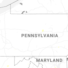


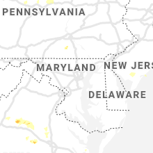


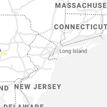


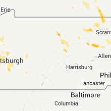


Connect with Interactive Hail Maps