

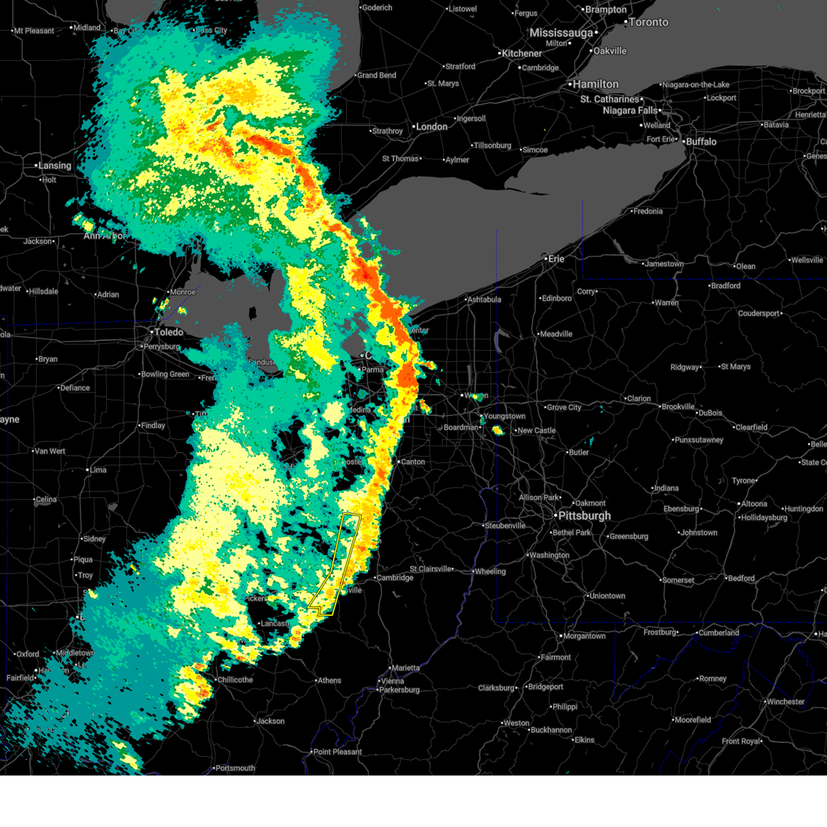
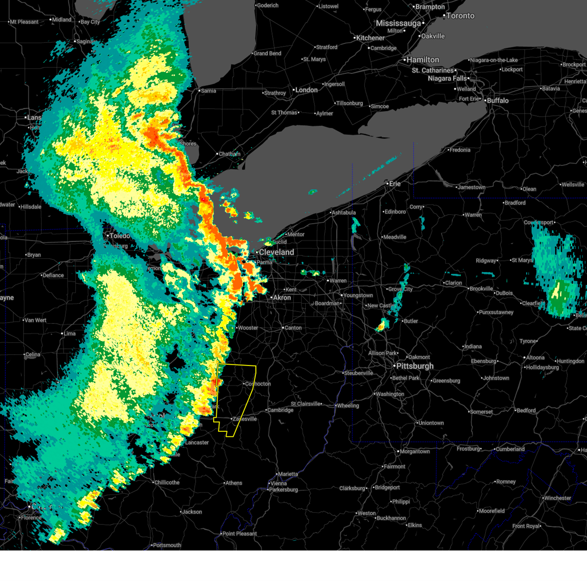
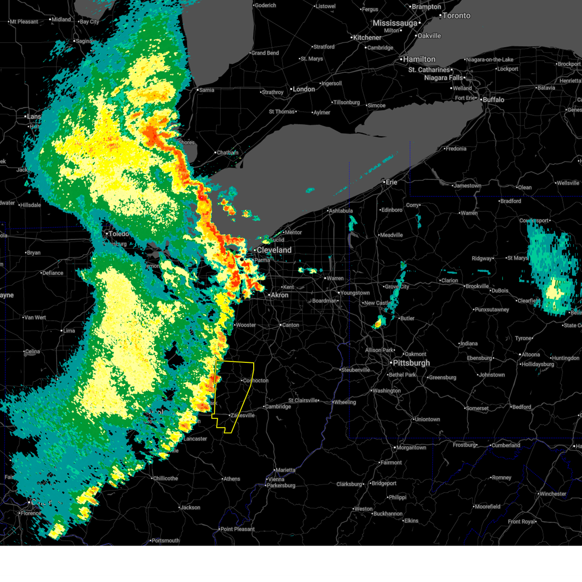
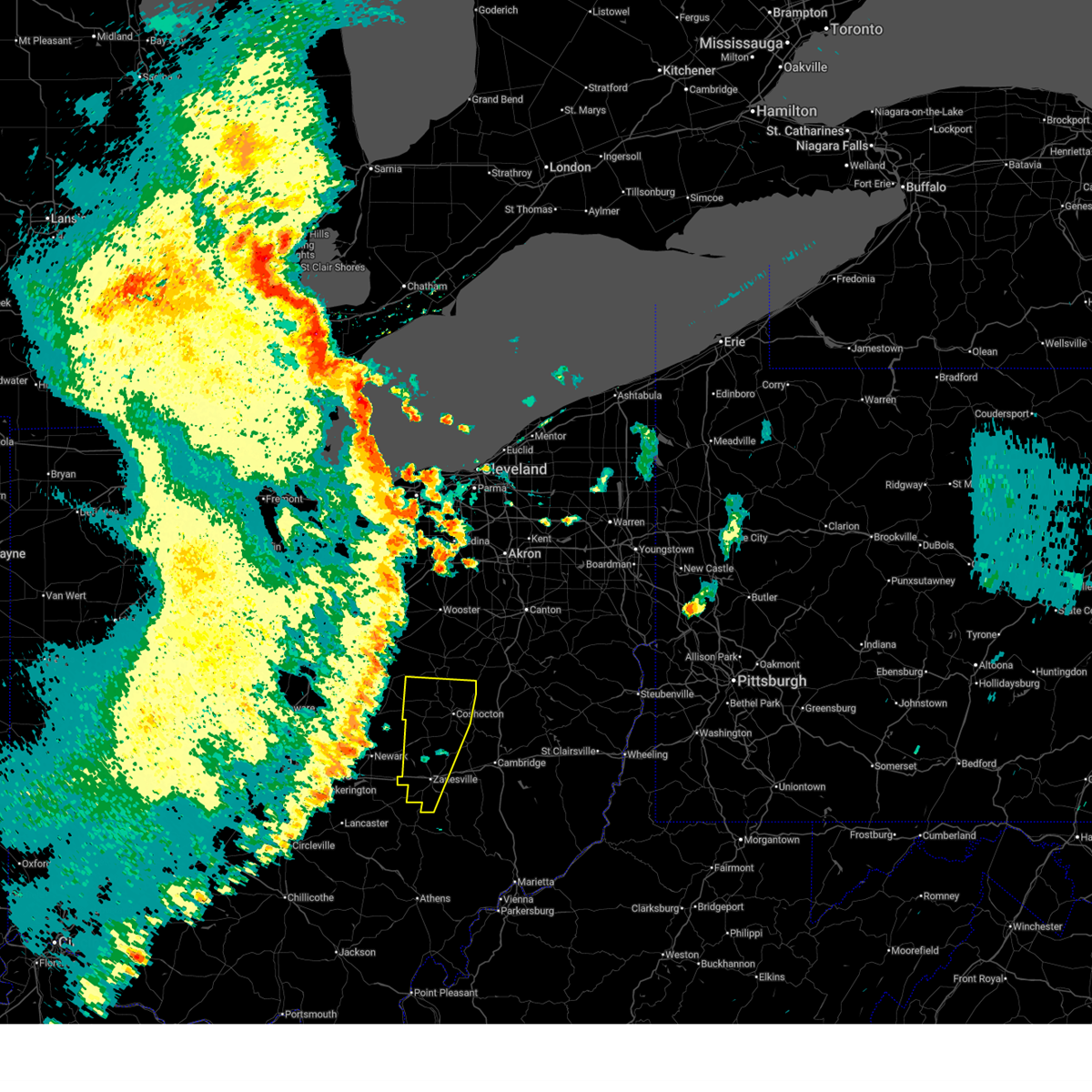
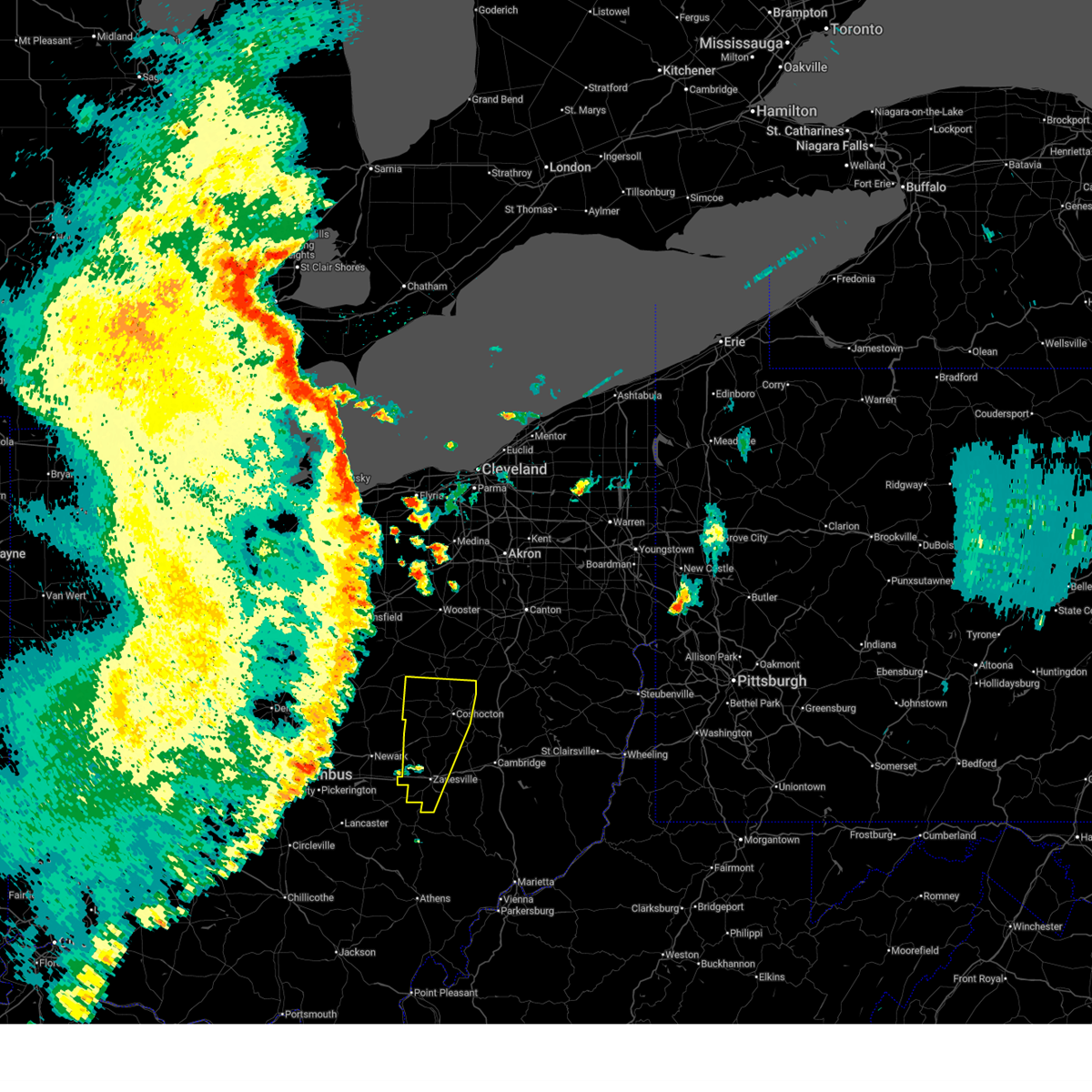
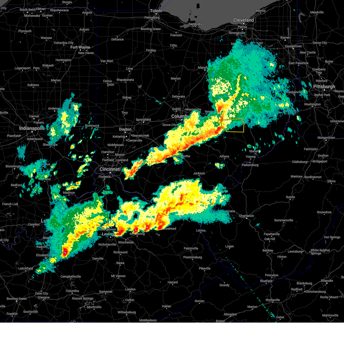
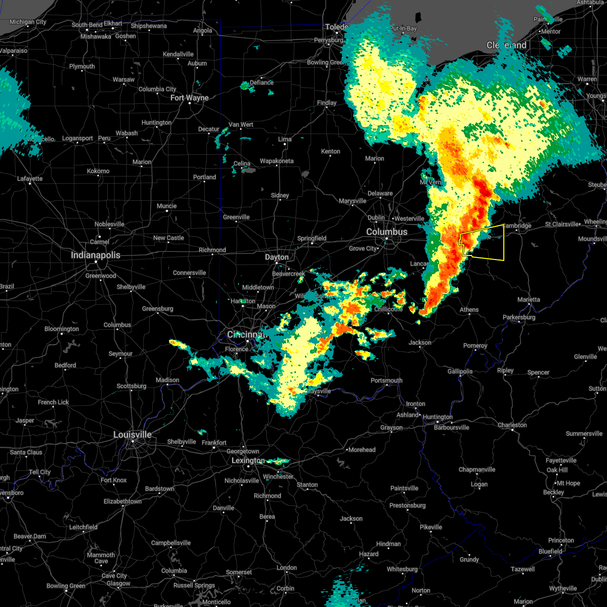
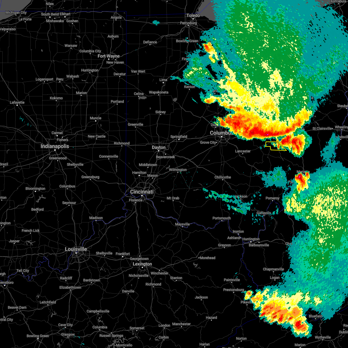
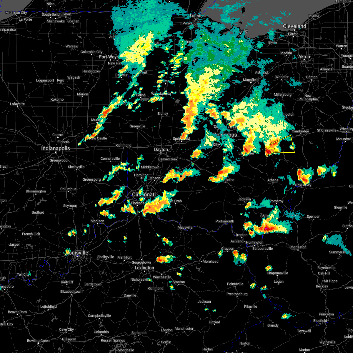
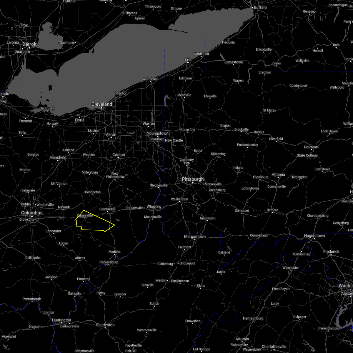
Hail Map for East Fultonham, OH
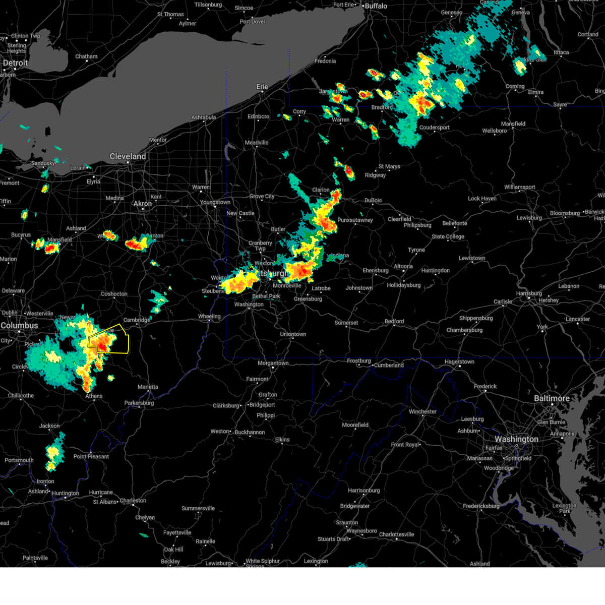
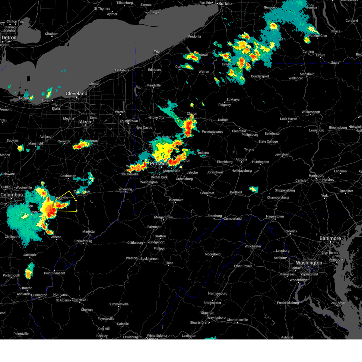
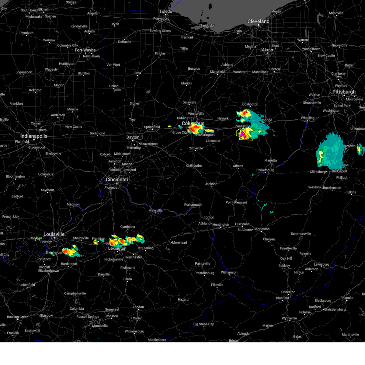
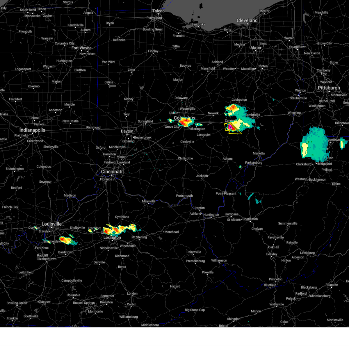
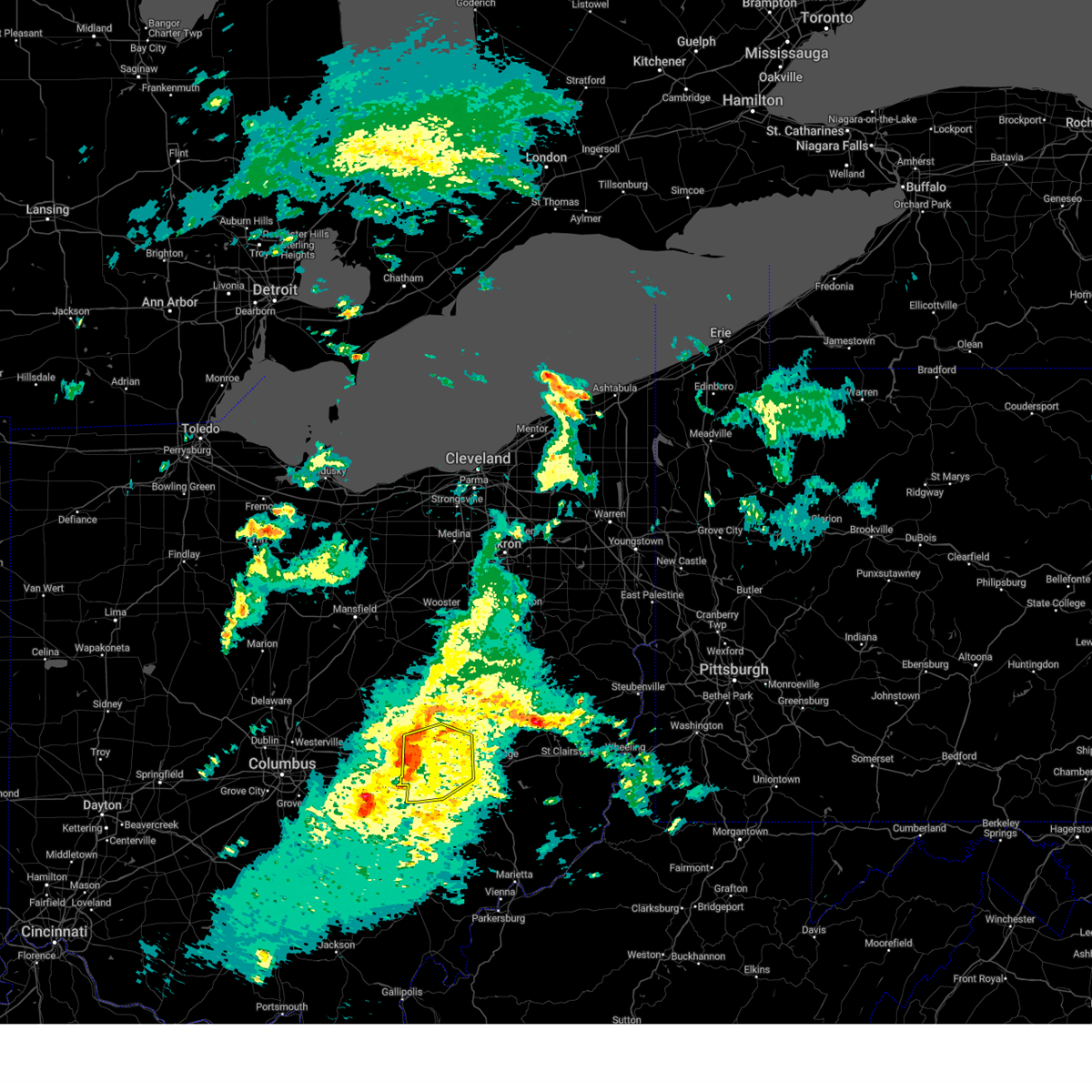
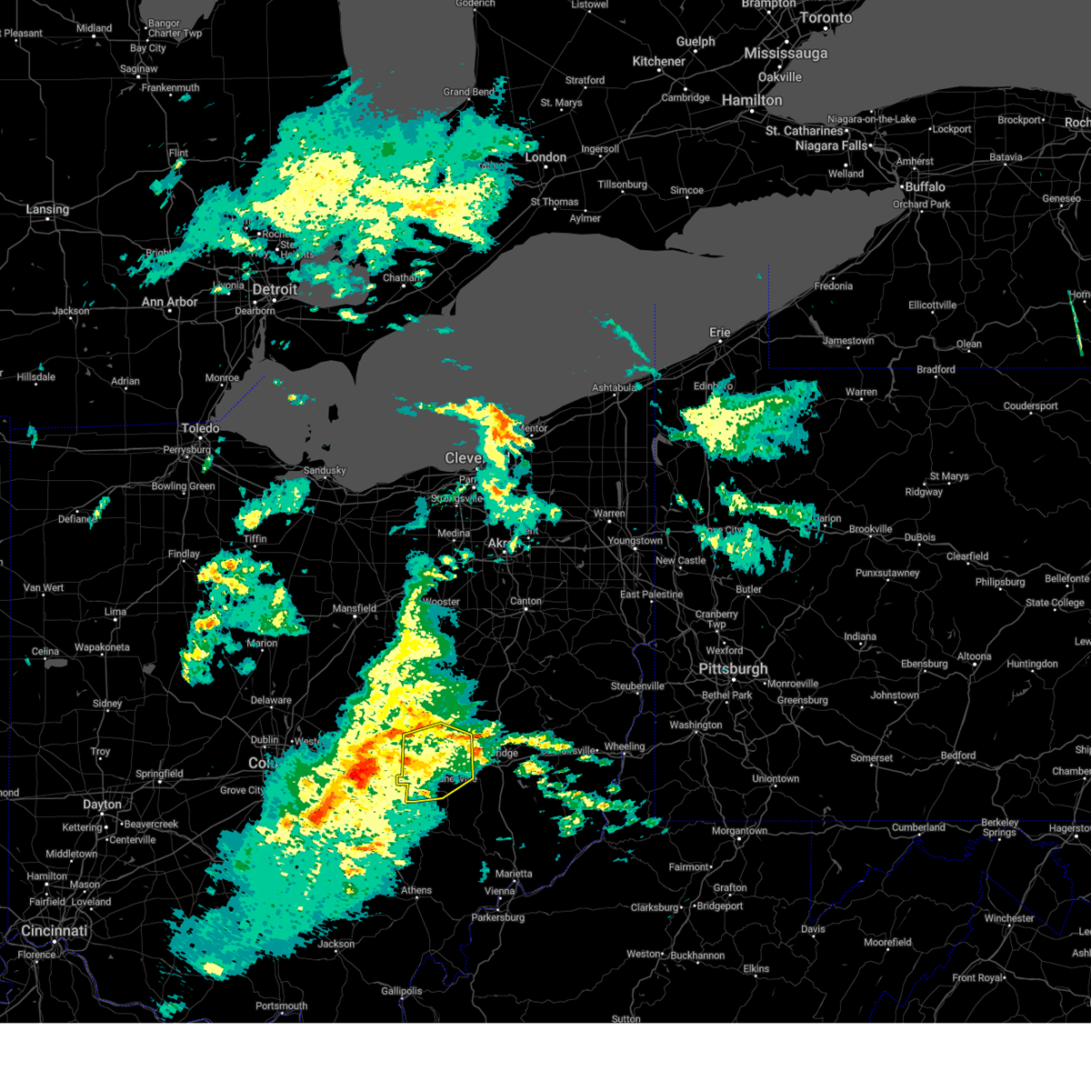
The East Fultonham, OH area has had 1 report of on-the-ground hail by trained spotters, and has been under severe weather warnings 25 times during the past 12 months. Doppler radar has detected hail at or near East Fultonham, OH on 40 occasions.
| Name: | East Fultonham, OH |
| Where Located: | 47.3 miles E of Columbus, OH |
| Map: | Google Map for East Fultonham, OH |
| Population: | 335 |
| Housing Units: | 144 |
| More Info: | Search Google for East Fultonham, OH |
5
The Top Recent Hail Date for East Fultonham, OH is Thursday, March 14, 2024 (11th out of 40)

Hail and Wind Damage Spotted near East Fultonham, OH
| Date / Time | Report Details |
|---|---|
| 6/18/2025 9:45 PM EDT |
 The storms which prompted the warning have moved out of the area. therefore, the warning has been allowed to expire. a severe thunderstorm watch remains in effect until 300 am edt thursday for a portion of east central ohio. The storms which prompted the warning have moved out of the area. therefore, the warning has been allowed to expire. a severe thunderstorm watch remains in effect until 300 am edt thursday for a portion of east central ohio.
|
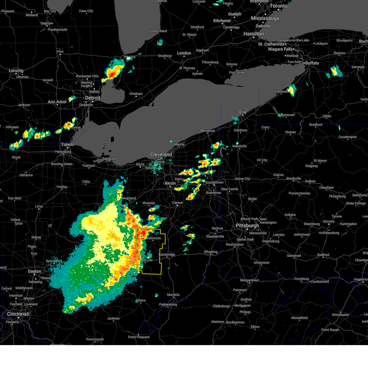
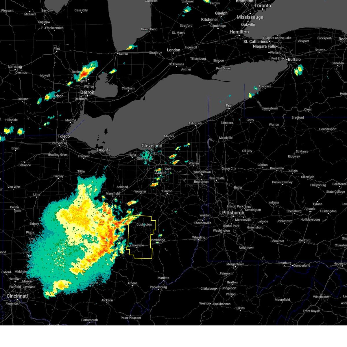
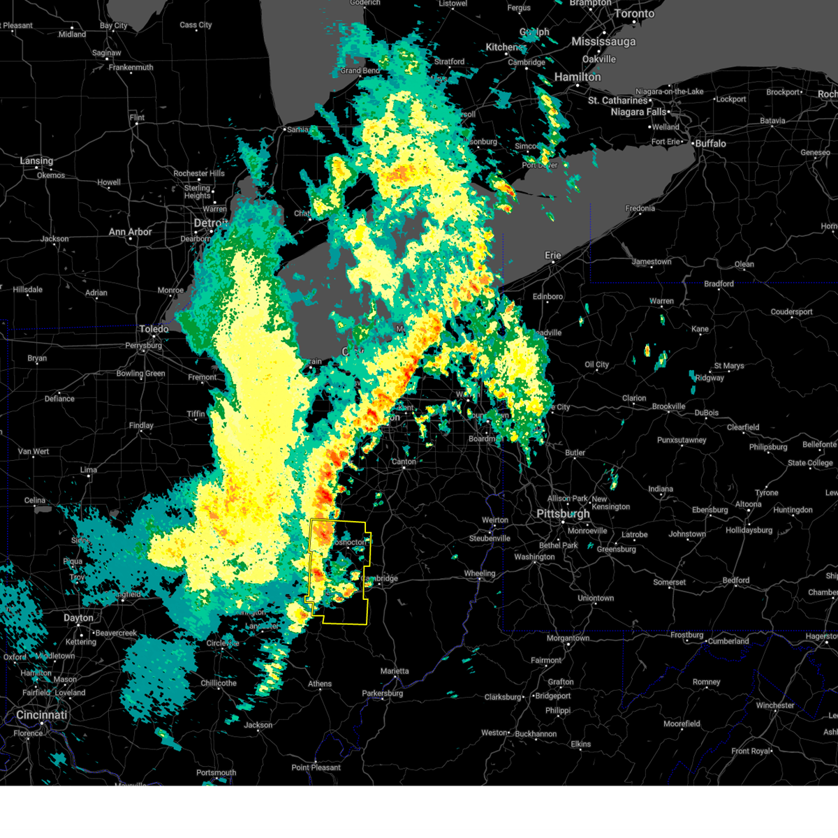
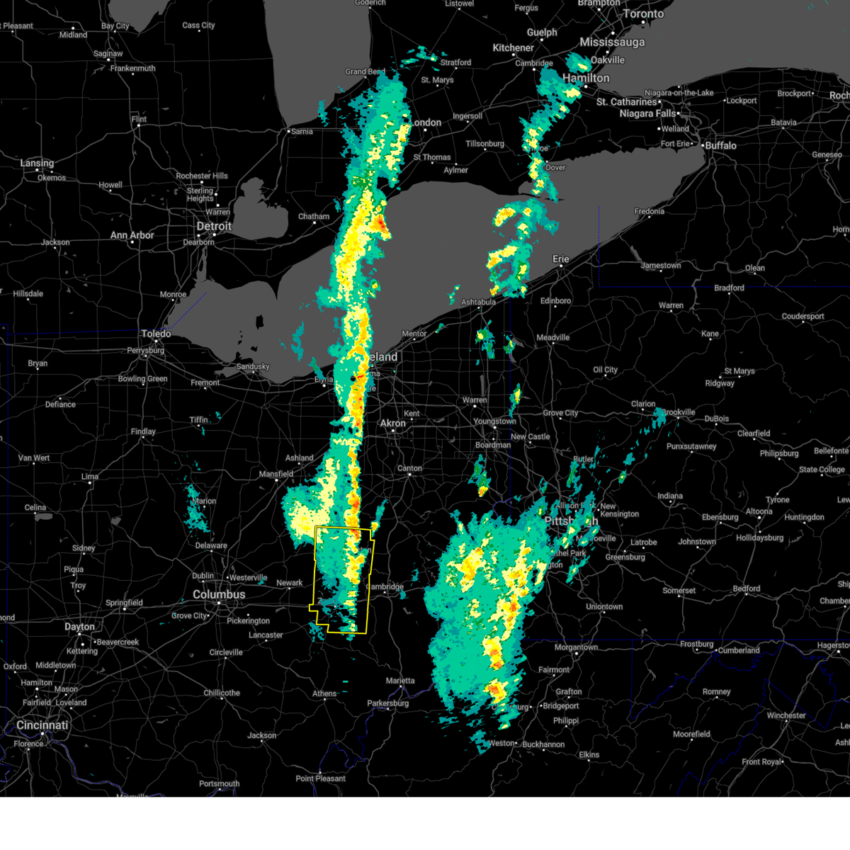
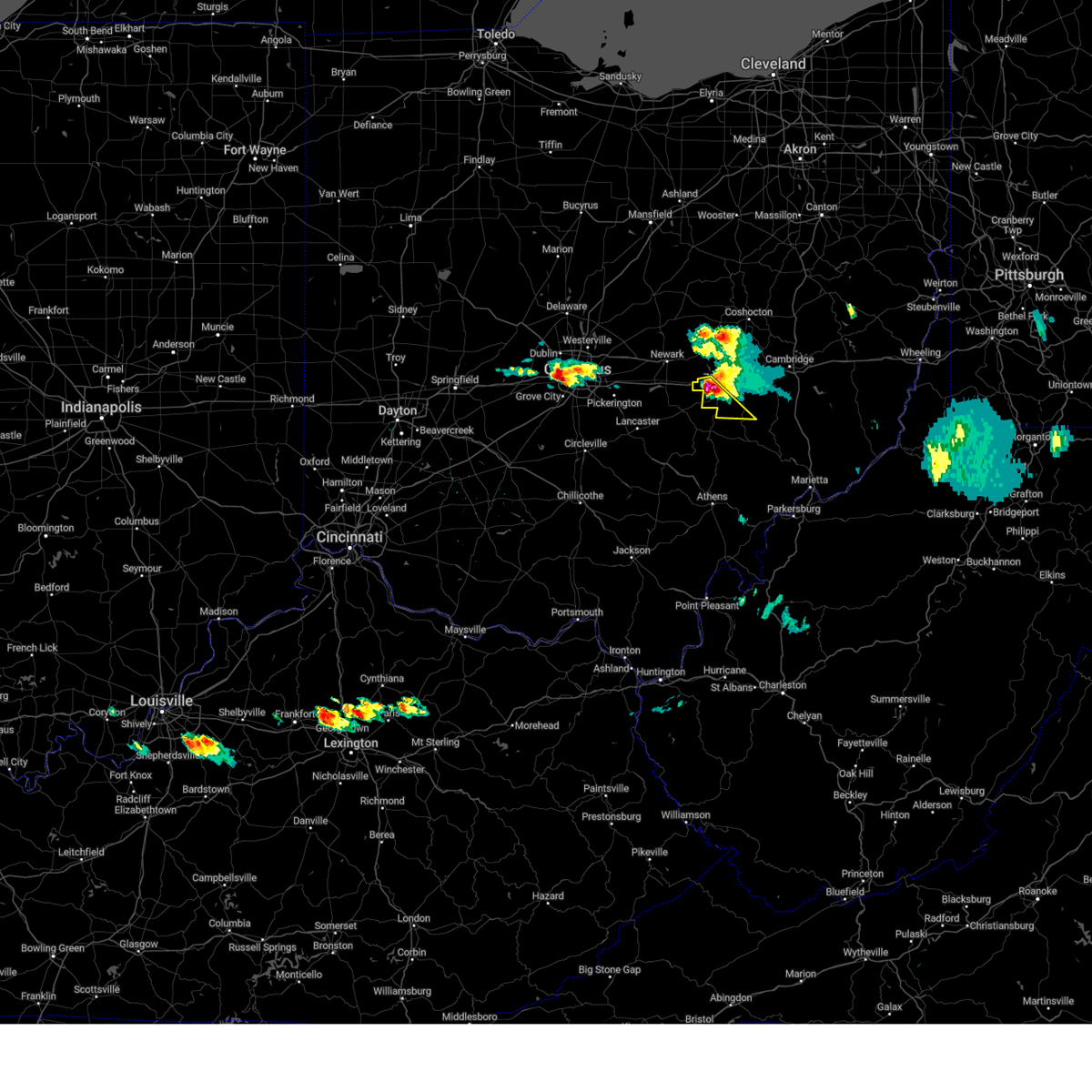
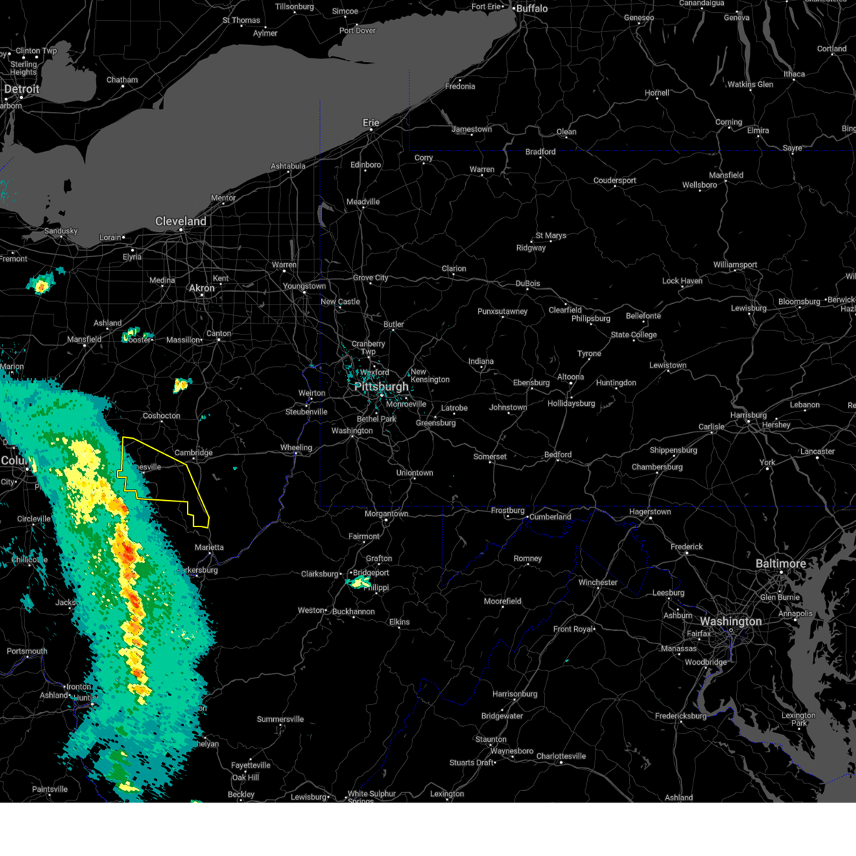
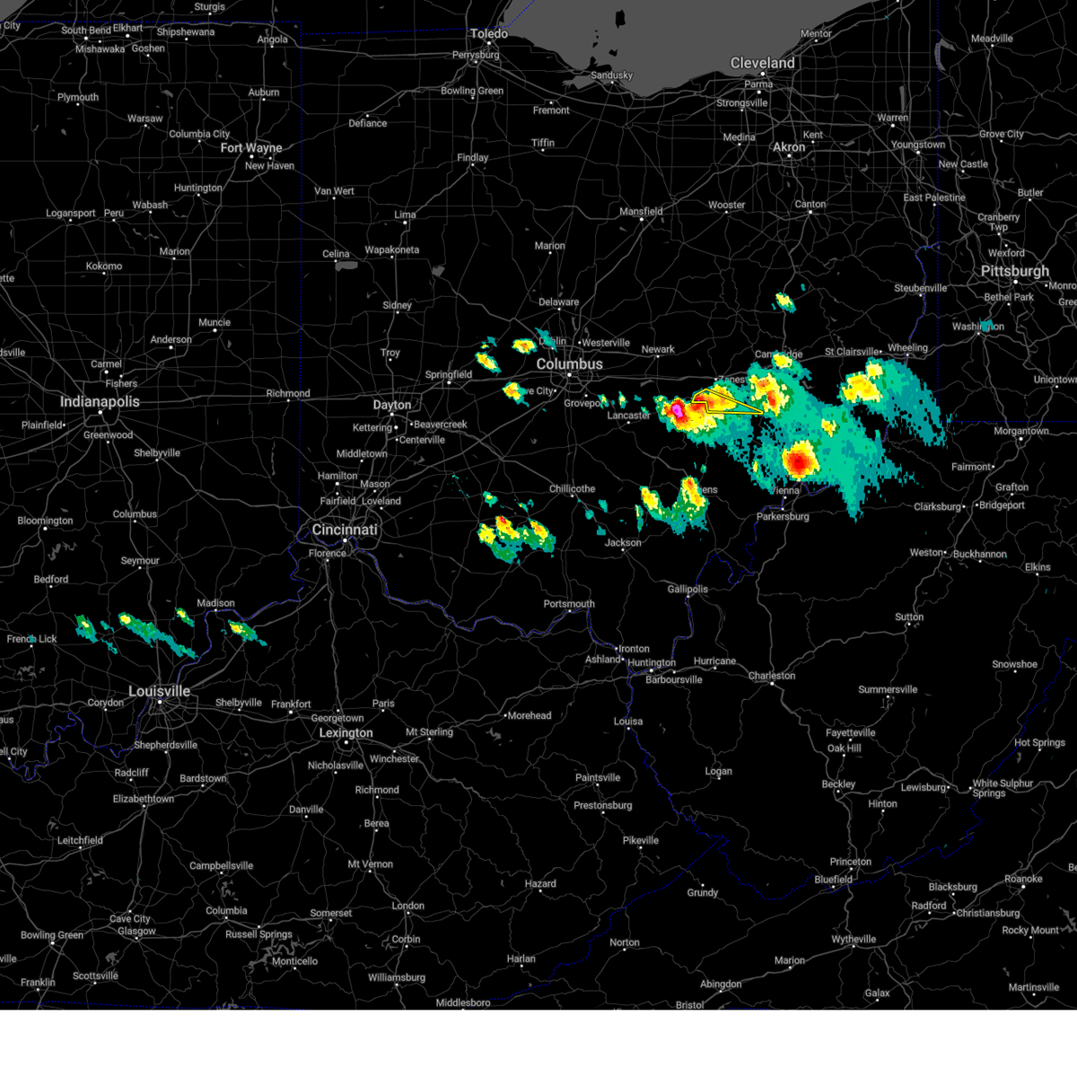
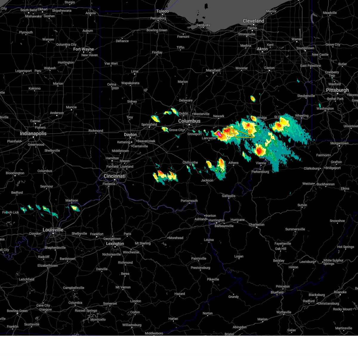
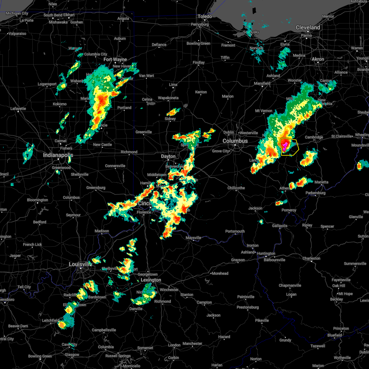
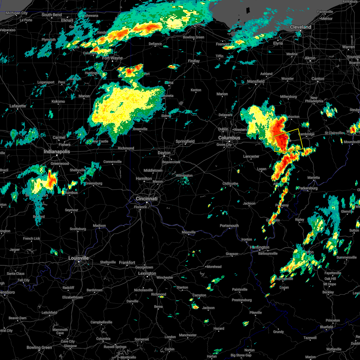
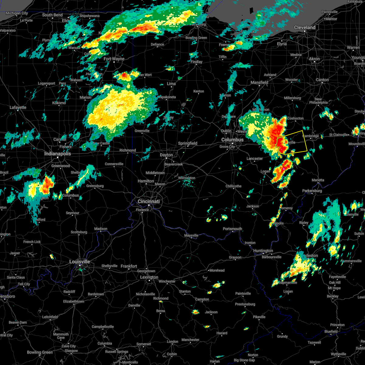
| 6/18/2025 9:38 PM EDT | At 938 pm edt, severe thunderstorms were located along a line from 7 miles west of sugarcreek to near south zanesville, or along a line from 15 miles north of coshocton to 6 miles southwest of zanesville, moving east at 45 mph (radar indicated). Hazards include 60 mph wind gusts. Expect damage to roofs, siding, and trees. Locations impacted include, zanesville, coshocton, south zanesville, north zanesville, pleasant grove, conesville, fultonham, drake, duncan falls, cannelville, east fultonham and chili. |
| 6/18/2025 9:30 PM EDT | The severe thunderstorm warning that was previously in effect has been reissued for a portion of coshocton and muskingum counties. please refer to those bulletins for the latest severe weather information. a severe thunderstorm watch remains in effect until 300 am edt thursday for a portion of east central ohio. |
| 6/18/2025 9:29 PM EDT | Svrpbz the national weather service in pittsburgh has issued a * severe thunderstorm warning for, central coshocton county in east central ohio, muskingum county in east central ohio, * until 945 pm edt. * at 929 pm edt, severe thunderstorms were located along a line from 13 miles north of coshocton to 10 miles southwest of south zanesville, or along a line from 13 miles north of coshocton to 12 miles southwest of zanesville, moving east at 45 mph (radar indicated). Hazards include 60 mph wind gusts. expect damage to roofs, siding, and trees |
| 6/18/2025 9:21 PM EDT | At 921 pm edt, severe thunderstorms were located along a line from 11 miles northwest of sugarcreek to 7 miles west of south zanesville, or along a line from 16 miles northwest of dover to 9 miles southwest of zanesville, moving east at 45 mph (radar indicated). Hazards include 60 mph wind gusts. Expect damage to roofs, siding, and trees. other locations impacted by the severe thunderstorm include nellie, cooperdale, layland, warsaw, blissfield, dillon state park, fultonham, drake, conesville and chili. Wind damage has been reported with this line across central ohio. |
| 6/18/2025 9:07 PM EDT |
 At 907 pm edt, severe thunderstorms were located along a line from 19 miles northwest of sugarcreek to 17 miles west of south zanesville, or along a line from 26 miles west of dover to 18 miles west of zanesville, moving east at 45 mph (radar indicated). Hazards include 60 mph wind gusts. Expect damage to roofs, siding, and trees. Other locations impacted by the severe thunderstorm include walhonding, new guilford, nellie, cooperdale, layland, warsaw, blissfield, dillon state park, fultonham and drake. At 907 pm edt, severe thunderstorms were located along a line from 19 miles northwest of sugarcreek to 17 miles west of south zanesville, or along a line from 26 miles west of dover to 18 miles west of zanesville, moving east at 45 mph (radar indicated). Hazards include 60 mph wind gusts. Expect damage to roofs, siding, and trees. Other locations impacted by the severe thunderstorm include walhonding, new guilford, nellie, cooperdale, layland, warsaw, blissfield, dillon state park, fultonham and drake.
|
| 6/18/2025 8:59 PM EDT |
 At 859 pm edt, severe thunderstorms were located along a line from 28 miles northwest of coshocton to 25 miles southwest of frazeysburg, or along a line from 28 miles northwest of coshocton to 25 miles west of zanesville, moving east at 45 mph (radar indicated). Hazards include 60 mph wind gusts. Expect damage to roofs, siding, and trees. other locations impacted by the severe thunderstorm include walhonding, new guilford, nellie, cooperdale, layland, warsaw, blissfield, dillon state park, fultonham and drake. Wind damage has been reported with this line across central ohio. At 859 pm edt, severe thunderstorms were located along a line from 28 miles northwest of coshocton to 25 miles southwest of frazeysburg, or along a line from 28 miles northwest of coshocton to 25 miles west of zanesville, moving east at 45 mph (radar indicated). Hazards include 60 mph wind gusts. Expect damage to roofs, siding, and trees. other locations impacted by the severe thunderstorm include walhonding, new guilford, nellie, cooperdale, layland, warsaw, blissfield, dillon state park, fultonham and drake. Wind damage has been reported with this line across central ohio.
|
| 6/18/2025 8:48 PM EDT |
 At 848 pm edt, severe thunderstorms were located along a line from 36 miles north of frazeysburg to 33 miles southwest of frazeysburg, or along a line from 33 miles northwest of coshocton to 34 miles west of zanesville, moving east at 40 mph (radar indicated). Hazards include 60 mph wind gusts. Expect damage to roofs, siding, and trees. Other locations impacted by the severe thunderstorm include new guilford, walhonding, nellie, layland, warsaw, cooperdale, blissfield, dillon state park, fultonham and conesville. At 848 pm edt, severe thunderstorms were located along a line from 36 miles north of frazeysburg to 33 miles southwest of frazeysburg, or along a line from 33 miles northwest of coshocton to 34 miles west of zanesville, moving east at 40 mph (radar indicated). Hazards include 60 mph wind gusts. Expect damage to roofs, siding, and trees. Other locations impacted by the severe thunderstorm include new guilford, walhonding, nellie, layland, warsaw, cooperdale, blissfield, dillon state park, fultonham and conesville.
|
| 6/18/2025 8:34 PM EDT |
 Svrpbz the national weather service in pittsburgh has issued a * severe thunderstorm warning for, coshocton county in east central ohio, muskingum county in east central ohio, * until 930 pm edt. * at 834 pm edt, severe thunderstorms were located along a line from 39 miles northwest of frazeysburg to 41 miles southwest of frazeysburg, or along a line from 40 miles northwest of coshocton to 43 miles west of zanesville, moving east at 40 mph (radar indicated). Hazards include 60 mph wind gusts. Expect damage to roofs, siding, and trees. Other locations impacted by the severe thunderstorm include new guilford, walhonding, nellie, layland, warsaw, cooperdale, blissfield, dillon state park, fultonham and conesville. Svrpbz the national weather service in pittsburgh has issued a * severe thunderstorm warning for, coshocton county in east central ohio, muskingum county in east central ohio, * until 930 pm edt. * at 834 pm edt, severe thunderstorms were located along a line from 39 miles northwest of frazeysburg to 41 miles southwest of frazeysburg, or along a line from 40 miles northwest of coshocton to 43 miles west of zanesville, moving east at 40 mph (radar indicated). Hazards include 60 mph wind gusts. Expect damage to roofs, siding, and trees. Other locations impacted by the severe thunderstorm include new guilford, walhonding, nellie, layland, warsaw, cooperdale, blissfield, dillon state park, fultonham and conesville.
|
| 5/16/2025 11:26 PM EDT | The severe thunderstorm warning that was previously in effect has been reissued for eastern coshocton and eastern muskingum counties into eastern neighboring counties. please refer to those bulletins for the latest severe weather information. a severe thunderstorm watch remains in effect until 400 am edt saturday for a portion of east central ohio. |
| 5/16/2025 10:56 PM EDT |
 At 1056 pm edt, severe thunderstorms were located along a line from 22 miles north of frazeysburg to 11 miles southwest of south zanesville, or along a line from 22 miles northwest of coshocton to 14 miles southwest of zanesville, moving east at 50 mph (radar indicated). Hazards include 60 mph wind gusts. Expect damage to roofs, siding, and trees. Locations impacted include, zanesville, coshocton, newcomerstown, new concord, west lafayette, south zanesville, north zanesville, dresden, frazeysburg, philo, warsaw, pleasant grove, conesville, fultonham, plainfield, nellie, norwich, drake, bridgeville and otsego. At 1056 pm edt, severe thunderstorms were located along a line from 22 miles north of frazeysburg to 11 miles southwest of south zanesville, or along a line from 22 miles northwest of coshocton to 14 miles southwest of zanesville, moving east at 50 mph (radar indicated). Hazards include 60 mph wind gusts. Expect damage to roofs, siding, and trees. Locations impacted include, zanesville, coshocton, newcomerstown, new concord, west lafayette, south zanesville, north zanesville, dresden, frazeysburg, philo, warsaw, pleasant grove, conesville, fultonham, plainfield, nellie, norwich, drake, bridgeville and otsego.
|
| 5/16/2025 10:33 PM EDT | Svrpbz the national weather service in pittsburgh has issued a * severe thunderstorm warning for, coshocton county in east central ohio, muskingum county in east central ohio, * until 1130 pm edt. * at 1033 pm edt, severe thunderstorms were located along a line from 32 miles northwest of frazeysburg to 33 miles southwest of frazeysburg, or along a line from 40 miles west of coshocton to 32 miles west of zanesville, moving east at 50 mph (radar indicated). Hazards include 60 mph wind gusts and small hail. expect damage to roofs, siding, and trees |
| 4/29/2025 3:46 PM EDT |
 At 345 pm edt, severe thunderstorms were located along a line extending from 7 miles north of coshocton to 7 miles northwest of new concord to 6 miles southeast of south zanesville, moving east at 55 mph. these are destructive storms for west lafeyette (radar indicated). Hazards include 80 mph wind gusts. Extensive tree damage and widespread power outages. mobile homes will be heavily damaged. expect considerable damage to roofs, windows and vehicles. Locations impacted include, zanesville, coshocton, new concord, west lafayette, south zanesville, north zanesville, philo, pleasant grove, conesville, fultonham, plainfield, norwich, cannelville, high hill, ruraldale, chandlersville, bridgeville, duncan falls, east fultonham, and otsego. At 345 pm edt, severe thunderstorms were located along a line extending from 7 miles north of coshocton to 7 miles northwest of new concord to 6 miles southeast of south zanesville, moving east at 55 mph. these are destructive storms for west lafeyette (radar indicated). Hazards include 80 mph wind gusts. Extensive tree damage and widespread power outages. mobile homes will be heavily damaged. expect considerable damage to roofs, windows and vehicles. Locations impacted include, zanesville, coshocton, new concord, west lafayette, south zanesville, north zanesville, philo, pleasant grove, conesville, fultonham, plainfield, norwich, cannelville, high hill, ruraldale, chandlersville, bridgeville, duncan falls, east fultonham, and otsego.
|
| 4/29/2025 3:36 PM EDT |
 At 335 pm edt, severe thunderstorms were located along a line extending from 8 miles south of killbuck to near dresden to near south zanesville, moving east at 60 mph. these are destructive storms for zanesville, conesville, and coshocton (radar indicated). Hazards include 80 mph wind gusts. Extensive tree damage and widespread power outages. mobile homes will be heavily damaged. expect considerable damage to roofs, windows and vehicles. Locations impacted include, zanesville, coshocton, new concord, west lafayette, south zanesville, north zanesville, dresden, frazeysburg, philo, warsaw, pleasant grove, conesville, gratiot, fultonham, plainfield, nellie, norwich, ruraldale, chandlersville, and bridgeville. At 335 pm edt, severe thunderstorms were located along a line extending from 8 miles south of killbuck to near dresden to near south zanesville, moving east at 60 mph. these are destructive storms for zanesville, conesville, and coshocton (radar indicated). Hazards include 80 mph wind gusts. Extensive tree damage and widespread power outages. mobile homes will be heavily damaged. expect considerable damage to roofs, windows and vehicles. Locations impacted include, zanesville, coshocton, new concord, west lafayette, south zanesville, north zanesville, dresden, frazeysburg, philo, warsaw, pleasant grove, conesville, gratiot, fultonham, plainfield, nellie, norwich, ruraldale, chandlersville, and bridgeville.
|
| 4/29/2025 3:29 PM EDT |
 At 328 pm edt, severe thunderstorms were located along a line extending from near utica to 9 miles east of thornport to near bremen, moving east at 55 mph. these are destructive storms for frazeysburg and warsaw (radar indicated). Hazards include 80 mph wind gusts. Extensive tree damage and widespread power outages. mobile homes will be heavily damaged. expect considerable damage to roofs, windows and vehicles. Locations impacted include, zanesville, coshocton, new concord, west lafayette, south zanesville, north zanesville, dresden, frazeysburg, philo, warsaw, pleasant grove, conesville, gratiot, fultonham, plainfield, nellie, norwich, ruraldale, chandlersville, and bridgeville. At 328 pm edt, severe thunderstorms were located along a line extending from near utica to 9 miles east of thornport to near bremen, moving east at 55 mph. these are destructive storms for frazeysburg and warsaw (radar indicated). Hazards include 80 mph wind gusts. Extensive tree damage and widespread power outages. mobile homes will be heavily damaged. expect considerable damage to roofs, windows and vehicles. Locations impacted include, zanesville, coshocton, new concord, west lafayette, south zanesville, north zanesville, dresden, frazeysburg, philo, warsaw, pleasant grove, conesville, gratiot, fultonham, plainfield, nellie, norwich, ruraldale, chandlersville, and bridgeville.
|
| 4/29/2025 3:06 PM EDT |
 Svrpbz the national weather service in pittsburgh has issued a * severe thunderstorm warning for, coshocton county in east central ohio, muskingum county in east central ohio, * until 400 pm edt. * at 305 pm edt, severe thunderstorms were located along a line extending from near centerburg to near beechwood trails to near lancaster, moving east at 55 mph (radar indicated). Hazards include 70 mph wind gusts. Trees snapped and uprooted. Power outages can be expected. Svrpbz the national weather service in pittsburgh has issued a * severe thunderstorm warning for, coshocton county in east central ohio, muskingum county in east central ohio, * until 400 pm edt. * at 305 pm edt, severe thunderstorms were located along a line extending from near centerburg to near beechwood trails to near lancaster, moving east at 55 mph (radar indicated). Hazards include 70 mph wind gusts. Trees snapped and uprooted. Power outages can be expected.
|
| 4/3/2025 2:23 AM EDT | Svrpbz the national weather service in pittsburgh has issued a * severe thunderstorm warning for, western guernsey county in east central ohio, coshocton county in east central ohio, muskingum county in east central ohio, northwestern carroll county in east central ohio, tuscarawas county in east central ohio, northwestern noble county in east central ohio, * until 315 am edt. * at 221 am edt, severe thunderstorms were located along a line extending from 8 miles northeast of hayesville to 10 miles south of lancaster, moving east at 60 mph (radar indicated). Hazards include 60 mph wind gusts. expect damage to trees and power lines, resulting in some power outages |
| 3/30/2025 11:24 PM EDT | Thunderstorms in muskingum county have weakened below severe limits. however, a severe thunderstorm warning has been reissued for thunderstorms in northeastern coshocton county. a severe thunderstorm watch remains in effect until 300 am edt for a portion of east central ohio. |
| 3/30/2025 11:10 PM EDT |
 At 1110 pm edt, severe thunderstorms were located along a line from 16 miles northwest of sugarcreek to 17 miles southwest of south zanesville, or along a line from 22 miles northwest of dover to 20 miles southwest of zanesville, moving east at 50 mph (radar indicated). Hazards include 60 mph wind gusts and small hail. Expect damage to roofs, siding, and trees. Locations impacted include, zanesville, coshocton, new concord, west lafayette, south zanesville, north zanesville, dresden, frazeysburg, philo, warsaw, pleasant grove, conesville, fultonham, plainfield, nellie, norwich, drake, bridgeville, otsego and duncan falls. At 1110 pm edt, severe thunderstorms were located along a line from 16 miles northwest of sugarcreek to 17 miles southwest of south zanesville, or along a line from 22 miles northwest of dover to 20 miles southwest of zanesville, moving east at 50 mph (radar indicated). Hazards include 60 mph wind gusts and small hail. Expect damage to roofs, siding, and trees. Locations impacted include, zanesville, coshocton, new concord, west lafayette, south zanesville, north zanesville, dresden, frazeysburg, philo, warsaw, pleasant grove, conesville, fultonham, plainfield, nellie, norwich, drake, bridgeville, otsego and duncan falls.
|
| 3/30/2025 10:48 PM EDT | Svrpbz the national weather service in pittsburgh has issued a * severe thunderstorm warning for, coshocton county in east central ohio, muskingum county in east central ohio, * until 1130 pm edt. * at 1048 pm edt, severe thunderstorms were located along a line from 40 miles north of frazeysburg to 31 miles southwest of south zanesville, or along a line from 37 miles northwest of coshocton to 33 miles southwest of zanesville, moving east at 40 mph (radar indicated). Hazards include 60 mph wind gusts and small hail. expect damage to roofs, siding, and trees |
| 3/16/2025 11:57 AM EDT |
 The severe thunderstorm warning that was previously in effect has been reissued for coshocton and muskingum counties and is in effect until 1230 pm edt. please refer to that bulletin for the latest severe weather information. a tornado watch remains in effect until 400 pm edt for a portion of east central ohio. The severe thunderstorm warning that was previously in effect has been reissued for coshocton and muskingum counties and is in effect until 1230 pm edt. please refer to that bulletin for the latest severe weather information. a tornado watch remains in effect until 400 pm edt for a portion of east central ohio.
|
| 3/16/2025 11:34 AM EDT |
 At 1134 am edt, severe thunderstorms were located along a line from 22 miles west of sugarcreek to 5 miles northwest of south zanesville, or along a line from 27 miles north of coshocton to 5 miles west of zanesville, moving northeast at 55 mph (radar indicated). Hazards include 70 mph wind gusts. Expect considerable tree damage. damage is likely to mobile homes, roofs, and outbuildings. Locations impacted include, zanesville, coshocton, new concord, west lafayette, south zanesville, north zanesville, dresden, frazeysburg, philo, warsaw, pleasant grove, conesville, fultonham, plainfield, nellie, norwich, drake, bridgeville, otsego and duncan falls. At 1134 am edt, severe thunderstorms were located along a line from 22 miles west of sugarcreek to 5 miles northwest of south zanesville, or along a line from 27 miles north of coshocton to 5 miles west of zanesville, moving northeast at 55 mph (radar indicated). Hazards include 70 mph wind gusts. Expect considerable tree damage. damage is likely to mobile homes, roofs, and outbuildings. Locations impacted include, zanesville, coshocton, new concord, west lafayette, south zanesville, north zanesville, dresden, frazeysburg, philo, warsaw, pleasant grove, conesville, fultonham, plainfield, nellie, norwich, drake, bridgeville, otsego and duncan falls.
|
| 3/16/2025 11:22 AM EDT |
 Svrpbz the national weather service in pittsburgh has issued a * severe thunderstorm warning for, coshocton county in east central ohio, muskingum county in east central ohio, * until noon edt. * at 1122 am edt, severe thunderstorms were located along a line from 27 miles north of frazeysburg to 15 miles southwest of south zanesville, or along a line from 24 miles northwest of coshocton to 17 miles southwest of zanesville, moving northeast at 55 mph (radar indicated). Hazards include 60 mph wind gusts. expect damage to roofs, siding, and trees Svrpbz the national weather service in pittsburgh has issued a * severe thunderstorm warning for, coshocton county in east central ohio, muskingum county in east central ohio, * until noon edt. * at 1122 am edt, severe thunderstorms were located along a line from 27 miles north of frazeysburg to 15 miles southwest of south zanesville, or along a line from 24 miles northwest of coshocton to 17 miles southwest of zanesville, moving northeast at 55 mph (radar indicated). Hazards include 60 mph wind gusts. expect damage to roofs, siding, and trees
|
| 7/15/2024 6:21 PM EDT | At 620 pm edt, a severe thunderstorm was located near zanesville, moving east at 35 mph (radar indicated). Hazards include 70 mph wind gusts and quarter size hail. Minor hail damage to vehicles is possible. trees snapped and uprooted. power outages can be expected. Locations impacted include, zanesville, south zanesville, north zanesville, philo, pleasant grove, gratiot, fultonham, cannelville, chandlersville, ruraldale, bridgeville, duncan falls, east fultonham, and blue rock state park. |
| 7/15/2024 6:08 PM EDT | Tree down on hoover av in muskingum county OH, 0.5 miles SW of East Fultonham, OH |
| 7/15/2024 5:52 PM EDT | Svrpbz the national weather service in pittsburgh has issued a * severe thunderstorm warning for, southern muskingum county in east central ohio, * until 630 pm edt. * at 551 pm edt, a severe thunderstorm was located near thornport, or 7 miles west of somerset, moving east at 30 mph (radar indicated). Hazards include 60 mph wind gusts and quarter size hail. Minor hail damage to vehicles is possible. Expect wind damage to trees and power lines, resulting in some power outages. |
| 6/17/2024 5:46 PM EDT |
 At 546 pm edt, a severe thunderstorm was located 7 miles east of south zanesville, or 9 miles southeast of zanesville, moving east at 35 mph (radar indicated). Hazards include 60 mph wind gusts and quarter size hail. Minor hail damage to vehicles is possible. expect wind damage to trees and power lines, resulting in some power outages. Locations impacted include, zanesville, south zanesville, philo, pleasant grove, fultonham, norwich, cannelville, high hill, chandlersville, ruraldale, bridgeville, duncan falls, east fultonham, and blue rock state park. At 546 pm edt, a severe thunderstorm was located 7 miles east of south zanesville, or 9 miles southeast of zanesville, moving east at 35 mph (radar indicated). Hazards include 60 mph wind gusts and quarter size hail. Minor hail damage to vehicles is possible. expect wind damage to trees and power lines, resulting in some power outages. Locations impacted include, zanesville, south zanesville, philo, pleasant grove, fultonham, norwich, cannelville, high hill, chandlersville, ruraldale, bridgeville, duncan falls, east fultonham, and blue rock state park.
|
| 6/17/2024 5:27 PM EDT |
 Svrpbz the national weather service in pittsburgh has issued a * severe thunderstorm warning for, southeastern muskingum county in east central ohio, * until 615 pm edt. * at 527 pm edt, a severe thunderstorm was located near perry state forest, moving east at 35 mph (radar indicated). Hazards include 60 mph wind gusts and quarter size hail. Minor hail damage to vehicles is possible. Expect wind damage to trees and power lines, resulting in some power outages. Svrpbz the national weather service in pittsburgh has issued a * severe thunderstorm warning for, southeastern muskingum county in east central ohio, * until 615 pm edt. * at 527 pm edt, a severe thunderstorm was located near perry state forest, moving east at 35 mph (radar indicated). Hazards include 60 mph wind gusts and quarter size hail. Minor hail damage to vehicles is possible. Expect wind damage to trees and power lines, resulting in some power outages.
|
| 6/14/2024 5:28 PM EDT |
 At 528 pm edt, a severe thunderstorm was located 4 miles southwest of south zanesville, or 8 miles southwest of zanesville, moving southeast at 30 mph (public reported reported 2 inch diameter hail and trees down at 525 pm). Hazards include two inch hail and 70 mph wind gusts. People and animals outdoors will be injured. expect hail damage to roofs, siding, windows, and vehicles. expect considerable tree damage. wind damage is also likely to mobile homes, roofs, and outbuildings. Locations impacted include, south zanesville, fultonham, cannelville, east fultonham and ruraldale. At 528 pm edt, a severe thunderstorm was located 4 miles southwest of south zanesville, or 8 miles southwest of zanesville, moving southeast at 30 mph (public reported reported 2 inch diameter hail and trees down at 525 pm). Hazards include two inch hail and 70 mph wind gusts. People and animals outdoors will be injured. expect hail damage to roofs, siding, windows, and vehicles. expect considerable tree damage. wind damage is also likely to mobile homes, roofs, and outbuildings. Locations impacted include, south zanesville, fultonham, cannelville, east fultonham and ruraldale.
|
| 6/14/2024 5:23 PM EDT |
 At 523 pm edt, a severe thunderstorm was located 3 miles west of south zanesville, or 7 miles southwest of zanesville, moving southeast at 30 mph (radar indicated). Hazards include golf ball size hail and 70 mph wind gusts. People and animals outdoors will be injured. expect hail damage to roofs, siding, windows, and vehicles. expect considerable tree damage. wind damage is also likely to mobile homes, roofs, and outbuildings. Locations impacted include, zanesville, south zanesville, fultonham, cannelville, east fultonham and ruraldale. At 523 pm edt, a severe thunderstorm was located 3 miles west of south zanesville, or 7 miles southwest of zanesville, moving southeast at 30 mph (radar indicated). Hazards include golf ball size hail and 70 mph wind gusts. People and animals outdoors will be injured. expect hail damage to roofs, siding, windows, and vehicles. expect considerable tree damage. wind damage is also likely to mobile homes, roofs, and outbuildings. Locations impacted include, zanesville, south zanesville, fultonham, cannelville, east fultonham and ruraldale.
|
| 6/14/2024 5:14 PM EDT |
 Svrpbz the national weather service in pittsburgh has issued a * severe thunderstorm warning for, southwestern muskingum county in east central ohio, * until 600 pm edt. * at 514 pm edt, a severe thunderstorm was located 6 miles west of south zanesville, or 7 miles west of zanesville, moving southeast at 30 mph (radar indicated). Hazards include 60 mph wind gusts and half dollar size hail. Hail damage to vehicles is expected. Expect wind damage to roofs, siding, and trees. Svrpbz the national weather service in pittsburgh has issued a * severe thunderstorm warning for, southwestern muskingum county in east central ohio, * until 600 pm edt. * at 514 pm edt, a severe thunderstorm was located 6 miles west of south zanesville, or 7 miles west of zanesville, moving southeast at 30 mph (radar indicated). Hazards include 60 mph wind gusts and half dollar size hail. Hail damage to vehicles is expected. Expect wind damage to roofs, siding, and trees.
|
| 5/26/2024 4:24 PM EDT |
 Svrpbz the national weather service in pittsburgh has issued a * severe thunderstorm warning for, southwestern guernsey county in east central ohio, muskingum county in east central ohio, southwestern noble county in east central ohio, * until 515 pm edt. * at 424 pm edt, severe thunderstorms were located along a line extending from near thornport to near perry state forest to glouster, moving northeast at 40 mph (radar indicated). Hazards include 60 mph wind gusts. expect damage to trees and power lines, resulting in some power outages Svrpbz the national weather service in pittsburgh has issued a * severe thunderstorm warning for, southwestern guernsey county in east central ohio, muskingum county in east central ohio, southwestern noble county in east central ohio, * until 515 pm edt. * at 424 pm edt, severe thunderstorms were located along a line extending from near thornport to near perry state forest to glouster, moving northeast at 40 mph (radar indicated). Hazards include 60 mph wind gusts. expect damage to trees and power lines, resulting in some power outages
|
| 4/2/2024 8:57 PM EDT |
 The storms which prompted the warning have moved out of the area. therefore, the warning will be allowed to expire. a tornado watch remains in effect until 200 am edt for east central ohio. to report severe weather, contact your nearest law enforcement agency. they will relay your report to the national weather service pittsburgh. The storms which prompted the warning have moved out of the area. therefore, the warning will be allowed to expire. a tornado watch remains in effect until 200 am edt for east central ohio. to report severe weather, contact your nearest law enforcement agency. they will relay your report to the national weather service pittsburgh.
|
| 4/2/2024 8:38 PM EDT |
 At 837 pm edt, severe thunderstorms were located along a line extending from near dresden to near north zanesville to near south zanesville, moving east at 40 mph (radar indicated). Hazards include 70 mph wind gusts and quarter size hail. Minor hail damage to vehicles is possible. trees snapped and uprooted. power outages can be expected. Locations impacted include, zanesville, new concord, south zanesville, north zanesville, dresden, frazeysburg, philo, pleasant grove, conesville, fultonham, norwich, chandlersville, bridgeville, duncan falls, east fultonham, otsego, drake, and dillon state park. At 837 pm edt, severe thunderstorms were located along a line extending from near dresden to near north zanesville to near south zanesville, moving east at 40 mph (radar indicated). Hazards include 70 mph wind gusts and quarter size hail. Minor hail damage to vehicles is possible. trees snapped and uprooted. power outages can be expected. Locations impacted include, zanesville, new concord, south zanesville, north zanesville, dresden, frazeysburg, philo, pleasant grove, conesville, fultonham, norwich, chandlersville, bridgeville, duncan falls, east fultonham, otsego, drake, and dillon state park.
|
| 4/2/2024 8:25 PM EDT |
 At 824 pm edt, severe thunderstorms were located along a line extending from near frazeysburg to near zanesville to near somerset, moving east at 45 mph (radar indicated). Hazards include 60 mph wind gusts and quarter size hail. Minor hail damage to vehicles is possible. expect wind damage to trees and power lines, resulting in some power outages. Locations impacted include, zanesville, new concord, south zanesville, north zanesville, dresden, frazeysburg, philo, pleasant grove, conesville, fultonham, norwich, chandlersville, bridgeville, duncan falls, east fultonham, otsego, drake, and dillon state park. At 824 pm edt, severe thunderstorms were located along a line extending from near frazeysburg to near zanesville to near somerset, moving east at 45 mph (radar indicated). Hazards include 60 mph wind gusts and quarter size hail. Minor hail damage to vehicles is possible. expect wind damage to trees and power lines, resulting in some power outages. Locations impacted include, zanesville, new concord, south zanesville, north zanesville, dresden, frazeysburg, philo, pleasant grove, conesville, fultonham, norwich, chandlersville, bridgeville, duncan falls, east fultonham, otsego, drake, and dillon state park.
|
| 4/2/2024 8:02 PM EDT |
 Svrpbz the national weather service in pittsburgh has issued a * severe thunderstorm warning for, south central coshocton county in east central ohio, muskingum county in east central ohio, * until 900 pm edt. * at 801 pm edt, severe thunderstorms were located along a line extending from near harbor hills to near thornport to near pleasantville, moving east at 35 mph (radar indicated). Hazards include 60 mph wind gusts and quarter size hail. Hail damage to vehicles. Damage to trees and power lines. Svrpbz the national weather service in pittsburgh has issued a * severe thunderstorm warning for, south central coshocton county in east central ohio, muskingum county in east central ohio, * until 900 pm edt. * at 801 pm edt, severe thunderstorms were located along a line extending from near harbor hills to near thornport to near pleasantville, moving east at 35 mph (radar indicated). Hazards include 60 mph wind gusts and quarter size hail. Hail damage to vehicles. Damage to trees and power lines.
|
| 3/30/2024 7:08 PM EDT |
 At 708 pm edt, a severe thunderstorm was located near perry state forest, moving southeast at 40 mph (radar indicated). Hazards include 60 mph wind gusts and quarter size hail. Minor hail damage to vehicles is possible. expect wind damage to trees and power lines, resulting in some power outages. Locations impacted include, fultonham, ruraldale, cannelville, east fultonham, and blue rock state park. At 708 pm edt, a severe thunderstorm was located near perry state forest, moving southeast at 40 mph (radar indicated). Hazards include 60 mph wind gusts and quarter size hail. Minor hail damage to vehicles is possible. expect wind damage to trees and power lines, resulting in some power outages. Locations impacted include, fultonham, ruraldale, cannelville, east fultonham, and blue rock state park.
|
| 3/30/2024 6:54 PM EDT |
 Svrpbz the national weather service in pittsburgh has issued a * severe thunderstorm warning for, southern muskingum county in east central ohio, * until 745 pm edt. * at 654 pm edt, a severe thunderstorm was located near somerset, moving southeast at 40 mph (radar indicated). Hazards include 60 mph wind gusts and quarter size hail. Minor hail damage to vehicles is possible. Expect wind damage to trees and power lines, resulting in some power outages. Svrpbz the national weather service in pittsburgh has issued a * severe thunderstorm warning for, southern muskingum county in east central ohio, * until 745 pm edt. * at 654 pm edt, a severe thunderstorm was located near somerset, moving southeast at 40 mph (radar indicated). Hazards include 60 mph wind gusts and quarter size hail. Minor hail damage to vehicles is possible. Expect wind damage to trees and power lines, resulting in some power outages.
|
| 2/28/2024 6:22 AM EST |
 Svrpbz the national weather service in pittsburgh has issued a * severe thunderstorm warning for, southern muskingum county in east central ohio, * until 645 am est. * at 621 am est, a severe thunderstorm was located near perry state forest, moving east at 60 mph (radar indicated). Hazards include 60 mph wind gusts and quarter size hail. Minor hail damage to vehicles is possible. Expect wind damage to trees and power lines, resulting in some power outages. Svrpbz the national weather service in pittsburgh has issued a * severe thunderstorm warning for, southern muskingum county in east central ohio, * until 645 am est. * at 621 am est, a severe thunderstorm was located near perry state forest, moving east at 60 mph (radar indicated). Hazards include 60 mph wind gusts and quarter size hail. Minor hail damage to vehicles is possible. Expect wind damage to trees and power lines, resulting in some power outages.
|
| 4/5/2023 6:13 PM EDT |
 At 613 pm edt, severe thunderstorms were located along a line extending from 6 miles north of dresden to 6 miles east of zanesville to 6 miles southeast of south zanesville, moving east at 60 mph (radar indicated). Hazards include 60 mph wind gusts. Expect damage to trees and power lines, resulting in some power outages. locations impacted include, zanesville, coshocton, cambridge, newcomerstown, new concord, byesville, west lafayette, south zanesville, north zanesville, dresden, frazeysburg, and antrim. hail threat, radar indicated max hail size, <. 75 in wind threat, radar indicated max wind gust, 60 mph. At 613 pm edt, severe thunderstorms were located along a line extending from 6 miles north of dresden to 6 miles east of zanesville to 6 miles southeast of south zanesville, moving east at 60 mph (radar indicated). Hazards include 60 mph wind gusts. Expect damage to trees and power lines, resulting in some power outages. locations impacted include, zanesville, coshocton, cambridge, newcomerstown, new concord, byesville, west lafayette, south zanesville, north zanesville, dresden, frazeysburg, and antrim. hail threat, radar indicated max hail size, <. 75 in wind threat, radar indicated max wind gust, 60 mph.
|
| 4/5/2023 6:02 PM EDT |
 At 602 pm edt, severe thunderstorms were located along a line extending from 7 miles northwest of frazeysburg to south zanesville to near perry state forest, moving east at 60 mph (radar indicated). Hazards include 60 mph wind gusts. Expect damage to trees and power lines, resulting in some power outages. locations impacted include, zanesville, coshocton, cambridge, newcomerstown, new concord, byesville, west lafayette, south zanesville, north zanesville, dresden, frazeysburg, and antrim. hail threat, radar indicated max hail size, <. 75 in wind threat, radar indicated max wind gust, 60 mph. At 602 pm edt, severe thunderstorms were located along a line extending from 7 miles northwest of frazeysburg to south zanesville to near perry state forest, moving east at 60 mph (radar indicated). Hazards include 60 mph wind gusts. Expect damage to trees and power lines, resulting in some power outages. locations impacted include, zanesville, coshocton, cambridge, newcomerstown, new concord, byesville, west lafayette, south zanesville, north zanesville, dresden, frazeysburg, and antrim. hail threat, radar indicated max hail size, <. 75 in wind threat, radar indicated max wind gust, 60 mph.
|
| 4/5/2023 5:51 PM EDT |
 At 550 pm edt, severe thunderstorms were located along a line extending from near utica to 7 miles northwest of perry state forest to near somerset, moving east at 60 mph (radar indicated). Hazards include 60 mph wind gusts. expect damage to trees and power lines, resulting in some power outages At 550 pm edt, severe thunderstorms were located along a line extending from near utica to 7 miles northwest of perry state forest to near somerset, moving east at 60 mph (radar indicated). Hazards include 60 mph wind gusts. expect damage to trees and power lines, resulting in some power outages
|
| 8/20/2022 8:38 PM EDT |
 The severe thunderstorm warning for central muskingum county will expire at 845 pm edt, the storm which prompted the warning has weakened below severe limits, and has exited the warned area. therefore, the warning will be allowed to expire. The severe thunderstorm warning for central muskingum county will expire at 845 pm edt, the storm which prompted the warning has weakened below severe limits, and has exited the warned area. therefore, the warning will be allowed to expire.
|
| 8/20/2022 8:09 PM EDT |
 At 809 pm edt, a severe thunderstorm was located over south zanesville, or near zanesville, moving east at 35 mph (radar indicated). Hazards include 60 mph wind gusts and quarter size hail. Minor hail damage to vehicles is possible. expect wind damage to trees and power lines, resulting in some power outages. locations impacted include, zanesville, new concord, south zanesville, north zanesville, philo, pleasant grove, fultonham, norwich, cannelville, high hill, chandlersville, and bridgeville. hail threat, radar indicated max hail size, 1. 00 in wind threat, radar indicated max wind gust, 60 mph. At 809 pm edt, a severe thunderstorm was located over south zanesville, or near zanesville, moving east at 35 mph (radar indicated). Hazards include 60 mph wind gusts and quarter size hail. Minor hail damage to vehicles is possible. expect wind damage to trees and power lines, resulting in some power outages. locations impacted include, zanesville, new concord, south zanesville, north zanesville, philo, pleasant grove, fultonham, norwich, cannelville, high hill, chandlersville, and bridgeville. hail threat, radar indicated max hail size, 1. 00 in wind threat, radar indicated max wind gust, 60 mph.
|
| 8/20/2022 8:02 PM EDT |
 At 802 pm edt, a severe thunderstorm was located near south zanesville, or near zanesville, moving east at 40 mph (radar indicated). Hazards include 60 mph wind gusts and quarter size hail. Minor hail damage to vehicles is possible. Expect wind damage to trees and power lines, resulting in some power outages. At 802 pm edt, a severe thunderstorm was located near south zanesville, or near zanesville, moving east at 40 mph (radar indicated). Hazards include 60 mph wind gusts and quarter size hail. Minor hail damage to vehicles is possible. Expect wind damage to trees and power lines, resulting in some power outages.
|
| 8/20/2022 5:44 PM EDT |
 At 544 pm edt, a severe thunderstorm was located near north zanesville, or near zanesville, moving north at 30 mph (radar indicated). Hazards include 60 mph wind gusts and quarter size hail. Minor hail damage to vehicles is possible. expect wind damage to trees and power lines, resulting in some power outages. locations impacted include, zanesville, south zanesville, north zanesville, dresden, frazeysburg, pleasant grove, conesville, gratiot, fultonham, east fultonham, drake, and dillon state park. hail threat, radar indicated max hail size, 1. 00 in wind threat, radar indicated max wind gust, 60 mph. At 544 pm edt, a severe thunderstorm was located near north zanesville, or near zanesville, moving north at 30 mph (radar indicated). Hazards include 60 mph wind gusts and quarter size hail. Minor hail damage to vehicles is possible. expect wind damage to trees and power lines, resulting in some power outages. locations impacted include, zanesville, south zanesville, north zanesville, dresden, frazeysburg, pleasant grove, conesville, gratiot, fultonham, east fultonham, drake, and dillon state park. hail threat, radar indicated max hail size, 1. 00 in wind threat, radar indicated max wind gust, 60 mph.
|
| 8/20/2022 5:26 PM EDT |
 At 526 pm edt, a severe thunderstorm was located near south zanesville, or 7 miles southwest of zanesville, moving north at 30 mph (radar indicated). Hazards include 60 mph wind gusts. expect damage to trees and power lines, resulting in some power outages At 526 pm edt, a severe thunderstorm was located near south zanesville, or 7 miles southwest of zanesville, moving north at 30 mph (radar indicated). Hazards include 60 mph wind gusts. expect damage to trees and power lines, resulting in some power outages
|
| 6/14/2022 4:28 AM EDT |
 At 428 am edt, severe thunderstorms were located along a line extending from 6 miles southwest of new concord to 7 miles west of south zanesville, moving southeast at 55 mph (radar indicated). Hazards include 60 mph wind gusts and nickel size hail. expect damage to trees and power lines, resulting in some power outages At 428 am edt, severe thunderstorms were located along a line extending from 6 miles southwest of new concord to 7 miles west of south zanesville, moving southeast at 55 mph (radar indicated). Hazards include 60 mph wind gusts and nickel size hail. expect damage to trees and power lines, resulting in some power outages
|
| 6/14/2022 12:24 AM EDT |
 At 1223 am edt, severe thunderstorms were located along a line extending from massillon to near west lafayette to 8 miles west of south zanesville, moving southeast at 50 mph (radar indicated). Hazards include 70 mph wind gusts and quarter size hail. Minor hail damage to vehicles is possible. trees snapped and uprooted. power outages can be expected. Locations impacted include, zanesville, new philadelphia, dover, coshocton, cambridge, uhrichsville, newcomerstown, minerva, dennison, strasburg, new concord, and byesville. At 1223 am edt, severe thunderstorms were located along a line extending from massillon to near west lafayette to 8 miles west of south zanesville, moving southeast at 50 mph (radar indicated). Hazards include 70 mph wind gusts and quarter size hail. Minor hail damage to vehicles is possible. trees snapped and uprooted. power outages can be expected. Locations impacted include, zanesville, new philadelphia, dover, coshocton, cambridge, uhrichsville, newcomerstown, minerva, dennison, strasburg, new concord, and byesville.
|
| 6/13/2022 11:43 PM EDT |
 At 1143 pm edt, severe thunderstorms were located along a line extending from lodi to 6 miles south of loudonville to near johnstown, moving southeast at 50 mph (radar indicated). Hazards include 70 mph wind gusts and nickel size hail. Trees snapped and uprooted. Power outages can be expected. At 1143 pm edt, severe thunderstorms were located along a line extending from lodi to 6 miles south of loudonville to near johnstown, moving southeast at 50 mph (radar indicated). Hazards include 70 mph wind gusts and nickel size hail. Trees snapped and uprooted. Power outages can be expected.
|
| 6/8/2022 6:59 PM EDT |
 At 659 pm edt, a severe thunderstorm was located near loudonville, or 16 miles northeast of mount vernon, moving north at 60 mph (radar indicated). Hazards include 60 mph wind gusts and quarter size hail. Minor hail damage to vehicles is possible. expect wind damage to trees and power lines, resulting in some power outages. locations impacted include, philo, chandlersville, ruraldale, cannelville, high hill, duncan falls, east fultonham, and blue rock state park. hail threat, radar indicated max hail size, 1. 00 in wind threat, radar indicated max wind gust, 60 mph. At 659 pm edt, a severe thunderstorm was located near loudonville, or 16 miles northeast of mount vernon, moving north at 60 mph (radar indicated). Hazards include 60 mph wind gusts and quarter size hail. Minor hail damage to vehicles is possible. expect wind damage to trees and power lines, resulting in some power outages. locations impacted include, philo, chandlersville, ruraldale, cannelville, high hill, duncan falls, east fultonham, and blue rock state park. hail threat, radar indicated max hail size, 1. 00 in wind threat, radar indicated max wind gust, 60 mph.
|
| 6/8/2022 6:48 PM EDT |
 At 647 pm edt, a severe thunderstorm was located near gambier, or 7 miles east of mount vernon, moving north at 60 mph (radar indicated). Hazards include 60 mph wind gusts and quarter size hail. Minor hail damage to vehicles is possible. Expect wind damage to trees and power lines, resulting in some power outages. At 647 pm edt, a severe thunderstorm was located near gambier, or 7 miles east of mount vernon, moving north at 60 mph (radar indicated). Hazards include 60 mph wind gusts and quarter size hail. Minor hail damage to vehicles is possible. Expect wind damage to trees and power lines, resulting in some power outages.
|
| 5/3/2022 5:53 PM EDT |
 At 553 pm edt, severe thunderstorms were located along a line extending from near harbor hills to near new lexington, moving northeast at 50 mph (radar indicated). Hazards include 60 mph wind gusts. expect damage to trees and power lines, resulting in some power outages At 553 pm edt, severe thunderstorms were located along a line extending from near harbor hills to near new lexington, moving northeast at 50 mph (radar indicated). Hazards include 60 mph wind gusts. expect damage to trees and power lines, resulting in some power outages
|
| 5/3/2022 3:56 PM EDT |
 At 355 pm edt, a severe thunderstorm was located near zanesville, moving east northeast at 45 mph (radar indicated). Hazards include golf ball size hail and 70 mph wind gusts. People and animals outdoors will be injured. expect hail damage to roofs, siding, windows, and vehicles. trees snapped and uprooted. power outages can be expected. locations impacted include, zanesville, south zanesville, north zanesville, philo, pleasant grove, fultonham, duncan falls, east fultonham, drake, and dillon state park. thunderstorm damage threat, considerable hail threat, radar indicated max hail size, 1. 75 in wind threat, radar indicated max wind gust, 70 mph. At 355 pm edt, a severe thunderstorm was located near zanesville, moving east northeast at 45 mph (radar indicated). Hazards include golf ball size hail and 70 mph wind gusts. People and animals outdoors will be injured. expect hail damage to roofs, siding, windows, and vehicles. trees snapped and uprooted. power outages can be expected. locations impacted include, zanesville, south zanesville, north zanesville, philo, pleasant grove, fultonham, duncan falls, east fultonham, drake, and dillon state park. thunderstorm damage threat, considerable hail threat, radar indicated max hail size, 1. 75 in wind threat, radar indicated max wind gust, 70 mph.
|
| 5/3/2022 3:38 PM EDT |
 At 338 pm edt, a severe thunderstorm was located near somerset, moving east at 40 mph (radar indicated). Hazards include 60 mph wind gusts and half dollar size hail. Minor hail damage to vehicles is possible. Expect wind damage to trees and power lines, resulting in some power outages. At 338 pm edt, a severe thunderstorm was located near somerset, moving east at 40 mph (radar indicated). Hazards include 60 mph wind gusts and half dollar size hail. Minor hail damage to vehicles is possible. Expect wind damage to trees and power lines, resulting in some power outages.
|
| 8/11/2021 6:23 PM EDT |
 At 622 pm edt, a severe thunderstorm was located over south zanesville, or near zanesville, moving east at 40 mph (radar indicated). Hazards include 60 mph wind gusts. expect damage to trees and power lines, resulting in some power outages At 622 pm edt, a severe thunderstorm was located over south zanesville, or near zanesville, moving east at 40 mph (radar indicated). Hazards include 60 mph wind gusts. expect damage to trees and power lines, resulting in some power outages
|
| 7/16/2021 4:26 PM EDT |
 At 426 pm edt, severe thunderstorms were located along a line extending from near hanover to 6 miles northeast of perry state forest, moving northeast at 35 mph (radar). Hazards include wind gusts to 60 mph. expect damage to trees and power lines, resulting in some power outages At 426 pm edt, severe thunderstorms were located along a line extending from near hanover to 6 miles northeast of perry state forest, moving northeast at 35 mph (radar). Hazards include wind gusts to 60 mph. expect damage to trees and power lines, resulting in some power outages
|
| 6/30/2021 12:32 PM EDT |
 At 1232 pm edt, a severe thunderstorm was located over zanesville, moving east at 15 mph (radar). Hazards include wind gusts to 60 mph. Expect damage to trees and power lines, resulting in some power outages. Locations impacted include, zanesville, new concord, south zanesville, north zanesville, philo, pleasant grove, gratiot, fultonham, norwich, chandlersville, bridgeville, duncan falls, this includes interstate 70 in ohio between mile markers 145 and 172. At 1232 pm edt, a severe thunderstorm was located over zanesville, moving east at 15 mph (radar). Hazards include wind gusts to 60 mph. Expect damage to trees and power lines, resulting in some power outages. Locations impacted include, zanesville, new concord, south zanesville, north zanesville, philo, pleasant grove, gratiot, fultonham, norwich, chandlersville, bridgeville, duncan falls, this includes interstate 70 in ohio between mile markers 145 and 172.
|
| 6/30/2021 12:20 PM EDT |
 At 1219 pm edt, a severe thunderstorm was located near zanesville, moving east at 15 mph (radar). Hazards include wind gusts to 60 mph. expect damage to trees and power lines, resulting in some power outages At 1219 pm edt, a severe thunderstorm was located near zanesville, moving east at 15 mph (radar). Hazards include wind gusts to 60 mph. expect damage to trees and power lines, resulting in some power outages
|
| 11/15/2020 12:53 PM EST |
 At 1252 pm est, severe thunderstorms were located along a line extending from near lodi to near new lexington, moving east at 55 mph (radar). Hazards include wind gusts to 70 mph. Trees snapped and uprooted. power outages can be expected. Locations impacted include, zanesville, coshocton, new concord, west lafayette, south zanesville, north zanesville, dresden, frazeysburg, philo, warsaw, pleasant grove, conesville, this includes interstate 70 in ohio near mile marker 143, and between mile markers 145 and 170. At 1252 pm est, severe thunderstorms were located along a line extending from near lodi to near new lexington, moving east at 55 mph (radar). Hazards include wind gusts to 70 mph. Trees snapped and uprooted. power outages can be expected. Locations impacted include, zanesville, coshocton, new concord, west lafayette, south zanesville, north zanesville, dresden, frazeysburg, philo, warsaw, pleasant grove, conesville, this includes interstate 70 in ohio near mile marker 143, and between mile markers 145 and 170.
|
| 11/15/2020 12:38 PM EST |
 At 1237 pm est, severe thunderstorms were located along a line extending from near polk to near hide-a-way hills, moving east at 55 mph (radar). Hazards include wind gusts to 60 mph. expect damage to trees and power lines, resulting in some power outages At 1237 pm est, severe thunderstorms were located along a line extending from near polk to near hide-a-way hills, moving east at 55 mph (radar). Hazards include wind gusts to 60 mph. expect damage to trees and power lines, resulting in some power outages
|
| 8/25/2020 3:30 PM EDT |
 At 330 pm edt, a severe thunderstorm was located near north zanesville, or near zanesville, moving southeast at 30 mph (radar). Hazards include wind gusts to 60 mph and quarter-size hail. Minor hail damage to vehicles is possible. expect wind damage to trees and power lines, resulting in some power outages. locations impacted include, zanesville, cambridge, new concord, byesville, south zanesville, north zanesville, dresden, frazeysburg, philo, pleasant grove, senecaville, pleasant city, this includes the following highways, interstate 70 in ohio near mile marker 143, and between mile markers 145 and 184. Interstate 77 in ohio between mile markers 32 and 47. At 330 pm edt, a severe thunderstorm was located near north zanesville, or near zanesville, moving southeast at 30 mph (radar). Hazards include wind gusts to 60 mph and quarter-size hail. Minor hail damage to vehicles is possible. expect wind damage to trees and power lines, resulting in some power outages. locations impacted include, zanesville, cambridge, new concord, byesville, south zanesville, north zanesville, dresden, frazeysburg, philo, pleasant grove, senecaville, pleasant city, this includes the following highways, interstate 70 in ohio near mile marker 143, and between mile markers 145 and 184. Interstate 77 in ohio between mile markers 32 and 47.
|
| 8/25/2020 3:22 PM EDT |
 At 322 pm edt, a severe thunderstorm was located over north zanesville, or near zanesville, moving southeast at 30 mph (radar). Hazards include wind gusts to 60 mph and quarter-size hail. Minor hail damage to vehicles is possible. expect wind damage to trees and power lines, resulting in some power outages. locations impacted include, zanesville, cambridge, new concord, byesville, south zanesville, north zanesville, dresden, frazeysburg, philo, pleasant grove, senecaville, pleasant city, this includes the following highways, interstate 70 in ohio near mile marker 143, and between mile markers 145 and 184. Interstate 77 in ohio between mile markers 32 and 47. At 322 pm edt, a severe thunderstorm was located over north zanesville, or near zanesville, moving southeast at 30 mph (radar). Hazards include wind gusts to 60 mph and quarter-size hail. Minor hail damage to vehicles is possible. expect wind damage to trees and power lines, resulting in some power outages. locations impacted include, zanesville, cambridge, new concord, byesville, south zanesville, north zanesville, dresden, frazeysburg, philo, pleasant grove, senecaville, pleasant city, this includes the following highways, interstate 70 in ohio near mile marker 143, and between mile markers 145 and 184. Interstate 77 in ohio between mile markers 32 and 47.
|
| 8/25/2020 3:11 PM EDT |
 At 311 pm edt, a severe thunderstorm was located near frazeysburg, or 8 miles north of zanesville, moving southeast at 30 mph (radar). Hazards include wind gusts to 60 mph and quarter-size hail. Minor hail damage to vehicles is possible. Expect wind damage to trees and power lines, resulting in some power outages. At 311 pm edt, a severe thunderstorm was located near frazeysburg, or 8 miles north of zanesville, moving southeast at 30 mph (radar). Hazards include wind gusts to 60 mph and quarter-size hail. Minor hail damage to vehicles is possible. Expect wind damage to trees and power lines, resulting in some power outages.
|
| 7/27/2020 7:03 PM EDT |
 At 702 pm edt, a severe thunderstorm was located near south zanesville, or near zanesville, moving east at 30 mph (radar). Hazards include wind gusts to 60 mph. Expect damage to trees and power lines, resulting in some power outages. Locations impacted include, zanesville, south zanesville, philo, pleasant grove, fultonham, chandlersville, ruraldale, cannelville, high hill, duncan falls, east fultonham, blue rock state park, this includes interstate 70 in ohio between mile markers 150 and 160. At 702 pm edt, a severe thunderstorm was located near south zanesville, or near zanesville, moving east at 30 mph (radar). Hazards include wind gusts to 60 mph. Expect damage to trees and power lines, resulting in some power outages. Locations impacted include, zanesville, south zanesville, philo, pleasant grove, fultonham, chandlersville, ruraldale, cannelville, high hill, duncan falls, east fultonham, blue rock state park, this includes interstate 70 in ohio between mile markers 150 and 160.
|
| 7/27/2020 6:53 PM EDT |
 At 652 pm edt, a severe thunderstorm was located near perry state forest, moving east at 35 mph (radar). Hazards include wind gusts to 60 mph. Expect damage to trees and power lines, resulting in some power outages. Locations impacted include, zanesville, south zanesville, philo, pleasant grove, gratiot, fultonham, cannelville, high hill, chandlersville, ruraldale, duncan falls, east fultonham, this includes interstate 70 in ohio near mile marker 143, and between mile markers 145 and 160. At 652 pm edt, a severe thunderstorm was located near perry state forest, moving east at 35 mph (radar). Hazards include wind gusts to 60 mph. Expect damage to trees and power lines, resulting in some power outages. Locations impacted include, zanesville, south zanesville, philo, pleasant grove, gratiot, fultonham, cannelville, high hill, chandlersville, ruraldale, duncan falls, east fultonham, this includes interstate 70 in ohio near mile marker 143, and between mile markers 145 and 160.
|
| 7/27/2020 6:42 PM EDT |
 At 641 pm edt, a severe thunderstorm was located over somerset, moving east at 35 mph (radar). Hazards include wind gusts to 60 mph. expect damage to trees and power lines, resulting in some power outages At 641 pm edt, a severe thunderstorm was located over somerset, moving east at 35 mph (radar). Hazards include wind gusts to 60 mph. expect damage to trees and power lines, resulting in some power outages
|
| 6/26/2020 8:31 PM EDT |
 At 831 pm edt, a severe thunderstorm was located near frazeysburg, or 10 miles northwest of zanesville, moving southeast at 25 mph (radar). Hazards include wind gusts to 60 mph. Expect damage to trees and power lines, resulting in some power outages. Locations impacted include, zanesville, south zanesville, north zanesville, frazeysburg, philo, pleasant grove, gratiot, fultonham, norwich, cannelville, chandlersville, bridgeville, this includes interstate 70 in ohio near mile marker 143, and between mile markers 145 and 168. At 831 pm edt, a severe thunderstorm was located near frazeysburg, or 10 miles northwest of zanesville, moving southeast at 25 mph (radar). Hazards include wind gusts to 60 mph. Expect damage to trees and power lines, resulting in some power outages. Locations impacted include, zanesville, south zanesville, north zanesville, frazeysburg, philo, pleasant grove, gratiot, fultonham, norwich, cannelville, chandlersville, bridgeville, this includes interstate 70 in ohio near mile marker 143, and between mile markers 145 and 168.
|
| 6/26/2020 8:24 PM EDT |
 At 824 pm edt, a severe thunderstorm was located near hanover, or 11 miles east of newark, moving southeast at 25 mph (radar). Hazards include wind gusts to 60 mph and quarter-size hail. Minor hail damage to vehicles is possible. Expect wind damage to trees and power lines, resulting in some power outages. At 824 pm edt, a severe thunderstorm was located near hanover, or 11 miles east of newark, moving southeast at 25 mph (radar). Hazards include wind gusts to 60 mph and quarter-size hail. Minor hail damage to vehicles is possible. Expect wind damage to trees and power lines, resulting in some power outages.
|
| 6/10/2020 7:31 PM EDT |
 At 730 pm edt, a severe thunderstorm was located near south zanesville, or 7 miles west of zanesville, moving northeast at 55 mph (radar). Hazards include quarter-size hail. Minor damage to vehicles is possible. Locations impacted include, zanesville, new concord, south zanesville, north zanesville, dresden, frazeysburg, philo, pleasant grove, gratiot, fultonham, norwich, cannelville, this includes interstate 70 in ohio near mile marker 143, and between mile markers 145 and 170. At 730 pm edt, a severe thunderstorm was located near south zanesville, or 7 miles west of zanesville, moving northeast at 55 mph (radar). Hazards include quarter-size hail. Minor damage to vehicles is possible. Locations impacted include, zanesville, new concord, south zanesville, north zanesville, dresden, frazeysburg, philo, pleasant grove, gratiot, fultonham, norwich, cannelville, this includes interstate 70 in ohio near mile marker 143, and between mile markers 145 and 170.
|
| 6/10/2020 7:17 PM EDT |
 At 717 pm edt, a severe thunderstorm was located over somerset, moving northeast at 55 mph (radar). Hazards include wind gusts to 60 mph and quarter-size hail. Minor hail damage to vehicles is possible. Expect wind damage to trees and power lines, resulting in some power outages. At 717 pm edt, a severe thunderstorm was located over somerset, moving northeast at 55 mph (radar). Hazards include wind gusts to 60 mph and quarter-size hail. Minor hail damage to vehicles is possible. Expect wind damage to trees and power lines, resulting in some power outages.
|
| 5/10/2020 5:50 PM EDT |
 At 549 pm edt, a severe thunderstorm was located 11 miles north of frazeysburg, or 15 miles west of coshocton, moving northeast at 35 mph (radar). Hazards include wind gusts to 60 mph and quarter-size hail. Minor hail damage to vehicles is possible. expect wind damage to trees and power lines, resulting in some power outages. Locations impacted include, zanesville, coshocton, south zanesville, north zanesville, dresden, frazeysburg, philo, warsaw, pleasant grove, conesville, gratiot, fultonham, this includes interstate 70 in ohio near mile marker 143, and between mile markers 145 and 167. At 549 pm edt, a severe thunderstorm was located 11 miles north of frazeysburg, or 15 miles west of coshocton, moving northeast at 35 mph (radar). Hazards include wind gusts to 60 mph and quarter-size hail. Minor hail damage to vehicles is possible. expect wind damage to trees and power lines, resulting in some power outages. Locations impacted include, zanesville, coshocton, south zanesville, north zanesville, dresden, frazeysburg, philo, warsaw, pleasant grove, conesville, gratiot, fultonham, this includes interstate 70 in ohio near mile marker 143, and between mile markers 145 and 167.
|
| 5/10/2020 5:38 PM EDT |
 At 537 pm edt, a severe thunderstorm was located 7 miles north of hanover, or 10 miles northeast of newark, moving east at 30 mph (radar). Hazards include wind gusts to 60 mph and quarter-size hail. Minor hail damage to vehicles is possible. Expect wind damage to trees and power lines, resulting in some power outages. At 537 pm edt, a severe thunderstorm was located 7 miles north of hanover, or 10 miles northeast of newark, moving east at 30 mph (radar). Hazards include wind gusts to 60 mph and quarter-size hail. Minor hail damage to vehicles is possible. Expect wind damage to trees and power lines, resulting in some power outages.
|
| 8/19/2019 1:22 AM EDT |
 At 121 am edt, severe thunderstorms were located along a line extending from near farmerstown to near zanesville, moving east at 40 mph (radar). Hazards include wind gusts to 60 mph. Expect damage to trees and power lines, resulting in some power outages. locations impacted include, zanesville, coshocton, newcomerstown, new concord, west lafayette, south zanesville, north zanesville, dresden, philo, pleasant grove, conesville, fultonham, this includes the following highways, interstate 70 in ohio between mile markers 148 and 169. Interstate 77 in ohio between mile markers 61 and 62. At 121 am edt, severe thunderstorms were located along a line extending from near farmerstown to near zanesville, moving east at 40 mph (radar). Hazards include wind gusts to 60 mph. Expect damage to trees and power lines, resulting in some power outages. locations impacted include, zanesville, coshocton, newcomerstown, new concord, west lafayette, south zanesville, north zanesville, dresden, philo, pleasant grove, conesville, fultonham, this includes the following highways, interstate 70 in ohio between mile markers 148 and 169. Interstate 77 in ohio between mile markers 61 and 62.
|
| 8/19/2019 1:13 AM EDT |
 At 113 am edt, severe thunderstorms were located along a line extending from near farmerstown to south zanesville, moving east at 40 mph (radar). Hazards include wind gusts to 60 mph. Expect damage to trees and power lines, resulting in some power outages. locations impacted include, zanesville, coshocton, newcomerstown, new concord, west lafayette, south zanesville, north zanesville, dresden, philo, pleasant grove, conesville, gratiot, this includes the following highways, interstate 70 in ohio near mile marker 143, and between mile markers 145 and 169. Interstate 77 in ohio between mile markers 61 and 62. At 113 am edt, severe thunderstorms were located along a line extending from near farmerstown to south zanesville, moving east at 40 mph (radar). Hazards include wind gusts to 60 mph. Expect damage to trees and power lines, resulting in some power outages. locations impacted include, zanesville, coshocton, newcomerstown, new concord, west lafayette, south zanesville, north zanesville, dresden, philo, pleasant grove, conesville, gratiot, this includes the following highways, interstate 70 in ohio near mile marker 143, and between mile markers 145 and 169. Interstate 77 in ohio between mile markers 61 and 62.
|
| 8/19/2019 12:54 AM EDT |
 At 1254 am edt, severe thunderstorms were located along a line extending from near coshocton to near perry state forest, moving northeast at 40 mph (radar). Hazards include wind gusts to 60 mph. expect damage to trees and power lines, resulting in some power outages At 1254 am edt, severe thunderstorms were located along a line extending from near coshocton to near perry state forest, moving northeast at 40 mph (radar). Hazards include wind gusts to 60 mph. expect damage to trees and power lines, resulting in some power outages
|
| 8/8/2019 5:20 PM EDT |
 The severe thunderstorm warning for southern muskingum and west central noble counties will expire at 530 pm edt, the storm that prompted the warning has weakened below severe limits. therefore, the warning will be allowed to expire. a severe thunderstorm watch remains in effect until 800 pm edt for east central ohio. The severe thunderstorm warning for southern muskingum and west central noble counties will expire at 530 pm edt, the storm that prompted the warning has weakened below severe limits. therefore, the warning will be allowed to expire. a severe thunderstorm watch remains in effect until 800 pm edt for east central ohio.
|
| 8/8/2019 5:12 PM EDT |
 At 512 pm edt, a severe thunderstorm was located near south zanesville, or 9 miles south of zanesville, moving southeast at 30 mph (radar). Hazards include wind gusts to 60 mph. Expect damage to trees and power lines, resulting in some power outages. Locations impacted include, zanesville, south zanesville, philo, fultonham, ruraldale, cannelville, high hill, duncan falls, east fultonham, blue rock state park, this includes interstate 70 in ohio between mile markers 152 and 153. At 512 pm edt, a severe thunderstorm was located near south zanesville, or 9 miles south of zanesville, moving southeast at 30 mph (radar). Hazards include wind gusts to 60 mph. Expect damage to trees and power lines, resulting in some power outages. Locations impacted include, zanesville, south zanesville, philo, fultonham, ruraldale, cannelville, high hill, duncan falls, east fultonham, blue rock state park, this includes interstate 70 in ohio between mile markers 152 and 153.
|
| 8/8/2019 5:03 PM EDT |
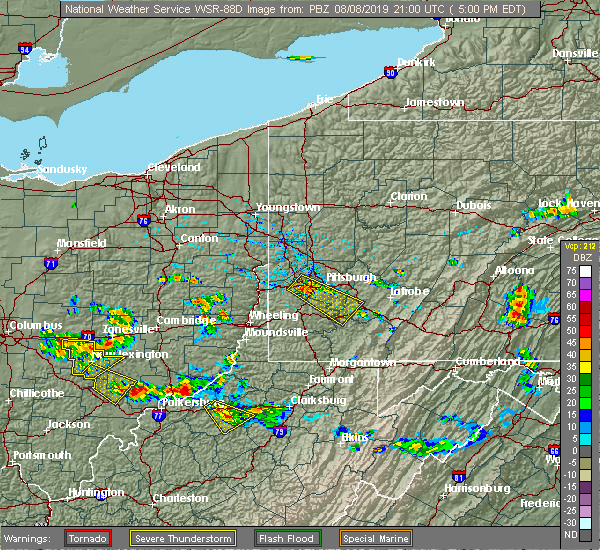 At 503 pm edt, a severe thunderstorm was located near south zanesville, or near zanesville, moving southeast at 30 mph (radar). Hazards include wind gusts to 60 mph. expect damage to trees and power lines, resulting in some power outages At 503 pm edt, a severe thunderstorm was located near south zanesville, or near zanesville, moving southeast at 30 mph (radar). Hazards include wind gusts to 60 mph. expect damage to trees and power lines, resulting in some power outages
|
| 7/2/2019 8:21 PM EDT |
 The severe thunderstorm warning for southwestern harrison, guernsey, muskingum, west central belmont and northwestern noble counties will expire at 830 pm edt, the storms that prompted the warning have weakened below severe limits and have exited the warned area. therefore, the warning will be allowed to expire. The severe thunderstorm warning for southwestern harrison, guernsey, muskingum, west central belmont and northwestern noble counties will expire at 830 pm edt, the storms that prompted the warning have weakened below severe limits and have exited the warned area. therefore, the warning will be allowed to expire.
|
| 7/2/2019 8:04 PM EDT |
 At 804 pm edt, severe thunderstorms were located along a line extending from 8 miles northwest of barnesville to 6 miles south of south zanesville, moving southeast at 35 mph (radar). Hazards include wind gusts to 60 mph. Expect damage to trees and power lines, resulting in some power outages. Locations impacted include, zanesville, cambridge, barnesville, new concord, byesville, south zanesville, north zanesville, bethesda, antrim, philo, quaker city, pleasant grove,. At 804 pm edt, severe thunderstorms were located along a line extending from 8 miles northwest of barnesville to 6 miles south of south zanesville, moving southeast at 35 mph (radar). Hazards include wind gusts to 60 mph. Expect damage to trees and power lines, resulting in some power outages. Locations impacted include, zanesville, cambridge, barnesville, new concord, byesville, south zanesville, north zanesville, bethesda, antrim, philo, quaker city, pleasant grove,.
|
| 7/2/2019 7:51 PM EDT |
 At 751 pm edt, severe thunderstorms were located along a line extending from 8 miles southwest of freeport to near south zanesville, moving southeast at 30 mph (radar). Hazards include wind gusts to 60 mph. Expect damage to trees and power lines, resulting in some power outages. Locations impacted include, zanesville, cambridge, barnesville, new concord, byesville, south zanesville, north zanesville, dresden, frazeysburg, bethesda, antrim, philo,. At 751 pm edt, severe thunderstorms were located along a line extending from 8 miles southwest of freeport to near south zanesville, moving southeast at 30 mph (radar). Hazards include wind gusts to 60 mph. Expect damage to trees and power lines, resulting in some power outages. Locations impacted include, zanesville, cambridge, barnesville, new concord, byesville, south zanesville, north zanesville, dresden, frazeysburg, bethesda, antrim, philo,.
|
| 7/2/2019 7:23 PM EDT |
 At 722 pm edt, severe thunderstorms were located along a line extending from newcomerstown to near hanover to pleasantville, moving southeast at 25 mph (radar). Hazards include wind gusts to 60 mph. expect damage to trees and power lines, resulting in some power outages At 722 pm edt, severe thunderstorms were located along a line extending from newcomerstown to near hanover to pleasantville, moving southeast at 25 mph (radar). Hazards include wind gusts to 60 mph. expect damage to trees and power lines, resulting in some power outages
|
| 6/24/2019 4:23 PM EDT |
 At 422 pm edt, severe thunderstorms were located along a line extending from 7 miles southeast of gambier to near glouster, moving northeast at 40 mph (radar). Hazards include wind gusts to 60 mph. expect damage to trees and power lines, resulting in some power outages At 422 pm edt, severe thunderstorms were located along a line extending from 7 miles southeast of gambier to near glouster, moving northeast at 40 mph (radar). Hazards include wind gusts to 60 mph. expect damage to trees and power lines, resulting in some power outages
|
| 5/28/2019 1:50 AM EDT |
 At 150 am edt, a severe thunderstorm was located near south zanesville, or 9 miles south of zanesville, moving southeast at 20 mph (radar). Hazards include wind gusts to 60 mph and half dollar-size hail. Minor hail damage to vehicles is possible. expect wind damage to trees and power lines, resulting in some power outages. Locations impacted include, zanesville, south zanesville, philo, fultonham, chandlersville, ruraldale, cannelville, high hill, duncan falls, east fultonham, blue rock state park, a tornado watch remains in effect until 400 am edt for east central ohio. At 150 am edt, a severe thunderstorm was located near south zanesville, or 9 miles south of zanesville, moving southeast at 20 mph (radar). Hazards include wind gusts to 60 mph and half dollar-size hail. Minor hail damage to vehicles is possible. expect wind damage to trees and power lines, resulting in some power outages. Locations impacted include, zanesville, south zanesville, philo, fultonham, chandlersville, ruraldale, cannelville, high hill, duncan falls, east fultonham, blue rock state park, a tornado watch remains in effect until 400 am edt for east central ohio.
|
| 5/28/2019 1:42 AM EDT |
 At 142 am edt, a severe thunderstorm was located near south zanesville, or 7 miles south of zanesville, moving southeast at 40 mph (radar). Hazards include wind gusts to 60 mph and half dollar-size hail. Minor hail damage to vehicles is possible. expect wind damage to trees and power lines, resulting in some power outages. Locations impacted include, zanesville, south zanesville, philo, fultonham, chandlersville, ruraldale, cannelville, high hill, duncan falls, east fultonham, blue rock state park, a tornado watch remains in effect until 400 am edt for east central ohio. At 142 am edt, a severe thunderstorm was located near south zanesville, or 7 miles south of zanesville, moving southeast at 40 mph (radar). Hazards include wind gusts to 60 mph and half dollar-size hail. Minor hail damage to vehicles is possible. expect wind damage to trees and power lines, resulting in some power outages. Locations impacted include, zanesville, south zanesville, philo, fultonham, chandlersville, ruraldale, cannelville, high hill, duncan falls, east fultonham, blue rock state park, a tornado watch remains in effect until 400 am edt for east central ohio.
|
| 5/28/2019 1:29 AM EDT |
 At 124 am edt, a severe thunderstorm was located near perry state forest, moving east at 35 mph (radar). Hazards include wind gusts to 60 mph and quarter-size hail. Minor hail damage to vehicles is possible. Expect wind damage to trees and power lines, resulting in some power outages. At 124 am edt, a severe thunderstorm was located near perry state forest, moving east at 35 mph (radar). Hazards include wind gusts to 60 mph and quarter-size hail. Minor hail damage to vehicles is possible. Expect wind damage to trees and power lines, resulting in some power outages.
|
| 5/28/2019 1:24 AM EDT |
 At 124 am edt, a severe thunderstorm was located near perry state forest, moving east at 35 mph (radar). Hazards include wind gusts to 60 mph and quarter-size hail. Minor hail damage to vehicles is possible. Expect wind damage to trees and power lines, resulting in some power outages. At 124 am edt, a severe thunderstorm was located near perry state forest, moving east at 35 mph (radar). Hazards include wind gusts to 60 mph and quarter-size hail. Minor hail damage to vehicles is possible. Expect wind damage to trees and power lines, resulting in some power outages.
|
| 5/28/2019 12:58 AM EDT |
 At 1258 am edt, a severe thunderstorm was located near south zanesville, or 7 miles east of perry state forest, moving east at 30 mph (radar). Hazards include wind gusts to 60 mph and quarter-size hail. Minor hail damage to vehicles is possible. expect wind damage to trees and power lines, resulting in some power outages. locations impacted include, zanesville, new concord, south zanesville, north zanesville, philo, pleasant grove, fultonham, norwich, cannelville, chandlersville, bridgeville, duncan falls, this includes interstate 70 in ohio between mile markers 147 and 170. A tornado watch remains in effect until 400 am edt for east central ohio. At 1258 am edt, a severe thunderstorm was located near south zanesville, or 7 miles east of perry state forest, moving east at 30 mph (radar). Hazards include wind gusts to 60 mph and quarter-size hail. Minor hail damage to vehicles is possible. expect wind damage to trees and power lines, resulting in some power outages. locations impacted include, zanesville, new concord, south zanesville, north zanesville, philo, pleasant grove, fultonham, norwich, cannelville, chandlersville, bridgeville, duncan falls, this includes interstate 70 in ohio between mile markers 147 and 170. A tornado watch remains in effect until 400 am edt for east central ohio.
|
| 5/28/2019 12:50 AM EDT |
 At 1249 am edt, a severe thunderstorm was located over perry state forest, moving northeast at 30 mph (radar). Hazards include wind gusts to 60 mph and half dollar-size hail. Minor hail damage to vehicles is possible. Expect wind damage to trees and power lines, resulting in some power outages. At 1249 am edt, a severe thunderstorm was located over perry state forest, moving northeast at 30 mph (radar). Hazards include wind gusts to 60 mph and half dollar-size hail. Minor hail damage to vehicles is possible. Expect wind damage to trees and power lines, resulting in some power outages.
|
| 3/14/2019 8:43 PM EDT |
 At 843 pm edt, a severe thunderstorm was located 7 miles north of somerset, moving east at 60 mph (radar). Hazards include wind gusts to 60 mph and quarter-size hail. Minor hail damage to vehicles is possible. Expect wind damage to trees and power lines, resulting in some power outages. At 843 pm edt, a severe thunderstorm was located 7 miles north of somerset, moving east at 60 mph (radar). Hazards include wind gusts to 60 mph and quarter-size hail. Minor hail damage to vehicles is possible. Expect wind damage to trees and power lines, resulting in some power outages.
|
| 10/2/2018 6:32 PM EDT |
 At 632 pm edt, a severe thunderstorm was located near hanover, or 9 miles east of heath, moving southeast at 30 mph (radar). Hazards include wind gusts to 60 mph. expect damage to trees and power lines, resulting in some power outages At 632 pm edt, a severe thunderstorm was located near hanover, or 9 miles east of heath, moving southeast at 30 mph (radar). Hazards include wind gusts to 60 mph. expect damage to trees and power lines, resulting in some power outages
|
| 6/16/2018 8:43 PM EDT |
 At 843 pm edt, a severe thunderstorm was located near south zanesville, or near zanesville, moving southeast at 35 mph (radar). Hazards include wind gusts to 60 mph. Damage to trees and power lines. Locations impacted include, zanesville, south zanesville, philo, fultonham, cannelville, duncan falls, east fultonham, this includes interstate 70 in ohio near mile marker 153. At 843 pm edt, a severe thunderstorm was located near south zanesville, or near zanesville, moving southeast at 35 mph (radar). Hazards include wind gusts to 60 mph. Damage to trees and power lines. Locations impacted include, zanesville, south zanesville, philo, fultonham, cannelville, duncan falls, east fultonham, this includes interstate 70 in ohio near mile marker 153.
|
| 6/16/2018 8:25 PM EDT |
 At 824 pm edt, a severe thunderstorm was located 9 miles south of hanover, or 10 miles north of somerset, moving southeast at 35 mph (radar). Hazards include wind gusts to 60 mph. damage to trees and power lines At 824 pm edt, a severe thunderstorm was located 9 miles south of hanover, or 10 miles north of somerset, moving southeast at 35 mph (radar). Hazards include wind gusts to 60 mph. damage to trees and power lines
|
| 4/3/2018 6:22 PM EDT |
 At 621 pm edt, a severe thunderstorm was located near perry state forest, moving east at 50 mph (radar). Hazards include 60 mph wind gusts and quarter-size hail. Minor hail damage to vehicles is possible. Expect wind damage to trees and power lines, resulting in some power outages. At 621 pm edt, a severe thunderstorm was located near perry state forest, moving east at 50 mph (radar). Hazards include 60 mph wind gusts and quarter-size hail. Minor hail damage to vehicles is possible. Expect wind damage to trees and power lines, resulting in some power outages.
|
| 7/10/2017 4:28 PM EDT |
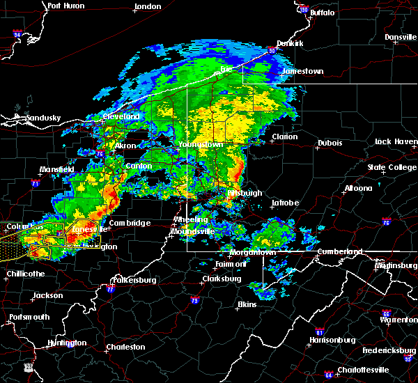 At 427 pm edt, severe thunderstorms were located along a line extending from 8 miles east of dresden to near south zanesville, moving southeast at 40 mph (radar). Hazards include 60 mph wind gusts. Expect damage to trees and power lines, resulting in some power outages. This includes interstate 70 in ohio between mile markers 146 and 170. At 427 pm edt, severe thunderstorms were located along a line extending from 8 miles east of dresden to near south zanesville, moving southeast at 40 mph (radar). Hazards include 60 mph wind gusts. Expect damage to trees and power lines, resulting in some power outages. This includes interstate 70 in ohio between mile markers 146 and 170.
|
| 7/10/2017 4:19 PM EDT |
 At 418 pm edt, severe thunderstorms were located along a line extending from near dresden to 7 miles west of south zanesville, moving southeast at 30 mph (radar). Hazards include 60 mph wind gusts and quarter-size hail. Minor hail damage to vehicles is possible. Expect wind damage to trees and power lines, resulting in some power outages. At 418 pm edt, severe thunderstorms were located along a line extending from near dresden to 7 miles west of south zanesville, moving southeast at 30 mph (radar). Hazards include 60 mph wind gusts and quarter-size hail. Minor hail damage to vehicles is possible. Expect wind damage to trees and power lines, resulting in some power outages.
|
| 7/7/2017 2:29 PM EDT |
 At 228 pm edt, severe thunderstorms were located along a line extending from 6 miles east of dresden to near somerset, moving east at 45 mph. additional storms were rapidy developing ahead of this line just south of zanesville (radar). Hazards include 60 mph wind gusts and quarter-size hail. Minor hail damage to vehicles is possible. expect wind damage to trees and power lines, resulting in some power outages. Locations impacted include, zanesville, new concord, south zanesville, north zanesville, dresden, philo, pleasant grove, gratiot, fultonham, norwich, cannelville, high hill, this includes interstate 70 in ohio near mile marker 143, and between mile markers 145 and 169. At 228 pm edt, severe thunderstorms were located along a line extending from 6 miles east of dresden to near somerset, moving east at 45 mph. additional storms were rapidy developing ahead of this line just south of zanesville (radar). Hazards include 60 mph wind gusts and quarter-size hail. Minor hail damage to vehicles is possible. expect wind damage to trees and power lines, resulting in some power outages. Locations impacted include, zanesville, new concord, south zanesville, north zanesville, dresden, philo, pleasant grove, gratiot, fultonham, norwich, cannelville, high hill, this includes interstate 70 in ohio near mile marker 143, and between mile markers 145 and 169.
|
| 7/7/2017 2:20 PM EDT |
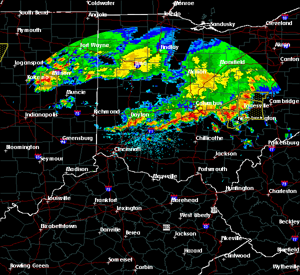 At 218 pm edt, severe thunderstorms were located along a line extending from near dresden to near somerset, or about 10 miles west and northwest of zanesville. these storms were moving east at 40 mph (radar). Hazards include 60 mph wind gusts and quarter-size hail. Minor hail damage to vehicles is possible. expect wind damage to trees and power lines, resulting in some power outages. Locations impacted include, zanesville, new concord, south zanesville, north zanesville, dresden, frazeysburg, philo, pleasant grove, gratiot, fultonham, norwich, cannelville, this includes interstate 70 in ohio between mile markers 143 and 169. At 218 pm edt, severe thunderstorms were located along a line extending from near dresden to near somerset, or about 10 miles west and northwest of zanesville. these storms were moving east at 40 mph (radar). Hazards include 60 mph wind gusts and quarter-size hail. Minor hail damage to vehicles is possible. expect wind damage to trees and power lines, resulting in some power outages. Locations impacted include, zanesville, new concord, south zanesville, north zanesville, dresden, frazeysburg, philo, pleasant grove, gratiot, fultonham, norwich, cannelville, this includes interstate 70 in ohio between mile markers 143 and 169.
|
| 7/7/2017 2:06 PM EDT |
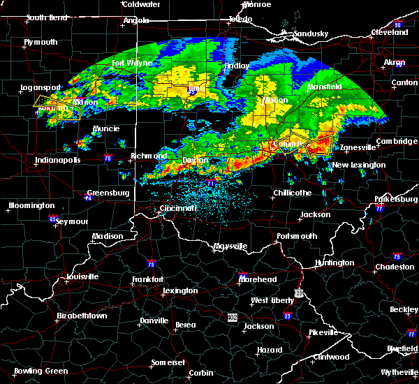 At 206 pm edt, a severe thunderstorm was located near hanover, or 10 miles east of newark, moving east at 45 mph (radar). Hazards include 60 mph wind gusts and quarter-size hail. Minor hail damage to vehicles is possible. Expect wind damage to trees and power lines, resulting in some power outages. At 206 pm edt, a severe thunderstorm was located near hanover, or 10 miles east of newark, moving east at 45 mph (radar). Hazards include 60 mph wind gusts and quarter-size hail. Minor hail damage to vehicles is possible. Expect wind damage to trees and power lines, resulting in some power outages.
|
| 6/13/2017 5:51 PM EDT |
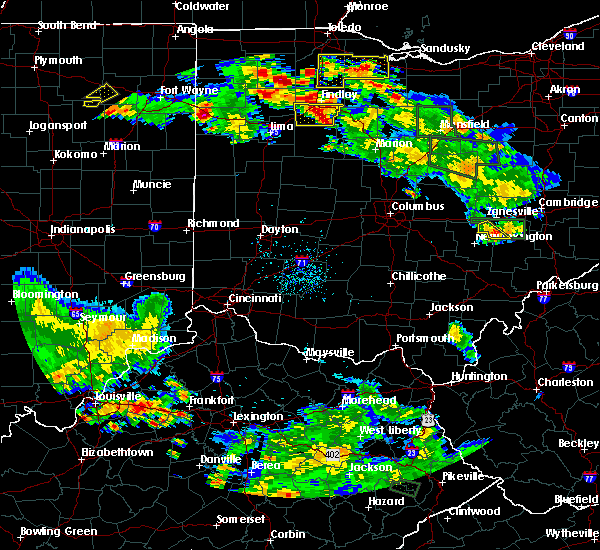 The severe thunderstorm warning for southwestern muskingum county will expire at 600 pm edt, the storm that prompted the warning has weakened below severe limits and has exited the warned area. therefore, the warning will be allowed to expire. The severe thunderstorm warning for southwestern muskingum county will expire at 600 pm edt, the storm that prompted the warning has weakened below severe limits and has exited the warned area. therefore, the warning will be allowed to expire.
|
| 6/13/2017 5:34 PM EDT |
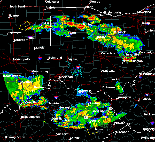 At 534 pm edt, a severe thunderstorm was located near south zanesville, or 7 miles northeast of perry state forest, moving southeast at 20 mph (radar). Hazards include 60 mph wind gusts and quarter-size hail. Minor hail damage to vehicles is possible. Expect wind damage to trees and power lines, resulting in some power outages. At 534 pm edt, a severe thunderstorm was located near south zanesville, or 7 miles northeast of perry state forest, moving southeast at 20 mph (radar). Hazards include 60 mph wind gusts and quarter-size hail. Minor hail damage to vehicles is possible. Expect wind damage to trees and power lines, resulting in some power outages.
|
| 5/1/2017 12:08 PM EDT |
 At 1208 pm edt, severe thunderstorms were located along a line extending from near perry state forest to near athens, moving northeast at 50 mph (radar). Hazards include 60 mph wind gusts. expect damage to trees and power lines, resulting in some power outages At 1208 pm edt, severe thunderstorms were located along a line extending from near perry state forest to near athens, moving northeast at 50 mph (radar). Hazards include 60 mph wind gusts. expect damage to trees and power lines, resulting in some power outages
|
| 4/20/2017 7:31 PM EDT |
 At 731 pm edt, a severe thunderstorm was located near zanesville, moving east at 40 mph (radar). Hazards include 60 mph wind gusts. Expect damage to trees and power lines, resulting in some power outages. locations impacted include, zanesville, cambridge, new concord, byesville, south zanesville, north zanesville, philo, pleasant grove, pleasant city, norwich, cannelville, chandlersville, this includes the following highways, interstate 70 in ohio between mile markers 152 and 182. Interstate 77 in ohio between mile markers 38 and 55. At 731 pm edt, a severe thunderstorm was located near zanesville, moving east at 40 mph (radar). Hazards include 60 mph wind gusts. Expect damage to trees and power lines, resulting in some power outages. locations impacted include, zanesville, cambridge, new concord, byesville, south zanesville, north zanesville, philo, pleasant grove, pleasant city, norwich, cannelville, chandlersville, this includes the following highways, interstate 70 in ohio between mile markers 152 and 182. Interstate 77 in ohio between mile markers 38 and 55.
|
| 4/20/2017 7:15 PM EDT |
 At 715 pm edt, a severe thunderstorm was located near zanesville, moving east at 40 mph (radar). Hazards include 60 mph wind gusts. expect damage to trees and power lines, resulting in some power outages At 715 pm edt, a severe thunderstorm was located near zanesville, moving east at 40 mph (radar). Hazards include 60 mph wind gusts. expect damage to trees and power lines, resulting in some power outages
|
| 12/23/2015 10:02 PM EST | At 1001 pm est, severe thunderstorms were located along a line extending from 6 miles west of coshocton to near dresden to near south zanesville, moving east at 55 mph (radar indicated). Hazards include 60 mph wind gusts. expect damage to trees and some power outages |
| 6/12/2015 5:25 PM EDT |
 The severe thunderstorm warning for muskingum, eastern coshocton, western guernsey and southern tuscarawas counties will expire at 530 pm edt, the storms which prompted the warning have weakened below severe limits, and no longer pose an immediate threat to life or property. therefore the warning will be allowed to expire. however gusty winds are still possible with these thunderstorms. a severe thunderstorm watch remains in effect until 900 pm edt for east central ohio. The severe thunderstorm warning for muskingum, eastern coshocton, western guernsey and southern tuscarawas counties will expire at 530 pm edt, the storms which prompted the warning have weakened below severe limits, and no longer pose an immediate threat to life or property. therefore the warning will be allowed to expire. however gusty winds are still possible with these thunderstorms. a severe thunderstorm watch remains in effect until 900 pm edt for east central ohio.
|
| 6/12/2015 5:03 PM EDT |
 At 503 pm edt, severe thunderstorms were located along a line extending from near dover to near newcomerstown to near bremen, moving east at 35 mph (radar indicated). Hazards include 60 mph wind gusts and penny size hail. Expect damage to roofs. siding and trees. Locations impacted include, zanesville, new philadelphia, coshocton, cambridge, uhrichsville, newcomerstown, dennison, new concord, byesville, west lafayette, sugarcreek, south zanesville, north zanesville, dresden, gnadenhutten, tuscarawas, baltic, midvale, philo and port washington. At 503 pm edt, severe thunderstorms were located along a line extending from near dover to near newcomerstown to near bremen, moving east at 35 mph (radar indicated). Hazards include 60 mph wind gusts and penny size hail. Expect damage to roofs. siding and trees. Locations impacted include, zanesville, new philadelphia, coshocton, cambridge, uhrichsville, newcomerstown, dennison, new concord, byesville, west lafayette, sugarcreek, south zanesville, north zanesville, dresden, gnadenhutten, tuscarawas, baltic, midvale, philo and port washington.
|
| 6/12/2015 4:49 PM EDT |
 At 449 pm edt, severe thunderstorms were located along a line extending from near farmerstown to near coshocton to near lancaster, moving east at 40 mph (radar indicated). Hazards include 60 mph wind gusts and penny size hail. Expect damage to roofs. siding and trees. Locations impacted include, zanesville, new philadelphia, coshocton, cambridge, uhrichsville, newcomerstown, dennison, new concord, byesville, west lafayette, sugarcreek, south zanesville, north zanesville, dresden, gnadenhutten, tuscarawas, baltic, midvale, philo and port washington. At 449 pm edt, severe thunderstorms were located along a line extending from near farmerstown to near coshocton to near lancaster, moving east at 40 mph (radar indicated). Hazards include 60 mph wind gusts and penny size hail. Expect damage to roofs. siding and trees. Locations impacted include, zanesville, new philadelphia, coshocton, cambridge, uhrichsville, newcomerstown, dennison, new concord, byesville, west lafayette, sugarcreek, south zanesville, north zanesville, dresden, gnadenhutten, tuscarawas, baltic, midvale, philo and port washington.
|
| 6/12/2015 4:39 PM EDT |
 At 439 pm edt, severe thunderstorms were located along a line extending from near farmerstown to near dresden to lancaster, moving east at 35 mph (radar indicated). Hazards include 60 mph wind gusts and penny size hail. Expect damage to roofs. Siding and trees. At 439 pm edt, severe thunderstorms were located along a line extending from near farmerstown to near dresden to lancaster, moving east at 35 mph (radar indicated). Hazards include 60 mph wind gusts and penny size hail. Expect damage to roofs. Siding and trees.
|
| 4/9/2015 4:28 PM EDT | A severe thunderstorm warning remains in effect until 500 pm edt for western noble. muskingum. coshocton. guernsey and southwestern tuscarawas counties. at 426 pm edt. severe thunderstorms were located along a line extending from conesville to near ruraldale to 6 miles east of lake hope state park. Moving east at 50 mph. |
| 4/9/2015 4:11 PM EDT | The national weather service in pittsburgh has issued a * severe thunderstorm warning for. western noble county in east central ohio. muskingum county in east central ohio. coshocton county in east central ohio. Guernsey county in east central ohio. |
| 7/23/2013 5:10 PM EDT | Large tree down in muskingum county OH, 0.5 miles SW of East Fultonham, OH |
| 1/1/0001 12:00 AM | Quarter sized hail reported 0.5 miles SW of East Fultonham, OH |
Hail Maps for East Fultonham, OH


Connect with Interactive Hail Maps