

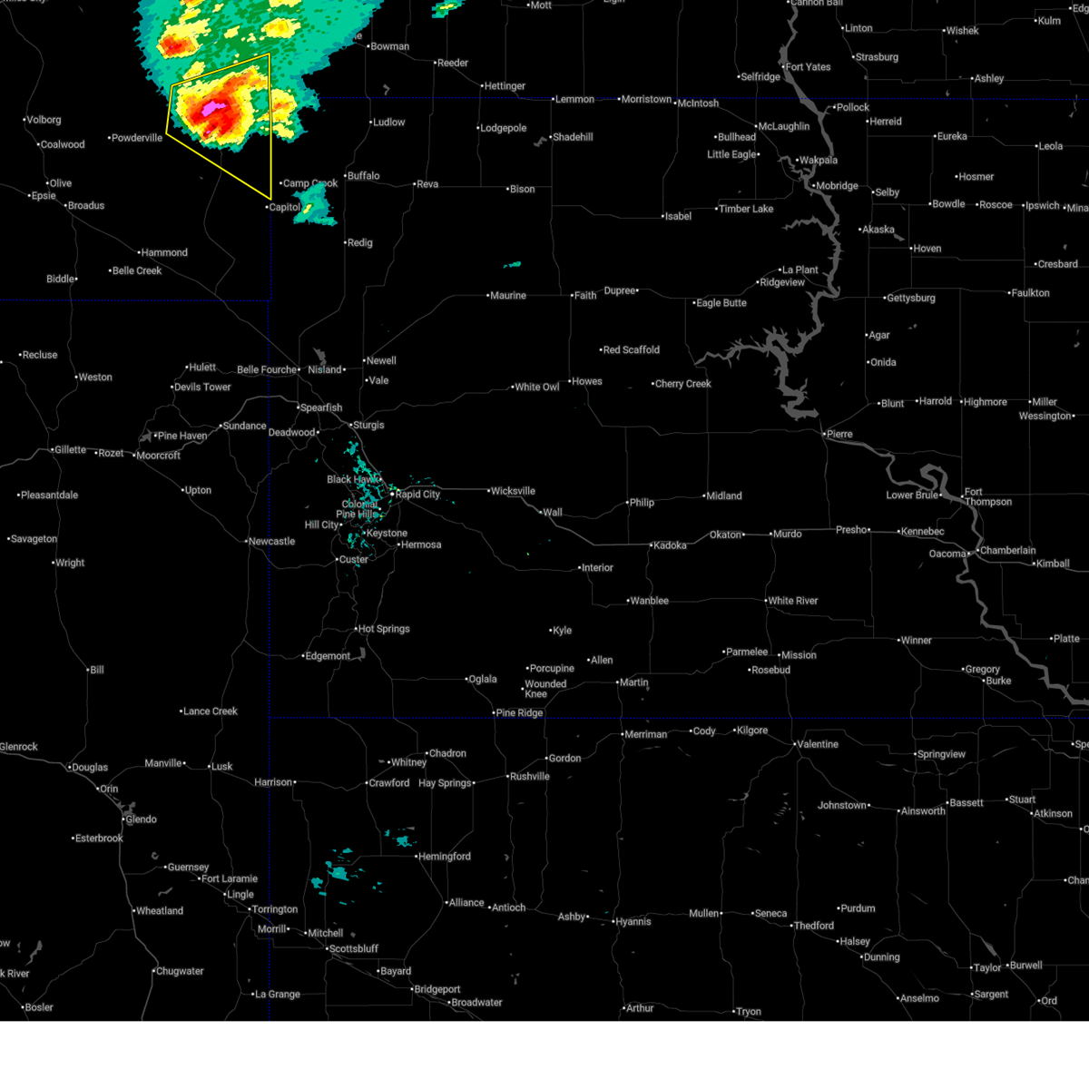
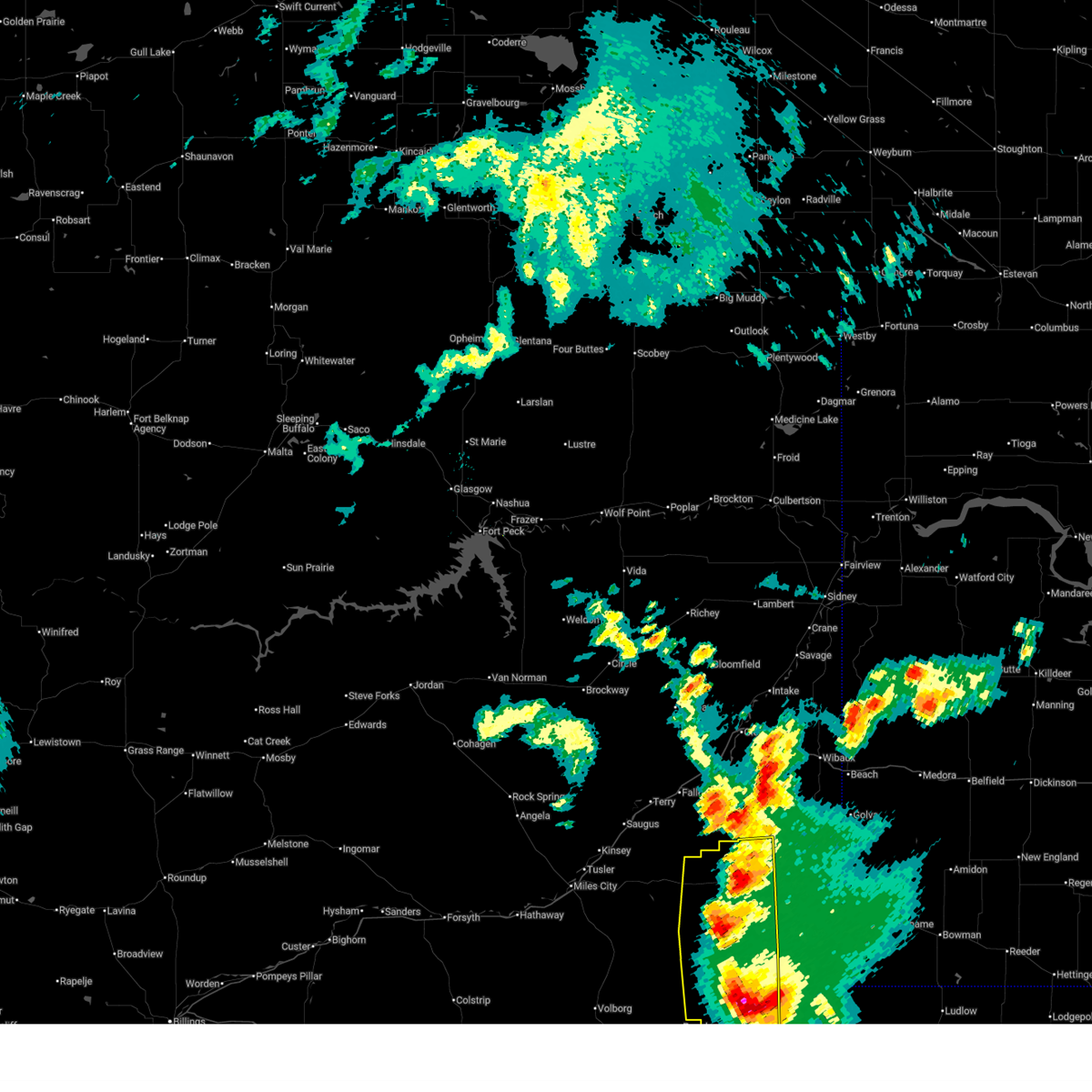
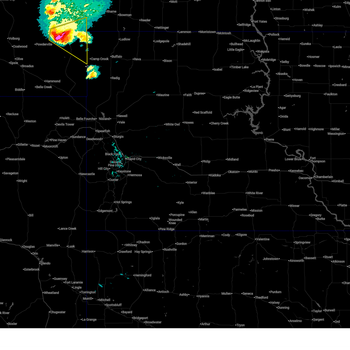
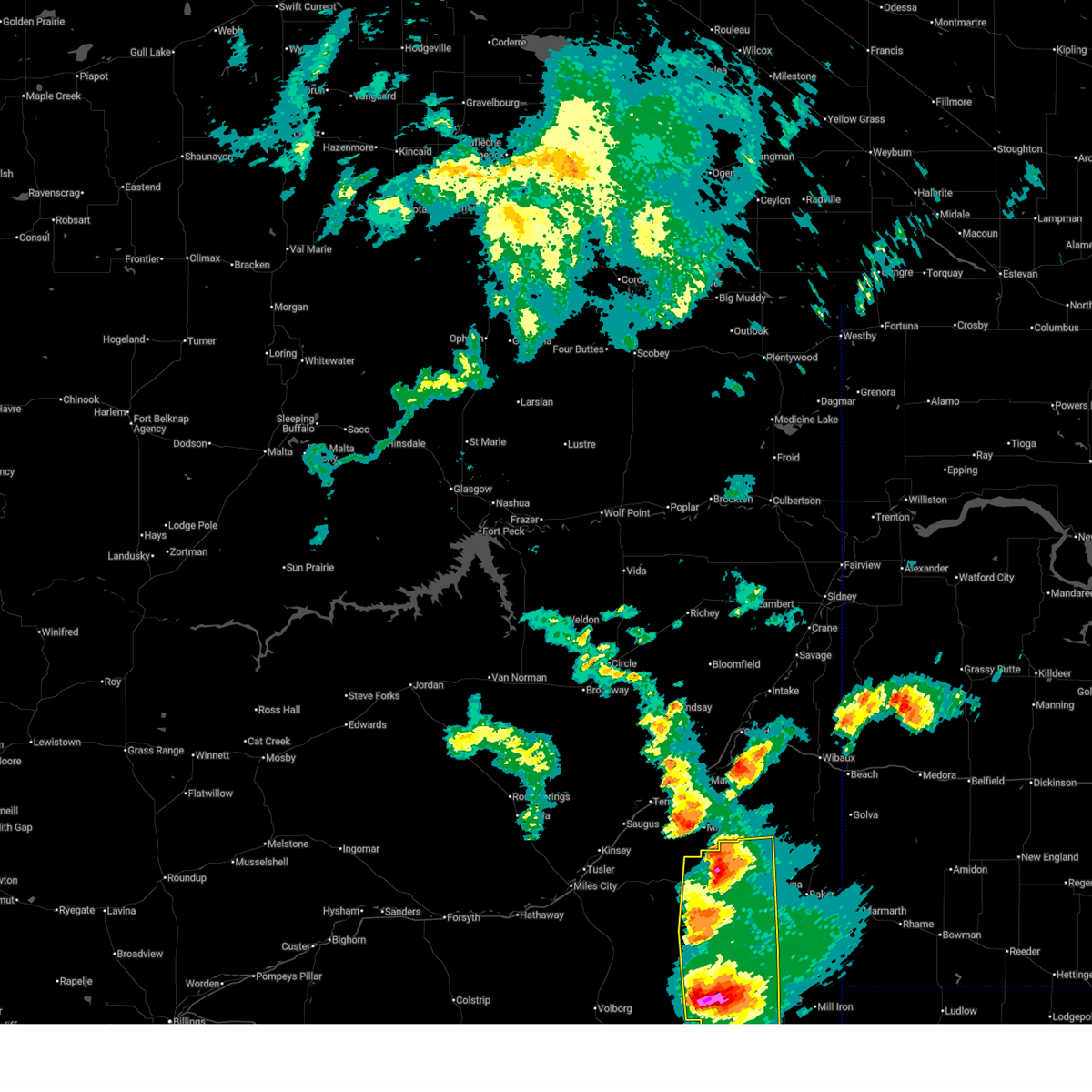
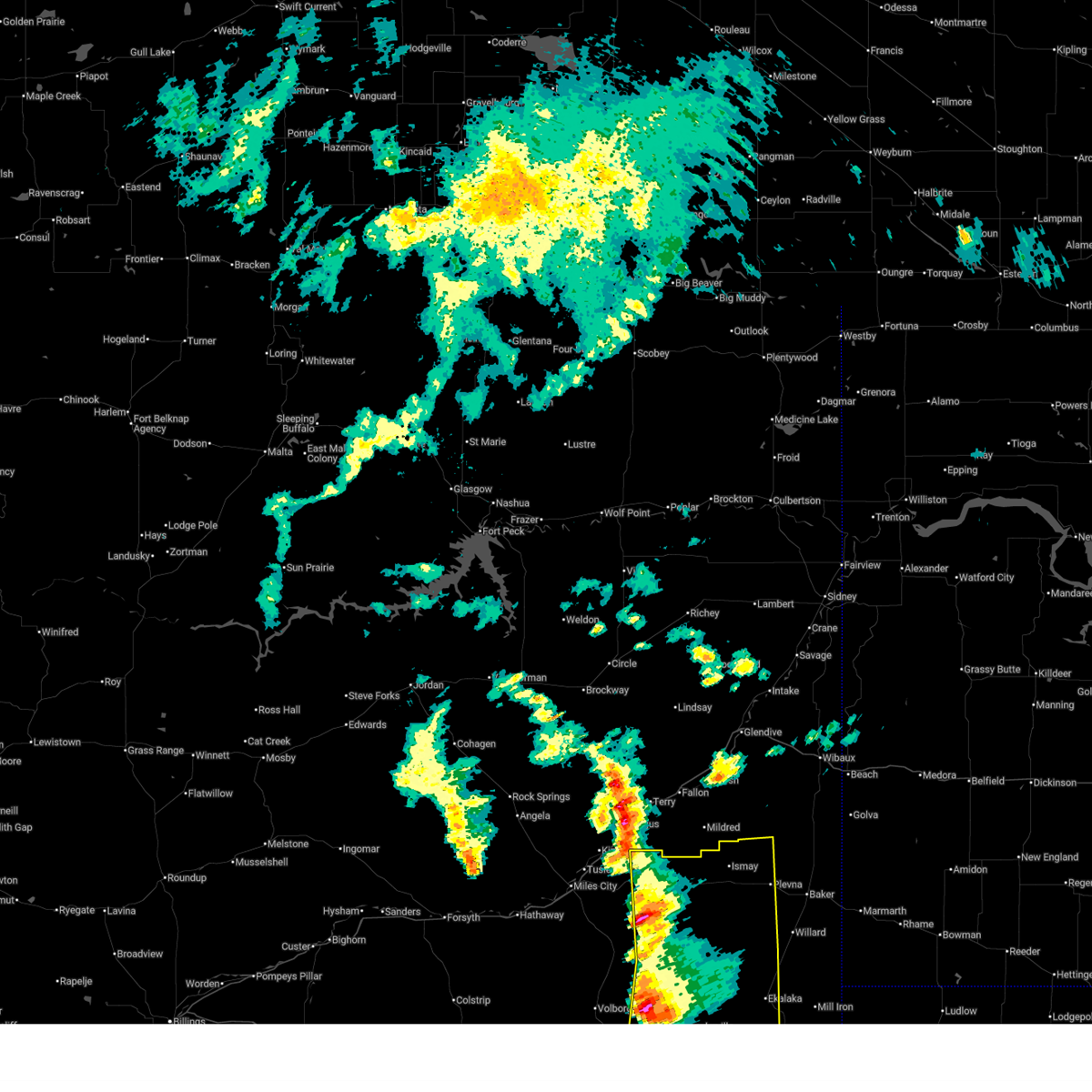
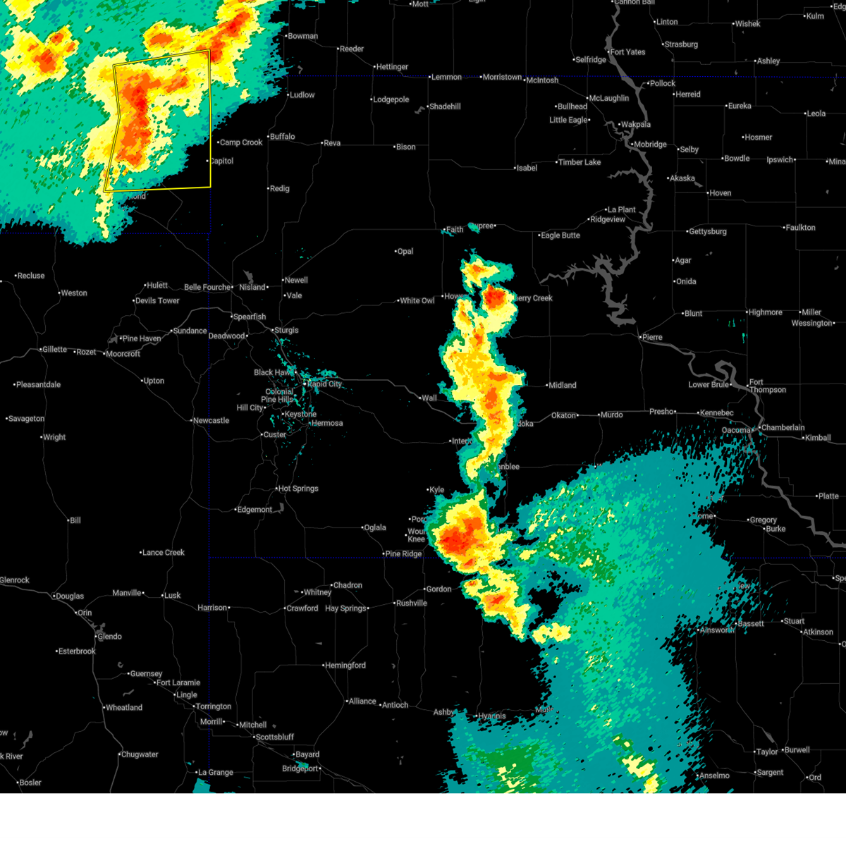
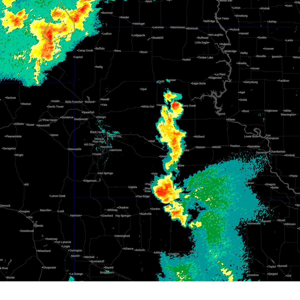
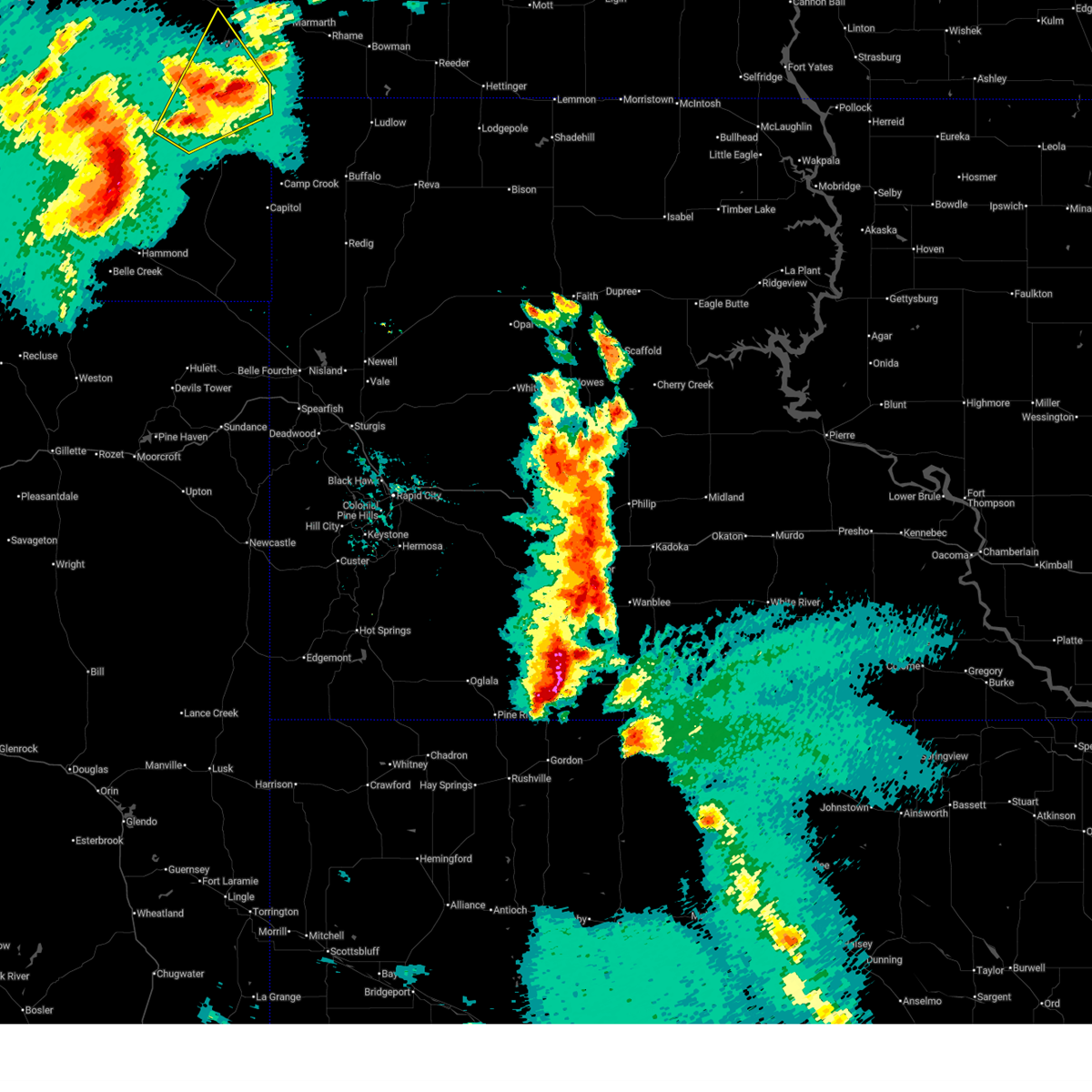
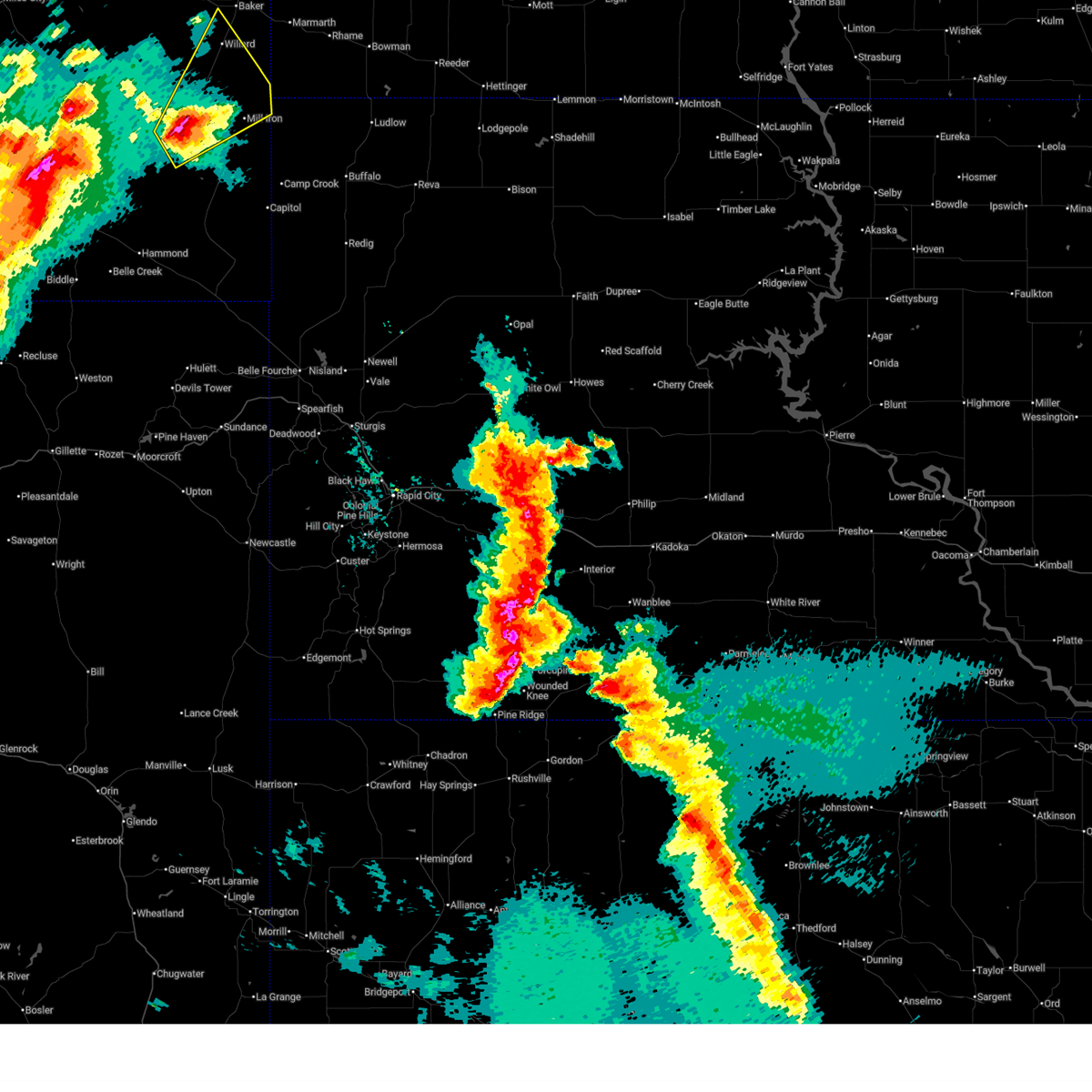
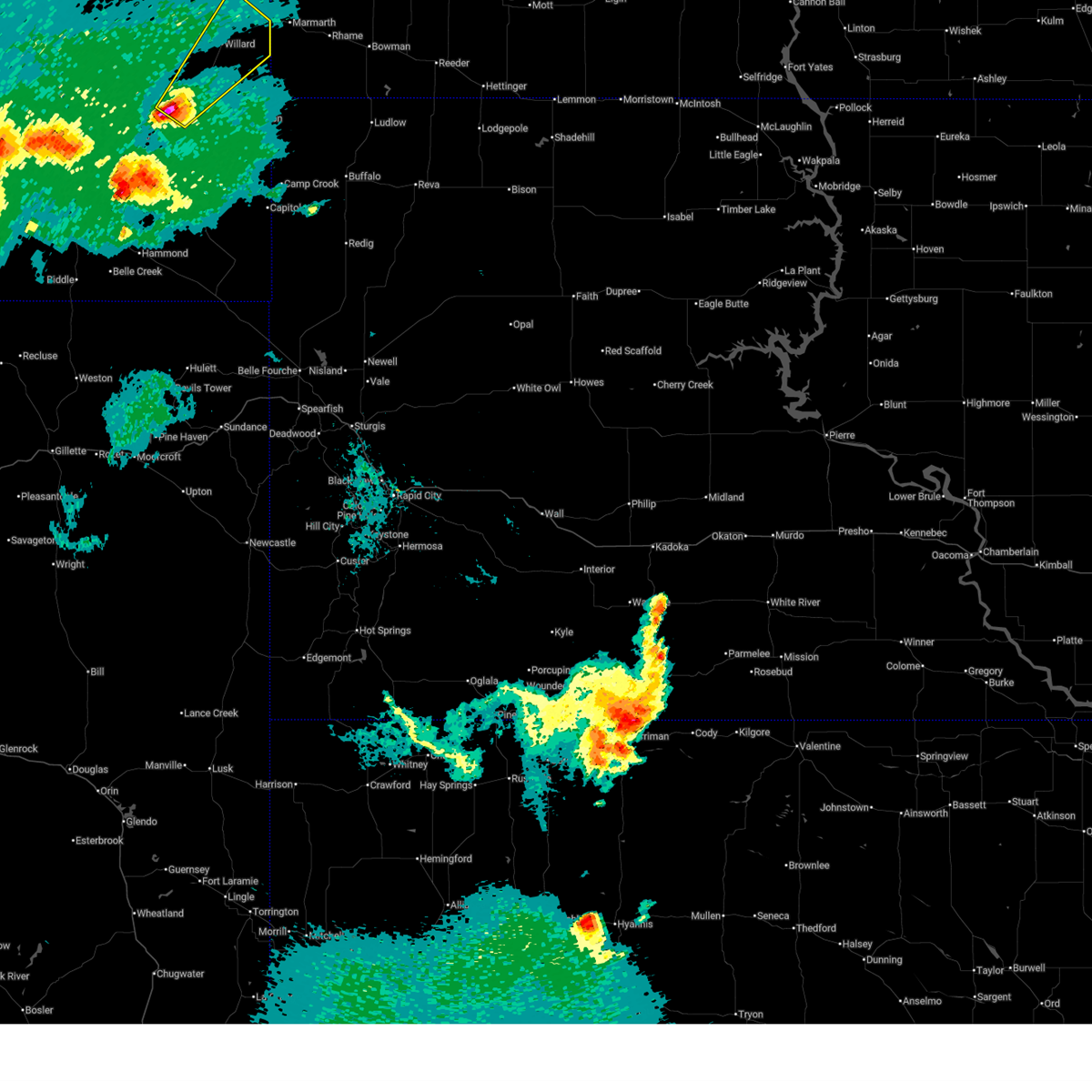
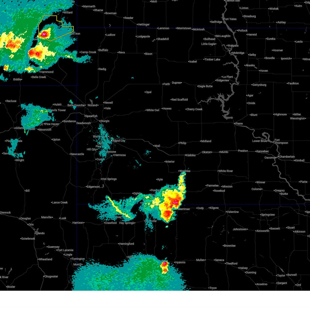
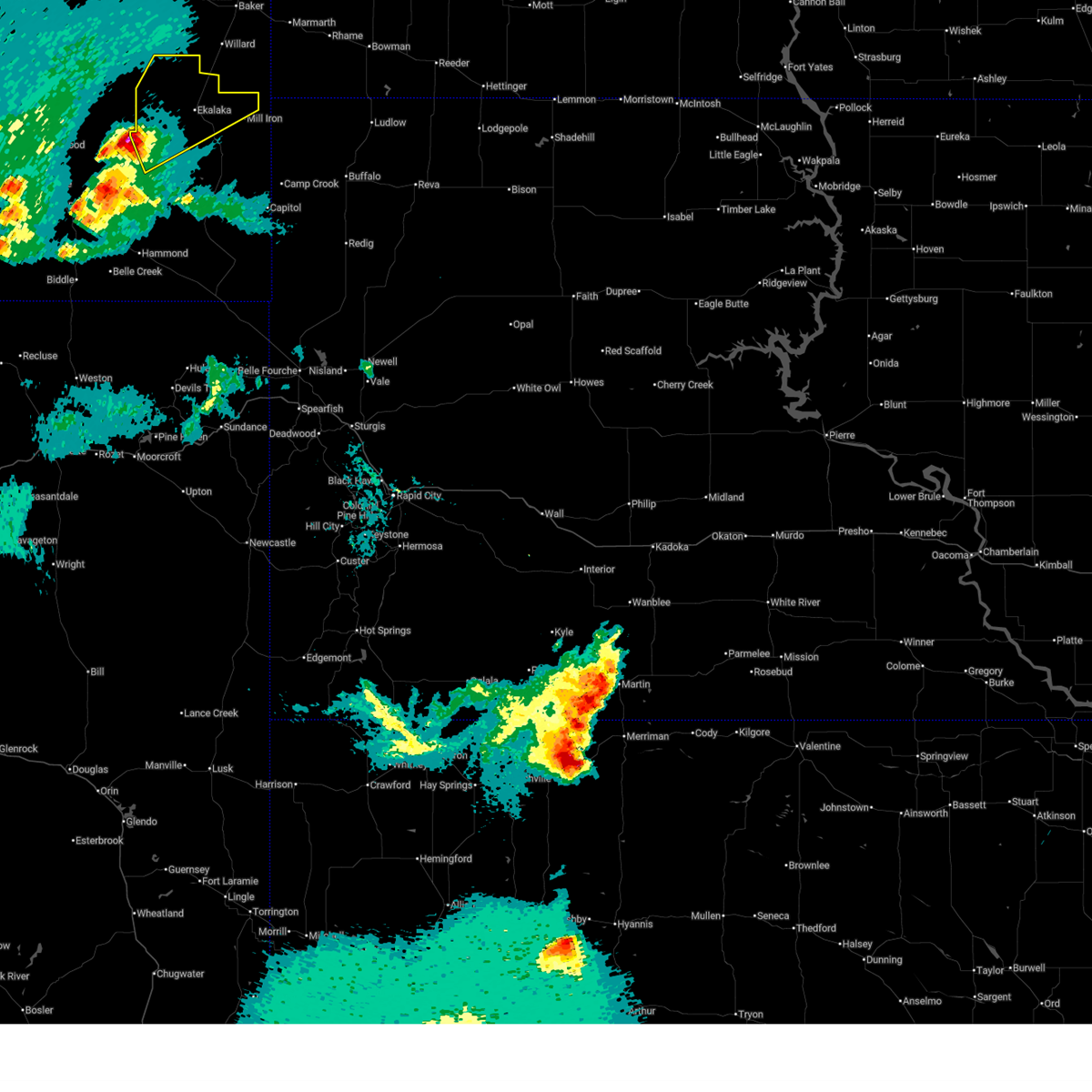
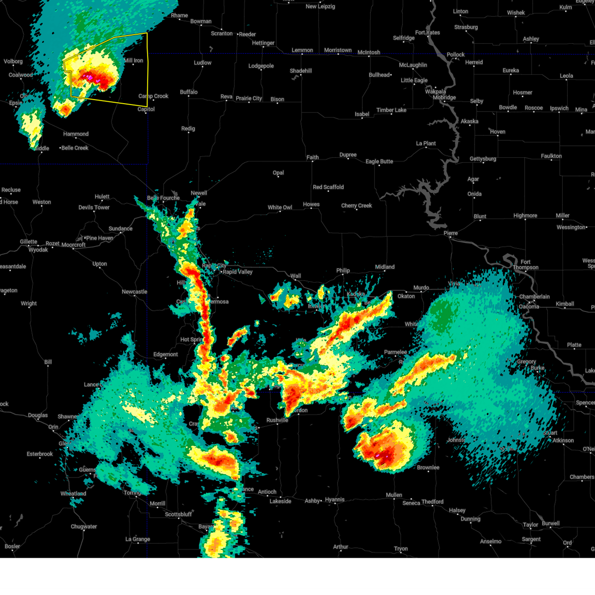
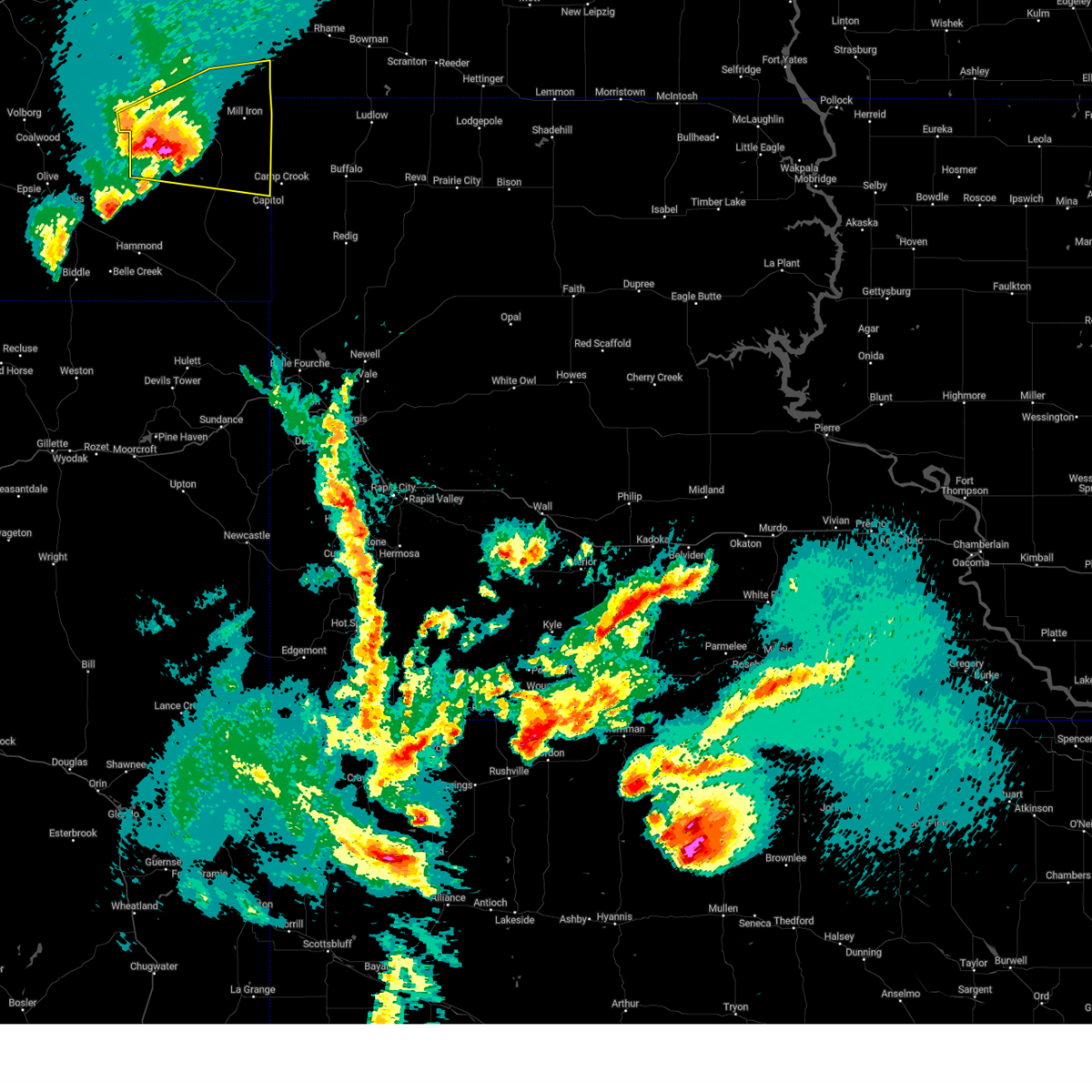
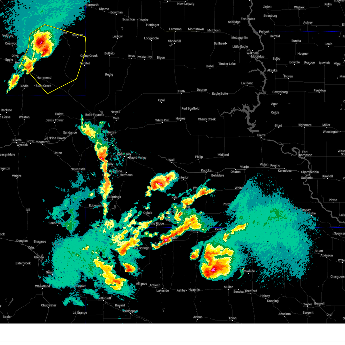
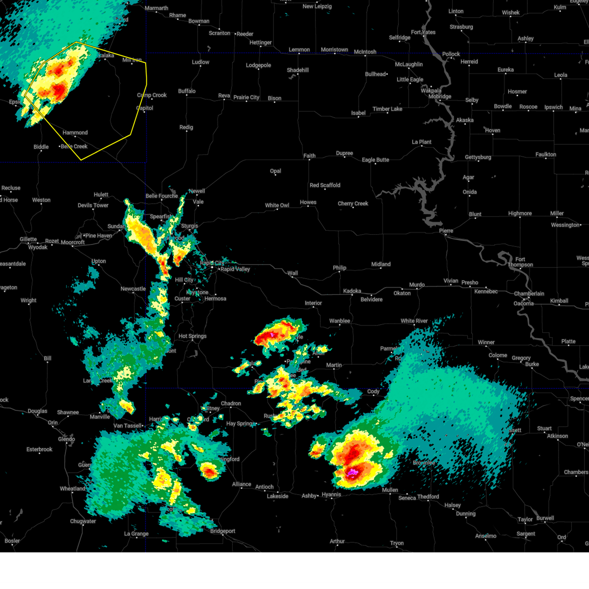
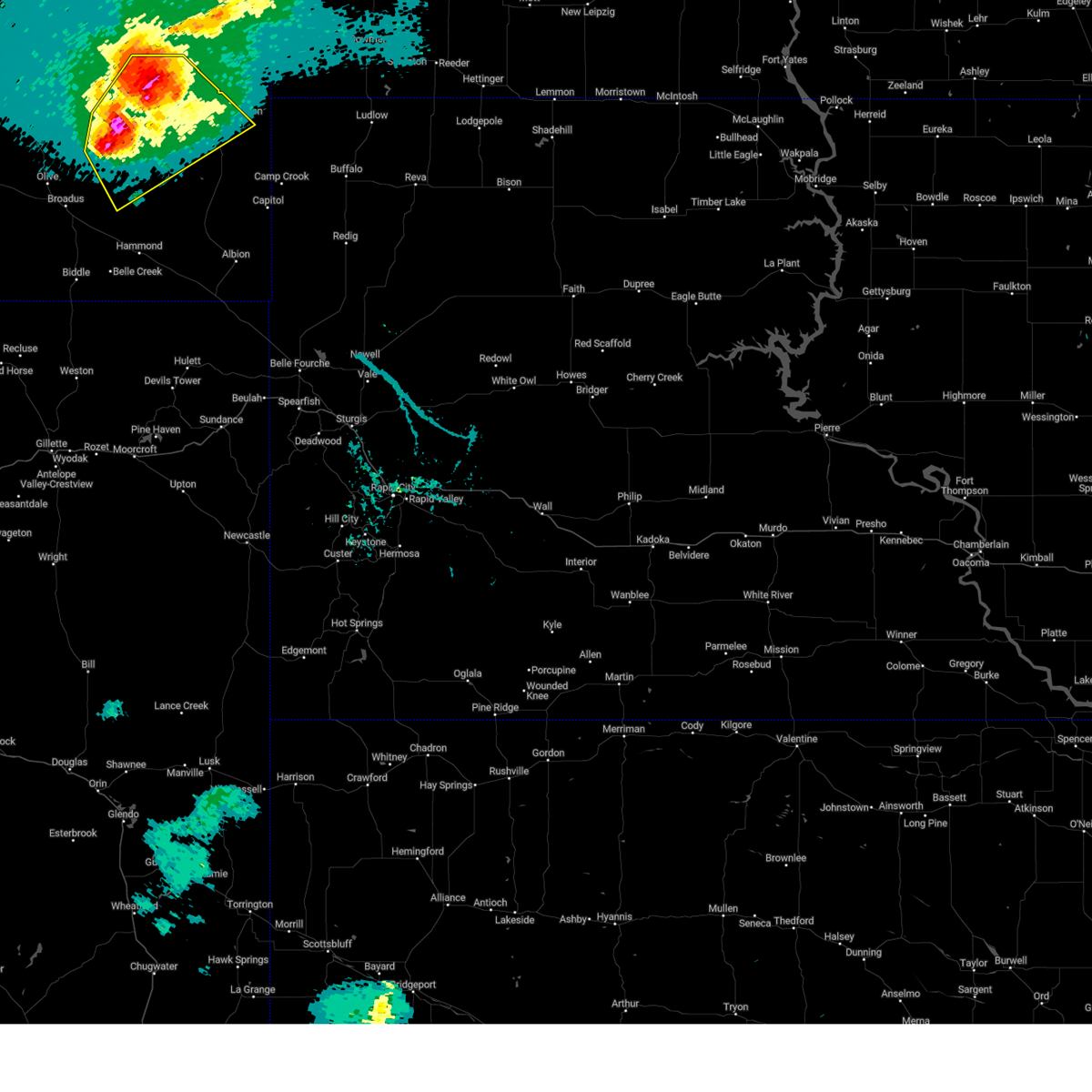
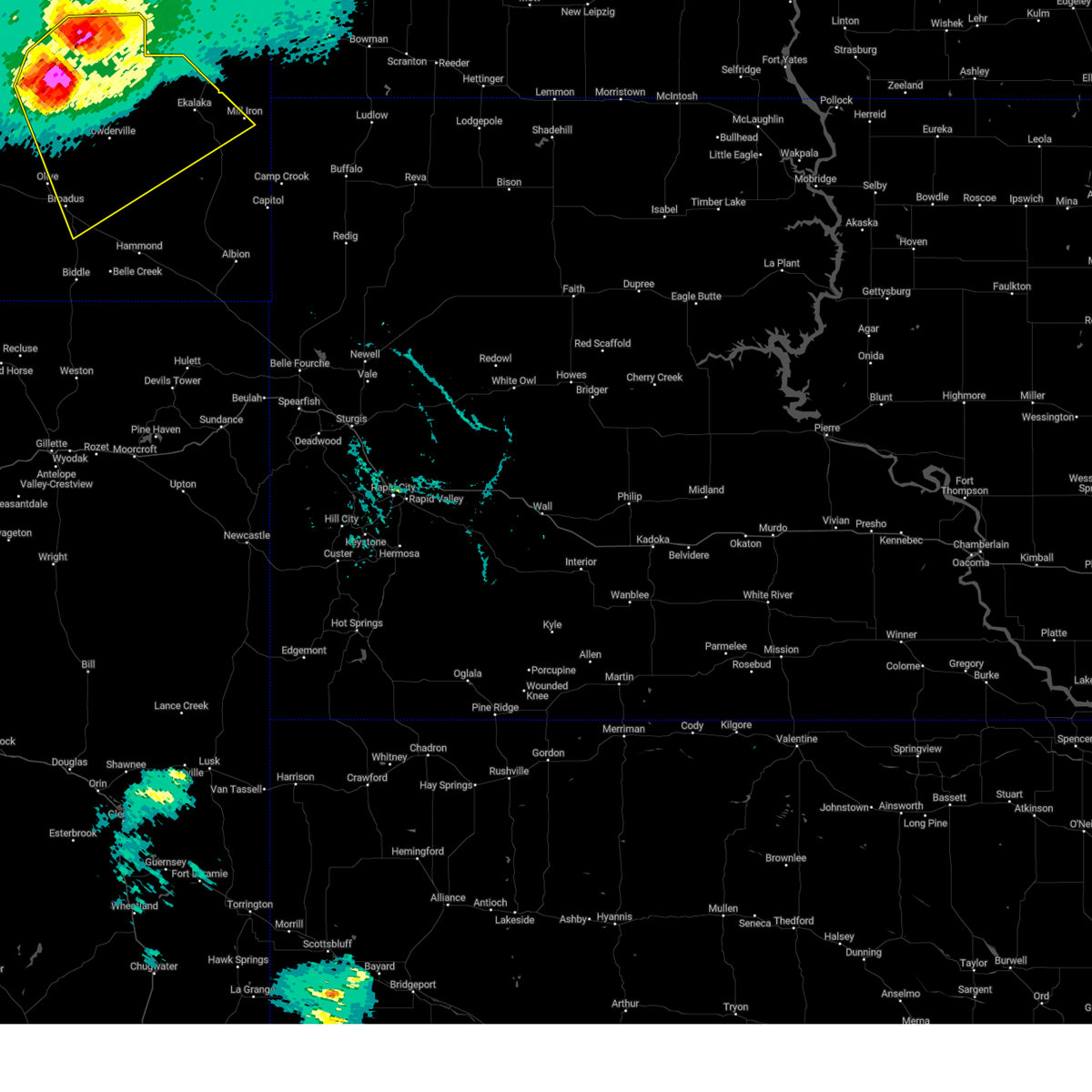
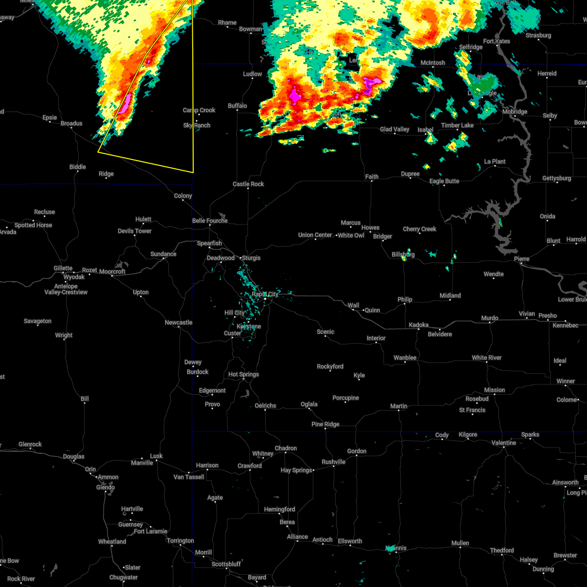
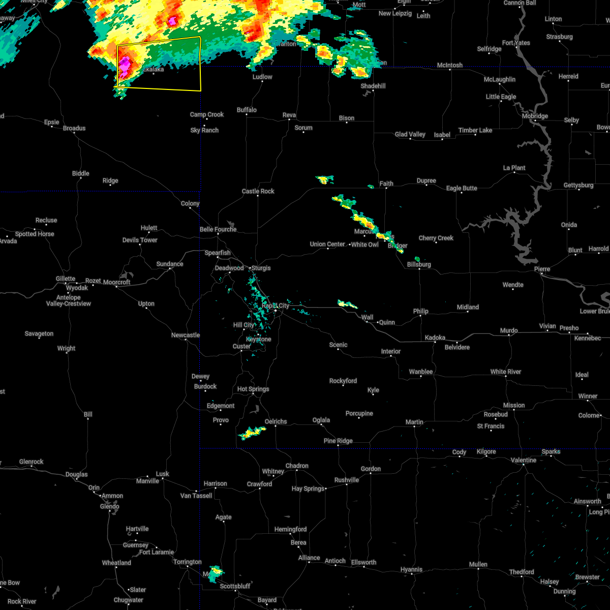
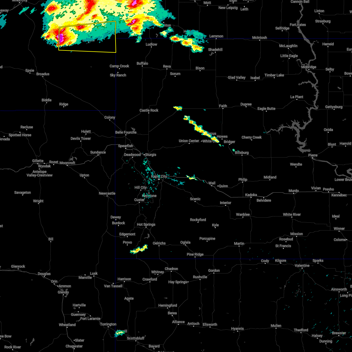
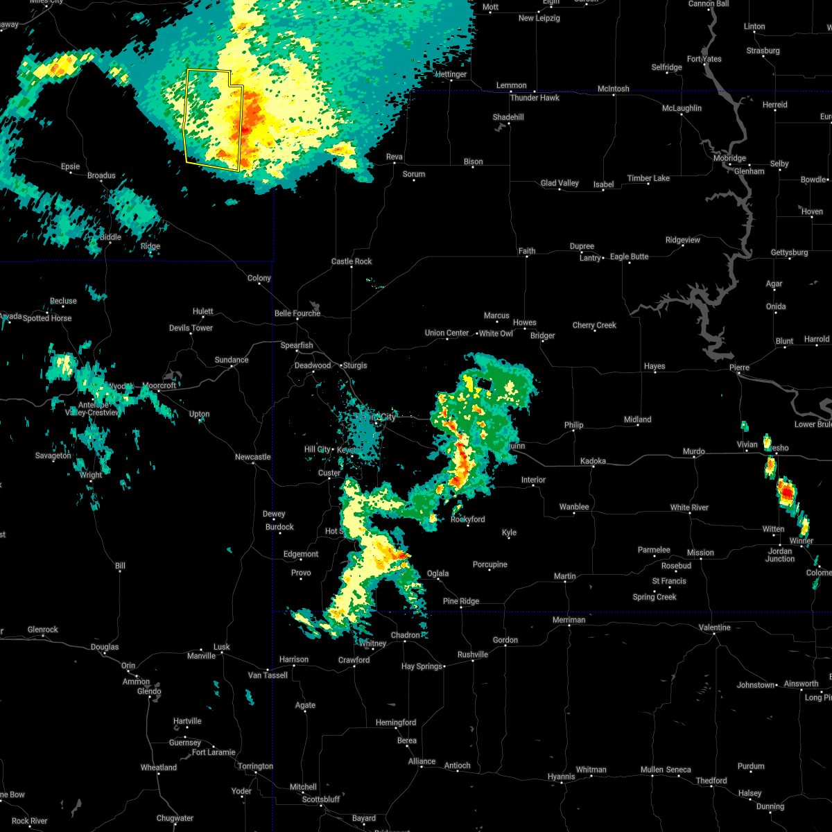
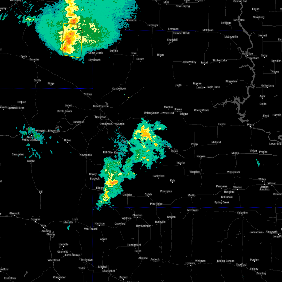
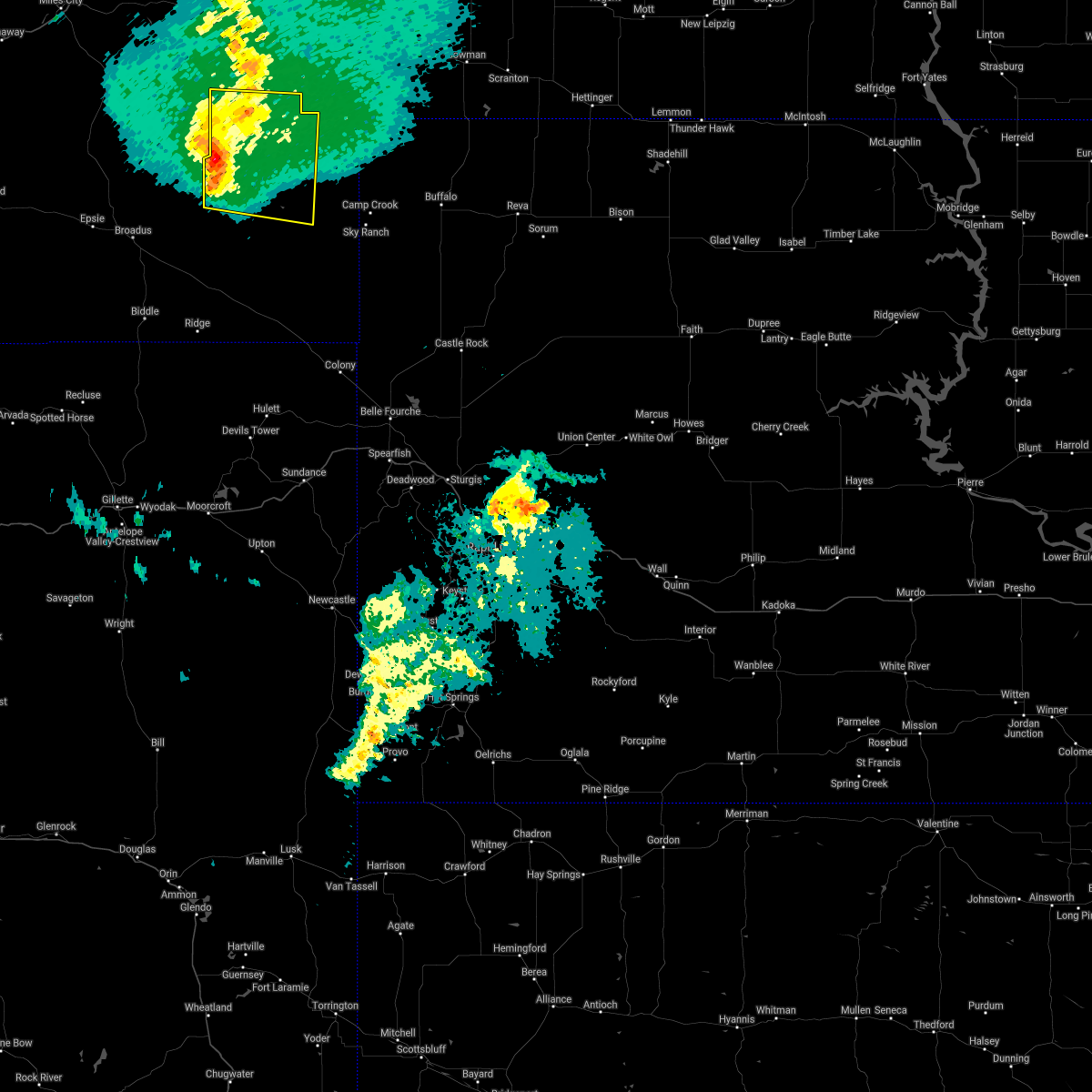
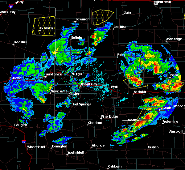
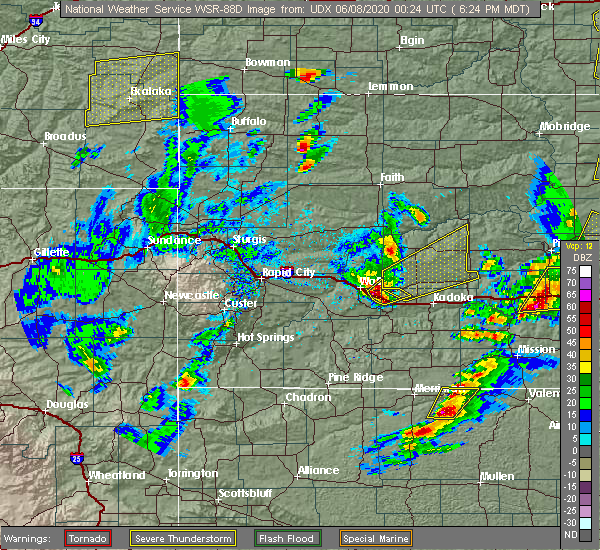
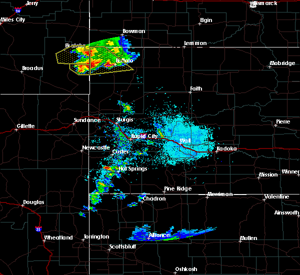
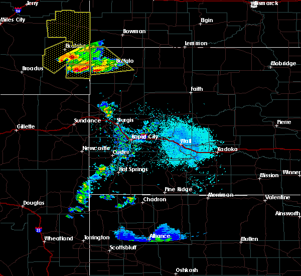
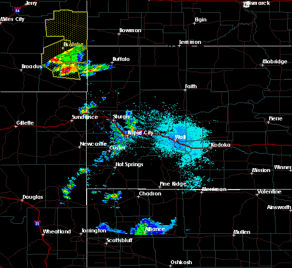
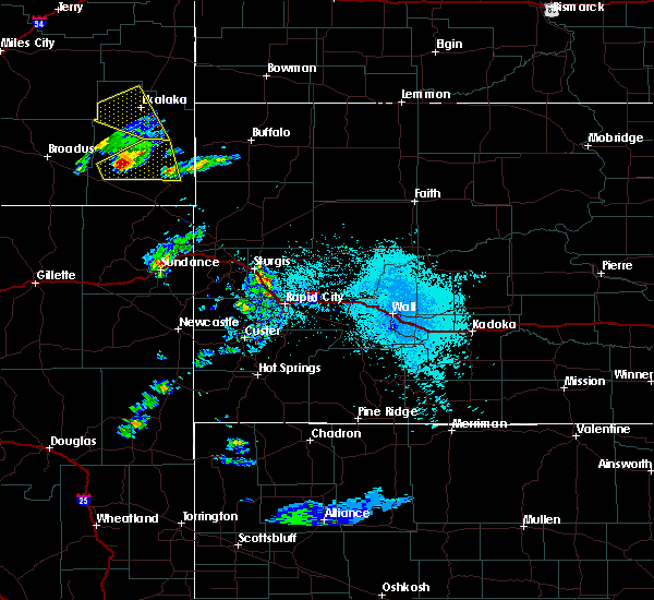
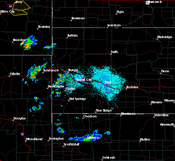
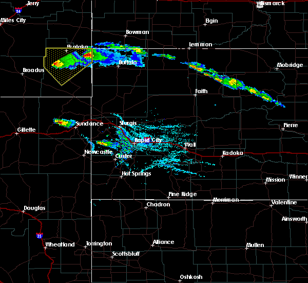
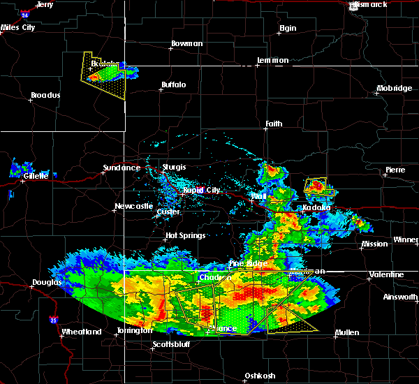
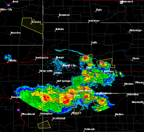
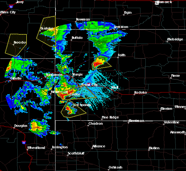
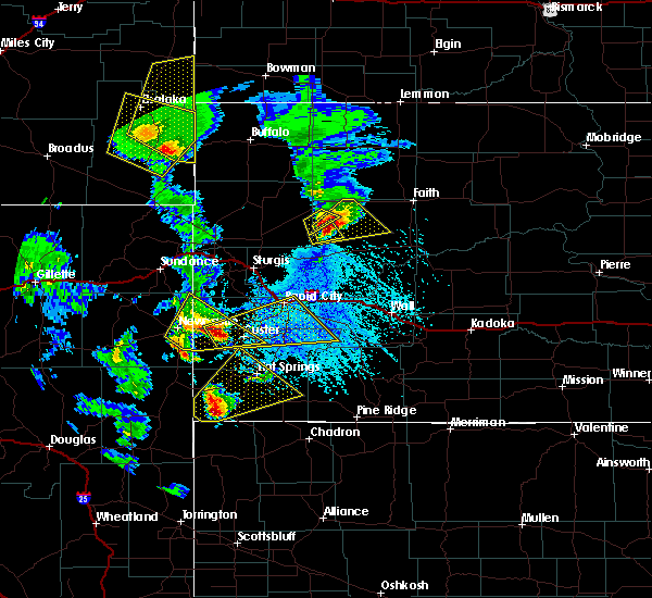
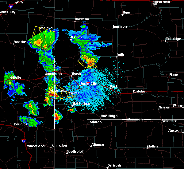
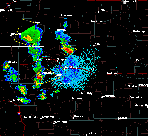
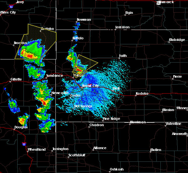
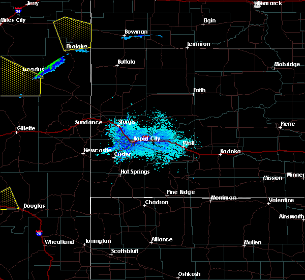
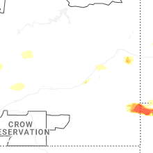
Hail Map for Ekalaka, MT
The Ekalaka, MT area has had 26 reports of on-the-ground hail by trained spotters, and has been under severe weather warnings 20 times during the past 12 months. Doppler radar has detected hail at or near Ekalaka, MT on 11 occasions, including 2 occasions during the past year.
| Name: | Ekalaka, MT |
| Where Located: | 71.8 miles ESE of Miles City, MT |
| Map: | Google Map for Ekalaka, MT |
| Population: | 332 |
| Housing Units: | 266 |
| More Info: | Search Google for Ekalaka, MT |
5
The Top Recent Hail Date for Ekalaka, MT is Saturday, July 13, 2024 (1st out of 11)

Hail and Wind Damage Spotted near Ekalaka, MT
| Date / Time | Report Details |
|---|---|
| 6/20/2025 5:20 PM MDT | Tennis Ball sized hail reported 14.9 miles NW of Ekalaka, MT |
| 6/20/2025 5:05 PM MDT |
 At 505 pm mdt, a severe thunderstorm was located near ekalaka, moving east at 35 mph (public reported 2 inch size hail in ekalaka at 456 pm). Hazards include two inch hail and 60 mph wind gusts. People and animals outdoors will be injured. expect hail damage to roofs, siding, windows, and vehicles. expect wind damage to roofs, siding, and trees. Locations impacted include, ekalaka, mill iron, belltower, webster and medicine rocks state park. At 505 pm mdt, a severe thunderstorm was located near ekalaka, moving east at 35 mph (public reported 2 inch size hail in ekalaka at 456 pm). Hazards include two inch hail and 60 mph wind gusts. People and animals outdoors will be injured. expect hail damage to roofs, siding, windows, and vehicles. expect wind damage to roofs, siding, and trees. Locations impacted include, ekalaka, mill iron, belltower, webster and medicine rocks state park.
|
| 6/20/2025 4:56 PM MDT | Hen Egg sized hail reported 0.1 miles WSW of Ekalaka, MT |
| 6/20/2025 4:54 PM MDT |
 The storms which prompted the warning have weakened below severe limits, and no longer pose an immediate threat to life or property. therefore, the warning will be allowed to expire. however, small hail and gusty winds are still possible with these thunderstorms. a severe thunderstorm watch remains in effect until 900 pm mdt friday for a portion of southeast montana. The storms which prompted the warning have weakened below severe limits, and no longer pose an immediate threat to life or property. therefore, the warning will be allowed to expire. however, small hail and gusty winds are still possible with these thunderstorms. a severe thunderstorm watch remains in effect until 900 pm mdt friday for a portion of southeast montana.
|
| 6/20/2025 4:52 PM MDT |
 Svrbyz the national weather service in billings has issued a * severe thunderstorm warning for, northern carter county in southeastern montana, southeastern fallon county in southeastern montana, * until 545 pm mdt. * at 452 pm mdt, a severe thunderstorm was located near ekalaka, moving east at 35 mph. this replaces the previous warning for this area (radar indicated). Hazards include golf ball size hail and 60 mph wind gusts. People and animals outdoors will be injured. expect hail damage to roofs, siding, windows, and vehicles. Expect wind damage to roofs, siding, and trees. Svrbyz the national weather service in billings has issued a * severe thunderstorm warning for, northern carter county in southeastern montana, southeastern fallon county in southeastern montana, * until 545 pm mdt. * at 452 pm mdt, a severe thunderstorm was located near ekalaka, moving east at 35 mph. this replaces the previous warning for this area (radar indicated). Hazards include golf ball size hail and 60 mph wind gusts. People and animals outdoors will be injured. expect hail damage to roofs, siding, windows, and vehicles. Expect wind damage to roofs, siding, and trees.
|
| 6/20/2025 4:45 PM MDT | Tennis Ball sized hail reported 0.1 miles WSW of Ekalaka, MT, facebook report. |
| 6/20/2025 4:35 PM MDT |
 At 435 pm mdt, severe thunderstorms were located along a line from 28 miles west of baker to 17 miles west of ekalaka, moving east at 35 mph. the strongest thunderstorm is located west of ekalaka, capable of producing golf ball size hail (radar indicated). Hazards include golf ball size hail and 60 mph wind gusts. People and animals outdoors will be injured. expect hail damage to roofs, siding, windows, and vehicles. expect wind damage to roofs, siding, and trees. Locations impacted include, ekalaka, plevna, ismay, medicine rocks state park, westmore and knowlton. At 435 pm mdt, severe thunderstorms were located along a line from 28 miles west of baker to 17 miles west of ekalaka, moving east at 35 mph. the strongest thunderstorm is located west of ekalaka, capable of producing golf ball size hail (radar indicated). Hazards include golf ball size hail and 60 mph wind gusts. People and animals outdoors will be injured. expect hail damage to roofs, siding, windows, and vehicles. expect wind damage to roofs, siding, and trees. Locations impacted include, ekalaka, plevna, ismay, medicine rocks state park, westmore and knowlton.
|
| 6/20/2025 4:35 PM MDT |
 the severe thunderstorm warning has been cancelled and is no longer in effect the severe thunderstorm warning has been cancelled and is no longer in effect
|
| 6/20/2025 4:01 PM MDT |
 Svrbyz the national weather service in billings has issued a * severe thunderstorm warning for, northwestern carter county in southeastern montana, southeastern custer county in southeastern montana, western fallon county in southeastern montana, northeastern powder river county in southeastern montana, * until 500 pm mdt. * at 401 pm mdt, severe thunderstorms were located along a line from 26 miles east of miles city to 18 miles east of volborg, or along a line from 26 miles east of miles city to 28 miles north of broadus, moving east at 35 mph. the strongest storms are located near knowlton and east of volborg (radar indicated). Hazards include 60 mph wind gusts and half dollar size hail. Hail damage to vehicles is expected. Expect wind damage to roofs, siding, and trees. Svrbyz the national weather service in billings has issued a * severe thunderstorm warning for, northwestern carter county in southeastern montana, southeastern custer county in southeastern montana, western fallon county in southeastern montana, northeastern powder river county in southeastern montana, * until 500 pm mdt. * at 401 pm mdt, severe thunderstorms were located along a line from 26 miles east of miles city to 18 miles east of volborg, or along a line from 26 miles east of miles city to 28 miles north of broadus, moving east at 35 mph. the strongest storms are located near knowlton and east of volborg (radar indicated). Hazards include 60 mph wind gusts and half dollar size hail. Hail damage to vehicles is expected. Expect wind damage to roofs, siding, and trees.
|
| 6/16/2025 12:54 AM MDT | Storm damage reported in carter county MT, 7.1 miles NW of Ekalaka, MT |
| 6/15/2025 10:44 PM MDT |
 Svrbyz the national weather service in billings has issued a * severe thunderstorm warning for, carter county in southeastern montana, southeastern fallon county in southeastern montana, * until 1130 pm mdt. * at 1044 pm mdt, severe thunderstorms were located along a line from near ekalaka to 16 miles southwest of ridgeway, or along a line from near ekalaka to 33 miles east of broadus, moving east at 55 mph (radar indicated). Hazards include 60 mph wind gusts and quarter size hail. Hail damage to vehicles is expected. Expect wind damage to roofs, siding, and trees. Svrbyz the national weather service in billings has issued a * severe thunderstorm warning for, carter county in southeastern montana, southeastern fallon county in southeastern montana, * until 1130 pm mdt. * at 1044 pm mdt, severe thunderstorms were located along a line from near ekalaka to 16 miles southwest of ridgeway, or along a line from near ekalaka to 33 miles east of broadus, moving east at 55 mph (radar indicated). Hazards include 60 mph wind gusts and quarter size hail. Hail damage to vehicles is expected. Expect wind damage to roofs, siding, and trees.
|
| 6/15/2025 10:42 PM MDT |
 The storm which prompted the warning has weakened below severe limits, and no longer poses an immediate threat to life or property. therefore, the warning will be allowed to expire. a severe thunderstorm warning still remains in effect for portions of carter county. a severe thunderstorm watch remains in effect until 1100 pm mdt sunday for a portion of southeast montana. The storm which prompted the warning has weakened below severe limits, and no longer poses an immediate threat to life or property. therefore, the warning will be allowed to expire. a severe thunderstorm warning still remains in effect for portions of carter county. a severe thunderstorm watch remains in effect until 1100 pm mdt sunday for a portion of southeast montana.
|
| 6/15/2025 10:12 PM MDT |
 At 1012 pm mdt, severe thunderstorms were located near ekalaka, moving northeast at 25 mph (radar indicated). Hazards include 60 mph wind gusts and quarter size hail. Hail damage to vehicles is expected. expect wind damage to roofs, siding, and trees. Locations impacted include, ekalaka, medicine rocks state park, webster, willard and mill iron. At 1012 pm mdt, severe thunderstorms were located near ekalaka, moving northeast at 25 mph (radar indicated). Hazards include 60 mph wind gusts and quarter size hail. Hail damage to vehicles is expected. expect wind damage to roofs, siding, and trees. Locations impacted include, ekalaka, medicine rocks state park, webster, willard and mill iron.
|
| 6/15/2025 9:47 PM MDT |
 Svrbyz the national weather service in billings has issued a * severe thunderstorm warning for, northern carter county in southeastern montana, southeastern fallon county in southeastern montana, * until 1045 pm mdt. * at 947 pm mdt, a severe thunderstorm was located near ekalaka, moving northeast at 25 mph (radar indicated). Hazards include 60 mph wind gusts and quarter size hail. Hail damage to vehicles is expected. Expect wind damage to roofs, siding, and trees. Svrbyz the national weather service in billings has issued a * severe thunderstorm warning for, northern carter county in southeastern montana, southeastern fallon county in southeastern montana, * until 1045 pm mdt. * at 947 pm mdt, a severe thunderstorm was located near ekalaka, moving northeast at 25 mph (radar indicated). Hazards include 60 mph wind gusts and quarter size hail. Hail damage to vehicles is expected. Expect wind damage to roofs, siding, and trees.
|
| 6/13/2025 9:41 PM MDT |
 Svrbyz the national weather service in billings has issued a * severe thunderstorm warning for, northwestern carter county in southeastern montana, southeastern fallon county in southeastern montana, * until 1030 pm mdt. * at 941 pm mdt, a severe thunderstorm was located near ekalaka, moving northeast at 40 mph (radar indicated). Hazards include half dollar size hail. damage to vehicles is expected Svrbyz the national weather service in billings has issued a * severe thunderstorm warning for, northwestern carter county in southeastern montana, southeastern fallon county in southeastern montana, * until 1030 pm mdt. * at 941 pm mdt, a severe thunderstorm was located near ekalaka, moving northeast at 40 mph (radar indicated). Hazards include half dollar size hail. damage to vehicles is expected
|
| 6/13/2025 9:26 PM MDT |
 At 926 pm mdt, a severe thunderstorm was located 8 miles north of ekalaka, moving northeast at 45 mph (radar indicated). Hazards include half dollar size hail. Damage to vehicles is expected. Locations impacted include, ekalaka and medicine rocks state park. At 926 pm mdt, a severe thunderstorm was located 8 miles north of ekalaka, moving northeast at 45 mph (radar indicated). Hazards include half dollar size hail. Damage to vehicles is expected. Locations impacted include, ekalaka and medicine rocks state park.
|
| 6/13/2025 9:05 PM MDT |
 Svrbyz the national weather service in billings has issued a * severe thunderstorm warning for, northern carter county in southeastern montana, * until 945 pm mdt. * at 905 pm mdt, a severe thunderstorm was located 12 miles west of ekalaka, moving northeast at 45 mph (radar indicated). Hazards include half dollar size hail. damage to vehicles is expected Svrbyz the national weather service in billings has issued a * severe thunderstorm warning for, northern carter county in southeastern montana, * until 945 pm mdt. * at 905 pm mdt, a severe thunderstorm was located 12 miles west of ekalaka, moving northeast at 45 mph (radar indicated). Hazards include half dollar size hail. damage to vehicles is expected
|
| 4/27/2025 8:51 PM MDT |
 At 851 pm mdt, a severe thunderstorm was located 11 miles south of ekalaka, moving east at 25 mph (trained spotters reported at 830 pm mdt, trained spotter reported ping pong ball sized hail 17 miles southwest of ekalaka). Hazards include ping pong ball size hail and 60 mph wind gusts. People and animals outdoors will be injured. expect hail damage to roofs, siding, windows, and vehicles. expect wind damage to roofs, siding, and trees. Locations impacted include, ekalaka, belltower, medicine rocks state park, mill iron and webster. At 851 pm mdt, a severe thunderstorm was located 11 miles south of ekalaka, moving east at 25 mph (trained spotters reported at 830 pm mdt, trained spotter reported ping pong ball sized hail 17 miles southwest of ekalaka). Hazards include ping pong ball size hail and 60 mph wind gusts. People and animals outdoors will be injured. expect hail damage to roofs, siding, windows, and vehicles. expect wind damage to roofs, siding, and trees. Locations impacted include, ekalaka, belltower, medicine rocks state park, mill iron and webster.
|
| 4/27/2025 8:40 PM MDT |
 Svrbyz the national weather service in billings has issued a * severe thunderstorm warning for, northern carter county in southeastern montana, southeastern custer county in southeastern montana, southeastern fallon county in southeastern montana, * until 1000 pm mdt. * at 840 pm mdt, a severe thunderstorm was located 14 miles southwest of ekalaka, moving east at 25 mph (radar indicated). Hazards include 60 mph wind gusts and quarter size hail. Hail damage to vehicles is expected. Expect wind damage to roofs, siding, and trees. Svrbyz the national weather service in billings has issued a * severe thunderstorm warning for, northern carter county in southeastern montana, southeastern custer county in southeastern montana, southeastern fallon county in southeastern montana, * until 1000 pm mdt. * at 840 pm mdt, a severe thunderstorm was located 14 miles southwest of ekalaka, moving east at 25 mph (radar indicated). Hazards include 60 mph wind gusts and quarter size hail. Hail damage to vehicles is expected. Expect wind damage to roofs, siding, and trees.
|
| 4/27/2025 8:30 PM MDT | Ping Pong Ball sized hail reported 16.8 miles NE of Ekalaka, MT |
| 4/27/2025 8:17 PM MDT |
 At 817 pm mdt, severe thunderstorms were located near powderville or 19 miles southwest of ekalaka, moving northeast at 30 mph (radar indicated). Hazards include 60 mph wind gusts and half dollar size hail. Hail damage to vehicles is expected. expect wind damage to roofs, siding, and trees. Locations impacted include, ekalaka, ridgeway, belltower, hammond, powderville, boyes and mill iron. At 817 pm mdt, severe thunderstorms were located near powderville or 19 miles southwest of ekalaka, moving northeast at 30 mph (radar indicated). Hazards include 60 mph wind gusts and half dollar size hail. Hail damage to vehicles is expected. expect wind damage to roofs, siding, and trees. Locations impacted include, ekalaka, ridgeway, belltower, hammond, powderville, boyes and mill iron.
|
| 4/27/2025 7:44 PM MDT |
 Svrbyz the national weather service in billings has issued a * severe thunderstorm warning for, carter county in southeastern montana, southeastern custer county in southeastern montana, northeastern powder river county in southeastern montana, * until 845 pm mdt. * at 744 pm mdt, severe thunderstorms were located 20 miles northeast of broadus, moving east at 40 mph (at 730 pm mdt, public reported two inch sized hail near olive). Hazards include ping pong ball size hail and 60 mph wind gusts. People and animals outdoors will be injured. expect hail damage to roofs, siding, windows, and vehicles. Expect wind damage to roofs, siding, and trees. Svrbyz the national weather service in billings has issued a * severe thunderstorm warning for, carter county in southeastern montana, southeastern custer county in southeastern montana, northeastern powder river county in southeastern montana, * until 845 pm mdt. * at 744 pm mdt, severe thunderstorms were located 20 miles northeast of broadus, moving east at 40 mph (at 730 pm mdt, public reported two inch sized hail near olive). Hazards include ping pong ball size hail and 60 mph wind gusts. People and animals outdoors will be injured. expect hail damage to roofs, siding, windows, and vehicles. Expect wind damage to roofs, siding, and trees.
|
| 7/13/2024 8:58 PM MDT | Storm damage reported in carter county MT, 16.1 miles NNW of Ekalaka, MT |
| 7/13/2024 8:55 PM MDT | Storm damage reported in carter county MT, 14.9 miles NW of Ekalaka, MT |
| 7/13/2024 8:44 PM MDT |
 Svrbyz the national weather service in billings has issued a * severe thunderstorm warning for, carter county in southeastern montana, * until 945 pm mdt. * at 842 pm mdt, a severe thunderstorm was located 11 miles south of ekalaka, moving southeast at 45 mph (radar indicated). Hazards include 70 mph wind gusts and ping pong ball size hail. People and animals outdoors will be injured. expect hail damage to roofs, siding, windows, and vehicles. expect considerable tree damage. Wind damage is also likely to mobile homes, roofs, and outbuildings. Svrbyz the national weather service in billings has issued a * severe thunderstorm warning for, carter county in southeastern montana, * until 945 pm mdt. * at 842 pm mdt, a severe thunderstorm was located 11 miles south of ekalaka, moving southeast at 45 mph (radar indicated). Hazards include 70 mph wind gusts and ping pong ball size hail. People and animals outdoors will be injured. expect hail damage to roofs, siding, windows, and vehicles. expect considerable tree damage. Wind damage is also likely to mobile homes, roofs, and outbuildings.
|
| 7/13/2024 8:18 PM MDT |
 At 817 pm mdt, a severe thunderstorm was located 25 miles west of ekalaka, moving southeast at 50 mph (radar indicated). Hazards include 70 mph wind gusts and half dollar size hail. Hail damage to vehicles is expected. expect considerable tree damage. wind damage is also likely to mobile homes, roofs, and outbuildings. Locations impacted include, ekalaka, powderville, medicine rocks state park, and mill iron. At 817 pm mdt, a severe thunderstorm was located 25 miles west of ekalaka, moving southeast at 50 mph (radar indicated). Hazards include 70 mph wind gusts and half dollar size hail. Hail damage to vehicles is expected. expect considerable tree damage. wind damage is also likely to mobile homes, roofs, and outbuildings. Locations impacted include, ekalaka, powderville, medicine rocks state park, and mill iron.
|
| 7/13/2024 7:49 PM MDT |
 Svrbyz the national weather service in billings has issued a * severe thunderstorm warning for, southeastern custer county in southeastern montana, northern carter county in southeastern montana, northeastern powder river county in southeastern montana, * until 845 pm mdt. * at 747 pm mdt, a severe thunderstorm was located 24 miles northeast of volborg, or 31 miles southeast of miles city, moving southeast at 50 mph (radar indicated). Hazards include 70 mph wind gusts and ping pong ball size hail. People and animals outdoors will be injured. expect hail damage to roofs, siding, windows, and vehicles. expect considerable tree damage. Wind damage is also likely to mobile homes, roofs, and outbuildings. Svrbyz the national weather service in billings has issued a * severe thunderstorm warning for, southeastern custer county in southeastern montana, northern carter county in southeastern montana, northeastern powder river county in southeastern montana, * until 845 pm mdt. * at 747 pm mdt, a severe thunderstorm was located 24 miles northeast of volborg, or 31 miles southeast of miles city, moving southeast at 50 mph (radar indicated). Hazards include 70 mph wind gusts and ping pong ball size hail. People and animals outdoors will be injured. expect hail damage to roofs, siding, windows, and vehicles. expect considerable tree damage. Wind damage is also likely to mobile homes, roofs, and outbuildings.
|
| 6/14/2023 8:54 PM MDT | Storm damage reported in carter county MT, 7.1 miles NW of Ekalaka, MT |
| 7/5/2022 6:52 AM MDT |
 At 652 am mdt, severe thunderstorms were located along a line extending from 11 miles northwest of marmarth to 7 miles north of ekalaka to 16 miles west of ridgeway, moving east at 40 mph (radar indicated). Hazards include 60 mph wind gusts and half dollar size hail. Hail damage to vehicles is expected. Expect wind damage to roofs, siding, and trees. At 652 am mdt, severe thunderstorms were located along a line extending from 11 miles northwest of marmarth to 7 miles north of ekalaka to 16 miles west of ridgeway, moving east at 40 mph (radar indicated). Hazards include 60 mph wind gusts and half dollar size hail. Hail damage to vehicles is expected. Expect wind damage to roofs, siding, and trees.
|
| 7/5/2022 4:32 AM MDT |
 At 431 am mdt, a severe thunderstorm was located near ekalaka, moving east at 30 mph (radar indicated). Hazards include tennis ball size hail and 70 mph wind gusts, along with very heavy rain. People and animals outdoors will be injured. expect hail damage to roofs, siding, windows, and vehicles. expect considerable tree damage. wind damage is also likely to mobile homes, roofs, and outbuildings. locations impacted include, ekalaka, webster, medicine rocks state park and mill iron. thunderstorm damage threat, considerable hail threat, radar indicated max hail size, 2. 50 in wind threat, radar indicated max wind gust, 70 mph. At 431 am mdt, a severe thunderstorm was located near ekalaka, moving east at 30 mph (radar indicated). Hazards include tennis ball size hail and 70 mph wind gusts, along with very heavy rain. People and animals outdoors will be injured. expect hail damage to roofs, siding, windows, and vehicles. expect considerable tree damage. wind damage is also likely to mobile homes, roofs, and outbuildings. locations impacted include, ekalaka, webster, medicine rocks state park and mill iron. thunderstorm damage threat, considerable hail threat, radar indicated max hail size, 2. 50 in wind threat, radar indicated max wind gust, 70 mph.
|
| 7/5/2022 4:16 AM MDT |
 At 416 am mdt, a severe thunderstorm was located 13 miles west of ekalaka, moving east at 30 mph (radar indicated). Hazards include golf ball size hail and 60 mph wind gusts, along with very heavy rain. People and animals outdoors will be injured. expect hail damage to roofs, siding, windows, and vehicles. expect wind damage to roofs, siding, and trees. locations impacted include, ekalaka, webster, medicine rocks state park and mill iron. thunderstorm damage threat, considerable hail threat, radar indicated max hail size, 1. 75 in wind threat, radar indicated max wind gust, 60 mph. At 416 am mdt, a severe thunderstorm was located 13 miles west of ekalaka, moving east at 30 mph (radar indicated). Hazards include golf ball size hail and 60 mph wind gusts, along with very heavy rain. People and animals outdoors will be injured. expect hail damage to roofs, siding, windows, and vehicles. expect wind damage to roofs, siding, and trees. locations impacted include, ekalaka, webster, medicine rocks state park and mill iron. thunderstorm damage threat, considerable hail threat, radar indicated max hail size, 1. 75 in wind threat, radar indicated max wind gust, 60 mph.
|
| 7/5/2022 3:58 AM MDT |
 At 357 am mdt, a severe thunderstorm was located 23 miles west of ekalaka, moving east at 30 mph (radar indicated). Hazards include golf ball size hail and 60 mph wind gusts, along with torrential rain. People and animals outdoors will be injured. expect hail damage to roofs, siding, windows, and vehicles. Expect wind damage to roofs, siding, and trees. At 357 am mdt, a severe thunderstorm was located 23 miles west of ekalaka, moving east at 30 mph (radar indicated). Hazards include golf ball size hail and 60 mph wind gusts, along with torrential rain. People and animals outdoors will be injured. expect hail damage to roofs, siding, windows, and vehicles. Expect wind damage to roofs, siding, and trees.
|
| 7/7/2021 10:11 PM MDT |
 The severe thunderstorm warning for north central carter county will expire at 1015 pm mdt, the storm which prompted the warning has weakened below severe limits, and has exited the warned area. therefore, the warning will be allowed to expire. a severe thunderstorm watch remains in effect until 1100 pm mdt for southeastern montana. The severe thunderstorm warning for north central carter county will expire at 1015 pm mdt, the storm which prompted the warning has weakened below severe limits, and has exited the warned area. therefore, the warning will be allowed to expire. a severe thunderstorm watch remains in effect until 1100 pm mdt for southeastern montana.
|
| 7/7/2021 9:46 PM MDT |
 At 945 pm mdt, a severe thunderstorm was located near ekalaka, moving east at 30 mph (radar indicated). Hazards include 70 mph wind gusts and quarter size hail. Expect considerable tree damage. wind damage is also likely to mobile homes, roofs, and outbuildings. Locations impacted include, ekalaka, belltower and medicine rocks state park. At 945 pm mdt, a severe thunderstorm was located near ekalaka, moving east at 30 mph (radar indicated). Hazards include 70 mph wind gusts and quarter size hail. Expect considerable tree damage. wind damage is also likely to mobile homes, roofs, and outbuildings. Locations impacted include, ekalaka, belltower and medicine rocks state park.
|
| 7/7/2021 9:19 PM MDT |
 At 918 pm mdt, a severe thunderstorm was located 16 miles southwest of ekalaka, moving east at 30 mph (radar indicated). Hazards include 70 mph wind gusts and quarter size hail. Expect considerable tree damage. Wind damage is also likely to mobile homes, roofs, and outbuildings. At 918 pm mdt, a severe thunderstorm was located 16 miles southwest of ekalaka, moving east at 30 mph (radar indicated). Hazards include 70 mph wind gusts and quarter size hail. Expect considerable tree damage. Wind damage is also likely to mobile homes, roofs, and outbuildings.
|
| 7/7/2020 8:12 PM MDT | Golf Ball sized hail reported 24.6 miles NNW of Ekalaka, MT |
| 7/7/2020 7:45 PM MDT | Half Dollar sized hail reported 16.8 miles NE of Ekalaka, MT |
| 7/7/2020 7:44 PM MDT |
 At 742 pm mdt, a severe thunderstorm was located 8 miles north of ridgeway, or 20 miles south of ekalaka, moving east at 40 mph (trained weather spotters. this storm has a history of producing ping pong size hail). Hazards include ping pong ball size hail and 60 mph wind gusts. People and animals outdoors will be injured. expect hail damage to roofs, siding, windows, and vehicles. Expect wind damage to roofs, siding, and trees. At 742 pm mdt, a severe thunderstorm was located 8 miles north of ridgeway, or 20 miles south of ekalaka, moving east at 40 mph (trained weather spotters. this storm has a history of producing ping pong size hail). Hazards include ping pong ball size hail and 60 mph wind gusts. People and animals outdoors will be injured. expect hail damage to roofs, siding, windows, and vehicles. Expect wind damage to roofs, siding, and trees.
|
| 7/7/2020 7:17 PM MDT |
 At 715 pm mdt, severe thunderstorms were located along a line extending from 24 miles west of baker to 21 miles southwest of ridgeway, moving east at 30 mph. these storms has a history of producing hail up to ping pong size, and the southern extent remains most favorable for large hail (trained weather spotters. at 630 pm mdt, quarter size hail was reported 14 miles south southeast of broadus). Hazards include ping pong ball size hail and 60 mph wind gusts. People and animals outdoors will be injured. expect hail damage to roofs, siding, windows, and vehicles. expect wind damage to roofs, siding, and trees. Locations impacted include, ekalaka, ridgeway, plevna, hammond, medicine rocks state park, belltower, albion, westmore, boyes and willard. At 715 pm mdt, severe thunderstorms were located along a line extending from 24 miles west of baker to 21 miles southwest of ridgeway, moving east at 30 mph. these storms has a history of producing hail up to ping pong size, and the southern extent remains most favorable for large hail (trained weather spotters. at 630 pm mdt, quarter size hail was reported 14 miles south southeast of broadus). Hazards include ping pong ball size hail and 60 mph wind gusts. People and animals outdoors will be injured. expect hail damage to roofs, siding, windows, and vehicles. expect wind damage to roofs, siding, and trees. Locations impacted include, ekalaka, ridgeway, plevna, hammond, medicine rocks state park, belltower, albion, westmore, boyes and willard.
|
| 7/7/2020 6:42 PM MDT |
 At 641 pm mdt, severe thunderstorms were located along a line extending from 35 miles northwest of ekalaka to 11 miles southeast of broadus, moving east at 30 mph. the southern portion of these storms contains good rotation (trained weather spotters. at 610 pm mdt, ping pong size hail was reported 10 miles west of broadus). Hazards include ping pong ball size hail and 60 mph wind gusts. People and animals outdoors will be injured. expect hail damage to roofs, siding, windows, and vehicles. Expect wind damage to roofs, siding, and trees. At 641 pm mdt, severe thunderstorms were located along a line extending from 35 miles northwest of ekalaka to 11 miles southeast of broadus, moving east at 30 mph. the southern portion of these storms contains good rotation (trained weather spotters. at 610 pm mdt, ping pong size hail was reported 10 miles west of broadus). Hazards include ping pong ball size hail and 60 mph wind gusts. People and animals outdoors will be injured. expect hail damage to roofs, siding, windows, and vehicles. Expect wind damage to roofs, siding, and trees.
|
| 7/6/2020 5:58 PM MDT |
 At 556 pm mdt, a severe thunderstorm was located 17 miles east of volborg, or 25 miles north of broadus, moving southeast at 40 mph (trained weather spotters. this storm has a history of producing golf ball sized hail). Hazards include golf ball size hail and 60 mph wind gusts. People and animals outdoors will be injured. expect hail damage to roofs, siding, windows, and vehicles. Expect wind damage to roofs, siding, and trees. At 556 pm mdt, a severe thunderstorm was located 17 miles east of volborg, or 25 miles north of broadus, moving southeast at 40 mph (trained weather spotters. this storm has a history of producing golf ball sized hail). Hazards include golf ball size hail and 60 mph wind gusts. People and animals outdoors will be injured. expect hail damage to roofs, siding, windows, and vehicles. Expect wind damage to roofs, siding, and trees.
|
| 7/4/2020 8:54 PM MDT | Storm damage reported in carter county MT, 7.1 miles NW of Ekalaka, MT |
| 6/7/2020 7:27 PM MDT |
 The severe thunderstorm warning for southern fallon and northern carter counties will expire at 730 pm mdt, the storms which prompted the warning have weakened below severe limits, and no longer pose an immediate threat to life or property. therefore, the warning will be allowed to expire. however small hail and gusty winds are still possible with these thunderstorms. The severe thunderstorm warning for southern fallon and northern carter counties will expire at 730 pm mdt, the storms which prompted the warning have weakened below severe limits, and no longer pose an immediate threat to life or property. therefore, the warning will be allowed to expire. however small hail and gusty winds are still possible with these thunderstorms.
|
| 6/7/2020 7:03 PM MDT | Golf Ball sized hail reported 4.8 miles E of Ekalaka, MT |
| 6/7/2020 7:00 PM MDT |
 At 659 pm mdt, severe thunderstorms were located along a line extending from 10 miles southwest of baker to near ekalaka, moving northeast at 40 mph (radar indicated). Hazards include 45 mph wind gusts and half dollar size hail. Hail damage to vehicles is expected. expect wind damage to roofs, siding, and trees. Locations impacted include, ekalaka, webster, medicine rocks state park, willard and mill iron. At 659 pm mdt, severe thunderstorms were located along a line extending from 10 miles southwest of baker to near ekalaka, moving northeast at 40 mph (radar indicated). Hazards include 45 mph wind gusts and half dollar size hail. Hail damage to vehicles is expected. expect wind damage to roofs, siding, and trees. Locations impacted include, ekalaka, webster, medicine rocks state park, willard and mill iron.
|
| 6/7/2020 6:33 PM MDT |
 At 633 pm mdt, severe thunderstorms were located along a line extending from 16 miles northwest of ekalaka to 23 miles northwest of ridgeway, moving northeast at 35 mph (radar indicated). Hazards include 60 mph wind gusts and half dollar size hail. Hail damage to vehicles is expected. Expect wind damage to roofs, siding, and trees. At 633 pm mdt, severe thunderstorms were located along a line extending from 16 miles northwest of ekalaka to 23 miles northwest of ridgeway, moving northeast at 35 mph (radar indicated). Hazards include 60 mph wind gusts and half dollar size hail. Hail damage to vehicles is expected. Expect wind damage to roofs, siding, and trees.
|
| 5/31/2020 7:37 PM MDT |
 The severe thunderstorm warning for northeastern carter county will expire at 745 pm mdt, the storm which prompted the warning has moved out of the area. therefore, the warning will be allowed to expire. a severe thunderstorm watch remains in effect until 1000 pm mdt for southeastern montana. The severe thunderstorm warning for northeastern carter county will expire at 745 pm mdt, the storm which prompted the warning has moved out of the area. therefore, the warning will be allowed to expire. a severe thunderstorm watch remains in effect until 1000 pm mdt for southeastern montana.
|
| 5/31/2020 7:12 PM MDT |
 At 712 pm mdt, a severe thunderstorm was located 14 miles southeast of ekalaka, moving northeast at 40 mph (radar indicated). Hazards include 60 mph wind gusts and quarter size hail. Hail damage to vehicles is expected. expect wind damage to roofs, siding, and trees. Locations impacted include, ekalaka, belltower and mill iron. At 712 pm mdt, a severe thunderstorm was located 14 miles southeast of ekalaka, moving northeast at 40 mph (radar indicated). Hazards include 60 mph wind gusts and quarter size hail. Hail damage to vehicles is expected. expect wind damage to roofs, siding, and trees. Locations impacted include, ekalaka, belltower and mill iron.
|
| 5/31/2020 6:44 PM MDT |
 At 643 pm mdt, a severe thunderstorm was located over ekalaka, moving northeast at 40 mph (radar indicated). Hazards include 60 mph wind gusts and quarter size hail. Hail damage to vehicles is expected. Expect wind damage to roofs, siding, and trees. At 643 pm mdt, a severe thunderstorm was located over ekalaka, moving northeast at 40 mph (radar indicated). Hazards include 60 mph wind gusts and quarter size hail. Hail damage to vehicles is expected. Expect wind damage to roofs, siding, and trees.
|
| 5/31/2020 6:24 PM MDT |
 At 624 pm mdt, a severe thunderstorm was located 12 miles southwest of ekalaka, moving east at 30 mph (radar indicated). Hazards include 60 mph wind gusts and quarter size hail. Hail damage to vehicles is expected. expect wind damage to roofs, siding, and trees. Locations impacted include, ekalaka and belltower. At 624 pm mdt, a severe thunderstorm was located 12 miles southwest of ekalaka, moving east at 30 mph (radar indicated). Hazards include 60 mph wind gusts and quarter size hail. Hail damage to vehicles is expected. expect wind damage to roofs, siding, and trees. Locations impacted include, ekalaka and belltower.
|
| 5/31/2020 6:00 PM MDT |
 At 559 pm mdt, a severe thunderstorm was located 24 miles west of ekalaka, moving east at 30 mph (radar indicated). Hazards include 60 mph wind gusts and quarter size hail. Hail damage to vehicles is expected. Expect wind damage to roofs, siding, and trees. At 559 pm mdt, a severe thunderstorm was located 24 miles west of ekalaka, moving east at 30 mph (radar indicated). Hazards include 60 mph wind gusts and quarter size hail. Hail damage to vehicles is expected. Expect wind damage to roofs, siding, and trees.
|
| 9/1/2019 5:08 PM MDT |
 The severe thunderstorm warning for southeastern fallon and central carter counties will expire at 515 pm mdt, the storm which prompted the warning has weakened below severe limits, and has exited the warned area. therefore, the warning will be allowed to expire. to report severe weather, contact your nearest law enforcement agency. they will relay your report to the national weather service billings. The severe thunderstorm warning for southeastern fallon and central carter counties will expire at 515 pm mdt, the storm which prompted the warning has weakened below severe limits, and has exited the warned area. therefore, the warning will be allowed to expire. to report severe weather, contact your nearest law enforcement agency. they will relay your report to the national weather service billings.
|
| 9/1/2019 4:45 PM MDT |
 At 443 pm mdt, a severe thunderstorm was located 20 miles northwest of ridgeway, or 24 miles southwest of ekalaka, moving southeast at 35 mph (trained weather spotters. at 425 pm mdt, marble size hail and 60 mph wind gusts were reported 6 miles east northeast of ekalaka). Hazards include ping pong ball size hail and 60 mph wind gusts. People and animals outdoors will be injured. expect hail damage to roofs, siding, windows, and vehicles. expect wind damage to roofs, siding, and trees. Locations impacted include, ekalaka, ridgeway, belltower and mill iron. At 443 pm mdt, a severe thunderstorm was located 20 miles northwest of ridgeway, or 24 miles southwest of ekalaka, moving southeast at 35 mph (trained weather spotters. at 425 pm mdt, marble size hail and 60 mph wind gusts were reported 6 miles east northeast of ekalaka). Hazards include ping pong ball size hail and 60 mph wind gusts. People and animals outdoors will be injured. expect hail damage to roofs, siding, windows, and vehicles. expect wind damage to roofs, siding, and trees. Locations impacted include, ekalaka, ridgeway, belltower and mill iron.
|
| 9/1/2019 4:25 PM MDT | Tree branches ripped of in carter county MT, 6.1 miles WSW of Ekalaka, MT |
| 9/1/2019 4:14 PM MDT |
 At 412 pm mdt, a severe thunderstorm was located 26 miles east of volborg, or 27 miles west of ekalaka, moving southeast at 30 mph. a second thunderstorm was located just northeast of ekalaka, moving east at 25 mph (radar indicated). Hazards include ping pong ball size hail and 60 mph wind gusts. People and animals outdoors will be injured. expect hail damage to roofs, siding, windows, and vehicles. Expect wind damage to roofs, siding, and trees. At 412 pm mdt, a severe thunderstorm was located 26 miles east of volborg, or 27 miles west of ekalaka, moving southeast at 30 mph. a second thunderstorm was located just northeast of ekalaka, moving east at 25 mph (radar indicated). Hazards include ping pong ball size hail and 60 mph wind gusts. People and animals outdoors will be injured. expect hail damage to roofs, siding, windows, and vehicles. Expect wind damage to roofs, siding, and trees.
|
| 7/8/2019 9:07 PM MDT |
 The severe thunderstorm warning for central fallon, southeastern custer and northwestern carter counties will expire at 915 pm mdt, the storms which prompted the warning have weakened below severe limits, and have exited the warned area. therefore, the warning will be allowed to expire. a severe thunderstorm watch remains in effect until 1100 pm mdt for southeastern montana. The severe thunderstorm warning for central fallon, southeastern custer and northwestern carter counties will expire at 915 pm mdt, the storms which prompted the warning have weakened below severe limits, and have exited the warned area. therefore, the warning will be allowed to expire. a severe thunderstorm watch remains in effect until 1100 pm mdt for southeastern montana.
|
| 7/8/2019 8:52 PM MDT |
 At 850 pm mdt, severe thunderstorms were located along a line extending from 6 miles northeast of ekalaka to 36 miles northeast of volborg, moving north at 45 mph (radar indicated). Hazards include 60 mph wind gusts and quarter size hail. Hail damage to vehicles is expected. expect wind damage to roofs, siding, and trees. Locations impacted include, ekalaka, plevna, medicine rocks state park and willard. At 850 pm mdt, severe thunderstorms were located along a line extending from 6 miles northeast of ekalaka to 36 miles northeast of volborg, moving north at 45 mph (radar indicated). Hazards include 60 mph wind gusts and quarter size hail. Hail damage to vehicles is expected. expect wind damage to roofs, siding, and trees. Locations impacted include, ekalaka, plevna, medicine rocks state park and willard.
|
| 7/8/2019 8:14 PM MDT |
 At 813 pm mdt, severe thunderstorms were located along a line extending from ekalaka to 28 miles northwest of ridgeway, moving northwest at 30 mph (radar indicated). Hazards include two inch hail and 60 mph wind gusts. People and animals outdoors will be injured. expect hail damage to roofs, siding, windows, and vehicles. Expect wind damage to roofs, siding, and trees. At 813 pm mdt, severe thunderstorms were located along a line extending from ekalaka to 28 miles northwest of ridgeway, moving northwest at 30 mph (radar indicated). Hazards include two inch hail and 60 mph wind gusts. People and animals outdoors will be injured. expect hail damage to roofs, siding, windows, and vehicles. Expect wind damage to roofs, siding, and trees.
|
| 7/8/2019 8:00 PM MDT |
 At 759 pm mdt, a severe thunderstorm was located 13 miles southwest of ekalaka, moving north at 25 mph. this is a very dangerous storm (radar indicated). Hazards include baseball size hail and 60 mph wind gusts. People and animals outdoors will be severely injured. expect shattered windows, extensive damage to roofs, siding, and vehicles. Locations impacted include, ekalaka and powderville. At 759 pm mdt, a severe thunderstorm was located 13 miles southwest of ekalaka, moving north at 25 mph. this is a very dangerous storm (radar indicated). Hazards include baseball size hail and 60 mph wind gusts. People and animals outdoors will be severely injured. expect shattered windows, extensive damage to roofs, siding, and vehicles. Locations impacted include, ekalaka and powderville.
|
| 7/8/2019 7:37 PM MDT |
 At 736 pm mdt, a severe thunderstorm was located 11 miles northwest of ridgeway, or 20 miles south of ekalaka, moving north at 25 mph (radar indicated). Hazards include 60 mph wind gusts and half dollar size hail. Hail damage to vehicles is expected. Expect wind damage to roofs, siding, and trees. At 736 pm mdt, a severe thunderstorm was located 11 miles northwest of ridgeway, or 20 miles south of ekalaka, moving north at 25 mph (radar indicated). Hazards include 60 mph wind gusts and half dollar size hail. Hail damage to vehicles is expected. Expect wind damage to roofs, siding, and trees.
|
| 8/3/2018 8:53 PM MDT | Storm damage reported in carter county MT, 22.3 miles W of Ekalaka, MT |
| 8/3/2018 8:36 PM MDT | Storm damage reported in carter county MT, 0.1 miles WSW of Ekalaka, MT |
| 8/3/2018 8:31 PM MDT |
 At 827 pm mdt, a line of severe winds associated with thunderstorms was located along a line extending from 11 miles west of baker to near ekalaka and alzada, moving east at 45 mph (radar indicated). Hazards include 60 mph wind gusts. Expect damage to roofs, siding, and trees. Locations impacted include, baker, broadus, ekalaka, ridgeway, biddle, alzada, plevna, ismay, locate, westmore, boyes, mill iron, medicine rocks state park, capitol, knowlton, ollie, willard, webster, hammond and belltower. At 827 pm mdt, a line of severe winds associated with thunderstorms was located along a line extending from 11 miles west of baker to near ekalaka and alzada, moving east at 45 mph (radar indicated). Hazards include 60 mph wind gusts. Expect damage to roofs, siding, and trees. Locations impacted include, baker, broadus, ekalaka, ridgeway, biddle, alzada, plevna, ismay, locate, westmore, boyes, mill iron, medicine rocks state park, capitol, knowlton, ollie, willard, webster, hammond and belltower.
|
| 8/3/2018 7:28 PM MDT |
 At 725 pm mdt, a line of severe winds associated with thunderstorms was located from 10 miles east of miles city south to the wyoming border, moving east at 45 mph (radar indicated). Hazards include 60 mph wind gusts. expect damage to roofs, siding, and trees At 725 pm mdt, a line of severe winds associated with thunderstorms was located from 10 miles east of miles city south to the wyoming border, moving east at 45 mph (radar indicated). Hazards include 60 mph wind gusts. expect damage to roofs, siding, and trees
|
| 8/3/2018 7:02 PM MDT |
 A severe thunderstorm warning remains in effect until 730 pm mdt for southeastern fallon. southeastern big horn. southern custer. carter. powder river and southern rosebud counties. At 701 pm mdt, severe thunderstorms were located along a line extending from 28 miles northwest of ekalaka to 10 miles southeast of volborg to 19 miles west of broadus, moving east at 55 mph. A severe thunderstorm warning remains in effect until 730 pm mdt for southeastern fallon. southeastern big horn. southern custer. carter. powder river and southern rosebud counties. At 701 pm mdt, severe thunderstorms were located along a line extending from 28 miles northwest of ekalaka to 10 miles southeast of volborg to 19 miles west of broadus, moving east at 55 mph.
|
| 8/3/2018 6:28 PM MDT |
 At 627 pm mdt, severe thunderstorms were located along a line extending from 13 miles north of volborg to 9 miles northeast of ashland to 29 miles southeast of lame deer, moving east at 55 mph (radar indicated). Hazards include 60 mph wind gusts. expect damage to roofs, siding, and trees At 627 pm mdt, severe thunderstorms were located along a line extending from 13 miles north of volborg to 9 miles northeast of ashland to 29 miles southeast of lame deer, moving east at 55 mph (radar indicated). Hazards include 60 mph wind gusts. expect damage to roofs, siding, and trees
|
| 7/21/2018 4:34 PM MDT |
 At 433 pm mdt, a cluster of severe thunderstorms was located southwest of ekalaka, moving east at 25 mph (radar indicated). Hazards include 60 mph wind gusts and quarter size hail. Hail damage to vehicles is expected. Expect wind damage to roofs, siding, and trees. At 433 pm mdt, a cluster of severe thunderstorms was located southwest of ekalaka, moving east at 25 mph (radar indicated). Hazards include 60 mph wind gusts and quarter size hail. Hail damage to vehicles is expected. Expect wind damage to roofs, siding, and trees.
|
| 7/3/2018 12:31 AM MDT |
 At 1230 am mdt, severe thunderstorms were located along a line extending from 29 miles southwest of carlyle to 16 miles south of baker to 7 miles south of ekalaka, moving east at 40 mph (radar indicated). Hazards include ping pong ball size hail and 60 mph wind gusts. People and animals outdoors will be injured. expect hail damage to roofs, siding, windows, and vehicles. expect wind damage to roofs, siding, and trees. Locations impacted include, ekalaka, webster, medicine rocks state park, willard and mill iron. At 1230 am mdt, severe thunderstorms were located along a line extending from 29 miles southwest of carlyle to 16 miles south of baker to 7 miles south of ekalaka, moving east at 40 mph (radar indicated). Hazards include ping pong ball size hail and 60 mph wind gusts. People and animals outdoors will be injured. expect hail damage to roofs, siding, windows, and vehicles. expect wind damage to roofs, siding, and trees. Locations impacted include, ekalaka, webster, medicine rocks state park, willard and mill iron.
|
| 7/3/2018 12:29 AM MDT | Measured off davis equipmen in carter county MT, 22.3 miles W of Ekalaka, MT |
| 7/3/2018 12:02 AM MDT |
 At 1202 am mdt, severe thunderstorms were located along a line extending from 30 miles south of fallon to 17 miles northwest of ekalaka to 27 miles northwest of ridgeway, moving east at 40 mph (radar indicated). Hazards include ping pong ball size hail and 60 mph wind gusts. People and animals outdoors will be injured. expect hail damage to roofs, siding, windows, and vehicles. Expect wind damage to roofs, siding, and trees. At 1202 am mdt, severe thunderstorms were located along a line extending from 30 miles south of fallon to 17 miles northwest of ekalaka to 27 miles northwest of ridgeway, moving east at 40 mph (radar indicated). Hazards include ping pong ball size hail and 60 mph wind gusts. People and animals outdoors will be injured. expect hail damage to roofs, siding, windows, and vehicles. Expect wind damage to roofs, siding, and trees.
|
| 6/28/2018 9:52 PM MDT |
 At 950 pm mdt, severe thunderstorms were located along a line extending from 18 miles south of baker to 9 miles west of ridgeway, moving east at 45 mph (radar indicated). Hazards include golf ball size hail and 70 mph wind gusts, along with very heavy rain. People and animals outdoors will be injured. expect hail damage to roofs, siding, windows, and vehicles. expect considerable tree damage. wind damage is also likely to mobile homes, roofs, and outbuildings. localized flooding is also possible due to the heavy rainfall. locations impacted include, ekalaka, ridgeway, webster, medicine rocks state park, belltower, capitol and mill iron. A tornado watch remains in effect until 1100 pm mdt for southeastern montana. At 950 pm mdt, severe thunderstorms were located along a line extending from 18 miles south of baker to 9 miles west of ridgeway, moving east at 45 mph (radar indicated). Hazards include golf ball size hail and 70 mph wind gusts, along with very heavy rain. People and animals outdoors will be injured. expect hail damage to roofs, siding, windows, and vehicles. expect considerable tree damage. wind damage is also likely to mobile homes, roofs, and outbuildings. localized flooding is also possible due to the heavy rainfall. locations impacted include, ekalaka, ridgeway, webster, medicine rocks state park, belltower, capitol and mill iron. A tornado watch remains in effect until 1100 pm mdt for southeastern montana.
|
| 6/28/2018 9:26 PM MDT |
 At 923 pm mdt, severe thunderstorms were located along a line extending from 15 miles northwest of ekalaka to 20 miles east of broadus, moving east at 35 mph (radar indicated). Hazards include golf ball size hail and 70 mph wind gusts, along with very heavy rain. People and animals outdoors will be injured. expect hail damage to roofs, siding, windows, and vehicles. expect considerable tree damage. wind damage is also likely to mobile homes, roofs, and outbuildings. Localized flooding is possible due to the heavy rainfall. At 923 pm mdt, severe thunderstorms were located along a line extending from 15 miles northwest of ekalaka to 20 miles east of broadus, moving east at 35 mph (radar indicated). Hazards include golf ball size hail and 70 mph wind gusts, along with very heavy rain. People and animals outdoors will be injured. expect hail damage to roofs, siding, windows, and vehicles. expect considerable tree damage. wind damage is also likely to mobile homes, roofs, and outbuildings. Localized flooding is possible due to the heavy rainfall.
|
| 6/7/2018 9:16 PM MDT | Storm damage reported in carter county MT, 22.3 miles W of Ekalaka, MT |
| 5/31/2018 9:40 PM MDT |
 The severe thunderstorm warning for southeastern custer and carter counties will expire at 945 pm mdt, the storm which prompted the warning has weakened below severe limits, and no longer poses an immediate threat to life or property. therefore, the warning will be allowed to expire. a severe thunderstorm watch remains in effect until 1000 pm mdt for southeastern montana. The severe thunderstorm warning for southeastern custer and carter counties will expire at 945 pm mdt, the storm which prompted the warning has weakened below severe limits, and no longer poses an immediate threat to life or property. therefore, the warning will be allowed to expire. a severe thunderstorm watch remains in effect until 1000 pm mdt for southeastern montana.
|
| 5/31/2018 8:51 PM MDT |
 At 851 pm mdt, a severe thunderstorm was located 15 miles southwest of ridgeway, or 30 miles east of broadus, moving north at 35 mph (radar indicated). Hazards include 60 mph wind gusts and quarter size hail. Hail damage to vehicles is expected. Expect wind damage to roofs, siding, and trees. At 851 pm mdt, a severe thunderstorm was located 15 miles southwest of ridgeway, or 30 miles east of broadus, moving north at 35 mph (radar indicated). Hazards include 60 mph wind gusts and quarter size hail. Hail damage to vehicles is expected. Expect wind damage to roofs, siding, and trees.
|
| 5/23/2018 7:12 PM MDT |
 The severe thunderstorm warning for northern carter county will expire at 715 pm mdt, the storm which prompted the warning has weakened below severe limits, and has exited the warned area. therefore, the warning will be allowed to expire. The severe thunderstorm warning for northern carter county will expire at 715 pm mdt, the storm which prompted the warning has weakened below severe limits, and has exited the warned area. therefore, the warning will be allowed to expire.
|
| 5/23/2018 6:42 PM MDT |
 At 641 pm mdt, a severe thunderstorm was located near ekalaka, moving north at 40 mph (radar indicated). Hazards include 60 mph wind gusts and quarter size hail. Hail damage to vehicles is expected. expect wind damage to roofs, siding, and trees. Locations impacted include, ekalaka, belltower, capitol, medicine rocks state park and mill iron. At 641 pm mdt, a severe thunderstorm was located near ekalaka, moving north at 40 mph (radar indicated). Hazards include 60 mph wind gusts and quarter size hail. Hail damage to vehicles is expected. expect wind damage to roofs, siding, and trees. Locations impacted include, ekalaka, belltower, capitol, medicine rocks state park and mill iron.
|
| 5/23/2018 6:14 PM MDT |
 At 613 pm mdt, a severe thunderstorm was located 12 miles southeast of ridgeway, or 37 miles south of ekalaka, moving northeast at 30 mph (radar indicated). Hazards include 60 mph wind gusts and quarter size hail. Hail damage to vehicles is expected. Expect wind damage to roofs, siding, and trees. At 613 pm mdt, a severe thunderstorm was located 12 miles southeast of ridgeway, or 37 miles south of ekalaka, moving northeast at 30 mph (radar indicated). Hazards include 60 mph wind gusts and quarter size hail. Hail damage to vehicles is expected. Expect wind damage to roofs, siding, and trees.
|
| 5/16/2018 7:54 PM MDT | Storm damage reported in carter county MT, 7.1 miles NW of Ekalaka, MT |
| 7/17/2017 10:54 PM MDT | Storm damage reported in carter county MT, 7.1 miles NW of Ekalaka, MT |
| 7/16/2017 7:53 PM MDT | Spotter reported all sorts of stuff blown around the yard in carter county MT, 22.3 miles W of Ekalaka, MT |
| 8/9/2016 6:50 PM MDT | Baseball sized hail reported 27 miles NW of Ekalaka, MT |
| 8/9/2016 6:50 PM MDT | Storm damage reported in carter county MT, 27 miles NW of Ekalaka, MT |
| 8/2/2016 3:30 PM MDT | Quarter sized hail reported 16.8 miles NE of Ekalaka, MT |
| 6/28/2016 5:57 PM MDT |
 At 555 pm mdt, a severe thunderstorm was located near ekalaka, moving southeast at 30 mph (trained weather spotters reported quarter size hail 5 miles west of ekalaka at 5:47 pm with this storm). Hazards include quarter size hail. Hail damage to vehicles is expected. expect wind damage to roofs, siding, and trees. Locations impacted include, ekalaka, mill iron, medicine rocks state park and belltower. At 555 pm mdt, a severe thunderstorm was located near ekalaka, moving southeast at 30 mph (trained weather spotters reported quarter size hail 5 miles west of ekalaka at 5:47 pm with this storm). Hazards include quarter size hail. Hail damage to vehicles is expected. expect wind damage to roofs, siding, and trees. Locations impacted include, ekalaka, mill iron, medicine rocks state park and belltower.
|
| 6/28/2016 5:55 PM MDT | Golf Ball sized hail reported 3.8 miles E of Ekalaka, MT |
| 6/28/2016 5:47 PM MDT | Quarter sized hail reported 4.8 miles E of Ekalaka, MT, trained spotter reported quarter sized hail. |
| 6/28/2016 5:29 PM MDT |
 At 529 pm mdt, a severe thunderstorm was located 10 miles northwest of ekalaka, moving southeast at 30 mph (radar indicated). Hazards include 60 mph wind gusts and half dollar size hail. Hail damage to vehicles is expected. Expect wind damage to roofs, siding, and trees. At 529 pm mdt, a severe thunderstorm was located 10 miles northwest of ekalaka, moving southeast at 30 mph (radar indicated). Hazards include 60 mph wind gusts and half dollar size hail. Hail damage to vehicles is expected. Expect wind damage to roofs, siding, and trees.
|
| 7/27/2015 4:55 PM MDT |
 At 453 pm mdt, a severe thunderstorm was located near marmarth, or 15 miles southeast of baker, moving northeast at 60 mph (trained weather spotters. at 445 pm...60 mph wind gusts were reported 3 miles northeast of mill iron). Hazards include 60 mph wind gusts and quarter size hail. Hail damage to vehicles is expected. expect wind damage to roofs, siding and trees. Locations impacted include, ekalaka, mill iron, willard, medicine rocks state park and webster. At 453 pm mdt, a severe thunderstorm was located near marmarth, or 15 miles southeast of baker, moving northeast at 60 mph (trained weather spotters. at 445 pm...60 mph wind gusts were reported 3 miles northeast of mill iron). Hazards include 60 mph wind gusts and quarter size hail. Hail damage to vehicles is expected. expect wind damage to roofs, siding and trees. Locations impacted include, ekalaka, mill iron, willard, medicine rocks state park and webster.
|
| 7/27/2015 4:45 PM MDT | Spotter reported 60 mph winds and downed tree limb in carter county MT, 19 miles W of Ekalaka, MT |
| 7/27/2015 4:26 PM MDT |
 At 426 pm mdt, a severe thunderstorm was located 15 miles east of ekalaka, and is nearly stationary (radar indicated). Hazards include 60 mph wind gusts and quarter size hail. Hail damage to vehicles is expected. Expect wind damage to roofs, siding and trees. At 426 pm mdt, a severe thunderstorm was located 15 miles east of ekalaka, and is nearly stationary (radar indicated). Hazards include 60 mph wind gusts and quarter size hail. Hail damage to vehicles is expected. Expect wind damage to roofs, siding and trees.
|
| 7/27/2015 4:13 PM MDT |
 At 412 pm mdt, a severe thunderstorm was located 12 miles east of ekalaka, moving northeast at 60 mph (radar indicated). Hazards include 60 mph wind gusts and quarter size hail. Hail damage to vehicles is expected. expect wind damage to roofs, siding and trees. Locations impacted include, ekalaka, ridgeway, mill iron and belltower. At 412 pm mdt, a severe thunderstorm was located 12 miles east of ekalaka, moving northeast at 60 mph (radar indicated). Hazards include 60 mph wind gusts and quarter size hail. Hail damage to vehicles is expected. expect wind damage to roofs, siding and trees. Locations impacted include, ekalaka, ridgeway, mill iron and belltower.
|
| 7/27/2015 3:57 PM MDT |
 At 355 pm mdt, a severe thunderstorm was located 12 miles north of ridgeway, or 17 miles south of ekalaka, moving northeast at 50 mph (radar indicated). Hazards include hazard...at 331 pm a trained spotter reported 60 mph wind gusts in hammond. strong and gusty winds are expected to continue with this storm. quarter sized hail is also possible. Hail damage to vehicles is expected. expect wind damage to roofs, siding and trees. Locations impacted include, ekalaka, ridgeway, mill iron, hammond, boyes and belltower. At 355 pm mdt, a severe thunderstorm was located 12 miles north of ridgeway, or 17 miles south of ekalaka, moving northeast at 50 mph (radar indicated). Hazards include hazard...at 331 pm a trained spotter reported 60 mph wind gusts in hammond. strong and gusty winds are expected to continue with this storm. quarter sized hail is also possible. Hail damage to vehicles is expected. expect wind damage to roofs, siding and trees. Locations impacted include, ekalaka, ridgeway, mill iron, hammond, boyes and belltower.
|
| 7/27/2015 3:24 PM MDT |
 At 323 pm mdt, a severe thunderstorm was located 19 miles southwest of ridgeway, or 35 miles east of broadus, moving northeast at 50 mph (radar indicated). Hazards include 60 mph wind gusts and quarter size hail. Hail damage to vehicles is expected. Expect wind damage to roofs, siding and trees. At 323 pm mdt, a severe thunderstorm was located 19 miles southwest of ridgeway, or 35 miles east of broadus, moving northeast at 50 mph (radar indicated). Hazards include 60 mph wind gusts and quarter size hail. Hail damage to vehicles is expected. Expect wind damage to roofs, siding and trees.
|
| 7/1/2015 8:12 PM MDT | The severe thunderstorm warning for southeastern fallon and northeastern carter counties will expire at 815 pm mdt, the storm which prompted the warning has weakened below severe limits, and no longer poses an immediate threat to life or property. therefore the warning will be allowed to expire. |
| 7/1/2015 7:46 PM MDT |
 At 744 pm mdt, a severe thunderstorm was located 10 miles southwest of baker, moving southeast at 35 mph (radar indicated). Hazards include 60 mph wind gusts and quarter size hail. Hail damage to vehicles is expected. expect wind damage to roofs, siding and trees. Locations impacted include, baker, ekalaka, plevna, willard, webster and medicine rocks state park. At 744 pm mdt, a severe thunderstorm was located 10 miles southwest of baker, moving southeast at 35 mph (radar indicated). Hazards include 60 mph wind gusts and quarter size hail. Hail damage to vehicles is expected. expect wind damage to roofs, siding and trees. Locations impacted include, baker, ekalaka, plevna, willard, webster and medicine rocks state park.
|
| 7/1/2015 7:20 PM MDT |
 At 719 pm mdt, a severe thunderstorm was located 16 miles west of baker, moving southeast at 35 mph (radar indicated). Hazards include 60 mph wind gusts and quarter size hail. Hail damage to vehicles is expected. Expect wind damage to roofs, siding and trees. At 719 pm mdt, a severe thunderstorm was located 16 miles west of baker, moving southeast at 35 mph (radar indicated). Hazards include 60 mph wind gusts and quarter size hail. Hail damage to vehicles is expected. Expect wind damage to roofs, siding and trees.
|
| 6/21/2015 9:06 PM MDT |
 At 906 pm mdt, a severe thunderstorm was located 19 miles southwest of baker, moving east at 50 mph (radar indicated). Hazards include 70 mph wind gusts and ping pong ball size hail. People and animals outdoors will be injured. expect hail damage to roofs, siding, windows and vehicles. expect considerable tree damage. wind damage is also likely to mobile homes, roofs and outbuildings. locations impacted include, baker, ekalaka, plevna, westmore, ollie, mill iron, willard, webster and medicine rocks state park. A tornado watch remains in effect until 1000 pm mdt for southeastern montana. At 906 pm mdt, a severe thunderstorm was located 19 miles southwest of baker, moving east at 50 mph (radar indicated). Hazards include 70 mph wind gusts and ping pong ball size hail. People and animals outdoors will be injured. expect hail damage to roofs, siding, windows and vehicles. expect considerable tree damage. wind damage is also likely to mobile homes, roofs and outbuildings. locations impacted include, baker, ekalaka, plevna, westmore, ollie, mill iron, willard, webster and medicine rocks state park. A tornado watch remains in effect until 1000 pm mdt for southeastern montana.
|
| 6/21/2015 8:40 PM MDT |
 At 839 pm mdt, severe thunderstorms were located along a line extending from 13 miles south of mildred to 26 miles east of volborg, moving east at 50 mph (radar indicated. at 810 pm mdt...60 mph wind gusts were reported at miles city. a camper was blown over by the winds 4 miles southwest of miles city at 802 pm mdt). Hazards include golf ball size hail and 70 mph wind gusts. People and animals outdoors will be injured. expect hail damage to roofs, siding, windows and vehicles. expect considerable tree damage. wind damage is also likely to mobile homes, roofs and outbuildings. locations impacted include, baker, ekalaka, volborg, plevna, ismay, westmore, ollie, webster, knowlton, locate, mill iron, willard, mizpah and medicine rocks state park. A tornado watch remains in effect until 1000 pm mdt for southeastern montana. At 839 pm mdt, severe thunderstorms were located along a line extending from 13 miles south of mildred to 26 miles east of volborg, moving east at 50 mph (radar indicated. at 810 pm mdt...60 mph wind gusts were reported at miles city. a camper was blown over by the winds 4 miles southwest of miles city at 802 pm mdt). Hazards include golf ball size hail and 70 mph wind gusts. People and animals outdoors will be injured. expect hail damage to roofs, siding, windows and vehicles. expect considerable tree damage. wind damage is also likely to mobile homes, roofs and outbuildings. locations impacted include, baker, ekalaka, volborg, plevna, ismay, westmore, ollie, webster, knowlton, locate, mill iron, willard, mizpah and medicine rocks state park. A tornado watch remains in effect until 1000 pm mdt for southeastern montana.
|
| 6/21/2015 8:22 PM MDT |
 At 821 pm mdt, severe thunderstorms were located along a line extending from 21 miles southwest of mildred to 14 miles northeast of volborg, moving east at 50 mph (radar indicated). Hazards include golf ball size hail and 70 mph wind gusts. People and animals outdoors will be injured. expect hail damage to roofs, siding, windows and vehicles. expect considerable tree damage. Wind damage is also likely to mobile homes, roofs and outbuildings. At 821 pm mdt, severe thunderstorms were located along a line extending from 21 miles southwest of mildred to 14 miles northeast of volborg, moving east at 50 mph (radar indicated). Hazards include golf ball size hail and 70 mph wind gusts. People and animals outdoors will be injured. expect hail damage to roofs, siding, windows and vehicles. expect considerable tree damage. Wind damage is also likely to mobile homes, roofs and outbuildings.
|
| 6/19/2015 7:12 PM MDT |
 At 711 pm mdt, a severe thunderstorm was located 18 miles south of baker, moving east at 25 mph (radar indicated). Hazards include 60 mph wind gusts and quarter size hail. Hail damage to vehicles is expected. expect wind damage to roofs, siding and trees. locations impacted include, ekalaka, willard, medicine rocks state park and webster. A tornado watch remains in effect until 1000 pm mdt for southeastern montana. At 711 pm mdt, a severe thunderstorm was located 18 miles south of baker, moving east at 25 mph (radar indicated). Hazards include 60 mph wind gusts and quarter size hail. Hail damage to vehicles is expected. expect wind damage to roofs, siding and trees. locations impacted include, ekalaka, willard, medicine rocks state park and webster. A tornado watch remains in effect until 1000 pm mdt for southeastern montana.
|
| 6/19/2015 6:49 PM MDT |
 At 648 pm mdt, a severe thunderstorm was located 18 miles southwest of baker, moving east at 40 mph (radar indicated). Hazards include 60 mph wind gusts and quarter size hail. Hail damage to vehicles is expected. Expect wind damage to roofs, siding and trees. At 648 pm mdt, a severe thunderstorm was located 18 miles southwest of baker, moving east at 40 mph (radar indicated). Hazards include 60 mph wind gusts and quarter size hail. Hail damage to vehicles is expected. Expect wind damage to roofs, siding and trees.
|
| 8/21/2014 6:55 PM MDT | Newspaper building rail door blown in off hinges. 80 foot tall 36 inch diameter cottonwood tree blown over. trailers overturned. tree damage all over town with power li in carter county MT, 0.1 miles WSW of Ekalaka, MT |
| 7/22/2014 5:40 PM MDT | Tennis Ball sized hail reported 22.8 miles W of Ekalaka, MT, tennis ball size hail took out all north-facing windows...destroyed car windows...and caused significant roof and siding damage. |
| 7/22/2014 5:35 PM MDT | Hen Egg sized hail reported 19 miles W of Ekalaka, MT |
| 7/22/2014 5:20 PM MDT | Severe damage to house windows... car windows... rv... stripped trees... and crops destroye in fallon county MT, 14.7 miles SSW of Ekalaka, MT |
| 7/22/2014 5:18 PM MDT | Storm damage reported in fallon county MT, 14.7 miles SSW of Ekalaka, MT |
| 1/26/2014 10:54 AM MST | Storm damage reported in carter county MT, 7.1 miles NW of Ekalaka, MT |
| 9/7/2013 6:15 PM MDT | Half Dollar sized hail reported 14.5 miles WNW of Ekalaka, MT |
| 6/21/2013 7:00 AM MDT | Ekalaka raws site reported winds of 60mph. based on radar and spotter re in carter county MT, 7.1 miles NW of Ekalaka, MT |
| 6/21/2013 6:45 AM MDT | Ekalaka dispatch reported very strong winds along with pea sized hail. estimated around 60 mph which matches with ekalaka raws measuremen in carter county MT, 9.6 miles NW of Ekalaka, MT |
| 5/25/2013 4:58 PM MDT | Quarter sized hail reported 19.8 miles NNW of Ekalaka, MT |
| 5/25/2013 3:37 PM MDT | Quarter sized hail reported 16.8 miles NE of Ekalaka, MT |
| 5/25/2013 3:25 PM MDT | Quarter sized hail reported 24.1 miles NE of Ekalaka, MT |
| 5/25/2013 11:44 AM MDT | Quarter sized hail reported 0.1 miles WSW of Ekalaka, MT, quarter size hail in ekalaka |
| 8/13/2012 6:10 PM MDT | Quarter sized hail reported 1.3 miles WNW of Ekalaka, MT, dime to quarter sized hail |
| 1/1/0001 12:00 AM | Hen Egg sized hail reported 15 miles W of Ekalaka, MT |
| 1/1/0001 12:00 AM | Storm damage reported in carter county MT, 15.5 miles N of Ekalaka, MT |
| 1/1/0001 12:00 AM | Half Dollar sized hail reported 7.3 miles W of Ekalaka, MT |
| 1/1/0001 12:00 AM | Quarter sized hail reported 1.3 miles SW of Ekalaka, MT |
| 1/1/0001 12:00 AM | Ping Pong Ball sized hail reported 0.1 miles WSW of Ekalaka, MT |
| 1/1/0001 12:00 AM | Golf Ball sized hail reported 0.1 miles WSW of Ekalaka, MT |
| 1/1/0001 12:00 AM | Golf Ball sized hail reported 20.7 miles SE of Ekalaka, MT, damaging hail with many broken windows and house siding is gone. |
| 1/1/0001 12:00 AM | Quarter sized hail reported 20.2 miles NNW of Ekalaka, MT |
Hail Maps for Ekalaka, MT


Connect with Interactive Hail Maps