

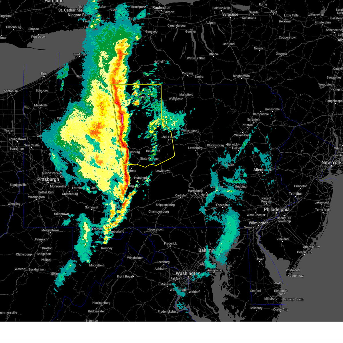
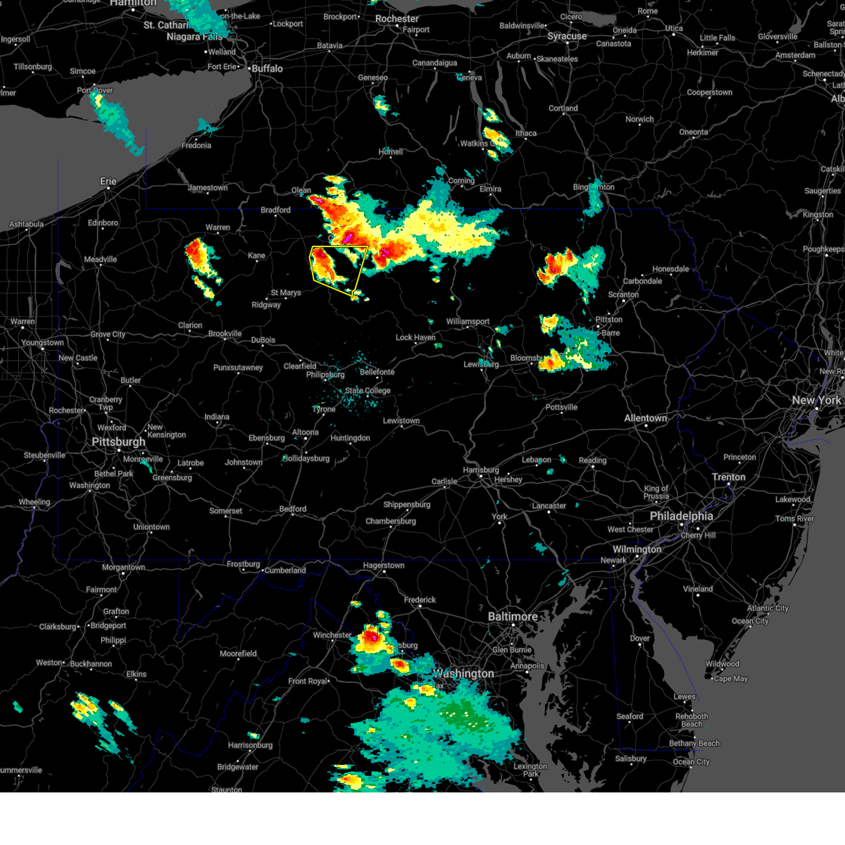
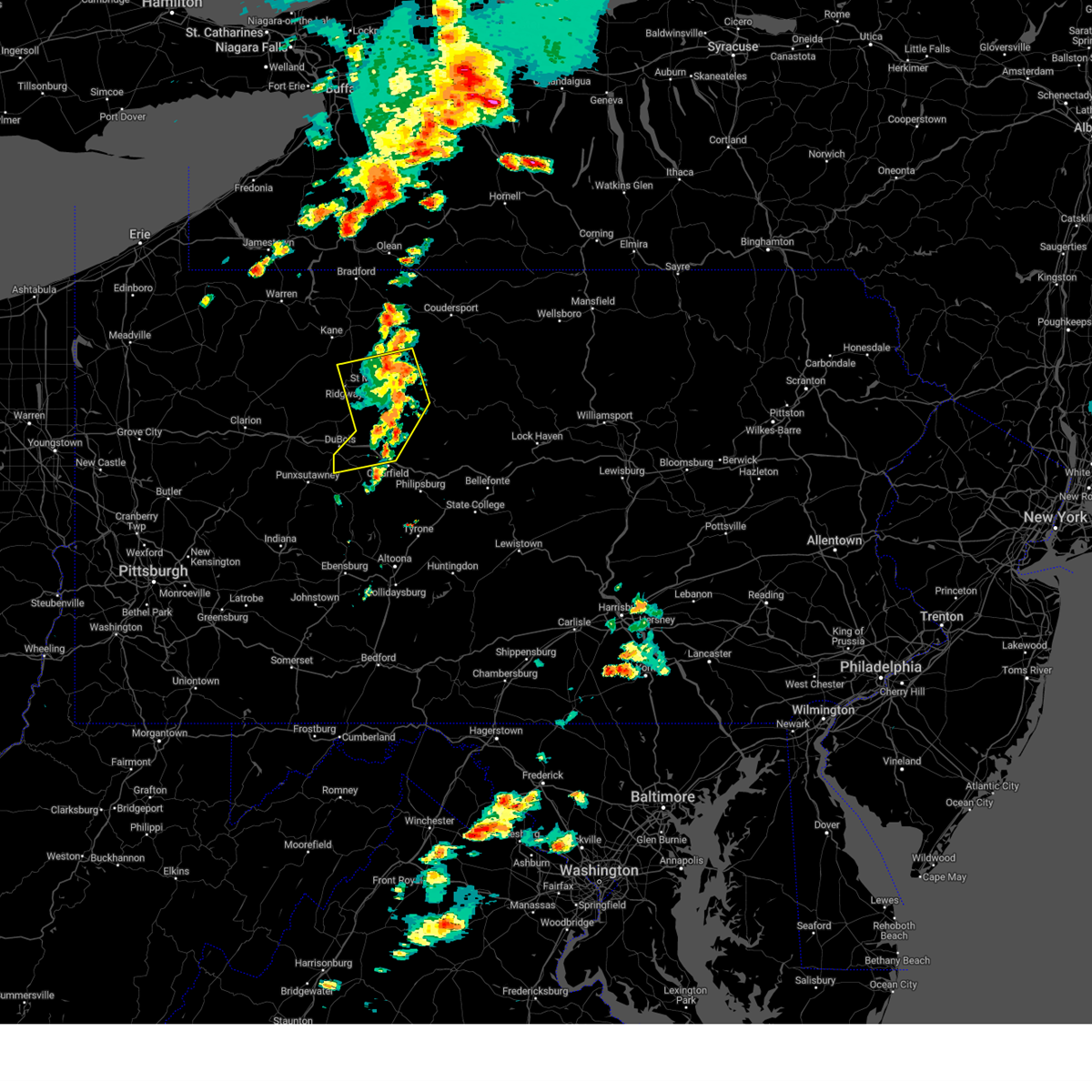
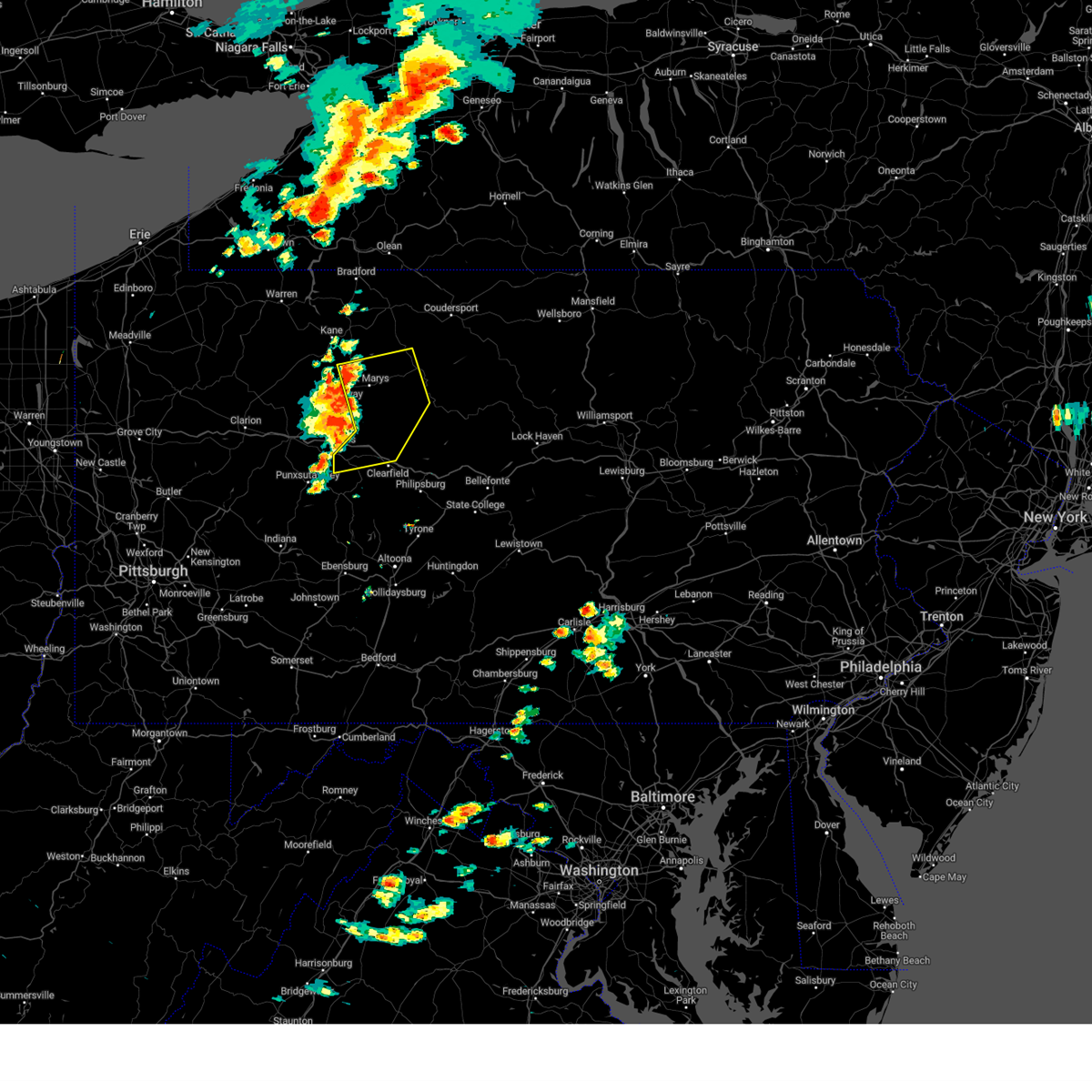
Hail Map for Emporium, PA
The Emporium, PA area has had 1 report of on-the-ground hail by trained spotters, and has been under severe weather warnings 5 times during the past 12 months. Doppler radar has detected hail at or near Emporium, PA on 15 occasions, including 1 occasion during the past year.
| Name: | Emporium, PA |
| Where Located: | 53.2 miles NNW of State College, PA |
| Map: | Google Map for Emporium, PA |
| Population: | 2073 |
| Housing Units: | 1140 |
| More Info: | Search Google for Emporium, PA |
0
The Top Recent Hail Date for Emporium, PA is Saturday, September 21, 2024 (15th out of 15)

Hail and Wind Damage Spotted near Emporium, PA
| Date / Time | Report Details |
|---|---|
| 3/16/2025 2:27 PM EDT |
 Svrctp the national weather service in state college pa has issued a * severe thunderstorm warning for, cameron county in north central pennsylvania, centre county in central pennsylvania, eastern clearfield county in central pennsylvania, clinton county in north central pennsylvania, eastern elk county in north central pennsylvania, eastern mckean county in north central pennsylvania, potter county in north central pennsylvania, * until 345 pm edt. * at 226 pm edt, severe thunderstorms were located along a line extending from rew to betula to benezette to medix run to jeffries to sinking valley, moving east at 35 mph (trained weather spotters). Hazards include 70 mph wind gusts and quarter size hail. Hail damage to vehicles is expected. expect considerable tree damage. Wind damage is also likely to mobile homes, roofs, and outbuildings. Svrctp the national weather service in state college pa has issued a * severe thunderstorm warning for, cameron county in north central pennsylvania, centre county in central pennsylvania, eastern clearfield county in central pennsylvania, clinton county in north central pennsylvania, eastern elk county in north central pennsylvania, eastern mckean county in north central pennsylvania, potter county in north central pennsylvania, * until 345 pm edt. * at 226 pm edt, severe thunderstorms were located along a line extending from rew to betula to benezette to medix run to jeffries to sinking valley, moving east at 35 mph (trained weather spotters). Hazards include 70 mph wind gusts and quarter size hail. Hail damage to vehicles is expected. expect considerable tree damage. Wind damage is also likely to mobile homes, roofs, and outbuildings.
|
| 9/21/2024 8:00 PM EDT |
 Svrctp the national weather service in state college pa has issued a * severe thunderstorm warning for, northeastern cameron county in north central pennsylvania, southeastern mckean county in north central pennsylvania, southwestern potter county in north central pennsylvania, * until 845 pm edt. * at 800 pm edt, a severe thunderstorm was located over keating summit, moving east at 20 mph (radar indicated). Hazards include 60 mph wind gusts and quarter size hail. Hail damage to vehicles is expected. Expect wind damage to roofs, siding, and trees. Svrctp the national weather service in state college pa has issued a * severe thunderstorm warning for, northeastern cameron county in north central pennsylvania, southeastern mckean county in north central pennsylvania, southwestern potter county in north central pennsylvania, * until 845 pm edt. * at 800 pm edt, a severe thunderstorm was located over keating summit, moving east at 20 mph (radar indicated). Hazards include 60 mph wind gusts and quarter size hail. Hail damage to vehicles is expected. Expect wind damage to roofs, siding, and trees.
|
| 7/15/2024 4:08 PM EDT |
 The storms which prompted the warning have weakened below severe limits, and are exiting the warned area. therefore, the warning will be allowed to expire. however, gusty winds are still possible with these thunderstorms as they move through cameron, potter and northern clinton counties. a severe thunderstorm watch remains in effect until 700 pm edt for north central pennsylvania. The storms which prompted the warning have weakened below severe limits, and are exiting the warned area. therefore, the warning will be allowed to expire. however, gusty winds are still possible with these thunderstorms as they move through cameron, potter and northern clinton counties. a severe thunderstorm watch remains in effect until 700 pm edt for north central pennsylvania.
|
| 7/15/2024 3:36 PM EDT |
 Svrctp the national weather service in state college pa has issued a * severe thunderstorm warning for, western cameron county in north central pennsylvania, northwestern clearfield county in central pennsylvania, eastern elk county in north central pennsylvania, * until 415 pm edt. * at 336 pm edt, severe thunderstorms were located along a line extending from johnsonburg to penfield to sandy, moving east at 45 mph (radar indicated). Hazards include 60 mph wind gusts. expect damage to roofs, siding, and trees Svrctp the national weather service in state college pa has issued a * severe thunderstorm warning for, western cameron county in north central pennsylvania, northwestern clearfield county in central pennsylvania, eastern elk county in north central pennsylvania, * until 415 pm edt. * at 336 pm edt, severe thunderstorms were located along a line extending from johnsonburg to penfield to sandy, moving east at 45 mph (radar indicated). Hazards include 60 mph wind gusts. expect damage to roofs, siding, and trees
|
| 7/10/2024 1:18 PM EDT |
 Svrctp the national weather service in state college pa has issued a * severe thunderstorm warning for, northeastern cameron county in north central pennsylvania, southeastern mckean county in north central pennsylvania, western potter county in north central pennsylvania, * until 215 pm edt. * at 117 pm edt, severe thunderstorms were located along a line extending from shinglehouse to roulette to emporium, moving northeast at 60 mph (radar indicated). Hazards include 60 mph wind gusts. expect damage to roofs, siding, and trees Svrctp the national weather service in state college pa has issued a * severe thunderstorm warning for, northeastern cameron county in north central pennsylvania, southeastern mckean county in north central pennsylvania, western potter county in north central pennsylvania, * until 215 pm edt. * at 117 pm edt, severe thunderstorms were located along a line extending from shinglehouse to roulette to emporium, moving northeast at 60 mph (radar indicated). Hazards include 60 mph wind gusts. expect damage to roofs, siding, and trees
|
| 6/26/2024 5:17 PM EDT |
 Svrctp the national weather service in state college pa has issued a * severe thunderstorm warning for, cameron county in north central pennsylvania, northeastern clearfield county in central pennsylvania, west central clinton county in north central pennsylvania, southeastern elk county in north central pennsylvania, * until 545 pm edt. * at 517 pm edt, severe thunderstorms were located along a line extending from truman to benezette to near parker dam state park, moving east at 45 mph (radar indicated). Hazards include 60 mph wind gusts. expect damage to roofs, siding, and trees Svrctp the national weather service in state college pa has issued a * severe thunderstorm warning for, cameron county in north central pennsylvania, northeastern clearfield county in central pennsylvania, west central clinton county in north central pennsylvania, southeastern elk county in north central pennsylvania, * until 545 pm edt. * at 517 pm edt, severe thunderstorms were located along a line extending from truman to benezette to near parker dam state park, moving east at 45 mph (radar indicated). Hazards include 60 mph wind gusts. expect damage to roofs, siding, and trees
|
| 6/26/2024 4:32 PM EDT |
 Svrctp the national weather service in state college pa has issued a * severe thunderstorm warning for, cameron county in north central pennsylvania, north central clearfield county in central pennsylvania, elk county in north central pennsylvania, southeastern mckean county in north central pennsylvania, southwestern potter county in north central pennsylvania, * until 515 pm edt. * at 432 pm edt, severe thunderstorms were located along a line extending from betula to near elk river to ridgway, moving east at 30 mph (radar indicated). Hazards include 60 mph wind gusts and penny size hail. expect damage to roofs, siding, and trees Svrctp the national weather service in state college pa has issued a * severe thunderstorm warning for, cameron county in north central pennsylvania, north central clearfield county in central pennsylvania, elk county in north central pennsylvania, southeastern mckean county in north central pennsylvania, southwestern potter county in north central pennsylvania, * until 515 pm edt. * at 432 pm edt, severe thunderstorms were located along a line extending from betula to near elk river to ridgway, moving east at 30 mph (radar indicated). Hazards include 60 mph wind gusts and penny size hail. expect damage to roofs, siding, and trees
|
| 5/22/2024 4:15 PM EDT |
 Svrctp the national weather service in state college pa has issued a * severe thunderstorm warning for, cameron county in north central pennsylvania, northwestern clinton county in north central pennsylvania, southeastern mckean county in north central pennsylvania, potter county in north central pennsylvania, * until 530 pm edt. * at 414 pm edt, severe thunderstorms were located along a line extending from kinzua bridge state park to cameron to parker dam state park, moving northeast at 40 mph (radar indicated). Hazards include 60 mph wind gusts. expect damage to roofs, siding, and trees Svrctp the national weather service in state college pa has issued a * severe thunderstorm warning for, cameron county in north central pennsylvania, northwestern clinton county in north central pennsylvania, southeastern mckean county in north central pennsylvania, potter county in north central pennsylvania, * until 530 pm edt. * at 414 pm edt, severe thunderstorms were located along a line extending from kinzua bridge state park to cameron to parker dam state park, moving northeast at 40 mph (radar indicated). Hazards include 60 mph wind gusts. expect damage to roofs, siding, and trees
|
| 4/14/2024 5:29 PM EDT |
 At 529 pm edt, a severe thunderstorm was located over elk river, moving east at 60 mph (radar indicated). Hazards include 60 mph wind gusts and quarter size hail. Hail damage to vehicles is expected. expect wind damage to roofs, siding, and trees. Locations impacted include, cameron, wharton, emporium, betula, cross fork, stevenson dam, elk river, tamarack, kettle creek state park, truman, sizerville, and austin. At 529 pm edt, a severe thunderstorm was located over elk river, moving east at 60 mph (radar indicated). Hazards include 60 mph wind gusts and quarter size hail. Hail damage to vehicles is expected. expect wind damage to roofs, siding, and trees. Locations impacted include, cameron, wharton, emporium, betula, cross fork, stevenson dam, elk river, tamarack, kettle creek state park, truman, sizerville, and austin.
|
| 4/14/2024 5:11 PM EDT |
 Svrctp the national weather service in state college pa has issued a * severe thunderstorm warning for, cameron county in north central pennsylvania, northwestern clinton county in north central pennsylvania, northeastern elk county in north central pennsylvania, southeastern mckean county in north central pennsylvania, southwestern potter county in north central pennsylvania, * until 600 pm edt. * at 510 pm edt, a severe thunderstorm was located near wilcox, moving east at 60 mph (radar indicated). Hazards include 60 mph wind gusts and quarter size hail. Hail damage to vehicles is expected. Expect wind damage to roofs, siding, and trees. Svrctp the national weather service in state college pa has issued a * severe thunderstorm warning for, cameron county in north central pennsylvania, northwestern clinton county in north central pennsylvania, northeastern elk county in north central pennsylvania, southeastern mckean county in north central pennsylvania, southwestern potter county in north central pennsylvania, * until 600 pm edt. * at 510 pm edt, a severe thunderstorm was located near wilcox, moving east at 60 mph (radar indicated). Hazards include 60 mph wind gusts and quarter size hail. Hail damage to vehicles is expected. Expect wind damage to roofs, siding, and trees.
|
| 8/25/2023 1:23 AM EDT |
 At 122 am edt, severe thunderstorms were located along a line extending from weston mills to brockport, moving east at 50 mph. the storms appear to be weakening, though (radar indicated). Hazards include 60 mph wind gusts and nickel size hail. Expect damage to roofs, siding, and trees. locations impacted include, st. marys, ridgway, johnsonburg, port allegany, emporium, smethport, shinglehouse, betula, force, benezette, coryville and crosby. hail threat, radar indicated max hail size, 0. 88 in wind threat, radar indicated max wind gust, 60 mph. At 122 am edt, severe thunderstorms were located along a line extending from weston mills to brockport, moving east at 50 mph. the storms appear to be weakening, though (radar indicated). Hazards include 60 mph wind gusts and nickel size hail. Expect damage to roofs, siding, and trees. locations impacted include, st. marys, ridgway, johnsonburg, port allegany, emporium, smethport, shinglehouse, betula, force, benezette, coryville and crosby. hail threat, radar indicated max hail size, 0. 88 in wind threat, radar indicated max wind gust, 60 mph.
|
| 8/25/2023 1:05 AM EDT |
 At 104 am edt, severe thunderstorms were located along a line extending from near bradford to portland mills, moving east at 55 mph (radar indicated). Hazards include 60 mph wind gusts and nickel size hail. Expect damage to roofs, siding, and trees. locations impacted include, st. marys, bradford, ridgway, kane, johnsonburg, port allegany, emporium, smethport, wetmore, shinglehouse, betula and wilcox. hail threat, radar indicated max hail size, 0. 88 in wind threat, radar indicated max wind gust, 60 mph. At 104 am edt, severe thunderstorms were located along a line extending from near bradford to portland mills, moving east at 55 mph (radar indicated). Hazards include 60 mph wind gusts and nickel size hail. Expect damage to roofs, siding, and trees. locations impacted include, st. marys, bradford, ridgway, kane, johnsonburg, port allegany, emporium, smethport, wetmore, shinglehouse, betula and wilcox. hail threat, radar indicated max hail size, 0. 88 in wind threat, radar indicated max wind gust, 60 mph.
|
| 8/25/2023 12:46 AM EDT |
 At 1246 am edt, severe thunderstorms were located along a line extending from near allegany state park to near brookville, moving east at 55 mph (radar indicated). Hazards include 60 mph wind gusts and nickel size hail. expect damage to roofs, siding, and trees At 1246 am edt, severe thunderstorms were located along a line extending from near allegany state park to near brookville, moving east at 55 mph (radar indicated). Hazards include 60 mph wind gusts and nickel size hail. expect damage to roofs, siding, and trees
|
| 7/20/2023 8:57 PM EDT | Trees across north creek r in cameron county PA, 3.6 miles SE of Emporium, PA |
| 7/20/2023 8:39 PM EDT |
 At 839 pm edt, severe thunderstorms were located along a line extending from elk river to st. marys to brockport, moving southeast at 45 mph (radar indicated). Hazards include 70 mph wind gusts. Expect considerable tree damage. Damage is likely to mobile homes, roofs, and outbuildings. At 839 pm edt, severe thunderstorms were located along a line extending from elk river to st. marys to brockport, moving southeast at 45 mph (radar indicated). Hazards include 70 mph wind gusts. Expect considerable tree damage. Damage is likely to mobile homes, roofs, and outbuildings.
|
| 4/1/2023 2:18 PM EDT |
 At 217 pm edt, severe thunderstorms were located along a line extending from kinzua dam to near indiana, moving east at 55 mph (automatic observing system. wind gust to 68 mph at allegheny county airport). Hazards include 70 mph wind gusts. Expect considerable tree damage. Damage is likely to mobile homes, roofs, and outbuildings. At 217 pm edt, severe thunderstorms were located along a line extending from kinzua dam to near indiana, moving east at 55 mph (automatic observing system. wind gust to 68 mph at allegheny county airport). Hazards include 70 mph wind gusts. Expect considerable tree damage. Damage is likely to mobile homes, roofs, and outbuildings.
|
| 7/24/2022 3:36 PM EDT |
 At 336 pm edt, severe thunderstorms were located along a line extending from galeton to near cherry springs state park to tamarack, moving east at 35 mph (radar indicated). Hazards include 60 mph wind gusts and penny size hail. Expect damage to roofs, siding, and trees. locations impacted include, wellsboro, cameron, wharton, emporium, galeton, gaines, cross fork, keeneyville, leetonia, stevenson dam, cherry springs state park and hicks run. this includes the following highways, route 6 from east of coudersport to wellsboro. state road 120 from near truman to north of driftwood. hail threat, radar indicated max hail size, 0. 75 in wind threat, radar indicated max wind gust, 60 mph. At 336 pm edt, severe thunderstorms were located along a line extending from galeton to near cherry springs state park to tamarack, moving east at 35 mph (radar indicated). Hazards include 60 mph wind gusts and penny size hail. Expect damage to roofs, siding, and trees. locations impacted include, wellsboro, cameron, wharton, emporium, galeton, gaines, cross fork, keeneyville, leetonia, stevenson dam, cherry springs state park and hicks run. this includes the following highways, route 6 from east of coudersport to wellsboro. state road 120 from near truman to north of driftwood. hail threat, radar indicated max hail size, 0. 75 in wind threat, radar indicated max wind gust, 60 mph.
|
| 7/24/2022 2:59 PM EDT |
 At 258 pm edt, severe thunderstorms were located along a line extending from keating summit to sizerville to truman, moving east at 35 mph (radar indicated). Hazards include 60 mph wind gusts and penny size hail. expect damage to roofs, siding, and trees At 258 pm edt, severe thunderstorms were located along a line extending from keating summit to sizerville to truman, moving east at 35 mph (radar indicated). Hazards include 60 mph wind gusts and penny size hail. expect damage to roofs, siding, and trees
|
| 6/22/2022 6:05 PM EDT | Trees blocking route 46 at old creek roa in cameron county PA, 5 miles SE of Emporium, PA |
| 6/22/2022 6:00 PM EDT |
 At 559 pm edt, severe thunderstorms were located along a line extending from sizerville to medix run, moving southeast at 30 mph (radar indicated). Hazards include 60 mph wind gusts and quarter size hail. Hail damage to vehicles is expected. expect wind damage to roofs, siding, and trees. locations impacted include, st. marys, cameron, wharton, emporium, force, benezette, stevenson dam, elk river, hicks run, medix run, truman and sizerville. hail threat, radar indicated max hail size, 1. 00 in wind threat, radar indicated max wind gust, 60 mph. At 559 pm edt, severe thunderstorms were located along a line extending from sizerville to medix run, moving southeast at 30 mph (radar indicated). Hazards include 60 mph wind gusts and quarter size hail. Hail damage to vehicles is expected. expect wind damage to roofs, siding, and trees. locations impacted include, st. marys, cameron, wharton, emporium, force, benezette, stevenson dam, elk river, hicks run, medix run, truman and sizerville. hail threat, radar indicated max hail size, 1. 00 in wind threat, radar indicated max wind gust, 60 mph.
|
| 6/22/2022 5:45 PM EDT |
 At 545 pm edt, severe thunderstorms were located along a line extending from keating summit to st. marys, moving southeast at 25 mph (radar indicated). Hazards include 60 mph wind gusts and quarter size hail. Hail damage to vehicles is expected. Expect wind damage to roofs, siding, and trees. At 545 pm edt, severe thunderstorms were located along a line extending from keating summit to st. marys, moving southeast at 25 mph (radar indicated). Hazards include 60 mph wind gusts and quarter size hail. Hail damage to vehicles is expected. Expect wind damage to roofs, siding, and trees.
|
| 6/16/2022 5:24 PM EDT |
 At 523 pm edt, a severe thunderstorm was located over benezette, moving east at 40 mph (emergency management). Hazards include 70 mph wind gusts and half dollar size hail. Hail damage to vehicles is expected. expect considerable tree damage. wind damage is also likely to mobile homes, roofs, and outbuildings. this severe storm will be near, hicks run around 530 pm edt. Other locations impacted by this severe thunderstorm include weedville and kersey. At 523 pm edt, a severe thunderstorm was located over benezette, moving east at 40 mph (emergency management). Hazards include 70 mph wind gusts and half dollar size hail. Hail damage to vehicles is expected. expect considerable tree damage. wind damage is also likely to mobile homes, roofs, and outbuildings. this severe storm will be near, hicks run around 530 pm edt. Other locations impacted by this severe thunderstorm include weedville and kersey.
|
| 6/16/2022 5:01 PM EDT |
 At 459 pm edt, a severe thunderstorm was located over ridgway, moving southeast at 40 mph (radar indicated). Hazards include 70 mph wind gusts and quarter size hail. Hail damage to vehicles is expected. expect considerable tree damage. wind damage is also likely to mobile homes, roofs, and outbuildings. this severe storm will be near, brandy camp around 500 pm edt. st. marys and force around 520 pm edt. benezette, medix run and hicks run around 530 pm edt. other locations impacted by this severe thunderstorm include weedville and kersey. this includes the following highways, route 219 from brockport to wilcox. state road 120 from ridgway to emporium. State road 255 from north of penfield to johnsonburg. At 459 pm edt, a severe thunderstorm was located over ridgway, moving southeast at 40 mph (radar indicated). Hazards include 70 mph wind gusts and quarter size hail. Hail damage to vehicles is expected. expect considerable tree damage. wind damage is also likely to mobile homes, roofs, and outbuildings. this severe storm will be near, brandy camp around 500 pm edt. st. marys and force around 520 pm edt. benezette, medix run and hicks run around 530 pm edt. other locations impacted by this severe thunderstorm include weedville and kersey. this includes the following highways, route 219 from brockport to wilcox. state road 120 from ridgway to emporium. State road 255 from north of penfield to johnsonburg.
|
| 6/16/2022 4:25 PM EDT |
 At 424 pm edt, a severe thunderstorm was located over james city, moving east at 50 mph (radar indicated). Hazards include 70 mph wind gusts and half dollar size hail. Hail damage to vehicles is expected. expect considerable tree damage. wind damage is also likely to mobile homes, roofs, and outbuildings. this severe thunderstorm will be near, james city around 430 pm edt. johnsonburg and wilcox around 440 pm edt. east branch dam around 450 pm edt. truman and elk river around 500 pm edt. emporium around 510 pm edt. other locations impacted by this severe thunderstorm include weedville and kersey. this includes the following highways, route 219 from brockport to north of wilcox. state road 66 from russell city to james city. state road 120 from ridgway to emporium. state road 255 from north of penfield to johnsonburg. thunderstorm damage threat, considerable hail threat, radar indicated max hail size, 1. 25 in wind threat, radar indicated max wind gust, 70 mph. At 424 pm edt, a severe thunderstorm was located over james city, moving east at 50 mph (radar indicated). Hazards include 70 mph wind gusts and half dollar size hail. Hail damage to vehicles is expected. expect considerable tree damage. wind damage is also likely to mobile homes, roofs, and outbuildings. this severe thunderstorm will be near, james city around 430 pm edt. johnsonburg and wilcox around 440 pm edt. east branch dam around 450 pm edt. truman and elk river around 500 pm edt. emporium around 510 pm edt. other locations impacted by this severe thunderstorm include weedville and kersey. this includes the following highways, route 219 from brockport to north of wilcox. state road 66 from russell city to james city. state road 120 from ridgway to emporium. state road 255 from north of penfield to johnsonburg. thunderstorm damage threat, considerable hail threat, radar indicated max hail size, 1. 25 in wind threat, radar indicated max wind gust, 70 mph.
|
| 3/7/2022 4:49 PM EST |
 At 448 pm est, severe thunderstorms were located along a line extending from near cuba to south connellsville, moving northeast at 75 mph (radar indicated). Hazards include 60 mph wind gusts. expect damage to roofs, siding, and trees At 448 pm est, severe thunderstorms were located along a line extending from near cuba to south connellsville, moving northeast at 75 mph (radar indicated). Hazards include 60 mph wind gusts. expect damage to roofs, siding, and trees
|
| 10/16/2021 8:47 AM EDT |
 At 846 am edt, severe thunderstorms were located along a line extending from 6 miles west of betula to near east branch dam to 7 miles southwest of elk river to near st. marys, moving northeast at 50 mph (radar indicated). Hazards include 60 mph wind gusts. Expect damage to roofs, siding, and trees. severe thunderstorms will be near, betula and truman around 850 am edt. emporium, crosby, elk river and port allegany around 900 am edt. roulette, keating summit and sizerville around 910 am edt. coudersport around 920 am edt. Other locations impacted by these severe thunderstorms include austin, oswayo, sweden valley, ski denton ski area and ulysses. At 846 am edt, severe thunderstorms were located along a line extending from 6 miles west of betula to near east branch dam to 7 miles southwest of elk river to near st. marys, moving northeast at 50 mph (radar indicated). Hazards include 60 mph wind gusts. Expect damage to roofs, siding, and trees. severe thunderstorms will be near, betula and truman around 850 am edt. emporium, crosby, elk river and port allegany around 900 am edt. roulette, keating summit and sizerville around 910 am edt. coudersport around 920 am edt. Other locations impacted by these severe thunderstorms include austin, oswayo, sweden valley, ski denton ski area and ulysses.
|
| 7/13/2021 6:47 PM EDT | 4 trees down on route 46 near old north creek r in cameron county PA, 6.2 miles SE of Emporium, PA |
| 7/13/2021 6:28 PM EDT |
 At 628 pm edt, a severe thunderstorm was located over medix run, moving northeast at 25 mph (radar indicated). Hazards include 60 mph wind gusts and quarter size hail. Hail damage to vehicles is expected. expect wind damage to roofs, siding, and trees. Locations impacted include, cameron, emporium, benezette, medix run, truman, elk river, hicks run, sizerville, weedville and driftwood. At 628 pm edt, a severe thunderstorm was located over medix run, moving northeast at 25 mph (radar indicated). Hazards include 60 mph wind gusts and quarter size hail. Hail damage to vehicles is expected. expect wind damage to roofs, siding, and trees. Locations impacted include, cameron, emporium, benezette, medix run, truman, elk river, hicks run, sizerville, weedville and driftwood.
|
| 7/13/2021 5:53 PM EDT |
 At 553 pm edt, a severe thunderstorm was located over plymptonville, moving northeast at 40 mph (radar indicated). Hazards include 60 mph wind gusts and quarter size hail. Hail damage to vehicles is expected. Expect wind damage to roofs, siding, and trees. At 553 pm edt, a severe thunderstorm was located over plymptonville, moving northeast at 40 mph (radar indicated). Hazards include 60 mph wind gusts and quarter size hail. Hail damage to vehicles is expected. Expect wind damage to roofs, siding, and trees.
|
| 7/11/2021 5:10 PM EDT |
 At 510 pm edt, a severe thunderstorm capable of producing a tornado was located over benezette, moving northeast at 20 mph (radar indicated rotation). Hazards include tornado. Flying debris will be dangerous to those caught without shelter. mobile homes will be damaged or destroyed. damage to roofs, windows, and vehicles will occur. tree damage is likely. this dangerous storm will be near, hicks run around 520 pm edt. Cameron and emporium around 540 pm edt. At 510 pm edt, a severe thunderstorm capable of producing a tornado was located over benezette, moving northeast at 20 mph (radar indicated rotation). Hazards include tornado. Flying debris will be dangerous to those caught without shelter. mobile homes will be damaged or destroyed. damage to roofs, windows, and vehicles will occur. tree damage is likely. this dangerous storm will be near, hicks run around 520 pm edt. Cameron and emporium around 540 pm edt.
|
| 7/11/2021 4:48 PM EDT |
 At 447 pm edt, a severe thunderstorm was located near force, moving northeast at 25 mph (radar indicated). Hazards include 60 mph wind gusts and quarter size hail. Hail damage to vehicles is expected. expect wind damage to roofs, siding, and trees. this severe thunderstorm will be near, st. marys and benezette around 500 pm edt. truman and hicks run around 510 pm edt. emporium, cameron and sizerville around 530 pm edt. Other locations impacted by this severe thunderstorm include weedville. At 447 pm edt, a severe thunderstorm was located near force, moving northeast at 25 mph (radar indicated). Hazards include 60 mph wind gusts and quarter size hail. Hail damage to vehicles is expected. expect wind damage to roofs, siding, and trees. this severe thunderstorm will be near, st. marys and benezette around 500 pm edt. truman and hicks run around 510 pm edt. emporium, cameron and sizerville around 530 pm edt. Other locations impacted by this severe thunderstorm include weedville.
|
| 8/27/2020 6:00 PM EDT | Trees dow in cameron county PA, 0.3 miles E of Emporium, PA |
| 8/27/2020 5:50 PM EDT |
 At 550 pm edt, severe thunderstorms were located along a line extending from near sizerville to near portland mills, moving southeast at 60 mph (radar indicated). Hazards include 60 mph wind gusts. expect damage to trees, roofs, and siding At 550 pm edt, severe thunderstorms were located along a line extending from near sizerville to near portland mills, moving southeast at 60 mph (radar indicated). Hazards include 60 mph wind gusts. expect damage to trees, roofs, and siding
|
| 7/19/2020 4:50 PM EDT | Tree down on road at 214 w 4th s in cameron county PA, 0.3 miles E of Emporium, PA |
| 7/19/2020 4:49 PM EDT |
 At 449 pm edt, severe thunderstorms were located along a line extending from near denton hill state park to near benezette, moving east at 30 mph (radar indicated). Hazards include 60 mph wind gusts and quarter size hail. Hail damage to vehicles is expected. Expect wind damage to trees, roofs, and siding. At 449 pm edt, severe thunderstorms were located along a line extending from near denton hill state park to near benezette, moving east at 30 mph (radar indicated). Hazards include 60 mph wind gusts and quarter size hail. Hail damage to vehicles is expected. Expect wind damage to trees, roofs, and siding.
|
| 7/19/2020 4:48 PM EDT | Trees down on wires reported at rt 155 and 4 mile road pennsylvani in cameron county PA, 3 miles SSW of Emporium, PA |
| 7/19/2020 4:45 PM EDT | Corrects previous tstm wnd dmg report from 1 wnw emporium. tree and wires down on home and two vehicles on 500 block w allegany av in cameron county PA, 1 miles SE of Emporium, PA |
| 3/20/2020 2:15 PM EDT |
 At 214 pm edt, a severe thunderstorm was located near james city, moving east at 55 mph (radar indicated). Hazards include 60 mph wind gusts. Expect damage to trees, roofs, and siding. this severe thunderstorm will be near, johnsonburg and wilcox around 220 pm edt. east branch dam around 230 pm edt. elk river, betula and emporium around 240 pm edt. Sizerville around 250 pm edt. At 214 pm edt, a severe thunderstorm was located near james city, moving east at 55 mph (radar indicated). Hazards include 60 mph wind gusts. Expect damage to trees, roofs, and siding. this severe thunderstorm will be near, johnsonburg and wilcox around 220 pm edt. east branch dam around 230 pm edt. elk river, betula and emporium around 240 pm edt. Sizerville around 250 pm edt.
|
| 8/18/2019 1:56 PM EDT |
 The severe thunderstorm warning for northern elk and northwestern cameron counties will expire at 200 pm edt, the storm which prompted the warning has weakened below severe limits, and has exited the warned area. therefore, the warning will be allowed to expire. however heavy rain is still possible with this thunderstorm. to report severe weather, contact your nearest law enforcement agency. they will relay your report to the national weather service state college pa. remember, a severe thunderstorm warning still remains in effect for eastern elk county and cameron county until 2:30pm. The severe thunderstorm warning for northern elk and northwestern cameron counties will expire at 200 pm edt, the storm which prompted the warning has weakened below severe limits, and has exited the warned area. therefore, the warning will be allowed to expire. however heavy rain is still possible with this thunderstorm. to report severe weather, contact your nearest law enforcement agency. they will relay your report to the national weather service state college pa. remember, a severe thunderstorm warning still remains in effect for eastern elk county and cameron county until 2:30pm.
|
| 8/18/2019 1:42 PM EDT |
 At 142 pm edt, a severe thunderstorm was located near st. marys, moving east at 25 mph (radar indicated). Hazards include 60 mph wind gusts and quarter size hail. Hail damage to vehicles is expected. expect wind damage to trees, roofs, and siding. locations impacted include, st. Marys, ridgway, johnsonburg, emporium, east branch dam, elk river and sizerville. At 142 pm edt, a severe thunderstorm was located near st. marys, moving east at 25 mph (radar indicated). Hazards include 60 mph wind gusts and quarter size hail. Hail damage to vehicles is expected. expect wind damage to trees, roofs, and siding. locations impacted include, st. Marys, ridgway, johnsonburg, emporium, east branch dam, elk river and sizerville.
|
| 8/18/2019 1:36 PM EDT |
 At 135 pm edt, severe thunderstorms were located along a line extending from near gaines to near stevenson dam, moving east at 45 mph (radar indicated). Hazards include 60 mph wind gusts and nickel size hail. expect damage to trees, roofs, and siding At 135 pm edt, severe thunderstorms were located along a line extending from near gaines to near stevenson dam, moving east at 45 mph (radar indicated). Hazards include 60 mph wind gusts and nickel size hail. expect damage to trees, roofs, and siding
|
| 8/18/2019 1:20 PM EDT | Quarter sized hail reported 0.3 miles E of Emporium, PA |
| 8/18/2019 1:20 PM EDT |
 At 120 pm edt, a severe thunderstorm was located near east branch dam, moving east at 25 mph (radar indicated). Hazards include 60 mph wind gusts and quarter size hail. Hail damage to vehicles is expected. expect wind damage to trees, roofs, and siding. locations impacted include, st. Marys, ridgway, johnsonburg, port allegany, emporium, smethport, betula, wilcox, crosby, east branch dam, elk river and sizerville. At 120 pm edt, a severe thunderstorm was located near east branch dam, moving east at 25 mph (radar indicated). Hazards include 60 mph wind gusts and quarter size hail. Hail damage to vehicles is expected. expect wind damage to trees, roofs, and siding. locations impacted include, st. Marys, ridgway, johnsonburg, port allegany, emporium, smethport, betula, wilcox, crosby, east branch dam, elk river and sizerville.
|
| 8/18/2019 12:44 PM EDT |
 At 1244 pm edt, a severe thunderstorm was located over james city, moving east at 25 mph (radar indicated). Hazards include 60 mph wind gusts and quarter size hail. Hail damage to vehicles is expected. Expect wind damage to trees, roofs, and siding. At 1244 pm edt, a severe thunderstorm was located over james city, moving east at 25 mph (radar indicated). Hazards include 60 mph wind gusts and quarter size hail. Hail damage to vehicles is expected. Expect wind damage to trees, roofs, and siding.
|
| 7/6/2019 3:14 PM EDT |
 At 313 pm edt, a severe thunderstorm was located over ridgway, moving east at 40 mph (radar indicated). Hazards include 60 mph wind gusts and quarter size hail. Hail damage to vehicles is expected. Expect wind damage to trees, roofs, and siding. At 313 pm edt, a severe thunderstorm was located over ridgway, moving east at 40 mph (radar indicated). Hazards include 60 mph wind gusts and quarter size hail. Hail damage to vehicles is expected. Expect wind damage to trees, roofs, and siding.
|
| 5/29/2019 1:41 PM EDT |
 At 140 pm edt, a severe thunderstorm was located over elk river, moving east at 40 mph (radar indicated). Hazards include 60 mph wind gusts and penny size hail. expect damage to trees, roofs, and siding At 140 pm edt, a severe thunderstorm was located over elk river, moving east at 40 mph (radar indicated). Hazards include 60 mph wind gusts and penny size hail. expect damage to trees, roofs, and siding
|
| 4/14/2019 10:00 PM EDT |
 At 959 pm edt, severe thunderstorms were located along a line extending from cuba to near st. marys, moving northeast at 45 mph (radar indicated). Hazards include 60 mph wind gusts and penny size hail. Expect damage to roofs, siding, and trees. locations impacted include, st. marys, cameron, coudersport, port allegany, emporium, roulette, shinglehouse, genesee, betula, force, benezette, crosby, brandy camp, elk river, brockport, keating summit, medix run, truman, sizerville and kersey. A tornado watch remains in effect until 300 am edt for central and north central pennsylvania. At 959 pm edt, severe thunderstorms were located along a line extending from cuba to near st. marys, moving northeast at 45 mph (radar indicated). Hazards include 60 mph wind gusts and penny size hail. Expect damage to roofs, siding, and trees. locations impacted include, st. marys, cameron, coudersport, port allegany, emporium, roulette, shinglehouse, genesee, betula, force, benezette, crosby, brandy camp, elk river, brockport, keating summit, medix run, truman, sizerville and kersey. A tornado watch remains in effect until 300 am edt for central and north central pennsylvania.
|
| 4/14/2019 9:34 PM EDT |
 At 933 pm edt, severe thunderstorms were located along a line extending from near allegany to brockway, moving northeast at 45 mph (radar indicated). Hazards include 60 mph wind gusts and penny size hail. expect damage to roofs, siding, and trees At 933 pm edt, severe thunderstorms were located along a line extending from near allegany to brockway, moving northeast at 45 mph (radar indicated). Hazards include 60 mph wind gusts and penny size hail. expect damage to roofs, siding, and trees
|
| 10/2/2018 5:27 PM EDT |
 At 526 pm edt, severe thunderstorms were located along a line extending from 6 miles northeast of east branch dam to 6 miles north of portland mills to reynoldsville, moving east at 45 mph (radar indicated). Hazards include ping pong ball size hail and 60 mph wind gusts. People and animals outdoors will be injured. expect hail damage to roofs, siding, windows, and vehicles. Expect wind damage to roofs, siding, and trees. At 526 pm edt, severe thunderstorms were located along a line extending from 6 miles northeast of east branch dam to 6 miles north of portland mills to reynoldsville, moving east at 45 mph (radar indicated). Hazards include ping pong ball size hail and 60 mph wind gusts. People and animals outdoors will be injured. expect hail damage to roofs, siding, windows, and vehicles. Expect wind damage to roofs, siding, and trees.
|
| 10/2/2018 4:26 PM EDT |
 At 425 pm edt, severe thunderstorms were located along a line extending from near st. marys to 7 miles west of portland mills to near sandy, moving east at 30 mph (radar indicated). Hazards include 60 mph wind gusts. expect damage to roofs, siding, and trees At 425 pm edt, severe thunderstorms were located along a line extending from near st. marys to 7 miles west of portland mills to near sandy, moving east at 30 mph (radar indicated). Hazards include 60 mph wind gusts. expect damage to roofs, siding, and trees
|
| 9/21/2018 8:30 PM EDT |
 A severe thunderstorm warning remains in effect until 900 pm edt for potter and northern cameron counties. at 829 pm edt, severe thunderstorms were located along a line extending from whitesville to 7 miles south of genesee to near coudersport to near elk river, moving east at 35 mph. hazard. 60 mph wind gusts and brief downpours. A severe thunderstorm warning remains in effect until 900 pm edt for potter and northern cameron counties. at 829 pm edt, severe thunderstorms were located along a line extending from whitesville to 7 miles south of genesee to near coudersport to near elk river, moving east at 35 mph. hazard. 60 mph wind gusts and brief downpours.
|
| 9/21/2018 8:06 PM EDT |
 A severe thunderstorm warning remains in effect until 900 pm edt for northern elk. eastern mckean. potter and northern cameron counties. At 805 pm edt, severe thunderstorms were located along a line extending from 7 miles west of genesee to 6 miles south of shinglehouse to near crosby to wilcox, moving east at 45 mph. A severe thunderstorm warning remains in effect until 900 pm edt for northern elk. eastern mckean. potter and northern cameron counties. At 805 pm edt, severe thunderstorms were located along a line extending from 7 miles west of genesee to 6 miles south of shinglehouse to near crosby to wilcox, moving east at 45 mph.
|
| 9/21/2018 7:37 PM EDT |
 The national weather service in state college pa has issued a * severe thunderstorm warning for. northern elk county in north central pennsylvania. mckean county in north central pennsylvania. potter county in north central pennsylvania. Northern cameron county in north central pennsylvania. The national weather service in state college pa has issued a * severe thunderstorm warning for. northern elk county in north central pennsylvania. mckean county in north central pennsylvania. potter county in north central pennsylvania. Northern cameron county in north central pennsylvania.
|
| 5/15/2018 12:58 PM EDT | Numerous trees and wires down along route 120 in cameron county PA, 5.7 miles NNW of Emporium, PA |
| 5/15/2018 12:43 PM EDT |
 At 1242 pm edt, a severe thunderstorm was located near benezette, moving east at 60 mph. this is a very dangerous storm (radar indicated). Hazards include 80 mph wind gusts and nickel size hail. Flying debris will be dangerous to those caught without shelter. mobile homes will be heavily damaged. expect considerable damage to roofs, windows, and vehicles. Extensive tree damage and power outages are likely. At 1242 pm edt, a severe thunderstorm was located near benezette, moving east at 60 mph. this is a very dangerous storm (radar indicated). Hazards include 80 mph wind gusts and nickel size hail. Flying debris will be dangerous to those caught without shelter. mobile homes will be heavily damaged. expect considerable damage to roofs, windows, and vehicles. Extensive tree damage and power outages are likely.
|
| 5/4/2018 5:48 PM EDT | Numerous trees and wires down in cameron county PA, 0.3 miles E of Emporium, PA |
| 5/4/2018 5:22 PM EDT |
 At 521 pm edt, severe thunderstorms were located along a line extending from near shinglehouse to near brookville, moving east at 50 mph (radar indicated). Hazards include 70 mph wind gusts. Expect considerable tree damage. Damage is likely to mobile homes, roofs, and outbuildings. At 521 pm edt, severe thunderstorms were located along a line extending from near shinglehouse to near brookville, moving east at 50 mph (radar indicated). Hazards include 70 mph wind gusts. Expect considerable tree damage. Damage is likely to mobile homes, roofs, and outbuildings.
|
| 10/15/2017 6:13 PM EDT |
 At 612 pm edt, severe thunderstorms were located along a line extending from near east branch dam to near johnsonburg to near portland mills, moving east at 40 mph (radar indicated). Hazards include 60 mph wind gusts. Expect damage to trees and power lines. severe thunderstorms will be near, elk river and east branch dam around 620 pm edt. st. marys around 630 pm edt. sizerville, truman and force around 640 pm edt. medix run and emporium around 650 pm edt. other locations impacted by these severe thunderstorms include driftwood, weedville and kersey. this includes the following highways, route 219 from brockport to north of wilcox. state road 120 from ridgway to east of driftwood. State road 255 from north of penfield to johnsonburg. At 612 pm edt, severe thunderstorms were located along a line extending from near east branch dam to near johnsonburg to near portland mills, moving east at 40 mph (radar indicated). Hazards include 60 mph wind gusts. Expect damage to trees and power lines. severe thunderstorms will be near, elk river and east branch dam around 620 pm edt. st. marys around 630 pm edt. sizerville, truman and force around 640 pm edt. medix run and emporium around 650 pm edt. other locations impacted by these severe thunderstorms include driftwood, weedville and kersey. this includes the following highways, route 219 from brockport to north of wilcox. state road 120 from ridgway to east of driftwood. State road 255 from north of penfield to johnsonburg.
|
| 8/22/2017 3:14 PM EDT |
 At 313 pm edt, severe thunderstorms were located along a line extending from near keating summit to near roulette to near coudersport to 8 miles east of sizerville to near wharton to near cameron to near benezette, moving east at 55 mph (radar indicated). Hazards include 70 mph wind gusts. Expect considerable tree damage. Damage is likely to mobile homes, roofs, and outbuildings. At 313 pm edt, severe thunderstorms were located along a line extending from near keating summit to near roulette to near coudersport to 8 miles east of sizerville to near wharton to near cameron to near benezette, moving east at 55 mph (radar indicated). Hazards include 70 mph wind gusts. Expect considerable tree damage. Damage is likely to mobile homes, roofs, and outbuildings.
|
| 8/22/2017 3:01 PM EDT |
 At 300 pm edt, severe thunderstorms were located along a line extending from near betula to near truman to medix run, moving east at 40 mph (radar indicated). Hazards include 60 mph wind gusts. Expect damage to trees and power lines. locations impacted include, st. marys, force, brandy camp, benezette, elk river, hicks run, cameron, brockport, medix run and truman. A tornado watch remains in effect until 900 pm edt for north central pennsylvania. At 300 pm edt, severe thunderstorms were located along a line extending from near betula to near truman to medix run, moving east at 40 mph (radar indicated). Hazards include 60 mph wind gusts. Expect damage to trees and power lines. locations impacted include, st. marys, force, brandy camp, benezette, elk river, hicks run, cameron, brockport, medix run and truman. A tornado watch remains in effect until 900 pm edt for north central pennsylvania.
|
| 8/22/2017 2:52 PM EDT |
 At 249 pm edt, severe thunderstorms were located along a line extending from near kinzua bridge state park to near st. marys to near force, moving east at 50 mph. these are very dangerous storms (radar indicated). Hazards include 70 mph wind gusts. Flying debris will be dangerous to those caught without shelter. locations impacted include, ridgway, st. marys, johnsonburg, stevenson dam, force, brandy camp, benezette, east branch dam, elk river and hicks run. A tornado watch remains in effect until 900 pm edt for north central pennsylvania. At 249 pm edt, severe thunderstorms were located along a line extending from near kinzua bridge state park to near st. marys to near force, moving east at 50 mph. these are very dangerous storms (radar indicated). Hazards include 70 mph wind gusts. Flying debris will be dangerous to those caught without shelter. locations impacted include, ridgway, st. marys, johnsonburg, stevenson dam, force, brandy camp, benezette, east branch dam, elk river and hicks run. A tornado watch remains in effect until 900 pm edt for north central pennsylvania.
|
| 8/22/2017 2:39 PM EDT |
 At 235 pm edt, severe thunderstorms were located along a line extending from 6 miles southwest of kinzua bridge state park to johnsonburg to near brockport, moving east at 50 mph. these are very dangerous storms (radar indicated). Hazards include 80 mph wind gusts near johnsonburg and ridgway. these very strong winds will be impacting east branch dam, elk river and emporium between 240 pm and 3 pm. Flying debris will be dangerous to those caught without shelter. mobile homes will be heavily damaged. expect considerable damage to roofs, windows, and vehicles. extensive tree damage and power outages are likely. locations impacted include, ridgway, kane, dubois, st. marys, johnsonburg, force, crosby, ludlow, east branch dam and hicks run. A tornado watch remains in effect until 900 pm edt for north central pennsylvania. At 235 pm edt, severe thunderstorms were located along a line extending from 6 miles southwest of kinzua bridge state park to johnsonburg to near brockport, moving east at 50 mph. these are very dangerous storms (radar indicated). Hazards include 80 mph wind gusts near johnsonburg and ridgway. these very strong winds will be impacting east branch dam, elk river and emporium between 240 pm and 3 pm. Flying debris will be dangerous to those caught without shelter. mobile homes will be heavily damaged. expect considerable damage to roofs, windows, and vehicles. extensive tree damage and power outages are likely. locations impacted include, ridgway, kane, dubois, st. marys, johnsonburg, force, crosby, ludlow, east branch dam and hicks run. A tornado watch remains in effect until 900 pm edt for north central pennsylvania.
|
| 8/22/2017 2:09 PM EDT |
 At 208 pm edt, severe thunderstorms were located along a line extending from near sheffield to near marienville to near brookville, moving east at 30 mph (radar indicated). Hazards include 60 mph wind gusts. expect damage to trees and power lines At 208 pm edt, severe thunderstorms were located along a line extending from near sheffield to near marienville to near brookville, moving east at 30 mph (radar indicated). Hazards include 60 mph wind gusts. expect damage to trees and power lines
|
| 8/4/2017 7:55 PM EDT |
 At 754 pm edt, severe thunderstorms were located along a line extending from 6 miles south of marienville to near brookville to near kittanning, moving northeast at 40 mph (radar indicated). Hazards include 60 mph wind gusts. expect damage to trees and power lines At 754 pm edt, severe thunderstorms were located along a line extending from 6 miles south of marienville to near brookville to near kittanning, moving northeast at 40 mph (radar indicated). Hazards include 60 mph wind gusts. expect damage to trees and power lines
|
| 6/15/2017 6:56 PM EDT |
 At 656 pm edt, severe thunderstorms were located along a line extending from near coudersport to hicks run, moving east at 30 mph (radar indicated). Hazards include 60 mph wind gusts. Expect damage to trees and power lines. Locations impacted include, stevenson dam, medix run, truman, benezette, hicks run, cameron, emporium, sizerville and driftwood. At 656 pm edt, severe thunderstorms were located along a line extending from near coudersport to hicks run, moving east at 30 mph (radar indicated). Hazards include 60 mph wind gusts. Expect damage to trees and power lines. Locations impacted include, stevenson dam, medix run, truman, benezette, hicks run, cameron, emporium, sizerville and driftwood.
|
| 6/15/2017 6:12 PM EDT |
 At 611 pm edt, severe thunderstorms were located along a line extending from 6 miles southwest of betula to near brockport, moving east at 30 mph (radar indicated). Hazards include 60 mph wind gusts. expect damage to trees and power lines At 611 pm edt, severe thunderstorms were located along a line extending from 6 miles southwest of betula to near brockport, moving east at 30 mph (radar indicated). Hazards include 60 mph wind gusts. expect damage to trees and power lines
|
| 5/1/2017 4:22 PM EDT |
 At 421 pm edt, severe thunderstorms were located along a line extending from st. bonaventure to near penfield, moving east at 50 mph (radar indicated). Hazards include 70 mph wind gusts. Expect considerable tree damage. Damage is likely to mobile homes, roofs, and outbuildings. At 421 pm edt, severe thunderstorms were located along a line extending from st. bonaventure to near penfield, moving east at 50 mph (radar indicated). Hazards include 70 mph wind gusts. Expect considerable tree damage. Damage is likely to mobile homes, roofs, and outbuildings.
|
| 4/20/2017 10:48 PM EDT |
 At 1047 pm edt, a severe thunderstorm was located near truman, moving east at 30 mph (radar indicated). Hazards include 60 mph wind gusts and quarter size hail. Hail damage to vehicles is expected. expect wind damage to roofs, siding, and trees. locations impacted include, st. Marys, westport, stevenson dam, benezette, hicks run, cameron, keating, tamarack, wharton, medix run, kettle creek state park, truman, emporium and driftwood. At 1047 pm edt, a severe thunderstorm was located near truman, moving east at 30 mph (radar indicated). Hazards include 60 mph wind gusts and quarter size hail. Hail damage to vehicles is expected. expect wind damage to roofs, siding, and trees. locations impacted include, st. Marys, westport, stevenson dam, benezette, hicks run, cameron, keating, tamarack, wharton, medix run, kettle creek state park, truman, emporium and driftwood.
|
| 4/20/2017 10:13 PM EDT |
 At 1013 pm edt, a severe thunderstorm was located over ridgway, moving east at 45 mph (radar indicated). Hazards include 60 mph wind gusts and quarter size hail. Hail damage to vehicles is expected. Expect wind damage to roofs, siding, and trees. At 1013 pm edt, a severe thunderstorm was located over ridgway, moving east at 45 mph (radar indicated). Hazards include 60 mph wind gusts and quarter size hail. Hail damage to vehicles is expected. Expect wind damage to roofs, siding, and trees.
|
| 8/13/2016 8:11 PM EDT |
 At 810 pm edt, severe thunderstorms with gusty winds were located along a line extending from shinglehouse to near betula to near portland mills, moving east at 50 mph (radar indicated). Hazards include 60 mph wind gusts. Expect damage to roofs. siding. And trees. At 810 pm edt, severe thunderstorms with gusty winds were located along a line extending from shinglehouse to near betula to near portland mills, moving east at 50 mph (radar indicated). Hazards include 60 mph wind gusts. Expect damage to roofs. siding. And trees.
|
| 7/25/2016 3:05 PM EDT |
 At 305 pm edt, severe thunderstorms were located along a line extending from cherry springs state park to st. marys, moving southeast at 30 mph (radar indicated). Hazards include 60 mph wind gusts and quarter size hail. Hail damage to vehicles is expected. expect wind damage to roofs, siding, and trees. locations impacted include, johnsonburg, st. Marys, cross fork, east branch dam, cherry springs state park, ole bull state park, elk river, wharton, cameron, wilcox, emporium, lyman run state park, sizerville, truman, coudersport, austin, kersey and sweden valley. At 305 pm edt, severe thunderstorms were located along a line extending from cherry springs state park to st. marys, moving southeast at 30 mph (radar indicated). Hazards include 60 mph wind gusts and quarter size hail. Hail damage to vehicles is expected. expect wind damage to roofs, siding, and trees. locations impacted include, johnsonburg, st. Marys, cross fork, east branch dam, cherry springs state park, ole bull state park, elk river, wharton, cameron, wilcox, emporium, lyman run state park, sizerville, truman, coudersport, austin, kersey and sweden valley.
|
| 7/25/2016 2:44 PM EDT |
 At 243 pm edt, severe thunderstorms were located along a line extending from near coudersport to near johnsonburg, moving southeast at 25 mph (radar indicated). Hazards include 60 mph wind gusts and quarter size hail. Hail damage to vehicles is expected. Expect wind damage to roofs, siding, and trees. At 243 pm edt, severe thunderstorms were located along a line extending from near coudersport to near johnsonburg, moving southeast at 25 mph (radar indicated). Hazards include 60 mph wind gusts and quarter size hail. Hail damage to vehicles is expected. Expect wind damage to roofs, siding, and trees.
|
| 6/5/2016 6:28 PM EDT |
 At 627 pm edt, severe thunderstorms were located along a line extending from near elk river to near brandy camp to near brockway, moving east at 40 mph (radar indicated). Hazards include 60 mph wind gusts. Expect damage to roofs. siding. And trees. At 627 pm edt, severe thunderstorms were located along a line extending from near elk river to near brandy camp to near brockway, moving east at 40 mph (radar indicated). Hazards include 60 mph wind gusts. Expect damage to roofs. siding. And trees.
|
| 6/5/2016 6:00 PM EDT |
 At 559 pm edt, severe thunderstorms were located along a line extending from near wilcox to near portland mills, moving east at 50 mph (radar indicated). Hazards include 70 mph wind gusts. Expect considerable tree damage. Damage is likely to mobile homes, roofs, and outbuildings. At 559 pm edt, severe thunderstorms were located along a line extending from near wilcox to near portland mills, moving east at 50 mph (radar indicated). Hazards include 70 mph wind gusts. Expect considerable tree damage. Damage is likely to mobile homes, roofs, and outbuildings.
|
| 7/19/2015 8:23 PM EDT |
 At 821 pm edt, doppler radar continued to indicate a line of severe thunderstorms which are producing wind damage across central elk county. these storms were located along a line extending from near sizerville to near force, moving east at 45 mph. locations impacted include, st. marys, benezette, elk river, emporium, force, medix run, sizerville, truman, kersey and weedville. the thunderstorm wind gusts are expected to produce damage. people outside should move to a shelter, preferably inside a strong building. At 821 pm edt, doppler radar continued to indicate a line of severe thunderstorms which are producing wind damage across central elk county. these storms were located along a line extending from near sizerville to near force, moving east at 45 mph. locations impacted include, st. marys, benezette, elk river, emporium, force, medix run, sizerville, truman, kersey and weedville. the thunderstorm wind gusts are expected to produce damage. people outside should move to a shelter, preferably inside a strong building.
|
| 7/19/2015 8:02 PM EDT |
 At 802 pm edt, doppler radar indicated a line of severe thunderstorms capable of producing quarter size hail and destructive winds greater than 70 mph. these storms were located along a line extending from east branch dam to near ridgway, and moving east at 30 mph. At 802 pm edt, doppler radar indicated a line of severe thunderstorms capable of producing quarter size hail and destructive winds greater than 70 mph. these storms were located along a line extending from east branch dam to near ridgway, and moving east at 30 mph.
|
| 7/19/2015 7:35 PM EDT |
 At 734 pm edt, doppler radar indicated a line of severe thunderstorms capable of producing quarter size hail and destructive winds near and greater than 70 mph. these storms were located along a line extending from near james city to near marienville, and moving east at 30 mph. At 734 pm edt, doppler radar indicated a line of severe thunderstorms capable of producing quarter size hail and destructive winds near and greater than 70 mph. these storms were located along a line extending from near james city to near marienville, and moving east at 30 mph.
|
| 7/7/2015 10:07 PM EDT |
 The severe thunderstorm warning for elk, cameron and northern clearfield counties will expire at 1015 pm edt, the line of storms which prompted the warning have weakened below severe limits, and no longer poses an immediate threat to life or property. therefore the warning will be allowed to expire. however gusty winds are still possible with these thunderstorms. The severe thunderstorm warning for elk, cameron and northern clearfield counties will expire at 1015 pm edt, the line of storms which prompted the warning have weakened below severe limits, and no longer poses an immediate threat to life or property. therefore the warning will be allowed to expire. however gusty winds are still possible with these thunderstorms.
|
| 7/7/2015 9:45 PM EDT |
 At 945 pm edt, doppler radar indicated a line of severe thunderstorms capable of producing damaging winds in excess of 60 mph. these storms were located along a line extending from near portland mills to near brandy camp to near dubois to near reynoldsville, moving east at 40 mph. locations impacted include, johnsonburg, ridgway, st. marys, benezette, brandy camp, brockport, cameron, chester hill, east branch dam, elk river, emporium, force, hicks run, james city, karthaus, lecontes mills, medix run, north philipsburg, osceola mills and parker dam state park. At 945 pm edt, doppler radar indicated a line of severe thunderstorms capable of producing damaging winds in excess of 60 mph. these storms were located along a line extending from near portland mills to near brandy camp to near dubois to near reynoldsville, moving east at 40 mph. locations impacted include, johnsonburg, ridgway, st. marys, benezette, brandy camp, brockport, cameron, chester hill, east branch dam, elk river, emporium, force, hicks run, james city, karthaus, lecontes mills, medix run, north philipsburg, osceola mills and parker dam state park.
|
| 7/7/2015 9:19 PM EDT |
 At 919 pm edt, doppler radar indicated a line of severe thunderstorms capable of producing damaging winds around 60 mph. these storms were located along a line extending from near marienville to 11 miles west of brockway to near brookville to near new bethlehem, and moving east at 40 mph. At 919 pm edt, doppler radar indicated a line of severe thunderstorms capable of producing damaging winds around 60 mph. these storms were located along a line extending from near marienville to 11 miles west of brockway to near brookville to near new bethlehem, and moving east at 40 mph.
|
| 6/23/2015 6:13 AM EDT |
 At 611 am edt, doppler radar indicated a line of severe thunderstorms capable of producing destructive winds in excess of 70 mph. these storms were located along a line extending from near weston mills to near smethport to near james city, moving east at 60 mph. these severe storms will be near, port allegany, roulette and shinglehouse around 620 am edt. coudersport around 630 am edt. denton hill state park, elk river, emporium, genesee, lyman run state park, sizerville and truman around 640 am edt. other locations impacted by these severe thunderstorms include austin, eldred, lewis run, mount jewett, oswayo, sweden valley, ulysses, bradford airport, ski denton ski area and university of pittsburgh - bradford. At 611 am edt, doppler radar indicated a line of severe thunderstorms capable of producing destructive winds in excess of 70 mph. these storms were located along a line extending from near weston mills to near smethport to near james city, moving east at 60 mph. these severe storms will be near, port allegany, roulette and shinglehouse around 620 am edt. coudersport around 630 am edt. denton hill state park, elk river, emporium, genesee, lyman run state park, sizerville and truman around 640 am edt. other locations impacted by these severe thunderstorms include austin, eldred, lewis run, mount jewett, oswayo, sweden valley, ulysses, bradford airport, ski denton ski area and university of pittsburgh - bradford.
|
| 6/23/2015 5:50 AM EDT |
 At 549 am edt, doppler radar indicated a line of severe thunderstorms capable of producing damaging winds of 60 to 70 mph. these storms were located along a line extending from near allegany park to near marshburg to near kellettville, and moving east at 60 mph. * severe thunderstorms will be near, marshburg and westline around 550 am edt. bradford, cyclone, kinzua bridge state park and rew around 600 am edt. kane, coryville, crosby, james city and smethport around 610 am edt. johnsonburg, east branch dam, port allegany, roulette, shinglehouse and wilcox around 620 am edt. other locations impacted by these severe thunderstorms include austin, clarendon, eldred, lewis run, mount jewett, oswayo, starbrick, sugar grove, sweden valley and tidioute. At 549 am edt, doppler radar indicated a line of severe thunderstorms capable of producing damaging winds of 60 to 70 mph. these storms were located along a line extending from near allegany park to near marshburg to near kellettville, and moving east at 60 mph. * severe thunderstorms will be near, marshburg and westline around 550 am edt. bradford, cyclone, kinzua bridge state park and rew around 600 am edt. kane, coryville, crosby, james city and smethport around 610 am edt. johnsonburg, east branch dam, port allegany, roulette, shinglehouse and wilcox around 620 am edt. other locations impacted by these severe thunderstorms include austin, clarendon, eldred, lewis run, mount jewett, oswayo, starbrick, sugar grove, sweden valley and tidioute.
|
| 6/12/2015 6:09 PM EDT |
 At 609 pm edt, doppler radar indicated a line of severe thunderstorms capable of producing quarter size hail and destructive winds in excess of 70 mph. these storms were located along a line extending from near smethport to near betula to near portland mills, moving east at 45 mph. locations impacted include, johnsonburg, ridgway, st. marys, benezette, betula, brandy camp, brockport, cameron, coudersport, crosby, cyclone, east branch dam, elk river, emporium, force, hicks run, keating summit, kinzua bridge state park, medix run and port allegany. At 609 pm edt, doppler radar indicated a line of severe thunderstorms capable of producing quarter size hail and destructive winds in excess of 70 mph. these storms were located along a line extending from near smethport to near betula to near portland mills, moving east at 45 mph. locations impacted include, johnsonburg, ridgway, st. marys, benezette, betula, brandy camp, brockport, cameron, coudersport, crosby, cyclone, east branch dam, elk river, emporium, force, hicks run, keating summit, kinzua bridge state park, medix run and port allegany.
|
| 6/12/2015 5:36 PM EDT |
 At 534 pm edt, doppler radar indicated a line of severe thunderstorms capable of producing quarter size hail and destructive winds greater than 70 mph. these storms were located along a line extending from near ludlow to near wetmore to near cook forest state park, and moving east at 45 mph. At 534 pm edt, doppler radar indicated a line of severe thunderstorms capable of producing quarter size hail and destructive winds greater than 70 mph. these storms were located along a line extending from near ludlow to near wetmore to near cook forest state park, and moving east at 45 mph.
|
| 5/11/2015 10:59 PM EDT | At 1059 pm edt, doppler radar indicated a line of severe thunderstorms capable of producing damaging winds around 60 mph. these storms were located along a line extending from near wellsville to near coudersport to near sizerville, and moving east at 40 mph. |
| 6/11/2014 9:10 PM EDT | Trees and power lines down across clear creek roa in cameron county PA, 3.9 miles E of Emporium, PA |
| 7/26/2012 3:37 PM EDT | Large tree limbs reported down in emporiu in cameron county PA, 0.3 miles E of Emporium, PA |
| 1/1/0001 12:00 AM | Trees down across road on rt 46 near emporiu in cameron county PA, 0.3 miles E of Emporium, PA |
Hail Maps for Emporium, PA


Connect with Interactive Hail Maps