

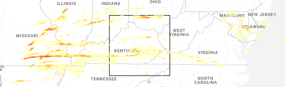
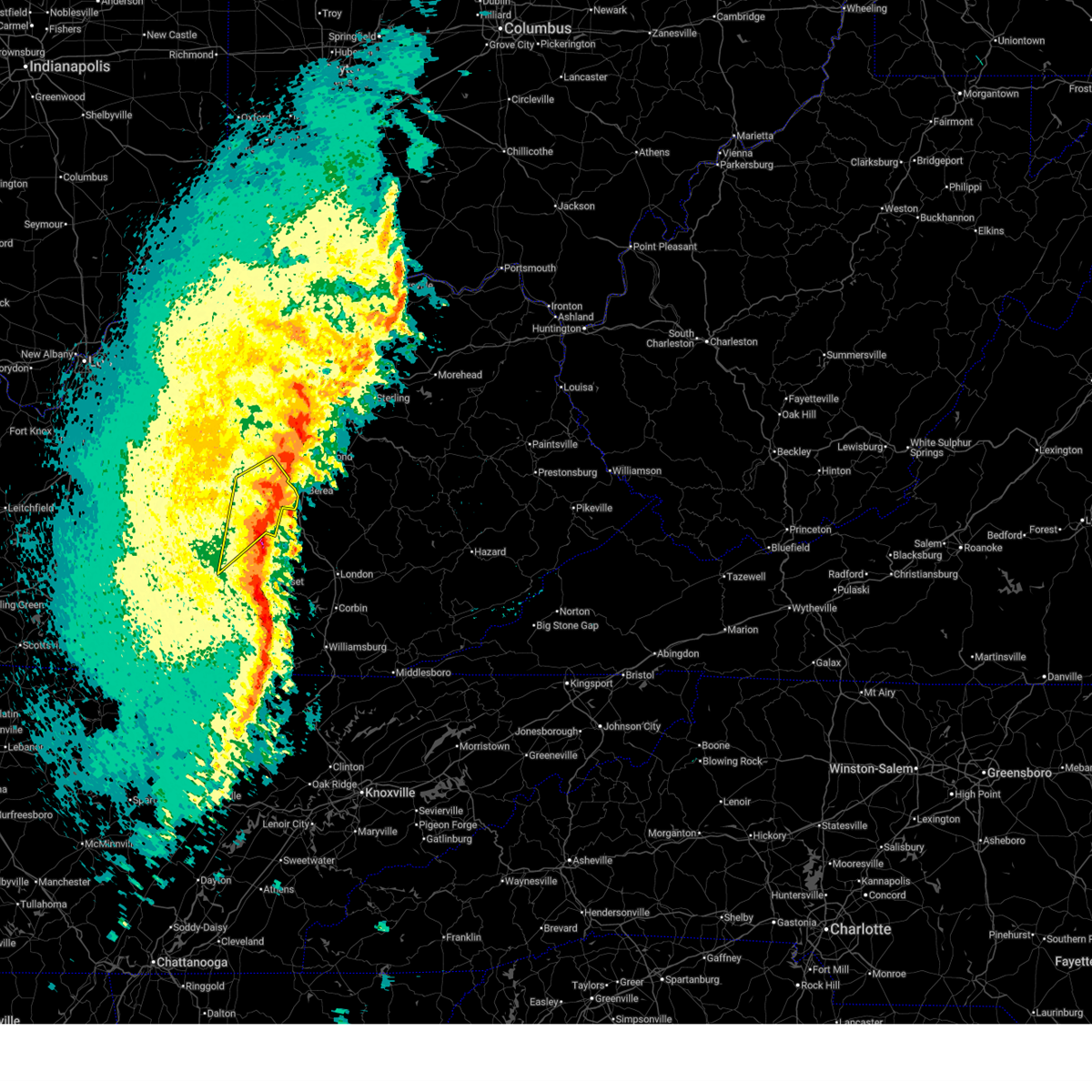
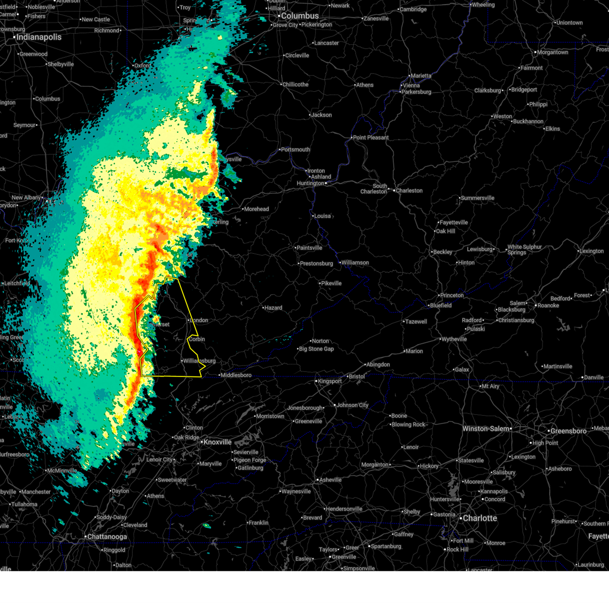
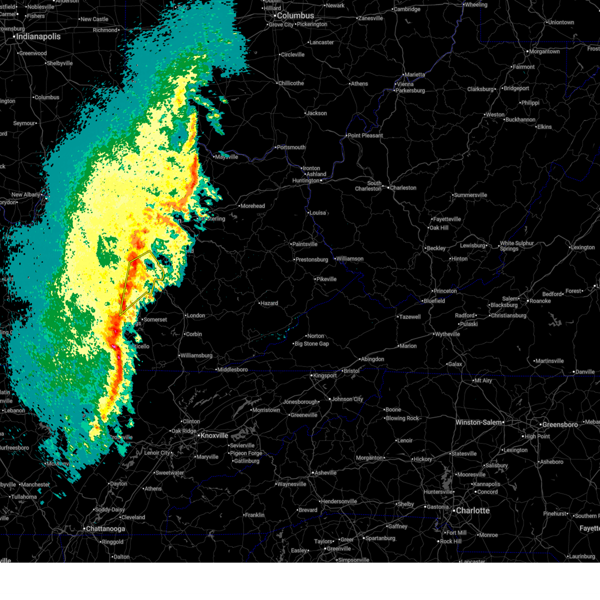
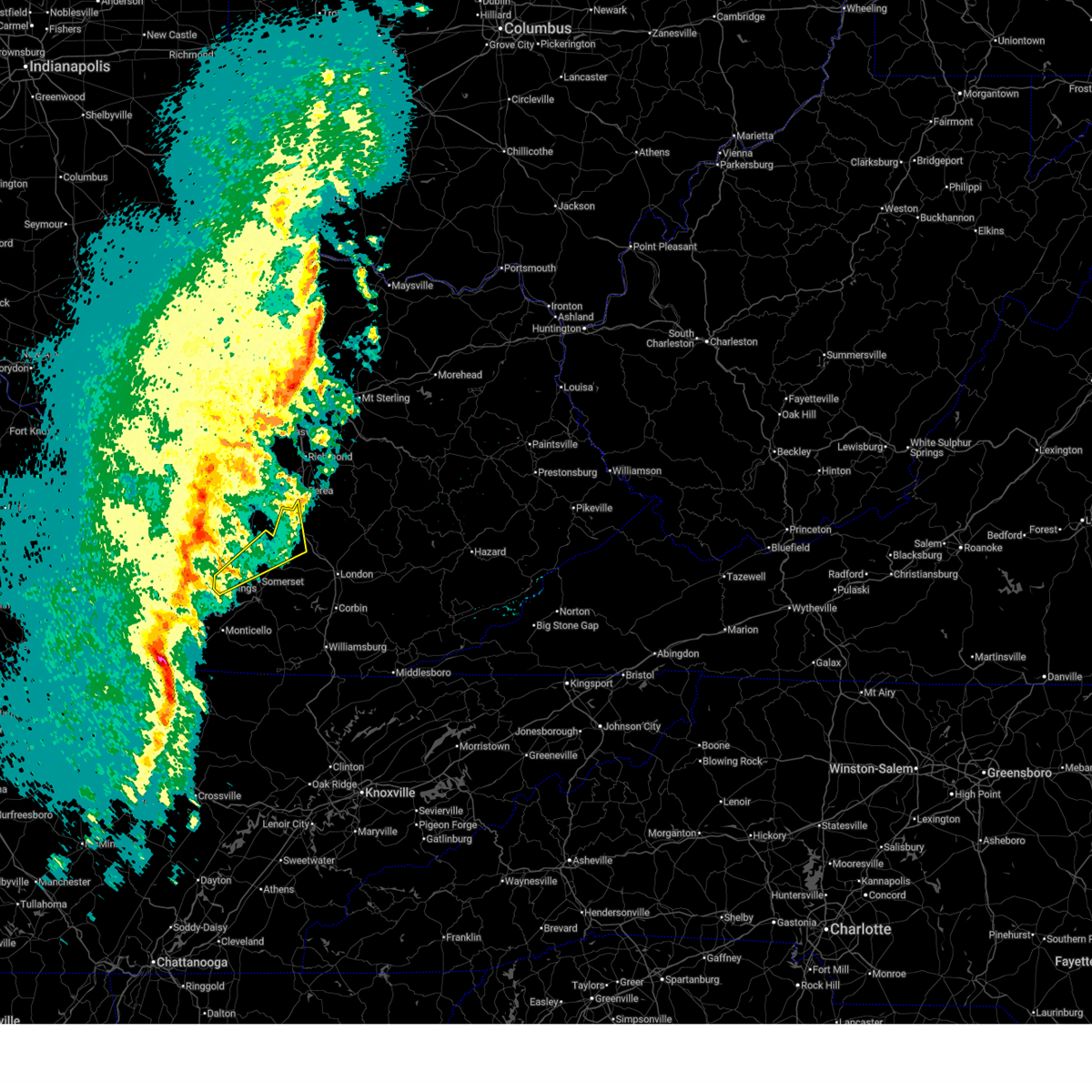
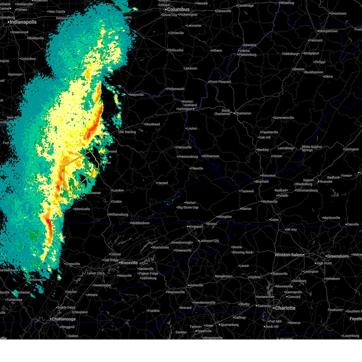
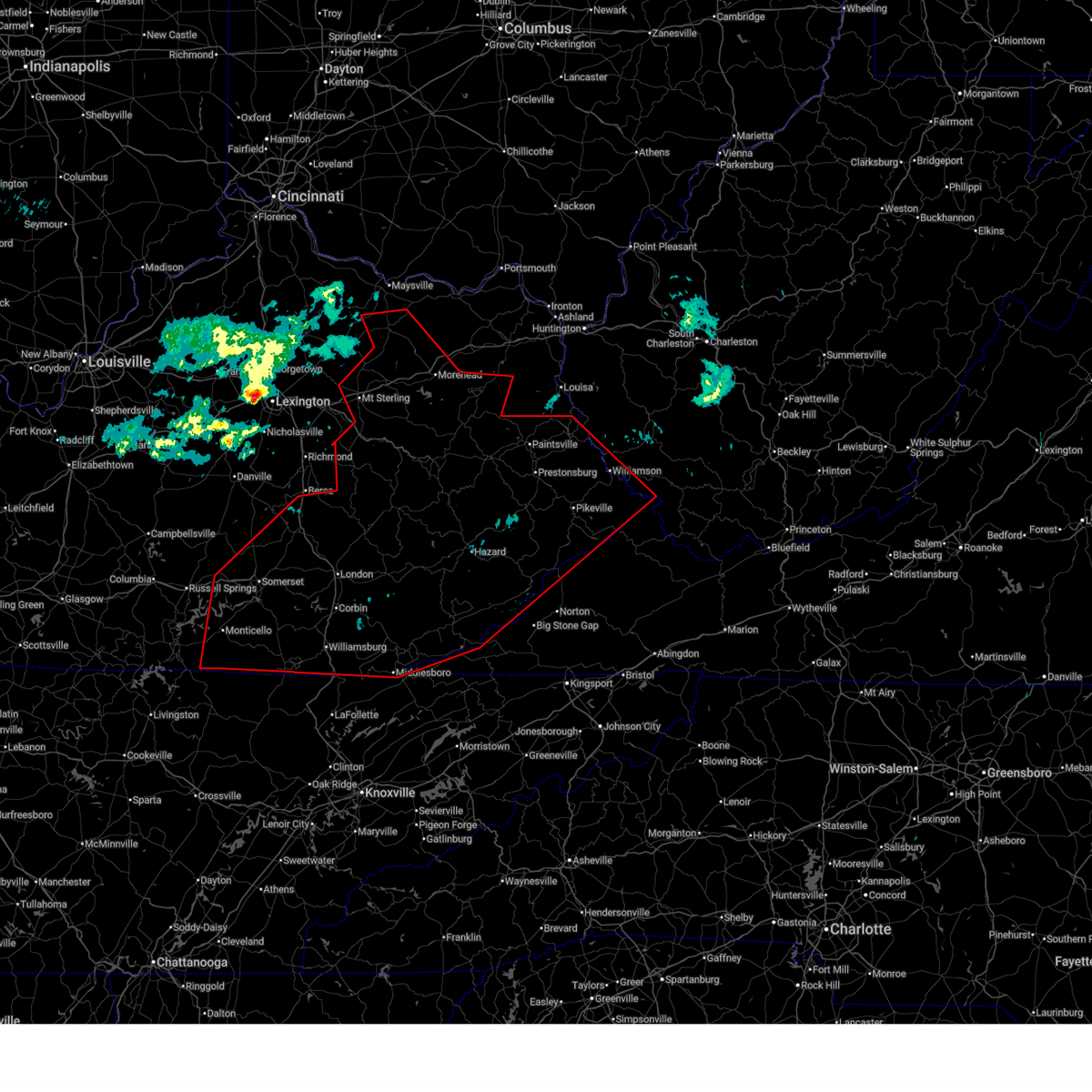
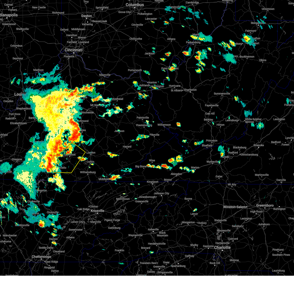
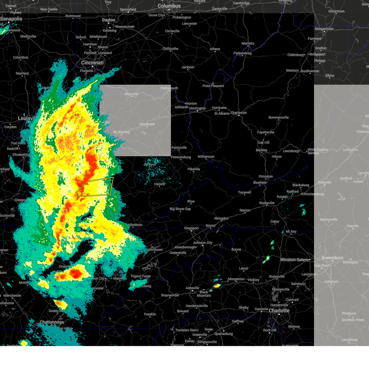
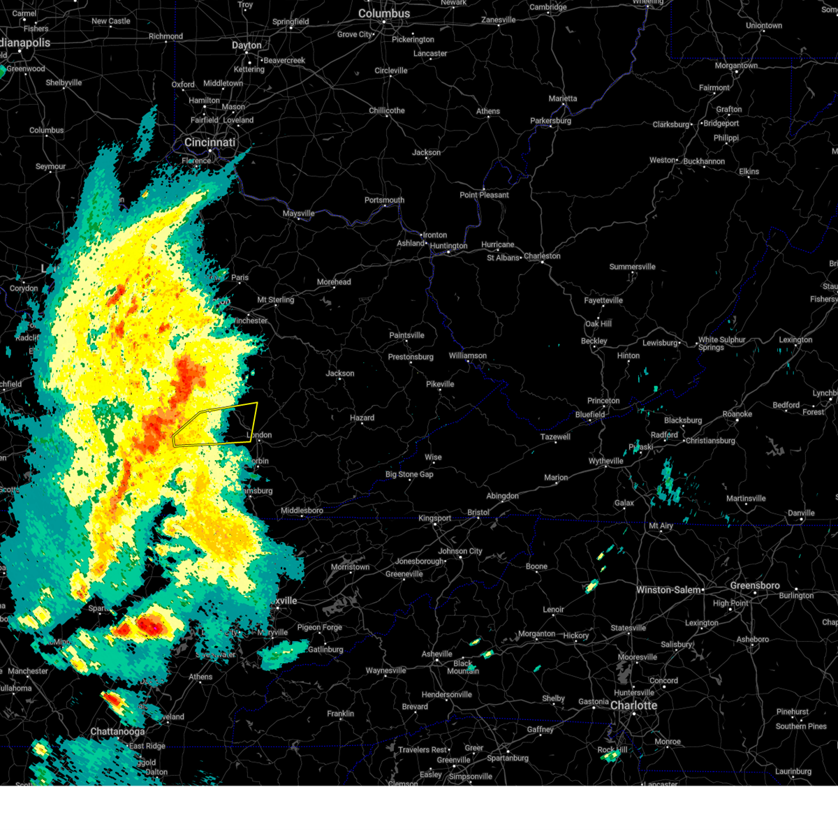
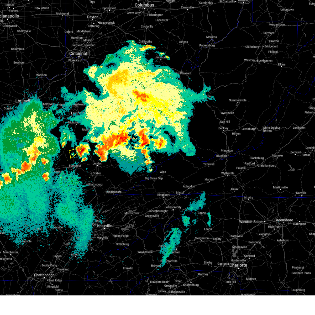
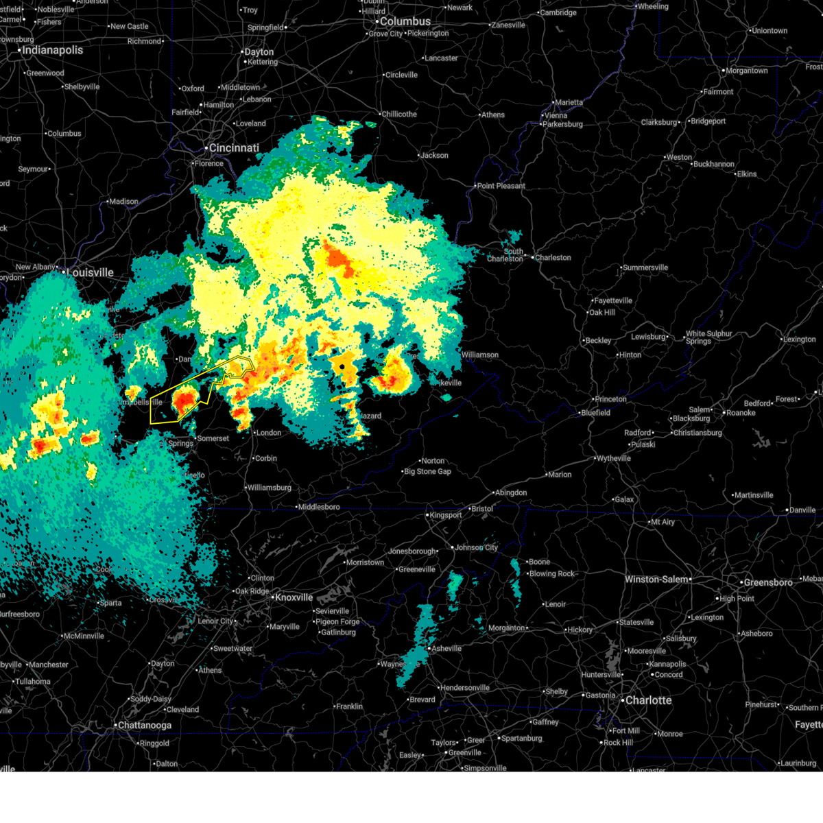
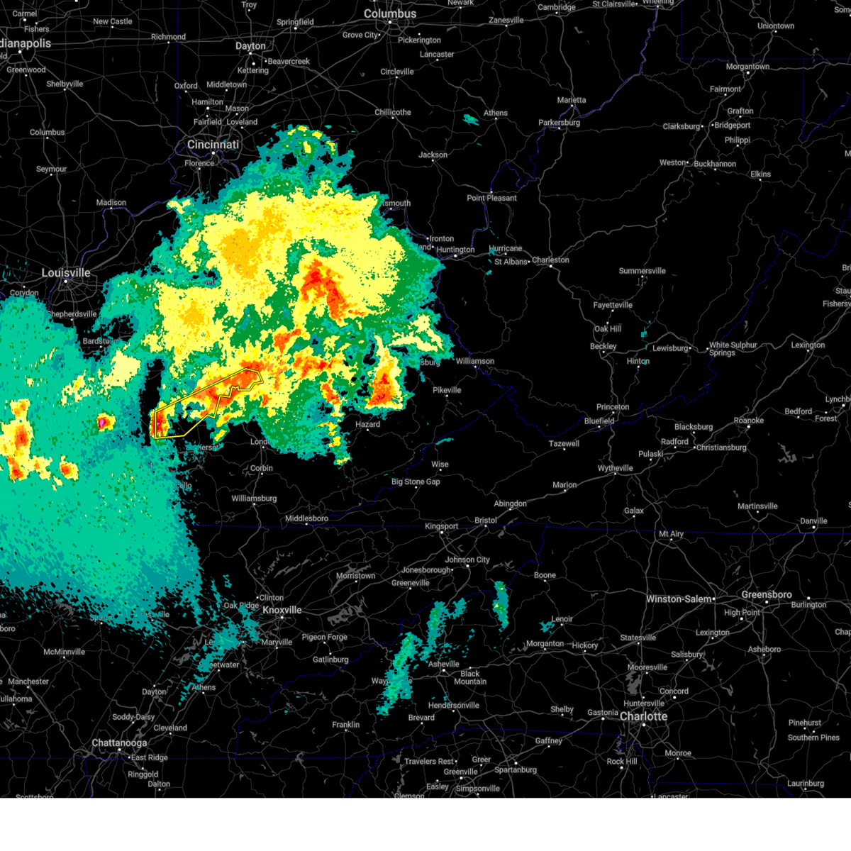
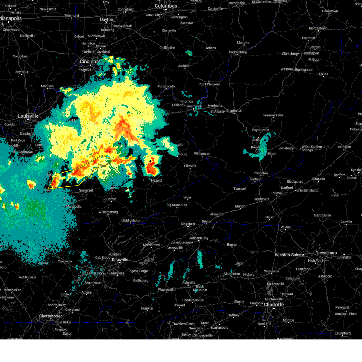
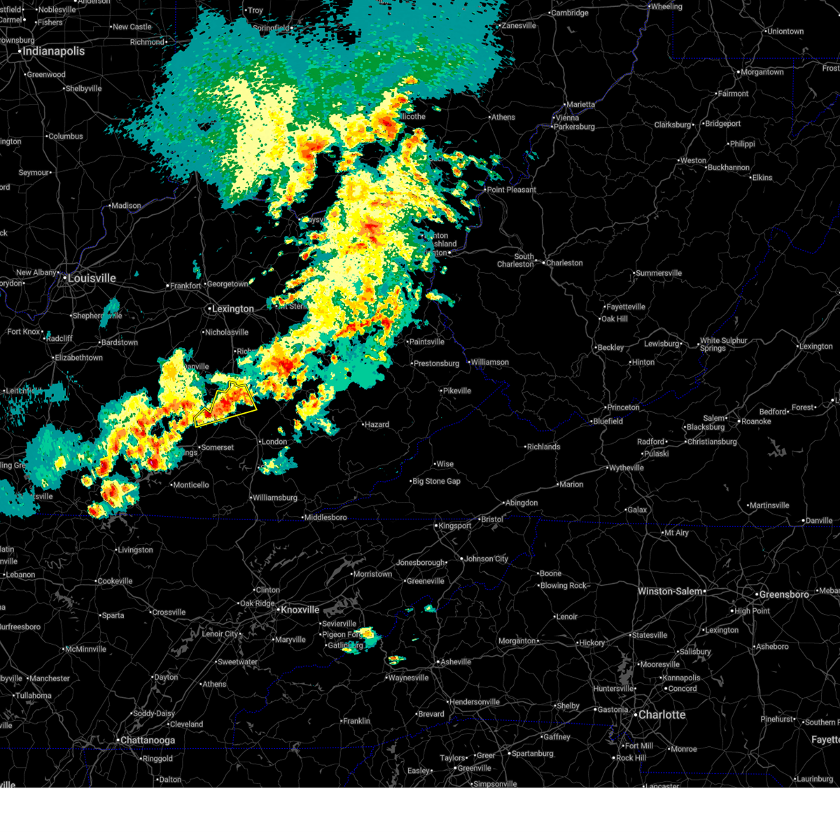
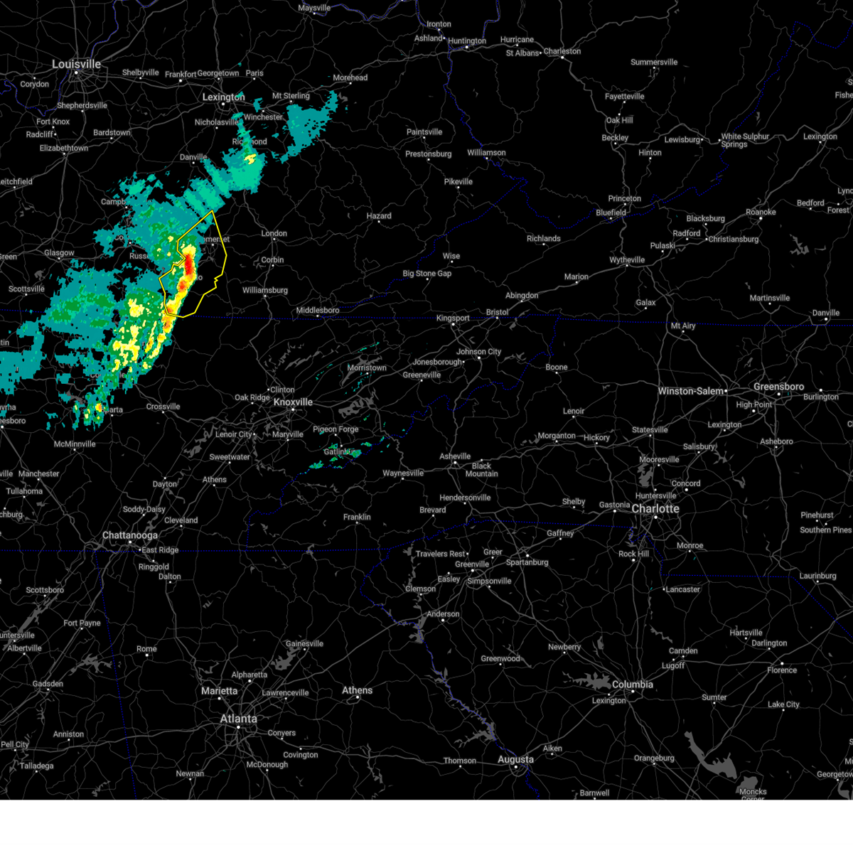
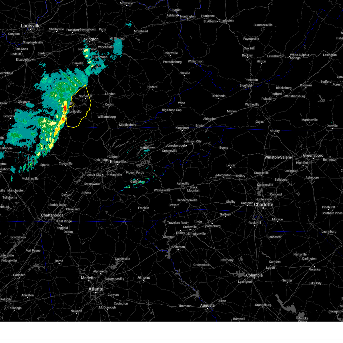
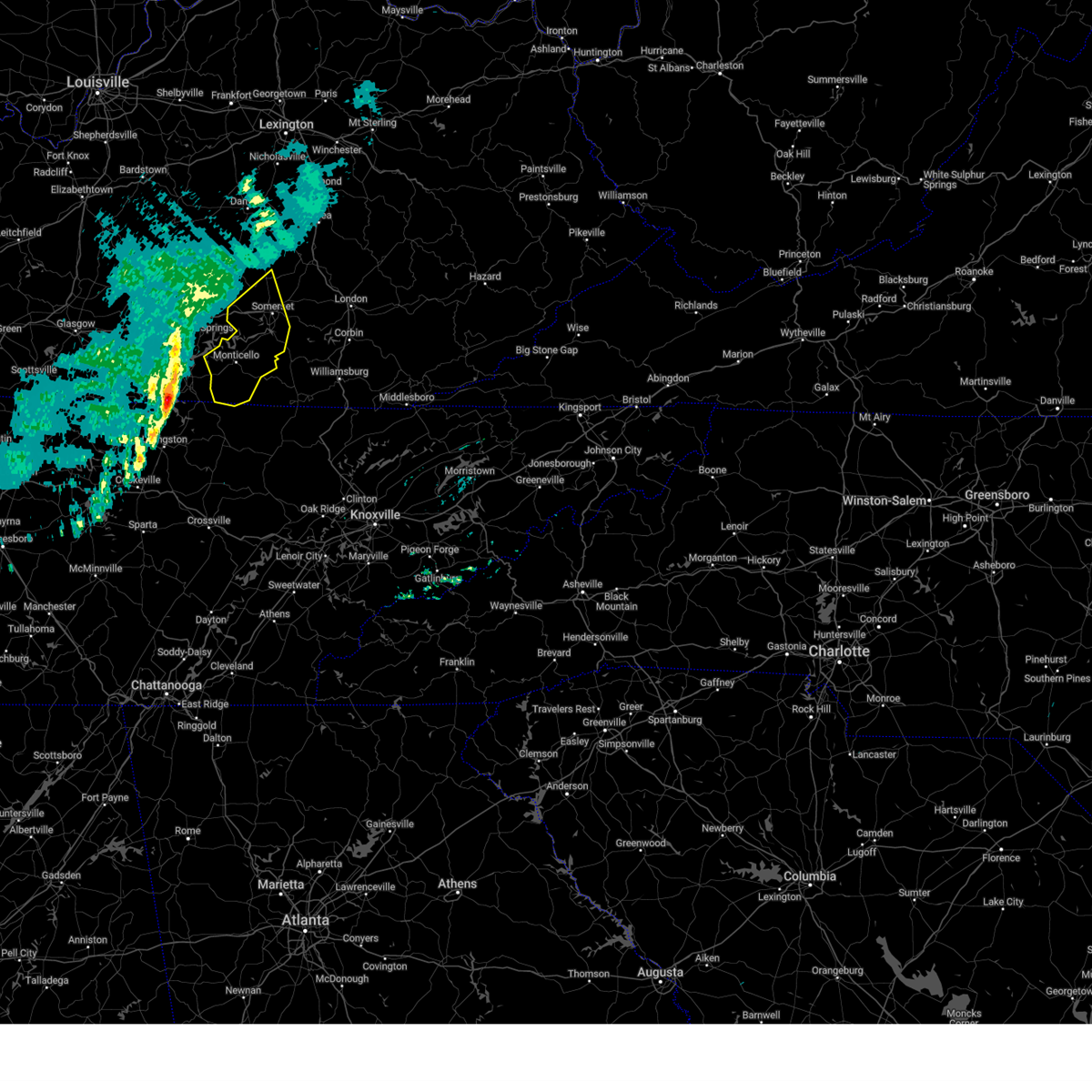
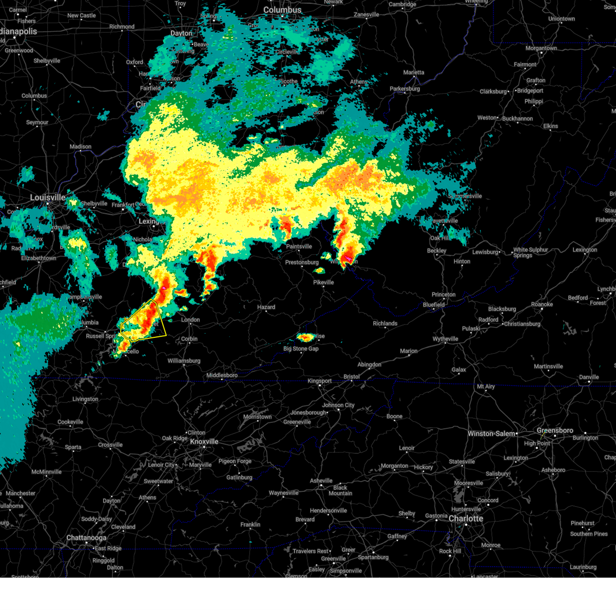
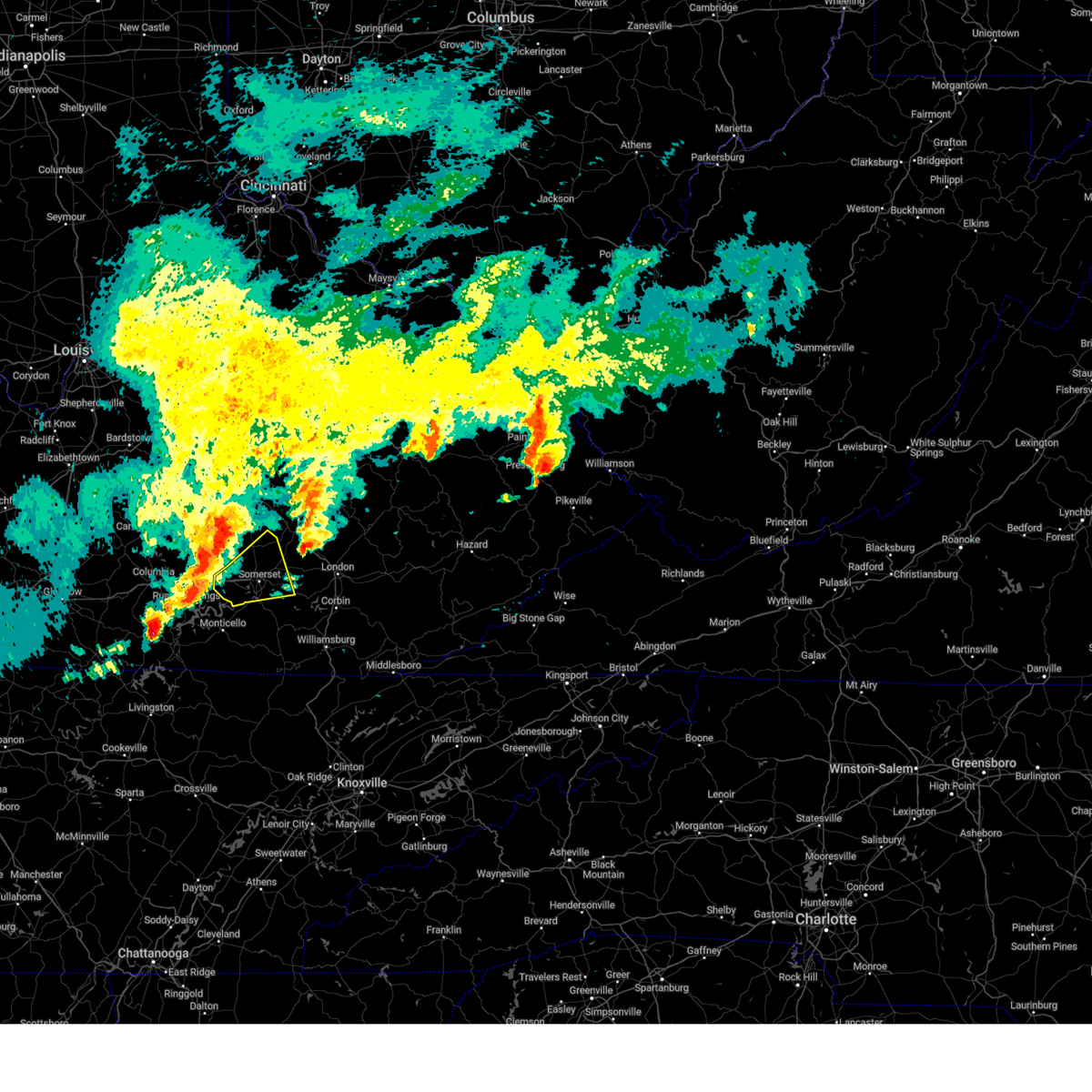
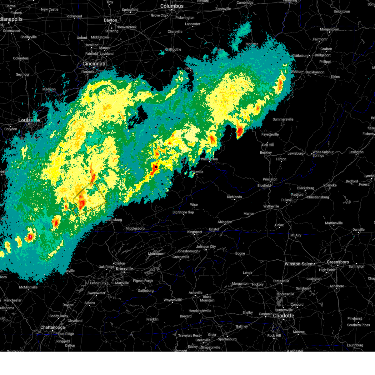
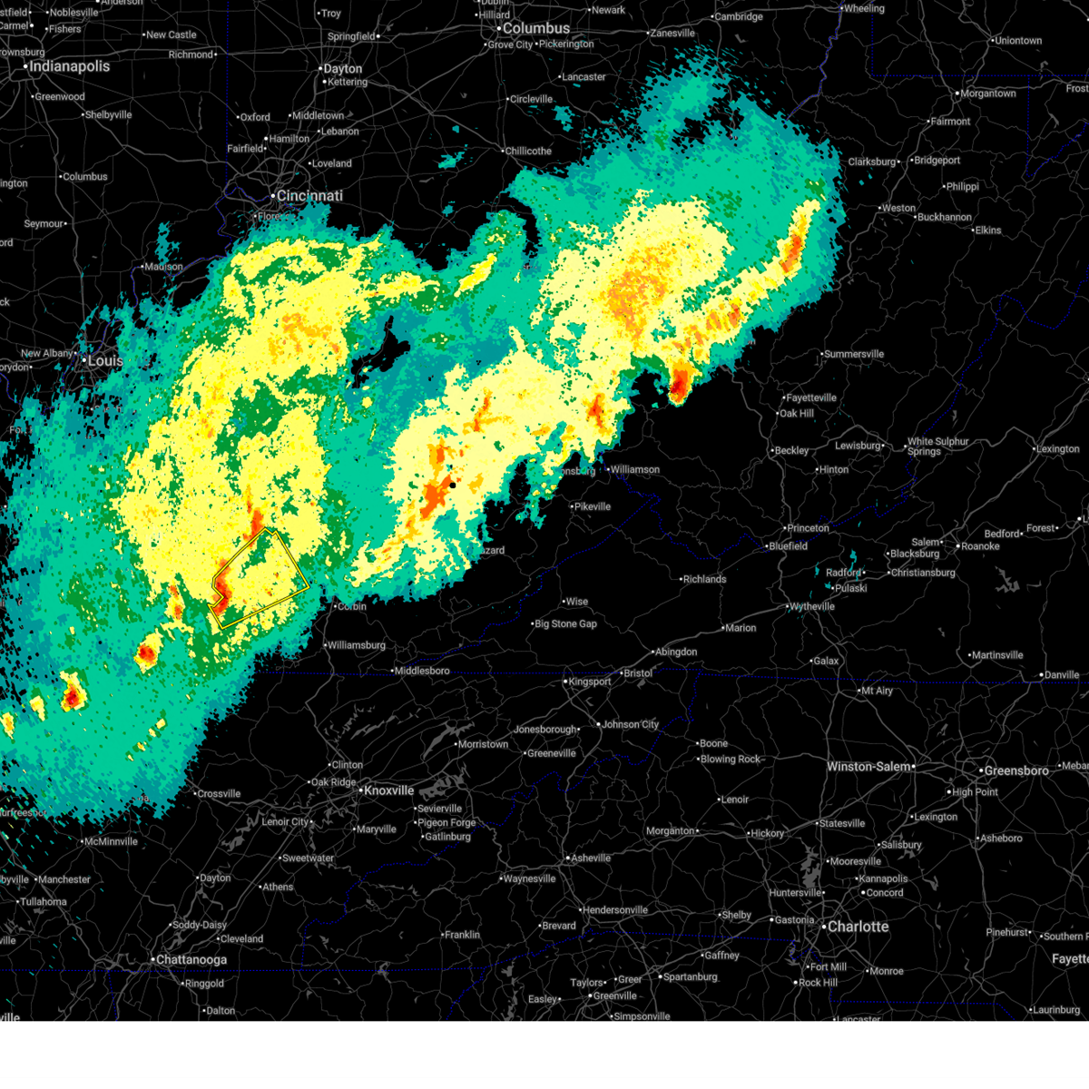
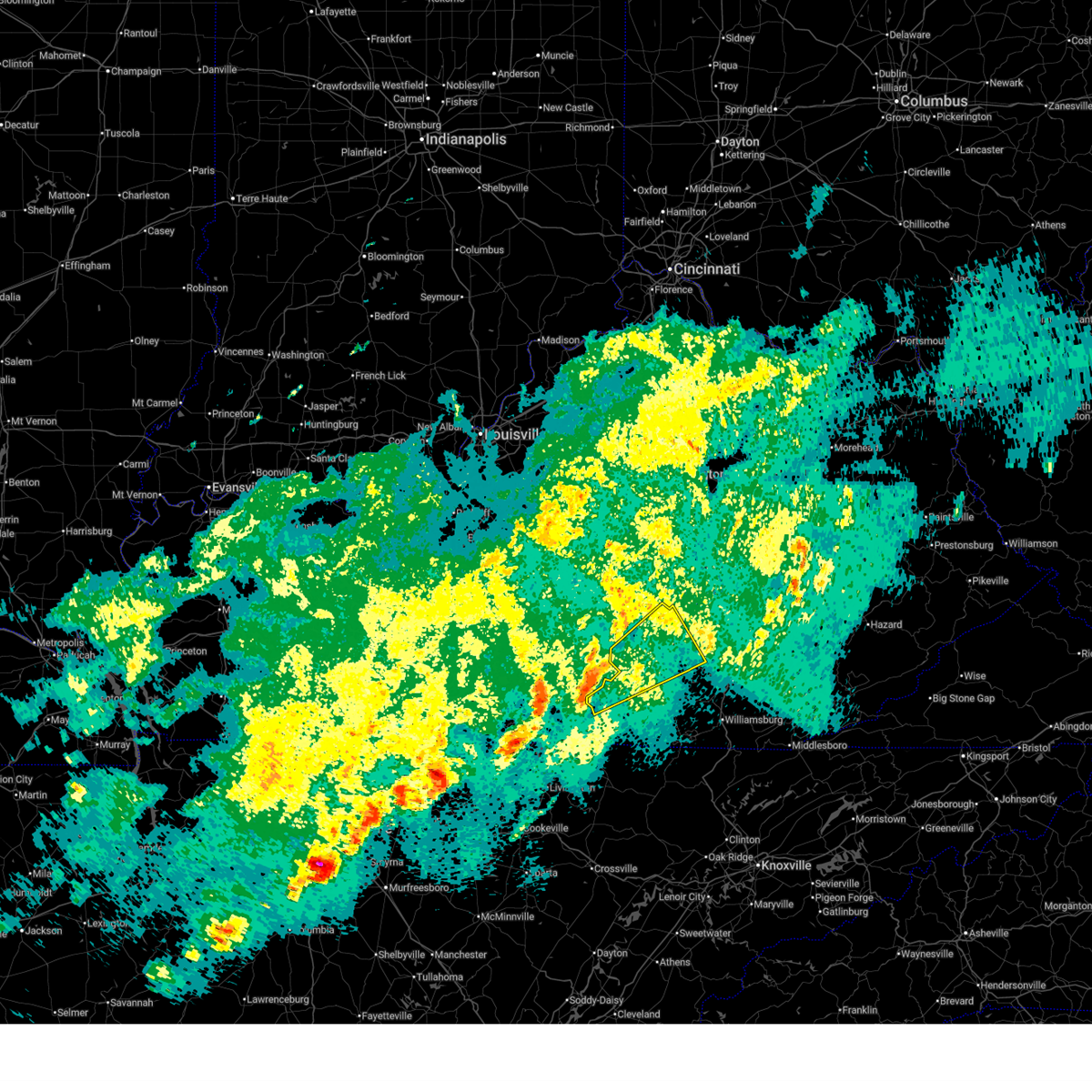
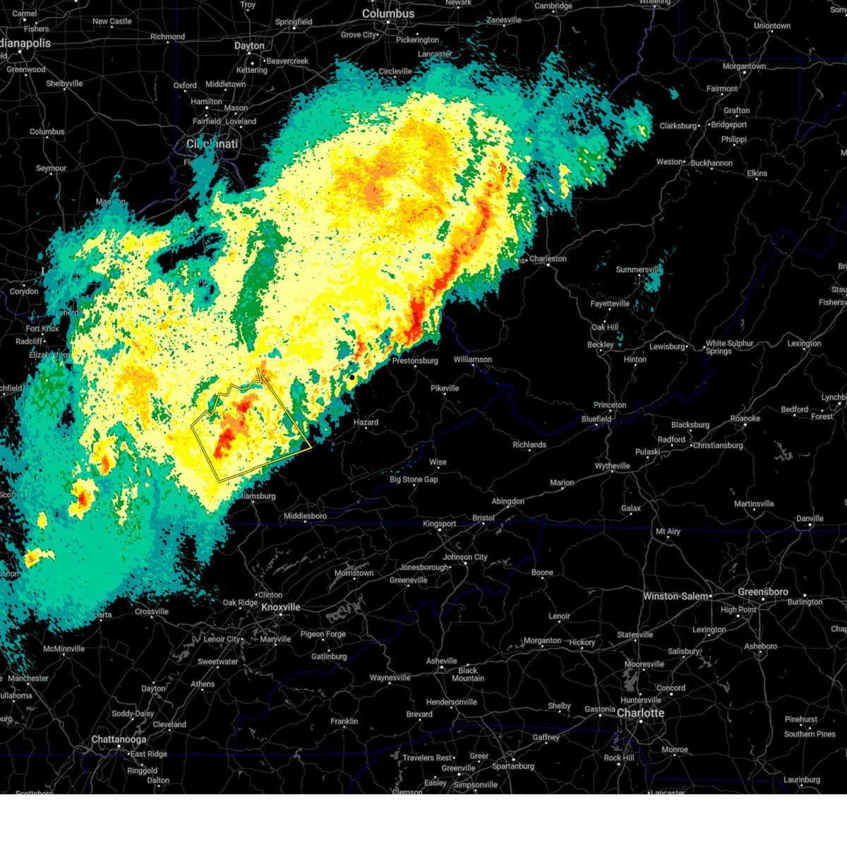
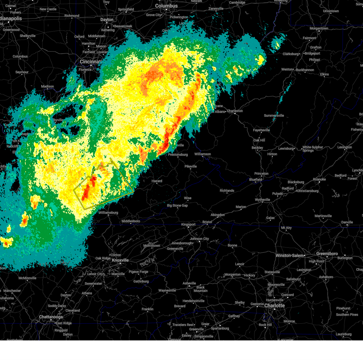
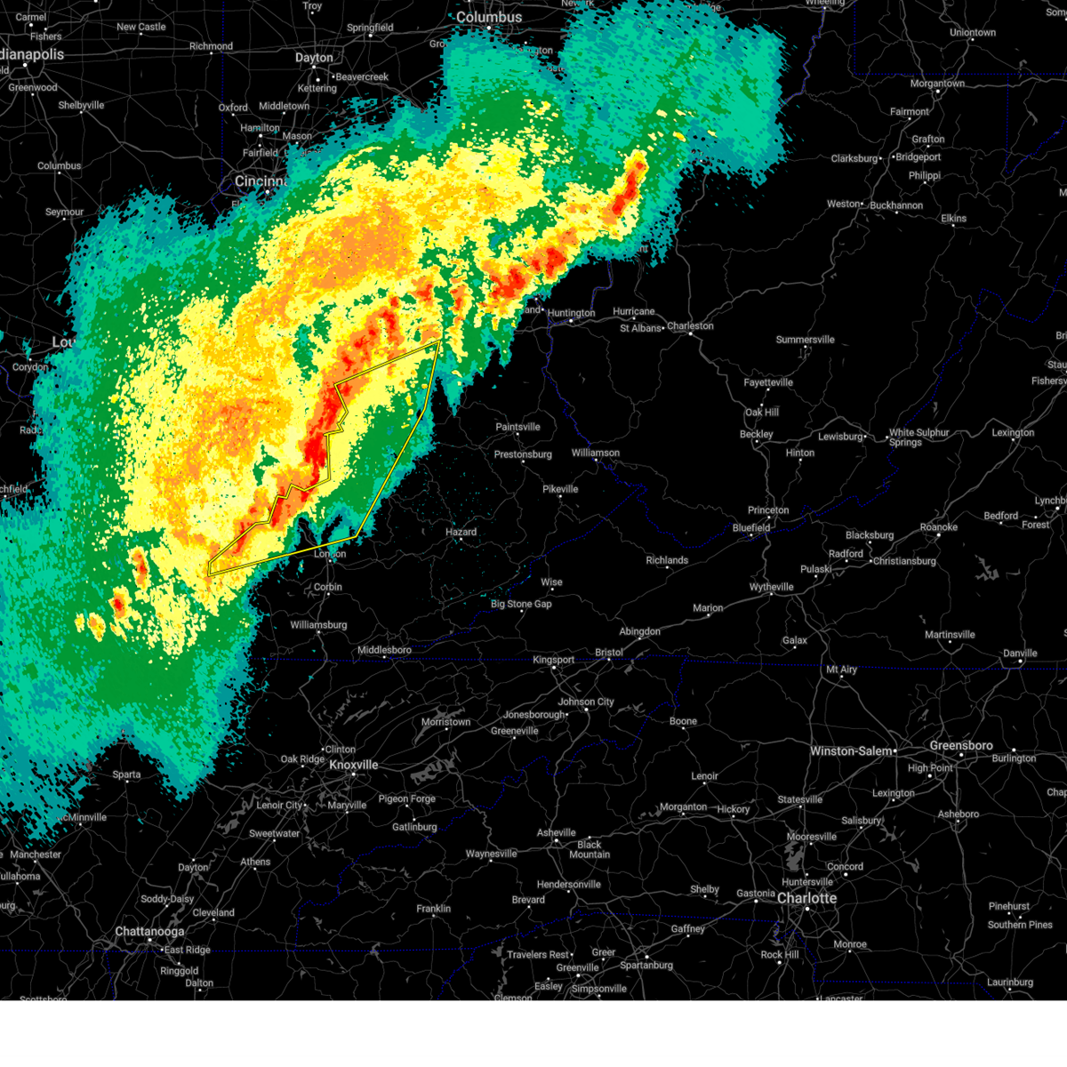
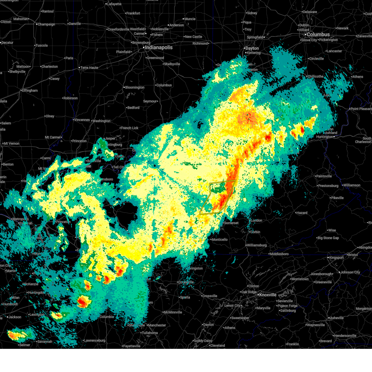
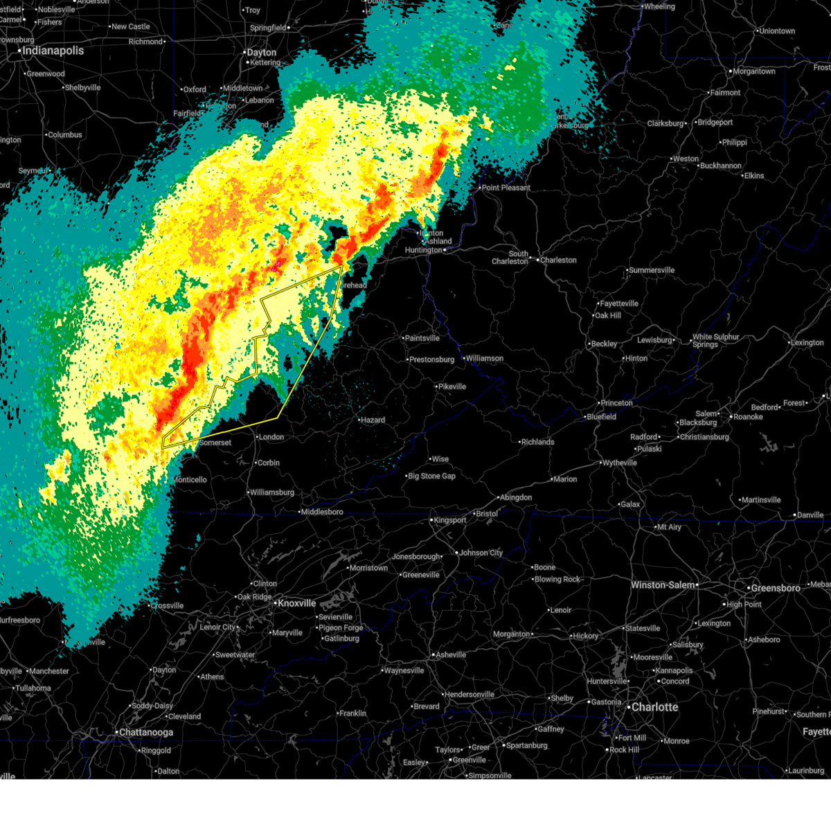
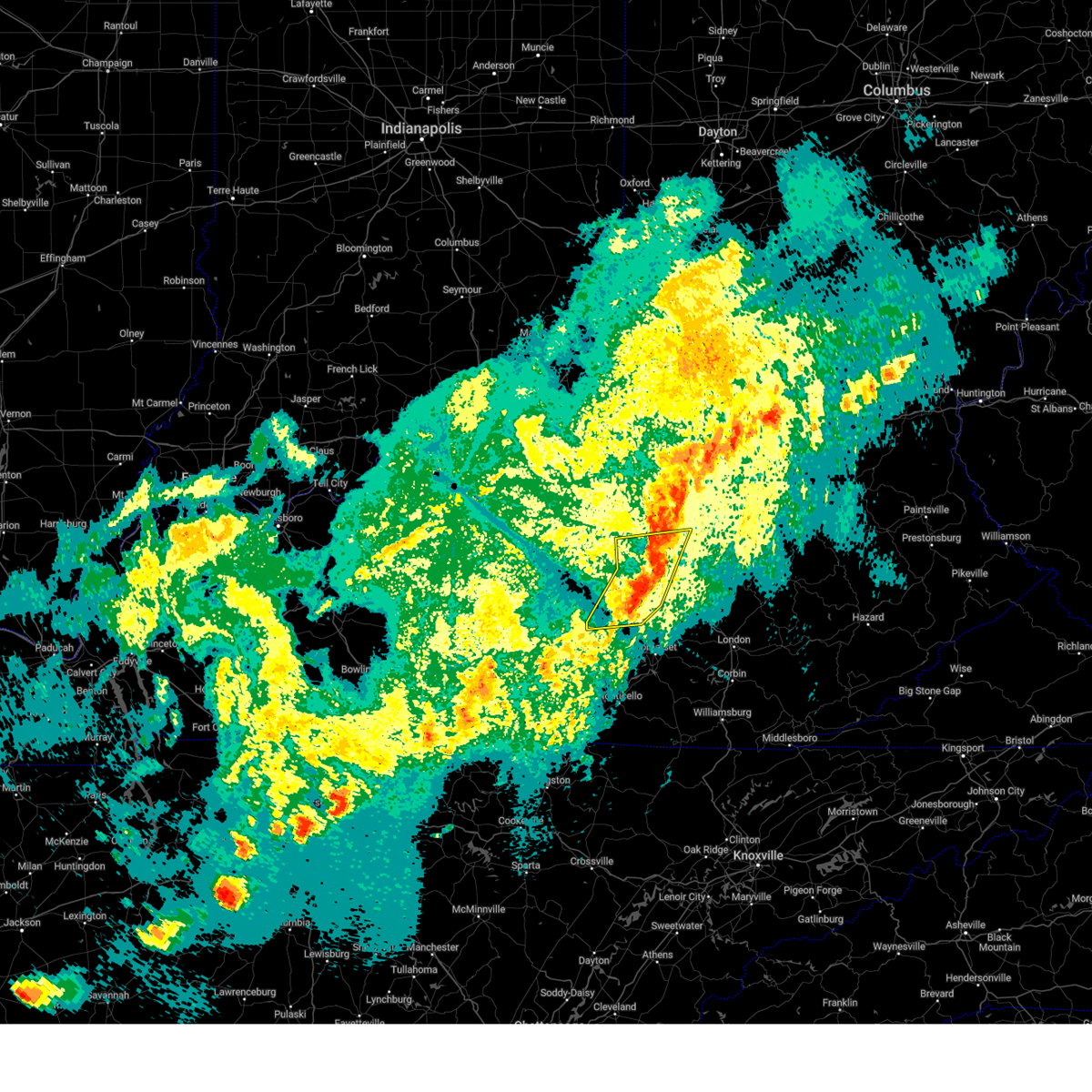
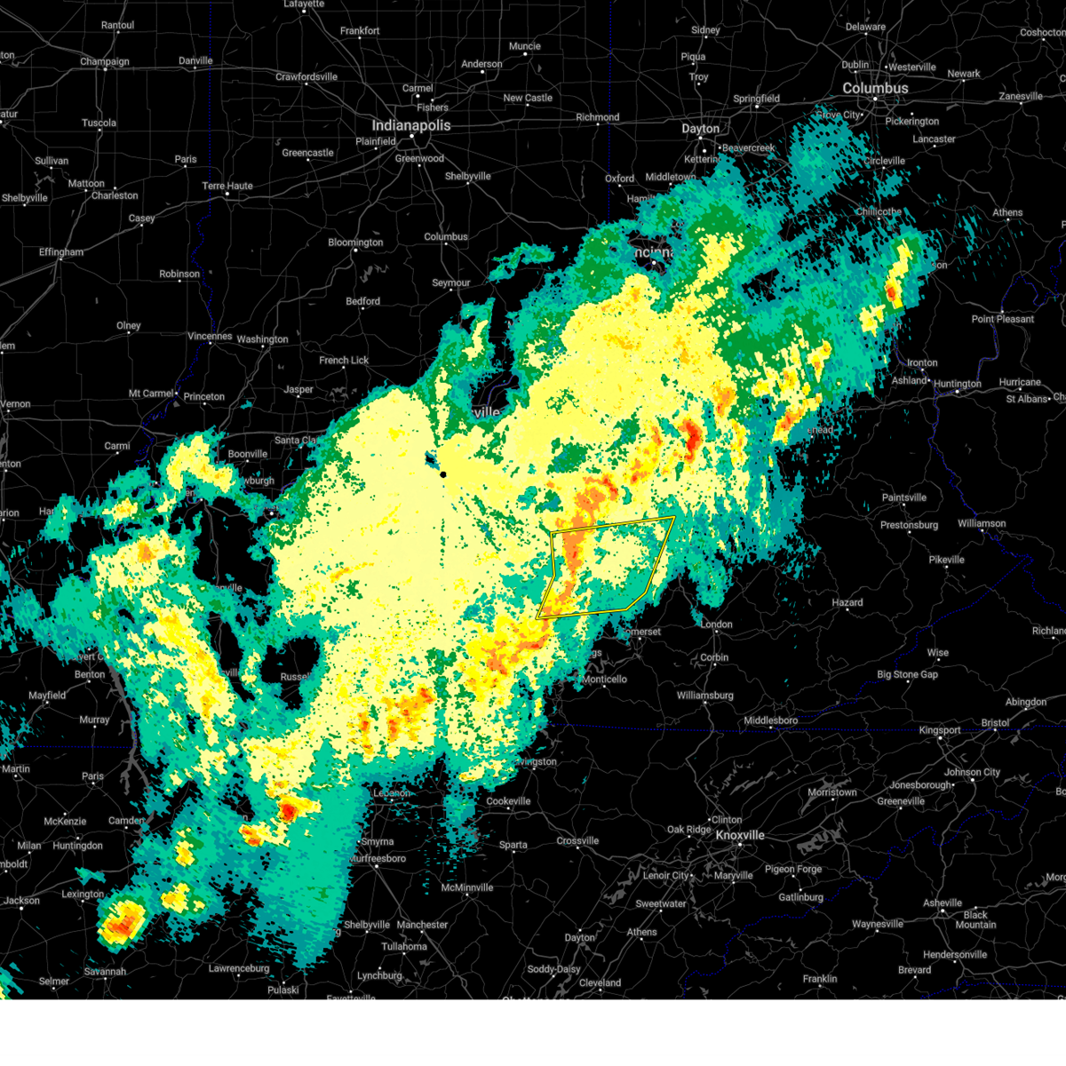
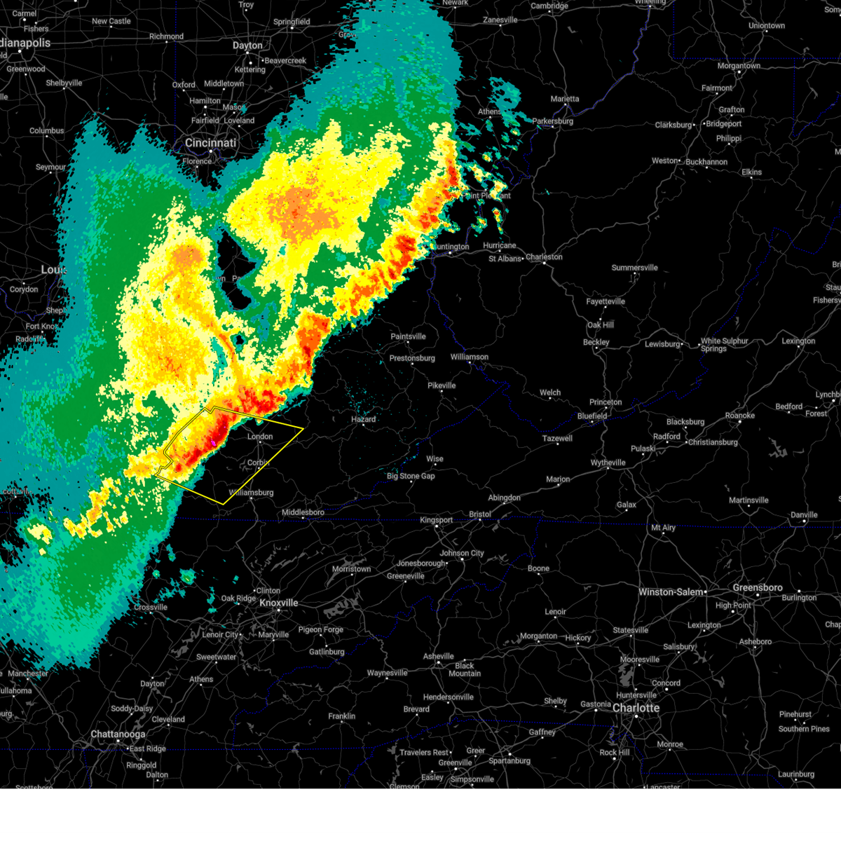
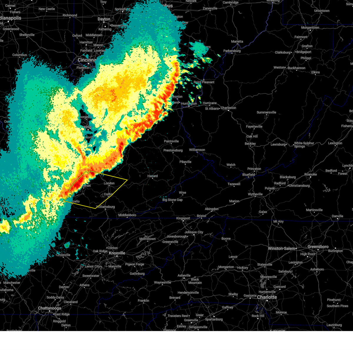
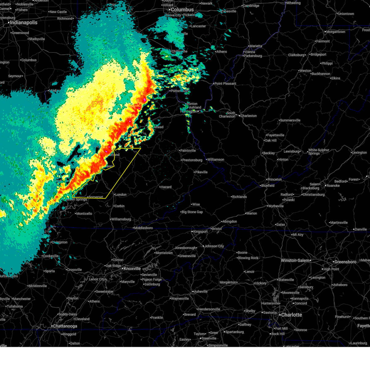
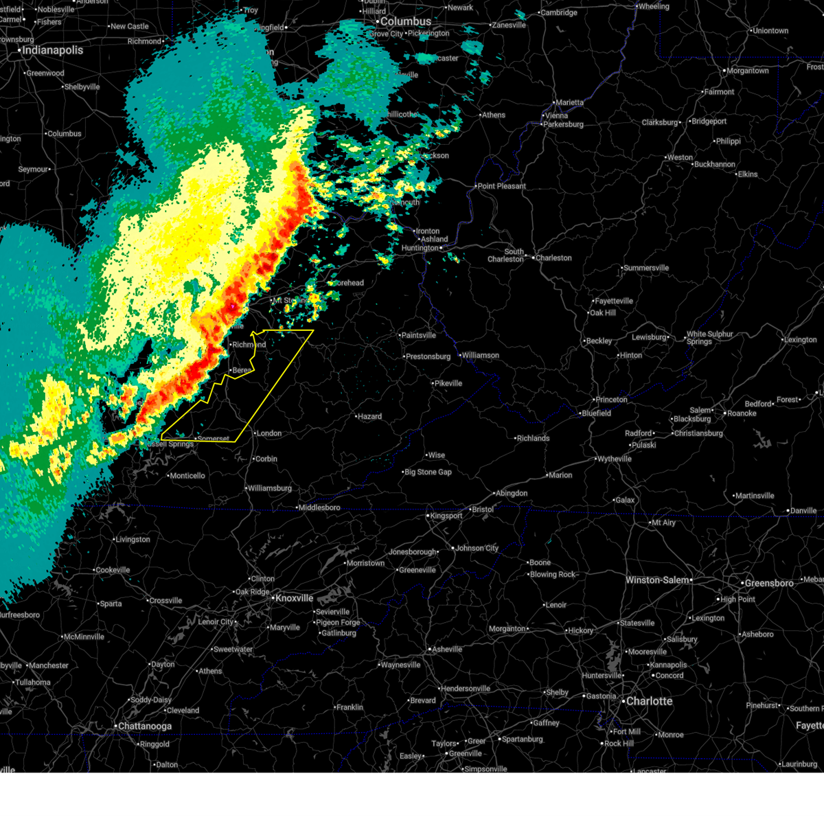
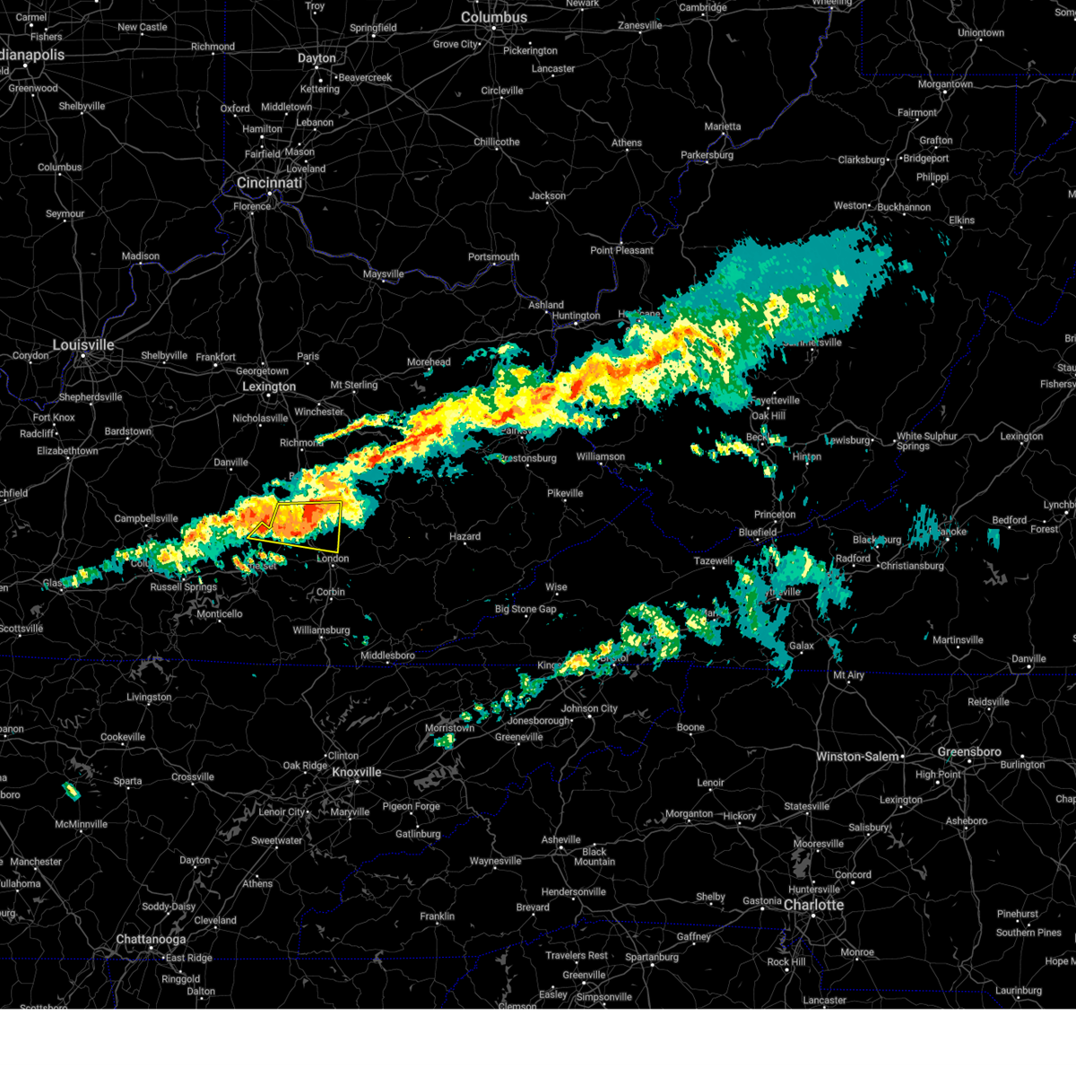
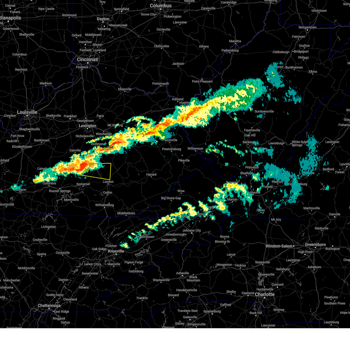
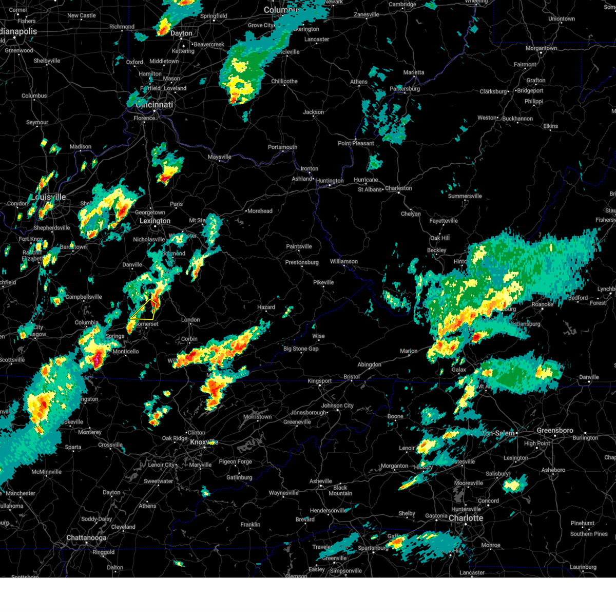
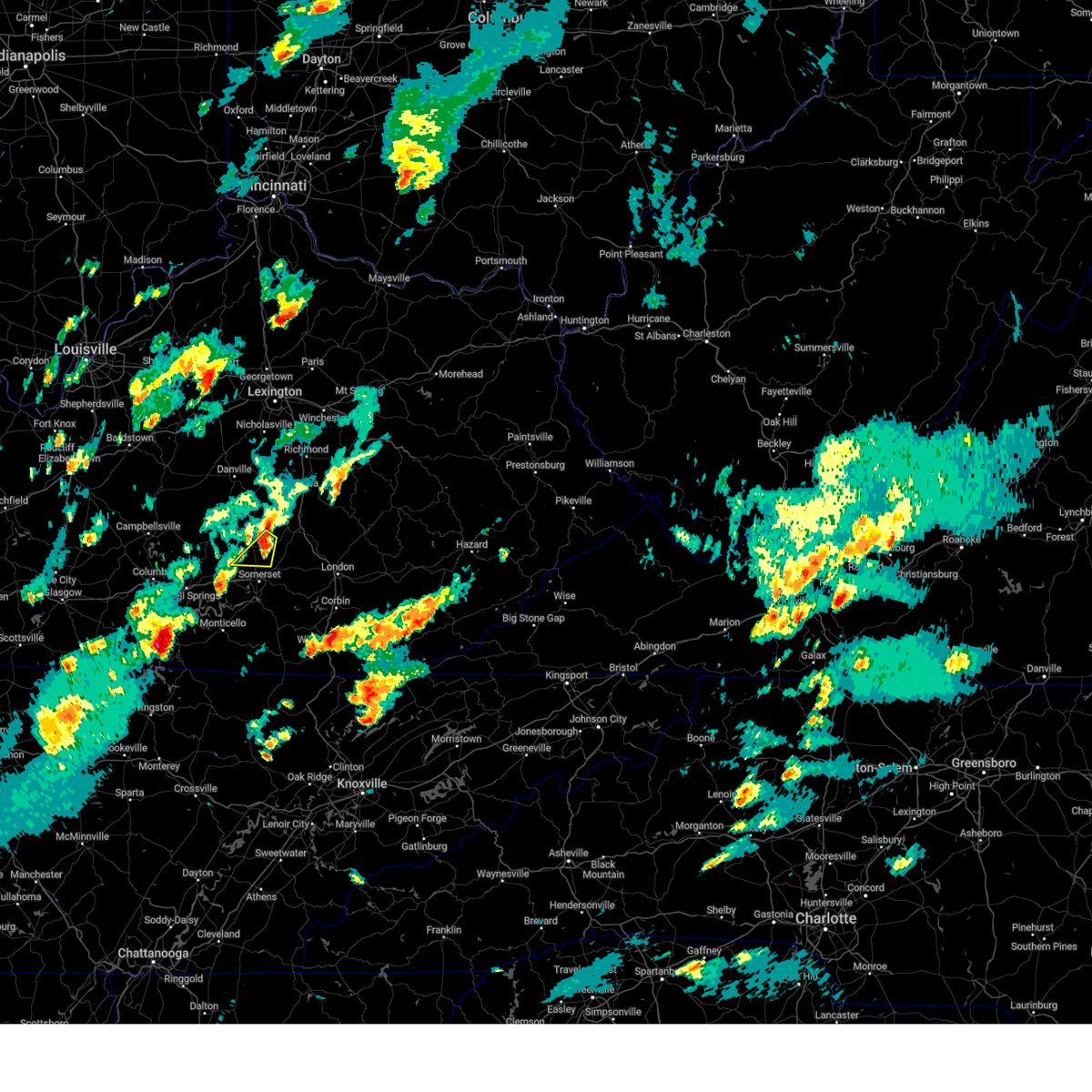
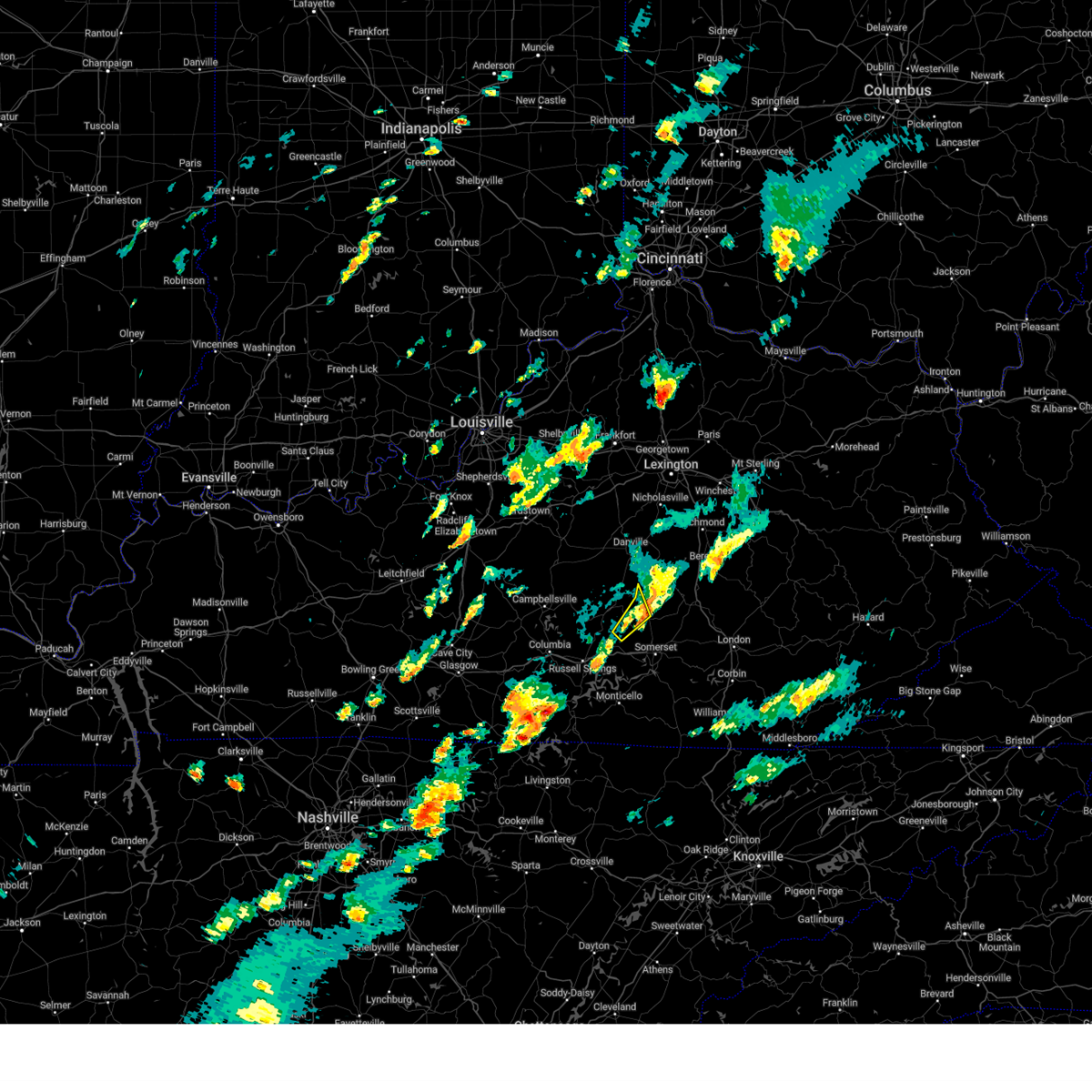
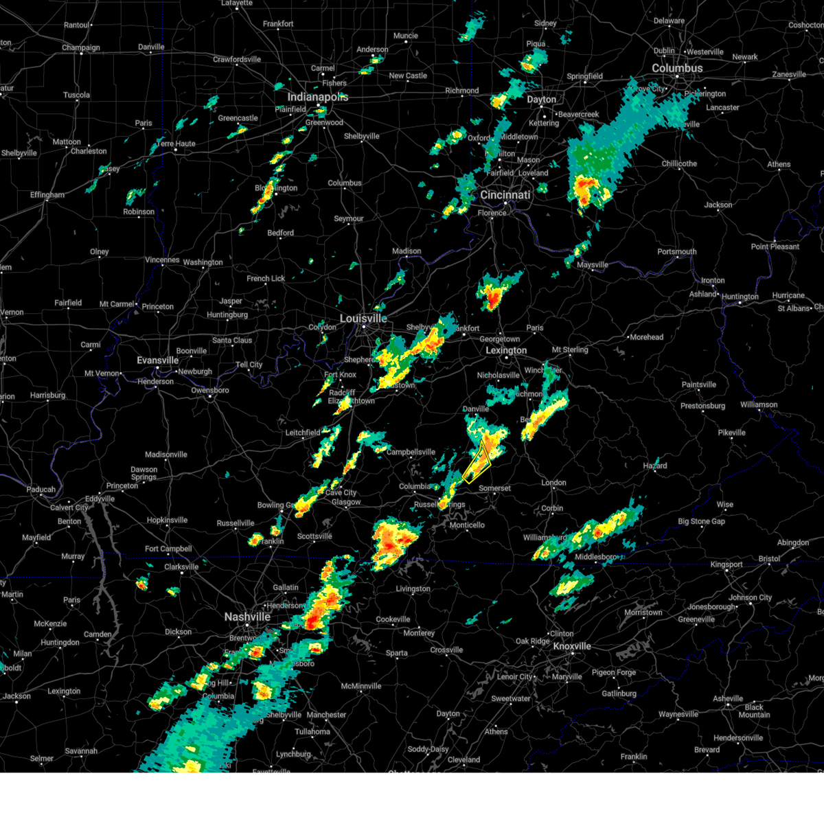
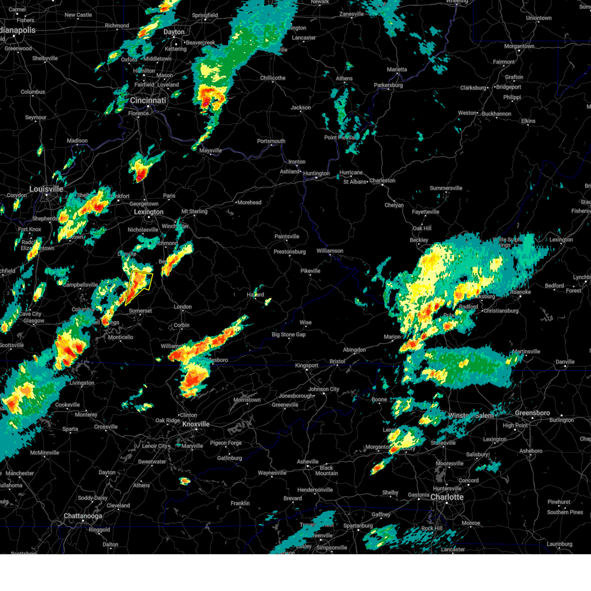
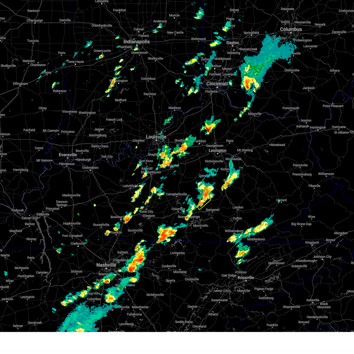
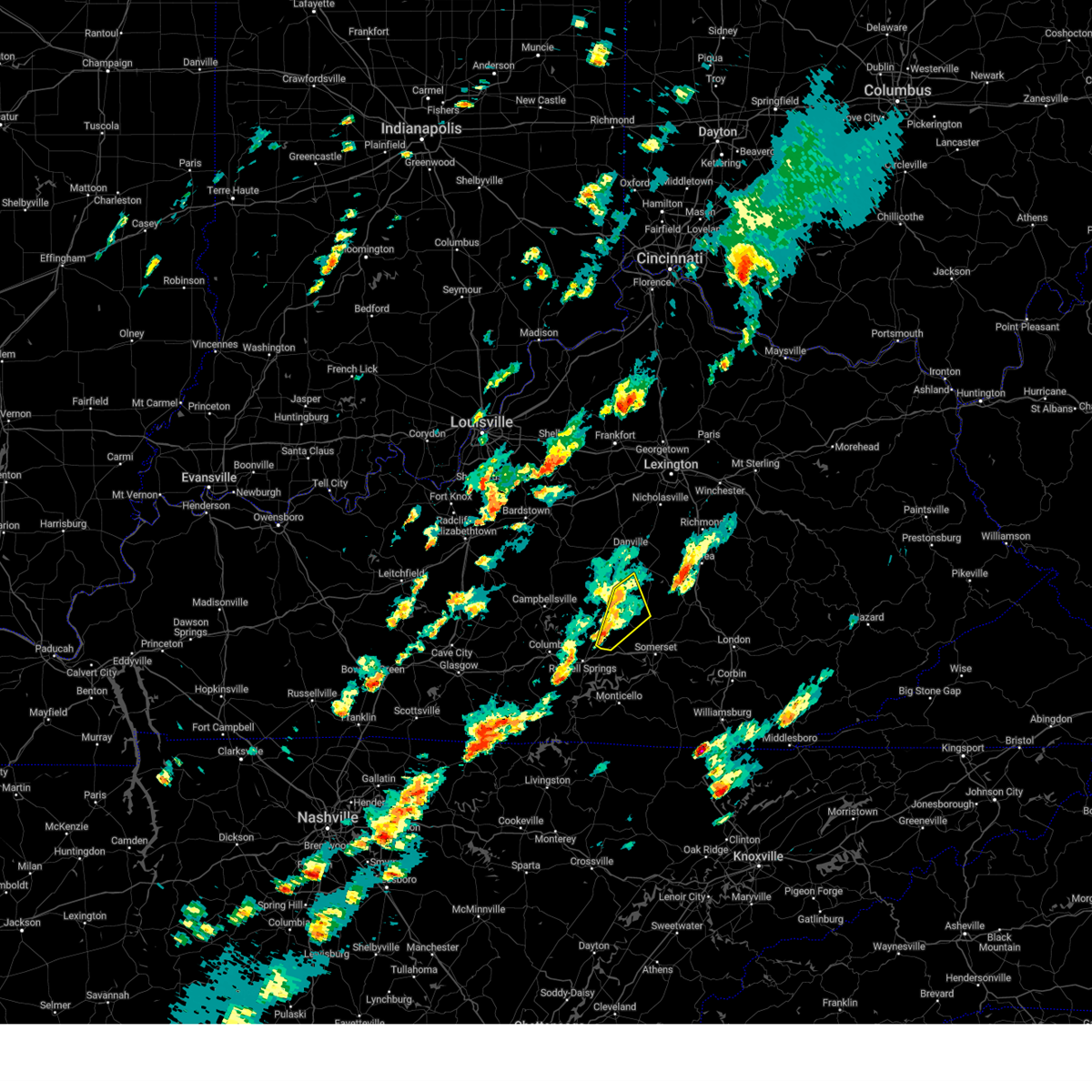
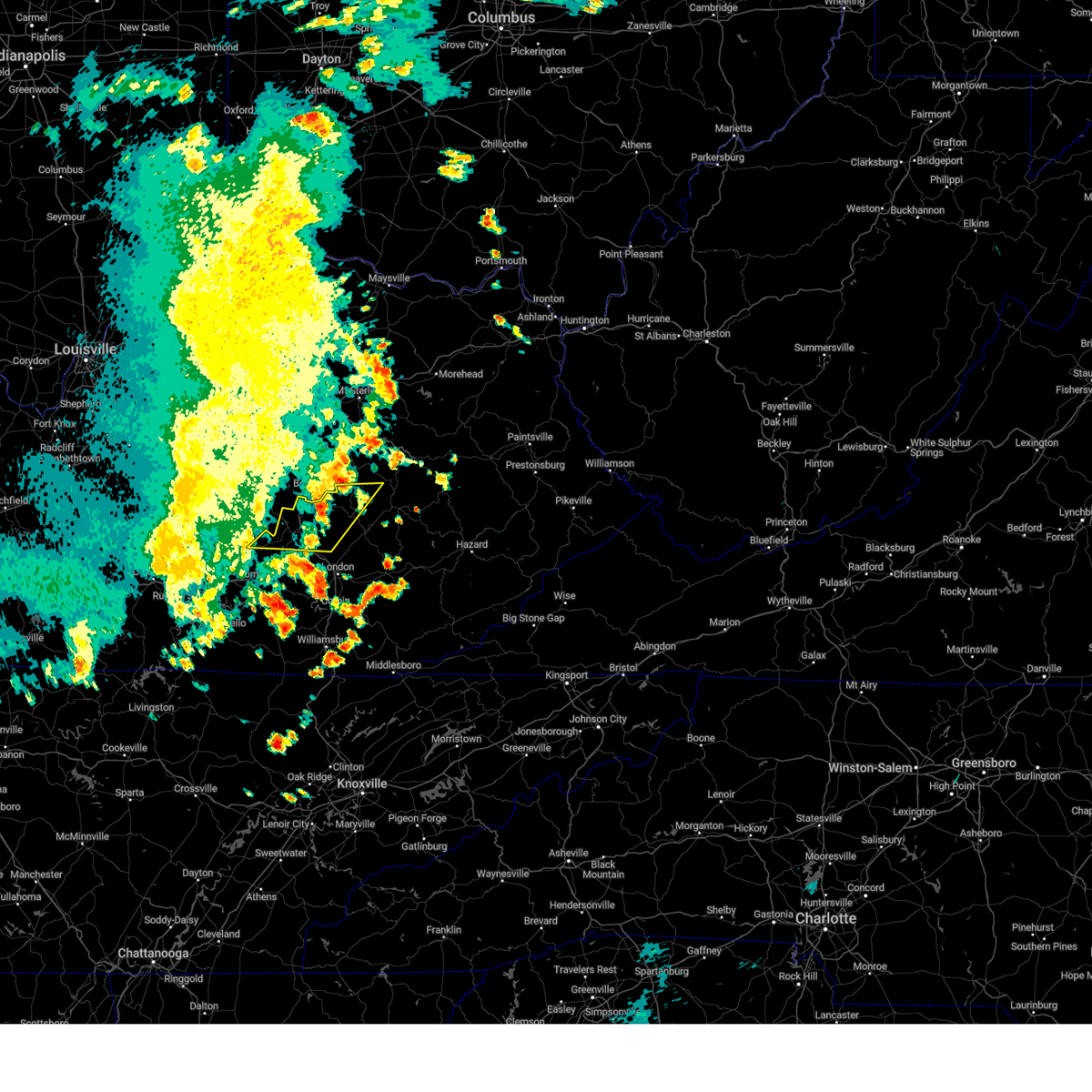
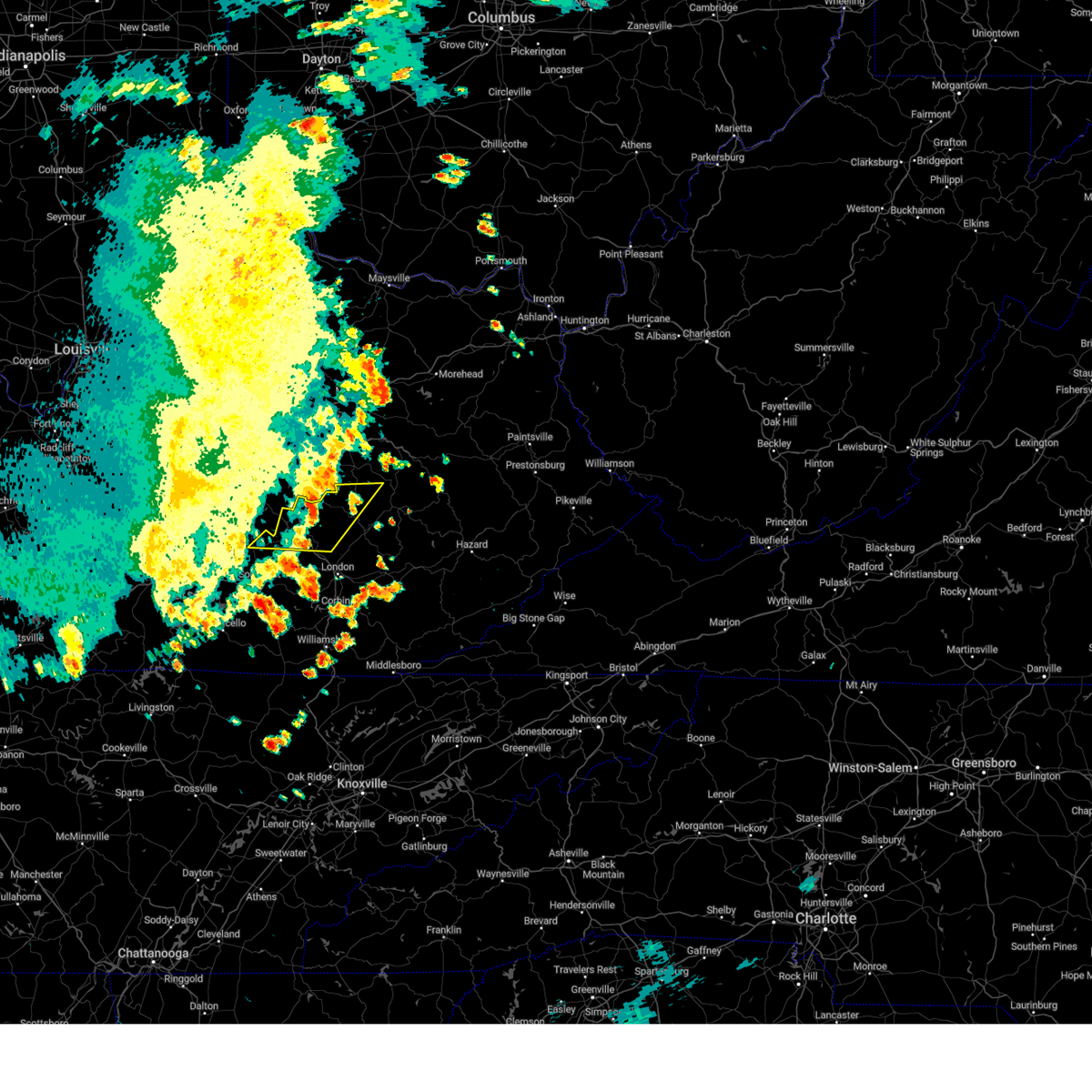
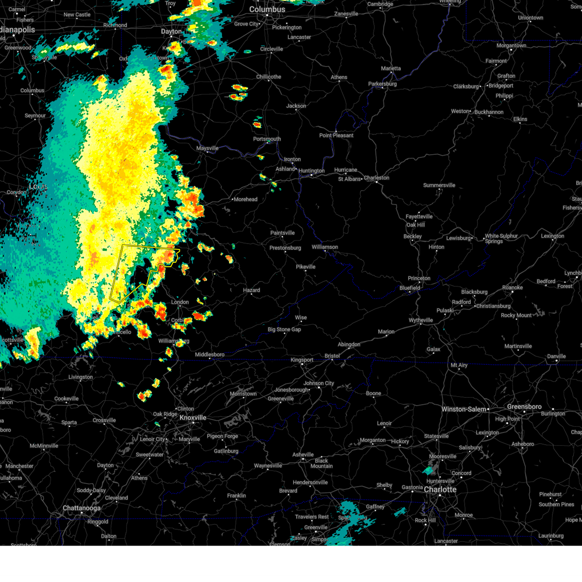
Hail Map for Eubank, KY
The Eubank, KY area has had 7 reports of on-the-ground hail by trained spotters, and has been under severe weather warnings 9 times during the past 12 months. Doppler radar has detected hail at or near Eubank, KY on 36 occasions.
| Name: | Eubank, KY |
| Where Located: | 47.2 miles SW of Irvine, KY |
| Map: | Google Map for Eubank, KY |
| Population: | 319 |
| Housing Units: | 161 |
| More Info: | Search Google for Eubank, KY |
0
The Top Recent Hail Date for Eubank, KY is Friday, May 16, 2025 (26th out of 36)
Hail and Wind Damage Spotted near Eubank, KY
| Date / Time | Report Details |
|---|---|
| 4/28/2026 3:33 AM EDT |
 At 333 am edt/233 am cdt/, severe thunderstorms were located along a line extending from 9 miles northeast of liberty to near jamestown, moving southeast at 60 mph (radar indicated). Hazards include 60 mph wind gusts. Expect damage to roofs, siding, and trees. Locations impacted include, liberty, columbia, jamestown, russell springs, hustonville, eli, lawhorn hill, absher, teddy, and royville. At 333 am edt/233 am cdt/, severe thunderstorms were located along a line extending from 9 miles northeast of liberty to near jamestown, moving southeast at 60 mph (radar indicated). Hazards include 60 mph wind gusts. Expect damage to roofs, siding, and trees. Locations impacted include, liberty, columbia, jamestown, russell springs, hustonville, eli, lawhorn hill, absher, teddy, and royville.
|
| 4/28/2026 3:29 AM EDT |
 Svrjkl the national weather service in jackson ky has issued a * severe thunderstorm warning for, northeastern wayne county in south central kentucky, western laurel county in south central kentucky, pulaski county in south central kentucky, northeastern mccreary county in south central kentucky, southwestern rockcastle county in south central kentucky, northwestern whitley county in south central kentucky, * until 415 am edt. * at 328 am edt, severe thunderstorms were located along a line extending from 10 miles southwest of stanford to near magnum to 7 miles northwest of cains store to jamestown, moving east at 55 mph (radar indicated). Hazards include 60 mph wind gusts. Expect damage to roofs, siding, and trees. severe thunderstorms will be near, science hill around 335 am edt. somerset around 340 am edt. ottowa around 345 am edt. Other locations in the path of these severe thunderstorms include burnside, alpine and hazel patch. Svrjkl the national weather service in jackson ky has issued a * severe thunderstorm warning for, northeastern wayne county in south central kentucky, western laurel county in south central kentucky, pulaski county in south central kentucky, northeastern mccreary county in south central kentucky, southwestern rockcastle county in south central kentucky, northwestern whitley county in south central kentucky, * until 415 am edt. * at 328 am edt, severe thunderstorms were located along a line extending from 10 miles southwest of stanford to near magnum to 7 miles northwest of cains store to jamestown, moving east at 55 mph (radar indicated). Hazards include 60 mph wind gusts. Expect damage to roofs, siding, and trees. severe thunderstorms will be near, science hill around 335 am edt. somerset around 340 am edt. ottowa around 345 am edt. Other locations in the path of these severe thunderstorms include burnside, alpine and hazel patch.
|
| 4/28/2026 3:10 AM EDT |
 Svrlmk the national weather service in louisville has issued a * severe thunderstorm warning for, central lincoln county in central kentucky, southeastern green county in central kentucky, southeastern marion county in central kentucky, central russell county in south central kentucky, eastern taylor county in central kentucky, casey county in central kentucky, adair county in south central kentucky, * until 345 am edt/245 am cdt/. * at 310 am edt/210 am cdt/, severe thunderstorms were located along a line extending from 7 miles southeast of lebanon to 8 miles south of greensburg, moving southeast at 60 mph (radar indicated). Hazards include 60 mph wind gusts. expect damage to roofs, siding, and trees Svrlmk the national weather service in louisville has issued a * severe thunderstorm warning for, central lincoln county in central kentucky, southeastern green county in central kentucky, southeastern marion county in central kentucky, central russell county in south central kentucky, eastern taylor county in central kentucky, casey county in central kentucky, adair county in south central kentucky, * until 345 am edt/245 am cdt/. * at 310 am edt/210 am cdt/, severe thunderstorms were located along a line extending from 7 miles southeast of lebanon to 8 miles south of greensburg, moving southeast at 60 mph (radar indicated). Hazards include 60 mph wind gusts. expect damage to roofs, siding, and trees
|
| 3/16/2026 2:16 AM EDT |
 The storms which prompted the warning have moved out of the area. therefore, the warning has been allowed to expire. a tornado watch remains in effect until 500 am edt for central kentucky. to report severe weather, contact your nearest law enforcement agency. they will relay your report to the national weather service louisville. The storms which prompted the warning have moved out of the area. therefore, the warning has been allowed to expire. a tornado watch remains in effect until 500 am edt for central kentucky. to report severe weather, contact your nearest law enforcement agency. they will relay your report to the national weather service louisville.
|
| 3/16/2026 2:06 AM EDT |
 Svrjkl the national weather service in jackson ky has issued a * severe thunderstorm warning for, laurel county in south central kentucky, pulaski county in south central kentucky, mccreary county in south central kentucky, rockcastle county in south central kentucky, whitley county in south central kentucky, * until 245 am edt. * at 205 am edt, a severe thunderstorm was located over delta, or 10 miles east of monticello, moving east at 50 mph (radar indicated). Hazards include 60 mph wind gusts and penny size hail. Expect damage to roofs, siding, and trees. this severe thunderstorm will be near, alpine around 215 am edt. huxley around 225 am edt. Other locations in the path of this severe thunderstorm include bark camp, rye and barton. Svrjkl the national weather service in jackson ky has issued a * severe thunderstorm warning for, laurel county in south central kentucky, pulaski county in south central kentucky, mccreary county in south central kentucky, rockcastle county in south central kentucky, whitley county in south central kentucky, * until 245 am edt. * at 205 am edt, a severe thunderstorm was located over delta, or 10 miles east of monticello, moving east at 50 mph (radar indicated). Hazards include 60 mph wind gusts and penny size hail. Expect damage to roofs, siding, and trees. this severe thunderstorm will be near, alpine around 215 am edt. huxley around 225 am edt. Other locations in the path of this severe thunderstorm include bark camp, rye and barton.
|
| 3/16/2026 1:56 AM EDT |
 At 156 am edt, severe thunderstorms were located along a line extending from near stanford to hogue, moving east at 55 mph (radar indicated). Hazards include 60 mph wind gusts. Expect damage to roofs, siding, and trees. Locations impacted include, danville, stanford, lancaster, mccreary, junction city, crab orchard, boneyville, marksbury, broughtentown, and stone. At 156 am edt, severe thunderstorms were located along a line extending from near stanford to hogue, moving east at 55 mph (radar indicated). Hazards include 60 mph wind gusts. Expect damage to roofs, siding, and trees. Locations impacted include, danville, stanford, lancaster, mccreary, junction city, crab orchard, boneyville, marksbury, broughtentown, and stone.
|
| 3/16/2026 1:34 AM EDT |
 Svrjkl the national weather service in jackson ky has issued a * severe thunderstorm warning for, northern pulaski county in south central kentucky, western rockcastle county in south central kentucky, * until 215 am edt. * at 134 am edt, a severe thunderstorm was located 9 miles west of cains store, or 10 miles southwest of liberty, moving east at 45 mph (radar indicated). Hazards include 60 mph wind gusts and penny size hail. expect damage to roofs, siding, and trees Svrjkl the national weather service in jackson ky has issued a * severe thunderstorm warning for, northern pulaski county in south central kentucky, western rockcastle county in south central kentucky, * until 215 am edt. * at 134 am edt, a severe thunderstorm was located 9 miles west of cains store, or 10 miles southwest of liberty, moving east at 45 mph (radar indicated). Hazards include 60 mph wind gusts and penny size hail. expect damage to roofs, siding, and trees
|
| 3/16/2026 1:29 AM EDT |
 Svrlmk the national weather service in louisville has issued a * severe thunderstorm warning for, lincoln county in central kentucky, garrard county in central kentucky, southeastern boyle county in central kentucky, casey county in central kentucky, * until 215 am edt. * at 129 am edt, severe thunderstorms were located along a line extending from 9 miles northwest of liberty to near jamestown, moving east at 55 mph (radar indicated). Hazards include 60 mph wind gusts. expect damage to roofs, siding, and trees Svrlmk the national weather service in louisville has issued a * severe thunderstorm warning for, lincoln county in central kentucky, garrard county in central kentucky, southeastern boyle county in central kentucky, casey county in central kentucky, * until 215 am edt. * at 129 am edt, severe thunderstorms were located along a line extending from 9 miles northwest of liberty to near jamestown, moving east at 55 mph (radar indicated). Hazards include 60 mph wind gusts. expect damage to roofs, siding, and trees
|
| 3/4/2026 10:08 AM EST |
 Torjkl the national weather service in jackson ky has issued a * tornado warning for, montgomery county in east central kentucky, mccreary county in south central kentucky, rowan county in east central kentucky, morgan county in southeastern kentucky, bath county in east central kentucky, leslie county in southeastern kentucky, estill county in east central kentucky, pulaski county in south central kentucky, rockcastle county in south central kentucky, clay county in southeastern kentucky, elliott county in east central kentucky, wayne county in south central kentucky, harlan county in southeastern kentucky, knox county in southeastern kentucky, owsley county in southeastern kentucky, jackson county in southeastern kentucky, knott county in southeastern kentucky, whitley county in south central kentucky, floyd county in southeastern kentucky, menifee county in east central kentucky, lee county in southeastern kentucky, fleming county in east central kentucky, wolfe county in southeastern kentucky, powell county in east central kentucky, laurel county in south central kentucky, martin county in northeastern kentucky, bell county in southeastern kentucky, letcher county in southeastern kentucky, johnson county in northeastern kentucky, perry county in southeastern kentucky, breathitt county in southeastern kentucky, pike county in southeastern kentucky, magoffin county in southeastern kentucky, * until 1030 am est. Torjkl the national weather service in jackson ky has issued a * tornado warning for, montgomery county in east central kentucky, mccreary county in south central kentucky, rowan county in east central kentucky, morgan county in southeastern kentucky, bath county in east central kentucky, leslie county in southeastern kentucky, estill county in east central kentucky, pulaski county in south central kentucky, rockcastle county in south central kentucky, clay county in southeastern kentucky, elliott county in east central kentucky, wayne county in south central kentucky, harlan county in southeastern kentucky, knox county in southeastern kentucky, owsley county in southeastern kentucky, jackson county in southeastern kentucky, knott county in southeastern kentucky, whitley county in south central kentucky, floyd county in southeastern kentucky, menifee county in east central kentucky, lee county in southeastern kentucky, fleming county in east central kentucky, wolfe county in southeastern kentucky, powell county in east central kentucky, laurel county in south central kentucky, martin county in northeastern kentucky, bell county in southeastern kentucky, letcher county in southeastern kentucky, johnson county in northeastern kentucky, perry county in southeastern kentucky, breathitt county in southeastern kentucky, pike county in southeastern kentucky, magoffin county in southeastern kentucky, * until 1030 am est.
|
| 9/22/2025 5:05 PM EDT | At ky-70 and estill hackney road a tree was reported to be down blocking all lanes of the roadway. the event time is radar estimate in pulaski county KY, 4.7 miles W of Eubank, KY |
| 6/6/2025 3:06 PM EDT |
 Svrjkl the national weather service in jackson ky has issued a * severe thunderstorm warning for, wayne county in south central kentucky, west central laurel county in south central kentucky, pulaski county in south central kentucky, north central mccreary county in south central kentucky, southwestern rockcastle county in south central kentucky, * until 330 pm edt. * at 306 pm edt, severe thunderstorms were located along a line extending from near bee lick to near hogue to near cains store to near cabell, moving east at 30 mph (radar indicated). Hazards include 60 mph wind gusts and quarter size hail. Hail damage to vehicles is expected. expect wind damage to roofs, siding, and trees. severe thunderstorms will be near, science hill around 310 pm edt. monticello around 315 pm edt. Pulaski county park around 320 pm edt. Svrjkl the national weather service in jackson ky has issued a * severe thunderstorm warning for, wayne county in south central kentucky, west central laurel county in south central kentucky, pulaski county in south central kentucky, north central mccreary county in south central kentucky, southwestern rockcastle county in south central kentucky, * until 330 pm edt. * at 306 pm edt, severe thunderstorms were located along a line extending from near bee lick to near hogue to near cains store to near cabell, moving east at 30 mph (radar indicated). Hazards include 60 mph wind gusts and quarter size hail. Hail damage to vehicles is expected. expect wind damage to roofs, siding, and trees. severe thunderstorms will be near, science hill around 310 pm edt. monticello around 315 pm edt. Pulaski county park around 320 pm edt.
|
| 5/20/2025 9:10 PM EDT | A tree was blow down onto a home at 6342 willailla road... brodhead... ky. the time of the event is radar estimate in rockcastle county KY, 10.2 miles W of Eubank, KY |
| 5/20/2025 8:53 PM EDT |
 At 853 pm edt, a severe thunderstorm was located over science hill, or 9 miles north of somerset, moving east at 40 mph (radar indicated). Hazards include 60 mph wind gusts and penny size hail. Expect damage to roofs, siding, and trees. this severe storm will be near, bobtown around 900 pm edt. valley oak around 905 pm edt. Other locations in the path of this severe thunderstorm include level green, sand springs, luner and hazel patch. At 853 pm edt, a severe thunderstorm was located over science hill, or 9 miles north of somerset, moving east at 40 mph (radar indicated). Hazards include 60 mph wind gusts and penny size hail. Expect damage to roofs, siding, and trees. this severe storm will be near, bobtown around 900 pm edt. valley oak around 905 pm edt. Other locations in the path of this severe thunderstorm include level green, sand springs, luner and hazel patch.
|
| 5/20/2025 8:48 PM EDT |
 Svrjkl the national weather service in jackson ky has issued a * severe thunderstorm warning for, northwestern laurel county in south central kentucky, northern pulaski county in south central kentucky, west central jackson county in southeastern kentucky, southern rockcastle county in south central kentucky, * until 945 pm edt. * at 847 pm edt, a severe thunderstorm was located over hogue, or 10 miles northwest of somerset, moving east at 40 mph (radar indicated). Hazards include 60 mph wind gusts and penny size hail. Expect damage to roofs, siding, and trees. this severe thunderstorm will be near, science hill around 855 pm edt. bobtown around 900 pm edt. valley oak around 905 pm edt. Other locations in the path of this severe thunderstorm include level green, sand springs and luner. Svrjkl the national weather service in jackson ky has issued a * severe thunderstorm warning for, northwestern laurel county in south central kentucky, northern pulaski county in south central kentucky, west central jackson county in southeastern kentucky, southern rockcastle county in south central kentucky, * until 945 pm edt. * at 847 pm edt, a severe thunderstorm was located over hogue, or 10 miles northwest of somerset, moving east at 40 mph (radar indicated). Hazards include 60 mph wind gusts and penny size hail. Expect damage to roofs, siding, and trees. this severe thunderstorm will be near, science hill around 855 pm edt. bobtown around 900 pm edt. valley oak around 905 pm edt. Other locations in the path of this severe thunderstorm include level green, sand springs and luner.
|
| 5/17/2025 12:00 AM EDT |
 At 1200 am edt, severe thunderstorms were located along a line extending from rosslyn to mill springs, moving east at 35 mph (radar indicated). Hazards include 60 mph wind gusts and penny size hail. Expect damage to roofs, siding, and trees. Locations impacted include, somerset, lakes, mckee, new zion, beattyville and london. At 1200 am edt, severe thunderstorms were located along a line extending from rosslyn to mill springs, moving east at 35 mph (radar indicated). Hazards include 60 mph wind gusts and penny size hail. Expect damage to roofs, siding, and trees. Locations impacted include, somerset, lakes, mckee, new zion, beattyville and london.
|
| 5/16/2025 11:35 PM EDT |
 Svrjkl the national weather service in jackson ky has issued a * severe thunderstorm warning for, powell county in east central kentucky, laurel county in south central kentucky, owsley county in southeastern kentucky, estill county in east central kentucky, pulaski county in south central kentucky, jackson county in southeastern kentucky, rockcastle county in south central kentucky, northwestern breathitt county in southeastern kentucky, lee county in southeastern kentucky, wolfe county in southeastern kentucky, northwestern clay county in southeastern kentucky, * until 1215 am edt. * at 1135 pm edt, severe thunderstorms were located along a line extending from palmer to near jamestown, moving east at 35 mph (radar indicated). Hazards include 60 mph wind gusts and penny size hail. Expect damage to roofs, siding, and trees. severe thunderstorms will be near, mount vernon around 1140 pm edt. somerset around 1145 pm edt. ravenna around 1150 pm edt. burnside around 1155 pm edt. Other locations in the path of these severe thunderstorms include jep hill and grade. Svrjkl the national weather service in jackson ky has issued a * severe thunderstorm warning for, powell county in east central kentucky, laurel county in south central kentucky, owsley county in southeastern kentucky, estill county in east central kentucky, pulaski county in south central kentucky, jackson county in southeastern kentucky, rockcastle county in south central kentucky, northwestern breathitt county in southeastern kentucky, lee county in southeastern kentucky, wolfe county in southeastern kentucky, northwestern clay county in southeastern kentucky, * until 1215 am edt. * at 1135 pm edt, severe thunderstorms were located along a line extending from palmer to near jamestown, moving east at 35 mph (radar indicated). Hazards include 60 mph wind gusts and penny size hail. Expect damage to roofs, siding, and trees. severe thunderstorms will be near, mount vernon around 1140 pm edt. somerset around 1145 pm edt. ravenna around 1150 pm edt. burnside around 1155 pm edt. Other locations in the path of these severe thunderstorms include jep hill and grade.
|
| 5/16/2025 11:14 PM EDT |
 Svrlmk the national weather service in louisville has issued a * severe thunderstorm warning for, lincoln county in central kentucky, southeastern mercer county in central kentucky, garrard county in central kentucky, russell county in south central kentucky, southern jessamine county in central kentucky, eastern boyle county in central kentucky, madison county in central kentucky, casey county in central kentucky, southern adair county in south central kentucky, * until midnight edt/1100 pm cdt/. * at 1113 pm edt/1013 pm cdt/, severe thunderstorms were located along a line extending from 6 miles west of nicholasville to 10 miles southwest of danville to near greensburg, moving east at 75 mph (radar indicated). Hazards include 70 mph wind gusts and quarter size hail. Hail damage to vehicles is expected. expect considerable tree damage. Wind damage is also likely to mobile homes, roofs, and outbuildings. Svrlmk the national weather service in louisville has issued a * severe thunderstorm warning for, lincoln county in central kentucky, southeastern mercer county in central kentucky, garrard county in central kentucky, russell county in south central kentucky, southern jessamine county in central kentucky, eastern boyle county in central kentucky, madison county in central kentucky, casey county in central kentucky, southern adair county in south central kentucky, * until midnight edt/1100 pm cdt/. * at 1113 pm edt/1013 pm cdt/, severe thunderstorms were located along a line extending from 6 miles west of nicholasville to 10 miles southwest of danville to near greensburg, moving east at 75 mph (radar indicated). Hazards include 70 mph wind gusts and quarter size hail. Hail damage to vehicles is expected. expect considerable tree damage. Wind damage is also likely to mobile homes, roofs, and outbuildings.
|
| 5/16/2025 11:43 AM EDT |
 The storm which prompted the warning has moved out of the area. therefore, the warning will be allowed to expire. a severe thunderstorm watch remains in effect until noon edt for central kentucky. to report severe weather, contact your nearest law enforcement agency. they will relay your report to the national weather service louisville. The storm which prompted the warning has moved out of the area. therefore, the warning will be allowed to expire. a severe thunderstorm watch remains in effect until noon edt for central kentucky. to report severe weather, contact your nearest law enforcement agency. they will relay your report to the national weather service louisville.
|
| 5/16/2025 11:28 AM EDT |
 The storms which prompted the warning have moved out of most of the area. therefore, the warning will be allowed to expire. a severe thunderstorm watch remains in effect until noon edt for central kentucky. to report severe weather, contact your nearest law enforcement agency. they will relay your report to the national weather service louisville. remember, a severe thunderstorm warning still remains in effect for southern lincoln county until 1145 pm edt. The storms which prompted the warning have moved out of most of the area. therefore, the warning will be allowed to expire. a severe thunderstorm watch remains in effect until noon edt for central kentucky. to report severe weather, contact your nearest law enforcement agency. they will relay your report to the national weather service louisville. remember, a severe thunderstorm warning still remains in effect for southern lincoln county until 1145 pm edt.
|
| 5/16/2025 11:27 AM EDT |
 Svrlmk the national weather service in louisville has issued a * severe thunderstorm warning for, southeastern lincoln county in central kentucky, * until 1145 am edt. * at 1126 am edt, a severe thunderstorm was located 7 miles west of bee lick, moving east at 50 mph (radar indicated). Hazards include ping pong ball size hail and 60 mph wind gusts. People and animals outdoors will be injured. expect hail damage to roofs, siding, windows, and vehicles. Expect wind damage to roofs, siding, and trees. Svrlmk the national weather service in louisville has issued a * severe thunderstorm warning for, southeastern lincoln county in central kentucky, * until 1145 am edt. * at 1126 am edt, a severe thunderstorm was located 7 miles west of bee lick, moving east at 50 mph (radar indicated). Hazards include ping pong ball size hail and 60 mph wind gusts. People and animals outdoors will be injured. expect hail damage to roofs, siding, windows, and vehicles. Expect wind damage to roofs, siding, and trees.
|
| 5/16/2025 11:27 AM EDT |
 Svrjkl the national weather service in jackson ky has issued a * severe thunderstorm warning for, north central pulaski county in south central kentucky, northwestern jackson county in southeastern kentucky, rockcastle county in south central kentucky, * until noon edt. * at 1127 am edt, a severe thunderstorm was located 7 miles west of bee lick, or 15 miles west of mount vernon, moving east at 65 mph (radar indicated). Hazards include 60 mph wind gusts and quarter size hail. Hail damage to vehicles is expected. expect wind damage to roofs, siding, and trees. this severe thunderstorm will be near, ottowa around 1135 am edt. mount vernon around 1140 am edt. goochland around 1145 am edt. Other locations in the path of this severe thunderstorm include clover bottom and collingsworth. Svrjkl the national weather service in jackson ky has issued a * severe thunderstorm warning for, north central pulaski county in south central kentucky, northwestern jackson county in southeastern kentucky, rockcastle county in south central kentucky, * until noon edt. * at 1127 am edt, a severe thunderstorm was located 7 miles west of bee lick, or 15 miles west of mount vernon, moving east at 65 mph (radar indicated). Hazards include 60 mph wind gusts and quarter size hail. Hail damage to vehicles is expected. expect wind damage to roofs, siding, and trees. this severe thunderstorm will be near, ottowa around 1135 am edt. mount vernon around 1140 am edt. goochland around 1145 am edt. Other locations in the path of this severe thunderstorm include clover bottom and collingsworth.
|
| 5/16/2025 11:11 AM EDT |
 At 1110 am edt, severe thunderstorms were located along a line extending from gum sulphur to near liberty, moving east at 60 mph (radar indicated). Hazards include 60 mph wind gusts and half dollar size hail. Hail damage to vehicles is expected. expect wind damage to roofs, siding, and trees. Locations impacted include, liberty, berea, crab orchard, duluth, lawhorn hill, bighill, ottenheim, gilpin, broughtentown, and kingston. At 1110 am edt, severe thunderstorms were located along a line extending from gum sulphur to near liberty, moving east at 60 mph (radar indicated). Hazards include 60 mph wind gusts and half dollar size hail. Hail damage to vehicles is expected. expect wind damage to roofs, siding, and trees. Locations impacted include, liberty, berea, crab orchard, duluth, lawhorn hill, bighill, ottenheim, gilpin, broughtentown, and kingston.
|
| 5/16/2025 11:11 AM EDT |
 the severe thunderstorm warning has been cancelled and is no longer in effect the severe thunderstorm warning has been cancelled and is no longer in effect
|
| 5/16/2025 10:56 AM EDT |
 Svrlmk the national weather service in louisville has issued a * severe thunderstorm warning for, lincoln county in central kentucky, southeastern garrard county in central kentucky, southeastern taylor county in central kentucky, southeastern madison county in central kentucky, casey county in central kentucky, northeastern adair county in south central kentucky, * until 1130 am edt/1030 am cdt/. * at 1056 am edt/956 am cdt/, severe thunderstorms were located along a line extending from 8 miles south of stanford to 10 miles southeast of campbellsville, moving east at 60 mph (radar indicated). Hazards include 60 mph wind gusts and quarter size hail. Hail damage to vehicles is expected. Expect wind damage to roofs, siding, and trees. Svrlmk the national weather service in louisville has issued a * severe thunderstorm warning for, lincoln county in central kentucky, southeastern garrard county in central kentucky, southeastern taylor county in central kentucky, southeastern madison county in central kentucky, casey county in central kentucky, northeastern adair county in south central kentucky, * until 1130 am edt/1030 am cdt/. * at 1056 am edt/956 am cdt/, severe thunderstorms were located along a line extending from 8 miles south of stanford to 10 miles southeast of campbellsville, moving east at 60 mph (radar indicated). Hazards include 60 mph wind gusts and quarter size hail. Hail damage to vehicles is expected. Expect wind damage to roofs, siding, and trees.
|
| 4/29/2025 8:24 PM EDT |
 The storm which prompted the warning has weakened below severe limits, and no longer poses an immediate threat to life or property. therefore, the warning will be allowed to expire. however, small hail and gusty winds are still possible with this thunderstorm. a severe thunderstorm watch remains in effect until 100 am edt for south central and southeastern kentucky. The storm which prompted the warning has weakened below severe limits, and no longer poses an immediate threat to life or property. therefore, the warning will be allowed to expire. however, small hail and gusty winds are still possible with this thunderstorm. a severe thunderstorm watch remains in effect until 100 am edt for south central and southeastern kentucky.
|
| 4/29/2025 8:17 PM EDT |
 At 817 pm edt, a severe thunderstorm was located over hiatt, or near mount vernon, moving east at 45 mph (radar indicated). Hazards include 60 mph wind gusts and quarter size hail. Hail damage to vehicles is expected. expect wind damage to roofs, siding, and trees. this severe storm will be near, renfro valley around 820 pm edt. Other locations in the path of this severe thunderstorm include goochland. At 817 pm edt, a severe thunderstorm was located over hiatt, or near mount vernon, moving east at 45 mph (radar indicated). Hazards include 60 mph wind gusts and quarter size hail. Hail damage to vehicles is expected. expect wind damage to roofs, siding, and trees. this severe storm will be near, renfro valley around 820 pm edt. Other locations in the path of this severe thunderstorm include goochland.
|
| 4/29/2025 8:15 PM EDT |
 At 814 pm edt, a severe thunderstorm was located over indian lakes park, or 7 miles west of mount vernon, moving east at 35 mph (radar indicated). Hazards include 60 mph wind gusts and penny size hail. Expect damage to roofs, siding, and trees. Locations impacted include, turkeytown, crab orchard, broughtentown, waynesburg, and dog walk. At 814 pm edt, a severe thunderstorm was located over indian lakes park, or 7 miles west of mount vernon, moving east at 35 mph (radar indicated). Hazards include 60 mph wind gusts and penny size hail. Expect damage to roofs, siding, and trees. Locations impacted include, turkeytown, crab orchard, broughtentown, waynesburg, and dog walk.
|
| 4/29/2025 8:15 PM EDT |
 the severe thunderstorm warning has been cancelled and is no longer in effect the severe thunderstorm warning has been cancelled and is no longer in effect
|
| 4/29/2025 8:03 PM EDT |
 Svrjkl the national weather service in jackson ky has issued a * severe thunderstorm warning for, north central pulaski county in south central kentucky, west central jackson county in southeastern kentucky, rockcastle county in south central kentucky, * until 830 pm edt. * at 802 pm edt, a severe thunderstorm was located near bee lick, or 14 miles west of mount vernon, moving east at 50 mph (radar indicated). Hazards include 60 mph wind gusts and quarter size hail. Hail damage to vehicles is expected. expect wind damage to roofs, siding, and trees. this severe thunderstorm will be near, ottowa around 810 pm edt. lake linville around 815 pm edt. renfro valley around 820 pm edt. Other locations in the path of this severe thunderstorm include bummer. Svrjkl the national weather service in jackson ky has issued a * severe thunderstorm warning for, north central pulaski county in south central kentucky, west central jackson county in southeastern kentucky, rockcastle county in south central kentucky, * until 830 pm edt. * at 802 pm edt, a severe thunderstorm was located near bee lick, or 14 miles west of mount vernon, moving east at 50 mph (radar indicated). Hazards include 60 mph wind gusts and quarter size hail. Hail damage to vehicles is expected. expect wind damage to roofs, siding, and trees. this severe thunderstorm will be near, ottowa around 810 pm edt. lake linville around 815 pm edt. renfro valley around 820 pm edt. Other locations in the path of this severe thunderstorm include bummer.
|
| 4/29/2025 7:59 PM EDT |
 At 759 pm edt, a severe thunderstorm was located 7 miles west of bee lick, or 15 miles west of mount vernon, moving east at 35 mph (radar indicated). Hazards include 60 mph wind gusts and quarter size hail. Hail damage to vehicles is expected. expect wind damage to roofs, siding, and trees. Locations impacted include, south fork, crab orchard, kings mountain, jumbo, ottenheim, broughtentown, geneva, waynesburg, halls gap, new salem, turkeytown, dog walk, highland, and maywood. At 759 pm edt, a severe thunderstorm was located 7 miles west of bee lick, or 15 miles west of mount vernon, moving east at 35 mph (radar indicated). Hazards include 60 mph wind gusts and quarter size hail. Hail damage to vehicles is expected. expect wind damage to roofs, siding, and trees. Locations impacted include, south fork, crab orchard, kings mountain, jumbo, ottenheim, broughtentown, geneva, waynesburg, halls gap, new salem, turkeytown, dog walk, highland, and maywood.
|
| 4/29/2025 7:59 PM EDT |
 the severe thunderstorm warning has been cancelled and is no longer in effect the severe thunderstorm warning has been cancelled and is no longer in effect
|
| 4/29/2025 7:53 PM EDT | Report of trees dow in lincoln county KY, 6.6 miles SSE of Eubank, KY |
| 4/29/2025 7:49 PM EDT |
 Svrlmk the national weather service in louisville has issued a * severe thunderstorm warning for, central lincoln county in central kentucky, southeastern garrard county in central kentucky, east central casey county in central kentucky, * until 830 pm edt. * at 749 pm edt, a severe thunderstorm was located 11 miles east of liberty, moving east at 35 mph (radar indicated). Hazards include 60 mph wind gusts and quarter size hail. Hail damage to vehicles is expected. Expect wind damage to roofs, siding, and trees. Svrlmk the national weather service in louisville has issued a * severe thunderstorm warning for, central lincoln county in central kentucky, southeastern garrard county in central kentucky, east central casey county in central kentucky, * until 830 pm edt. * at 749 pm edt, a severe thunderstorm was located 11 miles east of liberty, moving east at 35 mph (radar indicated). Hazards include 60 mph wind gusts and quarter size hail. Hail damage to vehicles is expected. Expect wind damage to roofs, siding, and trees.
|
| 4/5/2025 8:17 PM EDT |
 The storms which prompted the warning is moving out of the original warning area, and a new warning has been issued to the east. a tornado watch remains in effect until 1100 pm edt for south central kentucky. The storms which prompted the warning is moving out of the original warning area, and a new warning has been issued to the east. a tornado watch remains in effect until 1100 pm edt for south central kentucky.
|
| 4/5/2025 8:02 PM EDT |
 At 802 pm edt, severe thunderstorms were located along a line extending from near cains store to near mill springs to slickford, moving east at 55 mph (radar indicated). Hazards include 60 mph wind gusts. Expect damage to roofs, siding, and trees. Locations impacted include, barrier, burnside, science hill and alpine. At 802 pm edt, severe thunderstorms were located along a line extending from near cains store to near mill springs to slickford, moving east at 55 mph (radar indicated). Hazards include 60 mph wind gusts. Expect damage to roofs, siding, and trees. Locations impacted include, barrier, burnside, science hill and alpine.
|
| 4/5/2025 7:43 PM EDT |
 Svrjkl the national weather service in jackson ky has issued a * severe thunderstorm warning for, wayne county in south central kentucky, western pulaski county in south central kentucky, * until 815 pm edt. * at 742 pm edt, severe thunderstorms were located along a line extending from near jamestown to near cabell to near byrdstown, moving east at 55 mph (radar indicated). Hazards include 60 mph wind gusts. Expect damage to roofs, siding, and trees. severe thunderstorms will be near, zula around 745 pm edt. monticello around 750 pm edt. slickford around 755 pm edt. barrier around 800 pm edt. Other locations in the path of these severe thunderstorms include gregory and denney. Svrjkl the national weather service in jackson ky has issued a * severe thunderstorm warning for, wayne county in south central kentucky, western pulaski county in south central kentucky, * until 815 pm edt. * at 742 pm edt, severe thunderstorms were located along a line extending from near jamestown to near cabell to near byrdstown, moving east at 55 mph (radar indicated). Hazards include 60 mph wind gusts. Expect damage to roofs, siding, and trees. severe thunderstorms will be near, zula around 745 pm edt. monticello around 750 pm edt. slickford around 755 pm edt. barrier around 800 pm edt. Other locations in the path of these severe thunderstorms include gregory and denney.
|
| 4/3/2025 4:11 PM EDT |
 The storm which prompted the warning has a new warning issued for it. therefore, the warning will be allowed to expire. however, hail and gusty winds are still possible with this thunderstorm. a tornado watch remains in effect until 1100 pm edt for south central kentucky. to report severe weather, contact your nearest law enforcement agency. they will relay your report to the national weather service jackson ky. remember, a severe thunderstorm warning still remains in effect for pulaski county through 4:45 pm. The storm which prompted the warning has a new warning issued for it. therefore, the warning will be allowed to expire. however, hail and gusty winds are still possible with this thunderstorm. a tornado watch remains in effect until 1100 pm edt for south central kentucky. to report severe weather, contact your nearest law enforcement agency. they will relay your report to the national weather service jackson ky. remember, a severe thunderstorm warning still remains in effect for pulaski county through 4:45 pm.
|
| 4/3/2025 3:40 PM EDT |
 Svrjkl the national weather service in jackson ky has issued a * severe thunderstorm warning for, pulaski county in south central kentucky, * until 415 pm edt. * at 340 pm edt, a severe thunderstorm was located near faubush, or 14 miles north of monticello, moving east at 45 mph (radar indicated). Hazards include 60 mph wind gusts and quarter size hail. Hail damage to vehicles is expected. expect wind damage to roofs, siding, and trees. this severe thunderstorm will be near, faubush around 345 pm edt. pulaski county park around 350 pm edt. somerset around 355 pm edt. somerset pulaski airport around 400 pm edt. Other locations in the path of this severe thunderstorm include ruth and dabney. Svrjkl the national weather service in jackson ky has issued a * severe thunderstorm warning for, pulaski county in south central kentucky, * until 415 pm edt. * at 340 pm edt, a severe thunderstorm was located near faubush, or 14 miles north of monticello, moving east at 45 mph (radar indicated). Hazards include 60 mph wind gusts and quarter size hail. Hail damage to vehicles is expected. expect wind damage to roofs, siding, and trees. this severe thunderstorm will be near, faubush around 345 pm edt. pulaski county park around 350 pm edt. somerset around 355 pm edt. somerset pulaski airport around 400 pm edt. Other locations in the path of this severe thunderstorm include ruth and dabney.
|
| 4/3/2025 3:00 PM EDT |
 The severe thunderstorm which prompted the warning has a new warning issued for it. therefore, this warning will be allowed to expire. however, gusty winds are still possible with this thunderstorm. a tornado watch remains in effect until 1100 pm edt for south central kentucky. to report severe weather, contact your nearest law enforcement agency. they will relay your report to the national weather service jackson ky. remember, a severe thunderstorm warning still remains in effect for parts of pulaski and rockcastle counties until 3:30 pm. The severe thunderstorm which prompted the warning has a new warning issued for it. therefore, this warning will be allowed to expire. however, gusty winds are still possible with this thunderstorm. a tornado watch remains in effect until 1100 pm edt for south central kentucky. to report severe weather, contact your nearest law enforcement agency. they will relay your report to the national weather service jackson ky. remember, a severe thunderstorm warning still remains in effect for parts of pulaski and rockcastle counties until 3:30 pm.
|
| 4/3/2025 2:57 PM EDT |
 Svrjkl the national weather service in jackson ky has issued a * severe thunderstorm warning for, northern laurel county in south central kentucky, northern pulaski county in south central kentucky, southwestern jackson county in southeastern kentucky, rockcastle county in south central kentucky, * until 330 pm edt. * at 256 pm edt, a severe thunderstorm was located over science hill, or 9 miles north of somerset, moving east at 60 mph (radar indicated). Hazards include 60 mph wind gusts. Expect damage to roofs, siding, and trees. this severe thunderstorm will be near, bobtown around 300 pm edt. willailla around 305 pm edt. sand springs around 310 pm edt. pine hill around 315 pm edt. Other locations in the path of this severe thunderstorm include jep hill and carico. Svrjkl the national weather service in jackson ky has issued a * severe thunderstorm warning for, northern laurel county in south central kentucky, northern pulaski county in south central kentucky, southwestern jackson county in southeastern kentucky, rockcastle county in south central kentucky, * until 330 pm edt. * at 256 pm edt, a severe thunderstorm was located over science hill, or 9 miles north of somerset, moving east at 60 mph (radar indicated). Hazards include 60 mph wind gusts. Expect damage to roofs, siding, and trees. this severe thunderstorm will be near, bobtown around 300 pm edt. willailla around 305 pm edt. sand springs around 310 pm edt. pine hill around 315 pm edt. Other locations in the path of this severe thunderstorm include jep hill and carico.
|
| 4/3/2025 2:35 PM EDT |
 Svrjkl the national weather service in jackson ky has issued a * severe thunderstorm warning for, central pulaski county in south central kentucky, southwestern rockcastle county in south central kentucky, * until 300 pm edt. * at 235 pm edt, a severe thunderstorm was located near cains store, or 10 miles south of liberty, moving northeast at 55 mph (radar indicated). Hazards include 60 mph wind gusts. Expect damage to roofs, siding, and trees. This severe thunderstorm will be near, magnum around 240 pm edt. Svrjkl the national weather service in jackson ky has issued a * severe thunderstorm warning for, central pulaski county in south central kentucky, southwestern rockcastle county in south central kentucky, * until 300 pm edt. * at 235 pm edt, a severe thunderstorm was located near cains store, or 10 miles south of liberty, moving northeast at 55 mph (radar indicated). Hazards include 60 mph wind gusts. Expect damage to roofs, siding, and trees. This severe thunderstorm will be near, magnum around 240 pm edt.
|
| 4/3/2025 6:00 AM EDT |
 The storm which prompted the warning has weakened below severe limits, and no longer poses an immediate threat to life or property. therefore, the warning will be allowed to expire. a tornado watch remains in effect until 700 am edt for south central kentucky. The storm which prompted the warning has weakened below severe limits, and no longer poses an immediate threat to life or property. therefore, the warning will be allowed to expire. a tornado watch remains in effect until 700 am edt for south central kentucky.
|
| 4/3/2025 5:49 AM EDT |
 At 549 am edt, a severe thunderstorm was located over nancy, or 8 miles west of somerset, moving northeast at 60 mph (radar indicated). Hazards include 60 mph wind gusts. Expect damage to roofs, siding, and trees. Locations impacted include, pulaski county park, science hill and bobtown. At 549 am edt, a severe thunderstorm was located over nancy, or 8 miles west of somerset, moving northeast at 60 mph (radar indicated). Hazards include 60 mph wind gusts. Expect damage to roofs, siding, and trees. Locations impacted include, pulaski county park, science hill and bobtown.
|
| 4/3/2025 5:34 AM EDT |
 Svrjkl the national weather service in jackson ky has issued a * severe thunderstorm warning for, northern wayne county in south central kentucky, southwestern laurel county in south central kentucky, pulaski county in south central kentucky, southwestern rockcastle county in south central kentucky, * until 600 am edt. * at 534 am edt, a severe thunderstorm was located near parnell, or 9 miles northwest of monticello, moving northeast at 65 mph (radar indicated). Hazards include 60 mph wind gusts. Expect damage to roofs, siding, and trees. this severe thunderstorm will be near, naomi around 540 am edt. faubush around 545 am edt. pulaski county park around 550 am edt. Other locations in the path of this severe thunderstorm include science hill. Svrjkl the national weather service in jackson ky has issued a * severe thunderstorm warning for, northern wayne county in south central kentucky, southwestern laurel county in south central kentucky, pulaski county in south central kentucky, southwestern rockcastle county in south central kentucky, * until 600 am edt. * at 534 am edt, a severe thunderstorm was located near parnell, or 9 miles northwest of monticello, moving northeast at 65 mph (radar indicated). Hazards include 60 mph wind gusts. Expect damage to roofs, siding, and trees. this severe thunderstorm will be near, naomi around 540 am edt. faubush around 545 am edt. pulaski county park around 550 am edt. Other locations in the path of this severe thunderstorm include science hill.
|
| 4/3/2025 4:55 AM EDT |
 the severe thunderstorm warning has been cancelled and is no longer in effect the severe thunderstorm warning has been cancelled and is no longer in effect
|
| 4/3/2025 4:55 AM EDT |
 At 455 am edt, a severe thunderstorm was located over wood creek lake, or 9 miles northwest of london, moving northeast at 75 mph (radar indicated). Hazards include 60 mph wind gusts. Expect damage to roofs, siding, and trees. Locations impacted include, hazel patch, olin and atkinstown. At 455 am edt, a severe thunderstorm was located over wood creek lake, or 9 miles northwest of london, moving northeast at 75 mph (radar indicated). Hazards include 60 mph wind gusts. Expect damage to roofs, siding, and trees. Locations impacted include, hazel patch, olin and atkinstown.
|
| 4/3/2025 4:39 AM EDT |
 Svrjkl the national weather service in jackson ky has issued a * severe thunderstorm warning for, northeastern wayne county in south central kentucky, laurel county in south central kentucky, southwestern estill county in east central kentucky, pulaski county in south central kentucky, jackson county in southeastern kentucky, north central mccreary county in south central kentucky, rockcastle county in south central kentucky, northwestern whitley county in south central kentucky, northwestern clay county in southeastern kentucky, * until 530 am edt. * at 439 am edt, a severe thunderstorm was located near shopville, or near somerset, moving northeast at 65 mph (radar indicated). Hazards include 60 mph wind gusts. Expect damage to roofs, siding, and trees. this severe thunderstorm will be near, bent around 445 am edt. pongo around 450 am edt. hazel patch around 455 am edt. Other locations in the path of this severe thunderstorm include cruise, carico and atkinstown. Svrjkl the national weather service in jackson ky has issued a * severe thunderstorm warning for, northeastern wayne county in south central kentucky, laurel county in south central kentucky, southwestern estill county in east central kentucky, pulaski county in south central kentucky, jackson county in southeastern kentucky, north central mccreary county in south central kentucky, rockcastle county in south central kentucky, northwestern whitley county in south central kentucky, northwestern clay county in southeastern kentucky, * until 530 am edt. * at 439 am edt, a severe thunderstorm was located near shopville, or near somerset, moving northeast at 65 mph (radar indicated). Hazards include 60 mph wind gusts. Expect damage to roofs, siding, and trees. this severe thunderstorm will be near, bent around 445 am edt. pongo around 450 am edt. hazel patch around 455 am edt. Other locations in the path of this severe thunderstorm include cruise, carico and atkinstown.
|
| 4/3/2025 3:35 AM EDT |
 At 335 am edt, severe thunderstorms were located along a line extending from reynoldsville to near wades mill to 6 miles west of blackburn to near bobtown, moving northeast at 85 mph (radar indicated). Hazards include 60 mph wind gusts and penny size hail. Expect damage to roofs, siding, and trees. Locations impacted include, upper spencer, pine hill, jep hill, midland, pomeroyton and white ash. At 335 am edt, severe thunderstorms were located along a line extending from reynoldsville to near wades mill to 6 miles west of blackburn to near bobtown, moving northeast at 85 mph (radar indicated). Hazards include 60 mph wind gusts and penny size hail. Expect damage to roofs, siding, and trees. Locations impacted include, upper spencer, pine hill, jep hill, midland, pomeroyton and white ash.
|
| 4/3/2025 3:16 AM EDT |
 The storms which prompted the warning have moved out of the area. therefore, the warning has been allowed to expire. a tornado watch remains in effect until 700 am edt for south central and central kentucky. remember, a tornado warning still remains in effect for casey, garrard, and madison counties. The storms which prompted the warning have moved out of the area. therefore, the warning has been allowed to expire. a tornado watch remains in effect until 700 am edt for south central and central kentucky. remember, a tornado warning still remains in effect for casey, garrard, and madison counties.
|
| 4/3/2025 3:12 AM EDT |
 Svrjkl the national weather service in jackson ky has issued a * severe thunderstorm warning for, montgomery county in east central kentucky, northwestern owsley county in southeastern kentucky, jackson county in southeastern kentucky, menifee county in east central kentucky, lee county in southeastern kentucky, southeastern fleming county in east central kentucky, central rowan county in east central kentucky, northwestern wolfe county in southeastern kentucky, powell county in east central kentucky, northern laurel county in south central kentucky, bath county in east central kentucky, west central morgan county in southeastern kentucky, estill county in east central kentucky, northern pulaski county in south central kentucky, rockcastle county in south central kentucky, * until 345 am edt. * at 312 am edt, severe thunderstorms were located along a line extending from near sideview to 8 miles southeast of veterans park to 7 miles southeast of lancaster to cains store, moving northeast at 85 mph (radar indicated). Hazards include 60 mph wind gusts and penny size hail. Expect damage to roofs, siding, and trees. severe thunderstorms will be near, grassy lick around 315 am edt. science hill around 320 am edt. slate valley around 325 am edt. upper spencer around 330 am edt. Other locations in the path of these severe thunderstorms include pine hill and jep hill. Svrjkl the national weather service in jackson ky has issued a * severe thunderstorm warning for, montgomery county in east central kentucky, northwestern owsley county in southeastern kentucky, jackson county in southeastern kentucky, menifee county in east central kentucky, lee county in southeastern kentucky, southeastern fleming county in east central kentucky, central rowan county in east central kentucky, northwestern wolfe county in southeastern kentucky, powell county in east central kentucky, northern laurel county in south central kentucky, bath county in east central kentucky, west central morgan county in southeastern kentucky, estill county in east central kentucky, northern pulaski county in south central kentucky, rockcastle county in south central kentucky, * until 345 am edt. * at 312 am edt, severe thunderstorms were located along a line extending from near sideview to 8 miles southeast of veterans park to 7 miles southeast of lancaster to cains store, moving northeast at 85 mph (radar indicated). Hazards include 60 mph wind gusts and penny size hail. Expect damage to roofs, siding, and trees. severe thunderstorms will be near, grassy lick around 315 am edt. science hill around 320 am edt. slate valley around 325 am edt. upper spencer around 330 am edt. Other locations in the path of these severe thunderstorms include pine hill and jep hill.
|
| 4/3/2025 3:07 AM EDT |
 At 307 am edt, severe thunderstorms were located along a line extending from near lancaster to 7 miles north of magnum, moving east at 60 mph (radar indicated). Hazards include 70 mph wind gusts. Expect considerable tree damage. damage is likely to mobile homes, roofs, and outbuildings. Locations impacted include, liberty, danville, stanford, lancaster, mccreary, junction city, crab orchard, hustonville, boneyville, and caldwell manor. At 307 am edt, severe thunderstorms were located along a line extending from near lancaster to 7 miles north of magnum, moving east at 60 mph (radar indicated). Hazards include 70 mph wind gusts. Expect considerable tree damage. damage is likely to mobile homes, roofs, and outbuildings. Locations impacted include, liberty, danville, stanford, lancaster, mccreary, junction city, crab orchard, hustonville, boneyville, and caldwell manor.
|
| 4/3/2025 3:07 AM EDT |
 the severe thunderstorm warning has been cancelled and is no longer in effect the severe thunderstorm warning has been cancelled and is no longer in effect
|
| 4/3/2025 2:47 AM EDT |
 the severe thunderstorm warning has been cancelled and is no longer in effect the severe thunderstorm warning has been cancelled and is no longer in effect
|
| 4/3/2025 2:47 AM EDT |
 At 246 am edt/146 am cdt/, severe thunderstorms were located along a line extending from 12 miles west of danville to 12 miles northeast of columbia, moving east at 60 mph (radar indicated). Hazards include 70 mph wind gusts. Expect considerable tree damage. damage is likely to mobile homes, roofs, and outbuildings. Locations impacted include, liberty, danville, stanford, lancaster, mccreary, junction city, crab orchard, perryville, hustonville, and bradfordsville. At 246 am edt/146 am cdt/, severe thunderstorms were located along a line extending from 12 miles west of danville to 12 miles northeast of columbia, moving east at 60 mph (radar indicated). Hazards include 70 mph wind gusts. Expect considerable tree damage. damage is likely to mobile homes, roofs, and outbuildings. Locations impacted include, liberty, danville, stanford, lancaster, mccreary, junction city, crab orchard, perryville, hustonville, and bradfordsville.
|
| 4/3/2025 2:31 AM EDT |
 Svrlmk the national weather service in louisville has issued a * severe thunderstorm warning for, lincoln county in central kentucky, garrard county in central kentucky, southeastern green county in central kentucky, marion county in central kentucky, taylor county in central kentucky, southeastern washington county in central kentucky, boyle county in central kentucky, west central madison county in central kentucky, casey county in central kentucky, northeastern adair county in south central kentucky, * until 315 am edt/215 am cdt/. * at 230 am edt/130 am cdt/, severe thunderstorms were located along a line extending from near lebanon to near greensburg, moving east at 60 mph (radar indicated). Hazards include 70 mph wind gusts. Expect considerable tree damage. Damage is likely to mobile homes, roofs, and outbuildings. Svrlmk the national weather service in louisville has issued a * severe thunderstorm warning for, lincoln county in central kentucky, garrard county in central kentucky, southeastern green county in central kentucky, marion county in central kentucky, taylor county in central kentucky, southeastern washington county in central kentucky, boyle county in central kentucky, west central madison county in central kentucky, casey county in central kentucky, northeastern adair county in south central kentucky, * until 315 am edt/215 am cdt/. * at 230 am edt/130 am cdt/, severe thunderstorms were located along a line extending from near lebanon to near greensburg, moving east at 60 mph (radar indicated). Hazards include 70 mph wind gusts. Expect considerable tree damage. Damage is likely to mobile homes, roofs, and outbuildings.
|
| 3/31/2025 12:56 AM EDT |
 The storms which prompted the warning have moved out of the area. therefore, the warning will be allowed to expire. however, small hail and gusty winds are still possible with these thunderstorms. a severe thunderstorm watch remains in effect until 600 am edt for south central and southeastern kentucky. The storms which prompted the warning have moved out of the area. therefore, the warning will be allowed to expire. however, small hail and gusty winds are still possible with these thunderstorms. a severe thunderstorm watch remains in effect until 600 am edt for south central and southeastern kentucky.
|
| 3/31/2025 12:53 AM EDT |
 Svrjkl the national weather service in jackson ky has issued a * severe thunderstorm warning for, northern wayne county in south central kentucky, laurel county in south central kentucky, northwestern knox county in southeastern kentucky, pulaski county in south central kentucky, south central jackson county in southeastern kentucky, central mccreary county in south central kentucky, southern rockcastle county in south central kentucky, northwestern whitley county in south central kentucky, west central clay county in southeastern kentucky, * until 130 am edt. * at 1253 am edt, severe thunderstorms were located along a line extending from robinet to billows to frazer, moving east at 75 mph (radar indicated). Hazards include 60 mph wind gusts and penny size hail. Expect damage to roofs, siding, and trees. severe thunderstorms will be near, hazel patch around 100 am edt. hightop around 105 am edt. fall rock around 110 am edt. Other locations in the path of these severe thunderstorms include marydell and lynn camp. Svrjkl the national weather service in jackson ky has issued a * severe thunderstorm warning for, northern wayne county in south central kentucky, laurel county in south central kentucky, northwestern knox county in southeastern kentucky, pulaski county in south central kentucky, south central jackson county in southeastern kentucky, central mccreary county in south central kentucky, southern rockcastle county in south central kentucky, northwestern whitley county in south central kentucky, west central clay county in southeastern kentucky, * until 130 am edt. * at 1253 am edt, severe thunderstorms were located along a line extending from robinet to billows to frazer, moving east at 75 mph (radar indicated). Hazards include 60 mph wind gusts and penny size hail. Expect damage to roofs, siding, and trees. severe thunderstorms will be near, hazel patch around 100 am edt. hightop around 105 am edt. fall rock around 110 am edt. Other locations in the path of these severe thunderstorms include marydell and lynn camp.
|
| 3/31/2025 12:35 AM EDT |
 Svrjkl the national weather service in jackson ky has issued a * severe thunderstorm warning for, northern wayne county in south central kentucky, laurel county in south central kentucky, northwestern knox county in southeastern kentucky, pulaski county in south central kentucky, south central jackson county in southeastern kentucky, northeastern mccreary county in south central kentucky, southern rockcastle county in south central kentucky, northwestern whitley county in south central kentucky, west central clay county in southeastern kentucky, * until 100 am edt. * at 1234 am edt, severe thunderstorms were located along a line extending from bee lick to near somerset to near cabell, moving east at 75 mph (radar indicated). Hazards include 60 mph wind gusts and penny size hail. Expect damage to roofs, siding, and trees. severe thunderstorms will be near, sand springs around 1240 am edt. gauley around 1245 am edt. bunch around 1250 am edt. Other locations in the path of these severe thunderstorms include alpine. Svrjkl the national weather service in jackson ky has issued a * severe thunderstorm warning for, northern wayne county in south central kentucky, laurel county in south central kentucky, northwestern knox county in southeastern kentucky, pulaski county in south central kentucky, south central jackson county in southeastern kentucky, northeastern mccreary county in south central kentucky, southern rockcastle county in south central kentucky, northwestern whitley county in south central kentucky, west central clay county in southeastern kentucky, * until 100 am edt. * at 1234 am edt, severe thunderstorms were located along a line extending from bee lick to near somerset to near cabell, moving east at 75 mph (radar indicated). Hazards include 60 mph wind gusts and penny size hail. Expect damage to roofs, siding, and trees. severe thunderstorms will be near, sand springs around 1240 am edt. gauley around 1245 am edt. bunch around 1250 am edt. Other locations in the path of these severe thunderstorms include alpine.
|
| 3/31/2025 12:24 AM EDT |
 The storms which prompted the warning have moved out of the area. therefore, the warning will be allowed to expire. however, small hail and gusty winds are still possible with these thunderstorms. a severe thunderstorm watch remains in effect until 600 am edt for south central, southeastern and east central kentucky. The storms which prompted the warning have moved out of the area. therefore, the warning will be allowed to expire. however, small hail and gusty winds are still possible with these thunderstorms. a severe thunderstorm watch remains in effect until 600 am edt for south central, southeastern and east central kentucky.
|
| 3/30/2025 11:56 PM EDT |
 At 1156 pm edt, severe thunderstorms were located along a line extending from palmer to near science hill, moving east at 35 mph (radar indicated). Hazards include 60 mph wind gusts and penny size hail. Expect damage to roofs, siding, and trees. these severe storms will be near, clover bottom around 1200 am edt. Other locations in the path of these severe thunderstorms include goochland, jep hill, alumbaugh, carico and slade. At 1156 pm edt, severe thunderstorms were located along a line extending from palmer to near science hill, moving east at 35 mph (radar indicated). Hazards include 60 mph wind gusts and penny size hail. Expect damage to roofs, siding, and trees. these severe storms will be near, clover bottom around 1200 am edt. Other locations in the path of these severe thunderstorms include goochland, jep hill, alumbaugh, carico and slade.
|
| 3/30/2025 11:40 PM EDT |
 Svrjkl the national weather service in jackson ky has issued a * severe thunderstorm warning for, powell county in east central kentucky, northwestern laurel county in south central kentucky, estill county in east central kentucky, central pulaski county in south central kentucky, jackson county in southeastern kentucky, rockcastle county in south central kentucky, south central menifee county in east central kentucky, northwestern lee county in southeastern kentucky, northwestern wolfe county in southeastern kentucky, * until 1230 am edt. * at 1140 pm edt, severe thunderstorms were located along a line extending from 6 miles west of harris ferry to 6 miles north of stab, moving east at 35 mph (radar indicated). Hazards include 60 mph wind gusts and penny size hail. Expect damage to roofs, siding, and trees. severe thunderstorms will be near, science hill around 1145 pm edt. bobtown around 1150 pm edt. maretburg around 1155 pm edt. clover bottom around 1200 am edt. Other locations in the path of these severe thunderstorms include goochland and jep hill. Svrjkl the national weather service in jackson ky has issued a * severe thunderstorm warning for, powell county in east central kentucky, northwestern laurel county in south central kentucky, estill county in east central kentucky, central pulaski county in south central kentucky, jackson county in southeastern kentucky, rockcastle county in south central kentucky, south central menifee county in east central kentucky, northwestern lee county in southeastern kentucky, northwestern wolfe county in southeastern kentucky, * until 1230 am edt. * at 1140 pm edt, severe thunderstorms were located along a line extending from 6 miles west of harris ferry to 6 miles north of stab, moving east at 35 mph (radar indicated). Hazards include 60 mph wind gusts and penny size hail. Expect damage to roofs, siding, and trees. severe thunderstorms will be near, science hill around 1145 pm edt. bobtown around 1150 pm edt. maretburg around 1155 pm edt. clover bottom around 1200 am edt. Other locations in the path of these severe thunderstorms include goochland and jep hill.
|
| 2/6/2025 7:48 AM EST |
 The storm which prompted the warning has moved out of the area. therefore, the warning has been allowed to expire. however, gusty winds are still possible with this thunderstorm. a tornado watch remains in effect until 1100 am est for south central and southeastern kentucky. to report severe weather, contact your nearest law enforcement agency. they will relay your report to the national weather service jackson ky. remember, a severe thunderstorm warning still remains in effect for eastern portions of rockcastle county and parts of jackson and laurel counties. The storm which prompted the warning has moved out of the area. therefore, the warning has been allowed to expire. however, gusty winds are still possible with this thunderstorm. a tornado watch remains in effect until 1100 am est for south central and southeastern kentucky. to report severe weather, contact your nearest law enforcement agency. they will relay your report to the national weather service jackson ky. remember, a severe thunderstorm warning still remains in effect for eastern portions of rockcastle county and parts of jackson and laurel counties.
|
| 2/6/2025 7:21 AM EST |
 Svrjkl the national weather service in jackson ky has issued a * severe thunderstorm warning for, north central laurel county in south central kentucky, northeastern pulaski county in south central kentucky, southwestern jackson county in southeastern kentucky, rockcastle county in south central kentucky, * until 745 am est. * at 720 am est, a severe thunderstorm was located near bee lick, or 14 miles west of mount vernon, moving east at 50 mph (radar indicated). Hazards include 60 mph wind gusts. Expect damage to roofs, siding, and trees. this severe thunderstorm will be near, ottowa around 725 am est. mount vernon around 730 am est. renfro valley around 735 am est. Pine hill around 740 am est. Svrjkl the national weather service in jackson ky has issued a * severe thunderstorm warning for, north central laurel county in south central kentucky, northeastern pulaski county in south central kentucky, southwestern jackson county in southeastern kentucky, rockcastle county in south central kentucky, * until 745 am est. * at 720 am est, a severe thunderstorm was located near bee lick, or 14 miles west of mount vernon, moving east at 50 mph (radar indicated). Hazards include 60 mph wind gusts. Expect damage to roofs, siding, and trees. this severe thunderstorm will be near, ottowa around 725 am est. mount vernon around 730 am est. renfro valley around 735 am est. Pine hill around 740 am est.
|
| 9/24/2024 5:13 PM EDT |
 The storm which prompted the warning has moved out of the area. therefore, the warning will be allowed to expire. a severe thunderstorm watch remains in effect until 800 pm edt for south central kentucky. The storm which prompted the warning has moved out of the area. therefore, the warning will be allowed to expire. a severe thunderstorm watch remains in effect until 800 pm edt for south central kentucky.
|
| 9/24/2024 5:02 PM EDT |
 At 502 pm edt, a severe thunderstorm was located near woodstock, or 13 miles north of somerset, moving east at 35 mph (radar indicated). Hazards include 60 mph wind gusts and quarter size hail. Hail damage to vehicles is expected. expect wind damage to roofs, siding, and trees. This severe storm will be near, woodstock around 510 pm edt. At 502 pm edt, a severe thunderstorm was located near woodstock, or 13 miles north of somerset, moving east at 35 mph (radar indicated). Hazards include 60 mph wind gusts and quarter size hail. Hail damage to vehicles is expected. expect wind damage to roofs, siding, and trees. This severe storm will be near, woodstock around 510 pm edt.
|
| 9/24/2024 4:56 PM EDT |
 The storm which prompted the warning has moved out of the area. therefore, the warning will be allowed to expire. a severe thunderstorm watch remains in effect until 800 pm edt for central kentucky. The storm which prompted the warning has moved out of the area. therefore, the warning will be allowed to expire. a severe thunderstorm watch remains in effect until 800 pm edt for central kentucky.
|
| 9/24/2024 4:50 PM EDT |
 Svrjkl the national weather service in jackson ky has issued a * severe thunderstorm warning for, northwestern pulaski county in south central kentucky, * until 515 pm edt. * at 450 pm edt, a severe thunderstorm was located near hogue, or 12 miles east of liberty, moving east at 40 mph (radar indicated). Hazards include 60 mph wind gusts and quarter size hail. Hail damage to vehicles is expected. expect wind damage to roofs, siding, and trees. This severe thunderstorm will be near, woodstock around 505 pm edt. Svrjkl the national weather service in jackson ky has issued a * severe thunderstorm warning for, northwestern pulaski county in south central kentucky, * until 515 pm edt. * at 450 pm edt, a severe thunderstorm was located near hogue, or 12 miles east of liberty, moving east at 40 mph (radar indicated). Hazards include 60 mph wind gusts and quarter size hail. Hail damage to vehicles is expected. expect wind damage to roofs, siding, and trees. This severe thunderstorm will be near, woodstock around 505 pm edt.
|
| 9/24/2024 4:49 PM EDT |
 At 449 pm edt, a severe thunderstorm was located 8 miles north of hogue, moving east at 35 mph (radar indicated). Hazards include 60 mph wind gusts and quarter size hail. Hail damage to vehicles is expected. expect wind damage to roofs, siding, and trees. Locations impacted include, eubank, mintonville, kings mountain, ware, bethelridge, walltown, argyle, and waynesburg. At 449 pm edt, a severe thunderstorm was located 8 miles north of hogue, moving east at 35 mph (radar indicated). Hazards include 60 mph wind gusts and quarter size hail. Hail damage to vehicles is expected. expect wind damage to roofs, siding, and trees. Locations impacted include, eubank, mintonville, kings mountain, ware, bethelridge, walltown, argyle, and waynesburg.
|
| 9/24/2024 4:47 PM EDT |
 Svrlmk the national weather service in louisville has issued a * severe thunderstorm warning for, central lincoln county in central kentucky, east central casey county in central kentucky, * until 515 pm edt. * at 447 pm edt, a severe thunderstorm was located 8 miles west of bee lick, moving east at 35 mph (radar indicated). Hazards include 60 mph wind gusts and quarter size hail. Hail damage to vehicles is expected. Expect wind damage to roofs, siding, and trees. Svrlmk the national weather service in louisville has issued a * severe thunderstorm warning for, central lincoln county in central kentucky, east central casey county in central kentucky, * until 515 pm edt. * at 447 pm edt, a severe thunderstorm was located 8 miles west of bee lick, moving east at 35 mph (radar indicated). Hazards include 60 mph wind gusts and quarter size hail. Hail damage to vehicles is expected. Expect wind damage to roofs, siding, and trees.
|
| 9/24/2024 4:45 PM EDT |
 At 445 pm edt, a severe thunderstorm was located 7 miles north of hogue, moving east at 35 mph (radar indicated). Hazards include 60 mph wind gusts and quarter size hail. Hail damage to vehicles is expected. expect wind damage to roofs, siding, and trees. Locations impacted include, eubank, south fork, mintonville, kings mountain, bethelridge, walltown, geneva, waynesburg, evona, and ware. At 445 pm edt, a severe thunderstorm was located 7 miles north of hogue, moving east at 35 mph (radar indicated). Hazards include 60 mph wind gusts and quarter size hail. Hail damage to vehicles is expected. expect wind damage to roofs, siding, and trees. Locations impacted include, eubank, south fork, mintonville, kings mountain, bethelridge, walltown, geneva, waynesburg, evona, and ware.
|
| 9/24/2024 4:34 PM EDT |
 At 434 pm edt, a severe thunderstorm was located near magnum, moving east at 35 mph (radar indicated). Hazards include 60 mph wind gusts and quarter size hail. Hail damage to vehicles is expected. expect wind damage to roofs, siding, and trees. Locations impacted include, liberty, hustonville, eubank, mintonville, lawhorn hill, windsor, teddy, gilpin, walltown, and geneva. At 434 pm edt, a severe thunderstorm was located near magnum, moving east at 35 mph (radar indicated). Hazards include 60 mph wind gusts and quarter size hail. Hail damage to vehicles is expected. expect wind damage to roofs, siding, and trees. Locations impacted include, liberty, hustonville, eubank, mintonville, lawhorn hill, windsor, teddy, gilpin, walltown, and geneva.
|
| 9/24/2024 4:34 PM EDT |
 the severe thunderstorm warning has been cancelled and is no longer in effect the severe thunderstorm warning has been cancelled and is no longer in effect
|
| 9/24/2024 4:27 PM EDT |
 Svrlmk the national weather service in louisville has issued a * severe thunderstorm warning for, southwestern lincoln county in central kentucky, northeastern russell county in south central kentucky, casey county in central kentucky, * until 500 pm edt/400 pm cdt/. * at 427 pm edt/327 pm cdt/, a severe thunderstorm was located near liberty, moving east at 35 mph (radar indicated). Hazards include 60 mph wind gusts and quarter size hail. Hail damage to vehicles is expected. Expect wind damage to roofs, siding, and trees. Svrlmk the national weather service in louisville has issued a * severe thunderstorm warning for, southwestern lincoln county in central kentucky, northeastern russell county in south central kentucky, casey county in central kentucky, * until 500 pm edt/400 pm cdt/. * at 427 pm edt/327 pm cdt/, a severe thunderstorm was located near liberty, moving east at 35 mph (radar indicated). Hazards include 60 mph wind gusts and quarter size hail. Hail damage to vehicles is expected. Expect wind damage to roofs, siding, and trees.
|
| 8/1/2024 7:43 PM EDT |
 The storms which prompted the warning have moved out of the area. therefore, the warning will be allowed to expire. a new warning has been issued. a severe thunderstorm watch remains in effect until midnight edt for south central, southeastern and east central kentucky. The storms which prompted the warning have moved out of the area. therefore, the warning will be allowed to expire. a new warning has been issued. a severe thunderstorm watch remains in effect until midnight edt for south central, southeastern and east central kentucky.
|
| 8/1/2024 7:33 PM EDT |
 At 733 pm edt, severe thunderstorms were located along a line extending from station camp to wellhope, moving east at 45 mph (radar indicated). Hazards include 60 mph wind gusts. Expect damage to roofs, siding, and trees. Locations impacted include, mckee and bradshaw. At 733 pm edt, severe thunderstorms were located along a line extending from station camp to wellhope, moving east at 45 mph (radar indicated). Hazards include 60 mph wind gusts. Expect damage to roofs, siding, and trees. Locations impacted include, mckee and bradshaw.
|
| 8/1/2024 7:30 PM EDT |
 The storms which prompted the warning have weakened below severe limits, and have exited the warned area. therefore, the warning has been allowed to expire. however, heavy rain is still possible with these thunderstorms. a severe thunderstorm watch remains in effect until 800 pm edt for central kentucky. The storms which prompted the warning have weakened below severe limits, and have exited the warned area. therefore, the warning has been allowed to expire. however, heavy rain is still possible with these thunderstorms. a severe thunderstorm watch remains in effect until 800 pm edt for central kentucky.
|
| 8/1/2024 7:29 PM EDT |
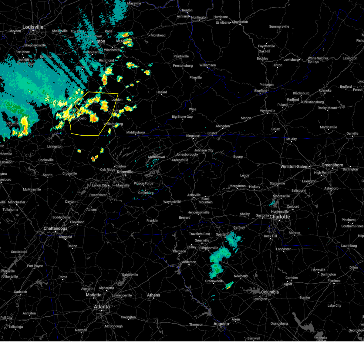 Svrjkl the national weather service in jackson ky has issued a * severe thunderstorm warning for, wayne county in south central kentucky, western laurel county in south central kentucky, pulaski county in south central kentucky, mccreary county in south central kentucky, southwestern rockcastle county in south central kentucky, northwestern whitley county in south central kentucky, * until 800 pm edt. * at 729 pm edt, severe thunderstorms were located along a line extending from near hansford to frazer to near zula, moving east at 40 mph (radar indicated). Hazards include 60 mph wind gusts. Expect damage to roofs, siding, and trees. severe thunderstorms will be near, somerset around 735 pm edt. hazel patch around 740 pm edt. slavens around 745 pm edt. Other locations in the path of these severe thunderstorms include parmleysville. Svrjkl the national weather service in jackson ky has issued a * severe thunderstorm warning for, wayne county in south central kentucky, western laurel county in south central kentucky, pulaski county in south central kentucky, mccreary county in south central kentucky, southwestern rockcastle county in south central kentucky, northwestern whitley county in south central kentucky, * until 800 pm edt. * at 729 pm edt, severe thunderstorms were located along a line extending from near hansford to frazer to near zula, moving east at 40 mph (radar indicated). Hazards include 60 mph wind gusts. Expect damage to roofs, siding, and trees. severe thunderstorms will be near, somerset around 735 pm edt. hazel patch around 740 pm edt. slavens around 745 pm edt. Other locations in the path of these severe thunderstorms include parmleysville.
|
| 8/1/2024 7:18 PM EDT |
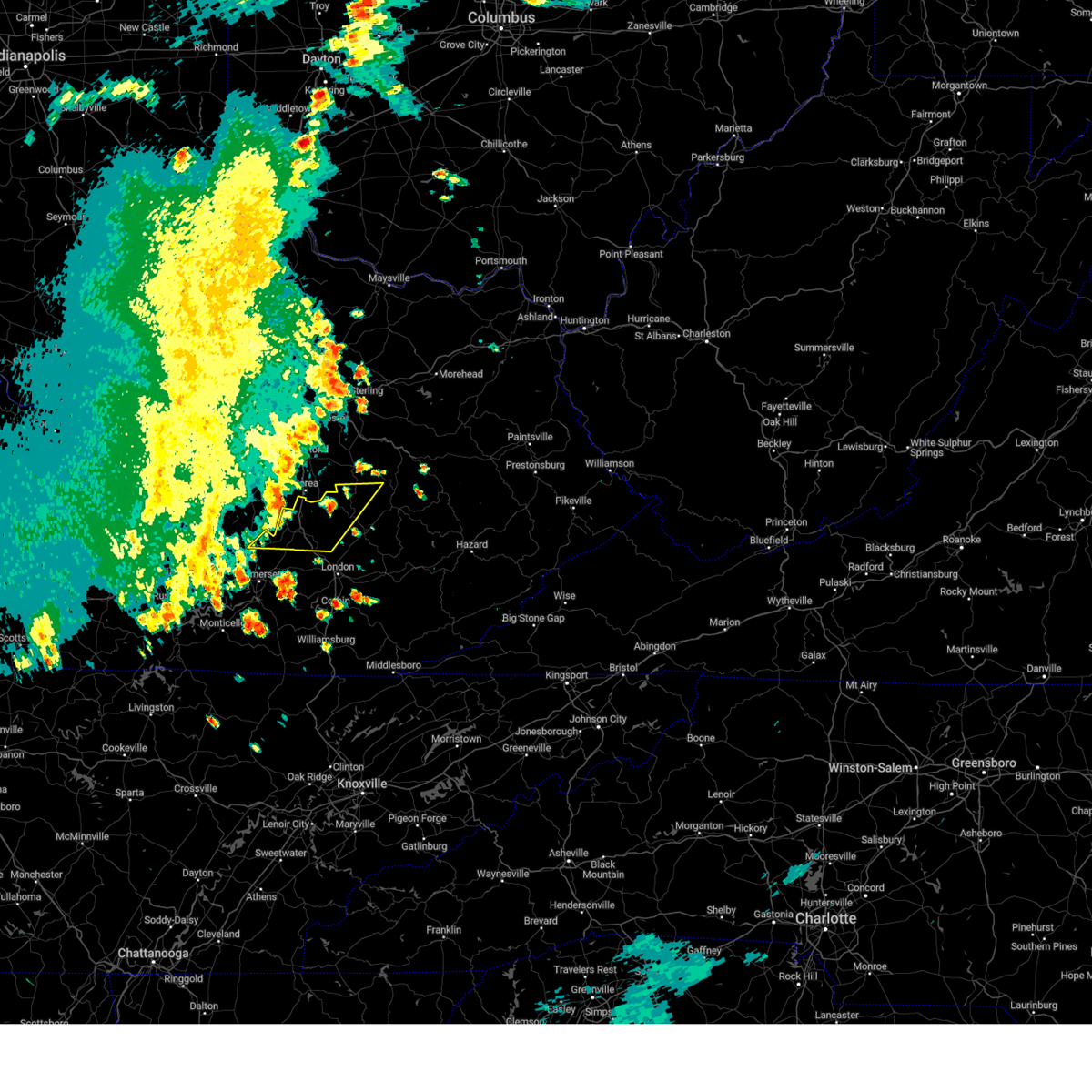 Svrjkl the national weather service in jackson ky has issued a * severe thunderstorm warning for, north central laurel county in south central kentucky, southwestern estill county in east central kentucky, north central pulaski county in south central kentucky, western jackson county in southeastern kentucky, rockcastle county in south central kentucky, west central lee county in southeastern kentucky, * until 745 pm edt. * at 718 pm edt, severe thunderstorms were located along a line extending from near blackburn to bee lick, moving east at 45 mph (radar indicated). Hazards include 60 mph wind gusts. Expect damage to roofs, siding, and trees. severe thunderstorms will be near, mount vernon around 725 pm edt. jep hill around 730 pm edt. Gauley around 735 pm edt. Svrjkl the national weather service in jackson ky has issued a * severe thunderstorm warning for, north central laurel county in south central kentucky, southwestern estill county in east central kentucky, north central pulaski county in south central kentucky, western jackson county in southeastern kentucky, rockcastle county in south central kentucky, west central lee county in southeastern kentucky, * until 745 pm edt. * at 718 pm edt, severe thunderstorms were located along a line extending from near blackburn to bee lick, moving east at 45 mph (radar indicated). Hazards include 60 mph wind gusts. Expect damage to roofs, siding, and trees. severe thunderstorms will be near, mount vernon around 725 pm edt. jep hill around 730 pm edt. Gauley around 735 pm edt.
|
| 8/1/2024 6:43 PM EDT |
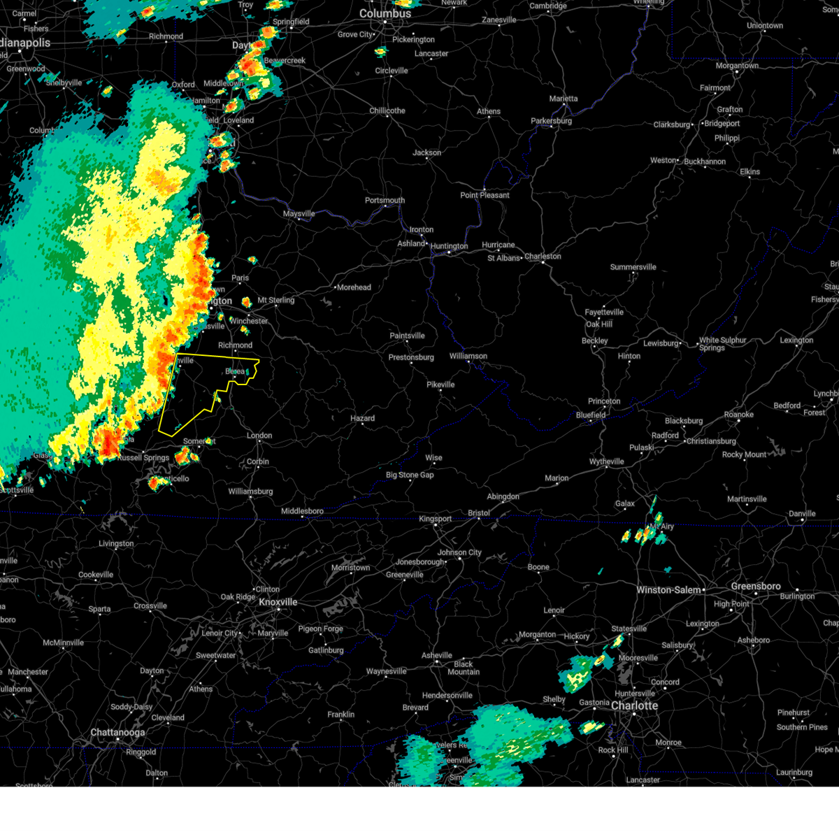 Svrlmk the national weather service in louisville has issued a * severe thunderstorm warning for, lincoln county in central kentucky, southeastern mercer county in central kentucky, garrard county in central kentucky, eastern boyle county in central kentucky, southern madison county in central kentucky, eastern casey county in central kentucky, * until 730 pm edt. * at 643 pm edt, severe thunderstorms were located along a line extending from near danville to near liberty, moving east at 35 mph (radar indicated). Hazards include 60 mph wind gusts. expect damage to roofs, siding, and trees Svrlmk the national weather service in louisville has issued a * severe thunderstorm warning for, lincoln county in central kentucky, southeastern mercer county in central kentucky, garrard county in central kentucky, eastern boyle county in central kentucky, southern madison county in central kentucky, eastern casey county in central kentucky, * until 730 pm edt. * at 643 pm edt, severe thunderstorms were located along a line extending from near danville to near liberty, moving east at 35 mph (radar indicated). Hazards include 60 mph wind gusts. expect damage to roofs, siding, and trees
|
| 7/30/2024 2:14 PM CDT |
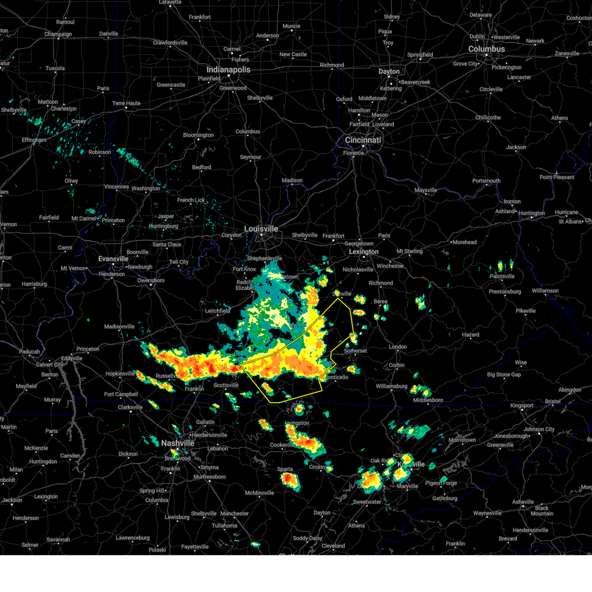 At 314 pm edt/214 pm cdt/, a severe thunderstorm was located 11 miles southwest of liberty, moving southeast at 35 mph (radar indicated). Hazards include 60 mph wind gusts and penny size hail. Expect damage to roofs, siding, and trees. Locations impacted include, liberty, danville, glasgow, columbia, stanford, tompkinsville, albany, jamestown, edmonton, and burkesville. At 314 pm edt/214 pm cdt/, a severe thunderstorm was located 11 miles southwest of liberty, moving southeast at 35 mph (radar indicated). Hazards include 60 mph wind gusts and penny size hail. Expect damage to roofs, siding, and trees. Locations impacted include, liberty, danville, glasgow, columbia, stanford, tompkinsville, albany, jamestown, edmonton, and burkesville.
|
| 7/30/2024 2:14 PM CDT |
 the severe thunderstorm warning has been cancelled and is no longer in effect the severe thunderstorm warning has been cancelled and is no longer in effect
|
| 7/30/2024 1:33 PM CDT |
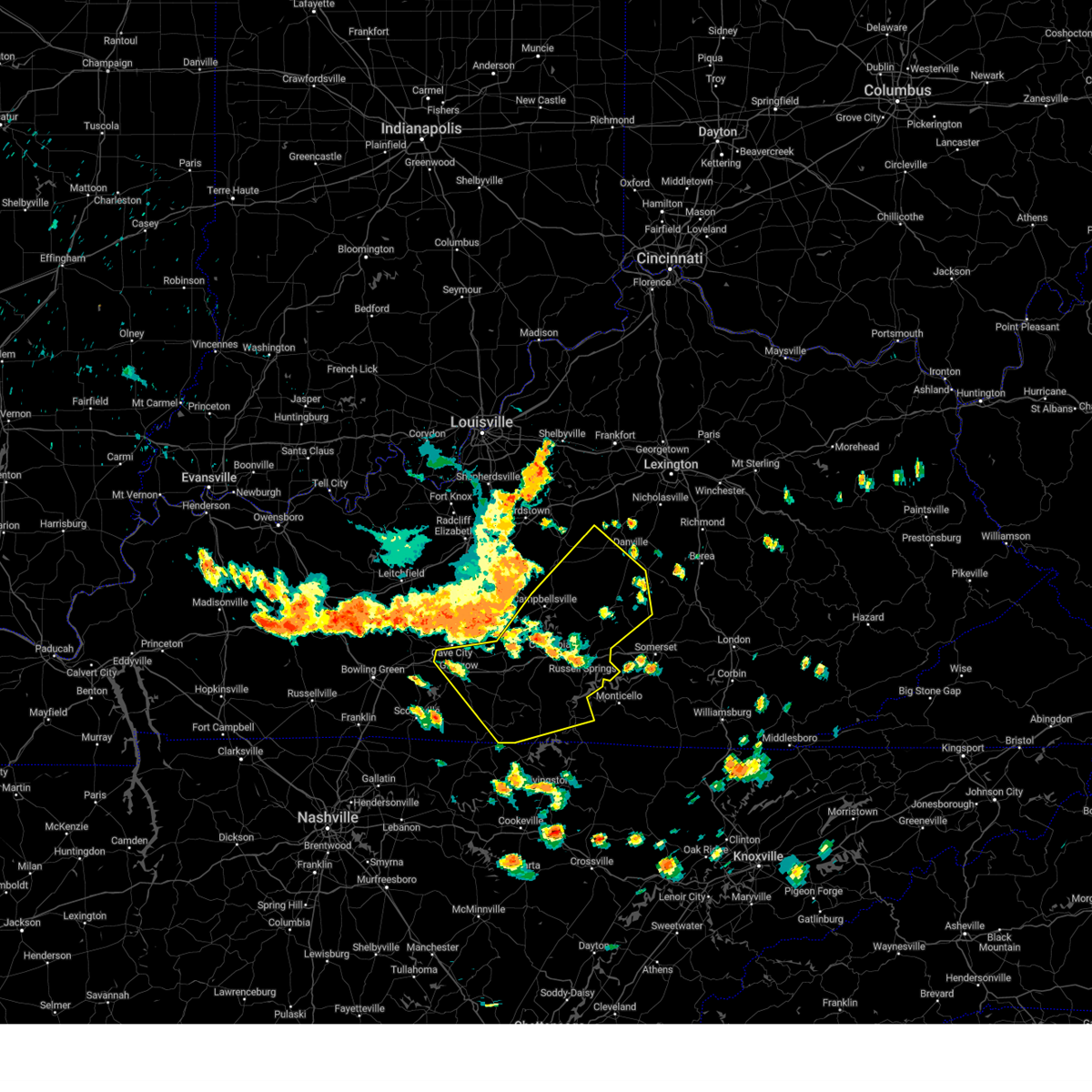 Svrlmk the national weather service in louisville has issued a * severe thunderstorm warning for, southeastern marion county in central kentucky, russell county in south central kentucky, taylor county in central kentucky, casey county in central kentucky, adair county in south central kentucky, western lincoln county in central kentucky, southwestern mercer county in central kentucky, central clinton county in south central kentucky, southern green county in central kentucky, central monroe county in south central kentucky, southeastern washington county in central kentucky, boyle county in central kentucky, cumberland county in south central kentucky, eastern barren county in south central kentucky, metcalfe county in south central kentucky, * until 330 pm edt/230 pm cdt/. * at 231 pm edt/131 pm cdt/, severe thunderstorms were located along a line extending from near bardstown to 11 miles northwest of campbellsville to 7 miles west of greensburg to 10 miles east of brownsville, moving southeast at 50 mph (radar indicated). Hazards include 60 mph wind gusts and penny size hail. expect damage to roofs, siding, and trees Svrlmk the national weather service in louisville has issued a * severe thunderstorm warning for, southeastern marion county in central kentucky, russell county in south central kentucky, taylor county in central kentucky, casey county in central kentucky, adair county in south central kentucky, western lincoln county in central kentucky, southwestern mercer county in central kentucky, central clinton county in south central kentucky, southern green county in central kentucky, central monroe county in south central kentucky, southeastern washington county in central kentucky, boyle county in central kentucky, cumberland county in south central kentucky, eastern barren county in south central kentucky, metcalfe county in south central kentucky, * until 330 pm edt/230 pm cdt/. * at 231 pm edt/131 pm cdt/, severe thunderstorms were located along a line extending from near bardstown to 11 miles northwest of campbellsville to 7 miles west of greensburg to 10 miles east of brownsville, moving southeast at 50 mph (radar indicated). Hazards include 60 mph wind gusts and penny size hail. expect damage to roofs, siding, and trees
|
| 7/5/2024 10:54 AM EDT |
 At 1053 am edt, severe thunderstorms were located along a line extending from near bee lick to near woodstock to valley oak to shopville to near ruth, moving northeast at 30 mph (radar indicated). Hazards include 60 mph wind gusts and penny size hail. Expect damage to roofs, siding, and trees. these severe storms will be near, maretburg around 1100 am edt. Other locations impacted by these severe thunderstorms include bee lick. At 1053 am edt, severe thunderstorms were located along a line extending from near bee lick to near woodstock to valley oak to shopville to near ruth, moving northeast at 30 mph (radar indicated). Hazards include 60 mph wind gusts and penny size hail. Expect damage to roofs, siding, and trees. these severe storms will be near, maretburg around 1100 am edt. Other locations impacted by these severe thunderstorms include bee lick.
|
| 7/5/2024 10:40 AM EDT |
 Svrjkl the national weather service in jackson ky has issued a * severe thunderstorm warning for, northern wayne county in south central kentucky, pulaski county in south central kentucky, western rockcastle county in south central kentucky, * until 1115 am edt. * at 1040 am edt, severe thunderstorms were located along a line extending from 8 miles northwest of bobtown to science hill to near dabney to somerset to near frazer, moving northeast at 35 mph (radar indicated). Hazards include 60 mph wind gusts and penny size hail. Expect damage to roofs, siding, and trees. severe thunderstorms will be near, somerset around 1045 am edt. grade around 1050 am edt. ottowa around 1055 am edt. maretburg around 1100 am edt. mount vernon around 1105 am edt. Other locations impacted by these severe thunderstorms include bee lick. Svrjkl the national weather service in jackson ky has issued a * severe thunderstorm warning for, northern wayne county in south central kentucky, pulaski county in south central kentucky, western rockcastle county in south central kentucky, * until 1115 am edt. * at 1040 am edt, severe thunderstorms were located along a line extending from 8 miles northwest of bobtown to science hill to near dabney to somerset to near frazer, moving northeast at 35 mph (radar indicated). Hazards include 60 mph wind gusts and penny size hail. Expect damage to roofs, siding, and trees. severe thunderstorms will be near, somerset around 1045 am edt. grade around 1050 am edt. ottowa around 1055 am edt. maretburg around 1100 am edt. mount vernon around 1105 am edt. Other locations impacted by these severe thunderstorms include bee lick.
|
| 5/26/2024 12:50 PM EDT |
 Svrjkl the national weather service in jackson ky has issued a * severe thunderstorm warning for, laurel county in south central kentucky, central pulaski county in south central kentucky, jackson county in southeastern kentucky, rockcastle county in south central kentucky, * until 145 pm edt. * at 1250 pm edt, severe thunderstorms were located along a line extending from 6 miles northeast of danville to near hogue, moving east at 30 mph (radar indicated). Hazards include 60 mph wind gusts and nickel size hail. Expect damage to roofs, siding, and trees. severe thunderstorms will be near, somerset around 1255 pm edt. bee lick around 100 pm edt. ottowa around 105 pm edt. maretburg around 110 pm edt. Other locations in the path of these severe thunderstorms include mount vernon and boone. Svrjkl the national weather service in jackson ky has issued a * severe thunderstorm warning for, laurel county in south central kentucky, central pulaski county in south central kentucky, jackson county in southeastern kentucky, rockcastle county in south central kentucky, * until 145 pm edt. * at 1250 pm edt, severe thunderstorms were located along a line extending from 6 miles northeast of danville to near hogue, moving east at 30 mph (radar indicated). Hazards include 60 mph wind gusts and nickel size hail. Expect damage to roofs, siding, and trees. severe thunderstorms will be near, somerset around 1255 pm edt. bee lick around 100 pm edt. ottowa around 105 pm edt. maretburg around 110 pm edt. Other locations in the path of these severe thunderstorms include mount vernon and boone.
|
| 3/6/2024 10:07 AM EST |
 Torjkl the national weather service in jackson ky has issued a * this is a test message. tornado warning for, montgomery county in east central kentucky, mccreary county in south central kentucky, rowan county in east central kentucky, morgan county in southeastern kentucky, bath county in east central kentucky, leslie county in southeastern kentucky, estill county in east central kentucky, pulaski county in south central kentucky, rockcastle county in south central kentucky, clay county in southeastern kentucky, elliott county in east central kentucky, wayne county in south central kentucky, harlan county in southeastern kentucky, knox county in southeastern kentucky, owsley county in southeastern kentucky, jackson county in southeastern kentucky, knott county in southeastern kentucky, floyd county in southeastern kentucky, whitley county in south central kentucky, menifee county in east central kentucky, lee county in southeastern kentucky, fleming county in east central kentucky, wolfe county in southeastern kentucky, powell county in east central kentucky, laurel county in south central kentucky, martin county in northeastern kentucky, bell county in southeastern kentucky, johnson county in northeastern kentucky, letcher county in southeastern kentucky, perry county in southeastern kentucky, breathitt county in southeastern kentucky, pike county in southeastern kentucky, magoffin county in southeastern kentucky, * this is a test message. until 1030 am est. * this is a test message. repeat, this is a test tornado warning message. there is no severe weather occuring at this time. this test warning message is part of the annual kentucky tornado drill. if this were an actual severe weather event, you would be given information about the hazard. the national weather service, kentucky emergency management angency, and the kentucky weather preparedness committee, encourges the use of this time to activate and review your severe weather safety plans. repeating, this has been a test tornado warning message for the 2024 kentucky tornado drill. this concludes the test. * this is a test message. Torjkl the national weather service in jackson ky has issued a * this is a test message. tornado warning for, montgomery county in east central kentucky, mccreary county in south central kentucky, rowan county in east central kentucky, morgan county in southeastern kentucky, bath county in east central kentucky, leslie county in southeastern kentucky, estill county in east central kentucky, pulaski county in south central kentucky, rockcastle county in south central kentucky, clay county in southeastern kentucky, elliott county in east central kentucky, wayne county in south central kentucky, harlan county in southeastern kentucky, knox county in southeastern kentucky, owsley county in southeastern kentucky, jackson county in southeastern kentucky, knott county in southeastern kentucky, floyd county in southeastern kentucky, whitley county in south central kentucky, menifee county in east central kentucky, lee county in southeastern kentucky, fleming county in east central kentucky, wolfe county in southeastern kentucky, powell county in east central kentucky, laurel county in south central kentucky, martin county in northeastern kentucky, bell county in southeastern kentucky, johnson county in northeastern kentucky, letcher county in southeastern kentucky, perry county in southeastern kentucky, breathitt county in southeastern kentucky, pike county in southeastern kentucky, magoffin county in southeastern kentucky, * this is a test message. until 1030 am est. * this is a test message. repeat, this is a test tornado warning message. there is no severe weather occuring at this time. this test warning message is part of the annual kentucky tornado drill. if this were an actual severe weather event, you would be given information about the hazard. the national weather service, kentucky emergency management angency, and the kentucky weather preparedness committee, encourges the use of this time to activate and review your severe weather safety plans. repeating, this has been a test tornado warning message for the 2024 kentucky tornado drill. this concludes the test. * this is a test message.
|
| 3/6/2024 10:06 AM EST |
 Torlmk the national weather service in louisville has issued a * this is a test message. tornado warning for, meade county in central kentucky, larue county in central kentucky, jessamine county in central kentucky, nicholas county in central kentucky, adair county in south central kentucky, bourbon county in central kentucky, warren county in south central kentucky, cumberland county in south central kentucky, henry county in central kentucky, russell county in south central kentucky, taylor county in central kentucky, jefferson county in central kentucky, hardin county in central kentucky, spencer county in central kentucky, scott county in central kentucky, hancock county in central kentucky, trimble county in central kentucky, monroe county in south central kentucky, metcalfe county in south central kentucky, shelby county in central kentucky, logan county in south central kentucky, nelson county in central kentucky, anderson county in central kentucky, clark county in central kentucky, marion county in central kentucky, simpson county in south central kentucky, grayson county in central kentucky, casey county in central kentucky, franklin county in central kentucky, edmonson county in south central kentucky, lincoln county in central kentucky, woodford county in central kentucky, butler county in south central kentucky, madison county in central kentucky, barren county in south central kentucky, ohio county in central kentucky, oldham county in central kentucky, garrard county in central kentucky, hart county in central kentucky, bullitt county in central kentucky, harrison county in central kentucky, mercer county in central kentucky, clinton county in south central kentucky, green county in central kentucky, allen county in south central kentucky, washington county in central kentucky, boyle county in central kentucky, breckinridge county in central kentucky, fayette county in central kentucky, * this is a test message. until 1030 am est/930 am cst/. * this is a test message. Torlmk the national weather service in louisville has issued a * this is a test message. tornado warning for, meade county in central kentucky, larue county in central kentucky, jessamine county in central kentucky, nicholas county in central kentucky, adair county in south central kentucky, bourbon county in central kentucky, warren county in south central kentucky, cumberland county in south central kentucky, henry county in central kentucky, russell county in south central kentucky, taylor county in central kentucky, jefferson county in central kentucky, hardin county in central kentucky, spencer county in central kentucky, scott county in central kentucky, hancock county in central kentucky, trimble county in central kentucky, monroe county in south central kentucky, metcalfe county in south central kentucky, shelby county in central kentucky, logan county in south central kentucky, nelson county in central kentucky, anderson county in central kentucky, clark county in central kentucky, marion county in central kentucky, simpson county in south central kentucky, grayson county in central kentucky, casey county in central kentucky, franklin county in central kentucky, edmonson county in south central kentucky, lincoln county in central kentucky, woodford county in central kentucky, butler county in south central kentucky, madison county in central kentucky, barren county in south central kentucky, ohio county in central kentucky, oldham county in central kentucky, garrard county in central kentucky, hart county in central kentucky, bullitt county in central kentucky, harrison county in central kentucky, mercer county in central kentucky, clinton county in south central kentucky, green county in central kentucky, allen county in south central kentucky, washington county in central kentucky, boyle county in central kentucky, breckinridge county in central kentucky, fayette county in central kentucky, * this is a test message. until 1030 am est/930 am cst/. * this is a test message.
|
| 7/18/2023 3:06 PM EDT |
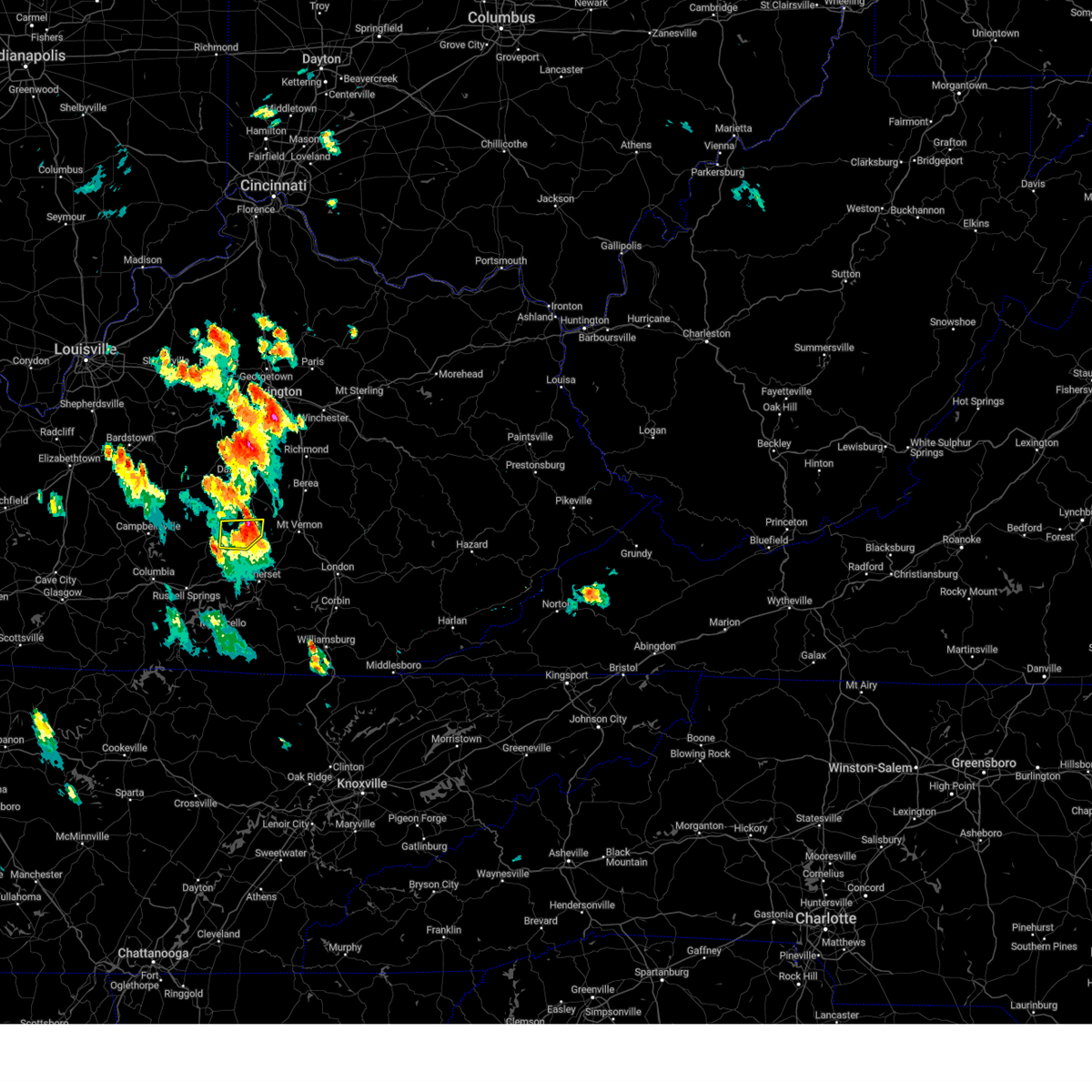 The severe thunderstorm warning for southwestern lincoln and east central casey counties will expire at 315 pm edt, the storm which prompted the warning has weakened below severe limits, and has exited the warned area. therefore, the warning will be allowed to expire. however, small hail, gusty winds and heavy rain are still possible with this thunderstorm. a severe thunderstorm watch remains in effect until 900 pm edt for central kentucky. The severe thunderstorm warning for southwestern lincoln and east central casey counties will expire at 315 pm edt, the storm which prompted the warning has weakened below severe limits, and has exited the warned area. therefore, the warning will be allowed to expire. however, small hail, gusty winds and heavy rain are still possible with this thunderstorm. a severe thunderstorm watch remains in effect until 900 pm edt for central kentucky.
|
| 7/18/2023 2:57 PM EDT |
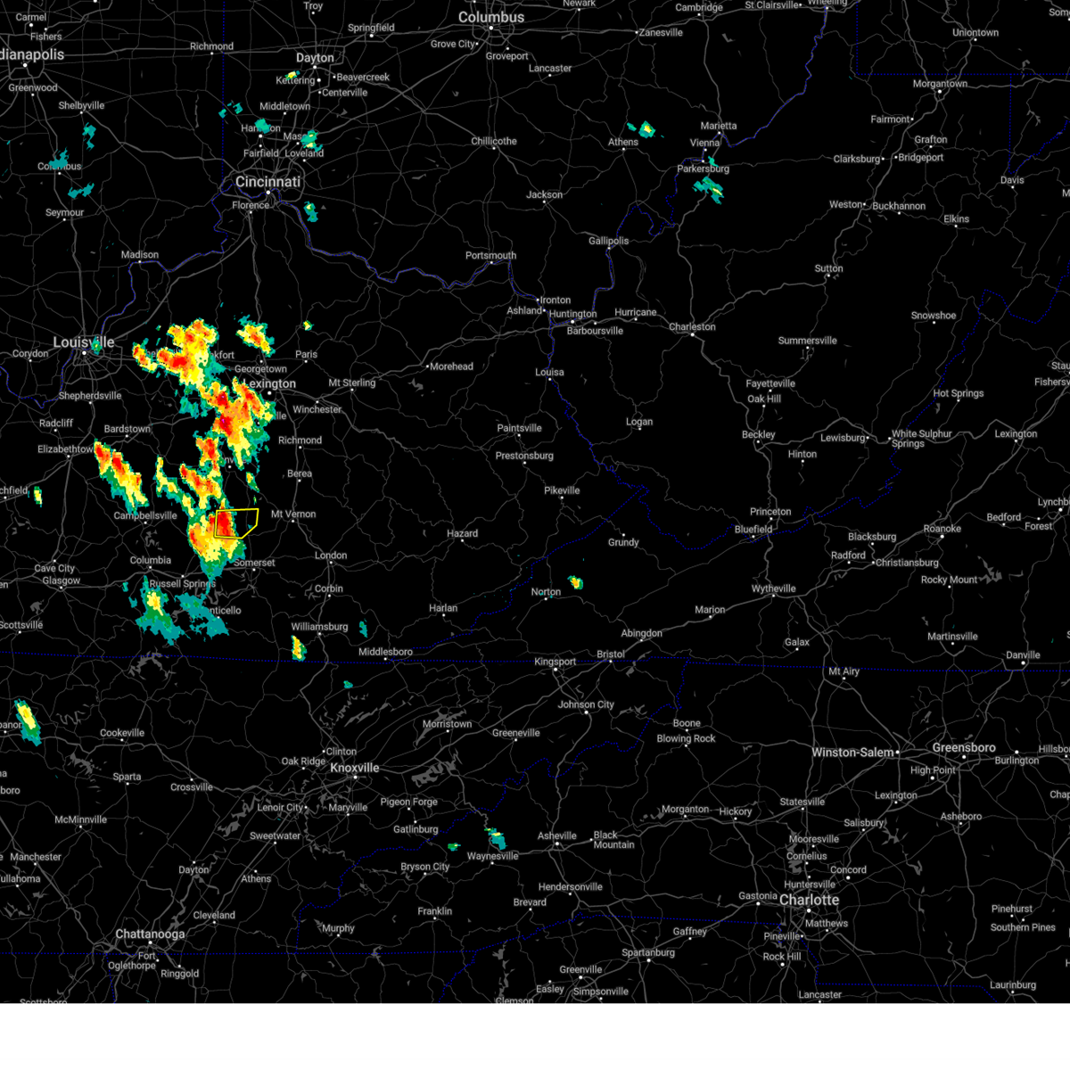 At 257 pm edt, a severe thunderstorm was located 10 miles northeast of liberty, moving east at 25 mph (radar indicated). Hazards include 60 mph wind gusts and penny size hail. Expect damage to roofs, siding, and trees. locations impacted include, south fork, lawhorn hill, kings mountain, new salem, walltown, middleburg and waynesburg. hail threat, radar indicated max hail size, 0. 75 in wind threat, radar indicated max wind gust, 60 mph. At 257 pm edt, a severe thunderstorm was located 10 miles northeast of liberty, moving east at 25 mph (radar indicated). Hazards include 60 mph wind gusts and penny size hail. Expect damage to roofs, siding, and trees. locations impacted include, south fork, lawhorn hill, kings mountain, new salem, walltown, middleburg and waynesburg. hail threat, radar indicated max hail size, 0. 75 in wind threat, radar indicated max wind gust, 60 mph.
|
| 7/18/2023 2:51 PM EDT |
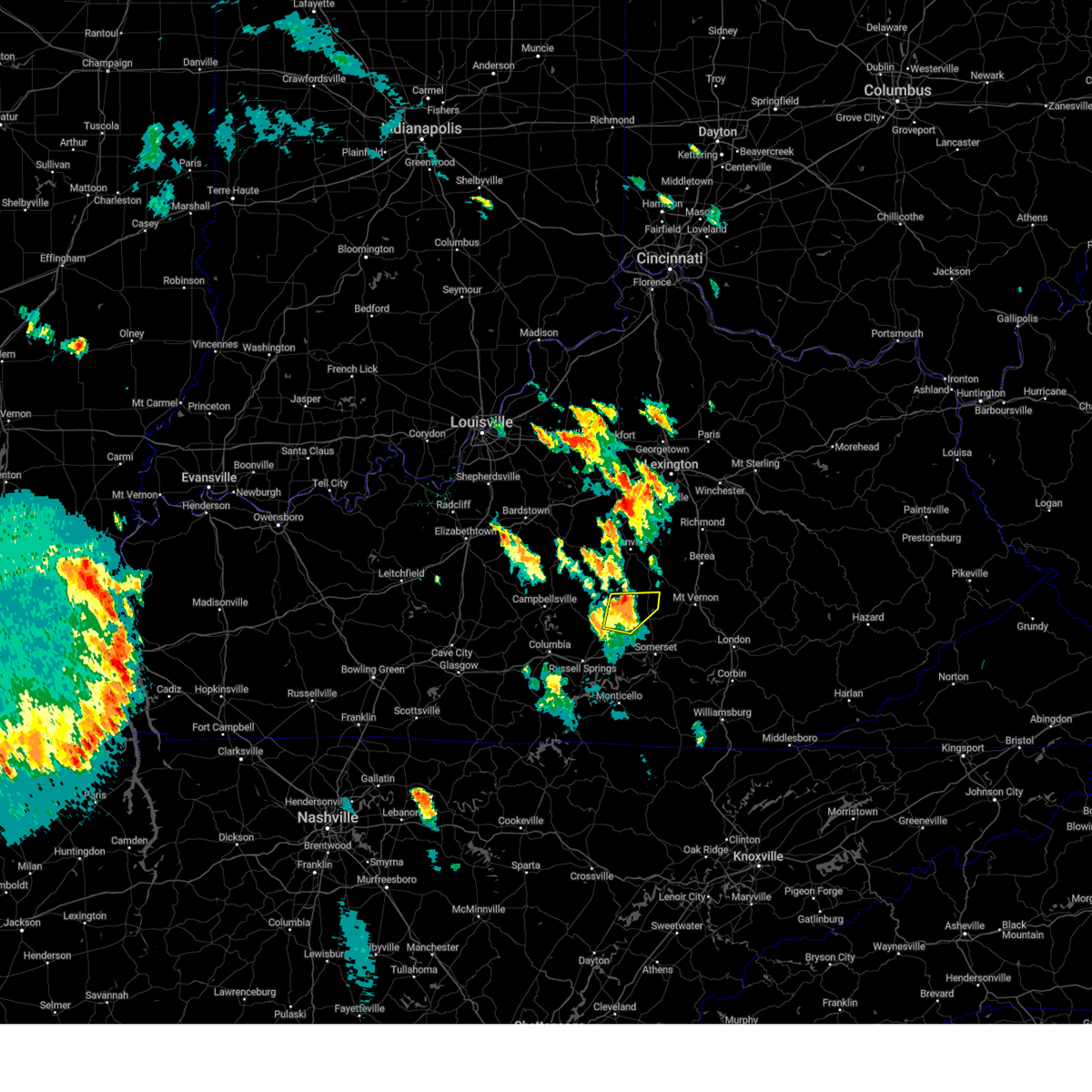 At 251 pm edt, a severe thunderstorm was located near liberty, moving east at 35 mph (radar indicated). Hazards include 60 mph wind gusts and penny size hail. Expect damage to roofs, siding, and trees. locations impacted include, liberty, south fork, lawhorn hill, kings mountain, gilpin, bethelridge, walltown, middleburg, lanhamtown and cantown. hail threat, radar indicated max hail size, 0. 75 in wind threat, radar indicated max wind gust, 60 mph. At 251 pm edt, a severe thunderstorm was located near liberty, moving east at 35 mph (radar indicated). Hazards include 60 mph wind gusts and penny size hail. Expect damage to roofs, siding, and trees. locations impacted include, liberty, south fork, lawhorn hill, kings mountain, gilpin, bethelridge, walltown, middleburg, lanhamtown and cantown. hail threat, radar indicated max hail size, 0. 75 in wind threat, radar indicated max wind gust, 60 mph.
|
| 7/18/2023 2:33 PM EDT |
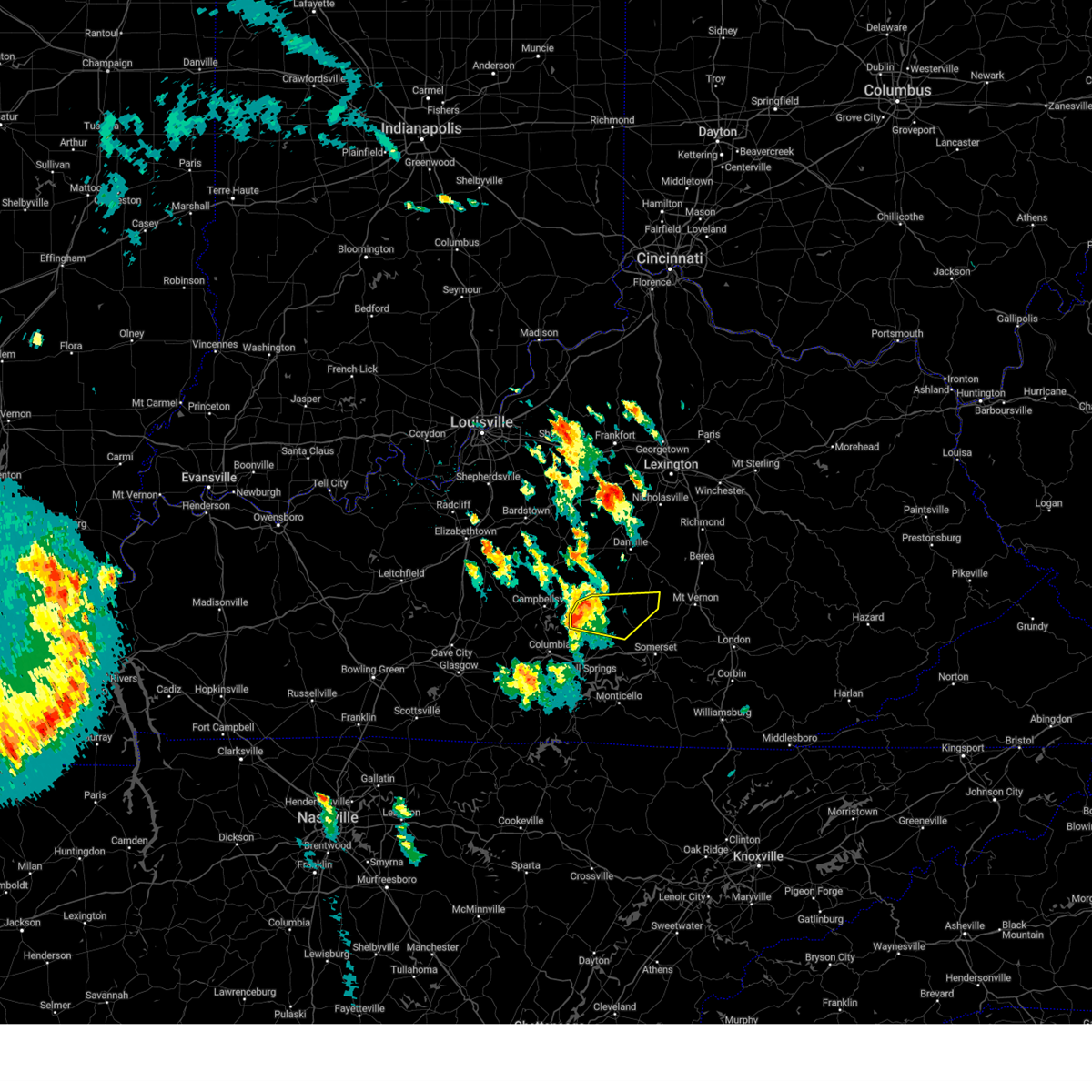 At 233 pm edt/133 pm cdt/, a severe thunderstorm was located near liberty, moving east at 35 mph (radar indicated). Hazards include 60 mph wind gusts and half dollar size hail. Hail damage to vehicles is expected. Expect wind damage to roofs, siding, and trees. At 233 pm edt/133 pm cdt/, a severe thunderstorm was located near liberty, moving east at 35 mph (radar indicated). Hazards include 60 mph wind gusts and half dollar size hail. Hail damage to vehicles is expected. Expect wind damage to roofs, siding, and trees.
|
| 7/18/2023 4:45 AM EDT |
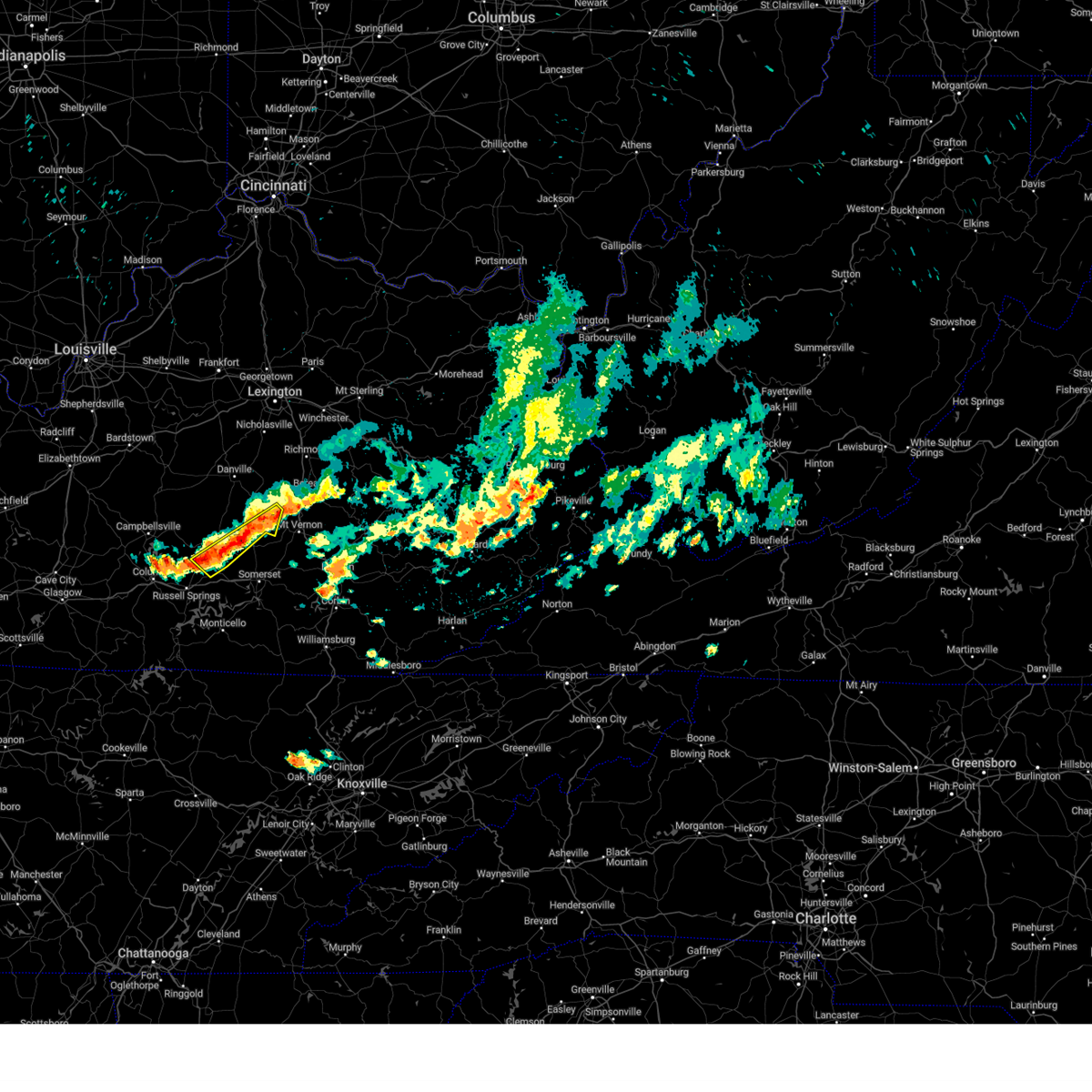 At 444 am edt, severe thunderstorms were located from near gum sulphur to 9 miles north of hogue to 9 miles southwest of liberty, moving southeast at 30 mph (radar indicated). Hazards include 60 mph wind gusts and quarter size hail. Hail damage to vehicles is expected. expect wind damage to roofs, siding, and trees. locations impacted include, crab orchard, mintonville, lawhorn hill, kings mountain, windsor, teddy, ottenheim, dunnville, gilpin, and bethelridge. hail threat, radar indicated max hail size, 1. 00 in wind threat, radar indicated max wind gust, 60 mph. At 444 am edt, severe thunderstorms were located from near gum sulphur to 9 miles north of hogue to 9 miles southwest of liberty, moving southeast at 30 mph (radar indicated). Hazards include 60 mph wind gusts and quarter size hail. Hail damage to vehicles is expected. expect wind damage to roofs, siding, and trees. locations impacted include, crab orchard, mintonville, lawhorn hill, kings mountain, windsor, teddy, ottenheim, dunnville, gilpin, and bethelridge. hail threat, radar indicated max hail size, 1. 00 in wind threat, radar indicated max wind gust, 60 mph.
|
| 7/18/2023 4:36 AM EDT |
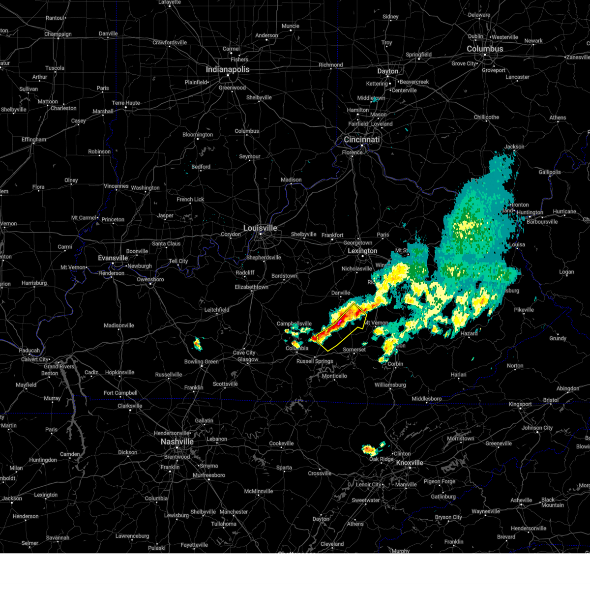 At 435 am edt, severe thunderstorms were located from near gum sulphur to 7 miles east of liberty to 13 miles northwest of cains store, moving southeast at 20 mph (radar indicated). Hazards include 60 mph wind gusts and quarter size hail. Hail damage to vehicles is expected. expect wind damage to roofs, siding, and trees. locations impacted include, liberty, stanford, crab orchard, boneyville, mintonville, lawhorn hill, windsor, teddy, ottenheim, and gilpin. hail threat, radar indicated max hail size, 1. 00 in wind threat, radar indicated max wind gust, 60 mph. At 435 am edt, severe thunderstorms were located from near gum sulphur to 7 miles east of liberty to 13 miles northwest of cains store, moving southeast at 20 mph (radar indicated). Hazards include 60 mph wind gusts and quarter size hail. Hail damage to vehicles is expected. expect wind damage to roofs, siding, and trees. locations impacted include, liberty, stanford, crab orchard, boneyville, mintonville, lawhorn hill, windsor, teddy, ottenheim, and gilpin. hail threat, radar indicated max hail size, 1. 00 in wind threat, radar indicated max wind gust, 60 mph.
|
| 7/18/2023 4:22 AM EDT |
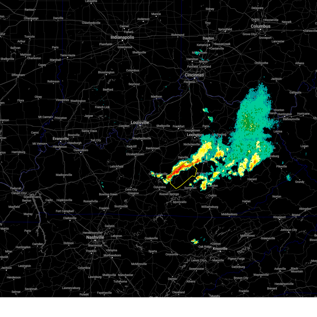 At 422 am edt, severe thunderstorms were located from near stanford to 6 miles northeast of liberty to 13 miles east of campbellsville, moving southeast at 30 mph (radar indicated). Hazards include 60 mph wind gusts and quarter size hail. Hail damage to vehicles is expected. Expect wind damage to roofs, siding, and trees. At 422 am edt, severe thunderstorms were located from near stanford to 6 miles northeast of liberty to 13 miles east of campbellsville, moving southeast at 30 mph (radar indicated). Hazards include 60 mph wind gusts and quarter size hail. Hail damage to vehicles is expected. Expect wind damage to roofs, siding, and trees.
|
| 7/2/2023 7:50 PM EDT |
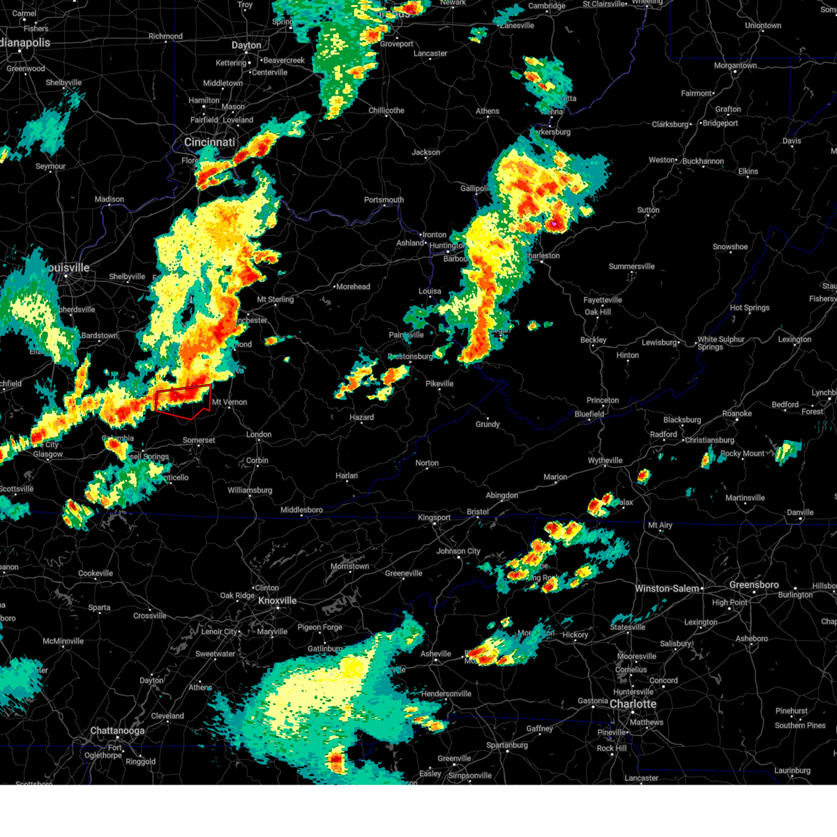 At 750 pm edt, a severe thunderstorm capable of producing a tornado was located 11 miles northeast of liberty, moving east at 30 mph (radar indicated rotation). Hazards include tornado and quarter size hail. Flying debris will be dangerous to those caught without shelter. mobile homes will be damaged or destroyed. damage to roofs, windows, and vehicles will occur. tree damage is likely. Locations impacted include, liberty, crab orchard, hustonville, south fork, kings mountain, jumbo, ottenheim, mount salem, broughtentown and walltown. At 750 pm edt, a severe thunderstorm capable of producing a tornado was located 11 miles northeast of liberty, moving east at 30 mph (radar indicated rotation). Hazards include tornado and quarter size hail. Flying debris will be dangerous to those caught without shelter. mobile homes will be damaged or destroyed. damage to roofs, windows, and vehicles will occur. tree damage is likely. Locations impacted include, liberty, crab orchard, hustonville, south fork, kings mountain, jumbo, ottenheim, mount salem, broughtentown and walltown.
|
| 7/2/2023 7:35 PM EDT |
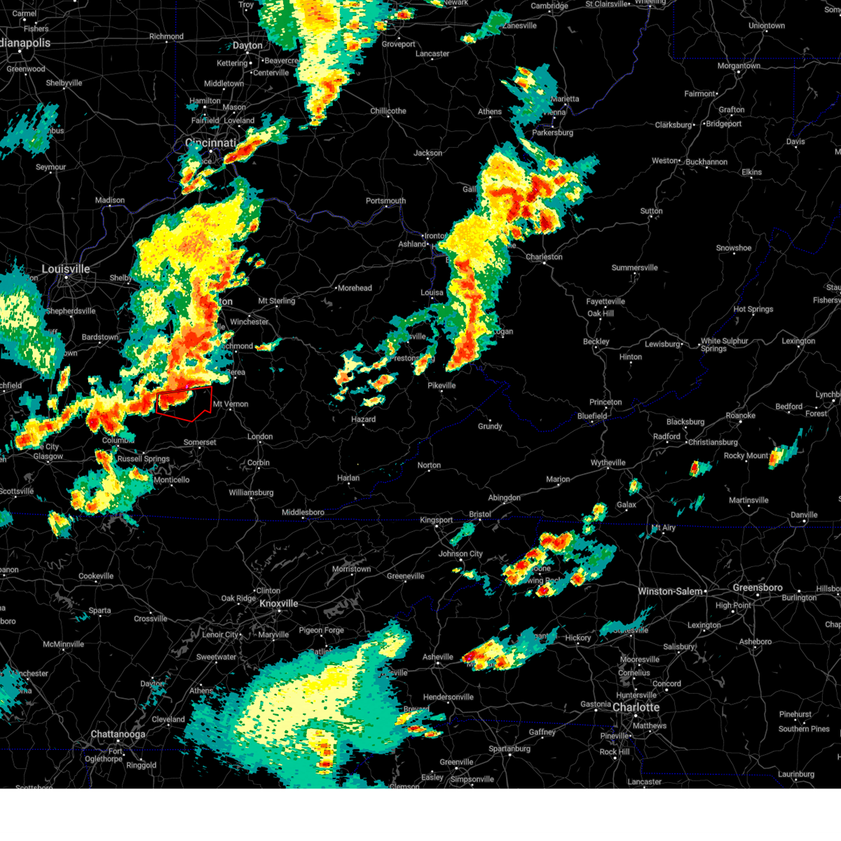 At 734 pm edt, a severe thunderstorm capable of producing a tornado was located near liberty, moving east at 25 mph (radar indicated rotation). Hazards include tornado. Flying debris will be dangerous to those caught without shelter. mobile homes will be damaged or destroyed. damage to roofs, windows, and vehicles will occur. Tree damage is likely. At 734 pm edt, a severe thunderstorm capable of producing a tornado was located near liberty, moving east at 25 mph (radar indicated rotation). Hazards include tornado. Flying debris will be dangerous to those caught without shelter. mobile homes will be damaged or destroyed. damage to roofs, windows, and vehicles will occur. Tree damage is likely.
|
| 6/25/2023 11:58 PM EDT |
 At 1158 pm edt, severe thunderstorms were located along a line extending from near rockford to hiatt to near science hill to cains store to near columbia, moving east at 45 mph (radar indicated). Hazards include 60 mph wind gusts and penny size hail. Expect damage to roofs, siding, and trees. severe thunderstorms will be near, mount vernon around 1205 am edt. dudley station around 1210 am edt. robinet around 1215 am edt. other locations in the path of these severe thunderstorms include somerset, deese and dykes. hail threat, radar indicated max hail size, 0. 75 in wind threat, radar indicated max wind gust, 60 mph. At 1158 pm edt, severe thunderstorms were located along a line extending from near rockford to hiatt to near science hill to cains store to near columbia, moving east at 45 mph (radar indicated). Hazards include 60 mph wind gusts and penny size hail. Expect damage to roofs, siding, and trees. severe thunderstorms will be near, mount vernon around 1205 am edt. dudley station around 1210 am edt. robinet around 1215 am edt. other locations in the path of these severe thunderstorms include somerset, deese and dykes. hail threat, radar indicated max hail size, 0. 75 in wind threat, radar indicated max wind gust, 60 mph.
|
| 6/25/2023 11:44 PM EDT |
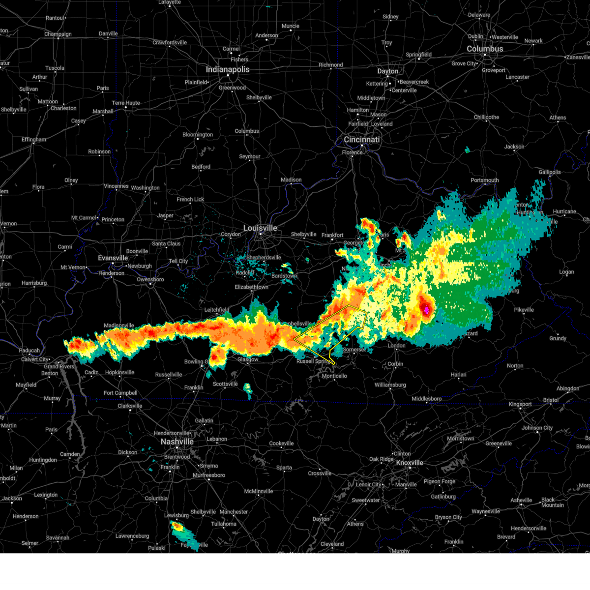 At 1144 pm edt/1044 pm cdt/, severe thunderstorms were located along a line extending from near stanford to 11 miles southwest of liberty, moving east at 45 mph (radar indicated). Hazards include 60 mph wind gusts. expect damage to roofs, siding, and trees At 1144 pm edt/1044 pm cdt/, severe thunderstorms were located along a line extending from near stanford to 11 miles southwest of liberty, moving east at 45 mph (radar indicated). Hazards include 60 mph wind gusts. expect damage to roofs, siding, and trees
|
| 6/11/2023 4:40 PM EDT |
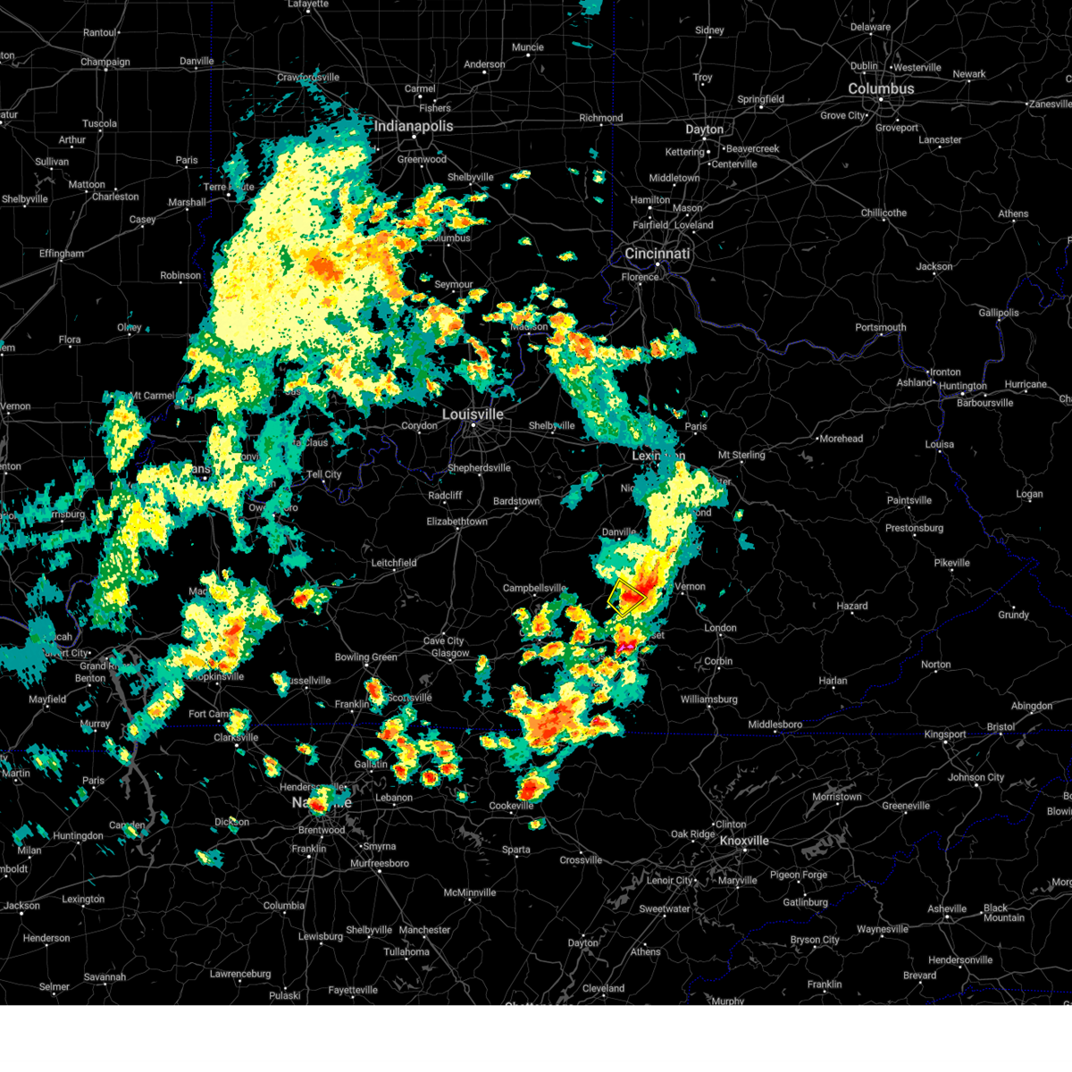 The severe thunderstorm warning for southwestern lincoln and east central casey counties will expire at 445 pm edt, the storm which prompted the warning has weakened below severe limits, and no longer poses an immediate threat to life or property. therefore, the warning will be allowed to expire. a severe thunderstorm watch remains in effect until 1100 pm edt for central kentucky. The severe thunderstorm warning for southwestern lincoln and east central casey counties will expire at 445 pm edt, the storm which prompted the warning has weakened below severe limits, and no longer poses an immediate threat to life or property. therefore, the warning will be allowed to expire. a severe thunderstorm watch remains in effect until 1100 pm edt for central kentucky.
|
| 6/11/2023 4:36 PM EDT |
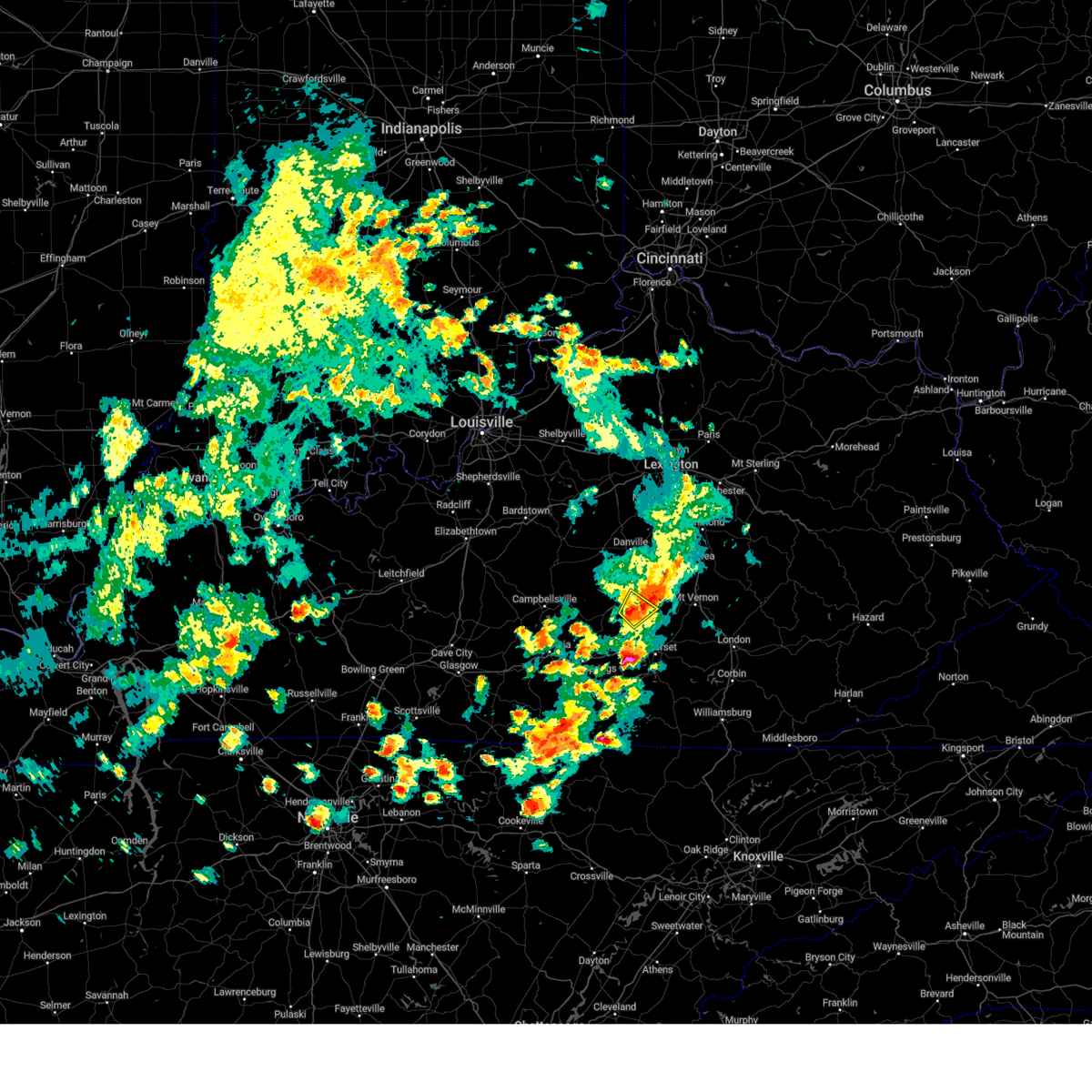 At 436 pm edt, a severe thunderstorm was located 7 miles east of liberty, moving northeast at 35 mph (radar indicated). Hazards include 60 mph wind gusts and quarter size hail. Hail damage to vehicles is expected. expect wind damage to roofs, siding, and trees. locations impacted include, south fork, walltown, kings mountain, new salem and waynesburg. hail threat, radar indicated max hail size, 1. 00 in wind threat, radar indicated max wind gust, 60 mph. At 436 pm edt, a severe thunderstorm was located 7 miles east of liberty, moving northeast at 35 mph (radar indicated). Hazards include 60 mph wind gusts and quarter size hail. Hail damage to vehicles is expected. expect wind damage to roofs, siding, and trees. locations impacted include, south fork, walltown, kings mountain, new salem and waynesburg. hail threat, radar indicated max hail size, 1. 00 in wind threat, radar indicated max wind gust, 60 mph.
|
| 6/11/2023 4:27 PM EDT |
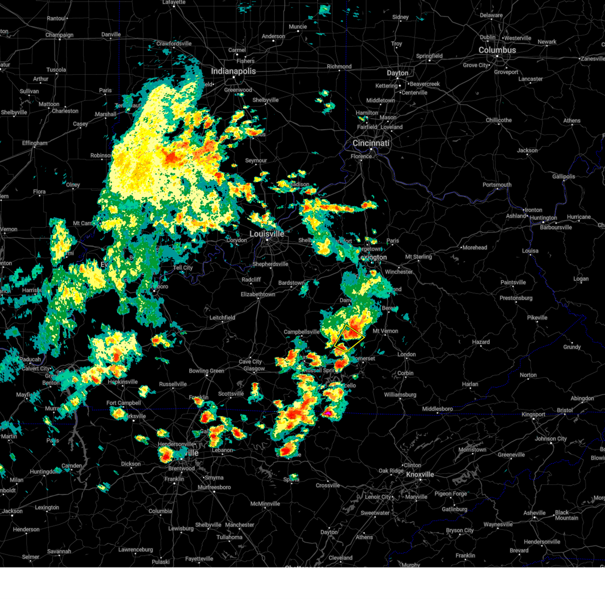 At 427 pm edt, a severe thunderstorm was located near magnum, moving northeast at 35 mph (radar indicated). Hazards include 60 mph wind gusts and quarter size hail. Hail damage to vehicles is expected. expect wind damage to roofs, siding, and trees. locations impacted include, south fork, lawhorn hill, kings mountain, mount salem, gilpin, bethelridge, walltown, middleburg, lanhamtown and cantown. hail threat, radar indicated max hail size, 1. 00 in wind threat, radar indicated max wind gust, 60 mph. At 427 pm edt, a severe thunderstorm was located near magnum, moving northeast at 35 mph (radar indicated). Hazards include 60 mph wind gusts and quarter size hail. Hail damage to vehicles is expected. expect wind damage to roofs, siding, and trees. locations impacted include, south fork, lawhorn hill, kings mountain, mount salem, gilpin, bethelridge, walltown, middleburg, lanhamtown and cantown. hail threat, radar indicated max hail size, 1. 00 in wind threat, radar indicated max wind gust, 60 mph.
|
| 6/11/2023 4:25 PM EDT |
 At 425 pm edt, a severe thunderstorm was located over faubush, or 14 miles west of somerset, moving northeast at 35 mph (radar indicated). Hazards include 60 mph wind gusts and quarter size hail. Hail damage to vehicles is expected. expect wind damage to roofs, siding, and trees. this severe thunderstorm will be near, cains store around 430 pm edt. nancy around 435 pm edt. pointer around 440 pm edt. hogue around 445 pm edt. other locations in the path of this severe thunderstorm include science hill and dabney. hail threat, radar indicated max hail size, 1. 00 in wind threat, radar indicated max wind gust, 60 mph. At 425 pm edt, a severe thunderstorm was located over faubush, or 14 miles west of somerset, moving northeast at 35 mph (radar indicated). Hazards include 60 mph wind gusts and quarter size hail. Hail damage to vehicles is expected. expect wind damage to roofs, siding, and trees. this severe thunderstorm will be near, cains store around 430 pm edt. nancy around 435 pm edt. pointer around 440 pm edt. hogue around 445 pm edt. other locations in the path of this severe thunderstorm include science hill and dabney. hail threat, radar indicated max hail size, 1. 00 in wind threat, radar indicated max wind gust, 60 mph.
|
| 6/11/2023 4:19 PM EDT |
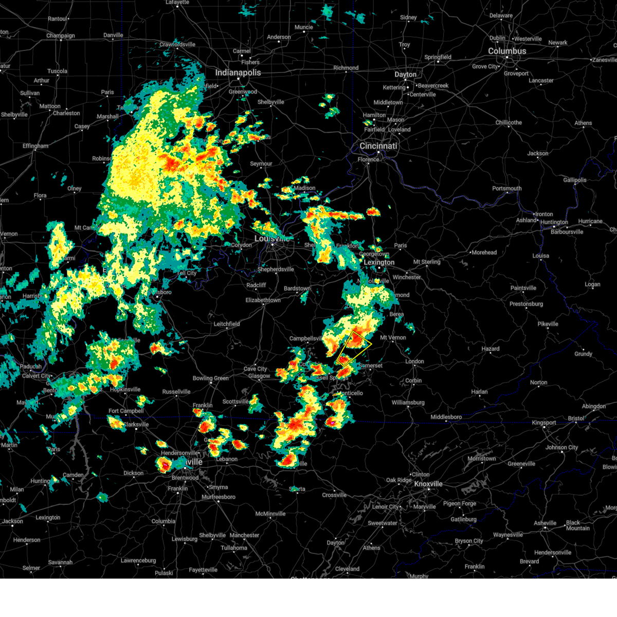 At 419 pm edt, a severe thunderstorm was located near magnum, moving northeast at 35 mph (radar indicated). Hazards include 60 mph wind gusts and quarter size hail. Hail damage to vehicles is expected. Expect wind damage to roofs, siding, and trees. At 419 pm edt, a severe thunderstorm was located near magnum, moving northeast at 35 mph (radar indicated). Hazards include 60 mph wind gusts and quarter size hail. Hail damage to vehicles is expected. Expect wind damage to roofs, siding, and trees.
|
| 6/11/2023 3:55 PM EDT | Trees down over north ky-50 in casey county KY, 7.5 miles ESE of Eubank, KY |
| 5/16/2023 3:21 PM EDT |
 At 321 pm edt, a severe thunderstorm was located near pulaski county park, or near somerset, moving east at 50 mph (radar indicated). Hazards include 60 mph wind gusts and nickel size hail. Expect damage to roofs, siding, and trees. this severe thunderstorm will be near, ruth around 335 pm edt. bent around 340 pm edt. Other locations in the path of this severe thunderstorm include billows, bunch and london. At 321 pm edt, a severe thunderstorm was located near pulaski county park, or near somerset, moving east at 50 mph (radar indicated). Hazards include 60 mph wind gusts and nickel size hail. Expect damage to roofs, siding, and trees. this severe thunderstorm will be near, ruth around 335 pm edt. bent around 340 pm edt. Other locations in the path of this severe thunderstorm include billows, bunch and london.
|
| 3/3/2023 2:42 PM EST |
 The severe thunderstorm warning for northeastern wayne, central pulaski and southwestern rockcastle counties will expire at 245 pm est, the storm which prompted the warning has weakened below severe limits, and no longer poses an immediate threat to life or property. therefore, the warning will be allowed to expire. however gusty winds are still possible with this thunderstorm. a tornado watch remains in effect until 500 pm est for south central kentucky. The severe thunderstorm warning for northeastern wayne, central pulaski and southwestern rockcastle counties will expire at 245 pm est, the storm which prompted the warning has weakened below severe limits, and no longer poses an immediate threat to life or property. therefore, the warning will be allowed to expire. however gusty winds are still possible with this thunderstorm. a tornado watch remains in effect until 500 pm est for south central kentucky.
|
| 3/3/2023 2:38 PM EST |
 At 237 pm est, a severe thunderstorm was located over pulaski county park, or near somerset, moving northeast at 95 mph (radar indicated). Hazards include 70 mph wind gusts and quarter size hail. Hail damage to vehicles is expected. expect considerable tree damage. wind damage is also likely to mobile homes, roofs, and outbuildings. this severe storm will be near, somerset pulaski airport around 240 pm est. Science hill around 245 pm est. At 237 pm est, a severe thunderstorm was located over pulaski county park, or near somerset, moving northeast at 95 mph (radar indicated). Hazards include 70 mph wind gusts and quarter size hail. Hail damage to vehicles is expected. expect considerable tree damage. wind damage is also likely to mobile homes, roofs, and outbuildings. this severe storm will be near, somerset pulaski airport around 240 pm est. Science hill around 245 pm est.
|
| 3/3/2023 2:31 PM EST |
 At 230 pm est, a severe thunderstorm was located over mill springs, or near monticello, moving northeast at 115 mph (radar indicated). Hazards include 70 mph wind gusts and quarter size hail. Hail damage to vehicles is expected. expect considerable tree damage. wind damage is also likely to mobile homes, roofs, and outbuildings. this severe thunderstorm will be near, pulaski county park around 235 pm est. science hill around 240 pm est. Woodstock around 245 pm est. At 230 pm est, a severe thunderstorm was located over mill springs, or near monticello, moving northeast at 115 mph (radar indicated). Hazards include 70 mph wind gusts and quarter size hail. Hail damage to vehicles is expected. expect considerable tree damage. wind damage is also likely to mobile homes, roofs, and outbuildings. this severe thunderstorm will be near, pulaski county park around 235 pm est. science hill around 240 pm est. Woodstock around 245 pm est.
|
| 2/16/2023 4:26 PM EST |
 The severe thunderstorm warning for central pulaski county will expire at 430 pm est, the storm which prompted the warning has weakened below severe limits, and no longer poses an immediate threat to life or property. therefore, the warning will be allowed to expire. however heavy rain is still possible with this thunderstorm. The severe thunderstorm warning for central pulaski county will expire at 430 pm est, the storm which prompted the warning has weakened below severe limits, and no longer poses an immediate threat to life or property. therefore, the warning will be allowed to expire. however heavy rain is still possible with this thunderstorm.
|
| 2/16/2023 4:18 PM EST |
 At 416 pm est, a severe thunderstorm was located near hogue, or near somerset, moving east at 55 mph (radar indicated). Hazards include 60 mph wind gusts and penny size hail. Expect damage to roofs, siding, and trees. locations impacted include, dabney and valley oak. hail threat, radar indicated max hail size, 0. 75 in wind threat, radar indicated max wind gust, 60 mph. At 416 pm est, a severe thunderstorm was located near hogue, or near somerset, moving east at 55 mph (radar indicated). Hazards include 60 mph wind gusts and penny size hail. Expect damage to roofs, siding, and trees. locations impacted include, dabney and valley oak. hail threat, radar indicated max hail size, 0. 75 in wind threat, radar indicated max wind gust, 60 mph.
|
| 2/16/2023 3:57 PM EST |
 At 357 pm est, a severe thunderstorm was located near jamestown, or 16 miles northwest of monticello, moving east at 55 mph (radar indicated). Hazards include 60 mph wind gusts and penny size hail. Expect damage to roofs, siding, and trees. this severe thunderstorm will be near, faubush around 405 pm est. nancy around 410 pm est. pulaski county park around 415 pm est. other locations in the path of this severe thunderstorm include science hill, dabney and shopville. hail threat, radar indicated max hail size, 0. 75 in wind threat, radar indicated max wind gust, 60 mph. At 357 pm est, a severe thunderstorm was located near jamestown, or 16 miles northwest of monticello, moving east at 55 mph (radar indicated). Hazards include 60 mph wind gusts and penny size hail. Expect damage to roofs, siding, and trees. this severe thunderstorm will be near, faubush around 405 pm est. nancy around 410 pm est. pulaski county park around 415 pm est. other locations in the path of this severe thunderstorm include science hill, dabney and shopville. hail threat, radar indicated max hail size, 0. 75 in wind threat, radar indicated max wind gust, 60 mph.
|
| 7/12/2022 4:40 PM EDT |
 The severe thunderstorm warning for central pulaski county will expire at 445 pm edt, the storm which prompted the warning has moved out of the area. therefore, the warning will be allowed to expire. a new warning has been issued for this storm. The severe thunderstorm warning for central pulaski county will expire at 445 pm edt, the storm which prompted the warning has moved out of the area. therefore, the warning will be allowed to expire. a new warning has been issued for this storm.
|
| 7/12/2022 4:32 PM EDT |
 At 431 pm edt, a severe thunderstorm was located over hogue, or 8 miles northwest of somerset, moving east at 25 mph (radar indicated). Hazards include 60 mph wind gusts and quarter size hail. Hail damage to vehicles is expected. expect wind damage to roofs, siding, and trees. locations impacted include, science hill, dabney and shopville. hail threat, radar indicated max hail size, 1. 00 in wind threat, radar indicated max wind gust, 60 mph. At 431 pm edt, a severe thunderstorm was located over hogue, or 8 miles northwest of somerset, moving east at 25 mph (radar indicated). Hazards include 60 mph wind gusts and quarter size hail. Hail damage to vehicles is expected. expect wind damage to roofs, siding, and trees. locations impacted include, science hill, dabney and shopville. hail threat, radar indicated max hail size, 1. 00 in wind threat, radar indicated max wind gust, 60 mph.
|
| 7/12/2022 4:19 PM EDT |
 At 419 pm edt, a severe thunderstorm was located near magnum, or 10 miles southeast of liberty, moving east at 25 mph (radar indicated). Hazards include 60 mph wind gusts and quarter size hail. Hail damage to vehicles is expected. expect wind damage to roofs, siding, and trees. this severe thunderstorm will be near, hogue around 430 pm edt. other locations in the path of this severe thunderstorm include science hill and dabney. hail threat, radar indicated max hail size, 1. 00 in wind threat, radar indicated max wind gust, 60 mph. At 419 pm edt, a severe thunderstorm was located near magnum, or 10 miles southeast of liberty, moving east at 25 mph (radar indicated). Hazards include 60 mph wind gusts and quarter size hail. Hail damage to vehicles is expected. expect wind damage to roofs, siding, and trees. this severe thunderstorm will be near, hogue around 430 pm edt. other locations in the path of this severe thunderstorm include science hill and dabney. hail threat, radar indicated max hail size, 1. 00 in wind threat, radar indicated max wind gust, 60 mph.
|
| 6/17/2022 12:40 PM EDT |
 At 1240 pm edt, severe thunderstorms were located along a line extending from jep hill to near great meadows campsites, moving east at 45 mph (radar indicated). Hazards include 60 mph wind gusts and penny size hail. Expect damage to roofs, siding, and trees. locations impacted include, somerset, london, monticello, mount vernon, whitley city, science hill, burnside, cains store, donaro, robinet, cumberland falls s. p. and co-operative. hail threat, radar indicated max hail size, 0. 75 in wind threat, radar indicated max wind gust, 60 mph. At 1240 pm edt, severe thunderstorms were located along a line extending from jep hill to near great meadows campsites, moving east at 45 mph (radar indicated). Hazards include 60 mph wind gusts and penny size hail. Expect damage to roofs, siding, and trees. locations impacted include, somerset, london, monticello, mount vernon, whitley city, science hill, burnside, cains store, donaro, robinet, cumberland falls s. p. and co-operative. hail threat, radar indicated max hail size, 0. 75 in wind threat, radar indicated max wind gust, 60 mph.
|
| 6/17/2022 12:31 PM EDT |
 At 1231 pm edt, severe thunderstorms were located along a line extending from burr to near great meadows campsites, moving east at 45 mph (radar indicated). Hazards include 60 mph wind gusts and penny size hail. expect damage to roofs, siding, and trees At 1231 pm edt, severe thunderstorms were located along a line extending from burr to near great meadows campsites, moving east at 45 mph (radar indicated). Hazards include 60 mph wind gusts and penny size hail. expect damage to roofs, siding, and trees
|
| 5/26/2022 4:47 PM EDT | A tree was blown down along bandy roa in rockcastle county KY, 10.2 miles W of Eubank, KY |
| 5/26/2022 4:40 PM EDT |
 The severe thunderstorm warning for central pulaski and west central rockcastle counties will expire at 445 pm edt, the storms which prompted the warning have moved out of the area. therefore, the warning will be allowed to expire. however gusty winds are still possible with these thunderstorms. The severe thunderstorm warning for central pulaski and west central rockcastle counties will expire at 445 pm edt, the storms which prompted the warning have moved out of the area. therefore, the warning will be allowed to expire. however gusty winds are still possible with these thunderstorms.
|
| 5/26/2022 4:38 PM EDT | Reports of trees dow in lincoln county KY, 6.4 miles SSW of Eubank, KY |
| 5/26/2022 4:32 PM EDT | Trees were reported to have been blow down onto powerlines on etna roa in pulaski county KY, 4.9 miles N of Eubank, KY |
| 5/26/2022 4:28 PM EDT |
 At 428 pm edt, severe thunderstorms were located along a line extending from 10 miles north of hogue to science hill to near bronston, moving northeast at 55 mph (radar indicated). Hazards include 60 mph wind gusts. Expect damage to roofs, siding, and trees. locations impacted include, woodstock, bandy and ottowa. hail threat, radar indicated max hail size, <. 75 in wind threat, radar indicated max wind gust, 60 mph. At 428 pm edt, severe thunderstorms were located along a line extending from 10 miles north of hogue to science hill to near bronston, moving northeast at 55 mph (radar indicated). Hazards include 60 mph wind gusts. Expect damage to roofs, siding, and trees. locations impacted include, woodstock, bandy and ottowa. hail threat, radar indicated max hail size, <. 75 in wind threat, radar indicated max wind gust, 60 mph.
|
| 5/26/2022 4:11 PM EDT |
 At 411 pm edt, severe thunderstorms were located along a line extending from near magnum to faubush to monticello, moving northeast at 60 mph (radar indicated). Hazards include 60 mph wind gusts. small hail is also possible. Expect damage to roofs, siding, and trees. severe thunderstorms will be near, pointer around 415 pm edt. hogue around 420 pm edt. science hill around 425 pm edt. somerset pulaski airport around 430 pm edt. other locations in the path of these severe thunderstorms include bee lick and dabney. hail threat, radar indicated max hail size, <. 75 in wind threat, radar indicated max wind gust, 60 mph. At 411 pm edt, severe thunderstorms were located along a line extending from near magnum to faubush to monticello, moving northeast at 60 mph (radar indicated). Hazards include 60 mph wind gusts. small hail is also possible. Expect damage to roofs, siding, and trees. severe thunderstorms will be near, pointer around 415 pm edt. hogue around 420 pm edt. science hill around 425 pm edt. somerset pulaski airport around 430 pm edt. other locations in the path of these severe thunderstorms include bee lick and dabney. hail threat, radar indicated max hail size, <. 75 in wind threat, radar indicated max wind gust, 60 mph.
|
| 5/18/2022 8:12 PM EDT |
 At 811 pm edt, a severe thunderstorm was located over shopville, or 9 miles northeast of somerset, moving east at 35 mph (radar indicated). Hazards include 60 mph wind gusts and quarter size hail. Hail damage to vehicles is expected. expect wind damage to roofs, siding, and trees. locations impacted include, bent and billows. hail threat, radar indicated max hail size, 1. 00 in wind threat, radar indicated max wind gust, 60 mph. At 811 pm edt, a severe thunderstorm was located over shopville, or 9 miles northeast of somerset, moving east at 35 mph (radar indicated). Hazards include 60 mph wind gusts and quarter size hail. Hail damage to vehicles is expected. expect wind damage to roofs, siding, and trees. locations impacted include, bent and billows. hail threat, radar indicated max hail size, 1. 00 in wind threat, radar indicated max wind gust, 60 mph.
|
| 5/18/2022 7:51 PM EDT |
 At 750 pm edt, a severe thunderstorm was located over hogue, or 9 miles northwest of somerset, moving east at 35 mph (radar indicated). Hazards include 60 mph wind gusts and quarter size hail. Hail damage to vehicles is expected. expect wind damage to roofs, siding, and trees. this severe thunderstorm will be near, science hill around 800 pm edt. dabney around 805 pm edt. shopville around 810 pm edt. other locations in the path of this severe thunderstorm include bent and billows. hail threat, radar indicated max hail size, 1. 00 in wind threat, radar indicated max wind gust, 60 mph. At 750 pm edt, a severe thunderstorm was located over hogue, or 9 miles northwest of somerset, moving east at 35 mph (radar indicated). Hazards include 60 mph wind gusts and quarter size hail. Hail damage to vehicles is expected. expect wind damage to roofs, siding, and trees. this severe thunderstorm will be near, science hill around 800 pm edt. dabney around 805 pm edt. shopville around 810 pm edt. other locations in the path of this severe thunderstorm include bent and billows. hail threat, radar indicated max hail size, 1. 00 in wind threat, radar indicated max wind gust, 60 mph.
|
| 4/13/2022 9:42 PM EDT |
 At 941 pm edt/841 pm cdt/, severe thunderstorms were located along a line extending from 9 miles south of nicholasville to near bee lick to nancy, moving east at 55 mph (radar indicated). Hazards include 60 mph wind gusts and penny size hail. Expect damage to roofs, siding, and trees. Locations impacted include, richmond. At 941 pm edt/841 pm cdt/, severe thunderstorms were located along a line extending from 9 miles south of nicholasville to near bee lick to nancy, moving east at 55 mph (radar indicated). Hazards include 60 mph wind gusts and penny size hail. Expect damage to roofs, siding, and trees. Locations impacted include, richmond.
|
| 4/13/2022 9:41 PM EDT |
 At 941 pm edt, severe thunderstorms were located along a line extending from 7 miles southeast of veterans park to near gum sulphur to pulaski county park, moving east at 50 mph (radar indicated). Hazards include 60 mph wind gusts. Expect damage to roofs, siding, and trees. locations impacted include, snider, boone, morrill, kerby knob, brazil and stanton. hail threat, radar indicated max hail size, <. 75 in wind threat, radar indicated max wind gust, 60 mph. At 941 pm edt, severe thunderstorms were located along a line extending from 7 miles southeast of veterans park to near gum sulphur to pulaski county park, moving east at 50 mph (radar indicated). Hazards include 60 mph wind gusts. Expect damage to roofs, siding, and trees. locations impacted include, snider, boone, morrill, kerby knob, brazil and stanton. hail threat, radar indicated max hail size, <. 75 in wind threat, radar indicated max wind gust, 60 mph.
|
| 4/13/2022 9:23 PM EDT |
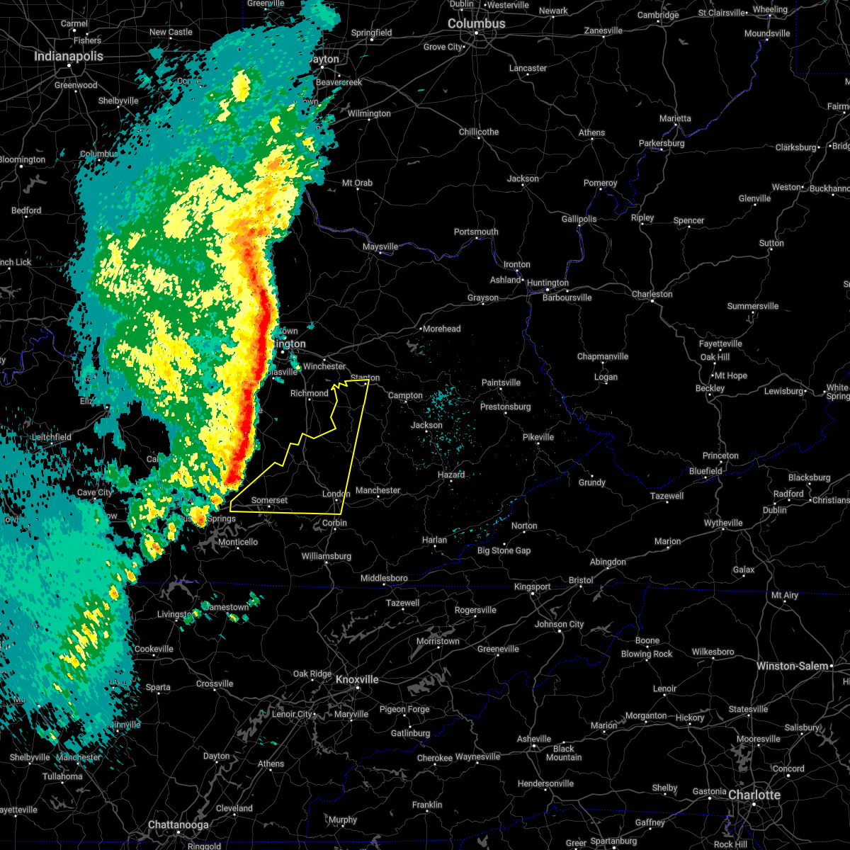 At 922 pm edt, severe thunderstorms were located along a line extending from near nicholasville to near stanford to near faubush, moving east at 65 mph (radar indicated). Hazards include 60 mph wind gusts and penny size hail. Expect damage to roofs, siding, and trees. severe thunderstorms will be near, nancy around 930 pm edt. gum sulphur around 935 pm edt. somerset around 940 pm edt. other locations in the path of these severe thunderstorms include bummer, harris ferry and hargett. hail threat, radar indicated max hail size, 0. 75 in wind threat, radar indicated max wind gust, 60 mph. At 922 pm edt, severe thunderstorms were located along a line extending from near nicholasville to near stanford to near faubush, moving east at 65 mph (radar indicated). Hazards include 60 mph wind gusts and penny size hail. Expect damage to roofs, siding, and trees. severe thunderstorms will be near, nancy around 930 pm edt. gum sulphur around 935 pm edt. somerset around 940 pm edt. other locations in the path of these severe thunderstorms include bummer, harris ferry and hargett. hail threat, radar indicated max hail size, 0. 75 in wind threat, radar indicated max wind gust, 60 mph.
|
| 4/13/2022 9:08 PM EDT |
 At 907 pm edt/807 pm cdt/, severe thunderstorms were located along a line extending from 10 miles east of springfield to 7 miles west of liberty to 7 miles south of columbia, moving east at 55 mph (radar indicated). Hazards include 60 mph wind gusts and penny size hail. Expect damage to roofs, siding, and trees. severe thunderstorms will be near, liberty around 915 pm edt. danville around 920 pm edt. Other locations in the path of these severe thunderstorms include richmond. At 907 pm edt/807 pm cdt/, severe thunderstorms were located along a line extending from 10 miles east of springfield to 7 miles west of liberty to 7 miles south of columbia, moving east at 55 mph (radar indicated). Hazards include 60 mph wind gusts and penny size hail. Expect damage to roofs, siding, and trees. severe thunderstorms will be near, liberty around 915 pm edt. danville around 920 pm edt. Other locations in the path of these severe thunderstorms include richmond.
|
| 1/1/2022 6:47 AM EST |
 At 647 am est, a severe thunderstorm was located 7 miles north of jamestown, or 16 miles south of liberty, moving east at 50 mph (radar indicated). Hazards include 60 mph wind gusts and half dollar size hail. Hail damage to vehicles is expected. expect wind damage to roofs, siding, and trees. this severe thunderstorm will be near, cains store around 700 am est. pointer around 705 am est. other locations in the path of this severe thunderstorm include hogue, science hill, dabney and shopville. hail threat, radar indicated max hail size, 1. 25 in wind threat, radar indicated max wind gust, 60 mph. At 647 am est, a severe thunderstorm was located 7 miles north of jamestown, or 16 miles south of liberty, moving east at 50 mph (radar indicated). Hazards include 60 mph wind gusts and half dollar size hail. Hail damage to vehicles is expected. expect wind damage to roofs, siding, and trees. this severe thunderstorm will be near, cains store around 700 am est. pointer around 705 am est. other locations in the path of this severe thunderstorm include hogue, science hill, dabney and shopville. hail threat, radar indicated max hail size, 1. 25 in wind threat, radar indicated max wind gust, 60 mph.
|
| 1/1/2022 5:54 AM EST |
 At 554 am est, a severe thunderstorm was located over bee lick, or 8 miles west of mount vernon, moving east at 50 mph (radar indicated). Hazards include 60 mph wind gusts and penny size hail. Expect damage to roofs, siding, and trees. this severe thunderstorm will be near, spiro around 600 am est. mount vernon around 605 am est. dudley station around 610 am est. other locations in the path of this severe thunderstorm include cooksburg and loam. hail threat, radar indicated max hail size, 0. 75 in wind threat, radar indicated max wind gust, 60 mph. At 554 am est, a severe thunderstorm was located over bee lick, or 8 miles west of mount vernon, moving east at 50 mph (radar indicated). Hazards include 60 mph wind gusts and penny size hail. Expect damage to roofs, siding, and trees. this severe thunderstorm will be near, spiro around 600 am est. mount vernon around 605 am est. dudley station around 610 am est. other locations in the path of this severe thunderstorm include cooksburg and loam. hail threat, radar indicated max hail size, 0. 75 in wind threat, radar indicated max wind gust, 60 mph.
|
| 6/12/2021 5:07 PM EDT |
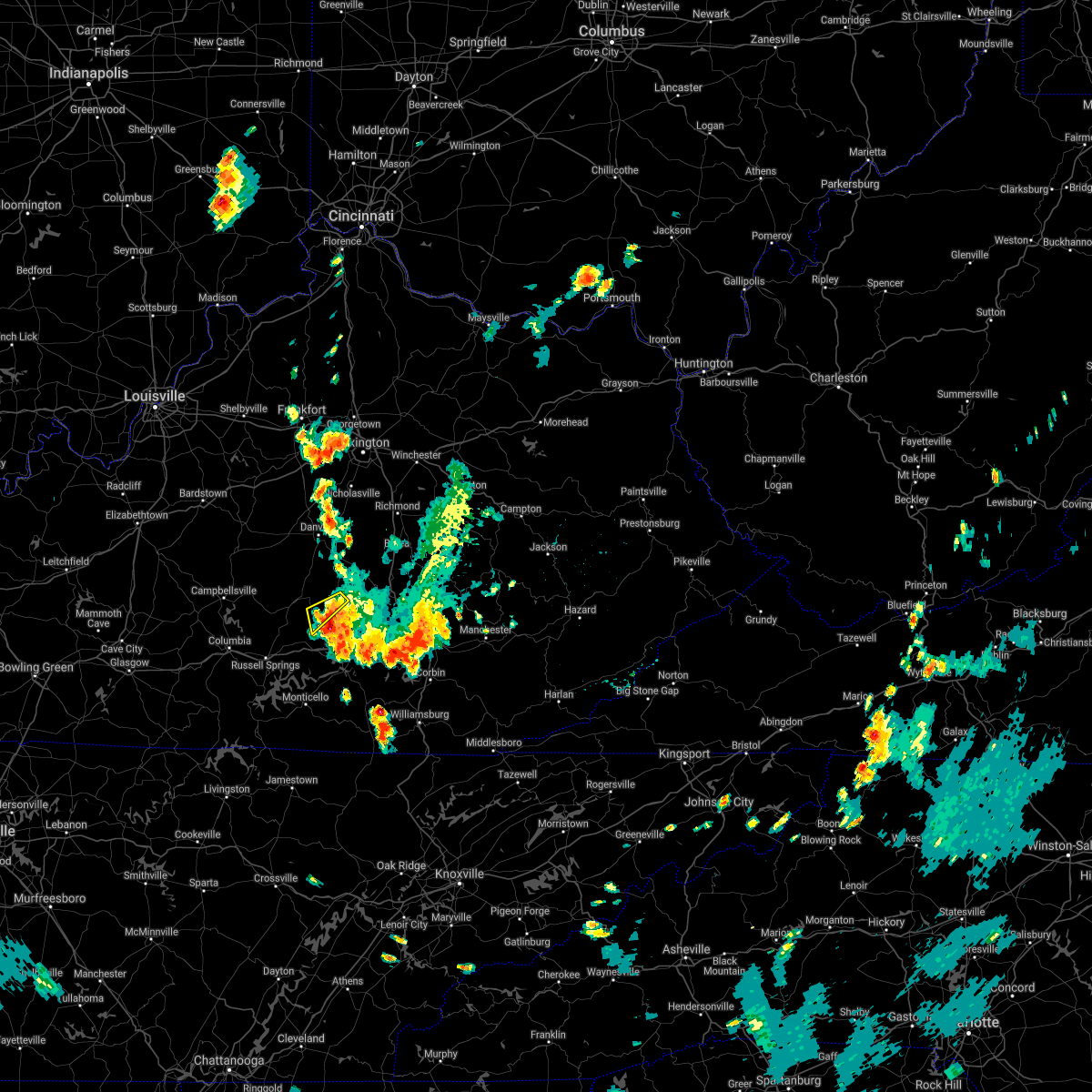 The severe thunderstorm warning for south central lincoln and southeastern casey counties will expire at 515 pm edt, the storms which prompted the warning have moved out of the area. if you observed hail of at least one inch in diameter or whole trees blown down, please let us know via facebook or twitter, or notify local law enforcement and request that they pass the information on to the national weather service in louisville. thank you. The severe thunderstorm warning for south central lincoln and southeastern casey counties will expire at 515 pm edt, the storms which prompted the warning have moved out of the area. if you observed hail of at least one inch in diameter or whole trees blown down, please let us know via facebook or twitter, or notify local law enforcement and request that they pass the information on to the national weather service in louisville. thank you.
|
| 6/12/2021 4:59 PM EDT |
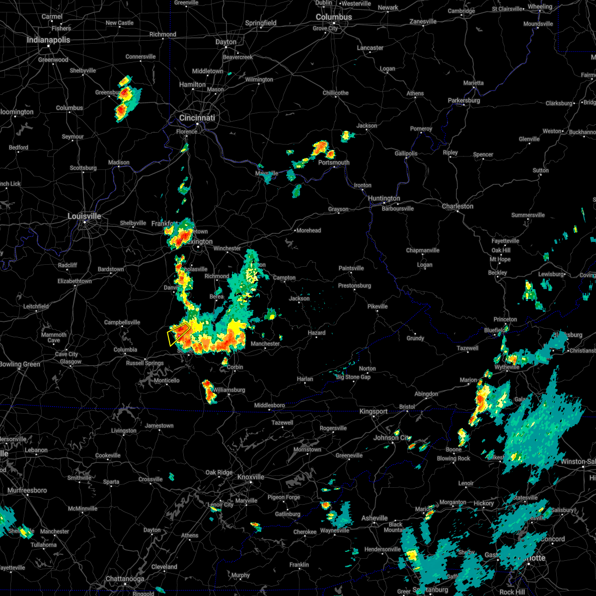 At 458 pm edt, severe thunderstorms were located from 10 miles west of woodstock to near science hill, moving south at 35 mph (radar indicated). Hazards include 60 mph wind gusts and quarter size hail. Hail damage to vehicles is expected. expect wind damage to roofs, siding, and trees. Locations impacted include, waynesburg, walltown, mount olive, and bethelridge. At 458 pm edt, severe thunderstorms were located from 10 miles west of woodstock to near science hill, moving south at 35 mph (radar indicated). Hazards include 60 mph wind gusts and quarter size hail. Hail damage to vehicles is expected. expect wind damage to roofs, siding, and trees. Locations impacted include, waynesburg, walltown, mount olive, and bethelridge.
|
| 6/12/2021 4:53 PM EDT | Tree knocked dow in pulaski county KY, 3 miles NNE of Eubank, KY |
| 6/12/2021 4:51 PM EDT | Tree knocked dow in pulaski county KY, 0.8 miles NNE of Eubank, KY |
| 6/12/2021 4:51 PM EDT | Tree knocked dow in pulaski county KY, 3.4 miles NNW of Eubank, KY |
| 6/12/2021 4:51 PM EDT | Tree knocked dow in pulaski county KY, 1.7 miles NNW of Eubank, KY |
| 6/12/2021 4:51 PM EDT | Tree knocked dow in pulaski county KY, 4.6 miles NW of Eubank, KY |
| 6/12/2021 4:51 PM EDT |
 At 451 pm edt, a severe thunderstorm was located over science hill, or 9 miles north of somerset, moving south at 30 mph (radar indicated). Hazards include 60 mph wind gusts and penny size hail. Expect damage to roofs, siding, and trees. this severe thunderstorm will be near, science hill around 455 pm edt. hogue around 500 pm edt. Other locations in the path of this severe thunderstorm include somerset pulaski airport, burnside, bronston and quinton. At 451 pm edt, a severe thunderstorm was located over science hill, or 9 miles north of somerset, moving south at 30 mph (radar indicated). Hazards include 60 mph wind gusts and penny size hail. Expect damage to roofs, siding, and trees. this severe thunderstorm will be near, science hill around 455 pm edt. hogue around 500 pm edt. Other locations in the path of this severe thunderstorm include somerset pulaski airport, burnside, bronston and quinton.
|
| 6/12/2021 4:44 PM EDT |
 At 443 pm edt, severe thunderstorms were located along a line extending from 6 miles south of stanford to 6 miles west of bee lick, moving south at 40 mph (radar indicated). Hazards include 60 mph wind gusts and penny size hail. Expect damage to roofs, siding, and trees. These severe thunderstorms will affect the following locations, halls gap, mintonville, kings mountain, ware, bethelridge, walltown, argyle, and waynesburg. At 443 pm edt, severe thunderstorms were located along a line extending from 6 miles south of stanford to 6 miles west of bee lick, moving south at 40 mph (radar indicated). Hazards include 60 mph wind gusts and penny size hail. Expect damage to roofs, siding, and trees. These severe thunderstorms will affect the following locations, halls gap, mintonville, kings mountain, ware, bethelridge, walltown, argyle, and waynesburg.
|
| 1/25/2021 6:30 PM EST | Quarter sized hail reported 0.3 miles WNW of Eubank, KY, trained spotter report from firehouse. |
| 6/10/2020 5:58 PM EDT | Trees down on highway 70 and highway 39. a tree down on a trailer in this area as well. also a barn knocked dow in pulaski county KY, 8.5 miles W of Eubank, KY |
| 6/10/2020 5:55 PM EDT |
 At 554 pm edt, severe thunderstorms were located along a line extending from ottowa to somerset, moving east at 30 mph (radar indicated). Hazards include 70 mph wind gusts. Expect considerable tree damage. damage is likely to mobile homes, roofs, and outbuildings. Locations impacted include, somerset, mount vernon, science hill, donaro, bummer, robinet, bandy, woodstock, horse lick, spiro, wabp and hansford. At 554 pm edt, severe thunderstorms were located along a line extending from ottowa to somerset, moving east at 30 mph (radar indicated). Hazards include 70 mph wind gusts. Expect considerable tree damage. damage is likely to mobile homes, roofs, and outbuildings. Locations impacted include, somerset, mount vernon, science hill, donaro, bummer, robinet, bandy, woodstock, horse lick, spiro, wabp and hansford.
|
| 6/10/2020 5:47 PM EDT | Tree down over highway 39 near woodstock baptist churc in pulaski county KY, 7.6 miles W of Eubank, KY |
| 6/10/2020 5:43 PM EDT |
 At 543 pm edt, severe thunderstorms were located along a line extending from ottowa to near bronston, moving northeast at 35 mph (radar indicated). Hazards include 60 mph wind gusts and penny size hail. expect damage to roofs, siding, and trees At 543 pm edt, severe thunderstorms were located along a line extending from ottowa to near bronston, moving northeast at 35 mph (radar indicated). Hazards include 60 mph wind gusts and penny size hail. expect damage to roofs, siding, and trees
|
| 4/9/2020 12:21 AM EDT |
 At 1220 am edt, severe thunderstorms were located along a line extending from 8 miles west of richmond to near liberty, moving east at 65 mph (radar indicated). Hazards include 60 mph wind gusts and quarter size hail. Hail damage to vehicles is expected. Expect wind damage to roofs, siding, and trees. At 1220 am edt, severe thunderstorms were located along a line extending from 8 miles west of richmond to near liberty, moving east at 65 mph (radar indicated). Hazards include 60 mph wind gusts and quarter size hail. Hail damage to vehicles is expected. Expect wind damage to roofs, siding, and trees.
|
| 4/8/2020 11:59 PM EDT |
 At 1159 pm edt, severe thunderstorms were located along a line extending from near fayette mall to 12 miles southeast of springfield to 12 miles northwest of campbellsville, moving southeast at 50 mph (radar indicated). Hazards include 60 mph wind gusts. expect damage to roofs, siding, and trees At 1159 pm edt, severe thunderstorms were located along a line extending from near fayette mall to 12 miles southeast of springfield to 12 miles northwest of campbellsville, moving southeast at 50 mph (radar indicated). Hazards include 60 mph wind gusts. expect damage to roofs, siding, and trees
|
| 6/23/2019 6:53 PM EDT | A tree was blown down along ky highway 7 in pulaski county KY, 0.3 miles WNW of Eubank, KY |
| 6/23/2019 6:51 PM EDT |
 At 650 pm edt, severe thunderstorms were located along a line extending from near bobtown to parkers lake, moving east at 40 mph (radar indicated). Hazards include 60 mph wind gusts. Expect damage to roofs, siding, and trees. Locations impacted include, somerset, science hill, burnside, sloans valley, bobtown, bandy, bronston, woodstock, mount victory, dabney, valley oak and somerset pulaski airport. At 650 pm edt, severe thunderstorms were located along a line extending from near bobtown to parkers lake, moving east at 40 mph (radar indicated). Hazards include 60 mph wind gusts. Expect damage to roofs, siding, and trees. Locations impacted include, somerset, science hill, burnside, sloans valley, bobtown, bandy, bronston, woodstock, mount victory, dabney, valley oak and somerset pulaski airport.
|
| 6/23/2019 6:45 PM EDT |
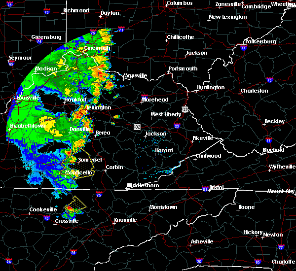 At 645 pm edt, a severe thunderstorm was located near science hill, moving east at 45 mph (radar indicated). Hazards include 60 mph wind gusts. expect damage to roofs, siding, and trees At 645 pm edt, a severe thunderstorm was located near science hill, moving east at 45 mph (radar indicated). Hazards include 60 mph wind gusts. expect damage to roofs, siding, and trees
|
| 6/23/2019 6:37 PM EDT |
 At 636 pm edt, severe thunderstorms were located along a line extending from near stab to denney, moving east at 35 mph (radar indicated). Hazards include 60 mph wind gusts. Expect damage to roofs, siding, and trees. Locations impacted include, somerset, science hill, burnside, cains store, stab, sloans valley, bobtown, parkers lake, nancy, pointer, gregory and bandy. At 636 pm edt, severe thunderstorms were located along a line extending from near stab to denney, moving east at 35 mph (radar indicated). Hazards include 60 mph wind gusts. Expect damage to roofs, siding, and trees. Locations impacted include, somerset, science hill, burnside, cains store, stab, sloans valley, bobtown, parkers lake, nancy, pointer, gregory and bandy.
|
| 6/23/2019 6:03 PM EDT |
 At 603 pm edt, severe thunderstorms were located along a line extending from 10 miles northeast of columbia to powersburg, moving east at 35 mph (radar indicated). Hazards include 60 mph wind gusts. expect damage to roofs, siding, and trees At 603 pm edt, severe thunderstorms were located along a line extending from 10 miles northeast of columbia to powersburg, moving east at 35 mph (radar indicated). Hazards include 60 mph wind gusts. expect damage to roofs, siding, and trees
|
| 11/6/2018 12:45 AM EST |
 At 1245 am est, severe thunderstorms were located along a line extending from near bee lick to near naomi, moving east at 45 mph (radar indicated). Hazards include 60 mph wind gusts. Expect damage to roofs, siding, and trees. Locations impacted include, somerset, mount vernon, science hill, burnside, donaro, bummer, threelinks, sloans valley, robinet, bandy, bronston and woodstock. At 1245 am est, severe thunderstorms were located along a line extending from near bee lick to near naomi, moving east at 45 mph (radar indicated). Hazards include 60 mph wind gusts. Expect damage to roofs, siding, and trees. Locations impacted include, somerset, mount vernon, science hill, burnside, donaro, bummer, threelinks, sloans valley, robinet, bandy, bronston and woodstock.
|
| 11/6/2018 12:21 AM EST |
 At 1221 am est, severe thunderstorms were located along a line extending from 8 miles west of liberty to near jamestown, moving east at 40 mph (radar indicated). Hazards include 60 mph wind gusts. expect damage to roofs, siding, and trees At 1221 am est, severe thunderstorms were located along a line extending from 8 miles west of liberty to near jamestown, moving east at 40 mph (radar indicated). Hazards include 60 mph wind gusts. expect damage to roofs, siding, and trees
|
| 8/8/2018 2:27 PM EDT |
 At 227 pm edt, severe thunderstorms were located along a line extending from faubush to burnside to beulah heights, moving northeast at 30 mph (radar indicated). Hazards include 60 mph wind gusts. expect damage to roofs, siding, and trees At 227 pm edt, severe thunderstorms were located along a line extending from faubush to burnside to beulah heights, moving northeast at 30 mph (radar indicated). Hazards include 60 mph wind gusts. expect damage to roofs, siding, and trees
|
| 7/20/2018 7:42 PM EDT |
 The severe thunderstorm warning for northeastern pulaski and southwestern rockcastle counties will expire at 745 pm edt, the initial storm which prompted the warning has weakened below severe limits. however hail and gusty winds are still possible. a severe thunderstorm watch remains in effect until 900 pm edt for south central kentucky. remember, a severe thunderstorm warning still remains in effect for portions of pulaski and rockcastle counties. The severe thunderstorm warning for northeastern pulaski and southwestern rockcastle counties will expire at 745 pm edt, the initial storm which prompted the warning has weakened below severe limits. however hail and gusty winds are still possible. a severe thunderstorm watch remains in effect until 900 pm edt for south central kentucky. remember, a severe thunderstorm warning still remains in effect for portions of pulaski and rockcastle counties.
|
| 7/20/2018 7:39 PM EDT |
 At 739 pm edt, a severe thunderstorm was located over valley oak, or 9 miles northeast of somerset, moving northeast at 35 mph (radar indicated). Hazards include 60 mph wind gusts and quarter size hail. Hail damage to vehicles is expected. Expect wind damage to roofs, siding, and trees. At 739 pm edt, a severe thunderstorm was located over valley oak, or 9 miles northeast of somerset, moving northeast at 35 mph (radar indicated). Hazards include 60 mph wind gusts and quarter size hail. Hail damage to vehicles is expected. Expect wind damage to roofs, siding, and trees.
|
| 7/20/2018 7:30 PM EDT |
 At 730 pm edt, a severe thunderstorm was located near woodstock, or 15 miles north of somerset, moving east at 25 mph (radar indicated). Hazards include 70 mph wind gusts and ping pong ball size hail. People and animals outdoors will be injured. expect hail damage to roofs, siding, windows, and vehicles. expect considerable tree damage. wind damage is also likely to mobile homes, roofs, and outbuildings. Locations impacted include, mount vernon, science hill, bobtown, bandy, woodstock, spiro, wabp, hansford, dabney, valley oak, willailla and pine hill. At 730 pm edt, a severe thunderstorm was located near woodstock, or 15 miles north of somerset, moving east at 25 mph (radar indicated). Hazards include 70 mph wind gusts and ping pong ball size hail. People and animals outdoors will be injured. expect hail damage to roofs, siding, windows, and vehicles. expect considerable tree damage. wind damage is also likely to mobile homes, roofs, and outbuildings. Locations impacted include, mount vernon, science hill, bobtown, bandy, woodstock, spiro, wabp, hansford, dabney, valley oak, willailla and pine hill.
|
| 7/20/2018 7:08 PM EDT |
 At 708 pm edt, a severe thunderstorm capable of producing a tornado was located 10 miles west of bee lick, moving east at 25 mph (radar indicated rotation). Hazards include tornado and golf ball size hail. Flying debris will be dangerous to those caught without shelter. mobile homes will be damaged or destroyed. damage to roofs, windows, and vehicles will occur. tree damage is likely. Locations impacted include, walltown, kings mountain, waynesburg and new salem. At 708 pm edt, a severe thunderstorm capable of producing a tornado was located 10 miles west of bee lick, moving east at 25 mph (radar indicated rotation). Hazards include tornado and golf ball size hail. Flying debris will be dangerous to those caught without shelter. mobile homes will be damaged or destroyed. damage to roofs, windows, and vehicles will occur. tree damage is likely. Locations impacted include, walltown, kings mountain, waynesburg and new salem.
|
| 7/20/2018 7:06 PM EDT |
 The national weather service in jackson ky has issued a * severe thunderstorm warning for. northeastern pulaski county in south central kentucky. southwestern rockcastle county in south central kentucky. until 745 pm edt. At 705 pm edt, a severe thunderstorm was located near liberty,. The national weather service in jackson ky has issued a * severe thunderstorm warning for. northeastern pulaski county in south central kentucky. southwestern rockcastle county in south central kentucky. until 745 pm edt. At 705 pm edt, a severe thunderstorm was located near liberty,.
|
| 7/20/2018 6:47 PM EDT |
 At 647 pm edt, a severe thunderstorm capable of producing a tornado was located near liberty, moving east at 25 mph (radar indicated rotation). Hazards include tornado and ping pong ball size hail. Flying debris will be dangerous to those caught without shelter. mobile homes will be damaged or destroyed. damage to roofs, windows, and vehicles will occur. tree damage is likely. Locations impacted include, walltown, middleburg, kings mountain, lanhamtown and waynesburg. At 647 pm edt, a severe thunderstorm capable of producing a tornado was located near liberty, moving east at 25 mph (radar indicated rotation). Hazards include tornado and ping pong ball size hail. Flying debris will be dangerous to those caught without shelter. mobile homes will be damaged or destroyed. damage to roofs, windows, and vehicles will occur. tree damage is likely. Locations impacted include, walltown, middleburg, kings mountain, lanhamtown and waynesburg.
|
| 7/20/2018 6:29 PM EDT |
 At 629 pm edt, a severe thunderstorm capable of producing a tornado was located near liberty, moving east at 25 mph (radar indicated rotation). Hazards include tornado and golf ball size hail. Flying debris will be dangerous to those caught without shelter. mobile homes will be damaged or destroyed. damage to roofs, windows, and vehicles will occur. Tree damage is likely. At 629 pm edt, a severe thunderstorm capable of producing a tornado was located near liberty, moving east at 25 mph (radar indicated rotation). Hazards include tornado and golf ball size hail. Flying debris will be dangerous to those caught without shelter. mobile homes will be damaged or destroyed. damage to roofs, windows, and vehicles will occur. Tree damage is likely.
|
| 7/11/2018 12:30 PM EDT |
 At 1229 pm edt, a severe thunderstorm was located 8 miles east of liberty, moving southeast at 20 mph (radar indicated). Hazards include 60 mph wind gusts. expect damage to roofs, siding, and trees At 1229 pm edt, a severe thunderstorm was located 8 miles east of liberty, moving southeast at 20 mph (radar indicated). Hazards include 60 mph wind gusts. expect damage to roofs, siding, and trees
|
| 6/26/2018 3:14 PM EDT | Tree reported down on hurricane ridge roa in casey county KY, 6.7 miles ESE of Eubank, KY |
| 6/22/2018 7:28 PM EDT |
 At 727 pm edt, severe thunderstorms were located along a line extending from woodstock to dabney to near faubush, moving east at 35 mph (radar indicated). Hazards include 60 mph wind gusts and penny size hail. expect damage to roofs, siding, and trees At 727 pm edt, severe thunderstorms were located along a line extending from woodstock to dabney to near faubush, moving east at 35 mph (radar indicated). Hazards include 60 mph wind gusts and penny size hail. expect damage to roofs, siding, and trees
|
| 5/5/2018 5:33 PM EDT |
 At 533 pm edt, severe thunderstorms were located along a line extending from near hogue to near dabney to shopville to grade, moving northeast at 40 mph (radar indicated). Hazards include 60 mph wind gusts. Expect damage to roofs, siding, and trees. Locations impacted include, science hill, stab, bobtown, grade, bandy, woodstock, ruth, shopville, mount victory, dykes, dabney, valley oak, bent, hogue, magnum, bee lick, bloss, pulaski, eubank and mintonville. At 533 pm edt, severe thunderstorms were located along a line extending from near hogue to near dabney to shopville to grade, moving northeast at 40 mph (radar indicated). Hazards include 60 mph wind gusts. Expect damage to roofs, siding, and trees. Locations impacted include, science hill, stab, bobtown, grade, bandy, woodstock, ruth, shopville, mount victory, dykes, dabney, valley oak, bent, hogue, magnum, bee lick, bloss, pulaski, eubank and mintonville.
|
| 5/5/2018 5:13 PM EDT |
 At 513 pm edt, severe thunderstorms were located along a line extending from faubush to pulaski county park to elihu to sloans valley, moving northeast at 45 mph (radar indicated). Hazards include 60 mph wind gusts. Expect damage to roofs, siding, and trees. Locations impacted include, somerset, science hill, burnside, cains store, stab, sloans valley, bobtown, nancy, pointer, bandy, bronston, woodstock, mount victory, dabney, valley oak, pulaski county park, somerset pulaski airport, hogue, magnum and alpine. At 513 pm edt, severe thunderstorms were located along a line extending from faubush to pulaski county park to elihu to sloans valley, moving northeast at 45 mph (radar indicated). Hazards include 60 mph wind gusts. Expect damage to roofs, siding, and trees. Locations impacted include, somerset, science hill, burnside, cains store, stab, sloans valley, bobtown, nancy, pointer, bandy, bronston, woodstock, mount victory, dabney, valley oak, pulaski county park, somerset pulaski airport, hogue, magnum and alpine.
|
| 5/5/2018 5:00 PM EDT |
 At 459 pm edt, severe thunderstorms were located along a line extending from 6 miles north of parnell to near mill springs to near kidder to denney, moving northeast at 40 mph (radar indicated). Hazards include 60 mph wind gusts. expect damage to roofs, siding, and trees At 459 pm edt, severe thunderstorms were located along a line extending from 6 miles north of parnell to near mill springs to near kidder to denney, moving northeast at 40 mph (radar indicated). Hazards include 60 mph wind gusts. expect damage to roofs, siding, and trees
|
| 4/3/2018 10:07 PM EDT |
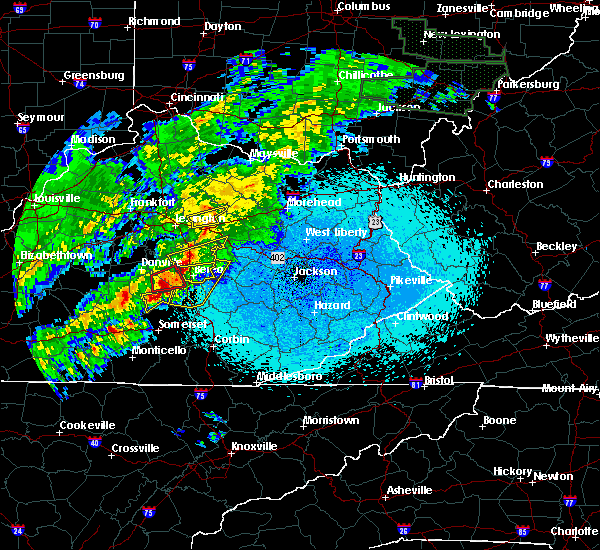 At 1007 pm edt, a severe thunderstorm was located 8 miles northwest of bee lick, moving east at 40 mph (radar indicated). Hazards include 60 mph wind gusts and quarter size hail. Hail damage to vehicles is expected. expect wind damage to roofs, siding, and trees. locations impacted include, south fork, kings mountain, ottenheim, turkeytown, broughtentown, waynesburg and dog walk. A tornado watch remains in effect until 100 am edt for central kentucky. At 1007 pm edt, a severe thunderstorm was located 8 miles northwest of bee lick, moving east at 40 mph (radar indicated). Hazards include 60 mph wind gusts and quarter size hail. Hail damage to vehicles is expected. expect wind damage to roofs, siding, and trees. locations impacted include, south fork, kings mountain, ottenheim, turkeytown, broughtentown, waynesburg and dog walk. A tornado watch remains in effect until 100 am edt for central kentucky.
|
| 4/3/2018 9:57 PM EDT |
 At 957 pm edt, a severe thunderstorm was located 10 miles east of liberty, moving east at 50 mph (radar indicated). Hazards include 60 mph wind gusts and quarter size hail. Hail damage to vehicles is expected. expect wind damage to roofs, siding, and trees. locations impacted include, crab orchard, south fork, kings mountain, new salem, ottenheim, turkeytown, broughtentown, walltown, middleburg and waynesburg. A tornado watch remains in effect until 100 am edt for central kentucky. At 957 pm edt, a severe thunderstorm was located 10 miles east of liberty, moving east at 50 mph (radar indicated). Hazards include 60 mph wind gusts and quarter size hail. Hail damage to vehicles is expected. expect wind damage to roofs, siding, and trees. locations impacted include, crab orchard, south fork, kings mountain, new salem, ottenheim, turkeytown, broughtentown, walltown, middleburg and waynesburg. A tornado watch remains in effect until 100 am edt for central kentucky.
|
| 4/3/2018 9:47 PM EDT |
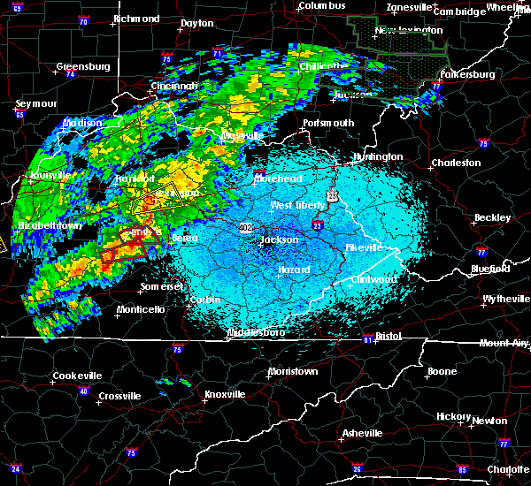 At 947 pm edt, a severe thunderstorm was located over liberty, moving east at 40 mph (radar indicated). Hazards include 60 mph wind gusts and quarter size hail. Hail damage to vehicles is expected. Expect wind damage to roofs, siding, and trees. At 947 pm edt, a severe thunderstorm was located over liberty, moving east at 40 mph (radar indicated). Hazards include 60 mph wind gusts and quarter size hail. Hail damage to vehicles is expected. Expect wind damage to roofs, siding, and trees.
|
| 3/17/2018 5:18 PM EDT | Roof blown off a bar in lincoln county KY, 4.9 miles SSE of Eubank, KY |
| 2/25/2018 1:10 AM EST |
 The severe thunderstorm warning for northern wayne, pulaski and rockcastle counties will expire at 115 am est, the storms which prompted the warning have weakened below severe limits, and no longer pose an immediate threat to life or property. therefore the warning will be allowed to expire. however gusty winds are still possible with these thunderstorms. The severe thunderstorm warning for northern wayne, pulaski and rockcastle counties will expire at 115 am est, the storms which prompted the warning have weakened below severe limits, and no longer pose an immediate threat to life or property. therefore the warning will be allowed to expire. however gusty winds are still possible with these thunderstorms.
|
| 2/25/2018 12:41 AM EST |
 At 1240 am est, severe thunderstorms were located along a line extending from near stanford to near cabell, moving east at 45 mph (radar indicated). Hazards include 60 mph wind gusts. Expect damage to roofs, siding, and trees. Locations impacted include, somerset, monticello, mount vernon, boone, science hill, burnside, cains store, bummer, sloans valley, gum sulphur, parnell, bandy, bronston, woodstock, roundstone, spiro, wabp, climax, hansford and dabney. At 1240 am est, severe thunderstorms were located along a line extending from near stanford to near cabell, moving east at 45 mph (radar indicated). Hazards include 60 mph wind gusts. Expect damage to roofs, siding, and trees. Locations impacted include, somerset, monticello, mount vernon, boone, science hill, burnside, cains store, bummer, sloans valley, gum sulphur, parnell, bandy, bronston, woodstock, roundstone, spiro, wabp, climax, hansford and dabney.
|
| 2/25/2018 12:21 AM EST |
 At 1221 am est/1121 pm cst/, a severe thunderstorm was located near liberty, moving east at 55 mph (radar indicated). Hazards include 60 mph wind gusts. expect damage to roofs, siding, and trees At 1221 am est/1121 pm cst/, a severe thunderstorm was located near liberty, moving east at 55 mph (radar indicated). Hazards include 60 mph wind gusts. expect damage to roofs, siding, and trees
|
| 2/25/2018 12:16 AM EST |
 At 1216 am est, severe thunderstorms were located along a line extending from 8 miles northwest of liberty to burkesville, moving east at 45 mph (radar indicated). Hazards include 60 mph wind gusts. expect damage to roofs, siding, and trees At 1216 am est, severe thunderstorms were located along a line extending from 8 miles northwest of liberty to burkesville, moving east at 45 mph (radar indicated). Hazards include 60 mph wind gusts. expect damage to roofs, siding, and trees
|
| 7/6/2017 5:35 PM EDT |
 At 534 pm edt, a severe thunderstorm capable of producing a tornado was located over wabp, or near mount vernon, moving east at 30 mph (radar indicated rotation). Hazards include tornado and quarter size hail. Flying debris will be dangerous to those caught without shelter. mobile homes will be damaged or destroyed. damage to roofs, windows, and vehicles will occur. tree damage is likely. this dangerous storm will be near, sand springs, lake linville and pongo around 540 pm edt. mount vernon, wellhope, burr, pine hill, flat rock, sand hill, orlando, sinks, dudley station and muellersville around 545 pm edt. Other locations impacted by this tornadic thunderstorm include bee lick, eubank, brodhead, pulaski and livingston. At 534 pm edt, a severe thunderstorm capable of producing a tornado was located over wabp, or near mount vernon, moving east at 30 mph (radar indicated rotation). Hazards include tornado and quarter size hail. Flying debris will be dangerous to those caught without shelter. mobile homes will be damaged or destroyed. damage to roofs, windows, and vehicles will occur. tree damage is likely. this dangerous storm will be near, sand springs, lake linville and pongo around 540 pm edt. mount vernon, wellhope, burr, pine hill, flat rock, sand hill, orlando, sinks, dudley station and muellersville around 545 pm edt. Other locations impacted by this tornadic thunderstorm include bee lick, eubank, brodhead, pulaski and livingston.
|
| 7/6/2017 5:07 PM EDT |
 The national weather service in jackson ky has issued a * tornado warning for. northwestern laurel county in south central kentucky. northeastern pulaski county in south central kentucky. rockcastle county in south central kentucky. Until 545 pm edt. The national weather service in jackson ky has issued a * tornado warning for. northwestern laurel county in south central kentucky. northeastern pulaski county in south central kentucky. rockcastle county in south central kentucky. Until 545 pm edt.
|
| 5/24/2017 4:00 PM EDT |
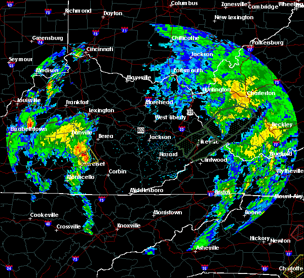 At 359 pm edt, a severe thunderstorm was located near science hill, or 11 miles north of somerset, moving northeast at 30 mph (emergency management. at 333 pm edt quarter size hail was reported at faubush). Hazards include 60 mph wind gusts and quarter size hail. Hail damage to vehicles is expected. expect wind damage to roofs, siding, and trees. locations impacted include, bee lick, bobtown, gum sulphur, bandy, pongo, quail, maretburg, ottowa, woodstock, spiro, shopville, wabp, bloss, hansford, dabney, valley oak, willailla, bromo, level green and indian lakes park. A tornado watch remains in effect until 800 pm edt for south central kentucky. At 359 pm edt, a severe thunderstorm was located near science hill, or 11 miles north of somerset, moving northeast at 30 mph (emergency management. at 333 pm edt quarter size hail was reported at faubush). Hazards include 60 mph wind gusts and quarter size hail. Hail damage to vehicles is expected. expect wind damage to roofs, siding, and trees. locations impacted include, bee lick, bobtown, gum sulphur, bandy, pongo, quail, maretburg, ottowa, woodstock, spiro, shopville, wabp, bloss, hansford, dabney, valley oak, willailla, bromo, level green and indian lakes park. A tornado watch remains in effect until 800 pm edt for south central kentucky.
|
| 5/24/2017 3:44 PM EDT |
 At 342 pm edt, a severe thunderstorm was located over hogue, or 8 miles northwest of somerset, moving northeast at 30 mph (emergency management. at 333 pm edt quarter size hail was reported at faubush). Hazards include 60 mph wind gusts and quarter size hail. Hail damage to vehicles is expected. expect wind damage to roofs, siding, and trees. locations impacted include, somerset, science hill, stab, bobtown, gum sulphur, bandy, pongo, woodstock, spiro, wabp, hansford, dabney, valley oak, willailla, somerset pulaski airport, hogue, bee lick, quail, maretburg and ottowa. A tornado watch remains in effect until 800 pm edt for south central kentucky. At 342 pm edt, a severe thunderstorm was located over hogue, or 8 miles northwest of somerset, moving northeast at 30 mph (emergency management. at 333 pm edt quarter size hail was reported at faubush). Hazards include 60 mph wind gusts and quarter size hail. Hail damage to vehicles is expected. expect wind damage to roofs, siding, and trees. locations impacted include, somerset, science hill, stab, bobtown, gum sulphur, bandy, pongo, woodstock, spiro, wabp, hansford, dabney, valley oak, willailla, somerset pulaski airport, hogue, bee lick, quail, maretburg and ottowa. A tornado watch remains in effect until 800 pm edt for south central kentucky.
|
| 5/24/2017 3:30 PM EDT |
 At 330 pm edt, a severe thunderstorm was located over nancy, or 9 miles west of somerset, moving northeast at 30 mph (radar indicated). Hazards include 60 mph wind gusts and nickel size hail. expect damage to roofs, siding, and trees At 330 pm edt, a severe thunderstorm was located over nancy, or 9 miles west of somerset, moving northeast at 30 mph (radar indicated). Hazards include 60 mph wind gusts and nickel size hail. expect damage to roofs, siding, and trees
|
| 3/1/2017 8:45 AM EST | Trees were reported to have been blown don in pulaski county KY, 0.3 miles WNW of Eubank, KY |
| 3/1/2017 8:40 AM EST |
 At 840 am est, severe thunderstorms were located along a line extending from near bee lick to near hogue to 6 miles east of columbia, moving southeast at 40 mph (radar indicated). Hazards include 60 mph wind gusts. expect damage to roofs, siding, and trees At 840 am est, severe thunderstorms were located along a line extending from near bee lick to near hogue to 6 miles east of columbia, moving southeast at 40 mph (radar indicated). Hazards include 60 mph wind gusts. expect damage to roofs, siding, and trees
|
| 3/1/2017 8:37 AM EST |
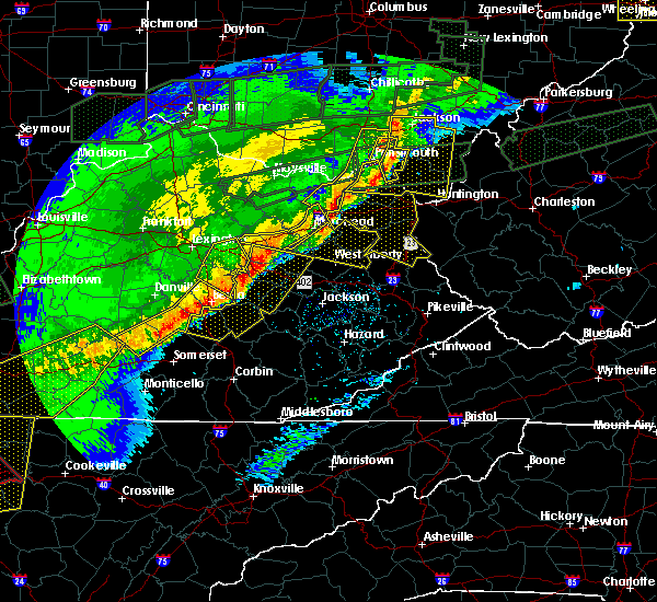 At 837 am est, severe thunderstorms were located along a line extending from near blackburn to near hiatt to near stab, moving southeast at 45 mph (radar indicated). Hazards include 60 mph wind gusts. Expect damage to roofs, siding, and trees. locations impacted include, richmond, liberty, berea, crab orchard, eubank, peytontown, lawhorn hill, teddy, gilpin and broughtentown. A tornado watch remains in effect until 1100 am est for central kentucky. At 837 am est, severe thunderstorms were located along a line extending from near blackburn to near hiatt to near stab, moving southeast at 45 mph (radar indicated). Hazards include 60 mph wind gusts. Expect damage to roofs, siding, and trees. locations impacted include, richmond, liberty, berea, crab orchard, eubank, peytontown, lawhorn hill, teddy, gilpin and broughtentown. A tornado watch remains in effect until 1100 am est for central kentucky.
|
| 3/1/2017 8:04 AM EST |
 At 804 am est, severe thunderstorms were located along a line extending from near nicholasville to near danville to 8 miles northeast of campbellsville, moving southeast at 50 mph (radar indicated). Hazards include 60 mph wind gusts. expect damage to roofs, siding, and trees At 804 am est, severe thunderstorms were located along a line extending from near nicholasville to near danville to 8 miles northeast of campbellsville, moving southeast at 50 mph (radar indicated). Hazards include 60 mph wind gusts. expect damage to roofs, siding, and trees
|
| 12/18/2016 12:50 AM EST |
 At 1249 am est, severe thunderstorms were located along a line extending from 8 miles northwest of boone to near gum sulphur to bandy, moving east at 70 mph (radar indicated). Hazards include 60 mph wind gusts. Expect damage to roofs, siding, and trees. Locations impacted include, mount vernon, boone, science hill, ottowa, hazel patch, donaro, kerby knob, jep hill, johnetta, wellhope, loam, orlando, collingsworth, quail, cooksburg, lake linville, eglon, mershons, muellersville and morrill. At 1249 am est, severe thunderstorms were located along a line extending from 8 miles northwest of boone to near gum sulphur to bandy, moving east at 70 mph (radar indicated). Hazards include 60 mph wind gusts. Expect damage to roofs, siding, and trees. Locations impacted include, mount vernon, boone, science hill, ottowa, hazel patch, donaro, kerby knob, jep hill, johnetta, wellhope, loam, orlando, collingsworth, quail, cooksburg, lake linville, eglon, mershons, muellersville and morrill.
|
| 12/18/2016 12:27 AM EST |
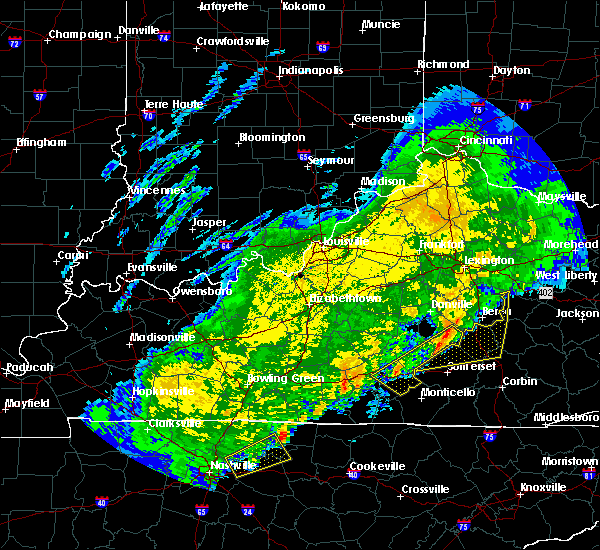 At 1226 am est/1126 pm cst/, a severe thunderstorm was located near hogue, moving east at 20 mph (law enforcement in columbia reported wind damage as the storm went through town). Hazards include 60 mph wind gusts. expect damage to roofs, siding, and trees At 1226 am est/1126 pm cst/, a severe thunderstorm was located near hogue, moving east at 20 mph (law enforcement in columbia reported wind damage as the storm went through town). Hazards include 60 mph wind gusts. expect damage to roofs, siding, and trees
|
| 12/18/2016 12:25 AM EST |
 At 1224 am est, severe thunderstorms were located along a line extending from 10 miles west of stanford to near liberty to 6 miles northwest of cains store, moving east at 70 mph (radar indicated). Hazards include 60 mph wind gusts. expect damage to roofs, siding, and trees At 1224 am est, severe thunderstorms were located along a line extending from 10 miles west of stanford to near liberty to 6 miles northwest of cains store, moving east at 70 mph (radar indicated). Hazards include 60 mph wind gusts. expect damage to roofs, siding, and trees
|
| 7/14/2016 3:02 PM EDT |
 At 301 pm edt, a severe thunderstorm was located over bobtown, or 9 miles northeast of somerset, moving east at 35 mph (radar indicated). Hazards include 60 mph wind gusts and penny size hail. Expect damage to roofs. siding. and trees. locations impacted include, somerset, mount vernon, science hill, pulaski county park, maretburg, ottowa, wabp, naomi, hiatt, bent, valley oak, wellhope, somerset pulaski airport, quail, hansford, grade, lake linville, elihu, level green and shopville. this includes the following highways, kentucky highway 80 in pulaski county between mile markers 17 and 40. louis b. Nunn parkway. At 301 pm edt, a severe thunderstorm was located over bobtown, or 9 miles northeast of somerset, moving east at 35 mph (radar indicated). Hazards include 60 mph wind gusts and penny size hail. Expect damage to roofs. siding. and trees. locations impacted include, somerset, mount vernon, science hill, pulaski county park, maretburg, ottowa, wabp, naomi, hiatt, bent, valley oak, wellhope, somerset pulaski airport, quail, hansford, grade, lake linville, elihu, level green and shopville. this includes the following highways, kentucky highway 80 in pulaski county between mile markers 17 and 40. louis b. Nunn parkway.
|
| 7/14/2016 2:42 PM EDT |
 At 241 pm edt, a severe thunderstorm was located over hogue, or 7 miles northwest of somerset, moving east at 35 mph (radar indicated). Hazards include 60 mph wind gusts and penny size hail. Expect damage to roofs. siding. And trees. At 241 pm edt, a severe thunderstorm was located over hogue, or 7 miles northwest of somerset, moving east at 35 mph (radar indicated). Hazards include 60 mph wind gusts and penny size hail. Expect damage to roofs. siding. And trees.
|
| 7/7/2016 5:52 PM EDT |
 At 551 pm edt, severe thunderstorms were located along a line extending from near lancaster to near bandy to bent, moving east at 50 mph (law enforcement). Hazards include 60 mph wind gusts. Expect damage to roofs. siding. and trees. locations impacted include, somerset, mount vernon, boone, science hill, pulaski county park, ottowa, donaro, naomi, wellhope, orlando, quail, magnum, lake linville, muellersville, level green, shopville, roundstone, bandy, hogue and disputanta. this includes the following highways, interstate 75 in east central kentucky between mile markers 51 and 72. kentucky highway 80 in pulaski county between mile markers 17 and 35. louis b. Nunn parkway. At 551 pm edt, severe thunderstorms were located along a line extending from near lancaster to near bandy to bent, moving east at 50 mph (law enforcement). Hazards include 60 mph wind gusts. Expect damage to roofs. siding. and trees. locations impacted include, somerset, mount vernon, boone, science hill, pulaski county park, ottowa, donaro, naomi, wellhope, orlando, quail, magnum, lake linville, muellersville, level green, shopville, roundstone, bandy, hogue and disputanta. this includes the following highways, interstate 75 in east central kentucky between mile markers 51 and 72. kentucky highway 80 in pulaski county between mile markers 17 and 35. louis b. Nunn parkway.
|
| 7/7/2016 5:28 PM EDT |
 At 527 pm edt, severe thunderstorms were located along a line extending from 11 miles southwest of danville to near magnum to 6 miles northeast of jamestown, moving east at 50 mph (law enforcement). Hazards include 60 mph wind gusts. Expect damage to roofs. siding. And trees. At 527 pm edt, severe thunderstorms were located along a line extending from 11 miles southwest of danville to near magnum to 6 miles northeast of jamestown, moving east at 50 mph (law enforcement). Hazards include 60 mph wind gusts. Expect damage to roofs. siding. And trees.
|
| 7/7/2016 5:26 PM EDT |
 At 525 pm edt/425 pm cdt/, severe thunderstorms were located along a line extending from 11 miles north of liberty to 6 miles north of magnum to 6 miles east of jamestown, moving east at 55 mph. this line of storms caused structural damage in both taylor and adair counties and downed numerous trees in those counties as well as russell county (emergency management and law enforcement). Hazards include 70 mph wind gusts. Expect considerable tree damage. damage is likely to mobile homes, roofs, and outbuildings. Locations impacted include, liberty, stanford, jamestown, russell springs, junction city, crab orchard, hustonville, eubank, preachersville and peytons store. At 525 pm edt/425 pm cdt/, severe thunderstorms were located along a line extending from 11 miles north of liberty to 6 miles north of magnum to 6 miles east of jamestown, moving east at 55 mph. this line of storms caused structural damage in both taylor and adair counties and downed numerous trees in those counties as well as russell county (emergency management and law enforcement). Hazards include 70 mph wind gusts. Expect considerable tree damage. damage is likely to mobile homes, roofs, and outbuildings. Locations impacted include, liberty, stanford, jamestown, russell springs, junction city, crab orchard, hustonville, eubank, preachersville and peytons store.
|
| 7/7/2016 5:16 PM EDT |
 At 516 pm edt/416 pm cdt/, severe thunderstorms were located along a line extending from 11 miles southeast of lebanon to 7 miles southwest of liberty to jamestown, moving east at 55 mph (radar indicated). Hazards include 70 mph wind gusts. Expect considerable tree damage. Damage is likely to mobile homes, roofs, and outbuildings. At 516 pm edt/416 pm cdt/, severe thunderstorms were located along a line extending from 11 miles southeast of lebanon to 7 miles southwest of liberty to jamestown, moving east at 55 mph (radar indicated). Hazards include 70 mph wind gusts. Expect considerable tree damage. Damage is likely to mobile homes, roofs, and outbuildings.
|
| 7/4/2016 4:37 PM EDT |
 The severe thunderstorm warning for southeastern casey and southern lincoln counties will expire at 445 pm edt, the storm which prompted the warning has moved out of the area. therefore the warning will be allowed to expire. a severe thunderstorm watch remains in effect until 900 pm edt for central kentucky. report severe weather to local law enforcement, post your report to the national weather service louisville facebook page, or tweet your report using hashtag l, m, k, spotter. The severe thunderstorm warning for southeastern casey and southern lincoln counties will expire at 445 pm edt, the storm which prompted the warning has moved out of the area. therefore the warning will be allowed to expire. a severe thunderstorm watch remains in effect until 900 pm edt for central kentucky. report severe weather to local law enforcement, post your report to the national weather service louisville facebook page, or tweet your report using hashtag l, m, k, spotter.
|
| 7/4/2016 4:32 PM EDT |
 At 431 pm edt, severe thunderstorms were located along a line extending from hiatt to wabp to valley oak, moving east at 60 mph (radar indicated). Hazards include 60 mph wind gusts. Expect damage to roofs. siding. and trees. locations impacted include, mount vernon, science hill, ottowa, donaro, jep hill, johnetta, wellhope, orlando, quail, cooksburg, lake linville, muellersville, level green, shopville, roundstone, bandy, hogue, dudley station, robinet and goochland. this includes the following highways, interstate 75 in east central kentucky between mile markers 51 and 66. Kentucky highway 80 in pulaski county between mile markers 28 and 29, and near mile marker 34. At 431 pm edt, severe thunderstorms were located along a line extending from hiatt to wabp to valley oak, moving east at 60 mph (radar indicated). Hazards include 60 mph wind gusts. Expect damage to roofs. siding. and trees. locations impacted include, mount vernon, science hill, ottowa, donaro, jep hill, johnetta, wellhope, orlando, quail, cooksburg, lake linville, muellersville, level green, shopville, roundstone, bandy, hogue, dudley station, robinet and goochland. this includes the following highways, interstate 75 in east central kentucky between mile markers 51 and 66. Kentucky highway 80 in pulaski county between mile markers 28 and 29, and near mile marker 34.
|
| 7/4/2016 4:23 PM EDT | Several trees and powerlines down on smith vaught rd and the 9000 block of highway 124 in pulaski county KY, 5 miles N of Eubank, KY |
| 7/4/2016 4:20 PM EDT |
 At 420 pm edt, a severe thunderstorm was located near pulaski, moving east at 50 mph (radar indicated). Hazards include 60 mph wind gusts. Expect damage to roofs. siding. and trees. Locations impacted include, eubank, middleburg, broughtentown, lawhorn hill, waynesburg, dog walk, bethelridge, lanhamtown, kings mountain and walltown. At 420 pm edt, a severe thunderstorm was located near pulaski, moving east at 50 mph (radar indicated). Hazards include 60 mph wind gusts. Expect damage to roofs. siding. and trees. Locations impacted include, eubank, middleburg, broughtentown, lawhorn hill, waynesburg, dog walk, bethelridge, lanhamtown, kings mountain and walltown.
|
| 7/4/2016 4:16 PM EDT |
 At 415 pm edt, severe thunderstorms were located along a line extending from 11 miles west of bee lick to near hogue to near pointer, moving east at 55 mph (radar indicated). Hazards include 60 mph wind gusts. Expect damage to roofs. siding. And trees. At 415 pm edt, severe thunderstorms were located along a line extending from 11 miles west of bee lick to near hogue to near pointer, moving east at 55 mph (radar indicated). Hazards include 60 mph wind gusts. Expect damage to roofs. siding. And trees.
|
| 7/4/2016 4:14 PM EDT | A downed tree on a car on 220 ike singleton rd and several trees down in the waynesburg area. in lincoln county KY, 2.7 miles S of Eubank, KY |
| 7/4/2016 3:54 PM EDT |
 At 353 pm edt/253 pm cdt/, a severe thunderstorm was located 9 miles southwest of liberty, moving east at 50 mph (radar indicated). Hazards include 60 mph wind gusts. Expect damage to roofs. siding. And trees. At 353 pm edt/253 pm cdt/, a severe thunderstorm was located 9 miles southwest of liberty, moving east at 50 mph (radar indicated). Hazards include 60 mph wind gusts. Expect damage to roofs. siding. And trees.
|
| 5/10/2016 11:41 PM EDT |
 At 1141 pm edt, a severe thunderstorm was located near liberty, moving east at 55 mph (radar indicated). Hazards include quarter size hail. damage to vehicles is expected At 1141 pm edt, a severe thunderstorm was located near liberty, moving east at 55 mph (radar indicated). Hazards include quarter size hail. damage to vehicles is expected
|
| 5/10/2016 9:27 PM EDT |
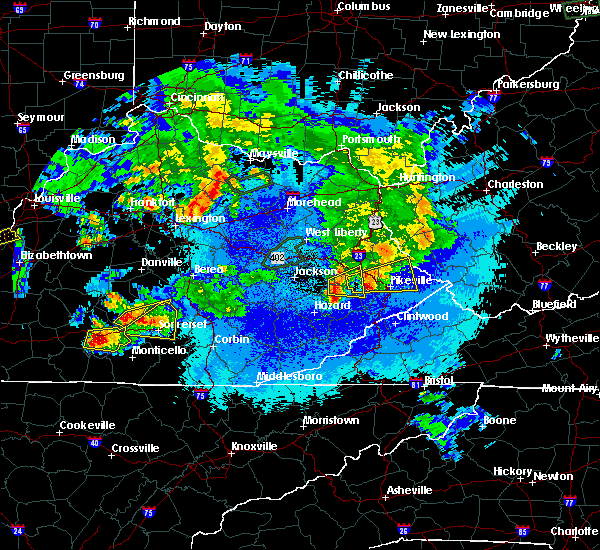 At 927 pm edt, a severe thunderstorm was located over pulaski, moving east at 40 mph (radar indicated). Hazards include 60 mph wind gusts and quarter size hail. Hail damage to vehicles is expected. expect wind damage to roofs, siding, and trees. locations impacted include, eubank, mintonville, ware, bethelridge, evona, argyle, windsor, gilpin, labascus and teddy. A tornado watch remains in effect until midnight edt for south central kentucky. At 927 pm edt, a severe thunderstorm was located over pulaski, moving east at 40 mph (radar indicated). Hazards include 60 mph wind gusts and quarter size hail. Hail damage to vehicles is expected. expect wind damage to roofs, siding, and trees. locations impacted include, eubank, mintonville, ware, bethelridge, evona, argyle, windsor, gilpin, labascus and teddy. A tornado watch remains in effect until midnight edt for south central kentucky.
|
| 5/10/2016 9:12 PM EDT |
 At 911 pm edt, a severe thunderstorm was located near magnum, or 9 miles south of liberty, moving east at 30 mph (radar indicated). Hazards include golf ball size hail and 60 mph wind gusts. People and animals outdoors will be injured. expect hail damage to roofs, siding, windows, and vehicles. expect wind damage to roofs, siding, and trees. locations impacted include, somerset, science hill, pulaski county park, bent, faubush, valley oak, somerset pulaski airport, magnum, grade, elihu, shopville, bandy, hogue, ruth, cains store, stab, pointer, woodstock, bobtown and nancy. this includes the following highways, kentucky highway 80 in pulaski county between mile markers 17 and 31. louis b. Nunn parkway. At 911 pm edt, a severe thunderstorm was located near magnum, or 9 miles south of liberty, moving east at 30 mph (radar indicated). Hazards include golf ball size hail and 60 mph wind gusts. People and animals outdoors will be injured. expect hail damage to roofs, siding, windows, and vehicles. expect wind damage to roofs, siding, and trees. locations impacted include, somerset, science hill, pulaski county park, bent, faubush, valley oak, somerset pulaski airport, magnum, grade, elihu, shopville, bandy, hogue, ruth, cains store, stab, pointer, woodstock, bobtown and nancy. this includes the following highways, kentucky highway 80 in pulaski county between mile markers 17 and 31. louis b. Nunn parkway.
|
| 5/10/2016 9:11 PM EDT |
 At 911 pm edt/811 pm cdt/, a severe thunderstorm was located near magnum, moving east at 40 mph (radar indicated). Hazards include 60 mph wind gusts and half dollar size hail. Hail damage to vehicles is expected. expect wind damage to roofs, siding, and trees. locations impacted include, liberty, eubank, creston, bethelridge, cantown, decatur, rheber, walltown, dunnville and sycamore flat. A tornado watch remains in effect until midnight edt/1100 pm cdt/ for south central kentucky. At 911 pm edt/811 pm cdt/, a severe thunderstorm was located near magnum, moving east at 40 mph (radar indicated). Hazards include 60 mph wind gusts and half dollar size hail. Hail damage to vehicles is expected. expect wind damage to roofs, siding, and trees. locations impacted include, liberty, eubank, creston, bethelridge, cantown, decatur, rheber, walltown, dunnville and sycamore flat. A tornado watch remains in effect until midnight edt/1100 pm cdt/ for south central kentucky.
|
| 5/10/2016 8:59 PM EDT |
 At 859 pm edt/759 pm cdt/, a severe thunderstorm was located 8 miles southwest of liberty, moving east at 40 mph (radar indicated). Hazards include 60 mph wind gusts and quarter size hail. Hail damage to vehicles is expected. Expect wind damage to roofs, siding, and trees. At 859 pm edt/759 pm cdt/, a severe thunderstorm was located 8 miles southwest of liberty, moving east at 40 mph (radar indicated). Hazards include 60 mph wind gusts and quarter size hail. Hail damage to vehicles is expected. Expect wind damage to roofs, siding, and trees.
|
| 5/10/2016 8:59 PM EDT |
 At 857 pm edt, a severe thunderstorm was located 9 miles west of cains store, or 10 miles southwest of liberty, moving east at 25 mph (radar indicated). Hazards include 60 mph wind gusts and half dollar size hail. Hail damage to vehicles is expected. expect wind damage to roofs, siding, and trees. locations which may be impacted include, somerset, science hill, pulaski county park, bent, faubush, valley oak, somerset pulaski airport, magnum, grade, elihu, shopville, bandy, hogue, ruth, cains store, stab, pointer, woodstock, bobtown and nancy. this includes the following highways, kentucky highway 80 in pulaski county between mile markers 17 and 31, and also the louis b. Nunn parkway. At 857 pm edt, a severe thunderstorm was located 9 miles west of cains store, or 10 miles southwest of liberty, moving east at 25 mph (radar indicated). Hazards include 60 mph wind gusts and half dollar size hail. Hail damage to vehicles is expected. expect wind damage to roofs, siding, and trees. locations which may be impacted include, somerset, science hill, pulaski county park, bent, faubush, valley oak, somerset pulaski airport, magnum, grade, elihu, shopville, bandy, hogue, ruth, cains store, stab, pointer, woodstock, bobtown and nancy. this includes the following highways, kentucky highway 80 in pulaski county between mile markers 17 and 31, and also the louis b. Nunn parkway.
|
| 5/10/2016 7:00 PM EDT |
 At 700 pm edt, a severe thunderstorm capable of producing a tornado was located near campbellsville, moving east at 30 mph (radar indicated rotation). Hazards include tornado and half dollar size hail. Flying debris will be dangerous to those caught without shelter. mobile homes will be damaged or destroyed. damage to roofs, windows, and vehicles will occur. Tree damage is likely. At 700 pm edt, a severe thunderstorm capable of producing a tornado was located near campbellsville, moving east at 30 mph (radar indicated rotation). Hazards include tornado and half dollar size hail. Flying debris will be dangerous to those caught without shelter. mobile homes will be damaged or destroyed. damage to roofs, windows, and vehicles will occur. Tree damage is likely.
|
| 4/27/2016 6:19 PM EDT |
 At 619 pm edt, a severe thunderstorm was located over faubush, or 10 miles west of somerset, moving east at 20 mph (radar indicated). Hazards include 60 mph wind gusts and quarter size hail. Hail damage to vehicles is expected. Expect wind damage to roofs, siding, and trees. At 619 pm edt, a severe thunderstorm was located over faubush, or 10 miles west of somerset, moving east at 20 mph (radar indicated). Hazards include 60 mph wind gusts and quarter size hail. Hail damage to vehicles is expected. Expect wind damage to roofs, siding, and trees.
|
| 4/27/2016 5:30 PM EDT |
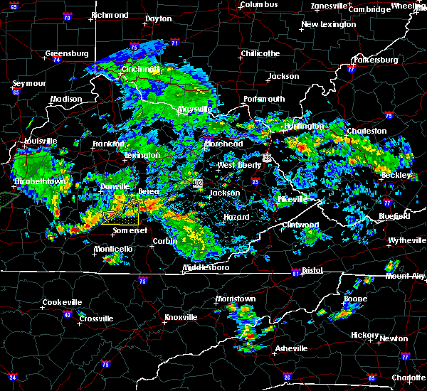 At 529 pm edt, a severe thunderstorm was located near bee lick, or 13 miles west of mount vernon, moving east at 20 mph (radar indicated). Hazards include 60 mph wind gusts and quarter size hail. Hail damage to vehicles is expected. expect wind damage to roofs, siding, and trees. locations impacted include, mount vernon, boone, maretburg, ottowa, wildie, hiatt, burr, renfro valley, bromo, orlando, quail, spiro, snider, conway, indian lakes park, gum sulphur, bee lick, lake linville, hummel and muellersville. This includes interstate 75 in east central kentucky between mile markers 58 and 72. At 529 pm edt, a severe thunderstorm was located near bee lick, or 13 miles west of mount vernon, moving east at 20 mph (radar indicated). Hazards include 60 mph wind gusts and quarter size hail. Hail damage to vehicles is expected. expect wind damage to roofs, siding, and trees. locations impacted include, mount vernon, boone, maretburg, ottowa, wildie, hiatt, burr, renfro valley, bromo, orlando, quail, spiro, snider, conway, indian lakes park, gum sulphur, bee lick, lake linville, hummel and muellersville. This includes interstate 75 in east central kentucky between mile markers 58 and 72.
|
| 4/27/2016 5:18 PM EDT |
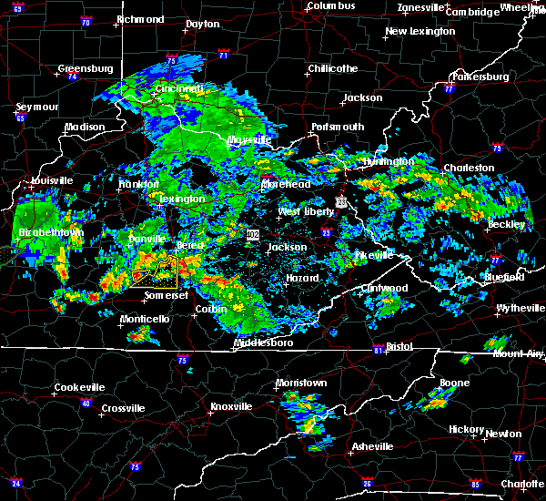 At 518 pm edt, a severe thunderstorm was located 8 miles west of bee lick, or 14 miles east of liberty, moving east at 20 mph (radar indicated). Hazards include 60 mph wind gusts and quarter size hail. Hail damage to vehicles is expected. Expect wind damage to roofs, siding, and trees. At 518 pm edt, a severe thunderstorm was located 8 miles west of bee lick, or 14 miles east of liberty, moving east at 20 mph (radar indicated). Hazards include 60 mph wind gusts and quarter size hail. Hail damage to vehicles is expected. Expect wind damage to roofs, siding, and trees.
|
| 4/27/2016 5:12 PM EDT |
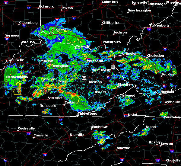 At 512 pm edt, a severe thunderstorm was located 9 miles east of liberty, moving east at 25 mph (radar indicated). Hazards include 60 mph wind gusts and half dollar size hail. Hail damage to vehicles is expected. Expect wind damage to roofs, siding, and trees. At 512 pm edt, a severe thunderstorm was located 9 miles east of liberty, moving east at 25 mph (radar indicated). Hazards include 60 mph wind gusts and half dollar size hail. Hail damage to vehicles is expected. Expect wind damage to roofs, siding, and trees.
|
| 4/6/2016 8:30 PM EDT |
 At 829 pm edt, severe thunderstorms were located along a line extending from hogue to delta to 6 miles east of jamestown, moving east at 55 mph (radar indicated). Hazards include 60 mph wind gusts. Expect damage to roofs. siding. and trees. locations impacted include, somerset, science hill, burnside, pulaski county park, co- operative, frazer, great meadows campsites, delta, gregory, somerset pulaski airport, barrier, kidder, general burnside s. p,. denney, mount pisgah, rockeybranch, parmleysville, quinton, coopersville and slavens. this includes the following highways, kentucky highway 80 in pulaski county between mile markers 17 and 27. louis b. Nunn parkway. At 829 pm edt, severe thunderstorms were located along a line extending from hogue to delta to 6 miles east of jamestown, moving east at 55 mph (radar indicated). Hazards include 60 mph wind gusts. Expect damage to roofs. siding. and trees. locations impacted include, somerset, science hill, burnside, pulaski county park, co- operative, frazer, great meadows campsites, delta, gregory, somerset pulaski airport, barrier, kidder, general burnside s. p,. denney, mount pisgah, rockeybranch, parmleysville, quinton, coopersville and slavens. this includes the following highways, kentucky highway 80 in pulaski county between mile markers 17 and 27. louis b. Nunn parkway.
|
| 4/6/2016 7:55 PM EDT |
 At 753 pm edt, severe thunderstorms were located along a line extending from near columbia to near albany to 6 miles northeast of algood, moving east at 55 mph (radar indicated). Hazards include 60 mph wind gusts and penny size hail. Expect damage to roofs. siding. And trees. At 753 pm edt, severe thunderstorms were located along a line extending from near columbia to near albany to 6 miles northeast of algood, moving east at 55 mph (radar indicated). Hazards include 60 mph wind gusts and penny size hail. Expect damage to roofs. siding. And trees.
|
| 7/14/2015 8:00 PM EDT |
 At 757 pm edt, a severe thunderstorm was located 9 miles northeast of campbellsville, and moving southeast at 35 mph (radar indicated). Hazards include 60 mph wind gusts. Expect damage to roofs. Siding and trees. At 757 pm edt, a severe thunderstorm was located 9 miles northeast of campbellsville, and moving southeast at 35 mph (radar indicated). Hazards include 60 mph wind gusts. Expect damage to roofs. Siding and trees.
|
| 7/14/2015 6:05 AM EDT |
 At 605 am edt, radar indicated severe thunderstorms located along a line extending from near winston to near liberty, moving southeast at 60 mph. storm hazards include, damaging winds to 70 mph, quarter size hail,. At 605 am edt, radar indicated severe thunderstorms located along a line extending from near winston to near liberty, moving southeast at 60 mph. storm hazards include, damaging winds to 70 mph, quarter size hail,.
|
| 7/10/2015 3:11 PM EDT |
 At 310 pm edt, a severe thunderstorm was located 7 miles southeast of liberty, or 17 miles northwest of somerset, moving east at 30 mph (radar indicated). Hazards include 60 mph wind gusts. Expect damage to roofs. Siding and trees. At 310 pm edt, a severe thunderstorm was located 7 miles southeast of liberty, or 17 miles northwest of somerset, moving east at 30 mph (radar indicated). Hazards include 60 mph wind gusts. Expect damage to roofs. Siding and trees.
|
| 7/9/2015 2:09 PM EDT |
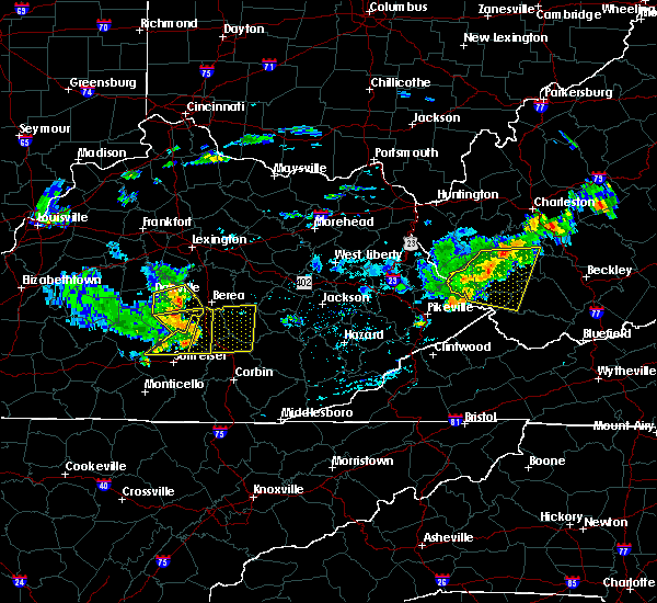 At 206 pm edt, a severe thunderstorm was located near brodhead, and moving east at 45 mph (radar indicated). Hazards include 70 mph wind gusts. Expect considerable tree damage. damage is likely to mobile homes, roofs and outbuildings. locations impacted include, mainly rural areas of southeastern garrard county. Crab orchard. At 206 pm edt, a severe thunderstorm was located near brodhead, and moving east at 45 mph (radar indicated). Hazards include 70 mph wind gusts. Expect considerable tree damage. damage is likely to mobile homes, roofs and outbuildings. locations impacted include, mainly rural areas of southeastern garrard county. Crab orchard.
|
| 7/9/2015 1:59 PM EDT |
 At 158 pm edt, a severe thunderstorm was located over bandy, or 10 miles southwest of mount vernon, moving east at 55 mph (public). Hazards include 70 mph wind gusts. Expect considerable tree damage. damage is likely to mobile homes, roofs and outbuildings. locations impacted include, mount vernon, pulaski, brodhead, science hill, maretburg, ottowa, wabp, hiatt, burr, renfro valley, valley oak, wellhope, quail, hansford, snider, lake linville, muellersville, level green, shopville and roundstone. this includes the following highways, interstate 75 in east central kentucky between mile markers 56 and 72. Kentucky highway 80 in pulaski county between mile markers 28 and 30, and between mile markers 33 and 37. At 158 pm edt, a severe thunderstorm was located over bandy, or 10 miles southwest of mount vernon, moving east at 55 mph (public). Hazards include 70 mph wind gusts. Expect considerable tree damage. damage is likely to mobile homes, roofs and outbuildings. locations impacted include, mount vernon, pulaski, brodhead, science hill, maretburg, ottowa, wabp, hiatt, burr, renfro valley, valley oak, wellhope, quail, hansford, snider, lake linville, muellersville, level green, shopville and roundstone. this includes the following highways, interstate 75 in east central kentucky between mile markers 56 and 72. Kentucky highway 80 in pulaski county between mile markers 28 and 30, and between mile markers 33 and 37.
|
| 7/9/2015 1:56 PM EDT |
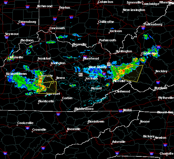 At 152 pm edt, a severe thunderstorm was located 11 miles west of brodhead, and moving east at 50 mph (radar indicated). Hazards include 70 mph wind gusts. Expect considerable tree damage. damage is likely to mobile homes, roofs and outbuildings. Locations impacted include, sugar grove, broughtentown, dog walk, crab orchard and turkeytown. At 152 pm edt, a severe thunderstorm was located 11 miles west of brodhead, and moving east at 50 mph (radar indicated). Hazards include 70 mph wind gusts. Expect considerable tree damage. damage is likely to mobile homes, roofs and outbuildings. Locations impacted include, sugar grove, broughtentown, dog walk, crab orchard and turkeytown.
|
| 7/9/2015 1:55 PM EDT | Trees down on highway 27 near eubank. report via twitte in pulaski county KY, 0.3 miles WNW of Eubank, KY |
| 7/9/2015 1:50 PM EDT | Trees down across highway 127 near kings mountai in lincoln county KY, 6.1 miles S of Eubank, KY |
| 7/9/2015 1:41 PM EDT |
 The national weather service in jackson ky has issued a * severe thunderstorm warning for. northern pulaski county in south central kentucky. rockcastle county in south central kentucky. until 230 pm edt * at 140 pm edt. a severe thunderstorm was located near liberty. Or. The national weather service in jackson ky has issued a * severe thunderstorm warning for. northern pulaski county in south central kentucky. rockcastle county in south central kentucky. until 230 pm edt * at 140 pm edt. a severe thunderstorm was located near liberty. Or.
|
| 7/9/2015 1:37 PM EDT |
 At 134 pm edt, a severe thunderstorm was located near liberty, and moving east at 50 mph (radar indicated). Hazards include 70 mph wind gusts. Expect considerable tree damage. Damage is likely to mobile homes, roofs and outbuildings. At 134 pm edt, a severe thunderstorm was located near liberty, and moving east at 50 mph (radar indicated). Hazards include 70 mph wind gusts. Expect considerable tree damage. Damage is likely to mobile homes, roofs and outbuildings.
|
| 7/9/2015 1:11 PM EDT |
 At 108 pm edt, a severe thunderstorm was located near greensburg, and moving east at 45 mph (radar indicated). Hazards include 60 mph wind gusts. Expect damage to roofs. Siding and trees. At 108 pm edt, a severe thunderstorm was located near greensburg, and moving east at 45 mph (radar indicated). Hazards include 60 mph wind gusts. Expect damage to roofs. Siding and trees.
|
| 6/26/2015 5:49 PM EDT | At 549 pm edt, a severe thunderstorm was located near hogue, or 11 miles northwest of somerset, moving northeast at 20 mph (radar indicated). Hazards include ping pong size hail and 60 mph wind gusts. People and animals outdoors will be injured. expect hail damage to roofs, siding, windows and vehicles. expect wind damage to roofs, siding and trees. locations impacted include, pulaski, science hill, cains store, stab, pointer, woodstock, bobtown, magnum, hogue, bandy, eubank, ware and mintonville. this includes louis b. Nunn parkway. |
| 6/26/2015 5:37 PM EDT | At 535 pm edt, a severe thunderstorm was located 9 miles west of science hill, and moving northeast at 20 mph (radar indicated). Hazards include 60 mph wind gusts and quarter size hail. Hail damage to vehicles is expected. Expect wind damage to roofs, siding and trees. |
| 6/26/2015 5:35 PM EDT | At 535 pm edt, a severe thunderstorm was located over magnum, or 11 miles northwest of somerset, moving northeast at 20 mph (radar indicated). Hazards include ping pong size hail and 60 mph wind gusts. People and animals outdoors will be injured. expect hail damage to roofs, siding, windows and vehicles. Expect wind damage to roofs, siding and trees. |
| 4/7/2015 7:46 PM EDT | The severe thunderstorm warning for eastern lincoln county will expire at 750 pm edt/650 pm cdt/. The storm which prompted the warning has weakened and moved out of the warned area. |
| 4/7/2015 7:45 PM EDT | A severe thunderstorm warning remains in effect until 815 pm edt for central laurel. northeastern pulaski. southwestern jackson and rockcastle counties. at 745 pm edt. severe thunderstorms were located along a line extending from 6 miles north of gum sulphur to hiatt to spiro to dabney. Moving east at 35 mph. |
| 4/7/2015 7:35 PM EDT | A severe thunderstorm warning remains in effect for eastern lincoln county until 750 pm edt. at 734 pm edt. a severe thunderstorm was located near brodhead. and moving east at 35 mph. hazard. 60 mph wind gusts. source. Radar indicated. |
| 4/7/2015 7:19 PM EDT | The national weather service in jackson ky has issued a * severe thunderstorm warning for. central laurel county in south central kentucky. northeastern pulaski county in south central kentucky. western jackson county in southeastern kentucky. Rockcastle county in south central kentucky. |
| 4/7/2015 7:19 PM EDT | The national weather service in louisville has issued a * severe thunderstorm warning for. east central casey county in south central kentucky. lincoln county in south central kentucky. until 750 pm edt * at 718 pm edt. A severe thunderstorm was located 8 miles southeast. |
| 4/7/2015 7:10 PM EDT | A severe thunderstorm warning remains in effect for northeastern casey and lincoln counties until 720 pm edt. at 708 pm edt. severe thunderstorms were located along a line extending from near junction city to 10 miles south of stanford to 8 miles east of liberty. and moving east at 35 mph. hazard. 60 mph wind gusts. |
| 4/7/2015 6:52 PM EDT | The national weather service in louisville has issued a * severe thunderstorm warning for. southern boyle county in east central kentucky. northern casey county in south central kentucky. lincoln county in south central kentucky. Until 720 pm edt. |
| 4/2/2015 7:51 PM EDT | The national weather service in jackson ky has issued a * severe thunderstorm warning for. laurel county in south central kentucky. northeastern wayne county in south central kentucky. pulaski county in south central kentucky. West central knox county in southeastern kentucky. |
| 7/26/2014 11:55 PM EDT | Large tree down blocking clear fork road in lincoln county KY, 3.6 miles SSE of Eubank, KY |
| 2/20/2014 11:12 PM EST | Trees were reported down along freedom church road. also tree limbs with a diameter of 4 to 5 inche in pulaski county KY, 0.3 miles WNW of Eubank, KY |
| 11/1/2013 12:55 AM EDT | Many trees and power lines down throughout the county. one mobile home had a tree fall through the roof in waynesbur in lincoln county KY, 3.6 miles SSE of Eubank, KY |
| 9/11/2013 4:38 PM EDT | Several trees down...damage to vehicles in lincoln county KY, 3.9 miles ENE of Eubank, KY |
| 1/30/2013 6:24 AM EST | Trees down on highway 32 in pulaski county KY, 5.9 miles WSW of Eubank, KY |
| 1/1/0001 12:00 AM | Golf Ball sized hail reported 5 miles N of Eubank, KY |
| 1/1/0001 12:00 AM | Golf Ball sized hail reported 7.6 miles W of Eubank, KY, powerlines also down near faubush |
| 1/1/0001 12:00 AM | Limb broken off of a walnut tree and blow down the street. also had pea sized hail almost covering the groun in pulaski county KY, 2.3 miles NNW of Eubank, KY |
| 1/1/0001 12:00 AM | A tree was reported to have been blown down along ky highway 39. event time is estimated from rada in pulaski county KY, 7.6 miles W of Eubank, KY |
| 1/1/0001 12:00 AM | A tree was reported to have been blown down. event time is estimated from rada in pulaski county KY, 1.2 miles NE of Eubank, KY |
| 1/1/0001 12:00 AM | Grapefruit sized hail reported 1.5 miles N of Eubank, KY |
| 1/1/0001 12:00 AM | Golf Ball sized hail reported 0.3 miles WNW of Eubank, KY |
| 1/1/0001 12:00 AM | Baseball sized hail reported 0.3 miles WNW of Eubank, KY |
| 1/1/0001 12:00 AM | Quarter sized hail reported 5 miles N of Eubank, KY |
Hail Maps for Eubank, KY


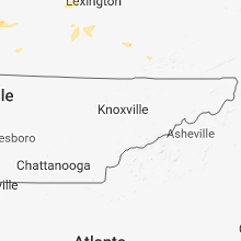


Connect with Interactive Hail Maps