

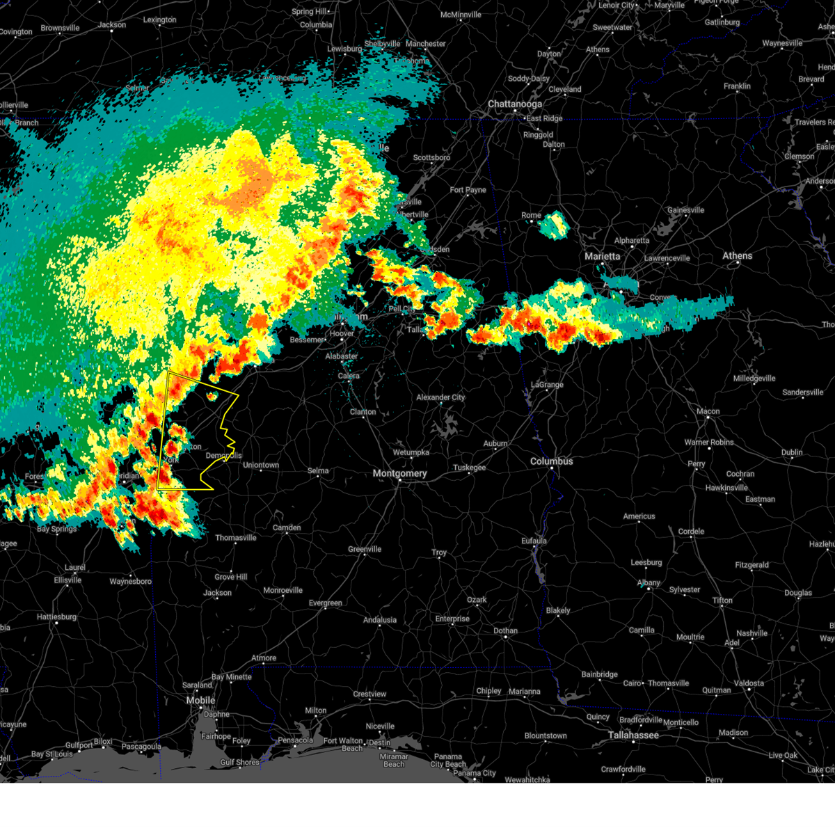
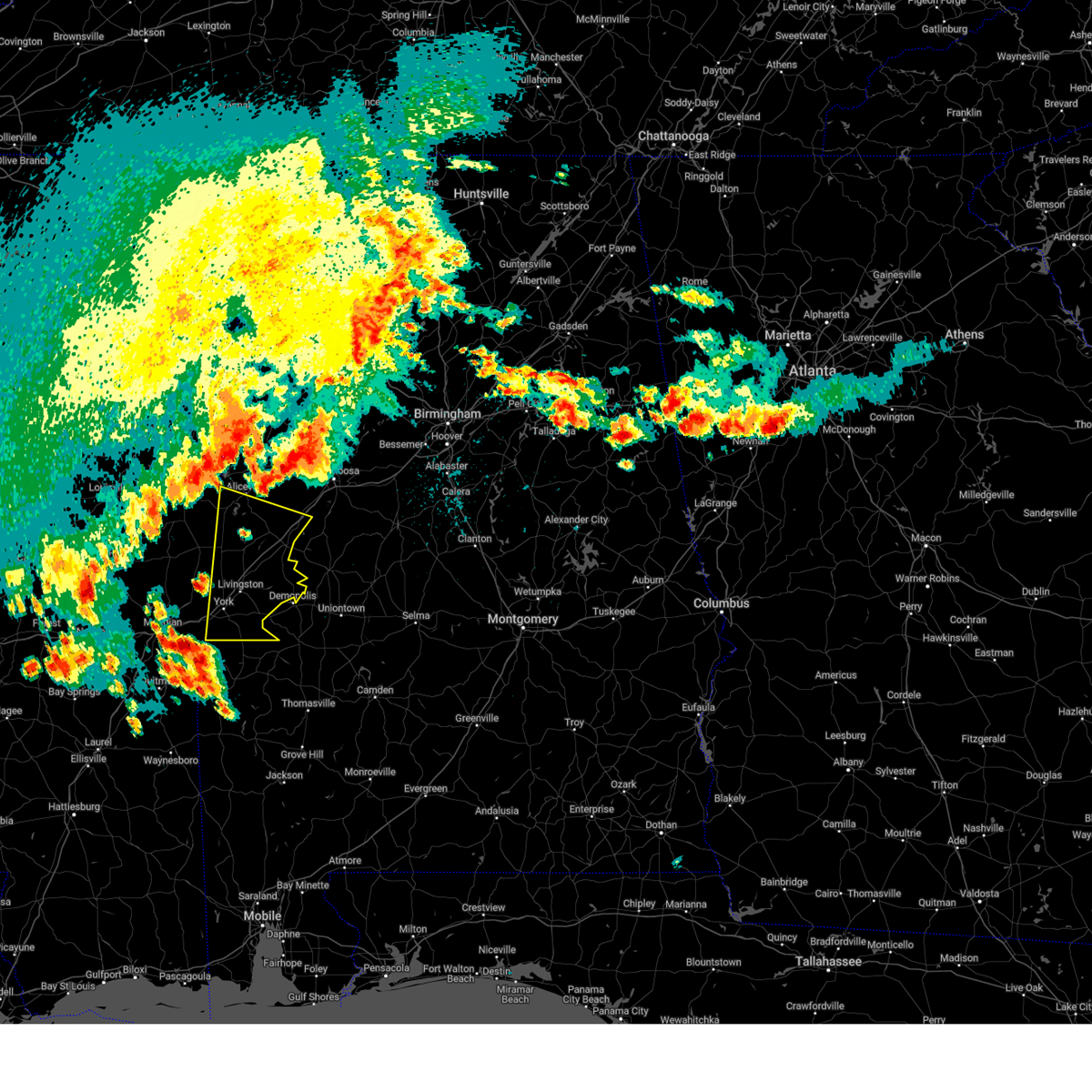
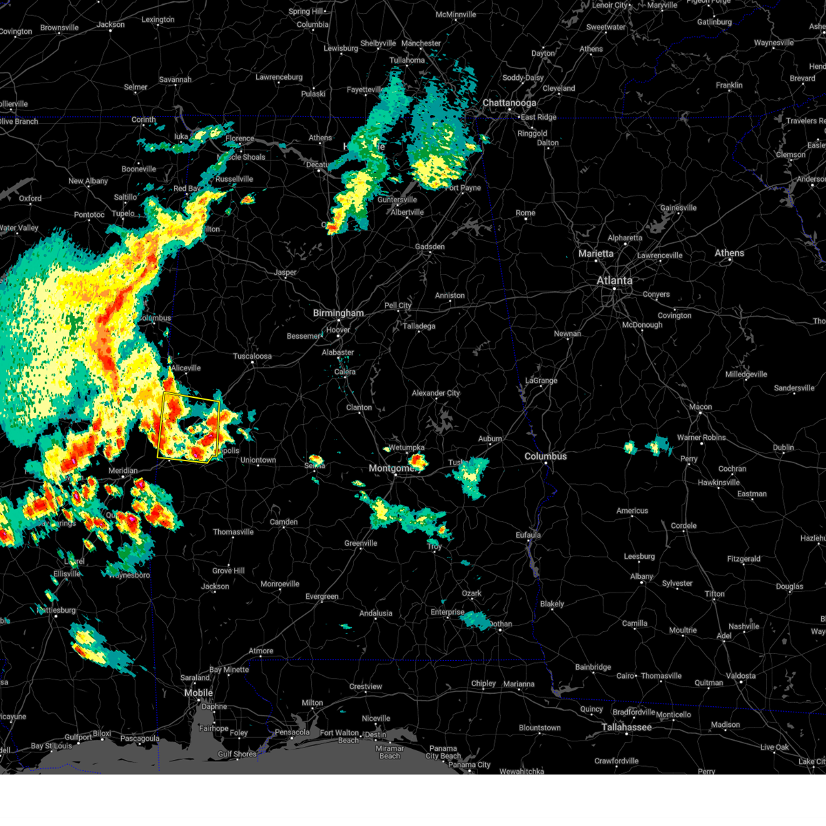
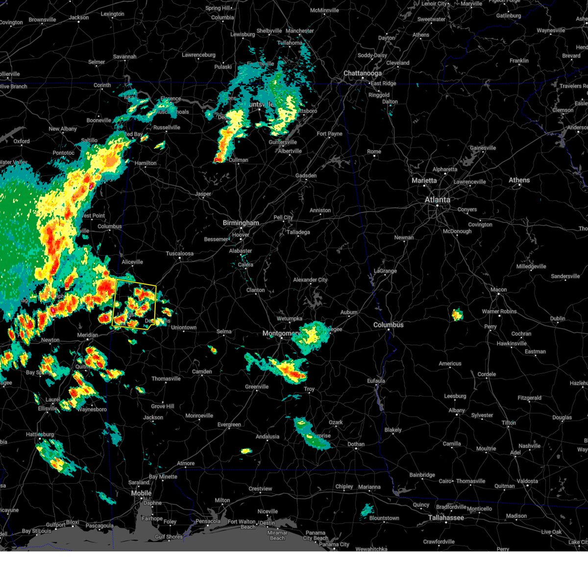
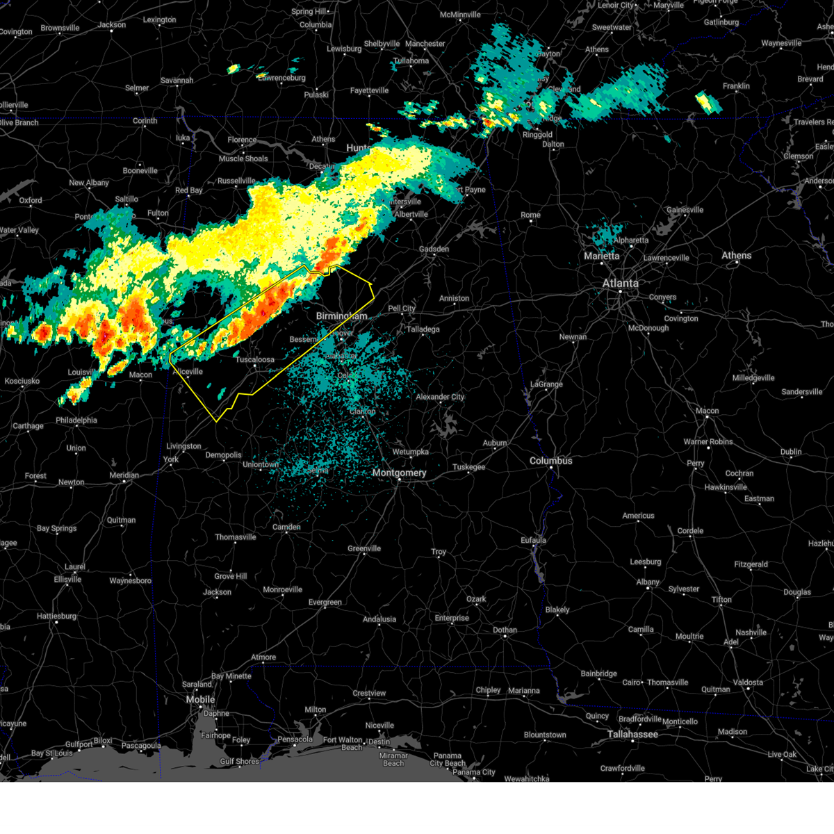
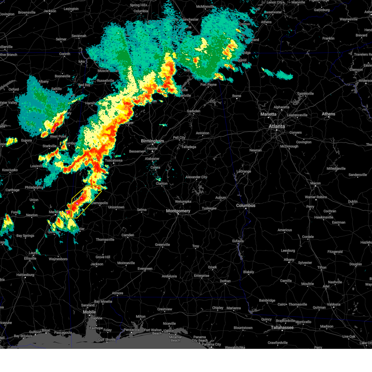
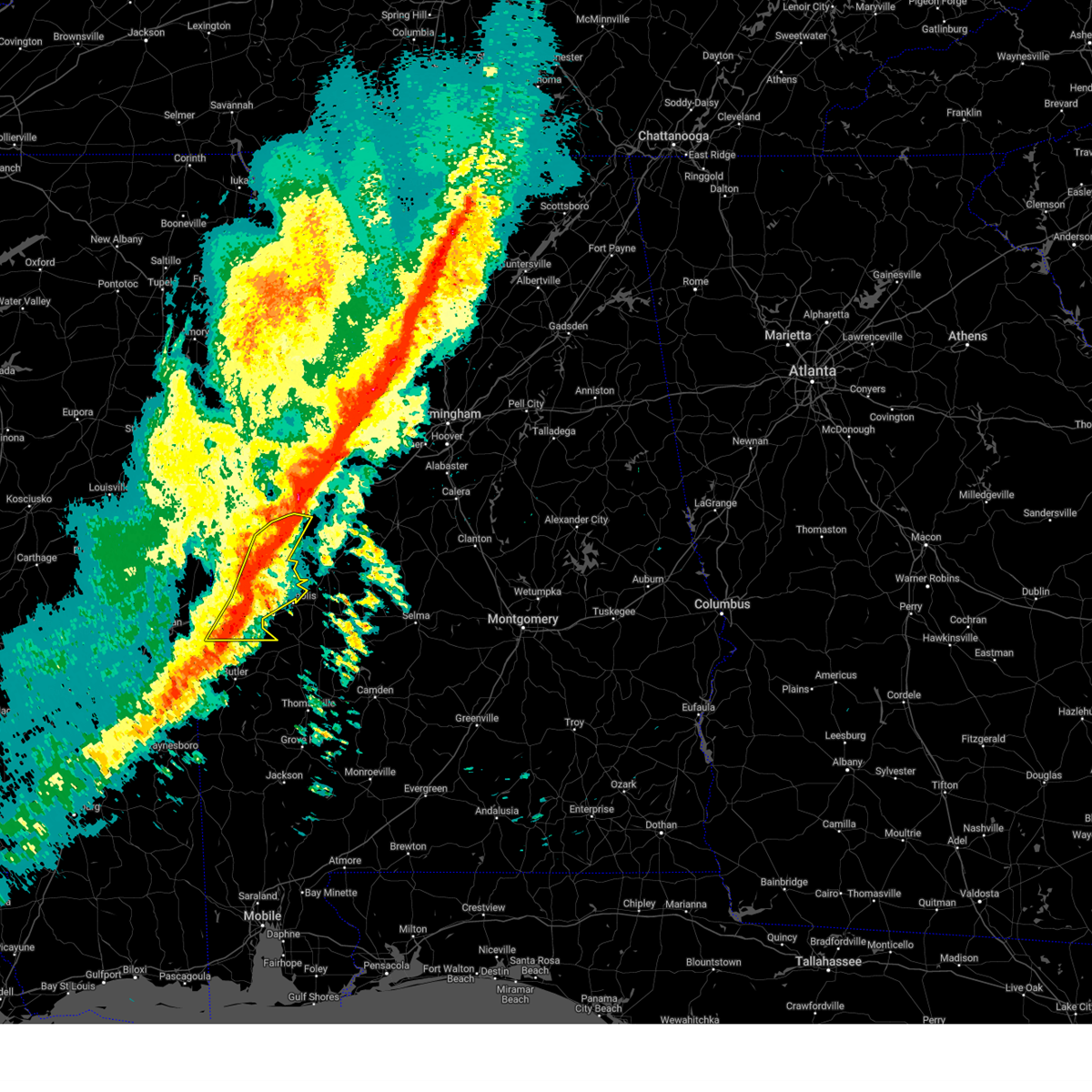
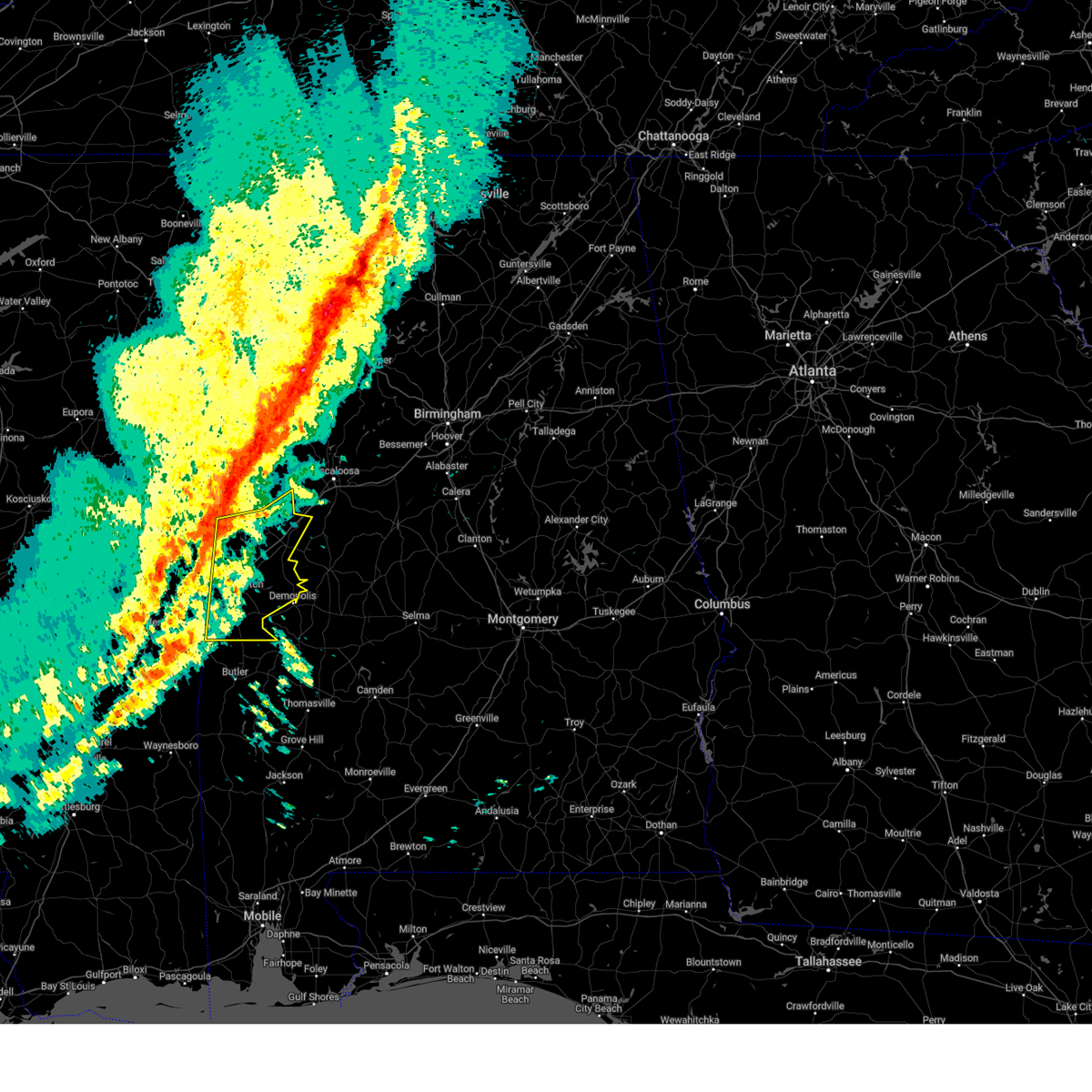
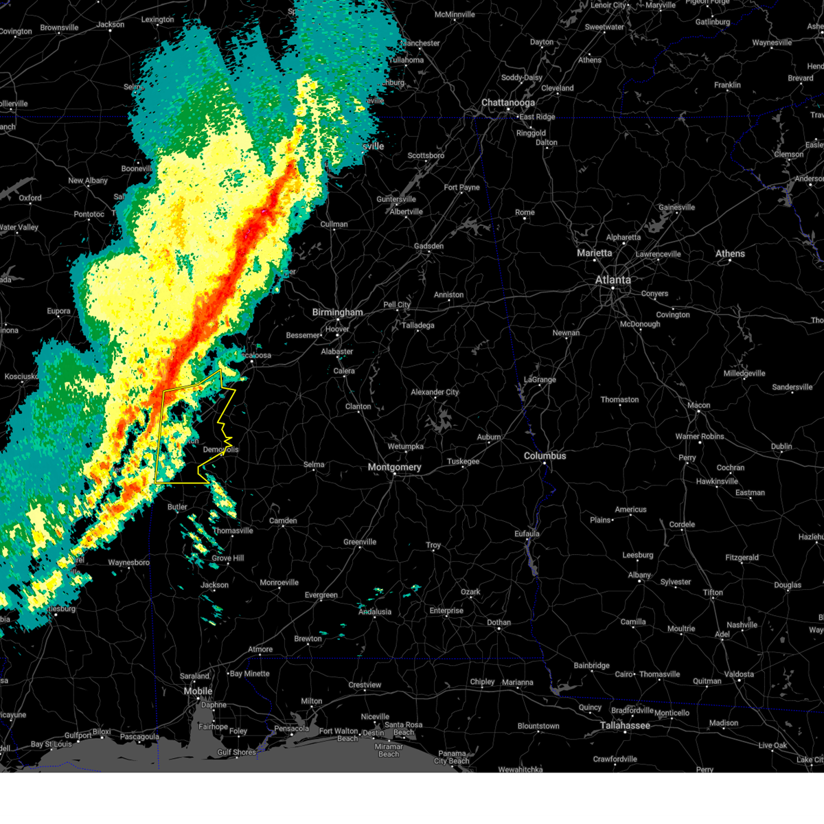
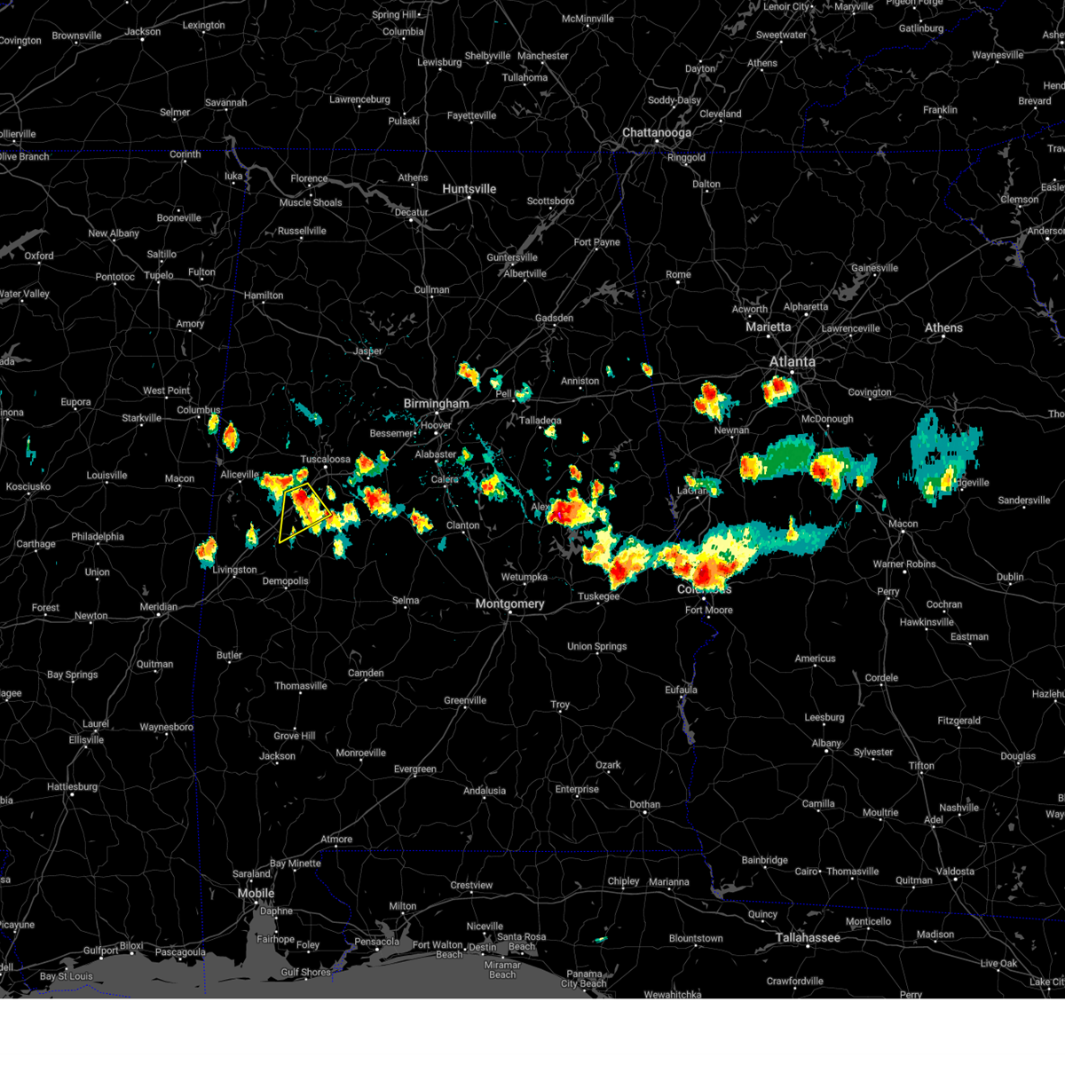
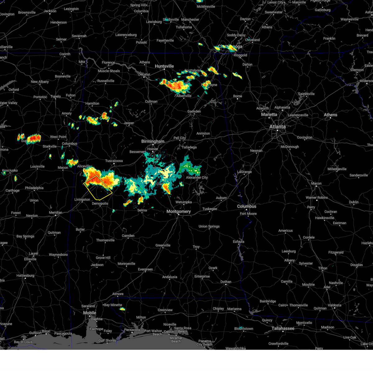
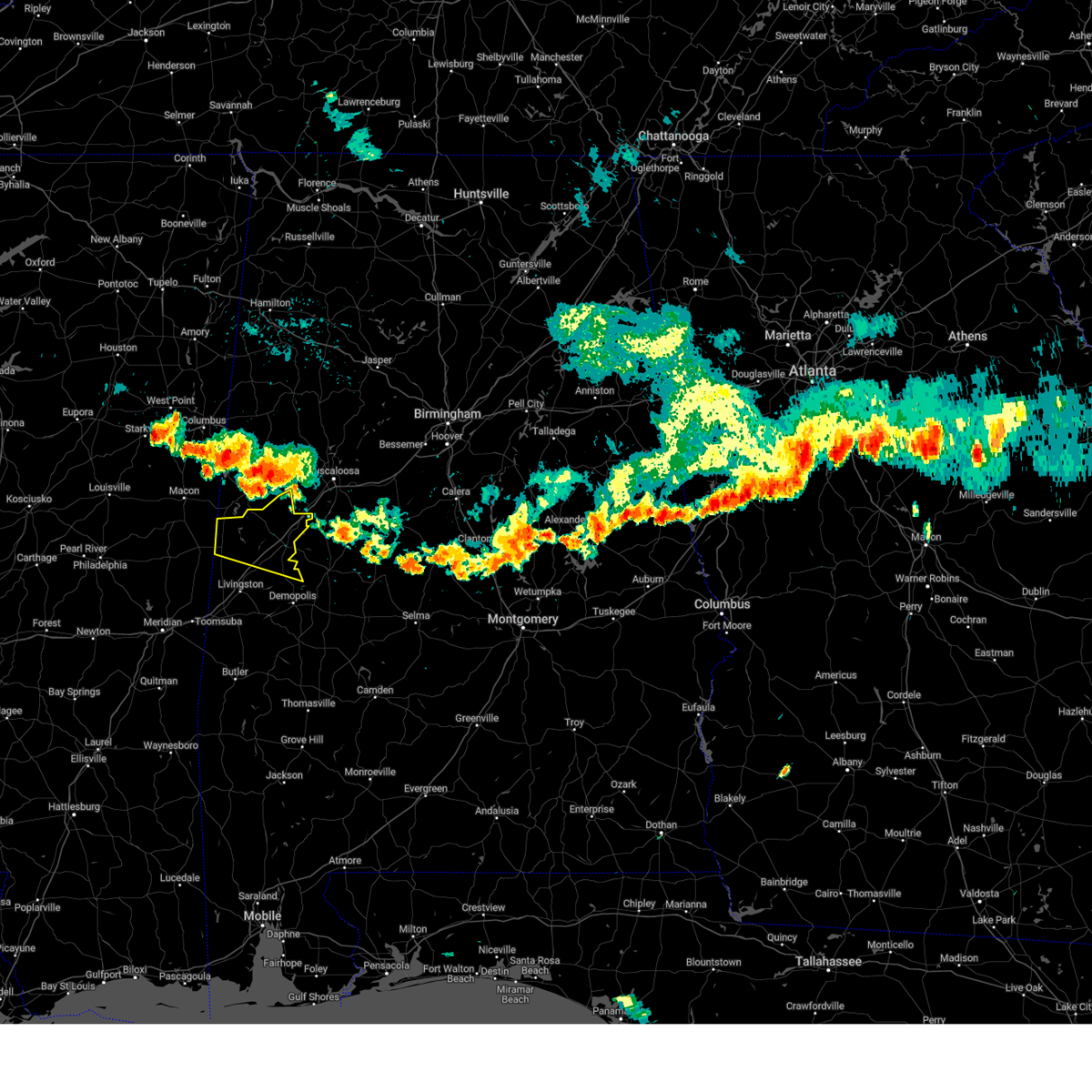
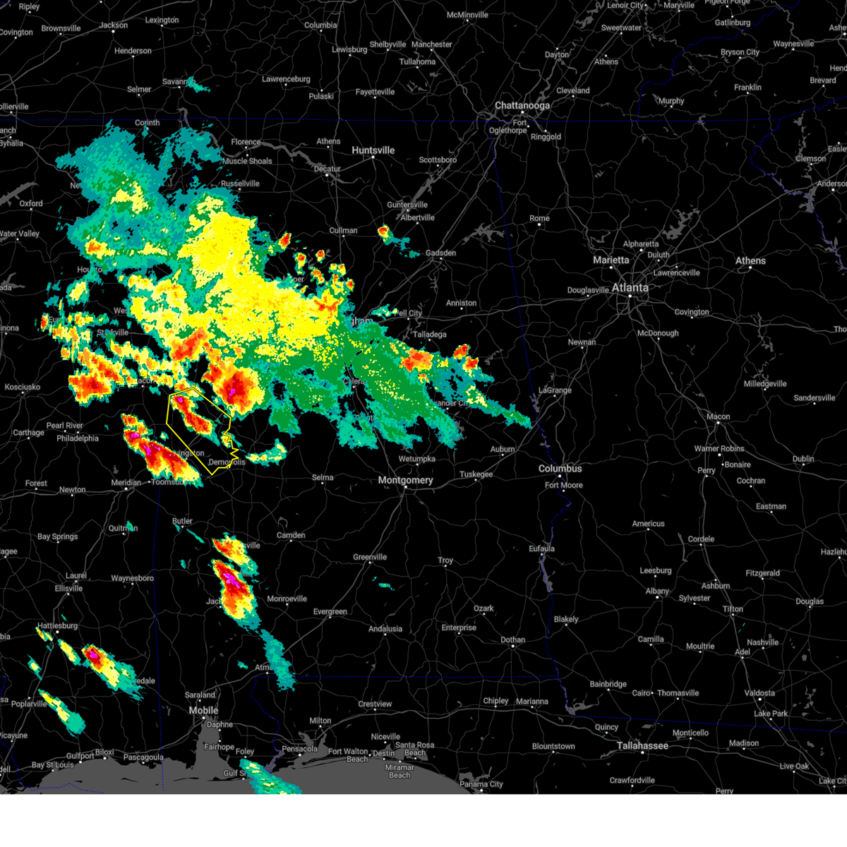
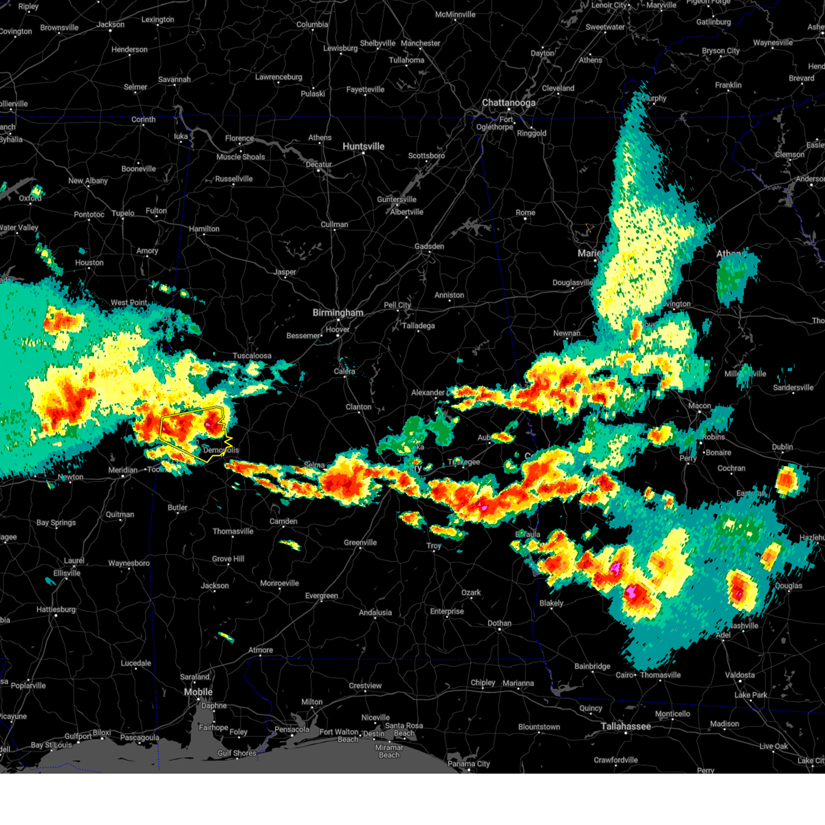
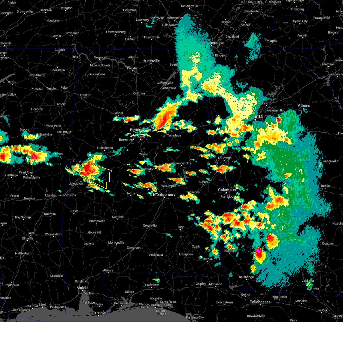
Hail Map for Eutaw, AL
The Eutaw, AL area has had 4 reports of on-the-ground hail by trained spotters, and has been under severe weather warnings 34 times during the past 12 months. Doppler radar has detected hail at or near Eutaw, AL on 67 occasions, including 7 occasions during the past year.
| Name: | Eutaw, AL |
| Where Located: | 68.5 miles SE of Starkville, MS |
| Map: | Google Map for Eutaw, AL |
| Population: | 2934 |
| Housing Units: | 1355 |
| More Info: | Search Google for Eutaw, AL |
2
The Top Recent Hail Date for Eutaw, AL is Friday, August 2, 2024 (12th out of 67)

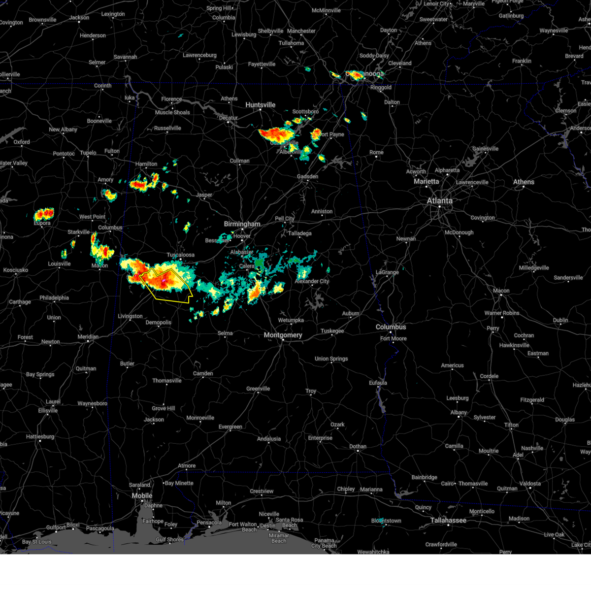
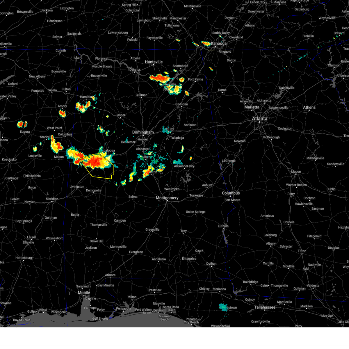
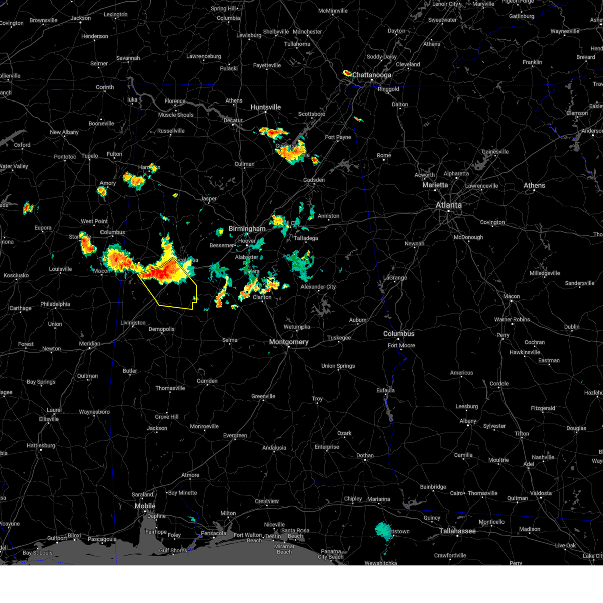
Hail and Wind Damage Spotted near Eutaw, AL
| Date / Time | Report Details |
|---|---|
| 6/16/2025 4:22 PM CDT |
 Svrbmx the national weather service in birmingham has issued a * severe thunderstorm warning for, southwestern tuscaloosa county in west central alabama, northeastern greene county in west central alabama, hale county in west central alabama, west central bibb county in central alabama, * until 515 pm cdt. * at 422 pm cdt, a severe thunderstorm was located over akron, or 10 miles east of eutaw, moving north at 25 mph (radar indicated). Hazards include 60 mph wind gusts. expect damage to roofs, siding, and trees Svrbmx the national weather service in birmingham has issued a * severe thunderstorm warning for, southwestern tuscaloosa county in west central alabama, northeastern greene county in west central alabama, hale county in west central alabama, west central bibb county in central alabama, * until 515 pm cdt. * at 422 pm cdt, a severe thunderstorm was located over akron, or 10 miles east of eutaw, moving north at 25 mph (radar indicated). Hazards include 60 mph wind gusts. expect damage to roofs, siding, and trees
|
| 6/8/2025 4:24 AM CDT |
 Svrbmx the national weather service in birmingham has issued a * severe thunderstorm warning for, southeastern greene county in west central alabama, hale county in west central alabama, * until 515 am cdt. * at 423 am cdt, a severe thunderstorm was located over forkland, or 11 miles south of eutaw, moving east at 35 mph (radar indicated). Hazards include 60 mph wind gusts and quarter size hail. Hail damage to vehicles is expected. Expect wind damage to roofs, siding, and trees. Svrbmx the national weather service in birmingham has issued a * severe thunderstorm warning for, southeastern greene county in west central alabama, hale county in west central alabama, * until 515 am cdt. * at 423 am cdt, a severe thunderstorm was located over forkland, or 11 miles south of eutaw, moving east at 35 mph (radar indicated). Hazards include 60 mph wind gusts and quarter size hail. Hail damage to vehicles is expected. Expect wind damage to roofs, siding, and trees.
|
| 5/26/2025 6:03 PM CDT |
 the severe thunderstorm warning has been cancelled and is no longer in effect the severe thunderstorm warning has been cancelled and is no longer in effect
|
| 5/26/2025 5:20 PM CDT |
 Svrbmx the national weather service in birmingham has issued a * severe thunderstorm warning for, southern greene county in west central alabama, hale county in west central alabama, southeastern sumter county in west central alabama, * until 615 pm cdt. * at 519 pm cdt, severe thunderstorms were located along a line extending from near livingston to near dug hill to near miller, moving northeast at 35 mph (radar indicated). Hazards include 60 mph wind gusts and quarter size hail. Hail damage to vehicles is expected. Expect wind damage to roofs, siding, and trees. Svrbmx the national weather service in birmingham has issued a * severe thunderstorm warning for, southern greene county in west central alabama, hale county in west central alabama, southeastern sumter county in west central alabama, * until 615 pm cdt. * at 519 pm cdt, severe thunderstorms were located along a line extending from near livingston to near dug hill to near miller, moving northeast at 35 mph (radar indicated). Hazards include 60 mph wind gusts and quarter size hail. Hail damage to vehicles is expected. Expect wind damage to roofs, siding, and trees.
|
| 5/25/2025 10:03 PM CDT |
 At 1002 pm cdt, severe thunderstorms were located along a line extending from near panola to suqualena, moving east at 30 mph (radar indicated). Hazards include 60 mph wind gusts and quarter size hail. Hail damage to vehicles is expected. expect wind damage to roofs, siding, and trees. Locations impacted include, livingston, eutaw, york, aliceville, cuba, forkland, boligee, union, gainesville, epes, emelle, memphis, panola, west greene, thornhill, boyd, knoxville, coatopa, kinterbish, and walden quarters. At 1002 pm cdt, severe thunderstorms were located along a line extending from near panola to suqualena, moving east at 30 mph (radar indicated). Hazards include 60 mph wind gusts and quarter size hail. Hail damage to vehicles is expected. expect wind damage to roofs, siding, and trees. Locations impacted include, livingston, eutaw, york, aliceville, cuba, forkland, boligee, union, gainesville, epes, emelle, memphis, panola, west greene, thornhill, boyd, knoxville, coatopa, kinterbish, and walden quarters.
|
| 5/25/2025 9:29 PM CDT |
 Svrbmx the national weather service in birmingham has issued a * severe thunderstorm warning for, southwestern pickens county in west central alabama, greene county in west central alabama, sumter county in west central alabama, * until 1030 pm cdt. * at 928 pm cdt, severe thunderstorms were located along a line extending from prairie point to near prospect, moving southeast at 40 mph (radar indicated). Hazards include 60 mph wind gusts and quarter size hail. Hail damage to vehicles is expected. Expect wind damage to roofs, siding, and trees. Svrbmx the national weather service in birmingham has issued a * severe thunderstorm warning for, southwestern pickens county in west central alabama, greene county in west central alabama, sumter county in west central alabama, * until 1030 pm cdt. * at 928 pm cdt, severe thunderstorms were located along a line extending from prairie point to near prospect, moving southeast at 40 mph (radar indicated). Hazards include 60 mph wind gusts and quarter size hail. Hail damage to vehicles is expected. Expect wind damage to roofs, siding, and trees.
|
| 5/24/2025 5:21 PM CDT |
 At 520 pm cdt, a severe thunderstorm was located over thornhill, or 12 miles south of eutaw, moving southeast at 10 mph (radar indicated). Hazards include ping pong ball size hail and 60 mph wind gusts. People and animals outdoors will be injured. expect hail damage to roofs, siding, windows, and vehicles. expect wind damage to roofs, siding, and trees. Locations impacted include, livingston, eutaw, york, forkland, boligee, gainesville, epes, emelle, panola, west greene, the university of west alabama, thornhill, dug hill, tishabee, new west greene, boyd, allison, bluffport, coatopa, and geiger. At 520 pm cdt, a severe thunderstorm was located over thornhill, or 12 miles south of eutaw, moving southeast at 10 mph (radar indicated). Hazards include ping pong ball size hail and 60 mph wind gusts. People and animals outdoors will be injured. expect hail damage to roofs, siding, windows, and vehicles. expect wind damage to roofs, siding, and trees. Locations impacted include, livingston, eutaw, york, forkland, boligee, gainesville, epes, emelle, panola, west greene, the university of west alabama, thornhill, dug hill, tishabee, new west greene, boyd, allison, bluffport, coatopa, and geiger.
|
| 5/24/2025 5:01 PM CDT |
 Svrbmx the national weather service in birmingham has issued a * severe thunderstorm warning for, central greene county in west central alabama, sumter county in west central alabama, * until 545 pm cdt. * at 501 pm cdt, severe thunderstorms were located along a line extending from 7 miles south of cooksville to near tamola, moving east at 35 mph (radar indicated). Hazards include 60 mph wind gusts and quarter size hail. Hail damage to vehicles is expected. Expect wind damage to roofs, siding, and trees. Svrbmx the national weather service in birmingham has issued a * severe thunderstorm warning for, central greene county in west central alabama, sumter county in west central alabama, * until 545 pm cdt. * at 501 pm cdt, severe thunderstorms were located along a line extending from 7 miles south of cooksville to near tamola, moving east at 35 mph (radar indicated). Hazards include 60 mph wind gusts and quarter size hail. Hail damage to vehicles is expected. Expect wind damage to roofs, siding, and trees.
|
| 5/17/2025 4:23 AM CDT |
 At 423 am cdt, severe thunderstorms were located along a line extending from near arkadelphia to near carrollton, moving southeast at 35 mph (radar indicated). Hazards include 60 mph wind gusts and quarter size hail. Hail damage to vehicles is expected. expect wind damage to roofs, siding, and trees. Locations impacted include, aliceville, lake tuscaloosa, palmerdale, carrollton, englewood, ralph, northport, smoke rise, samantha, brookwood, mulga, new castle, mcfarland mall, kirk, ensley, miller steam plant, pleasant ridge, wiley, lewiston, and benevola. At 423 am cdt, severe thunderstorms were located along a line extending from near arkadelphia to near carrollton, moving southeast at 35 mph (radar indicated). Hazards include 60 mph wind gusts and quarter size hail. Hail damage to vehicles is expected. expect wind damage to roofs, siding, and trees. Locations impacted include, aliceville, lake tuscaloosa, palmerdale, carrollton, englewood, ralph, northport, smoke rise, samantha, brookwood, mulga, new castle, mcfarland mall, kirk, ensley, miller steam plant, pleasant ridge, wiley, lewiston, and benevola.
|
| 5/17/2025 4:23 AM CDT |
 the severe thunderstorm warning has been cancelled and is no longer in effect the severe thunderstorm warning has been cancelled and is no longer in effect
|
| 5/17/2025 4:00 AM CDT |
 Svrbmx the national weather service in birmingham has issued a * severe thunderstorm warning for, walker county in central alabama, tuscaloosa county in west central alabama, pickens county in west central alabama, southwestern blount county in central alabama, northern greene county in west central alabama, jefferson county in central alabama, southeastern winston county in northwestern alabama, fayette county in west central alabama, southeastern lamar county in west central alabama, * until 500 am cdt. * at 400 am cdt, severe thunderstorms were located along a line extending from smith dam to near ethelsville, moving southeast at 35 mph (radar indicated). Hazards include 60 mph wind gusts and quarter size hail. Hail damage to vehicles is expected. Expect wind damage to roofs, siding, and trees. Svrbmx the national weather service in birmingham has issued a * severe thunderstorm warning for, walker county in central alabama, tuscaloosa county in west central alabama, pickens county in west central alabama, southwestern blount county in central alabama, northern greene county in west central alabama, jefferson county in central alabama, southeastern winston county in northwestern alabama, fayette county in west central alabama, southeastern lamar county in west central alabama, * until 500 am cdt. * at 400 am cdt, severe thunderstorms were located along a line extending from smith dam to near ethelsville, moving southeast at 35 mph (radar indicated). Hazards include 60 mph wind gusts and quarter size hail. Hail damage to vehicles is expected. Expect wind damage to roofs, siding, and trees.
|
| 5/8/2025 7:58 PM CDT | A few trees were downed by outflow winds in the springfield community north of euta in greene county AL, 5.1 miles SSW of Eutaw, AL |
| 5/8/2025 7:50 PM CDT | Quarter sized hail reported 10.9 miles S of Eutaw, AL, quarter sized hail covering ground near union. time estimated by radar. |
| 5/2/2025 5:14 PM CDT | At 514 pm cdt, a severe thunderstorm was located near epes, or 7 miles northeast of livingston, moving northeast at 30 mph (radar indicated). Hazards include 60 mph wind gusts and quarter size hail. Hail damage to vehicles is expected. expect wind damage to roofs, siding, and trees. Locations impacted include, old mallard airport, york, boyd, livingston, allison, walden quarters, sumterville, eutaw municipal airport, the university of west alabama, bluffport, cuba, thornhill, i 20 welcome center at cuba, five points intersection, boligee, payneville, epes, eutaw, and tishabee. |
| 5/2/2025 4:52 PM CDT | At 452 pm cdt, severe thunderstorms were located along a line extending from near boligee to cuba, moving northeast at 20 mph (radar indicated). Hazards include 60 mph wind gusts and quarter size hail. Hail damage to vehicles is expected. expect wind damage to roofs, siding, and trees. Locations impacted include, old mallard airport, york, boyd, livingston, allison, walden quarters, sumterville, eutaw municipal airport, lilita, the university of west alabama, bluffport, cuba, thornhill, i 20 welcome center at cuba, five points intersection, ward, boligee, payneville, epes, and eutaw. |
| 5/2/2025 4:32 PM CDT |
 Svrbmx the national weather service in birmingham has issued a * severe thunderstorm warning for, southern greene county in west central alabama, southern sumter county in west central alabama, * until 530 pm cdt. * at 432 pm cdt, severe thunderstorms were located along a line extending from epes to kewanee, moving northeast at 20 mph (radar indicated). Hazards include 60 mph wind gusts and quarter size hail. Hail damage to vehicles is expected. Expect wind damage to roofs, siding, and trees. Svrbmx the national weather service in birmingham has issued a * severe thunderstorm warning for, southern greene county in west central alabama, southern sumter county in west central alabama, * until 530 pm cdt. * at 432 pm cdt, severe thunderstorms were located along a line extending from epes to kewanee, moving northeast at 20 mph (radar indicated). Hazards include 60 mph wind gusts and quarter size hail. Hail damage to vehicles is expected. Expect wind damage to roofs, siding, and trees.
|
| 2/16/2025 12:28 AM CST |
 At 1227 am cst, severe thunderstorms were located along a line extending from near tuscaloosa regional airport to 9 miles southwest of coatopa, moving east at 65 mph (radar indicated). Hazards include 70 mph wind gusts. Expect considerable tree damage. damage is likely to mobile homes, roofs, and outbuildings. Locations impacted include, demopolis, livingston, eutaw, york, forkland, boligee, union, epes, walden quarters, the university of west alabama, thornhill, dug hill, tishabee, allison, duffys bend, bluffport, knoxville, coatopa, kinterbish, and old mallard airport. At 1227 am cst, severe thunderstorms were located along a line extending from near tuscaloosa regional airport to 9 miles southwest of coatopa, moving east at 65 mph (radar indicated). Hazards include 70 mph wind gusts. Expect considerable tree damage. damage is likely to mobile homes, roofs, and outbuildings. Locations impacted include, demopolis, livingston, eutaw, york, forkland, boligee, union, epes, walden quarters, the university of west alabama, thornhill, dug hill, tishabee, allison, duffys bend, bluffport, knoxville, coatopa, kinterbish, and old mallard airport.
|
| 2/16/2025 12:15 AM CST | At 1215 am cst, severe thunderstorms were located along a line extending from jena to 8 miles south of coatopa, moving east at 65 mph (radar indicated). Hazards include 70 mph wind gusts. Expect considerable tree damage. damage is likely to mobile homes, roofs, and outbuildings. Locations impacted include, demopolis, livingston, eutaw, york, cuba, forkland, boligee, union, gainesville, epes, emelle, west greene, thornhill, boyd, knoxville, coatopa, kinterbish, walden quarters, the university of west alabama, and dug hill. |
| 2/16/2025 12:09 AM CST | At 1209 am cst, severe thunderstorms were located along a line extending from benevola to 6 miles east of kinterbish, moving east at 65 mph (radar indicated). Hazards include 60 mph wind gusts. Expect damage to roofs, siding, and trees. Locations impacted include, demopolis, livingston, eutaw, york, cuba, forkland, boligee, union, gainesville, epes, emelle, west greene, thornhill, boyd, knoxville, coatopa, kinterbish, walden quarters, the university of west alabama, and dug hill. |
| 2/15/2025 11:48 PM CST |
 At 1148 pm cst, severe thunderstorms were located along a line extending from near aliceville to near alamucha, moving east at 60 mph (radar indicated). Hazards include 60 mph wind gusts. Expect damage to roofs, siding, and trees. Locations impacted include, demopolis, livingston, eutaw, york, cuba, forkland, boligee, union, gainesville, epes, emelle, panola, west greene, thornhill, boyd, knoxville, coatopa, kinterbish, walden quarters, and the university of west alabama. At 1148 pm cst, severe thunderstorms were located along a line extending from near aliceville to near alamucha, moving east at 60 mph (radar indicated). Hazards include 60 mph wind gusts. Expect damage to roofs, siding, and trees. Locations impacted include, demopolis, livingston, eutaw, york, cuba, forkland, boligee, union, gainesville, epes, emelle, panola, west greene, thornhill, boyd, knoxville, coatopa, kinterbish, walden quarters, and the university of west alabama.
|
| 2/15/2025 11:46 PM CST |
 Svrbmx the national weather service in birmingham has issued a * severe thunderstorm warning for, greene county in west central alabama, sumter county in west central alabama, * until 1245 am cst. * at 1145 pm cst, severe thunderstorms were located along a line extending from near memphis to near causeyville, moving east at 80 mph (radar indicated). Hazards include 60 mph wind gusts. expect damage to roofs, siding, and trees Svrbmx the national weather service in birmingham has issued a * severe thunderstorm warning for, greene county in west central alabama, sumter county in west central alabama, * until 1245 am cst. * at 1145 pm cst, severe thunderstorms were located along a line extending from near memphis to near causeyville, moving east at 80 mph (radar indicated). Hazards include 60 mph wind gusts. expect damage to roofs, siding, and trees
|
| 12/28/2024 9:54 PM CST |
 At 954 pm cst, severe thunderstorms were located along a line extending from near reform to near coatopa, moving east at 55 mph (radar indicated). Hazards include 70 mph wind gusts. Expect considerable tree damage. damage is likely to mobile homes, roofs, and outbuildings. Locations impacted include, demopolis, eutaw, aliceville, gordo, reform, carrollton, forkland, boligee, union, gainesville, epes, walden quarters, west greene, thornhill, benevola, johnston lake, dug hill, tishabee, new west greene, and mantua. At 954 pm cst, severe thunderstorms were located along a line extending from near reform to near coatopa, moving east at 55 mph (radar indicated). Hazards include 70 mph wind gusts. Expect considerable tree damage. damage is likely to mobile homes, roofs, and outbuildings. Locations impacted include, demopolis, eutaw, aliceville, gordo, reform, carrollton, forkland, boligee, union, gainesville, epes, walden quarters, west greene, thornhill, benevola, johnston lake, dug hill, tishabee, new west greene, and mantua.
|
| 12/28/2024 9:36 PM CST |
 At 935 pm cst, severe thunderstorms were located along a line extending from near carrollton to near kinterbish, moving east at 55 mph (radar indicated). Hazards include 70 mph wind gusts. Expect considerable tree damage. damage is likely to mobile homes, roofs, and outbuildings. Locations impacted include, demopolis, livingston, eutaw, york, aliceville, gordo, reform, carrollton, pickensville, cuba, forkland, boligee, union, gainesville, epes, ethelsville, emelle, mcmullen, panola, and west greene. At 935 pm cst, severe thunderstorms were located along a line extending from near carrollton to near kinterbish, moving east at 55 mph (radar indicated). Hazards include 70 mph wind gusts. Expect considerable tree damage. damage is likely to mobile homes, roofs, and outbuildings. Locations impacted include, demopolis, livingston, eutaw, york, aliceville, gordo, reform, carrollton, pickensville, cuba, forkland, boligee, union, gainesville, epes, ethelsville, emelle, mcmullen, panola, and west greene.
|
| 12/28/2024 8:56 PM CST |
 Svrbmx the national weather service in birmingham has issued a * severe thunderstorm warning for, pickens county in west central alabama, greene county in west central alabama, sumter county in west central alabama, * until 1015 pm cst. * at 855 pm cst, severe thunderstorms were located along a line extending from near crawford to near meridian, moving east at 45 mph (radar indicated). Hazards include 70 mph wind gusts. Expect considerable tree damage. Damage is likely to mobile homes, roofs, and outbuildings. Svrbmx the national weather service in birmingham has issued a * severe thunderstorm warning for, pickens county in west central alabama, greene county in west central alabama, sumter county in west central alabama, * until 1015 pm cst. * at 855 pm cst, severe thunderstorms were located along a line extending from near crawford to near meridian, moving east at 45 mph (radar indicated). Hazards include 70 mph wind gusts. Expect considerable tree damage. Damage is likely to mobile homes, roofs, and outbuildings.
|
| 8/18/2024 5:22 PM CDT | Svrbmx the national weather service in birmingham has issued a * severe thunderstorm warning for, autauga county in central alabama, southwestern chilton county in central alabama, northeastern marengo county in southwestern alabama, perry county in central alabama, southeastern greene county in west central alabama, hale county in west central alabama, central dallas county in south central alabama, * until 630 pm cdt. * at 522 pm cdt, severe thunderstorms were located along a line extending from near maplesville to walden quarters, moving southeast at 20 mph (radar indicated). Hazards include 60 mph wind gusts and quarter size hail. Hail damage to vehicles is expected. Expect wind damage to roofs, siding, and trees. |
| 8/18/2024 5:02 PM CDT |
 At 501 pm cdt, a severe thunderstorm was located near moundville, or 14 miles northeast of eutaw, moving southeast at 30 mph (radar indicated). Hazards include 60 mph wind gusts and quarter size hail. Hail damage to vehicles is expected. expect wind damage to roofs, siding, and trees. Locations impacted include, eutaw, moundville, akron, knoxville, evansville, mound state park, fosters, ralph, elliots creek, moundville airport, and eutaw municipal airport. At 501 pm cdt, a severe thunderstorm was located near moundville, or 14 miles northeast of eutaw, moving southeast at 30 mph (radar indicated). Hazards include 60 mph wind gusts and quarter size hail. Hail damage to vehicles is expected. expect wind damage to roofs, siding, and trees. Locations impacted include, eutaw, moundville, akron, knoxville, evansville, mound state park, fosters, ralph, elliots creek, moundville airport, and eutaw municipal airport.
|
| 8/18/2024 4:33 PM CDT |
 Svrbmx the national weather service in birmingham has issued a * severe thunderstorm warning for, southwestern tuscaloosa county in west central alabama, northeastern greene county in west central alabama, northwestern hale county in west central alabama, * until 515 pm cdt. * at 433 pm cdt, a severe thunderstorm was located near jena, or 13 miles southwest of northport, moving southeast at 30 mph (radar indicated). Hazards include 60 mph wind gusts and quarter size hail. Hail damage to vehicles is expected. Expect wind damage to roofs, siding, and trees. Svrbmx the national weather service in birmingham has issued a * severe thunderstorm warning for, southwestern tuscaloosa county in west central alabama, northeastern greene county in west central alabama, northwestern hale county in west central alabama, * until 515 pm cdt. * at 433 pm cdt, a severe thunderstorm was located near jena, or 13 miles southwest of northport, moving southeast at 30 mph (radar indicated). Hazards include 60 mph wind gusts and quarter size hail. Hail damage to vehicles is expected. Expect wind damage to roofs, siding, and trees.
|
| 8/2/2024 8:22 PM CDT |
 At 822 pm cdt, a severe thunderstorm was located over sawyerville, or 9 miles west of greensboro, moving southeast at 30 mph (radar indicated). Hazards include 60 mph wind gusts. Expect damage to roofs, siding, and trees. Locations impacted include, eutaw, forkland, sawyerville, thornhill, walden quarters, wedgeworth, evansville, selden lock and dam, and eutaw municipal airport. At 822 pm cdt, a severe thunderstorm was located over sawyerville, or 9 miles west of greensboro, moving southeast at 30 mph (radar indicated). Hazards include 60 mph wind gusts. Expect damage to roofs, siding, and trees. Locations impacted include, eutaw, forkland, sawyerville, thornhill, walden quarters, wedgeworth, evansville, selden lock and dam, and eutaw municipal airport.
|
| 8/2/2024 8:08 PM CDT |
 At 808 pm cdt, a severe thunderstorm was located near eutaw, moving southeast at 30 mph (radar indicated). Hazards include 60 mph wind gusts and penny size hail. Expect damage to roofs, siding, and trees. Locations impacted include, eutaw, forkland, boligee, allison, walden quarters, sawyerville, thornhill, wedgeworth, evansville, selden lock and dam, eutaw municipal airport, five points intersection, and i 20 rest area near eutaw. At 808 pm cdt, a severe thunderstorm was located near eutaw, moving southeast at 30 mph (radar indicated). Hazards include 60 mph wind gusts and penny size hail. Expect damage to roofs, siding, and trees. Locations impacted include, eutaw, forkland, boligee, allison, walden quarters, sawyerville, thornhill, wedgeworth, evansville, selden lock and dam, eutaw municipal airport, five points intersection, and i 20 rest area near eutaw.
|
| 8/2/2024 7:53 PM CDT |
 the severe thunderstorm warning has been cancelled and is no longer in effect the severe thunderstorm warning has been cancelled and is no longer in effect
|
| 8/2/2024 7:53 PM CDT |
 At 753 pm cdt, severe thunderstorms were located along a line extending from 10 miles southeast of moundville to near sawyerville to near west greene, moving southeast at 30 mph (radar indicated). Hazards include 60 mph wind gusts. Expect damage to roofs, siding, and trees. Locations impacted include, eutaw, moundville, akron, union, knoxville, wedgeworth, evansville, snoddy, harper hill, moundville airport, eutaw municipal airport, and havana. At 753 pm cdt, severe thunderstorms were located along a line extending from 10 miles southeast of moundville to near sawyerville to near west greene, moving southeast at 30 mph (radar indicated). Hazards include 60 mph wind gusts. Expect damage to roofs, siding, and trees. Locations impacted include, eutaw, moundville, akron, union, knoxville, wedgeworth, evansville, snoddy, harper hill, moundville airport, eutaw municipal airport, and havana.
|
| 8/2/2024 7:51 PM CDT |
 Svrbmx the national weather service in birmingham has issued a * severe thunderstorm warning for, central greene county in west central alabama, northwestern hale county in west central alabama, * until 830 pm cdt. * at 751 pm cdt, a severe thunderstorm was located near eutaw, moving southeast at 30 mph (radar indicated). Hazards include 60 mph wind gusts. expect damage to roofs, siding, and trees Svrbmx the national weather service in birmingham has issued a * severe thunderstorm warning for, central greene county in west central alabama, northwestern hale county in west central alabama, * until 830 pm cdt. * at 751 pm cdt, a severe thunderstorm was located near eutaw, moving southeast at 30 mph (radar indicated). Hazards include 60 mph wind gusts. expect damage to roofs, siding, and trees
|
| 8/2/2024 7:40 PM CDT |
 the severe thunderstorm warning has been cancelled and is no longer in effect the severe thunderstorm warning has been cancelled and is no longer in effect
|
| 8/2/2024 7:40 PM CDT |
 At 740 pm cdt, severe thunderstorms were located along a line extending from 6 miles west of mertz to 10 miles north of greensboro to near akron, moving southeast at 35 mph (radar indicated). Hazards include 60 mph wind gusts. Expect damage to roofs, siding, and trees. Locations impacted include, eutaw, moundville, akron, union, mantua, knoxville, wedgeworth, evansville, snoddy, ralph, moundville airport, phipps, eutaw municipal airport, mound state park, fosters, lewiston, elliots creek, harper hill, wateroak, and havana. At 740 pm cdt, severe thunderstorms were located along a line extending from 6 miles west of mertz to 10 miles north of greensboro to near akron, moving southeast at 35 mph (radar indicated). Hazards include 60 mph wind gusts. Expect damage to roofs, siding, and trees. Locations impacted include, eutaw, moundville, akron, union, mantua, knoxville, wedgeworth, evansville, snoddy, ralph, moundville airport, phipps, eutaw municipal airport, mound state park, fosters, lewiston, elliots creek, harper hill, wateroak, and havana.
|
| 8/2/2024 7:22 PM CDT |
 At 722 pm cdt, severe thunderstorms were located along a line extending from near moundville to 6 miles northeast of akron to near union, moving east at 35 mph (radar indicated). Hazards include 60 mph wind gusts. Expect damage to roofs, siding, and trees. Locations impacted include, eutaw, moundville, akron, union, benevola, wedgeworth, mantua, jena, knoxville, evansville, snoddy, ralph, maxwell, moundville airport, eutaw municipal airport, fosters boat landing, hull, mound state park, lewiston, and elliots creek. At 722 pm cdt, severe thunderstorms were located along a line extending from near moundville to 6 miles northeast of akron to near union, moving east at 35 mph (radar indicated). Hazards include 60 mph wind gusts. Expect damage to roofs, siding, and trees. Locations impacted include, eutaw, moundville, akron, union, benevola, wedgeworth, mantua, jena, knoxville, evansville, snoddy, ralph, maxwell, moundville airport, eutaw municipal airport, fosters boat landing, hull, mound state park, lewiston, and elliots creek.
|
| 8/2/2024 7:08 PM CDT |
 Svrbmx the national weather service in birmingham has issued a * severe thunderstorm warning for, southwestern tuscaloosa county in west central alabama, southeastern pickens county in west central alabama, northeastern greene county in west central alabama, northern hale county in west central alabama, * until 800 pm cdt. * at 708 pm cdt, severe thunderstorms were located along a line extending from 8 miles east of jena to near knoxville to near benevola, moving southeast at 35 mph (radar indicated). Hazards include 60 mph wind gusts. expect damage to roofs, siding, and trees Svrbmx the national weather service in birmingham has issued a * severe thunderstorm warning for, southwestern tuscaloosa county in west central alabama, southeastern pickens county in west central alabama, northeastern greene county in west central alabama, northern hale county in west central alabama, * until 800 pm cdt. * at 708 pm cdt, severe thunderstorms were located along a line extending from 8 miles east of jena to near knoxville to near benevola, moving southeast at 35 mph (radar indicated). Hazards include 60 mph wind gusts. expect damage to roofs, siding, and trees
|
| 6/26/2024 2:35 PM CDT |
 At 235 pm cdt, a severe thunderstorm was located near boyd, or near livingston, moving east at 20 mph (radar indicated). Hazards include 60 mph wind gusts. Expect damage to roofs, siding, and trees. Locations impacted include, livingston, eutaw, boligee, gainesville, epes, emelle, boyd, allison, walden quarters, the university of west alabama, thornhill, sumterville, eutaw municipal airport, five points intersection, payneville, and i 20 rest area near eutaw. At 235 pm cdt, a severe thunderstorm was located near boyd, or near livingston, moving east at 20 mph (radar indicated). Hazards include 60 mph wind gusts. Expect damage to roofs, siding, and trees. Locations impacted include, livingston, eutaw, boligee, gainesville, epes, emelle, boyd, allison, walden quarters, the university of west alabama, thornhill, sumterville, eutaw municipal airport, five points intersection, payneville, and i 20 rest area near eutaw.
|
| 6/26/2024 2:20 PM CDT |
 Svrbmx the national weather service in birmingham has issued a * severe thunderstorm warning for, central greene county in west central alabama, northwestern sumter county in west central alabama, * until 300 pm cdt. * at 220 pm cdt, a severe thunderstorm was located near emelle, or 7 miles north of livingston, moving northeast at 25 mph (radar indicated). Hazards include 60 mph wind gusts. expect damage to roofs, siding, and trees Svrbmx the national weather service in birmingham has issued a * severe thunderstorm warning for, central greene county in west central alabama, northwestern sumter county in west central alabama, * until 300 pm cdt. * at 220 pm cdt, a severe thunderstorm was located near emelle, or 7 miles north of livingston, moving northeast at 25 mph (radar indicated). Hazards include 60 mph wind gusts. expect damage to roofs, siding, and trees
|
| 6/5/2024 6:24 PM CDT |
 Svrbmx the national weather service in birmingham has issued a * severe thunderstorm warning for, marengo county in southwestern alabama, greene county in west central alabama, western hale county in west central alabama, sumter county in west central alabama, * until 730 pm cdt. * at 624 pm cdt, severe thunderstorms were located along a line extending from near panola to 8 miles west of jefferson, moving northeast at 55 mph (radar indicated). Hazards include 60 mph wind gusts and penny size hail. expect damage to roofs, siding, and trees Svrbmx the national weather service in birmingham has issued a * severe thunderstorm warning for, marengo county in southwestern alabama, greene county in west central alabama, western hale county in west central alabama, sumter county in west central alabama, * until 730 pm cdt. * at 624 pm cdt, severe thunderstorms were located along a line extending from near panola to 8 miles west of jefferson, moving northeast at 55 mph (radar indicated). Hazards include 60 mph wind gusts and penny size hail. expect damage to roofs, siding, and trees
|
| 8/6/2023 3:50 PM CDT |
 At 350 pm cdt, severe thunderstorms were located along a line extending from woodstock to near eutaw, moving east at 35 mph (radar indicated). Hazards include 60 mph wind gusts. Expect damage to roofs, siding, and trees. locations impacted include, southeastern tuscaloosa, eutaw, moundville, lake view, brookwood, coaling, vance, akron, shelton state community college, lake wildwood, knoxville, mercedes benz of alabama, north bibb, englewood, little sandy, maxwell, moundville airport, hagler, hull and mound state park. hail threat, radar indicated max hail size, <. 75 in wind threat, radar indicated max wind gust, 60 mph. At 350 pm cdt, severe thunderstorms were located along a line extending from woodstock to near eutaw, moving east at 35 mph (radar indicated). Hazards include 60 mph wind gusts. Expect damage to roofs, siding, and trees. locations impacted include, southeastern tuscaloosa, eutaw, moundville, lake view, brookwood, coaling, vance, akron, shelton state community college, lake wildwood, knoxville, mercedes benz of alabama, north bibb, englewood, little sandy, maxwell, moundville airport, hagler, hull and mound state park. hail threat, radar indicated max hail size, <. 75 in wind threat, radar indicated max wind gust, 60 mph.
|
| 8/6/2023 3:22 PM CDT |
 At 322 pm cdt, severe thunderstorms were located along a line extending from near deerlick creek campgrounds to new west greene, moving east at 45 mph (radar indicated). Hazards include 60 mph wind gusts. Expect damage to roofs, siding, and trees. locations impacted include, tuscaloosa, northport, eutaw, holt, moundville, lake view, brookwood, coaling, vance, coker, akron, union, panola, west greene, mcfarland mall, lake lurleen state park, tuscaloosa amphitheater, tuscaloosa regional airport, lake wildwood and knoxville. hail threat, radar indicated max hail size, <. 75 in wind threat, radar indicated max wind gust, 60 mph. At 322 pm cdt, severe thunderstorms were located along a line extending from near deerlick creek campgrounds to new west greene, moving east at 45 mph (radar indicated). Hazards include 60 mph wind gusts. Expect damage to roofs, siding, and trees. locations impacted include, tuscaloosa, northport, eutaw, holt, moundville, lake view, brookwood, coaling, vance, coker, akron, union, panola, west greene, mcfarland mall, lake lurleen state park, tuscaloosa amphitheater, tuscaloosa regional airport, lake wildwood and knoxville. hail threat, radar indicated max hail size, <. 75 in wind threat, radar indicated max wind gust, 60 mph.
|
| 8/6/2023 3:06 PM CDT |
 At 306 pm cdt, severe thunderstorms were located along a line extending from near northport to near new west greene, moving east at 35 mph (radar indicated). Hazards include 60 mph wind gusts. Expect damage to roofs, siding, and trees. locations impacted include, tuscaloosa, northport, holt, moundville, lake view, brookwood, coaling, vance, coker, akron, union, panola, west greene, mcfarland mall, benevola, lake lurleen state park, tuscaloosa amphitheater, tuscaloosa regional airport, lake wildwood and knoxville. hail threat, radar indicated max hail size, <. 75 in wind threat, radar indicated max wind gust, 60 mph. At 306 pm cdt, severe thunderstorms were located along a line extending from near northport to near new west greene, moving east at 35 mph (radar indicated). Hazards include 60 mph wind gusts. Expect damage to roofs, siding, and trees. locations impacted include, tuscaloosa, northport, holt, moundville, lake view, brookwood, coaling, vance, coker, akron, union, panola, west greene, mcfarland mall, benevola, lake lurleen state park, tuscaloosa amphitheater, tuscaloosa regional airport, lake wildwood and knoxville. hail threat, radar indicated max hail size, <. 75 in wind threat, radar indicated max wind gust, 60 mph.
|
| 8/6/2023 2:54 PM CDT |
 At 254 pm cdt, severe thunderstorms were located along a line extending from near lake lurleen state park to near panola, moving east at 30 mph (radar indicated). Hazards include 60 mph wind gusts. Expect damage to roofs, siding, and trees. locations impacted include, tuscaloosa, northport, aliceville, gordo, holt, moundville, lake view, brookwood, coaling, vance, coker, akron, union, mcmullen, panola, west greene, mcfarland mall, benevola, johnston lake and lake lurleen state park. hail threat, radar indicated max hail size, <. 75 in wind threat, radar indicated max wind gust, 60 mph. At 254 pm cdt, severe thunderstorms were located along a line extending from near lake lurleen state park to near panola, moving east at 30 mph (radar indicated). Hazards include 60 mph wind gusts. Expect damage to roofs, siding, and trees. locations impacted include, tuscaloosa, northport, aliceville, gordo, holt, moundville, lake view, brookwood, coaling, vance, coker, akron, union, mcmullen, panola, west greene, mcfarland mall, benevola, johnston lake and lake lurleen state park. hail threat, radar indicated max hail size, <. 75 in wind threat, radar indicated max wind gust, 60 mph.
|
| 8/6/2023 2:40 PM CDT |
 At 239 pm cdt, severe thunderstorms were located along a line extending from near gordo to near panola, moving east at 35 mph (radar indicated). Hazards include 60 mph wind gusts. expect damage to roofs, siding, and trees At 239 pm cdt, severe thunderstorms were located along a line extending from near gordo to near panola, moving east at 35 mph (radar indicated). Hazards include 60 mph wind gusts. expect damage to roofs, siding, and trees
|
| 8/5/2023 9:16 PM CDT |
 At 916 pm cdt, a severe thunderstorm was located over thornhill, or 11 miles south of eutaw, moving southeast at 25 mph (radar indicated). Hazards include 60 mph wind gusts. Expect damage to roofs, siding, and trees. locations impacted include, forkland, boligee, thornhill, allison, walden quarters, tishabee, five points intersection and birdine. hail threat, radar indicated max hail size, <. 75 in wind threat, radar indicated max wind gust, 60 mph. At 916 pm cdt, a severe thunderstorm was located over thornhill, or 11 miles south of eutaw, moving southeast at 25 mph (radar indicated). Hazards include 60 mph wind gusts. Expect damage to roofs, siding, and trees. locations impacted include, forkland, boligee, thornhill, allison, walden quarters, tishabee, five points intersection and birdine. hail threat, radar indicated max hail size, <. 75 in wind threat, radar indicated max wind gust, 60 mph.
|
| 8/5/2023 8:58 PM CDT |
 At 857 pm cdt, a severe thunderstorm was located over boligee, or 9 miles southwest of eutaw, moving southeast at 30 mph (radar indicated). Hazards include 60 mph wind gusts. expect damage to roofs, siding, and trees At 857 pm cdt, a severe thunderstorm was located over boligee, or 9 miles southwest of eutaw, moving southeast at 30 mph (radar indicated). Hazards include 60 mph wind gusts. expect damage to roofs, siding, and trees
|
| 8/5/2023 8:53 PM CDT |
 At 853 pm cdt, a severe thunderstorm was located over boligee, or 11 miles southwest of eutaw, moving southeast at 25 mph (radar indicated). Hazards include 60 mph wind gusts. Expect damage to roofs, siding, and trees. locations impacted include, eutaw, boligee, gainesville, epes, thornhill, allison, walden quarters, five points intersection, new mount hebron, i 20 rest area near eutaw and eutaw municipal airport. hail threat, radar indicated max hail size, <. 75 in wind threat, radar indicated max wind gust, 60 mph. At 853 pm cdt, a severe thunderstorm was located over boligee, or 11 miles southwest of eutaw, moving southeast at 25 mph (radar indicated). Hazards include 60 mph wind gusts. Expect damage to roofs, siding, and trees. locations impacted include, eutaw, boligee, gainesville, epes, thornhill, allison, walden quarters, five points intersection, new mount hebron, i 20 rest area near eutaw and eutaw municipal airport. hail threat, radar indicated max hail size, <. 75 in wind threat, radar indicated max wind gust, 60 mph.
|
| 8/5/2023 8:43 PM CDT |
 At 843 pm cdt, severe thunderstorms were located along a line extending from 6 miles east of akron to near eutaw to gainesville, moving east at 25 mph (radar indicated). Hazards include 60 mph wind gusts. Expect damage to roofs, siding, and trees. locations impacted include, eutaw, greensboro, akron, boligee, gainesville, epes, emelle, allison, walden quarters, sawyerville, thornhill, wedgeworth, evansville, geiger, new mount hebron, selden lock and dam, sumterville, eutaw municipal airport, five points intersection and i 20 rest area near eutaw. hail threat, radar indicated max hail size, <. 75 in wind threat, radar indicated max wind gust, 60 mph. At 843 pm cdt, severe thunderstorms were located along a line extending from 6 miles east of akron to near eutaw to gainesville, moving east at 25 mph (radar indicated). Hazards include 60 mph wind gusts. Expect damage to roofs, siding, and trees. locations impacted include, eutaw, greensboro, akron, boligee, gainesville, epes, emelle, allison, walden quarters, sawyerville, thornhill, wedgeworth, evansville, geiger, new mount hebron, selden lock and dam, sumterville, eutaw municipal airport, five points intersection and i 20 rest area near eutaw. hail threat, radar indicated max hail size, <. 75 in wind threat, radar indicated max wind gust, 60 mph.
|
| 8/5/2023 8:26 PM CDT |
 At 826 pm cdt, severe thunderstorms were located along a line extending from akron to near west greene to 6 miles west of gainesville, moving southeast at 20 mph (radar indicated). Hazards include 60 mph wind gusts. Expect damage to roofs, siding, and trees. locations impacted include, livingston, eutaw, greensboro, forkland, akron, boligee, gainesville, epes, emelle, panola, walden quarters, west greene, thornhill, wedgeworth, tishabee, greensboro municipal airport, new west greene, boyd, allison and sawyerville. hail threat, radar indicated max hail size, <. 75 in wind threat, radar indicated max wind gust, 60 mph. At 826 pm cdt, severe thunderstorms were located along a line extending from akron to near west greene to 6 miles west of gainesville, moving southeast at 20 mph (radar indicated). Hazards include 60 mph wind gusts. Expect damage to roofs, siding, and trees. locations impacted include, livingston, eutaw, greensboro, forkland, akron, boligee, gainesville, epes, emelle, panola, walden quarters, west greene, thornhill, wedgeworth, tishabee, greensboro municipal airport, new west greene, boyd, allison and sawyerville. hail threat, radar indicated max hail size, <. 75 in wind threat, radar indicated max wind gust, 60 mph.
|
| 8/5/2023 8:16 PM CDT |
 At 816 pm cdt, severe thunderstorms were located along a line extending from akron to west greene to 7 miles southwest of panola to near porterville, moving southeast at 20 mph (radar indicated). Hazards include 60 mph wind gusts. Expect damage to roofs, siding, and trees. locations impacted include, livingston, eutaw, greensboro, moundville, forkland, akron, boligee, union, gainesville, epes, emelle, panola, walden quarters, west greene, thornhill, wedgeworth, tishabee, greensboro municipal airport, new west greene and boyd. hail threat, radar indicated max hail size, <. 75 in wind threat, radar indicated max wind gust, 60 mph. At 816 pm cdt, severe thunderstorms were located along a line extending from akron to west greene to 7 miles southwest of panola to near porterville, moving southeast at 20 mph (radar indicated). Hazards include 60 mph wind gusts. Expect damage to roofs, siding, and trees. locations impacted include, livingston, eutaw, greensboro, moundville, forkland, akron, boligee, union, gainesville, epes, emelle, panola, walden quarters, west greene, thornhill, wedgeworth, tishabee, greensboro municipal airport, new west greene and boyd. hail threat, radar indicated max hail size, <. 75 in wind threat, radar indicated max wind gust, 60 mph.
|
| 8/5/2023 8:02 PM CDT |
 At 802 pm cdt, severe thunderstorms were located along a line extending from knoxville to near union to near cooksville to near electric mills, moving southeast at 15 mph (radar indicated). Hazards include 60 mph wind gusts. expect damage to roofs, siding, and trees At 802 pm cdt, severe thunderstorms were located along a line extending from knoxville to near union to near cooksville to near electric mills, moving southeast at 15 mph (radar indicated). Hazards include 60 mph wind gusts. expect damage to roofs, siding, and trees
|
| 8/5/2023 7:58 PM CDT |
 At 757 pm cdt, severe thunderstorms were located along a line extending from knoxville to near union to near paulette, moving southeast at 20 mph (radar indicated). Hazards include 60 mph wind gusts. Expect damage to roofs, siding, and trees. locations impacted include, eutaw, boligee, union, gainesville, epes, emelle, panola, walden quarters, west greene, thornhill, new west greene, mantua, allison, knoxville, geiger, snoddy, new mount hebron, sumterville, eutaw municipal airport and pleasant ridge. hail threat, radar indicated max hail size, <. 75 in wind threat, radar indicated max wind gust, 60 mph. At 757 pm cdt, severe thunderstorms were located along a line extending from knoxville to near union to near paulette, moving southeast at 20 mph (radar indicated). Hazards include 60 mph wind gusts. Expect damage to roofs, siding, and trees. locations impacted include, eutaw, boligee, union, gainesville, epes, emelle, panola, walden quarters, west greene, thornhill, new west greene, mantua, allison, knoxville, geiger, snoddy, new mount hebron, sumterville, eutaw municipal airport and pleasant ridge. hail threat, radar indicated max hail size, <. 75 in wind threat, radar indicated max wind gust, 60 mph.
|
| 8/5/2023 7:41 PM CDT |
 At 741 pm cdt, severe thunderstorms were located along a line extending from jena to near mantua to near paulette, moving southeast at 20 mph (radar indicated). Hazards include 60 mph wind gusts. Expect damage to roofs, siding, and trees. locations impacted include, eutaw, aliceville, boligee, union, gainesville, epes, emelle, memphis, panola, walden quarters, west greene, thornhill, benevola, new west greene, mantua, allison, knoxville, jena, geiger and snoddy. hail threat, radar indicated max hail size, <. 75 in wind threat, radar indicated max wind gust, 60 mph. At 741 pm cdt, severe thunderstorms were located along a line extending from jena to near mantua to near paulette, moving southeast at 20 mph (radar indicated). Hazards include 60 mph wind gusts. Expect damage to roofs, siding, and trees. locations impacted include, eutaw, aliceville, boligee, union, gainesville, epes, emelle, memphis, panola, walden quarters, west greene, thornhill, benevola, new west greene, mantua, allison, knoxville, jena, geiger and snoddy. hail threat, radar indicated max hail size, <. 75 in wind threat, radar indicated max wind gust, 60 mph.
|
| 8/5/2023 7:28 PM CDT |
 At 728 pm cdt, severe thunderstorms were located along a line extending from near jena to 6 miles southwest of benevola to near paulette, moving southeast at 15 mph (radar indicated). Hazards include 60 mph wind gusts. Expect damage to roofs, siding, and trees. locations impacted include, eutaw, aliceville, boligee, union, gainesville, epes, emelle, memphis, mcmullen, panola, walden quarters, west greene, thornhill, benevola, johnston lake, garden, new west greene, mantua, allison and knoxville. hail threat, radar indicated max hail size, <. 75 in wind threat, radar indicated max wind gust, 60 mph. At 728 pm cdt, severe thunderstorms were located along a line extending from near jena to 6 miles southwest of benevola to near paulette, moving southeast at 15 mph (radar indicated). Hazards include 60 mph wind gusts. Expect damage to roofs, siding, and trees. locations impacted include, eutaw, aliceville, boligee, union, gainesville, epes, emelle, memphis, mcmullen, panola, walden quarters, west greene, thornhill, benevola, johnston lake, garden, new west greene, mantua, allison and knoxville. hail threat, radar indicated max hail size, <. 75 in wind threat, radar indicated max wind gust, 60 mph.
|
| 8/5/2023 7:15 PM CDT |
 At 715 pm cdt, severe thunderstorms were located along a line extending from near benevola to 7 miles southeast of aliceville to near panola, moving southeast at 20 mph (radar indicated). Hazards include 60 mph wind gusts. expect damage to roofs, siding, and trees At 715 pm cdt, severe thunderstorms were located along a line extending from near benevola to 7 miles southeast of aliceville to near panola, moving southeast at 20 mph (radar indicated). Hazards include 60 mph wind gusts. expect damage to roofs, siding, and trees
|
| 8/3/2023 5:36 PM CDT |
 At 536 pm cdt, severe thunderstorms were located along a line extending from near prairie point to near akron, moving southeast at 30 mph (radar indicated). Hazards include 60 mph wind gusts. Expect damage to roofs, siding, and trees. locations impacted include, eutaw, boligee, union, gainesville, new west greene, mantua, panola, allison, walden quarters, west greene, knoxville, thornhill, geiger, snoddy, warsaw, new mount hebron, eutaw municipal airport, clinton, pleasant ridge and five points intersection. hail threat, radar indicated max hail size, <. 75 in wind threat, radar indicated max wind gust, 60 mph. At 536 pm cdt, severe thunderstorms were located along a line extending from near prairie point to near akron, moving southeast at 30 mph (radar indicated). Hazards include 60 mph wind gusts. Expect damage to roofs, siding, and trees. locations impacted include, eutaw, boligee, union, gainesville, new west greene, mantua, panola, allison, walden quarters, west greene, knoxville, thornhill, geiger, snoddy, warsaw, new mount hebron, eutaw municipal airport, clinton, pleasant ridge and five points intersection. hail threat, radar indicated max hail size, <. 75 in wind threat, radar indicated max wind gust, 60 mph.
|
| 8/3/2023 5:00 PM CDT |
 At 500 pm cdt, severe thunderstorms were located along a line extending from near deerbrook to near jena, moving southeast at 30 mph (radar indicated). Hazards include 60 mph wind gusts. expect damage to roofs, siding, and trees At 500 pm cdt, severe thunderstorms were located along a line extending from near deerbrook to near jena, moving southeast at 30 mph (radar indicated). Hazards include 60 mph wind gusts. expect damage to roofs, siding, and trees
|
| 6/18/2023 7:07 AM CDT |
 At 707 am cdt, a severe thunderstorm was located near panola, or 18 miles southwest of aliceville, moving east at 30 mph (radar indicated). Hazards include 60 mph wind gusts and quarter size hail. Hail damage to vehicles is expected. Expect wind damage to roofs, siding, and trees. At 707 am cdt, a severe thunderstorm was located near panola, or 18 miles southwest of aliceville, moving east at 30 mph (radar indicated). Hazards include 60 mph wind gusts and quarter size hail. Hail damage to vehicles is expected. Expect wind damage to roofs, siding, and trees.
|
| 6/16/2023 7:30 PM CDT |
 At 730 pm cdt, a severe thunderstorm was located over thornhill, or 9 miles south of eutaw, moving southeast at 40 mph (radar indicated). Hazards include 60 mph wind gusts and quarter size hail. Hail damage to vehicles is expected. expect wind damage to roofs, siding, and trees. locations impacted include, eutaw, forkland, boligee, thornhill, allison, walden quarters, five points intersection, i 20 rest area near eutaw, birdine and eutaw municipal airport. hail threat, radar indicated max hail size, 1. 00 in wind threat, radar indicated max wind gust, 60 mph. At 730 pm cdt, a severe thunderstorm was located over thornhill, or 9 miles south of eutaw, moving southeast at 40 mph (radar indicated). Hazards include 60 mph wind gusts and quarter size hail. Hail damage to vehicles is expected. expect wind damage to roofs, siding, and trees. locations impacted include, eutaw, forkland, boligee, thornhill, allison, walden quarters, five points intersection, i 20 rest area near eutaw, birdine and eutaw municipal airport. hail threat, radar indicated max hail size, 1. 00 in wind threat, radar indicated max wind gust, 60 mph.
|
| 6/16/2023 7:19 PM CDT |
 At 719 pm cdt, a severe thunderstorm was located over allison, or 7 miles west of eutaw, moving southeast at 30 mph (radar indicated). Hazards include 70 mph wind gusts and quarter size hail. Hail damage to vehicles is expected. expect considerable tree damage. wind damage is also likely to mobile homes, roofs, and outbuildings. locations impacted include, eutaw, forkland, boligee, new west greene, allison, walden quarters, west greene, thornhill, new mount hebron, eutaw municipal airport, clinton, five points intersection, i 20 rest area near eutaw and birdine. thunderstorm damage threat, considerable hail threat, radar indicated max hail size, 1. 00 in wind threat, radar indicated max wind gust, 70 mph. At 719 pm cdt, a severe thunderstorm was located over allison, or 7 miles west of eutaw, moving southeast at 30 mph (radar indicated). Hazards include 70 mph wind gusts and quarter size hail. Hail damage to vehicles is expected. expect considerable tree damage. wind damage is also likely to mobile homes, roofs, and outbuildings. locations impacted include, eutaw, forkland, boligee, new west greene, allison, walden quarters, west greene, thornhill, new mount hebron, eutaw municipal airport, clinton, five points intersection, i 20 rest area near eutaw and birdine. thunderstorm damage threat, considerable hail threat, radar indicated max hail size, 1. 00 in wind threat, radar indicated max wind gust, 70 mph.
|
| 6/16/2023 7:17 PM CDT | Quarter sized hail reported 3.1 miles W of Eutaw, AL, quarter size hail east of eutaw. relayed through social media. |
| 6/16/2023 7:10 PM CDT |
 At 710 pm cdt, a severe thunderstorm was located over west greene, or 13 miles south of aliceville, moving southeast at 35 mph (radar indicated). Hazards include golf ball size hail and 70 mph wind gusts. People and animals outdoors will be injured. expect hail damage to roofs, siding, windows, and vehicles. expect considerable tree damage. wind damage is also likely to mobile homes, roofs, and outbuildings. locations impacted include, eutaw, forkland, boligee, new west greene, allison, walden quarters, west greene, thornhill, warsaw, new mount hebron, eutaw municipal airport, clinton, pleasant ridge, five points intersection, i 20 rest area near eutaw and birdine. thunderstorm damage threat, considerable hail threat, radar indicated max hail size, 1. 75 in wind threat, radar indicated max wind gust, 70 mph. At 710 pm cdt, a severe thunderstorm was located over west greene, or 13 miles south of aliceville, moving southeast at 35 mph (radar indicated). Hazards include golf ball size hail and 70 mph wind gusts. People and animals outdoors will be injured. expect hail damage to roofs, siding, windows, and vehicles. expect considerable tree damage. wind damage is also likely to mobile homes, roofs, and outbuildings. locations impacted include, eutaw, forkland, boligee, new west greene, allison, walden quarters, west greene, thornhill, warsaw, new mount hebron, eutaw municipal airport, clinton, pleasant ridge, five points intersection, i 20 rest area near eutaw and birdine. thunderstorm damage threat, considerable hail threat, radar indicated max hail size, 1. 75 in wind threat, radar indicated max wind gust, 70 mph.
|
| 6/16/2023 6:58 PM CDT |
 At 657 pm cdt, a severe thunderstorm was located over knoxville, or 10 miles northeast of eutaw, moving southeast at 30 mph. this is a destructive storm for northeastern greene county and southwestern tuscaloosa county (radar indicated). Hazards include 80 mph wind gusts and baseball size hail. Flying debris will be dangerous to those caught without shelter. mobile homes will be heavily damaged. expect considerable damage to roofs, windows, and vehicles. extensive tree damage and power outages are likely. locations impacted include, eutaw, moundville, union, mantua, jena, knoxville, snoddy, ralph, clinton, fosters boat landing, fosters, lewiston, i 20 rest area near eutaw and romulus. thunderstorm damage threat, destructive hail threat, radar indicated max hail size, 2. 75 in wind threat, radar indicated max wind gust, 80 mph. At 657 pm cdt, a severe thunderstorm was located over knoxville, or 10 miles northeast of eutaw, moving southeast at 30 mph. this is a destructive storm for northeastern greene county and southwestern tuscaloosa county (radar indicated). Hazards include 80 mph wind gusts and baseball size hail. Flying debris will be dangerous to those caught without shelter. mobile homes will be heavily damaged. expect considerable damage to roofs, windows, and vehicles. extensive tree damage and power outages are likely. locations impacted include, eutaw, moundville, union, mantua, jena, knoxville, snoddy, ralph, clinton, fosters boat landing, fosters, lewiston, i 20 rest area near eutaw and romulus. thunderstorm damage threat, destructive hail threat, radar indicated max hail size, 2. 75 in wind threat, radar indicated max wind gust, 80 mph.
|
| 6/16/2023 6:56 PM CDT | Trees were blown down and blocking the roadwa in greene county AL, 14.5 miles S of Eutaw, AL |
| 6/16/2023 6:54 PM CDT |
 At 654 pm cdt, a severe thunderstorm was located over panola, or 10 miles southwest of aliceville, moving southeast at 30 mph (radar indicated). Hazards include tennis ball size hail and 70 mph wind gusts. People and animals outdoors will be injured. expect hail damage to roofs, siding, windows, and vehicles. expect considerable tree damage. wind damage is also likely to mobile homes, roofs, and outbuildings. locations impacted include, demopolis, eutaw, forkland, boligee, gainesville, epes, panola, walden quarters, west greene, thornhill, tishabee, new west greene, allison, duffys bend, geiger, new mount hebron, belmont, demopolis lock and dam, eutaw municipal airport and mcdowell. thunderstorm damage threat, considerable hail threat, radar indicated max hail size, 2. 50 in wind threat, radar indicated max wind gust, 70 mph. At 654 pm cdt, a severe thunderstorm was located over panola, or 10 miles southwest of aliceville, moving southeast at 30 mph (radar indicated). Hazards include tennis ball size hail and 70 mph wind gusts. People and animals outdoors will be injured. expect hail damage to roofs, siding, windows, and vehicles. expect considerable tree damage. wind damage is also likely to mobile homes, roofs, and outbuildings. locations impacted include, demopolis, eutaw, forkland, boligee, gainesville, epes, panola, walden quarters, west greene, thornhill, tishabee, new west greene, allison, duffys bend, geiger, new mount hebron, belmont, demopolis lock and dam, eutaw municipal airport and mcdowell. thunderstorm damage threat, considerable hail threat, radar indicated max hail size, 2. 50 in wind threat, radar indicated max wind gust, 70 mph.
|
| 6/16/2023 6:51 PM CDT |
 At 651 pm cdt, a severe thunderstorm was located over panola, or 15 miles southwest of aliceville, moving southeast at 50 mph (radar indicated). Hazards include golf ball size hail and 60 mph wind gusts. People and animals outdoors will be injured. expect hail damage to roofs, siding, windows, and vehicles. Expect wind damage to roofs, siding, and trees. At 651 pm cdt, a severe thunderstorm was located over panola, or 15 miles southwest of aliceville, moving southeast at 50 mph (radar indicated). Hazards include golf ball size hail and 60 mph wind gusts. People and animals outdoors will be injured. expect hail damage to roofs, siding, windows, and vehicles. Expect wind damage to roofs, siding, and trees.
|
| 6/16/2023 6:40 PM CDT |
 At 639 pm cdt, a severe thunderstorm was located over mantua, or 14 miles east of aliceville, moving southeast at 30 mph. this is a destructive storm for northern greene county and southwestern tuscaloosa county (radar indicated). Hazards include 80 mph wind gusts and baseball size hail. Flying debris will be dangerous to those caught without shelter. mobile homes will be heavily damaged. expect considerable damage to roofs, windows, and vehicles. extensive tree damage and power outages are likely. locations impacted include, eutaw, moundville, union, mantua, jena, knoxville, snoddy, ralph, clinton, fosters boat landing, fosters, lewiston, i 20 rest area near eutaw and romulus. thunderstorm damage threat, destructive hail threat, radar indicated max hail size, 2. 75 in wind threat, radar indicated max wind gust, 80 mph. At 639 pm cdt, a severe thunderstorm was located over mantua, or 14 miles east of aliceville, moving southeast at 30 mph. this is a destructive storm for northern greene county and southwestern tuscaloosa county (radar indicated). Hazards include 80 mph wind gusts and baseball size hail. Flying debris will be dangerous to those caught without shelter. mobile homes will be heavily damaged. expect considerable damage to roofs, windows, and vehicles. extensive tree damage and power outages are likely. locations impacted include, eutaw, moundville, union, mantua, jena, knoxville, snoddy, ralph, clinton, fosters boat landing, fosters, lewiston, i 20 rest area near eutaw and romulus. thunderstorm damage threat, destructive hail threat, radar indicated max hail size, 2. 75 in wind threat, radar indicated max wind gust, 80 mph.
|
| 6/16/2023 6:35 PM CDT |
 At 634 pm cdt, a severe thunderstorm was located over benevola, or 11 miles east of aliceville, moving southeast at 30 mph. this is a destructive storm for northern greene county and southwestern tuscaloosa county (radar indicated). Hazards include baseball size hail and 70 mph wind gusts. People and animals outdoors will be severely injured. expect shattered windows, extensive damage to roofs, siding, and vehicles. locations impacted include, eutaw, moundville, union, mantua, jena, knoxville, snoddy, ralph, clinton, fosters boat landing, fosters, lewiston, i 20 rest area near eutaw and romulus. thunderstorm damage threat, destructive hail threat, radar indicated max hail size, 2. 75 in wind threat, radar indicated max wind gust, 70 mph. At 634 pm cdt, a severe thunderstorm was located over benevola, or 11 miles east of aliceville, moving southeast at 30 mph. this is a destructive storm for northern greene county and southwestern tuscaloosa county (radar indicated). Hazards include baseball size hail and 70 mph wind gusts. People and animals outdoors will be severely injured. expect shattered windows, extensive damage to roofs, siding, and vehicles. locations impacted include, eutaw, moundville, union, mantua, jena, knoxville, snoddy, ralph, clinton, fosters boat landing, fosters, lewiston, i 20 rest area near eutaw and romulus. thunderstorm damage threat, destructive hail threat, radar indicated max hail size, 2. 75 in wind threat, radar indicated max wind gust, 70 mph.
|
| 6/16/2023 6:29 PM CDT |
 At 629 pm cdt, a severe thunderstorm was located over johnston lake, or 9 miles east of aliceville, moving southeast at 30 mph (radar indicated). Hazards include golf ball size hail and 70 mph wind gusts. People and animals outdoors will be injured. expect hail damage to roofs, siding, windows, and vehicles. expect considerable tree damage. Wind damage is also likely to mobile homes, roofs, and outbuildings. At 629 pm cdt, a severe thunderstorm was located over johnston lake, or 9 miles east of aliceville, moving southeast at 30 mph (radar indicated). Hazards include golf ball size hail and 70 mph wind gusts. People and animals outdoors will be injured. expect hail damage to roofs, siding, windows, and vehicles. expect considerable tree damage. Wind damage is also likely to mobile homes, roofs, and outbuildings.
|
| 6/14/2023 4:39 PM CDT |
 At 439 pm cdt, severe thunderstorms were located along a line extending from near walden quarters to near york, moving east at 80 mph (radar indicated). Hazards include 70 mph wind gusts and quarter size hail. Hail damage to vehicles is expected. expect considerable tree damage. wind damage is also likely to mobile homes, roofs, and outbuildings. locations impacted include, livingston, eutaw, york, cuba, forkland, boligee, epes, walden quarters, the university of west alabama, thornhill, dug hill, tishabee, boyd, allison, bluffport, coatopa, old mallard airport, belmont, eutaw municipal airport and mcdowell. thunderstorm damage threat, considerable hail threat, radar indicated max hail size, 1. 00 in wind threat, radar indicated max wind gust, 70 mph. At 439 pm cdt, severe thunderstorms were located along a line extending from near walden quarters to near york, moving east at 80 mph (radar indicated). Hazards include 70 mph wind gusts and quarter size hail. Hail damage to vehicles is expected. expect considerable tree damage. wind damage is also likely to mobile homes, roofs, and outbuildings. locations impacted include, livingston, eutaw, york, cuba, forkland, boligee, epes, walden quarters, the university of west alabama, thornhill, dug hill, tishabee, boyd, allison, bluffport, coatopa, old mallard airport, belmont, eutaw municipal airport and mcdowell. thunderstorm damage threat, considerable hail threat, radar indicated max hail size, 1. 00 in wind threat, radar indicated max wind gust, 70 mph.
|
| 6/14/2023 4:20 PM CDT |
 At 420 pm cdt, severe thunderstorms were located along a line extending from 6 miles west of gainesville to near meridian station, moving east at 75 mph. these are destructive storms for sumter and greene county (radar indicated). Hazards include 80 mph wind gusts and quarter size hail. Flying debris will be dangerous to those caught without shelter. mobile homes will be heavily damaged. expect considerable damage to roofs, windows, and vehicles. Extensive tree damage and power outages are likely. At 420 pm cdt, severe thunderstorms were located along a line extending from 6 miles west of gainesville to near meridian station, moving east at 75 mph. these are destructive storms for sumter and greene county (radar indicated). Hazards include 80 mph wind gusts and quarter size hail. Flying debris will be dangerous to those caught without shelter. mobile homes will be heavily damaged. expect considerable damage to roofs, windows, and vehicles. Extensive tree damage and power outages are likely.
|
| 6/14/2023 3:48 PM CDT |
 At 348 pm cdt, severe thunderstorms were located along a line extending from near walden quarters to near emelle, moving east at 55 mph (radar indicated). Hazards include golf ball size hail and 70 mph wind gusts. People and animals outdoors will be injured. expect hail damage to roofs, siding, windows, and vehicles. expect considerable tree damage. wind damage is also likely to mobile homes, roofs, and outbuildings. locations impacted include, demopolis, livingston, eutaw, forkland, boligee, gainesville, epes, emelle, walden quarters, the university of west alabama, thornhill, dug hill, tishabee, boyd, allison, duffys bend, bluffport, belmont, demopolis lock and dam and sumterville. thunderstorm damage threat, considerable hail threat, radar indicated max hail size, 1. 75 in wind threat, radar indicated max wind gust, 70 mph. At 348 pm cdt, severe thunderstorms were located along a line extending from near walden quarters to near emelle, moving east at 55 mph (radar indicated). Hazards include golf ball size hail and 70 mph wind gusts. People and animals outdoors will be injured. expect hail damage to roofs, siding, windows, and vehicles. expect considerable tree damage. wind damage is also likely to mobile homes, roofs, and outbuildings. locations impacted include, demopolis, livingston, eutaw, forkland, boligee, gainesville, epes, emelle, walden quarters, the university of west alabama, thornhill, dug hill, tishabee, boyd, allison, duffys bend, bluffport, belmont, demopolis lock and dam and sumterville. thunderstorm damage threat, considerable hail threat, radar indicated max hail size, 1. 75 in wind threat, radar indicated max wind gust, 70 mph.
|
| 6/14/2023 3:32 PM CDT |
 At 332 pm cdt, a severe thunderstorm was located near gainesville, or 13 miles west of eutaw, moving east at 45 mph (radar indicated). Hazards include golf ball size hail and 70 mph wind gusts. People and animals outdoors will be injured. expect hail damage to roofs, siding, windows, and vehicles. expect considerable tree damage. wind damage is also likely to mobile homes, roofs, and outbuildings. locations impacted include, demopolis, livingston, eutaw, forkland, boligee, gainesville, epes, emelle, panola, walden quarters, the university of west alabama, thornhill, dug hill, tishabee, new west greene, boyd, allison, duffys bend, bluffport and geiger. thunderstorm damage threat, considerable hail threat, radar indicated max hail size, 1. 75 in wind threat, radar indicated max wind gust, 70 mph. At 332 pm cdt, a severe thunderstorm was located near gainesville, or 13 miles west of eutaw, moving east at 45 mph (radar indicated). Hazards include golf ball size hail and 70 mph wind gusts. People and animals outdoors will be injured. expect hail damage to roofs, siding, windows, and vehicles. expect considerable tree damage. wind damage is also likely to mobile homes, roofs, and outbuildings. locations impacted include, demopolis, livingston, eutaw, forkland, boligee, gainesville, epes, emelle, panola, walden quarters, the university of west alabama, thornhill, dug hill, tishabee, new west greene, boyd, allison, duffys bend, bluffport and geiger. thunderstorm damage threat, considerable hail threat, radar indicated max hail size, 1. 75 in wind threat, radar indicated max wind gust, 70 mph.
|
| 6/14/2023 3:16 PM CDT |
 At 316 pm cdt, a severe thunderstorm was located 7 miles southwest of panola, or 19 miles northwest of livingston, moving east at 45 mph (radar indicated). Hazards include golf ball size hail and 70 mph wind gusts. People and animals outdoors will be injured. expect hail damage to roofs, siding, windows, and vehicles. expect considerable tree damage. wind damage is also likely to mobile homes, roofs, and outbuildings. locations impacted include, demopolis, livingston, eutaw, forkland, boligee, gainesville, epes, emelle, panola, walden quarters, the university of west alabama, thornhill, dug hill, tishabee, new west greene, boyd, allison, duffys bend, bluffport and geiger. thunderstorm damage threat, considerable hail threat, radar indicated max hail size, 1. 75 in wind threat, radar indicated max wind gust, 70 mph. At 316 pm cdt, a severe thunderstorm was located 7 miles southwest of panola, or 19 miles northwest of livingston, moving east at 45 mph (radar indicated). Hazards include golf ball size hail and 70 mph wind gusts. People and animals outdoors will be injured. expect hail damage to roofs, siding, windows, and vehicles. expect considerable tree damage. wind damage is also likely to mobile homes, roofs, and outbuildings. locations impacted include, demopolis, livingston, eutaw, forkland, boligee, gainesville, epes, emelle, panola, walden quarters, the university of west alabama, thornhill, dug hill, tishabee, new west greene, boyd, allison, duffys bend, bluffport and geiger. thunderstorm damage threat, considerable hail threat, radar indicated max hail size, 1. 75 in wind threat, radar indicated max wind gust, 70 mph.
|
| 6/14/2023 3:02 PM CDT |
 At 302 pm cdt, a severe thunderstorm was located near electric mills, or 20 miles east of preston, moving southeast at 45 mph (radar indicated). Hazards include 60 mph wind gusts and quarter size hail. Hail damage to vehicles is expected. Expect wind damage to roofs, siding, and trees. At 302 pm cdt, a severe thunderstorm was located near electric mills, or 20 miles east of preston, moving southeast at 45 mph (radar indicated). Hazards include 60 mph wind gusts and quarter size hail. Hail damage to vehicles is expected. Expect wind damage to roofs, siding, and trees.
|
| 6/14/2023 2:21 PM CDT |
 At 221 pm cdt, a severe thunderstorm was located over sawyerville, or 9 miles west of greensboro, moving southeast at 45 mph (radar indicated). Hazards include 60 mph wind gusts and quarter size hail. Hail damage to vehicles is expected. expect wind damage to roofs, siding, and trees. locations impacted include, eutaw, greensboro, akron, newbern, greensboro municipal airport, walden quarters, duffys bend, sawyerville, wedgeworth, evansville, selden lock and dam, eutaw municipal airport, harper hill, cedarville and havana. hail threat, radar indicated max hail size, 1. 00 in wind threat, radar indicated max wind gust, 60 mph. At 221 pm cdt, a severe thunderstorm was located over sawyerville, or 9 miles west of greensboro, moving southeast at 45 mph (radar indicated). Hazards include 60 mph wind gusts and quarter size hail. Hail damage to vehicles is expected. expect wind damage to roofs, siding, and trees. locations impacted include, eutaw, greensboro, akron, newbern, greensboro municipal airport, walden quarters, duffys bend, sawyerville, wedgeworth, evansville, selden lock and dam, eutaw municipal airport, harper hill, cedarville and havana. hail threat, radar indicated max hail size, 1. 00 in wind threat, radar indicated max wind gust, 60 mph.
|
| 6/14/2023 2:12 PM CDT | A few trees were blown down. one home suffered significant damage from the fallen tree in greene county AL, 0.8 miles W of Eutaw, AL |
| 6/14/2023 2:10 PM CDT |
 At 210 pm cdt, a severe thunderstorm was located near eutaw, moving southeast at 45 mph (radar indicated). Hazards include golf ball size hail and 70 mph wind gusts. People and animals outdoors will be injured. expect hail damage to roofs, siding, windows, and vehicles. expect considerable tree damage. wind damage is also likely to mobile homes, roofs, and outbuildings. locations impacted include, eutaw, greensboro, akron, boligee, union, newbern, greensboro municipal airport, allison, walden quarters, duffys bend, sawyerville, wedgeworth, evansville, selden lock and dam, eutaw municipal airport, clinton, five points intersection, i 20 rest area near eutaw, harper hill and cedarville. thunderstorm damage threat, considerable hail threat, radar indicated max hail size, 1. 75 in wind threat, radar indicated max wind gust, 70 mph. At 210 pm cdt, a severe thunderstorm was located near eutaw, moving southeast at 45 mph (radar indicated). Hazards include golf ball size hail and 70 mph wind gusts. People and animals outdoors will be injured. expect hail damage to roofs, siding, windows, and vehicles. expect considerable tree damage. wind damage is also likely to mobile homes, roofs, and outbuildings. locations impacted include, eutaw, greensboro, akron, boligee, union, newbern, greensboro municipal airport, allison, walden quarters, duffys bend, sawyerville, wedgeworth, evansville, selden lock and dam, eutaw municipal airport, clinton, five points intersection, i 20 rest area near eutaw, harper hill and cedarville. thunderstorm damage threat, considerable hail threat, radar indicated max hail size, 1. 75 in wind threat, radar indicated max wind gust, 70 mph.
|
| 6/14/2023 2:01 PM CDT |
 At 201 pm cdt, a severe thunderstorm was located near west greene, or 9 miles northwest of eutaw, moving east at 40 mph (radar indicated). Hazards include golf ball size hail and 70 mph wind gusts. People and animals outdoors will be injured. expect hail damage to roofs, siding, windows, and vehicles. expect considerable tree damage. wind damage is also likely to mobile homes, roofs, and outbuildings. locations impacted include, eutaw, union, west greene, new mount hebron, i 20 rest area near eutaw, selden lock and dam, eutaw municipal airport and clinton. thunderstorm damage threat, considerable hail threat, radar indicated max hail size, 1. 75 in wind threat, radar indicated max wind gust, 70 mph. At 201 pm cdt, a severe thunderstorm was located near west greene, or 9 miles northwest of eutaw, moving east at 40 mph (radar indicated). Hazards include golf ball size hail and 70 mph wind gusts. People and animals outdoors will be injured. expect hail damage to roofs, siding, windows, and vehicles. expect considerable tree damage. wind damage is also likely to mobile homes, roofs, and outbuildings. locations impacted include, eutaw, union, west greene, new mount hebron, i 20 rest area near eutaw, selden lock and dam, eutaw municipal airport and clinton. thunderstorm damage threat, considerable hail threat, radar indicated max hail size, 1. 75 in wind threat, radar indicated max wind gust, 70 mph.
|
| 6/14/2023 1:54 PM CDT |
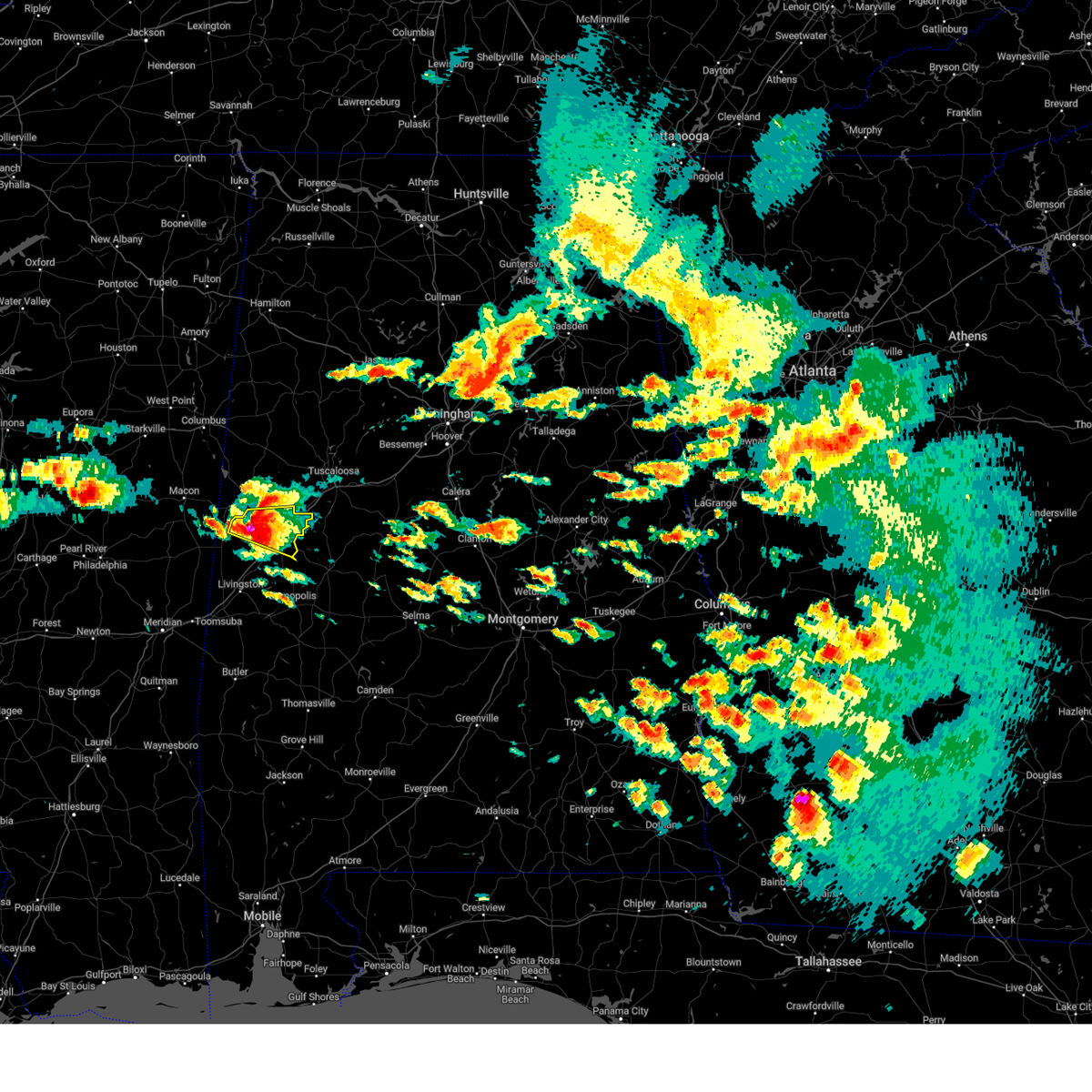 At 154 pm cdt, a severe thunderstorm was located over west greene, or 10 miles northwest of eutaw, moving east at 50 mph (radar indicated). Hazards include golf ball size hail and 70 mph wind gusts. People and animals outdoors will be injured. expect hail damage to roofs, siding, windows, and vehicles. expect considerable tree damage. wind damage is also likely to mobile homes, roofs, and outbuildings. locations impacted include, eutaw, union, new west greene, mantua, west greene, knoxville, snoddy, warsaw, selden lock and dam, eutaw municipal airport, clinton, pleasant ridge, lewiston, i 20 rest area near eutaw and new mount hebron. thunderstorm damage threat, considerable hail threat, radar indicated max hail size, 1. 75 in wind threat, radar indicated max wind gust, 70 mph. At 154 pm cdt, a severe thunderstorm was located over west greene, or 10 miles northwest of eutaw, moving east at 50 mph (radar indicated). Hazards include golf ball size hail and 70 mph wind gusts. People and animals outdoors will be injured. expect hail damage to roofs, siding, windows, and vehicles. expect considerable tree damage. wind damage is also likely to mobile homes, roofs, and outbuildings. locations impacted include, eutaw, union, new west greene, mantua, west greene, knoxville, snoddy, warsaw, selden lock and dam, eutaw municipal airport, clinton, pleasant ridge, lewiston, i 20 rest area near eutaw and new mount hebron. thunderstorm damage threat, considerable hail threat, radar indicated max hail size, 1. 75 in wind threat, radar indicated max wind gust, 70 mph.
|
| 6/14/2023 1:53 PM CDT |
 At 153 pm cdt, a severe thunderstorm was located near west greene, or 12 miles west of eutaw, moving southeast at 50 mph (radar indicated). Hazards include golf ball size hail and 70 mph wind gusts. People and animals outdoors will be injured. expect hail damage to roofs, siding, windows, and vehicles. expect considerable tree damage. Wind damage is also likely to mobile homes, roofs, and outbuildings. At 153 pm cdt, a severe thunderstorm was located near west greene, or 12 miles west of eutaw, moving southeast at 50 mph (radar indicated). Hazards include golf ball size hail and 70 mph wind gusts. People and animals outdoors will be injured. expect hail damage to roofs, siding, windows, and vehicles. expect considerable tree damage. Wind damage is also likely to mobile homes, roofs, and outbuildings.
|
| 6/14/2023 1:47 PM CDT |
 At 147 pm cdt, a severe thunderstorm was located over new west greene, or 11 miles south of aliceville, moving east at 45 mph (radar indicated). Hazards include tennis ball size hail and 70 mph wind gusts. People and animals outdoors will be injured. expect hail damage to roofs, siding, windows, and vehicles. expect considerable tree damage. wind damage is also likely to mobile homes, roofs, and outbuildings. locations impacted include, eutaw, aliceville, union, new west greene, mantua, west greene, knoxville, snoddy, warsaw, new mount hebron, selden lock and dam, eutaw municipal airport, clinton, pleasant ridge, lewiston and i 20 rest area near eutaw. thunderstorm damage threat, considerable hail threat, radar indicated max hail size, 2. 50 in wind threat, radar indicated max wind gust, 70 mph. At 147 pm cdt, a severe thunderstorm was located over new west greene, or 11 miles south of aliceville, moving east at 45 mph (radar indicated). Hazards include tennis ball size hail and 70 mph wind gusts. People and animals outdoors will be injured. expect hail damage to roofs, siding, windows, and vehicles. expect considerable tree damage. wind damage is also likely to mobile homes, roofs, and outbuildings. locations impacted include, eutaw, aliceville, union, new west greene, mantua, west greene, knoxville, snoddy, warsaw, new mount hebron, selden lock and dam, eutaw municipal airport, clinton, pleasant ridge, lewiston and i 20 rest area near eutaw. thunderstorm damage threat, considerable hail threat, radar indicated max hail size, 2. 50 in wind threat, radar indicated max wind gust, 70 mph.
|
| 6/14/2023 1:39 PM CDT |
 At 139 pm cdt, a severe thunderstorm was located near panola, or 7 miles southwest of aliceville, moving east at 40 mph (radar indicated). Hazards include tennis ball size hail and 70 mph wind gusts. People and animals outdoors will be injured. expect hail damage to roofs, siding, windows, and vehicles. expect considerable tree damage. wind damage is also likely to mobile homes, roofs, and outbuildings. locations impacted include, eutaw, aliceville, union, memphis, mcmullen, garden, new west greene, mantua, panola, west greene, knoxville, gainesville lake campground, snoddy, warsaw, new mount hebron, selden lock and dam, eutaw municipal airport, clinton, george downer airport and pleasant ridge. thunderstorm damage threat, considerable hail threat, radar indicated max hail size, 2. 50 in wind threat, radar indicated max wind gust, 70 mph. At 139 pm cdt, a severe thunderstorm was located near panola, or 7 miles southwest of aliceville, moving east at 40 mph (radar indicated). Hazards include tennis ball size hail and 70 mph wind gusts. People and animals outdoors will be injured. expect hail damage to roofs, siding, windows, and vehicles. expect considerable tree damage. wind damage is also likely to mobile homes, roofs, and outbuildings. locations impacted include, eutaw, aliceville, union, memphis, mcmullen, garden, new west greene, mantua, panola, west greene, knoxville, gainesville lake campground, snoddy, warsaw, new mount hebron, selden lock and dam, eutaw municipal airport, clinton, george downer airport and pleasant ridge. thunderstorm damage threat, considerable hail threat, radar indicated max hail size, 2. 50 in wind threat, radar indicated max wind gust, 70 mph.
|
| 6/14/2023 1:23 PM CDT |
 At 122 pm cdt, a severe thunderstorm was located near paulette, or 14 miles southwest of pickensville, moving southeast at 40 mph (radar indicated). Hazards include tennis ball size hail and 70 mph wind gusts. People and animals outdoors will be injured. expect hail damage to roofs, siding, windows, and vehicles. expect considerable tree damage. wind damage is also likely to mobile homes, roofs, and outbuildings. locations impacted include, eutaw, aliceville, union, memphis, mcmullen, garden, new west greene, mantua, panola, west greene, knoxville, benevola, gainesville lake campground, snoddy, warsaw, new mount hebron, selden lock and dam, eutaw municipal airport, clinton and george downer airport. thunderstorm damage threat, considerable hail threat, radar indicated max hail size, 2. 50 in wind threat, radar indicated max wind gust, 70 mph. At 122 pm cdt, a severe thunderstorm was located near paulette, or 14 miles southwest of pickensville, moving southeast at 40 mph (radar indicated). Hazards include tennis ball size hail and 70 mph wind gusts. People and animals outdoors will be injured. expect hail damage to roofs, siding, windows, and vehicles. expect considerable tree damage. wind damage is also likely to mobile homes, roofs, and outbuildings. locations impacted include, eutaw, aliceville, union, memphis, mcmullen, garden, new west greene, mantua, panola, west greene, knoxville, benevola, gainesville lake campground, snoddy, warsaw, new mount hebron, selden lock and dam, eutaw municipal airport, clinton and george downer airport. thunderstorm damage threat, considerable hail threat, radar indicated max hail size, 2. 50 in wind threat, radar indicated max wind gust, 70 mph.
|
| 6/14/2023 1:05 PM CDT |
 At 104 pm cdt, a severe thunderstorm was located near macon, or 19 miles west of pickensville, moving east at 50 mph (radar indicated). Hazards include golf ball size hail and 70 mph wind gusts. People and animals outdoors will be injured. expect hail damage to roofs, siding, windows, and vehicles. expect considerable tree damage. Wind damage is also likely to mobile homes, roofs, and outbuildings. At 104 pm cdt, a severe thunderstorm was located near macon, or 19 miles west of pickensville, moving east at 50 mph (radar indicated). Hazards include golf ball size hail and 70 mph wind gusts. People and animals outdoors will be injured. expect hail damage to roofs, siding, windows, and vehicles. expect considerable tree damage. Wind damage is also likely to mobile homes, roofs, and outbuildings.
|
| 6/12/2023 12:04 AM CDT |
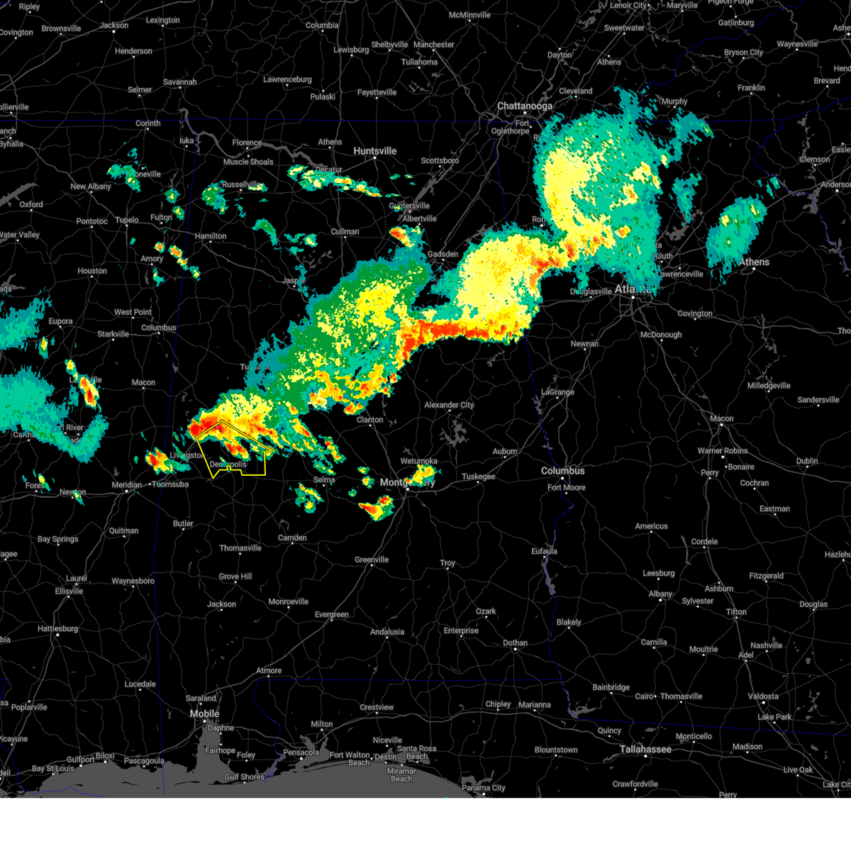 At 1204 am cdt, a severe thunderstorm was located over walden quarters, or 8 miles south of eutaw, moving southeast at 45 mph (radar indicated). Hazards include 60 mph wind gusts and quarter size hail. Hail damage to vehicles is expected. expect wind damage to roofs, siding, and trees. locations impacted include, eutaw, greensboro, forkland, boligee, newbern, greensboro municipal airport, allison, walden quarters, duffys bend, sawyerville, thornhill, arcola, tishabee, belmont, selden lock and dam, demopolis lock and dam, gallion, eutaw municipal airport, mcdowell and five points intersection. hail threat, radar indicated max hail size, 1. 00 in wind threat, radar indicated max wind gust, 60 mph. At 1204 am cdt, a severe thunderstorm was located over walden quarters, or 8 miles south of eutaw, moving southeast at 45 mph (radar indicated). Hazards include 60 mph wind gusts and quarter size hail. Hail damage to vehicles is expected. expect wind damage to roofs, siding, and trees. locations impacted include, eutaw, greensboro, forkland, boligee, newbern, greensboro municipal airport, allison, walden quarters, duffys bend, sawyerville, thornhill, arcola, tishabee, belmont, selden lock and dam, demopolis lock and dam, gallion, eutaw municipal airport, mcdowell and five points intersection. hail threat, radar indicated max hail size, 1. 00 in wind threat, radar indicated max wind gust, 60 mph.
|
| 6/11/2023 11:52 PM CDT |
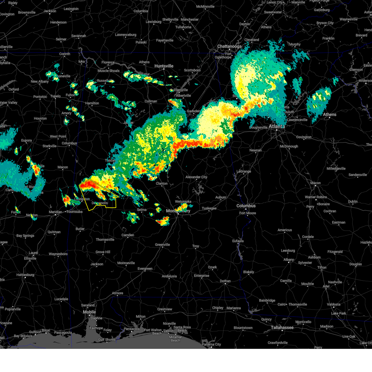 At 1151 pm cdt, a severe thunderstorm was located near boligee, or 7 miles west of eutaw, moving southeast at 45 mph (radar indicated). Hazards include 60 mph wind gusts and quarter size hail. Hail damage to vehicles is expected. Expect wind damage to roofs, siding, and trees. At 1151 pm cdt, a severe thunderstorm was located near boligee, or 7 miles west of eutaw, moving southeast at 45 mph (radar indicated). Hazards include 60 mph wind gusts and quarter size hail. Hail damage to vehicles is expected. Expect wind damage to roofs, siding, and trees.
|
| 3/26/2023 6:39 PM CDT |
 At 638 pm cdt, a severe thunderstorm was located over epes, or 8 miles northeast of livingston, moving east at 30 mph (radar indicated). Hazards include 60 mph wind gusts and quarter size hail. Hail damage to vehicles is expected. expect wind damage to roofs, siding, and trees. locations impacted include, livingston, eutaw, york, forkland, boligee, union, gainesville, epes, emelle, walden quarters, the university of west alabama, thornhill, tishabee, boyd, allison, bluffport, knoxville, new mount hebron, sumterville and eutaw municipal airport. hail threat, radar indicated max hail size, 1. 00 in wind threat, radar indicated max wind gust, 60 mph. At 638 pm cdt, a severe thunderstorm was located over epes, or 8 miles northeast of livingston, moving east at 30 mph (radar indicated). Hazards include 60 mph wind gusts and quarter size hail. Hail damage to vehicles is expected. expect wind damage to roofs, siding, and trees. locations impacted include, livingston, eutaw, york, forkland, boligee, union, gainesville, epes, emelle, walden quarters, the university of west alabama, thornhill, tishabee, boyd, allison, bluffport, knoxville, new mount hebron, sumterville and eutaw municipal airport. hail threat, radar indicated max hail size, 1. 00 in wind threat, radar indicated max wind gust, 60 mph.
|
| 3/26/2023 6:19 PM CDT |
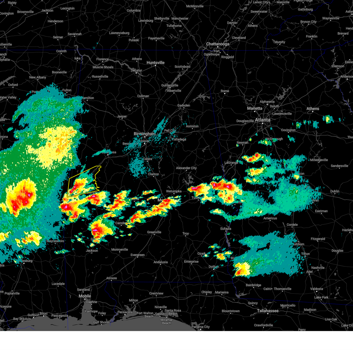 At 619 pm cdt, a severe thunderstorm was located near livingston, moving east at 40 mph (radar indicated). Hazards include 60 mph wind gusts and quarter size hail. Hail damage to vehicles is expected. expect wind damage to roofs, siding, and trees. locations impacted include, livingston, eutaw, york, forkland, boligee, union, gainesville, epes, emelle, walden quarters, the university of west alabama, thornhill, tishabee, boyd, allison, bluffport, knoxville, new mount hebron, sumterville and eutaw municipal airport. hail threat, radar indicated max hail size, 1. 00 in wind threat, radar indicated max wind gust, 60 mph. At 619 pm cdt, a severe thunderstorm was located near livingston, moving east at 40 mph (radar indicated). Hazards include 60 mph wind gusts and quarter size hail. Hail damage to vehicles is expected. expect wind damage to roofs, siding, and trees. locations impacted include, livingston, eutaw, york, forkland, boligee, union, gainesville, epes, emelle, walden quarters, the university of west alabama, thornhill, tishabee, boyd, allison, bluffport, knoxville, new mount hebron, sumterville and eutaw municipal airport. hail threat, radar indicated max hail size, 1. 00 in wind threat, radar indicated max wind gust, 60 mph.
|
| 3/26/2023 5:55 PM CDT |
 At 554 pm cdt, a severe thunderstorm was located over tamola, or near lauderdale, moving east at 40 mph (radar indicated). Hazards include two inch hail and 60 mph wind gusts. People and animals outdoors will be injured. expect hail damage to roofs, siding, windows, and vehicles. expect wind damage to roofs, siding, and trees. locations impacted include, livingston, eutaw, york, forkland, boligee, union, gainesville, epes, emelle, walden quarters, the university of west alabama, thornhill, tishabee, boyd, allison, bluffport, knoxville, new mount hebron, sumterville and eutaw municipal airport. thunderstorm damage threat, considerable hail threat, radar indicated max hail size, 2. 00 in wind threat, radar indicated max wind gust, 60 mph. At 554 pm cdt, a severe thunderstorm was located over tamola, or near lauderdale, moving east at 40 mph (radar indicated). Hazards include two inch hail and 60 mph wind gusts. People and animals outdoors will be injured. expect hail damage to roofs, siding, windows, and vehicles. expect wind damage to roofs, siding, and trees. locations impacted include, livingston, eutaw, york, forkland, boligee, union, gainesville, epes, emelle, walden quarters, the university of west alabama, thornhill, tishabee, boyd, allison, bluffport, knoxville, new mount hebron, sumterville and eutaw municipal airport. thunderstorm damage threat, considerable hail threat, radar indicated max hail size, 2. 00 in wind threat, radar indicated max wind gust, 60 mph.
|
| 3/26/2023 5:46 PM CDT |
 At 546 pm cdt, a severe thunderstorm was located near lauderdale, moving east at 40 mph (radar indicated). Hazards include ping pong ball size hail and 60 mph wind gusts. People and animals outdoors will be injured. expect hail damage to roofs, siding, windows, and vehicles. Expect wind damage to roofs, siding, and trees. At 546 pm cdt, a severe thunderstorm was located near lauderdale, moving east at 40 mph (radar indicated). Hazards include ping pong ball size hail and 60 mph wind gusts. People and animals outdoors will be injured. expect hail damage to roofs, siding, windows, and vehicles. Expect wind damage to roofs, siding, and trees.
|
| 3/26/2023 5:25 AM CDT |
 At 525 am cdt, severe thunderstorms were located along a line extending from near evansville to low gap to near talladega national forest, moving northeast at 40 mph (radar indicated). Hazards include quarter size hail. Damage to vehicles is expected. locations impacted include, marion, eutaw, greensboro, moundville, akron, sawyerville, heiberger, wedgeworth, evansville, judson college, morgan springs, selden lock and dam, moundville airport, folsom, phipps, eutaw municipal airport, mound state park, elliots creek, sprott and wateroak. hail threat, radar indicated max hail size, 1. 00 in wind threat, radar indicated max wind gust, <50 mph. At 525 am cdt, severe thunderstorms were located along a line extending from near evansville to low gap to near talladega national forest, moving northeast at 40 mph (radar indicated). Hazards include quarter size hail. Damage to vehicles is expected. locations impacted include, marion, eutaw, greensboro, moundville, akron, sawyerville, heiberger, wedgeworth, evansville, judson college, morgan springs, selden lock and dam, moundville airport, folsom, phipps, eutaw municipal airport, mound state park, elliots creek, sprott and wateroak. hail threat, radar indicated max hail size, 1. 00 in wind threat, radar indicated max wind gust, <50 mph.
|
| 3/26/2023 4:54 AM CDT |
 At 454 am cdt, severe thunderstorms were located along a line extending from near tishabee to near sawyerville to near marion, moving northeast at 45 mph (radar indicated). Hazards include quarter size hail. Damage to vehicles is expected. locations impacted include, marion, eutaw, greensboro, moundville, forkland, akron, boligee, walden quarters, thornhill, heiberger, wedgeworth, tishabee, allison, sawyerville, evansville, moundville airport, folsom, eutaw municipal airport, mound state park and elliots creek. hail threat, radar indicated max hail size, 1. 00 in wind threat, radar indicated max wind gust, <50 mph. At 454 am cdt, severe thunderstorms were located along a line extending from near tishabee to near sawyerville to near marion, moving northeast at 45 mph (radar indicated). Hazards include quarter size hail. Damage to vehicles is expected. locations impacted include, marion, eutaw, greensboro, moundville, forkland, akron, boligee, walden quarters, thornhill, heiberger, wedgeworth, tishabee, allison, sawyerville, evansville, moundville airport, folsom, eutaw municipal airport, mound state park and elliots creek. hail threat, radar indicated max hail size, 1. 00 in wind threat, radar indicated max wind gust, <50 mph.
|
| 3/26/2023 4:29 AM CDT |
 At 428 am cdt, severe thunderstorms were located along a line extending from boyd to near tishabee to near chickasaw state park, moving northeast at 40 mph (radar indicated). Hazards include ping pong ball size hail and 60 mph wind gusts. People and animals outdoors will be injured. expect hail damage to roofs, siding, windows, and vehicles. Expect wind damage to roofs, siding, and trees. At 428 am cdt, severe thunderstorms were located along a line extending from boyd to near tishabee to near chickasaw state park, moving northeast at 40 mph (radar indicated). Hazards include ping pong ball size hail and 60 mph wind gusts. People and animals outdoors will be injured. expect hail damage to roofs, siding, windows, and vehicles. Expect wind damage to roofs, siding, and trees.
|
| 1/12/2023 9:54 AM CST | Trees and power lines down along mesopotamia street near robert brown middle school. possible tornad in greene county AL, 0.7 miles SSE of Eutaw, AL |
| 1/12/2023 9:51 AM CST |
 At 950 am cst, a severe thunderstorm capable of producing a tornado was located near eutaw, moving east at 50 mph (radar indicated rotation). Hazards include tornado. Flying debris will be dangerous to those caught without shelter. mobile homes will be damaged or destroyed. damage to roofs, windows, and vehicles will occur. Tree damage is likely. At 950 am cst, a severe thunderstorm capable of producing a tornado was located near eutaw, moving east at 50 mph (radar indicated rotation). Hazards include tornado. Flying debris will be dangerous to those caught without shelter. mobile homes will be damaged or destroyed. damage to roofs, windows, and vehicles will occur. Tree damage is likely.
|
| 1/12/2023 9:45 AM CST |
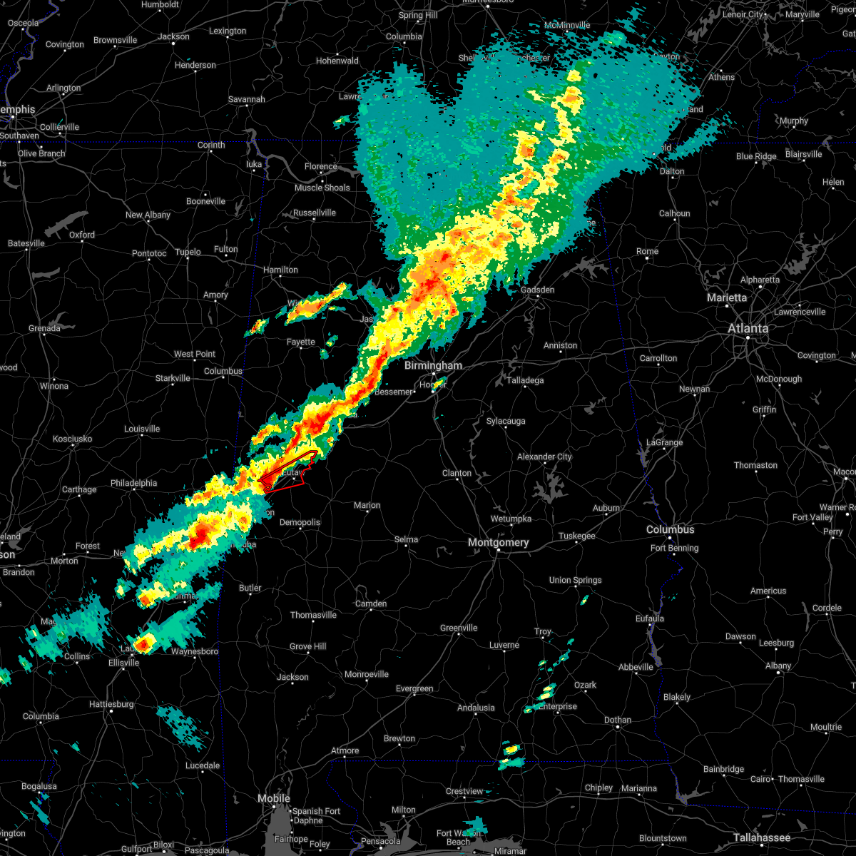 At 945 am cst, a severe thunderstorm capable of producing a tornado was located over boligee, or 9 miles west of eutaw, moving east at 45 mph (radar indicated rotation). Hazards include tornado and quarter size hail. Flying debris will be dangerous to those caught without shelter. mobile homes will be damaged or destroyed. damage to roofs, windows, and vehicles will occur. tree damage is likely. Locations impacted include, eutaw, boligee, knoxville, allison, new mount hebron, i 20 rest area near eutaw and eutaw municipal airport. At 945 am cst, a severe thunderstorm capable of producing a tornado was located over boligee, or 9 miles west of eutaw, moving east at 45 mph (radar indicated rotation). Hazards include tornado and quarter size hail. Flying debris will be dangerous to those caught without shelter. mobile homes will be damaged or destroyed. damage to roofs, windows, and vehicles will occur. tree damage is likely. Locations impacted include, eutaw, boligee, knoxville, allison, new mount hebron, i 20 rest area near eutaw and eutaw municipal airport.
|
| 1/12/2023 9:34 AM CST |
 At 934 am cst, a confirmed tornado was located near gainesville, or 11 miles north of livingston, moving east at 50 mph (radar confirmed tornado). Hazards include damaging tornado and quarter size hail. Flying debris will be dangerous to those caught without shelter. mobile homes will be damaged or destroyed. damage to roofs, windows, and vehicles will occur. tree damage is likely. Locations impacted include, eutaw, boligee, union, gainesville, allison, walden quarters, knoxville, new mount hebron, sumterville, eutaw municipal airport, clinton, five points intersection and i 20 rest area near eutaw. At 934 am cst, a confirmed tornado was located near gainesville, or 11 miles north of livingston, moving east at 50 mph (radar confirmed tornado). Hazards include damaging tornado and quarter size hail. Flying debris will be dangerous to those caught without shelter. mobile homes will be damaged or destroyed. damage to roofs, windows, and vehicles will occur. tree damage is likely. Locations impacted include, eutaw, boligee, union, gainesville, allison, walden quarters, knoxville, new mount hebron, sumterville, eutaw municipal airport, clinton, five points intersection and i 20 rest area near eutaw.
|
| 1/12/2023 9:22 AM CST |
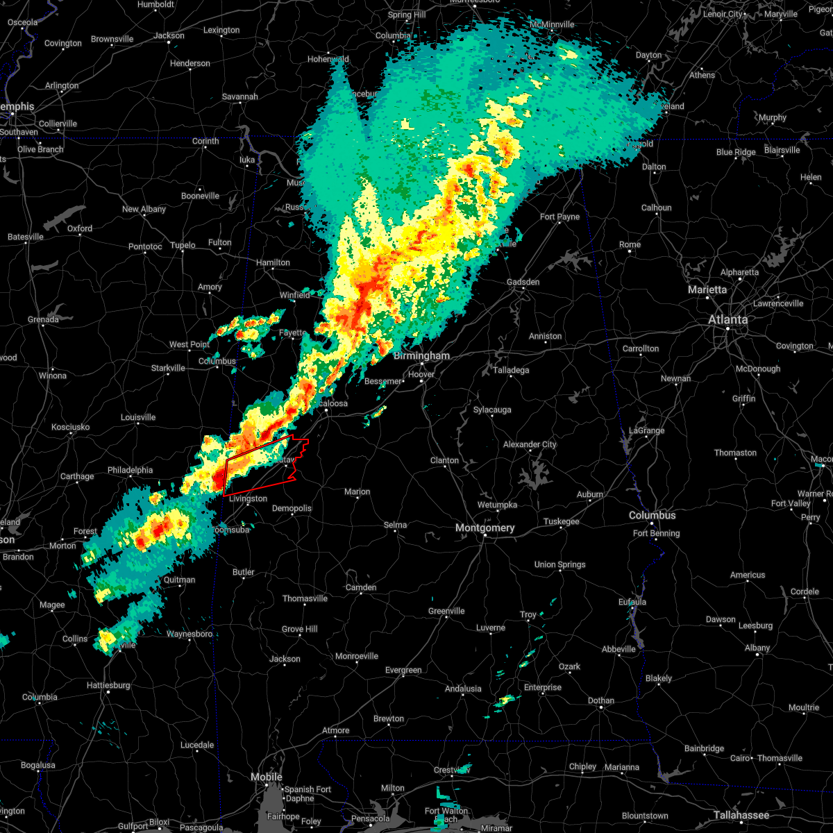 At 921 am cst, a severe thunderstorm capable of producing a tornado was located over emelle, or 13 miles northwest of livingston, moving east at 50 mph (radar indicated rotation). Hazards include tornado and quarter size hail. Flying debris will be dangerous to those caught without shelter. mobile homes will be damaged or destroyed. damage to roofs, windows, and vehicles will occur. tree damage is likely. Locations impacted include, eutaw, boligee, union, gainesville, epes, emelle, new west greene, allison, walden quarters, west greene, knoxville, geiger, new mount hebron, sumterville, eutaw municipal airport, clinton, five points intersection and i 20 rest area near eutaw. At 921 am cst, a severe thunderstorm capable of producing a tornado was located over emelle, or 13 miles northwest of livingston, moving east at 50 mph (radar indicated rotation). Hazards include tornado and quarter size hail. Flying debris will be dangerous to those caught without shelter. mobile homes will be damaged or destroyed. damage to roofs, windows, and vehicles will occur. tree damage is likely. Locations impacted include, eutaw, boligee, union, gainesville, epes, emelle, new west greene, allison, walden quarters, west greene, knoxville, geiger, new mount hebron, sumterville, eutaw municipal airport, clinton, five points intersection and i 20 rest area near eutaw.
|
| 1/12/2023 9:06 AM CST |
 At 906 am cst, a severe thunderstorm capable of producing a tornado was located near porterville, or 12 miles north of meridian station, moving east at 55 mph (radar indicated rotation). Hazards include tornado and half dollar size hail. Flying debris will be dangerous to those caught without shelter. mobile homes will be damaged or destroyed. damage to roofs, windows, and vehicles will occur. tree damage is likely. Locations impacted include, eutaw, boligee, union, gainesville, epes, emelle, new west greene, allison, walden quarters, west greene, knoxville, geiger, new mount hebron, sumterville, eutaw municipal airport, clinton, five points intersection and i 20 rest area near eutaw. At 906 am cst, a severe thunderstorm capable of producing a tornado was located near porterville, or 12 miles north of meridian station, moving east at 55 mph (radar indicated rotation). Hazards include tornado and half dollar size hail. Flying debris will be dangerous to those caught without shelter. mobile homes will be damaged or destroyed. damage to roofs, windows, and vehicles will occur. tree damage is likely. Locations impacted include, eutaw, boligee, union, gainesville, epes, emelle, new west greene, allison, walden quarters, west greene, knoxville, geiger, new mount hebron, sumterville, eutaw municipal airport, clinton, five points intersection and i 20 rest area near eutaw.
|
| 1/12/2023 8:58 AM CST |
 At 858 am cst, a severe thunderstorm capable of producing a tornado was located near blackwater, or 10 miles northwest of meridian station, moving east at 55 mph (radar indicated rotation). Hazards include tornado. Flying debris will be dangerous to those caught without shelter. mobile homes will be damaged or destroyed. damage to roofs, windows, and vehicles will occur. Tree damage is likely. At 858 am cst, a severe thunderstorm capable of producing a tornado was located near blackwater, or 10 miles northwest of meridian station, moving east at 55 mph (radar indicated rotation). Hazards include tornado. Flying debris will be dangerous to those caught without shelter. mobile homes will be damaged or destroyed. damage to roofs, windows, and vehicles will occur. Tree damage is likely.
|
| 11/29/2022 9:51 PM CST |
 At 951 pm cst, a severe thunderstorm was located near knoxville, or near eutaw, moving east at 35 mph (radar indicated). Hazards include 60 mph wind gusts and quarter size hail. Hail damage to vehicles is expected. expect wind damage to roofs, siding, and trees. locations impacted include, eutaw, union and knoxville. hail threat, radar indicated max hail size, 1. 00 in wind threat, radar indicated max wind gust, 60 mph. At 951 pm cst, a severe thunderstorm was located near knoxville, or near eutaw, moving east at 35 mph (radar indicated). Hazards include 60 mph wind gusts and quarter size hail. Hail damage to vehicles is expected. expect wind damage to roofs, siding, and trees. locations impacted include, eutaw, union and knoxville. hail threat, radar indicated max hail size, 1. 00 in wind threat, radar indicated max wind gust, 60 mph.
|
| 11/29/2022 9:48 PM CST |
 At 948 pm cst, a confirmed tornado was located over eutaw, moving east at 40 mph (radar confirmed tornado). Hazards include damaging tornado. Flying debris will be dangerous to those caught without shelter. mobile homes will be damaged or destroyed. damage to roofs, windows, and vehicles will occur. tree damage is likely. Locations impacted include, eutaw, moundville, akron, allison, wedgeworth, evansville, selden lock and dam, moundville airport, phipps, eutaw municipal airport, mound state park, elliots creek, i 20 rest area near eutaw, wateroak, harper hill, havana and clinton. At 948 pm cst, a confirmed tornado was located over eutaw, moving east at 40 mph (radar confirmed tornado). Hazards include damaging tornado. Flying debris will be dangerous to those caught without shelter. mobile homes will be damaged or destroyed. damage to roofs, windows, and vehicles will occur. tree damage is likely. Locations impacted include, eutaw, moundville, akron, allison, wedgeworth, evansville, selden lock and dam, moundville airport, phipps, eutaw municipal airport, mound state park, elliots creek, i 20 rest area near eutaw, wateroak, harper hill, havana and clinton.
|
| 11/29/2022 9:45 PM CST |
 At 945 pm cst, a severe thunderstorm capable of producing a tornado was located over eutaw, moving east at 40 mph (radar indicated rotation). Hazards include tornado. Flying debris will be dangerous to those caught without shelter. mobile homes will be damaged or destroyed. damage to roofs, windows, and vehicles will occur. Tree damage is likely. At 945 pm cst, a severe thunderstorm capable of producing a tornado was located over eutaw, moving east at 40 mph (radar indicated rotation). Hazards include tornado. Flying debris will be dangerous to those caught without shelter. mobile homes will be damaged or destroyed. damage to roofs, windows, and vehicles will occur. Tree damage is likely.
|
| 11/29/2022 9:44 PM CST | Damage reported at the sagewood apartments near euta in greene county AL, 1.6 miles ESE of Eutaw, AL |
| 11/29/2022 9:34 PM CST |
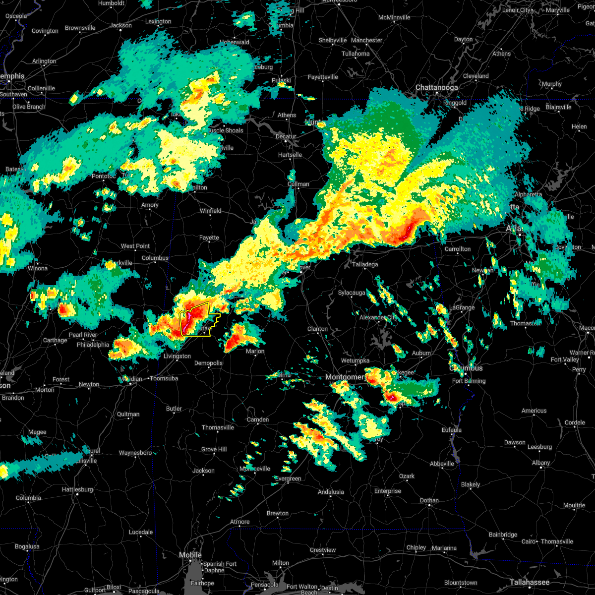 At 933 pm cst, a severe thunderstorm was located near west greene, or 8 miles northwest of eutaw, moving east at 50 mph (radar indicated). Hazards include 60 mph wind gusts and quarter size hail. Hail damage to vehicles is expected. expect wind damage to roofs, siding, and trees. locations impacted include, eutaw, union, new west greene, mantua, west greene, knoxville, snoddy, new mount hebron, eutaw municipal airport, clinton, pleasant ridge, lewiston and i 20 rest area near eutaw. hail threat, radar indicated max hail size, 1. 00 in wind threat, radar indicated max wind gust, 60 mph. At 933 pm cst, a severe thunderstorm was located near west greene, or 8 miles northwest of eutaw, moving east at 50 mph (radar indicated). Hazards include 60 mph wind gusts and quarter size hail. Hail damage to vehicles is expected. expect wind damage to roofs, siding, and trees. locations impacted include, eutaw, union, new west greene, mantua, west greene, knoxville, snoddy, new mount hebron, eutaw municipal airport, clinton, pleasant ridge, lewiston and i 20 rest area near eutaw. hail threat, radar indicated max hail size, 1. 00 in wind threat, radar indicated max wind gust, 60 mph.
|
| 11/29/2022 9:22 PM CST |
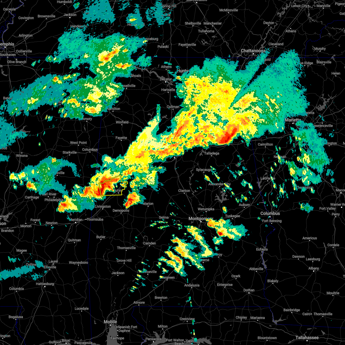 At 922 pm cst, a severe thunderstorm was located over new west greene, or 14 miles south of aliceville, moving east at 30 mph (radar indicated). Hazards include 60 mph wind gusts and quarter size hail. Hail damage to vehicles is expected. Expect wind damage to roofs, siding, and trees. At 922 pm cst, a severe thunderstorm was located over new west greene, or 14 miles south of aliceville, moving east at 30 mph (radar indicated). Hazards include 60 mph wind gusts and quarter size hail. Hail damage to vehicles is expected. Expect wind damage to roofs, siding, and trees.
|
| 7/21/2022 5:21 PM CDT |
 At 520 pm cdt, severe thunderstorms were located along a line extending from near knoxville to allison, moving southeast at 20 mph (radar indicated). Hazards include 60 mph wind gusts and quarter size hail. Hail damage to vehicles is expected. expect wind damage to roofs, siding, and trees. locations impacted include, eutaw, moundville, akron, boligee, union, allison, walden quarters, west greene, sawyerville, knoxville, wedgeworth, evansville, snoddy, ralph, new mount hebron, selden lock and dam, moundville airport, eutaw municipal airport, clinton and five points intersection. hail threat, radar indicated max hail size, 1. 00 in wind threat, radar indicated max wind gust, 60 mph. At 520 pm cdt, severe thunderstorms were located along a line extending from near knoxville to allison, moving southeast at 20 mph (radar indicated). Hazards include 60 mph wind gusts and quarter size hail. Hail damage to vehicles is expected. expect wind damage to roofs, siding, and trees. locations impacted include, eutaw, moundville, akron, boligee, union, allison, walden quarters, west greene, sawyerville, knoxville, wedgeworth, evansville, snoddy, ralph, new mount hebron, selden lock and dam, moundville airport, eutaw municipal airport, clinton and five points intersection. hail threat, radar indicated max hail size, 1. 00 in wind threat, radar indicated max wind gust, 60 mph.
|
| 7/21/2022 5:07 PM CDT |
 At 506 pm cdt, severe thunderstorms were located along a line extending from near jena to near boligee, moving south at 25 mph (radar indicated). Hazards include 60 mph wind gusts and quarter size hail. Hail damage to vehicles is expected. expect wind damage to roofs, siding, and trees. locations impacted include, eutaw, moundville, akron, boligee, union, walden quarters, west greene, benevola, wedgeworth, new west greene, mantua, allison, jena, knoxville, evansville, snoddy, ralph, new mount hebron, moundville airport and eutaw municipal airport. hail threat, radar indicated max hail size, 1. 00 in wind threat, radar indicated max wind gust, 60 mph. At 506 pm cdt, severe thunderstorms were located along a line extending from near jena to near boligee, moving south at 25 mph (radar indicated). Hazards include 60 mph wind gusts and quarter size hail. Hail damage to vehicles is expected. expect wind damage to roofs, siding, and trees. locations impacted include, eutaw, moundville, akron, boligee, union, walden quarters, west greene, benevola, wedgeworth, new west greene, mantua, allison, jena, knoxville, evansville, snoddy, ralph, new mount hebron, moundville airport and eutaw municipal airport. hail threat, radar indicated max hail size, 1. 00 in wind threat, radar indicated max wind gust, 60 mph.
|
| 7/21/2022 5:00 PM CDT |
 At 500 pm cdt, severe thunderstorms were located along a line extending from near mcfarland mall to near union to near boligee, moving southeast at 20 mph (radar indicated). Hazards include 60 mph wind gusts and quarter size hail. Hail damage to vehicles is expected. expect wind damage to roofs, siding, and trees. locations impacted include, southern tuscaloosa, brent, eutaw, aliceville, moundville, coaling, akron, boligee, union, west greene, mcfarland mall, benevola, lake wildwood, low gap, mertz, sawyerville, knoxville, eoline, walden quarters and shelton state community college. hail threat, radar indicated max hail size, 1. 00 in wind threat, radar indicated max wind gust, 60 mph. At 500 pm cdt, severe thunderstorms were located along a line extending from near mcfarland mall to near union to near boligee, moving southeast at 20 mph (radar indicated). Hazards include 60 mph wind gusts and quarter size hail. Hail damage to vehicles is expected. expect wind damage to roofs, siding, and trees. locations impacted include, southern tuscaloosa, brent, eutaw, aliceville, moundville, coaling, akron, boligee, union, west greene, mcfarland mall, benevola, lake wildwood, low gap, mertz, sawyerville, knoxville, eoline, walden quarters and shelton state community college. hail threat, radar indicated max hail size, 1. 00 in wind threat, radar indicated max wind gust, 60 mph.
|
| 7/21/2022 4:42 PM CDT |
 At 442 pm cdt, severe thunderstorms were located along a line extending from near coaling to 6 miles south of aliceville, moving southeast at 20 mph (radar indicated). Hazards include 60 mph wind gusts and quarter size hail. Hail damage to vehicles is expected. Expect wind damage to roofs, siding, and trees. At 442 pm cdt, severe thunderstorms were located along a line extending from near coaling to 6 miles south of aliceville, moving southeast at 20 mph (radar indicated). Hazards include 60 mph wind gusts and quarter size hail. Hail damage to vehicles is expected. Expect wind damage to roofs, siding, and trees.
|
| 4/13/2022 9:55 PM CDT |
 At 954 pm cdt, severe thunderstorms were located along a line extending from 6 miles southeast of ashcraft corner to moundville to jefferson, moving east at 55 mph (radar indicated). Hazards include 70 mph wind gusts and penny size hail. Expect considerable tree damage. damage is likely to mobile homes, roofs, and outbuildings. Locations impacted include, tuscaloosa, northport, demopolis, greensboro, linden, gordo, reform, holt, jefferson, moundville, brookwood, coaling, vance, coker, forkland, akron, newbern, faunsdale, ethelsville and dayton. At 954 pm cdt, severe thunderstorms were located along a line extending from 6 miles southeast of ashcraft corner to moundville to jefferson, moving east at 55 mph (radar indicated). Hazards include 70 mph wind gusts and penny size hail. Expect considerable tree damage. damage is likely to mobile homes, roofs, and outbuildings. Locations impacted include, tuscaloosa, northport, demopolis, greensboro, linden, gordo, reform, holt, jefferson, moundville, brookwood, coaling, vance, coker, forkland, akron, newbern, faunsdale, ethelsville and dayton.
|
| 1/1/0001 12:00 AM | Trees were blown down in unio in greene county AL, 10.9 miles S of Eutaw, AL |
| 4/13/2022 9:33 PM CDT |
 At 933 pm cdt, severe thunderstorms were located along a line extending from near ethelsville to near union to near kinterbish, moving east at 55 mph (radar indicated). Hazards include 70 mph wind gusts and penny size hail. Expect considerable tree damage. Damage is likely to mobile homes, roofs, and outbuildings. At 933 pm cdt, severe thunderstorms were located along a line extending from near ethelsville to near union to near kinterbish, moving east at 55 mph (radar indicated). Hazards include 70 mph wind gusts and penny size hail. Expect considerable tree damage. Damage is likely to mobile homes, roofs, and outbuildings.
|
| 1/1/0001 12:00 AM | Multiple trees were blown down in the branch heights community. one person is trapped... apartments have roof damage and vehicles were move in greene county AL, 1.5 miles NNE of Eutaw, AL |
| 4/13/2022 9:30 PM CDT | Trees blown down on sr 3 in greene county AL, 8.8 miles SSE of Eutaw, AL |
| 4/13/2022 9:05 PM CDT |
 At 905 pm cdt, severe thunderstorms were located along a line extending from near deerbrook to near prairie point to near panola to kewanee, moving east at 55 mph (radar indicated). Hazards include 70 mph wind gusts and penny size hail. Expect considerable tree damage. damage is likely to mobile homes, roofs, and outbuildings. Locations impacted include, demopolis, livingston, eutaw, york, aliceville, gordo, reform, carrollton, pickensville, cuba, forkland, boligee, union, gainesville, epes, ethelsville, emelle, mcmullen, panola and west greene. At 905 pm cdt, severe thunderstorms were located along a line extending from near deerbrook to near prairie point to near panola to kewanee, moving east at 55 mph (radar indicated). Hazards include 70 mph wind gusts and penny size hail. Expect considerable tree damage. damage is likely to mobile homes, roofs, and outbuildings. Locations impacted include, demopolis, livingston, eutaw, york, aliceville, gordo, reform, carrollton, pickensville, cuba, forkland, boligee, union, gainesville, epes, ethelsville, emelle, mcmullen, panola and west greene.
|
| 4/13/2022 8:46 PM CDT |
 At 845 pm cdt, severe thunderstorms were located along a line extending from 6 miles south of oktoc to near macon to 8 miles northeast of de kalb to meridian, moving east at 70 mph (radar indicated). Hazards include 60 mph wind gusts and penny size hail. expect damage to roofs, siding, and trees At 845 pm cdt, severe thunderstorms were located along a line extending from 6 miles south of oktoc to near macon to 8 miles northeast of de kalb to meridian, moving east at 70 mph (radar indicated). Hazards include 60 mph wind gusts and penny size hail. expect damage to roofs, siding, and trees
|
| 3/30/2022 9:32 PM CDT |
 At 932 pm cdt, a severe thunderstorm capable of producing a tornado was located over thornhill, or 10 miles south of eutaw, moving northeast at 30 mph (radar indicated rotation). Hazards include tornado. Flying debris will be dangerous to those caught without shelter. mobile homes will be damaged or destroyed. damage to roofs, windows, and vehicles will occur. tree damage is likely. Locations impacted include, eutaw, forkland, union, knoxville, thornhill, allison, walden quarters, snoddy, i 20 rest area near eutaw, eutaw municipal airport and clinton. At 932 pm cdt, a severe thunderstorm capable of producing a tornado was located over thornhill, or 10 miles south of eutaw, moving northeast at 30 mph (radar indicated rotation). Hazards include tornado. Flying debris will be dangerous to those caught without shelter. mobile homes will be damaged or destroyed. damage to roofs, windows, and vehicles will occur. tree damage is likely. Locations impacted include, eutaw, forkland, union, knoxville, thornhill, allison, walden quarters, snoddy, i 20 rest area near eutaw, eutaw municipal airport and clinton.
|
| 3/30/2022 9:09 PM CDT |
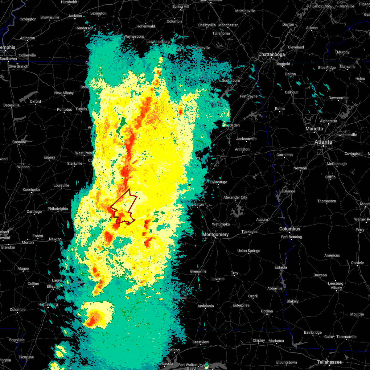 At 909 pm cdt, a severe thunderstorm capable of producing a tornado was located over tishabee, or 9 miles east of livingston, moving northeast at 45 mph (radar indicated rotation). Hazards include tornado. Flying debris will be dangerous to those caught without shelter. mobile homes will be damaged or destroyed. damage to roofs, windows, and vehicles will occur. Tree damage is likely. At 909 pm cdt, a severe thunderstorm capable of producing a tornado was located over tishabee, or 9 miles east of livingston, moving northeast at 45 mph (radar indicated rotation). Hazards include tornado. Flying debris will be dangerous to those caught without shelter. mobile homes will be damaged or destroyed. damage to roofs, windows, and vehicles will occur. Tree damage is likely.
|
| 3/30/2022 8:55 PM CDT |
 At 855 pm cdt, severe thunderstorms were located along a line extending from near ashcraft corner to 8 miles northeast of kinterbish, moving northeast at 35 mph (radar indicated). Hazards include 60 mph wind gusts. Expect damage to roofs, siding, and trees. locations impacted include, livingston, eutaw, york, aliceville, gordo, reform, carrollton, forkland, boligee, union, gainesville, epes, mcmullen, west greene, thornhill, benevola, johnston lake, knoxville, coatopa and kinterbish. hail threat, radar indicated max hail size, <. 75 in wind threat, radar indicated max wind gust, 60 mph. At 855 pm cdt, severe thunderstorms were located along a line extending from near ashcraft corner to 8 miles northeast of kinterbish, moving northeast at 35 mph (radar indicated). Hazards include 60 mph wind gusts. Expect damage to roofs, siding, and trees. locations impacted include, livingston, eutaw, york, aliceville, gordo, reform, carrollton, forkland, boligee, union, gainesville, epes, mcmullen, west greene, thornhill, benevola, johnston lake, knoxville, coatopa and kinterbish. hail threat, radar indicated max hail size, <. 75 in wind threat, radar indicated max wind gust, 60 mph.
|
| 3/30/2022 8:25 PM CDT |
 At 824 pm cdt, severe thunderstorms were located along a line extending from ethelsville to snell, moving northeast at 55 mph (radar indicated). Hazards include 60 mph wind gusts. Expect damage to roofs, siding, and trees. locations impacted include, demopolis, livingston, eutaw, york, aliceville, gordo, reform, carrollton, pickensville, cuba, forkland, boligee, union, gainesville, epes, ethelsville, emelle, mcmullen, panola and west greene. hail threat, radar indicated max hail size, <. 75 in wind threat, radar indicated max wind gust, 60 mph. At 824 pm cdt, severe thunderstorms were located along a line extending from ethelsville to snell, moving northeast at 55 mph (radar indicated). Hazards include 60 mph wind gusts. Expect damage to roofs, siding, and trees. locations impacted include, demopolis, livingston, eutaw, york, aliceville, gordo, reform, carrollton, pickensville, cuba, forkland, boligee, union, gainesville, epes, ethelsville, emelle, mcmullen, panola and west greene. hail threat, radar indicated max hail size, <. 75 in wind threat, radar indicated max wind gust, 60 mph.
|
| 3/30/2022 8:00 PM CDT |
 At 800 pm cdt, severe thunderstorms were located along a line extending from near deerbrook to near stonewall, moving northeast at 55 mph (radar indicated). Hazards include 60 mph wind gusts. expect damage to roofs, siding, and trees At 800 pm cdt, severe thunderstorms were located along a line extending from near deerbrook to near stonewall, moving northeast at 55 mph (radar indicated). Hazards include 60 mph wind gusts. expect damage to roofs, siding, and trees
|
| 3/22/2022 6:05 PM CDT |
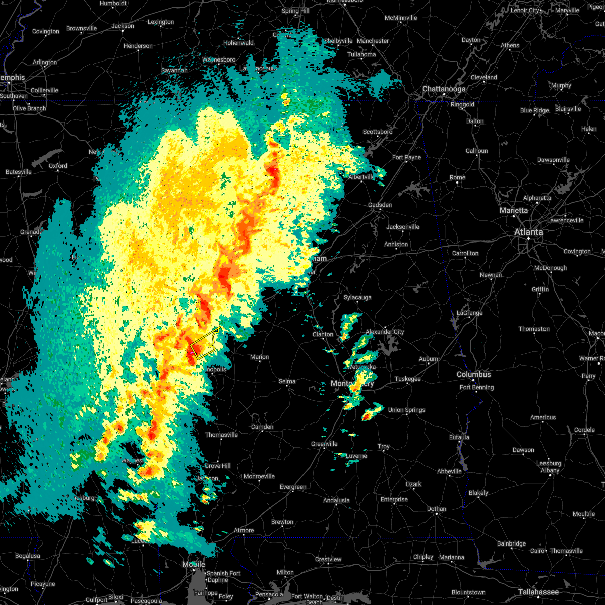 At 605 pm cdt, a severe thunderstorm was located over allison, or near eutaw, moving northeast at 45 mph (radar indicated). Hazards include 60 mph wind gusts and quarter size hail. Hail damage to vehicles is expected. expect wind damage to roofs, siding, and trees. Locations impacted include, eutaw, boligee, thornhill, allison, walden quarters, five points intersection and eutaw municipal airport. At 605 pm cdt, a severe thunderstorm was located over allison, or near eutaw, moving northeast at 45 mph (radar indicated). Hazards include 60 mph wind gusts and quarter size hail. Hail damage to vehicles is expected. expect wind damage to roofs, siding, and trees. Locations impacted include, eutaw, boligee, thornhill, allison, walden quarters, five points intersection and eutaw municipal airport.
|
| 3/22/2022 5:54 PM CDT |
 At 554 pm cdt, a severe thunderstorm was located over tishabee, or 11 miles northeast of livingston, moving northeast at 40 mph (radar indicated). Hazards include 60 mph wind gusts and quarter size hail. Hail damage to vehicles is expected. Expect wind damage to roofs, siding, and trees. At 554 pm cdt, a severe thunderstorm was located over tishabee, or 11 miles northeast of livingston, moving northeast at 40 mph (radar indicated). Hazards include 60 mph wind gusts and quarter size hail. Hail damage to vehicles is expected. Expect wind damage to roofs, siding, and trees.
|
| 2/17/2022 4:34 PM CST |
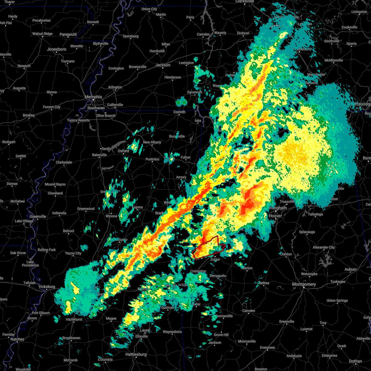 At 434 pm cst, a severe thunderstorm capable of producing a tornado was located over new west greene, or 16 miles south of aliceville, moving northeast at 60 mph (radar indicated rotation). Hazards include tornado. Flying debris will be dangerous to those caught without shelter. mobile homes will be damaged or destroyed. damage to roofs, windows, and vehicles will occur. Tree damage is likely. At 434 pm cst, a severe thunderstorm capable of producing a tornado was located over new west greene, or 16 miles south of aliceville, moving northeast at 60 mph (radar indicated rotation). Hazards include tornado. Flying debris will be dangerous to those caught without shelter. mobile homes will be damaged or destroyed. damage to roofs, windows, and vehicles will occur. Tree damage is likely.
|
| 2/17/2022 4:00 PM CST | Pine tree uprooted and fell on a corner of a hom in greene county AL, 0.9 miles E of Eutaw, AL |
| 2/3/2022 1:38 PM CST |
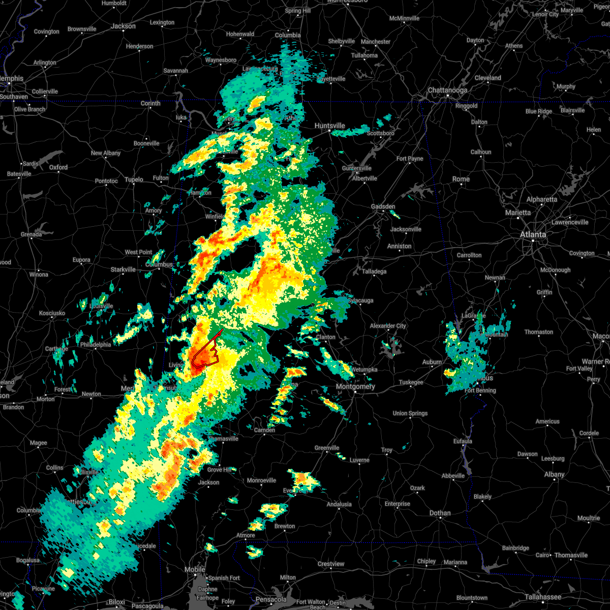 At 138 pm cst, a severe thunderstorm capable of producing a tornado was located over tishabee, or 11 miles east of livingston, moving northeast at 40 mph (radar indicated rotation). Hazards include tornado. Flying debris will be dangerous to those caught without shelter. mobile homes will be damaged or destroyed. damage to roofs, windows, and vehicles will occur. tree damage is likely. Locations impacted include, eutaw, forkland, thornhill, walden quarters, tishabee, five points intersection and eutaw municipal airport. At 138 pm cst, a severe thunderstorm capable of producing a tornado was located over tishabee, or 11 miles east of livingston, moving northeast at 40 mph (radar indicated rotation). Hazards include tornado. Flying debris will be dangerous to those caught without shelter. mobile homes will be damaged or destroyed. damage to roofs, windows, and vehicles will occur. tree damage is likely. Locations impacted include, eutaw, forkland, thornhill, walden quarters, tishabee, five points intersection and eutaw municipal airport.
|
| 2/3/2022 1:27 PM CST |
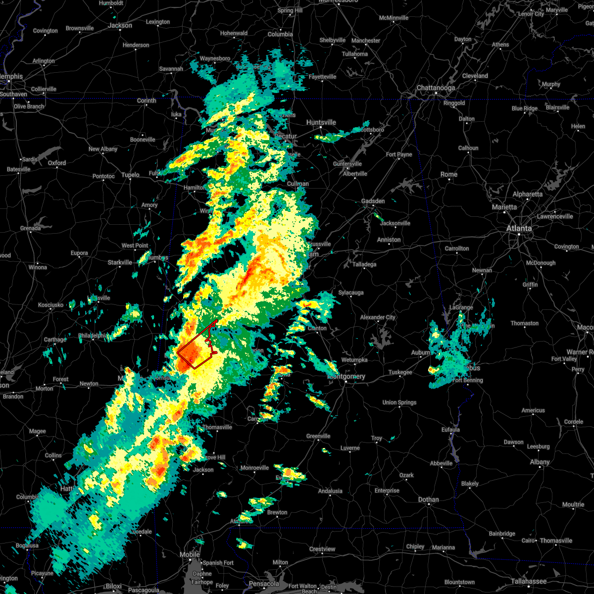 At 127 pm cst, a severe thunderstorm capable of producing a tornado was located over bluffport, or near livingston, moving northeast at 45 mph (radar indicated rotation). Hazards include tornado. Flying debris will be dangerous to those caught without shelter. mobile homes will be damaged or destroyed. damage to roofs, windows, and vehicles will occur. tree damage is likely. Locations impacted include, eutaw, forkland, boligee, epes, thornhill, allison, walden quarters, tishabee, five points intersection, belmont, birdine and eutaw municipal airport. At 127 pm cst, a severe thunderstorm capable of producing a tornado was located over bluffport, or near livingston, moving northeast at 45 mph (radar indicated rotation). Hazards include tornado. Flying debris will be dangerous to those caught without shelter. mobile homes will be damaged or destroyed. damage to roofs, windows, and vehicles will occur. tree damage is likely. Locations impacted include, eutaw, forkland, boligee, epes, thornhill, allison, walden quarters, tishabee, five points intersection, belmont, birdine and eutaw municipal airport.
|
| 2/3/2022 1:18 PM CST |
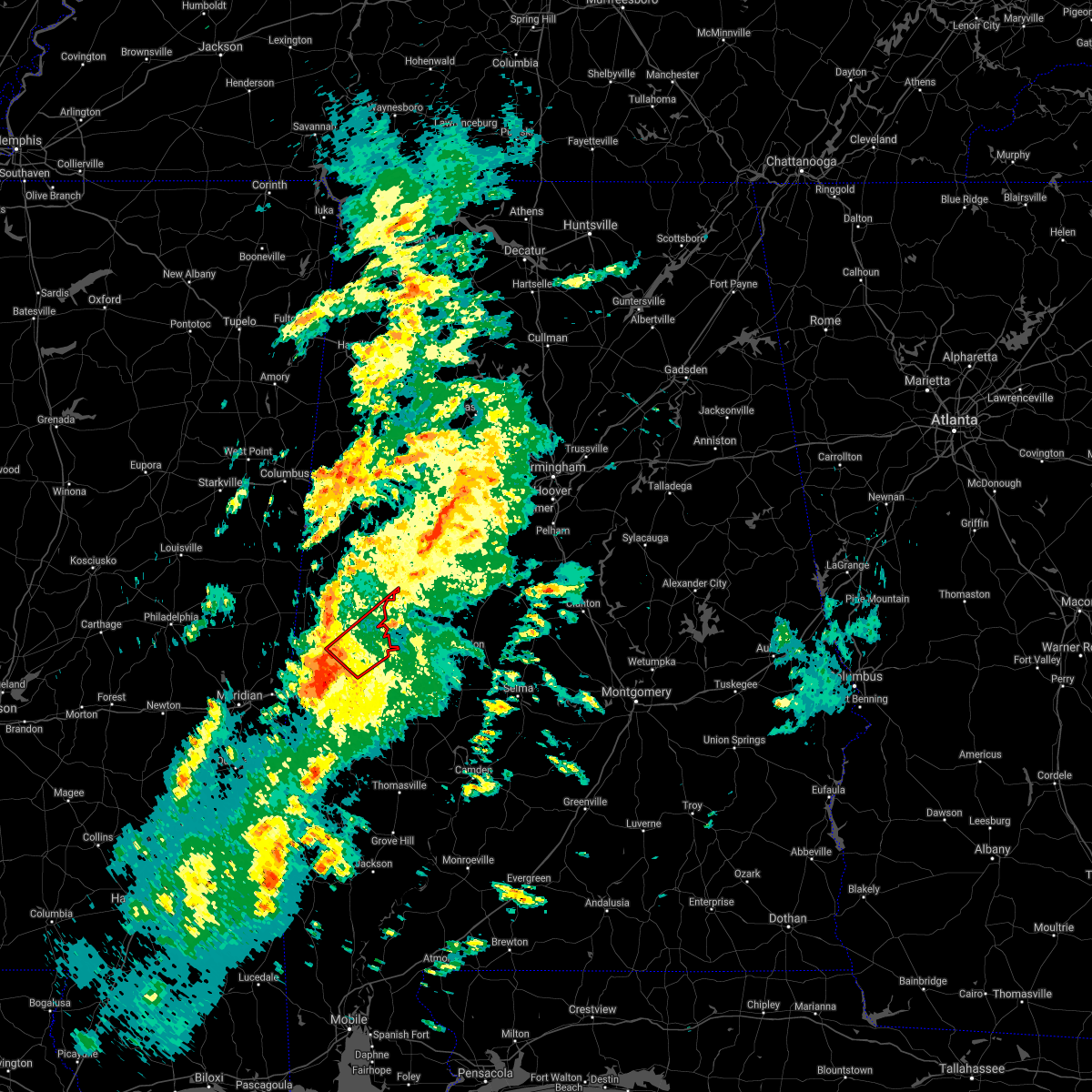 At 118 pm cst, a tornado producing storm was located near the university of west alabama, or near livingston, moving northeast at 45 mph (radar confirmed tornado). Hazards include damaging tornado. Flying debris will be dangerous to those caught without shelter. mobile homes will be damaged or destroyed. damage to roofs, windows, and vehicles will occur. Tree damage is likely. At 118 pm cst, a tornado producing storm was located near the university of west alabama, or near livingston, moving northeast at 45 mph (radar confirmed tornado). Hazards include damaging tornado. Flying debris will be dangerous to those caught without shelter. mobile homes will be damaged or destroyed. damage to roofs, windows, and vehicles will occur. Tree damage is likely.
|
| 12/29/2021 7:42 PM CST |
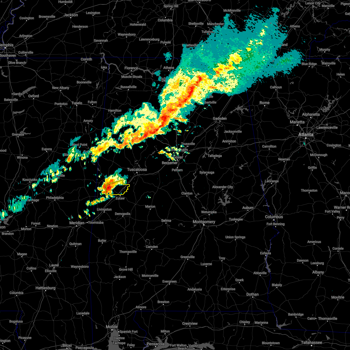 At 742 pm cst, a severe thunderstorm was located over west greene, or 12 miles northwest of eutaw, moving east at 45 mph (radar indicated). Hazards include 60 mph wind gusts and penny size hail. Expect damage to roofs, siding, and trees. locations impacted include, union, knoxville, new west greene, mantua, west greene, snoddy, pleasant ridge, lewiston and clinton. hail threat, radar indicated max hail size, 0. 75 in wind threat, radar indicated max wind gust, 60 mph. At 742 pm cst, a severe thunderstorm was located over west greene, or 12 miles northwest of eutaw, moving east at 45 mph (radar indicated). Hazards include 60 mph wind gusts and penny size hail. Expect damage to roofs, siding, and trees. locations impacted include, union, knoxville, new west greene, mantua, west greene, snoddy, pleasant ridge, lewiston and clinton. hail threat, radar indicated max hail size, 0. 75 in wind threat, radar indicated max wind gust, 60 mph.
|
| 12/29/2021 7:27 PM CST |
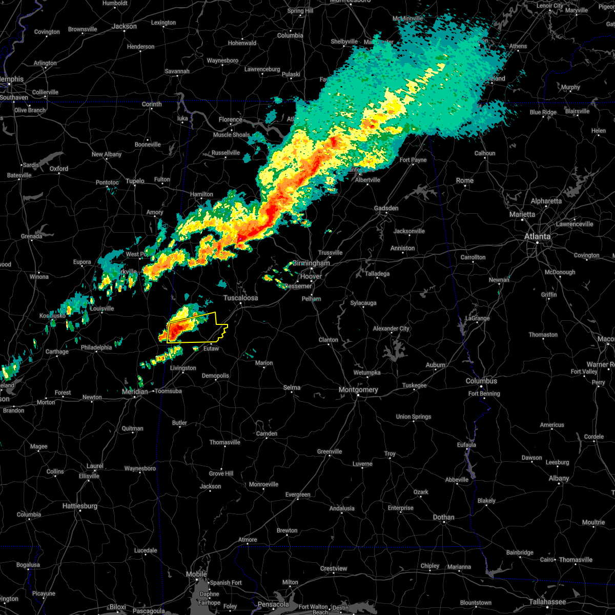 At 727 pm cst, a severe thunderstorm was located over panola, or 15 miles south of aliceville, moving east at 40 mph (radar indicated). Hazards include 60 mph wind gusts and penny size hail. Expect damage to roofs, siding, and trees. locations impacted include, union, new west greene, mantua, panola, west greene, knoxville, geiger, snoddy, warsaw, new mount hebron, clinton, pleasant ridge and lewiston. hail threat, radar indicated max hail size, 0. 75 in wind threat, radar indicated max wind gust, 60 mph. At 727 pm cst, a severe thunderstorm was located over panola, or 15 miles south of aliceville, moving east at 40 mph (radar indicated). Hazards include 60 mph wind gusts and penny size hail. Expect damage to roofs, siding, and trees. locations impacted include, union, new west greene, mantua, panola, west greene, knoxville, geiger, snoddy, warsaw, new mount hebron, clinton, pleasant ridge and lewiston. hail threat, radar indicated max hail size, 0. 75 in wind threat, radar indicated max wind gust, 60 mph.
|
| 12/29/2021 7:17 PM CST |
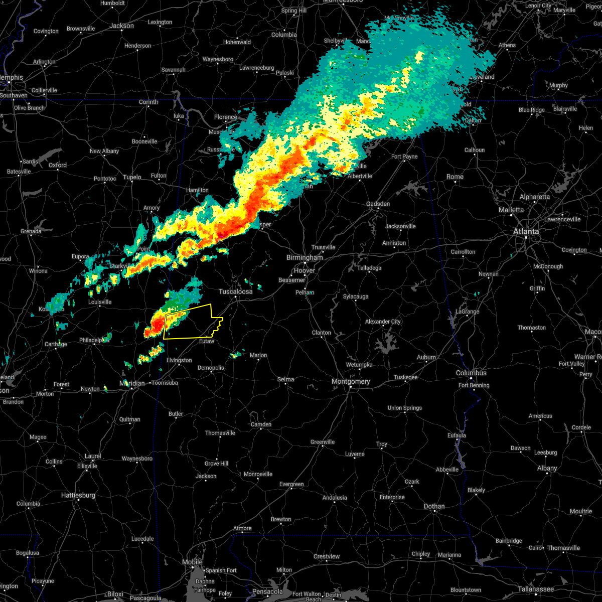 At 717 pm cst, a severe thunderstorm was located near cooksville, or 19 miles southwest of aliceville, moving east at 45 mph (radar indicated). Hazards include 60 mph wind gusts and penny size hail. expect damage to roofs, siding, and trees At 717 pm cst, a severe thunderstorm was located near cooksville, or 19 miles southwest of aliceville, moving east at 45 mph (radar indicated). Hazards include 60 mph wind gusts and penny size hail. expect damage to roofs, siding, and trees
|
| 6/12/2021 6:20 PM CDT |
 The severe thunderstorm warning for southwestern tuscaloosa, northeastern greene and northwestern hale counties will expire at 630 pm cdt, the storm which prompted the warning has weakened below severe limits, and no longer poses an immediate threat to life or property. therefore, the warning will be allowed to expire. however gusty winds are still possible with this thunderstorm. The severe thunderstorm warning for southwestern tuscaloosa, northeastern greene and northwestern hale counties will expire at 630 pm cdt, the storm which prompted the warning has weakened below severe limits, and no longer poses an immediate threat to life or property. therefore, the warning will be allowed to expire. however gusty winds are still possible with this thunderstorm.
|
| 6/12/2021 6:00 PM CDT | Several trees down in the knoxville area. time estimated by rada in greene county AL, 11.9 miles SSW of Eutaw, AL |
| 6/12/2021 5:51 PM CDT |
 At 551 pm cdt, a severe thunderstorm was located over knoxville, or 13 miles northeast of eutaw, moving southwest at 20 mph (radar indicated). Hazards include 60 mph wind gusts and penny size hail. expect damage to roofs, siding, and trees At 551 pm cdt, a severe thunderstorm was located over knoxville, or 13 miles northeast of eutaw, moving southwest at 20 mph (radar indicated). Hazards include 60 mph wind gusts and penny size hail. expect damage to roofs, siding, and trees
|
| 5/4/2021 5:05 PM CDT |
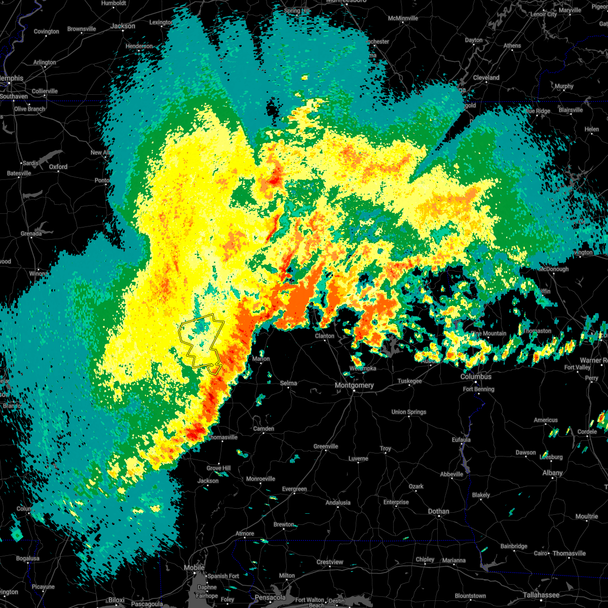 The severe thunderstorm warning for greene county will expire at 515 pm cdt, the storm which prompted the warning has moved out of the area. therefore, the warning will be allowed to expire. a tornado watch remains in effect until 1000 pm cdt for southwestern and west central alabama. to report severe weather, contact your nearest law enforcement agency. they will relay your report to the national weather service birmingham. The severe thunderstorm warning for greene county will expire at 515 pm cdt, the storm which prompted the warning has moved out of the area. therefore, the warning will be allowed to expire. a tornado watch remains in effect until 1000 pm cdt for southwestern and west central alabama. to report severe weather, contact your nearest law enforcement agency. they will relay your report to the national weather service birmingham.
|
| 5/4/2021 5:02 PM CDT | Trees down on cr 20 in greene county AL, 11 miles S of Eutaw, AL |
| 5/4/2021 5:02 PM CDT | Trees down on cr 4 in greene county AL, 4.5 miles SSW of Eutaw, AL |
| 5/4/2021 5:00 PM CDT | Trees down along cr1 in greene county AL, 0.7 miles SSE of Eutaw, AL |
| 5/4/2021 4:46 PM CDT | Trees down. reported on social medi in greene county AL, 12.5 miles SSW of Eutaw, AL |
| 5/4/2021 4:32 PM CDT |
 At 432 pm cdt, a severe thunderstorm was located near boligee, or 10 miles west of eutaw, moving east at 50 mph (radar indicated). Hazards include 60 mph wind gusts. wind damage has been reported with this line of storms. Expect damage to roofs, siding, and trees. Locations impacted include, eutaw, forkland, boligee, union, gainesville, epes, new west greene, mantua, allison, walden quarters, west greene, knoxville, thornhill, tishabee, snoddy, new mount hebron, eutaw municipal airport, clinton, five points intersection and i 20 rest area near eutaw. At 432 pm cdt, a severe thunderstorm was located near boligee, or 10 miles west of eutaw, moving east at 50 mph (radar indicated). Hazards include 60 mph wind gusts. wind damage has been reported with this line of storms. Expect damage to roofs, siding, and trees. Locations impacted include, eutaw, forkland, boligee, union, gainesville, epes, new west greene, mantua, allison, walden quarters, west greene, knoxville, thornhill, tishabee, snoddy, new mount hebron, eutaw municipal airport, clinton, five points intersection and i 20 rest area near eutaw.
|
| 5/4/2021 4:20 PM CDT |
 At 420 pm cdt, a severe thunderstorm was located near emelle, or 12 miles north of livingston, moving east at 50 mph (radar indicated). Hazards include 60 mph wind gusts. expect damage to roofs, siding, and trees At 420 pm cdt, a severe thunderstorm was located near emelle, or 12 miles north of livingston, moving east at 50 mph (radar indicated). Hazards include 60 mph wind gusts. expect damage to roofs, siding, and trees
|
| 4/9/2021 4:54 PM CDT |
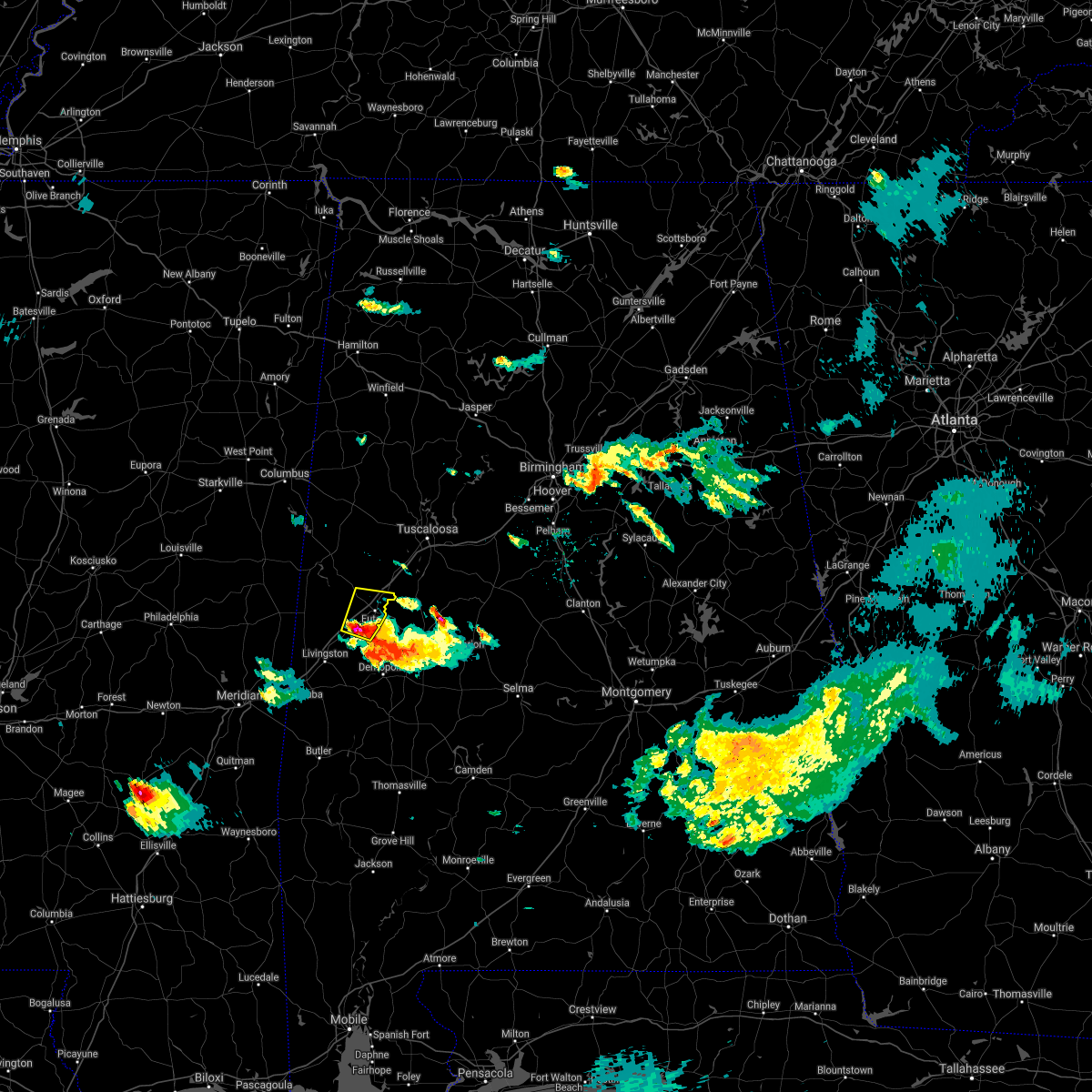 At 454 pm cdt, a severe thunderstorm was located over allison, or 7 miles southwest of eutaw, moving north at 15 mph (radar indicated). Hazards include ping pong ball size hail and 60 mph wind gusts. People and animals outdoors will be injured. expect hail damage to roofs, siding, windows, and vehicles. Expect wind damage to roofs, siding, and trees. At 454 pm cdt, a severe thunderstorm was located over allison, or 7 miles southwest of eutaw, moving north at 15 mph (radar indicated). Hazards include ping pong ball size hail and 60 mph wind gusts. People and animals outdoors will be injured. expect hail damage to roofs, siding, windows, and vehicles. Expect wind damage to roofs, siding, and trees.
|
| 3/25/2021 7:22 PM CDT |
 At 722 pm cdt, severe thunderstorms were located along a line extending from near moundville to forkland, moving northeast at 70 mph (radar indicated). Hazards include two inch hail and 60 mph wind gusts. People and animals outdoors will be injured. expect hail damage to roofs, siding, windows, and vehicles. expect wind damage to roofs, siding, and trees. Locations impacted include, moundville, forkland, akron, walden quarters, sawyerville, thornhill, wedgeworth, evansville, duffys bend, selden lock and dam, moundville airport, phipps, eutaw municipal airport, mound state park, elliots creek, harper hill, wateroak and havana. At 722 pm cdt, severe thunderstorms were located along a line extending from near moundville to forkland, moving northeast at 70 mph (radar indicated). Hazards include two inch hail and 60 mph wind gusts. People and animals outdoors will be injured. expect hail damage to roofs, siding, windows, and vehicles. expect wind damage to roofs, siding, and trees. Locations impacted include, moundville, forkland, akron, walden quarters, sawyerville, thornhill, wedgeworth, evansville, duffys bend, selden lock and dam, moundville airport, phipps, eutaw municipal airport, mound state park, elliots creek, harper hill, wateroak and havana.
|
| 3/25/2021 7:16 PM CDT |
 At 716 pm cdt, severe thunderstorms were located along a line extending from near knoxville to near tishabee, moving northeast at 70 mph (radar indicated). Hazards include 60 mph wind gusts and quarter size hail. Hail damage to vehicles is expected. Expect wind damage to roofs, siding, and trees. At 716 pm cdt, severe thunderstorms were located along a line extending from near knoxville to near tishabee, moving northeast at 70 mph (radar indicated). Hazards include 60 mph wind gusts and quarter size hail. Hail damage to vehicles is expected. Expect wind damage to roofs, siding, and trees.
|
| 3/25/2021 4:20 PM CDT |
 The tornado warning for northeastern greene county will expire at 430 pm cdt, the storm which prompted the warning has weakened below severe limits, and no longer appears capable of producing a tornado. therefore, the warning will be allowed to expire. a tornado watch remains in effect until 800 pm cdt for west central alabama. The tornado warning for northeastern greene county will expire at 430 pm cdt, the storm which prompted the warning has weakened below severe limits, and no longer appears capable of producing a tornado. therefore, the warning will be allowed to expire. a tornado watch remains in effect until 800 pm cdt for west central alabama.
|
| 3/25/2021 4:08 PM CDT |
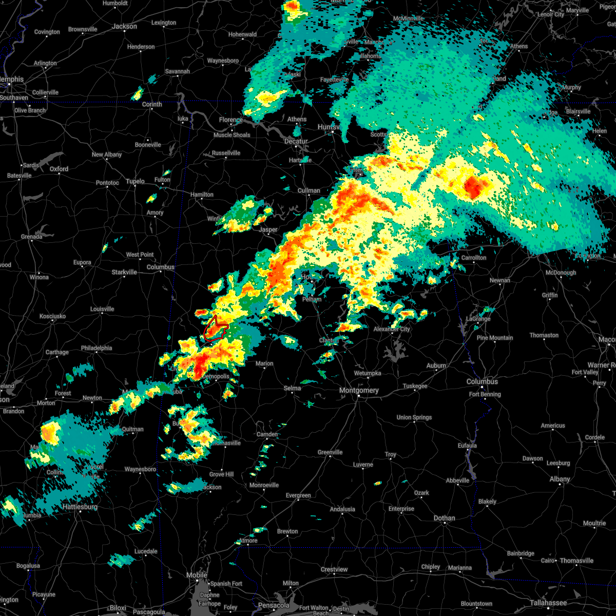 At 408 pm cdt, a confirmed tornado was located near union, or 8 miles north of eutaw, moving northeast at 45 mph (radar confirmed tornado). Hazards include damaging tornado and quarter size hail. Flying debris will be dangerous to those caught without shelter. mobile homes will be damaged or destroyed. damage to roofs, windows, and vehicles will occur. tree damage is likely. Locations impacted include, union, knoxville and snoddy. At 408 pm cdt, a confirmed tornado was located near union, or 8 miles north of eutaw, moving northeast at 45 mph (radar confirmed tornado). Hazards include damaging tornado and quarter size hail. Flying debris will be dangerous to those caught without shelter. mobile homes will be damaged or destroyed. damage to roofs, windows, and vehicles will occur. tree damage is likely. Locations impacted include, union, knoxville and snoddy.
|
| 3/25/2021 4:01 PM CDT |
 At 401 pm cdt, a severe thunderstorm capable of producing a tornado was located near union, or near eutaw, moving northeast at 45 mph (radar indicated rotation). Hazards include tornado. Flying debris will be dangerous to those caught without shelter. mobile homes will be damaged or destroyed. damage to roofs, windows, and vehicles will occur. tree damage is likely. Locations impacted include, union, knoxville, i 20 rest area near eutaw, snoddy and clinton. At 401 pm cdt, a severe thunderstorm capable of producing a tornado was located near union, or near eutaw, moving northeast at 45 mph (radar indicated rotation). Hazards include tornado. Flying debris will be dangerous to those caught without shelter. mobile homes will be damaged or destroyed. damage to roofs, windows, and vehicles will occur. tree damage is likely. Locations impacted include, union, knoxville, i 20 rest area near eutaw, snoddy and clinton.
|
| 3/25/2021 3:51 PM CDT |
 At 350 pm cdt, a severe thunderstorm capable of producing a tornado was located near west greene, or 8 miles west of eutaw, moving northeast at 45 mph (radar indicated rotation). Hazards include tornado. Flying debris will be dangerous to those caught without shelter. mobile homes will be damaged or destroyed. damage to roofs, windows, and vehicles will occur. tree damage is likely. Locations impacted include, eutaw, union, knoxville, snoddy, new mount hebron, i 20 rest area near eutaw and clinton. At 350 pm cdt, a severe thunderstorm capable of producing a tornado was located near west greene, or 8 miles west of eutaw, moving northeast at 45 mph (radar indicated rotation). Hazards include tornado. Flying debris will be dangerous to those caught without shelter. mobile homes will be damaged or destroyed. damage to roofs, windows, and vehicles will occur. tree damage is likely. Locations impacted include, eutaw, union, knoxville, snoddy, new mount hebron, i 20 rest area near eutaw and clinton.
|
| 3/25/2021 3:35 PM CDT |
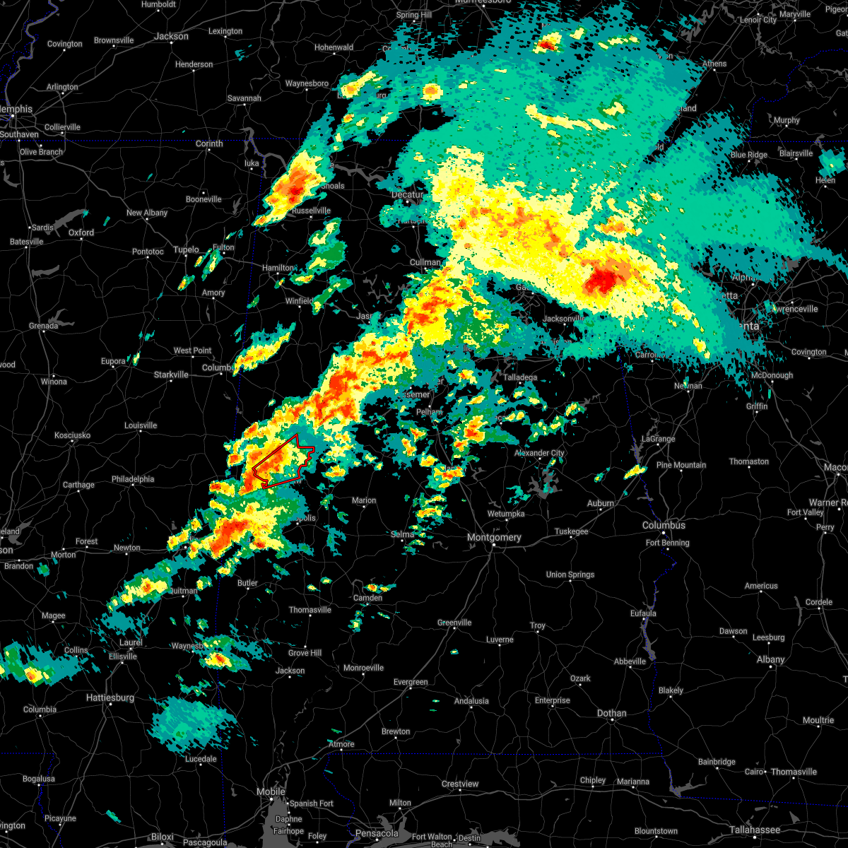 At 335 pm cdt, a severe thunderstorm capable of producing a tornado was located near gainesville, or 12 miles north of livingston, moving northeast at 50 mph (radar indicated rotation). Hazards include tornado. Flying debris will be dangerous to those caught without shelter. mobile homes will be damaged or destroyed. damage to roofs, windows, and vehicles will occur. Tree damage is likely. At 335 pm cdt, a severe thunderstorm capable of producing a tornado was located near gainesville, or 12 miles north of livingston, moving northeast at 50 mph (radar indicated rotation). Hazards include tornado. Flying debris will be dangerous to those caught without shelter. mobile homes will be damaged or destroyed. damage to roofs, windows, and vehicles will occur. Tree damage is likely.
|
| 3/25/2021 11:52 AM CDT |
 At 1151 am cdt, a severe thunderstorm capable of producing a tornado was located over eutaw, moving northeast at 40 mph (radar indicated rotation). Hazards include tornado and quarter size hail. Flying debris will be dangerous to those caught without shelter. mobile homes will be damaged or destroyed. damage to roofs, windows, and vehicles will occur. tree damage is likely. Locations impacted include, eutaw, moundville, akron, wedgeworth, evansville, selden lock and dam, moundville airport, phipps, eutaw municipal airport, mound state park, elliots creek, harper hill and havana. At 1151 am cdt, a severe thunderstorm capable of producing a tornado was located over eutaw, moving northeast at 40 mph (radar indicated rotation). Hazards include tornado and quarter size hail. Flying debris will be dangerous to those caught without shelter. mobile homes will be damaged or destroyed. damage to roofs, windows, and vehicles will occur. tree damage is likely. Locations impacted include, eutaw, moundville, akron, wedgeworth, evansville, selden lock and dam, moundville airport, phipps, eutaw municipal airport, mound state park, elliots creek, harper hill and havana.
|
| 3/25/2021 11:44 AM CDT |
 At 1143 am cdt, a severe thunderstorm capable of producing a tornado was located over allison, or near eutaw, moving northeast at 45 mph (radar indicated rotation). Hazards include tornado and quarter size hail. Flying debris will be dangerous to those caught without shelter. mobile homes will be damaged or destroyed. damage to roofs, windows, and vehicles will occur. tree damage is likely. Locations impacted include, eutaw, moundville, akron, allison, walden quarters, wedgeworth, evansville, selden lock and dam, moundville airport, phipps, eutaw municipal airport, mound state park, elliots creek, harper hill and havana. At 1143 am cdt, a severe thunderstorm capable of producing a tornado was located over allison, or near eutaw, moving northeast at 45 mph (radar indicated rotation). Hazards include tornado and quarter size hail. Flying debris will be dangerous to those caught without shelter. mobile homes will be damaged or destroyed. damage to roofs, windows, and vehicles will occur. tree damage is likely. Locations impacted include, eutaw, moundville, akron, allison, walden quarters, wedgeworth, evansville, selden lock and dam, moundville airport, phipps, eutaw municipal airport, mound state park, elliots creek, harper hill and havana.
|
| 3/25/2021 11:36 AM CDT |
 At 1135 am cdt, a severe thunderstorm capable of producing a tornado was located over boligee, or 10 miles southwest of eutaw, moving northeast at 45 mph (radar indicated rotation). Hazards include tornado. Flying debris will be dangerous to those caught without shelter. mobile homes will be damaged or destroyed. damage to roofs, windows, and vehicles will occur. Tree damage is likely. At 1135 am cdt, a severe thunderstorm capable of producing a tornado was located over boligee, or 10 miles southwest of eutaw, moving northeast at 45 mph (radar indicated rotation). Hazards include tornado. Flying debris will be dangerous to those caught without shelter. mobile homes will be damaged or destroyed. damage to roofs, windows, and vehicles will occur. Tree damage is likely.
|
| 3/17/2021 8:01 PM CDT |
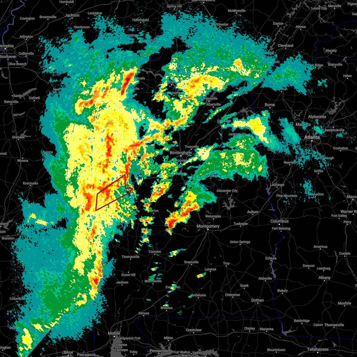 At 801 pm cdt, a severe thunderstorm capable of producing a tornado was located over electric mills, or 17 miles north of lauderdale, moving northeast at 60 mph (radar indicated rotation). Hazards include tornado. Flying debris will be dangerous to those caught without shelter. mobile homes will be damaged or destroyed. damage to roofs, windows, and vehicles will occur. Tree damage is likely. At 801 pm cdt, a severe thunderstorm capable of producing a tornado was located over electric mills, or 17 miles north of lauderdale, moving northeast at 60 mph (radar indicated rotation). Hazards include tornado. Flying debris will be dangerous to those caught without shelter. mobile homes will be damaged or destroyed. damage to roofs, windows, and vehicles will occur. Tree damage is likely.
|
| 3/17/2021 1:59 PM CDT |
 At 158 pm cdt, a severe thunderstorm capable of producing a tornado was located near eutaw, moving northeast at 30 mph (radar indicated rotation). Hazards include tornado. Flying debris will be dangerous to those caught without shelter. mobile homes will be damaged or destroyed. damage to roofs, windows, and vehicles will occur. Tree damage is likely. At 158 pm cdt, a severe thunderstorm capable of producing a tornado was located near eutaw, moving northeast at 30 mph (radar indicated rotation). Hazards include tornado. Flying debris will be dangerous to those caught without shelter. mobile homes will be damaged or destroyed. damage to roofs, windows, and vehicles will occur. Tree damage is likely.
|
| 6/25/2020 8:14 PM CDT | Several trees blow down in and around eutaw. one fallen tree led to a vehicle incident involving a semi... no injurie in greene county AL, 0.3 miles WNW of Eutaw, AL |
| 5/22/2020 5:00 PM CDT |
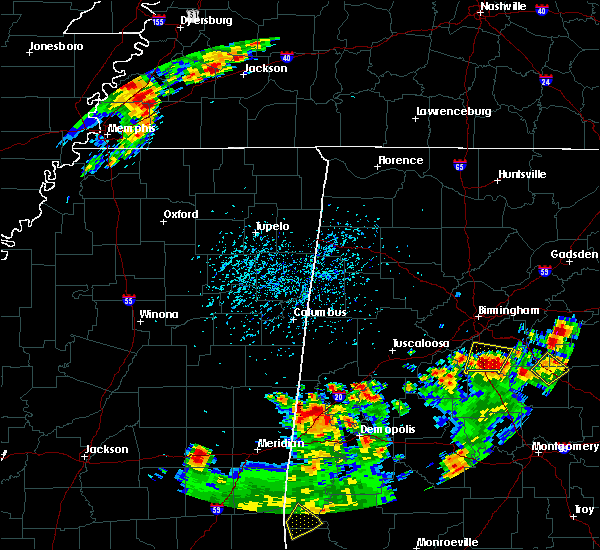 At 500 pm cdt, a severe thunderstorm was located near gainesville, or 10 miles north of livingston, moving northeast at 15 mph (radar indicated). Hazards include 60 mph wind gusts and quarter size hail. Hail damage to vehicles is expected. Expect wind damage to roofs, siding, and trees. At 500 pm cdt, a severe thunderstorm was located near gainesville, or 10 miles north of livingston, moving northeast at 15 mph (radar indicated). Hazards include 60 mph wind gusts and quarter size hail. Hail damage to vehicles is expected. Expect wind damage to roofs, siding, and trees.
|
| 4/23/2020 2:48 PM CDT |
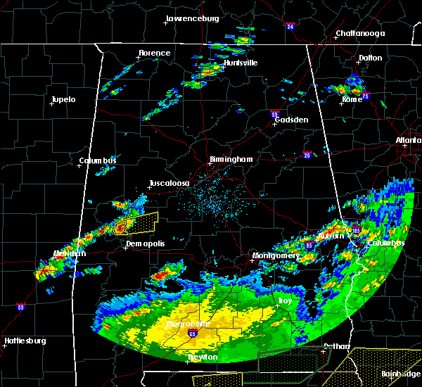 At 248 pm cdt, a severe thunderstorm was located over walden quarters, or near eutaw, moving east at 40 mph (radar indicated). Hazards include 60 mph wind gusts and quarter size hail. Hail damage to vehicles is expected. expect wind damage to roofs, siding, and trees. Locations impacted include, thornhill, walden quarters and eutaw municipal airport. At 248 pm cdt, a severe thunderstorm was located over walden quarters, or near eutaw, moving east at 40 mph (radar indicated). Hazards include 60 mph wind gusts and quarter size hail. Hail damage to vehicles is expected. expect wind damage to roofs, siding, and trees. Locations impacted include, thornhill, walden quarters and eutaw municipal airport.
|
| 4/23/2020 2:40 PM CDT |
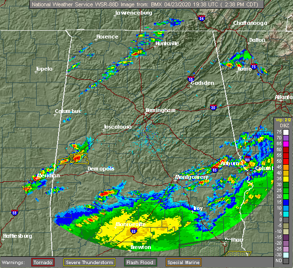 At 240 pm cdt, a severe thunderstorm was located over boligee, or 10 miles southwest of eutaw, moving east at 35 mph (radar indicated). Hazards include 60 mph wind gusts and half dollar size hail. Hail damage to vehicles is expected. expect wind damage to roofs, siding, and trees. Locations impacted include, boligee, thornhill, allison, walden quarters, eutaw municipal airport and five points intersection. At 240 pm cdt, a severe thunderstorm was located over boligee, or 10 miles southwest of eutaw, moving east at 35 mph (radar indicated). Hazards include 60 mph wind gusts and half dollar size hail. Hail damage to vehicles is expected. expect wind damage to roofs, siding, and trees. Locations impacted include, boligee, thornhill, allison, walden quarters, eutaw municipal airport and five points intersection.
|
| 4/23/2020 2:22 PM CDT |
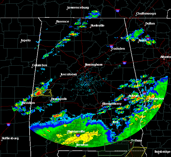 At 221 pm cdt, a severe thunderstorm was located near emelle, or 7 miles north of livingston, moving east at 35 mph (radar indicated). Hazards include 60 mph wind gusts and half dollar size hail. Hail damage to vehicles is expected. Expect wind damage to roofs, siding, and trees. At 221 pm cdt, a severe thunderstorm was located near emelle, or 7 miles north of livingston, moving east at 35 mph (radar indicated). Hazards include 60 mph wind gusts and half dollar size hail. Hail damage to vehicles is expected. Expect wind damage to roofs, siding, and trees.
|
| 4/19/2020 5:01 AM CDT |
 At 500 am cdt, severe thunderstorms were located along a line extending from 7 miles east of ashcraft corner to near coker to near eutaw, moving east at 55 mph (radar indicated). Hazards include 70 mph wind gusts and quarter size hail. Hail damage to vehicles is expected. expect considerable tree damage. wind damage is also likely to mobile homes, roofs, and outbuildings. Locations impacted include, tuscaloosa, northport, eutaw, holt, moundville, lake view, brookwood, coaling, vance, coker, akron, union, samantha, mcfarland mall, lake lurleen state park, tuscaloosa amphitheater, tuscaloosa regional airport, lake wildwood, knoxville and mercedes benz of alabama. At 500 am cdt, severe thunderstorms were located along a line extending from 7 miles east of ashcraft corner to near coker to near eutaw, moving east at 55 mph (radar indicated). Hazards include 70 mph wind gusts and quarter size hail. Hail damage to vehicles is expected. expect considerable tree damage. wind damage is also likely to mobile homes, roofs, and outbuildings. Locations impacted include, tuscaloosa, northport, eutaw, holt, moundville, lake view, brookwood, coaling, vance, coker, akron, union, samantha, mcfarland mall, lake lurleen state park, tuscaloosa amphitheater, tuscaloosa regional airport, lake wildwood, knoxville and mercedes benz of alabama.
|
| 4/19/2020 4:53 AM CDT |
 At 453 am cdt, severe thunderstorms were located along a line extending from ashcraft corner to 6 miles north of jena to near west greene, moving east at 55 mph (radar indicated). Hazards include 70 mph wind gusts and quarter size hail. Hail damage to vehicles is expected. expect considerable tree damage. Wind damage is also likely to mobile homes, roofs, and outbuildings. At 453 am cdt, severe thunderstorms were located along a line extending from ashcraft corner to 6 miles north of jena to near west greene, moving east at 55 mph (radar indicated). Hazards include 70 mph wind gusts and quarter size hail. Hail damage to vehicles is expected. expect considerable tree damage. Wind damage is also likely to mobile homes, roofs, and outbuildings.
|
| 4/12/2020 7:20 PM CDT |
 At 720 pm cdt, a severe thunderstorm capable of producing a tornado was located near west greene, or near eutaw, moving northeast at 50 mph. a second thunderstorm capable of producing a tornado is also approaching from the mississippi state line and is on track to affect central greene county (radar indicated rotation). Hazards include tornado. Flying debris will be dangerous to those caught without shelter. mobile homes will be damaged or destroyed. damage to roofs, windows, and vehicles will occur. tree damage is likely. Locations impacted include, eutaw, boligee, union, gainesville, knoxville, mantua, west greene, snoddy, new mount hebron, i 20 rest area near eutaw and clinton. At 720 pm cdt, a severe thunderstorm capable of producing a tornado was located near west greene, or near eutaw, moving northeast at 50 mph. a second thunderstorm capable of producing a tornado is also approaching from the mississippi state line and is on track to affect central greene county (radar indicated rotation). Hazards include tornado. Flying debris will be dangerous to those caught without shelter. mobile homes will be damaged or destroyed. damage to roofs, windows, and vehicles will occur. tree damage is likely. Locations impacted include, eutaw, boligee, union, gainesville, knoxville, mantua, west greene, snoddy, new mount hebron, i 20 rest area near eutaw and clinton.
|
| 4/12/2020 7:10 PM CDT |
 At 709 pm cdt, a severe thunderstorm capable of producing a tornado was located near gainesville, or 12 miles west of eutaw, moving northeast at 50 mph (radar indicated rotation). Hazards include tornado. Flying debris will be dangerous to those caught without shelter. mobile homes will be damaged or destroyed. damage to roofs, windows, and vehicles will occur. Tree damage is likely. At 709 pm cdt, a severe thunderstorm capable of producing a tornado was located near gainesville, or 12 miles west of eutaw, moving northeast at 50 mph (radar indicated rotation). Hazards include tornado. Flying debris will be dangerous to those caught without shelter. mobile homes will be damaged or destroyed. damage to roofs, windows, and vehicles will occur. Tree damage is likely.
|
| 4/9/2020 6:21 AM CDT |
 The severe thunderstorm warning for southeastern greene and hale counties will expire at 630 am cdt, the storm which prompted the warning has weakened below severe limits, and no longer poses an immediate threat to life or property. therefore, the warning will be allowed to expire. to report severe weather, contact your nearest law enforcement agency. they will relay your report to the national weather service birmingham. The severe thunderstorm warning for southeastern greene and hale counties will expire at 630 am cdt, the storm which prompted the warning has weakened below severe limits, and no longer poses an immediate threat to life or property. therefore, the warning will be allowed to expire. to report severe weather, contact your nearest law enforcement agency. they will relay your report to the national weather service birmingham.
|
| 4/9/2020 6:07 AM CDT |
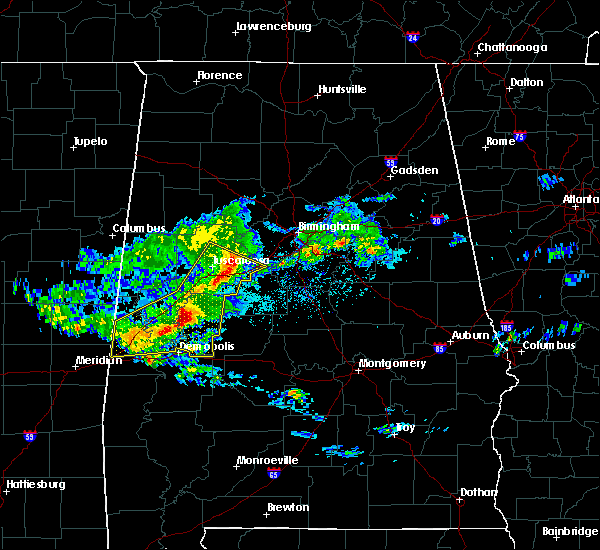 At 607 am cdt, a severe thunderstorm was located over sawyerville, or 9 miles southeast of eutaw, moving southeast at 55 mph (radar indicated). Hazards include 60 mph wind gusts and quarter size hail. Hail damage to vehicles is expected. expect wind damage to roofs, siding, and trees. Locations impacted include, eutaw, greensboro, forkland, akron, newbern, greensboro municipal airport, walden quarters, duffys bend, sawyerville, arcola, wedgeworth, evansville, selden lock and dam, gallion, eutaw municipal airport, birdine, cedarville and laneville. At 607 am cdt, a severe thunderstorm was located over sawyerville, or 9 miles southeast of eutaw, moving southeast at 55 mph (radar indicated). Hazards include 60 mph wind gusts and quarter size hail. Hail damage to vehicles is expected. expect wind damage to roofs, siding, and trees. Locations impacted include, eutaw, greensboro, forkland, akron, newbern, greensboro municipal airport, walden quarters, duffys bend, sawyerville, arcola, wedgeworth, evansville, selden lock and dam, gallion, eutaw municipal airport, birdine, cedarville and laneville.
|
| 4/9/2020 5:58 AM CDT |
 At 558 am cdt, severe thunderstorms were located along a line extending from near holt to moundville to near eutaw, moving southeast at 60 mph (radar indicated). Hazards include 60 mph wind gusts and quarter size hail. Hail damage to vehicles is expected. expect wind damage to roofs, siding, and trees. Locations impacted include, tuscaloosa, northport, demopolis, livingston, eutaw, york, greensboro, holt, moundville, lake view, brookwood, coaling, vance, coker, forkland, akron, boligee, union, gainesville and epes. At 558 am cdt, severe thunderstorms were located along a line extending from near holt to moundville to near eutaw, moving southeast at 60 mph (radar indicated). Hazards include 60 mph wind gusts and quarter size hail. Hail damage to vehicles is expected. expect wind damage to roofs, siding, and trees. Locations impacted include, tuscaloosa, northport, demopolis, livingston, eutaw, york, greensboro, holt, moundville, lake view, brookwood, coaling, vance, coker, forkland, akron, boligee, union, gainesville and epes.
|
| 4/9/2020 5:57 AM CDT | Trees down on highway 1 in greene county AL, 0.3 miles WNW of Eutaw, AL |
| 4/9/2020 5:35 AM CDT |
 At 534 am cdt, severe thunderstorms were located along a line extending from 6 miles west of samantha to near benevola to near panola, moving southeast at 55 mph (radar indicated). Hazards include 60 mph wind gusts and quarter size hail. Hail damage to vehicles is expected. Expect wind damage to roofs, siding, and trees. At 534 am cdt, severe thunderstorms were located along a line extending from 6 miles west of samantha to near benevola to near panola, moving southeast at 55 mph (radar indicated). Hazards include 60 mph wind gusts and quarter size hail. Hail damage to vehicles is expected. Expect wind damage to roofs, siding, and trees.
|
| 3/4/2020 3:15 AM CST |
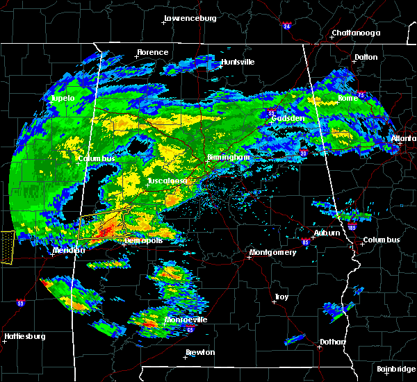 At 314 am cst, a severe thunderstorm was located near tishabee, or 9 miles northeast of livingston, moving east at 35 mph (radar indicated). Hazards include 60 mph wind gusts. Expect damage to roofs, siding, and trees. Locations impacted include, eutaw, forkland, boligee, gainesville, epes, allison, walden quarters, duffys bend, thornhill, tishabee, new mount hebron, eutaw municipal airport, clinton, five points intersection, i 20 rest area near eutaw and birdine. At 314 am cst, a severe thunderstorm was located near tishabee, or 9 miles northeast of livingston, moving east at 35 mph (radar indicated). Hazards include 60 mph wind gusts. Expect damage to roofs, siding, and trees. Locations impacted include, eutaw, forkland, boligee, gainesville, epes, allison, walden quarters, duffys bend, thornhill, tishabee, new mount hebron, eutaw municipal airport, clinton, five points intersection, i 20 rest area near eutaw and birdine.
|
| 3/4/2020 2:50 AM CST |
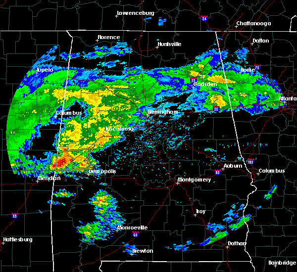 At 250 am cst, a severe thunderstorm was located near gainesville, or 11 miles north of livingston, moving east at 55 mph (radar indicated). Hazards include 60 mph wind gusts. Expect damage to roofs, siding, and trees. Locations impacted include, livingston, eutaw, forkland, boligee, gainesville, epes, emelle, boyd, allison, walden quarters, the university of west alabama, bluffport, thornhill, tishabee, geiger, new mount hebron, sumterville, eutaw municipal airport, clinton and five points intersection. At 250 am cst, a severe thunderstorm was located near gainesville, or 11 miles north of livingston, moving east at 55 mph (radar indicated). Hazards include 60 mph wind gusts. Expect damage to roofs, siding, and trees. Locations impacted include, livingston, eutaw, forkland, boligee, gainesville, epes, emelle, boyd, allison, walden quarters, the university of west alabama, bluffport, thornhill, tishabee, geiger, new mount hebron, sumterville, eutaw municipal airport, clinton and five points intersection.
|
| 3/4/2020 2:33 AM CST |
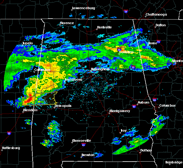 The national weather service in birmingham has issued a * severe thunderstorm warning for. greene county in west central alabama. northern sumter county in west central alabama. until 330 am cst. At 233 am cst, a severe thunderstorm was located over electric. The national weather service in birmingham has issued a * severe thunderstorm warning for. greene county in west central alabama. northern sumter county in west central alabama. until 330 am cst. At 233 am cst, a severe thunderstorm was located over electric.
|
| 3/3/2020 5:30 AM CST |
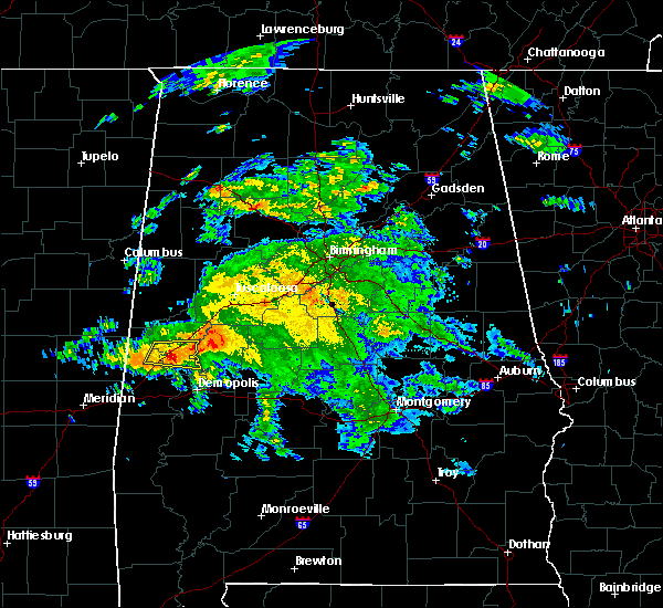 At 530 am cst, a severe thunderstorm was located over allison, or near eutaw, moving east at 50 mph (radar indicated). Hazards include 60 mph wind gusts and quarter size hail. Hail damage to vehicles is expected. expect wind damage to roofs, siding, and trees. Locations impacted include, eutaw, boligee, thornhill, allison, walden quarters, five points intersection, i 20 rest area near eutaw and eutaw municipal airport. At 530 am cst, a severe thunderstorm was located over allison, or near eutaw, moving east at 50 mph (radar indicated). Hazards include 60 mph wind gusts and quarter size hail. Hail damage to vehicles is expected. expect wind damage to roofs, siding, and trees. Locations impacted include, eutaw, boligee, thornhill, allison, walden quarters, five points intersection, i 20 rest area near eutaw and eutaw municipal airport.
|
| 3/3/2020 5:19 AM CST |
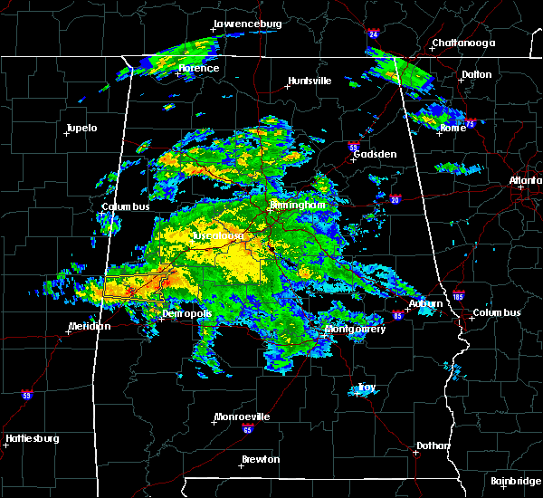 At 519 am cst, a severe thunderstorm was located near boligee, or 11 miles west of eutaw, moving east at 50 mph (radar indicated). Hazards include 60 mph wind gusts and quarter size hail. Hail damage to vehicles is expected. expect wind damage to roofs, siding, and trees. Locations impacted include, eutaw, boligee, gainesville, thornhill, allison, walden quarters, five points intersection, new mount hebron, i 20 rest area near eutaw and eutaw municipal airport. At 519 am cst, a severe thunderstorm was located near boligee, or 11 miles west of eutaw, moving east at 50 mph (radar indicated). Hazards include 60 mph wind gusts and quarter size hail. Hail damage to vehicles is expected. expect wind damage to roofs, siding, and trees. Locations impacted include, eutaw, boligee, gainesville, thornhill, allison, walden quarters, five points intersection, new mount hebron, i 20 rest area near eutaw and eutaw municipal airport.
|
| 3/3/2020 5:05 AM CST |
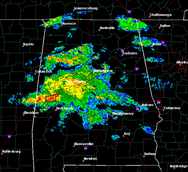 At 505 am cst, a severe thunderstorm was located near gainesville, or 16 miles north of livingston, moving east at 50 mph (radar indicated). Hazards include 60 mph wind gusts and quarter size hail. Hail damage to vehicles is expected. Expect wind damage to roofs, siding, and trees. At 505 am cst, a severe thunderstorm was located near gainesville, or 16 miles north of livingston, moving east at 50 mph (radar indicated). Hazards include 60 mph wind gusts and quarter size hail. Hail damage to vehicles is expected. Expect wind damage to roofs, siding, and trees.
|
| 3/3/2020 4:57 AM CST |
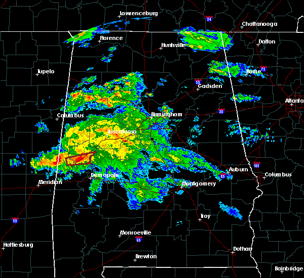 At 457 am cst, a severe thunderstorm capable of producing a tornado was located near allison, or 8 miles west of eutaw, moving east at 35 mph (radar indicated rotation). Hazards include tornado. Flying debris will be dangerous to those caught without shelter. mobile homes will be damaged or destroyed. damage to roofs, windows, and vehicles will occur. tree damage is likely. Locations impacted include, eutaw, boligee, allison, i 20 rest area near eutaw and eutaw municipal airport. At 457 am cst, a severe thunderstorm capable of producing a tornado was located near allison, or 8 miles west of eutaw, moving east at 35 mph (radar indicated rotation). Hazards include tornado. Flying debris will be dangerous to those caught without shelter. mobile homes will be damaged or destroyed. damage to roofs, windows, and vehicles will occur. tree damage is likely. Locations impacted include, eutaw, boligee, allison, i 20 rest area near eutaw and eutaw municipal airport.
|
| 3/3/2020 4:48 AM CST |
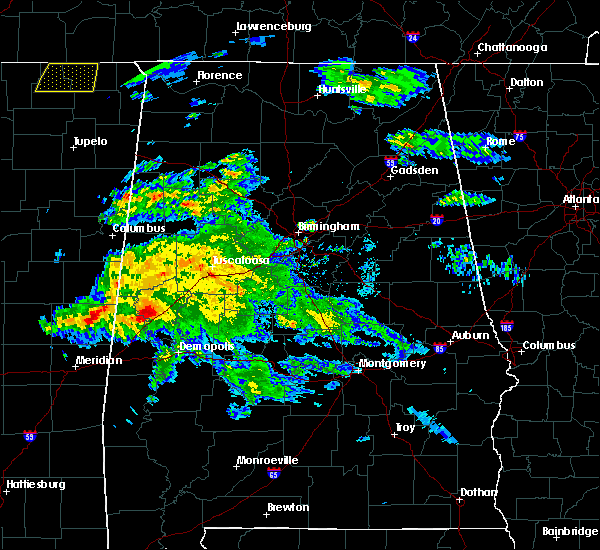 At 447 am cst, a severe thunderstorm capable of producing a tornado was located over gainesville, or 14 miles north of livingston, moving east at 35 mph (radar indicated rotation). Hazards include tornado. Flying debris will be dangerous to those caught without shelter. mobile homes will be damaged or destroyed. damage to roofs, windows, and vehicles will occur. Tree damage is likely. At 447 am cst, a severe thunderstorm capable of producing a tornado was located over gainesville, or 14 miles north of livingston, moving east at 35 mph (radar indicated rotation). Hazards include tornado. Flying debris will be dangerous to those caught without shelter. mobile homes will be damaged or destroyed. damage to roofs, windows, and vehicles will occur. Tree damage is likely.
|
| 2/6/2020 1:56 AM CST |
 At 155 am cst, a severe thunderstorm was located near coatopa, or 11 miles southwest of demopolis, moving northeast at 55 mph (radar indicated). Hazards include 60 mph wind gusts and quarter size hail. Hail damage to vehicles is expected. Expect wind damage to roofs, siding, and trees. At 155 am cst, a severe thunderstorm was located near coatopa, or 11 miles southwest of demopolis, moving northeast at 55 mph (radar indicated). Hazards include 60 mph wind gusts and quarter size hail. Hail damage to vehicles is expected. Expect wind damage to roofs, siding, and trees.
|
| 1/11/2020 11:54 AM CST |
 At 1154 am cst, severe thunderstorms were located along a line extending from near eldridge to tuscaloosa regional airport to jefferson, moving northeast at 45 mph (radar indicated). Hazards include 70 mph wind gusts. Expect considerable tree damage. damage is likely to mobile homes, roofs, and outbuildings. Locations impacted include, tuscaloosa, northport, demopolis, winfield, eutaw, greensboro, uniontown, holt, jefferson, moundville, berry, coker, forkland, glen allen, akron, newbern, faunsdale, samantha, thornhill and mcfarland mall. At 1154 am cst, severe thunderstorms were located along a line extending from near eldridge to tuscaloosa regional airport to jefferson, moving northeast at 45 mph (radar indicated). Hazards include 70 mph wind gusts. Expect considerable tree damage. damage is likely to mobile homes, roofs, and outbuildings. Locations impacted include, tuscaloosa, northport, demopolis, winfield, eutaw, greensboro, uniontown, holt, jefferson, moundville, berry, coker, forkland, glen allen, akron, newbern, faunsdale, samantha, thornhill and mcfarland mall.
|
| 1/11/2020 11:46 AM CST |
 At 1145 am cst, severe thunderstorms were located along a line extending from near glen allen to near coker to near jefferson, moving northeast at 50 mph (radar indicated). Hazards include 60 mph wind gusts. Expect damage to roofs, siding, and trees. Locations impacted include, tuscaloosa, northport, demopolis, winfield, fayette, eutaw, greensboro, uniontown, gordo, holt, jefferson, moundville, berry, coker, forkland, glen allen, akron, union, newbern and faunsdale. At 1145 am cst, severe thunderstorms were located along a line extending from near glen allen to near coker to near jefferson, moving northeast at 50 mph (radar indicated). Hazards include 60 mph wind gusts. Expect damage to roofs, siding, and trees. Locations impacted include, tuscaloosa, northport, demopolis, winfield, fayette, eutaw, greensboro, uniontown, gordo, holt, jefferson, moundville, berry, coker, forkland, glen allen, akron, union, newbern and faunsdale.
|
| 1/11/2020 11:27 AM CST |
 At 1127 am cst, severe thunderstorms were located along a line extending from near fayette to near coatopa, moving northeast at 45 mph (radar indicated). Hazards include 60 mph wind gusts. expect damage to roofs, siding, and trees At 1127 am cst, severe thunderstorms were located along a line extending from near fayette to near coatopa, moving northeast at 45 mph (radar indicated). Hazards include 60 mph wind gusts. expect damage to roofs, siding, and trees
|
| 1/11/2020 11:08 AM CST |
 At 1108 am cst, severe thunderstorms were located along a line extending from 6 miles northwest of carrollton to near west greene to 7 miles east of kinterbish, moving northeast at 55 mph (radar indicated). Hazards include 60 mph wind gusts. Expect damage to roofs, siding, and trees. Locations impacted include, demopolis, livingston, eutaw, york, aliceville, gordo, reform, carrollton, pickensville, cuba, forkland, boligee, union, gainesville, epes, ethelsville, emelle, mcmullen, panola and west greene. At 1108 am cst, severe thunderstorms were located along a line extending from 6 miles northwest of carrollton to near west greene to 7 miles east of kinterbish, moving northeast at 55 mph (radar indicated). Hazards include 60 mph wind gusts. Expect damage to roofs, siding, and trees. Locations impacted include, demopolis, livingston, eutaw, york, aliceville, gordo, reform, carrollton, pickensville, cuba, forkland, boligee, union, gainesville, epes, ethelsville, emelle, mcmullen, panola and west greene.
|
| 1/11/2020 10:36 AM CST |
 At 1035 am cst, severe thunderstorms were located along a line extending from near macon to near electric mills to middleton, moving northeast at 55 mph (radar indicated). Hazards include 60 mph wind gusts. expect damage to roofs, siding, and trees At 1035 am cst, severe thunderstorms were located along a line extending from near macon to near electric mills to middleton, moving northeast at 55 mph (radar indicated). Hazards include 60 mph wind gusts. expect damage to roofs, siding, and trees
|
| 6/27/2019 3:12 PM CDT | A tree was blown dow in greene county AL, 0.4 miles ENE of Eutaw, AL |
| 6/27/2019 3:11 PM CDT | A tree was blown dow in greene county AL, 1.6 miles SE of Eutaw, AL |
| 6/20/2019 2:22 AM CDT |
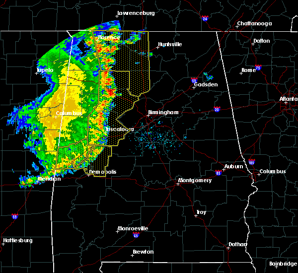 The severe thunderstorm warning for greene and northwestern sumter counties will expire at 230 am cdt, the storms which prompted the warning have moved out of the area. therefore, the warning will be allowed to expire. however gusty winds are still possible with these thunderstorms. a severe thunderstorm watch remains in effect until 600 am cdt for west central alabama. to report severe weather, contact your nearest law enforcement agency. they will relay your report to the national weather service birmingham. The severe thunderstorm warning for greene and northwestern sumter counties will expire at 230 am cdt, the storms which prompted the warning have moved out of the area. therefore, the warning will be allowed to expire. however gusty winds are still possible with these thunderstorms. a severe thunderstorm watch remains in effect until 600 am cdt for west central alabama. to report severe weather, contact your nearest law enforcement agency. they will relay your report to the national weather service birmingham.
|
| 6/20/2019 1:57 AM CDT |
 At 157 am cdt, severe thunderstorms were located along a line extending from near mantua to near west greene to near tamola, moving east at 50 mph (radar indicated). Hazards include 60 mph wind gusts and penny size hail. Expect damage to roofs, siding, and trees. Locations impacted include, livingston, eutaw, boligee, union, gainesville, epes, emelle, panola, west greene, new west greene, boyd, mantua, allison, jena, knoxville, geiger, snoddy, new mount hebron, sumterville and eutaw municipal airport. At 157 am cdt, severe thunderstorms were located along a line extending from near mantua to near west greene to near tamola, moving east at 50 mph (radar indicated). Hazards include 60 mph wind gusts and penny size hail. Expect damage to roofs, siding, and trees. Locations impacted include, livingston, eutaw, boligee, union, gainesville, epes, emelle, panola, west greene, new west greene, boyd, mantua, allison, jena, knoxville, geiger, snoddy, new mount hebron, sumterville and eutaw municipal airport.
|
| 6/20/2019 1:24 AM CDT |
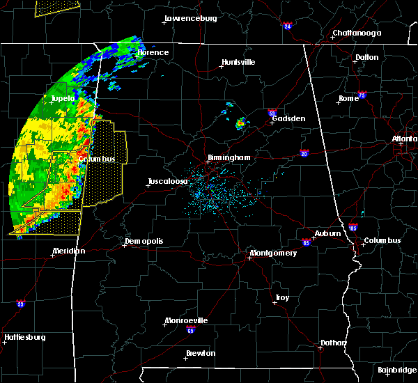 At 123 am cdt, severe thunderstorms were located along a line extending from near paulette to 8 miles northeast of de kalb to near house, moving east at 40 mph (radar indicated). Hazards include 60 mph wind gusts and penny size hail. expect damage to roofs, siding, and trees At 123 am cdt, severe thunderstorms were located along a line extending from near paulette to 8 miles northeast of de kalb to near house, moving east at 40 mph (radar indicated). Hazards include 60 mph wind gusts and penny size hail. expect damage to roofs, siding, and trees
|
| 4/18/2019 5:31 PM CDT |
 At 530 pm cdt, severe thunderstorms were located along a line extending from johnston lake to near mantua to near allison, moving northeast at 55 mph (radar indicated). Hazards include 60 mph wind gusts. Expect damage to roofs, siding, and trees. locations impacted include, eutaw, aliceville, gordo, carrollton, pickensville, forkland, boligee, union, gainesville, epes, mcmullen, walden quarters, west greene, thornhill, benevola, johnston lake, bevill lock and dam, tishabee, garden and new west greene. A tornado watch remains in effect until 1100 pm cdt for west central alabama. At 530 pm cdt, severe thunderstorms were located along a line extending from johnston lake to near mantua to near allison, moving northeast at 55 mph (radar indicated). Hazards include 60 mph wind gusts. Expect damage to roofs, siding, and trees. locations impacted include, eutaw, aliceville, gordo, carrollton, pickensville, forkland, boligee, union, gainesville, epes, mcmullen, walden quarters, west greene, thornhill, benevola, johnston lake, bevill lock and dam, tishabee, garden and new west greene. A tornado watch remains in effect until 1100 pm cdt for west central alabama.
|
| 4/18/2019 5:07 PM CDT |
 At 505 pm cdt, severe thunderstorms were located along a line extending from near cooksville to 7 miles south of panola to near boyd, moving northeast at 55 mph (radar indicated). Hazards include 60 mph wind gusts. expect damage to roofs, siding, and trees At 505 pm cdt, severe thunderstorms were located along a line extending from near cooksville to 7 miles south of panola to near boyd, moving northeast at 55 mph (radar indicated). Hazards include 60 mph wind gusts. expect damage to roofs, siding, and trees
|
| 4/18/2019 5:07 PM CDT |
 At 506 pm cdt, severe thunderstorms were located along a line extending from near cooksville to 7 miles south of panola to near boyd, moving northeast at 55 mph (radar indicated). Hazards include 60 mph wind gusts. expect damage to roofs, siding, and trees At 506 pm cdt, severe thunderstorms were located along a line extending from near cooksville to 7 miles south of panola to near boyd, moving northeast at 55 mph (radar indicated). Hazards include 60 mph wind gusts. expect damage to roofs, siding, and trees
|
| 3/25/2019 4:39 PM CDT |
 At 439 pm cdt, a severe thunderstorm was located near wedgeworth, or near eutaw, moving east at 30 mph (radar indicated). Hazards include quarter size hail. Damage to vehicles is expected. Locations impacted include, eutaw, akron, wedgeworth, evansville, selden lock and dam and eutaw municipal airport. At 439 pm cdt, a severe thunderstorm was located near wedgeworth, or near eutaw, moving east at 30 mph (radar indicated). Hazards include quarter size hail. Damage to vehicles is expected. Locations impacted include, eutaw, akron, wedgeworth, evansville, selden lock and dam and eutaw municipal airport.
|
| 3/25/2019 4:21 PM CDT | Half Dollar sized hail reported 8.7 miles NW of Eutaw, AL, lots of hail fell. not quite the size of a golf ball. |
| 3/25/2019 4:21 PM CDT |
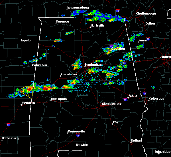 At 420 pm cdt, a severe thunderstorm was located near allison, or near eutaw, moving east at 30 mph (radar indicated). Hazards include quarter size hail. damage to vehicles is expected At 420 pm cdt, a severe thunderstorm was located near allison, or near eutaw, moving east at 30 mph (radar indicated). Hazards include quarter size hail. damage to vehicles is expected
|
| 3/14/2019 5:17 PM CDT |
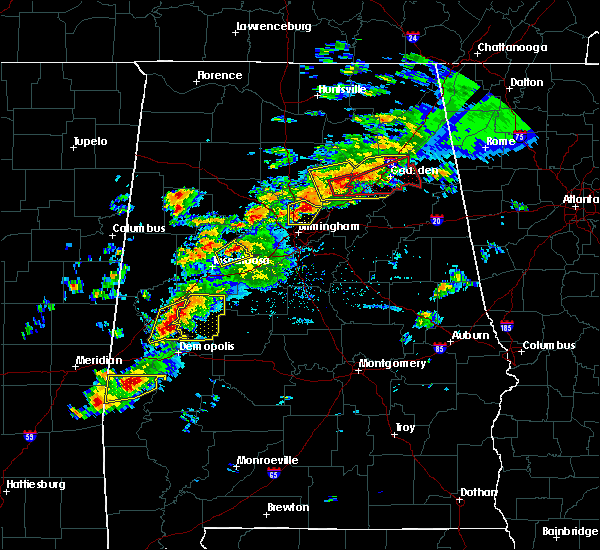 At 517 pm cdt, severe thunderstorms were located along a line extending from near knoxville to tishabee, moving northeast at 40 mph (radar indicated). Hazards include 60 mph wind gusts and quarter size hail. Hail damage to vehicles is expected. expect wind damage to roofs, siding, and trees. locations impacted include, eutaw, forkland, boligee, thornhill, allison, walden quarters, tishabee, five points intersection, i 20 rest area near eutaw and eutaw municipal airport. A tornado watch remains in effect until 700 pm cdt for west central alabama. At 517 pm cdt, severe thunderstorms were located along a line extending from near knoxville to tishabee, moving northeast at 40 mph (radar indicated). Hazards include 60 mph wind gusts and quarter size hail. Hail damage to vehicles is expected. expect wind damage to roofs, siding, and trees. locations impacted include, eutaw, forkland, boligee, thornhill, allison, walden quarters, tishabee, five points intersection, i 20 rest area near eutaw and eutaw municipal airport. A tornado watch remains in effect until 700 pm cdt for west central alabama.
|
| 3/14/2019 5:01 PM CDT |
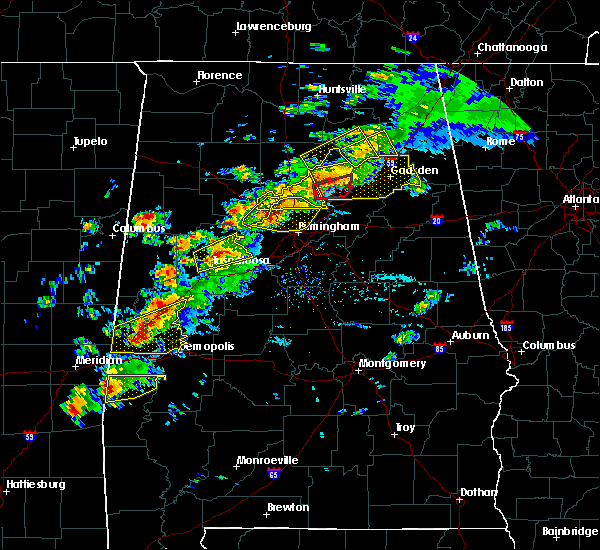 At 501 pm cdt, severe thunderstorms were located along a line extending from near eutaw to livingston, moving east at 50 mph (radar indicated). Hazards include 60 mph wind gusts and quarter size hail. Hail damage to vehicles is expected. expect wind damage to roofs, siding, and trees. locations impacted include, livingston, eutaw, forkland, boligee, gainesville, epes, allison, walden quarters, the university of west alabama, bluffport, thornhill, tishabee, duffys bend, eutaw municipal airport, five points intersection and i 20 rest area near eutaw. A tornado watch remains in effect until 700 pm cdt for west central alabama. At 501 pm cdt, severe thunderstorms were located along a line extending from near eutaw to livingston, moving east at 50 mph (radar indicated). Hazards include 60 mph wind gusts and quarter size hail. Hail damage to vehicles is expected. expect wind damage to roofs, siding, and trees. locations impacted include, livingston, eutaw, forkland, boligee, gainesville, epes, allison, walden quarters, the university of west alabama, bluffport, thornhill, tishabee, duffys bend, eutaw municipal airport, five points intersection and i 20 rest area near eutaw. A tornado watch remains in effect until 700 pm cdt for west central alabama.
|
| 3/14/2019 4:42 PM CDT |
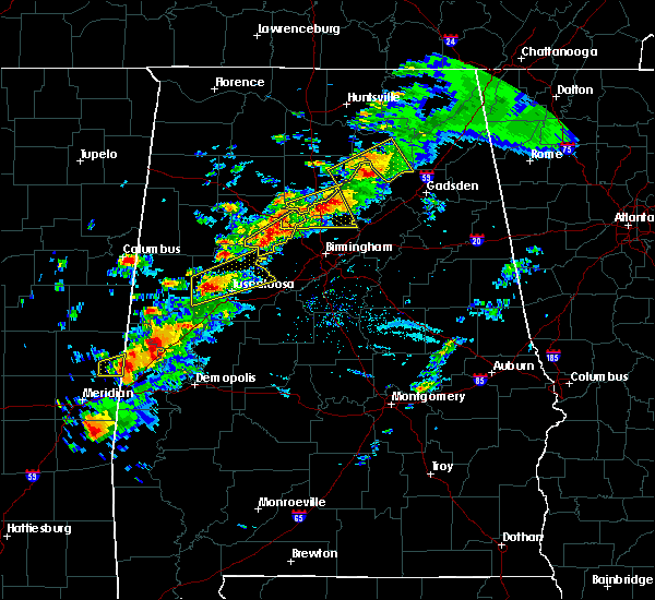 At 441 pm cdt, a severe thunderstorm was located near boyd, or 9 miles northwest of livingston, moving east at 40 mph (radar indicated). Hazards include 60 mph wind gusts and quarter size hail. Hail damage to vehicles is expected. Expect wind damage to roofs, siding, and trees. At 441 pm cdt, a severe thunderstorm was located near boyd, or 9 miles northwest of livingston, moving east at 40 mph (radar indicated). Hazards include 60 mph wind gusts and quarter size hail. Hail damage to vehicles is expected. Expect wind damage to roofs, siding, and trees.
|
| 1/19/2019 10:00 AM CST |
 At 1000 am cst, a severe thunderstorm capable of producing a tornado was located near west greene, or 7 miles northwest of eutaw, moving northeast at 45 mph (radar indicated rotation). Hazards include tornado. Flying debris will be dangerous to those caught without shelter. mobile homes will be damaged or destroyed. damage to roofs, windows, and vehicles will occur. tree damage is likely. Locations impacted include, union, knoxville, snoddy and clinton. At 1000 am cst, a severe thunderstorm capable of producing a tornado was located near west greene, or 7 miles northwest of eutaw, moving northeast at 45 mph (radar indicated rotation). Hazards include tornado. Flying debris will be dangerous to those caught without shelter. mobile homes will be damaged or destroyed. damage to roofs, windows, and vehicles will occur. tree damage is likely. Locations impacted include, union, knoxville, snoddy and clinton.
|
| 1/19/2019 9:43 AM CST |
 At 943 am cst, a severe thunderstorm capable of producing a tornado was located near gainesville, or 11 miles north of livingston, moving northeast at 50 mph (radar indicated rotation). Hazards include tornado. Flying debris will be dangerous to those caught without shelter. mobile homes will be damaged or destroyed. damage to roofs, windows, and vehicles will occur. Tree damage is likely. At 943 am cst, a severe thunderstorm capable of producing a tornado was located near gainesville, or 11 miles north of livingston, moving northeast at 50 mph (radar indicated rotation). Hazards include tornado. Flying debris will be dangerous to those caught without shelter. mobile homes will be damaged or destroyed. damage to roofs, windows, and vehicles will occur. Tree damage is likely.
|
| 6/28/2018 4:48 PM CDT |
 At 448 pm cdt, severe thunderstorms were located along a line extending from near sulligent to near knoxville, moving southwest at 20 mph (radar indicated). Hazards include 60 mph wind gusts. expect damage to roofs, siding, and trees At 448 pm cdt, severe thunderstorms were located along a line extending from near sulligent to near knoxville, moving southwest at 20 mph (radar indicated). Hazards include 60 mph wind gusts. expect damage to roofs, siding, and trees
|
| 4/14/2018 12:51 PM CDT |
 The severe thunderstorm warning for pickens and greene counties will expire at 100 pm cdt, the storms which prompted the warning have moved out of the area. therefore the warning will be allowed to expire. a tornado watch remains in effect until 700 pm cdt for west central alabama. The severe thunderstorm warning for pickens and greene counties will expire at 100 pm cdt, the storms which prompted the warning have moved out of the area. therefore the warning will be allowed to expire. a tornado watch remains in effect until 700 pm cdt for west central alabama.
|
| 4/14/2018 11:55 AM CDT |
 At 1155 am cdt, severe thunderstorms were located along a line extending from 7 miles southwest of mcmullen to new west greene to near livingston, moving northeast at 40 mph (radar indicated). Hazards include 60 mph wind gusts. expect damage to roofs, siding, and trees At 1155 am cdt, severe thunderstorms were located along a line extending from 7 miles southwest of mcmullen to new west greene to near livingston, moving northeast at 40 mph (radar indicated). Hazards include 60 mph wind gusts. expect damage to roofs, siding, and trees
|
| 4/30/2017 11:11 AM CDT |
 At 1110 am cdt, severe thunderstorms were located along a line extending from near crawford to 7 miles north of electric mills to near meridian, moving east at 60 mph (radar indicated). Hazards include 60 mph wind gusts. expect damage to roofs, siding, and trees At 1110 am cdt, severe thunderstorms were located along a line extending from near crawford to 7 miles north of electric mills to near meridian, moving east at 60 mph (radar indicated). Hazards include 60 mph wind gusts. expect damage to roofs, siding, and trees
|
| 4/27/2017 1:08 AM CDT |
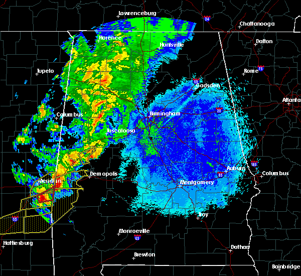 The severe thunderstorm warning for east central greene county will expire at 115 am cdt, the storm which prompted the warning has weakened below severe limits, and has exited the warned area. therefore, the warning will be allowed to expire. a severe thunderstorm watch remains in effect until 500 am cdt for west central alabama. The severe thunderstorm warning for east central greene county will expire at 115 am cdt, the storm which prompted the warning has weakened below severe limits, and has exited the warned area. therefore, the warning will be allowed to expire. a severe thunderstorm watch remains in effect until 500 am cdt for west central alabama.
|
| 4/27/2017 12:55 AM CDT |
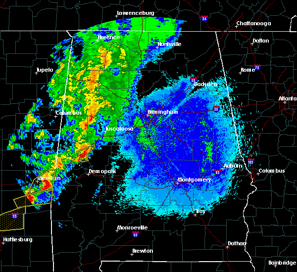 At 1255 am cdt, a severe thunderstorm was located over eutaw, moving east at 45 mph (radar indicated). Hazards include 60 mph wind gusts and quarter size hail. Hail damage to vehicles is expected. expect wind damage to roofs, siding, and trees. Locations impacted include, eutaw, walden quarters, i 20 rest area near eutaw and eutaw municipal airport. At 1255 am cdt, a severe thunderstorm was located over eutaw, moving east at 45 mph (radar indicated). Hazards include 60 mph wind gusts and quarter size hail. Hail damage to vehicles is expected. expect wind damage to roofs, siding, and trees. Locations impacted include, eutaw, walden quarters, i 20 rest area near eutaw and eutaw municipal airport.
|
| 4/27/2017 12:44 AM CDT |
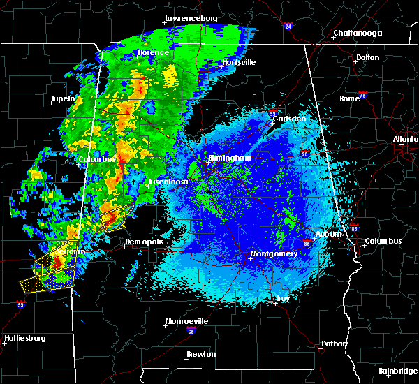 At 1244 am cdt, a severe thunderstorm was located over allison, or near eutaw, moving east at 50 mph (radar indicated). Hazards include 60 mph wind gusts and quarter size hail. Hail damage to vehicles is expected. expect wind damage to roofs, siding, and trees. Locations impacted include, eutaw, boligee, knoxville, allison, walden quarters, five points intersection, new mount hebron, i 20 rest area near eutaw, eutaw municipal airport and clinton. At 1244 am cdt, a severe thunderstorm was located over allison, or near eutaw, moving east at 50 mph (radar indicated). Hazards include 60 mph wind gusts and quarter size hail. Hail damage to vehicles is expected. expect wind damage to roofs, siding, and trees. Locations impacted include, eutaw, boligee, knoxville, allison, walden quarters, five points intersection, new mount hebron, i 20 rest area near eutaw, eutaw municipal airport and clinton.
|
| 4/27/2017 12:33 AM CDT |
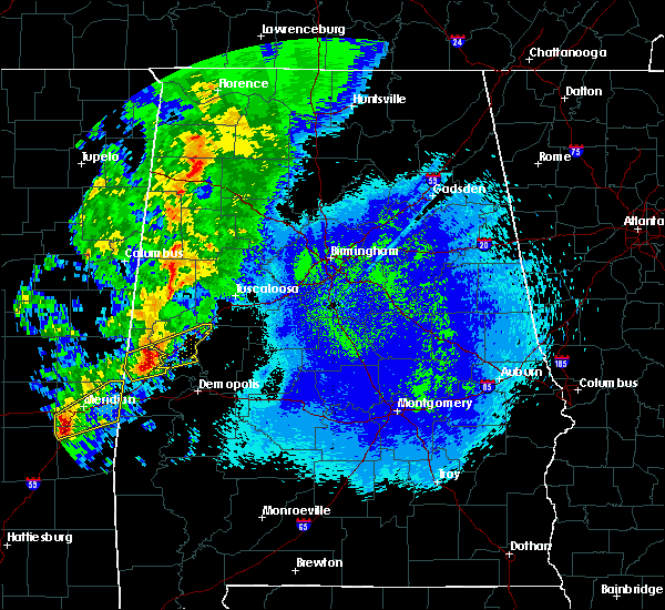 At 1232 am cdt, a severe thunderstorm was located near gainesville, or 11 miles north of livingston, moving east at 50 mph (radar indicated). Hazards include 60 mph wind gusts and quarter size hail. Hail damage to vehicles is expected. Expect wind damage to roofs, siding, and trees. At 1232 am cdt, a severe thunderstorm was located near gainesville, or 11 miles north of livingston, moving east at 50 mph (radar indicated). Hazards include 60 mph wind gusts and quarter size hail. Hail damage to vehicles is expected. Expect wind damage to roofs, siding, and trees.
|
| 4/3/2017 4:41 AM CDT |
 At 441 am cdt, severe thunderstorms were located along a line extending from near eutaw to near sawyerville to near chickasaw state park, moving northeast at 35 mph (radar indicated). Hazards include 60 mph wind gusts. Expect damage to roofs, siding, and trees. Locations impacted include, demopolis, eutaw, greensboro, linden, jefferson, moundville, forkland, akron, newbern, faunsdale, dayton, walden quarters, thornhill, arcola, wedgeworth, greensboro municipal airport, pin hook, allison, duffys bend and sawyerville. At 441 am cdt, severe thunderstorms were located along a line extending from near eutaw to near sawyerville to near chickasaw state park, moving northeast at 35 mph (radar indicated). Hazards include 60 mph wind gusts. Expect damage to roofs, siding, and trees. Locations impacted include, demopolis, eutaw, greensboro, linden, jefferson, moundville, forkland, akron, newbern, faunsdale, dayton, walden quarters, thornhill, arcola, wedgeworth, greensboro municipal airport, pin hook, allison, duffys bend and sawyerville.
|
| 4/3/2017 4:23 AM CDT |
 At 423 am cdt, severe thunderstorms were located along a line extending from near allison to near thornhill to near jefferson, moving northeast at 50 mph (radar indicated). Hazards include 60 mph wind gusts. Expect damage to roofs, siding, and trees. Locations impacted include, demopolis, eutaw, greensboro, linden, jefferson, moundville, forkland, akron, boligee, epes, newbern, myrtlewood, faunsdale, dayton, walden quarters, thornhill, arcola, wedgeworth, tishabee and greensboro municipal airport. At 423 am cdt, severe thunderstorms were located along a line extending from near allison to near thornhill to near jefferson, moving northeast at 50 mph (radar indicated). Hazards include 60 mph wind gusts. Expect damage to roofs, siding, and trees. Locations impacted include, demopolis, eutaw, greensboro, linden, jefferson, moundville, forkland, akron, boligee, epes, newbern, myrtlewood, faunsdale, dayton, walden quarters, thornhill, arcola, wedgeworth, tishabee and greensboro municipal airport.
|
| 4/3/2017 4:10 AM CDT |
 At 410 am cdt, severe thunderstorms were located along a line extending from near epes to coatopa to 6 miles northwest of pennington, moving northeast at 50 mph (radar indicated). Hazards include 60 mph wind gusts. expect damage to roofs, siding, and trees At 410 am cdt, severe thunderstorms were located along a line extending from near epes to coatopa to 6 miles northwest of pennington, moving northeast at 50 mph (radar indicated). Hazards include 60 mph wind gusts. expect damage to roofs, siding, and trees
|
| 3/1/2017 4:19 PM CST |
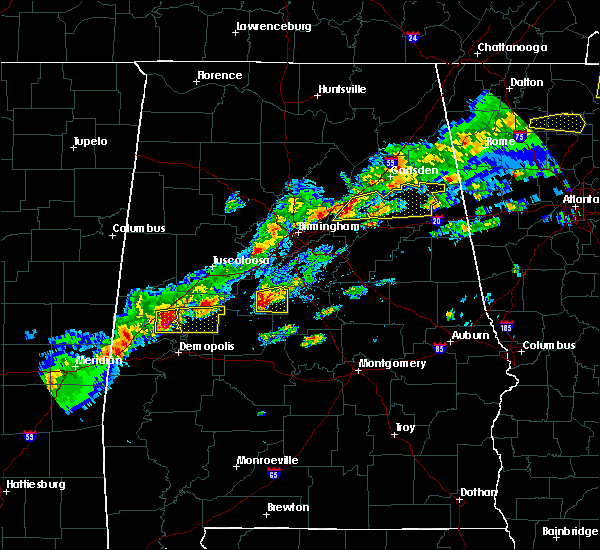 At 419 pm cst, a severe thunderstorm was located over walden quarters, or near eutaw, moving east at 40 mph (radar indicated). Hazards include 60 mph wind gusts and quarter size hail. Hail damage to vehicles is expected. expect wind damage to roofs, siding, and trees. locations impacted include, eutaw, thornhill, allison, walden quarters, five points intersection, i 20 rest area near eutaw and eutaw municipal airport. A tornado watch remains in effect until 600 pm cst for west central alabama. At 419 pm cst, a severe thunderstorm was located over walden quarters, or near eutaw, moving east at 40 mph (radar indicated). Hazards include 60 mph wind gusts and quarter size hail. Hail damage to vehicles is expected. expect wind damage to roofs, siding, and trees. locations impacted include, eutaw, thornhill, allison, walden quarters, five points intersection, i 20 rest area near eutaw and eutaw municipal airport. A tornado watch remains in effect until 600 pm cst for west central alabama.
|
| 3/1/2017 4:07 PM CST |
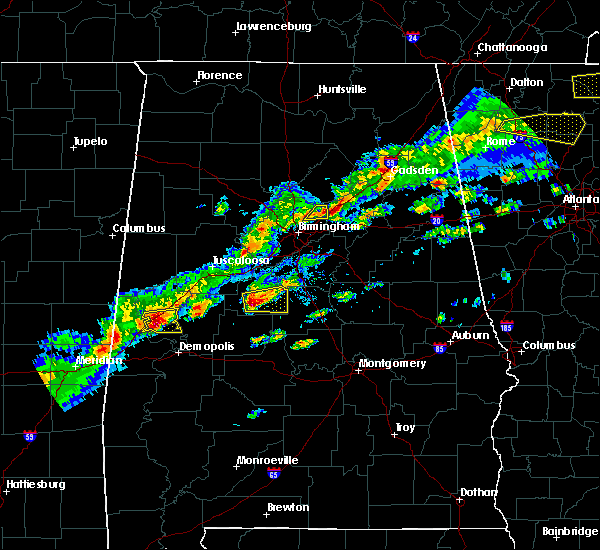 At 406 pm cst, a severe thunderstorm was located over boligee, or 9 miles southwest of eutaw, moving east at 40 mph (radar indicated). Hazards include 60 mph wind gusts and quarter size hail. Hail damage to vehicles is expected. expect wind damage to roofs, siding, and trees. locations impacted include, eutaw, boligee, epes, thornhill, allison, walden quarters, five points intersection, i 20 rest area near eutaw and eutaw municipal airport. A tornado watch remains in effect until 600 pm cst for west central alabama. At 406 pm cst, a severe thunderstorm was located over boligee, or 9 miles southwest of eutaw, moving east at 40 mph (radar indicated). Hazards include 60 mph wind gusts and quarter size hail. Hail damage to vehicles is expected. expect wind damage to roofs, siding, and trees. locations impacted include, eutaw, boligee, epes, thornhill, allison, walden quarters, five points intersection, i 20 rest area near eutaw and eutaw municipal airport. A tornado watch remains in effect until 600 pm cst for west central alabama.
|
| 3/1/2017 3:55 PM CST |
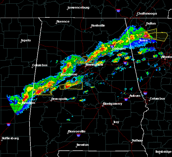 At 355 pm cst, a severe thunderstorm was located near gainesville, or 11 miles north of livingston, moving east at 40 mph (radar indicated). Hazards include 60 mph wind gusts and quarter size hail. Hail damage to vehicles is expected. Expect wind damage to roofs, siding, and trees. At 355 pm cst, a severe thunderstorm was located near gainesville, or 11 miles north of livingston, moving east at 40 mph (radar indicated). Hazards include 60 mph wind gusts and quarter size hail. Hail damage to vehicles is expected. Expect wind damage to roofs, siding, and trees.
|
| 1/21/2017 11:53 PM CST |
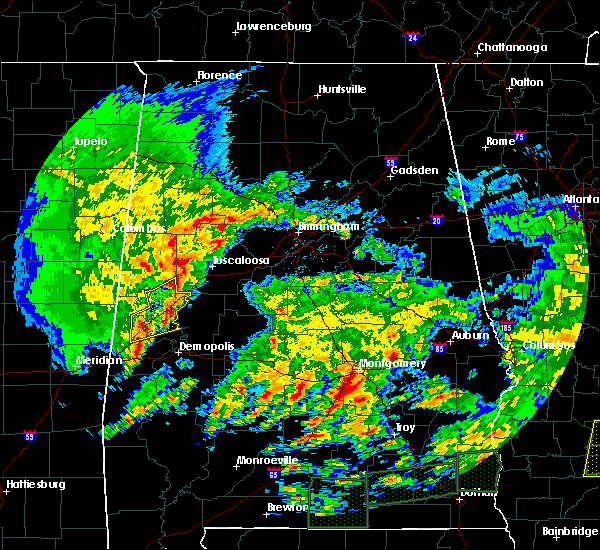 The severe thunderstorm warning for central sumter and greene counties will expire at midnight cst, the storm which prompted the warning has weakened below severe limits, and no longer pose an immediate threat to life or property. therefore the warning will be allowed to expire. a tornado watch remains in effect until 300 am cst for west central alabama. The severe thunderstorm warning for central sumter and greene counties will expire at midnight cst, the storm which prompted the warning has weakened below severe limits, and no longer pose an immediate threat to life or property. therefore the warning will be allowed to expire. a tornado watch remains in effect until 300 am cst for west central alabama.
|
| 1/21/2017 11:39 PM CST |
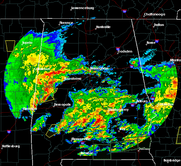 At 1139 pm cst, a severe thunderstorm was located over union, or 9 miles north of eutaw, moving northeast at 60 mph (radar indicated). Hazards include 60 mph wind gusts. Expect damage to roofs, siding, and trees. locations impacted include, livingston, eutaw, boligee, union, gainesville, epes, jena, thornhill, mantua, allison, knoxville, walden quarters, lewiston, new mount hebron, clinton, i 20 rest area near eutaw, eutaw municipal airport, pleasant ridge, five points intersection and snoddy. A tornado watch remains in effect until 300 am cst for west central alabama. At 1139 pm cst, a severe thunderstorm was located over union, or 9 miles north of eutaw, moving northeast at 60 mph (radar indicated). Hazards include 60 mph wind gusts. Expect damage to roofs, siding, and trees. locations impacted include, livingston, eutaw, boligee, union, gainesville, epes, jena, thornhill, mantua, allison, knoxville, walden quarters, lewiston, new mount hebron, clinton, i 20 rest area near eutaw, eutaw municipal airport, pleasant ridge, five points intersection and snoddy. A tornado watch remains in effect until 300 am cst for west central alabama.
|
| 1/21/2017 11:29 PM CST |
 At 1128 pm cst, a severe thunderstorm was located near west greene, or 10 miles west of eutaw, moving northeast at 60 mph (radar indicated). Hazards include 60 mph wind gusts. expect damage to roofs, siding, and trees At 1128 pm cst, a severe thunderstorm was located near west greene, or 10 miles west of eutaw, moving northeast at 60 mph (radar indicated). Hazards include 60 mph wind gusts. expect damage to roofs, siding, and trees
|
| 1/2/2017 7:00 AM CST |
 At 659 am cst, a severe thunderstorm was located near gainesville, or 11 miles north of livingston, moving northeast at 55 mph (radar indicated). Hazards include 60 mph wind gusts and quarter size hail. Hail damage to vehicles is expected. Expect wind damage to roofs, siding, and trees. At 659 am cst, a severe thunderstorm was located near gainesville, or 11 miles north of livingston, moving northeast at 55 mph (radar indicated). Hazards include 60 mph wind gusts and quarter size hail. Hail damage to vehicles is expected. Expect wind damage to roofs, siding, and trees.
|
| 6/17/2016 4:03 PM CDT |
 At 403 pm cdt, severe thunderstorms were located along a line extending from near porterville to the university of west alabama to near sawyerville, moving south at 35 mph (radar indicated). Hazards include 60 mph wind gusts. Expect damage to roofs. siding. and trees. Locations impacted include, demopolis, livingston, eutaw, york, cuba, forkland, boligee, epes, emelle, duffys bend, bluffport, thornhill, allison, walden quarters, coatopa, kinterbish, the university of west alabama, dug hill, tishabee and boyd. At 403 pm cdt, severe thunderstorms were located along a line extending from near porterville to the university of west alabama to near sawyerville, moving south at 35 mph (radar indicated). Hazards include 60 mph wind gusts. Expect damage to roofs. siding. and trees. Locations impacted include, demopolis, livingston, eutaw, york, cuba, forkland, boligee, epes, emelle, duffys bend, bluffport, thornhill, allison, walden quarters, coatopa, kinterbish, the university of west alabama, dug hill, tishabee and boyd.
|
| 6/17/2016 3:49 PM CDT |
 At 349 pm cdt, severe thunderstorms were located along a line extending from 7 miles northeast of de kalb to near gainesville to near akron, moving south at 30 mph (radar indicated). Hazards include 60 mph wind gusts. Expect damage to roofs. siding. and trees. Locations impacted include, demopolis, livingston, eutaw, york, cuba, forkland, boligee, gainesville, epes, emelle, duffys bend, bluffport, thornhill, allison, knoxville, walden quarters, coatopa, kinterbish, the university of west alabama and dug hill. At 349 pm cdt, severe thunderstorms were located along a line extending from 7 miles northeast of de kalb to near gainesville to near akron, moving south at 30 mph (radar indicated). Hazards include 60 mph wind gusts. Expect damage to roofs. siding. and trees. Locations impacted include, demopolis, livingston, eutaw, york, cuba, forkland, boligee, gainesville, epes, emelle, duffys bend, bluffport, thornhill, allison, knoxville, walden quarters, coatopa, kinterbish, the university of west alabama and dug hill.
|
| 6/17/2016 3:38 PM CDT |
 At 338 pm cdt, severe thunderstorms were located along a line extending from 9 miles east of gholson to near gainesville to near knoxville, moving south at 30 mph (radar indicated). Hazards include 60 mph wind gusts. Expect damage to roofs. siding. and trees. Locations impacted include, demopolis, livingston, eutaw, york, cuba, forkland, boligee, union, gainesville, epes, emelle, duffys bend, bluffport, thornhill, mantua, allison, knoxville, walden quarters, kinterbish and the university of west alabama. At 338 pm cdt, severe thunderstorms were located along a line extending from 9 miles east of gholson to near gainesville to near knoxville, moving south at 30 mph (radar indicated). Hazards include 60 mph wind gusts. Expect damage to roofs. siding. and trees. Locations impacted include, demopolis, livingston, eutaw, york, cuba, forkland, boligee, union, gainesville, epes, emelle, duffys bend, bluffport, thornhill, mantua, allison, knoxville, walden quarters, kinterbish and the university of west alabama.
|
| 6/17/2016 3:12 PM CDT |
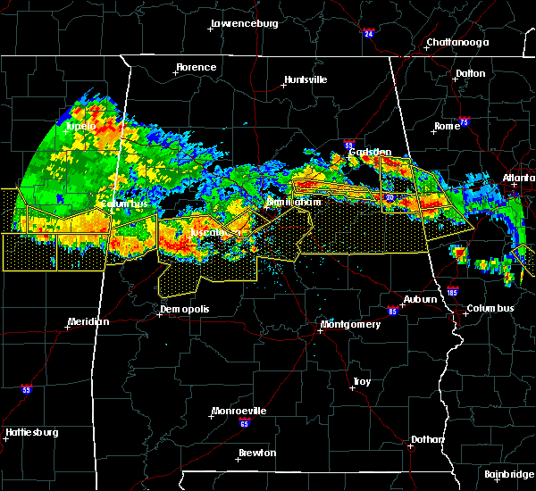 At 312 pm cdt, severe thunderstorms were located along a line extending from near macon to near panola to jena, moving south at 30 mph (radar indicated). Hazards include 60 mph wind gusts. Expect damage to roofs. siding. And trees. At 312 pm cdt, severe thunderstorms were located along a line extending from near macon to near panola to jena, moving south at 30 mph (radar indicated). Hazards include 60 mph wind gusts. Expect damage to roofs. siding. And trees.
|
| 3/31/2016 8:18 PM CDT |
 At 818 pm cdt, severe thunderstorms were located along a line extending from near gordo to near jena to tishabee, moving east at 45 mph (radar indicated). Hazards include 60 mph wind gusts. Expect damage to roofs. siding. and trees. locations impacted include, eutaw, forkland, boligee, union, jena, duffys bend, thornhill, allison, knoxville, walden quarters, tishabee, birdine, i 20 rest area near eutaw, eutaw municipal airport, five points intersection and snoddy. A tornado watch remains in effect until 100 am cdt for west central alabama. At 818 pm cdt, severe thunderstorms were located along a line extending from near gordo to near jena to tishabee, moving east at 45 mph (radar indicated). Hazards include 60 mph wind gusts. Expect damage to roofs. siding. and trees. locations impacted include, eutaw, forkland, boligee, union, jena, duffys bend, thornhill, allison, knoxville, walden quarters, tishabee, birdine, i 20 rest area near eutaw, eutaw municipal airport, five points intersection and snoddy. A tornado watch remains in effect until 100 am cdt for west central alabama.
|
| 3/31/2016 8:15 PM CDT |
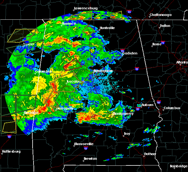 At 815 pm cdt, severe thunderstorms were located along a line extending from near gordo to near jena to tishabee, moving east at 40 mph (radar indicated). Hazards include 60 mph wind gusts. Expect damage to roofs. siding. and trees. locations impacted include, eutaw, forkland, boligee, union, jena, duffys bend, thornhill, allison, knoxville, walden quarters, tishabee, pioneer, birdine, kirk, i 20 rest area near eutaw, eutaw municipal airport, five points intersection and snoddy. A tornado watch remains in effect until 100 am cdt for west central alabama. At 815 pm cdt, severe thunderstorms were located along a line extending from near gordo to near jena to tishabee, moving east at 40 mph (radar indicated). Hazards include 60 mph wind gusts. Expect damage to roofs. siding. and trees. locations impacted include, eutaw, forkland, boligee, union, jena, duffys bend, thornhill, allison, knoxville, walden quarters, tishabee, pioneer, birdine, kirk, i 20 rest area near eutaw, eutaw municipal airport, five points intersection and snoddy. A tornado watch remains in effect until 100 am cdt for west central alabama.
|
| 3/31/2016 7:56 PM CDT |
 At 756 pm cdt, severe thunderstorms were located along a line extending from carrollton to near benevola to near bluffport, moving east at 45 mph (radar indicated). Hazards include 60 mph wind gusts. Expect damage to roofs. siding. And trees. At 756 pm cdt, severe thunderstorms were located along a line extending from carrollton to near benevola to near bluffport, moving east at 45 mph (radar indicated). Hazards include 60 mph wind gusts. Expect damage to roofs. siding. And trees.
|
| 2/15/2016 4:33 PM CST |
 At 432 pm cst, severe thunderstorms were located along a line extending from near akron to 6 miles east of arcola to near miller, moving east at 45 mph (radar indicated). Hazards include 60 mph wind gusts. Expect damage to roofs. siding and trees. locations impacted include, demopolis, eutaw, greensboro, linden, forkland, thomaston, akron, sweet water, newbern, faunsdale, dayton, dixons mill, pin hook, duffys bend, wayne, wedgeworth, greensboro municipal airport, walden quarters, freddie jones field and sawyerville. A tornado watch remains in effect until 900 pm cst for southwestern alabama. At 432 pm cst, severe thunderstorms were located along a line extending from near akron to 6 miles east of arcola to near miller, moving east at 45 mph (radar indicated). Hazards include 60 mph wind gusts. Expect damage to roofs. siding and trees. locations impacted include, demopolis, eutaw, greensboro, linden, forkland, thomaston, akron, sweet water, newbern, faunsdale, dayton, dixons mill, pin hook, duffys bend, wayne, wedgeworth, greensboro municipal airport, walden quarters, freddie jones field and sawyerville. A tornado watch remains in effect until 900 pm cst for southwestern alabama.
|
| 2/15/2016 4:12 PM CST |
 At 412 pm cst, severe thunderstorms were located along a line extending from near eutaw to near chickasaw state park to near dixons mill, moving east at 90 mph (radar indicated). Hazards include 60 mph wind gusts. Expect damage to roofs. siding and trees. locations impacted include, demopolis, eutaw, greensboro, linden, forkland, thomaston, akron, boligee, sweet water, newbern, faunsdale, dayton, duffys bend, thornhill, allison, walden quarters, magnolia, surginer, chickasaw state park and evansville. this includes interstate 20 between mile markers 32 and 40. A tornado watch remains in effect until 900 pm cst for southwestern alabama. At 412 pm cst, severe thunderstorms were located along a line extending from near eutaw to near chickasaw state park to near dixons mill, moving east at 90 mph (radar indicated). Hazards include 60 mph wind gusts. Expect damage to roofs. siding and trees. locations impacted include, demopolis, eutaw, greensboro, linden, forkland, thomaston, akron, boligee, sweet water, newbern, faunsdale, dayton, duffys bend, thornhill, allison, walden quarters, magnolia, surginer, chickasaw state park and evansville. this includes interstate 20 between mile markers 32 and 40. A tornado watch remains in effect until 900 pm cst for southwestern alabama.
|
| 2/15/2016 3:48 PM CST |
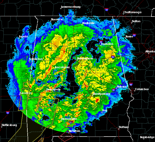 At 348 pm cst, severe thunderstorms were located along a line extending from near emelle to 6 miles northeast of toxey, moving east at 55 mph (radar indicated). Hazards include 60 mph wind gusts. Expect damage to roofs. Siding and trees. At 348 pm cst, severe thunderstorms were located along a line extending from near emelle to 6 miles northeast of toxey, moving east at 55 mph (radar indicated). Hazards include 60 mph wind gusts. Expect damage to roofs. Siding and trees.
|
| 7/15/2015 6:41 PM CDT |
 At 641 pm cdt, severe thunderstorms were located along a line extending from 6 miles west of mantua to 6 miles north of new west greene to near cooksville, moving southeast at 25 mph (radar indicated). Hazards include 60 mph wind gusts and quarter size hail. Hail damage to vehicles is expected. expect wind damage to roofs, siding and trees. Locations impacted include, eutaw, aliceville, gainesville, mcmullen, new west greene, panola, west greene, geiger, gainesville lake campground, warsaw, george downer airport, lewiston, new mount hebron, cochrane, clinton, i 20 rest area near eutaw and pleasant ridge. At 641 pm cdt, severe thunderstorms were located along a line extending from 6 miles west of mantua to 6 miles north of new west greene to near cooksville, moving southeast at 25 mph (radar indicated). Hazards include 60 mph wind gusts and quarter size hail. Hail damage to vehicles is expected. expect wind damage to roofs, siding and trees. Locations impacted include, eutaw, aliceville, gainesville, mcmullen, new west greene, panola, west greene, geiger, gainesville lake campground, warsaw, george downer airport, lewiston, new mount hebron, cochrane, clinton, i 20 rest area near eutaw and pleasant ridge.
|
| 7/15/2015 6:22 PM CDT |
 At 622 pm cdt, severe thunderstorms were located along a line extending from near johnston lake to near aliceville to near prairie point, moving south at 20 mph (radar indicated). Hazards include 60 mph wind gusts and half dollar size hail. Hail damage to vehicles is expected. Expect wind damage to roofs, siding and trees. At 622 pm cdt, severe thunderstorms were located along a line extending from near johnston lake to near aliceville to near prairie point, moving south at 20 mph (radar indicated). Hazards include 60 mph wind gusts and half dollar size hail. Hail damage to vehicles is expected. Expect wind damage to roofs, siding and trees.
|
| 5/20/2015 3:08 PM CDT | Half Dollar sized hail reported 6.4 miles N of Eutaw, AL, hail up to the size of a half dollar fell briefly in dollarhide. |
| 6/28/2013 7:04 PM CDT | Numerous trees down across greene county including along interstate 20/59 near exit 4 in greene county AL, 2.5 miles SE of Eutaw, AL |
| 6/28/2013 11:12 AM CDT | Trees were reported down near eutaw. time estimated from rada in greene county AL, 0.3 miles WNW of Eutaw, AL |
| 3/23/2013 10:04 PM CDT | Trees reported down throughout the city of eutaw...including one tree down on a vehicl in greene county AL, 0.3 miles WNW of Eutaw, AL |
| 3/23/2013 10:04 PM CDT | Tree down on a house on vera vista avenue in euta in greene county AL, 0.8 miles W of Eutaw, AL |
| 12/25/2012 5:04 PM CST | Several trees were blown down along highway 39 in western greene county near clinton. the trees blocked half the highwa in greene county AL, 7.3 miles SE of Eutaw, AL |
| 1/1/0001 12:00 AM | Minor damage to several hotels and stores at exit 45 along i-2 in greene county AL, 5.1 miles SSW of Eutaw, AL |
Hail Maps for Eutaw, AL


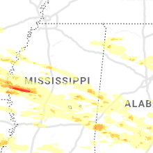


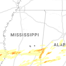


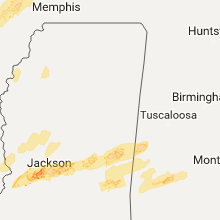


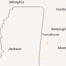


Connect with Interactive Hail Maps