

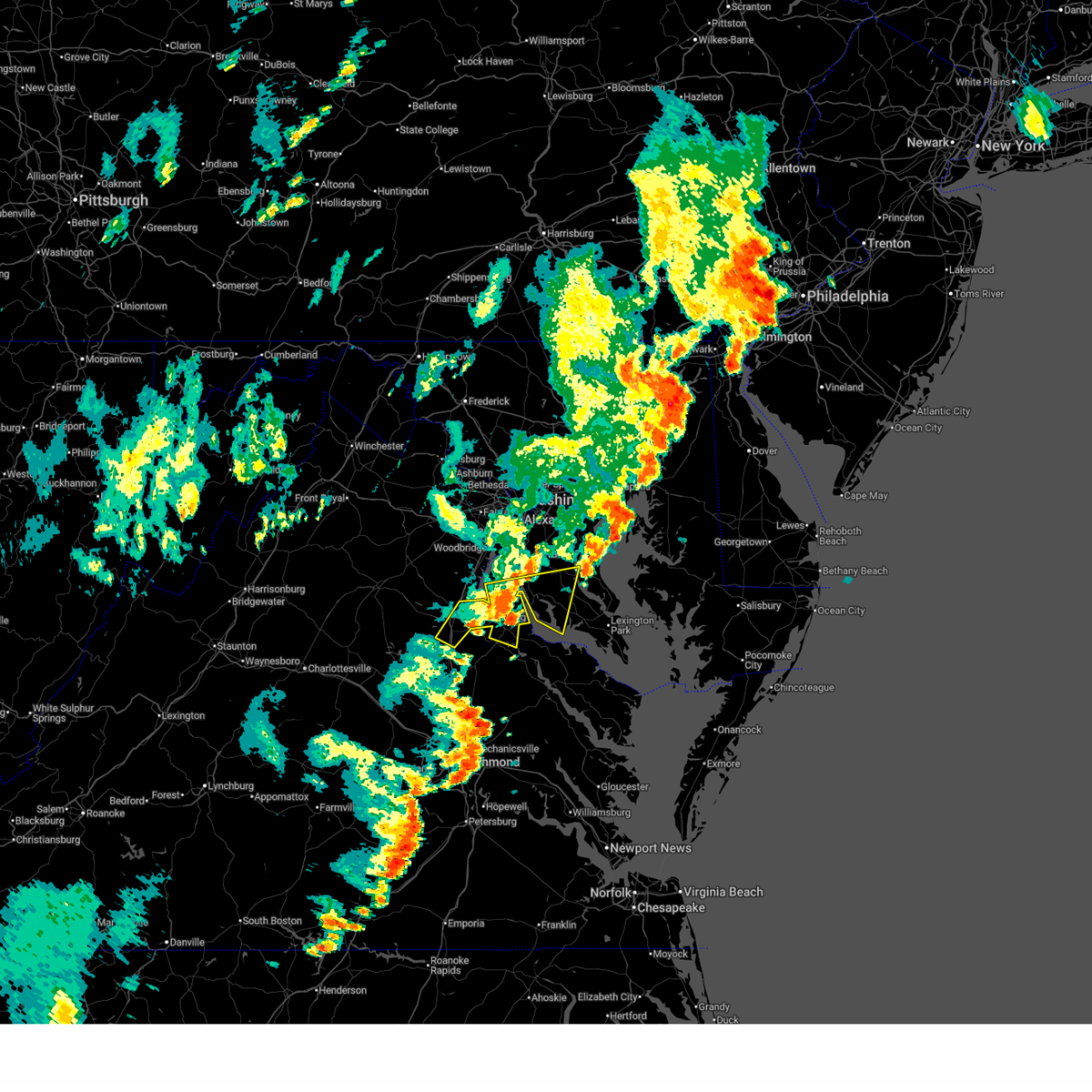
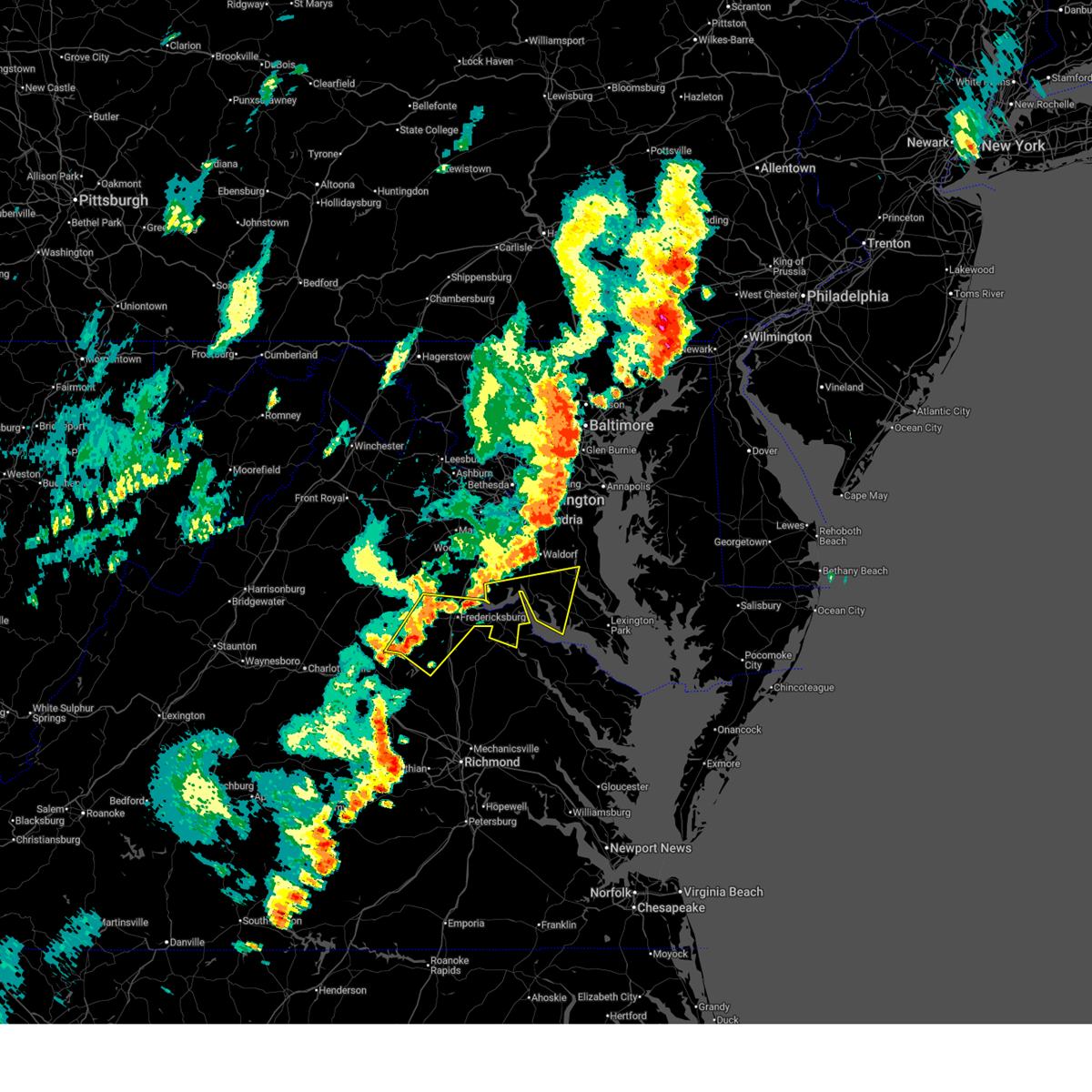
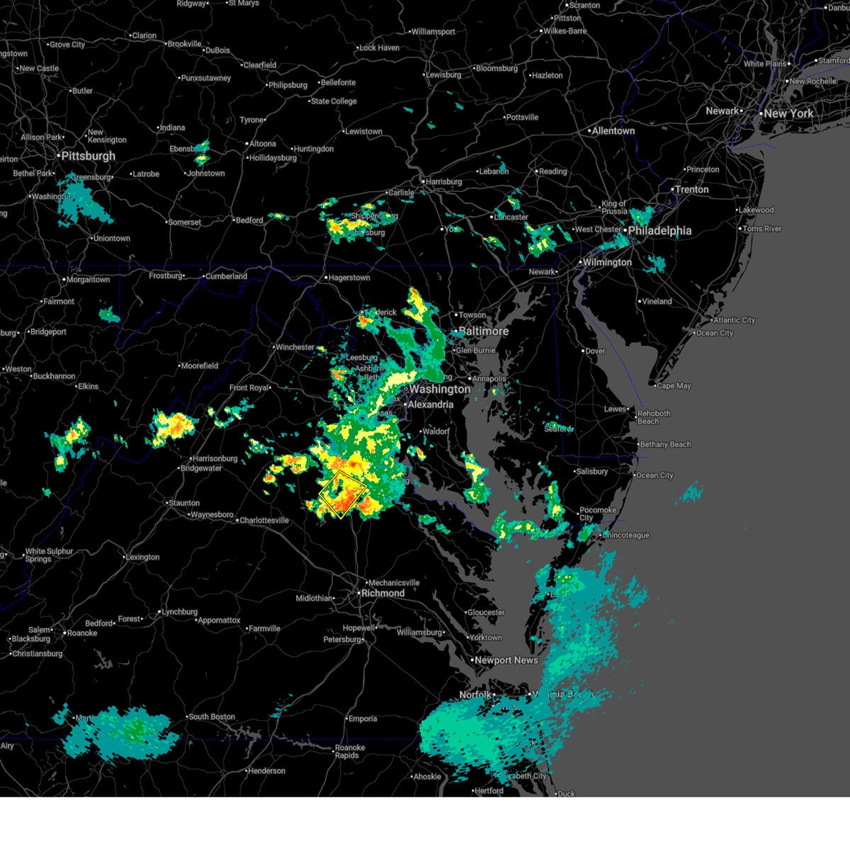
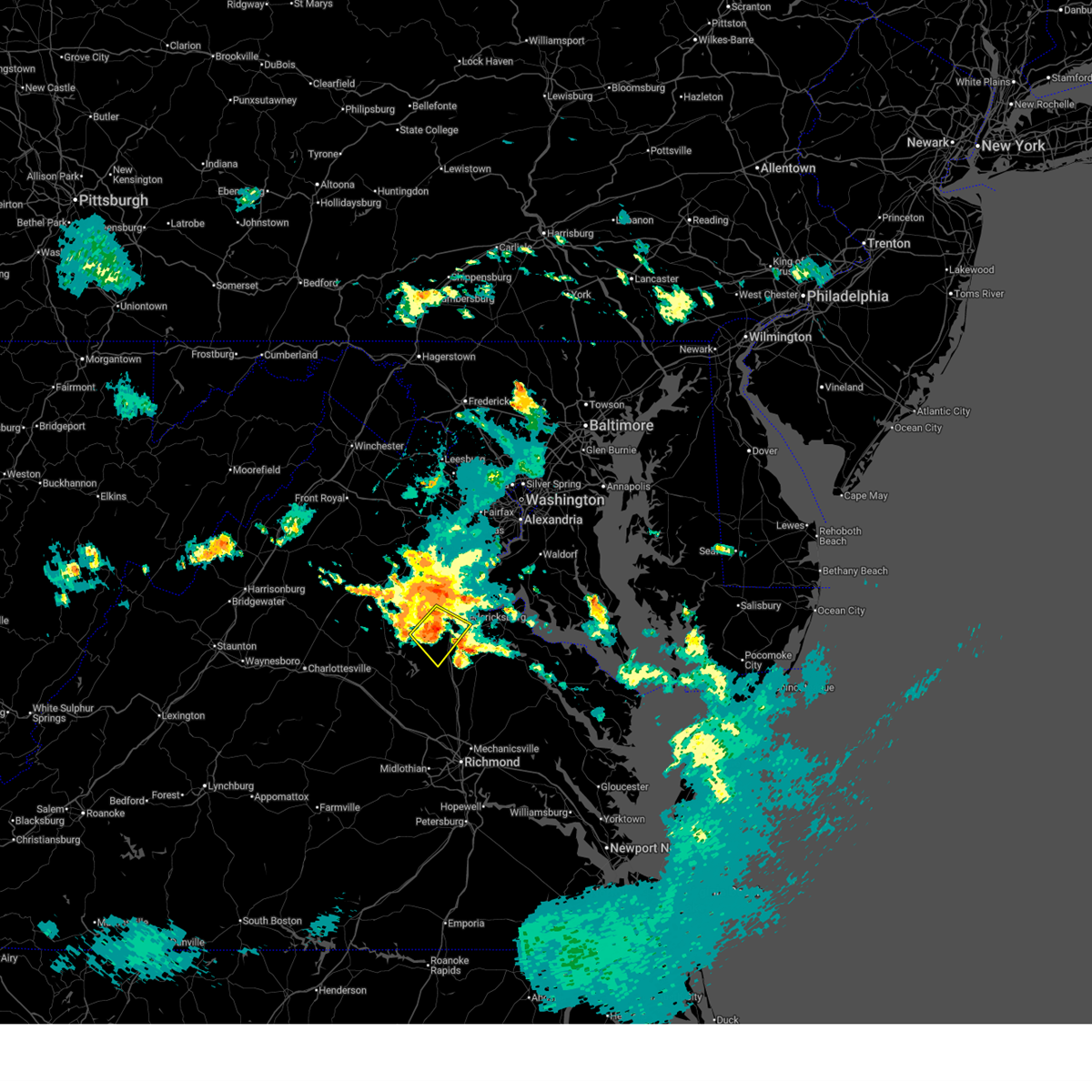
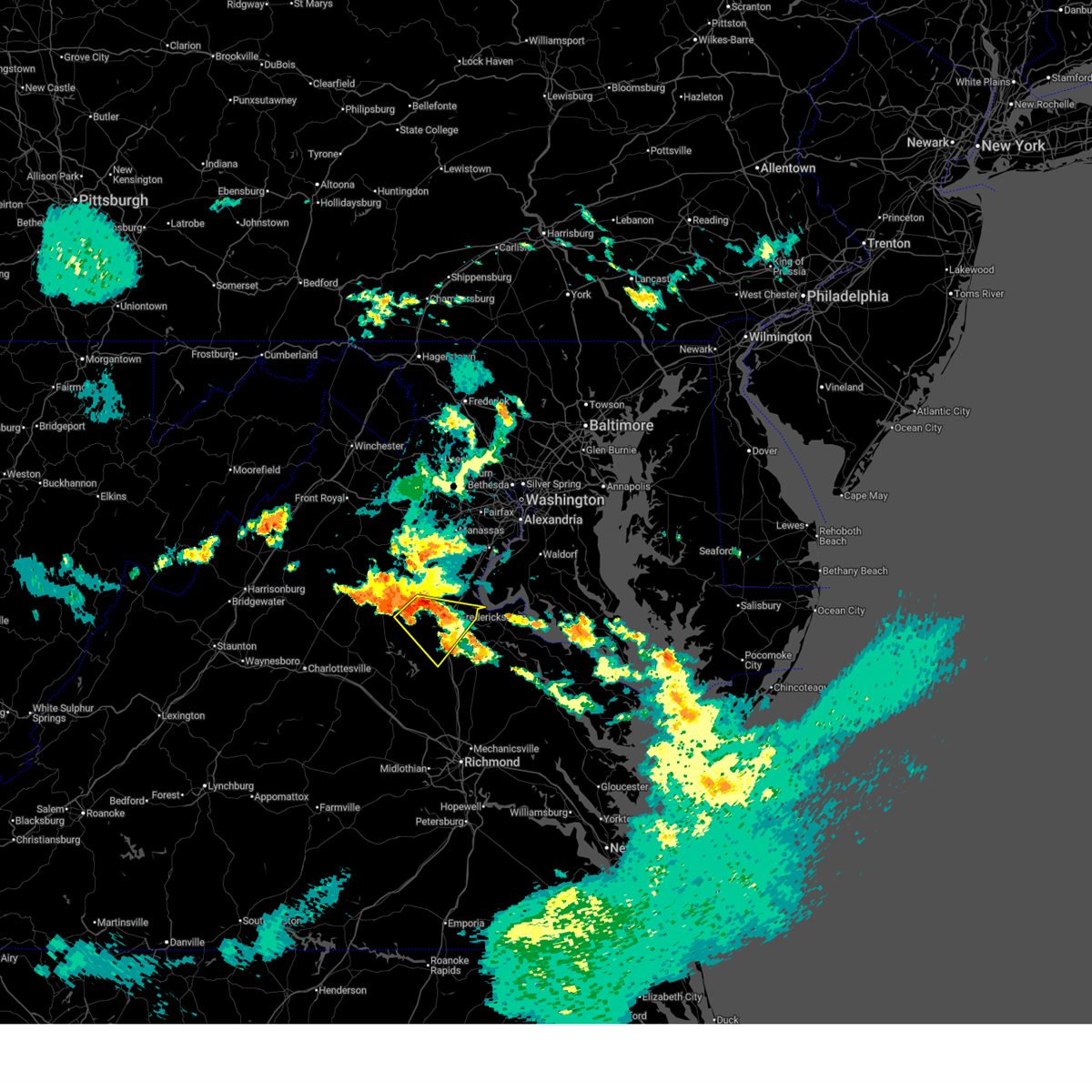
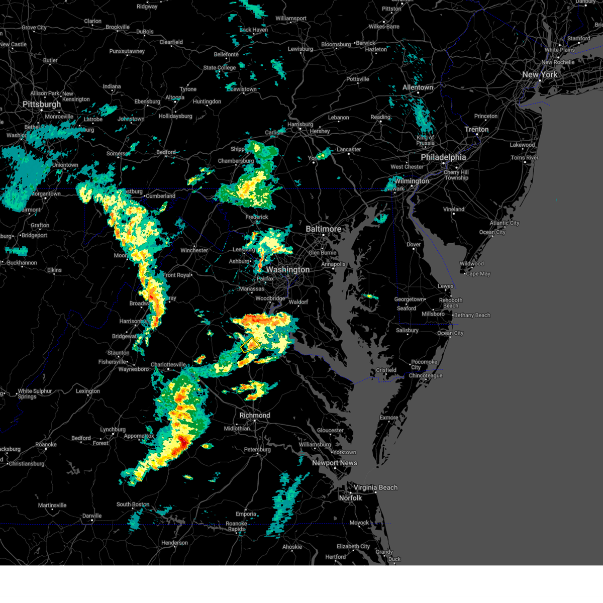
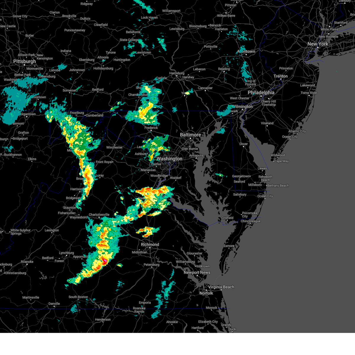
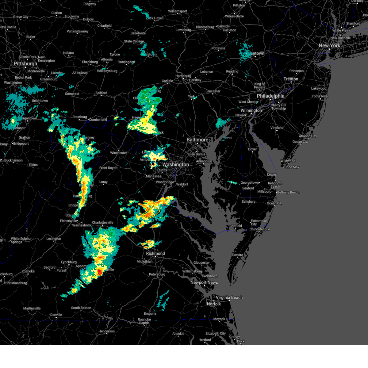
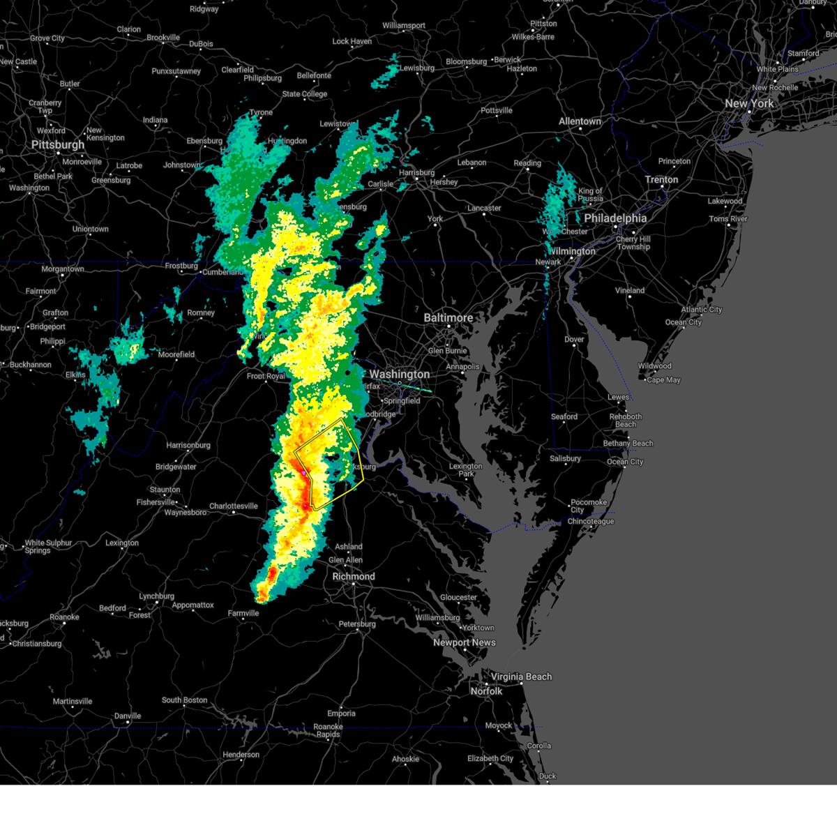
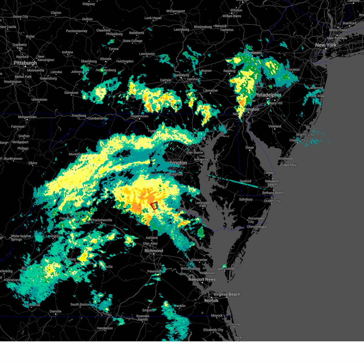
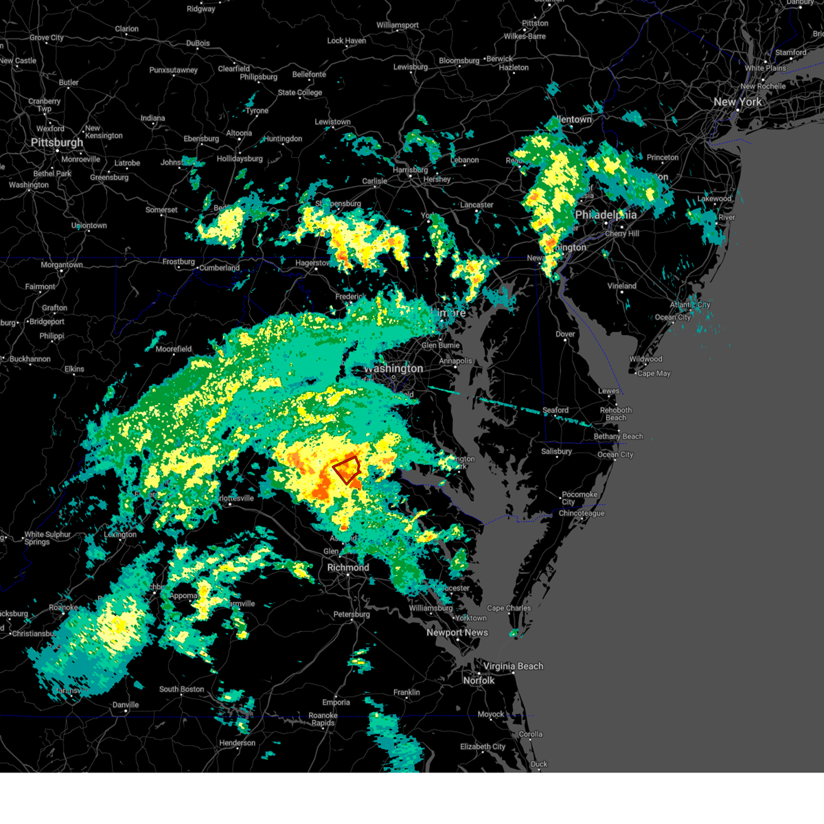
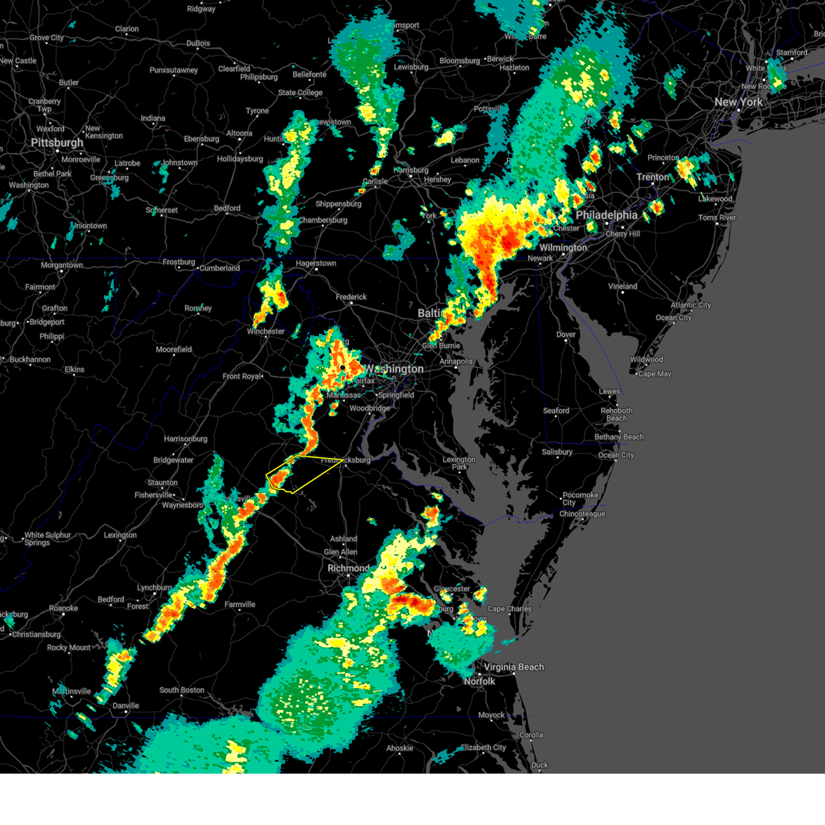
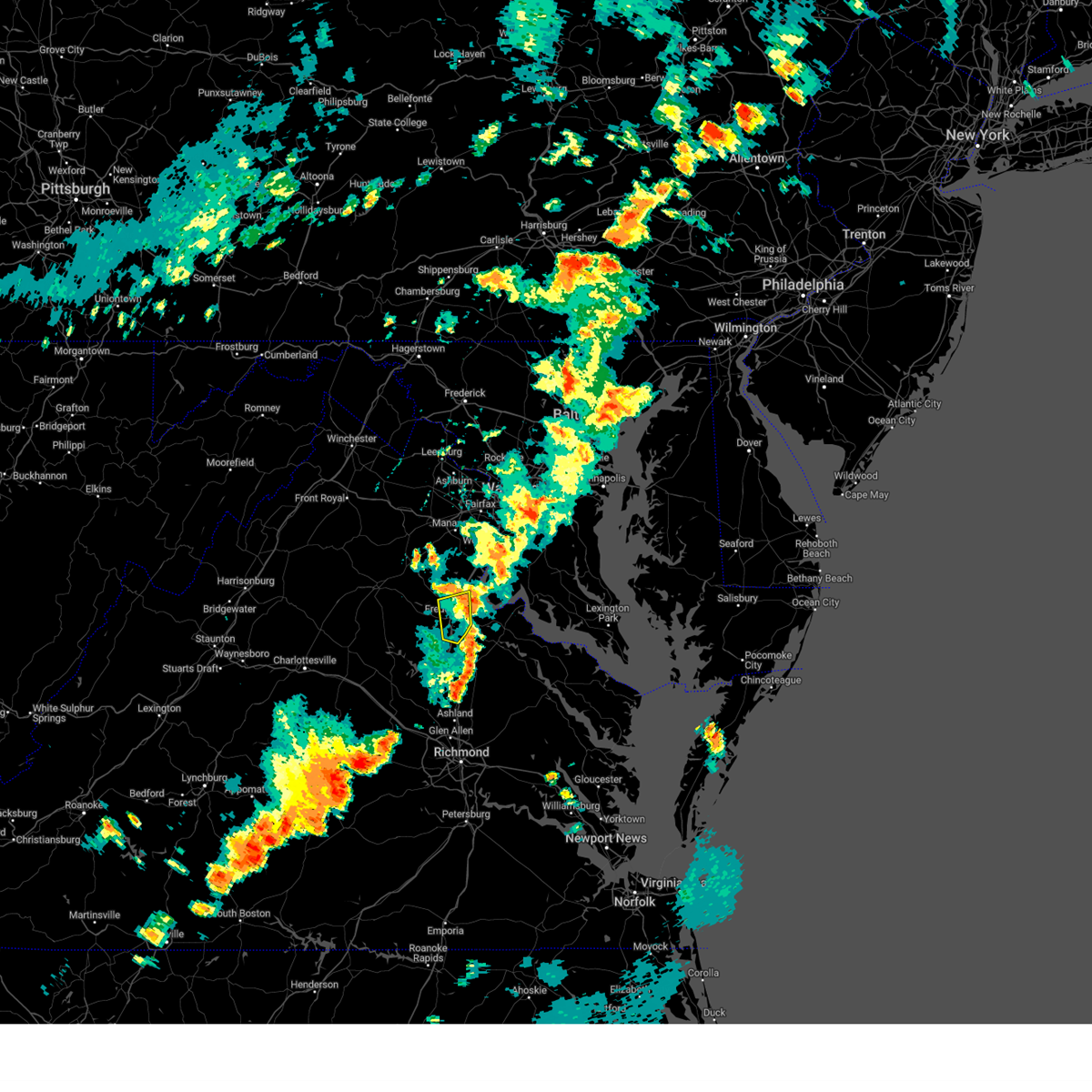
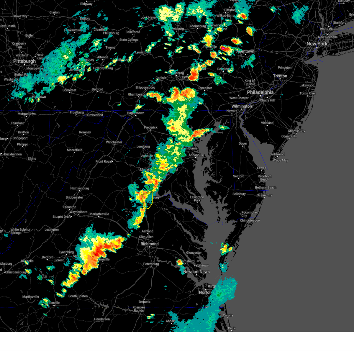
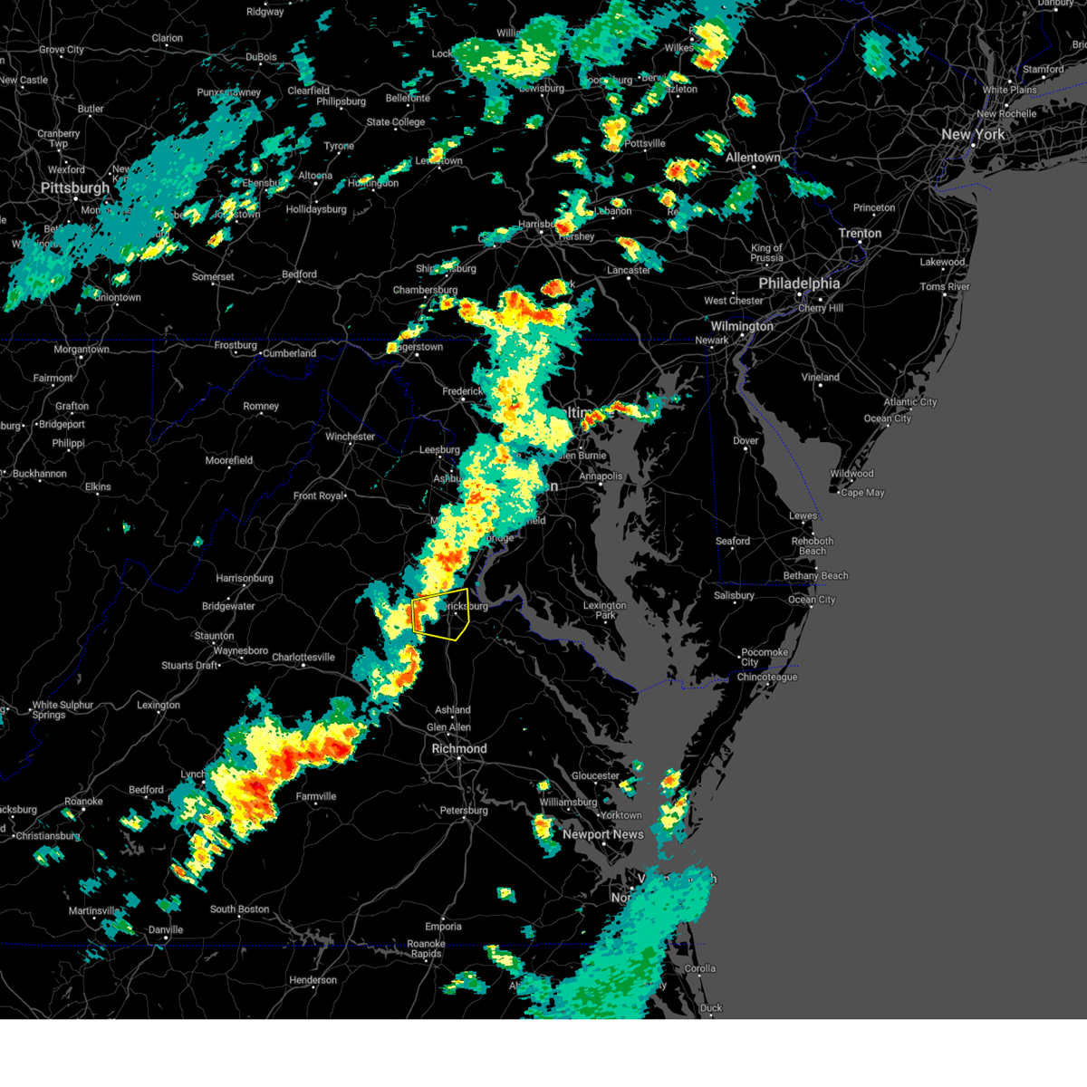
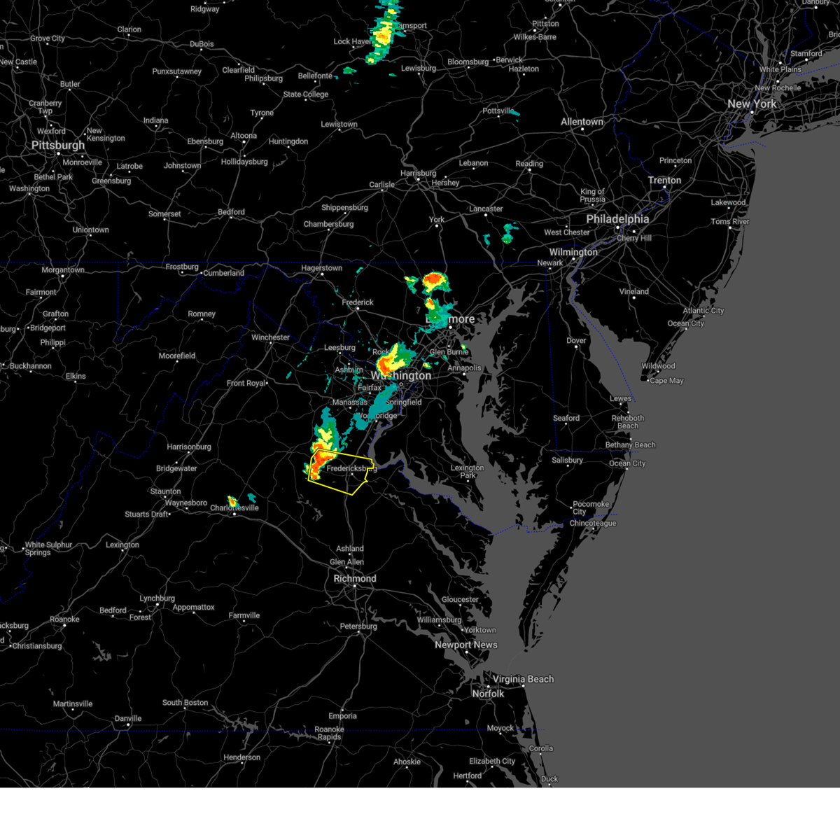
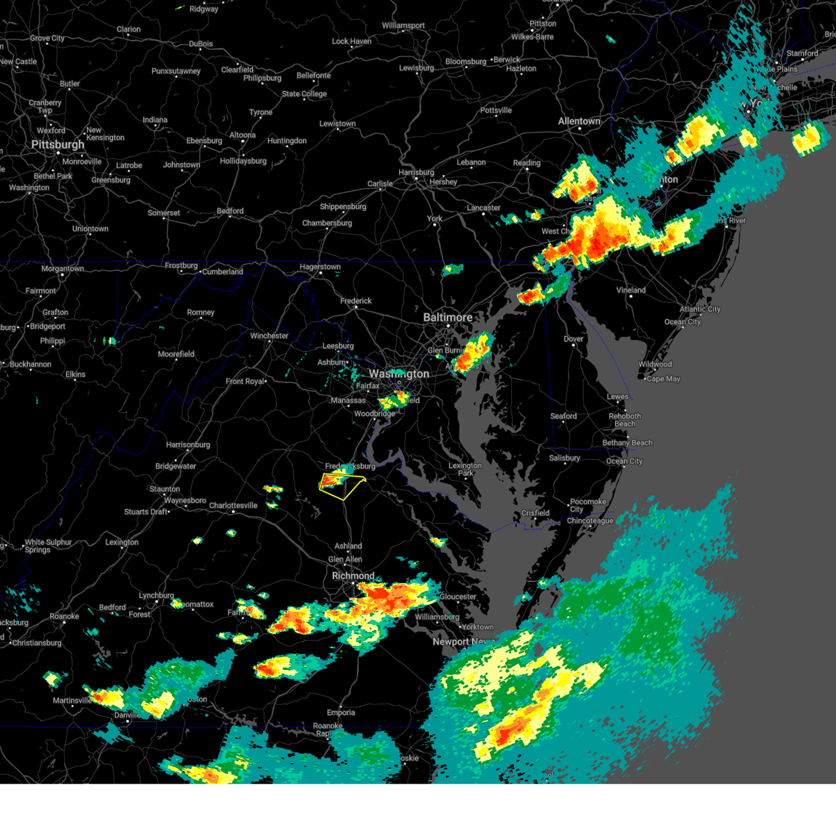
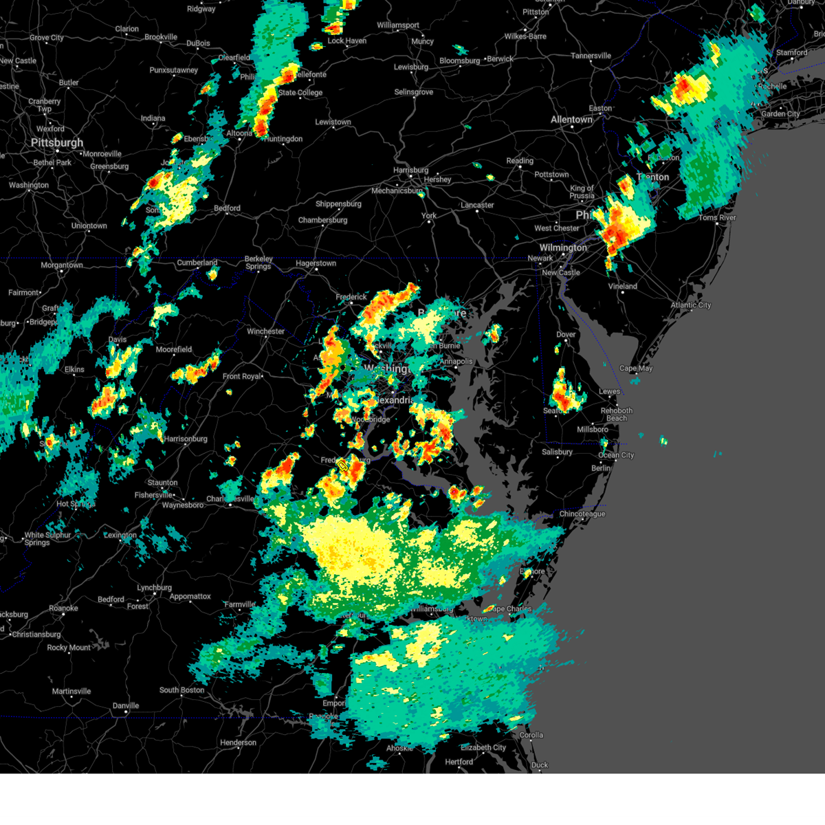
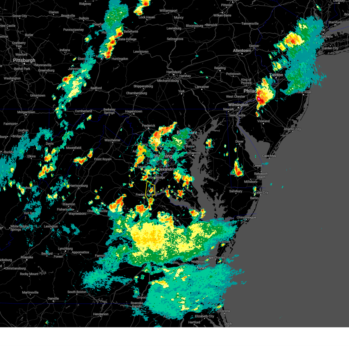
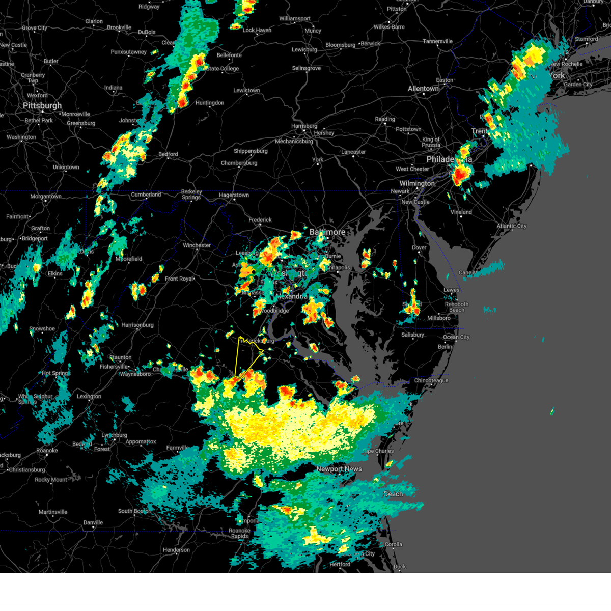
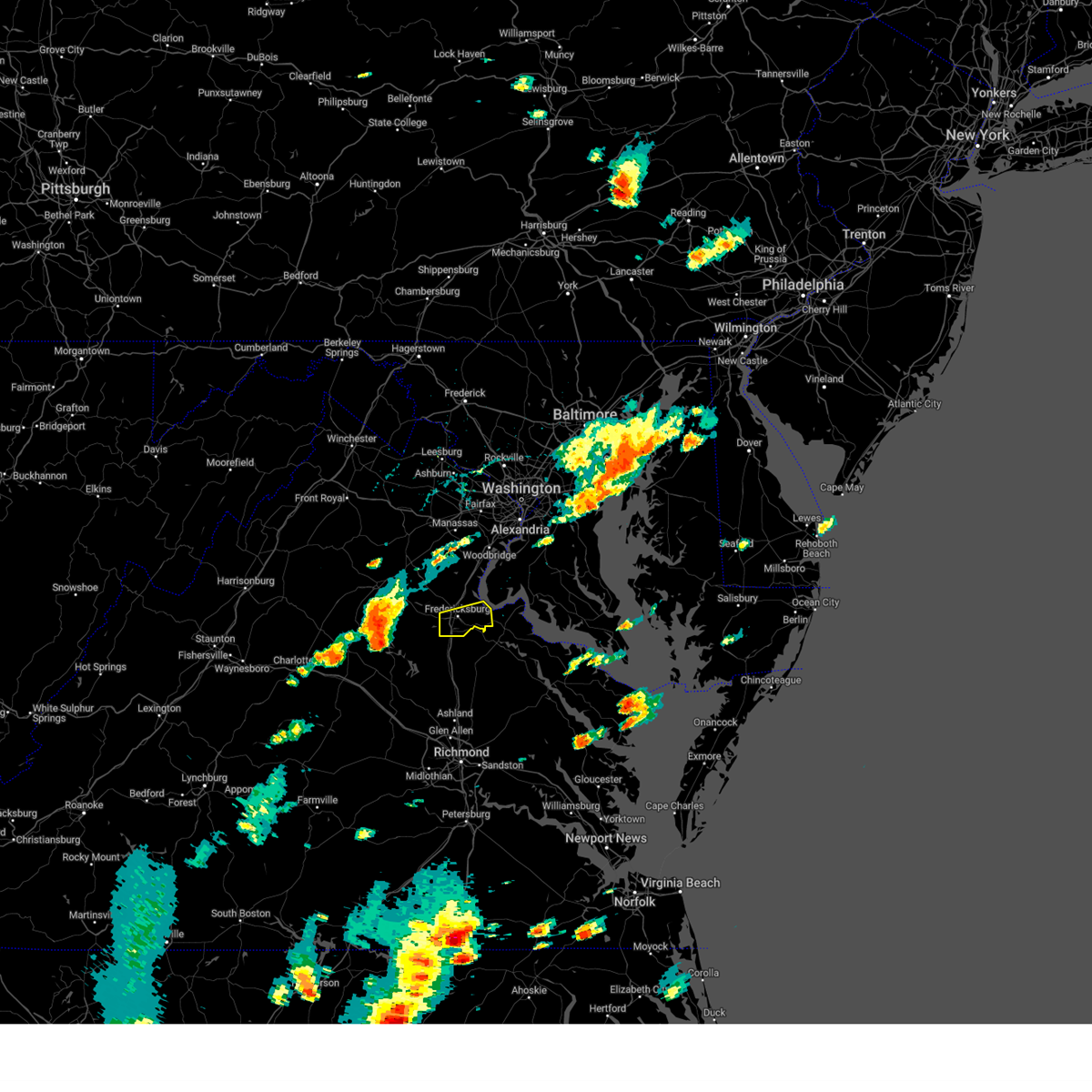
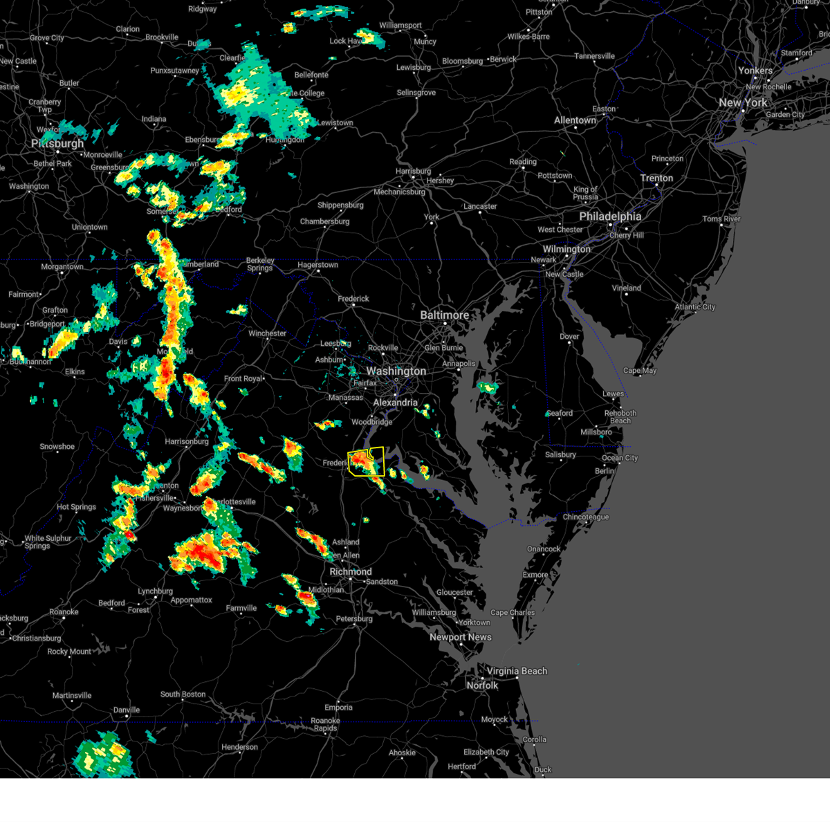
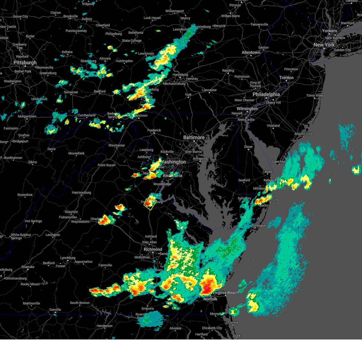
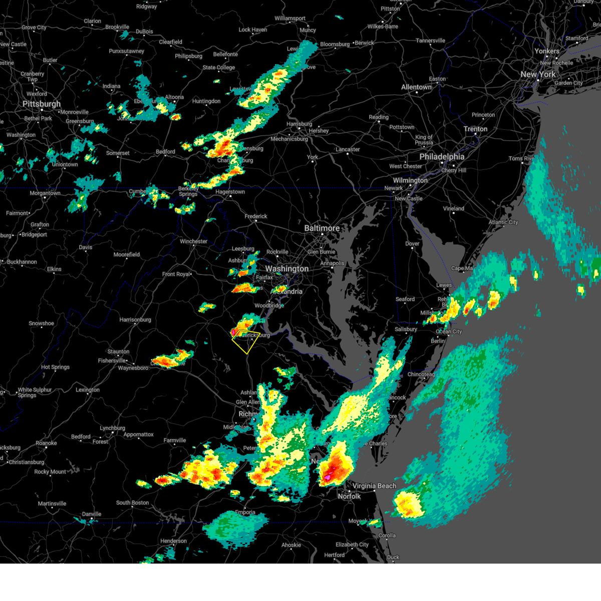
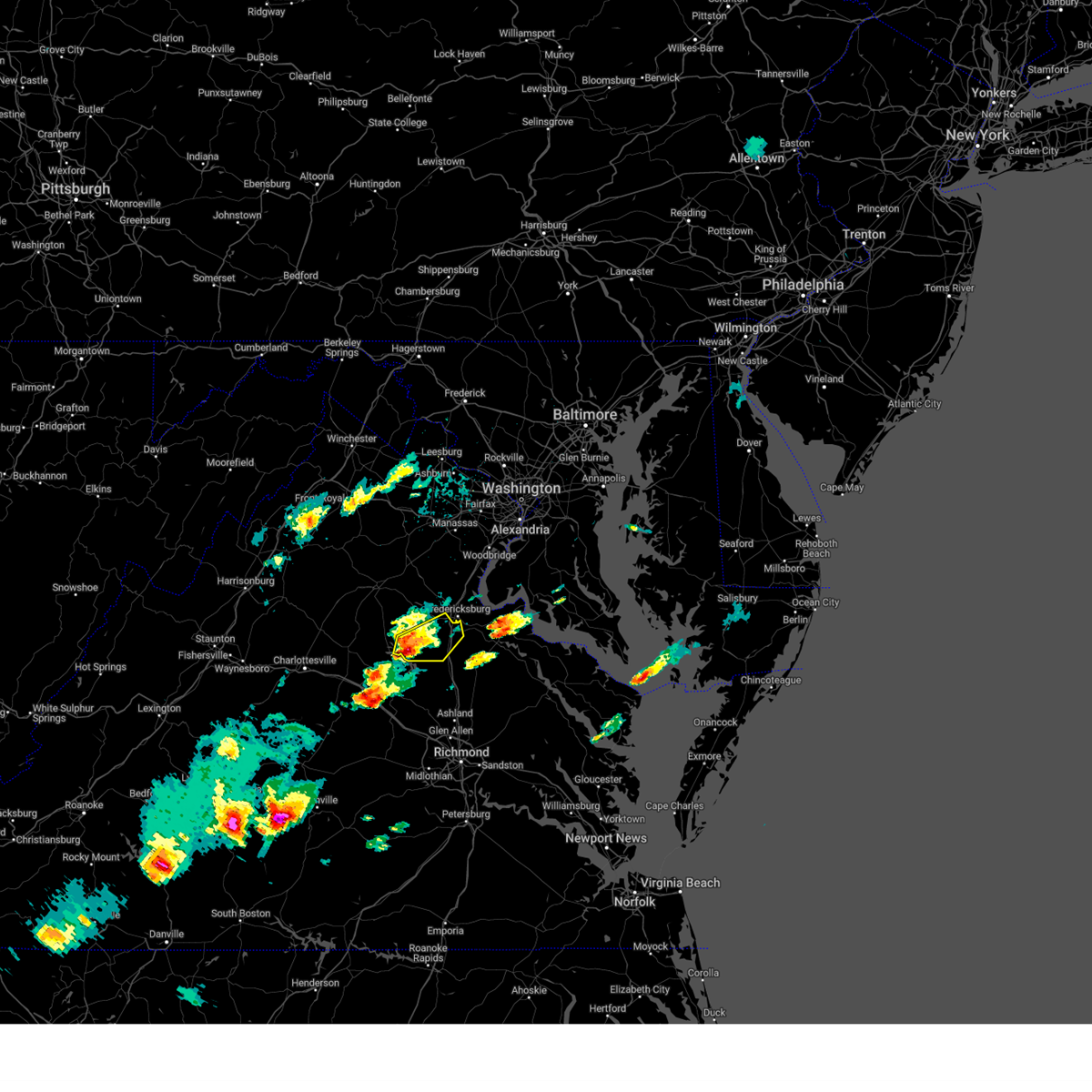
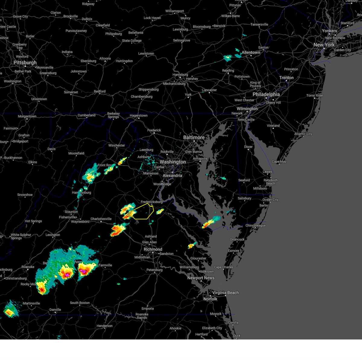
Hail Map for Fredericksburg, VA
The Fredericksburg, VA area has had 31 reports of on-the-ground hail by trained spotters, and has been under severe weather warnings 37 times during the past 12 months. Doppler radar has detected hail at or near Fredericksburg, VA on 52 occasions, including 1 occasion during the past year.
| Name: | Fredericksburg, VA |
| Where Located: | 55.7 miles N of Richmond, VA |
| Map: | Google Map for Fredericksburg, VA |
| Population: | 24286 |
| Housing Units: | 10467 |
| More Info: | Search Google for Fredericksburg, VA |
0
The Top Recent Hail Date for Fredericksburg, VA is Thursday, August 29, 2024 (26th out of 52)

Hail and Wind Damage Spotted near Fredericksburg, VA
| Date / Time | Report Details |
|---|---|
| 6/19/2025 5:26 PM EDT |
 The storm which prompted the warning has weakened below severe limits, and no longer poses an immediate threat to life or property. therefore, the warning will be allowed to expire. a severe thunderstorm watch remains in effect until 900 pm edt for southern and central maryland, and central and northern virginia. The storm which prompted the warning has weakened below severe limits, and no longer poses an immediate threat to life or property. therefore, the warning will be allowed to expire. a severe thunderstorm watch remains in effect until 900 pm edt for southern and central maryland, and central and northern virginia.
|
| 6/19/2025 5:08 PM EDT | At 507 pm edt, severe thunderstorms were located along a line extending from near nanjemoy creek to near port royal to ladysmith, moving east at 50 mph (radar indicated). Hazards include 60 mph wind gusts. Damaging winds will cause some trees and large branches to fall. this could injure those outdoors, as well as damage homes and vehicles. roadways may become blocked by downed trees. localized power outages are possible. unsecured light objects may become projectiles. Locations impacted include, fredericksburg, la plata, king george, dahlgren, fairview beach, nanjemoy creek, popes creek, hallowing point, wicomico river, potomac creek, port tobacco river, golden beach, massaponax, spotsylvania, wicomico, falmouth, hughesville, mechanicsville, charlotte hall, and passapatanzy. |
| 6/19/2025 5:08 PM EDT | the severe thunderstorm warning has been cancelled and is no longer in effect |
| 6/19/2025 4:43 PM EDT |
 Svrlwx the national weather service in sterling virginia has issued a * severe thunderstorm warning for, northwestern st. marys county in southern maryland, west central calvert county in southern maryland, southeastern prince georges county in central maryland, central charles county in southern maryland, southern stafford county in northern virginia, southeastern orange county in central virginia, king george county in central virginia, the city of fredericksburg in central virginia, southeastern fauquier county in northern virginia, southeastern culpeper county in northern virginia, spotsylvania county in central virginia, * until 530 pm edt. * at 442 pm edt, severe thunderstorms were located along a line extending from 6 miles northwest of fredericksburg to near spotsylvania to mineral, moving east at 50 mph (radar indicated). Hazards include 60 mph wind gusts. Damaging winds will cause some trees and large branches to fall. this could injure those outdoors, as well as damage homes and vehicles. roadways may become blocked by downed trees. localized power outages are possible. Unsecured light objects may become projectiles. Svrlwx the national weather service in sterling virginia has issued a * severe thunderstorm warning for, northwestern st. marys county in southern maryland, west central calvert county in southern maryland, southeastern prince georges county in central maryland, central charles county in southern maryland, southern stafford county in northern virginia, southeastern orange county in central virginia, king george county in central virginia, the city of fredericksburg in central virginia, southeastern fauquier county in northern virginia, southeastern culpeper county in northern virginia, spotsylvania county in central virginia, * until 530 pm edt. * at 442 pm edt, severe thunderstorms were located along a line extending from 6 miles northwest of fredericksburg to near spotsylvania to mineral, moving east at 50 mph (radar indicated). Hazards include 60 mph wind gusts. Damaging winds will cause some trees and large branches to fall. this could injure those outdoors, as well as damage homes and vehicles. roadways may become blocked by downed trees. localized power outages are possible. Unsecured light objects may become projectiles.
|
| 6/14/2025 11:12 PM EDT |
 The storm which prompted the warning has moved out of the area. therefore, the warning will be allowed to expire. however, heavy rain is still possible with this thunderstorm. to report severe weather, contact your nearest law enforcement agency. they will relay your report to the national weather service sterling virginia. The storm which prompted the warning has moved out of the area. therefore, the warning will be allowed to expire. however, heavy rain is still possible with this thunderstorm. to report severe weather, contact your nearest law enforcement agency. they will relay your report to the national weather service sterling virginia.
|
| 6/14/2025 10:51 PM EDT |
 At 1050 pm edt, a severe thunderstorm was located over spotsylvania, or 10 miles southwest of fredericksburg, moving southeast at 20 mph (radar indicated). Hazards include 60 mph wind gusts. Damaging winds will cause some trees and large branches to fall. this could injure those outdoors, as well as damage homes and vehicles. roadways may become blocked by downed trees. localized power outages are possible. unsecured light objects may become projectiles. Locations impacted include, fredericksburg, massaponax, spotsylvania, chancellorsville, logan, thornburg, post oak, snell, and alsop. At 1050 pm edt, a severe thunderstorm was located over spotsylvania, or 10 miles southwest of fredericksburg, moving southeast at 20 mph (radar indicated). Hazards include 60 mph wind gusts. Damaging winds will cause some trees and large branches to fall. this could injure those outdoors, as well as damage homes and vehicles. roadways may become blocked by downed trees. localized power outages are possible. unsecured light objects may become projectiles. Locations impacted include, fredericksburg, massaponax, spotsylvania, chancellorsville, logan, thornburg, post oak, snell, and alsop.
|
| 6/14/2025 10:51 PM EDT |
 the severe thunderstorm warning has been cancelled and is no longer in effect the severe thunderstorm warning has been cancelled and is no longer in effect
|
| 6/14/2025 10:16 PM EDT |
 Svrlwx the national weather service in sterling virginia has issued a * severe thunderstorm warning for, southern stafford county in northern virginia, northeastern orange county in central virginia, western king george county in central virginia, the city of fredericksburg in central virginia, southeastern culpeper county in northern virginia, spotsylvania county in central virginia, * until 1115 pm edt. * at 1016 pm edt, a severe thunderstorm was located 11 miles northwest of spotsylvania, or 14 miles west of fredericksburg, moving southeast at 15 mph (radar indicated). Hazards include 60 mph wind gusts. Damaging winds will cause some trees and large branches to fall. this could injure those outdoors, as well as damage homes and vehicles. roadways may become blocked by downed trees. localized power outages are possible. Unsecured light objects may become projectiles. Svrlwx the national weather service in sterling virginia has issued a * severe thunderstorm warning for, southern stafford county in northern virginia, northeastern orange county in central virginia, western king george county in central virginia, the city of fredericksburg in central virginia, southeastern culpeper county in northern virginia, spotsylvania county in central virginia, * until 1115 pm edt. * at 1016 pm edt, a severe thunderstorm was located 11 miles northwest of spotsylvania, or 14 miles west of fredericksburg, moving southeast at 15 mph (radar indicated). Hazards include 60 mph wind gusts. Damaging winds will cause some trees and large branches to fall. this could injure those outdoors, as well as damage homes and vehicles. roadways may become blocked by downed trees. localized power outages are possible. Unsecured light objects may become projectiles.
|
| 6/8/2025 7:34 PM EDT | the severe thunderstorm warning has been cancelled and is no longer in effect |
| 6/8/2025 7:18 PM EDT | At 718 pm edt, a severe thunderstorm was located over spotsylvania, or 9 miles southwest of fredericksburg, moving east at 25 mph (radar indicated). Hazards include 60 mph wind gusts. Damaging winds will cause some trees and large branches to fall. this could injure those outdoors, as well as damage homes and vehicles. roadways may become blocked by downed trees. localized power outages are possible. unsecured light objects may become projectiles. Locations impacted include, thornburg, massaponax, spotsylvania, and fredericksburg. |
| 6/8/2025 6:53 PM EDT | Svrlwx the national weather service in sterling virginia has issued a * severe thunderstorm warning for, the southeastern city of fredericksburg in central virginia, spotsylvania county in central virginia, * until 745 pm edt. * at 652 pm edt, a severe thunderstorm was located 8 miles southwest of spotsylvania, or 13 miles northeast of mineral, moving east at 25 mph (radar indicated). Hazards include 60 mph wind gusts. Damaging winds will cause some trees and large branches to fall. this could injure those outdoors, as well as damage homes and vehicles. roadways may become blocked by downed trees. localized power outages are possible. Unsecured light objects may become projectiles. |
| 5/30/2025 5:57 PM EDT |
 the severe thunderstorm warning has been cancelled and is no longer in effect the severe thunderstorm warning has been cancelled and is no longer in effect
|
| 5/30/2025 5:48 PM EDT |
 At 548 pm edt, a severe thunderstorm was located near massaponax, or near fredericksburg, moving northeast at 25 mph (radar indicated). Hazards include 60 mph wind gusts. Damaging winds will cause some trees and large branches to fall. this could injure those outdoors, as well as damage homes and vehicles. roadways may become blocked by downed trees. localized power outages are possible. unsecured light objects may become projectiles. Locations impacted include, fredericksburg, falmouth, and spotsylvania. At 548 pm edt, a severe thunderstorm was located near massaponax, or near fredericksburg, moving northeast at 25 mph (radar indicated). Hazards include 60 mph wind gusts. Damaging winds will cause some trees and large branches to fall. this could injure those outdoors, as well as damage homes and vehicles. roadways may become blocked by downed trees. localized power outages are possible. unsecured light objects may become projectiles. Locations impacted include, fredericksburg, falmouth, and spotsylvania.
|
| 5/30/2025 5:38 PM EDT |
 At 538 pm edt, a severe thunderstorm was located over spotsylvania, or 9 miles southwest of fredericksburg, moving northeast at 20 mph (radar indicated). Hazards include 60 mph wind gusts. Damaging winds will cause some trees and large branches to fall. this could injure those outdoors, as well as damage homes and vehicles. roadways may become blocked by downed trees. localized power outages are possible. unsecured light objects may become projectiles. Locations impacted include, fredericksburg, massaponax, spotsylvania, alsop, and falmouth. At 538 pm edt, a severe thunderstorm was located over spotsylvania, or 9 miles southwest of fredericksburg, moving northeast at 20 mph (radar indicated). Hazards include 60 mph wind gusts. Damaging winds will cause some trees and large branches to fall. this could injure those outdoors, as well as damage homes and vehicles. roadways may become blocked by downed trees. localized power outages are possible. unsecured light objects may become projectiles. Locations impacted include, fredericksburg, massaponax, spotsylvania, alsop, and falmouth.
|
| 5/30/2025 5:25 PM EDT |
 Svrlwx the national weather service in sterling virginia has issued a * severe thunderstorm warning for, south central stafford county in northern virginia, the city of fredericksburg in central virginia, northeastern spotsylvania county in central virginia, * until 615 pm edt. * at 525 pm edt, a severe thunderstorm was located near spotsylvania, or 14 miles southwest of fredericksburg, moving northeast at 20 mph (radar indicated). Hazards include 60 mph wind gusts. Damaging winds will cause some trees and large branches to fall. this could injure those outdoors, as well as damage homes and vehicles. roadways may become blocked by downed trees. localized power outages are possible. Unsecured light objects may become projectiles. Svrlwx the national weather service in sterling virginia has issued a * severe thunderstorm warning for, south central stafford county in northern virginia, the city of fredericksburg in central virginia, northeastern spotsylvania county in central virginia, * until 615 pm edt. * at 525 pm edt, a severe thunderstorm was located near spotsylvania, or 14 miles southwest of fredericksburg, moving northeast at 20 mph (radar indicated). Hazards include 60 mph wind gusts. Damaging winds will cause some trees and large branches to fall. this could injure those outdoors, as well as damage homes and vehicles. roadways may become blocked by downed trees. localized power outages are possible. Unsecured light objects may become projectiles.
|
| 5/5/2025 6:29 PM EDT | Two trees down on potomac run road in stafford county VA, 6.1 miles SW of Fredericksburg, VA |
| 5/5/2025 6:27 PM EDT |
 Svrlwx the national weather service in sterling virginia has issued a * severe thunderstorm warning for, western prince georges county in central maryland, northwestern charles county in southern maryland, stafford county in northern virginia, king george county in central virginia, the city of fredericksburg in central virginia, southeastern fairfax county in northern virginia, southeastern fauquier county in northern virginia, southeastern prince william county in northern virginia, the southern city of manassas in northern virginia, northeastern spotsylvania county in central virginia, * until 715 pm edt. * at 627 pm edt, severe thunderstorms were located along a line extending from fredericksburg to near quantico to near port tobacco river, moving northwest at 25 mph (radar indicated). Hazards include 60 mph wind gusts and quarter size hail. Damaging winds will cause some trees and large branches to fall. this could injure those outdoors, as well as damage homes and vehicles. roadways may become blocked by downed trees. localized power outages are possible. Unsecured light objects may become projectiles. Svrlwx the national weather service in sterling virginia has issued a * severe thunderstorm warning for, western prince georges county in central maryland, northwestern charles county in southern maryland, stafford county in northern virginia, king george county in central virginia, the city of fredericksburg in central virginia, southeastern fairfax county in northern virginia, southeastern fauquier county in northern virginia, southeastern prince william county in northern virginia, the southern city of manassas in northern virginia, northeastern spotsylvania county in central virginia, * until 715 pm edt. * at 627 pm edt, severe thunderstorms were located along a line extending from fredericksburg to near quantico to near port tobacco river, moving northwest at 25 mph (radar indicated). Hazards include 60 mph wind gusts and quarter size hail. Damaging winds will cause some trees and large branches to fall. this could injure those outdoors, as well as damage homes and vehicles. roadways may become blocked by downed trees. localized power outages are possible. Unsecured light objects may become projectiles.
|
| 12/31/2024 5:10 PM EST |
 The storms which prompted the warning have moved out of the area. therefore, the warning will be allowed to expire. The storms which prompted the warning have moved out of the area. therefore, the warning will be allowed to expire.
|
| 12/31/2024 5:07 PM EST |
 Svrlwx the national weather service in sterling virginia has issued a * severe thunderstorm warning for, western prince georges county in central maryland, northwestern charles county in southern maryland, stafford county in northern virginia, king george county in central virginia, the eastern city of fredericksburg in central virginia, southeastern fairfax county in northern virginia, southeastern prince william county in northern virginia, east central spotsylvania county in central virginia, * until 530 pm est. * at 507 pm est, severe thunderstorms were located along a line extending from 9 miles west of triangle to stafford to near massaponax, moving northeast at 45 mph (radar indicated). Hazards include 60 mph wind gusts. Damaging winds will cause some trees and large branches to fall. this could injure those outdoors, as well as damage homes and vehicles. roadways may become blocked by downed trees. localized power outages are possible. Unsecured light objects may become projectiles. Svrlwx the national weather service in sterling virginia has issued a * severe thunderstorm warning for, western prince georges county in central maryland, northwestern charles county in southern maryland, stafford county in northern virginia, king george county in central virginia, the eastern city of fredericksburg in central virginia, southeastern fairfax county in northern virginia, southeastern prince william county in northern virginia, east central spotsylvania county in central virginia, * until 530 pm est. * at 507 pm est, severe thunderstorms were located along a line extending from 9 miles west of triangle to stafford to near massaponax, moving northeast at 45 mph (radar indicated). Hazards include 60 mph wind gusts. Damaging winds will cause some trees and large branches to fall. this could injure those outdoors, as well as damage homes and vehicles. roadways may become blocked by downed trees. localized power outages are possible. Unsecured light objects may become projectiles.
|
| 12/31/2024 4:58 PM EST |
 the severe thunderstorm warning has been cancelled and is no longer in effect the severe thunderstorm warning has been cancelled and is no longer in effect
|
| 12/31/2024 4:58 PM EST |
 At 458 pm est, severe thunderstorms were located along a line extending from 7 miles southeast of bealeton to 6 miles northwest of fredericksburg to spotsylvania, moving northeast at 50 mph (radar indicated). Hazards include 60 mph wind gusts and quarter size hail. Damaging winds will cause some trees and large branches to fall. this could injure those outdoors, as well as damage homes and vehicles. roadways may become blocked by downed trees. localized power outages are possible. unsecured light objects may become projectiles. Locations impacted include, stafford, fredericksburg, massaponax, spotsylvania, falmouth, midland, stones corner, leeland, roseville, garrisonville, snell, spring valley, ramoth, aden, heflin, holly corner, white oak, glendie, hartwood, and brookfield. At 458 pm est, severe thunderstorms were located along a line extending from 7 miles southeast of bealeton to 6 miles northwest of fredericksburg to spotsylvania, moving northeast at 50 mph (radar indicated). Hazards include 60 mph wind gusts and quarter size hail. Damaging winds will cause some trees and large branches to fall. this could injure those outdoors, as well as damage homes and vehicles. roadways may become blocked by downed trees. localized power outages are possible. unsecured light objects may become projectiles. Locations impacted include, stafford, fredericksburg, massaponax, spotsylvania, falmouth, midland, stones corner, leeland, roseville, garrisonville, snell, spring valley, ramoth, aden, heflin, holly corner, white oak, glendie, hartwood, and brookfield.
|
| 12/31/2024 4:48 PM EST |
 At 447 pm est, severe thunderstorms were located along a line extending from 8 miles south of bealeton to 9 miles northwest of spotsylvania to 10 miles north of bumpass, moving northeast at 50 mph (radar indicated). Hazards include 60 mph wind gusts and quarter size hail. Damaging winds will cause some trees and large branches to fall. this could injure those outdoors, as well as damage homes and vehicles. roadways may become blocked by downed trees. localized power outages are possible. unsecured light objects may become projectiles. Locations impacted include, stafford, fredericksburg, massaponax, spotsylvania, falmouth, stones corner, roseville, garrisonville, snell, ramoth, heflin, dunavant, white oak, morrisville, ruby, cookstown, somerville, goldvein, leeland, and brokenburg. At 447 pm est, severe thunderstorms were located along a line extending from 8 miles south of bealeton to 9 miles northwest of spotsylvania to 10 miles north of bumpass, moving northeast at 50 mph (radar indicated). Hazards include 60 mph wind gusts and quarter size hail. Damaging winds will cause some trees and large branches to fall. this could injure those outdoors, as well as damage homes and vehicles. roadways may become blocked by downed trees. localized power outages are possible. unsecured light objects may become projectiles. Locations impacted include, stafford, fredericksburg, massaponax, spotsylvania, falmouth, stones corner, roseville, garrisonville, snell, ramoth, heflin, dunavant, white oak, morrisville, ruby, cookstown, somerville, goldvein, leeland, and brokenburg.
|
| 12/31/2024 4:39 PM EST |
 Svrlwx the national weather service in sterling virginia has issued a * severe thunderstorm warning for, stafford county in northern virginia, northeastern orange county in central virginia, the city of fredericksburg in central virginia, southeastern fauquier county in northern virginia, southeastern culpeper county in northern virginia, south central prince william county in northern virginia, spotsylvania county in central virginia, * until 515 pm est. * at 438 pm est, severe thunderstorms were located along a line extending from 8 miles southeast of culpeper to 10 miles west of spotsylvania to 6 miles northeast of mineral, moving northeast at 50 mph (radar indicated). Hazards include 60 mph wind gusts and quarter size hail. Damaging winds will cause some trees and large branches to fall. this could injure those outdoors, as well as damage homes and vehicles. roadways may become blocked by downed trees. localized power outages are possible. Unsecured light objects may become projectiles. Svrlwx the national weather service in sterling virginia has issued a * severe thunderstorm warning for, stafford county in northern virginia, northeastern orange county in central virginia, the city of fredericksburg in central virginia, southeastern fauquier county in northern virginia, southeastern culpeper county in northern virginia, south central prince william county in northern virginia, spotsylvania county in central virginia, * until 515 pm est. * at 438 pm est, severe thunderstorms were located along a line extending from 8 miles southeast of culpeper to 10 miles west of spotsylvania to 6 miles northeast of mineral, moving northeast at 50 mph (radar indicated). Hazards include 60 mph wind gusts and quarter size hail. Damaging winds will cause some trees and large branches to fall. this could injure those outdoors, as well as damage homes and vehicles. roadways may become blocked by downed trees. localized power outages are possible. Unsecured light objects may become projectiles.
|
| 8/29/2024 6:43 PM EDT | Half Dollar sized hail reported 5.6 miles SSE of Fredericksburg, VA, half-dollar sized hail near holly corner. |
| 8/29/2024 6:32 PM EDT |
 At 632 pm edt, a severe thunderstorm was located 8 miles west of fredericksburg, moving north at 10 mph (radar indicated). Hazards include 60 mph wind gusts and quarter size hail. Damaging winds will cause some trees and large branches to fall. this could injure those outdoors, as well as damage homes and vehicles. roadways may become blocked by downed trees. localized power outages are possible. unsecured light objects may become projectiles. Locations impacted include, fredericksburg, chancellorsville, storck, holly corner, dunavant, lake of the woods, richardsville, glendie, hartwood, and cookstown. At 632 pm edt, a severe thunderstorm was located 8 miles west of fredericksburg, moving north at 10 mph (radar indicated). Hazards include 60 mph wind gusts and quarter size hail. Damaging winds will cause some trees and large branches to fall. this could injure those outdoors, as well as damage homes and vehicles. roadways may become blocked by downed trees. localized power outages are possible. unsecured light objects may become projectiles. Locations impacted include, fredericksburg, chancellorsville, storck, holly corner, dunavant, lake of the woods, richardsville, glendie, hartwood, and cookstown.
|
| 8/29/2024 6:25 PM EDT | A few trees down north of chancellorsvill in spotsylvania county VA, 8.5 miles E of Fredericksburg, VA |
| 8/29/2024 6:23 PM EDT | Downed tree near the 8100 block of 12th corps driv in spotsylvania county VA, 7.1 miles ESE of Fredericksburg, VA |
| 8/29/2024 6:16 PM EDT |
 Svrlwx the national weather service in sterling virginia has issued a * severe thunderstorm warning for, southwestern stafford county in northern virginia, northeastern orange county in central virginia, the western city of fredericksburg in central virginia, south central fauquier county in northern virginia, southeastern culpeper county in northern virginia, north central spotsylvania county in central virginia, * until 700 pm edt. * at 616 pm edt, a severe thunderstorm was located near spotsylvania, or 8 miles west of fredericksburg, moving north at 10 mph (radar indicated). Hazards include 60 mph wind gusts and quarter size hail. Damaging winds will cause some trees and large branches to fall. this could injure those outdoors, as well as damage homes and vehicles. roadways may become blocked by downed trees. localized power outages are possible. Unsecured light objects may become projectiles. Svrlwx the national weather service in sterling virginia has issued a * severe thunderstorm warning for, southwestern stafford county in northern virginia, northeastern orange county in central virginia, the western city of fredericksburg in central virginia, south central fauquier county in northern virginia, southeastern culpeper county in northern virginia, north central spotsylvania county in central virginia, * until 700 pm edt. * at 616 pm edt, a severe thunderstorm was located near spotsylvania, or 8 miles west of fredericksburg, moving north at 10 mph (radar indicated). Hazards include 60 mph wind gusts and quarter size hail. Damaging winds will cause some trees and large branches to fall. this could injure those outdoors, as well as damage homes and vehicles. roadways may become blocked by downed trees. localized power outages are possible. Unsecured light objects may become projectiles.
|
| 8/17/2024 4:10 PM EDT | Tree down along holly corner rd and country manor dr in stafford county VA, 5.6 miles SSE of Fredericksburg, VA |
| 8/8/2024 7:43 PM EDT |
 The storm which prompted the warning has weakened below severe limits, and no longer appears capable of producing a tornado. therefore, the warning will be allowed to expire. however, heavy rain is still possible with this thunderstorm. a tornado watch remains in effect until 700 am edt for central and northern virginia. The storm which prompted the warning has weakened below severe limits, and no longer appears capable of producing a tornado. therefore, the warning will be allowed to expire. however, heavy rain is still possible with this thunderstorm. a tornado watch remains in effect until 700 am edt for central and northern virginia.
|
| 8/8/2024 7:35 PM EDT |
 At 734 pm edt, a severe thunderstorm capable of producing a tornado was located near fredericksburg, moving northwest at 35 mph (radar indicated rotation. this storm has a history of producing damage). Hazards include tornado. For those in the direct path of a tornado touchdown, flying debris will be dangerous to those caught without shelter. damage to roofs, siding, and windows may occur. mobile homes may be damaged or destroyed. tree damage is likely. this dangerous storm will be near, fredericksburg around 740 pm edt. Other locations impacted by this tornadic thunderstorm include white oak, stones corner, brookfield, spring valley, and falmouth. At 734 pm edt, a severe thunderstorm capable of producing a tornado was located near fredericksburg, moving northwest at 35 mph (radar indicated rotation. this storm has a history of producing damage). Hazards include tornado. For those in the direct path of a tornado touchdown, flying debris will be dangerous to those caught without shelter. damage to roofs, siding, and windows may occur. mobile homes may be damaged or destroyed. tree damage is likely. this dangerous storm will be near, fredericksburg around 740 pm edt. Other locations impacted by this tornadic thunderstorm include white oak, stones corner, brookfield, spring valley, and falmouth.
|
| 8/8/2024 7:23 PM EDT |
 Torlwx the national weather service in sterling virginia has issued a * tornado warning for, southeastern stafford county in northern virginia, the city of fredericksburg in central virginia, northeastern spotsylvania county in central virginia, * until 745 pm edt. * at 722 pm edt, a severe thunderstorm capable of producing a tornado was located 7 miles northwest of fort a.p. hill, or 9 miles north of bowling green, moving northwest at 35 mph (radar indicated rotation. this storm has a history of producing damage). Hazards include tornado. For those in the direct path of a tornado touchdown, flying debris will be dangerous to those caught without shelter. damage to roofs, siding, and windows may occur. mobile homes may be damaged or destroyed. tree damage is likely. this dangerous storm will be near, fredericksburg around 725 pm edt. Other locations impacted by this tornadic thunderstorm include stones corner, white oak, brookfield, and falmouth. Torlwx the national weather service in sterling virginia has issued a * tornado warning for, southeastern stafford county in northern virginia, the city of fredericksburg in central virginia, northeastern spotsylvania county in central virginia, * until 745 pm edt. * at 722 pm edt, a severe thunderstorm capable of producing a tornado was located 7 miles northwest of fort a.p. hill, or 9 miles north of bowling green, moving northwest at 35 mph (radar indicated rotation. this storm has a history of producing damage). Hazards include tornado. For those in the direct path of a tornado touchdown, flying debris will be dangerous to those caught without shelter. damage to roofs, siding, and windows may occur. mobile homes may be damaged or destroyed. tree damage is likely. this dangerous storm will be near, fredericksburg around 725 pm edt. Other locations impacted by this tornadic thunderstorm include stones corner, white oak, brookfield, and falmouth.
|
| 8/8/2024 7:16 PM EDT | Tree down in the 30 block of blair road in stafford county VA, 3.6 miles WNW of Fredericksburg, VA |
| 8/3/2024 5:45 PM EDT |
 Svrlwx the national weather service in sterling virginia has issued a * severe thunderstorm warning for, southwestern stafford county in northern virginia, orange county in central virginia, the northwestern city of fredericksburg in central virginia, northwestern spotsylvania county in central virginia, * until 615 pm edt. * at 545 pm edt, a severe thunderstorm was located near orange, moving northeast at 30 mph (radar indicated). Hazards include 60 mph wind gusts. Damaging winds will cause some trees and large branches to fall. this could injure those outdoors, as well as damage homes and vehicles. roadways may become blocked by downed trees. localized power outages are possible. Unsecured light objects may become projectiles. Svrlwx the national weather service in sterling virginia has issued a * severe thunderstorm warning for, southwestern stafford county in northern virginia, orange county in central virginia, the northwestern city of fredericksburg in central virginia, northwestern spotsylvania county in central virginia, * until 615 pm edt. * at 545 pm edt, a severe thunderstorm was located near orange, moving northeast at 30 mph (radar indicated). Hazards include 60 mph wind gusts. Damaging winds will cause some trees and large branches to fall. this could injure those outdoors, as well as damage homes and vehicles. roadways may become blocked by downed trees. localized power outages are possible. Unsecured light objects may become projectiles.
|
| 7/17/2024 6:32 PM EDT |
 the severe thunderstorm warning has been cancelled and is no longer in effect the severe thunderstorm warning has been cancelled and is no longer in effect
|
| 7/17/2024 6:15 PM EDT |
 the severe thunderstorm warning has been cancelled and is no longer in effect the severe thunderstorm warning has been cancelled and is no longer in effect
|
| 7/17/2024 6:15 PM EDT |
 At 614 pm edt, a severe thunderstorm was located near fredericksburg, moving east at 25 mph (radar indicated). Hazards include 60 mph wind gusts. Damaging winds will cause some trees and large branches to fall. this could injure those outdoors, as well as damage homes and vehicles. roadways may become blocked by downed trees. localized power outages are possible. unsecured light objects may become projectiles. Locations impacted include, stafford, fredericksburg, massaponax, falmouth, brooke, stones corner, leeland, holly corner, white oak, glendie, brookfield, and spring valley. At 614 pm edt, a severe thunderstorm was located near fredericksburg, moving east at 25 mph (radar indicated). Hazards include 60 mph wind gusts. Damaging winds will cause some trees and large branches to fall. this could injure those outdoors, as well as damage homes and vehicles. roadways may become blocked by downed trees. localized power outages are possible. unsecured light objects may become projectiles. Locations impacted include, stafford, fredericksburg, massaponax, falmouth, brooke, stones corner, leeland, holly corner, white oak, glendie, brookfield, and spring valley.
|
| 7/17/2024 5:53 PM EDT |
 Svrlwx the national weather service in sterling virginia has issued a * severe thunderstorm warning for, southwestern stafford county in northern virginia, eastern orange county in central virginia, the city of fredericksburg in central virginia, southeastern culpeper county in northern virginia, northeastern spotsylvania county in central virginia, * until 645 pm edt. * at 553 pm edt, a severe thunderstorm was located 9 miles northwest of spotsylvania, or 12 miles west of fredericksburg, moving east at 25 mph (radar indicated). Hazards include 60 mph wind gusts. Damaging winds will cause some trees and large branches to fall. this could injure those outdoors, as well as damage homes and vehicles. roadways may become blocked by downed trees. localized power outages are possible. Unsecured light objects may become projectiles. Svrlwx the national weather service in sterling virginia has issued a * severe thunderstorm warning for, southwestern stafford county in northern virginia, eastern orange county in central virginia, the city of fredericksburg in central virginia, southeastern culpeper county in northern virginia, northeastern spotsylvania county in central virginia, * until 645 pm edt. * at 553 pm edt, a severe thunderstorm was located 9 miles northwest of spotsylvania, or 12 miles west of fredericksburg, moving east at 25 mph (radar indicated). Hazards include 60 mph wind gusts. Damaging winds will cause some trees and large branches to fall. this could injure those outdoors, as well as damage homes and vehicles. roadways may become blocked by downed trees. localized power outages are possible. Unsecured light objects may become projectiles.
|
| 7/15/2024 6:21 PM EDT | At 621 pm edt, a severe thunderstorm was located near fredericksburg, moving east at 25 mph (emergency management). Hazards include 60 mph wind gusts. Damaging winds will cause some trees and large branches to fall. this could injure those outdoors, as well as damage homes and vehicles. roadways may become blocked by downed trees. localized power outages are possible. unsecured light objects may become projectiles. Locations impacted include, fredericksburg, massaponax, spotsylvania, falmouth, passapatanzy, white oak, and brookfield. |
| 7/15/2024 6:09 PM EDT | At 608 pm edt, a severe thunderstorm was located near fredericksburg, moving east at 20 mph (emergency management). Hazards include 60 mph wind gusts. Damaging winds will cause some trees and large branches to fall. this could injure those outdoors, as well as damage homes and vehicles. roadways may become blocked by downed trees. localized power outages are possible. unsecured light objects may become projectiles. Locations impacted include, fredericksburg, massaponax, spotsylvania, falmouth, passapatanzy, stones corner, chancellorsville, leeland, white oak, brookfield, and spring valley. |
| 7/15/2024 6:09 PM EDT | the severe thunderstorm warning has been cancelled and is no longer in effect |
| 7/15/2024 6:08 PM EDT | Tree down near intersection of chancellor rd and old plank rd in spotsylvania county VA, 5.9 miles ENE of Fredericksburg, VA |
| 7/15/2024 6:08 PM EDT | Few trees down near intersection of gordon rd and chancellor rd in spotsylvania county VA, 5.1 miles ENE of Fredericksburg, VA |
| 7/15/2024 6:08 PM EDT | Tree down near gordon rd and harrison rd in spotsylvania county VA, 3.6 miles ENE of Fredericksburg, VA |
| 7/15/2024 5:53 PM EDT | At 552 pm edt, a severe thunderstorm was located 8 miles west of fredericksburg, moving southeast at 25 mph (emergency management). Hazards include 60 mph wind gusts. Damaging winds will cause some trees and large branches to fall. this could injure those outdoors, as well as damage homes and vehicles. roadways may become blocked by downed trees. localized power outages are possible. unsecured light objects may become projectiles. Locations impacted include, fredericksburg, potomac creek, aquia creek, massaponax, spotsylvania, falmouth, passapatanzy, stones corner, flat run, ramoth, dunavant, white oak, lake of the woods, cookstown, goldvein, leeland, parker, spring valley, brooke, and chancellorsville. |
| 7/15/2024 5:40 PM EDT |
 Svrlwx the national weather service in sterling virginia has issued a * severe thunderstorm warning for, southern stafford county in northern virginia, northeastern orange county in central virginia, the city of fredericksburg in central virginia, south central fauquier county in northern virginia, southeastern culpeper county in northern virginia, northeastern spotsylvania county in central virginia, * until 630 pm edt. * at 540 pm edt, a severe thunderstorm was located 13 miles northwest of fredericksburg, moving east at 25 mph (emergency management in culpeper county reported numerous trees down from this storm). Hazards include 60 mph wind gusts. Damaging winds will cause some trees and large branches to fall. this could injure those outdoors, as well as damage homes and vehicles. roadways may become blocked by downed trees. localized power outages are possible. Unsecured light objects may become projectiles. Svrlwx the national weather service in sterling virginia has issued a * severe thunderstorm warning for, southern stafford county in northern virginia, northeastern orange county in central virginia, the city of fredericksburg in central virginia, south central fauquier county in northern virginia, southeastern culpeper county in northern virginia, northeastern spotsylvania county in central virginia, * until 630 pm edt. * at 540 pm edt, a severe thunderstorm was located 13 miles northwest of fredericksburg, moving east at 25 mph (emergency management in culpeper county reported numerous trees down from this storm). Hazards include 60 mph wind gusts. Damaging winds will cause some trees and large branches to fall. this could injure those outdoors, as well as damage homes and vehicles. roadways may become blocked by downed trees. localized power outages are possible. Unsecured light objects may become projectiles.
|
| 6/30/2024 6:01 PM EDT |
 Svrlwx the national weather service in sterling virginia has issued a * severe thunderstorm warning for, south central stafford county in northern virginia, the southeastern city of fredericksburg in central virginia, east central spotsylvania county in central virginia, * until 645 pm edt. * at 601 pm edt, a severe thunderstorm was located over spotsylvania, or 8 miles southwest of fredericksburg, moving east at 25 mph (radar indicated). Hazards include 60 mph wind gusts. Damaging winds will cause some trees and large branches to fall. this could injure those outdoors, as well as damage homes and vehicles. roadways may become blocked by downed trees. localized power outages are possible. Unsecured light objects may become projectiles. Svrlwx the national weather service in sterling virginia has issued a * severe thunderstorm warning for, south central stafford county in northern virginia, the southeastern city of fredericksburg in central virginia, east central spotsylvania county in central virginia, * until 645 pm edt. * at 601 pm edt, a severe thunderstorm was located over spotsylvania, or 8 miles southwest of fredericksburg, moving east at 25 mph (radar indicated). Hazards include 60 mph wind gusts. Damaging winds will cause some trees and large branches to fall. this could injure those outdoors, as well as damage homes and vehicles. roadways may become blocked by downed trees. localized power outages are possible. Unsecured light objects may become projectiles.
|
| 6/26/2024 9:39 PM EDT |
 The storms which prompted the warning have weakened below severe limits, and no longer pose an immediate threat to life or property. therefore, the warning will be allowed to expire. however, gusty winds and heavy rain are still possible with these thunderstorms. a severe thunderstorm watch remains in effect until midnight edt for southern maryland, and northern, central and northwestern virginia. The storms which prompted the warning have weakened below severe limits, and no longer pose an immediate threat to life or property. therefore, the warning will be allowed to expire. however, gusty winds and heavy rain are still possible with these thunderstorms. a severe thunderstorm watch remains in effect until midnight edt for southern maryland, and northern, central and northwestern virginia.
|
| 6/26/2024 4:31 PM EDT | Tree down in the 4000 block of massaponax church road in spotsylvania county VA, 7.7 miles N of Fredericksburg, VA |
| 5/26/2024 10:18 PM EDT |
 the severe thunderstorm warning has been cancelled and is no longer in effect the severe thunderstorm warning has been cancelled and is no longer in effect
|
| 5/26/2024 9:52 PM EDT |
 At 952 pm edt, severe thunderstorms were located along a line extending from barnes gap to near greenwood to near stephens city to 9 miles northeast of sperryville to 8 miles northwest of spotsylvania, moving east at 35 mph (radar indicated). Hazards include 60 mph wind gusts. Damaging winds will cause some trees and large branches to fall. this could injure those outdoors, as well as damage homes and vehicles. roadways may become blocked by downed trees. localized power outages are possible. unsecured light objects may become projectiles. Locations impacted include, winchester, fredericksburg, culpeper, front royal, warrenton, hancock, paw paw, millwood pike, bealeton, inwood, stephens city, berkeley springs, delaplane, linden, massaponax, hume, spotsylvania, falmouth, marshall, and middletown. At 952 pm edt, severe thunderstorms were located along a line extending from barnes gap to near greenwood to near stephens city to 9 miles northeast of sperryville to 8 miles northwest of spotsylvania, moving east at 35 mph (radar indicated). Hazards include 60 mph wind gusts. Damaging winds will cause some trees and large branches to fall. this could injure those outdoors, as well as damage homes and vehicles. roadways may become blocked by downed trees. localized power outages are possible. unsecured light objects may become projectiles. Locations impacted include, winchester, fredericksburg, culpeper, front royal, warrenton, hancock, paw paw, millwood pike, bealeton, inwood, stephens city, berkeley springs, delaplane, linden, massaponax, hume, spotsylvania, falmouth, marshall, and middletown.
|
| 5/26/2024 9:52 PM EDT |
 the severe thunderstorm warning has been cancelled and is no longer in effect the severe thunderstorm warning has been cancelled and is no longer in effect
|
| 5/26/2024 9:50 PM EDT |
 Svrlwx the national weather service in sterling virginia has issued a * severe thunderstorm warning for, stafford county in northern virginia, south central loudoun county in northern virginia, king george county in central virginia, northeastern orange county in central virginia, the city of fredericksburg in central virginia, southwestern fairfax county in northern virginia, fauquier county in northern virginia, northeastern culpeper county in northern virginia, the city of manassas park in northern virginia, prince william county in northern virginia, the city of manassas in northern virginia, eastern spotsylvania county in central virginia, * until 1045 pm edt. * at 950 pm edt, severe thunderstorms were located along a line extending from 10 miles south of hume to 11 miles southeast of culpeper to near montpelier, moving northeast at 30 mph (radar indicated). Hazards include 60 mph wind gusts and quarter size hail. Damaging winds will cause some trees and large branches to fall. this could injure those outdoors, as well as damage homes and vehicles. roadways may become blocked by downed trees. localized power outages are possible. Unsecured light objects may become projectiles. Svrlwx the national weather service in sterling virginia has issued a * severe thunderstorm warning for, stafford county in northern virginia, south central loudoun county in northern virginia, king george county in central virginia, northeastern orange county in central virginia, the city of fredericksburg in central virginia, southwestern fairfax county in northern virginia, fauquier county in northern virginia, northeastern culpeper county in northern virginia, the city of manassas park in northern virginia, prince william county in northern virginia, the city of manassas in northern virginia, eastern spotsylvania county in central virginia, * until 1045 pm edt. * at 950 pm edt, severe thunderstorms were located along a line extending from 10 miles south of hume to 11 miles southeast of culpeper to near montpelier, moving northeast at 30 mph (radar indicated). Hazards include 60 mph wind gusts and quarter size hail. Damaging winds will cause some trees and large branches to fall. this could injure those outdoors, as well as damage homes and vehicles. roadways may become blocked by downed trees. localized power outages are possible. Unsecured light objects may become projectiles.
|
| 5/26/2024 9:05 PM EDT |
 Svrlwx the national weather service in sterling virginia has issued a * severe thunderstorm warning for, northwestern washington county in north central maryland, northeastern allegany county in western maryland, southwestern stafford county in northern virginia, southwestern loudoun county in northern virginia, northeastern shenandoah county in northwestern virginia, frederick county in northwestern virginia, orange county in central virginia, the city of fredericksburg in central virginia, rappahannock county in northwestern virginia, central fauquier county in northern virginia, culpeper county in northern virginia, central madison county in northwestern virginia, warren county in northwestern virginia, western clarke county in northwestern virginia, northeastern page county in northwestern virginia, the city of winchester in northwestern virginia, spotsylvania county in central virginia, west central jefferson county in the panhandle of west virginia, morgan county in the panhandle of west virginia, northeastern mineral county in eastern west virginia, northeastern hardy county in eastern west virginia, western berkeley county in the panhandle of west virginia, hampshire county in eastern west virginia, * until 1000 pm edt. * at 905 pm edt, severe thunderstorms were located along a line extending from near la vale to 6 miles south of romney to 6 miles north of basye-bryce mountain to near mount jackson to 6 miles north of boswells tavern, moving east at 35 mph (radar indicated). Hazards include 60 mph wind gusts. Damaging winds will cause some trees and large branches to fall. this could injure those outdoors, as well as damage homes and vehicles. roadways may become blocked by downed trees. localized power outages are possible. Unsecured light objects may become projectiles. Svrlwx the national weather service in sterling virginia has issued a * severe thunderstorm warning for, northwestern washington county in north central maryland, northeastern allegany county in western maryland, southwestern stafford county in northern virginia, southwestern loudoun county in northern virginia, northeastern shenandoah county in northwestern virginia, frederick county in northwestern virginia, orange county in central virginia, the city of fredericksburg in central virginia, rappahannock county in northwestern virginia, central fauquier county in northern virginia, culpeper county in northern virginia, central madison county in northwestern virginia, warren county in northwestern virginia, western clarke county in northwestern virginia, northeastern page county in northwestern virginia, the city of winchester in northwestern virginia, spotsylvania county in central virginia, west central jefferson county in the panhandle of west virginia, morgan county in the panhandle of west virginia, northeastern mineral county in eastern west virginia, northeastern hardy county in eastern west virginia, western berkeley county in the panhandle of west virginia, hampshire county in eastern west virginia, * until 1000 pm edt. * at 905 pm edt, severe thunderstorms were located along a line extending from near la vale to 6 miles south of romney to 6 miles north of basye-bryce mountain to near mount jackson to 6 miles north of boswells tavern, moving east at 35 mph (radar indicated). Hazards include 60 mph wind gusts. Damaging winds will cause some trees and large branches to fall. this could injure those outdoors, as well as damage homes and vehicles. roadways may become blocked by downed trees. localized power outages are possible. Unsecured light objects may become projectiles.
|
| 4/15/2024 5:45 PM EDT |
 the severe thunderstorm warning has been cancelled and is no longer in effect the severe thunderstorm warning has been cancelled and is no longer in effect
|
| 4/15/2024 5:21 PM EDT | Report of tree down on smith station r in spotsylvania county VA, 5.4 miles NE of Fredericksburg, VA |
| 4/15/2024 5:10 PM EDT |
 Svrlwx the national weather service in sterling virginia has issued a * severe thunderstorm warning for, southern stafford county in northern virginia, king george county in central virginia, the city of fredericksburg in central virginia, northeastern spotsylvania county in central virginia, * until 600 pm edt. * at 510 pm edt, severe thunderstorms were located along a line extending from near aquia creek to near fredericksburg to 9 miles north of spotsylvania, moving southeast at 30 mph (radar indicated). Hazards include 60 mph wind gusts and quarter size hail. Damaging winds will cause some trees and large branches to fall. this could injure those outdoors, as well as damage homes and vehicles. roadways may become blocked by downed trees. localized power outages are possible. Unsecured light objects may become projectiles. Svrlwx the national weather service in sterling virginia has issued a * severe thunderstorm warning for, southern stafford county in northern virginia, king george county in central virginia, the city of fredericksburg in central virginia, northeastern spotsylvania county in central virginia, * until 600 pm edt. * at 510 pm edt, severe thunderstorms were located along a line extending from near aquia creek to near fredericksburg to 9 miles north of spotsylvania, moving southeast at 30 mph (radar indicated). Hazards include 60 mph wind gusts and quarter size hail. Damaging winds will cause some trees and large branches to fall. this could injure those outdoors, as well as damage homes and vehicles. roadways may become blocked by downed trees. localized power outages are possible. Unsecured light objects may become projectiles.
|
| 4/12/2024 12:35 AM EDT |
 The storms which prompted the warning have weakened below severe limits, and have exited the warned area. therefore, the warning will be allowed to expire. a tornado watch remains in effect until 100 am edt for northern and central virginia. to report severe weather, contact your nearest law enforcement agency. they will relay your report to the national weather service sterling virginia. The storms which prompted the warning have weakened below severe limits, and have exited the warned area. therefore, the warning will be allowed to expire. a tornado watch remains in effect until 100 am edt for northern and central virginia. to report severe weather, contact your nearest law enforcement agency. they will relay your report to the national weather service sterling virginia.
|
| 4/12/2024 12:21 AM EDT |
 Svrlwx the national weather service in sterling virginia has issued a * severe thunderstorm warning for, stafford county in northern virginia, king george county in central virginia, the city of fredericksburg in central virginia, spotsylvania county in central virginia, * until 1245 am edt. * at 1221 am edt, severe thunderstorms were located along a line extending from 11 miles west of fredericksburg to near spotsylvania to near ladysmith, moving northeast at 45 mph (radar indicated). Hazards include 60 mph wind gusts. Damaging winds will cause some trees and large branches to fall. this could injure those outdoors, as well as damage homes and vehicles. roadways may become blocked by downed trees. localized power outages are possible. Unsecured light objects may become projectiles. Svrlwx the national weather service in sterling virginia has issued a * severe thunderstorm warning for, stafford county in northern virginia, king george county in central virginia, the city of fredericksburg in central virginia, spotsylvania county in central virginia, * until 1245 am edt. * at 1221 am edt, severe thunderstorms were located along a line extending from 11 miles west of fredericksburg to near spotsylvania to near ladysmith, moving northeast at 45 mph (radar indicated). Hazards include 60 mph wind gusts. Damaging winds will cause some trees and large branches to fall. this could injure those outdoors, as well as damage homes and vehicles. roadways may become blocked by downed trees. localized power outages are possible. Unsecured light objects may become projectiles.
|
| 9/9/2023 4:10 PM EDT |
 At 409 pm edt, a severe thunderstorm was located over fredericksburg, moving north at 30 mph (radar indicated). Hazards include 60 mph wind gusts. Damaging winds will cause some trees and large branches to fall. this could injure those outdoors, as well as damage homes and vehicles. roadways may become blocked by downed trees. localized power outages are possible. unsecured light objects may become projectiles. locations impacted include, fredericksburg and falmouth. hail threat, radar indicated max hail size, <. 75 in wind threat, radar indicated max wind gust, 60 mph. At 409 pm edt, a severe thunderstorm was located over fredericksburg, moving north at 30 mph (radar indicated). Hazards include 60 mph wind gusts. Damaging winds will cause some trees and large branches to fall. this could injure those outdoors, as well as damage homes and vehicles. roadways may become blocked by downed trees. localized power outages are possible. unsecured light objects may become projectiles. locations impacted include, fredericksburg and falmouth. hail threat, radar indicated max hail size, <. 75 in wind threat, radar indicated max wind gust, 60 mph.
|
| 9/9/2023 4:04 PM EDT | At least a half dozen trees down near fredericksburg and surrounding areas to the south and west in spotsylvania county VA, 4.7 miles NNE of Fredericksburg, VA |
| 9/9/2023 4:03 PM EDT | A few trees and wires blew down in the city of fredericksburg... including along caroline street and in the 1400 block of prince edward stree in city of fredericks county VA, 1.4 miles W of Fredericksburg, VA |
| 9/9/2023 4:03 PM EDT |
 At 402 pm edt, a severe thunderstorm was located near potomac creek, moving north at 25 mph (radar indicated). Hazards include 60 mph wind gusts. Damaging winds will cause some trees and large branches to fall. this could injure those outdoors, as well as damage homes and vehicles. roadways may become blocked by downed trees. localized power outages are possible. Unsecured light objects may become projectiles. At 402 pm edt, a severe thunderstorm was located near potomac creek, moving north at 25 mph (radar indicated). Hazards include 60 mph wind gusts. Damaging winds will cause some trees and large branches to fall. this could injure those outdoors, as well as damage homes and vehicles. roadways may become blocked by downed trees. localized power outages are possible. Unsecured light objects may become projectiles.
|
| 9/9/2023 3:59 PM EDT |
 At 359 pm edt, a severe thunderstorm was located over massaponax, or 8 miles south of fredericksburg, moving north at 25 mph (radar indicated). Hazards include 60 mph wind gusts. Damaging winds will cause some trees and large branches to fall. this could injure those outdoors, as well as damage homes and vehicles. roadways may become blocked by downed trees. localized power outages are possible. unsecured light objects may become projectiles. locations impacted include, fredericksburg, massaponax, spotsylvania, falmouth, gatewood, chancellorsville, post oak, thornburg, snell, and alsop. hail threat, radar indicated max hail size, <. 75 in wind threat, radar indicated max wind gust, 60 mph. At 359 pm edt, a severe thunderstorm was located over massaponax, or 8 miles south of fredericksburg, moving north at 25 mph (radar indicated). Hazards include 60 mph wind gusts. Damaging winds will cause some trees and large branches to fall. this could injure those outdoors, as well as damage homes and vehicles. roadways may become blocked by downed trees. localized power outages are possible. unsecured light objects may become projectiles. locations impacted include, fredericksburg, massaponax, spotsylvania, falmouth, gatewood, chancellorsville, post oak, thornburg, snell, and alsop. hail threat, radar indicated max hail size, <. 75 in wind threat, radar indicated max wind gust, 60 mph.
|
| 9/9/2023 3:40 PM EDT |
 At 340 pm edt, a severe thunderstorm was located near ladysmith, or 10 miles west of milford, moving north at 25 mph (radar indicated). Hazards include 60 mph wind gusts. Damaging winds will cause some trees and large branches to fall. this could injure those outdoors, as well as damage homes and vehicles. roadways may become blocked by downed trees. localized power outages are possible. Unsecured light objects may become projectiles. At 340 pm edt, a severe thunderstorm was located near ladysmith, or 10 miles west of milford, moving north at 25 mph (radar indicated). Hazards include 60 mph wind gusts. Damaging winds will cause some trees and large branches to fall. this could injure those outdoors, as well as damage homes and vehicles. roadways may become blocked by downed trees. localized power outages are possible. Unsecured light objects may become projectiles.
|
| 8/17/2023 11:10 PM EDT | Downed power lines reported down near the 10 block of randolph r in stafford county VA, 3.1 miles WNW of Fredericksburg, VA |
| 8/15/2023 4:22 PM EDT |
 The severe thunderstorm warning for southeastern stafford, west central king george and northeastern spotsylvania counties and the city of fredericksburg will expire at 430 pm edt, the storm which prompted the warning has weakened below severe limits, and no longer poses an immediate threat to life or property. therefore, the warning will be allowed to expire. however gusty winds and heavy rain are still possible with this thunderstorm. a severe thunderstorm watch remains in effect until 900 pm edt for central and northern virginia. to report severe weather, contact your nearest law enforcement agency. they will relay your report to the national weather service sterling virginia. The severe thunderstorm warning for southeastern stafford, west central king george and northeastern spotsylvania counties and the city of fredericksburg will expire at 430 pm edt, the storm which prompted the warning has weakened below severe limits, and no longer poses an immediate threat to life or property. therefore, the warning will be allowed to expire. however gusty winds and heavy rain are still possible with this thunderstorm. a severe thunderstorm watch remains in effect until 900 pm edt for central and northern virginia. to report severe weather, contact your nearest law enforcement agency. they will relay your report to the national weather service sterling virginia.
|
| 8/15/2023 4:13 PM EDT |
 At 413 pm edt, a severe thunderstorm was located over fredericksburg, moving east at 30 mph (radar indicated). Hazards include 60 mph wind gusts. Damaging winds will cause some trees and large branches to fall. this could injure those outdoors, as well as damage homes and vehicles. roadways may become blocked by downed trees. localized power outages are possible. unsecured light objects may become projectiles. locations impacted include, fredericksburg, fairview beach, potomac creek, spotsylvania, falmouth, passapatanzy, stones corner, leeland, spring valley, lambs creek, white oak, sealston, and brookfield. hail threat, radar indicated max hail size, <. 75 in wind threat, radar indicated max wind gust, 60 mph. At 413 pm edt, a severe thunderstorm was located over fredericksburg, moving east at 30 mph (radar indicated). Hazards include 60 mph wind gusts. Damaging winds will cause some trees and large branches to fall. this could injure those outdoors, as well as damage homes and vehicles. roadways may become blocked by downed trees. localized power outages are possible. unsecured light objects may become projectiles. locations impacted include, fredericksburg, fairview beach, potomac creek, spotsylvania, falmouth, passapatanzy, stones corner, leeland, spring valley, lambs creek, white oak, sealston, and brookfield. hail threat, radar indicated max hail size, <. 75 in wind threat, radar indicated max wind gust, 60 mph.
|
| 8/15/2023 4:02 PM EDT |
 At 402 pm edt, a severe thunderstorm was located near spotsylvania, or near fredericksburg, moving east at 40 mph (radar indicated). Hazards include 60 mph wind gusts. Damaging winds will cause some trees and large branches to fall. this could injure those outdoors, as well as damage homes and vehicles. roadways may become blocked by downed trees. localized power outages are possible. Unsecured light objects may become projectiles. At 402 pm edt, a severe thunderstorm was located near spotsylvania, or near fredericksburg, moving east at 40 mph (radar indicated). Hazards include 60 mph wind gusts. Damaging winds will cause some trees and large branches to fall. this could injure those outdoors, as well as damage homes and vehicles. roadways may become blocked by downed trees. localized power outages are possible. Unsecured light objects may become projectiles.
|
| 7/29/2023 5:26 PM EDT |
 At 525 pm edt, a severe thunderstorm was located over massaponax, or near fredericksburg, moving east at 25 mph (radar indicated). Hazards include 60 mph wind gusts and quarter size hail. Damaging winds will cause some trees and large branches to fall. this could injure those outdoors, as well as damage homes and vehicles. roadways may become blocked by downed trees. localized power outages are possible. Unsecured light objects may become projectiles. At 525 pm edt, a severe thunderstorm was located over massaponax, or near fredericksburg, moving east at 25 mph (radar indicated). Hazards include 60 mph wind gusts and quarter size hail. Damaging winds will cause some trees and large branches to fall. this could injure those outdoors, as well as damage homes and vehicles. roadways may become blocked by downed trees. localized power outages are possible. Unsecured light objects may become projectiles.
|
| 7/29/2023 5:11 PM EDT | Trees blew down on northbound va-612 catharpin road in the vicinity of cinnamon teal driv in spotsylvania county VA, 7.1 miles ENE of Fredericksburg, VA |
| 7/1/2023 4:21 PM EDT | Trees down between fines corner and the potomac cree in stafford county VA, 8.3 miles WSW of Fredericksburg, VA |
| 7/1/2023 4:00 PM EDT |
 At 400 pm edt, a severe thunderstorm was located over fairview beach, moving east at 15 mph (radar indicated). Hazards include 60 mph wind gusts and quarter size hail. Damaging winds will cause some trees and large branches to fall. this could injure those outdoors, as well as damage homes and vehicles. roadways may become blocked by downed trees. localized power outages are possible. unsecured light objects may become projectiles. locations impacted include, king george, fairview beach, potomac creek, aquia creek, falmouth, passapatanzy, stones corner, leeland, weedonville, brooke, lambs creek, white oak, sealston and brookfield. hail threat, radar indicated max hail size, 1. 00 in wind threat, radar indicated max wind gust, 60 mph. At 400 pm edt, a severe thunderstorm was located over fairview beach, moving east at 15 mph (radar indicated). Hazards include 60 mph wind gusts and quarter size hail. Damaging winds will cause some trees and large branches to fall. this could injure those outdoors, as well as damage homes and vehicles. roadways may become blocked by downed trees. localized power outages are possible. unsecured light objects may become projectiles. locations impacted include, king george, fairview beach, potomac creek, aquia creek, falmouth, passapatanzy, stones corner, leeland, weedonville, brooke, lambs creek, white oak, sealston and brookfield. hail threat, radar indicated max hail size, 1. 00 in wind threat, radar indicated max wind gust, 60 mph.
|
| 7/1/2023 3:40 PM EDT |
 At 340 pm edt, a severe thunderstorm was located near potomac creek, moving east at 15 mph (radar indicated). Hazards include 60 mph wind gusts and quarter size hail. Damaging winds will cause some trees and large branches to fall. this could injure those outdoors, as well as damage homes and vehicles. roadways may become blocked by downed trees. localized power outages are possible. Unsecured light objects may become projectiles. At 340 pm edt, a severe thunderstorm was located near potomac creek, moving east at 15 mph (radar indicated). Hazards include 60 mph wind gusts and quarter size hail. Damaging winds will cause some trees and large branches to fall. this could injure those outdoors, as well as damage homes and vehicles. roadways may become blocked by downed trees. localized power outages are possible. Unsecured light objects may become projectiles.
|
| 6/16/2023 5:27 PM EDT | Quarter sized hail reported 2.5 miles WSW of Fredericksburg, VA |
| 6/16/2023 5:27 PM EDT |
 At 527 pm edt, a severe thunderstorm was located over fredericksburg, moving southeast at 20 mph (radar indicated). Hazards include 60 mph wind gusts and quarter size hail. Damaging winds will cause some trees and large branches to fall. this could injure those outdoors, as well as damage homes and vehicles. roadways may become blocked by downed trees. localized power outages are possible. unsecured light objects may become projectiles. locations impacted include, fredericksburg, falmouth, stones corner, leeland, brookfield and spring valley. hail threat, radar indicated max hail size, 1. 00 in wind threat, radar indicated max wind gust, 60 mph. At 527 pm edt, a severe thunderstorm was located over fredericksburg, moving southeast at 20 mph (radar indicated). Hazards include 60 mph wind gusts and quarter size hail. Damaging winds will cause some trees and large branches to fall. this could injure those outdoors, as well as damage homes and vehicles. roadways may become blocked by downed trees. localized power outages are possible. unsecured light objects may become projectiles. locations impacted include, fredericksburg, falmouth, stones corner, leeland, brookfield and spring valley. hail threat, radar indicated max hail size, 1. 00 in wind threat, radar indicated max wind gust, 60 mph.
|
| 6/16/2023 5:25 PM EDT | Quarter sized hail reported 0.8 miles E of Fredericksburg, VA |
| 6/16/2023 5:18 PM EDT | Tree down on the 3000 block of plank road in city of fredericks county VA, 0.8 miles E of Fredericksburg, VA |
| 6/16/2023 5:16 PM EDT |
 At 515 pm edt, a severe thunderstorm was located near fredericksburg, moving southeast at 20 mph (radar indicated). Hazards include 60 mph wind gusts and quarter size hail. Damaging winds will cause some trees and large branches to fall. this could injure those outdoors, as well as damage homes and vehicles. roadways may become blocked by downed trees. localized power outages are possible. unsecured light objects may become projectiles. locations impacted include, fredericksburg, falmouth, stones corner, leeland, holly corner, brookfield and spring valley. hail threat, radar indicated max hail size, 1. 00 in wind threat, radar indicated max wind gust, 60 mph. At 515 pm edt, a severe thunderstorm was located near fredericksburg, moving southeast at 20 mph (radar indicated). Hazards include 60 mph wind gusts and quarter size hail. Damaging winds will cause some trees and large branches to fall. this could injure those outdoors, as well as damage homes and vehicles. roadways may become blocked by downed trees. localized power outages are possible. unsecured light objects may become projectiles. locations impacted include, fredericksburg, falmouth, stones corner, leeland, holly corner, brookfield and spring valley. hail threat, radar indicated max hail size, 1. 00 in wind threat, radar indicated max wind gust, 60 mph.
|
| 6/16/2023 4:58 PM EDT |
 At 458 pm edt, a severe thunderstorm was located 10 miles west of fredericksburg, moving southeast at 20 mph (radar indicated). Hazards include 60 mph wind gusts and quarter size hail. Damaging winds will cause some trees and large branches to fall. this could injure those outdoors, as well as damage homes and vehicles. roadways may become blocked by downed trees. localized power outages are possible. Unsecured light objects may become projectiles. At 458 pm edt, a severe thunderstorm was located 10 miles west of fredericksburg, moving southeast at 20 mph (radar indicated). Hazards include 60 mph wind gusts and quarter size hail. Damaging winds will cause some trees and large branches to fall. this could injure those outdoors, as well as damage homes and vehicles. roadways may become blocked by downed trees. localized power outages are possible. Unsecured light objects may become projectiles.
|
| 4/6/2023 5:08 PM EDT |
 At 508 pm edt, a severe thunderstorm was located near spotsylvania, or 12 miles southwest of fredericksburg, moving northeast at 35 mph (radar indicated). Hazards include 60 mph wind gusts and quarter size hail. Damaging winds will cause some trees and large branches to fall. this could injure those outdoors, as well as damage homes and vehicles. roadways may become blocked by downed trees. localized power outages are possible. unsecured light objects may become projectiles. locations impacted include, fredericksburg, massaponax, spotsylvania, gatewood, logan, brokenburg, glenora, post oak, thornburg, alsop and snell. hail threat, radar indicated max hail size, 1. 00 in wind threat, radar indicated max wind gust, 60 mph. At 508 pm edt, a severe thunderstorm was located near spotsylvania, or 12 miles southwest of fredericksburg, moving northeast at 35 mph (radar indicated). Hazards include 60 mph wind gusts and quarter size hail. Damaging winds will cause some trees and large branches to fall. this could injure those outdoors, as well as damage homes and vehicles. roadways may become blocked by downed trees. localized power outages are possible. unsecured light objects may become projectiles. locations impacted include, fredericksburg, massaponax, spotsylvania, gatewood, logan, brokenburg, glenora, post oak, thornburg, alsop and snell. hail threat, radar indicated max hail size, 1. 00 in wind threat, radar indicated max wind gust, 60 mph.
|
| 4/6/2023 4:57 PM EDT |
 At 457 pm edt, a severe thunderstorm was located 10 miles southwest of spotsylvania, or 11 miles northeast of mineral, moving east at 25 mph (radar indicated). Hazards include 60 mph wind gusts and quarter size hail. Damaging winds will cause some trees and large branches to fall. this could injure those outdoors, as well as damage homes and vehicles. roadways may become blocked by downed trees. localized power outages are possible. unsecured light objects may become projectiles. locations impacted include, fredericksburg, massaponax, spotsylvania, gatewood, logan, brokenburg, glenora, post oak, thornburg, alsop and snell. hail threat, radar indicated max hail size, 1. 00 in wind threat, radar indicated max wind gust, 60 mph. At 457 pm edt, a severe thunderstorm was located 10 miles southwest of spotsylvania, or 11 miles northeast of mineral, moving east at 25 mph (radar indicated). Hazards include 60 mph wind gusts and quarter size hail. Damaging winds will cause some trees and large branches to fall. this could injure those outdoors, as well as damage homes and vehicles. roadways may become blocked by downed trees. localized power outages are possible. unsecured light objects may become projectiles. locations impacted include, fredericksburg, massaponax, spotsylvania, gatewood, logan, brokenburg, glenora, post oak, thornburg, alsop and snell. hail threat, radar indicated max hail size, 1. 00 in wind threat, radar indicated max wind gust, 60 mph.
|
| 4/6/2023 4:36 PM EDT |
 At 436 pm edt, a severe thunderstorm was located 10 miles north of mineral, moving northeast at 35 mph (radar indicated). Hazards include 60 mph wind gusts and quarter size hail. Damaging winds will cause some trees and large branches to fall. this could injure those outdoors, as well as damage homes and vehicles. roadways may become blocked by downed trees. localized power outages are possible. Unsecured light objects may become projectiles. At 436 pm edt, a severe thunderstorm was located 10 miles north of mineral, moving northeast at 35 mph (radar indicated). Hazards include 60 mph wind gusts and quarter size hail. Damaging winds will cause some trees and large branches to fall. this could injure those outdoors, as well as damage homes and vehicles. roadways may become blocked by downed trees. localized power outages are possible. Unsecured light objects may become projectiles.
|
| 8/30/2022 4:50 PM EDT |
 At 450 pm edt, a severe thunderstorm was located near fredericksburg, moving east at 25 mph (radar indicated). Hazards include 60 mph wind gusts. Damaging winds will cause some trees and large branches to fall. this could injure those outdoors, as well as damage homes and vehicles. roadways may become blocked by downed trees. localized power outages are possible. Unsecured light objects may become projectiles. At 450 pm edt, a severe thunderstorm was located near fredericksburg, moving east at 25 mph (radar indicated). Hazards include 60 mph wind gusts. Damaging winds will cause some trees and large branches to fall. this could injure those outdoors, as well as damage homes and vehicles. roadways may become blocked by downed trees. localized power outages are possible. Unsecured light objects may become projectiles.
|
| 8/30/2022 4:50 PM EDT |
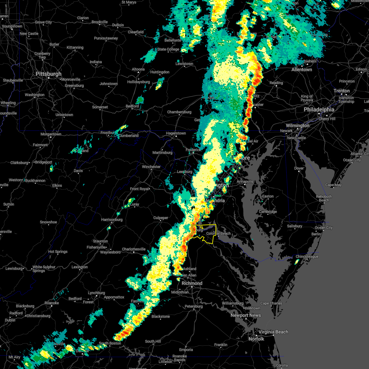 At 450 pm edt, a severe thunderstorm was located near fredericksburg, moving east at 25 mph (radar indicated). Hazards include 60 mph wind gusts. Damaging winds will cause some trees and large branches to fall. this could injure those outdoors, as well as damage homes and vehicles. roadways may become blocked by downed trees. localized power outages are possible. Unsecured light objects may become projectiles. At 450 pm edt, a severe thunderstorm was located near fredericksburg, moving east at 25 mph (radar indicated). Hazards include 60 mph wind gusts. Damaging winds will cause some trees and large branches to fall. this could injure those outdoors, as well as damage homes and vehicles. roadways may become blocked by downed trees. localized power outages are possible. Unsecured light objects may become projectiles.
|
| 8/30/2022 4:30 PM EDT |
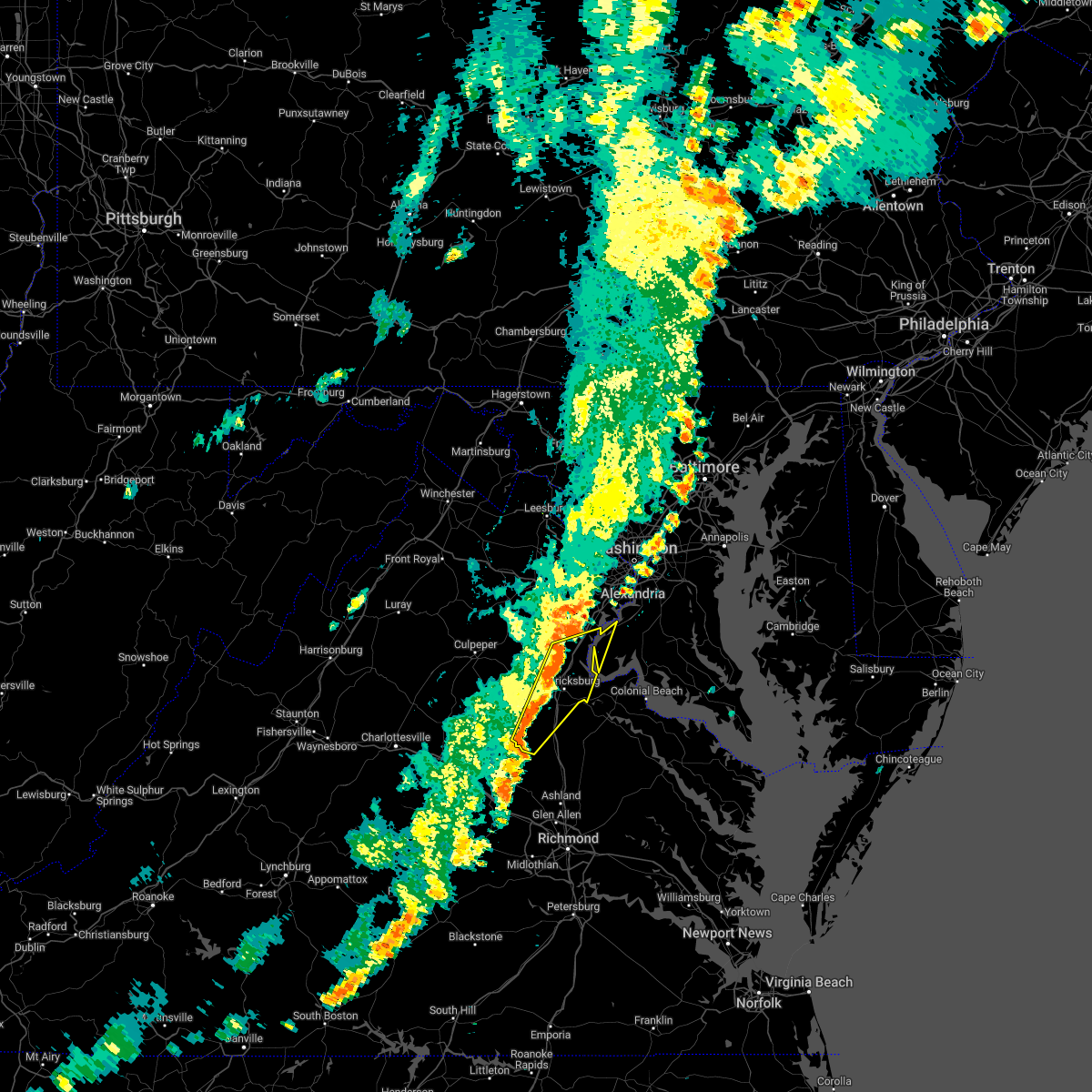 At 429 pm edt, severe thunderstorms were located along a line extending from 7 miles northwest of stafford to 7 miles north of bumpass, moving east at 30 mph (radar indicated). Hazards include 60 mph wind gusts. Damaging winds will cause some trees and large branches to fall. this could injure those outdoors, as well as damage homes and vehicles. roadways may become blocked by downed trees. localized power outages are possible. unsecured light objects may become projectiles. locations impacted include, stafford, fredericksburg, quantico, potomac creek, aquia creek, triangle, dumfries, massaponax, spotsylvania, cherry hill, falmouth, passapatanzy, stones corner, roseville, garrisonville, snell, ramoth, partlow, thornburg and white oak. hail threat, radar indicated max hail size, <. 75 in wind threat, radar indicated max wind gust, 60 mph. At 429 pm edt, severe thunderstorms were located along a line extending from 7 miles northwest of stafford to 7 miles north of bumpass, moving east at 30 mph (radar indicated). Hazards include 60 mph wind gusts. Damaging winds will cause some trees and large branches to fall. this could injure those outdoors, as well as damage homes and vehicles. roadways may become blocked by downed trees. localized power outages are possible. unsecured light objects may become projectiles. locations impacted include, stafford, fredericksburg, quantico, potomac creek, aquia creek, triangle, dumfries, massaponax, spotsylvania, cherry hill, falmouth, passapatanzy, stones corner, roseville, garrisonville, snell, ramoth, partlow, thornburg and white oak. hail threat, radar indicated max hail size, <. 75 in wind threat, radar indicated max wind gust, 60 mph.
|
| 8/30/2022 4:13 PM EDT |
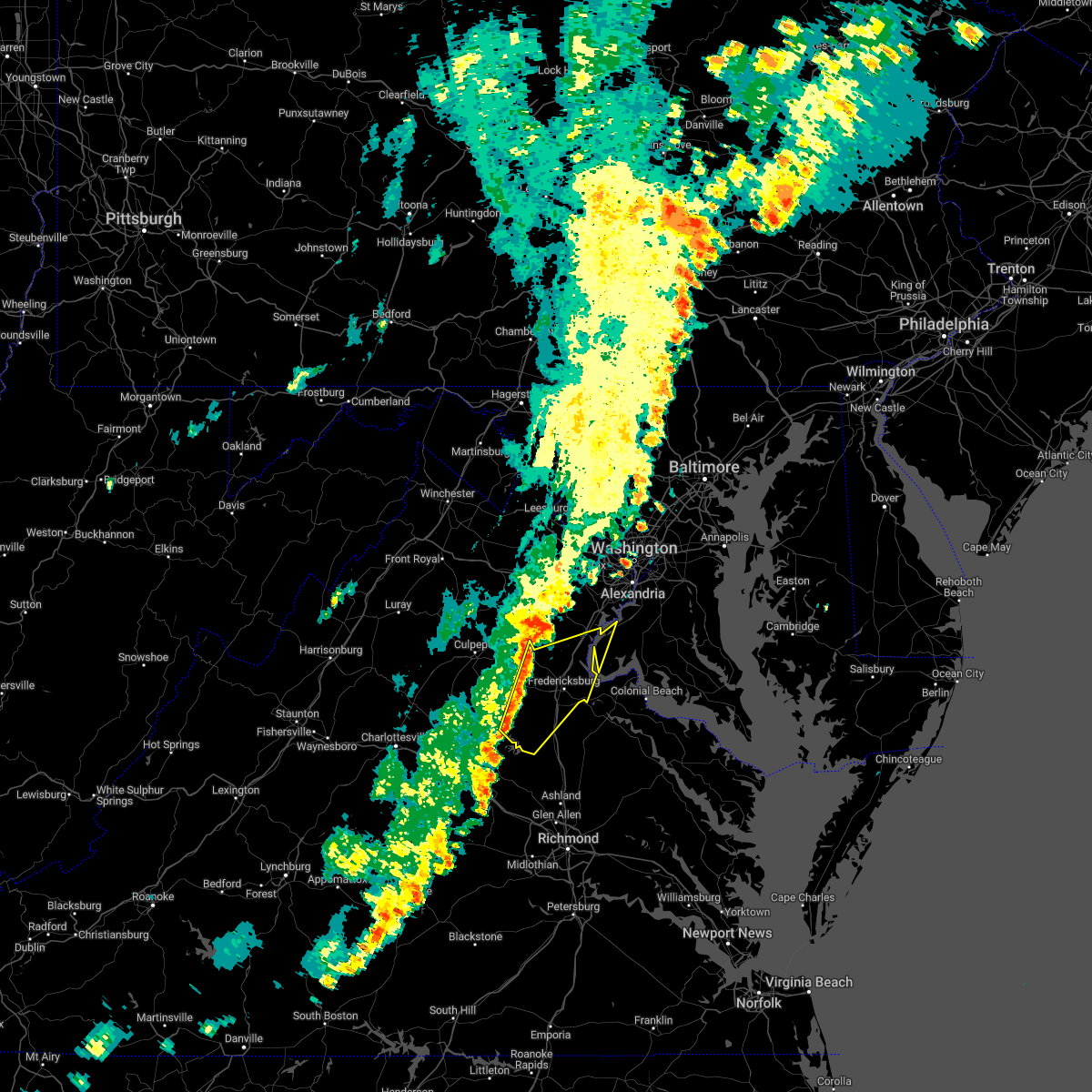 At 412 pm edt, severe thunderstorms were located along a line extending from 9 miles southeast of bealeton to near mineral, moving east at 30 mph (radar indicated). Hazards include 60 mph wind gusts. Damaging winds will cause some trees and large branches to fall. this could injure those outdoors, as well as damage homes and vehicles. roadways may become blocked by downed trees. localized power outages are possible. Unsecured light objects may become projectiles. At 412 pm edt, severe thunderstorms were located along a line extending from 9 miles southeast of bealeton to near mineral, moving east at 30 mph (radar indicated). Hazards include 60 mph wind gusts. Damaging winds will cause some trees and large branches to fall. this could injure those outdoors, as well as damage homes and vehicles. roadways may become blocked by downed trees. localized power outages are possible. Unsecured light objects may become projectiles.
|
| 8/5/2022 5:41 PM EDT | Tree down on leavells rd. naer smith station r in spotsylvania county VA, 6.8 miles NNE of Fredericksburg, VA |
| 7/25/2022 5:05 PM EDT | Trees and wires blew down near the intersection of bethany way and va-651 kellog mill roa in stafford county VA, 7.5 miles S of Fredericksburg, VA |
| 7/25/2022 4:55 PM EDT | Trees blew down near the intersection of va-655 holly corner road and holly berry roa in stafford county VA, 6.1 miles SE of Fredericksburg, VA |
| 7/25/2022 4:51 PM EDT |
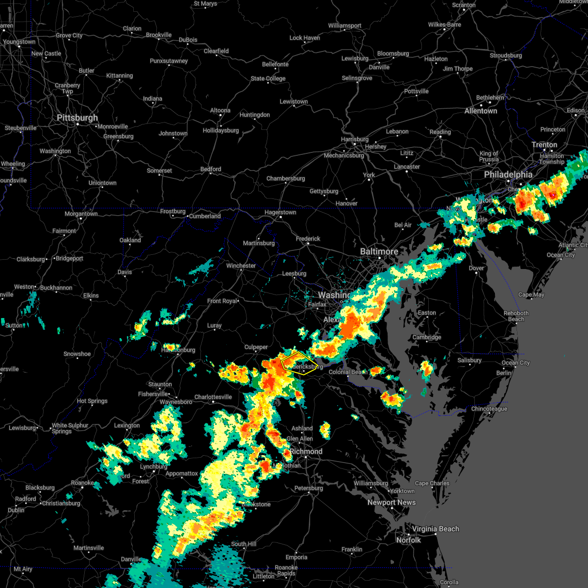 At 450 pm edt, a severe thunderstorm was located 9 miles northwest of fredericksburg, moving east at 30 mph (radar indicated). Hazards include 60 mph wind gusts and quarter size hail. Damaging winds will cause some trees and large branches to fall. this could injure those outdoors, as well as damage homes and vehicles. roadways may become blocked by downed trees. localized power outages are possible. unsecured light objects may become projectiles. locations impacted include, fredericksburg, falmouth, stones corner, leeland, spring valley, brooke, ramoth, storck, holly corner, dunavant, glendie, hartwood and brookfield. hail threat, radar indicated max hail size, 1. 00 in wind threat, radar indicated max wind gust, 60 mph. At 450 pm edt, a severe thunderstorm was located 9 miles northwest of fredericksburg, moving east at 30 mph (radar indicated). Hazards include 60 mph wind gusts and quarter size hail. Damaging winds will cause some trees and large branches to fall. this could injure those outdoors, as well as damage homes and vehicles. roadways may become blocked by downed trees. localized power outages are possible. unsecured light objects may become projectiles. locations impacted include, fredericksburg, falmouth, stones corner, leeland, spring valley, brooke, ramoth, storck, holly corner, dunavant, glendie, hartwood and brookfield. hail threat, radar indicated max hail size, 1. 00 in wind threat, radar indicated max wind gust, 60 mph.
|
| 7/25/2022 4:37 PM EDT |
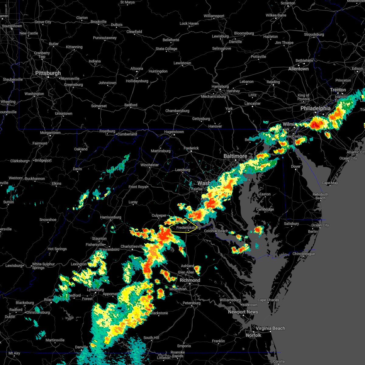 At 437 pm edt, a severe thunderstorm was located 11 miles northwest of spotsylvania, or 12 miles west of fredericksburg, moving east at 35 mph (radar indicated). Hazards include 70 mph wind gusts and ping pong ball size hail. Damaging winds will cause some trees and large branches to fall. this could injure those outdoors, as well as damage homes and vehicles. roadways may become blocked by downed trees. localized power outages are possible. Unsecured light objects may become projectiles. At 437 pm edt, a severe thunderstorm was located 11 miles northwest of spotsylvania, or 12 miles west of fredericksburg, moving east at 35 mph (radar indicated). Hazards include 70 mph wind gusts and ping pong ball size hail. Damaging winds will cause some trees and large branches to fall. this could injure those outdoors, as well as damage homes and vehicles. roadways may become blocked by downed trees. localized power outages are possible. Unsecured light objects may become projectiles.
|
| 7/17/2022 5:06 PM EDT |
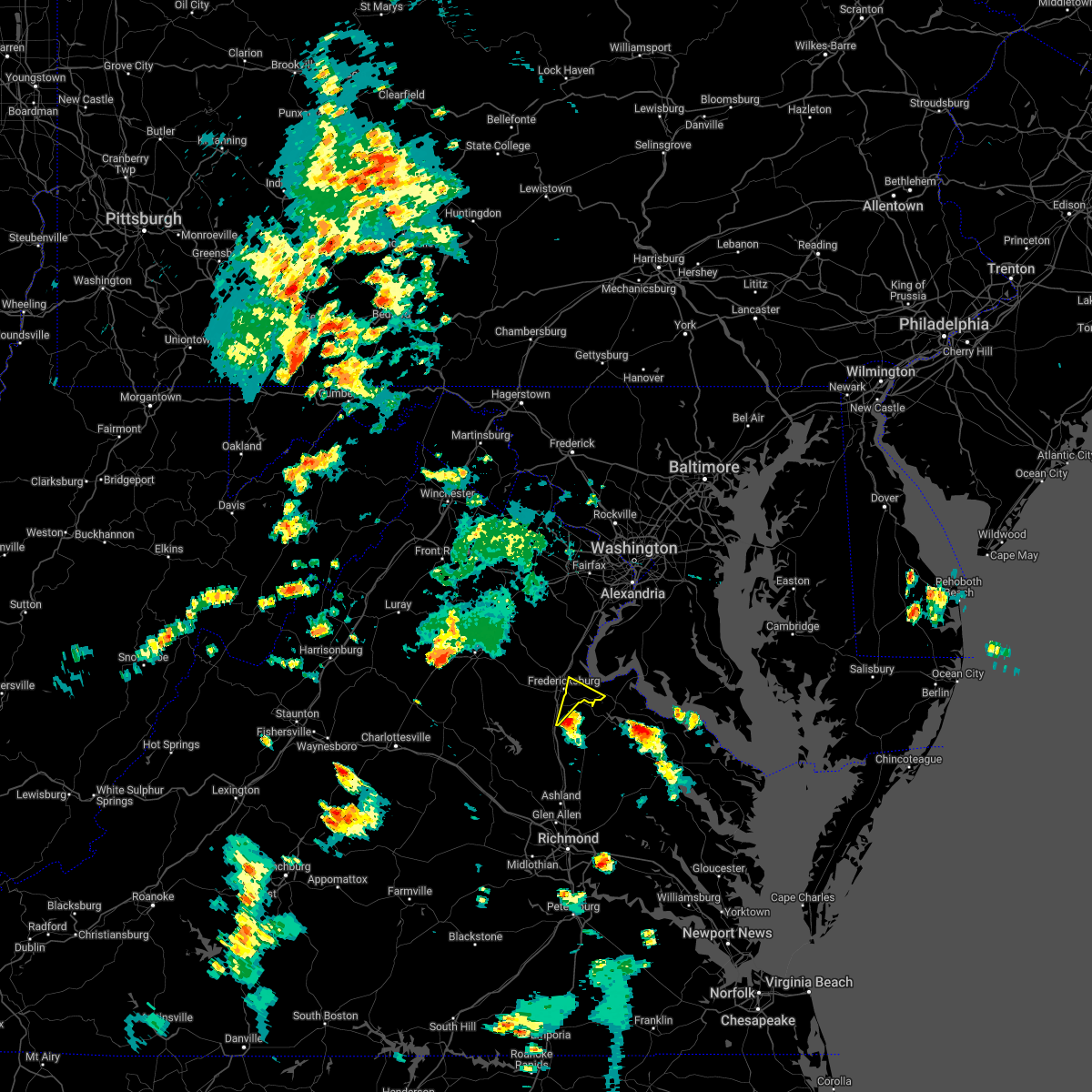 At 506 pm edt, a severe thunderstorm was located near massaponax, or 8 miles northwest of bowling green, moving northeast at 15 mph (radar indicated). Hazards include 60 mph wind gusts and quarter size hail. Damaging winds will cause some trees and large branches to fall. this could injure those outdoors, as well as damage homes and vehicles. roadways may become blocked by downed trees. localized power outages are possible. Unsecured light objects may become projectiles. At 506 pm edt, a severe thunderstorm was located near massaponax, or 8 miles northwest of bowling green, moving northeast at 15 mph (radar indicated). Hazards include 60 mph wind gusts and quarter size hail. Damaging winds will cause some trees and large branches to fall. this could injure those outdoors, as well as damage homes and vehicles. roadways may become blocked by downed trees. localized power outages are possible. Unsecured light objects may become projectiles.
|
| 7/12/2022 8:09 PM EDT |
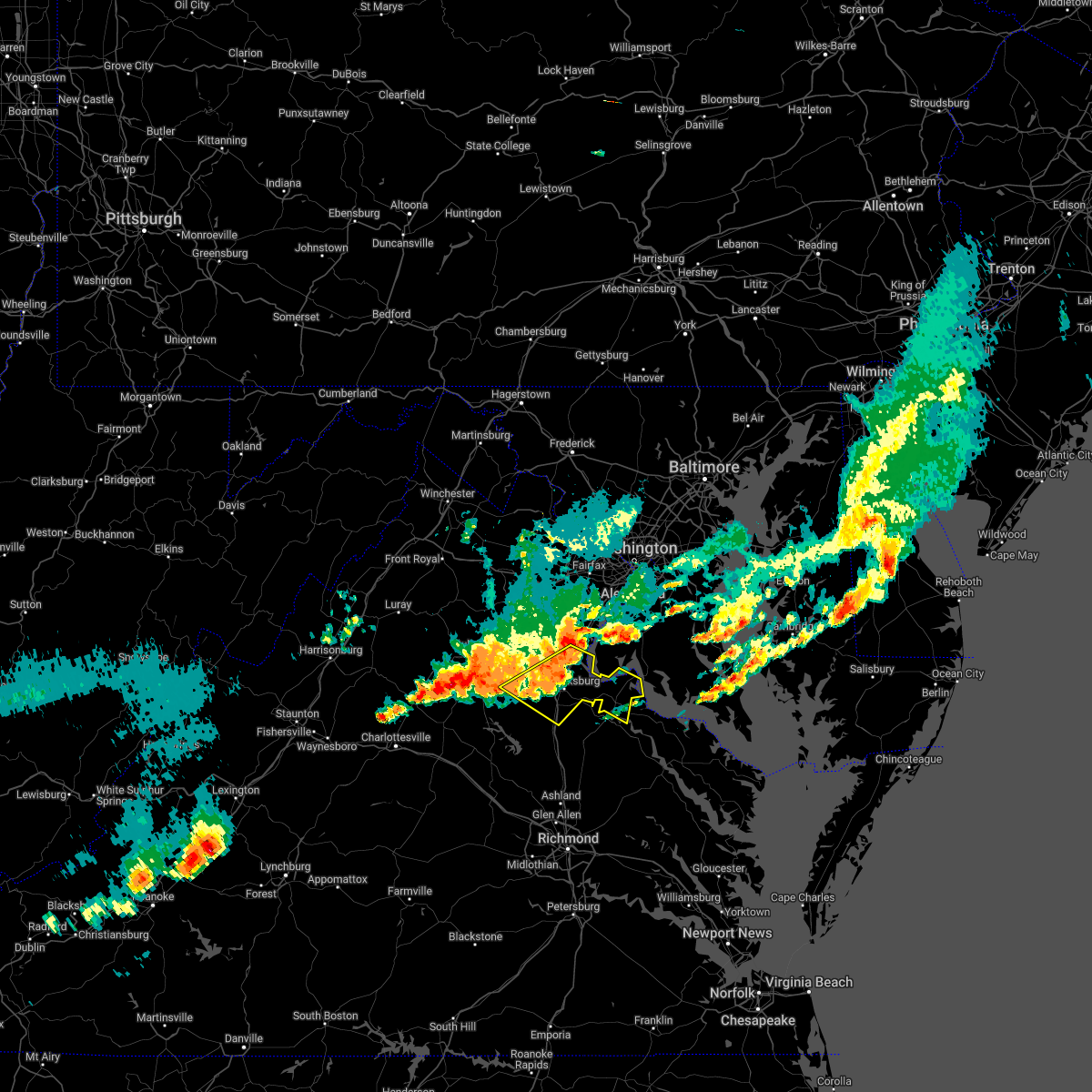 At 809 pm edt, severe thunderstorms were located along a line extending from potomac creek to spotsylvania, moving southeast at 45 mph (radar indicated). Hazards include 60 mph wind gusts and quarter size hail. Damaging winds will cause some trees and large branches to fall. this could injure those outdoors, as well as damage homes and vehicles. roadways may become blocked by downed trees. localized power outages are possible. unsecured light objects may become projectiles. locations impacted include, stafford, fredericksburg, king george, dahlgren, fairview beach, potomac creek, nanjemoy creek, aquia creek, massaponax, spotsylvania, falmouth, passapatanzy, stones corner, potomac beach, weedonville, roseville, ninde, garrisonville, locust grove and ramoth. hail threat, radar indicated max hail size, 1. 00 in wind threat, radar indicated max wind gust, 60 mph. At 809 pm edt, severe thunderstorms were located along a line extending from potomac creek to spotsylvania, moving southeast at 45 mph (radar indicated). Hazards include 60 mph wind gusts and quarter size hail. Damaging winds will cause some trees and large branches to fall. this could injure those outdoors, as well as damage homes and vehicles. roadways may become blocked by downed trees. localized power outages are possible. unsecured light objects may become projectiles. locations impacted include, stafford, fredericksburg, king george, dahlgren, fairview beach, potomac creek, nanjemoy creek, aquia creek, massaponax, spotsylvania, falmouth, passapatanzy, stones corner, potomac beach, weedonville, roseville, ninde, garrisonville, locust grove and ramoth. hail threat, radar indicated max hail size, 1. 00 in wind threat, radar indicated max wind gust, 60 mph.
|
| 7/12/2022 7:49 PM EDT | Trees down around hartwood and meadows road in stafford county VA, 11.7 miles SSE of Fredericksburg, VA |
| 7/12/2022 7:47 PM EDT |
 At 747 pm edt, severe thunderstorms were located along a line extending from 8 miles northwest of stafford to 14 miles southeast of culpeper, moving southeast at 45 mph (radar indicated). Hazards include 60 mph wind gusts and quarter size hail. Damaging winds will cause some trees and large branches to fall. this could injure those outdoors, as well as damage homes and vehicles. roadways may become blocked by downed trees. localized power outages are possible. unsecured light objects may become projectiles. locations impacted include, stafford, fredericksburg, king george, dahlgren, fairview beach, potomac creek, nanjemoy creek, aquia creek, massaponax, spotsylvania, falmouth, passapatanzy, stones corner, potomac beach, weedonville, roseville, ninde, garrisonville, locust grove and ramoth. hail threat, radar indicated max hail size, 1. 00 in wind threat, radar indicated max wind gust, 60 mph. At 747 pm edt, severe thunderstorms were located along a line extending from 8 miles northwest of stafford to 14 miles southeast of culpeper, moving southeast at 45 mph (radar indicated). Hazards include 60 mph wind gusts and quarter size hail. Damaging winds will cause some trees and large branches to fall. this could injure those outdoors, as well as damage homes and vehicles. roadways may become blocked by downed trees. localized power outages are possible. unsecured light objects may become projectiles. locations impacted include, stafford, fredericksburg, king george, dahlgren, fairview beach, potomac creek, nanjemoy creek, aquia creek, massaponax, spotsylvania, falmouth, passapatanzy, stones corner, potomac beach, weedonville, roseville, ninde, garrisonville, locust grove and ramoth. hail threat, radar indicated max hail size, 1. 00 in wind threat, radar indicated max wind gust, 60 mph.
|
| 7/12/2022 7:44 PM EDT |
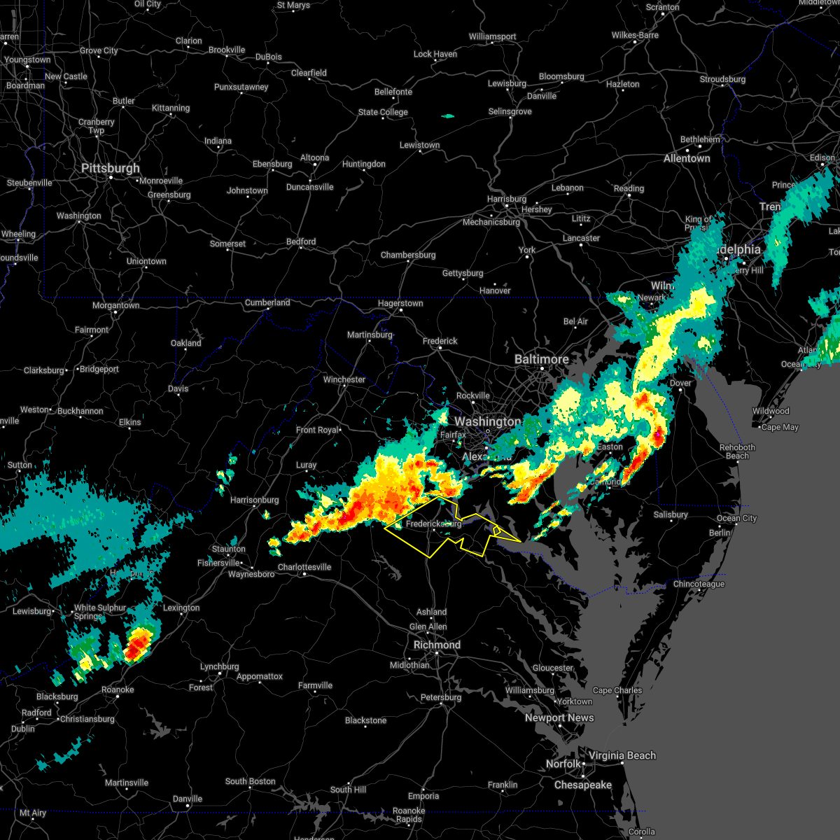 At 743 pm edt, severe thunderstorms were located along a line extending from 10 miles northwest of stafford to 11 miles southeast of culpeper, moving southeast at 45 mph (radar indicated). Hazards include 60 mph wind gusts and quarter size hail. Damaging winds will cause some trees and large branches to fall. this could injure those outdoors, as well as damage homes and vehicles. roadways may become blocked by downed trees. localized power outages are possible. Unsecured light objects may become projectiles. At 743 pm edt, severe thunderstorms were located along a line extending from 10 miles northwest of stafford to 11 miles southeast of culpeper, moving southeast at 45 mph (radar indicated). Hazards include 60 mph wind gusts and quarter size hail. Damaging winds will cause some trees and large branches to fall. this could injure those outdoors, as well as damage homes and vehicles. roadways may become blocked by downed trees. localized power outages are possible. Unsecured light objects may become projectiles.
|
| 7/12/2022 7:39 PM EDT | Tree down near the intersection of ford road and rutherford driv in spotsylvania county VA, 2.9 miles ENE of Fredericksburg, VA |
| 6/22/2022 2:38 PM EDT |
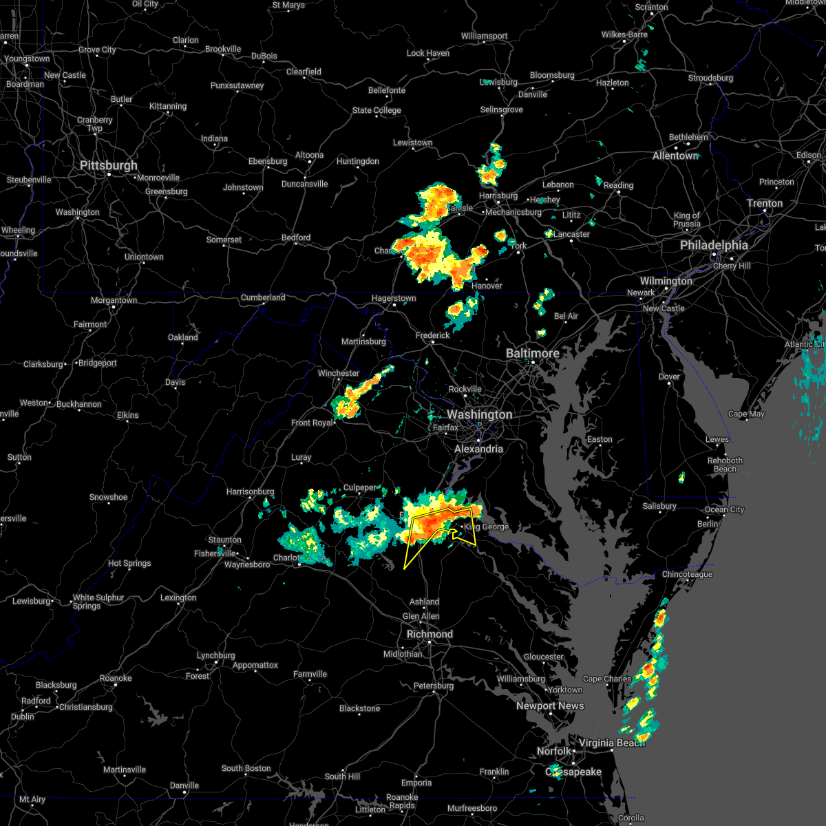 At 237 pm edt, severe thunderstorms were located along a line extending from king george to 8 miles northwest of port royal to near massaponax, moving south at 40 mph (radar indicated and observed wind). Hazards include 60 mph wind gusts. Damaging winds will cause some trees and large branches to fall. this could injure those outdoors, as well as damage homes and vehicles. roadways may become blocked by downed trees. localized power outages are possible. unsecured light objects may become projectiles. locations impacted include, fredericksburg, king george, fairview beach, potomac creek, massaponax, spotsylvania, falmouth, passapatanzy, stones corner, weedonville, snell, spring valley, thornburg, lambs creek, white oak, sealston, jersey, berthaville, shiloh and brookfield. hail threat, radar indicated max hail size, <. 75 in wind threat, radar indicated max wind gust, 60 mph. At 237 pm edt, severe thunderstorms were located along a line extending from king george to 8 miles northwest of port royal to near massaponax, moving south at 40 mph (radar indicated and observed wind). Hazards include 60 mph wind gusts. Damaging winds will cause some trees and large branches to fall. this could injure those outdoors, as well as damage homes and vehicles. roadways may become blocked by downed trees. localized power outages are possible. unsecured light objects may become projectiles. locations impacted include, fredericksburg, king george, fairview beach, potomac creek, massaponax, spotsylvania, falmouth, passapatanzy, stones corner, weedonville, snell, spring valley, thornburg, lambs creek, white oak, sealston, jersey, berthaville, shiloh and brookfield. hail threat, radar indicated max hail size, <. 75 in wind threat, radar indicated max wind gust, 60 mph.
|
| 6/22/2022 2:30 PM EDT | Dozens of trees... large tree limbs... and wires blew down over northeastern spotsylvania county... including along us-17 mills drive and va-636 mine roa in spotsylvania county VA, 5.1 miles NNW of Fredericksburg, VA |
| 6/22/2022 2:24 PM EDT | Reports of large trees snapped... siding removed... and a shed shifted off its foundation in neighborhoods surrounding maury stadium in city of fredericks county VA, 1.4 miles W of Fredericksburg, VA |
| 6/22/2022 2:24 PM EDT |
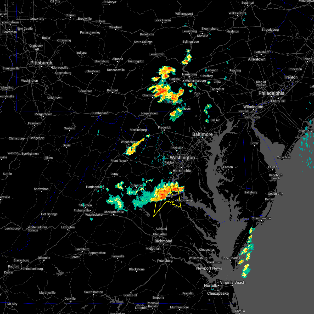 At 223 pm edt, severe thunderstorms with a history of producing damaging winds were located along a line extending from near nanjemoy creek to near potomac creek to fredericksburg, moving south at 45 mph (radar indicated). Hazards include 70 mph wind gusts. Damaging winds will cause considerable damage to trees. this could injure those outdoors, as well as damage homes and vehicles. roadways may become blocked by downed trees. localized power outages are likely. unsecured light objects will become projectiles. locations impacted include, stafford, fredericksburg, king george, fairview beach, potomac creek, aquia creek, massaponax, spotsylvania, falmouth, passapatanzy, stones corner, weedonville, ironsides, snell, ramoth, thornburg, white oak, sealston, jersey and berthaville. thunderstorm damage threat, considerable hail threat, radar indicated max hail size, <. 75 in wind threat, radar indicated max wind gust, 70 mph. At 223 pm edt, severe thunderstorms with a history of producing damaging winds were located along a line extending from near nanjemoy creek to near potomac creek to fredericksburg, moving south at 45 mph (radar indicated). Hazards include 70 mph wind gusts. Damaging winds will cause considerable damage to trees. this could injure those outdoors, as well as damage homes and vehicles. roadways may become blocked by downed trees. localized power outages are likely. unsecured light objects will become projectiles. locations impacted include, stafford, fredericksburg, king george, fairview beach, potomac creek, aquia creek, massaponax, spotsylvania, falmouth, passapatanzy, stones corner, weedonville, ironsides, snell, ramoth, thornburg, white oak, sealston, jersey and berthaville. thunderstorm damage threat, considerable hail threat, radar indicated max hail size, <. 75 in wind threat, radar indicated max wind gust, 70 mph.
|
| 6/22/2022 2:24 PM EDT |
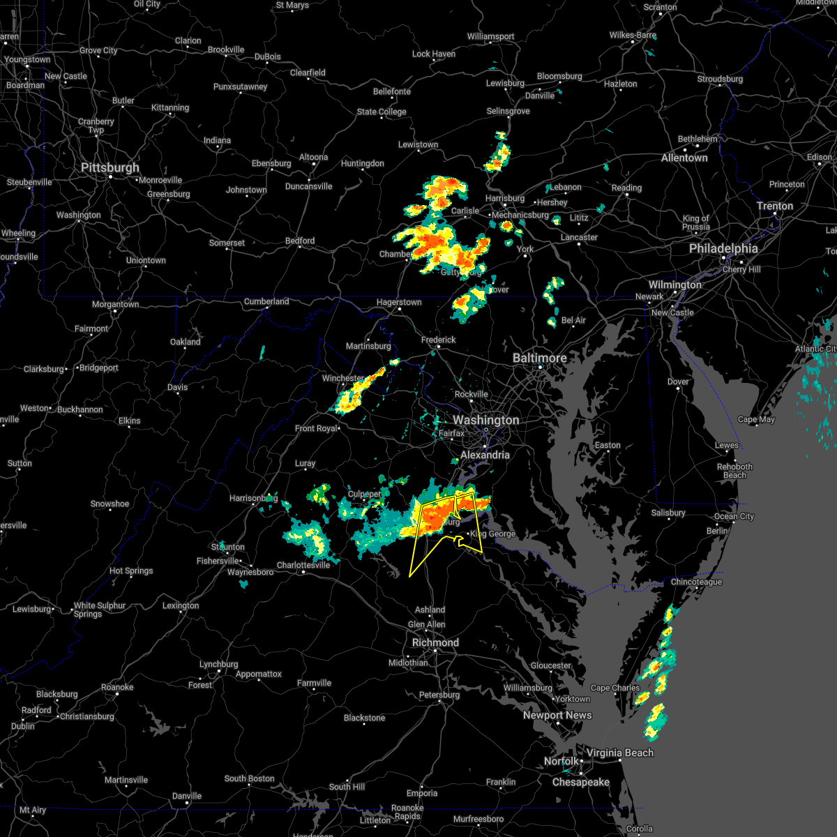 At 223 pm edt, severe thunderstorms with a history of producing damaging winds were located along a line extending from near nanjemoy creek to near potomac creek to fredericksburg, moving south at 45 mph (radar indicated). Hazards include 70 mph wind gusts. Damaging winds will cause considerable damage to trees. this could injure those outdoors, as well as damage homes and vehicles. roadways may become blocked by downed trees. localized power outages are likely. unsecured light objects will become projectiles. locations impacted include, stafford, fredericksburg, king george, fairview beach, potomac creek, aquia creek, massaponax, spotsylvania, falmouth, passapatanzy, stones corner, weedonville, ironsides, snell, ramoth, thornburg, white oak, sealston, jersey and berthaville. thunderstorm damage threat, considerable hail threat, radar indicated max hail size, <. 75 in wind threat, radar indicated max wind gust, 70 mph. At 223 pm edt, severe thunderstorms with a history of producing damaging winds were located along a line extending from near nanjemoy creek to near potomac creek to fredericksburg, moving south at 45 mph (radar indicated). Hazards include 70 mph wind gusts. Damaging winds will cause considerable damage to trees. this could injure those outdoors, as well as damage homes and vehicles. roadways may become blocked by downed trees. localized power outages are likely. unsecured light objects will become projectiles. locations impacted include, stafford, fredericksburg, king george, fairview beach, potomac creek, aquia creek, massaponax, spotsylvania, falmouth, passapatanzy, stones corner, weedonville, ironsides, snell, ramoth, thornburg, white oak, sealston, jersey and berthaville. thunderstorm damage threat, considerable hail threat, radar indicated max hail size, <. 75 in wind threat, radar indicated max wind gust, 70 mph.
|
| 6/22/2022 2:22 PM EDT | Dozens of trees and wires blown down in the city of fredericksbur in city of fredericks county VA, 0.3 miles WNW of Fredericksburg, VA |
| 6/22/2022 2:19 PM EDT |
 At 218 pm edt, severe thunderstorms with a history of producing measured wind gusts in excess of 60 mph were located along a line extending from near quantico to near fredericksburg, moving south at 35 mph (radar indicated). Hazards include 65 mph wind gusts. Damaging winds will cause some trees and large branches to fall. this could injure those outdoors, as well as damage homes and vehicles. roadways may become blocked by downed trees. localized power outages are possible. unsecured light objects may become projectiles. locations impacted include, stafford, fredericksburg, king george, quantico, fairview beach, potomac creek, aquia creek, triangle, dumfries, massaponax, spotsylvania, cherry hill, falmouth, passapatanzy, potomac heights, stones corner, weedonville, roseville, garrisonville and ironsides. hail threat, radar indicated max hail size, <. 75 in wind threat, radar indicated max wind gust, 60 mph. At 218 pm edt, severe thunderstorms with a history of producing measured wind gusts in excess of 60 mph were located along a line extending from near quantico to near fredericksburg, moving south at 35 mph (radar indicated). Hazards include 65 mph wind gusts. Damaging winds will cause some trees and large branches to fall. this could injure those outdoors, as well as damage homes and vehicles. roadways may become blocked by downed trees. localized power outages are possible. unsecured light objects may become projectiles. locations impacted include, stafford, fredericksburg, king george, quantico, fairview beach, potomac creek, aquia creek, triangle, dumfries, massaponax, spotsylvania, cherry hill, falmouth, passapatanzy, potomac heights, stones corner, weedonville, roseville, garrisonville and ironsides. hail threat, radar indicated max hail size, <. 75 in wind threat, radar indicated max wind gust, 60 mph.
|
| 6/22/2022 2:18 PM EDT | A tree blew down near the 200 block of jett d in stafford county VA, 2.4 miles W of Fredericksburg, VA |
| 6/22/2022 2:15 PM EDT |
 At 214 pm edt, severe thunderstorms were located along a line extending from near quantico to near fredericksburg, moving east at 40 mph (radar indicated). Hazards include 60 mph wind gusts. Damaging winds will cause some trees and large branches to fall. this could injure those outdoors, as well as damage homes and vehicles. roadways may become blocked by downed trees. localized power outages are possible. unsecured light objects may become projectiles. locations impacted include, stafford, fredericksburg, king george, quantico, fairview beach, potomac creek, aquia creek, triangle, dumfries, massaponax, spotsylvania, cherry hill, falmouth, passapatanzy, potomac heights, stones corner, weedonville, roseville, garrisonville and ironsides. hail threat, radar indicated max hail size, <. 75 in wind threat, radar indicated max wind gust, 60 mph. At 214 pm edt, severe thunderstorms were located along a line extending from near quantico to near fredericksburg, moving east at 40 mph (radar indicated). Hazards include 60 mph wind gusts. Damaging winds will cause some trees and large branches to fall. this could injure those outdoors, as well as damage homes and vehicles. roadways may become blocked by downed trees. localized power outages are possible. unsecured light objects may become projectiles. locations impacted include, stafford, fredericksburg, king george, quantico, fairview beach, potomac creek, aquia creek, triangle, dumfries, massaponax, spotsylvania, cherry hill, falmouth, passapatanzy, potomac heights, stones corner, weedonville, roseville, garrisonville and ironsides. hail threat, radar indicated max hail size, <. 75 in wind threat, radar indicated max wind gust, 60 mph.
|
| 6/22/2022 2:15 PM EDT |
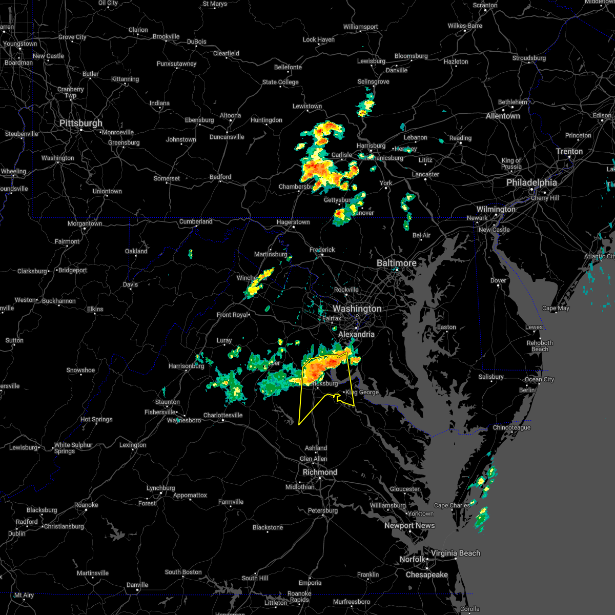 At 214 pm edt, severe thunderstorms were located along a line extending from near quantico to near fredericksburg, moving east at 40 mph (radar indicated). Hazards include 60 mph wind gusts. Damaging winds will cause some trees and large branches to fall. this could injure those outdoors, as well as damage homes and vehicles. roadways may become blocked by downed trees. localized power outages are possible. unsecured light objects may become projectiles. locations impacted include, stafford, fredericksburg, king george, quantico, fairview beach, potomac creek, aquia creek, triangle, dumfries, massaponax, spotsylvania, cherry hill, falmouth, passapatanzy, potomac heights, stones corner, weedonville, roseville, garrisonville and ironsides. hail threat, radar indicated max hail size, <. 75 in wind threat, radar indicated max wind gust, 60 mph. At 214 pm edt, severe thunderstorms were located along a line extending from near quantico to near fredericksburg, moving east at 40 mph (radar indicated). Hazards include 60 mph wind gusts. Damaging winds will cause some trees and large branches to fall. this could injure those outdoors, as well as damage homes and vehicles. roadways may become blocked by downed trees. localized power outages are possible. unsecured light objects may become projectiles. locations impacted include, stafford, fredericksburg, king george, quantico, fairview beach, potomac creek, aquia creek, triangle, dumfries, massaponax, spotsylvania, cherry hill, falmouth, passapatanzy, potomac heights, stones corner, weedonville, roseville, garrisonville and ironsides. hail threat, radar indicated max hail size, <. 75 in wind threat, radar indicated max wind gust, 60 mph.
|
| 6/22/2022 2:11 PM EDT | Tree down on kellog mill rd near mountain view rd in stafford county VA, 8.2 miles S of Fredericksburg, VA |
| 6/22/2022 2:11 PM EDT | Tree down in 700 block of kellog mill rd in stafford county VA, 7.5 miles S of Fredericksburg, VA |
| 6/22/2022 1:58 PM EDT |
 At 158 pm edt, severe thunderstorms were located along a line extending from woodbridge to 10 miles northwest of stafford, moving south at 40 mph (radar indicated). Hazards include 60 mph wind gusts. Damaging winds will cause some trees and large branches to fall. this could injure those outdoors, as well as damage homes and vehicles. roadways may become blocked by downed trees. localized power outages are possible. Unsecured light objects may become projectiles. At 158 pm edt, severe thunderstorms were located along a line extending from woodbridge to 10 miles northwest of stafford, moving south at 40 mph (radar indicated). Hazards include 60 mph wind gusts. Damaging winds will cause some trees and large branches to fall. this could injure those outdoors, as well as damage homes and vehicles. roadways may become blocked by downed trees. localized power outages are possible. Unsecured light objects may become projectiles.
|
| 6/11/2022 8:18 PM EDT | Two trees and branches down near the intersection of lancaster gate road and massaponax church roa in spotsylvania county VA, 7.1 miles N of Fredericksburg, VA |
| 6/11/2022 7:43 PM EDT |
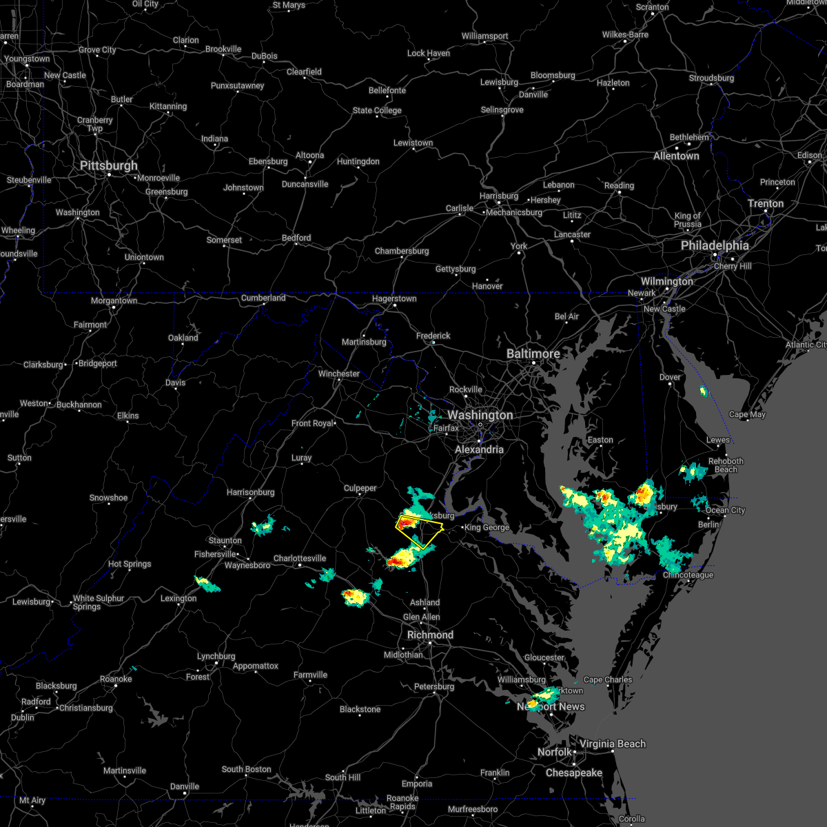 At 742 pm edt, a severe thunderstorm was located near spotsylvania, or 8 miles west of fredericksburg, moving southeast at 20 mph (radar indicated). Hazards include 60 mph wind gusts and quarter size hail. Damaging winds will cause some trees and large branches to fall. this could injure those outdoors, as well as damage homes and vehicles. roadways may become blocked by downed trees. localized power outages are possible. Unsecured light objects may become projectiles. At 742 pm edt, a severe thunderstorm was located near spotsylvania, or 8 miles west of fredericksburg, moving southeast at 20 mph (radar indicated). Hazards include 60 mph wind gusts and quarter size hail. Damaging winds will cause some trees and large branches to fall. this could injure those outdoors, as well as damage homes and vehicles. roadways may become blocked by downed trees. localized power outages are possible. Unsecured light objects may become projectiles.
|
| 6/11/2022 7:30 PM EDT |
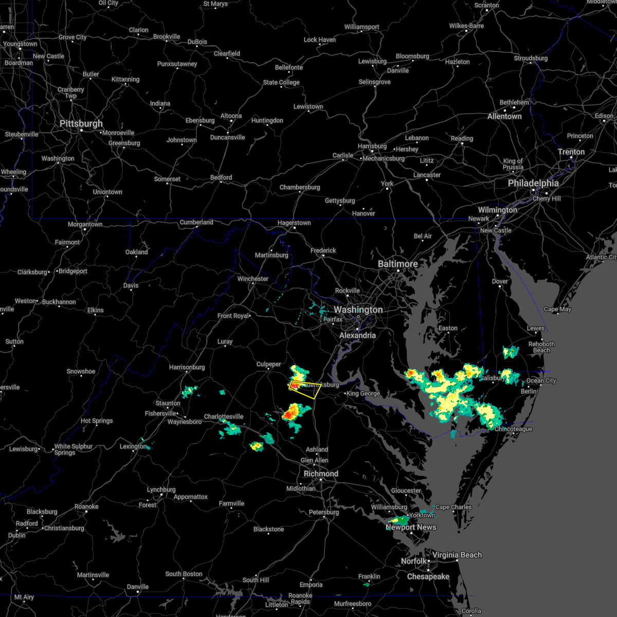 At 729 pm edt, a severe thunderstorm was located 9 miles northwest of spotsylvania, or 9 miles west of fredericksburg, moving southeast at 30 mph (radar indicated). Hazards include 60 mph wind gusts and quarter size hail. Damaging winds will cause some trees and large branches to fall. this could injure those outdoors, as well as damage homes and vehicles. roadways may become blocked by downed trees. localized power outages are possible. unsecured light objects may become projectiles. Locations impacted include, fredericksburg, falmouth, chancellorsville, lake of the woods, cookstown, spring valley and dunavant. At 729 pm edt, a severe thunderstorm was located 9 miles northwest of spotsylvania, or 9 miles west of fredericksburg, moving southeast at 30 mph (radar indicated). Hazards include 60 mph wind gusts and quarter size hail. Damaging winds will cause some trees and large branches to fall. this could injure those outdoors, as well as damage homes and vehicles. roadways may become blocked by downed trees. localized power outages are possible. unsecured light objects may become projectiles. Locations impacted include, fredericksburg, falmouth, chancellorsville, lake of the woods, cookstown, spring valley and dunavant.
|
| 6/11/2022 7:16 PM EDT |
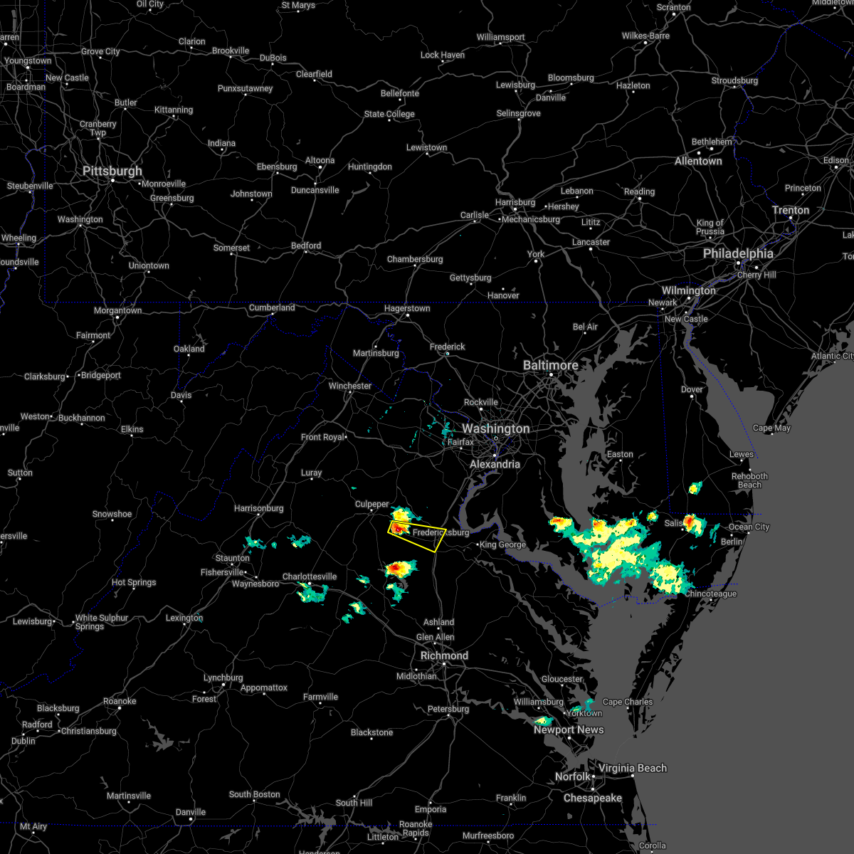 At 715 pm edt, a severe thunderstorm was located 14 miles northwest of spotsylvania, or 15 miles southeast of culpeper, moving southeast at 25 mph (radar indicated). Hazards include 60 mph wind gusts and quarter size hail. Damaging winds will cause some trees and large branches to fall. this could injure those outdoors, as well as damage homes and vehicles. roadways may become blocked by downed trees. localized power outages are possible. unsecured light objects may become projectiles. Locations impacted include, fredericksburg, falmouth, chancellorsville, leeland, holly corner, dunavant, lake of the woods, burr hill, cookstown, flat run and spring valley. At 715 pm edt, a severe thunderstorm was located 14 miles northwest of spotsylvania, or 15 miles southeast of culpeper, moving southeast at 25 mph (radar indicated). Hazards include 60 mph wind gusts and quarter size hail. Damaging winds will cause some trees and large branches to fall. this could injure those outdoors, as well as damage homes and vehicles. roadways may become blocked by downed trees. localized power outages are possible. unsecured light objects may become projectiles. Locations impacted include, fredericksburg, falmouth, chancellorsville, leeland, holly corner, dunavant, lake of the woods, burr hill, cookstown, flat run and spring valley.
|
| 6/11/2022 7:02 PM EDT |
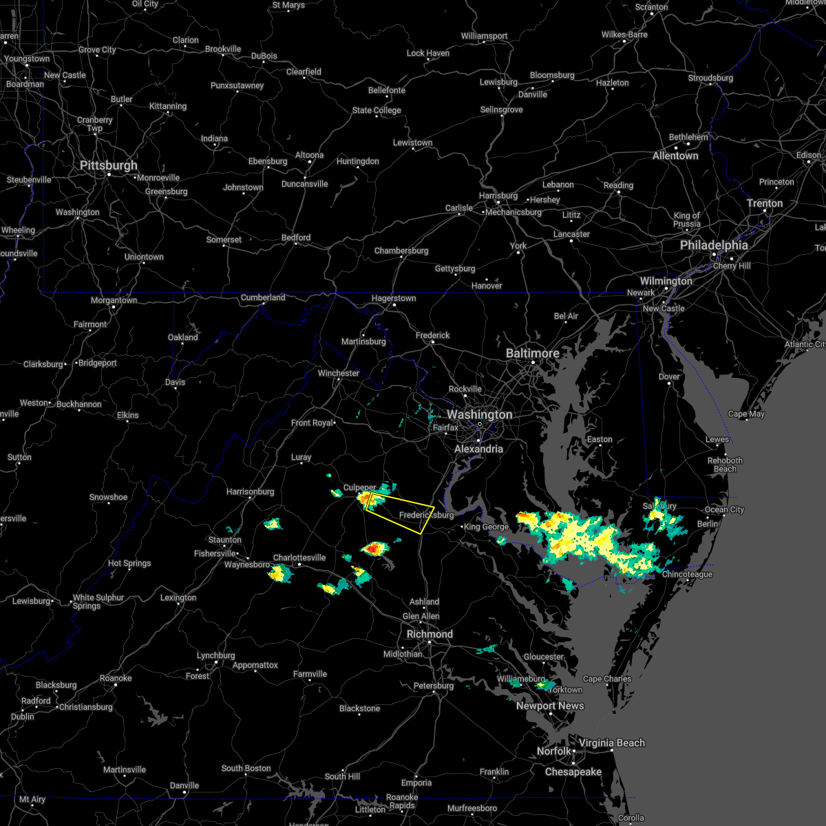 At 701 pm edt, a severe thunderstorm was located 10 miles southeast of culpeper, moving east at 30 mph (radar indicated). Hazards include 60 mph wind gusts and quarter size hail. Damaging winds will cause some trees and large branches to fall. this could injure those outdoors, as well as damage homes and vehicles. roadways may become blocked by downed trees. localized power outages are possible. Unsecured light objects may become projectiles. At 701 pm edt, a severe thunderstorm was located 10 miles southeast of culpeper, moving east at 30 mph (radar indicated). Hazards include 60 mph wind gusts and quarter size hail. Damaging winds will cause some trees and large branches to fall. this could injure those outdoors, as well as damage homes and vehicles. roadways may become blocked by downed trees. localized power outages are possible. Unsecured light objects may become projectiles.
|
| 6/2/2022 5:50 PM EDT |
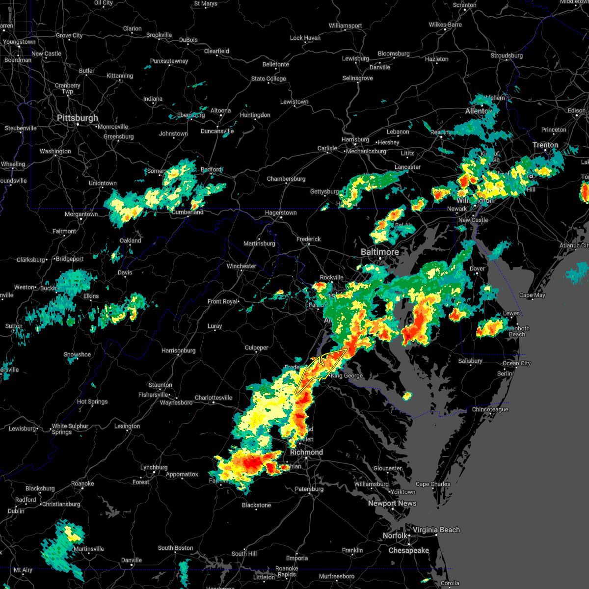 At 550 pm edt, severe thunderstorms were located along a line extending from near nanjemoy creek to near massaponax, moving east at 30 mph (radar indicated). Hazards include 60 mph wind gusts. Damaging winds will cause some trees and large branches to fall. this could injure those outdoors, as well as damage homes and vehicles. roadways may become blocked by downed trees. localized power outages are possible. unsecured light objects may become projectiles. locations impacted include, fredericksburg, king george, fairview beach, potomac creek, aquia creek, nanjemoy creek, massaponax, passapatanzy, stones corner, nanjemoy, thornburg, lambs creek, white oak, sealston and brookfield. hail threat, radar indicated max hail size, <. 75 in wind threat, radar indicated max wind gust, 60 mph. At 550 pm edt, severe thunderstorms were located along a line extending from near nanjemoy creek to near massaponax, moving east at 30 mph (radar indicated). Hazards include 60 mph wind gusts. Damaging winds will cause some trees and large branches to fall. this could injure those outdoors, as well as damage homes and vehicles. roadways may become blocked by downed trees. localized power outages are possible. unsecured light objects may become projectiles. locations impacted include, fredericksburg, king george, fairview beach, potomac creek, aquia creek, nanjemoy creek, massaponax, passapatanzy, stones corner, nanjemoy, thornburg, lambs creek, white oak, sealston and brookfield. hail threat, radar indicated max hail size, <. 75 in wind threat, radar indicated max wind gust, 60 mph.
|
| 6/2/2022 5:50 PM EDT |
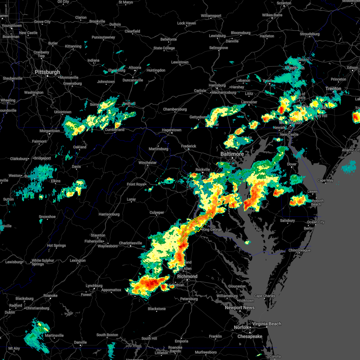 At 550 pm edt, severe thunderstorms were located along a line extending from near nanjemoy creek to near massaponax, moving east at 30 mph (radar indicated). Hazards include 60 mph wind gusts. Damaging winds will cause some trees and large branches to fall. this could injure those outdoors, as well as damage homes and vehicles. roadways may become blocked by downed trees. localized power outages are possible. unsecured light objects may become projectiles. locations impacted include, fredericksburg, king george, fairview beach, potomac creek, aquia creek, nanjemoy creek, massaponax, passapatanzy, stones corner, nanjemoy, thornburg, lambs creek, white oak, sealston and brookfield. hail threat, radar indicated max hail size, <. 75 in wind threat, radar indicated max wind gust, 60 mph. At 550 pm edt, severe thunderstorms were located along a line extending from near nanjemoy creek to near massaponax, moving east at 30 mph (radar indicated). Hazards include 60 mph wind gusts. Damaging winds will cause some trees and large branches to fall. this could injure those outdoors, as well as damage homes and vehicles. roadways may become blocked by downed trees. localized power outages are possible. unsecured light objects may become projectiles. locations impacted include, fredericksburg, king george, fairview beach, potomac creek, aquia creek, nanjemoy creek, massaponax, passapatanzy, stones corner, nanjemoy, thornburg, lambs creek, white oak, sealston and brookfield. hail threat, radar indicated max hail size, <. 75 in wind threat, radar indicated max wind gust, 60 mph.
|
| 6/2/2022 5:31 PM EDT | Tree down on route 604 near the vicinity of bel plains drive in stafford county VA, 6.4 miles WSW of Fredericksburg, VA |
| 6/2/2022 5:29 PM EDT |
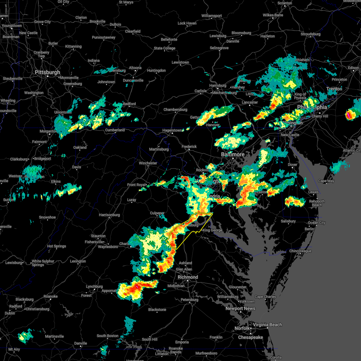 At 529 pm edt, severe thunderstorms were located along a line extending from near aquia creek to 6 miles northeast of bumpass, moving east at 40 mph (radar indicated). Hazards include 60 mph wind gusts and quarter size hail. Damaging winds will cause some trees and large branches to fall. this could injure those outdoors, as well as damage homes and vehicles. roadways may become blocked by downed trees. localized power outages are possible. unsecured light objects may become projectiles. locations impacted include, stafford, fredericksburg, king george, fairview beach, potomac creek, nanjemoy creek, aquia creek, massaponax, spotsylvania, falmouth, passapatanzy, stones corner, ironsides, snell, partlow, glenora, thornburg, white oak, sealston and leeland. hail threat, radar indicated max hail size, 1. 00 in wind threat, radar indicated max wind gust, 60 mph. At 529 pm edt, severe thunderstorms were located along a line extending from near aquia creek to 6 miles northeast of bumpass, moving east at 40 mph (radar indicated). Hazards include 60 mph wind gusts and quarter size hail. Damaging winds will cause some trees and large branches to fall. this could injure those outdoors, as well as damage homes and vehicles. roadways may become blocked by downed trees. localized power outages are possible. unsecured light objects may become projectiles. locations impacted include, stafford, fredericksburg, king george, fairview beach, potomac creek, nanjemoy creek, aquia creek, massaponax, spotsylvania, falmouth, passapatanzy, stones corner, ironsides, snell, partlow, glenora, thornburg, white oak, sealston and leeland. hail threat, radar indicated max hail size, 1. 00 in wind threat, radar indicated max wind gust, 60 mph.
|
| 6/2/2022 5:24 PM EDT | Tree down near on the 700 block of leeland road in stafford county VA, 5.3 miles SW of Fredericksburg, VA |
| 6/2/2022 5:14 PM EDT |
 At 514 pm edt, severe thunderstorms were located along a line extending from near stafford to 7 miles north of mineral, moving east at 30 mph (radar indicated). Hazards include 60 mph wind gusts. Damaging winds will cause some trees and large branches to fall. this could injure those outdoors, as well as damage homes and vehicles. roadways may become blocked by downed trees. localized power outages are possible. Unsecured light objects may become projectiles. At 514 pm edt, severe thunderstorms were located along a line extending from near stafford to 7 miles north of mineral, moving east at 30 mph (radar indicated). Hazards include 60 mph wind gusts. Damaging winds will cause some trees and large branches to fall. this could injure those outdoors, as well as damage homes and vehicles. roadways may become blocked by downed trees. localized power outages are possible. Unsecured light objects may become projectiles.
|
| 6/2/2022 5:14 PM EDT |
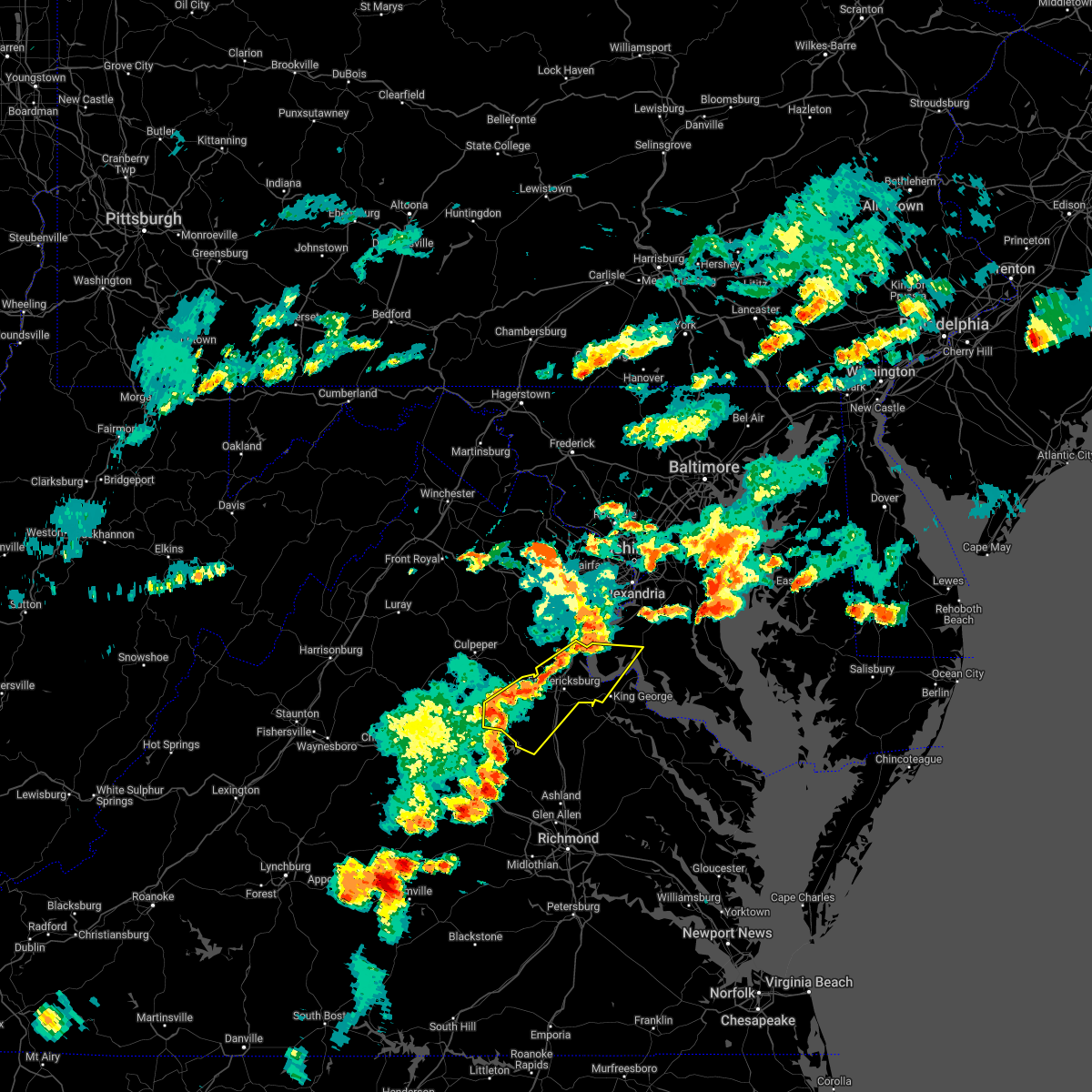 At 514 pm edt, severe thunderstorms were located along a line extending from near stafford to 7 miles north of mineral, moving east at 30 mph (radar indicated). Hazards include 60 mph wind gusts. Damaging winds will cause some trees and large branches to fall. this could injure those outdoors, as well as damage homes and vehicles. roadways may become blocked by downed trees. localized power outages are possible. Unsecured light objects may become projectiles. At 514 pm edt, severe thunderstorms were located along a line extending from near stafford to 7 miles north of mineral, moving east at 30 mph (radar indicated). Hazards include 60 mph wind gusts. Damaging winds will cause some trees and large branches to fall. this could injure those outdoors, as well as damage homes and vehicles. roadways may become blocked by downed trees. localized power outages are possible. Unsecured light objects may become projectiles.
|
| 5/27/2022 12:15 PM EDT | Report of downed power lines near intersection of mills dr and thornton rolling rd in spotsylvania county VA, 6.6 miles NNW of Fredericksburg, VA |
| 5/27/2022 11:31 AM EDT | Tree down on rose ave between hotchkiss st. and pender s in spotsylvania county VA, 2.2 miles N of Fredericksburg, VA |
| 5/27/2022 11:30 AM EDT |
 At 1130 am edt, severe thunderstorms were located along a line extending from near fredericksburg to near massaponax to milford, moving northeast at 45 mph (radar indicated). Hazards include 60 mph wind gusts. Damaging winds will cause some trees and large branches to fall. this could injure those outdoors, as well as damage homes and vehicles. roadways may become blocked by downed trees. localized power outages are possible. Unsecured light objects may become projectiles. At 1130 am edt, severe thunderstorms were located along a line extending from near fredericksburg to near massaponax to milford, moving northeast at 45 mph (radar indicated). Hazards include 60 mph wind gusts. Damaging winds will cause some trees and large branches to fall. this could injure those outdoors, as well as damage homes and vehicles. roadways may become blocked by downed trees. localized power outages are possible. Unsecured light objects may become projectiles.
|
| 5/22/2022 7:43 PM EDT |
 At 742 pm edt, severe thunderstorms were located along a line extending from randallstown to near fredericksburg, moving east at 30 mph (radar indicated). Hazards include 60 mph wind gusts. Damaging winds will cause some trees and large branches to fall. this could injure those outdoors, as well as damage homes and vehicles. roadways may become blocked by downed trees. localized power outages are possible. unsecured light objects may become projectiles. locations impacted include, arlington, alexandria, stafford, columbia, germantown, dale city, rockville, bethesda, gaithersburg, reston, annandale, olney, springfield, college park, fredericksburg, fort washington, greenbelt, fairfax, langley park and beltsville. hail threat, radar indicated max hail size, <. 75 in wind threat, observed max wind gust, 60 mph. At 742 pm edt, severe thunderstorms were located along a line extending from randallstown to near fredericksburg, moving east at 30 mph (radar indicated). Hazards include 60 mph wind gusts. Damaging winds will cause some trees and large branches to fall. this could injure those outdoors, as well as damage homes and vehicles. roadways may become blocked by downed trees. localized power outages are possible. unsecured light objects may become projectiles. locations impacted include, arlington, alexandria, stafford, columbia, germantown, dale city, rockville, bethesda, gaithersburg, reston, annandale, olney, springfield, college park, fredericksburg, fort washington, greenbelt, fairfax, langley park and beltsville. hail threat, radar indicated max hail size, <. 75 in wind threat, observed max wind gust, 60 mph.
|
| 5/22/2022 7:20 PM EDT |
 At 720 pm edt, severe thunderstorms were located along a line extending from near sykesville to near spotsylvania, moving east at 35 mph (radar indicated). Hazards include 60 mph wind gusts. Damaging winds will cause some trees and large branches to fall. this could injure those outdoors, as well as damage homes and vehicles. roadways may become blocked by downed trees. localized power outages are possible. unsecured light objects may become projectiles. locations impacted include, arlington, alexandria, stafford, columbia, germantown, centreville, dale city, rockville, bethesda, gaithersburg, reston, annandale, olney, springfield, college park, fredericksburg, south riding, fort washington, herndon and greenbelt. hail threat, radar indicated max hail size, <. 75 in wind threat, observed max wind gust, 60 mph. At 720 pm edt, severe thunderstorms were located along a line extending from near sykesville to near spotsylvania, moving east at 35 mph (radar indicated). Hazards include 60 mph wind gusts. Damaging winds will cause some trees and large branches to fall. this could injure those outdoors, as well as damage homes and vehicles. roadways may become blocked by downed trees. localized power outages are possible. unsecured light objects may become projectiles. locations impacted include, arlington, alexandria, stafford, columbia, germantown, centreville, dale city, rockville, bethesda, gaithersburg, reston, annandale, olney, springfield, college park, fredericksburg, south riding, fort washington, herndon and greenbelt. hail threat, radar indicated max hail size, <. 75 in wind threat, observed max wind gust, 60 mph.
|
| 5/22/2022 7:04 PM EDT |
 At 703 pm edt, severe thunderstorms were located along a line extending from near damascus to 13 miles north of mineral, moving east at 30 mph (measured gust to 58 mph at dulles airport). Hazards include 60 mph wind gusts. Damaging winds will cause some trees and large branches to fall. this could injure those outdoors, as well as damage homes and vehicles. roadways may become blocked by downed trees. localized power outages are possible. Unsecured light objects may become projectiles. At 703 pm edt, severe thunderstorms were located along a line extending from near damascus to 13 miles north of mineral, moving east at 30 mph (measured gust to 58 mph at dulles airport). Hazards include 60 mph wind gusts. Damaging winds will cause some trees and large branches to fall. this could injure those outdoors, as well as damage homes and vehicles. roadways may become blocked by downed trees. localized power outages are possible. Unsecured light objects may become projectiles.
|
| 8/28/2021 8:27 PM EDT |
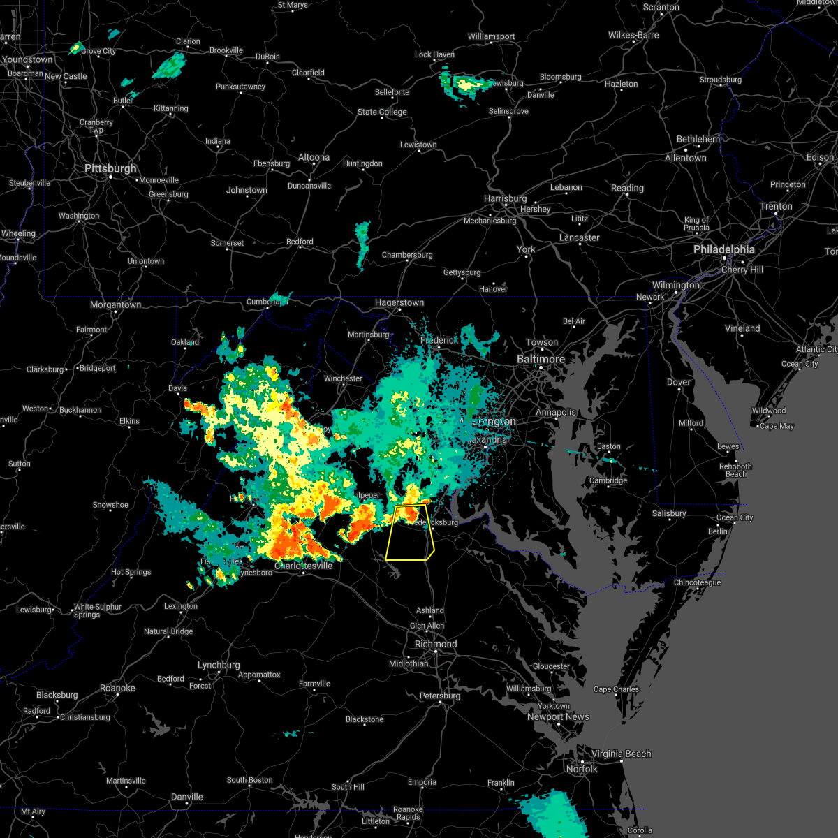 At 826 pm edt, a severe thunderstorm was located 9 miles northwest of fredericksburg, moving south at 20 mph (radar indicated). Hazards include 60 mph wind gusts. Damaging winds will cause some trees and large branches to fall. this could injure those outdoors, as well as damage homes and vehicles. roadways may become blocked by downed trees. localized power outages are possible. Unsecured light objects may become projectiles. At 826 pm edt, a severe thunderstorm was located 9 miles northwest of fredericksburg, moving south at 20 mph (radar indicated). Hazards include 60 mph wind gusts. Damaging winds will cause some trees and large branches to fall. this could injure those outdoors, as well as damage homes and vehicles. roadways may become blocked by downed trees. localized power outages are possible. Unsecured light objects may become projectiles.
|
| 8/26/2021 2:40 PM EDT | Tree down on northbound va-627 forbes street near thomas jefferson plac in stafford county VA, 3.6 miles SW of Fredericksburg, VA |
| 8/26/2021 2:40 PM EDT | Tree down in the 100 block of pine view driv in stafford county VA, 5.6 miles SSW of Fredericksburg, VA |
| 8/13/2021 6:10 PM EDT | Several trees down in the white oak are in stafford county VA, 6.2 miles W of Fredericksburg, VA |
| 8/13/2021 6:05 PM EDT |
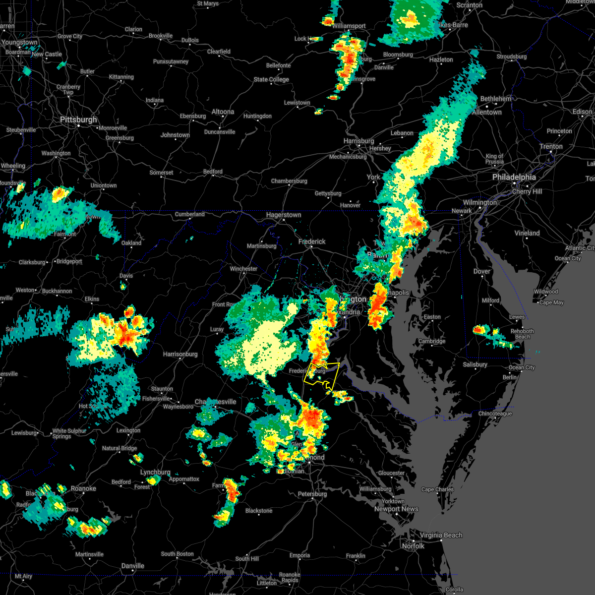 At 605 pm edt, a severe thunderstorm was located near fredericksburg, moving east at 15 mph (radar indicated). Hazards include 60 mph wind gusts and quarter size hail. Damaging winds will cause some trees and large branches to fall. this could injure those outdoors, as well as damage homes and vehicles. roadways may become blocked by downed trees. localized power outages are possible. Unsecured light objects may become projectiles. At 605 pm edt, a severe thunderstorm was located near fredericksburg, moving east at 15 mph (radar indicated). Hazards include 60 mph wind gusts and quarter size hail. Damaging winds will cause some trees and large branches to fall. this could injure those outdoors, as well as damage homes and vehicles. roadways may become blocked by downed trees. localized power outages are possible. Unsecured light objects may become projectiles.
|
| 7/29/2021 5:42 PM EDT |
 At 541 pm edt, a severe thunderstorm was located near potomac creek, moving southeast at 35 mph (radar indicated). Hazards include two inch hail and 70 mph wind gusts. Expect wind damage to trees and power lines. hail is large enough to dent and damage vehicles. some hail damage to roofs, siding, and windows is possible. Locations impacted include, fredericksburg, king george, massaponax, falmouth, passapatanzy, stones corner, leeland, rollins fork, spring valley, thornburg, lambs creek, white oak, sealston, jersey, shiloh, brookfield and dogue. At 541 pm edt, a severe thunderstorm was located near potomac creek, moving southeast at 35 mph (radar indicated). Hazards include two inch hail and 70 mph wind gusts. Expect wind damage to trees and power lines. hail is large enough to dent and damage vehicles. some hail damage to roofs, siding, and windows is possible. Locations impacted include, fredericksburg, king george, massaponax, falmouth, passapatanzy, stones corner, leeland, rollins fork, spring valley, thornburg, lambs creek, white oak, sealston, jersey, shiloh, brookfield and dogue.
|
| 7/29/2021 5:40 PM EDT |
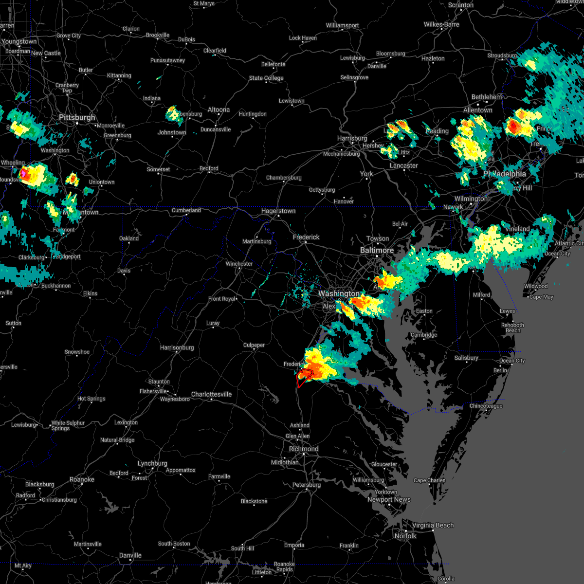 At 540 pm edt, a severe thunderstorm capable of producing a tornado was located near fredericksburg, moving southeast at 35 mph (radar indicated rotation). Hazards include tornado and two inch hail. For those in the direct path of a tornado touchdown, flying debris will be dangerous to those caught without shelter. damage to roofs, siding, and windows may occur. mobile homes may be damaged or destroyed. tree damage is likely. Locations impacted include, fredericksburg. At 540 pm edt, a severe thunderstorm capable of producing a tornado was located near fredericksburg, moving southeast at 35 mph (radar indicated rotation). Hazards include tornado and two inch hail. For those in the direct path of a tornado touchdown, flying debris will be dangerous to those caught without shelter. damage to roofs, siding, and windows may occur. mobile homes may be damaged or destroyed. tree damage is likely. Locations impacted include, fredericksburg.
|
| 7/29/2021 5:38 PM EDT | A tree blew down on va-636 mine road near first iron boulevar in spotsylvania county VA, 3.8 miles NNW of Fredericksburg, VA |
| 7/29/2021 5:35 PM EDT | 5 trees down within the city limits. about 1 foot diamete in city of fredericks county VA, 0.3 miles WNW of Fredericksburg, VA |
| 7/29/2021 5:33 PM EDT |
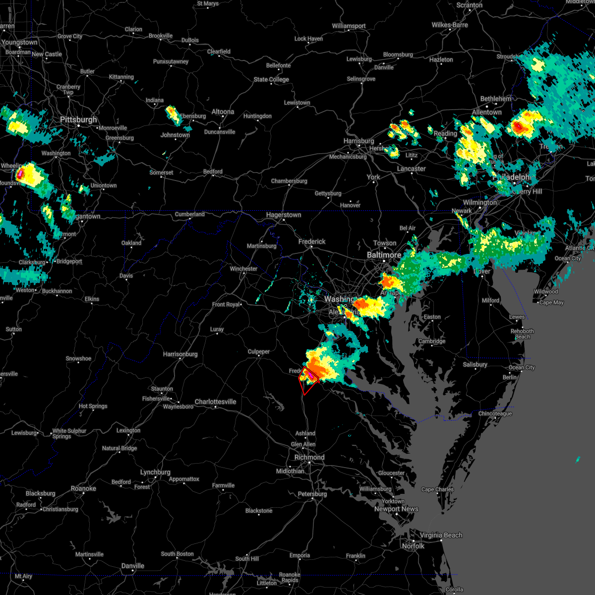 At 532 pm edt, a severe thunderstorm capable of producing a tornado was located over fredericksburg, moving southeast at 35 mph (radar indicated rotation). Hazards include tornado and two inch hail. For those in the direct path of a tornado touchdown, flying debris will be dangerous to those caught without shelter. damage to roofs, siding, and windows may occur. mobile homes may be damaged or destroyed. tree damage is likely. Other locations include, falmouth, white oak, brookfield and spring valley. At 532 pm edt, a severe thunderstorm capable of producing a tornado was located over fredericksburg, moving southeast at 35 mph (radar indicated rotation). Hazards include tornado and two inch hail. For those in the direct path of a tornado touchdown, flying debris will be dangerous to those caught without shelter. damage to roofs, siding, and windows may occur. mobile homes may be damaged or destroyed. tree damage is likely. Other locations include, falmouth, white oak, brookfield and spring valley.
|
| 7/29/2021 5:31 PM EDT | Tree down near the intersection of route 1050 north at mt. pleasant blvd in stafford county VA, 3.6 miles SW of Fredericksburg, VA |
| 7/29/2021 5:31 PM EDT | 3 trees down on homes on the 800 block of spring valley driv in stafford county VA, 3.3 miles SW of Fredericksburg, VA |
| 7/29/2021 5:31 PM EDT | Trees blew down near the intersection of us-1 cambridge street and carter stree in stafford county VA, 1.9 miles SW of Fredericksburg, VA |
| 7/29/2021 5:31 PM EDT | Tree down on cannon knolls drive in stafford county VA, 10.2 miles SSE of Fredericksburg, VA |
| 7/29/2021 5:28 PM EDT | Quarter sized hail reported 4.5 miles SW of Fredericksburg, VA |
| 7/29/2021 5:28 PM EDT | A tree blew down in the 100 block of west river bend roa in spotsylvania county VA, 5.3 miles ESE of Fredericksburg, VA |
| 7/29/2021 5:28 PM EDT | Tree debris blocks the ramp of i-95 to us-1 in stafford county VA, 2.7 miles S of Fredericksburg, VA |
| 7/29/2021 5:28 PM EDT | Several trees snapped along truslow roa in stafford county VA, 4.1 miles SSW of Fredericksburg, VA |
| 7/29/2021 5:28 PM EDT | 5-10 trees down along route 1 near the crossing of the rappahannock rive in stafford county VA, 2.7 miles SW of Fredericksburg, VA |
| 7/29/2021 5:28 PM EDT | Quarter sized hail reported 4.3 miles WSW of Fredericksburg, VA, numerous reports of quarter size hail in the falmouth area |
| 7/29/2021 5:27 PM EDT | Hen Egg sized hail reported 3.3 miles S of Fredericksburg, VA |
| 7/29/2021 5:25 PM EDT | Golf Ball sized hail reported 4 miles S of Fredericksburg, VA |
| 7/29/2021 5:25 PM EDT | 5 trees down along merlin way in stafford county VA, 4 miles S of Fredericksburg, VA |
| 7/29/2021 5:25 PM EDT | Golf Ball sized hail reported 5.1 miles SSE of Fredericksburg, VA |
| 7/29/2021 5:23 PM EDT | Numerous trees down along va-655 holly corner roa in stafford county VA, 5.7 miles SE of Fredericksburg, VA |
| 7/29/2021 5:23 PM EDT |
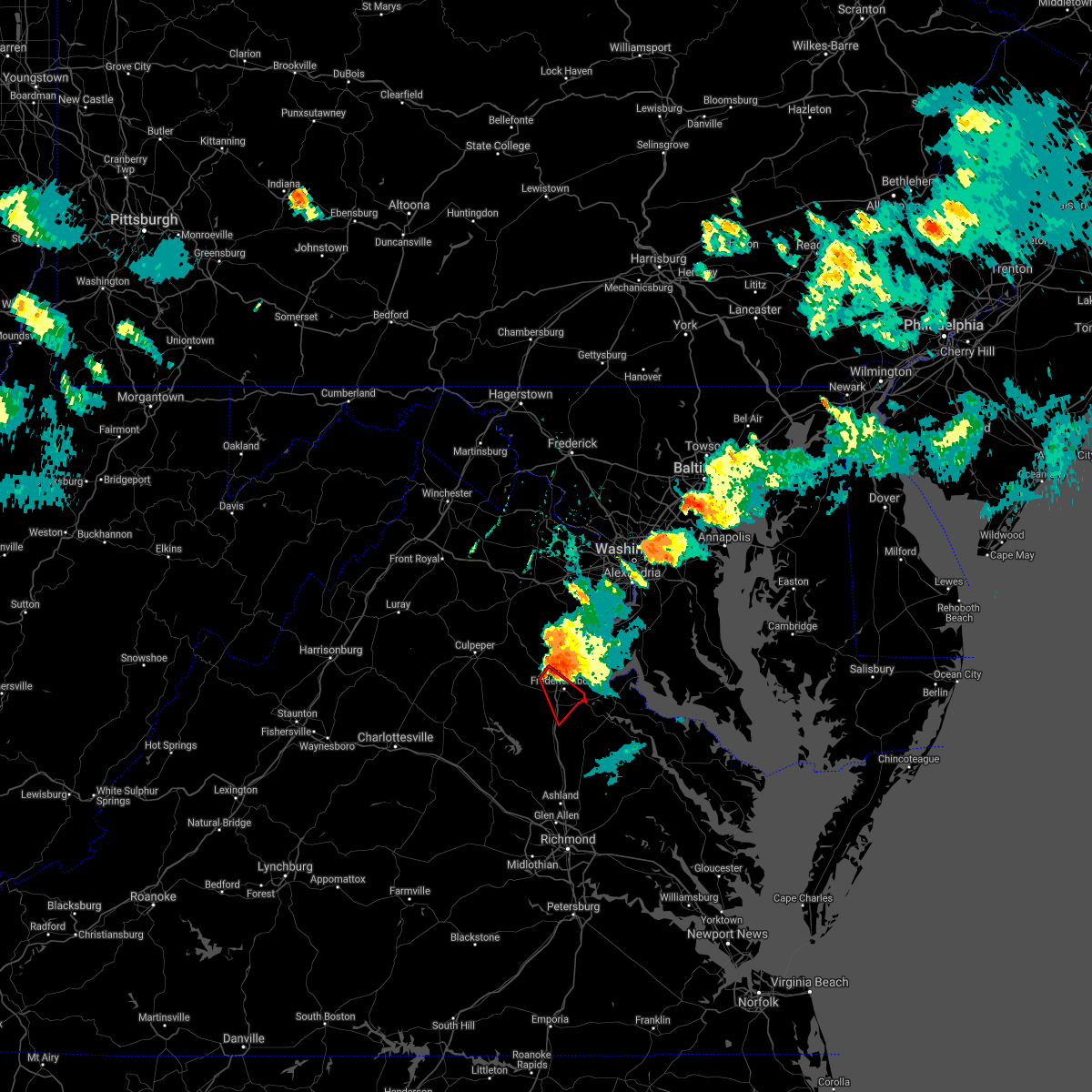 At 523 pm edt, a severe thunderstorm capable of producing a tornado was located near fredericksburg, moving southeast at 35 mph (radar indicated rotation). Hazards include tornado and hail up to two inches in diameter. For those in the direct path of a tornado touchdown, flying debris will be dangerous to those caught without shelter. damage to roofs, siding, and windows may occur. mobile homes may be damaged or destroyed. tree damage is likely. this dangerous storm will be near, fredericksburg around 530 pm edt. massaponax around 540 pm edt. Other locations impacted by this tornadic thunderstorm include falmouth, white oak, glendie, brookfield, holly corner and spring valley. At 523 pm edt, a severe thunderstorm capable of producing a tornado was located near fredericksburg, moving southeast at 35 mph (radar indicated rotation). Hazards include tornado and hail up to two inches in diameter. For those in the direct path of a tornado touchdown, flying debris will be dangerous to those caught without shelter. damage to roofs, siding, and windows may occur. mobile homes may be damaged or destroyed. tree damage is likely. this dangerous storm will be near, fredericksburg around 530 pm edt. massaponax around 540 pm edt. Other locations impacted by this tornadic thunderstorm include falmouth, white oak, glendie, brookfield, holly corner and spring valley.
|
| 7/29/2021 5:21 PM EDT |
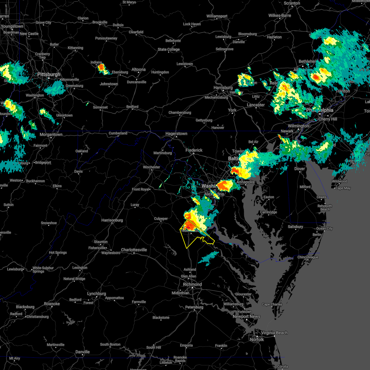 At 520 pm edt, a potentially destructive severe thunderstorm was located near fredericksburg, moving southeast at 35 mph. this is a very dangerous storm (radar indicated). Hazards include two inch hail and 75 mph wind gusts. Expect considerable damage to trees and power lines. your life is at significant risk if outdoors. In addition to some trees falling into homes, wind damage is possible to roofs, sheds, open garages, and mobile homes. At 520 pm edt, a potentially destructive severe thunderstorm was located near fredericksburg, moving southeast at 35 mph. this is a very dangerous storm (radar indicated). Hazards include two inch hail and 75 mph wind gusts. Expect considerable damage to trees and power lines. your life is at significant risk if outdoors. In addition to some trees falling into homes, wind damage is possible to roofs, sheds, open garages, and mobile homes.
|
| 7/29/2021 5:15 PM EDT | Numerous trees down on the property of gauntlet golf club in stafford county VA, 9.7 miles SSE of Fredericksburg, VA |
| 7/29/2021 5:15 PM EDT | Trees blew down in the area of stony hill road between cannon knolls drive and va-662 poplar roa in stafford county VA, 10.2 miles SSE of Fredericksburg, VA |
| 7/26/2021 9:42 PM EDT |
 The severe thunderstorm warning for west central charles, southern stafford, southwestern king george and eastern spotsylvania counties and the city of fredericksburg will expire at 945 pm edt, the storms which prompted the warning have weakened below severe limits, and have exited the warned area. therefore, the warning will be allowed to expire. The severe thunderstorm warning for west central charles, southern stafford, southwestern king george and eastern spotsylvania counties and the city of fredericksburg will expire at 945 pm edt, the storms which prompted the warning have weakened below severe limits, and have exited the warned area. therefore, the warning will be allowed to expire.
|
| 7/26/2021 9:42 PM EDT |
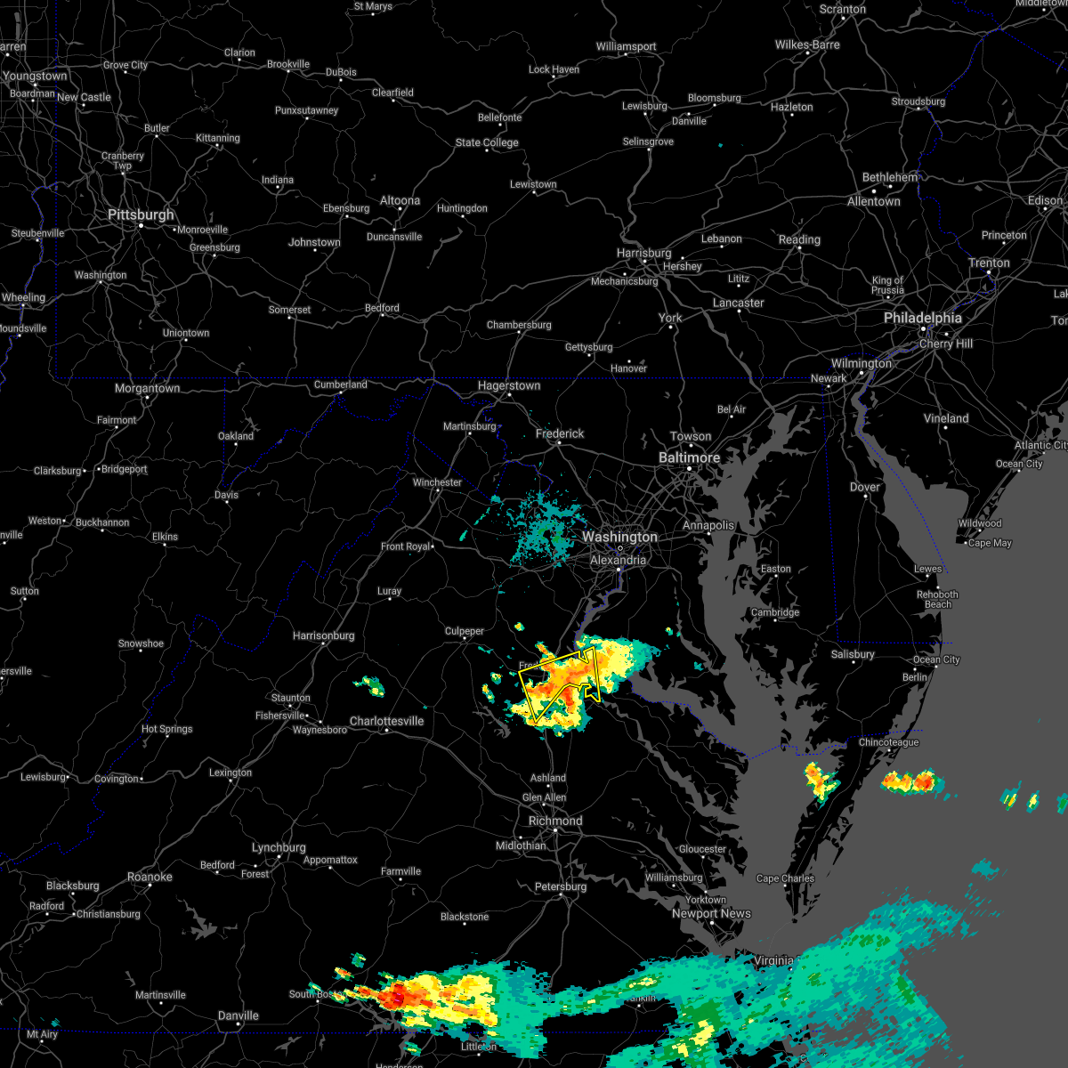 The severe thunderstorm warning for west central charles, southern stafford, southwestern king george and eastern spotsylvania counties and the city of fredericksburg will expire at 945 pm edt, the storms which prompted the warning have weakened below severe limits, and have exited the warned area. therefore, the warning will be allowed to expire. The severe thunderstorm warning for west central charles, southern stafford, southwestern king george and eastern spotsylvania counties and the city of fredericksburg will expire at 945 pm edt, the storms which prompted the warning have weakened below severe limits, and have exited the warned area. therefore, the warning will be allowed to expire.
|
| 7/26/2021 9:33 PM EDT |
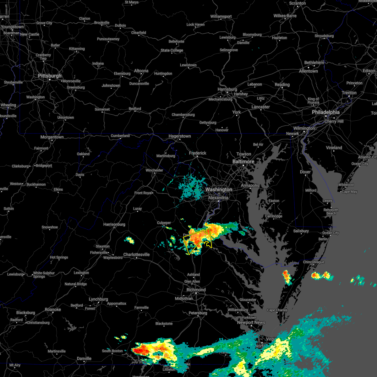 At 933 pm edt, severe thunderstorms were located along a line extending from near king george to near spotsylvania, moving southeast at 15 mph (radar indicated). Hazards include 60 mph wind gusts. Damaging winds will cause some trees and large branches to fall. this could injure those outdoors, as well as damage homes and vehicles. roadways may become blocked by downed trees. localized power outages are possible. unsecured light objects may become projectiles. Locations impacted include, fredericksburg, king george, fairview beach, potomac creek, aquia creek, massaponax, spotsylvania, falmouth, passapatanzy, stones corner, leeland, spring valley, chancellorsville, thornburg, lambs creek, white oak, sealston, brookfield and dogue. At 933 pm edt, severe thunderstorms were located along a line extending from near king george to near spotsylvania, moving southeast at 15 mph (radar indicated). Hazards include 60 mph wind gusts. Damaging winds will cause some trees and large branches to fall. this could injure those outdoors, as well as damage homes and vehicles. roadways may become blocked by downed trees. localized power outages are possible. unsecured light objects may become projectiles. Locations impacted include, fredericksburg, king george, fairview beach, potomac creek, aquia creek, massaponax, spotsylvania, falmouth, passapatanzy, stones corner, leeland, spring valley, chancellorsville, thornburg, lambs creek, white oak, sealston, brookfield and dogue.
|
| 7/26/2021 9:33 PM EDT |
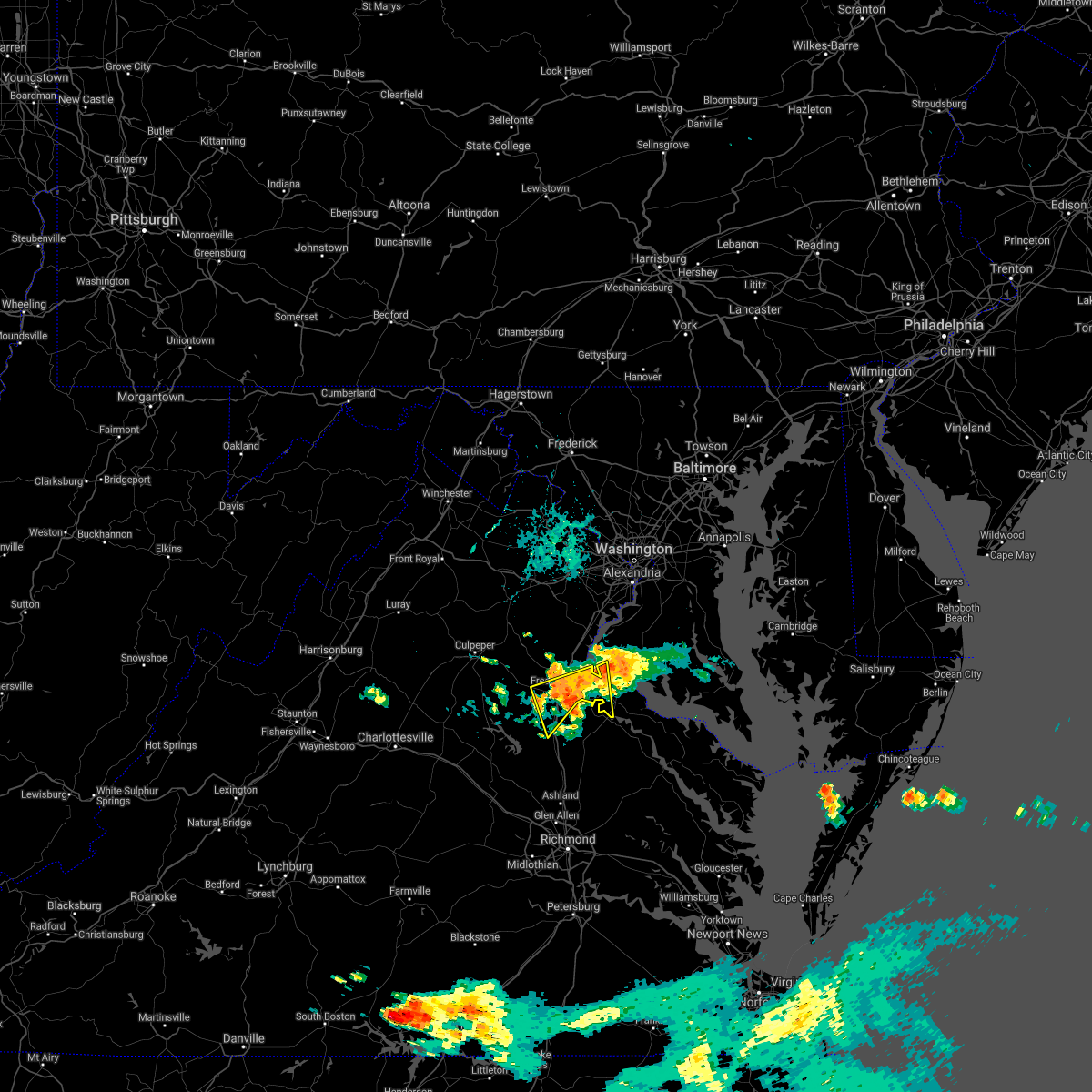 At 933 pm edt, severe thunderstorms were located along a line extending from near king george to near spotsylvania, moving southeast at 15 mph (radar indicated). Hazards include 60 mph wind gusts. Damaging winds will cause some trees and large branches to fall. this could injure those outdoors, as well as damage homes and vehicles. roadways may become blocked by downed trees. localized power outages are possible. unsecured light objects may become projectiles. Locations impacted include, fredericksburg, king george, fairview beach, potomac creek, aquia creek, massaponax, spotsylvania, falmouth, passapatanzy, stones corner, leeland, spring valley, chancellorsville, thornburg, lambs creek, white oak, sealston, brookfield and dogue. At 933 pm edt, severe thunderstorms were located along a line extending from near king george to near spotsylvania, moving southeast at 15 mph (radar indicated). Hazards include 60 mph wind gusts. Damaging winds will cause some trees and large branches to fall. this could injure those outdoors, as well as damage homes and vehicles. roadways may become blocked by downed trees. localized power outages are possible. unsecured light objects may become projectiles. Locations impacted include, fredericksburg, king george, fairview beach, potomac creek, aquia creek, massaponax, spotsylvania, falmouth, passapatanzy, stones corner, leeland, spring valley, chancellorsville, thornburg, lambs creek, white oak, sealston, brookfield and dogue.
|
| 7/26/2021 9:07 PM EDT |
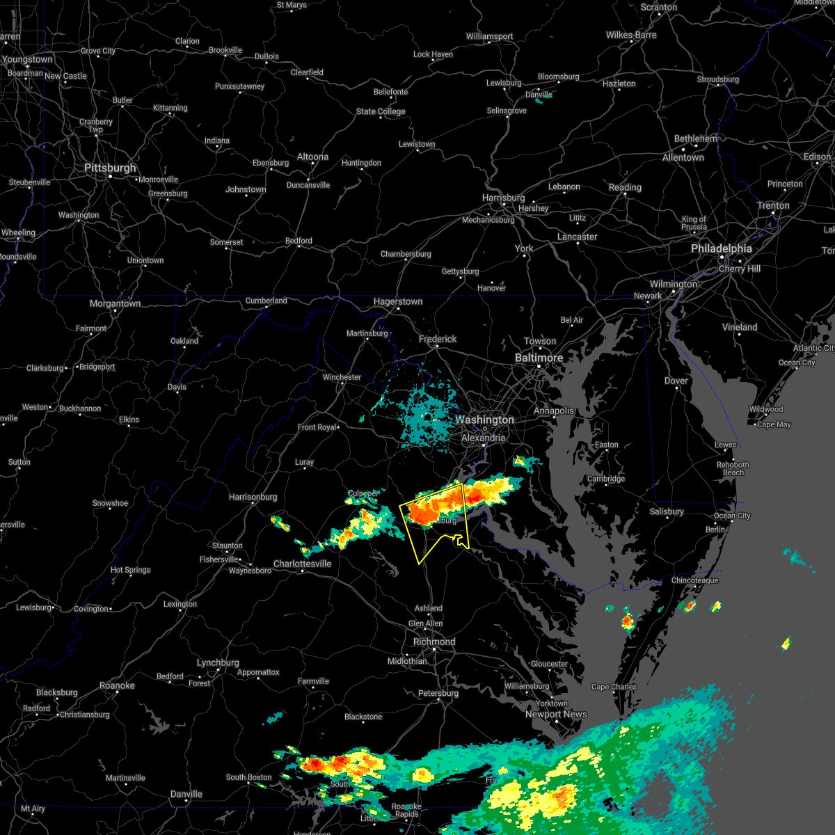 At 906 pm edt, severe thunderstorms were located along a line extending from 6 miles northeast of potomac creek to 7 miles west of fredericksburg, moving southeast at 15 mph (radar indicated). Hazards include 60 mph wind gusts. Damaging winds will cause some trees and large branches to fall. this could injure those outdoors, as well as damage homes and vehicles. roadways may become blocked by downed trees. localized power outages are possible. Unsecured light objects may become projectiles. At 906 pm edt, severe thunderstorms were located along a line extending from 6 miles northeast of potomac creek to 7 miles west of fredericksburg, moving southeast at 15 mph (radar indicated). Hazards include 60 mph wind gusts. Damaging winds will cause some trees and large branches to fall. this could injure those outdoors, as well as damage homes and vehicles. roadways may become blocked by downed trees. localized power outages are possible. Unsecured light objects may become projectiles.
|
| 7/14/2021 5:15 PM EDT |
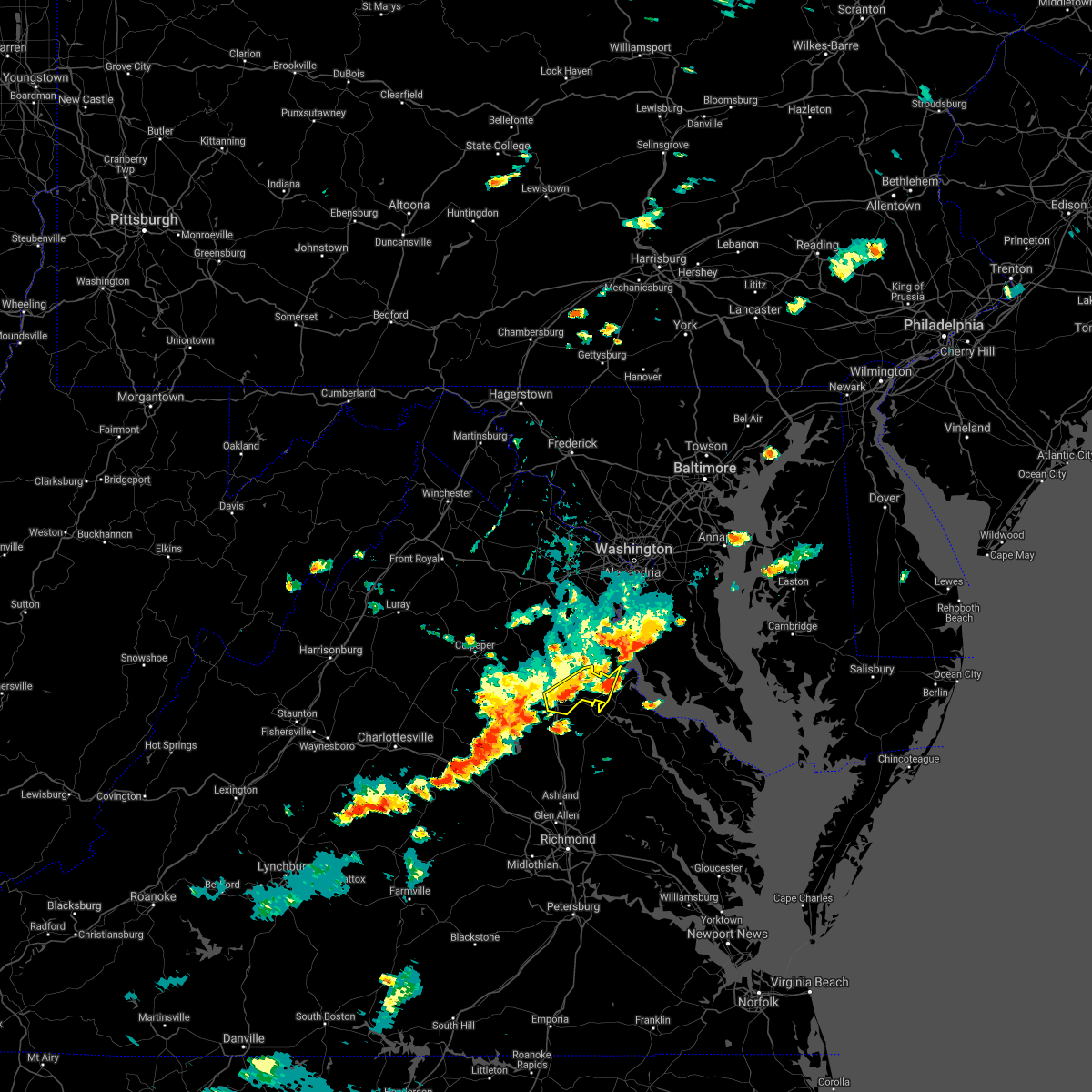 At 515 pm edt, severe thunderstorms were located along a line extending from near stafford to fredericksburg to near spotsylvania, moving east at 10 mph (radar indicated). Hazards include 60 mph wind gusts and quarter size hail. Damaging winds will cause some trees and large branches to fall. this could injure those outdoors, as well as damage homes and vehicles. roadways may become blocked by downed trees. localized power outages are possible. unsecured light objects may become projectiles. Locations impacted include, fredericksburg, king george, fairview beach, potomac creek, aquia creek, massaponax, falmouth, passapatanzy, stones corner, leeland, spring valley, lambs creek, white oak, sealston, brookfield and dogue. At 515 pm edt, severe thunderstorms were located along a line extending from near stafford to fredericksburg to near spotsylvania, moving east at 10 mph (radar indicated). Hazards include 60 mph wind gusts and quarter size hail. Damaging winds will cause some trees and large branches to fall. this could injure those outdoors, as well as damage homes and vehicles. roadways may become blocked by downed trees. localized power outages are possible. unsecured light objects may become projectiles. Locations impacted include, fredericksburg, king george, fairview beach, potomac creek, aquia creek, massaponax, falmouth, passapatanzy, stones corner, leeland, spring valley, lambs creek, white oak, sealston, brookfield and dogue.
|
| 7/14/2021 5:12 PM EDT | Wires down near tazewell st and pendleton rd in stafford county VA, 3.6 miles WNW of Fredericksburg, VA |
| 7/14/2021 5:10 PM EDT | Storm damage reported in spotsylvania county VA, 3.3 miles NW of Fredericksburg, VA |
| 7/14/2021 5:09 PM EDT | Tree in the roadway near shannon drive and lansdowne roa in spotsylvania county VA, 2.9 miles NW of Fredericksburg, VA |
| 7/14/2021 5:09 PM EDT | Tree blocking the roadway near lee drive and lansdowne roa in spotsylvania county VA, 3.2 miles NNW of Fredericksburg, VA |
| 7/14/2021 5:09 PM EDT | Tree into the front of a home on bentley cour in spotsylvania county VA, 2.3 miles NNW of Fredericksburg, VA |
| 7/14/2021 5:06 PM EDT | Trees and wires down in 2000 block of lafayette blvd in city of fredericks county VA, 1.7 miles NNW of Fredericksburg, VA |
| 7/14/2021 5:04 PM EDT | Large tree down in the 5400 block of leavells crossing driv in spotsylvania county VA, 4 miles NNE of Fredericksburg, VA |
| 7/14/2021 5:04 PM EDT | Tree and wires down on rollingwood drive near sarah lan in spotsylvania county VA, 3.7 miles NNE of Fredericksburg, VA |
| 7/14/2021 5:01 PM EDT |
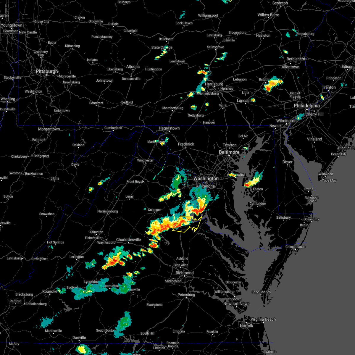 At 501 pm edt, severe thunderstorms were located along a line extending from 6 miles southwest of stafford to fredericksburg to near spotsylvania, moving east at 10 mph (radar indicated). Hazards include 60 mph wind gusts and quarter size hail. Damaging winds will cause some trees and large branches to fall. this could injure those outdoors, as well as damage homes and vehicles. roadways may become blocked by downed trees. localized power outages are possible. Unsecured light objects may become projectiles. At 501 pm edt, severe thunderstorms were located along a line extending from 6 miles southwest of stafford to fredericksburg to near spotsylvania, moving east at 10 mph (radar indicated). Hazards include 60 mph wind gusts and quarter size hail. Damaging winds will cause some trees and large branches to fall. this could injure those outdoors, as well as damage homes and vehicles. roadways may become blocked by downed trees. localized power outages are possible. Unsecured light objects may become projectiles.
|
| 7/14/2021 5:00 PM EDT | Tree down near salem village drive and elwyn cour in spotsylvania county VA, 3.8 miles NE of Fredericksburg, VA |
| 7/14/2021 4:56 PM EDT |
 The severe thunderstorm warning for central orange and spotsylvania counties will expire at 500 pm edt, the storms which prompted the warning have weakened below severe limits, and no longer pose an immediate threat to life or property. therefore, the warning will be allowed to expire. however gusty winds up to 40 mph are still possible with these thunderstorms. The severe thunderstorm warning for central orange and spotsylvania counties will expire at 500 pm edt, the storms which prompted the warning have weakened below severe limits, and no longer pose an immediate threat to life or property. therefore, the warning will be allowed to expire. however gusty winds up to 40 mph are still possible with these thunderstorms.
|
| 7/14/2021 4:55 PM EDT | Tree blocking the roadway in the 5900 block of harrison roa in spotsylvania county VA, 3.3 miles NE of Fredericksburg, VA |
| 7/14/2021 4:49 PM EDT | Trees down near piedmont drive and chancellor park driv in spotsylvania county VA, 3.7 miles NE of Fredericksburg, VA |
| 7/14/2021 4:40 PM EDT |
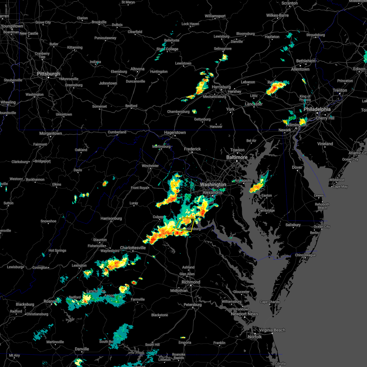 The severe thunderstorm warning for southwestern stafford, northeastern orange, southeastern fauquier, eastern culpeper and north central spotsylvania counties and the northern city of fredericksburg will expire at 445 pm edt, the storm which prompted the warning has weakened below severe limits, and no longer poses an immediate threat to life or property. therefore, the warning will be allowed to expire. The severe thunderstorm warning for southwestern stafford, northeastern orange, southeastern fauquier, eastern culpeper and north central spotsylvania counties and the northern city of fredericksburg will expire at 445 pm edt, the storm which prompted the warning has weakened below severe limits, and no longer poses an immediate threat to life or property. therefore, the warning will be allowed to expire.
|
| 7/14/2021 4:35 PM EDT | Trees down near intersection of kellogg mill rd and bethany way in stafford county VA, 7.5 miles S of Fredericksburg, VA |
| 7/14/2021 4:32 PM EDT |
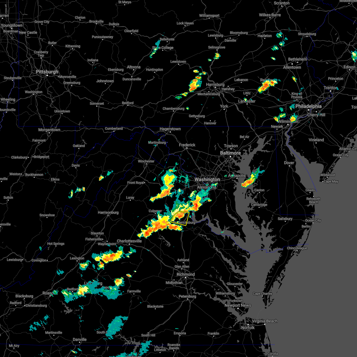 At 432 pm edt, a severe thunderstorm was located 9 miles northwest of fredericksburg, moving east at 25 mph (radar indicated). Hazards include 60 mph wind gusts and quarter size hail. Damaging winds will cause some trees and large branches to fall. this could injure those outdoors, as well as damage homes and vehicles. roadways may become blocked by downed trees. localized power outages are possible. unsecured light objects may become projectiles. Locations impacted include, stafford, fredericksburg, falmouth, leeland, roseville, garrisonville, spring valley, ramoth, heflin, aquia, storck, holly corner, dunavant, glendie, hartwood and brookfield. At 432 pm edt, a severe thunderstorm was located 9 miles northwest of fredericksburg, moving east at 25 mph (radar indicated). Hazards include 60 mph wind gusts and quarter size hail. Damaging winds will cause some trees and large branches to fall. this could injure those outdoors, as well as damage homes and vehicles. roadways may become blocked by downed trees. localized power outages are possible. unsecured light objects may become projectiles. Locations impacted include, stafford, fredericksburg, falmouth, leeland, roseville, garrisonville, spring valley, ramoth, heflin, aquia, storck, holly corner, dunavant, glendie, hartwood and brookfield.
|
| 7/14/2021 4:23 PM EDT |
 At 421 pm edt, severe thunderstorms were located along a line extending from 10 miles southeast of culpeper to 7 miles northwest of boswells tavern, moving east at 25 mph (radar indicated). Hazards include 60 mph wind gusts. Damaging winds will cause some trees and large branches to fall. this could injure those outdoors, as well as damage homes and vehicles. roadways may become blocked by downed trees. localized power outages are possible. unsecured light objects may become projectiles. Locations impacted include, fredericksburg, spotsylvania, gordonsville, mine run, rhoadesville, brokenburg, parker, everona, verdiersville, madison run, locust grove, alsop, gold dale, thornhill, nasons, chancellorsville, logan, lahore, glenora and post oak. At 421 pm edt, severe thunderstorms were located along a line extending from 10 miles southeast of culpeper to 7 miles northwest of boswells tavern, moving east at 25 mph (radar indicated). Hazards include 60 mph wind gusts. Damaging winds will cause some trees and large branches to fall. this could injure those outdoors, as well as damage homes and vehicles. roadways may become blocked by downed trees. localized power outages are possible. unsecured light objects may become projectiles. Locations impacted include, fredericksburg, spotsylvania, gordonsville, mine run, rhoadesville, brokenburg, parker, everona, verdiersville, madison run, locust grove, alsop, gold dale, thornhill, nasons, chancellorsville, logan, lahore, glenora and post oak.
|
| 7/14/2021 4:20 PM EDT |
 At 420 pm edt, severe thunderstorms were located along a line extending from 10 miles southeast of culpeper to 6 miles northwest of boswells tavern, moving east at 25 mph (radar indicated). Hazards include 60 mph wind gusts. Damaging winds will cause some trees and large branches to fall. this could injure those outdoors, as well as damage homes and vehicles. roadways may become blocked by downed trees. localized power outages are possible. Unsecured light objects may become projectiles. At 420 pm edt, severe thunderstorms were located along a line extending from 10 miles southeast of culpeper to 6 miles northwest of boswells tavern, moving east at 25 mph (radar indicated). Hazards include 60 mph wind gusts. Damaging winds will cause some trees and large branches to fall. this could injure those outdoors, as well as damage homes and vehicles. roadways may become blocked by downed trees. localized power outages are possible. Unsecured light objects may become projectiles.
|
| 7/14/2021 4:06 PM EDT |
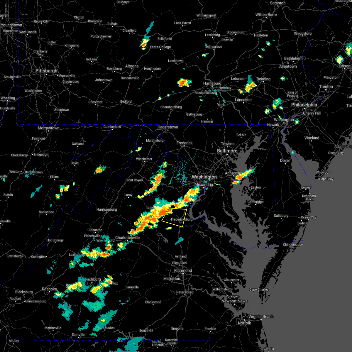 At 406 pm edt, a severe thunderstorm was located 10 miles south of bealeton, or 12 miles east of culpeper, moving east at 25 mph (radar indicated). Hazards include 60 mph wind gusts and quarter size hail. Damaging winds will cause some trees and large branches to fall. this could injure those outdoors, as well as damage homes and vehicles. roadways may become blocked by downed trees. localized power outages are possible. Unsecured light objects may become projectiles. At 406 pm edt, a severe thunderstorm was located 10 miles south of bealeton, or 12 miles east of culpeper, moving east at 25 mph (radar indicated). Hazards include 60 mph wind gusts and quarter size hail. Damaging winds will cause some trees and large branches to fall. this could injure those outdoors, as well as damage homes and vehicles. roadways may become blocked by downed trees. localized power outages are possible. Unsecured light objects may become projectiles.
|
| 7/1/2021 2:00 PM EDT | Wires down in vicinity of smith station rd and blackstone blvd in spotsylvania county VA, 6.4 miles NNE of Fredericksburg, VA |
| 7/1/2021 1:58 PM EDT |
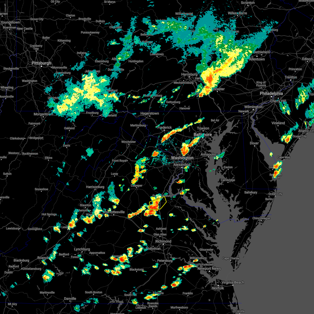 At 158 pm edt, a severe thunderstorm was located over massaponax, or near fredericksburg, moving east at 35 mph (radar indicated). Hazards include 60 mph wind gusts and quarter size hail. Damaging winds will cause some trees and large branches to fall. this could injure those outdoors, as well as damage homes and vehicles. roadways may become blocked by downed trees. localized power outages are possible. unsecured light objects may become projectiles. Locations impacted include, fredericksburg, massaponax, spotsylvania, brokenburg, post oak, thornburg, brookfield, snell and alsop. At 158 pm edt, a severe thunderstorm was located over massaponax, or near fredericksburg, moving east at 35 mph (radar indicated). Hazards include 60 mph wind gusts and quarter size hail. Damaging winds will cause some trees and large branches to fall. this could injure those outdoors, as well as damage homes and vehicles. roadways may become blocked by downed trees. localized power outages are possible. unsecured light objects may become projectiles. Locations impacted include, fredericksburg, massaponax, spotsylvania, brokenburg, post oak, thornburg, brookfield, snell and alsop.
|
| 7/1/2021 1:36 PM EDT |
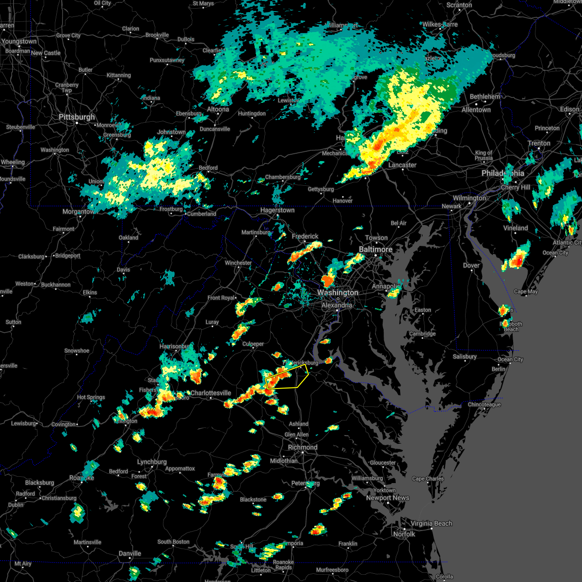 At 136 pm edt, a severe thunderstorm was located 9 miles west of spotsylvania, or 13 miles northeast of mineral, moving east at 35 mph (radar indicated). Hazards include 60 mph wind gusts and quarter size hail. Damaging winds will cause some trees and large branches to fall. this could injure those outdoors, as well as damage homes and vehicles. roadways may become blocked by downed trees. localized power outages are possible. Unsecured light objects may become projectiles. At 136 pm edt, a severe thunderstorm was located 9 miles west of spotsylvania, or 13 miles northeast of mineral, moving east at 35 mph (radar indicated). Hazards include 60 mph wind gusts and quarter size hail. Damaging winds will cause some trees and large branches to fall. this could injure those outdoors, as well as damage homes and vehicles. roadways may become blocked by downed trees. localized power outages are possible. Unsecured light objects may become projectiles.
|
| 6/4/2021 1:22 PM EDT |
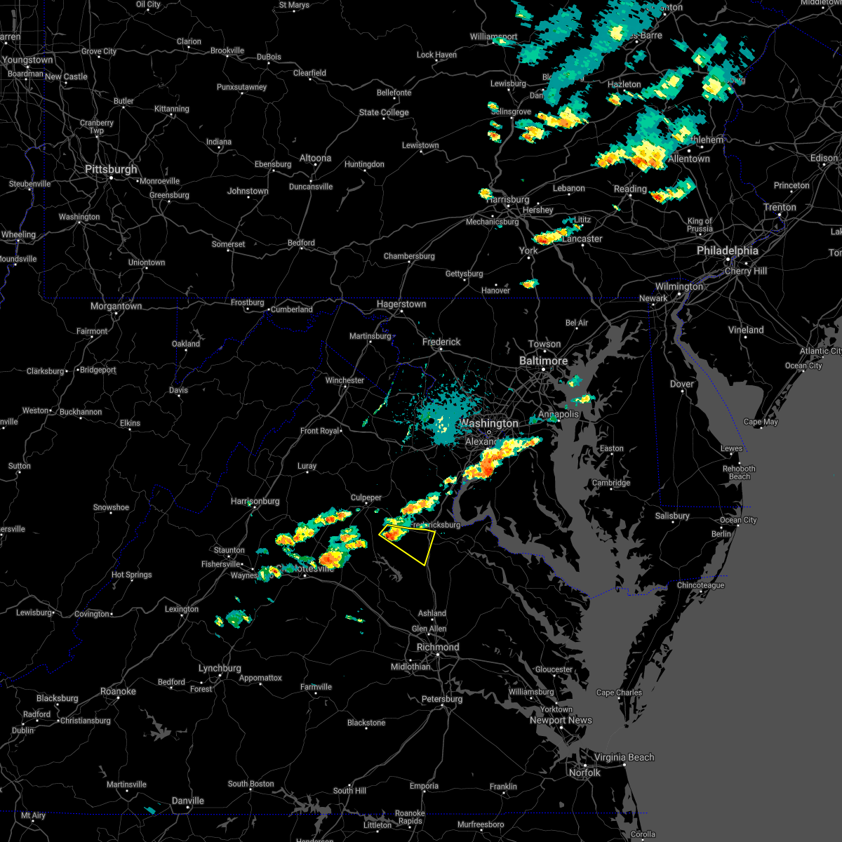 At 122 pm edt, a severe thunderstorm was located 11 miles northwest of spotsylvania, or 16 miles west of fredericksburg, moving southeast at 20 mph (radar indicated). Hazards include 60 mph wind gusts and quarter size hail. Damaging winds will cause some trees and large branches to fall. this could injure those outdoors, as well as damage homes and vehicles. roadways may become blocked by downed trees. localized power outages are possible. unsecured light objects may become projectiles. Locations impacted include, fredericksburg, massaponax, spotsylvania, mine run, parker, locust grove, snell, alsop, gold dale, chancellorsville, logan, post oak and cookstown. At 122 pm edt, a severe thunderstorm was located 11 miles northwest of spotsylvania, or 16 miles west of fredericksburg, moving southeast at 20 mph (radar indicated). Hazards include 60 mph wind gusts and quarter size hail. Damaging winds will cause some trees and large branches to fall. this could injure those outdoors, as well as damage homes and vehicles. roadways may become blocked by downed trees. localized power outages are possible. unsecured light objects may become projectiles. Locations impacted include, fredericksburg, massaponax, spotsylvania, mine run, parker, locust grove, snell, alsop, gold dale, chancellorsville, logan, post oak and cookstown.
|
| 6/4/2021 1:10 PM EDT |
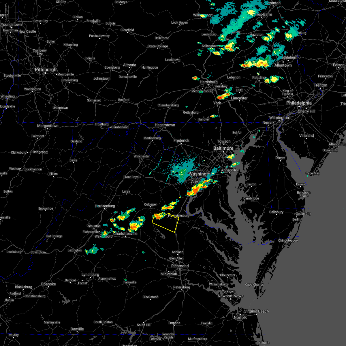 At 110 pm edt, a severe thunderstorm was located 13 miles southeast of culpeper, moving east at 20 mph (radar indicated). Hazards include 60 mph wind gusts and quarter size hail. Damaging winds will cause some trees and large branches to fall. this could injure those outdoors, as well as damage homes and vehicles. roadways may become blocked by downed trees. localized power outages are possible. Unsecured light objects may become projectiles. At 110 pm edt, a severe thunderstorm was located 13 miles southeast of culpeper, moving east at 20 mph (radar indicated). Hazards include 60 mph wind gusts and quarter size hail. Damaging winds will cause some trees and large branches to fall. this could injure those outdoors, as well as damage homes and vehicles. roadways may become blocked by downed trees. localized power outages are possible. Unsecured light objects may become projectiles.
|
| 5/28/2021 5:46 PM EDT |
 At 545 pm edt, severe thunderstorms were located along a line extending from near massaponax to near potomac creek to king george, moving northeast at 30 mph (radar indicated). Hazards include 60 mph wind gusts. Damaging winds will cause some trees and large branches to fall. this could injure those outdoors, as well as damage homes and vehicles. roadways may become blocked by downed trees. localized power outages are possible. Unsecured light objects may become projectiles. At 545 pm edt, severe thunderstorms were located along a line extending from near massaponax to near potomac creek to king george, moving northeast at 30 mph (radar indicated). Hazards include 60 mph wind gusts. Damaging winds will cause some trees and large branches to fall. this could injure those outdoors, as well as damage homes and vehicles. roadways may become blocked by downed trees. localized power outages are possible. Unsecured light objects may become projectiles.
|
| 5/28/2021 5:37 PM EDT |
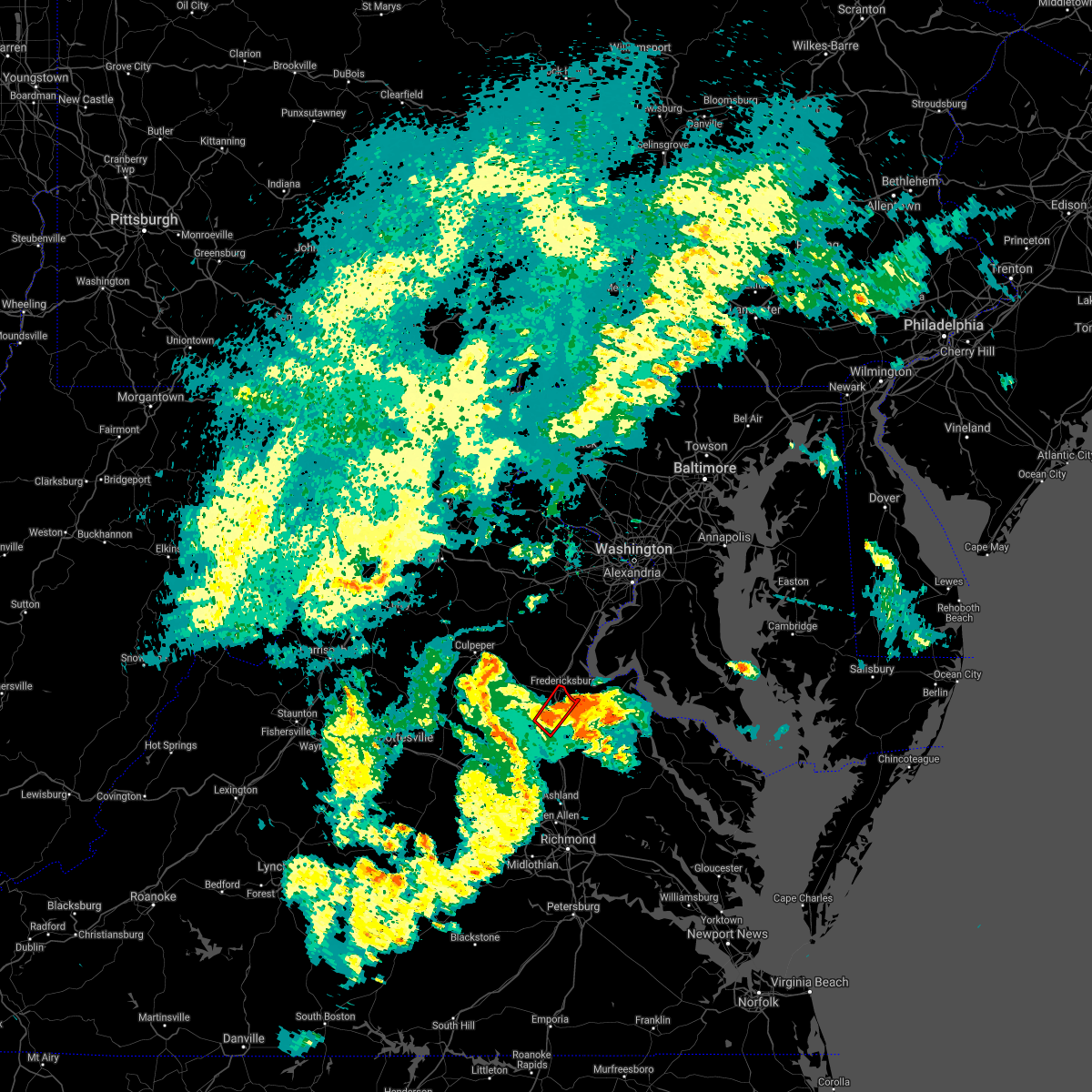 At 536 pm edt, a severe thunderstorm capable of producing a tornado was located over spotsylvania, or 11 miles southwest of fredericksburg, moving northeast at 25 mph (radar indicated rotation). Hazards include tornado. For those in the direct path of a tornado touchdown, flying debris will be dangerous to those caught without shelter. damage to roofs, siding, and windows may occur. mobile homes may be damaged or destroyed. tree damage is likely. this dangerous storm will be near, spotsylvania and massaponax around 545 pm edt. fredericksburg around 600 pm edt. Other locations impacted by this tornadic thunderstorm include thornburg and snell. At 536 pm edt, a severe thunderstorm capable of producing a tornado was located over spotsylvania, or 11 miles southwest of fredericksburg, moving northeast at 25 mph (radar indicated rotation). Hazards include tornado. For those in the direct path of a tornado touchdown, flying debris will be dangerous to those caught without shelter. damage to roofs, siding, and windows may occur. mobile homes may be damaged or destroyed. tree damage is likely. this dangerous storm will be near, spotsylvania and massaponax around 545 pm edt. fredericksburg around 600 pm edt. Other locations impacted by this tornadic thunderstorm include thornburg and snell.
|
| 5/4/2021 5:26 PM EDT |
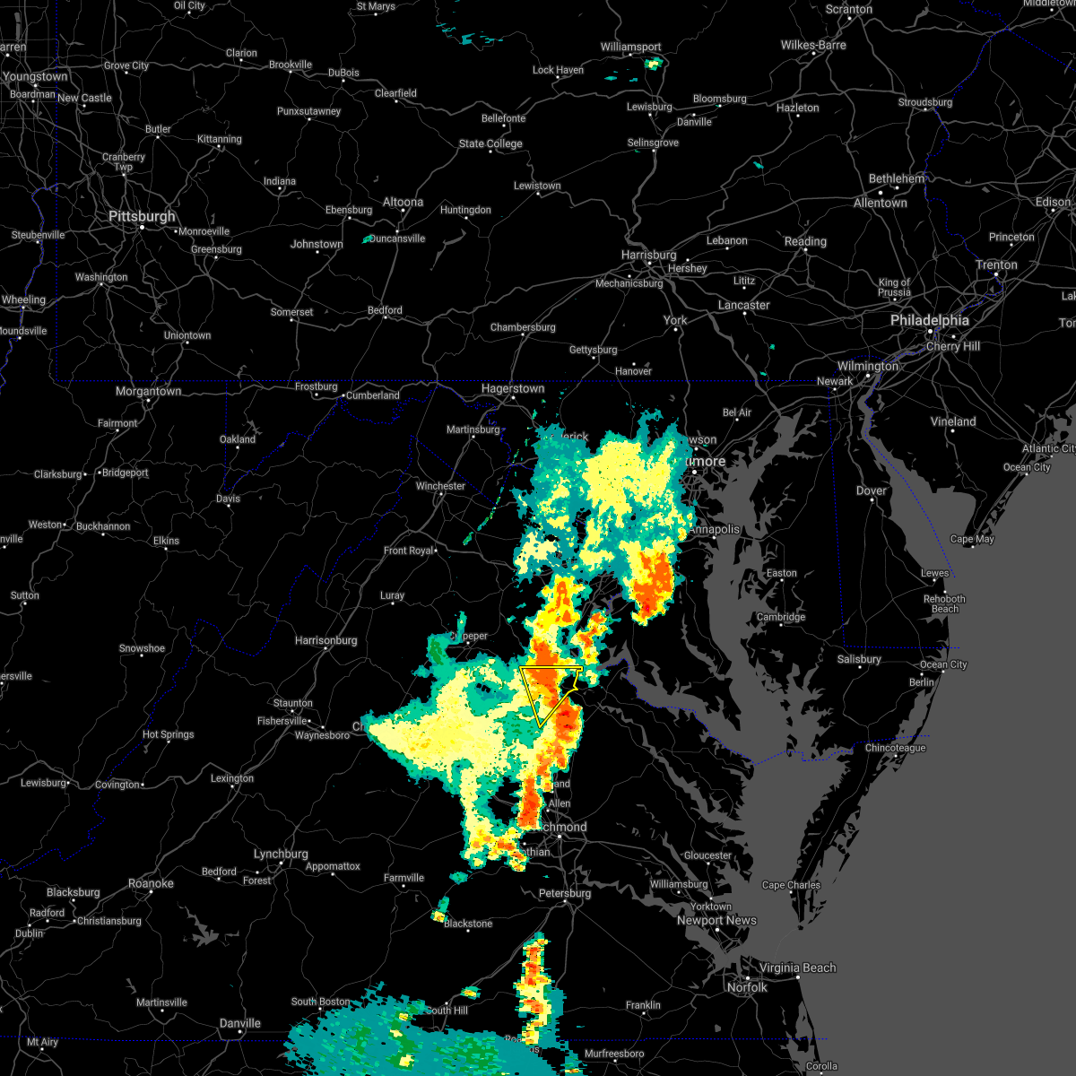 At 526 pm edt, severe thunderstorms were located along a line extending from near fredericksburg to near massaponax, moving east at 45 mph (radar indicated). Hazards include 60 mph wind gusts. Damaging winds will cause some trees and large branches to fall. this could injure those outdoors, as well as damage homes and vehicles. roadways may become blocked by downed trees. localized power outages are possible. unsecured light objects may become projectiles. Locations impacted include, fredericksburg, massaponax, spotsylvania, falmouth, passapatanzy, stones corner, chancellorsville, leeland, thornburg, white oak, brookfield and spring valley. At 526 pm edt, severe thunderstorms were located along a line extending from near fredericksburg to near massaponax, moving east at 45 mph (radar indicated). Hazards include 60 mph wind gusts. Damaging winds will cause some trees and large branches to fall. this could injure those outdoors, as well as damage homes and vehicles. roadways may become blocked by downed trees. localized power outages are possible. unsecured light objects may become projectiles. Locations impacted include, fredericksburg, massaponax, spotsylvania, falmouth, passapatanzy, stones corner, chancellorsville, leeland, thornburg, white oak, brookfield and spring valley.
|
| 5/4/2021 4:57 PM EDT |
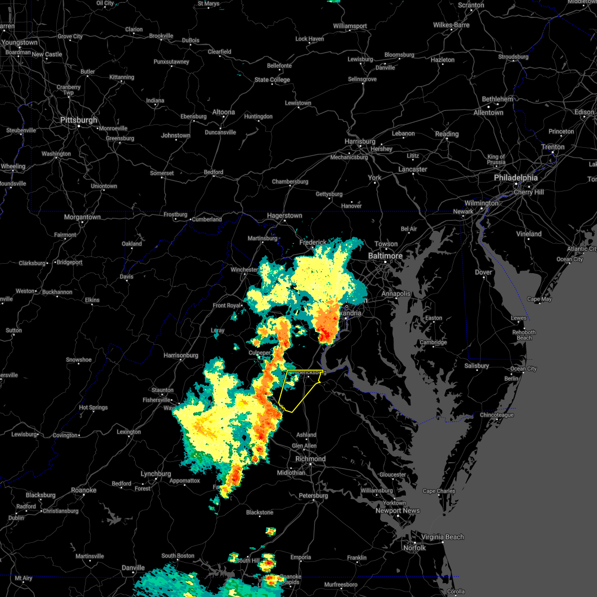 The national weather service in sterling virginia has issued a * severe thunderstorm warning for. southern stafford county in northern virginia. the city of fredericksburg in central virginia. spotsylvania county in central virginia. Until 545 pm edt. The national weather service in sterling virginia has issued a * severe thunderstorm warning for. southern stafford county in northern virginia. the city of fredericksburg in central virginia. spotsylvania county in central virginia. Until 545 pm edt.
|
| 12/24/2020 3:36 PM EST |
 At 335 pm est, a severe thunderstorm was located near fredericksburg, moving northeast at 55 mph (radar indicated). Hazards include 60 mph wind gusts. Damaging winds will cause some trees and large branches to fall. this could injure those outdoors, as well as damage homes and vehicles. roadways may become blocked by downed trees. localized power outages are possible. Unsecured light objects may become projectiles. At 335 pm est, a severe thunderstorm was located near fredericksburg, moving northeast at 55 mph (radar indicated). Hazards include 60 mph wind gusts. Damaging winds will cause some trees and large branches to fall. this could injure those outdoors, as well as damage homes and vehicles. roadways may become blocked by downed trees. localized power outages are possible. Unsecured light objects may become projectiles.
|
| 8/25/2020 8:03 PM EDT | Downed tree on white oak rd in stafford county VA, 7.9 miles W of Fredericksburg, VA |
| 8/25/2020 8:03 PM EDT |
 At 803 pm edt, severe thunderstorms were located along a line extending from 8 miles east of quantico to near aquia creek to near stafford, moving southeast at 30 mph (radar indicated). Hazards include 60 mph wind gusts. Damaging winds will cause some trees and large branches to fall. this could injure those outdoors, as well as damage homes and vehicles. roadways may become blocked by downed trees. localized power outages are possible. unsecured light objects may become projectiles. Locations impacted include, stafford, waldorf, fredericksburg, la plata, king george, dahlgren, quantico, fairview beach, nanjemoy creek, popes creek, aquia creek, potomac creek, port tobacco river, wicomico, cherry hill, bryans road, falmouth, hughesville, mason neck and charlotte hall. At 803 pm edt, severe thunderstorms were located along a line extending from 8 miles east of quantico to near aquia creek to near stafford, moving southeast at 30 mph (radar indicated). Hazards include 60 mph wind gusts. Damaging winds will cause some trees and large branches to fall. this could injure those outdoors, as well as damage homes and vehicles. roadways may become blocked by downed trees. localized power outages are possible. unsecured light objects may become projectiles. Locations impacted include, stafford, waldorf, fredericksburg, la plata, king george, dahlgren, quantico, fairview beach, nanjemoy creek, popes creek, aquia creek, potomac creek, port tobacco river, wicomico, cherry hill, bryans road, falmouth, hughesville, mason neck and charlotte hall.
|
| 8/25/2020 8:03 PM EDT |
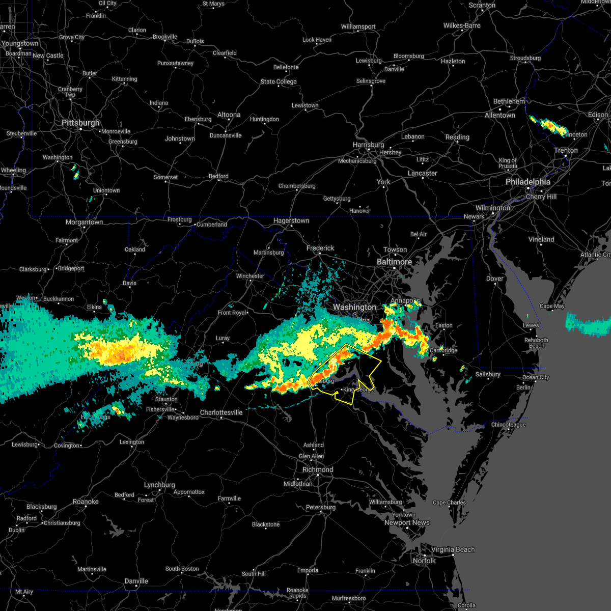 At 803 pm edt, severe thunderstorms were located along a line extending from 8 miles east of quantico to near aquia creek to near stafford, moving southeast at 30 mph (radar indicated). Hazards include 60 mph wind gusts. Damaging winds will cause some trees and large branches to fall. this could injure those outdoors, as well as damage homes and vehicles. roadways may become blocked by downed trees. localized power outages are possible. unsecured light objects may become projectiles. Locations impacted include, stafford, waldorf, fredericksburg, la plata, king george, dahlgren, quantico, fairview beach, nanjemoy creek, popes creek, aquia creek, potomac creek, port tobacco river, wicomico, cherry hill, bryans road, falmouth, hughesville, mason neck and charlotte hall. At 803 pm edt, severe thunderstorms were located along a line extending from 8 miles east of quantico to near aquia creek to near stafford, moving southeast at 30 mph (radar indicated). Hazards include 60 mph wind gusts. Damaging winds will cause some trees and large branches to fall. this could injure those outdoors, as well as damage homes and vehicles. roadways may become blocked by downed trees. localized power outages are possible. unsecured light objects may become projectiles. Locations impacted include, stafford, waldorf, fredericksburg, la plata, king george, dahlgren, quantico, fairview beach, nanjemoy creek, popes creek, aquia creek, potomac creek, port tobacco river, wicomico, cherry hill, bryans road, falmouth, hughesville, mason neck and charlotte hall.
|
| 8/25/2020 7:36 PM EDT |
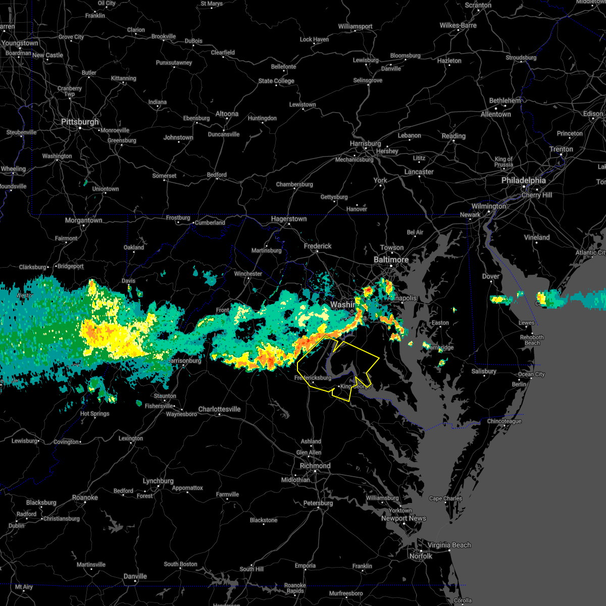 At 735 pm edt, severe thunderstorms were located along a line extending from near lake ridge to near dumfries to 8 miles west of stafford, moving east at 45 mph (radar indicated). Hazards include 60 mph wind gusts. Damaging winds will cause some trees and large branches to fall. this could injure those outdoors, as well as damage homes and vehicles. roadways may become blocked by downed trees. localized power outages are possible. Unsecured light objects may become projectiles. At 735 pm edt, severe thunderstorms were located along a line extending from near lake ridge to near dumfries to 8 miles west of stafford, moving east at 45 mph (radar indicated). Hazards include 60 mph wind gusts. Damaging winds will cause some trees and large branches to fall. this could injure those outdoors, as well as damage homes and vehicles. roadways may become blocked by downed trees. localized power outages are possible. Unsecured light objects may become projectiles.
|
| 8/24/2020 6:59 PM EDT | 9 houses damaged with 1 roof collapsed in the lees park neighborhood. specifically... the 5000 block of holley oak lane. 1 unfinished structure had associated debris im in spotsylvania county VA, 6.5 miles NNE of Fredericksburg, VA |
| 8/24/2020 6:58 PM EDT | Trees down blocking smith station rd at jefferson davis highway in spotsylvania county VA, 5.7 miles N of Fredericksburg, VA |
| 8/24/2020 5:52 PM EDT | Trees down blocking a portion of jefferson davis highway in massaponax in spotsylvania county VA, 5 miles N of Fredericksburg, VA |
| 8/24/2020 5:14 PM EDT |
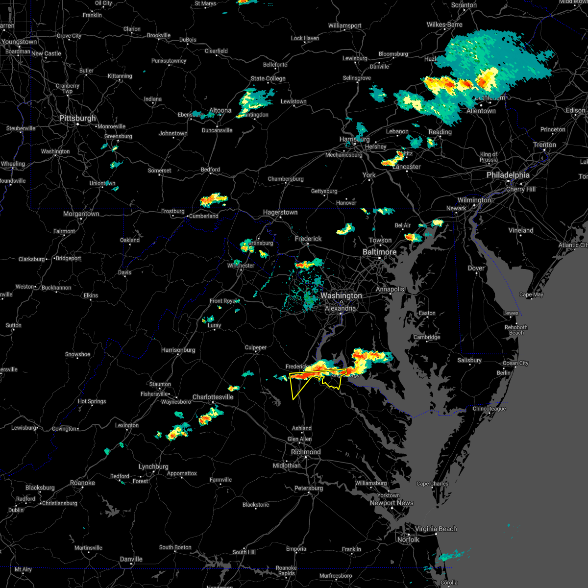 At 513 pm edt, severe thunderstorms were located along a line extending from near spotsylvania to near port royal, moving south at 30 mph (radar indicated. reports of downed trees). Hazards include 60 mph wind gusts and quarter size hail. Damaging winds will cause some trees and large branches to fall. this could injure those outdoors, as well as damage homes and vehicles. roadways may become blocked by downed trees. localized power outages are possible. Unsecured light objects may become projectiles. At 513 pm edt, severe thunderstorms were located along a line extending from near spotsylvania to near port royal, moving south at 30 mph (radar indicated. reports of downed trees). Hazards include 60 mph wind gusts and quarter size hail. Damaging winds will cause some trees and large branches to fall. this could injure those outdoors, as well as damage homes and vehicles. roadways may become blocked by downed trees. localized power outages are possible. Unsecured light objects may become projectiles.
|
| 8/24/2020 5:06 PM EDT | Tree down on the 300 block of landsdowne road in city of fredericks county VA, 2.9 miles NW of Fredericksburg, VA |
| 8/24/2020 5:06 PM EDT | Trees and powerlines down on the 3500 block of mine road in spotsylvania county VA, 4 miles NNW of Fredericksburg, VA |
| 8/24/2020 5:01 PM EDT | Tree down near the intersection of tignor lane and anderson street in spotsylvania county VA, 2.2 miles N of Fredericksburg, VA |
| 8/24/2020 5:01 PM EDT |
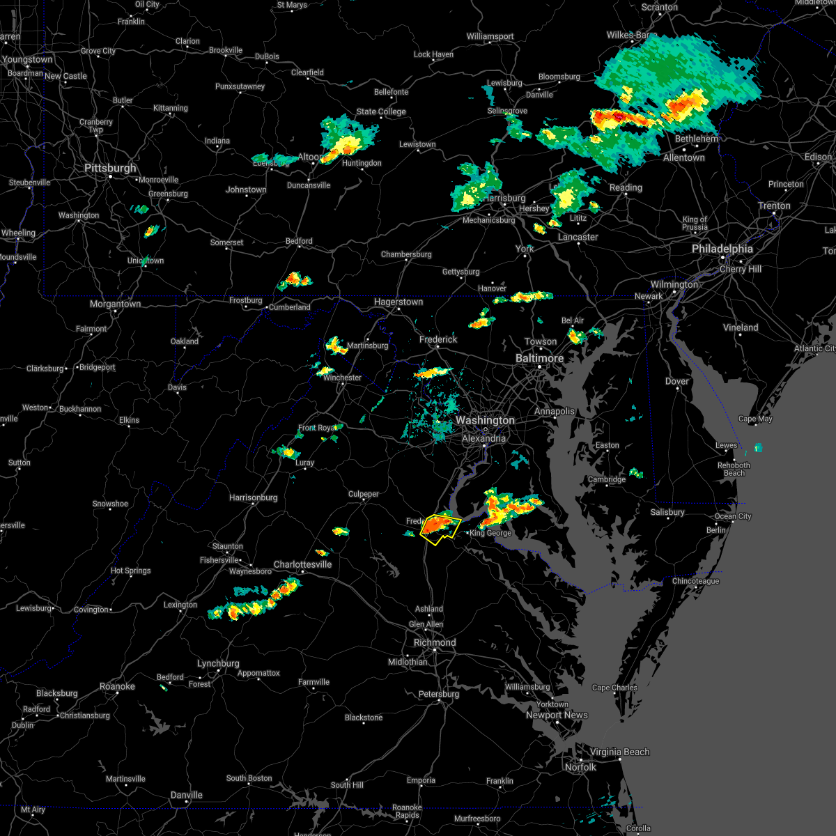 At 501 pm edt, a severe thunderstorm was located near fredericksburg, moving east at 20 mph (emergency management confirms multiple trees down in the city of fredericksburg). Hazards include 60 mph wind gusts and quarter size hail. Damaging winds will cause some trees and large branches to fall. this could injure those outdoors, as well as damage homes and vehicles. roadways may become blocked by downed trees. localized power outages are possible. unsecured light objects may become projectiles. Locations impacted include, fredericksburg, fairview beach, falmouth, passapatanzy, stones corner, leeland, white oak, sealston, brookfield and spring valley. At 501 pm edt, a severe thunderstorm was located near fredericksburg, moving east at 20 mph (emergency management confirms multiple trees down in the city of fredericksburg). Hazards include 60 mph wind gusts and quarter size hail. Damaging winds will cause some trees and large branches to fall. this could injure those outdoors, as well as damage homes and vehicles. roadways may become blocked by downed trees. localized power outages are possible. unsecured light objects may become projectiles. Locations impacted include, fredericksburg, fairview beach, falmouth, passapatanzy, stones corner, leeland, white oak, sealston, brookfield and spring valley.
|
| 8/24/2020 4:53 PM EDT | Numerous reports of trees and powerlines down in the vicinity of the city of fredericksburg in city of fredericks county VA, 0.3 miles WNW of Fredericksburg, VA |
| 8/24/2020 4:44 PM EDT |
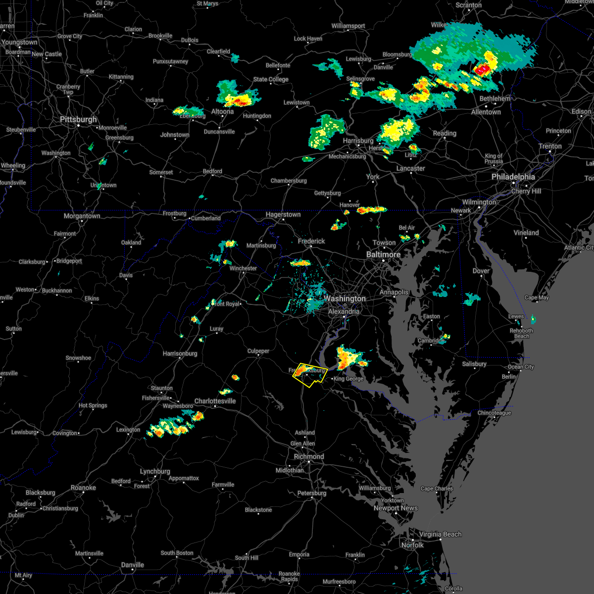 At 444 pm edt, a severe thunderstorm was located over fredericksburg, moving east at 20 mph (radar indicated). Hazards include 60 mph wind gusts and quarter size hail. Damaging winds will cause some trees and large branches to fall. this could injure those outdoors, as well as damage homes and vehicles. roadways may become blocked by downed trees. localized power outages are possible. Unsecured light objects may become projectiles. At 444 pm edt, a severe thunderstorm was located over fredericksburg, moving east at 20 mph (radar indicated). Hazards include 60 mph wind gusts and quarter size hail. Damaging winds will cause some trees and large branches to fall. this could injure those outdoors, as well as damage homes and vehicles. roadways may become blocked by downed trees. localized power outages are possible. Unsecured light objects may become projectiles.
|
| 8/6/2020 7:34 PM EDT |
 At 734 pm edt, a severe thunderstorm was located near spotsylvania, or 12 miles southwest of fredericksburg, and is nearly stationary (radar indicated). Hazards include 60 mph wind gusts. Damaging winds will cause some trees and large branches to fall. this could injure those outdoors, as well as damage homes and vehicles. roadways may become blocked by downed trees. localized power outages are possible. unsecured light objects may become projectiles. Locations impacted include, massaponax, spotsylvania, gatewood, chancellorsville, partlow, post oak, thornburg, snell, alsop and cookstown. At 734 pm edt, a severe thunderstorm was located near spotsylvania, or 12 miles southwest of fredericksburg, and is nearly stationary (radar indicated). Hazards include 60 mph wind gusts. Damaging winds will cause some trees and large branches to fall. this could injure those outdoors, as well as damage homes and vehicles. roadways may become blocked by downed trees. localized power outages are possible. unsecured light objects may become projectiles. Locations impacted include, massaponax, spotsylvania, gatewood, chancellorsville, partlow, post oak, thornburg, snell, alsop and cookstown.
|
| 8/6/2020 7:22 PM EDT |
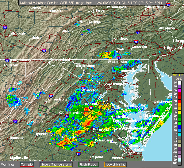 At 722 pm edt, a severe thunderstorm was located near spotsylvania, or 12 miles southwest of fredericksburg, and is nearly stationary (radar indicated). Hazards include 60 mph wind gusts. Damaging winds will cause some trees and large branches to fall. this could injure those outdoors, as well as damage homes and vehicles. roadways may become blocked by downed trees. localized power outages are possible. Unsecured light objects may become projectiles. At 722 pm edt, a severe thunderstorm was located near spotsylvania, or 12 miles southwest of fredericksburg, and is nearly stationary (radar indicated). Hazards include 60 mph wind gusts. Damaging winds will cause some trees and large branches to fall. this could injure those outdoors, as well as damage homes and vehicles. roadways may become blocked by downed trees. localized power outages are possible. Unsecured light objects may become projectiles.
|
| 8/3/2020 4:27 PM EDT | Tree down at the intersection of massaponax church rd and smith station r in spotsylvania county VA, 7.3 miles NNE of Fredericksburg, VA |
| 8/3/2020 3:34 PM EDT | Tree down near 729 walnut d in stafford county VA, 4.9 miles WSW of Fredericksburg, VA |
| 8/3/2020 3:31 PM EDT | Tree down near 120 river r in stafford county VA, 2 miles WSW of Fredericksburg, VA |
| 8/3/2020 3:22 PM EDT | Tree down at the intersection of massaponax church rd and smith station r in spotsylvania county VA, 7.3 miles NNE of Fredericksburg, VA |
| 8/3/2020 3:22 PM EDT |
 At 321 pm edt, severe thunderstorms were located along a line extending from near mineral to 6 miles southeast of massaponax to near leonardtown, moving east at 25 mph (radar indicated. a wind gust of 55 mph was measured at cobb point). Hazards include scattered damaging wind gusts of up to 65 mph. the highest winds on radar are currently focused from near cobb point maryland to king george virginia. Damaging winds will cause some trees and large branches to fall. this could injure those outdoors, as well as damage homes and vehicles. roadways may become blocked by downed trees. localized power outages are possible. unsecured light objects may become projectiles. Locations impacted include, stafford, waldorf, fredericksburg, la plata, king george, leonardtown, dahlgren, fairview beach, popes creek, hallowing point, aquia creek, potomac creek, sheridan point, saint clements bay, nanjemoy creek, wicomico river, white point beach, port tobacco river, golden beach and massaponax. At 321 pm edt, severe thunderstorms were located along a line extending from near mineral to 6 miles southeast of massaponax to near leonardtown, moving east at 25 mph (radar indicated. a wind gust of 55 mph was measured at cobb point). Hazards include scattered damaging wind gusts of up to 65 mph. the highest winds on radar are currently focused from near cobb point maryland to king george virginia. Damaging winds will cause some trees and large branches to fall. this could injure those outdoors, as well as damage homes and vehicles. roadways may become blocked by downed trees. localized power outages are possible. unsecured light objects may become projectiles. Locations impacted include, stafford, waldorf, fredericksburg, la plata, king george, leonardtown, dahlgren, fairview beach, popes creek, hallowing point, aquia creek, potomac creek, sheridan point, saint clements bay, nanjemoy creek, wicomico river, white point beach, port tobacco river, golden beach and massaponax.
|
| 8/3/2020 3:20 PM EDT | Tree down on us-17 tidewater trail near the spotsylvania/caroline county lin in spotsylvania county VA, 7.6 miles NW of Fredericksburg, VA |
| 8/3/2020 3:13 PM EDT |
 At 313 pm edt, severe thunderstorms were located along a line extending from near mineral to 6 miles north of bowling green to leonardtown, moving northwest at 25 mph (radar indicated). Hazards include scattered damaging wind gusts up to 60 mph. Damaging winds will cause some trees and large branches to fall. this could injure those outdoors, as well as damage homes and vehicles. roadways may become blocked by downed trees. localized power outages are possible. unsecured light objects may become projectiles. Locations impacted include, stafford, waldorf, fredericksburg, la plata, king george, leonardtown, dahlgren, fairview beach, popes creek, hallowing point, aquia creek, potomac creek, sheridan point, saint clements bay, nanjemoy creek, wicomico river, white point beach, port tobacco river, golden beach and massaponax. At 313 pm edt, severe thunderstorms were located along a line extending from near mineral to 6 miles north of bowling green to leonardtown, moving northwest at 25 mph (radar indicated). Hazards include scattered damaging wind gusts up to 60 mph. Damaging winds will cause some trees and large branches to fall. this could injure those outdoors, as well as damage homes and vehicles. roadways may become blocked by downed trees. localized power outages are possible. unsecured light objects may become projectiles. Locations impacted include, stafford, waldorf, fredericksburg, la plata, king george, leonardtown, dahlgren, fairview beach, popes creek, hallowing point, aquia creek, potomac creek, sheridan point, saint clements bay, nanjemoy creek, wicomico river, white point beach, port tobacco river, golden beach and massaponax.
|
| 8/3/2020 2:55 PM EDT |
 At 255 pm edt, severe thunderstorms were located along a line extending from 6 miles northeast of gum spring to bowling green to near white point beach, moving northwest at 25 mph (radar indicated). Hazards include 60 mph wind gusts. Damaging winds will cause some trees and large branches to fall. this could injure those outdoors, as well as damage homes and vehicles. roadways may become blocked by downed trees. localized power outages are possible. Unsecured light objects may become projectiles. At 255 pm edt, severe thunderstorms were located along a line extending from 6 miles northeast of gum spring to bowling green to near white point beach, moving northwest at 25 mph (radar indicated). Hazards include 60 mph wind gusts. Damaging winds will cause some trees and large branches to fall. this could injure those outdoors, as well as damage homes and vehicles. roadways may become blocked by downed trees. localized power outages are possible. Unsecured light objects may become projectiles.
|
| 8/3/2020 2:07 PM EDT |
 At 207 pm edt, a severe thunderstorm was located near fredericksburg, moving northeast at 10 mph (radar indicated). Hazards include 60 mph wind gusts. Damaging winds will cause some trees and large branches to fall. this could injure those outdoors, as well as damage homes and vehicles. roadways may become blocked by downed trees. localized power outages are possible. unsecured light objects may become projectiles. Locations impacted include, stafford, falmouth, brooke, ramoth, leeland, holly corner, roseville, glendie, hartwood and spring valley. At 207 pm edt, a severe thunderstorm was located near fredericksburg, moving northeast at 10 mph (radar indicated). Hazards include 60 mph wind gusts. Damaging winds will cause some trees and large branches to fall. this could injure those outdoors, as well as damage homes and vehicles. roadways may become blocked by downed trees. localized power outages are possible. unsecured light objects may become projectiles. Locations impacted include, stafford, falmouth, brooke, ramoth, leeland, holly corner, roseville, glendie, hartwood and spring valley.
|
| 8/3/2020 2:02 PM EDT |
 At 201 pm edt, a severe thunderstorm was located near fredericksburg, moving northeast at 10 mph (radar indicated). Hazards include 60 mph wind gusts and quarter size hail. Damaging winds will cause some trees and large branches to fall. this could injure those outdoors, as well as damage homes and vehicles. roadways may become blocked by downed trees. localized power outages are possible. unsecured light objects may become projectiles. Locations impacted include, stafford, falmouth, brooke, ramoth, leeland, holly corner, roseville, glendie, hartwood, ruby and spring valley. At 201 pm edt, a severe thunderstorm was located near fredericksburg, moving northeast at 10 mph (radar indicated). Hazards include 60 mph wind gusts and quarter size hail. Damaging winds will cause some trees and large branches to fall. this could injure those outdoors, as well as damage homes and vehicles. roadways may become blocked by downed trees. localized power outages are possible. unsecured light objects may become projectiles. Locations impacted include, stafford, falmouth, brooke, ramoth, leeland, holly corner, roseville, glendie, hartwood, ruby and spring valley.
|
| 8/3/2020 1:52 PM EDT | Multiple reports of trees down at the intersection of trustlow rd and poplar r in stafford county VA, 6.6 miles SSE of Fredericksburg, VA |
| 8/3/2020 1:48 PM EDT | Tree down at 92 east river bend d in spotsylvania county VA, 4.5 miles ESE of Fredericksburg, VA |
| 8/3/2020 1:47 PM EDT |
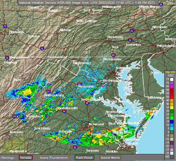 At 146 pm edt, a severe thunderstorm was located near fredericksburg, moving northeast at 10 mph (radar indicated). Hazards include 60 mph wind gusts and quarter size hail. Damaging winds will cause some trees and large branches to fall. this could injure those outdoors, as well as damage homes and vehicles. roadways may become blocked by downed trees. localized power outages are possible. Unsecured light objects may become projectiles. At 146 pm edt, a severe thunderstorm was located near fredericksburg, moving northeast at 10 mph (radar indicated). Hazards include 60 mph wind gusts and quarter size hail. Damaging winds will cause some trees and large branches to fall. this could injure those outdoors, as well as damage homes and vehicles. roadways may become blocked by downed trees. localized power outages are possible. Unsecured light objects may become projectiles.
|
| 7/30/2020 7:55 PM EDT | Downed tree on belle plains rd in stafford county VA, 7.6 miles WSW of Fredericksburg, VA |
| 7/30/2020 6:43 PM EDT |
 The national weather service in sterling virginia has issued a * severe thunderstorm warning for. southwestern charles county in southern maryland. southeastern stafford county in northern virginia. king george county in central virginia. The city of fredericksburg in central virginia. The national weather service in sterling virginia has issued a * severe thunderstorm warning for. southwestern charles county in southern maryland. southeastern stafford county in northern virginia. king george county in central virginia. The city of fredericksburg in central virginia.
|
| 7/30/2020 6:38 PM EDT | Downed tree on va 3 (blue and gray parkway) just west of kings hwy in stafford county VA, 2.6 miles WNW of Fredericksburg, VA |
| 7/28/2020 6:56 PM EDT | Tree down at the intersection of jim morris rd. and mills d in spotsylvania county VA, 7 miles NW of Fredericksburg, VA |
| 7/28/2020 6:49 PM EDT | Tree down at the intersection of lee dr. and landsdowne r in spotsylvania county VA, 3.2 miles NNW of Fredericksburg, VA |
| 7/28/2020 6:47 PM EDT | Tree down at the intersection of white oak rd. and caisson r in stafford county VA, 6.2 miles W of Fredericksburg, VA |
| 7/28/2020 6:42 PM EDT | Massapanax church rd. closed in both directions due to downed trees near smith station r in spotsylvania county VA, 7.3 miles NNE of Fredericksburg, VA |
| 7/28/2020 6:36 PM EDT | Trees down near the intersection of piedmont dr. and reindeer c in spotsylvania county VA, 5.4 miles NE of Fredericksburg, VA |
| 7/28/2020 6:35 PM EDT |
 At 635 pm edt, severe thunderstorms were located along a line extending from near stafford to spotsylvania, moving east at 20 mph (radar indicated). Hazards include 60 mph wind gusts. Damaging winds will cause some trees and large branches to fall. this could injure those outdoors, as well as damage homes and vehicles. roadways may become blocked by downed trees. localized power outages are possible. unsecured light objects may become projectiles. Locations impacted include, stafford, fredericksburg, aquia creek, massaponax, spotsylvania, falmouth, stones corner, leeland, brokenburg, roseville, snell, spring valley, alsop, brooke, gatewood, chancellorsville, ramoth, logan, holly corner and post oak. At 635 pm edt, severe thunderstorms were located along a line extending from near stafford to spotsylvania, moving east at 20 mph (radar indicated). Hazards include 60 mph wind gusts. Damaging winds will cause some trees and large branches to fall. this could injure those outdoors, as well as damage homes and vehicles. roadways may become blocked by downed trees. localized power outages are possible. unsecured light objects may become projectiles. Locations impacted include, stafford, fredericksburg, aquia creek, massaponax, spotsylvania, falmouth, stones corner, leeland, brokenburg, roseville, snell, spring valley, alsop, brooke, gatewood, chancellorsville, ramoth, logan, holly corner and post oak.
|
| 7/28/2020 6:10 PM EDT |
 At 610 pm edt, severe thunderstorms were located along a line extending from 11 miles northwest of fredericksburg to 10 miles north of mineral, moving east at 20 mph (radar indicated). Hazards include 60 mph wind gusts. Damaging winds will cause some trees and large branches to fall. this could injure those outdoors, as well as damage homes and vehicles. roadways may become blocked by downed trees. localized power outages are possible. Unsecured light objects may become projectiles. At 610 pm edt, severe thunderstorms were located along a line extending from 11 miles northwest of fredericksburg to 10 miles north of mineral, moving east at 20 mph (radar indicated). Hazards include 60 mph wind gusts. Damaging winds will cause some trees and large branches to fall. this could injure those outdoors, as well as damage homes and vehicles. roadways may become blocked by downed trees. localized power outages are possible. Unsecured light objects may become projectiles.
|
| 7/22/2020 4:25 PM EDT |
 The severe thunderstorm warning for southwestern stafford and spotsylvania counties and the city of fredericksburg will expire at 430 pm edt, the storms which prompted the warning have moved out of the area. therefore, the warning will be allowed to expire. a severe thunderstorm watch remains in effect until 700 pm edt for central and northern virginia. to report severe weather, contact your nearest law enforcement agency. they will relay your report to the national weather service sterling virginia. The severe thunderstorm warning for southwestern stafford and spotsylvania counties and the city of fredericksburg will expire at 430 pm edt, the storms which prompted the warning have moved out of the area. therefore, the warning will be allowed to expire. a severe thunderstorm watch remains in effect until 700 pm edt for central and northern virginia. to report severe weather, contact your nearest law enforcement agency. they will relay your report to the national weather service sterling virginia.
|
| 7/22/2020 4:15 PM EDT |
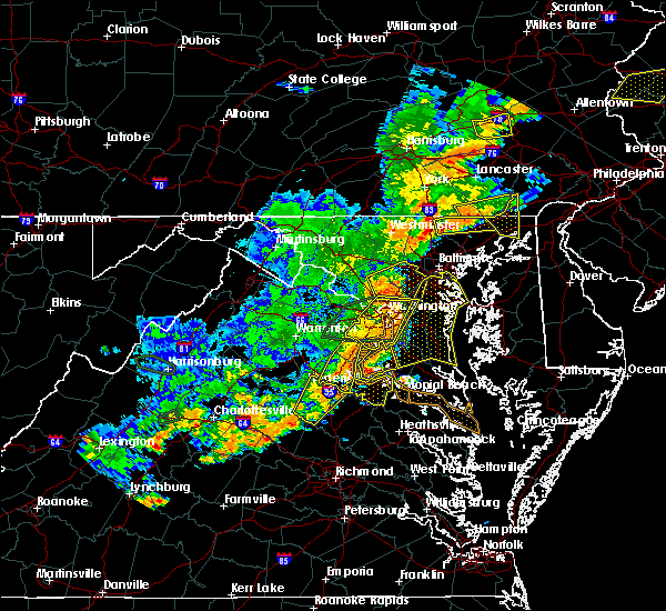 At 414 pm edt, severe thunderstorms were located along a line extending from near aquia creek to near massaponax, moving east at 30 mph (radar indicated). Hazards include 60 mph wind gusts. Damaging winds will cause some trees and large branches to fall. this could injure those outdoors, as well as damage homes and vehicles. roadways may become blocked by downed trees. localized power outages are possible. unsecured light objects may become projectiles. Locations impacted include, fredericksburg, massaponax, spotsylvania, gatewood, partlow, glenora, post oak, thornburg, snell and alsop. At 414 pm edt, severe thunderstorms were located along a line extending from near aquia creek to near massaponax, moving east at 30 mph (radar indicated). Hazards include 60 mph wind gusts. Damaging winds will cause some trees and large branches to fall. this could injure those outdoors, as well as damage homes and vehicles. roadways may become blocked by downed trees. localized power outages are possible. unsecured light objects may become projectiles. Locations impacted include, fredericksburg, massaponax, spotsylvania, gatewood, partlow, glenora, post oak, thornburg, snell and alsop.
|
| 7/22/2020 3:57 PM EDT |
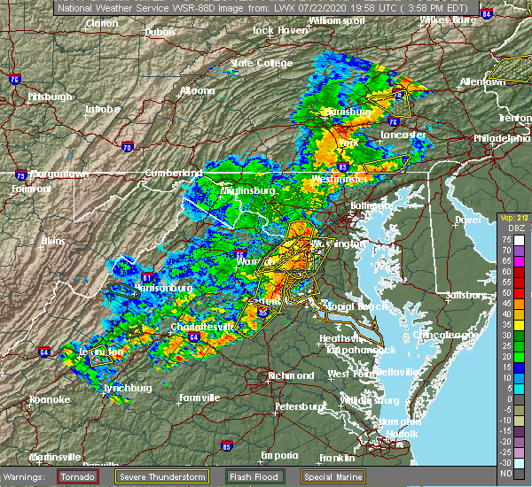 At 357 pm edt, severe thunderstorms were located along a line extending from lake ridge to triangle to near aquia creek, moving east at 20 mph (observed wind damage and doppler radar). Hazards include damaging wind gusts up to 70 mph and isolated hail up to quarter size. Damaging winds will cause some trees and large branches to fall. this could injure those outdoors, as well as damage homes and vehicles. roadways may become blocked by downed trees. localized power outages are possible. unsecured light objects may become projectiles. Locations impacted include, stafford, dale city, fredericksburg, woodbridge, aquia creek, lake ridge, montclair, triangle, dumfries, cherry hill, independent hill, falmouth, stones corner, roseville, garrisonville, ramoth, white oak, ruby, leeland and widewater. At 357 pm edt, severe thunderstorms were located along a line extending from lake ridge to triangle to near aquia creek, moving east at 20 mph (observed wind damage and doppler radar). Hazards include damaging wind gusts up to 70 mph and isolated hail up to quarter size. Damaging winds will cause some trees and large branches to fall. this could injure those outdoors, as well as damage homes and vehicles. roadways may become blocked by downed trees. localized power outages are possible. unsecured light objects may become projectiles. Locations impacted include, stafford, dale city, fredericksburg, woodbridge, aquia creek, lake ridge, montclair, triangle, dumfries, cherry hill, independent hill, falmouth, stones corner, roseville, garrisonville, ramoth, white oak, ruby, leeland and widewater.
|
| 7/22/2020 3:50 PM EDT |
 At 350 pm edt, severe thunderstorms were located along a line extending from near lake ridge to near triangle to near fredericksburg, moving east at 35 mph (radar indicated). Hazards include 70 mph wind gusts and quarter size hail. Damaging winds will cause some trees and large branches to fall. this could injure those outdoors, as well as damage homes and vehicles. roadways may become blocked by downed trees. localized power outages are possible. unsecured light objects may become projectiles. Locations impacted include, stafford, dale city, fredericksburg, woodbridge, aquia creek, lake ridge, montclair, triangle, dumfries, manassas, cherry hill, independent hill, falmouth, stones corner, roseville, garrisonville, ramoth, heflin, white oak and ruby. At 350 pm edt, severe thunderstorms were located along a line extending from near lake ridge to near triangle to near fredericksburg, moving east at 35 mph (radar indicated). Hazards include 70 mph wind gusts and quarter size hail. Damaging winds will cause some trees and large branches to fall. this could injure those outdoors, as well as damage homes and vehicles. roadways may become blocked by downed trees. localized power outages are possible. unsecured light objects may become projectiles. Locations impacted include, stafford, dale city, fredericksburg, woodbridge, aquia creek, lake ridge, montclair, triangle, dumfries, manassas, cherry hill, independent hill, falmouth, stones corner, roseville, garrisonville, ramoth, heflin, white oak and ruby.
|
| 7/22/2020 3:41 PM EDT |
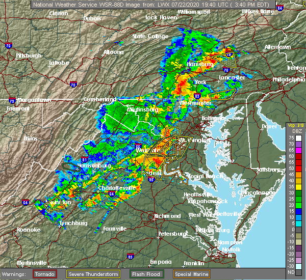 At 340 pm edt, severe thunderstorms were located along a line extending from 9 miles northwest of fredericksburg to 8 miles north of bumpass, moving east at 30 mph (radar indicated). Hazards include 60 mph wind gusts and quarter size hail. Damaging winds will cause some trees and large branches to fall. this could injure those outdoors, as well as damage homes and vehicles. roadways may become blocked by downed trees. localized power outages are possible. Unsecured light objects may become projectiles. At 340 pm edt, severe thunderstorms were located along a line extending from 9 miles northwest of fredericksburg to 8 miles north of bumpass, moving east at 30 mph (radar indicated). Hazards include 60 mph wind gusts and quarter size hail. Damaging winds will cause some trees and large branches to fall. this could injure those outdoors, as well as damage homes and vehicles. roadways may become blocked by downed trees. localized power outages are possible. Unsecured light objects may become projectiles.
|
| 7/22/2020 3:16 PM EDT |
 At 316 pm edt, severe thunderstorms were located along a line extending from near warrenton to near bealeton to 14 miles east of orange, moving east at 20 mph (radar indicated). Hazards include 60 mph wind gusts and quarter size hail. Damaging winds will cause some trees and large branches to fall. this could injure those outdoors, as well as damage homes and vehicles. roadways may become blocked by downed trees. localized power outages are possible. Unsecured light objects may become projectiles. At 316 pm edt, severe thunderstorms were located along a line extending from near warrenton to near bealeton to 14 miles east of orange, moving east at 20 mph (radar indicated). Hazards include 60 mph wind gusts and quarter size hail. Damaging winds will cause some trees and large branches to fall. this could injure those outdoors, as well as damage homes and vehicles. roadways may become blocked by downed trees. localized power outages are possible. Unsecured light objects may become projectiles.
|
| 6/6/2020 8:10 PM EDT |
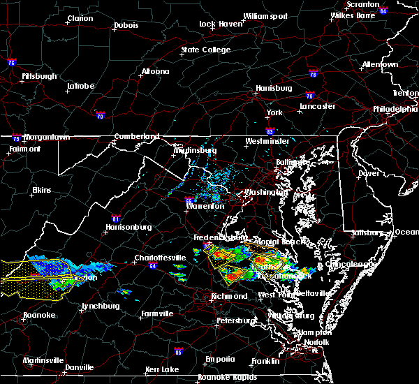 The severe thunderstorm warning for east central spotsylvania county will expire at 815 pm edt, the storm which prompted the warning has moved out of the area. therefore, the warning will be allowed to expire. however gusty winds are still possible with this thunderstorm moves off to the southeast. The severe thunderstorm warning for east central spotsylvania county will expire at 815 pm edt, the storm which prompted the warning has moved out of the area. therefore, the warning will be allowed to expire. however gusty winds are still possible with this thunderstorm moves off to the southeast.
|
| 6/6/2020 7:48 PM EDT |
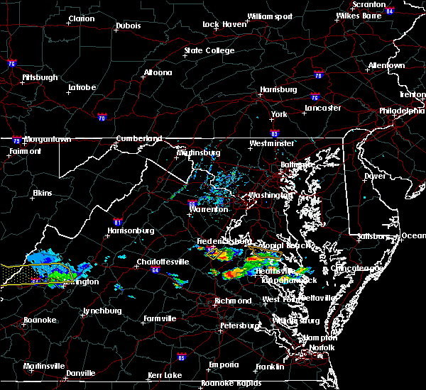 At 747 pm edt, a severe thunderstorm was located over massaponax, or near fredericksburg, moving southeast at 20 mph (radar indicated). Hazards include 60 mph wind gusts. Damaging winds will cause some trees and large branches to fall. this could injure those outdoors, as well as damage homes and vehicles. roadways may become blocked by downed trees. localized power outages are possible. unsecured light objects may become projectiles. Locations impacted include, fredericksburg, massaponax and spotsylvania. At 747 pm edt, a severe thunderstorm was located over massaponax, or near fredericksburg, moving southeast at 20 mph (radar indicated). Hazards include 60 mph wind gusts. Damaging winds will cause some trees and large branches to fall. this could injure those outdoors, as well as damage homes and vehicles. roadways may become blocked by downed trees. localized power outages are possible. unsecured light objects may become projectiles. Locations impacted include, fredericksburg, massaponax and spotsylvania.
|
| 6/6/2020 7:29 PM EDT |
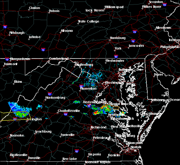 At 729 pm edt, a severe thunderstorm was located near fredericksburg, moving southeast at 20 mph (radar indicated). Hazards include 60 mph wind gusts. Damaging winds will cause some trees and large branches to fall. this could injure those outdoors, as well as damage homes and vehicles. roadways may become blocked by downed trees. localized power outages are possible. Unsecured light objects may become projectiles. At 729 pm edt, a severe thunderstorm was located near fredericksburg, moving southeast at 20 mph (radar indicated). Hazards include 60 mph wind gusts. Damaging winds will cause some trees and large branches to fall. this could injure those outdoors, as well as damage homes and vehicles. roadways may become blocked by downed trees. localized power outages are possible. Unsecured light objects may become projectiles.
|
| 6/6/2020 6:20 PM EDT |
 At 620 pm edt, a severe thunderstorm was located near spotsylvania, or 10 miles west of fredericksburg, moving southeast at 25 mph (radar indicated). Hazards include 60 mph wind gusts and quarter size hail. Damaging winds will cause some trees and large branches to fall. this could injure those outdoors, as well as damage homes and vehicles. roadways may become blocked by downed trees. localized power outages are possible. Unsecured light objects may become projectiles. At 620 pm edt, a severe thunderstorm was located near spotsylvania, or 10 miles west of fredericksburg, moving southeast at 25 mph (radar indicated). Hazards include 60 mph wind gusts and quarter size hail. Damaging winds will cause some trees and large branches to fall. this could injure those outdoors, as well as damage homes and vehicles. roadways may become blocked by downed trees. localized power outages are possible. Unsecured light objects may become projectiles.
|
| 4/7/2020 3:45 PM EDT |
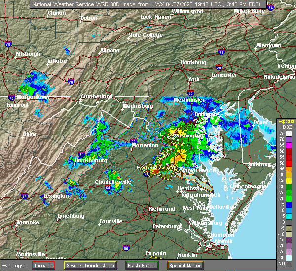 At 343 pm edt, a severe thunderstorm was located near potomac creek, moving southeast at 40 mph (radar indicated). Hazards include 60 mph wind gusts and quarter size hail. Damaging winds will cause some trees and large branches to fall. this could injure those outdoors, as well as damage homes and vehicles. roadways may become blocked by downed trees. localized power outages are possible. unsecured light objects may become projectiles. Locations impacted include, fredericksburg, king george, dahlgren, fairview beach, potomac creek, falmouth, passapatanzy, stones corner, leeland, weedonville, ninde, spring valley, swan point, lambs creek, white oak, sealston, berthaville, jersey, brookfield and shiloh. At 343 pm edt, a severe thunderstorm was located near potomac creek, moving southeast at 40 mph (radar indicated). Hazards include 60 mph wind gusts and quarter size hail. Damaging winds will cause some trees and large branches to fall. this could injure those outdoors, as well as damage homes and vehicles. roadways may become blocked by downed trees. localized power outages are possible. unsecured light objects may become projectiles. Locations impacted include, fredericksburg, king george, dahlgren, fairview beach, potomac creek, falmouth, passapatanzy, stones corner, leeland, weedonville, ninde, spring valley, swan point, lambs creek, white oak, sealston, berthaville, jersey, brookfield and shiloh.
|
| 4/7/2020 3:29 PM EDT |
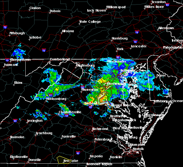 At 328 pm edt, a severe thunderstorm was located near stafford, moving southeast at 40 mph (radar indicated). Hazards include 60 mph wind gusts. Damaging winds will cause some trees and large branches to fall. this could injure those outdoors, as well as damage homes and vehicles. roadways may become blocked by downed trees. localized power outages are possible. Unsecured light objects may become projectiles. At 328 pm edt, a severe thunderstorm was located near stafford, moving southeast at 40 mph (radar indicated). Hazards include 60 mph wind gusts. Damaging winds will cause some trees and large branches to fall. this could injure those outdoors, as well as damage homes and vehicles. roadways may become blocked by downed trees. localized power outages are possible. Unsecured light objects may become projectiles.
|
| 2/7/2020 7:57 AM EST | Tree down near intersection of warrenton rd and richards ferry rd in stafford county VA, 7.9 miles SSE of Fredericksburg, VA |
| 10/31/2019 9:55 PM EDT |
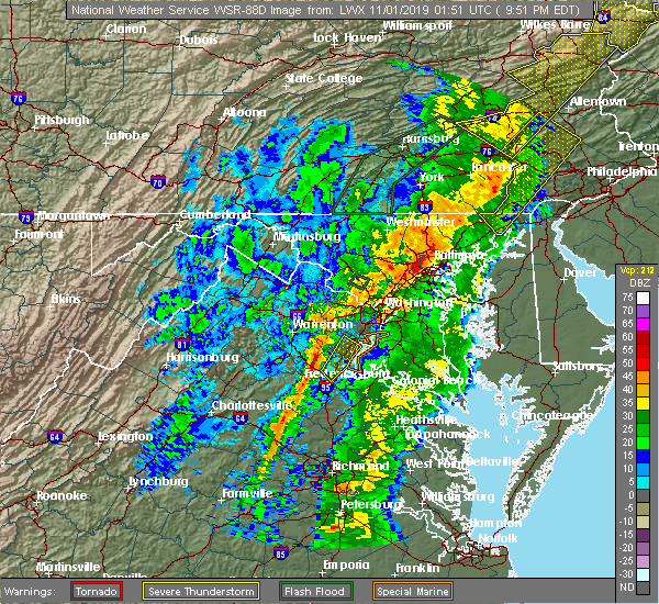 The severe thunderstorm warning for central stafford and southeastern prince william counties and the north central city of fredericksburg will expire at 1000 pm edt, the storm which prompted the warning has weakened below severe limits, and has exited the warned area. therefore, the warning will be allowed to expire. a tornado watch remains in effect until midnight edt for northern and central virginia. The severe thunderstorm warning for central stafford and southeastern prince william counties and the north central city of fredericksburg will expire at 1000 pm edt, the storm which prompted the warning has weakened below severe limits, and has exited the warned area. therefore, the warning will be allowed to expire. a tornado watch remains in effect until midnight edt for northern and central virginia.
|
| 10/31/2019 9:24 PM EDT |
 At 923 pm edt, a severe thunderstorm was located over stafford, moving northeast at 60 mph (emergency management has reported numerous trees down in spotsylvania county associated with this storm). Hazards include 60 mph wind gusts. Damaging winds will cause some trees and large branches to fall. this could injure those outdoors, as well as damage homes and vehicles. roadways may become blocked by downed trees. localized power outages are possible. Unsecured light objects may become projectiles. At 923 pm edt, a severe thunderstorm was located over stafford, moving northeast at 60 mph (emergency management has reported numerous trees down in spotsylvania county associated with this storm). Hazards include 60 mph wind gusts. Damaging winds will cause some trees and large branches to fall. this could injure those outdoors, as well as damage homes and vehicles. roadways may become blocked by downed trees. localized power outages are possible. Unsecured light objects may become projectiles.
|
| 9/11/2019 6:11 PM EDT |
 The severe thunderstorm warning for west central charles, southeastern stafford, northwestern king george and east central spotsylvania counties and the eastern city of fredericksburg will expire at 615 pm edt, the storm which prompted the warning has weakened below severe limits, and no longer poses an immediate threat to life or property. therefore, the warning will be allowed to expire. The severe thunderstorm warning for west central charles, southeastern stafford, northwestern king george and east central spotsylvania counties and the eastern city of fredericksburg will expire at 615 pm edt, the storm which prompted the warning has weakened below severe limits, and no longer poses an immediate threat to life or property. therefore, the warning will be allowed to expire.
|
| 9/11/2019 6:11 PM EDT |
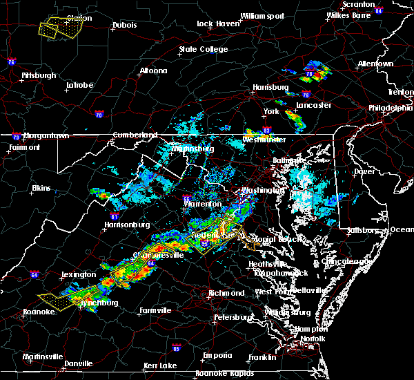 The severe thunderstorm warning for west central charles, southeastern stafford, northwestern king george and east central spotsylvania counties and the eastern city of fredericksburg will expire at 615 pm edt, the storm which prompted the warning has weakened below severe limits, and no longer poses an immediate threat to life or property. therefore, the warning will be allowed to expire. The severe thunderstorm warning for west central charles, southeastern stafford, northwestern king george and east central spotsylvania counties and the eastern city of fredericksburg will expire at 615 pm edt, the storm which prompted the warning has weakened below severe limits, and no longer poses an immediate threat to life or property. therefore, the warning will be allowed to expire.
|
| 9/11/2019 6:02 PM EDT |
 At 602 pm edt, a severe thunderstorm was located over potomac creek, moving southeast at 20 mph (radar indicated). Hazards include 60 mph wind gusts. Damaging winds will cause some trees and large branches to fall. this could injure those outdoors, as well as damage homes and vehicles. roadways may become blocked by downed trees. localized power outages are possible. unsecured light objects may become projectiles. Locations impacted include, fredericksburg, fairview beach, potomac creek, aquia creek, massaponax, spotsylvania, falmouth, passapatanzy, stones corner, leeland, brooke, nanjemoy, white oak, sealston and brookfield. At 602 pm edt, a severe thunderstorm was located over potomac creek, moving southeast at 20 mph (radar indicated). Hazards include 60 mph wind gusts. Damaging winds will cause some trees and large branches to fall. this could injure those outdoors, as well as damage homes and vehicles. roadways may become blocked by downed trees. localized power outages are possible. unsecured light objects may become projectiles. Locations impacted include, fredericksburg, fairview beach, potomac creek, aquia creek, massaponax, spotsylvania, falmouth, passapatanzy, stones corner, leeland, brooke, nanjemoy, white oak, sealston and brookfield.
|
| 9/11/2019 6:02 PM EDT |
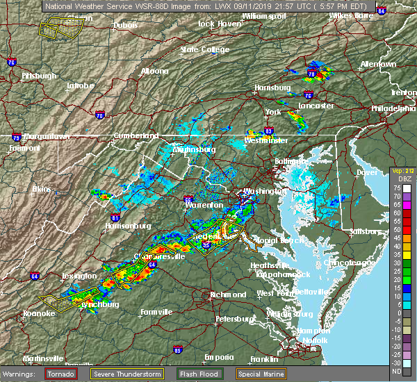 At 545 pm edt, severe thunderstorms were located along a line extending from triangle to near aquia creek to 8 miles west of fredericksburg, moving east at 20 mph (radar indicated). Hazards include 60 mph wind gusts. Damaging winds will cause some trees and large branches to fall. this could injure those outdoors, as well as damage homes and vehicles. roadways may become blocked by downed trees. localized power outages are possible. unsecured light objects may become projectiles. Locations impacted include, stafford, fredericksburg, quantico, fairview beach, potomac creek, nanjemoy creek, aquia creek, montclair, triangle, dumfries, massaponax, spotsylvania, cherry hill, falmouth, passapatanzy, stones corner, roseville, garrisonville, ironsides and ramoth. At 545 pm edt, severe thunderstorms were located along a line extending from triangle to near aquia creek to 8 miles west of fredericksburg, moving east at 20 mph (radar indicated). Hazards include 60 mph wind gusts. Damaging winds will cause some trees and large branches to fall. this could injure those outdoors, as well as damage homes and vehicles. roadways may become blocked by downed trees. localized power outages are possible. unsecured light objects may become projectiles. Locations impacted include, stafford, fredericksburg, quantico, fairview beach, potomac creek, nanjemoy creek, aquia creek, montclair, triangle, dumfries, massaponax, spotsylvania, cherry hill, falmouth, passapatanzy, stones corner, roseville, garrisonville, ironsides and ramoth.
|
| 9/11/2019 5:46 PM EDT |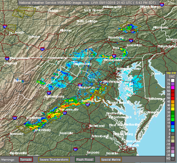
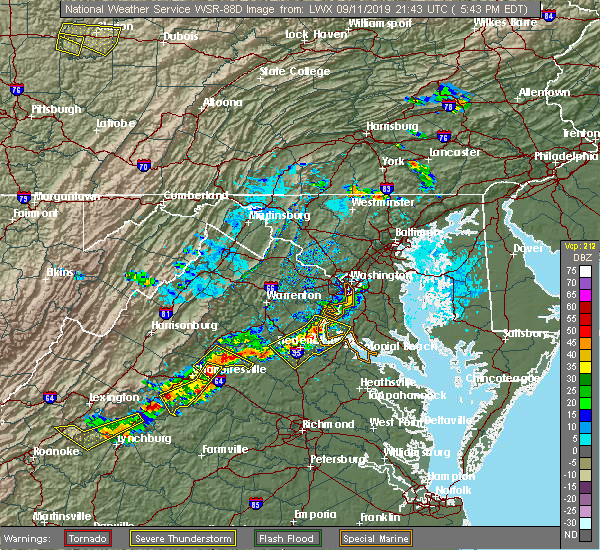 At 545 pm edt, severe thunderstorms were located along a line extending from triangle to near aquia creek to 8 miles west of fredericksburg, moving east at 20 mph (radar indicated). Hazards include 60 mph wind gusts. Damaging winds will cause some trees and large branches to fall. this could injure those outdoors, as well as damage homes and vehicles. roadways may become blocked by downed trees. localized power outages are possible. unsecured light objects may become projectiles. Locations impacted include, stafford, fredericksburg, quantico, fairview beach, potomac creek, nanjemoy creek, aquia creek, montclair, triangle, dumfries, massaponax, spotsylvania, cherry hill, falmouth, passapatanzy, stones corner, roseville, garrisonville, ironsides and ramoth. At 545 pm edt, severe thunderstorms were located along a line extending from triangle to near aquia creek to 8 miles west of fredericksburg, moving east at 20 mph (radar indicated). Hazards include 60 mph wind gusts. Damaging winds will cause some trees and large branches to fall. this could injure those outdoors, as well as damage homes and vehicles. roadways may become blocked by downed trees. localized power outages are possible. unsecured light objects may become projectiles. Locations impacted include, stafford, fredericksburg, quantico, fairview beach, potomac creek, nanjemoy creek, aquia creek, montclair, triangle, dumfries, massaponax, spotsylvania, cherry hill, falmouth, passapatanzy, stones corner, roseville, garrisonville, ironsides and ramoth.
|
| 9/11/2019 5:22 PM EDT |
 At 522 pm edt, severe thunderstorms were located along a line extending from near montclair to 6 miles northwest of stafford to 13 miles south of bealeton, moving east at 20 mph (radar indicated). Hazards include 60 mph wind gusts and quarter size hail. Damaging winds will cause some trees and large branches to fall. this could injure those outdoors, as well as damage homes and vehicles. roadways may become blocked by downed trees. localized power outages are possible. Unsecured light objects may become projectiles. At 522 pm edt, severe thunderstorms were located along a line extending from near montclair to 6 miles northwest of stafford to 13 miles south of bealeton, moving east at 20 mph (radar indicated). Hazards include 60 mph wind gusts and quarter size hail. Damaging winds will cause some trees and large branches to fall. this could injure those outdoors, as well as damage homes and vehicles. roadways may become blocked by downed trees. localized power outages are possible. Unsecured light objects may become projectiles.
|
| 8/20/2019 7:07 PM EDT |
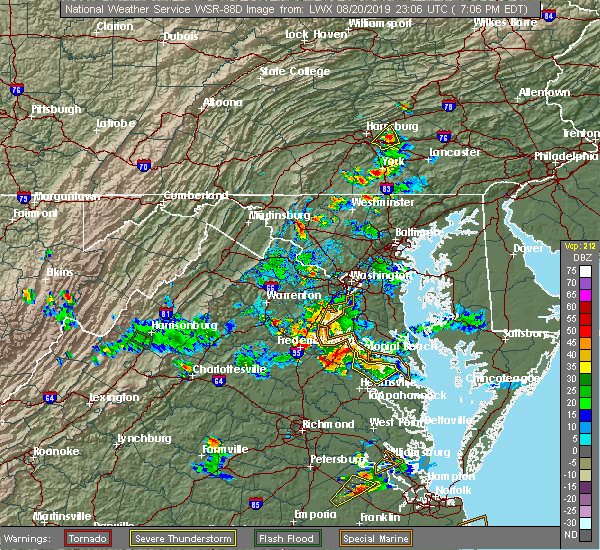 At 706 pm edt, a severe thunderstorm was located over fredericksburg, moving east at 25 mph (radar indicated). Hazards include 60 mph wind gusts and quarter size hail. Damaging winds will cause some trees and large branches to fall. this could injure those outdoors, as well as damage homes and vehicles. roadways may become blocked by downed trees. localized power outages are possible. Unsecured light objects may become projectiles. At 706 pm edt, a severe thunderstorm was located over fredericksburg, moving east at 25 mph (radar indicated). Hazards include 60 mph wind gusts and quarter size hail. Damaging winds will cause some trees and large branches to fall. this could injure those outdoors, as well as damage homes and vehicles. roadways may become blocked by downed trees. localized power outages are possible. Unsecured light objects may become projectiles.
|
| 8/20/2019 6:21 PM EDT |
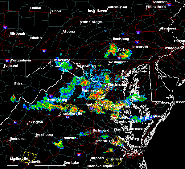 A severe thunderstorm warning remains in effect until 630 pm edt for southeastern stafford and northeastern spotsylvania counties and the city of fredericksburg. at 621 pm edt, a severe thunderstorm was located over fredericksburg, moving northeast at 10 mph. hazard. 60 mph wind gusts and quarter size hail. A severe thunderstorm warning remains in effect until 630 pm edt for southeastern stafford and northeastern spotsylvania counties and the city of fredericksburg. at 621 pm edt, a severe thunderstorm was located over fredericksburg, moving northeast at 10 mph. hazard. 60 mph wind gusts and quarter size hail.
|
| 8/20/2019 6:09 PM EDT | Tree and limbs down on chase lan in city of fredericks county VA, 0.8 miles NNW of Fredericksburg, VA |
| 8/20/2019 6:07 PM EDT |
 A severe thunderstorm warning remains in effect until 630 pm edt for southern stafford and northeastern spotsylvania counties and the city of fredericksburg. at 607 pm edt, a severe thunderstorm was located over fredericksburg, moving east at 15 mph. hazard. 60 mph wind gusts and half dollar size hail. A severe thunderstorm warning remains in effect until 630 pm edt for southern stafford and northeastern spotsylvania counties and the city of fredericksburg. at 607 pm edt, a severe thunderstorm was located over fredericksburg, moving east at 15 mph. hazard. 60 mph wind gusts and half dollar size hail.
|
| 8/20/2019 5:51 PM EDT |
 At 551 pm edt, a severe thunderstorm was located near spotsylvania, or near fredericksburg, moving northeast at 10 mph (radar indicated). Hazards include 60 mph wind gusts and half dollar size hail. Damaging winds will cause some trees and large branches to fall. this could injure those outdoors, as well as damage homes and vehicles. roadways may become blocked by downed trees. localized power outages are possible. Unsecured light objects may become projectiles. At 551 pm edt, a severe thunderstorm was located near spotsylvania, or near fredericksburg, moving northeast at 10 mph (radar indicated). Hazards include 60 mph wind gusts and half dollar size hail. Damaging winds will cause some trees and large branches to fall. this could injure those outdoors, as well as damage homes and vehicles. roadways may become blocked by downed trees. localized power outages are possible. Unsecured light objects may become projectiles.
|
| 8/20/2019 5:23 PM EDT |
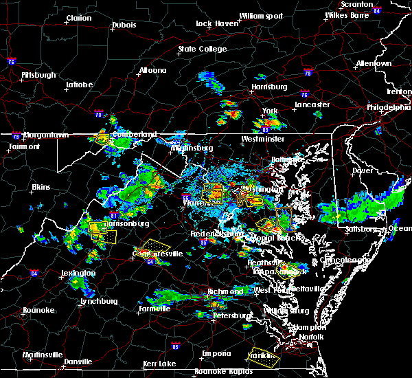 The national weather service in sterling virginia has issued a * severe thunderstorm warning for. southeastern stafford county in northern virginia. until 600 pm edt. At 523 pm edt, a severe thunderstorm was located near fredericksburg, moving northeast at 10 mph. The national weather service in sterling virginia has issued a * severe thunderstorm warning for. southeastern stafford county in northern virginia. until 600 pm edt. At 523 pm edt, a severe thunderstorm was located near fredericksburg, moving northeast at 10 mph.
|
| 8/7/2019 5:55 PM EDT |
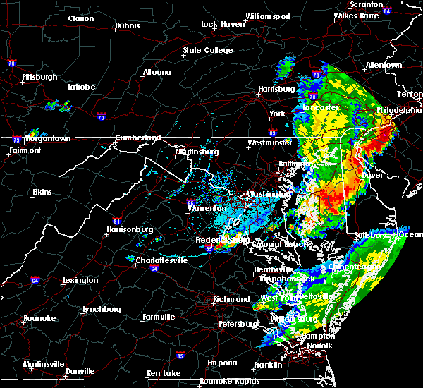 The national weather service in sterling virginia has issued a * severe thunderstorm warning for. southeastern stafford county in northern virginia. southern king george county in central virginia. the city of fredericksburg in central virginia. East central spotsylvania county in central virginia. The national weather service in sterling virginia has issued a * severe thunderstorm warning for. southeastern stafford county in northern virginia. southern king george county in central virginia. the city of fredericksburg in central virginia. East central spotsylvania county in central virginia.
|
| 7/31/2019 5:36 PM EDT |
 At 536 pm edt, severe thunderstorms were located along a line extending from 12 miles west of fredericksburg to 8 miles south of spotsylvania, moving east at 20 mph (radar indicated). Hazards include 60 mph wind gusts and quarter size hail. Damaging winds will cause some trees and large branches to fall. this could injure those outdoors, as well as damage homes and vehicles. roadways may become blocked by downed trees. localized power outages are possible. Unsecured light objects may become projectiles. At 536 pm edt, severe thunderstorms were located along a line extending from 12 miles west of fredericksburg to 8 miles south of spotsylvania, moving east at 20 mph (radar indicated). Hazards include 60 mph wind gusts and quarter size hail. Damaging winds will cause some trees and large branches to fall. this could injure those outdoors, as well as damage homes and vehicles. roadways may become blocked by downed trees. localized power outages are possible. Unsecured light objects may become projectiles.
|
| 7/31/2019 5:05 PM EDT |
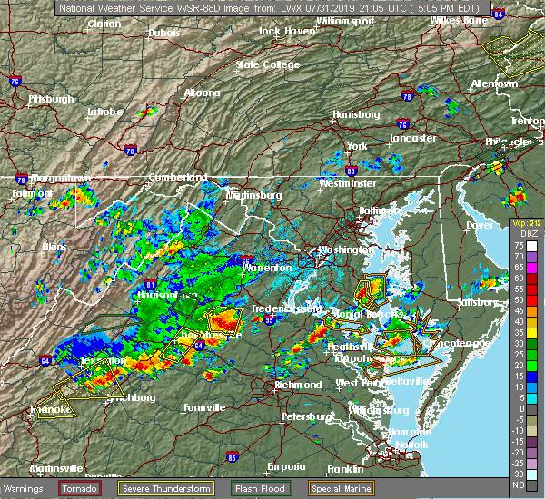 At 505 pm edt, a severe thunderstorm was located 9 miles north of mineral, moving east at 25 mph (radar indicated). Hazards include ping pong ball size hail and 60 mph wind gusts. Damaging winds will cause some trees and large branches to fall. this could injure those outdoors, as well as damage homes and vehicles. roadways may become blocked by downed trees. localized power outages are possible. Unsecured light objects may become projectiles. At 505 pm edt, a severe thunderstorm was located 9 miles north of mineral, moving east at 25 mph (radar indicated). Hazards include ping pong ball size hail and 60 mph wind gusts. Damaging winds will cause some trees and large branches to fall. this could injure those outdoors, as well as damage homes and vehicles. roadways may become blocked by downed trees. localized power outages are possible. Unsecured light objects may become projectiles.
|
| 7/22/2019 7:35 PM EDT |
 A severe thunderstorm warning remains in effect until 745 pm edt for stafford. northwestern king george and southeastern fauquier counties and the northeastern city of fredericksburg. At 734 pm edt, severe thunderstorms were located along a line extending from 6 miles southeast of bealeton to near stafford to near potomac creek, moving northeast at 50 mph. A severe thunderstorm warning remains in effect until 745 pm edt for stafford. northwestern king george and southeastern fauquier counties and the northeastern city of fredericksburg. At 734 pm edt, severe thunderstorms were located along a line extending from 6 miles southeast of bealeton to near stafford to near potomac creek, moving northeast at 50 mph.
|
| 7/22/2019 7:27 PM EDT |
 At 715 pm edt, severe thunderstorms were located along a line extending from 7 miles southeast of culpeper to 10 miles west of fredericksburg to massaponax, moving northeast at 50 mph (radar indicated. this storm has a history of producing wind damage with numerous downed trees reported in albemarle and nelson counties). Hazards include 60 mph wind gusts. Damaging winds will cause some trees and large branches to fall. this could injure those outdoors, as well as damage homes and vehicles. roadways may become blocked by downed trees. localized power outages are possible. Unsecured light objects may become projectiles. At 715 pm edt, severe thunderstorms were located along a line extending from 7 miles southeast of culpeper to 10 miles west of fredericksburg to massaponax, moving northeast at 50 mph (radar indicated. this storm has a history of producing wind damage with numerous downed trees reported in albemarle and nelson counties). Hazards include 60 mph wind gusts. Damaging winds will cause some trees and large branches to fall. this could injure those outdoors, as well as damage homes and vehicles. roadways may become blocked by downed trees. localized power outages are possible. Unsecured light objects may become projectiles.
|
| 7/22/2019 7:21 PM EDT |
 The severe thunderstorm warning for northeastern orange and northern spotsylvania counties will expire at 730 pm edt, the storms which prompted the warning have moved out of the area. therefore, the warning will be allowed to expire. a severe thunderstorm watch remains in effect until 1000 pm edt for northern and central virginia. The severe thunderstorm warning for northeastern orange and northern spotsylvania counties will expire at 730 pm edt, the storms which prompted the warning have moved out of the area. therefore, the warning will be allowed to expire. a severe thunderstorm watch remains in effect until 1000 pm edt for northern and central virginia.
|
| 7/22/2019 7:16 PM EDT |
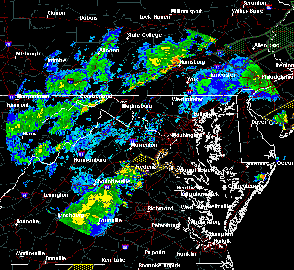 At 715 pm edt, severe thunderstorms were located along a line extending from 7 miles southeast of culpeper to 10 miles west of fredericksburg to massaponax, moving northeast at 50 mph (radar indicated. this storm has a history of producing wind damage with numerous downed trees reported in albemarle and nelson counties). Hazards include 60 mph wind gusts. Damaging winds will cause some trees and large branches to fall. this could injure those outdoors, as well as damage homes and vehicles. roadways may become blocked by downed trees. localized power outages are possible. Unsecured light objects may become projectiles. At 715 pm edt, severe thunderstorms were located along a line extending from 7 miles southeast of culpeper to 10 miles west of fredericksburg to massaponax, moving northeast at 50 mph (radar indicated. this storm has a history of producing wind damage with numerous downed trees reported in albemarle and nelson counties). Hazards include 60 mph wind gusts. Damaging winds will cause some trees and large branches to fall. this could injure those outdoors, as well as damage homes and vehicles. roadways may become blocked by downed trees. localized power outages are possible. Unsecured light objects may become projectiles.
|
| 7/22/2019 7:15 PM EDT | Tree down on lewis thorburn rd near walnut st in spotsylvania county VA, 6.4 miles ENE of Fredericksburg, VA |
| 7/22/2019 7:12 PM EDT |
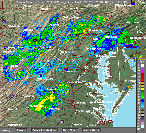 At 711 pm edt, severe thunderstorms were located along a line extending from 9 miles east of orange to 14 miles west of fredericksburg to spotsylvania, moving northeast at 50 mph (radar indicated. this storm has a history of producing wind damage with numerous downed trees reported in albemarle and nelson counties). Hazards include 60 mph wind gusts. Damaging winds will cause some trees and large branches to fall. this could injure those outdoors, as well as damage homes and vehicles. roadways may become blocked by downed trees. localized power outages are possible. unsecured light objects may become projectiles. Locations impacted include, fredericksburg, spotsylvania, mine run, rhoadesville, parker, everona, verdiersville, burr hill, locust grove, flat run, alsop, gold dale, nasons, chancellorsville, logan, lake of the woods, unionville and cookstown. At 711 pm edt, severe thunderstorms were located along a line extending from 9 miles east of orange to 14 miles west of fredericksburg to spotsylvania, moving northeast at 50 mph (radar indicated. this storm has a history of producing wind damage with numerous downed trees reported in albemarle and nelson counties). Hazards include 60 mph wind gusts. Damaging winds will cause some trees and large branches to fall. this could injure those outdoors, as well as damage homes and vehicles. roadways may become blocked by downed trees. localized power outages are possible. unsecured light objects may become projectiles. Locations impacted include, fredericksburg, spotsylvania, mine run, rhoadesville, parker, everona, verdiersville, burr hill, locust grove, flat run, alsop, gold dale, nasons, chancellorsville, logan, lake of the woods, unionville and cookstown.
|
| 7/22/2019 7:04 PM EDT |
 At 703 pm edt, severe thunderstorms were located along a line extending from near orange to 11 miles northeast of mineral, moving northeast at 50 mph (radar indicated. this storm has a history of producing wind damage with numerous downed trees reported in albemarle and nelson counties). Hazards include 60 mph wind gusts. Damaging winds will cause some trees and large branches to fall. this could injure those outdoors, as well as damage homes and vehicles. roadways may become blocked by downed trees. localized power outages are possible. unsecured light objects may become projectiles. Locations impacted include, fredericksburg, orange, spotsylvania, mine run, rhoadesville, parker, everona, verdiersville, burr hill, locust grove, flat run, alsop, gold dale, thornhill, nasons, chancellorsville, logan, lahore, lake of the woods and unionville. At 703 pm edt, severe thunderstorms were located along a line extending from near orange to 11 miles northeast of mineral, moving northeast at 50 mph (radar indicated. this storm has a history of producing wind damage with numerous downed trees reported in albemarle and nelson counties). Hazards include 60 mph wind gusts. Damaging winds will cause some trees and large branches to fall. this could injure those outdoors, as well as damage homes and vehicles. roadways may become blocked by downed trees. localized power outages are possible. unsecured light objects may become projectiles. Locations impacted include, fredericksburg, orange, spotsylvania, mine run, rhoadesville, parker, everona, verdiersville, burr hill, locust grove, flat run, alsop, gold dale, thornhill, nasons, chancellorsville, logan, lahore, lake of the woods and unionville.
|
| 7/22/2019 6:53 PM EDT |
 At 652 pm edt, severe thunderstorms were located along a line extending from near orange to near mineral, moving northeast at 50 mph (radar indicated. this storm has a history of producing wind damage with numerous downed trees reported in albemarle and nelson counties). Hazards include 60 mph wind gusts. Damaging winds will cause some trees and large branches to fall. this could injure those outdoors, as well as damage homes and vehicles. roadways may become blocked by downed trees. localized power outages are possible. unsecured light objects may become projectiles. Locations impacted include, fredericksburg, orange, spotsylvania, gordonsville, mine run, rhoadesville, parker, everona, verdiersville, madison run, burr hill, locust grove, flat run, alsop, gold dale, thornhill, nasons, chancellorsville, logan and lahore. At 652 pm edt, severe thunderstorms were located along a line extending from near orange to near mineral, moving northeast at 50 mph (radar indicated. this storm has a history of producing wind damage with numerous downed trees reported in albemarle and nelson counties). Hazards include 60 mph wind gusts. Damaging winds will cause some trees and large branches to fall. this could injure those outdoors, as well as damage homes and vehicles. roadways may become blocked by downed trees. localized power outages are possible. unsecured light objects may become projectiles. Locations impacted include, fredericksburg, orange, spotsylvania, gordonsville, mine run, rhoadesville, parker, everona, verdiersville, madison run, burr hill, locust grove, flat run, alsop, gold dale, thornhill, nasons, chancellorsville, logan and lahore.
|
| 7/22/2019 6:45 PM EDT |
 At 644 pm edt, severe thunderstorms were located along a line extending from near boswells tavern to louisa, moving northeast at 50 mph (radar indicated). Hazards include 60 mph wind gusts. Damaging winds will cause some trees and large branches to fall. this could injure those outdoors, as well as damage homes and vehicles. roadways may become blocked by downed trees. localized power outages are possible. Unsecured light objects may become projectiles. At 644 pm edt, severe thunderstorms were located along a line extending from near boswells tavern to louisa, moving northeast at 50 mph (radar indicated). Hazards include 60 mph wind gusts. Damaging winds will cause some trees and large branches to fall. this could injure those outdoors, as well as damage homes and vehicles. roadways may become blocked by downed trees. localized power outages are possible. Unsecured light objects may become projectiles.
|
| 7/11/2019 6:07 PM EDT |
 The national weather service in sterling virginia has issued a * severe thunderstorm warning for. south central stafford county in northern virginia. southern king george county in central virginia. the southern city of fredericksburg in central virginia. Eastern spotsylvania county in central virginia. The national weather service in sterling virginia has issued a * severe thunderstorm warning for. south central stafford county in northern virginia. southern king george county in central virginia. the southern city of fredericksburg in central virginia. Eastern spotsylvania county in central virginia.
|
| 6/29/2019 5:40 PM EDT |
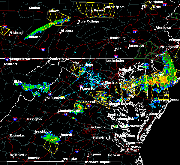 At 539 pm edt, a severe thunderstorm was located 7 miles northwest of spotsylvania, or 11 miles west of fredericksburg, moving east at 25 mph (radar indicated). Hazards include 60 mph wind gusts. Damaging winds will cause some trees and large branches to fall. this could injure those outdoors, as well as damage homes and vehicles. roadways may become blocked by downed trees. localized power outages are possible. unsecured light objects may become projectiles. Locations impacted include, massaponax, spotsylvania, chancellorsville, logan, parker, post oak, cookstown and alsop. At 539 pm edt, a severe thunderstorm was located 7 miles northwest of spotsylvania, or 11 miles west of fredericksburg, moving east at 25 mph (radar indicated). Hazards include 60 mph wind gusts. Damaging winds will cause some trees and large branches to fall. this could injure those outdoors, as well as damage homes and vehicles. roadways may become blocked by downed trees. localized power outages are possible. unsecured light objects may become projectiles. Locations impacted include, massaponax, spotsylvania, chancellorsville, logan, parker, post oak, cookstown and alsop.
|
| 6/29/2019 5:25 PM EDT |
 At 525 pm edt, a severe thunderstorm was located 12 miles west of spotsylvania, or 16 miles east of orange, moving east at 25 mph (radar indicated). Hazards include 60 mph wind gusts. Damaging winds will cause some trees and large branches to fall. this could injure those outdoors, as well as damage homes and vehicles. roadways may become blocked by downed trees. localized power outages are possible. Unsecured light objects may become projectiles. At 525 pm edt, a severe thunderstorm was located 12 miles west of spotsylvania, or 16 miles east of orange, moving east at 25 mph (radar indicated). Hazards include 60 mph wind gusts. Damaging winds will cause some trees and large branches to fall. this could injure those outdoors, as well as damage homes and vehicles. roadways may become blocked by downed trees. localized power outages are possible. Unsecured light objects may become projectiles.
|
| 6/29/2019 3:08 PM EDT |
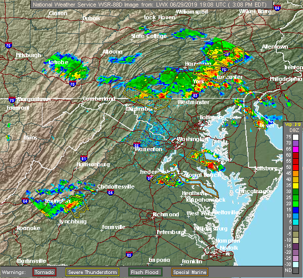 The severe thunderstorm warning for southeastern stafford, central king george and east central spotsylvania counties will expire at 315 pm edt, the storm which prompted the warning has moved out of the area. therefore, the warning will be allowed to expire. a severe thunderstorm watch remains in effect until 700 pm edt for northern virginia. to report severe weather, contact your nearest law enforcement agency. they will relay your report to the national weather service sterling virginia. The severe thunderstorm warning for southeastern stafford, central king george and east central spotsylvania counties will expire at 315 pm edt, the storm which prompted the warning has moved out of the area. therefore, the warning will be allowed to expire. a severe thunderstorm watch remains in effect until 700 pm edt for northern virginia. to report severe weather, contact your nearest law enforcement agency. they will relay your report to the national weather service sterling virginia.
|
| 6/29/2019 2:58 PM EDT |
 At 258 pm edt, a severe thunderstorm was located 8 miles southwest of fairview beach, moving southeast at 20 mph (radar indicated). Hazards include 60 mph wind gusts. Damaging winds will cause some trees and large branches to fall. this could injure those outdoors, as well as damage homes and vehicles. roadways may become blocked by downed trees. localized power outages are possible. unsecured light objects may become projectiles. Locations impacted include, fredericksburg, king george, fairview beach, passapatanzy, stones corner, rollins fork, lambs creek, white oak, sealston, jersey, shiloh and dogue. At 258 pm edt, a severe thunderstorm was located 8 miles southwest of fairview beach, moving southeast at 20 mph (radar indicated). Hazards include 60 mph wind gusts. Damaging winds will cause some trees and large branches to fall. this could injure those outdoors, as well as damage homes and vehicles. roadways may become blocked by downed trees. localized power outages are possible. unsecured light objects may become projectiles. Locations impacted include, fredericksburg, king george, fairview beach, passapatanzy, stones corner, rollins fork, lambs creek, white oak, sealston, jersey, shiloh and dogue.
|
| 6/29/2019 2:52 PM EDT | Tree down blocking the roadway in the 9400 block of thorton rolling roa in spotsylvania county VA, 6.6 miles NNW of Fredericksburg, VA |
| 6/29/2019 2:38 PM EDT |
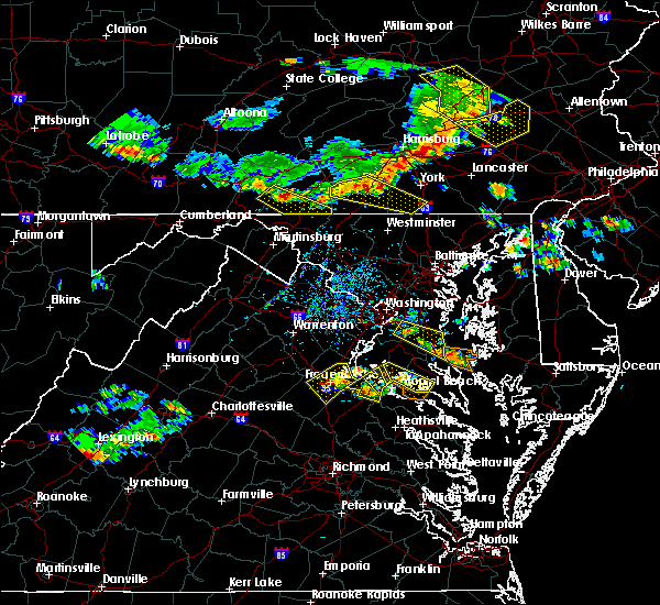 At 238 pm edt, a severe thunderstorm was located over fredericksburg, moving southeast at 20 mph (radar indicated). Hazards include 70 mph wind gusts and quarter size hail. Damaging winds will cause some trees and large branches to fall. this could injure those outdoors, as well as damage homes and vehicles. roadways may become blocked by downed trees. localized power outages are possible. unsecured light objects may become projectiles. Locations impacted include, stafford, fredericksburg, king george, fairview beach, aquia creek, massaponax, spotsylvania, falmouth, passapatanzy, stones corner, leeland, rollins fork, arkendale, spring valley, brooke, chancellorsville, thornburg, lambs creek, white oak and sealston. At 238 pm edt, a severe thunderstorm was located over fredericksburg, moving southeast at 20 mph (radar indicated). Hazards include 70 mph wind gusts and quarter size hail. Damaging winds will cause some trees and large branches to fall. this could injure those outdoors, as well as damage homes and vehicles. roadways may become blocked by downed trees. localized power outages are possible. unsecured light objects may become projectiles. Locations impacted include, stafford, fredericksburg, king george, fairview beach, aquia creek, massaponax, spotsylvania, falmouth, passapatanzy, stones corner, leeland, rollins fork, arkendale, spring valley, brooke, chancellorsville, thornburg, lambs creek, white oak and sealston.
|
| 6/29/2019 2:37 PM EDT | About a dozen reports of trees down across the city of fredericksbur in city of fredericks county VA, 0.3 miles WNW of Fredericksburg, VA |
| 6/29/2019 2:28 PM EDT |
 At 228 pm edt, a severe thunderstorm was located over fredericksburg, moving southeast at 20 mph (radar indicated). Hazards include 60 mph wind gusts and quarter size hail. Damaging winds will cause some trees and large branches to fall. this could injure those outdoors, as well as damage homes and vehicles. roadways may become blocked by downed trees. localized power outages are possible. Unsecured light objects may become projectiles. At 228 pm edt, a severe thunderstorm was located over fredericksburg, moving southeast at 20 mph (radar indicated). Hazards include 60 mph wind gusts and quarter size hail. Damaging winds will cause some trees and large branches to fall. this could injure those outdoors, as well as damage homes and vehicles. roadways may become blocked by downed trees. localized power outages are possible. Unsecured light objects may become projectiles.
|
| 6/28/2019 8:10 PM EDT |
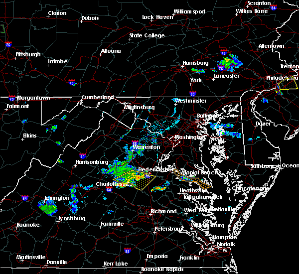 The severe thunderstorm warning for eastern orange and spotsylvania counties will expire at 815 pm edt, the storms which prompted the warning have weakened below severe limits, and no longer pose an immediate threat to life or property. therefore, the warning will be allowed to expire. however gusty winds and heavy rain are still possible with these thunderstorms. The severe thunderstorm warning for eastern orange and spotsylvania counties will expire at 815 pm edt, the storms which prompted the warning have weakened below severe limits, and no longer pose an immediate threat to life or property. therefore, the warning will be allowed to expire. however gusty winds and heavy rain are still possible with these thunderstorms.
|
| 6/28/2019 7:35 PM EDT |
 At 735 pm edt, severe thunderstorms were located along a line extending from 13 miles southeast of culpeper to near orange, moving southeast at 25 mph (radar indicated). Hazards include 60 mph wind gusts and quarter size hail. Damaging winds will cause some trees and large branches to fall. this could injure those outdoors, as well as damage homes and vehicles. roadways may become blocked by downed trees. localized power outages are possible. Unsecured light objects may become projectiles. At 735 pm edt, severe thunderstorms were located along a line extending from 13 miles southeast of culpeper to near orange, moving southeast at 25 mph (radar indicated). Hazards include 60 mph wind gusts and quarter size hail. Damaging winds will cause some trees and large branches to fall. this could injure those outdoors, as well as damage homes and vehicles. roadways may become blocked by downed trees. localized power outages are possible. Unsecured light objects may become projectiles.
|
| 6/24/2019 5:35 PM EDT | Tree down on mine road near campbell driv in spotsylvania county VA, 3.6 miles N of Fredericksburg, VA |
| 6/24/2019 5:19 PM EDT |
 At 519 pm edt, a severe thunderstorm was located near fredericksburg, moving east at 25 mph (radar indicated). Hazards include 60 mph wind gusts. Damaging winds will cause some trees and large branches to fall. this could injure those outdoors, as well as damage homes and vehicles. roadways may become blocked by downed trees. localized power outages are possible. unsecured light objects may become projectiles. Locations impacted include, fredericksburg, falmouth, dunavant, glendie, hartwood and holly corner. At 519 pm edt, a severe thunderstorm was located near fredericksburg, moving east at 25 mph (radar indicated). Hazards include 60 mph wind gusts. Damaging winds will cause some trees and large branches to fall. this could injure those outdoors, as well as damage homes and vehicles. roadways may become blocked by downed trees. localized power outages are possible. unsecured light objects may become projectiles. Locations impacted include, fredericksburg, falmouth, dunavant, glendie, hartwood and holly corner.
|
| 6/24/2019 4:55 PM EDT |
 At 453 pm edt, a severe thunderstorm was located 11 miles northwest of fredericksburg, moving east at 25 mph (radar indicated). Hazards include 60 mph wind gusts. Damaging winds will cause some trees and large branches to fall. this could injure those outdoors, as well as damage homes and vehicles. roadways may become blocked by downed trees. localized power outages are possible. unsecured light objects may become projectiles. Locations impacted include, fredericksburg, falmouth, ramoth, lignum, storck, holly corner, dunavant, lake of the woods, glendie, richardsville, hartwood and flat run. At 453 pm edt, a severe thunderstorm was located 11 miles northwest of fredericksburg, moving east at 25 mph (radar indicated). Hazards include 60 mph wind gusts. Damaging winds will cause some trees and large branches to fall. this could injure those outdoors, as well as damage homes and vehicles. roadways may become blocked by downed trees. localized power outages are possible. unsecured light objects may become projectiles. Locations impacted include, fredericksburg, falmouth, ramoth, lignum, storck, holly corner, dunavant, lake of the woods, glendie, richardsville, hartwood and flat run.
|
| 6/24/2019 4:44 PM EDT |
 At 443 pm edt, a severe thunderstorm was located 14 miles southeast of culpeper, moving east at 25 mph (radar indicated). Hazards include 60 mph wind gusts. Damaging winds will cause some trees and large branches to fall. this could injure those outdoors, as well as damage homes and vehicles. roadways may become blocked by downed trees. localized power outages are possible. Unsecured light objects may become projectiles. At 443 pm edt, a severe thunderstorm was located 14 miles southeast of culpeper, moving east at 25 mph (radar indicated). Hazards include 60 mph wind gusts. Damaging winds will cause some trees and large branches to fall. this could injure those outdoors, as well as damage homes and vehicles. roadways may become blocked by downed trees. localized power outages are possible. Unsecured light objects may become projectiles.
|
| 6/13/2019 5:25 PM EDT | Tree down on mills drive near massaponax church roa in spotsylvania county VA, 6.1 miles NNW of Fredericksburg, VA |
| 6/13/2019 5:24 PM EDT |
 At 524 pm edt, severe thunderstorms were located along a line extending from stafford to near fredericksburg to spotsylvania, moving east at 30 mph (radar indicated). Hazards include 60 mph wind gusts. Damaging winds will cause some trees and large branches to fall. this could injure those outdoors, as well as damage homes and vehicles. roadways may become blocked by downed trees. localized power outages are possible. unsecured light objects may become projectiles. Locations impacted include, fredericksburg, king george, fairview beach, massaponax, spotsylvania, falmouth, passapatanzy, stones corner, leeland, brokenburg, snell, spring valley, alsop, brooke, gatewood, post oak, thornburg, lambs creek, white oak and sealston. At 524 pm edt, severe thunderstorms were located along a line extending from stafford to near fredericksburg to spotsylvania, moving east at 30 mph (radar indicated). Hazards include 60 mph wind gusts. Damaging winds will cause some trees and large branches to fall. this could injure those outdoors, as well as damage homes and vehicles. roadways may become blocked by downed trees. localized power outages are possible. unsecured light objects may become projectiles. Locations impacted include, fredericksburg, king george, fairview beach, massaponax, spotsylvania, falmouth, passapatanzy, stones corner, leeland, brokenburg, snell, spring valley, alsop, brooke, gatewood, post oak, thornburg, lambs creek, white oak and sealston.
|
| 6/13/2019 5:15 PM EDT | Tree down on the 400 block of eskimo hill roa in stafford county VA, 7.1 miles SW of Fredericksburg, VA |
| 6/13/2019 5:07 PM EDT | Trees down on the 200 block of sanford driv in stafford county VA, 2.8 miles SSE of Fredericksburg, VA |
| 6/13/2019 5:04 PM EDT |
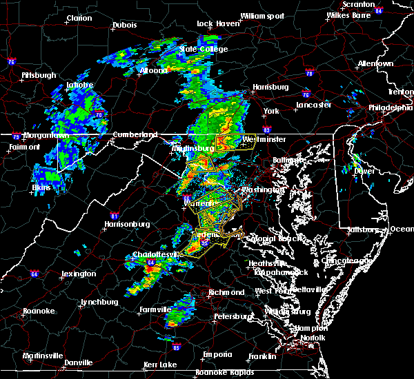 At 503 pm edt, severe thunderstorms were located along a line extending from 7 miles northwest of fredericksburg to near spotsylvania to 10 miles northeast of mineral, moving east at 25 mph (radar indicated). Hazards include 60 mph wind gusts and quarter size hail. Damaging winds will cause some trees and large branches to fall. this could injure those outdoors, as well as damage homes and vehicles. roadways may become blocked by downed trees. localized power outages are possible. Unsecured light objects may become projectiles. At 503 pm edt, severe thunderstorms were located along a line extending from 7 miles northwest of fredericksburg to near spotsylvania to 10 miles northeast of mineral, moving east at 25 mph (radar indicated). Hazards include 60 mph wind gusts and quarter size hail. Damaging winds will cause some trees and large branches to fall. this could injure those outdoors, as well as damage homes and vehicles. roadways may become blocked by downed trees. localized power outages are possible. Unsecured light objects may become projectiles.
|
| 5/30/2019 7:39 PM EDT | Trees were down blocking two lanes on interstate 95 around mile marker 12 in spotsylvania county VA, 6.3 miles N of Fredericksburg, VA |
| 5/30/2019 7:34 PM EDT |
 At 733 pm edt, a confirmed tornado was located over massaponax, or 7 miles south of fredericksburg, moving east at 40 mph (weather spotters observed a tornado). Hazards include damaging tornado and two inch hail. For those in the direct path of a tornado touchdown, flying debris will be dangerous to those caught without shelter. damage to roofs, siding, and windows may occur. mobile homes may be damaged or destroyed. tree damage is likely. This tornadic thunderstorm will remain over mainly rural areas of northeastern spotsylvania county and the southern city of fredericksburg, including the following locations, thornburg, snell and alsop. At 733 pm edt, a confirmed tornado was located over massaponax, or 7 miles south of fredericksburg, moving east at 40 mph (weather spotters observed a tornado). Hazards include damaging tornado and two inch hail. For those in the direct path of a tornado touchdown, flying debris will be dangerous to those caught without shelter. damage to roofs, siding, and windows may occur. mobile homes may be damaged or destroyed. tree damage is likely. This tornadic thunderstorm will remain over mainly rural areas of northeastern spotsylvania county and the southern city of fredericksburg, including the following locations, thornburg, snell and alsop.
|
| 5/30/2019 7:16 PM EDT |
 At 716 pm edt, a severe thunderstorm capable of producing a tornado was located 8 miles west of spotsylvania, or 14 miles southwest of fredericksburg, moving east at 40 mph (radar indicated rotation). Hazards include tornado and hail up to two inches in diameter. For those in the direct path of a tornado touchdown, flying debris will be dangerous to those caught without shelter. damage to roofs, siding, and windows may occur. mobile homes may be damaged or destroyed. tree damage is likely. this dangerous storm will be near, spotsylvania around 730 pm edt. massaponax around 735 pm edt. Other locations impacted by this tornadic thunderstorm include chancellorsville, brokenburg, post oak, thornburg, cookstown, snell and alsop. At 716 pm edt, a severe thunderstorm capable of producing a tornado was located 8 miles west of spotsylvania, or 14 miles southwest of fredericksburg, moving east at 40 mph (radar indicated rotation). Hazards include tornado and hail up to two inches in diameter. For those in the direct path of a tornado touchdown, flying debris will be dangerous to those caught without shelter. damage to roofs, siding, and windows may occur. mobile homes may be damaged or destroyed. tree damage is likely. this dangerous storm will be near, spotsylvania around 730 pm edt. massaponax around 735 pm edt. Other locations impacted by this tornadic thunderstorm include chancellorsville, brokenburg, post oak, thornburg, cookstown, snell and alsop.
|
| 5/25/2019 8:36 PM EDT | Tree down on the 1200 block of jefferson davis highwa in stafford county VA, 6.8 miles SSW of Fredericksburg, VA |
| 5/25/2019 8:23 PM EDT | Tree down on the 1200 block of jefferson davis highwa in stafford county VA, 6.8 miles SSW of Fredericksburg, VA |
| 5/25/2019 8:16 PM EDT | Multiple trees down in the ramoth church road are in stafford county VA, 8.3 miles S of Fredericksburg, VA |
| 5/25/2019 8:11 PM EDT | Trees down on burke driv in stafford county VA, 7.9 miles SSE of Fredericksburg, VA |
| 5/23/2019 4:30 PM EDT | Numerous trees down along route 17 about 1.5 miles from the spotsylvania county borde in caroline county VA, 9 miles WNW of Fredericksburg, VA |
| 5/23/2019 4:11 PM EDT |
 At 411 pm edt, severe thunderstorms were located along a line extending from 7 miles east of quantico to 9 miles north of mineral, moving east at 45 mph (radar indicated). Hazards include 70 mph wind gusts and quarter size hail. Damaging winds will cause some trees and large branches to fall. this could injure those outdoors, as well as damage homes and vehicles. roadways may become blocked by downed trees. localized power outages are possible. unsecured light objects may become projectiles. Locations impacted include, stafford, waldorf, fredericksburg, chesapeake ranch estates, la plata, king george, leonardtown, dahlgren, quantico, fairview beach, hallowing point, aquia creek, saint leonard creek, potomac creek, sheridan point, saint clements bay, greenwell state park, cuckold creek, calvert cliffs and port tobacco river. At 411 pm edt, severe thunderstorms were located along a line extending from 7 miles east of quantico to 9 miles north of mineral, moving east at 45 mph (radar indicated). Hazards include 70 mph wind gusts and quarter size hail. Damaging winds will cause some trees and large branches to fall. this could injure those outdoors, as well as damage homes and vehicles. roadways may become blocked by downed trees. localized power outages are possible. unsecured light objects may become projectiles. Locations impacted include, stafford, waldorf, fredericksburg, chesapeake ranch estates, la plata, king george, leonardtown, dahlgren, quantico, fairview beach, hallowing point, aquia creek, saint leonard creek, potomac creek, sheridan point, saint clements bay, greenwell state park, cuckold creek, calvert cliffs and port tobacco river.
|
| 5/23/2019 3:55 PM EDT |
 At 354 pm edt, severe thunderstorms were located along a line extending from near montclair to near orange, moving east at 45 mph (radar indicated). Hazards include 70 mph wind gusts and quarter size hail. Damaging winds will cause some trees and large branches to fall. this could injure those outdoors, as well as damage homes and vehicles. roadways may become blocked by downed trees. localized power outages are possible. Unsecured light objects may become projectiles. At 354 pm edt, severe thunderstorms were located along a line extending from near montclair to near orange, moving east at 45 mph (radar indicated). Hazards include 70 mph wind gusts and quarter size hail. Damaging winds will cause some trees and large branches to fall. this could injure those outdoors, as well as damage homes and vehicles. roadways may become blocked by downed trees. localized power outages are possible. Unsecured light objects may become projectiles.
|
| 5/23/2019 3:44 PM EDT |
 At 343 pm edt, severe thunderstorms were located along a line extending from 11 miles east of bealeton to 6 miles southwest of orange, moving east at 50 mph (radar indicated). Hazards include 60 mph wind gusts. Damaging winds will cause some trees and large branches to fall. this could injure those outdoors, as well as damage homes and vehicles. roadways may become blocked by downed trees. localized power outages are possible. unsecured light objects may become projectiles. Locations impacted include, stafford, fredericksburg, orange, quantico, aquia creek, triangle, dumfries, spotsylvania, cherry hill, falmouth, gordonsville, eheart, barboursville, verdiersville, montpelier station, locust grove, thornhill, ramoth, heflin and madison mills. At 343 pm edt, severe thunderstorms were located along a line extending from 11 miles east of bealeton to 6 miles southwest of orange, moving east at 50 mph (radar indicated). Hazards include 60 mph wind gusts. Damaging winds will cause some trees and large branches to fall. this could injure those outdoors, as well as damage homes and vehicles. roadways may become blocked by downed trees. localized power outages are possible. unsecured light objects may become projectiles. Locations impacted include, stafford, fredericksburg, orange, quantico, aquia creek, triangle, dumfries, spotsylvania, cherry hill, falmouth, gordonsville, eheart, barboursville, verdiersville, montpelier station, locust grove, thornhill, ramoth, heflin and madison mills.
|
| 5/23/2019 3:28 PM EDT |
 At 328 pm edt, severe thunderstorms were located along a line extending from bealeton to near stanardsville, moving east at 50 mph (radar indicated). Hazards include 60 mph wind gusts. Damaging winds will cause some trees and large branches to fall. this could injure those outdoors, as well as damage homes and vehicles. roadways may become blocked by downed trees. localized power outages are possible. Unsecured light objects may become projectiles. At 328 pm edt, severe thunderstorms were located along a line extending from bealeton to near stanardsville, moving east at 50 mph (radar indicated). Hazards include 60 mph wind gusts. Damaging winds will cause some trees and large branches to fall. this could injure those outdoors, as well as damage homes and vehicles. roadways may become blocked by downed trees. localized power outages are possible. Unsecured light objects may become projectiles.
|
| 4/26/2019 2:48 PM EDT |
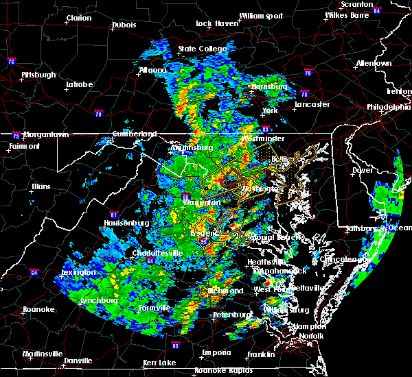 At 248 pm edt, severe thunderstorms were located along a line extending from near fredericksburg to near massaponax, moving east at 45 mph (radar indicated). Hazards include 60 mph wind gusts. Damaging winds will cause some trees and large branches to fall. this could injure those outdoors, as well as damage homes and vehicles. roadways may become blocked by downed trees. localized power outages are possible. unsecured light objects may become projectiles. Locations impacted include, stafford, fredericksburg, king george, dahlgren, fairview beach, potomac creek, aquia creek, massaponax, falmouth, passapatanzy, stones corner, weedonville, roseville, ninde, garrisonville, ramoth, heflin, white oak, sealston and berthaville. At 248 pm edt, severe thunderstorms were located along a line extending from near fredericksburg to near massaponax, moving east at 45 mph (radar indicated). Hazards include 60 mph wind gusts. Damaging winds will cause some trees and large branches to fall. this could injure those outdoors, as well as damage homes and vehicles. roadways may become blocked by downed trees. localized power outages are possible. unsecured light objects may become projectiles. Locations impacted include, stafford, fredericksburg, king george, dahlgren, fairview beach, potomac creek, aquia creek, massaponax, falmouth, passapatanzy, stones corner, weedonville, roseville, ninde, garrisonville, ramoth, heflin, white oak, sealston and berthaville.
|
| 4/26/2019 2:45 PM EDT | Several large branches down including in the 1100 block of charles street and near the intersection of kenmore avenue and hanover stree in city of fredericks county VA, 0.3 miles WNW of Fredericksburg, VA |
| 4/26/2019 2:29 PM EDT |
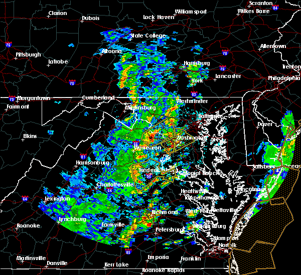 At 228 pm edt, severe thunderstorms were located along a line extending from 15 miles southeast of culpeper to 7 miles southwest of spotsylvania, moving east at 45 mph (radar indicated. these storms have a history of downing numerous trees from albemarle to orange counties). Hazards include 60 mph wind gusts. Damaging winds will cause some trees and large branches to fall. this could injure those outdoors, as well as damage homes and vehicles. roadways may become blocked by downed trees. localized power outages are possible. Unsecured light objects may become projectiles. At 228 pm edt, severe thunderstorms were located along a line extending from 15 miles southeast of culpeper to 7 miles southwest of spotsylvania, moving east at 45 mph (radar indicated. these storms have a history of downing numerous trees from albemarle to orange counties). Hazards include 60 mph wind gusts. Damaging winds will cause some trees and large branches to fall. this could injure those outdoors, as well as damage homes and vehicles. roadways may become blocked by downed trees. localized power outages are possible. Unsecured light objects may become projectiles.
|
| 4/26/2019 2:17 PM EDT |
 At 217 pm edt, severe thunderstorms were located along a line extending from near culpeper to 9 miles north of louisa, moving east at 45 mph (law enforcement). Hazards include 70 mph wind gusts and quarter size hail. Damaging winds will cause some trees and large branches to fall. this could injure those outdoors, as well as damage homes and vehicles. roadways may become blocked by downed trees. localized power outages are possible. unsecured light objects may become projectiles. Locations impacted include, culpeper, spotsylvania, mine run, elkwood, stevensburg, brandy station, verdiersville, everona, locust grove, flat run, thornhill, nasons, winston, mitchells, glenora, dunavant, lake of the woods, unionville, cookstown and raccoon ford. At 217 pm edt, severe thunderstorms were located along a line extending from near culpeper to 9 miles north of louisa, moving east at 45 mph (law enforcement). Hazards include 70 mph wind gusts and quarter size hail. Damaging winds will cause some trees and large branches to fall. this could injure those outdoors, as well as damage homes and vehicles. roadways may become blocked by downed trees. localized power outages are possible. unsecured light objects may become projectiles. Locations impacted include, culpeper, spotsylvania, mine run, elkwood, stevensburg, brandy station, verdiersville, everona, locust grove, flat run, thornhill, nasons, winston, mitchells, glenora, dunavant, lake of the woods, unionville, cookstown and raccoon ford.
|
| 4/26/2019 1:52 PM EDT |
 At 151 pm edt, severe thunderstorms were located along a line extending from near madison to near boswells tavern, moving east at 45 mph (law enforcement reported multiple trees down in albemarle county). Hazards include 70 mph wind gusts and quarter size hail. Damaging winds will cause some trees and large branches to fall. this could injure those outdoors, as well as damage homes and vehicles. roadways may become blocked by downed trees. localized power outages are possible. unsecured light objects may become projectiles. Locations impacted include, culpeper, orange, spotsylvania, gordonsville, mine run, elkwood, stevensburg, eheart, brandy station, oakpark, barboursville, verdiersville, everona, montpelier station, locust grove, flat run, thornhill, nasons, winston and madison mills. At 151 pm edt, severe thunderstorms were located along a line extending from near madison to near boswells tavern, moving east at 45 mph (law enforcement reported multiple trees down in albemarle county). Hazards include 70 mph wind gusts and quarter size hail. Damaging winds will cause some trees and large branches to fall. this could injure those outdoors, as well as damage homes and vehicles. roadways may become blocked by downed trees. localized power outages are possible. unsecured light objects may become projectiles. Locations impacted include, culpeper, orange, spotsylvania, gordonsville, mine run, elkwood, stevensburg, eheart, brandy station, oakpark, barboursville, verdiersville, everona, montpelier station, locust grove, flat run, thornhill, nasons, winston and madison mills.
|
| 4/26/2019 1:48 PM EDT |
 At 148 pm edt, severe thunderstorms were located along a line extending from 6 miles south of madison to near boswells tavern, moving northeast at 45 mph (radar indicated). Hazards include 60 mph wind gusts and quarter size hail. Damaging winds will cause some trees and large branches to fall. this could injure those outdoors, as well as damage homes and vehicles. roadways may become blocked by downed trees. localized power outages are possible. unsecured light objects may become projectiles. Locations impacted include, culpeper, orange, spotsylvania, gordonsville, mine run, elkwood, stevensburg, eheart, brandy station, oakpark, barboursville, verdiersville, everona, montpelier station, locust grove, flat run, thornhill, nasons, winston and madison mills. At 148 pm edt, severe thunderstorms were located along a line extending from 6 miles south of madison to near boswells tavern, moving northeast at 45 mph (radar indicated). Hazards include 60 mph wind gusts and quarter size hail. Damaging winds will cause some trees and large branches to fall. this could injure those outdoors, as well as damage homes and vehicles. roadways may become blocked by downed trees. localized power outages are possible. unsecured light objects may become projectiles. Locations impacted include, culpeper, orange, spotsylvania, gordonsville, mine run, elkwood, stevensburg, eheart, brandy station, oakpark, barboursville, verdiersville, everona, montpelier station, locust grove, flat run, thornhill, nasons, winston and madison mills.
|
| 4/26/2019 1:33 PM EDT |
 At 132 pm edt, severe thunderstorms were located along a line extending from 7 miles southeast of stanardsville to near lake monticello, moving northeast at 40 mph (radar indicated). Hazards include 60 mph wind gusts. Damaging winds will cause some trees and large branches to fall. this could injure those outdoors, as well as damage homes and vehicles. roadways may become blocked by downed trees. localized power outages are possible. Unsecured light objects may become projectiles. At 132 pm edt, severe thunderstorms were located along a line extending from 7 miles southeast of stanardsville to near lake monticello, moving northeast at 40 mph (radar indicated). Hazards include 60 mph wind gusts. Damaging winds will cause some trees and large branches to fall. this could injure those outdoors, as well as damage homes and vehicles. roadways may become blocked by downed trees. localized power outages are possible. Unsecured light objects may become projectiles.
|
| 4/19/2019 8:37 PM EDT |
 The severe thunderstorm warning for south central stafford and northeastern spotsylvania counties and the city of fredericksburg will expire at 845 pm edt, the severe thunderstorm which prompted the warning has weakened. therefore, the warning will be allowed to expire. a tornado watch remains in effect until midnight edt for central and northern virginia. The severe thunderstorm warning for south central stafford and northeastern spotsylvania counties and the city of fredericksburg will expire at 845 pm edt, the severe thunderstorm which prompted the warning has weakened. therefore, the warning will be allowed to expire. a tornado watch remains in effect until midnight edt for central and northern virginia.
|
| 4/19/2019 8:24 PM EDT |
 At 824 pm edt, a severe thunderstorm was located over spotsylvania, or 8 miles southwest of fredericksburg, moving northeast at 55 mph (radar indicated). Hazards include 60 mph wind gusts. Damaging winds will cause some trees and large branches to fall. this could injure those outdoors, as well as damage homes and vehicles. roadways may become blocked by downed trees. localized power outages are possible. unsecured light objects may become projectiles. Locations impacted include, fredericksburg, massaponax, spotsylvania, falmouth, post oak, snell and alsop. At 824 pm edt, a severe thunderstorm was located over spotsylvania, or 8 miles southwest of fredericksburg, moving northeast at 55 mph (radar indicated). Hazards include 60 mph wind gusts. Damaging winds will cause some trees and large branches to fall. this could injure those outdoors, as well as damage homes and vehicles. roadways may become blocked by downed trees. localized power outages are possible. unsecured light objects may become projectiles. Locations impacted include, fredericksburg, massaponax, spotsylvania, falmouth, post oak, snell and alsop.
|
| 4/19/2019 8:21 PM EDT |
 At 820 pm edt, severe thunderstorms were located along a line extending from 7 miles southeast of warrenton to 7 miles southeast of bealeton to 9 miles northwest of spotsylvania, moving northeast at 30 mph (radar indicated). Hazards include 60 mph wind gusts. Damaging winds will cause some trees and large branches to fall. this could injure those outdoors, as well as damage homes and vehicles. roadways may become blocked by downed trees. localized power outages are possible. Unsecured light objects may become projectiles. At 820 pm edt, severe thunderstorms were located along a line extending from 7 miles southeast of warrenton to 7 miles southeast of bealeton to 9 miles northwest of spotsylvania, moving northeast at 30 mph (radar indicated). Hazards include 60 mph wind gusts. Damaging winds will cause some trees and large branches to fall. this could injure those outdoors, as well as damage homes and vehicles. roadways may become blocked by downed trees. localized power outages are possible. Unsecured light objects may become projectiles.
|
| 4/19/2019 8:05 PM EDT |
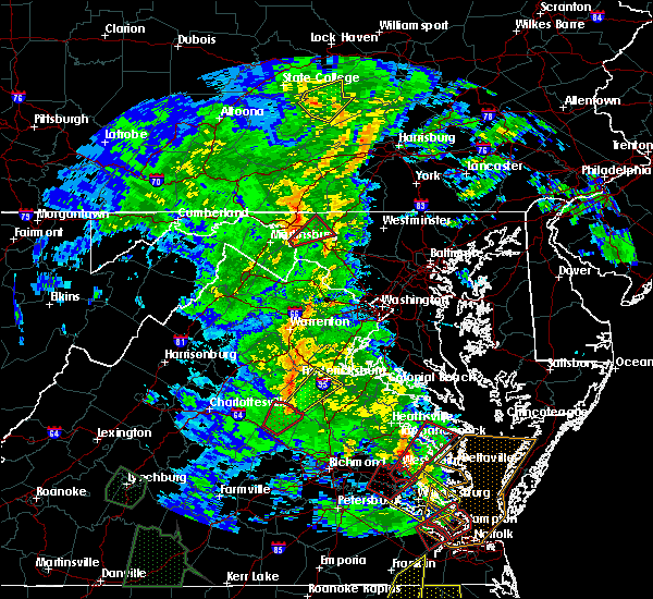 At 804 pm edt, a severe thunderstorm was located near mineral, moving northeast at 45 mph (radar indicated). Hazards include 60 mph wind gusts. Damaging winds will cause some trees and large branches to fall. this could injure those outdoors, as well as damage homes and vehicles. roadways may become blocked by downed trees. localized power outages are possible. Unsecured light objects may become projectiles. At 804 pm edt, a severe thunderstorm was located near mineral, moving northeast at 45 mph (radar indicated). Hazards include 60 mph wind gusts. Damaging winds will cause some trees and large branches to fall. this could injure those outdoors, as well as damage homes and vehicles. roadways may become blocked by downed trees. localized power outages are possible. Unsecured light objects may become projectiles.
|
| 4/15/2019 2:35 AM EDT | Tree down near intersection of lockwood drive and white oak roa in stafford county VA, 4.1 miles W of Fredericksburg, VA |
| 4/15/2019 1:45 AM EDT |
 At 144 am edt, severe thunderstorms were located along a line extending from near aquia creek to 6 miles northwest of bowling green, moving east at 60 mph (observed wind. shannon airport in fredericksburg gusted to 63 mph). Hazards include 70 mph wind gusts. Damaging winds will cause some trees and large branches to fall. this could injure those outdoors, as well as damage homes and vehicles. roadways may become blocked by downed trees. localized power outages are possible. unsecured light objects may become projectiles. Locations impacted include, stafford, fredericksburg, king george, dahlgren, fairview beach, potomac creek, nanjemoy creek, aquia creek, massaponax, spotsylvania, falmouth, passapatanzy, stones corner, weedonville, ninde, snell, partlow, thornburg, white oak and sealston. At 144 am edt, severe thunderstorms were located along a line extending from near aquia creek to 6 miles northwest of bowling green, moving east at 60 mph (observed wind. shannon airport in fredericksburg gusted to 63 mph). Hazards include 70 mph wind gusts. Damaging winds will cause some trees and large branches to fall. this could injure those outdoors, as well as damage homes and vehicles. roadways may become blocked by downed trees. localized power outages are possible. unsecured light objects may become projectiles. Locations impacted include, stafford, fredericksburg, king george, dahlgren, fairview beach, potomac creek, nanjemoy creek, aquia creek, massaponax, spotsylvania, falmouth, passapatanzy, stones corner, weedonville, ninde, snell, partlow, thornburg, white oak and sealston.
|
| 4/15/2019 1:39 AM EDT |
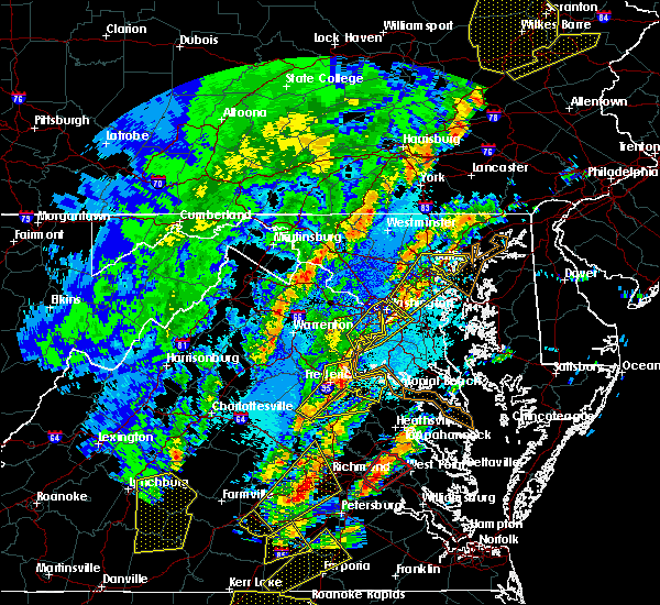 At 138 am edt, severe thunderstorms were located along a line extending from aquia creek to 6 miles northeast of ladysmith, moving northeast at 60 mph (radar indicated). Hazards include 70 mph wind gusts and quarter size hail. Damaging winds will cause some trees and large branches to fall. this could injure those outdoors, as well as damage homes and vehicles. roadways may become blocked by downed trees. localized power outages are possible. unsecured light objects may become projectiles. Locations impacted include, stafford, fredericksburg, king george, dahlgren, fairview beach, potomac creek, nanjemoy creek, aquia creek, massaponax, spotsylvania, falmouth, passapatanzy, stones corner, weedonville, ninde, snell, ramoth, partlow, thornburg and white oak. At 138 am edt, severe thunderstorms were located along a line extending from aquia creek to 6 miles northeast of ladysmith, moving northeast at 60 mph (radar indicated). Hazards include 70 mph wind gusts and quarter size hail. Damaging winds will cause some trees and large branches to fall. this could injure those outdoors, as well as damage homes and vehicles. roadways may become blocked by downed trees. localized power outages are possible. unsecured light objects may become projectiles. Locations impacted include, stafford, fredericksburg, king george, dahlgren, fairview beach, potomac creek, nanjemoy creek, aquia creek, massaponax, spotsylvania, falmouth, passapatanzy, stones corner, weedonville, ninde, snell, ramoth, partlow, thornburg and white oak.
|
| 4/15/2019 1:35 AM EDT | Storm damage reported in spotsylvania county VA, 3.3 miles NW of Fredericksburg, VA |
| 4/15/2019 1:26 AM EDT |
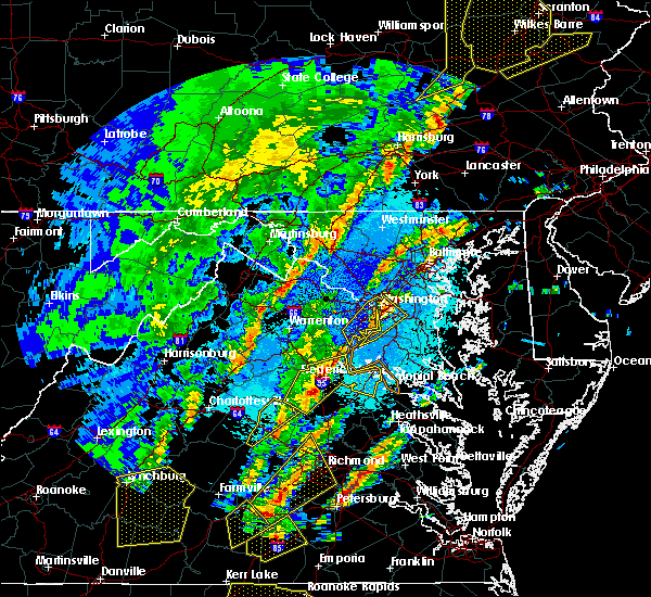 At 126 am edt, severe thunderstorms were located along a line extending from near fredericksburg to 6 miles west of ladysmith, moving east at 60 mph (radar indicated). Hazards include 70 mph wind gusts and quarter size hail. Damaging winds will cause some trees and large branches to fall. this could injure those outdoors, as well as damage homes and vehicles. roadways may become blocked by downed trees. localized power outages are possible. unsecured light objects may become projectiles. Locations impacted include, stafford, fredericksburg, king george, dahlgren, fairview beach, potomac creek, nanjemoy creek, aquia creek, massaponax, spotsylvania, falmouth, passapatanzy, stones corner, weedonville, ninde, snell, ramoth, partlow, glenora and thornburg. At 126 am edt, severe thunderstorms were located along a line extending from near fredericksburg to 6 miles west of ladysmith, moving east at 60 mph (radar indicated). Hazards include 70 mph wind gusts and quarter size hail. Damaging winds will cause some trees and large branches to fall. this could injure those outdoors, as well as damage homes and vehicles. roadways may become blocked by downed trees. localized power outages are possible. unsecured light objects may become projectiles. Locations impacted include, stafford, fredericksburg, king george, dahlgren, fairview beach, potomac creek, nanjemoy creek, aquia creek, massaponax, spotsylvania, falmouth, passapatanzy, stones corner, weedonville, ninde, snell, ramoth, partlow, glenora and thornburg.
|
| 4/15/2019 1:14 AM EDT |
 At 114 am edt, severe thunderstorms were located along a line extending from 6 miles northwest of spotsylvania to near bumpass, moving northeast at 60 mph (radar indicated). Hazards include 60 mph wind gusts. Damaging winds will cause some trees and large branches to fall. this could injure those outdoors, as well as damage homes and vehicles. roadways may become blocked by downed trees. localized power outages are possible. Unsecured light objects may become projectiles. At 114 am edt, severe thunderstorms were located along a line extending from 6 miles northwest of spotsylvania to near bumpass, moving northeast at 60 mph (radar indicated). Hazards include 60 mph wind gusts. Damaging winds will cause some trees and large branches to fall. this could injure those outdoors, as well as damage homes and vehicles. roadways may become blocked by downed trees. localized power outages are possible. Unsecured light objects may become projectiles.
|
| 3/22/2019 5:34 PM EDT | Numerous trees and wires dow in stafford county VA, 6.8 miles WSW of Fredericksburg, VA |
| 3/22/2019 5:14 PM EDT | Numerous trees and wires dow in stafford county VA, 6.8 miles WSW of Fredericksburg, VA |
| 3/22/2019 5:07 PM EDT | Numerous trees and wires down throughout the cit in city of fredericks county VA, 0.3 miles WNW of Fredericksburg, VA |
| 3/22/2019 5:04 PM EDT |
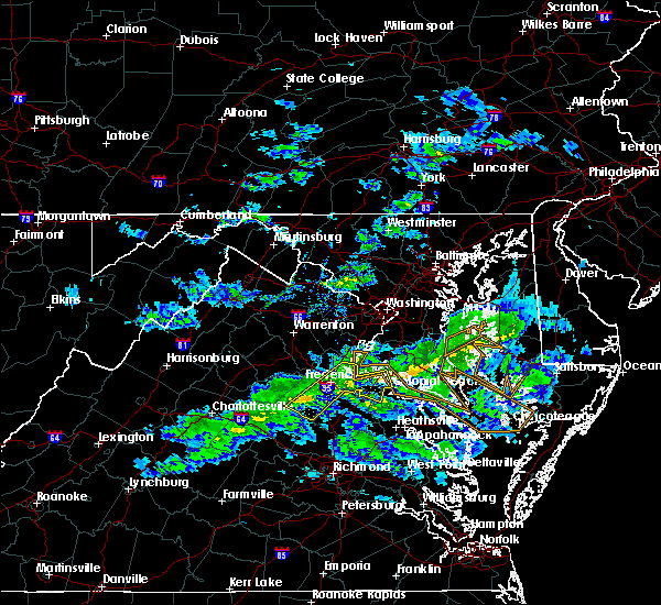 At 504 pm edt, a severe thunderstorm was located near fredericksburg, moving east at 40 mph (measured wind gusts over 55 mph at shannon airport in fredericksburg). Hazards include 60 mph wind gusts. Damaging winds will cause some trees and large branches to fall. this could injure those outdoors, as well as damage homes and vehicles. roadways may become blocked by downed trees. localized power outages are possible. Unsecured light objects may become projectiles. At 504 pm edt, a severe thunderstorm was located near fredericksburg, moving east at 40 mph (measured wind gusts over 55 mph at shannon airport in fredericksburg). Hazards include 60 mph wind gusts. Damaging winds will cause some trees and large branches to fall. this could injure those outdoors, as well as damage homes and vehicles. roadways may become blocked by downed trees. localized power outages are possible. Unsecured light objects may become projectiles.
|
| 9/17/2018 3:11 PM EDT |
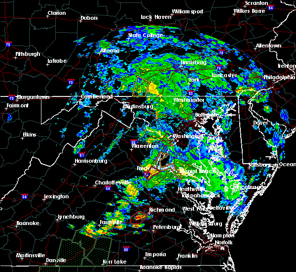 At 310 pm edt, a severe thunderstorm capable of producing a tornado was located near massaponax, or near fredericksburg, moving northeast at 30 mph (radar indicated rotation). Hazards include tornado. For those in the direct path of a tornado touchdown, flying debris will be dangerous to those caught without shelter. damage to roofs, siding, and windows may occur. mobile homes may be damaged or destroyed. tree damage is likely. this dangerous storm will be near, fredericksburg around 320 pm edt. Other locations impacted by this tornadic thunderstorm include brooke, stones corner, leeland, passapatanzy, white oak, sealston, brookfield, spring valley and falmouth. At 310 pm edt, a severe thunderstorm capable of producing a tornado was located near massaponax, or near fredericksburg, moving northeast at 30 mph (radar indicated rotation). Hazards include tornado. For those in the direct path of a tornado touchdown, flying debris will be dangerous to those caught without shelter. damage to roofs, siding, and windows may occur. mobile homes may be damaged or destroyed. tree damage is likely. this dangerous storm will be near, fredericksburg around 320 pm edt. Other locations impacted by this tornadic thunderstorm include brooke, stones corner, leeland, passapatanzy, white oak, sealston, brookfield, spring valley and falmouth.
|
| 8/12/2018 5:25 PM EDT | Trees on houses in the grafton village subdivision off deacon roa in stafford county VA, 4.5 miles WSW of Fredericksburg, VA |
| 8/12/2018 4:33 PM EDT |
 At 433 pm edt, a severe thunderstorm was located over potomac creek, moving east at 30 mph (radar indicated). Hazards include golf ball size hail and 70 mph wind gusts. Expect wind damage to trees and power lines. hail is large enough to dent and damage vehicles. some hail damage to roofs, siding, and windows is possible. Locations impacted include, stafford, fredericksburg, king george, dahlgren, fairview beach, potomac creek, nanjemoy creek, aquia creek, falmouth, passapatanzy, stones corner, potomac beach, weedonville, ninde, white oak, sealston, berthaville, jersey, dogue and leeland. At 433 pm edt, a severe thunderstorm was located over potomac creek, moving east at 30 mph (radar indicated). Hazards include golf ball size hail and 70 mph wind gusts. Expect wind damage to trees and power lines. hail is large enough to dent and damage vehicles. some hail damage to roofs, siding, and windows is possible. Locations impacted include, stafford, fredericksburg, king george, dahlgren, fairview beach, potomac creek, nanjemoy creek, aquia creek, falmouth, passapatanzy, stones corner, potomac beach, weedonville, ninde, white oak, sealston, berthaville, jersey, dogue and leeland.
|
| 8/12/2018 4:24 PM EDT |
 At 424 pm edt, a severe thunderstorm was located near potomac creek, moving east at 20 mph (radar indicated). Hazards include golf ball size hail and 60 mph wind gusts. Expect wind damage to trees and power lines. hail is large enough to dent and damage vehicles. some hail damage to roofs, siding, and windows is possible. Locations impacted include, stafford, fredericksburg, king george, dahlgren, fairview beach, potomac creek, nanjemoy creek, aquia creek, falmouth, passapatanzy, stones corner, potomac beach, weedonville, ninde, white oak, sealston, berthaville, jersey, dogue and leeland. At 424 pm edt, a severe thunderstorm was located near potomac creek, moving east at 20 mph (radar indicated). Hazards include golf ball size hail and 60 mph wind gusts. Expect wind damage to trees and power lines. hail is large enough to dent and damage vehicles. some hail damage to roofs, siding, and windows is possible. Locations impacted include, stafford, fredericksburg, king george, dahlgren, fairview beach, potomac creek, nanjemoy creek, aquia creek, falmouth, passapatanzy, stones corner, potomac beach, weedonville, ninde, white oak, sealston, berthaville, jersey, dogue and leeland.
|
| 8/12/2018 4:20 PM EDT | Nearly three dozen trees down between stafford and falmout in stafford county VA, 5.9 miles SSW of Fredericksburg, VA |
| 8/12/2018 4:14 PM EDT |
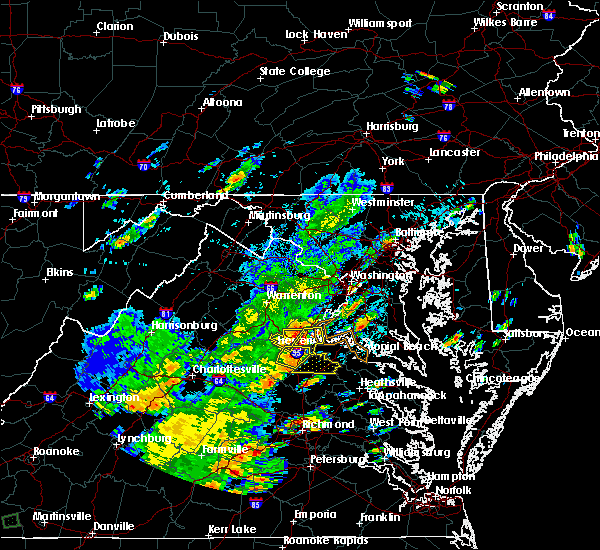 At 413 pm edt, a severe thunderstorm was located near fredericksburg, moving east at 25 mph (radar indicated). Hazards include 60 mph wind gusts and quarter size hail. Damaging winds will cause some trees and large branches to fall. this could injure those outdoors, as well as damage homes and vehicles. roadways may become blocked by downed trees. localized power outages are possible. Unsecured light objects may become projectiles. At 413 pm edt, a severe thunderstorm was located near fredericksburg, moving east at 25 mph (radar indicated). Hazards include 60 mph wind gusts and quarter size hail. Damaging winds will cause some trees and large branches to fall. this could injure those outdoors, as well as damage homes and vehicles. roadways may become blocked by downed trees. localized power outages are possible. Unsecured light objects may become projectiles.
|
| 8/12/2018 4:08 PM EDT |
 At 408 pm edt, severe thunderstorms were located along a line extending from near stafford to fredericksburg, moving east at 15 mph (radar indicated). Hazards include 60 mph wind gusts. Damaging winds will cause some trees and large branches to fall. this could injure those outdoors, as well as damage homes and vehicles. roadways may become blocked by downed trees. localized power outages are possible. unsecured light objects may become projectiles. Locations impacted include, stafford, fredericksburg, potomac creek, aquia creek, falmouth, stones corner, leeland, widewater, arkendale, spring valley, brooke, ramoth, aquia, white oak and brookfield. At 408 pm edt, severe thunderstorms were located along a line extending from near stafford to fredericksburg, moving east at 15 mph (radar indicated). Hazards include 60 mph wind gusts. Damaging winds will cause some trees and large branches to fall. this could injure those outdoors, as well as damage homes and vehicles. roadways may become blocked by downed trees. localized power outages are possible. unsecured light objects may become projectiles. Locations impacted include, stafford, fredericksburg, potomac creek, aquia creek, falmouth, stones corner, leeland, widewater, arkendale, spring valley, brooke, ramoth, aquia, white oak and brookfield.
|
| 8/12/2018 4:06 PM EDT |
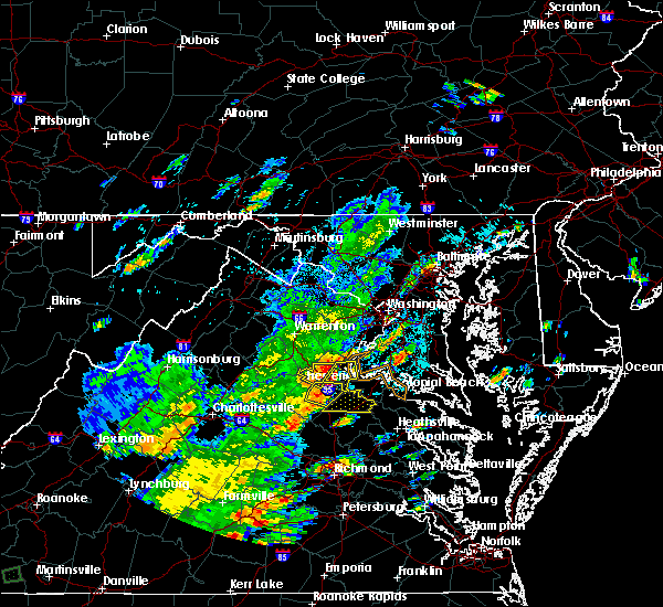 At 345 pm edt, a severe thunderstorm was located near spotsylvania, or 12 miles west of fredericksburg, moving east at 25 mph (radar indicated). Hazards include 60 mph wind gusts. Damaging winds will cause some trees and large branches to fall. this could injure those outdoors, as well as damage homes and vehicles. roadways may become blocked by downed trees. localized power outages are possible. Unsecured light objects may become projectiles. At 345 pm edt, a severe thunderstorm was located near spotsylvania, or 12 miles west of fredericksburg, moving east at 25 mph (radar indicated). Hazards include 60 mph wind gusts. Damaging winds will cause some trees and large branches to fall. this could injure those outdoors, as well as damage homes and vehicles. roadways may become blocked by downed trees. localized power outages are possible. Unsecured light objects may become projectiles.
|
| 8/12/2018 3:54 PM EDT |
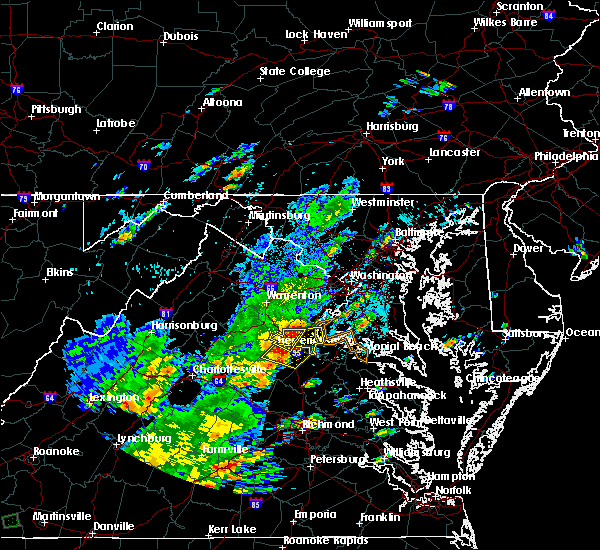 At 354 pm edt, a severe thunderstorm was located near stafford, moving east at 15 mph (radar indicated). Hazards include 60 mph wind gusts. Damaging winds will cause some trees and large branches to fall. this could injure those outdoors, as well as damage homes and vehicles. roadways may become blocked by downed trees. localized power outages are possible. Unsecured light objects may become projectiles. At 354 pm edt, a severe thunderstorm was located near stafford, moving east at 15 mph (radar indicated). Hazards include 60 mph wind gusts. Damaging winds will cause some trees and large branches to fall. this could injure those outdoors, as well as damage homes and vehicles. roadways may become blocked by downed trees. localized power outages are possible. Unsecured light objects may become projectiles.
|
| 8/12/2018 3:50 PM EDT | Trees down and penny size hail in the cardinal forest subdivision off us-1 in stafford county VA, 4.9 miles SSE of Fredericksburg, VA |
| 8/12/2018 3:45 PM EDT |
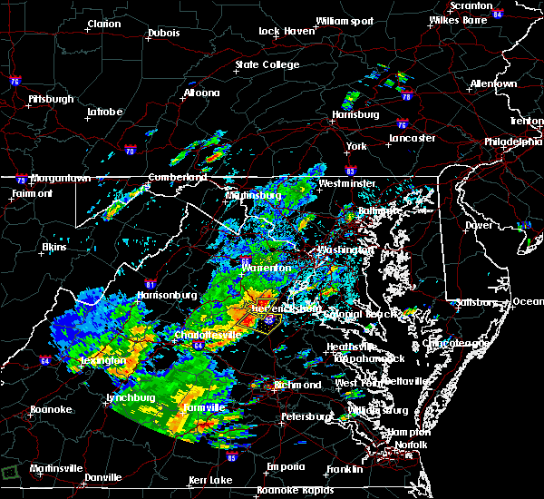 At 345 pm edt, a severe thunderstorm was located near spotsylvania, or 12 miles west of fredericksburg, moving east at 25 mph (radar indicated). Hazards include 60 mph wind gusts. Damaging winds will cause some trees and large branches to fall. this could injure those outdoors, as well as damage homes and vehicles. roadways may become blocked by downed trees. localized power outages are possible. Unsecured light objects may become projectiles. At 345 pm edt, a severe thunderstorm was located near spotsylvania, or 12 miles west of fredericksburg, moving east at 25 mph (radar indicated). Hazards include 60 mph wind gusts. Damaging winds will cause some trees and large branches to fall. this could injure those outdoors, as well as damage homes and vehicles. roadways may become blocked by downed trees. localized power outages are possible. Unsecured light objects may become projectiles.
|
| 5/14/2018 7:23 PM EDT |
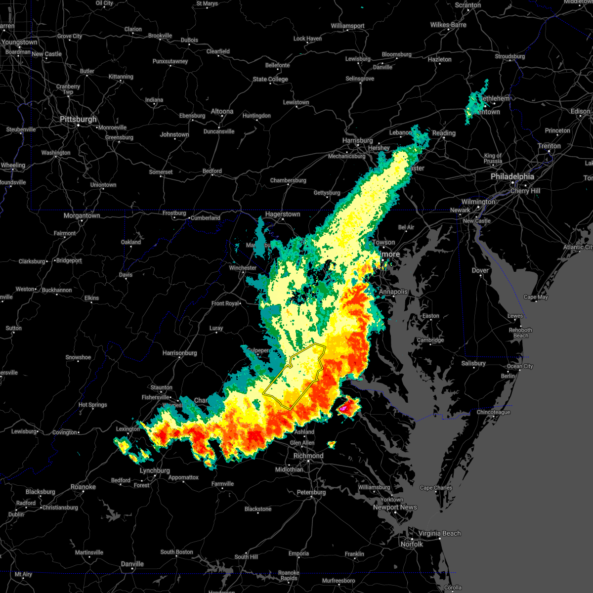 The severe thunderstorm warning for stafford, southeastern prince william and spotsylvania counties and the city of fredericksburg will expire at 730 pm edt, the storms which prompted the warning have moved out of the area. therefore the warning will be allowed to expire. a severe thunderstorm watch remains in effect until 900 pm edt for southern maryland, and northern and central virginia. The severe thunderstorm warning for stafford, southeastern prince william and spotsylvania counties and the city of fredericksburg will expire at 730 pm edt, the storms which prompted the warning have moved out of the area. therefore the warning will be allowed to expire. a severe thunderstorm watch remains in effect until 900 pm edt for southern maryland, and northern and central virginia.
|
| 5/14/2018 7:15 PM EDT |
 At 715 pm edt, severe thunderstorms with a history of producing damaging winds were located along a line extending from near fredericksburg to near kents store, moving southeast at 35 mph (radar indicated). Hazards include 60 mph wind gusts. Damaging winds will cause some trees and large branches to fall. this could injure those outdoors, as well as damage homes and vehicles. roadways may become blocked by downed trees. localized power outages are possible. unsecured light objects may become projectiles. Locations impacted include, stafford, fredericksburg, quantico, potomac creek, aquia creek, triangle, dumfries, massaponax, spotsylvania, cherry hill, falmouth, stones corner, roseville, garrisonville, snell, ramoth, partlow, glenora, thornburg and dunavant. At 715 pm edt, severe thunderstorms with a history of producing damaging winds were located along a line extending from near fredericksburg to near kents store, moving southeast at 35 mph (radar indicated). Hazards include 60 mph wind gusts. Damaging winds will cause some trees and large branches to fall. this could injure those outdoors, as well as damage homes and vehicles. roadways may become blocked by downed trees. localized power outages are possible. unsecured light objects may become projectiles. Locations impacted include, stafford, fredericksburg, quantico, potomac creek, aquia creek, triangle, dumfries, massaponax, spotsylvania, cherry hill, falmouth, stones corner, roseville, garrisonville, snell, ramoth, partlow, glenora, thornburg and dunavant.
|
| 5/14/2018 7:06 PM EDT |
 At 705 pm edt, severe thunderstorms with a history of producing damaging winds and hail were located along a line extending from near fredericksburg to near kents store, moving east at 35 mph (radar indicated). Hazards include 60 mph wind gusts. Damaging winds will cause some trees and large branches to fall. this could injure those outdoors, as well as damage homes and vehicles. roadways may become blocked by downed trees. localized power outages are possible. unsecured light objects may become projectiles. Locations impacted include, stafford, fredericksburg, orange, quantico, aquia creek, potomac creek, triangle, dumfries, massaponax, spotsylvania, cherry hill, falmouth, gordonsville, verdiersville, locust grove, snell, thornhill, ramoth, partlow and thornburg. At 705 pm edt, severe thunderstorms with a history of producing damaging winds and hail were located along a line extending from near fredericksburg to near kents store, moving east at 35 mph (radar indicated). Hazards include 60 mph wind gusts. Damaging winds will cause some trees and large branches to fall. this could injure those outdoors, as well as damage homes and vehicles. roadways may become blocked by downed trees. localized power outages are possible. unsecured light objects may become projectiles. Locations impacted include, stafford, fredericksburg, orange, quantico, aquia creek, potomac creek, triangle, dumfries, massaponax, spotsylvania, cherry hill, falmouth, gordonsville, verdiersville, locust grove, snell, thornhill, ramoth, partlow and thornburg.
|
| 5/14/2018 7:00 PM EDT | Large tree limb down blocking the 700 block of maury stree in city of fredericks county VA, 1.5 miles WSW of Fredericksburg, VA |
| 5/14/2018 6:53 PM EDT | Multiple trees and wires down along gordon road near smith station roa in spotsylvania county VA, 5.4 miles ENE of Fredericksburg, VA |
| 5/14/2018 6:44 PM EDT |
 At 643 pm edt, severe thunderstorms with a history of producing widespread wind damage and large hail were located along a line extending from 9 miles southeast of bealeton to 6 miles north of lake monticello, moving southeast at 35 mph (radar indicated). Hazards include 60 mph wind gusts and quarter size hail. Damaging winds will cause some trees and large branches to fall. this could injure those outdoors, as well as damage homes and vehicles. roadways may become blocked by downed trees. localized power outages are possible. unsecured light objects may become projectiles. Locations impacted include, stafford, fredericksburg, culpeper, orange, quantico, aquia creek, potomac creek, triangle, dumfries, bealeton, massaponax, spotsylvania, cherry hill, falmouth, gordonsville, ruckersville, opal, remington, catlett and calverton. At 643 pm edt, severe thunderstorms with a history of producing widespread wind damage and large hail were located along a line extending from 9 miles southeast of bealeton to 6 miles north of lake monticello, moving southeast at 35 mph (radar indicated). Hazards include 60 mph wind gusts and quarter size hail. Damaging winds will cause some trees and large branches to fall. this could injure those outdoors, as well as damage homes and vehicles. roadways may become blocked by downed trees. localized power outages are possible. unsecured light objects may become projectiles. Locations impacted include, stafford, fredericksburg, culpeper, orange, quantico, aquia creek, potomac creek, triangle, dumfries, bealeton, massaponax, spotsylvania, cherry hill, falmouth, gordonsville, ruckersville, opal, remington, catlett and calverton.
|
| 5/14/2018 6:34 PM EDT |
 At 634 pm edt, severe thunderstorms were located along a line extending from near bealeton to near charlottesville, moving southeast at 35 mph (radar indicated). Hazards include 60 mph wind gusts and quarter size hail. Damaging winds will cause some trees and large branches to fall. this could injure those outdoors, as well as damage homes and vehicles. roadways may become blocked by downed trees. localized power outages are possible. unsecured light objects may become projectiles. Locations impacted include, stafford, fredericksburg, culpeper, warrenton, orange, quantico, aquia creek, potomac creek, triangle, dumfries, bealeton, massaponax, spotsylvania, cherry hill, falmouth, gordonsville, ruckersville, brightwood, opal and remington. At 634 pm edt, severe thunderstorms were located along a line extending from near bealeton to near charlottesville, moving southeast at 35 mph (radar indicated). Hazards include 60 mph wind gusts and quarter size hail. Damaging winds will cause some trees and large branches to fall. this could injure those outdoors, as well as damage homes and vehicles. roadways may become blocked by downed trees. localized power outages are possible. unsecured light objects may become projectiles. Locations impacted include, stafford, fredericksburg, culpeper, warrenton, orange, quantico, aquia creek, potomac creek, triangle, dumfries, bealeton, massaponax, spotsylvania, cherry hill, falmouth, gordonsville, ruckersville, brightwood, opal and remington.
|
| 5/14/2018 6:11 PM EDT |
 At 611 pm edt, severe thunderstorms were located along a line extending from near warrenton to near free union, moving southeast at 35 mph (radar indicated). Hazards include 60 mph wind gusts and quarter size hail. Damaging winds will cause some trees and large branches to fall. this could injure those outdoors, as well as damage homes and vehicles. roadways may become blocked by downed trees. localized power outages are possible. Unsecured light objects may become projectiles. At 611 pm edt, severe thunderstorms were located along a line extending from near warrenton to near free union, moving southeast at 35 mph (radar indicated). Hazards include 60 mph wind gusts and quarter size hail. Damaging winds will cause some trees and large branches to fall. this could injure those outdoors, as well as damage homes and vehicles. roadways may become blocked by downed trees. localized power outages are possible. Unsecured light objects may become projectiles.
|
| 5/10/2018 7:03 PM EDT |
 At 703 pm edt, severe thunderstorms were located along a line extending from 9 miles south of linton hall to 12 miles west of stafford to 10 miles south of bealeton, moving southeast at 35 mph (radar indicated). Hazards include 60 mph wind gusts. Damaging winds will cause some trees and large branches to fall. this could injure those outdoors, as well as damage homes and vehicles. roadways may become blocked by downed trees. localized power outages are possible. unsecured light objects may become projectiles. Locations impacted include, stafford, fredericksburg, potomac creek, aquia creek, falmouth, stones corner, leeland, widewater, roseville, garrisonville, arkendale, spring valley, brooke, ramoth, heflin, aquia, storck, white oak, glendie and hartwood. At 703 pm edt, severe thunderstorms were located along a line extending from 9 miles south of linton hall to 12 miles west of stafford to 10 miles south of bealeton, moving southeast at 35 mph (radar indicated). Hazards include 60 mph wind gusts. Damaging winds will cause some trees and large branches to fall. this could injure those outdoors, as well as damage homes and vehicles. roadways may become blocked by downed trees. localized power outages are possible. unsecured light objects may become projectiles. Locations impacted include, stafford, fredericksburg, potomac creek, aquia creek, falmouth, stones corner, leeland, widewater, roseville, garrisonville, arkendale, spring valley, brooke, ramoth, heflin, aquia, storck, white oak, glendie and hartwood.
|
| 5/10/2018 6:56 PM EDT |
 At 656 pm edt, severe thunderstorms were located along a line extending from 8 miles south of linton hall to 8 miles southeast of bealeton to 9 miles east of culpeper, moving southeast at 35 mph (radar indicated). Hazards include 60 mph wind gusts. Damaging winds will cause some trees and large branches to fall. this could injure those outdoors, as well as damage homes and vehicles. roadways may become blocked by downed trees. localized power outages are possible. unsecured light objects may become projectiles. Locations impacted include, stafford, quantico, potomac creek, aquia creek, triangle, dumfries, cherry hill, falmouth, stones corner, roseville, garrisonville, ramoth, heflin, white oak, morrisville, ruby, somerville, goldvein, leeland and widewater. At 656 pm edt, severe thunderstorms were located along a line extending from 8 miles south of linton hall to 8 miles southeast of bealeton to 9 miles east of culpeper, moving southeast at 35 mph (radar indicated). Hazards include 60 mph wind gusts. Damaging winds will cause some trees and large branches to fall. this could injure those outdoors, as well as damage homes and vehicles. roadways may become blocked by downed trees. localized power outages are possible. unsecured light objects may become projectiles. Locations impacted include, stafford, quantico, potomac creek, aquia creek, triangle, dumfries, cherry hill, falmouth, stones corner, roseville, garrisonville, ramoth, heflin, white oak, morrisville, ruby, somerville, goldvein, leeland and widewater.
|
| 5/10/2018 6:47 PM EDT |
 At 646 pm edt, severe thunderstorms were located along a line extending from 7 miles southwest of linton hall to near bealeton to near culpeper, moving southeast at 35 mph (radar indicated). Hazards include 70 mph wind gusts and quarter size hail. a wind gust of 64 mph was reported at the warrenton airport at 6:45 pm edt. Damaging winds will cause some trees and large branches to fall. this could injure those outdoors, as well as damage homes and vehicles. roadways may become blocked by downed trees. localized power outages are possible. unsecured light objects may become projectiles. Locations impacted include, stafford, fredericksburg, culpeper, quantico, aquia creek, potomac creek, triangle, dumfries, bealeton, massaponax, spotsylvania, cherry hill, falmouth, remington, catlett, calverton, midland, brandy station, locust grove and ramoth. At 646 pm edt, severe thunderstorms were located along a line extending from 7 miles southwest of linton hall to near bealeton to near culpeper, moving southeast at 35 mph (radar indicated). Hazards include 70 mph wind gusts and quarter size hail. a wind gust of 64 mph was reported at the warrenton airport at 6:45 pm edt. Damaging winds will cause some trees and large branches to fall. this could injure those outdoors, as well as damage homes and vehicles. roadways may become blocked by downed trees. localized power outages are possible. unsecured light objects may become projectiles. Locations impacted include, stafford, fredericksburg, culpeper, quantico, aquia creek, potomac creek, triangle, dumfries, bealeton, massaponax, spotsylvania, cherry hill, falmouth, remington, catlett, calverton, midland, brandy station, locust grove and ramoth.
|
| 5/10/2018 6:35 PM EDT |
 At 634 pm edt, severe thunderstorms were located along a line extending from near warrenton to near bealeton to near culpeper, moving southeast at 40 mph (radar indicated). Hazards include 60 mph wind gusts and quarter size hail. Damaging winds will cause some trees and large branches to fall. this could injure those outdoors, as well as damage homes and vehicles. roadways may become blocked by downed trees. localized power outages are possible. unsecured light objects may become projectiles. Locations impacted include, stafford, fredericksburg, culpeper, warrenton, quantico, aquia creek, potomac creek, triangle, dumfries, bealeton, massaponax, spotsylvania, cherry hill, falmouth, opal, remington, catlett, calverton, midland and brandy station. At 634 pm edt, severe thunderstorms were located along a line extending from near warrenton to near bealeton to near culpeper, moving southeast at 40 mph (radar indicated). Hazards include 60 mph wind gusts and quarter size hail. Damaging winds will cause some trees and large branches to fall. this could injure those outdoors, as well as damage homes and vehicles. roadways may become blocked by downed trees. localized power outages are possible. unsecured light objects may become projectiles. Locations impacted include, stafford, fredericksburg, culpeper, warrenton, quantico, aquia creek, potomac creek, triangle, dumfries, bealeton, massaponax, spotsylvania, cherry hill, falmouth, opal, remington, catlett, calverton, midland and brandy station.
|
| 5/10/2018 6:24 PM EDT |
 At 623 pm edt, severe thunderstorms were located along a line extending from near warrenton to 9 miles west of bealeton to 7 miles northwest of culpeper, moving southeast at 35 mph (radar indicated). Hazards include 60 mph wind gusts. Damaging winds will cause some trees and large branches to fall. this could injure those outdoors, as well as damage homes and vehicles. roadways may become blocked by downed trees. localized power outages are possible. Unsecured light objects may become projectiles. At 623 pm edt, severe thunderstorms were located along a line extending from near warrenton to 9 miles west of bealeton to 7 miles northwest of culpeper, moving southeast at 35 mph (radar indicated). Hazards include 60 mph wind gusts. Damaging winds will cause some trees and large branches to fall. this could injure those outdoors, as well as damage homes and vehicles. roadways may become blocked by downed trees. localized power outages are possible. Unsecured light objects may become projectiles.
|
| 7/22/2017 6:51 PM EDT |
 The severe thunderstorm warning for southern stafford and spotsylvania counties and the city of fredericksburg will expire at 700 pm edt, the storms which prompted the warning have moved out of the warned area. therefore, the warning will be allowed to expire. The severe thunderstorm warning for southern stafford and spotsylvania counties and the city of fredericksburg will expire at 700 pm edt, the storms which prompted the warning have moved out of the warned area. therefore, the warning will be allowed to expire.
|
| 7/22/2017 6:29 PM EDT | Two trees down in the vicinity of the intersection of mills drive and tidewater trai in spotsylvania county VA, 6.8 miles NW of Fredericksburg, VA |
| 7/22/2017 6:26 PM EDT |
 At 625 pm edt, severe thunderstorms were located along a line extending from near fredericksburg to 8 miles southwest of spotsylvania, moving southeast at 35 mph (radar indicated). Hazards include 60 mph wind gusts. Damaging winds will cause some trees and large branches to fall. this could injure those outdoors, as well as damage homes and vehicles. roadways may become blocked by downed trees. localized power outages are possible. unsecured light objects may become projectiles. Locations impacted include, fredericksburg, massaponax, spotsylvania, falmouth, brokenburg, snell, alsop, gatewood, chancellorsville, logan, thornburg, glenora, post oak, white oak, brookfield and cookstown. At 625 pm edt, severe thunderstorms were located along a line extending from near fredericksburg to 8 miles southwest of spotsylvania, moving southeast at 35 mph (radar indicated). Hazards include 60 mph wind gusts. Damaging winds will cause some trees and large branches to fall. this could injure those outdoors, as well as damage homes and vehicles. roadways may become blocked by downed trees. localized power outages are possible. unsecured light objects may become projectiles. Locations impacted include, fredericksburg, massaponax, spotsylvania, falmouth, brokenburg, snell, alsop, gatewood, chancellorsville, logan, thornburg, glenora, post oak, white oak, brookfield and cookstown.
|
| 7/22/2017 6:21 PM EDT | Tree down on greystone cour in city of fredericks county VA, 1.3 miles SSE of Fredericksburg, VA |
| 7/22/2017 6:20 PM EDT | Several trees down...including one on a hous in spotsylvania county VA, 5.3 miles NNE of Fredericksburg, VA |
| 7/22/2017 6:16 PM EDT |
 At 616 pm edt, a severe thunderstorm capable of producing a tornado was located near spotsylvania, or near fredericksburg, moving east at 40 mph (radar indicated rotation). Hazards include tornado. For those in the direct path of a tornado touchdown, flying debris will be dangerous to those caught without shelter. damage to roofs, siding, and windows may occur. mobile homes may be damaged or destroyed. tree damage is likely. this dangerous storm will be near, fredericksburg around 620 pm edt. Massaponax around 625 pm edt. At 616 pm edt, a severe thunderstorm capable of producing a tornado was located near spotsylvania, or near fredericksburg, moving east at 40 mph (radar indicated rotation). Hazards include tornado. For those in the direct path of a tornado touchdown, flying debris will be dangerous to those caught without shelter. damage to roofs, siding, and windows may occur. mobile homes may be damaged or destroyed. tree damage is likely. this dangerous storm will be near, fredericksburg around 620 pm edt. Massaponax around 625 pm edt.
|
| 7/22/2017 6:09 PM EDT |
 At 608 pm edt, severe thunderstorms were located along a line extending from 11 miles northwest of fredericksburg to 12 miles west of spotsylvania, moving east at 30 mph (radar indicated). Hazards include 60 mph wind gusts. Damaging winds will cause some trees and large branches to fall. this could injure those outdoors, as well as damage homes and vehicles. roadways may become blocked by downed trees. localized power outages are possible. Unsecured light objects may become projectiles. At 608 pm edt, severe thunderstorms were located along a line extending from 11 miles northwest of fredericksburg to 12 miles west of spotsylvania, moving east at 30 mph (radar indicated). Hazards include 60 mph wind gusts. Damaging winds will cause some trees and large branches to fall. this could injure those outdoors, as well as damage homes and vehicles. roadways may become blocked by downed trees. localized power outages are possible. Unsecured light objects may become projectiles.
|
| 7/14/2017 5:33 PM EDT | Two trees down in city of fredericks county VA, 1.5 miles N of Fredericksburg, VA |
| 7/14/2017 5:05 PM EDT | Large branches down in dunavant in spotsylvania county VA, 10.1 miles ESE of Fredericksburg, VA |
| 7/6/2017 7:16 PM EDT |
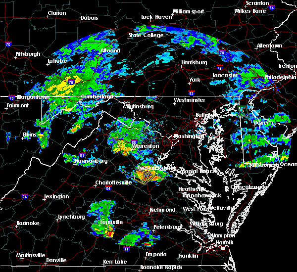 At 715 pm edt, a severe thunderstorm was located over spotsylvania, or 8 miles southwest of fredericksburg, moving east at 25 mph (radar indicated). Hazards include 60 mph wind gusts. Damaging winds will cause some trees and large branches to fall. this could injure those outdoors, as well as damage homes and vehicles. roadways may become blocked by downed trees. localized power outages are possible. unsecured light objects may become projectiles. Locations impacted include, fredericksburg, spotsylvania, chancellorsville, post oak, cookstown, snell and alsop. At 715 pm edt, a severe thunderstorm was located over spotsylvania, or 8 miles southwest of fredericksburg, moving east at 25 mph (radar indicated). Hazards include 60 mph wind gusts. Damaging winds will cause some trees and large branches to fall. this could injure those outdoors, as well as damage homes and vehicles. roadways may become blocked by downed trees. localized power outages are possible. unsecured light objects may become projectiles. Locations impacted include, fredericksburg, spotsylvania, chancellorsville, post oak, cookstown, snell and alsop.
|
| 7/6/2017 7:03 PM EDT |
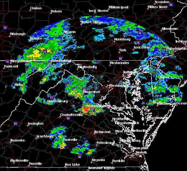 At 703 pm edt, a severe thunderstorm was located near spotsylvania, or 10 miles southwest of fredericksburg, moving east at 30 mph (radar indicated). Hazards include 60 mph wind gusts. Damaging winds will cause some trees and large branches to fall. this could injure those outdoors, as well as damage homes and vehicles. roadways may become blocked by downed trees. localized power outages are possible. unsecured light objects may become projectiles. Locations impacted include, fredericksburg, spotsylvania, mine run, brokenburg, parker, locust grove, snell, alsop, gold dale, chancellorsville, logan, post oak, lake of the woods, cookstown and flat run. At 703 pm edt, a severe thunderstorm was located near spotsylvania, or 10 miles southwest of fredericksburg, moving east at 30 mph (radar indicated). Hazards include 60 mph wind gusts. Damaging winds will cause some trees and large branches to fall. this could injure those outdoors, as well as damage homes and vehicles. roadways may become blocked by downed trees. localized power outages are possible. unsecured light objects may become projectiles. Locations impacted include, fredericksburg, spotsylvania, mine run, brokenburg, parker, locust grove, snell, alsop, gold dale, chancellorsville, logan, post oak, lake of the woods, cookstown and flat run.
|
| 7/6/2017 6:47 PM EDT |
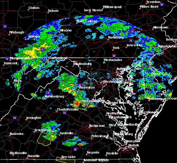 At 646 pm edt, a severe thunderstorm was located 13 miles west of spotsylvania, or 15 miles east of orange, moving east at 25 mph (radar indicated). Hazards include 60 mph wind gusts and quarter size hail. Damaging winds will cause some trees and large branches to fall. this could injure those outdoors, as well as damage homes and vehicles. roadways may become blocked by downed trees. localized power outages are possible. Unsecured light objects may become projectiles. At 646 pm edt, a severe thunderstorm was located 13 miles west of spotsylvania, or 15 miles east of orange, moving east at 25 mph (radar indicated). Hazards include 60 mph wind gusts and quarter size hail. Damaging winds will cause some trees and large branches to fall. this could injure those outdoors, as well as damage homes and vehicles. roadways may become blocked by downed trees. localized power outages are possible. Unsecured light objects may become projectiles.
|
| 5/30/2017 7:17 PM EDT |
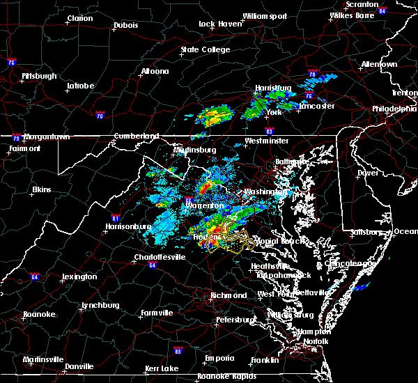 At 717 pm edt, a severe thunderstorm was located near fredericksburg, moving southeast at 25 mph (radar indicated). Hazards include golf ball size hail and 60 mph wind gusts. Expect wind damage to trees and power lines. hail is large enough to dent and damage vehicles. some hail damage to roofs, siding, and windows is possible. Locations impacted include, stafford, fredericksburg, king george, dahlgren, fairview beach, potomac creek, aquia creek, falmouth, passapatanzy, stones corner, leeland, weedonville, ninde, spring valley, brooke, ramoth, lambs creek, white oak, sealston and berthaville. At 717 pm edt, a severe thunderstorm was located near fredericksburg, moving southeast at 25 mph (radar indicated). Hazards include golf ball size hail and 60 mph wind gusts. Expect wind damage to trees and power lines. hail is large enough to dent and damage vehicles. some hail damage to roofs, siding, and windows is possible. Locations impacted include, stafford, fredericksburg, king george, dahlgren, fairview beach, potomac creek, aquia creek, falmouth, passapatanzy, stones corner, leeland, weedonville, ninde, spring valley, brooke, ramoth, lambs creek, white oak, sealston and berthaville.
|
| 5/30/2017 7:16 PM EDT | Nickel size hail and a couple trees down in stafford county VA, 4.6 miles W of Fredericksburg, VA |
| 5/30/2017 7:15 PM EDT | Storm damage reported in stafford county VA, 7.2 miles SSW of Fredericksburg, VA |
| 5/30/2017 7:13 PM EDT | Quarter sized hail reported 4.7 miles S of Fredericksburg, VA, quarter size hail |
| 5/30/2017 7:12 PM EDT | Quarter sized hail reported 4.7 miles S of Fredericksburg, VA, quarter size hail |
| 5/30/2017 7:07 PM EDT |
 At 707 pm edt, a severe thunderstorm was located near fredericksburg, moving southeast at 25 mph (radar indicated). Hazards include 60 mph wind gusts and quarter size hail. Damaging winds will cause some trees and large branches to fall. this could injure those outdoors, as well as damage homes and vehicles. roadways may become blocked by downed trees. localized power outages are possible. Unsecured light objects may become projectiles. At 707 pm edt, a severe thunderstorm was located near fredericksburg, moving southeast at 25 mph (radar indicated). Hazards include 60 mph wind gusts and quarter size hail. Damaging winds will cause some trees and large branches to fall. this could injure those outdoors, as well as damage homes and vehicles. roadways may become blocked by downed trees. localized power outages are possible. Unsecured light objects may become projectiles.
|
| 5/19/2017 5:02 PM EDT |
 At 502 pm edt, a severe thunderstorm was located over fredericksburg, moving east at 20 mph (radar indicated). Hazards include 60 mph wind gusts and quarter size hail. Damaging winds will cause some trees and large branches to fall. this could injure those outdoors, as well as damage homes and vehicles. roadways may become blocked by downed trees. localized power outages are possible. unsecured light objects may become projectiles. Locations impacted include, fredericksburg, massaponax, spotsylvania, passapatanzy, lambs creek and sealston. At 502 pm edt, a severe thunderstorm was located over fredericksburg, moving east at 20 mph (radar indicated). Hazards include 60 mph wind gusts and quarter size hail. Damaging winds will cause some trees and large branches to fall. this could injure those outdoors, as well as damage homes and vehicles. roadways may become blocked by downed trees. localized power outages are possible. unsecured light objects may become projectiles. Locations impacted include, fredericksburg, massaponax, spotsylvania, passapatanzy, lambs creek and sealston.
|
| 5/19/2017 4:49 PM EDT |
 At 449 pm edt, a severe thunderstorm was located near spotsylvania, or near fredericksburg, moving east at 15 mph (radar indicated). Hazards include 60 mph wind gusts and quarter size hail. Damaging winds will cause some trees and large branches to fall. this could injure those outdoors, as well as damage homes and vehicles. roadways may become blocked by downed trees. localized power outages are possible. Unsecured light objects may become projectiles. At 449 pm edt, a severe thunderstorm was located near spotsylvania, or near fredericksburg, moving east at 15 mph (radar indicated). Hazards include 60 mph wind gusts and quarter size hail. Damaging winds will cause some trees and large branches to fall. this could injure those outdoors, as well as damage homes and vehicles. roadways may become blocked by downed trees. localized power outages are possible. Unsecured light objects may become projectiles.
|
| 4/6/2017 12:43 PM EDT |
 At 1243 pm edt, severe thunderstorms were located along a line extending from near culpeper to 14 miles south of bealeton to near spotsylvania, moving northeast at 50 mph (radar indicated). Hazards include 60 mph wind gusts and quarter size hail. Damaging winds will cause some trees and large branches to fall. this could injure those outdoors, as well as damage homes and vehicles. roadways may become blocked by downed trees. localized power outages are possible. Unsecured light objects may become projectiles. At 1243 pm edt, severe thunderstorms were located along a line extending from near culpeper to 14 miles south of bealeton to near spotsylvania, moving northeast at 50 mph (radar indicated). Hazards include 60 mph wind gusts and quarter size hail. Damaging winds will cause some trees and large branches to fall. this could injure those outdoors, as well as damage homes and vehicles. roadways may become blocked by downed trees. localized power outages are possible. Unsecured light objects may become projectiles.
|
| 3/1/2017 1:36 PM EST |
 At 135 pm est, severe thunderstorms were located along a line extending from near montclair to near aquia creek to 6 miles northwest of ladysmith, moving east at 70 mph (radar indicated). Hazards include 70 mph wind gusts. Damaging winds will cause some trees and large branches to fall. this could injure those outdoors, as well as damage homes and vehicles. roadways may become blocked by downed trees. localized power outages are possible. Unsecured light objects may become projectiles. At 135 pm est, severe thunderstorms were located along a line extending from near montclair to near aquia creek to 6 miles northwest of ladysmith, moving east at 70 mph (radar indicated). Hazards include 70 mph wind gusts. Damaging winds will cause some trees and large branches to fall. this could injure those outdoors, as well as damage homes and vehicles. roadways may become blocked by downed trees. localized power outages are possible. Unsecured light objects may become projectiles.
|
| 3/1/2017 1:35 PM EST | Road blocked due to downed wire in spotsylvania county VA, 5.3 miles NNE of Fredericksburg, VA |
| 3/1/2017 1:30 PM EST | Multiple trees down in front of chancellor high school. measured 61 mph wind gus in spotsylvania county VA, 3.7 miles NE of Fredericksburg, VA |
| 3/1/2017 1:28 PM EST |
 At 128 pm est, severe thunderstorms were located along a line extending from north potomac to near lake ridge to 11 miles west of spotsylvania, moving east at 55 mph (radar indicated). Hazards include 60 mph wind gusts. Damaging winds will cause some trees and large branches to fall. this could injure those outdoors, as well as damage homes and vehicles. roadways may become blocked by downed trees. localized power outages are possible. unsecured light objects may become projectiles. Locations impacted include, arlington, alexandria, stafford, centreville, waldorf, dale city, rockville, bethesda, reston, bowie, annandale, clinton, springfield, college park, fredericksburg, fort washington, herndon, greenbelt, fairfax and langley park. At 128 pm est, severe thunderstorms were located along a line extending from north potomac to near lake ridge to 11 miles west of spotsylvania, moving east at 55 mph (radar indicated). Hazards include 60 mph wind gusts. Damaging winds will cause some trees and large branches to fall. this could injure those outdoors, as well as damage homes and vehicles. roadways may become blocked by downed trees. localized power outages are possible. unsecured light objects may become projectiles. Locations impacted include, arlington, alexandria, stafford, centreville, waldorf, dale city, rockville, bethesda, reston, bowie, annandale, clinton, springfield, college park, fredericksburg, fort washington, herndon, greenbelt, fairfax and langley park.
|
| 3/1/2017 1:26 PM EST | About 20 trees down along route 3 and river road near wilderness battlefield in spotsylvania county VA, 7.3 miles E of Fredericksburg, VA |
| 3/1/2017 1:05 PM EST |
 At 104 pm est, severe thunderstorms were located along a line extending from broadlands to near haymarket to 9 miles east of orange, moving east at 50 mph (radar indicated). Hazards include 60 mph wind gusts. Damaging winds will cause some trees and large branches to fall. this could injure those outdoors, as well as damage homes and vehicles. roadways may become blocked by downed trees. localized power outages are possible. Unsecured light objects may become projectiles. At 104 pm est, severe thunderstorms were located along a line extending from broadlands to near haymarket to 9 miles east of orange, moving east at 50 mph (radar indicated). Hazards include 60 mph wind gusts. Damaging winds will cause some trees and large branches to fall. this could injure those outdoors, as well as damage homes and vehicles. roadways may become blocked by downed trees. localized power outages are possible. Unsecured light objects may become projectiles.
|
| 2/25/2017 2:32 PM EST | Quarter sized hail reported 4.7 miles S of Fredericksburg, VA, quarter sized hail |
| 2/25/2017 2:27 PM EST |
 At 226 pm est, a severe thunderstorm was located near fredericksburg, moving northeast at 50 mph (radar indicated). Hazards include 60 mph wind gusts and half dollar size hail. Damaging winds will cause some trees and large branches to fall. this could injure those outdoors, as well as damage homes and vehicles. roadways may become blocked by downed trees. localized power outages are possible. Unsecured light objects may become projectiles. At 226 pm est, a severe thunderstorm was located near fredericksburg, moving northeast at 50 mph (radar indicated). Hazards include 60 mph wind gusts and half dollar size hail. Damaging winds will cause some trees and large branches to fall. this could injure those outdoors, as well as damage homes and vehicles. roadways may become blocked by downed trees. localized power outages are possible. Unsecured light objects may become projectiles.
|
| 2/25/2017 2:27 PM EST |
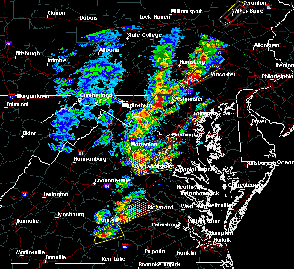 At 226 pm est, a severe thunderstorm was located near fredericksburg, moving northeast at 50 mph (radar indicated). Hazards include 60 mph wind gusts and half dollar size hail. Damaging winds will cause some trees and large branches to fall. this could injure those outdoors, as well as damage homes and vehicles. roadways may become blocked by downed trees. localized power outages are possible. Unsecured light objects may become projectiles. At 226 pm est, a severe thunderstorm was located near fredericksburg, moving northeast at 50 mph (radar indicated). Hazards include 60 mph wind gusts and half dollar size hail. Damaging winds will cause some trees and large branches to fall. this could injure those outdoors, as well as damage homes and vehicles. roadways may become blocked by downed trees. localized power outages are possible. Unsecured light objects may become projectiles.
|
| 9/7/2016 7:11 PM EDT |
 At 710 pm edt, a severe thunderstorm was located near fredericksburg, moving southeast at 30 mph (radar indicated). Hazards include 60 mph wind gusts and quarter size hail. Damaging winds will cause some trees and large branches to fall. this could injure those outdoors, as well as damage homes and vehicles. roadways may become blocked by downed trees. localized power outages are possible. unsecured light objects may become projectiles. Locations impacted include, fredericksburg, potomac creek, aquia creek, falmouth, passapatanzy, brooke, stones corner, white oak, leeland, brookfield, spring valley, lambs creek and sealston. At 710 pm edt, a severe thunderstorm was located near fredericksburg, moving southeast at 30 mph (radar indicated). Hazards include 60 mph wind gusts and quarter size hail. Damaging winds will cause some trees and large branches to fall. this could injure those outdoors, as well as damage homes and vehicles. roadways may become blocked by downed trees. localized power outages are possible. unsecured light objects may become projectiles. Locations impacted include, fredericksburg, potomac creek, aquia creek, falmouth, passapatanzy, brooke, stones corner, white oak, leeland, brookfield, spring valley, lambs creek and sealston.
|
| 9/7/2016 7:01 PM EDT | Tree down in the 800 block of ramoth church roa in stafford county VA, 7.7 miles SSW of Fredericksburg, VA |
| 9/7/2016 6:55 PM EDT |
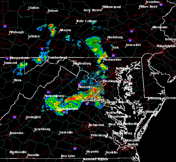 At 655 pm edt, a severe thunderstorm was located near stafford, moving southeast at 35 mph (radar indicated). Hazards include 60 mph wind gusts and quarter size hail. Damaging winds will cause some trees and large branches to fall. this could injure those outdoors, as well as damage homes and vehicles. roadways may become blocked by downed trees. localized power outages are possible. Unsecured light objects may become projectiles. At 655 pm edt, a severe thunderstorm was located near stafford, moving southeast at 35 mph (radar indicated). Hazards include 60 mph wind gusts and quarter size hail. Damaging winds will cause some trees and large branches to fall. this could injure those outdoors, as well as damage homes and vehicles. roadways may become blocked by downed trees. localized power outages are possible. Unsecured light objects may become projectiles.
|
| 8/15/2016 7:20 PM EDT | Tree down in the 200 block of cranes corner roa in stafford county VA, 5.6 miles SSW of Fredericksburg, VA |
| 8/15/2016 7:20 PM EDT | Tree down near the intersection of kellogg mill road and ramoth church roa in stafford county VA, 8.3 miles S of Fredericksburg, VA |
| 8/15/2016 7:15 PM EDT | Multiple trees down including one on a house near the intersection of warrenton road and route in stafford county VA, 1.9 miles SW of Fredericksburg, VA |
| 8/15/2016 7:15 PM EDT | Tree down in the 600 block of perry driv in stafford county VA, 3.7 miles WSW of Fredericksburg, VA |
| 8/15/2016 6:58 PM EDT | Tree down on mansfield street at first street in spotsylvania county VA, 3.3 miles NW of Fredericksburg, VA |
| 8/15/2016 6:36 PM EDT | Tree down on deerskin drive at buckskin lane in spotsylvania county VA, 4.6 miles NE of Fredericksburg, VA |
| 8/14/2016 6:36 PM EDT | Numerous trees down along poplar road and kellogg mill road...some on wire in stafford county VA, 7 miles SSE of Fredericksburg, VA |
| 8/14/2016 6:36 PM EDT |
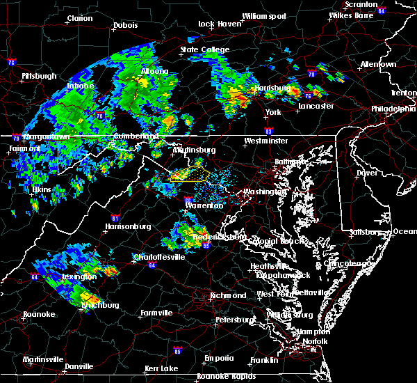 At 636 pm edt, severe thunderstorms were located along a line extending from 8 miles northwest of stafford to near fredericksburg, moving northeast at 35 mph (radar indicated). Hazards include 60 mph wind gusts. Damaging winds will cause some trees and large branches to fall. this could injure those outdoors, as well as damage homes and vehicles. roadways may become blocked by downed trees. localized power outages are possible. Unsecured light objects may become projectiles. At 636 pm edt, severe thunderstorms were located along a line extending from 8 miles northwest of stafford to near fredericksburg, moving northeast at 35 mph (radar indicated). Hazards include 60 mph wind gusts. Damaging winds will cause some trees and large branches to fall. this could injure those outdoors, as well as damage homes and vehicles. roadways may become blocked by downed trees. localized power outages are possible. Unsecured light objects may become projectiles.
|
| 8/14/2016 6:28 PM EDT | Tree down on jacobs lan in stafford county VA, 6.2 miles SSE of Fredericksburg, VA |
| 8/14/2016 6:26 PM EDT | Tree down in the 100 block of hemp roa in stafford county VA, 7.4 miles SSE of Fredericksburg, VA |
| 7/28/2016 6:00 PM EDT |
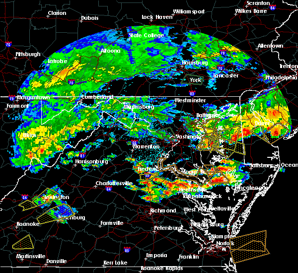 At 600 pm edt, a severe thunderstorm was located over massaponax, or near fredericksburg, moving east at 20 mph (radar indicated). Hazards include 60 mph wind gusts and quarter size hail. Damaging winds will cause some trees and large branches to fall. this could injure those outdoors, as well as damage homes and vehicles. roadways may become blocked by downed trees. localized power outages are possible. unsecured light objects may become projectiles. Locations impacted include, fredericksburg, massaponax and spotsylvania. At 600 pm edt, a severe thunderstorm was located over massaponax, or near fredericksburg, moving east at 20 mph (radar indicated). Hazards include 60 mph wind gusts and quarter size hail. Damaging winds will cause some trees and large branches to fall. this could injure those outdoors, as well as damage homes and vehicles. roadways may become blocked by downed trees. localized power outages are possible. unsecured light objects may become projectiles. Locations impacted include, fredericksburg, massaponax and spotsylvania.
|
| 7/28/2016 5:50 PM EDT |
 At 550 pm edt, a severe thunderstorm was located over spotsylvania, or 7 miles southwest of fredericksburg, moving east at 20 mph (radar indicated). Hazards include 60 mph wind gusts and quarter size hail. Damaging winds will cause some trees and large branches to fall. this could injure those outdoors, as well as damage homes and vehicles. roadways may become blocked by downed trees. localized power outages are possible. Unsecured light objects may become projectiles. At 550 pm edt, a severe thunderstorm was located over spotsylvania, or 7 miles southwest of fredericksburg, moving east at 20 mph (radar indicated). Hazards include 60 mph wind gusts and quarter size hail. Damaging winds will cause some trees and large branches to fall. this could injure those outdoors, as well as damage homes and vehicles. roadways may become blocked by downed trees. localized power outages are possible. Unsecured light objects may become projectiles.
|
| 6/28/2016 10:06 PM EDT |
 The severe thunderstorm warning for southeastern stafford, southwestern king george and central spotsylvania counties and the city of fredericksburg will expire at 1015 pm edt, the storms which prompted the warning have weakened below severe limits, and no longer pose an immediate threat to life or property. therefore the warning will be allowed to expire. however heavy rain is still possible with these thunderstorms. a severe thunderstorm watch remains in effect until midnight edt for northern and central virginia. The severe thunderstorm warning for southeastern stafford, southwestern king george and central spotsylvania counties and the city of fredericksburg will expire at 1015 pm edt, the storms which prompted the warning have weakened below severe limits, and no longer pose an immediate threat to life or property. therefore the warning will be allowed to expire. however heavy rain is still possible with these thunderstorms. a severe thunderstorm watch remains in effect until midnight edt for northern and central virginia.
|
| 6/28/2016 10:02 PM EDT |
 At 1001 pm edt, severe thunderstorms were located along a line extending from 6 miles west of fredericksburg to 7 miles southwest of fairview beach to near nanjemoy creek, moving southeast at 25 mph (radar indicated). Hazards include 60 mph wind gusts. Damaging winds will cause some trees and large branches to fall. this could injure those outdoors, as well as damage homes and vehicles. roadways may become blocked by downed trees. localized power outages are possible. unsecured light objects may become projectiles. Locations impacted include, fredericksburg, king george, fairview beach, potomac creek, massaponax, spotsylvania, falmouth, passapatanzy, post oak, white oak, thornburg, alsop, shiloh, ninde, partlow, lambs creek, chancellorsville, snell, stones corner and rollins fork. At 1001 pm edt, severe thunderstorms were located along a line extending from 6 miles west of fredericksburg to 7 miles southwest of fairview beach to near nanjemoy creek, moving southeast at 25 mph (radar indicated). Hazards include 60 mph wind gusts. Damaging winds will cause some trees and large branches to fall. this could injure those outdoors, as well as damage homes and vehicles. roadways may become blocked by downed trees. localized power outages are possible. unsecured light objects may become projectiles. Locations impacted include, fredericksburg, king george, fairview beach, potomac creek, massaponax, spotsylvania, falmouth, passapatanzy, post oak, white oak, thornburg, alsop, shiloh, ninde, partlow, lambs creek, chancellorsville, snell, stones corner and rollins fork.
|
| 6/28/2016 9:31 PM EDT | Wires down near the intersection of powhatan street and college avenu in city of fredericks county VA, 1 miles SW of Fredericksburg, VA |
| 6/28/2016 9:29 PM EDT |
 At 929 pm edt, severe thunderstorms were located along a line extending from 11 miles northwest of spotsylvania to near fredericksburg to near potomac creek, moving south at 35 mph (radar indicated). Hazards include 60 mph wind gusts and quarter size hail. Damaging winds will cause some trees and large branches to fall. this could injure those outdoors, as well as damage homes and vehicles. roadways may become blocked by downed trees. localized power outages are possible. Unsecured light objects may become projectiles. At 929 pm edt, severe thunderstorms were located along a line extending from 11 miles northwest of spotsylvania to near fredericksburg to near potomac creek, moving south at 35 mph (radar indicated). Hazards include 60 mph wind gusts and quarter size hail. Damaging winds will cause some trees and large branches to fall. this could injure those outdoors, as well as damage homes and vehicles. roadways may become blocked by downed trees. localized power outages are possible. Unsecured light objects may become projectiles.
|
| 6/16/2016 9:12 PM EDT |
 At 912 pm edt, severe thunderstorms were located along a line extending from 6 miles east of quantico to near ladysmith, moving southeast at 30 mph (radar indicated). Hazards include 60 mph wind gusts. Damaging winds will cause some trees and large branches to fall. this could injure those outdoors, as well as damage homes and vehicles. roadways may become blocked by downed trees. localized power outages are possible. Unsecured light objects may become projectiles. At 912 pm edt, severe thunderstorms were located along a line extending from 6 miles east of quantico to near ladysmith, moving southeast at 30 mph (radar indicated). Hazards include 60 mph wind gusts. Damaging winds will cause some trees and large branches to fall. this could injure those outdoors, as well as damage homes and vehicles. roadways may become blocked by downed trees. localized power outages are possible. Unsecured light objects may become projectiles.
|
| 6/16/2016 9:10 PM EDT | Tree down on belle plains road near old creek side roa in stafford county VA, 8.3 miles WSW of Fredericksburg, VA |
| 6/16/2016 9:03 PM EDT | Tree down at the intersection of shaw court and dairy lan in stafford county VA, 2.4 miles W of Fredericksburg, VA |
| 6/16/2016 9:00 PM EDT | Tree down on american legion road near interstate 9 in stafford county VA, 7.4 miles SSW of Fredericksburg, VA |
| 6/16/2016 8:57 PM EDT | Tree down in the 800 block of ramoth church roa in stafford county VA, 7.7 miles SSW of Fredericksburg, VA |
| 6/16/2016 8:56 PM EDT | Many trees down across the county. trees on two house in spotsylvania county VA, 6.4 miles ENE of Fredericksburg, VA |
| 6/16/2016 8:48 PM EDT | Tree down in the 40 block of hartwood roa in stafford county VA, 7.9 miles SSE of Fredericksburg, VA |
| 6/16/2016 8:45 PM EDT | Tree down in the 400 block of stony hill roa in stafford county VA, 10.2 miles SSE of Fredericksburg, VA |
| 6/16/2016 8:35 PM EDT |
 At 835 pm edt, severe thunderstorms were located along a line extending from 8 miles south of linton hall to near boswells tavern, moving east at 65 mph (radar indicated). Hazards include 60 mph wind gusts. Damaging winds will cause some trees and large branches to fall. this could injure those outdoors, as well as damage homes and vehicles. roadways may become blocked by downed trees. localized power outages are possible. Unsecured light objects may become projectiles. At 835 pm edt, severe thunderstorms were located along a line extending from 8 miles south of linton hall to near boswells tavern, moving east at 65 mph (radar indicated). Hazards include 60 mph wind gusts. Damaging winds will cause some trees and large branches to fall. this could injure those outdoors, as well as damage homes and vehicles. roadways may become blocked by downed trees. localized power outages are possible. Unsecured light objects may become projectiles.
|
| 6/16/2016 8:23 PM EDT |
 At 823 pm edt, severe thunderstorms were located along a line extending from 6 miles southwest of linton hall to 6 miles west of orange, moving east at 45 mph (radar indicated). Hazards include 60 mph wind gusts. Damaging winds will cause some trees and large branches to fall. this could injure those outdoors, as well as damage homes and vehicles. roadways may become blocked by downed trees. localized power outages are possible. unsecured light objects may become projectiles. Locations impacted include, fredericksburg, orange, massaponax, spotsylvania, falmouth, storck, bristersburg, sumerduck, post oak, lignum, flat run, spring valley, hartwood, heflin, rapidan, partlow, somerville, chancellorsville, thornhill and glendie. At 823 pm edt, severe thunderstorms were located along a line extending from 6 miles southwest of linton hall to 6 miles west of orange, moving east at 45 mph (radar indicated). Hazards include 60 mph wind gusts. Damaging winds will cause some trees and large branches to fall. this could injure those outdoors, as well as damage homes and vehicles. roadways may become blocked by downed trees. localized power outages are possible. unsecured light objects may become projectiles. Locations impacted include, fredericksburg, orange, massaponax, spotsylvania, falmouth, storck, bristersburg, sumerduck, post oak, lignum, flat run, spring valley, hartwood, heflin, rapidan, partlow, somerville, chancellorsville, thornhill and glendie.
|
| 6/16/2016 7:42 PM EDT |
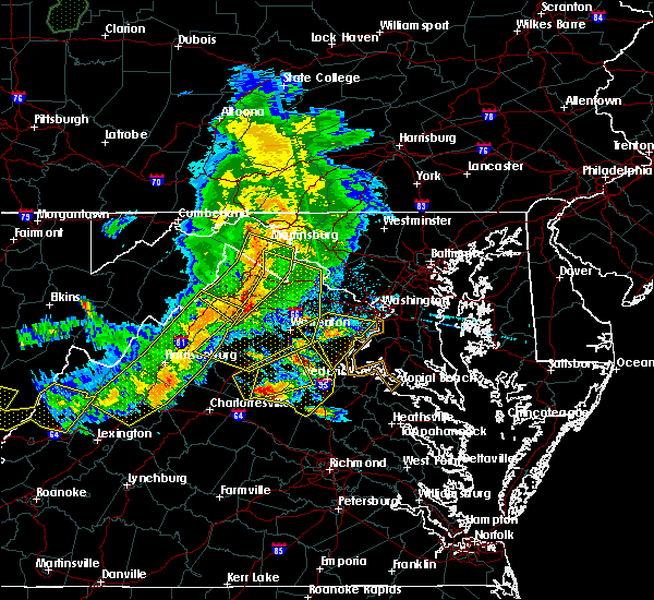 At 741 pm edt, doppler radar indicated a severe thunderstorm capable of producing half dollar size hail and destructive winds in excess of 70 mph. this storm was located 7 miles southeast of orange, and moving east at 25 mph. At 741 pm edt, doppler radar indicated a severe thunderstorm capable of producing half dollar size hail and destructive winds in excess of 70 mph. this storm was located 7 miles southeast of orange, and moving east at 25 mph.
|
| 6/16/2016 5:30 PM EDT | Half Dollar sized hail reported 3.3 miles NW of Fredericksburg, VA |
| 6/16/2016 5:24 PM EDT |
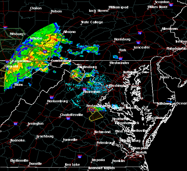 At 522 pm edt, a severe thunderstorm was located over fredericksburg, moving southeast at 30 mph (radar indicated rotation). Hazards include tornado and half dollar size hail. For those in the direct path of a tornado touchdown, flying debris will be dangerous to those caught without shelter. damage to roofs, siding, and windows may occur. mobile homes may be damaged or destroyed. tree damage is likely. Locations impacted include, northern spotysylvania county including chancellorsville. At 522 pm edt, a severe thunderstorm was located over fredericksburg, moving southeast at 30 mph (radar indicated rotation). Hazards include tornado and half dollar size hail. For those in the direct path of a tornado touchdown, flying debris will be dangerous to those caught without shelter. damage to roofs, siding, and windows may occur. mobile homes may be damaged or destroyed. tree damage is likely. Locations impacted include, northern spotysylvania county including chancellorsville.
|
| 6/16/2016 5:21 PM EDT | Quarter sized hail reported 5.4 miles ENE of Fredericksburg, VA, hail up to the size of quarters. |
| 6/16/2016 5:13 PM EDT | Quarter sized hail reported 7.9 miles SSE of Fredericksburg, VA, quarter size hail |
| 6/16/2016 5:13 PM EDT |
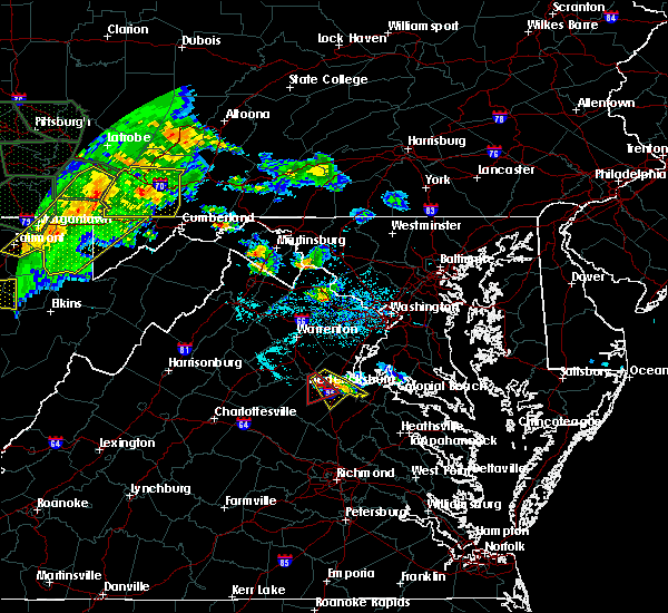 At 509 pm edt, a severe thunderstorm was located near fredericksburg, moving southeast at 20 mph. radar indicated strong rotation over the western portion of the storm in northern spotyslvania county about 5 miles north chancellorsville (radar indicated). Hazards include 60 mph wind gusts and quarter size hail. Damaging winds will cause some trees and large branches to fall. this could injure those outdoors, as well as damage homes and vehicles. roadways may become blocked by downed trees. localized power outages are possible. unsecured light objects may become projectiles. Locations impacted include, fredericksburg, massaponax, falmouth, passapatanzy, stones corner, white oak, brookfield, spring valley, hartwood, holly corner, lambs creek, sealston, leeland and glendie. At 509 pm edt, a severe thunderstorm was located near fredericksburg, moving southeast at 20 mph. radar indicated strong rotation over the western portion of the storm in northern spotyslvania county about 5 miles north chancellorsville (radar indicated). Hazards include 60 mph wind gusts and quarter size hail. Damaging winds will cause some trees and large branches to fall. this could injure those outdoors, as well as damage homes and vehicles. roadways may become blocked by downed trees. localized power outages are possible. unsecured light objects may become projectiles. Locations impacted include, fredericksburg, massaponax, falmouth, passapatanzy, stones corner, white oak, brookfield, spring valley, hartwood, holly corner, lambs creek, sealston, leeland and glendie.
|
| 6/16/2016 5:00 PM EDT |
 At 459 pm edt, a severe thunderstorm capable of producing a tornado was located 9 miles northwest of fredericksburg, moving southeast at 20 mph (radar indicated rotation). Hazards include tornado and half dollar size hail. For those in the direct path of a tornado touchdown. flying debris will be dangerous to those caught without shelter. damage to roofs, siding, and windows may occur. mobile homes may be damaged or destroyed. tree damage is likely. this dangerous storm will be near, fredericksburg around 520 pm edt. spotsylvania around 535 pm edt. Other locations impacted by this tornadic thunderstorm include alsop, chancellorsville, holly corner and dunavant. At 459 pm edt, a severe thunderstorm capable of producing a tornado was located 9 miles northwest of fredericksburg, moving southeast at 20 mph (radar indicated rotation). Hazards include tornado and half dollar size hail. For those in the direct path of a tornado touchdown. flying debris will be dangerous to those caught without shelter. damage to roofs, siding, and windows may occur. mobile homes may be damaged or destroyed. tree damage is likely. this dangerous storm will be near, fredericksburg around 520 pm edt. spotsylvania around 535 pm edt. Other locations impacted by this tornadic thunderstorm include alsop, chancellorsville, holly corner and dunavant.
|
| 6/16/2016 4:45 PM EDT |
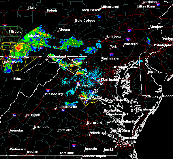 At 444 pm edt, doppler radar indicated a severe thunderstorm capable of producing quarter size hail and damaging winds in excess of 60 mph. this storm was located 10 miles northwest of fredericksburg, and moving southeast at 30 mph. At 444 pm edt, doppler radar indicated a severe thunderstorm capable of producing quarter size hail and damaging winds in excess of 60 mph. this storm was located 10 miles northwest of fredericksburg, and moving southeast at 30 mph.
|
| 6/7/2016 5:27 PM EDT | The severe thunderstorm warning for west central charles, southern prince william, southeastern stafford, southwestern king george and east central spotsylvania counties and the eastern city of fredericksburg will expire at 530 pm edt, the storm which prompted the warning has weakened and exited the warned area. therefore the warning will be allowed to expire. however small hail and gusty winds are still possible with this thunderstorm. |
| 6/7/2016 5:27 PM EDT | The severe thunderstorm warning for west central charles, southern prince william, southeastern stafford, southwestern king george and east central spotsylvania counties and the eastern city of fredericksburg will expire at 530 pm edt, the storm which prompted the warning has weakened and exited the warned area. therefore the warning will be allowed to expire. however small hail and gusty winds are still possible with this thunderstorm. |
| 6/7/2016 5:14 PM EDT |
 At 513 pm edt, a severe thunderstorm was located near potomac creek, moving east at 40 mph (radar indicated. tree damage was reported near glendie with this storm). Hazards include 60 mph wind gusts and quarter size hail. Damaging winds may cause some trees and large branches to fall. this could injure those outdoors, as well as damage homes and vehicles. roadways may become blocked by downed trees. localized power outages are possible. unsecured light objects may become projectiles. Locations impacted include, stafford, fredericksburg, la plata, king george, dahlgren, quantico, fairview beach, potomac creek, aquia creek, port tobacco river, triangle, cherry hill, falmouth, passapatanzy, port tobacco village, port tobacco, white oak, spring valley, lambs creek and welcome. At 513 pm edt, a severe thunderstorm was located near potomac creek, moving east at 40 mph (radar indicated. tree damage was reported near glendie with this storm). Hazards include 60 mph wind gusts and quarter size hail. Damaging winds may cause some trees and large branches to fall. this could injure those outdoors, as well as damage homes and vehicles. roadways may become blocked by downed trees. localized power outages are possible. unsecured light objects may become projectiles. Locations impacted include, stafford, fredericksburg, la plata, king george, dahlgren, quantico, fairview beach, potomac creek, aquia creek, port tobacco river, triangle, cherry hill, falmouth, passapatanzy, port tobacco village, port tobacco, white oak, spring valley, lambs creek and welcome.
|
| 6/7/2016 5:00 PM EDT |
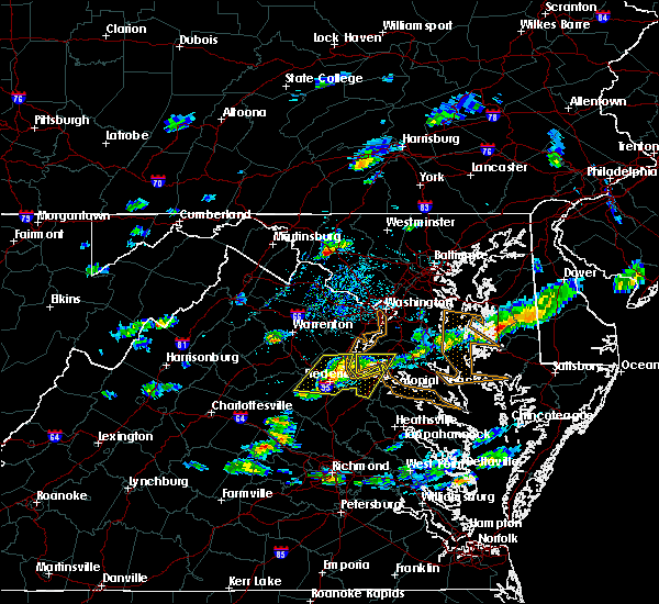 At 459 pm edt, a severe thunderstorm was located over stafford, moving east at 40 mph (radar indicated). Hazards include 60 mph wind gusts and quarter size hail. Damaging winds may cause some trees and large branches to fall. this could injure those outdoors, as well as damage homes and vehicles. roadways may become blocked by downed trees. localized power outages are possible. unsecured light objects may become projectiles. Locations impacted include, stafford, fredericksburg, la plata, king george, dahlgren, quantico, fairview beach, potomac creek, aquia creek, port tobacco river, triangle, spotsylvania, cherry hill, falmouth, passapatanzy, port tobacco village, storck, port tobacco, white oak and spring valley. At 459 pm edt, a severe thunderstorm was located over stafford, moving east at 40 mph (radar indicated). Hazards include 60 mph wind gusts and quarter size hail. Damaging winds may cause some trees and large branches to fall. this could injure those outdoors, as well as damage homes and vehicles. roadways may become blocked by downed trees. localized power outages are possible. unsecured light objects may become projectiles. Locations impacted include, stafford, fredericksburg, la plata, king george, dahlgren, quantico, fairview beach, potomac creek, aquia creek, port tobacco river, triangle, spotsylvania, cherry hill, falmouth, passapatanzy, port tobacco village, storck, port tobacco, white oak and spring valley.
|
| 6/7/2016 4:55 PM EDT | Tree down at berea church road and truslow road in stafford county VA, 4.7 miles S of Fredericksburg, VA |
| 6/7/2016 4:49 PM EDT |
 At 448 pm edt, a severe thunderstorm was located 8 miles west of stafford, moving east at 40 mph (radar indicated). Hazards include 60 mph wind gusts and quarter size hail. Damaging winds could cause some trees and large branches to fall. this could injure those outdoors, as well as damage homes and vehicles. roadways may become blocked by downed trees. localized power outages are possible. Unsecured light objects may become projectiles. At 448 pm edt, a severe thunderstorm was located 8 miles west of stafford, moving east at 40 mph (radar indicated). Hazards include 60 mph wind gusts and quarter size hail. Damaging winds could cause some trees and large branches to fall. this could injure those outdoors, as well as damage homes and vehicles. roadways may become blocked by downed trees. localized power outages are possible. Unsecured light objects may become projectiles.
|
| 5/3/2016 5:13 PM EDT | The severe thunderstorm warning for south central stafford and northeastern spotsylvania counties and the southeastern city of fredericksburg will expire at 515 pm edt, the severe thunderstorm which prompted the warning has moved out of the warned area, therefore the warning will be allowed to expire. |
| 5/3/2016 5:01 PM EDT |
 At 501 pm edt, a severe thunderstorm was located 7 miles southeast of fredericksburg, moving southeast at 30 mph (radar indicated). Hazards include 60 mph wind gusts. Expect damage to roofs. siding. and trees. Locations impacted include, fredericksburg. At 501 pm edt, a severe thunderstorm was located 7 miles southeast of fredericksburg, moving southeast at 30 mph (radar indicated). Hazards include 60 mph wind gusts. Expect damage to roofs. siding. and trees. Locations impacted include, fredericksburg.
|
| 5/3/2016 4:53 PM EDT | Tree down in the 1600 block of belvedere drive in spotsylvania county VA, 7.1 miles NW of Fredericksburg, VA |
| 5/3/2016 4:50 PM EDT | Car port blown into power lines in the 100 block of imboden street in spotsylvania county VA, 3.3 miles NW of Fredericksburg, VA |
| 5/3/2016 4:48 PM EDT | Tree down at lake shore drive and jay road in stafford county VA, 4.1 miles W of Fredericksburg, VA |
| 5/3/2016 4:47 PM EDT | Tree down on a house in city of fredericks county VA, 2 miles NW of Fredericksburg, VA |
| 5/3/2016 4:45 PM EDT |
 At 445 pm edt, doppler radar indicated a severe thunderstorm capable of producing damaging winds in excess of 60 mph. this storm was located near massaponax, or near fredericksburg, and moving southeast at 35 mph. At 445 pm edt, doppler radar indicated a severe thunderstorm capable of producing damaging winds in excess of 60 mph. this storm was located near massaponax, or near fredericksburg, and moving southeast at 35 mph.
|
| 5/3/2016 4:38 PM EDT | Tree down in the 8900 block of jefferson davis highway in spotsylvania county VA, 7.1 miles N of Fredericksburg, VA |
| 5/3/2016 4:37 PM EDT | Tree down on landsdowne road at lee drive in spotsylvania county VA, 3.2 miles NNW of Fredericksburg, VA |
| 5/3/2016 4:35 PM EDT | Tree on power lines in the 2800 block of rose avenue in spotsylvania county VA, 2.2 miles N of Fredericksburg, VA |
| 5/3/2016 4:35 PM EDT | Tree down in the 100 block of oak street in city of fredericks county VA, 2.3 miles NNW of Fredericksburg, VA |
| 5/3/2016 4:21 PM EDT | Tree on power lines on spotswood furnace road at kennett court in spotsylvania county VA, 5.9 miles ESE of Fredericksburg, VA |
| 5/3/2016 4:17 PM EDT | Tree on power lines in the 14200 block of u.s. ford road in spotsylvania county VA, 7.3 miles ESE of Fredericksburg, VA |
| 4/7/2016 6:28 PM EDT | Tree down and blocking one lane of traffic at jim morris road and mills drive in spotsylvania county VA, 6.6 miles NNW of Fredericksburg, VA |
| 4/7/2016 6:23 PM EDT |
 The severe thunderstorm warning for stafford, eastern orange, southeastern culpeper, northern spotsylvania and west central king george counties and the city of fredericksburg will expire at 630 pm edt, the storm which prompted the warning has weakened below severe limits, and no longer poses an immediate threat to life or property. therefore the warning will be allowed to expire. however small hail and gusty winds are still possible with this thunderstorm. The severe thunderstorm warning for stafford, eastern orange, southeastern culpeper, northern spotsylvania and west central king george counties and the city of fredericksburg will expire at 630 pm edt, the storm which prompted the warning has weakened below severe limits, and no longer poses an immediate threat to life or property. therefore the warning will be allowed to expire. however small hail and gusty winds are still possible with this thunderstorm.
|
| 4/7/2016 6:05 PM EDT |
 At 605 pm edt, doppler radar indicated a severe thunderstorm capable of producing damaging winds in excess of 60 mph. this storm was located 11 miles northwest of spotsylvania, or 16 miles west of fredericksburg, and moving east at 50 mph. At 605 pm edt, doppler radar indicated a severe thunderstorm capable of producing damaging winds in excess of 60 mph. this storm was located 11 miles northwest of spotsylvania, or 16 miles west of fredericksburg, and moving east at 50 mph.
|
| 2/24/2016 5:39 PM EST |
 The tornado warning for southwestern stafford and spotsylvania counties and the city of fredericksburg will expire at 545 pm est, the storm which prompted the warning has moved out of the area. therefore the warning will be allowed to expire. additional severe thunderstorm development remains possible, and a tornado watch remains in effect until 11 pm est. The tornado warning for southwestern stafford and spotsylvania counties and the city of fredericksburg will expire at 545 pm est, the storm which prompted the warning has moved out of the area. therefore the warning will be allowed to expire. additional severe thunderstorm development remains possible, and a tornado watch remains in effect until 11 pm est.
|
| 2/24/2016 5:34 PM EST |
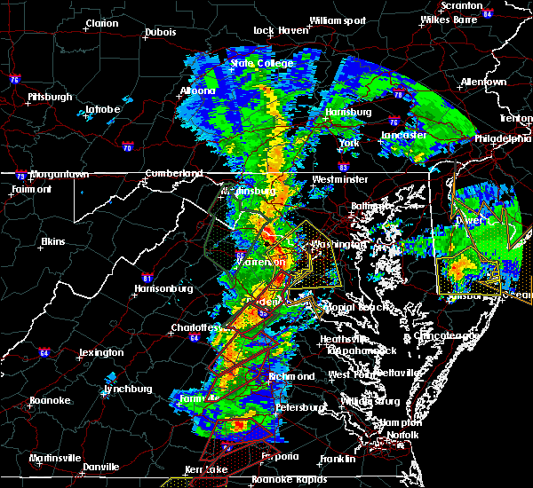 At 533 pm est, doppler radar indicated a line of severe thunderstorms capable of producing tornadoes. these dangerous storms were located along a line extending from dumfries to near fredericksburg, moving northeast at 45 mph. locations impacted include, stafford, fredericksburg, dale city, woodbridge, aquia creek, dumfries, montclair, triangle, falmouth, brooke, garrisonville, stones corner, brookfield, spring valley, hartwood, holly corner, aquia, roseville, arkendale and leeland. At 533 pm est, doppler radar indicated a line of severe thunderstorms capable of producing tornadoes. these dangerous storms were located along a line extending from dumfries to near fredericksburg, moving northeast at 45 mph. locations impacted include, stafford, fredericksburg, dale city, woodbridge, aquia creek, dumfries, montclair, triangle, falmouth, brooke, garrisonville, stones corner, brookfield, spring valley, hartwood, holly corner, aquia, roseville, arkendale and leeland.
|
| 2/24/2016 5:14 PM EST |
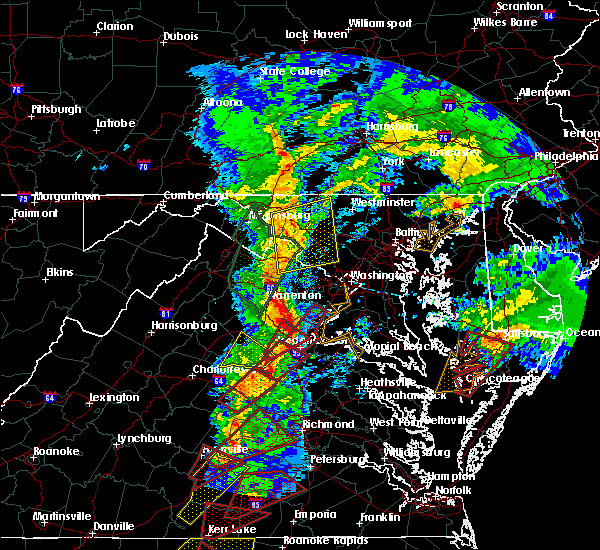 At 514 pm est, doppler radar indicated a severe thunderstorm capable of producing a tornado. this dangerous storm was located 10 miles west of spotsylvania, or 11 miles northeast of mineral, moving northeast at 55 mph. locations impacted include, spotsylvania, massaponax, chancellorsville, cookstown, post oak, glenora, alsop, snell, logan, dunavant and brokenburg. At 514 pm est, doppler radar indicated a severe thunderstorm capable of producing a tornado. this dangerous storm was located 10 miles west of spotsylvania, or 11 miles northeast of mineral, moving northeast at 55 mph. locations impacted include, spotsylvania, massaponax, chancellorsville, cookstown, post oak, glenora, alsop, snell, logan, dunavant and brokenburg.
|
| 2/24/2016 5:13 PM EST |
 At 512 pm est, doppler radar indicated a severe thunderstorm capable of producing a tornado. this dangerous storm was located near fredericksburg, and moving northeast at 55 mph. At 512 pm est, doppler radar indicated a severe thunderstorm capable of producing a tornado. this dangerous storm was located near fredericksburg, and moving northeast at 55 mph.
|
| 2/24/2016 5:00 PM EST |
 At 459 pm est, doppler radar indicated a severe thunderstorm capable of producing a tornado. this dangerous storm was located 9 miles northwest of spotsylvania, or 13 miles west of fredericksburg, moving northeast at 65 mph. locations impacted include, storck, hartwood, heflin, logan, holly corner, parker, dunavant, somerville, chancellorsville, roseville, cookstown, goldvein, ramoth and glendie. At 459 pm est, doppler radar indicated a severe thunderstorm capable of producing a tornado. this dangerous storm was located 9 miles northwest of spotsylvania, or 13 miles west of fredericksburg, moving northeast at 65 mph. locations impacted include, storck, hartwood, heflin, logan, holly corner, parker, dunavant, somerville, chancellorsville, roseville, cookstown, goldvein, ramoth and glendie.
|
| 2/24/2016 4:58 PM EST |
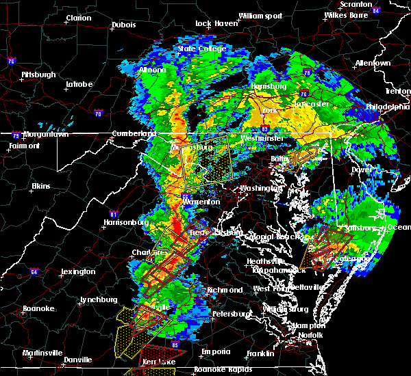 At 457 pm est, doppler radar indicated a severe thunderstorm capable of producing a tornado. this dangerous storm was located near mineral, and moving northeast at 45 mph. At 457 pm est, doppler radar indicated a severe thunderstorm capable of producing a tornado. this dangerous storm was located near mineral, and moving northeast at 45 mph.
|
| 2/24/2016 4:50 PM EST |
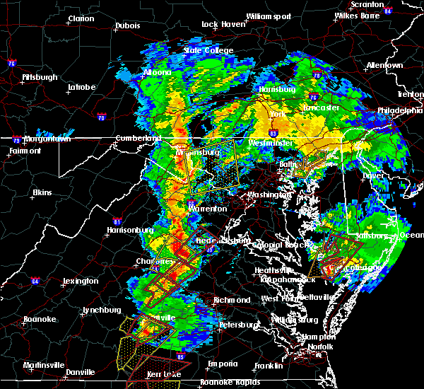 At 450 pm est, doppler radar indicated a severe thunderstorm capable of producing a tornado. this dangerous storm was located 11 miles north of mineral, and moving northeast at 65 mph. At 450 pm est, doppler radar indicated a severe thunderstorm capable of producing a tornado. this dangerous storm was located 11 miles north of mineral, and moving northeast at 65 mph.
|
| 6/27/2015 3:21 PM EDT |
 At 320 pm edt, doppler radar indicated a severe thunderstorm capable of producing damaging winds in excess of 60 mph. this storm was located near fredericksburg, moving northeast at 25 mph. locations impacted include, brookfield, white oak and stones corner. a tornado watch remains in effect until 800 pm edt for northern virginia. At 320 pm edt, doppler radar indicated a severe thunderstorm capable of producing damaging winds in excess of 60 mph. this storm was located near fredericksburg, moving northeast at 25 mph. locations impacted include, brookfield, white oak and stones corner. a tornado watch remains in effect until 800 pm edt for northern virginia.
|
| 6/27/2015 3:14 PM EDT | Trees down near intersection of river road and bragg roa in city of fredericks county VA, 1.5 miles ESE of Fredericksburg, VA |
| 6/27/2015 3:04 PM EDT |
 At 303 pm edt, doppler radar indicated a severe thunderstorm capable of producing damaging winds in excess of 60 mph. this storm was located over spotsylvania, or 7 miles southwest of fredericksburg, moving northeast at 25 mph. locations impacted include, fredericksburg, spotsylvania, massaponax, falmouth, stones corner, white oak, leeland, brookfield and spring valley. a tornado watch remains in effect until 800 pm edt for northern virginia. At 303 pm edt, doppler radar indicated a severe thunderstorm capable of producing damaging winds in excess of 60 mph. this storm was located over spotsylvania, or 7 miles southwest of fredericksburg, moving northeast at 25 mph. locations impacted include, fredericksburg, spotsylvania, massaponax, falmouth, stones corner, white oak, leeland, brookfield and spring valley. a tornado watch remains in effect until 800 pm edt for northern virginia.
|
| 6/27/2015 2:55 PM EDT |
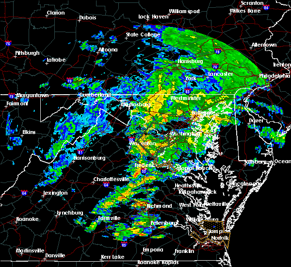 At 255 pm edt, doppler radar indicated a severe thunderstorm capable of producing damaging winds in excess of 60 mph. this storm was located near spotsylvania, or 13 miles southwest of fredericksburg, and moving northeast at 25 mph. At 255 pm edt, doppler radar indicated a severe thunderstorm capable of producing damaging winds in excess of 60 mph. this storm was located near spotsylvania, or 13 miles southwest of fredericksburg, and moving northeast at 25 mph.
|
| 6/20/2015 8:27 PM EDT |
 At 826 pm edt, doppler radar indicated a line of severe thunderstorms capable of producing damaging winds in excess of 60 mph. these storms were located along a line extending from 13 miles south of bealeton to near ladysmith to virginia commonwealth university, and moving northeast at 55 mph. At 826 pm edt, doppler radar indicated a line of severe thunderstorms capable of producing damaging winds in excess of 60 mph. these storms were located along a line extending from 13 miles south of bealeton to near ladysmith to virginia commonwealth university, and moving northeast at 55 mph.
|
| 6/20/2015 8:27 PM EDT |
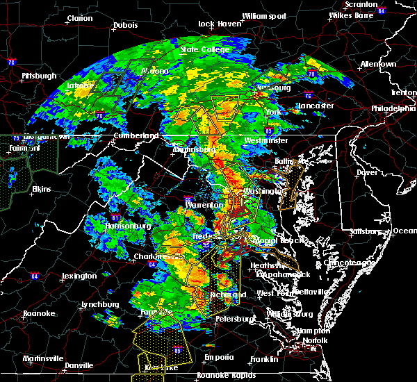 At 826 pm edt, doppler radar indicated a line of severe thunderstorms capable of producing damaging winds in excess of 60 mph. these storms were located along a line extending from 13 miles south of bealeton to near ladysmith to virginia commonwealth university, and moving northeast at 55 mph. At 826 pm edt, doppler radar indicated a line of severe thunderstorms capable of producing damaging winds in excess of 60 mph. these storms were located along a line extending from 13 miles south of bealeton to near ladysmith to virginia commonwealth university, and moving northeast at 55 mph.
|
| 6/20/2015 7:57 PM EDT |
 At 757 pm edt, doppler radar indicated a line of severe thunderstorms capable of producing damaging winds in excess of 60 mph. these storms were located along a line extending from boswells tavern to near oilville to near wilsons, and moving northeast at 65 mph. At 757 pm edt, doppler radar indicated a line of severe thunderstorms capable of producing damaging winds in excess of 60 mph. these storms were located along a line extending from boswells tavern to near oilville to near wilsons, and moving northeast at 65 mph.
|
| 6/15/2015 6:23 PM EDT |
 At 623 pm edt, doppler radar indicated a severe thunderstorm capable of producing quarter size hail and damaging winds in excess of 60 mph. this storm was located near potomac creek, and moving east at 35 mph. At 623 pm edt, doppler radar indicated a severe thunderstorm capable of producing quarter size hail and damaging winds in excess of 60 mph. this storm was located near potomac creek, and moving east at 35 mph.
|
| 6/15/2015 6:14 PM EDT |
 At 613 pm edt, doppler radar indicated a severe thunderstorm capable of producing quarter size hail and damaging winds in excess of 60 mph. this storm was located near fredericksburg, moving east at 35 mph. locations impacted include, stafford, fredericksburg, falmouth, chancellorsville, brooke, stones corner, leeland, brookfield, ramoth, spring valley, hartwood, glendie and holly corner. At 613 pm edt, doppler radar indicated a severe thunderstorm capable of producing quarter size hail and damaging winds in excess of 60 mph. this storm was located near fredericksburg, moving east at 35 mph. locations impacted include, stafford, fredericksburg, falmouth, chancellorsville, brooke, stones corner, leeland, brookfield, ramoth, spring valley, hartwood, glendie and holly corner.
|
| 6/15/2015 5:57 PM EDT |
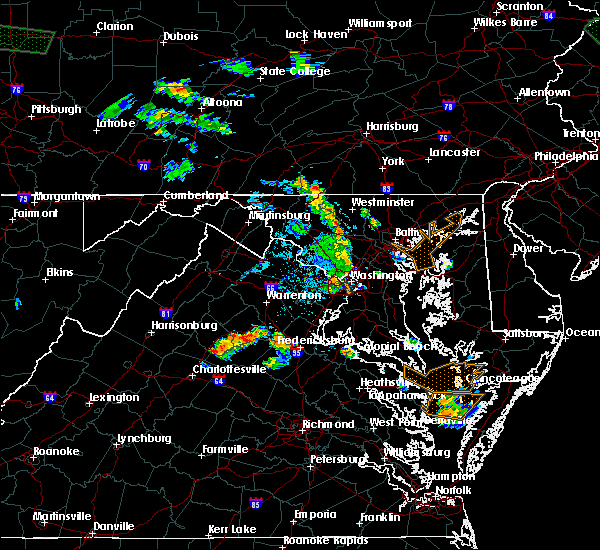 At 557 pm edt, doppler radar indicated a severe thunderstorm capable of producing quarter size hail and damaging winds in excess of 60 mph. this storm was located 10 miles northwest of fredericksburg, and moving east at 25 mph. At 557 pm edt, doppler radar indicated a severe thunderstorm capable of producing quarter size hail and damaging winds in excess of 60 mph. this storm was located 10 miles northwest of fredericksburg, and moving east at 25 mph.
|
| 4/20/2015 8:39 PM EDT | Trees down near river rd and bragg rd in city of fredericks county VA, 1.5 miles ESE of Fredericksburg, VA |
| 4/20/2015 8:39 PM EDT | At 838 pm edt, doppler radar indicated a severe thunderstorm capable of producing damaging winds in excess of 60 mph. this storm was located near fredericksburg, moving northeast at 45 mph. locations impacted include, stafford, fredericksburg, aquia creek, potomac creek, massaponax, spotsylvania, post oak, alsop, passapatanzy, spring valley, logan, holly corner, aquia, chancellorsville, arkendale, widewater, snell, glendie, falmouth and brooke. a tornado watch remains in effect until 1000 pm edt for southern maryland and northern virginia. |
| 4/20/2015 8:39 PM EDT | At 838 pm edt, doppler radar indicated a severe thunderstorm capable of producing damaging winds in excess of 60 mph. this storm was located near fredericksburg, moving northeast at 45 mph. locations impacted include, stafford, fredericksburg, aquia creek, potomac creek, massaponax, spotsylvania, post oak, alsop, passapatanzy, spring valley, logan, holly corner, aquia, chancellorsville, arkendale, widewater, snell, glendie, falmouth and brooke. a tornado watch remains in effect until 1000 pm edt for southern maryland and northern virginia. |
| 4/20/2015 8:38 PM EDT | Quarter sized hail reported 2.4 miles NE of Fredericksburg, VA |
| 4/20/2015 8:11 PM EDT | At 811 pm edt, doppler radar indicated a severe thunderstorm capable of producing damaging winds in excess of 60 mph. this storm was located near spotsylvania, or 14 miles southwest of fredericksburg, and moving northeast at 40 mph. |
| 4/20/2015 8:11 PM EDT | At 811 pm edt, doppler radar indicated a severe thunderstorm capable of producing damaging winds in excess of 60 mph. this storm was located near spotsylvania, or 14 miles southwest of fredericksburg, and moving northeast at 40 mph. |
| 5/22/2014 5:00 PM EDT | Quarter sized hail reported 8.5 miles NNW of Fredericksburg, VA, quarter size hail reported near massaponax. |
| 5/22/2014 4:58 PM EDT | Half Dollar sized hail reported 5.3 miles NNW of Fredericksburg, VA, half dollar size hail reported near massaponax. |
| 5/22/2014 4:57 PM EDT | Quarter sized hail reported 5 miles N of Fredericksburg, VA, quarter size hail reported near massaponax. |
| 10/7/2013 11:42 AM EDT | Hvac unit damaged on flat three story medical center roof due to strong win in spotsylvania county VA, 5.6 miles N of Fredericksburg, VA |
| 6/13/2013 2:48 PM EDT | Large tree down on plank rd about one quarter mile west of lafayette blv in city of fredericks county VA, 1.1 miles NW of Fredericksburg, VA |
| 6/13/2013 2:43 PM EDT | Large 4 inch diameter pine tree down on court house rd on the east side of i-95 between lafayette blvd and i-95 in spotsylvania county VA, 3.6 miles N of Fredericksburg, VA |
| 6/13/2013 2:35 PM EDT | Large tree down on route 3 about one quarter mile west of lafayette blv in city of fredericks county VA, 1.1 miles NW of Fredericksburg, VA |
| 6/13/2013 2:34 PM EDT | Thunderstorm winds blew down a heavy sign at the 10400 block of spotsylvania ave in spotsylvania county VA, 4.3 miles N of Fredericksburg, VA |
| 6/13/2013 2:32 PM EDT | Report of several trees down in lees hill neighborhood near i-95 and exit 126 in spotsylvania county VA, 5 miles N of Fredericksburg, VA |
| 4/19/2013 6:42 PM EDT | Tree blown onto building. roofing tiles blowing off of building roo in city of fredericks county VA, 0.8 miles W of Fredericksburg, VA |
| 4/19/2013 6:42 PM EDT | Possible tree blown into or onto building. some roof tile damage on cowan blvd near us hwy in city of fredericks county VA, 0.3 miles WNW of Fredericksburg, VA |
| 4/19/2013 6:37 PM EDT | Several fences destroyed. multiple trees down. wind damage to residences near fredericksburg police station in city of fredericks county VA, 0.3 miles WNW of Fredericksburg, VA |
| 4/19/2013 6:33 PM EDT | Roof damage to motel 6 off jeff davis hwy near business d in spotsylvania county VA, 3.6 miles N of Fredericksburg, VA |
| 9/18/2012 3:04 PM EDT | Tree down at creekside ct. and running cedar l in spotsylvania county VA, 4.5 miles NNE of Fredericksburg, VA |
| 9/6/2012 9:05 AM EDT | Tree down near mine rd and lees crossing lane in spotsylvania county VA, 4.3 miles NW of Fredericksburg, VA |
| 7/8/2012 5:43 PM EDT | Half Dollar sized hail reported 6.3 miles NW of Fredericksburg, VA |
| 7/8/2012 5:38 PM EDT | Ping Pong Ball sized hail reported 4 miles NNW of Fredericksburg, VA |
| 7/8/2012 5:37 PM EDT | A few trees were down due to thunderstorm wind gust in spotsylvania county VA, 2.3 miles NNW of Fredericksburg, VA |
| 7/8/2012 5:37 PM EDT | Quarter sized hail reported 2.3 miles NNW of Fredericksburg, VA |
| 7/8/2012 5:31 PM EDT | *** 2 inj *** structural collapse on fleming st off jeff davis hwy in spotsylvania county VA, 2.9 miles N of Fredericksburg, VA |
| 7/8/2012 5:31 PM EDT | Structural collapse on fleming st off jeff davis hwy in spotsylvania county VA, 2.9 miles N of Fredericksburg, VA |
| 7/8/2012 5:31 PM EDT | Golf Ball sized hail reported 2.9 miles N of Fredericksburg, VA |
| 7/8/2012 5:30 PM EDT | Trees uprooted on jeff davis hwy and harrison r in spotsylvania county VA, 2.9 miles N of Fredericksburg, VA |
| 7/8/2012 5:23 PM EDT | Quarter sized hail reported 3.3 miles NE of Fredericksburg, VA |
| 7/8/2012 5:20 PM EDT | *** 7 inj *** a microburst with 80 mph westerly winds tore through an area 3 miles south of fredericksburg. on fleming st between lafayette blvd and route 1... a roof w in spotsylvania county VA, 2.9 miles N of Fredericksburg, VA |
| 6/29/2012 10:50 PM EDT | Multiple 1 to 2 inch tree branches down along fall hill ave and near hughey ct and near heritage pl in city of fredericks county VA, 1 miles SE of Fredericksburg, VA |
| 6/29/2012 10:28 PM EDT | Storm damage reported in city of fredericks county VA, 0.8 miles E of Fredericksburg, VA |
| 6/29/2012 10:28 PM EDT | Multiple trees down approx 4.5 to 5 inches in diamete in city of fredericks county VA, 0.8 miles E of Fredericksburg, VA |
| 6/29/2012 10:26 PM EDT | Multiple 1 to 2 inch tree branches down along fall hill ave and near hughey ct and near heritage pl in city of fredericks county VA, 1 miles SE of Fredericksburg, VA |
| 6/22/2012 3:48 PM EDT | Tree down across benchmark rd near tidewater trai in spotsylvania county VA, 5 miles NW of Fredericksburg, VA |
| 6/22/2012 3:47 PM EDT | Tree down across benchmark road near mills d in spotsylvania county VA, 6.4 miles NNW of Fredericksburg, VA |
| 6/22/2012 3:47 PM EDT | Tree down near intersection of mills dr and lee hill school d in spotsylvania county VA, 6.1 miles NNW of Fredericksburg, VA |
| 6/22/2012 3:46 PM EDT | Tree down near intersection of ironwood lane and persimmon lane in spotsylvania county VA, 3.7 miles NNW of Fredericksburg, VA |
| 6/22/2012 3:43 PM EDT | Trees and branches down near intersection of us 17 and massaponax church roa in spotsylvania county VA, 6.1 miles NNW of Fredericksburg, VA |
| 5/15/2012 7:58 PM EDT | Half Dollar sized hail reported 6.2 miles SSE of Fredericksburg, VA |
| 5/15/2012 7:57 PM EDT | Quarter sized hail reported 6.4 miles SSE of Fredericksburg, VA |
| 5/15/2012 7:57 PM EDT | Half Dollar sized hail reported 5.7 miles SSE of Fredericksburg, VA |
| 5/15/2012 7:56 PM EDT | Quarter sized hail reported 6.2 miles SSE of Fredericksburg, VA, most hail was nickel-size with a few stones larger |
| 5/15/2012 7:55 PM EDT | Quarter sized hail reported 5.7 miles SSE of Fredericksburg, VA |
| 1/1/0001 12:00 AM | Numerous trees down. branches down. power lines dow in stafford county VA, 2.5 miles WSW of Fredericksburg, VA |
| 1/1/0001 12:00 AM | Tree limbs broken by thunderstorm wind in city of fredericks county VA, 1.4 miles W of Fredericksburg, VA |
| 8/25/2011 4:40 PM EDT | Quarter sized hail reported 2.4 miles NE of Fredericksburg, VA, quarter size hail persisted for about 2 to 3 minutes. |
| 1/1/0001 12:00 AM | Debris lofted by thunderstorm wind in city of fredericks county VA, 0.8 miles E of Fredericksburg, VA |
| 1/1/0001 12:00 AM | Several tree branches 2 to 3 inches in diameter snapped of in spotsylvania county VA, 2.4 miles NE of Fredericksburg, VA |
| 1/1/0001 12:00 AM | Tree onto a house on franklin stree in city of fredericks county VA, 1.4 miles W of Fredericksburg, VA |
| 1/1/0001 12:00 AM | Tree down at intersection of royston street and stafford avenu in city of fredericks county VA, 0.8 miles W of Fredericksburg, VA |
| 1/1/0001 12:00 AM | 3 trees down onto river road between musket ridge lane and 9 mile run driv in spotsylvania county VA, 6.8 miles E of Fredericksburg, VA |
| 1/1/0001 12:00 AM | Tree down onto river road near davmar lan in spotsylvania county VA, 6.8 miles E of Fredericksburg, VA |
| 1/1/0001 12:00 AM | Two large trees uprooted and cracked in half in spotsylvania county VA, 6.8 miles E of Fredericksburg, VA |
| 1/1/0001 12:00 AM | Multiple 3-5 inch branches near the intersection of castlebridge road and salem run blv in spotsylvania county VA, 2.4 miles NE of Fredericksburg, VA |
| 1/1/0001 12:00 AM | Multiple 4 inch limbs down on the campus of the univeristy of mary washington in city of fredericks county VA, 1.4 miles W of Fredericksburg, VA |
| 1/1/0001 12:00 AM | Multiple 3-5 inch branches near the intersection of castlebridge road and salem run blv in spotsylvania county VA, 2.4 miles NE of Fredericksburg, VA |
| 1/1/0001 12:00 AM | Large limbs snapped off small- to medium-sized trees in spotsylvania county VA, 2.4 miles NE of Fredericksburg, VA |
| 1/1/0001 12:00 AM | Quarter sized hail reported 0.8 miles W of Fredericksburg, VA, spotter |
| 1/1/0001 12:00 AM | Quarter sized hail reported 2.2 miles N of Fredericksburg, VA |
Hail Maps for Fredericksburg, VA


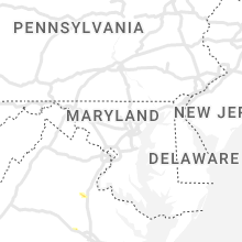

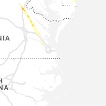


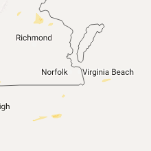


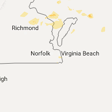


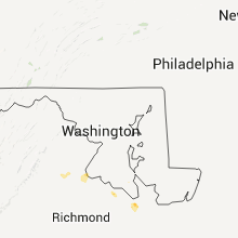


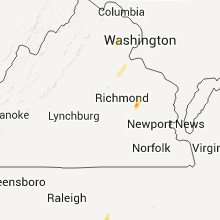


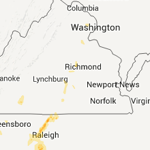


Connect with Interactive Hail Maps