

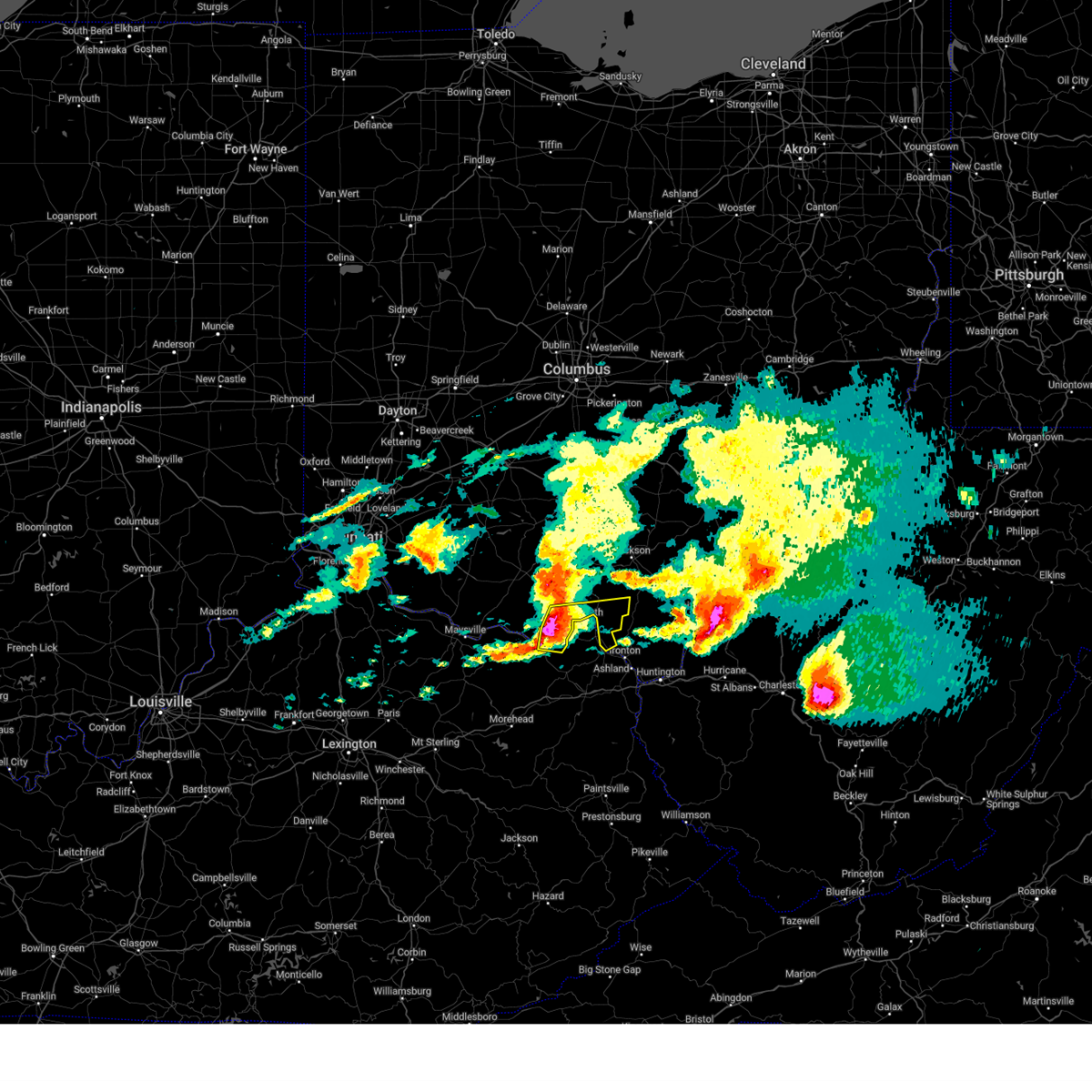
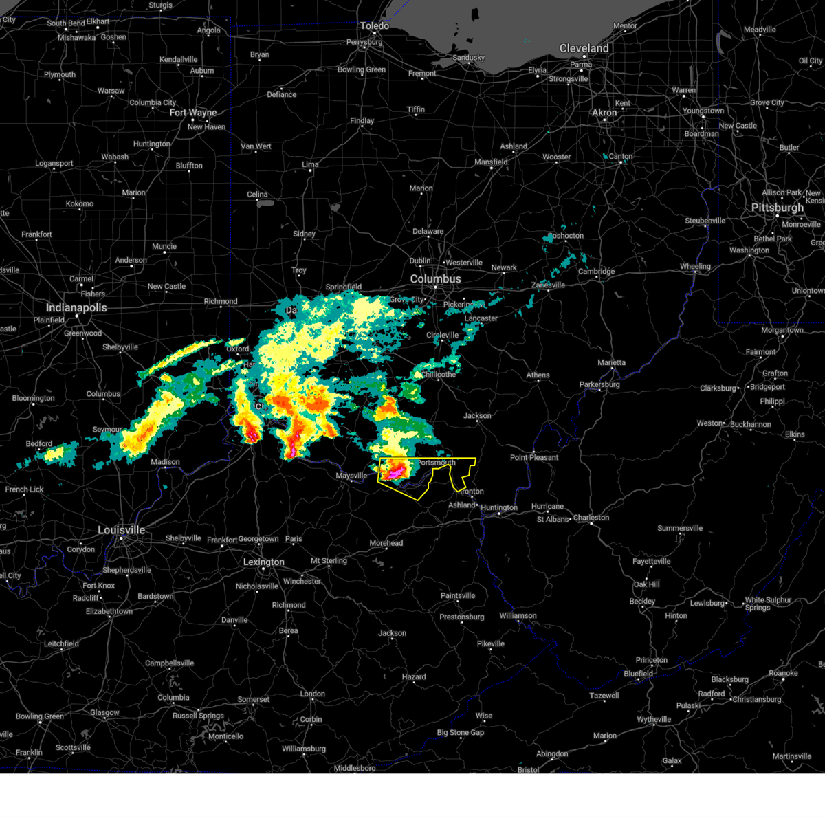
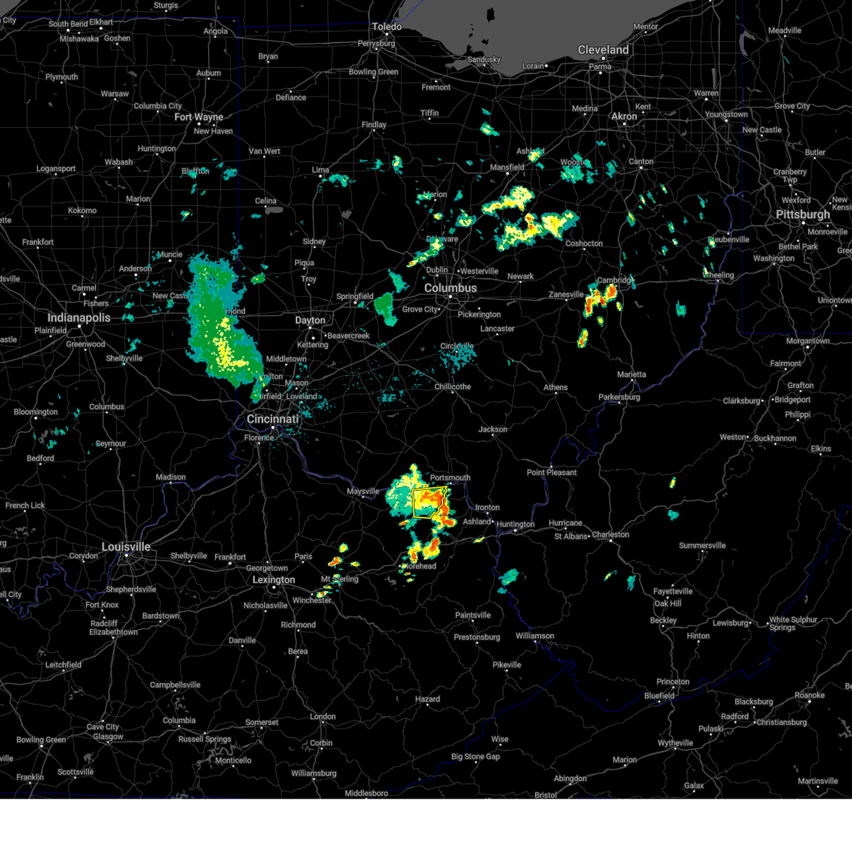
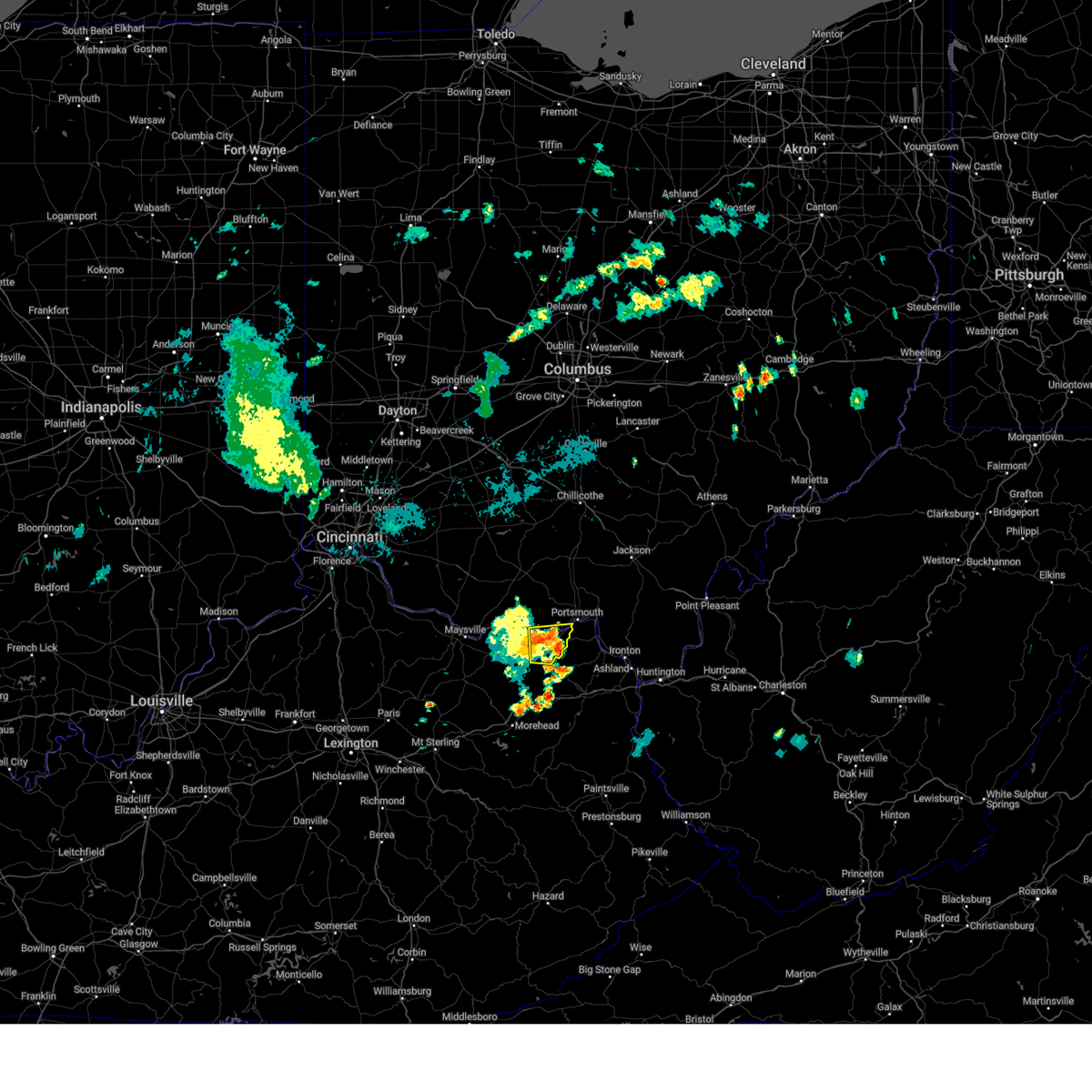
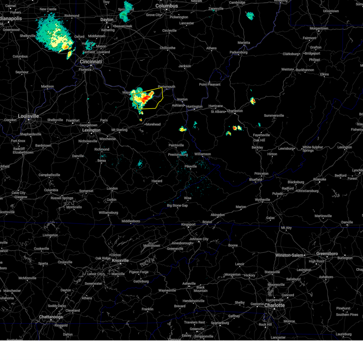
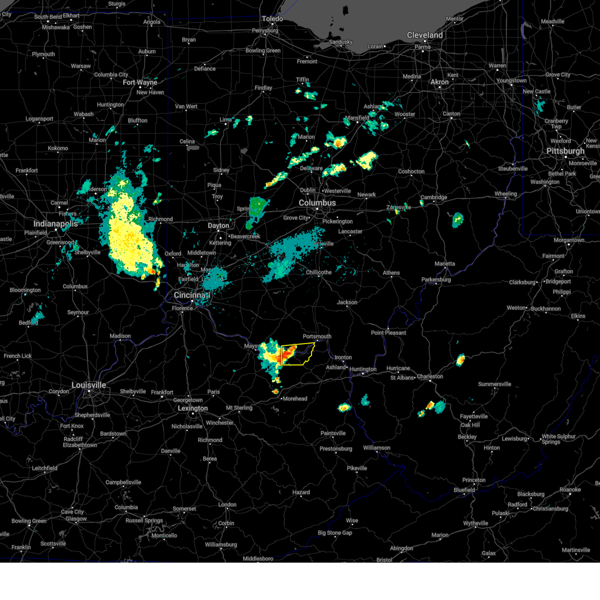
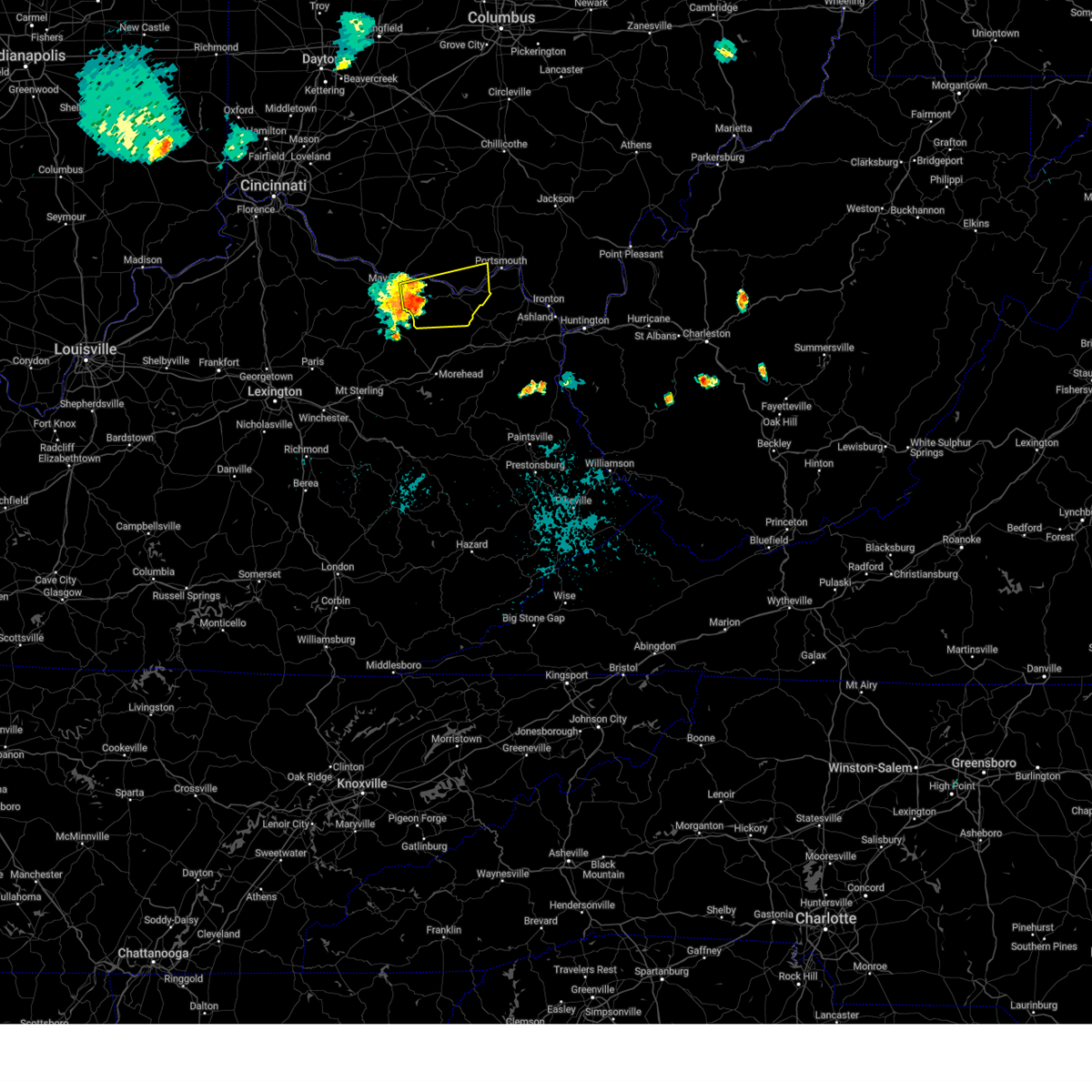
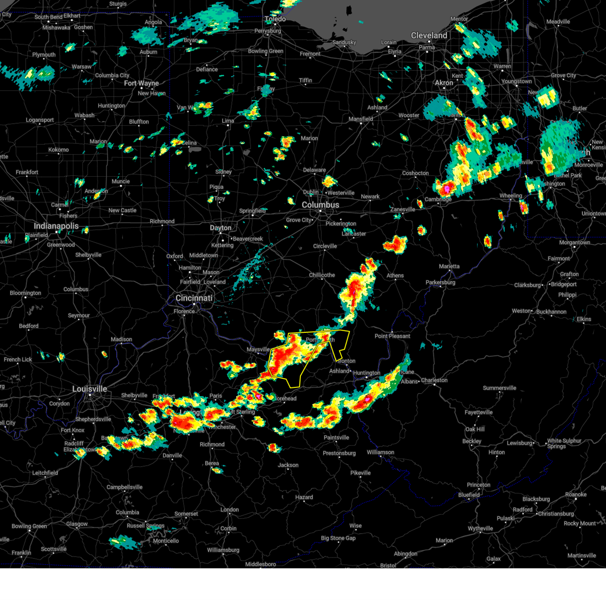
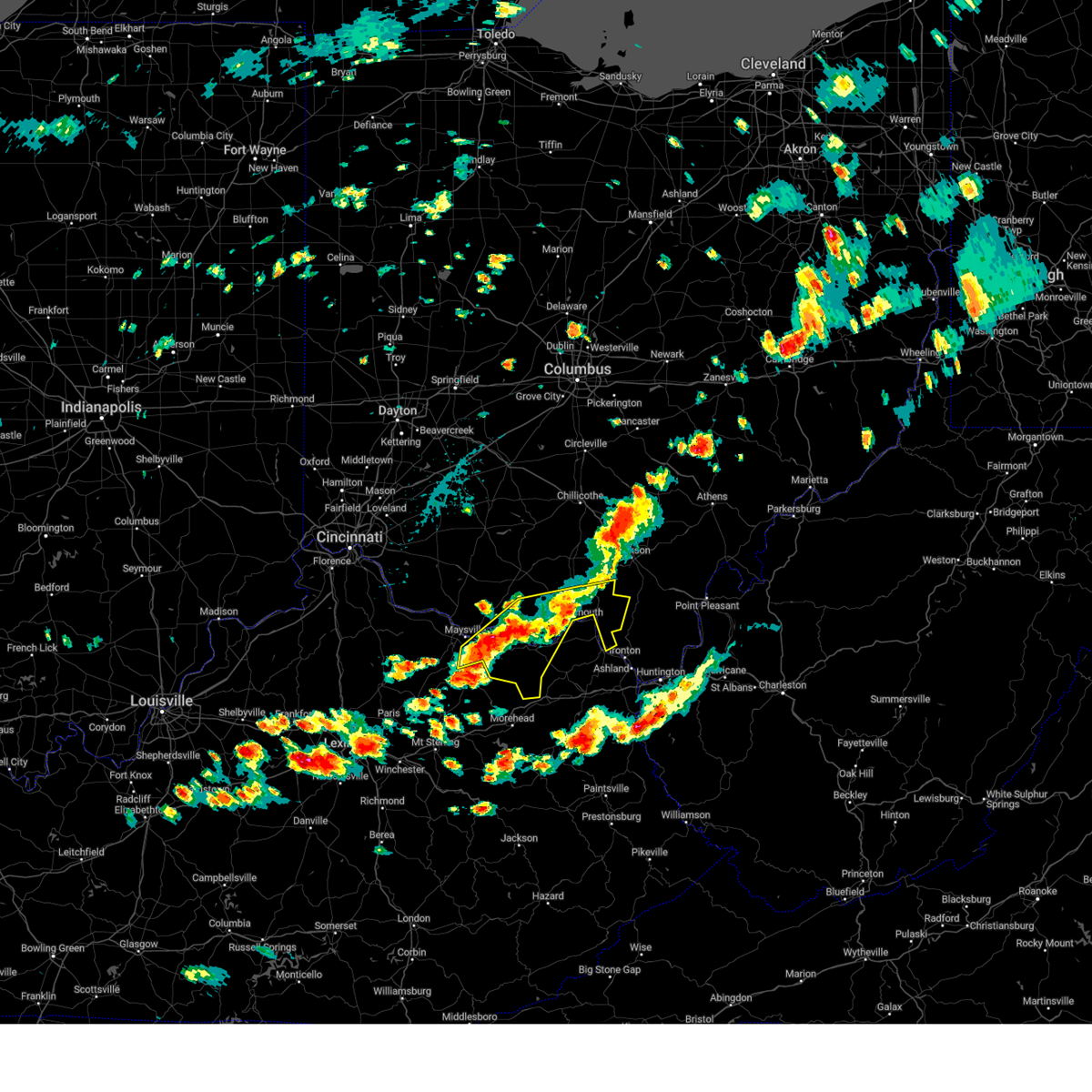
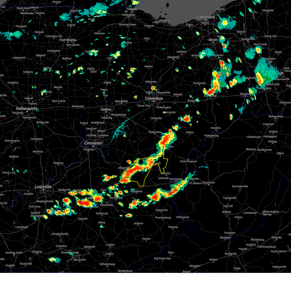
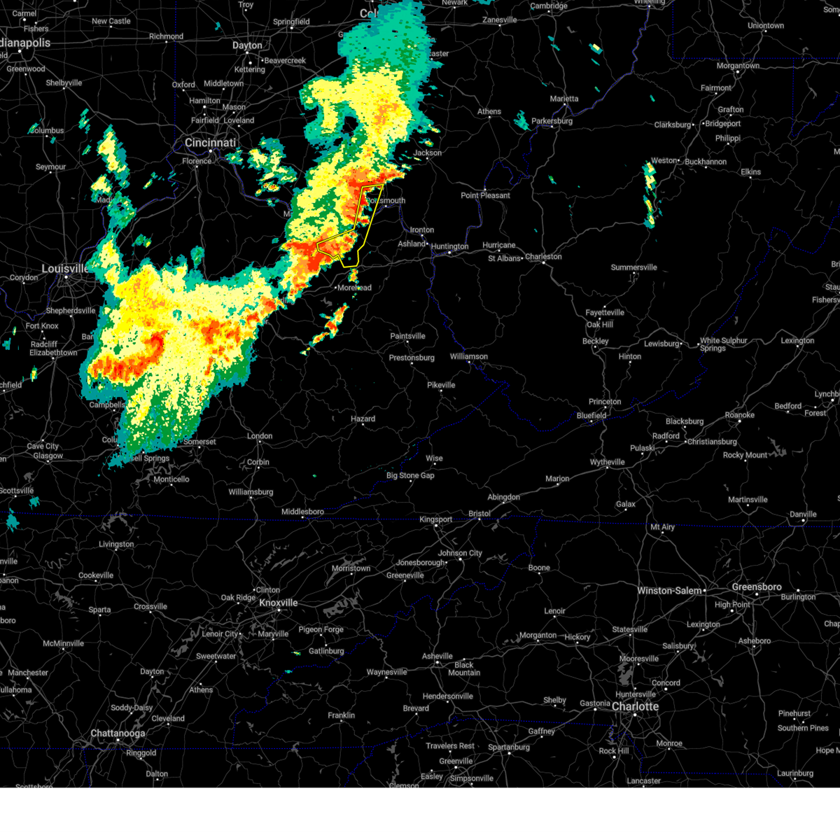
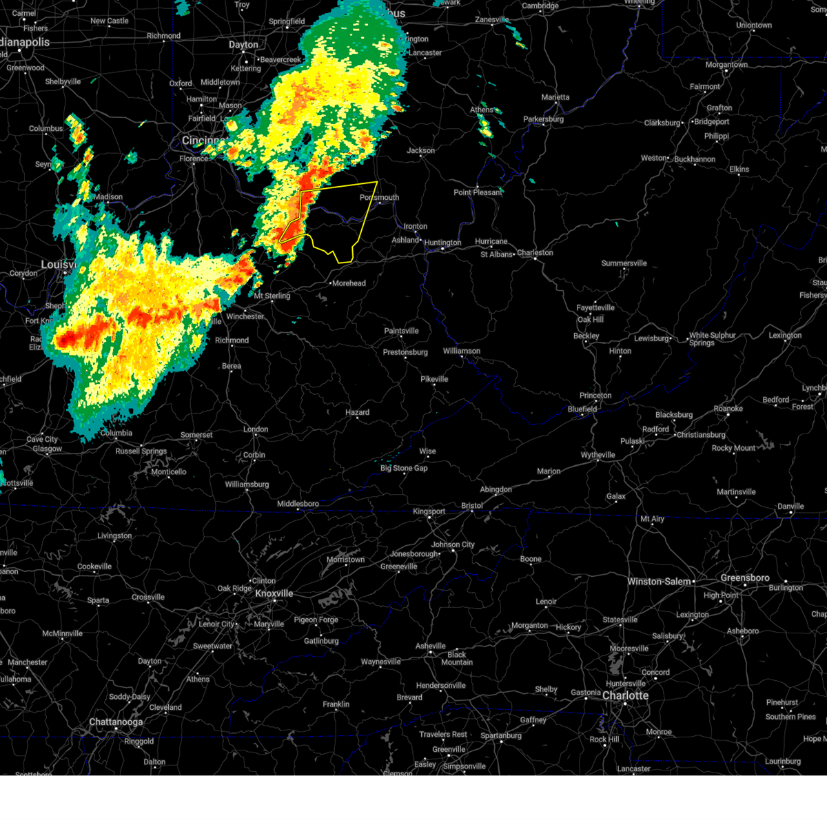
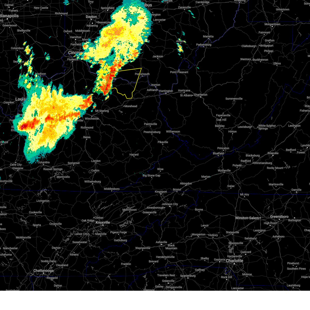
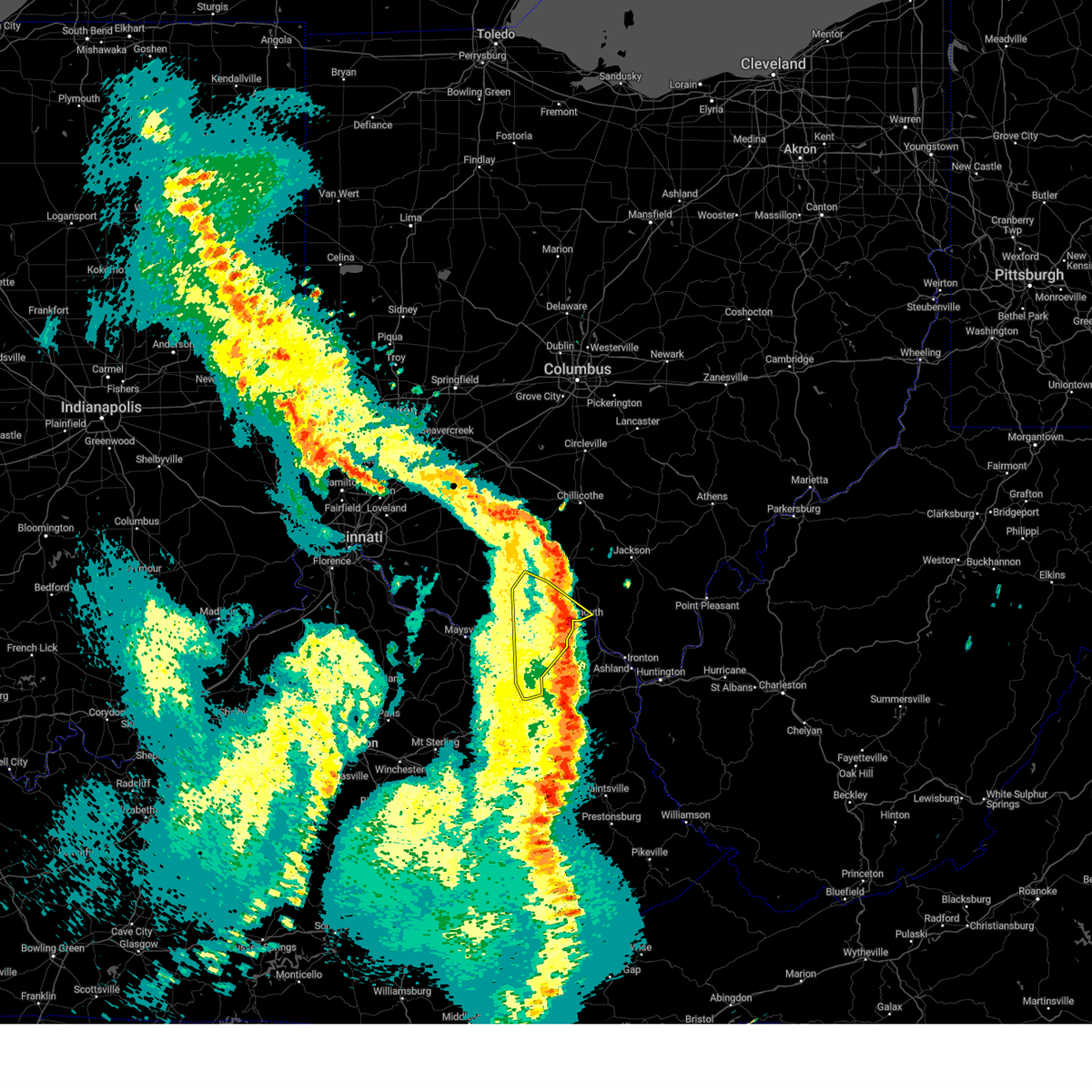
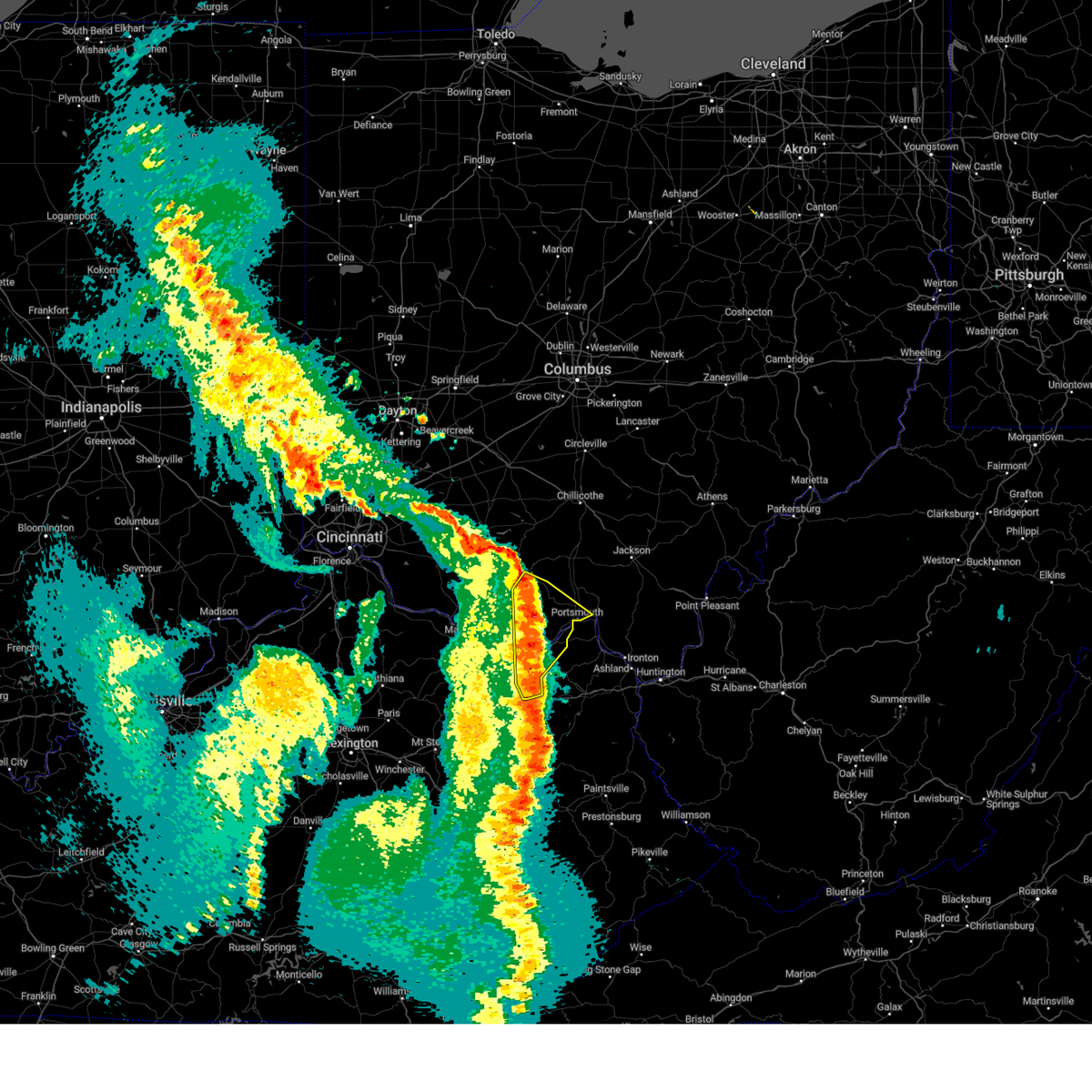
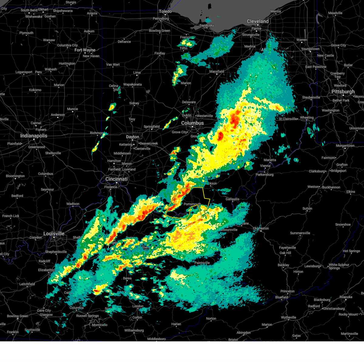
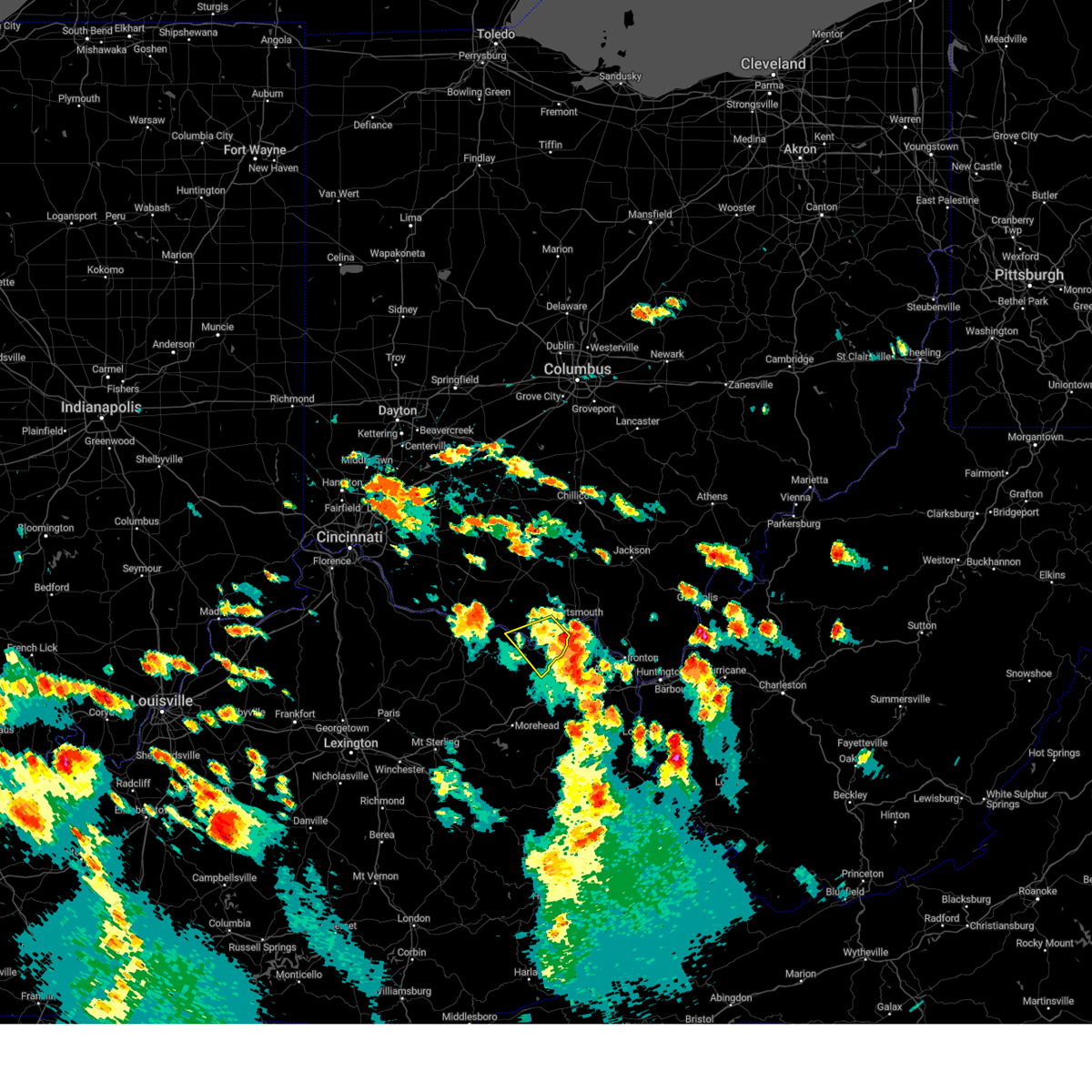
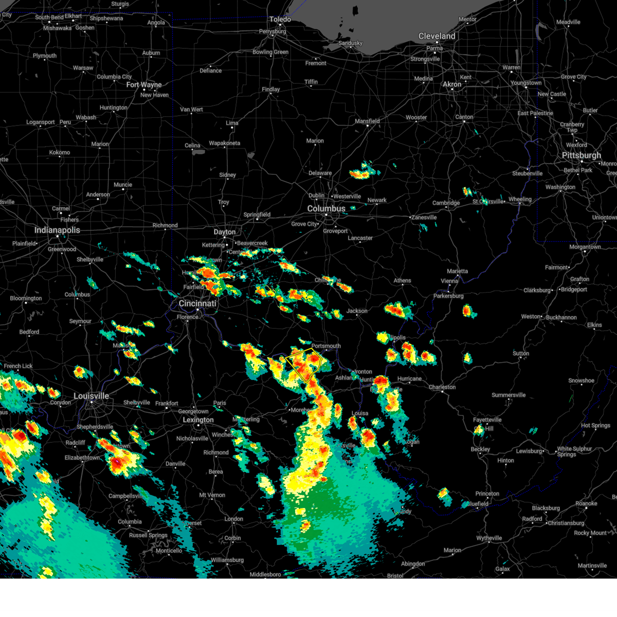
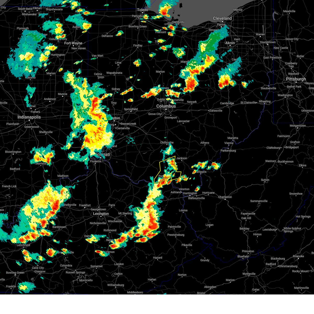
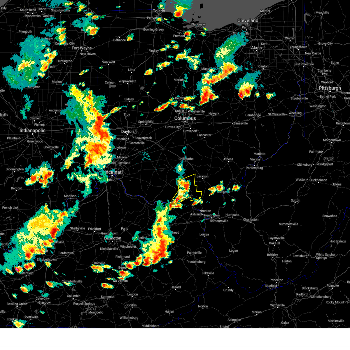
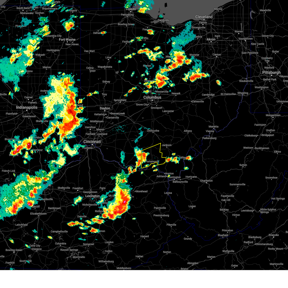
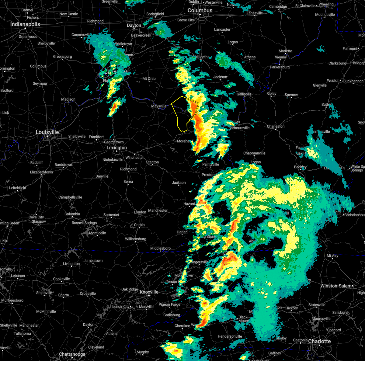
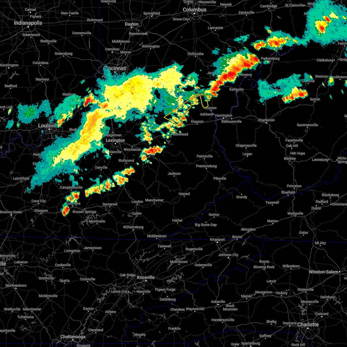
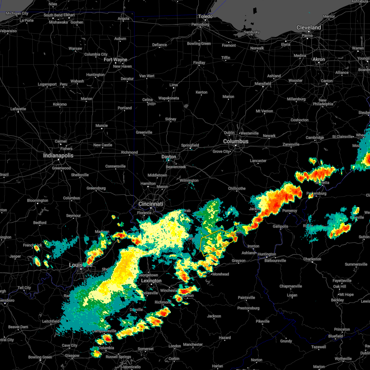
Hail Map for Friendship, OH
The Friendship, OH area has had 0 reports of on-the-ground hail by trained spotters, and has been under severe weather warnings 43 times during the past 12 months. Doppler radar has detected hail at or near Friendship, OH on 36 occasions, including 1 occasion during the past year.
| Name: | Friendship, OH |
| Where Located: | 81 miles ESE of Cincinnati, OH |
| Map: | Google Map for Friendship, OH |
| Population: | 351 |
| Housing Units: | 162 |
| More Info: | Search Google for Friendship, OH |
5
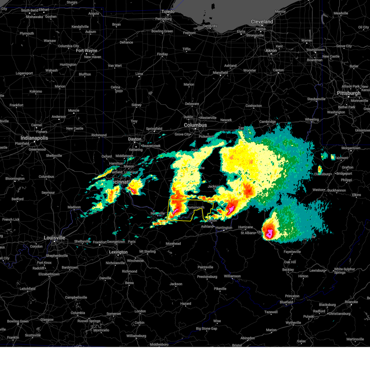
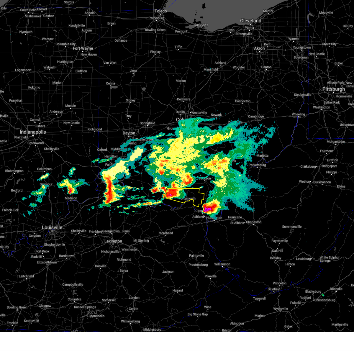
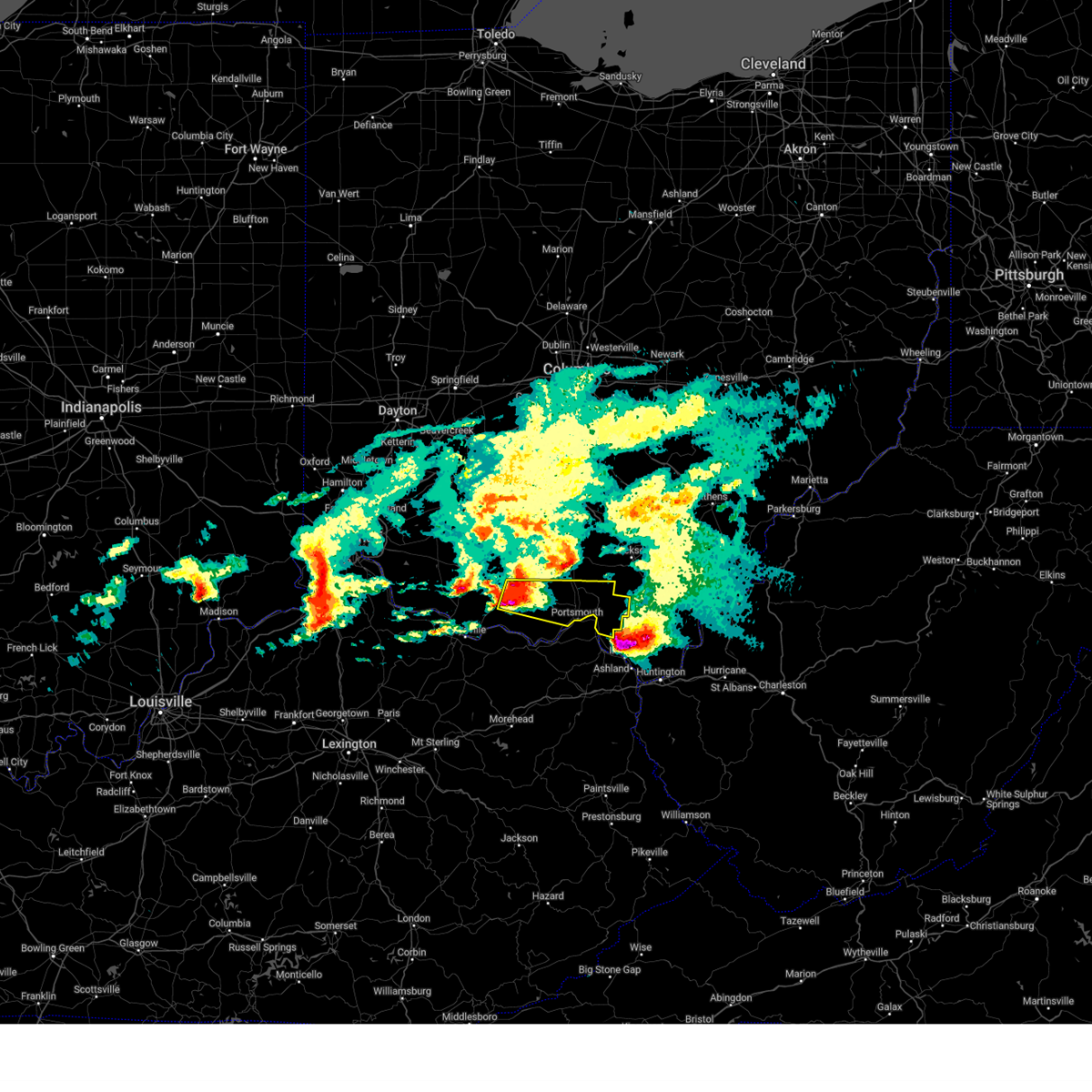
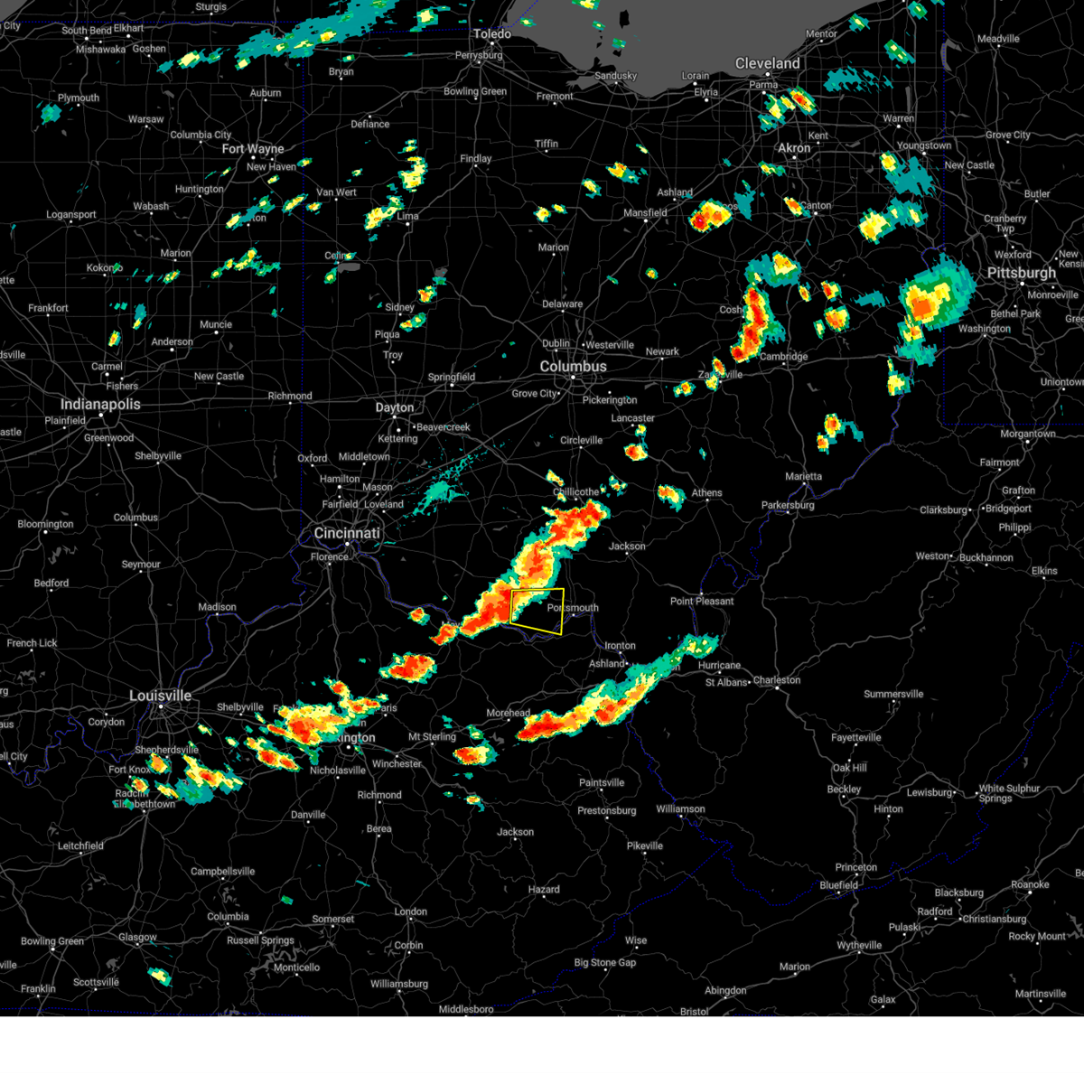
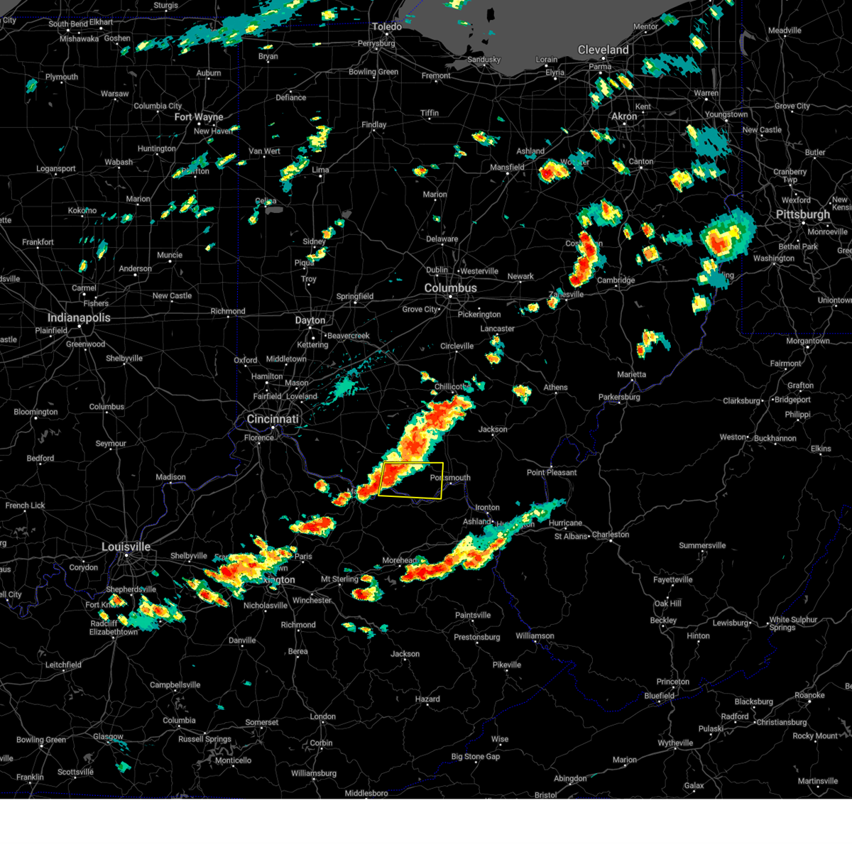
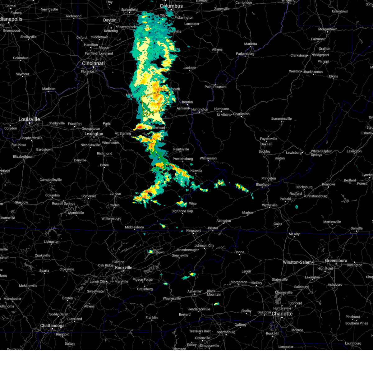
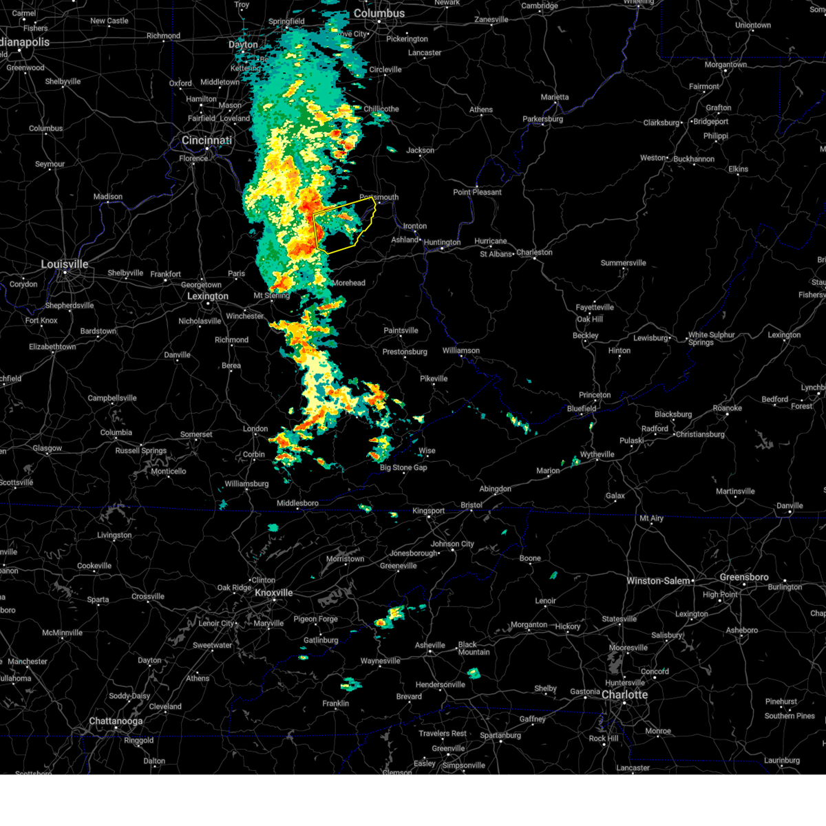
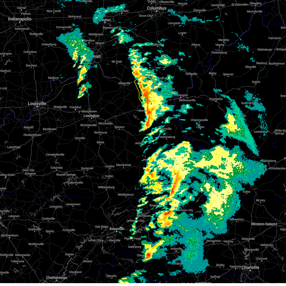
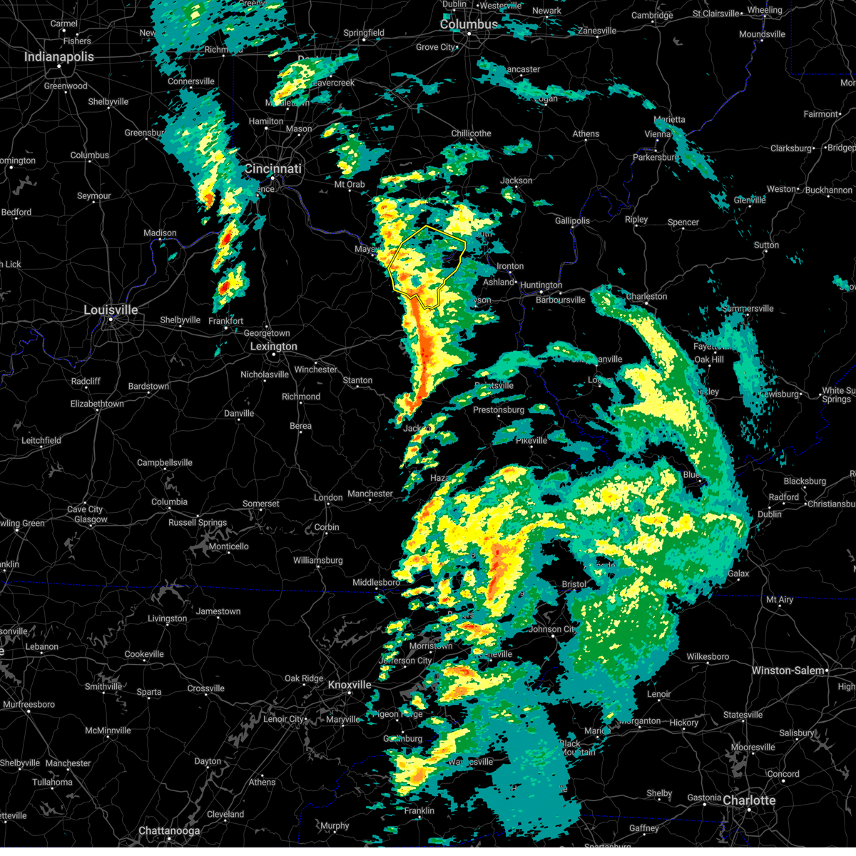
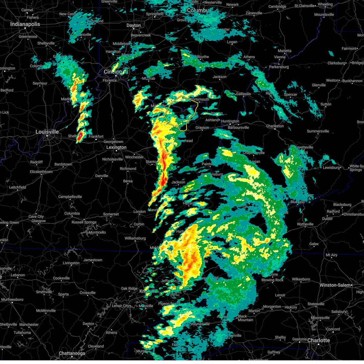
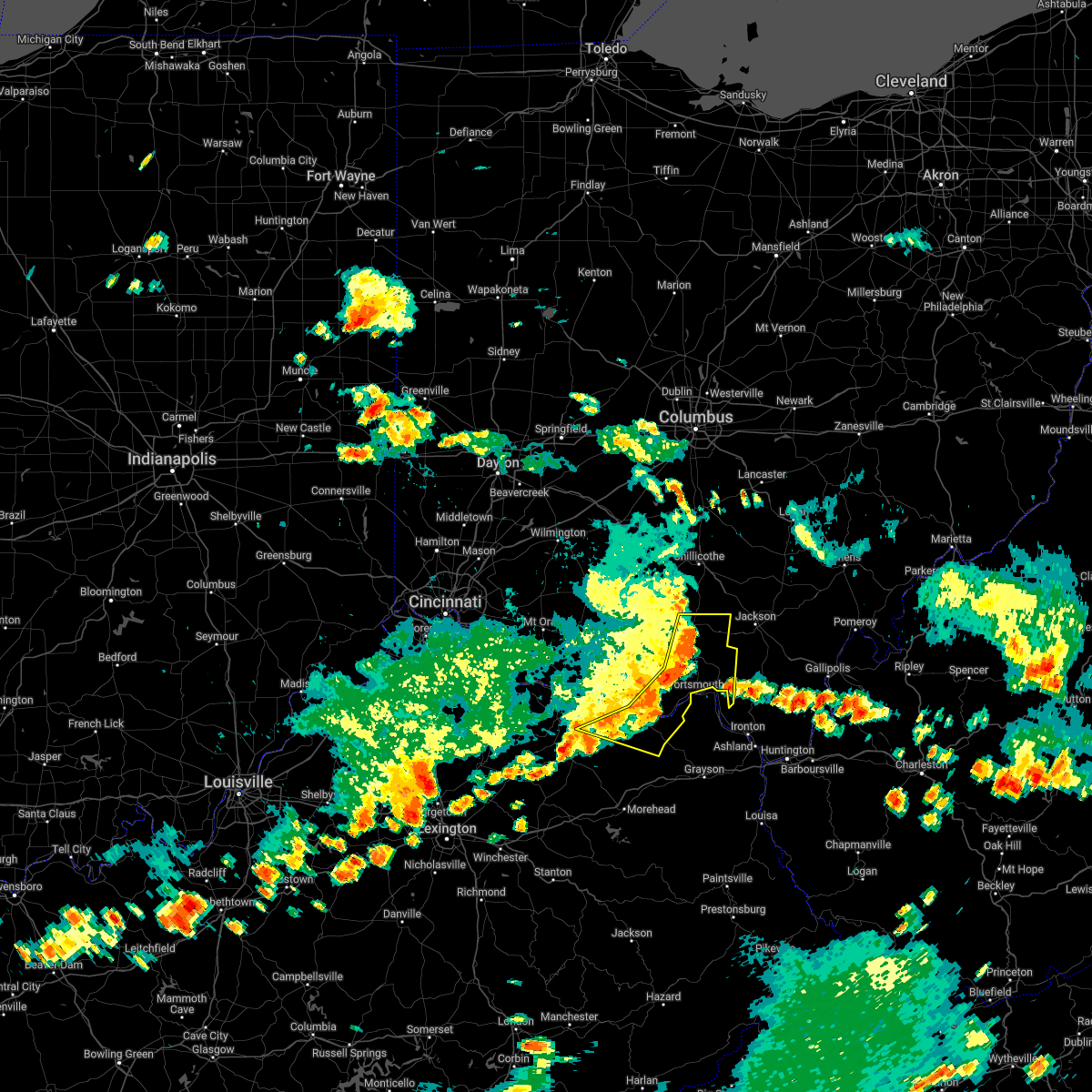
The Top Recent Hail Date for Friendship, OH is Monday, April 14, 2025 (1st out of 36)

Hail and Wind Damage Spotted near Friendship, OH
| Date / Time | Report Details |
|---|---|
| 4/14/2025 5:57 PM EDT | Tree down on scaffold lick road. time estimated from rada in lewis county KY, 2.9 miles NNW of Friendship, OH |
| 4/14/2025 5:55 PM EDT |
 the severe thunderstorm warning has been cancelled and is no longer in effect the severe thunderstorm warning has been cancelled and is no longer in effect
|
| 4/14/2025 5:55 PM EDT |
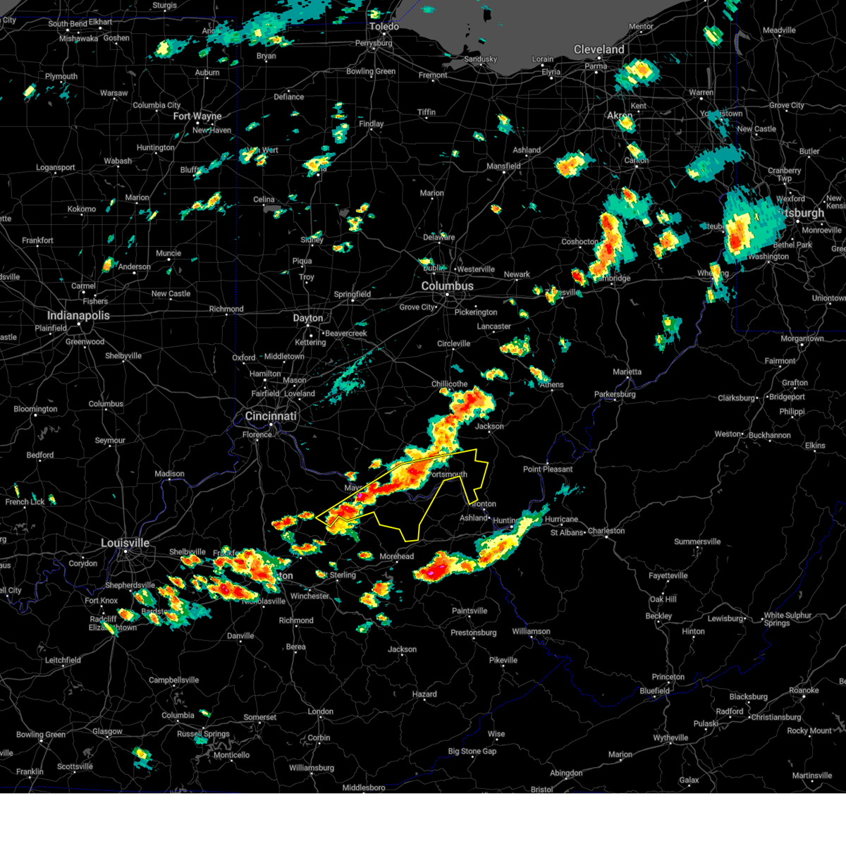
 At 554 pm edt, a severe thunderstorm was located 10 miles west of south shore, moving east at 65 mph (radar indicated). Hazards include 60 mph wind gusts and half dollar size hail. Minor hail damage to vehicles is possible. expect wind damage to trees and power lines. Locations impacted include, rosemount, saint paul, firebrick, new boston, west portsmouth, turkey creek lake, friendship, powellsville, wheelersburg, garrison, sciotodale, lyra, rexton, south webster, franklin furnace, and portsmouth. At 554 pm edt, a severe thunderstorm was located 10 miles west of south shore, moving east at 65 mph (radar indicated). Hazards include 60 mph wind gusts and half dollar size hail. Minor hail damage to vehicles is possible. expect wind damage to trees and power lines. Locations impacted include, rosemount, saint paul, firebrick, new boston, west portsmouth, turkey creek lake, friendship, powellsville, wheelersburg, garrison, sciotodale, lyra, rexton, south webster, franklin furnace, and portsmouth.
|
| 4/14/2025 5:41 PM EDT |
 Svriln the national weather service in wilmington has issued a * severe thunderstorm warning for, northern lewis county in northeastern kentucky, southeastern adams county in south central ohio, scioto county in south central ohio, * until 630 pm edt. * at 541 pm edt, a severe thunderstorm was located near rome, moving east at 65 mph (radar indicated). Hazards include 60 mph wind gusts and half dollar size hail. Minor hail damage to vehicles is possible. Expect wind damage to trees and power lines. Svriln the national weather service in wilmington has issued a * severe thunderstorm warning for, northern lewis county in northeastern kentucky, southeastern adams county in south central ohio, scioto county in south central ohio, * until 630 pm edt. * at 541 pm edt, a severe thunderstorm was located near rome, moving east at 65 mph (radar indicated). Hazards include 60 mph wind gusts and half dollar size hail. Minor hail damage to vehicles is possible. Expect wind damage to trees and power lines.
|
| 4/14/2025 4:48 PM EDT |
 At 447 pm edt, a severe thunderstorm was located 12 miles northeast of rome, moving east at 60 mph (radar indicated). Hazards include 60 mph wind gusts and quarter size hail. Minor hail damage to vehicles is possible. expect wind damage to trees and power lines. Locations impacted include, lombardsville, rosemount, clarktown, otway, minford, new boston, wamsley, west portsmouth, turkey creek lake, mcdermott, powellsville, wheelersburg, rarden, portsmouth regional airport, lucasville, sciotodale, lyra, south webster, blue creek, and cedar mills. At 447 pm edt, a severe thunderstorm was located 12 miles northeast of rome, moving east at 60 mph (radar indicated). Hazards include 60 mph wind gusts and quarter size hail. Minor hail damage to vehicles is possible. expect wind damage to trees and power lines. Locations impacted include, lombardsville, rosemount, clarktown, otway, minford, new boston, wamsley, west portsmouth, turkey creek lake, mcdermott, powellsville, wheelersburg, rarden, portsmouth regional airport, lucasville, sciotodale, lyra, south webster, blue creek, and cedar mills.
|
| 4/14/2025 4:41 PM EDT |
 Svriln the national weather service in wilmington has issued a * severe thunderstorm warning for, east central adams county in south central ohio, scioto county in south central ohio, * until 530 pm edt. * at 441 pm edt, a severe thunderstorm was located 8 miles south of peebles, moving east at 60 mph (radar indicated). Hazards include 60 mph wind gusts and quarter size hail. Minor hail damage to vehicles is possible. Expect wind damage to trees and power lines. Svriln the national weather service in wilmington has issued a * severe thunderstorm warning for, east central adams county in south central ohio, scioto county in south central ohio, * until 530 pm edt. * at 441 pm edt, a severe thunderstorm was located 8 miles south of peebles, moving east at 60 mph (radar indicated). Hazards include 60 mph wind gusts and quarter size hail. Minor hail damage to vehicles is possible. Expect wind damage to trees and power lines.
|
| 4/14/2025 4:15 PM EDT | the severe thunderstorm warning has been cancelled and is no longer in effect |
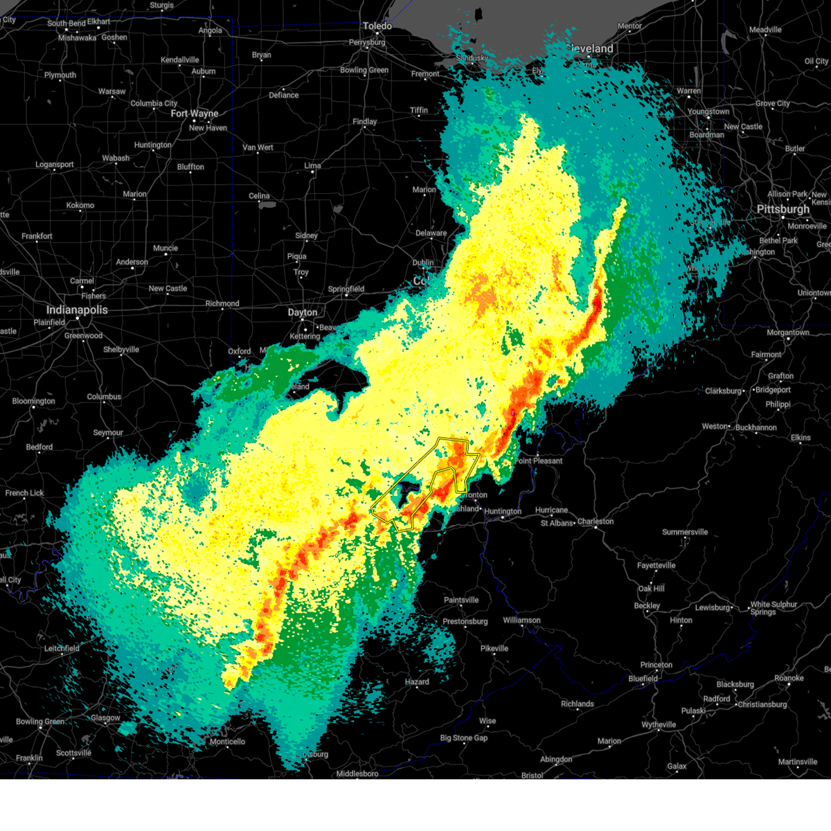
| 4/14/2025 4:15 PM EDT | At 414 pm edt, a severe thunderstorm was located over letitia, moving east at 70 mph (radar indicated). Hazards include ping pong ball size hail and 60 mph wind gusts. People and animals outdoors will be injured. expect hail damage to roofs, siding, windows, and vehicles. expect wind damage to trees and power lines. Locations impacted include, rosemount, saint paul, firebrick, new boston, west portsmouth, turkey creek lake, friendship, powellsville, wheelersburg, sciotodale, lyra, franklin furnace, portsmouth, and garrison. |
| 4/14/2025 3:56 PM EDT |
 Svriln the national weather service in wilmington has issued a * severe thunderstorm warning for, northern lewis county in northeastern kentucky, southeastern adams county in south central ohio, southern scioto county in south central ohio, * until 445 pm edt. * at 356 pm edt, a severe thunderstorm was located over rome, moving east at 60 mph (radar indicated). Hazards include ping pong ball size hail and 60 mph wind gusts. People and animals outdoors will be injured. expect hail damage to roofs, siding, windows, and vehicles. Expect wind damage to trees and power lines. Svriln the national weather service in wilmington has issued a * severe thunderstorm warning for, northern lewis county in northeastern kentucky, southeastern adams county in south central ohio, southern scioto county in south central ohio, * until 445 pm edt. * at 356 pm edt, a severe thunderstorm was located over rome, moving east at 60 mph (radar indicated). Hazards include ping pong ball size hail and 60 mph wind gusts. People and animals outdoors will be injured. expect hail damage to roofs, siding, windows, and vehicles. Expect wind damage to trees and power lines.
|
| 4/3/2025 3:14 AM EDT |
 The storm which prompted the warning has moved out of the area. therefore, the warning will be allowed to expire. however, gusty winds and heavy rain are still possible with this thunderstorm. a tornado watch remains in effect until 400 am edt for northeastern kentucky, and south central ohio. please report previous wind damage or hail to the national weather service by going to our website at weather.gov/iln and submitting your report via social media. The storm which prompted the warning has moved out of the area. therefore, the warning will be allowed to expire. however, gusty winds and heavy rain are still possible with this thunderstorm. a tornado watch remains in effect until 400 am edt for northeastern kentucky, and south central ohio. please report previous wind damage or hail to the national weather service by going to our website at weather.gov/iln and submitting your report via social media.
|
| 4/3/2025 3:08 AM EDT | the severe thunderstorm warning has been cancelled and is no longer in effect |
| 4/3/2025 3:08 AM EDT | At 308 am edt, a severe thunderstorm was located over clarktown, moving northeast at 75 mph (radar indicated). Hazards include 60 mph wind gusts. Expect damage to trees and power lines. Locations impacted include, head of grassy, rosemount, clarktown, saint paul, minford, vanceburg, new boston, kinniconick, friendship, mcdermott, charters, camp dix, lucasville, petersville, stricklett, rexton, franklin furnace, lombardsville, sandy springs, and buena vista in scioto county. |
| 4/3/2025 3:06 AM EDT | The tornado threat has diminished and the tornado warning has been cancelled. however, large hail and damaging winds remain likely and a severe thunderstorm warning remains in effect for the area. a tornado watch remains in effect until 400 am edt for northeastern kentucky, and south central ohio. please report previous tornadoes, wind damage or hail to the national weather service by going to our website at weather.gov/iln and submitting your report via social media. |
| 4/3/2025 2:58 AM EDT | the tornado warning has been cancelled and is no longer in effect |
| 4/3/2025 2:58 AM EDT | At 258 am edt, a severe thunderstorm capable of producing a tornado was located 11 miles west of south shore, moving northeast at 55 mph (radar indicated rotation). Hazards include tornado. Flying debris will be dangerous to those caught without shelter. mobile homes will be damaged or destroyed. damage to roofs, windows, and vehicles will occur. tree damage is likely. Locations impacted include, lombardsville, mcdermott, rosemount, new boston, west portsmouth, portsmouth, and friendship. |
| 4/3/2025 2:53 AM EDT | Toriln the national weather service in wilmington has issued a * tornado warning for, eastern adams county in south central ohio, west central scioto county in south central ohio, * until 315 am edt. * at 253 am edt, a severe thunderstorm capable of producing a tornado was located near rome, moving northeast at 55 mph (radar indicated rotation). Hazards include tornado. Flying debris will be dangerous to those caught without shelter. mobile homes will be damaged or destroyed. damage to roofs, windows, and vehicles will occur. Tree damage is likely. |
| 4/3/2025 2:49 AM EDT | At 249 am edt, a severe thunderstorm was located 7 miles west of jackson, moving northeast at 60 mph (radar indicated). Hazards include 60 mph wind gusts. Expect damage to trees and power lines. Locations impacted include, head of grassy, rosemount, pike county airport, clarktown, saint paul, minford, vanceburg, new boston, kinniconick, omega, givens, friendship, mcdermott, charters, camp dix, lucasville, petersville, stricklett, beaver, and rexton. |
| 4/3/2025 2:35 AM EDT | At 235 am edt, a severe thunderstorm was located over piketon, moving east at 65 mph (radar indicated). Hazards include 60 mph wind gusts. Expect damage to trees and power lines. Locations impacted include, rosemount, clarktown, saint paul, vanceburg, kinniconick, ribolt, givens, charters, camp dix, rome, lucasville, petersville, stricklett, mount joy, rexton, lake white, franklin furnace, foxport, lombardsville, and stockdale. |
| 4/3/2025 2:24 AM EDT | At 224 am edt, a severe thunderstorm was located 8 miles south of kincaid springs, moving east at 65 mph (radar indicated). Hazards include 60 mph wind gusts. Expect damage to trees and power lines. Locations impacted include, rosemount, clarktown, saint paul, vanceburg, kinniconick, locust grove, ribolt, givens, charters, camp dix, rome, lucasville, petersville, stricklett, mount joy, rexton, lake white, franklin furnace, foxport, and lombardsville. |
| 4/3/2025 2:24 AM EDT | the severe thunderstorm warning has been cancelled and is no longer in effect |
| 4/3/2025 2:09 AM EDT | Svriln the national weather service in wilmington has issued a * severe thunderstorm warning for, lewis county in northeastern kentucky, adams county in south central ohio, pike county in south central ohio, southeastern highland county in south central ohio, scioto county in south central ohio, southeastern ross county in south central ohio, * until 315 am edt. * at 209 am edt, a severe thunderstorm was located near seaman, moving east at 65 mph (radar indicated). Hazards include 60 mph wind gusts. expect damage to trees and power lines |
| 3/31/2025 12:12 AM EDT |
 At 1211 am edt, severe thunderstorms were located along a line extending from near lucasville to near south shore to gates, moving east at 50 mph (radar indicated). Hazards include 60 mph wind gusts and quarter size hail. Minor hail damage to vehicles is possible. expect wind damage to trees and power lines. Locations impacted include, wakefield, head of grassy, rosemount, clarktown, saint paul, minford, new boston, friendship, mcdermott, camp dix, lucasville, bear creek, beaver, rexton, franklin furnace, lombardsville, stockdale, firebrick, harris, and haverhill. At 1211 am edt, severe thunderstorms were located along a line extending from near lucasville to near south shore to gates, moving east at 50 mph (radar indicated). Hazards include 60 mph wind gusts and quarter size hail. Minor hail damage to vehicles is possible. expect wind damage to trees and power lines. Locations impacted include, wakefield, head of grassy, rosemount, clarktown, saint paul, minford, new boston, friendship, mcdermott, camp dix, lucasville, bear creek, beaver, rexton, franklin furnace, lombardsville, stockdale, firebrick, harris, and haverhill.
|
| 3/30/2025 11:51 PM EDT | Svriln the national weather service in wilmington has issued a * severe thunderstorm warning for, eastern lewis county in northeastern kentucky, southeastern pike county in south central ohio, scioto county in south central ohio, * until 1245 am edt. * at 1149 pm edt, severe thunderstorms were located along a line extending from near peebles to near rome to peasticks, moving east at 50 mph (radar indicated). Hazards include 60 mph wind gusts and quarter size hail. Minor hail damage to vehicles is possible. Expect wind damage to trees and power lines. |
| 9/27/2024 5:28 PM EDT |
 Svriln the national weather service in wilmington has issued a * severe thunderstorm warning for, northeastern adams county in south central ohio, pike county in south central ohio, scioto county in south central ohio, ross county in south central ohio, * until 630 pm edt. * at 527 pm edt, a severe thunderstorm was located near lucasville, moving north at 45 mph (radar indicated). Hazards include 60 mph wind gusts. expect damage to trees and power lines Svriln the national weather service in wilmington has issued a * severe thunderstorm warning for, northeastern adams county in south central ohio, pike county in south central ohio, scioto county in south central ohio, ross county in south central ohio, * until 630 pm edt. * at 527 pm edt, a severe thunderstorm was located near lucasville, moving north at 45 mph (radar indicated). Hazards include 60 mph wind gusts. expect damage to trees and power lines
|
| 8/31/2024 11:10 AM EDT |
 The storm which prompted the warning has weakened below severe limits and no longer poses an immediate threat to life or property. therefore, the warning will be allowed to expire. however, gusty winds are still possible with this thunderstorm. please report previous wind damage or hail to the national weather service by going to our website at weather.gov/iln and submitting your report via social media. The storm which prompted the warning has weakened below severe limits and no longer poses an immediate threat to life or property. therefore, the warning will be allowed to expire. however, gusty winds are still possible with this thunderstorm. please report previous wind damage or hail to the national weather service by going to our website at weather.gov/iln and submitting your report via social media.
|
| 8/31/2024 10:54 AM EDT |
 At 1053 am edt, a severe thunderstorm was located 7 miles southwest of letitia, moving east at 30 mph (radar indicated). Hazards include 60 mph wind gusts. Expect damage to trees and power lines. Locations impacted include, vanceburg, friendship, sandy springs, garrison, buena vista in scioto county, saint paul, firebrick, rexton, and tannery. At 1053 am edt, a severe thunderstorm was located 7 miles southwest of letitia, moving east at 30 mph (radar indicated). Hazards include 60 mph wind gusts. Expect damage to trees and power lines. Locations impacted include, vanceburg, friendship, sandy springs, garrison, buena vista in scioto county, saint paul, firebrick, rexton, and tannery.
|
| 8/31/2024 10:33 AM EDT |
 Please report previous wind damage or hail to the national weather service by going to our website at weather.gov/iln and submitting your report via social media. remember, a severe thunderstorm warning still remains in effect for lewis, adams, and scioto counties until 1115 am edt,. Please report previous wind damage or hail to the national weather service by going to our website at weather.gov/iln and submitting your report via social media. remember, a severe thunderstorm warning still remains in effect for lewis, adams, and scioto counties until 1115 am edt,.
|
| 8/31/2024 10:30 AM EDT |
 Svriln the national weather service in wilmington has issued a * severe thunderstorm warning for, central lewis county in northeastern kentucky, southeastern adams county in south central ohio, southwestern scioto county in south central ohio, * until 1115 am edt. * at 1030 am edt, a severe thunderstorm was located over vanceburg, moving east at 30 mph (radar indicated). Hazards include 60 mph wind gusts. expect damage to trees and power lines Svriln the national weather service in wilmington has issued a * severe thunderstorm warning for, central lewis county in northeastern kentucky, southeastern adams county in south central ohio, southwestern scioto county in south central ohio, * until 1115 am edt. * at 1030 am edt, a severe thunderstorm was located over vanceburg, moving east at 30 mph (radar indicated). Hazards include 60 mph wind gusts. expect damage to trees and power lines
|
| 8/31/2024 10:06 AM EDT |
 Svriln the national weather service in wilmington has issued a * severe thunderstorm warning for, east central mason county in northern kentucky, lewis county in northeastern kentucky, southern adams county in south central ohio, southwestern scioto county in south central ohio, * until 1030 am edt. * at 1005 am edt, a severe thunderstorm was located over tollesboro, moving east at 45 mph (radar indicated). Hazards include 60 mph wind gusts. expect damage to trees and power lines Svriln the national weather service in wilmington has issued a * severe thunderstorm warning for, east central mason county in northern kentucky, lewis county in northeastern kentucky, southern adams county in south central ohio, southwestern scioto county in south central ohio, * until 1030 am edt. * at 1005 am edt, a severe thunderstorm was located over tollesboro, moving east at 45 mph (radar indicated). Hazards include 60 mph wind gusts. expect damage to trees and power lines
|
| 8/17/2024 3:39 PM EDT |
 At 338 pm edt, severe thunderstorms were located along a line extending from 7 miles west of lucasville to near lewisburg, moving east at 35 mph (radar indicated). Hazards include 60 mph wind gusts and quarter size hail. Minor hail damage to vehicles is possible. expect wind damage to trees and power lines. Locations impacted include, portsmouth, wheelersburg, new boston, vanceburg, south webster, head of grassy, rosemount, clarktown, camp dix, tollesboro, rome, foxport, sciotodale, blue creek, concord, saint paul, kinniconick, epworth, ribolt, and friendship. At 338 pm edt, severe thunderstorms were located along a line extending from 7 miles west of lucasville to near lewisburg, moving east at 35 mph (radar indicated). Hazards include 60 mph wind gusts and quarter size hail. Minor hail damage to vehicles is possible. expect wind damage to trees and power lines. Locations impacted include, portsmouth, wheelersburg, new boston, vanceburg, south webster, head of grassy, rosemount, clarktown, camp dix, tollesboro, rome, foxport, sciotodale, blue creek, concord, saint paul, kinniconick, epworth, ribolt, and friendship.
|
| 8/17/2024 3:39 PM EDT |
 the severe thunderstorm warning has been cancelled and is no longer in effect the severe thunderstorm warning has been cancelled and is no longer in effect
|
| 8/17/2024 3:28 PM EDT |
 the severe thunderstorm warning has been cancelled and is no longer in effect the severe thunderstorm warning has been cancelled and is no longer in effect
|
| 8/17/2024 3:28 PM EDT |
 At 327 pm edt, severe thunderstorms were located along a line extending from 11 miles southeast of peebles to near fairview, moving east at 35 mph (radar indicated). Hazards include 60 mph wind gusts and quarter size hail. Minor hail damage to vehicles is possible. expect wind damage to trees and power lines. Locations impacted include, portsmouth, wheelersburg, new boston, manchester, vanceburg, south webster, lewisburg, rosemount, clarktown, camp dix, rome, lucasville, foxport, head of grassy, tollesboro, sciotodale, blue creek, otway, concord, and trinity. At 327 pm edt, severe thunderstorms were located along a line extending from 11 miles southeast of peebles to near fairview, moving east at 35 mph (radar indicated). Hazards include 60 mph wind gusts and quarter size hail. Minor hail damage to vehicles is possible. expect wind damage to trees and power lines. Locations impacted include, portsmouth, wheelersburg, new boston, manchester, vanceburg, south webster, lewisburg, rosemount, clarktown, camp dix, rome, lucasville, foxport, head of grassy, tollesboro, sciotodale, blue creek, otway, concord, and trinity.
|
| 8/17/2024 3:12 PM EDT |
 Svriln the national weather service in wilmington has issued a * severe thunderstorm warning for, mason county in northern kentucky, robertson county in northern kentucky, lewis county in northeastern kentucky, southeastern brown county in southwestern ohio, southern adams county in south central ohio, scioto county in south central ohio, * until 400 pm edt. * at 312 pm edt, severe thunderstorms were located along a line extending from 8 miles east of west union to 7 miles northwest of fairview, moving east at 35 mph (radar indicated). Hazards include 60 mph wind gusts and quarter size hail. Minor hail damage to vehicles is possible. Expect wind damage to trees and power lines. Svriln the national weather service in wilmington has issued a * severe thunderstorm warning for, mason county in northern kentucky, robertson county in northern kentucky, lewis county in northeastern kentucky, southeastern brown county in southwestern ohio, southern adams county in south central ohio, scioto county in south central ohio, * until 400 pm edt. * at 312 pm edt, severe thunderstorms were located along a line extending from 8 miles east of west union to 7 miles northwest of fairview, moving east at 35 mph (radar indicated). Hazards include 60 mph wind gusts and quarter size hail. Minor hail damage to vehicles is possible. Expect wind damage to trees and power lines.
|
| 8/17/2024 3:00 PM EDT |
 At 300 pm edt, a severe thunderstorm was located 8 miles east of west union, moving east at 30 mph (radar indicated). Hazards include 60 mph wind gusts and quarter size hail. Minor hail damage to vehicles is possible. expect wind damage to trees and power lines. Locations impacted include, blue creek, otway, lombardsville, friendship, saint paul, wamsley, cedar mills, turkey creek lake, and mcdermott. At 300 pm edt, a severe thunderstorm was located 8 miles east of west union, moving east at 30 mph (radar indicated). Hazards include 60 mph wind gusts and quarter size hail. Minor hail damage to vehicles is possible. expect wind damage to trees and power lines. Locations impacted include, blue creek, otway, lombardsville, friendship, saint paul, wamsley, cedar mills, turkey creek lake, and mcdermott.
|
| 8/17/2024 2:46 PM EDT |
 Svriln the national weather service in wilmington has issued a * severe thunderstorm warning for, northern lewis county in northeastern kentucky, southeastern adams county in south central ohio, southwestern scioto county in south central ohio, * until 330 pm edt. * at 246 pm edt, a severe thunderstorm was located over west union, moving east at 30 mph (radar indicated). Hazards include 60 mph wind gusts and quarter size hail. Minor hail damage to vehicles is possible. Expect wind damage to trees and power lines. Svriln the national weather service in wilmington has issued a * severe thunderstorm warning for, northern lewis county in northeastern kentucky, southeastern adams county in south central ohio, southwestern scioto county in south central ohio, * until 330 pm edt. * at 246 pm edt, a severe thunderstorm was located over west union, moving east at 30 mph (radar indicated). Hazards include 60 mph wind gusts and quarter size hail. Minor hail damage to vehicles is possible. Expect wind damage to trees and power lines.
|
| 7/30/2024 4:12 AM EDT |
 The storms which prompted the warning have weakened below severe limits and no longer pose an immediate threat to life or property. therefore, the warning will be allowed to expire. however, gusty winds are still possible with these thunderstorms. please report previous wind damage or hail to the national weather service by going to our website at weather.gov/iln and submitting your report via social media. The storms which prompted the warning have weakened below severe limits and no longer pose an immediate threat to life or property. therefore, the warning will be allowed to expire. however, gusty winds are still possible with these thunderstorms. please report previous wind damage or hail to the national weather service by going to our website at weather.gov/iln and submitting your report via social media.
|
| 7/30/2024 4:03 AM EDT |
 the severe thunderstorm warning has been cancelled and is no longer in effect the severe thunderstorm warning has been cancelled and is no longer in effect
|
| 7/30/2024 4:03 AM EDT |
 At 403 am edt, severe thunderstorms were located along a line extending from 10 miles west of rosemount to near head of grassy, moving east at 30 mph (radar indicated). Hazards include 60 mph wind gusts. Expect damage to trees and power lines. Locations impacted include, head of grassy, camp dix, otway, lombardsville, harris, tannery, kinniconick, emerson, turkey creek lake, friendship, mcdermott, garrison, stricklett, petersville, and glen springs. At 403 am edt, severe thunderstorms were located along a line extending from 10 miles west of rosemount to near head of grassy, moving east at 30 mph (radar indicated). Hazards include 60 mph wind gusts. Expect damage to trees and power lines. Locations impacted include, head of grassy, camp dix, otway, lombardsville, harris, tannery, kinniconick, emerson, turkey creek lake, friendship, mcdermott, garrison, stricklett, petersville, and glen springs.
|
| 7/30/2024 3:41 AM EDT |
 At 340 am edt, severe thunderstorms were located along a line extending from 7 miles north of rome to near muses mills, moving east at 40 mph (radar indicated). Hazards include 60 mph wind gusts. Expect damage to trees and power lines. Locations impacted include, vanceburg, head of grassy, camp dix, tollesboro, rome, blue creek, concord, kinniconick, epworth, ribolt, friendship, mcdermott, charters, stricklett, petersville, cedar mills, lombardsville, sandy springs, buena vista in scioto county, and carrs. At 340 am edt, severe thunderstorms were located along a line extending from 7 miles north of rome to near muses mills, moving east at 40 mph (radar indicated). Hazards include 60 mph wind gusts. Expect damage to trees and power lines. Locations impacted include, vanceburg, head of grassy, camp dix, tollesboro, rome, blue creek, concord, kinniconick, epworth, ribolt, friendship, mcdermott, charters, stricklett, petersville, cedar mills, lombardsville, sandy springs, buena vista in scioto county, and carrs.
|
| 7/30/2024 3:41 AM EDT |
 the severe thunderstorm warning has been cancelled and is no longer in effect the severe thunderstorm warning has been cancelled and is no longer in effect
|
| 7/30/2024 3:26 AM EDT |
 At 325 am edt, severe thunderstorms were located along a line extending from near west union to near flemingsburg, moving east at 30 mph. a 61 mph wind gust was observed at fleming-mason airport at 323 am (radar indicated). Hazards include 60 mph wind gusts. Expect damage to trees and power lines. Locations impacted include, west union, manchester, vanceburg, lewisburg, head of grassy, camp dix, tollesboro, rome, blue creek, otway, concord, trinity, bradysville, kinniconick, rectorville, epworth, ribolt, friendship, mcdermott, and peed. At 325 am edt, severe thunderstorms were located along a line extending from near west union to near flemingsburg, moving east at 30 mph. a 61 mph wind gust was observed at fleming-mason airport at 323 am (radar indicated). Hazards include 60 mph wind gusts. Expect damage to trees and power lines. Locations impacted include, west union, manchester, vanceburg, lewisburg, head of grassy, camp dix, tollesboro, rome, blue creek, otway, concord, trinity, bradysville, kinniconick, rectorville, epworth, ribolt, friendship, mcdermott, and peed.
|
| 7/30/2024 3:26 AM EDT |
 the severe thunderstorm warning has been cancelled and is no longer in effect the severe thunderstorm warning has been cancelled and is no longer in effect
|
| 7/30/2024 3:18 AM EDT |
 Svriln the national weather service in wilmington has issued a * severe thunderstorm warning for, eastern mason county in northern kentucky, lewis county in northeastern kentucky, southeastern brown county in southwestern ohio, southern adams county in south central ohio, southwestern scioto county in south central ohio, * until 415 am edt. * at 318 am edt, severe thunderstorms were located along a line extending from near manchester to craintown, moving east at 30 mph (radar indicated). Hazards include 60 mph wind gusts. expect damage to trees and power lines Svriln the national weather service in wilmington has issued a * severe thunderstorm warning for, eastern mason county in northern kentucky, lewis county in northeastern kentucky, southeastern brown county in southwestern ohio, southern adams county in south central ohio, southwestern scioto county in south central ohio, * until 415 am edt. * at 318 am edt, severe thunderstorms were located along a line extending from near manchester to craintown, moving east at 30 mph (radar indicated). Hazards include 60 mph wind gusts. expect damage to trees and power lines
|
| 5/26/2024 2:53 PM EDT |
 The storms which prompted the warning have weakened below severe limits and have exited the warned area. therefore, the warning will be allowed to expire. a severe thunderstorm watch remains in effect until 800 pm edt for northeastern kentucky, and south central ohio. please report previous wind damage or hail to the national weather service by going to our website at weather.gov/iln and submitting your report via social media. remember, a severe thunderstorm warning still remains in effect for scioto county!. The storms which prompted the warning have weakened below severe limits and have exited the warned area. therefore, the warning will be allowed to expire. a severe thunderstorm watch remains in effect until 800 pm edt for northeastern kentucky, and south central ohio. please report previous wind damage or hail to the national weather service by going to our website at weather.gov/iln and submitting your report via social media. remember, a severe thunderstorm warning still remains in effect for scioto county!.
|
| 5/26/2024 2:38 PM EDT |
 At 238 pm edt, severe thunderstorms were located along a line extending from 8 miles southeast of peebles to 6 miles east of vanceburg to near olive hill, moving east at 35 mph (radar indicated). Hazards include 60 mph wind gusts and penny size hail. Expect damage to trees and power lines. Locations impacted include, portsmouth, new boston, vanceburg, head of grassy, rosemount, camp dix, rome, blue creek, rarden, otway, saint paul, kinniconick, friendship, mcdermott, stricklett, rexton, cedar mills, lombardsville, sandy springs, and buena vista in scioto county. At 238 pm edt, severe thunderstorms were located along a line extending from 8 miles southeast of peebles to 6 miles east of vanceburg to near olive hill, moving east at 35 mph (radar indicated). Hazards include 60 mph wind gusts and penny size hail. Expect damage to trees and power lines. Locations impacted include, portsmouth, new boston, vanceburg, head of grassy, rosemount, camp dix, rome, blue creek, rarden, otway, saint paul, kinniconick, friendship, mcdermott, stricklett, rexton, cedar mills, lombardsville, sandy springs, and buena vista in scioto county.
|
| 5/26/2024 2:04 PM EDT |
 At 204 pm edt, severe thunderstorms were located along a line extending from aberdeen to foxport to grange city, moving east at 50 mph (radar indicated). Hazards include 60 mph wind gusts and penny size hail. Expect damage to trees and power lines. Locations impacted include, portsmouth, west union, new boston, manchester, vanceburg, head of grassy, rosemount, camp dix, tollesboro, rome, blue creek, rarden, otway, concord, trinity, saint paul, kinniconick, epworth, ribolt, and friendship. At 204 pm edt, severe thunderstorms were located along a line extending from aberdeen to foxport to grange city, moving east at 50 mph (radar indicated). Hazards include 60 mph wind gusts and penny size hail. Expect damage to trees and power lines. Locations impacted include, portsmouth, west union, new boston, manchester, vanceburg, head of grassy, rosemount, camp dix, tollesboro, rome, blue creek, rarden, otway, concord, trinity, saint paul, kinniconick, epworth, ribolt, and friendship.
|
| 5/26/2024 1:40 PM EDT |
 Svriln the national weather service in wilmington has issued a * severe thunderstorm warning for, lewis county in northeastern kentucky, southeastern adams county in south central ohio, southwestern scioto county in south central ohio, * until 300 pm edt. * at 140 pm edt, severe thunderstorms were located along a line extending from 6 miles south of brooksville to cowan to judy, moving east at 50 mph (radar indicated). Hazards include 60 mph wind gusts and penny size hail. expect damage to trees and power lines Svriln the national weather service in wilmington has issued a * severe thunderstorm warning for, lewis county in northeastern kentucky, southeastern adams county in south central ohio, southwestern scioto county in south central ohio, * until 300 pm edt. * at 140 pm edt, severe thunderstorms were located along a line extending from 6 miles south of brooksville to cowan to judy, moving east at 50 mph (radar indicated). Hazards include 60 mph wind gusts and penny size hail. expect damage to trees and power lines
|
| 5/7/2024 2:44 PM EDT |
 The storm which prompted the warning has weakened below severe limits and no longer poses an immediate threat to life or property. therefore, the warning will be allowed to expire. please report previous wind damage or hail to the national weather service by going to our website at weather.gov/iln and submitting your report via social media. The storm which prompted the warning has weakened below severe limits and no longer poses an immediate threat to life or property. therefore, the warning will be allowed to expire. please report previous wind damage or hail to the national weather service by going to our website at weather.gov/iln and submitting your report via social media.
|
| 5/7/2024 2:21 PM EDT |
 Svriln the national weather service in wilmington has issued a * severe thunderstorm warning for, lewis county in northeastern kentucky, southeastern adams county in south central ohio, southwestern scioto county in south central ohio, * until 245 pm edt. * at 221 pm edt, a severe thunderstorm was located near vanceburg, moving east at 50 mph (radar indicated). Hazards include 60 mph wind gusts. expect damage to trees and power lines Svriln the national weather service in wilmington has issued a * severe thunderstorm warning for, lewis county in northeastern kentucky, southeastern adams county in south central ohio, southwestern scioto county in south central ohio, * until 245 pm edt. * at 221 pm edt, a severe thunderstorm was located near vanceburg, moving east at 50 mph (radar indicated). Hazards include 60 mph wind gusts. expect damage to trees and power lines
|
| 4/2/2024 8:23 PM EDT |
 At 822 pm edt, severe thunderstorms were located along a line extending from near piketon to near rome, moving east at 50 mph (radar indicated). Hazards include 60 mph wind gusts and quarter size hail. Minor hail damage to vehicles is possible. expect wind damage to trees and power lines. Locations impacted include, portsmouth, wheelersburg, new boston, vanceburg, south webster, rosemount, clarktown, rome, lucasville, sciotodale, blue creek, beaver, rarden, otway, concord, wakefield, saint paul, minford, friendship, and mcdermott. At 822 pm edt, severe thunderstorms were located along a line extending from near piketon to near rome, moving east at 50 mph (radar indicated). Hazards include 60 mph wind gusts and quarter size hail. Minor hail damage to vehicles is possible. expect wind damage to trees and power lines. Locations impacted include, portsmouth, wheelersburg, new boston, vanceburg, south webster, rosemount, clarktown, rome, lucasville, sciotodale, blue creek, beaver, rarden, otway, concord, wakefield, saint paul, minford, friendship, and mcdermott.
|
| 4/2/2024 8:12 PM EDT |
 At 812 pm edt, severe thunderstorms were located along a line extending from 8 miles southeast of kincaid springs to near tollesboro, moving east at 60 mph (radar indicated). Hazards include 60 mph wind gusts and quarter size hail. Minor hail damage to vehicles is possible. expect wind damage to trees and power lines. Locations impacted include, portsmouth, wheelersburg, west union, new boston, manchester, peebles, vanceburg, south webster, rosemount, clarktown, rome, lucasville, sciotodale, blue creek, beaver, rarden, otway, concord, trinity, and saint paul. At 812 pm edt, severe thunderstorms were located along a line extending from 8 miles southeast of kincaid springs to near tollesboro, moving east at 60 mph (radar indicated). Hazards include 60 mph wind gusts and quarter size hail. Minor hail damage to vehicles is possible. expect wind damage to trees and power lines. Locations impacted include, portsmouth, wheelersburg, west union, new boston, manchester, peebles, vanceburg, south webster, rosemount, clarktown, rome, lucasville, sciotodale, blue creek, beaver, rarden, otway, concord, trinity, and saint paul.
|
| 4/2/2024 8:12 PM EDT |
 the severe thunderstorm warning has been cancelled and is no longer in effect the severe thunderstorm warning has been cancelled and is no longer in effect
|
| 4/2/2024 8:02 PM EDT |
 At 801 pm edt, severe thunderstorms were located along a line extending from 6 miles east of peebles to 6 miles northeast of fairview, moving east at 55 mph (radar indicated). Hazards include 60 mph wind gusts and quarter size hail. Minor hail damage to vehicles is possible. expect wind damage to trees and power lines. Locations impacted include, portsmouth, maysville, wheelersburg, washington, west union, new boston, manchester, peebles, aberdeen, vanceburg, south webster, lewisburg, rosemount, clarktown, camp dix, rome, lucasville, head of grassy, tollesboro, and sciotodale. At 801 pm edt, severe thunderstorms were located along a line extending from 6 miles east of peebles to 6 miles northeast of fairview, moving east at 55 mph (radar indicated). Hazards include 60 mph wind gusts and quarter size hail. Minor hail damage to vehicles is possible. expect wind damage to trees and power lines. Locations impacted include, portsmouth, maysville, wheelersburg, washington, west union, new boston, manchester, peebles, aberdeen, vanceburg, south webster, lewisburg, rosemount, clarktown, camp dix, rome, lucasville, head of grassy, tollesboro, and sciotodale.
|
| 4/2/2024 8:02 PM EDT |
 the severe thunderstorm warning has been cancelled and is no longer in effect the severe thunderstorm warning has been cancelled and is no longer in effect
|
| 4/2/2024 7:36 PM EDT |
 Svriln the national weather service in wilmington has issued a * severe thunderstorm warning for, mason county in northern kentucky, robertson county in northern kentucky, southeastern bracken county in northern kentucky, lewis county in northeastern kentucky, southeastern brown county in southwestern ohio, adams county in south central ohio, southern pike county in south central ohio, scioto county in south central ohio, * until 845 pm edt. * at 735 pm edt, severe thunderstorms were located along a line extending from near seaman to 10 miles west of fairview, moving east at 45 mph (radar indicated). Hazards include 60 mph wind gusts and quarter size hail. Minor hail damage to vehicles is possible. Expect wind damage to trees and power lines. Svriln the national weather service in wilmington has issued a * severe thunderstorm warning for, mason county in northern kentucky, robertson county in northern kentucky, southeastern bracken county in northern kentucky, lewis county in northeastern kentucky, southeastern brown county in southwestern ohio, adams county in south central ohio, southern pike county in south central ohio, scioto county in south central ohio, * until 845 pm edt. * at 735 pm edt, severe thunderstorms were located along a line extending from near seaman to 10 miles west of fairview, moving east at 45 mph (radar indicated). Hazards include 60 mph wind gusts and quarter size hail. Minor hail damage to vehicles is possible. Expect wind damage to trees and power lines.
|
| 7/18/2023 5:39 PM EDT |
 The severe thunderstorm warning for central lewis, southeastern adams and southwestern scioto counties will expire at 545 pm edt, the storms which prompted the warning have moved out of the area. therefore, the warning will be allowed to expire. however heavy rain is still possible with these thunderstorms. please report previous wind damage or hail to the national weather service by going to our website at weather.gov/iln and submitting your report via social media. The severe thunderstorm warning for central lewis, southeastern adams and southwestern scioto counties will expire at 545 pm edt, the storms which prompted the warning have moved out of the area. therefore, the warning will be allowed to expire. however heavy rain is still possible with these thunderstorms. please report previous wind damage or hail to the national weather service by going to our website at weather.gov/iln and submitting your report via social media.
|
| 7/18/2023 5:23 PM EDT |
 At 523 pm edt, severe thunderstorms were located along a line extending from near vanceburg to near camp dix, moving east at 30 mph (radar indicated). Hazards include 60 mph wind gusts and penny size hail. Expect damage to trees and power lines. locations impacted include, vanceburg, camp dix, rome, sandy springs, garrison, buena vista in scioto county, saint paul, carrs, rexton, tannery, turkey creek lake and friendship. hail threat, radar indicated max hail size, 0. 75 in wind threat, radar indicated max wind gust, 60 mph. At 523 pm edt, severe thunderstorms were located along a line extending from near vanceburg to near camp dix, moving east at 30 mph (radar indicated). Hazards include 60 mph wind gusts and penny size hail. Expect damage to trees and power lines. locations impacted include, vanceburg, camp dix, rome, sandy springs, garrison, buena vista in scioto county, saint paul, carrs, rexton, tannery, turkey creek lake and friendship. hail threat, radar indicated max hail size, 0. 75 in wind threat, radar indicated max wind gust, 60 mph.
|
| 7/18/2023 5:01 PM EDT |
 At 501 pm edt, severe thunderstorms were located along a line extending from tollesboro to near head of grassy, moving east at 25 mph (radar indicated). Hazards include 60 mph wind gusts and quarter size hail. Minor hail damage to vehicles is possible. Expect wind damage to trees and power lines. At 501 pm edt, severe thunderstorms were located along a line extending from tollesboro to near head of grassy, moving east at 25 mph (radar indicated). Hazards include 60 mph wind gusts and quarter size hail. Minor hail damage to vehicles is possible. Expect wind damage to trees and power lines.
|
| 7/13/2023 3:07 PM EDT |
 At 307 pm edt, a severe thunderstorm was located 8 miles north of rome, moving east at 30 mph (radar indicated). Hazards include 60 mph wind gusts and quarter size hail. Minor hail damage to vehicles is possible. expect wind damage to trees and power lines. locations impacted include, rome, blue creek, otway, lombardsville, dunkinsville, state route 348 at state route 125, wamsley, cedar mills and turkey creek lake. hail threat, radar indicated max hail size, 1. 00 in wind threat, radar indicated max wind gust, 60 mph. At 307 pm edt, a severe thunderstorm was located 8 miles north of rome, moving east at 30 mph (radar indicated). Hazards include 60 mph wind gusts and quarter size hail. Minor hail damage to vehicles is possible. expect wind damage to trees and power lines. locations impacted include, rome, blue creek, otway, lombardsville, dunkinsville, state route 348 at state route 125, wamsley, cedar mills and turkey creek lake. hail threat, radar indicated max hail size, 1. 00 in wind threat, radar indicated max wind gust, 60 mph.
|
| 7/13/2023 2:54 PM EDT |
 At 253 pm edt, a severe thunderstorm was located near west union, moving east at 30 mph (radar indicated). Hazards include 60 mph wind gusts and quarter size hail. Minor hail damage to vehicles is possible. Expect wind damage to trees and power lines. At 253 pm edt, a severe thunderstorm was located near west union, moving east at 30 mph (radar indicated). Hazards include 60 mph wind gusts and quarter size hail. Minor hail damage to vehicles is possible. Expect wind damage to trees and power lines.
|
| 7/2/2023 6:09 PM EDT |
 The severe thunderstorm warning for southeastern pike and scioto counties will expire at 615 pm edt, the storm which prompted the warning has weakened below severe limits, and no longer poses an immediate threat to life or property. therefore, the warning will be allowed to expire. however gusty winds and heavy rain are still possible with this thunderstorm. a severe thunderstorm watch remains in effect until 900 pm edt for northeastern kentucky, and southwestern ohio. please report previous wind damage or hail to the national weather service by going to our website at weather.gov/iln and submitting your report via social media. The severe thunderstorm warning for southeastern pike and scioto counties will expire at 615 pm edt, the storm which prompted the warning has weakened below severe limits, and no longer poses an immediate threat to life or property. therefore, the warning will be allowed to expire. however gusty winds and heavy rain are still possible with this thunderstorm. a severe thunderstorm watch remains in effect until 900 pm edt for northeastern kentucky, and southwestern ohio. please report previous wind damage or hail to the national weather service by going to our website at weather.gov/iln and submitting your report via social media.
|
| 7/2/2023 5:57 PM EDT |
 At 557 pm edt, a severe thunderstorm was located near clarktown, moving east at 30 mph (radar indicated). Hazards include 60 mph wind gusts and penny size hail. Expect damage to trees and power lines. locations impacted include, portsmouth, wheelersburg, new boston, piketon, south webster, rosemount, clarktown, lucasville, sciotodale, beaver, wakefield, minford, sciotoville, givens, friendship, mcdermott, bear creek, lombardsville, stockdale and west portsmouth. hail threat, radar indicated max hail size, 0. 75 in wind threat, radar indicated max wind gust, 60 mph. At 557 pm edt, a severe thunderstorm was located near clarktown, moving east at 30 mph (radar indicated). Hazards include 60 mph wind gusts and penny size hail. Expect damage to trees and power lines. locations impacted include, portsmouth, wheelersburg, new boston, piketon, south webster, rosemount, clarktown, lucasville, sciotodale, beaver, wakefield, minford, sciotoville, givens, friendship, mcdermott, bear creek, lombardsville, stockdale and west portsmouth. hail threat, radar indicated max hail size, 0. 75 in wind threat, radar indicated max wind gust, 60 mph.
|
| 7/2/2023 5:39 PM EDT |
 The severe thunderstorm warning for northeastern lewis, eastern adams and western scioto counties will expire at 545 pm edt, the storm which prompted the warning has moved out of the area. therefore, the warning will be allowed to expire. however gusty winds and heavy rain are still possible with this thunderstorm. a severe thunderstorm watch remains in effect until 900 pm edt for northeastern kentucky, and southwestern ohio. please report previous wind damage or hail to the national weather service by going to our website at weather.gov/iln and submitting your report via social media. remember, a severe thunderstorm warning still remains in effect for scioto county, ohio. The severe thunderstorm warning for northeastern lewis, eastern adams and western scioto counties will expire at 545 pm edt, the storm which prompted the warning has moved out of the area. therefore, the warning will be allowed to expire. however gusty winds and heavy rain are still possible with this thunderstorm. a severe thunderstorm watch remains in effect until 900 pm edt for northeastern kentucky, and southwestern ohio. please report previous wind damage or hail to the national weather service by going to our website at weather.gov/iln and submitting your report via social media. remember, a severe thunderstorm warning still remains in effect for scioto county, ohio.
|
| 7/2/2023 5:35 PM EDT |
 At 535 pm edt, a severe thunderstorm was located 7 miles west of lucasville, moving east at 35 mph (radar indicated). Hazards include 60 mph wind gusts and penny size hail. expect damage to trees and power lines At 535 pm edt, a severe thunderstorm was located 7 miles west of lucasville, moving east at 35 mph (radar indicated). Hazards include 60 mph wind gusts and penny size hail. expect damage to trees and power lines
|
| 7/2/2023 5:26 PM EDT |
 At 526 pm edt, a severe thunderstorm was located 7 miles south of peebles, moving east at 35 mph (radar indicated). Hazards include 60 mph wind gusts and penny size hail. Expect damage to trees and power lines. locations impacted include, peebles, rome, blue creek, rarden, otway, concord, lombardsville, saint paul, firebrick, dunkinsville, carrs, state route 348 at state route 125, west portsmouth, may hill, wamsley, locust grove, turkey creek lake, friendship, mcdermott and mount joy. hail threat, radar indicated max hail size, 0. 75 in wind threat, radar indicated max wind gust, 60 mph. At 526 pm edt, a severe thunderstorm was located 7 miles south of peebles, moving east at 35 mph (radar indicated). Hazards include 60 mph wind gusts and penny size hail. Expect damage to trees and power lines. locations impacted include, peebles, rome, blue creek, rarden, otway, concord, lombardsville, saint paul, firebrick, dunkinsville, carrs, state route 348 at state route 125, west portsmouth, may hill, wamsley, locust grove, turkey creek lake, friendship, mcdermott and mount joy. hail threat, radar indicated max hail size, 0. 75 in wind threat, radar indicated max wind gust, 60 mph.
|
| 7/2/2023 5:00 PM EDT |
 At 459 pm edt, a severe thunderstorm was located 8 miles west of west union, moving east at 35 mph (radar indicated). Hazards include 60 mph wind gusts and penny size hail. expect damage to trees and power lines At 459 pm edt, a severe thunderstorm was located 8 miles west of west union, moving east at 35 mph (radar indicated). Hazards include 60 mph wind gusts and penny size hail. expect damage to trees and power lines
|
| 3/3/2023 4:40 PM EST |
 The severe thunderstorm warning for central lewis, southeastern adams and southwestern scioto counties will expire at 445 pm est, the storms which prompted the warning have weakened below severe limits, and are exiting the warned area. therefore, the warning will be allowed to expire. these storms may still produce gusty winds and heavy rainfall. a tornado watch remains in effect until 700 pm est for northeastern kentucky, and southwestern ohio. please report previous wind damage or hail to the national weather service by going to our website at weather.gov/iln and submitting your report via social media. The severe thunderstorm warning for central lewis, southeastern adams and southwestern scioto counties will expire at 445 pm est, the storms which prompted the warning have weakened below severe limits, and are exiting the warned area. therefore, the warning will be allowed to expire. these storms may still produce gusty winds and heavy rainfall. a tornado watch remains in effect until 700 pm est for northeastern kentucky, and southwestern ohio. please report previous wind damage or hail to the national weather service by going to our website at weather.gov/iln and submitting your report via social media.
|
| 3/3/2023 4:26 PM EST |
 At 426 pm est, severe thunderstorms were located along a line extending from rome to head of grassy, moving east at 65 mph (radar indicated). Hazards include 60 mph wind gusts. Expect damage to trees and power lines. locations impacted include, vanceburg, head of grassy, camp dix, rome, blue creek, concord, sandy springs, saint paul, firebrick, carrs, harris, kinniconick, tannery, emerson, turkey creek lake, friendship, charters, garrison and stricklett. hail threat, radar indicated max hail size, <. 75 in wind threat, radar indicated max wind gust, 60 mph. At 426 pm est, severe thunderstorms were located along a line extending from rome to head of grassy, moving east at 65 mph (radar indicated). Hazards include 60 mph wind gusts. Expect damage to trees and power lines. locations impacted include, vanceburg, head of grassy, camp dix, rome, blue creek, concord, sandy springs, saint paul, firebrick, carrs, harris, kinniconick, tannery, emerson, turkey creek lake, friendship, charters, garrison and stricklett. hail threat, radar indicated max hail size, <. 75 in wind threat, radar indicated max wind gust, 60 mph.
|
| 3/3/2023 4:14 PM EST |
 At 414 pm est, severe thunderstorms were located along a line extending from tollesboro to christy, moving northeast at 60 mph (radar indicated). Hazards include 60 mph wind gusts. Expect damage to trees and power lines. locations impacted include, vanceburg, head of grassy, camp dix, tollesboro, rome, blue creek, concord, saint paul, kinniconick, epworth, ribolt, friendship, charters, petersville, stricklett, rexton, sandy springs, firebrick and carrs. hail threat, radar indicated max hail size, <. 75 in wind threat, radar indicated max wind gust, 60 mph. At 414 pm est, severe thunderstorms were located along a line extending from tollesboro to christy, moving northeast at 60 mph (radar indicated). Hazards include 60 mph wind gusts. Expect damage to trees and power lines. locations impacted include, vanceburg, head of grassy, camp dix, tollesboro, rome, blue creek, concord, saint paul, kinniconick, epworth, ribolt, friendship, charters, petersville, stricklett, rexton, sandy springs, firebrick and carrs. hail threat, radar indicated max hail size, <. 75 in wind threat, radar indicated max wind gust, 60 mph.
|
| 3/3/2023 4:02 PM EST |
 At 401 pm est, severe thunderstorms were located along a line extending from flemingsburg to ratlitt, moving northeast at 65 mph (radar indicated). Hazards include 60 mph wind gusts. expect damage to trees and power lines At 401 pm est, severe thunderstorms were located along a line extending from flemingsburg to ratlitt, moving northeast at 65 mph (radar indicated). Hazards include 60 mph wind gusts. expect damage to trees and power lines
|
| 7/6/2022 4:36 PM EDT |
 At 436 pm edt, severe thunderstorms were located along a line extending from near piketon to near lucasville to 7 miles east of foxport, moving east at 45 mph (radar indicated). Hazards include 60 mph wind gusts. Expect damage to trees and power lines. locations impacted include, portsmouth, wheelersburg, new boston, piketon, vanceburg, rosemount, clarktown, camp dix, tollesboro, rome, lucasville, sciotodale, beaver, otway, wakefield, saint paul, minford, kinniconick, sciotoville and rectorville. hail threat, radar indicated max hail size, <. 75 in wind threat, radar indicated max wind gust, 60 mph. At 436 pm edt, severe thunderstorms were located along a line extending from near piketon to near lucasville to 7 miles east of foxport, moving east at 45 mph (radar indicated). Hazards include 60 mph wind gusts. Expect damage to trees and power lines. locations impacted include, portsmouth, wheelersburg, new boston, piketon, vanceburg, rosemount, clarktown, camp dix, tollesboro, rome, lucasville, sciotodale, beaver, otway, wakefield, saint paul, minford, kinniconick, sciotoville and rectorville. hail threat, radar indicated max hail size, <. 75 in wind threat, radar indicated max wind gust, 60 mph.
|
| 7/6/2022 4:19 PM EDT |
 At 419 pm edt, severe thunderstorms were located along a line extending from near kincaid springs to 10 miles east of peebles to near tollesboro, moving east at 55 mph (radar indicated). Hazards include 60 mph wind gusts. Expect damage to trees and power lines. locations impacted include, portsmouth, maysville, wheelersburg, west union, new boston, piketon, manchester, vanceburg, rosemount, clarktown, camp dix, rome, lucasville, kincaid springs, tollesboro, sciotodale, blue creek, beaver, rarden and otway. hail threat, radar indicated max hail size, <. 75 in wind threat, radar indicated max wind gust, 60 mph. At 419 pm edt, severe thunderstorms were located along a line extending from near kincaid springs to 10 miles east of peebles to near tollesboro, moving east at 55 mph (radar indicated). Hazards include 60 mph wind gusts. Expect damage to trees and power lines. locations impacted include, portsmouth, maysville, wheelersburg, west union, new boston, piketon, manchester, vanceburg, rosemount, clarktown, camp dix, rome, lucasville, kincaid springs, tollesboro, sciotodale, blue creek, beaver, rarden and otway. hail threat, radar indicated max hail size, <. 75 in wind threat, radar indicated max wind gust, 60 mph.
|
| 7/6/2022 3:53 PM EDT |
 At 353 pm edt, severe thunderstorms were located along a line extending from near marshall to near seaman to near ripley, moving east at 40 mph (radar indicated). Hazards include 60 mph wind gusts. expect damage to trees and power lines At 353 pm edt, severe thunderstorms were located along a line extending from near marshall to near seaman to near ripley, moving east at 40 mph (radar indicated). Hazards include 60 mph wind gusts. expect damage to trees and power lines
|
| 6/22/2022 7:06 PM EDT |
 The severe thunderstorm warning for central lewis and southern scioto counties will expire at 715 pm edt, the storms which prompted the warning have moved out of the area. therefore, the warning will be allowed to expire. however gusty winds are still possible with these thunderstorms. a severe thunderstorm watch remains in effect until 800 pm edt for northeastern kentucky, and southwestern ohio. please report previous wind damage or hail to the national weather service by going to our website at weather.gov/iln and submitting your report via social media. The severe thunderstorm warning for central lewis and southern scioto counties will expire at 715 pm edt, the storms which prompted the warning have moved out of the area. therefore, the warning will be allowed to expire. however gusty winds are still possible with these thunderstorms. a severe thunderstorm watch remains in effect until 800 pm edt for northeastern kentucky, and southwestern ohio. please report previous wind damage or hail to the national weather service by going to our website at weather.gov/iln and submitting your report via social media.
|
| 6/22/2022 6:51 PM EDT |
 The severe thunderstorm warning for northern lewis, southeastern adams and southwestern scioto counties will expire at 700 pm edt, the storms which prompted the warning have moved out of the area. therefore, the warning will be allowed to expire. however gusty winds are still possible with these thunderstorms. a severe thunderstorm watch remains in effect until 800 pm edt for northeastern kentucky, and southwestern ohio. please report previous wind damage or hail to the national weather service by going to our website at weather.gov/iln and submitting your report via social media. remember, a severe thunderstorm warning still remains in effect for southern and eastern lewis county and southern scioto county until 715 pm. The severe thunderstorm warning for northern lewis, southeastern adams and southwestern scioto counties will expire at 700 pm edt, the storms which prompted the warning have moved out of the area. therefore, the warning will be allowed to expire. however gusty winds are still possible with these thunderstorms. a severe thunderstorm watch remains in effect until 800 pm edt for northeastern kentucky, and southwestern ohio. please report previous wind damage or hail to the national weather service by going to our website at weather.gov/iln and submitting your report via social media. remember, a severe thunderstorm warning still remains in effect for southern and eastern lewis county and southern scioto county until 715 pm.
|
| 6/22/2022 6:48 PM EDT |
 At 648 pm edt, severe thunderstorms were located from south shore to near camp dix to 6 miles west of head of grassy, moving east at 25 mph (radar indicated). Hazards include 60 mph wind gusts. Expect damage to trees and power lines. locations impacted include, portsmouth, wheelersburg, new boston, head of grassy, camp dix, sciotodale, franklin furnace, rosemount, saint paul, firebrick, harris, kinniconick, tannery, emerson, friendship, powellsville, garrison, petersville, stricklett and lyra. hail threat, radar indicated max hail size, <. 75 in wind threat, radar indicated max wind gust, 60 mph. At 648 pm edt, severe thunderstorms were located from south shore to near camp dix to 6 miles west of head of grassy, moving east at 25 mph (radar indicated). Hazards include 60 mph wind gusts. Expect damage to trees and power lines. locations impacted include, portsmouth, wheelersburg, new boston, head of grassy, camp dix, sciotodale, franklin furnace, rosemount, saint paul, firebrick, harris, kinniconick, tannery, emerson, friendship, powellsville, garrison, petersville, stricklett and lyra. hail threat, radar indicated max hail size, <. 75 in wind threat, radar indicated max wind gust, 60 mph.
|
| 6/22/2022 6:48 PM EDT |
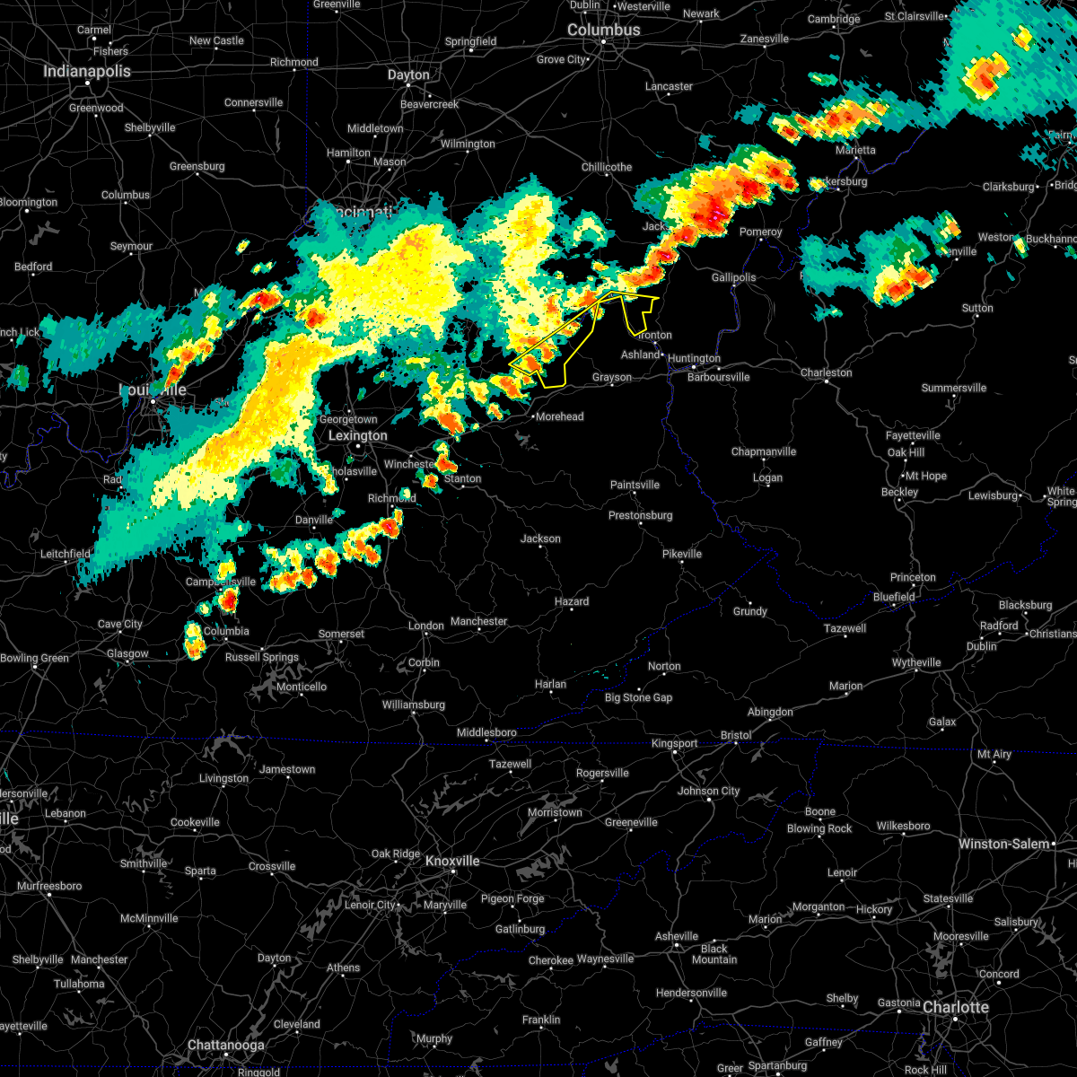 At 648 pm edt, severe thunderstorms were located from south shore to near camp dix to 6 miles west of head of grassy, moving east at 25 mph (radar indicated). Hazards include 60 mph wind gusts. Expect damage to trees and power lines. locations impacted include, portsmouth, wheelersburg, new boston, head of grassy, camp dix, sciotodale, franklin furnace, rosemount, saint paul, firebrick, harris, kinniconick, tannery, emerson, friendship, powellsville, garrison, petersville, stricklett and lyra. hail threat, radar indicated max hail size, <. 75 in wind threat, radar indicated max wind gust, 60 mph. At 648 pm edt, severe thunderstorms were located from south shore to near camp dix to 6 miles west of head of grassy, moving east at 25 mph (radar indicated). Hazards include 60 mph wind gusts. Expect damage to trees and power lines. locations impacted include, portsmouth, wheelersburg, new boston, head of grassy, camp dix, sciotodale, franklin furnace, rosemount, saint paul, firebrick, harris, kinniconick, tannery, emerson, friendship, powellsville, garrison, petersville, stricklett and lyra. hail threat, radar indicated max hail size, <. 75 in wind threat, radar indicated max wind gust, 60 mph.
|
| 6/22/2022 6:37 PM EDT |
 At 637 pm edt, severe thunderstorms were located from 11 miles west of rosemount to near tollesboro, moving southeast at 25 mph (radar indicated). Hazards include 60 mph wind gusts. Expect damage to trees and power lines. locations impacted include, vanceburg, tollesboro, rome, blue creek, concord, sandy springs, buena vista in scioto county, saint paul, firebrick, carrs, epworth, turkey creek lake, ribolt, friendship, charters, garrison, glen springs and herron hill. hail threat, radar indicated max hail size, <. 75 in wind threat, radar indicated max wind gust, 60 mph. At 637 pm edt, severe thunderstorms were located from 11 miles west of rosemount to near tollesboro, moving southeast at 25 mph (radar indicated). Hazards include 60 mph wind gusts. Expect damage to trees and power lines. locations impacted include, vanceburg, tollesboro, rome, blue creek, concord, sandy springs, buena vista in scioto county, saint paul, firebrick, carrs, epworth, turkey creek lake, ribolt, friendship, charters, garrison, glen springs and herron hill. hail threat, radar indicated max hail size, <. 75 in wind threat, radar indicated max wind gust, 60 mph.
|
| 6/22/2022 6:37 PM EDT |
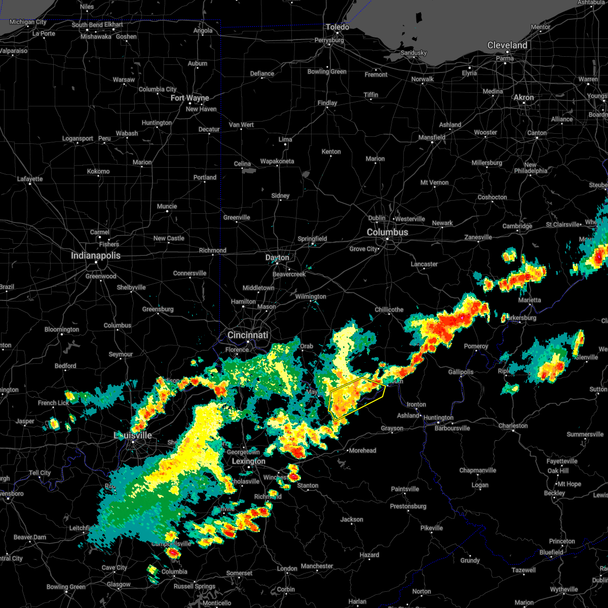 At 637 pm edt, severe thunderstorms were located from 11 miles west of rosemount to near tollesboro, moving southeast at 25 mph (radar indicated). Hazards include 60 mph wind gusts. Expect damage to trees and power lines. locations impacted include, vanceburg, tollesboro, rome, blue creek, concord, sandy springs, buena vista in scioto county, saint paul, firebrick, carrs, epworth, turkey creek lake, ribolt, friendship, charters, garrison, glen springs and herron hill. hail threat, radar indicated max hail size, <. 75 in wind threat, radar indicated max wind gust, 60 mph. At 637 pm edt, severe thunderstorms were located from 11 miles west of rosemount to near tollesboro, moving southeast at 25 mph (radar indicated). Hazards include 60 mph wind gusts. Expect damage to trees and power lines. locations impacted include, vanceburg, tollesboro, rome, blue creek, concord, sandy springs, buena vista in scioto county, saint paul, firebrick, carrs, epworth, turkey creek lake, ribolt, friendship, charters, garrison, glen springs and herron hill. hail threat, radar indicated max hail size, <. 75 in wind threat, radar indicated max wind gust, 60 mph.
|
| 6/22/2022 6:35 PM EDT |
 At 634 pm edt, severe thunderstorms were located from 6 miles southwest of rosemount to near vanceburg to near foxport, moving east at 20 mph (radar indicated). Hazards include 60 mph wind gusts. expect damage to trees and power lines At 634 pm edt, severe thunderstorms were located from 6 miles southwest of rosemount to near vanceburg to near foxport, moving east at 20 mph (radar indicated). Hazards include 60 mph wind gusts. expect damage to trees and power lines
|
| 6/22/2022 6:35 PM EDT |
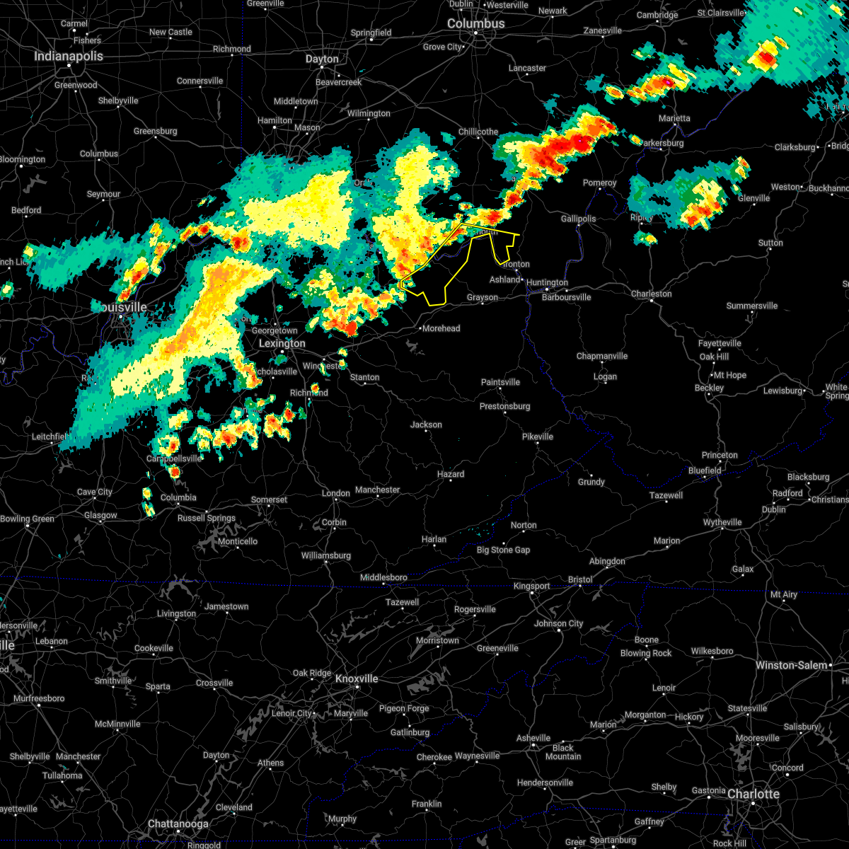 At 634 pm edt, severe thunderstorms were located from 6 miles southwest of rosemount to near vanceburg to near foxport, moving east at 20 mph (radar indicated). Hazards include 60 mph wind gusts. expect damage to trees and power lines At 634 pm edt, severe thunderstorms were located from 6 miles southwest of rosemount to near vanceburg to near foxport, moving east at 20 mph (radar indicated). Hazards include 60 mph wind gusts. expect damage to trees and power lines
|
| 6/22/2022 6:14 PM EDT |
 At 614 pm edt, severe thunderstorms were located from 10 miles north of rome to maysville, moving southeast at 20 mph (radar indicated). Hazards include 60 mph wind gusts. expect damage to trees and power lines At 614 pm edt, severe thunderstorms were located from 10 miles north of rome to maysville, moving southeast at 20 mph (radar indicated). Hazards include 60 mph wind gusts. expect damage to trees and power lines
|
| 6/22/2022 6:14 PM EDT |
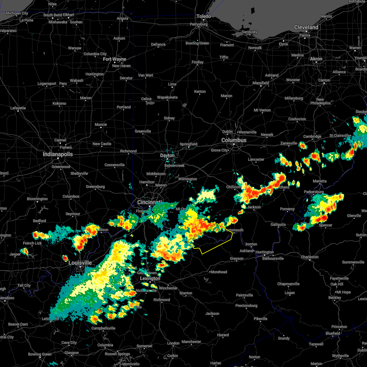 At 614 pm edt, severe thunderstorms were located from 10 miles north of rome to maysville, moving southeast at 20 mph (radar indicated). Hazards include 60 mph wind gusts. expect damage to trees and power lines At 614 pm edt, severe thunderstorms were located from 10 miles north of rome to maysville, moving southeast at 20 mph (radar indicated). Hazards include 60 mph wind gusts. expect damage to trees and power lines
|
| 6/17/2022 2:07 PM EDT |
 The severe thunderstorm warning for northeastern lewis and southwestern scioto counties will expire at 215 pm edt, the storm which prompted the warning is moving out of the area. therefore, the warning will be allowed to expire. however small hail, gusty winds and heavy rain are still possible with this thunderstorm. a severe thunderstorm watch remains in effect until 300 pm edt for northeastern kentucky, and southwestern ohio. please report previous wind damage or hail to the national weather service by going to our website at weather.gov/iln and submitting your report via social media. The severe thunderstorm warning for northeastern lewis and southwestern scioto counties will expire at 215 pm edt, the storm which prompted the warning is moving out of the area. therefore, the warning will be allowed to expire. however small hail, gusty winds and heavy rain are still possible with this thunderstorm. a severe thunderstorm watch remains in effect until 300 pm edt for northeastern kentucky, and southwestern ohio. please report previous wind damage or hail to the national weather service by going to our website at weather.gov/iln and submitting your report via social media.
|
| 6/17/2022 2:07 PM EDT |
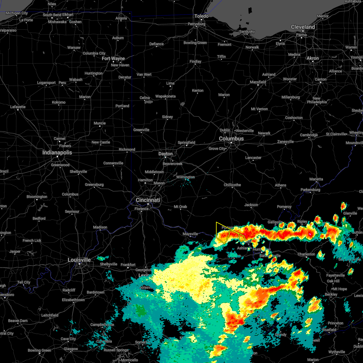 The severe thunderstorm warning for northeastern lewis and southwestern scioto counties will expire at 215 pm edt, the storm which prompted the warning is moving out of the area. therefore, the warning will be allowed to expire. however small hail, gusty winds and heavy rain are still possible with this thunderstorm. a severe thunderstorm watch remains in effect until 300 pm edt for northeastern kentucky, and southwestern ohio. please report previous wind damage or hail to the national weather service by going to our website at weather.gov/iln and submitting your report via social media. The severe thunderstorm warning for northeastern lewis and southwestern scioto counties will expire at 215 pm edt, the storm which prompted the warning is moving out of the area. therefore, the warning will be allowed to expire. however small hail, gusty winds and heavy rain are still possible with this thunderstorm. a severe thunderstorm watch remains in effect until 300 pm edt for northeastern kentucky, and southwestern ohio. please report previous wind damage or hail to the national weather service by going to our website at weather.gov/iln and submitting your report via social media.
|
| 6/17/2022 1:55 PM EDT | Trees reported down in the friendship area. time estimated by rada in scioto county OH, 0.3 miles WSW of Friendship, OH |
| 6/17/2022 1:55 PM EDT |
 At 154 pm edt, a severe thunderstorm was located 7 miles west of letitia, moving southeast at 50 mph (radar indicated). Hazards include 60 mph wind gusts and penny size hail. Expect damage to trees and power lines. locations impacted include, portsmouth, greenup, franklin furnace, south shore, buena vista in scioto county, saint paul, firebrick, haverhill, turkey creek lake, friendship, garrison, rexton and west portsmouth. hail threat, radar indicated max hail size, 0. 75 in wind threat, radar indicated max wind gust, 60 mph. At 154 pm edt, a severe thunderstorm was located 7 miles west of letitia, moving southeast at 50 mph (radar indicated). Hazards include 60 mph wind gusts and penny size hail. Expect damage to trees and power lines. locations impacted include, portsmouth, greenup, franklin furnace, south shore, buena vista in scioto county, saint paul, firebrick, haverhill, turkey creek lake, friendship, garrison, rexton and west portsmouth. hail threat, radar indicated max hail size, 0. 75 in wind threat, radar indicated max wind gust, 60 mph.
|
| 6/17/2022 1:55 PM EDT |
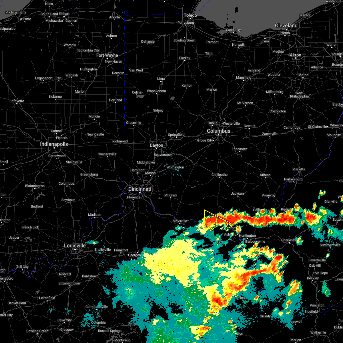 At 154 pm edt, a severe thunderstorm was located 7 miles west of letitia, moving southeast at 50 mph (radar indicated). Hazards include 60 mph wind gusts and penny size hail. Expect damage to trees and power lines. locations impacted include, portsmouth, greenup, franklin furnace, south shore, buena vista in scioto county, saint paul, firebrick, haverhill, turkey creek lake, friendship, garrison, rexton and west portsmouth. hail threat, radar indicated max hail size, 0. 75 in wind threat, radar indicated max wind gust, 60 mph. At 154 pm edt, a severe thunderstorm was located 7 miles west of letitia, moving southeast at 50 mph (radar indicated). Hazards include 60 mph wind gusts and penny size hail. Expect damage to trees and power lines. locations impacted include, portsmouth, greenup, franklin furnace, south shore, buena vista in scioto county, saint paul, firebrick, haverhill, turkey creek lake, friendship, garrison, rexton and west portsmouth. hail threat, radar indicated max hail size, 0. 75 in wind threat, radar indicated max wind gust, 60 mph.
|
| 6/17/2022 1:44 PM EDT |
 At 144 pm edt, a severe thunderstorm was located 8 miles northeast of rome, moving southeast at 50 mph (radar indicated). Hazards include 60 mph wind gusts and penny size hail. expect damage to trees and power lines At 144 pm edt, a severe thunderstorm was located 8 miles northeast of rome, moving southeast at 50 mph (radar indicated). Hazards include 60 mph wind gusts and penny size hail. expect damage to trees and power lines
|
| 6/17/2022 1:44 PM EDT |
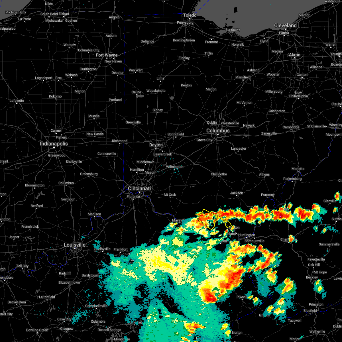 At 144 pm edt, a severe thunderstorm was located 8 miles northeast of rome, moving southeast at 50 mph (radar indicated). Hazards include 60 mph wind gusts and penny size hail. expect damage to trees and power lines At 144 pm edt, a severe thunderstorm was located 8 miles northeast of rome, moving southeast at 50 mph (radar indicated). Hazards include 60 mph wind gusts and penny size hail. expect damage to trees and power lines
|
| 3/23/2022 2:09 PM EDT |
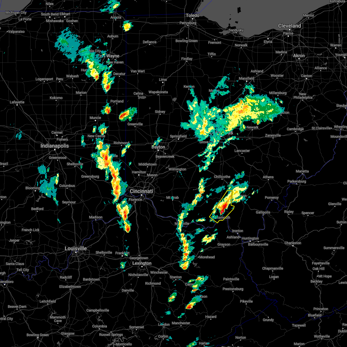 At 208 pm edt, a severe thunderstorm was located near lucasville, moving northeast at 50 mph (radar indicated). Hazards include golf ball size hail and 60 mph wind gusts. People and animals outdoors will be injured. expect hail damage to roofs, siding, windows, and vehicles. expect wind damage to trees and power lines. locations impacted include, portsmouth, new boston, piketon, rosemount, clarktown, lucasville, beaver, wakefield, lombardsville, stockdale, minford, west portsmouth, state route 335 at state route 776, givens, mcdermott, portsmouth regional airport, bear creek, linn and germany. thunderstorm damage threat, considerable hail threat, radar indicated max hail size, 1. 75 in wind threat, radar indicated max wind gust, 60 mph. At 208 pm edt, a severe thunderstorm was located near lucasville, moving northeast at 50 mph (radar indicated). Hazards include golf ball size hail and 60 mph wind gusts. People and animals outdoors will be injured. expect hail damage to roofs, siding, windows, and vehicles. expect wind damage to trees and power lines. locations impacted include, portsmouth, new boston, piketon, rosemount, clarktown, lucasville, beaver, wakefield, lombardsville, stockdale, minford, west portsmouth, state route 335 at state route 776, givens, mcdermott, portsmouth regional airport, bear creek, linn and germany. thunderstorm damage threat, considerable hail threat, radar indicated max hail size, 1. 75 in wind threat, radar indicated max wind gust, 60 mph.
|
| 3/23/2022 2:03 PM EDT |
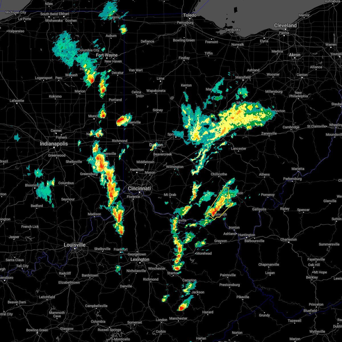 At 203 pm edt, a severe thunderstorm was located over lucasville, moving northeast at 55 mph (radar indicated). Hazards include 60 mph wind gusts and penny size hail. expect damage to trees and power lines At 203 pm edt, a severe thunderstorm was located over lucasville, moving northeast at 55 mph (radar indicated). Hazards include 60 mph wind gusts and penny size hail. expect damage to trees and power lines
|
| 12/6/2021 5:52 AM EST |
 At 552 am est, a severe thunderstorm was located 8 miles west of letitia, moving east at 50 mph (radar indicated). Hazards include 60 mph wind gusts. Expect damage to trees and power lines. Locations impacted include, friendship, rexton, garrison, tannery, saint paul and firebrick. At 552 am est, a severe thunderstorm was located 8 miles west of letitia, moving east at 50 mph (radar indicated). Hazards include 60 mph wind gusts. Expect damage to trees and power lines. Locations impacted include, friendship, rexton, garrison, tannery, saint paul and firebrick.
|
| 12/6/2021 5:52 AM EST |
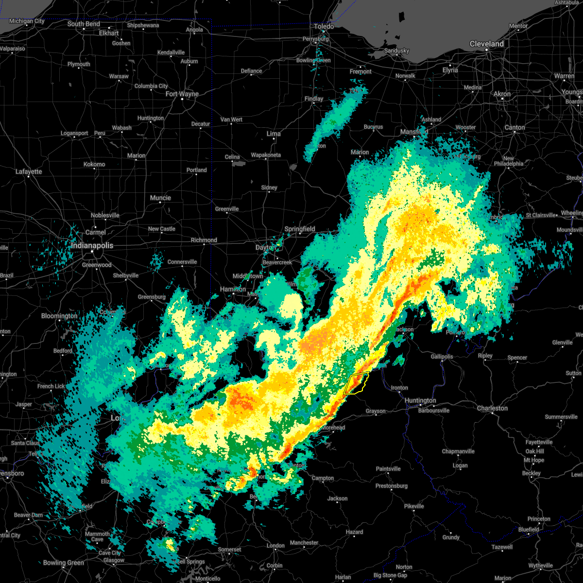 At 552 am est, a severe thunderstorm was located 8 miles west of letitia, moving east at 50 mph (radar indicated). Hazards include 60 mph wind gusts. Expect damage to trees and power lines. Locations impacted include, friendship, rexton, garrison, tannery, saint paul and firebrick. At 552 am est, a severe thunderstorm was located 8 miles west of letitia, moving east at 50 mph (radar indicated). Hazards include 60 mph wind gusts. Expect damage to trees and power lines. Locations impacted include, friendship, rexton, garrison, tannery, saint paul and firebrick.
|
| 12/6/2021 5:45 AM EST |
 At 544 am est, a severe thunderstorm was located over vanceburg, moving east at 50 mph (radar indicated). Hazards include 60 mph wind gusts. expect damage to trees and power lines At 544 am est, a severe thunderstorm was located over vanceburg, moving east at 50 mph (radar indicated). Hazards include 60 mph wind gusts. expect damage to trees and power lines
|
| 12/6/2021 5:45 AM EST |
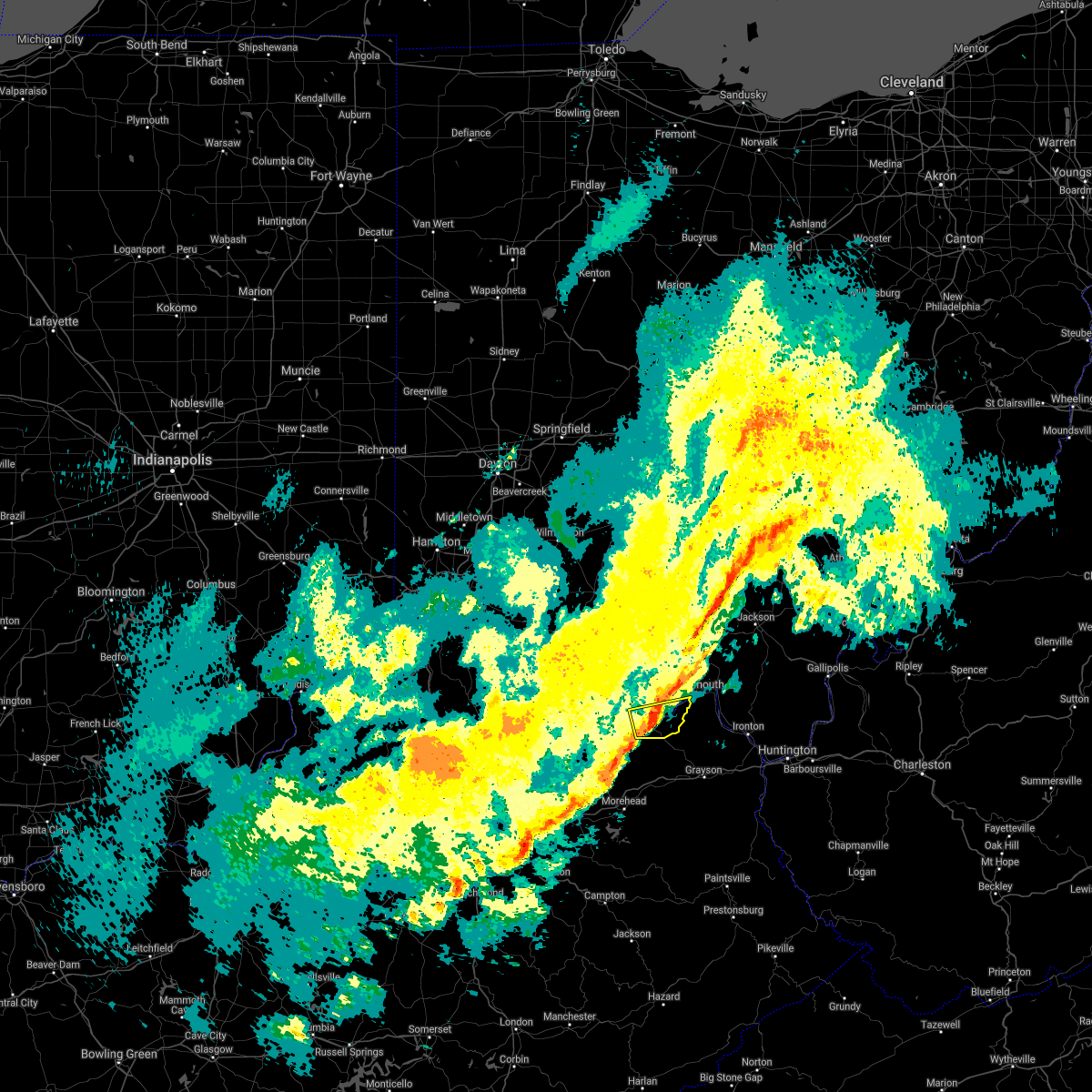 At 544 am est, a severe thunderstorm was located over vanceburg, moving east at 50 mph (radar indicated). Hazards include 60 mph wind gusts. expect damage to trees and power lines At 544 am est, a severe thunderstorm was located over vanceburg, moving east at 50 mph (radar indicated). Hazards include 60 mph wind gusts. expect damage to trees and power lines
|
| 7/29/2021 8:48 PM EDT |
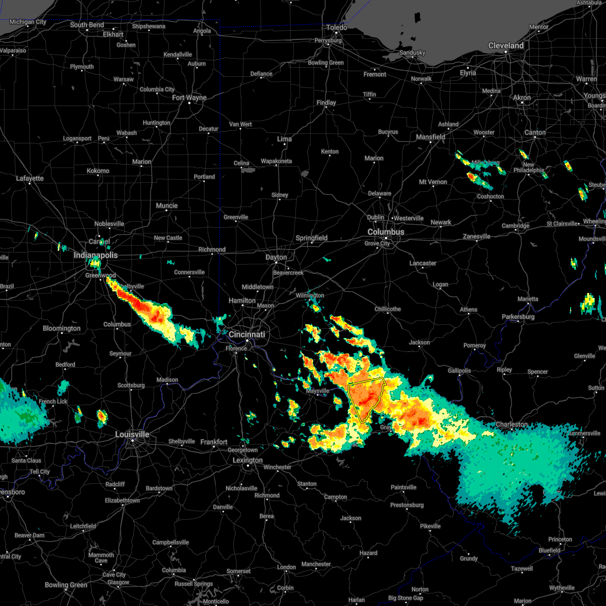 At 847 pm edt, a severe thunderstorm was located 7 miles east of vanceburg, moving southeast at 30 mph (radar indicated). Hazards include 60 mph wind gusts and penny size hail. Expect damage to trees and power lines. Locations impacted include, portsmouth, vanceburg, camp dix, rome, sandy springs, buena vista in scioto county, saint paul, firebrick, west portsmouth, tannery, turkey creek lake, friendship, garrison and rexton. At 847 pm edt, a severe thunderstorm was located 7 miles east of vanceburg, moving southeast at 30 mph (radar indicated). Hazards include 60 mph wind gusts and penny size hail. Expect damage to trees and power lines. Locations impacted include, portsmouth, vanceburg, camp dix, rome, sandy springs, buena vista in scioto county, saint paul, firebrick, west portsmouth, tannery, turkey creek lake, friendship, garrison and rexton.
|
| 7/29/2021 8:36 PM EDT |
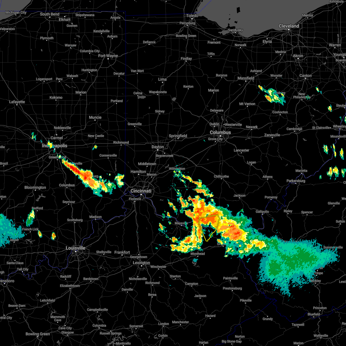 At 836 pm edt, a severe thunderstorm was located 8 miles northeast of vanceburg, moving southeast at 30 mph (radar indicated). Hazards include 60 mph wind gusts and nickel size hail. expect damage to trees and power lines At 836 pm edt, a severe thunderstorm was located 8 miles northeast of vanceburg, moving southeast at 30 mph (radar indicated). Hazards include 60 mph wind gusts and nickel size hail. expect damage to trees and power lines
|
| 7/29/2021 8:36 PM EDT |
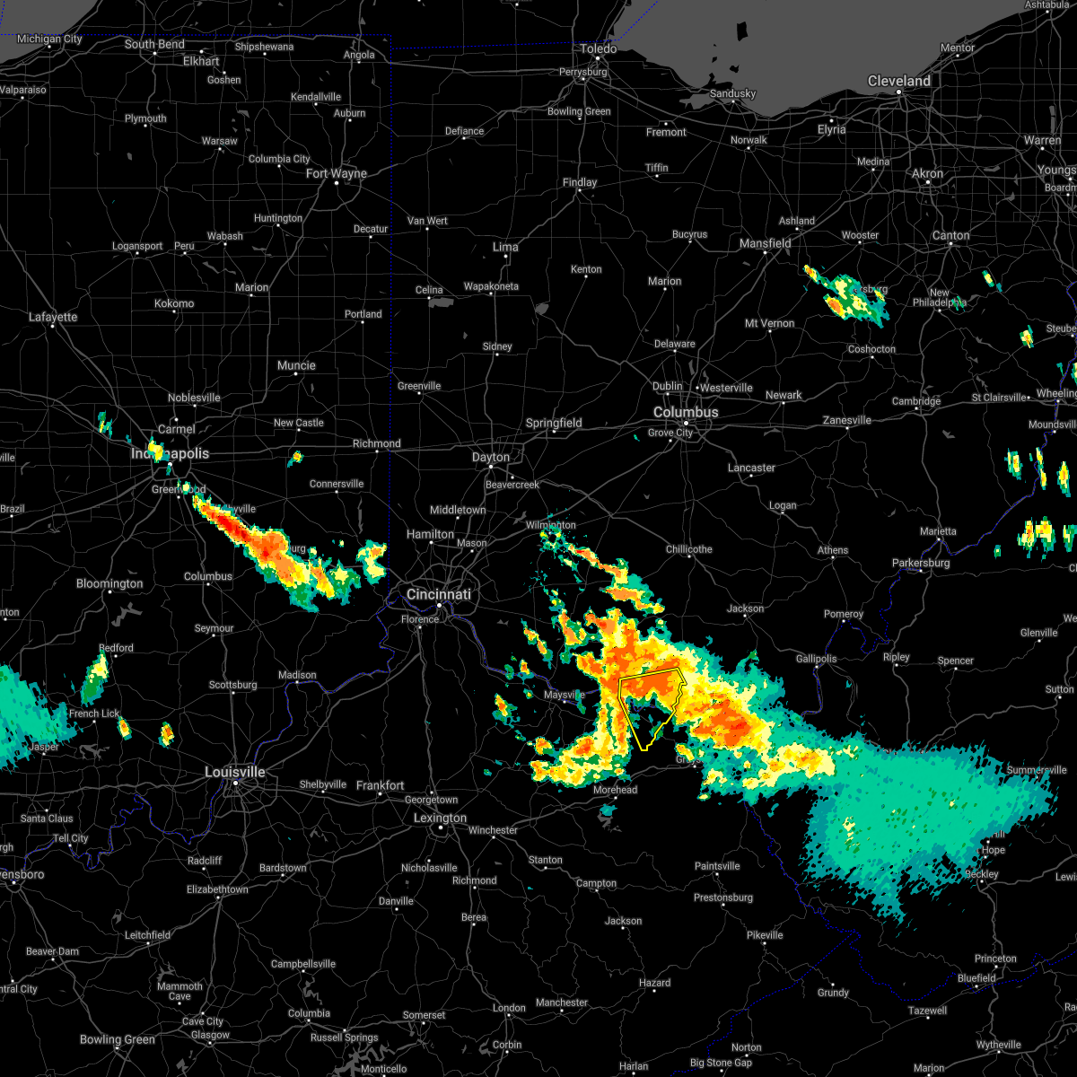 At 836 pm edt, a severe thunderstorm was located 8 miles northeast of vanceburg, moving southeast at 30 mph (radar indicated). Hazards include 60 mph wind gusts and nickel size hail. expect damage to trees and power lines At 836 pm edt, a severe thunderstorm was located 8 miles northeast of vanceburg, moving southeast at 30 mph (radar indicated). Hazards include 60 mph wind gusts and nickel size hail. expect damage to trees and power lines
|
| 7/29/2021 8:28 PM EDT |
 At 828 pm edt, a severe thunderstorm was located 8 miles northeast of rome, moving southeast at 30 mph (radar indicated). Hazards include 60 mph wind gusts and penny size hail. Expect damage to trees and power lines. Locations impacted include, portsmouth, west union, peebles, seaman, rome, blue creek, rarden, otway, lombardsville, sandy springs, buena vista in scioto county, dunkinsville, west portsmouth, wamsley, turkey creek lake, friendship and cedar mills. At 828 pm edt, a severe thunderstorm was located 8 miles northeast of rome, moving southeast at 30 mph (radar indicated). Hazards include 60 mph wind gusts and penny size hail. Expect damage to trees and power lines. Locations impacted include, portsmouth, west union, peebles, seaman, rome, blue creek, rarden, otway, lombardsville, sandy springs, buena vista in scioto county, dunkinsville, west portsmouth, wamsley, turkey creek lake, friendship and cedar mills.
|
| 7/29/2021 8:17 PM EDT |
 At 816 pm edt, a severe thunderstorm was located 8 miles southeast of peebles, moving southeast at 35 mph (radar indicated). Hazards include 60 mph wind gusts and penny size hail. Expect damage to trees and power lines. Locations impacted include, portsmouth, west union, peebles, seaman, rome, blue creek, rarden, otway, lombardsville, sandy springs, dunkinsville, west portsmouth, may hill, wamsley, serpent mound, locust grove, turkey creek lake and friendship. At 816 pm edt, a severe thunderstorm was located 8 miles southeast of peebles, moving southeast at 35 mph (radar indicated). Hazards include 60 mph wind gusts and penny size hail. Expect damage to trees and power lines. Locations impacted include, portsmouth, west union, peebles, seaman, rome, blue creek, rarden, otway, lombardsville, sandy springs, dunkinsville, west portsmouth, may hill, wamsley, serpent mound, locust grove, turkey creek lake and friendship.
|
| 7/29/2021 8:04 PM EDT |
 At 804 pm edt, a severe thunderstorm was located over peebles, moving southeast at 30 mph (radar indicated). Hazards include 60 mph wind gusts and penny size hail. expect damage to trees and power lines At 804 pm edt, a severe thunderstorm was located over peebles, moving southeast at 30 mph (radar indicated). Hazards include 60 mph wind gusts and penny size hail. expect damage to trees and power lines
|
| 6/18/2021 11:09 PM EDT |
 The severe thunderstorm warning for central lewis and southern scioto counties will expire at 1115 pm edt, the storms which prompted the warning have moved out of the area. therefore, the warning will be allowed to expire. a severe thunderstorm watch remains in effect until 300 am edt for northeastern kentucky, and southwestern ohio. please report previous wind damage or hail to the national weather service by going to our website at weather.gov/iln and submitting your report via social media. The severe thunderstorm warning for central lewis and southern scioto counties will expire at 1115 pm edt, the storms which prompted the warning have moved out of the area. therefore, the warning will be allowed to expire. a severe thunderstorm watch remains in effect until 300 am edt for northeastern kentucky, and southwestern ohio. please report previous wind damage or hail to the national weather service by going to our website at weather.gov/iln and submitting your report via social media.
|
| 6/18/2021 11:09 PM EDT |
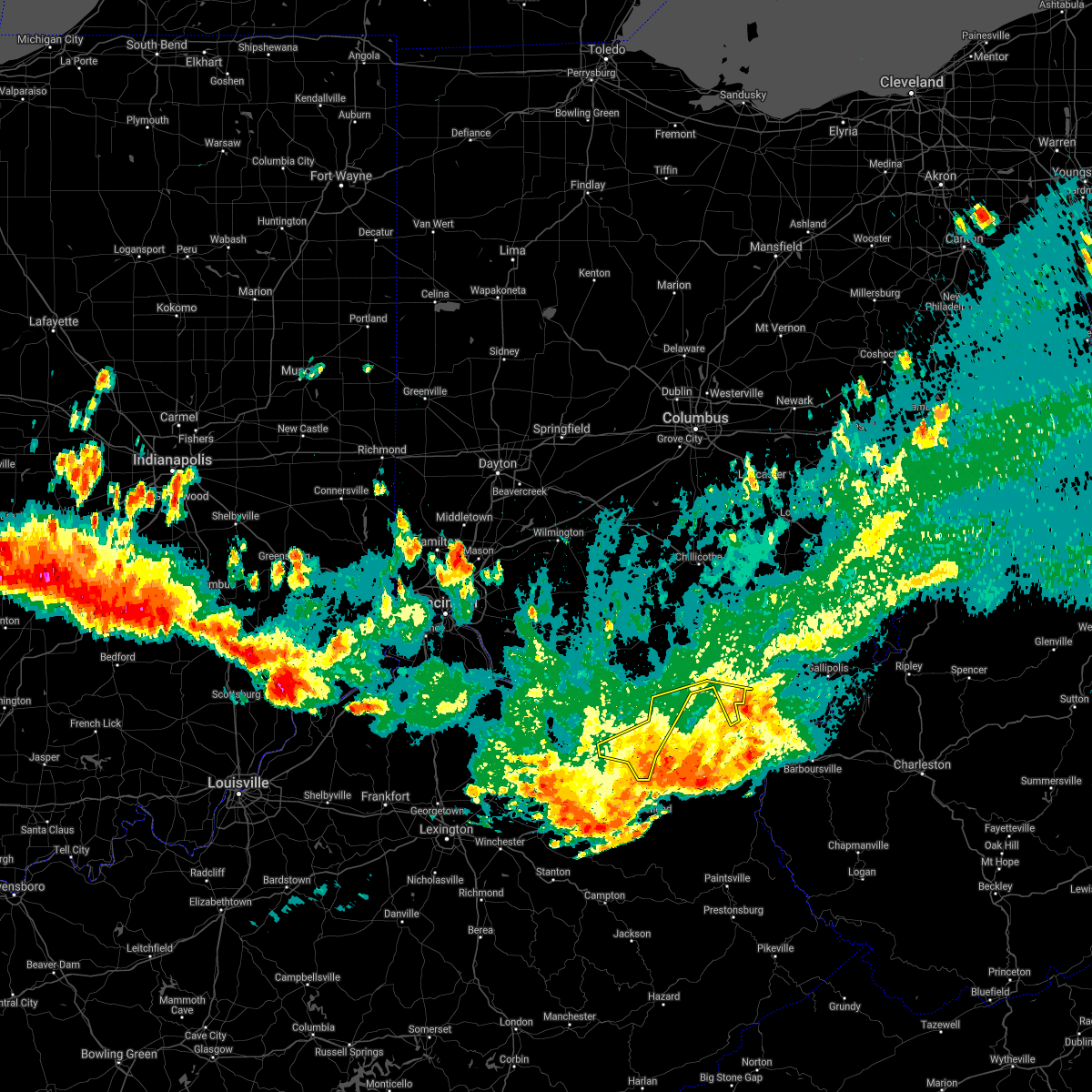 The severe thunderstorm warning for central lewis and southern scioto counties will expire at 1115 pm edt, the storms which prompted the warning have moved out of the area. therefore, the warning will be allowed to expire. a severe thunderstorm watch remains in effect until 300 am edt for northeastern kentucky, and southwestern ohio. please report previous wind damage or hail to the national weather service by going to our website at weather.gov/iln and submitting your report via social media. The severe thunderstorm warning for central lewis and southern scioto counties will expire at 1115 pm edt, the storms which prompted the warning have moved out of the area. therefore, the warning will be allowed to expire. a severe thunderstorm watch remains in effect until 300 am edt for northeastern kentucky, and southwestern ohio. please report previous wind damage or hail to the national weather service by going to our website at weather.gov/iln and submitting your report via social media.
|
| 6/18/2021 11:01 PM EDT |
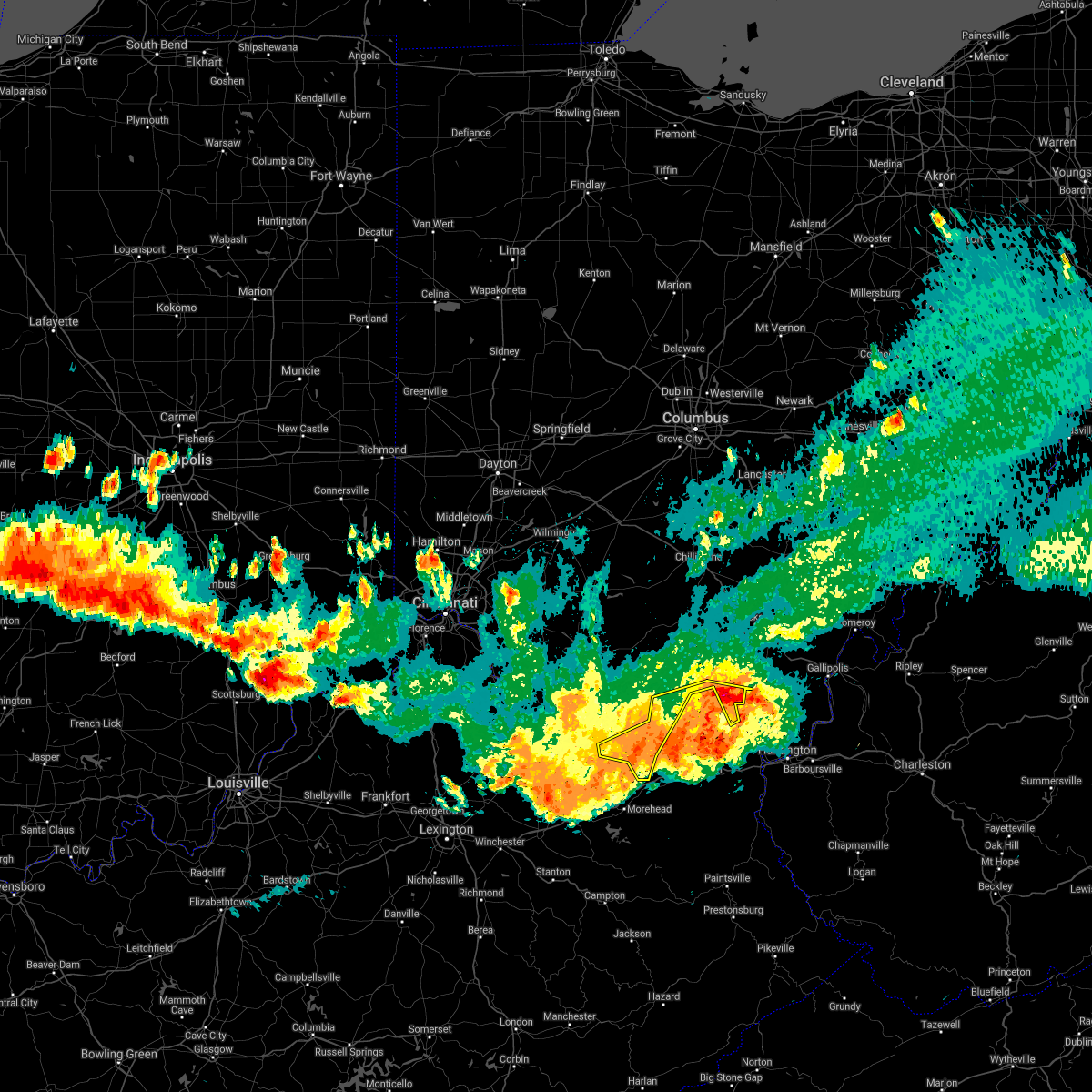 At 1101 pm edt, severe thunderstorms were located along a line extending from near wheelersburg to 6 miles northeast of waltz, moving east at 30 mph (radar indicated). Hazards include 70 mph wind gusts and penny size hail. Expect considerable tree damage. damage is likely to mobile homes, roofs, and outbuildings. Locations impacted include, portsmouth, wheelersburg, new boston, vanceburg, head of grassy, camp dix, sciotodale, rosemount, buena vista in scioto county, saint paul, west portsmouth, harris, kinniconick, tannery, friendship, powellsville, garrison, petersville, stricklett and glen springs. At 1101 pm edt, severe thunderstorms were located along a line extending from near wheelersburg to 6 miles northeast of waltz, moving east at 30 mph (radar indicated). Hazards include 70 mph wind gusts and penny size hail. Expect considerable tree damage. damage is likely to mobile homes, roofs, and outbuildings. Locations impacted include, portsmouth, wheelersburg, new boston, vanceburg, head of grassy, camp dix, sciotodale, rosemount, buena vista in scioto county, saint paul, west portsmouth, harris, kinniconick, tannery, friendship, powellsville, garrison, petersville, stricklett and glen springs.
|
| 6/18/2021 10:50 PM EDT |
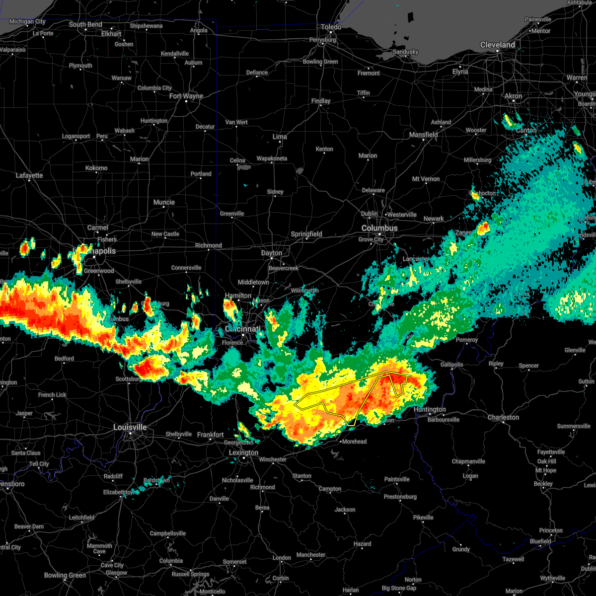 At 1049 pm edt, severe thunderstorms were located along a line extending from near load to goddard, moving southeast at 45 mph. these storms produced a wind gust measured at 67 mph at the fleming mason airport (radar indicated). Hazards include 70 mph wind gusts and penny size hail. Expect considerable tree damage. damage is likely to mobile homes, roofs, and outbuildings. Locations impacted include, portsmouth, wheelersburg, new boston, vanceburg, lewisburg, head of grassy, camp dix, tollesboro, rome, foxport, sciotodale, rosemount, saint paul, mays lick, kinniconick, rectorville, epworth, ribolt, friendship and peed. At 1049 pm edt, severe thunderstorms were located along a line extending from near load to goddard, moving southeast at 45 mph. these storms produced a wind gust measured at 67 mph at the fleming mason airport (radar indicated). Hazards include 70 mph wind gusts and penny size hail. Expect considerable tree damage. damage is likely to mobile homes, roofs, and outbuildings. Locations impacted include, portsmouth, wheelersburg, new boston, vanceburg, lewisburg, head of grassy, camp dix, tollesboro, rome, foxport, sciotodale, rosemount, saint paul, mays lick, kinniconick, rectorville, epworth, ribolt, friendship and peed.
|
| 6/18/2021 10:41 PM EDT |
 The severe thunderstorm warning for mason, robertson, lewis, bracken, southeastern pendleton, south central clermont, southern brown, adams and western scioto counties will expire at 1045 pm edt, an additional severe thunderstorm warning remains in effect until 1115 pm for mason, robertson, lewis, adams, and scioto counties. a tornado watch remains in effect until 1100 pm edt for southwestern ohio. a severe thunderstorm watch remains in effect until 300 am edt for northern and northeastern kentucky, and southwestern ohio. please report previous wind damage or hail to the national weather service by going to our website at weather.gov/iln and submitting your report via social media. The severe thunderstorm warning for mason, robertson, lewis, bracken, southeastern pendleton, south central clermont, southern brown, adams and western scioto counties will expire at 1045 pm edt, an additional severe thunderstorm warning remains in effect until 1115 pm for mason, robertson, lewis, adams, and scioto counties. a tornado watch remains in effect until 1100 pm edt for southwestern ohio. a severe thunderstorm watch remains in effect until 300 am edt for northern and northeastern kentucky, and southwestern ohio. please report previous wind damage or hail to the national weather service by going to our website at weather.gov/iln and submitting your report via social media.
|
| 6/18/2021 10:34 PM EDT |
 At 1033 pm edt, severe thunderstorms were located along a line extending from mount olivet to portsmouth, moving southeast at 40 mph (radar indicated). Hazards include 70 mph wind gusts and penny size hail. Expect considerable tree damage. Damage is likely to mobile homes, roofs, and outbuildings. At 1033 pm edt, severe thunderstorms were located along a line extending from mount olivet to portsmouth, moving southeast at 40 mph (radar indicated). Hazards include 70 mph wind gusts and penny size hail. Expect considerable tree damage. Damage is likely to mobile homes, roofs, and outbuildings.
|
| 6/18/2021 10:24 PM EDT |
 At 1023 pm edt, severe thunderstorms were located along a line extending from vanceburg to near washington, moving southeast at 50 mph (radar indicated). Hazards include 70 mph wind gusts and penny size hail. Expect considerable tree damage. damage is likely to mobile homes, roofs, and outbuildings. locations impacted include, portsmouth, maysville, georgetown, washington, west union, manchester, ripley, aberdeen, vanceburg, augusta, lewisburg, brooksville, camp dix, head of grassy, rome, foxport, tollesboro, blue creek, decatur and russellville. A tornado watch remains in effect until 1100 pm edt for southwestern ohio. At 1023 pm edt, severe thunderstorms were located along a line extending from vanceburg to near washington, moving southeast at 50 mph (radar indicated). Hazards include 70 mph wind gusts and penny size hail. Expect considerable tree damage. damage is likely to mobile homes, roofs, and outbuildings. locations impacted include, portsmouth, maysville, georgetown, washington, west union, manchester, ripley, aberdeen, vanceburg, augusta, lewisburg, brooksville, camp dix, head of grassy, rome, foxport, tollesboro, blue creek, decatur and russellville. A tornado watch remains in effect until 1100 pm edt for southwestern ohio.
|
| 6/18/2021 9:49 PM EDT |
 At 948 pm edt, severe thunderstorms were located along a line extending from seaman to near felicity, moving southeast at 50 mph (radar indicated). Hazards include 70 mph wind gusts and penny size hail. Expect considerable tree damage. Damage is likely to mobile homes, roofs, and outbuildings. At 948 pm edt, severe thunderstorms were located along a line extending from seaman to near felicity, moving southeast at 50 mph (radar indicated). Hazards include 70 mph wind gusts and penny size hail. Expect considerable tree damage. Damage is likely to mobile homes, roofs, and outbuildings.
|
| 6/13/2021 5:23 PM EDT |
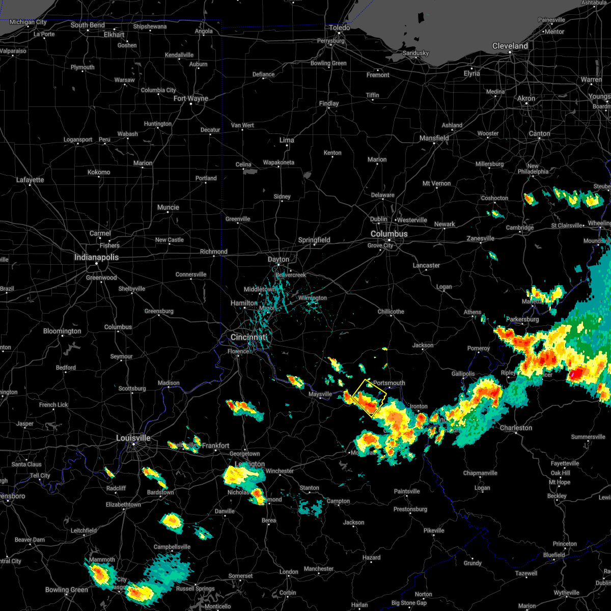 The severe thunderstorm warning for northeastern lewis, southeastern adams and southwestern scioto counties will expire at 530 pm edt, the storm which prompted the warning has weakened below severe limits, and no longer poses an immediate threat to life or property. therefore, the warning will be allowed to expire. however heavy rain is still possible with this thunderstorm. a severe thunderstorm watch remains in effect until 700 pm edt for southwestern ohio. please report previous wind damage or hail to the national weather service by going to our website at weather.gov/iln and submitting your report via social media. The severe thunderstorm warning for northeastern lewis, southeastern adams and southwestern scioto counties will expire at 530 pm edt, the storm which prompted the warning has weakened below severe limits, and no longer poses an immediate threat to life or property. therefore, the warning will be allowed to expire. however heavy rain is still possible with this thunderstorm. a severe thunderstorm watch remains in effect until 700 pm edt for southwestern ohio. please report previous wind damage or hail to the national weather service by going to our website at weather.gov/iln and submitting your report via social media.
|
| 6/13/2021 5:06 PM EDT |
 At 505 pm edt, a severe thunderstorm was located 8 miles east of vanceburg, moving southeast at 20 mph (radar indicated). Hazards include 60 mph wind gusts. Expect damage to trees and power lines. Locations impacted include, vanceburg, rome, friendship, sandy springs, garrison, buena vista in scioto county, saint paul, firebrick, rexton, tannery and turkey creek lake. At 505 pm edt, a severe thunderstorm was located 8 miles east of vanceburg, moving southeast at 20 mph (radar indicated). Hazards include 60 mph wind gusts. Expect damage to trees and power lines. Locations impacted include, vanceburg, rome, friendship, sandy springs, garrison, buena vista in scioto county, saint paul, firebrick, rexton, tannery and turkey creek lake.
|
| 6/13/2021 5:06 PM EDT |
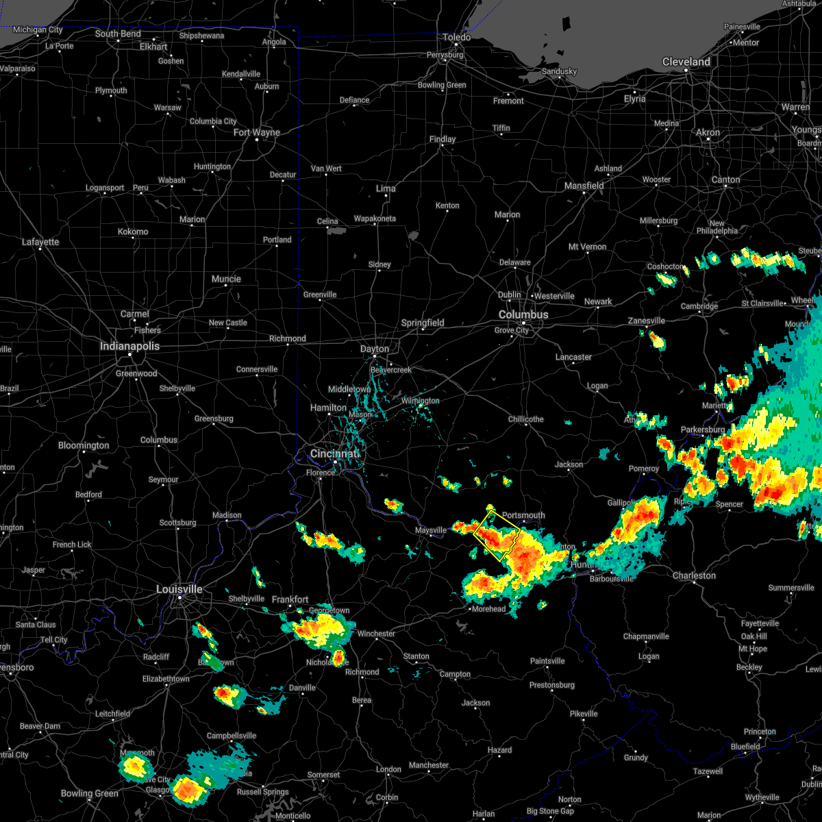 At 505 pm edt, a severe thunderstorm was located 8 miles east of vanceburg, moving southeast at 20 mph (radar indicated). Hazards include 60 mph wind gusts. Expect damage to trees and power lines. Locations impacted include, vanceburg, rome, friendship, sandy springs, garrison, buena vista in scioto county, saint paul, firebrick, rexton, tannery and turkey creek lake. At 505 pm edt, a severe thunderstorm was located 8 miles east of vanceburg, moving southeast at 20 mph (radar indicated). Hazards include 60 mph wind gusts. Expect damage to trees and power lines. Locations impacted include, vanceburg, rome, friendship, sandy springs, garrison, buena vista in scioto county, saint paul, firebrick, rexton, tannery and turkey creek lake.
|
| 6/13/2021 4:47 PM EDT |
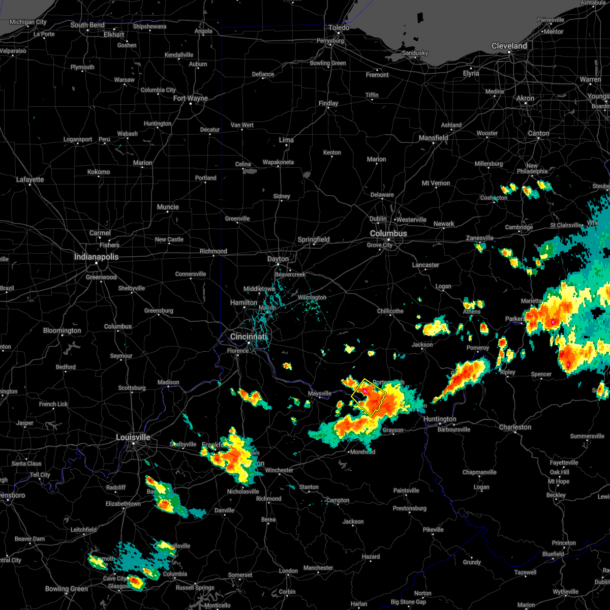 At 447 pm edt, a severe thunderstorm was located near rome, moving southeast at 20 mph (radar indicated). Hazards include 60 mph wind gusts. expect damage to trees and power lines At 447 pm edt, a severe thunderstorm was located near rome, moving southeast at 20 mph (radar indicated). Hazards include 60 mph wind gusts. expect damage to trees and power lines
|
| 7/22/2020 3:41 PM EDT |
 At 341 pm edt, a severe thunderstorm was located near clarktown, moving east at 20 mph (radar indicated). Hazards include 60 mph wind gusts. Expect damage to trees and power lines. Locations impacted include, portsmouth, wheelersburg, new boston, south webster, rosemount, clarktown, lucasville, sciotodale, beaver, stockdale, minford, west portsmouth, sciotoville, state route 335 at state route 776, portsmouth regional airport, germany, friendship and mcdermott. At 341 pm edt, a severe thunderstorm was located near clarktown, moving east at 20 mph (radar indicated). Hazards include 60 mph wind gusts. Expect damage to trees and power lines. Locations impacted include, portsmouth, wheelersburg, new boston, south webster, rosemount, clarktown, lucasville, sciotodale, beaver, stockdale, minford, west portsmouth, sciotoville, state route 335 at state route 776, portsmouth regional airport, germany, friendship and mcdermott.
|
| 7/22/2020 3:25 PM EDT |
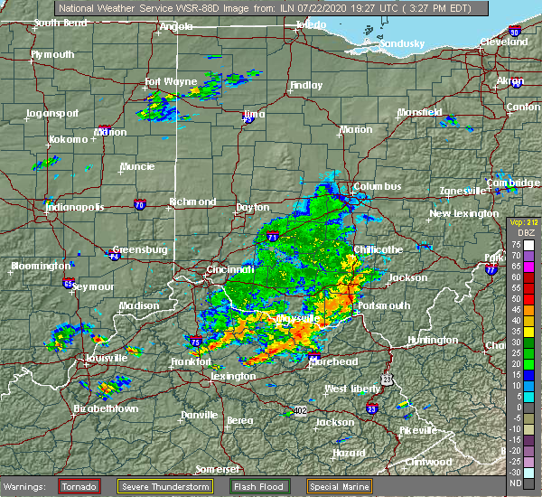 At 325 pm edt, a severe thunderstorm was located near lucasville, moving east at 20 mph (radar indicated). Hazards include 60 mph wind gusts. expect damage to trees and power lines At 325 pm edt, a severe thunderstorm was located near lucasville, moving east at 20 mph (radar indicated). Hazards include 60 mph wind gusts. expect damage to trees and power lines
|
| 6/10/2020 7:50 PM EDT |
 At 750 pm edt, a severe thunderstorm was located near wheelersburg, moving northeast at 20 mph (radar indicated). Hazards include 70 mph wind gusts. Expect considerable tree damage. damage is likely to mobile homes, roofs, and outbuildings. Locations impacted include, portsmouth, wheelersburg, new boston, south webster, rosemount, clarktown, camp dix, sciotodale, franklin furnace, saint paul, minford, firebrick, west portsmouth, tannery, friendship, powellsville, garrison, portsmouth regional airport, lyra and rexton. At 750 pm edt, a severe thunderstorm was located near wheelersburg, moving northeast at 20 mph (radar indicated). Hazards include 70 mph wind gusts. Expect considerable tree damage. damage is likely to mobile homes, roofs, and outbuildings. Locations impacted include, portsmouth, wheelersburg, new boston, south webster, rosemount, clarktown, camp dix, sciotodale, franklin furnace, saint paul, minford, firebrick, west portsmouth, tannery, friendship, powellsville, garrison, portsmouth regional airport, lyra and rexton.
|
| 6/10/2020 7:50 PM EDT |
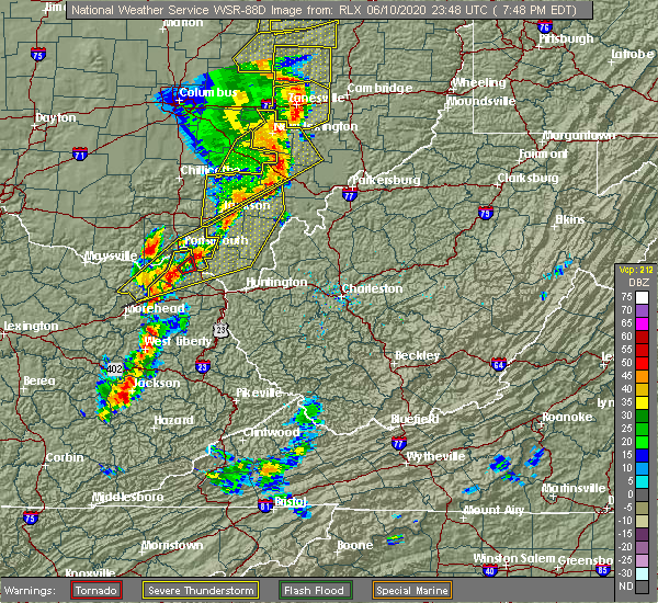 At 750 pm edt, a severe thunderstorm was located near wheelersburg, moving northeast at 20 mph (radar indicated). Hazards include 70 mph wind gusts. Expect considerable tree damage. damage is likely to mobile homes, roofs, and outbuildings. Locations impacted include, portsmouth, wheelersburg, new boston, south webster, rosemount, clarktown, camp dix, sciotodale, franklin furnace, saint paul, minford, firebrick, west portsmouth, tannery, friendship, powellsville, garrison, portsmouth regional airport, lyra and rexton. At 750 pm edt, a severe thunderstorm was located near wheelersburg, moving northeast at 20 mph (radar indicated). Hazards include 70 mph wind gusts. Expect considerable tree damage. damage is likely to mobile homes, roofs, and outbuildings. Locations impacted include, portsmouth, wheelersburg, new boston, south webster, rosemount, clarktown, camp dix, sciotodale, franklin furnace, saint paul, minford, firebrick, west portsmouth, tannery, friendship, powellsville, garrison, portsmouth regional airport, lyra and rexton.
|
| 6/10/2020 7:38 PM EDT |
 At 737 pm edt, a severe thunderstorm was located near head of grassy, moving northeast at 55 mph (radar indicated). Hazards include 60 mph wind gusts. expect damage to trees and power lines At 737 pm edt, a severe thunderstorm was located near head of grassy, moving northeast at 55 mph (radar indicated). Hazards include 60 mph wind gusts. expect damage to trees and power lines
|
| 6/10/2020 7:12 PM EDT |
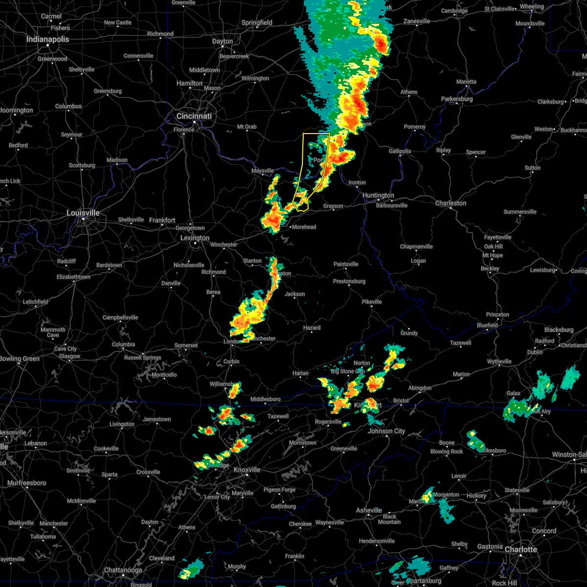 The severe thunderstorm warning for central lewis, southeastern adams, south central pike and western scioto counties will expire at 715 pm edt, the storms which prompted the warning have moved out of the area. therefore, the warning will be allowed to expire. a severe thunderstorm watch remains in effect until 1000 pm edt for northeastern kentucky, and southwestern ohio. please report previous wind damage or hail to the national weather service by going to our website at weather.gov/iln and submitting your report via social media. The severe thunderstorm warning for central lewis, southeastern adams, south central pike and western scioto counties will expire at 715 pm edt, the storms which prompted the warning have moved out of the area. therefore, the warning will be allowed to expire. a severe thunderstorm watch remains in effect until 1000 pm edt for northeastern kentucky, and southwestern ohio. please report previous wind damage or hail to the national weather service by going to our website at weather.gov/iln and submitting your report via social media.
|
| 6/10/2020 7:11 PM EDT |
 At 711 pm edt, severe thunderstorms were located along a line extending from 6 miles south of piketon to near letitia, moving east at 30 mph (radar indicated). Hazards include 60 mph wind gusts. Expect damage to trees and power lines. Locations impacted include, portsmouth, wheelersburg, new boston, south webster, rosemount, clarktown, lucasville, sciotodale, franklin furnace, saint paul, minford, firebrick, west portsmouth, haverhill, state route 335 at state route 776, friendship, mcdermott, powellsville, portsmouth regional airport and bear creek. At 711 pm edt, severe thunderstorms were located along a line extending from 6 miles south of piketon to near letitia, moving east at 30 mph (radar indicated). Hazards include 60 mph wind gusts. Expect damage to trees and power lines. Locations impacted include, portsmouth, wheelersburg, new boston, south webster, rosemount, clarktown, lucasville, sciotodale, franklin furnace, saint paul, minford, firebrick, west portsmouth, haverhill, state route 335 at state route 776, friendship, mcdermott, powellsville, portsmouth regional airport and bear creek.
|
| 6/10/2020 6:50 PM EDT |
 At 650 pm edt, severe thunderstorms were located along a line extending from 9 miles southwest of piketon to near camp dix, moving northeast at 30 mph (emergency management). Hazards include 70 mph wind gusts. Expect considerable tree damage. damage is likely to mobile homes, roofs, and outbuildings. Locations impacted include, vanceburg, head of grassy, camp dix, lucasville, rarden, otway, wakefield, saint paul, kinniconick, friendship, mcdermott, mount joy, bear creek, rexton, lombardsville, sandy springs, buena vista in scioto county, firebrick, harris and wamsley. At 650 pm edt, severe thunderstorms were located along a line extending from 9 miles southwest of piketon to near camp dix, moving northeast at 30 mph (emergency management). Hazards include 70 mph wind gusts. Expect considerable tree damage. damage is likely to mobile homes, roofs, and outbuildings. Locations impacted include, vanceburg, head of grassy, camp dix, lucasville, rarden, otway, wakefield, saint paul, kinniconick, friendship, mcdermott, mount joy, bear creek, rexton, lombardsville, sandy springs, buena vista in scioto county, firebrick, harris and wamsley.
|
| 6/10/2020 6:47 PM EDT |
 At 647 pm edt, severe thunderstorms were located along a line extending from 9 miles east of peebles to near vanceburg, moving east at 30 mph (emergency management). Hazards include 60 mph wind gusts. expect damage to trees and power lines At 647 pm edt, severe thunderstorms were located along a line extending from 9 miles east of peebles to near vanceburg, moving east at 30 mph (emergency management). Hazards include 60 mph wind gusts. expect damage to trees and power lines
|
| 6/10/2020 6:43 PM EDT |
 At 642 pm edt, severe thunderstorms were located along a line extending from 10 miles south of kincaid springs to 8 miles north of waltz, moving east at 45 mph (radar indicated). Hazards include 70 mph wind gusts. Expect considerable tree damage. damage is likely to mobile homes, roofs, and outbuildings. Locations impacted include, peebles, vanceburg, head of grassy, camp dix, rome, lucasville, blue creek, rarden, otway, wakefield, saint paul, kinniconick, locust grove, friendship, mcdermott, charters, petersville, stricklett, mount joy and bear creek. At 642 pm edt, severe thunderstorms were located along a line extending from 10 miles south of kincaid springs to 8 miles north of waltz, moving east at 45 mph (radar indicated). Hazards include 70 mph wind gusts. Expect considerable tree damage. damage is likely to mobile homes, roofs, and outbuildings. Locations impacted include, peebles, vanceburg, head of grassy, camp dix, rome, lucasville, blue creek, rarden, otway, wakefield, saint paul, kinniconick, locust grove, friendship, mcdermott, charters, petersville, stricklett, mount joy and bear creek.
|
| 6/10/2020 6:26 PM EDT |
 At 625 pm edt, severe thunderstorms were located along a line extending from near cynthiana to near poplar plains, moving northeast at 30 mph (radar indicated). Hazards include 70 mph wind gusts. Expect considerable tree damage. damage is likely to mobile homes, roofs, and outbuildings. Locations impacted include, west union, manchester, peebles, vanceburg, seaman, camp dix, belfast, rome, head of grassy, tollesboro, lucasville, blue creek, rarden, cherry fork, otway, concord, trinity, saint paul, may hill and kinniconick. At 625 pm edt, severe thunderstorms were located along a line extending from near cynthiana to near poplar plains, moving northeast at 30 mph (radar indicated). Hazards include 70 mph wind gusts. Expect considerable tree damage. damage is likely to mobile homes, roofs, and outbuildings. Locations impacted include, west union, manchester, peebles, vanceburg, seaman, camp dix, belfast, rome, head of grassy, tollesboro, lucasville, blue creek, rarden, cherry fork, otway, concord, trinity, saint paul, may hill and kinniconick.
|
| 6/10/2020 6:09 PM EDT |
 The national weather service in wilmington has issued a * severe thunderstorm warning for. eastern mason county in northern kentucky. lewis county in northeastern kentucky. southeastern brown county in southwestern ohio. Adams county in southwestern ohio. The national weather service in wilmington has issued a * severe thunderstorm warning for. eastern mason county in northern kentucky. lewis county in northeastern kentucky. southeastern brown county in southwestern ohio. Adams county in southwestern ohio.
|
| 4/8/2020 11:56 PM EDT |
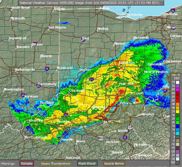 At 1156 pm edt, a severe squall line capable of producing both tornadoes and extensive straight line wind damage was located near vanceburg, moving east at 55 mph (radar indicated rotation). Hazards include tornado and quarter size hail. Flying debris will be dangerous to those caught without shelter. mobile homes will be damaged or destroyed. damage to roofs, windows, and vehicles will occur. tree damage is likely. Locations impacted include, portsmouth, friendship, garrison, buena vista in scioto county, saint paul, firebrick, rexton and tannery. At 1156 pm edt, a severe squall line capable of producing both tornadoes and extensive straight line wind damage was located near vanceburg, moving east at 55 mph (radar indicated rotation). Hazards include tornado and quarter size hail. Flying debris will be dangerous to those caught without shelter. mobile homes will be damaged or destroyed. damage to roofs, windows, and vehicles will occur. tree damage is likely. Locations impacted include, portsmouth, friendship, garrison, buena vista in scioto county, saint paul, firebrick, rexton and tannery.
|
| 4/8/2020 11:52 PM EDT |
 At 1152 pm edt, a severe squall line capable of producing both tornadoes and extensive straight line wind damage was located over vanceburg, moving east at 55 mph (radar indicated rotation). Hazards include tornado and quarter size hail. Flying debris will be dangerous to those caught without shelter. mobile homes will be damaged or destroyed. damage to roofs, windows, and vehicles will occur. tree damage is likely. Locations impacted include, portsmouth, vanceburg, friendship, sandy springs, garrison, buena vista in scioto county, saint paul, firebrick and rexton. At 1152 pm edt, a severe squall line capable of producing both tornadoes and extensive straight line wind damage was located over vanceburg, moving east at 55 mph (radar indicated rotation). Hazards include tornado and quarter size hail. Flying debris will be dangerous to those caught without shelter. mobile homes will be damaged or destroyed. damage to roofs, windows, and vehicles will occur. tree damage is likely. Locations impacted include, portsmouth, vanceburg, friendship, sandy springs, garrison, buena vista in scioto county, saint paul, firebrick and rexton.
|
| 4/8/2020 11:52 PM EDT |
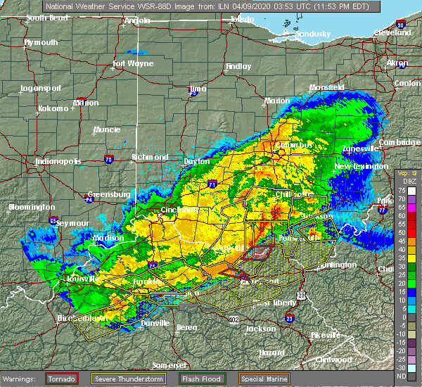 At 1152 pm edt, a severe squall line capable of producing both tornadoes and extensive straight line wind damage was located over vanceburg, moving east at 55 mph (radar indicated rotation). Hazards include tornado and quarter size hail. Flying debris will be dangerous to those caught without shelter. mobile homes will be damaged or destroyed. damage to roofs, windows, and vehicles will occur. tree damage is likely. Locations impacted include, portsmouth, vanceburg, friendship, sandy springs, garrison, buena vista in scioto county, saint paul, firebrick and rexton. At 1152 pm edt, a severe squall line capable of producing both tornadoes and extensive straight line wind damage was located over vanceburg, moving east at 55 mph (radar indicated rotation). Hazards include tornado and quarter size hail. Flying debris will be dangerous to those caught without shelter. mobile homes will be damaged or destroyed. damage to roofs, windows, and vehicles will occur. tree damage is likely. Locations impacted include, portsmouth, vanceburg, friendship, sandy springs, garrison, buena vista in scioto county, saint paul, firebrick and rexton.
|
| 4/8/2020 11:44 PM EDT |
 At 1143 pm edt, severe thunderstorms capable of producing both tornadoes and extensive straight line wind damage were located near rome, moving east at 55 mph (radar indicated rotation). Hazards include tornado and quarter size hail. Flying debris will be dangerous to those caught without shelter. mobile homes will be damaged or destroyed. damage to roofs, windows, and vehicles will occur. Tree damage is likely. At 1143 pm edt, severe thunderstorms capable of producing both tornadoes and extensive straight line wind damage were located near rome, moving east at 55 mph (radar indicated rotation). Hazards include tornado and quarter size hail. Flying debris will be dangerous to those caught without shelter. mobile homes will be damaged or destroyed. damage to roofs, windows, and vehicles will occur. Tree damage is likely.
|
| 4/8/2020 11:37 PM EDT |
 At 1136 pm edt, severe thunderstorms were located along a line extending from kincaid springs to tollesboro, moving east at 85 mph (radar indicated). Hazards include 70 mph wind gusts and nickel size hail. Expect considerable tree damage. damage is likely to mobile homes, roofs, and outbuildings. locations impacted include, portsmouth, wheelersburg, new boston, piketon, vanceburg, south webster, rosemount, clarktown, camp dix, lucasville, franklin furnace, head of grassy, sciotodale, blue creek, beaver, rarden, otway, saint paul, kinniconick and locust grove. A tornado watch remains in effect until 200 am edt for northeastern kentucky, and southwestern ohio. At 1136 pm edt, severe thunderstorms were located along a line extending from kincaid springs to tollesboro, moving east at 85 mph (radar indicated). Hazards include 70 mph wind gusts and nickel size hail. Expect considerable tree damage. damage is likely to mobile homes, roofs, and outbuildings. locations impacted include, portsmouth, wheelersburg, new boston, piketon, vanceburg, south webster, rosemount, clarktown, camp dix, lucasville, franklin furnace, head of grassy, sciotodale, blue creek, beaver, rarden, otway, saint paul, kinniconick and locust grove. A tornado watch remains in effect until 200 am edt for northeastern kentucky, and southwestern ohio.
|
| 4/8/2020 11:23 PM EDT |
 At 1123 pm edt, severe thunderstorms were located along a line extending from marshall to near washington, moving east at 65 mph (radar indicated). Hazards include 70 mph wind gusts and nickel size hail. Expect considerable tree damage. Damage is likely to mobile homes, roofs, and outbuildings. At 1123 pm edt, severe thunderstorms were located along a line extending from marshall to near washington, moving east at 65 mph (radar indicated). Hazards include 70 mph wind gusts and nickel size hail. Expect considerable tree damage. Damage is likely to mobile homes, roofs, and outbuildings.
|
| 4/8/2020 11:23 PM EDT |
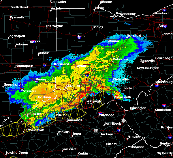 At 1123 pm edt, severe thunderstorms were located along a line extending from marshall to near washington, moving east at 65 mph (radar indicated). Hazards include 70 mph wind gusts and nickel size hail. Expect considerable tree damage. Damage is likely to mobile homes, roofs, and outbuildings. At 1123 pm edt, severe thunderstorms were located along a line extending from marshall to near washington, moving east at 65 mph (radar indicated). Hazards include 70 mph wind gusts and nickel size hail. Expect considerable tree damage. Damage is likely to mobile homes, roofs, and outbuildings.
|
| 1/11/2020 2:32 PM EST |
 At 231 pm est, severe thunderstorms were located along a line extending from near pike lake to near vanceburg, moving northeast at 55 mph (radar indicated). Hazards include 60 mph wind gusts. Expect damage to trees and power lines. Locations impacted include, piketon, vanceburg, head of grassy, pike lake, camp dix, rarden, otway, saint paul, friendship, mcdermott, mount joy, bear creek, rexton, lake white, lombardsville, buena vista in scioto county, firebrick, elm grove, west portsmouth and harris. At 231 pm est, severe thunderstorms were located along a line extending from near pike lake to near vanceburg, moving northeast at 55 mph (radar indicated). Hazards include 60 mph wind gusts. Expect damage to trees and power lines. Locations impacted include, piketon, vanceburg, head of grassy, pike lake, camp dix, rarden, otway, saint paul, friendship, mcdermott, mount joy, bear creek, rexton, lake white, lombardsville, buena vista in scioto county, firebrick, elm grove, west portsmouth and harris.
|
| 1/11/2020 2:32 PM EST |
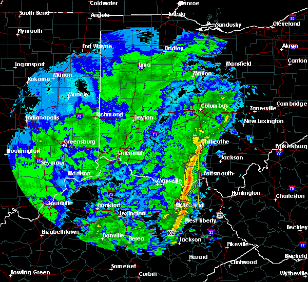 At 231 pm est, severe thunderstorms were located along a line extending from near pike lake to near vanceburg, moving northeast at 55 mph (radar indicated). Hazards include 60 mph wind gusts. Expect damage to trees and power lines. Locations impacted include, piketon, vanceburg, head of grassy, pike lake, camp dix, rarden, otway, saint paul, friendship, mcdermott, mount joy, bear creek, rexton, lake white, lombardsville, buena vista in scioto county, firebrick, elm grove, west portsmouth and harris. At 231 pm est, severe thunderstorms were located along a line extending from near pike lake to near vanceburg, moving northeast at 55 mph (radar indicated). Hazards include 60 mph wind gusts. Expect damage to trees and power lines. Locations impacted include, piketon, vanceburg, head of grassy, pike lake, camp dix, rarden, otway, saint paul, friendship, mcdermott, mount joy, bear creek, rexton, lake white, lombardsville, buena vista in scioto county, firebrick, elm grove, west portsmouth and harris.
|
| 1/11/2020 2:21 PM EST |
 At 221 pm est, severe thunderstorms were located along a line extending from near kincaid springs to 6 miles east of tollesboro, moving east at 55 mph (radar indicated). Hazards include 60 mph wind gusts. Expect damage to trees and power lines. Locations impacted include, piketon, vanceburg, head of grassy, pike lake, kincaid springs, camp dix, rome, blue creek, rarden, otway, saint paul, kinniconick, friendship, mcdermott, charters, petersville, stricklett, mount joy, bear creek and rexton. At 221 pm est, severe thunderstorms were located along a line extending from near kincaid springs to 6 miles east of tollesboro, moving east at 55 mph (radar indicated). Hazards include 60 mph wind gusts. Expect damage to trees and power lines. Locations impacted include, piketon, vanceburg, head of grassy, pike lake, kincaid springs, camp dix, rome, blue creek, rarden, otway, saint paul, kinniconick, friendship, mcdermott, charters, petersville, stricklett, mount joy, bear creek and rexton.
|
| 1/11/2020 2:21 PM EST |
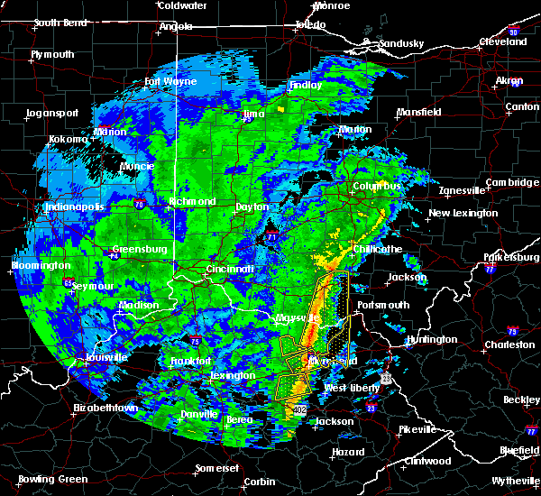 At 221 pm est, severe thunderstorms were located along a line extending from near kincaid springs to 6 miles east of tollesboro, moving east at 55 mph (radar indicated). Hazards include 60 mph wind gusts. Expect damage to trees and power lines. Locations impacted include, piketon, vanceburg, head of grassy, pike lake, kincaid springs, camp dix, rome, blue creek, rarden, otway, saint paul, kinniconick, friendship, mcdermott, charters, petersville, stricklett, mount joy, bear creek and rexton. At 221 pm est, severe thunderstorms were located along a line extending from near kincaid springs to 6 miles east of tollesboro, moving east at 55 mph (radar indicated). Hazards include 60 mph wind gusts. Expect damage to trees and power lines. Locations impacted include, piketon, vanceburg, head of grassy, pike lake, kincaid springs, camp dix, rome, blue creek, rarden, otway, saint paul, kinniconick, friendship, mcdermott, charters, petersville, stricklett, mount joy, bear creek and rexton.
|
| 1/11/2020 2:11 PM EST |
 At 211 pm est, severe thunderstorms were located along a line extending from 6 miles southwest of kincaid springs to foxport, moving northeast at 55 mph (radar indicated). Hazards include 60 mph wind gusts. Expect damage to trees and power lines. Locations impacted include, west union, piketon, peebles, vanceburg, camp dix, rome, head of grassy, pike lake, kincaid springs, tollesboro, blue creek, rarden, sinking spring, otway, concord, saint paul, kinniconick, locust grove, ribolt and charters. At 211 pm est, severe thunderstorms were located along a line extending from 6 miles southwest of kincaid springs to foxport, moving northeast at 55 mph (radar indicated). Hazards include 60 mph wind gusts. Expect damage to trees and power lines. Locations impacted include, west union, piketon, peebles, vanceburg, camp dix, rome, head of grassy, pike lake, kincaid springs, tollesboro, blue creek, rarden, sinking spring, otway, concord, saint paul, kinniconick, locust grove, ribolt and charters.
|
| 1/11/2020 2:01 PM EST |
 At 200 pm est, severe thunderstorms were located along a line extending from near manchester to near flemingsburg, moving northeast at 55 mph (radar indicated. a wind gust of 63 mph was recently observed at fleming-mason airport). Hazards include 60 mph wind gusts. expect damage to trees and power lines At 200 pm est, severe thunderstorms were located along a line extending from near manchester to near flemingsburg, moving northeast at 55 mph (radar indicated. a wind gust of 63 mph was recently observed at fleming-mason airport). Hazards include 60 mph wind gusts. expect damage to trees and power lines
|
| 6/16/2019 8:07 PM EDT |
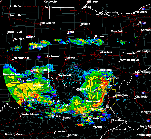 The severe thunderstorm warning for northeastern lewis and western scioto counties will expire at 815 pm edt, the storm which prompted the warning has moved out of the area. therefore, the warning will be allowed to expire. however heavy rain is still possible with this thunderstorm. a severe thunderstorm watch remains in effect until 1100 pm edt for northeastern kentucky, and southwestern ohio. please report previous wind damage or hail to the national weather service by going to our website at weather.gov/iln and submitting your report via social media. The severe thunderstorm warning for northeastern lewis and western scioto counties will expire at 815 pm edt, the storm which prompted the warning has moved out of the area. therefore, the warning will be allowed to expire. however heavy rain is still possible with this thunderstorm. a severe thunderstorm watch remains in effect until 1100 pm edt for northeastern kentucky, and southwestern ohio. please report previous wind damage or hail to the national weather service by going to our website at weather.gov/iln and submitting your report via social media.
|
| 6/16/2019 7:49 PM EDT |
 At 748 pm edt, a severe thunderstorm was located near south shore, moving northeast at 45 mph (radar indicated). Hazards include 60 mph wind gusts, quarter size hail, and torrential rainfall. Minor hail damage to vehicles is possible. expect wind damage to trees and power lines. very rapid rises on area creeks and drainages. Locations impacted include, portsmouth, new boston, rosemount, clarktown, lucasville, otway, lombardsville, buena vista in scioto county, saint paul, firebrick, west portsmouth, turkey creek lake, friendship, mcdermott and garrison. At 748 pm edt, a severe thunderstorm was located near south shore, moving northeast at 45 mph (radar indicated). Hazards include 60 mph wind gusts, quarter size hail, and torrential rainfall. Minor hail damage to vehicles is possible. expect wind damage to trees and power lines. very rapid rises on area creeks and drainages. Locations impacted include, portsmouth, new boston, rosemount, clarktown, lucasville, otway, lombardsville, buena vista in scioto county, saint paul, firebrick, west portsmouth, turkey creek lake, friendship, mcdermott and garrison.
|
| 6/16/2019 7:49 PM EDT |
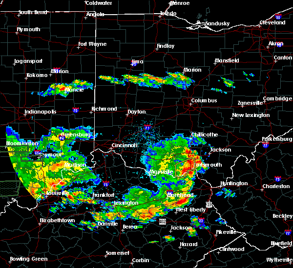 At 748 pm edt, a severe thunderstorm was located near south shore, moving northeast at 45 mph (radar indicated). Hazards include 60 mph wind gusts, quarter size hail, and torrential rainfall. Minor hail damage to vehicles is possible. expect wind damage to trees and power lines. very rapid rises on area creeks and drainages. Locations impacted include, portsmouth, new boston, rosemount, clarktown, lucasville, otway, lombardsville, buena vista in scioto county, saint paul, firebrick, west portsmouth, turkey creek lake, friendship, mcdermott and garrison. At 748 pm edt, a severe thunderstorm was located near south shore, moving northeast at 45 mph (radar indicated). Hazards include 60 mph wind gusts, quarter size hail, and torrential rainfall. Minor hail damage to vehicles is possible. expect wind damage to trees and power lines. very rapid rises on area creeks and drainages. Locations impacted include, portsmouth, new boston, rosemount, clarktown, lucasville, otway, lombardsville, buena vista in scioto county, saint paul, firebrick, west portsmouth, turkey creek lake, friendship, mcdermott and garrison.
|
| 6/16/2019 7:29 PM EDT |
 At 729 pm edt, a severe thunderstorm was located over vanceburg, moving northeast at 45 mph (radar indicated). Hazards include 60 mph wind gusts and quarter size hail. Minor hail damage to vehicles is possible. Expect wind damage to trees and power lines. At 729 pm edt, a severe thunderstorm was located over vanceburg, moving northeast at 45 mph (radar indicated). Hazards include 60 mph wind gusts and quarter size hail. Minor hail damage to vehicles is possible. Expect wind damage to trees and power lines.
|
| 5/29/2019 11:41 AM EDT |
 The severe thunderstorm warning for southeastern scioto county will expire at 1145 am edt, the storm which prompted the warning has moved out of the area. therefore, the warning will be allowed to expire. however gusty winds and heavy rain are still possible with this thunderstorm. please report previous wind damage or hail to the national weather service by going to our website at weather.gov/iln and submitting your report via social media. remember, a severe thunderstorm warning still remains in effect for southeastern scioto county. The severe thunderstorm warning for southeastern scioto county will expire at 1145 am edt, the storm which prompted the warning has moved out of the area. therefore, the warning will be allowed to expire. however gusty winds and heavy rain are still possible with this thunderstorm. please report previous wind damage or hail to the national weather service by going to our website at weather.gov/iln and submitting your report via social media. remember, a severe thunderstorm warning still remains in effect for southeastern scioto county.
|
| 5/29/2019 11:35 AM EDT |
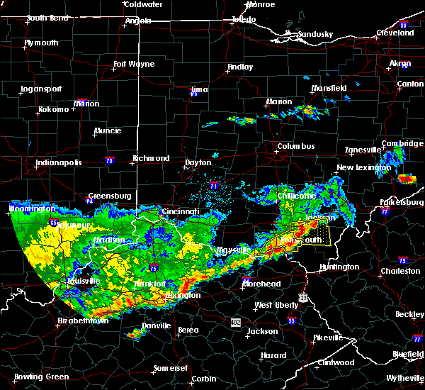 At 1135 am edt, a severe thunderstorm was located over south shore, moving east at 35 mph (radar indicated). Hazards include 60 mph wind gusts and nickel size hail. Expect damage to trees and power lines. Locations impacted include, portsmouth, wheelersburg, new boston, south webster, rosemount, clarktown, sciotodale, minford, west portsmouth, sciotoville, friendship, portsmouth regional airport and lyra. At 1135 am edt, a severe thunderstorm was located over south shore, moving east at 35 mph (radar indicated). Hazards include 60 mph wind gusts and nickel size hail. Expect damage to trees and power lines. Locations impacted include, portsmouth, wheelersburg, new boston, south webster, rosemount, clarktown, sciotodale, minford, west portsmouth, sciotoville, friendship, portsmouth regional airport and lyra.
|
| 5/29/2019 11:30 AM EDT |
 At 1129 am edt, a severe thunderstorm was located near south shore, moving east at 35 mph (radar indicated). Hazards include 60 mph wind gusts and nickel size hail. Expect damage to trees and power lines. Locations impacted include, portsmouth, wheelersburg, new boston, south webster, rosemount, clarktown, sciotodale, lucasville, minford, west portsmouth, sciotoville, friendship, mcdermott, portsmouth regional airport and lyra. At 1129 am edt, a severe thunderstorm was located near south shore, moving east at 35 mph (radar indicated). Hazards include 60 mph wind gusts and nickel size hail. Expect damage to trees and power lines. Locations impacted include, portsmouth, wheelersburg, new boston, south webster, rosemount, clarktown, sciotodale, lucasville, minford, west portsmouth, sciotoville, friendship, mcdermott, portsmouth regional airport and lyra.
|
| 5/29/2019 11:23 AM EDT |
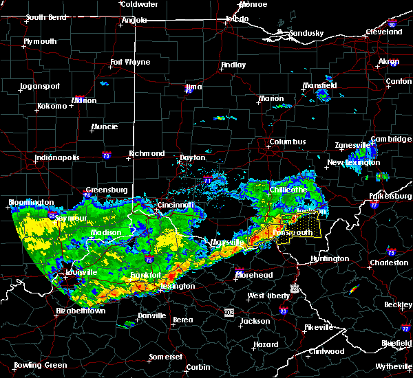 At 1123 am edt, a severe thunderstorm was located 9 miles west of south shore, moving east at 35 mph (radar indicated). Hazards include 60 mph wind gusts. Expect damage to trees and power lines. Locations impacted include, portsmouth, wheelersburg, new boston, south webster, rosemount, clarktown, lucasville, sciotodale, lombardsville, minford, west portsmouth, sciotoville, state route 335 at state route 776, turkey creek lake, friendship, mcdermott, portsmouth regional airport and lyra. At 1123 am edt, a severe thunderstorm was located 9 miles west of south shore, moving east at 35 mph (radar indicated). Hazards include 60 mph wind gusts. Expect damage to trees and power lines. Locations impacted include, portsmouth, wheelersburg, new boston, south webster, rosemount, clarktown, lucasville, sciotodale, lombardsville, minford, west portsmouth, sciotoville, state route 335 at state route 776, turkey creek lake, friendship, mcdermott, portsmouth regional airport and lyra.
|
| 5/29/2019 11:16 AM EDT |
 At 1116 am edt, a severe thunderstorm was located 10 miles northeast of rome, moving east at 35 mph (radar indicated). Hazards include 60 mph wind gusts. expect damage to trees and power lines At 1116 am edt, a severe thunderstorm was located 10 miles northeast of rome, moving east at 35 mph (radar indicated). Hazards include 60 mph wind gusts. expect damage to trees and power lines
|
| 7/5/2018 2:37 PM EDT | Multiple trees downed onto us 52 at pond run rd. time estimated via rada in scioto county OH, 3.2 miles NE of Friendship, OH |
| 5/31/2018 5:24 PM EDT |
 At 524 pm edt, severe thunderstorms were located along a line extending from near lucasville to 7 miles west of load, moving northeast at 30 mph (radar indicated). Hazards include 60 mph wind gusts. Expect damage to trees and power lines. Locations impacted include, portsmouth, wheelersburg, new boston, south webster, rosemount, clarktown, lucasville, franklin furnace, sciotodale, rarden, otway, saint paul, minford, friendship, mcdermott, bear creek, rexton, lombardsville, firebrick and west portsmouth. At 524 pm edt, severe thunderstorms were located along a line extending from near lucasville to 7 miles west of load, moving northeast at 30 mph (radar indicated). Hazards include 60 mph wind gusts. Expect damage to trees and power lines. Locations impacted include, portsmouth, wheelersburg, new boston, south webster, rosemount, clarktown, lucasville, franklin furnace, sciotodale, rarden, otway, saint paul, minford, friendship, mcdermott, bear creek, rexton, lombardsville, firebrick and west portsmouth.
|
| 5/31/2018 5:24 PM EDT |
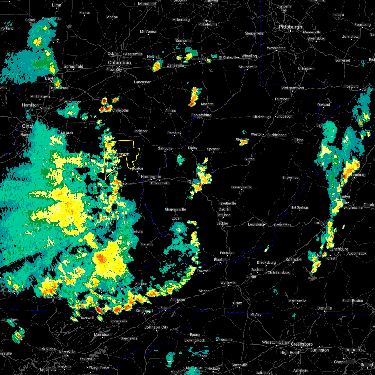 At 524 pm edt, severe thunderstorms were located along a line extending from near lucasville to 7 miles west of load, moving northeast at 30 mph (radar indicated). Hazards include 60 mph wind gusts. Expect damage to trees and power lines. Locations impacted include, portsmouth, wheelersburg, new boston, south webster, rosemount, clarktown, lucasville, franklin furnace, sciotodale, rarden, otway, saint paul, minford, friendship, mcdermott, bear creek, rexton, lombardsville, firebrick and west portsmouth. At 524 pm edt, severe thunderstorms were located along a line extending from near lucasville to 7 miles west of load, moving northeast at 30 mph (radar indicated). Hazards include 60 mph wind gusts. Expect damage to trees and power lines. Locations impacted include, portsmouth, wheelersburg, new boston, south webster, rosemount, clarktown, lucasville, franklin furnace, sciotodale, rarden, otway, saint paul, minford, friendship, mcdermott, bear creek, rexton, lombardsville, firebrick and west portsmouth.
|
| 5/31/2018 5:17 PM EDT | Tree down at the intersection of sr 125 and us 5 in scioto county OH, 0.3 miles WSW of Friendship, OH |
| 5/31/2018 5:13 PM EDT |
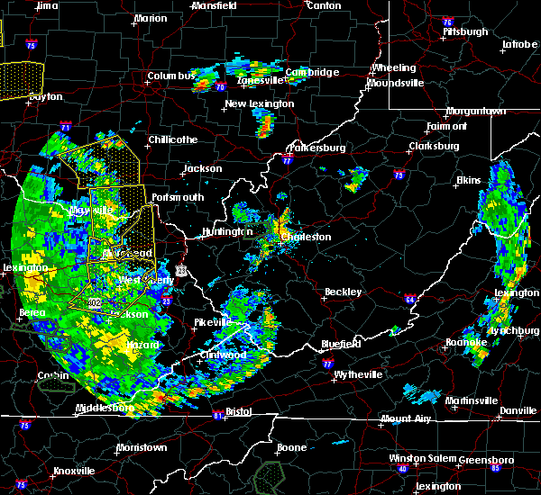 At 513 pm edt, severe thunderstorms were located along a line extending from 8 miles west of lucasville to near camp dix, moving northeast at 30 mph (radar indicated). Hazards include 60 mph wind gusts. expect damage to trees and power lines At 513 pm edt, severe thunderstorms were located along a line extending from 8 miles west of lucasville to near camp dix, moving northeast at 30 mph (radar indicated). Hazards include 60 mph wind gusts. expect damage to trees and power lines
|
| 5/31/2018 5:13 PM EDT |
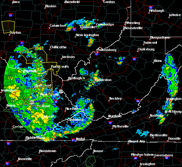 At 513 pm edt, severe thunderstorms were located along a line extending from 8 miles west of lucasville to near camp dix, moving northeast at 30 mph (radar indicated). Hazards include 60 mph wind gusts. expect damage to trees and power lines At 513 pm edt, severe thunderstorms were located along a line extending from 8 miles west of lucasville to near camp dix, moving northeast at 30 mph (radar indicated). Hazards include 60 mph wind gusts. expect damage to trees and power lines
|
| 5/31/2018 4:51 PM EDT |
 At 450 pm edt, severe thunderstorms were located along a line extending from near seaman to 7 miles east of foxport, moving east at 55 mph (law enforcement. numerous trees down earlier in bracken county). Hazards include 60 mph wind gusts. expect damage to trees and power lines At 450 pm edt, severe thunderstorms were located along a line extending from near seaman to 7 miles east of foxport, moving east at 55 mph (law enforcement. numerous trees down earlier in bracken county). Hazards include 60 mph wind gusts. expect damage to trees and power lines
|
| 4/3/2018 7:36 PM EDT |
 At 736 pm edt, severe thunderstorms were located along a line extending from 7 miles northeast of lucasville to 7 miles northeast of vanceburg, moving east at 45 mph (radar indicated). Hazards include 60 mph wind gusts and nickel size hail. Expect damage to trees and power lines. locations impacted include, portsmouth, wheelersburg, new boston, south webster, rosemount, clarktown, lucasville, sciotodale, lombardsville, wakefield, stockdale, saint paul, minford, firebrick, west portsmouth, sciotoville, state route 335 at state route 776, turkey creek lake, friendship and mcdermott. A tornado watch remains in effect until 100 am edt for northeastern kentucky, and south central ohio. At 736 pm edt, severe thunderstorms were located along a line extending from 7 miles northeast of lucasville to 7 miles northeast of vanceburg, moving east at 45 mph (radar indicated). Hazards include 60 mph wind gusts and nickel size hail. Expect damage to trees and power lines. locations impacted include, portsmouth, wheelersburg, new boston, south webster, rosemount, clarktown, lucasville, sciotodale, lombardsville, wakefield, stockdale, saint paul, minford, firebrick, west portsmouth, sciotoville, state route 335 at state route 776, turkey creek lake, friendship and mcdermott. A tornado watch remains in effect until 100 am edt for northeastern kentucky, and south central ohio.
|
| 4/3/2018 7:36 PM EDT |
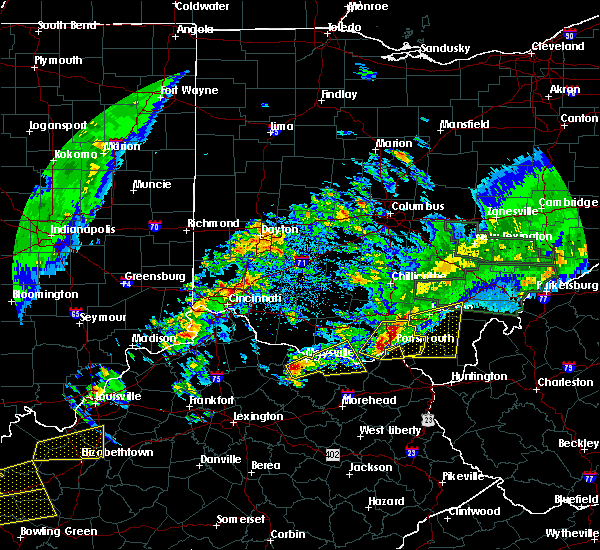 At 736 pm edt, severe thunderstorms were located along a line extending from 7 miles northeast of lucasville to 7 miles northeast of vanceburg, moving east at 45 mph (radar indicated). Hazards include 60 mph wind gusts and nickel size hail. Expect damage to trees and power lines. locations impacted include, portsmouth, wheelersburg, new boston, south webster, rosemount, clarktown, lucasville, sciotodale, lombardsville, wakefield, stockdale, saint paul, minford, firebrick, west portsmouth, sciotoville, state route 335 at state route 776, turkey creek lake, friendship and mcdermott. A tornado watch remains in effect until 100 am edt for northeastern kentucky, and south central ohio. At 736 pm edt, severe thunderstorms were located along a line extending from 7 miles northeast of lucasville to 7 miles northeast of vanceburg, moving east at 45 mph (radar indicated). Hazards include 60 mph wind gusts and nickel size hail. Expect damage to trees and power lines. locations impacted include, portsmouth, wheelersburg, new boston, south webster, rosemount, clarktown, lucasville, sciotodale, lombardsville, wakefield, stockdale, saint paul, minford, firebrick, west portsmouth, sciotoville, state route 335 at state route 776, turkey creek lake, friendship and mcdermott. A tornado watch remains in effect until 100 am edt for northeastern kentucky, and south central ohio.
|
| 4/3/2018 7:26 PM EDT |
 At 725 pm edt, severe thunderstorms were located along a line extending from 6 miles northwest of lucasville to near rome, moving east at 45 mph (radar indicated). Hazards include 60 mph wind gusts. expect damage to trees and power lines At 725 pm edt, severe thunderstorms were located along a line extending from 6 miles northwest of lucasville to near rome, moving east at 45 mph (radar indicated). Hazards include 60 mph wind gusts. expect damage to trees and power lines
|
| 4/3/2018 7:26 PM EDT |
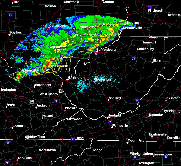 At 725 pm edt, severe thunderstorms were located along a line extending from 6 miles northwest of lucasville to near rome, moving east at 45 mph (radar indicated). Hazards include 60 mph wind gusts. expect damage to trees and power lines At 725 pm edt, severe thunderstorms were located along a line extending from 6 miles northwest of lucasville to near rome, moving east at 45 mph (radar indicated). Hazards include 60 mph wind gusts. expect damage to trees and power lines
|
| 8/22/2017 1:38 PM EDT |
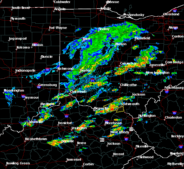 At 138 pm edt, a severe thunderstorm was located 9 miles west of letitia, moving east at 35 mph (radar indicated). Hazards include 60 mph wind gusts and quarter size hail. Minor hail damage to vehicles is possible. expect wind damage to trees and power lines. Locations impacted include, portsmouth, new boston, rosemount, clarktown, lucasville, otway, lombardsville, saint paul, firebrick, west portsmouth, turkey creek lake, friendship, mcdermott and garrison. At 138 pm edt, a severe thunderstorm was located 9 miles west of letitia, moving east at 35 mph (radar indicated). Hazards include 60 mph wind gusts and quarter size hail. Minor hail damage to vehicles is possible. expect wind damage to trees and power lines. Locations impacted include, portsmouth, new boston, rosemount, clarktown, lucasville, otway, lombardsville, saint paul, firebrick, west portsmouth, turkey creek lake, friendship, mcdermott and garrison.
|
| 8/22/2017 1:22 PM EDT |
 At 122 pm edt, a severe thunderstorm was located over rome, moving east at 35 mph (radar indicated). Hazards include 60 mph wind gusts and quarter size hail. Minor hail damage to vehicles is possible. Expect wind damage to trees and power lines. At 122 pm edt, a severe thunderstorm was located over rome, moving east at 35 mph (radar indicated). Hazards include 60 mph wind gusts and quarter size hail. Minor hail damage to vehicles is possible. Expect wind damage to trees and power lines.
|
| 7/7/2017 8:06 PM EDT |
 At 806 pm edt, severe thunderstorms were located along a line extending from near rio grande to 6 miles northeast of franklin furnace to near load, moving east at 50 mph (radar indicated). Hazards include 60 mph wind gusts. Expect damage to trees and power lines. Locations impacted include, portsmouth, wheelersburg, new boston, south webster, rosemount, clarktown, rome, sciotodale, franklin furnace, sandy springs, buena vista in scioto county, saint paul, minford, firebrick, west portsmouth, friendship, powellsville, garrison, portsmouth regional airport and lyra. At 806 pm edt, severe thunderstorms were located along a line extending from near rio grande to 6 miles northeast of franklin furnace to near load, moving east at 50 mph (radar indicated). Hazards include 60 mph wind gusts. Expect damage to trees and power lines. Locations impacted include, portsmouth, wheelersburg, new boston, south webster, rosemount, clarktown, rome, sciotodale, franklin furnace, sandy springs, buena vista in scioto county, saint paul, minford, firebrick, west portsmouth, friendship, powellsville, garrison, portsmouth regional airport and lyra.
|
| 7/7/2017 8:06 PM EDT |
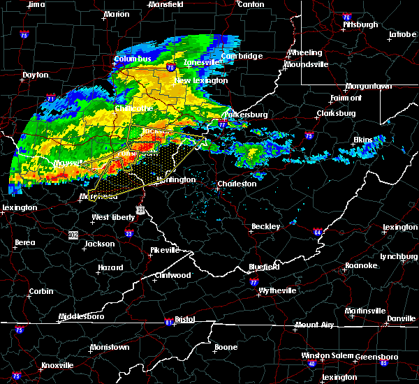 At 806 pm edt, severe thunderstorms were located along a line extending from near rio grande to 6 miles northeast of franklin furnace to near load, moving east at 50 mph (radar indicated). Hazards include 60 mph wind gusts. Expect damage to trees and power lines. Locations impacted include, portsmouth, wheelersburg, new boston, south webster, rosemount, clarktown, rome, sciotodale, franklin furnace, sandy springs, buena vista in scioto county, saint paul, minford, firebrick, west portsmouth, friendship, powellsville, garrison, portsmouth regional airport and lyra. At 806 pm edt, severe thunderstorms were located along a line extending from near rio grande to 6 miles northeast of franklin furnace to near load, moving east at 50 mph (radar indicated). Hazards include 60 mph wind gusts. Expect damage to trees and power lines. Locations impacted include, portsmouth, wheelersburg, new boston, south webster, rosemount, clarktown, rome, sciotodale, franklin furnace, sandy springs, buena vista in scioto county, saint paul, minford, firebrick, west portsmouth, friendship, powellsville, garrison, portsmouth regional airport and lyra.
|
| 7/7/2017 7:42 PM EDT |
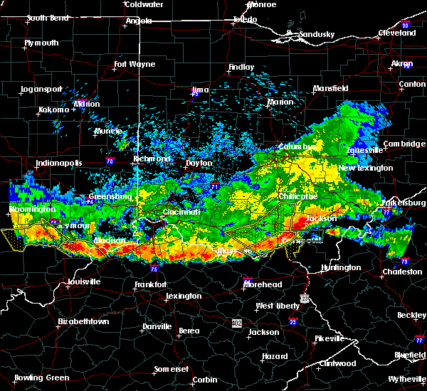 At 742 pm edt, severe thunderstorms were located along a line extending from 9 miles north of south webster to 7 miles west of rosemount to near rome, moving east at 50 mph (radar indicated). Hazards include 60 mph wind gusts. expect damage to trees and power lines At 742 pm edt, severe thunderstorms were located along a line extending from 9 miles north of south webster to 7 miles west of rosemount to near rome, moving east at 50 mph (radar indicated). Hazards include 60 mph wind gusts. expect damage to trees and power lines
|
| 7/7/2017 7:28 PM EDT |
 At 727 pm edt, severe thunderstorms were located along a line extending from 8 miles southeast of chillicothe to 6 miles west of lucasville to 8 miles east of west union, moving east at 45 mph (radar indicated). Hazards include 60 mph wind gusts and penny size hail. Expect damage to trees and power lines. Locations impacted include, portsmouth, waverly, new boston, piketon, peebles, winchester, seaman, rosemount, clarktown, pike lake, lucasville, blue creek, londonderry, beaver, rarden, otway, wakefield, pike county airport, minford and dunkinsville. At 727 pm edt, severe thunderstorms were located along a line extending from 8 miles southeast of chillicothe to 6 miles west of lucasville to 8 miles east of west union, moving east at 45 mph (radar indicated). Hazards include 60 mph wind gusts and penny size hail. Expect damage to trees and power lines. Locations impacted include, portsmouth, waverly, new boston, piketon, peebles, winchester, seaman, rosemount, clarktown, pike lake, lucasville, blue creek, londonderry, beaver, rarden, otway, wakefield, pike county airport, minford and dunkinsville.
|
| 7/7/2017 7:11 PM EDT |
 At 710 pm edt, severe thunderstorms were located along a line extending from near north folk village to near peebles to near seaman, moving east at 45 mph (radar indicated). Hazards include 70 mph wind gusts and nickel size hail. Expect considerable tree damage. Damage is likely to mobile homes, roofs, and outbuildings. At 710 pm edt, severe thunderstorms were located along a line extending from near north folk village to near peebles to near seaman, moving east at 45 mph (radar indicated). Hazards include 70 mph wind gusts and nickel size hail. Expect considerable tree damage. Damage is likely to mobile homes, roofs, and outbuildings.
|
| 6/16/2017 1:56 PM EDT |
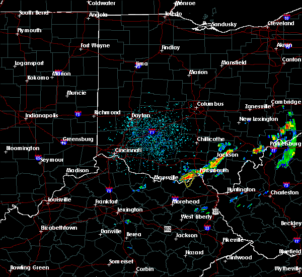 At 155 pm edt, a severe thunderstorm was located near letitia, moving southeast at 15 mph (radar indicated). Hazards include 60 mph wind gusts and quarter size hail. Hail damage to vehicles is expected. expect wind damage to roofs, siding, and trees. Locations impacted include, portsmouth, friendship, garrison, saint paul, firebrick, rexton, west portsmouth and turkey creek lake. At 155 pm edt, a severe thunderstorm was located near letitia, moving southeast at 15 mph (radar indicated). Hazards include 60 mph wind gusts and quarter size hail. Hail damage to vehicles is expected. expect wind damage to roofs, siding, and trees. Locations impacted include, portsmouth, friendship, garrison, saint paul, firebrick, rexton, west portsmouth and turkey creek lake.
|
| 6/16/2017 1:48 PM EDT |
 At 148 pm edt, a severe thunderstorm was located 8 miles northwest of letitia, moving southeast at 15 mph (radar indicated). Hazards include 60 mph wind gusts and quarter size hail. Hail damage to vehicles is expected. Expect wind damage to roofs, siding, and trees. At 148 pm edt, a severe thunderstorm was located 8 miles northwest of letitia, moving southeast at 15 mph (radar indicated). Hazards include 60 mph wind gusts and quarter size hail. Hail damage to vehicles is expected. Expect wind damage to roofs, siding, and trees.
|
| 6/16/2017 1:48 PM EDT |
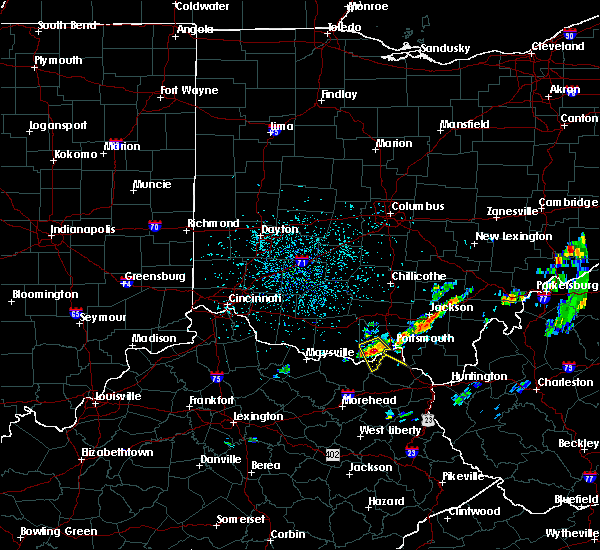 At 148 pm edt, a severe thunderstorm was located 8 miles northwest of letitia, moving southeast at 15 mph (radar indicated). Hazards include 60 mph wind gusts and quarter size hail. Hail damage to vehicles is expected. Expect wind damage to roofs, siding, and trees. At 148 pm edt, a severe thunderstorm was located 8 miles northwest of letitia, moving southeast at 15 mph (radar indicated). Hazards include 60 mph wind gusts and quarter size hail. Hail damage to vehicles is expected. Expect wind damage to roofs, siding, and trees.
|
| 5/27/2017 4:54 PM EDT |
 The severe thunderstorm warning for southeastern adams and southwestern scioto counties will expire at 500 pm edt, the storm which prompted the warning has weakened below severe limits, and no longer poses an immediate threat to life or property. therefore, the warning will be allowed to expire. however small hail and heavy rain are still possible with this thunderstorm. a severe thunderstorm watch remains in effect until 1000 pm edt for northeastern kentucky, and southwestern ohio. please report previous wind damage or hail to the national weather service by going to our website at weather.gov/iln and submitting your report via social media. The severe thunderstorm warning for southeastern adams and southwestern scioto counties will expire at 500 pm edt, the storm which prompted the warning has weakened below severe limits, and no longer poses an immediate threat to life or property. therefore, the warning will be allowed to expire. however small hail and heavy rain are still possible with this thunderstorm. a severe thunderstorm watch remains in effect until 1000 pm edt for northeastern kentucky, and southwestern ohio. please report previous wind damage or hail to the national weather service by going to our website at weather.gov/iln and submitting your report via social media.
|
| 5/27/2017 4:38 PM EDT |
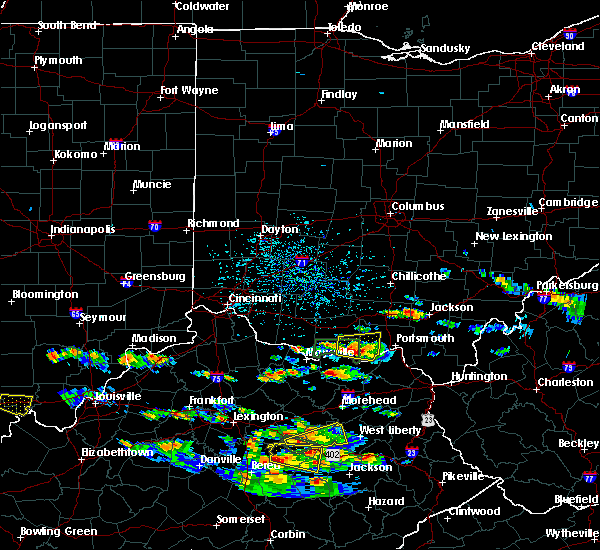 At 437 pm edt, a severe thunderstorm was located 7 miles northeast of rome, moving east at 10 mph (radar indicated). Hazards include 60 mph wind gusts and quarter size hail. Hail damage to vehicles is expected. expect wind damage to roofs, siding, and trees. Locations impacted include, rome, blue creek, otway, lombardsville, friendship, state route 348 at state route 125, wamsley, cedar mills and turkey creek lake. At 437 pm edt, a severe thunderstorm was located 7 miles northeast of rome, moving east at 10 mph (radar indicated). Hazards include 60 mph wind gusts and quarter size hail. Hail damage to vehicles is expected. expect wind damage to roofs, siding, and trees. Locations impacted include, rome, blue creek, otway, lombardsville, friendship, state route 348 at state route 125, wamsley, cedar mills and turkey creek lake.
|
| 5/27/2017 4:18 PM EDT |
 At 417 pm edt, a severe thunderstorm was located near rome, moving east at 10 mph (radar indicated). Hazards include 60 mph wind gusts and quarter size hail. Hail damage to vehicles is expected. Expect wind damage to roofs, siding, and trees. At 417 pm edt, a severe thunderstorm was located near rome, moving east at 10 mph (radar indicated). Hazards include 60 mph wind gusts and quarter size hail. Hail damage to vehicles is expected. Expect wind damage to roofs, siding, and trees.
|
| 5/20/2017 4:56 PM EDT |
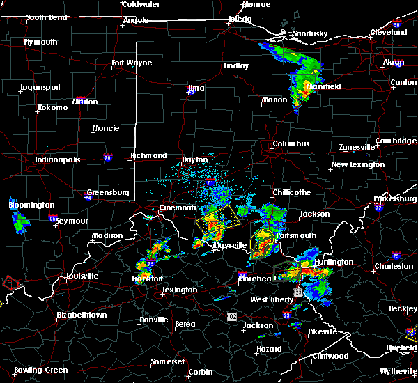 The severe thunderstorm warning for southwestern scioto county will expire at 500 pm edt, the storm which prompted the warning has weakened below severe limits, and no longer poses an immediate threat to life or property. therefore, the warning will be allowed to expire. heavy rain is still possible with this thunderstorm. please report previous wind damage or hail to the national weather service by going to our website at weather.gov/iln and submitting your report via social media. The severe thunderstorm warning for southwestern scioto county will expire at 500 pm edt, the storm which prompted the warning has weakened below severe limits, and no longer poses an immediate threat to life or property. therefore, the warning will be allowed to expire. heavy rain is still possible with this thunderstorm. please report previous wind damage or hail to the national weather service by going to our website at weather.gov/iln and submitting your report via social media.
|
| 5/20/2017 4:43 PM EDT |
 At 443 pm edt, a severe thunderstorm was located 10 miles west of portsmouth, moving northeast at 20 mph (radar indicated). Hazards include 60 mph wind gusts and quarter size hail. Hail damage to vehicles is expected. expect wind damage to roofs, siding, and trees. Locations impacted include, portsmouth, rosemount, lucasville, lombardsville, friendship, mcdermott, west portsmouth and turkey creek lake. At 443 pm edt, a severe thunderstorm was located 10 miles west of portsmouth, moving northeast at 20 mph (radar indicated). Hazards include 60 mph wind gusts and quarter size hail. Hail damage to vehicles is expected. expect wind damage to roofs, siding, and trees. Locations impacted include, portsmouth, rosemount, lucasville, lombardsville, friendship, mcdermott, west portsmouth and turkey creek lake.
|
| 5/20/2017 4:28 PM EDT |
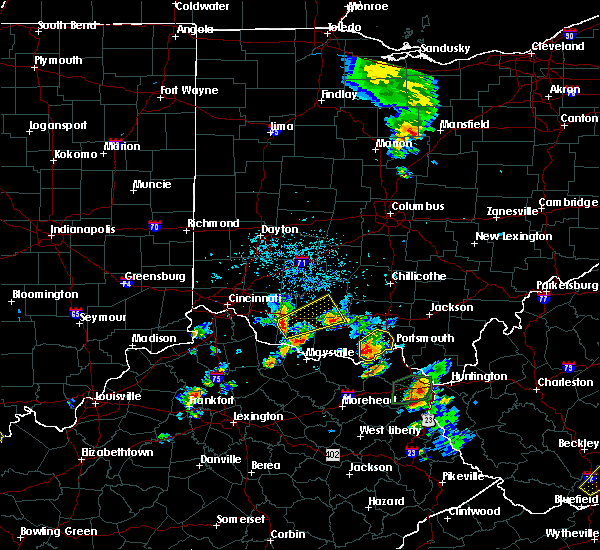 At 428 pm edt, a severe thunderstorm was located 10 miles east of rome, moving northeast at 20 mph (radar indicated). Hazards include 60 mph wind gusts and quarter size hail. Hail damage to vehicles is expected. Expect wind damage to roofs, siding, and trees. At 428 pm edt, a severe thunderstorm was located 10 miles east of rome, moving northeast at 20 mph (radar indicated). Hazards include 60 mph wind gusts and quarter size hail. Hail damage to vehicles is expected. Expect wind damage to roofs, siding, and trees.
|
| 4/29/2017 3:15 AM EDT |
 At 315 am edt, a severe thunderstorm was located over rosemount, moving east at 45 mph (radar indicated). Hazards include 60 mph wind gusts and quarter size hail. Hail damage to vehicles is expected. expect wind damage to roofs, siding, and trees. Locations impacted include, portsmouth, wheelersburg, new boston, south webster, rosemount, clarktown, lucasville, sciotodale, franklin furnace, lombardsville, saint paul, minford, firebrick, west portsmouth, sciotoville, state route 335 at state route 776, friendship, mcdermott, powellsville and portsmouth regional airport. At 315 am edt, a severe thunderstorm was located over rosemount, moving east at 45 mph (radar indicated). Hazards include 60 mph wind gusts and quarter size hail. Hail damage to vehicles is expected. expect wind damage to roofs, siding, and trees. Locations impacted include, portsmouth, wheelersburg, new boston, south webster, rosemount, clarktown, lucasville, sciotodale, franklin furnace, lombardsville, saint paul, minford, firebrick, west portsmouth, sciotoville, state route 335 at state route 776, friendship, mcdermott, powellsville and portsmouth regional airport.
|
| 4/29/2017 3:15 AM EDT |
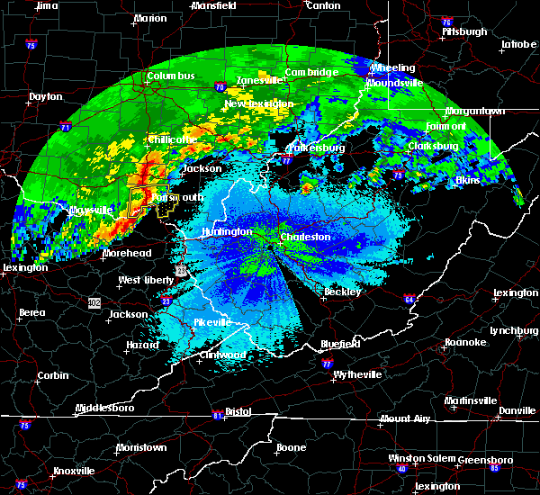 At 315 am edt, a severe thunderstorm was located over rosemount, moving east at 45 mph (radar indicated). Hazards include 60 mph wind gusts and quarter size hail. Hail damage to vehicles is expected. expect wind damage to roofs, siding, and trees. Locations impacted include, portsmouth, wheelersburg, new boston, south webster, rosemount, clarktown, lucasville, sciotodale, franklin furnace, lombardsville, saint paul, minford, firebrick, west portsmouth, sciotoville, state route 335 at state route 776, friendship, mcdermott, powellsville and portsmouth regional airport. At 315 am edt, a severe thunderstorm was located over rosemount, moving east at 45 mph (radar indicated). Hazards include 60 mph wind gusts and quarter size hail. Hail damage to vehicles is expected. expect wind damage to roofs, siding, and trees. Locations impacted include, portsmouth, wheelersburg, new boston, south webster, rosemount, clarktown, lucasville, sciotodale, franklin furnace, lombardsville, saint paul, minford, firebrick, west portsmouth, sciotoville, state route 335 at state route 776, friendship, mcdermott, powellsville and portsmouth regional airport.
|
| 4/29/2017 2:59 AM EDT |
 At 259 am edt, a severe thunderstorm was located 9 miles northeast of rome, moving east at 45 mph (radar indicated). Hazards include 60 mph wind gusts and quarter size hail. Hail damage to vehicles is expected. Expect wind damage to roofs, siding, and trees. At 259 am edt, a severe thunderstorm was located 9 miles northeast of rome, moving east at 45 mph (radar indicated). Hazards include 60 mph wind gusts and quarter size hail. Hail damage to vehicles is expected. Expect wind damage to roofs, siding, and trees.
|
| 4/29/2017 2:59 AM EDT |
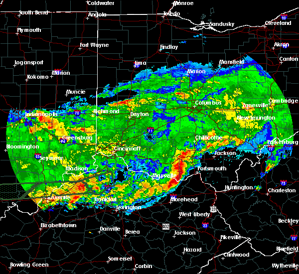 At 259 am edt, a severe thunderstorm was located 9 miles northeast of rome, moving east at 45 mph (radar indicated). Hazards include 60 mph wind gusts and quarter size hail. Hail damage to vehicles is expected. Expect wind damage to roofs, siding, and trees. At 259 am edt, a severe thunderstorm was located 9 miles northeast of rome, moving east at 45 mph (radar indicated). Hazards include 60 mph wind gusts and quarter size hail. Hail damage to vehicles is expected. Expect wind damage to roofs, siding, and trees.
|
| 4/29/2017 1:39 AM EDT |
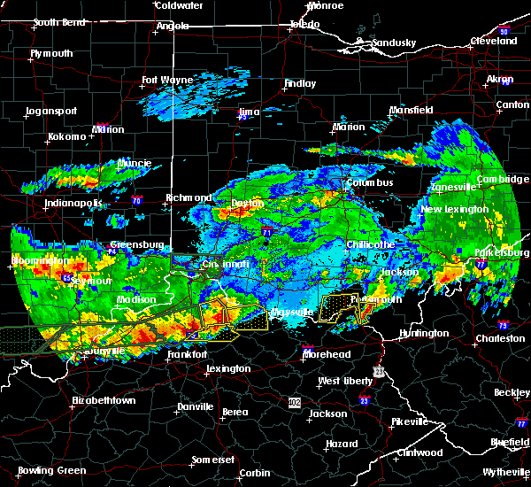 The severe thunderstorm warning for northeastern lewis and southwestern scioto counties will expire at 145 am edt, the storm which prompted the warning has moved out of the area. therefore, the warning will be allowed to expire. a severe thunderstorm watch remains in effect until 200 am edt for southwestern ohio. please report previous wind damage or hail to the national weather service by going to our website at weather.gov/iln and submitting your report via social media. The severe thunderstorm warning for northeastern lewis and southwestern scioto counties will expire at 145 am edt, the storm which prompted the warning has moved out of the area. therefore, the warning will be allowed to expire. a severe thunderstorm watch remains in effect until 200 am edt for southwestern ohio. please report previous wind damage or hail to the national weather service by going to our website at weather.gov/iln and submitting your report via social media.
|
| 4/29/2017 1:39 AM EDT |
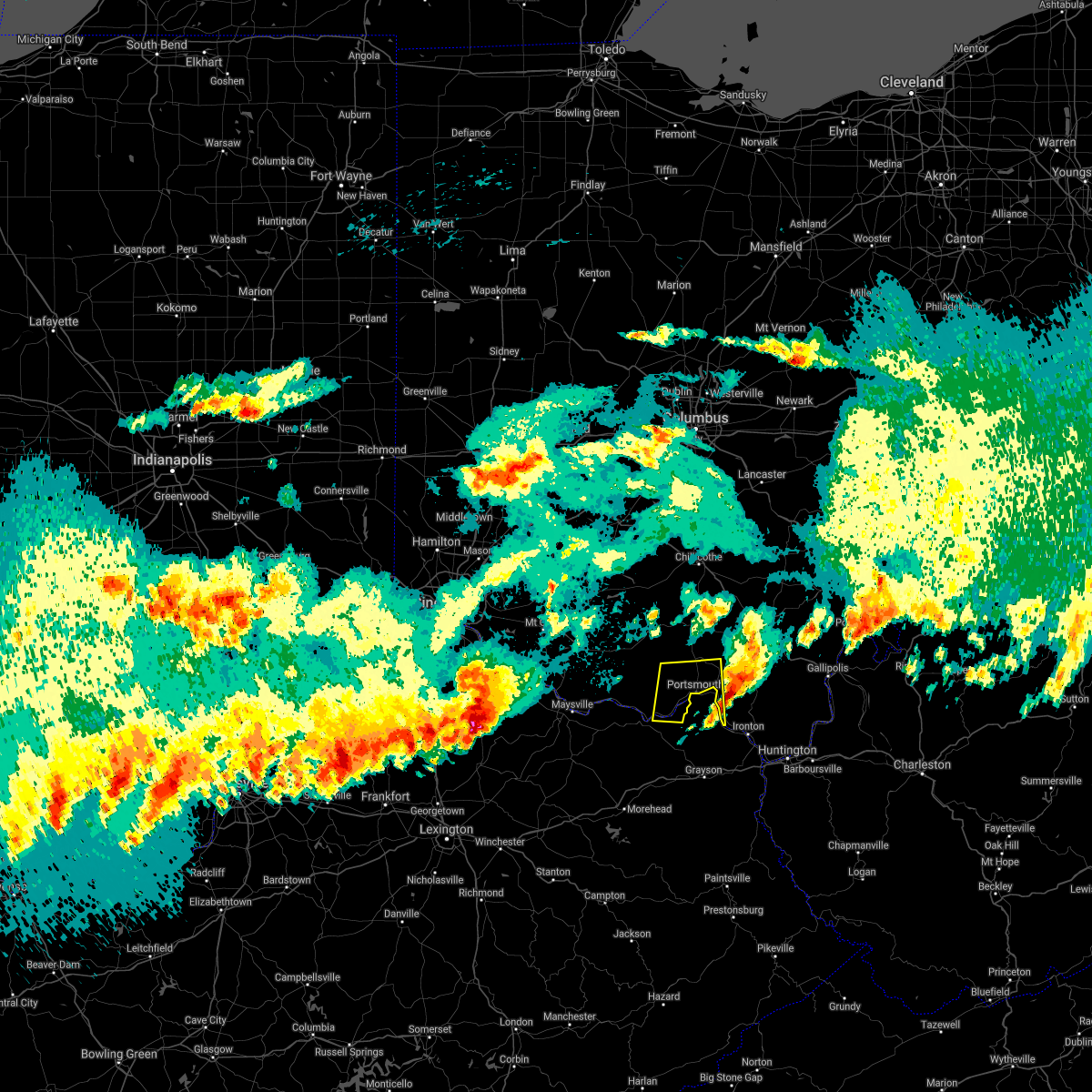 The severe thunderstorm warning for northeastern lewis and southwestern scioto counties will expire at 145 am edt, the storm which prompted the warning has moved out of the area. therefore, the warning will be allowed to expire. a severe thunderstorm watch remains in effect until 200 am edt for southwestern ohio. please report previous wind damage or hail to the national weather service by going to our website at weather.gov/iln and submitting your report via social media. The severe thunderstorm warning for northeastern lewis and southwestern scioto counties will expire at 145 am edt, the storm which prompted the warning has moved out of the area. therefore, the warning will be allowed to expire. a severe thunderstorm watch remains in effect until 200 am edt for southwestern ohio. please report previous wind damage or hail to the national weather service by going to our website at weather.gov/iln and submitting your report via social media.
|
| 4/29/2017 1:14 AM EDT |
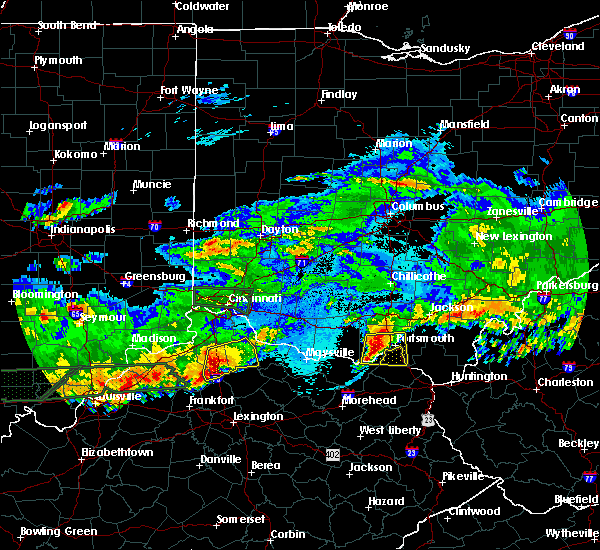 At 113 am edt, a severe thunderstorm was located 9 miles northwest of letitia, moving east at 45 mph (radar indicated). Hazards include 60 mph wind gusts and quarter size hail. Hail damage to vehicles is expected. expect wind damage to roofs, siding, and trees. Locations impacted include, portsmouth, wheelersburg, new boston, rosemount, clarktown, lucasville, sciotodale, franklin furnace, otway, lombardsville, saint paul, minford, firebrick, haverhill, west portsmouth, turkey creek lake, friendship, mcdermott, garrison and portsmouth regional airport. At 113 am edt, a severe thunderstorm was located 9 miles northwest of letitia, moving east at 45 mph (radar indicated). Hazards include 60 mph wind gusts and quarter size hail. Hail damage to vehicles is expected. expect wind damage to roofs, siding, and trees. Locations impacted include, portsmouth, wheelersburg, new boston, rosemount, clarktown, lucasville, sciotodale, franklin furnace, otway, lombardsville, saint paul, minford, firebrick, haverhill, west portsmouth, turkey creek lake, friendship, mcdermott, garrison and portsmouth regional airport.
|
| 4/29/2017 12:57 AM EDT |
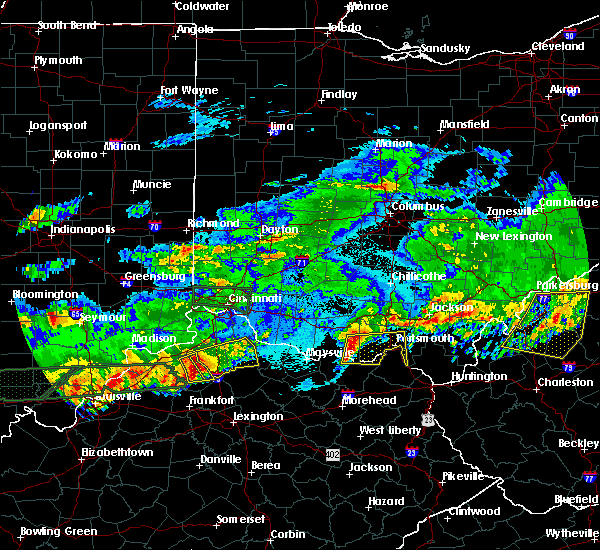 At 1257 am edt, a severe thunderstorm was located over rome, moving east at 45 mph (radar indicated). Hazards include 60 mph wind gusts and quarter size hail. Hail damage to vehicles is expected. Expect wind damage to roofs, siding, and trees. At 1257 am edt, a severe thunderstorm was located over rome, moving east at 45 mph (radar indicated). Hazards include 60 mph wind gusts and quarter size hail. Hail damage to vehicles is expected. Expect wind damage to roofs, siding, and trees.
|
| 3/1/2017 8:27 AM EST |
 At 826 am est, severe thunderstorms were located along a line extending from near lucasville to near camp dix, moving east at 45 mph (radar indicated). Hazards include 70 mph wind gusts and penny size hail. Expect considerable tree damage. damage is likely to mobile homes, roofs, and outbuildings. locations impacted include, portsmouth, new boston, head of grassy, rosemount, clarktown, camp dix, lucasville, wakefield, saint paul, minford, kinniconick, friendship, mcdermott, petersville, stricklett, bear creek, rexton, stockdale, firebrick and harris. A tornado watch remains in effect until 1100 am est for northeastern kentucky, and southwestern ohio. At 826 am est, severe thunderstorms were located along a line extending from near lucasville to near camp dix, moving east at 45 mph (radar indicated). Hazards include 70 mph wind gusts and penny size hail. Expect considerable tree damage. damage is likely to mobile homes, roofs, and outbuildings. locations impacted include, portsmouth, new boston, head of grassy, rosemount, clarktown, camp dix, lucasville, wakefield, saint paul, minford, kinniconick, friendship, mcdermott, petersville, stricklett, bear creek, rexton, stockdale, firebrick and harris. A tornado watch remains in effect until 1100 am est for northeastern kentucky, and southwestern ohio.
|
| 3/1/2017 8:27 AM EST |
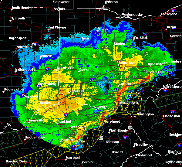 At 826 am est, severe thunderstorms were located along a line extending from near lucasville to near camp dix, moving east at 45 mph (radar indicated). Hazards include 70 mph wind gusts and penny size hail. Expect considerable tree damage. damage is likely to mobile homes, roofs, and outbuildings. locations impacted include, portsmouth, new boston, head of grassy, rosemount, clarktown, camp dix, lucasville, wakefield, saint paul, minford, kinniconick, friendship, mcdermott, petersville, stricklett, bear creek, rexton, stockdale, firebrick and harris. A tornado watch remains in effect until 1100 am est for northeastern kentucky, and southwestern ohio. At 826 am est, severe thunderstorms were located along a line extending from near lucasville to near camp dix, moving east at 45 mph (radar indicated). Hazards include 70 mph wind gusts and penny size hail. Expect considerable tree damage. damage is likely to mobile homes, roofs, and outbuildings. locations impacted include, portsmouth, new boston, head of grassy, rosemount, clarktown, camp dix, lucasville, wakefield, saint paul, minford, kinniconick, friendship, mcdermott, petersville, stricklett, bear creek, rexton, stockdale, firebrick and harris. A tornado watch remains in effect until 1100 am est for northeastern kentucky, and southwestern ohio.
|
| 3/1/2017 8:12 AM EST |
 At 811 am est, a severe thunderstorm capable of producing a tornado was located 11 miles west of rosemount, moving east at 70 mph (radar indicated rotation). Hazards include tornado. Flying debris will be dangerous to those caught without shelter. mobile homes will be damaged or destroyed. damage to roofs, windows, and vehicles will occur. tree damage is likely. Locations impacted include, portsmouth, rosemount, lucasville, lombardsville, friendship, mcdermott, west portsmouth and turkey creek lake. At 811 am est, a severe thunderstorm capable of producing a tornado was located 11 miles west of rosemount, moving east at 70 mph (radar indicated rotation). Hazards include tornado. Flying debris will be dangerous to those caught without shelter. mobile homes will be damaged or destroyed. damage to roofs, windows, and vehicles will occur. tree damage is likely. Locations impacted include, portsmouth, rosemount, lucasville, lombardsville, friendship, mcdermott, west portsmouth and turkey creek lake.
|
| 3/1/2017 8:10 AM EST |
 At 810 am est, severe thunderstorms were located along a line extending from 8 miles southeast of kincaid springs to near vanceburg, moving east at 65 mph (radar indicated). Hazards include 70 mph wind gusts and penny size hail. Expect considerable tree damage. damage is likely to mobile homes, roofs, and outbuildings. locations impacted include, portsmouth, new boston, vanceburg, head of grassy, rosemount, clarktown, camp dix, lucasville, rarden, otway, wakefield, saint paul, minford, kinniconick, friendship, mcdermott, petersville, stricklett, mount joy and bear creek. A tornado watch remains in effect until 1100 am est for northeastern kentucky, and southwestern ohio. At 810 am est, severe thunderstorms were located along a line extending from 8 miles southeast of kincaid springs to near vanceburg, moving east at 65 mph (radar indicated). Hazards include 70 mph wind gusts and penny size hail. Expect considerable tree damage. damage is likely to mobile homes, roofs, and outbuildings. locations impacted include, portsmouth, new boston, vanceburg, head of grassy, rosemount, clarktown, camp dix, lucasville, rarden, otway, wakefield, saint paul, minford, kinniconick, friendship, mcdermott, petersville, stricklett, mount joy and bear creek. A tornado watch remains in effect until 1100 am est for northeastern kentucky, and southwestern ohio.
|
| 3/1/2017 8:10 AM EST |
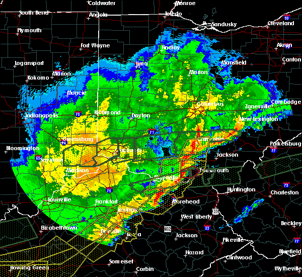 At 810 am est, severe thunderstorms were located along a line extending from 8 miles southeast of kincaid springs to near vanceburg, moving east at 65 mph (radar indicated). Hazards include 70 mph wind gusts and penny size hail. Expect considerable tree damage. damage is likely to mobile homes, roofs, and outbuildings. locations impacted include, portsmouth, new boston, vanceburg, head of grassy, rosemount, clarktown, camp dix, lucasville, rarden, otway, wakefield, saint paul, minford, kinniconick, friendship, mcdermott, petersville, stricklett, mount joy and bear creek. A tornado watch remains in effect until 1100 am est for northeastern kentucky, and southwestern ohio. At 810 am est, severe thunderstorms were located along a line extending from 8 miles southeast of kincaid springs to near vanceburg, moving east at 65 mph (radar indicated). Hazards include 70 mph wind gusts and penny size hail. Expect considerable tree damage. damage is likely to mobile homes, roofs, and outbuildings. locations impacted include, portsmouth, new boston, vanceburg, head of grassy, rosemount, clarktown, camp dix, lucasville, rarden, otway, wakefield, saint paul, minford, kinniconick, friendship, mcdermott, petersville, stricklett, mount joy and bear creek. A tornado watch remains in effect until 1100 am est for northeastern kentucky, and southwestern ohio.
|
| 3/1/2017 8:04 AM EST |
 At 804 am est, a severe thunderstorm capable of producing a tornado was located near rome, moving east at 70 mph (radar indicated rotation). Hazards include tornado. Flying debris will be dangerous to those caught without shelter. mobile homes will be damaged or destroyed. damage to roofs, windows, and vehicles will occur. Tree damage is likely. At 804 am est, a severe thunderstorm capable of producing a tornado was located near rome, moving east at 70 mph (radar indicated rotation). Hazards include tornado. Flying debris will be dangerous to those caught without shelter. mobile homes will be damaged or destroyed. damage to roofs, windows, and vehicles will occur. Tree damage is likely.
|
| 3/1/2017 7:58 AM EST |
 At 758 am est, severe thunderstorms were located along a line extending from near peebles to near mount carmel, moving east at 60 mph (radar indicated). Hazards include 70 mph wind gusts. Expect considerable tree damage. Damage is likely to mobile homes, roofs, and outbuildings. At 758 am est, severe thunderstorms were located along a line extending from near peebles to near mount carmel, moving east at 60 mph (radar indicated). Hazards include 70 mph wind gusts. Expect considerable tree damage. Damage is likely to mobile homes, roofs, and outbuildings.
|
| 3/1/2017 7:58 AM EST |
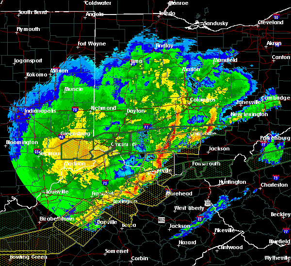 At 758 am est, severe thunderstorms were located along a line extending from near peebles to near mount carmel, moving east at 60 mph (radar indicated). Hazards include 70 mph wind gusts. Expect considerable tree damage. Damage is likely to mobile homes, roofs, and outbuildings. At 758 am est, severe thunderstorms were located along a line extending from near peebles to near mount carmel, moving east at 60 mph (radar indicated). Hazards include 70 mph wind gusts. Expect considerable tree damage. Damage is likely to mobile homes, roofs, and outbuildings.
|
| 3/1/2017 6:06 AM EST |
 At 606 am est, a severe thunderstorm was located 8 miles east of vanceburg, moving northeast at 70 mph (radar indicated). Hazards include golf ball size hail and 60 mph wind gusts. People and animals outdoors will be injured. expect hail damage to roofs, siding, windows, and vehicles. expect wind damage to roofs, siding, and trees. locations impacted include, portsmouth, new boston, vanceburg, camp dix, rosemount, buena vista in scioto county, saint paul, firebrick, west portsmouth, kinniconick, tannery, turkey creek lake, friendship, garrison and rexton. A tornado watch remains in effect until 1100 am est for northeastern kentucky, and southwestern ohio. At 606 am est, a severe thunderstorm was located 8 miles east of vanceburg, moving northeast at 70 mph (radar indicated). Hazards include golf ball size hail and 60 mph wind gusts. People and animals outdoors will be injured. expect hail damage to roofs, siding, windows, and vehicles. expect wind damage to roofs, siding, and trees. locations impacted include, portsmouth, new boston, vanceburg, camp dix, rosemount, buena vista in scioto county, saint paul, firebrick, west portsmouth, kinniconick, tannery, turkey creek lake, friendship, garrison and rexton. A tornado watch remains in effect until 1100 am est for northeastern kentucky, and southwestern ohio.
|
| 3/1/2017 6:00 AM EST |
 At 600 am est, a severe thunderstorm was located near camp dix, moving east at 70 mph (radar indicated). Hazards include 60 mph wind gusts and half dollar size hail. Hail damage to vehicles is expected. expect wind damage to roofs, siding, and trees. locations impacted include, portsmouth, new boston, vanceburg, camp dix, rosemount, sandy springs, buena vista in scioto county, saint paul, firebrick, west portsmouth, kinniconick, tannery, turkey creek lake, friendship, garrison, stricklett and rexton. A tornado watch remains in effect until 1100 am est for northeastern kentucky, and southwestern ohio. At 600 am est, a severe thunderstorm was located near camp dix, moving east at 70 mph (radar indicated). Hazards include 60 mph wind gusts and half dollar size hail. Hail damage to vehicles is expected. expect wind damage to roofs, siding, and trees. locations impacted include, portsmouth, new boston, vanceburg, camp dix, rosemount, sandy springs, buena vista in scioto county, saint paul, firebrick, west portsmouth, kinniconick, tannery, turkey creek lake, friendship, garrison, stricklett and rexton. A tornado watch remains in effect until 1100 am est for northeastern kentucky, and southwestern ohio.
|
| 3/1/2017 6:00 AM EST |
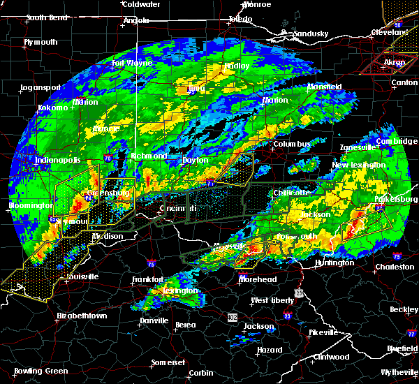 At 600 am est, a severe thunderstorm was located near camp dix, moving east at 70 mph (radar indicated). Hazards include 60 mph wind gusts and half dollar size hail. Hail damage to vehicles is expected. expect wind damage to roofs, siding, and trees. locations impacted include, portsmouth, new boston, vanceburg, camp dix, rosemount, sandy springs, buena vista in scioto county, saint paul, firebrick, west portsmouth, kinniconick, tannery, turkey creek lake, friendship, garrison, stricklett and rexton. A tornado watch remains in effect until 1100 am est for northeastern kentucky, and southwestern ohio. At 600 am est, a severe thunderstorm was located near camp dix, moving east at 70 mph (radar indicated). Hazards include 60 mph wind gusts and half dollar size hail. Hail damage to vehicles is expected. expect wind damage to roofs, siding, and trees. locations impacted include, portsmouth, new boston, vanceburg, camp dix, rosemount, sandy springs, buena vista in scioto county, saint paul, firebrick, west portsmouth, kinniconick, tannery, turkey creek lake, friendship, garrison, stricklett and rexton. A tornado watch remains in effect until 1100 am est for northeastern kentucky, and southwestern ohio.
|
| 3/1/2017 5:53 AM EST |
 At 553 am est, a severe thunderstorm was located 7 miles southwest of vanceburg, moving east at 70 mph (radar indicated). Hazards include 60 mph wind gusts and quarter size hail. Hail damage to vehicles is expected. Expect wind damage to roofs, siding, and trees. At 553 am est, a severe thunderstorm was located 7 miles southwest of vanceburg, moving east at 70 mph (radar indicated). Hazards include 60 mph wind gusts and quarter size hail. Hail damage to vehicles is expected. Expect wind damage to roofs, siding, and trees.
|
| 3/1/2017 4:51 AM EST |
 The severe thunderstorm warning for southwestern scioto county will expire at 500 am est, the storm which prompted the warning has weakened below severe limits, and no longer poses an immediate threat to life or property. therefore, the warning will be allowed to expire. a tornado watch remains in effect until 700 am est for northeastern kentucky, and southwestern ohio. please report previous wind damage or hail to the national weather service by going to our website at weather.gov/iln and submitting your report via social media. The severe thunderstorm warning for southwestern scioto county will expire at 500 am est, the storm which prompted the warning has weakened below severe limits, and no longer poses an immediate threat to life or property. therefore, the warning will be allowed to expire. a tornado watch remains in effect until 700 am est for northeastern kentucky, and southwestern ohio. please report previous wind damage or hail to the national weather service by going to our website at weather.gov/iln and submitting your report via social media.
|
| 3/1/2017 4:42 AM EST |
 At 441 am est, a severe thunderstorm was located 8 miles west of south shore, moving northeast at 75 mph (radar indicated). Hazards include 60 mph wind gusts and quarter size hail. Hail damage to vehicles is expected. expect wind damage to roofs, siding, and trees. locations impacted include, portsmouth, rosemount, lucasville, lombardsville, friendship, mcdermott, buena vista in scioto county, west portsmouth and turkey creek lake. A tornado watch remains in effect until 700 am est for northeastern kentucky, and southwestern ohio. At 441 am est, a severe thunderstorm was located 8 miles west of south shore, moving northeast at 75 mph (radar indicated). Hazards include 60 mph wind gusts and quarter size hail. Hail damage to vehicles is expected. expect wind damage to roofs, siding, and trees. locations impacted include, portsmouth, rosemount, lucasville, lombardsville, friendship, mcdermott, buena vista in scioto county, west portsmouth and turkey creek lake. A tornado watch remains in effect until 700 am est for northeastern kentucky, and southwestern ohio.
|
| 3/1/2017 4:31 AM EST |
 At 431 am est, a severe thunderstorm was located near rome, moving northeast at 70 mph (radar indicated). Hazards include 60 mph wind gusts and quarter size hail. Hail damage to vehicles is expected. expect wind damage to roofs, siding, and trees. locations impacted include, portsmouth, vanceburg, rome, rosemount, lucasville, blue creek, otway, lombardsville, sandy springs, buena vista in scioto county, saint paul, firebrick, carrs, west portsmouth, wamsley, turkey creek lake, friendship, mcdermott, garrison and cedar mills. A tornado watch remains in effect until 700 am est for northeastern kentucky, and southwestern ohio. At 431 am est, a severe thunderstorm was located near rome, moving northeast at 70 mph (radar indicated). Hazards include 60 mph wind gusts and quarter size hail. Hail damage to vehicles is expected. expect wind damage to roofs, siding, and trees. locations impacted include, portsmouth, vanceburg, rome, rosemount, lucasville, blue creek, otway, lombardsville, sandy springs, buena vista in scioto county, saint paul, firebrick, carrs, west portsmouth, wamsley, turkey creek lake, friendship, mcdermott, garrison and cedar mills. A tornado watch remains in effect until 700 am est for northeastern kentucky, and southwestern ohio.
|
| 3/1/2017 4:20 AM EST |
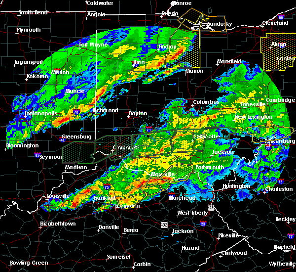 At 420 am est, a severe thunderstorm was located near tollesboro, moving northeast at 70 mph (radar indicated). Hazards include 60 mph wind gusts and half dollar size hail. Hail damage to vehicles is expected. Expect wind damage to roofs, siding, and trees. At 420 am est, a severe thunderstorm was located near tollesboro, moving northeast at 70 mph (radar indicated). Hazards include 60 mph wind gusts and half dollar size hail. Hail damage to vehicles is expected. Expect wind damage to roofs, siding, and trees.
|
| 2/24/2017 11:44 PM EST |
 At 1143 pm est, a severe thunderstorm was located 9 miles northwest of letitia, moving northeast at 60 mph (radar indicated). Hazards include 60 mph wind gusts. expect damage to roofs, siding, and trees At 1143 pm est, a severe thunderstorm was located 9 miles northwest of letitia, moving northeast at 60 mph (radar indicated). Hazards include 60 mph wind gusts. expect damage to roofs, siding, and trees
|
| 2/24/2017 11:44 PM EST |
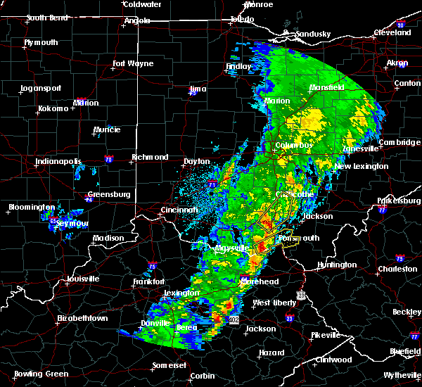 At 1143 pm est, a severe thunderstorm was located 9 miles northwest of letitia, moving northeast at 60 mph (radar indicated). Hazards include 60 mph wind gusts. expect damage to roofs, siding, and trees At 1143 pm est, a severe thunderstorm was located 9 miles northwest of letitia, moving northeast at 60 mph (radar indicated). Hazards include 60 mph wind gusts. expect damage to roofs, siding, and trees
|
| 12/18/2016 1:12 AM EST |
 The severe thunderstorm warning for central lewis, scioto and southeastern adams counties will expire at 115 am est, the storm which prompted the warning has weakened below severe limits, and no longer poses an immediate threat to life or property. therefore, the warning will be allowed to expire. please report previous wind damage or hail to the national weather service by going to our website at weather.gov/iln and submitting your report via social media. The severe thunderstorm warning for central lewis, scioto and southeastern adams counties will expire at 115 am est, the storm which prompted the warning has weakened below severe limits, and no longer poses an immediate threat to life or property. therefore, the warning will be allowed to expire. please report previous wind damage or hail to the national weather service by going to our website at weather.gov/iln and submitting your report via social media.
|
| 12/18/2016 1:12 AM EST |
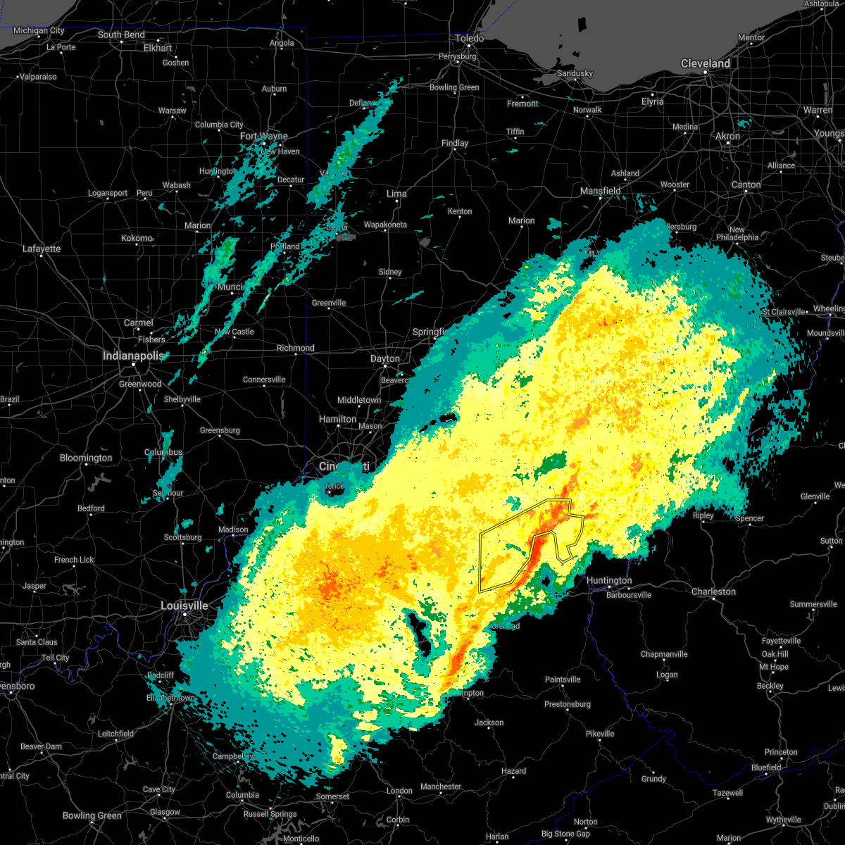 The severe thunderstorm warning for central lewis, scioto and southeastern adams counties will expire at 115 am est, the storm which prompted the warning has weakened below severe limits, and no longer poses an immediate threat to life or property. therefore, the warning will be allowed to expire. please report previous wind damage or hail to the national weather service by going to our website at weather.gov/iln and submitting your report via social media. The severe thunderstorm warning for central lewis, scioto and southeastern adams counties will expire at 115 am est, the storm which prompted the warning has weakened below severe limits, and no longer poses an immediate threat to life or property. therefore, the warning will be allowed to expire. please report previous wind damage or hail to the national weather service by going to our website at weather.gov/iln and submitting your report via social media.
|
| 12/18/2016 12:57 AM EST |
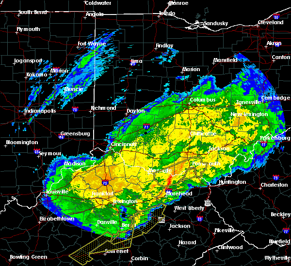 At 1256 am est, a severe thunderstorm was located near rome, moving northeast at 65 mph (radar indicated). Hazards include 60 mph wind gusts. Expect damage to roofs, siding, and trees. Locations impacted include, portsmouth, wheelersburg, new boston, vanceburg, south webster, camp dix, sciotodale, franklin furnace, rome, clarktown, lucasville, rosemount, blue creek, tannery, west portsmouth, sandy springs, firebrick, carrs, buena vista in scioto county and state route 335 at state route 776. At 1256 am est, a severe thunderstorm was located near rome, moving northeast at 65 mph (radar indicated). Hazards include 60 mph wind gusts. Expect damage to roofs, siding, and trees. Locations impacted include, portsmouth, wheelersburg, new boston, vanceburg, south webster, camp dix, sciotodale, franklin furnace, rome, clarktown, lucasville, rosemount, blue creek, tannery, west portsmouth, sandy springs, firebrick, carrs, buena vista in scioto county and state route 335 at state route 776.
|
| 12/18/2016 12:45 AM EST |
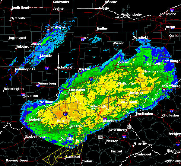 At 1245 am est, a severe thunderstorm was located over tollesboro, moving northeast at 65 mph (radar indicated). Hazards include 60 mph wind gusts. expect damage to roofs, siding, and trees At 1245 am est, a severe thunderstorm was located over tollesboro, moving northeast at 65 mph (radar indicated). Hazards include 60 mph wind gusts. expect damage to roofs, siding, and trees
|
| 7/26/2016 4:13 PM EDT |
 At 412 pm edt, a severe thunderstorm was located near rosemount, moving east at 30 mph (radar indicated). Hazards include 60 mph wind gusts. Expect damage to roofs. siding. and trees. Locations impacted include, friendship, mcdermott, lombardsville and west portsmouth. At 412 pm edt, a severe thunderstorm was located near rosemount, moving east at 30 mph (radar indicated). Hazards include 60 mph wind gusts. Expect damage to roofs. siding. and trees. Locations impacted include, friendship, mcdermott, lombardsville and west portsmouth.
|
| 7/26/2016 4:01 PM EDT |
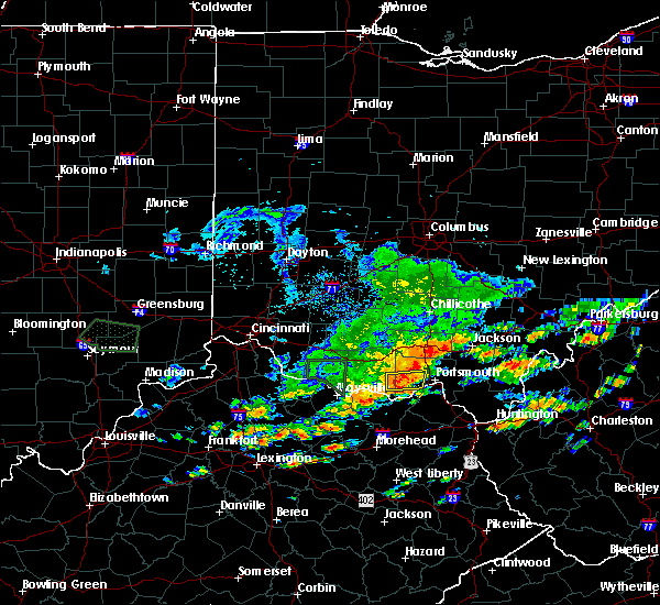 At 401 pm edt, a severe thunderstorm was located 12 miles west of rosemount, moving east at 30 mph (radar indicated). Hazards include 60 mph wind gusts and penny size hail. Expect damage to roofs. siding. and trees. Locations impacted include, mcdermott, turkey creek lake, lombardsville, friendship and west portsmouth. At 401 pm edt, a severe thunderstorm was located 12 miles west of rosemount, moving east at 30 mph (radar indicated). Hazards include 60 mph wind gusts and penny size hail. Expect damage to roofs. siding. and trees. Locations impacted include, mcdermott, turkey creek lake, lombardsville, friendship and west portsmouth.
|
| 7/26/2016 3:54 PM EDT |
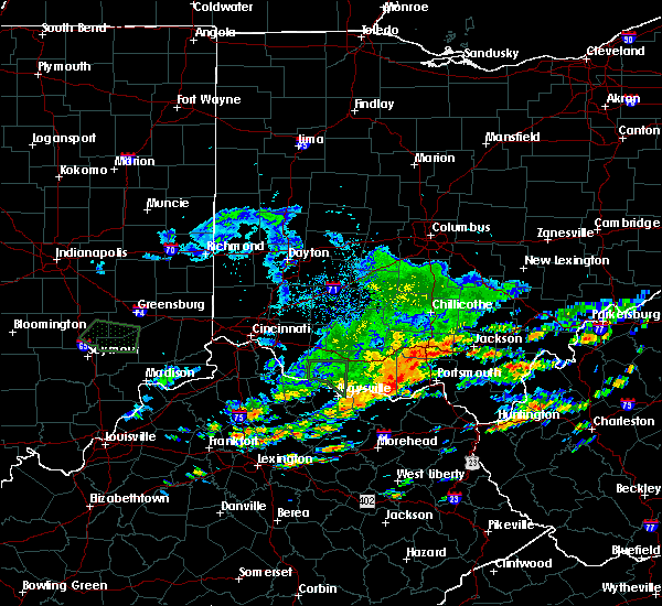 At 353 pm edt, a severe thunderstorm was located 10 miles north of vanceburg, moving east at 30 mph (radar indicated). Hazards include 60 mph wind gusts and penny size hail. Expect damage to roofs. siding. And trees. At 353 pm edt, a severe thunderstorm was located 10 miles north of vanceburg, moving east at 30 mph (radar indicated). Hazards include 60 mph wind gusts and penny size hail. Expect damage to roofs. siding. And trees.
|
| 7/8/2016 1:34 PM EDT |
 At 134 pm edt, severe thunderstorms were located along a line extending from lucasville to letitia, moving east at 60 mph (radar indicated). Hazards include 60 mph wind gusts. Expect damage to roofs. siding. and trees. Locations impacted include, portsmouth, wheelersburg, new boston, south webster, sciotodale, lucasville, franklin furnace, rosemount, west portsmouth, powellsville, lyra, friendship, portsmouth regional airport, mcdermott, minford, haverhill and bear creek. At 134 pm edt, severe thunderstorms were located along a line extending from lucasville to letitia, moving east at 60 mph (radar indicated). Hazards include 60 mph wind gusts. Expect damage to roofs. siding. and trees. Locations impacted include, portsmouth, wheelersburg, new boston, south webster, sciotodale, lucasville, franklin furnace, rosemount, west portsmouth, powellsville, lyra, friendship, portsmouth regional airport, mcdermott, minford, haverhill and bear creek.
|
| 7/8/2016 1:34 PM EDT |
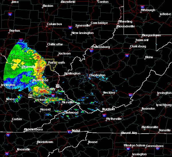 At 134 pm edt, severe thunderstorms were located along a line extending from lucasville to letitia, moving east at 60 mph (radar indicated). Hazards include 60 mph wind gusts. Expect damage to roofs. siding. and trees. Locations impacted include, portsmouth, wheelersburg, new boston, south webster, sciotodale, lucasville, franklin furnace, rosemount, west portsmouth, powellsville, lyra, friendship, portsmouth regional airport, mcdermott, minford, haverhill and bear creek. At 134 pm edt, severe thunderstorms were located along a line extending from lucasville to letitia, moving east at 60 mph (radar indicated). Hazards include 60 mph wind gusts. Expect damage to roofs. siding. and trees. Locations impacted include, portsmouth, wheelersburg, new boston, south webster, sciotodale, lucasville, franklin furnace, rosemount, west portsmouth, powellsville, lyra, friendship, portsmouth regional airport, mcdermott, minford, haverhill and bear creek.
|
| 7/8/2016 1:27 PM EDT |
 At 125 pm edt, severe thunderstorms were located along a line extending from 10 miles west of lucasville to camp dix, moving east at 55 mph (radar indicated). Hazards include 60 mph wind gusts. Expect damage to roofs. siding. And trees. At 125 pm edt, severe thunderstorms were located along a line extending from 10 miles west of lucasville to camp dix, moving east at 55 mph (radar indicated). Hazards include 60 mph wind gusts. Expect damage to roofs. siding. And trees.
|
| 7/8/2016 1:27 PM EDT |
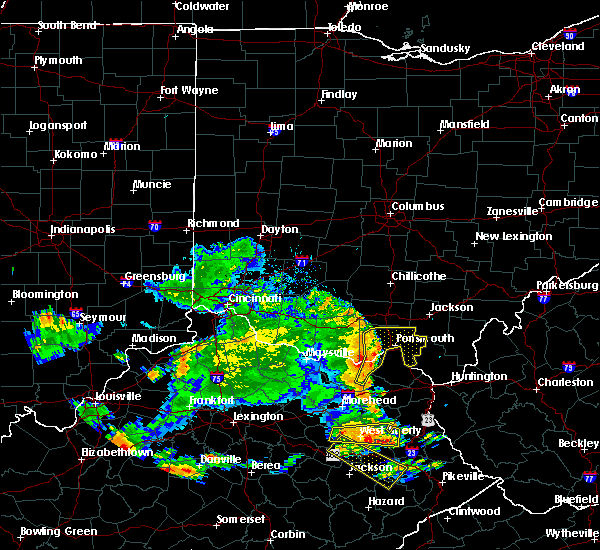 At 125 pm edt, severe thunderstorms were located along a line extending from 10 miles west of lucasville to camp dix, moving east at 55 mph (radar indicated). Hazards include 60 mph wind gusts. Expect damage to roofs. siding. And trees. At 125 pm edt, severe thunderstorms were located along a line extending from 10 miles west of lucasville to camp dix, moving east at 55 mph (radar indicated). Hazards include 60 mph wind gusts. Expect damage to roofs. siding. And trees.
|
| 6/23/2016 6:22 AM EDT |
 At 622 am edt, a severe thunderstorm was located near rosemount, moving east at 65 mph (radar indicated). Hazards include 60 mph wind gusts. Expect damage to roofs. siding. and trees. locations impacted include, portsmouth, wheelersburg, new boston, south webster, sciotodale, lucasville, rosemount, franklin furnace, state route 335 at state route 776, west portsmouth, turkey creek lake, powellsville, lyra, friendship, portsmouth regional airport, lombardsville, bear creek, mcdermott and minford. A tornado watch remains in effect until 700 am edt for southwestern ohio. At 622 am edt, a severe thunderstorm was located near rosemount, moving east at 65 mph (radar indicated). Hazards include 60 mph wind gusts. Expect damage to roofs. siding. and trees. locations impacted include, portsmouth, wheelersburg, new boston, south webster, sciotodale, lucasville, rosemount, franklin furnace, state route 335 at state route 776, west portsmouth, turkey creek lake, powellsville, lyra, friendship, portsmouth regional airport, lombardsville, bear creek, mcdermott and minford. A tornado watch remains in effect until 700 am edt for southwestern ohio.
|
| 6/23/2016 5:58 AM EDT |
 At 558 am edt, a severe thunderstorm was located near peebles, moving east at 65 mph (radar indicated). Hazards include 60 mph wind gusts. Expect damage to roofs. siding. And trees. At 558 am edt, a severe thunderstorm was located near peebles, moving east at 65 mph (radar indicated). Hazards include 60 mph wind gusts. Expect damage to roofs. siding. And trees.
|
| 6/23/2016 5:43 AM EDT |
 At 543 am edt, severe thunderstorms were located along a line extending from 8 miles west of west union to near brooksville, moving southeast at 55 mph (radar indicated). Hazards include 60 mph wind gusts. Expect damage to roofs. siding. And trees. At 543 am edt, severe thunderstorms were located along a line extending from 8 miles west of west union to near brooksville, moving southeast at 55 mph (radar indicated). Hazards include 60 mph wind gusts. Expect damage to roofs. siding. And trees.
|
| 6/21/2016 1:28 PM EDT |
 At 127 pm edt, a severe thunderstorm was located 7 miles east of concord, moving southeast at 35 mph (radar indicated). Hazards include 60 mph wind gusts and half dollar size hail. Hail damage to vehicles is expected. expect wind damage to roofs, siding, and trees. Locations impacted include, portsmouth, west union, vanceburg, concord, blue creek, rome, buena vista in scioto county, west portsmouth, sandy springs, turkey creek lake, friendship, cedar mills, state route 348 at state route 125 and wamsley. At 127 pm edt, a severe thunderstorm was located 7 miles east of concord, moving southeast at 35 mph (radar indicated). Hazards include 60 mph wind gusts and half dollar size hail. Hail damage to vehicles is expected. expect wind damage to roofs, siding, and trees. Locations impacted include, portsmouth, west union, vanceburg, concord, blue creek, rome, buena vista in scioto county, west portsmouth, sandy springs, turkey creek lake, friendship, cedar mills, state route 348 at state route 125 and wamsley.
|
| 6/21/2016 1:11 PM EDT |
 At 111 pm edt, a severe thunderstorm was located over west union, moving southeast at 35 mph (radar indicated). Hazards include 60 mph wind gusts and quarter size hail. Hail damage to vehicles is expected. Expect wind damage to roofs, siding, and trees. At 111 pm edt, a severe thunderstorm was located over west union, moving southeast at 35 mph (radar indicated). Hazards include 60 mph wind gusts and quarter size hail. Hail damage to vehicles is expected. Expect wind damage to roofs, siding, and trees.
|
| 4/26/2016 7:10 PM EDT |
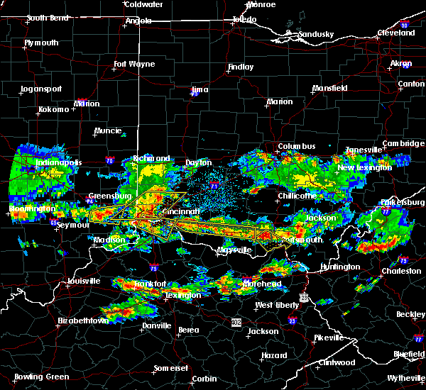 The severe thunderstorm warning for northern scioto county will expire at 715 pm edt, the severe thunderstorm which prompted the warning has weakened. therefore the warning will be allowed to expire. a severe thunderstorm watch remains in effect until 200 am edt for northeastern kentucky, and southwestern ohio. please report previous wind damage or hail to the national weather service by going to our website at weather.gov/iln and submitting your report via social media. The severe thunderstorm warning for northern scioto county will expire at 715 pm edt, the severe thunderstorm which prompted the warning has weakened. therefore the warning will be allowed to expire. a severe thunderstorm watch remains in effect until 200 am edt for northeastern kentucky, and southwestern ohio. please report previous wind damage or hail to the national weather service by going to our website at weather.gov/iln and submitting your report via social media.
|
| 4/26/2016 6:39 PM EDT |
 At 638 pm edt, a severe thunderstorm was located 8 miles west of lucasville, moving southeast at 25 mph (radar indicated). Hazards include 60 mph wind gusts and quarter size hail. Hail damage to vehicles is expected. Expect wind damage to roofs, siding, and trees. At 638 pm edt, a severe thunderstorm was located 8 miles west of lucasville, moving southeast at 25 mph (radar indicated). Hazards include 60 mph wind gusts and quarter size hail. Hail damage to vehicles is expected. Expect wind damage to roofs, siding, and trees.
|
| 7/14/2015 5:24 PM EDT |
 At 524 pm edt, radar indicated a severe thunderstorm located over load, moving southeast at 40 mph. storm hazards include, winds to 60 mph, penny size hail, locations impacted include, portsmouth, wheelersburg, new boston, sciotodale, rosemount, sciotoville, buena vista in scioto county, west portsmouth, sandy springs, turkey creek lake, powellsville, lyra and friendship. At 524 pm edt, radar indicated a severe thunderstorm located over load, moving southeast at 40 mph. storm hazards include, winds to 60 mph, penny size hail, locations impacted include, portsmouth, wheelersburg, new boston, sciotodale, rosemount, sciotoville, buena vista in scioto county, west portsmouth, sandy springs, turkey creek lake, powellsville, lyra and friendship.
|
| 7/14/2015 5:15 PM EDT |
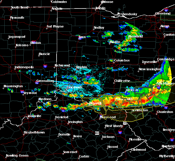 At 515 pm edt, radar indicated a severe thunderstorm located over letitia, moving southeast at 40 mph. storm hazards include, winds to 60 mph, penny size hail, locations impacted include, portsmouth, wheelersburg, new boston, south webster, sciotodale, lucasville, rosemount, blue creek, sciotoville, buena vista in scioto county, west portsmouth, turkey creek lake, powellsville, lyra, friendship, portsmouth regional airport, lombardsville, wamsley, mcdermott and minford. At 515 pm edt, radar indicated a severe thunderstorm located over letitia, moving southeast at 40 mph. storm hazards include, winds to 60 mph, penny size hail, locations impacted include, portsmouth, wheelersburg, new boston, south webster, sciotodale, lucasville, rosemount, blue creek, sciotoville, buena vista in scioto county, west portsmouth, turkey creek lake, powellsville, lyra, friendship, portsmouth regional airport, lombardsville, wamsley, mcdermott and minford.
|
| 7/14/2015 5:08 PM EDT | Tree downed on state route 12 in scioto county OH, 1.4 miles E of Friendship, OH |
| 7/14/2015 5:08 PM EDT |
 At 508 pm edt, radar indicated a severe thunderstorm located near letitia, moving southeast at 40 mph. storm hazards include, winds to 60 mph, penny size hail,. At 508 pm edt, radar indicated a severe thunderstorm located near letitia, moving southeast at 40 mph. storm hazards include, winds to 60 mph, penny size hail,.
|
| 7/14/2015 4:58 PM EDT |
 At 457 pm edt, radar indicated a severe thunderstorm located 11 miles west of rosemount, moving southeast at 50 mph. storm hazards include, winds to 60 mph, penny size hail, locations impacted include, portsmouth, wheelersburg, new boston, greenup, south webster, sciotodale, lucasville, rosemount, franklin furnace, blue creek, otway, buena vista in scioto county, west portsmouth, sandy springs, powellsville, friendship, cedar mills, mcdermott, minford and sciotoville. At 457 pm edt, radar indicated a severe thunderstorm located 11 miles west of rosemount, moving southeast at 50 mph. storm hazards include, winds to 60 mph, penny size hail, locations impacted include, portsmouth, wheelersburg, new boston, greenup, south webster, sciotodale, lucasville, rosemount, franklin furnace, blue creek, otway, buena vista in scioto county, west portsmouth, sandy springs, powellsville, friendship, cedar mills, mcdermott, minford and sciotoville.
|
| 7/14/2015 4:58 PM EDT |
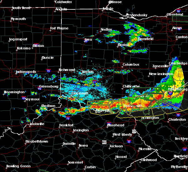 At 457 pm edt, radar indicated a severe thunderstorm located 11 miles west of rosemount, moving southeast at 50 mph. storm hazards include, winds to 60 mph, penny size hail, locations impacted include, portsmouth, wheelersburg, new boston, greenup, south webster, sciotodale, lucasville, rosemount, franklin furnace, blue creek, otway, buena vista in scioto county, west portsmouth, sandy springs, powellsville, friendship, cedar mills, mcdermott, minford and sciotoville. At 457 pm edt, radar indicated a severe thunderstorm located 11 miles west of rosemount, moving southeast at 50 mph. storm hazards include, winds to 60 mph, penny size hail, locations impacted include, portsmouth, wheelersburg, new boston, greenup, south webster, sciotodale, lucasville, rosemount, franklin furnace, blue creek, otway, buena vista in scioto county, west portsmouth, sandy springs, powellsville, friendship, cedar mills, mcdermott, minford and sciotoville.
|
| 7/14/2015 4:40 PM EDT |
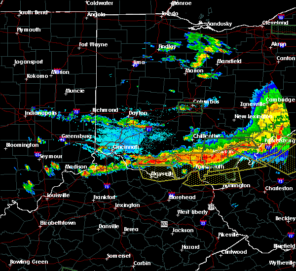 At 440 pm edt, radar indicated a severe thunderstorm located near lucasville, moving southeast at 45 mph. storm hazards include, winds to 60 mph, penny size hail, locations impacted include, portsmouth, wheelersburg, new boston, greenup, south webster, sciotodale, lucasville, rosemount, franklin furnace, blue creek, rarden, otway, west portsmouth, sandy springs, powellsville, friendship, mcdermott and minford. At 440 pm edt, radar indicated a severe thunderstorm located near lucasville, moving southeast at 45 mph. storm hazards include, winds to 60 mph, penny size hail, locations impacted include, portsmouth, wheelersburg, new boston, greenup, south webster, sciotodale, lucasville, rosemount, franklin furnace, blue creek, rarden, otway, west portsmouth, sandy springs, powellsville, friendship, mcdermott and minford.
|
| 7/14/2015 4:27 PM EDT |
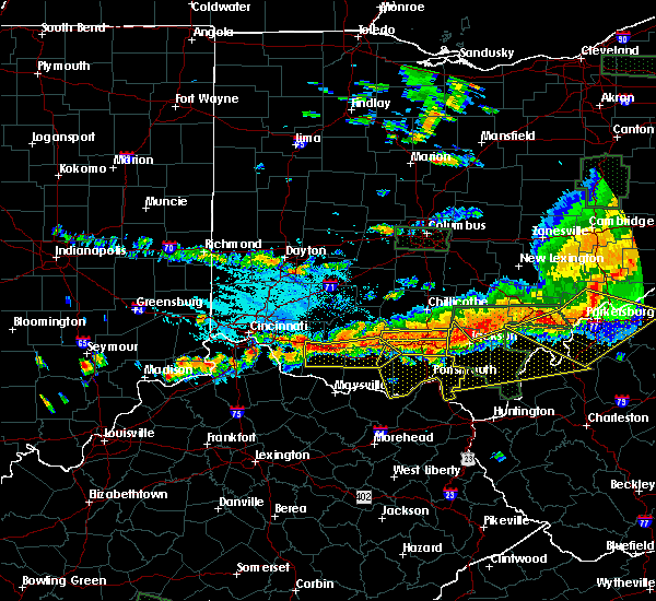 At 426 pm edt, radar indicated a severe thunderstorm located near piketon, moving southeast at 35 mph. storm hazards include, winds to 60 mph, penny size hail,. At 426 pm edt, radar indicated a severe thunderstorm located near piketon, moving southeast at 35 mph. storm hazards include, winds to 60 mph, penny size hail,.
|
| 7/13/2015 3:00 PM EDT |
 At 259 pm edt, emergency management reported more than two dozen trees down across scioto county. radar indicated that these storms were located along a line extending from south webster to near letitia to near vanceburg, moving southeast at 45 mph. storm hazards include, damaging winds to 70 mph, penny size hail, frequent cloud to ground lightning, very heavy rain which may cause minor flooding, locations impacted include, portsmouth, wheelersburg, new boston, vanceburg, south webster, camp dix, head of grassy, sciotodale, franklin furnace, rosemount, rome, sciotoville, buena vista in scioto county, west portsmouth, sandy springs, turkey creek lake, powellsville, lyra, friendship and portsmouth regional airport. At 259 pm edt, emergency management reported more than two dozen trees down across scioto county. radar indicated that these storms were located along a line extending from south webster to near letitia to near vanceburg, moving southeast at 45 mph. storm hazards include, damaging winds to 70 mph, penny size hail, frequent cloud to ground lightning, very heavy rain which may cause minor flooding, locations impacted include, portsmouth, wheelersburg, new boston, vanceburg, south webster, camp dix, head of grassy, sciotodale, franklin furnace, rosemount, rome, sciotoville, buena vista in scioto county, west portsmouth, sandy springs, turkey creek lake, powellsville, lyra, friendship and portsmouth regional airport.
|
| 7/13/2015 3:00 PM EDT |
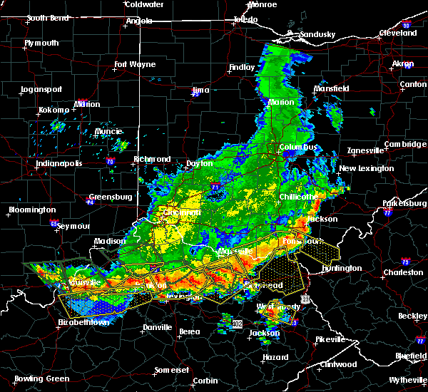 At 259 pm edt, emergency management reported more than two dozen trees down across scioto county. radar indicated that these storms were located along a line extending from south webster to near letitia to near vanceburg, moving southeast at 45 mph. storm hazards include, damaging winds to 70 mph, penny size hail, frequent cloud to ground lightning, very heavy rain which may cause minor flooding, locations impacted include, portsmouth, wheelersburg, new boston, vanceburg, south webster, camp dix, head of grassy, sciotodale, franklin furnace, rosemount, rome, sciotoville, buena vista in scioto county, west portsmouth, sandy springs, turkey creek lake, powellsville, lyra, friendship and portsmouth regional airport. At 259 pm edt, emergency management reported more than two dozen trees down across scioto county. radar indicated that these storms were located along a line extending from south webster to near letitia to near vanceburg, moving southeast at 45 mph. storm hazards include, damaging winds to 70 mph, penny size hail, frequent cloud to ground lightning, very heavy rain which may cause minor flooding, locations impacted include, portsmouth, wheelersburg, new boston, vanceburg, south webster, camp dix, head of grassy, sciotodale, franklin furnace, rosemount, rome, sciotoville, buena vista in scioto county, west portsmouth, sandy springs, turkey creek lake, powellsville, lyra, friendship and portsmouth regional airport.
|
| 7/13/2015 2:49 PM EDT |
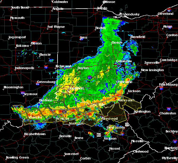 At 249 pm edt, emergency management reported more than two dozen trees down in scioto county. radar indicated that these storms were located along a line extending from near sciotodale to 7 miles west of letitia to 6 miles west of vanceburg, moving southeast at 40 mph. storm hazards include, damaging winds to 70 mph, penny size hail, frequent cloud to ground lightning, very heavy rain which may cause minor flooding, locations impacted include, portsmouth, wheelersburg, new boston, vanceburg, south webster, concord, camp dix, head of grassy, sciotodale, franklin furnace, lucasville, rosemount, blue creek, rome, otway, state route 335 at state route 776, buena vista in scioto county, west portsmouth, sandy springs and powellsville. At 249 pm edt, emergency management reported more than two dozen trees down in scioto county. radar indicated that these storms were located along a line extending from near sciotodale to 7 miles west of letitia to 6 miles west of vanceburg, moving southeast at 40 mph. storm hazards include, damaging winds to 70 mph, penny size hail, frequent cloud to ground lightning, very heavy rain which may cause minor flooding, locations impacted include, portsmouth, wheelersburg, new boston, vanceburg, south webster, concord, camp dix, head of grassy, sciotodale, franklin furnace, lucasville, rosemount, blue creek, rome, otway, state route 335 at state route 776, buena vista in scioto county, west portsmouth, sandy springs and powellsville.
|
| 7/13/2015 2:31 PM EDT |
 At 231 pm edt, radar indicated severe thunderstorms located along a line extending from 6 miles northeast of lucasville to 11 miles west of rosemount to concord, moving southeast at 50 mph. storm hazards include, winds to 60 mph, very heavy rain which may cause minor flooding,. At 231 pm edt, radar indicated severe thunderstorms located along a line extending from 6 miles northeast of lucasville to 11 miles west of rosemount to concord, moving southeast at 50 mph. storm hazards include, winds to 60 mph, very heavy rain which may cause minor flooding,.
|
| 7/7/2015 6:44 PM EDT |
 At 642 pm edt, radar continued to indicate severe thunderstorms located along a line extending from ladd to mcdermott to west portsmouth, moving east at 35 mph. storm hazards include, winds to 60 mph, very heavy rain which may cause minor flooding, locations impacted include, lucasville, franklin furnace and wheelersburg. in addition, rosemount, wakefield, new boston, haverhill, sciotoville, sciotodale, minford and powellsville are near the path of these storms. At 642 pm edt, radar continued to indicate severe thunderstorms located along a line extending from ladd to mcdermott to west portsmouth, moving east at 35 mph. storm hazards include, winds to 60 mph, very heavy rain which may cause minor flooding, locations impacted include, lucasville, franklin furnace and wheelersburg. in addition, rosemount, wakefield, new boston, haverhill, sciotoville, sciotodale, minford and powellsville are near the path of these storms.
|
| 7/7/2015 6:25 PM EDT |
 At 623 pm edt, radar indicated severe thunderstorms located along a line extending from rarden to blue creek to buena vista, moving east at 35 mph. storm hazards include, winds to 60 mph, very heavy rain which may cause minor flooding,. At 623 pm edt, radar indicated severe thunderstorms located along a line extending from rarden to blue creek to buena vista, moving east at 35 mph. storm hazards include, winds to 60 mph, very heavy rain which may cause minor flooding,.
|
| 7/7/2015 6:24 PM EDT |
 At 624 pm edt, radar continued to indicate severe thunderstorms located along a line extending from cedar mills to garrison to 11 miles southeast of rexton, moving east at 35 mph. storm hazards include, winds to 60 mph, very heavy rain which may cause minor flooding, these storms will affect mainly rural areas of northeastern lewis, southeastern adams and western scioto counties, including turkey creek lake, saint paul, friendship, wamsley, firebrick, lombardsville and otway. At 624 pm edt, radar continued to indicate severe thunderstorms located along a line extending from cedar mills to garrison to 11 miles southeast of rexton, moving east at 35 mph. storm hazards include, winds to 60 mph, very heavy rain which may cause minor flooding, these storms will affect mainly rural areas of northeastern lewis, southeastern adams and western scioto counties, including turkey creek lake, saint paul, friendship, wamsley, firebrick, lombardsville and otway.
|
| 7/7/2015 6:24 PM EDT |
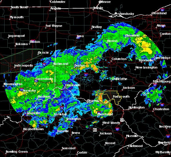 At 624 pm edt, radar continued to indicate severe thunderstorms located along a line extending from cedar mills to garrison to 11 miles southeast of rexton, moving east at 35 mph. storm hazards include, winds to 60 mph, very heavy rain which may cause minor flooding, these storms will affect mainly rural areas of northeastern lewis, southeastern adams and western scioto counties, including turkey creek lake, saint paul, friendship, wamsley, firebrick, lombardsville and otway. At 624 pm edt, radar continued to indicate severe thunderstorms located along a line extending from cedar mills to garrison to 11 miles southeast of rexton, moving east at 35 mph. storm hazards include, winds to 60 mph, very heavy rain which may cause minor flooding, these storms will affect mainly rural areas of northeastern lewis, southeastern adams and western scioto counties, including turkey creek lake, saint paul, friendship, wamsley, firebrick, lombardsville and otway.
|
| 7/7/2015 6:09 PM EDT |
 At 608 pm edt, radar continued to indicate severe thunderstorms located along a line extending from west union to vanceburg to 5 miles east of head of grassy, moving east at 35 mph. storm hazards include, winds to 60 mph, very heavy rain which may cause minor flooding, locations impacted include, west union. in addition, sandy springs, tannery, buena vista, state route 348 at state route 125, garrison, dunkinsville, rexton and cedar mills are near the path of these storms. At 608 pm edt, radar continued to indicate severe thunderstorms located along a line extending from west union to vanceburg to 5 miles east of head of grassy, moving east at 35 mph. storm hazards include, winds to 60 mph, very heavy rain which may cause minor flooding, locations impacted include, west union. in addition, sandy springs, tannery, buena vista, state route 348 at state route 125, garrison, dunkinsville, rexton and cedar mills are near the path of these storms.
|
| 7/7/2015 5:59 PM EDT |
 At 556 pm edt, radar indicated severe thunderstorms located along a line extending from bradysville to charters to emerson, moving east at 35 mph. storm hazards include, winds to 60 mph,. At 556 pm edt, radar indicated severe thunderstorms located along a line extending from bradysville to charters to emerson, moving east at 35 mph. storm hazards include, winds to 60 mph,.
|
| 6/29/2015 4:39 PM EDT |
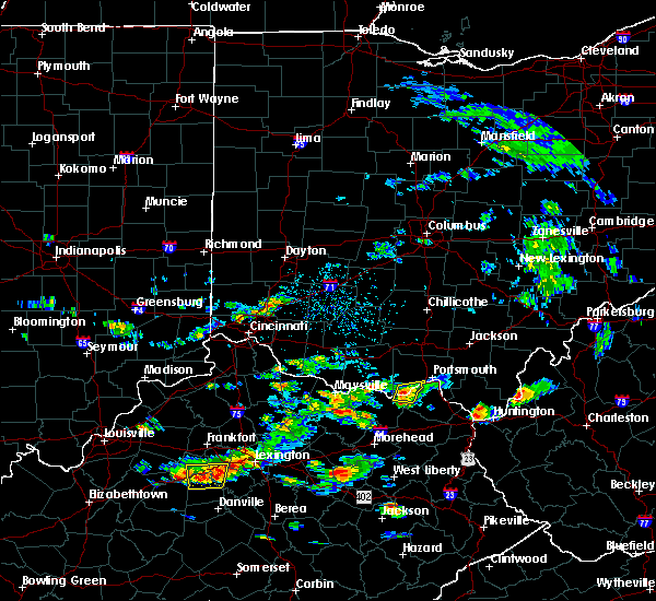 At 438 pm edt, radar continued to indicate a severe thunderstorm located near garrison, moving east at 20 mph. storm hazards include, winds to 60 mph, quarter size hail, this storm will affect mainly rural areas of northeastern lewis and southwestern scioto counties, including rexton, friendship, saint paul and firebrick. At 438 pm edt, radar continued to indicate a severe thunderstorm located near garrison, moving east at 20 mph. storm hazards include, winds to 60 mph, quarter size hail, this storm will affect mainly rural areas of northeastern lewis and southwestern scioto counties, including rexton, friendship, saint paul and firebrick.
|
| 6/29/2015 4:29 PM EDT |
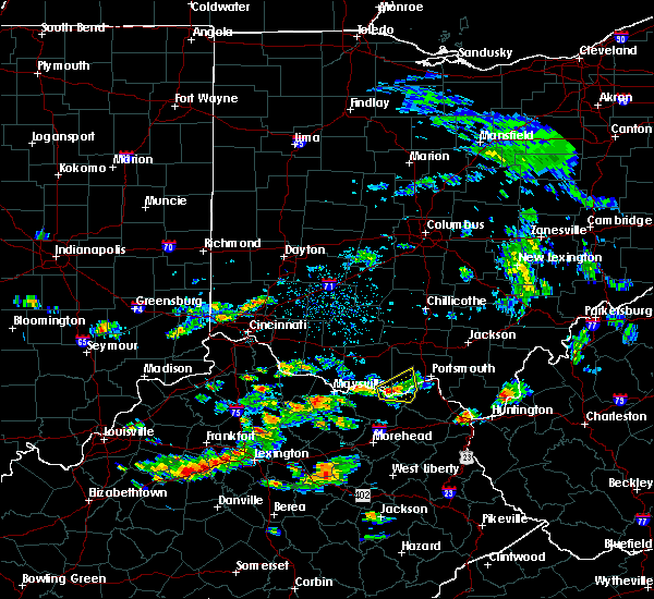 At 427 pm edt, radar indicated a severe thunderstorm located near buena vista, moving east at 25 mph. storm hazards include, winds to 60 mph, quarter size hail, * the severe thunderstorm will affect mainly rural areas of northeastern lewis and southwestern scioto counties, including garrison, rexton, friendship, saint paul and firebrick. At 427 pm edt, radar indicated a severe thunderstorm located near buena vista, moving east at 25 mph. storm hazards include, winds to 60 mph, quarter size hail, * the severe thunderstorm will affect mainly rural areas of northeastern lewis and southwestern scioto counties, including garrison, rexton, friendship, saint paul and firebrick.
|
| 6/29/2015 4:14 PM EDT |
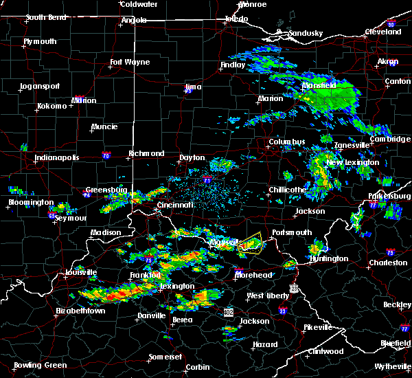 At 413 pm edt, radar continued to indicate a severe thunderstorm located near sandy springs, moving east at 40 mph. storm hazards include, winds to 60 mph, quarter size hail, this storm will affect mainly rural areas of northeastern lewis, southeastern adams and southwestern scioto counties, including buena vista, turkey creek lake, garrison, rexton, friendship and saint paul. At 413 pm edt, radar continued to indicate a severe thunderstorm located near sandy springs, moving east at 40 mph. storm hazards include, winds to 60 mph, quarter size hail, this storm will affect mainly rural areas of northeastern lewis, southeastern adams and southwestern scioto counties, including buena vista, turkey creek lake, garrison, rexton, friendship and saint paul.
|
| 6/29/2015 3:59 PM EDT |
 At 357 pm edt, radar continued to indicate a severe thunderstorm located near carrs, moving east at 30 mph. storm hazards include, winds to 60 mph, quarter size hail, locations impacted include, vanceburg. in addition, sandy springs, buena vista, garrison, turkey creek lake, rexton, lombardsville, friendship and saint paul are near the path of this storm. At 357 pm edt, radar continued to indicate a severe thunderstorm located near carrs, moving east at 30 mph. storm hazards include, winds to 60 mph, quarter size hail, locations impacted include, vanceburg. in addition, sandy springs, buena vista, garrison, turkey creek lake, rexton, lombardsville, friendship and saint paul are near the path of this storm.
|
| 6/29/2015 3:48 PM EDT |
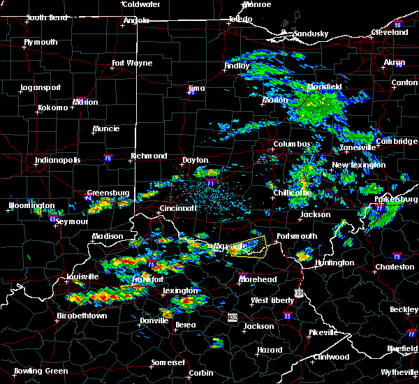 At 346 pm edt, radar indicated a severe thunderstorm located near concord, moving east at 30 mph. storm hazards include, winds to 60 mph, quarter size hail,. At 346 pm edt, radar indicated a severe thunderstorm located near concord, moving east at 30 mph. storm hazards include, winds to 60 mph, quarter size hail,.
|
| 6/26/2015 8:32 PM EDT | At 829 pm edt, radar indicated that the severe thunderstorm had weakened. this storm was located near concord, moving east at 35 mph. storm hazards include, winds to 60 mph, very heavy rain which may cause minor flooding, locations impacted include, vanceburg. in addition, carrs, state route 348 at state route 125, rome, cedar mills, sandy springs, blue creek, buena vista and wamsley are near the path of this storm. |
| 6/26/2015 8:32 PM EDT | At 829 pm edt, radar indicated that the severe thunderstorm had weakened. this storm was located near concord, moving east at 35 mph. storm hazards include, winds to 60 mph, very heavy rain which may cause minor flooding, locations impacted include, vanceburg. in addition, carrs, state route 348 at state route 125, rome, cedar mills, sandy springs, blue creek, buena vista and wamsley are near the path of this storm. |
| 6/26/2015 8:09 PM EDT | At 807 pm edt, radar indicated a severe thunderstorm located near somo, moving east at 35 mph. storm hazards include, winds to 60 mph, very heavy rain which may cause minor flooding,. |
| 6/26/2015 8:09 PM EDT | At 807 pm edt, radar indicated a severe thunderstorm located near somo, moving east at 35 mph. storm hazards include, winds to 60 mph, very heavy rain which may cause minor flooding,. |
| 5/11/2015 5:29 PM EDT | At 527 pm edt, radar continued to indicate a severe thunderstorm located near tannery, moving northeast at 40 mph. storm hazards include, winds to 60 mph, penny size hail, locations impacted include, portsmouth. in addition, garrison, rexton, saint paul, friendship, firebrick, west portsmouth, rosemount and new boston are near the path of this storm. , 0.75in. |
| 5/11/2015 5:29 PM EDT | At 527 pm edt, radar continued to indicate a severe thunderstorm located near tannery, moving northeast at 40 mph. storm hazards include, winds to 60 mph, penny size hail, locations impacted include, portsmouth. in addition, garrison, rexton, saint paul, friendship, firebrick, west portsmouth, rosemount and new boston are near the path of this storm. , 0.75in. |
| 5/11/2015 5:25 PM EDT | At 522 pm edt, radar continued to indicate a severe thunderstorm located near otway, moving northeast at 65 mph. storm hazards include, winds to 60 mph, ping pong ball size hail, locations impacted include, piketon and waverly. in addition, bear creek, elm grove, idaho, wakefield, buchanan, lake white, givens and linn are near the path of this storm. , 1.50in. |
| 5/11/2015 5:13 PM EDT | At 510 pm edt, radar indicated a severe thunderstorm located near harris, moving northeast at 35 mph. storm hazards include, winds to 60 mph, quarter size hail,. |
| 5/11/2015 5:13 PM EDT | At 510 pm edt, radar indicated a severe thunderstorm located near harris, moving northeast at 35 mph. storm hazards include, winds to 60 mph, quarter size hail,. |
| 5/11/2015 5:03 PM EDT | At 501 pm edt, radar indicated severe thunderstorms along a line extending from west union to peebles. these storms are moving northeast at 40 mph. storm hazards include, winds to 60 mph, half dollar size hail,. |
| 4/8/2015 12:31 PM EDT | A severe thunderstorm warning remains in effect until 1245 pm edt for scioto. southeastern ross. eastern pike. southern hocking. southeastern adams and northeastern lewis counties. at 1229 pm edt. radar continued to indicate severe thunderstorms located along a line extending from union furnace to 18 miles east of linn to firebrick. Moving east at 55 mph. |
| 4/8/2015 12:31 PM EDT | A severe thunderstorm warning remains in effect until 1245 pm edt for scioto. southeastern ross. eastern pike. southern hocking. southeastern adams and northeastern lewis counties. at 1229 pm edt. radar continued to indicate severe thunderstorms located along a line extending from union furnace to 18 miles east of linn to firebrick. Moving east at 55 mph. |
| 4/8/2015 12:06 PM EDT | The national weather service in wilmington has issued a * severe thunderstorm warning for. scioto county in southwest ohio. eastern ross county in southwest ohio. eastern pike county in southwest ohio. Southeastern pickaway county in central ohio. |
| 4/8/2015 12:06 PM EDT | The national weather service in wilmington has issued a * severe thunderstorm warning for. scioto county in southwest ohio. eastern ross county in southwest ohio. eastern pike county in southwest ohio. Southeastern pickaway county in central ohio. |
| 10/7/2014 4:48 PM EDT | Trees down in scioto county OH, 0.3 miles WSW of Friendship, OH |
| 12/22/2013 12:42 AM EST | Trees downed power lines on sr 12 in scioto county OH, 0.3 miles ESE of Friendship, OH |
| 9/12/2013 1:25 PM EDT | 3 trees dow in scioto county OH, 0.3 miles WSW of Friendship, OH |
| 7/4/2013 10:00 PM EDT | Several trees and large limbs blown down and minor structural damag in scioto county OH, 1.5 miles WNW of Friendship, OH |
| 7/4/2013 10:00 PM EDT | Several trees and large branches down. minor structural damage and damage to an unfinished portion of a roo in scioto county OH, 1.2 miles SW of Friendship, OH |
| 9/8/2012 2:44 AM EDT | Tree down on route 8. time estimated by rada in lewis county KY, 1.9 miles N of Friendship, OH |
| 1/1/0001 12:00 AM | *** 1 fatal *** corrected report. a woman in her 20s was killed by a falling tree while she was camping at the shawnee state forest. earlier reports of a child killed a in scioto county OH, 6.9 miles ESE of Friendship, OH |
| 1/1/0001 12:00 AM | *** 1 fatal *** a tree fell on a child who was inside a tent at a boy scout camp in the shawnee state forest. fatality time is estimated. corrected time from previous r in scioto county OH, 2.9 miles SE of Friendship, OH |
| 1/1/0001 12:00 AM | *** 1 fatal *** a tree fell on a child who was inside a tent at a boy scout camp in the shawnee state forest. fatality time is estimate in scioto county OH, 2.9 miles SE of Friendship, OH |
Hail Maps for Friendship, OH


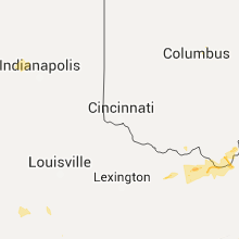


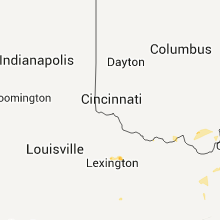


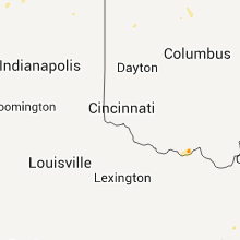


Connect with Interactive Hail Maps