

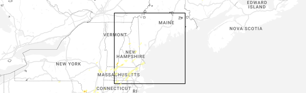
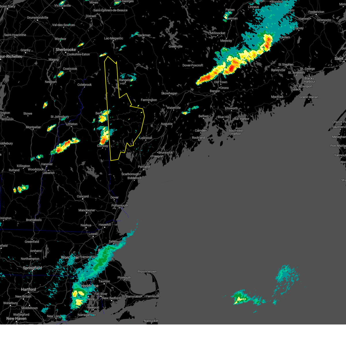
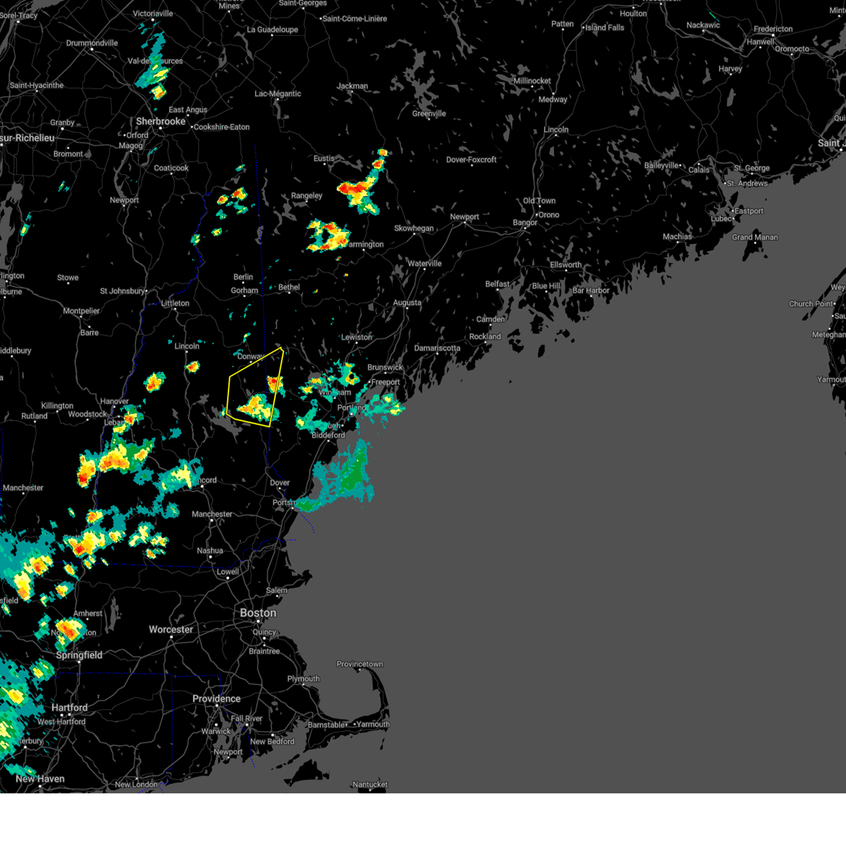
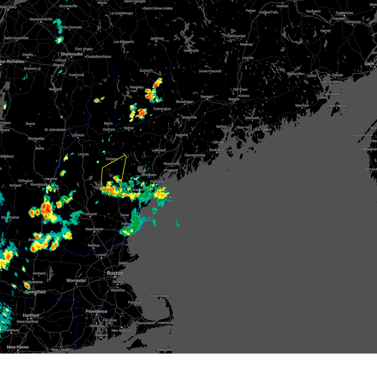
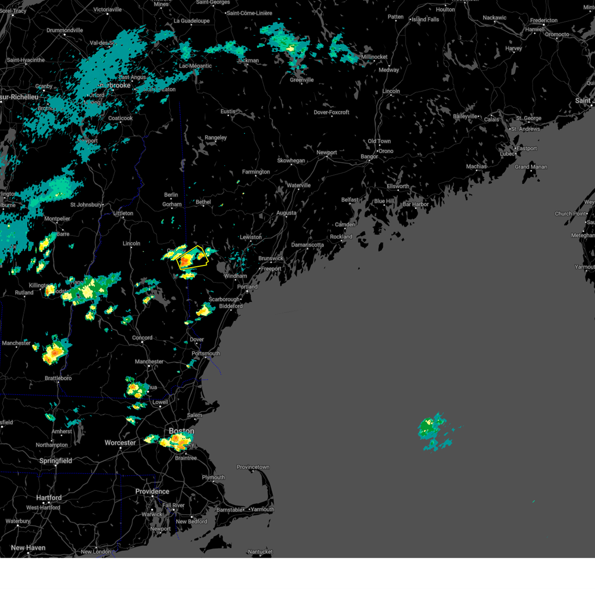
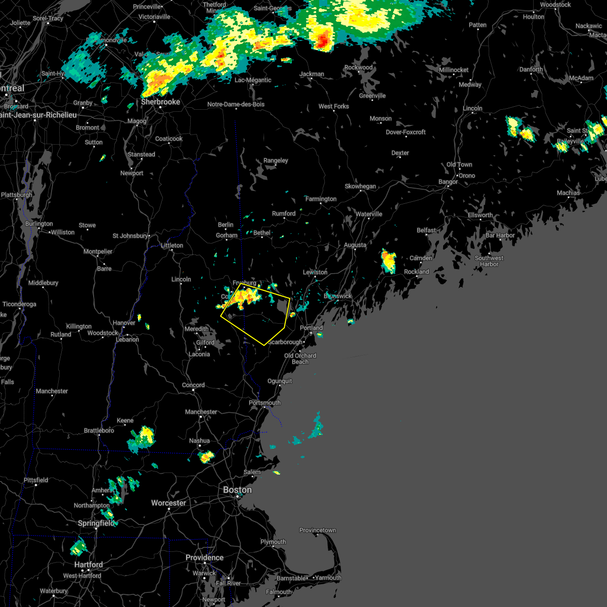
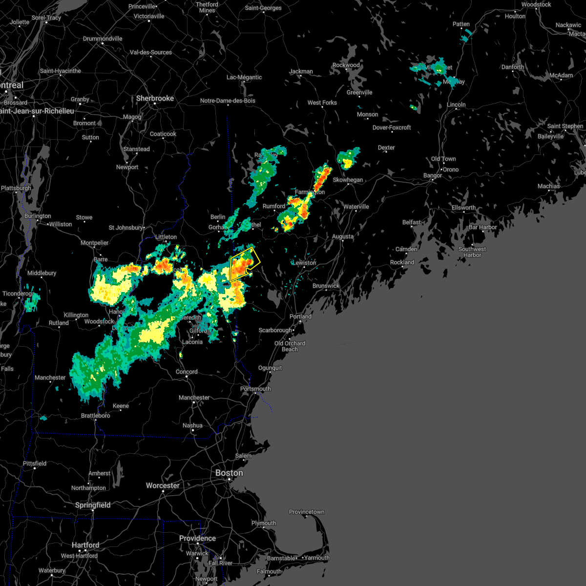
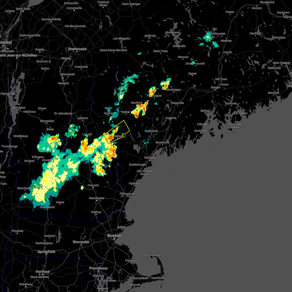
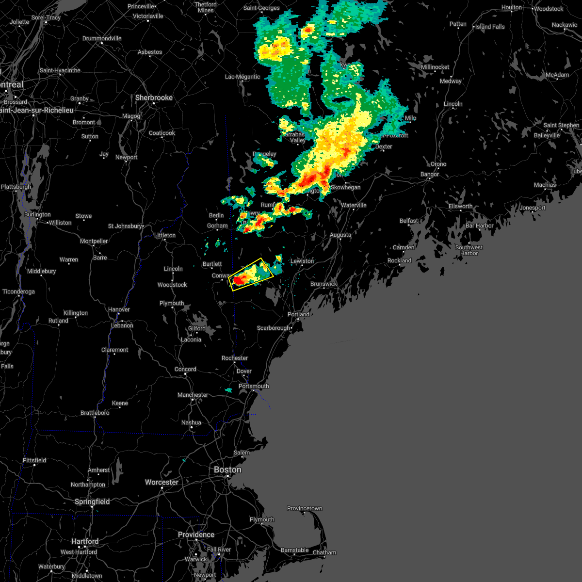
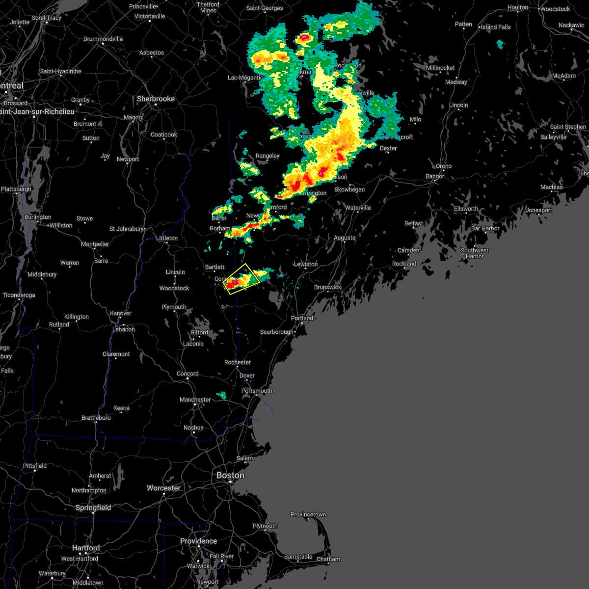
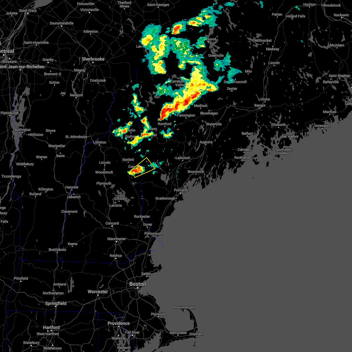
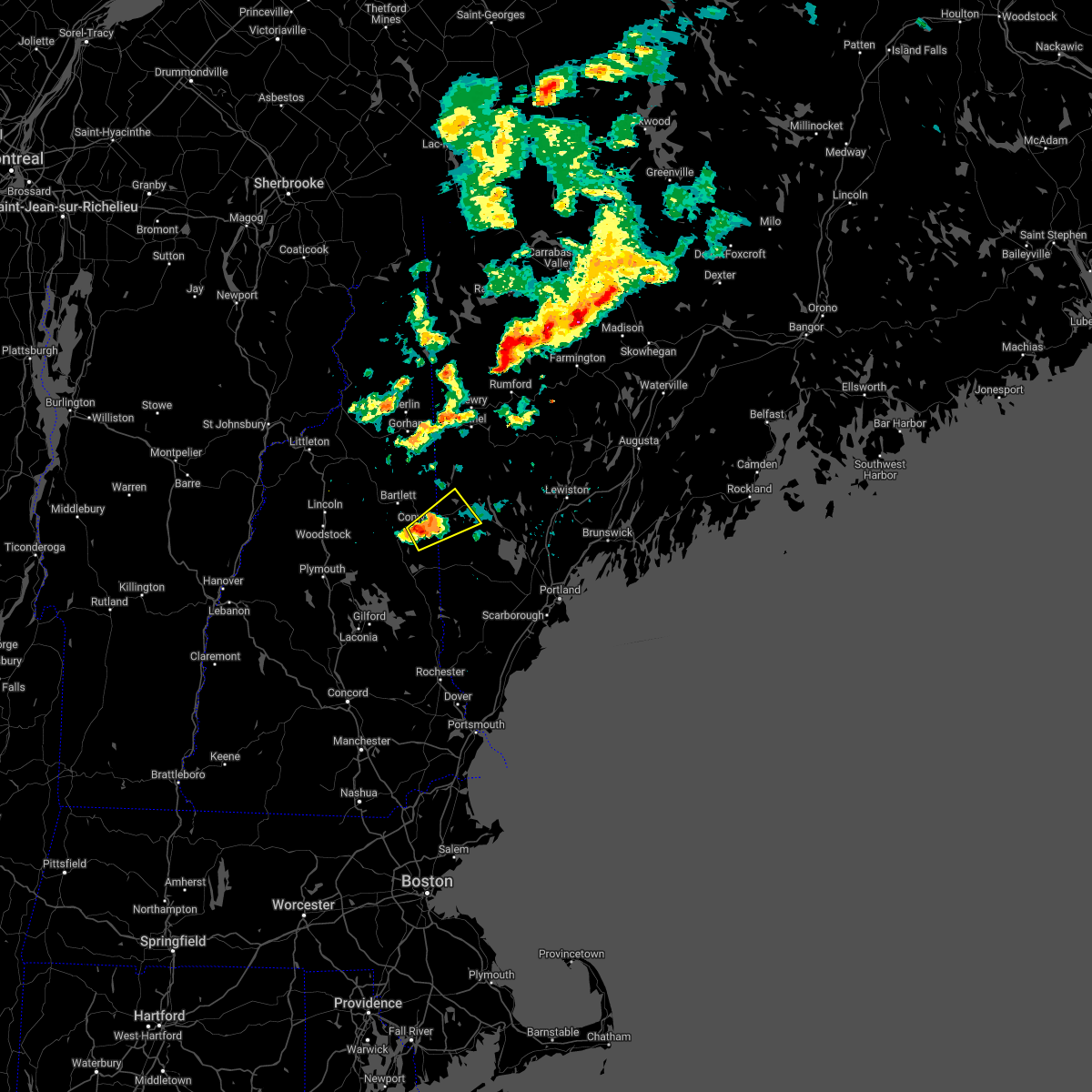
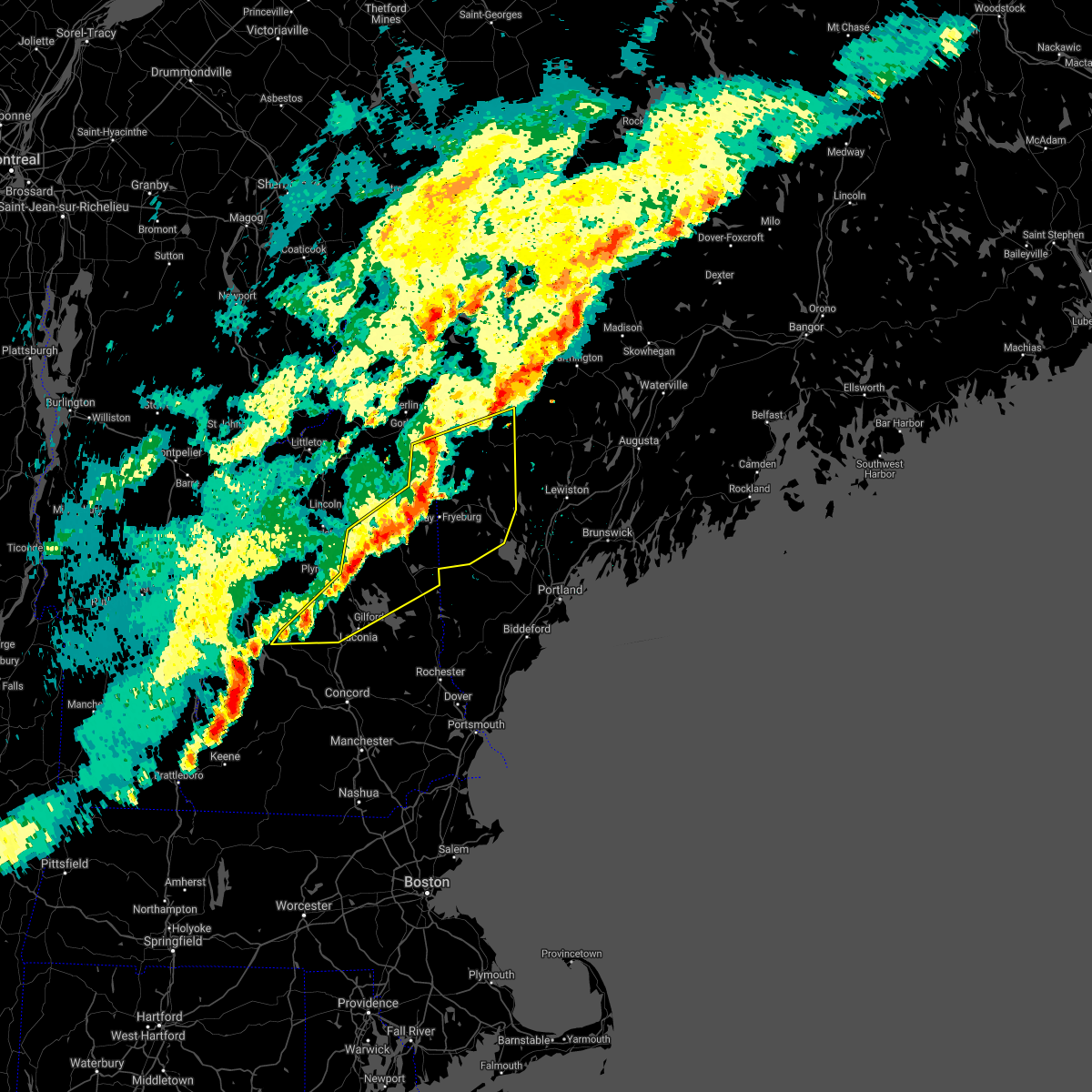
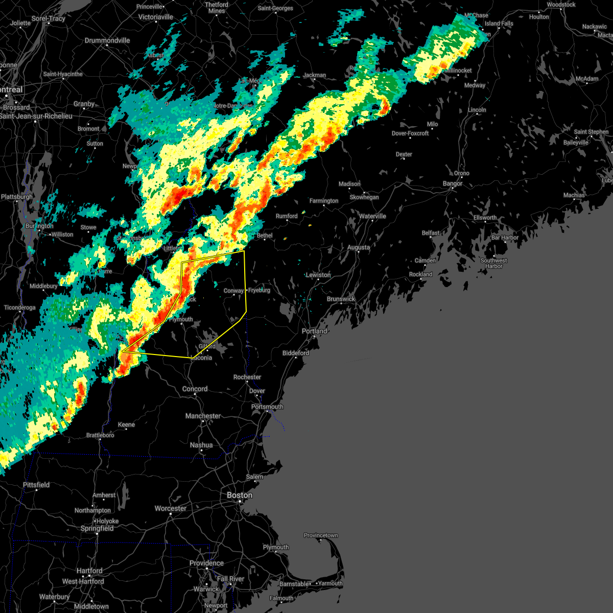
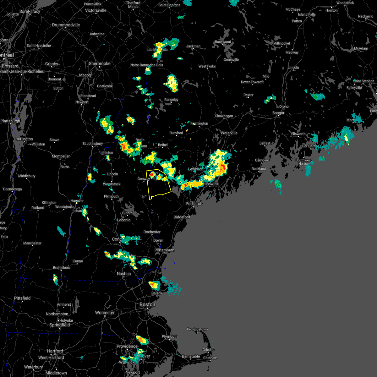
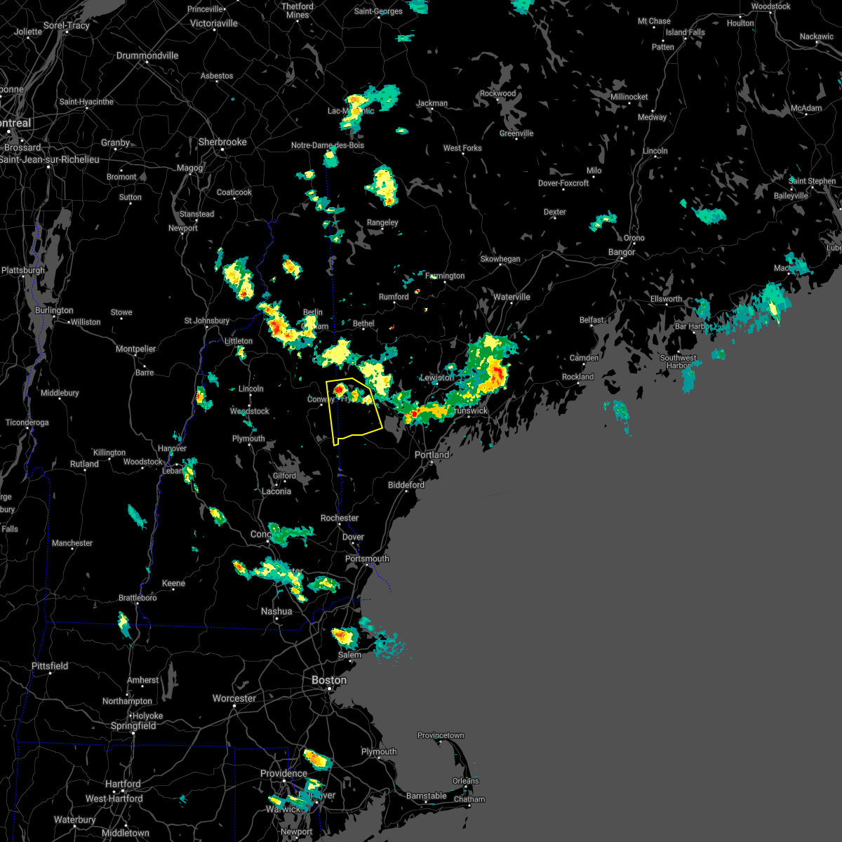
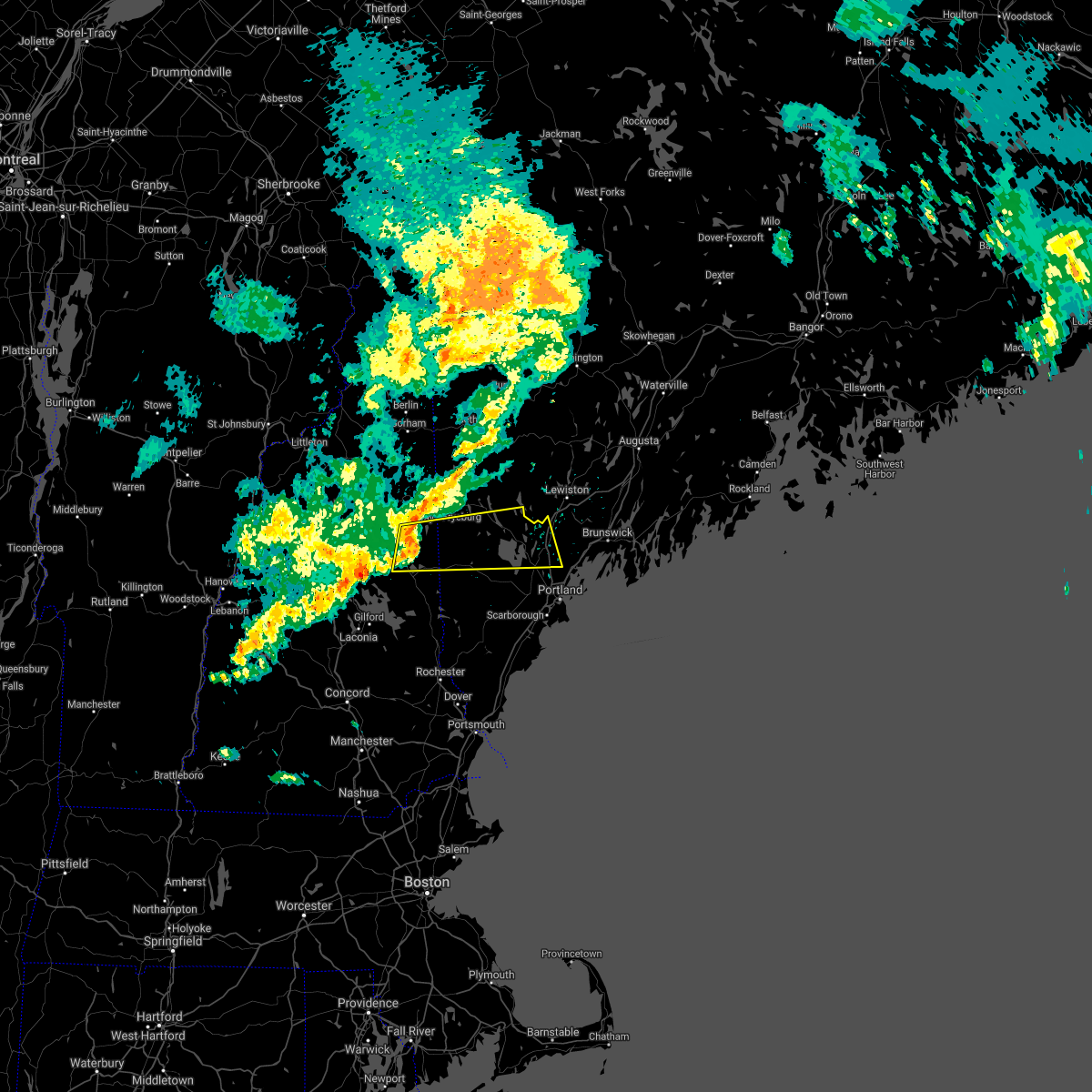
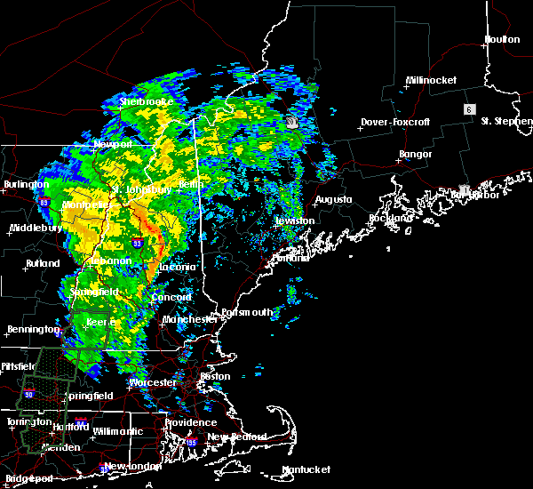
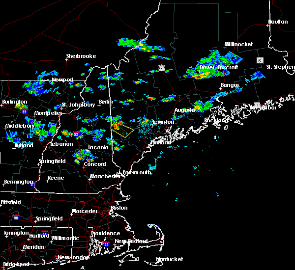
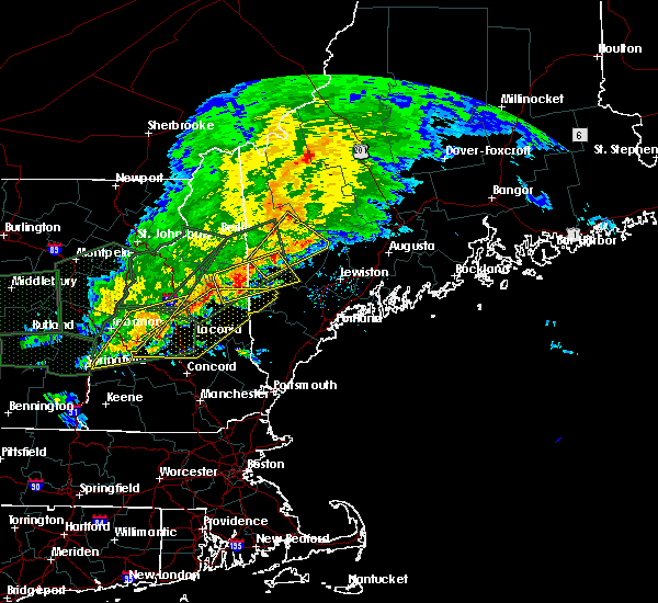
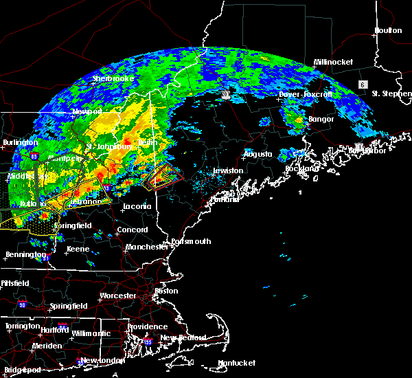
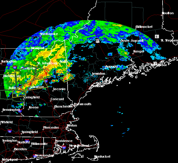
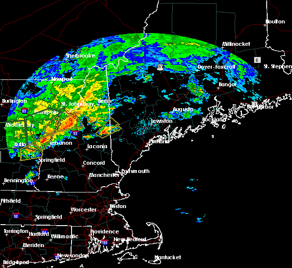
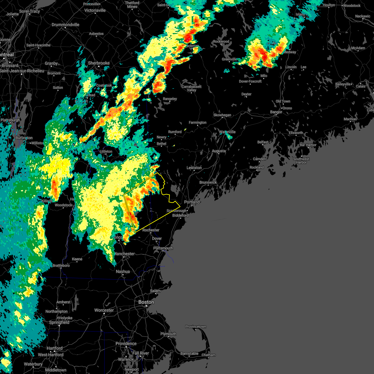
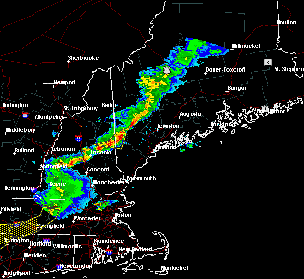
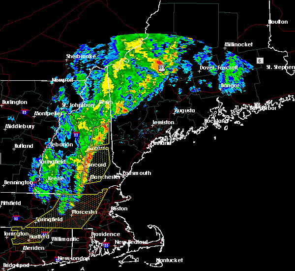
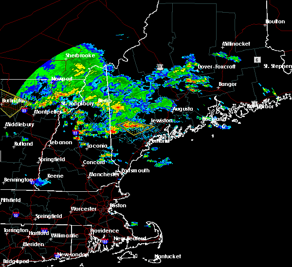
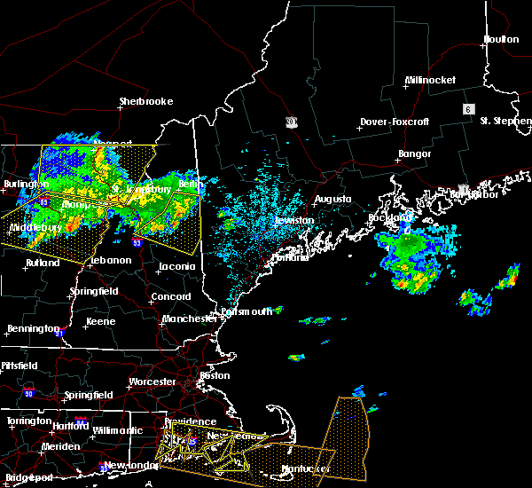
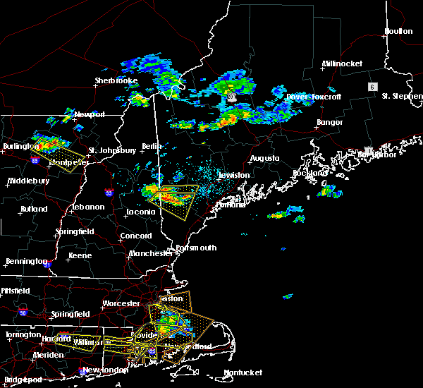
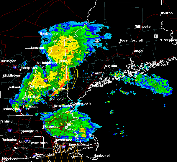
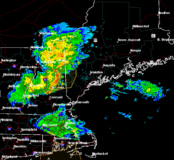
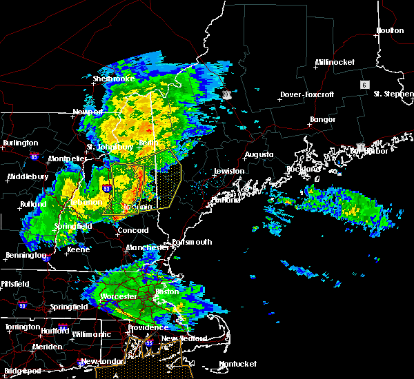
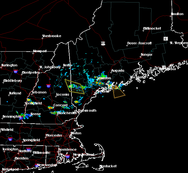
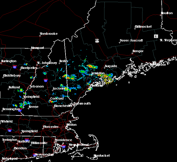
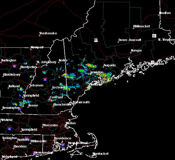
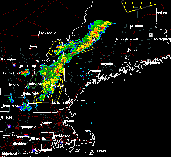
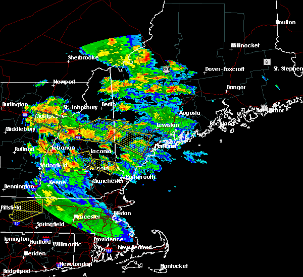
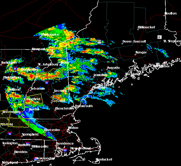
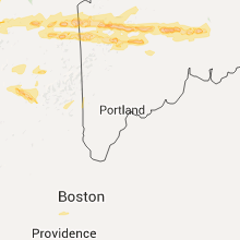
Hail Map for Fryeburg, ME
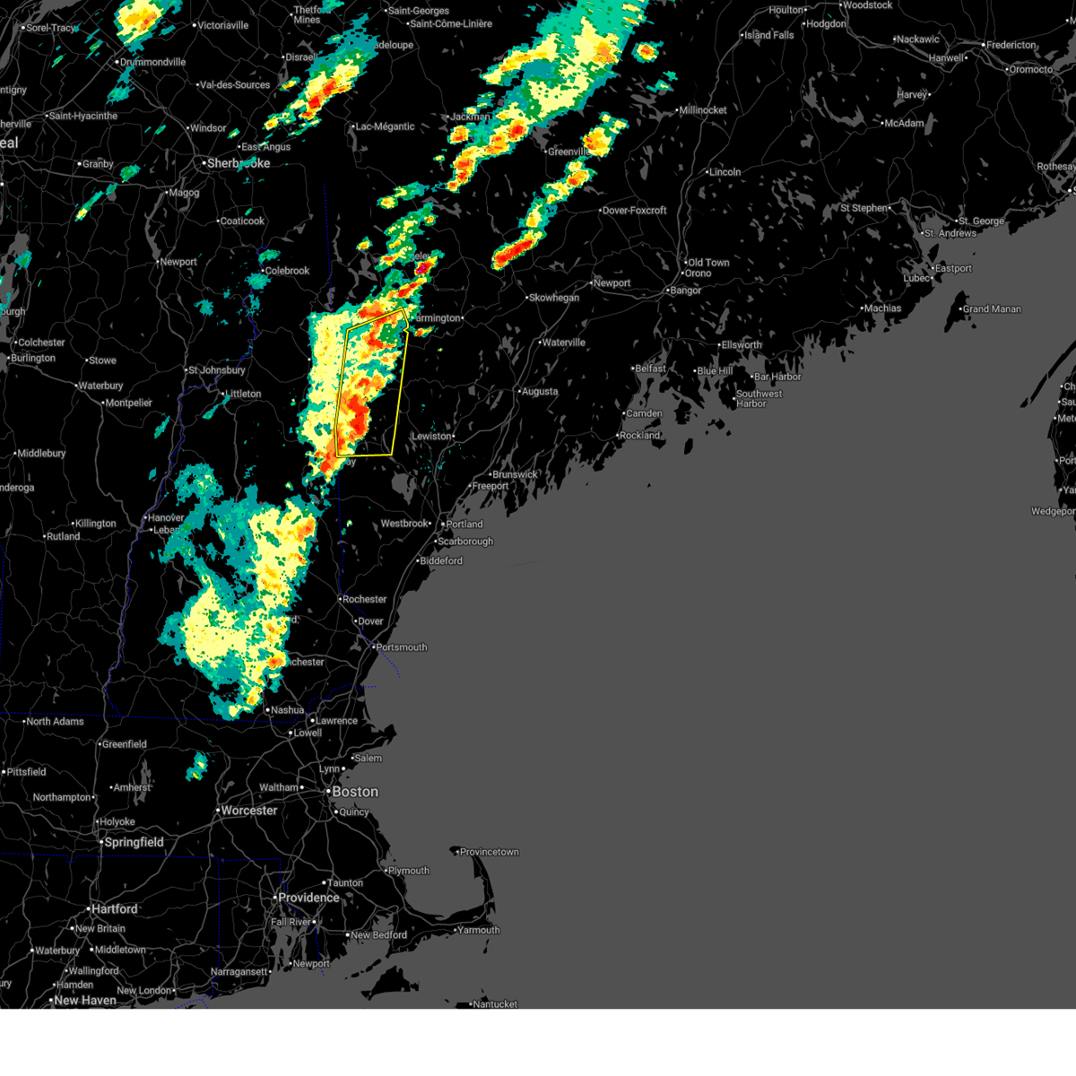
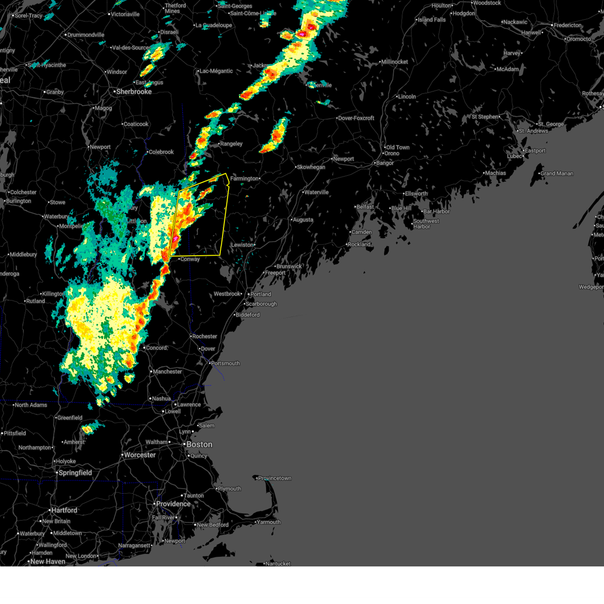
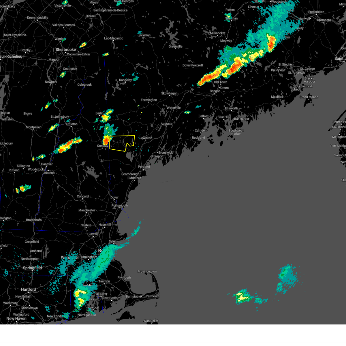
The Fryeburg, ME area has had 2 reports of on-the-ground hail by trained spotters, and has been under severe weather warnings 3 times during the past 12 months. Doppler radar has detected hail at or near Fryeburg, ME on 12 occasions.
| Name: | Fryeburg, ME |
| Where Located: | 43.4 miles NW of Portland, ME |
| Map: | Google Map for Fryeburg, ME |
| Population: | 1631 |
| Housing Units: | 797 |
| More Info: | Search Google for Fryeburg, ME |
0
The Top Recent Hail Date for Fryeburg, ME is Friday, September 8, 2023 (10th out of 12)
Hail and Wind Damage Spotted near Fryeburg, ME
| Date / Time | Report Details |
|---|---|
| 7/3/2025 12:20 PM EDT | Wires dow in oxford county ME, 0.5 miles E of Fryeburg, ME |
| 7/3/2025 12:19 PM EDT |
 the severe thunderstorm warning has been cancelled and is no longer in effect the severe thunderstorm warning has been cancelled and is no longer in effect
|
| 7/3/2025 12:19 PM EDT |
 At 1218 pm edt, severe thunderstorms were located along a line extending from 6 miles north of bethel to fryeburg, moving east at 25 mph (radar indicated). Hazards include 60 mph wind gusts and quarter size hail. Hail damage to vehicles is expected. expect wind damage to roofs, siding, and trees. locations impacted include, hanover, waterford, woodstock, stow, fryeburg, lovell, sweden, andover, stoneham, bethel, albany, greenwood, bridgton, roxbury, rumford, harrison, mason, norway, milton, and gilead. This also includes, speckled mountain, pleasant mountain, long lake, caribou mountain, and screw auger falls. At 1218 pm edt, severe thunderstorms were located along a line extending from 6 miles north of bethel to fryeburg, moving east at 25 mph (radar indicated). Hazards include 60 mph wind gusts and quarter size hail. Hail damage to vehicles is expected. expect wind damage to roofs, siding, and trees. locations impacted include, hanover, waterford, woodstock, stow, fryeburg, lovell, sweden, andover, stoneham, bethel, albany, greenwood, bridgton, roxbury, rumford, harrison, mason, norway, milton, and gilead. This also includes, speckled mountain, pleasant mountain, long lake, caribou mountain, and screw auger falls.
|
| 7/3/2025 11:44 AM EDT |
 Svrgyx the national weather service in gray maine has issued a * severe thunderstorm warning for, southwestern oxford county in western maine, northwestern cumberland county in southwestern maine, southeastern coos county in northern new hampshire, northeastern carroll county in northern new hampshire, * until 1245 pm edt. * at 1144 am edt, severe thunderstorms were located along a line extending from 8 miles southwest of grafton to near conway, moving east at 25 mph (radar indicated). Hazards include 60 mph wind gusts and penny size hail. expect damage to roofs, siding, and trees Svrgyx the national weather service in gray maine has issued a * severe thunderstorm warning for, southwestern oxford county in western maine, northwestern cumberland county in southwestern maine, southeastern coos county in northern new hampshire, northeastern carroll county in northern new hampshire, * until 1245 pm edt. * at 1144 am edt, severe thunderstorms were located along a line extending from 8 miles southwest of grafton to near conway, moving east at 25 mph (radar indicated). Hazards include 60 mph wind gusts and penny size hail. expect damage to roofs, siding, and trees
|
| 6/30/2024 3:26 PM EDT | Many large trees down blocking the road and trapping motorist in oxford county ME, 5.1 miles SSW of Fryeburg, ME |
| 6/30/2024 3:25 PM EDT | Large tree down across lane of 113... one vehicle struck the tre in oxford county ME, 4.9 miles S of Fryeburg, ME |
| 6/30/2024 3:23 PM EDT |
 At 322 pm edt, a severe thunderstorm was located over fryeburg, moving east at 45 mph (radar indicated). Hazards include 60 mph wind gusts and penny size hail. Expect damage to roofs, siding, and trees. locations impacted include, bridgton, fryeburg, naples, waterford, casco, harrison, brownfield, denmark, lovell, otisfield, sweden, oxford, sebago, stowe, norway, and poland. This also includes, pleasant mountain and long lake. At 322 pm edt, a severe thunderstorm was located over fryeburg, moving east at 45 mph (radar indicated). Hazards include 60 mph wind gusts and penny size hail. Expect damage to roofs, siding, and trees. locations impacted include, bridgton, fryeburg, naples, waterford, casco, harrison, brownfield, denmark, lovell, otisfield, sweden, oxford, sebago, stowe, norway, and poland. This also includes, pleasant mountain and long lake.
|
| 6/30/2024 3:19 PM EDT |
 Svrgyx the national weather service in gray maine has issued a * severe thunderstorm warning for, oxford county in western maine, northwestern cumberland county in southwestern maine, * until 345 pm edt. * at 318 pm edt, a severe thunderstorm was located near fryeburg, moving east at 45 mph (radar indicated). Hazards include 60 mph wind gusts and penny size hail. expect damage to roofs, siding, and trees Svrgyx the national weather service in gray maine has issued a * severe thunderstorm warning for, oxford county in western maine, northwestern cumberland county in southwestern maine, * until 345 pm edt. * at 318 pm edt, a severe thunderstorm was located near fryeburg, moving east at 45 mph (radar indicated). Hazards include 60 mph wind gusts and penny size hail. expect damage to roofs, siding, and trees
|
| 9/8/2023 5:10 PM EDT |
 At 510 pm edt, severe thunderstorms were located along a line extending from near hiram to ossipee, moving northeast at 30 mph (radar indicated). Hazards include 60 mph wind gusts and half dollar size hail. Hail damage to vehicles is expected. expect wind damage to roofs, siding, and trees. locations impacted include, conway, fryeburg, ossipee, moultonborough, hiram, effingham, tamworth, wolfeboro, madison, acton, brownfield, freedom, denmark, brookfield, eaton, wakefield, tuftonboro, porter, parsonsfield, and newfield. this also includes, burnt meadow mountains and peary mountain. hail threat, radar indicated max hail size, 1. 25 in wind threat, radar indicated max wind gust, 60 mph. At 510 pm edt, severe thunderstorms were located along a line extending from near hiram to ossipee, moving northeast at 30 mph (radar indicated). Hazards include 60 mph wind gusts and half dollar size hail. Hail damage to vehicles is expected. expect wind damage to roofs, siding, and trees. locations impacted include, conway, fryeburg, ossipee, moultonborough, hiram, effingham, tamworth, wolfeboro, madison, acton, brownfield, freedom, denmark, brookfield, eaton, wakefield, tuftonboro, porter, parsonsfield, and newfield. this also includes, burnt meadow mountains and peary mountain. hail threat, radar indicated max hail size, 1. 25 in wind threat, radar indicated max wind gust, 60 mph.
|
| 9/8/2023 4:50 PM EDT |
 At 450 pm edt, severe thunderstorms were located along a line extending from effingham to near wolfeboro, moving north at 25 mph (radar indicated). Hazards include 60 mph wind gusts and half dollar size hail. Hail damage to vehicles is expected. Expect wind damage to roofs, siding, and trees. At 450 pm edt, severe thunderstorms were located along a line extending from effingham to near wolfeboro, moving north at 25 mph (radar indicated). Hazards include 60 mph wind gusts and half dollar size hail. Hail damage to vehicles is expected. Expect wind damage to roofs, siding, and trees.
|
| 7/29/2023 1:31 PM EDT |
 At 131 pm edt, a severe thunderstorm was located near conway, moving east at 15 mph (radar indicated). Hazards include 60 mph wind gusts and quarter size hail. Hail damage to vehicles is expected. Expect wind damage to roofs, siding, and trees. At 131 pm edt, a severe thunderstorm was located near conway, moving east at 15 mph (radar indicated). Hazards include 60 mph wind gusts and quarter size hail. Hail damage to vehicles is expected. Expect wind damage to roofs, siding, and trees.
|
| 8/7/2022 5:22 PM EDT | Strong winds knocked down a tree in backyard. time estimated by rada in oxford county ME, 6.5 miles NNW of Fryeburg, ME |
| 8/7/2022 5:22 PM EDT | Social media reports of trees and branches down on davis hill rd. time estimated by rada in carroll county NH, 4.1 miles NE of Fryeburg, ME |
| 8/7/2022 5:20 PM EDT |
 At 520 pm edt, a severe thunderstorm was located near conway, moving east at 20 mph (radar indicated). Hazards include 60 mph wind gusts and half dollar size hail. Hail damage to vehicles is expected. Expect wind damage to roofs, siding, and trees. At 520 pm edt, a severe thunderstorm was located near conway, moving east at 20 mph (radar indicated). Hazards include 60 mph wind gusts and half dollar size hail. Hail damage to vehicles is expected. Expect wind damage to roofs, siding, and trees.
|
| 8/4/2022 9:10 PM EDT |
 At 909 pm edt, a severe thunderstorm was located near fryeburg, moving northeast at 20 mph (radar indicated). Hazards include 60 mph wind gusts and penny size hail. Expect damage to roofs, siding, and trees. locations impacted include, conway, fryeburg, waterford, lovell, chatham, sweden, stowe, stoneham and albany. hail threat, radar indicated max hail size, 0. 75 in wind threat, radar indicated max wind gust, 60 mph. At 909 pm edt, a severe thunderstorm was located near fryeburg, moving northeast at 20 mph (radar indicated). Hazards include 60 mph wind gusts and penny size hail. Expect damage to roofs, siding, and trees. locations impacted include, conway, fryeburg, waterford, lovell, chatham, sweden, stowe, stoneham and albany. hail threat, radar indicated max hail size, 0. 75 in wind threat, radar indicated max wind gust, 60 mph.
|
| 8/4/2022 8:54 PM EDT | Large pine tree down across little chatham rd. road is closed. time estimated by rada in carroll county NH, 4.4 miles SSE of Fryeburg, ME |
| 8/4/2022 8:52 PM EDT | Time estimated based on radar. numerous trees... branches and random debris down. pea-sized hail fell for a few minutes. max gust clocked at 52mph by a personal weather in carroll county NH, 4.8 miles NNE of Fryeburg, ME |
| 8/4/2022 8:44 PM EDT |
 At 844 pm edt, a severe thunderstorm was located near conway, moving northeast at 20 mph (radar indicated). Hazards include 60 mph wind gusts and penny size hail. expect damage to roofs, siding, and trees At 844 pm edt, a severe thunderstorm was located near conway, moving northeast at 20 mph (radar indicated). Hazards include 60 mph wind gusts and penny size hail. expect damage to roofs, siding, and trees
|
| 6/4/2022 7:05 PM EDT |
 At 705 pm edt, a severe thunderstorm was located over fryeburg, moving northeast at 25 mph (radar indicated). Hazards include 60 mph wind gusts and quarter size hail. Hail damage to vehicles is expected. Expect wind damage to roofs, siding, and trees. At 705 pm edt, a severe thunderstorm was located over fryeburg, moving northeast at 25 mph (radar indicated). Hazards include 60 mph wind gusts and quarter size hail. Hail damage to vehicles is expected. Expect wind damage to roofs, siding, and trees.
|
| 6/4/2022 6:53 PM EDT |
 At 653 pm edt, a severe thunderstorm was located over fryeburg, moving northeast at 20 mph (radar indicated). Hazards include 60 mph wind gusts and quarter size hail. Hail damage to vehicles is expected. expect wind damage to roofs, siding, and trees. locations impacted include, conway, bridgton, fryeburg, brownfield, denmark, lovell, eaton and sweden. hail threat, radar indicated max hail size, 1. 00 in wind threat, radar indicated max wind gust, 60 mph. At 653 pm edt, a severe thunderstorm was located over fryeburg, moving northeast at 20 mph (radar indicated). Hazards include 60 mph wind gusts and quarter size hail. Hail damage to vehicles is expected. expect wind damage to roofs, siding, and trees. locations impacted include, conway, bridgton, fryeburg, brownfield, denmark, lovell, eaton and sweden. hail threat, radar indicated max hail size, 1. 00 in wind threat, radar indicated max wind gust, 60 mph.
|
| 6/4/2022 6:47 PM EDT | Ping Pong Ball sized hail reported 4.6 miles NNE of Fryeburg, ME, time estimated based on radar. |
| 6/4/2022 6:30 PM EDT |
 At 630 pm edt, a severe thunderstorm was located near conway, moving northeast at 25 mph (radar indicated). Hazards include 60 mph wind gusts and quarter size hail. Hail damage to vehicles is expected. Expect wind damage to roofs, siding, and trees. At 630 pm edt, a severe thunderstorm was located near conway, moving northeast at 25 mph (radar indicated). Hazards include 60 mph wind gusts and quarter size hail. Hail damage to vehicles is expected. Expect wind damage to roofs, siding, and trees.
|
| 9/15/2021 4:09 PM EDT |
 At 409 pm edt, severe thunderstorms were located along a line extending from near bethel to near conway to near moultonborough to near franklin, moving east at 40 mph (radar indicated). Hazards include 60 mph wind gusts. expect damage to roofs, siding, and trees At 409 pm edt, severe thunderstorms were located along a line extending from near bethel to near conway to near moultonborough to near franklin, moving east at 40 mph (radar indicated). Hazards include 60 mph wind gusts. expect damage to roofs, siding, and trees
|
| 9/15/2021 3:22 PM EDT |
 At 322 pm edt, severe thunderstorms were located along a line extending from 7 miles southeast of bethlehem to near lincoln to near plymouth to 8 miles south of enfield, moving east at 25 mph (radar indicated). Hazards include 60 mph wind gusts and penny size hail. expect damage to roofs, siding, and trees At 322 pm edt, severe thunderstorms were located along a line extending from 7 miles southeast of bethlehem to near lincoln to near plymouth to 8 miles south of enfield, moving east at 25 mph (radar indicated). Hazards include 60 mph wind gusts and penny size hail. expect damage to roofs, siding, and trees
|
| 7/23/2021 5:35 PM EDT |
 At 534 pm edt, a severe thunderstorm was located over fryeburg, moving south at 25 mph (radar indicated). Hazards include 60 mph wind gusts and quarter size hail. Hail damage to vehicles is expected. Expect wind damage to roofs, siding, and trees. At 534 pm edt, a severe thunderstorm was located over fryeburg, moving south at 25 mph (radar indicated). Hazards include 60 mph wind gusts and quarter size hail. Hail damage to vehicles is expected. Expect wind damage to roofs, siding, and trees.
|
| 3/26/2021 4:19 PM EDT |
 At 418 pm edt, a severe thunderstorm was located 7 miles south of conway, moving east at 50 mph (radar indicated). Hazards include 60 mph wind gusts and penny size hail. expect damage to roofs, siding, and trees At 418 pm edt, a severe thunderstorm was located 7 miles south of conway, moving east at 50 mph (radar indicated). Hazards include 60 mph wind gusts and penny size hail. expect damage to roofs, siding, and trees
|
| 10/10/2020 8:40 PM EDT |
 The severe thunderstorm warning for southwestern oxford, southeastern coos, northeastern grafton and northern carroll counties will expire at 845 pm edt, the storms which prompted the warning have moved out of the area. therefore, the warning will be allowed to expire. however heavy rain is still possible with these thunderstorms. The severe thunderstorm warning for southwestern oxford, southeastern coos, northeastern grafton and northern carroll counties will expire at 845 pm edt, the storms which prompted the warning have moved out of the area. therefore, the warning will be allowed to expire. however heavy rain is still possible with these thunderstorms.
|
| 10/10/2020 8:21 PM EDT |
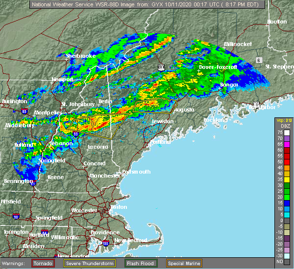 At 820 pm edt, severe thunderstorms were located along a line extending from near waterford to 7 miles northwest of tamworth, moving east at 50 mph (radar indicated). Hazards include 60 mph wind gusts and quarter size hail. Hail damage to vehicles is expected. Expect wind damage to roofs, siding, and trees. At 820 pm edt, severe thunderstorms were located along a line extending from near waterford to 7 miles northwest of tamworth, moving east at 50 mph (radar indicated). Hazards include 60 mph wind gusts and quarter size hail. Hail damage to vehicles is expected. Expect wind damage to roofs, siding, and trees.
|
| 10/10/2020 7:57 PM EDT |
 At 756 pm edt, severe thunderstorms were located along a line extending from 8 miles west of lincoln to near franconia to near pinkham notch, moving east at 40 mph (radar indicated). Hazards include 60 mph wind gusts and quarter size hail. Hail damage to vehicles is expected. Expect wind damage to roofs, siding, and trees. At 756 pm edt, severe thunderstorms were located along a line extending from 8 miles west of lincoln to near franconia to near pinkham notch, moving east at 40 mph (radar indicated). Hazards include 60 mph wind gusts and quarter size hail. Hail damage to vehicles is expected. Expect wind damage to roofs, siding, and trees.
|
| 10/10/2020 7:57 PM EDT |
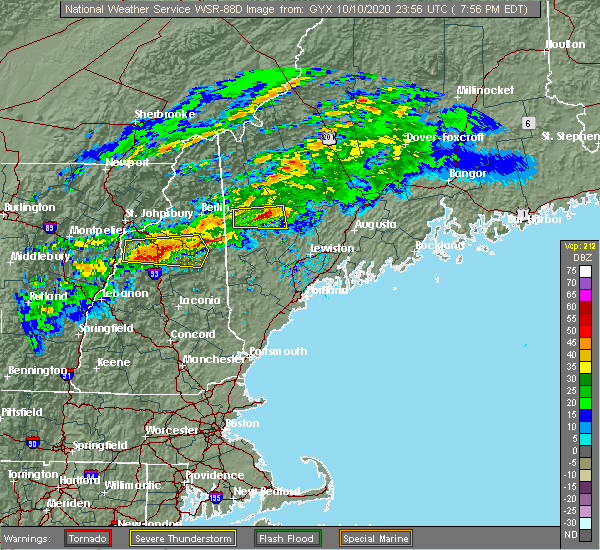 At 756 pm edt, severe thunderstorms were located along a line extending from 8 miles west of lincoln to near franconia to near pinkham notch, moving east at 40 mph (radar indicated). Hazards include 60 mph wind gusts and quarter size hail. Hail damage to vehicles is expected. Expect wind damage to roofs, siding, and trees. At 756 pm edt, severe thunderstorms were located along a line extending from 8 miles west of lincoln to near franconia to near pinkham notch, moving east at 40 mph (radar indicated). Hazards include 60 mph wind gusts and quarter size hail. Hail damage to vehicles is expected. Expect wind damage to roofs, siding, and trees.
|
| 7/8/2020 5:41 PM EDT |
 At 541 pm edt, a severe thunderstorm was located 7 miles north of conway, moving east at 10 mph (radar indicated). Hazards include 60 mph wind gusts and quarter size hail. Hail damage to vehicles is expected. Expect wind damage to roofs, siding, and trees. At 541 pm edt, a severe thunderstorm was located 7 miles north of conway, moving east at 10 mph (radar indicated). Hazards include 60 mph wind gusts and quarter size hail. Hail damage to vehicles is expected. Expect wind damage to roofs, siding, and trees.
|
| 7/8/2020 5:41 PM EDT |
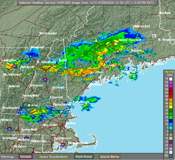 At 541 pm edt, a severe thunderstorm was located 7 miles north of conway, moving east at 10 mph (radar indicated). Hazards include 60 mph wind gusts and quarter size hail. Hail damage to vehicles is expected. Expect wind damage to roofs, siding, and trees. At 541 pm edt, a severe thunderstorm was located 7 miles north of conway, moving east at 10 mph (radar indicated). Hazards include 60 mph wind gusts and quarter size hail. Hail damage to vehicles is expected. Expect wind damage to roofs, siding, and trees.
|
| 6/6/2020 12:08 PM EDT |
 At 1208 pm edt, severe thunderstorms were located along a line extending from near fryeburg to near bridgton, moving east at 25 mph (radar indicated). Hazards include 60 mph wind gusts and quarter size hail. Hail damage to vehicles is expected. Expect wind damage to roofs, siding, and trees. At 1208 pm edt, severe thunderstorms were located along a line extending from near fryeburg to near bridgton, moving east at 25 mph (radar indicated). Hazards include 60 mph wind gusts and quarter size hail. Hail damage to vehicles is expected. Expect wind damage to roofs, siding, and trees.
|
| 6/6/2020 9:55 AM EDT | Quarter sized hail reported 10.2 miles NNW of Fryeburg, ME |
| 7/30/2019 9:21 PM EDT |
 At 920 pm edt, a severe thunderstorm was located 8 miles northwest of waterford, or 10 miles south of bethel, moving northeast at 35 mph (radar indicated). Hazards include 60 mph wind gusts. expect damage to roofs, siding, and trees At 920 pm edt, a severe thunderstorm was located 8 miles northwest of waterford, or 10 miles south of bethel, moving northeast at 35 mph (radar indicated). Hazards include 60 mph wind gusts. expect damage to roofs, siding, and trees
|
| 6/18/2018 5:30 PM EDT | 6 trees down on the west shore of clemons pon in oxford county ME, 10.6 miles NNW of Fryeburg, ME |
| 6/18/2018 4:28 PM EDT |
 At 427 pm edt, severe thunderstorms were located along a line extending from fryeburg to near effingham, moving east at 45 mph (radar indicated). Hazards include 60 mph wind gusts. expect damage to roofs, siding, and trees At 427 pm edt, severe thunderstorms were located along a line extending from fryeburg to near effingham, moving east at 45 mph (radar indicated). Hazards include 60 mph wind gusts. expect damage to roofs, siding, and trees
|
| 10/25/2017 12:51 AM EDT |
 At 1251 am edt, severe thunderstorms were located along a line extending from near mount washington to near pinkham notch to near conway to near tamworth to near moultonborough, moving northeast at 45 mph (radar indicated). Hazards include 60 mph wind gusts. Expect damage to trees, and power lines. locations impacted include, conway, berlin, bethlehem, moultonborough, ossipee, errol, tamworth, sandwich, pinkham notch, mount washington, carroll, gorham, bartlett, madison, freedom, jefferson, center harber, jackson, albany and eaton. This also includes, crawford notch state park, umbagog lake state park, mount jefferson, mount madison, and mount eisenhower. At 1251 am edt, severe thunderstorms were located along a line extending from near mount washington to near pinkham notch to near conway to near tamworth to near moultonborough, moving northeast at 45 mph (radar indicated). Hazards include 60 mph wind gusts. Expect damage to trees, and power lines. locations impacted include, conway, berlin, bethlehem, moultonborough, ossipee, errol, tamworth, sandwich, pinkham notch, mount washington, carroll, gorham, bartlett, madison, freedom, jefferson, center harber, jackson, albany and eaton. This also includes, crawford notch state park, umbagog lake state park, mount jefferson, mount madison, and mount eisenhower.
|
| 10/25/2017 12:33 AM EDT |
 At 1233 am edt, severe thunderstorms were located along a line extending from 8 miles southeast of bethlehem to 12 miles east of lincoln to near tamworth to moultonborough to near laconia, moving northeast at 45 mph (radar indicated). Hazards include 60 mph wind gusts. expect damage to trees, and power lines At 1233 am edt, severe thunderstorms were located along a line extending from 8 miles southeast of bethlehem to 12 miles east of lincoln to near tamworth to moultonborough to near laconia, moving northeast at 45 mph (radar indicated). Hazards include 60 mph wind gusts. expect damage to trees, and power lines
|
| 8/2/2017 5:40 PM EDT | Tree down and power out in oxford county ME, 8.6 miles SSW of Fryeburg, ME |
| 8/2/2017 5:36 PM EDT |
 At 536 pm edt, a severe thunderstorm was located near bridgton, moving east at 10 mph (radar indicated). Hazards include 60 mph wind gusts and nickel size hail. expect damage to trees, and power lines At 536 pm edt, a severe thunderstorm was located near bridgton, moving east at 10 mph (radar indicated). Hazards include 60 mph wind gusts and nickel size hail. expect damage to trees, and power lines
|
| 7/31/2017 6:00 PM EDT | Trees and wires down at west fryeburg rd and cornshop rd... trees on wires and tree on house in oxford county ME, 4.2 miles S of Fryeburg, ME |
| 7/31/2017 5:54 PM EDT |
 At 554 pm edt, a severe thunderstorm was located near fryeburg, moving southeast at 20 mph (radar indicated). Hazards include 60 mph wind gusts and quarter size hail. Minor hail damage to vehicles is possible. Expect wind damage to roofs, siding, and trees. At 554 pm edt, a severe thunderstorm was located near fryeburg, moving southeast at 20 mph (radar indicated). Hazards include 60 mph wind gusts and quarter size hail. Minor hail damage to vehicles is possible. Expect wind damage to roofs, siding, and trees.
|
| 7/1/2017 6:08 PM EDT |
 At 608 pm edt, severe thunderstorms were located along a line extending from near conway to near danbury, moving east at 30 mph (radar indicated). Hazards include 60 mph wind gusts and quarter size hail. Minor hail damage to vehicles is possible. expect wind damage to roofs, siding, and trees. locations impacted include, laconia, conway, franklin, fryeburg, moultonborough, meredith, ossipee, alton, gilmanton, holderness, ashland, hiram, effingham, danbury, wolfeboro, tamworth, sandwich, belmont, gilford and bristol. this also includes, lake winnipesaukee, burnt meadow mountains, peary mountain, and mount cutler. This includes interstate 93 between mile markers 57 and 72. At 608 pm edt, severe thunderstorms were located along a line extending from near conway to near danbury, moving east at 30 mph (radar indicated). Hazards include 60 mph wind gusts and quarter size hail. Minor hail damage to vehicles is possible. expect wind damage to roofs, siding, and trees. locations impacted include, laconia, conway, franklin, fryeburg, moultonborough, meredith, ossipee, alton, gilmanton, holderness, ashland, hiram, effingham, danbury, wolfeboro, tamworth, sandwich, belmont, gilford and bristol. this also includes, lake winnipesaukee, burnt meadow mountains, peary mountain, and mount cutler. This includes interstate 93 between mile markers 57 and 72.
|
| 7/1/2017 6:05 PM EDT |
 At 605 pm edt, a severe thunderstorm was located 7 miles northwest of bridgton, moving east at 35 mph (radar indicated). Hazards include 60 mph wind gusts and quarter size hail. Minor hail damage to vehicles is possible. expect wind damage to roofs, siding, and trees. locations impacted include, conway, bridgton, fryeburg, waterford, tamworth, bartlett, harrison, madison, brownfield, denmark, lovell, greenwood, jackson, eaton, chatham, sweden, stowe, stoneham, albany and otisfield. This also includes, pleasant mountain, kearsarge north , lower falls recreation area, and sabbatus mountain. At 605 pm edt, a severe thunderstorm was located 7 miles northwest of bridgton, moving east at 35 mph (radar indicated). Hazards include 60 mph wind gusts and quarter size hail. Minor hail damage to vehicles is possible. expect wind damage to roofs, siding, and trees. locations impacted include, conway, bridgton, fryeburg, waterford, tamworth, bartlett, harrison, madison, brownfield, denmark, lovell, greenwood, jackson, eaton, chatham, sweden, stowe, stoneham, albany and otisfield. This also includes, pleasant mountain, kearsarge north , lower falls recreation area, and sabbatus mountain.
|
| 7/1/2017 5:50 PM EDT |
 At 550 pm edt, severe thunderstorms were located along a line extending from 7 miles north of tamworth to near new london, moving east at 30 mph (radar indicated). Hazards include 60 mph wind gusts and quarter size hail. Minor hail damage to vehicles is possible. Expect wind damage to roofs, siding, and trees. At 550 pm edt, severe thunderstorms were located along a line extending from 7 miles north of tamworth to near new london, moving east at 30 mph (radar indicated). Hazards include 60 mph wind gusts and quarter size hail. Minor hail damage to vehicles is possible. Expect wind damage to roofs, siding, and trees.
|
| 7/1/2017 5:48 PM EDT |
 At 548 pm edt, a severe thunderstorm was located near fryeburg, moving east at 35 mph (radar indicated). Hazards include 60 mph wind gusts and quarter size hail. Minor hail damage to vehicles is possible. Expect wind damage to roofs, siding, and trees. At 548 pm edt, a severe thunderstorm was located near fryeburg, moving east at 35 mph (radar indicated). Hazards include 60 mph wind gusts and quarter size hail. Minor hail damage to vehicles is possible. Expect wind damage to roofs, siding, and trees.
|
| 7/1/2017 4:29 PM EDT |
 A tornado warning remains in effect until 500 pm edt for southwestern oxford and northwestern cumberland counties. at 428 pm edt, a severe thunderstorm capable of producing a tornado was located near fryeburg, moving northeast at 30 mph. hazard. tornado and golf ball size hail. source. Radar indicated rotation. A tornado warning remains in effect until 500 pm edt for southwestern oxford and northwestern cumberland counties. at 428 pm edt, a severe thunderstorm capable of producing a tornado was located near fryeburg, moving northeast at 30 mph. hazard. tornado and golf ball size hail. source. Radar indicated rotation.
|
| 7/1/2017 4:20 PM EDT | Trees and wires down in oxford county ME, 0.5 miles E of Fryeburg, ME |
| 7/1/2017 4:13 PM EDT |
 At 413 pm edt, a severe thunderstorm capable of producing a tornado was located near conway, moving northeast at 35 mph (radar indicated rotation). Hazards include tornado and golf ball size hail. Flying debris will be dangerous to those caught without shelter. mobile homes will be damaged or destroyed. damage to roofs, windows, and vehicles will occur. tree damage is likely. this dangerous storm will be near, bridgton around 455 pm edt. waterford around 500 pm edt. other locations impacted by this tornadic thunderstorm include brownfield, lovell, sweden, harrison, stoneham, denmark, eaton, otisfield and porter. This also includes, pleasant mountain, long lake, sabbatus mountain, and peary mountain. At 413 pm edt, a severe thunderstorm capable of producing a tornado was located near conway, moving northeast at 35 mph (radar indicated rotation). Hazards include tornado and golf ball size hail. Flying debris will be dangerous to those caught without shelter. mobile homes will be damaged or destroyed. damage to roofs, windows, and vehicles will occur. tree damage is likely. this dangerous storm will be near, bridgton around 455 pm edt. waterford around 500 pm edt. other locations impacted by this tornadic thunderstorm include brownfield, lovell, sweden, harrison, stoneham, denmark, eaton, otisfield and porter. This also includes, pleasant mountain, long lake, sabbatus mountain, and peary mountain.
|
| 7/1/2017 4:07 PM EDT |
 At 407 pm edt, a severe thunderstorm was located near conway, moving northeast at 35 mph (radar indicated). Hazards include 60 mph wind gusts and half dollar size hail. Minor hail damage to vehicles is possible. expect wind damage to roofs, siding, and trees. locations impacted include, conway, fryeburg, madison, brownfield, denmark, lovell, albany, eaton, chatham, stowe and sweden. This also includes, pleasant mountain and peary mountain. At 407 pm edt, a severe thunderstorm was located near conway, moving northeast at 35 mph (radar indicated). Hazards include 60 mph wind gusts and half dollar size hail. Minor hail damage to vehicles is possible. expect wind damage to roofs, siding, and trees. locations impacted include, conway, fryeburg, madison, brownfield, denmark, lovell, albany, eaton, chatham, stowe and sweden. This also includes, pleasant mountain and peary mountain.
|
| 7/1/2017 3:51 PM EDT |
 At 351 pm edt, a severe thunderstorm was located near tamworth, or near conway, moving northeast at 35 mph (radar indicated). Hazards include 60 mph wind gusts. expect damage to trees, and power lines At 351 pm edt, a severe thunderstorm was located near tamworth, or near conway, moving northeast at 35 mph (radar indicated). Hazards include 60 mph wind gusts. expect damage to trees, and power lines
|
| 6/19/2017 4:29 PM EDT |
 At 429 pm edt, severe thunderstorms were located along a line extending from near moultonborough to near farmington, moving northeast at 45 mph (radar indicated). Hazards include 60 mph wind gusts. expect damage to trees, and power lines At 429 pm edt, severe thunderstorms were located along a line extending from near moultonborough to near farmington, moving northeast at 45 mph (radar indicated). Hazards include 60 mph wind gusts. expect damage to trees, and power lines
|
| 5/31/2017 7:16 PM EDT |
 At 716 pm edt, severe thunderstorms were located along a line extending from 6 miles east of fryeburg to near effingham to near moultonborough, moving east at 25 mph (radar indicated). Hazards include 60 mph wind gusts and quarter size hail. Minor hail damage to vehicles is possible. expect wind damage to roofs, siding, and trees. Locations impacted include, conway, fryeburg, ossipee, hiram, effingham, cornish, sandwich, tamworth, madison, brownfield, freedom, denmark, eaton, parsonsfield and porter. At 716 pm edt, severe thunderstorms were located along a line extending from 6 miles east of fryeburg to near effingham to near moultonborough, moving east at 25 mph (radar indicated). Hazards include 60 mph wind gusts and quarter size hail. Minor hail damage to vehicles is possible. expect wind damage to roofs, siding, and trees. Locations impacted include, conway, fryeburg, ossipee, hiram, effingham, cornish, sandwich, tamworth, madison, brownfield, freedom, denmark, eaton, parsonsfield and porter.
|
| 5/31/2017 6:46 PM EDT |
 At 645 pm edt, a severe thunderstorm was located over tamworth, or 9 miles southwest of conway, moving east at 30 mph (radar indicated). Hazards include 60 mph wind gusts and quarter size hail. Minor hail damage to vehicles is possible. Expect wind damage to roofs, siding, and trees. At 645 pm edt, a severe thunderstorm was located over tamworth, or 9 miles southwest of conway, moving east at 30 mph (radar indicated). Hazards include 60 mph wind gusts and quarter size hail. Minor hail damage to vehicles is possible. Expect wind damage to roofs, siding, and trees.
|
| 9/11/2016 9:34 AM EDT |
 At 934 am edt, a severe thunderstorm was located near fryeburg, moving northeast at 45 mph (radar indicated). Hazards include 60 mph wind gusts. Expect damage to roofs. siding. And trees. At 934 am edt, a severe thunderstorm was located near fryeburg, moving northeast at 45 mph (radar indicated). Hazards include 60 mph wind gusts. Expect damage to roofs. siding. And trees.
|
| 7/23/2016 3:21 PM EDT |
 At 321 pm edt, a severe thunderstorm was located near fryeburg, moving east at 15 mph (radar indicated). Hazards include 60 mph wind gusts and quarter size hail. Hail damage to vehicles is expected. Expect wind damage to roofs, siding, and trees. At 321 pm edt, a severe thunderstorm was located near fryeburg, moving east at 15 mph (radar indicated). Hazards include 60 mph wind gusts and quarter size hail. Hail damage to vehicles is expected. Expect wind damage to roofs, siding, and trees.
|
| 7/23/2016 12:05 AM EDT |
 At 1205 am edt, severe thunderstorms were located along a line extending from 8 miles south of grafton to 9 miles southeast of pinkham notch to lincoln, moving east at 50 mph (radar indicated). Hazards include 60 mph wind gusts. Expect damage to roofs. siding. and trees. Locations impacted include, conway, berlin, fryeburg, lincoln, ossipee, effingham, tamworth, pinkham notch, mount washington, woodstock, sandwich, carroll, gorham, bartlett, madison, freedom, jackson, albany, eaton and chatham. At 1205 am edt, severe thunderstorms were located along a line extending from 8 miles south of grafton to 9 miles southeast of pinkham notch to lincoln, moving east at 50 mph (radar indicated). Hazards include 60 mph wind gusts. Expect damage to roofs. siding. and trees. Locations impacted include, conway, berlin, fryeburg, lincoln, ossipee, effingham, tamworth, pinkham notch, mount washington, woodstock, sandwich, carroll, gorham, bartlett, madison, freedom, jackson, albany, eaton and chatham.
|
| 7/22/2016 11:49 PM EDT |
 At 1149 pm edt, severe thunderstorms were located along a line extending from 6 miles east of berlin to 6 miles south of pinkham notch to woodstock, moving east at 50 mph (radar indicated). Hazards include 60 mph wind gusts. Expect damage to roofs. siding. and trees. Locations impacted include, conway, berlin, lancaster, fryeburg, bethlehem, lincoln, ossipee, effingham, franconia, tamworth, pinkham notch, woodstock, mount washington, sandwich, carroll, gorham, bartlett, madison, freedom and jefferson. At 1149 pm edt, severe thunderstorms were located along a line extending from 6 miles east of berlin to 6 miles south of pinkham notch to woodstock, moving east at 50 mph (radar indicated). Hazards include 60 mph wind gusts. Expect damage to roofs. siding. and trees. Locations impacted include, conway, berlin, lancaster, fryeburg, bethlehem, lincoln, ossipee, effingham, franconia, tamworth, pinkham notch, woodstock, mount washington, sandwich, carroll, gorham, bartlett, madison, freedom and jefferson.
|
| 7/22/2016 11:26 PM EDT |
 At 1126 pm edt, severe thunderstorms were located along a line extending from 9 miles southeast of stratford to 6 miles southeast of bethlehem to haverhill, moving east at 50 mph (radar indicated). Hazards include 60 mph wind gusts. Expect damage to roofs. siding. And trees. At 1126 pm edt, severe thunderstorms were located along a line extending from 9 miles southeast of stratford to 6 miles southeast of bethlehem to haverhill, moving east at 50 mph (radar indicated). Hazards include 60 mph wind gusts. Expect damage to roofs. siding. And trees.
|
| 7/22/2016 9:07 PM EDT |
 At 907 pm edt, a severe thunderstorm was located near naples, moving east at 45 mph (radar indicated). Hazards include 60 mph wind gusts. Expect damage to roofs. siding. And trees. At 907 pm edt, a severe thunderstorm was located near naples, moving east at 45 mph (radar indicated). Hazards include 60 mph wind gusts. Expect damage to roofs. siding. And trees.
|
| 7/18/2016 7:48 PM EDT |
 At 748 pm edt, severe thunderstorms were located along a line extending from near tamworth to 6 miles northwest of ossipee to near moultonborough, moving southeast at 45 mph (radar indicated). Hazards include 60 mph wind gusts. Expect damage to roofs. siding. And trees. At 748 pm edt, severe thunderstorms were located along a line extending from near tamworth to 6 miles northwest of ossipee to near moultonborough, moving southeast at 45 mph (radar indicated). Hazards include 60 mph wind gusts. Expect damage to roofs. siding. And trees.
|
| 7/18/2016 7:45 PM EDT |
 At 745 pm edt, a severe thunderstorm was located near fryeburg, moving east at 25 mph (radar indicated). Hazards include 60 mph wind gusts and penny size hail. Expect damage to roofs. siding. And trees. At 745 pm edt, a severe thunderstorm was located near fryeburg, moving east at 25 mph (radar indicated). Hazards include 60 mph wind gusts and penny size hail. Expect damage to roofs. siding. And trees.
|
| 7/1/2016 9:33 PM EDT |
 At 933 pm edt, severe thunderstorms were located along a line extending from 10 miles west of bethel to 9 miles north of fryeburg to 7 miles west of hiram to near wolfeboro, moving east at 35 mph (radar indicated). Hazards include 60 mph wind gusts. Expect damage to roofs. siding. and trees. Locations impacted include, conway, bridgton, fryeburg, bethel, ossipee, naples, moultonborough, hiram, effingham, cornish, waterford, wolfeboro, tamworth, limington, limerick, bartlett, harrison, madison, brownfield and freedom. At 933 pm edt, severe thunderstorms were located along a line extending from 10 miles west of bethel to 9 miles north of fryeburg to 7 miles west of hiram to near wolfeboro, moving east at 35 mph (radar indicated). Hazards include 60 mph wind gusts. Expect damage to roofs. siding. and trees. Locations impacted include, conway, bridgton, fryeburg, bethel, ossipee, naples, moultonborough, hiram, effingham, cornish, waterford, wolfeboro, tamworth, limington, limerick, bartlett, harrison, madison, brownfield and freedom.
|
| 7/1/2016 9:06 PM EDT |
 At 905 pm edt, severe thunderstorms were located along a line extending from mount washington to 6 miles northwest of conway to near tamworth to near gilmanton, moving east at 35 mph (radar indicated). Hazards include 60 mph wind gusts. Expect damage to roofs. siding. And trees. At 905 pm edt, severe thunderstorms were located along a line extending from mount washington to 6 miles northwest of conway to near tamworth to near gilmanton, moving east at 35 mph (radar indicated). Hazards include 60 mph wind gusts. Expect damage to roofs. siding. And trees.
|
| 9/3/2015 3:24 PM EDT |
 The severe thunderstorm warning for southwestern oxford, northwestern york, west central cumberland and northeastern carroll counties will expire at 330 pm edt, the storms which prompted the warning have weakened below severe limits, and no longer poses an immediate threat to life or property. therefore the warning will be allowed to expire. The severe thunderstorm warning for southwestern oxford, northwestern york, west central cumberland and northeastern carroll counties will expire at 330 pm edt, the storms which prompted the warning have weakened below severe limits, and no longer poses an immediate threat to life or property. therefore the warning will be allowed to expire.
|
| 9/3/2015 2:40 PM EDT |
 At 239 pm edt, doppler radar indicated a line of severe thunderstorms capable of producing quarter size hail and damaging winds in excess of 60 mph. these storms were located along a line extending from near fryeburg to near hiram, and moving southeast at 15 mph. At 239 pm edt, doppler radar indicated a line of severe thunderstorms capable of producing quarter size hail and damaging winds in excess of 60 mph. these storms were located along a line extending from near fryeburg to near hiram, and moving southeast at 15 mph.
|
| 8/3/2015 7:10 PM EDT | Trees and wires down. time estimated from rada in oxford county ME, 6.4 miles NNW of Fryeburg, ME |
| 8/3/2015 7:05 PM EDT | Trees down in oxford county ME, 6.2 miles NNW of Fryeburg, ME |
| 8/3/2015 7:05 PM EDT | Trees and wires down on portland road. time estimated from rada in oxford county ME, 1.7 miles NW of Fryeburg, ME |
| 8/3/2015 7:00 PM EDT | Trees down on wires at state line store. time estimated from rada in carroll county NH, 2.1 miles NE of Fryeburg, ME |
| 8/3/2015 6:55 PM EDT |
 At 655 pm edt, doppler radar indicated a line of severe thunderstorms capable of producing quarter size hail and damaging winds in excess of 60 mph. these storms were located along a line extending from 8 miles west of mount washington to 10 miles northwest of tamworth to meredith, and moving east at 50 mph. At 655 pm edt, doppler radar indicated a line of severe thunderstorms capable of producing quarter size hail and damaging winds in excess of 60 mph. these storms were located along a line extending from 8 miles west of mount washington to 10 miles northwest of tamworth to meredith, and moving east at 50 mph.
|
| 7/19/2015 8:30 PM EDT | Trees down at douglas and hathaway in oxford county ME, 6.2 miles NNW of Fryeburg, ME |
| 7/19/2015 8:10 PM EDT |
 At 810 pm edt, doppler radar indicated a severe thunderstorm capable of producing half dollar size hail and damaging winds in excess of 60 mph. this storm was located near fryeburg, and moving east at 35 mph. At 810 pm edt, doppler radar indicated a severe thunderstorm capable of producing half dollar size hail and damaging winds in excess of 60 mph. this storm was located near fryeburg, and moving east at 35 mph.
|
| 7/19/2015 7:30 PM EDT |
 At 729 pm edt, doppler radar indicated a line of severe thunderstorms capable of producing half dollar size hail and damaging winds in excess of 60 mph. these storms were located along a line extending from near mount washington to lincoln to topsham, and moving east at 35 mph. At 729 pm edt, doppler radar indicated a line of severe thunderstorms capable of producing half dollar size hail and damaging winds in excess of 60 mph. these storms were located along a line extending from near mount washington to lincoln to topsham, and moving east at 35 mph.
|
| 5/27/2015 6:29 PM EDT | At 629 pm edt, doppler radar indicated a line of severe thunderstorms capable of producing damaging winds in excess of 60 mph. these storms were located along a line extending from near bethel to 8 miles west of waterford to 8 miles southeast of conway, moving east at 35 mph. locations impacted include, conway, bridgton, fryeburg, bethel, rumford, northwestern naples, dixfield, hiram, andover, waterford, mexico, tamworth, harrison, madison, buckfield, brownfield, freedom, hartford, denmark and lovell. |
| 5/27/2015 6:29 PM EDT | At 629 pm edt, doppler radar indicated a line of severe thunderstorms capable of producing damaging winds in excess of 60 mph. these storms were located along a line extending from near bethel to 8 miles west of waterford to 8 miles southeast of conway, moving east at 35 mph. locations impacted include, conway, bridgton, fryeburg, bethel, rumford, northwestern naples, dixfield, hiram, andover, waterford, mexico, tamworth, harrison, madison, buckfield, brownfield, freedom, hartford, denmark and lovell. |
| 5/27/2015 6:09 PM EDT | At 608 pm edt, doppler radar indicated a line of severe thunderstorms capable of producing damaging winds in excess of 60 mph. these storms were located along a line extending from 6 miles southeast of berlin to 8 miles north of echo lake state park to white lake state park, and moving east at 35 mph. |
| 5/27/2015 6:09 PM EDT | At 608 pm edt, doppler radar indicated a line of severe thunderstorms capable of producing damaging winds in excess of 60 mph. these storms were located along a line extending from 6 miles southeast of berlin to 8 miles north of echo lake state park to white lake state park, and moving east at 35 mph. |
| 5/27/2015 6:03 PM EDT | At 603 pm edt, doppler radar indicated a line of severe thunderstorms capable of producing damaging winds in excess of 60 mph. these storms were located along a line extending from 6 miles northeast of berlin to 10 miles northeast of pinkham notch to near echo lake state park to near sandwich, moving northeast at 50 mph. locations impacted include, conway, berlin, eastern lancaster, southwestern fryeburg, errol, mount washington, white lake state park, sandwich, pinkham notch, echo lake state park, tamworth, gorham, bartlett, madison, jefferson, jackson, albany, eaton, chatham and dummer. |
| 5/27/2015 5:31 PM EDT | At 531 pm edt, doppler radar indicated a line of severe thunderstorms capable of producing damaging winds in excess of 60 mph. these storms were located along a line extending from 8 miles south of lancaster to 8 miles east of franconia notch state park to near plymouth to near groton, and moving northeast at 50 mph. |
| 9/6/2014 5:30 PM EDT | Oxford county sheriff reported trees down on main stree in oxford county ME, 6.2 miles NNW of Fryeburg, ME |
| 9/11/2013 10:00 PM EDT | Many trees down sherman farm in carroll county NH, 2 miles E of Fryeburg, ME |
| 9/11/2013 9:55 PM EDT | Trees down in oxford county ME, 0.5 miles E of Fryeburg, ME |
| 9/11/2013 9:45 PM EDT | Many trees down sherman farm in east conway in carroll county NH, 2.5 miles E of Fryeburg, ME |
| 9/11/2013 7:20 PM EDT | Tree down on fish street in fryeburg in oxford county ME, 0.5 miles E of Fryeburg, ME |
| 6/23/2013 4:45 PM EDT | Trees on wire in oxford county ME, 0.5 miles W of Fryeburg, ME |
| 6/23/2013 4:25 PM EDT | In fryeburg near the lovell line. several trees snapped off at about 20 ft. hail with the storm but less than 1 inch in diamete in oxford county ME, 7.3 miles SSW of Fryeburg, ME |
| 6/2/2013 4:33 PM EDT | Several trees down in fryeburg in oxford county ME, 0.5 miles E of Fryeburg, ME |
| 6/2/2013 4:30 PM EDT | Trees down on main st and christian hill in oxford county ME, 8.6 miles SSW of Fryeburg, ME |
| 6/2/2013 4:25 PM EDT | Trees down on hemlock bridge road and frog road in fryeburg in oxford county ME, 0.5 miles E of Fryeburg, ME |
| 8/5/2012 5:05 PM EDT | Tree down on intersection of rt 5 and 113 in oxford county ME, 0.5 miles E of Fryeburg, ME |
| 8/5/2012 5:05 PM EDT | Trees and large limbs down along rt 302 from mh and me state line into fryeburg in oxford county ME, 2.3 miles SSE of Fryeburg, ME |
| 8/5/2012 5:05 PM EDT | Trees and large limbs down along rt 302 from nh and me state line into fryeburg in oxford county ME, 2.3 miles SSE of Fryeburg, ME |
| 1/1/0001 12:00 AM | Branches on rt 5 east of fryeburg in oxford county ME, 0.5 miles E of Fryeburg, ME |
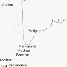
Hail Maps for Fryeburg, ME


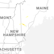
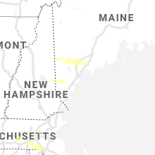


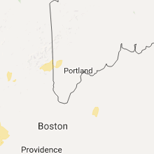


Connect with Interactive Hail Maps