

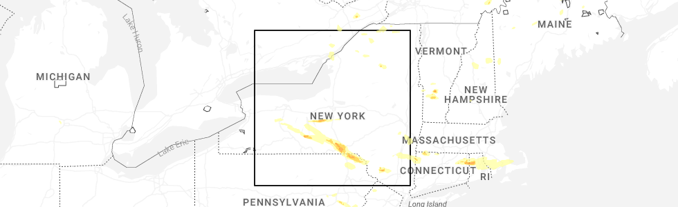
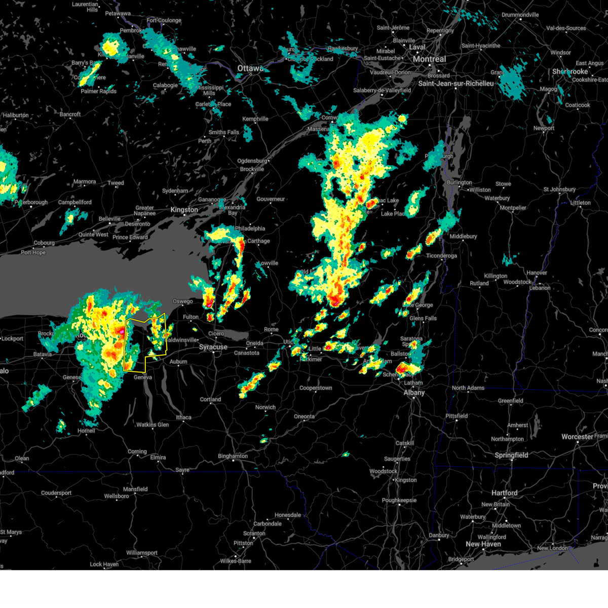
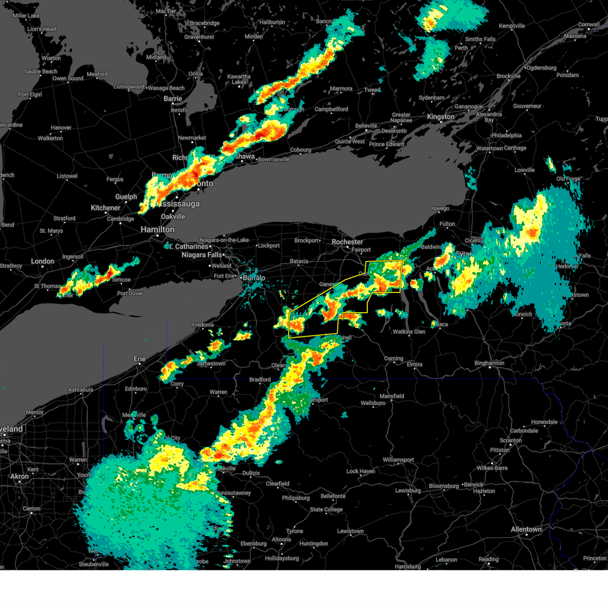
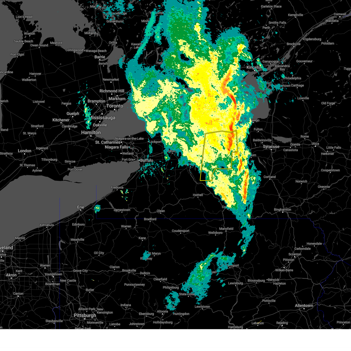
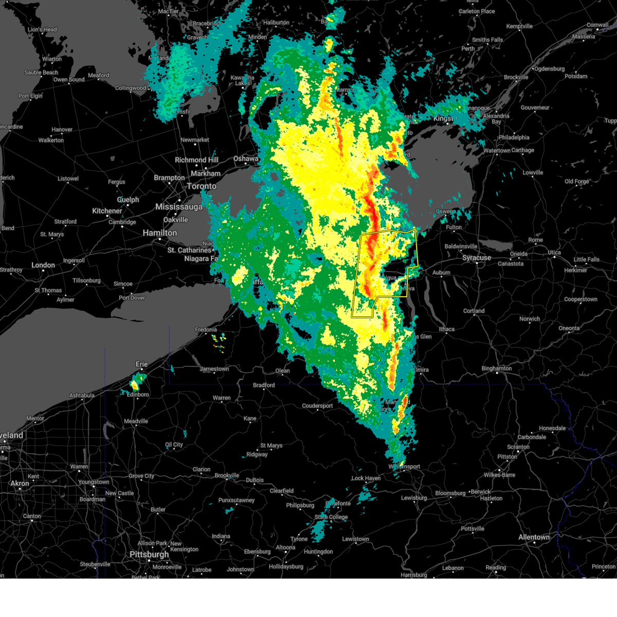
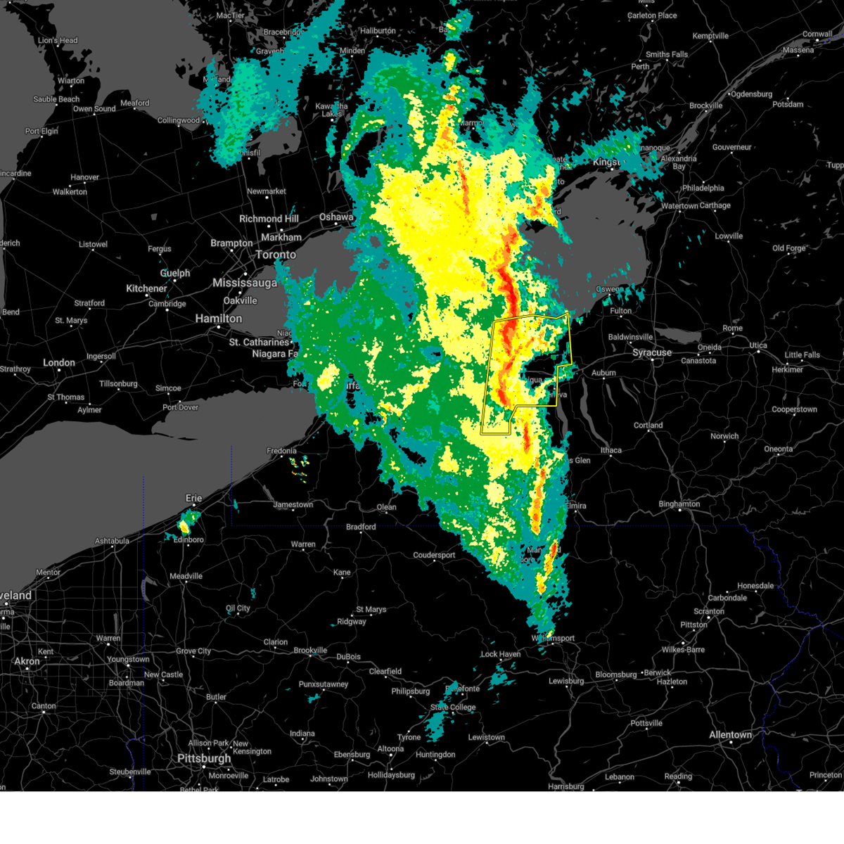
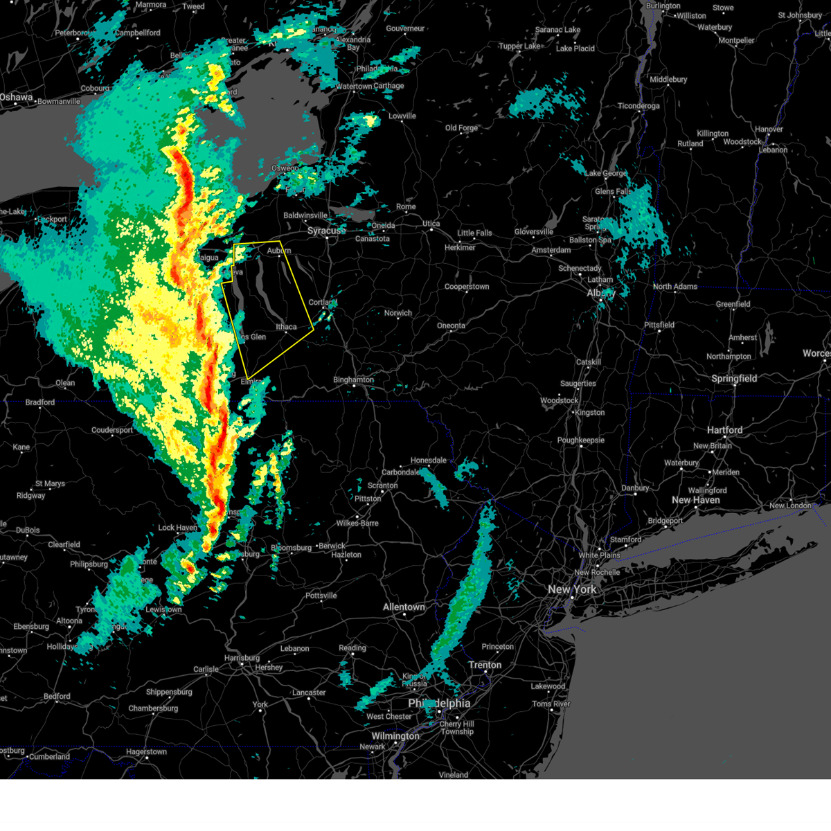
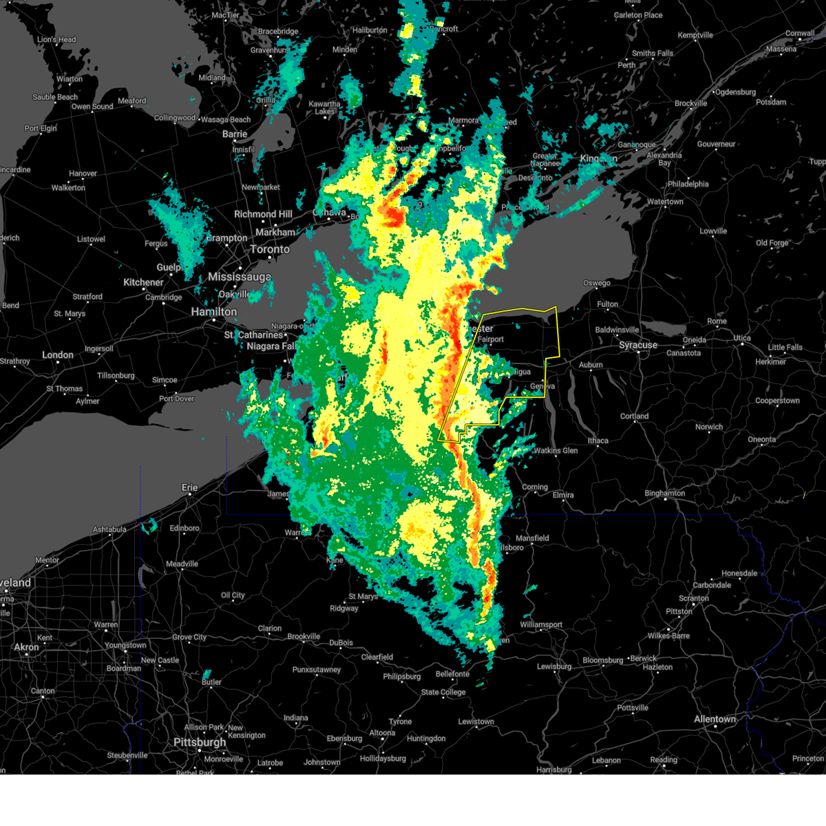
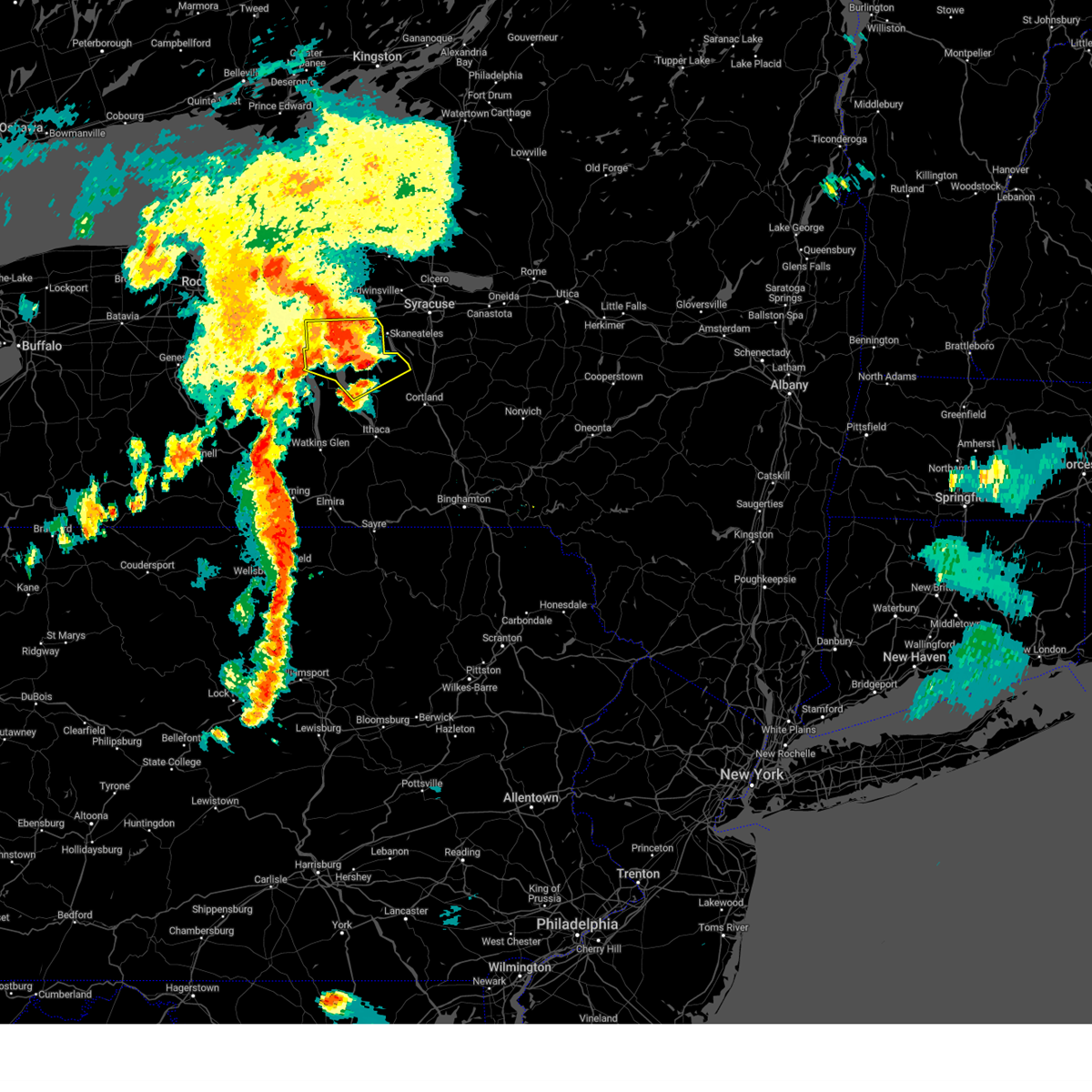
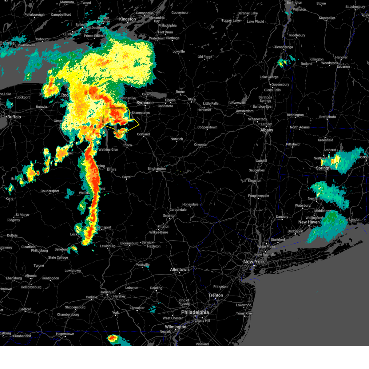
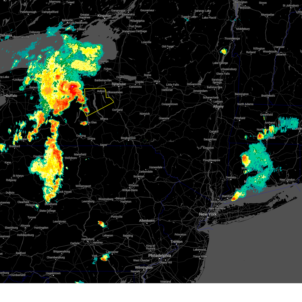
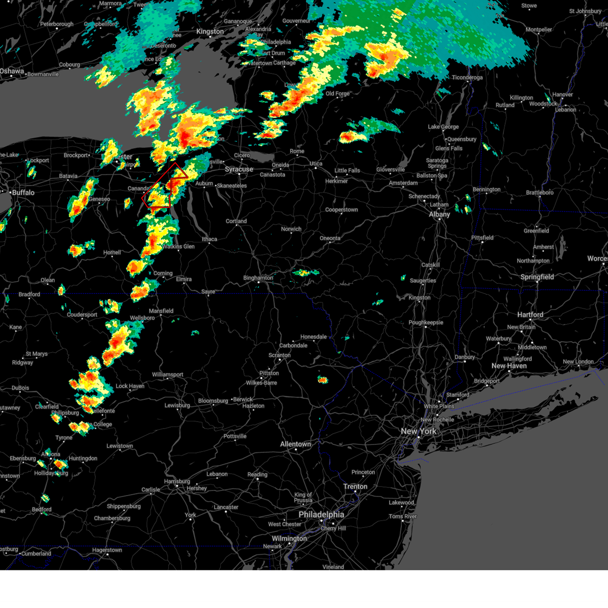
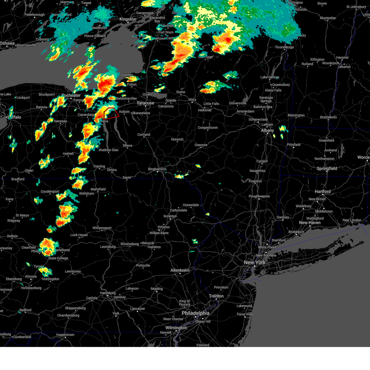
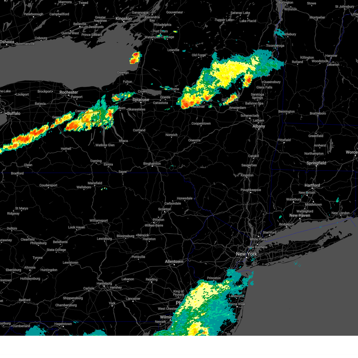
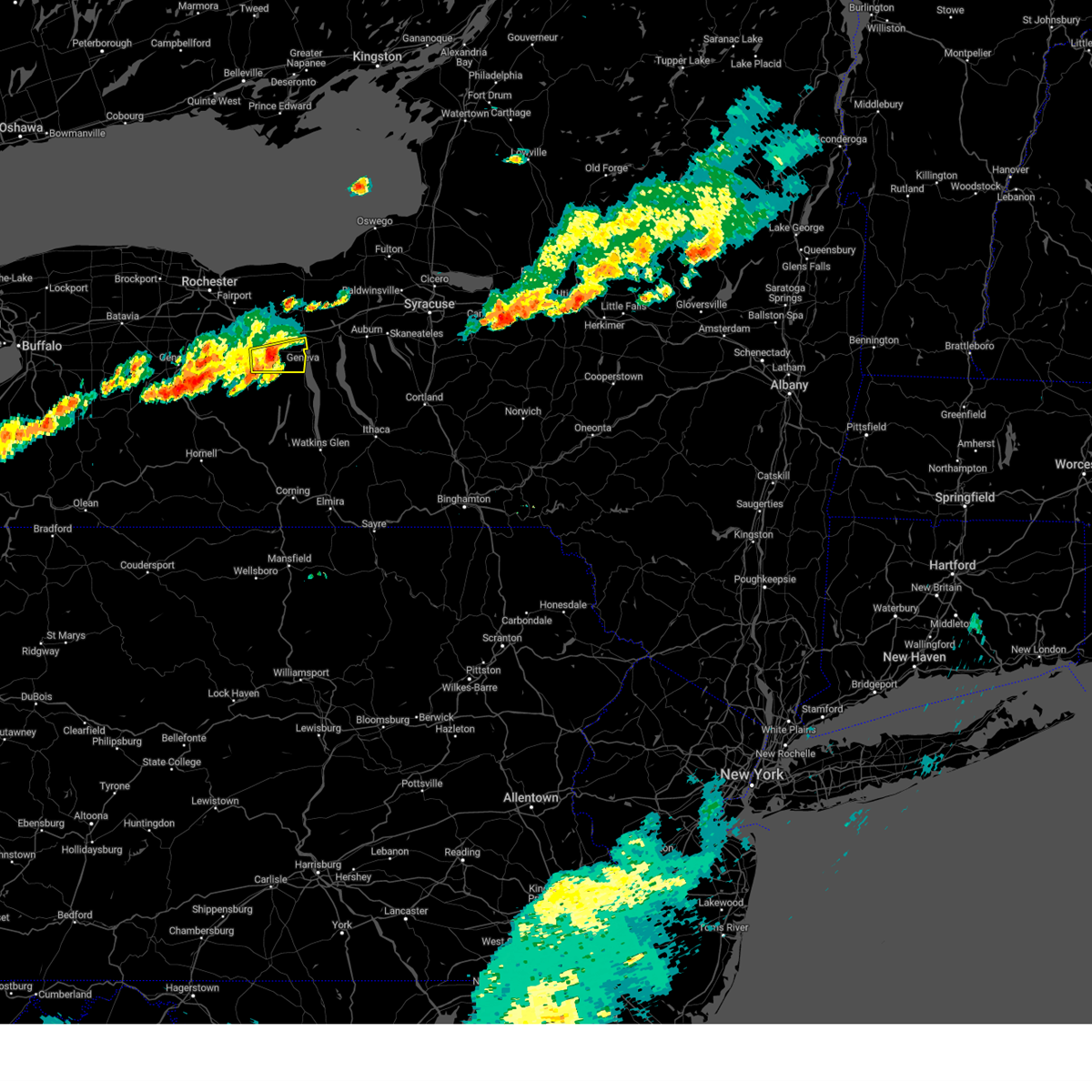
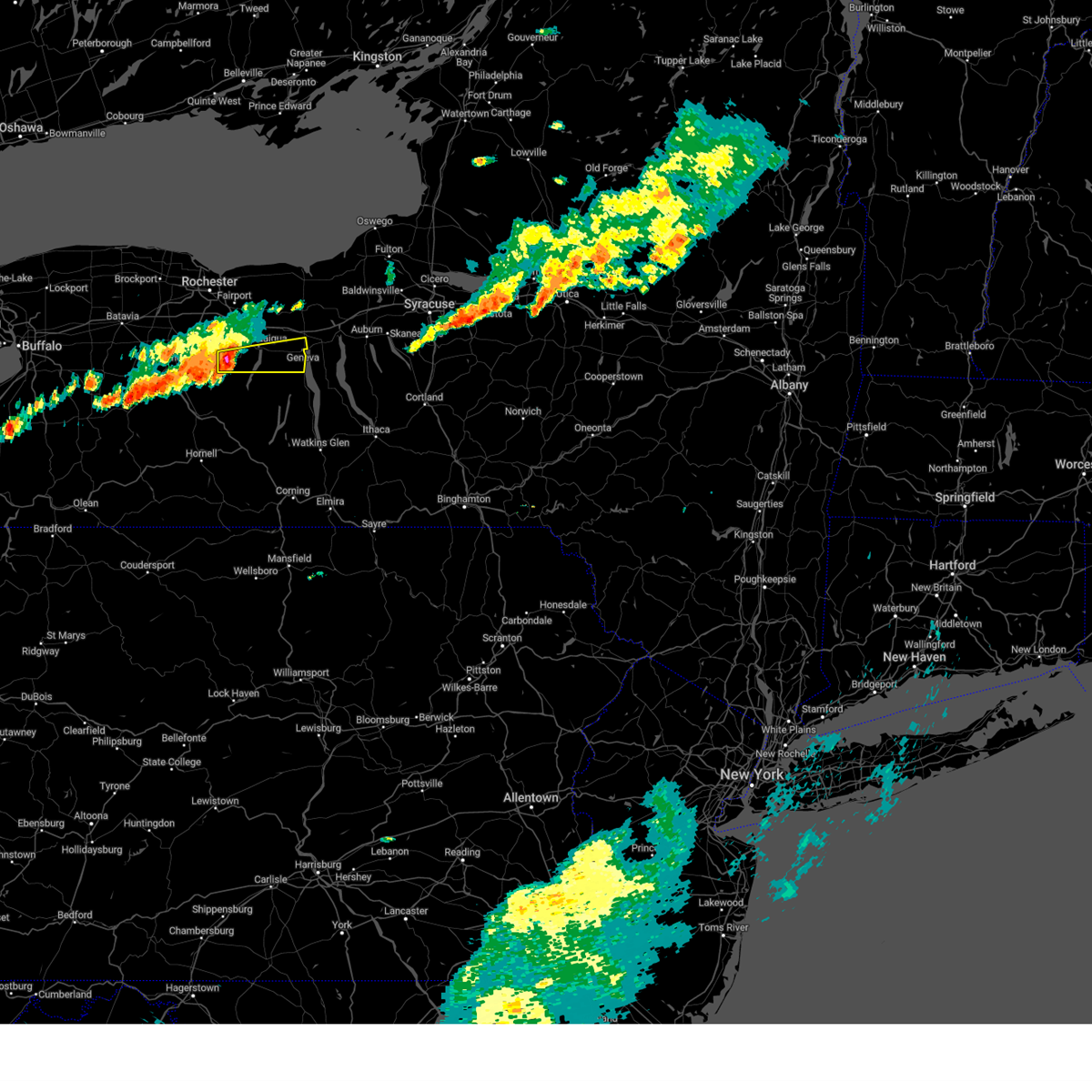
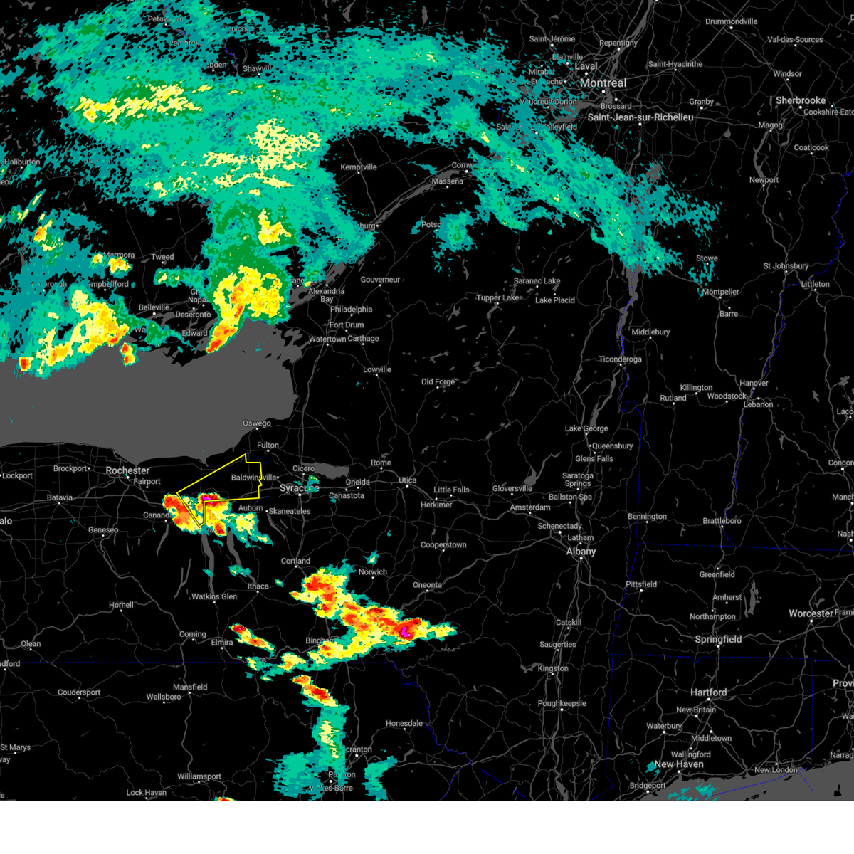
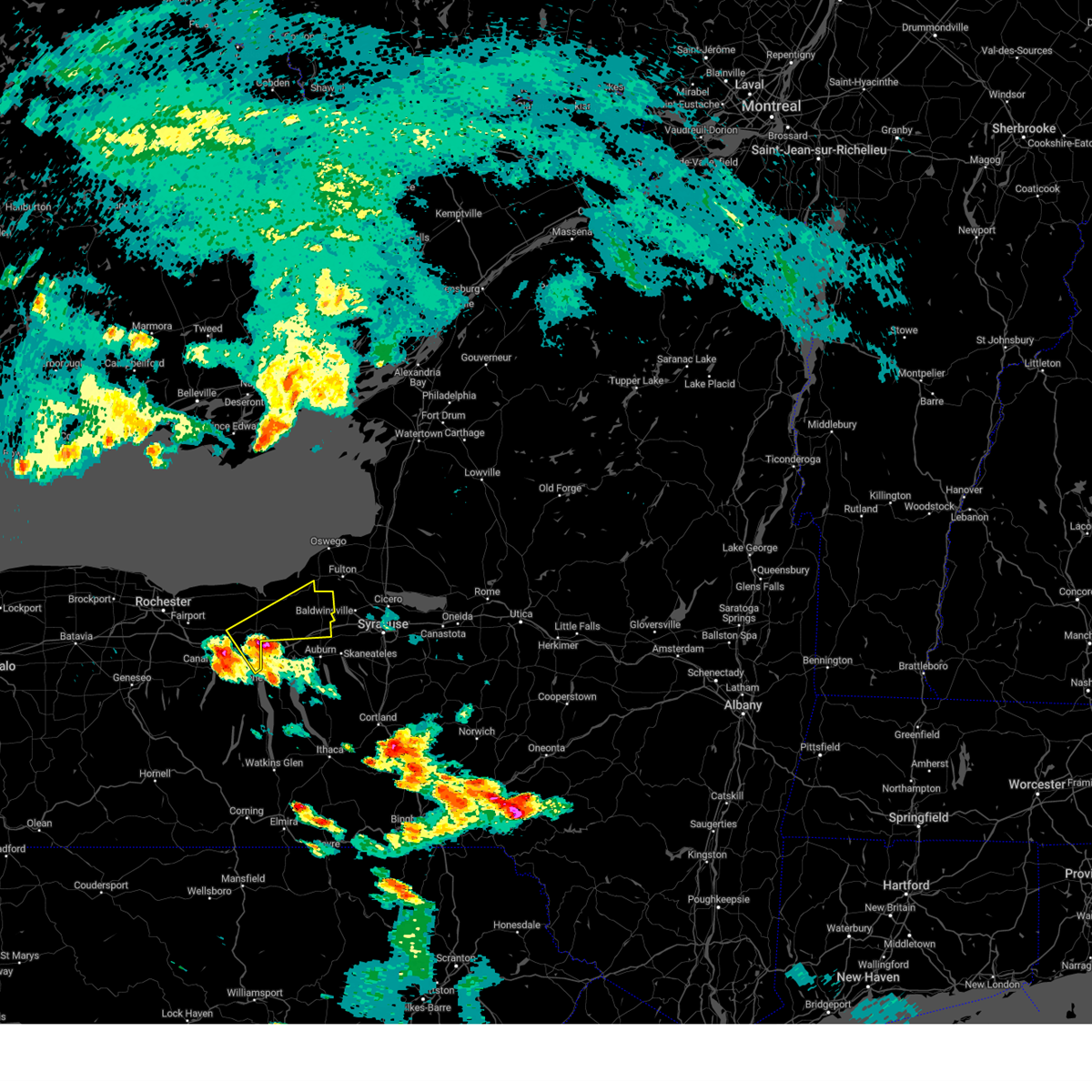
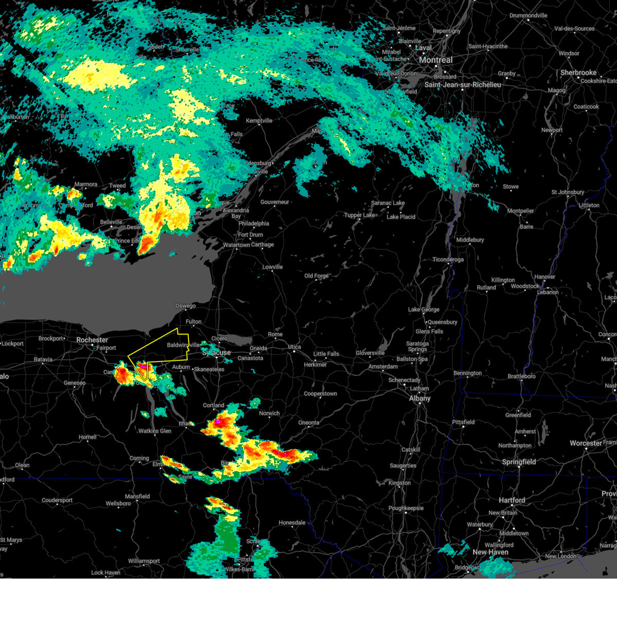
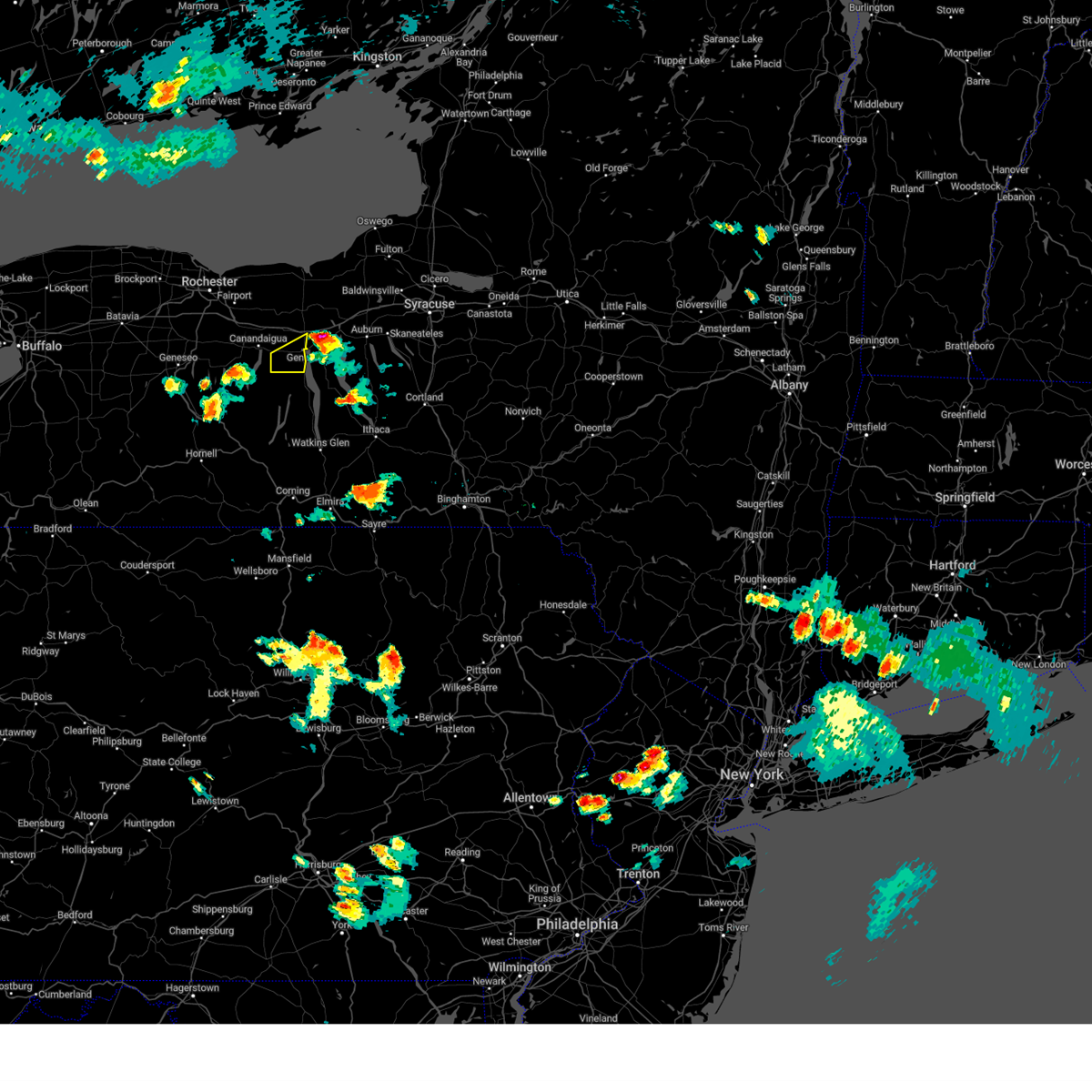
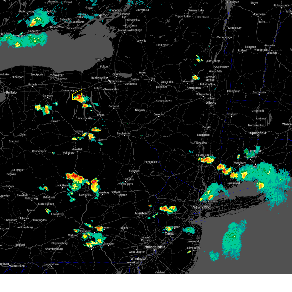
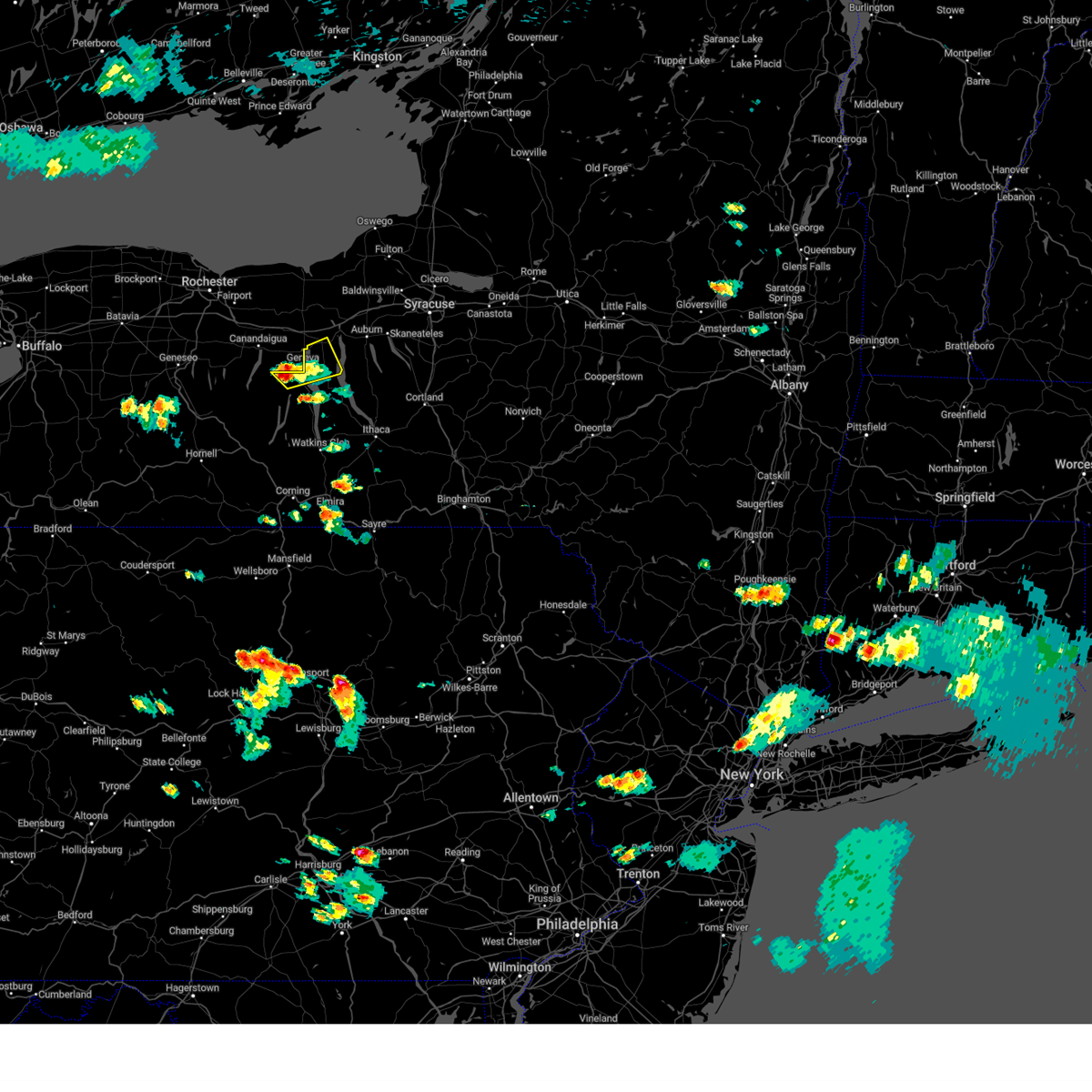
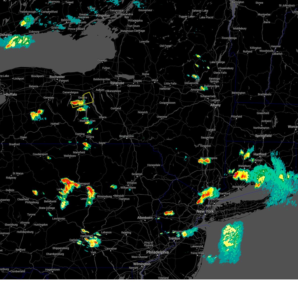
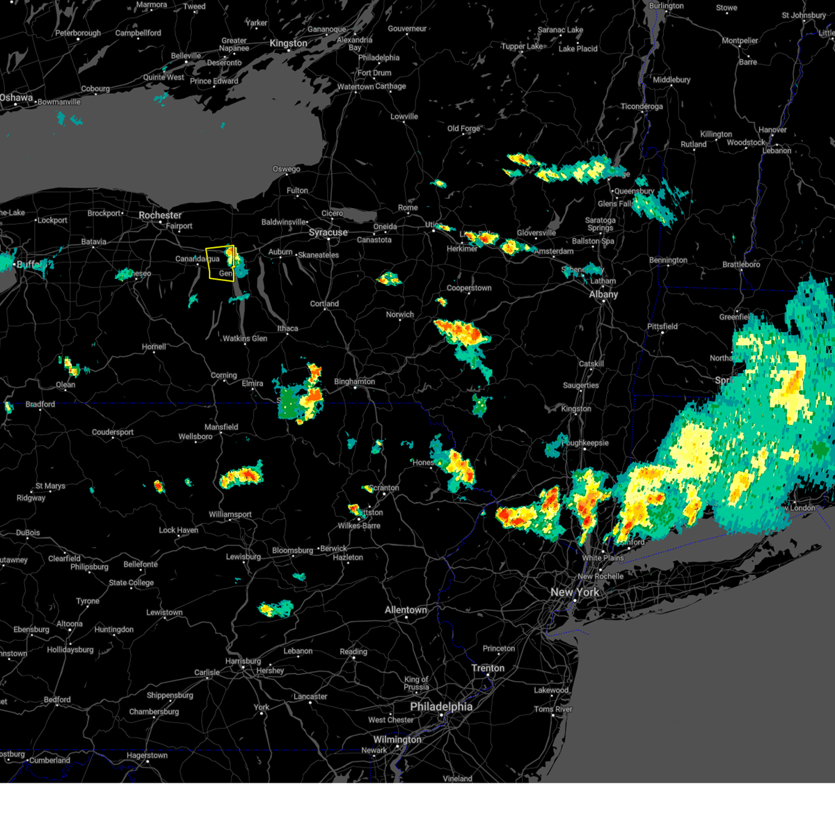
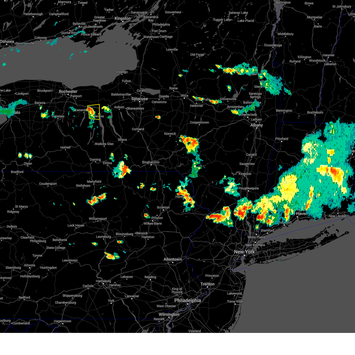
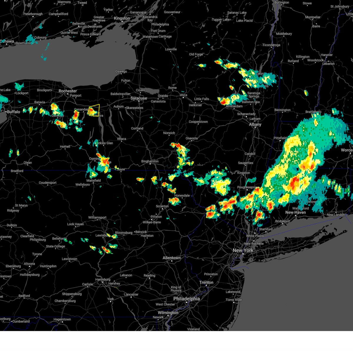
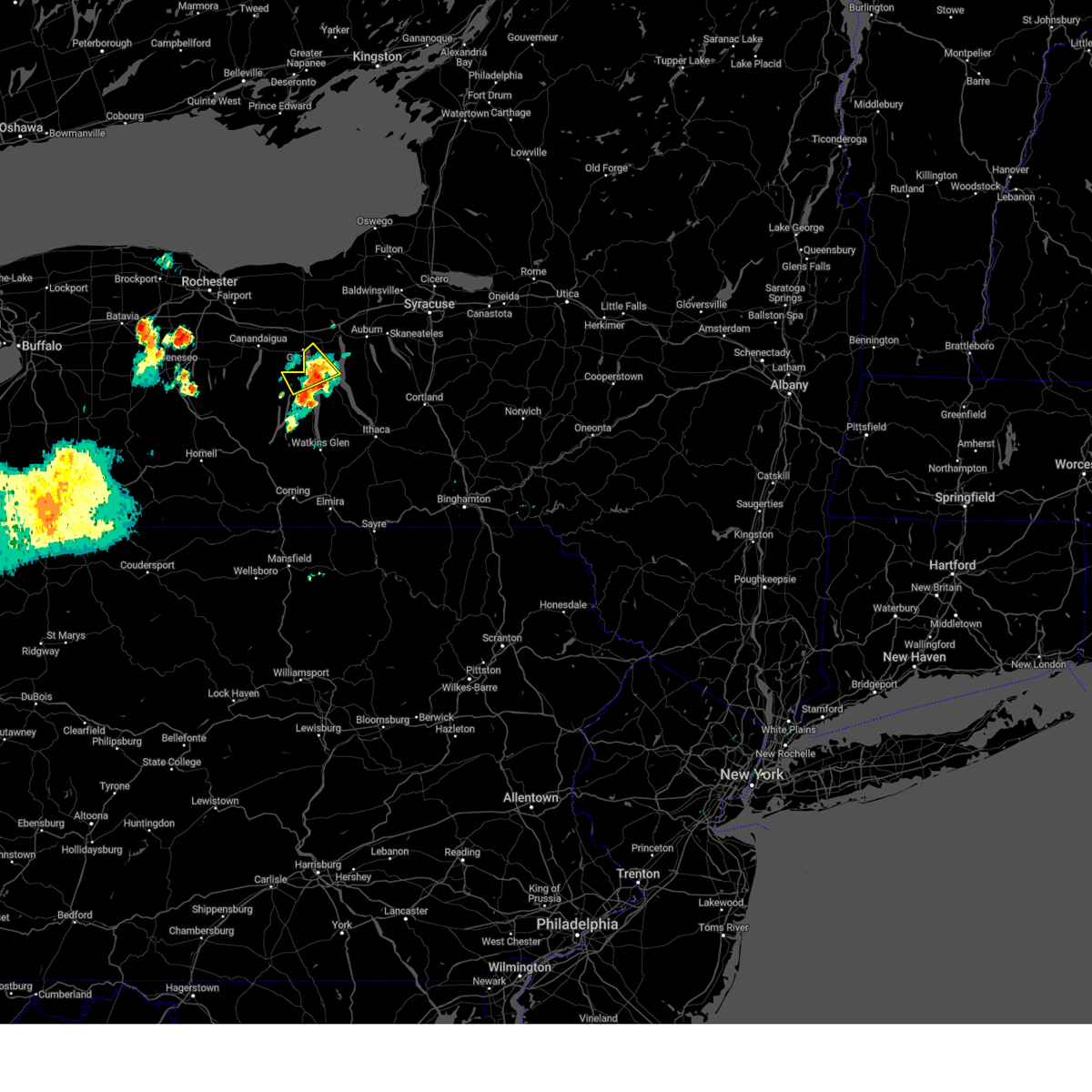
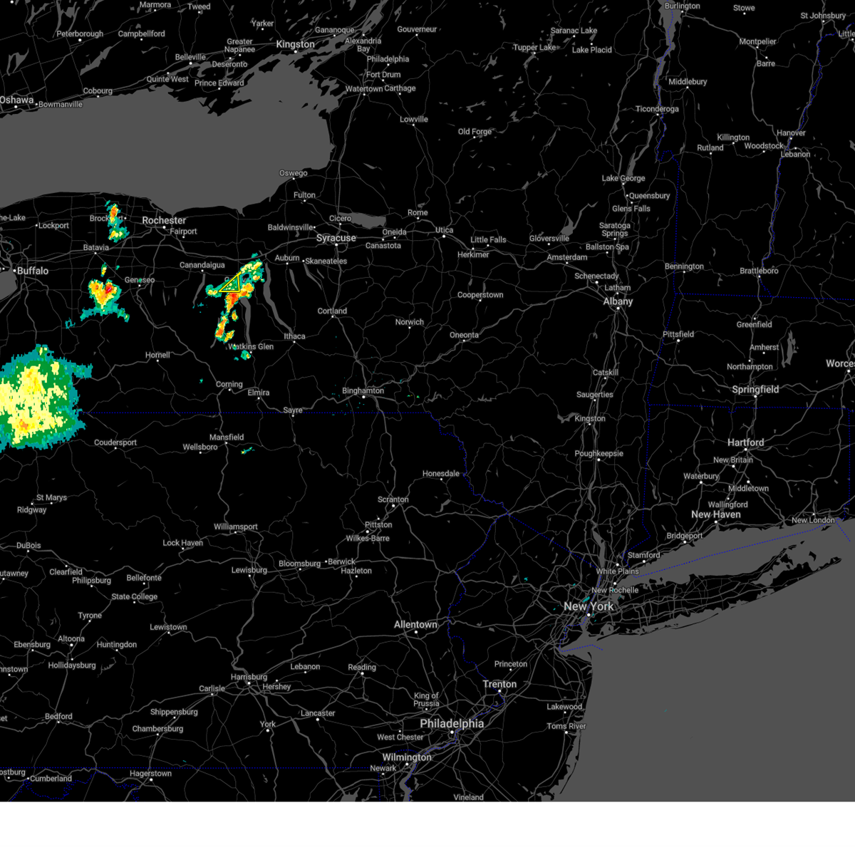
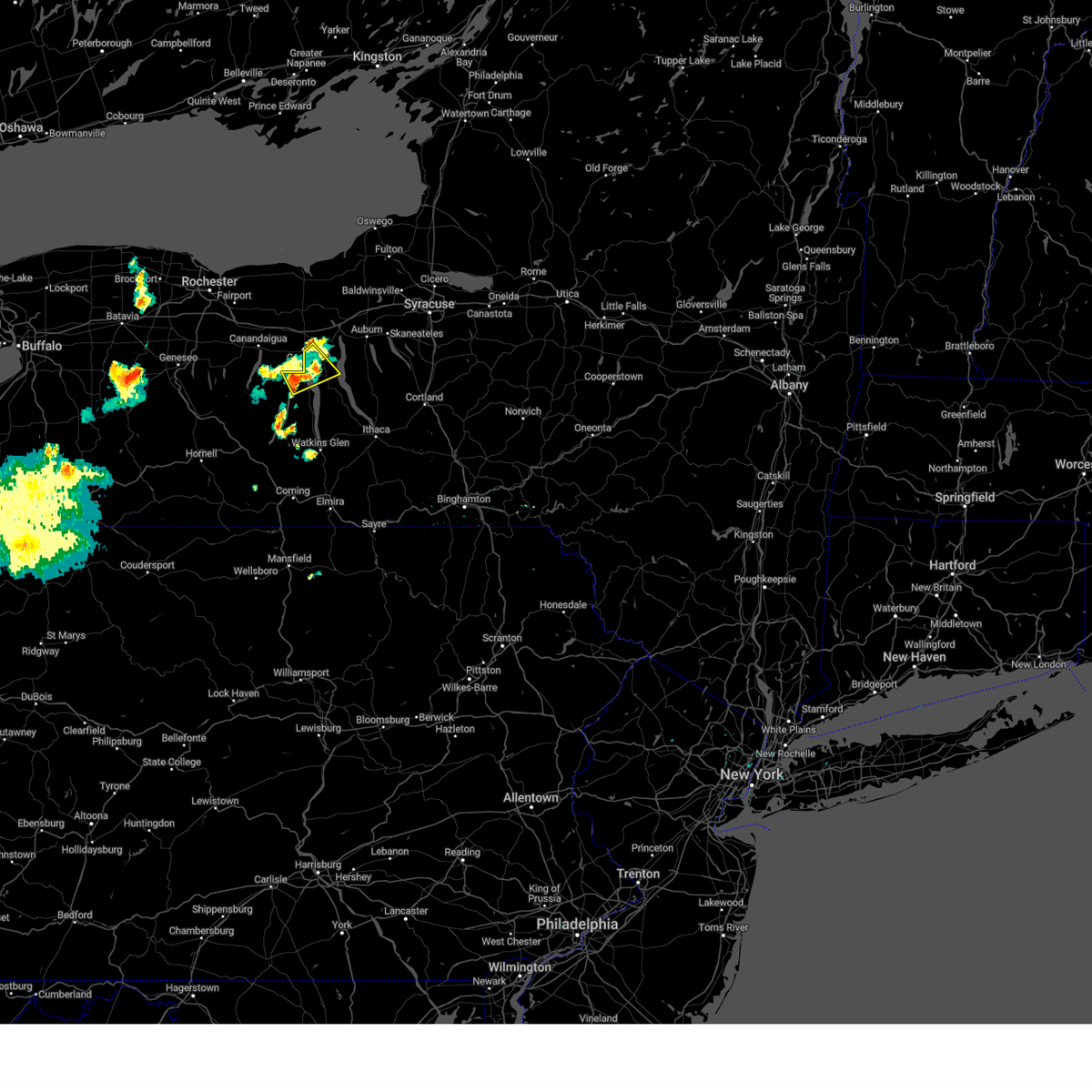
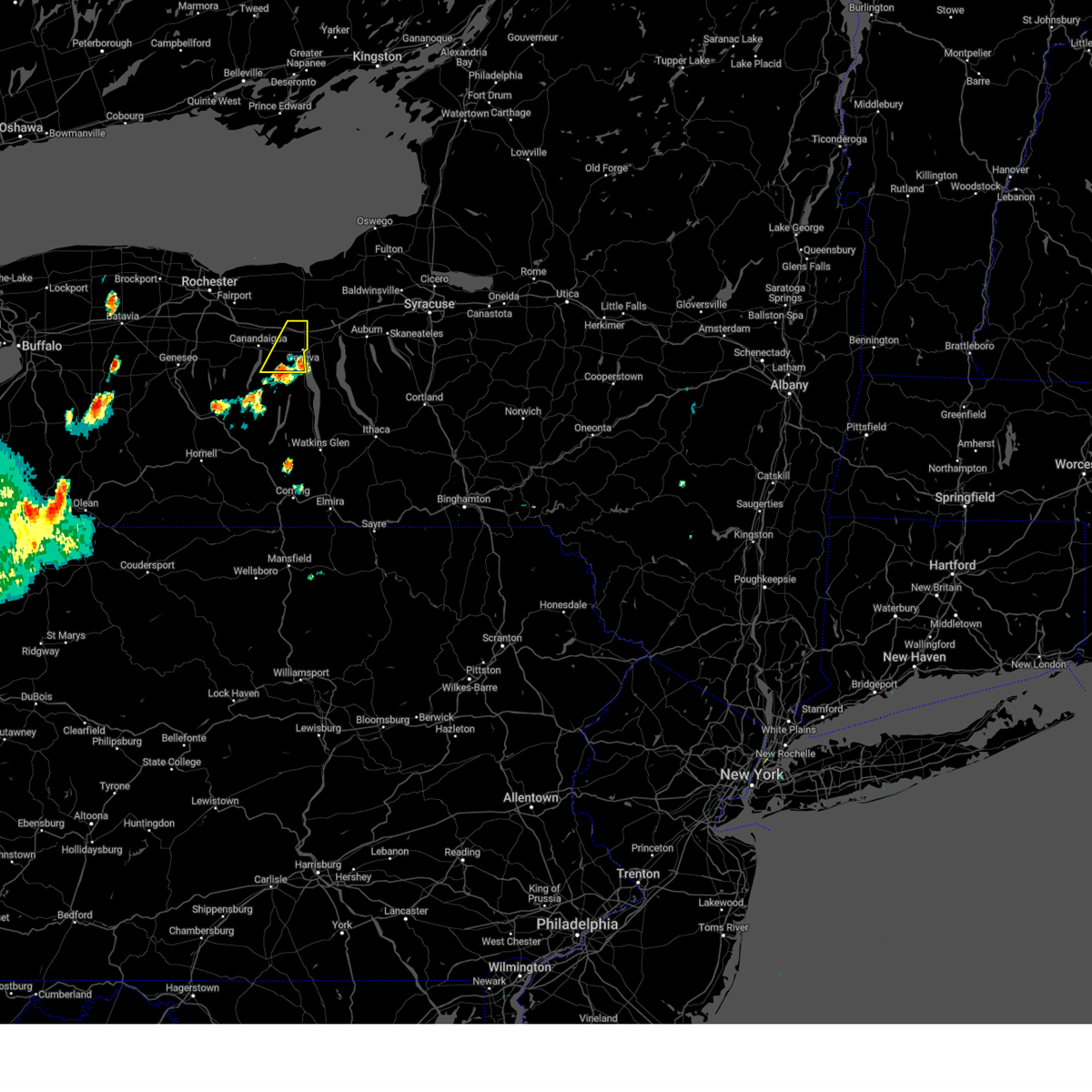
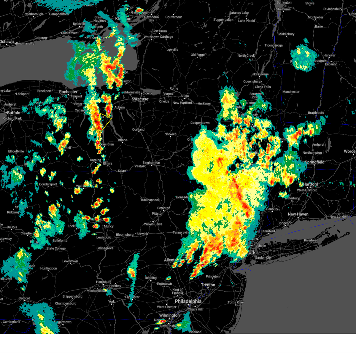
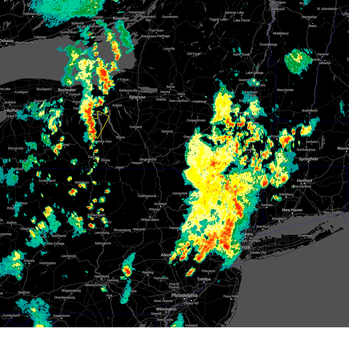
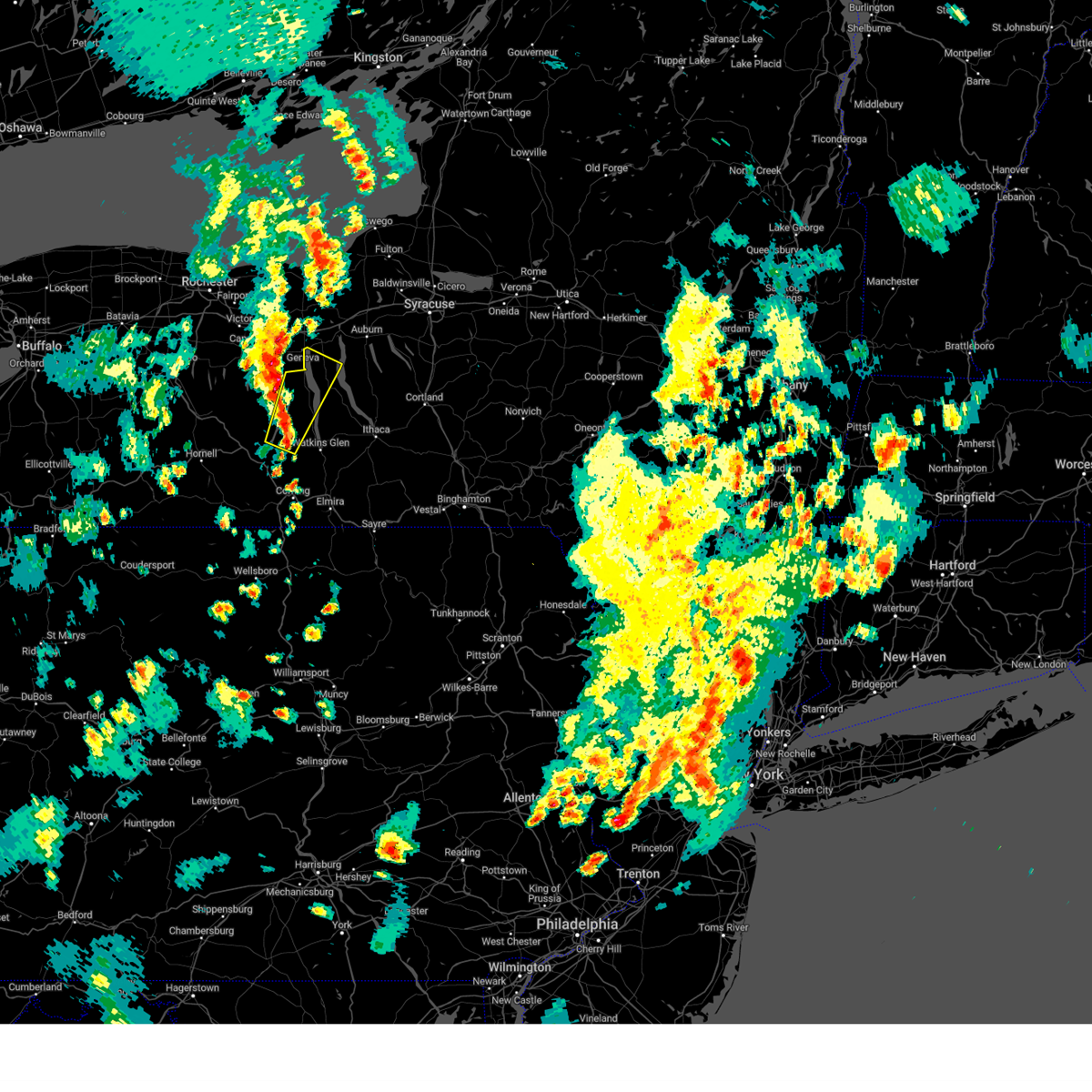
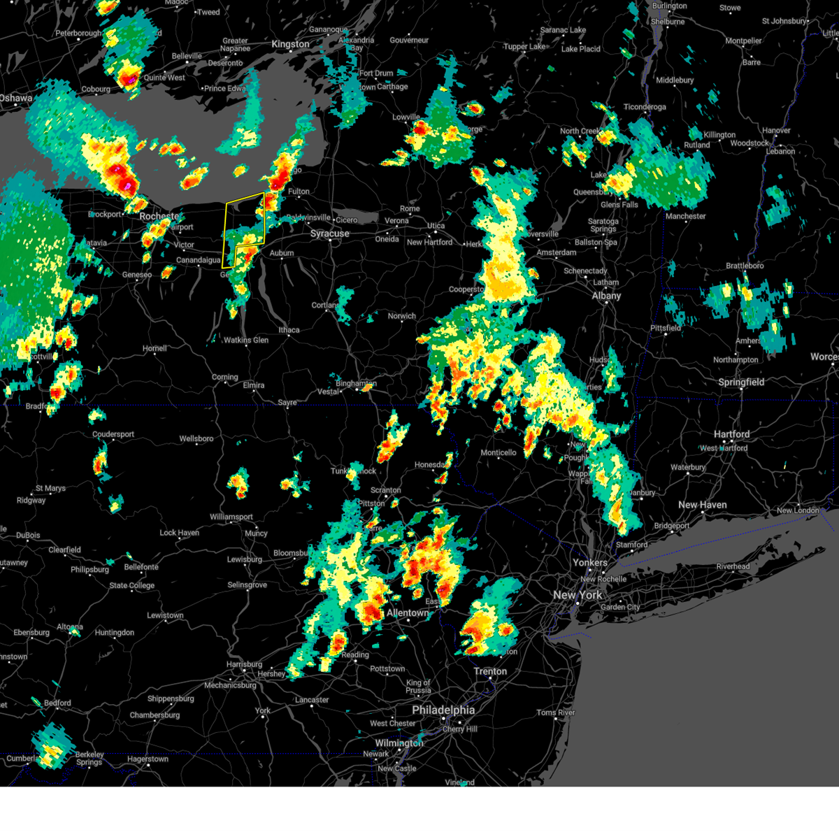
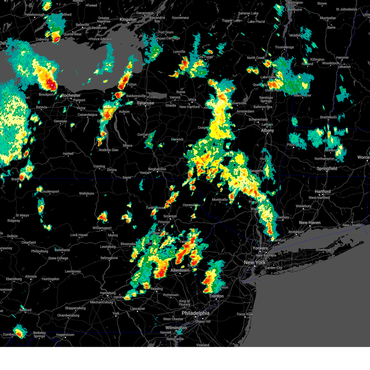
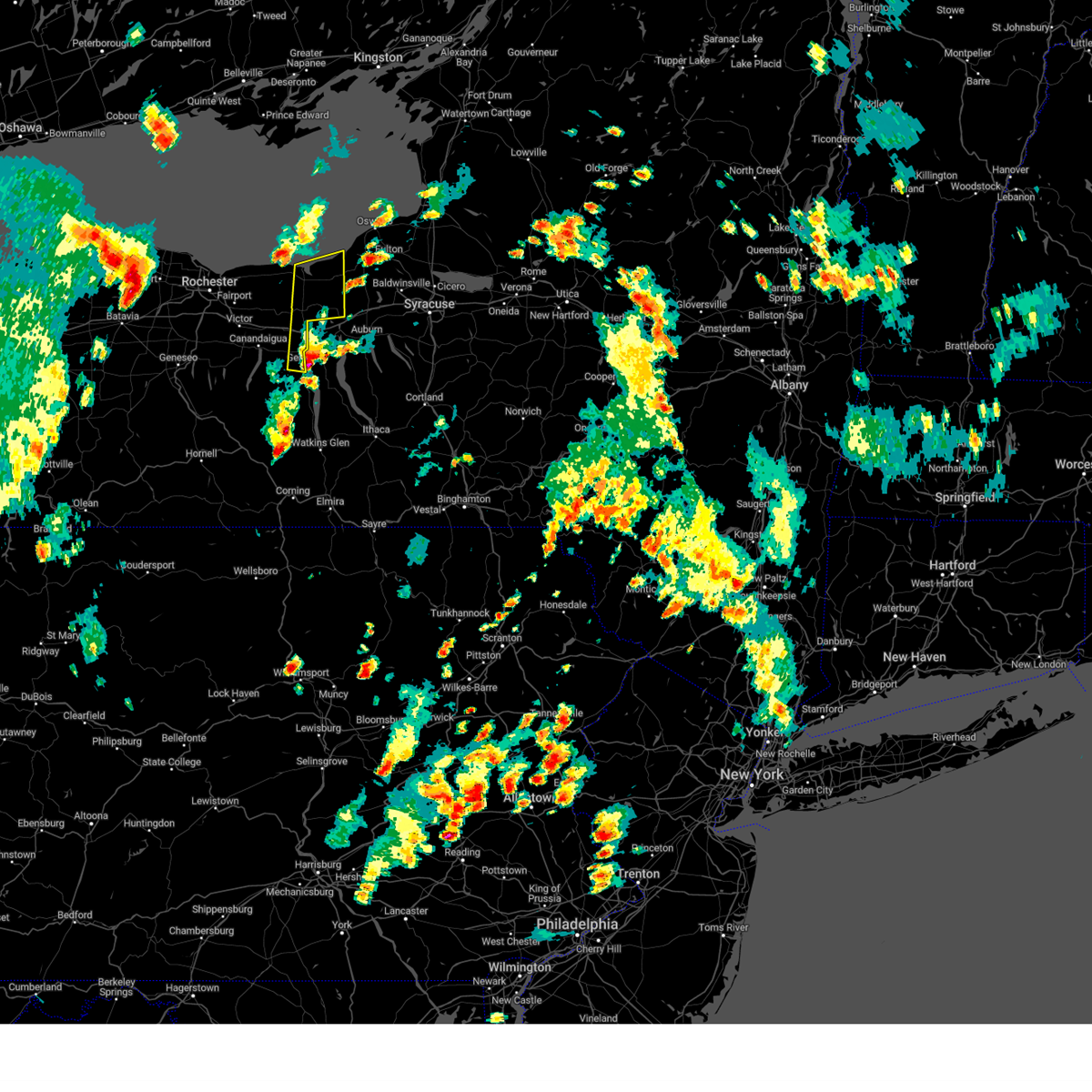
Hail Map for Geneva, NY
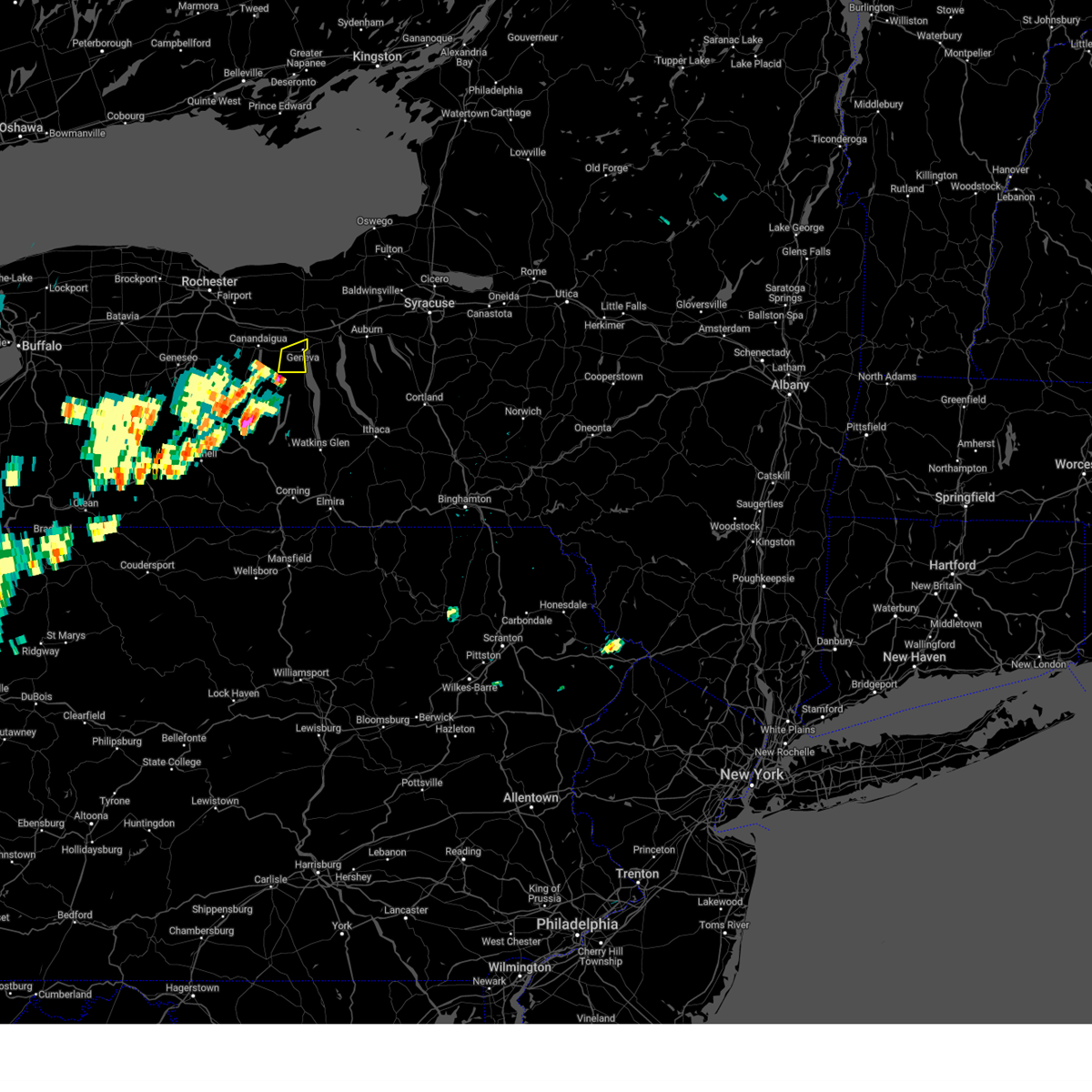
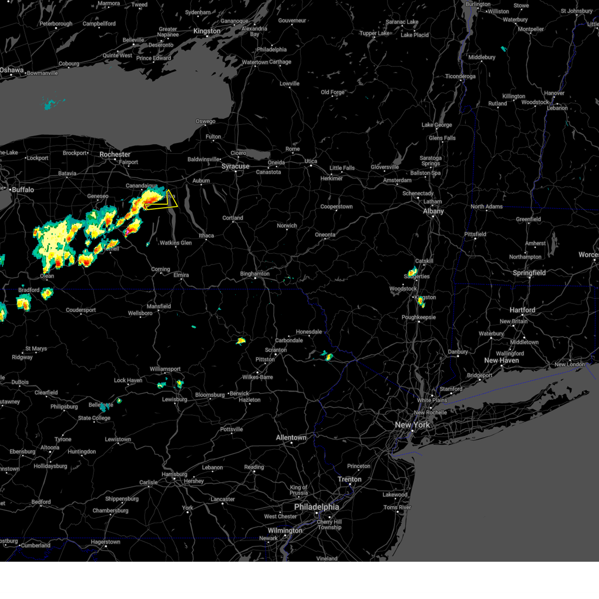
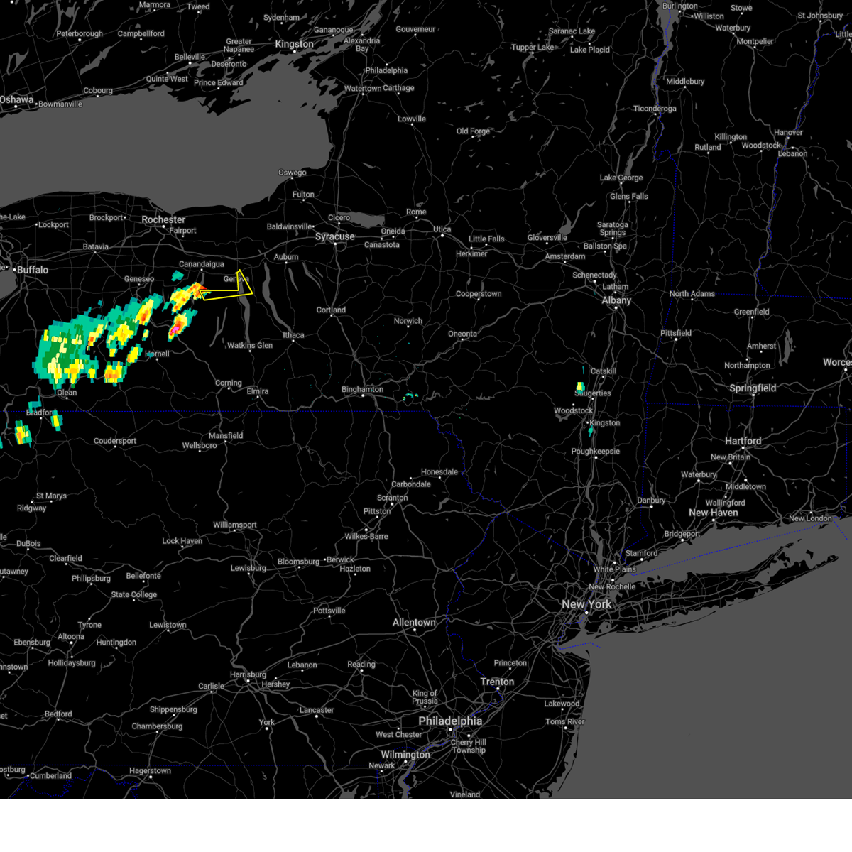
The Geneva, NY area has had 3 reports of on-the-ground hail by trained spotters, and has been under severe weather warnings 32 times during the past 12 months. Doppler radar has detected hail at or near Geneva, NY on 26 occasions, including 3 occasions during the past year.
| Name: | Geneva, NY |
| Where Located: | 44.3 miles WSW of Syracuse, NY |
| Map: | Google Map for Geneva, NY |
| Population: | 13261 |
| Housing Units: | 5486 |
| More Info: | Search Google for Geneva, NY |
0
The Top Recent Hail Date for Geneva, NY is Thursday, July 3, 2025 (9th out of 26)
Hail and Wind Damage Spotted near Geneva, NY
| Date / Time | Report Details |
|---|---|
| 6/5/2025 4:56 PM EDT | the severe thunderstorm warning has been cancelled and is no longer in effect |
| 6/5/2025 4:42 PM EDT |
 At 442 pm edt, a severe thunderstorm was located near benton, or near penn yan, moving east at 20 mph (radar indicated). Hazards include 60 mph wind gusts and quarter size hail. Hail damage to vehicles is expected. expect wind damage to roofs, siding, and trees. Locations impacted include, geneva, gorham, seneca lake state park, and hall. At 442 pm edt, a severe thunderstorm was located near benton, or near penn yan, moving east at 20 mph (radar indicated). Hazards include 60 mph wind gusts and quarter size hail. Hail damage to vehicles is expected. expect wind damage to roofs, siding, and trees. Locations impacted include, geneva, gorham, seneca lake state park, and hall.
|
| 6/5/2025 4:42 PM EDT |
 At 442 pm edt, a severe thunderstorm was located near ferguson corners, or near geneva, moving east at 20 mph (radar indicated). Hazards include 70 mph wind gusts and ping pong ball size hail. People and animals outdoors will be injured. expect hail damage to roofs, siding, windows, and vehicles. expect considerable tree damage. wind damage is also likely to mobile homes, roofs, and outbuildings. Locations impacted include, benton, kendaia, ferguson corners, bellona stn, and seneca lake state park. At 442 pm edt, a severe thunderstorm was located near ferguson corners, or near geneva, moving east at 20 mph (radar indicated). Hazards include 70 mph wind gusts and ping pong ball size hail. People and animals outdoors will be injured. expect hail damage to roofs, siding, windows, and vehicles. expect considerable tree damage. wind damage is also likely to mobile homes, roofs, and outbuildings. Locations impacted include, benton, kendaia, ferguson corners, bellona stn, and seneca lake state park.
|
| 6/5/2025 4:28 PM EDT |
 At 427 pm edt, a severe thunderstorm was located over ferguson corners, or 8 miles northwest of penn yan, moving east at 20 mph (radar indicated). Hazards include 70 mph wind gusts and half dollar size hail. Hail damage to vehicles is expected. expect considerable tree damage. wind damage is also likely to mobile homes, roofs, and outbuildings. Locations impacted include, benton, rushville, kendaia, ferguson corners, bellona stn, and seneca lake state park. At 427 pm edt, a severe thunderstorm was located over ferguson corners, or 8 miles northwest of penn yan, moving east at 20 mph (radar indicated). Hazards include 70 mph wind gusts and half dollar size hail. Hail damage to vehicles is expected. expect considerable tree damage. wind damage is also likely to mobile homes, roofs, and outbuildings. Locations impacted include, benton, rushville, kendaia, ferguson corners, bellona stn, and seneca lake state park.
|
| 6/5/2025 4:16 PM EDT |
 Svrbuf the national weather service in buffalo has issued a * severe thunderstorm warning for, east central ontario county in western new york, * until 515 pm edt. * at 416 pm edt, a severe thunderstorm was located over rushville, or 9 miles northwest of penn yan, moving east at 20 mph (radar indicated). Hazards include 60 mph wind gusts and quarter size hail. Hail damage to vehicles is expected. Expect wind damage to roofs, siding, and trees. Svrbuf the national weather service in buffalo has issued a * severe thunderstorm warning for, east central ontario county in western new york, * until 515 pm edt. * at 416 pm edt, a severe thunderstorm was located over rushville, or 9 miles northwest of penn yan, moving east at 20 mph (radar indicated). Hazards include 60 mph wind gusts and quarter size hail. Hail damage to vehicles is expected. Expect wind damage to roofs, siding, and trees.
|
| 6/5/2025 4:15 PM EDT |
 Svrbgm the national weather service in binghamton has issued a * severe thunderstorm warning for, west central seneca county in central new york, northeastern yates county in central new york, * until 500 pm edt. * at 414 pm edt, a severe thunderstorm was located over rushville, or 9 miles south of canandaigua, moving east at 20 mph (radar indicated). Hazards include 60 mph wind gusts and quarter size hail. Hail damage to vehicles is expected. Expect wind damage to roofs, siding, and trees. Svrbgm the national weather service in binghamton has issued a * severe thunderstorm warning for, west central seneca county in central new york, northeastern yates county in central new york, * until 500 pm edt. * at 414 pm edt, a severe thunderstorm was located over rushville, or 9 miles south of canandaigua, moving east at 20 mph (radar indicated). Hazards include 60 mph wind gusts and quarter size hail. Hail damage to vehicles is expected. Expect wind damage to roofs, siding, and trees.
|
| 5/17/2025 1:44 PM EDT | Tree and wires down on carter road south of cross roa in ontario county NY, 4.1 miles S of Geneva, NY |
| 5/17/2025 1:34 PM EDT |
 Svrbuf the national weather service in buffalo has issued a * severe thunderstorm warning for, wayne county in western new york, northeastern ontario county in western new york, * until 230 pm edt. * at 133 pm edt, severe thunderstorms were located along a line extending from near williamson to near clifton springs, moving northeast at 30 mph (radar indicated). Hazards include 60 mph wind gusts and quarter size hail. Hail damage to vehicles is expected. Expect wind damage to roofs, siding, and trees. Svrbuf the national weather service in buffalo has issued a * severe thunderstorm warning for, wayne county in western new york, northeastern ontario county in western new york, * until 230 pm edt. * at 133 pm edt, severe thunderstorms were located along a line extending from near williamson to near clifton springs, moving northeast at 30 mph (radar indicated). Hazards include 60 mph wind gusts and quarter size hail. Hail damage to vehicles is expected. Expect wind damage to roofs, siding, and trees.
|
| 4/29/2025 6:30 PM EDT | the severe thunderstorm warning has been cancelled and is no longer in effect |
| 4/29/2025 6:19 PM EDT | the severe thunderstorm warning has been cancelled and is no longer in effect |
| 4/29/2025 6:19 PM EDT | At 619 pm edt, severe thunderstorms were located along a line extending from near south dansville to near rushville, moving east at 55 mph (radar indicated). Hazards include 60 mph wind gusts. Expect damage to roofs, siding, and trees. locations impacted include, conesus, ossian center, geneva, dansville, canaseraga, swain, groveland, springwater, seneca castle, and cheshire. This includes interstate 390 between exits 4 and 5. |
| 4/29/2025 6:05 PM EDT |
 At 605 pm edt, severe thunderstorms were located along a line extending from 6 miles north of houghton to near ferguson corners, moving east at 60 mph (radar indicated). Hazards include 60 mph wind gusts and penny size hail. Expect damage to roofs, siding, and trees. locations impacted include, ossian center, fillmore, livonia, swain, bliss, springwater, hunt, gorham, bristol, and pike. this includes the following highways, interstate 390 between exits 4 and 7. Interstate 90 between exits 42 and 44. At 605 pm edt, severe thunderstorms were located along a line extending from 6 miles north of houghton to near ferguson corners, moving east at 60 mph (radar indicated). Hazards include 60 mph wind gusts and penny size hail. Expect damage to roofs, siding, and trees. locations impacted include, ossian center, fillmore, livonia, swain, bliss, springwater, hunt, gorham, bristol, and pike. this includes the following highways, interstate 390 between exits 4 and 7. Interstate 90 between exits 42 and 44.
|
| 4/29/2025 6:05 PM EDT |
 the severe thunderstorm warning has been cancelled and is no longer in effect the severe thunderstorm warning has been cancelled and is no longer in effect
|
| 4/29/2025 5:42 PM EDT | Svrbuf the national weather service in buffalo has issued a * severe thunderstorm warning for, south central wayne county in western new york, wyoming county in western new york, northeastern cattaraugus county in western new york, southeastern erie county in western new york, livingston county in western new york, northern allegany county in western new york, southeastern monroe county in western new york, ontario county in western new york, * until 645 pm edt. * at 541 pm edt, severe thunderstorms were located along a line extending from near ashford hollow to bloomfield, moving east at 65 mph (radar indicated). Hazards include 60 mph wind gusts and penny size hail. expect damage to roofs, siding, and trees |
| 4/29/2025 4:31 PM EDT | Svrbuf the national weather service in buffalo has issued a * severe thunderstorm warning for, southeastern wayne county in western new york, cayuga county in central new york, southwestern oswego county in central new york, northeastern ontario county in western new york, * until 530 pm edt. * at 431 pm edt, a severe thunderstorm was located near clifton springs, or near canandaigua, moving east at 55 mph (radar indicated). Hazards include 60 mph wind gusts and quarter size hail. Hail damage to vehicles is expected. Expect wind damage to roofs, siding, and trees. |
| 3/16/2025 4:25 PM EDT |
 The storm which prompted the warning has moved out of the area. therefore, the warning will be allowed to expire. a severe thunderstorm watch remains in effect until 700 pm edt for western new york. The storm which prompted the warning has moved out of the area. therefore, the warning will be allowed to expire. a severe thunderstorm watch remains in effect until 700 pm edt for western new york.
|
| 3/16/2025 4:17 PM EDT | Svrbgm the national weather service in binghamton has issued a * severe thunderstorm warning for, seneca county in central new york, eastern schuyler county in central new york, broome county in central new york, cayuga county in central new york, cortland county in central new york, eastern chemung county in central new york, tioga county in central new york, onondaga county in central new york, tompkins county in central new york, * until 515 pm edt. * at 417 pm edt, severe thunderstorms were located along a line extending from 6 miles southeast of lyons to lowman, moving northeast at 60 mph (radar indicated). Hazards include 60 mph wind gusts. expect damage to roofs, siding, and trees |
| 3/16/2025 4:01 PM EDT |
 the severe thunderstorm warning has been cancelled and is no longer in effect the severe thunderstorm warning has been cancelled and is no longer in effect
|
| 3/16/2025 4:01 PM EDT |
 At 358 pm edt, a line of severe thunderstorms extended from near webster southward to bristol, or near canandaigua and is moving east and northeast at 55 mph (radar indicated). Hazards include 60 mph wind gusts. Expect damage to roofs, siding, and trees. locations impacted include, macedon, springwater, east williamson, gorham, sodus point, pultneyville, bristol, penfield, chimney bluffs state park, and union hill. This includes interstate 90 between exits 42 and 45. At 358 pm edt, a line of severe thunderstorms extended from near webster southward to bristol, or near canandaigua and is moving east and northeast at 55 mph (radar indicated). Hazards include 60 mph wind gusts. Expect damage to roofs, siding, and trees. locations impacted include, macedon, springwater, east williamson, gorham, sodus point, pultneyville, bristol, penfield, chimney bluffs state park, and union hill. This includes interstate 90 between exits 42 and 45.
|
| 3/16/2025 3:50 PM EDT |
 Svrbgm the national weather service in binghamton has issued a * severe thunderstorm warning for, seneca county in central new york, schuyler county in central new york, eastern yates county in central new york, cayuga county in central new york, north central chemung county in central new york, tompkins county in central new york, * until 445 pm edt. * at 350 pm edt, severe thunderstorms were located along a line extending from near vine valley to coopers plains, moving northeast at 55 mph (radar indicated). Hazards include 60 mph wind gusts. expect damage to roofs, siding, and trees Svrbgm the national weather service in binghamton has issued a * severe thunderstorm warning for, seneca county in central new york, schuyler county in central new york, eastern yates county in central new york, cayuga county in central new york, north central chemung county in central new york, tompkins county in central new york, * until 445 pm edt. * at 350 pm edt, severe thunderstorms were located along a line extending from near vine valley to coopers plains, moving northeast at 55 mph (radar indicated). Hazards include 60 mph wind gusts. expect damage to roofs, siding, and trees
|
| 3/16/2025 3:28 PM EDT |
 Svrbuf the national weather service in buffalo has issued a * severe thunderstorm warning for, wayne county in western new york, eastern livingston county in western new york, northeastern allegany county in western new york, southeastern monroe county in western new york, ontario county in western new york, * until 430 pm edt. * at 327 pm edt, a severe thunderstorm was located near geneseo, moving northeast at 55 mph (radar indicated). Hazards include 60 mph wind gusts. expect damage to roofs, siding, and trees Svrbuf the national weather service in buffalo has issued a * severe thunderstorm warning for, wayne county in western new york, eastern livingston county in western new york, northeastern allegany county in western new york, southeastern monroe county in western new york, ontario county in western new york, * until 430 pm edt. * at 327 pm edt, a severe thunderstorm was located near geneseo, moving northeast at 55 mph (radar indicated). Hazards include 60 mph wind gusts. expect damage to roofs, siding, and trees
|
| 7/30/2024 3:18 PM EDT | Multiple reports of trees and wires down in genev in ontario county NY, 0.4 miles WNW of Geneva, NY |
| 7/16/2024 2:00 PM EDT | Tree down on pre emption st. time from rada in ontario county NY, 3 miles SSW of Geneva, NY |
| 7/15/2024 5:36 PM EDT |
 the severe thunderstorm warning has been cancelled and is no longer in effect the severe thunderstorm warning has been cancelled and is no longer in effect
|
| 7/15/2024 5:36 PM EDT |
 At 536 pm edt, a severe thunderstorm was located over fleming, or near auburn, moving northeast at 55 mph (radar indicated). Hazards include 60 mph wind gusts and quarter size hail. Hail damage to vehicles is expected. expect wind damage to roofs, siding, and trees. Locations impacted include, auburn, seneca falls, waterloo, romulus, fayette, owasco, sennett, fleming, genoa, and ledyard. At 536 pm edt, a severe thunderstorm was located over fleming, or near auburn, moving northeast at 55 mph (radar indicated). Hazards include 60 mph wind gusts and quarter size hail. Hail damage to vehicles is expected. expect wind damage to roofs, siding, and trees. Locations impacted include, auburn, seneca falls, waterloo, romulus, fayette, owasco, sennett, fleming, genoa, and ledyard.
|
| 7/15/2024 5:20 PM EDT | At 520 pm edt, a severe thunderstorm was located near lyons, or 8 miles northwest of waterloo, moving northeast at 40 mph (radar indicated). Hazards include 70 mph wind gusts and nickel size hail. Expect considerable tree damage. damage is likely to mobile homes, roofs, and outbuildings. locations impacted include, geneva, newark, lyons, clifton springs, clyde, phelps, weedsport, cato, sterling, and rose. This includes interstate 90 between exits 40 and 42. |
| 7/15/2024 5:13 PM EDT |
 The storm which prompted the tornado warning has weakened, and no longer appears capable of producing a tornado. therefore, the tornado warning will be allowed to expire. however, gusty winds and heavy rain are still likely with this thunderstorm. a severe thunderstorm watch remains in effect until 700 pm edt for western new york. The storm which prompted the tornado warning has weakened, and no longer appears capable of producing a tornado. therefore, the tornado warning will be allowed to expire. however, gusty winds and heavy rain are still likely with this thunderstorm. a severe thunderstorm watch remains in effect until 700 pm edt for western new york.
|
| 7/15/2024 5:00 PM EDT |
 Svrbgm the national weather service in binghamton has issued a * severe thunderstorm warning for, seneca county in central new york, northeastern yates county in central new york, cayuga county in central new york, * until 545 pm edt. * at 500 pm edt, a severe thunderstorm was located over willard, or 9 miles east of penn yan, moving northeast at 50 mph (radar indicated). Hazards include 60 mph wind gusts and quarter size hail. Hail damage to vehicles is expected. Expect wind damage to roofs, siding, and trees. Svrbgm the national weather service in binghamton has issued a * severe thunderstorm warning for, seneca county in central new york, northeastern yates county in central new york, cayuga county in central new york, * until 545 pm edt. * at 500 pm edt, a severe thunderstorm was located over willard, or 9 miles east of penn yan, moving northeast at 50 mph (radar indicated). Hazards include 60 mph wind gusts and quarter size hail. Hail damage to vehicles is expected. Expect wind damage to roofs, siding, and trees.
|
| 7/15/2024 4:55 PM EDT |
 At 454 pm edt, a severe thunderstorm capable of producing a tornado was located over canandaigua, moving east at 40 mph (radar indicated rotation). Hazards include tornado and quarter size hail. Flying debris will be dangerous to those caught without shelter. mobile homes will be damaged or destroyed. damage to roofs, windows, and vehicles will occur. tree damage is likely. locations impacted include, geneva, canandaigua, newark, lyons, clifton springs, clyde, phelps, manchester, shortsville, and seneca castle. This includes interstate 90 between exits 42 and 43. At 454 pm edt, a severe thunderstorm capable of producing a tornado was located over canandaigua, moving east at 40 mph (radar indicated rotation). Hazards include tornado and quarter size hail. Flying debris will be dangerous to those caught without shelter. mobile homes will be damaged or destroyed. damage to roofs, windows, and vehicles will occur. tree damage is likely. locations impacted include, geneva, canandaigua, newark, lyons, clifton springs, clyde, phelps, manchester, shortsville, and seneca castle. This includes interstate 90 between exits 42 and 43.
|
| 7/15/2024 4:51 PM EDT |
 Svrbuf the national weather service in buffalo has issued a * severe thunderstorm warning for, southeastern wayne county in western new york, cayuga county in central new york, southwestern oswego county in central new york, northeastern ontario county in western new york, * until 545 pm edt. * at 450 pm edt, a severe thunderstorm was located over canandaigua, moving east at 45 mph (radar indicated). Hazards include 70 mph wind gusts and nickel size hail. Expect considerable tree damage. Damage is likely to mobile homes, roofs, and outbuildings. Svrbuf the national weather service in buffalo has issued a * severe thunderstorm warning for, southeastern wayne county in western new york, cayuga county in central new york, southwestern oswego county in central new york, northeastern ontario county in western new york, * until 545 pm edt. * at 450 pm edt, a severe thunderstorm was located over canandaigua, moving east at 45 mph (radar indicated). Hazards include 70 mph wind gusts and nickel size hail. Expect considerable tree damage. Damage is likely to mobile homes, roofs, and outbuildings.
|
| 7/15/2024 4:40 PM EDT |
 Torbuf the national weather service in buffalo has issued a * tornado warning for, southeastern wayne county in western new york, northern ontario county in western new york, * until 515 pm edt. * at 440 pm edt, a severe thunderstorm capable of producing a tornado was located over bloomfield, or near canandaigua, moving east at 55 mph (radar indicated rotation). Hazards include tornado and quarter size hail. Flying debris will be dangerous to those caught without shelter. mobile homes will be damaged or destroyed. damage to roofs, windows, and vehicles will occur. Tree damage is likely. Torbuf the national weather service in buffalo has issued a * tornado warning for, southeastern wayne county in western new york, northern ontario county in western new york, * until 515 pm edt. * at 440 pm edt, a severe thunderstorm capable of producing a tornado was located over bloomfield, or near canandaigua, moving east at 55 mph (radar indicated rotation). Hazards include tornado and quarter size hail. Flying debris will be dangerous to those caught without shelter. mobile homes will be damaged or destroyed. damage to roofs, windows, and vehicles will occur. Tree damage is likely.
|
| 7/10/2024 3:12 PM EDT |
 At 311 pm edt, a severe thunderstorm capable of producing a tornado was located over waterloo, moving northeast at 35 mph. another storm will enter southeastern ontario and may become severe (radar indicated rotation). Hazards include tornado. Flying debris will be dangerous to those caught without shelter. mobile homes will be damaged or destroyed. damage to roofs, windows, and vehicles will occur. tree damage is likely. locations impacted include, geneva, canandaigua, lyons, clifton springs, clyde, phelps, rushville, gorham, seneca lake state park, and seneca castle. This includes interstate 90 near exit 42. At 311 pm edt, a severe thunderstorm capable of producing a tornado was located over waterloo, moving northeast at 35 mph. another storm will enter southeastern ontario and may become severe (radar indicated rotation). Hazards include tornado. Flying debris will be dangerous to those caught without shelter. mobile homes will be damaged or destroyed. damage to roofs, windows, and vehicles will occur. tree damage is likely. locations impacted include, geneva, canandaigua, lyons, clifton springs, clyde, phelps, rushville, gorham, seneca lake state park, and seneca castle. This includes interstate 90 near exit 42.
|
| 7/10/2024 3:03 PM EDT | Tree down blocking both lanes on pre emption r in ontario county NY, 3.6 miles SSE of Geneva, NY |
| 7/10/2024 2:59 PM EDT | Tree down blocking road. time estimated from rada in ontario county NY, 4.9 miles SSW of Geneva, NY |
| 7/10/2024 2:57 PM EDT |
 Torbgm the national weather service in binghamton has issued a * tornado warning for, northwestern seneca county in central new york, western cayuga county in central new york, * until 330 pm edt. * at 256 pm edt, a severe thunderstorm capable of producing a tornado was located over geneva, moving northeast at 35 mph (radar indicated rotation). Hazards include tornado and quarter size hail. Flying debris will be dangerous to those caught without shelter. mobile homes will be damaged or destroyed. damage to roofs, windows, and vehicles will occur. tree damage is likely. this dangerous storm will be near, waterloo around 305 pm edt. seneca falls around 310 pm edt. lehigh vallley junction around 315 pm edt. Cayuga around 320 pm edt. Torbgm the national weather service in binghamton has issued a * tornado warning for, northwestern seneca county in central new york, western cayuga county in central new york, * until 330 pm edt. * at 256 pm edt, a severe thunderstorm capable of producing a tornado was located over geneva, moving northeast at 35 mph (radar indicated rotation). Hazards include tornado and quarter size hail. Flying debris will be dangerous to those caught without shelter. mobile homes will be damaged or destroyed. damage to roofs, windows, and vehicles will occur. tree damage is likely. this dangerous storm will be near, waterloo around 305 pm edt. seneca falls around 310 pm edt. lehigh vallley junction around 315 pm edt. Cayuga around 320 pm edt.
|
| 7/10/2024 2:42 PM EDT | Torbuf the national weather service in buffalo has issued a * tornado warning for, southeastern wayne county in western new york, northeastern ontario county in western new york, * until 330 pm edt. * at 242 pm edt, a severe thunderstorm capable of producing a tornado was located near rushville, or 7 miles southeast of canandaigua, moving northeast at 35 mph (radar indicated rotation). Hazards include tornado. Flying debris will be dangerous to those caught without shelter. mobile homes will be damaged or destroyed. damage to roofs, windows, and vehicles will occur. Tree damage is likely. |
| 7/10/2024 2:17 PM EDT |
 Torbuf the national weather service in buffalo has issued a * tornado warning for, southwestern wayne county in western new york, ontario county in western new york, * until 300 pm edt. * at 217 pm edt, a severe thunderstorm capable of producing a tornado was located near honeoye, or 12 miles southwest of canandaigua, moving northeast at 45 mph (radar indicated rotation). Hazards include tornado. Flying debris will be dangerous to those caught without shelter. mobile homes will be damaged or destroyed. damage to roofs, windows, and vehicles will occur. Tree damage is likely. Torbuf the national weather service in buffalo has issued a * tornado warning for, southwestern wayne county in western new york, ontario county in western new york, * until 300 pm edt. * at 217 pm edt, a severe thunderstorm capable of producing a tornado was located near honeoye, or 12 miles southwest of canandaigua, moving northeast at 45 mph (radar indicated rotation). Hazards include tornado. Flying debris will be dangerous to those caught without shelter. mobile homes will be damaged or destroyed. damage to roofs, windows, and vehicles will occur. Tree damage is likely.
|
| 6/30/2024 4:04 AM EDT |
 The storm which prompted the warning has moved out of the area. therefore, the warning has been allowed to expire. The storm which prompted the warning has moved out of the area. therefore, the warning has been allowed to expire.
|
| 6/30/2024 3:42 AM EDT |
 Svrbgm the national weather service in binghamton has issued a * severe thunderstorm warning for, northwestern seneca county in central new york, northwestern cayuga county in central new york, * until 430 am edt. * at 341 am edt, a severe thunderstorm was located over geneva, moving east at 45 mph (radar indicated). Hazards include 60 mph wind gusts and penny size hail. expect damage to roofs, siding, and trees Svrbgm the national weather service in binghamton has issued a * severe thunderstorm warning for, northwestern seneca county in central new york, northwestern cayuga county in central new york, * until 430 am edt. * at 341 am edt, a severe thunderstorm was located over geneva, moving east at 45 mph (radar indicated). Hazards include 60 mph wind gusts and penny size hail. expect damage to roofs, siding, and trees
|
| 6/30/2024 3:34 AM EDT |
 At 334 am edt, a severe thunderstorm was located near geneva, moving east at 55 mph (radar indicated). Hazards include 60 mph wind gusts. Expect damage to roofs, siding, and trees. Locations impacted include, geneva, canandaigua, rushville, gorham, seneca castle, seneca lake state park, cheshire, cottage city, and hall. At 334 am edt, a severe thunderstorm was located near geneva, moving east at 55 mph (radar indicated). Hazards include 60 mph wind gusts. Expect damage to roofs, siding, and trees. Locations impacted include, geneva, canandaigua, rushville, gorham, seneca castle, seneca lake state park, cheshire, cottage city, and hall.
|
| 6/30/2024 3:14 AM EDT |
 Svrbuf the national weather service in buffalo has issued a * severe thunderstorm warning for, central ontario county in western new york, * until 400 am edt. * at 314 am edt, a severe thunderstorm was located near bristol, or near canandaigua, moving east at 55 mph (radar indicated). Hazards include 60 mph wind gusts. expect damage to roofs, siding, and trees Svrbuf the national weather service in buffalo has issued a * severe thunderstorm warning for, central ontario county in western new york, * until 400 am edt. * at 314 am edt, a severe thunderstorm was located near bristol, or near canandaigua, moving east at 55 mph (radar indicated). Hazards include 60 mph wind gusts. expect damage to roofs, siding, and trees
|
| 6/22/2024 8:25 PM EDT |
 The storm which prompted the warning has moved out of the area. therefore, the warning will be allowed to expire. remember, a severe thunderstorm warning still remains in effect for southeastern wayne county until 845pm!. The storm which prompted the warning has moved out of the area. therefore, the warning will be allowed to expire. remember, a severe thunderstorm warning still remains in effect for southeastern wayne county until 845pm!.
|
| 6/22/2024 8:04 PM EDT |
 At 804 pm edt, a severe thunderstorm was located over newark, or 12 miles north of geneva, moving northeast at 35 mph (radar indicated). Hazards include 60 mph wind gusts and penny size hail. Expect damage to roofs, siding, and trees. locations impacted include, newark, lyons, clifton springs, phelps, manchester, shortsville, seneca castle, port gibson, willow creek estates, and west junius. This includes interstate 90 between exits 42 and 43. At 804 pm edt, a severe thunderstorm was located over newark, or 12 miles north of geneva, moving northeast at 35 mph (radar indicated). Hazards include 60 mph wind gusts and penny size hail. Expect damage to roofs, siding, and trees. locations impacted include, newark, lyons, clifton springs, phelps, manchester, shortsville, seneca castle, port gibson, willow creek estates, and west junius. This includes interstate 90 between exits 42 and 43.
|
| 6/22/2024 8:03 PM EDT |
 At 802 pm edt, a severe thunderstorm was located near clyde, or 8 miles north of seneca falls, moving northeast at 30 mph (law enforcement). Hazards include two inch hail and 70 mph wind gusts. People and animals outdoors will be injured. expect hail damage to roofs, siding, windows, and vehicles. expect considerable tree damage. wind damage is also likely to mobile homes, roofs, and outbuildings. locations impacted include, geneva, newark, lyons, clyde, phelps, weedsport, cato, rose, ira, and conquest. This includes interstate 90 between exits 40 and 42. At 802 pm edt, a severe thunderstorm was located near clyde, or 8 miles north of seneca falls, moving northeast at 30 mph (law enforcement). Hazards include two inch hail and 70 mph wind gusts. People and animals outdoors will be injured. expect hail damage to roofs, siding, windows, and vehicles. expect considerable tree damage. wind damage is also likely to mobile homes, roofs, and outbuildings. locations impacted include, geneva, newark, lyons, clyde, phelps, weedsport, cato, rose, ira, and conquest. This includes interstate 90 between exits 40 and 42.
|
| 6/22/2024 7:52 PM EDT |
 At 751 pm edt, a severe thunderstorm was located near lyons, or near waterloo, moving northeast at 30 mph (radar indicated). Hazards include golf ball size hail and 70 mph wind gusts. People and animals outdoors will be injured. expect hail damage to roofs, siding, windows, and vehicles. expect considerable tree damage. wind damage is also likely to mobile homes, roofs, and outbuildings. locations impacted include, geneva, newark, lyons, clyde, phelps, weedsport, cato, rose, ira, and conquest. This includes interstate 90 between exits 40 and 42. At 751 pm edt, a severe thunderstorm was located near lyons, or near waterloo, moving northeast at 30 mph (radar indicated). Hazards include golf ball size hail and 70 mph wind gusts. People and animals outdoors will be injured. expect hail damage to roofs, siding, windows, and vehicles. expect considerable tree damage. wind damage is also likely to mobile homes, roofs, and outbuildings. locations impacted include, geneva, newark, lyons, clyde, phelps, weedsport, cato, rose, ira, and conquest. This includes interstate 90 between exits 40 and 42.
|
| 6/22/2024 7:45 PM EDT |
 Svrbuf the national weather service in buffalo has issued a * severe thunderstorm warning for, southeastern wayne county in western new york, cayuga county in central new york, northeastern ontario county in western new york, * until 845 pm edt. * at 745 pm edt, a severe thunderstorm was located near phelps, or 7 miles northwest of waterloo, moving northeast at 30 mph (radar indicated). Hazards include 60 mph wind gusts and quarter size hail. Hail damage to vehicles is expected. Expect wind damage to roofs, siding, and trees. Svrbuf the national weather service in buffalo has issued a * severe thunderstorm warning for, southeastern wayne county in western new york, cayuga county in central new york, northeastern ontario county in western new york, * until 845 pm edt. * at 745 pm edt, a severe thunderstorm was located near phelps, or 7 miles northwest of waterloo, moving northeast at 30 mph (radar indicated). Hazards include 60 mph wind gusts and quarter size hail. Hail damage to vehicles is expected. Expect wind damage to roofs, siding, and trees.
|
| 6/22/2024 7:42 PM EDT |
 Svrbgm the national weather service in binghamton has issued a * severe thunderstorm warning for, northwestern seneca county in central new york, northwestern cayuga county in central new york, * until 830 pm edt. * at 742 pm edt, a severe thunderstorm was located near waterloo, moving northeast at 35 mph (radar indicated). Hazards include 60 mph wind gusts and quarter size hail. Hail damage to vehicles is expected. Expect wind damage to roofs, siding, and trees. Svrbgm the national weather service in binghamton has issued a * severe thunderstorm warning for, northwestern seneca county in central new york, northwestern cayuga county in central new york, * until 830 pm edt. * at 742 pm edt, a severe thunderstorm was located near waterloo, moving northeast at 35 mph (radar indicated). Hazards include 60 mph wind gusts and quarter size hail. Hail damage to vehicles is expected. Expect wind damage to roofs, siding, and trees.
|
| 6/22/2024 7:30 PM EDT |
 Svrbuf the national weather service in buffalo has issued a * severe thunderstorm warning for, south central wayne county in western new york, northern ontario county in western new york, * until 830 pm edt. * at 730 pm edt, a severe thunderstorm was located near bristol, or near canandaigua, moving northeast at 20 mph (radar indicated). Hazards include 60 mph wind gusts and penny size hail. expect damage to roofs, siding, and trees Svrbuf the national weather service in buffalo has issued a * severe thunderstorm warning for, south central wayne county in western new york, northern ontario county in western new york, * until 830 pm edt. * at 730 pm edt, a severe thunderstorm was located near bristol, or near canandaigua, moving northeast at 20 mph (radar indicated). Hazards include 60 mph wind gusts and penny size hail. expect damage to roofs, siding, and trees
|
| 6/22/2024 6:29 PM EDT |
 The severe thunderstorm which prompted the warning has moved out of the warned area. therefore, the warning will be allowed to expire. The severe thunderstorm which prompted the warning has moved out of the warned area. therefore, the warning will be allowed to expire.
|
| 6/22/2024 6:14 PM EDT | Trees and wires down... snapped power pole. time estimated by rada in seneca county NY, 1.5 miles WSW of Geneva, NY |
| 6/22/2024 6:14 PM EDT |
 Svrbgm the national weather service in binghamton has issued a * severe thunderstorm warning for, northwestern seneca county in central new york, northwestern cayuga county in central new york, * until 645 pm edt. * at 613 pm edt, a severe thunderstorm was located near waterloo, moving northeast at 35 mph (radar indicated). Hazards include 60 mph wind gusts and penny size hail. expect damage to roofs, siding, and trees Svrbgm the national weather service in binghamton has issued a * severe thunderstorm warning for, northwestern seneca county in central new york, northwestern cayuga county in central new york, * until 645 pm edt. * at 613 pm edt, a severe thunderstorm was located near waterloo, moving northeast at 35 mph (radar indicated). Hazards include 60 mph wind gusts and penny size hail. expect damage to roofs, siding, and trees
|
| 6/22/2024 6:10 PM EDT | Time estimated based on radar. power lines down with a large tree limb on the line in ontario county NY, 1.5 miles N of Geneva, NY |
| 6/22/2024 6:10 PM EDT | Time estimated based on radar. tree down completely blocking the intersection at saint clair street and south main stree in ontario county NY, 0.9 miles NNW of Geneva, NY |
| 6/22/2024 6:10 PM EDT | Time estimated based on radar. power lines down with a large tree limb on the line in ontario county NY, 1.5 miles N of Geneva, NY |
| 6/22/2024 6:10 PM EDT | Time estimated based on radar. tree down... partially blocking white springs road in genev in ontario county NY, 2.2 miles N of Geneva, NY |
| 6/22/2024 6:01 PM EDT |
 At 601 pm edt, a severe thunderstorm was located near ferguson corners, or near geneva, moving northeast at 15 mph (radar indicated). Hazards include 60 mph wind gusts and penny size hail. Expect damage to roofs, siding, and trees. Locations impacted include, geneva, gorham, seneca castle, and hall. At 601 pm edt, a severe thunderstorm was located near ferguson corners, or near geneva, moving northeast at 15 mph (radar indicated). Hazards include 60 mph wind gusts and penny size hail. Expect damage to roofs, siding, and trees. Locations impacted include, geneva, gorham, seneca castle, and hall.
|
| 6/22/2024 5:59 PM EDT |
 At 558 pm edt, a severe thunderstorm was located near benton, or near geneva, moving northeast at 35 mph (radar indicated). Hazards include 60 mph wind gusts and nickel size hail. Expect damage to roofs, siding, and trees. Locations impacted include, seneca falls, waterloo, romulus, fayette, benton, kendaia, ferguson corners, sampson state park, border city, and rose hill. At 558 pm edt, a severe thunderstorm was located near benton, or near geneva, moving northeast at 35 mph (radar indicated). Hazards include 60 mph wind gusts and nickel size hail. Expect damage to roofs, siding, and trees. Locations impacted include, seneca falls, waterloo, romulus, fayette, benton, kendaia, ferguson corners, sampson state park, border city, and rose hill.
|
| 6/22/2024 5:39 PM EDT |
 Svrbgm the national weather service in binghamton has issued a * severe thunderstorm warning for, northwestern seneca county in central new york, northeastern yates county in central new york, * until 615 pm edt. * at 539 pm edt, a severe thunderstorm was located near ferguson corners, or 7 miles northwest of penn yan, moving east at 35 mph (radar indicated). Hazards include 60 mph wind gusts and nickel size hail. expect damage to roofs, siding, and trees Svrbgm the national weather service in binghamton has issued a * severe thunderstorm warning for, northwestern seneca county in central new york, northeastern yates county in central new york, * until 615 pm edt. * at 539 pm edt, a severe thunderstorm was located near ferguson corners, or 7 miles northwest of penn yan, moving east at 35 mph (radar indicated). Hazards include 60 mph wind gusts and nickel size hail. expect damage to roofs, siding, and trees
|
| 6/22/2024 5:35 PM EDT |
 Svrbuf the national weather service in buffalo has issued a * severe thunderstorm warning for, northeastern ontario county in western new york, * until 630 pm edt. * at 534 pm edt, a severe thunderstorm was located over rushville, or 9 miles southeast of canandaigua, moving northeast at 20 mph (radar indicated). Hazards include 60 mph wind gusts and penny size hail. expect damage to roofs, siding, and trees Svrbuf the national weather service in buffalo has issued a * severe thunderstorm warning for, northeastern ontario county in western new york, * until 630 pm edt. * at 534 pm edt, a severe thunderstorm was located over rushville, or 9 miles southeast of canandaigua, moving northeast at 20 mph (radar indicated). Hazards include 60 mph wind gusts and penny size hail. expect damage to roofs, siding, and trees
|
| 6/21/2024 6:11 PM EDT |
 The storm which prompted the warning has weakened below severe limits, and has exited the warned area. therefore, the warning will be allowed to expire. however, gusty winds are still possible with this thunderstorm. The storm which prompted the warning has weakened below severe limits, and has exited the warned area. therefore, the warning will be allowed to expire. however, gusty winds are still possible with this thunderstorm.
|
| 6/21/2024 5:52 PM EDT |
 At 551 pm edt, a severe thunderstorm was located over phelps, or near geneva, moving east at 20 mph (radar indicated). Hazards include 60 mph wind gusts. Expect damage to roofs, siding, and trees. locations impacted include, geneva, clifton springs, phelps, gorham, seneca castle, hall, and west junius. This includes interstate 90 near exit 42. At 551 pm edt, a severe thunderstorm was located over phelps, or near geneva, moving east at 20 mph (radar indicated). Hazards include 60 mph wind gusts. Expect damage to roofs, siding, and trees. locations impacted include, geneva, clifton springs, phelps, gorham, seneca castle, hall, and west junius. This includes interstate 90 near exit 42.
|
| 6/21/2024 5:29 PM EDT |
 Svrbuf the national weather service in buffalo has issued a * severe thunderstorm warning for, northeastern ontario county in western new york, * until 615 pm edt. * at 528 pm edt, a severe thunderstorm was located over canandaigua, moving east at 25 mph (radar indicated). Hazards include 60 mph wind gusts. expect damage to roofs, siding, and trees Svrbuf the national weather service in buffalo has issued a * severe thunderstorm warning for, northeastern ontario county in western new york, * until 615 pm edt. * at 528 pm edt, a severe thunderstorm was located over canandaigua, moving east at 25 mph (radar indicated). Hazards include 60 mph wind gusts. expect damage to roofs, siding, and trees
|
| 6/21/2024 5:15 PM EDT | Tress down on wires near the intersection of cross road and state route 1 in ontario county NY, 4.1 miles S of Geneva, NY |
| 6/21/2024 5:11 PM EDT |
 At 511 pm edt, a severe thunderstorm was located near phelps, or near geneva, moving east at 15 mph (radar indicated). Hazards include 60 mph wind gusts. Expect damage to roofs, siding, and trees. locations impacted include, geneva, clifton springs, phelps, seneca castle, and west junius. This includes interstate 90 near exit 42. At 511 pm edt, a severe thunderstorm was located near phelps, or near geneva, moving east at 15 mph (radar indicated). Hazards include 60 mph wind gusts. Expect damage to roofs, siding, and trees. locations impacted include, geneva, clifton springs, phelps, seneca castle, and west junius. This includes interstate 90 near exit 42.
|
| 6/21/2024 4:50 PM EDT |
 Svrbuf the national weather service in buffalo has issued a * severe thunderstorm warning for, northeastern ontario county in western new york, * until 530 pm edt. * at 450 pm edt, a severe thunderstorm was located over canandaigua, moving east at 15 mph (radar indicated). Hazards include 60 mph wind gusts and penny size hail. expect damage to roofs, siding, and trees Svrbuf the national weather service in buffalo has issued a * severe thunderstorm warning for, northeastern ontario county in western new york, * until 530 pm edt. * at 450 pm edt, a severe thunderstorm was located over canandaigua, moving east at 15 mph (radar indicated). Hazards include 60 mph wind gusts and penny size hail. expect damage to roofs, siding, and trees
|
| 6/20/2024 12:48 AM EDT |
 the severe thunderstorm warning has been cancelled and is no longer in effect the severe thunderstorm warning has been cancelled and is no longer in effect
|
| 6/20/2024 12:28 AM EDT |
 At 1226 am edt, a severe thunderstorm was located near clifton springs, or near canandaigua, moving northeast at 15 mph (radar indicated). Hazards include 60 mph wind gusts. Expect damage to roofs, siding, and trees. locations impacted include, canandaigua, newark, lyons, palmyra, clifton springs, phelps, farmington, manchester, shortsville, and fairville. This includes interstate 90 between exits 42 and 44. At 1226 am edt, a severe thunderstorm was located near clifton springs, or near canandaigua, moving northeast at 15 mph (radar indicated). Hazards include 60 mph wind gusts. Expect damage to roofs, siding, and trees. locations impacted include, canandaigua, newark, lyons, palmyra, clifton springs, phelps, farmington, manchester, shortsville, and fairville. This includes interstate 90 between exits 42 and 44.
|
| 6/19/2024 11:56 PM EDT |
 Svrbuf the national weather service in buffalo has issued a * severe thunderstorm warning for, southwestern wayne county in western new york, northeastern ontario county in western new york, * until 100 am edt. * at 1156 pm edt, a severe thunderstorm was located over canandaigua, moving northeast at 15 mph (radar indicated). Hazards include 60 mph wind gusts and penny size hail. expect damage to roofs, siding, and trees Svrbuf the national weather service in buffalo has issued a * severe thunderstorm warning for, southwestern wayne county in western new york, northeastern ontario county in western new york, * until 100 am edt. * at 1156 pm edt, a severe thunderstorm was located over canandaigua, moving northeast at 15 mph (radar indicated). Hazards include 60 mph wind gusts and penny size hail. expect damage to roofs, siding, and trees
|
| 6/18/2024 9:57 PM EDT |
 The severe thunderstorm which prompted the warning has. moved out of the warned area. therefore, the warning will be allowed to expire. however, heavy rain is still possible with this thunderstorm. to report severe weather, contact your nearest law enforcement agency. they will relay your report to the national weather service binghamton. remember, a severe thunderstorm warning still remains in effect for a portion of yates and seneca counties. The severe thunderstorm which prompted the warning has. moved out of the warned area. therefore, the warning will be allowed to expire. however, heavy rain is still possible with this thunderstorm. to report severe weather, contact your nearest law enforcement agency. they will relay your report to the national weather service binghamton. remember, a severe thunderstorm warning still remains in effect for a portion of yates and seneca counties.
|
| 6/18/2024 9:46 PM EDT |
 The storm which prompted the warning has moved out of the area. therefore, the warning has been allowed to expire. The storm which prompted the warning has moved out of the area. therefore, the warning has been allowed to expire.
|
| 6/18/2024 9:39 PM EDT | Large tree limb fell on ca in ontario county NY, 0.7 miles SSW of Geneva, NY |
| 6/18/2024 9:34 PM EDT | Tree fell on hous in ontario county NY, 1.1 miles SW of Geneva, NY |
| 6/18/2024 9:29 PM EDT | Large tree limb and wires down blocking roadwa in ontario county NY, 0.6 miles SSE of Geneva, NY |
| 6/18/2024 9:29 PM EDT | Large tree limb and wires down blocking roadwa in ontario county NY, 0.6 miles SSE of Geneva, NY |
| 6/18/2024 9:29 PM EDT |
 At 928 pm edt, a severe thunderstorm was located near benton, or near geneva, moving northeast at 5 mph (radar indicated). Hazards include 60 mph wind gusts. Expect damage to roofs, siding, and trees. Locations impacted include, geneva, seneca lake state park, and hall. At 928 pm edt, a severe thunderstorm was located near benton, or near geneva, moving northeast at 5 mph (radar indicated). Hazards include 60 mph wind gusts. Expect damage to roofs, siding, and trees. Locations impacted include, geneva, seneca lake state park, and hall.
|
| 6/18/2024 9:23 PM EDT | Tree and wires dow in ontario county NY, 0.2 miles ENE of Geneva, NY |
| 6/18/2024 9:23 PM EDT |
 Svrbgm the national weather service in binghamton has issued a * severe thunderstorm warning for, west central seneca county in central new york, northeastern yates county in central new york, * until 1000 pm edt. * at 923 pm edt, a severe thunderstorm was located near benton, or near penn yan, moving northeast at 20 mph (emergency management). Hazards include 70 mph wind gusts and nickel size hail. Expect considerable tree damage. Damage is likely to mobile homes, roofs, and outbuildings. Svrbgm the national weather service in binghamton has issued a * severe thunderstorm warning for, west central seneca county in central new york, northeastern yates county in central new york, * until 1000 pm edt. * at 923 pm edt, a severe thunderstorm was located near benton, or near penn yan, moving northeast at 20 mph (emergency management). Hazards include 70 mph wind gusts and nickel size hail. Expect considerable tree damage. Damage is likely to mobile homes, roofs, and outbuildings.
|
| 6/18/2024 9:20 PM EDT | Tree fell blocking roadwa in ontario county NY, 1.1 miles SW of Geneva, NY |
| 6/18/2024 9:20 PM EDT | Tree and wires dow in ontario county NY, 0.2 miles ENE of Geneva, NY |
| 6/18/2024 9:20 PM EDT | Tree fell blocking roadwa in ontario county NY, 1.6 miles NNE of Geneva, NY |
| 6/18/2024 9:15 PM EDT | Tree fell blocking roadwa in ontario county NY, 0.7 miles SSW of Geneva, NY |
| 6/18/2024 9:13 PM EDT | Tree fell blocking roadwa in ontario county NY, 0.7 miles E of Geneva, NY |
| 6/18/2024 9:09 PM EDT | Large tree fell on wire in ontario county NY, 0.8 miles N of Geneva, NY |
| 6/18/2024 9:09 PM EDT | Tree fell blocking roadwa in ontario county NY, 0.2 miles ENE of Geneva, NY |
| 6/18/2024 9:07 PM EDT | Power pole down across roadwa in ontario county NY, 0.9 miles W of Geneva, NY |
| 6/18/2024 9:02 PM EDT | Tree fell on powerlines and hous in ontario county NY, 0.6 miles SSE of Geneva, NY |
| 6/18/2024 8:40 PM EDT |
 Svrbuf the national weather service in buffalo has issued a * severe thunderstorm warning for, northeastern ontario county in western new york, * until 945 pm edt. * at 839 pm edt, a severe thunderstorm was located over ferguson corners, or 7 miles northwest of penn yan, moving northeast at 5 mph (radar indicated). Hazards include 60 mph wind gusts and quarter size hail. Hail damage to vehicles is expected. Expect wind damage to roofs, siding, and trees. Svrbuf the national weather service in buffalo has issued a * severe thunderstorm warning for, northeastern ontario county in western new york, * until 945 pm edt. * at 839 pm edt, a severe thunderstorm was located over ferguson corners, or 7 miles northwest of penn yan, moving northeast at 5 mph (radar indicated). Hazards include 60 mph wind gusts and quarter size hail. Hail damage to vehicles is expected. Expect wind damage to roofs, siding, and trees.
|
| 6/17/2024 5:17 PM EDT |
 The storm which prompted the warning has moved out of the area. therefore, the warning has been allowed to expire. The storm which prompted the warning has moved out of the area. therefore, the warning has been allowed to expire.
|
| 6/17/2024 5:16 PM EDT |
 At 514 pm edt, severe thunderstorms were located along a line extending from near waterloo to near tyrone, moving east at 20 mph. the strongest storm was in the south end of the line, just west of glenora, and will cross the south end of seneca lake towards hector shortly. additional stronger storms may develop further north in the line (radar indicated). Hazards include 60 mph wind gusts and penny size hail. Expect damage to roofs, siding, and trees. Locations impacted include, seneca falls, waterloo, penn yan, hector, romulus, fayette, starkey, watkins glen, dundee, and montour falls. At 514 pm edt, severe thunderstorms were located along a line extending from near waterloo to near tyrone, moving east at 20 mph. the strongest storm was in the south end of the line, just west of glenora, and will cross the south end of seneca lake towards hector shortly. additional stronger storms may develop further north in the line (radar indicated). Hazards include 60 mph wind gusts and penny size hail. Expect damage to roofs, siding, and trees. Locations impacted include, seneca falls, waterloo, penn yan, hector, romulus, fayette, starkey, watkins glen, dundee, and montour falls.
|
| 6/17/2024 5:07 PM EDT |
 Svrbgm the national weather service in binghamton has issued a * severe thunderstorm warning for, seneca county in central new york, schuyler county in central new york, eastern yates county in central new york, * until 600 pm edt. * at 506 pm edt, severe thunderstorms were located along a line extending from near geneva to tyrone, moving east at 20 mph (radar indicated). Hazards include 60 mph wind gusts and penny size hail. expect damage to roofs, siding, and trees Svrbgm the national weather service in binghamton has issued a * severe thunderstorm warning for, seneca county in central new york, schuyler county in central new york, eastern yates county in central new york, * until 600 pm edt. * at 506 pm edt, severe thunderstorms were located along a line extending from near geneva to tyrone, moving east at 20 mph (radar indicated). Hazards include 60 mph wind gusts and penny size hail. expect damage to roofs, siding, and trees
|
| 6/17/2024 4:57 PM EDT | Telephone pole snapped and wires on the ground on county road in ontario county NY, 1.7 miles SE of Geneva, NY |
| 6/17/2024 4:54 PM EDT |
 the severe thunderstorm warning has been cancelled and is no longer in effect the severe thunderstorm warning has been cancelled and is no longer in effect
|
| 6/17/2024 4:54 PM EDT |
 At 451 pm edt, a severe thunderstorm was located near ferguson corners, or 7 miles southeast of canandaigua, moving east at 25 mph (law enforcement). Hazards include 60 mph wind gusts and penny size hail. Expect damage to roofs, siding, and trees. Locations impacted include, geneva, canandaigua, rushville, gorham, seneca castle, seneca lake state park, cottage city, and hall. At 451 pm edt, a severe thunderstorm was located near ferguson corners, or 7 miles southeast of canandaigua, moving east at 25 mph (law enforcement). Hazards include 60 mph wind gusts and penny size hail. Expect damage to roofs, siding, and trees. Locations impacted include, geneva, canandaigua, rushville, gorham, seneca castle, seneca lake state park, cottage city, and hall.
|
| 6/17/2024 4:50 PM EDT | Wires down on geneva street near tillman stree in ontario county NY, 0.4 miles WNW of Geneva, NY |
| 6/17/2024 4:09 PM EDT |
 Svrbuf the national weather service in buffalo has issued a * severe thunderstorm warning for, east central livingston county in western new york, ontario county in western new york, * until 515 pm edt. * at 408 pm edt, a severe thunderstorm was located near honeoye, or 12 miles southwest of canandaigua, moving east at 35 mph (law enforcement). Hazards include 60 mph wind gusts and quarter size hail. Hail damage to vehicles is expected. Expect wind damage to roofs, siding, and trees. Svrbuf the national weather service in buffalo has issued a * severe thunderstorm warning for, east central livingston county in western new york, ontario county in western new york, * until 515 pm edt. * at 408 pm edt, a severe thunderstorm was located near honeoye, or 12 miles southwest of canandaigua, moving east at 35 mph (law enforcement). Hazards include 60 mph wind gusts and quarter size hail. Hail damage to vehicles is expected. Expect wind damage to roofs, siding, and trees.
|
| 5/22/2024 4:19 PM EDT |
 the severe thunderstorm warning has been cancelled and is no longer in effect the severe thunderstorm warning has been cancelled and is no longer in effect
|
| 5/22/2024 4:19 PM EDT |
 At 419 pm edt, a severe thunderstorm was located over cayuga, or near seneca falls, moving northeast at 55 mph (radar indicated). Hazards include 60 mph wind gusts and quarter size hail. Hail damage to vehicles is expected. expect wind damage to roofs, siding, and trees. Locations impacted include, auburn, seneca falls, waterloo, romulus, fayette, montezuma, union springs, tyre, cayuga, and kendaia. At 419 pm edt, a severe thunderstorm was located over cayuga, or near seneca falls, moving northeast at 55 mph (radar indicated). Hazards include 60 mph wind gusts and quarter size hail. Hail damage to vehicles is expected. expect wind damage to roofs, siding, and trees. Locations impacted include, auburn, seneca falls, waterloo, romulus, fayette, montezuma, union springs, tyre, cayuga, and kendaia.
|
| 5/22/2024 4:02 PM EDT | Tree down on welch roa in ontario county NY, 3.5 miles SSW of Geneva, NY |
| 5/22/2024 3:56 PM EDT |
 Svrbuf the national weather service in buffalo has issued a * severe thunderstorm warning for, wayne county in western new york, cayuga county in central new york, southwestern oswego county in central new york, east central monroe county in western new york, northeastern ontario county in western new york, * until 500 pm edt. * at 356 pm edt, a severe thunderstorm was located over lyons, or 11 miles northwest of waterloo, moving northeast at 45 mph (radar indicated). Hazards include 60 mph wind gusts and penny size hail. expect damage to roofs, siding, and trees Svrbuf the national weather service in buffalo has issued a * severe thunderstorm warning for, wayne county in western new york, cayuga county in central new york, southwestern oswego county in central new york, east central monroe county in western new york, northeastern ontario county in western new york, * until 500 pm edt. * at 356 pm edt, a severe thunderstorm was located over lyons, or 11 miles northwest of waterloo, moving northeast at 45 mph (radar indicated). Hazards include 60 mph wind gusts and penny size hail. expect damage to roofs, siding, and trees
|
| 5/22/2024 3:54 PM EDT |
 Svrbgm the national weather service in binghamton has issued a * severe thunderstorm warning for, seneca county in central new york, northeastern yates county in central new york, northwestern cayuga county in central new york, * until 445 pm edt. * at 353 pm edt, a severe thunderstorm was located over benton, or near penn yan, moving northeast at 55 mph (radar indicated). Hazards include 60 mph wind gusts and quarter size hail. Hail damage to vehicles is expected. Expect wind damage to roofs, siding, and trees. Svrbgm the national weather service in binghamton has issued a * severe thunderstorm warning for, seneca county in central new york, northeastern yates county in central new york, northwestern cayuga county in central new york, * until 445 pm edt. * at 353 pm edt, a severe thunderstorm was located over benton, or near penn yan, moving northeast at 55 mph (radar indicated). Hazards include 60 mph wind gusts and quarter size hail. Hail damage to vehicles is expected. Expect wind damage to roofs, siding, and trees.
|
| 8/12/2023 2:01 PM EDT |
 At 201 pm edt, a severe thunderstorm was located near kendaia, or near geneva, moving east at 25 mph (radar indicated). Hazards include 60 mph wind gusts and quarter size hail. Hail damage to vehicles is expected. Expect wind damage to roofs, siding, and trees. At 201 pm edt, a severe thunderstorm was located near kendaia, or near geneva, moving east at 25 mph (radar indicated). Hazards include 60 mph wind gusts and quarter size hail. Hail damage to vehicles is expected. Expect wind damage to roofs, siding, and trees.
|
| 8/7/2023 5:31 PM EDT |
 At 530 pm edt, severe thunderstorms were located along a line extending from 6 miles south of chimney bluffs state park to just west of geneva, moving northeast at 30 mph (radar indicated). Hazards include 60 mph wind gusts. Expect damage to roofs, siding, and trees. locations impacted include, oswego, geneva, fair haven beach state park, newark, lyons, clyde, phelps, sodus, weedsport, and cato. this includes interstate 90 between exits 40 and 42. hail threat, radar indicated max hail size, <. 75 in wind threat, radar indicated max wind gust, 60 mph. At 530 pm edt, severe thunderstorms were located along a line extending from 6 miles south of chimney bluffs state park to just west of geneva, moving northeast at 30 mph (radar indicated). Hazards include 60 mph wind gusts. Expect damage to roofs, siding, and trees. locations impacted include, oswego, geneva, fair haven beach state park, newark, lyons, clyde, phelps, sodus, weedsport, and cato. this includes interstate 90 between exits 40 and 42. hail threat, radar indicated max hail size, <. 75 in wind threat, radar indicated max wind gust, 60 mph.
|
| 8/7/2023 5:25 PM EDT |
 At 525 pm edt, severe thunderstorms were located along a line extending from near chimney bluffs state park to near lyons to near potter, moving northeast at 35 mph (radar indicated). Hazards include 60 mph wind gusts and penny size hail. Expect damage to roofs, siding, and trees. locations impacted include, auburn, seneca falls, waterloo, fayette, sennett, benton, union springs, tyre, cayuga and canoga. hail threat, radar indicated max hail size, 0. 75 in wind threat, radar indicated max wind gust, 60 mph. At 525 pm edt, severe thunderstorms were located along a line extending from near chimney bluffs state park to near lyons to near potter, moving northeast at 35 mph (radar indicated). Hazards include 60 mph wind gusts and penny size hail. Expect damage to roofs, siding, and trees. locations impacted include, auburn, seneca falls, waterloo, fayette, sennett, benton, union springs, tyre, cayuga and canoga. hail threat, radar indicated max hail size, 0. 75 in wind threat, radar indicated max wind gust, 60 mph.
|
| 8/7/2023 5:05 PM EDT |
 At 505 pm edt, severe thunderstorms were located along a line extending from near marion to near clifton springs to near italy, moving northeast at 35 mph (radar indicated). Hazards include 60 mph wind gusts and penny size hail. expect damage to roofs, siding, and trees At 505 pm edt, severe thunderstorms were located along a line extending from near marion to near clifton springs to near italy, moving northeast at 35 mph (radar indicated). Hazards include 60 mph wind gusts and penny size hail. expect damage to roofs, siding, and trees
|
| 8/7/2023 4:58 PM EDT |
 At 458 pm edt, severe thunderstorms were located along a line extending from near marion to near canandaigua to near naples, moving northeast at 30 mph (radar indicated). Hazards include 60 mph wind gusts. expect damage to roofs, siding, and trees At 458 pm edt, severe thunderstorms were located along a line extending from near marion to near canandaigua to near naples, moving northeast at 30 mph (radar indicated). Hazards include 60 mph wind gusts. expect damage to roofs, siding, and trees
|
| 7/24/2023 1:33 PM EDT |
 At 132 pm edt, a severe thunderstorm was located over geneva, moving northeast at 15 mph (radar indicated). Hazards include 60 mph wind gusts and quarter size hail. Hail damage to vehicles is expected. Expect wind damage to roofs, siding, and trees. At 132 pm edt, a severe thunderstorm was located over geneva, moving northeast at 15 mph (radar indicated). Hazards include 60 mph wind gusts and quarter size hail. Hail damage to vehicles is expected. Expect wind damage to roofs, siding, and trees.
|
| 7/20/2023 10:12 PM EDT |
 At 1011 pm edt, severe thunderstorms were located along a line extending from near ontario to clifton springs, moving northeast at 30 mph (radar indicated). Hazards include 60 mph wind gusts. Expect damage to trees and power lines. locations impacted include, geneva, ontario, newark, williamson, marion, lyons, palmyra, clifton springs, clyde, and phelps. this includes interstate 90 between exits 42 and 43. hail threat, radar indicated max hail size, <. 75 in wind threat, radar indicated max wind gust, 60 mph. At 1011 pm edt, severe thunderstorms were located along a line extending from near ontario to clifton springs, moving northeast at 30 mph (radar indicated). Hazards include 60 mph wind gusts. Expect damage to trees and power lines. locations impacted include, geneva, ontario, newark, williamson, marion, lyons, palmyra, clifton springs, clyde, and phelps. this includes interstate 90 between exits 42 and 43. hail threat, radar indicated max hail size, <. 75 in wind threat, radar indicated max wind gust, 60 mph.
|
| 7/20/2023 9:39 PM EDT |
 At 937 pm edt, severe thunderstorms were located along a line extending from rochester to naples, moving east at 45 mph (radar indicated). Hazards include 60 mph wind gusts. Expect damage to trees and power lines. This line of storms has a history of producing wind damage across western new york. At 937 pm edt, severe thunderstorms were located along a line extending from rochester to naples, moving east at 45 mph (radar indicated). Hazards include 60 mph wind gusts. Expect damage to trees and power lines. This line of storms has a history of producing wind damage across western new york.
|
| 6/26/2023 6:06 PM EDT |
 At 605 pm edt, a severe thunderstorm was located near kendaia, or near geneva, moving north at 35 mph (radar indicated). Hazards include 60 mph wind gusts and quarter size hail. Hail damage to vehicles is expected. expect wind damage to roofs, siding, and trees. locations impacted include, romulus, fayette, kendaia, willard, seneca lake state park, sampson state park, rose hill, bonavista state park, east varick and mac dougall. hail threat, radar indicated max hail size, 1. 00 in wind threat, radar indicated max wind gust, 60 mph. At 605 pm edt, a severe thunderstorm was located near kendaia, or near geneva, moving north at 35 mph (radar indicated). Hazards include 60 mph wind gusts and quarter size hail. Hail damage to vehicles is expected. expect wind damage to roofs, siding, and trees. locations impacted include, romulus, fayette, kendaia, willard, seneca lake state park, sampson state park, rose hill, bonavista state park, east varick and mac dougall. hail threat, radar indicated max hail size, 1. 00 in wind threat, radar indicated max wind gust, 60 mph.
|
| 6/26/2023 6:00 PM EDT | Tree and wires down on vehicle with entrapment along east lake road. radar time estimate. via county dispatch fee in seneca county NY, 6.9 miles NNW of Geneva, NY |
| 6/26/2023 5:54 PM EDT |
 At 554 pm edt, a severe thunderstorm was located over dresden, or near penn yan, moving north at 35 mph (radar indicated). Hazards include 60 mph wind gusts and quarter size hail. Hail damage to vehicles is expected. expect wind damage to roofs, siding, and trees. locations impacted include, penn yan, romulus, fayette, benton, dresden, kendaia, mays mills, willard, milo center and seneca lake state park. hail threat, radar indicated max hail size, 1. 00 in wind threat, radar indicated max wind gust, 60 mph. At 554 pm edt, a severe thunderstorm was located over dresden, or near penn yan, moving north at 35 mph (radar indicated). Hazards include 60 mph wind gusts and quarter size hail. Hail damage to vehicles is expected. expect wind damage to roofs, siding, and trees. locations impacted include, penn yan, romulus, fayette, benton, dresden, kendaia, mays mills, willard, milo center and seneca lake state park. hail threat, radar indicated max hail size, 1. 00 in wind threat, radar indicated max wind gust, 60 mph.
|
| 6/26/2023 5:50 PM EDT | Multiple reports of trees down in genev in ontario county NY, 0.4 miles WNW of Geneva, NY |
| 6/26/2023 5:50 PM EDT | Multiple reports of trees down in genev in ontario county NY, 0.4 miles WNW of Geneva, NY |
| 6/26/2023 5:41 PM EDT |
 At 540 pm edt, a severe thunderstorm was located over keuka park, or near penn yan, moving north at 35 mph (radar indicated). Hazards include 60 mph wind gusts and quarter size hail. Hail damage to vehicles is expected. expect wind damage to roofs, siding, and trees. Locations impacted include, penn yan, romulus, fayette, benton, dundee, ovid, dresden, kendaia, branchport and himrod. At 540 pm edt, a severe thunderstorm was located over keuka park, or near penn yan, moving north at 35 mph (radar indicated). Hazards include 60 mph wind gusts and quarter size hail. Hail damage to vehicles is expected. expect wind damage to roofs, siding, and trees. Locations impacted include, penn yan, romulus, fayette, benton, dundee, ovid, dresden, kendaia, branchport and himrod.
|
| 6/26/2023 5:35 PM EDT |
 At 534 pm edt, severe thunderstorms were located along a line extending from near palmyra to near tyrone, moving northeast at 30 mph (radar indicated). Hazards include 60 mph wind gusts and penny size hail. Expect damage to trees and power lines. locations impacted include, geneva, canandaigua, newark, marion, lyons, palmyra, clifton springs, clyde, phelps, and sodus. this includes interstate 90 between exits 42 and 43. hail threat, radar indicated max hail size, 0. 75 in wind threat, radar indicated max wind gust, 60 mph. At 534 pm edt, severe thunderstorms were located along a line extending from near palmyra to near tyrone, moving northeast at 30 mph (radar indicated). Hazards include 60 mph wind gusts and penny size hail. Expect damage to trees and power lines. locations impacted include, geneva, canandaigua, newark, marion, lyons, palmyra, clifton springs, clyde, phelps, and sodus. this includes interstate 90 between exits 42 and 43. hail threat, radar indicated max hail size, 0. 75 in wind threat, radar indicated max wind gust, 60 mph.
|
| 6/26/2023 5:29 PM EDT |
 At 529 pm edt, a severe thunderstorm was located near pulteney, or near dundee, moving north at 35 mph (radar indicated). Hazards include 60 mph wind gusts and quarter size hail. Hail damage to vehicles is expected. Expect wind damage to roofs, siding, and trees. At 529 pm edt, a severe thunderstorm was located near pulteney, or near dundee, moving north at 35 mph (radar indicated). Hazards include 60 mph wind gusts and quarter size hail. Hail damage to vehicles is expected. Expect wind damage to roofs, siding, and trees.
|
| 6/26/2023 5:08 PM EDT |
 At 507 pm edt, severe thunderstorms were located along a line extending from near palmyra to near middlesex, moving east at 30 mph (radar indicated). Hazards include 60 mph wind gusts and penny size hail. expect damage to trees and power lines At 507 pm edt, severe thunderstorms were located along a line extending from near palmyra to near middlesex, moving east at 30 mph (radar indicated). Hazards include 60 mph wind gusts and penny size hail. expect damage to trees and power lines
|
| 6/26/2023 2:55 PM EDT |
 The severe thunderstorm warning for eastern wayne and northeastern ontario counties will expire at 300 pm edt, the storm which prompted the warning has weakened below severe limits, and no longer poses an immediate threat to life or property. therefore, the warning will be allowed to expire. however gusty winds and heavy rain are still possible with this thunderstorm. a severe thunderstorm watch remains in effect until 900 pm edt for central and western new york. The severe thunderstorm warning for eastern wayne and northeastern ontario counties will expire at 300 pm edt, the storm which prompted the warning has weakened below severe limits, and no longer poses an immediate threat to life or property. therefore, the warning will be allowed to expire. however gusty winds and heavy rain are still possible with this thunderstorm. a severe thunderstorm watch remains in effect until 900 pm edt for central and western new york.
|
| 6/26/2023 2:52 PM EDT |
 The severe thunderstorm warning for northwestern seneca county will expire at 300 pm edt, the severe thunderstorm which prompted the warning has weakened. therefore, the warning will be allowed to expire. a severe thunderstorm watch remains in effect until 900 pm edt for central new york. The severe thunderstorm warning for northwestern seneca county will expire at 300 pm edt, the severe thunderstorm which prompted the warning has weakened. therefore, the warning will be allowed to expire. a severe thunderstorm watch remains in effect until 900 pm edt for central new york.
|
| 6/26/2023 2:43 PM EDT |
 At 242 pm edt, a severe thunderstorm was located near waterloo, moving north at 15 mph (radar indicated). Hazards include 60 mph wind gusts and penny size hail. Expect damage to trees and power lines. locations impacted include, newark, lyons, clyde, phelps, chimney bluffs state park, rose, huron, savannah, wolcott, and sodus point. this includes interstate 90 near exit 42. hail threat, radar indicated max hail size, 0. 75 in wind threat, radar indicated max wind gust, 60 mph. At 242 pm edt, a severe thunderstorm was located near waterloo, moving north at 15 mph (radar indicated). Hazards include 60 mph wind gusts and penny size hail. Expect damage to trees and power lines. locations impacted include, newark, lyons, clyde, phelps, chimney bluffs state park, rose, huron, savannah, wolcott, and sodus point. this includes interstate 90 near exit 42. hail threat, radar indicated max hail size, 0. 75 in wind threat, radar indicated max wind gust, 60 mph.
|
| 6/26/2023 2:42 PM EDT |
 At 242 pm edt, a severe thunderstorm was located near waterloo, moving north at 15 mph (radar indicated). Hazards include 60 mph wind gusts and quarter size hail. Hail damage to vehicles is expected. expect wind damage to roofs, siding, and trees. locations impacted include, seneca falls, waterloo, tyre, border city, dublin, magee, packwood corners and rose hill. hail threat, radar indicated max hail size, 1. 00 in wind threat, radar indicated max wind gust, 60 mph. At 242 pm edt, a severe thunderstorm was located near waterloo, moving north at 15 mph (radar indicated). Hazards include 60 mph wind gusts and quarter size hail. Hail damage to vehicles is expected. expect wind damage to roofs, siding, and trees. locations impacted include, seneca falls, waterloo, tyre, border city, dublin, magee, packwood corners and rose hill. hail threat, radar indicated max hail size, 1. 00 in wind threat, radar indicated max wind gust, 60 mph.
|
| 6/26/2023 2:30 PM EDT | Multiple trees down obstructing roadway state route 1 in ontario county NY, 2.2 miles N of Geneva, NY |
| 6/26/2023 2:30 PM EDT | Tree against transformer with fire. radar-estimated time. via county dispatch fee in seneca county NY, 2 miles WSW of Geneva, NY |
| 6/26/2023 2:19 PM EDT |
 At 218 pm edt, a severe thunderstorm was located over geneva, moving north at 25 mph (radar indicated). Hazards include 60 mph wind gusts and quarter size hail. Minor damage to vehicles is possible. Expect wind damage to trees and power lines. At 218 pm edt, a severe thunderstorm was located over geneva, moving north at 25 mph (radar indicated). Hazards include 60 mph wind gusts and quarter size hail. Minor damage to vehicles is possible. Expect wind damage to trees and power lines.
|
| 6/26/2023 2:18 PM EDT |
 At 217 pm edt, a severe thunderstorm was located near kendaia, or near geneva, moving north at 15 mph (radar indicated). Hazards include 60 mph wind gusts and quarter size hail. Hail damage to vehicles is expected. expect wind damage to roofs, siding, and trees. locations impacted include, seneca falls, waterloo, tyre, border city, dublin, magee, packwood corners and rose hill. hail threat, radar indicated max hail size, 1. 00 in wind threat, radar indicated max wind gust, 60 mph. At 217 pm edt, a severe thunderstorm was located near kendaia, or near geneva, moving north at 15 mph (radar indicated). Hazards include 60 mph wind gusts and quarter size hail. Hail damage to vehicles is expected. expect wind damage to roofs, siding, and trees. locations impacted include, seneca falls, waterloo, tyre, border city, dublin, magee, packwood corners and rose hill. hail threat, radar indicated max hail size, 1. 00 in wind threat, radar indicated max wind gust, 60 mph.
|
| 6/26/2023 2:06 PM EDT |
 At 206 pm edt, a severe thunderstorm was located near kendaia, or 7 miles south of geneva, moving north at 15 mph (radar indicated). Hazards include 60 mph wind gusts and quarter size hail. Hail damage to vehicles is expected. Expect wind damage to roofs, siding, and trees. At 206 pm edt, a severe thunderstorm was located near kendaia, or 7 miles south of geneva, moving north at 15 mph (radar indicated). Hazards include 60 mph wind gusts and quarter size hail. Hail damage to vehicles is expected. Expect wind damage to roofs, siding, and trees.
|
| 4/1/2023 4:27 PM EDT |
 At 427 pm edt, severe thunderstorms were located along a line extending from 7 miles north of sodus to millport, moving east at 50 mph (radar indicated). Hazards include 60 mph wind gusts and penny size hail. Expect damage to roofs, siding, and trees. locations impacted include, ithaca, auburn, seneca falls, bath, newfield, waterloo, penn yan, hector, romulus and fayette. hail threat, radar indicated max hail size, 0. 75 in wind threat, observed max wind gust, 60 mph. At 427 pm edt, severe thunderstorms were located along a line extending from 7 miles north of sodus to millport, moving east at 50 mph (radar indicated). Hazards include 60 mph wind gusts and penny size hail. Expect damage to roofs, siding, and trees. locations impacted include, ithaca, auburn, seneca falls, bath, newfield, waterloo, penn yan, hector, romulus and fayette. hail threat, radar indicated max hail size, 0. 75 in wind threat, observed max wind gust, 60 mph.
|
| 4/1/2023 4:21 PM EDT |
 At 420 pm edt, a severe thunderstorm was located over canandaigua, moving east at 55 mph (radar indicated). Hazards include 60 mph wind gusts. Expect damage to trees and power lines. locations impacted include, geneva, canandaigua, east rochester, fairport, newark, lyons, palmyra, victor, bristol and clifton springs. this includes interstate 90 between exits 40 and 45. hail threat, radar indicated max hail size, <. 75 in wind threat, radar indicated max wind gust, 60 mph. At 420 pm edt, a severe thunderstorm was located over canandaigua, moving east at 55 mph (radar indicated). Hazards include 60 mph wind gusts. Expect damage to trees and power lines. locations impacted include, geneva, canandaigua, east rochester, fairport, newark, lyons, palmyra, victor, bristol and clifton springs. this includes interstate 90 between exits 40 and 45. hail threat, radar indicated max hail size, <. 75 in wind threat, radar indicated max wind gust, 60 mph.
|
| 4/1/2023 4:02 PM EDT | Tree down on wires on route 14 and dwyer r in ontario county NY, 2.2 miles N of Geneva, NY |
| 4/1/2023 3:54 PM EDT |
 The severe thunderstorm warning for western seneca, western schuyler, yates and northern steuben counties will expire at 400 pm edt, the storms which prompted the warning are moving out of western steuben county. therefore, the warning will be allowed to expire but a new warning was issued in its place. gusty winds are still possible with these thunderstorms a severe thunderstorm watch remains in effect until 800 pm edt for central new york. remember, a severe thunderstorm warning still remains in effect for seneca, schuyler, yates, and steuben counties until 4:45 pm edt. The severe thunderstorm warning for western seneca, western schuyler, yates and northern steuben counties will expire at 400 pm edt, the storms which prompted the warning are moving out of western steuben county. therefore, the warning will be allowed to expire but a new warning was issued in its place. gusty winds are still possible with these thunderstorms a severe thunderstorm watch remains in effect until 800 pm edt for central new york. remember, a severe thunderstorm warning still remains in effect for seneca, schuyler, yates, and steuben counties until 4:45 pm edt.
|
| 4/1/2023 3:49 PM EDT |
 At 349 pm edt, severe thunderstorms were located along a line extending from near greece to cameron, moving east at 50 mph (radar indicated). Hazards include 60 mph wind gusts and penny size hail. expect damage to roofs, siding, and trees At 349 pm edt, severe thunderstorms were located along a line extending from near greece to cameron, moving east at 50 mph (radar indicated). Hazards include 60 mph wind gusts and penny size hail. expect damage to roofs, siding, and trees
|
| 4/1/2023 3:45 PM EDT |
 At 344 pm edt, a severe thunderstorm was located over canandaigua, moving east at 45 mph (radar indicated). Hazards include 60 mph wind gusts. expect damage to trees and power lines At 344 pm edt, a severe thunderstorm was located over canandaigua, moving east at 45 mph (radar indicated). Hazards include 60 mph wind gusts. expect damage to trees and power lines
|
| 4/1/2023 3:37 PM EDT |
 At 336 pm edt, severe thunderstorms were located along a line extending from webster to near vine valley to near kanona, moving east at 65 mph (law enforcement has reported trees and wires down in multiple locations in steuben county). Hazards include 60 mph wind gusts and penny size hail. Expect damage to roofs, siding, and trees. locations impacted include, hornell, bath, penn yan, starkey, benton, urbana, canisteo, potter, wayland and watkins glen. hail threat, radar indicated max hail size, 0. 75 in wind threat, radar indicated max wind gust, 60 mph. At 336 pm edt, severe thunderstorms were located along a line extending from webster to near vine valley to near kanona, moving east at 65 mph (law enforcement has reported trees and wires down in multiple locations in steuben county). Hazards include 60 mph wind gusts and penny size hail. Expect damage to roofs, siding, and trees. locations impacted include, hornell, bath, penn yan, starkey, benton, urbana, canisteo, potter, wayland and watkins glen. hail threat, radar indicated max hail size, 0. 75 in wind threat, radar indicated max wind gust, 60 mph.
|
| 4/1/2023 2:58 PM EDT |
 At 258 pm edt, severe thunderstorms were located along a line extending from near oakfield to near portageville to 8 miles east of cuba, moving east at 65 mph (radar indicated). Hazards include 60 mph wind gusts and penny size hail. expect damage to roofs, siding, and trees At 258 pm edt, severe thunderstorms were located along a line extending from near oakfield to near portageville to 8 miles east of cuba, moving east at 65 mph (radar indicated). Hazards include 60 mph wind gusts and penny size hail. expect damage to roofs, siding, and trees
|
| 4/1/2023 2:52 PM EDT |
 At 250 pm edt, severe thunderstorms were located along a line extending from near medina to near houghton to marshburg, moving east at 70 mph (radar indicated). Hazards include 60 mph wind gusts and penny size hail. expect damage to trees and power lines At 250 pm edt, severe thunderstorms were located along a line extending from near medina to near houghton to marshburg, moving east at 70 mph (radar indicated). Hazards include 60 mph wind gusts and penny size hail. expect damage to trees and power lines
|
| 9/22/2022 1:59 AM EDT |
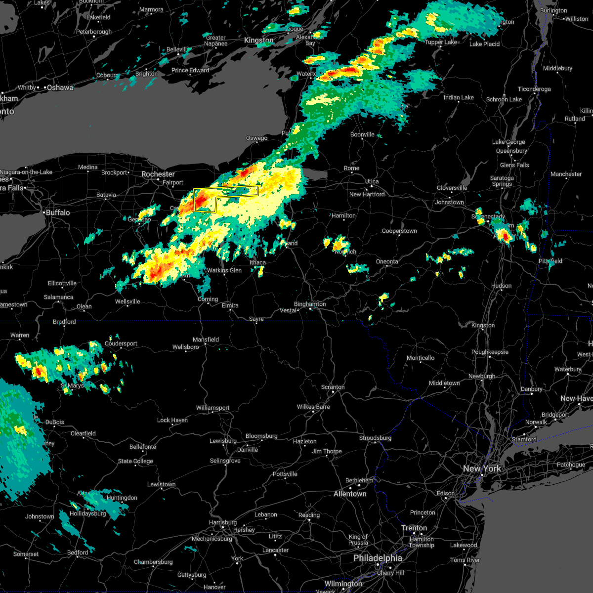 At 158 am edt, a severe thunderstorm was located over clifton springs, or 10 miles northwest of geneva, moving east at 45 mph (radar indicated). Hazards include 60 mph wind gusts and quarter size hail. Minor damage to vehicles is possible. Expect wind damage to trees and power lines. At 158 am edt, a severe thunderstorm was located over clifton springs, or 10 miles northwest of geneva, moving east at 45 mph (radar indicated). Hazards include 60 mph wind gusts and quarter size hail. Minor damage to vehicles is possible. Expect wind damage to trees and power lines.
|
| 8/29/2022 6:03 PM EDT |
 At 603 pm edt, a severe thunderstorm was located over milo center, or over penn yan, moving northeast at 40 mph (radar indicated). Hazards include 60 mph wind gusts. Expect damage to roofs, siding, and trees. locations impacted include, penn yan, romulus, benton, ovid, dresden, lodi, guyanoga, kendaia, branchport and himrod. hail threat, radar indicated max hail size, <. 75 in wind threat, radar indicated max wind gust, 60 mph. At 603 pm edt, a severe thunderstorm was located over milo center, or over penn yan, moving northeast at 40 mph (radar indicated). Hazards include 60 mph wind gusts. Expect damage to roofs, siding, and trees. locations impacted include, penn yan, romulus, benton, ovid, dresden, lodi, guyanoga, kendaia, branchport and himrod. hail threat, radar indicated max hail size, <. 75 in wind threat, radar indicated max wind gust, 60 mph.
|
| 8/29/2022 5:44 PM EDT |
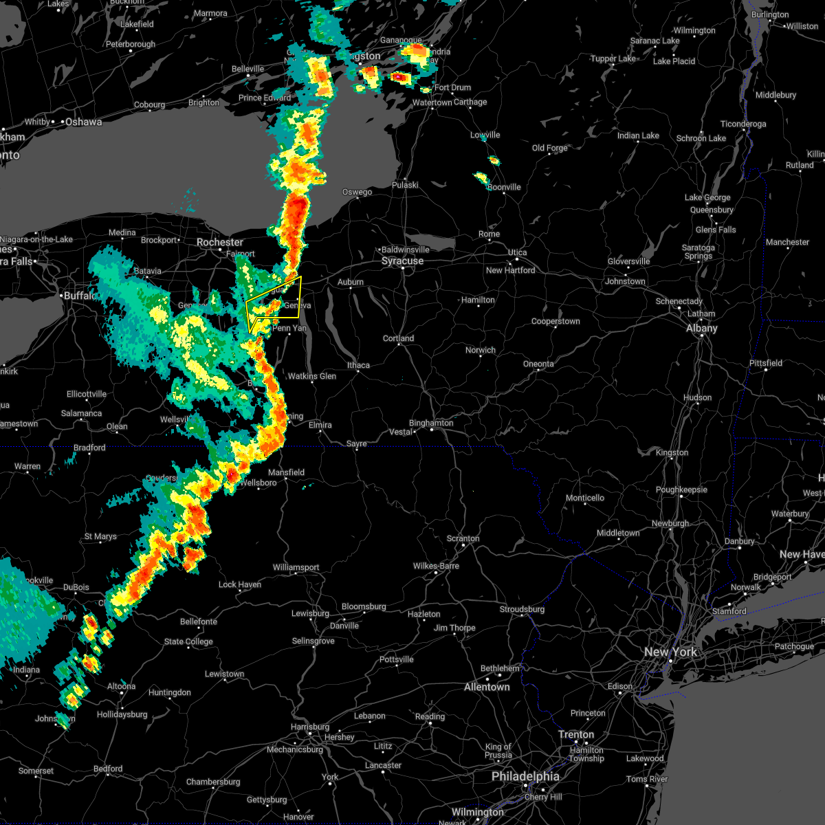 At 542 pm edt, a severe thunderstorm was located near rushville, or 7 miles southeast of canandaigua, moving northeast at 45 mph (radar indicated). Hazards include 60 mph wind gusts. Expect damage to trees and power lines. locations impacted include, geneva, canandaigua, phelps, rushville, gorham, seneca castle, cheshire, cottage city, hall and west junius. this includes interstate 90 near exit 42. hail threat, radar indicated max hail size, <. 75 in wind threat, radar indicated max wind gust, 60 mph. At 542 pm edt, a severe thunderstorm was located near rushville, or 7 miles southeast of canandaigua, moving northeast at 45 mph (radar indicated). Hazards include 60 mph wind gusts. Expect damage to trees and power lines. locations impacted include, geneva, canandaigua, phelps, rushville, gorham, seneca castle, cheshire, cottage city, hall and west junius. this includes interstate 90 near exit 42. hail threat, radar indicated max hail size, <. 75 in wind threat, radar indicated max wind gust, 60 mph.
|
| 8/29/2022 5:44 PM EDT |
 At 544 pm edt, a severe thunderstorm was located near pulteney, or 12 miles west of dundee, moving northeast at 40 mph (radar indicated). Hazards include 60 mph wind gusts. expect damage to roofs, siding, and trees At 544 pm edt, a severe thunderstorm was located near pulteney, or 12 miles west of dundee, moving northeast at 40 mph (radar indicated). Hazards include 60 mph wind gusts. expect damage to roofs, siding, and trees
|
| 8/29/2022 5:00 PM EDT |
 At 500 pm edt, a severe thunderstorm was located near dansville, moving northeast at 40 mph (radar indicated). Hazards include 60 mph wind gusts. expect damage to trees and power lines At 500 pm edt, a severe thunderstorm was located near dansville, moving northeast at 40 mph (radar indicated). Hazards include 60 mph wind gusts. expect damage to trees and power lines
|
| 8/17/2022 5:23 PM EDT |
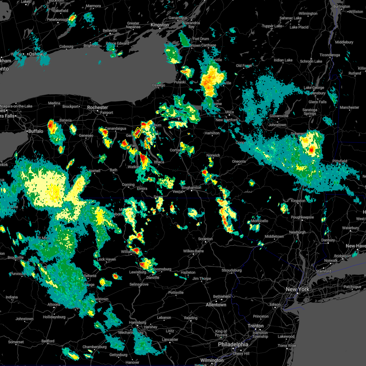 At 523 pm edt, a severe thunderstorm was located over waterloo, and is nearly stationary (radar indicated). Hazards include 60 mph wind gusts and quarter size hail. Hail damage to vehicles is expected. Expect wind damage to roofs, siding, and trees. At 523 pm edt, a severe thunderstorm was located over waterloo, and is nearly stationary (radar indicated). Hazards include 60 mph wind gusts and quarter size hail. Hail damage to vehicles is expected. Expect wind damage to roofs, siding, and trees.
|
| 6/16/2022 5:20 PM EDT |
 At 520 pm edt, severe thunderstorms were located along a line extending from cayuga to near kirkville, moving east at 15 mph (radar indicated). Hazards include 60 mph wind gusts and quarter size hail. Hail damage to vehicles is expected. expect wind damage to roofs, siding, and trees. Locations impacted include, onondaga, syracuse, auburn, de witt, van buren, north syracuse, seneca falls, solvay, waterloo and chittenango. At 520 pm edt, severe thunderstorms were located along a line extending from cayuga to near kirkville, moving east at 15 mph (radar indicated). Hazards include 60 mph wind gusts and quarter size hail. Hail damage to vehicles is expected. expect wind damage to roofs, siding, and trees. Locations impacted include, onondaga, syracuse, auburn, de witt, van buren, north syracuse, seneca falls, solvay, waterloo and chittenango.
|
| 6/16/2022 5:04 PM EDT |
 At 504 pm edt, severe thunderstorms were located along a line extending from plainville to near clifton springs, moving east at 40 mph (radar indicated). Hazards include 60 mph wind gusts and quarter size hail. Minor damage to vehicles is possible. Expect wind damage to trees and power lines. At 504 pm edt, severe thunderstorms were located along a line extending from plainville to near clifton springs, moving east at 40 mph (radar indicated). Hazards include 60 mph wind gusts and quarter size hail. Minor damage to vehicles is possible. Expect wind damage to trees and power lines.
|
| 6/16/2022 4:50 PM EDT |
 At 450 pm edt, severe thunderstorms were located along a line extending from near waterloo to near liverpool, moving east at 15 mph (radar indicated). Hazards include 60 mph wind gusts and quarter size hail. Hail damage to vehicles is expected. Expect wind damage to roofs, siding, and trees. At 450 pm edt, severe thunderstorms were located along a line extending from near waterloo to near liverpool, moving east at 15 mph (radar indicated). Hazards include 60 mph wind gusts and quarter size hail. Hail damage to vehicles is expected. Expect wind damage to roofs, siding, and trees.
|
| 6/16/2022 4:46 PM EDT |
 At 444 pm edt, a severe thunderstorm was located near bristol, or near canandaigua, moving east at 50 mph (radar indicated). Hazards include 60 mph wind gusts and quarter size hail. Minor damage to vehicles is possible. expect wind damage to trees and power lines. locations impacted include, geneva, canandaigua, newark, williamson, marion, lyons, victor, bristol, clifton springs and phelps. this includes interstate 90 between exits 45 and 42. hail threat, radar indicated max hail size, 1. 00 in wind threat, radar indicated max wind gust, 60 mph. At 444 pm edt, a severe thunderstorm was located near bristol, or near canandaigua, moving east at 50 mph (radar indicated). Hazards include 60 mph wind gusts and quarter size hail. Minor damage to vehicles is possible. expect wind damage to trees and power lines. locations impacted include, geneva, canandaigua, newark, williamson, marion, lyons, victor, bristol, clifton springs and phelps. this includes interstate 90 between exits 45 and 42. hail threat, radar indicated max hail size, 1. 00 in wind threat, radar indicated max wind gust, 60 mph.
|
| 6/16/2022 4:10 PM EDT |
 At 409 pm edt, a severe thunderstorm was located over mount morris, or near letchworth state park, moving east at 50 mph (radar indicated). Hazards include 60 mph wind gusts and quarter size hail. Minor damage to vehicles is possible. Expect wind damage to trees and power lines. At 409 pm edt, a severe thunderstorm was located over mount morris, or near letchworth state park, moving east at 50 mph (radar indicated). Hazards include 60 mph wind gusts and quarter size hail. Minor damage to vehicles is possible. Expect wind damage to trees and power lines.
|
| 5/16/2022 12:09 PM EDT |
 At 1206 pm edt, severe thunderstorms were located along a line extending from near porter corner to alpine, moving northeast at 35 mph (law enforcement). Hazards include 60 mph wind gusts and quarter size hail. Hail damage to vehicles is expected. expect wind damage to roofs, siding, and trees. locations impacted include, ithaca, horseheads, newfield, penn yan, hector, romulus, cayuga heights, starkey, lansing and enfield. hail threat, radar indicated max hail size, 1. 00 in wind threat, radar indicated max wind gust, 60 mph. At 1206 pm edt, severe thunderstorms were located along a line extending from near porter corner to alpine, moving northeast at 35 mph (law enforcement). Hazards include 60 mph wind gusts and quarter size hail. Hail damage to vehicles is expected. expect wind damage to roofs, siding, and trees. locations impacted include, ithaca, horseheads, newfield, penn yan, hector, romulus, cayuga heights, starkey, lansing and enfield. hail threat, radar indicated max hail size, 1. 00 in wind threat, radar indicated max wind gust, 60 mph.
|
| 5/16/2022 11:41 AM EDT | At 1140 am edt, severe thunderstorms were located along a line extending from bath to near east corning, moving northeast at 35 mph (radar indicated). Hazards include 60 mph wind gusts and quarter size hail. Hail damage to vehicles is expected. Expect wind damage to roofs, siding, and trees. |
| 4/25/2022 7:50 PM EDT |
 At 749 pm edt, severe thunderstorms were located along a line extending from near ontario to near bristol, moving east at 50 mph (radar indicated). Hazards include 60 mph wind gusts. expect damage to trees and power lines At 749 pm edt, severe thunderstorms were located along a line extending from near ontario to near bristol, moving east at 50 mph (radar indicated). Hazards include 60 mph wind gusts. expect damage to trees and power lines
|
| 9/13/2021 1:38 AM EDT |
 At 138 am edt, severe thunderstorms were located along a line extending from aurora to millerton, moving east at 60 mph (radar indicated). Hazards include 60 mph wind gusts. Expect damage to roofs, siding, and trees. Locations impacted include, ithaca, elmira, cortland, corning, southport, barton, big flats, horseheads, newfield and hector. At 138 am edt, severe thunderstorms were located along a line extending from aurora to millerton, moving east at 60 mph (radar indicated). Hazards include 60 mph wind gusts. Expect damage to roofs, siding, and trees. Locations impacted include, ithaca, elmira, cortland, corning, southport, barton, big flats, horseheads, newfield and hector.
|
| 9/13/2021 1:37 AM EDT |
 The severe thunderstorm warning for southeastern livingston and central ontario counties will expire at 145 am edt, the storms which prompted the warning have weakened below severe limits, and have exited the warned area. therefore, the warning will be allowed to expire. however heavy rain is still expected with additional thunderstorms. a severe thunderstorm watch remains in effect until 200 am edt for western new york. The severe thunderstorm warning for southeastern livingston and central ontario counties will expire at 145 am edt, the storms which prompted the warning have weakened below severe limits, and have exited the warned area. therefore, the warning will be allowed to expire. however heavy rain is still expected with additional thunderstorms. a severe thunderstorm watch remains in effect until 200 am edt for western new york.
|
| 9/13/2021 1:26 AM EDT |
 At 125 am edt, severe thunderstorms were located along a line extending from near kendaia to lawrenceville, moving east at 60 mph (radar indicated). Hazards include 60 mph wind gusts. expect damage to roofs, siding, and trees At 125 am edt, severe thunderstorms were located along a line extending from near kendaia to lawrenceville, moving east at 60 mph (radar indicated). Hazards include 60 mph wind gusts. expect damage to roofs, siding, and trees
|
| 9/13/2021 1:16 AM EDT |
 At 116 am edt, severe thunderstorms were located along a line extending from 6 miles west of geneva to troupsburg, moving east at 65 mph (law enforcement). Hazards include 60 mph wind gusts. Expect damage to roofs, siding, and trees. Locations impacted include, elmira, corning, southport, big flats, horseheads, bath, penn yan, hector, elmira heights and starkey. At 116 am edt, severe thunderstorms were located along a line extending from 6 miles west of geneva to troupsburg, moving east at 65 mph (law enforcement). Hazards include 60 mph wind gusts. Expect damage to roofs, siding, and trees. Locations impacted include, elmira, corning, southport, big flats, horseheads, bath, penn yan, hector, elmira heights and starkey.
|
| 9/13/2021 12:50 AM EDT |
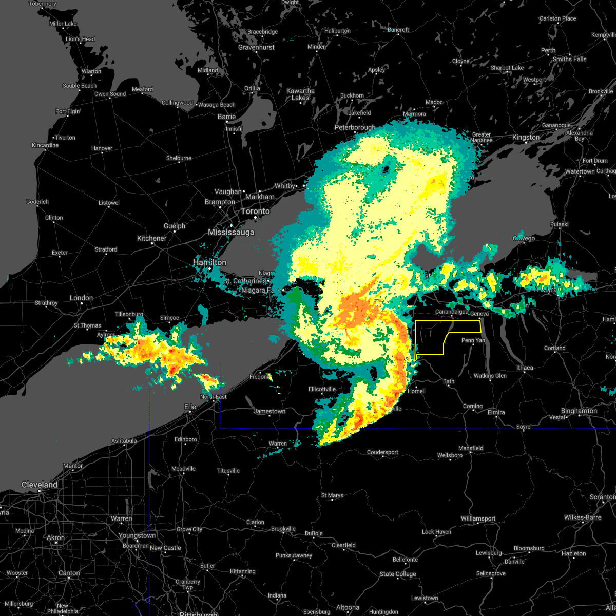 At 1249 am edt, severe thunderstorms were located along a line extending from near geneseo to 7 miles northwest of dansville to 9 miles west of arkport, moving east at 75 mph (radar indicated). Hazards include 60 mph wind gusts. expect damage to trees and power lines At 1249 am edt, severe thunderstorms were located along a line extending from near geneseo to 7 miles northwest of dansville to 9 miles west of arkport, moving east at 75 mph (radar indicated). Hazards include 60 mph wind gusts. expect damage to trees and power lines
|
| 9/13/2021 12:45 AM EDT |
 At 1244 am edt, severe thunderstorms were located along a line extending from near geneseo to near shinglehouse, moving east at 65 mph (law enforcement has reported several locations with power outages and trees down). Hazards include 70 mph wind gusts. Expect considerable tree damage. Damage is likely to mobile homes, roofs, and outbuildings. At 1244 am edt, severe thunderstorms were located along a line extending from near geneseo to near shinglehouse, moving east at 65 mph (law enforcement has reported several locations with power outages and trees down). Hazards include 70 mph wind gusts. Expect considerable tree damage. Damage is likely to mobile homes, roofs, and outbuildings.
|
| 8/29/2021 3:38 PM EDT | Trees and wires down on the corner of william and pulteney streets. time estimated from rada in ontario county NY, 0.2 miles ENE of Geneva, NY |
| 8/29/2021 3:38 PM EDT | Trees and wires down on white springs road. time estimated from rada in ontario county NY, 1.6 miles NNE of Geneva, NY |
| 8/29/2021 3:38 PM EDT |
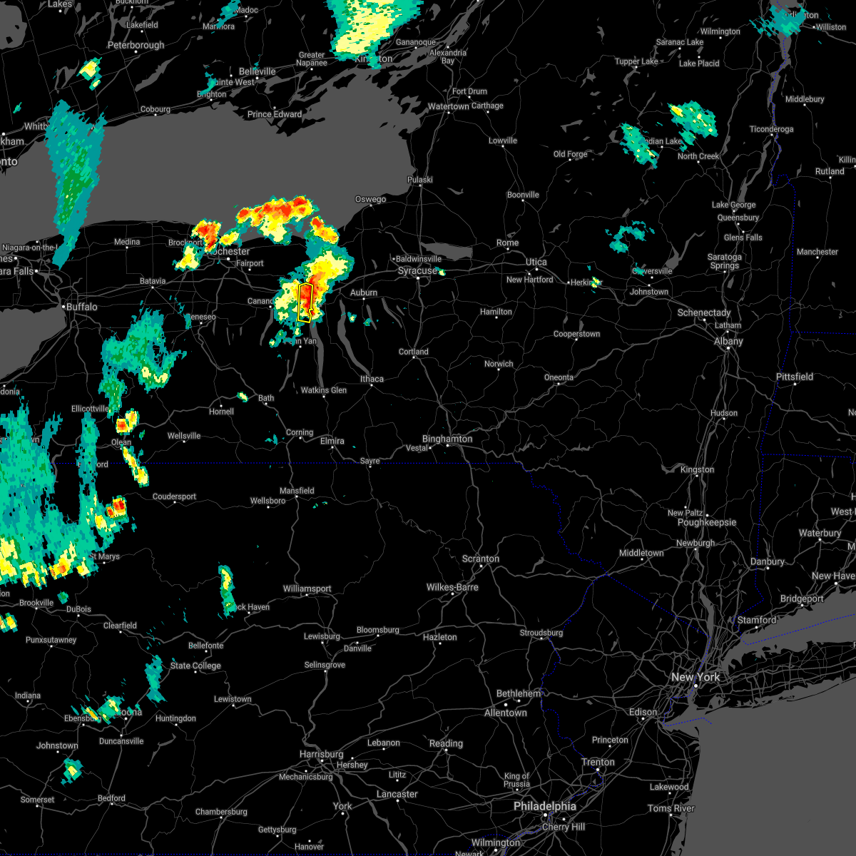 At 337 pm edt, a severe thunderstorm was located near geneva, moving east at 25 mph (radar indicated). Hazards include 60 mph wind gusts. expect damage to trees and power lines At 337 pm edt, a severe thunderstorm was located near geneva, moving east at 25 mph (radar indicated). Hazards include 60 mph wind gusts. expect damage to trees and power lines
|
| 8/29/2021 3:37 PM EDT |
 At 336 pm edt, severe thunderstorms were located along a line extending from near lyons to near geneva, moving east at 25 mph (radar indicated). Hazards include 60 mph wind gusts. expect damage to roofs, siding, and trees At 336 pm edt, severe thunderstorms were located along a line extending from near lyons to near geneva, moving east at 25 mph (radar indicated). Hazards include 60 mph wind gusts. expect damage to roofs, siding, and trees
|
| 8/29/2021 3:25 PM EDT |
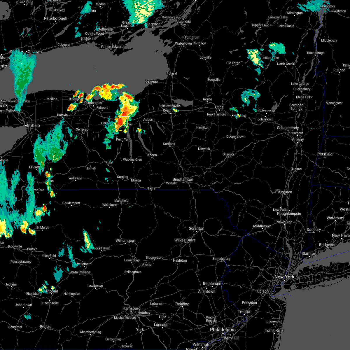 At 324 pm edt, a severe thunderstorm was located over phelps, or near geneva, moving east at 30 mph (radar indicated). Hazards include 60 mph wind gusts. expect damage to trees and power lines At 324 pm edt, a severe thunderstorm was located over phelps, or near geneva, moving east at 30 mph (radar indicated). Hazards include 60 mph wind gusts. expect damage to trees and power lines
|
| 8/11/2021 8:27 AM EDT |
 At 826 am edt, a severe thunderstorm was located near clifton springs, or near canandaigua, moving east at 35 mph (radar indicated). Hazards include 60 mph wind gusts. Expect damage to trees and power lines. locations impacted include, geneva, canandaigua, newark, lyons, palmyra, victor, clifton springs, phelps, bloomfield and rushville. this includes interstate 90 between exits 44 and 42. hail threat, radar indicated max hail size, <. 75 in wind threat, radar indicated max wind gust, 60 mph. At 826 am edt, a severe thunderstorm was located near clifton springs, or near canandaigua, moving east at 35 mph (radar indicated). Hazards include 60 mph wind gusts. Expect damage to trees and power lines. locations impacted include, geneva, canandaigua, newark, lyons, palmyra, victor, clifton springs, phelps, bloomfield and rushville. this includes interstate 90 between exits 44 and 42. hail threat, radar indicated max hail size, <. 75 in wind threat, radar indicated max wind gust, 60 mph.
|
| 8/11/2021 7:55 AM EDT |
 At 755 am edt, a severe thunderstorm was located near lima, or 12 miles west of canandaigua, moving east at 45 mph (radar indicated). Hazards include 60 mph wind gusts. expect damage to trees and power lines At 755 am edt, a severe thunderstorm was located near lima, or 12 miles west of canandaigua, moving east at 45 mph (radar indicated). Hazards include 60 mph wind gusts. expect damage to trees and power lines
|
| 7/20/2021 7:59 PM EDT |
 At 758 pm edt, a severe thunderstorm was located over victor, or 9 miles northwest of canandaigua, moving east at 15 mph (radar indicated). Hazards include 60 mph wind gusts. Expect damage to roofs, siding, and trees. locations impacted include, geneva, canandaigua, newark, lyons, victor, honeoye falls, bristol, lima, clifton springs and clyde. This includes interstate 90 between exits 45 and 42. At 758 pm edt, a severe thunderstorm was located over victor, or 9 miles northwest of canandaigua, moving east at 15 mph (radar indicated). Hazards include 60 mph wind gusts. Expect damage to roofs, siding, and trees. locations impacted include, geneva, canandaigua, newark, lyons, victor, honeoye falls, bristol, lima, clifton springs and clyde. This includes interstate 90 between exits 45 and 42.
|
| 7/20/2021 7:38 PM EDT |
 At 737 pm edt, a severe thunderstorm was located over honeoye falls, or 11 miles south of brighton, moving east at 15 mph (radar indicated). Hazards include 60 mph wind gusts. expect damage to roofs, siding, and trees At 737 pm edt, a severe thunderstorm was located over honeoye falls, or 11 miles south of brighton, moving east at 15 mph (radar indicated). Hazards include 60 mph wind gusts. expect damage to roofs, siding, and trees
|
| 7/6/2021 12:44 PM EDT |
 At 1244 pm edt, severe thunderstorms were located along a line extending from near newark to near canandaigua, moving east at 35 mph (radar indicated). Hazards include 60 mph wind gusts. Expect damage to roofs, siding, and trees. locations impacted include, geneva, canandaigua, newark, lyons, palmyra, clifton springs, phelps, rushville, gorham and manchester. This includes interstate 90 between exits 43 and 42. At 1244 pm edt, severe thunderstorms were located along a line extending from near newark to near canandaigua, moving east at 35 mph (radar indicated). Hazards include 60 mph wind gusts. Expect damage to roofs, siding, and trees. locations impacted include, geneva, canandaigua, newark, lyons, palmyra, clifton springs, phelps, rushville, gorham and manchester. This includes interstate 90 between exits 43 and 42.
|
| 7/6/2021 12:21 PM EDT |
 At 1221 pm edt, severe thunderstorms were located along a line extending from near fairport to near bristol, moving east at 30 mph (radar indicated). Hazards include 60 mph wind gusts and quarter size hail. Minor damage to vehicles is possible. Expect wind damage to roofs, siding, and trees. At 1221 pm edt, severe thunderstorms were located along a line extending from near fairport to near bristol, moving east at 30 mph (radar indicated). Hazards include 60 mph wind gusts and quarter size hail. Minor damage to vehicles is possible. Expect wind damage to roofs, siding, and trees.
|
| 6/30/2021 2:39 PM EDT |
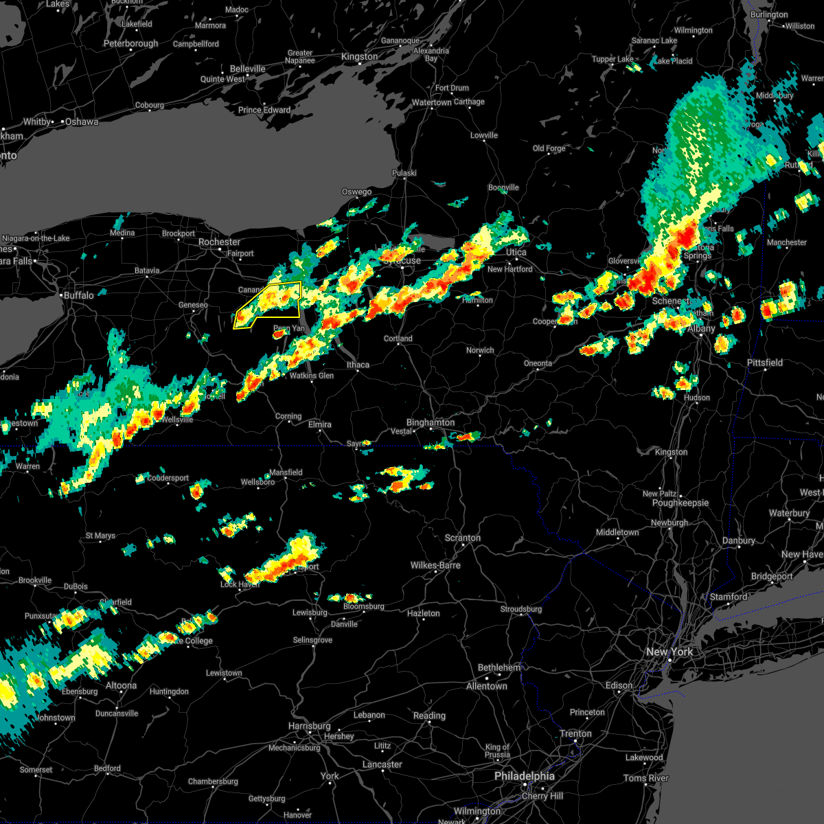 At 239 pm edt, a severe thunderstorm was located near canandaigua, moving east at 35 mph (radar indicated). Hazards include 60 mph wind gusts. Expect damage to roofs, siding, and trees. locations impacted include, geneva, canandaigua, clifton springs, phelps, rushville, gorham, seneca lake state park, seneca castle, cheshire and cottage city. This includes interstate 90 near exit 42. At 239 pm edt, a severe thunderstorm was located near canandaigua, moving east at 35 mph (radar indicated). Hazards include 60 mph wind gusts. Expect damage to roofs, siding, and trees. locations impacted include, geneva, canandaigua, clifton springs, phelps, rushville, gorham, seneca lake state park, seneca castle, cheshire and cottage city. This includes interstate 90 near exit 42.
|
| 6/30/2021 2:15 PM EDT |
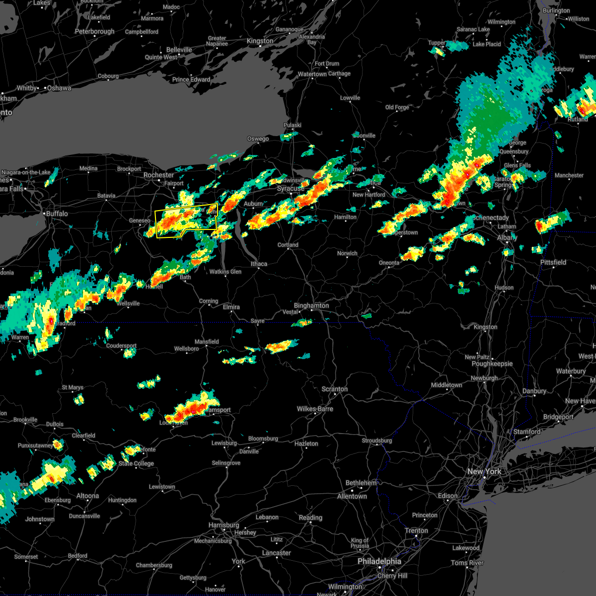 At 215 pm edt, a severe thunderstorm was located over honeoye, or 14 miles southwest of canandaigua, moving east at 25 mph (radar indicated). Hazards include 60 mph wind gusts and quarter size hail. Minor damage to vehicles is possible. Expect wind damage to roofs, siding, and trees. At 215 pm edt, a severe thunderstorm was located over honeoye, or 14 miles southwest of canandaigua, moving east at 25 mph (radar indicated). Hazards include 60 mph wind gusts and quarter size hail. Minor damage to vehicles is possible. Expect wind damage to roofs, siding, and trees.
|
| 6/30/2021 2:07 PM EDT |
 At 206 pm edt, a severe thunderstorm was located near waterloo, moving east at 35 mph (radar indicated). Hazards include 60 mph wind gusts and quarter size hail. Hail damage to vehicles is expected. Expect wind damage to roofs, siding, and trees. At 206 pm edt, a severe thunderstorm was located near waterloo, moving east at 35 mph (radar indicated). Hazards include 60 mph wind gusts and quarter size hail. Hail damage to vehicles is expected. Expect wind damage to roofs, siding, and trees.
|
| 6/21/2021 4:44 PM EDT |
 At 444 pm edt, severe thunderstorms were located along a line extending from near waterloo to near addison, moving east at 40 mph (radar indicated). Hazards include 60 mph wind gusts and quarter size hail. Hail damage to vehicles is expected. expect wind damage to roofs, siding, and trees. Locations impacted include, corning, seneca falls, bath, waterloo, penn yan, romulus, fayette, starkey, campbell and benton. At 444 pm edt, severe thunderstorms were located along a line extending from near waterloo to near addison, moving east at 40 mph (radar indicated). Hazards include 60 mph wind gusts and quarter size hail. Hail damage to vehicles is expected. expect wind damage to roofs, siding, and trees. Locations impacted include, corning, seneca falls, bath, waterloo, penn yan, romulus, fayette, starkey, campbell and benton.
|
| 6/21/2021 4:39 PM EDT | Multiple reports of tress down in the city of genev in ontario county NY, 0.2 miles ENE of Geneva, NY |
| 6/21/2021 4:16 PM EDT |
 At 415 pm edt, severe thunderstorms were located along a line extending from near rushville to near troupsburg, moving east at 40 mph (radar indicated). Hazards include 60 mph wind gusts and quarter size hail. Hail damage to vehicles is expected. Expect wind damage to roofs, siding, and trees. At 415 pm edt, severe thunderstorms were located along a line extending from near rushville to near troupsburg, moving east at 40 mph (radar indicated). Hazards include 60 mph wind gusts and quarter size hail. Hail damage to vehicles is expected. Expect wind damage to roofs, siding, and trees.
|
| 6/21/2021 6:25 AM EDT |
 At 624 am edt, a severe thunderstorm was located near clifton springs, or near canandaigua, moving northeast at 55 mph (radar indicated). Hazards include 60 mph wind gusts. expect damage to roofs, siding, and trees At 624 am edt, a severe thunderstorm was located near clifton springs, or near canandaigua, moving northeast at 55 mph (radar indicated). Hazards include 60 mph wind gusts. expect damage to roofs, siding, and trees
|
| 11/15/2020 5:12 PM EST |
 At 512 pm est, severe thunderstorms were located along a line extending from near chimney bluffs state park to rushville, moving east at 60 mph (radar indicated). Hazards include 60 mph wind gusts. Expect damage to roofs, siding, and trees. locations impacted include, oswego, geneva, canandaigua, fair haven beach state park, newark, lyons, clifton springs, clyde, phelps and sodus. This includes interstate 90 between exits 42 and 40. At 512 pm est, severe thunderstorms were located along a line extending from near chimney bluffs state park to rushville, moving east at 60 mph (radar indicated). Hazards include 60 mph wind gusts. Expect damage to roofs, siding, and trees. locations impacted include, oswego, geneva, canandaigua, fair haven beach state park, newark, lyons, clifton springs, clyde, phelps and sodus. This includes interstate 90 between exits 42 and 40.
|
| 11/15/2020 4:51 PM EST |
 At 450 pm est, severe thunderstorms were located along a line extending from near webster to near bristol, moving east at 60 mph (radar indicated). Hazards include 60 mph wind gusts. expect damage to roofs, siding, and trees At 450 pm est, severe thunderstorms were located along a line extending from near webster to near bristol, moving east at 60 mph (radar indicated). Hazards include 60 mph wind gusts. expect damage to roofs, siding, and trees
|
| 11/15/2020 4:49 PM EST |
 At 448 pm est, severe thunderstorms were located along a line extending from near webster to near alfred, moving east at 55 mph (radar indicated). Hazards include 60 mph wind gusts. Expect damage to roofs, siding, and trees. locations impacted include, rochester, irondequoit, geneva, canandaigua, east rochester, webster, fairport, dansville, and wellsville. this includes the following highways, interstate 390 between exits 4 and 5. interstate 90 between exits 45 and 42. Interstate 86 between exits 32 and 33. At 448 pm est, severe thunderstorms were located along a line extending from near webster to near alfred, moving east at 55 mph (radar indicated). Hazards include 60 mph wind gusts. Expect damage to roofs, siding, and trees. locations impacted include, rochester, irondequoit, geneva, canandaigua, east rochester, webster, fairport, dansville, and wellsville. this includes the following highways, interstate 390 between exits 4 and 5. interstate 90 between exits 45 and 42. Interstate 86 between exits 32 and 33.
|
| 11/15/2020 4:32 PM EST |
 At 431 pm est, severe thunderstorms were located along a line extending from near rochester to 8 miles west of alfred, moving east at 55 mph (radar indicated). Hazards include 60 mph wind gusts. Expect damage to roofs, siding, and trees. locations impacted include, rochester, greece, irondequoit, chili, geneva, canandaigua, geneseo, east rochester, hilton, webster, mount morris, portageville, angelica, fillmore, and belmont. this includes the following highways, interstate 390 between exits 4 and 12. interstate 90 between exits 46 and 42. Interstate 86 between exits 29 and 33. At 431 pm est, severe thunderstorms were located along a line extending from near rochester to 8 miles west of alfred, moving east at 55 mph (radar indicated). Hazards include 60 mph wind gusts. Expect damage to roofs, siding, and trees. locations impacted include, rochester, greece, irondequoit, chili, geneva, canandaigua, geneseo, east rochester, hilton, webster, mount morris, portageville, angelica, fillmore, and belmont. this includes the following highways, interstate 390 between exits 4 and 12. interstate 90 between exits 46 and 42. Interstate 86 between exits 29 and 33.
|
| 11/15/2020 3:57 PM EST |
 At 355 pm est, severe thunderstorms were located along a line extending from near albion to 6 miles south of franklinville, moving east at 55 mph (radar indicated). Hazards include 60 mph wind gusts. expect damage to roofs, siding, and trees At 355 pm est, severe thunderstorms were located along a line extending from near albion to 6 miles south of franklinville, moving east at 55 mph (radar indicated). Hazards include 60 mph wind gusts. expect damage to roofs, siding, and trees
|
| 8/27/2020 5:42 PM EDT |
 The severe thunderstorm warning for northeastern livingston and central ontario counties will expire at 545 pm edt, the storm which prompted the warning has weakened below severe limits, and has exited the warned area. therefore, the warning will be allowed to expire. however gusty winds are still possible with this thunderstorm. a severe thunderstorm watch remains in effect until 800 pm edt for western new york. The severe thunderstorm warning for northeastern livingston and central ontario counties will expire at 545 pm edt, the storm which prompted the warning has weakened below severe limits, and has exited the warned area. therefore, the warning will be allowed to expire. however gusty winds are still possible with this thunderstorm. a severe thunderstorm watch remains in effect until 800 pm edt for western new york.
|
| 8/27/2020 5:30 PM EDT |
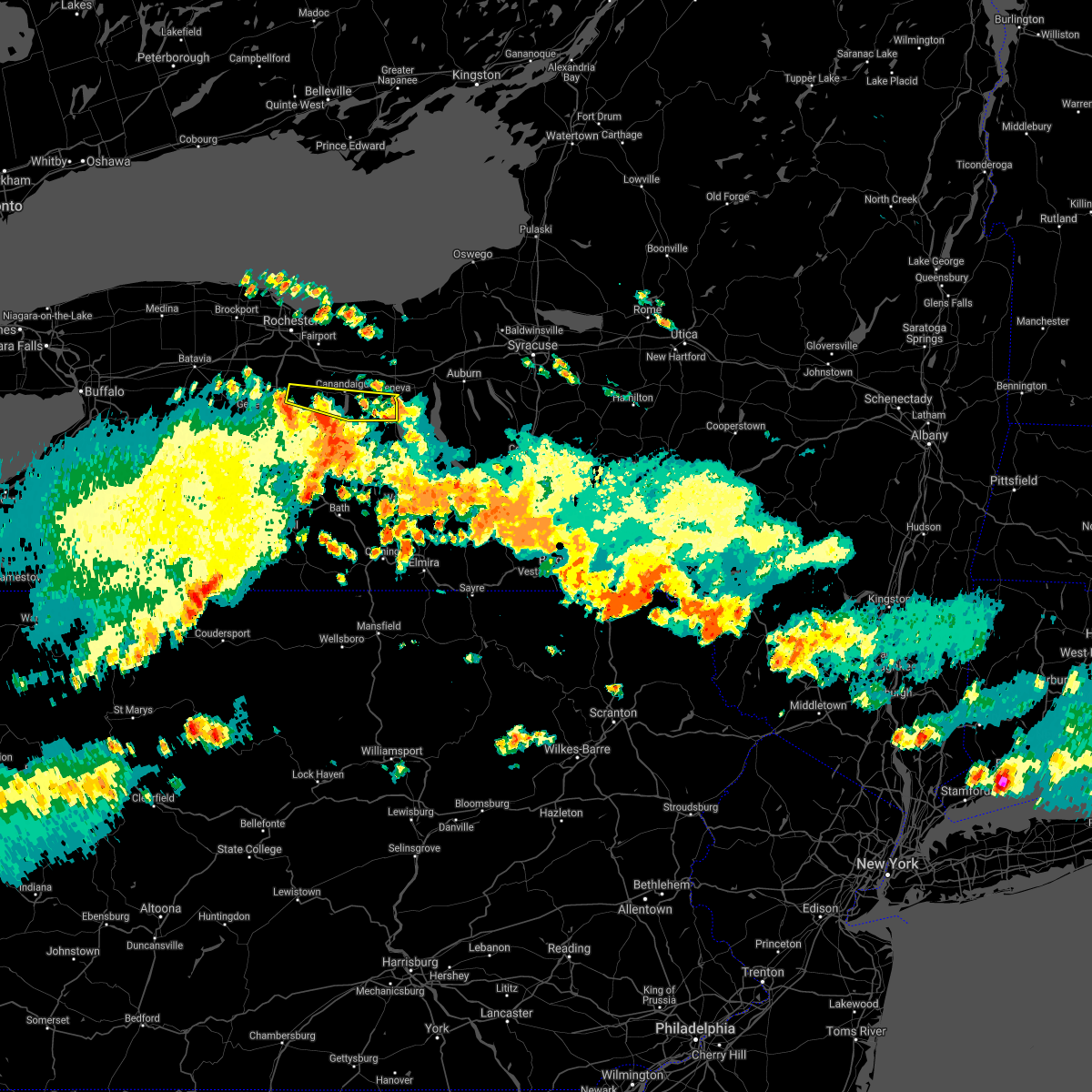 At 529 pm edt, a severe thunderstorm was located over rushville, or 8 miles south of canandaigua, moving east at 55 mph (radar indicated). Hazards include 60 mph wind gusts and quarter size hail. Minor damage to vehicles is possible. expect wind damage to roofs, siding, and trees. Locations impacted include, geneva, canandaigua, bristol, lima, bloomfield, rushville, gorham, east bloomfield, west bloomfield and holcomb. At 529 pm edt, a severe thunderstorm was located over rushville, or 8 miles south of canandaigua, moving east at 55 mph (radar indicated). Hazards include 60 mph wind gusts and quarter size hail. Minor damage to vehicles is possible. expect wind damage to roofs, siding, and trees. Locations impacted include, geneva, canandaigua, bristol, lima, bloomfield, rushville, gorham, east bloomfield, west bloomfield and holcomb.
|
| 8/27/2020 5:21 PM EDT |
 At 521 pm edt, a severe thunderstorm was located near bristol, or 8 miles southwest of canandaigua, moving east at 55 mph (radar indicated). Hazards include 60 mph wind gusts and quarter size hail. Minor damage to vehicles is possible. expect wind damage to roofs, siding, and trees. locations impacted include, geneva, canandaigua, victor, honeoye falls, bristol, lima, clifton springs, phelps, bloomfield and rushville. This includes interstate 90 between exits 43 and 42. At 521 pm edt, a severe thunderstorm was located near bristol, or 8 miles southwest of canandaigua, moving east at 55 mph (radar indicated). Hazards include 60 mph wind gusts and quarter size hail. Minor damage to vehicles is possible. expect wind damage to roofs, siding, and trees. locations impacted include, geneva, canandaigua, victor, honeoye falls, bristol, lima, clifton springs, phelps, bloomfield and rushville. This includes interstate 90 between exits 43 and 42.
|
| 8/27/2020 4:59 PM EDT |
 The national weather service in buffalo has issued a * severe thunderstorm warning for. northeastern livingston county in western new york. south central monroe county in western new york. ontario county in western new york. Until 545 pm edt. The national weather service in buffalo has issued a * severe thunderstorm warning for. northeastern livingston county in western new york. south central monroe county in western new york. ontario county in western new york. Until 545 pm edt.
|
| 8/27/2020 4:18 PM EDT |
 At 416 pm edt, a severe thunderstorm was located near clifton springs, or near canandaigua, moving east at 45 mph (radar indicated). Hazards include 60 mph wind gusts and quarter size hail. Minor damage to vehicles is possible. expect wind damage to roofs, siding, and trees. locations impacted include, geneva, canandaigua, victor, honeoye falls, bristol, lima, clifton springs, phelps, bloomfield and rushville. This includes interstate 90 between exits 45 and 42. At 416 pm edt, a severe thunderstorm was located near clifton springs, or near canandaigua, moving east at 45 mph (radar indicated). Hazards include 60 mph wind gusts and quarter size hail. Minor damage to vehicles is possible. expect wind damage to roofs, siding, and trees. locations impacted include, geneva, canandaigua, victor, honeoye falls, bristol, lima, clifton springs, phelps, bloomfield and rushville. This includes interstate 90 between exits 45 and 42.
|
| 8/27/2020 3:52 PM EDT |
 At 352 pm edt, a severe thunderstorm was located near honeoye falls, or 10 miles south of fairport, moving east at 45 mph (radar indicated). Hazards include 60 mph wind gusts and quarter size hail. Minor damage to vehicles is possible. Expect wind damage to roofs, siding, and trees. At 352 pm edt, a severe thunderstorm was located near honeoye falls, or 10 miles south of fairport, moving east at 45 mph (radar indicated). Hazards include 60 mph wind gusts and quarter size hail. Minor damage to vehicles is possible. Expect wind damage to roofs, siding, and trees.
|
| 8/27/2020 3:42 PM EDT |
 The severe thunderstorm warning for southeastern monroe and northern ontario counties will expire at 345 pm edt, the storm which prompted the warning has weakened below severe limits, and has exited the warned area. therefore, the warning will be allowed to expire. however gusty winds are still possible with this thunderstorm. a severe thunderstorm watch remains in effect until 800 pm edt for western new york. The severe thunderstorm warning for southeastern monroe and northern ontario counties will expire at 345 pm edt, the storm which prompted the warning has weakened below severe limits, and has exited the warned area. therefore, the warning will be allowed to expire. however gusty winds are still possible with this thunderstorm. a severe thunderstorm watch remains in effect until 800 pm edt for western new york.
|
| 8/27/2020 3:37 PM EDT |
 At 335 pm edt, a severe thunderstorm was located over montville, or 12 miles northwest of cortland, moving southeast at 40 mph (radar indicated). Hazards include 60 mph wind gusts and quarter size hail. Hail damage to vehicles is expected. expect wind damage to roofs, siding, and trees. Locations impacted include, auburn, seneca falls, waterloo, fayette, owasco, fleming, moravia, union springs, niles and sempronius. At 335 pm edt, a severe thunderstorm was located over montville, or 12 miles northwest of cortland, moving southeast at 40 mph (radar indicated). Hazards include 60 mph wind gusts and quarter size hail. Hail damage to vehicles is expected. expect wind damage to roofs, siding, and trees. Locations impacted include, auburn, seneca falls, waterloo, fayette, owasco, fleming, moravia, union springs, niles and sempronius.
|
| 8/27/2020 3:13 PM EDT |
 At 312 pm edt, a severe thunderstorm was located near geneva, moving east at 50 mph (radar indicated). Hazards include 60 mph wind gusts and half dollar size hail. Hail damage to vehicles is expected. Expect wind damage to roofs, siding, and trees. At 312 pm edt, a severe thunderstorm was located near geneva, moving east at 50 mph (radar indicated). Hazards include 60 mph wind gusts and half dollar size hail. Hail damage to vehicles is expected. Expect wind damage to roofs, siding, and trees.
|
| 8/27/2020 3:11 PM EDT |
 At 309 pm edt, a severe thunderstorm was located near phelps, or near geneva, moving east at 45 mph. additional severe thunderstorms upstream will continue to advance across ontario county (radar indicated). Hazards include 60 mph wind gusts and quarter size hail. Minor damage to vehicles is possible. expect wind damage to roofs, siding, and trees. locations impacted include, geneva, canandaigua, victor, clifton springs, phelps, bloomfield, farmington, mendon, gorham and east bloomfield. This includes interstate 90 between exits 45 and 42. At 309 pm edt, a severe thunderstorm was located near phelps, or near geneva, moving east at 45 mph. additional severe thunderstorms upstream will continue to advance across ontario county (radar indicated). Hazards include 60 mph wind gusts and quarter size hail. Minor damage to vehicles is possible. expect wind damage to roofs, siding, and trees. locations impacted include, geneva, canandaigua, victor, clifton springs, phelps, bloomfield, farmington, mendon, gorham and east bloomfield. This includes interstate 90 between exits 45 and 42.
|
| 8/27/2020 2:41 PM EDT |
 At 240 pm edt, a severe thunderstorm was located near victor, or near fairport, moving east at 50 mph (radar indicated). Hazards include 60 mph wind gusts and quarter size hail. Minor damage to vehicles is possible. Expect wind damage to roofs, siding, and trees. At 240 pm edt, a severe thunderstorm was located near victor, or near fairport, moving east at 50 mph (radar indicated). Hazards include 60 mph wind gusts and quarter size hail. Minor damage to vehicles is possible. Expect wind damage to roofs, siding, and trees.
|
| 7/29/2020 5:12 PM EDT |
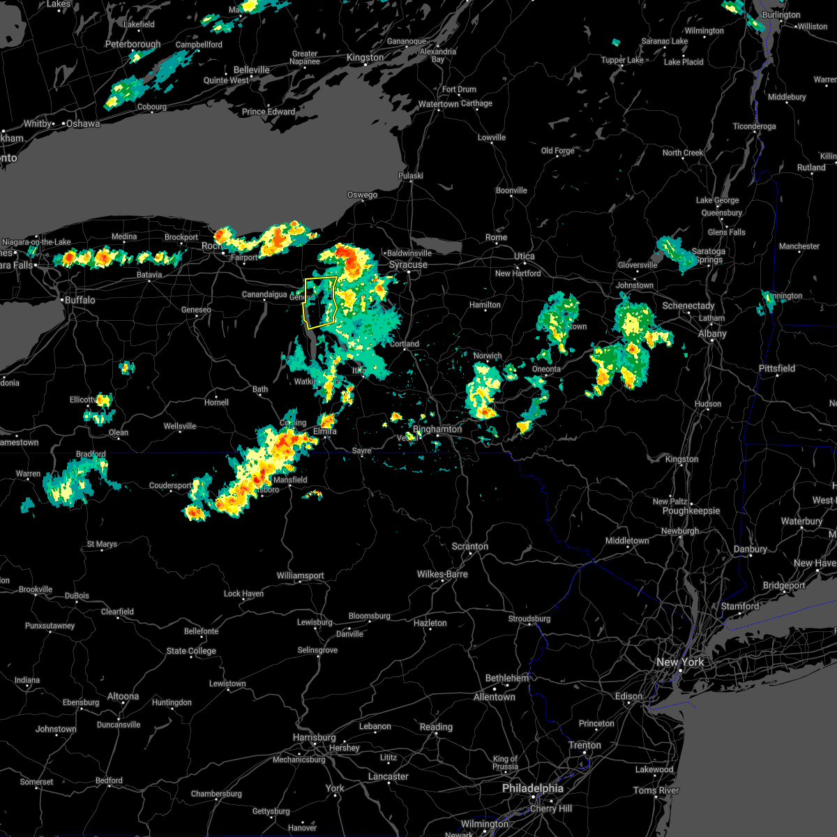 The severe thunderstorm warning for northwestern seneca county will expire at 515 pm edt, the storm which prompted the warning is exiting the area. therefore, the warning will be allowed to expire. this storm caused down trees and powerlines. to report severe weather, contact your nearest law enforcement agency. they will relay your report to the national weather service binghamton. The severe thunderstorm warning for northwestern seneca county will expire at 515 pm edt, the storm which prompted the warning is exiting the area. therefore, the warning will be allowed to expire. this storm caused down trees and powerlines. to report severe weather, contact your nearest law enforcement agency. they will relay your report to the national weather service binghamton.
|
| 7/29/2020 5:01 PM EDT |
 At 459 pm edt, severe thunderstorms were located along a line extending from near lyons to near waterloo to near benton, moving east at 35 mph (radar indicated. at approximately 450 pm trees and wires were reported down over parts of yates and seneca counties). Hazards include 60 mph wind gusts and penny size hail. Expect damage to roofs, siding, powerlines and trees. Locations impacted include, seneca falls, waterloo, romulus, fayette, montezuma, tyre, kendaia, canoga, lehigh vallley junction and border city. At 459 pm edt, severe thunderstorms were located along a line extending from near lyons to near waterloo to near benton, moving east at 35 mph (radar indicated. at approximately 450 pm trees and wires were reported down over parts of yates and seneca counties). Hazards include 60 mph wind gusts and penny size hail. Expect damage to roofs, siding, powerlines and trees. Locations impacted include, seneca falls, waterloo, romulus, fayette, montezuma, tyre, kendaia, canoga, lehigh vallley junction and border city.
|
| 7/29/2020 4:41 PM EDT |
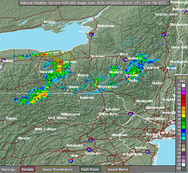 At 420 pm edt, a severe thunderstorm was located near victor, or near canandaigua, moving northeast at 40 mph (radar indicated). Hazards include 60 mph wind gusts. expect damage to roofs, siding, and trees At 420 pm edt, a severe thunderstorm was located near victor, or near canandaigua, moving northeast at 40 mph (radar indicated). Hazards include 60 mph wind gusts. expect damage to roofs, siding, and trees
|
| 7/29/2020 4:36 PM EDT |
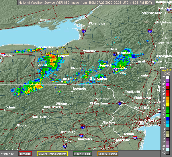 At 434 pm edt, severe thunderstorms were located along a line extending from near clifton springs to near geneva to potter, moving northeast at 35 mph (radar indicated). Hazards include 60 mph wind gusts and penny size hail. expect damage to roofs, siding, powerlines and trees At 434 pm edt, severe thunderstorms were located along a line extending from near clifton springs to near geneva to potter, moving northeast at 35 mph (radar indicated). Hazards include 60 mph wind gusts and penny size hail. expect damage to roofs, siding, powerlines and trees
|
| 7/29/2020 4:30 PM EDT |
 At 430 pm edt, a severe thunderstorm was located near rushville, or 7 miles southeast of canandaigua, moving east at 25 mph (radar indicated). Hazards include 60 mph wind gusts and quarter size hail. Minor damage to vehicles is possible. expect wind damage to roofs, siding, and trees. Locations impacted include, geneva, canandaigua, rushville, gorham, cottage city and hall. At 430 pm edt, a severe thunderstorm was located near rushville, or 7 miles southeast of canandaigua, moving east at 25 mph (radar indicated). Hazards include 60 mph wind gusts and quarter size hail. Minor damage to vehicles is possible. expect wind damage to roofs, siding, and trees. Locations impacted include, geneva, canandaigua, rushville, gorham, cottage city and hall.
|
| 7/29/2020 4:20 PM EDT |
 At 420 pm edt, a severe thunderstorm was located near victor, or near canandaigua, moving northeast at 40 mph (radar indicated). Hazards include 60 mph wind gusts. expect damage to roofs, siding, and trees At 420 pm edt, a severe thunderstorm was located near victor, or near canandaigua, moving northeast at 40 mph (radar indicated). Hazards include 60 mph wind gusts. expect damage to roofs, siding, and trees
|
| 7/29/2020 4:12 PM EDT |
 At 412 pm edt, a severe thunderstorm was located near vine valley, or 8 miles south of canandaigua, moving east at 25 mph (radar indicated). Hazards include 60 mph wind gusts and quarter size hail. Minor damage to vehicles is possible. expect wind damage to roofs, siding, and trees. Locations impacted include, geneva, canandaigua, bristol, rushville, honeoye, gorham, cheshire, cottage city, bristol mountain and hall. At 412 pm edt, a severe thunderstorm was located near vine valley, or 8 miles south of canandaigua, moving east at 25 mph (radar indicated). Hazards include 60 mph wind gusts and quarter size hail. Minor damage to vehicles is possible. expect wind damage to roofs, siding, and trees. Locations impacted include, geneva, canandaigua, bristol, rushville, honeoye, gorham, cheshire, cottage city, bristol mountain and hall.
|
| 7/29/2020 3:41 PM EDT |
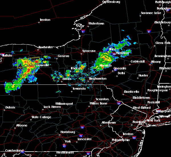 At 341 pm edt, a severe thunderstorm was located over hemlock, or 10 miles east of geneseo, moving east at 25 mph (radar indicated). Hazards include 60 mph wind gusts and quarter size hail. Minor damage to vehicles is possible. Expect wind damage to roofs, siding, and trees. At 341 pm edt, a severe thunderstorm was located over hemlock, or 10 miles east of geneseo, moving east at 25 mph (radar indicated). Hazards include 60 mph wind gusts and quarter size hail. Minor damage to vehicles is possible. Expect wind damage to roofs, siding, and trees.
|
| 7/19/2020 4:14 PM EDT |
 At 411 pm edt, severe thunderstorms were located along a line extending from near lehigh vallley junction to near benton to near himrod to campbell, moving east at 35 mph. trees have been blown down with this line of thunderstorms (law enforcement). Hazards include 60 mph wind gusts and penny size hail. Expect damage to roofs, siding, and trees. Locations impacted include, ithaca, auburn, corning, big flats, seneca falls, horseheads, newfield, waterloo, penn yan and hector. At 411 pm edt, severe thunderstorms were located along a line extending from near lehigh vallley junction to near benton to near himrod to campbell, moving east at 35 mph. trees have been blown down with this line of thunderstorms (law enforcement). Hazards include 60 mph wind gusts and penny size hail. Expect damage to roofs, siding, and trees. Locations impacted include, ithaca, auburn, corning, big flats, seneca falls, horseheads, newfield, waterloo, penn yan and hector.
|
| 7/19/2020 3:56 PM EDT |
 At 355 pm edt, a severe thunderstorm was located over ferguson corners, or 9 miles northwest of penn yan, moving east at 35 mph (radar indicated). Hazards include 60 mph wind gusts. Expect damage to roofs, siding, and trees. locations impacted include, geneva, newark, lyons, clifton springs, clyde, phelps, rushville, gorham, savannah and seneca lake state park. This includes interstate 90 near exit 42. At 355 pm edt, a severe thunderstorm was located over ferguson corners, or 9 miles northwest of penn yan, moving east at 35 mph (radar indicated). Hazards include 60 mph wind gusts. Expect damage to roofs, siding, and trees. locations impacted include, geneva, newark, lyons, clifton springs, clyde, phelps, rushville, gorham, savannah and seneca lake state park. This includes interstate 90 near exit 42.
|
| 7/19/2020 3:56 PM EDT |
 At 354 pm edt, severe thunderstorms were located along a line extending from near phelps to rushville to near branchport to west cameron, moving east at 35 mph. trees have been blown down in steuben county, in howard, with this line of thunderstorms (law enforcement). Hazards include 60 mph wind gusts and penny size hail. expect damage to roofs, siding, and trees At 354 pm edt, severe thunderstorms were located along a line extending from near phelps to rushville to near branchport to west cameron, moving east at 35 mph. trees have been blown down in steuben county, in howard, with this line of thunderstorms (law enforcement). Hazards include 60 mph wind gusts and penny size hail. expect damage to roofs, siding, and trees
|
| 7/19/2020 3:20 PM EDT |
 At 319 pm edt, a severe thunderstorm was located over bloomfield, or 8 miles west of canandaigua, moving east at 55 mph (radar indicated). Hazards include 60 mph wind gusts. expect damage to roofs, siding, and trees At 319 pm edt, a severe thunderstorm was located over bloomfield, or 8 miles west of canandaigua, moving east at 55 mph (radar indicated). Hazards include 60 mph wind gusts. expect damage to roofs, siding, and trees
|
| 5/15/2020 4:10 PM EDT |
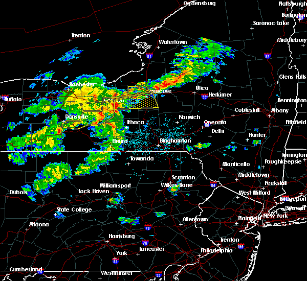 The severe thunderstorm warning for east central ontario county will expire at 415 pm edt, the storm which prompted the warning has moved out of the area. therefore, the warning will be allowed to expire. The severe thunderstorm warning for east central ontario county will expire at 415 pm edt, the storm which prompted the warning has moved out of the area. therefore, the warning will be allowed to expire.
|
| 5/15/2020 4:04 PM EDT |
 At 404 pm edt, severe thunderstorms were located along a line extending from near aurora to near dresden to near himrod to near pulteney, moving east at 55 mph (radar indicated). Hazards include 60 mph wind gusts and penny size hail. Expect damage to roofs, siding, and trees. Locations impacted include, seneca falls, waterloo, penn yan, romulus, fayette, benton, dundee, ovid, dresden and lodi. At 404 pm edt, severe thunderstorms were located along a line extending from near aurora to near dresden to near himrod to near pulteney, moving east at 55 mph (radar indicated). Hazards include 60 mph wind gusts and penny size hail. Expect damage to roofs, siding, and trees. Locations impacted include, seneca falls, waterloo, penn yan, romulus, fayette, benton, dundee, ovid, dresden and lodi.
|
| 5/15/2020 3:53 PM EDT |
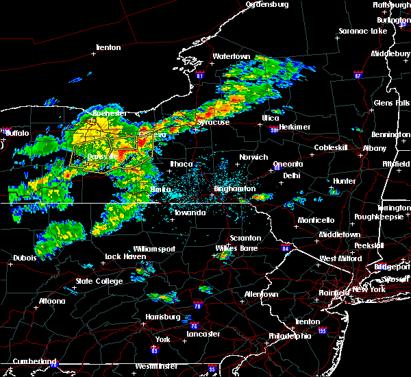 At 352 pm edt, a severe thunderstorm was located near geneva, moving east at 45 mph (radar indicated). Hazards include 60 mph wind gusts and nickel size hail. Expect damage to roofs, siding, and trees. Locations impacted include, geneva. At 352 pm edt, a severe thunderstorm was located near geneva, moving east at 45 mph (radar indicated). Hazards include 60 mph wind gusts and nickel size hail. Expect damage to roofs, siding, and trees. Locations impacted include, geneva.
|
| 5/15/2020 3:45 PM EDT |
 At 345 pm edt, severe thunderstorms were located along a line extending from near geneva to near naples, moving east at 45 mph (radar indicated). Hazards include 60 mph wind gusts and half dollar size hail. Hail damage to vehicles is expected. expect wind damage to roofs, siding, and trees. Locations impacted include, seneca falls, waterloo, penn yan, romulus, fayette, benton, potter, wayland, dundee and middlesex. At 345 pm edt, severe thunderstorms were located along a line extending from near geneva to near naples, moving east at 45 mph (radar indicated). Hazards include 60 mph wind gusts and half dollar size hail. Hail damage to vehicles is expected. expect wind damage to roofs, siding, and trees. Locations impacted include, seneca falls, waterloo, penn yan, romulus, fayette, benton, potter, wayland, dundee and middlesex.
|
| 5/15/2020 3:35 PM EDT |
 At 335 pm edt, a severe thunderstorm was located near rushville, or 7 miles southeast of canandaigua, moving east at 45 mph (radar indicated). Hazards include 60 mph wind gusts and nickel size hail. expect damage to roofs, siding, and trees At 335 pm edt, a severe thunderstorm was located near rushville, or 7 miles southeast of canandaigua, moving east at 45 mph (radar indicated). Hazards include 60 mph wind gusts and nickel size hail. expect damage to roofs, siding, and trees
|
| 5/15/2020 3:26 PM EDT |
 At 325 pm edt, severe thunderstorms were located along a line extending from near rushville to dansville, moving east at 40 mph (radar indicated). Hazards include 60 mph wind gusts and nickel size hail. expect damage to roofs, siding, and trees At 325 pm edt, severe thunderstorms were located along a line extending from near rushville to dansville, moving east at 40 mph (radar indicated). Hazards include 60 mph wind gusts and nickel size hail. expect damage to roofs, siding, and trees
|
| 8/18/2019 3:56 PM EDT | Multiple reports of trees and wires dow in ontario county NY, 0.4 miles WNW of Geneva, NY |
| 8/18/2019 3:52 PM EDT |
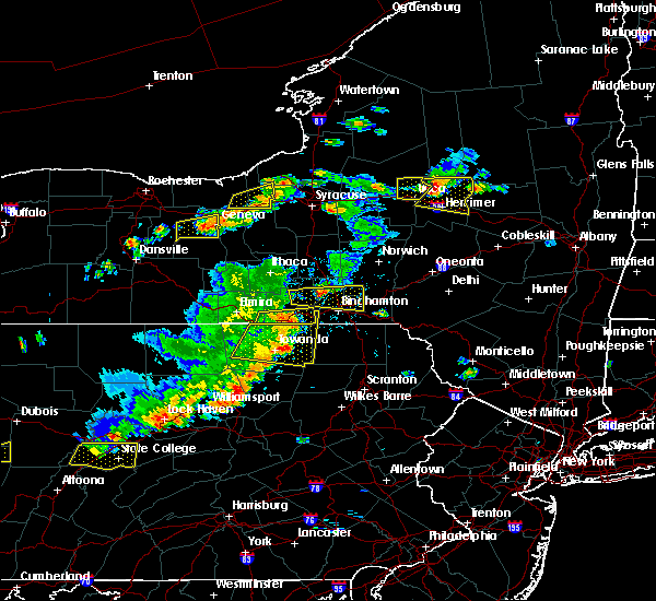 At 350 pm edt, a severe thunderstorm was located 5 miles west of geneva, moving east at 20 mph (radar indicated). Hazards include 60 mph wind gusts and quarter size hail. Minor damage to vehicles is possible. expect wind damage to roofs, siding, and trees. locations impacted include, geneva, phelps, gorham, seneca castle, seneca lake state park, hall and west junius. This includes interstate 90 near exit 42. At 350 pm edt, a severe thunderstorm was located 5 miles west of geneva, moving east at 20 mph (radar indicated). Hazards include 60 mph wind gusts and quarter size hail. Minor damage to vehicles is possible. expect wind damage to roofs, siding, and trees. locations impacted include, geneva, phelps, gorham, seneca castle, seneca lake state park, hall and west junius. This includes interstate 90 near exit 42.
|
| 8/18/2019 3:36 PM EDT |
 At 336 pm edt, a severe thunderstorm was located near rushville, or near canandaigua, moving east at 20 mph (radar indicated). Hazards include 60 mph wind gusts and quarter size hail. Minor damage to vehicles is possible. Expect wind damage to roofs, siding, and trees. At 336 pm edt, a severe thunderstorm was located near rushville, or near canandaigua, moving east at 20 mph (radar indicated). Hazards include 60 mph wind gusts and quarter size hail. Minor damage to vehicles is possible. Expect wind damage to roofs, siding, and trees.
|
| 8/16/2019 8:02 PM EDT |
 A severe thunderstorm warning remains in effect until 845 pm edt for seneca and cayuga counties. at 801 pm edt, a severe thunderstorm was located over romulus, or 9 miles south of seneca falls, moving northeast at 30 mph. hazard. 60 mph wind gusts and quarter size hail. source. Radar indicated. A severe thunderstorm warning remains in effect until 845 pm edt for seneca and cayuga counties. at 801 pm edt, a severe thunderstorm was located over romulus, or 9 miles south of seneca falls, moving northeast at 30 mph. hazard. 60 mph wind gusts and quarter size hail. source. Radar indicated.
|
| 8/16/2019 7:43 PM EDT |
 At 743 pm edt, a severe thunderstorm was located near dresden, or 7 miles northeast of penn yan, moving northeast at 30 mph (radar indicated). Hazards include 60 mph wind gusts and quarter size hail. Hail damage to vehicles is expected. Expect wind damage to roofs, siding, and trees. At 743 pm edt, a severe thunderstorm was located near dresden, or 7 miles northeast of penn yan, moving northeast at 30 mph (radar indicated). Hazards include 60 mph wind gusts and quarter size hail. Hail damage to vehicles is expected. Expect wind damage to roofs, siding, and trees.
|
| 8/16/2019 7:25 PM EDT |
 A severe thunderstorm warning remains in effect until 745 pm edt for northeastern ontario county. at 724 pm edt, a severe thunderstorm was located near ferguson corners, or 7 miles southwest of geneva, moving east at 25 mph. hazard. 60 mph wind gusts and quarter size hail. source. Radar indicated. A severe thunderstorm warning remains in effect until 745 pm edt for northeastern ontario county. at 724 pm edt, a severe thunderstorm was located near ferguson corners, or 7 miles southwest of geneva, moving east at 25 mph. hazard. 60 mph wind gusts and quarter size hail. source. Radar indicated.
|
| 8/16/2019 6:41 PM EDT |
 The national weather service in buffalo has issued a * severe thunderstorm warning for. ontario county in western new york. until 745 pm edt. At 640 pm edt, a severe thunderstorm was located over bristol, or 9 miles west of canandaigua, moving east at 25 mph. The national weather service in buffalo has issued a * severe thunderstorm warning for. ontario county in western new york. until 745 pm edt. At 640 pm edt, a severe thunderstorm was located over bristol, or 9 miles west of canandaigua, moving east at 25 mph.
|
| 8/8/2019 1:50 PM EDT |
 At 148 pm edt, severe thunderstorms were located along a line extending from near oswego to ovid, moving east at 50 mph (law enforcement has reported multiple trees and wires down in the penn yan area). Hazards include 60 mph wind gusts and penny size hail. Expect damage to roofs, siding, and trees. Locations impacted include, auburn, seneca falls, waterloo, hector, romulus, fayette, owasco, sennett, starkey and fleming. At 148 pm edt, severe thunderstorms were located along a line extending from near oswego to ovid, moving east at 50 mph (law enforcement has reported multiple trees and wires down in the penn yan area). Hazards include 60 mph wind gusts and penny size hail. Expect damage to roofs, siding, and trees. Locations impacted include, auburn, seneca falls, waterloo, hector, romulus, fayette, owasco, sennett, starkey and fleming.
|
| 8/8/2019 1:29 PM EDT |
 At 128 pm edt, severe thunderstorms were located along a line extending from chimney bluffs state park to near geneva, moving east at 30 mph (radar indicated). Hazards include 60 mph wind gusts and penny size hail. Expect damage to roofs, siding, and trees. locations impacted include, oswego, fulton, fair haven beach state park, newark, lyons, clyde, phelps, sodus, weedsport and cato. This includes interstate 90 between exits 42 and 40. At 128 pm edt, severe thunderstorms were located along a line extending from chimney bluffs state park to near geneva, moving east at 30 mph (radar indicated). Hazards include 60 mph wind gusts and penny size hail. Expect damage to roofs, siding, and trees. locations impacted include, oswego, fulton, fair haven beach state park, newark, lyons, clyde, phelps, sodus, weedsport and cato. This includes interstate 90 between exits 42 and 40.
|
| 8/8/2019 1:20 PM EDT |
 At 119 pm edt, severe thunderstorms were located along a line extending from 6 miles north of chimney bluffs state park to near italy, moving east at 40 mph (radar indicated). Hazards include 60 mph wind gusts and penny size hail. expect damage to roofs, siding, and trees At 119 pm edt, severe thunderstorms were located along a line extending from 6 miles north of chimney bluffs state park to near italy, moving east at 40 mph (radar indicated). Hazards include 60 mph wind gusts and penny size hail. expect damage to roofs, siding, and trees
|
| 8/8/2019 1:15 PM EDT |
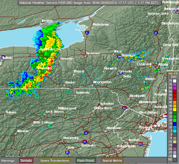 At 115 pm edt, severe thunderstorms were located along a line extending from near canandaigua to near naples, moving east at 35 mph (radar indicated). Hazards include 60 mph wind gusts and penny size hail. Expect damage to roofs, siding, and trees. Locations impacted include, geneva, canandaigua, bristol, bloomfield, naples, rushville, gorham, seneca lake state park, holcomb and seneca castle. At 115 pm edt, severe thunderstorms were located along a line extending from near canandaigua to near naples, moving east at 35 mph (radar indicated). Hazards include 60 mph wind gusts and penny size hail. Expect damage to roofs, siding, and trees. Locations impacted include, geneva, canandaigua, bristol, bloomfield, naples, rushville, gorham, seneca lake state park, holcomb and seneca castle.
|
| 8/8/2019 1:06 PM EDT |
 At 105 pm edt, severe thunderstorms were located along a line extending from near sodus to near canandaigua, moving east at 35 mph (radar indicated). Hazards include 60 mph wind gusts and penny size hail. expect damage to roofs, siding, and trees At 105 pm edt, severe thunderstorms were located along a line extending from near sodus to near canandaigua, moving east at 35 mph (radar indicated). Hazards include 60 mph wind gusts and penny size hail. expect damage to roofs, siding, and trees
|
| 8/8/2019 12:52 PM EDT |
 At 1251 pm edt, severe thunderstorms were located along a line extending from near williamson to near fairport to near lima, moving east at 35 mph (radar indicated). Hazards include 60 mph wind gusts and penny size hail. Expect damage to roofs, siding, and trees. locations impacted include, canandaigua, east rochester, webster, fairport, brighton, ontario, penfield, newark, williamson and marion. This includes interstate 90 between exits 45 and 42. At 1251 pm edt, severe thunderstorms were located along a line extending from near williamson to near fairport to near lima, moving east at 35 mph (radar indicated). Hazards include 60 mph wind gusts and penny size hail. Expect damage to roofs, siding, and trees. locations impacted include, canandaigua, east rochester, webster, fairport, brighton, ontario, penfield, newark, williamson and marion. This includes interstate 90 between exits 45 and 42.
|
| 8/8/2019 12:38 PM EDT |
 At 1238 pm edt, severe thunderstorms were located along a line extending from avon to 8 miles west of dansville, moving east at 25 mph (radar indicated). Hazards include 60 mph wind gusts and penny size hail. expect damage to roofs, siding, and trees At 1238 pm edt, severe thunderstorms were located along a line extending from avon to 8 miles west of dansville, moving east at 25 mph (radar indicated). Hazards include 60 mph wind gusts and penny size hail. expect damage to roofs, siding, and trees
|
| 8/8/2019 12:20 PM EDT |
 At 1219 pm edt, severe thunderstorms were located along a line extending from near greece to near scottsville to 6 miles east of pavilion, moving east at 35 mph (radar indicated). Hazards include 60 mph wind gusts. expect damage to roofs, siding, and trees At 1219 pm edt, severe thunderstorms were located along a line extending from near greece to near scottsville to 6 miles east of pavilion, moving east at 35 mph (radar indicated). Hazards include 60 mph wind gusts. expect damage to roofs, siding, and trees
|
| 5/25/2019 8:36 PM EDT |
 The severe thunderstorm warning for ontario county will expire at 845 pm edt, the storms which prompted the warning have moved out of the area. therefore, the warning will be allowed to expire. The severe thunderstorm warning for ontario county will expire at 845 pm edt, the storms which prompted the warning have moved out of the area. therefore, the warning will be allowed to expire.
|
| 5/25/2019 8:25 PM EDT | Trees down in ontario county NY, 0.4 miles WNW of Geneva, NY |
| 5/25/2019 8:22 PM EDT |
 At 822 pm edt, severe thunderstorms were located along a line extending from near phelps to naples, moving east at 60 mph (radar indicated). Hazards include 60 mph wind gusts. Expect damage to roofs, siding, and trees. locations impacted include, geneva, canandaigua, bristol, clifton springs, phelps, naples, rushville, gorham, manchester and canadice. This includes interstate 90 between exits 43 and 42. At 822 pm edt, severe thunderstorms were located along a line extending from near phelps to naples, moving east at 60 mph (radar indicated). Hazards include 60 mph wind gusts. Expect damage to roofs, siding, and trees. locations impacted include, geneva, canandaigua, bristol, clifton springs, phelps, naples, rushville, gorham, manchester and canadice. This includes interstate 90 between exits 43 and 42.
|
| 5/25/2019 8:16 PM EDT |
 The national weather service in binghamton has issued a * severe thunderstorm warning for. seneca county in central new york. yates county in central new york. northern steuben county in central new york. Until 900 pm edt. The national weather service in binghamton has issued a * severe thunderstorm warning for. seneca county in central new york. yates county in central new york. northern steuben county in central new york. Until 900 pm edt.
|
| 5/25/2019 8:09 PM EDT |
 At 809 pm edt, severe thunderstorms were located along a line extending from near clifton springs to near wayland, moving east at 50 mph (radar indicated). Hazards include 60 mph wind gusts. expect damage to roofs, siding, and trees At 809 pm edt, severe thunderstorms were located along a line extending from near clifton springs to near wayland, moving east at 50 mph (radar indicated). Hazards include 60 mph wind gusts. expect damage to roofs, siding, and trees
|
| 9/21/2018 7:18 PM EDT |
 At 716 pm edt, a severe thunderstorm capable of producing a tornado was located near canandaigua, moving east at 50 mph (radar indicated rotation). Hazards include tornado. Flying debris will be dangerous to those caught without shelter. mobile homes will be damaged or destroyed. damage to roofs, windows, and vehicles will occur. tree damage is likely. Locations impacted include, geneva, canandaigua, clifton springs, phelps, gorham, shortsville, seneca castle, seneca lake state park, hall and west junius. At 716 pm edt, a severe thunderstorm capable of producing a tornado was located near canandaigua, moving east at 50 mph (radar indicated rotation). Hazards include tornado. Flying debris will be dangerous to those caught without shelter. mobile homes will be damaged or destroyed. damage to roofs, windows, and vehicles will occur. tree damage is likely. Locations impacted include, geneva, canandaigua, clifton springs, phelps, gorham, shortsville, seneca castle, seneca lake state park, hall and west junius.
|
| 9/21/2018 7:07 PM EDT |
 At 705 pm edt, a severe thunderstorm capable of producing a tornado was located over bloomfield, or near canandaigua, moving east at 50 mph (radar indicated rotation). Hazards include tornado. Flying debris will be dangerous to those caught without shelter. mobile homes will be damaged or destroyed. damage to roofs, windows, and vehicles will occur. Tree damage is likely. At 705 pm edt, a severe thunderstorm capable of producing a tornado was located over bloomfield, or near canandaigua, moving east at 50 mph (radar indicated rotation). Hazards include tornado. Flying debris will be dangerous to those caught without shelter. mobile homes will be damaged or destroyed. damage to roofs, windows, and vehicles will occur. Tree damage is likely.
|
| 9/21/2018 7:06 PM EDT |
 A severe thunderstorm warning remains in effect until 730 pm edt for southwestern wayne. livingston and ontario counties. at 705 pm edt, severe thunderstorms were located along a line extending from near marion to near wayland, moving east at 55 mph. hazard. 60 mph wind gusts. source. Radar indicated. A severe thunderstorm warning remains in effect until 730 pm edt for southwestern wayne. livingston and ontario counties. at 705 pm edt, severe thunderstorms were located along a line extending from near marion to near wayland, moving east at 55 mph. hazard. 60 mph wind gusts. source. Radar indicated.
|
| 9/21/2018 7:04 PM EDT |
 At 704 pm edt, severe thunderstorms were located along a line extending from near victor to bloomfield to honeoye to near conesus to dansville to 8 miles southeast of portageville to near belfast, moving east at 50 mph (radar indicated). Hazards include 60 mph wind gusts. Expect damage to roofs, siding, and trees. severe thunderstorms will be near, rushville and vine valley around 720 pm edt. middlesex and arkport around 725 pm edt. hornell, benton and potter around 730 pm edt. waterloo, penn yan and howard around 735 pm edt. seneca falls, montezuma and milo center around 740 pm edt. Auburn, dundee and bath around 745 pm edt. At 704 pm edt, severe thunderstorms were located along a line extending from near victor to bloomfield to honeoye to near conesus to dansville to 8 miles southeast of portageville to near belfast, moving east at 50 mph (radar indicated). Hazards include 60 mph wind gusts. Expect damage to roofs, siding, and trees. severe thunderstorms will be near, rushville and vine valley around 720 pm edt. middlesex and arkport around 725 pm edt. hornell, benton and potter around 730 pm edt. waterloo, penn yan and howard around 735 pm edt. seneca falls, montezuma and milo center around 740 pm edt. Auburn, dundee and bath around 745 pm edt.
|
| 9/21/2018 6:31 PM EDT |
 The national weather service in buffalo has issued a * severe thunderstorm warning for. southwestern wayne county in western new york. wyoming county in western new york. livingston county in western new york. Southern monroe county in western new york. The national weather service in buffalo has issued a * severe thunderstorm warning for. southwestern wayne county in western new york. wyoming county in western new york. livingston county in western new york. Southern monroe county in western new york.
|
| 6/1/2018 1:59 PM EDT |
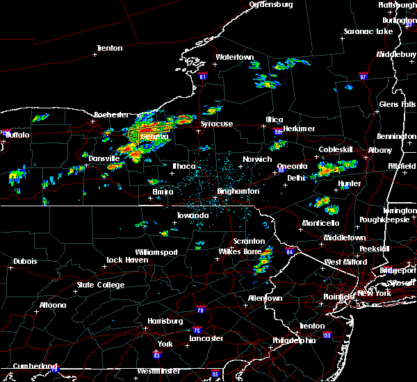 At 158 pm edt, a severe thunderstorm was located near lyons, moving east at 35 mph (radar indicated). Hazards include 60 mph wind gusts. Expect damage to roofs, siding, and trees. Locations impacted include, geneva, newark, lyons, clyde, phelps, weedsport, savannah and port byron. At 158 pm edt, a severe thunderstorm was located near lyons, moving east at 35 mph (radar indicated). Hazards include 60 mph wind gusts. Expect damage to roofs, siding, and trees. Locations impacted include, geneva, newark, lyons, clyde, phelps, weedsport, savannah and port byron.
|
| 6/1/2018 1:24 PM EDT |
 At 123 pm edt, a severe thunderstorm was located over clifton springs, or 7 miles east of canandaigua, moving east at 35 mph (radar indicated). Hazards include 60 mph wind gusts and penny size hail. expect damage to roofs, siding, and trees At 123 pm edt, a severe thunderstorm was located over clifton springs, or 7 miles east of canandaigua, moving east at 35 mph (radar indicated). Hazards include 60 mph wind gusts and penny size hail. expect damage to roofs, siding, and trees
|
| 1/23/2018 1:38 PM EST | *** 2 inj *** building under construction collapsed in ontario county NY, 2 miles S of Geneva, NY |
| 10/15/2017 5:54 PM EDT | Multiple trees dow in ontario county NY, 0.4 miles WNW of Geneva, NY |
| 10/15/2017 5:40 PM EDT |
 At 539 pm edt, a line of severe thunderstorms extended from olean to dansville to phelps with this line moving east at 55 mph (radar indicated). Hazards include 60 mph wind gusts. Expect wind damage to trees and power lines. locations impacted include, olean, geneva, canandaigua, dansville, wellsville, alfred, clifton springs and phelps. this includes the following highways, interstate 390 between exits 4 and 5. interstate 90 near exit 42. Interstate 86 between exits 28 and 33. At 539 pm edt, a line of severe thunderstorms extended from olean to dansville to phelps with this line moving east at 55 mph (radar indicated). Hazards include 60 mph wind gusts. Expect wind damage to trees and power lines. locations impacted include, olean, geneva, canandaigua, dansville, wellsville, alfred, clifton springs and phelps. this includes the following highways, interstate 390 between exits 4 and 5. interstate 90 near exit 42. Interstate 86 between exits 28 and 33.
|
| 10/15/2017 5:15 PM EDT |
 At 514 pm edt, a line of severe thunderstorms was located 7 miles east of letchworth state park, extending to manchester moving east at 55 mph (radar indicated). Hazards include 60 mph wind gusts. expect wind damage to trees and power lines At 514 pm edt, a line of severe thunderstorms was located 7 miles east of letchworth state park, extending to manchester moving east at 55 mph (radar indicated). Hazards include 60 mph wind gusts. expect wind damage to trees and power lines
|
| 9/5/2017 12:34 AM EDT | Multiple reports of trees/wires down around city in ontario county NY, 0.4 miles WNW of Geneva, NY |
| 9/5/2017 12:24 AM EDT |
 At 1224 am edt, a severe thunderstorm was located near canandaigua, moving northeast at 55 mph (radar indicated). Hazards include 60 mph wind gusts. expect wind damage to trees and power lines At 1224 am edt, a severe thunderstorm was located near canandaigua, moving northeast at 55 mph (radar indicated). Hazards include 60 mph wind gusts. expect wind damage to trees and power lines
|
| 8/22/2017 4:29 PM EDT |
 At 429 pm edt, a severe thunderstorm was located over new york thruway exit 42, moving east at 55 mph (radar indicated). Hazards include 60 mph wind gusts. Expect damage to trees, and power lines. this severe thunderstorm will be near, seneca falls around 435 pm edt. montezuma, cayuga and lehigh vly jct around 440 pm edt. auburn and throopsville around 445 pm edt. sennett and melrose park around 450 pm edt. A tornado watch remains in effect until 900 pm edt for central new york. At 429 pm edt, a severe thunderstorm was located over new york thruway exit 42, moving east at 55 mph (radar indicated). Hazards include 60 mph wind gusts. Expect damage to trees, and power lines. this severe thunderstorm will be near, seneca falls around 435 pm edt. montezuma, cayuga and lehigh vly jct around 440 pm edt. auburn and throopsville around 445 pm edt. sennett and melrose park around 450 pm edt. A tornado watch remains in effect until 900 pm edt for central new york.
|
| 8/22/2017 4:29 PM EDT |
 At 429 pm edt, a severe thunderstorm was located near canandaigua, moving east at 45 mph (radar indicated). Hazards include 60 mph wind gusts. expect wind damage to trees and power lines At 429 pm edt, a severe thunderstorm was located near canandaigua, moving east at 45 mph (radar indicated). Hazards include 60 mph wind gusts. expect wind damage to trees and power lines
|
| 8/22/2017 4:04 PM EDT |
 At 403 pm edt, a severe thunderstorm was located over honeoye, or 11 miles southwest of canandaigua, moving east at 50 mph (radar indicated). Hazards include 60 mph wind gusts. Expect wind damage to trees and power lines. locations impacted include, geneva, canandaigua, conesus, bristol, clifton springs, phelps, bloomfield and rushville. this includes interstate 90 near exit 42. A tornado watch remains in effect until 900 pm edt for western new york. At 403 pm edt, a severe thunderstorm was located over honeoye, or 11 miles southwest of canandaigua, moving east at 50 mph (radar indicated). Hazards include 60 mph wind gusts. Expect wind damage to trees and power lines. locations impacted include, geneva, canandaigua, conesus, bristol, clifton springs, phelps, bloomfield and rushville. this includes interstate 90 near exit 42. A tornado watch remains in effect until 900 pm edt for western new york.
|
| 8/22/2017 3:45 PM EDT |
 At 345 pm edt, a severe thunderstorm was located near geneseo, moving east at 60 mph (radar indicated). Hazards include 60 mph wind gusts. expect wind damage to trees and power lines At 345 pm edt, a severe thunderstorm was located near geneseo, moving east at 60 mph (radar indicated). Hazards include 60 mph wind gusts. expect wind damage to trees and power lines
|
| 8/22/2017 2:03 PM EDT |
 At 202 pm edt, severe thunderstorms were located along a line extending from near sodus to near clifton springs, moving east at 40 mph (radar indicated). Hazards include 60 mph wind gusts. Expect wind damage to trees and power lines. locations impacted include, geneva, canandaigua, fair haven beach state park, newark, williamson, marion, lyons and palmyra. this includes interstate 90 between exits 45 and 42. A tornado watch remains in effect until 900 pm edt for central and western new york. At 202 pm edt, severe thunderstorms were located along a line extending from near sodus to near clifton springs, moving east at 40 mph (radar indicated). Hazards include 60 mph wind gusts. Expect wind damage to trees and power lines. locations impacted include, geneva, canandaigua, fair haven beach state park, newark, williamson, marion, lyons and palmyra. this includes interstate 90 between exits 45 and 42. A tornado watch remains in effect until 900 pm edt for central and western new york.
|
| 8/22/2017 1:23 PM EDT |
 At 123 pm edt, severe thunderstorms were located along a line extending from near penfield to near hemlock, moving east at 40 mph (radar indicated). Hazards include 60 mph wind gusts. expect wind damage to trees and power lines At 123 pm edt, severe thunderstorms were located along a line extending from near penfield to near hemlock, moving east at 40 mph (radar indicated). Hazards include 60 mph wind gusts. expect wind damage to trees and power lines
|
| 8/15/2017 1:35 PM EDT | Trees down near geneva high school - time estimated by radar in ontario county NY, 0.6 miles SSE of Geneva, NY |
| 8/4/2017 7:22 PM EDT |
 At 722 pm edt, severe thunderstorms were located along a line extending from near clyde to near mays mills, moving northeast at 50 mph (radar indicated). Hazards include 60 mph wind gusts. expect damage to trees, and power lines At 722 pm edt, severe thunderstorms were located along a line extending from near clyde to near mays mills, moving northeast at 50 mph (radar indicated). Hazards include 60 mph wind gusts. expect damage to trees, and power lines
|
| 8/4/2017 7:15 PM EDT |
 At 714 pm edt, a severe thunderstorm was located near geneva, moving northeast at 40 mph (radar indicated). Hazards include 60 mph wind gusts and quarter size hail. Minor damage to vehicles is possible. Expect wind damage to trees and power lines. At 714 pm edt, a severe thunderstorm was located near geneva, moving northeast at 40 mph (radar indicated). Hazards include 60 mph wind gusts and quarter size hail. Minor damage to vehicles is possible. Expect wind damage to trees and power lines.
|
| 7/13/2017 1:27 AM EDT |
 The severe thunderstorm warning for ontario county will expire at 130 am edt, the storm which prompted the warning has weakened below severe limits, and no longer pose an immediate threat to life or property. therefore the warning will be allowed to expire. The severe thunderstorm warning for ontario county will expire at 130 am edt, the storm which prompted the warning has weakened below severe limits, and no longer pose an immediate threat to life or property. therefore the warning will be allowed to expire.
|
| 7/13/2017 1:03 AM EDT |
 At 102 am edt, a severe thunderstorm was located over bloomfield, or 7 miles west of canandaigua, moving east at 45 mph (radar indicated). Hazards include 60 mph wind gusts. Expect wind damage to trees and power lines. locations impacted include, geneva, canandaigua, victor, bristol, clifton springs, phelps, bloomfield and rushville. This includes interstate 90 between exits 44 and 42. At 102 am edt, a severe thunderstorm was located over bloomfield, or 7 miles west of canandaigua, moving east at 45 mph (radar indicated). Hazards include 60 mph wind gusts. Expect wind damage to trees and power lines. locations impacted include, geneva, canandaigua, victor, bristol, clifton springs, phelps, bloomfield and rushville. This includes interstate 90 between exits 44 and 42.
|
| 7/13/2017 12:35 AM EDT |
 At 1234 am edt, a severe thunderstorm was located over avon, or 9 miles north of geneseo, moving east at 40 mph (radar indicated). Hazards include 60 mph wind gusts. expect wind damage to trees and power lines At 1234 am edt, a severe thunderstorm was located over avon, or 9 miles north of geneseo, moving east at 40 mph (radar indicated). Hazards include 60 mph wind gusts. expect wind damage to trees and power lines
|
| 6/26/2017 6:30 PM EDT |
 At 630 pm edt, a severe thunderstorm was located near bristol, or near canandaigua, moving northeast at 40 mph (radar indicated). Hazards include 60 mph wind gusts and quarter size hail. Minor damage to vehicles is possible. expect wind damage to trees and power lines. locations impacted include, canandaigua, bristol, clifton springs, phelps, bloomfield, rushville, honeoye and gorham. This includes interstate 90 near exit 43. At 630 pm edt, a severe thunderstorm was located near bristol, or near canandaigua, moving northeast at 40 mph (radar indicated). Hazards include 60 mph wind gusts and quarter size hail. Minor damage to vehicles is possible. expect wind damage to trees and power lines. locations impacted include, canandaigua, bristol, clifton springs, phelps, bloomfield, rushville, honeoye and gorham. This includes interstate 90 near exit 43.
|
| 6/26/2017 5:59 PM EDT |
 At 558 pm edt, a severe thunderstorm was located over hemlock, or 10 miles east of geneseo, moving east at 25 mph (radar indicated). Hazards include 60 mph wind gusts and quarter size hail. Minor damage to vehicles is possible. Expect wind damage to trees and power lines. At 558 pm edt, a severe thunderstorm was located over hemlock, or 10 miles east of geneseo, moving east at 25 mph (radar indicated). Hazards include 60 mph wind gusts and quarter size hail. Minor damage to vehicles is possible. Expect wind damage to trees and power lines.
|
| 6/18/2017 6:11 PM EDT |
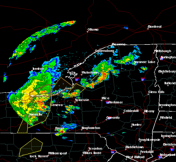 At 610 pm edt, severe thunderstorms were located along a line extending from williamson to near ferguson corners, moving northeast at 55 mph (radar indicated). Hazards include 70 mph wind gusts. Expect considerable tree damage. Damage is likely to mobile homes, roofs, and outbuildings. At 610 pm edt, severe thunderstorms were located along a line extending from williamson to near ferguson corners, moving northeast at 55 mph (radar indicated). Hazards include 70 mph wind gusts. Expect considerable tree damage. Damage is likely to mobile homes, roofs, and outbuildings.
|
| 6/18/2017 5:54 PM EDT |
 At 552 pm edt, severe thunderstorms were located along a line extending from near fairport to near vine valley, moving northeast at 40 mph (radar indicated). Hazards include 70 mph wind gusts. Expect considerable tree damage. damage is likely to mobile homes, roofs, and outbuildings. locations impacted include, geneva, canandaigua, east rochester, webster, fairport. This includes interstate 90 between exits 45 and 42. At 552 pm edt, severe thunderstorms were located along a line extending from near fairport to near vine valley, moving northeast at 40 mph (radar indicated). Hazards include 70 mph wind gusts. Expect considerable tree damage. damage is likely to mobile homes, roofs, and outbuildings. locations impacted include, geneva, canandaigua, east rochester, webster, fairport. This includes interstate 90 between exits 45 and 42.
|
| 6/18/2017 5:19 PM EDT |
 At 519 pm edt, severe thunderstorms were located along a line extending from near gates-north gates to near dansville, moving northeast at 50 mph (radar indicated). Hazards include 60 mph wind gusts. expect wind damage to trees and power lines At 519 pm edt, severe thunderstorms were located along a line extending from near gates-north gates to near dansville, moving northeast at 50 mph (radar indicated). Hazards include 60 mph wind gusts. expect wind damage to trees and power lines
|
| 6/16/2017 6:38 PM EDT |
 The severe thunderstorm warning for west central seneca and northeastern yates counties will expire at 645 pm edt, the storm which prompted the warning has weakened below severe limits, and no longer poses an immediate threat to life or property. therefore the warning will be allowed to expire. The severe thunderstorm warning for west central seneca and northeastern yates counties will expire at 645 pm edt, the storm which prompted the warning has weakened below severe limits, and no longer poses an immediate threat to life or property. therefore the warning will be allowed to expire.
|
| 6/16/2017 6:20 PM EDT |
 At 619 pm edt, a severe thunderstorm was located near geneva, moving southeast at 10 mph (radar indicated). Hazards include 60 mph wind gusts and quarter size hail. Minor hail damage to vehicles is possible. expect wind to cause damage to trees, and power lines. This severe storm will be near, romulus, dresden and kendaia around 645 pm edt. At 619 pm edt, a severe thunderstorm was located near geneva, moving southeast at 10 mph (radar indicated). Hazards include 60 mph wind gusts and quarter size hail. Minor hail damage to vehicles is possible. expect wind to cause damage to trees, and power lines. This severe storm will be near, romulus, dresden and kendaia around 645 pm edt.
|
| 6/16/2017 6:00 PM EDT | Tree and wires down intersection of vogt rd and seneca castle rd in ontario county NY, 5.2 miles E of Geneva, NY |
| 6/16/2017 5:59 PM EDT |
 At 558 pm edt, a severe thunderstorm was located near geneva, moving southeast at 15 mph (radar indicated). Hazards include 60 mph wind gusts and quarter size hail. Minor hail damage to vehicles is possible. expect wind to cause damage to trees, and power lines. this severe thunderstorm will be near, benton around 610 pm edt. kendaia, mays mills and milo center around 635 pm edt. Romulus and dresden around 640 pm edt. At 558 pm edt, a severe thunderstorm was located near geneva, moving southeast at 15 mph (radar indicated). Hazards include 60 mph wind gusts and quarter size hail. Minor hail damage to vehicles is possible. expect wind to cause damage to trees, and power lines. this severe thunderstorm will be near, benton around 610 pm edt. kendaia, mays mills and milo center around 635 pm edt. Romulus and dresden around 640 pm edt.
|
| 6/16/2017 5:54 PM EDT |
 At 553 pm edt, a severe thunderstorm was located near geneva, moving southeast at 10 mph (radar indicated). Hazards include 60 mph wind gusts and quarter size hail. Minor damage to vehicles is possible. Expect wind damage to trees and power lines. At 553 pm edt, a severe thunderstorm was located near geneva, moving southeast at 10 mph (radar indicated). Hazards include 60 mph wind gusts and quarter size hail. Minor damage to vehicles is possible. Expect wind damage to trees and power lines.
|
| 6/15/2017 5:30 PM EDT |
 At 530 pm edt, a severe thunderstorm was located near canandaigua, moving east at 20 mph (radar indicated). Hazards include 60 mph wind gusts and penny size hail. Expect wind damage to trees and power lines. locations impacted include, geneva, canandaigua, bristol, clifton springs, phelps, bloomfield, rushville and honeoye. This includes interstate 90 between exits 43 and 42. At 530 pm edt, a severe thunderstorm was located near canandaigua, moving east at 20 mph (radar indicated). Hazards include 60 mph wind gusts and penny size hail. Expect wind damage to trees and power lines. locations impacted include, geneva, canandaigua, bristol, clifton springs, phelps, bloomfield, rushville and honeoye. This includes interstate 90 between exits 43 and 42.
|
| 6/15/2017 4:54 PM EDT |
 At 453 pm edt, a severe thunderstorm was located over bristol, or 10 miles southwest of canandaigua, moving east at 25 mph (radar indicated). Hazards include 60 mph wind gusts and penny size hail. expect wind damage to trees and power lines At 453 pm edt, a severe thunderstorm was located over bristol, or 10 miles southwest of canandaigua, moving east at 25 mph (radar indicated). Hazards include 60 mph wind gusts and penny size hail. expect wind damage to trees and power lines
|
| 5/30/2017 2:21 PM EDT |
 At 221 pm edt, a severe thunderstorm was located over clifton springs, or 7 miles northeast of canandaigua, moving northeast at 35 mph (radar indicated). Hazards include 60 mph wind gusts and quarter size hail. Minor damage to vehicles is possible. Expect wind damage to trees and power lines. At 221 pm edt, a severe thunderstorm was located over clifton springs, or 7 miles northeast of canandaigua, moving northeast at 35 mph (radar indicated). Hazards include 60 mph wind gusts and quarter size hail. Minor damage to vehicles is possible. Expect wind damage to trees and power lines.
|
| 5/30/2017 2:08 PM EDT |
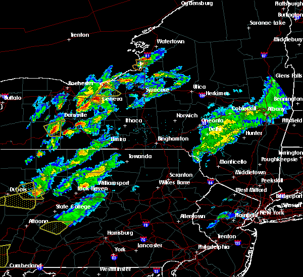 At 208 pm edt, a severe thunderstorm was located over phelps, or 8 miles north of geneva, moving northeast at 50 mph (radar indicated). Hazards include 60 mph wind gusts and quarter size hail. Minor damage to vehicles is possible. expect wind damage to trees and power lines. locations impacted include, geneva, newark, lyons, clifton springs, clyde, phelps, montezuma and rose. This includes interstate 90 near exit 42. At 208 pm edt, a severe thunderstorm was located over phelps, or 8 miles north of geneva, moving northeast at 50 mph (radar indicated). Hazards include 60 mph wind gusts and quarter size hail. Minor damage to vehicles is possible. expect wind damage to trees and power lines. locations impacted include, geneva, newark, lyons, clifton springs, clyde, phelps, montezuma and rose. This includes interstate 90 near exit 42.
|
| 5/30/2017 1:41 PM EDT |
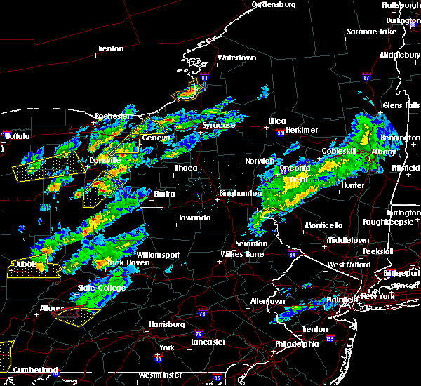 At 141 pm edt, a severe thunderstorm was located over rushville, or 10 miles northwest of penn yan, moving northeast at 45 mph (radar indicated). Hazards include 60 mph wind gusts and quarter size hail. Minor damage to vehicles is possible. Expect wind damage to trees and power lines. At 141 pm edt, a severe thunderstorm was located over rushville, or 10 miles northwest of penn yan, moving northeast at 45 mph (radar indicated). Hazards include 60 mph wind gusts and quarter size hail. Minor damage to vehicles is possible. Expect wind damage to trees and power lines.
|
| 5/30/2017 1:27 PM EDT |
 At 127 pm edt, a severe thunderstorm was located over naples, or 16 miles west of penn yan, moving northeast at 40 mph (radar indicated). Hazards include quarter size hail. Damage to vehicles is expected. this severe thunderstorm will be near, italy around 130 pm edt. middlesex and vine valley around 135 pm edt. potter around 140 pm edt. Rushville and ferguson corners around 145 pm edt. At 127 pm edt, a severe thunderstorm was located over naples, or 16 miles west of penn yan, moving northeast at 40 mph (radar indicated). Hazards include quarter size hail. Damage to vehicles is expected. this severe thunderstorm will be near, italy around 130 pm edt. middlesex and vine valley around 135 pm edt. potter around 140 pm edt. Rushville and ferguson corners around 145 pm edt.
|
| 5/18/2017 5:21 PM EDT |
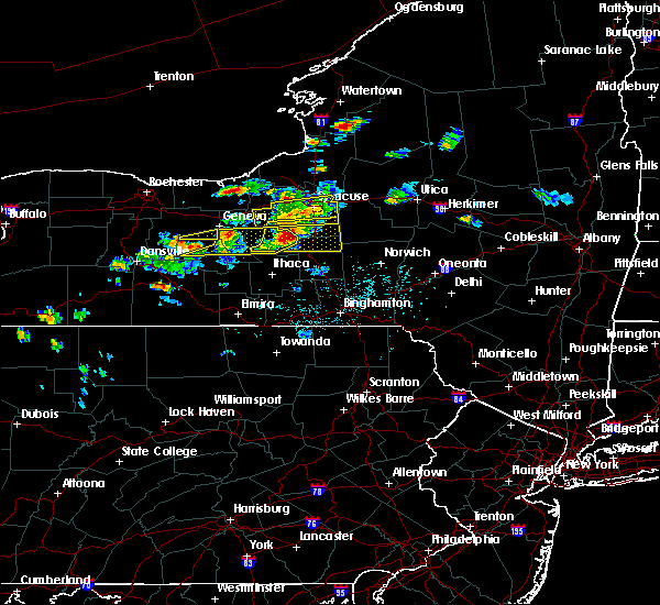 The severe thunderstorm warning for east central ontario county will expire at 530 pm edt, the storm which prompted the warning has moved out of the area. therefore the warning will be allowed to expire. a severe thunderstorm watch remains in effect until 1100 pm edt for western new york. The severe thunderstorm warning for east central ontario county will expire at 530 pm edt, the storm which prompted the warning has moved out of the area. therefore the warning will be allowed to expire. a severe thunderstorm watch remains in effect until 1100 pm edt for western new york.
|
| 5/18/2017 5:04 PM EDT |
 At 503 pm edt, a severe thunderstorm was located over rushville, or 9 miles northwest of penn yan, moving northeast at 50 mph (radar indicated). Hazards include 60 mph wind gusts and quarter size hail. Minor damage to vehicles is possible. expect wind damage to trees and power lines. Locations impacted include, rushville, gorham and hall. At 503 pm edt, a severe thunderstorm was located over rushville, or 9 miles northwest of penn yan, moving northeast at 50 mph (radar indicated). Hazards include 60 mph wind gusts and quarter size hail. Minor damage to vehicles is possible. expect wind damage to trees and power lines. Locations impacted include, rushville, gorham and hall.
|
| 5/18/2017 4:43 PM EDT |
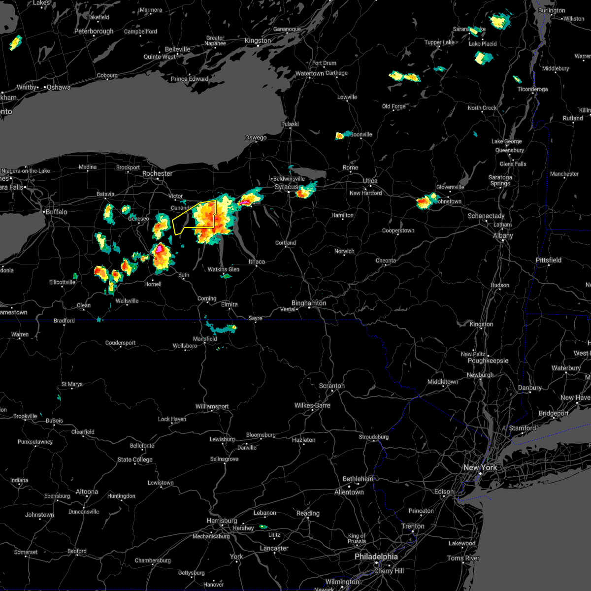 The severe thunderstorm warning for northeastern ontario county will expire at 445 pm edt, the storm which prompted the warning has moved out of the area. therefore the warning will be allowed to expire. remember, a severe thunderstorm warning still remains in effect for southeast livingston and ontario counties. a severe thunderstorm watch remains in effect until 1100 pm edt for western new york. The severe thunderstorm warning for northeastern ontario county will expire at 445 pm edt, the storm which prompted the warning has moved out of the area. therefore the warning will be allowed to expire. remember, a severe thunderstorm warning still remains in effect for southeast livingston and ontario counties. a severe thunderstorm watch remains in effect until 1100 pm edt for western new york.
|
| 5/18/2017 4:41 PM EDT | Large tree branches down blocking half of st. clair stree in ontario county NY, 0.4 miles WNW of Geneva, NY |
| 5/18/2017 4:39 PM EDT |
 At 439 pm edt, severe thunderstorms were located along a line extending from near geneva to near dresden to yatesville, moving east at 40 mph (radar indicated). Hazards include ping pong ball size hail and 60 mph wind gusts. People and animals outdoors will be injured. expect hail damage to roofs, siding, windows, and vehicles. expect wind damage to roofs, siding, and trees. severe thunderstorms will be near, kendaia around 445 pm edt. romulus around 450 pm edt. union springs and canoga around 455 pm edt. aurora, willard and levanna around 500 pm edt. fleming and ovid around 505 pm edt. venice center and scipio center around 510 pm edt. owasco, niles and cascade around 515 pm edt. Ledyard, king ferry and montville around 520 pm edt. At 439 pm edt, severe thunderstorms were located along a line extending from near geneva to near dresden to yatesville, moving east at 40 mph (radar indicated). Hazards include ping pong ball size hail and 60 mph wind gusts. People and animals outdoors will be injured. expect hail damage to roofs, siding, windows, and vehicles. expect wind damage to roofs, siding, and trees. severe thunderstorms will be near, kendaia around 445 pm edt. romulus around 450 pm edt. union springs and canoga around 455 pm edt. aurora, willard and levanna around 500 pm edt. fleming and ovid around 505 pm edt. venice center and scipio center around 510 pm edt. owasco, niles and cascade around 515 pm edt. Ledyard, king ferry and montville around 520 pm edt.
|
| 5/18/2017 4:39 PM EDT |
 At 438 pm edt, a severe thunderstorm was located over wayland, or near dansville, moving northeast at 60 mph (radar indicated). Hazards include 60 mph wind gusts and half dollar size hail. Minor damage to vehicles is possible. Expect wind damage to trees and power lines. At 438 pm edt, a severe thunderstorm was located over wayland, or near dansville, moving northeast at 60 mph (radar indicated). Hazards include 60 mph wind gusts and half dollar size hail. Minor damage to vehicles is possible. Expect wind damage to trees and power lines.
|
| 5/18/2017 4:27 PM EDT |
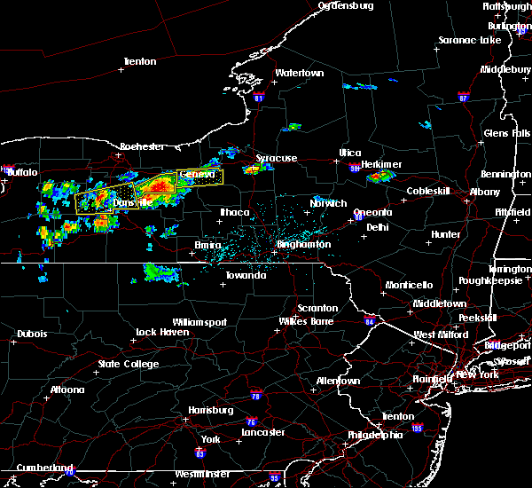 At 426 pm edt, a severe thunderstorm was located near geneva, moving east at 45 mph (radar indicated). Hazards include 60 mph wind gusts and quarter size hail. Minor damage to vehicles is possible. expect wind damage to trees and power lines. locations impacted include, geneva, canandaigua, clifton springs, phelps, rushville, gorham, seneca lake state park and seneca castle. This includes interstate 90 near exit 42. At 426 pm edt, a severe thunderstorm was located near geneva, moving east at 45 mph (radar indicated). Hazards include 60 mph wind gusts and quarter size hail. Minor damage to vehicles is possible. expect wind damage to trees and power lines. locations impacted include, geneva, canandaigua, clifton springs, phelps, rushville, gorham, seneca lake state park and seneca castle. This includes interstate 90 near exit 42.
|
| 5/18/2017 4:09 PM EDT |
 At 409 pm edt, a severe thunderstorm was located near new york thruway exit 42, moving east at 45 mph (radar indicated). Hazards include 60 mph wind gusts and half dollar size hail. Hail damage to vehicles is expected. expect wind damage to roofs, siding, and trees. this severe thunderstorm will be near, waterloo around 420 pm edt. seneca falls and lehigh vly jct around 425 pm edt. montezuma, union springs and cayuga around 430 pm edt. auburn, fleming and throopsville around 440 pm edt. Sennett and melrose park around 445 pm edt. At 409 pm edt, a severe thunderstorm was located near new york thruway exit 42, moving east at 45 mph (radar indicated). Hazards include 60 mph wind gusts and half dollar size hail. Hail damage to vehicles is expected. expect wind damage to roofs, siding, and trees. this severe thunderstorm will be near, waterloo around 420 pm edt. seneca falls and lehigh vly jct around 425 pm edt. montezuma, union springs and cayuga around 430 pm edt. auburn, fleming and throopsville around 440 pm edt. Sennett and melrose park around 445 pm edt.
|
| 5/18/2017 4:05 PM EDT |
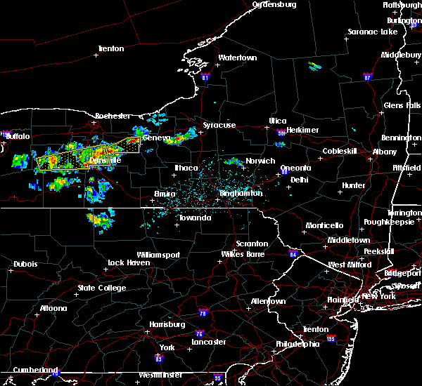 The national weather service in buffalo has issued a * severe thunderstorm warning for. northern ontario county in western new york. until 445 pm edt. At 404 pm edt, a severe thunderstorm was located near vine valley, or 9 miles south of canandaigua, moving east at 40 mph. The national weather service in buffalo has issued a * severe thunderstorm warning for. northern ontario county in western new york. until 445 pm edt. At 404 pm edt, a severe thunderstorm was located near vine valley, or 9 miles south of canandaigua, moving east at 40 mph.
|
| 5/18/2017 3:51 PM EDT |
 The severe thunderstorm warning for south central wayne and northern ontario counties will expire at 400 pm edt, the storm which prompted the warning has weakened below severe limits, and no longer pose an immediate threat to life or property. therefore the warning will be allowed to expire. a severe thunderstorm watch remains in effect until 1100 pm edt for western new york. The severe thunderstorm warning for south central wayne and northern ontario counties will expire at 400 pm edt, the storm which prompted the warning has weakened below severe limits, and no longer pose an immediate threat to life or property. therefore the warning will be allowed to expire. a severe thunderstorm watch remains in effect until 1100 pm edt for western new york.
|
| 5/18/2017 3:36 PM EDT |
 At 335 pm edt, a severe thunderstorm was located over bloomfield, or 9 miles west of canandaigua, moving east at 45 mph (trained weather spotters). Hazards include 60 mph wind gusts and quarter size hail. Minor damage to vehicles is possible. expect wind damage to trees and power lines. locations impacted include, geneva, canandaigua, newark, lyons, palmyra, victor, bristol and clifton springs. This includes interstate 90 between exits 44 and 42. At 335 pm edt, a severe thunderstorm was located over bloomfield, or 9 miles west of canandaigua, moving east at 45 mph (trained weather spotters). Hazards include 60 mph wind gusts and quarter size hail. Minor damage to vehicles is possible. expect wind damage to trees and power lines. locations impacted include, geneva, canandaigua, newark, lyons, palmyra, victor, bristol and clifton springs. This includes interstate 90 between exits 44 and 42.
|
| 5/18/2017 3:22 PM EDT |
 At 321 pm edt, a severe thunderstorm was located near hemlock, or near geneseo, moving east at 45 mph (radar indicated). Hazards include 60 mph wind gusts and quarter size hail. Minor damage to vehicles is possible. Expect wind damage to trees and power lines. At 321 pm edt, a severe thunderstorm was located near hemlock, or near geneseo, moving east at 45 mph (radar indicated). Hazards include 60 mph wind gusts and quarter size hail. Minor damage to vehicles is possible. Expect wind damage to trees and power lines.
|
| 5/14/2017 4:56 PM EDT |
 The severe thunderstorm warning for northeastern ontario county will expire at 500 pm edt, the storm which prompted the warning has weakened below severe limits, and has exited the warned area. therefore the warning will be allowed to expire. The severe thunderstorm warning for northeastern ontario county will expire at 500 pm edt, the storm which prompted the warning has weakened below severe limits, and has exited the warned area. therefore the warning will be allowed to expire.
|
| 5/14/2017 4:43 PM EDT |
 At 443 pm edt, a severe thunderstorm was located near geneva, moving southeast at 40 mph (radar indicated). Hazards include quarter size hail. Damage to vehicles is expected. Locations impacted include, geneva, canandaigua, gorham, seneca castle, seneca lake state park, cottage city and hall. At 443 pm edt, a severe thunderstorm was located near geneva, moving southeast at 40 mph (radar indicated). Hazards include quarter size hail. Damage to vehicles is expected. Locations impacted include, geneva, canandaigua, gorham, seneca castle, seneca lake state park, cottage city and hall.
|
| 5/14/2017 4:32 PM EDT |
 At 431 pm edt, a severe thunderstorm was located near canandaigua, moving southeast at 45 mph (radar indicated). Hazards include quarter size hail. damage to vehicles is expected At 431 pm edt, a severe thunderstorm was located near canandaigua, moving southeast at 45 mph (radar indicated). Hazards include quarter size hail. damage to vehicles is expected
|
| 5/1/2017 6:08 PM EDT |
 At 607 pm edt, severe thunderstorms were located along a line extending from near clyde to near aurora, moving northeast at 55 mph (radar indicated). Hazards include 60 mph wind gusts. Expect damage to roofs, siding, and trees. these severe storms will be near, lehigh vly jct around 610 pm edt. union springs and cayuga around 615 pm edt. auburn, fleming and throopsville around 620 pm edt. sennett and melrose park around 625 pm edt. A tornado watch remains in effect until 1000 pm edt for central new york. At 607 pm edt, severe thunderstorms were located along a line extending from near clyde to near aurora, moving northeast at 55 mph (radar indicated). Hazards include 60 mph wind gusts. Expect damage to roofs, siding, and trees. these severe storms will be near, lehigh vly jct around 610 pm edt. union springs and cayuga around 615 pm edt. auburn, fleming and throopsville around 620 pm edt. sennett and melrose park around 625 pm edt. A tornado watch remains in effect until 1000 pm edt for central new york.
|
| 5/1/2017 5:46 PM EDT |
 At 546 pm edt, a severe thunderstorm was located 7 miles south of clifton springs, or 7 miles east of canandaigua, moving east at 55 mph (radar indicated). Hazards include 60 mph wind gusts. expect damage to roofs, siding, and trees At 546 pm edt, a severe thunderstorm was located 7 miles south of clifton springs, or 7 miles east of canandaigua, moving east at 55 mph (radar indicated). Hazards include 60 mph wind gusts. expect damage to roofs, siding, and trees
|
| 5/1/2017 5:42 PM EDT |
 At 542 pm edt, severe thunderstorms were located along a line extending from near ferguson corners to branchport, moving northeast at 55 mph (radar indicated). Hazards include 60 mph wind gusts. Expect damage to roofs, siding, and trees. severe thunderstorms will be near, benton and ferguson corners around 545 pm edt. penn yan and milo center around 550 pm edt. dresden and mays mills around 555 pm edt. waterloo, willard and kendaia around 600 pm edt. seneca falls, romulus and cayuga around 605 pm edt. aurora, levanna and canoga around 610 pm edt. auburn, sennett and union springs around 615 pm edt. fleming around 620 pm edt. A tornado watch remains in effect until 1000 pm edt for central new york. At 542 pm edt, severe thunderstorms were located along a line extending from near ferguson corners to branchport, moving northeast at 55 mph (radar indicated). Hazards include 60 mph wind gusts. Expect damage to roofs, siding, and trees. severe thunderstorms will be near, benton and ferguson corners around 545 pm edt. penn yan and milo center around 550 pm edt. dresden and mays mills around 555 pm edt. waterloo, willard and kendaia around 600 pm edt. seneca falls, romulus and cayuga around 605 pm edt. aurora, levanna and canoga around 610 pm edt. auburn, sennett and union springs around 615 pm edt. fleming around 620 pm edt. A tornado watch remains in effect until 1000 pm edt for central new york.
|
| 5/1/2017 5:20 PM EDT |
 At 519 pm edt, severe thunderstorms were located along a line extending from near sodus to near wayland, moving east at 40 mph (radar indicated). Hazards include 60 mph wind gusts. Expect damage to roofs, siding, and trees. locations impacted include, irondequoit, geneva, canandaigua, east rochester, webster, fairport, dansville, brighton, williamson, newark, victor. this includes the following highways, interstate 390 near exit 5. interstate 90 between exits 45 and 42. A tornado watch remains in effect until 1000 pm edt for western new york. At 519 pm edt, severe thunderstorms were located along a line extending from near sodus to near wayland, moving east at 40 mph (radar indicated). Hazards include 60 mph wind gusts. Expect damage to roofs, siding, and trees. locations impacted include, irondequoit, geneva, canandaigua, east rochester, webster, fairport, dansville, brighton, williamson, newark, victor. this includes the following highways, interstate 390 near exit 5. interstate 90 between exits 45 and 42. A tornado watch remains in effect until 1000 pm edt for western new york.
|
| 5/1/2017 4:52 PM EDT |
 At 451 pm edt, severe thunderstorms were located along a line extending from 8 miles north of webster to 6 miles southeast of letchworth state park, moving east at 50 mph (radar indicated). Hazards include 60 mph wind gusts. expect damage to roofs, siding, and trees At 451 pm edt, severe thunderstorms were located along a line extending from 8 miles north of webster to 6 miles southeast of letchworth state park, moving east at 50 mph (radar indicated). Hazards include 60 mph wind gusts. expect damage to roofs, siding, and trees
|
| 8/13/2016 4:41 PM EDT |
 At 441 pm edt, a severe thunderstorm was located over hemlock, or 12 miles east of geneseo, moving northeast at 40 mph (radar indicated). Hazards include 60 mph wind gusts and quarter size hail. Hail damage to vehicles is expected. Expect wind damage to roofs, siding, and trees. At 441 pm edt, a severe thunderstorm was located over hemlock, or 12 miles east of geneseo, moving northeast at 40 mph (radar indicated). Hazards include 60 mph wind gusts and quarter size hail. Hail damage to vehicles is expected. Expect wind damage to roofs, siding, and trees.
|
| 7/18/2016 1:50 PM EDT | Five tree limbs of six inches in diameter snapped off. one large limb blocking rte 14 sout in ontario county NY, 0.4 miles WNW of Geneva, NY |
| 7/15/2016 12:31 PM EDT |
 At 1230 pm edt, a severe thunderstorm was located near victor, or 7 miles southeast of fairport, moving east at 25 mph (radar indicated). Hazards include 60 mph wind gusts. Expect damage to roofs. siding. And trees. At 1230 pm edt, a severe thunderstorm was located near victor, or 7 miles southeast of fairport, moving east at 25 mph (radar indicated). Hazards include 60 mph wind gusts. Expect damage to roofs. siding. And trees.
|
| 6/12/2015 5:58 PM EDT | The severe thunderstorm warning for northeastern ontario county will expire at 600 pm edt. the storm which prompted the warning has moved out of the area. Therefore the warning will be allowed to expire. |
| 6/12/2015 5:49 PM EDT |
 A severe thunderstorm warning remains in effect until 600 pm edt for northeastern ontario county. at 549 pm edt. doppler radar indicated a severe thunderstorm capable of producing damaging winds in excess of 60 mph. this storm was located near waterloo. moving east at 40 mph. Locations impacted include. A severe thunderstorm warning remains in effect until 600 pm edt for northeastern ontario county. at 549 pm edt. doppler radar indicated a severe thunderstorm capable of producing damaging winds in excess of 60 mph. this storm was located near waterloo. moving east at 40 mph. Locations impacted include.
|
| 6/12/2015 5:46 PM EDT | Multiple reports of trees down across the city in ontario county NY, 0.4 miles WNW of Geneva, NY |
| 6/12/2015 5:39 PM EDT |
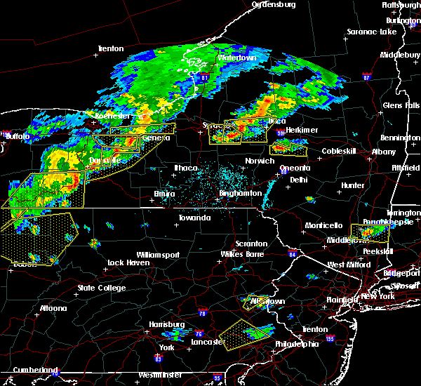 At 538 pm edt, doppler radar indicated a severe thunderstorm capable of producing damaging winds in excess of 60 mph. this storm was located over phelps, or 7 miles northwest of geneva, and moving east at 40 mph. At 538 pm edt, doppler radar indicated a severe thunderstorm capable of producing damaging winds in excess of 60 mph. this storm was located over phelps, or 7 miles northwest of geneva, and moving east at 40 mph.
|
| 6/12/2015 5:36 PM EDT |
 At 534 pm edt, severe thunderstorms were located along a line extending from 6 miles north of clyde to near clifton springs to near rushville to near springwater to near i-390 exit 5 to near arkport, moving east at 40 mph (radar indicated). Hazards include 60 mph wind gusts. Expect damage to roofs. siding and trees. severe thunderstorms will be near, dansville at 540 pm. seneca falls and penn yan at 6 pm. prattsburg at 615 pm. A tornado watch remains in effect until 1100 pm edt for central new york. At 534 pm edt, severe thunderstorms were located along a line extending from 6 miles north of clyde to near clifton springs to near rushville to near springwater to near i-390 exit 5 to near arkport, moving east at 40 mph (radar indicated). Hazards include 60 mph wind gusts. Expect damage to roofs. siding and trees. severe thunderstorms will be near, dansville at 540 pm. seneca falls and penn yan at 6 pm. prattsburg at 615 pm. A tornado watch remains in effect until 1100 pm edt for central new york.
|
| 6/10/2015 10:56 PM EDT |
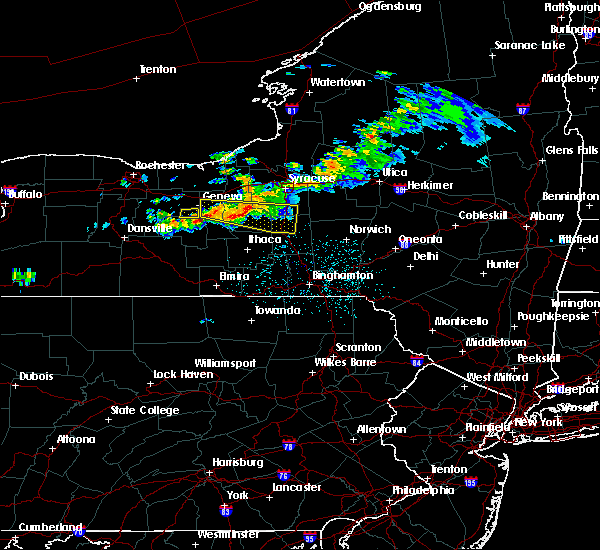 The severe thunderstorm warning for east central ontario county will expire at 1100 pm edt, the storm which prompted the warning has moved out of the area. therefore the warning will be allowed to expire. The severe thunderstorm warning for east central ontario county will expire at 1100 pm edt, the storm which prompted the warning has moved out of the area. therefore the warning will be allowed to expire.
|
| 6/10/2015 10:46 PM EDT |
 At 1032 pm edt, doppler radar indicated a severe thunderstorm capable of producing damaging winds in excess of 60 mph. this storm was located near rushville, and moving east at 50 mph. At 1032 pm edt, doppler radar indicated a severe thunderstorm capable of producing damaging winds in excess of 60 mph. this storm was located near rushville, and moving east at 50 mph.
|
| 6/10/2015 10:33 PM EDT |
 At 1032 pm edt, a severe thunderstorm was located near canoga, or near seneca falls, moving east at 35 mph (radar indicated). Hazards include 70 mph wind gusts and quarter size hail. in addition expect very heavy rainfall with flooding of low lying and urban areas possible. Hail damage to vehicles is expected. expect considerable tree damage. wind damage is also likely to mobile homes, roofs and outbuildings. this severe storm will be near, cayuga and canoga around 1035 pm edt. union springs and aurora around 1040 pm edt. Fleming, ledyard and levanna around 1045 pm edt. At 1032 pm edt, a severe thunderstorm was located near canoga, or near seneca falls, moving east at 35 mph (radar indicated). Hazards include 70 mph wind gusts and quarter size hail. in addition expect very heavy rainfall with flooding of low lying and urban areas possible. Hail damage to vehicles is expected. expect considerable tree damage. wind damage is also likely to mobile homes, roofs and outbuildings. this severe storm will be near, cayuga and canoga around 1035 pm edt. union springs and aurora around 1040 pm edt. Fleming, ledyard and levanna around 1045 pm edt.
|
| 6/10/2015 10:33 PM EDT |
 At 1032 pm edt, doppler radar indicated a severe thunderstorm capable of producing damaging winds in excess of 60 mph. this storm was located near rushville, and moving east at 50 mph. At 1032 pm edt, doppler radar indicated a severe thunderstorm capable of producing damaging winds in excess of 60 mph. this storm was located near rushville, and moving east at 50 mph.
|
| 6/10/2015 9:57 PM EDT |
 A severe thunderstorm warning remains in effect until 1015 pm edt for northern ontario. southwestern wayne and southeastern monroe counties. at 957 pm edt. doppler radar indicated a severe thunderstorm capable of producing quarter size hail and damaging winds in excess of 60 mph. this storm was located near newark. Or 10 miles northeast of. A severe thunderstorm warning remains in effect until 1015 pm edt for northern ontario. southwestern wayne and southeastern monroe counties. at 957 pm edt. doppler radar indicated a severe thunderstorm capable of producing quarter size hail and damaging winds in excess of 60 mph. this storm was located near newark. Or 10 miles northeast of.
|
| 6/10/2015 9:54 PM EDT |
 At 953 pm edt, a severe thunderstorm was located over clifton springs, or over new york thruway exit 43, moving east at 50 mph (radar indicated). Hazards include 70 mph wind gusts and quarter size hail. Hail damage to vehicles is expected. expect considerable tree damage. wind damage is also likely to mobile homes, roofs and outbuildings. this severe thunderstorm will be near, waterloo around 1015 pm edt. seneca falls, cayuga and lehigh vallley junction around 1020 pm edt. union springs, aurora and canoga around 1025 pm edt. auburn and throopsville around 1030 pm edt. fleming, scipio center and melrose park around 1035 pm edt. Casowasco and cascade around 1040 pm edt. At 953 pm edt, a severe thunderstorm was located over clifton springs, or over new york thruway exit 43, moving east at 50 mph (radar indicated). Hazards include 70 mph wind gusts and quarter size hail. Hail damage to vehicles is expected. expect considerable tree damage. wind damage is also likely to mobile homes, roofs and outbuildings. this severe thunderstorm will be near, waterloo around 1015 pm edt. seneca falls, cayuga and lehigh vallley junction around 1020 pm edt. union springs, aurora and canoga around 1025 pm edt. auburn and throopsville around 1030 pm edt. fleming, scipio center and melrose park around 1035 pm edt. Casowasco and cascade around 1040 pm edt.
|
| 6/10/2015 9:40 PM EDT |
 At 940 pm edt, doppler radar indicated a severe thunderstorm capable of producing quarter size hail and damaging winds in excess of 60 mph. this storm was located near victor, or near fairport, and moving east at 55 mph. At 940 pm edt, doppler radar indicated a severe thunderstorm capable of producing quarter size hail and damaging winds in excess of 60 mph. this storm was located near victor, or near fairport, and moving east at 55 mph.
|
| 6/8/2015 12:31 PM EDT |
 At 1230 pm edt, a severe thunderstorm was located near montezuma, or 9 miles north of seneca falls, moving northeast at 55 mph (radar indicated). Hazards include 60 mph wind gusts. Expect damage to roofs. siding and trees. this severe thunderstorm will be near, jordan around 1240 pm edt. Baldwinsville, lysander and plainville around 1245 pm edt. At 1230 pm edt, a severe thunderstorm was located near montezuma, or 9 miles north of seneca falls, moving northeast at 55 mph (radar indicated). Hazards include 60 mph wind gusts. Expect damage to roofs. siding and trees. this severe thunderstorm will be near, jordan around 1240 pm edt. Baldwinsville, lysander and plainville around 1245 pm edt.
|
| 6/8/2015 12:22 PM EDT |
 At 1221 pm edt, doppler radar indicated a severe thunderstorm capable of producing damaging winds in excess of 60 mph. this storm was located near geneva, moving east at 55 mph. locations impacted include, geneva, canandaigua, newark, lyons, clifton springs, clyde, phelps and rushville. At 1221 pm edt, doppler radar indicated a severe thunderstorm capable of producing damaging winds in excess of 60 mph. this storm was located near geneva, moving east at 55 mph. locations impacted include, geneva, canandaigua, newark, lyons, clifton springs, clyde, phelps and rushville.
|
| 6/8/2015 11:39 AM EDT |
 At 1138 am edt, doppler radar indicated a severe thunderstorm capable of producing damaging winds in excess of 60 mph. this storm was located over mount morris, or near geneseo, and moving east at 55 mph. At 1138 am edt, doppler radar indicated a severe thunderstorm capable of producing damaging winds in excess of 60 mph. this storm was located over mount morris, or near geneseo, and moving east at 55 mph.
|
| 5/18/2015 9:12 PM EDT | At 912 pm edt, a severe thunderstorm was located near geneva, moving northeast at 20 mph (radar indicated). Hazards include 60 mph wind gusts and quarter size hail. Hail damage to vehicles is expected. expect wind damage to roofs, siding and trees. this severe thunderstorm will be near, kendaia around 920 pm edt. romulus around 925 pm edt. waterloo around 940 pm edt. seneca falls, union springs and cayuga around 945 pm edt. 1. 00in. |
| 5/10/2015 5:02 PM EDT | At 501 pm edt, doppler radar indicated a severe thunderstorm capable of producing damaging winds in excess of 60 mph. this storm was located near rushville, or 7 miles southeast of canandaigua, moving east at 25 mph. locations impacted include, geneva, clifton springs, phelps, gorham, hall, seneca lake state park, west junius and seneca castle. |
| 5/10/2015 4:45 PM EDT | At 445 pm edt, doppler radar indicated a severe thunderstorm capable of producing damaging winds in excess of 60 mph. this storm was located near canandaigua, and moving east at 25 mph. |
| 5/21/2013 5:47 PM EDT | Quarter sized hail reported 6.4 miles N of Geneva, NY, hail dented work truck |
| 5/21/2013 5:45 PM EDT | Golf Ball sized hail reported 6.3 miles N of Geneva, NY, report of a large tree and power pole down. |
| 5/21/2013 1:00 PM EDT | Golf Ball sized hail reported 0.4 miles WNW of Geneva, NY |
| 5/29/2012 1:30 PM EDT | Damage reported to a trailer park in fayett in seneca county NY, 4.9 miles NW of Geneva, NY |
| 5/29/2012 1:27 PM EDT | Barn collapse. multiple telephone poles snapped laying over rt. 96a. several cows killed. roof damage to other barns on propert in seneca county NY, 4.5 miles WNW of Geneva, NY |
| 1/1/0001 12:00 AM | Lines dow in ontario county NY, 0.4 miles WNW of Geneva, NY |
Hail Maps for Geneva, NY

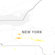
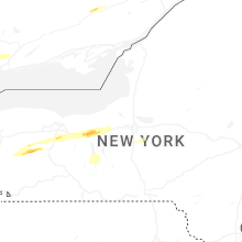


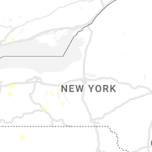

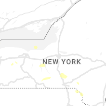


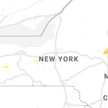


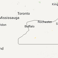


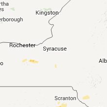

Connect with Interactive Hail Maps