

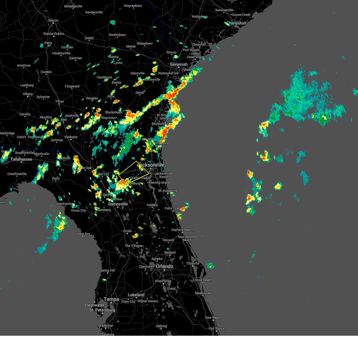
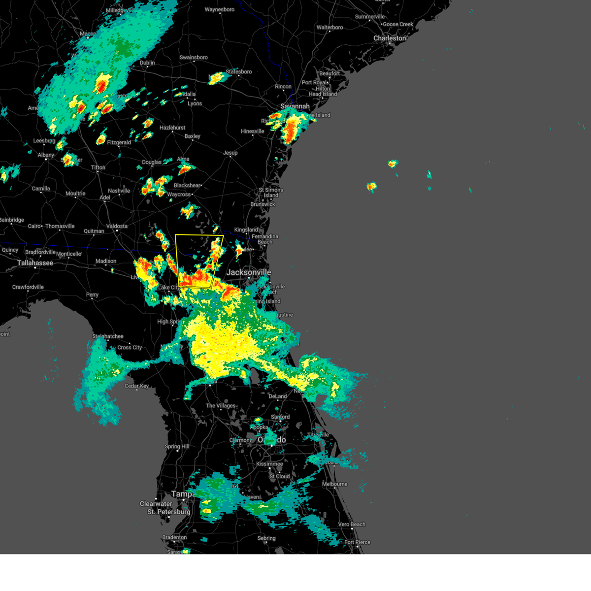
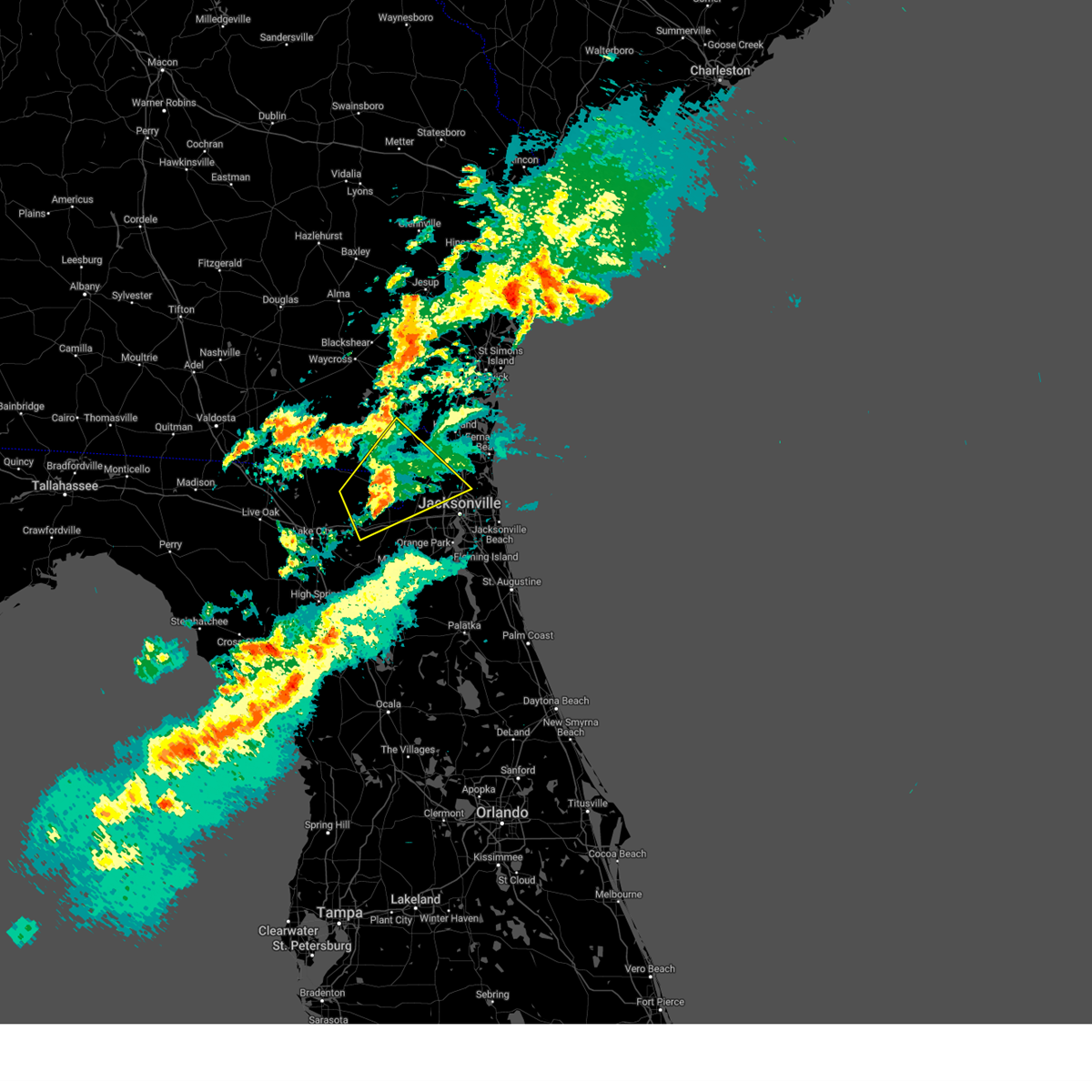
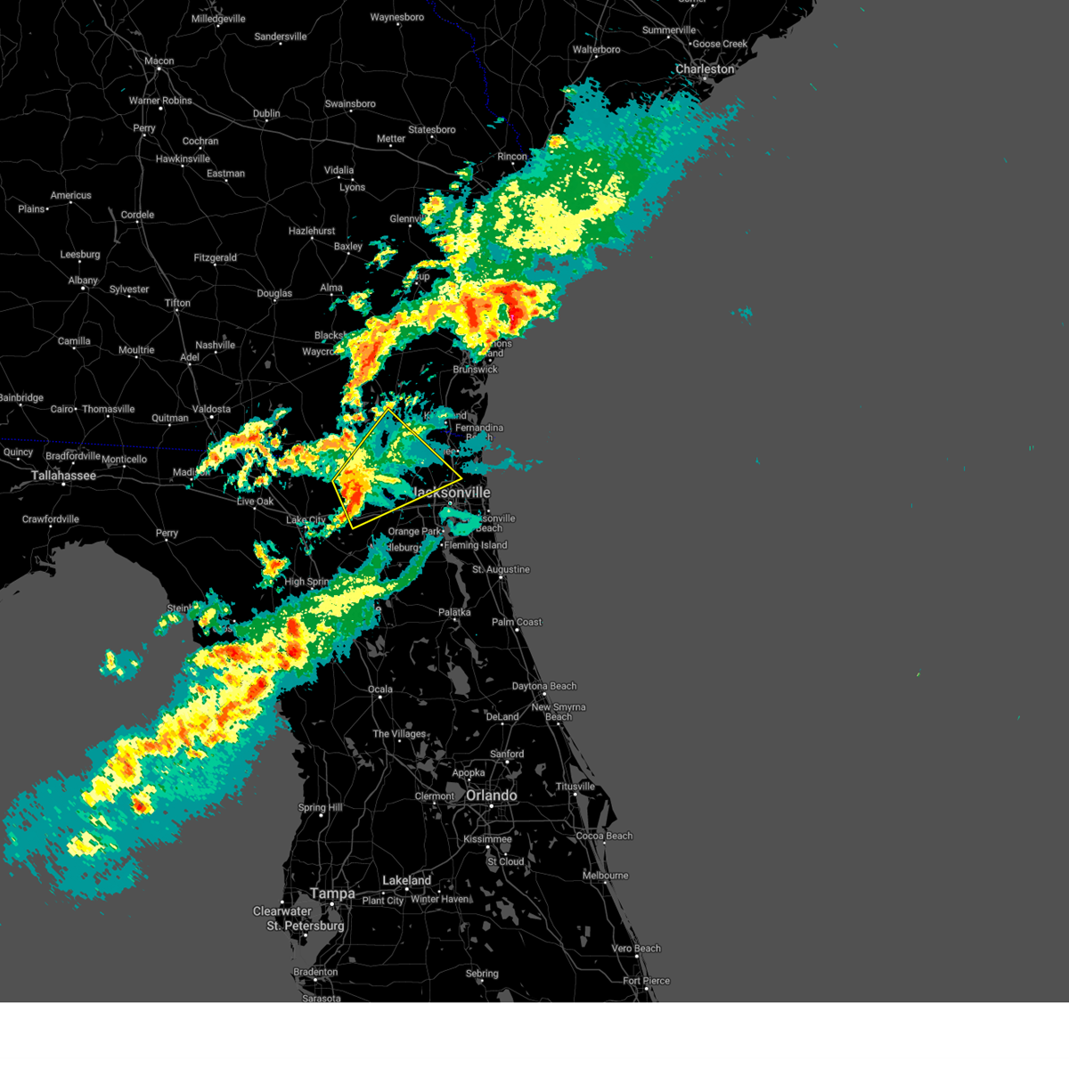
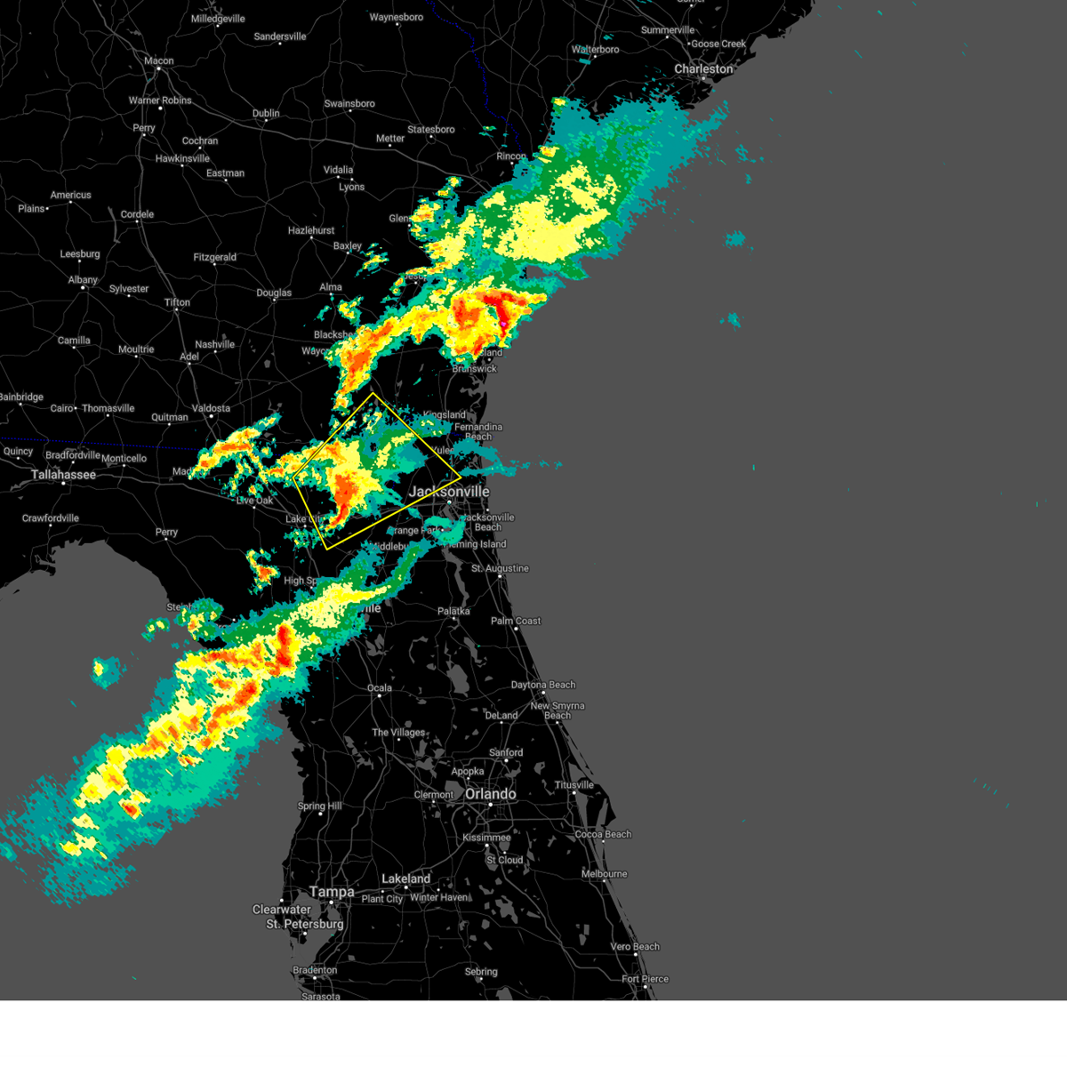
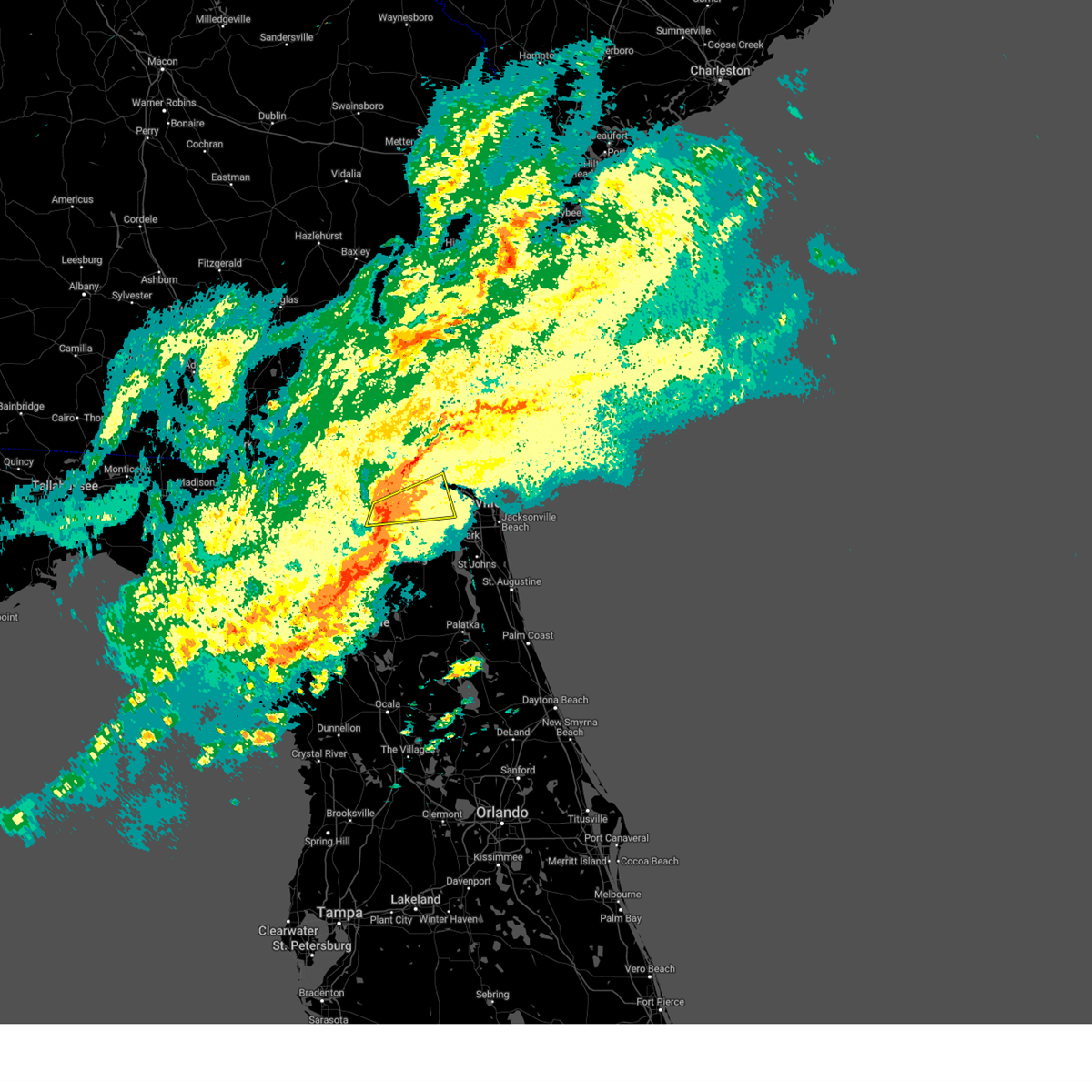
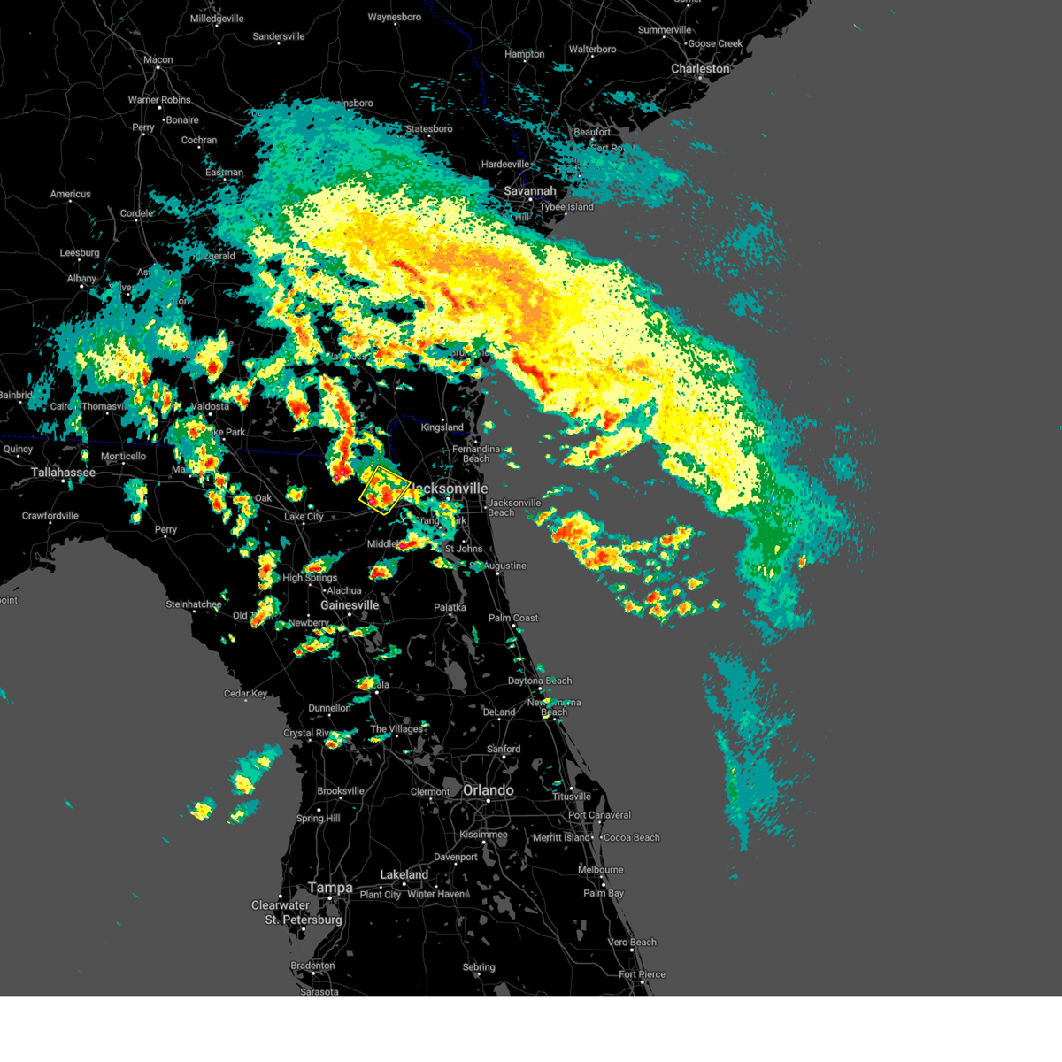
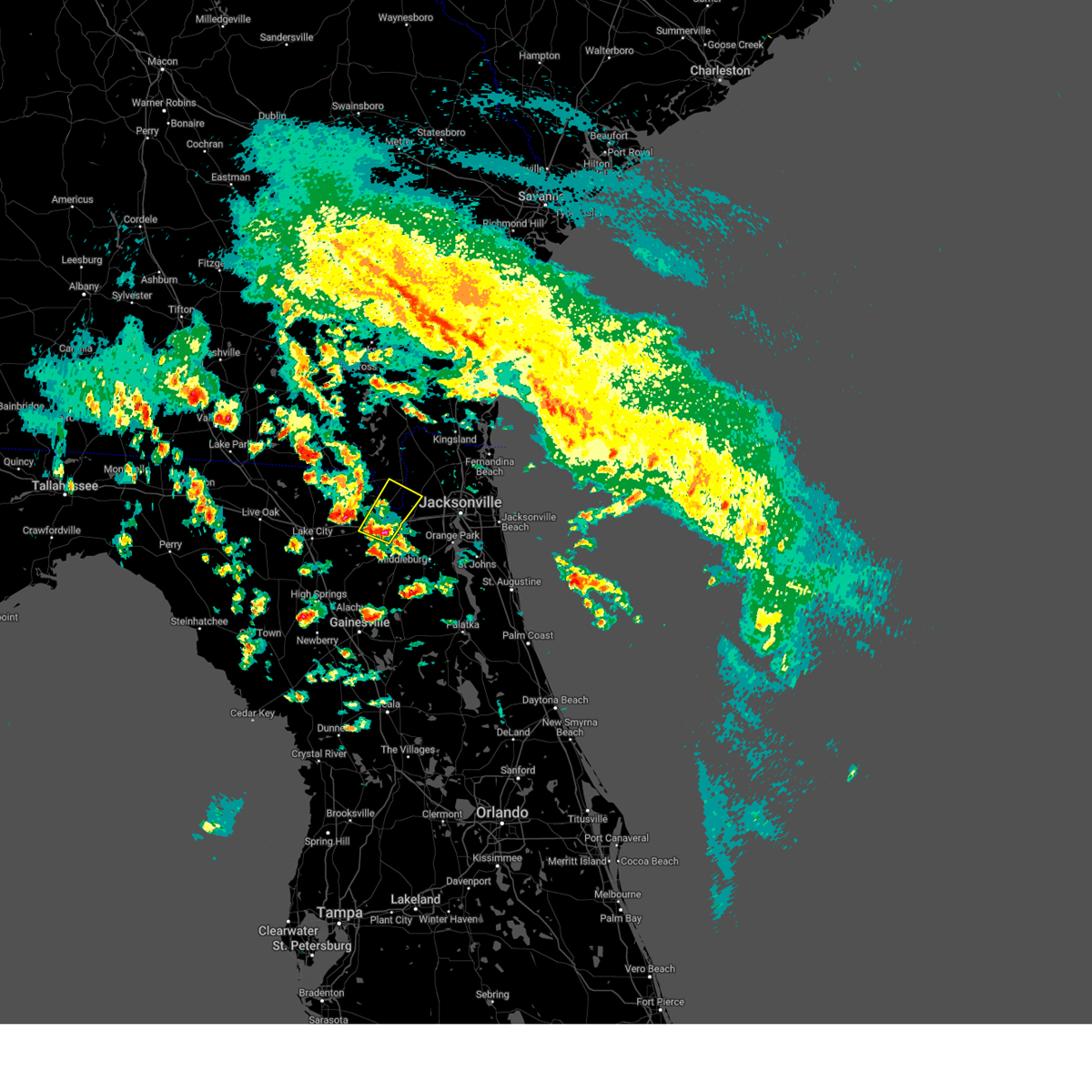
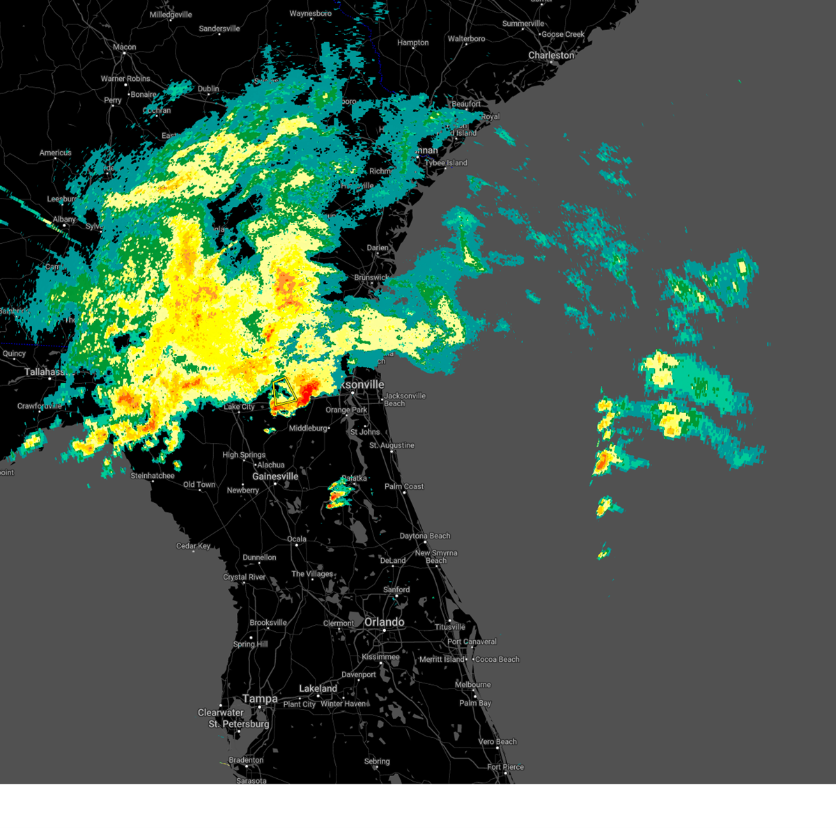
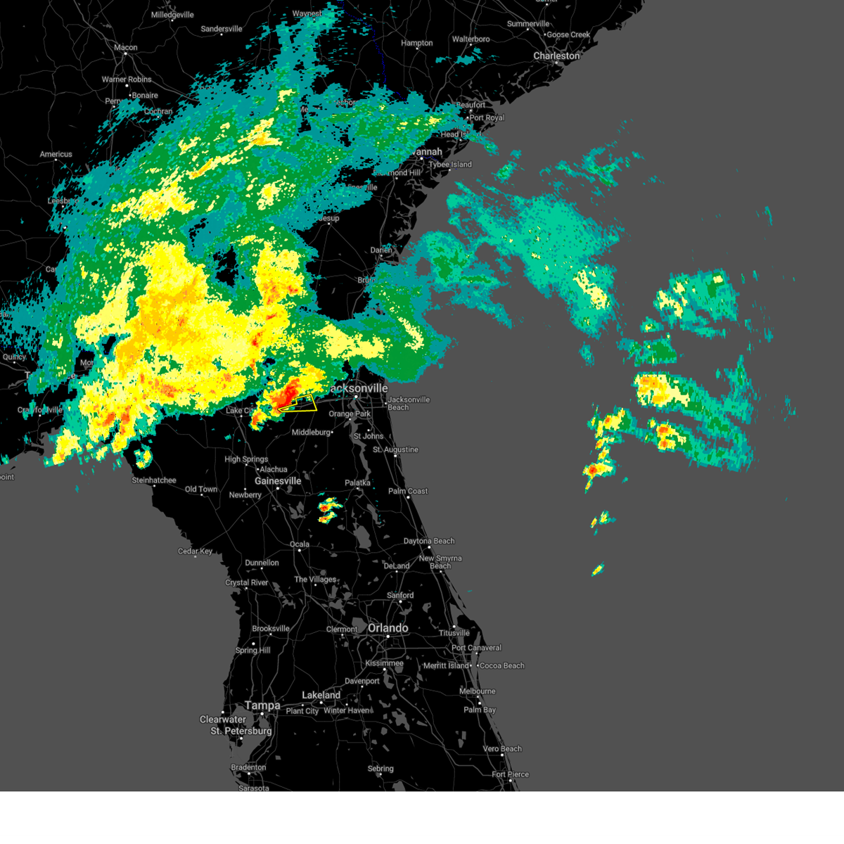
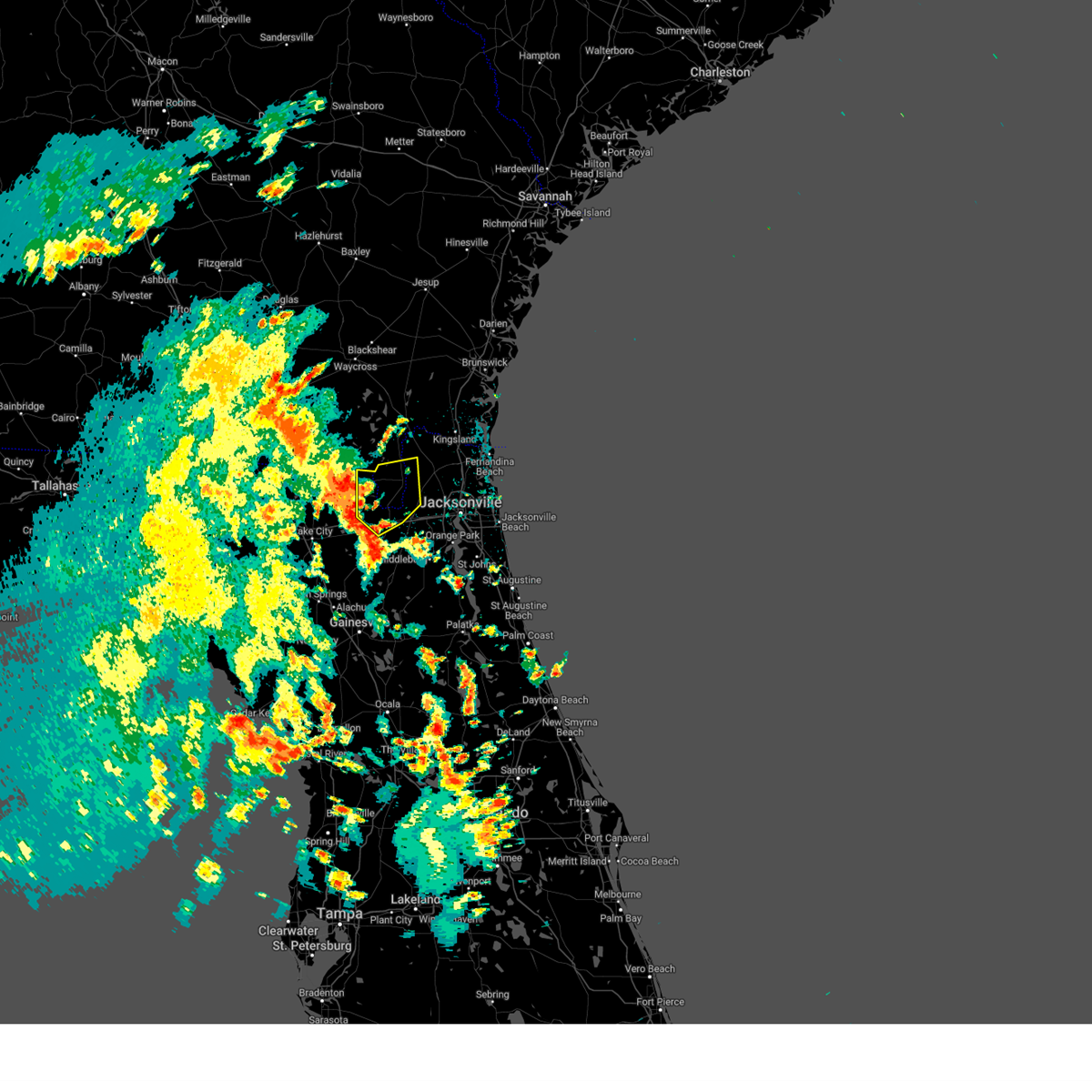
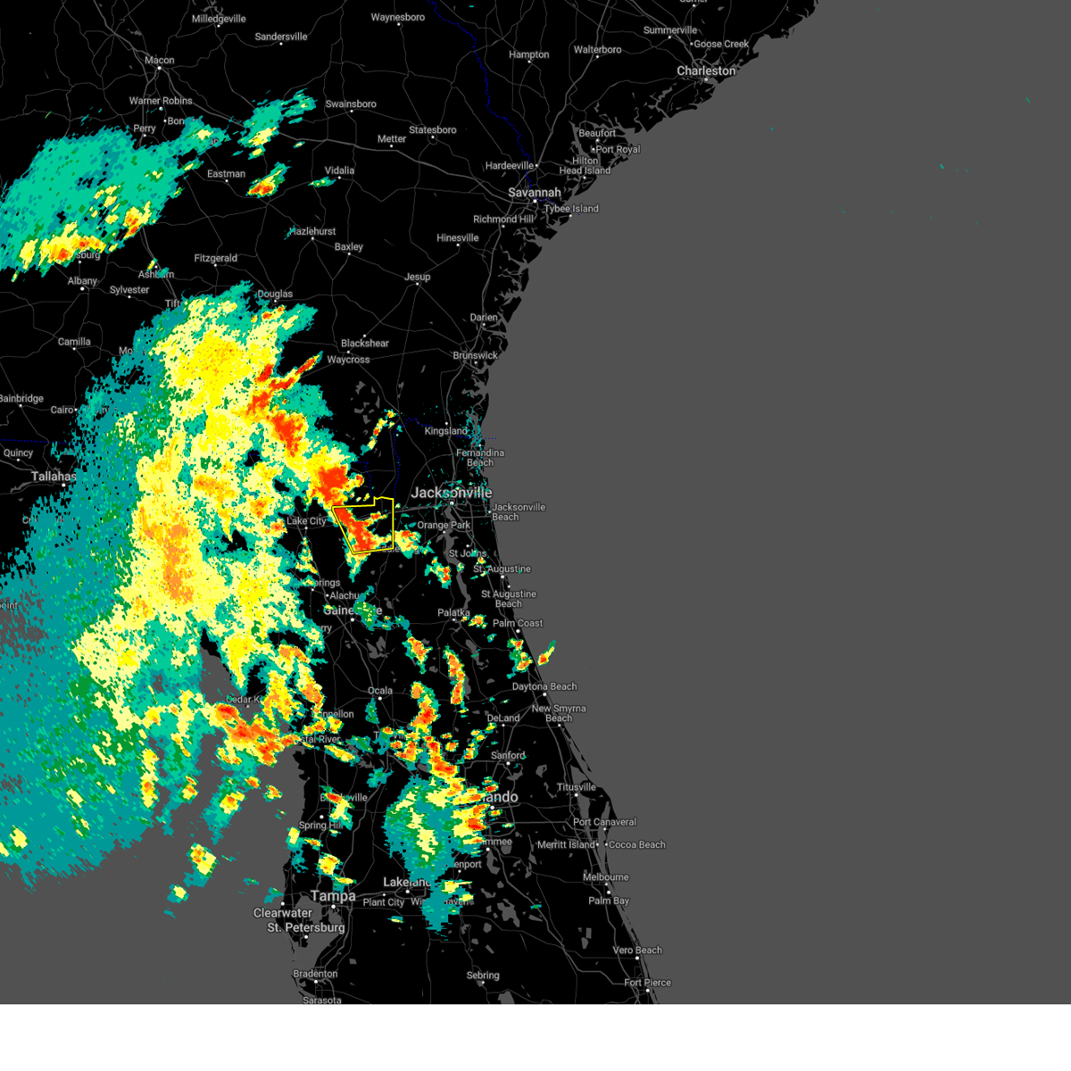
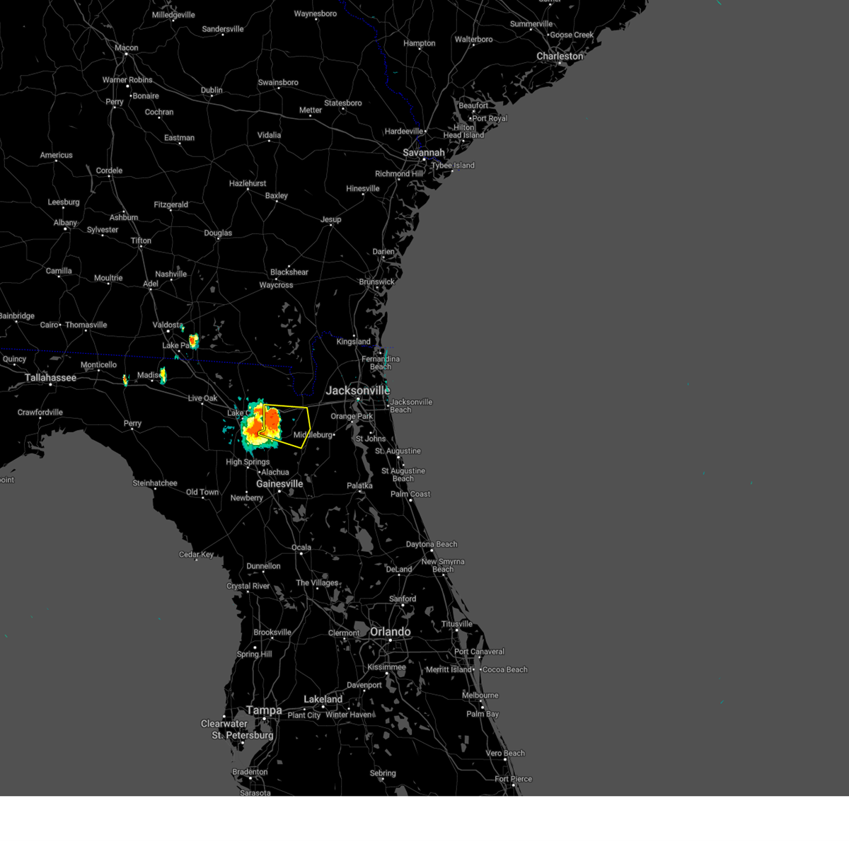
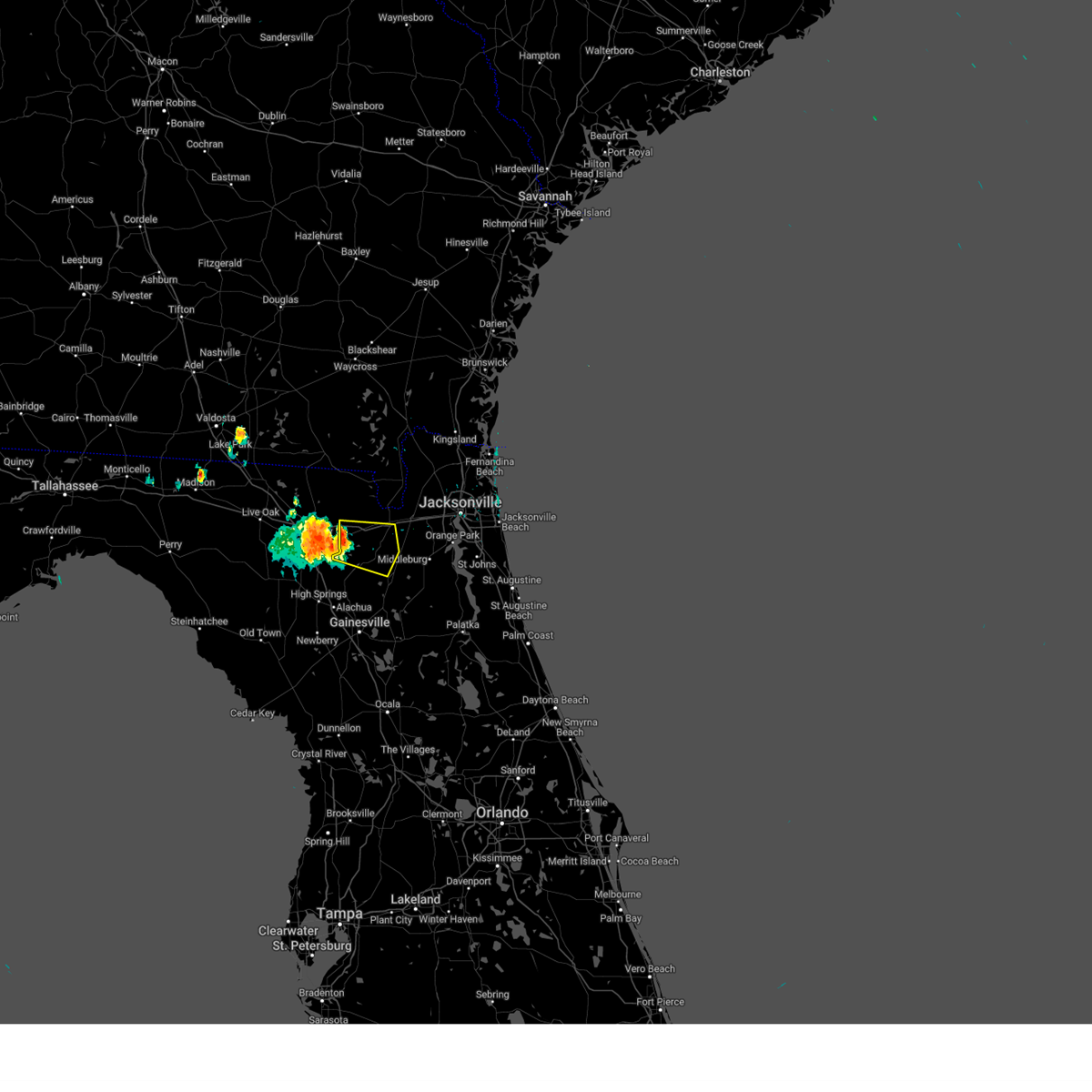
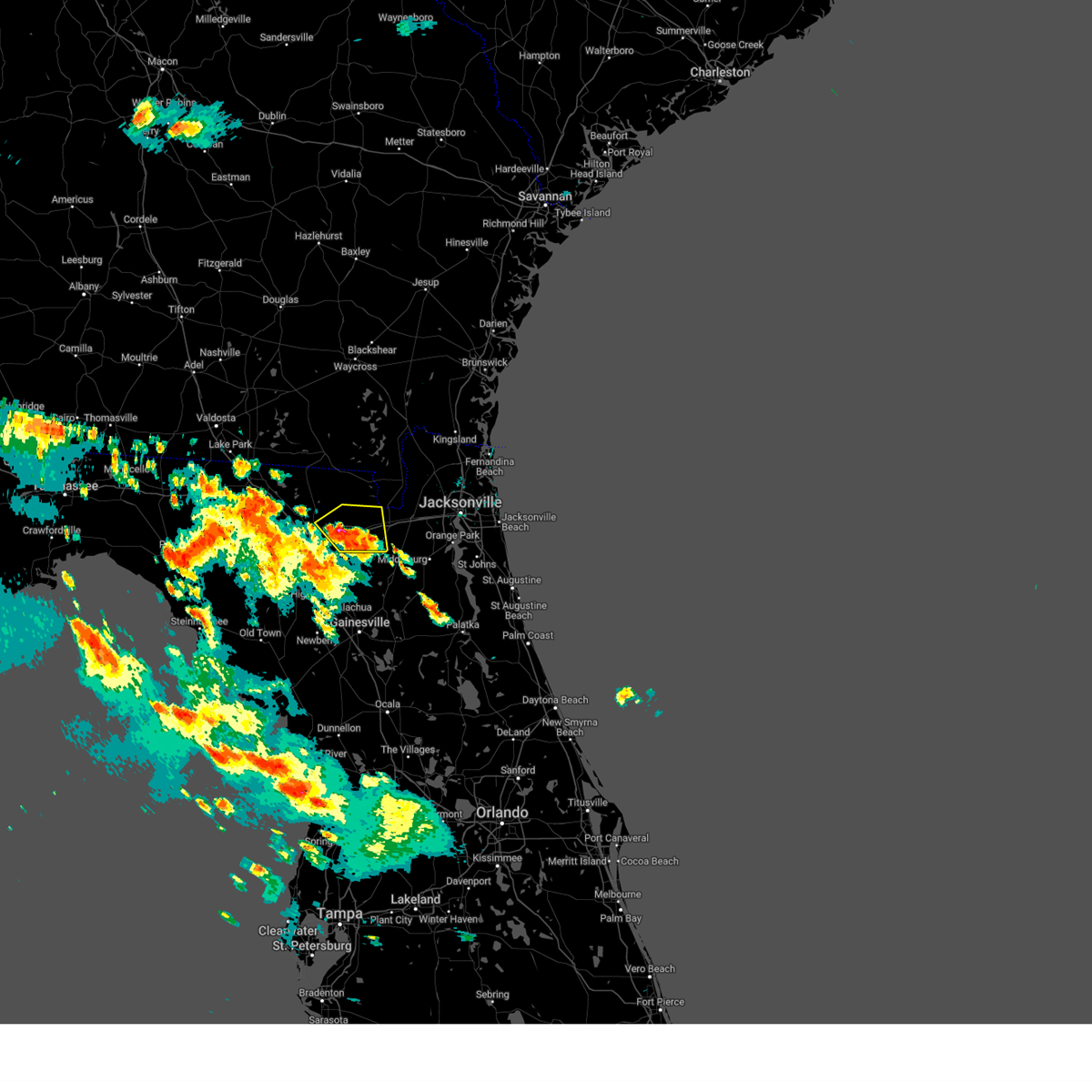
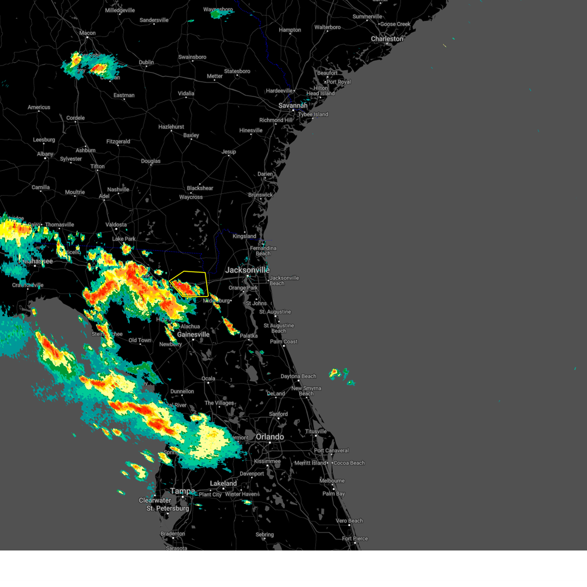
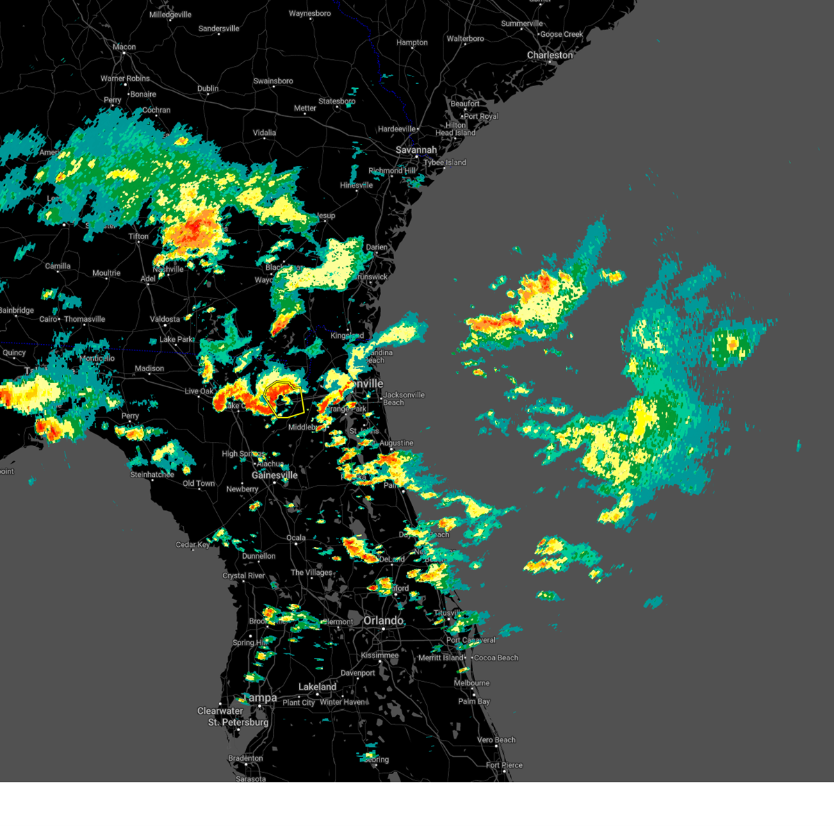
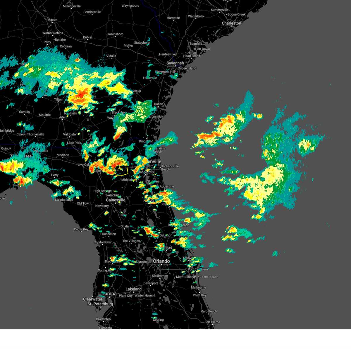
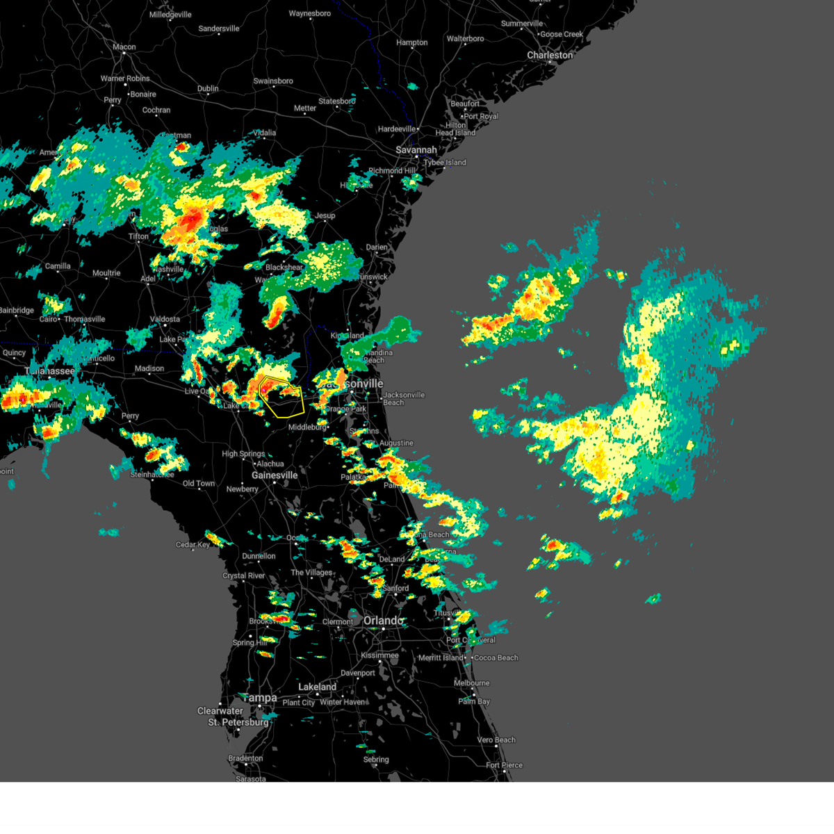
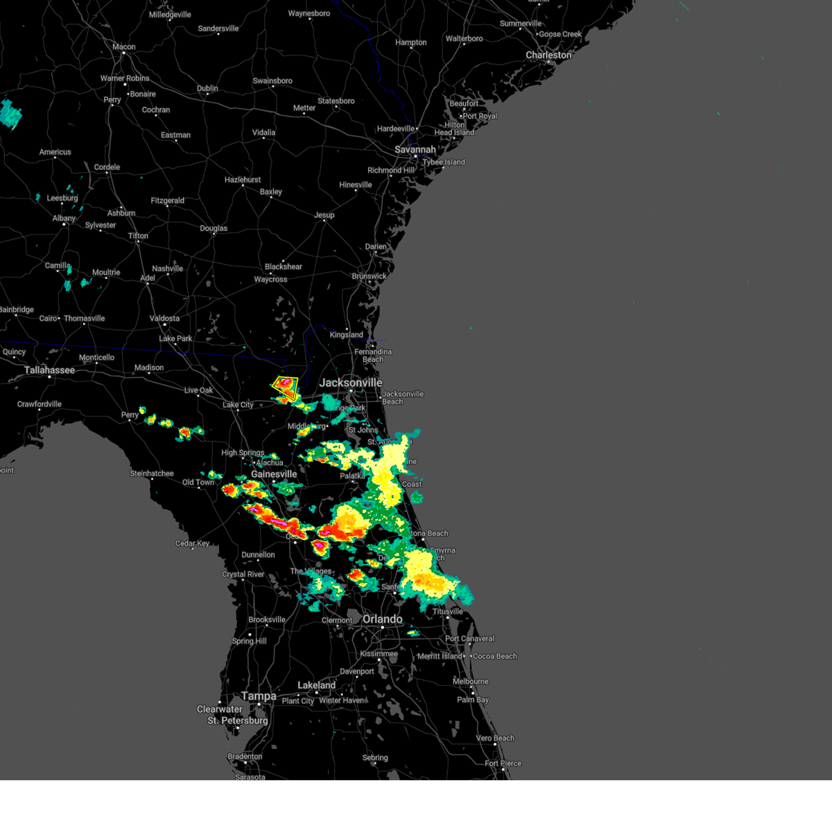
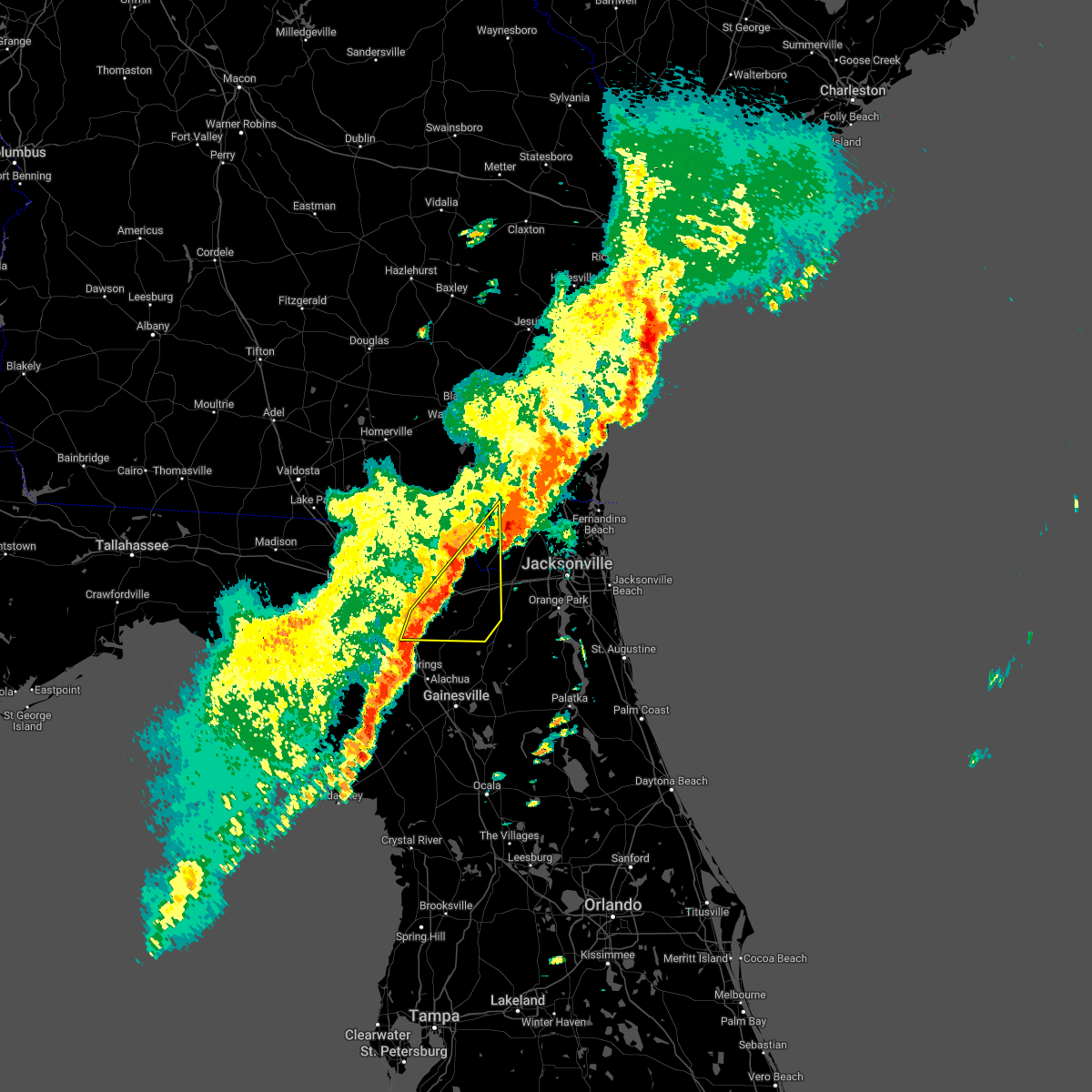
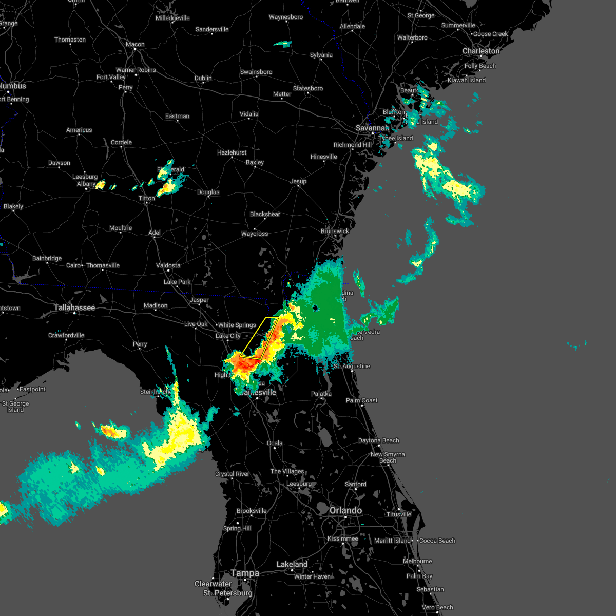
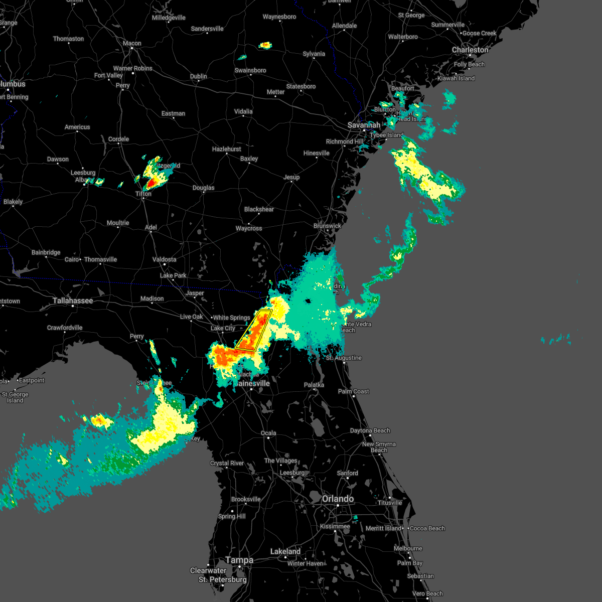
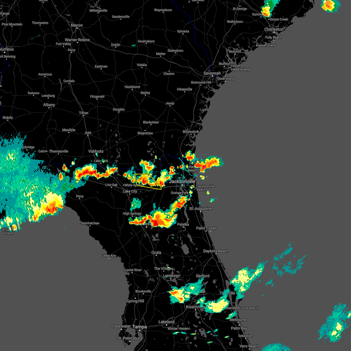
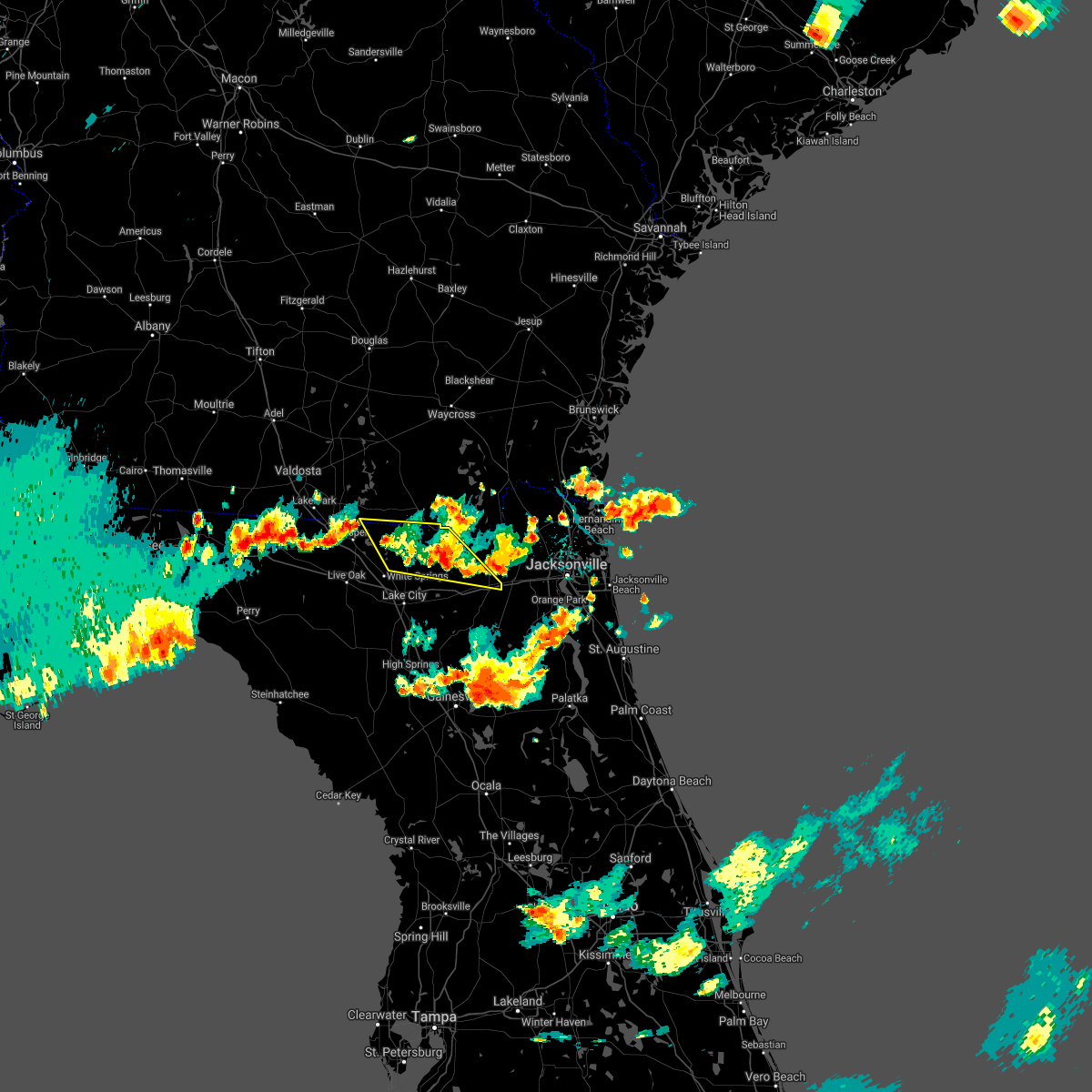
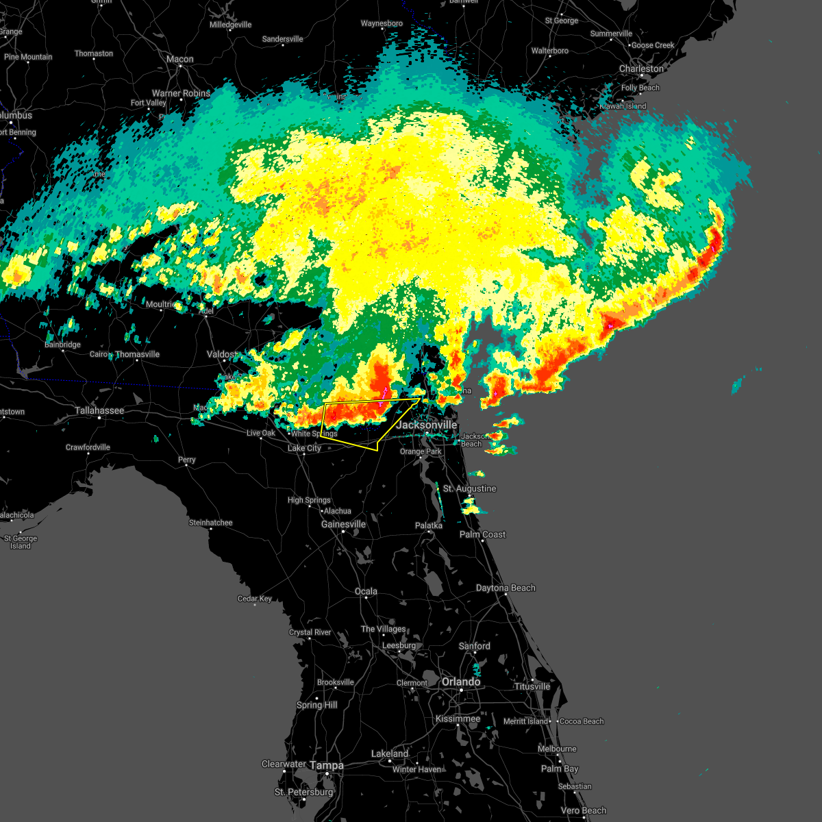
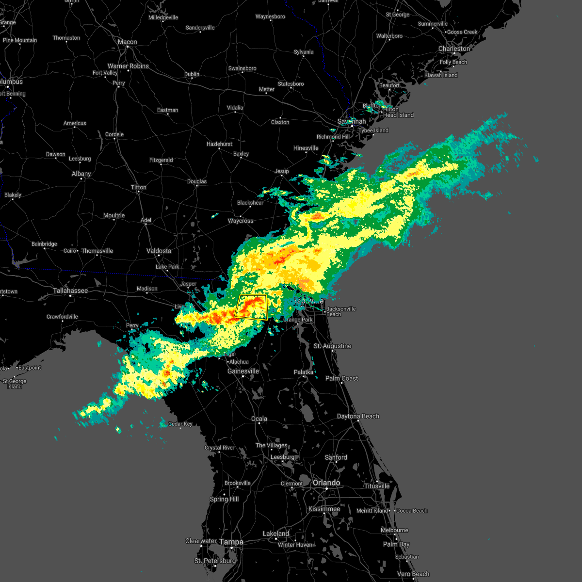
Hail Map for Glen St. Mary, FL
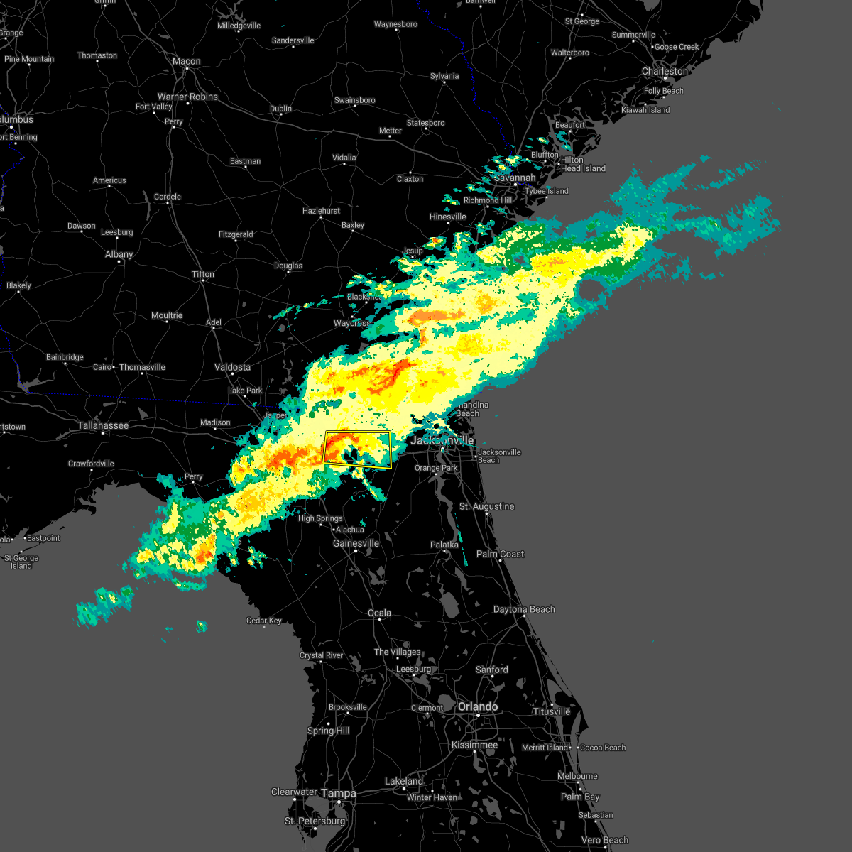
The Glen St. Mary, FL area has had 0 reports of on-the-ground hail by trained spotters, and has been under severe weather warnings 12 times during the past 12 months. Doppler radar has detected hail at or near Glen St. Mary, FL on 39 occasions, including 1 occasion during the past year.
| Name: | Glen St. Mary, FL |
| Where Located: | 30.5 miles W of Jacksonville, FL |
| Map: | Google Map for Glen St. Mary, FL |
| Population: | 437 |
| Housing Units: | 188 |
| More Info: | Search Google for Glen St. Mary, FL |
0
The Top Recent Hail Date for Glen St. Mary, FL is Wednesday, June 11, 2025 (22nd out of 39)

Hail and Wind Damage Spotted near Glen St. Mary, FL
| Date / Time | Report Details |
|---|---|
| 6/17/2025 8:24 PM EDT | The storm which prompted the warning has weakened below severe limits, and no longer poses an immediate threat to life or property. therefore, the warning will be allowed to expire. however, gusty winds and heavy rain are still possible with this thunderstorm. |
| 6/17/2025 7:54 PM EDT | Svrjax the national weather service in jacksonville has issued a * severe thunderstorm warning for, southwestern nassau county in northeastern florida, central baker county in northeastern florida, west central duval county in northeastern florida, southeastern ware county in southeastern georgia, south central charlton county in southeastern georgia, * until 830 pm edt. * at 753 pm edt, a severe thunderstorm was located near taylor, or 23 miles southwest of callahan, moving north at 15 mph (radar indicated). Hazards include 60 mph wind gusts and penny size hail. expect damage to roofs, siding, and trees |
| 6/5/2025 2:43 PM EDT |
 Svrjax the national weather service in jacksonville has issued a * severe thunderstorm warning for, southwestern nassau county in northeastern florida, northeastern bradford county in northern florida, southeastern baker county in northeastern florida, northeastern union county in northern florida, northwestern clay county in northeastern florida, southwestern duval county in northeastern florida, south central charlton county in southeastern georgia, * until 315 pm edt. * at 242 pm edt, a severe thunderstorm was located 7 miles west of maxville, or 9 miles northeast of raiford, moving northeast at 40 mph (radar indicated). Hazards include 60 mph wind gusts. expect damage to roofs, siding, and trees Svrjax the national weather service in jacksonville has issued a * severe thunderstorm warning for, southwestern nassau county in northeastern florida, northeastern bradford county in northern florida, southeastern baker county in northeastern florida, northeastern union county in northern florida, northwestern clay county in northeastern florida, southwestern duval county in northeastern florida, south central charlton county in southeastern georgia, * until 315 pm edt. * at 242 pm edt, a severe thunderstorm was located 7 miles west of maxville, or 9 miles northeast of raiford, moving northeast at 40 mph (radar indicated). Hazards include 60 mph wind gusts. expect damage to roofs, siding, and trees
|
| 5/10/2025 7:09 PM EDT |
 Svrjax the national weather service in jacksonville has issued a * severe thunderstorm warning for, northwestern nassau county in northeastern florida, baker county in northeastern florida, northeastern columbia county in northern florida, southeastern ware county in southeastern georgia, southeastern clinch county in southeastern georgia, southeastern charlton county in southeastern georgia, * until 745 pm edt. * at 709 pm edt, a severe thunderstorm was located over taylor, or 24 miles north of raiford, moving north at 40 mph (radar indicated). Hazards include 60 mph wind gusts. expect damage to roofs, siding, and trees Svrjax the national weather service in jacksonville has issued a * severe thunderstorm warning for, northwestern nassau county in northeastern florida, baker county in northeastern florida, northeastern columbia county in northern florida, southeastern ware county in southeastern georgia, southeastern clinch county in southeastern georgia, southeastern charlton county in southeastern georgia, * until 745 pm edt. * at 709 pm edt, a severe thunderstorm was located over taylor, or 24 miles north of raiford, moving north at 40 mph (radar indicated). Hazards include 60 mph wind gusts. expect damage to roofs, siding, and trees
|
| 3/16/2025 12:17 PM EDT |
 the severe thunderstorm warning has been cancelled and is no longer in effect the severe thunderstorm warning has been cancelled and is no longer in effect
|
| 3/16/2025 12:04 PM EDT |
 the severe thunderstorm warning has been cancelled and is no longer in effect the severe thunderstorm warning has been cancelled and is no longer in effect
|
| 3/16/2025 12:04 PM EDT |
 At 1204 pm edt, a severe thunderstorm was located near st. george, or 9 miles southwest of hilliard, moving northeast at 50 mph (radar indicated). Hazards include 60 mph wind gusts and penny size hail. Expect damage to roofs, siding, and trees. locations impacted include, callahan, taylor, st. George, jacksonville international arpt, macclenny, bryceville, nassau village-ratliff, ratliff, oceanway, and sanderson. At 1204 pm edt, a severe thunderstorm was located near st. george, or 9 miles southwest of hilliard, moving northeast at 50 mph (radar indicated). Hazards include 60 mph wind gusts and penny size hail. Expect damage to roofs, siding, and trees. locations impacted include, callahan, taylor, st. George, jacksonville international arpt, macclenny, bryceville, nassau village-ratliff, ratliff, oceanway, and sanderson.
|
| 3/16/2025 11:46 AM EDT |
 Svrjax the national weather service in jacksonville has issued a * severe thunderstorm warning for, western nassau county in northeastern florida, baker county in northeastern florida, northwestern union county in northern florida, northeastern columbia county in northern florida, northwestern duval county in northeastern florida, east central hamilton county in northern florida, southeastern ware county in southeastern georgia, southeastern clinch county in southeastern georgia, central charlton county in southeastern georgia, * until 1230 pm edt. * at 1146 am edt, a severe thunderstorm was located near taylor, or 22 miles southeast of fargo, moving northeast at 50 mph (radar indicated). Hazards include 60 mph wind gusts and penny size hail. expect damage to roofs, siding, and trees Svrjax the national weather service in jacksonville has issued a * severe thunderstorm warning for, western nassau county in northeastern florida, baker county in northeastern florida, northwestern union county in northern florida, northeastern columbia county in northern florida, northwestern duval county in northeastern florida, east central hamilton county in northern florida, southeastern ware county in southeastern georgia, southeastern clinch county in southeastern georgia, central charlton county in southeastern georgia, * until 1230 pm edt. * at 1146 am edt, a severe thunderstorm was located near taylor, or 22 miles southeast of fargo, moving northeast at 50 mph (radar indicated). Hazards include 60 mph wind gusts and penny size hail. expect damage to roofs, siding, and trees
|
| 3/16/2025 11:13 AM EDT | Svrjax the national weather service in jacksonville has issued a * severe thunderstorm warning for, southwestern nassau county in northeastern florida, baker county in northeastern florida, northwestern union county in northern florida, columbia county in northern florida, northeastern suwannee county in northern florida, west central duval county in northeastern florida, southeastern hamilton county in northern florida, south central ware county in southeastern georgia, southeastern clinch county in southeastern georgia, south central charlton county in southeastern georgia, * until 1145 am edt. * at 1113 am edt, a severe thunderstorm was located over five points, or over lake city, moving northeast at 60 mph (radar indicated). Hazards include 60 mph wind gusts and penny size hail. expect damage to roofs, siding, and trees |
| 3/9/2025 10:13 AM EDT |
 The storms which prompted the warning have weakened below severe limits, and no longer pose an immediate threat to life or property. therefore, the warning will be allowed to expire. however, small hail and strong gusty winds are still possible with these thunderstorms. The storms which prompted the warning have weakened below severe limits, and no longer pose an immediate threat to life or property. therefore, the warning will be allowed to expire. however, small hail and strong gusty winds are still possible with these thunderstorms.
|
| 3/9/2025 10:01 AM EDT |
 At 1000 am edt, severe thunderstorms were located along a line extending from 6 miles northeast of st. george to near olustee, moving east at 60 mph (radar indicated). Hazards include 60 mph wind gusts and nickel size hail. Expect damage to roofs, siding, and trees. locations impacted include, palestine community, groves, callahan, worthington spring, st. George, johnstown, raiford, new river, macclenny, and lake butler. At 1000 am edt, severe thunderstorms were located along a line extending from 6 miles northeast of st. george to near olustee, moving east at 60 mph (radar indicated). Hazards include 60 mph wind gusts and nickel size hail. Expect damage to roofs, siding, and trees. locations impacted include, palestine community, groves, callahan, worthington spring, st. George, johnstown, raiford, new river, macclenny, and lake butler.
|
| 3/9/2025 9:44 AM EDT |
 Svrjax the national weather service in jacksonville has issued a * severe thunderstorm warning for, southwestern nassau county in northeastern florida, northwestern bradford county in northern florida, baker county in northeastern florida, union county in northern florida, central columbia county in northern florida, northwestern duval county in northeastern florida, southeastern charlton county in southeastern georgia, * until 1015 am edt. * at 944 am edt, severe thunderstorms were located along a line extending from 8 miles northeast of taylor to near lake city, moving east at 60 mph (radar indicated). Hazards include 60 mph wind gusts and quarter size hail. Hail damage to vehicles is expected. Expect wind damage to roofs, siding, and trees. Svrjax the national weather service in jacksonville has issued a * severe thunderstorm warning for, southwestern nassau county in northeastern florida, northwestern bradford county in northern florida, baker county in northeastern florida, union county in northern florida, central columbia county in northern florida, northwestern duval county in northeastern florida, southeastern charlton county in southeastern georgia, * until 1015 am edt. * at 944 am edt, severe thunderstorms were located along a line extending from 8 miles northeast of taylor to near lake city, moving east at 60 mph (radar indicated). Hazards include 60 mph wind gusts and quarter size hail. Hail damage to vehicles is expected. Expect wind damage to roofs, siding, and trees.
|
| 5/10/2024 8:44 AM EDT |
 Svrjax the national weather service in jacksonville has issued a * severe thunderstorm warning for, nassau county in northeastern florida, bradford county in northern florida, alachua county in northern florida, north central marion county in northern florida, baker county in northeastern florida, northwestern putnam county in northeastern florida, union county in northern florida, western clay county in northeastern florida, western duval county in northeastern florida, southwestern camden county in southeastern georgia, southeastern ware county in southeastern georgia, charlton county in southeastern georgia, * until 915 am edt. * at 843 am edt, severe thunderstorms were located along a line extending from 9 miles south of argyle to near lulu to 7 miles southeast of cross city, moving east at 70 mph. these are destructive storms for lake butler, starke, gainesville, macclenny, baldwin, and hilliard. (radar indicated). Hazards include 80 mph wind gusts and quarter size hail. Flying debris will be dangerous to those caught without shelter. mobile homes will be heavily damaged. expect considerable damage to roofs, windows, and vehicles. Extensive tree damage and power outages are likely. Svrjax the national weather service in jacksonville has issued a * severe thunderstorm warning for, nassau county in northeastern florida, bradford county in northern florida, alachua county in northern florida, north central marion county in northern florida, baker county in northeastern florida, northwestern putnam county in northeastern florida, union county in northern florida, western clay county in northeastern florida, western duval county in northeastern florida, southwestern camden county in southeastern georgia, southeastern ware county in southeastern georgia, charlton county in southeastern georgia, * until 915 am edt. * at 843 am edt, severe thunderstorms were located along a line extending from 9 miles south of argyle to near lulu to 7 miles southeast of cross city, moving east at 70 mph. these are destructive storms for lake butler, starke, gainesville, macclenny, baldwin, and hilliard. (radar indicated). Hazards include 80 mph wind gusts and quarter size hail. Flying debris will be dangerous to those caught without shelter. mobile homes will be heavily damaged. expect considerable damage to roofs, windows, and vehicles. Extensive tree damage and power outages are likely.
|
| 5/10/2024 8:18 AM EDT |
 Svrjax the national weather service in jacksonville has issued a * severe thunderstorm warning for, gilchrist county in northern florida, western alachua county in northern florida, baker county in northeastern florida, union county in northern florida, southeastern suwannee county in northern florida, columbia county in northern florida, eastern hamilton county in northern florida, southeastern echols county in southeastern georgia, southern ware county in southeastern georgia, southeastern clinch county in southeastern georgia, central charlton county in southeastern georgia, * until 900 am edt. * at 818 am edt, severe thunderstorms were located along a line extending from 6 miles south of homerville to near white springs to near cross city, moving east at 60 mph (radar indicated). Hazards include 70 mph wind gusts and quarter size hail. Hail damage to vehicles is expected. expect considerable tree damage. Wind damage is also likely to mobile homes, roofs, and outbuildings. Svrjax the national weather service in jacksonville has issued a * severe thunderstorm warning for, gilchrist county in northern florida, western alachua county in northern florida, baker county in northeastern florida, union county in northern florida, southeastern suwannee county in northern florida, columbia county in northern florida, eastern hamilton county in northern florida, southeastern echols county in southeastern georgia, southern ware county in southeastern georgia, southeastern clinch county in southeastern georgia, central charlton county in southeastern georgia, * until 900 am edt. * at 818 am edt, severe thunderstorms were located along a line extending from 6 miles south of homerville to near white springs to near cross city, moving east at 60 mph (radar indicated). Hazards include 70 mph wind gusts and quarter size hail. Hail damage to vehicles is expected. expect considerable tree damage. Wind damage is also likely to mobile homes, roofs, and outbuildings.
|
| 4/3/2024 10:53 AM EDT |
 Svrjax the national weather service in jacksonville has issued a * severe thunderstorm warning for, southwestern nassau county in northeastern florida, east central baker county in northeastern florida, northwestern duval county in northeastern florida, south central charlton county in southeastern georgia, * until 1130 am edt. * at 1053 am edt, a severe thunderstorm was located over glen st. mary, or 17 miles north of raiford, moving east at 45 mph (radar indicated). Hazards include 60 mph wind gusts. expect damage to roofs, siding, and trees Svrjax the national weather service in jacksonville has issued a * severe thunderstorm warning for, southwestern nassau county in northeastern florida, east central baker county in northeastern florida, northwestern duval county in northeastern florida, south central charlton county in southeastern georgia, * until 1130 am edt. * at 1053 am edt, a severe thunderstorm was located over glen st. mary, or 17 miles north of raiford, moving east at 45 mph (radar indicated). Hazards include 60 mph wind gusts. expect damage to roofs, siding, and trees
|
| 4/3/2024 10:47 AM EDT |
 At 1047 am edt, severe thunderstorms were located along a line extending from near sanderson to near high springs, moving east at 50 mph (radar indicated). Hazards include 60 mph wind gusts and penny size hail. Expect damage to roofs, siding, and trees. locations impacted include, lake butler, bell, raiford, worthington spring, alachua, macclenny, high springs, glen st. Mary, worthington springs, and palestine community. At 1047 am edt, severe thunderstorms were located along a line extending from near sanderson to near high springs, moving east at 50 mph (radar indicated). Hazards include 60 mph wind gusts and penny size hail. Expect damage to roofs, siding, and trees. locations impacted include, lake butler, bell, raiford, worthington spring, alachua, macclenny, high springs, glen st. Mary, worthington springs, and palestine community.
|
| 4/3/2024 10:31 AM EDT |
 the severe thunderstorm warning has been cancelled and is no longer in effect the severe thunderstorm warning has been cancelled and is no longer in effect
|
| 4/3/2024 10:31 AM EDT |
 At 1030 am edt, severe thunderstorms were located along a line extending from near watertown to near bell, moving east at 40 mph (radar indicated). Hazards include 60 mph wind gusts and penny size hail. Expect damage to roofs, siding, and trees. Locations impacted include, lake city, lake butler, bell, raiford, worthington spring, columbia, alachua, macclenny, high springs, and fort white. At 1030 am edt, severe thunderstorms were located along a line extending from near watertown to near bell, moving east at 40 mph (radar indicated). Hazards include 60 mph wind gusts and penny size hail. Expect damage to roofs, siding, and trees. Locations impacted include, lake city, lake butler, bell, raiford, worthington spring, columbia, alachua, macclenny, high springs, and fort white.
|
| 4/3/2024 10:12 AM EDT |
 Svrjax the national weather service in jacksonville has issued a * severe thunderstorm warning for, central gilchrist county in northern florida, central bradford county in northern florida, northwestern alachua county in northern florida, southern baker county in northeastern florida, union county in northern florida, southeastern suwannee county in northern florida, southern columbia county in northern florida, * until 1115 am edt. * at 1012 am edt, severe thunderstorms were located along a line extending from near wellborn to 6 miles north of bell, moving east at 35 mph (radar indicated). Hazards include 60 mph wind gusts and penny size hail. expect damage to roofs, siding, and trees Svrjax the national weather service in jacksonville has issued a * severe thunderstorm warning for, central gilchrist county in northern florida, central bradford county in northern florida, northwestern alachua county in northern florida, southern baker county in northeastern florida, union county in northern florida, southeastern suwannee county in northern florida, southern columbia county in northern florida, * until 1115 am edt. * at 1012 am edt, severe thunderstorms were located along a line extending from near wellborn to 6 miles north of bell, moving east at 35 mph (radar indicated). Hazards include 60 mph wind gusts and penny size hail. expect damage to roofs, siding, and trees
|
| 2/4/2024 3:42 PM EST |
 At 342 pm est, a severe thunderstorm was located near macclenny, or 19 miles north of raiford, moving northeast at 25 mph (radar indicated). Hazards include 60 mph wind gusts and quarter size hail. Hail damage to vehicles is expected. expect wind damage to roofs, siding, and trees. locations impacted include, macclenny and glen st. mary. hail threat, radar indicated max hail size, 1. 00 in wind threat, radar indicated max wind gust, 60 mph. At 342 pm est, a severe thunderstorm was located near macclenny, or 19 miles north of raiford, moving northeast at 25 mph (radar indicated). Hazards include 60 mph wind gusts and quarter size hail. Hail damage to vehicles is expected. expect wind damage to roofs, siding, and trees. locations impacted include, macclenny and glen st. mary. hail threat, radar indicated max hail size, 1. 00 in wind threat, radar indicated max wind gust, 60 mph.
|
| 2/4/2024 3:13 PM EST |
 At 312 pm est, a severe thunderstorm was located near glen st. mary, or 12 miles northeast of raiford, moving northeast at 25 mph (radar indicated). Hazards include 60 mph wind gusts and quarter size hail. Hail damage to vehicles is expected. Expect wind damage to roofs, siding, and trees. At 312 pm est, a severe thunderstorm was located near glen st. mary, or 12 miles northeast of raiford, moving northeast at 25 mph (radar indicated). Hazards include 60 mph wind gusts and quarter size hail. Hail damage to vehicles is expected. Expect wind damage to roofs, siding, and trees.
|
| 1/9/2024 2:44 PM EST |
 At 244 pm est, severe thunderstorms were located along a line extending from 11 miles northwest of st. george to near alachua, moving east at 35 mph (radar indicated). Hazards include 60 mph wind gusts. expect damage to roofs, siding, and trees At 244 pm est, severe thunderstorms were located along a line extending from 11 miles northwest of st. george to near alachua, moving east at 35 mph (radar indicated). Hazards include 60 mph wind gusts. expect damage to roofs, siding, and trees
|
| 1/9/2024 2:02 PM EST |
 At 201 pm est, severe thunderstorms were located along a line extending from 7 miles north of taylor to near high springs, moving east at 40 mph (radar indicated). Hazards include 60 mph wind gusts. expect damage to roofs, siding, and trees At 201 pm est, severe thunderstorms were located along a line extending from 7 miles north of taylor to near high springs, moving east at 40 mph (radar indicated). Hazards include 60 mph wind gusts. expect damage to roofs, siding, and trees
|
| 12/2/2023 4:40 PM EST |
 The severe thunderstorm warning for central baker county will expire at 445 pm est, the storm which prompted the warning has moved out of the area. therefore, the warning will be allowed to expire. The severe thunderstorm warning for central baker county will expire at 445 pm est, the storm which prompted the warning has moved out of the area. therefore, the warning will be allowed to expire.
|
| 12/2/2023 4:18 PM EST |
 At 418 pm est, a severe thunderstorm was located over glen st. mary, or 16 miles north of raiford, moving east at 30 mph (radar indicated). Hazards include 60 mph wind gusts and nickel size hail. expect damage to roofs, siding, and trees At 418 pm est, a severe thunderstorm was located over glen st. mary, or 16 miles north of raiford, moving east at 30 mph (radar indicated). Hazards include 60 mph wind gusts and nickel size hail. expect damage to roofs, siding, and trees
|
| 12/2/2023 4:13 PM EST |
 At 413 pm est, a severe thunderstorm was located near glen st. mary, or 19 miles north of raiford, moving east at 35 mph (radar indicated). Hazards include 60 mph wind gusts. expect damage to roofs, siding, and trees At 413 pm est, a severe thunderstorm was located near glen st. mary, or 19 miles north of raiford, moving east at 35 mph (radar indicated). Hazards include 60 mph wind gusts. expect damage to roofs, siding, and trees
|
| 7/30/2023 7:08 PM EDT |
 At 708 pm edt, a severe thunderstorm was located 7 miles northeast of raiford, and is nearly stationary (radar indicated). Hazards include 60 mph wind gusts and penny size hail. expect damage to roofs, siding, and trees At 708 pm edt, a severe thunderstorm was located 7 miles northeast of raiford, and is nearly stationary (radar indicated). Hazards include 60 mph wind gusts and penny size hail. expect damage to roofs, siding, and trees
|
| 7/30/2023 6:47 PM EDT |
 At 647 pm edt, a severe thunderstorm was located near sanderson, or 17 miles north of raiford, moving west at 5 mph (radar indicated). Hazards include 60 mph wind gusts and nickel size hail. expect damage to roofs, siding, and trees At 647 pm edt, a severe thunderstorm was located near sanderson, or 17 miles north of raiford, moving west at 5 mph (radar indicated). Hazards include 60 mph wind gusts and nickel size hail. expect damage to roofs, siding, and trees
|
| 7/23/2023 1:21 PM EDT |
 The severe thunderstorm warning for southeastern baker county will expire at 130 pm edt, the storm which prompted the warning has moved out of the area. therefore, the warning will be allowed to expire. The severe thunderstorm warning for southeastern baker county will expire at 130 pm edt, the storm which prompted the warning has moved out of the area. therefore, the warning will be allowed to expire.
|
| 7/23/2023 1:10 PM EDT | 911 call center reported a tree down near the intersection of hopkins road and smokey road. time estimate based on radar imager in baker county FL, 1.8 miles ENE of Glen St. Mary, FL |
| 7/23/2023 1:08 PM EDT |
 At 107 pm edt, a severe thunderstorm was located near macclenny, or 20 miles north of raiford, moving northeast at 40 mph (radar indicated). Hazards include 60 mph wind gusts. Expect damage to roofs, siding, and trees. locations impacted include, macclenny and glen st. mary. hail threat, radar indicated max hail size, <. 75 in wind threat, radar indicated max wind gust, 60 mph. At 107 pm edt, a severe thunderstorm was located near macclenny, or 20 miles north of raiford, moving northeast at 40 mph (radar indicated). Hazards include 60 mph wind gusts. Expect damage to roofs, siding, and trees. locations impacted include, macclenny and glen st. mary. hail threat, radar indicated max hail size, <. 75 in wind threat, radar indicated max wind gust, 60 mph.
|
| 7/23/2023 1:07 PM EDT |
 At 106 pm edt, a severe thunderstorm was located 7 miles east of taylor, or 20 miles west of callahan, moving east at 30 mph (radar indicated). Hazards include 60 mph wind gusts and penny size hail. expect damage to roofs, siding, and trees At 106 pm edt, a severe thunderstorm was located 7 miles east of taylor, or 20 miles west of callahan, moving east at 30 mph (radar indicated). Hazards include 60 mph wind gusts and penny size hail. expect damage to roofs, siding, and trees
|
| 7/23/2023 12:52 PM EDT |
 At 1252 pm edt, a severe thunderstorm was located over sanderson, or 11 miles north of raiford, moving northeast at 40 mph (radar indicated). Hazards include 60 mph wind gusts. expect damage to roofs, siding, and trees At 1252 pm edt, a severe thunderstorm was located over sanderson, or 11 miles north of raiford, moving northeast at 40 mph (radar indicated). Hazards include 60 mph wind gusts. expect damage to roofs, siding, and trees
|
| 6/27/2023 6:50 PM EDT | Trees and power lines dow in baker county FL, 0.6 miles ESE of Glen St. Mary, FL |
| 6/27/2023 6:48 PM EDT |
 At 648 pm edt, a severe thunderstorm was located near sanderson, or 8 miles northwest of raiford, moving east at 25 mph (radar indicated). Hazards include ping pong ball size hail and 60 mph wind gusts. People and animals outdoors will be injured. expect hail damage to roofs, siding, windows, and vehicles. expect wind damage to roofs, siding, and trees. locations impacted include, lake butler, raiford, macclenny, glen st. mary, palestine community, olustee, sanderson, ellerbee and johnstown. hail threat, radar indicated max hail size, 1. 50 in wind threat, radar indicated max wind gust, 60 mph. At 648 pm edt, a severe thunderstorm was located near sanderson, or 8 miles northwest of raiford, moving east at 25 mph (radar indicated). Hazards include ping pong ball size hail and 60 mph wind gusts. People and animals outdoors will be injured. expect hail damage to roofs, siding, windows, and vehicles. expect wind damage to roofs, siding, and trees. locations impacted include, lake butler, raiford, macclenny, glen st. mary, palestine community, olustee, sanderson, ellerbee and johnstown. hail threat, radar indicated max hail size, 1. 50 in wind threat, radar indicated max wind gust, 60 mph.
|
| 6/27/2023 6:33 PM EDT |
 At 633 pm edt, a severe thunderstorm was located over olustee, or 13 miles east of lake city, moving east at 20 mph (radar indicated). Hazards include 60 mph wind gusts and quarter size hail. Hail damage to vehicles is expected. Expect wind damage to roofs, siding, and trees. At 633 pm edt, a severe thunderstorm was located over olustee, or 13 miles east of lake city, moving east at 20 mph (radar indicated). Hazards include 60 mph wind gusts and quarter size hail. Hail damage to vehicles is expected. Expect wind damage to roofs, siding, and trees.
|
| 6/17/2023 7:32 PM EDT |
 At 731 pm edt, a severe thunderstorm was located near olustee, or 12 miles east of lake city, moving east at 15 mph (radar indicated). Hazards include ping pong ball size hail and 60 mph wind gusts. People and animals outdoors will be injured. expect hail damage to roofs, siding, windows, and vehicles. expect wind damage to roofs, siding, and trees. locations impacted include, glen st. mary, sanderson and olustee. hail threat, radar indicated max hail size, 1. 50 in wind threat, radar indicated max wind gust, 60 mph. At 731 pm edt, a severe thunderstorm was located near olustee, or 12 miles east of lake city, moving east at 15 mph (radar indicated). Hazards include ping pong ball size hail and 60 mph wind gusts. People and animals outdoors will be injured. expect hail damage to roofs, siding, windows, and vehicles. expect wind damage to roofs, siding, and trees. locations impacted include, glen st. mary, sanderson and olustee. hail threat, radar indicated max hail size, 1. 50 in wind threat, radar indicated max wind gust, 60 mph.
|
| 6/17/2023 7:25 PM EDT |
 At 725 pm edt, a severe thunderstorm was located near olustee, or 11 miles east of lake city, moving east at 15 mph (radar indicated). Hazards include 60 mph wind gusts and quarter size hail. Hail damage to vehicles is expected. Expect wind damage to roofs, siding, and trees. At 725 pm edt, a severe thunderstorm was located near olustee, or 11 miles east of lake city, moving east at 15 mph (radar indicated). Hazards include 60 mph wind gusts and quarter size hail. Hail damage to vehicles is expected. Expect wind damage to roofs, siding, and trees.
|
| 5/22/2023 1:21 PM EDT |
 The severe thunderstorm warning for southern baker county will expire at 130 pm edt, the storm which prompted the warning has weakened below severe limits, and no longer poses an immediate threat to life or property. therefore, the warning will be allowed to expire. however small hail, gusty winds and heavy rain are still possible with this thunderstorm. The severe thunderstorm warning for southern baker county will expire at 130 pm edt, the storm which prompted the warning has weakened below severe limits, and no longer poses an immediate threat to life or property. therefore, the warning will be allowed to expire. however small hail, gusty winds and heavy rain are still possible with this thunderstorm.
|
| 5/22/2023 1:13 PM EDT |
 At 113 pm edt, a severe thunderstorm was located near sanderson, or 18 miles north of raiford, moving southeast at 10 mph (radar indicated). Hazards include 60 mph wind gusts and quarter size hail. Hail damage to vehicles is expected. expect wind damage to roofs, siding, and trees. locations impacted include, macclenny, glen st. Mary and sanderson. At 113 pm edt, a severe thunderstorm was located near sanderson, or 18 miles north of raiford, moving southeast at 10 mph (radar indicated). Hazards include 60 mph wind gusts and quarter size hail. Hail damage to vehicles is expected. expect wind damage to roofs, siding, and trees. locations impacted include, macclenny, glen st. Mary and sanderson.
|
| 5/22/2023 12:58 PM EDT |
 At 1258 pm edt, a severe thunderstorm was located 9 miles northwest of sanderson, or 18 miles northeast of lake city, moving southeast at 10 mph (radar indicated). Hazards include 60 mph wind gusts and quarter size hail. Hail damage to vehicles is expected. Expect wind damage to roofs, siding, and trees. At 1258 pm edt, a severe thunderstorm was located 9 miles northwest of sanderson, or 18 miles northeast of lake city, moving southeast at 10 mph (radar indicated). Hazards include 60 mph wind gusts and quarter size hail. Hail damage to vehicles is expected. Expect wind damage to roofs, siding, and trees.
|
| 5/10/2023 5:29 PM EDT |
 At 529 pm edt, a severe thunderstorm was located near taylor, or 22 miles north of raiford, moving southeast at 10 mph (radar indicated). Hazards include 60 mph wind gusts and quarter size hail. Hail damage to vehicles is expected. Expect wind damage to roofs, siding, and trees. At 529 pm edt, a severe thunderstorm was located near taylor, or 22 miles north of raiford, moving southeast at 10 mph (radar indicated). Hazards include 60 mph wind gusts and quarter size hail. Hail damage to vehicles is expected. Expect wind damage to roofs, siding, and trees.
|
| 1/4/2023 3:11 PM EST |
 At 310 pm est, a severe thunderstorm was located near lake butler, moving northeast at 50 mph (radar indicated). Hazards include 70 mph wind gusts and quarter size hail. possible tornado. Hail damage to vehicles is expected. expect considerable tree damage. Wind damage is also likely to mobile homes, roofs, and outbuildings. At 310 pm est, a severe thunderstorm was located near lake butler, moving northeast at 50 mph (radar indicated). Hazards include 70 mph wind gusts and quarter size hail. possible tornado. Hail damage to vehicles is expected. expect considerable tree damage. Wind damage is also likely to mobile homes, roofs, and outbuildings.
|
| 1/4/2023 2:50 PM EST |
 At 249 pm est, severe thunderstorms were located along a line extending from 7 miles west of st. george to near upland pines to near high springs, moving east at 40 mph (radar indicated). Hazards include 60 mph wind gusts and penny size hail. expect damage to roofs, siding, and trees At 249 pm est, severe thunderstorms were located along a line extending from 7 miles west of st. george to near upland pines to near high springs, moving east at 40 mph (radar indicated). Hazards include 60 mph wind gusts and penny size hail. expect damage to roofs, siding, and trees
|
| 1/4/2023 2:17 PM EST |
 At 217 pm est, severe thunderstorms were located along a line extending from 11 miles northwest of taylor to 6 miles west of ichetucknee spring, moving east at 25 mph (radar indicated). Hazards include 60 mph wind gusts and penny size hail. expect damage to roofs, siding, and trees At 217 pm est, severe thunderstorms were located along a line extending from 11 miles northwest of taylor to 6 miles west of ichetucknee spring, moving east at 25 mph (radar indicated). Hazards include 60 mph wind gusts and penny size hail. expect damage to roofs, siding, and trees
|
| 5/6/2022 9:21 PM EDT |
 The severe thunderstorm warning for southeastern baker, northwestern union and south central charlton counties will expire at 930 pm edt, the storms which prompted the warning have weakened below severe limits, and have exited the warned area. therefore, the warning will be allowed to expire. a severe thunderstorm watch remains in effect until 1000 pm edt for northern and northeastern florida. The severe thunderstorm warning for southeastern baker, northwestern union and south central charlton counties will expire at 930 pm edt, the storms which prompted the warning have weakened below severe limits, and have exited the warned area. therefore, the warning will be allowed to expire. a severe thunderstorm watch remains in effect until 1000 pm edt for northern and northeastern florida.
|
| 5/6/2022 9:09 PM EDT |
 At 908 pm edt, severe thunderstorms were located along a line extending from 6 miles southeast of taylor to near lake butler, moving east at 25 mph (radar indicated). Hazards include 60 mph wind gusts and penny size hail. Expect damage to roofs, siding, and trees. locations impacted include, lake butler, glen st. mary, palestine community and sanderson. hail threat, radar indicated max hail size, 0. 75 in wind threat, radar indicated max wind gust, 60 mph. At 908 pm edt, severe thunderstorms were located along a line extending from 6 miles southeast of taylor to near lake butler, moving east at 25 mph (radar indicated). Hazards include 60 mph wind gusts and penny size hail. Expect damage to roofs, siding, and trees. locations impacted include, lake butler, glen st. mary, palestine community and sanderson. hail threat, radar indicated max hail size, 0. 75 in wind threat, radar indicated max wind gust, 60 mph.
|
| 5/6/2022 8:57 PM EDT |
 At 856 pm edt, severe thunderstorms were located along a line extending from near taylor to palestine community, moving east at 25 mph (radar indicated). Hazards include 60 mph wind gusts and penny size hail. Expect damage to roofs, siding, and trees. locations impacted include, lake butler, glen st. mary, palestine community, lulu, olustee, sanderson and johnstown. hail threat, radar indicated max hail size, 0. 75 in wind threat, radar indicated max wind gust, 60 mph. At 856 pm edt, severe thunderstorms were located along a line extending from near taylor to palestine community, moving east at 25 mph (radar indicated). Hazards include 60 mph wind gusts and penny size hail. Expect damage to roofs, siding, and trees. locations impacted include, lake butler, glen st. mary, palestine community, lulu, olustee, sanderson and johnstown. hail threat, radar indicated max hail size, 0. 75 in wind threat, radar indicated max wind gust, 60 mph.
|
| 5/6/2022 8:46 PM EDT |
 At 845 pm edt, severe thunderstorms were located along a line extending from near taylor to near lulu, moving east at 25 mph (radar indicated). Hazards include 60 mph wind gusts and penny size hail. expect damage to roofs, siding, and trees At 845 pm edt, severe thunderstorms were located along a line extending from near taylor to near lulu, moving east at 25 mph (radar indicated). Hazards include 60 mph wind gusts and penny size hail. expect damage to roofs, siding, and trees
|
| 8/2/2021 3:56 PM EDT |
 The national weather service in jacksonville has issued a * severe thunderstorm warning for. southwestern nassau county in northeastern florida. central baker county in northeastern florida. south central charlton county in southeastern georgia. Until 430 pm edt. The national weather service in jacksonville has issued a * severe thunderstorm warning for. southwestern nassau county in northeastern florida. central baker county in northeastern florida. south central charlton county in southeastern georgia. Until 430 pm edt.
|
| 8/2/2021 3:56 PM EDT |
 At 356 pm edt, a severe thunderstorm was located near taylor, or 22 miles north of raiford, moving east at 15 mph (radar indicated). Hazards include 60 mph wind gusts. expect damage to roofs, siding, and trees At 356 pm edt, a severe thunderstorm was located near taylor, or 22 miles north of raiford, moving east at 15 mph (radar indicated). Hazards include 60 mph wind gusts. expect damage to roofs, siding, and trees
|
| 7/22/2021 7:15 PM EDT |
 At 715 pm edt, a severe thunderstorm was located near macclenny, or 13 miles northeast of raiford, moving southeast at 25 mph (radar indicated). Hazards include 60 mph wind gusts and quarter size hail. Hail damage to vehicles is expected. expect wind damage to roofs, siding, and trees. locations impacted include, macclenny, glen st. Mary, sanderson, maxville, baldwin and lawtey. At 715 pm edt, a severe thunderstorm was located near macclenny, or 13 miles northeast of raiford, moving southeast at 25 mph (radar indicated). Hazards include 60 mph wind gusts and quarter size hail. Hail damage to vehicles is expected. expect wind damage to roofs, siding, and trees. locations impacted include, macclenny, glen st. Mary, sanderson, maxville, baldwin and lawtey.
|
| 7/22/2021 7:09 PM EDT |
 At 708 pm edt, a severe thunderstorm was located over glen st. mary, or 14 miles north of raiford, moving southeast at 25 mph (radar indicated). Hazards include 60 mph wind gusts and quarter size hail. Hail damage to vehicles is expected. expect wind damage to roofs, siding, and trees. locations impacted include, macclenny, glen st. Mary, sanderson, maxville, baldwin and lawtey. At 708 pm edt, a severe thunderstorm was located over glen st. mary, or 14 miles north of raiford, moving southeast at 25 mph (radar indicated). Hazards include 60 mph wind gusts and quarter size hail. Hail damage to vehicles is expected. expect wind damage to roofs, siding, and trees. locations impacted include, macclenny, glen st. Mary, sanderson, maxville, baldwin and lawtey.
|
| 7/22/2021 6:59 PM EDT |
 At 659 pm edt, a severe thunderstorm was located near glen st. mary, or 15 miles north of raiford, moving southeast at 25 mph (radar indicated). Hazards include 60 mph wind gusts. expect damage to roofs, siding, and trees At 659 pm edt, a severe thunderstorm was located near glen st. mary, or 15 miles north of raiford, moving southeast at 25 mph (radar indicated). Hazards include 60 mph wind gusts. expect damage to roofs, siding, and trees
|
| 6/15/2021 6:12 PM EDT |
 The severe thunderstorm warning for southwestern nassau, northeastern bradford, southern baker, northeastern union, east central columbia, northwestern clay and southwestern duval counties will expire at 615 pm edt, the storms which prompted the warning have weakened below severe limits, and no longer pose an immediate threat to life or property. therefore, the warning will be allowed to expire. however gusty winds and heavy rain are still possible with these thunderstorms. The severe thunderstorm warning for southwestern nassau, northeastern bradford, southern baker, northeastern union, east central columbia, northwestern clay and southwestern duval counties will expire at 615 pm edt, the storms which prompted the warning have weakened below severe limits, and no longer pose an immediate threat to life or property. therefore, the warning will be allowed to expire. however gusty winds and heavy rain are still possible with these thunderstorms.
|
| 6/15/2021 5:26 PM EDT |
 At 526 pm edt, severe thunderstorms were located along a line extending from near cecil field to 7 miles northeast of five points, moving southeast at 15 mph (radar indicated). Hazards include 60 mph wind gusts and quarter size hail. Hail damage to vehicles is expected. Expect wind damage to roofs, siding, and trees. At 526 pm edt, severe thunderstorms were located along a line extending from near cecil field to 7 miles northeast of five points, moving southeast at 15 mph (radar indicated). Hazards include 60 mph wind gusts and quarter size hail. Hail damage to vehicles is expected. Expect wind damage to roofs, siding, and trees.
|
| 6/15/2021 5:10 PM EDT |
 At 510 pm edt, severe thunderstorms were located along a line extending from near normandy to near glen st. mary to 11 miles southeast of belmont, moving southeast at 30 mph (radar indicated). Hazards include 60 mph wind gusts and quarter size hail. Hail damage to vehicles is expected. expect wind damage to roofs, siding, and trees. locations impacted include, taylor, macclenny and glen st. Mary. At 510 pm edt, severe thunderstorms were located along a line extending from near normandy to near glen st. mary to 11 miles southeast of belmont, moving southeast at 30 mph (radar indicated). Hazards include 60 mph wind gusts and quarter size hail. Hail damage to vehicles is expected. expect wind damage to roofs, siding, and trees. locations impacted include, taylor, macclenny and glen st. Mary.
|
| 6/15/2021 5:03 PM EDT |
 At 502 pm edt, severe thunderstorms were located along a line extending from near cisco gardens to near glen st. mary to 8 miles east of belmont, moving southeast at 30 mph (radar indicated). Hazards include 60 mph wind gusts and quarter size hail. Hail damage to vehicles is expected. expect wind damage to roofs, siding, and trees. locations impacted include, taylor, macclenny, glen st. Mary and belmont. At 502 pm edt, severe thunderstorms were located along a line extending from near cisco gardens to near glen st. mary to 8 miles east of belmont, moving southeast at 30 mph (radar indicated). Hazards include 60 mph wind gusts and quarter size hail. Hail damage to vehicles is expected. expect wind damage to roofs, siding, and trees. locations impacted include, taylor, macclenny, glen st. Mary and belmont.
|
| 6/15/2021 4:40 PM EDT |
 At 440 pm edt, severe thunderstorms were located along a line extending from near bryceville to near taylor to near belmont, moving southeast at 15 mph (radar indicated). Hazards include 60 mph wind gusts and quarter size hail. Hail damage to vehicles is expected. Expect wind damage to roofs, siding, and trees. At 440 pm edt, severe thunderstorms were located along a line extending from near bryceville to near taylor to near belmont, moving southeast at 15 mph (radar indicated). Hazards include 60 mph wind gusts and quarter size hail. Hail damage to vehicles is expected. Expect wind damage to roofs, siding, and trees.
|
| 6/12/2021 4:23 PM EDT |
 At 423 pm edt, severe thunderstorms were located along a line extending from 6 miles north of stephen foster state park to near white springs, moving east at 25 mph (radar indicated). Hazards include 60 mph wind gusts. Expect damage to roofs, siding, and trees. locations impacted include, hilliard, white springs, raiford, taylor, macclenny, glen st. mary, winfield, olustee, suwannee valley and st. George. At 423 pm edt, severe thunderstorms were located along a line extending from 6 miles north of stephen foster state park to near white springs, moving east at 25 mph (radar indicated). Hazards include 60 mph wind gusts. Expect damage to roofs, siding, and trees. locations impacted include, hilliard, white springs, raiford, taylor, macclenny, glen st. mary, winfield, olustee, suwannee valley and st. George.
|
| 6/12/2021 4:10 PM EDT |
 At 410 pm edt, severe thunderstorms were located along a line extending from 8 miles northwest of stephen foster state park to near white springs, moving east at 25 mph (radar indicated). Hazards include 60 mph wind gusts. expect damage to roofs, siding, and trees At 410 pm edt, severe thunderstorms were located along a line extending from 8 miles northwest of stephen foster state park to near white springs, moving east at 25 mph (radar indicated). Hazards include 60 mph wind gusts. expect damage to roofs, siding, and trees
|
| 4/24/2021 4:10 PM EDT |
 At 410 pm edt, a severe thunderstorm was located near taylor, or 19 miles southeast of fargo, moving east at 45 mph (radar indicated). Hazards include 60 mph wind gusts and half dollar size hail. Hail damage to vehicles is expected. Expect wind damage to roofs, siding, and trees. At 410 pm edt, a severe thunderstorm was located near taylor, or 19 miles southeast of fargo, moving east at 45 mph (radar indicated). Hazards include 60 mph wind gusts and half dollar size hail. Hail damage to vehicles is expected. Expect wind damage to roofs, siding, and trees.
|
| 4/10/2021 4:20 PM EDT | Trees down in glen st. mary... fl area near us 90 & 12 in baker county FL, 0.3 miles SSW of Glen St. Mary, FL |
| 1/27/2021 3:24 PM EST |
 At 324 pm est, a severe thunderstorm was located near bryceville, or 18 miles north of middleburg, moving east at 40 mph (radar indicated). Hazards include 60 mph wind gusts. Expect damage to roofs, siding, and trees. locations impacted include, jacksonville, orange park, unf, mandarin, arlington, macclenny, glen st. Mary, baymeadows, cisco gardens and ortega. At 324 pm est, a severe thunderstorm was located near bryceville, or 18 miles north of middleburg, moving east at 40 mph (radar indicated). Hazards include 60 mph wind gusts. Expect damage to roofs, siding, and trees. locations impacted include, jacksonville, orange park, unf, mandarin, arlington, macclenny, glen st. Mary, baymeadows, cisco gardens and ortega.
|
| 1/27/2021 3:12 PM EST |
 At 311 pm est, a severe thunderstorm was located over macclenny, or 18 miles north of raiford, moving east at 40 mph (radar indicated). Hazards include 60 mph wind gusts. expect damage to roofs, siding, and trees At 311 pm est, a severe thunderstorm was located over macclenny, or 18 miles north of raiford, moving east at 40 mph (radar indicated). Hazards include 60 mph wind gusts. expect damage to roofs, siding, and trees
|
| 1/27/2021 2:58 PM EST |
 At 258 pm est, a severe thunderstorm was located near sanderson, or 17 miles north of raiford, moving east at 40 mph (radar indicated). Hazards include 60 mph wind gusts. Expect damage to roofs, siding, and trees. locations impacted include, taylor, macclenny, glen st. Mary and sanderson. At 258 pm est, a severe thunderstorm was located near sanderson, or 17 miles north of raiford, moving east at 40 mph (radar indicated). Hazards include 60 mph wind gusts. Expect damage to roofs, siding, and trees. locations impacted include, taylor, macclenny, glen st. Mary and sanderson.
|
| 1/27/2021 2:34 PM EST |
 At 233 pm est, a severe thunderstorm was located 8 miles northeast of five points, or 10 miles northeast of lake city, moving east at 40 mph (radar indicated). Hazards include 60 mph wind gusts. expect damage to roofs, siding, and trees At 233 pm est, a severe thunderstorm was located 8 miles northeast of five points, or 10 miles northeast of lake city, moving east at 40 mph (radar indicated). Hazards include 60 mph wind gusts. expect damage to roofs, siding, and trees
|
| 12/24/2020 6:03 PM EST |
 At 602 pm est, severe thunderstorms were located along a line extending from 10 miles southeast of stephen foster state park to near sanderson to alachua, moving east at 60 mph (radar indicated). Hazards include 60 mph wind gusts. Expect damage to roofs, siding, and trees. Locations impacted include, starke, hilliard, lake butler, keystone heights, callahan, raiford, worthington spring, taylor, alachua and macclenny. At 602 pm est, severe thunderstorms were located along a line extending from 10 miles southeast of stephen foster state park to near sanderson to alachua, moving east at 60 mph (radar indicated). Hazards include 60 mph wind gusts. Expect damage to roofs, siding, and trees. Locations impacted include, starke, hilliard, lake butler, keystone heights, callahan, raiford, worthington spring, taylor, alachua and macclenny.
|
| 12/24/2020 5:42 PM EST |
 At 542 pm est, severe thunderstorms were located along a line extending from 6 miles southeast of fargo to near watertown to 6 miles northeast of trenton, moving east at 55 mph (radar indicated). Hazards include 60 mph wind gusts. expect damage to roofs, siding, and trees At 542 pm est, severe thunderstorms were located along a line extending from 6 miles southeast of fargo to near watertown to 6 miles northeast of trenton, moving east at 55 mph (radar indicated). Hazards include 60 mph wind gusts. expect damage to roofs, siding, and trees
|
| 8/27/2020 5:27 PM EDT |
 The severe thunderstorm warning for southern baker and northeastern union counties will expire at 530 pm edt, the storm which prompted the warning has weakened below severe limits, and no longer poses an immediate threat to life or property. therefore, the warning will be allowed to expire. however gusty winds and heavy rain are still possible with this thunderstorm. The severe thunderstorm warning for southern baker and northeastern union counties will expire at 530 pm edt, the storm which prompted the warning has weakened below severe limits, and no longer poses an immediate threat to life or property. therefore, the warning will be allowed to expire. however gusty winds and heavy rain are still possible with this thunderstorm.
|
| 8/27/2020 5:03 PM EDT |
 At 503 pm edt, a severe thunderstorm was located near sanderson, or 7 miles north of raiford, moving northwest at 20 mph (radar indicated). Hazards include 60 mph wind gusts. expect damage to roofs, siding, and trees At 503 pm edt, a severe thunderstorm was located near sanderson, or 7 miles north of raiford, moving northwest at 20 mph (radar indicated). Hazards include 60 mph wind gusts. expect damage to roofs, siding, and trees
|
| 7/3/2020 4:25 PM EDT |
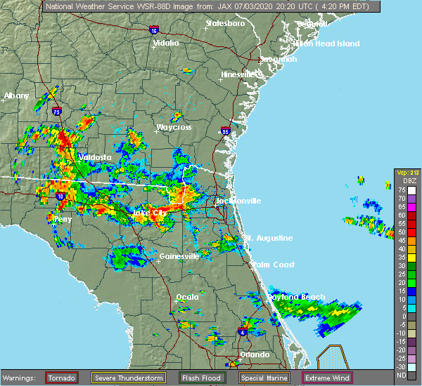 The national weather service in jacksonville has issued a * severe thunderstorm warning for. southern baker county in northeastern florida. until 500 pm edt. At 425 pm edt, a severe thunderstorm was located near sanderson, or 16 miles north of raiford, moving northeast at 10 mph. The national weather service in jacksonville has issued a * severe thunderstorm warning for. southern baker county in northeastern florida. until 500 pm edt. At 425 pm edt, a severe thunderstorm was located near sanderson, or 16 miles north of raiford, moving northeast at 10 mph.
|
| 6/27/2020 5:05 PM EDT |
 At 505 pm edt, a severe thunderstorm was located near macclenny, or 20 miles northwest of middleburg, moving east at 15 mph (radar indicated). Hazards include 60 mph wind gusts and penny size hail. expect damage to roofs, siding, and trees At 505 pm edt, a severe thunderstorm was located near macclenny, or 20 miles northwest of middleburg, moving east at 15 mph (radar indicated). Hazards include 60 mph wind gusts and penny size hail. expect damage to roofs, siding, and trees
|
| 6/27/2020 4:45 PM EDT | Large tree down near george taber road and u.s. highway 9 in baker county FL, 0.3 miles SSW of Glen St. Mary, FL |
| 6/27/2020 4:45 PM EDT | Large tree snapped just south of interstate 10 in glen st. mar in baker county FL, 1.1 miles N of Glen St. Mary, FL |
| 6/27/2020 4:30 PM EDT | Large tree fell on a house near bay st. and highway 22 in baker county FL, 6.7 miles ENE of Glen St. Mary, FL |
| 6/27/2020 4:30 PM EDT | Large tree snapped near gaskins circle and highway 22 in baker county FL, 7.2 miles E of Glen St. Mary, FL |
| 6/7/2020 4:42 PM EDT |
 At 442 pm edt, a severe thunderstorm capable of producing a tornado was located over beasley, or near raiford, moving northeast at 15 mph (radar indicated rotation). Hazards include tornado. Flying debris will be dangerous to those caught without shelter. mobile homes will be damaged or destroyed. damage to roofs, windows, and vehicles will occur. tree damage is likely. this dangerous storm will be near, raiford around 455 pm edt. Other locations impacted by this tornadic thunderstorm include johnstown and ellerbee. At 442 pm edt, a severe thunderstorm capable of producing a tornado was located over beasley, or near raiford, moving northeast at 15 mph (radar indicated rotation). Hazards include tornado. Flying debris will be dangerous to those caught without shelter. mobile homes will be damaged or destroyed. damage to roofs, windows, and vehicles will occur. tree damage is likely. this dangerous storm will be near, raiford around 455 pm edt. Other locations impacted by this tornadic thunderstorm include johnstown and ellerbee.
|
| 4/23/2020 10:12 PM EDT |
 The tornado warning for northern bradford, north central alachua, south central baker and union counties will expire at 1015 pm edt, the tornado threat has diminished and the tornado warning has been cancelled. however, hail and damaging winds remain likely and a severe thunderstorm warning remains in effect for the area. a tornado watch remains in effect until midnight edt for northern and northeastern florida. remember, a severe thunderstorm warning still remains in effect. The tornado warning for northern bradford, north central alachua, south central baker and union counties will expire at 1015 pm edt, the tornado threat has diminished and the tornado warning has been cancelled. however, hail and damaging winds remain likely and a severe thunderstorm warning remains in effect for the area. a tornado watch remains in effect until midnight edt for northern and northeastern florida. remember, a severe thunderstorm warning still remains in effect.
|
| 4/23/2020 10:11 PM EDT |
 At 1011 pm edt, a severe thunderstorm was located near raiford, moving northeast at 35 mph (radar indicated). Hazards include 60 mph wind gusts. expect damage to roofs, siding, and trees At 1011 pm edt, a severe thunderstorm was located near raiford, moving northeast at 35 mph (radar indicated). Hazards include 60 mph wind gusts. expect damage to roofs, siding, and trees
|
| 4/23/2020 9:58 PM EDT |
 At 958 pm edt, a severe thunderstorm capable of producing a tornado was located near lake butler, moving east at 40 mph (radar indicated rotation). Hazards include tornado. Flying debris will be dangerous to those caught without shelter. mobile homes will be damaged or destroyed. damage to roofs, windows, and vehicles will occur. tree damage is likely. this dangerous storm will be near, raiford around 1005 pm edt. Other locations impacted by this tornadic thunderstorm include johnstown, dukes and ellerbee. At 958 pm edt, a severe thunderstorm capable of producing a tornado was located near lake butler, moving east at 40 mph (radar indicated rotation). Hazards include tornado. Flying debris will be dangerous to those caught without shelter. mobile homes will be damaged or destroyed. damage to roofs, windows, and vehicles will occur. tree damage is likely. this dangerous storm will be near, raiford around 1005 pm edt. Other locations impacted by this tornadic thunderstorm include johnstown, dukes and ellerbee.
|
| 4/23/2020 9:37 PM EDT |
 At 937 pm edt, a severe thunderstorm capable of producing a tornado was located over providence, or 9 miles northwest of worthington spring, moving east at 40 mph (radar indicated rotation). Hazards include tornado. Flying debris will be dangerous to those caught without shelter. mobile homes will be damaged or destroyed. damage to roofs, windows, and vehicles will occur. tree damage is likely. this dangerous storm will be near, palestine community, lulu and groves around 945 pm edt. lake butler around 955 pm edt. beasley around 1000 pm edt. raiford around 1005 pm edt. Other locations impacted by this tornadic thunderstorm include johnstown, dukes and ellerbee. At 937 pm edt, a severe thunderstorm capable of producing a tornado was located over providence, or 9 miles northwest of worthington spring, moving east at 40 mph (radar indicated rotation). Hazards include tornado. Flying debris will be dangerous to those caught without shelter. mobile homes will be damaged or destroyed. damage to roofs, windows, and vehicles will occur. tree damage is likely. this dangerous storm will be near, palestine community, lulu and groves around 945 pm edt. lake butler around 955 pm edt. beasley around 1000 pm edt. raiford around 1005 pm edt. Other locations impacted by this tornadic thunderstorm include johnstown, dukes and ellerbee.
|
| 4/23/2020 9:23 PM EDT |
 At 922 pm edt, a severe thunderstorm capable of producing a tornado was located near ichetucknee spring, moving east at 40 mph (radar indicated rotation). Hazards include tornado. Flying debris will be dangerous to those caught without shelter. mobile homes will be damaged or destroyed. damage to roofs, windows, and vehicles will occur. tree damage is likely. this dangerous storm will be near, providence around 935 pm edt. upland pines around 940 pm edt. lulu around 945 pm edt. palestine community and groves around 950 pm edt. lake butler and beasley around 1000 pm edt. raiford around 1010 pm edt. Other locations impacted by this tornadic thunderstorm include johnstown, dukes and ellerbee. At 922 pm edt, a severe thunderstorm capable of producing a tornado was located near ichetucknee spring, moving east at 40 mph (radar indicated rotation). Hazards include tornado. Flying debris will be dangerous to those caught without shelter. mobile homes will be damaged or destroyed. damage to roofs, windows, and vehicles will occur. tree damage is likely. this dangerous storm will be near, providence around 935 pm edt. upland pines around 940 pm edt. lulu around 945 pm edt. palestine community and groves around 950 pm edt. lake butler and beasley around 1000 pm edt. raiford around 1010 pm edt. Other locations impacted by this tornadic thunderstorm include johnstown, dukes and ellerbee.
|
| 3/31/2020 6:41 PM EDT |
 The severe thunderstorm warning for northeastern bradford, baker and northeastern union counties will expire at 645 pm edt, the storm which prompted the warning has moved out of the area. therefore, the warning will be allowed to expire. a tornado watch remains in effect until 900 pm edt for northern and northeastern florida, and southeastern georgia. The severe thunderstorm warning for northeastern bradford, baker and northeastern union counties will expire at 645 pm edt, the storm which prompted the warning has moved out of the area. therefore, the warning will be allowed to expire. a tornado watch remains in effect until 900 pm edt for northern and northeastern florida, and southeastern georgia.
|
| 3/31/2020 6:28 PM EDT |
 At 628 pm edt, a severe thunderstorm was located 7 miles southwest of maxville, or 8 miles northeast of raiford, moving east at 50 mph (radar indicated). Hazards include 60 mph wind gusts. expect damage to roofs, siding, and trees At 628 pm edt, a severe thunderstorm was located 7 miles southwest of maxville, or 8 miles northeast of raiford, moving east at 50 mph (radar indicated). Hazards include 60 mph wind gusts. expect damage to roofs, siding, and trees
|
| 3/31/2020 6:27 PM EDT | 911 dispatch reports thunderstorm possible damage to a residence...a chicken coup... and trees down throughout the count in baker county FL, 0.5 miles NNW of Glen St. Mary, FL |
| 3/31/2020 6:14 PM EDT |
 At 614 pm edt, a severe thunderstorm was located near olustee, or 9 miles north of lake butler, moving east at 50 mph (radar indicated). Hazards include 60 mph wind gusts. expect damage to roofs, siding, and trees At 614 pm edt, a severe thunderstorm was located near olustee, or 9 miles north of lake butler, moving east at 50 mph (radar indicated). Hazards include 60 mph wind gusts. expect damage to roofs, siding, and trees
|
| 2/6/2020 9:44 PM EST |
 At 944 pm est, severe thunderstorms were located along a line extending from near st. george to 6 miles northeast of archer, moving east at 35 mph. some storms could potentially produce brief tornadoes (radar indicated). Hazards include 70 mph wind gusts. Expect considerable tree damage. damage is likely to mobile homes, roofs, and outbuildings. Locations impacted include, gainesville, starke, lake butler, keystone heights, callahan, raiford, melrose, worthington spring, taylor and alachua. At 944 pm est, severe thunderstorms were located along a line extending from near st. george to 6 miles northeast of archer, moving east at 35 mph. some storms could potentially produce brief tornadoes (radar indicated). Hazards include 70 mph wind gusts. Expect considerable tree damage. damage is likely to mobile homes, roofs, and outbuildings. Locations impacted include, gainesville, starke, lake butler, keystone heights, callahan, raiford, melrose, worthington spring, taylor and alachua.
|
| 2/6/2020 9:22 PM EST |
 At 920 pm est, severe thunderstorms were located along a line extending from 10 miles northwest of taylor to near high springs, moving east at 45 mph. some storms could potentially produce brief tornadoes (radar indicated). Hazards include 70 mph wind gusts. Expect considerable tree damage. Damage is likely to mobile homes, roofs, and outbuildings. At 920 pm est, severe thunderstorms were located along a line extending from 10 miles northwest of taylor to near high springs, moving east at 45 mph. some storms could potentially produce brief tornadoes (radar indicated). Hazards include 70 mph wind gusts. Expect considerable tree damage. Damage is likely to mobile homes, roofs, and outbuildings.
|
| 8/10/2019 8:06 PM EDT | A large tree was reported down across richardson road near mud lake road. time estimated by rada in baker county FL, 7 miles NE of Glen St. Mary, FL |
| 6/19/2019 12:54 PM EDT |
 The severe thunderstorm warning for southwestern nassau, central baker and southeastern charlton counties will expire at 100 pm edt, the storm which prompted the warning has weakened below severe limits, and no longer poses an immediate threat to life or property. therefore, the warning will be allowed to expire. however gusty winds near 50 mph are still possible with this thunderstorm. The severe thunderstorm warning for southwestern nassau, central baker and southeastern charlton counties will expire at 100 pm edt, the storm which prompted the warning has weakened below severe limits, and no longer poses an immediate threat to life or property. therefore, the warning will be allowed to expire. however gusty winds near 50 mph are still possible with this thunderstorm.
|
| 6/19/2019 12:54 PM EDT |
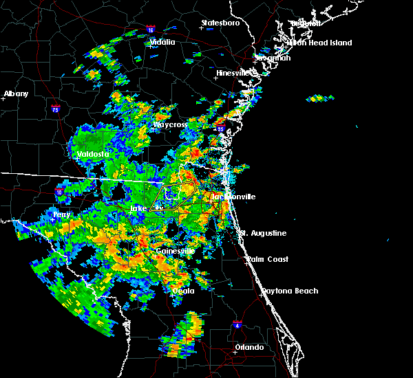 The severe thunderstorm warning for southwestern nassau, central baker and southeastern charlton counties will expire at 100 pm edt, the storm which prompted the warning has weakened below severe limits, and no longer poses an immediate threat to life or property. therefore, the warning will be allowed to expire. however gusty winds near 50 mph are still possible with this thunderstorm. The severe thunderstorm warning for southwestern nassau, central baker and southeastern charlton counties will expire at 100 pm edt, the storm which prompted the warning has weakened below severe limits, and no longer poses an immediate threat to life or property. therefore, the warning will be allowed to expire. however gusty winds near 50 mph are still possible with this thunderstorm.
|
| 6/19/2019 12:32 PM EDT |
 At 1211 pm edt, a severe thunderstorm was located near sanderson, or 19 miles north of raiford, moving east at 35 mph (radar indicated). Hazards include 60 mph wind gusts. expect damage to roofs, siding, and trees At 1211 pm edt, a severe thunderstorm was located near sanderson, or 19 miles north of raiford, moving east at 35 mph (radar indicated). Hazards include 60 mph wind gusts. expect damage to roofs, siding, and trees
|
| 6/19/2019 12:32 PM EDT |
 At 1232 pm edt, a severe thunderstorm was located near macclenny, or 22 miles north of raiford, moving east at 30 mph (radar indicated). Hazards include 60 mph wind gusts. Expect damage to roofs, siding, and trees. locations impacted include, macclenny, glen st. mary, st. George, sanderson and bryceville. At 1232 pm edt, a severe thunderstorm was located near macclenny, or 22 miles north of raiford, moving east at 30 mph (radar indicated). Hazards include 60 mph wind gusts. Expect damage to roofs, siding, and trees. locations impacted include, macclenny, glen st. mary, st. George, sanderson and bryceville.
|
| 6/19/2019 12:12 PM EDT |
 The national weather service in jacksonville has issued a * severe thunderstorm warning for. southwestern nassau county in northeastern florida. baker county in northeastern florida. southeastern charlton county in southeastern georgia. Until 100 pm edt. The national weather service in jacksonville has issued a * severe thunderstorm warning for. southwestern nassau county in northeastern florida. baker county in northeastern florida. southeastern charlton county in southeastern georgia. Until 100 pm edt.
|
| 6/19/2019 12:12 PM EDT |
 At 1211 pm edt, a severe thunderstorm was located near sanderson, or 19 miles north of raiford, moving east at 35 mph (radar indicated). Hazards include 60 mph wind gusts. expect damage to roofs, siding, and trees At 1211 pm edt, a severe thunderstorm was located near sanderson, or 19 miles north of raiford, moving east at 35 mph (radar indicated). Hazards include 60 mph wind gusts. expect damage to roofs, siding, and trees
|
| 5/28/2019 5:54 PM EDT |
 The severe thunderstorm warning for southwestern nassau, southeastern baker and west central duval counties will expire at 600 pm edt, the storm which prompted the warning has weakened below severe limits, and no longer poses an immediate threat to life or property. therefore, the warning will be allowed to expire. however small hail and gusty winds are still possible with this thunderstorm. The severe thunderstorm warning for southwestern nassau, southeastern baker and west central duval counties will expire at 600 pm edt, the storm which prompted the warning has weakened below severe limits, and no longer poses an immediate threat to life or property. therefore, the warning will be allowed to expire. however small hail and gusty winds are still possible with this thunderstorm.
|
| 5/28/2019 5:27 PM EDT |
 At 527 pm edt, a severe thunderstorm was located near macclenny, or 18 miles northwest of middleburg, and is nearly stationary (radar indicated). Hazards include 60 mph wind gusts and nickel size hail. Expect damage to roofs, siding, and trees. locations impacted include, macclenny, glen st. Mary and baldwin. At 527 pm edt, a severe thunderstorm was located near macclenny, or 18 miles northwest of middleburg, and is nearly stationary (radar indicated). Hazards include 60 mph wind gusts and nickel size hail. Expect damage to roofs, siding, and trees. locations impacted include, macclenny, glen st. Mary and baldwin.
|
| 5/28/2019 5:15 PM EDT |
 At 515 pm edt, a severe thunderstorm was located near macclenny, or 18 miles northeast of raiford, moving north at 5 mph (radar indicated). Hazards include 60 mph wind gusts and quarter size hail. Hail damage to vehicles is expected. Expect wind damage to roofs, siding, and trees. At 515 pm edt, a severe thunderstorm was located near macclenny, or 18 miles northeast of raiford, moving north at 5 mph (radar indicated). Hazards include 60 mph wind gusts and quarter size hail. Hail damage to vehicles is expected. Expect wind damage to roofs, siding, and trees.
|
| 5/5/2019 11:25 AM EDT |
 At 1124 am edt, severe thunderstorms were located along a line extending from near glen st. mary to 6 miles southwest of bryceville to near cecil field to near middleburg, moving northeast at 50 mph (radar indicated). Hazards include 60 to 70 mph wind gusts. Expect considerable tree damage. damage is likely to mobile homes, roofs, and outbuildings. locations impacted include, jacksonville, callahan, jacksonville international arpt, middleburg, macclenny, glen st. mary, maxville, cisco gardens, ortega and st. George. At 1124 am edt, severe thunderstorms were located along a line extending from near glen st. mary to 6 miles southwest of bryceville to near cecil field to near middleburg, moving northeast at 50 mph (radar indicated). Hazards include 60 to 70 mph wind gusts. Expect considerable tree damage. damage is likely to mobile homes, roofs, and outbuildings. locations impacted include, jacksonville, callahan, jacksonville international arpt, middleburg, macclenny, glen st. mary, maxville, cisco gardens, ortega and st. George.
|
| 5/5/2019 11:15 AM EDT |
 At 1114 am edt, severe thunderstorms were located along a line extending from sanderson to near glen st. mary to near maxville to near starke, moving northeast at 45 mph (radar indicated). Hazards include 60 to 70 mph wind gusts. Expect considerable tree damage. Damage is likely to mobile homes, roofs, and outbuildings. At 1114 am edt, severe thunderstorms were located along a line extending from sanderson to near glen st. mary to near maxville to near starke, moving northeast at 45 mph (radar indicated). Hazards include 60 to 70 mph wind gusts. Expect considerable tree damage. Damage is likely to mobile homes, roofs, and outbuildings.
|
| 4/19/2019 12:25 PM EDT | Baker county em reported trees fell down on us 90 causing a car to swerve to avoid the downed tree on the roa in baker county FL, 3.7 miles ENE of Glen St. Mary, FL |
| 4/19/2019 11:35 AM EDT | The baker county sheriffs office reports a tree downed over a home in macclenn in baker county FL, 6.9 miles ENE of Glen St. Mary, FL |
| 4/19/2019 11:30 AM EDT | Baker county emergency management reports numerous trees and powerlines downed throughout the count in baker county FL, 3.7 miles ENE of Glen St. Mary, FL |
| 4/19/2019 11:29 AM EDT |
 At 1129 am edt, severe thunderstorms were located along a line extending from near raybon to near raiford, moving northeast at 55 mph (radar indicated). Hazards include 70 mph wind gusts. Expect considerable tree damage. damage is likely to mobile homes, roofs, and outbuildings. Locations impacted include, gainesville, starke, folkston, lake butler, raiford, worthington spring, stephen foster state park, taylor, alachua and macclenny. At 1129 am edt, severe thunderstorms were located along a line extending from near raybon to near raiford, moving northeast at 55 mph (radar indicated). Hazards include 70 mph wind gusts. Expect considerable tree damage. damage is likely to mobile homes, roofs, and outbuildings. Locations impacted include, gainesville, starke, folkston, lake butler, raiford, worthington spring, stephen foster state park, taylor, alachua and macclenny.
|
| 4/19/2019 11:15 AM EDT |
 At 1114 am edt, severe thunderstorms were located along a line extending from near braganza to near alachua, moving northeast at 55 mph (radar indicated). Hazards include 70 mph wind gusts. Expect considerable tree damage. damage is likely to mobile homes, roofs, and outbuildings. Locations impacted include, gainesville, starke, folkston, lake butler, raiford, worthington spring, stephen foster state park, taylor, alachua and macclenny. At 1114 am edt, severe thunderstorms were located along a line extending from near braganza to near alachua, moving northeast at 55 mph (radar indicated). Hazards include 70 mph wind gusts. Expect considerable tree damage. damage is likely to mobile homes, roofs, and outbuildings. Locations impacted include, gainesville, starke, folkston, lake butler, raiford, worthington spring, stephen foster state park, taylor, alachua and macclenny.
|
| 4/19/2019 11:00 AM EDT |
 At 1100 am edt, severe thunderstorms were located along a line extending from 8 miles west of stephen foster state park to 7 miles north of bronson, moving northeast at 55 mph (radar indicated). Hazards include 70 mph wind gusts. Expect considerable tree damage. Damage is likely to mobile homes, roofs, and outbuildings. At 1100 am edt, severe thunderstorms were located along a line extending from 8 miles west of stephen foster state park to 7 miles north of bronson, moving northeast at 55 mph (radar indicated). Hazards include 70 mph wind gusts. Expect considerable tree damage. Damage is likely to mobile homes, roofs, and outbuildings.
|
| 3/1/2019 2:33 PM EST |
 At 233 pm est, severe thunderstorms were located along a line extending from 7 miles southwest of kingsland to 7 miles southeast of sanderson, moving east at 40 mph (radar indicated). Hazards include 60 mph wind gusts and quarter size hail. Hail damage to vehicles is expected. Expect wind damage to roofs, siding, and trees. At 233 pm est, severe thunderstorms were located along a line extending from 7 miles southwest of kingsland to 7 miles southeast of sanderson, moving east at 40 mph (radar indicated). Hazards include 60 mph wind gusts and quarter size hail. Hail damage to vehicles is expected. Expect wind damage to roofs, siding, and trees.
|
| 9/9/2018 5:00 PM EDT | A gust front from distant thundestorms moved over sanderson where a tree was blown down over westbound interstate 10 and caused partial road closure. the grounds were s in baker county FL, 6.7 miles ENE of Glen St. Mary, FL |
| 8/17/2018 3:50 PM EDT |
 At 350 pm edt, a severe thunderstorm was located near maxville, or 9 miles northwest of middleburg, moving northwest at 10 mph (radar indicated). Hazards include 60 mph wind gusts and penny size hail. expect damage to roofs, siding, and trees At 350 pm edt, a severe thunderstorm was located near maxville, or 9 miles northwest of middleburg, moving northwest at 10 mph (radar indicated). Hazards include 60 mph wind gusts and penny size hail. expect damage to roofs, siding, and trees
|
| 7/27/2018 8:01 PM EDT |
 At 801 pm edt, a severe thunderstorm was located near bryceville, or 17 miles north of middleburg, moving south at 15 mph (radar indicated). Hazards include 60 mph wind gusts. expect damage to roofs, siding, and trees At 801 pm edt, a severe thunderstorm was located near bryceville, or 17 miles north of middleburg, moving south at 15 mph (radar indicated). Hazards include 60 mph wind gusts. expect damage to roofs, siding, and trees
|
| 7/22/2018 1:44 PM EDT | Report of a tree down on a power line on n county road 125 and crews roa in baker county FL, 0.9 miles S of Glen St. Mary, FL |
| 7/22/2018 1:37 PM EDT |
 At 137 pm edt, severe thunderstorms were located along a line extending from near st. george to near jacksonville, moving northeast at 35 mph (radar indicated). Hazards include 70 mph wind gusts and quarter size hail. Hail damage to vehicles is expected. expect considerable tree damage. wind damage is also likely to mobile homes, roofs, and outbuildings. locations impacted include, hilliard, callahan, jacksonville international arpt, taylor, macclenny, glen st. Mary, maxville, kings ferry, cisco gardens and ortega. At 137 pm edt, severe thunderstorms were located along a line extending from near st. george to near jacksonville, moving northeast at 35 mph (radar indicated). Hazards include 70 mph wind gusts and quarter size hail. Hail damage to vehicles is expected. expect considerable tree damage. wind damage is also likely to mobile homes, roofs, and outbuildings. locations impacted include, hilliard, callahan, jacksonville international arpt, taylor, macclenny, glen st. Mary, maxville, kings ferry, cisco gardens and ortega.
|
| 7/22/2018 1:25 PM EDT |
 At 124 pm edt, severe thunderstorms were located along a line extending from near st. george to near oakleaf plantation, moving east at 35 mph (radar indicated). Hazards include 70 mph wind gusts and quarter size hail. Hail damage to vehicles is expected. expect considerable tree damage. Wind damage is also likely to mobile homes, roofs, and outbuildings. At 124 pm edt, severe thunderstorms were located along a line extending from near st. george to near oakleaf plantation, moving east at 35 mph (radar indicated). Hazards include 70 mph wind gusts and quarter size hail. Hail damage to vehicles is expected. expect considerable tree damage. Wind damage is also likely to mobile homes, roofs, and outbuildings.
|
| 7/22/2018 1:25 PM EDT |
 The national weather service in jacksonville has issued a * severe thunderstorm warning for. nassau county in northeastern florida. northeastern baker county in northeastern florida. western duval county in northeastern florida. Southeastern charlton county in southeastern georgia. The national weather service in jacksonville has issued a * severe thunderstorm warning for. nassau county in northeastern florida. northeastern baker county in northeastern florida. western duval county in northeastern florida. Southeastern charlton county in southeastern georgia.
|
| 6/2/2018 5:52 PM EDT |
 At 552 pm edt, a severe thunderstorm was located near glen st. mary, or 12 miles north of raiford, moving east at 25 mph (radar indicated). Hazards include 60 mph wind gusts and quarter size hail. Hail damage to vehicles is expected. Expect wind damage to roofs, siding, and trees. At 552 pm edt, a severe thunderstorm was located near glen st. mary, or 12 miles north of raiford, moving east at 25 mph (radar indicated). Hazards include 60 mph wind gusts and quarter size hail. Hail damage to vehicles is expected. Expect wind damage to roofs, siding, and trees.
|
| 6/2/2018 5:45 PM EDT |
 At 544 pm edt, a severe thunderstorm capable of producing a tornado was located near sanderson, or 10 miles north of raiford, moving east at 20 mph (radar indicated rotation). Hazards include tornado. Expect damage to mobile homes, roofs, and vehicles. this dangerous storm will be near, glen st. mary around 555 pm edt. Macclenny around 600 pm edt. At 544 pm edt, a severe thunderstorm capable of producing a tornado was located near sanderson, or 10 miles north of raiford, moving east at 20 mph (radar indicated rotation). Hazards include tornado. Expect damage to mobile homes, roofs, and vehicles. this dangerous storm will be near, glen st. mary around 555 pm edt. Macclenny around 600 pm edt.
|
| 6/2/2018 5:32 PM EDT |
 At 532 pm edt, a severe thunderstorm was located 9 miles north of olustee, or 14 miles northeast of lake city, moving southeast at 25 mph (radar indicated). Hazards include 60 mph wind gusts. Expect damage to roofs, siding, and trees. locations impacted include, lake city, taylor, macclenny, glen st. Mary, five points, watertown, winfield, suwannee valley, olustee and sanderson. At 532 pm edt, a severe thunderstorm was located 9 miles north of olustee, or 14 miles northeast of lake city, moving southeast at 25 mph (radar indicated). Hazards include 60 mph wind gusts. Expect damage to roofs, siding, and trees. locations impacted include, lake city, taylor, macclenny, glen st. Mary, five points, watertown, winfield, suwannee valley, olustee and sanderson.
|
| 6/2/2018 5:30 PM EDT | Baker county 911/dispatch reports a tree downed by thunderstorm wind gusts along u.s. highway 90 in the vicinity of sanderson. time of damage estimated by rada in baker county FL, 6 miles E of Glen St. Mary, FL |
| 6/2/2018 5:30 PM EDT | Tree reported down near highway 90 between sanderson and glen st mary. time based on rada in baker county FL, 2.3 miles E of Glen St. Mary, FL |
| 6/2/2018 5:25 PM EDT |
 At 525 pm edt, a severe thunderstorm capable of producing a tornado was located over sanderson, or 12 miles north of raiford, moving east at 20 mph (radar indicated rotation). Hazards include tornado. Flying debris will be dangerous to those caught without shelter. mobile homes will be damaged or destroyed. damage to roofs, windows, and vehicles will occur. tree damage is likely. this dangerous storm will be near, sanderson around 530 pm edt. glen st. Mary around 545 pm edt. At 525 pm edt, a severe thunderstorm capable of producing a tornado was located over sanderson, or 12 miles north of raiford, moving east at 20 mph (radar indicated rotation). Hazards include tornado. Flying debris will be dangerous to those caught without shelter. mobile homes will be damaged or destroyed. damage to roofs, windows, and vehicles will occur. tree damage is likely. this dangerous storm will be near, sanderson around 530 pm edt. glen st. Mary around 545 pm edt.
|
| 6/2/2018 5:02 PM EDT |
 The national weather service in jacksonville has issued a * severe thunderstorm warning for. baker county in northeastern florida. northern columbia county in northern florida. south central charlton county in southeastern georgia. Until 545 pm edt. The national weather service in jacksonville has issued a * severe thunderstorm warning for. baker county in northeastern florida. northern columbia county in northern florida. south central charlton county in southeastern georgia. Until 545 pm edt.
|
| 6/2/2018 5:02 PM EDT |
 At 502 pm edt, a severe thunderstorm was located 8 miles east of belmont, or 11 miles south of fargo, moving east at 30 mph (radar indicated). Hazards include 60 mph wind gusts. expect damage to roofs, siding, and trees At 502 pm edt, a severe thunderstorm was located 8 miles east of belmont, or 11 miles south of fargo, moving east at 30 mph (radar indicated). Hazards include 60 mph wind gusts. expect damage to roofs, siding, and trees
|
| 4/15/2018 2:16 PM EDT |
 At 216 pm edt, a severe thunderstorm was located over sampson, or 7 miles southwest of starke, moving northeast at 45 mph (radar indicated). Hazards include 60 mph wind gusts. expect damage to roofs, siding, and trees At 216 pm edt, a severe thunderstorm was located over sampson, or 7 miles southwest of starke, moving northeast at 45 mph (radar indicated). Hazards include 60 mph wind gusts. expect damage to roofs, siding, and trees
|
| 4/7/2018 2:23 PM EDT |
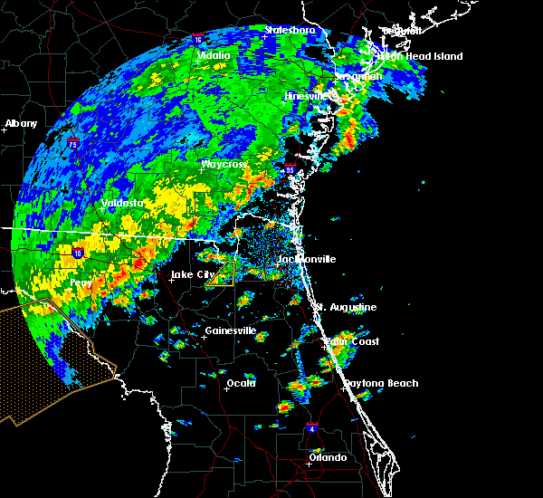 At 223 pm edt, a severe thunderstorm was located near sanderson, or 7 miles north of raiford, moving northeast at 25 mph (radar indicated). Hazards include 60 mph wind gusts. Expect damage to roofs, siding, and trees. locations impacted include, macclenny and glen st. Mary. At 223 pm edt, a severe thunderstorm was located near sanderson, or 7 miles north of raiford, moving northeast at 25 mph (radar indicated). Hazards include 60 mph wind gusts. Expect damage to roofs, siding, and trees. locations impacted include, macclenny and glen st. Mary.
|
| 4/7/2018 2:11 PM EDT |
 At 210 pm edt, a severe thunderstorm was located near raiford, moving northeast at 25 mph (radar indicated). Hazards include 60 mph wind gusts. expect damage to roofs, siding, and trees At 210 pm edt, a severe thunderstorm was located near raiford, moving northeast at 25 mph (radar indicated). Hazards include 60 mph wind gusts. expect damage to roofs, siding, and trees
|
| 3/20/2018 3:11 PM EDT |
 The severe thunderstorm warning for gilchrist, northern alachua, bradford, southern baker, union and southern columbia counties will expire at 315 pm edt, the storms which prompted the warning have weakened below severe limits, and have exited the warned area. therefore the warning will be allowed to expire. however small hail, gusty winds and heavy rain are still possible with these thunderstorms. a tornado watch remains in effect until 700 pm edt for northern and northeastern florida. The severe thunderstorm warning for gilchrist, northern alachua, bradford, southern baker, union and southern columbia counties will expire at 315 pm edt, the storms which prompted the warning have weakened below severe limits, and have exited the warned area. therefore the warning will be allowed to expire. however small hail, gusty winds and heavy rain are still possible with these thunderstorms. a tornado watch remains in effect until 700 pm edt for northern and northeastern florida.
|
| 3/20/2018 2:57 PM EDT |
 At 257 pm edt, a severe thunderstorm was located near sanderson, or 12 miles north of raiford, moving northeast at 55 mph (radar indicated). Hazards include golf ball size hail and 60 mph wind gusts. People and animals outdoors will be injured. expect hail damage to roofs, siding, windows, and vehicles. Expect wind damage to roofs, siding, and trees. At 257 pm edt, a severe thunderstorm was located near sanderson, or 12 miles north of raiford, moving northeast at 55 mph (radar indicated). Hazards include golf ball size hail and 60 mph wind gusts. People and animals outdoors will be injured. expect hail damage to roofs, siding, windows, and vehicles. Expect wind damage to roofs, siding, and trees.
|
| 3/20/2018 2:44 PM EDT |
 At 243 pm edt, severe thunderstorms were located along a line extending from 6 miles southeast of columbia to 9 miles northeast of trenton, moving northeast at 55 mph (radar indicated). Hazards include ping pong ball size hail and 60 mph wind gusts. People and animals outdoors will be injured. expect hail damage to roofs, siding, windows, and vehicles. expect wind damage to roofs, siding, and trees. locations impacted include, gainesville, starke, trenton, lake butler, bell, raiford, worthington spring, ichetucknee spring, columbia and alachua. A tornado watch remains in effect until 700 pm edt for northern and northeastern florida. At 243 pm edt, severe thunderstorms were located along a line extending from 6 miles southeast of columbia to 9 miles northeast of trenton, moving northeast at 55 mph (radar indicated). Hazards include ping pong ball size hail and 60 mph wind gusts. People and animals outdoors will be injured. expect hail damage to roofs, siding, windows, and vehicles. expect wind damage to roofs, siding, and trees. locations impacted include, gainesville, starke, trenton, lake butler, bell, raiford, worthington spring, ichetucknee spring, columbia and alachua. A tornado watch remains in effect until 700 pm edt for northern and northeastern florida.
|
| 3/20/2018 2:23 PM EDT |
 At 223 pm edt, severe thunderstorms were located along a line extending from 8 miles north of bell to near manattee road, moving northeast at 55 mph (radar indicated). Hazards include ping pong ball size hail and 60 mph wind gusts. People and animals outdoors will be injured. expect hail damage to roofs, siding, windows, and vehicles. Expect wind damage to roofs, siding, and trees. At 223 pm edt, severe thunderstorms were located along a line extending from 8 miles north of bell to near manattee road, moving northeast at 55 mph (radar indicated). Hazards include ping pong ball size hail and 60 mph wind gusts. People and animals outdoors will be injured. expect hail damage to roofs, siding, windows, and vehicles. Expect wind damage to roofs, siding, and trees.
|
| 8/24/2017 5:59 PM EDT |
 At 558 pm edt, a severe thunderstorm was located near bryceville, or 18 miles southwest of callahan, moving southwest at 15 mph (radar indicated). Hazards include 60 mph wind gusts and penny size hail. expect damage to roofs, siding, and trees At 558 pm edt, a severe thunderstorm was located near bryceville, or 18 miles southwest of callahan, moving southwest at 15 mph (radar indicated). Hazards include 60 mph wind gusts and penny size hail. expect damage to roofs, siding, and trees
|
| 8/19/2017 7:39 PM EDT |
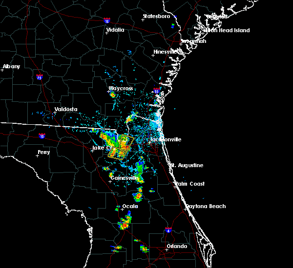 At 739 pm edt, severe thunderstorms were located along a line extending from macclenny to near taylor, moving north at 5 mph (radar indicated). Hazards include 60 mph wind gusts and penny size hail. Expect damage to roofs, siding, and trees. locations impacted include, macclenny, glen st. Mary, bryceville and baldwin. At 739 pm edt, severe thunderstorms were located along a line extending from macclenny to near taylor, moving north at 5 mph (radar indicated). Hazards include 60 mph wind gusts and penny size hail. Expect damage to roofs, siding, and trees. locations impacted include, macclenny, glen st. Mary, bryceville and baldwin.
|
| 8/19/2017 7:02 PM EDT |
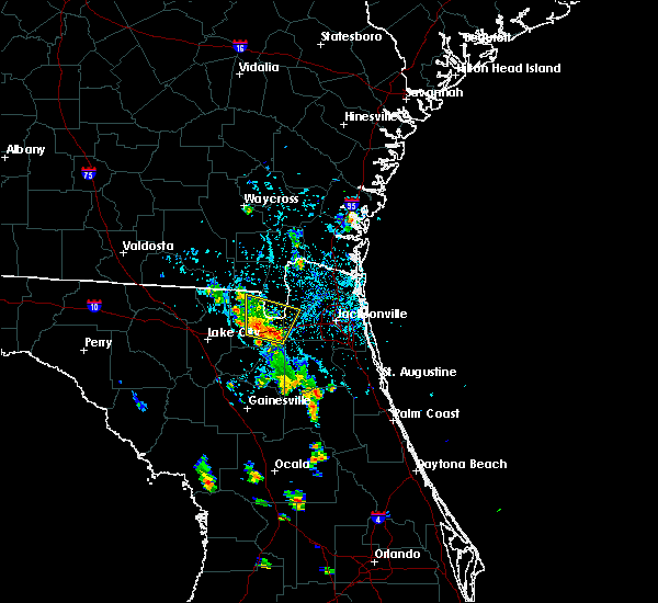 At 702 pm edt, severe thunderstorms were located along a line extending from near maxville to near sanderson, moving north at 5 mph (radar indicated). Hazards include 60 mph wind gusts and penny size hail. expect damage to roofs, siding, and trees At 702 pm edt, severe thunderstorms were located along a line extending from near maxville to near sanderson, moving north at 5 mph (radar indicated). Hazards include 60 mph wind gusts and penny size hail. expect damage to roofs, siding, and trees
|
| 6/29/2017 2:47 PM EDT |
 At 627 pm edt, a severe thunderstorm was located near taylor, or 19 miles north of raiford, moving east at 20 mph (radar indicated). Hazards include 60 mph wind gusts. expect damage to roofs, siding, and trees At 627 pm edt, a severe thunderstorm was located near taylor, or 19 miles north of raiford, moving east at 20 mph (radar indicated). Hazards include 60 mph wind gusts. expect damage to roofs, siding, and trees
|
| 6/29/2017 2:47 PM EDT |
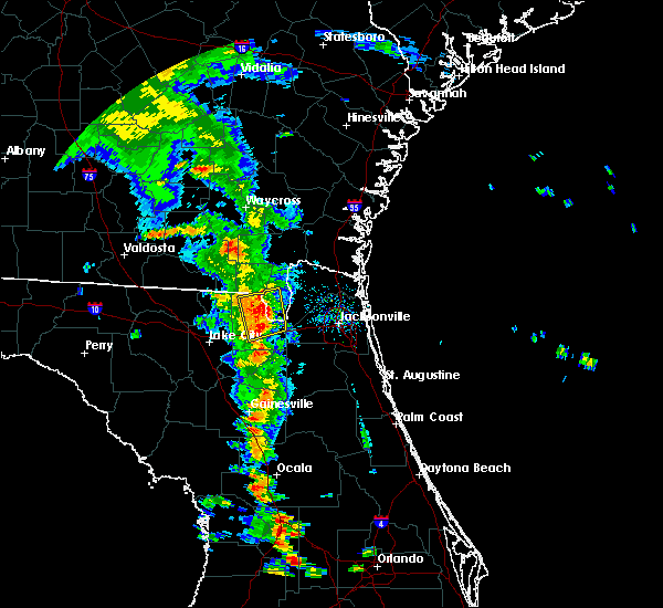 At 627 pm edt, a severe thunderstorm was located near taylor, or 19 miles north of raiford, moving east at 20 mph (radar indicated). Hazards include 60 mph wind gusts. expect damage to roofs, siding, and trees At 627 pm edt, a severe thunderstorm was located near taylor, or 19 miles north of raiford, moving east at 20 mph (radar indicated). Hazards include 60 mph wind gusts. expect damage to roofs, siding, and trees
|
| 6/29/2017 2:28 PM EDT |
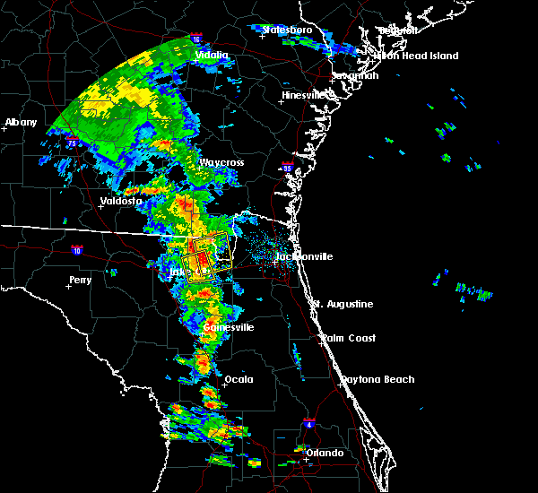 At 627 pm edt, a severe thunderstorm was located near taylor, or 19 miles north of raiford, moving east at 20 mph (radar indicated). Hazards include 60 mph wind gusts. expect damage to roofs, siding, and trees At 627 pm edt, a severe thunderstorm was located near taylor, or 19 miles north of raiford, moving east at 20 mph (radar indicated). Hazards include 60 mph wind gusts. expect damage to roofs, siding, and trees
|
| 6/7/2017 2:46 PM EDT |
 At 246 pm edt, a severe thunderstorm was located near taylor, or 23 miles north of raiford, moving east at 20 mph (radar indicated). Hazards include 60 mph wind gusts. Expect damage to roofs, siding, and trees. locations impacted include, taylor, macclenny and glen st. Mary. At 246 pm edt, a severe thunderstorm was located near taylor, or 23 miles north of raiford, moving east at 20 mph (radar indicated). Hazards include 60 mph wind gusts. Expect damage to roofs, siding, and trees. locations impacted include, taylor, macclenny and glen st. Mary.
|
| 6/7/2017 2:27 PM EDT |
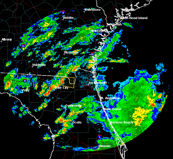 At 226 pm edt, a severe thunderstorm was located 7 miles west of taylor, or 20 miles northeast of lake city, moving east at 20 mph (radar indicated). Hazards include 60 mph wind gusts. expect damage to roofs, siding, and trees At 226 pm edt, a severe thunderstorm was located 7 miles west of taylor, or 20 miles northeast of lake city, moving east at 20 mph (radar indicated). Hazards include 60 mph wind gusts. expect damage to roofs, siding, and trees
|
| 5/24/2017 10:47 AM EDT |
 At 1047 am edt, severe thunderstorms were located along a line extending from near dowling park to near ichetucknee spring, moving northeast at 35 mph (radar indicated). Hazards include 60 mph wind gusts. expect damage to roofs, siding, and trees At 1047 am edt, severe thunderstorms were located along a line extending from near dowling park to near ichetucknee spring, moving northeast at 35 mph (radar indicated). Hazards include 60 mph wind gusts. expect damage to roofs, siding, and trees
|
| 5/23/2017 9:23 PM EDT |
 At 923 pm edt, severe thunderstorms were located along a line extending from bryceville to near sanderson, moving northeast at 25 mph (radar indicated). Hazards include 60 mph wind gusts. Expect damage to roofs, siding, and trees. locations impacted include, callahan, macclenny, glen st. mary, nassau village-ratliff, ratliff, bryceville, baldwin and whitehouse air field. A tornado watch remains in effect until 1100 pm edt for southeastern georgia. At 923 pm edt, severe thunderstorms were located along a line extending from bryceville to near sanderson, moving northeast at 25 mph (radar indicated). Hazards include 60 mph wind gusts. Expect damage to roofs, siding, and trees. locations impacted include, callahan, macclenny, glen st. mary, nassau village-ratliff, ratliff, bryceville, baldwin and whitehouse air field. A tornado watch remains in effect until 1100 pm edt for southeastern georgia.
|
| 5/23/2017 9:12 PM EDT |
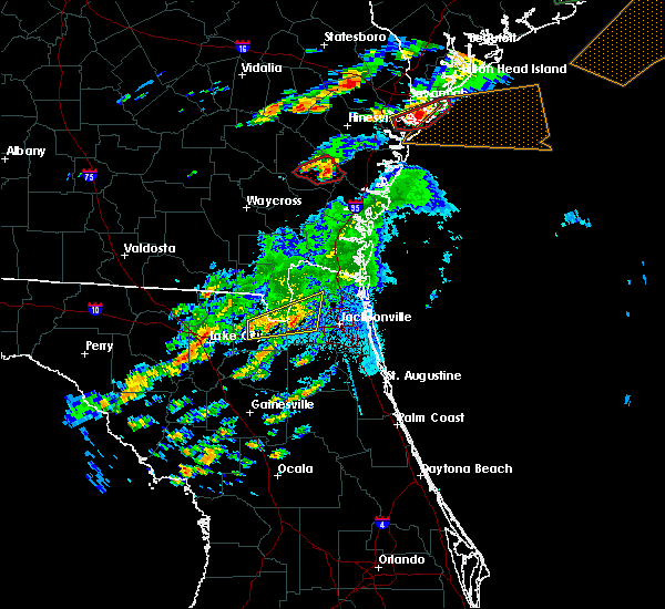 At 912 pm edt, severe thunderstorms were located along a line extending from near bryceville to near sanderson, moving northeast at 25 mph (radar indicated). Hazards include 60 mph wind gusts. expect damage to roofs, siding, and trees At 912 pm edt, severe thunderstorms were located along a line extending from near bryceville to near sanderson, moving northeast at 25 mph (radar indicated). Hazards include 60 mph wind gusts. expect damage to roofs, siding, and trees
|
| 5/23/2017 9:03 PM EDT |
 At 903 pm edt, severe thunderstorms capable of producing tornadoes were located along a line extending from sanderson to glen st. mary, moving northeast at 35 mph (radar indicated rotation). Hazards include tornado. Flying debris will be dangerous to those caught without shelter. mobile homes will be damaged or destroyed. damage to roofs, windows, and vehicles will occur. tree damage is likely. these dangerous storms will be near, glen st. mary around 920 pm edt. macclenny around 925 pm edt. Other locations impacted by these tornadic storms include baldwin. At 903 pm edt, severe thunderstorms capable of producing tornadoes were located along a line extending from sanderson to glen st. mary, moving northeast at 35 mph (radar indicated rotation). Hazards include tornado. Flying debris will be dangerous to those caught without shelter. mobile homes will be damaged or destroyed. damage to roofs, windows, and vehicles will occur. tree damage is likely. these dangerous storms will be near, glen st. mary around 920 pm edt. macclenny around 925 pm edt. Other locations impacted by these tornadic storms include baldwin.
|
| 5/23/2017 8:53 PM EDT |
 At 853 pm edt, severe thunderstorms capable of producing a tornado were located along a line extending from near olustee to near glen st. mary, moving northeast at 35 mph (radar indicated rotation). Hazards include tornado. Flying debris will be dangerous to those caught without shelter. mobile homes will be damaged or destroyed. damage to roofs, windows, and vehicles will occur. tree damage is likely. these dangerous storms will be near, glen st. mary around 900 pm edt. macclenny around 905 pm edt. Other locations impacted by these tornadic storms include baldwin. At 853 pm edt, severe thunderstorms capable of producing a tornado were located along a line extending from near olustee to near glen st. mary, moving northeast at 35 mph (radar indicated rotation). Hazards include tornado. Flying debris will be dangerous to those caught without shelter. mobile homes will be damaged or destroyed. damage to roofs, windows, and vehicles will occur. tree damage is likely. these dangerous storms will be near, glen st. mary around 900 pm edt. macclenny around 905 pm edt. Other locations impacted by these tornadic storms include baldwin.
|
| 5/23/2017 8:53 PM EDT |
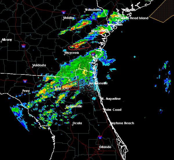 At 853 pm edt, severe thunderstorms capable of producing a tornado were located along a line extending from near olustee to near glen st. mary, moving northeast at 35 mph (radar indicated rotation). Hazards include tornado. Flying debris will be dangerous to those caught without shelter. mobile homes will be damaged or destroyed. damage to roofs, windows, and vehicles will occur. tree damage is likely. these dangerous storms will be near, glen st. mary around 900 pm edt. macclenny around 905 pm edt. Other locations impacted by these tornadic storms include baldwin. At 853 pm edt, severe thunderstorms capable of producing a tornado were located along a line extending from near olustee to near glen st. mary, moving northeast at 35 mph (radar indicated rotation). Hazards include tornado. Flying debris will be dangerous to those caught without shelter. mobile homes will be damaged or destroyed. damage to roofs, windows, and vehicles will occur. tree damage is likely. these dangerous storms will be near, glen st. mary around 900 pm edt. macclenny around 905 pm edt. Other locations impacted by these tornadic storms include baldwin.
|
| 5/13/2017 3:19 PM EDT |
 At 318 pm edt, severe thunderstorms were located along a line extending from 9 miles southeast of fargo to 12 miles northeast of suwannee valley, moving east at 30 mph (radar indicated). Hazards include 70 mph wind gusts and penny size hail. Expect considerable tree damage. Damage is likely to mobile homes, roofs, and outbuildings. At 318 pm edt, severe thunderstorms were located along a line extending from 9 miles southeast of fargo to 12 miles northeast of suwannee valley, moving east at 30 mph (radar indicated). Hazards include 70 mph wind gusts and penny size hail. Expect considerable tree damage. Damage is likely to mobile homes, roofs, and outbuildings.
|
| 1/22/2017 6:32 PM EST |
 At 631 pm est, severe thunderstorms were located along a line extending from 6 miles west of ratliff to cross creek, moving northeast at 70 mph (radar indicated). Hazards include 60 mph wind gusts and quarter size hail. Hail damage to vehicles is expected. expect wind damage to roofs, siding, and trees. locations impacted include, jacksonville, gainesville, saint augustine, fernandina beach, palatka, orange park, green cove springs, starke, lake butler and interlachen. A tornado watch remains in effect until 800 pm est for northeastern and northern florida, and southeastern georgia. At 631 pm est, severe thunderstorms were located along a line extending from 6 miles west of ratliff to cross creek, moving northeast at 70 mph (radar indicated). Hazards include 60 mph wind gusts and quarter size hail. Hail damage to vehicles is expected. expect wind damage to roofs, siding, and trees. locations impacted include, jacksonville, gainesville, saint augustine, fernandina beach, palatka, orange park, green cove springs, starke, lake butler and interlachen. A tornado watch remains in effect until 800 pm est for northeastern and northern florida, and southeastern georgia.
|
| 1/22/2017 6:17 PM EST |
 At 617 pm est, severe thunderstorms were located along a line extending from 8 miles north of macclenny to near williston, moving northeast at 70 mph (radar indicated). Hazards include 60 mph wind gusts and quarter size hail. Hail damage to vehicles is expected. expect wind damage to roofs, siding, and trees. locations impacted include, jacksonville, gainesville, saint augustine, fernandina beach, palatka, orange park, green cove springs, starke, lake butler and interlachen. A tornado watch remains in effect until 800 pm est for northeastern and northern florida, and southeastern georgia. At 617 pm est, severe thunderstorms were located along a line extending from 8 miles north of macclenny to near williston, moving northeast at 70 mph (radar indicated). Hazards include 60 mph wind gusts and quarter size hail. Hail damage to vehicles is expected. expect wind damage to roofs, siding, and trees. locations impacted include, jacksonville, gainesville, saint augustine, fernandina beach, palatka, orange park, green cove springs, starke, lake butler and interlachen. A tornado watch remains in effect until 800 pm est for northeastern and northern florida, and southeastern georgia.
|
| 1/22/2017 6:06 PM EST |
 At 605 pm est, severe thunderstorms were located along a line extending from near sanderson to near williston highlands, moving northeast at 70 mph (radar indicated). Hazards include 60 mph wind gusts and quarter size hail. Hail damage to vehicles is expected. Expect wind damage to roofs, siding, and trees. At 605 pm est, severe thunderstorms were located along a line extending from near sanderson to near williston highlands, moving northeast at 70 mph (radar indicated). Hazards include 60 mph wind gusts and quarter size hail. Hail damage to vehicles is expected. Expect wind damage to roofs, siding, and trees.
|
| 7/17/2016 5:00 PM EDT | Dispatch reported powerlines down off of claude harvey roa in baker county FL, 1.7 miles E of Glen St. Mary, FL |
| 7/17/2016 4:55 PM EDT |
 At 454 pm edt, a severe thunderstorm was located near glen st. mary, or 10 miles northeast of raiford, moving northwest at 15 mph (radar indicated). Hazards include 60 mph wind gusts and quarter size hail. Hail damage to vehicles is expected. expect wind damage to roofs, siding, and trees. locations impacted include, macclenny, glen st. Mary, sanderson, olustee and ellerbee. At 454 pm edt, a severe thunderstorm was located near glen st. mary, or 10 miles northeast of raiford, moving northwest at 15 mph (radar indicated). Hazards include 60 mph wind gusts and quarter size hail. Hail damage to vehicles is expected. expect wind damage to roofs, siding, and trees. locations impacted include, macclenny, glen st. Mary, sanderson, olustee and ellerbee.
|
| 7/17/2016 4:48 PM EDT |
 At 447 pm edt, a severe thunderstorm was located near glen st. mary, or 10 miles northeast of raiford, moving northwest at 15 mph (radar indicated). Hazards include 60 mph wind gusts and quarter size hail. Hail damage to vehicles is expected. Expect wind damage to roofs, siding, and trees. At 447 pm edt, a severe thunderstorm was located near glen st. mary, or 10 miles northeast of raiford, moving northwest at 15 mph (radar indicated). Hazards include 60 mph wind gusts and quarter size hail. Hail damage to vehicles is expected. Expect wind damage to roofs, siding, and trees.
|
| 6/16/2016 1:48 PM EDT |
 At 148 pm edt, severe thunderstorms were located along a line extending from near st. george to near glen st. mary, moving east at 25 mph (radar indicated). Hazards include 60 mph wind gusts. Expect damage to roofs. siding. And trees. At 148 pm edt, severe thunderstorms were located along a line extending from near st. george to near glen st. mary, moving east at 25 mph (radar indicated). Hazards include 60 mph wind gusts. Expect damage to roofs. siding. And trees.
|
| 2/24/2016 7:09 AM EST |
 At 709 am est, a severe thunderstorm was located near worthington spring, moving northeast at 55 mph (radar indicated). Hazards include 60 mph wind gusts. Expect damage to roofs. Siding and trees. At 709 am est, a severe thunderstorm was located near worthington spring, moving northeast at 55 mph (radar indicated). Hazards include 60 mph wind gusts. Expect damage to roofs. Siding and trees.
|
| 8/23/2015 5:16 PM EDT | Multiple trees reported down in the glen saint mary area. time estimated by rada in baker county FL, 0.5 miles NNW of Glen St. Mary, FL |
| 8/17/2015 5:09 PM EDT |
 The severe thunderstorm warning for southeastern baker county will expire at 515 pm edt, the storm which prompted the warning has weakened below severe limits, and no longer poses an immediate threat to life or property. therefore the warning will be allowed to expire. however gusty winds are still possible with this thunderstorm. The severe thunderstorm warning for southeastern baker county will expire at 515 pm edt, the storm which prompted the warning has weakened below severe limits, and no longer poses an immediate threat to life or property. therefore the warning will be allowed to expire. however gusty winds are still possible with this thunderstorm.
|
| 8/17/2015 4:56 PM EDT |
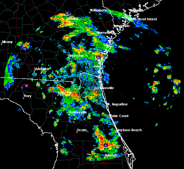 At 455 pm edt, doppler radar indicated a severe thunderstorm capable of producing damaging winds in excess of 60 mph. this storm was located 7 miles south of glen st. mary, or 9 miles northeast of raiford, moving northeast at 15 mph. locations impacted include, macclenny and glen st. mary. At 455 pm edt, doppler radar indicated a severe thunderstorm capable of producing damaging winds in excess of 60 mph. this storm was located 7 miles south of glen st. mary, or 9 miles northeast of raiford, moving northeast at 15 mph. locations impacted include, macclenny and glen st. mary.
|
| 8/17/2015 4:33 PM EDT |
 At 432 pm edt, doppler radar indicated a severe thunderstorm capable of producing damaging winds in excess of 60 mph. this storm was located near raiford, and moving northeast at 15 mph. At 432 pm edt, doppler radar indicated a severe thunderstorm capable of producing damaging winds in excess of 60 mph. this storm was located near raiford, and moving northeast at 15 mph.
|
| 8/7/2015 5:56 PM EDT | The severe thunderstorm warning for union, northern bradford, southern baker and central columbia counties will expire at 600 pm edt, the storms which prompted the warning have moved out of the area. therefore the warning will be allowed to expire. however gusty winds are still possible with these thunderstorms. remember, a severe thunderstorm warning still remains in effect for portions of union and bradford counties. |
| 8/7/2015 5:42 PM EDT |
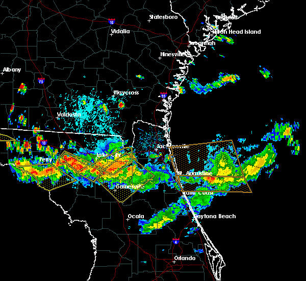 At 541 pm edt, doppler radar indicated a line of severe thunderstorms capable of producing damaging winds in excess of 60 mph. these storms were located along a line extending from near st. george to near macclenny to sanderson, moving east at 35 mph. locations impacted include, lake butler, raiford, columbia, macclenny, glen st. mary, sanderson, groves, beasley, palestine community, lulu, olustee, johnstown, ellerbee and dukes. At 541 pm edt, doppler radar indicated a line of severe thunderstorms capable of producing damaging winds in excess of 60 mph. these storms were located along a line extending from near st. george to near macclenny to sanderson, moving east at 35 mph. locations impacted include, lake butler, raiford, columbia, macclenny, glen st. mary, sanderson, groves, beasley, palestine community, lulu, olustee, johnstown, ellerbee and dukes.
|
| 8/7/2015 5:39 PM EDT |
 At 539 pm edt, doppler radar indicated a line of severe thunderstorms capable of producing damaging winds in excess of 60 mph. these storms were located along a line extending from near glen st. mary to near upland pines, and moving southeast at 30 mph. At 539 pm edt, doppler radar indicated a line of severe thunderstorms capable of producing damaging winds in excess of 60 mph. these storms were located along a line extending from near glen st. mary to near upland pines, and moving southeast at 30 mph.
|
| 8/7/2015 5:34 PM EDT |
 At 533 pm edt, doppler radar indicated a line of severe thunderstorms capable of producing damaging winds in excess of 60 mph. these storms were located along a line extending from 9 miles northwest of st. george to 6 miles north of macclenny to near sanderson, moving east at 35 mph. locations impacted include, lake city, lake butler, raiford, columbia, taylor, macclenny, glen st. mary, sanderson, groves, beasley, palestine community, st. george, watertown, lulu, olustee, johnstown, ellerbee and dukes. At 533 pm edt, doppler radar indicated a line of severe thunderstorms capable of producing damaging winds in excess of 60 mph. these storms were located along a line extending from 9 miles northwest of st. george to 6 miles north of macclenny to near sanderson, moving east at 35 mph. locations impacted include, lake city, lake butler, raiford, columbia, taylor, macclenny, glen st. mary, sanderson, groves, beasley, palestine community, st. george, watertown, lulu, olustee, johnstown, ellerbee and dukes.
|
| 8/7/2015 5:04 PM EDT |
 At 504 pm edt, doppler radar indicated a line of severe thunderstorms capable of producing damaging winds in excess of 60 mph. these storms were located along a line extending from 8 miles southeast of fargo to 8 miles west of taylor to near winfield, and moving east at 35 mph. At 504 pm edt, doppler radar indicated a line of severe thunderstorms capable of producing damaging winds in excess of 60 mph. these storms were located along a line extending from 8 miles southeast of fargo to 8 miles west of taylor to near winfield, and moving east at 35 mph.
|
| 8/7/2015 3:43 PM EDT |
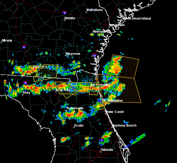 At 343 pm edt, doppler radar indicated a severe thunderstorm capable of producing damaging winds in excess of 60 mph. this storm was located near olustee, or 14 miles east of lake city, and moving southeast at 45 mph. nickel size hail may also accompany the damaging winds. At 343 pm edt, doppler radar indicated a severe thunderstorm capable of producing damaging winds in excess of 60 mph. this storm was located near olustee, or 14 miles east of lake city, and moving southeast at 45 mph. nickel size hail may also accompany the damaging winds.
|
| 8/7/2015 3:29 PM EDT |
 At 329 pm edt, doppler radar indicated a line of severe thunderstorms capable of producing damaging winds in excess of 60 mph. these storms were located along a line extending from near neptune beach to near maxville to 7 miles northeast of suwannee valley, moving southeast at 35 mph. locations impacted include, jacksonville, orange park, unf, mandarin, arlington, fruit cove, taylor, neptune beach, macclenny, glen st. mary, ortega, craig field, san marco, riverside, nas jax, olustee, bayard, baymeadows, maxville and bryceville. At 329 pm edt, doppler radar indicated a line of severe thunderstorms capable of producing damaging winds in excess of 60 mph. these storms were located along a line extending from near neptune beach to near maxville to 7 miles northeast of suwannee valley, moving southeast at 35 mph. locations impacted include, jacksonville, orange park, unf, mandarin, arlington, fruit cove, taylor, neptune beach, macclenny, glen st. mary, ortega, craig field, san marco, riverside, nas jax, olustee, bayard, baymeadows, maxville and bryceville.
|
| 8/7/2015 3:14 PM EDT |
 At 314 pm edt, doppler radar indicated a line of severe thunderstorms capable of producing damaging winds in excess of 60 mph. these storms were located along a line extending from near neptune beach to 6 miles northeast of macclenny to near glen st. mary, and moving southeast at 35 mph. At 314 pm edt, doppler radar indicated a line of severe thunderstorms capable of producing damaging winds in excess of 60 mph. these storms were located along a line extending from near neptune beach to 6 miles northeast of macclenny to near glen st. mary, and moving southeast at 35 mph.
|
| 8/7/2015 3:02 PM EDT |
 At 302 pm edt, doppler radar indicated a line of severe thunderstorms capable of producing damaging winds in excess of 60 mph. these storms were located along a line extending from near jacksonville to near sanderson to 8 miles east of belmont, moving southeast at 35 mph. locations impacted include, jacksonville, jacksonville international arpt, unf, arlington, taylor, neptune beach, macclenny, glen st. mary, ortega, craig field, san marco, riverside, ratliff, nas jax, nassau village-ratliff, oceanway, baymeadows, maxville, bryceville and sanderson. At 302 pm edt, doppler radar indicated a line of severe thunderstorms capable of producing damaging winds in excess of 60 mph. these storms were located along a line extending from near jacksonville to near sanderson to 8 miles east of belmont, moving southeast at 35 mph. locations impacted include, jacksonville, jacksonville international arpt, unf, arlington, taylor, neptune beach, macclenny, glen st. mary, ortega, craig field, san marco, riverside, ratliff, nas jax, nassau village-ratliff, oceanway, baymeadows, maxville, bryceville and sanderson.
|
| 8/7/2015 2:45 PM EDT |
 At 244 pm edt, doppler radar indicated a line of severe thunderstorms capable of producing damaging winds in excess of 60 mph. these storms were located along a line extending from 6 miles southwest of callahan to near taylor to near belmont, and moving southeast at 35 mph. At 244 pm edt, doppler radar indicated a line of severe thunderstorms capable of producing damaging winds in excess of 60 mph. these storms were located along a line extending from 6 miles southwest of callahan to near taylor to near belmont, and moving southeast at 35 mph.
|
| 6/30/2015 1:29 PM EDT |
 At 129 pm edt, doppler radar indicated a line of severe thunderstorms capable of producing damaging winds in excess of 60 mph. these storms were located along a line extending from near emerson park to near columbia, and moving east at 45 mph. At 129 pm edt, doppler radar indicated a line of severe thunderstorms capable of producing damaging winds in excess of 60 mph. these storms were located along a line extending from near emerson park to near columbia, and moving east at 45 mph.
|
| 6/28/2015 1:12 PM EDT |
 At 112 pm edt, doppler radar indicated a line of severe thunderstorms capable of producing damaging winds in excess of 60 mph. these storms were located along a line extending from near st. george to near maxville to near kingsley, moving east at 30 mph. locations impacted include, jacksonville, st. marys, saint augustine, fernandina beach, orange park, green cove springs, starke, hilliard, callahan, jacksonville international arpt, unf, middleburg, ponte vedra beach, fruit cove, mandarin, arlington, yulee, neptune beach, world golf village and macclenny. At 112 pm edt, doppler radar indicated a line of severe thunderstorms capable of producing damaging winds in excess of 60 mph. these storms were located along a line extending from near st. george to near maxville to near kingsley, moving east at 30 mph. locations impacted include, jacksonville, st. marys, saint augustine, fernandina beach, orange park, green cove springs, starke, hilliard, callahan, jacksonville international arpt, unf, middleburg, ponte vedra beach, fruit cove, mandarin, arlington, yulee, neptune beach, world golf village and macclenny.
|
| 6/28/2015 12:59 PM EDT |
 At 1258 pm edt, doppler radar indicated a line of severe thunderstorms capable of producing damaging winds in excess of 60 mph. these storms were located along a line extending from 6 miles west of st. george to near maxville to 6 miles south of kingsley, and moving northeast at 40 mph. At 1258 pm edt, doppler radar indicated a line of severe thunderstorms capable of producing damaging winds in excess of 60 mph. these storms were located along a line extending from 6 miles west of st. george to near maxville to 6 miles south of kingsley, and moving northeast at 40 mph.
|
| 6/1/2015 5:59 PM EDT | A tree was blown down at the intersection of county road 250 and county road 22 in baker county FL, 11.8 miles ESE of Glen St. Mary, FL |
| 4/25/2015 5:04 PM EDT | At 503 pm edt, doppler radar indicated a severe thunderstorm capable of producing quarter size hail and damaging winds in excess of 60 mph. this storm was located over taylor, or 23 miles southeast of fargo, moving east at 50 mph. locations impacted include, taylor, macclenny and glen st. mary. |
| 4/25/2015 5:04 PM EDT | At 503 pm edt, doppler radar indicated a severe thunderstorm capable of producing quarter size hail and damaging winds in excess of 60 mph. this storm was located over taylor, or 23 miles southeast of fargo, moving east at 50 mph. locations impacted include, taylor, macclenny and glen st. mary. |
| 4/25/2015 4:53 PM EDT | At 452 pm edt, doppler radar indicated a severe thunderstorm capable of producing quarter size hail and damaging winds in excess of 60 mph. this storm was located 10 miles west of taylor, or 15 miles southeast of fargo, and moving east at 50 mph. |
| 4/25/2015 4:53 PM EDT | At 452 pm edt, doppler radar indicated a severe thunderstorm capable of producing quarter size hail and damaging winds in excess of 60 mph. this storm was located 10 miles west of taylor, or 15 miles southeast of fargo, and moving east at 50 mph. |
| 4/25/2015 2:11 PM EDT | At 210 pm edt, doppler radar indicated a severe thunderstorm capable of producing a tornado. this dangerous storm was located over sanderson near interstate 10, or 12 miles north of raiford, moving east at 40 mph. locations impacted include, macclenny, glen st. mary and sanderson. |
| 4/25/2015 1:57 PM EDT | At 157 pm edt, doppler radar indicated a severe thunderstorm capable of producing a tornado. this dangerous storm was located near sanderson, or 16 miles northwest of raiford, and moving east at 45 mph. |
| 4/19/2015 4:00 PM EDT | At 359 pm edt, doppler radar indicated a line of severe thunderstorms capable of producing damaging winds in excess of 60 mph. these storms were located along a line extending from 9 miles northeast of jasper to near white springs to near columbia, and moving northeast at 55 mph. |
| 4/19/2015 4:00 PM EDT | At 359 pm edt, doppler radar indicated a line of severe thunderstorms capable of producing damaging winds in excess of 60 mph. these storms were located along a line extending from 9 miles northeast of jasper to near white springs to near columbia, and moving northeast at 55 mph. |
| 6/6/2014 8:00 PM EDT | Tree was reported down on leon dobson roa in baker county FL, 6.7 miles ENE of Glen St. Mary, FL |
| 6/6/2014 7:45 PM EDT | A couple of trees pulled down powerlines on cedar creek drive and john williams roa in baker county FL, 6.5 miles E of Glen St. Mary, FL |
| 6/6/2014 7:35 PM EDT | The law enforcement reported a total of 11 trees down along county road 229 and also near king street and county road 229. the time given was based on rada in baker county FL, 6.6 miles E of Glen St. Mary, FL |
| 6/6/2014 6:10 PM EDT | The law enforcement reported a total of 11 trees down along county road 229 and also near king street and county road 229. the time given was based on rada in baker county FL, 6.6 miles E of Glen St. Mary, FL |
| 7/22/2013 12:40 PM EDT | Tree down on eastbounnd onramp of interstate 10 exit 33 in baker county FL, 1.8 miles N of Glen St. Mary, FL |
| 7/10/2012 5:45 PM EDT | Baker county 911 dispatch reports a tree downed by strong wind gusts across the intersection of us highway 90 and cow pen road in the vicinity of sanderson. time of inc in baker county FL, 3.5 miles E of Glen St. Mary, FL |
| 7/10/2012 5:45 PM EDT | Baker county 911 dispatch reports a tree downed by strong wind gusts across turner cemetery road in the vicinity of sanderson. time of incident based on radar imager in baker county FL, 5.6 miles ESE of Glen St. Mary, FL |
| 1/1/0001 12:00 AM | 911 call center reported trees down in glen st mary. time estimated from rada in baker county FL, 0.5 miles NNW of Glen St. Mary, FL |
| 1/1/0001 12:00 AM | 911 call center reported trees down in sanderson. time estimated from rada in baker county FL, 6.7 miles ENE of Glen St. Mary, FL |
Hail Maps for Glen St. Mary, FL


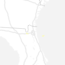
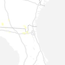
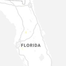


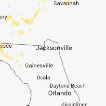


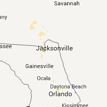


Connect with Interactive Hail Maps