

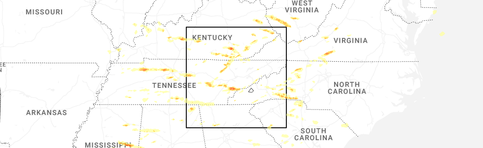
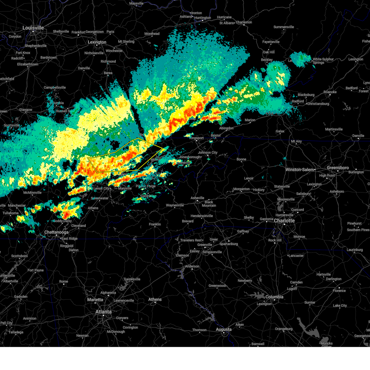
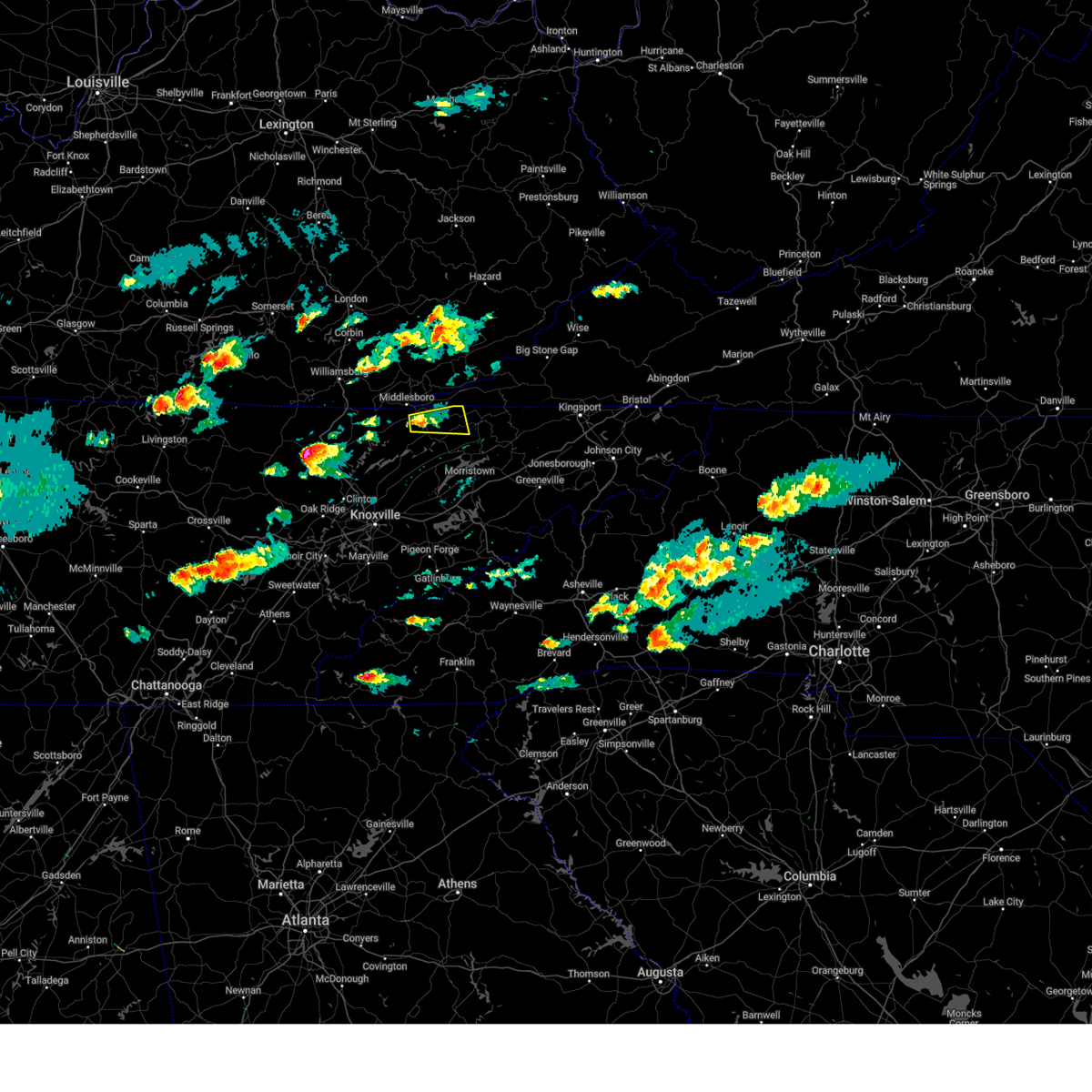
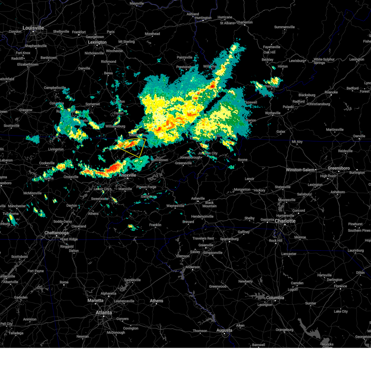
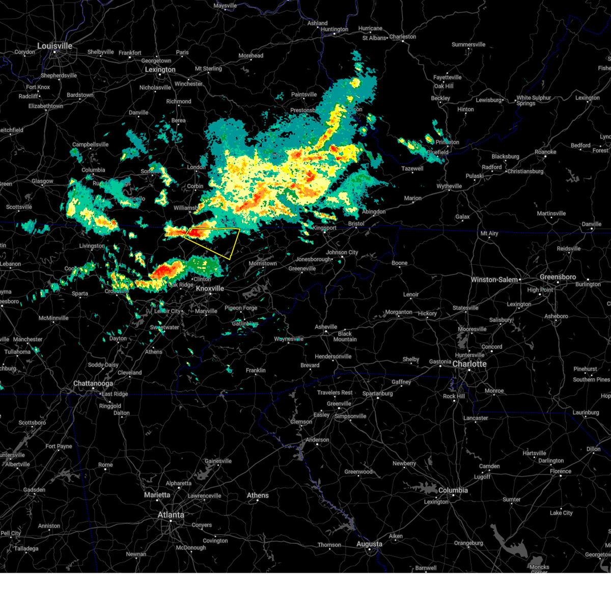
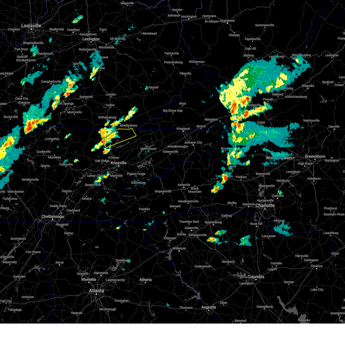
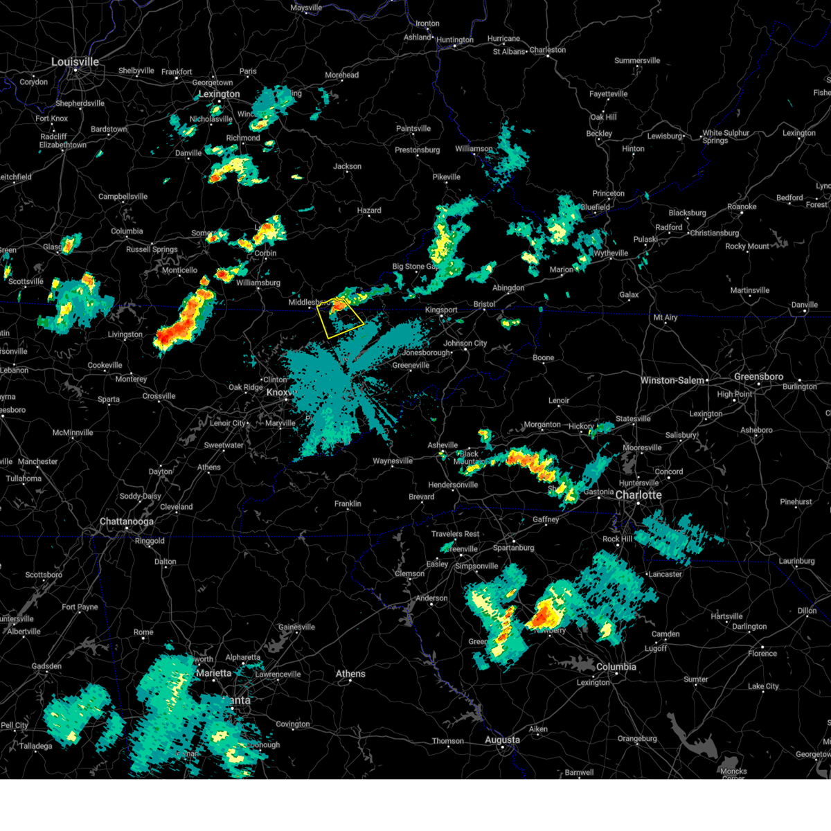
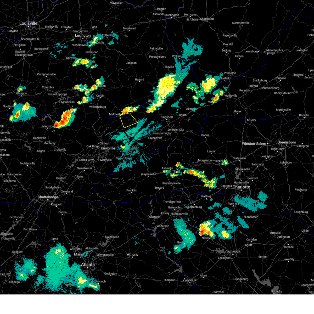
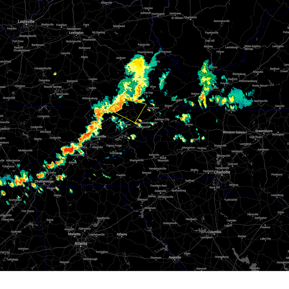
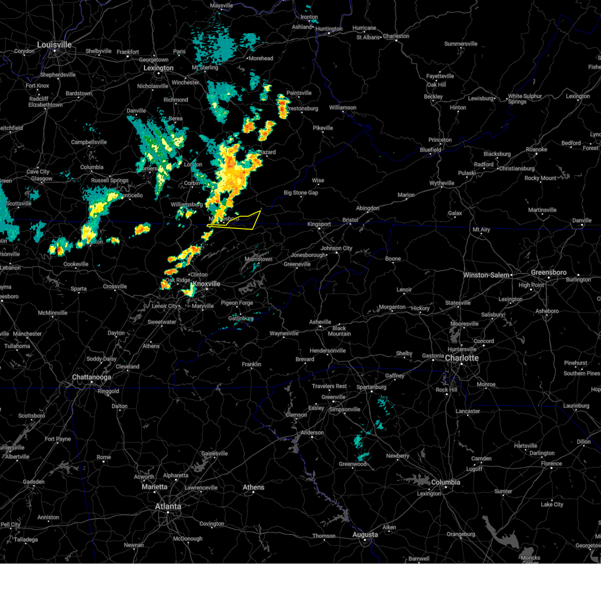
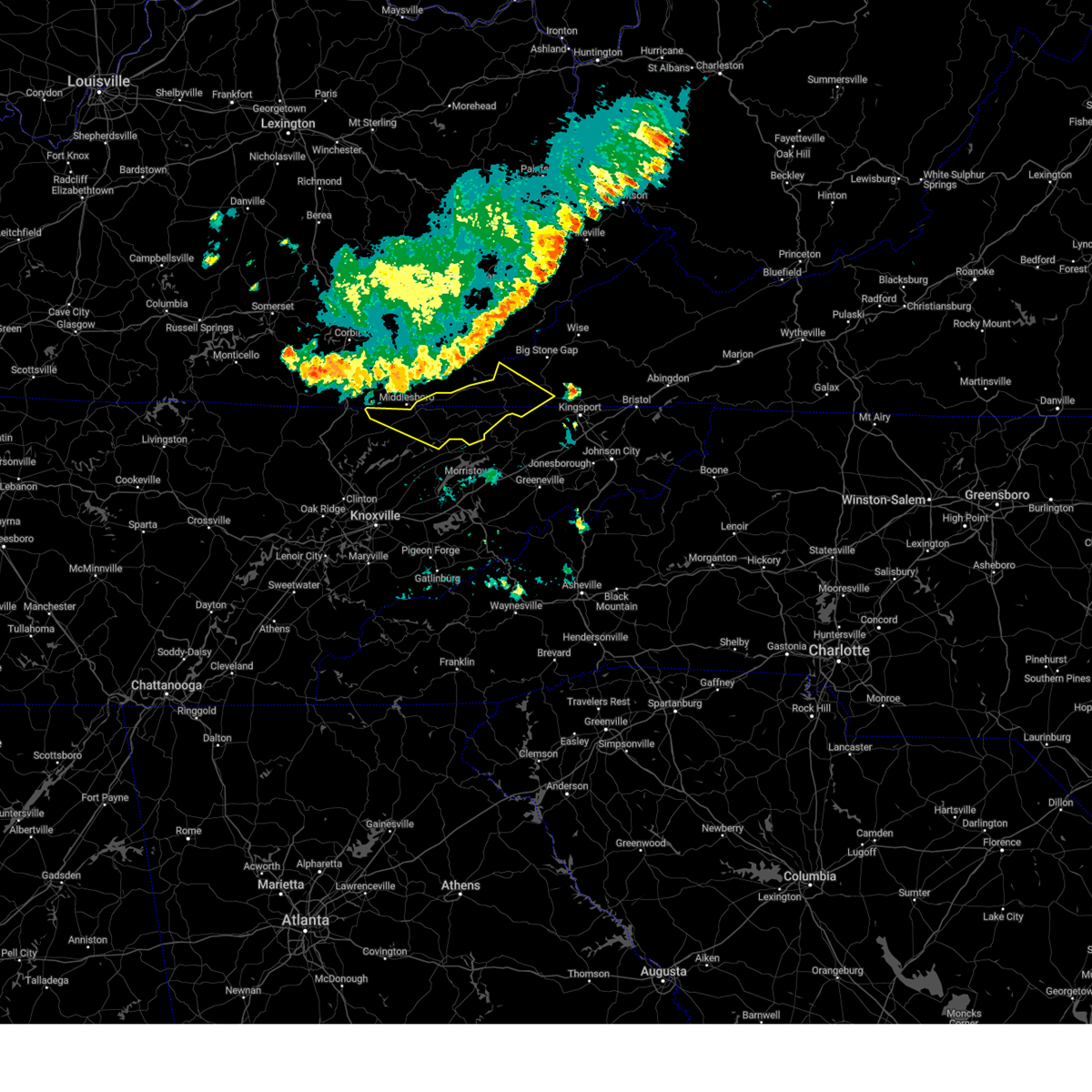
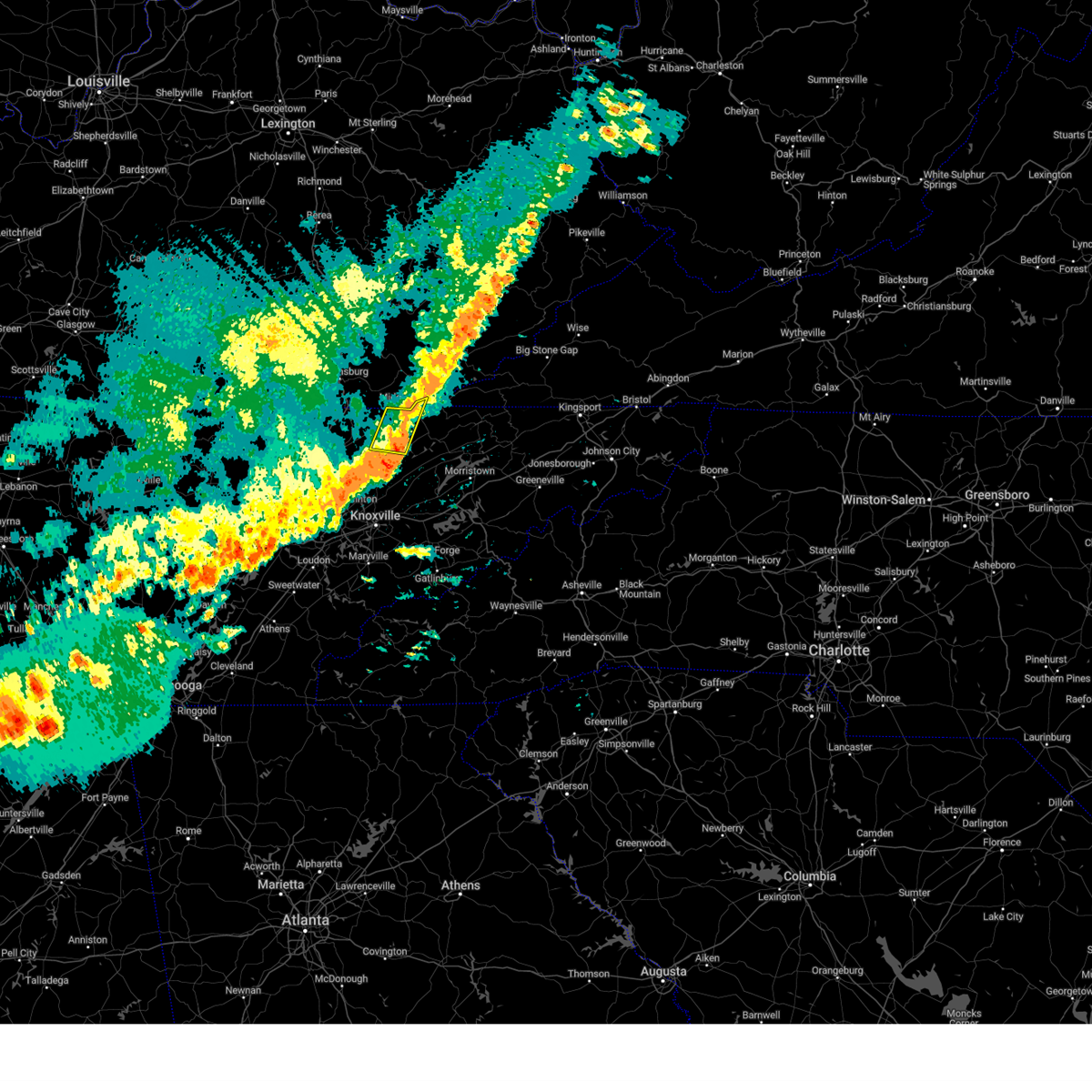
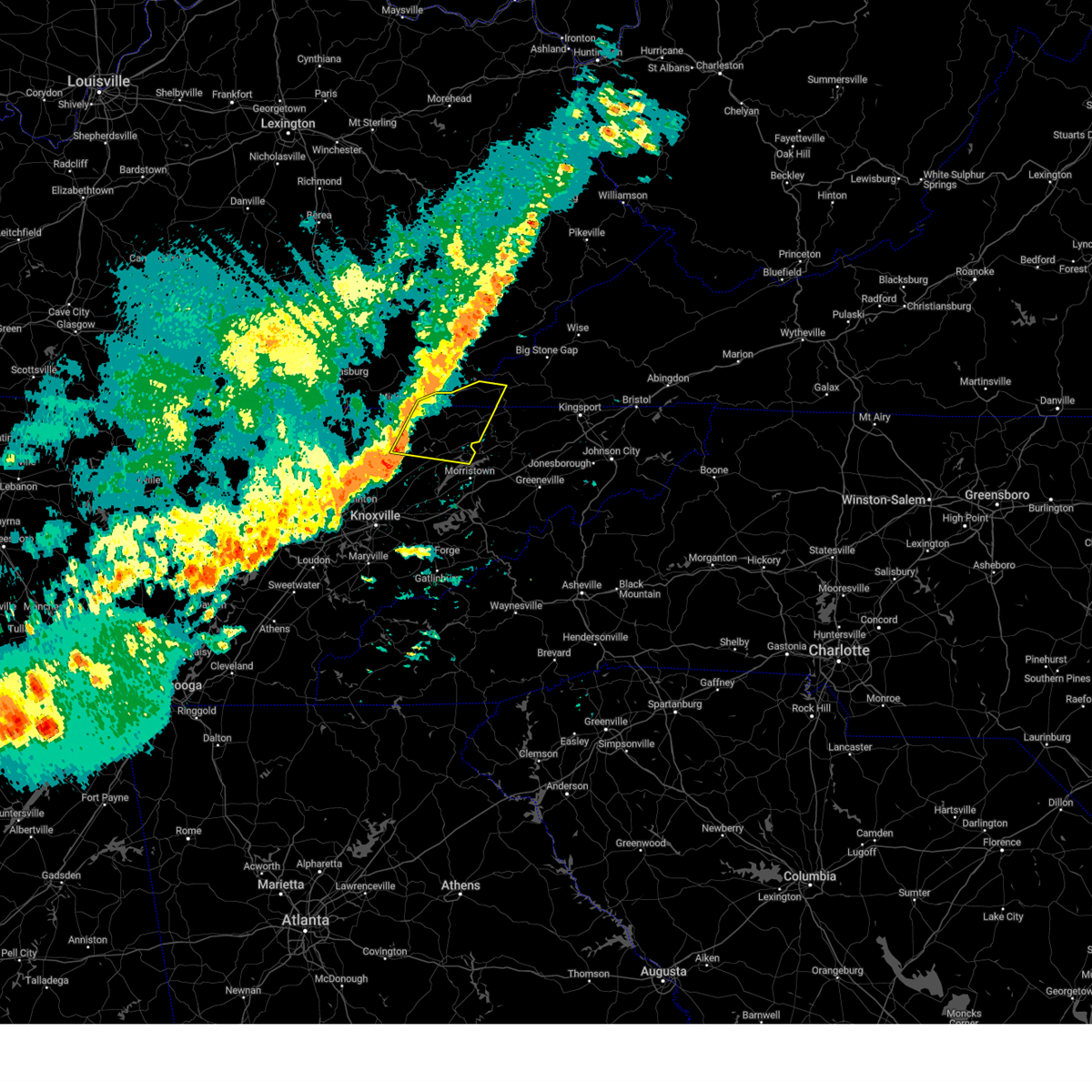
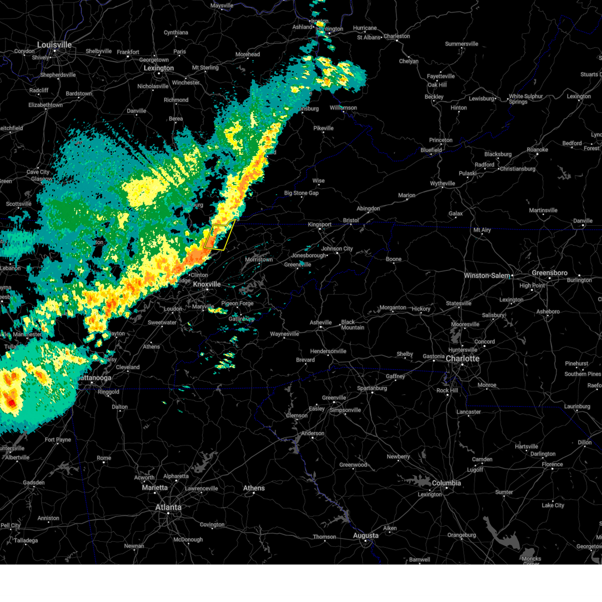
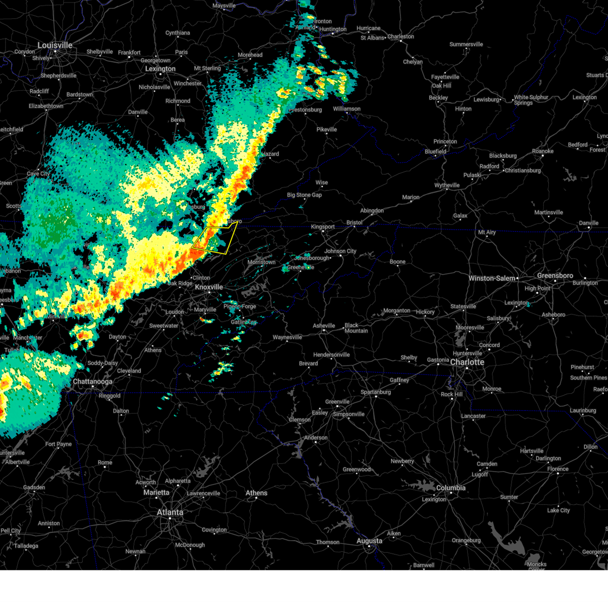
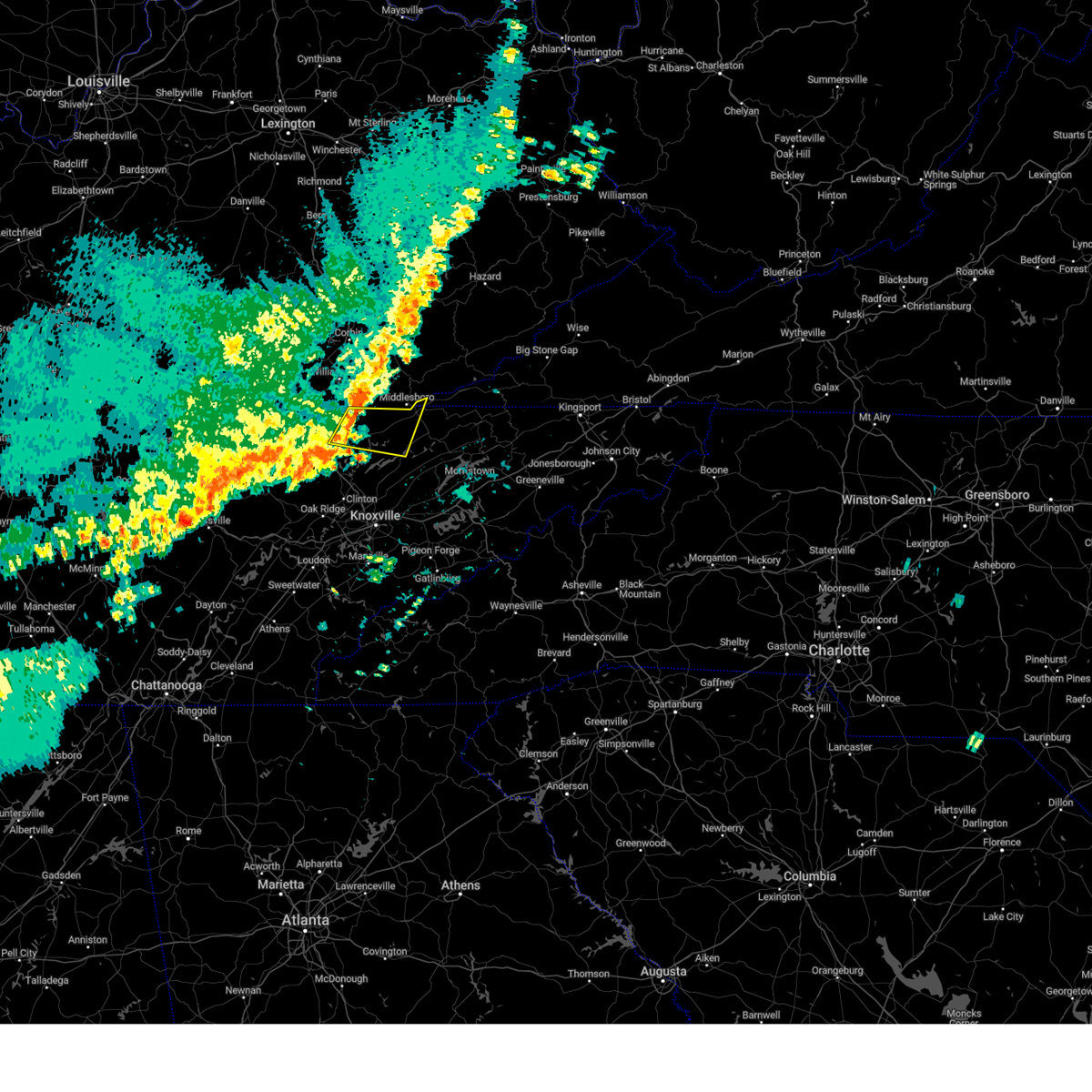
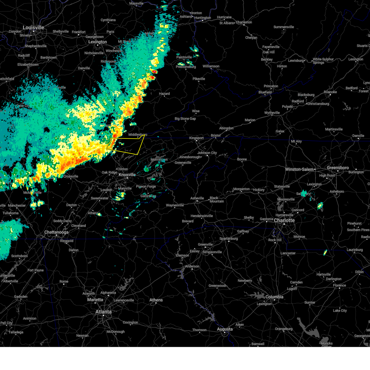
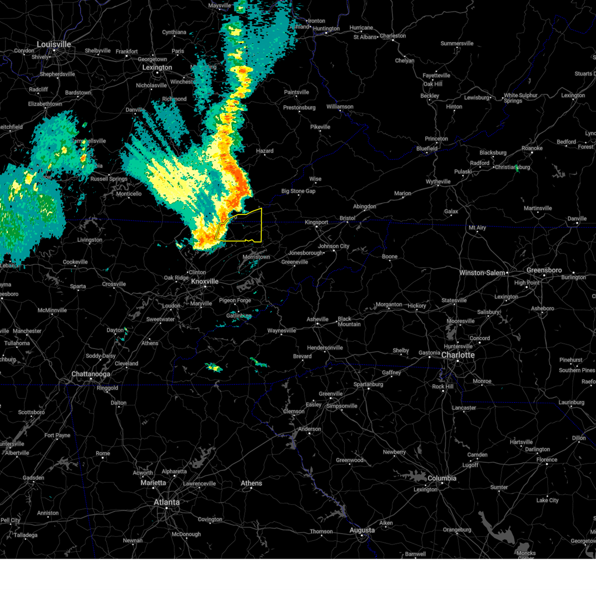
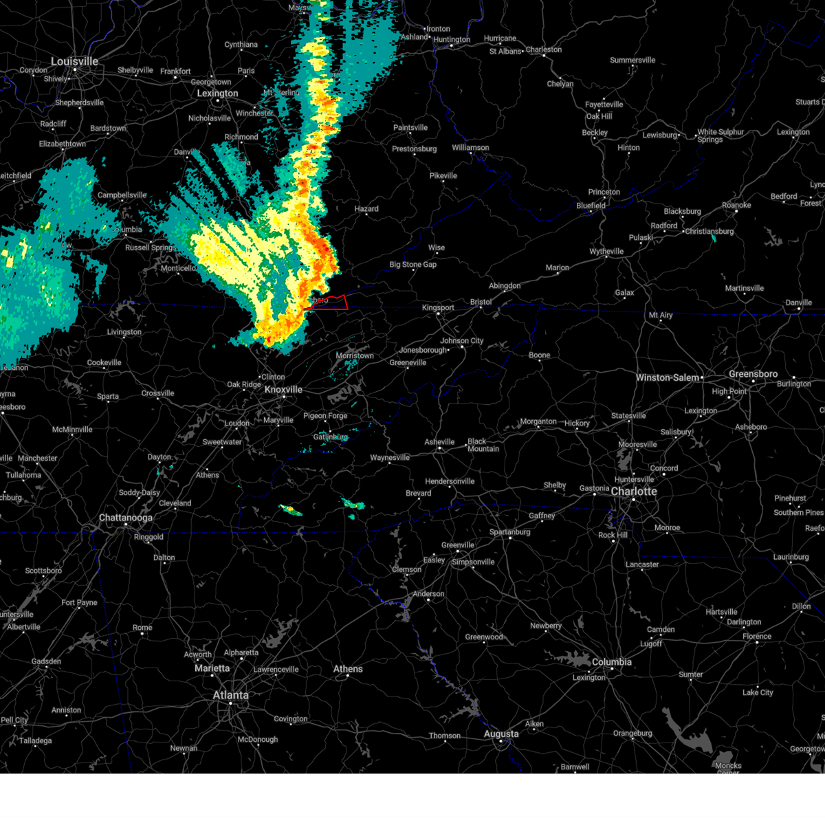
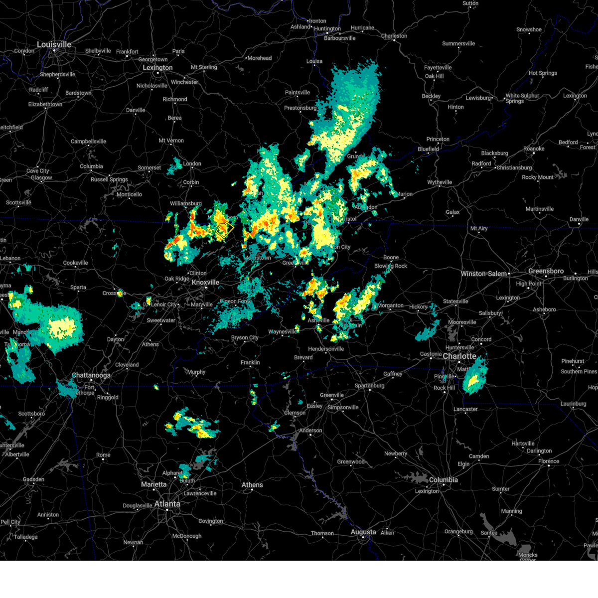
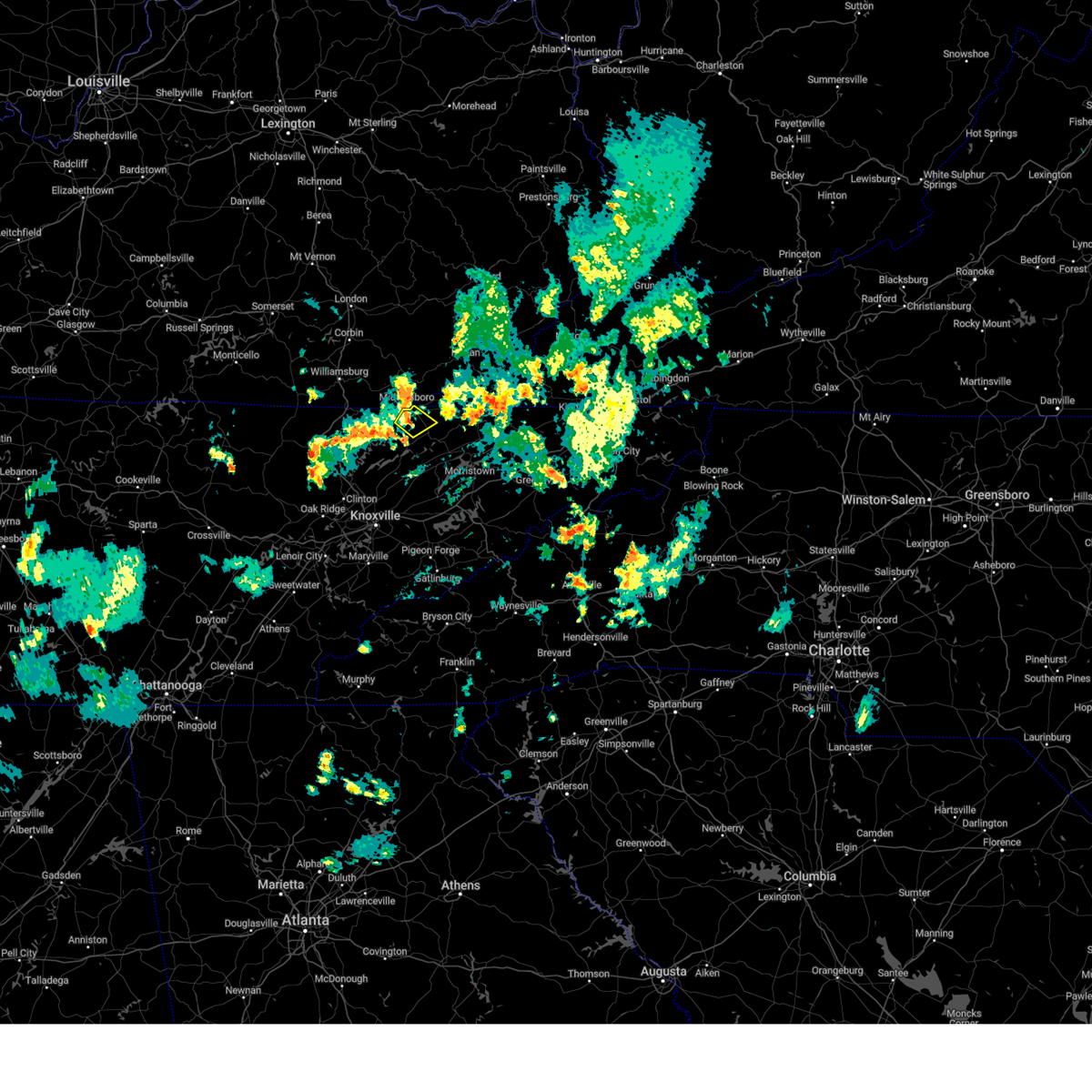
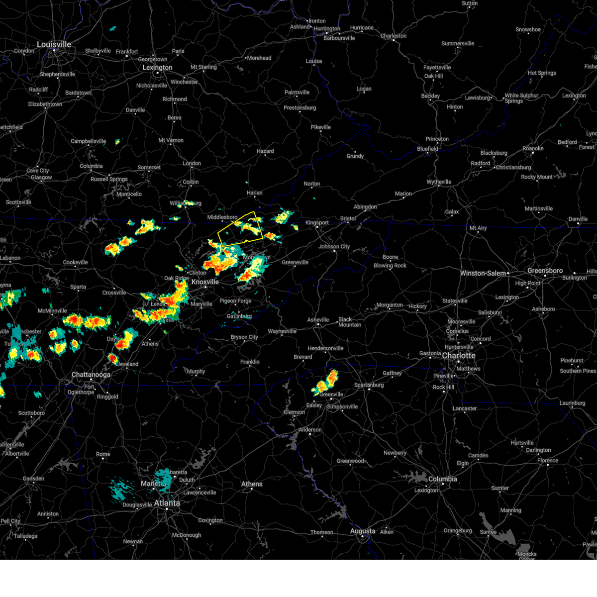
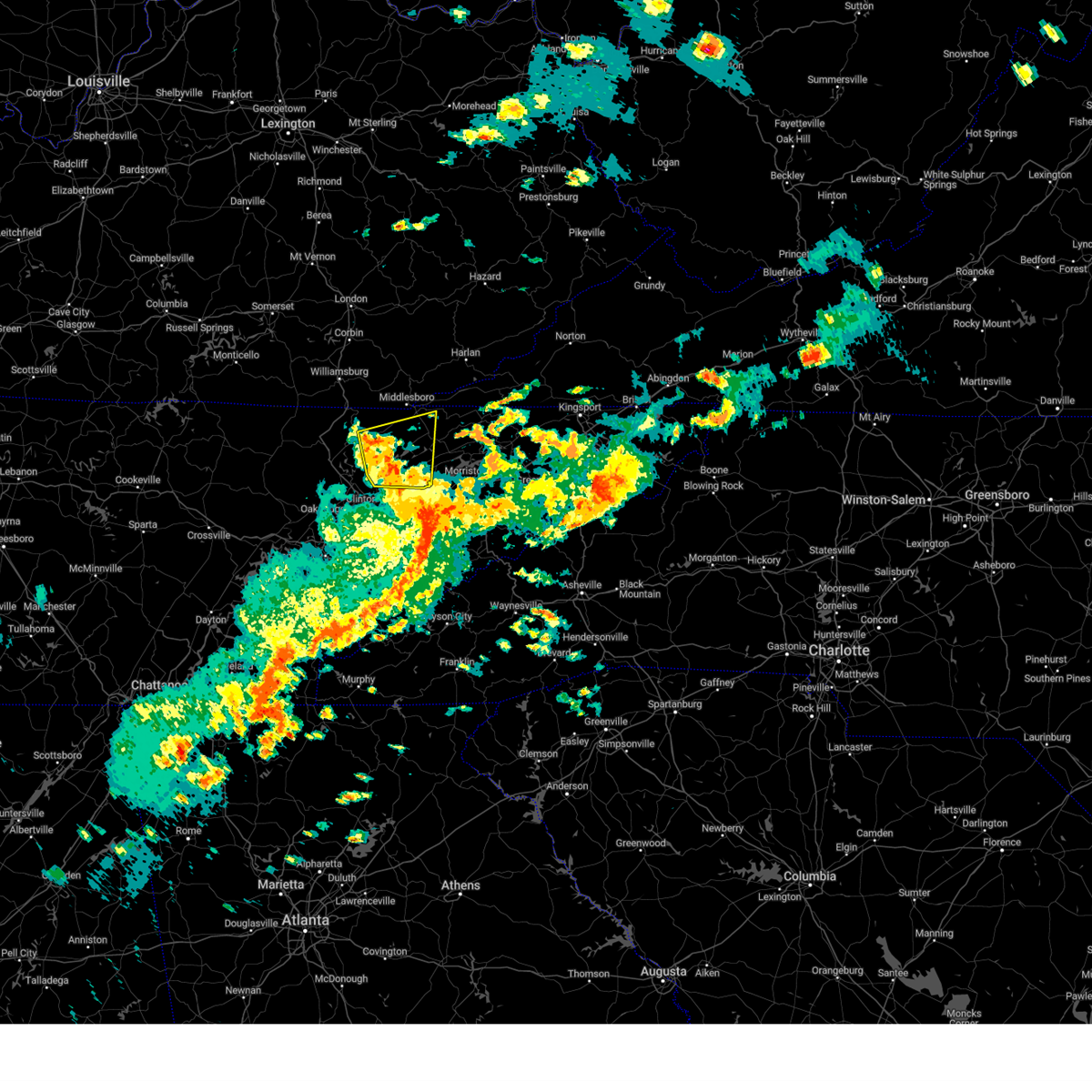
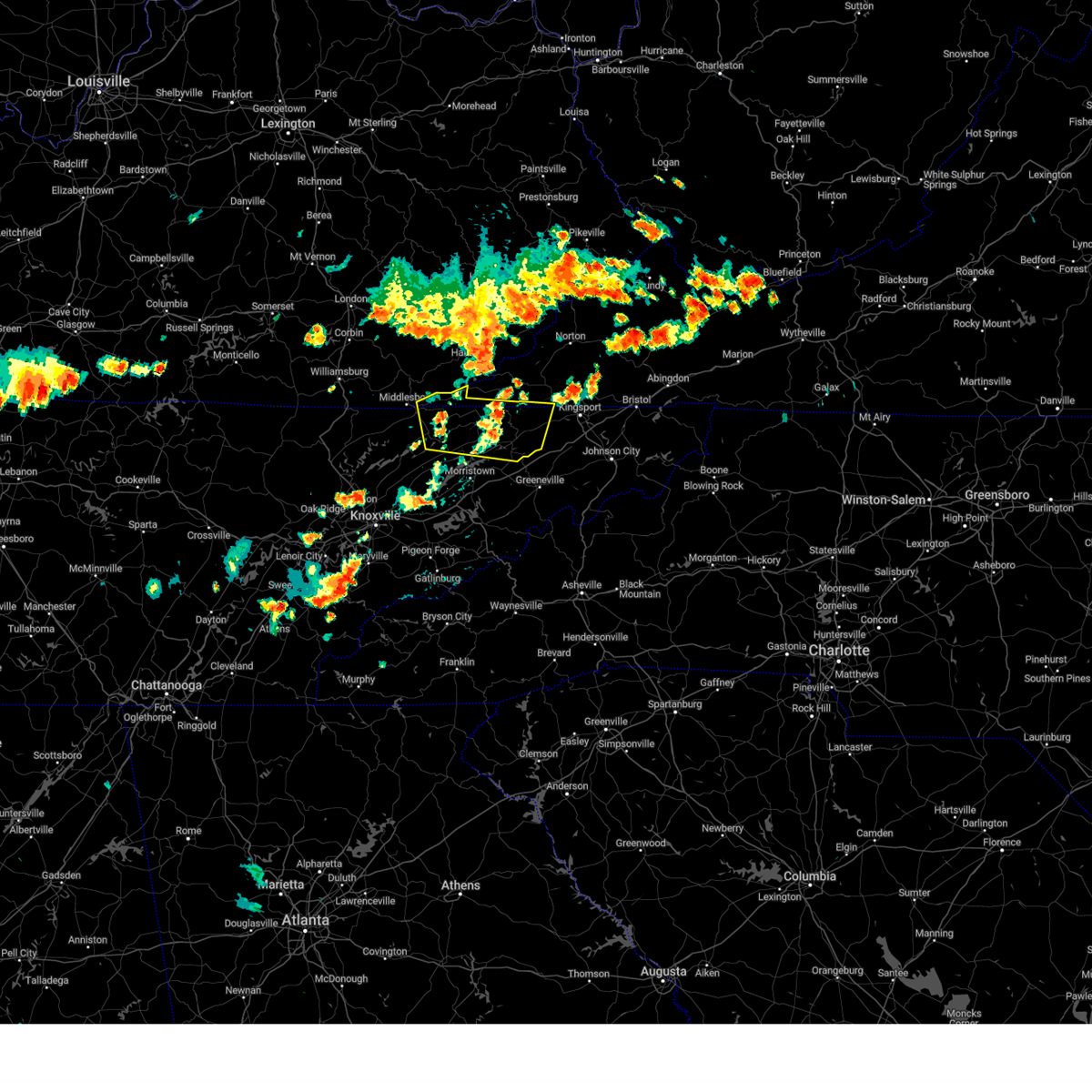
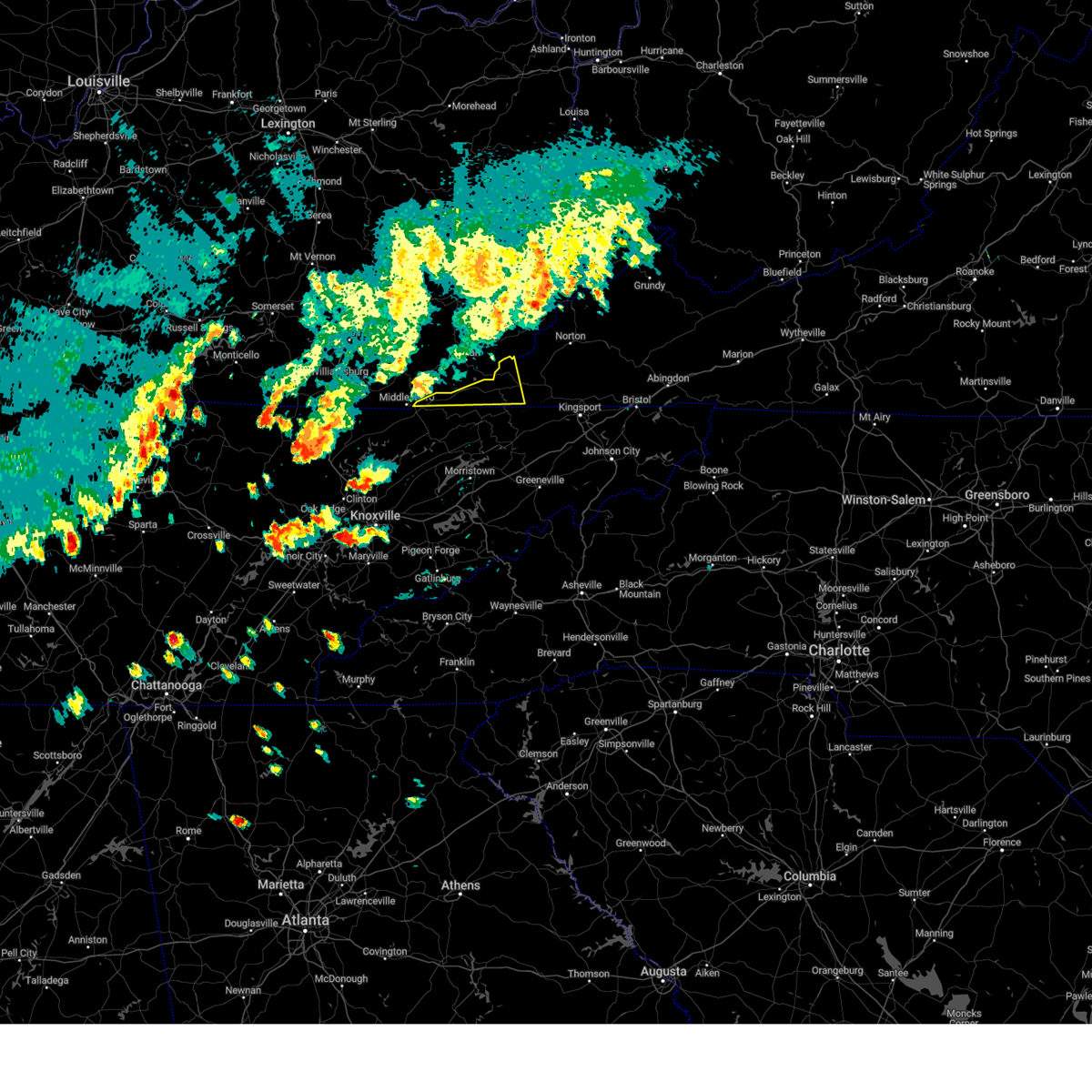
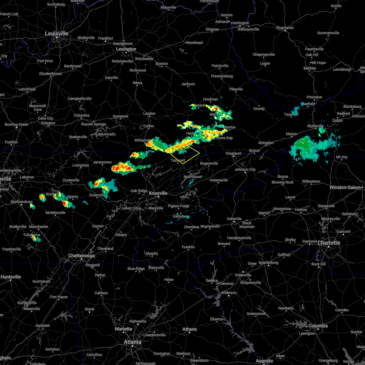
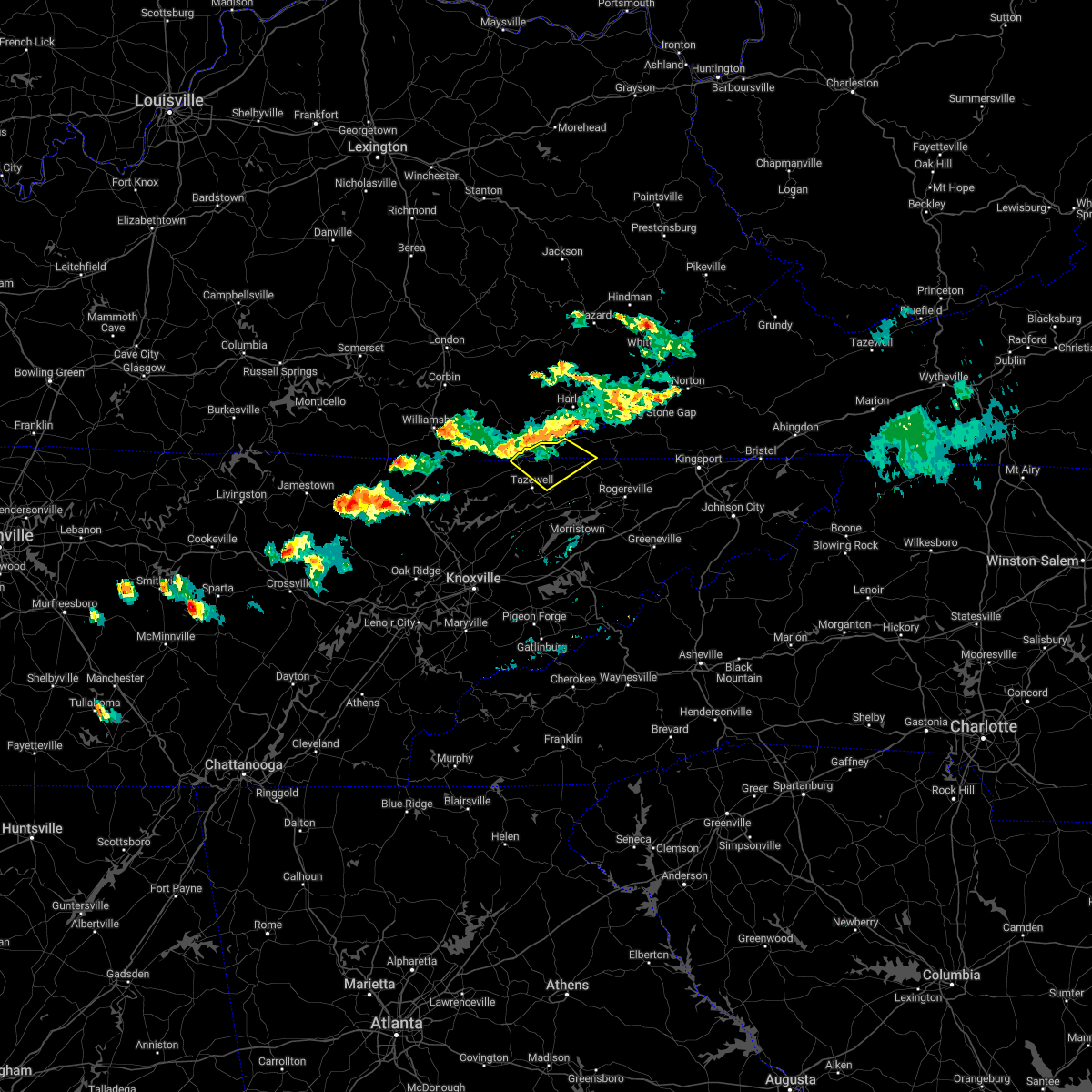
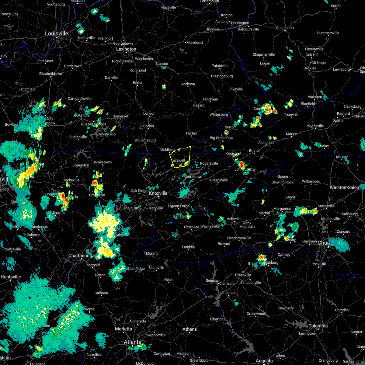
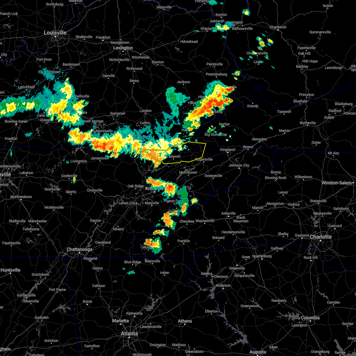
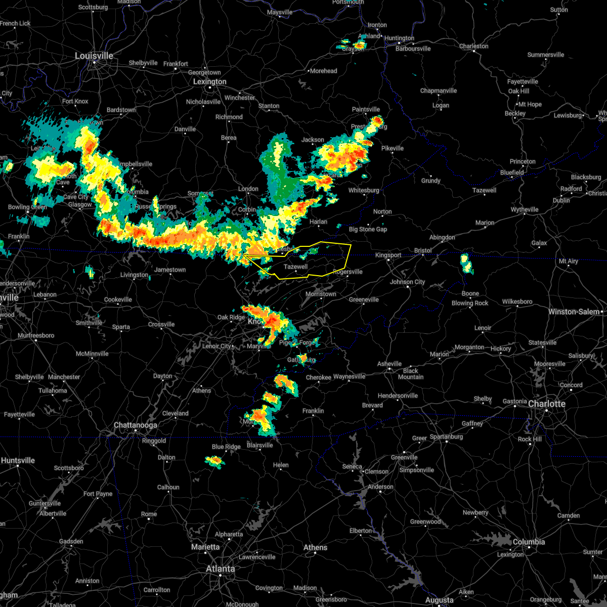
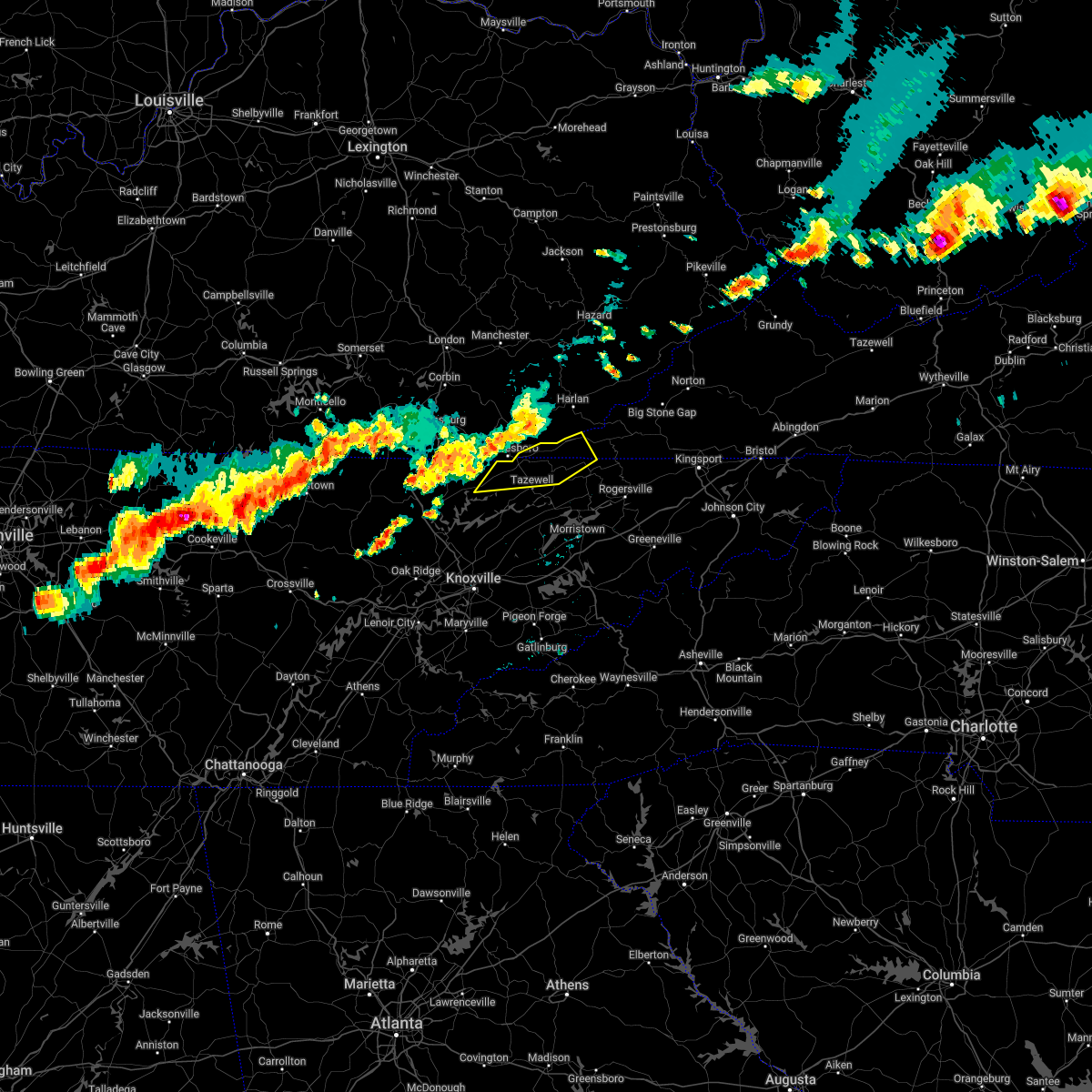
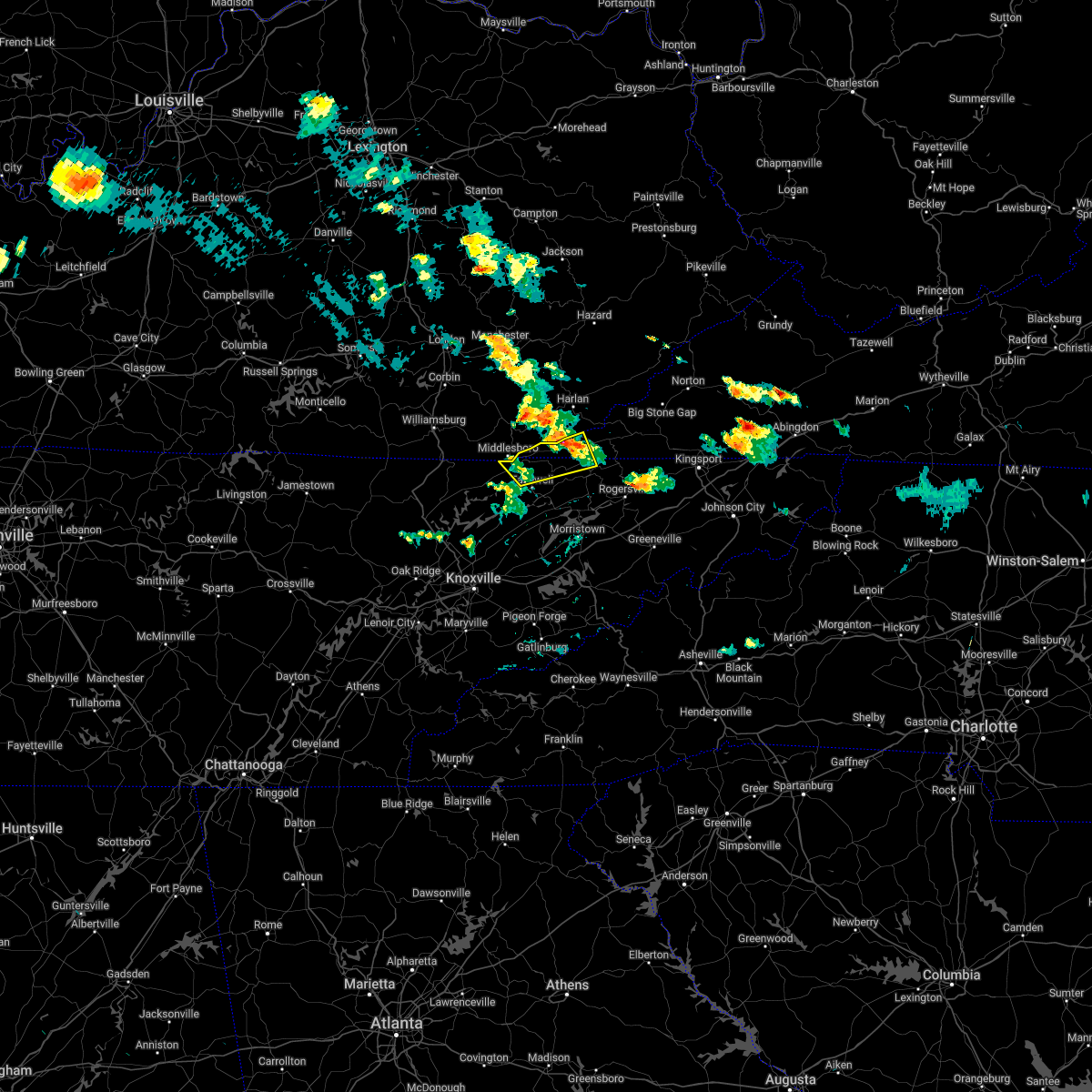
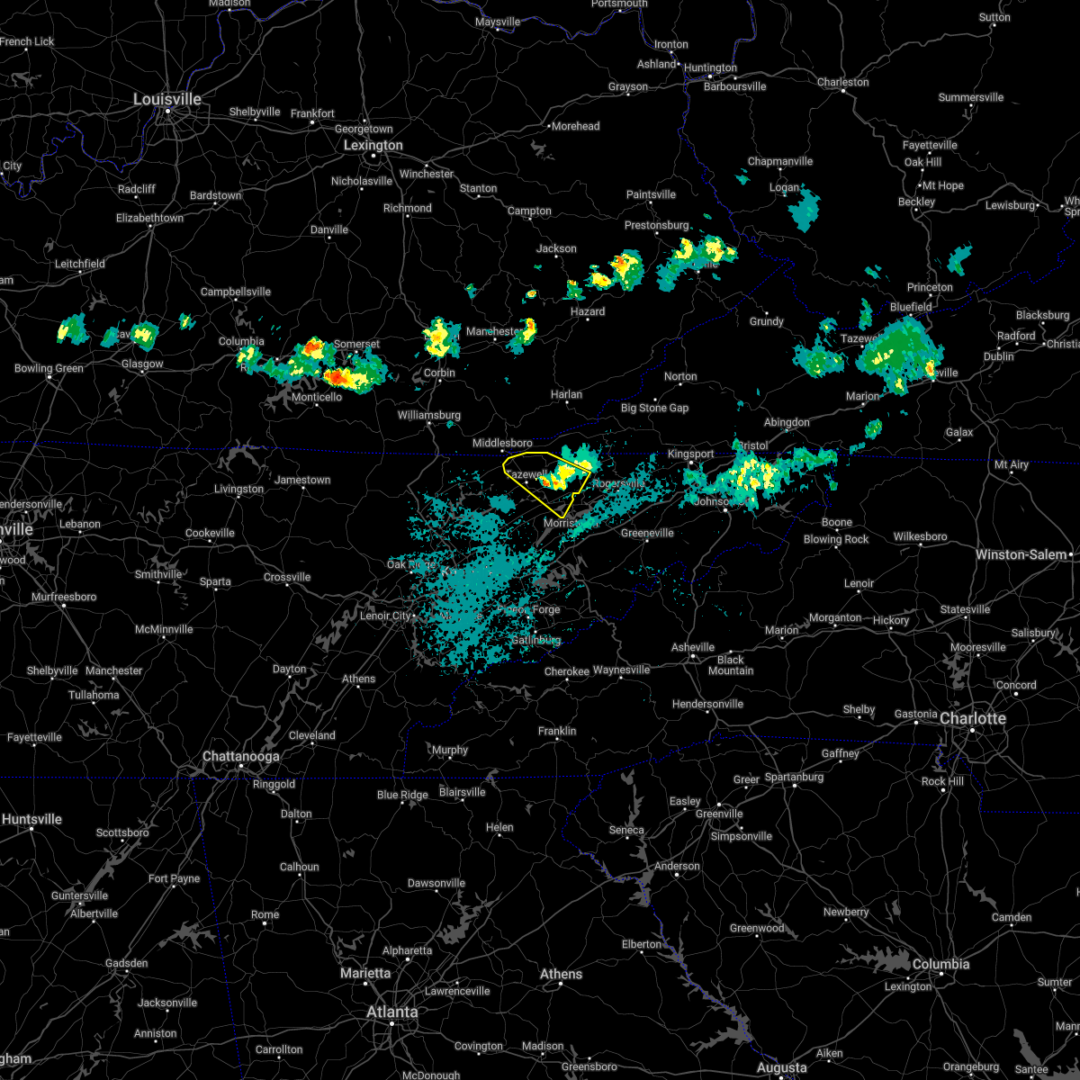
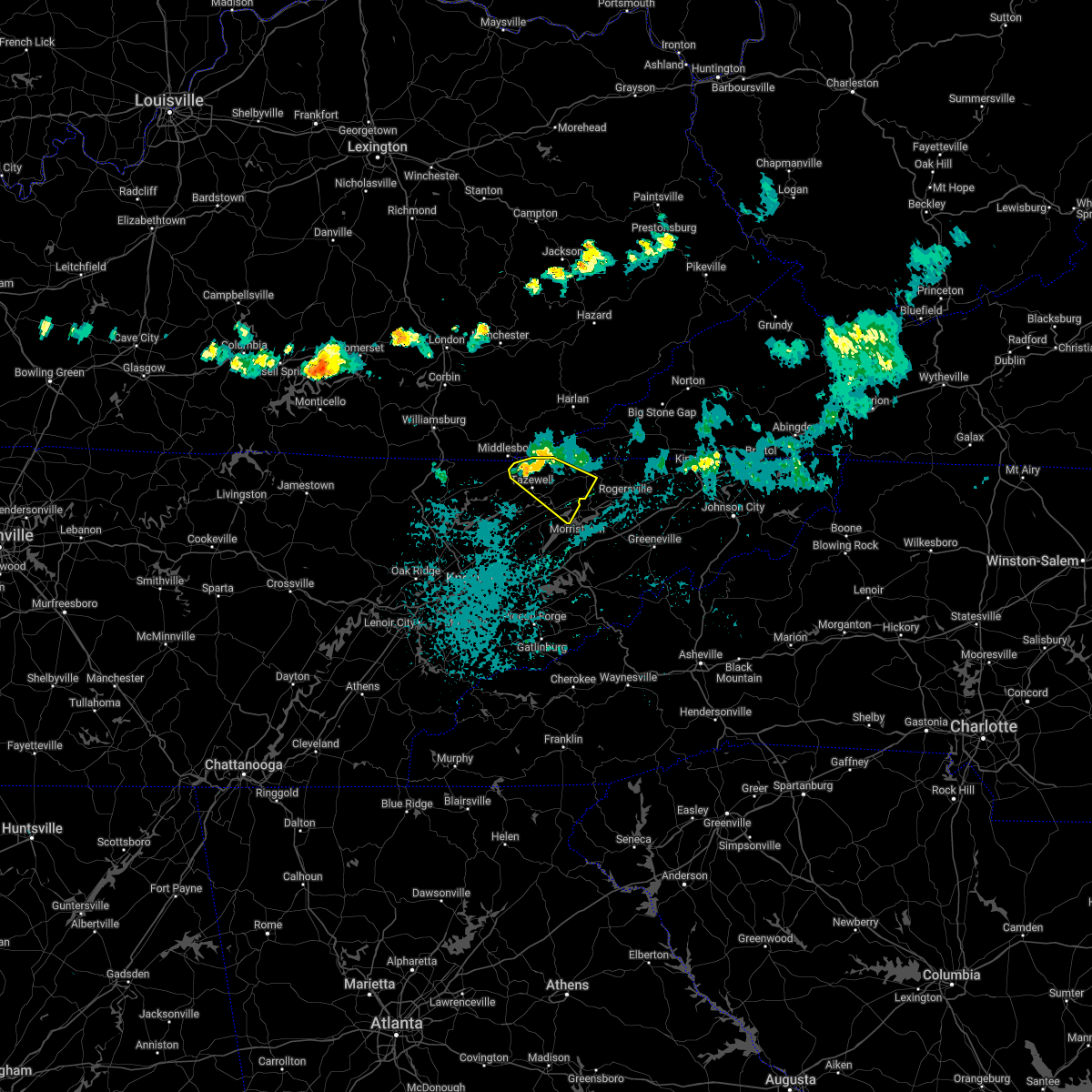
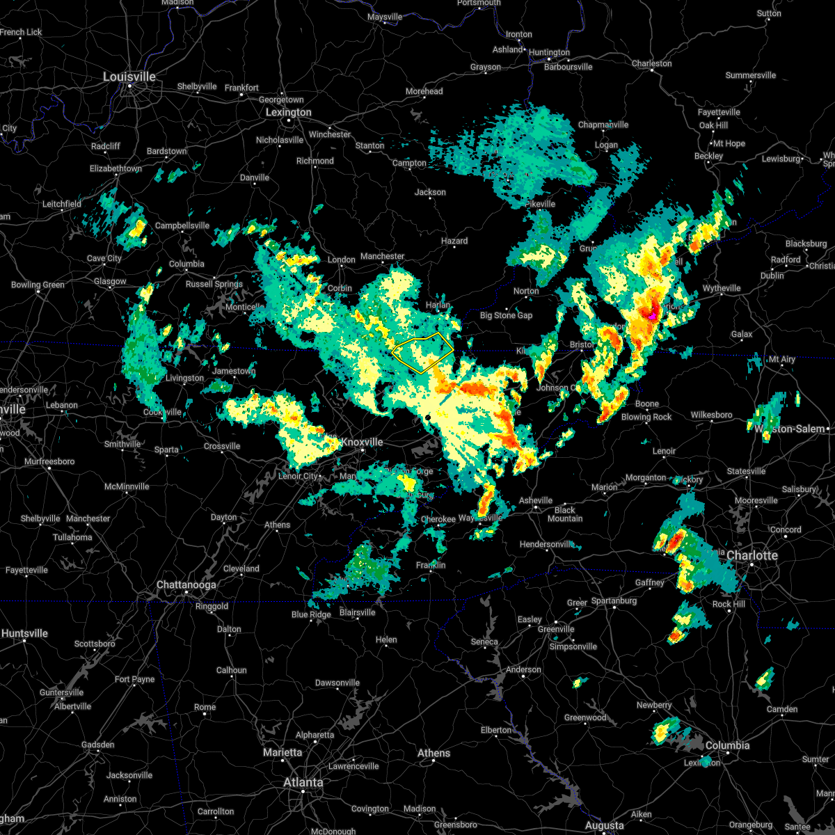
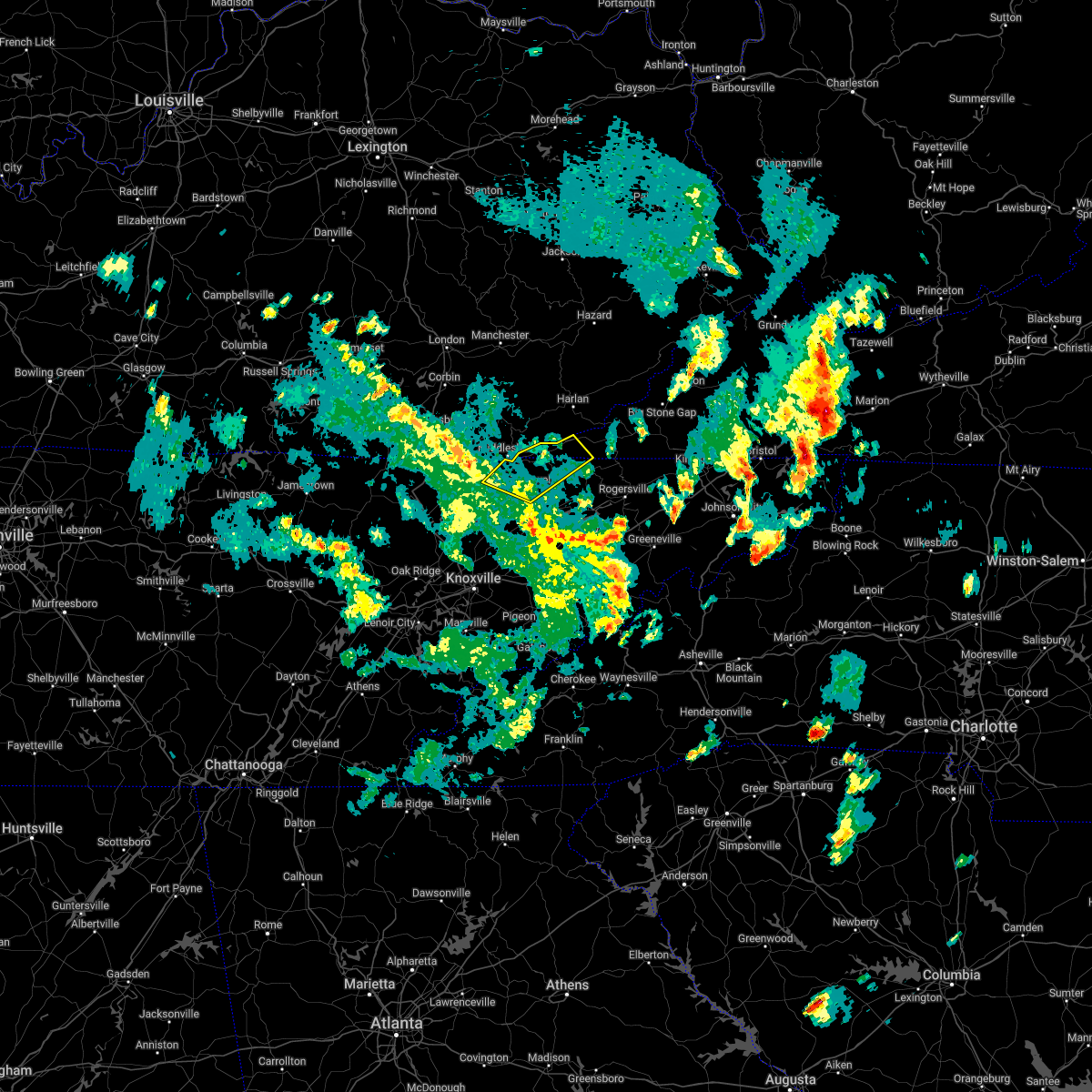
Hail Map for Harrogate, TN
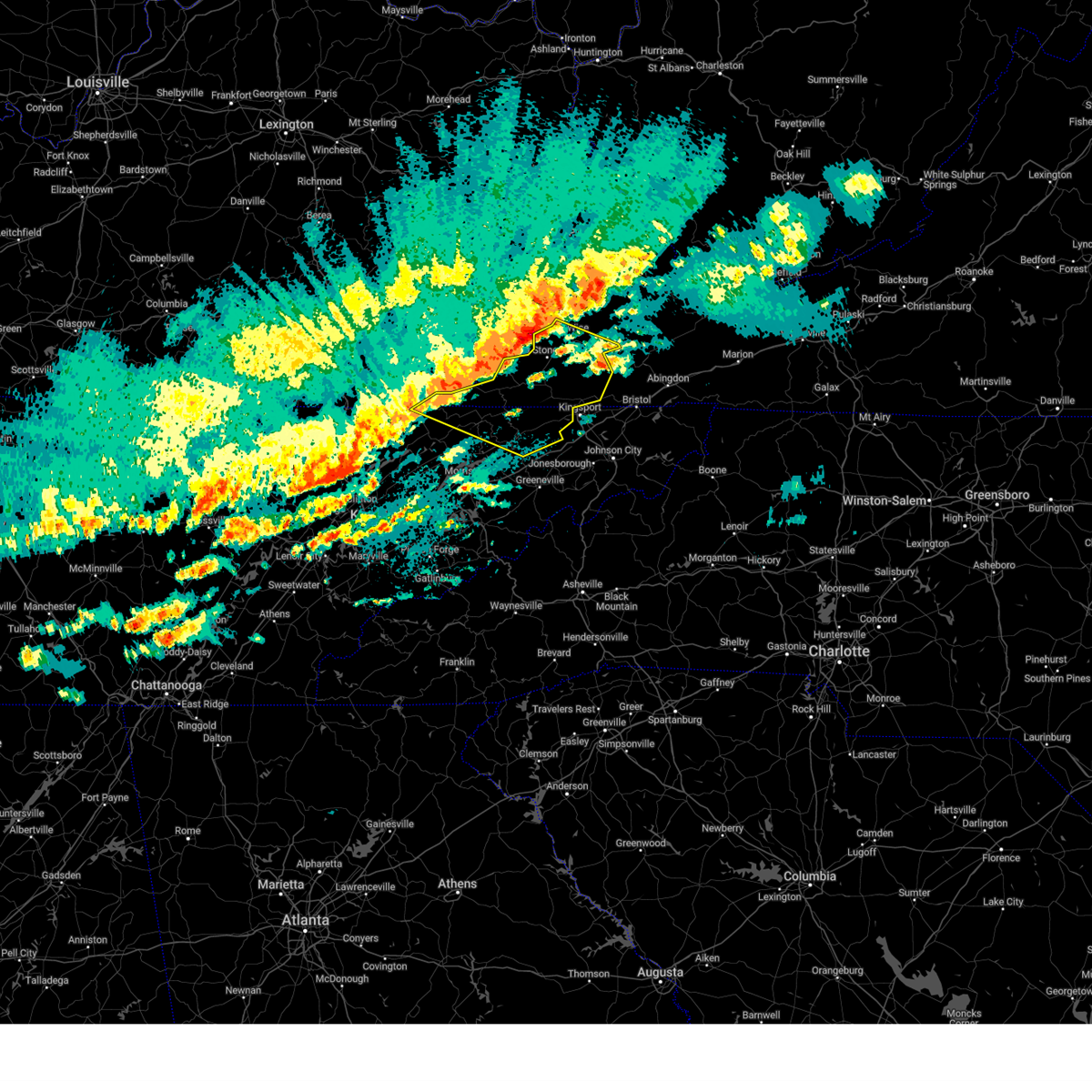
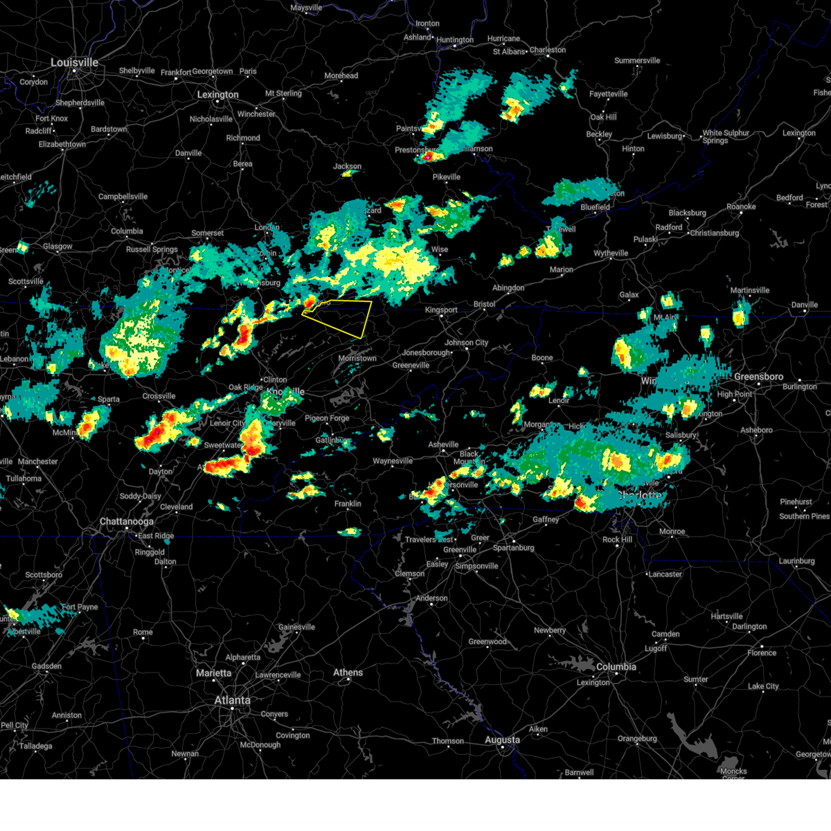
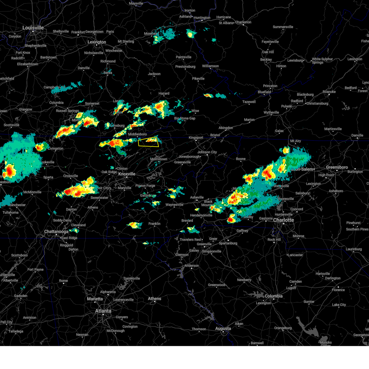
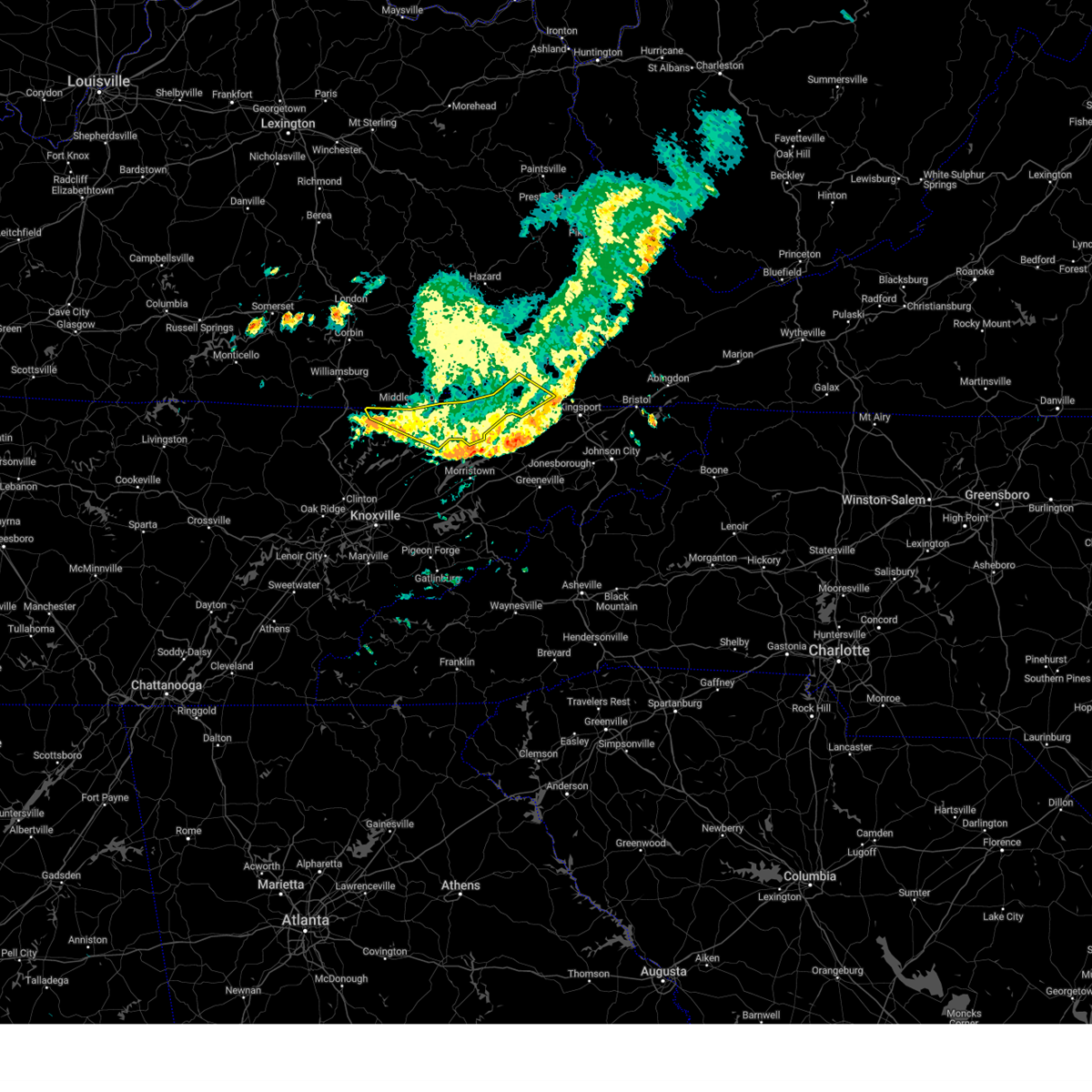
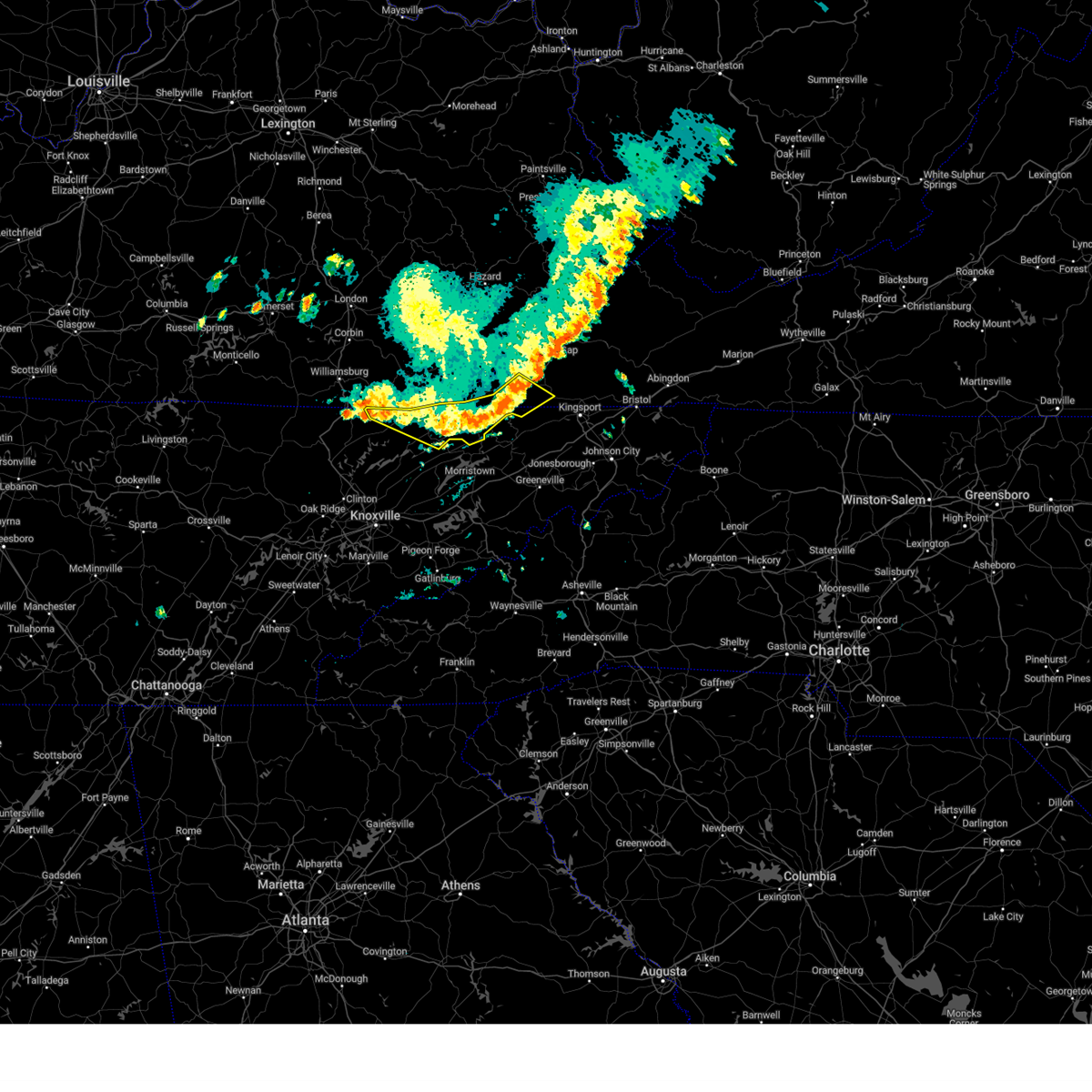
The Harrogate, TN area has had 1 report of on-the-ground hail by trained spotters, and has been under severe weather warnings 26 times during the past 12 months. Doppler radar has detected hail at or near Harrogate, TN on 35 occasions, including 2 occasions during the past year.
| Name: | Harrogate, TN |
| Where Located: | 45.2 miles NNE of Knoxville, TN |
| Map: | Google Map for Harrogate, TN |
| Population: | 4389 |
| Housing Units: | 1685 |
| More Info: | Search Google for Harrogate, TN |
1
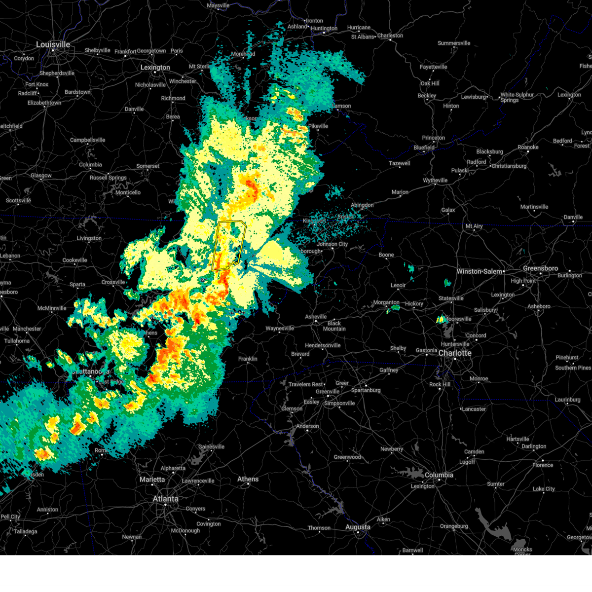
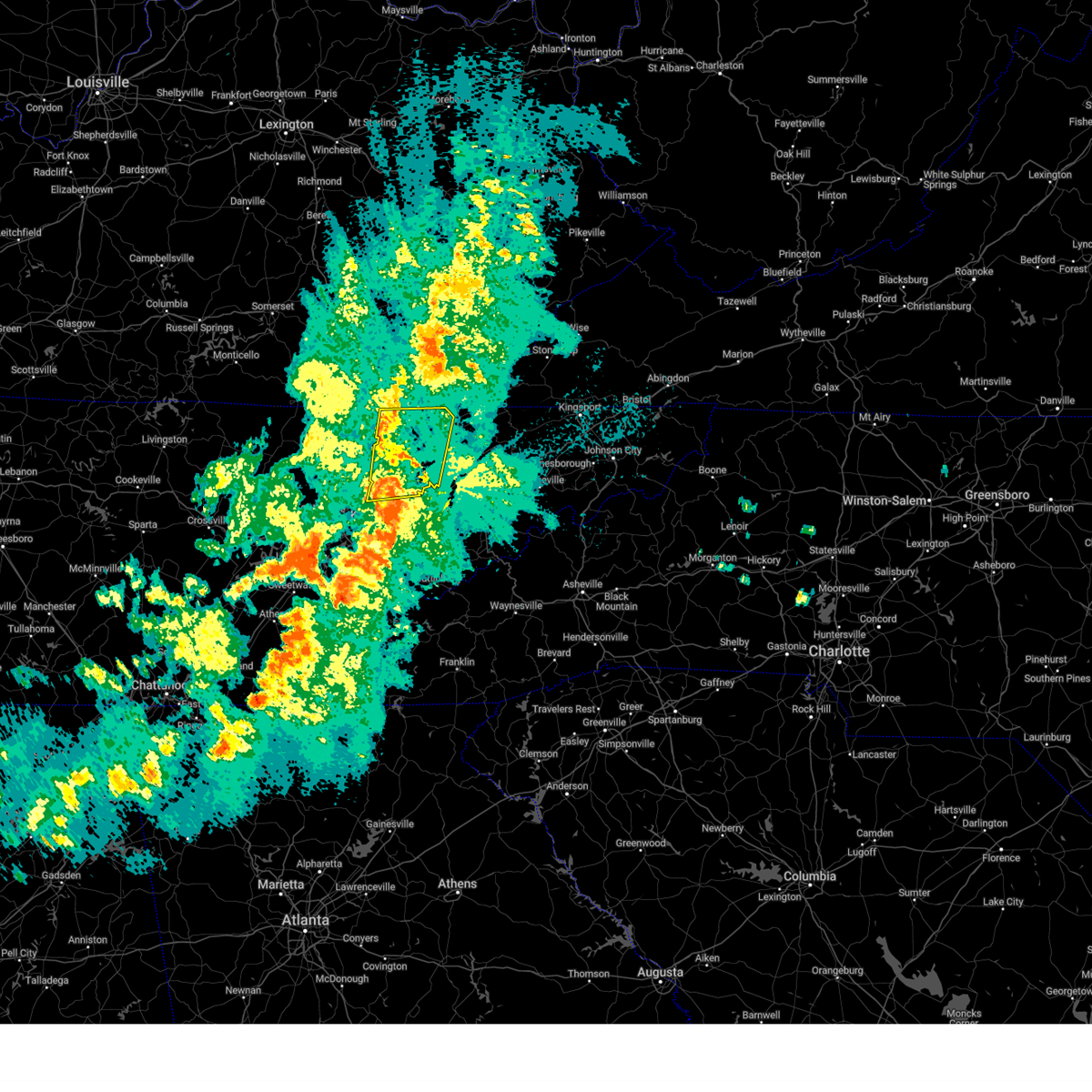
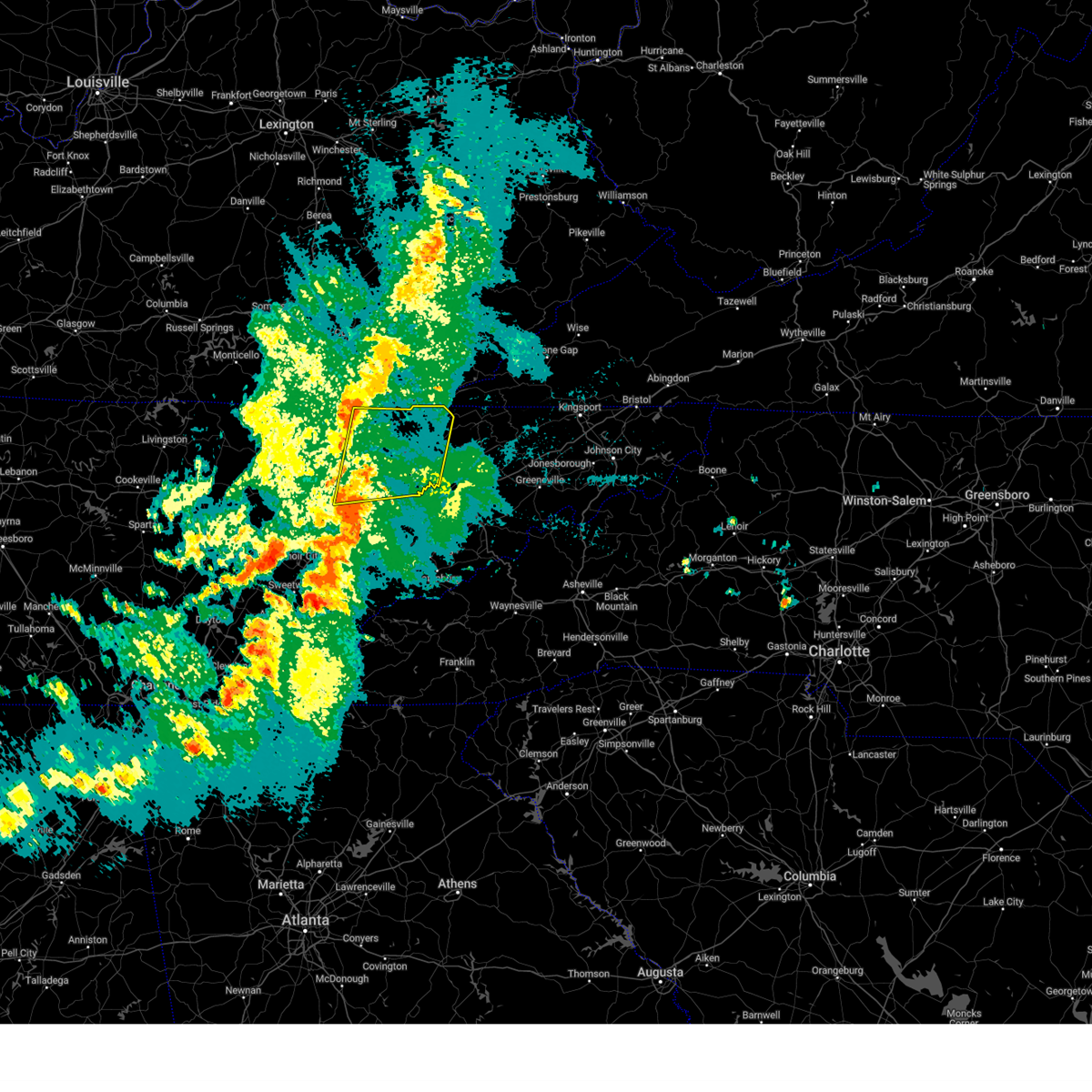
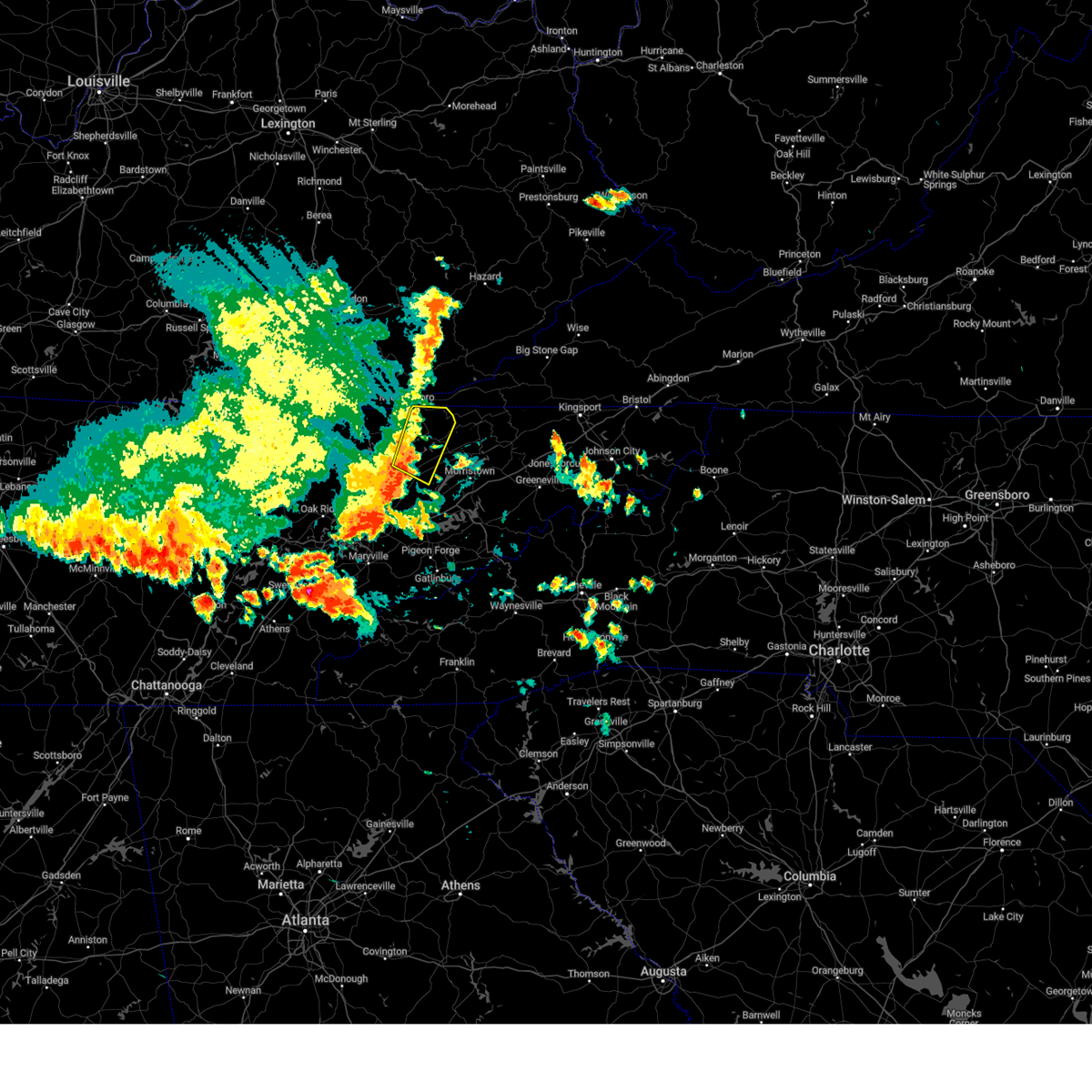
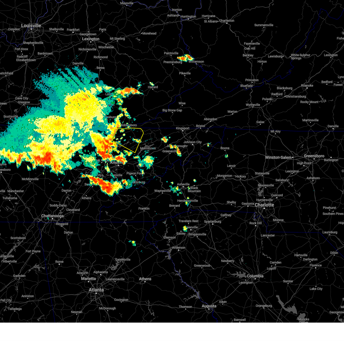
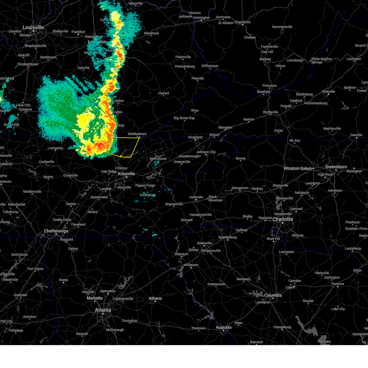
The Top Recent Hail Date for Harrogate, TN is Thursday, May 8, 2025 (8th out of 35)
Hail and Wind Damage Spotted near Harrogate, TN
| Date / Time | Report Details |
|---|---|
| 5/20/2025 10:41 PM EDT |
 At 1040 pm edt, severe thunderstorms were located along a line extending from near hutch to near plainview, moving east at 45 mph (radar indicated). Hazards include 60 mph wind gusts. Expect damage to roofs, siding, and trees. Locations impacted include, springdale, luttrell, lone mountain, arthur, new tazewell, rose hill, buffalo springs, harrogate, sandlick, and house mountain state park. At 1040 pm edt, severe thunderstorms were located along a line extending from near hutch to near plainview, moving east at 45 mph (radar indicated). Hazards include 60 mph wind gusts. Expect damage to roofs, siding, and trees. Locations impacted include, springdale, luttrell, lone mountain, arthur, new tazewell, rose hill, buffalo springs, harrogate, sandlick, and house mountain state park.
|
| 5/20/2025 10:31 PM EDT |
 At 1030 pm edt, severe thunderstorms were located along a line extending from noetown to 7 miles southwest of plainview, moving east at 45 mph (radar indicated). Hazards include 60 mph wind gusts. Expect damage to roofs, siding, and trees. Locations impacted include, springdale, luttrell, lone mountain, arthur, new tazewell, maynardville, rose hill, buffalo springs, paulette, and harrogate. At 1030 pm edt, severe thunderstorms were located along a line extending from noetown to 7 miles southwest of plainview, moving east at 45 mph (radar indicated). Hazards include 60 mph wind gusts. Expect damage to roofs, siding, and trees. Locations impacted include, springdale, luttrell, lone mountain, arthur, new tazewell, maynardville, rose hill, buffalo springs, paulette, and harrogate.
|
| 5/20/2025 10:31 PM EDT |
 the severe thunderstorm warning has been cancelled and is no longer in effect the severe thunderstorm warning has been cancelled and is no longer in effect
|
| 5/20/2025 10:13 PM EDT |
 Svrmrx the national weather service in morristown has issued a * severe thunderstorm warning for, claiborne county in east tennessee, northeastern anderson county in east tennessee, northeastern knox county in east tennessee, eastern campbell county in east tennessee, western grainger county in east tennessee, union county in east tennessee, * until 1115 pm edt. * at 1012 pm edt, severe thunderstorms were located along a line extending from near wilkerson to clinton, moving east at 45 mph (radar indicated). Hazards include 60 mph wind gusts. expect damage to roofs, siding, and trees Svrmrx the national weather service in morristown has issued a * severe thunderstorm warning for, claiborne county in east tennessee, northeastern anderson county in east tennessee, northeastern knox county in east tennessee, eastern campbell county in east tennessee, western grainger county in east tennessee, union county in east tennessee, * until 1115 pm edt. * at 1012 pm edt, severe thunderstorms were located along a line extending from near wilkerson to clinton, moving east at 45 mph (radar indicated). Hazards include 60 mph wind gusts. expect damage to roofs, siding, and trees
|
| 5/17/2025 2:05 AM EDT |
 At 205 am edt, severe thunderstorms were located along a line extending from near tazewell to 8 miles west of maynardville to 7 miles north of oliver springs, moving east at 45 mph (radar indicated). Hazards include 70 mph wind gusts and nickel size hail. Expect considerable tree damage. damage is likely to mobile homes, roofs, and outbuildings. locations impacted include, norris dam state park, luttrell, lone mountain, caryville, howard quarter, arthur, smokey junction, new tazewell, maynardville, and rosedale. This includes interstate 75 in tennessee between mile markers 114 and 139. At 205 am edt, severe thunderstorms were located along a line extending from near tazewell to 8 miles west of maynardville to 7 miles north of oliver springs, moving east at 45 mph (radar indicated). Hazards include 70 mph wind gusts and nickel size hail. Expect considerable tree damage. damage is likely to mobile homes, roofs, and outbuildings. locations impacted include, norris dam state park, luttrell, lone mountain, caryville, howard quarter, arthur, smokey junction, new tazewell, maynardville, and rosedale. This includes interstate 75 in tennessee between mile markers 114 and 139.
|
| 5/17/2025 2:03 AM EDT |
 At 203 am edt, severe thunderstorms were located along a line extending from near pennington gap to near sneedville to near tazewell, moving east at 50 mph (radar indicated). Hazards include 70 mph wind gusts and nickel size hail. Expect considerable tree damage. damage is likely to mobile homes, roofs, and outbuildings. Locations impacted include, coeburn, weber city, dungannon, pennington gap, rose hill, mccloud, surgoinsville, ewing, appalachia, and okolona. At 203 am edt, severe thunderstorms were located along a line extending from near pennington gap to near sneedville to near tazewell, moving east at 50 mph (radar indicated). Hazards include 70 mph wind gusts and nickel size hail. Expect considerable tree damage. damage is likely to mobile homes, roofs, and outbuildings. Locations impacted include, coeburn, weber city, dungannon, pennington gap, rose hill, mccloud, surgoinsville, ewing, appalachia, and okolona.
|
| 5/17/2025 1:41 AM EDT | Svrmrx the national weather service in morristown has issued a * severe thunderstorm warning for, northeastern claiborne county in east tennessee, hawkins county in east tennessee, hancock county in east tennessee, lee county in southwestern virginia, the city of norton in southwestern virginia, scott county in southwestern virginia, wise county in southwestern virginia, * until 245 am edt. * at 141 am edt, severe thunderstorms were located along a line extending from ages to near cubage to near noetown, moving east at 50 mph (radar indicated). Hazards include 60 mph wind gusts and nickel size hail. expect damage to roofs, siding, and trees |
| 5/17/2025 1:39 AM EDT | Svrmrx the national weather service in morristown has issued a * severe thunderstorm warning for, central morgan county in east tennessee, claiborne county in east tennessee, anderson county in east tennessee, northeastern knox county in east tennessee, southwestern hancock county in east tennessee, campbell county in east tennessee, grainger county in east tennessee, southern scott county in east tennessee, union county in east tennessee, * until 230 am edt. * at 139 am edt, severe thunderstorms were located along a line extending from near fonde to near jacksboro to 8 miles north of wartburg, moving east at 45 mph (radar indicated). Hazards include 60 mph wind gusts and quarter size hail. Hail damage to vehicles is expected. Expect wind damage to roofs, siding, and trees. |
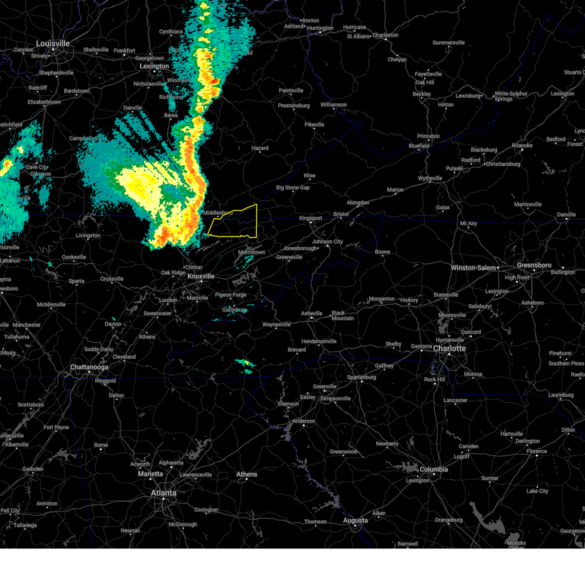
| 5/8/2025 7:30 PM EDT | Quarter sized hail reported 0.7 miles WSW of Harrogate, TN, quarter size hail. |
| 5/8/2025 7:16 PM EDT |
 Svrmrx the national weather service in morristown has issued a * severe thunderstorm warning for, northeastern claiborne county in east tennessee, western hancock county in east tennessee, southwestern lee county in southwestern virginia, * until 800 pm edt. * at 716 pm edt, a severe thunderstorm was located over harrogate, or near middlesboro, moving east at 30 mph (radar indicated). Hazards include quarter size hail. damage to vehicles is expected Svrmrx the national weather service in morristown has issued a * severe thunderstorm warning for, northeastern claiborne county in east tennessee, western hancock county in east tennessee, southwestern lee county in southwestern virginia, * until 800 pm edt. * at 716 pm edt, a severe thunderstorm was located over harrogate, or near middlesboro, moving east at 30 mph (radar indicated). Hazards include quarter size hail. damage to vehicles is expected
|
| 5/8/2025 5:31 PM EDT |
 the severe thunderstorm warning has been cancelled and is no longer in effect the severe thunderstorm warning has been cancelled and is no longer in effect
|
| 5/8/2025 5:10 PM EDT |
 Svrmrx the national weather service in morristown has issued a * severe thunderstorm warning for, northeastern claiborne county in east tennessee, northwestern hancock county in east tennessee, * until 600 pm edt. * at 510 pm edt, a severe thunderstorm was located near tazewell, or 9 miles southeast of middlesboro, moving east at 20 mph (radar indicated). Hazards include 60 mph wind gusts and quarter size hail. Hail damage to vehicles is expected. Expect wind damage to roofs, siding, and trees. Svrmrx the national weather service in morristown has issued a * severe thunderstorm warning for, northeastern claiborne county in east tennessee, northwestern hancock county in east tennessee, * until 600 pm edt. * at 510 pm edt, a severe thunderstorm was located near tazewell, or 9 miles southeast of middlesboro, moving east at 20 mph (radar indicated). Hazards include 60 mph wind gusts and quarter size hail. Hail damage to vehicles is expected. Expect wind damage to roofs, siding, and trees.
|
| 2/6/2025 8:49 PM EST |
 At 849 pm est, a severe thunderstorm was located 8 miles south of pruden, or 12 miles southwest of middlesboro, moving east at 45 mph (radar indicated). Hazards include 60 mph wind gusts and quarter size hail. Hail damage to vehicles is expected. expect wind damage to roofs, siding, and trees. Locations impacted include, new tazewell, harrogate, springdale, arthur, clairfield, powell river preserve, sharps chapel, and sandlick. At 849 pm est, a severe thunderstorm was located 8 miles south of pruden, or 12 miles southwest of middlesboro, moving east at 45 mph (radar indicated). Hazards include 60 mph wind gusts and quarter size hail. Hail damage to vehicles is expected. expect wind damage to roofs, siding, and trees. Locations impacted include, new tazewell, harrogate, springdale, arthur, clairfield, powell river preserve, sharps chapel, and sandlick.
|
| 2/6/2025 8:29 PM EST |
 Svrmrx the national weather service in morristown has issued a * severe thunderstorm warning for, western claiborne county in east tennessee, northeastern campbell county in east tennessee, northeastern union county in east tennessee, * until 915 pm est. * at 829 pm est, a severe thunderstorm was located near lot, or 11 miles north of la follette, moving east at 45 mph (radar indicated). Hazards include 60 mph wind gusts and quarter size hail. Hail damage to vehicles is expected. Expect wind damage to roofs, siding, and trees. Svrmrx the national weather service in morristown has issued a * severe thunderstorm warning for, western claiborne county in east tennessee, northeastern campbell county in east tennessee, northeastern union county in east tennessee, * until 915 pm est. * at 829 pm est, a severe thunderstorm was located near lot, or 11 miles north of la follette, moving east at 45 mph (radar indicated). Hazards include 60 mph wind gusts and quarter size hail. Hail damage to vehicles is expected. Expect wind damage to roofs, siding, and trees.
|
| 9/24/2024 5:43 PM EDT |
 Svrmrx the national weather service in morristown has issued a * severe thunderstorm warning for, northeastern claiborne county in east tennessee, northwestern hancock county in east tennessee, lee county in southwestern virginia, southwestern scott county in southwestern virginia, * until 645 pm edt. * at 542 pm edt, a severe thunderstorm was located 8 miles northeast of tazewell, or 14 miles east of middlesboro, moving northeast at 45 mph (radar indicated). Hazards include 60 mph wind gusts and quarter size hail. Hail damage to vehicles is expected. Expect wind damage to roofs, siding, and trees. Svrmrx the national weather service in morristown has issued a * severe thunderstorm warning for, northeastern claiborne county in east tennessee, northwestern hancock county in east tennessee, lee county in southwestern virginia, southwestern scott county in southwestern virginia, * until 645 pm edt. * at 542 pm edt, a severe thunderstorm was located 8 miles northeast of tazewell, or 14 miles east of middlesboro, moving northeast at 45 mph (radar indicated). Hazards include 60 mph wind gusts and quarter size hail. Hail damage to vehicles is expected. Expect wind damage to roofs, siding, and trees.
|
| 9/24/2024 4:56 PM EDT | At 456 pm edt, a severe thunderstorm was located 8 miles south of pruden, or 13 miles northeast of la follette, moving northeast at 35 mph (radar indicated). Hazards include 60 mph wind gusts. Expect damage to roofs, siding, and trees. Locations impacted include, new tazewell, tazewell, harrogate, cumberland gap, arthur, clairfield, fincastle, and springdale. |
| 9/24/2024 4:33 PM EDT |
 Svrmrx the national weather service in morristown has issued a * severe thunderstorm warning for, northwestern claiborne county in east tennessee, central campbell county in east tennessee, northwestern union county in east tennessee, * until 515 pm edt. * at 432 pm edt, a severe thunderstorm was located over la follette, moving northeast at 35 mph (radar indicated). Hazards include 60 mph wind gusts. expect damage to roofs, siding, and trees Svrmrx the national weather service in morristown has issued a * severe thunderstorm warning for, northwestern claiborne county in east tennessee, central campbell county in east tennessee, northwestern union county in east tennessee, * until 515 pm edt. * at 432 pm edt, a severe thunderstorm was located over la follette, moving northeast at 35 mph (radar indicated). Hazards include 60 mph wind gusts. expect damage to roofs, siding, and trees
|
| 8/17/2024 8:58 PM EDT |
 At 857 pm edt, a severe thunderstorm was located 8 miles northeast of tazewell, or 12 miles west of sneedville, moving southeast at 25 mph (radar indicated). Hazards include 60 mph wind gusts and quarter size hail. Hail damage to vehicles is expected. expect wind damage to roofs, siding, and trees. Locations impacted include, tazewell, harrogate, howard quarter, ewing, evanston, and powell river preserve. At 857 pm edt, a severe thunderstorm was located 8 miles northeast of tazewell, or 12 miles west of sneedville, moving southeast at 25 mph (radar indicated). Hazards include 60 mph wind gusts and quarter size hail. Hail damage to vehicles is expected. expect wind damage to roofs, siding, and trees. Locations impacted include, tazewell, harrogate, howard quarter, ewing, evanston, and powell river preserve.
|
| 8/17/2024 8:42 PM EDT |
 Svrmrx the national weather service in morristown has issued a * severe thunderstorm warning for, eastern claiborne county in east tennessee, northwestern hancock county in east tennessee, southwestern lee county in southwestern virginia, * until 930 pm edt. * at 842 pm edt, a severe thunderstorm was located near cubage, or 12 miles east of middlesboro, moving southeast at 25 mph (radar indicated). Hazards include 60 mph wind gusts and penny size hail. expect damage to roofs, siding, and trees Svrmrx the national weather service in morristown has issued a * severe thunderstorm warning for, eastern claiborne county in east tennessee, northwestern hancock county in east tennessee, southwestern lee county in southwestern virginia, * until 930 pm edt. * at 842 pm edt, a severe thunderstorm was located near cubage, or 12 miles east of middlesboro, moving southeast at 25 mph (radar indicated). Hazards include 60 mph wind gusts and penny size hail. expect damage to roofs, siding, and trees
|
| 8/16/2024 4:43 PM EDT |
 Svrmrx the national weather service in morristown has issued a * severe thunderstorm warning for, northeastern claiborne county in east tennessee, western hawkins county in east tennessee, hancock county in east tennessee, southern lee county in southwestern virginia, southwestern scott county in southwestern virginia, * until 530 pm edt. * at 443 pm edt, a severe thunderstorm was located near sneedville, moving east at 30 mph (radar indicated). Hazards include 60 mph wind gusts and penny size hail. expect damage to roofs, siding, and trees Svrmrx the national weather service in morristown has issued a * severe thunderstorm warning for, northeastern claiborne county in east tennessee, western hawkins county in east tennessee, hancock county in east tennessee, southern lee county in southwestern virginia, southwestern scott county in southwestern virginia, * until 530 pm edt. * at 443 pm edt, a severe thunderstorm was located near sneedville, moving east at 30 mph (radar indicated). Hazards include 60 mph wind gusts and penny size hail. expect damage to roofs, siding, and trees
|
| 8/1/2024 8:29 PM EDT |
 Svrmrx the national weather service in morristown has issued a * severe thunderstorm warning for, northern claiborne county in east tennessee, northwestern hancock county in east tennessee, southwestern lee county in southwestern virginia, * until 915 pm edt. * at 828 pm edt, severe thunderstorms were located along a line extending from clear creek springs to near fonde, moving east at 25 mph (radar indicated). Hazards include 60 mph wind gusts. expect damage to roofs, siding, and trees Svrmrx the national weather service in morristown has issued a * severe thunderstorm warning for, northern claiborne county in east tennessee, northwestern hancock county in east tennessee, southwestern lee county in southwestern virginia, * until 915 pm edt. * at 828 pm edt, severe thunderstorms were located along a line extending from clear creek springs to near fonde, moving east at 25 mph (radar indicated). Hazards include 60 mph wind gusts. expect damage to roofs, siding, and trees
|
| 7/30/2024 5:17 PM EDT |
 the severe thunderstorm warning has been cancelled and is no longer in effect the severe thunderstorm warning has been cancelled and is no longer in effect
|
| 7/30/2024 5:17 PM EDT |
 At 516 pm edt, severe thunderstorms were located along a line extending from tazewell to 7 miles west of rutledge, moving southeast at 50 mph (radar indicated). Hazards include 60 mph wind gusts. Expect damage to roofs, siding, and trees. Locations impacted include, rutledge, new tazewell, tazewell, harrogate, springdale, lone mountain, howard quarter, cumberland gap, arthur, and rose hill. At 516 pm edt, severe thunderstorms were located along a line extending from tazewell to 7 miles west of rutledge, moving southeast at 50 mph (radar indicated). Hazards include 60 mph wind gusts. Expect damage to roofs, siding, and trees. Locations impacted include, rutledge, new tazewell, tazewell, harrogate, springdale, lone mountain, howard quarter, cumberland gap, arthur, and rose hill.
|
| 7/30/2024 4:44 PM EDT |
 Svrmrx the national weather service in morristown has issued a * severe thunderstorm warning for, claiborne county in east tennessee, east central campbell county in east tennessee, northern union county in east tennessee, northwestern grainger county in east tennessee, * until 530 pm edt. * at 444 pm edt, severe thunderstorms were located along a line extending from pruden to near la follette, moving east at 35 mph (radar indicated). Hazards include 60 mph wind gusts. expect damage to roofs, siding, and trees Svrmrx the national weather service in morristown has issued a * severe thunderstorm warning for, claiborne county in east tennessee, east central campbell county in east tennessee, northern union county in east tennessee, northwestern grainger county in east tennessee, * until 530 pm edt. * at 444 pm edt, severe thunderstorms were located along a line extending from pruden to near la follette, moving east at 35 mph (radar indicated). Hazards include 60 mph wind gusts. expect damage to roofs, siding, and trees
|
| 7/30/2024 7:37 AM EDT |
 The storms which prompted the warning have moved out of the area. therefore, the warning will be allowed to expire. however, gusty winds and heavy rain are still possible with these thunderstorms. remember, a severe thunderstorm warning still remains in effect for portions of claiborne, hawkins, and hancock counties. The storms which prompted the warning have moved out of the area. therefore, the warning will be allowed to expire. however, gusty winds and heavy rain are still possible with these thunderstorms. remember, a severe thunderstorm warning still remains in effect for portions of claiborne, hawkins, and hancock counties.
|
| 7/30/2024 7:20 AM EDT |
 At 720 am edt, severe thunderstorms were located along a line extending from 7 miles south of jonesville to sneedville to 10 miles northwest of bean station to near tazewell, moving southeast at 40 mph (radar indicated). Hazards include 60 mph wind gusts. Expect damage to roofs, siding, and trees. Locations impacted include, sneedville, new tazewell, tazewell, harrogate, howard quarter, evanston, arthur, treadway, clairfield, and powell river preserve. At 720 am edt, severe thunderstorms were located along a line extending from 7 miles south of jonesville to sneedville to 10 miles northwest of bean station to near tazewell, moving southeast at 40 mph (radar indicated). Hazards include 60 mph wind gusts. Expect damage to roofs, siding, and trees. Locations impacted include, sneedville, new tazewell, tazewell, harrogate, howard quarter, evanston, arthur, treadway, clairfield, and powell river preserve.
|
| 7/30/2024 6:42 AM EDT |
 Svrmrx the national weather service in morristown has issued a * severe thunderstorm warning for, claiborne county in east tennessee, hancock county in east tennessee, lee county in southwestern virginia, southwestern scott county in southwestern virginia, * until 745 am edt. * at 642 am edt, severe thunderstorms were located along a line extending from pathfork to calvin to near meldrum to goins, moving southeast at 40 mph (radar indicated). Hazards include 60 mph wind gusts. expect damage to roofs, siding, and trees Svrmrx the national weather service in morristown has issued a * severe thunderstorm warning for, claiborne county in east tennessee, hancock county in east tennessee, lee county in southwestern virginia, southwestern scott county in southwestern virginia, * until 745 am edt. * at 642 am edt, severe thunderstorms were located along a line extending from pathfork to calvin to near meldrum to goins, moving southeast at 40 mph (radar indicated). Hazards include 60 mph wind gusts. expect damage to roofs, siding, and trees
|
| 6/23/2024 8:30 PM EDT |
 At 830 pm edt, a severe thunderstorm was located 9 miles west of new tazewell, or 11 miles south of middlesboro, moving southeast at 25 mph (radar indicated). Hazards include 60 mph wind gusts. Expect damage to roofs, siding, and trees. Locations impacted include, harrogate, cumberland gap, arthur, and sharps chapel. At 830 pm edt, a severe thunderstorm was located 9 miles west of new tazewell, or 11 miles south of middlesboro, moving southeast at 25 mph (radar indicated). Hazards include 60 mph wind gusts. Expect damage to roofs, siding, and trees. Locations impacted include, harrogate, cumberland gap, arthur, and sharps chapel.
|
| 6/23/2024 8:13 PM EDT |
 At 813 pm edt, a severe thunderstorm was located near pruden, or 11 miles southwest of middlesboro, moving southeast at 20 mph (radar indicated). Hazards include 60 mph wind gusts and penny size hail. Expect damage to roofs, siding, and trees. Locations impacted include, harrogate, cumberland gap, arthur, and sharps chapel. At 813 pm edt, a severe thunderstorm was located near pruden, or 11 miles southwest of middlesboro, moving southeast at 20 mph (radar indicated). Hazards include 60 mph wind gusts and penny size hail. Expect damage to roofs, siding, and trees. Locations impacted include, harrogate, cumberland gap, arthur, and sharps chapel.
|
| 6/23/2024 7:54 PM EDT |
 Svrmrx the national weather service in morristown has issued a * severe thunderstorm warning for, western claiborne county in east tennessee, northeastern campbell county in east tennessee, northeastern union county in east tennessee, * until 845 pm edt. * at 754 pm edt, a severe thunderstorm was located over wilkerson, or 14 miles southeast of williamsburg, moving southeast at 20 mph (radar indicated). Hazards include 60 mph wind gusts and penny size hail. expect damage to roofs, siding, and trees Svrmrx the national weather service in morristown has issued a * severe thunderstorm warning for, western claiborne county in east tennessee, northeastern campbell county in east tennessee, northeastern union county in east tennessee, * until 845 pm edt. * at 754 pm edt, a severe thunderstorm was located over wilkerson, or 14 miles southeast of williamsburg, moving southeast at 20 mph (radar indicated). Hazards include 60 mph wind gusts and penny size hail. expect damage to roofs, siding, and trees
|
| 5/27/2024 3:11 AM EDT |
 The storm which prompted the warning has moved out of the area. therefore, the warning will be allowed to expire. however, gusty winds are still possible with this thunderstorm. a tornado watch remains in effect until 600 am edt for east tennessee. a tornado watch also remains in effect until 600 am edt for southwestern virginia. remember, a severe thunderstorm warning still remains in effect for claiborne, union, campbell, and lee counties. The storm which prompted the warning has moved out of the area. therefore, the warning will be allowed to expire. however, gusty winds are still possible with this thunderstorm. a tornado watch remains in effect until 600 am edt for east tennessee. a tornado watch also remains in effect until 600 am edt for southwestern virginia. remember, a severe thunderstorm warning still remains in effect for claiborne, union, campbell, and lee counties.
|
| 5/27/2024 3:07 AM EDT |
 Svrmrx the national weather service in morristown has issued a * severe thunderstorm warning for, claiborne county in east tennessee, hancock county in east tennessee, northeastern union county in east tennessee, northern grainger county in east tennessee, southwestern lee county in southwestern virginia, * until 400 am edt. * at 306 am edt, severe thunderstorms were located along a line extending from east pineville to 9 miles northwest of maynardville, moving east at 35 mph (radar indicated). Hazards include 60 mph wind gusts and quarter size hail. Hail damage to vehicles is expected. Expect wind damage to roofs, siding, and trees. Svrmrx the national weather service in morristown has issued a * severe thunderstorm warning for, claiborne county in east tennessee, hancock county in east tennessee, northeastern union county in east tennessee, northern grainger county in east tennessee, southwestern lee county in southwestern virginia, * until 400 am edt. * at 306 am edt, severe thunderstorms were located along a line extending from east pineville to 9 miles northwest of maynardville, moving east at 35 mph (radar indicated). Hazards include 60 mph wind gusts and quarter size hail. Hail damage to vehicles is expected. Expect wind damage to roofs, siding, and trees.
|
| 5/27/2024 3:04 AM EDT |
 At 303 am edt, severe thunderstorms were located along a line extending from elic to leatherwood to near rosspoint to near harrogate, moving east at 45 mph (radar indicated). Hazards include 60 mph wind gusts. Expect damage to roofs, siding, and trees. Locations impacted include, harlan, whitesburg, lynch and fleming-neon. At 303 am edt, severe thunderstorms were located along a line extending from elic to leatherwood to near rosspoint to near harrogate, moving east at 45 mph (radar indicated). Hazards include 60 mph wind gusts. Expect damage to roofs, siding, and trees. Locations impacted include, harlan, whitesburg, lynch and fleming-neon.
|
| 5/27/2024 3:04 AM EDT |
 the severe thunderstorm warning has been cancelled and is no longer in effect the severe thunderstorm warning has been cancelled and is no longer in effect
|
| 5/27/2024 2:58 AM EDT |
 At 258 am edt, a severe thunderstorm was located 9 miles south of noetown, or 9 miles south of middlesboro, moving east at 35 mph (radar indicated). Hazards include 60 mph wind gusts and quarter size hail. Hail damage to vehicles is expected. expect wind damage to roofs, siding, and trees. Locations impacted include, harrogate, springdale, cumberland gap, and arthur. At 258 am edt, a severe thunderstorm was located 9 miles south of noetown, or 9 miles south of middlesboro, moving east at 35 mph (radar indicated). Hazards include 60 mph wind gusts and quarter size hail. Hail damage to vehicles is expected. expect wind damage to roofs, siding, and trees. Locations impacted include, harrogate, springdale, cumberland gap, and arthur.
|
| 5/27/2024 2:46 AM EDT |
 At 246 am edt, a severe thunderstorm was located near pruden, or 12 miles southwest of middlesboro, moving east at 35 mph (radar indicated). Hazards include 60 mph wind gusts and quarter size hail. Hail damage to vehicles is expected. expect wind damage to roofs, siding, and trees. Locations impacted include, la follette, harrogate, springdale, cumberland gap, arthur, clairfield, and fincastle. At 246 am edt, a severe thunderstorm was located near pruden, or 12 miles southwest of middlesboro, moving east at 35 mph (radar indicated). Hazards include 60 mph wind gusts and quarter size hail. Hail damage to vehicles is expected. expect wind damage to roofs, siding, and trees. Locations impacted include, la follette, harrogate, springdale, cumberland gap, arthur, clairfield, and fincastle.
|
| 5/27/2024 2:43 AM EDT |
 Svrjkl the national weather service in jackson ky has issued a * severe thunderstorm warning for, harlan county in southeastern kentucky, bell county in southeastern kentucky, eastern knox county in southeastern kentucky, southeastern owsley county in southeastern kentucky, leslie county in southeastern kentucky, letcher county in southeastern kentucky, perry county in southeastern kentucky, southern knott county in southeastern kentucky, southeastern clay county in southeastern kentucky, * until 330 am edt. * at 242 am edt, severe thunderstorms were located along a line extending from mosley bend to asher to stony fork junction to near fonde, moving east at 45 mph (radar indicated). Hazards include 60 mph wind gusts and penny size hail. Expect damage to roofs, siding, and trees. severe thunderstorms will be near, hazard around 250 am edt. vicco around 255 am edt. evarts around 300 am edt. Other locations in the path of these severe thunderstorms include letcher, bath and whitesburg. Svrjkl the national weather service in jackson ky has issued a * severe thunderstorm warning for, harlan county in southeastern kentucky, bell county in southeastern kentucky, eastern knox county in southeastern kentucky, southeastern owsley county in southeastern kentucky, leslie county in southeastern kentucky, letcher county in southeastern kentucky, perry county in southeastern kentucky, southern knott county in southeastern kentucky, southeastern clay county in southeastern kentucky, * until 330 am edt. * at 242 am edt, severe thunderstorms were located along a line extending from mosley bend to asher to stony fork junction to near fonde, moving east at 45 mph (radar indicated). Hazards include 60 mph wind gusts and penny size hail. Expect damage to roofs, siding, and trees. severe thunderstorms will be near, hazard around 250 am edt. vicco around 255 am edt. evarts around 300 am edt. Other locations in the path of these severe thunderstorms include letcher, bath and whitesburg.
|
| 5/27/2024 2:34 AM EDT |
 At 233 am edt, a severe thunderstorm was located 7 miles southwest of wilkerson, or 10 miles northeast of la follette, moving east at 35 mph (radar indicated). Hazards include 60 mph wind gusts and quarter size hail. Hail damage to vehicles is expected. expect wind damage to roofs, siding, and trees. Locations impacted include, la follette, harrogate, jellico, springdale, cumberland gap, arthur, clairfield, fincastle, white oak, and sharps chapel. At 233 am edt, a severe thunderstorm was located 7 miles southwest of wilkerson, or 10 miles northeast of la follette, moving east at 35 mph (radar indicated). Hazards include 60 mph wind gusts and quarter size hail. Hail damage to vehicles is expected. expect wind damage to roofs, siding, and trees. Locations impacted include, la follette, harrogate, jellico, springdale, cumberland gap, arthur, clairfield, fincastle, white oak, and sharps chapel.
|
| 5/27/2024 2:21 AM EDT |
 Svrmrx the national weather service in morristown has issued a * severe thunderstorm warning for, western claiborne county in east tennessee, northern campbell county in east tennessee, northern union county in east tennessee, western lee county in southwestern virginia, * until 315 am edt. * at 221 am edt, a severe thunderstorm was located near lot, or 10 miles north of la follette, moving east at 35 mph (radar indicated). Hazards include 60 mph wind gusts and quarter size hail. Hail damage to vehicles is expected. Expect wind damage to roofs, siding, and trees. Svrmrx the national weather service in morristown has issued a * severe thunderstorm warning for, western claiborne county in east tennessee, northern campbell county in east tennessee, northern union county in east tennessee, western lee county in southwestern virginia, * until 315 am edt. * at 221 am edt, a severe thunderstorm was located near lot, or 10 miles north of la follette, moving east at 35 mph (radar indicated). Hazards include 60 mph wind gusts and quarter size hail. Hail damage to vehicles is expected. Expect wind damage to roofs, siding, and trees.
|
| 5/26/2024 2:22 PM EDT |
 At 222 pm edt, a severe thunderstorm was located near harrogate, or 7 miles southeast of middlesboro, moving east at 35 mph (radar indicated). Hazards include 60 mph wind gusts. Expect damage to roofs, siding, and trees. Locations impacted include, new tazewell, tazewell, harrogate, springdale, howard quarter, cumberland gap, ewing, evanston, arthur, and powell river preserve. At 222 pm edt, a severe thunderstorm was located near harrogate, or 7 miles southeast of middlesboro, moving east at 35 mph (radar indicated). Hazards include 60 mph wind gusts. Expect damage to roofs, siding, and trees. Locations impacted include, new tazewell, tazewell, harrogate, springdale, howard quarter, cumberland gap, ewing, evanston, arthur, and powell river preserve.
|
| 5/26/2024 2:11 PM EDT |
 Tormrx the national weather service in morristown has issued a * tornado warning for, north central claiborne county in east tennessee, northwestern hancock county in east tennessee, southwestern lee county in southwestern virginia, * until 245 pm edt. * at 211 pm edt, a severe thunderstorm capable of producing a tornado was located over fonde, or 7 miles west of middlesboro, moving east at 40 mph (radar indicated rotation). Hazards include tornado. Flying debris will be dangerous to those caught without shelter. mobile homes will be damaged or destroyed. damage to roofs, windows, and vehicles will occur. tree damage is likely. this dangerous storm will be near, harrogate around 220 pm edt. Other locations impacted by this tornadic thunderstorm include cumberland gap and ewing. Tormrx the national weather service in morristown has issued a * tornado warning for, north central claiborne county in east tennessee, northwestern hancock county in east tennessee, southwestern lee county in southwestern virginia, * until 245 pm edt. * at 211 pm edt, a severe thunderstorm capable of producing a tornado was located over fonde, or 7 miles west of middlesboro, moving east at 40 mph (radar indicated rotation). Hazards include tornado. Flying debris will be dangerous to those caught without shelter. mobile homes will be damaged or destroyed. damage to roofs, windows, and vehicles will occur. tree damage is likely. this dangerous storm will be near, harrogate around 220 pm edt. Other locations impacted by this tornadic thunderstorm include cumberland gap and ewing.
|
| 5/26/2024 2:05 PM EDT |
 Svrjkl the national weather service in jackson ky has issued a * severe thunderstorm warning for, harlan county in southeastern kentucky, bell county in southeastern kentucky, eastern knox county in southeastern kentucky, leslie county in southeastern kentucky, letcher county in southeastern kentucky, southeastern perry county in southeastern kentucky, southeastern clay county in southeastern kentucky, * until 300 pm edt. * at 205 pm edt, severe thunderstorms were located along a line extending from lipps to near new tazewell, moving east at 60 mph (radar indicated). Hazards include 60 mph wind gusts and nickel size hail. Expect damage to roofs, siding, and trees. severe thunderstorms will be near, wallins creek around 210 pm edt. harlan around 215 pm edt. napier around 220 pm edt. evarts around 225 pm edt. Other locations in the path of these severe thunderstorms include totz and letcher. Svrjkl the national weather service in jackson ky has issued a * severe thunderstorm warning for, harlan county in southeastern kentucky, bell county in southeastern kentucky, eastern knox county in southeastern kentucky, leslie county in southeastern kentucky, letcher county in southeastern kentucky, southeastern perry county in southeastern kentucky, southeastern clay county in southeastern kentucky, * until 300 pm edt. * at 205 pm edt, severe thunderstorms were located along a line extending from lipps to near new tazewell, moving east at 60 mph (radar indicated). Hazards include 60 mph wind gusts and nickel size hail. Expect damage to roofs, siding, and trees. severe thunderstorms will be near, wallins creek around 210 pm edt. harlan around 215 pm edt. napier around 220 pm edt. evarts around 225 pm edt. Other locations in the path of these severe thunderstorms include totz and letcher.
|
| 5/26/2024 2:02 PM EDT |
 Svrmrx the national weather service in morristown has issued a * severe thunderstorm warning for, claiborne county in east tennessee, western hancock county in east tennessee, southwestern lee county in southwestern virginia, * until 245 pm edt. * at 201 pm edt, a severe thunderstorm was located near pruden, or 9 miles southwest of middlesboro, moving east at 45 mph (radar indicated). Hazards include 60 mph wind gusts. expect damage to roofs, siding, and trees Svrmrx the national weather service in morristown has issued a * severe thunderstorm warning for, claiborne county in east tennessee, western hancock county in east tennessee, southwestern lee county in southwestern virginia, * until 245 pm edt. * at 201 pm edt, a severe thunderstorm was located near pruden, or 9 miles southwest of middlesboro, moving east at 45 mph (radar indicated). Hazards include 60 mph wind gusts. expect damage to roofs, siding, and trees
|
| 5/26/2024 1:53 PM EDT |
 At 152 pm edt, a severe thunderstorm was located near wilkerson, or 13 miles northeast of la follette, moving east at 45 mph (radar indicated). Hazards include 70 mph wind gusts. Expect considerable tree damage. damage is likely to mobile homes, roofs, and outbuildings. locations impacted include, la follette, jellico, cumberland gap, clairfield, fincastle, white oak, and sharps chapel. This includes interstate 75 in tennessee between mile markers 160 and 161. At 152 pm edt, a severe thunderstorm was located near wilkerson, or 13 miles northeast of la follette, moving east at 45 mph (radar indicated). Hazards include 70 mph wind gusts. Expect considerable tree damage. damage is likely to mobile homes, roofs, and outbuildings. locations impacted include, la follette, jellico, cumberland gap, clairfield, fincastle, white oak, and sharps chapel. This includes interstate 75 in tennessee between mile markers 160 and 161.
|
| 5/26/2024 1:40 PM EDT |
 the severe thunderstorm warning has been cancelled and is no longer in effect the severe thunderstorm warning has been cancelled and is no longer in effect
|
| 5/26/2024 1:40 PM EDT |
 At 139 pm edt, a severe thunderstorm was located near lot, or 10 miles north of la follette, moving east at 40 mph (radar indicated). Hazards include 70 mph wind gusts. Expect considerable tree damage. damage is likely to mobile homes, roofs, and outbuildings. locations impacted include, la follette, jacksboro, jellico, caryville, elk valley, cumberland gap, sharps chapel, indian mountain state park, clairfield, and fincastle. This includes interstate 75 in tennessee between mile markers 138 and 161. At 139 pm edt, a severe thunderstorm was located near lot, or 10 miles north of la follette, moving east at 40 mph (radar indicated). Hazards include 70 mph wind gusts. Expect considerable tree damage. damage is likely to mobile homes, roofs, and outbuildings. locations impacted include, la follette, jacksboro, jellico, caryville, elk valley, cumberland gap, sharps chapel, indian mountain state park, clairfield, and fincastle. This includes interstate 75 in tennessee between mile markers 138 and 161.
|
| 5/26/2024 1:18 PM EDT |
 Svrmrx the national weather service in morristown has issued a * severe thunderstorm warning for, northwestern claiborne county in east tennessee, campbell county in east tennessee, northeastern scott county in east tennessee, northwestern union county in east tennessee, * until 215 pm edt. * at 117 pm edt, a severe thunderstorm was located near oneida, moving east at 50 mph (radar indicated). Hazards include 60 mph wind gusts and penny size hail. expect damage to roofs, siding, and trees Svrmrx the national weather service in morristown has issued a * severe thunderstorm warning for, northwestern claiborne county in east tennessee, campbell county in east tennessee, northeastern scott county in east tennessee, northwestern union county in east tennessee, * until 215 pm edt. * at 117 pm edt, a severe thunderstorm was located near oneida, moving east at 50 mph (radar indicated). Hazards include 60 mph wind gusts and penny size hail. expect damage to roofs, siding, and trees
|
| 4/2/2024 6:23 PM EDT |
 Tormrx the national weather service in morristown has issued a * tornado warning for, northwestern claiborne county in east tennessee, northeastern campbell county in east tennessee, * until 715 pm edt. * at 622 pm edt, a severe thunderstorm capable of producing a tornado was located 7 miles south of wilkerson, or 10 miles northeast of la follette, moving northeast at 30 mph (radar indicated rotation). Hazards include tornado and quarter size hail. Flying debris will be dangerous to those caught without shelter. mobile homes will be damaged or destroyed. damage to roofs, windows, and vehicles will occur. tree damage is likely. this dangerous storm will be near, harrogate around 700 pm edt. Other locations impacted by this tornadic thunderstorm include white oak, arthur, clairfield, and cumberland gap. Tormrx the national weather service in morristown has issued a * tornado warning for, northwestern claiborne county in east tennessee, northeastern campbell county in east tennessee, * until 715 pm edt. * at 622 pm edt, a severe thunderstorm capable of producing a tornado was located 7 miles south of wilkerson, or 10 miles northeast of la follette, moving northeast at 30 mph (radar indicated rotation). Hazards include tornado and quarter size hail. Flying debris will be dangerous to those caught without shelter. mobile homes will be damaged or destroyed. damage to roofs, windows, and vehicles will occur. tree damage is likely. this dangerous storm will be near, harrogate around 700 pm edt. Other locations impacted by this tornadic thunderstorm include white oak, arthur, clairfield, and cumberland gap.
|
| 3/6/2024 10:07 AM EST |
 Torjkl the national weather service in jackson ky has issued a * this is a test message. tornado warning for, montgomery county in east central kentucky, mccreary county in south central kentucky, rowan county in east central kentucky, morgan county in southeastern kentucky, bath county in east central kentucky, leslie county in southeastern kentucky, estill county in east central kentucky, pulaski county in south central kentucky, rockcastle county in south central kentucky, clay county in southeastern kentucky, elliott county in east central kentucky, wayne county in south central kentucky, harlan county in southeastern kentucky, knox county in southeastern kentucky, owsley county in southeastern kentucky, jackson county in southeastern kentucky, knott county in southeastern kentucky, floyd county in southeastern kentucky, whitley county in south central kentucky, menifee county in east central kentucky, lee county in southeastern kentucky, fleming county in east central kentucky, wolfe county in southeastern kentucky, powell county in east central kentucky, laurel county in south central kentucky, martin county in northeastern kentucky, bell county in southeastern kentucky, johnson county in northeastern kentucky, letcher county in southeastern kentucky, perry county in southeastern kentucky, breathitt county in southeastern kentucky, pike county in southeastern kentucky, magoffin county in southeastern kentucky, * this is a test message. until 1030 am est. * this is a test message. repeat, this is a test tornado warning message. there is no severe weather occuring at this time. this test warning message is part of the annual kentucky tornado drill. if this were an actual severe weather event, you would be given information about the hazard. the national weather service, kentucky emergency management angency, and the kentucky weather preparedness committee, encourges the use of this time to activate and review your severe weather safety plans. repeating, this has been a test tornado warning message for the 2024 kentucky tornado drill. this concludes the test. * this is a test message. Torjkl the national weather service in jackson ky has issued a * this is a test message. tornado warning for, montgomery county in east central kentucky, mccreary county in south central kentucky, rowan county in east central kentucky, morgan county in southeastern kentucky, bath county in east central kentucky, leslie county in southeastern kentucky, estill county in east central kentucky, pulaski county in south central kentucky, rockcastle county in south central kentucky, clay county in southeastern kentucky, elliott county in east central kentucky, wayne county in south central kentucky, harlan county in southeastern kentucky, knox county in southeastern kentucky, owsley county in southeastern kentucky, jackson county in southeastern kentucky, knott county in southeastern kentucky, floyd county in southeastern kentucky, whitley county in south central kentucky, menifee county in east central kentucky, lee county in southeastern kentucky, fleming county in east central kentucky, wolfe county in southeastern kentucky, powell county in east central kentucky, laurel county in south central kentucky, martin county in northeastern kentucky, bell county in southeastern kentucky, johnson county in northeastern kentucky, letcher county in southeastern kentucky, perry county in southeastern kentucky, breathitt county in southeastern kentucky, pike county in southeastern kentucky, magoffin county in southeastern kentucky, * this is a test message. until 1030 am est. * this is a test message. repeat, this is a test tornado warning message. there is no severe weather occuring at this time. this test warning message is part of the annual kentucky tornado drill. if this were an actual severe weather event, you would be given information about the hazard. the national weather service, kentucky emergency management angency, and the kentucky weather preparedness committee, encourges the use of this time to activate and review your severe weather safety plans. repeating, this has been a test tornado warning message for the 2024 kentucky tornado drill. this concludes the test. * this is a test message.
|
| 9/9/2023 8:16 PM EDT |
 At 814 pm edt, a severe thunderstorm was located near harrogate, or near middlesboro, and is nearly stationary. the storm had weakened slightly but could strengthen at any time (radar indicated). Hazards include 60 mph wind gusts and quarter size hail. Hail damage to vehicles is expected. expect wind damage to roofs, siding, and trees. locations impacted include, harrogate, cumberland gap, arthur, and powell river preserve. hail threat, radar indicated max hail size, 1. 00 in wind threat, radar indicated max wind gust, 60 mph. At 814 pm edt, a severe thunderstorm was located near harrogate, or near middlesboro, and is nearly stationary. the storm had weakened slightly but could strengthen at any time (radar indicated). Hazards include 60 mph wind gusts and quarter size hail. Hail damage to vehicles is expected. expect wind damage to roofs, siding, and trees. locations impacted include, harrogate, cumberland gap, arthur, and powell river preserve. hail threat, radar indicated max hail size, 1. 00 in wind threat, radar indicated max wind gust, 60 mph.
|
| 9/9/2023 7:55 PM EDT |
 At 755 pm edt, a severe thunderstorm was located near harrogate, or 7 miles south of middlesboro, and is nearly stationary (radar indicated). Hazards include 60 mph wind gusts and quarter size hail. Hail damage to vehicles is expected. Expect wind damage to roofs, siding, and trees. At 755 pm edt, a severe thunderstorm was located near harrogate, or 7 miles south of middlesboro, and is nearly stationary (radar indicated). Hazards include 60 mph wind gusts and quarter size hail. Hail damage to vehicles is expected. Expect wind damage to roofs, siding, and trees.
|
| 8/14/2023 9:12 PM EDT |
 At 912 pm edt, a severe thunderstorm was located over new tazewell, or 10 miles southeast of middlesboro, moving northeast at 30 mph (radar indicated). Hazards include 60 mph wind gusts and quarter size hail. Hail damage to vehicles is expected. Expect wind damage to roofs, siding, and trees. At 912 pm edt, a severe thunderstorm was located over new tazewell, or 10 miles southeast of middlesboro, moving northeast at 30 mph (radar indicated). Hazards include 60 mph wind gusts and quarter size hail. Hail damage to vehicles is expected. Expect wind damage to roofs, siding, and trees.
|
| 8/7/2023 2:48 PM EDT |
 At 248 pm edt, a severe thunderstorm was located 8 miles northwest of maynardville, moving east at 45 mph (radar indicated). Hazards include 60 mph wind gusts and quarter size hail. Hail damage to vehicles is expected. expect wind damage to roofs, siding, and trees. locations impacted include, maynardville, rutledge, new tazewell, tazewell, plainview, harrogate, blaine, luttrell, springdale and lone mountain. hail threat, radar indicated max hail size, 1. 00 in wind threat, radar indicated max wind gust, 60 mph. At 248 pm edt, a severe thunderstorm was located 8 miles northwest of maynardville, moving east at 45 mph (radar indicated). Hazards include 60 mph wind gusts and quarter size hail. Hail damage to vehicles is expected. expect wind damage to roofs, siding, and trees. locations impacted include, maynardville, rutledge, new tazewell, tazewell, plainview, harrogate, blaine, luttrell, springdale and lone mountain. hail threat, radar indicated max hail size, 1. 00 in wind threat, radar indicated max wind gust, 60 mph.
|
| 8/7/2023 2:35 PM EDT |
 At 235 pm edt, a severe thunderstorm was located near la follette, moving east at 40 mph (radar indicated). Hazards include 60 mph wind gusts and quarter size hail. Hail damage to vehicles is expected. Expect wind damage to roofs, siding, and trees. At 235 pm edt, a severe thunderstorm was located near la follette, moving east at 40 mph (radar indicated). Hazards include 60 mph wind gusts and quarter size hail. Hail damage to vehicles is expected. Expect wind damage to roofs, siding, and trees.
|
| 7/29/2023 4:14 PM EDT |
 At 413 pm edt, a severe thunderstorm was located near tazewell, or 13 miles west of sneedville, moving southeast at 20 mph (radar indicated). Hazards include 60 mph wind gusts and half dollar size hail. Hail damage to vehicles is expected. Expect wind damage to roofs, siding, and trees. At 413 pm edt, a severe thunderstorm was located near tazewell, or 13 miles west of sneedville, moving southeast at 20 mph (radar indicated). Hazards include 60 mph wind gusts and half dollar size hail. Hail damage to vehicles is expected. Expect wind damage to roofs, siding, and trees.
|
| 6/26/2023 1:56 AM EDT |
 At 155 am edt, severe thunderstorms were located along a line extending from near hensley store to 12 miles north of maynardville, moving southeast at 35 mph (radar indicated). Hazards include 60 mph wind gusts. expect damage to roofs, siding, and trees At 155 am edt, severe thunderstorms were located along a line extending from near hensley store to 12 miles north of maynardville, moving southeast at 35 mph (radar indicated). Hazards include 60 mph wind gusts. expect damage to roofs, siding, and trees
|
| 6/26/2023 1:45 AM EDT | Several trees dow in claiborne county TN, 7.2 miles NE of Harrogate, TN |
| 6/26/2023 1:22 AM EDT |
 At 122 am edt, severe thunderstorms were located along a line extending from carpenter to near zion hill, moving southeast at 55 mph (radar indicated). Hazards include 60 mph wind gusts. expect damage to roofs, siding, and trees At 122 am edt, severe thunderstorms were located along a line extending from carpenter to near zion hill, moving southeast at 55 mph (radar indicated). Hazards include 60 mph wind gusts. expect damage to roofs, siding, and trees
|
| 6/11/2023 10:07 PM EDT |
 At 1006 pm edt, a severe thunderstorm was located near maynardville, moving northeast at 35 mph (radar indicated). Hazards include 60 mph wind gusts. expect damage to roofs, siding, and trees At 1006 pm edt, a severe thunderstorm was located near maynardville, moving northeast at 35 mph (radar indicated). Hazards include 60 mph wind gusts. expect damage to roofs, siding, and trees
|
| 6/11/2023 9:53 PM EDT |
 At 952 pm edt, a severe thunderstorm was located near maynardville, moving east at 55 mph (radar indicated). Hazards include 60 mph wind gusts. Expect damage to roofs, siding, and trees. locations impacted include, clinton, maynardville, new tazewell, tazewell, plainview, harrogate, blaine, rocky top, norris and luttrell. this includes interstate 75 in tennessee between mile markers 118 and 131. hail threat, radar indicated max hail size, <. 75 in wind threat, radar indicated max wind gust, 60 mph. At 952 pm edt, a severe thunderstorm was located near maynardville, moving east at 55 mph (radar indicated). Hazards include 60 mph wind gusts. Expect damage to roofs, siding, and trees. locations impacted include, clinton, maynardville, new tazewell, tazewell, plainview, harrogate, blaine, rocky top, norris and luttrell. this includes interstate 75 in tennessee between mile markers 118 and 131. hail threat, radar indicated max hail size, <. 75 in wind threat, radar indicated max wind gust, 60 mph.
|
| 6/11/2023 9:17 PM EDT |
 At 916 pm edt, a severe thunderstorm was located 10 miles west of jacksboro, or 14 miles west of la follette, moving east at 45 mph (radar indicated). Hazards include 60 mph wind gusts. expect damage to roofs, siding, and trees At 916 pm edt, a severe thunderstorm was located 10 miles west of jacksboro, or 14 miles west of la follette, moving east at 45 mph (radar indicated). Hazards include 60 mph wind gusts. expect damage to roofs, siding, and trees
|
| 6/11/2023 8:09 PM EDT |
 At 809 pm edt, a severe thunderstorm was located near cubage, or 10 miles east of middlesboro, moving east at 35 mph (radar indicated). Hazards include 60 mph wind gusts and quarter size hail. Hail damage to vehicles is expected. Expect wind damage to roofs, siding, and trees. At 809 pm edt, a severe thunderstorm was located near cubage, or 10 miles east of middlesboro, moving east at 35 mph (radar indicated). Hazards include 60 mph wind gusts and quarter size hail. Hail damage to vehicles is expected. Expect wind damage to roofs, siding, and trees.
|
| 9/25/2022 5:22 PM EDT |
 At 522 pm edt, a severe thunderstorm was located near hutch, or 9 miles east of middlesboro, moving southeast at 35 mph (radar indicated). Hazards include 60 mph wind gusts and penny size hail. expect damage to roofs, siding, and trees At 522 pm edt, a severe thunderstorm was located near hutch, or 9 miles east of middlesboro, moving southeast at 35 mph (radar indicated). Hazards include 60 mph wind gusts and penny size hail. expect damage to roofs, siding, and trees
|
| 8/9/2022 6:20 PM EDT |
 At 619 pm edt, a severe thunderstorm was located over tazewell, or 12 miles north of rutledge, moving north at 10 mph (radar indicated). Hazards include 60 mph wind gusts and penny size hail. expect damage to roofs, siding, and trees At 619 pm edt, a severe thunderstorm was located over tazewell, or 12 miles north of rutledge, moving north at 10 mph (radar indicated). Hazards include 60 mph wind gusts and penny size hail. expect damage to roofs, siding, and trees
|
| 7/21/2022 2:06 AM EDT |
 The severe thunderstorm warning for claiborne, northwestern hawkins, hancock, northeastern campbell and southern lee counties will expire at 215 am edt, the storms which prompted the warning have weakened below severe limits, and no longer pose an immediate threat to life or property. therefore, the warning will be allowed to expire. however gusty winds and heavy rain are still possible with these thunderstorms. The severe thunderstorm warning for claiborne, northwestern hawkins, hancock, northeastern campbell and southern lee counties will expire at 215 am edt, the storms which prompted the warning have weakened below severe limits, and no longer pose an immediate threat to life or property. therefore, the warning will be allowed to expire. however gusty winds and heavy rain are still possible with these thunderstorms.
|
| 7/21/2022 1:31 AM EDT |
 At 130 am edt, severe thunderstorms were located along a line extending from calvin to near binghamtown to near fonde to near wilkerson, moving east at 40 mph (radar indicated). Hazards include 60 mph wind gusts. expect damage to roofs, siding, and trees At 130 am edt, severe thunderstorms were located along a line extending from calvin to near binghamtown to near fonde to near wilkerson, moving east at 40 mph (radar indicated). Hazards include 60 mph wind gusts. expect damage to roofs, siding, and trees
|
| 7/12/2022 6:55 PM EDT | Several trees down over roadways with time estimated from rada in claiborne county TN, 0.3 miles S of Harrogate, TN |
| 7/12/2022 6:41 PM EDT |
 At 639 pm edt, a severe thunderstorm was located near harrogate, or 9 miles east of middlesboro, moving southeast at 25 mph (radar indicated). Hazards include 60 mph wind gusts and quarter size hail. Hail damage to vehicles is expected. Expect wind damage to roofs, siding, and trees. At 639 pm edt, a severe thunderstorm was located near harrogate, or 9 miles east of middlesboro, moving southeast at 25 mph (radar indicated). Hazards include 60 mph wind gusts and quarter size hail. Hail damage to vehicles is expected. Expect wind damage to roofs, siding, and trees.
|
| 7/6/2022 2:50 PM EDT |
 At 250 pm edt, a severe thunderstorm was located near harrogate, or 8 miles southeast of middlesboro, moving east at 15 mph (radar indicated). Hazards include 60 mph wind gusts and nickel size hail. expect damage to roofs, siding, and trees At 250 pm edt, a severe thunderstorm was located near harrogate, or 8 miles southeast of middlesboro, moving east at 15 mph (radar indicated). Hazards include 60 mph wind gusts and nickel size hail. expect damage to roofs, siding, and trees
|
| 5/19/2022 5:29 PM EDT |
 At 528 pm edt, a severe thunderstorm was located near cubage, or 13 miles east of middlesboro, moving northeast at 25 mph. a stronger severe thunderstorm was also located near rose hill (radar indicated). Hazards include 60 mph wind gusts and quarter size hail. Hail damage to vehicles is expected. expect wind damage to roofs, siding, and trees. locations impacted include, ewing, rose hill and cumberland gap. hail threat, radar indicated max hail size, 1. 00 in wind threat, radar indicated max wind gust, 60 mph. At 528 pm edt, a severe thunderstorm was located near cubage, or 13 miles east of middlesboro, moving northeast at 25 mph. a stronger severe thunderstorm was also located near rose hill (radar indicated). Hazards include 60 mph wind gusts and quarter size hail. Hail damage to vehicles is expected. expect wind damage to roofs, siding, and trees. locations impacted include, ewing, rose hill and cumberland gap. hail threat, radar indicated max hail size, 1. 00 in wind threat, radar indicated max wind gust, 60 mph.
|
| 5/19/2022 5:12 PM EDT |
 At 512 pm edt, a severe thunderstorm was located over harrogate, or near middlesboro, moving northeast at 20 mph (radar indicated). Hazards include 60 mph wind gusts and half dollar size hail. Hail damage to vehicles is expected. Expect wind damage to roofs, siding, and trees. At 512 pm edt, a severe thunderstorm was located over harrogate, or near middlesboro, moving northeast at 20 mph (radar indicated). Hazards include 60 mph wind gusts and half dollar size hail. Hail damage to vehicles is expected. Expect wind damage to roofs, siding, and trees.
|
| 5/18/2022 10:53 PM EDT |
 The severe thunderstorm warning for eastern claiborne, western hancock and northeastern grainger counties will expire at 1100 pm edt, the storm which prompted the warning has weakened below severe limits, and no longer poses an immediate threat to life or property. therefore, the warning will be allowed to expire. however gusty winds and heavy rain are still possible with this thunderstorm. The severe thunderstorm warning for eastern claiborne, western hancock and northeastern grainger counties will expire at 1100 pm edt, the storm which prompted the warning has weakened below severe limits, and no longer poses an immediate threat to life or property. therefore, the warning will be allowed to expire. however gusty winds and heavy rain are still possible with this thunderstorm.
|
| 5/18/2022 10:32 PM EDT |
 At 1030 pm edt, a severe thunderstorm was located near tazewell, or 11 miles southeast of middlesboro, moving southeast at 40 mph (radar indicated). Hazards include 60 mph wind gusts and quarter size hail. Hail damage to vehicles is expected. expect wind damage to roofs, siding, and trees. locations impacted include, new tazewell, bean station, tazewell, harrogate, howard quarter, thorn hill, evanston, arthur and powell river preserve. hail threat, radar indicated max hail size, 1. 00 in wind threat, radar indicated max wind gust, 60 mph. At 1030 pm edt, a severe thunderstorm was located near tazewell, or 11 miles southeast of middlesboro, moving southeast at 40 mph (radar indicated). Hazards include 60 mph wind gusts and quarter size hail. Hail damage to vehicles is expected. expect wind damage to roofs, siding, and trees. locations impacted include, new tazewell, bean station, tazewell, harrogate, howard quarter, thorn hill, evanston, arthur and powell river preserve. hail threat, radar indicated max hail size, 1. 00 in wind threat, radar indicated max wind gust, 60 mph.
|
| 5/18/2022 10:16 PM EDT |
 At 1016 pm edt, a severe thunderstorm was located over middlesboro, moving southeast at 40 mph (radar indicated). Hazards include 60 mph wind gusts and quarter size hail. Hail damage to vehicles is expected. Expect wind damage to roofs, siding, and trees. At 1016 pm edt, a severe thunderstorm was located over middlesboro, moving southeast at 40 mph (radar indicated). Hazards include 60 mph wind gusts and quarter size hail. Hail damage to vehicles is expected. Expect wind damage to roofs, siding, and trees.
|
| 5/6/2022 5:44 PM EDT |
 At 544 pm edt, severe thunderstorms were located along a line extending from harrogate to 7 miles northeast of tazewell to 9 miles northwest of bean station, moving northeast at 40 mph (radar indicated). Hazards include 60 mph wind gusts. Expect damage to roofs, siding, and trees. locations impacted include, harrogate, cumberland gap, ewing and powell river preserve. hail threat, radar indicated max hail size, <. 75 in wind threat, radar indicated max wind gust, 60 mph. At 544 pm edt, severe thunderstorms were located along a line extending from harrogate to 7 miles northeast of tazewell to 9 miles northwest of bean station, moving northeast at 40 mph (radar indicated). Hazards include 60 mph wind gusts. Expect damage to roofs, siding, and trees. locations impacted include, harrogate, cumberland gap, ewing and powell river preserve. hail threat, radar indicated max hail size, <. 75 in wind threat, radar indicated max wind gust, 60 mph.
|
| 5/6/2022 5:27 PM EDT |
 At 526 pm edt, severe thunderstorms were located along a line extending from 8 miles south of noetown to near new tazewell to near rutledge, moving northeast at 40 mph (radar indicated). Hazards include 60 mph wind gusts. expect damage to roofs, siding, and trees At 526 pm edt, severe thunderstorms were located along a line extending from 8 miles south of noetown to near new tazewell to near rutledge, moving northeast at 40 mph (radar indicated). Hazards include 60 mph wind gusts. expect damage to roofs, siding, and trees
|
| 5/6/2022 5:15 PM EDT |
 At 515 pm edt, severe thunderstorms were located along a line extending from near wilkerson to 6 miles south of noetown to near new tazewell to near plainview, moving northeast at 40 mph (radar indicated). Hazards include 60 mph wind gusts and penny size hail. Expect damage to roofs, siding, and trees. locations impacted include, maynardville, new tazewell, tazewell, harrogate, jellico, springdale, lone mountain, cumberland gap, arthur and rose hill. this includes interstate 75 in tennessee between mile markers 157 and 161. hail threat, radar indicated max hail size, 0. 75 in wind threat, radar indicated max wind gust, 60 mph. At 515 pm edt, severe thunderstorms were located along a line extending from near wilkerson to 6 miles south of noetown to near new tazewell to near plainview, moving northeast at 40 mph (radar indicated). Hazards include 60 mph wind gusts and penny size hail. Expect damage to roofs, siding, and trees. locations impacted include, maynardville, new tazewell, tazewell, harrogate, jellico, springdale, lone mountain, cumberland gap, arthur and rose hill. this includes interstate 75 in tennessee between mile markers 157 and 161. hail threat, radar indicated max hail size, 0. 75 in wind threat, radar indicated max wind gust, 60 mph.
|
| 5/6/2022 4:58 PM EDT |
 At 458 pm edt, severe thunderstorms were located along a line extending from 7 miles south of lot to 8 miles south of pruden to 9 miles north of maynardville to near plainview, moving east at 45 mph (radar indicated). Hazards include 60 mph wind gusts and quarter size hail. Hail damage to vehicles is expected. expect wind damage to roofs, siding, and trees. locations impacted include, la follette, maynardville, new tazewell, tazewell, harrogate, jellico, norris, norris dam state park, springdale and lone mountain. this includes interstate 75 in tennessee between mile markers 151 and 161. hail threat, radar indicated max hail size, 1. 00 in wind threat, radar indicated max wind gust, 60 mph. At 458 pm edt, severe thunderstorms were located along a line extending from 7 miles south of lot to 8 miles south of pruden to 9 miles north of maynardville to near plainview, moving east at 45 mph (radar indicated). Hazards include 60 mph wind gusts and quarter size hail. Hail damage to vehicles is expected. expect wind damage to roofs, siding, and trees. locations impacted include, la follette, maynardville, new tazewell, tazewell, harrogate, jellico, norris, norris dam state park, springdale and lone mountain. this includes interstate 75 in tennessee between mile markers 151 and 161. hail threat, radar indicated max hail size, 1. 00 in wind threat, radar indicated max wind gust, 60 mph.
|
| 5/6/2022 4:40 PM EDT |
 At 439 pm edt, severe thunderstorms were located along a line extending from 8 miles east of huntsville to la follette to 8 miles east of jacksboro to near clinton, moving east at 45 mph (radar indicated). Hazards include 60 mph wind gusts and quarter size hail. Hail damage to vehicles is expected. Expect wind damage to roofs, siding, and trees. At 439 pm edt, severe thunderstorms were located along a line extending from 8 miles east of huntsville to la follette to 8 miles east of jacksboro to near clinton, moving east at 45 mph (radar indicated). Hazards include 60 mph wind gusts and quarter size hail. Hail damage to vehicles is expected. Expect wind damage to roofs, siding, and trees.
|
| 5/6/2022 1:26 PM EDT |
 At 126 pm edt, a severe thunderstorm capable of producing a tornado was located over hutch, or near middlesboro, moving northeast at 45 mph (radar indicated rotation). Hazards include tornado. Flying debris will be dangerous to those caught without shelter. mobile homes will be damaged or destroyed. damage to roofs, windows, and vehicles will occur. tree damage is likely. this dangerous storm will be near, calvin around 130 pm edt. oaks around 135 pm edt. Other locations in the path of this tornadic thunderstorm include balkan. At 126 pm edt, a severe thunderstorm capable of producing a tornado was located over hutch, or near middlesboro, moving northeast at 45 mph (radar indicated rotation). Hazards include tornado. Flying debris will be dangerous to those caught without shelter. mobile homes will be damaged or destroyed. damage to roofs, windows, and vehicles will occur. tree damage is likely. this dangerous storm will be near, calvin around 130 pm edt. oaks around 135 pm edt. Other locations in the path of this tornadic thunderstorm include balkan.
|
| 5/6/2022 1:15 PM EDT |
 At 115 pm edt, a severe thunderstorm capable of producing a tornado was located near noetown, or near middlesboro, moving northeast at 35 mph (radar indicated rotation). Hazards include tornado. Flying debris will be dangerous to those caught without shelter. mobile homes will be damaged or destroyed. damage to roofs, windows, and vehicles will occur. tree damage is likely. This tornadic thunderstorm will remain over mainly rural areas of north central claiborne county, including the following locations, cumberland gap. At 115 pm edt, a severe thunderstorm capable of producing a tornado was located near noetown, or near middlesboro, moving northeast at 35 mph (radar indicated rotation). Hazards include tornado. Flying debris will be dangerous to those caught without shelter. mobile homes will be damaged or destroyed. damage to roofs, windows, and vehicles will occur. tree damage is likely. This tornadic thunderstorm will remain over mainly rural areas of north central claiborne county, including the following locations, cumberland gap.
|
| 5/6/2022 1:08 PM EDT |
 At 108 pm edt, a severe thunderstorm capable of producing a tornado was located near fonde, or near middlesboro, moving northeast at 35 mph (radar indicated rotation). Hazards include tornado. Flying debris will be dangerous to those caught without shelter. mobile homes will be damaged or destroyed. damage to roofs, windows, and vehicles will occur. tree damage is likely. this dangerous storm will be near, harrogate around 125 pm edt. Other locations impacted by this tornadic thunderstorm include cumberland gap. At 108 pm edt, a severe thunderstorm capable of producing a tornado was located near fonde, or near middlesboro, moving northeast at 35 mph (radar indicated rotation). Hazards include tornado. Flying debris will be dangerous to those caught without shelter. mobile homes will be damaged or destroyed. damage to roofs, windows, and vehicles will occur. tree damage is likely. this dangerous storm will be near, harrogate around 125 pm edt. Other locations impacted by this tornadic thunderstorm include cumberland gap.
|
| 5/6/2022 1:03 PM EDT |
 At 103 pm edt, a severe thunderstorm capable of producing a tornado was located near pruden, or 10 miles southwest of middlesboro, moving northeast at 35 mph (radar indicated rotation). Hazards include tornado. Flying debris will be dangerous to those caught without shelter. mobile homes will be damaged or destroyed. damage to roofs, windows, and vehicles will occur. tree damage is likely. this dangerous storm will be near, harrogate around 125 pm edt. Other locations impacted by this tornadic thunderstorm include cumberland gap and arthur. At 103 pm edt, a severe thunderstorm capable of producing a tornado was located near pruden, or 10 miles southwest of middlesboro, moving northeast at 35 mph (radar indicated rotation). Hazards include tornado. Flying debris will be dangerous to those caught without shelter. mobile homes will be damaged or destroyed. damage to roofs, windows, and vehicles will occur. tree damage is likely. this dangerous storm will be near, harrogate around 125 pm edt. Other locations impacted by this tornadic thunderstorm include cumberland gap and arthur.
|
| 12/6/2021 9:06 AM EST |
 At 906 am est, severe thunderstorms were located along a line extending from near bon to 9 miles northwest of jacksboro to 8 miles south of huntsville, moving east at 55 mph (radar indicated). Hazards include 60 mph wind gusts. expect damage to roofs, siding, and trees At 906 am est, severe thunderstorms were located along a line extending from near bon to 9 miles northwest of jacksboro to 8 miles south of huntsville, moving east at 55 mph (radar indicated). Hazards include 60 mph wind gusts. expect damage to roofs, siding, and trees
|
| 6/28/2021 6:46 PM EDT |
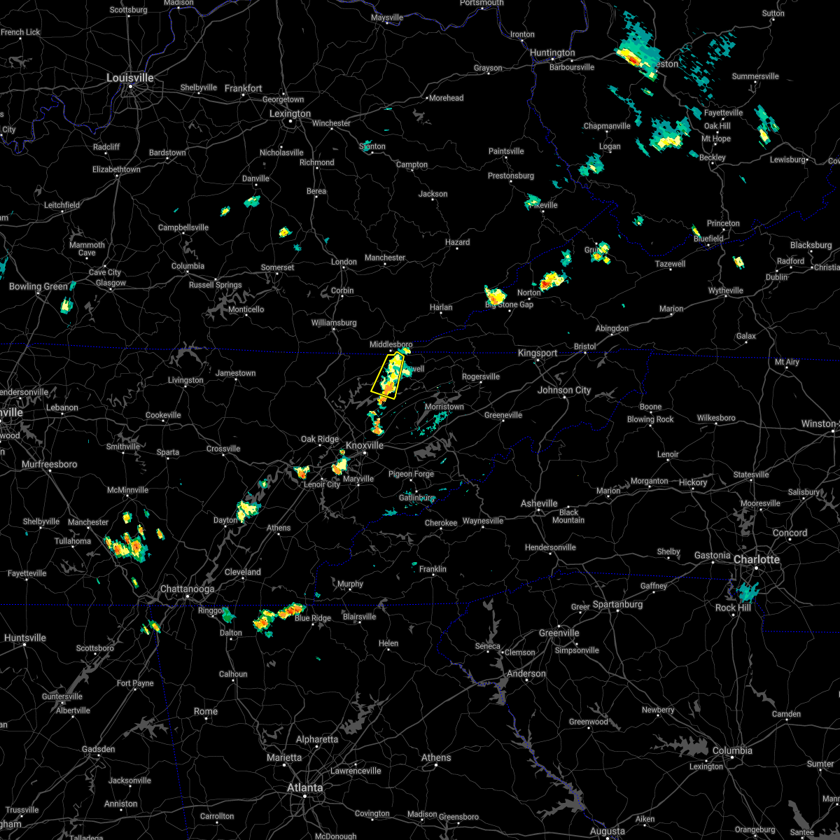 At 646 pm edt, a severe thunderstorm was located near new tazewell, or 10 miles south of middlesboro, moving west at 10 mph (radar indicated). Hazards include 60 mph wind gusts and penny size hail. Expect damage to roofs, siding, and trees. Locations impacted include, harrogate, springdale, cumberland gap, arthur, sharps chapel and sandlick. At 646 pm edt, a severe thunderstorm was located near new tazewell, or 10 miles south of middlesboro, moving west at 10 mph (radar indicated). Hazards include 60 mph wind gusts and penny size hail. Expect damage to roofs, siding, and trees. Locations impacted include, harrogate, springdale, cumberland gap, arthur, sharps chapel and sandlick.
|
| 6/28/2021 6:31 PM EDT |
 At 631 pm edt, a severe thunderstorm was located over new tazewell, or 12 miles southeast of middlesboro, moving west at 10 mph (radar indicated). Hazards include 60 mph wind gusts and penny size hail. Expect damage to roofs, siding, and trees. Locations impacted include, new tazewell, tazewell, harrogate, springdale, cumberland gap, arthur, powell river preserve, sharps chapel and sandlick. At 631 pm edt, a severe thunderstorm was located over new tazewell, or 12 miles southeast of middlesboro, moving west at 10 mph (radar indicated). Hazards include 60 mph wind gusts and penny size hail. Expect damage to roofs, siding, and trees. Locations impacted include, new tazewell, tazewell, harrogate, springdale, cumberland gap, arthur, powell river preserve, sharps chapel and sandlick.
|
| 6/28/2021 6:11 PM EDT |
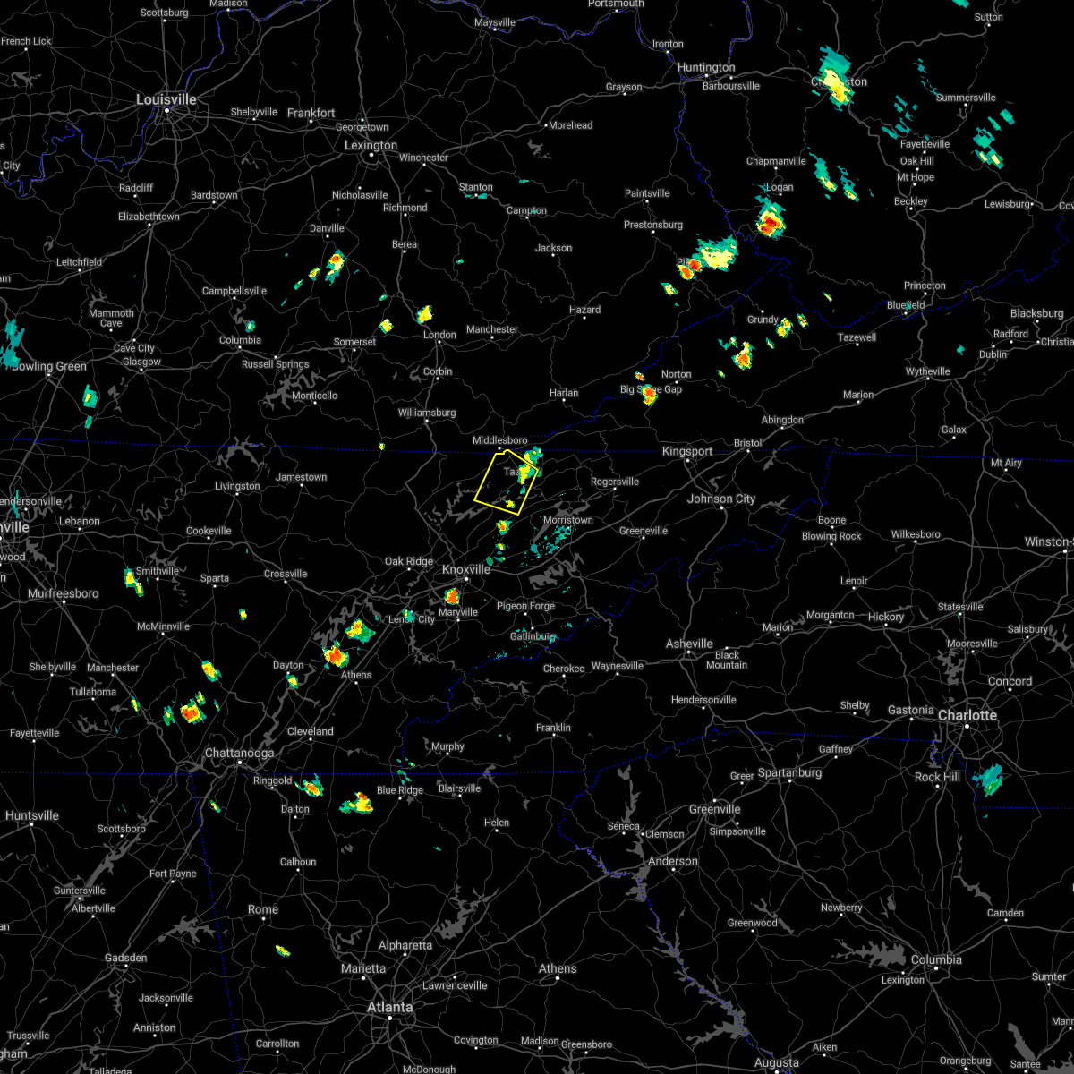 At 611 pm edt, a severe thunderstorm was located over new tazewell, or 11 miles north of rutledge, moving northwest at 10 mph (radar indicated). Hazards include 60 mph wind gusts and penny size hail. expect damage to roofs, siding, and trees At 611 pm edt, a severe thunderstorm was located over new tazewell, or 11 miles north of rutledge, moving northwest at 10 mph (radar indicated). Hazards include 60 mph wind gusts and penny size hail. expect damage to roofs, siding, and trees
|
| 6/21/2021 6:17 PM EDT | Several trees down across the count in claiborne county TN, 9.3 miles WNW of Harrogate, TN |
| 6/21/2021 6:05 PM EDT |
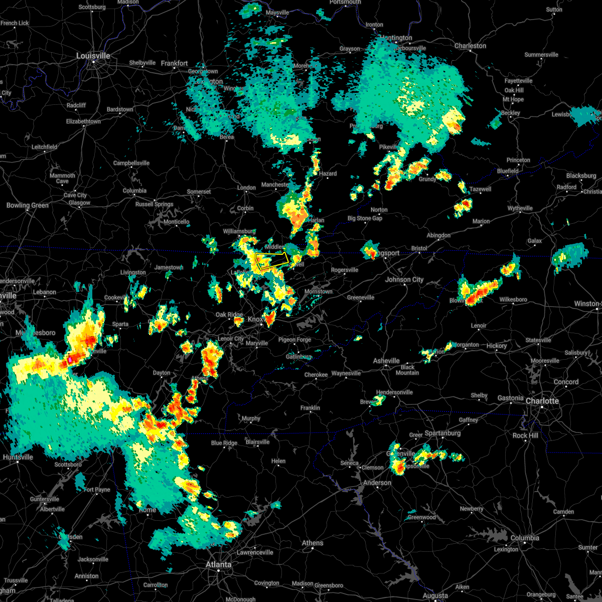 At 604 pm edt, a severe thunderstorm was located over pruden, or 9 miles west of middlesboro, moving east at 45 mph (radar indicated). Hazards include 60 mph wind gusts and penny size hail. Expect damage to roofs, siding, and trees. Locations impacted include, harrogate, cumberland gap, arthur and clairfield. At 604 pm edt, a severe thunderstorm was located over pruden, or 9 miles west of middlesboro, moving east at 45 mph (radar indicated). Hazards include 60 mph wind gusts and penny size hail. Expect damage to roofs, siding, and trees. Locations impacted include, harrogate, cumberland gap, arthur and clairfield.
|
| 6/21/2021 5:57 PM EDT |
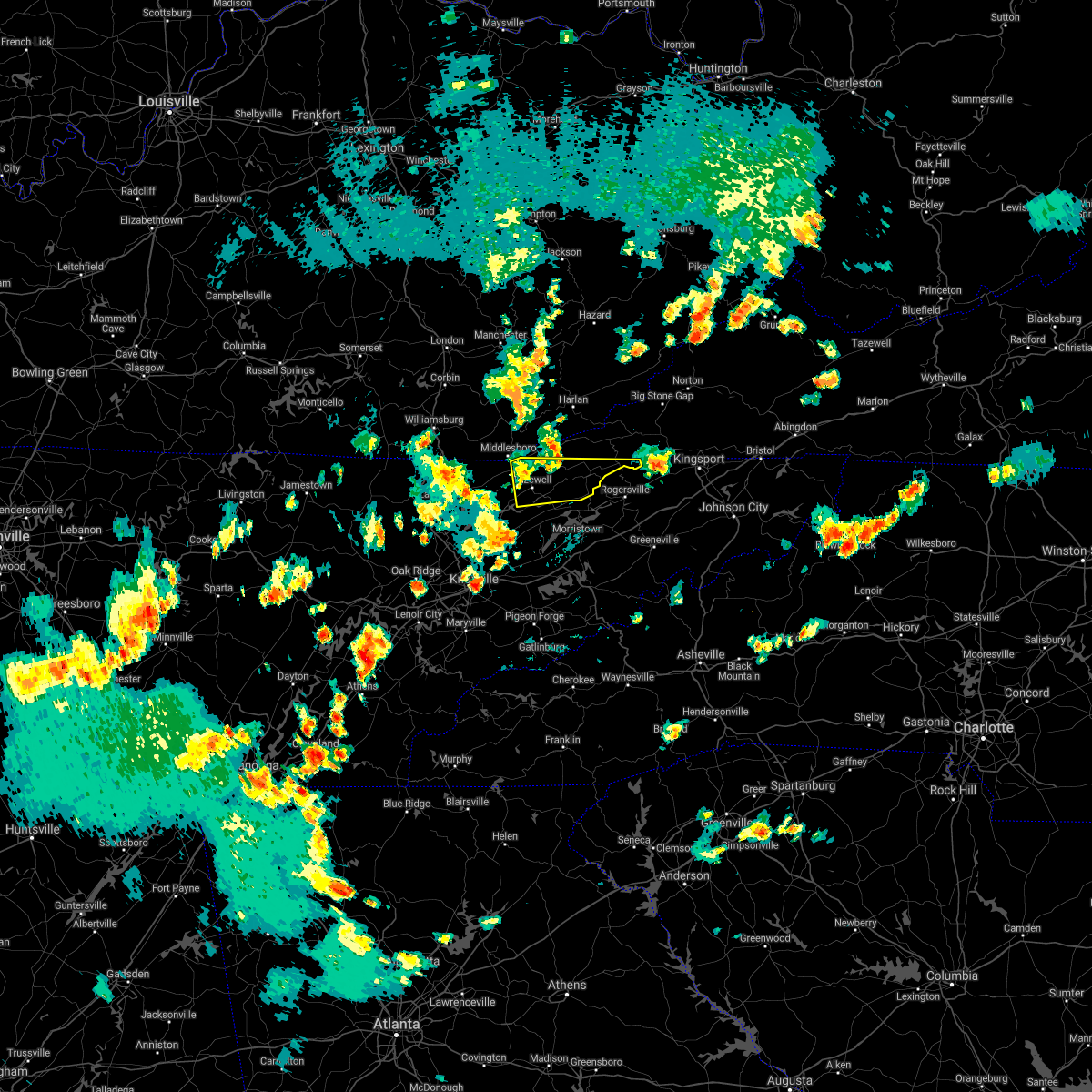 At 557 pm edt, a severe thunderstorm was located near tazewell, or 11 miles southeast of middlesboro, moving east at 40 mph (radar indicated). Hazards include 60 mph wind gusts and penny size hail. expect damage to roofs, siding, and trees At 557 pm edt, a severe thunderstorm was located near tazewell, or 11 miles southeast of middlesboro, moving east at 40 mph (radar indicated). Hazards include 60 mph wind gusts and penny size hail. expect damage to roofs, siding, and trees
|
| 6/21/2021 5:42 PM EDT |
 At 541 pm edt, a severe thunderstorm was located 8 miles south of zion hill, or 9 miles northwest of la follette, moving east at 45 mph (radar indicated). Hazards include 60 mph wind gusts and quarter size hail. Hail damage to vehicles is expected. Expect wind damage to roofs, siding, and trees. At 541 pm edt, a severe thunderstorm was located 8 miles south of zion hill, or 9 miles northwest of la follette, moving east at 45 mph (radar indicated). Hazards include 60 mph wind gusts and quarter size hail. Hail damage to vehicles is expected. Expect wind damage to roofs, siding, and trees.
|
| 6/21/2021 5:35 PM EDT |
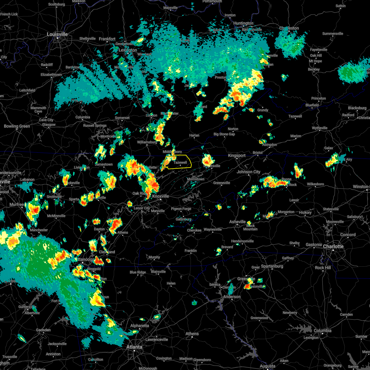 At 534 pm edt, a severe thunderstorm was located near harrogate, or 8 miles southeast of middlesboro, moving east at 45 mph (radar indicated). Hazards include 60 mph wind gusts and penny size hail. Expect damage to roofs, siding, and trees. Locations impacted include, new tazewell, tazewell, harrogate, springdale, howard quarter, cumberland gap, arthur and powell river preserve. At 534 pm edt, a severe thunderstorm was located near harrogate, or 8 miles southeast of middlesboro, moving east at 45 mph (radar indicated). Hazards include 60 mph wind gusts and penny size hail. Expect damage to roofs, siding, and trees. Locations impacted include, new tazewell, tazewell, harrogate, springdale, howard quarter, cumberland gap, arthur and powell river preserve.
|
| 6/21/2021 5:12 PM EDT |
 At 512 pm edt, a severe thunderstorm was located 8 miles south of pruden, or 13 miles northeast of la follette, moving east at 45 mph (radar indicated). Hazards include 60 mph wind gusts and penny size hail. expect damage to roofs, siding, and trees At 512 pm edt, a severe thunderstorm was located 8 miles south of pruden, or 13 miles northeast of la follette, moving east at 45 mph (radar indicated). Hazards include 60 mph wind gusts and penny size hail. expect damage to roofs, siding, and trees
|
| 3/28/2021 12:48 AM EDT |
 At 1247 am edt, a severe thunderstorm was located near new tazewell, or 12 miles south of middlesboro, moving northeast at 40 mph (radar indicated). Hazards include 60 mph wind gusts and quarter size hail. Hail damage to vehicles is expected. expect wind damage to roofs, siding, and trees. Locations impacted include, maynardville, new tazewell, tazewell, harrogate, springdale, lone mountain, howard quarter, thorn hill, arthur and rose hill. At 1247 am edt, a severe thunderstorm was located near new tazewell, or 12 miles south of middlesboro, moving northeast at 40 mph (radar indicated). Hazards include 60 mph wind gusts and quarter size hail. Hail damage to vehicles is expected. expect wind damage to roofs, siding, and trees. Locations impacted include, maynardville, new tazewell, tazewell, harrogate, springdale, lone mountain, howard quarter, thorn hill, arthur and rose hill.
|
| 3/28/2021 12:18 AM EDT |
 At 1218 am edt, a severe thunderstorm was located near la follette, moving northeast at 40 mph (radar indicated). Hazards include 60 mph wind gusts and quarter size hail. Hail damage to vehicles is expected. Expect wind damage to roofs, siding, and trees. At 1218 am edt, a severe thunderstorm was located near la follette, moving northeast at 40 mph (radar indicated). Hazards include 60 mph wind gusts and quarter size hail. Hail damage to vehicles is expected. Expect wind damage to roofs, siding, and trees.
|
| 3/18/2021 2:55 PM EDT |
 At 253 pm edt, a severe thunderstorm was located near new tazewell, or 13 miles northwest of rutledge, moving northeast at 35 mph (public reported up to penny size hail earlier with this storm in anderson county). Hazards include 60 mph wind gusts and quarter size hail. Hail damage to vehicles is expected. expect wind damage to roofs, siding, and trees. Locations impacted include, new tazewell, tazewell, harrogate, springdale, lone mountain, howard quarter, ewing, evanston, powell river preserve and sandlick. At 253 pm edt, a severe thunderstorm was located near new tazewell, or 13 miles northwest of rutledge, moving northeast at 35 mph (public reported up to penny size hail earlier with this storm in anderson county). Hazards include 60 mph wind gusts and quarter size hail. Hail damage to vehicles is expected. expect wind damage to roofs, siding, and trees. Locations impacted include, new tazewell, tazewell, harrogate, springdale, lone mountain, howard quarter, ewing, evanston, powell river preserve and sandlick.
|
| 3/18/2021 2:55 PM EDT |
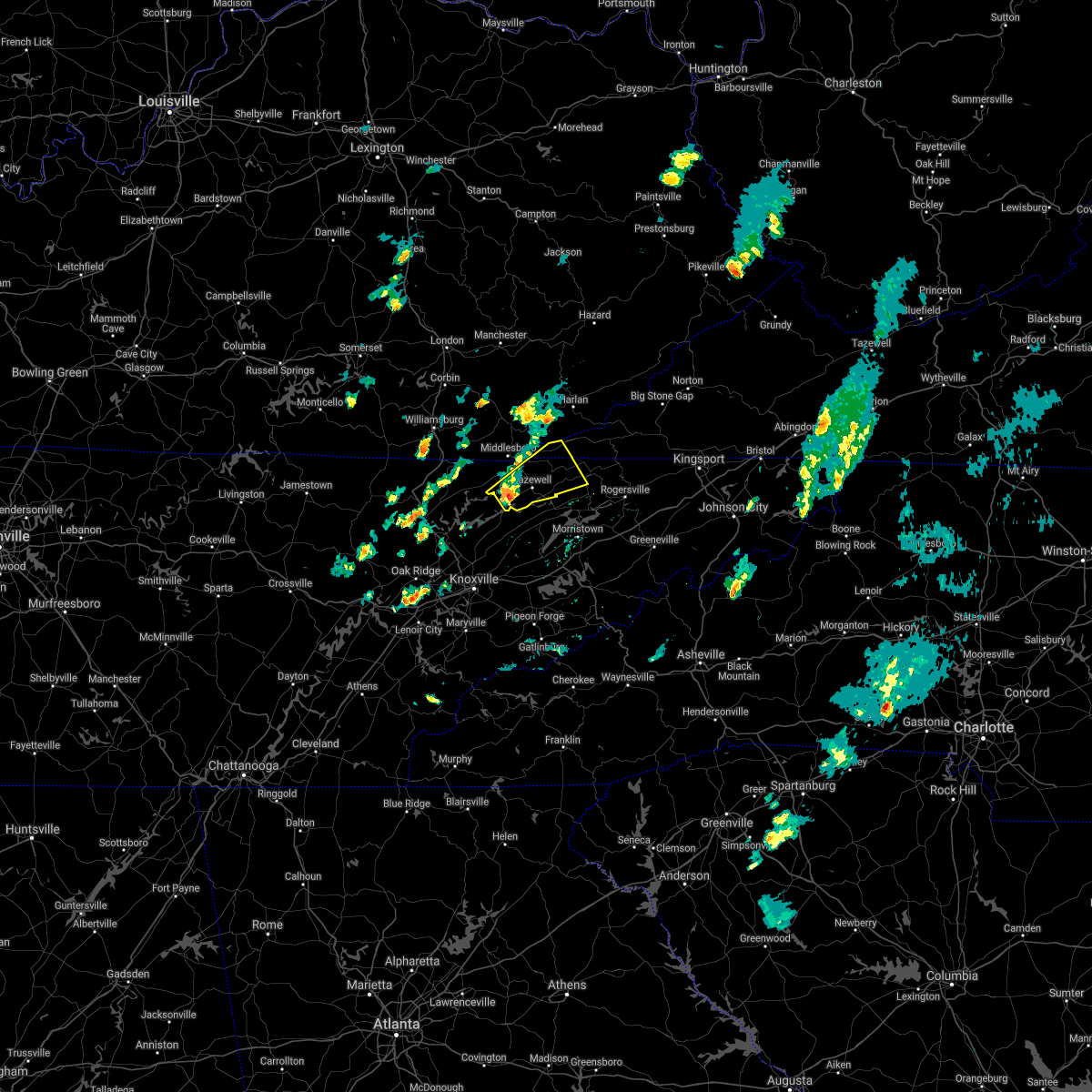 At 253 pm edt, a severe thunderstorm was located near new tazewell, or 13 miles northwest of rutledge, moving northeast at 35 mph (public reported up to penny size hail earlier with this storm in anderson county). Hazards include 60 mph wind gusts and quarter size hail. Hail damage to vehicles is expected. expect wind damage to roofs, siding, and trees. Locations impacted include, new tazewell, tazewell, harrogate, springdale, lone mountain, howard quarter, ewing, evanston, powell river preserve and sandlick. At 253 pm edt, a severe thunderstorm was located near new tazewell, or 13 miles northwest of rutledge, moving northeast at 35 mph (public reported up to penny size hail earlier with this storm in anderson county). Hazards include 60 mph wind gusts and quarter size hail. Hail damage to vehicles is expected. expect wind damage to roofs, siding, and trees. Locations impacted include, new tazewell, tazewell, harrogate, springdale, lone mountain, howard quarter, ewing, evanston, powell river preserve and sandlick.
|
| 3/18/2021 2:36 PM EDT |
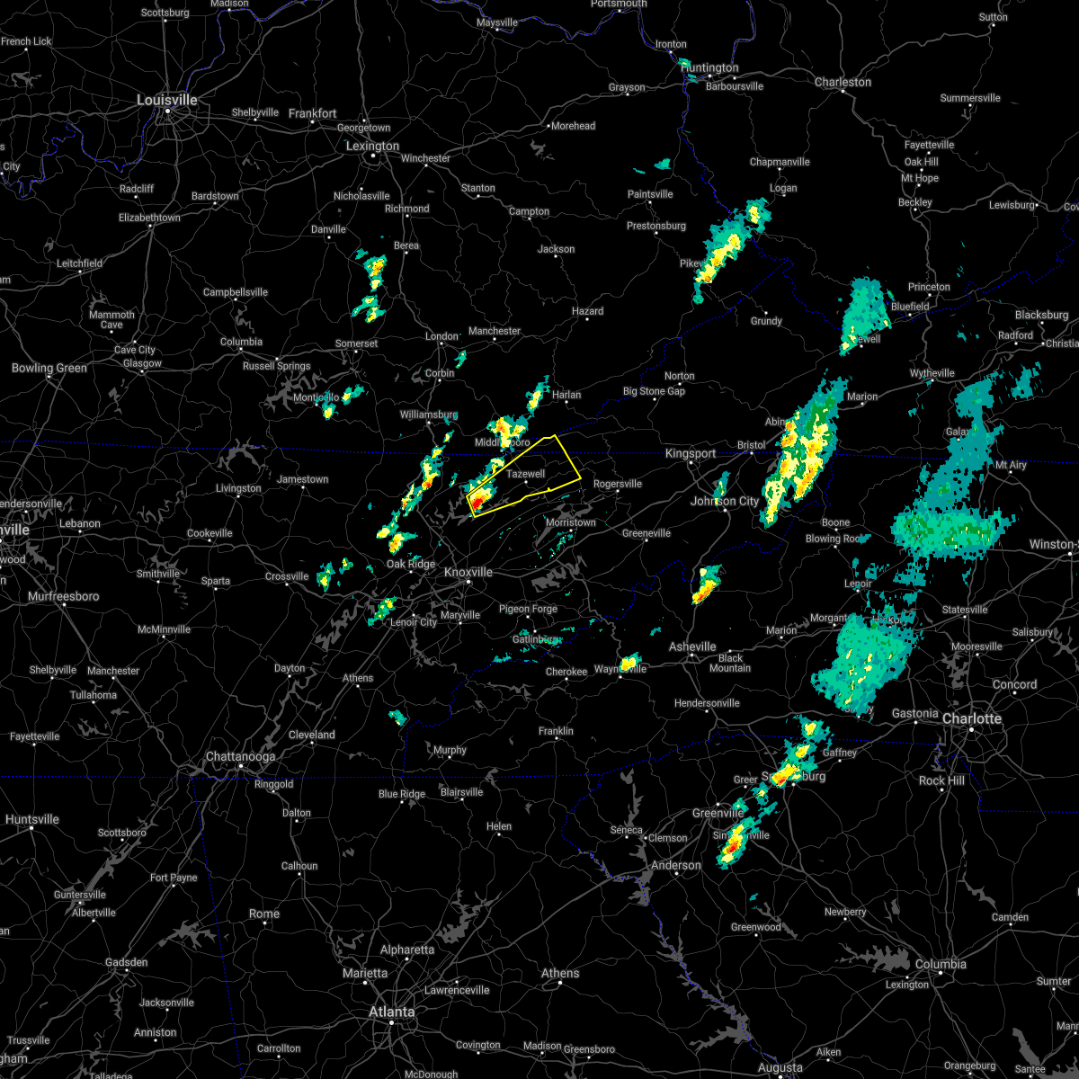 At 236 pm edt, a severe thunderstorm was located 7 miles north of maynardville, moving northeast at 35 mph (radar indicated). Hazards include 60 mph wind gusts and quarter size hail. Hail damage to vehicles is expected. Expect wind damage to roofs, siding, and trees. At 236 pm edt, a severe thunderstorm was located 7 miles north of maynardville, moving northeast at 35 mph (radar indicated). Hazards include 60 mph wind gusts and quarter size hail. Hail damage to vehicles is expected. Expect wind damage to roofs, siding, and trees.
|
| 7/31/2020 6:17 PM EDT |
 At 617 pm edt, severe thunderstorms were located along a line extending from 8 miles east of harrogate to 9 miles east of tazewell to 8 miles northwest of bean station to 6 miles northeast of rutledge, moving east at 55 mph (radar indicated). Hazards include 70 mph wind gusts. Expect considerable tree damage. damage is likely to mobile homes, roofs, and outbuildings. Locations impacted include, rutledge, new tazewell, bean station, tazewell, harrogate, howard quarter, thorn hill, evanston, powell river preserve and mooresburg. At 617 pm edt, severe thunderstorms were located along a line extending from 8 miles east of harrogate to 9 miles east of tazewell to 8 miles northwest of bean station to 6 miles northeast of rutledge, moving east at 55 mph (radar indicated). Hazards include 70 mph wind gusts. Expect considerable tree damage. damage is likely to mobile homes, roofs, and outbuildings. Locations impacted include, rutledge, new tazewell, bean station, tazewell, harrogate, howard quarter, thorn hill, evanston, powell river preserve and mooresburg.
|
| 7/31/2020 5:55 PM EDT |
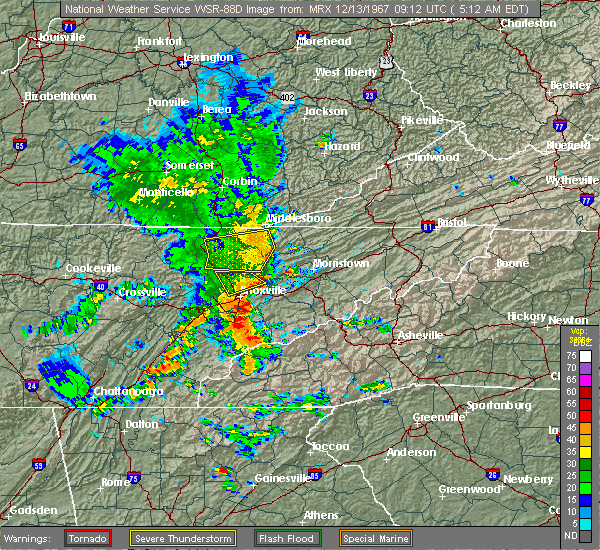 At 554 pm edt, severe thunderstorms were located along a line extending from 6 miles southeast of fonde to 6 miles west of new tazewell to 9 miles southwest of tazewell to near maynardville, moving east at 55 mph (radar indicated). Hazards include 70 mph wind gusts. Expect considerable tree damage. Damage is likely to mobile homes, roofs, and outbuildings. At 554 pm edt, severe thunderstorms were located along a line extending from 6 miles southeast of fonde to 6 miles west of new tazewell to 9 miles southwest of tazewell to near maynardville, moving east at 55 mph (radar indicated). Hazards include 70 mph wind gusts. Expect considerable tree damage. Damage is likely to mobile homes, roofs, and outbuildings.
|
| 7/24/2020 4:37 PM EDT | Several trees down with high wind in claiborne county TN, 8.5 miles WNW of Harrogate, TN |
| 7/24/2020 4:12 PM EDT |
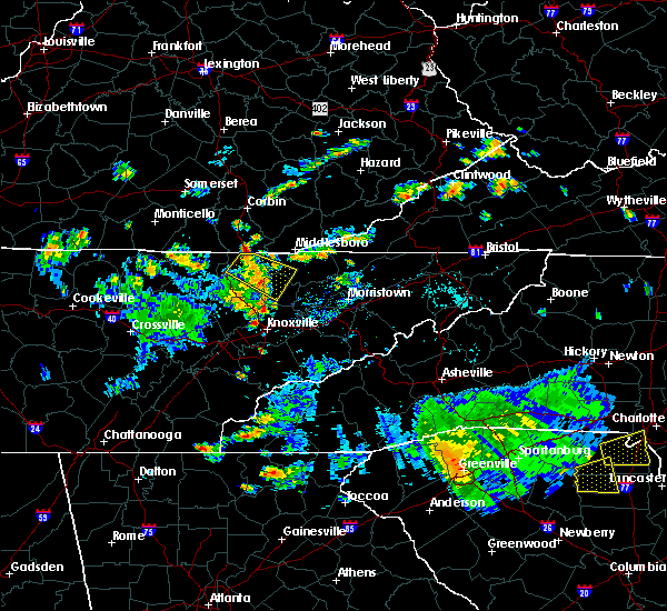 At 412 pm edt, a severe thunderstorm was located near harrogate, or 9 miles southeast of middlesboro, moving southeast at 10 mph (radar indicated). Hazards include 60 mph wind gusts and penny size hail. expect damage to roofs, siding, and trees At 412 pm edt, a severe thunderstorm was located near harrogate, or 9 miles southeast of middlesboro, moving southeast at 10 mph (radar indicated). Hazards include 60 mph wind gusts and penny size hail. expect damage to roofs, siding, and trees
|
| 7/23/2020 3:30 PM EDT | A few trees dow in claiborne county TN, 1.1 miles ESE of Harrogate, TN |
| 3/29/2020 4:47 AM EDT |
 At 446 am edt, severe thunderstorms were located along a line extending from perkins to 7 miles east of la follette, moving northeast at 65 mph (radar indicated). Hazards include 60 mph wind gusts and penny size hail. Expect damage to roofs, siding, and trees. locations impacted include, new tazewell, tazewell, harrogate, jellico, springdale, lone mountain, cumberland gap, arthur, sharps chapel and sandlick. This includes interstate 75 in tennessee near mile marker 161. At 446 am edt, severe thunderstorms were located along a line extending from perkins to 7 miles east of la follette, moving northeast at 65 mph (radar indicated). Hazards include 60 mph wind gusts and penny size hail. Expect damage to roofs, siding, and trees. locations impacted include, new tazewell, tazewell, harrogate, jellico, springdale, lone mountain, cumberland gap, arthur, sharps chapel and sandlick. This includes interstate 75 in tennessee near mile marker 161.
|
| 3/29/2020 4:37 AM EDT |
 At 436 am edt, severe thunderstorms were located along a line extending from near duckrun to near jacksboro, moving northeast at 75 mph (radar indicated). Hazards include 60 mph wind gusts and penny size hail. Expect damage to roofs, siding, and trees. locations impacted include, la follette, new tazewell, tazewell, jacksboro, harrogate, jellico, caryville, rocky top, norris and norris dam state park. This includes interstate 75 in tennessee between mile markers 129 and 161. At 436 am edt, severe thunderstorms were located along a line extending from near duckrun to near jacksboro, moving northeast at 75 mph (radar indicated). Hazards include 60 mph wind gusts and penny size hail. Expect damage to roofs, siding, and trees. locations impacted include, la follette, new tazewell, tazewell, jacksboro, harrogate, jellico, caryville, rocky top, norris and norris dam state park. This includes interstate 75 in tennessee between mile markers 129 and 161.
|
| 3/29/2020 4:23 AM EDT |
 At 422 am edt, severe thunderstorms were located along a line extending from near strunk to 9 miles northeast of wartburg, moving northeast at 70 mph (radar indicated). Hazards include 70 mph wind gusts and penny size hail. Expect considerable tree damage. Damage is likely to mobile homes, roofs, and outbuildings. At 422 am edt, severe thunderstorms were located along a line extending from near strunk to 9 miles northeast of wartburg, moving northeast at 70 mph (radar indicated). Hazards include 70 mph wind gusts and penny size hail. Expect considerable tree damage. Damage is likely to mobile homes, roofs, and outbuildings.
|
| 3/12/2020 10:59 PM EDT |
 A severe thunderstorm warning remains in effect until 1130 pm edt for northern claiborne and western lee counties. at 1058 pm edt, a severe thunderstorm was located over pruden, or 10 miles west of middlesboro, moving east at 45 mph. hazard. 60 mph wind gusts and quarter size hail. source. Radar indicated. A severe thunderstorm warning remains in effect until 1130 pm edt for northern claiborne and western lee counties. at 1058 pm edt, a severe thunderstorm was located over pruden, or 10 miles west of middlesboro, moving east at 45 mph. hazard. 60 mph wind gusts and quarter size hail. source. Radar indicated.
|
| 3/12/2020 10:59 PM EDT |
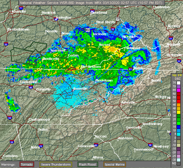 At 1043 pm edt, a severe thunderstorm was located over ayers, or 7 miles southwest of williamsburg, moving east at 45 mph (radar indicated). Hazards include 60 mph wind gusts and quarter size hail. Hail damage to vehicles is expected. Expect wind damage to roofs, siding, and trees. At 1043 pm edt, a severe thunderstorm was located over ayers, or 7 miles southwest of williamsburg, moving east at 45 mph (radar indicated). Hazards include 60 mph wind gusts and quarter size hail. Hail damage to vehicles is expected. Expect wind damage to roofs, siding, and trees.
|
| 3/12/2020 10:43 PM EDT |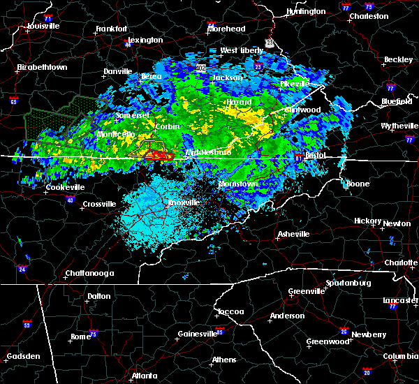
 At 1043 pm edt, a severe thunderstorm was located over ayers, or 7 miles southwest of williamsburg, moving east at 45 mph (radar indicated). Hazards include 60 mph wind gusts and quarter size hail. Hail damage to vehicles is expected. Expect wind damage to roofs, siding, and trees. At 1043 pm edt, a severe thunderstorm was located over ayers, or 7 miles southwest of williamsburg, moving east at 45 mph (radar indicated). Hazards include 60 mph wind gusts and quarter size hail. Hail damage to vehicles is expected. Expect wind damage to roofs, siding, and trees.
|
| 2/12/2020 9:37 PM EST |
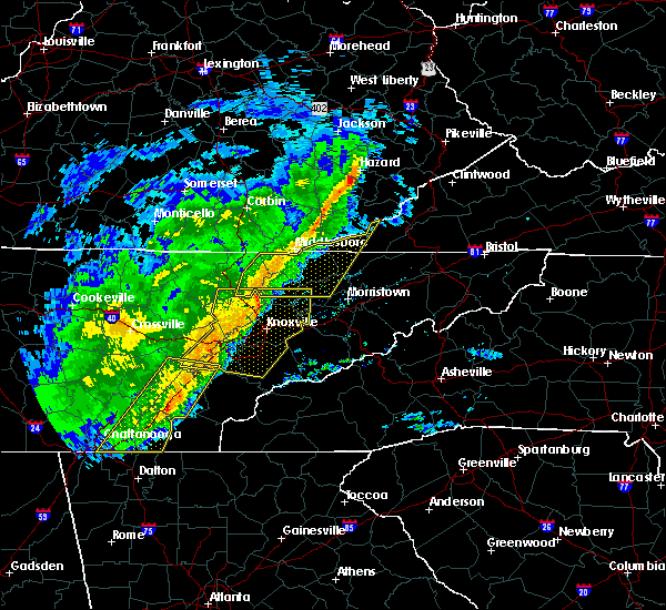 At 936 pm est, severe thunderstorms were located along a line extending from hoskinston to 9 miles southeast of fonde to 9 miles north of clinton, moving east at 50 mph (radar indicated). Hazards include 60 mph wind gusts. Expect damage to roofs, siding, and trees. locations impacted include, la follette, maynardville, rutledge, new tazewell, tazewell, harrogate, st. Charles, lone mountain, howard quarter and cumberland gap. At 936 pm est, severe thunderstorms were located along a line extending from hoskinston to 9 miles southeast of fonde to 9 miles north of clinton, moving east at 50 mph (radar indicated). Hazards include 60 mph wind gusts. Expect damage to roofs, siding, and trees. locations impacted include, la follette, maynardville, rutledge, new tazewell, tazewell, harrogate, st. Charles, lone mountain, howard quarter and cumberland gap.
|
| 2/12/2020 9:12 PM EST |
 At 911 pm est, severe thunderstorms were located along a line extending from park valley to 7 miles north of la follette to 11 miles northeast of wartburg, moving east at 50 mph (radar indicated). Hazards include 60 mph wind gusts. expect damage to roofs, siding, and trees At 911 pm est, severe thunderstorms were located along a line extending from park valley to 7 miles north of la follette to 11 miles northeast of wartburg, moving east at 50 mph (radar indicated). Hazards include 60 mph wind gusts. expect damage to roofs, siding, and trees
|
| 1/11/2020 6:04 PM EST |
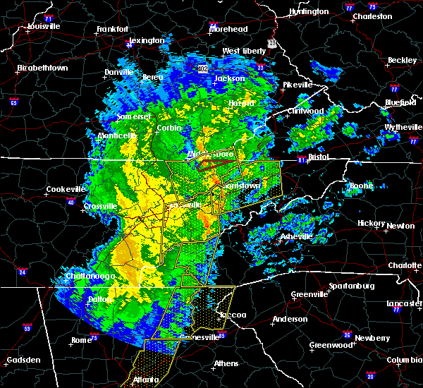 At 603 pm est, severe thunderstorms were located along a line extending from stony fork junction to 7 miles west of bean station, moving east at 60 mph (radar indicated). Hazards include 60 mph wind gusts. Expect damage to roofs, siding, and trees. Locations impacted include, rogersville, sneedville, rutledge, jonesville, new tazewell, bean station, tazewell, harrogate, lone mountain and howard quarter. At 603 pm est, severe thunderstorms were located along a line extending from stony fork junction to 7 miles west of bean station, moving east at 60 mph (radar indicated). Hazards include 60 mph wind gusts. Expect damage to roofs, siding, and trees. Locations impacted include, rogersville, sneedville, rutledge, jonesville, new tazewell, bean station, tazewell, harrogate, lone mountain and howard quarter.
|
| 1/11/2020 5:37 PM EST |
 At 536 pm est, severe thunderstorms were located along a line extending from fonde to near plainview, moving northeast at 60 mph (radar indicated). Hazards include 60 mph wind gusts. expect damage to roofs, siding, and trees At 536 pm est, severe thunderstorms were located along a line extending from fonde to near plainview, moving northeast at 60 mph (radar indicated). Hazards include 60 mph wind gusts. expect damage to roofs, siding, and trees
|
| 1/11/2020 5:28 PM EST |
 At 527 pm est, severe thunderstorms were located along a line extending from barbourville to near plainview, moving northeast at 60 mph (radar indicated). Hazards include 70 mph wind gusts. Expect considerable tree damage. damage is likely to mobile homes, roofs, and outbuildings. Locations impacted include, knoxville, morristown, clinton, la follette, maynardville, rutledge, new tazewell, tazewell, plainview and harrogate. At 527 pm est, severe thunderstorms were located along a line extending from barbourville to near plainview, moving northeast at 60 mph (radar indicated). Hazards include 70 mph wind gusts. Expect considerable tree damage. damage is likely to mobile homes, roofs, and outbuildings. Locations impacted include, knoxville, morristown, clinton, la follette, maynardville, rutledge, new tazewell, tazewell, plainview and harrogate.
|
| 1/11/2020 4:56 PM EST |
 At 456 pm est, severe thunderstorms were located along a line extending from near strunk to farragut, moving northeast at 60 mph (radar indicated). Hazards include 70 mph wind gusts. Expect considerable tree damage. Damage is likely to mobile homes, roofs, and outbuildings. At 456 pm est, severe thunderstorms were located along a line extending from near strunk to farragut, moving northeast at 60 mph (radar indicated). Hazards include 70 mph wind gusts. Expect considerable tree damage. Damage is likely to mobile homes, roofs, and outbuildings.
|
| 10/31/2019 11:53 AM EDT |
 At 1153 am edt, a severe thunderstorm was located 8 miles northeast of tazewell, or 14 miles west of sneedville, moving northeast at 55 mph (radar indicated). Hazards include 60 mph wind gusts. Expect damage to roofs, siding, and trees. Locations impacted include, sneedville, new tazewell, tazewell, harrogate, lone mountain, howard quarter, evanston, ewing, arthur and powell river preserve. At 1153 am edt, a severe thunderstorm was located 8 miles northeast of tazewell, or 14 miles west of sneedville, moving northeast at 55 mph (radar indicated). Hazards include 60 mph wind gusts. Expect damage to roofs, siding, and trees. Locations impacted include, sneedville, new tazewell, tazewell, harrogate, lone mountain, howard quarter, evanston, ewing, arthur and powell river preserve.
|
| 10/31/2019 11:50 AM EDT |
 At 1150 am edt, a severe thunderstorm capable of producing a tornado was located over tazewell, or 13 miles southeast of middlesboro, moving northeast at 65 mph (radar indicated rotation). Hazards include tornado. Flying debris will be dangerous to those caught without shelter. mobile homes will be damaged or destroyed. damage to roofs, windows, and vehicles will occur. tree damage is likely. this dangerous storm will be near, jonesville around 1220 pm edt. pennington gap around 1225 pm edt. other locations impacted by this tornadic thunderstorm include duffield, lone mountain, howard quarter, jasper, ewing, st. Charles, powell river preserve, dryden, rose hill and pattonsville. At 1150 am edt, a severe thunderstorm capable of producing a tornado was located over tazewell, or 13 miles southeast of middlesboro, moving northeast at 65 mph (radar indicated rotation). Hazards include tornado. Flying debris will be dangerous to those caught without shelter. mobile homes will be damaged or destroyed. damage to roofs, windows, and vehicles will occur. tree damage is likely. this dangerous storm will be near, jonesville around 1220 pm edt. pennington gap around 1225 pm edt. other locations impacted by this tornadic thunderstorm include duffield, lone mountain, howard quarter, jasper, ewing, st. Charles, powell river preserve, dryden, rose hill and pattonsville.
|
| 10/31/2019 11:33 AM EDT |
 At 1133 am edt, a severe thunderstorm was located 7 miles southwest of new tazewell, or 10 miles northeast of maynardville, moving northeast at 55 mph (radar indicated). Hazards include 60 mph wind gusts. expect damage to roofs, siding, and trees At 1133 am edt, a severe thunderstorm was located 7 miles southwest of new tazewell, or 10 miles northeast of maynardville, moving northeast at 55 mph (radar indicated). Hazards include 60 mph wind gusts. expect damage to roofs, siding, and trees
|
| 7/3/2019 9:41 PM EDT |
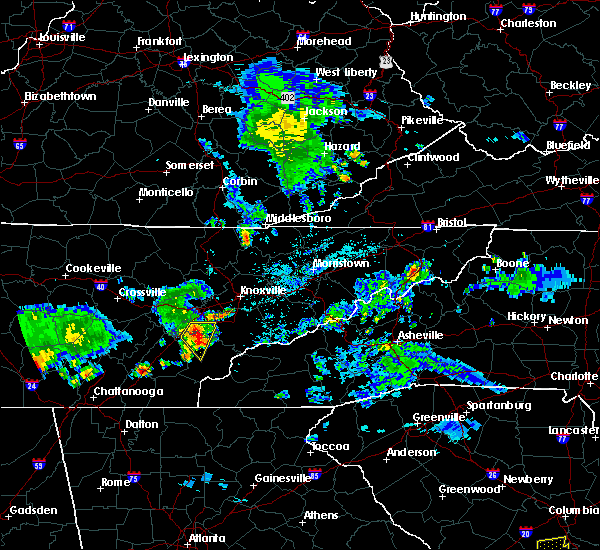 At 941 pm edt, a severe thunderstorm was located 7 miles south of pruden, or 11 miles southwest of middlesboro, moving east at 15 mph (radar indicated). Hazards include 60 mph wind gusts and quarter size hail. Hail damage to vehicles is expected. Expect wind damage to roofs, siding, and trees. At 941 pm edt, a severe thunderstorm was located 7 miles south of pruden, or 11 miles southwest of middlesboro, moving east at 15 mph (radar indicated). Hazards include 60 mph wind gusts and quarter size hail. Hail damage to vehicles is expected. Expect wind damage to roofs, siding, and trees.
|
| 6/21/2019 11:50 PM EDT |
 At 1131 pm edt, severe thunderstorms were located along a line extending from near noetown to 7 miles northeast of knoxville, moving east at 50 mph (radar indicated). Hazards include 60 mph wind gusts. Expect damage to roofs, siding, and trees. Locations impacted include, knoxville, maynardville, new tazewell, plainview, harrogate, halls, luttrell, springdale, cumberland gap, arthur, paulette, rose hill, big ridge state park, sharps chapel, sandlick, house mountain state park, clairfield, maloneyville, mascot and norris lake. At 1131 pm edt, severe thunderstorms were located along a line extending from near noetown to 7 miles northeast of knoxville, moving east at 50 mph (radar indicated). Hazards include 60 mph wind gusts. Expect damage to roofs, siding, and trees. Locations impacted include, knoxville, maynardville, new tazewell, plainview, harrogate, halls, luttrell, springdale, cumberland gap, arthur, paulette, rose hill, big ridge state park, sharps chapel, sandlick, house mountain state park, clairfield, maloneyville, mascot and norris lake.
|
| 6/21/2019 11:32 PM EDT |
 At 1131 pm edt, severe thunderstorms were located along a line extending from near noetown to 7 miles northeast of knoxville, moving east at 50 mph (radar indicated). Hazards include 60 mph wind gusts. Expect damage to roofs, siding, and trees. Locations impacted include, knoxville, maynardville, new tazewell, plainview, harrogate, halls, luttrell, springdale, cumberland gap, arthur, paulette, rose hill, big ridge state park, sharps chapel, sandlick, house mountain state park, clairfield, maloneyville, mascot and norris lake. At 1131 pm edt, severe thunderstorms were located along a line extending from near noetown to 7 miles northeast of knoxville, moving east at 50 mph (radar indicated). Hazards include 60 mph wind gusts. Expect damage to roofs, siding, and trees. Locations impacted include, knoxville, maynardville, new tazewell, plainview, harrogate, halls, luttrell, springdale, cumberland gap, arthur, paulette, rose hill, big ridge state park, sharps chapel, sandlick, house mountain state park, clairfield, maloneyville, mascot and norris lake.
|
| 6/21/2019 11:15 PM EDT |
 At 1115 pm edt, severe thunderstorms were located along a line extending from wilkerson to clinton, moving east at 50 mph (radar indicated). Hazards include 60 mph wind gusts. expect damage to roofs, siding, and trees At 1115 pm edt, severe thunderstorms were located along a line extending from wilkerson to clinton, moving east at 50 mph (radar indicated). Hazards include 60 mph wind gusts. expect damage to roofs, siding, and trees
|
| 8/8/2018 3:23 PM EDT |
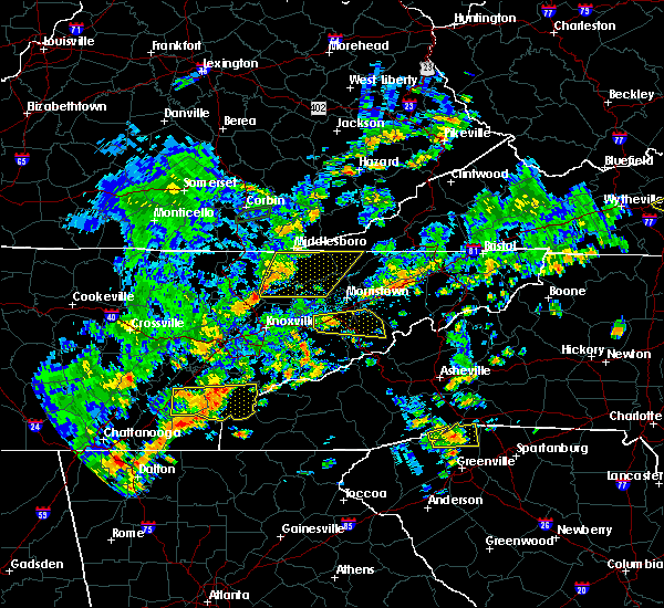 At 322 pm edt, severe thunderstorms were located along a line extending from near cubage to near plainview, moving east at 55 mph (radar indicated). Hazards include 60 mph wind gusts and penny size hail. Expect damage to roofs, siding, and trees. Locations impacted include, maynardville, sneedville, rutledge, new tazewell, tazewell, harrogate, luttrell, springdale, lone mountain, howard quarter, thorn hill, evanston, arthur, rose hill, big ridge state park, sharps chapel, sandlick, powell river preserve, joppa and norris lake. At 322 pm edt, severe thunderstorms were located along a line extending from near cubage to near plainview, moving east at 55 mph (radar indicated). Hazards include 60 mph wind gusts and penny size hail. Expect damage to roofs, siding, and trees. Locations impacted include, maynardville, sneedville, rutledge, new tazewell, tazewell, harrogate, luttrell, springdale, lone mountain, howard quarter, thorn hill, evanston, arthur, rose hill, big ridge state park, sharps chapel, sandlick, powell river preserve, joppa and norris lake.
|
| 8/8/2018 2:48 PM EDT |
 At 248 pm edt, severe thunderstorms were located along a line extending from pearl to near oliver springs, moving east at 55 mph (radar indicated). Hazards include 60 mph wind gusts and penny size hail. expect damage to roofs, siding, and trees At 248 pm edt, severe thunderstorms were located along a line extending from pearl to near oliver springs, moving east at 55 mph (radar indicated). Hazards include 60 mph wind gusts and penny size hail. expect damage to roofs, siding, and trees
|
| 7/20/2018 9:36 PM EDT |
 At 936 pm edt, severe thunderstorms were located along a line extending from near tazewell to 6 miles southwest of wilkerson to near oneida, moving southeast at 20 mph (radar indicated). Hazards include 60 mph wind gusts and penny size hail. Expect damage to roofs, siding, and trees. locations impacted include, la follette, oneida, new tazewell, tazewell, jacksboro, huntsville, helenwood, harrogate, jellico, caryville, lake city, winfield, norris dam state park, lone mountain, elk valley, cumberland gap, smokey junction, arthur, honey creek state park and robbins. A tornado watch remains in effect until 400 am edt for east tennessee, and southwestern virginia. At 936 pm edt, severe thunderstorms were located along a line extending from near tazewell to 6 miles southwest of wilkerson to near oneida, moving southeast at 20 mph (radar indicated). Hazards include 60 mph wind gusts and penny size hail. Expect damage to roofs, siding, and trees. locations impacted include, la follette, oneida, new tazewell, tazewell, jacksboro, huntsville, helenwood, harrogate, jellico, caryville, lake city, winfield, norris dam state park, lone mountain, elk valley, cumberland gap, smokey junction, arthur, honey creek state park and robbins. A tornado watch remains in effect until 400 am edt for east tennessee, and southwestern virginia.
|
| 7/20/2018 9:12 PM EDT |
 At 911 pm edt, severe thunderstorms were located along a line extending from near hutch to red ash to near great meadows campsites, moving southeast at 20 mph (radar indicated). Hazards include 60 mph wind gusts and penny size hail. expect damage to roofs, siding, and trees At 911 pm edt, severe thunderstorms were located along a line extending from near hutch to red ash to near great meadows campsites, moving southeast at 20 mph (radar indicated). Hazards include 60 mph wind gusts and penny size hail. expect damage to roofs, siding, and trees
|
| 6/25/2018 3:04 PM EDT |
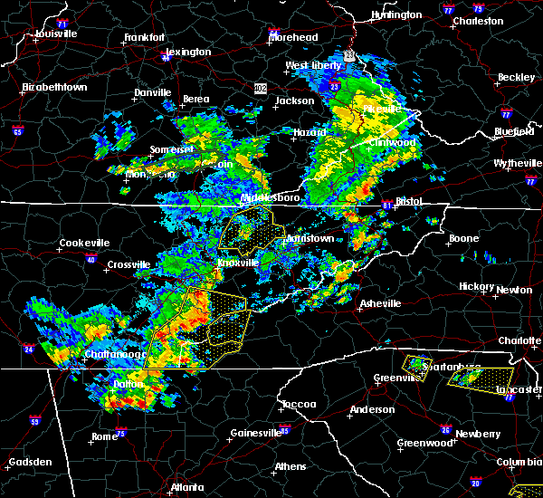 At 304 pm edt, a severe thunderstorm was located near rutledge, moving east at 40 mph (radar indicated). Hazards include 60 mph wind gusts and penny size hail. Expect damage to roofs, siding, and trees. Locations impacted include, maynardville, rutledge, new tazewell, bean station, tazewell, plainview, harrogate, blaine, luttrell, springdale, lone mountain, howard quarter, thorn hill, buffalo springs, paulette, rose hill, sharps chapel, sandlick, powell river preserve and joppa. At 304 pm edt, a severe thunderstorm was located near rutledge, moving east at 40 mph (radar indicated). Hazards include 60 mph wind gusts and penny size hail. Expect damage to roofs, siding, and trees. Locations impacted include, maynardville, rutledge, new tazewell, bean station, tazewell, plainview, harrogate, blaine, luttrell, springdale, lone mountain, howard quarter, thorn hill, buffalo springs, paulette, rose hill, sharps chapel, sandlick, powell river preserve and joppa.
|
| 6/25/2018 2:19 PM EDT |
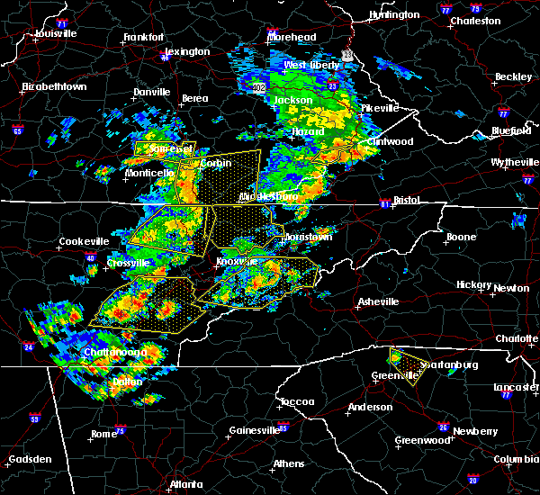 At 218 pm edt, severe thunderstorms were located along a line extending from red ash to near jacksboro, moving east at 40 mph (radar indicated). Hazards include 60 mph wind gusts and penny size hail. expect damage to roofs, siding, and trees At 218 pm edt, severe thunderstorms were located along a line extending from red ash to near jacksboro, moving east at 40 mph (radar indicated). Hazards include 60 mph wind gusts and penny size hail. expect damage to roofs, siding, and trees
|
| 4/4/2018 1:07 AM EDT |
 At 106 am edt, severe thunderstorms were located along a line extending from near pruden to 6 miles north of clinton, moving east at 50 mph (radar indicated). Hazards include 60 mph wind gusts. Expect damage to roofs, siding, and trees. Locations impacted include, clinton, maynardville, harrogate, lake city, norris, luttrell, springdale, norris dam state park, cumberland gap, arthur, andersonville, paulette, rose hill, big ridge state park, sharps chapel, sandlick, clairfield, fincastle and norris lake. At 106 am edt, severe thunderstorms were located along a line extending from near pruden to 6 miles north of clinton, moving east at 50 mph (radar indicated). Hazards include 60 mph wind gusts. Expect damage to roofs, siding, and trees. Locations impacted include, clinton, maynardville, harrogate, lake city, norris, luttrell, springdale, norris dam state park, cumberland gap, arthur, andersonville, paulette, rose hill, big ridge state park, sharps chapel, sandlick, clairfield, fincastle and norris lake.
|
| 4/4/2018 12:49 AM EDT |
 At 1248 am edt, severe thunderstorms were located along a line extending from near lot to 9 miles south of jacksboro, moving east at 60 mph (radar indicated). Hazards include 60 mph wind gusts. Expect damage to roofs, siding, and trees. Locations impacted include, clinton, la follette, maynardville, oliver springs, jacksboro, harrogate, jellico, caryville, lake city, norris, luttrell, norris dam state park, elk valley, cumberland gap, arthur, smokey junction, rosedale, rose hill, big ridge state park and cove lake state park. At 1248 am edt, severe thunderstorms were located along a line extending from near lot to 9 miles south of jacksboro, moving east at 60 mph (radar indicated). Hazards include 60 mph wind gusts. Expect damage to roofs, siding, and trees. Locations impacted include, clinton, la follette, maynardville, oliver springs, jacksboro, harrogate, jellico, caryville, lake city, norris, luttrell, norris dam state park, elk valley, cumberland gap, arthur, smokey junction, rosedale, rose hill, big ridge state park and cove lake state park.
|
| 4/4/2018 12:24 AM EDT |
 At 1223 am edt, severe thunderstorms were located along a line extending from near hollyhill to 11 miles south of huntsville, moving east at 60 mph (radar indicated). Hazards include 60 mph wind gusts. expect damage to roofs, siding, and trees At 1223 am edt, severe thunderstorms were located along a line extending from near hollyhill to 11 miles south of huntsville, moving east at 60 mph (radar indicated). Hazards include 60 mph wind gusts. expect damage to roofs, siding, and trees
|
| 3/17/2018 7:40 PM EDT |
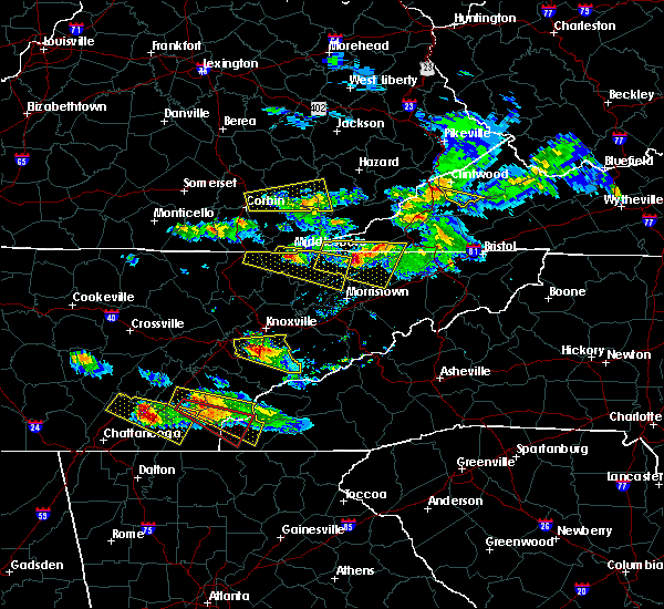 At 739 pm edt, a severe thunderstorm was located near tazewell, or 9 miles southeast of middlesboro, moving east at 45 mph (radar indicated). Hazards include 60 mph wind gusts and half dollar size hail. Hail damage to vehicles is expected. expect wind damage to roofs, siding, and trees. Locations impacted include, new tazewell, bean station, tazewell, harrogate, lone mountain, howard quarter, thorn hill, evanston, cumberland gap, arthur and powell river preserve. At 739 pm edt, a severe thunderstorm was located near tazewell, or 9 miles southeast of middlesboro, moving east at 45 mph (radar indicated). Hazards include 60 mph wind gusts and half dollar size hail. Hail damage to vehicles is expected. expect wind damage to roofs, siding, and trees. Locations impacted include, new tazewell, bean station, tazewell, harrogate, lone mountain, howard quarter, thorn hill, evanston, cumberland gap, arthur and powell river preserve.
|
| 3/17/2018 7:13 PM EDT |
 At 713 pm edt, a severe thunderstorm was located over wilkerson, or 14 miles west of middlesboro, moving east at 45 mph (radar indicated). Hazards include 60 mph wind gusts and quarter size hail. Hail damage to vehicles is expected. Expect wind damage to roofs, siding, and trees. At 713 pm edt, a severe thunderstorm was located over wilkerson, or 14 miles west of middlesboro, moving east at 45 mph (radar indicated). Hazards include 60 mph wind gusts and quarter size hail. Hail damage to vehicles is expected. Expect wind damage to roofs, siding, and trees.
|
| 7/6/2017 7:19 PM EDT |
 At 718 pm edt, severe thunderstorms were located along a line extending from jeremiah to near holmes mill to near harrogate, moving east at 45 mph (radar indicated). Hazards include 60 mph wind gusts. expect damage to roofs, siding, and trees At 718 pm edt, severe thunderstorms were located along a line extending from jeremiah to near holmes mill to near harrogate, moving east at 45 mph (radar indicated). Hazards include 60 mph wind gusts. expect damage to roofs, siding, and trees
|
| 7/6/2017 7:12 PM EDT |
 At 711 pm edt, severe thunderstorms were located along a line extending from near hutch to near la follette to 6 miles west of wartburg, moving east at 40 mph (radar indicated). Hazards include 60 mph wind gusts. expect damage to roofs, siding, and trees At 711 pm edt, severe thunderstorms were located along a line extending from near hutch to near la follette to 6 miles west of wartburg, moving east at 40 mph (radar indicated). Hazards include 60 mph wind gusts. expect damage to roofs, siding, and trees
|
| 7/6/2017 2:50 PM EDT | 3 trees down on hopewell road. time estimated by rada in claiborne county TN, 10.2 miles W of Harrogate, TN |
| 7/6/2017 2:34 PM EDT |
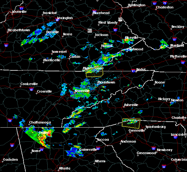 At 233 pm edt, a severe thunderstorm was located near tazewell, or 12 miles southeast of middlesboro, moving east at 25 mph (radar indicated). Hazards include 60 mph wind gusts and quarter size hail. Hail damage to vehicles is possible. Expect wind damage to roofs, siding, and trees. At 233 pm edt, a severe thunderstorm was located near tazewell, or 12 miles southeast of middlesboro, moving east at 25 mph (radar indicated). Hazards include 60 mph wind gusts and quarter size hail. Hail damage to vehicles is possible. Expect wind damage to roofs, siding, and trees.
|
| 5/27/2017 10:41 PM EDT |
 At 1040 pm edt, severe thunderstorms were located along a line extending from 6 miles north of maynardville to near knoxville to alcoa, moving east at 50 mph (multiple reports of trees down throughout east tennessee). Hazards include 70 mph wind gusts and quarter size hail. Hail damage to vehicles is expected. expect considerable tree damage. wind damage is also likely to mobile homes, roofs, and outbuildings. locations impacted include, knoxville, alcoa, maynardville, farragut, new tazewell, tazewell, plainview, harrogate, halls, blaine, luttrell, lone mountain, big ridge s. p. Arthur, rose hill, karns, kimberlin heights, clairfield, maloneyville and mascot. At 1040 pm edt, severe thunderstorms were located along a line extending from 6 miles north of maynardville to near knoxville to alcoa, moving east at 50 mph (multiple reports of trees down throughout east tennessee). Hazards include 70 mph wind gusts and quarter size hail. Hail damage to vehicles is expected. expect considerable tree damage. wind damage is also likely to mobile homes, roofs, and outbuildings. locations impacted include, knoxville, alcoa, maynardville, farragut, new tazewell, tazewell, plainview, harrogate, halls, blaine, luttrell, lone mountain, big ridge s. p. Arthur, rose hill, karns, kimberlin heights, clairfield, maloneyville and mascot.
|
| 5/27/2017 10:27 PM EDT |
 At 1026 pm edt, severe thunderstorms were located along a line extending from 8 miles east of la follette to 7 miles south of clinton to near farragut, moving east at 50 mph (radar indicated). Hazards include 70 mph wind gusts and quarter size hail. Hail damage to vehicles is expected. expect considerable tree damage. wind damage is also likely to mobile homes, roofs, and outbuildings. locations impacted include, knoxville, oak ridge, clinton, alcoa, la follette, maynardville, farragut, new tazewell, louisville, tazewell, plainview, harrogate, halls, blaine, lake city, norris, luttrell, lone mountain, howard quarter and big ridge s. P At 1026 pm edt, severe thunderstorms were located along a line extending from 8 miles east of la follette to 7 miles south of clinton to near farragut, moving east at 50 mph (radar indicated). Hazards include 70 mph wind gusts and quarter size hail. Hail damage to vehicles is expected. expect considerable tree damage. wind damage is also likely to mobile homes, roofs, and outbuildings. locations impacted include, knoxville, oak ridge, clinton, alcoa, la follette, maynardville, farragut, new tazewell, louisville, tazewell, plainview, harrogate, halls, blaine, lake city, norris, luttrell, lone mountain, howard quarter and big ridge s. P
|
| 5/27/2017 10:00 PM EDT |
 At 959 pm edt, severe thunderstorms were located along a line extending from 7 miles northeast of huntsville to 6 miles southeast of wartburg to midtown, moving east at 50 mph (radar indicated). Hazards include 70 mph wind gusts and quarter size hail. Hail damage to vehicles is expected. expect considerable tree damage. Wind damage is also likely to mobile homes, roofs, and outbuildings. At 959 pm edt, severe thunderstorms were located along a line extending from 7 miles northeast of huntsville to 6 miles southeast of wartburg to midtown, moving east at 50 mph (radar indicated). Hazards include 70 mph wind gusts and quarter size hail. Hail damage to vehicles is expected. expect considerable tree damage. Wind damage is also likely to mobile homes, roofs, and outbuildings.
|
| 5/27/2017 8:04 PM EDT |
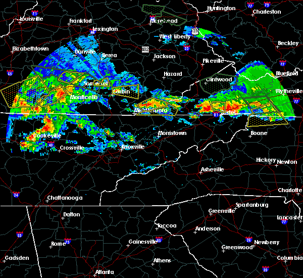 At 804 pm edt, severe thunderstorms were located along a line extending from kentenia to pathfork to oaks, moving southeast at 20 mph (radar indicated). Hazards include 60 mph wind gusts and quarter size hail. Hail damage to vehicles is expected. Expect wind damage to roofs, siding, and trees. At 804 pm edt, severe thunderstorms were located along a line extending from kentenia to pathfork to oaks, moving southeast at 20 mph (radar indicated). Hazards include 60 mph wind gusts and quarter size hail. Hail damage to vehicles is expected. Expect wind damage to roofs, siding, and trees.
|
| 5/4/2017 11:27 PM EDT |
 At 1126 pm edt, severe thunderstorms were located along a line extending from near harrogate to near morristown, moving northeast at 55 mph (radar indicated). Hazards include 60 mph wind gusts and quarter size hail. Hail damage to vehicles is expected. Expect wind damage to roofs, siding, and trees. At 1126 pm edt, severe thunderstorms were located along a line extending from near harrogate to near morristown, moving northeast at 55 mph (radar indicated). Hazards include 60 mph wind gusts and quarter size hail. Hail damage to vehicles is expected. Expect wind damage to roofs, siding, and trees.
|
| 3/1/2017 11:24 AM EST |
 At 1123 am est, a severe thunderstorm was located over harrogate, or near middlesboro, moving east at 50 mph (radar indicated). Hazards include 70 mph wind gusts and penny size hail. Expect considerable tree damage. damage is likely to mobile homes, roofs, and outbuildings. Locations impacted include, rogersville, sneedville, jonesville, new tazewell, tazewell, pennington gap, harrogate, springdale, howard quarter, cumberland gap, evanston, arthur, rose hill, treadway, ewing, clairfield, powell river preserve, kyles ford and klondike. At 1123 am est, a severe thunderstorm was located over harrogate, or near middlesboro, moving east at 50 mph (radar indicated). Hazards include 70 mph wind gusts and penny size hail. Expect considerable tree damage. damage is likely to mobile homes, roofs, and outbuildings. Locations impacted include, rogersville, sneedville, jonesville, new tazewell, tazewell, pennington gap, harrogate, springdale, howard quarter, cumberland gap, evanston, arthur, rose hill, treadway, ewing, clairfield, powell river preserve, kyles ford and klondike.
|
| 3/1/2017 11:08 AM EST |
 At 1106 am est, a severe thunderstorm was located near knoxville, moving east at 45 mph. 911 dispatch has reported that this storm has produced wind damage in the oak ridge area of anderson county (law enforcement). Hazards include 70 mph wind gusts and penny size hail. Expect considerable tree damage. damage is likely to mobile homes, roofs, and outbuildings. locations impacted include, knoxville, oak ridge, clinton, la follette, maynardville, rutledge, new tazewell, tazewell, plainview, harrogate, jellico, halls, blaine, norris, luttrell, lone mountain, howard quarter, big ridge s. p. Arthur and rose hill. At 1106 am est, a severe thunderstorm was located near knoxville, moving east at 45 mph. 911 dispatch has reported that this storm has produced wind damage in the oak ridge area of anderson county (law enforcement). Hazards include 70 mph wind gusts and penny size hail. Expect considerable tree damage. damage is likely to mobile homes, roofs, and outbuildings. locations impacted include, knoxville, oak ridge, clinton, la follette, maynardville, rutledge, new tazewell, tazewell, plainview, harrogate, jellico, halls, blaine, norris, luttrell, lone mountain, howard quarter, big ridge s. p. Arthur and rose hill.
|
| 3/1/2017 11:06 AM EST |
 At 1105 am est, a severe thunderstorm was located near pruden, or 12 miles southwest of middlesboro, moving east at 50 mph (radar indicated). Hazards include 70 mph wind gusts and penny size hail. Expect considerable tree damage. Damage is likely to mobile homes, roofs, and outbuildings. At 1105 am est, a severe thunderstorm was located near pruden, or 12 miles southwest of middlesboro, moving east at 50 mph (radar indicated). Hazards include 70 mph wind gusts and penny size hail. Expect considerable tree damage. Damage is likely to mobile homes, roofs, and outbuildings.
|
| 3/1/2017 10:55 AM EST |
 At 1054 am est, a severe thunderstorm was located near wilkerson, or 13 miles northeast of la follette, moving east at 60 mph (radar indicated). Hazards include 60 mph wind gusts and penny size hail. Expect damage to roofs, siding, and trees. locations impacted include, knoxville, oak ridge, clinton, la follette, maynardville, rutledge, oliver springs, new tazewell, tazewell, plainview, harrogate, jellico, halls, blaine, lake city, norris, luttrell, lone mountain, howard quarter and big ridge s. P At 1054 am est, a severe thunderstorm was located near wilkerson, or 13 miles northeast of la follette, moving east at 60 mph (radar indicated). Hazards include 60 mph wind gusts and penny size hail. Expect damage to roofs, siding, and trees. locations impacted include, knoxville, oak ridge, clinton, la follette, maynardville, rutledge, oliver springs, new tazewell, tazewell, plainview, harrogate, jellico, halls, blaine, lake city, norris, luttrell, lone mountain, howard quarter and big ridge s. P
|
| 3/1/2017 10:40 AM EST |
 The severe thunderstorm warning for harlan, bell and southern leslie counties will expire at 1045 am est, the storms which prompted the warning have weakened below severe limits, and no longer pose an immediate threat to life or property. therefore the warning will be allowed to expire. a severe thunderstorm watch remains in effect until 100 pm est for south central and southeastern kentucky. The severe thunderstorm warning for harlan, bell and southern leslie counties will expire at 1045 am est, the storms which prompted the warning have weakened below severe limits, and no longer pose an immediate threat to life or property. therefore the warning will be allowed to expire. a severe thunderstorm watch remains in effect until 100 pm est for south central and southeastern kentucky.
|
| 3/1/2017 10:30 AM EST |
 At 1029 am est, severe thunderstorms were located along a line extending from mountain ash to near la follette to near kingston, moving east at 65 mph (radar indicated). Hazards include 60 mph wind gusts and penny size hail. expect damage to roofs, siding, and trees At 1029 am est, severe thunderstorms were located along a line extending from mountain ash to near la follette to near kingston, moving east at 65 mph (radar indicated). Hazards include 60 mph wind gusts and penny size hail. expect damage to roofs, siding, and trees
|
| 3/1/2017 10:15 AM EST |
 At 1015 am est, severe thunderstorms were located along a line extending from dongola to near tremont to polly camp, moving southeast at 40 mph (radar indicated). Hazards include 60 mph wind gusts. Expect damage to roofs, siding, and trees. Locations impacted include, harlan, pineville, middlesboro, cumberland, loyall, evarts, wallins creek, bobs creek, sandy fork, bledsoe, dizney, varilla, louellen, coldiron, ponza, black snake, blanche, napier, cubage and rella. At 1015 am est, severe thunderstorms were located along a line extending from dongola to near tremont to polly camp, moving southeast at 40 mph (radar indicated). Hazards include 60 mph wind gusts. Expect damage to roofs, siding, and trees. Locations impacted include, harlan, pineville, middlesboro, cumberland, loyall, evarts, wallins creek, bobs creek, sandy fork, bledsoe, dizney, varilla, louellen, coldiron, ponza, black snake, blanche, napier, cubage and rella.
|
| 3/1/2017 9:52 AM EST |
 At 951 am est, severe thunderstorms were located along a line extending from wiscoal to ice cliff to krupp, moving southeast at 40 mph (radar indicated). Hazards include 60 mph wind gusts. expect damage to roofs, siding, and trees At 951 am est, severe thunderstorms were located along a line extending from wiscoal to ice cliff to krupp, moving southeast at 40 mph (radar indicated). Hazards include 60 mph wind gusts. expect damage to roofs, siding, and trees
|
| 2/8/2017 6:47 PM EST |
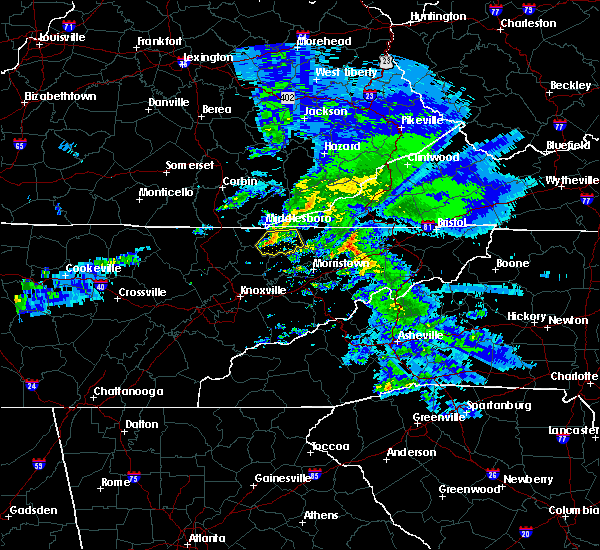 At 646 pm est, a severe thunderstorm was located near new tazewell, or 10 miles south of middlesboro, moving east at 45 mph (radar indicated). Hazards include 60 mph wind gusts and quarter size hail. Hail damage to vehicles is expected. expect wind damage to roofs, siding, and trees. Locations impacted include, new tazewell, tazewell, harrogate, springdale, lone mountain, howard quarter, arthur, powell river preserve and sandlick. At 646 pm est, a severe thunderstorm was located near new tazewell, or 10 miles south of middlesboro, moving east at 45 mph (radar indicated). Hazards include 60 mph wind gusts and quarter size hail. Hail damage to vehicles is expected. expect wind damage to roofs, siding, and trees. Locations impacted include, new tazewell, tazewell, harrogate, springdale, lone mountain, howard quarter, arthur, powell river preserve and sandlick.
|
| 2/8/2017 6:37 PM EST |
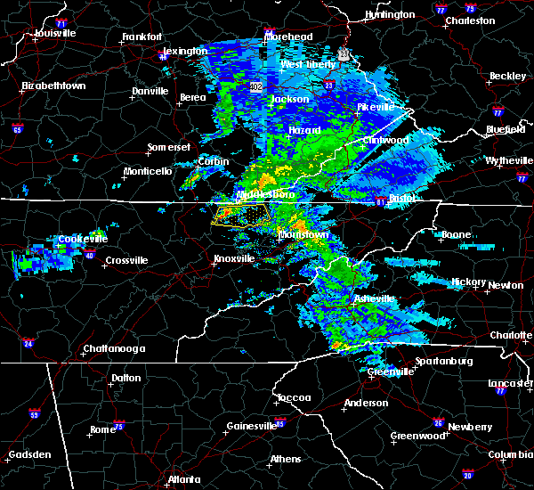 At 637 pm est, a severe thunderstorm was located 10 miles southeast of pruden, or 11 miles southwest of middlesboro, moving east at 45 mph (radar indicated). Hazards include 60 mph wind gusts and quarter size hail. Hail damage to vehicles is expected. expect wind damage to roofs, siding, and trees. Locations impacted include, new tazewell, tazewell, harrogate, springdale, lone mountain, howard quarter, arthur, powell river preserve and sandlick. At 637 pm est, a severe thunderstorm was located 10 miles southeast of pruden, or 11 miles southwest of middlesboro, moving east at 45 mph (radar indicated). Hazards include 60 mph wind gusts and quarter size hail. Hail damage to vehicles is expected. expect wind damage to roofs, siding, and trees. Locations impacted include, new tazewell, tazewell, harrogate, springdale, lone mountain, howard quarter, arthur, powell river preserve and sandlick.
|
| 2/8/2017 6:27 PM EST |
 At 626 pm est, a severe thunderstorm was located 9 miles south of wilkerson, or 11 miles northeast of la follette, moving east at 40 mph (radar indicated). Hazards include 60 mph wind gusts and quarter size hail. Hail damage to vehicles is expected. Expect wind damage to roofs, siding, and trees. At 626 pm est, a severe thunderstorm was located 9 miles south of wilkerson, or 11 miles northeast of la follette, moving east at 40 mph (radar indicated). Hazards include 60 mph wind gusts and quarter size hail. Hail damage to vehicles is expected. Expect wind damage to roofs, siding, and trees.
|
| 7/27/2016 11:01 PM EDT |
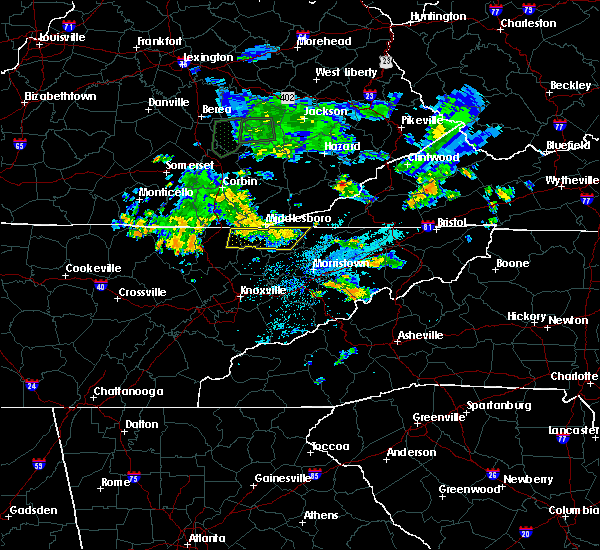 At 1100 pm edt, severe thunderstorms were located along a line extending from near pruden to near tazewell, moving northeast at 20 mph (radar indicated). Hazards include 60 mph wind gusts and quarter size hail. Hail damage to vehicles is expected. expect wind damage to roofs, siding, and trees. Locations impacted include, new tazewell, tazewell, harrogate, springdale, cumberland gap, powell river preserve, arthur, clairfield and fincastle. At 1100 pm edt, severe thunderstorms were located along a line extending from near pruden to near tazewell, moving northeast at 20 mph (radar indicated). Hazards include 60 mph wind gusts and quarter size hail. Hail damage to vehicles is expected. expect wind damage to roofs, siding, and trees. Locations impacted include, new tazewell, tazewell, harrogate, springdale, cumberland gap, powell river preserve, arthur, clairfield and fincastle.
|
| 7/27/2016 10:39 PM EDT |
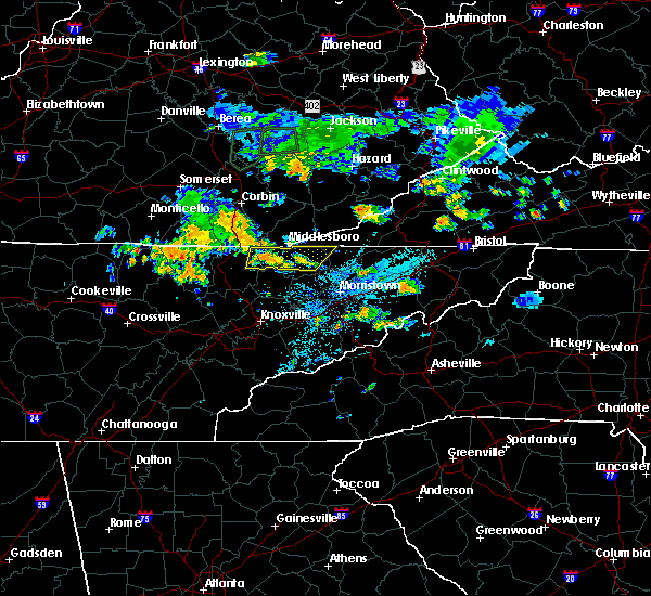 At 1039 pm edt, severe thunderstorms were located along a line extending from 7 miles south of wilkerson to tazewell, moving northeast at 20 mph (radar indicated). Hazards include 60 mph wind gusts and quarter size hail. Hail damage to vehicles is expected. Expect wind damage to roofs, siding, and trees. At 1039 pm edt, severe thunderstorms were located along a line extending from 7 miles south of wilkerson to tazewell, moving northeast at 20 mph (radar indicated). Hazards include 60 mph wind gusts and quarter size hail. Hail damage to vehicles is expected. Expect wind damage to roofs, siding, and trees.
|
| 7/8/2016 5:20 PM EDT |
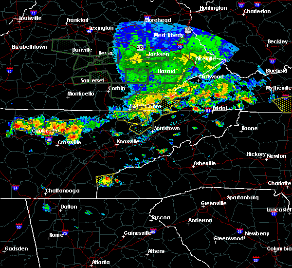 At 519 pm edt, severe thunderstorms were located along a line extending from near cubage to near tazewell to near new tazewell, moving east at 60 mph (radar indicated). Hazards include 70 mph wind gusts. Expect considerable tree damage. damage is likely to mobile homes, roofs, and outbuildings. Locations impacted include, new tazewell, tazewell, harrogate, lone mountain, springdale, powell river preserve, arthur, howard quarter, sandlick and cumberland gap. At 519 pm edt, severe thunderstorms were located along a line extending from near cubage to near tazewell to near new tazewell, moving east at 60 mph (radar indicated). Hazards include 70 mph wind gusts. Expect considerable tree damage. damage is likely to mobile homes, roofs, and outbuildings. Locations impacted include, new tazewell, tazewell, harrogate, lone mountain, springdale, powell river preserve, arthur, howard quarter, sandlick and cumberland gap.
|
| 7/8/2016 5:13 PM EDT |
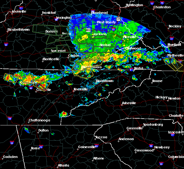 At 513 pm edt, severe thunderstorms were located along a line extending from kentenia to cubage to harrogate to 10 miles west of new tazewell, moving east at 50 mph (radar indicated). Hazards include 60 mph wind gusts and penny size hail. Expect damage to roofs. siding. And trees. At 513 pm edt, severe thunderstorms were located along a line extending from kentenia to cubage to harrogate to 10 miles west of new tazewell, moving east at 50 mph (radar indicated). Hazards include 60 mph wind gusts and penny size hail. Expect damage to roofs. siding. And trees.
|
| 7/8/2016 5:10 PM EDT | Trees downe in claiborne county TN, 0.3 miles S of Harrogate, TN |
| 7/8/2016 5:05 PM EDT |
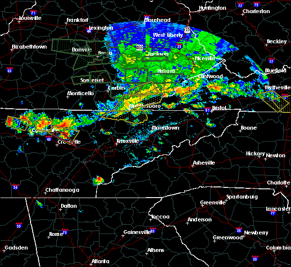 At 504 pm edt, severe thunderstorms were located along a line extending from meldrum to near noetown to 8 miles south of pruden, moving east at 50 mph (radar indicated). Hazards include 60 mph wind gusts. Expect damage to roofs. siding. and trees. Locations impacted include, new tazewell, tazewell, harrogate, lone mountain, springdale, powell river preserve, arthur, clairfield, howard quarter, sandlick and cumberland gap. At 504 pm edt, severe thunderstorms were located along a line extending from meldrum to near noetown to 8 miles south of pruden, moving east at 50 mph (radar indicated). Hazards include 60 mph wind gusts. Expect damage to roofs. siding. and trees. Locations impacted include, new tazewell, tazewell, harrogate, lone mountain, springdale, powell river preserve, arthur, clairfield, howard quarter, sandlick and cumberland gap.
|
| 7/8/2016 4:51 PM EDT |
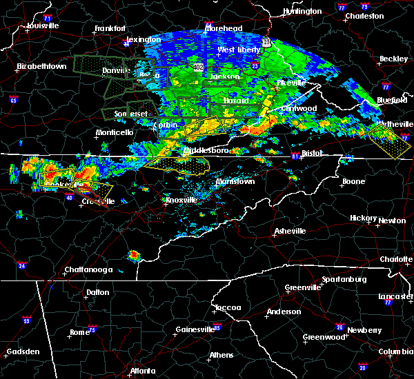 At 451 pm edt, severe thunderstorms were located along a line extending from ingram to pruden to 6 miles southeast of lot, moving east at 60 mph (radar indicated). Hazards include 60 mph wind gusts. Expect damage to roofs. siding. And trees. At 451 pm edt, severe thunderstorms were located along a line extending from ingram to pruden to 6 miles southeast of lot, moving east at 60 mph (radar indicated). Hazards include 60 mph wind gusts. Expect damage to roofs. siding. And trees.
|
| 7/7/2016 6:53 PM EDT |
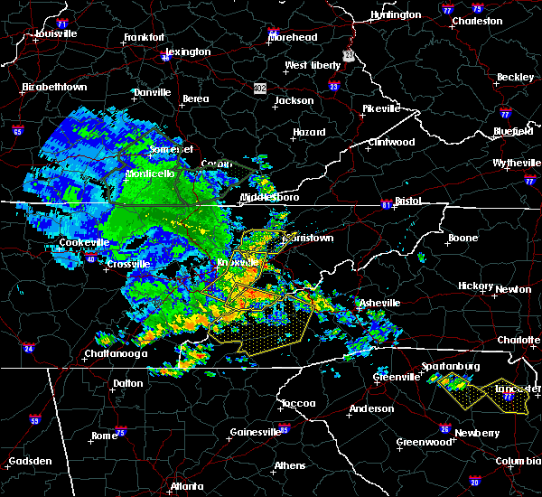 At 652 pm edt, severe thunderstorms were located along a line extending from near harrogate to 8 miles southwest of new tazewell to plainview, moving east at 45 mph (radar indicated). Hazards include 60 mph wind gusts. Expect damage to roofs. siding. And trees. At 652 pm edt, severe thunderstorms were located along a line extending from near harrogate to 8 miles southwest of new tazewell to plainview, moving east at 45 mph (radar indicated). Hazards include 60 mph wind gusts. Expect damage to roofs. siding. And trees.
|
| 7/6/2016 6:47 PM EDT |
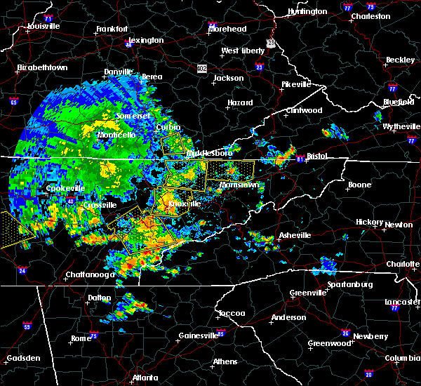 At 646 pm edt, a severe thunderstorm was located near new tazewell, or 11 miles northwest of rutledge, moving east at 45 mph (radar indicated). Hazards include 60 mph wind gusts. Expect damage to roofs. siding. and trees. locations impacted include, maynardville, rutledge, new tazewell, tazewell, harrogate, luttrell, sharps chapel, buffalo springs, big ridge s. p,. Lone mountain, norris lake, arthur, clairfield, rose hill, springdale, joppa, cumberland gap, powell river preserve and sandlick. At 646 pm edt, a severe thunderstorm was located near new tazewell, or 11 miles northwest of rutledge, moving east at 45 mph (radar indicated). Hazards include 60 mph wind gusts. Expect damage to roofs. siding. and trees. locations impacted include, maynardville, rutledge, new tazewell, tazewell, harrogate, luttrell, sharps chapel, buffalo springs, big ridge s. p,. Lone mountain, norris lake, arthur, clairfield, rose hill, springdale, joppa, cumberland gap, powell river preserve and sandlick.
|
| 7/6/2016 6:30 PM EDT |
 At 629 pm edt, a severe thunderstorm was located 12 miles east of la follette, moving east at 20 mph (radar indicated). Hazards include 60 mph wind gusts. Expect damage to roofs. siding. and trees. locations impacted include, la follette, maynardville, rutledge, new tazewell, tazewell, jacksboro, harrogate, jellico, caryville, luttrell, cove lake s. p,. Sharps chapel, white oak, norris lake, arthur, clairfield, rose hill, royal blue, springdale and cumberland gap. At 629 pm edt, a severe thunderstorm was located 12 miles east of la follette, moving east at 20 mph (radar indicated). Hazards include 60 mph wind gusts. Expect damage to roofs. siding. and trees. locations impacted include, la follette, maynardville, rutledge, new tazewell, tazewell, jacksboro, harrogate, jellico, caryville, luttrell, cove lake s. p,. Sharps chapel, white oak, norris lake, arthur, clairfield, rose hill, royal blue, springdale and cumberland gap.
|
| 7/6/2016 6:11 PM EDT |
 At 611 pm edt, a severe thunderstorm was located near la follette, moving east at 45 mph (radar indicated). Hazards include 60 mph wind gusts. Expect damage to roofs. siding. And trees. At 611 pm edt, a severe thunderstorm was located near la follette, moving east at 45 mph (radar indicated). Hazards include 60 mph wind gusts. Expect damage to roofs. siding. And trees.
|
| 6/23/2016 9:28 PM EDT |
 At 928 pm edt, severe thunderstorms were located along a line extending from near tazewell to 9 miles southeast of pennington gap, moving southeast at 40 mph (radar indicated). Hazards include 60 mph wind gusts. Expect damage to roofs. siding. And trees. At 928 pm edt, severe thunderstorms were located along a line extending from near tazewell to 9 miles southeast of pennington gap, moving southeast at 40 mph (radar indicated). Hazards include 60 mph wind gusts. Expect damage to roofs. siding. And trees.
|
| 6/23/2016 9:28 PM EDT |
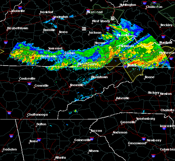 At 928 pm edt, severe thunderstorms were located along a line extending from near tazewell to 9 miles southeast of pennington gap, moving southeast at 40 mph (radar indicated). Hazards include 60 mph wind gusts. Expect damage to roofs. siding. And trees. At 928 pm edt, severe thunderstorms were located along a line extending from near tazewell to 9 miles southeast of pennington gap, moving southeast at 40 mph (radar indicated). Hazards include 60 mph wind gusts. Expect damage to roofs. siding. And trees.
|
| 6/23/2016 9:07 PM EDT |
 At 906 pm edt, severe thunderstorms were located along a line extending from clutts to near meldrum, moving southeast at 30 mph (radar indicated). Hazards include 60 mph wind gusts and quarter size hail. Hail damage to vehicles is expected. Expect wind damage to roofs, siding, and trees. At 906 pm edt, severe thunderstorms were located along a line extending from clutts to near meldrum, moving southeast at 30 mph (radar indicated). Hazards include 60 mph wind gusts and quarter size hail. Hail damage to vehicles is expected. Expect wind damage to roofs, siding, and trees.
|
| 6/21/2016 5:08 PM EDT |
 At 507 pm edt, a severe thunderstorm was located 10 miles southeast of cubage, or 11 miles west of sneedville, moving southeast at 25 mph (radar indicated). Hazards include 60 mph wind gusts and quarter size hail. Hail damage to vehicles is expected. expect wind damage to roofs, siding, and trees. Locations impacted include, sneedville, tazewell, harrogate, ewing, cumberland gap, powell river preserve, arthur, howard quarter, evanston and thorn hill. At 507 pm edt, a severe thunderstorm was located 10 miles southeast of cubage, or 11 miles west of sneedville, moving southeast at 25 mph (radar indicated). Hazards include 60 mph wind gusts and quarter size hail. Hail damage to vehicles is expected. expect wind damage to roofs, siding, and trees. Locations impacted include, sneedville, tazewell, harrogate, ewing, cumberland gap, powell river preserve, arthur, howard quarter, evanston and thorn hill.
|
| 6/21/2016 5:08 PM EDT |
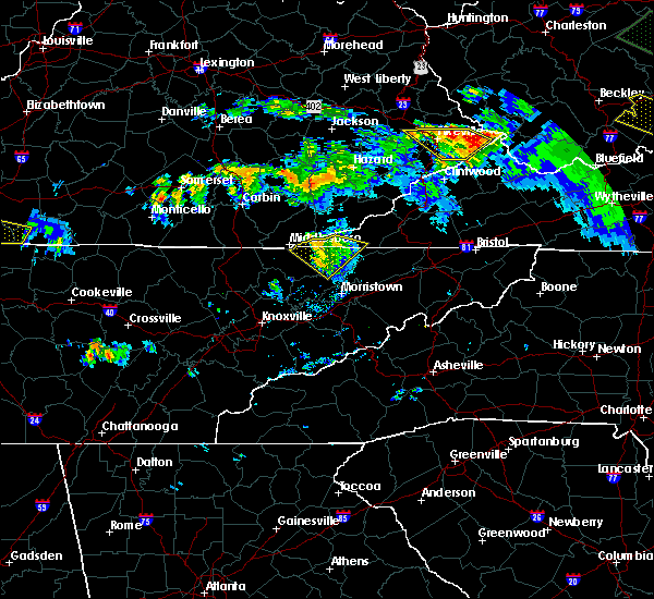 At 507 pm edt, a severe thunderstorm was located 10 miles southeast of cubage, or 11 miles west of sneedville, moving southeast at 25 mph (radar indicated). Hazards include 60 mph wind gusts and quarter size hail. Hail damage to vehicles is expected. expect wind damage to roofs, siding, and trees. Locations impacted include, sneedville, tazewell, harrogate, ewing, cumberland gap, powell river preserve, arthur, howard quarter, evanston and thorn hill. At 507 pm edt, a severe thunderstorm was located 10 miles southeast of cubage, or 11 miles west of sneedville, moving southeast at 25 mph (radar indicated). Hazards include 60 mph wind gusts and quarter size hail. Hail damage to vehicles is expected. expect wind damage to roofs, siding, and trees. Locations impacted include, sneedville, tazewell, harrogate, ewing, cumberland gap, powell river preserve, arthur, howard quarter, evanston and thorn hill.
|
| 6/21/2016 4:43 PM EDT |
 At 442 pm edt, a severe thunderstorm was located over hutch, or 8 miles east of middlesboro, moving southeast at 25 mph (radar indicated). Hazards include 60 mph wind gusts and quarter size hail. Hail damage to vehicles is expected. Expect wind damage to roofs, siding, and trees. At 442 pm edt, a severe thunderstorm was located over hutch, or 8 miles east of middlesboro, moving southeast at 25 mph (radar indicated). Hazards include 60 mph wind gusts and quarter size hail. Hail damage to vehicles is expected. Expect wind damage to roofs, siding, and trees.
|
| 6/21/2016 4:43 PM EDT |
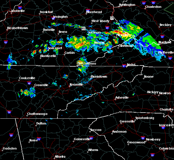 At 442 pm edt, a severe thunderstorm was located over hutch, or 8 miles east of middlesboro, moving southeast at 25 mph (radar indicated). Hazards include 60 mph wind gusts and quarter size hail. Hail damage to vehicles is expected. Expect wind damage to roofs, siding, and trees. At 442 pm edt, a severe thunderstorm was located over hutch, or 8 miles east of middlesboro, moving southeast at 25 mph (radar indicated). Hazards include 60 mph wind gusts and quarter size hail. Hail damage to vehicles is expected. Expect wind damage to roofs, siding, and trees.
|
| 5/7/2016 8:35 PM EDT |
 At 834 pm edt, severe thunderstorms were located along a line extending from 10 miles west of big stone gap to pennington gap to near jonesville to near sneedville to 9 miles east of tazewell, moving southeast at 60 mph (radar indicated). Hazards include 60 mph wind gusts. Expect damage to roofs. siding. and trees. locations impacted include, sneedville, jonesville, new tazewell, tazewell, pennington gap, harrogate-shawanee, st. Charles, dryden, kyles ford, evanston, springdale, pattonsville, howard quarter, ewing, lone mountain, rose hill, jasper, sandlick and arthur. At 834 pm edt, severe thunderstorms were located along a line extending from 10 miles west of big stone gap to pennington gap to near jonesville to near sneedville to 9 miles east of tazewell, moving southeast at 60 mph (radar indicated). Hazards include 60 mph wind gusts. Expect damage to roofs. siding. and trees. locations impacted include, sneedville, jonesville, new tazewell, tazewell, pennington gap, harrogate-shawanee, st. Charles, dryden, kyles ford, evanston, springdale, pattonsville, howard quarter, ewing, lone mountain, rose hill, jasper, sandlick and arthur.
|
| 5/7/2016 8:21 PM EDT |
 At 820 pm edt, severe thunderstorms were located along a line extending from 8 miles northwest of pennington gap to 21 miles west of big stone gap to near jonesville to 9 miles northwest of sneedville to near harrogate-shawanee, moving southeast at 55 mph (radar indicated). Hazards include 60 mph wind gusts. Expect damage to roofs. siding. and trees. locations impacted include, sneedville, jonesville, new tazewell, tazewell, pennington gap, harrogate-shawanee, st. Charles, dryden, kyles ford, evanston, springdale, pattonsville, howard quarter, ewing, lone mountain, rose hill, jasper, sandlick and arthur. At 820 pm edt, severe thunderstorms were located along a line extending from 8 miles northwest of pennington gap to 21 miles west of big stone gap to near jonesville to 9 miles northwest of sneedville to near harrogate-shawanee, moving southeast at 55 mph (radar indicated). Hazards include 60 mph wind gusts. Expect damage to roofs. siding. and trees. locations impacted include, sneedville, jonesville, new tazewell, tazewell, pennington gap, harrogate-shawanee, st. Charles, dryden, kyles ford, evanston, springdale, pattonsville, howard quarter, ewing, lone mountain, rose hill, jasper, sandlick and arthur.
|
| 5/7/2016 8:03 PM EDT |
 At 802 pm edt, severe thunderstorms were located along a line extending from 21 miles northwest of pennington gap to 18 miles northwest of jonesville to 18 miles north of tazewell to 8 miles northwest of harrogate-shawanee, moving southeast at 60 mph (radar indicated). Hazards include 60 mph wind gusts. Expect damage to roofs. siding. And trees. At 802 pm edt, severe thunderstorms were located along a line extending from 21 miles northwest of pennington gap to 18 miles northwest of jonesville to 18 miles north of tazewell to 8 miles northwest of harrogate-shawanee, moving southeast at 60 mph (radar indicated). Hazards include 60 mph wind gusts. Expect damage to roofs. siding. And trees.
|
| 2/24/2016 8:42 AM EST |
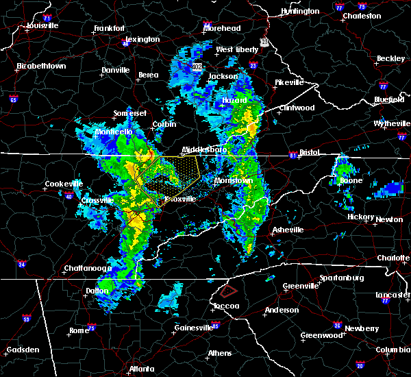 At 841 am est, severe thunderstorms were located along a line extending from 16 miles northeast of jacksboro to near la follette to 9 miles northwest of maynardville to near plainview, moving northeast at 60 mph (radar indicated). Hazards include 60 mph wind gusts. Expect damage to roofs. siding. and trees. Locations impacted include, la follette, maynardville, rutledge, new tazewell, tazewell, plainview, harrogate-shawanee, blaine, luttrell, fincastle, springdale, joppa, white oak, paulette, lone mountain, clairfield, rose hill, sandlick, arthur and sharps chapel. At 841 am est, severe thunderstorms were located along a line extending from 16 miles northeast of jacksboro to near la follette to 9 miles northwest of maynardville to near plainview, moving northeast at 60 mph (radar indicated). Hazards include 60 mph wind gusts. Expect damage to roofs. siding. and trees. Locations impacted include, la follette, maynardville, rutledge, new tazewell, tazewell, plainview, harrogate-shawanee, blaine, luttrell, fincastle, springdale, joppa, white oak, paulette, lone mountain, clairfield, rose hill, sandlick, arthur and sharps chapel.
|
| 2/24/2016 8:21 AM EST |
 At 820 am est, severe thunderstorms were located along a line extending from jacksboro to 11 miles south of la follette to near clinton to near knoxville, moving northeast at 60 mph (radar indicated). Hazards include 60 mph wind gusts and penny size hail. Expect damage to roofs. siding. and trees. Locations impacted include, knoxville, clinton, la follette, maynardville, rutledge, new tazewell, tazewell, plainview, jacksboro, harrogate-shawanee, caryville, halls, blaine, lake city, norris, luttrell, maloneyville, white oak, lone mountain and sandlick. At 820 am est, severe thunderstorms were located along a line extending from jacksboro to 11 miles south of la follette to near clinton to near knoxville, moving northeast at 60 mph (radar indicated). Hazards include 60 mph wind gusts and penny size hail. Expect damage to roofs. siding. and trees. Locations impacted include, knoxville, clinton, la follette, maynardville, rutledge, new tazewell, tazewell, plainview, jacksboro, harrogate-shawanee, caryville, halls, blaine, lake city, norris, luttrell, maloneyville, white oak, lone mountain and sandlick.
|
| 2/24/2016 8:11 AM EST |
 At 809 am est, severe thunderstorms were located along a line extending from 8 miles southwest of jacksboro to near oliver springs to near oak ridge to near louisville, moving northeast at 60 mph (radar indicated). Hazards include 60 mph wind gusts and penny size hail. Expect damage to roofs. siding. And trees. At 809 am est, severe thunderstorms were located along a line extending from 8 miles southwest of jacksboro to near oliver springs to near oak ridge to near louisville, moving northeast at 60 mph (radar indicated). Hazards include 60 mph wind gusts and penny size hail. Expect damage to roofs. siding. And trees.
|
| 7/14/2015 8:54 PM EDT |
 At 853 pm edt, severe thunderstorms were located along a line extending from near partridge to gatun to hinkle to near mchargue, moving southeast at 30 mph (radar indicated). Hazards include 60 mph wind gusts and penny size hail. Expect damage to roofs. Siding and trees. At 853 pm edt, severe thunderstorms were located along a line extending from near partridge to gatun to hinkle to near mchargue, moving southeast at 30 mph (radar indicated). Hazards include 60 mph wind gusts and penny size hail. Expect damage to roofs. Siding and trees.
|
| 7/14/2015 7:43 AM EDT |
 At 742 am edt, severe thunderstorms were located along a line extending from 9 miles northwest of jonesville to 11 miles west of sneedville to near harrogate-shawanee, moving southeast at 45 mph (radar indicated). Hazards include 60 mph wind gusts and nickel size hail. Expect damage to roofs. siding and trees. Locations impacted include, kingsport, morristown, rogersville, sneedville, jonesville, new tazewell, bean station, tazewell, surgoinsville, russellville, harrogate-shawanee, church hill, bulls gap, kyles ford, howard quarter, kepler, ewing, klondike, arthur and cumberland gap. At 742 am edt, severe thunderstorms were located along a line extending from 9 miles northwest of jonesville to 11 miles west of sneedville to near harrogate-shawanee, moving southeast at 45 mph (radar indicated). Hazards include 60 mph wind gusts and nickel size hail. Expect damage to roofs. siding and trees. Locations impacted include, kingsport, morristown, rogersville, sneedville, jonesville, new tazewell, bean station, tazewell, surgoinsville, russellville, harrogate-shawanee, church hill, bulls gap, kyles ford, howard quarter, kepler, ewing, klondike, arthur and cumberland gap.
|
| 7/14/2015 7:31 AM EDT |
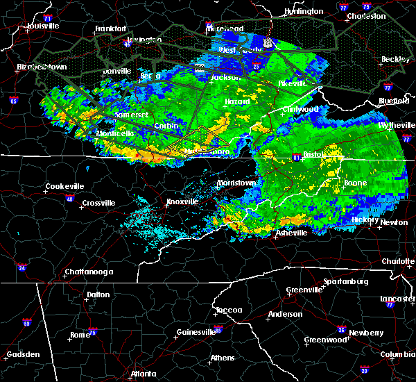 At 730 am edt, severe thunderstorms were located along a line extending from 19 miles northwest of jonesville to 9 miles northeast of harrogate-shawanee to 17 miles northwest of new tazewell, moving southeast at 55 mph (radar indicated). Hazards include 60 mph wind gusts and nickel size hail. Expect damage to roofs. Siding and trees. At 730 am edt, severe thunderstorms were located along a line extending from 19 miles northwest of jonesville to 9 miles northeast of harrogate-shawanee to 17 miles northwest of new tazewell, moving southeast at 55 mph (radar indicated). Hazards include 60 mph wind gusts and nickel size hail. Expect damage to roofs. Siding and trees.
|
| 7/13/2015 6:13 PM EDT |
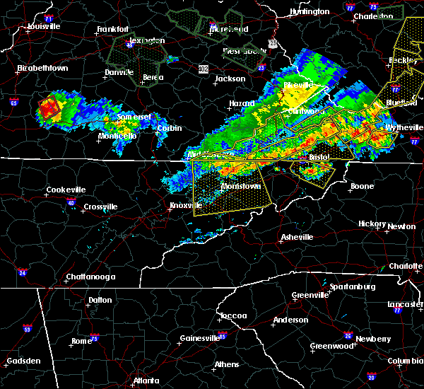 A severe thunderstorm warning remains in effect until 630 pm edt for grainger. greene. hamblen. north central sevier. eastern claiborne. hawkins. jefferson. northern cocke and hancock counties. at 611 pm edt. severe thunderstorms were located along a line extending from near surgoinsville to near tazewell. Moving south at. A severe thunderstorm warning remains in effect until 630 pm edt for grainger. greene. hamblen. north central sevier. eastern claiborne. hawkins. jefferson. northern cocke and hancock counties. at 611 pm edt. severe thunderstorms were located along a line extending from near surgoinsville to near tazewell. Moving south at.
|
| 7/13/2015 6:05 PM EDT |
 At 517 pm edt, severe thunderstorms were located along a line extending from 19 miles north of wise to 21 miles northwest of jonesville, moving southeast at 45 mph (radar indicated). Hazards include 60 mph wind gusts and quarter size hail. Hail damage to vehicles is possible. Expect wind damage to roofs, siding and trees. At 517 pm edt, severe thunderstorms were located along a line extending from 19 miles north of wise to 21 miles northwest of jonesville, moving southeast at 45 mph (radar indicated). Hazards include 60 mph wind gusts and quarter size hail. Hail damage to vehicles is possible. Expect wind damage to roofs, siding and trees.
|
| 7/13/2015 5:52 PM EDT |
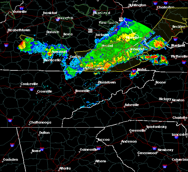 The national weather service in morristown has issued a * severe thunderstorm warning for. grainger county in east tennessee. greene county in east tennessee. hamblen county in east tennessee. North central sevier county in east tennessee. The national weather service in morristown has issued a * severe thunderstorm warning for. grainger county in east tennessee. greene county in east tennessee. hamblen county in east tennessee. North central sevier county in east tennessee.
|
| 7/13/2015 5:39 PM EDT |
 At 539 pm edt, severe thunderstorms were located along a line extending from 13 miles northwest of cleveland to 7 miles north of jonesville, moving southeast at 45 mph (radar indicated). Hazards include 60 mph wind gusts and quarter size hail. Hail damage to vehicles is expected. expect wind damage to roofs, siding and trees. locations impacted include, norton, lebanon, wise, gate city, jonesville, big stone gap, pennington gap, weber city, cleveland, coeburn, appalachia, honaker, pound, st. paul, nickelsville, dungannon, st. Charles, duffield, clinchport and dryden. At 539 pm edt, severe thunderstorms were located along a line extending from 13 miles northwest of cleveland to 7 miles north of jonesville, moving southeast at 45 mph (radar indicated). Hazards include 60 mph wind gusts and quarter size hail. Hail damage to vehicles is expected. expect wind damage to roofs, siding and trees. locations impacted include, norton, lebanon, wise, gate city, jonesville, big stone gap, pennington gap, weber city, cleveland, coeburn, appalachia, honaker, pound, st. paul, nickelsville, dungannon, st. Charles, duffield, clinchport and dryden.
|
| 7/13/2015 5:19 PM EDT |
 At 517 pm edt, severe thunderstorms were located along a line extending from 19 miles north of wise to 21 miles northwest of jonesville, moving southeast at 45 mph (radar indicated). Hazards include 60 mph wind gusts and quarter size hail. Hail damage to vehicles is possible. Expect wind damage to roofs, siding and trees. At 517 pm edt, severe thunderstorms were located along a line extending from 19 miles north of wise to 21 miles northwest of jonesville, moving southeast at 45 mph (radar indicated). Hazards include 60 mph wind gusts and quarter size hail. Hail damage to vehicles is possible. Expect wind damage to roofs, siding and trees.
|
| 7/7/2015 11:40 PM EDT |
 At 1140 pm edt, severe thunderstorms were located along a line extending from 11 miles west of harrogate-shawanee to near maynardville, moving east at 30 mph (radar indicated). Hazards include 60 mph wind gusts and quarter size hail. Hail damage to vehicles is expected. expect wind damage to roofs, siding and trees. Locations impacted include, maynardville, plainview, harrogate-shawanee, luttrell, paulette, clairfield, springdale, rose hill, sandlick, arthur, sharps chapel and norris lake. At 1140 pm edt, severe thunderstorms were located along a line extending from 11 miles west of harrogate-shawanee to near maynardville, moving east at 30 mph (radar indicated). Hazards include 60 mph wind gusts and quarter size hail. Hail damage to vehicles is expected. expect wind damage to roofs, siding and trees. Locations impacted include, maynardville, plainview, harrogate-shawanee, luttrell, paulette, clairfield, springdale, rose hill, sandlick, arthur, sharps chapel and norris lake.
|
| 7/7/2015 11:14 PM EDT |
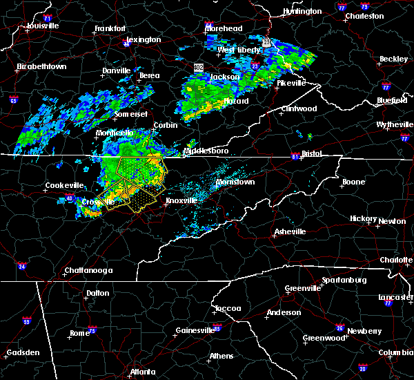 At 1114 pm edt, severe thunderstorms were located along a line extending from 19 miles west of harrogate-shawanee to 8 miles southeast of la follette, moving east at 25 mph (radar indicated). Hazards include 60 mph wind gusts and quarter size hail. Hail damage to vehicles is expected. Expect wind damage to roofs, siding and trees. At 1114 pm edt, severe thunderstorms were located along a line extending from 19 miles west of harrogate-shawanee to 8 miles southeast of la follette, moving east at 25 mph (radar indicated). Hazards include 60 mph wind gusts and quarter size hail. Hail damage to vehicles is expected. Expect wind damage to roofs, siding and trees.
|
| 6/29/2015 8:25 PM EDT |
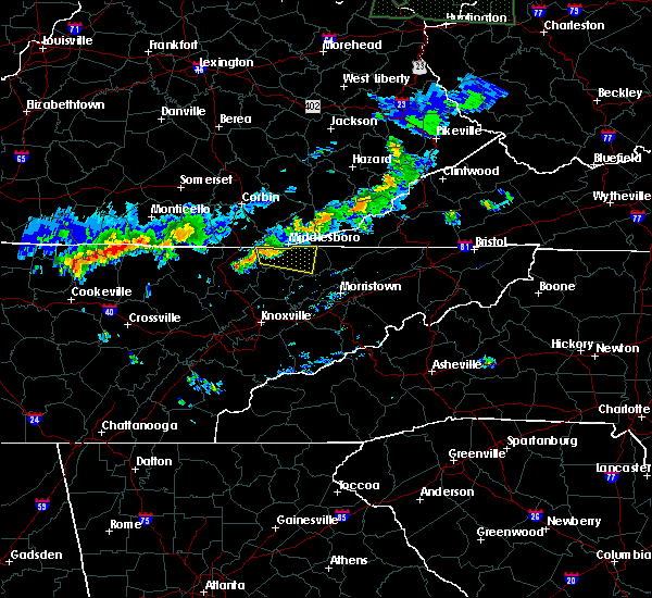 At 824 pm edt, a severe thunderstorm was located near fonde, or 7 miles southwest of middlesboro, moving east at 35 mph (radar indicated). Hazards include 60 mph wind gusts. Expect damage to roofs. siding and trees. Locations impacted include, new tazewell, tazewell, harrogate, springdale, cumberland gap, powell river preserve, arthur and clairfield. At 824 pm edt, a severe thunderstorm was located near fonde, or 7 miles southwest of middlesboro, moving east at 35 mph (radar indicated). Hazards include 60 mph wind gusts. Expect damage to roofs. siding and trees. Locations impacted include, new tazewell, tazewell, harrogate, springdale, cumberland gap, powell river preserve, arthur and clairfield.
|
| 6/29/2015 8:09 PM EDT |
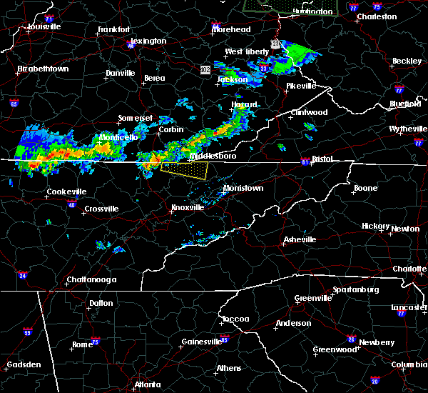 At 808 pm edt, a severe thunderstorm was nw of clairfield, or 13 miles west of middlesboro, moving east at 35 mph (radar indicated). Hazards include 60 mph wind gusts. Expect damage to roofs. Siding and trees. At 808 pm edt, a severe thunderstorm was nw of clairfield, or 13 miles west of middlesboro, moving east at 35 mph (radar indicated). Hazards include 60 mph wind gusts. Expect damage to roofs. Siding and trees.
|
| 6/26/2015 4:38 PM EDT | At 437 pm edt, a severe thunderstorm was located near tazewell, or 10 miles southeast of middlesboro, moving southeast at 15 mph (radar indicated). Hazards include 60 mph wind gusts and quarter size hail. Hail damage to vehicles is possible. Expect wind damage to roofs, siding and trees. |
| 6/22/2015 2:35 PM EDT | Few trees and power lines dow in claiborne county TN, 0.3 miles S of Harrogate, TN |
| 6/21/2015 5:20 PM EDT |
 At 519 pm edt, a severe thunderstorm was located 8 miles southeast of cubage, or 14 miles west of sneedville, moving east at 20 mph (radar indicated). Hazards include 60 mph wind gusts and quarter size hail. Hail damage to vehicles is expected. expect wind damage to roofs, siding and trees. Locations impacted include, harrogate, powell river preserve, ewing and cumberland gap. At 519 pm edt, a severe thunderstorm was located 8 miles southeast of cubage, or 14 miles west of sneedville, moving east at 20 mph (radar indicated). Hazards include 60 mph wind gusts and quarter size hail. Hail damage to vehicles is expected. expect wind damage to roofs, siding and trees. Locations impacted include, harrogate, powell river preserve, ewing and cumberland gap.
|
| 6/21/2015 4:59 PM EDT |
 At 459 pm edt, a severe thunderstorm was located near hutch, or 7 miles east of middlesboro, moving east at 20 mph (radar indicated). Hazards include 60 mph wind gusts and quarter size hail. Hail damage to vehicles is expected. Expect wind damage to roofs, siding and trees. At 459 pm edt, a severe thunderstorm was located near hutch, or 7 miles east of middlesboro, moving east at 20 mph (radar indicated). Hazards include 60 mph wind gusts and quarter size hail. Hail damage to vehicles is expected. Expect wind damage to roofs, siding and trees.
|
| 4/25/2015 11:27 PM EDT | At 1126 pm edt, a severe thunderstorm was located near harrogate-shawanee, or 25 miles west of sneedville, moving east at 50 mph (radar indicated). Hazards include quarter size hail and 60 mph wind gusts. Hail damage to vehicles is expected. Expect wind damage to roofs, siding and trees. |
| 4/25/2015 11:27 PM EDT | At 1126 pm edt, a severe thunderstorm was located near harrogate-shawanee, or 25 miles west of sneedville, moving east at 50 mph (radar indicated). Hazards include quarter size hail and 60 mph wind gusts. Hail damage to vehicles is expected. Expect wind damage to roofs, siding and trees. |
| 4/19/2015 9:49 PM EDT | At 949 pm edt, severe thunderstorms were located along a line extending from 12 miles northwest of sneedville to near bean station, moving east at 60 mph (radar indicated). Hazards include 60 mph wind gusts. Expect damage to roofs. siding and trees. locations impacted include, sneedville, rutledge, new tazewell, bean station, tazewell, harrogate-shawanee, cumberland gap, evanston, springdale, howard quarter, thorn hill, ewing, treadway, lone mountain, rose hill, mooresburg, sandlick and arthur. 75in. |
| 4/19/2015 9:49 PM EDT | At 949 pm edt, severe thunderstorms were located along a line extending from 12 miles northwest of sneedville to near bean station, moving east at 60 mph (radar indicated). Hazards include 60 mph wind gusts. Expect damage to roofs. siding and trees. locations impacted include, sneedville, rutledge, new tazewell, bean station, tazewell, harrogate-shawanee, cumberland gap, evanston, springdale, howard quarter, thorn hill, ewing, treadway, lone mountain, rose hill, mooresburg, sandlick and arthur. 75in. |
| 4/19/2015 9:29 PM EDT | The national weather service in morristown has issued a * severe thunderstorm warning for. west central hawkins county in eastern tennessee. hancock county in eastern tennessee. northern grainger county in eastern tennessee. North central hamblen county in eastern tennessee. |
| 4/19/2015 9:29 PM EDT | At 928 pm edt, severe thunderstorms were located along a line extending from near harrogate-shawanee to 7 miles east of maynardville, moving northeast at 45 mph (radar indicated). Hazards include 60 mph wind gusts. Expect damage to roofs. Siding and trees. |
| 4/19/2015 9:18 PM EDT | At 917 pm edt, severe thunderstorms were located along a line extending from 9 miles west of harrogate-shawanee to 6 miles southwest of plainview, moving east at 45 mph (radar indicated). Hazards include 60 mph wind gusts and penny size hail. Expect damage to roofs. siding and trees. locations impacted include, clinton, maynardville, new tazewell, plainview, harrogate-shawanee, halls, blaine, norris, luttrell, fincastle, springdale, maloneyville, mascot, paulette, clairfield, rose hill, sandlick, arthur, sharps chapel and norris lake. 0. 75in. |
| 4/19/2015 9:03 PM EDT | At 902 pm edt, severe thunderstorms were located along a line extending from 11 miles northeast of la follette to near clinton, moving east at 45 mph (radar indicated). Hazards include 60 mph wind gusts and penny size hail. Expect damage to roofs. Siding and trees. |
| 6/10/2014 6:30 PM EDT | Trees and powerlines down countywide... small hail reported western part of county in claiborne county TN, 2.4 miles NE of Harrogate, TN |
| 5/21/2014 11:10 PM EDT | Numerous trees reported down across the county... including the towns of harrogate...cumberland gap...and new tazewel in claiborne county TN, 0.3 miles S of Harrogate, TN |
| 4/28/2014 3:15 PM EDT | Roof blown off of a barn on lmu property. road sign blown into vehicle near intersection of routes 63 and 2 in claiborne county TN, 0.3 miles S of Harrogate, TN |
| 8/9/2012 4:05 PM EDT | A few trees down in harrogate in claiborne county TN, 0.3 miles S of Harrogate, TN |
| 1/1/0001 12:00 AM | Numerous trees down across the eastern portions of the count in claiborne county TN, 0.3 miles S of Harrogate, TN |
| 1/1/0001 12:00 AM | Trees down on little creek in claiborne county TN, 2.4 miles NE of Harrogate, TN |
Hail Maps for Harrogate, TN


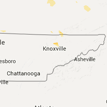


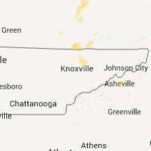


Connect with Interactive Hail Maps