

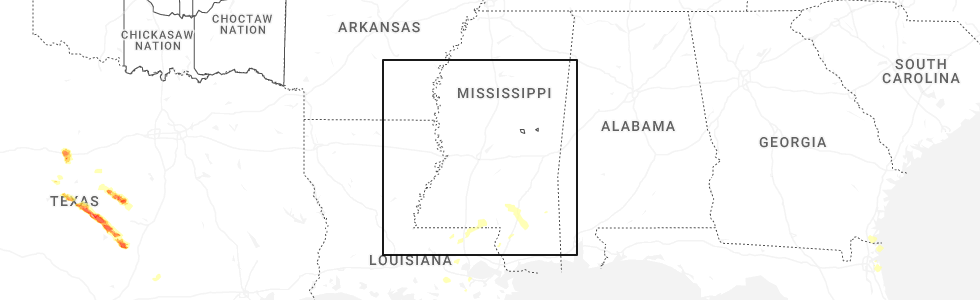
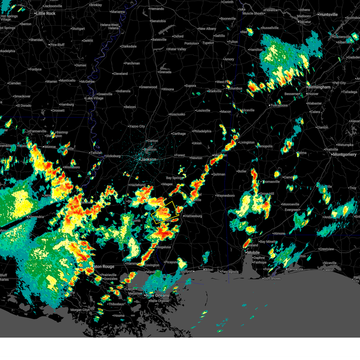
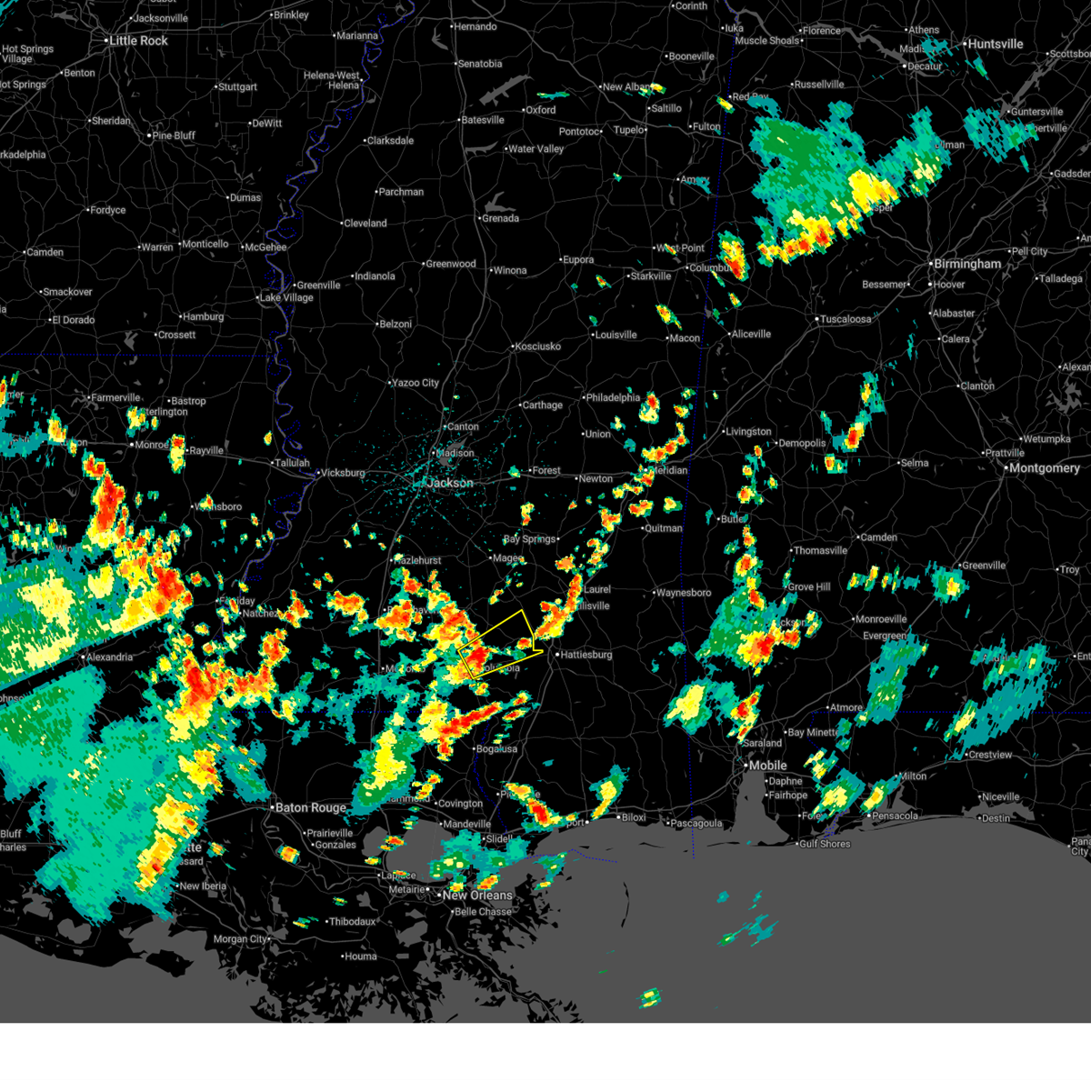
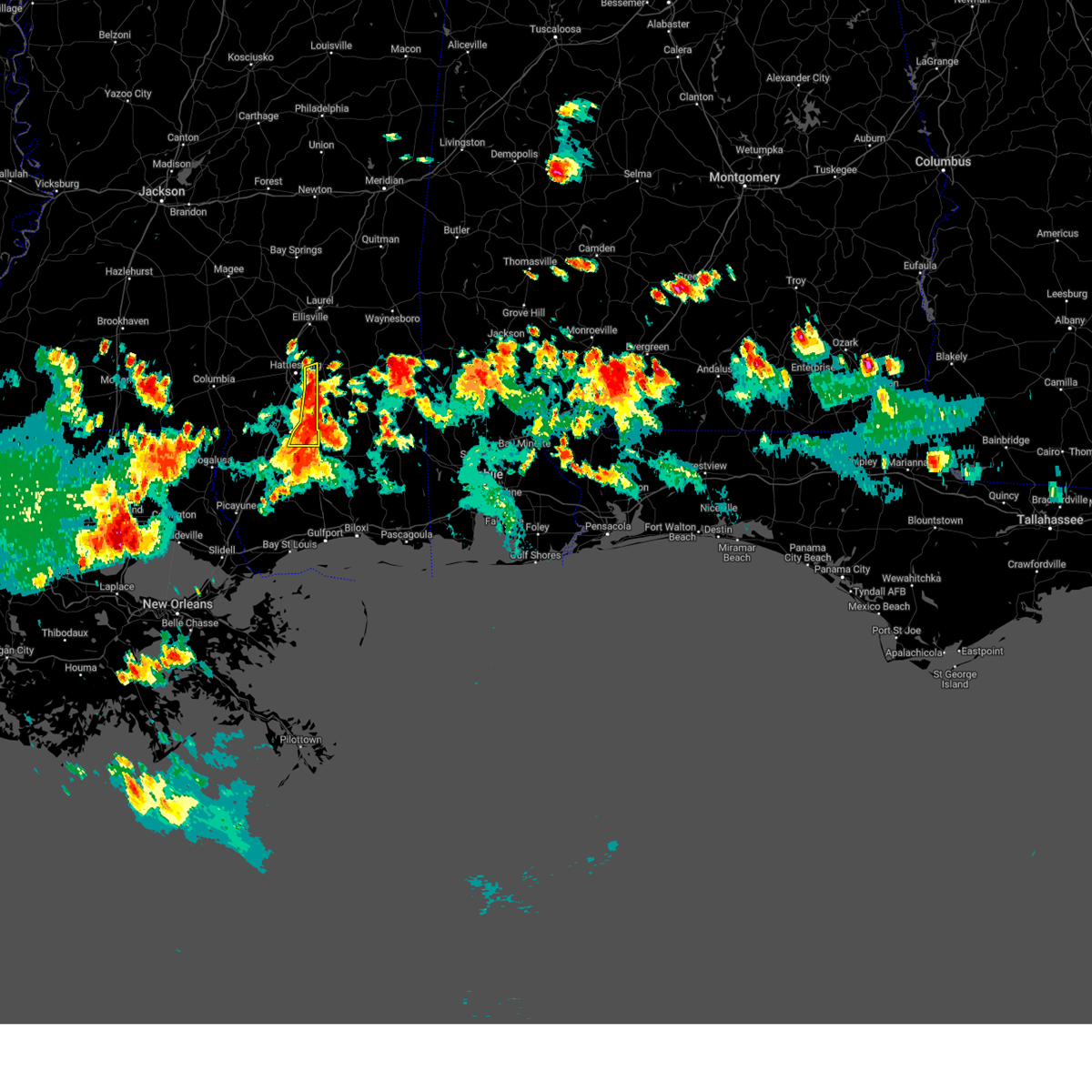
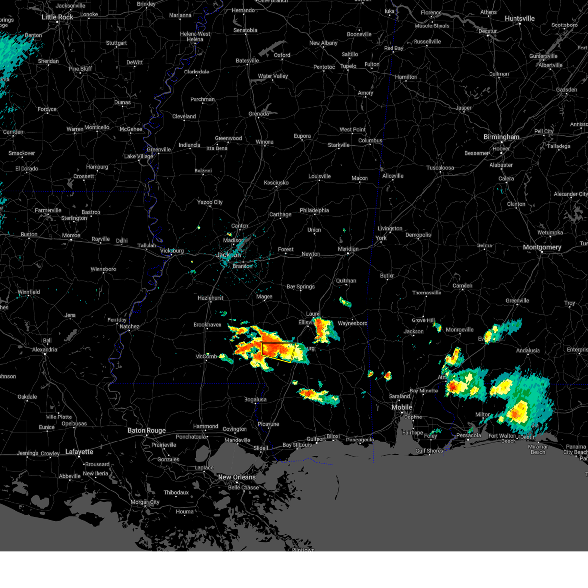
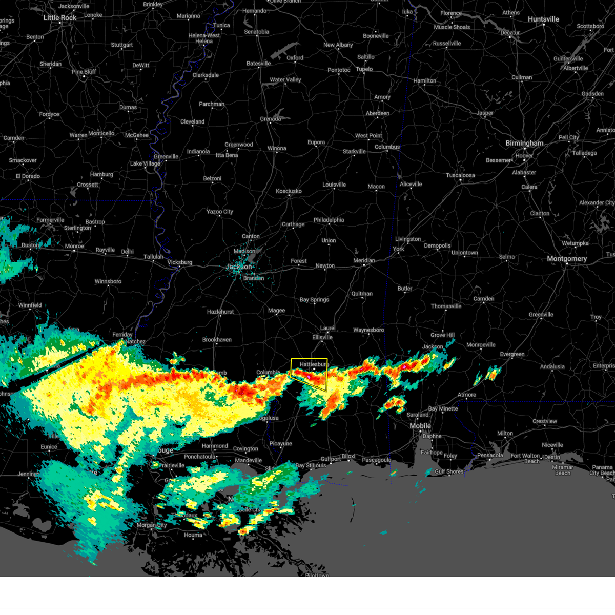
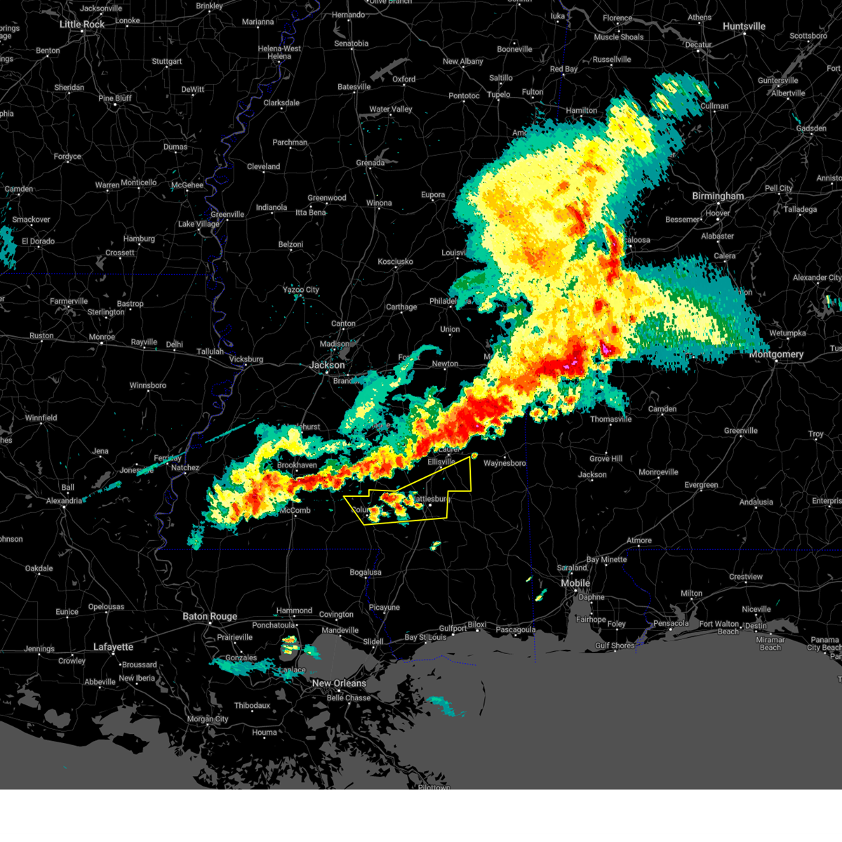
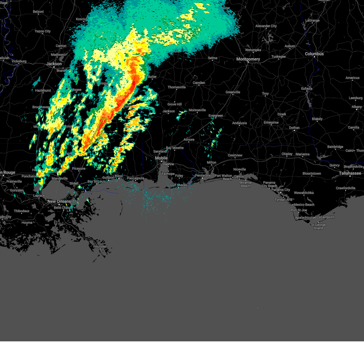
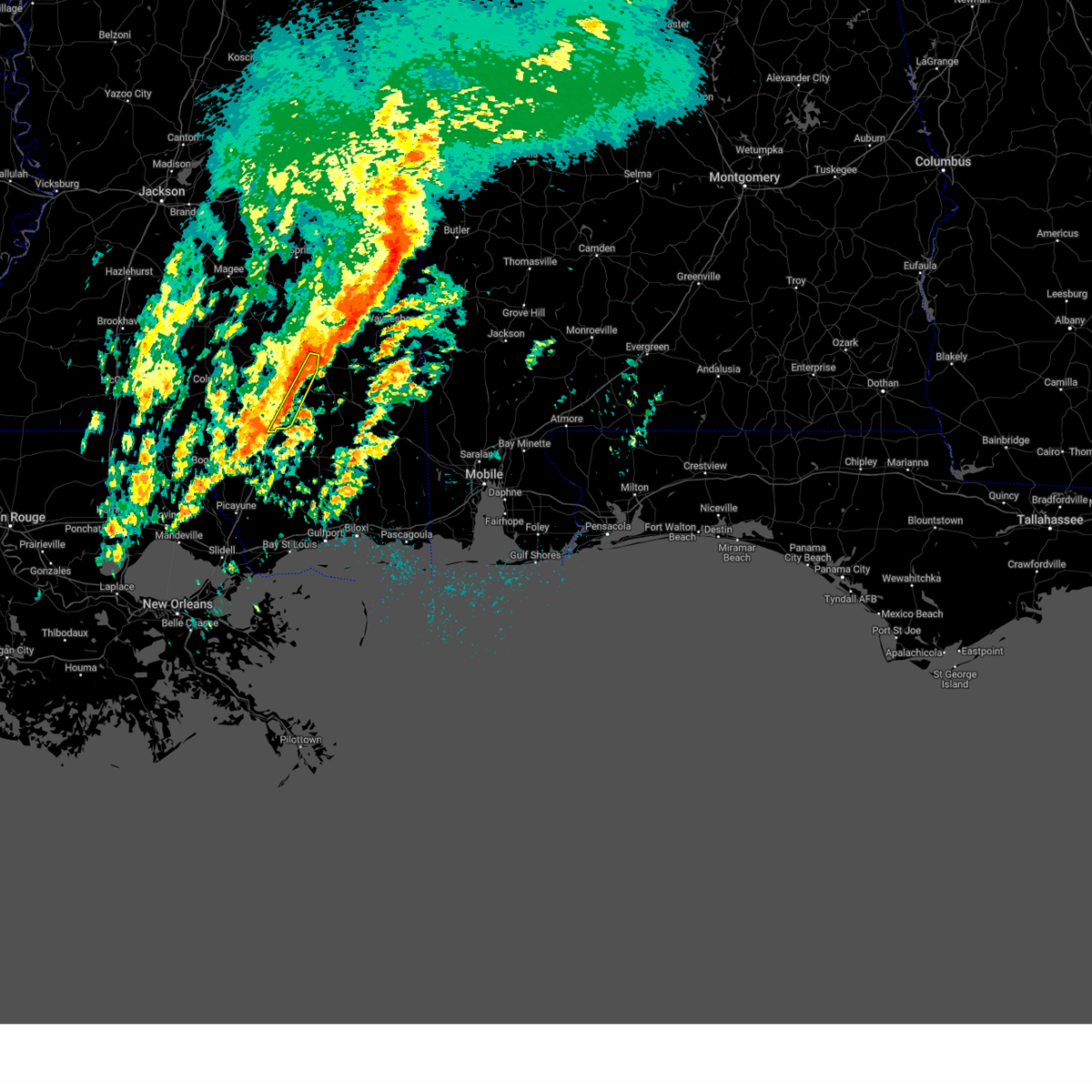
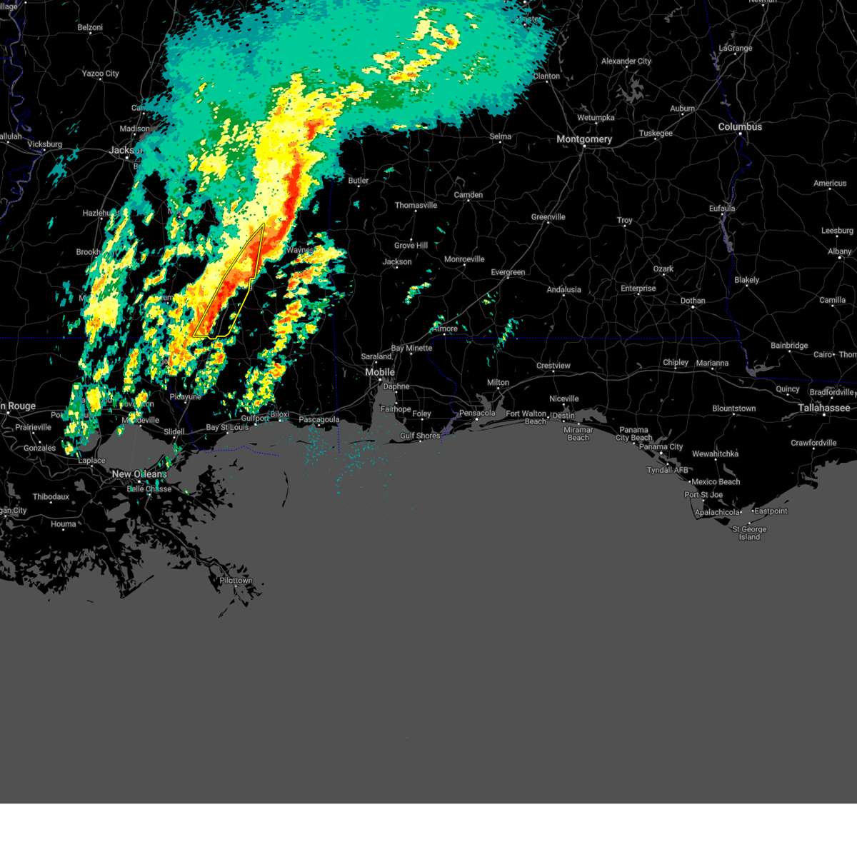
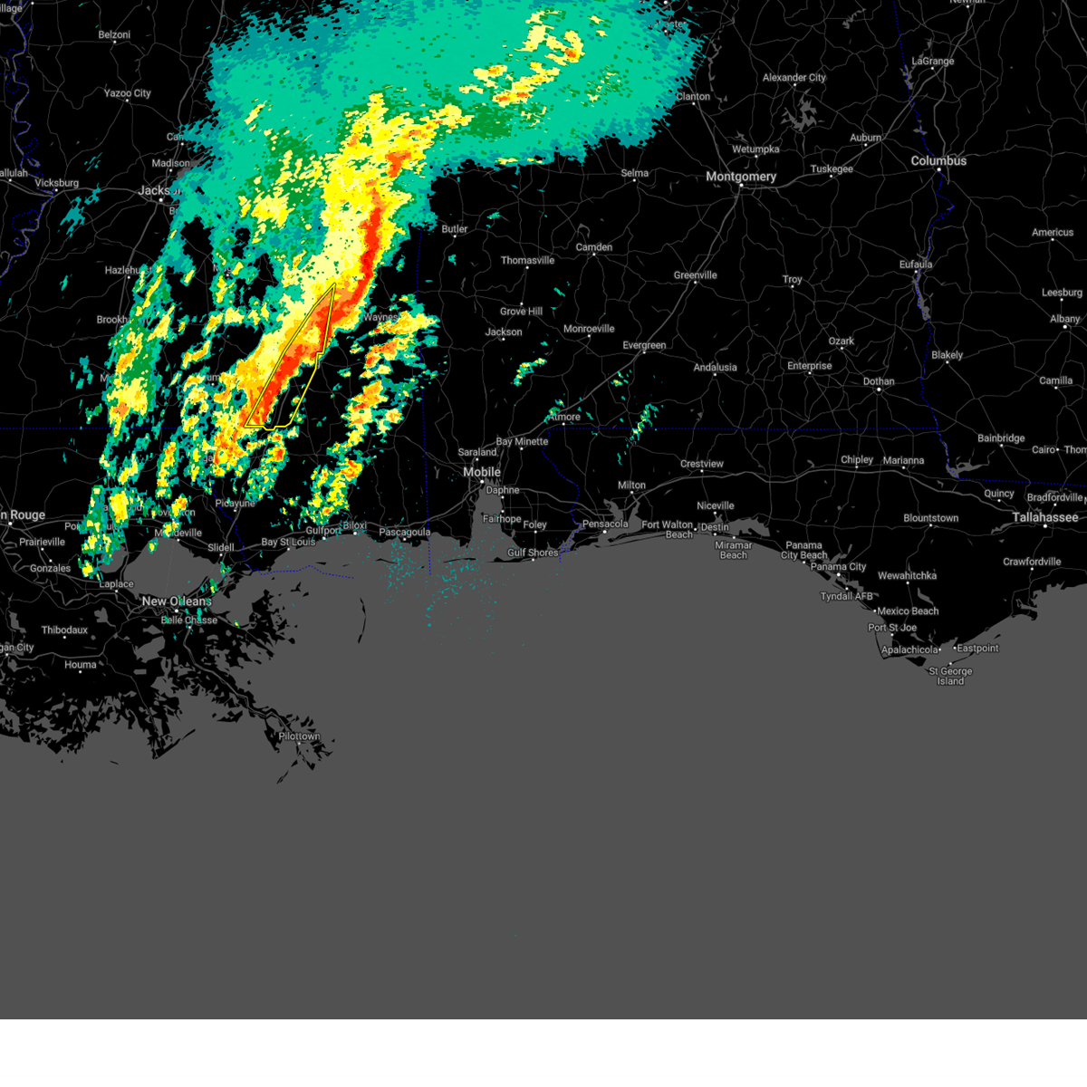
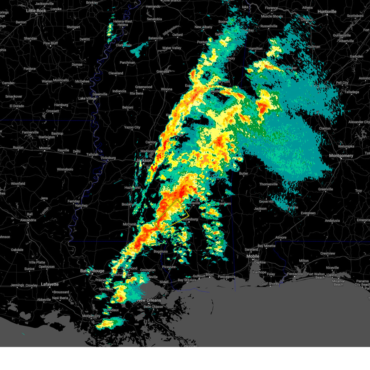
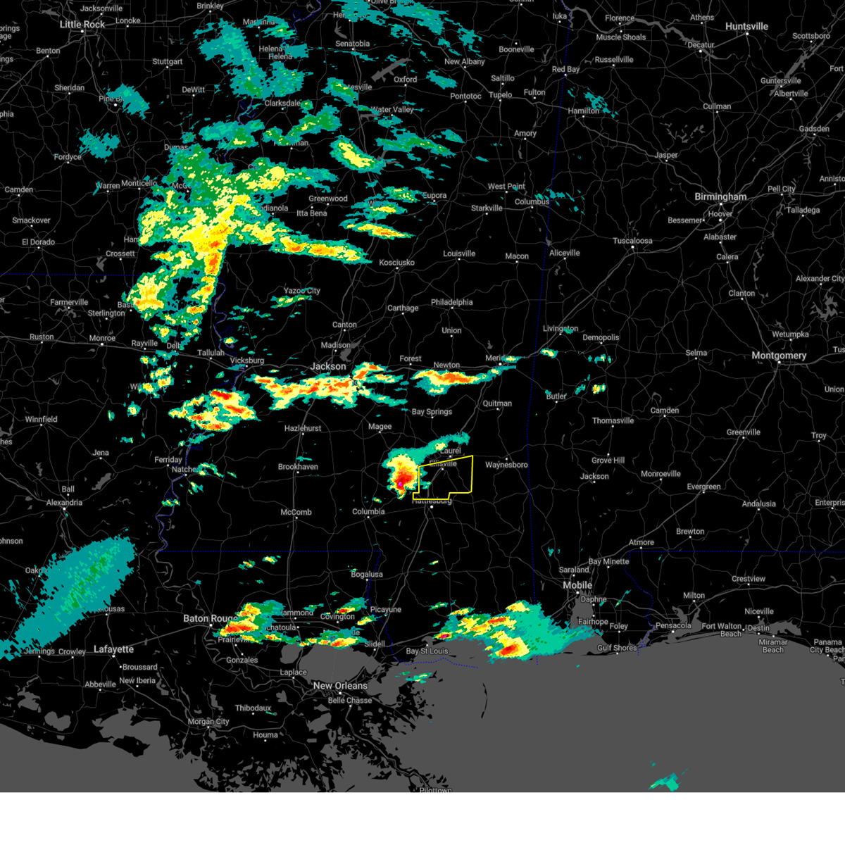
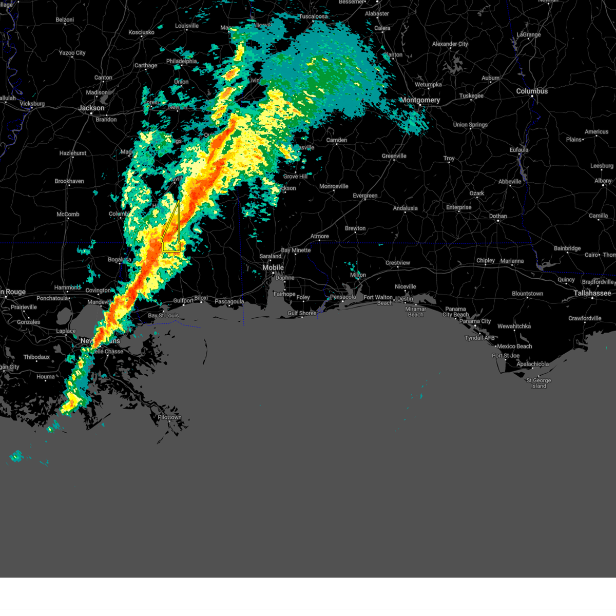
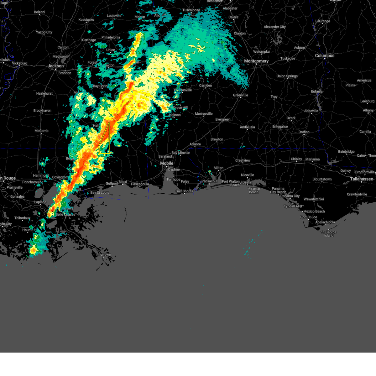
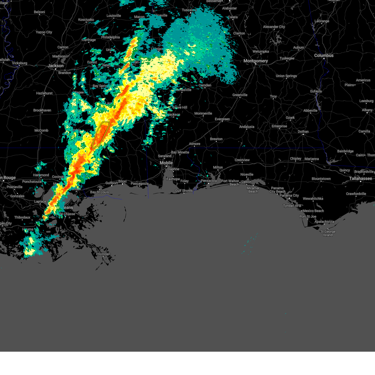
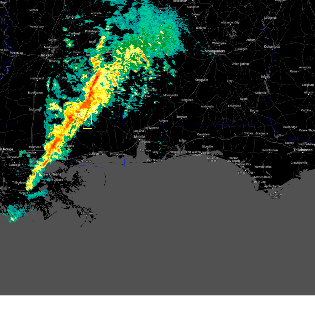
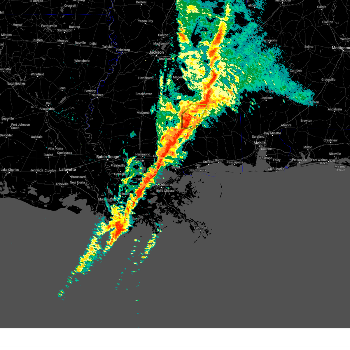
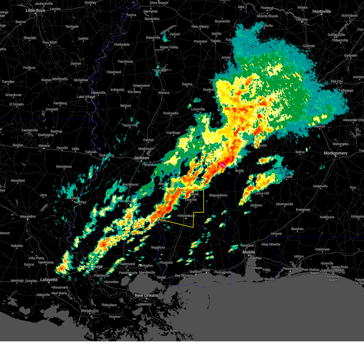
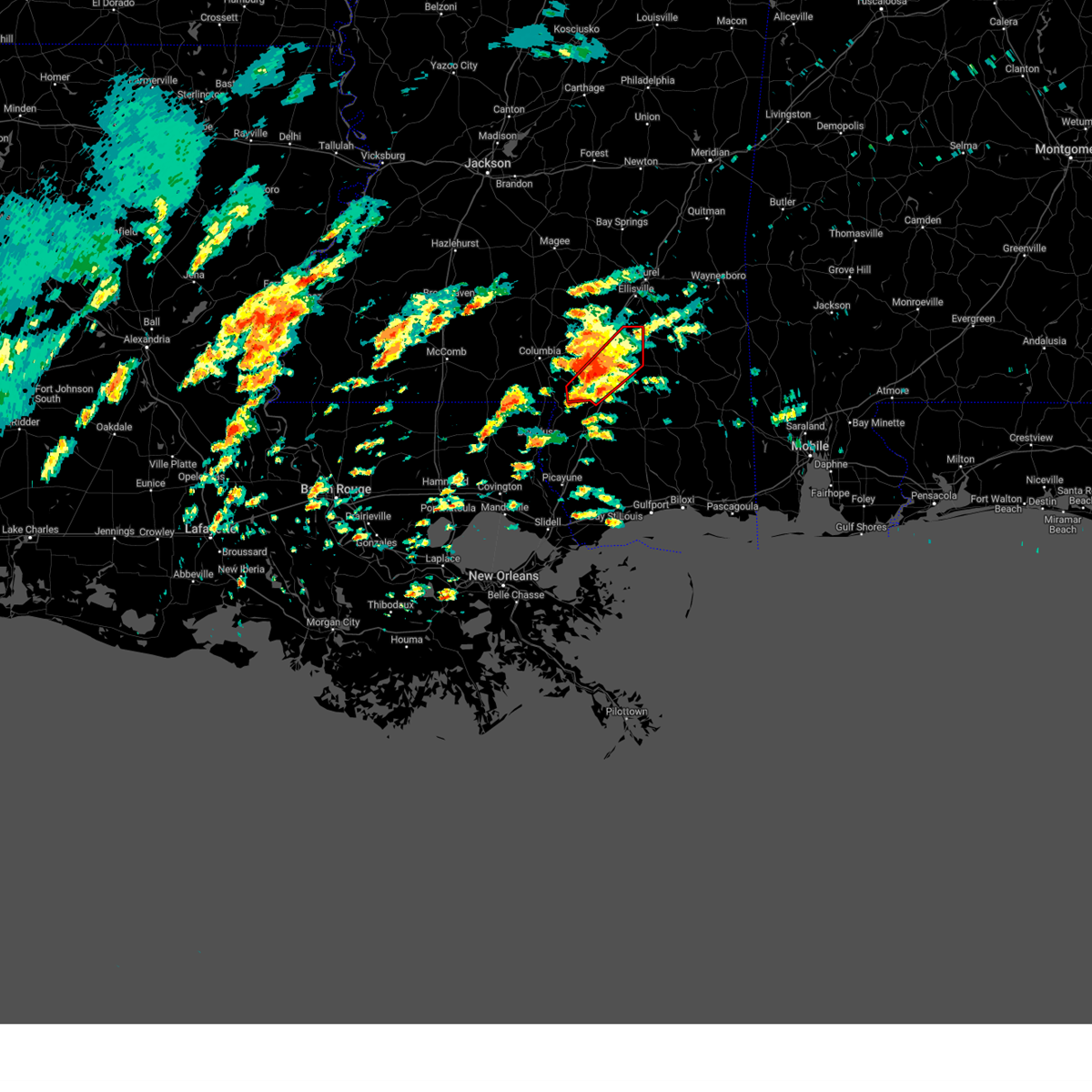
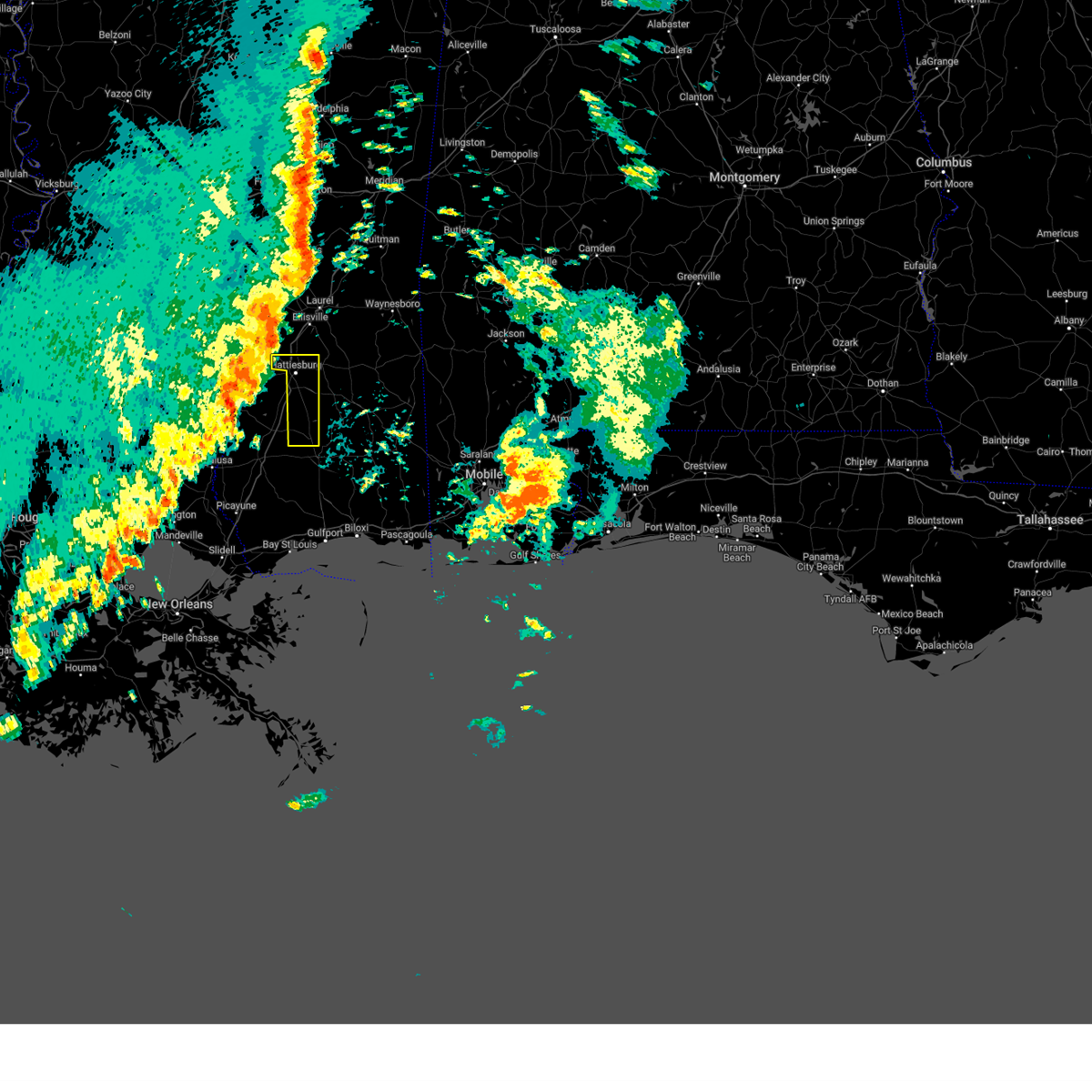
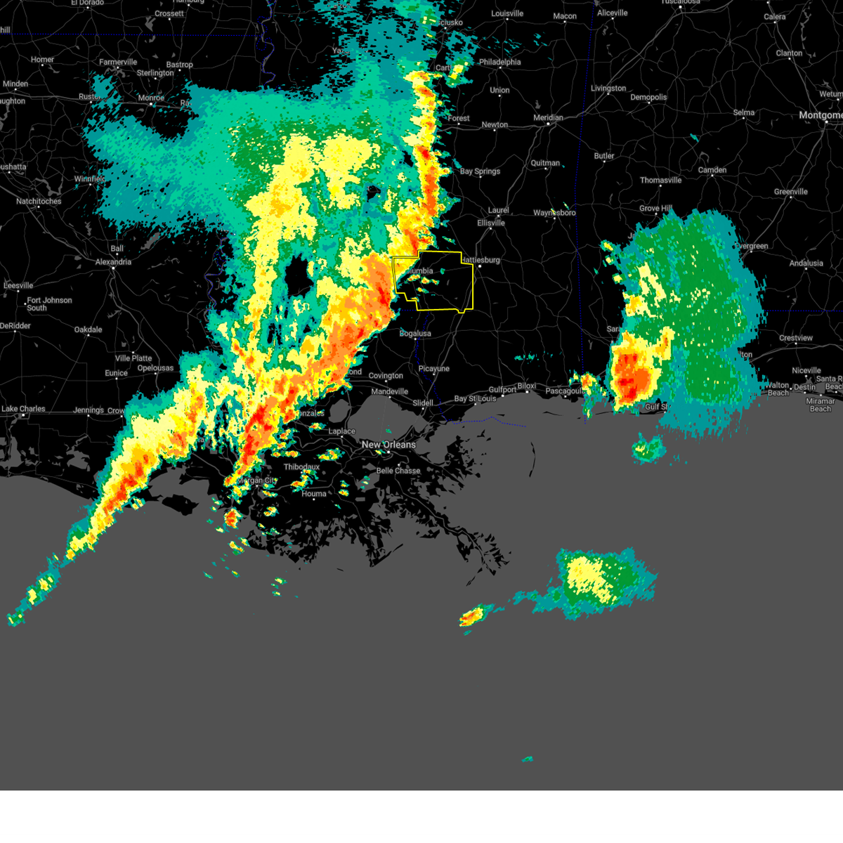
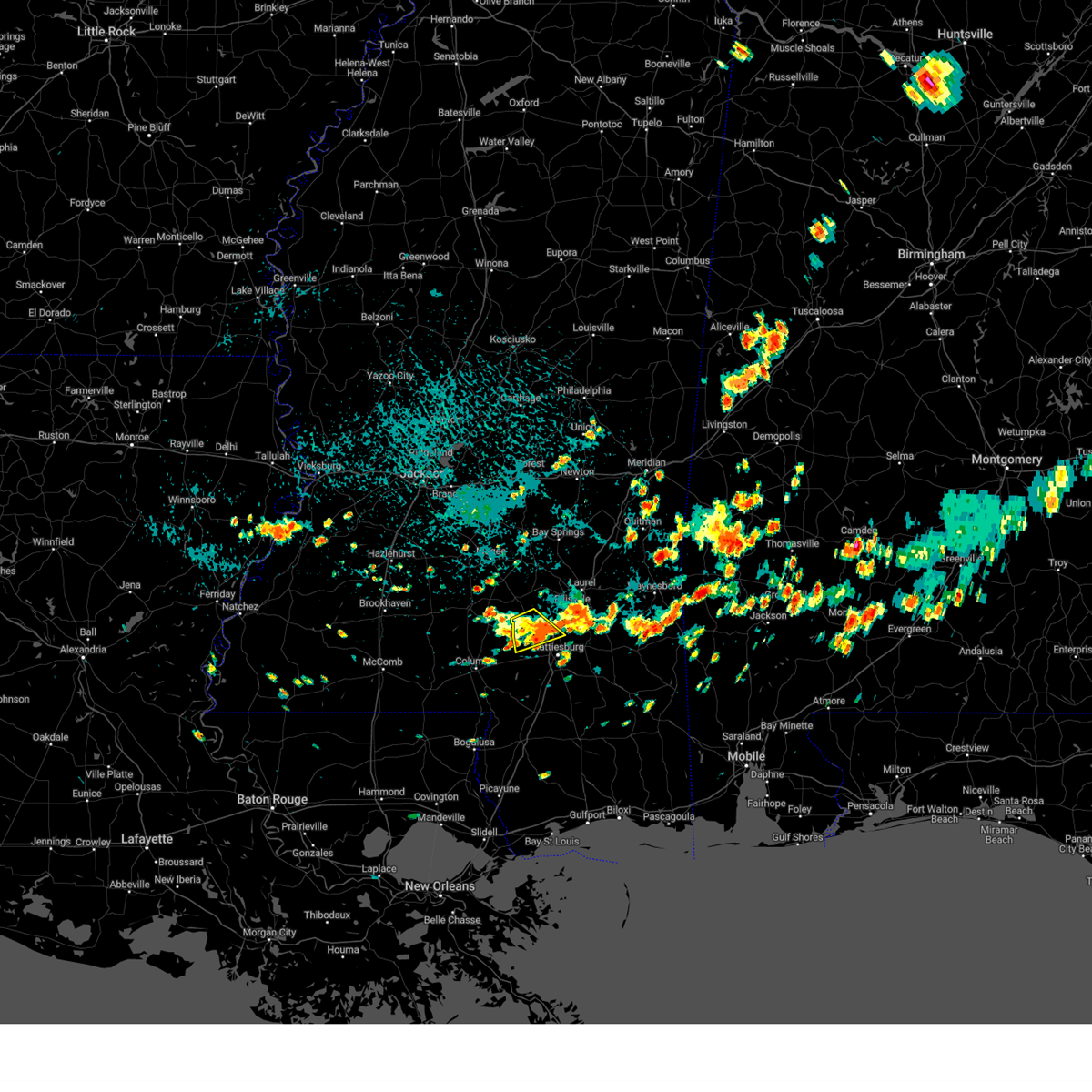
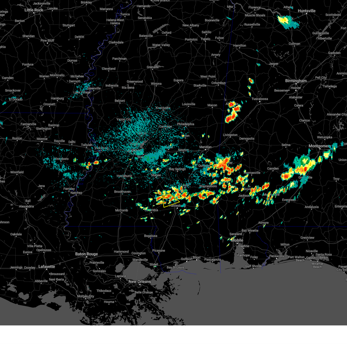
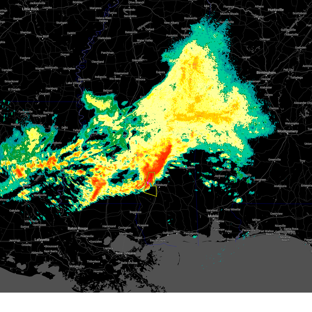
Hail Map for Hattiesburg, MS
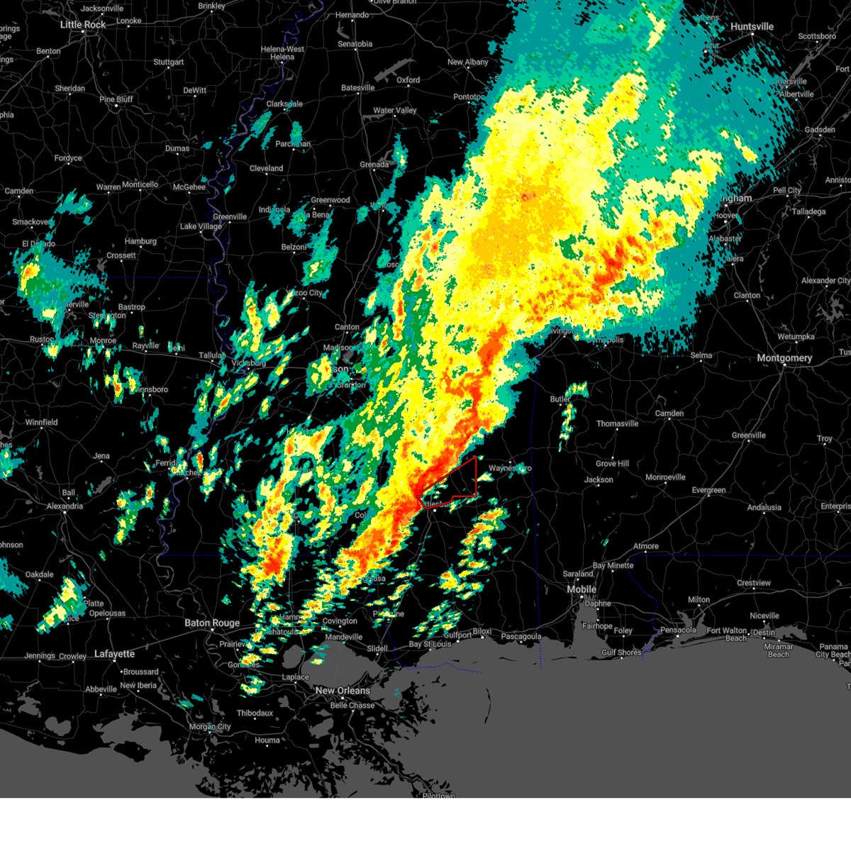
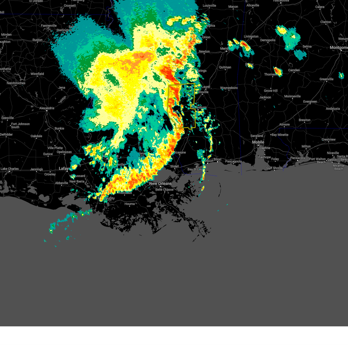
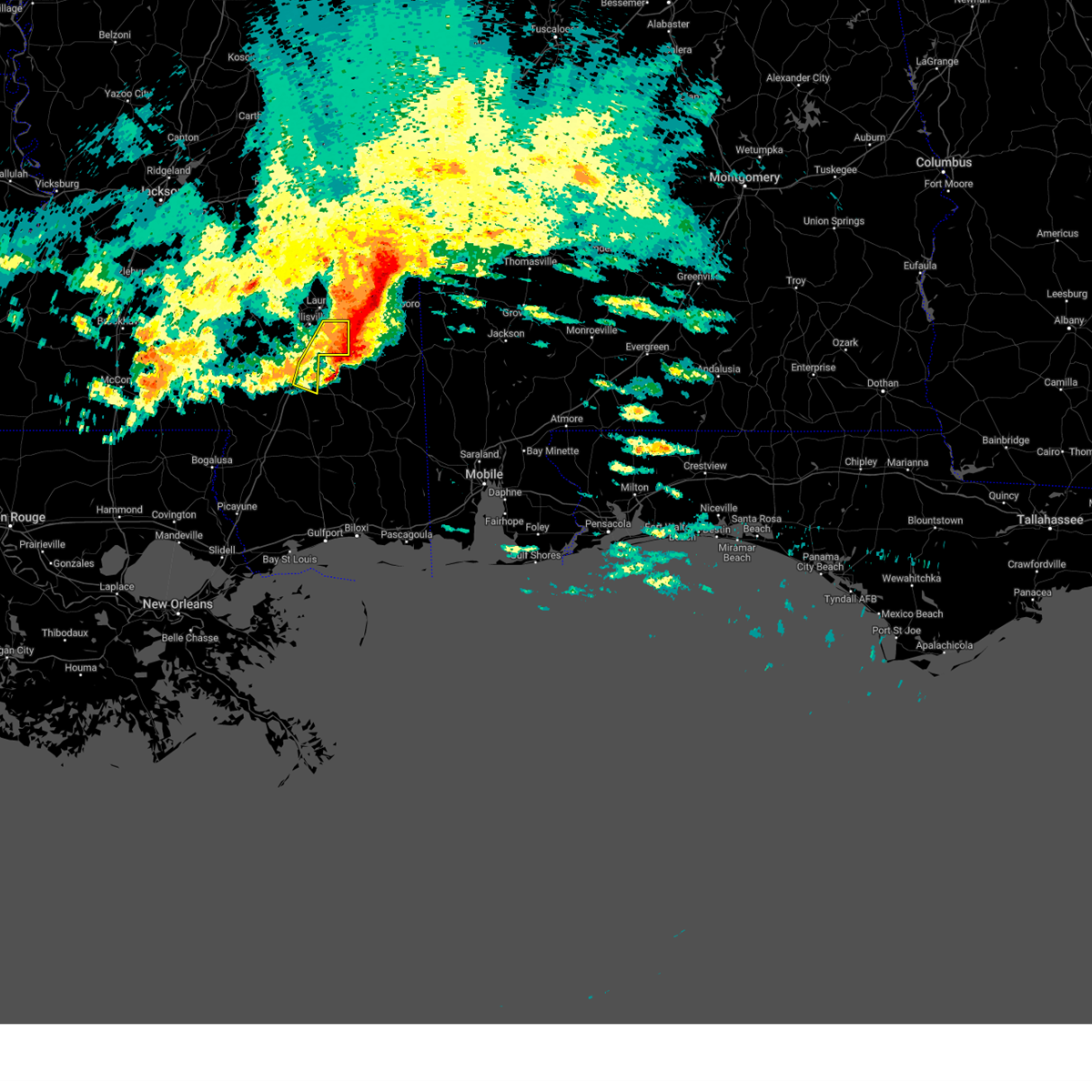
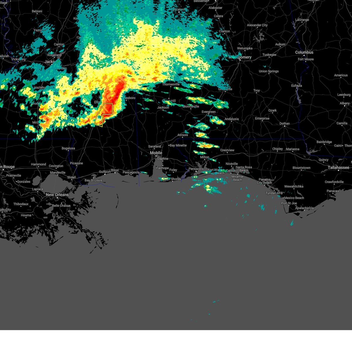
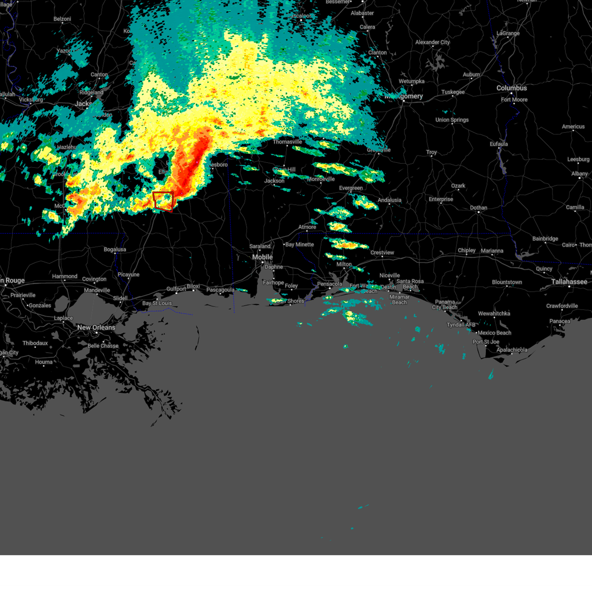
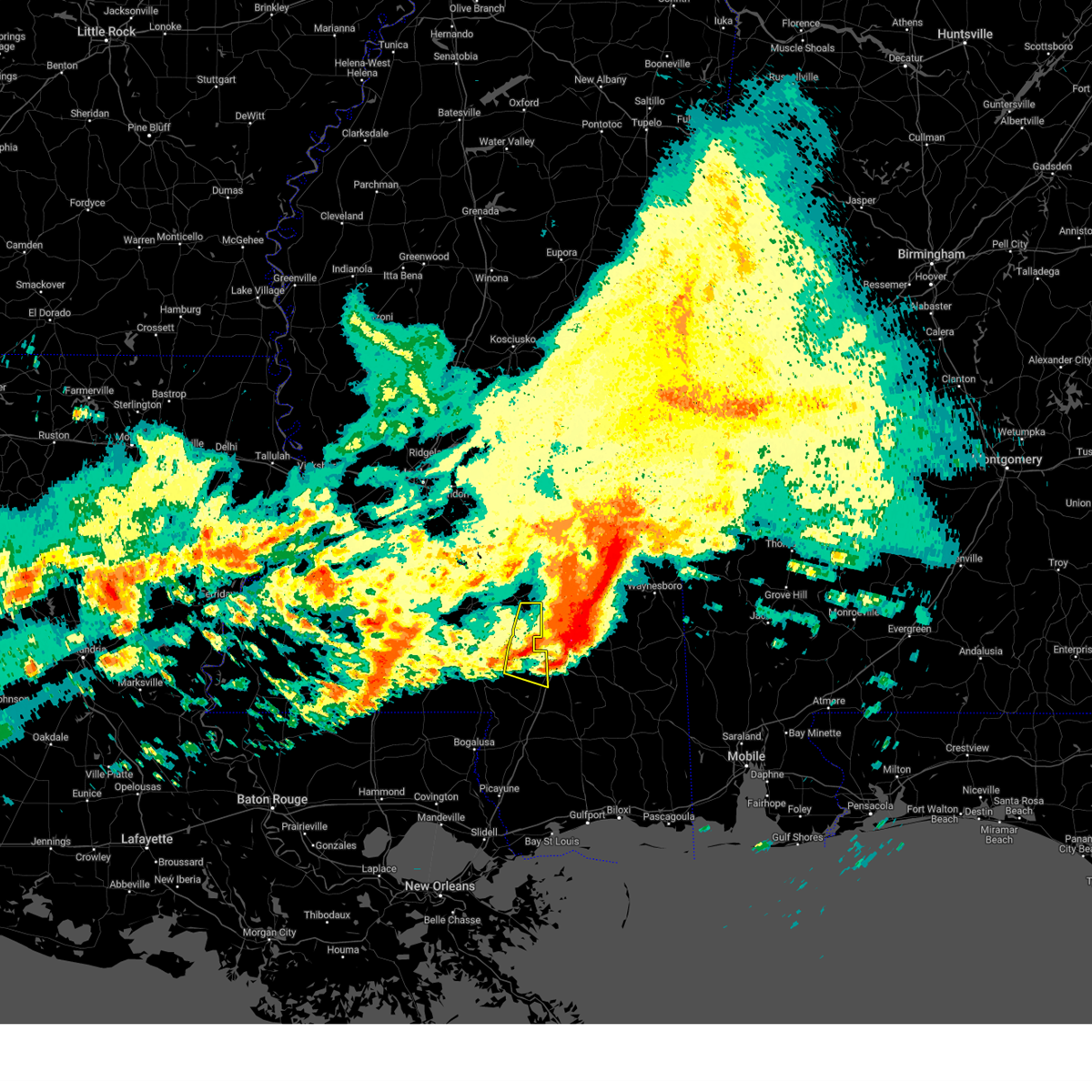
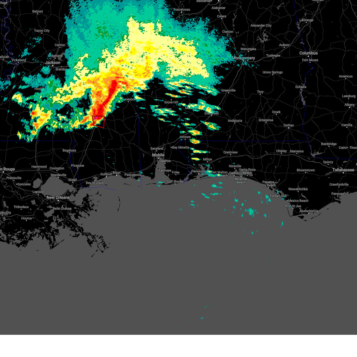
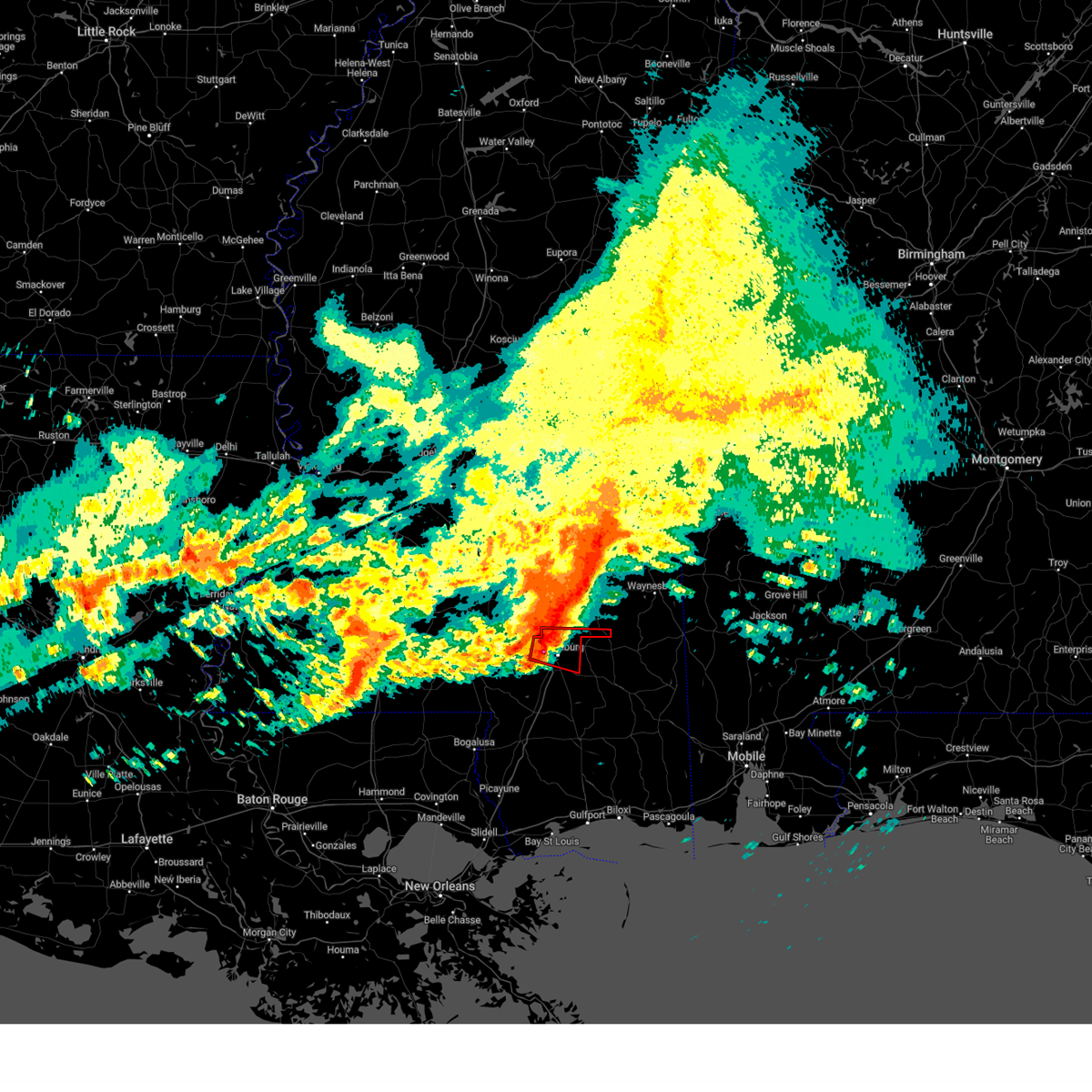
The Hattiesburg, MS area has had 31 reports of on-the-ground hail by trained spotters, and has been under severe weather warnings 67 times during the past 12 months. Doppler radar has detected hail at or near Hattiesburg, MS on 101 occasions, including 11 occasions during the past year.
| Name: | Hattiesburg, MS |
| Where Located: | 83.1 miles SE of Jackson, MS |
| Map: | Google Map for Hattiesburg, MS |
| Population: | 45989 |
| Housing Units: | 21381 |
| More Info: | Search Google for Hattiesburg, MS |
2
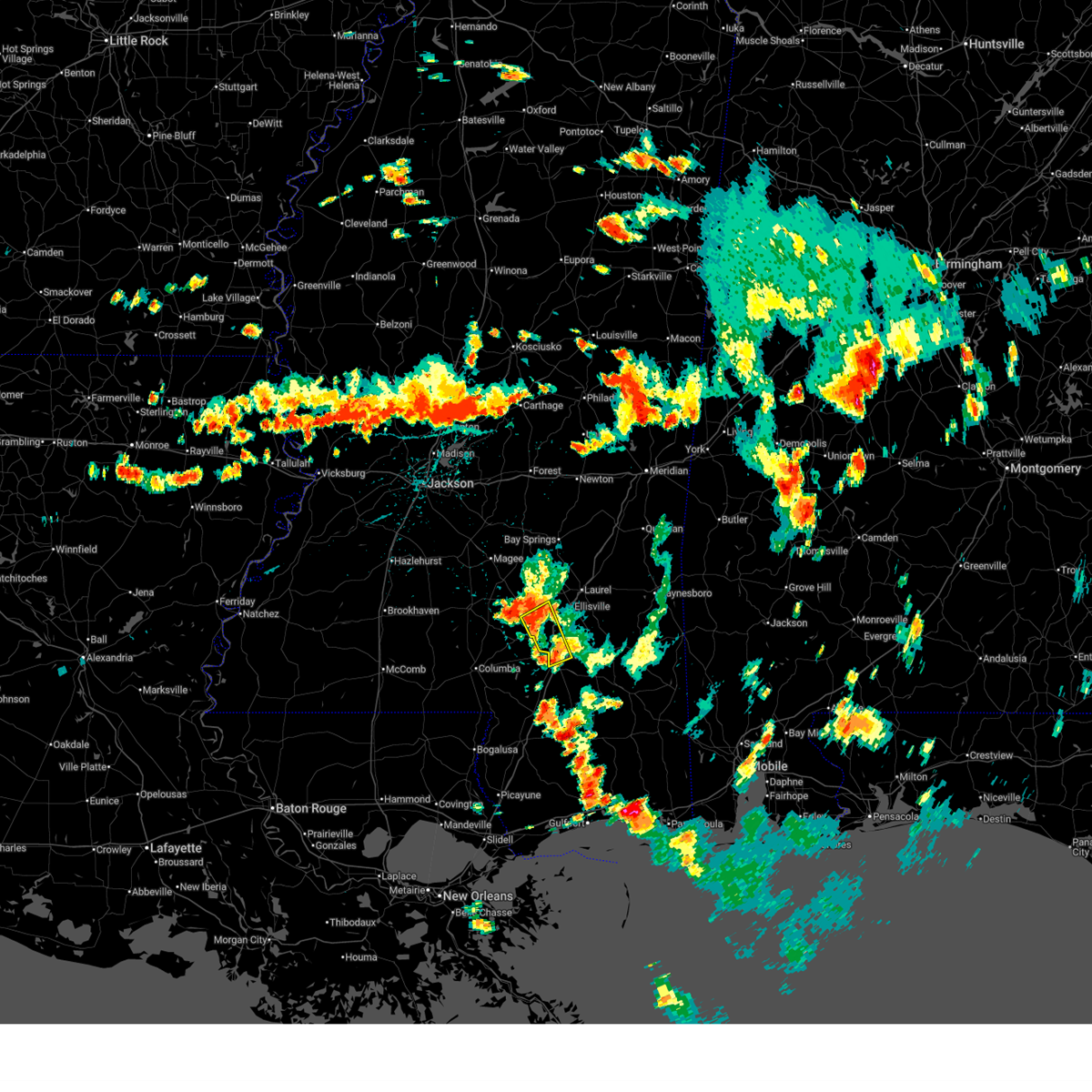
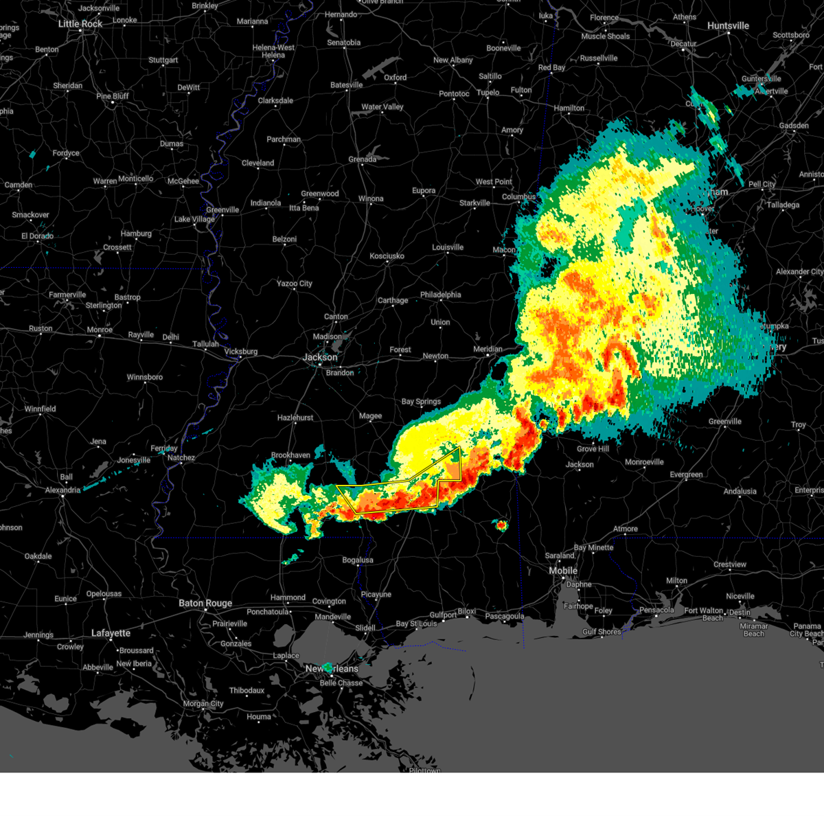
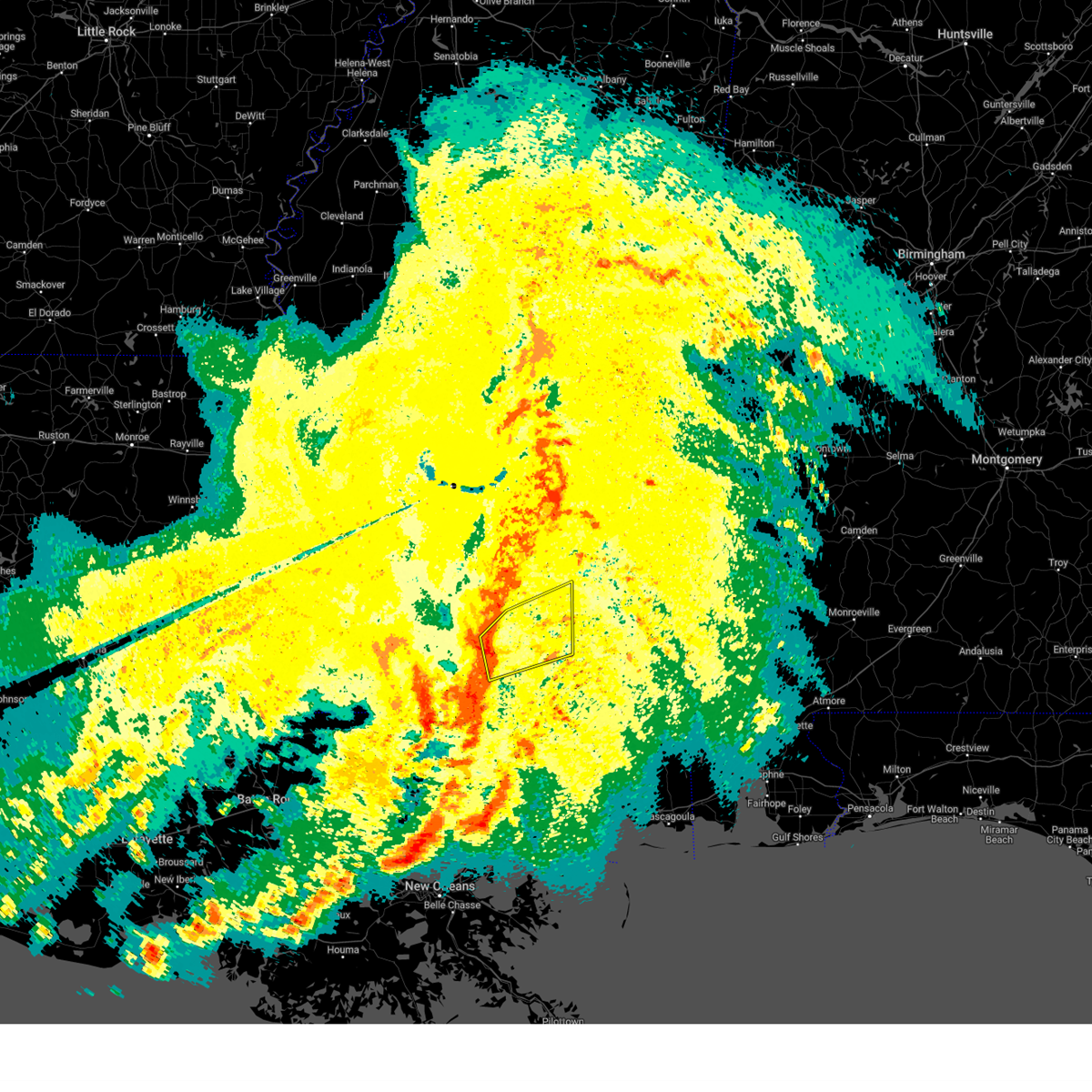
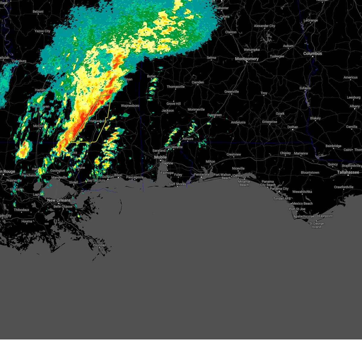
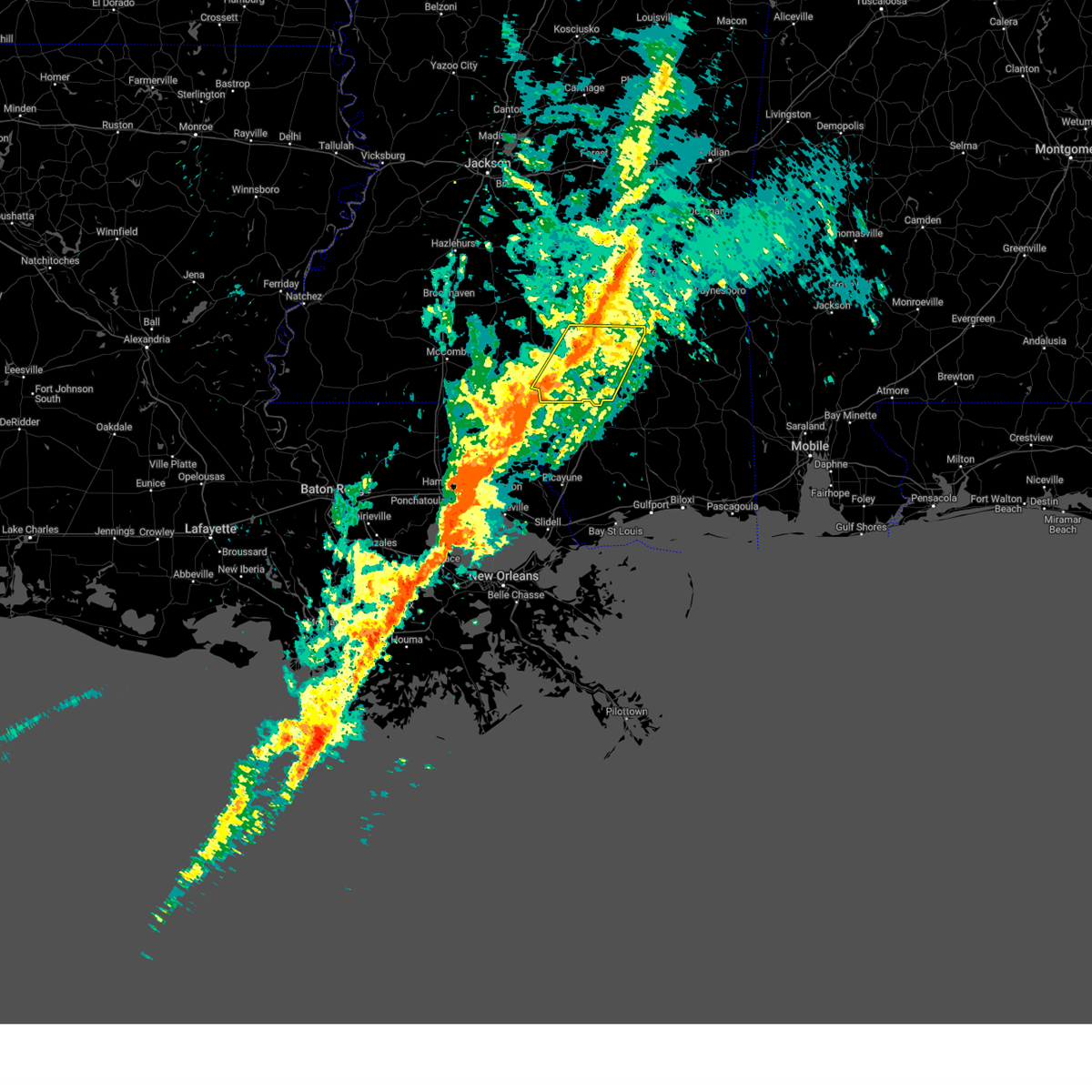
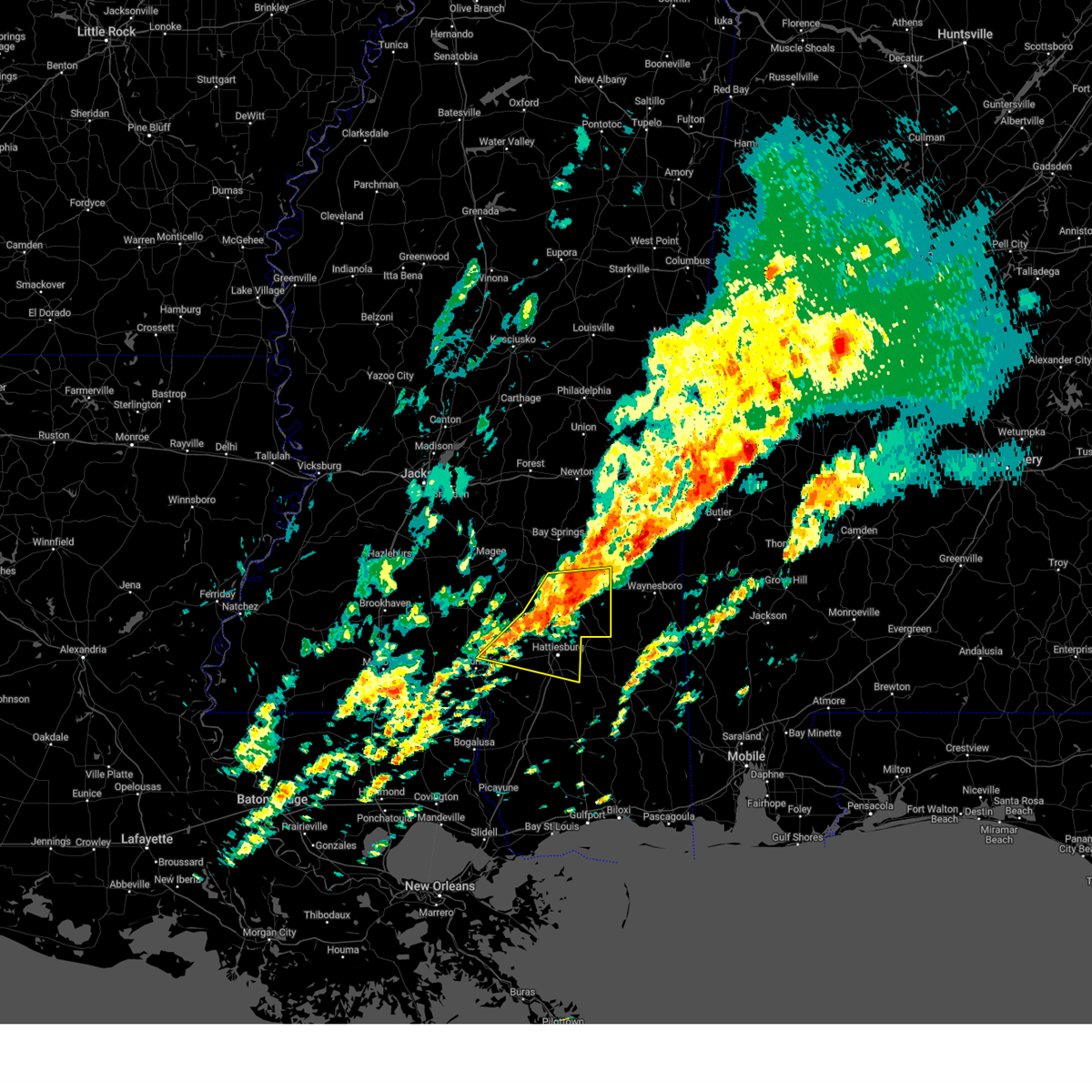
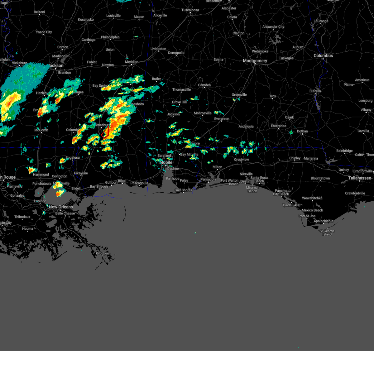
The Top Recent Hail Date for Hattiesburg, MS is Wednesday, May 28, 2025 (7th out of 101)
Hail and Wind Damage Spotted near Hattiesburg, MS
| Date / Time | Report Details |
|---|---|
| 7/1/2025 4:28 PM CDT | the severe thunderstorm warning has been cancelled and is no longer in effect |
| 7/1/2025 4:12 PM CDT |
 At 412 pm cdt, a severe thunderstorm was located over sanford, or 11 miles north of west hattiesburg, moving south at 25 mph (radar indicated). Hazards include 60 mph wind gusts. Expect damage to roofs, siding, and trees. Locations impacted include, hattiesburg, petal, rawls springs, seminary, eastabuchie, sanford, and sunrise. At 412 pm cdt, a severe thunderstorm was located over sanford, or 11 miles north of west hattiesburg, moving south at 25 mph (radar indicated). Hazards include 60 mph wind gusts. Expect damage to roofs, siding, and trees. Locations impacted include, hattiesburg, petal, rawls springs, seminary, eastabuchie, sanford, and sunrise.
|
| 7/1/2025 3:53 PM CDT | At 353 pm cdt, severe thunderstorms were located along a line extending from near collins to near petal, moving southeast at 20 mph (radar indicated). Hazards include 60 mph wind gusts. Expect damage to roofs, siding, and trees. These severe storms will be near, hattiesburg, petal, rawls springs, seminary, eastabuchie, sunrise, and sanford around 400 pm cdt. |
| 7/1/2025 3:53 PM CDT | the severe thunderstorm warning has been cancelled and is no longer in effect |
| 7/1/2025 3:40 PM CDT |
 Svrjan the national weather service in jackson has issued a * severe thunderstorm warning for, northern forrest county in southeastern mississippi, southeastern smith county in central mississippi, covington county in southeastern mississippi, western jones county in southeastern mississippi, * until 500 pm cdt. * at 339 pm cdt, severe thunderstorms were located along a line extending from 6 miles northeast of collins to eastabuchie, moving southeast at 20 mph (radar indicated). Hazards include 60 mph wind gusts. Expect damage to roofs, siding, and trees. severe thunderstorms will be near, hattiesburg, moselle, eastabuchie, and sanford around 345 pm cdt. petal around 350 pm cdt. seminary, sunrise, and macedonia around 355 pm cdt. Rawls springs around 425 pm cdt. Svrjan the national weather service in jackson has issued a * severe thunderstorm warning for, northern forrest county in southeastern mississippi, southeastern smith county in central mississippi, covington county in southeastern mississippi, western jones county in southeastern mississippi, * until 500 pm cdt. * at 339 pm cdt, severe thunderstorms were located along a line extending from 6 miles northeast of collins to eastabuchie, moving southeast at 20 mph (radar indicated). Hazards include 60 mph wind gusts. Expect damage to roofs, siding, and trees. severe thunderstorms will be near, hattiesburg, moselle, eastabuchie, and sanford around 345 pm cdt. petal around 350 pm cdt. seminary, sunrise, and macedonia around 355 pm cdt. Rawls springs around 425 pm cdt.
|
| 7/1/2025 3:34 PM CDT | Kpib measured 60 mph wind gus in jones county MS, 9.4 miles S of Hattiesburg, MS |
| 6/21/2025 4:47 PM CDT |
 Svrjan the national weather service in jackson has issued a * severe thunderstorm warning for, northern forrest county in southeastern mississippi, northeastern lamar county in southeastern mississippi, * until 530 pm cdt. * at 447 pm cdt, a severe thunderstorm was located near hattiesburg, moving northwest at 10 mph (radar indicated). Hazards include 60 mph wind gusts and quarter size hail. Hail damage to vehicles is expected. expect wind damage to roofs, siding, and trees. This severe thunderstorm will be near, hattiesburg, petal, west hattiesburg, and oak grove around 450 pm cdt. Svrjan the national weather service in jackson has issued a * severe thunderstorm warning for, northern forrest county in southeastern mississippi, northeastern lamar county in southeastern mississippi, * until 530 pm cdt. * at 447 pm cdt, a severe thunderstorm was located near hattiesburg, moving northwest at 10 mph (radar indicated). Hazards include 60 mph wind gusts and quarter size hail. Hail damage to vehicles is expected. expect wind damage to roofs, siding, and trees. This severe thunderstorm will be near, hattiesburg, petal, west hattiesburg, and oak grove around 450 pm cdt.
|
| 6/14/2025 2:50 PM CDT | A utility pole was downed blocking traffic near the intersection of oak grove rd and griffith r in lamar county MS, 4.6 miles NE of Hattiesburg, MS |
| 6/14/2025 2:39 PM CDT |
 the severe thunderstorm warning has been cancelled and is no longer in effect the severe thunderstorm warning has been cancelled and is no longer in effect
|
| 6/14/2025 2:07 PM CDT |
 Svrjan the national weather service in jackson has issued a * severe thunderstorm warning for, northeastern marion county in south central mississippi, south central covington county in southeastern mississippi, northern lamar county in southeastern mississippi, southeastern jefferson davis county in south central mississippi, * until 300 pm cdt. * at 206 pm cdt, a severe thunderstorm was located near columbia, moving northeast at 25 mph (radar indicated). Hazards include 60 mph wind gusts and quarter size hail. Hail damage to vehicles is expected. expect wind damage to roofs, siding, and trees. this severe thunderstorm will be near, columbia, improve, and bunker hill around 210 pm cdt. Melba around 230 pm cdt. Svrjan the national weather service in jackson has issued a * severe thunderstorm warning for, northeastern marion county in south central mississippi, south central covington county in southeastern mississippi, northern lamar county in southeastern mississippi, southeastern jefferson davis county in south central mississippi, * until 300 pm cdt. * at 206 pm cdt, a severe thunderstorm was located near columbia, moving northeast at 25 mph (radar indicated). Hazards include 60 mph wind gusts and quarter size hail. Hail damage to vehicles is expected. expect wind damage to roofs, siding, and trees. this severe thunderstorm will be near, columbia, improve, and bunker hill around 210 pm cdt. Melba around 230 pm cdt.
|
| 6/10/2025 4:03 PM CDT | the severe thunderstorm warning has been cancelled and is no longer in effect |
| 6/10/2025 3:50 PM CDT |
 At 349 pm cdt, severe thunderstorms were located along a line extending from near macedonia to near brooklyn to near wiggins, moving east at 25 mph (radar indicated). Hazards include 60 mph wind gusts and quarter size hail. Hail damage to vehicles is expected. expect wind damage to roofs, siding, and trees. These severe thunderstorms will remain over mainly rural areas of eastern forrest county. At 349 pm cdt, severe thunderstorms were located along a line extending from near macedonia to near brooklyn to near wiggins, moving east at 25 mph (radar indicated). Hazards include 60 mph wind gusts and quarter size hail. Hail damage to vehicles is expected. expect wind damage to roofs, siding, and trees. These severe thunderstorms will remain over mainly rural areas of eastern forrest county.
|
| 6/10/2025 3:32 PM CDT | Svrjan the national weather service in jackson has issued a * severe thunderstorm warning for, forrest county in southeastern mississippi, * until 415 pm cdt. * at 332 pm cdt, severe thunderstorms were located along a line extending from sunrise to near mclaurin to 6 miles southwest of maxie, moving east at 30 mph (radar indicated). Hazards include 60 mph wind gusts and quarter size hail. Hail damage to vehicles is expected. expect wind damage to roofs, siding, and trees. Severe thunderstorms will be near, brooklyn and maxie around 340 pm cdt. |
| 6/8/2025 11:49 PM CDT |
 At 1149 pm cdt, a severe thunderstorm was located near improve, or 13 miles northeast of columbia, moving southeast at 10 mph (radar indicated). Hazards include 60 mph wind gusts and penny size hail. Expect damage to roofs, siding, and trees. Locations impacted include, hattiesburg, oak grove, sumrall, rawls springs, and improve. At 1149 pm cdt, a severe thunderstorm was located near improve, or 13 miles northeast of columbia, moving southeast at 10 mph (radar indicated). Hazards include 60 mph wind gusts and penny size hail. Expect damage to roofs, siding, and trees. Locations impacted include, hattiesburg, oak grove, sumrall, rawls springs, and improve.
|
| 6/8/2025 11:28 PM CDT | Svrjan the national weather service in jackson has issued a * severe thunderstorm warning for, northeastern marion county in south central mississippi, northwestern forrest county in southeastern mississippi, northern lamar county in southeastern mississippi, * until 1215 am cdt. * at 1127 pm cdt, a severe thunderstorm was located just south of melba, or 14 miles northeast of columbia, moving east at 25 mph (radar indicated). Hazards include 60 mph wind gusts and quarter size hail. Hail damage to vehicles is expected. Expect wind damage to roofs, siding, and trees. |
| 5/28/2025 5:19 PM CDT | Trees and power lines downed on thornhill d in lamar county MS, 1.1 miles ENE of Hattiesburg, MS |
| 5/28/2025 5:14 PM CDT |
 At 514 pm cdt, a severe thunderstorm was located near mclaurin, or 8 miles southeast of hattiesburg, moving north at 15 mph (radar indicated). Hazards include 60 mph wind gusts and half dollar size hail. Hail damage to vehicles is expected. expect wind damage to roofs, siding, and trees. this severe storm will be near, hattiesburg, petal, west hattiesburg, and sunrise around 520 pm cdt. Oak grove around 530 pm cdt. At 514 pm cdt, a severe thunderstorm was located near mclaurin, or 8 miles southeast of hattiesburg, moving north at 15 mph (radar indicated). Hazards include 60 mph wind gusts and half dollar size hail. Hail damage to vehicles is expected. expect wind damage to roofs, siding, and trees. this severe storm will be near, hattiesburg, petal, west hattiesburg, and sunrise around 520 pm cdt. Oak grove around 530 pm cdt.
|
| 5/28/2025 4:59 PM CDT | Svrjan the national weather service in jackson has issued a * severe thunderstorm warning for, forrest county in southeastern mississippi, central lamar county in southeastern mississippi, * until 545 pm cdt. * at 459 pm cdt, a severe thunderstorm was located near mclaurin, or 7 miles east of purvis, moving north at 15 mph (radar indicated). Hazards include 60 mph wind gusts and quarter size hail. Hail damage to vehicles is expected. expect wind damage to roofs, siding, and trees. this severe thunderstorm will be near, hattiesburg and mclaurin around 505 pm cdt. sunrise around 515 pm cdt. west hattiesburg around 520 pm cdt. Oak grove around 535 pm cdt. |
| 5/24/2025 7:44 PM CDT |
 The storms which prompted the warning have moved out of the area. therefore, the warning will be allowed to expire. to report severe weather, contact your nearest law enforcement agency. they will relay your report to the national weather service jackson. The storms which prompted the warning have moved out of the area. therefore, the warning will be allowed to expire. to report severe weather, contact your nearest law enforcement agency. they will relay your report to the national weather service jackson.
|
| 5/24/2025 7:12 PM CDT |
 At 711 pm cdt, severe thunderstorms were located along a line extending from near ovett to near petal to columbia, moving southeast at 35 mph (radar indicated). Hazards include 60 mph wind gusts and quarter size hail. Hail damage to vehicles is expected. expect wind damage to roofs, siding, and trees. Locations impacted include, hattiesburg, petal, columbia, west hattiesburg, oak grove, rawls springs, eastabuchie, ovett, morgantown, goss, bunker hill, sunrise, macedonia, improve, and holly springs. At 711 pm cdt, severe thunderstorms were located along a line extending from near ovett to near petal to columbia, moving southeast at 35 mph (radar indicated). Hazards include 60 mph wind gusts and quarter size hail. Hail damage to vehicles is expected. expect wind damage to roofs, siding, and trees. Locations impacted include, hattiesburg, petal, columbia, west hattiesburg, oak grove, rawls springs, eastabuchie, ovett, morgantown, goss, bunker hill, sunrise, macedonia, improve, and holly springs.
|
| 5/24/2025 7:12 PM CDT |
 the severe thunderstorm warning has been cancelled and is no longer in effect the severe thunderstorm warning has been cancelled and is no longer in effect
|
| 5/24/2025 7:10 PM CDT | Tree in roadway on west hills d in lamar county MS, 1.7 miles ESE of Hattiesburg, MS |
| 5/24/2025 6:40 PM CDT |
 Svrjan the national weather service in jackson has issued a * severe thunderstorm warning for, northern marion county in south central mississippi, northern forrest county in southeastern mississippi, southeastern covington county in southeastern mississippi, northern lamar county in southeastern mississippi, southern jones county in southeastern mississippi, * until 745 pm cdt. * at 640 pm cdt, severe thunderstorms were located along a line extending from near laurel to near sanford to near bassfield, moving southeast at 35 mph. additional severe storms were developing over northwestern marion and northern lamar counties, moving east (radar indicated). Hazards include 60 mph wind gusts and quarter size hail. Hail damage to vehicles is expected. Expect wind damage to roofs, siding, and trees. Svrjan the national weather service in jackson has issued a * severe thunderstorm warning for, northern marion county in south central mississippi, northern forrest county in southeastern mississippi, southeastern covington county in southeastern mississippi, northern lamar county in southeastern mississippi, southern jones county in southeastern mississippi, * until 745 pm cdt. * at 640 pm cdt, severe thunderstorms were located along a line extending from near laurel to near sanford to near bassfield, moving southeast at 35 mph. additional severe storms were developing over northwestern marion and northern lamar counties, moving east (radar indicated). Hazards include 60 mph wind gusts and quarter size hail. Hail damage to vehicles is expected. Expect wind damage to roofs, siding, and trees.
|
| 5/23/2025 7:35 PM CDT |
 Svrjan the national weather service in jackson has issued a * severe thunderstorm warning for, southeastern forrest county in southeastern mississippi, * until 815 pm cdt. * at 734 pm cdt, a severe thunderstorm was located near brooklyn, or 16 miles north of wiggins, moving west at 15 mph (radar indicated). Hazards include 60 mph wind gusts and quarter size hail. Hail damage to vehicles is expected. expect wind damage to roofs, siding, and trees. this severe thunderstorm will be near, brooklyn and mclaurin around 740 pm cdt. Maxie around 745 pm cdt. Svrjan the national weather service in jackson has issued a * severe thunderstorm warning for, southeastern forrest county in southeastern mississippi, * until 815 pm cdt. * at 734 pm cdt, a severe thunderstorm was located near brooklyn, or 16 miles north of wiggins, moving west at 15 mph (radar indicated). Hazards include 60 mph wind gusts and quarter size hail. Hail damage to vehicles is expected. expect wind damage to roofs, siding, and trees. this severe thunderstorm will be near, brooklyn and mclaurin around 740 pm cdt. Maxie around 745 pm cdt.
|
| 5/6/2025 11:51 PM CDT |
 At 1151 pm cdt, a severe thunderstorm was located over ellisville, moving northeast at 40 mph (radar indicated). Hazards include 60 mph wind gusts. Expect damage to roofs, siding, and trees. This severe storm will be near, laurel around 1155 pm cdt. At 1151 pm cdt, a severe thunderstorm was located over ellisville, moving northeast at 40 mph (radar indicated). Hazards include 60 mph wind gusts. Expect damage to roofs, siding, and trees. This severe storm will be near, laurel around 1155 pm cdt.
|
| 5/6/2025 11:33 PM CDT |
 At 1132 pm cdt, a severe thunderstorm was located over sanford, or 12 miles southeast of collins, moving northeast at 40 mph (radar indicated). Hazards include 60 mph wind gusts. Expect damage to roofs, siding, and trees. This severe storm will be near, laurel, ellisville, and moselle around 1140 pm cdt. At 1132 pm cdt, a severe thunderstorm was located over sanford, or 12 miles southeast of collins, moving northeast at 40 mph (radar indicated). Hazards include 60 mph wind gusts. Expect damage to roofs, siding, and trees. This severe storm will be near, laurel, ellisville, and moselle around 1140 pm cdt.
|
| 5/6/2025 11:33 PM CDT |
 the severe thunderstorm warning has been cancelled and is no longer in effect the severe thunderstorm warning has been cancelled and is no longer in effect
|
| 5/6/2025 11:04 PM CDT |
 Svrjan the national weather service in jackson has issued a * severe thunderstorm warning for, northeastern marion county in south central mississippi, northern forrest county in southeastern mississippi, southeastern covington county in southeastern mississippi, northern lamar county in southeastern mississippi, southwestern jones county in southeastern mississippi, southeastern jefferson davis county in south central mississippi, * until midnight cdt. * at 1103 pm cdt, a severe thunderstorm was located over improve, or 10 miles northeast of columbia, moving northeast at 40 mph (radar indicated). Hazards include 60 mph wind gusts. Expect damage to roofs, siding, and trees. this severe thunderstorm will be near, sumrall and melba around 1110 pm cdt. seminary and sanford around 1120 pm cdt. moselle around 1135 pm cdt. Laurel and ellisville around 1140 pm cdt. Svrjan the national weather service in jackson has issued a * severe thunderstorm warning for, northeastern marion county in south central mississippi, northern forrest county in southeastern mississippi, southeastern covington county in southeastern mississippi, northern lamar county in southeastern mississippi, southwestern jones county in southeastern mississippi, southeastern jefferson davis county in south central mississippi, * until midnight cdt. * at 1103 pm cdt, a severe thunderstorm was located over improve, or 10 miles northeast of columbia, moving northeast at 40 mph (radar indicated). Hazards include 60 mph wind gusts. Expect damage to roofs, siding, and trees. this severe thunderstorm will be near, sumrall and melba around 1110 pm cdt. seminary and sanford around 1120 pm cdt. moselle around 1135 pm cdt. Laurel and ellisville around 1140 pm cdt.
|
| 4/22/2025 4:15 PM CDT |
 the severe thunderstorm warning has been cancelled and is no longer in effect the severe thunderstorm warning has been cancelled and is no longer in effect
|
| 4/22/2025 4:15 PM CDT |
 At 414 pm cdt, a severe thunderstorm was located over macedonia, or near petal, moving east at 15 mph (radar indicated). Hazards include 60 mph wind gusts and quarter size hail. Hail damage to vehicles is expected. expect wind damage to roofs, siding, and trees. This severe thunderstorm will remain over mainly rural areas of northeastern forrest and southwestern jones counties, including the following locations, corinth. At 414 pm cdt, a severe thunderstorm was located over macedonia, or near petal, moving east at 15 mph (radar indicated). Hazards include 60 mph wind gusts and quarter size hail. Hail damage to vehicles is expected. expect wind damage to roofs, siding, and trees. This severe thunderstorm will remain over mainly rural areas of northeastern forrest and southwestern jones counties, including the following locations, corinth.
|
| 4/22/2025 3:54 PM CDT |
 Svrjan the national weather service in jackson has issued a * severe thunderstorm warning for, northeastern forrest county in southeastern mississippi, east central lamar county in southeastern mississippi, southwestern jones county in southeastern mississippi, * until 445 pm cdt. * at 353 pm cdt, a severe thunderstorm was located near eastabuchie, or near petal, moving east at 15 mph (radar indicated). Hazards include 60 mph wind gusts and quarter size hail. Hail damage to vehicles is expected. expect wind damage to roofs, siding, and trees. This severe thunderstorm will be near, sunrise, hattiesburg, and macedonia around 400 pm cdt. Svrjan the national weather service in jackson has issued a * severe thunderstorm warning for, northeastern forrest county in southeastern mississippi, east central lamar county in southeastern mississippi, southwestern jones county in southeastern mississippi, * until 445 pm cdt. * at 353 pm cdt, a severe thunderstorm was located near eastabuchie, or near petal, moving east at 15 mph (radar indicated). Hazards include 60 mph wind gusts and quarter size hail. Hail damage to vehicles is expected. expect wind damage to roofs, siding, and trees. This severe thunderstorm will be near, sunrise, hattiesburg, and macedonia around 400 pm cdt.
|
| 4/6/2025 6:41 AM CDT |
 The storms which prompted the warning have moved out of the area. therefore, the warning will be allowed to expire. however, gusty winds are still possible with these thunderstorms. a tornado watch remains in effect until 800 am cdt for southeastern mississippi. to report severe weather, contact your nearest law enforcement agency. they will relay your report to the national weather service jackson. The storms which prompted the warning have moved out of the area. therefore, the warning will be allowed to expire. however, gusty winds are still possible with these thunderstorms. a tornado watch remains in effect until 800 am cdt for southeastern mississippi. to report severe weather, contact your nearest law enforcement agency. they will relay your report to the national weather service jackson.
|
| 4/6/2025 6:34 AM CDT |
 the severe thunderstorm warning has been cancelled and is no longer in effect the severe thunderstorm warning has been cancelled and is no longer in effect
|
| 4/6/2025 6:34 AM CDT |
 At 633 am cdt, severe thunderstorms were located along a line extending from 7 miles east of mill creek to near macedonia to near rock hill, moving east at 35 mph (radar indicated). Hazards include 60 mph wind gusts. Expect damage to roofs, siding, and trees. Locations impacted include, lumberton, sunrise, macedonia, petal, rock hill, and hattiesburg. At 633 am cdt, severe thunderstorms were located along a line extending from 7 miles east of mill creek to near macedonia to near rock hill, moving east at 35 mph (radar indicated). Hazards include 60 mph wind gusts. Expect damage to roofs, siding, and trees. Locations impacted include, lumberton, sunrise, macedonia, petal, rock hill, and hattiesburg.
|
| 4/6/2025 6:19 AM CDT |
 the severe thunderstorm warning has been cancelled and is no longer in effect the severe thunderstorm warning has been cancelled and is no longer in effect
|
| 4/6/2025 6:19 AM CDT |
 At 619 am cdt, severe thunderstorms were located along a line extending from near mill creek to petal to near lumberton, moving east at 20 mph (radar indicated). Hazards include 60 mph wind gusts. Expect damage to roofs, siding, and trees. These severe storms will be near, hattiesburg, sunrise, rock hill, and macedonia around 625 am cdt. At 619 am cdt, severe thunderstorms were located along a line extending from near mill creek to petal to near lumberton, moving east at 20 mph (radar indicated). Hazards include 60 mph wind gusts. Expect damage to roofs, siding, and trees. These severe storms will be near, hattiesburg, sunrise, rock hill, and macedonia around 625 am cdt.
|
| 4/6/2025 5:53 AM CDT |
 Torjan the national weather service in jackson has issued a * tornado warning for, northeastern forrest county in southeastern mississippi, southern jones county in southeastern mississippi, * until 700 am cdt. * at 552 am cdt, a severe thunderstorm capable of producing a tornado was located over rawls springs, or near west hattiesburg, moving northeast at 40 mph (radar indicated rotation). Hazards include tornado. Flying debris will be dangerous to those caught without shelter. mobile homes will be damaged or destroyed. damage to roofs, windows, and vehicles will occur. tree damage is likely. this dangerous storm will be near, hattiesburg, eastabuchie, and moselle around 600 am cdt. ovett around 610 am cdt. tuckers crossing around 620 am cdt. Mill creek around 630 am cdt. Torjan the national weather service in jackson has issued a * tornado warning for, northeastern forrest county in southeastern mississippi, southern jones county in southeastern mississippi, * until 700 am cdt. * at 552 am cdt, a severe thunderstorm capable of producing a tornado was located over rawls springs, or near west hattiesburg, moving northeast at 40 mph (radar indicated rotation). Hazards include tornado. Flying debris will be dangerous to those caught without shelter. mobile homes will be damaged or destroyed. damage to roofs, windows, and vehicles will occur. tree damage is likely. this dangerous storm will be near, hattiesburg, eastabuchie, and moselle around 600 am cdt. ovett around 610 am cdt. tuckers crossing around 620 am cdt. Mill creek around 630 am cdt.
|
| 4/6/2025 5:38 AM CDT |
 Svrjan the national weather service in jackson has issued a * severe thunderstorm warning for, southeastern marion county in south central mississippi, northwestern forrest county in southeastern mississippi, southeastern covington county in southeastern mississippi, lamar county in southeastern mississippi, jones county in southeastern mississippi, * until 645 am cdt. * at 538 am cdt, severe thunderstorms were located along a line extending from near soso to 6 miles south of sumrall to near pine burr, moving east at 35 mph (radar indicated). Hazards include 60 mph wind gusts and penny size hail. Expect damage to roofs, siding, and trees. severe thunderstorms will be near, hattiesburg, rawls springs, oak grove, laurel, baxterville, moselle, ellisville, and sanford around 545 am cdt. west hattiesburg, eastabuchie, pine ridge, and sandersville around 550 am cdt. tuckers crossing around 555 am cdt. petal and purvis around 605 am cdt. macedonia around 610 am cdt. Sunrise around 615 am cdt. Svrjan the national weather service in jackson has issued a * severe thunderstorm warning for, southeastern marion county in south central mississippi, northwestern forrest county in southeastern mississippi, southeastern covington county in southeastern mississippi, lamar county in southeastern mississippi, jones county in southeastern mississippi, * until 645 am cdt. * at 538 am cdt, severe thunderstorms were located along a line extending from near soso to 6 miles south of sumrall to near pine burr, moving east at 35 mph (radar indicated). Hazards include 60 mph wind gusts and penny size hail. Expect damage to roofs, siding, and trees. severe thunderstorms will be near, hattiesburg, rawls springs, oak grove, laurel, baxterville, moselle, ellisville, and sanford around 545 am cdt. west hattiesburg, eastabuchie, pine ridge, and sandersville around 550 am cdt. tuckers crossing around 555 am cdt. petal and purvis around 605 am cdt. macedonia around 610 am cdt. Sunrise around 615 am cdt.
|
| 3/31/2025 6:57 AM CDT | the tornado warning has been cancelled and is no longer in effect |
| 3/31/2025 6:47 AM CDT |
 At 646 am cdt, a confirmed large and extremely dangerous tornado was located 7 miles northeast of pine burr, or 11 miles west of purvis, moving east at 35 mph. this is a particularly dangerous situation. take cover now! (radar confirmed tornado). Hazards include damaging tornado. You are in a life-threatening situation. flying debris may be deadly to those caught without shelter. mobile homes will be destroyed. considerable damage to homes, businesses, and vehicles is likely and complete destruction is possible. the tornado will be near, hattiesburg and pine ridge around 650 am cdt. oak grove around 655 am cdt. west hattiesburg around 700 am cdt. sunrise and petal around 715 am cdt. macedonia around 725 am cdt. Other locations impacted by this tornadic thunderstorm include corinth. At 646 am cdt, a confirmed large and extremely dangerous tornado was located 7 miles northeast of pine burr, or 11 miles west of purvis, moving east at 35 mph. this is a particularly dangerous situation. take cover now! (radar confirmed tornado). Hazards include damaging tornado. You are in a life-threatening situation. flying debris may be deadly to those caught without shelter. mobile homes will be destroyed. considerable damage to homes, businesses, and vehicles is likely and complete destruction is possible. the tornado will be near, hattiesburg and pine ridge around 650 am cdt. oak grove around 655 am cdt. west hattiesburg around 700 am cdt. sunrise and petal around 715 am cdt. macedonia around 725 am cdt. Other locations impacted by this tornadic thunderstorm include corinth.
|
| 3/31/2025 6:47 AM CDT |
 the tornado warning has been cancelled and is no longer in effect the tornado warning has been cancelled and is no longer in effect
|
| 3/31/2025 6:35 AM CDT | At 635 am cdt, a confirmed tornado was located over pine burr, or 9 miles southeast of columbia, moving east at 35 mph (radar confirmed tornado). Hazards include damaging tornado and quarter size hail. Flying debris will be dangerous to those caught without shelter. mobile homes will be damaged or destroyed. damage to roofs, windows, and vehicles will occur. tree damage is likely. this tornado will be near, hattiesburg and pine ridge around 650 am cdt. oak grove around 655 am cdt. west hattiesburg around 700 am cdt. sunrise and petal around 715 am cdt. Macedonia around 725 am cdt. |
| 3/31/2025 6:32 AM CDT | At 632 am cdt, a severe thunderstorm capable of producing a tornado was located over pine burr, or 9 miles southeast of columbia, moving east at 25 mph (radar indicated rotation). Hazards include tornado and quarter size hail. Flying debris will be dangerous to those caught without shelter. mobile homes will be damaged or destroyed. damage to roofs, windows, and vehicles will occur. tree damage is likely. this dangerous storm will be near, pine burr around 635 am cdt. pine ridge around 650 am cdt. hattiesburg around 655 am cdt. oak grove around 700 am cdt. west hattiesburg around 710 am cdt. sunrise and petal around 725 am cdt. Other locations impacted by this tornadic thunderstorm include corinth. |
| 3/31/2025 6:23 AM CDT | Torjan the national weather service in jackson has issued a * tornado warning for, east central marion county in south central mississippi, northeastern forrest county in southeastern mississippi, central lamar county in southeastern mississippi, * until 730 am cdt. * at 623 am cdt, a severe thunderstorm capable of producing a tornado was located near pine burr, or 8 miles southeast of columbia, moving east at 35 mph (radar indicated rotation). Hazards include tornado and quarter size hail. Flying debris will be dangerous to those caught without shelter. mobile homes will be damaged or destroyed. damage to roofs, windows, and vehicles will occur. tree damage is likely. this dangerous storm will be near, pine burr around 630 am cdt. hattiesburg and pine ridge around 645 am cdt. oak grove around 650 am cdt. west hattiesburg around 655 am cdt. sunrise and petal around 710 am cdt. Other locations impacted by this tornadic thunderstorm include corinth. |
| 3/31/2025 6:08 AM CDT | Svrjan the national weather service in jackson has issued a * severe thunderstorm warning for, eastern marion county in south central mississippi, northern forrest county in southeastern mississippi, lamar county in southeastern mississippi, * until 715 am cdt. * at 608 am cdt, a severe thunderstorm was located over pickwick, or near columbia, moving northeast at 45 mph (radar indicated). Hazards include 60 mph wind gusts and quarter size hail. Hail damage to vehicles is expected. expect wind damage to roofs, siding, and trees. this severe thunderstorm will be near, pine burr and columbia around 615 am cdt. improve around 620 am cdt. sumrall and hattiesburg around 630 am cdt. west hattiesburg and oak grove around 635 am cdt. rawls springs around 640 am cdt. petal around 650 am cdt. Macedonia around 700 am cdt. |
| 3/15/2025 4:12 PM CDT |
 Svrjan the national weather service in jackson has issued a * severe thunderstorm warning for, southern jasper county in east central mississippi, southeastern marion county in south central mississippi, northern forrest county in southeastern mississippi, southeastern covington county in southeastern mississippi, northern lamar county in southeastern mississippi, jones county in southeastern mississippi, southeastern jefferson davis county in south central mississippi, * until 500 pm cdt. * at 412 pm cdt, a severe thunderstorm was located near seminary, or 8 miles east of collins, moving northeast at 60 mph (radar indicated). Hazards include 60 mph wind gusts and quarter size hail. Hail damage to vehicles is expected. expect wind damage to roofs, siding, and trees. this severe thunderstorm will be near, soso, hebron, and laurel around 420 pm cdt. moss around 425 pm cdt. vernon around 430 pm cdt. Sandersville around 435 pm cdt. Svrjan the national weather service in jackson has issued a * severe thunderstorm warning for, southern jasper county in east central mississippi, southeastern marion county in south central mississippi, northern forrest county in southeastern mississippi, southeastern covington county in southeastern mississippi, northern lamar county in southeastern mississippi, jones county in southeastern mississippi, southeastern jefferson davis county in south central mississippi, * until 500 pm cdt. * at 412 pm cdt, a severe thunderstorm was located near seminary, or 8 miles east of collins, moving northeast at 60 mph (radar indicated). Hazards include 60 mph wind gusts and quarter size hail. Hail damage to vehicles is expected. expect wind damage to roofs, siding, and trees. this severe thunderstorm will be near, soso, hebron, and laurel around 420 pm cdt. moss around 425 pm cdt. vernon around 430 pm cdt. Sandersville around 435 pm cdt.
|
| 3/15/2025 3:35 PM CDT |
 Svrjan the national weather service in jackson has issued a * severe thunderstorm warning for, northern marion county in south central mississippi, northwestern forrest county in southeastern mississippi, southeastern covington county in southeastern mississippi, northwestern lamar county in southeastern mississippi, southwestern jones county in southeastern mississippi, southeastern jefferson davis county in south central mississippi, * until 430 pm cdt. * at 335 pm cdt, a severe thunderstorm was located over columbia, moving northeast at 50 mph (radar indicated). Hazards include 60 mph wind gusts and quarter size hail. Hail damage to vehicles is expected. expect wind damage to roofs, siding, and trees. this severe thunderstorm will be near, improve, columbia, and bunker hill around 340 pm cdt. melba around 345 pm cdt. sumrall around 350 pm cdt. Seminary and sanford around 400 pm cdt. Svrjan the national weather service in jackson has issued a * severe thunderstorm warning for, northern marion county in south central mississippi, northwestern forrest county in southeastern mississippi, southeastern covington county in southeastern mississippi, northwestern lamar county in southeastern mississippi, southwestern jones county in southeastern mississippi, southeastern jefferson davis county in south central mississippi, * until 430 pm cdt. * at 335 pm cdt, a severe thunderstorm was located over columbia, moving northeast at 50 mph (radar indicated). Hazards include 60 mph wind gusts and quarter size hail. Hail damage to vehicles is expected. expect wind damage to roofs, siding, and trees. this severe thunderstorm will be near, improve, columbia, and bunker hill around 340 pm cdt. melba around 345 pm cdt. sumrall around 350 pm cdt. Seminary and sanford around 400 pm cdt.
|
| 3/15/2025 2:24 PM CDT | Storm damage reported in forrest county MS, 6.6 miles NW of Hattiesburg, MS |
| 3/8/2025 11:12 PM CDT |
 Svrjan the national weather service in jackson has issued a * severe thunderstorm warning for, northern forrest county in southeastern mississippi, southern jones county in southeastern mississippi, * until 1115 pm cst. * at 1012 pm cst, a severe thunderstorm was located over sanford, or 11 miles southeast of collins, moving east at 45 mph (radar indicated). Hazards include 60 mph wind gusts and quarter size hail. Hail damage to vehicles is expected. expect wind damage to roofs, siding, and trees. this severe thunderstorm will be near, hattiesburg, rawls springs, eastabuchie, and moselle around 1015 pm cst. laurel and ellisville around 1025 pm cst. ovett around 1035 pm cst. Tuckers crossing around 1040 pm cst. Svrjan the national weather service in jackson has issued a * severe thunderstorm warning for, northern forrest county in southeastern mississippi, southern jones county in southeastern mississippi, * until 1115 pm cst. * at 1012 pm cst, a severe thunderstorm was located over sanford, or 11 miles southeast of collins, moving east at 45 mph (radar indicated). Hazards include 60 mph wind gusts and quarter size hail. Hail damage to vehicles is expected. expect wind damage to roofs, siding, and trees. this severe thunderstorm will be near, hattiesburg, rawls springs, eastabuchie, and moselle around 1015 pm cst. laurel and ellisville around 1025 pm cst. ovett around 1035 pm cst. Tuckers crossing around 1040 pm cst.
|
| 3/4/2025 6:34 PM CST |
 At 634 pm cst, severe thunderstorms were located along a line extending from near new augusta to 9 miles east of poplarville, moving east at 35 mph (radar indicated). Hazards include 60 mph wind gusts. Expect damage to roofs, siding, and trees. These severe storms will be near, brooklyn and maxie around 640 pm cst. At 634 pm cst, severe thunderstorms were located along a line extending from near new augusta to 9 miles east of poplarville, moving east at 35 mph (radar indicated). Hazards include 60 mph wind gusts. Expect damage to roofs, siding, and trees. These severe storms will be near, brooklyn and maxie around 640 pm cst.
|
| 3/4/2025 6:22 PM CST |
 The storms which prompted the warning have moved out of the area. therefore, the warning will be allowed to expire. however, gusty winds are still possible with these thunderstorms. a tornado watch remains in effect until 700 pm cst for southeastern mississippi. The storms which prompted the warning have moved out of the area. therefore, the warning will be allowed to expire. however, gusty winds are still possible with these thunderstorms. a tornado watch remains in effect until 700 pm cst for southeastern mississippi.
|
| 3/4/2025 6:19 PM CST |
 At 619 pm cst, severe thunderstorms were located along a line extending from near ovett to near mclaurin to near rock hill, moving east at 50 mph (radar indicated). Hazards include 60 mph wind gusts. Expect damage to roofs, siding, and trees. These severe storms will be near, brooklyn and maxie around 625 pm cst. At 619 pm cst, severe thunderstorms were located along a line extending from near ovett to near mclaurin to near rock hill, moving east at 50 mph (radar indicated). Hazards include 60 mph wind gusts. Expect damage to roofs, siding, and trees. These severe storms will be near, brooklyn and maxie around 625 pm cst.
|
| 3/4/2025 6:18 PM CST | 58 mph wind gust measured at hbg airpor in forrest county MS, 2.1 miles NW of Hattiesburg, MS |
| 3/4/2025 6:18 PM CST | Corrects previous tstm wnd gst report from hattiesburg. 58 mph wind gust measured at hbg airpor in jones county MS, 9.4 miles S of Hattiesburg, MS |
| 3/4/2025 6:18 PM CST | Corrects previous tstm wnd gst report from hattiesburg. 58 mph wind gust measured at hbg airpor in forrest county MS, 6.6 miles NW of Hattiesburg, MS |
| 3/4/2025 6:17 PM CST |
 At 616 pm cst, severe thunderstorms were located along a line extending from near ovett to near sunrise to lumberton, moving east at 30 mph (radar indicated). Hazards include 60 mph wind gusts. Expect damage to roofs, siding, and trees. These severe storms will be near, rock hill around 620 pm cst. At 616 pm cst, severe thunderstorms were located along a line extending from near ovett to near sunrise to lumberton, moving east at 30 mph (radar indicated). Hazards include 60 mph wind gusts. Expect damage to roofs, siding, and trees. These severe storms will be near, rock hill around 620 pm cst.
|
| 3/4/2025 6:02 PM CST |
 Svrjan the national weather service in jackson has issued a * severe thunderstorm warning for, eastern forrest county in southeastern mississippi, * until 715 pm cst. * at 602 pm cst, severe thunderstorms were located along a line extending from macedonia to pine ridge to near lumberton, moving east at 40 mph (radar indicated). Hazards include 60 mph wind gusts. Expect damage to roofs, siding, and trees. severe thunderstorms will be near, hattiesburg and macedonia around 605 pm cst. rock hill around 610 pm cst. mclaurin around 615 pm cst. Brooklyn around 620 pm cst. Svrjan the national weather service in jackson has issued a * severe thunderstorm warning for, eastern forrest county in southeastern mississippi, * until 715 pm cst. * at 602 pm cst, severe thunderstorms were located along a line extending from macedonia to pine ridge to near lumberton, moving east at 40 mph (radar indicated). Hazards include 60 mph wind gusts. Expect damage to roofs, siding, and trees. severe thunderstorms will be near, hattiesburg and macedonia around 605 pm cst. rock hill around 610 pm cst. mclaurin around 615 pm cst. Brooklyn around 620 pm cst.
|
| 3/4/2025 6:00 PM CST |
 the severe thunderstorm warning has been cancelled and is no longer in effect the severe thunderstorm warning has been cancelled and is no longer in effect
|
| 3/4/2025 6:00 PM CST |
 At 559 pm cst, severe thunderstorms were located along a line extending from near macedonia to near hattiesburg to near baxterville, moving east at 30 mph (radar indicated). Hazards include 60 mph wind gusts. Expect damage to roofs, siding, and trees. these severe storms will be near, lumberton, hattiesburg, sunrise, macedonia, petal, and purvis around 605 pm cst. Rock hill around 610 pm cst. At 559 pm cst, severe thunderstorms were located along a line extending from near macedonia to near hattiesburg to near baxterville, moving east at 30 mph (radar indicated). Hazards include 60 mph wind gusts. Expect damage to roofs, siding, and trees. these severe storms will be near, lumberton, hattiesburg, sunrise, macedonia, petal, and purvis around 605 pm cst. Rock hill around 610 pm cst.
|
| 3/4/2025 5:36 PM CST |
 At 536 pm cst, severe thunderstorms were located along a line extending from near rawls springs to 6 miles northwest of pine ridge to near sandy hook, moving east at 35 mph (radar indicated). Hazards include 60 mph wind gusts. Expect damage to roofs, siding, and trees. these severe storms will be near, hattiesburg, rawls springs, west hattiesburg, oak grove, pine ridge, and baxterville around 540 pm cst. petal and purvis around 550 pm cst. lumberton, sunrise, and macedonia around 555 pm cst. Rock hill around 605 pm cst. At 536 pm cst, severe thunderstorms were located along a line extending from near rawls springs to 6 miles northwest of pine ridge to near sandy hook, moving east at 35 mph (radar indicated). Hazards include 60 mph wind gusts. Expect damage to roofs, siding, and trees. these severe storms will be near, hattiesburg, rawls springs, west hattiesburg, oak grove, pine ridge, and baxterville around 540 pm cst. petal and purvis around 550 pm cst. lumberton, sunrise, and macedonia around 555 pm cst. Rock hill around 605 pm cst.
|
| 3/4/2025 5:32 PM CST |
 At 532 pm cst, severe thunderstorms were located along a line extending from near sumrall to 9 miles southeast of improve to sandy hook, moving east at 30 mph (radar indicated). Hazards include 60 mph wind gusts. Expect damage to roofs, siding, and trees. these severe storms will be near, hattiesburg, rawls springs, pine burr, and sandy hook around 535 pm cst. west hattiesburg, oak grove, pine ridge, and baxterville around 540 pm cst. petal and purvis around 550 pm cst. lumberton, sunrise, and macedonia around 600 pm cst. Rock hill around 610 pm cst. At 532 pm cst, severe thunderstorms were located along a line extending from near sumrall to 9 miles southeast of improve to sandy hook, moving east at 30 mph (radar indicated). Hazards include 60 mph wind gusts. Expect damage to roofs, siding, and trees. these severe storms will be near, hattiesburg, rawls springs, pine burr, and sandy hook around 535 pm cst. west hattiesburg, oak grove, pine ridge, and baxterville around 540 pm cst. petal and purvis around 550 pm cst. lumberton, sunrise, and macedonia around 600 pm cst. Rock hill around 610 pm cst.
|
| 3/4/2025 5:15 PM CST |
 Svrjan the national weather service in jackson has issued a * severe thunderstorm warning for, southeastern marion county in south central mississippi, northwestern forrest county in southeastern mississippi, lamar county in southeastern mississippi, * until 630 pm cst. * at 514 pm cst, severe thunderstorms were located along a line extending from near melba to near columbia to near pickwick, moving east at 30 mph (radar indicated). Hazards include 60 mph wind gusts. Expect damage to roofs, siding, and trees. severe thunderstorms will be near, sumrall, pine burr, and sandy hook around 520 pm cst. hattiesburg around 525 pm cst. rawls springs and baxterville around 535 pm cst. west hattiesburg, oak grove, and pine ridge around 540 pm cst. petal and purvis around 550 pm cst. macedonia around 555 pm cst. sunrise around 600 pm cst. Rock hill around 605 pm cst. Svrjan the national weather service in jackson has issued a * severe thunderstorm warning for, southeastern marion county in south central mississippi, northwestern forrest county in southeastern mississippi, lamar county in southeastern mississippi, * until 630 pm cst. * at 514 pm cst, severe thunderstorms were located along a line extending from near melba to near columbia to near pickwick, moving east at 30 mph (radar indicated). Hazards include 60 mph wind gusts. Expect damage to roofs, siding, and trees. severe thunderstorms will be near, sumrall, pine burr, and sandy hook around 520 pm cst. hattiesburg around 525 pm cst. rawls springs and baxterville around 535 pm cst. west hattiesburg, oak grove, and pine ridge around 540 pm cst. petal and purvis around 550 pm cst. macedonia around 555 pm cst. sunrise around 600 pm cst. Rock hill around 605 pm cst.
|
| 2/16/2025 12:37 AM CST |
 Svrjan the national weather service in jackson has issued a * severe thunderstorm warning for, forrest county in southeastern mississippi, southern lamar county in southeastern mississippi, * until 130 am cst. * at 1237 am cst, a severe thunderstorm was located over purvis, moving southeast at 25 mph (radar indicated). Hazards include 60 mph wind gusts. Expect damage to roofs, siding, and trees. this severe thunderstorm will be near, mclaurin and rock hill around 1240 am cst. brooklyn around 1250 am cst. Maxie around 1255 am cst. Svrjan the national weather service in jackson has issued a * severe thunderstorm warning for, forrest county in southeastern mississippi, southern lamar county in southeastern mississippi, * until 130 am cst. * at 1237 am cst, a severe thunderstorm was located over purvis, moving southeast at 25 mph (radar indicated). Hazards include 60 mph wind gusts. Expect damage to roofs, siding, and trees. this severe thunderstorm will be near, mclaurin and rock hill around 1240 am cst. brooklyn around 1250 am cst. Maxie around 1255 am cst.
|
| 2/16/2025 12:25 AM CST | Numerous trees were blown down in hattiesburg including one which fell onto a house on azalea driv in forrest county MS, 2.1 miles NW of Hattiesburg, MS |
| 2/12/2025 7:23 PM CST |
 At 722 pm cst, severe thunderstorms were located along a line extending from near laurel to rawls springs, moving east at 35 mph (radar indicated). Hazards include 60 mph wind gusts and quarter size hail. Hail damage to vehicles is expected. expect wind damage to roofs, siding, and trees. these severe storms will be near, tuckers crossing, mill creek, hattiesburg, sunrise, macedonia, and petal around 730 pm cst. Ovett around 735 pm cst. At 722 pm cst, severe thunderstorms were located along a line extending from near laurel to rawls springs, moving east at 35 mph (radar indicated). Hazards include 60 mph wind gusts and quarter size hail. Hail damage to vehicles is expected. expect wind damage to roofs, siding, and trees. these severe storms will be near, tuckers crossing, mill creek, hattiesburg, sunrise, macedonia, and petal around 730 pm cst. Ovett around 735 pm cst.
|
| 2/12/2025 6:46 PM CST |
 Svrjan the national weather service in jackson has issued a * severe thunderstorm warning for, northeastern marion county in south central mississippi, northern forrest county in southeastern mississippi, covington county in southeastern mississippi, northern lamar county in southeastern mississippi, jones county in southeastern mississippi, southeastern jefferson davis county in south central mississippi, * until 800 pm cst. * at 645 pm cst, severe thunderstorms were located along a line extending from near hebron to near melba, moving east at 35 mph (radar indicated). Hazards include 60 mph wind gusts and quarter size hail. Hail damage to vehicles is expected. expect wind damage to roofs, siding, and trees. severe thunderstorms will be near, hebron, seminary, and sumrall around 650 pm cst. soso and sanford around 655 pm cst. hattiesburg around 700 pm cst. laurel and ellisville around 705 pm cst. rawls springs and moselle around 710 pm cst. tuckers crossing, west hattiesburg, and eastabuchie around 715 pm cst. petal around 725 pm cst. Mill creek, sunrise, and macedonia around 730 pm cst. Svrjan the national weather service in jackson has issued a * severe thunderstorm warning for, northeastern marion county in south central mississippi, northern forrest county in southeastern mississippi, covington county in southeastern mississippi, northern lamar county in southeastern mississippi, jones county in southeastern mississippi, southeastern jefferson davis county in south central mississippi, * until 800 pm cst. * at 645 pm cst, severe thunderstorms were located along a line extending from near hebron to near melba, moving east at 35 mph (radar indicated). Hazards include 60 mph wind gusts and quarter size hail. Hail damage to vehicles is expected. expect wind damage to roofs, siding, and trees. severe thunderstorms will be near, hebron, seminary, and sumrall around 650 pm cst. soso and sanford around 655 pm cst. hattiesburg around 700 pm cst. laurel and ellisville around 705 pm cst. rawls springs and moselle around 710 pm cst. tuckers crossing, west hattiesburg, and eastabuchie around 715 pm cst. petal around 725 pm cst. Mill creek, sunrise, and macedonia around 730 pm cst.
|
| 2/12/2025 2:38 PM CST |
 the tornado warning has been cancelled and is no longer in effect the tornado warning has been cancelled and is no longer in effect
|
| 2/12/2025 2:32 PM CST |
 At 232 pm cst, a severe thunderstorm capable of producing a tornado was located over mclaurin, or 9 miles south of petal, moving northeast at 35 mph (radar indicated rotation). Hazards include tornado and quarter size hail. Flying debris will be dangerous to those caught without shelter. mobile homes will be damaged or destroyed. damage to roofs, windows, and vehicles will occur. tree damage is likely. This tornadic thunderstorm will remain over mainly rural areas of east central forrest county. At 232 pm cst, a severe thunderstorm capable of producing a tornado was located over mclaurin, or 9 miles south of petal, moving northeast at 35 mph (radar indicated rotation). Hazards include tornado and quarter size hail. Flying debris will be dangerous to those caught without shelter. mobile homes will be damaged or destroyed. damage to roofs, windows, and vehicles will occur. tree damage is likely. This tornadic thunderstorm will remain over mainly rural areas of east central forrest county.
|
| 2/12/2025 2:19 PM CST |
 the tornado warning has been cancelled and is no longer in effect the tornado warning has been cancelled and is no longer in effect
|
| 2/12/2025 2:19 PM CST |
 At 218 pm cst, a severe thunderstorm capable of producing a tornado was located near mclaurin, or 8 miles south of petal, moving northeast at 35 mph (radar indicated rotation). Hazards include tornado and quarter size hail. Flying debris will be dangerous to those caught without shelter. mobile homes will be damaged or destroyed. damage to roofs, windows, and vehicles will occur. tree damage is likely. This dangerous storm will be near, sunrise, macedonia, hattiesburg, and petal around 225 pm cst. At 218 pm cst, a severe thunderstorm capable of producing a tornado was located near mclaurin, or 8 miles south of petal, moving northeast at 35 mph (radar indicated rotation). Hazards include tornado and quarter size hail. Flying debris will be dangerous to those caught without shelter. mobile homes will be damaged or destroyed. damage to roofs, windows, and vehicles will occur. tree damage is likely. This dangerous storm will be near, sunrise, macedonia, hattiesburg, and petal around 225 pm cst.
|
| 2/12/2025 2:07 PM CST |
 At 207 pm cst, a severe thunderstorm capable of producing a tornado was located near purvis, moving northeast at 40 mph (radar indicated rotation). Hazards include tornado and quarter size hail. Flying debris will be dangerous to those caught without shelter. mobile homes will be damaged or destroyed. damage to roofs, windows, and vehicles will occur. tree damage is likely. this dangerous storm will be near, hattiesburg, pine ridge, and purvis around 210 pm cst. oak grove around 215 pm cst. west hattiesburg and mclaurin around 220 pm cst. sunrise and petal around 225 pm cst. Macedonia around 235 pm cst. At 207 pm cst, a severe thunderstorm capable of producing a tornado was located near purvis, moving northeast at 40 mph (radar indicated rotation). Hazards include tornado and quarter size hail. Flying debris will be dangerous to those caught without shelter. mobile homes will be damaged or destroyed. damage to roofs, windows, and vehicles will occur. tree damage is likely. this dangerous storm will be near, hattiesburg, pine ridge, and purvis around 210 pm cst. oak grove around 215 pm cst. west hattiesburg and mclaurin around 220 pm cst. sunrise and petal around 225 pm cst. Macedonia around 235 pm cst.
|
| 2/12/2025 1:53 PM CST |
 Torjan the national weather service in jackson has issued a * tornado warning for, northeastern forrest county in southeastern mississippi, southern lamar county in southeastern mississippi, * until 300 pm cst. * at 153 pm cst, a severe thunderstorm capable of producing a tornado was located near baxterville, or 12 miles north of poplarville, moving northeast at 45 mph (radar indicated rotation). Hazards include tornado. Flying debris will be dangerous to those caught without shelter. mobile homes will be damaged or destroyed. damage to roofs, windows, and vehicles will occur. tree damage is likely. this dangerous storm will be near, lumberton and purvis around 200 pm cst. hattiesburg and pine ridge around 205 pm cst. west hattiesburg and oak grove around 215 pm cst. sunrise, mclaurin, and petal around 220 pm cst. Macedonia around 230 pm cst. Torjan the national weather service in jackson has issued a * tornado warning for, northeastern forrest county in southeastern mississippi, southern lamar county in southeastern mississippi, * until 300 pm cst. * at 153 pm cst, a severe thunderstorm capable of producing a tornado was located near baxterville, or 12 miles north of poplarville, moving northeast at 45 mph (radar indicated rotation). Hazards include tornado. Flying debris will be dangerous to those caught without shelter. mobile homes will be damaged or destroyed. damage to roofs, windows, and vehicles will occur. tree damage is likely. this dangerous storm will be near, lumberton and purvis around 200 pm cst. hattiesburg and pine ridge around 205 pm cst. west hattiesburg and oak grove around 215 pm cst. sunrise, mclaurin, and petal around 220 pm cst. Macedonia around 230 pm cst.
|
| 12/28/2024 8:25 PM CST | Trees and power poles down... several across the city of hattiesbur in forrest county MS, 1.1 miles NNE of Hattiesburg, MS |
| 12/28/2024 8:21 PM CST |
 Svrjan the national weather service in jackson has issued a * severe thunderstorm warning for, forrest county in southeastern mississippi, * until 915 pm cst. * at 821 pm cst, severe thunderstorms were located along a line extending from 6 miles west of oak grove to 7 miles west of lumberton, moving east at 40 mph (radar indicated). Hazards include 60 mph wind gusts. Expect damage to roofs, siding, and trees. severe thunderstorms will be near, hattiesburg around 830 pm cst. rock hill around 835 pm cst. sunrise, mclaurin, and petal around 840 pm cst. brooklyn and maxie around 845 pm cst. Other locations impacted by these severe thunderstorms include corinth. Svrjan the national weather service in jackson has issued a * severe thunderstorm warning for, forrest county in southeastern mississippi, * until 915 pm cst. * at 821 pm cst, severe thunderstorms were located along a line extending from 6 miles west of oak grove to 7 miles west of lumberton, moving east at 40 mph (radar indicated). Hazards include 60 mph wind gusts. Expect damage to roofs, siding, and trees. severe thunderstorms will be near, hattiesburg around 830 pm cst. rock hill around 835 pm cst. sunrise, mclaurin, and petal around 840 pm cst. brooklyn and maxie around 845 pm cst. Other locations impacted by these severe thunderstorms include corinth.
|
| 12/28/2024 7:37 PM CST |
 Svrjan the national weather service in jackson has issued a * severe thunderstorm warning for, marion county in south central mississippi, lamar county in southeastern mississippi, * until 830 pm cst. * at 737 pm cst, a severe thunderstorm was located near kokomo, or 16 miles west of columbia, moving northeast at 55 mph (radar indicated). Hazards include 60 mph wind gusts and quarter size hail. Hail damage to vehicles is expected. expect wind damage to roofs, siding, and trees. this severe thunderstorm will be near, holly springs, kokomo, columbia, and morgantown around 745 pm cst. goss around 750 pm cst. improve and bunker hill around 755 pm cst. Sumrall around 810 pm cst. Svrjan the national weather service in jackson has issued a * severe thunderstorm warning for, marion county in south central mississippi, lamar county in southeastern mississippi, * until 830 pm cst. * at 737 pm cst, a severe thunderstorm was located near kokomo, or 16 miles west of columbia, moving northeast at 55 mph (radar indicated). Hazards include 60 mph wind gusts and quarter size hail. Hail damage to vehicles is expected. expect wind damage to roofs, siding, and trees. this severe thunderstorm will be near, holly springs, kokomo, columbia, and morgantown around 745 pm cst. goss around 750 pm cst. improve and bunker hill around 755 pm cst. Sumrall around 810 pm cst.
|
| 8/17/2024 2:01 PM CDT |
 the severe thunderstorm warning has been cancelled and is no longer in effect the severe thunderstorm warning has been cancelled and is no longer in effect
|
| 8/17/2024 1:34 PM CDT |
 Svrjan the national weather service in jackson has issued a * severe thunderstorm warning for, northwestern forrest county in southeastern mississippi, southeastern covington county in southeastern mississippi, north central lamar county in southeastern mississippi, southwestern jones county in southeastern mississippi, * until 215 pm cdt. * at 134 pm cdt, a severe thunderstorm was located near seminary, or 10 miles south of collins, moving southeast at 20 mph (radar indicated). Hazards include 60 mph wind gusts and quarter size hail. Hail damage to vehicles is expected. expect wind damage to roofs, siding, and trees. This severe thunderstorm will be near, sumrall and sanford around 140 pm cdt. Svrjan the national weather service in jackson has issued a * severe thunderstorm warning for, northwestern forrest county in southeastern mississippi, southeastern covington county in southeastern mississippi, north central lamar county in southeastern mississippi, southwestern jones county in southeastern mississippi, * until 215 pm cdt. * at 134 pm cdt, a severe thunderstorm was located near seminary, or 10 miles south of collins, moving southeast at 20 mph (radar indicated). Hazards include 60 mph wind gusts and quarter size hail. Hail damage to vehicles is expected. expect wind damage to roofs, siding, and trees. This severe thunderstorm will be near, sumrall and sanford around 140 pm cdt.
|
| 7/18/2024 4:25 PM CDT | Strong outflow winds from nearby thunderstorms blew down a few trees in hattiesburg and petal. a tree fell onto a house and car on montague street in hattiesburg and tr in forrest county MS, 3.1 miles W of Hattiesburg, MS |
| 7/18/2024 4:10 PM CDT | A tree blew down in brookly in forrest county MS, 20.7 miles NNW of Hattiesburg, MS |
| 6/4/2024 7:17 PM CDT |
 At 717 pm cdt, a severe thunderstorm was located over macedonia, or near petal, moving east at 35 mph (radar indicated). Hazards include 60 mph wind gusts and quarter size hail. Hail damage to vehicles is expected. expect wind damage to roofs, siding, and trees. this severe storm will be near, hattiesburg and macedonia around 720 pm cdt. ovett around 725 pm cdt. Other locations impacted by this severe thunderstorm include corinth. At 717 pm cdt, a severe thunderstorm was located over macedonia, or near petal, moving east at 35 mph (radar indicated). Hazards include 60 mph wind gusts and quarter size hail. Hail damage to vehicles is expected. expect wind damage to roofs, siding, and trees. this severe storm will be near, hattiesburg and macedonia around 720 pm cdt. ovett around 725 pm cdt. Other locations impacted by this severe thunderstorm include corinth.
|
| 6/4/2024 7:17 PM CDT |
 the severe thunderstorm warning has been cancelled and is no longer in effect the severe thunderstorm warning has been cancelled and is no longer in effect
|
| 6/4/2024 7:05 PM CDT | Numerous trees down within the hattiesburg city limit in forrest county MS, 2.5 miles W of Hattiesburg, MS |
| 6/4/2024 6:41 PM CDT |
 Svrjan the national weather service in jackson has issued a * severe thunderstorm warning for, forrest county in southeastern mississippi, eastern covington county in southeastern mississippi, lamar county in southeastern mississippi, jones county in southeastern mississippi, * until 745 pm cdt. * at 641 pm cdt, a severe thunderstorm was located 7 miles south of sumrall, or 10 miles west of west hattiesburg, moving east at 35 mph (radar indicated). Hazards include 60 mph wind gusts and quarter size hail. Hail damage to vehicles is expected. expect wind damage to roofs, siding, and trees. this severe thunderstorm will be near, hattiesburg, west hattiesburg, oak grove, and sumrall around 645 pm cdt. rawls springs and pine ridge around 650 pm cdt. petal, eastabuchie, and sunrise around 700 pm cdt. macedonia around 705 pm cdt. ovett around 725 pm cdt. Other locations impacted by this severe thunderstorm include corinth. Svrjan the national weather service in jackson has issued a * severe thunderstorm warning for, forrest county in southeastern mississippi, eastern covington county in southeastern mississippi, lamar county in southeastern mississippi, jones county in southeastern mississippi, * until 745 pm cdt. * at 641 pm cdt, a severe thunderstorm was located 7 miles south of sumrall, or 10 miles west of west hattiesburg, moving east at 35 mph (radar indicated). Hazards include 60 mph wind gusts and quarter size hail. Hail damage to vehicles is expected. expect wind damage to roofs, siding, and trees. this severe thunderstorm will be near, hattiesburg, west hattiesburg, oak grove, and sumrall around 645 pm cdt. rawls springs and pine ridge around 650 pm cdt. petal, eastabuchie, and sunrise around 700 pm cdt. macedonia around 705 pm cdt. ovett around 725 pm cdt. Other locations impacted by this severe thunderstorm include corinth.
|
| 6/4/2024 6:22 PM CDT |
 At 621 pm cdt, a severe thunderstorm was located near melba, or 10 miles southwest of collins, moving east at 45 mph (radar indicated). Hazards include 60 mph wind gusts and quarter size hail. Hail damage to vehicles is expected. expect wind damage to roofs, siding, and trees. this severe storm will be near, sumrall and seminary around 625 pm cdt. Sanford around 630 pm cdt. At 621 pm cdt, a severe thunderstorm was located near melba, or 10 miles southwest of collins, moving east at 45 mph (radar indicated). Hazards include 60 mph wind gusts and quarter size hail. Hail damage to vehicles is expected. expect wind damage to roofs, siding, and trees. this severe storm will be near, sumrall and seminary around 625 pm cdt. Sanford around 630 pm cdt.
|
| 6/4/2024 6:22 PM CDT |
 the severe thunderstorm warning has been cancelled and is no longer in effect the severe thunderstorm warning has been cancelled and is no longer in effect
|
| 6/4/2024 5:42 PM CDT |
 Svrjan the national weather service in jackson has issued a * severe thunderstorm warning for, marion county in south central mississippi, lawrence county in south central mississippi, covington county in southeastern mississippi, lamar county in southeastern mississippi, southwestern jones county in southeastern mississippi, jefferson davis county in south central mississippi, * until 645 pm cdt. * at 541 pm cdt, a severe thunderstorm was located over robinwood, or near monticello, moving east at 45 mph (radar indicated). Hazards include 60 mph wind gusts and quarter size hail. Hail damage to vehicles is expected. expect wind damage to roofs, siding, and trees. this severe thunderstorm will be near, monticello, tilton, robinwood, arm, progress, and oak vale around 545 pm cdt. silver creek around 550 pm cdt. society hill around 555 pm cdt. prentiss, bassfield, and carson around 600 pm cdt. bunker hill around 605 pm cdt. melba around 610 pm cdt. sumrall around 620 pm cdt. Seminary around 625 pm cdt. Svrjan the national weather service in jackson has issued a * severe thunderstorm warning for, marion county in south central mississippi, lawrence county in south central mississippi, covington county in southeastern mississippi, lamar county in southeastern mississippi, southwestern jones county in southeastern mississippi, jefferson davis county in south central mississippi, * until 645 pm cdt. * at 541 pm cdt, a severe thunderstorm was located over robinwood, or near monticello, moving east at 45 mph (radar indicated). Hazards include 60 mph wind gusts and quarter size hail. Hail damage to vehicles is expected. expect wind damage to roofs, siding, and trees. this severe thunderstorm will be near, monticello, tilton, robinwood, arm, progress, and oak vale around 545 pm cdt. silver creek around 550 pm cdt. society hill around 555 pm cdt. prentiss, bassfield, and carson around 600 pm cdt. bunker hill around 605 pm cdt. melba around 610 pm cdt. sumrall around 620 pm cdt. Seminary around 625 pm cdt.
|
| 5/13/2024 5:01 AM CDT |
 the severe thunderstorm warning has been cancelled and is no longer in effect the severe thunderstorm warning has been cancelled and is no longer in effect
|
| 5/13/2024 4:51 AM CDT |
 At 450 am cdt, a severe thunderstorm was located near richton, moving east at 50 mph (radar indicated). Hazards include 60 mph wind gusts and quarter size hail. Hail damage to vehicles is expected. expect wind damage to roofs, siding, and trees. This severe thunderstorm will remain over mainly rural areas of northeastern forrest and southeastern jones counties. At 450 am cdt, a severe thunderstorm was located near richton, moving east at 50 mph (radar indicated). Hazards include 60 mph wind gusts and quarter size hail. Hail damage to vehicles is expected. expect wind damage to roofs, siding, and trees. This severe thunderstorm will remain over mainly rural areas of northeastern forrest and southeastern jones counties.
|
| 5/13/2024 4:49 AM CDT |
 the tornado warning has been cancelled and is no longer in effect the tornado warning has been cancelled and is no longer in effect
|
| 5/13/2024 4:45 AM CDT |
 The storm which prompted the warning has moved out of the area. therefore, the warning will be allowed to expire. The storm which prompted the warning has moved out of the area. therefore, the warning will be allowed to expire.
|
| 5/13/2024 4:36 AM CDT |
 At 435 am cdt, a severe thunderstorm capable of producing a tornado was located over petal, moving east at 45 mph (radar indicated rotation). Hazards include tornado and ping pong ball size hail. Flying debris will be dangerous to those caught without shelter. mobile homes will be damaged or destroyed. damage to roofs, windows, and vehicles will occur. tree damage is likely. this dangerous storm will be near, hattiesburg, petal, sunrise, and macedonia around 440 am cdt. Other locations impacted by this tornadic thunderstorm include corinth. At 435 am cdt, a severe thunderstorm capable of producing a tornado was located over petal, moving east at 45 mph (radar indicated rotation). Hazards include tornado and ping pong ball size hail. Flying debris will be dangerous to those caught without shelter. mobile homes will be damaged or destroyed. damage to roofs, windows, and vehicles will occur. tree damage is likely. this dangerous storm will be near, hattiesburg, petal, sunrise, and macedonia around 440 am cdt. Other locations impacted by this tornadic thunderstorm include corinth.
|
| 5/13/2024 4:36 AM CDT |
 the tornado warning has been cancelled and is no longer in effect the tornado warning has been cancelled and is no longer in effect
|
| 5/13/2024 4:28 AM CDT |
 Torjan the national weather service in jackson has issued a * tornado warning for, northern forrest county in southeastern mississippi, northeastern lamar county in southeastern mississippi, southern jones county in southeastern mississippi, * until 515 am cdt. * at 428 am cdt, a severe thunderstorm capable of producing a tornado was located over rawls springs, or near west hattiesburg, moving east at 45 mph (radar indicated rotation). Hazards include tornado. Flying debris will be dangerous to those caught without shelter. mobile homes will be damaged or destroyed. damage to roofs, windows, and vehicles will occur. tree damage is likely. This dangerous storm will be near, hattiesburg, petal, eastabuchie, sunrise, and macedonia around 435 am cdt. Torjan the national weather service in jackson has issued a * tornado warning for, northern forrest county in southeastern mississippi, northeastern lamar county in southeastern mississippi, southern jones county in southeastern mississippi, * until 515 am cdt. * at 428 am cdt, a severe thunderstorm capable of producing a tornado was located over rawls springs, or near west hattiesburg, moving east at 45 mph (radar indicated rotation). Hazards include tornado. Flying debris will be dangerous to those caught without shelter. mobile homes will be damaged or destroyed. damage to roofs, windows, and vehicles will occur. tree damage is likely. This dangerous storm will be near, hattiesburg, petal, eastabuchie, sunrise, and macedonia around 435 am cdt.
|
| 5/13/2024 4:27 AM CDT | Several trees down in the northern part of the count in forrest county MS, 4.5 miles SSE of Hattiesburg, MS |
| 5/13/2024 4:24 AM CDT |
 At 423 am cdt, a severe thunderstorm was located near sumrall, or 9 miles west of west hattiesburg, moving east at 45 mph (radar indicated). Hazards include ping pong ball size hail and 60 mph wind gusts. People and animals outdoors will be injured. expect hail damage to roofs, siding, windows, and vehicles. expect wind damage to roofs, siding, and trees. This severe storm will be near, hattiesburg, west hattiesburg, and oak grove around 430 am cdt. At 423 am cdt, a severe thunderstorm was located near sumrall, or 9 miles west of west hattiesburg, moving east at 45 mph (radar indicated). Hazards include ping pong ball size hail and 60 mph wind gusts. People and animals outdoors will be injured. expect hail damage to roofs, siding, windows, and vehicles. expect wind damage to roofs, siding, and trees. This severe storm will be near, hattiesburg, west hattiesburg, and oak grove around 430 am cdt.
|
| 5/13/2024 4:24 AM CDT |
 the severe thunderstorm warning has been cancelled and is no longer in effect the severe thunderstorm warning has been cancelled and is no longer in effect
|
| 5/13/2024 4:17 AM CDT |
 Svrjan the national weather service in jackson has issued a * severe thunderstorm warning for, forrest county in southeastern mississippi, southern jones county in southeastern mississippi, * until 515 am cdt. * at 417 am cdt, a severe thunderstorm was located over sumrall, or 10 miles northwest of west hattiesburg, moving east at 50 mph (radar indicated). Hazards include 60 mph wind gusts and half dollar size hail. Hail damage to vehicles is expected. expect wind damage to roofs, siding, and trees. this severe thunderstorm will be near, hattiesburg and rawls springs around 420 am cdt. moselle and eastabuchie around 425 am cdt. petal and macedonia around 430 am cdt. sunrise around 435 am cdt. Ovett around 445 am cdt. Svrjan the national weather service in jackson has issued a * severe thunderstorm warning for, forrest county in southeastern mississippi, southern jones county in southeastern mississippi, * until 515 am cdt. * at 417 am cdt, a severe thunderstorm was located over sumrall, or 10 miles northwest of west hattiesburg, moving east at 50 mph (radar indicated). Hazards include 60 mph wind gusts and half dollar size hail. Hail damage to vehicles is expected. expect wind damage to roofs, siding, and trees. this severe thunderstorm will be near, hattiesburg and rawls springs around 420 am cdt. moselle and eastabuchie around 425 am cdt. petal and macedonia around 430 am cdt. sunrise around 435 am cdt. Ovett around 445 am cdt.
|
| 5/13/2024 4:02 AM CDT |
 the severe thunderstorm warning has been cancelled and is no longer in effect the severe thunderstorm warning has been cancelled and is no longer in effect
|
| 5/13/2024 4:02 AM CDT |
 At 402 am cdt, a severe thunderstorm was located over bunker hill, or 9 miles north of columbia, moving east at 45 mph (radar indicated). Hazards include 60 mph wind gusts and quarter size hail. Hail damage to vehicles is expected. expect wind damage to roofs, siding, and trees. this severe storm will be near, bassfield, melba, and improve around 405 am cdt. sumrall around 410 am cdt. hattiesburg around 420 am cdt. West hattiesburg and oak grove around 425 am cdt. At 402 am cdt, a severe thunderstorm was located over bunker hill, or 9 miles north of columbia, moving east at 45 mph (radar indicated). Hazards include 60 mph wind gusts and quarter size hail. Hail damage to vehicles is expected. expect wind damage to roofs, siding, and trees. this severe storm will be near, bassfield, melba, and improve around 405 am cdt. sumrall around 410 am cdt. hattiesburg around 420 am cdt. West hattiesburg and oak grove around 425 am cdt.
|
| 5/13/2024 3:47 AM CDT |
 Svrjan the national weather service in jackson has issued a * severe thunderstorm warning for, marion county in south central mississippi, southeastern lawrence county in south central mississippi, southern covington county in southeastern mississippi, lamar county in southeastern mississippi, jefferson davis county in south central mississippi, * until 445 am cdt. * at 346 am cdt, a severe thunderstorm was located over tilton, or 11 miles southeast of monticello, moving east at 45 mph (radar indicated). Hazards include 60 mph wind gusts and quarter size hail. Hail damage to vehicles is expected. expect wind damage to roofs, siding, and trees. this severe thunderstorm will be near, goss, holly springs, oak vale, bunker hill, morgantown, and society hill around 350 am cdt. bassfield and improve around 400 am cdt. melba around 405 am cdt. sumrall around 415 am cdt. hattiesburg around 420 am cdt. oak grove around 425 am cdt. West hattiesburg around 430 am cdt. Svrjan the national weather service in jackson has issued a * severe thunderstorm warning for, marion county in south central mississippi, southeastern lawrence county in south central mississippi, southern covington county in southeastern mississippi, lamar county in southeastern mississippi, jefferson davis county in south central mississippi, * until 445 am cdt. * at 346 am cdt, a severe thunderstorm was located over tilton, or 11 miles southeast of monticello, moving east at 45 mph (radar indicated). Hazards include 60 mph wind gusts and quarter size hail. Hail damage to vehicles is expected. expect wind damage to roofs, siding, and trees. this severe thunderstorm will be near, goss, holly springs, oak vale, bunker hill, morgantown, and society hill around 350 am cdt. bassfield and improve around 400 am cdt. melba around 405 am cdt. sumrall around 415 am cdt. hattiesburg around 420 am cdt. oak grove around 425 am cdt. West hattiesburg around 430 am cdt.
|
| 5/10/2024 2:08 AM CDT |
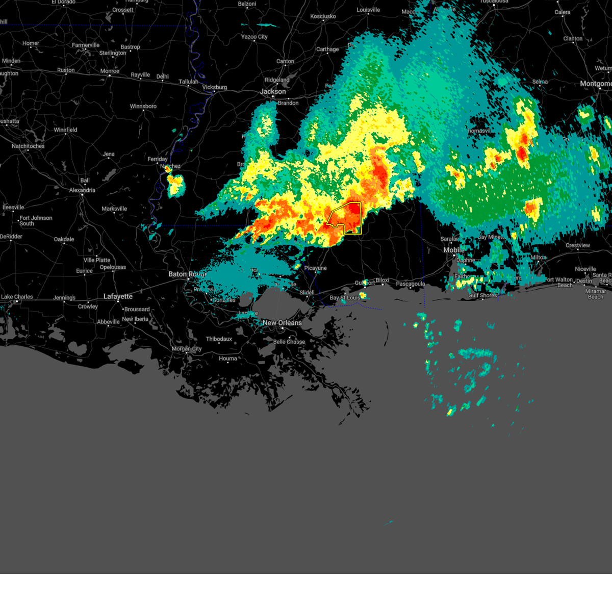 The storm which prompted the warning has moved out of the area. therefore, the warning will be allowed to expire. a severe thunderstorm watch remains in effect until 500 am cdt for southeastern mississippi. to report severe weather, contact your nearest law enforcement agency. they will relay your report to the national weather service jackson. The storm which prompted the warning has moved out of the area. therefore, the warning will be allowed to expire. a severe thunderstorm watch remains in effect until 500 am cdt for southeastern mississippi. to report severe weather, contact your nearest law enforcement agency. they will relay your report to the national weather service jackson.
|
| 5/10/2024 1:52 AM CDT |
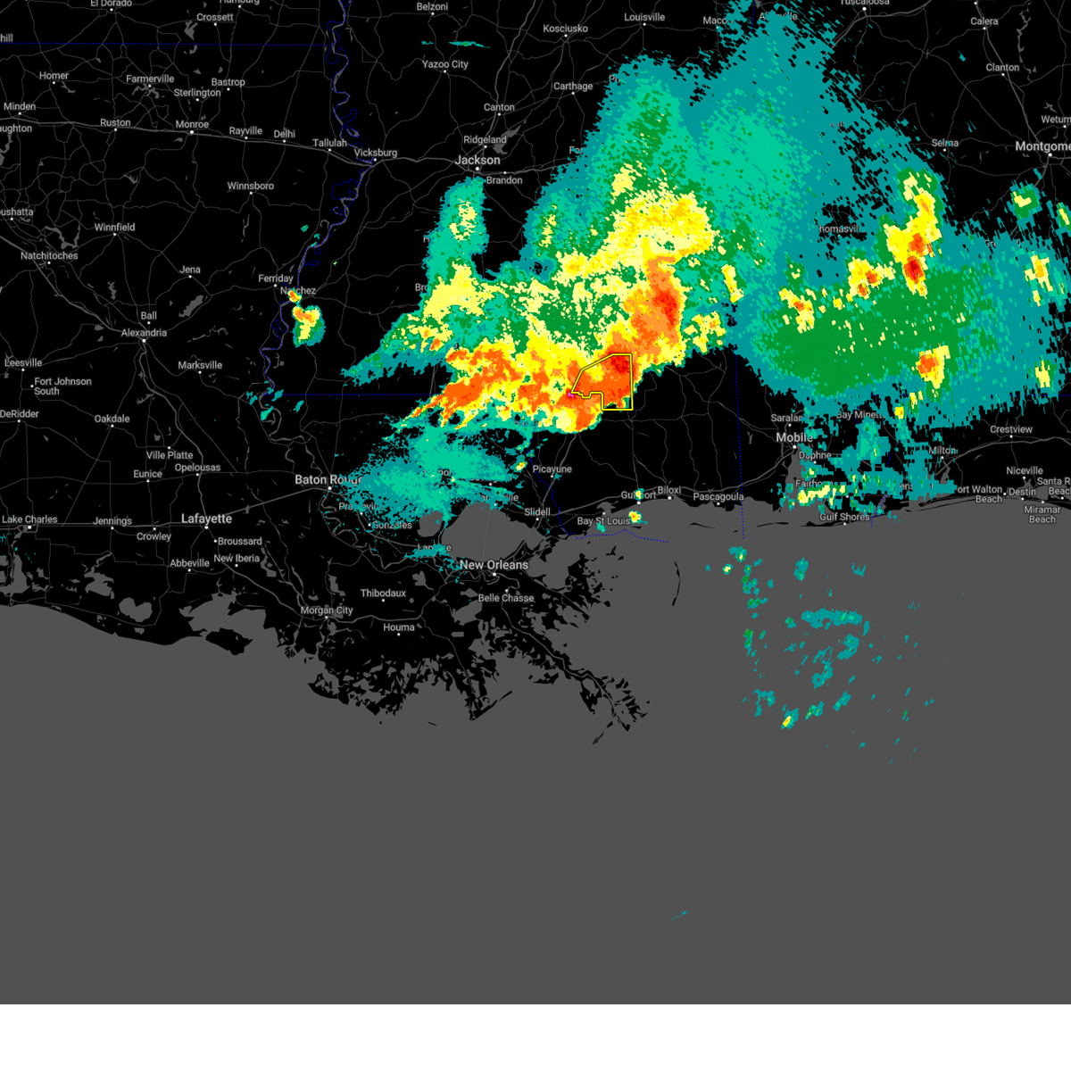 At 152 am cdt, a severe thunderstorm was located over mclaurin, or 11 miles east of purvis, moving east at 45 mph (broadcast media. at 145 am, quarter size hail was reported in purvis). Hazards include ping pong ball size hail and 60 mph wind gusts. People and animals outdoors will be injured. expect hail damage to roofs, siding, windows, and vehicles. expect wind damage to roofs, siding, and trees. Locations impacted include, purvis, lumberton, brooklyn, maxie, mclaurin, and rock hill. At 152 am cdt, a severe thunderstorm was located over mclaurin, or 11 miles east of purvis, moving east at 45 mph (broadcast media. at 145 am, quarter size hail was reported in purvis). Hazards include ping pong ball size hail and 60 mph wind gusts. People and animals outdoors will be injured. expect hail damage to roofs, siding, windows, and vehicles. expect wind damage to roofs, siding, and trees. Locations impacted include, purvis, lumberton, brooklyn, maxie, mclaurin, and rock hill.
|
| 5/10/2024 1:40 AM CDT |
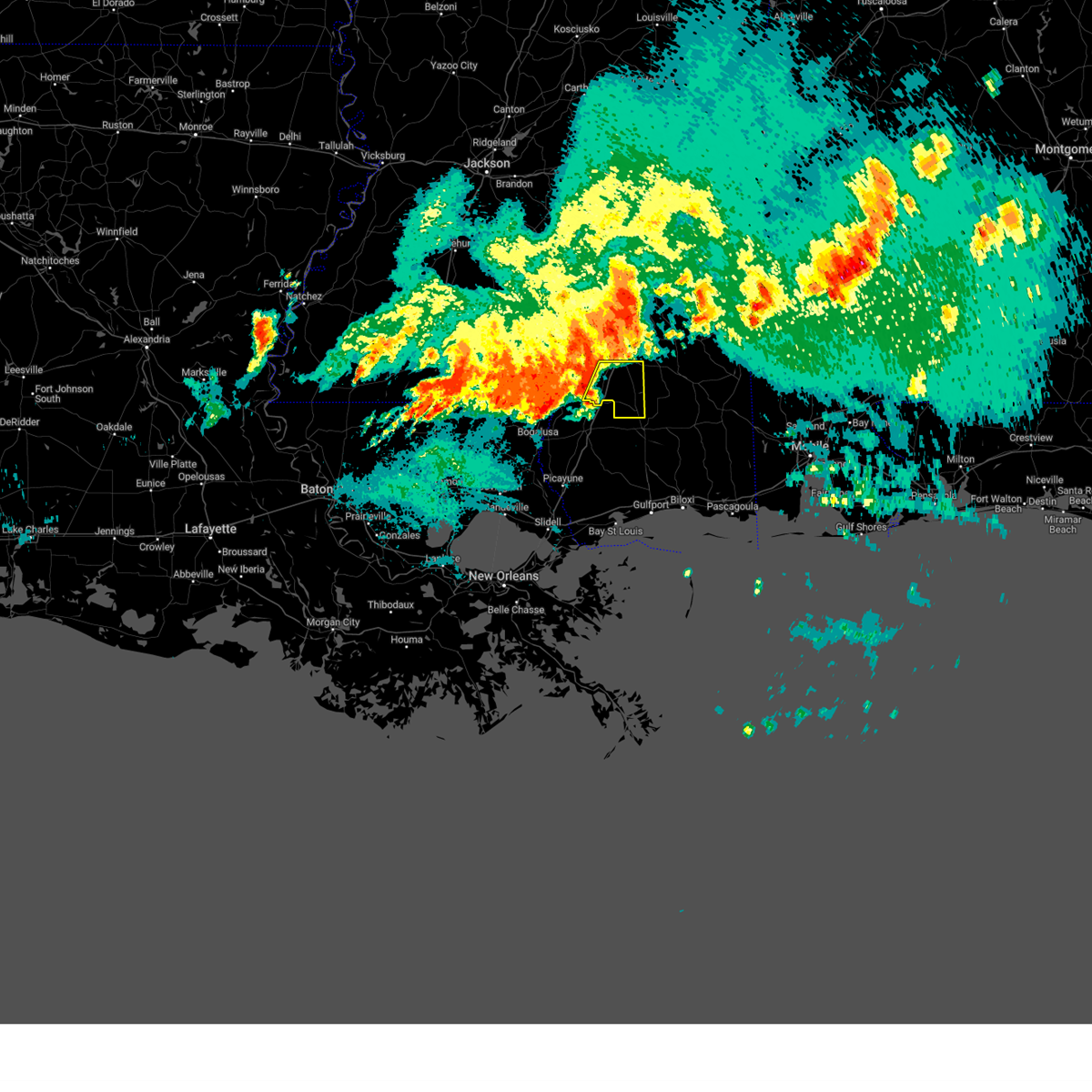 At 140 am cdt, a severe thunderstorm was located over purvis, moving east at 45 mph (radar indicated). Hazards include golf ball size hail and 60 mph wind gusts. People and animals outdoors will be injured. expect hail damage to roofs, siding, windows, and vehicles. expect wind damage to roofs, siding, and trees. Locations impacted include, purvis, lumberton, pine ridge, brooklyn, maxie, mclaurin, and rock hill. At 140 am cdt, a severe thunderstorm was located over purvis, moving east at 45 mph (radar indicated). Hazards include golf ball size hail and 60 mph wind gusts. People and animals outdoors will be injured. expect hail damage to roofs, siding, windows, and vehicles. expect wind damage to roofs, siding, and trees. Locations impacted include, purvis, lumberton, pine ridge, brooklyn, maxie, mclaurin, and rock hill.
|
| 5/10/2024 1:35 AM CDT |
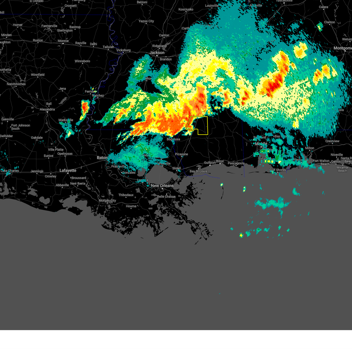 Svrjan the national weather service in jackson has issued a * severe thunderstorm warning for, southeastern forrest county in southeastern mississippi, southeastern lamar county in southeastern mississippi, * until 215 am cdt. * at 135 am cdt, a severe thunderstorm was located near purvis, moving east at 45 mph (radar indicated). Hazards include 60 mph wind gusts and half dollar size hail. Hail damage to vehicles is expected. Expect wind damage to roofs, siding, and trees. Svrjan the national weather service in jackson has issued a * severe thunderstorm warning for, southeastern forrest county in southeastern mississippi, southeastern lamar county in southeastern mississippi, * until 215 am cdt. * at 135 am cdt, a severe thunderstorm was located near purvis, moving east at 45 mph (radar indicated). Hazards include 60 mph wind gusts and half dollar size hail. Hail damage to vehicles is expected. Expect wind damage to roofs, siding, and trees.
|
| 5/10/2024 1:27 AM CDT |
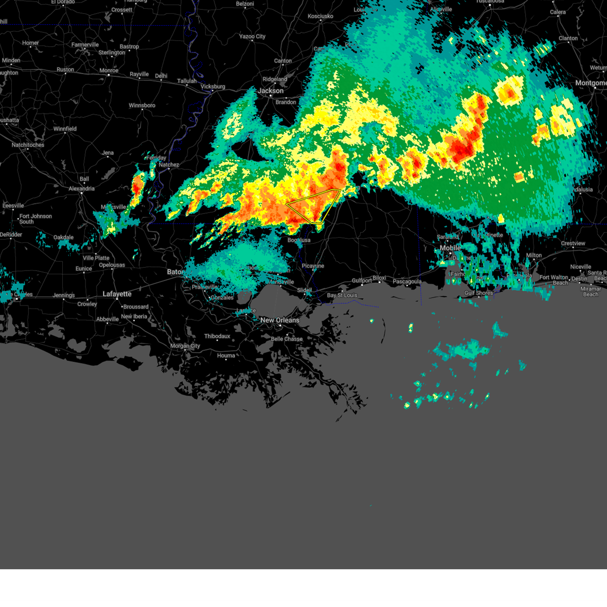 At 127 am cdt, a severe thunderstorm was located near baxterville, or 14 miles west of purvis, moving southeast at 45 mph (radar indicated). Hazards include 60 mph wind gusts and nickel size hail. Expect damage to roofs, siding, and trees. Locations impacted include, hattiesburg, columbia, west hattiesburg, oak grove, baxterville, pine ridge, pine burr, and pickwick. At 127 am cdt, a severe thunderstorm was located near baxterville, or 14 miles west of purvis, moving southeast at 45 mph (radar indicated). Hazards include 60 mph wind gusts and nickel size hail. Expect damage to roofs, siding, and trees. Locations impacted include, hattiesburg, columbia, west hattiesburg, oak grove, baxterville, pine ridge, pine burr, and pickwick.
|
| 5/10/2024 12:46 AM CDT |
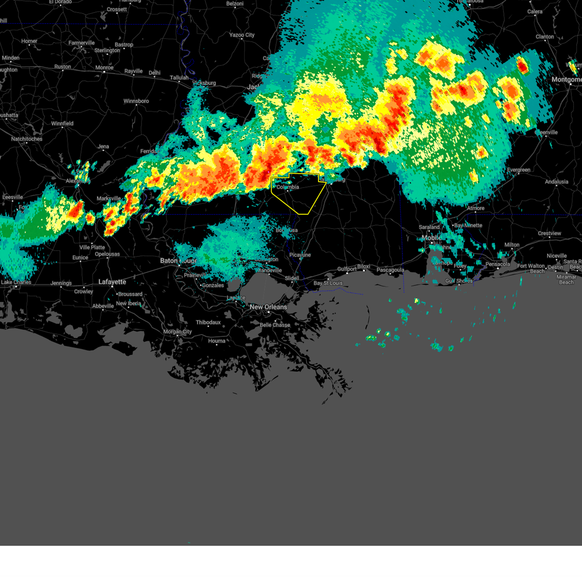 Svrjan the national weather service in jackson has issued a * severe thunderstorm warning for, marion county in south central mississippi, lamar county in southeastern mississippi, * until 145 am cdt. * at 1246 am cdt, a severe thunderstorm was located near tilton, or 13 miles south of monticello, moving east at 45 mph (radar indicated). Hazards include 60 mph wind gusts and quarter size hail. Hail damage to vehicles is expected. Expect wind damage to roofs, siding, and trees. Svrjan the national weather service in jackson has issued a * severe thunderstorm warning for, marion county in south central mississippi, lamar county in southeastern mississippi, * until 145 am cdt. * at 1246 am cdt, a severe thunderstorm was located near tilton, or 13 miles south of monticello, moving east at 45 mph (radar indicated). Hazards include 60 mph wind gusts and quarter size hail. Hail damage to vehicles is expected. Expect wind damage to roofs, siding, and trees.
|
| 4/10/2024 10:44 AM CDT |
 At 1043 am cdt, severe thunderstorms were located along a line extending from near soso to ellisville to near mclaurin, moving east at 50 mph (radar indicated). Hazards include 60 mph wind gusts. Expect damage to roofs, siding, and trees. These severe storms will be near, laurel around 1050 am cdt. At 1043 am cdt, severe thunderstorms were located along a line extending from near soso to ellisville to near mclaurin, moving east at 50 mph (radar indicated). Hazards include 60 mph wind gusts. Expect damage to roofs, siding, and trees. These severe storms will be near, laurel around 1050 am cdt.
|
| 4/10/2024 10:44 AM CDT |
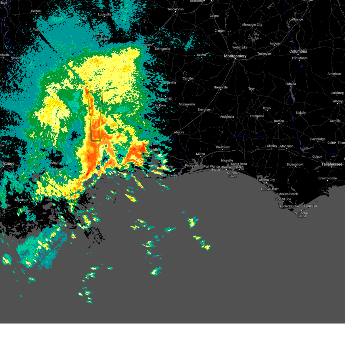 the severe thunderstorm warning has been cancelled and is no longer in effect the severe thunderstorm warning has been cancelled and is no longer in effect
|
| 4/10/2024 10:28 AM CDT |
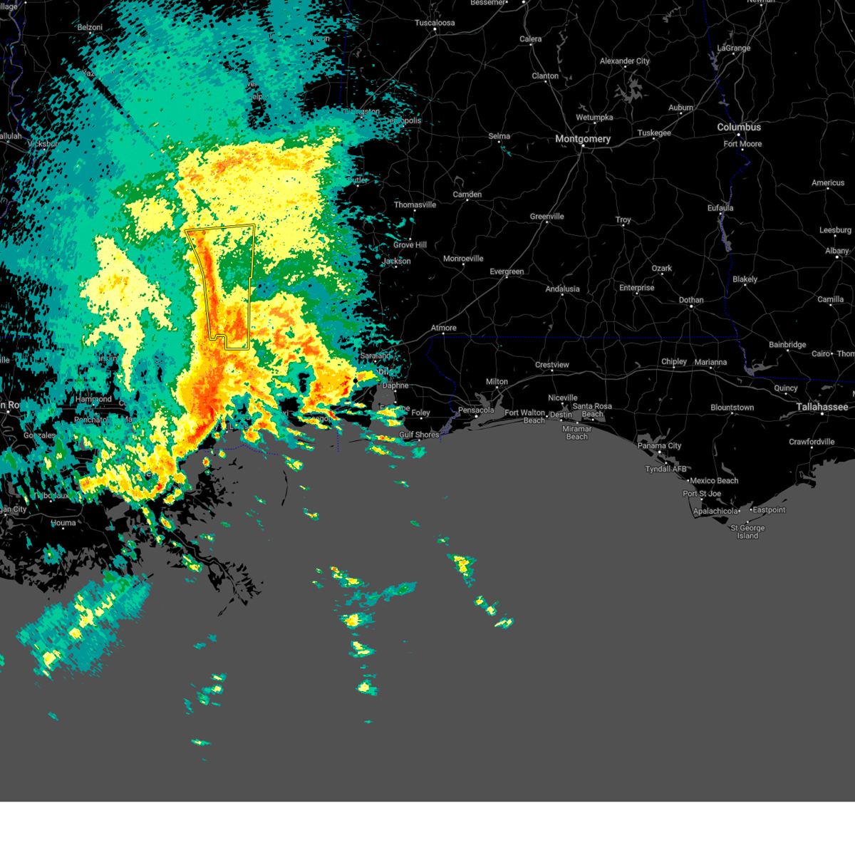 At 1028 am cdt, severe thunderstorms were located along a line extending from 6 miles east of mount olive to near seminary to near pine ridge, moving northeast at 45 mph (radar indicated). Hazards include 60 mph wind gusts. Expect damage to roofs, siding, and trees. these severe storms will be near, hattiesburg, petal, rawls springs, moselle, eastabuchie, hebron, and sunrise around 1035 am cdt. Laurel, ellisville, soso, and macedonia around 1040 am cdt. At 1028 am cdt, severe thunderstorms were located along a line extending from 6 miles east of mount olive to near seminary to near pine ridge, moving northeast at 45 mph (radar indicated). Hazards include 60 mph wind gusts. Expect damage to roofs, siding, and trees. these severe storms will be near, hattiesburg, petal, rawls springs, moselle, eastabuchie, hebron, and sunrise around 1035 am cdt. Laurel, ellisville, soso, and macedonia around 1040 am cdt.
|
| 4/10/2024 10:17 AM CDT |
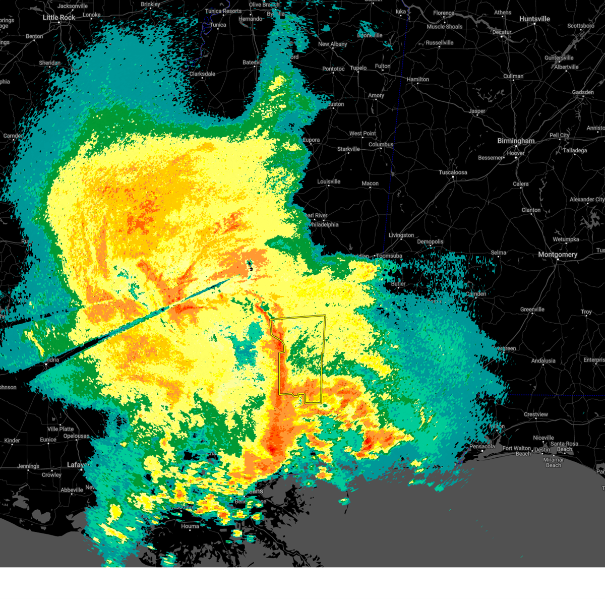 At 1017 am cdt, severe thunderstorms were located along a line extending from near lone star to near melba to 6 miles northeast of baxterville, moving east at 40 mph (radar indicated). Hazards include 60 mph wind gusts. Expect damage to roofs, siding, and trees. these severe storms will be near, hattiesburg, west hattiesburg, collins, purvis, oak grove, rawls springs, seminary, pine ridge, and sanford around 1025 am cdt. petal, moselle, eastabuchie, and hebron around 1035 am cdt. laurel and sunrise around 1040 am cdt. Ellisville, soso, and macedonia around 1045 am cdt. At 1017 am cdt, severe thunderstorms were located along a line extending from near lone star to near melba to 6 miles northeast of baxterville, moving east at 40 mph (radar indicated). Hazards include 60 mph wind gusts. Expect damage to roofs, siding, and trees. these severe storms will be near, hattiesburg, west hattiesburg, collins, purvis, oak grove, rawls springs, seminary, pine ridge, and sanford around 1025 am cdt. petal, moselle, eastabuchie, and hebron around 1035 am cdt. laurel and sunrise around 1040 am cdt. Ellisville, soso, and macedonia around 1045 am cdt.
|
| 4/10/2024 9:56 AM CDT |
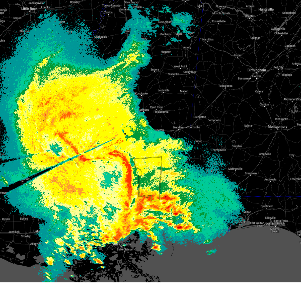 Svrjan the national weather service in jackson has issued a * severe thunderstorm warning for, forrest county in southeastern mississippi, covington county in southeastern mississippi, lamar county in southeastern mississippi, jones county in southeastern mississippi, * until 1100 am cdt. * at 956 am cdt, severe thunderstorms were located along a line extending from near clem to near pickwick, moving northeast at 55 mph (radar indicated). Hazards include 60 mph wind gusts. Expect damage to roofs, siding, and trees. severe thunderstorms will be near, lone star around 1000 am cdt. mount olive around 1005 am cdt. hattiesburg, collins, and sumrall around 1010 am cdt. oak grove and seminary around 1015 am cdt. west hattiesburg, rawls springs, and sanford around 1020 am cdt. eastabuchie and hebron around 1025 am cdt. petal, soso, and moselle around 1030 am cdt. Laurel, ellisville, sunrise, and macedonia around 1035 am cdt. Svrjan the national weather service in jackson has issued a * severe thunderstorm warning for, forrest county in southeastern mississippi, covington county in southeastern mississippi, lamar county in southeastern mississippi, jones county in southeastern mississippi, * until 1100 am cdt. * at 956 am cdt, severe thunderstorms were located along a line extending from near clem to near pickwick, moving northeast at 55 mph (radar indicated). Hazards include 60 mph wind gusts. Expect damage to roofs, siding, and trees. severe thunderstorms will be near, lone star around 1000 am cdt. mount olive around 1005 am cdt. hattiesburg, collins, and sumrall around 1010 am cdt. oak grove and seminary around 1015 am cdt. west hattiesburg, rawls springs, and sanford around 1020 am cdt. eastabuchie and hebron around 1025 am cdt. petal, soso, and moselle around 1030 am cdt. Laurel, ellisville, sunrise, and macedonia around 1035 am cdt.
|
| 3/8/2024 5:00 PM CST |
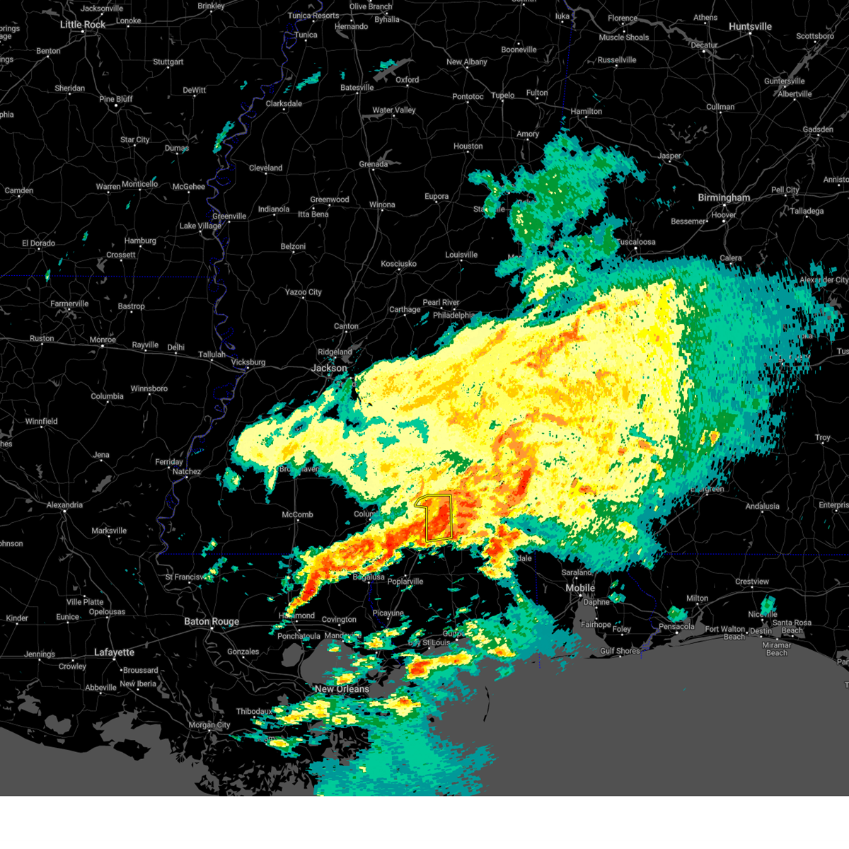 the severe thunderstorm warning has been cancelled and is no longer in effect the severe thunderstorm warning has been cancelled and is no longer in effect
|
| 3/8/2024 4:49 PM CST |
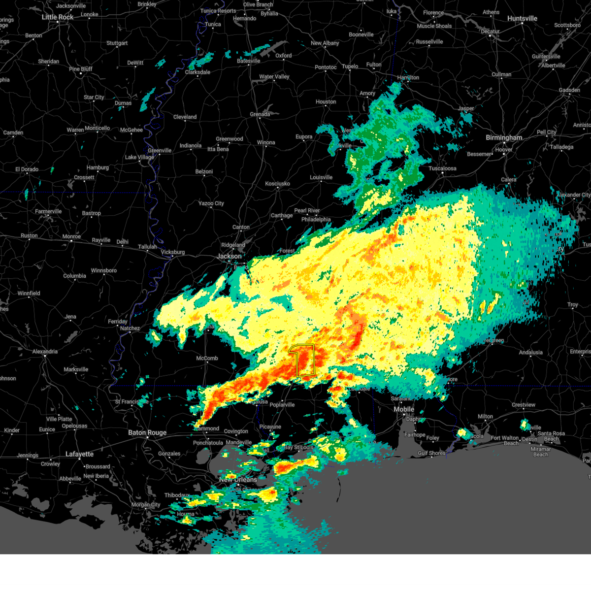 the severe thunderstorm warning has been cancelled and is no longer in effect the severe thunderstorm warning has been cancelled and is no longer in effect
|
| 3/8/2024 4:49 PM CST |
 At 449 pm cst, a severe thunderstorm was located over sunrise, or near petal, moving east at 60 mph (radar indicated). Hazards include 60 mph wind gusts and penny size hail. Expect damage to roofs, siding, and trees. This severe storm will be near, macedonia around 455 pm cst. At 449 pm cst, a severe thunderstorm was located over sunrise, or near petal, moving east at 60 mph (radar indicated). Hazards include 60 mph wind gusts and penny size hail. Expect damage to roofs, siding, and trees. This severe storm will be near, macedonia around 455 pm cst.
|
| 3/8/2024 4:46 PM CST |
 the severe thunderstorm warning has been cancelled and is no longer in effect the severe thunderstorm warning has been cancelled and is no longer in effect
|
| 3/8/2024 4:44 PM CST |
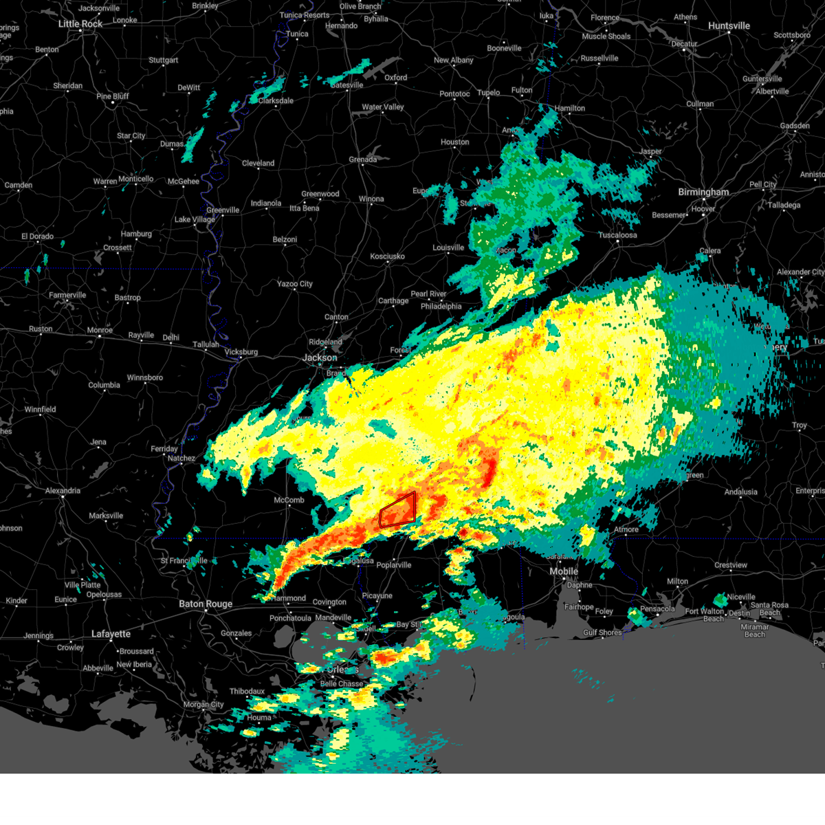 the tornado warning has been cancelled and is no longer in effect the tornado warning has been cancelled and is no longer in effect
|
| 3/8/2024 4:34 PM CST |
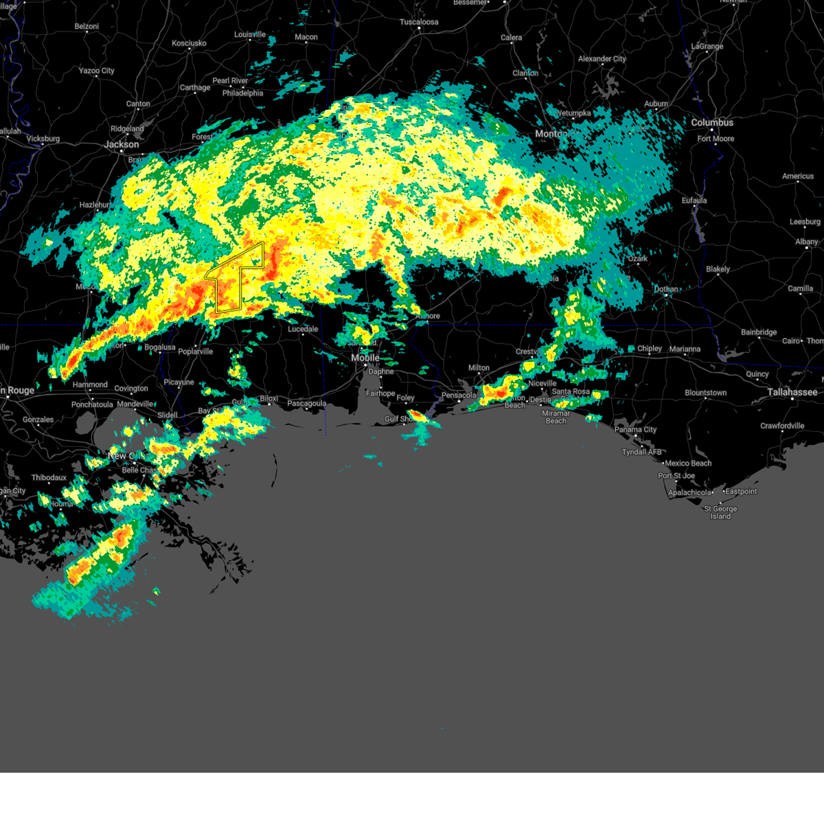 Svrjan the national weather service in jackson has issued a * severe thunderstorm warning for, forrest county in southeastern mississippi, southeastern jones county in southeastern mississippi, * until 515 pm cst. * at 434 pm cst, a severe thunderstorm was located over pine ridge, or near purvis, moving east at 55 mph (radar indicated). Hazards include 60 mph wind gusts and penny size hail. Expect damage to roofs, siding, and trees. this severe thunderstorm will be near, hattiesburg, petal, and sunrise around 440 pm cst. mclaurin and macedonia around 445 pm cst. Other locations impacted by this severe thunderstorm include corinth. Svrjan the national weather service in jackson has issued a * severe thunderstorm warning for, forrest county in southeastern mississippi, southeastern jones county in southeastern mississippi, * until 515 pm cst. * at 434 pm cst, a severe thunderstorm was located over pine ridge, or near purvis, moving east at 55 mph (radar indicated). Hazards include 60 mph wind gusts and penny size hail. Expect damage to roofs, siding, and trees. this severe thunderstorm will be near, hattiesburg, petal, and sunrise around 440 pm cst. mclaurin and macedonia around 445 pm cst. Other locations impacted by this severe thunderstorm include corinth.
|
| 3/8/2024 4:23 PM CST |
 At 423 pm cst, a severe thunderstorm was located near pine ridge, or 9 miles northwest of purvis, moving northeast at 45 mph (radar indicated). Hazards include 60 mph wind gusts and penny size hail. Expect damage to roofs, siding, and trees. This severe storm will be near, hattiesburg, west hattiesburg, oak grove, and pine ridge around 430 pm cst. At 423 pm cst, a severe thunderstorm was located near pine ridge, or 9 miles northwest of purvis, moving northeast at 45 mph (radar indicated). Hazards include 60 mph wind gusts and penny size hail. Expect damage to roofs, siding, and trees. This severe storm will be near, hattiesburg, west hattiesburg, oak grove, and pine ridge around 430 pm cst.
|
| 3/8/2024 4:23 PM CST |
 the severe thunderstorm warning has been cancelled and is no longer in effect the severe thunderstorm warning has been cancelled and is no longer in effect
|
| 3/8/2024 4:22 PM CST |
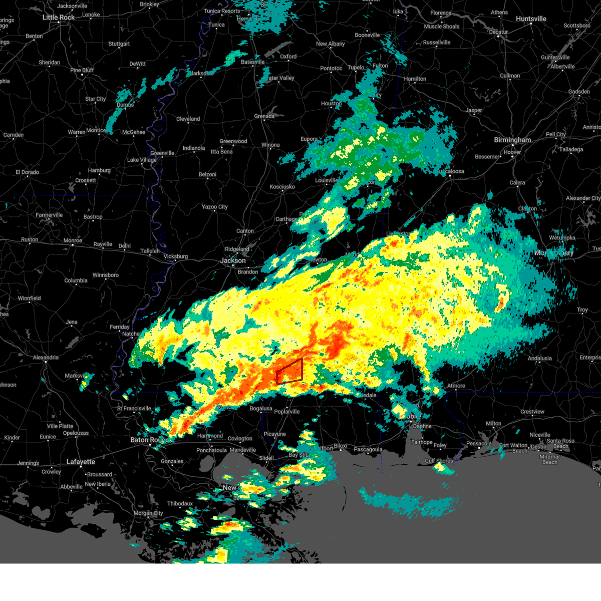 At 422 pm cst, a severe thunderstorm capable of producing a tornado was located near baxterville, or 10 miles west of purvis, moving east at 40 mph (radar indicated rotation). Hazards include tornado. Flying debris will be dangerous to those caught without shelter. mobile homes will be damaged or destroyed. damage to roofs, windows, and vehicles will occur. tree damage is likely. this dangerous storm will be near, purvis and pine ridge around 425 pm cst. hattiesburg around 430 pm cst. oak grove around 435 pm cst. West hattiesburg around 440 pm cst. At 422 pm cst, a severe thunderstorm capable of producing a tornado was located near baxterville, or 10 miles west of purvis, moving east at 40 mph (radar indicated rotation). Hazards include tornado. Flying debris will be dangerous to those caught without shelter. mobile homes will be damaged or destroyed. damage to roofs, windows, and vehicles will occur. tree damage is likely. this dangerous storm will be near, purvis and pine ridge around 425 pm cst. hattiesburg around 430 pm cst. oak grove around 435 pm cst. West hattiesburg around 440 pm cst.
|
| 3/8/2024 4:22 PM CST |
 the tornado warning has been cancelled and is no longer in effect the tornado warning has been cancelled and is no longer in effect
|
| 3/8/2024 4:09 PM CST |
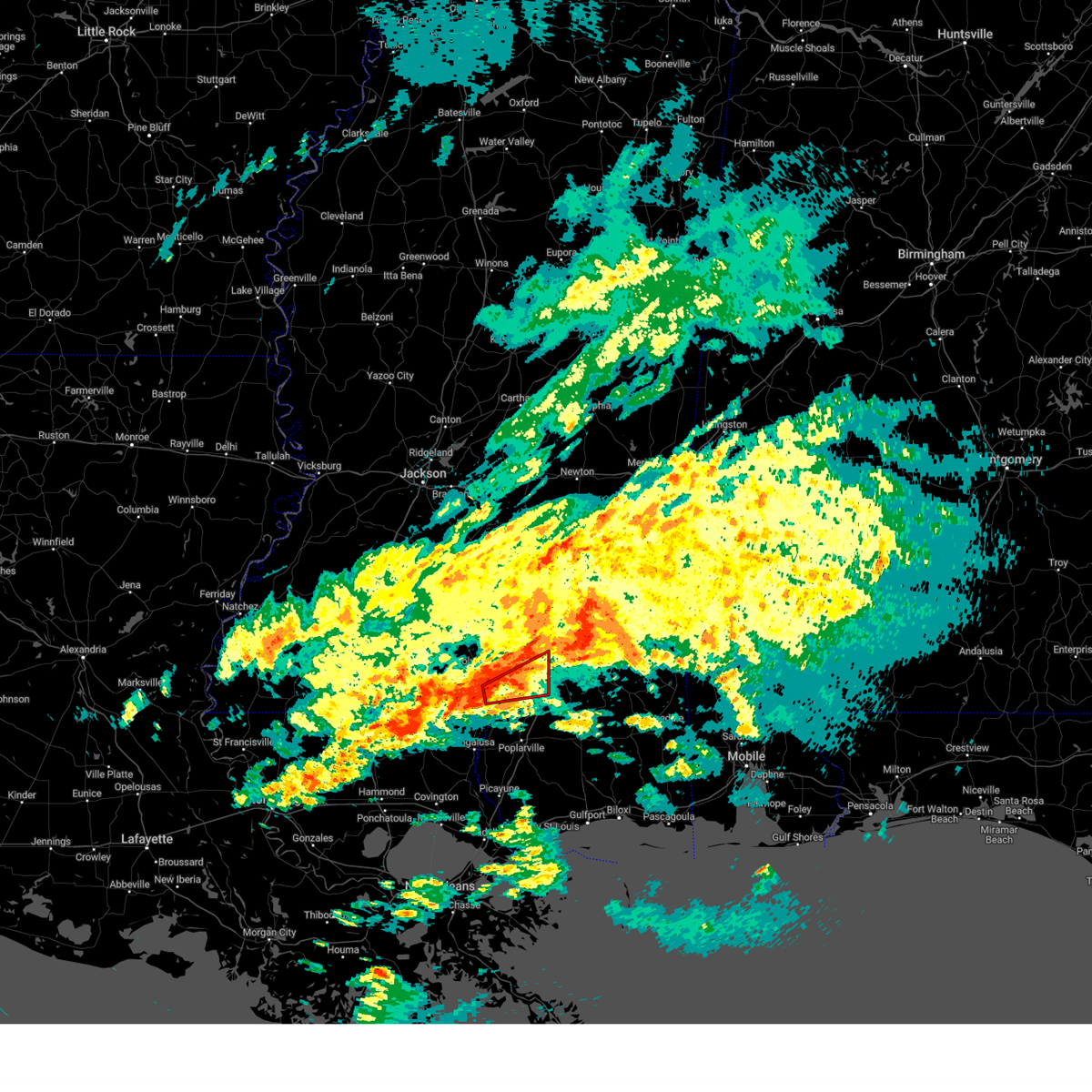 Torjan the national weather service in jackson has issued a * tornado warning for, southeastern marion county in south central mississippi, central lamar county in southeastern mississippi, * until 515 pm cst. * at 409 pm cst, a severe thunderstorm capable of producing a tornado was located over pine burr, or 11 miles southeast of columbia, moving east at 40 mph (radar indicated rotation). Hazards include tornado. Flying debris will be dangerous to those caught without shelter. mobile homes will be damaged or destroyed. damage to roofs, windows, and vehicles will occur. tree damage is likely. this dangerous storm will be near, baxterville and pine burr around 415 pm cst. purvis and pine ridge around 425 pm cst. hattiesburg around 430 pm cst. oak grove around 435 pm cst. West hattiesburg around 445 pm cst. Torjan the national weather service in jackson has issued a * tornado warning for, southeastern marion county in south central mississippi, central lamar county in southeastern mississippi, * until 515 pm cst. * at 409 pm cst, a severe thunderstorm capable of producing a tornado was located over pine burr, or 11 miles southeast of columbia, moving east at 40 mph (radar indicated rotation). Hazards include tornado. Flying debris will be dangerous to those caught without shelter. mobile homes will be damaged or destroyed. damage to roofs, windows, and vehicles will occur. tree damage is likely. this dangerous storm will be near, baxterville and pine burr around 415 pm cst. purvis and pine ridge around 425 pm cst. hattiesburg around 430 pm cst. oak grove around 435 pm cst. West hattiesburg around 445 pm cst.
|
| 3/8/2024 4:01 PM CST |
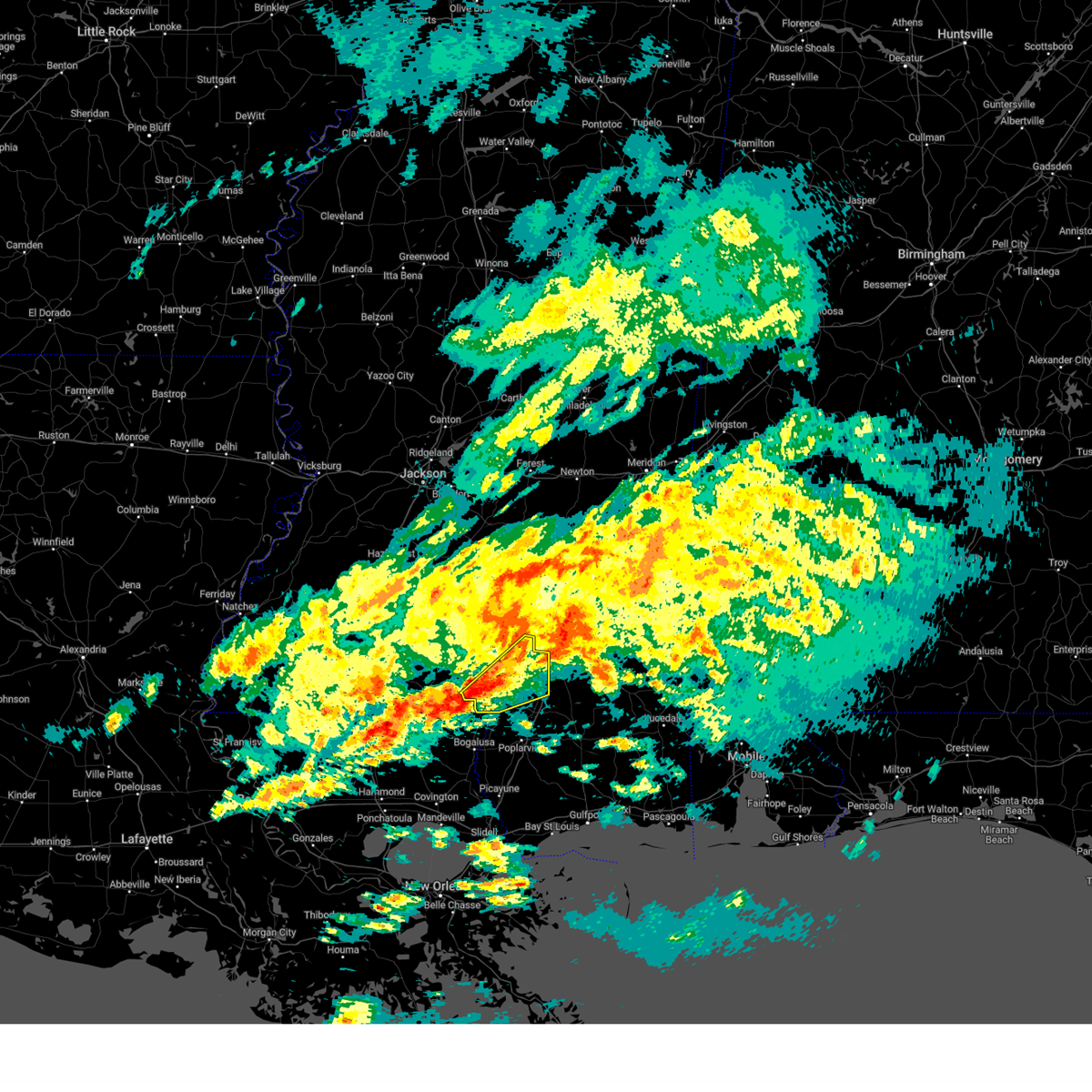 Svrjan the national weather service in jackson has issued a * severe thunderstorm warning for, southeastern marion county in south central mississippi, lamar county in southeastern mississippi, * until 500 pm cst. * at 401 pm cst, a severe thunderstorm was located near sandy hook, or 11 miles south of columbia, moving northeast at 45 mph (radar indicated). Hazards include 60 mph wind gusts and penny size hail. Expect damage to roofs, siding, and trees. this severe thunderstorm will be near, pine burr around 405 pm cst. baxterville around 410 pm cst. pine ridge around 420 pm cst. hattiesburg and oak grove around 425 pm cst. West hattiesburg around 430 pm cst. Svrjan the national weather service in jackson has issued a * severe thunderstorm warning for, southeastern marion county in south central mississippi, lamar county in southeastern mississippi, * until 500 pm cst. * at 401 pm cst, a severe thunderstorm was located near sandy hook, or 11 miles south of columbia, moving northeast at 45 mph (radar indicated). Hazards include 60 mph wind gusts and penny size hail. Expect damage to roofs, siding, and trees. this severe thunderstorm will be near, pine burr around 405 pm cst. baxterville around 410 pm cst. pine ridge around 420 pm cst. hattiesburg and oak grove around 425 pm cst. West hattiesburg around 430 pm cst.
|
| 2/12/2024 2:45 AM CST |
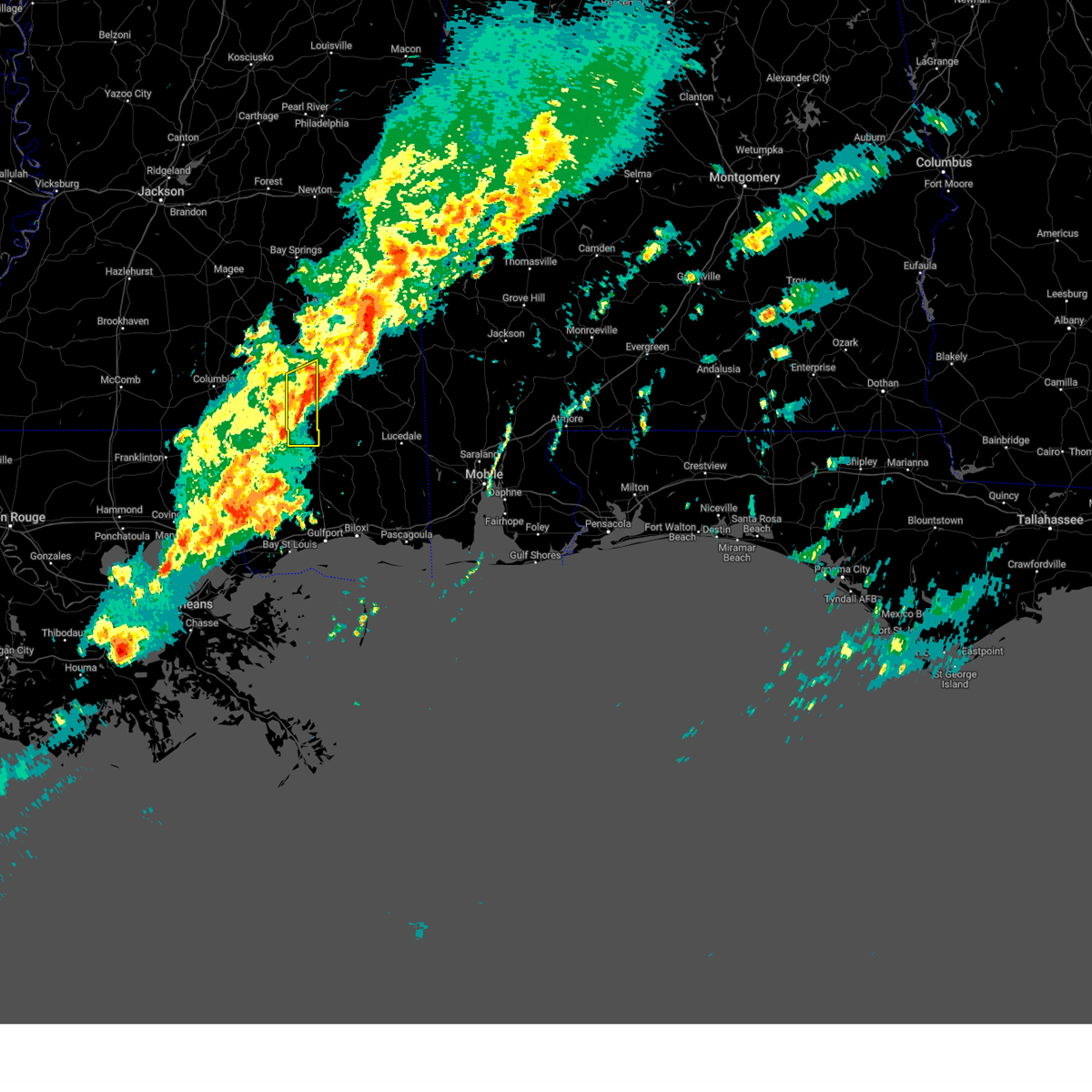 At 245 am cst, a severe thunderstorm was located near mclaurin, or 11 miles southeast of petal, moving northeast at 30 mph (radar indicated). Hazards include 60 mph wind gusts. Expect damage to roofs, siding, and trees. this severe thunderstorm will remain over mainly rural areas of forrest county. hail threat, radar indicated max hail size, <. 75 in wind threat, radar indicated max wind gust, 60 mph. At 245 am cst, a severe thunderstorm was located near mclaurin, or 11 miles southeast of petal, moving northeast at 30 mph (radar indicated). Hazards include 60 mph wind gusts. Expect damage to roofs, siding, and trees. this severe thunderstorm will remain over mainly rural areas of forrest county. hail threat, radar indicated max hail size, <. 75 in wind threat, radar indicated max wind gust, 60 mph.
|
| 2/12/2024 2:40 AM CST |
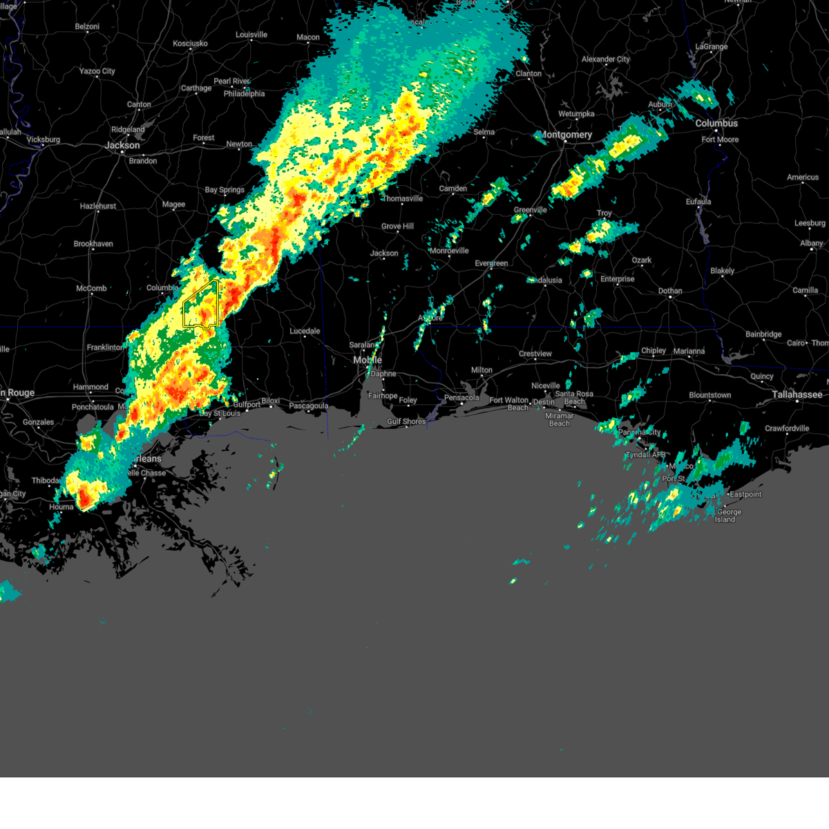 The severe thunderstorm warning for lamar county will expire at 245 am cst, the storm which prompted the warning has moved out of the area. therefore, the warning will be allowed to expire. The severe thunderstorm warning for lamar county will expire at 245 am cst, the storm which prompted the warning has moved out of the area. therefore, the warning will be allowed to expire.
|
| 2/12/2024 2:09 AM CST |
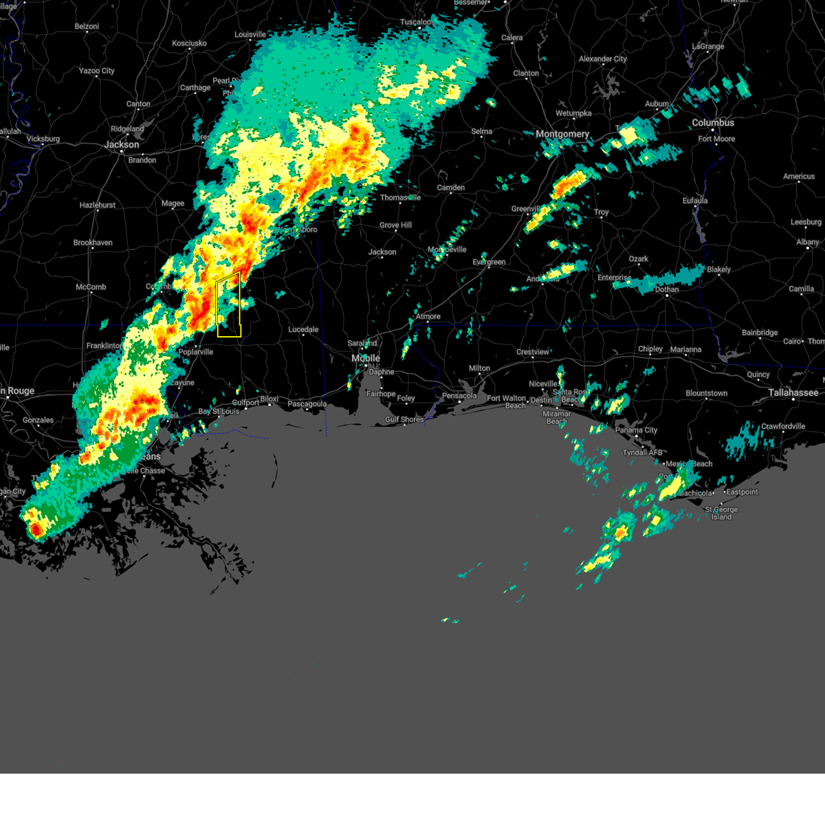 At 209 am cst, a severe thunderstorm was located over purvis, moving northeast at 55 mph (radar indicated). Hazards include 60 mph wind gusts and quarter size hail. Hail damage to vehicles is expected. expect wind damage to roofs, siding, and trees. this severe thunderstorm will be near, hattiesburg, mclaurin, and rock hill around 215 am cst. sunrise around 220 am cst. hail threat, radar indicated max hail size, 1. 00 in wind threat, radar indicated max wind gust, 60 mph. At 209 am cst, a severe thunderstorm was located over purvis, moving northeast at 55 mph (radar indicated). Hazards include 60 mph wind gusts and quarter size hail. Hail damage to vehicles is expected. expect wind damage to roofs, siding, and trees. this severe thunderstorm will be near, hattiesburg, mclaurin, and rock hill around 215 am cst. sunrise around 220 am cst. hail threat, radar indicated max hail size, 1. 00 in wind threat, radar indicated max wind gust, 60 mph.
|
| 2/12/2024 2:06 AM CST |
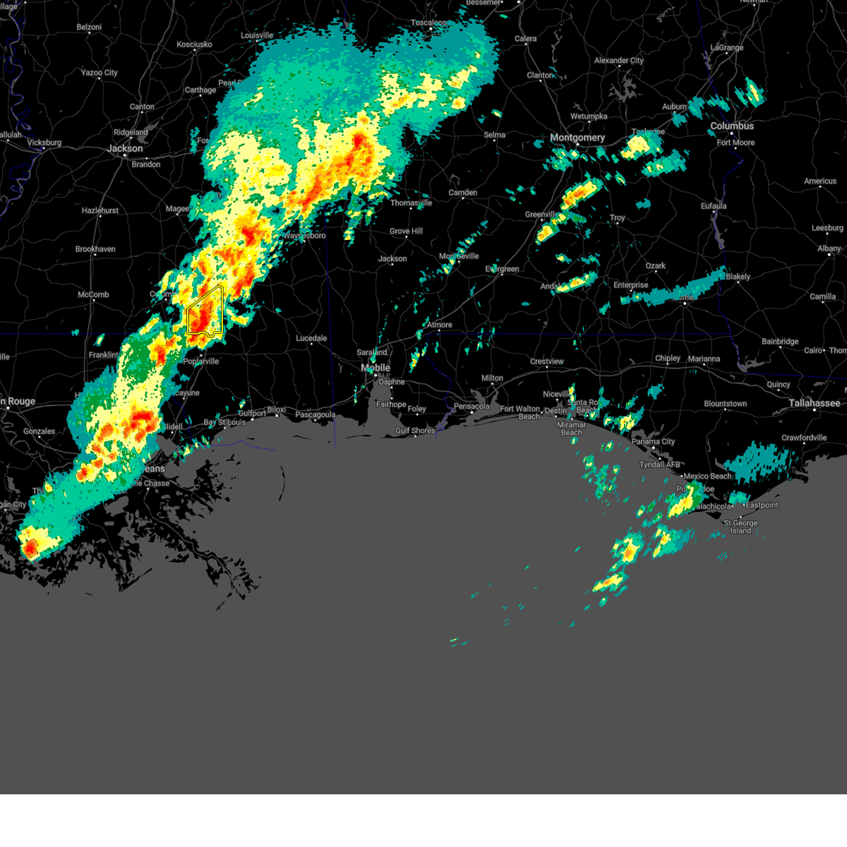 At 205 am cst, a severe thunderstorm was located over purvis, moving northeast at 55 mph (radar indicated). Hazards include 60 mph wind gusts and quarter size hail. Hail damage to vehicles is expected. expect wind damage to roofs, siding, and trees. this severe storm will be near, hattiesburg, purvis, and pine ridge around 210 am cst. hail threat, radar indicated max hail size, 1. 00 in wind threat, radar indicated max wind gust, 60 mph. At 205 am cst, a severe thunderstorm was located over purvis, moving northeast at 55 mph (radar indicated). Hazards include 60 mph wind gusts and quarter size hail. Hail damage to vehicles is expected. expect wind damage to roofs, siding, and trees. this severe storm will be near, hattiesburg, purvis, and pine ridge around 210 am cst. hail threat, radar indicated max hail size, 1. 00 in wind threat, radar indicated max wind gust, 60 mph.
|
| 2/12/2024 1:40 AM CST |
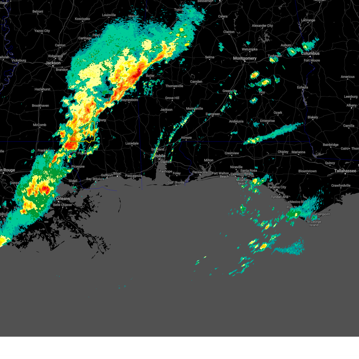 At 140 am cst, a severe thunderstorm was located near sandy hook, or 13 miles north of bogalusa, moving northeast at 55 mph (radar indicated). Hazards include 60 mph wind gusts and quarter size hail. Hail damage to vehicles is expected. expect wind damage to roofs, siding, and trees. this severe thunderstorm will be near, pine burr and sandy hook around 145 am cst. baxterville around 150 am cst. pine ridge around 200 am cst. hattiesburg and purvis around 205 am cst. west hattiesburg and oak grove around 210 am cst. hail threat, radar indicated max hail size, 1. 00 in wind threat, radar indicated max wind gust, 60 mph. At 140 am cst, a severe thunderstorm was located near sandy hook, or 13 miles north of bogalusa, moving northeast at 55 mph (radar indicated). Hazards include 60 mph wind gusts and quarter size hail. Hail damage to vehicles is expected. expect wind damage to roofs, siding, and trees. this severe thunderstorm will be near, pine burr and sandy hook around 145 am cst. baxterville around 150 am cst. pine ridge around 200 am cst. hattiesburg and purvis around 205 am cst. west hattiesburg and oak grove around 210 am cst. hail threat, radar indicated max hail size, 1. 00 in wind threat, radar indicated max wind gust, 60 mph.
|
| 2/11/2024 11:06 PM CST |
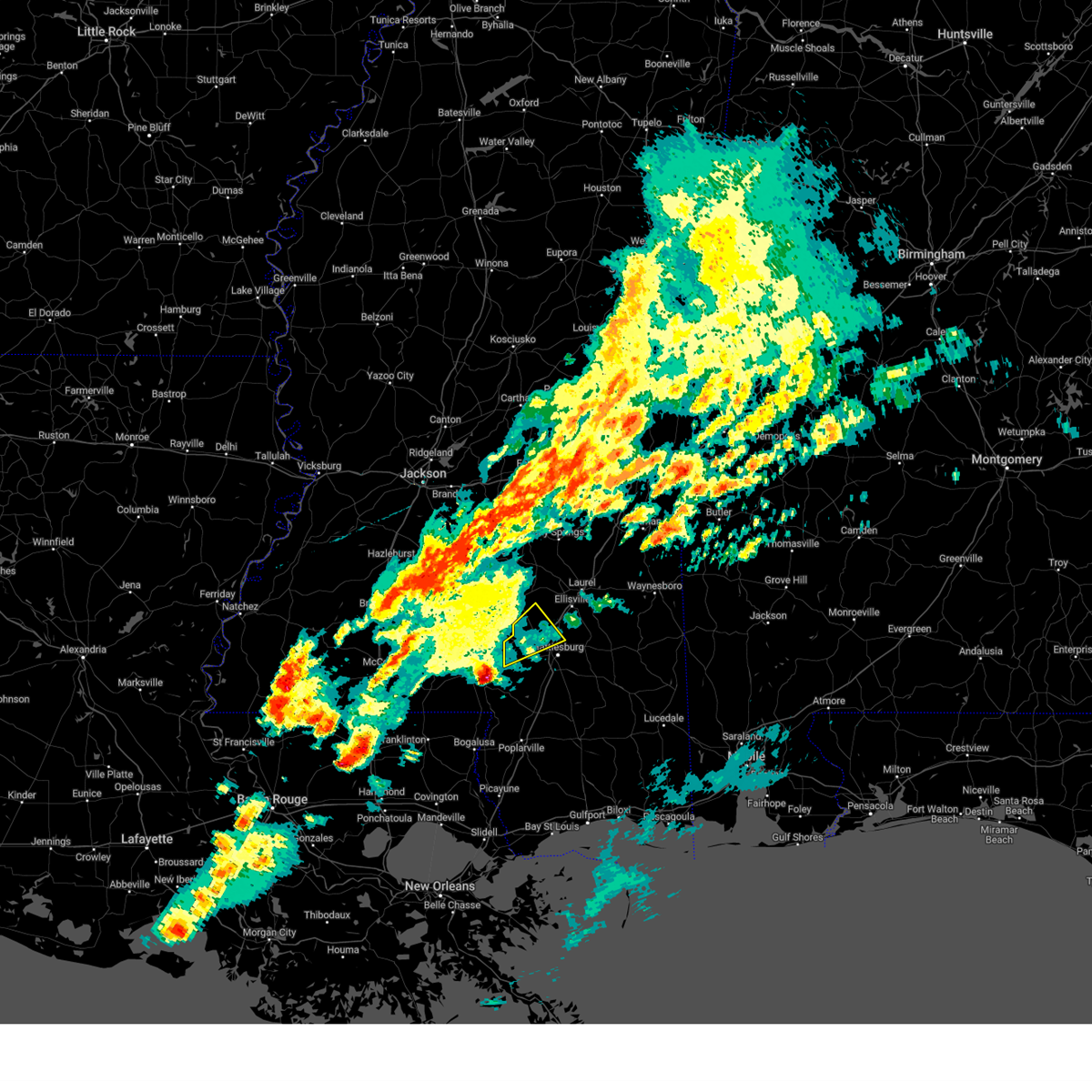 At 1106 pm cst, a severe thunderstorm was located near improve, or 12 miles west of west hattiesburg, moving northeast at 65 mph (radar indicated). Hazards include 60 mph wind gusts and quarter size hail. Hail damage to vehicles is expected. expect wind damage to roofs, siding, and trees. this severe storm will be near, hattiesburg, sumrall, rawls springs, and sanford around 1110 pm cst. seminary and eastabuchie around 1120 pm cst. hail threat, radar indicated max hail size, 1. 00 in wind threat, radar indicated max wind gust, 60 mph. At 1106 pm cst, a severe thunderstorm was located near improve, or 12 miles west of west hattiesburg, moving northeast at 65 mph (radar indicated). Hazards include 60 mph wind gusts and quarter size hail. Hail damage to vehicles is expected. expect wind damage to roofs, siding, and trees. this severe storm will be near, hattiesburg, sumrall, rawls springs, and sanford around 1110 pm cst. seminary and eastabuchie around 1120 pm cst. hail threat, radar indicated max hail size, 1. 00 in wind threat, radar indicated max wind gust, 60 mph.
|
| 2/11/2024 10:42 PM CST |
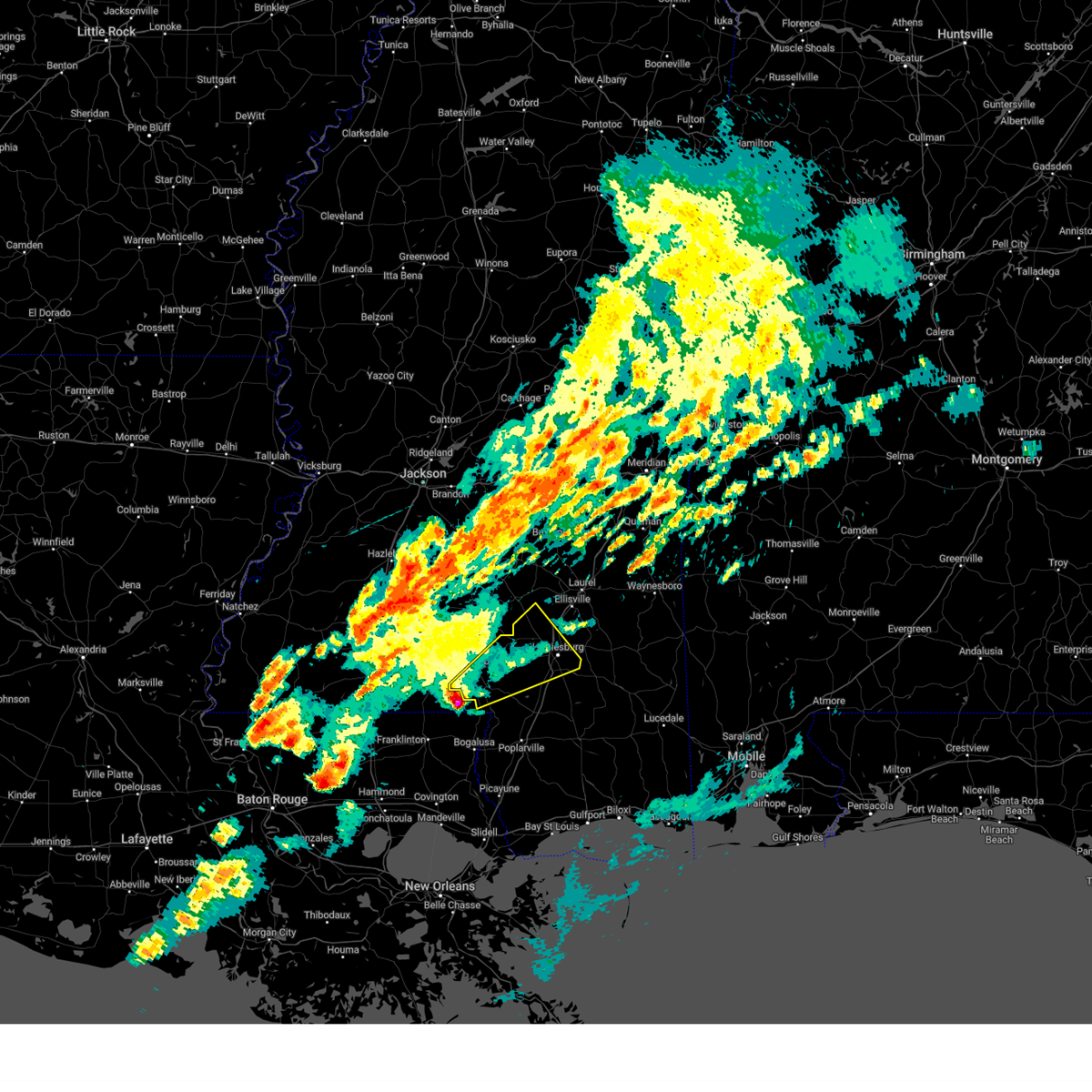 At 1042 pm cst, a severe thunderstorm was located near dexter, or 13 miles southwest of columbia, moving northeast at 60 mph (radar indicated). Hazards include golf ball size hail and 60 mph wind gusts. People and animals outdoors will be injured. expect hail damage to roofs, siding, windows, and vehicles. expect wind damage to roofs, siding, and trees. this severe thunderstorm will be near, columbia, pickwick, and pine burr around 1050 pm cst. improve around 1100 pm cst. hattiesburg around 1105 pm cst. oak grove and sumrall around 1110 pm cst. west hattiesburg, rawls springs, and sanford around 1115 pm cst. eastabuchie around 1120 pm cst. thunderstorm damage threat, considerable hail threat, radar indicated max hail size, 1. 75 in wind threat, radar indicated max wind gust, 60 mph. At 1042 pm cst, a severe thunderstorm was located near dexter, or 13 miles southwest of columbia, moving northeast at 60 mph (radar indicated). Hazards include golf ball size hail and 60 mph wind gusts. People and animals outdoors will be injured. expect hail damage to roofs, siding, windows, and vehicles. expect wind damage to roofs, siding, and trees. this severe thunderstorm will be near, columbia, pickwick, and pine burr around 1050 pm cst. improve around 1100 pm cst. hattiesburg around 1105 pm cst. oak grove and sumrall around 1110 pm cst. west hattiesburg, rawls springs, and sanford around 1115 pm cst. eastabuchie around 1120 pm cst. thunderstorm damage threat, considerable hail threat, radar indicated max hail size, 1. 75 in wind threat, radar indicated max wind gust, 60 mph.
|
| 1/25/2024 10:54 AM CST |
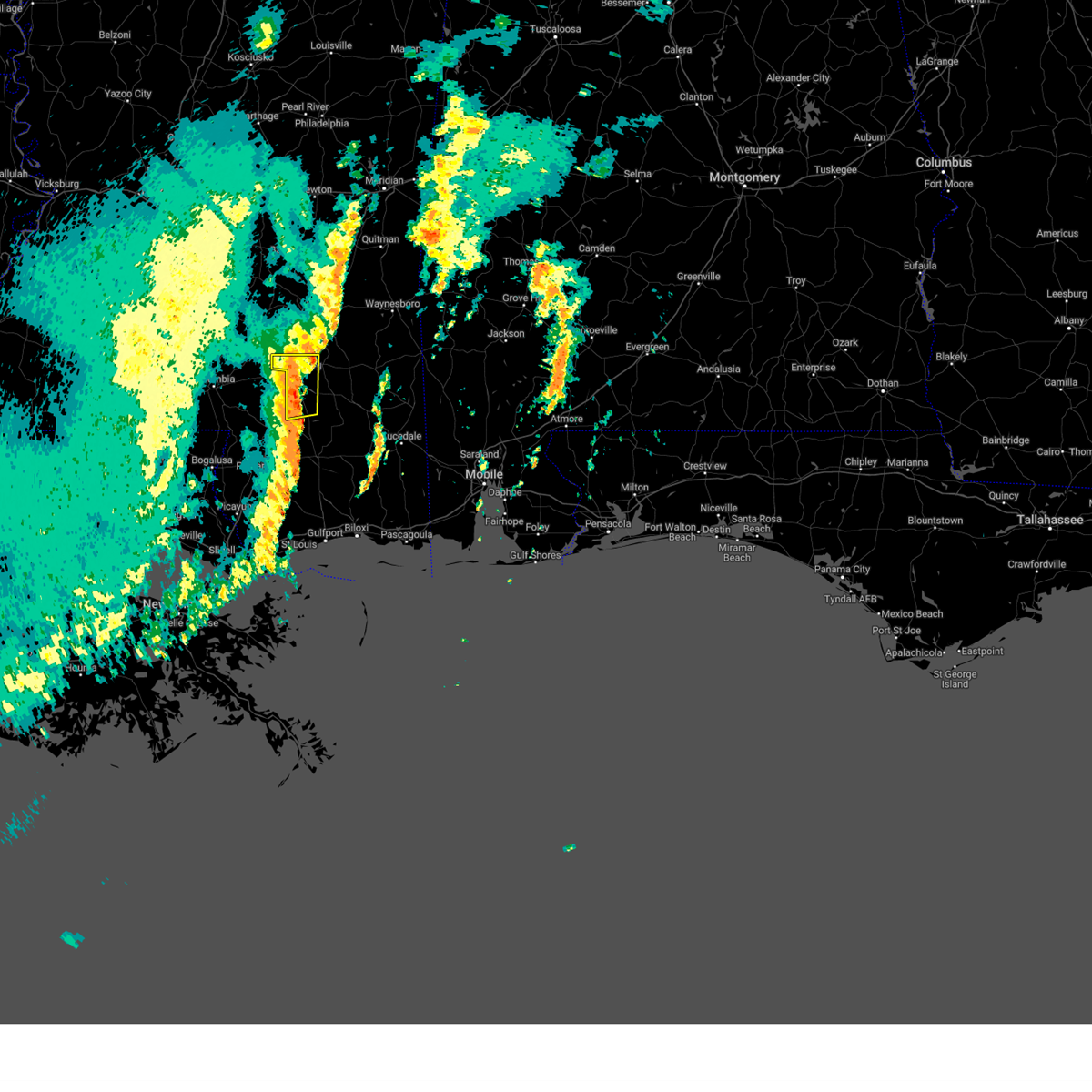 At 1054 am cst, a severe thunderstorm was located near mclaurin, or 9 miles south of petal, moving east at 45 mph (radar indicated). Hazards include 60 mph wind gusts. Expect damage to roofs, siding, and trees. this severe thunderstorm will remain over mainly rural areas of forrest county. hail threat, radar indicated max hail size, <. 75 in wind threat, radar indicated max wind gust, 60 mph. At 1054 am cst, a severe thunderstorm was located near mclaurin, or 9 miles south of petal, moving east at 45 mph (radar indicated). Hazards include 60 mph wind gusts. Expect damage to roofs, siding, and trees. this severe thunderstorm will remain over mainly rural areas of forrest county. hail threat, radar indicated max hail size, <. 75 in wind threat, radar indicated max wind gust, 60 mph.
|
| 1/25/2024 10:52 AM CST | Downed power lines on rudolph l in forrest county MS, 20.4 miles NNW of Hattiesburg, MS |
| 1/25/2024 10:48 AM CST | A few trees blown down along jc burt r in forrest county MS, 15 miles N of Hattiesburg, MS |
| 1/25/2024 10:47 AM CST |
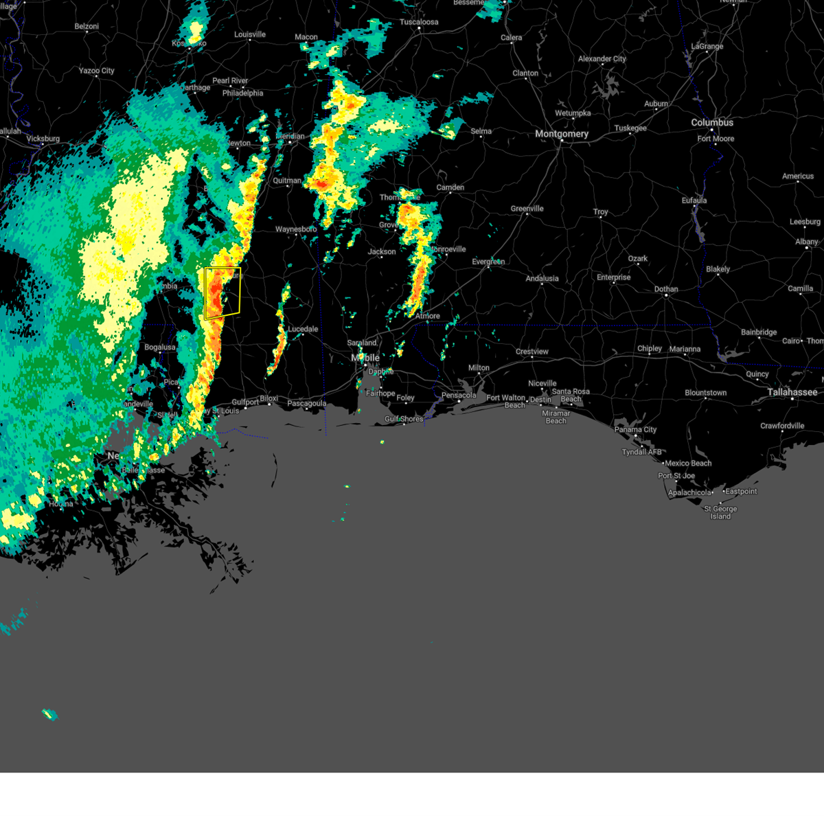 At 1046 am cst, a severe thunderstorm was located over mclaurin, or 10 miles south of petal, moving east at 50 mph (radar indicated). Hazards include 60 mph wind gusts. Expect damage to roofs, siding, and trees. this severe storm will be near, mclaurin around 1050 am cst. hail threat, radar indicated max hail size, <. 75 in wind threat, radar indicated max wind gust, 60 mph. At 1046 am cst, a severe thunderstorm was located over mclaurin, or 10 miles south of petal, moving east at 50 mph (radar indicated). Hazards include 60 mph wind gusts. Expect damage to roofs, siding, and trees. this severe storm will be near, mclaurin around 1050 am cst. hail threat, radar indicated max hail size, <. 75 in wind threat, radar indicated max wind gust, 60 mph.
|
| 1/25/2024 10:30 AM CST |
 At 1029 am cst, a severe thunderstorm was located near pine ridge, or near purvis, moving northeast at 50 mph (radar indicated). Hazards include 60 mph wind gusts. Expect damage to roofs, siding, and trees. locations impacted include, hattiesburg, west hattiesburg, purvis, lumberton, oak grove, and pine ridge. hail threat, radar indicated max hail size, <. 75 in wind threat, radar indicated max wind gust, 60 mph. At 1029 am cst, a severe thunderstorm was located near pine ridge, or near purvis, moving northeast at 50 mph (radar indicated). Hazards include 60 mph wind gusts. Expect damage to roofs, siding, and trees. locations impacted include, hattiesburg, west hattiesburg, purvis, lumberton, oak grove, and pine ridge. hail threat, radar indicated max hail size, <. 75 in wind threat, radar indicated max wind gust, 60 mph.
|
| 1/25/2024 10:29 AM CST |
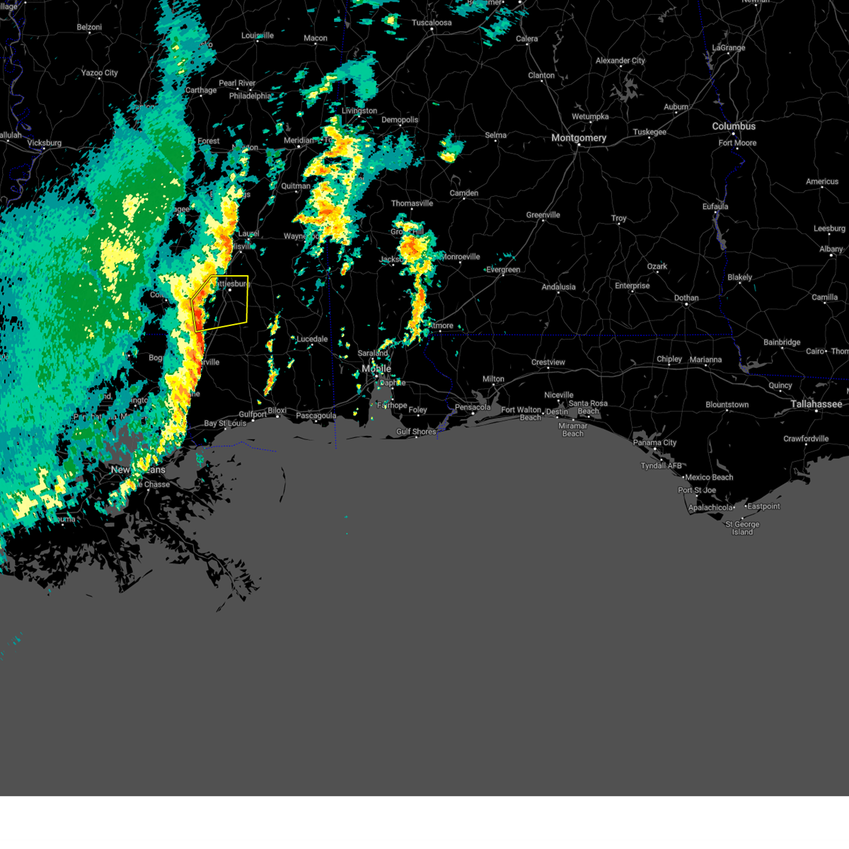 At 1028 am cst, a severe thunderstorm was located near purvis, moving east at 50 mph (radar indicated). Hazards include 60 mph wind gusts. Expect damage to roofs, siding, and trees. this severe storm will be near, hattiesburg, purvis, rock hill, and pine ridge around 1035 am cst. mclaurin around 1040 am cst. sunrise around 1045 am cst. hail threat, radar indicated max hail size, <. 75 in wind threat, radar indicated max wind gust, 60 mph. At 1028 am cst, a severe thunderstorm was located near purvis, moving east at 50 mph (radar indicated). Hazards include 60 mph wind gusts. Expect damage to roofs, siding, and trees. this severe storm will be near, hattiesburg, purvis, rock hill, and pine ridge around 1035 am cst. mclaurin around 1040 am cst. sunrise around 1045 am cst. hail threat, radar indicated max hail size, <. 75 in wind threat, radar indicated max wind gust, 60 mph.
|
| 1/25/2024 10:20 AM CST |
 At 1020 am cst, a severe thunderstorm was located over baxterville, or 12 miles west of purvis, moving east at 50 mph (radar indicated). Hazards include 60 mph wind gusts. Expect damage to roofs, siding, and trees. this severe thunderstorm will be near, purvis and pine ridge around 1025 am cst. hattiesburg around 1030 am cst. rock hill around 1035 am cst. mclaurin around 1040 am cst. sunrise around 1045 am cst. hail threat, radar indicated max hail size, <. 75 in wind threat, radar indicated max wind gust, 60 mph. At 1020 am cst, a severe thunderstorm was located over baxterville, or 12 miles west of purvis, moving east at 50 mph (radar indicated). Hazards include 60 mph wind gusts. Expect damage to roofs, siding, and trees. this severe thunderstorm will be near, purvis and pine ridge around 1025 am cst. hattiesburg around 1030 am cst. rock hill around 1035 am cst. mclaurin around 1040 am cst. sunrise around 1045 am cst. hail threat, radar indicated max hail size, <. 75 in wind threat, radar indicated max wind gust, 60 mph.
|
| 1/25/2024 10:18 AM CST |
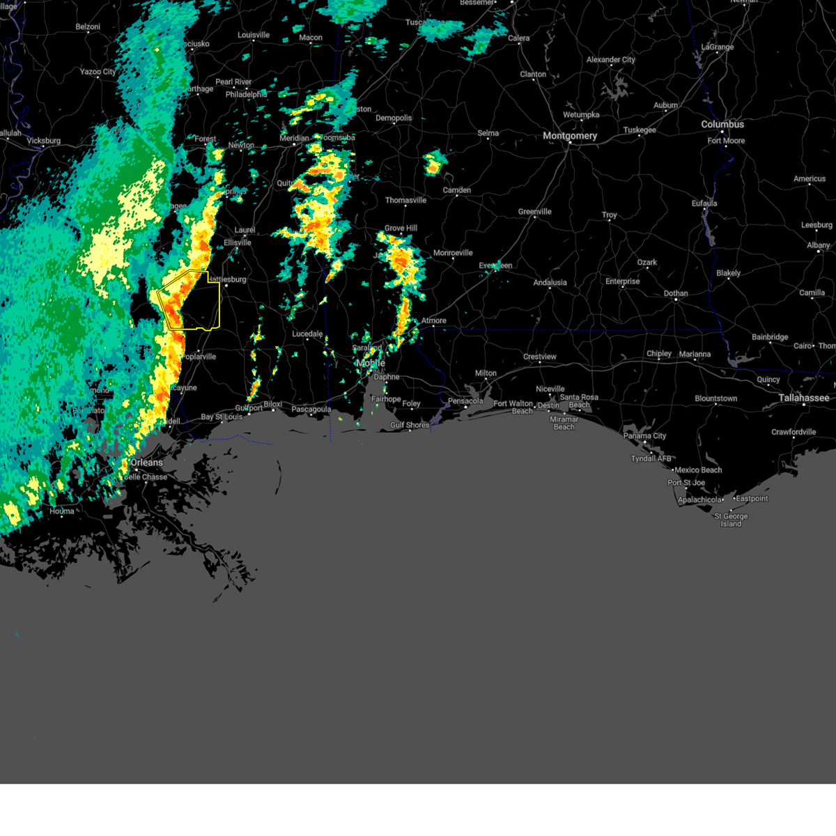 At 1018 am cst, a severe thunderstorm was located over purvis, moving east at 60 mph (radar indicated). Hazards include 60 mph wind gusts. Expect damage to roofs, siding, and trees. this severe thunderstorm will remain over mainly rural areas of eastern marion and lamar counties. hail threat, radar indicated max hail size, <. 75 in wind threat, radar indicated max wind gust, 60 mph. At 1018 am cst, a severe thunderstorm was located over purvis, moving east at 60 mph (radar indicated). Hazards include 60 mph wind gusts. Expect damage to roofs, siding, and trees. this severe thunderstorm will remain over mainly rural areas of eastern marion and lamar counties. hail threat, radar indicated max hail size, <. 75 in wind threat, radar indicated max wind gust, 60 mph.
|
| 1/25/2024 9:41 AM CST |
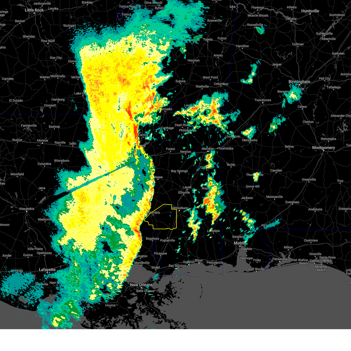 At 941 am cst, a severe thunderstorm was located 8 miles northeast of franklinton, moving east at 60 mph (radar indicated). Hazards include 60 mph wind gusts. Expect damage to roofs, siding, and trees. this severe thunderstorm will be near, sandy hook around 950 am cst. pickwick around 955 am cst. baxterville and pine burr around 1000 am cst. hattiesburg, purvis, and pine ridge around 1015 am cst. hail threat, radar indicated max hail size, <. 75 in wind threat, radar indicated max wind gust, 60 mph. At 941 am cst, a severe thunderstorm was located 8 miles northeast of franklinton, moving east at 60 mph (radar indicated). Hazards include 60 mph wind gusts. Expect damage to roofs, siding, and trees. this severe thunderstorm will be near, sandy hook around 950 am cst. pickwick around 955 am cst. baxterville and pine burr around 1000 am cst. hattiesburg, purvis, and pine ridge around 1015 am cst. hail threat, radar indicated max hail size, <. 75 in wind threat, radar indicated max wind gust, 60 mph.
|
| 1/9/2024 1:53 AM CST |
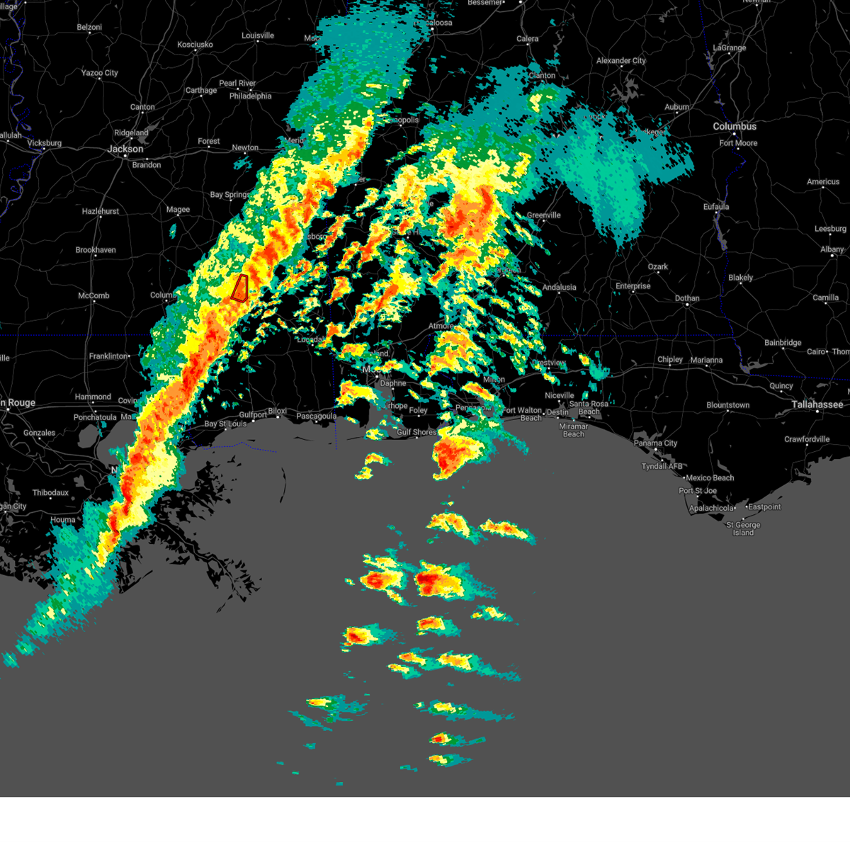 At 152 am cst, a severe thunderstorm capable of producing a tornado was located near ovett, or 10 miles east of ellisville, moving northeast at 55 mph (radar indicated rotation). Hazards include tornado. Flying debris will be dangerous to those caught without shelter. mobile homes will be damaged or destroyed. damage to roofs, windows, and vehicles will occur. tree damage is likely. Locations impacted include, hattiesburg, sunrise, and macedonia. At 152 am cst, a severe thunderstorm capable of producing a tornado was located near ovett, or 10 miles east of ellisville, moving northeast at 55 mph (radar indicated rotation). Hazards include tornado. Flying debris will be dangerous to those caught without shelter. mobile homes will be damaged or destroyed. damage to roofs, windows, and vehicles will occur. tree damage is likely. Locations impacted include, hattiesburg, sunrise, and macedonia.
|
| 1/9/2024 1:42 AM CST |
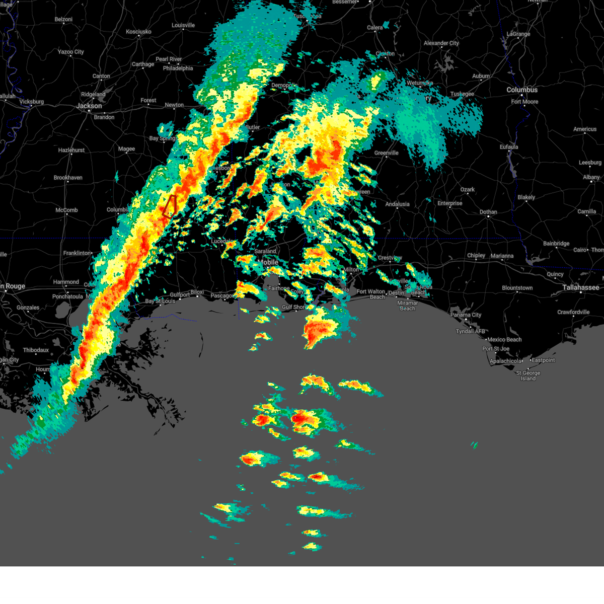 At 142 am cst, a severe thunderstorm capable of producing a tornado was located near macedonia, or 9 miles northeast of petal, moving northeast at 55 mph (radar indicated rotation). Hazards include tornado. Flying debris will be dangerous to those caught without shelter. mobile homes will be damaged or destroyed. damage to roofs, windows, and vehicles will occur. tree damage is likely. This tornadic thunderstorm will remain over mainly rural areas of northeastern forrest county. At 142 am cst, a severe thunderstorm capable of producing a tornado was located near macedonia, or 9 miles northeast of petal, moving northeast at 55 mph (radar indicated rotation). Hazards include tornado. Flying debris will be dangerous to those caught without shelter. mobile homes will be damaged or destroyed. damage to roofs, windows, and vehicles will occur. tree damage is likely. This tornadic thunderstorm will remain over mainly rural areas of northeastern forrest county.
|
| 1/9/2024 1:25 AM CST |
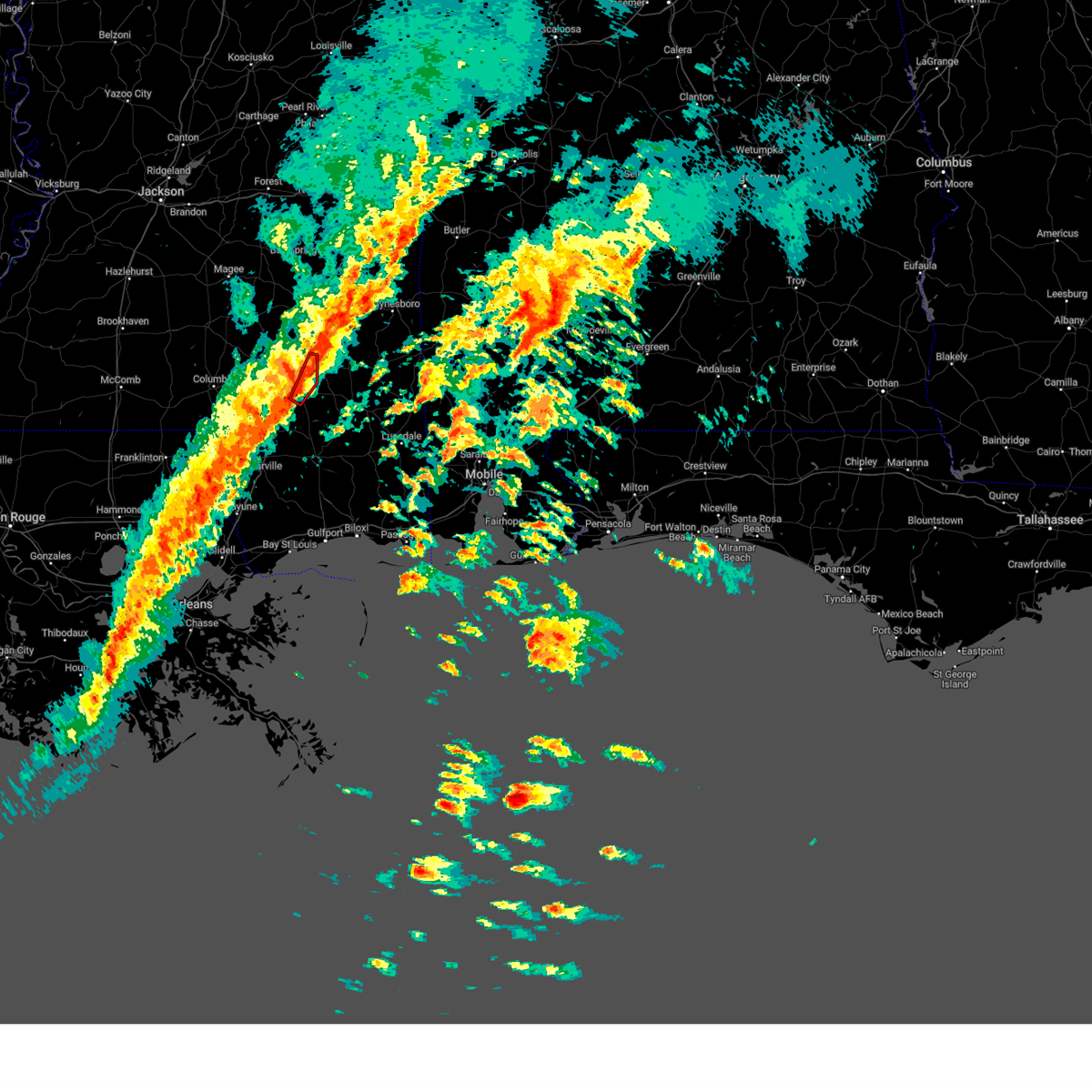 At 125 am cst, a severe thunderstorm capable of producing a tornado was located near mclaurin, or 7 miles south of petal, moving northeast at 55 mph (radar indicated rotation). Hazards include tornado. Flying debris will be dangerous to those caught without shelter. mobile homes will be damaged or destroyed. damage to roofs, windows, and vehicles will occur. tree damage is likely. This dangerous storm will be near, hattiesburg, sunrise, and macedonia around 130 am cst. At 125 am cst, a severe thunderstorm capable of producing a tornado was located near mclaurin, or 7 miles south of petal, moving northeast at 55 mph (radar indicated rotation). Hazards include tornado. Flying debris will be dangerous to those caught without shelter. mobile homes will be damaged or destroyed. damage to roofs, windows, and vehicles will occur. tree damage is likely. This dangerous storm will be near, hattiesburg, sunrise, and macedonia around 130 am cst.
|
| 1/9/2024 12:53 AM CST | A tree fell on a house along w 8th s in forrest county MS, 1.9 miles WSW of Hattiesburg, MS |
| 1/9/2024 12:48 AM CST | A tree fell on a house and on powerlines along rawls springs r in forrest county MS, 4.3 miles SE of Hattiesburg, MS |
| 1/8/2024 3:32 PM CST |
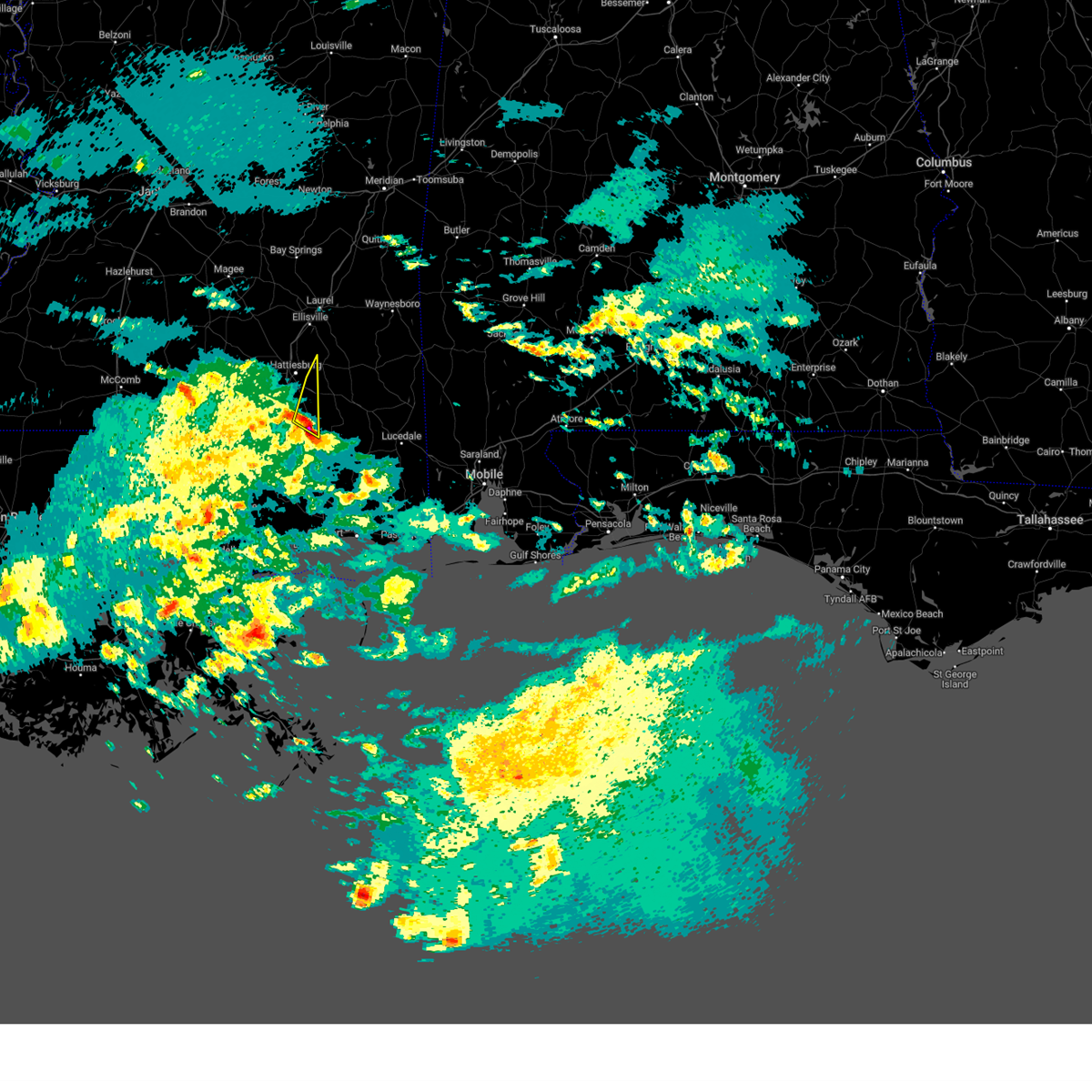 At 331 pm cst, a severe thunderstorm was located over brooklyn, or 14 miles east of purvis, moving north at 55 mph (radar indicated). Hazards include golf ball size hail. People and animals outdoors will be injured. expect damage to roofs, siding, windows, and vehicles. this severe storm will be near, mclaurin around 335 pm cst. hattiesburg around 345 pm cst. macedonia around 350 pm cst. thunderstorm damage threat, considerable hail threat, radar indicated max hail size, 1. 75 in wind threat, radar indicated max wind gust, <50 mph. At 331 pm cst, a severe thunderstorm was located over brooklyn, or 14 miles east of purvis, moving north at 55 mph (radar indicated). Hazards include golf ball size hail. People and animals outdoors will be injured. expect damage to roofs, siding, windows, and vehicles. this severe storm will be near, mclaurin around 335 pm cst. hattiesburg around 345 pm cst. macedonia around 350 pm cst. thunderstorm damage threat, considerable hail threat, radar indicated max hail size, 1. 75 in wind threat, radar indicated max wind gust, <50 mph.
|
| 1/8/2024 3:30 PM CST | Golf Ball sized hail reported 18.8 miles NNW of Hattiesburg, MS, emergency management reported golf ball size hail in brooklyn. |
| 1/8/2024 3:21 PM CST |
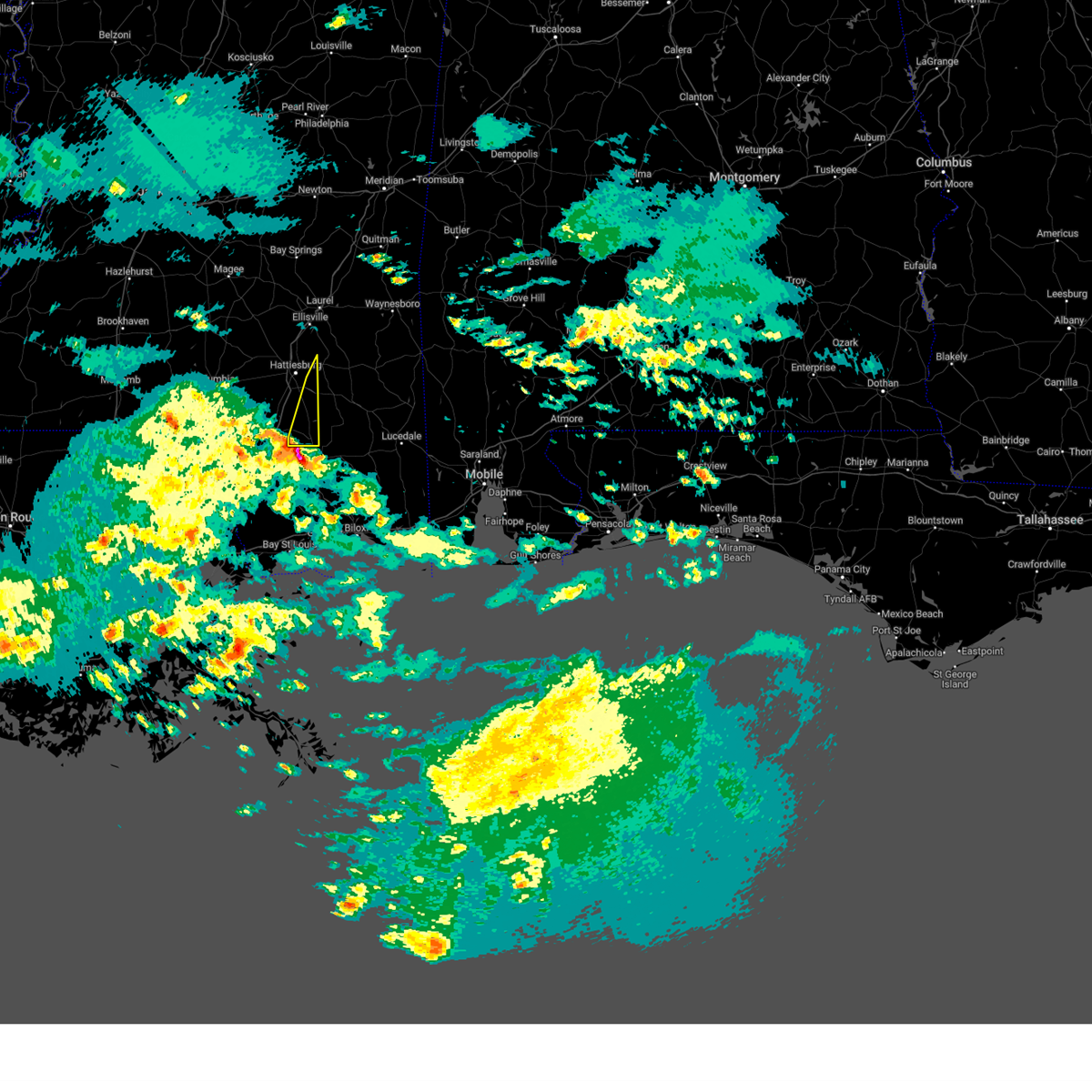 At 321 pm cst, a severe thunderstorm was located over maxie, or 8 miles northwest of wiggins, moving northeast at 55 mph (radar indicated). Hazards include golf ball size hail. People and animals outdoors will be injured. expect damage to roofs, siding, windows, and vehicles. this severe thunderstorm will be near, brooklyn and maxie around 325 pm cst. mclaurin around 330 pm cst. hattiesburg around 345 pm cst. macedonia around 350 pm cst. thunderstorm damage threat, considerable hail threat, radar indicated max hail size, 1. 75 in wind threat, radar indicated max wind gust, <50 mph. At 321 pm cst, a severe thunderstorm was located over maxie, or 8 miles northwest of wiggins, moving northeast at 55 mph (radar indicated). Hazards include golf ball size hail. People and animals outdoors will be injured. expect damage to roofs, siding, windows, and vehicles. this severe thunderstorm will be near, brooklyn and maxie around 325 pm cst. mclaurin around 330 pm cst. hattiesburg around 345 pm cst. macedonia around 350 pm cst. thunderstorm damage threat, considerable hail threat, radar indicated max hail size, 1. 75 in wind threat, radar indicated max wind gust, <50 mph.
|
| 11/21/2023 12:02 AM CST |
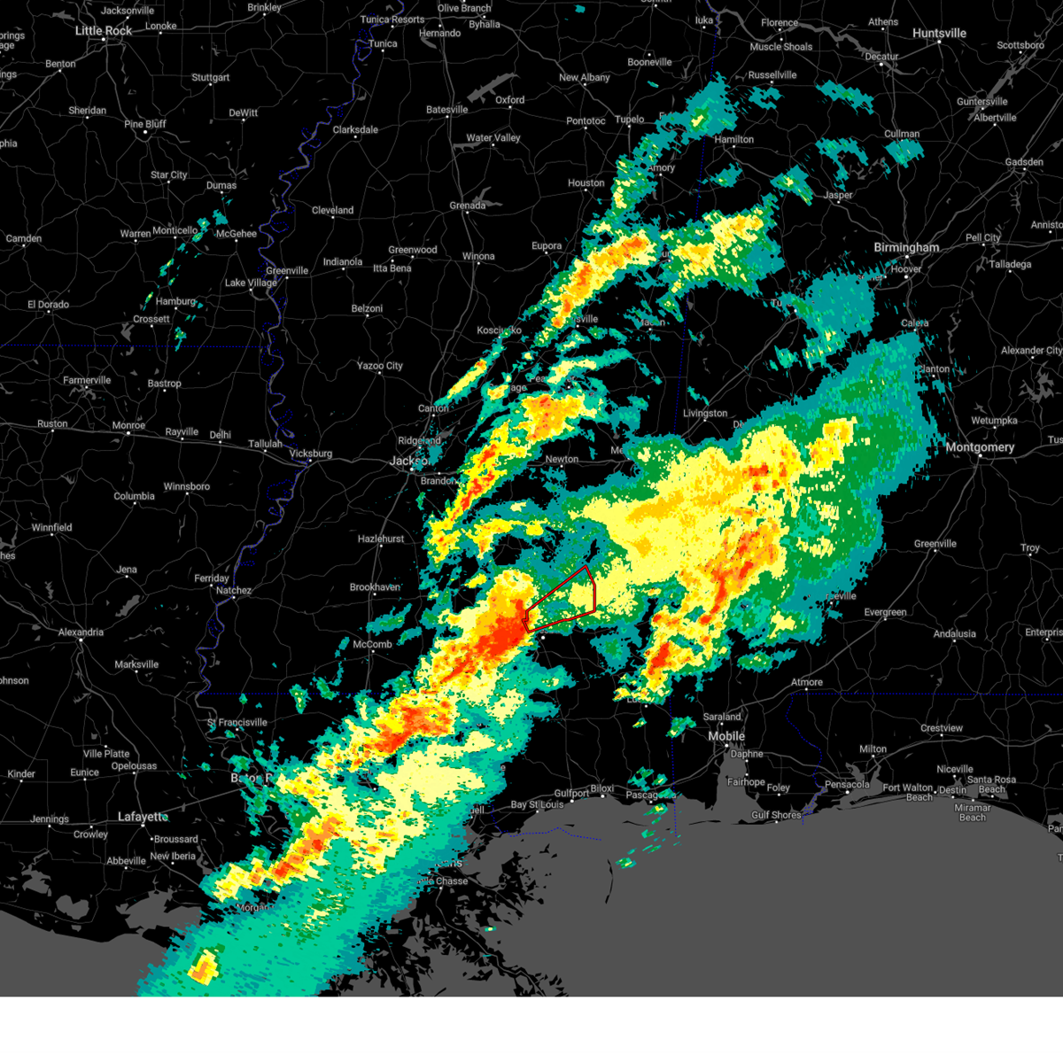 At 1202 am cst, a severe thunderstorm capable of producing a tornado was located near rawls springs, or 7 miles north of west hattiesburg, moving northeast at 30 mph (radar indicated rotation). Hazards include tornado. Flying debris will be dangerous to those caught without shelter. mobile homes will be damaged or destroyed. damage to roofs, windows, and vehicles will occur. tree damage is likely. this dangerous storm will be near, moselle and eastabuchie around 1205 am cst. laurel around 1215 am cst. ellisville around 1220 am cst. Ovett and tuckers crossing around 1230 am cst. At 1202 am cst, a severe thunderstorm capable of producing a tornado was located near rawls springs, or 7 miles north of west hattiesburg, moving northeast at 30 mph (radar indicated rotation). Hazards include tornado. Flying debris will be dangerous to those caught without shelter. mobile homes will be damaged or destroyed. damage to roofs, windows, and vehicles will occur. tree damage is likely. this dangerous storm will be near, moselle and eastabuchie around 1205 am cst. laurel around 1215 am cst. ellisville around 1220 am cst. Ovett and tuckers crossing around 1230 am cst.
|
| 7/30/2023 6:08 PM CDT | Tree and powerlines downed at the intersection of mclemore road and monroe road. time estimated based upon rada in jones county MS, 7.3 miles S of Hattiesburg, MS |
| 7/22/2023 2:42 PM CDT |
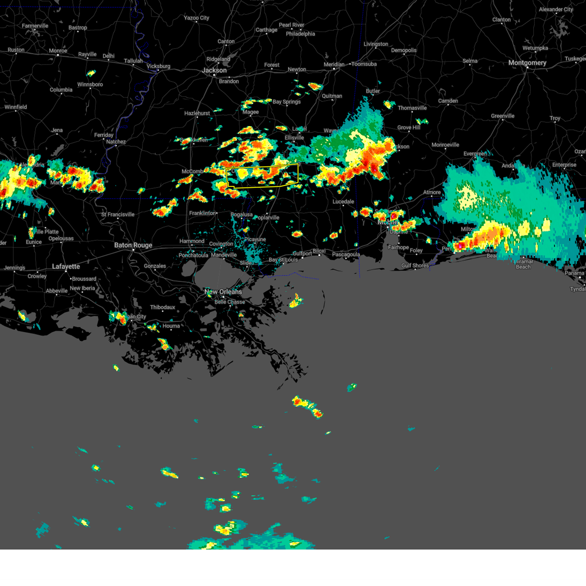 The severe thunderstorm warning for central marion, northeastern forrest and central lamar counties will expire at 245 pm cdt, the storms which prompted the warning have weakened below severe limits, and no longer pose an immediate threat to life or property. therefore, the warning will be allowed to expire. however gusty winds are still possible with these thunderstorms. a severe thunderstorm watch remains in effect until 900 pm cdt for south central and southeastern mississippi. The severe thunderstorm warning for central marion, northeastern forrest and central lamar counties will expire at 245 pm cdt, the storms which prompted the warning have weakened below severe limits, and no longer pose an immediate threat to life or property. therefore, the warning will be allowed to expire. however gusty winds are still possible with these thunderstorms. a severe thunderstorm watch remains in effect until 900 pm cdt for south central and southeastern mississippi.
|
| 7/22/2023 2:30 PM CDT |
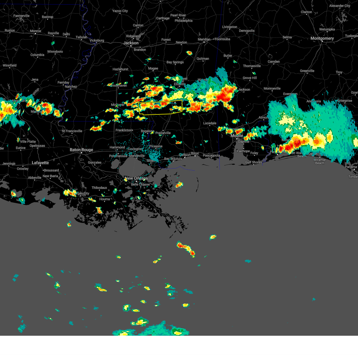 At 230 pm cdt, severe thunderstorms were located along a line extending from west hattiesburg to 6 miles west of pine ridge to near kokomo, moving southeast at 20 mph (radar indicated). Hazards include 60 mph wind gusts and nickel size hail. Expect damage to roofs, siding, and trees. these severe storms will be near, hattiesburg, west hattiesburg and oak grove around 235 pm cdt. petal around 245 pm cdt. pine ridge and sunrise around 250 pm cdt. purvis around 300 pm cdt. mclaurin and pine burr around 310 pm cdt. hail threat, radar indicated max hail size, 0. 88 in wind threat, radar indicated max wind gust, 60 mph. At 230 pm cdt, severe thunderstorms were located along a line extending from west hattiesburg to 6 miles west of pine ridge to near kokomo, moving southeast at 20 mph (radar indicated). Hazards include 60 mph wind gusts and nickel size hail. Expect damage to roofs, siding, and trees. these severe storms will be near, hattiesburg, west hattiesburg and oak grove around 235 pm cdt. petal around 245 pm cdt. pine ridge and sunrise around 250 pm cdt. purvis around 300 pm cdt. mclaurin and pine burr around 310 pm cdt. hail threat, radar indicated max hail size, 0. 88 in wind threat, radar indicated max wind gust, 60 mph.
|
| 7/22/2023 2:09 PM CDT |
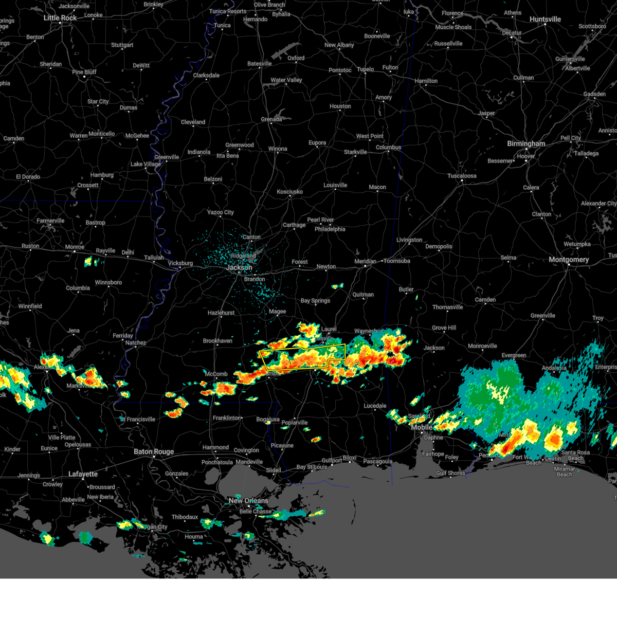 At 209 pm cdt, severe thunderstorms were located along a line extending from macedonia to near columbia, moving southeast at 20 mph (radar indicated). Hazards include 60 mph wind gusts and nickel size hail. Expect damage to roofs, siding, and trees. severe thunderstorms will be near, macedonia around 215 pm cdt. hail threat, radar indicated max hail size, 0. 88 in wind threat, radar indicated max wind gust, 60 mph. At 209 pm cdt, severe thunderstorms were located along a line extending from macedonia to near columbia, moving southeast at 20 mph (radar indicated). Hazards include 60 mph wind gusts and nickel size hail. Expect damage to roofs, siding, and trees. severe thunderstorms will be near, macedonia around 215 pm cdt. hail threat, radar indicated max hail size, 0. 88 in wind threat, radar indicated max wind gust, 60 mph.
|
| 7/22/2023 1:44 PM CDT |
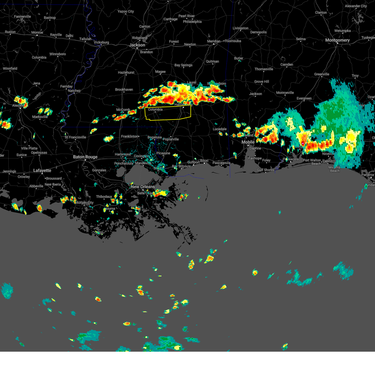 At 144 pm cdt, severe thunderstorms were located along a line extending from near ovett to near oak grove to morgantown, moving southeast at 15 mph (radar indicated). Hazards include 60 mph wind gusts and nickel size hail. Expect damage to roofs, siding, and trees. severe thunderstorms will be near, hattiesburg and west hattiesburg around 155 pm cdt. oak grove around 200 pm cdt. pine ridge around 215 pm cdt. purvis and pickwick around 230 pm cdt. pine burr around 240 pm cdt. hail threat, radar indicated max hail size, 0. 88 in wind threat, radar indicated max wind gust, 60 mph. At 144 pm cdt, severe thunderstorms were located along a line extending from near ovett to near oak grove to morgantown, moving southeast at 15 mph (radar indicated). Hazards include 60 mph wind gusts and nickel size hail. Expect damage to roofs, siding, and trees. severe thunderstorms will be near, hattiesburg and west hattiesburg around 155 pm cdt. oak grove around 200 pm cdt. pine ridge around 215 pm cdt. purvis and pickwick around 230 pm cdt. pine burr around 240 pm cdt. hail threat, radar indicated max hail size, 0. 88 in wind threat, radar indicated max wind gust, 60 mph.
|
| 7/22/2023 1:17 PM CDT |
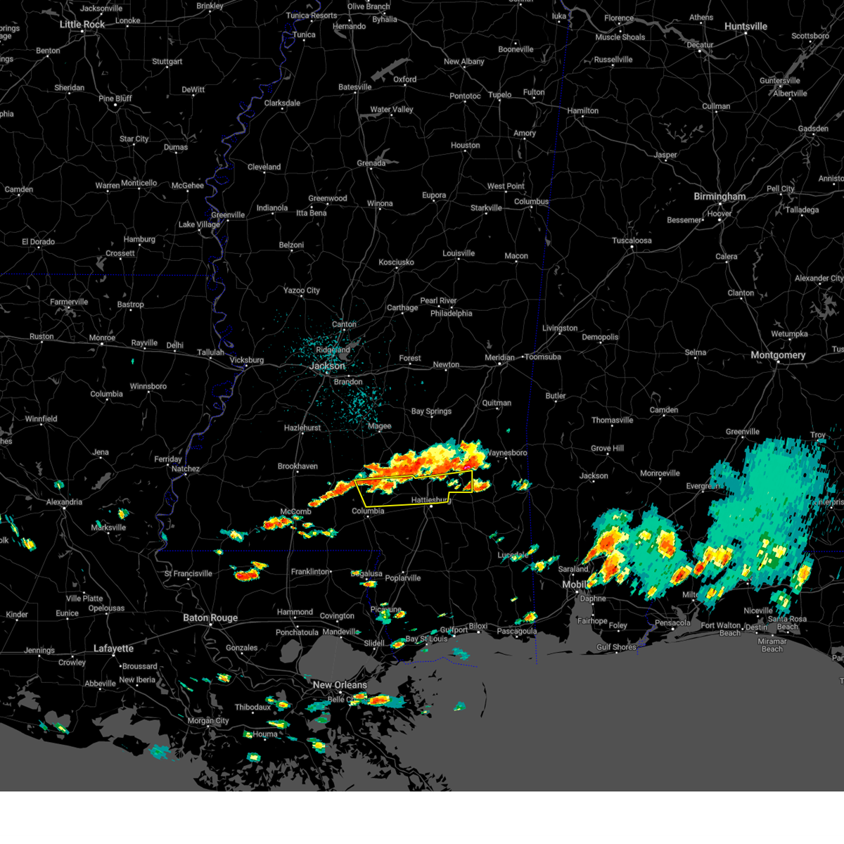 At 117 pm cdt, severe thunderstorms were located along a line extending from 7 miles south of mill creek to sanford to near bassfield, moving southeast at 20 mph (radar indicated). Hazards include 60 mph wind gusts and quarter size hail. Hail damage to vehicles is expected. expect wind damage to roofs, siding, and trees. severe thunderstorms will be near, moselle around 135 pm cdt. rawls springs around 140 pm cdt. eastabuchie around 145 pm cdt. improve around 150 pm cdt. sumrall around 200 pm cdt. macedonia around 205 pm cdt. hattiesburg around 215 pm cdt. hail threat, radar indicated max hail size, 1. 00 in wind threat, radar indicated max wind gust, 60 mph. At 117 pm cdt, severe thunderstorms were located along a line extending from 7 miles south of mill creek to sanford to near bassfield, moving southeast at 20 mph (radar indicated). Hazards include 60 mph wind gusts and quarter size hail. Hail damage to vehicles is expected. expect wind damage to roofs, siding, and trees. severe thunderstorms will be near, moselle around 135 pm cdt. rawls springs around 140 pm cdt. eastabuchie around 145 pm cdt. improve around 150 pm cdt. sumrall around 200 pm cdt. macedonia around 205 pm cdt. hattiesburg around 215 pm cdt. hail threat, radar indicated max hail size, 1. 00 in wind threat, radar indicated max wind gust, 60 mph.
|
| 7/12/2023 6:30 PM CDT |
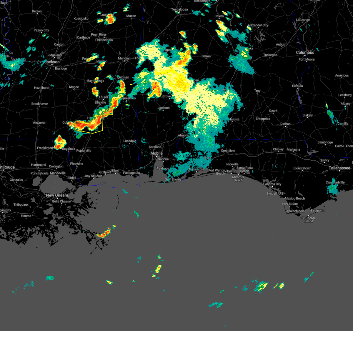 At 629 pm cdt, severe thunderstorms were located along a line extending from 8 miles north of richton to near mclaurin to near pine ridge, moving southeast at 20 mph (radar indicated). Hazards include 60 mph wind gusts and nickel size hail. Expect damage to roofs, siding, and trees. these severe thunderstorms will remain over mainly rural areas of east central marion, northeastern forrest, central lamar and southeastern jones counties. hail threat, radar indicated max hail size, 0. 88 in wind threat, radar indicated max wind gust, 60 mph. At 629 pm cdt, severe thunderstorms were located along a line extending from 8 miles north of richton to near mclaurin to near pine ridge, moving southeast at 20 mph (radar indicated). Hazards include 60 mph wind gusts and nickel size hail. Expect damage to roofs, siding, and trees. these severe thunderstorms will remain over mainly rural areas of east central marion, northeastern forrest, central lamar and southeastern jones counties. hail threat, radar indicated max hail size, 0. 88 in wind threat, radar indicated max wind gust, 60 mph.
|
| 7/12/2023 6:10 PM CDT | Local law enforcement reported a few trees down near meadow park lane... and mini farm road. one tree fell on a powerline near monore roa in forrest county MS, 3.1 miles SW of Hattiesburg, MS |
| 7/12/2023 6:04 PM CDT |
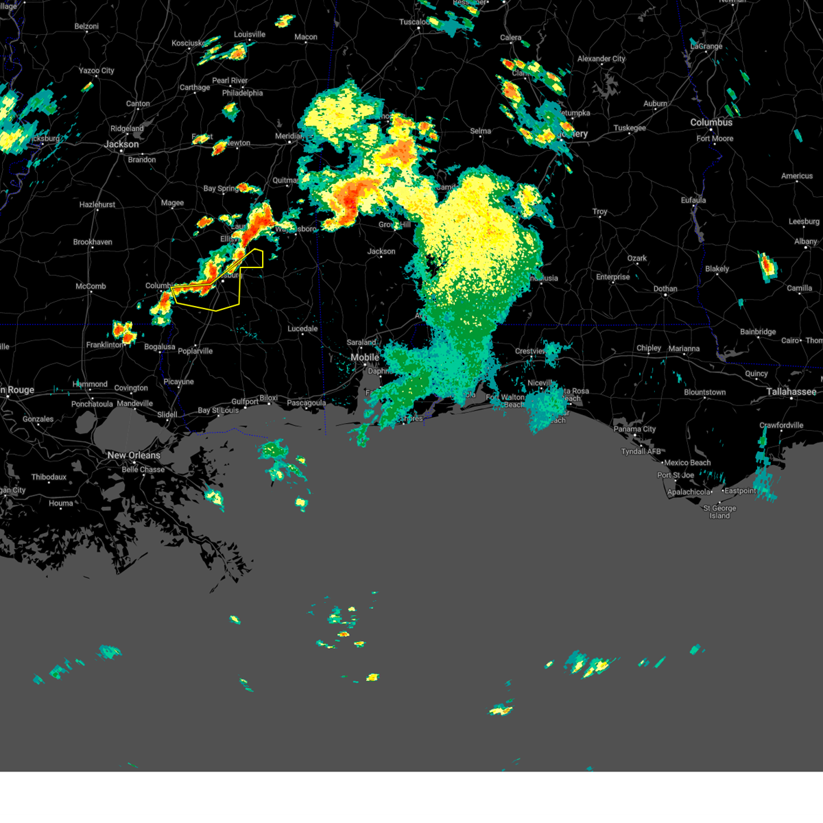 At 604 pm cdt, severe thunderstorms were located along a line extending from ovett to near hattiesburg to 7 miles west of pine ridge, moving southeast at 20 mph (radar indicated). Hazards include 60 mph wind gusts and quarter size hail. Hail damage to vehicles is expected. expect wind damage to roofs, siding, and trees. severe thunderstorms will be near, ovett around 610 pm cdt. sunrise around 620 pm cdt. mclaurin around 630 pm cdt. purvis around 635 pm cdt. hail threat, radar indicated max hail size, 1. 00 in wind threat, radar indicated max wind gust, 60 mph. At 604 pm cdt, severe thunderstorms were located along a line extending from ovett to near hattiesburg to 7 miles west of pine ridge, moving southeast at 20 mph (radar indicated). Hazards include 60 mph wind gusts and quarter size hail. Hail damage to vehicles is expected. expect wind damage to roofs, siding, and trees. severe thunderstorms will be near, ovett around 610 pm cdt. sunrise around 620 pm cdt. mclaurin around 630 pm cdt. purvis around 635 pm cdt. hail threat, radar indicated max hail size, 1. 00 in wind threat, radar indicated max wind gust, 60 mph.
|
| 7/5/2023 6:32 PM CDT |
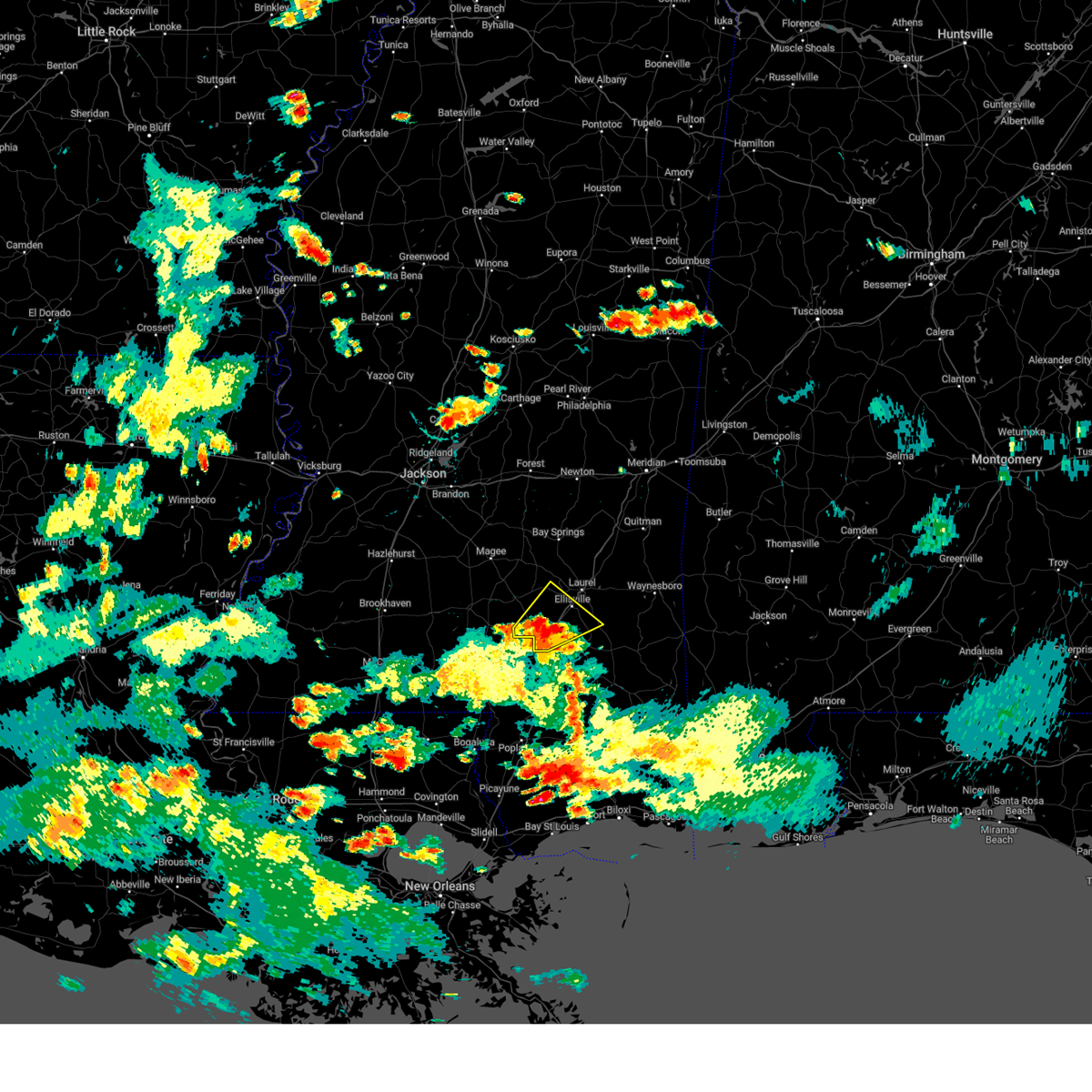 At 632 pm cdt, a severe thunderstorm was located over moselle, or 8 miles southwest of ellisville, moving northeast at 20 mph (radar indicated). Hazards include 60 mph wind gusts and quarter size hail. Hail damage to vehicles is expected. expect wind damage to roofs, siding, and trees. this severe storm will be near, ellisville around 655 pm cdt. laurel around 700 pm cdt. ovett around 715 pm cdt. hail threat, radar indicated max hail size, 1. 00 in wind threat, radar indicated max wind gust, 60 mph. At 632 pm cdt, a severe thunderstorm was located over moselle, or 8 miles southwest of ellisville, moving northeast at 20 mph (radar indicated). Hazards include 60 mph wind gusts and quarter size hail. Hail damage to vehicles is expected. expect wind damage to roofs, siding, and trees. this severe storm will be near, ellisville around 655 pm cdt. laurel around 700 pm cdt. ovett around 715 pm cdt. hail threat, radar indicated max hail size, 1. 00 in wind threat, radar indicated max wind gust, 60 mph.
|
| 7/5/2023 6:10 PM CDT |
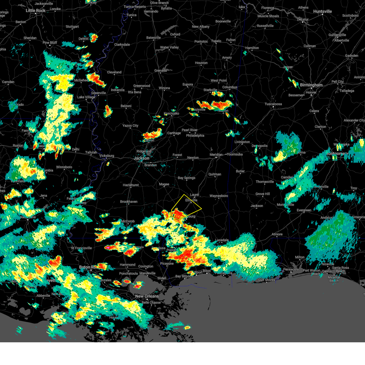 At 610 pm cdt, a severe thunderstorm was located near sanford, or 9 miles north of west hattiesburg, moving northeast at 20 mph (radar indicated). Hazards include 60 mph wind gusts and quarter size hail. Hail damage to vehicles is expected. expect wind damage to roofs, siding, and trees. this severe thunderstorm will be near, eastabuchie around 625 pm cdt. moselle around 635 pm cdt. ellisville around 655 pm cdt. laurel and ovett around 700 pm cdt. hail threat, radar indicated max hail size, 1. 00 in wind threat, radar indicated max wind gust, 60 mph. At 610 pm cdt, a severe thunderstorm was located near sanford, or 9 miles north of west hattiesburg, moving northeast at 20 mph (radar indicated). Hazards include 60 mph wind gusts and quarter size hail. Hail damage to vehicles is expected. expect wind damage to roofs, siding, and trees. this severe thunderstorm will be near, eastabuchie around 625 pm cdt. moselle around 635 pm cdt. ellisville around 655 pm cdt. laurel and ovett around 700 pm cdt. hail threat, radar indicated max hail size, 1. 00 in wind threat, radar indicated max wind gust, 60 mph.
|
| 6/26/2023 1:15 AM CDT |
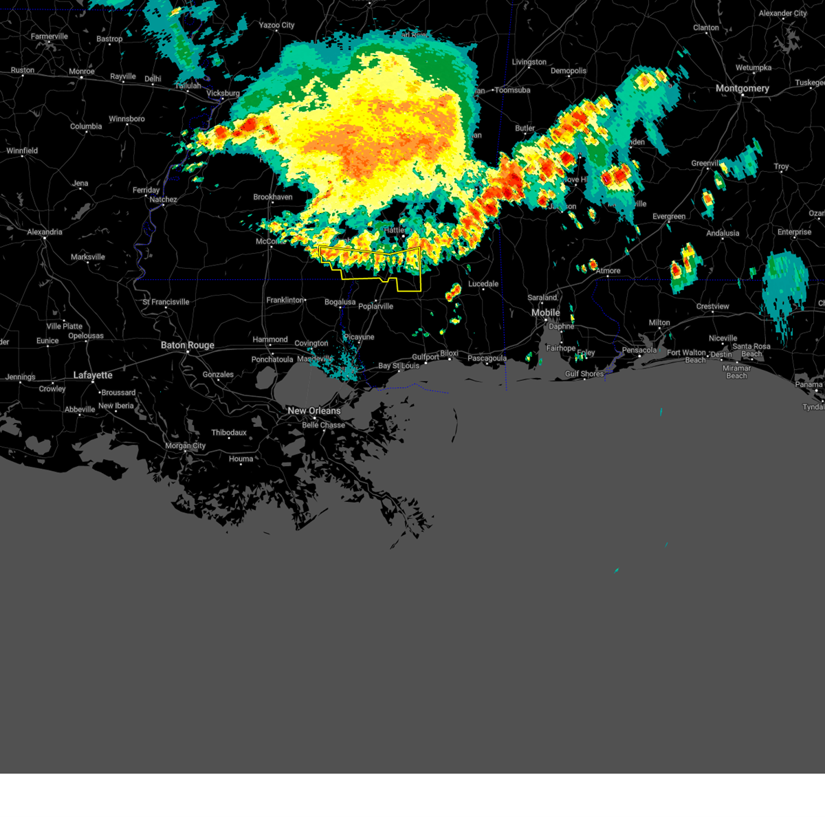 At 115 am cdt, severe thunderstorms were located along a line extending from near brooklyn to near rock hill to near sandy hook, moving southeast at 55 mph (radar indicated). Hazards include 60 mph wind gusts. Expect damage to roofs, siding, and trees. these severe storms will be near, maxie and brooklyn around 120 am cdt. hail threat, radar indicated max hail size, <. 75 in wind threat, radar indicated max wind gust, 60 mph. At 115 am cdt, severe thunderstorms were located along a line extending from near brooklyn to near rock hill to near sandy hook, moving southeast at 55 mph (radar indicated). Hazards include 60 mph wind gusts. Expect damage to roofs, siding, and trees. these severe storms will be near, maxie and brooklyn around 120 am cdt. hail threat, radar indicated max hail size, <. 75 in wind threat, radar indicated max wind gust, 60 mph.
|
| 6/26/2023 1:07 AM CDT |
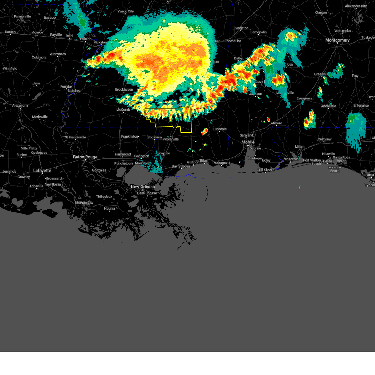 At 107 am cdt, severe thunderstorms were located along a line extending from near brooklyn to near rock hill to sandy hook, moving southeast at 40 mph (radar indicated). Hazards include 60 mph wind gusts. Expect damage to roofs, siding, and trees. these severe storms will be near, brooklyn and rock hill around 110 am cdt. maxie around 120 am cdt. hail threat, radar indicated max hail size, <. 75 in wind threat, radar indicated max wind gust, 60 mph. At 107 am cdt, severe thunderstorms were located along a line extending from near brooklyn to near rock hill to sandy hook, moving southeast at 40 mph (radar indicated). Hazards include 60 mph wind gusts. Expect damage to roofs, siding, and trees. these severe storms will be near, brooklyn and rock hill around 110 am cdt. maxie around 120 am cdt. hail threat, radar indicated max hail size, <. 75 in wind threat, radar indicated max wind gust, 60 mph.
|
| 6/26/2023 12:57 AM CDT |
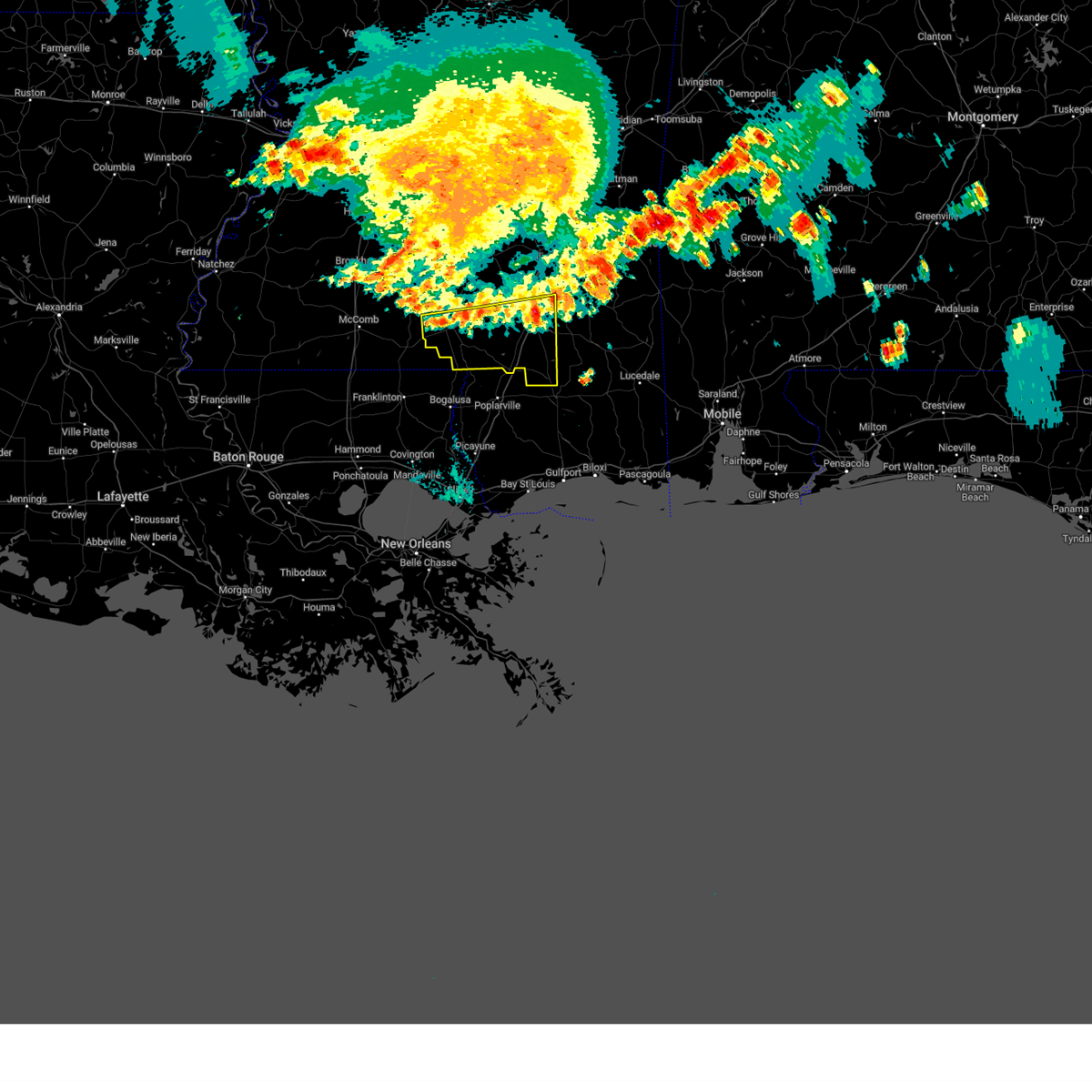 At 1257 am cdt, severe thunderstorms were located along a line extending from near mclaurin to purvis to near dexter, moving southeast at 55 mph (radar indicated). Hazards include 60 mph wind gusts. Expect damage to roofs, siding, and trees. these severe storms will be near, purvis, lumberton and mclaurin around 100 am cdt. rock hill around 105 am cdt. brooklyn around 110 am cdt. maxie around 115 am cdt. hail threat, radar indicated max hail size, <. 75 in wind threat, radar indicated max wind gust, 60 mph. At 1257 am cdt, severe thunderstorms were located along a line extending from near mclaurin to purvis to near dexter, moving southeast at 55 mph (radar indicated). Hazards include 60 mph wind gusts. Expect damage to roofs, siding, and trees. these severe storms will be near, purvis, lumberton and mclaurin around 100 am cdt. rock hill around 105 am cdt. brooklyn around 110 am cdt. maxie around 115 am cdt. hail threat, radar indicated max hail size, <. 75 in wind threat, radar indicated max wind gust, 60 mph.
|
| 6/26/2023 12:42 AM CDT |
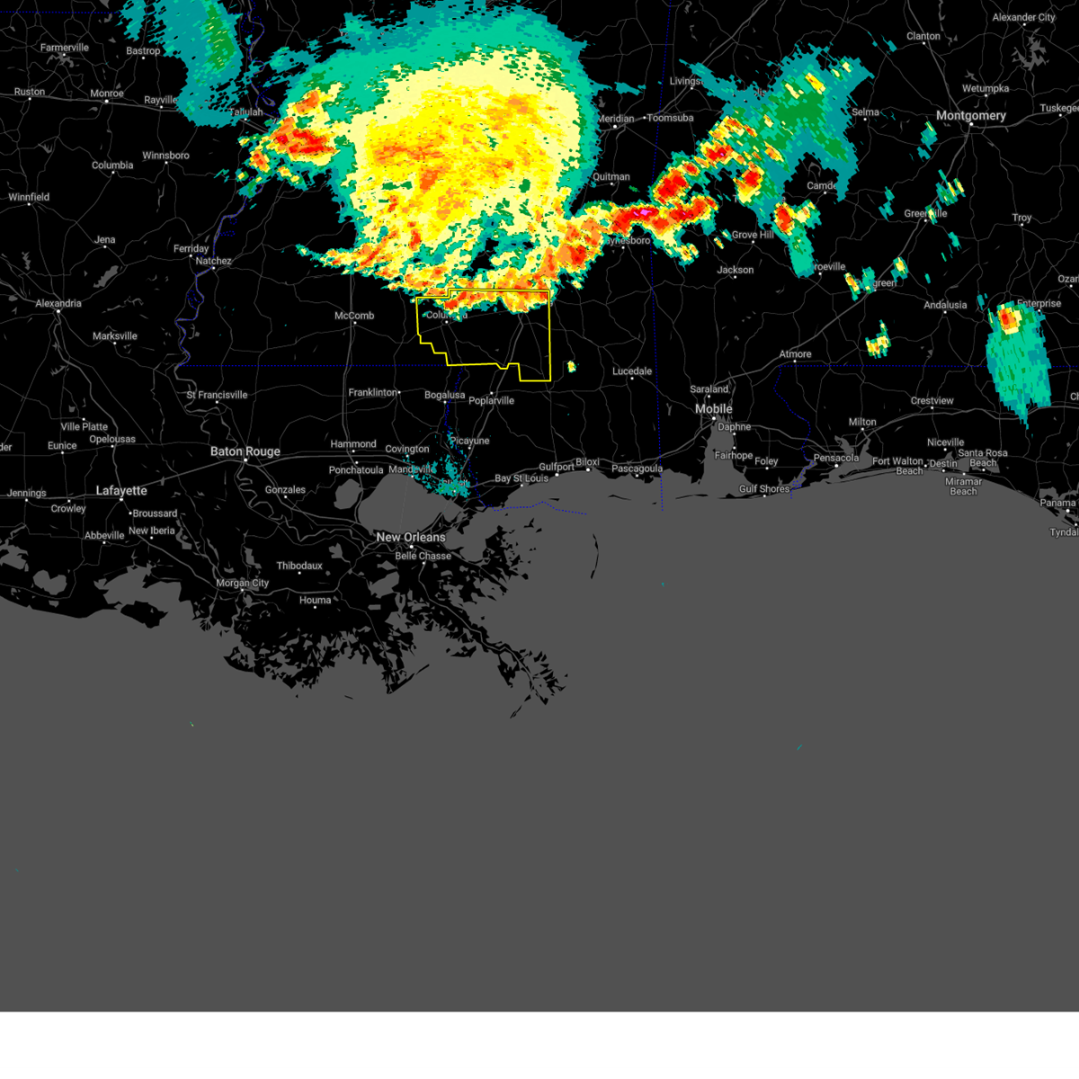 At 1242 am cdt, severe thunderstorms were located along a line extending from near ovett to petal to near pine ridge to near morgantown, moving southeast at 45 mph (radar indicated). Hazards include 60 mph wind gusts. Expect damage to roofs, siding, and trees. these severe storms will be near, sunrise and pine ridge around 1250 am cdt. purvis around 1255 am cdt. mclaurin around 100 am cdt. lumberton, sandy hook and rock hill around 105 am cdt. brooklyn around 110 am cdt. hail threat, radar indicated max hail size, <. 75 in wind threat, radar indicated max wind gust, 60 mph. At 1242 am cdt, severe thunderstorms were located along a line extending from near ovett to petal to near pine ridge to near morgantown, moving southeast at 45 mph (radar indicated). Hazards include 60 mph wind gusts. Expect damage to roofs, siding, and trees. these severe storms will be near, sunrise and pine ridge around 1250 am cdt. purvis around 1255 am cdt. mclaurin around 100 am cdt. lumberton, sandy hook and rock hill around 105 am cdt. brooklyn around 110 am cdt. hail threat, radar indicated max hail size, <. 75 in wind threat, radar indicated max wind gust, 60 mph.
|
| 6/26/2023 12:18 AM CDT |
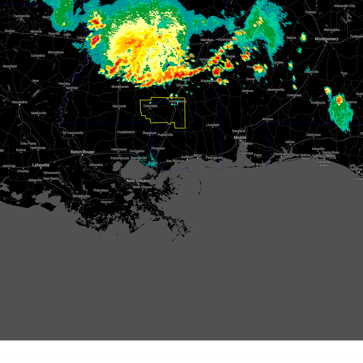 At 1217 am cdt, severe thunderstorms were located along a line extending from sandersville to ellisville to near sanford to near society hill, moving southeast at 55 mph (radar indicated). Hazards include 60 mph wind gusts. Expect damage to roofs, siding, and trees. severe thunderstorms will be near, rawls springs around 1225 am cdt. west hattiesburg and oak grove around 1230 am cdt. petal, sunrise and macedonia around 1235 am cdt. hattiesburg, pine ridge and mclaurin around 1245 am cdt. purvis around 1250 am cdt. rock hill around 100 am cdt. brooklyn around 105 am cdt. maxie around 110 am cdt. hail threat, radar indicated max hail size, <. 75 in wind threat, radar indicated max wind gust, 60 mph. At 1217 am cdt, severe thunderstorms were located along a line extending from sandersville to ellisville to near sanford to near society hill, moving southeast at 55 mph (radar indicated). Hazards include 60 mph wind gusts. Expect damage to roofs, siding, and trees. severe thunderstorms will be near, rawls springs around 1225 am cdt. west hattiesburg and oak grove around 1230 am cdt. petal, sunrise and macedonia around 1235 am cdt. hattiesburg, pine ridge and mclaurin around 1245 am cdt. purvis around 1250 am cdt. rock hill around 100 am cdt. brooklyn around 105 am cdt. maxie around 110 am cdt. hail threat, radar indicated max hail size, <. 75 in wind threat, radar indicated max wind gust, 60 mph.
|
| 6/19/2023 9:50 AM CDT |
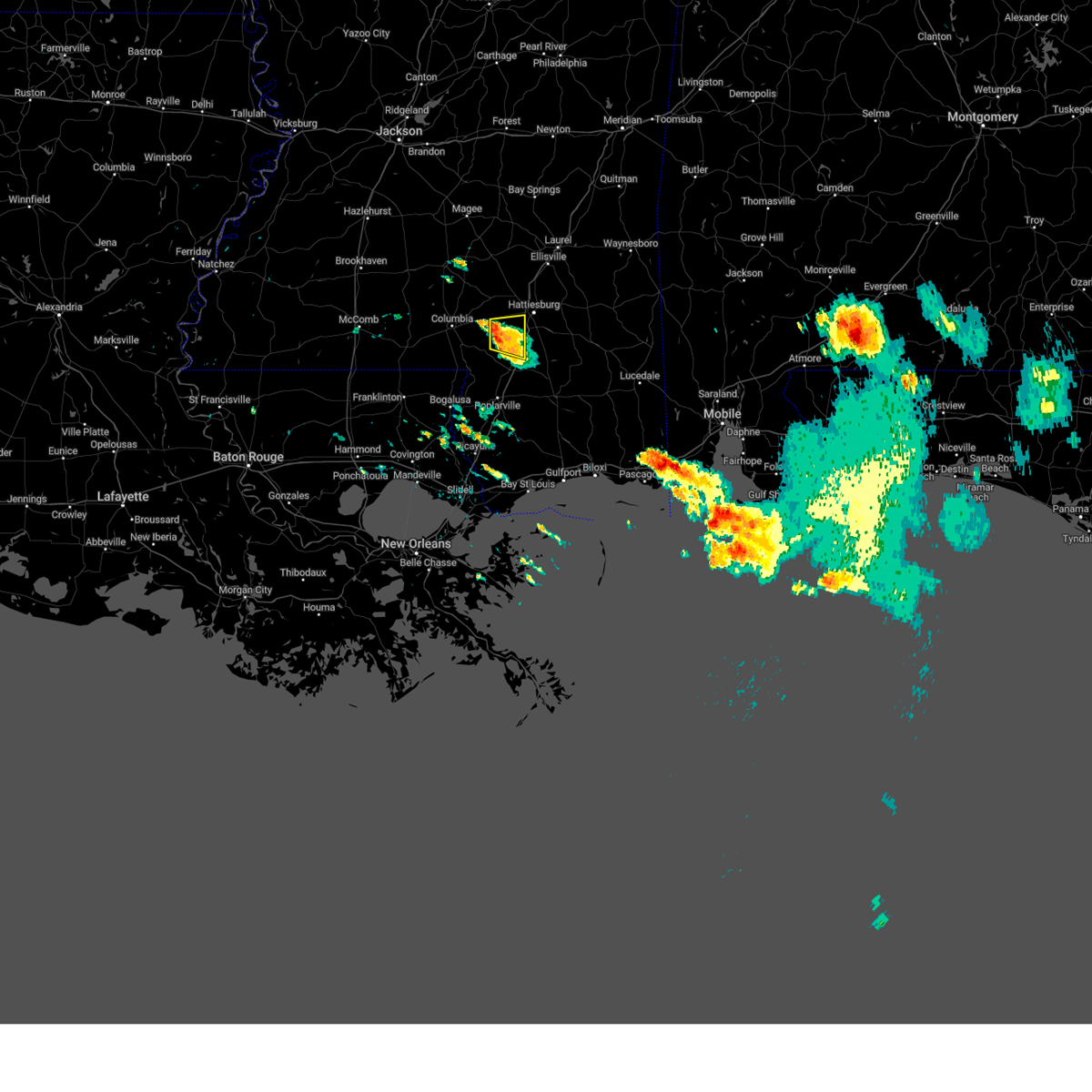 At 949 am cdt, a severe thunderstorm was located near pine ridge, or 10 miles northwest of purvis, moving east at 15 mph (radar indicated). Hazards include 60 mph wind gusts and quarter size hail. Hail damage to vehicles is expected. expect wind damage to roofs, siding, and trees. this severe thunderstorm will be near, hattiesburg around 1005 am cdt. oak grove and pine ridge around 1015 am cdt. Purvis around 1020 am cdt. At 949 am cdt, a severe thunderstorm was located near pine ridge, or 10 miles northwest of purvis, moving east at 15 mph (radar indicated). Hazards include 60 mph wind gusts and quarter size hail. Hail damage to vehicles is expected. expect wind damage to roofs, siding, and trees. this severe thunderstorm will be near, hattiesburg around 1005 am cdt. oak grove and pine ridge around 1015 am cdt. Purvis around 1020 am cdt.
|
| 6/19/2023 8:36 AM CDT |
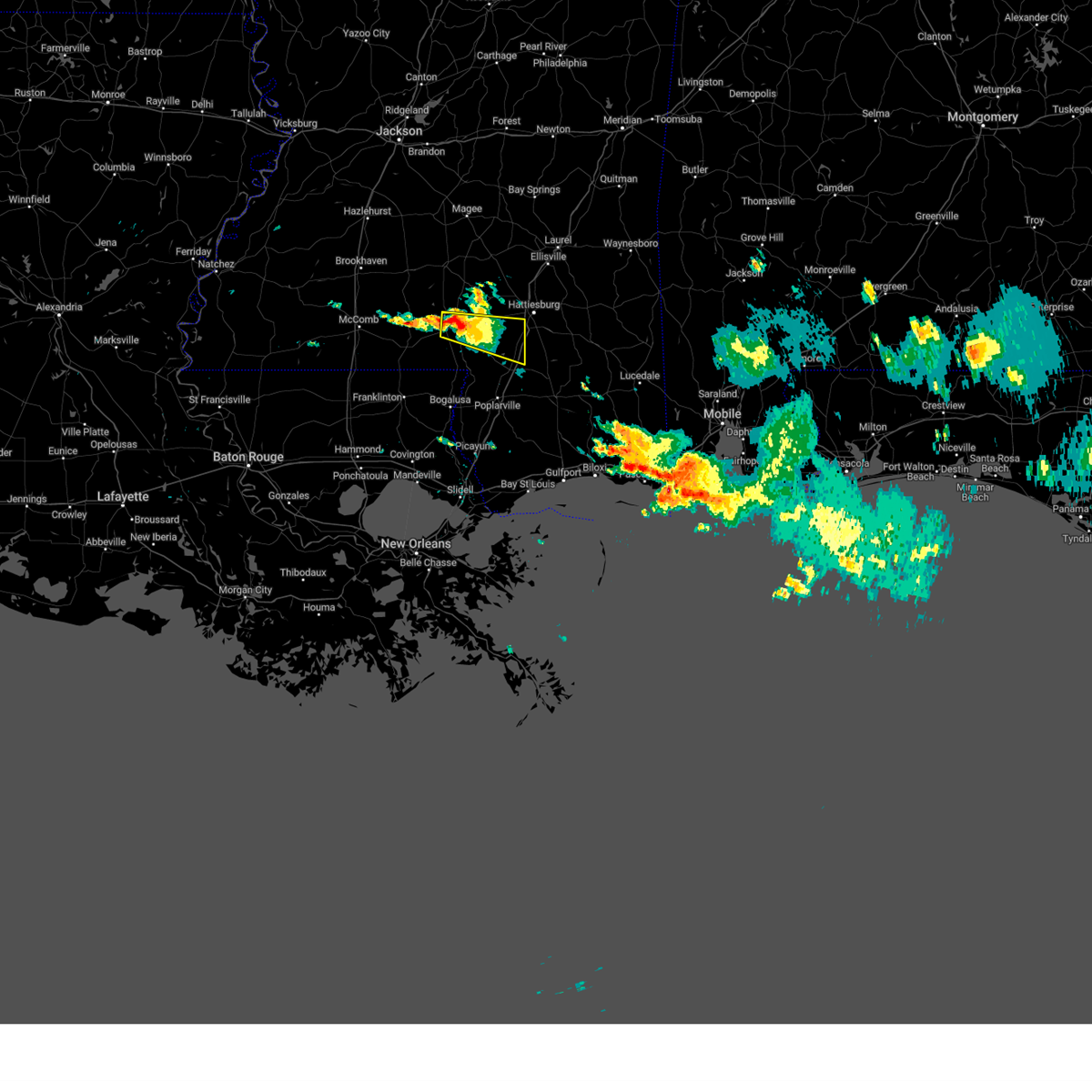 At 836 am cdt, a severe thunderstorm was located over columbia, moving east at 25 mph (radar indicated). Hazards include 60 mph wind gusts and quarter size hail. Hail damage to vehicles is expected. expect wind damage to roofs, siding, and trees. this severe thunderstorm will be near, columbia around 840 am cdt. pine burr around 900 am cdt. hattiesburg around 930 am cdt. oak grove and pine ridge around 935 am cdt. Purvis around 940 am cdt. At 836 am cdt, a severe thunderstorm was located over columbia, moving east at 25 mph (radar indicated). Hazards include 60 mph wind gusts and quarter size hail. Hail damage to vehicles is expected. expect wind damage to roofs, siding, and trees. this severe thunderstorm will be near, columbia around 840 am cdt. pine burr around 900 am cdt. hattiesburg around 930 am cdt. oak grove and pine ridge around 935 am cdt. Purvis around 940 am cdt.
|
| 6/17/2023 12:18 AM CDT |
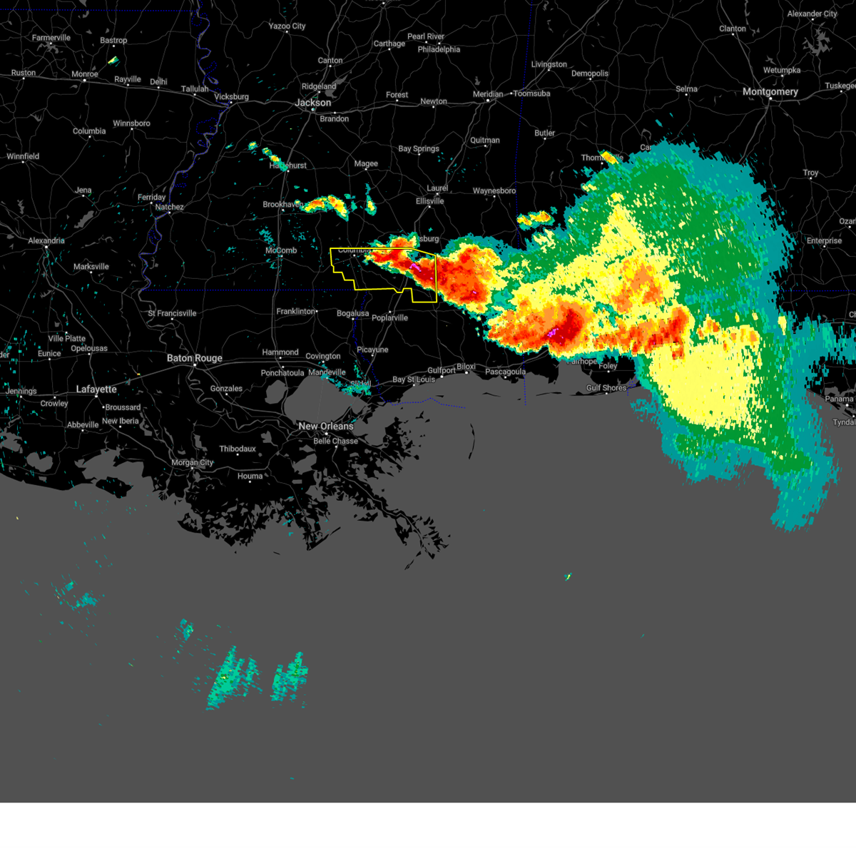 At 1217 am cdt, severe thunderstorms were located along a line extending from near columbia to near purvis to 7 miles east of brooklyn, moving south at 30 mph (radar indicated). Hazards include 60 mph wind gusts and quarter size hail. Hail damage to vehicles is expected. expect wind damage to roofs, siding, and trees. these severe storms will be near, rock hill around 1230 am cdt. lumberton around 1235 am cdt. sandy hook around 1245 am cdt. hail threat, radar indicated max hail size, 1. 00 in wind threat, radar indicated max wind gust, 60 mph. At 1217 am cdt, severe thunderstorms were located along a line extending from near columbia to near purvis to 7 miles east of brooklyn, moving south at 30 mph (radar indicated). Hazards include 60 mph wind gusts and quarter size hail. Hail damage to vehicles is expected. expect wind damage to roofs, siding, and trees. these severe storms will be near, rock hill around 1230 am cdt. lumberton around 1235 am cdt. sandy hook around 1245 am cdt. hail threat, radar indicated max hail size, 1. 00 in wind threat, radar indicated max wind gust, 60 mph.
|
| 6/16/2023 11:57 PM CDT | Tree down on interstate 59 at mile marker 5 in forrest county MS, 6.5 miles N of Hattiesburg, MS |
| 6/16/2023 11:46 PM CDT |
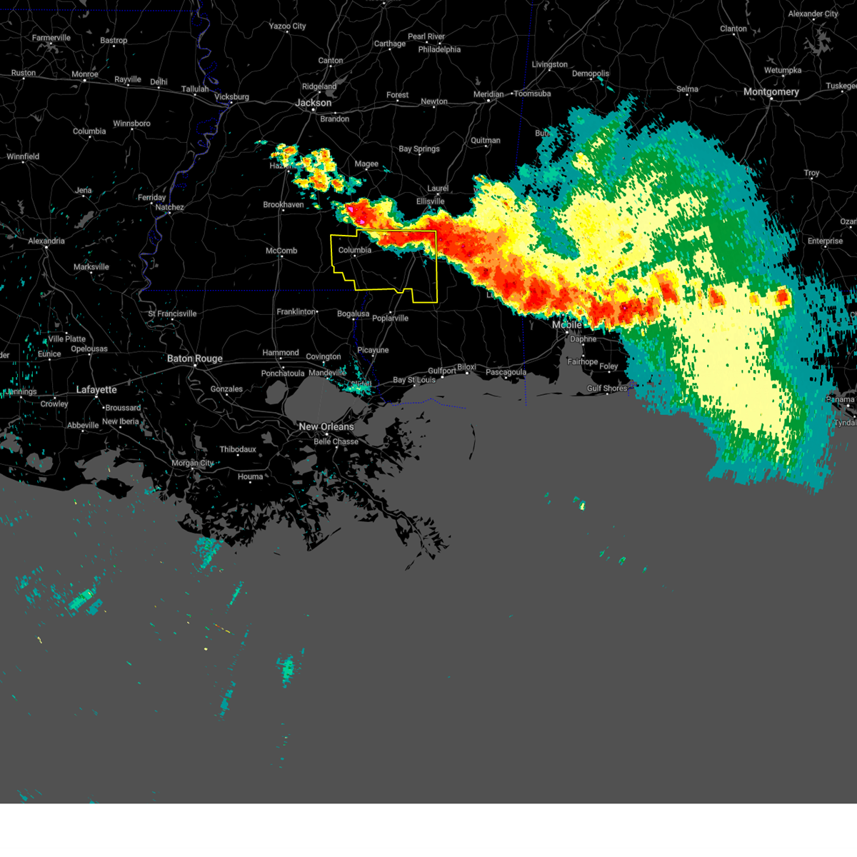 At 1146 pm cdt, severe thunderstorms were located along a line extending from near oak vale to near sumrall to near macedonia, moving southeast at 35 mph (radar indicated). Hazards include 60 mph wind gusts. Expect damage to roofs, siding, and trees. these severe storms will be near, petal, sunrise and macedonia around 1150 pm cdt. hattiesburg, west hattiesburg and oak grove around 1155 pm cdt. pine ridge and mclaurin around 1205 am cdt. columbia and purvis around 1210 am cdt. pickwick around 1220 am cdt. lumberton and rock hill around 1225 am cdt. pine burr around 1230 am cdt. sandy hook around 1235 am cdt. hail threat, radar indicated max hail size, <. 75 in wind threat, radar indicated max wind gust, 60 mph. At 1146 pm cdt, severe thunderstorms were located along a line extending from near oak vale to near sumrall to near macedonia, moving southeast at 35 mph (radar indicated). Hazards include 60 mph wind gusts. Expect damage to roofs, siding, and trees. these severe storms will be near, petal, sunrise and macedonia around 1150 pm cdt. hattiesburg, west hattiesburg and oak grove around 1155 pm cdt. pine ridge and mclaurin around 1205 am cdt. columbia and purvis around 1210 am cdt. pickwick around 1220 am cdt. lumberton and rock hill around 1225 am cdt. pine burr around 1230 am cdt. sandy hook around 1235 am cdt. hail threat, radar indicated max hail size, <. 75 in wind threat, radar indicated max wind gust, 60 mph.
|
| 6/16/2023 11:18 PM CDT |
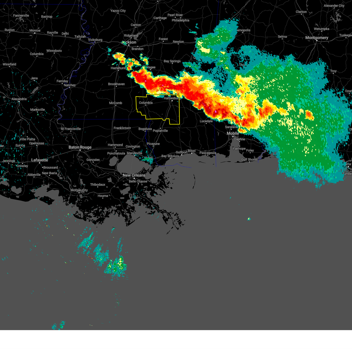 At 1117 pm cdt, severe thunderstorms were located along a line extending from bassfield to sanford to 6 miles west of ovett, moving south at 30 mph (radar indicated). Hazards include 60 mph wind gusts and quarter size hail. Hail damage to vehicles is expected. expect wind damage to roofs, siding, and trees. severe thunderstorms will be near, macedonia around 1130 pm cdt. rawls springs and sunrise around 1135 pm cdt. hattiesburg, petal, west hattiesburg and improve around 1140 pm cdt. oak grove around 1145 pm cdt. pine ridge around 1155 pm cdt. purvis around 1200 am cdt. pine burr and mclaurin around 1205 am cdt. baxterville and rock hill around 1215 am cdt. hail threat, radar indicated max hail size, 1. 00 in wind threat, radar indicated max wind gust, 60 mph. At 1117 pm cdt, severe thunderstorms were located along a line extending from bassfield to sanford to 6 miles west of ovett, moving south at 30 mph (radar indicated). Hazards include 60 mph wind gusts and quarter size hail. Hail damage to vehicles is expected. expect wind damage to roofs, siding, and trees. severe thunderstorms will be near, macedonia around 1130 pm cdt. rawls springs and sunrise around 1135 pm cdt. hattiesburg, petal, west hattiesburg and improve around 1140 pm cdt. oak grove around 1145 pm cdt. pine ridge around 1155 pm cdt. purvis around 1200 am cdt. pine burr and mclaurin around 1205 am cdt. baxterville and rock hill around 1215 am cdt. hail threat, radar indicated max hail size, 1. 00 in wind threat, radar indicated max wind gust, 60 mph.
|
| 6/16/2023 6:50 AM CDT |
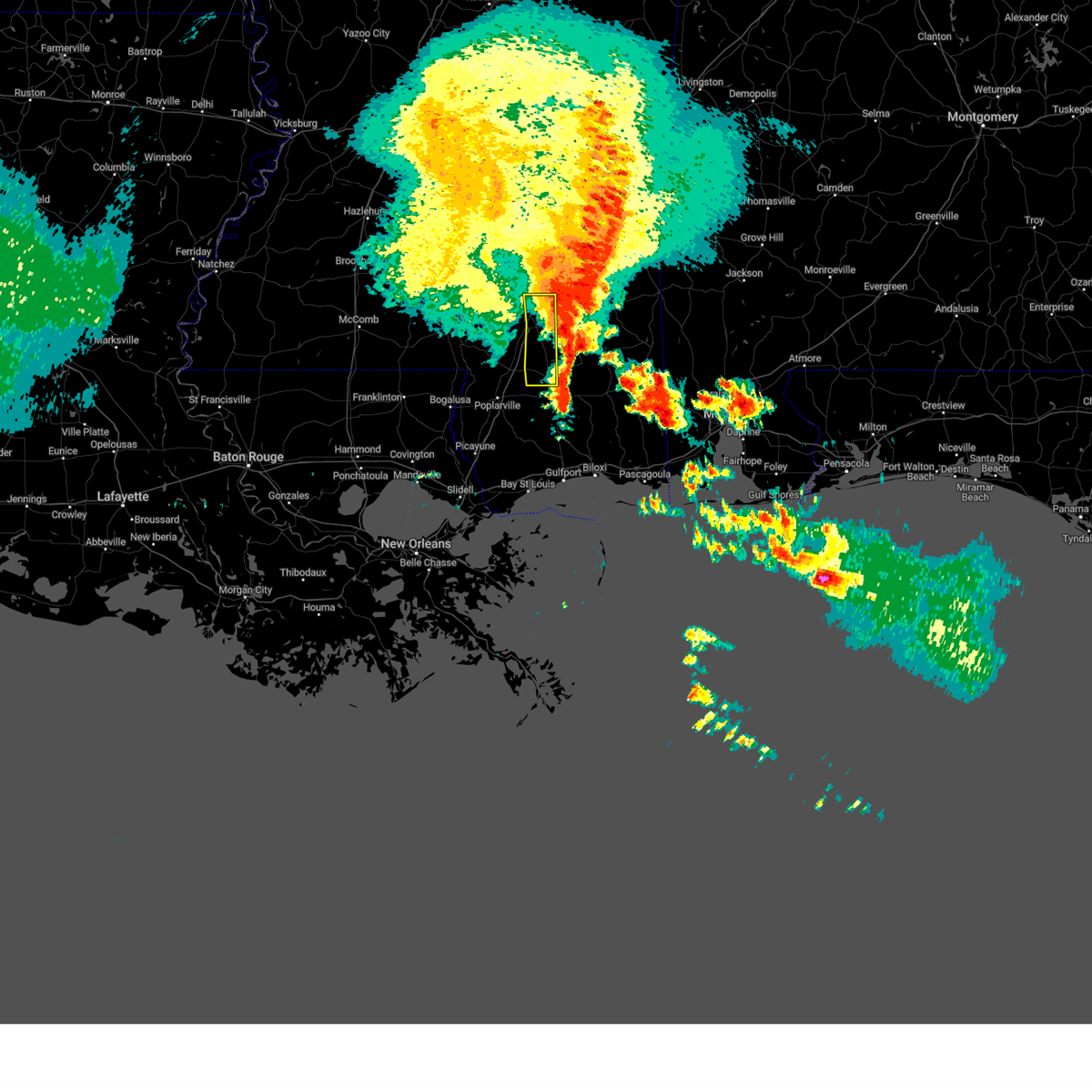 The severe thunderstorm warning for forrest county will expire at 700 am cdt, the storms which prompted the warning have moved out of the area. therefore, the warning will be allowed to expire. a severe thunderstorm watch remains in effect until 1000 am cdt for southeastern mississippi. The severe thunderstorm warning for forrest county will expire at 700 am cdt, the storms which prompted the warning have moved out of the area. therefore, the warning will be allowed to expire. a severe thunderstorm watch remains in effect until 1000 am cdt for southeastern mississippi.
|
| 6/16/2023 6:38 AM CDT |
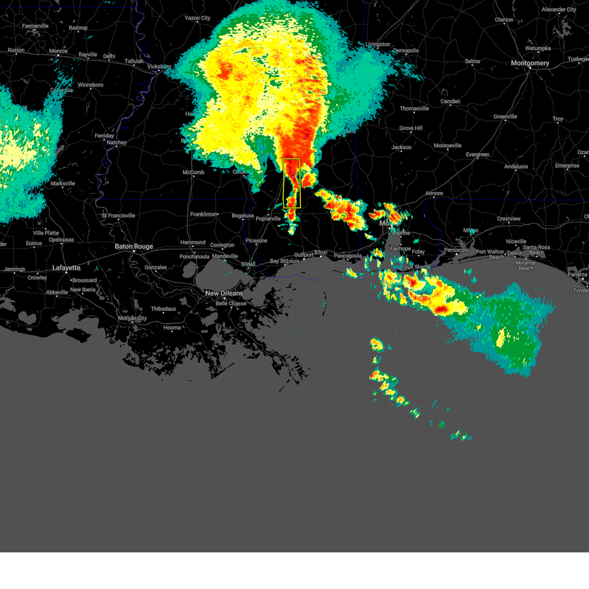 At 637 am cdt, severe thunderstorms were located along a line extending from near macedonia to near sunrise to near maxie, moving east at 55 mph (radar indicated). Hazards include 70 mph wind gusts and quarter size hail. Hail damage to vehicles is expected. expect considerable tree damage. wind damage is also likely to mobile homes, roofs, and outbuildings. these severe thunderstorms will remain over mainly rural areas of forrest county. thunderstorm damage threat, considerable hail threat, radar indicated max hail size, 1. 00 in wind threat, radar indicated max wind gust, 70 mph. At 637 am cdt, severe thunderstorms were located along a line extending from near macedonia to near sunrise to near maxie, moving east at 55 mph (radar indicated). Hazards include 70 mph wind gusts and quarter size hail. Hail damage to vehicles is expected. expect considerable tree damage. wind damage is also likely to mobile homes, roofs, and outbuildings. these severe thunderstorms will remain over mainly rural areas of forrest county. thunderstorm damage threat, considerable hail threat, radar indicated max hail size, 1. 00 in wind threat, radar indicated max wind gust, 70 mph.
|
| 6/16/2023 6:15 AM CDT |
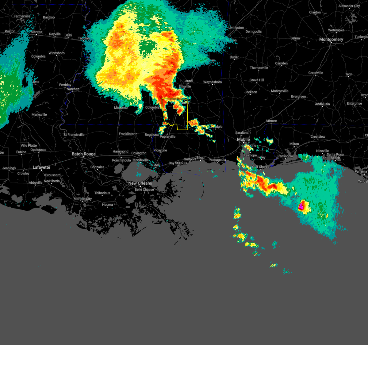 At 614 am cdt, severe thunderstorms were located along a line extending from near sumrall to near pine ridge, moving east at 55 mph (radar indicated). Hazards include 70 mph wind gusts and quarter size hail. Hail damage to vehicles is expected. expect considerable tree damage. wind damage is also likely to mobile homes, roofs, and outbuildings. these severe storms will be near, purvis around 620 am cdt. west hattiesburg and rawls springs around 625 am cdt. petal and rock hill around 630 am cdt. mclaurin, macedonia, brooklyn and sunrise around 635 am cdt. thunderstorm damage threat, considerable hail threat, radar indicated max hail size, 1. 00 in wind threat, radar indicated max wind gust, 70 mph. At 614 am cdt, severe thunderstorms were located along a line extending from near sumrall to near pine ridge, moving east at 55 mph (radar indicated). Hazards include 70 mph wind gusts and quarter size hail. Hail damage to vehicles is expected. expect considerable tree damage. wind damage is also likely to mobile homes, roofs, and outbuildings. these severe storms will be near, purvis around 620 am cdt. west hattiesburg and rawls springs around 625 am cdt. petal and rock hill around 630 am cdt. mclaurin, macedonia, brooklyn and sunrise around 635 am cdt. thunderstorm damage threat, considerable hail threat, radar indicated max hail size, 1. 00 in wind threat, radar indicated max wind gust, 70 mph.
|
| 6/16/2023 5:57 AM CDT |
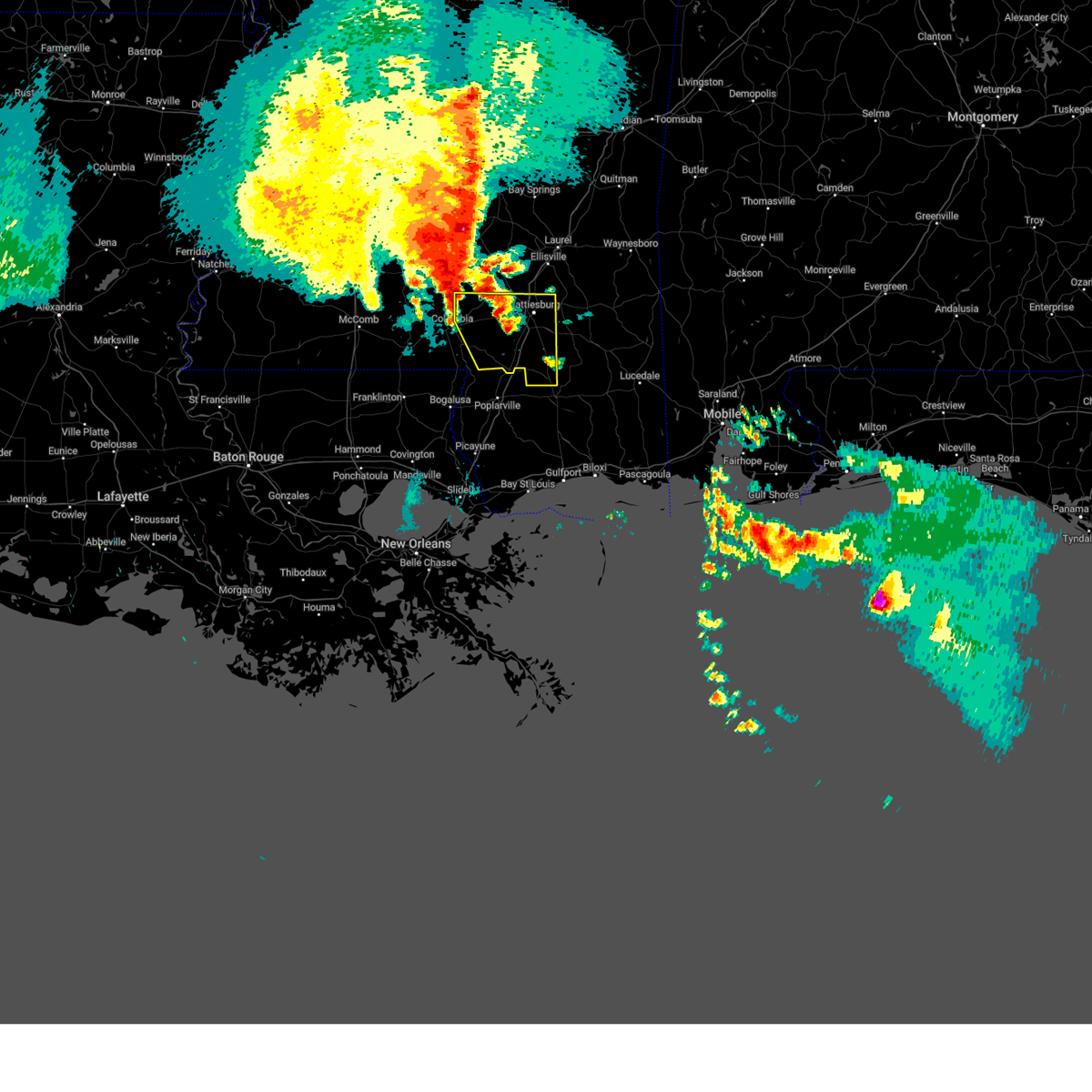 At 556 am cdt, severe thunderstorms were located along a line extending from near melba to near pine burr, moving east at 55 mph (radar indicated). Hazards include 60 mph wind gusts and quarter size hail. Hail damage to vehicles is expected. expect wind damage to roofs, siding, and trees. severe thunderstorms will be near, baxterville around 605 am cdt. sumrall around 610 am cdt. oak grove and pine ridge around 615 am cdt. west hattiesburg, purvis and rawls springs around 620 am cdt. rock hill around 625 am cdt. petal, mclaurin and sunrise around 630 am cdt. macedonia and brooklyn around 635 am cdt. hail threat, radar indicated max hail size, 1. 00 in wind threat, radar indicated max wind gust, 60 mph. At 556 am cdt, severe thunderstorms were located along a line extending from near melba to near pine burr, moving east at 55 mph (radar indicated). Hazards include 60 mph wind gusts and quarter size hail. Hail damage to vehicles is expected. expect wind damage to roofs, siding, and trees. severe thunderstorms will be near, baxterville around 605 am cdt. sumrall around 610 am cdt. oak grove and pine ridge around 615 am cdt. west hattiesburg, purvis and rawls springs around 620 am cdt. rock hill around 625 am cdt. petal, mclaurin and sunrise around 630 am cdt. macedonia and brooklyn around 635 am cdt. hail threat, radar indicated max hail size, 1. 00 in wind threat, radar indicated max wind gust, 60 mph.
|
| 6/14/2023 7:18 PM CDT |
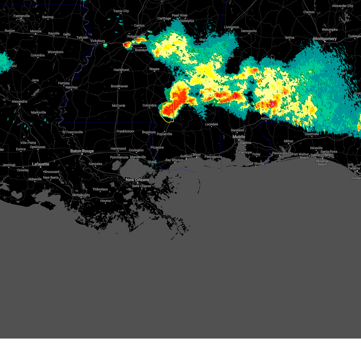 At 718 pm cdt, a severe thunderstorm was located near purvis, moving east at 55 mph (radar indicated). Hazards include 70 mph wind gusts and ping pong ball size hail. People and animals outdoors will be injured. expect hail damage to roofs, siding, windows, and vehicles. expect considerable tree damage. wind damage is also likely to mobile homes, roofs, and outbuildings. this severe thunderstorm will remain over mainly rural areas of lamar county. thunderstorm damage threat, considerable hail threat, radar indicated max hail size, 1. 50 in wind threat, radar indicated max wind gust, 70 mph. At 718 pm cdt, a severe thunderstorm was located near purvis, moving east at 55 mph (radar indicated). Hazards include 70 mph wind gusts and ping pong ball size hail. People and animals outdoors will be injured. expect hail damage to roofs, siding, windows, and vehicles. expect considerable tree damage. wind damage is also likely to mobile homes, roofs, and outbuildings. this severe thunderstorm will remain over mainly rural areas of lamar county. thunderstorm damage threat, considerable hail threat, radar indicated max hail size, 1. 50 in wind threat, radar indicated max wind gust, 70 mph.
|
| 6/14/2023 7:15 PM CDT | Khbg asos measured a 55kt or 63mph gust at 715p in forrest county MS, 6.1 miles NW of Hattiesburg, MS |
| 6/14/2023 7:11 PM CDT | A large pine tree in downtown hattiesburg fell onto and collapsed a carport... damaging two vehicles under it. picture relayed via twitte in forrest county MS, 2.5 miles W of Hattiesburg, MS |
| 6/14/2023 7:11 PM CDT |
 At 710 pm cdt, a severe thunderstorm was located over pine ridge, or near purvis, moving east at 55 mph (radar indicated). Hazards include 60 mph wind gusts and quarter size hail. Hail damage to vehicles is expected. expect wind damage to roofs, siding, and trees. this severe thunderstorm will be near, mclaurin and rock hill around 725 pm cdt. brooklyn around 730 pm cdt. hail threat, radar indicated max hail size, 1. 00 in wind threat, radar indicated max wind gust, 60 mph. At 710 pm cdt, a severe thunderstorm was located over pine ridge, or near purvis, moving east at 55 mph (radar indicated). Hazards include 60 mph wind gusts and quarter size hail. Hail damage to vehicles is expected. expect wind damage to roofs, siding, and trees. this severe thunderstorm will be near, mclaurin and rock hill around 725 pm cdt. brooklyn around 730 pm cdt. hail threat, radar indicated max hail size, 1. 00 in wind threat, radar indicated max wind gust, 60 mph.
|
| 6/14/2023 7:08 PM CDT |
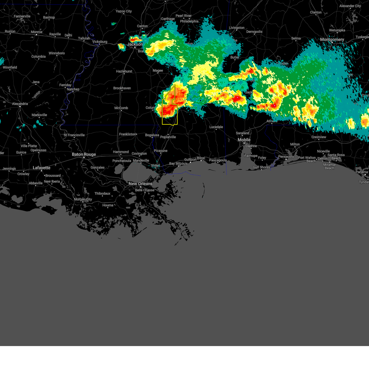 At 708 pm cdt, a severe thunderstorm was located near pine ridge, or near purvis, moving east at 55 mph (radar indicated). Hazards include 70 mph wind gusts and ping pong ball size hail. People and animals outdoors will be injured. expect hail damage to roofs, siding, windows, and vehicles. expect considerable tree damage. wind damage is also likely to mobile homes, roofs, and outbuildings. this severe storm will be near, purvis around 715 pm cdt. thunderstorm damage threat, considerable hail threat, radar indicated max hail size, 1. 50 in wind threat, radar indicated max wind gust, 70 mph. At 708 pm cdt, a severe thunderstorm was located near pine ridge, or near purvis, moving east at 55 mph (radar indicated). Hazards include 70 mph wind gusts and ping pong ball size hail. People and animals outdoors will be injured. expect hail damage to roofs, siding, windows, and vehicles. expect considerable tree damage. wind damage is also likely to mobile homes, roofs, and outbuildings. this severe storm will be near, purvis around 715 pm cdt. thunderstorm damage threat, considerable hail threat, radar indicated max hail size, 1. 50 in wind threat, radar indicated max wind gust, 70 mph.
|
| 6/14/2023 6:59 PM CDT |
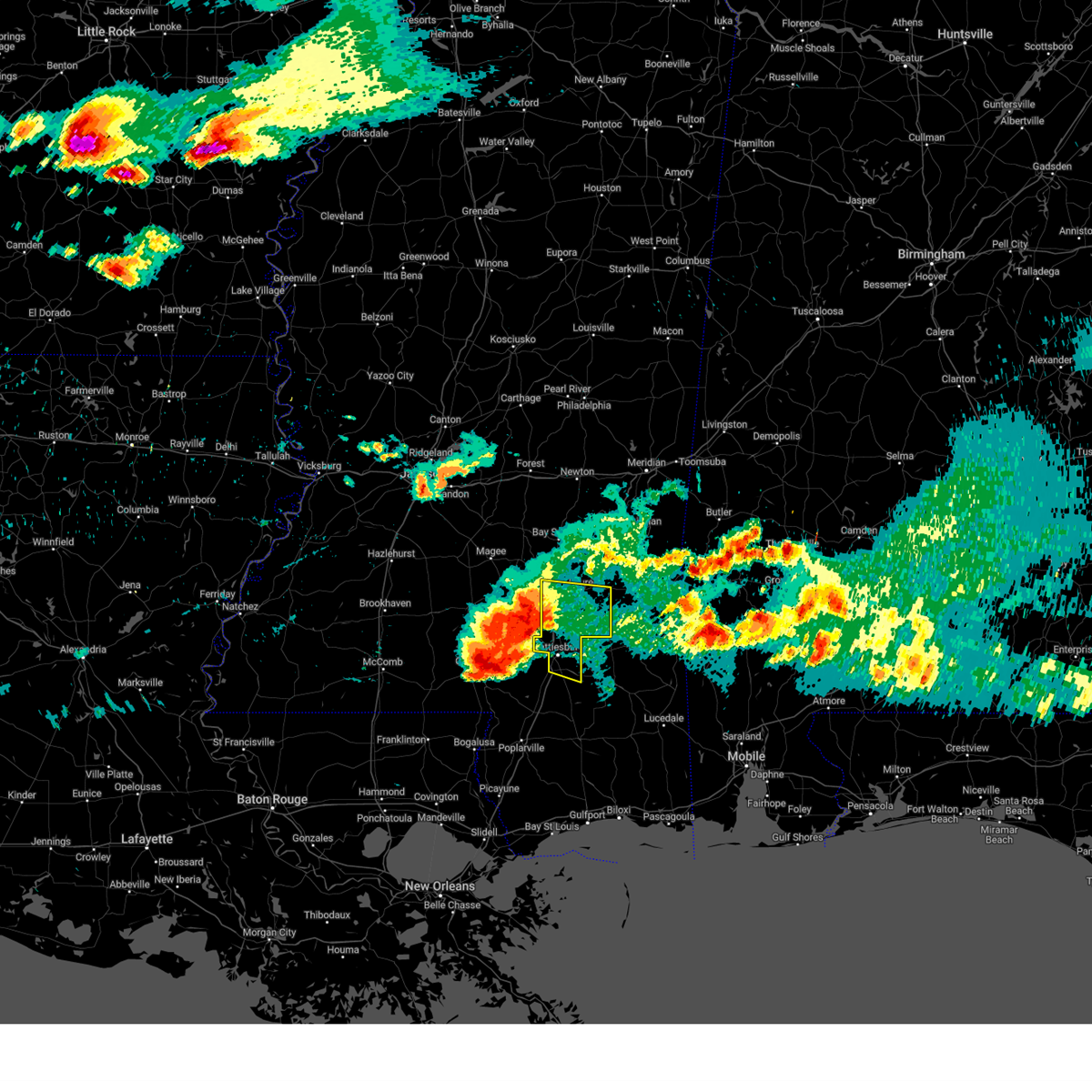 At 658 pm cdt, a severe thunderstorm was located over sanford, or 10 miles north of west hattiesburg, moving east at 55 mph (radar indicated). Hazards include 70 mph wind gusts and ping pong ball size hail. People and animals outdoors will be injured. expect hail damage to roofs, siding, windows, and vehicles. expect considerable tree damage. wind damage is also likely to mobile homes, roofs, and outbuildings. this severe storm will be near, moselle and eastabuchie around 705 pm cdt. petal around 710 pm cdt. macedonia and sunrise around 715 pm cdt. ovett around 720 pm cdt. other locations impacted by this severe thunderstorm include corinth. thunderstorm damage threat, considerable hail threat, radar indicated max hail size, 1. 50 in wind threat, radar indicated max wind gust, 70 mph. At 658 pm cdt, a severe thunderstorm was located over sanford, or 10 miles north of west hattiesburg, moving east at 55 mph (radar indicated). Hazards include 70 mph wind gusts and ping pong ball size hail. People and animals outdoors will be injured. expect hail damage to roofs, siding, windows, and vehicles. expect considerable tree damage. wind damage is also likely to mobile homes, roofs, and outbuildings. this severe storm will be near, moselle and eastabuchie around 705 pm cdt. petal around 710 pm cdt. macedonia and sunrise around 715 pm cdt. ovett around 720 pm cdt. other locations impacted by this severe thunderstorm include corinth. thunderstorm damage threat, considerable hail threat, radar indicated max hail size, 1. 50 in wind threat, radar indicated max wind gust, 70 mph.
|
| 6/14/2023 6:57 PM CDT | Tree down on highway 589 and j.m. burge roa in lamar county MS, 8.7 miles ENE of Hattiesburg, MS |
| 6/14/2023 6:55 PM CDT |
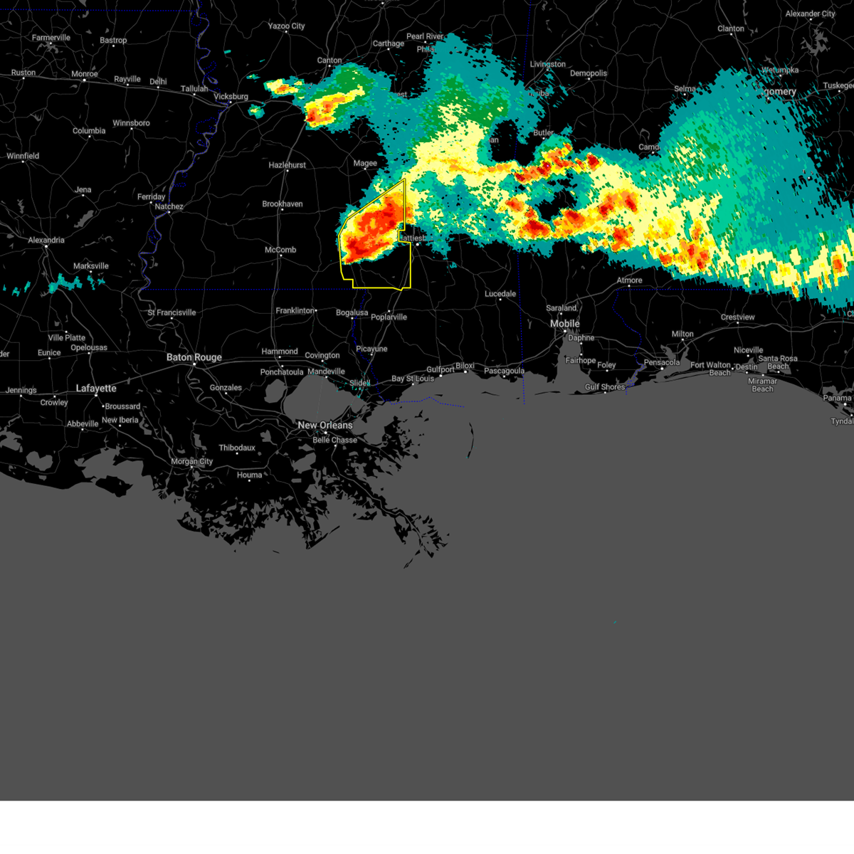 At 654 pm cdt, a severe thunderstorm was located near improve, or near columbia, moving southeast at 55 mph (radar indicated). Hazards include tennis ball size hail and 70 mph wind gusts. People and animals outdoors will be injured. expect hail damage to roofs, siding, windows, and vehicles. expect considerable tree damage. wind damage is also likely to mobile homes, roofs, and outbuildings. this severe storm will be near, baxterville around 705 pm cdt. pine ridge around 710 pm cdt. purvis around 715 pm cdt. thunderstorm damage threat, considerable hail threat, radar indicated max hail size, 2. 50 in wind threat, radar indicated max wind gust, 70 mph. At 654 pm cdt, a severe thunderstorm was located near improve, or near columbia, moving southeast at 55 mph (radar indicated). Hazards include tennis ball size hail and 70 mph wind gusts. People and animals outdoors will be injured. expect hail damage to roofs, siding, windows, and vehicles. expect considerable tree damage. wind damage is also likely to mobile homes, roofs, and outbuildings. this severe storm will be near, baxterville around 705 pm cdt. pine ridge around 710 pm cdt. purvis around 715 pm cdt. thunderstorm damage threat, considerable hail threat, radar indicated max hail size, 2. 50 in wind threat, radar indicated max wind gust, 70 mph.
|
| 6/14/2023 6:49 PM CDT |
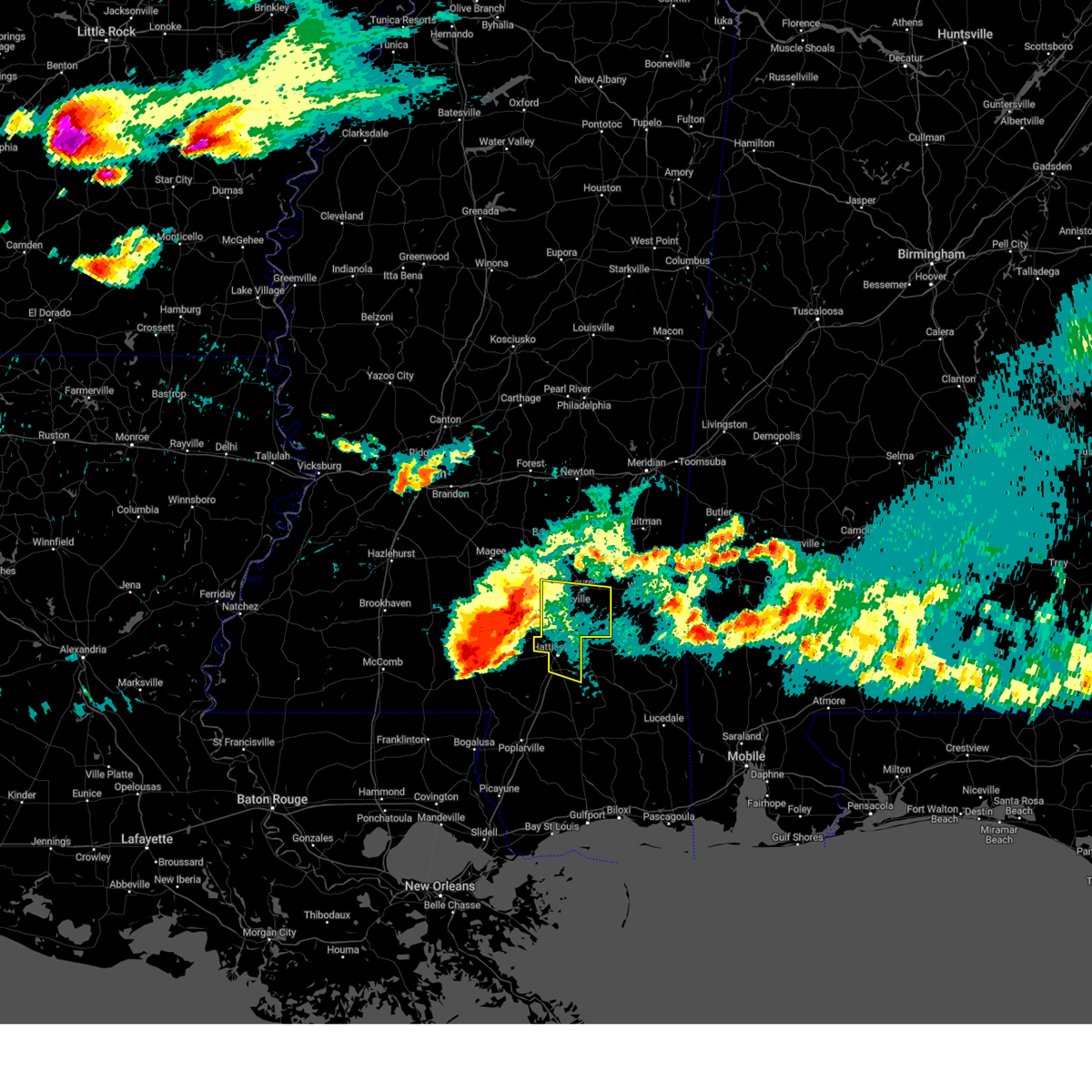 At 649 pm cdt, a severe thunderstorm was located over seminary, or 7 miles southeast of collins, moving east at 60 mph (radar indicated). Hazards include ping pong ball size hail and 60 mph wind gusts. People and animals outdoors will be injured. expect hail damage to roofs, siding, windows, and vehicles. expect wind damage to roofs, siding, and trees. this severe thunderstorm will be near, moselle around 700 pm cdt. ellisville and eastabuchie around 705 pm cdt. macedonia around 710 pm cdt. ovett around 715 pm cdt. other locations impacted by this severe thunderstorm include corinth. hail threat, radar indicated max hail size, 1. 50 in wind threat, radar indicated max wind gust, 60 mph. At 649 pm cdt, a severe thunderstorm was located over seminary, or 7 miles southeast of collins, moving east at 60 mph (radar indicated). Hazards include ping pong ball size hail and 60 mph wind gusts. People and animals outdoors will be injured. expect hail damage to roofs, siding, windows, and vehicles. expect wind damage to roofs, siding, and trees. this severe thunderstorm will be near, moselle around 700 pm cdt. ellisville and eastabuchie around 705 pm cdt. macedonia around 710 pm cdt. ovett around 715 pm cdt. other locations impacted by this severe thunderstorm include corinth. hail threat, radar indicated max hail size, 1. 50 in wind threat, radar indicated max wind gust, 60 mph.
|
| 6/14/2023 6:27 PM CDT |
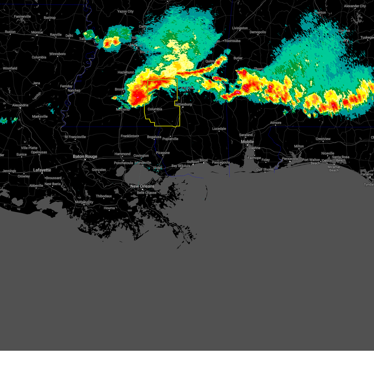 At 627 pm cdt, a severe thunderstorm was located near progress, or 8 miles southwest of prentiss, moving east at 55 mph (radar indicated). Hazards include ping pong ball size hail and 60 mph wind gusts. People and animals outdoors will be injured. expect hail damage to roofs, siding, windows, and vehicles. expect wind damage to roofs, siding, and trees. this severe thunderstorm will be near, society hill and carson around 635 pm cdt. bassfield and bunker hill around 640 pm cdt. improve around 645 pm cdt. melba around 650 pm cdt. sumrall around 655 pm cdt. hattiesburg and oak grove around 705 pm cdt. west hattiesburg around 710 pm cdt. hail threat, radar indicated max hail size, 1. 50 in wind threat, radar indicated max wind gust, 60 mph. At 627 pm cdt, a severe thunderstorm was located near progress, or 8 miles southwest of prentiss, moving east at 55 mph (radar indicated). Hazards include ping pong ball size hail and 60 mph wind gusts. People and animals outdoors will be injured. expect hail damage to roofs, siding, windows, and vehicles. expect wind damage to roofs, siding, and trees. this severe thunderstorm will be near, society hill and carson around 635 pm cdt. bassfield and bunker hill around 640 pm cdt. improve around 645 pm cdt. melba around 650 pm cdt. sumrall around 655 pm cdt. hattiesburg and oak grove around 705 pm cdt. west hattiesburg around 710 pm cdt. hail threat, radar indicated max hail size, 1. 50 in wind threat, radar indicated max wind gust, 60 mph.
|
| 6/12/2023 9:40 PM CDT | Tree downed on hwy 589 and ford loo in lamar county MS, 9.1 miles NE of Hattiesburg, MS |
| 6/12/2023 5:41 PM CDT | Tree downed on brooklyn-janice roa in forrest county MS, 20.9 miles NNW of Hattiesburg, MS |
| 5/11/2023 6:41 PM CDT |
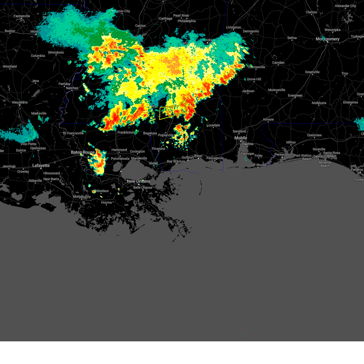 At 641 pm cdt, a severe thunderstorm was located over sunrise, or near petal, moving east at 15 mph (radar indicated). Hazards include 60 mph wind gusts and nickel size hail. Expect damage to roofs, siding, and trees. locations impacted include, hattiesburg, purvis, oak grove, baxterville, pine ridge, sunrise, macedonia and corinth. hail threat, radar indicated max hail size, 0. 88 in wind threat, radar indicated max wind gust, 60 mph. At 641 pm cdt, a severe thunderstorm was located over sunrise, or near petal, moving east at 15 mph (radar indicated). Hazards include 60 mph wind gusts and nickel size hail. Expect damage to roofs, siding, and trees. locations impacted include, hattiesburg, purvis, oak grove, baxterville, pine ridge, sunrise, macedonia and corinth. hail threat, radar indicated max hail size, 0. 88 in wind threat, radar indicated max wind gust, 60 mph.
|
| 5/11/2023 6:15 PM CDT | Quarter sized hail reported 4.2 miles NE of Hattiesburg, MS, quarter size hail fell near oak grove. |
| 5/11/2023 6:09 PM CDT |
 At 609 pm cdt, a severe thunderstorm was located over rawls springs, or near hattiesburg, moving east at 10 mph (radar indicated). Hazards include 60 mph wind gusts and quarter size hail. Hail damage to vehicles is expected. Expect wind damage to roofs, siding, and trees. At 609 pm cdt, a severe thunderstorm was located over rawls springs, or near hattiesburg, moving east at 10 mph (radar indicated). Hazards include 60 mph wind gusts and quarter size hail. Hail damage to vehicles is expected. Expect wind damage to roofs, siding, and trees.
|
| 5/5/2023 4:17 PM CDT | Emergency management reported structural damage to a luxury inn outside hattiesbur in forrest county MS, 1.2 miles SSE of Hattiesburg, MS |
| 5/5/2023 3:43 PM CDT |
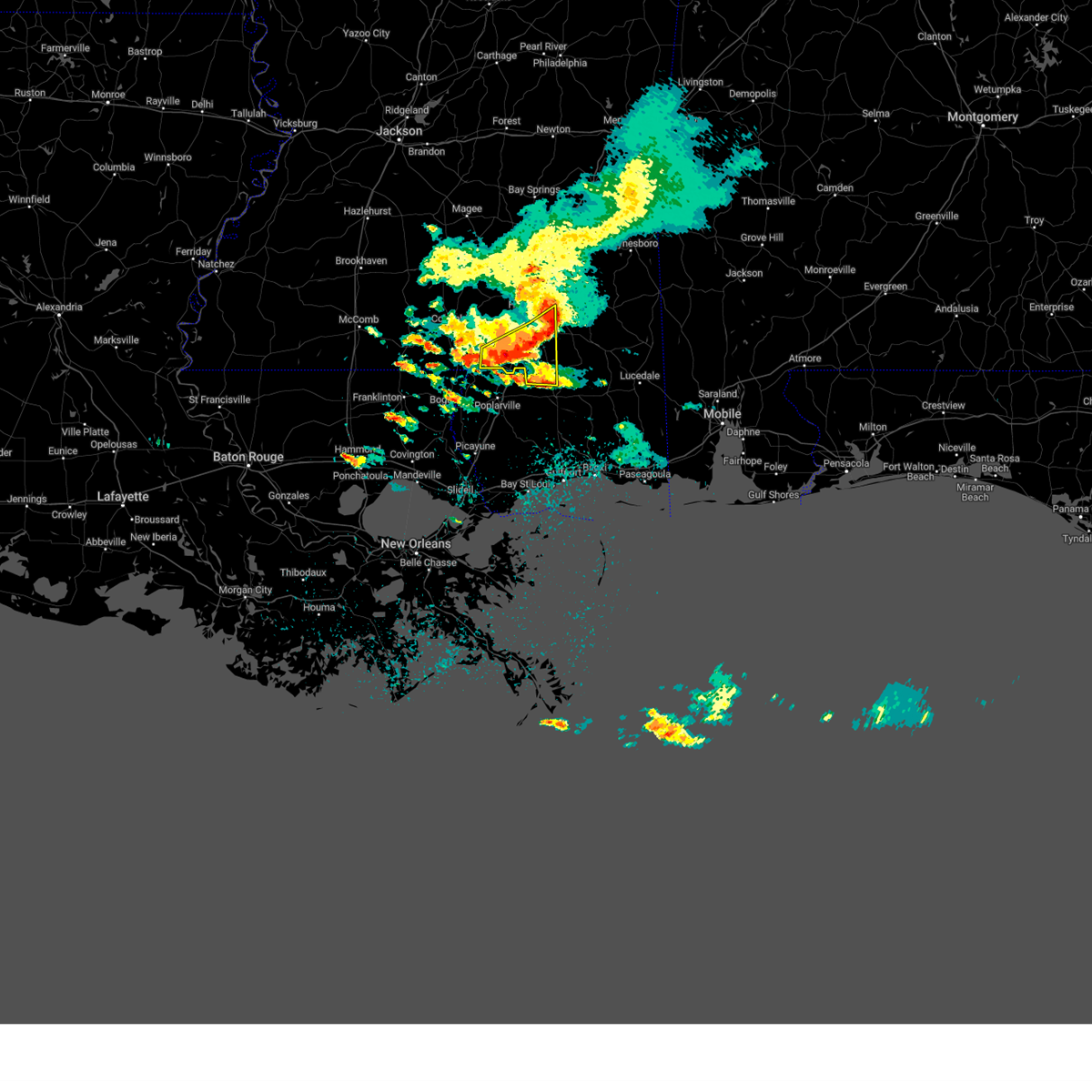 At 342 pm cdt, severe thunderstorms were located along a line extending from near sunrise to 6 miles northeast of mclaurin to near lumberton, moving east at 40 mph (radar indicated). Hazards include 70 mph wind gusts and quarter size hail. Hail damage to vehicles is expected. expect considerable tree damage. wind damage is also likely to mobile homes, roofs, and outbuildings. these severe storms will be near, mclaurin around 345 pm cdt. rock hill around 355 pm cdt. maxie and brooklyn around 410 pm cdt. thunderstorm damage threat, considerable hail threat, radar indicated max hail size, 1. 00 in wind threat, radar indicated max wind gust, 70 mph. At 342 pm cdt, severe thunderstorms were located along a line extending from near sunrise to 6 miles northeast of mclaurin to near lumberton, moving east at 40 mph (radar indicated). Hazards include 70 mph wind gusts and quarter size hail. Hail damage to vehicles is expected. expect considerable tree damage. wind damage is also likely to mobile homes, roofs, and outbuildings. these severe storms will be near, mclaurin around 345 pm cdt. rock hill around 355 pm cdt. maxie and brooklyn around 410 pm cdt. thunderstorm damage threat, considerable hail threat, radar indicated max hail size, 1. 00 in wind threat, radar indicated max wind gust, 70 mph.
|
| 5/5/2023 3:36 PM CDT | Emergency management reported multiple trees down all across forrest count in forrest county MS, 11.7 miles NNW of Hattiesburg, MS |
| 5/5/2023 3:36 PM CDT | Pictures from social media via twitter show a tree down on a home near king rd in hattiesbur in lamar county MS, 5.2 miles E of Hattiesburg, MS |
| 5/5/2023 3:24 PM CDT |
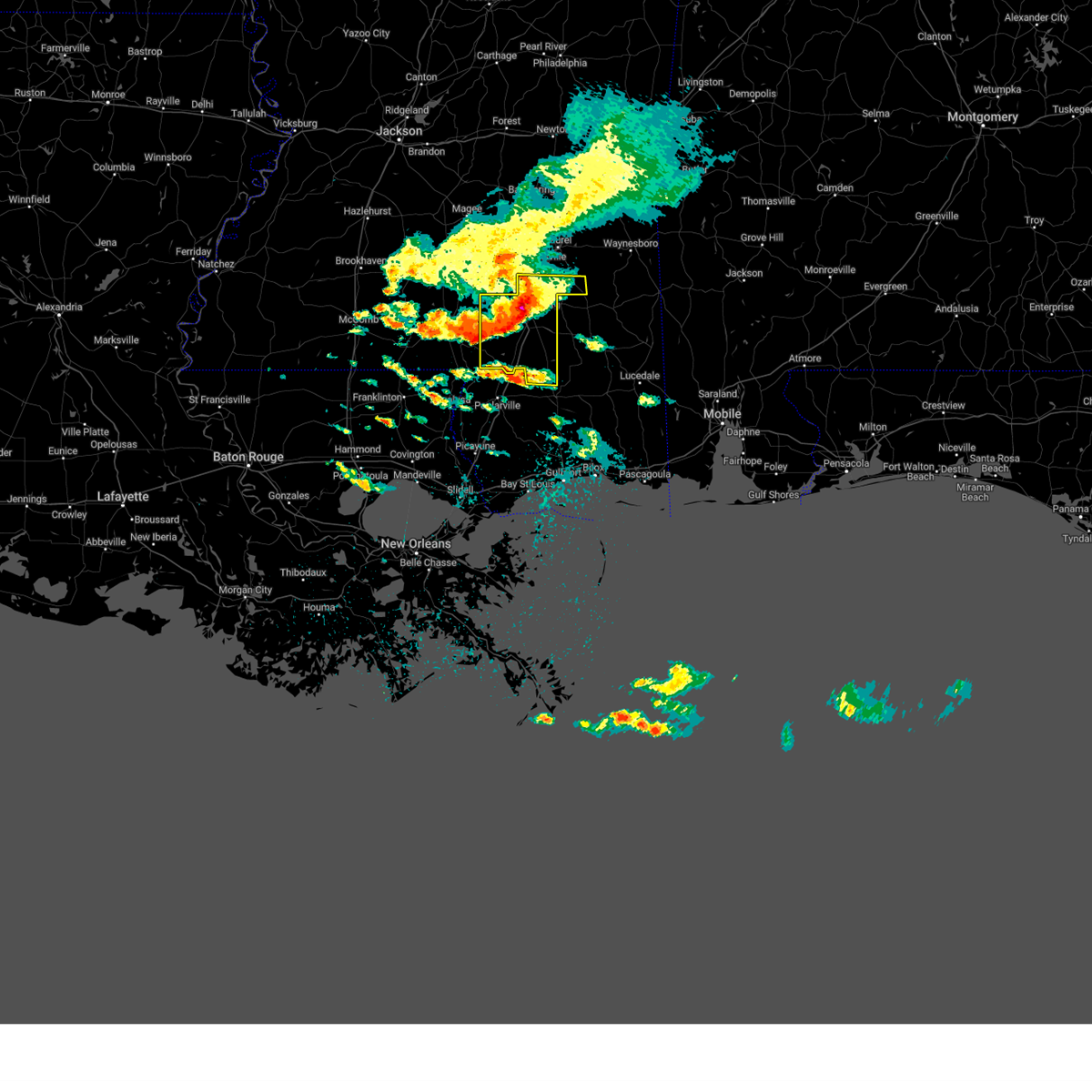 At 323 pm cdt, severe thunderstorms were located along a line extending from eastabuchie to hattiesburg to pine ridge, moving southeast at 35 mph (radar indicated). Hazards include 70 mph wind gusts and quarter size hail. Hail damage to vehicles is expected. expect considerable tree damage. wind damage is also likely to mobile homes, roofs, and outbuildings. these severe storms will be near, petal and macedonia around 335 pm cdt. sunrise and mclaurin around 340 pm cdt. rock hill around 345 pm cdt. brooklyn around 355 pm cdt. maxie around 400 pm cdt. other locations impacted by these severe thunderstorms include corinth. thunderstorm damage threat, considerable hail threat, radar indicated max hail size, 1. 00 in wind threat, radar indicated max wind gust, 70 mph. At 323 pm cdt, severe thunderstorms were located along a line extending from eastabuchie to hattiesburg to pine ridge, moving southeast at 35 mph (radar indicated). Hazards include 70 mph wind gusts and quarter size hail. Hail damage to vehicles is expected. expect considerable tree damage. wind damage is also likely to mobile homes, roofs, and outbuildings. these severe storms will be near, petal and macedonia around 335 pm cdt. sunrise and mclaurin around 340 pm cdt. rock hill around 345 pm cdt. brooklyn around 355 pm cdt. maxie around 400 pm cdt. other locations impacted by these severe thunderstorms include corinth. thunderstorm damage threat, considerable hail threat, radar indicated max hail size, 1. 00 in wind threat, radar indicated max wind gust, 70 mph.
|
| 5/5/2023 3:22 PM CDT | Reports of multiple trees down near mitchell hudson r in forrest county MS, 7.2 miles SE of Hattiesburg, MS |
| 5/5/2023 3:15 PM CDT | Multiple trees dow in lamar county MS, 4 miles E of Hattiesburg, MS |
| 5/5/2023 3:02 PM CDT |
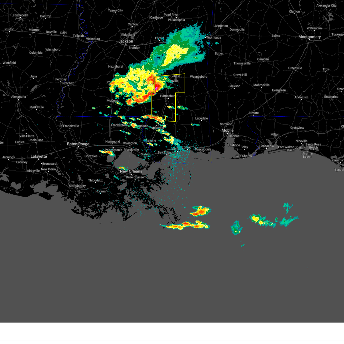 At 301 pm cdt, severe thunderstorms were located along a line extending from collins to near sanford to sumrall, moving southeast at 40 mph (radar indicated). Hazards include 70 mph wind gusts and half dollar size hail. Hail damage to vehicles is expected. expect considerable tree damage. wind damage is also likely to mobile homes, roofs, and outbuildings. these severe storms will be near, sanford around 310 pm cdt. hattiesburg and rawls springs around 315 pm cdt. west hattiesburg and oak grove around 320 pm cdt. petal, moselle and eastabuchie around 330 pm cdt. sunrise around 335 pm cdt. mclaurin around 340 pm cdt. macedonia around 345 pm cdt. ovett around 350 pm cdt. other locations impacted by these severe thunderstorms include corinth. thunderstorm damage threat, considerable hail threat, radar indicated max hail size, 1. 25 in wind threat, radar indicated max wind gust, 70 mph. At 301 pm cdt, severe thunderstorms were located along a line extending from collins to near sanford to sumrall, moving southeast at 40 mph (radar indicated). Hazards include 70 mph wind gusts and half dollar size hail. Hail damage to vehicles is expected. expect considerable tree damage. wind damage is also likely to mobile homes, roofs, and outbuildings. these severe storms will be near, sanford around 310 pm cdt. hattiesburg and rawls springs around 315 pm cdt. west hattiesburg and oak grove around 320 pm cdt. petal, moselle and eastabuchie around 330 pm cdt. sunrise around 335 pm cdt. mclaurin around 340 pm cdt. macedonia around 345 pm cdt. ovett around 350 pm cdt. other locations impacted by these severe thunderstorms include corinth. thunderstorm damage threat, considerable hail threat, radar indicated max hail size, 1. 25 in wind threat, radar indicated max wind gust, 70 mph.
|
| 5/5/2023 2:53 PM CDT |
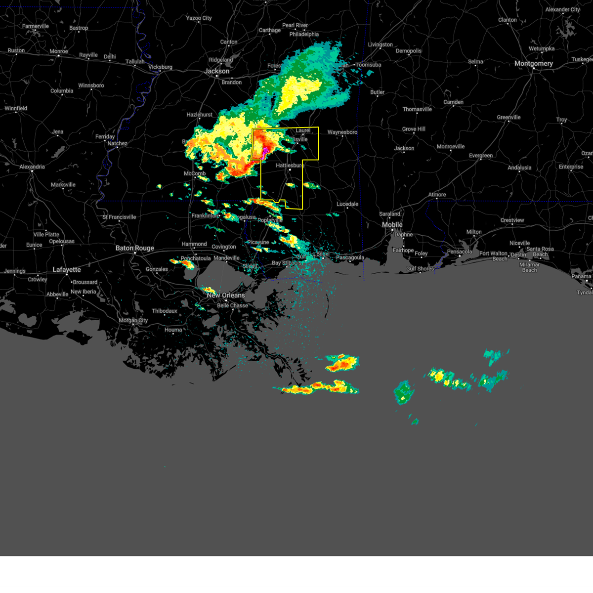 At 253 pm cdt, severe thunderstorms were located along a line extending from near collins to near seminary to melba, moving east at 40 mph (radar indicated). Hazards include 70 mph wind gusts and half dollar size hail. Hail damage to vehicles is expected. expect considerable tree damage. wind damage is also likely to mobile homes, roofs, and outbuildings. these severe storms will be near, sumrall and seminary around 300 pm cdt. sanford around 305 pm cdt. hebron around 315 pm cdt. west hattiesburg, rawls springs and moselle around 320 pm cdt. eastabuchie around 325 pm cdt. laurel, petal and ellisville around 330 pm cdt. macedonia and sunrise around 335 pm cdt. ovett and tuckers crossing around 340 pm cdt. other locations impacted by these severe thunderstorms include corinth. thunderstorm damage threat, considerable hail threat, radar indicated max hail size, 1. 25 in wind threat, radar indicated max wind gust, 70 mph. At 253 pm cdt, severe thunderstorms were located along a line extending from near collins to near seminary to melba, moving east at 40 mph (radar indicated). Hazards include 70 mph wind gusts and half dollar size hail. Hail damage to vehicles is expected. expect considerable tree damage. wind damage is also likely to mobile homes, roofs, and outbuildings. these severe storms will be near, sumrall and seminary around 300 pm cdt. sanford around 305 pm cdt. hebron around 315 pm cdt. west hattiesburg, rawls springs and moselle around 320 pm cdt. eastabuchie around 325 pm cdt. laurel, petal and ellisville around 330 pm cdt. macedonia and sunrise around 335 pm cdt. ovett and tuckers crossing around 340 pm cdt. other locations impacted by these severe thunderstorms include corinth. thunderstorm damage threat, considerable hail threat, radar indicated max hail size, 1. 25 in wind threat, radar indicated max wind gust, 70 mph.
|
| 5/5/2023 2:39 PM CDT |
 At 239 pm cdt, severe thunderstorms were located along a line extending from near lone star to near carson to bassfield, moving east at 40 mph (radar indicated). Hazards include 70 mph wind gusts and quarter size hail. Hail damage to vehicles is expected. expect considerable tree damage. wind damage is also likely to mobile homes, roofs, and outbuildings. severe thunderstorms will be near, melba around 250 pm cdt. collins and seminary around 255 pm cdt. sumrall around 300 pm cdt. sanford and hebron around 305 pm cdt. rawls springs and moselle around 315 pm cdt. west hattiesburg and eastabuchie around 320 pm cdt. laurel and ellisville around 325 pm cdt. petal around 330 pm cdt. other locations impacted by these severe thunderstorms include corinth. thunderstorm damage threat, considerable hail threat, radar indicated max hail size, 1. 00 in wind threat, radar indicated max wind gust, 70 mph. At 239 pm cdt, severe thunderstorms were located along a line extending from near lone star to near carson to bassfield, moving east at 40 mph (radar indicated). Hazards include 70 mph wind gusts and quarter size hail. Hail damage to vehicles is expected. expect considerable tree damage. wind damage is also likely to mobile homes, roofs, and outbuildings. severe thunderstorms will be near, melba around 250 pm cdt. collins and seminary around 255 pm cdt. sumrall around 300 pm cdt. sanford and hebron around 305 pm cdt. rawls springs and moselle around 315 pm cdt. west hattiesburg and eastabuchie around 320 pm cdt. laurel and ellisville around 325 pm cdt. petal around 330 pm cdt. other locations impacted by these severe thunderstorms include corinth. thunderstorm damage threat, considerable hail threat, radar indicated max hail size, 1. 00 in wind threat, radar indicated max wind gust, 70 mph.
|
| 4/27/2023 4:53 AM CDT |
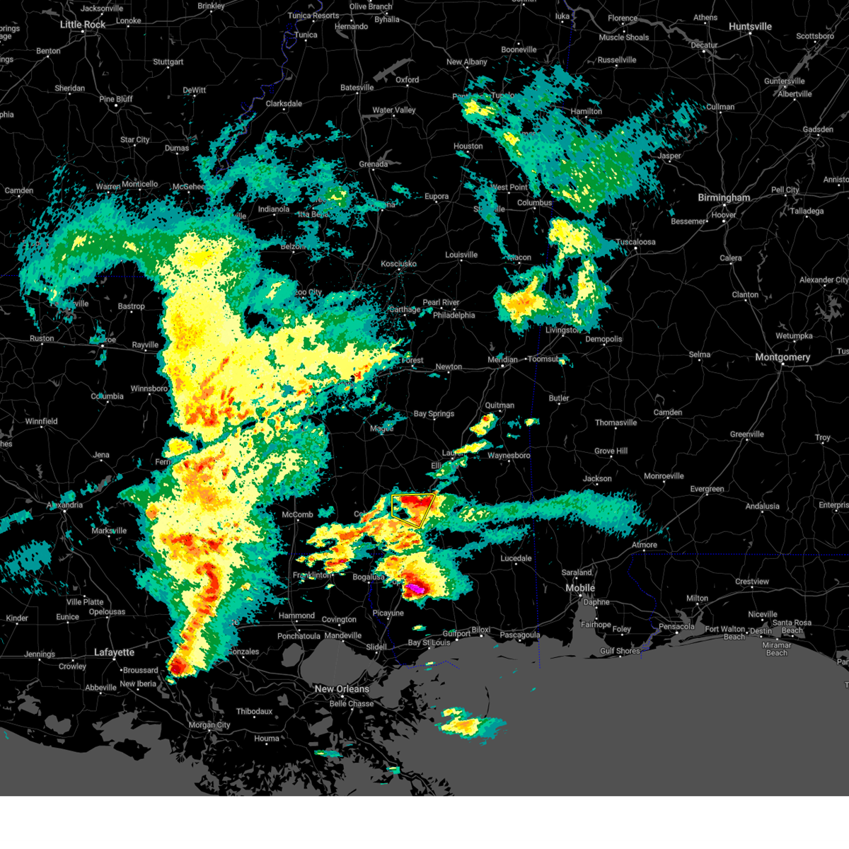 The severe thunderstorm warning for northwestern forrest and northern lamar counties will expire at 500 am cdt, the storm which prompted the warning has weakened below severe limits, and no longer poses an immediate threat to life or property. therefore, the warning will be allowed to expire. however, small hail and gusty winds are still possible with this thunderstorm. The severe thunderstorm warning for northwestern forrest and northern lamar counties will expire at 500 am cdt, the storm which prompted the warning has weakened below severe limits, and no longer poses an immediate threat to life or property. therefore, the warning will be allowed to expire. however, small hail and gusty winds are still possible with this thunderstorm.
|
| 4/27/2023 4:38 AM CDT |
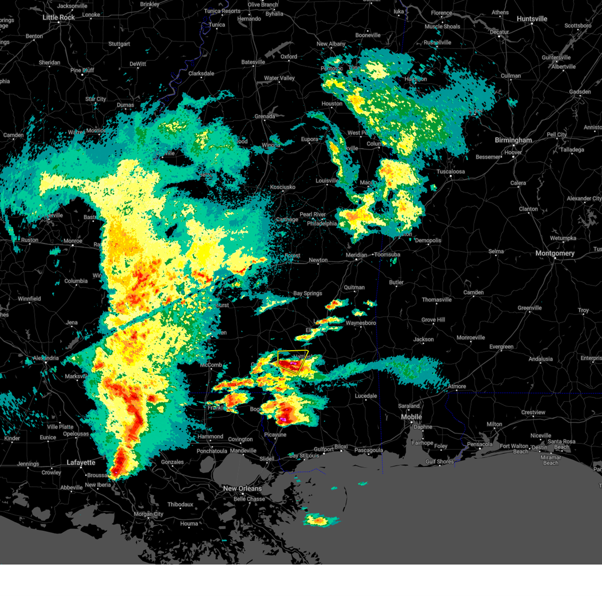 At 438 am cdt, a severe thunderstorm was located over rawls springs, or near west hattiesburg, moving northeast at 30 mph (radar indicated). Hazards include ping pong ball size hail and 60 mph wind gusts. People and animals outdoors will be injured. expect hail damage to roofs, siding, windows, and vehicles. expect wind damage to roofs, siding, and trees. this severe thunderstorm will remain over mainly rural areas of northwestern forrest and northern lamar counties. hail threat, radar indicated max hail size, 1. 50 in wind threat, radar indicated max wind gust, 60 mph. At 438 am cdt, a severe thunderstorm was located over rawls springs, or near west hattiesburg, moving northeast at 30 mph (radar indicated). Hazards include ping pong ball size hail and 60 mph wind gusts. People and animals outdoors will be injured. expect hail damage to roofs, siding, windows, and vehicles. expect wind damage to roofs, siding, and trees. this severe thunderstorm will remain over mainly rural areas of northwestern forrest and northern lamar counties. hail threat, radar indicated max hail size, 1. 50 in wind threat, radar indicated max wind gust, 60 mph.
|
| 4/27/2023 4:15 AM CDT |
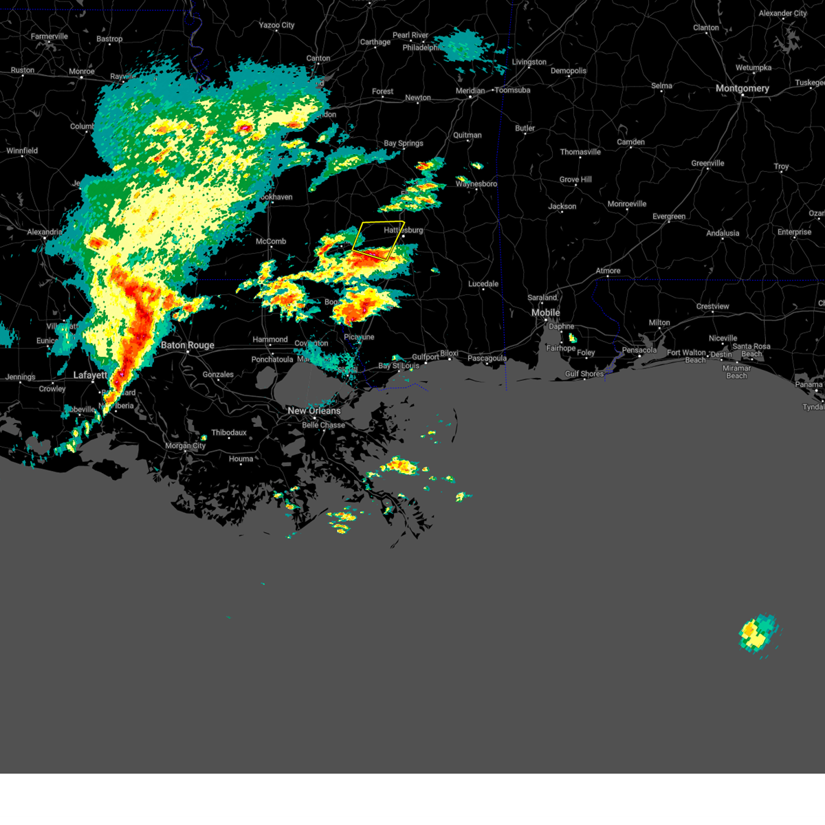 At 414 am cdt, a severe thunderstorm was located 7 miles west of pine ridge, or 11 miles northwest of purvis, moving northeast at 30 mph (radar indicated). Hazards include two inch hail and 60 mph wind gusts. People and animals outdoors will be injured. expect hail damage to roofs, siding, windows, and vehicles. expect wind damage to roofs, siding, and trees. this severe storm will be near, hattiesburg around 425 am cdt. oak grove around 430 am cdt. west hattiesburg around 435 am cdt. sumrall around 440 am cdt. rawls springs around 445 am cdt. thunderstorm damage threat, considerable hail threat, radar indicated max hail size, 2. 00 in wind threat, radar indicated max wind gust, 60 mph. At 414 am cdt, a severe thunderstorm was located 7 miles west of pine ridge, or 11 miles northwest of purvis, moving northeast at 30 mph (radar indicated). Hazards include two inch hail and 60 mph wind gusts. People and animals outdoors will be injured. expect hail damage to roofs, siding, windows, and vehicles. expect wind damage to roofs, siding, and trees. this severe storm will be near, hattiesburg around 425 am cdt. oak grove around 430 am cdt. west hattiesburg around 435 am cdt. sumrall around 440 am cdt. rawls springs around 445 am cdt. thunderstorm damage threat, considerable hail threat, radar indicated max hail size, 2. 00 in wind threat, radar indicated max wind gust, 60 mph.
|
| 4/27/2023 3:59 AM CDT |
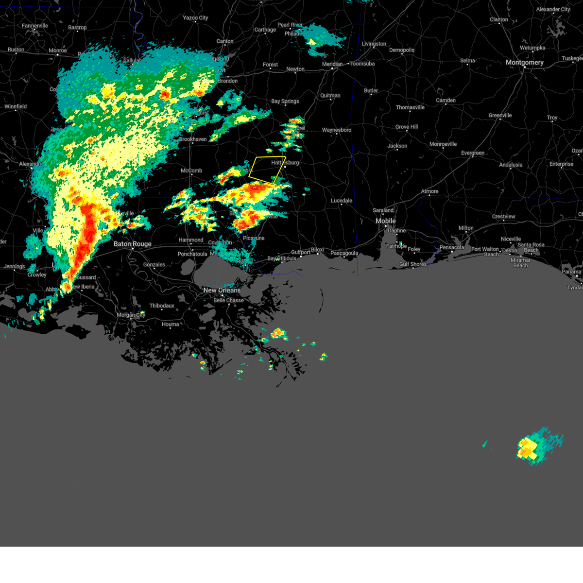 At 358 am cdt, a severe thunderstorm was located near pine burr, or 13 miles west of purvis, moving northeast at 30 mph (radar indicated). Hazards include ping pong ball size hail and 60 mph wind gusts. People and animals outdoors will be injured. expect hail damage to roofs, siding, windows, and vehicles. expect wind damage to roofs, siding, and trees. this severe thunderstorm will be near, hattiesburg around 425 am cdt. oak grove around 430 am cdt. sumrall around 440 am cdt. rawls springs around 445 am cdt. hail threat, radar indicated max hail size, 1. 50 in wind threat, radar indicated max wind gust, 60 mph. At 358 am cdt, a severe thunderstorm was located near pine burr, or 13 miles west of purvis, moving northeast at 30 mph (radar indicated). Hazards include ping pong ball size hail and 60 mph wind gusts. People and animals outdoors will be injured. expect hail damage to roofs, siding, windows, and vehicles. expect wind damage to roofs, siding, and trees. this severe thunderstorm will be near, hattiesburg around 425 am cdt. oak grove around 430 am cdt. sumrall around 440 am cdt. rawls springs around 445 am cdt. hail threat, radar indicated max hail size, 1. 50 in wind threat, radar indicated max wind gust, 60 mph.
|
| 4/15/2023 12:55 PM CDT | Tree down across ford loo in lamar county MS, 8.8 miles ENE of Hattiesburg, MS |
| 4/15/2023 12:42 PM CDT |
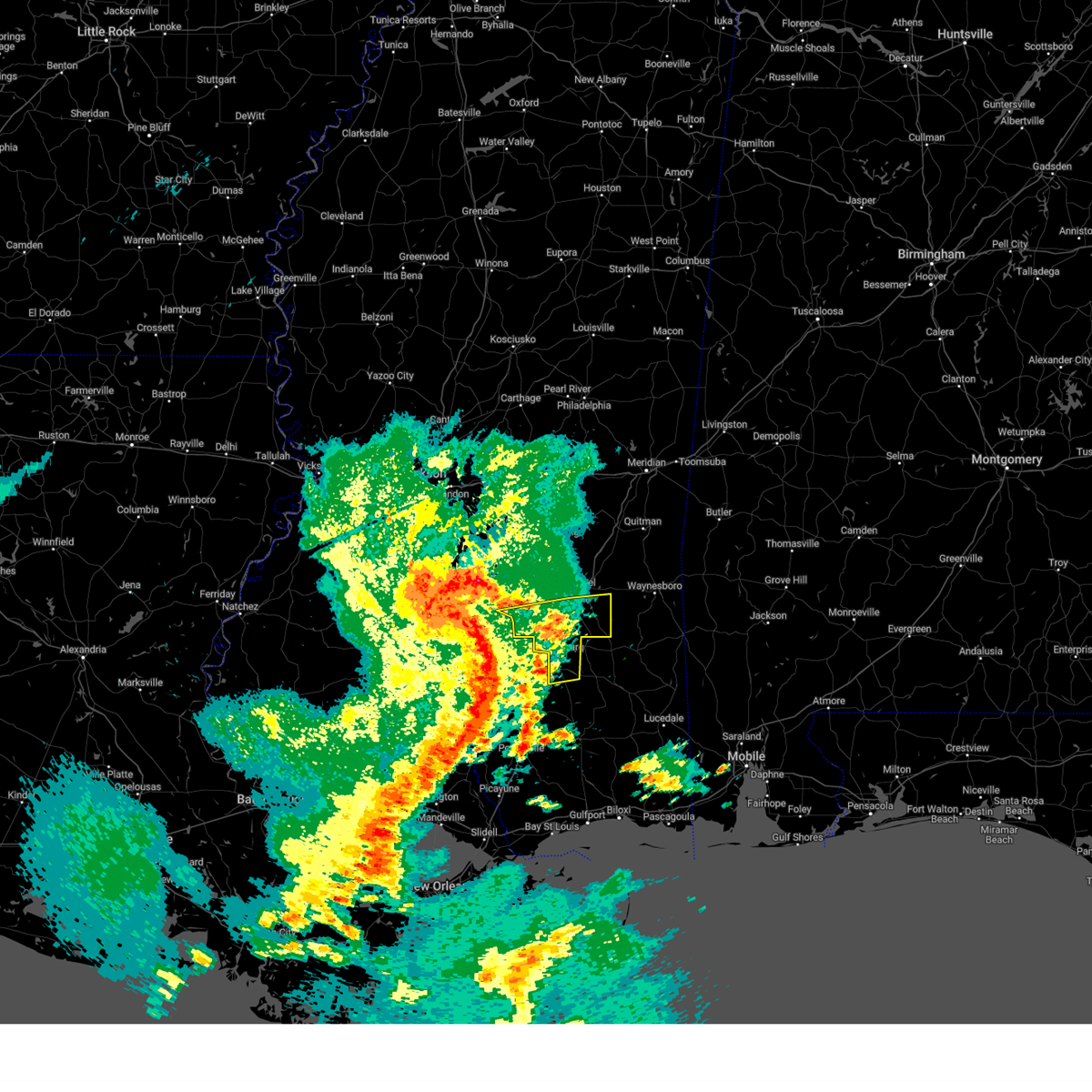 At 1241 pm cdt, a severe thunderstorm was located near improve, or 10 miles east of columbia, moving east at 50 mph (radar indicated). Hazards include 60 mph wind gusts. Expect damage to roofs, siding, and trees. this severe thunderstorm will be near, hattiesburg around 1255 pm cdt. rawls springs around 105 pm cdt. petal, eastabuchie, sunrise and moselle around 110 pm cdt. macedonia around 115 pm cdt. ovett around 130 pm cdt. other locations impacted by this severe thunderstorm include seminary. hail threat, radar indicated max hail size, <. 75 in wind threat, radar indicated max wind gust, 60 mph. At 1241 pm cdt, a severe thunderstorm was located near improve, or 10 miles east of columbia, moving east at 50 mph (radar indicated). Hazards include 60 mph wind gusts. Expect damage to roofs, siding, and trees. this severe thunderstorm will be near, hattiesburg around 1255 pm cdt. rawls springs around 105 pm cdt. petal, eastabuchie, sunrise and moselle around 110 pm cdt. macedonia around 115 pm cdt. ovett around 130 pm cdt. other locations impacted by this severe thunderstorm include seminary. hail threat, radar indicated max hail size, <. 75 in wind threat, radar indicated max wind gust, 60 mph.
|
| 4/15/2023 12:35 PM CDT |
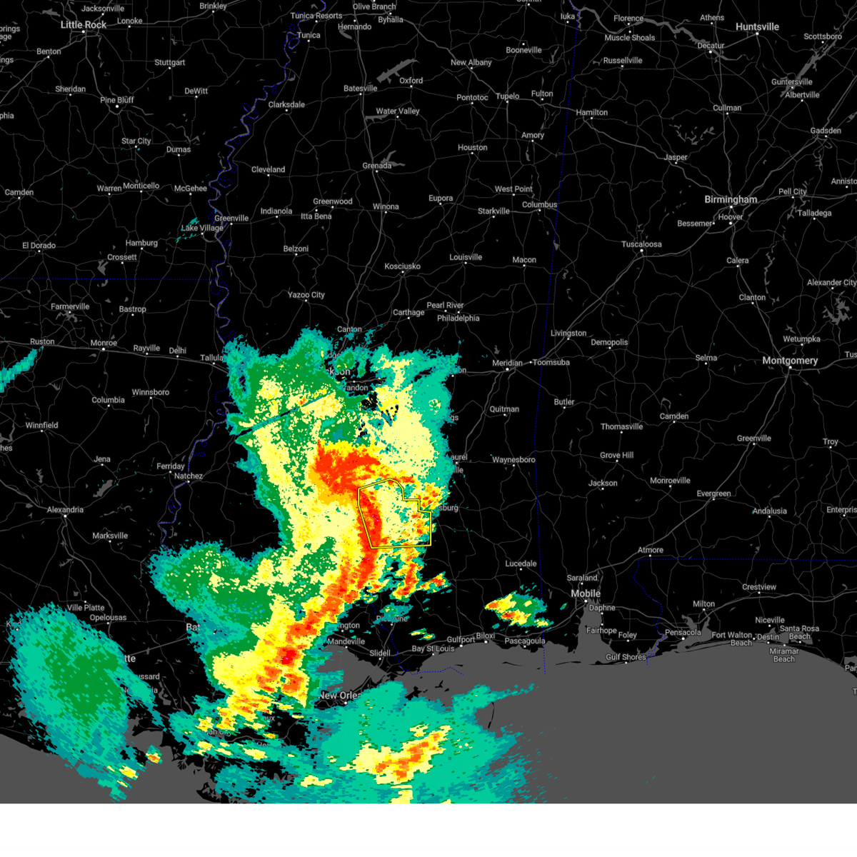 At 1234 pm cdt, a severe thunderstorm was located over improve, or 8 miles northeast of columbia, moving east at 55 mph (radar indicated). Hazards include 60 mph wind gusts and penny size hail. Expect damage to roofs, siding, and trees. this severe storm will be near, sumrall around 1245 pm cdt. hattiesburg around 1250 pm cdt. west hattiesburg and oak grove around 1255 pm cdt. other locations impacted by this severe thunderstorm include bassfield. hail threat, radar indicated max hail size, 0. 75 in wind threat, radar indicated max wind gust, 60 mph. At 1234 pm cdt, a severe thunderstorm was located over improve, or 8 miles northeast of columbia, moving east at 55 mph (radar indicated). Hazards include 60 mph wind gusts and penny size hail. Expect damage to roofs, siding, and trees. this severe storm will be near, sumrall around 1245 pm cdt. hattiesburg around 1250 pm cdt. west hattiesburg and oak grove around 1255 pm cdt. other locations impacted by this severe thunderstorm include bassfield. hail threat, radar indicated max hail size, 0. 75 in wind threat, radar indicated max wind gust, 60 mph.
|
| 4/15/2023 12:11 PM CDT |
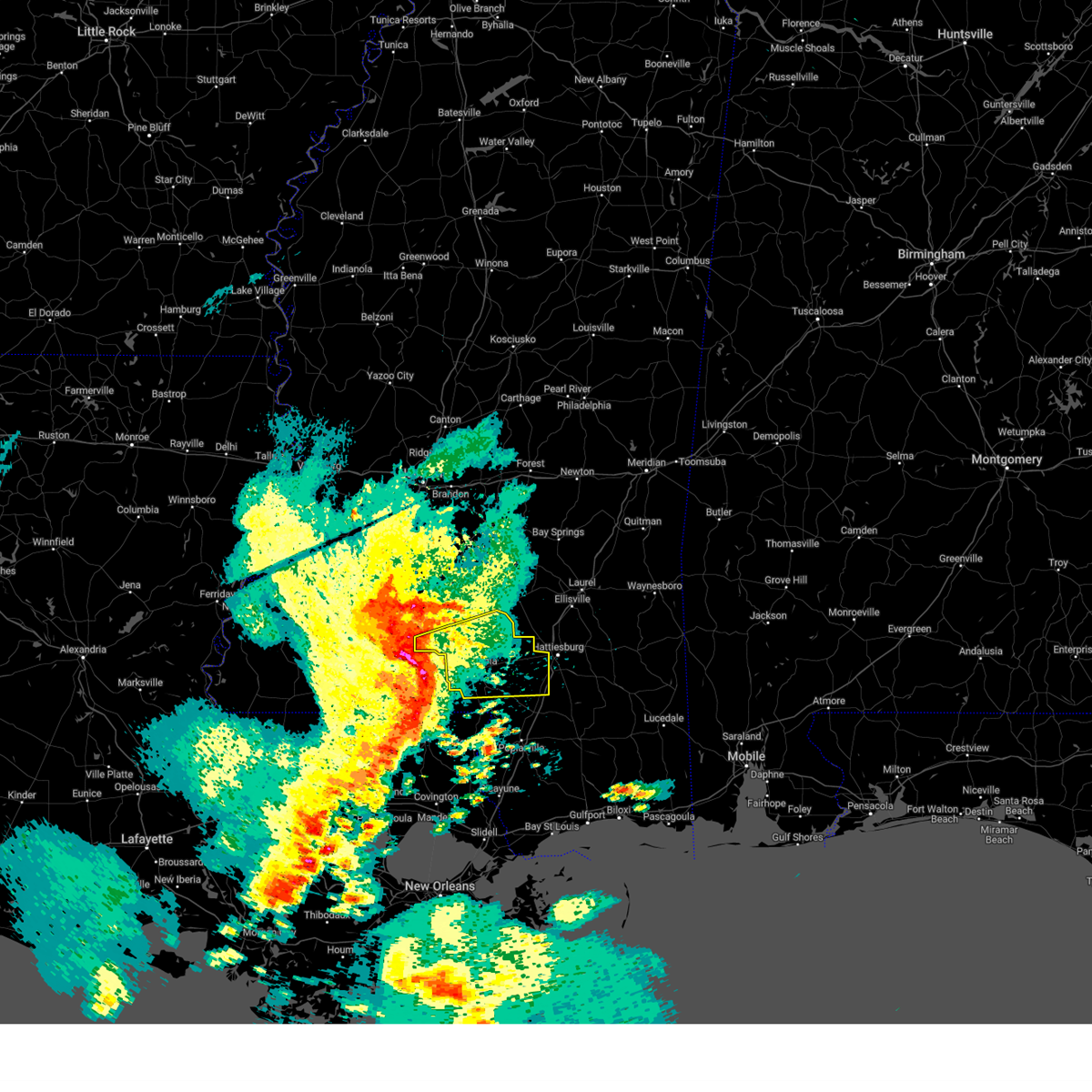 At 1210 pm cdt, a severe thunderstorm was located over kokomo, moving east at 65 mph (radar indicated). Hazards include 60 mph wind gusts and penny size hail. Expect damage to roofs, siding, and trees. this severe thunderstorm will be near, columbia, morgantown and goss around 1220 pm cdt. bunker hill around 1225 pm cdt. improve around 1230 pm cdt. hattiesburg and sumrall around 1240 pm cdt. oak grove around 1245 pm cdt. west hattiesburg around 1250 pm cdt. other locations impacted by this severe thunderstorm include bassfield. hail threat, radar indicated max hail size, 0. 75 in wind threat, radar indicated max wind gust, 60 mph. At 1210 pm cdt, a severe thunderstorm was located over kokomo, moving east at 65 mph (radar indicated). Hazards include 60 mph wind gusts and penny size hail. Expect damage to roofs, siding, and trees. this severe thunderstorm will be near, columbia, morgantown and goss around 1220 pm cdt. bunker hill around 1225 pm cdt. improve around 1230 pm cdt. hattiesburg and sumrall around 1240 pm cdt. oak grove around 1245 pm cdt. west hattiesburg around 1250 pm cdt. other locations impacted by this severe thunderstorm include bassfield. hail threat, radar indicated max hail size, 0. 75 in wind threat, radar indicated max wind gust, 60 mph.
|
| 3/28/2023 7:28 AM CDT |
 At 728 am cdt, a severe thunderstorm was located over sanford, or 9 miles north of west hattiesburg, moving northeast at 40 mph (radar indicated). Hazards include 60 mph wind gusts and half dollar size hail. Hail damage to vehicles is expected. expect wind damage to roofs, siding, and trees. this severe thunderstorm will be near, eastabuchie around 735 am cdt. moselle around 740 am cdt. ellisville around 750 am cdt. laurel around 755 am cdt. tuckers crossing around 800 am cdt. sandersville and mill creek around 815 am cdt. other locations impacted by this severe thunderstorm include seminary and soso. hail threat, radar indicated max hail size, 1. 25 in wind threat, radar indicated max wind gust, 60 mph. At 728 am cdt, a severe thunderstorm was located over sanford, or 9 miles north of west hattiesburg, moving northeast at 40 mph (radar indicated). Hazards include 60 mph wind gusts and half dollar size hail. Hail damage to vehicles is expected. expect wind damage to roofs, siding, and trees. this severe thunderstorm will be near, eastabuchie around 735 am cdt. moselle around 740 am cdt. ellisville around 750 am cdt. laurel around 755 am cdt. tuckers crossing around 800 am cdt. sandersville and mill creek around 815 am cdt. other locations impacted by this severe thunderstorm include seminary and soso. hail threat, radar indicated max hail size, 1. 25 in wind threat, radar indicated max wind gust, 60 mph.
|
| 3/28/2023 7:03 AM CDT |
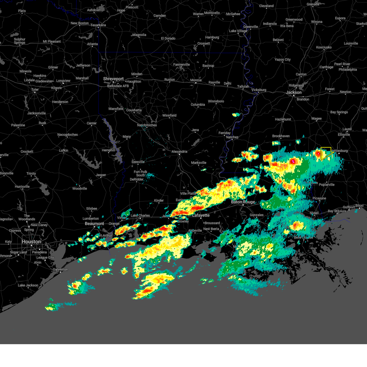 At 703 am cdt, a severe thunderstorm was located over improve, or 8 miles northeast of columbia, moving northeast at 40 mph (radar indicated). Hazards include 60 mph wind gusts and quarter size hail. Hail damage to vehicles is expected. expect wind damage to roofs, siding, and trees. this severe thunderstorm will be near, sumrall around 720 am cdt. hail threat, radar indicated max hail size, 1. 00 in wind threat, radar indicated max wind gust, 60 mph. At 703 am cdt, a severe thunderstorm was located over improve, or 8 miles northeast of columbia, moving northeast at 40 mph (radar indicated). Hazards include 60 mph wind gusts and quarter size hail. Hail damage to vehicles is expected. expect wind damage to roofs, siding, and trees. this severe thunderstorm will be near, sumrall around 720 am cdt. hail threat, radar indicated max hail size, 1. 00 in wind threat, radar indicated max wind gust, 60 mph.
|
| 3/27/2023 8:43 PM CDT |
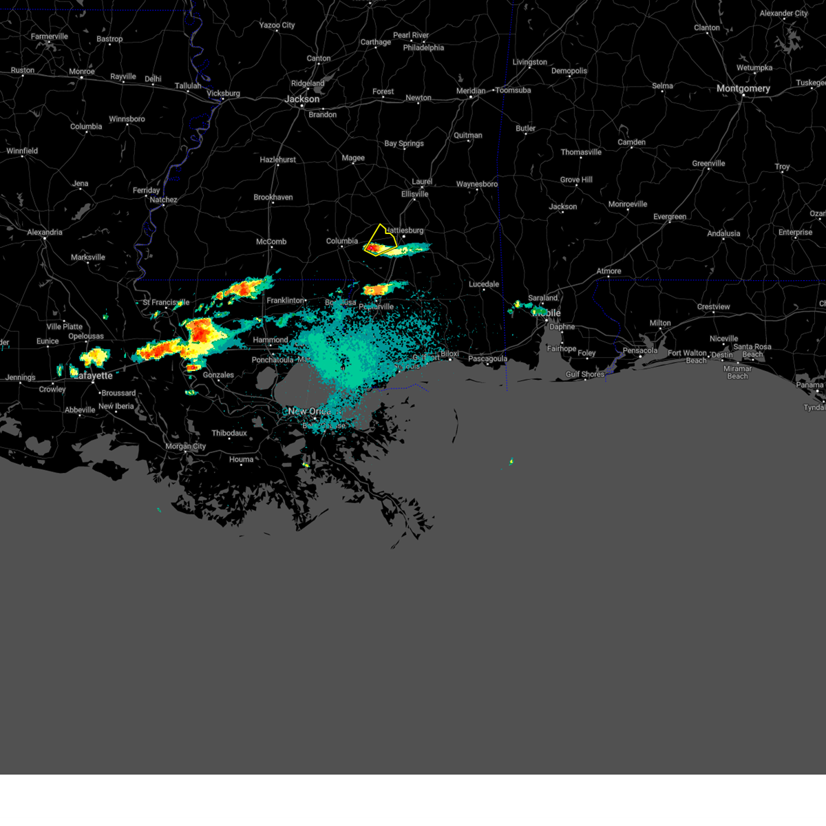 At 843 pm cdt, a severe thunderstorm was located near oak grove, or 7 miles west of west hattiesburg, moving northeast at 20 mph (radar indicated). Hazards include quarter size hail. Damage to vehicles is expected. this severe storm will be near, hattiesburg around 850 pm cdt. hail threat, radar indicated max hail size, 1. 00 in wind threat, radar indicated max wind gust, <50 mph. At 843 pm cdt, a severe thunderstorm was located near oak grove, or 7 miles west of west hattiesburg, moving northeast at 20 mph (radar indicated). Hazards include quarter size hail. Damage to vehicles is expected. this severe storm will be near, hattiesburg around 850 pm cdt. hail threat, radar indicated max hail size, 1. 00 in wind threat, radar indicated max wind gust, <50 mph.
|
| 3/27/2023 8:20 PM CDT |
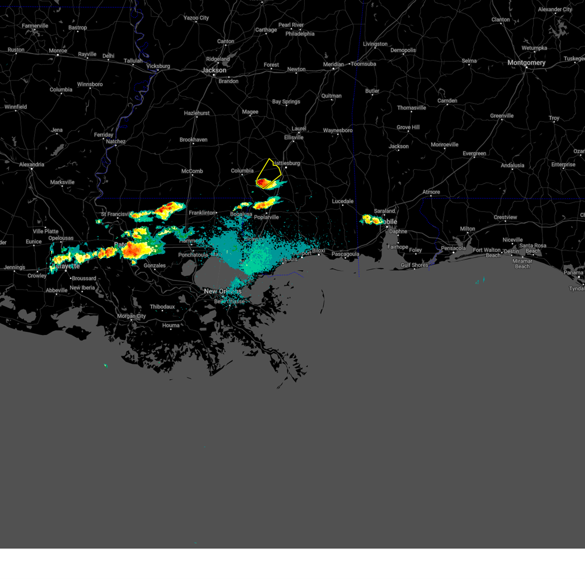 At 818 pm cdt, a severe thunderstorm was located 7 miles north of baxterville, or 14 miles east of columbia, moving northeast at 20 mph (radar indicated). Hazards include quarter size hail. Damage to vehicles is expected. this severe thunderstorm will be near, pine ridge around 835 pm cdt. hattiesburg around 845 pm cdt. oak grove around 850 pm cdt. hail threat, radar indicated max hail size, 1. 00 in wind threat, radar indicated max wind gust, <50 mph. At 818 pm cdt, a severe thunderstorm was located 7 miles north of baxterville, or 14 miles east of columbia, moving northeast at 20 mph (radar indicated). Hazards include quarter size hail. Damage to vehicles is expected. this severe thunderstorm will be near, pine ridge around 835 pm cdt. hattiesburg around 845 pm cdt. oak grove around 850 pm cdt. hail threat, radar indicated max hail size, 1. 00 in wind threat, radar indicated max wind gust, <50 mph.
|
| 1/3/2023 6:24 PM CST |
 At 624 pm cst, a severe thunderstorm capable of producing a tornado was located over sumrall, or 13 miles northwest of west hattiesburg, moving northeast at 30 mph (radar indicated rotation). Hazards include tornado and quarter size hail. Flying debris will be dangerous to those caught without shelter. mobile homes will be damaged or destroyed. damage to roofs, windows, and vehicles will occur. tree damage is likely. this dangerous storm will be near, sanford around 645 pm cst. eastabuchie around 700 pm cst. moselle around 705 pm cst. Other locations impacted by this tornadic thunderstorm include seminary. At 624 pm cst, a severe thunderstorm capable of producing a tornado was located over sumrall, or 13 miles northwest of west hattiesburg, moving northeast at 30 mph (radar indicated rotation). Hazards include tornado and quarter size hail. Flying debris will be dangerous to those caught without shelter. mobile homes will be damaged or destroyed. damage to roofs, windows, and vehicles will occur. tree damage is likely. this dangerous storm will be near, sanford around 645 pm cst. eastabuchie around 700 pm cst. moselle around 705 pm cst. Other locations impacted by this tornadic thunderstorm include seminary.
|
| 1/3/2023 6:10 PM CST |
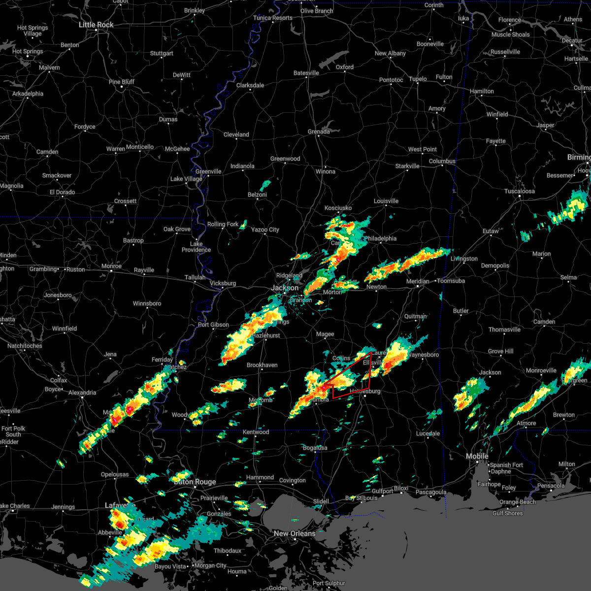 At 610 pm cst, a severe thunderstorm capable of producing a tornado was located over improve, or 10 miles northeast of columbia, moving northeast at 35 mph (radar indicated rotation). Hazards include tornado and quarter size hail. Flying debris will be dangerous to those caught without shelter. mobile homes will be damaged or destroyed. damage to roofs, windows, and vehicles will occur. tree damage is likely. this dangerous storm will be near, melba around 620 pm cst. sumrall around 625 pm cst. sanford and rawls springs around 640 pm cst. eastabuchie around 650 pm cst. moselle around 655 pm cst. Other locations impacted by this tornadic thunderstorm include seminary. At 610 pm cst, a severe thunderstorm capable of producing a tornado was located over improve, or 10 miles northeast of columbia, moving northeast at 35 mph (radar indicated rotation). Hazards include tornado and quarter size hail. Flying debris will be dangerous to those caught without shelter. mobile homes will be damaged or destroyed. damage to roofs, windows, and vehicles will occur. tree damage is likely. this dangerous storm will be near, melba around 620 pm cst. sumrall around 625 pm cst. sanford and rawls springs around 640 pm cst. eastabuchie around 650 pm cst. moselle around 655 pm cst. Other locations impacted by this tornadic thunderstorm include seminary.
|
| 1/3/2023 5:11 PM CST |
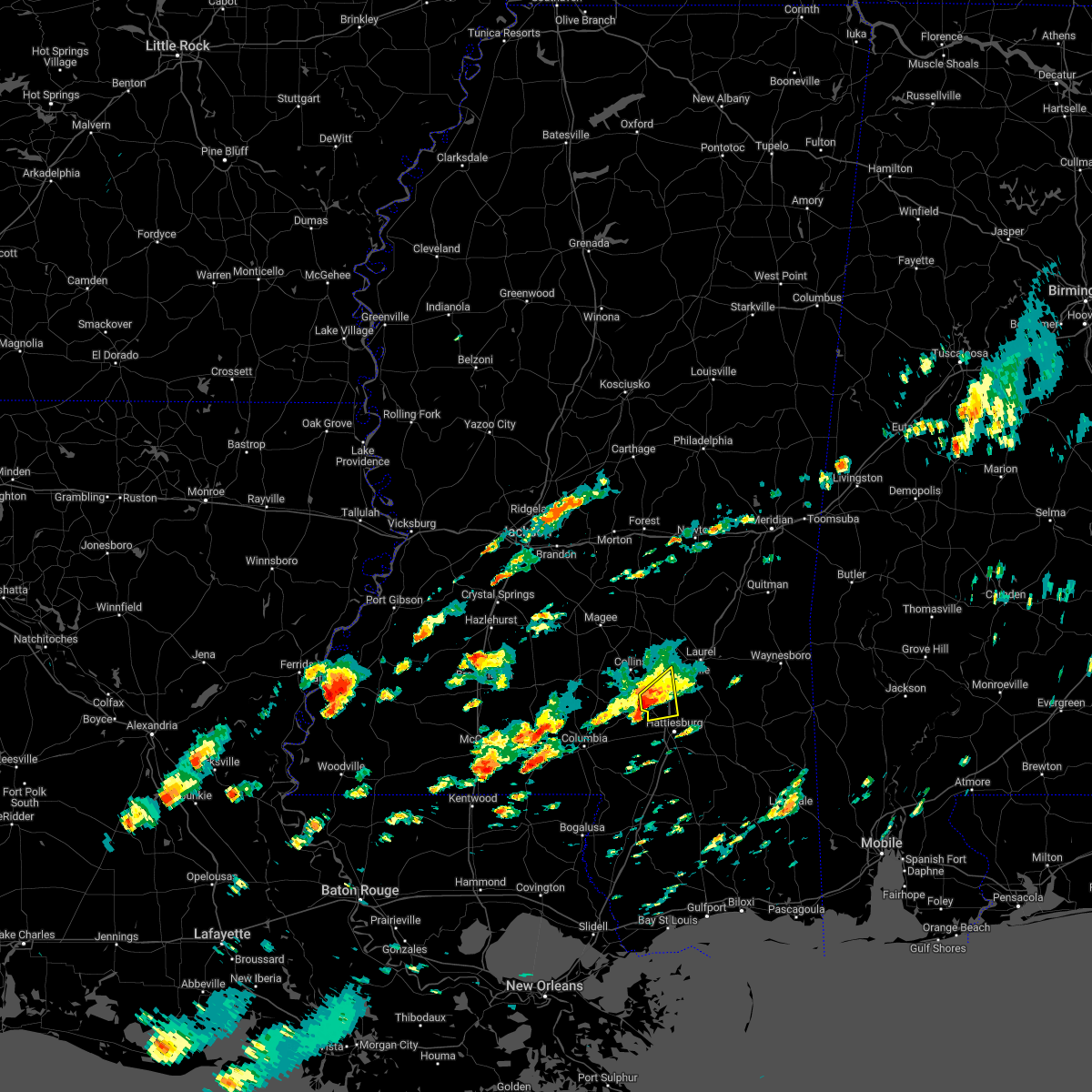 At 510 pm cst, a severe thunderstorm was located over sanford, or 9 miles north of west hattiesburg, moving northeast at 35 mph (radar indicated). Hazards include 60 mph wind gusts and quarter size hail. Hail damage to vehicles is expected. expect wind damage to roofs, siding, and trees. this severe storm will be near, eastabuchie around 520 pm cst. hail threat, radar indicated max hail size, 1. 00 in wind threat, radar indicated max wind gust, 60 mph. At 510 pm cst, a severe thunderstorm was located over sanford, or 9 miles north of west hattiesburg, moving northeast at 35 mph (radar indicated). Hazards include 60 mph wind gusts and quarter size hail. Hail damage to vehicles is expected. expect wind damage to roofs, siding, and trees. this severe storm will be near, eastabuchie around 520 pm cst. hail threat, radar indicated max hail size, 1. 00 in wind threat, radar indicated max wind gust, 60 mph.
|
| 1/3/2023 4:53 PM CST |
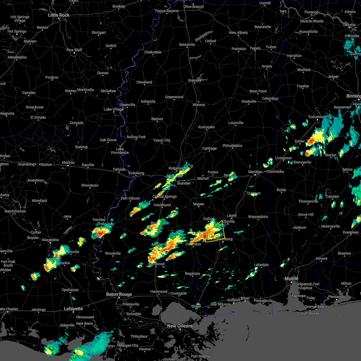 At 452 pm cst, a severe thunderstorm was located over sumrall, or 11 miles west of west hattiesburg, moving northeast at 30 mph (radar indicated). Hazards include 60 mph wind gusts. Expect damage to roofs, siding, and trees. this severe storm will be near, sanford and rawls springs around 515 pm cst. eastabuchie around 525 pm cst. hail threat, radar indicated max hail size, <. 75 in wind threat, radar indicated max wind gust, 60 mph. At 452 pm cst, a severe thunderstorm was located over sumrall, or 11 miles west of west hattiesburg, moving northeast at 30 mph (radar indicated). Hazards include 60 mph wind gusts. Expect damage to roofs, siding, and trees. this severe storm will be near, sanford and rawls springs around 515 pm cst. eastabuchie around 525 pm cst. hail threat, radar indicated max hail size, <. 75 in wind threat, radar indicated max wind gust, 60 mph.
|
| 1/3/2023 4:38 PM CST |
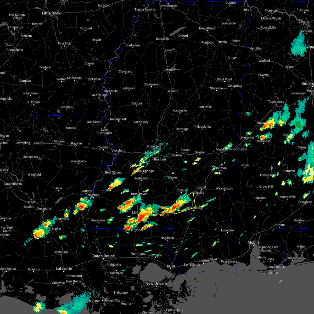 At 438 pm cst, a severe thunderstorm was located over improve, or 11 miles northeast of columbia, moving northeast at 30 mph (radar indicated). Hazards include 60 mph wind gusts and nickel size hail. Expect damage to roofs, siding, and trees. this severe thunderstorm will be near, melba around 445 pm cst. sumrall around 455 pm cst. rawls springs around 510 pm cst. sanford around 515 pm cst. eastabuchie around 525 pm cst. other locations impacted by this severe thunderstorm include seminary. hail threat, radar indicated max hail size, 0. 88 in wind threat, radar indicated max wind gust, 60 mph. At 438 pm cst, a severe thunderstorm was located over improve, or 11 miles northeast of columbia, moving northeast at 30 mph (radar indicated). Hazards include 60 mph wind gusts and nickel size hail. Expect damage to roofs, siding, and trees. this severe thunderstorm will be near, melba around 445 pm cst. sumrall around 455 pm cst. rawls springs around 510 pm cst. sanford around 515 pm cst. eastabuchie around 525 pm cst. other locations impacted by this severe thunderstorm include seminary. hail threat, radar indicated max hail size, 0. 88 in wind threat, radar indicated max wind gust, 60 mph.
|
| 12/14/2022 3:50 PM CST |
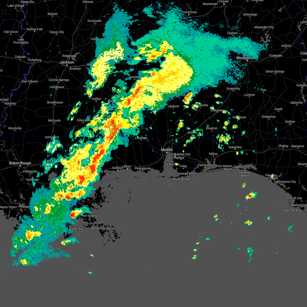 At 350 pm cst, a severe thunderstorm was located near mclaurin, or 13 miles southeast of petal, moving northeast at 35 mph (radar indicated). Hazards include 60 mph wind gusts. Expect damage to roofs, siding, and trees. this severe thunderstorm will remain over mainly rural areas of east central forrest county. hail threat, radar indicated max hail size, <. 75 in wind threat, radar indicated max wind gust, 60 mph. At 350 pm cst, a severe thunderstorm was located near mclaurin, or 13 miles southeast of petal, moving northeast at 35 mph (radar indicated). Hazards include 60 mph wind gusts. Expect damage to roofs, siding, and trees. this severe thunderstorm will remain over mainly rural areas of east central forrest county. hail threat, radar indicated max hail size, <. 75 in wind threat, radar indicated max wind gust, 60 mph.
|
| 12/14/2022 3:13 PM CST |
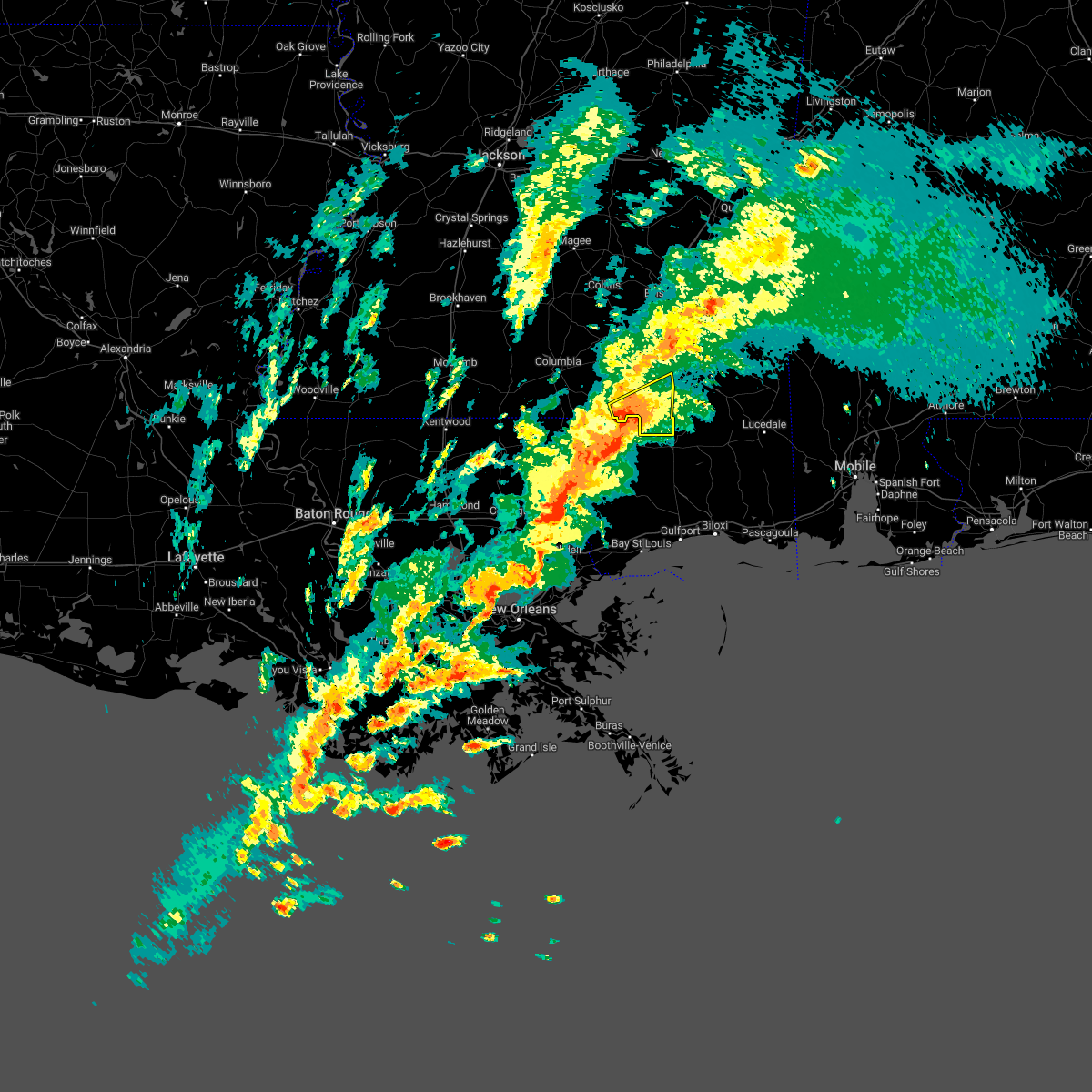 At 312 pm cst, a severe thunderstorm was located over lumberton, or 11 miles northeast of poplarville, moving northeast at 35 mph (radar indicated). Hazards include 60 mph wind gusts. Expect damage to roofs, siding, and trees. this severe thunderstorm will be near, rock hill around 335 pm cst. brooklyn around 340 pm cst. Mclaurin around 345 pm cst. At 312 pm cst, a severe thunderstorm was located over lumberton, or 11 miles northeast of poplarville, moving northeast at 35 mph (radar indicated). Hazards include 60 mph wind gusts. Expect damage to roofs, siding, and trees. this severe thunderstorm will be near, rock hill around 335 pm cst. brooklyn around 340 pm cst. Mclaurin around 345 pm cst.
|
| 12/14/2022 3:06 PM CST |
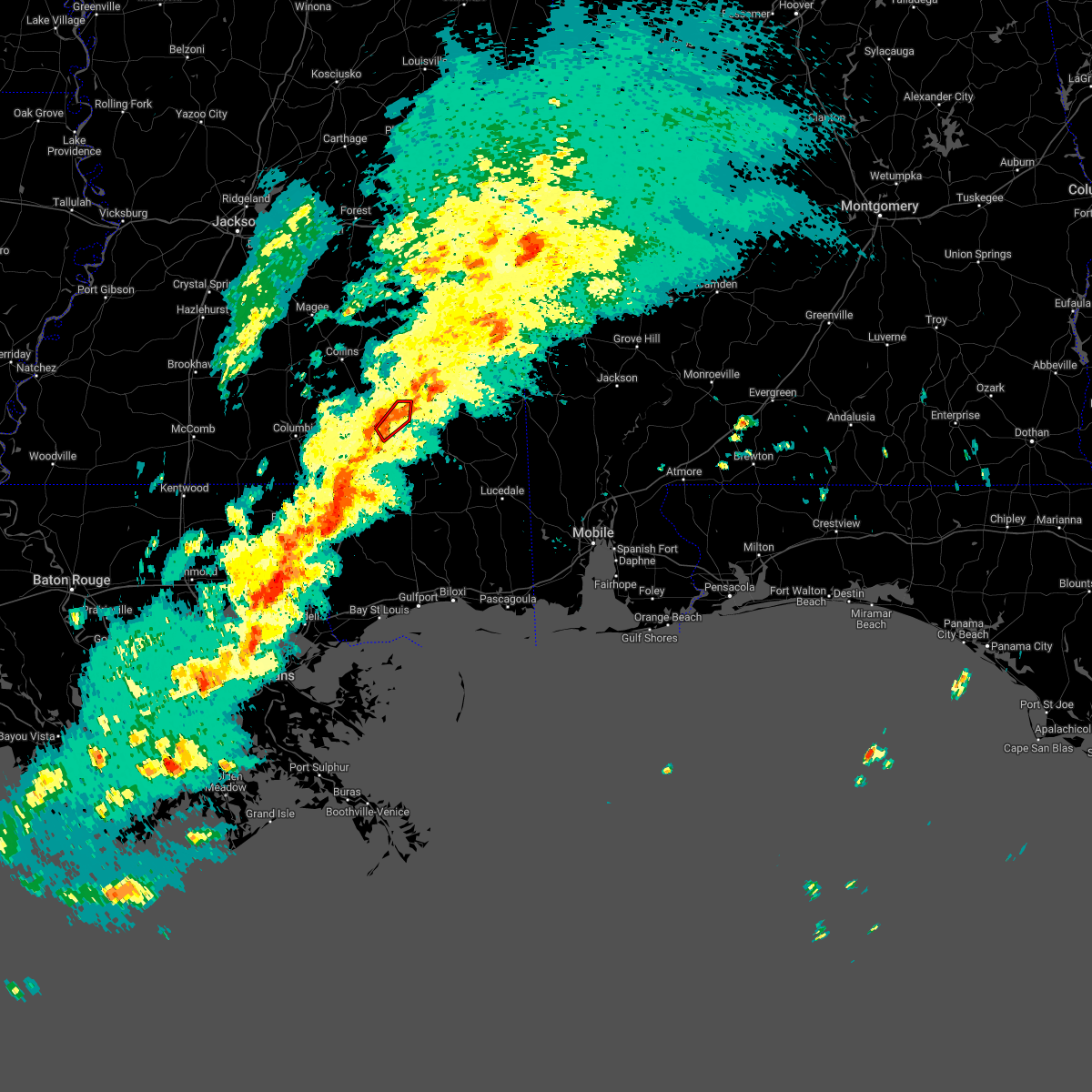 The tornado warning for northeastern forrest county will expire at 315 pm cst, the storm which prompted the warning has weakened below severe limits, and no longer appears capable of producing a tornado. therefore, the warning will be allowed to expire. however heavy rain is still possible with this thunderstorm. a tornado watch remains in effect until 800 pm cst for southeastern mississippi. to report severe weather, contact your nearest law enforcement agency. they will relay your report to the national weather service jackson. The tornado warning for northeastern forrest county will expire at 315 pm cst, the storm which prompted the warning has weakened below severe limits, and no longer appears capable of producing a tornado. therefore, the warning will be allowed to expire. however heavy rain is still possible with this thunderstorm. a tornado watch remains in effect until 800 pm cst for southeastern mississippi. to report severe weather, contact your nearest law enforcement agency. they will relay your report to the national weather service jackson.
|
| 12/14/2022 2:54 PM CST |
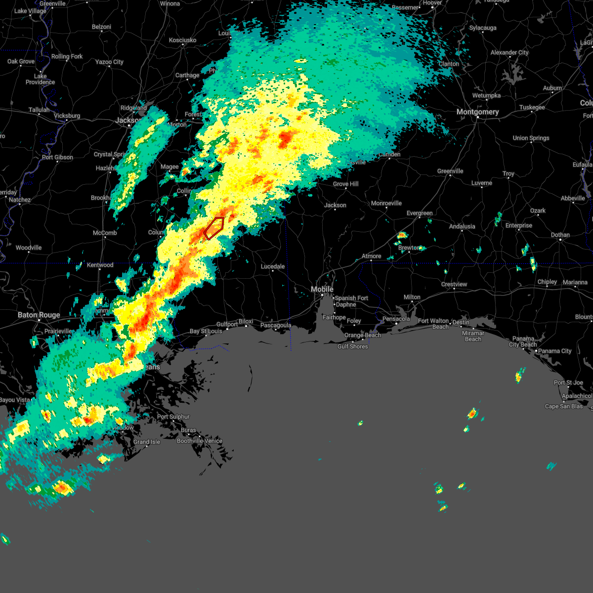 At 254 pm cst, a severe thunderstorm capable of producing a tornado was located near hattiesburg, moving northeast at 40 mph (radar indicated rotation). Hazards include tornado. Flying debris will be dangerous to those caught without shelter. mobile homes will be damaged or destroyed. damage to roofs, windows, and vehicles will occur. tree damage is likely. this dangerous storm will be near, petal and sunrise around 300 pm cst. Macedonia around 310 pm cst. At 254 pm cst, a severe thunderstorm capable of producing a tornado was located near hattiesburg, moving northeast at 40 mph (radar indicated rotation). Hazards include tornado. Flying debris will be dangerous to those caught without shelter. mobile homes will be damaged or destroyed. damage to roofs, windows, and vehicles will occur. tree damage is likely. this dangerous storm will be near, petal and sunrise around 300 pm cst. Macedonia around 310 pm cst.
|
| 12/14/2022 2:24 PM CST |
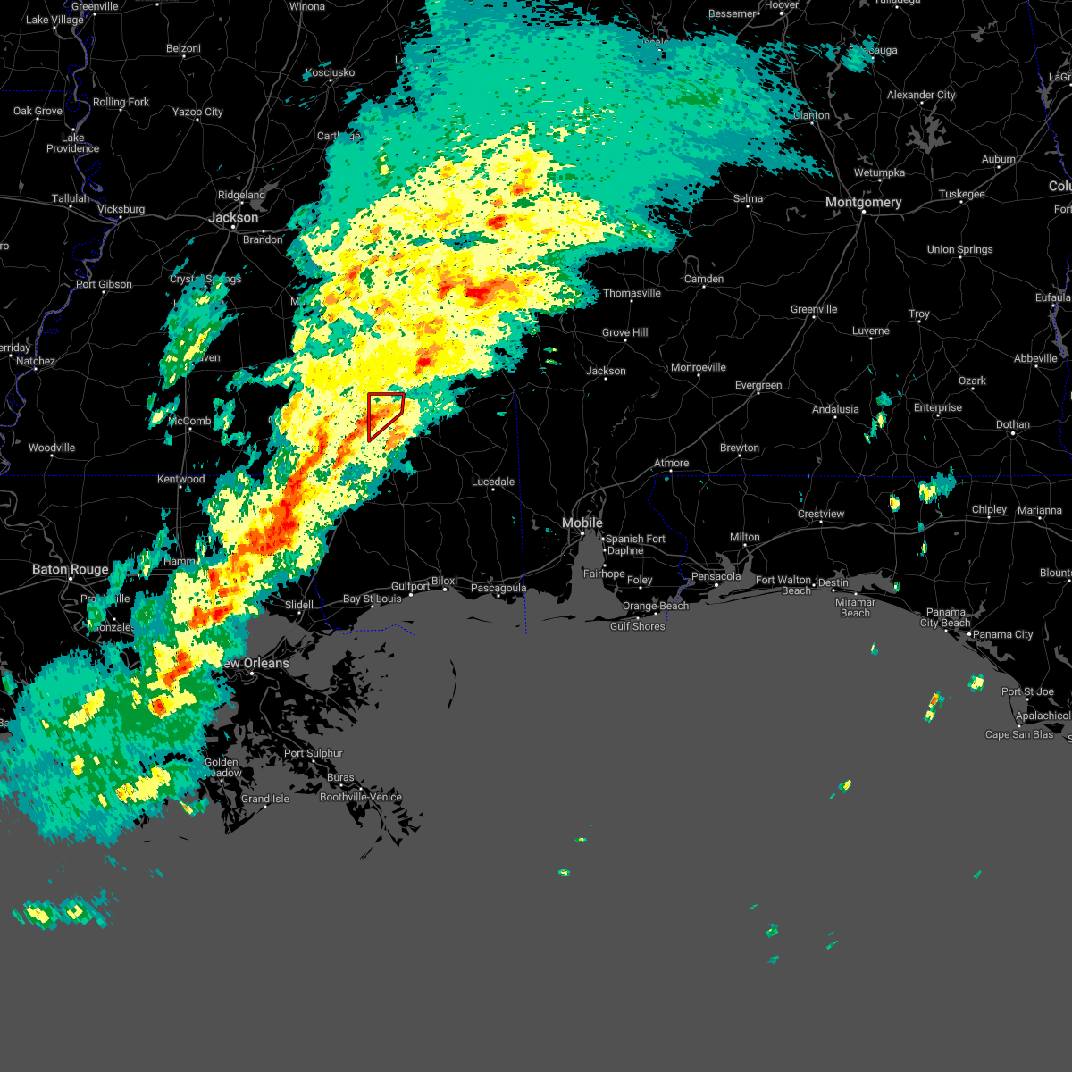 At 224 pm cst, a severe thunderstorm capable of producing a tornado was located over hattiesburg, moving northeast at 45 mph (radar indicated rotation). Hazards include tornado. Flying debris will be dangerous to those caught without shelter. mobile homes will be damaged or destroyed. damage to roofs, windows, and vehicles will occur. tree damage is likely. this dangerous storm will be near, petal around 230 pm cst. Macedonia around 235 pm cst. At 224 pm cst, a severe thunderstorm capable of producing a tornado was located over hattiesburg, moving northeast at 45 mph (radar indicated rotation). Hazards include tornado. Flying debris will be dangerous to those caught without shelter. mobile homes will be damaged or destroyed. damage to roofs, windows, and vehicles will occur. tree damage is likely. this dangerous storm will be near, petal around 230 pm cst. Macedonia around 235 pm cst.
|
| 12/14/2022 2:15 PM CST |
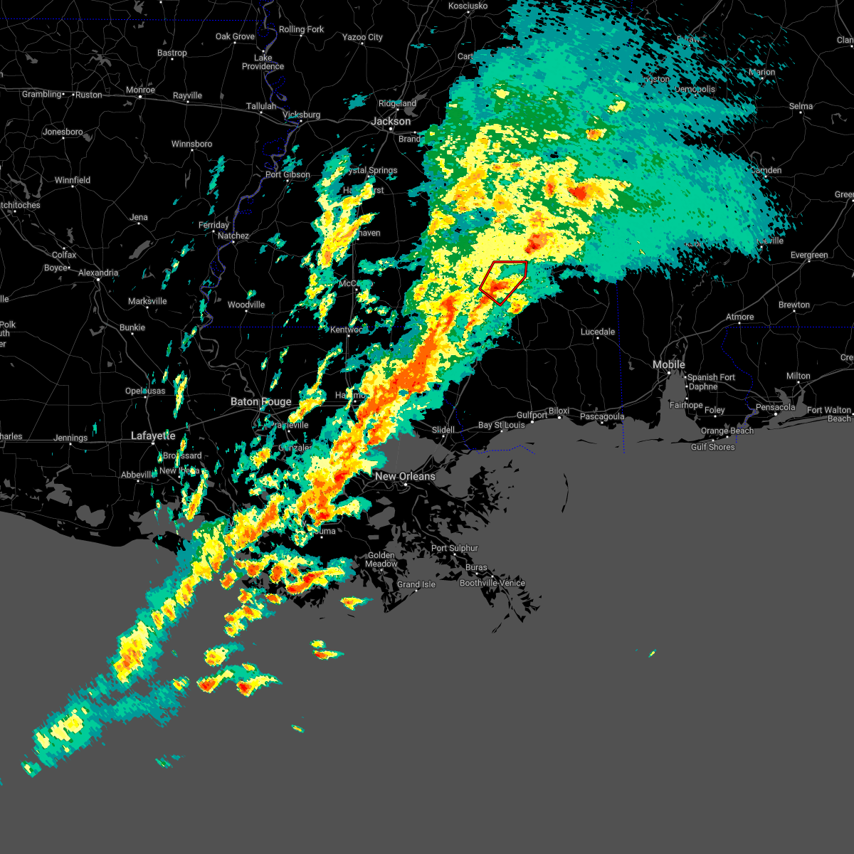 At 215 pm cst, a severe thunderstorm capable of producing a tornado was located near oak grove, or near west hattiesburg, moving northeast at 45 mph (radar indicated rotation). Hazards include tornado. Flying debris will be dangerous to those caught without shelter. mobile homes will be damaged or destroyed. damage to roofs, windows, and vehicles will occur. tree damage is likely. this dangerous storm will be near, hattiesburg and west hattiesburg around 220 pm cst. petal, sunrise and rawls springs around 230 pm cst. Macedonia around 235 pm cst. At 215 pm cst, a severe thunderstorm capable of producing a tornado was located near oak grove, or near west hattiesburg, moving northeast at 45 mph (radar indicated rotation). Hazards include tornado. Flying debris will be dangerous to those caught without shelter. mobile homes will be damaged or destroyed. damage to roofs, windows, and vehicles will occur. tree damage is likely. this dangerous storm will be near, hattiesburg and west hattiesburg around 220 pm cst. petal, sunrise and rawls springs around 230 pm cst. Macedonia around 235 pm cst.
|
| 12/14/2022 1:50 PM CST |
 At 149 pm cst, a severe thunderstorm capable of producing a tornado was located near eastabuchie, or near petal, moving northeast at 45 mph (radar indicated rotation). Hazards include tornado. Flying debris will be dangerous to those caught without shelter. mobile homes will be damaged or destroyed. damage to roofs, windows, and vehicles will occur. tree damage is likely. this dangerous storm will be near, moselle around 200 pm cst. laurel and ellisville around 210 pm cst. Tuckers crossing around 215 pm cst. At 149 pm cst, a severe thunderstorm capable of producing a tornado was located near eastabuchie, or near petal, moving northeast at 45 mph (radar indicated rotation). Hazards include tornado. Flying debris will be dangerous to those caught without shelter. mobile homes will be damaged or destroyed. damage to roofs, windows, and vehicles will occur. tree damage is likely. this dangerous storm will be near, moselle around 200 pm cst. laurel and ellisville around 210 pm cst. Tuckers crossing around 215 pm cst.
|
| 12/14/2022 1:44 PM CST |
 At 143 pm cst, a severe thunderstorm capable of producing a tornado was located over hattiesburg, moving northeast at 45 mph (radar indicated rotation). Hazards include tornado. Flying debris will be dangerous to those caught without shelter. mobile homes will be damaged or destroyed. damage to roofs, windows, and vehicles will occur. tree damage is likely. this dangerous storm will be near, eastabuchie and macedonia around 155 pm cst. moselle around 200 pm cst. laurel and ellisville around 210 pm cst. Tuckers crossing around 215 pm cst. At 143 pm cst, a severe thunderstorm capable of producing a tornado was located over hattiesburg, moving northeast at 45 mph (radar indicated rotation). Hazards include tornado. Flying debris will be dangerous to those caught without shelter. mobile homes will be damaged or destroyed. damage to roofs, windows, and vehicles will occur. tree damage is likely. this dangerous storm will be near, eastabuchie and macedonia around 155 pm cst. moselle around 200 pm cst. laurel and ellisville around 210 pm cst. Tuckers crossing around 215 pm cst.
|
| 12/14/2022 1:22 PM CST |
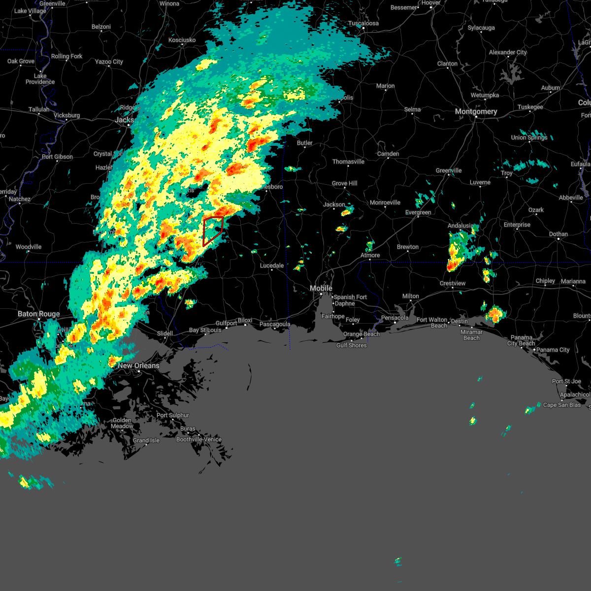 The tornado warning for northeastern forrest county will expire at 130 pm cst, the storm which prompted the warning has moved out of the area. therefore, the warning will be allowed to expire. a tornado watch remains in effect until 800 pm cst for southeastern mississippi. The tornado warning for northeastern forrest county will expire at 130 pm cst, the storm which prompted the warning has moved out of the area. therefore, the warning will be allowed to expire. a tornado watch remains in effect until 800 pm cst for southeastern mississippi.
|
| 12/14/2022 1:00 PM CST |
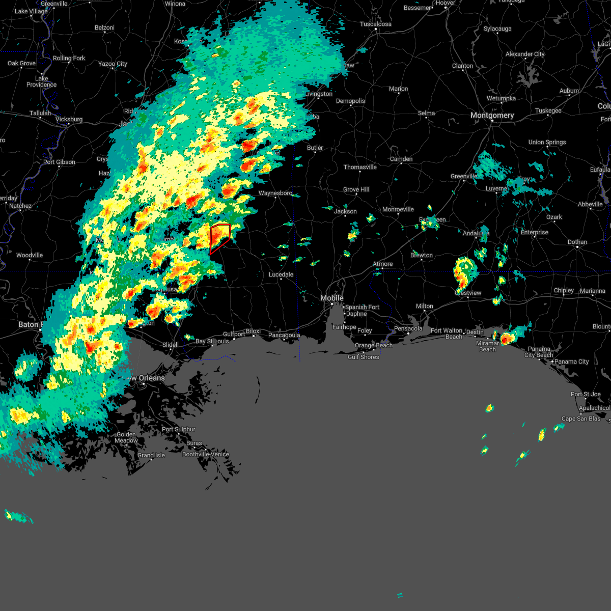 At 1259 pm cst, a severe thunderstorm capable of producing a tornado was located over hattiesburg, moving northeast at 40 mph (radar indicated rotation). Hazards include tornado. Flying debris will be dangerous to those caught without shelter. mobile homes will be damaged or destroyed. damage to roofs, windows, and vehicles will occur. tree damage is likely. this dangerous storm will be near, petal around 105 pm cst. Macedonia around 115 pm cst. At 1259 pm cst, a severe thunderstorm capable of producing a tornado was located over hattiesburg, moving northeast at 40 mph (radar indicated rotation). Hazards include tornado. Flying debris will be dangerous to those caught without shelter. mobile homes will be damaged or destroyed. damage to roofs, windows, and vehicles will occur. tree damage is likely. this dangerous storm will be near, petal around 105 pm cst. Macedonia around 115 pm cst.
|
| 12/14/2022 12:36 PM CST |
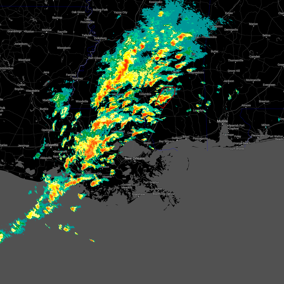 At 1236 pm cst, a severe thunderstorm capable of producing a tornado was located over purvis, or 13 miles south of west hattiesburg, moving northeast at 40 mph (radar indicated rotation). Hazards include tornado. Flying debris will be dangerous to those caught without shelter. mobile homes will be damaged or destroyed. damage to roofs, windows, and vehicles will occur. tree damage is likely. this dangerous storm will be near, pine ridge around 1240 pm cst. hattiesburg and oak grove around 1250 pm cst. west hattiesburg around 1255 pm cst. rawls springs around 100 pm cst. petal and sunrise around 105 pm cst. Macedonia around 115 pm cst. At 1236 pm cst, a severe thunderstorm capable of producing a tornado was located over purvis, or 13 miles south of west hattiesburg, moving northeast at 40 mph (radar indicated rotation). Hazards include tornado. Flying debris will be dangerous to those caught without shelter. mobile homes will be damaged or destroyed. damage to roofs, windows, and vehicles will occur. tree damage is likely. this dangerous storm will be near, pine ridge around 1240 pm cst. hattiesburg and oak grove around 1250 pm cst. west hattiesburg around 1255 pm cst. rawls springs around 100 pm cst. petal and sunrise around 105 pm cst. Macedonia around 115 pm cst.
|
| 11/30/2022 2:26 AM CST |
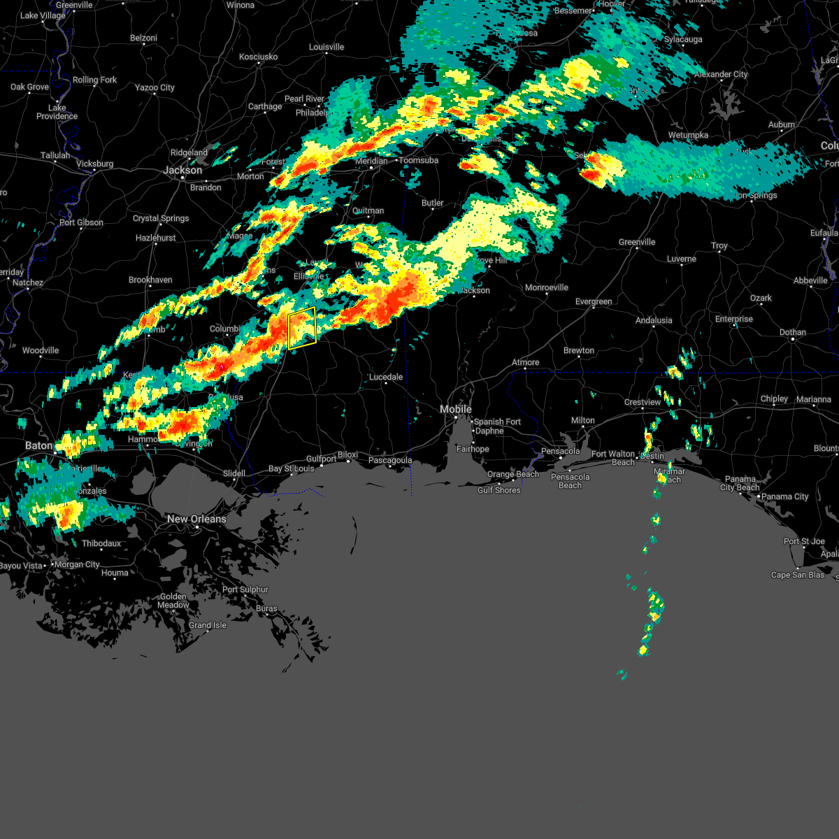 At 225 am cst, a severe thunderstorm was located over oak grove, or near west hattiesburg, moving east at 40 mph (radar indicated). Hazards include 60 mph wind gusts. Expect damage to roofs, siding, and trees. this severe thunderstorm will be near, hattiesburg around 230 am cst. petal and sunrise around 240 am cst. macedonia around 245 am cst. hail threat, radar indicated max hail size, <. 75 in wind threat, radar indicated max wind gust, 60 mph. At 225 am cst, a severe thunderstorm was located over oak grove, or near west hattiesburg, moving east at 40 mph (radar indicated). Hazards include 60 mph wind gusts. Expect damage to roofs, siding, and trees. this severe thunderstorm will be near, hattiesburg around 230 am cst. petal and sunrise around 240 am cst. macedonia around 245 am cst. hail threat, radar indicated max hail size, <. 75 in wind threat, radar indicated max wind gust, 60 mph.
|
| 11/30/2022 2:21 AM CST |
 At 220 am cst, a severe thunderstorm capable of producing a tornado was located over pine ridge, or 9 miles southwest of west hattiesburg, moving east at 45 mph (radar indicated rotation). Hazards include tornado. Flying debris will be dangerous to those caught without shelter. mobile homes will be damaged or destroyed. damage to roofs, windows, and vehicles will occur. tree damage is likely. this dangerous storm will be near, hattiesburg and purvis around 225 am cst. West hattiesburg and oak grove around 230 am cst. At 220 am cst, a severe thunderstorm capable of producing a tornado was located over pine ridge, or 9 miles southwest of west hattiesburg, moving east at 45 mph (radar indicated rotation). Hazards include tornado. Flying debris will be dangerous to those caught without shelter. mobile homes will be damaged or destroyed. damage to roofs, windows, and vehicles will occur. tree damage is likely. this dangerous storm will be near, hattiesburg and purvis around 225 am cst. West hattiesburg and oak grove around 230 am cst.
|
| 11/30/2022 2:05 AM CST |
 At 205 am cst, a confirmed tornado was located near pinebur, or 9 miles southeast of columbia, moving east at 40 mph (radar confirmed tornado). Hazards include damaging tornado. Flying debris will be dangerous to those caught without shelter. mobile homes will be damaged or destroyed. damage to roofs, windows, and vehicles will occur. tree damage is likely. this tornado will be near, baxterville around 210 am cst. hattiesburg and pine ridge around 225 am cst. purvis and oak grove around 230 am cst. West hattiesburg around 235 am cst. At 205 am cst, a confirmed tornado was located near pinebur, or 9 miles southeast of columbia, moving east at 40 mph (radar confirmed tornado). Hazards include damaging tornado. Flying debris will be dangerous to those caught without shelter. mobile homes will be damaged or destroyed. damage to roofs, windows, and vehicles will occur. tree damage is likely. this tornado will be near, baxterville around 210 am cst. hattiesburg and pine ridge around 225 am cst. purvis and oak grove around 230 am cst. West hattiesburg around 235 am cst.
|
| 11/30/2022 1:56 AM CST |
 At 155 am cst, a tornado was reported near pickwick, or near columbia, moving east at 45 mph (radar confirmed tornado). Hazards include damaging tornado. Flying debris will be dangerous to those caught without shelter. mobile homes will be damaged or destroyed. damage to roofs, windows, and vehicles will occur. tree damage is likely. this tornadic storm will be near, pinebur around 200 am cst. hattiesburg, purvis and pine ridge around 225 am cst. West hattiesburg and oak grove around 230 am cst. At 155 am cst, a tornado was reported near pickwick, or near columbia, moving east at 45 mph (radar confirmed tornado). Hazards include damaging tornado. Flying debris will be dangerous to those caught without shelter. mobile homes will be damaged or destroyed. damage to roofs, windows, and vehicles will occur. tree damage is likely. this tornadic storm will be near, pinebur around 200 am cst. hattiesburg, purvis and pine ridge around 225 am cst. West hattiesburg and oak grove around 230 am cst.
|
| 11/30/2022 1:42 AM CST |
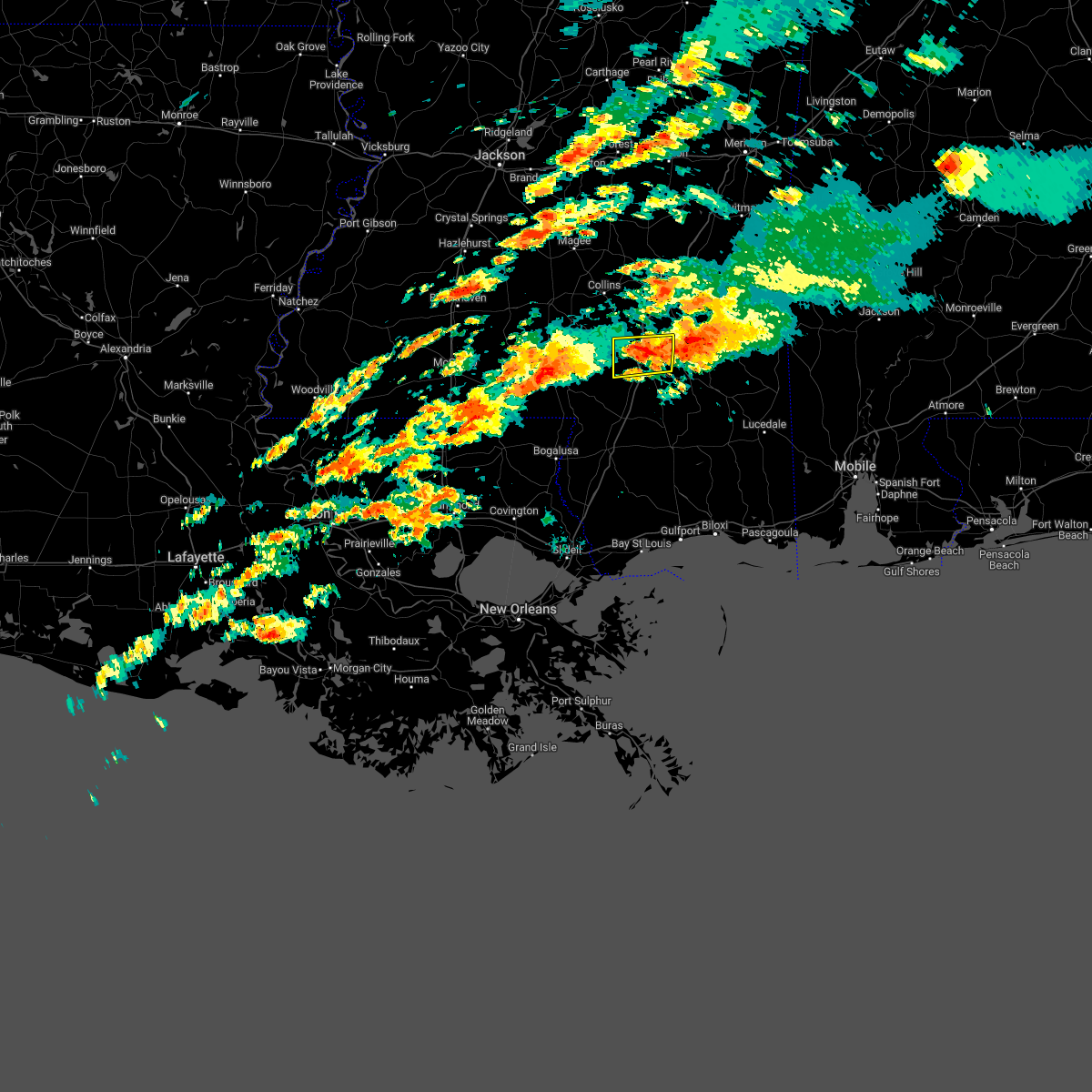 The severe thunderstorm warning for northern forrest and northeastern lamar counties will expire at 145 am cst, the storm which prompted the warning has moved out of the area. therefore, the warning will be allowed to expire. a tornado watch remains in effect until 600 am cst for southeastern mississippi. The severe thunderstorm warning for northern forrest and northeastern lamar counties will expire at 145 am cst, the storm which prompted the warning has moved out of the area. therefore, the warning will be allowed to expire. a tornado watch remains in effect until 600 am cst for southeastern mississippi.
|
| 11/30/2022 1:10 AM CST |
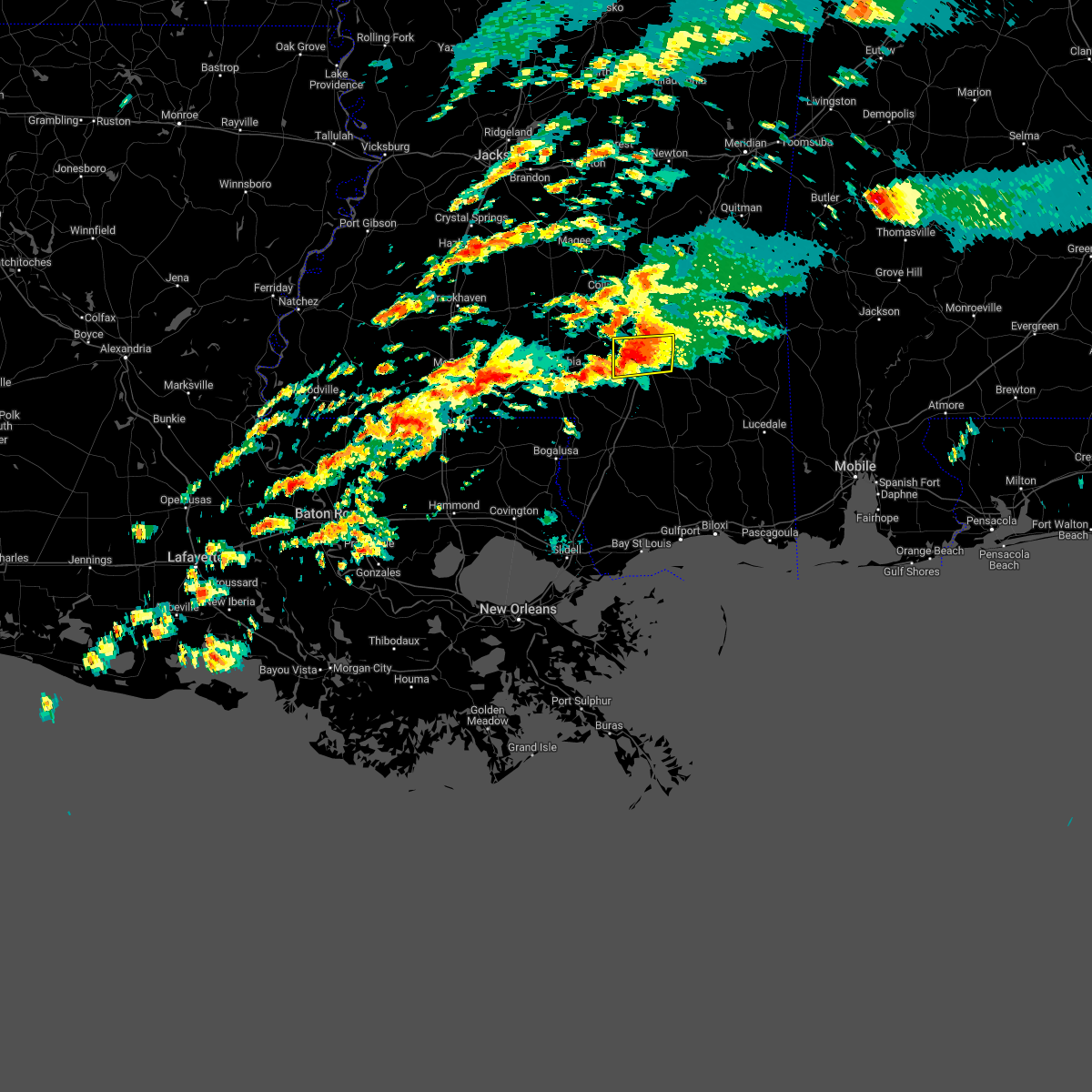 At 109 am cst, a severe thunderstorm was located over oak grove, or near west hattiesburg, moving east at 50 mph (radar indicated). Hazards include 60 mph wind gusts and quarter size hail. Hail damage to vehicles is expected. expect wind damage to roofs, siding, and trees. this severe thunderstorm will be near, hattiesburg, west hattiesburg and rawls springs around 115 am cst. petal and sunrise around 125 am cst. macedonia around 130 am cst. hail threat, radar indicated max hail size, 1. 00 in wind threat, radar indicated max wind gust, 60 mph. At 109 am cst, a severe thunderstorm was located over oak grove, or near west hattiesburg, moving east at 50 mph (radar indicated). Hazards include 60 mph wind gusts and quarter size hail. Hail damage to vehicles is expected. expect wind damage to roofs, siding, and trees. this severe thunderstorm will be near, hattiesburg, west hattiesburg and rawls springs around 115 am cst. petal and sunrise around 125 am cst. macedonia around 130 am cst. hail threat, radar indicated max hail size, 1. 00 in wind threat, radar indicated max wind gust, 60 mph.
|
| 7/15/2022 8:02 PM CDT |
 At 802 pm cdt, a severe thunderstorm was located over purvis, or 13 miles south of west hattiesburg, moving west at 10 mph (radar indicated). Hazards include 60 mph wind gusts and quarter size hail. Hail damage to vehicles is expected. expect wind damage to roofs, siding, and trees. this severe storm will be near, pine ridge around 810 pm cdt. hail threat, radar indicated max hail size, 1. 00 in wind threat, radar indicated max wind gust, 60 mph. At 802 pm cdt, a severe thunderstorm was located over purvis, or 13 miles south of west hattiesburg, moving west at 10 mph (radar indicated). Hazards include 60 mph wind gusts and quarter size hail. Hail damage to vehicles is expected. expect wind damage to roofs, siding, and trees. this severe storm will be near, pine ridge around 810 pm cdt. hail threat, radar indicated max hail size, 1. 00 in wind threat, radar indicated max wind gust, 60 mph.
|
| 7/15/2022 7:46 PM CDT |
 At 745 pm cdt, a severe thunderstorm was located over purvis, or 12 miles south of hattiesburg, moving west at 10 mph (radar indicated). Hazards include 60 mph wind gusts and quarter size hail. Hail damage to vehicles is expected. expect wind damage to roofs, siding, and trees. this severe thunderstorm will be near, purvis around 800 pm cdt. pine ridge around 810 pm cdt. hail threat, radar indicated max hail size, 1. 00 in wind threat, radar indicated max wind gust, 60 mph. At 745 pm cdt, a severe thunderstorm was located over purvis, or 12 miles south of hattiesburg, moving west at 10 mph (radar indicated). Hazards include 60 mph wind gusts and quarter size hail. Hail damage to vehicles is expected. expect wind damage to roofs, siding, and trees. this severe thunderstorm will be near, purvis around 800 pm cdt. pine ridge around 810 pm cdt. hail threat, radar indicated max hail size, 1. 00 in wind threat, radar indicated max wind gust, 60 mph.
|
| 6/18/2022 8:22 PM CDT |
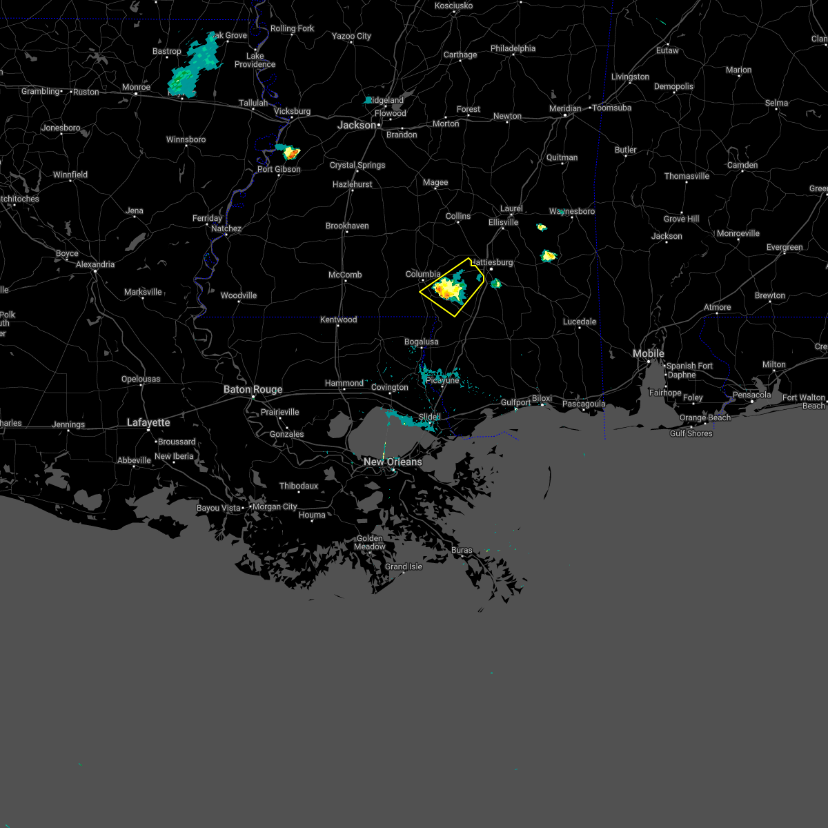 The severe thunderstorm warning for southeastern marion and lamar counties will expire at 830 pm cdt, the storm which prompted the warning has weakened below severe limits, and no longer poses an immediate threat to life or property. therefore, the warning will be allowed to expire. The severe thunderstorm warning for southeastern marion and lamar counties will expire at 830 pm cdt, the storm which prompted the warning has weakened below severe limits, and no longer poses an immediate threat to life or property. therefore, the warning will be allowed to expire.
|
| 6/18/2022 7:42 PM CDT |
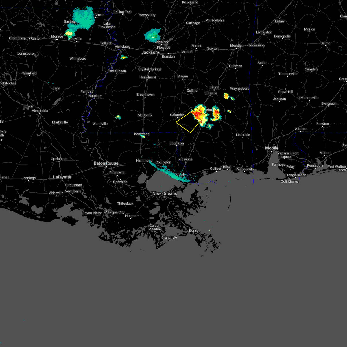 At 742 pm cdt, a severe thunderstorm was located near oak grove, or near west hattiesburg, moving southwest at 15 mph (radar indicated). Hazards include 60 mph wind gusts and quarter size hail. Hail damage to vehicles is expected. expect wind damage to roofs, siding, and trees. this severe thunderstorm will be near, pine ridge around 750 pm cdt. pinebur and baxterville around 830 pm cdt. hail threat, radar indicated max hail size, 1. 00 in wind threat, radar indicated max wind gust, 60 mph. At 742 pm cdt, a severe thunderstorm was located near oak grove, or near west hattiesburg, moving southwest at 15 mph (radar indicated). Hazards include 60 mph wind gusts and quarter size hail. Hail damage to vehicles is expected. expect wind damage to roofs, siding, and trees. this severe thunderstorm will be near, pine ridge around 750 pm cdt. pinebur and baxterville around 830 pm cdt. hail threat, radar indicated max hail size, 1. 00 in wind threat, radar indicated max wind gust, 60 mph.
|
| 6/10/2022 2:27 PM CDT |
 At 227 pm cdt, severe thunderstorms were located along a line extending from near clara to near mclaurin to 6 miles southeast of sandy hook, moving southeast at 35 mph (radar indicated). Hazards include 60 mph wind gusts and nickel size hail. Expect damage to roofs, siding, and trees. these severe thunderstorms will remain over mainly rural areas of southeastern marion, central forrest, southern lamar and southeastern jones counties. hail threat, observed max hail size, 0. 88 in wind threat, observed max wind gust, 60 mph. At 227 pm cdt, severe thunderstorms were located along a line extending from near clara to near mclaurin to 6 miles southeast of sandy hook, moving southeast at 35 mph (radar indicated). Hazards include 60 mph wind gusts and nickel size hail. Expect damage to roofs, siding, and trees. these severe thunderstorms will remain over mainly rural areas of southeastern marion, central forrest, southern lamar and southeastern jones counties. hail threat, observed max hail size, 0. 88 in wind threat, observed max wind gust, 60 mph.
|
| 6/10/2022 2:07 PM CDT |
 At 206 pm cdt, severe thunderstorms were located along a line extending from near mill creek to near hattiesburg to near pickwick, moving southeast at 35 mph (radar indicated. several trees were downed in jones county with these storms). Hazards include 60 mph wind gusts and half dollar size hail. Hail damage to vehicles is expected. expect wind damage to roofs, siding, and trees. these severe storms will be near, petal, sunrise and mill creek around 210 pm cdt. mclaurin around 220 pm cdt. hail threat, radar indicated max hail size, 1. 25 in wind threat, observed max wind gust, 60 mph. At 206 pm cdt, severe thunderstorms were located along a line extending from near mill creek to near hattiesburg to near pickwick, moving southeast at 35 mph (radar indicated. several trees were downed in jones county with these storms). Hazards include 60 mph wind gusts and half dollar size hail. Hail damage to vehicles is expected. expect wind damage to roofs, siding, and trees. these severe storms will be near, petal, sunrise and mill creek around 210 pm cdt. mclaurin around 220 pm cdt. hail threat, radar indicated max hail size, 1. 25 in wind threat, observed max wind gust, 60 mph.
|
| 6/10/2022 2:05 PM CDT | Multiple trees downed in hattiesburg and northern forrest count in forrest county MS, 2.1 miles NW of Hattiesburg, MS |
| 6/10/2022 2:05 PM CDT | Quarter sized hail reported 2.1 miles SSE of Hattiesburg, MS, reported at i-59 and us 49. |
| 6/10/2022 2:04 PM CDT | A tree has fallen into power lines and the road way is blocked at the 200 block of hutchinson avenu in forrest county MS, 1.6 miles NW of Hattiesburg, MS |
| 6/10/2022 2:01 PM CDT | A couple trees downed in the west hattiesburg/oak grove are in lamar county MS, 4.2 miles NE of Hattiesburg, MS |
| 6/10/2022 1:53 PM CDT |
 At 153 pm cdt, severe thunderstorms were located along a line extending from near tuckers crossing to 7 miles west of oak grove, moving east at 45 mph (radar indicated). Hazards include 60 mph wind gusts and half dollar size hail. Hail damage to vehicles is expected. expect wind damage to roofs, siding, and trees. these severe storms will be near, mill creek and tuckers crossing around 200 pm cdt. petal around 215 pm cdt. sunrise and mclaurin around 220 pm cdt. hail threat, radar indicated max hail size, 1. 25 in wind threat, radar indicated max wind gust, 60 mph. At 153 pm cdt, severe thunderstorms were located along a line extending from near tuckers crossing to 7 miles west of oak grove, moving east at 45 mph (radar indicated). Hazards include 60 mph wind gusts and half dollar size hail. Hail damage to vehicles is expected. expect wind damage to roofs, siding, and trees. these severe storms will be near, mill creek and tuckers crossing around 200 pm cdt. petal around 215 pm cdt. sunrise and mclaurin around 220 pm cdt. hail threat, radar indicated max hail size, 1. 25 in wind threat, radar indicated max wind gust, 60 mph.
|
| 6/10/2022 1:24 PM CDT |
 At 124 pm cdt, severe thunderstorms were located along a line extending from collins to morgantown, moving southeast at 35 mph (radar indicated). Hazards include 60 mph wind gusts. Expect damage to roofs, siding, and trees. severe thunderstorms will be near, pickwick around 140 pm cdt. sanford around 145 pm cdt. pinebur around 150 pm cdt. moselle and rawls springs around 155 pm cdt. eastabuchie around 200 pm cdt. petal and baxterville around 205 pm cdt. macedonia and sunrise around 210 pm cdt. lumberton around 220 pm cdt. other locations impacted by these severe thunderstorms include seminary and soso. hail threat, radar indicated max hail size, <. 75 in wind threat, radar indicated max wind gust, 60 mph. At 124 pm cdt, severe thunderstorms were located along a line extending from collins to morgantown, moving southeast at 35 mph (radar indicated). Hazards include 60 mph wind gusts. Expect damage to roofs, siding, and trees. severe thunderstorms will be near, pickwick around 140 pm cdt. sanford around 145 pm cdt. pinebur around 150 pm cdt. moselle and rawls springs around 155 pm cdt. eastabuchie around 200 pm cdt. petal and baxterville around 205 pm cdt. macedonia and sunrise around 210 pm cdt. lumberton around 220 pm cdt. other locations impacted by these severe thunderstorms include seminary and soso. hail threat, radar indicated max hail size, <. 75 in wind threat, radar indicated max wind gust, 60 mph.
|
| 5/25/2022 1:37 PM CDT | A tree was blown down on monroe roa in jones county MS, 11.5 miles S of Hattiesburg, MS |
| 5/21/2022 2:58 PM CDT |
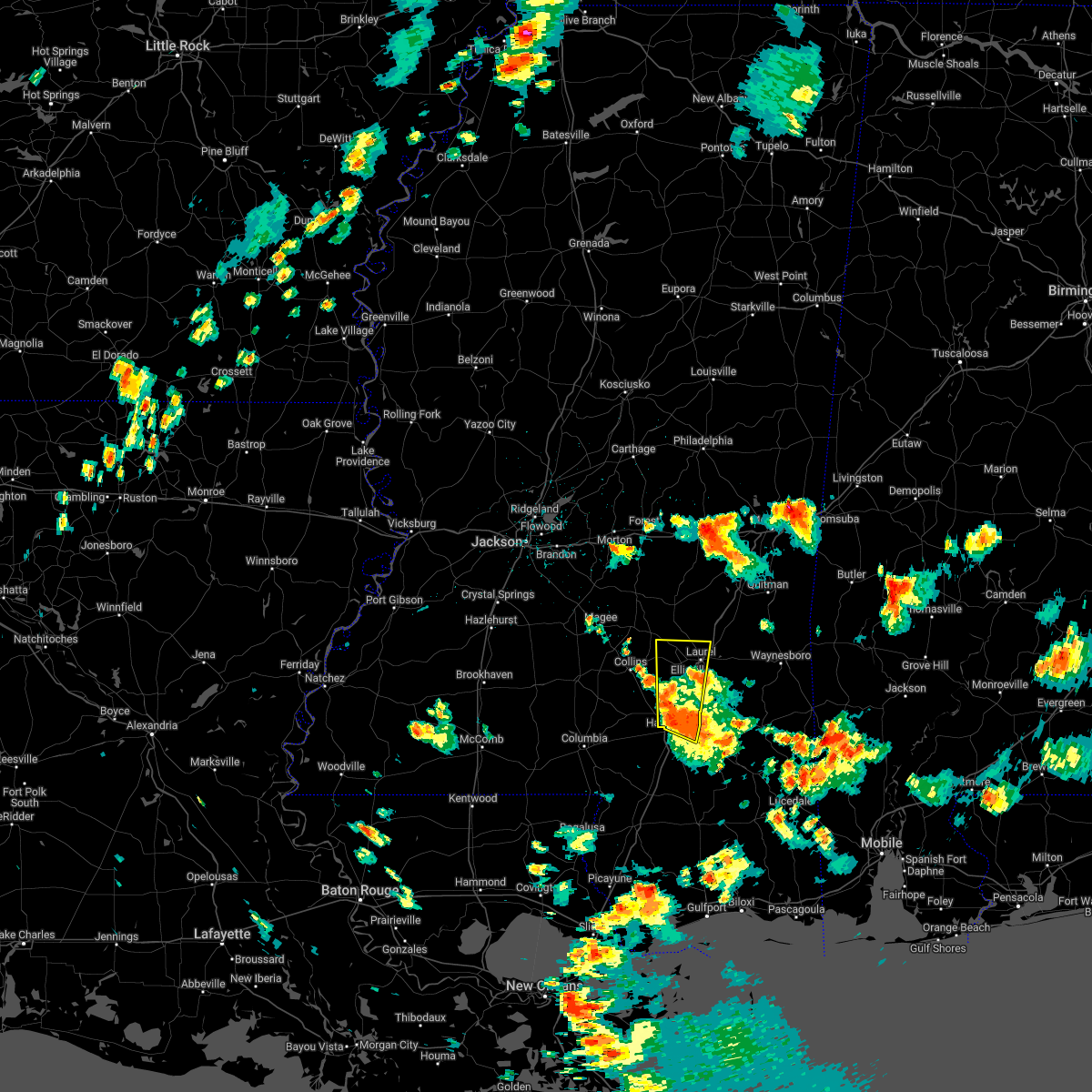 At 258 pm cdt, a severe thunderstorm was located over eastabuchie, or near petal, moving north at 25 mph (radar indicated). Hazards include 60 mph wind gusts and quarter size hail. Hail damage to vehicles is expected. expect wind damage to roofs, siding, and trees. this severe thunderstorm will be near, moselle around 310 pm cdt. laurel and ellisville around 325 pm cdt. hebron around 340 pm cdt. other locations impacted by this severe thunderstorm include soso. hail threat, radar indicated max hail size, 1. 00 in wind threat, radar indicated max wind gust, 60 mph. At 258 pm cdt, a severe thunderstorm was located over eastabuchie, or near petal, moving north at 25 mph (radar indicated). Hazards include 60 mph wind gusts and quarter size hail. Hail damage to vehicles is expected. expect wind damage to roofs, siding, and trees. this severe thunderstorm will be near, moselle around 310 pm cdt. laurel and ellisville around 325 pm cdt. hebron around 340 pm cdt. other locations impacted by this severe thunderstorm include soso. hail threat, radar indicated max hail size, 1. 00 in wind threat, radar indicated max wind gust, 60 mph.
|
| 4/17/2022 8:30 PM CDT |
 At 830 pm cdt, a severe thunderstorm was located over brooklyn, or 13 miles north of wiggins, moving southeast at 60 mph (radar indicated). Hazards include 70 mph wind gusts and quarter size hail. Hail damage to vehicles is expected. expect considerable tree damage. wind damage is also likely to mobile homes, roofs, and outbuildings. this severe thunderstorm will remain over mainly rural areas of marion, forrest and lamar counties, including the following locations, corinth. thunderstorm damage threat, considerable hail threat, radar indicated max hail size, 1. 00 in wind threat, radar indicated max wind gust, 70 mph. At 830 pm cdt, a severe thunderstorm was located over brooklyn, or 13 miles north of wiggins, moving southeast at 60 mph (radar indicated). Hazards include 70 mph wind gusts and quarter size hail. Hail damage to vehicles is expected. expect considerable tree damage. wind damage is also likely to mobile homes, roofs, and outbuildings. this severe thunderstorm will remain over mainly rural areas of marion, forrest and lamar counties, including the following locations, corinth. thunderstorm damage threat, considerable hail threat, radar indicated max hail size, 1. 00 in wind threat, radar indicated max wind gust, 70 mph.
|
| 4/17/2022 7:56 PM CDT |
 At 755 pm cdt, a severe thunderstorm was located near sumrall, or 14 miles west of west hattiesburg, moving southeast at 60 mph (radar indicated). Hazards include 70 mph wind gusts and quarter size hail. Hail damage to vehicles is expected. expect considerable tree damage. wind damage is also likely to mobile homes, roofs, and outbuildings. this severe thunderstorm will be near, hattiesburg around 805 pm cdt. west hattiesburg, oak grove and pine ridge around 810 pm cdt. purvis around 815 pm cdt. rock hill and mclaurin around 825 pm cdt. brooklyn around 830 pm cdt. maxie around 835 pm cdt. other locations impacted by this severe thunderstorm include corinth. thunderstorm damage threat, considerable hail threat, radar indicated max hail size, 1. 00 in wind threat, radar indicated max wind gust, 70 mph. At 755 pm cdt, a severe thunderstorm was located near sumrall, or 14 miles west of west hattiesburg, moving southeast at 60 mph (radar indicated). Hazards include 70 mph wind gusts and quarter size hail. Hail damage to vehicles is expected. expect considerable tree damage. wind damage is also likely to mobile homes, roofs, and outbuildings. this severe thunderstorm will be near, hattiesburg around 805 pm cdt. west hattiesburg, oak grove and pine ridge around 810 pm cdt. purvis around 815 pm cdt. rock hill and mclaurin around 825 pm cdt. brooklyn around 830 pm cdt. maxie around 835 pm cdt. other locations impacted by this severe thunderstorm include corinth. thunderstorm damage threat, considerable hail threat, radar indicated max hail size, 1. 00 in wind threat, radar indicated max wind gust, 70 mph.
|
| 4/17/2022 6:29 PM CDT |
 At 629 pm cdt, a severe thunderstorm was located near sanford, or 10 miles southeast of collins, moving east at 20 mph (radar indicated). Hazards include 60 mph wind gusts and quarter size hail. Hail damage to vehicles is expected. expect wind damage to roofs, siding, and trees. this severe thunderstorm will be near, sanford around 640 pm cdt. rawls springs around 655 pm cdt. moselle and eastabuchie around 705 pm cdt. macedonia around 725 pm cdt. hail threat, radar indicated max hail size, 1. 00 in wind threat, radar indicated max wind gust, 60 mph. At 629 pm cdt, a severe thunderstorm was located near sanford, or 10 miles southeast of collins, moving east at 20 mph (radar indicated). Hazards include 60 mph wind gusts and quarter size hail. Hail damage to vehicles is expected. expect wind damage to roofs, siding, and trees. this severe thunderstorm will be near, sanford around 640 pm cdt. rawls springs around 655 pm cdt. moselle and eastabuchie around 705 pm cdt. macedonia around 725 pm cdt. hail threat, radar indicated max hail size, 1. 00 in wind threat, radar indicated max wind gust, 60 mph.
|
| 4/15/2022 6:33 PM CDT | Quarter sized hail reported 2.8 miles SSW of Hattiesburg, MS, quarter sized hail. |
| 4/15/2022 6:32 PM CDT |
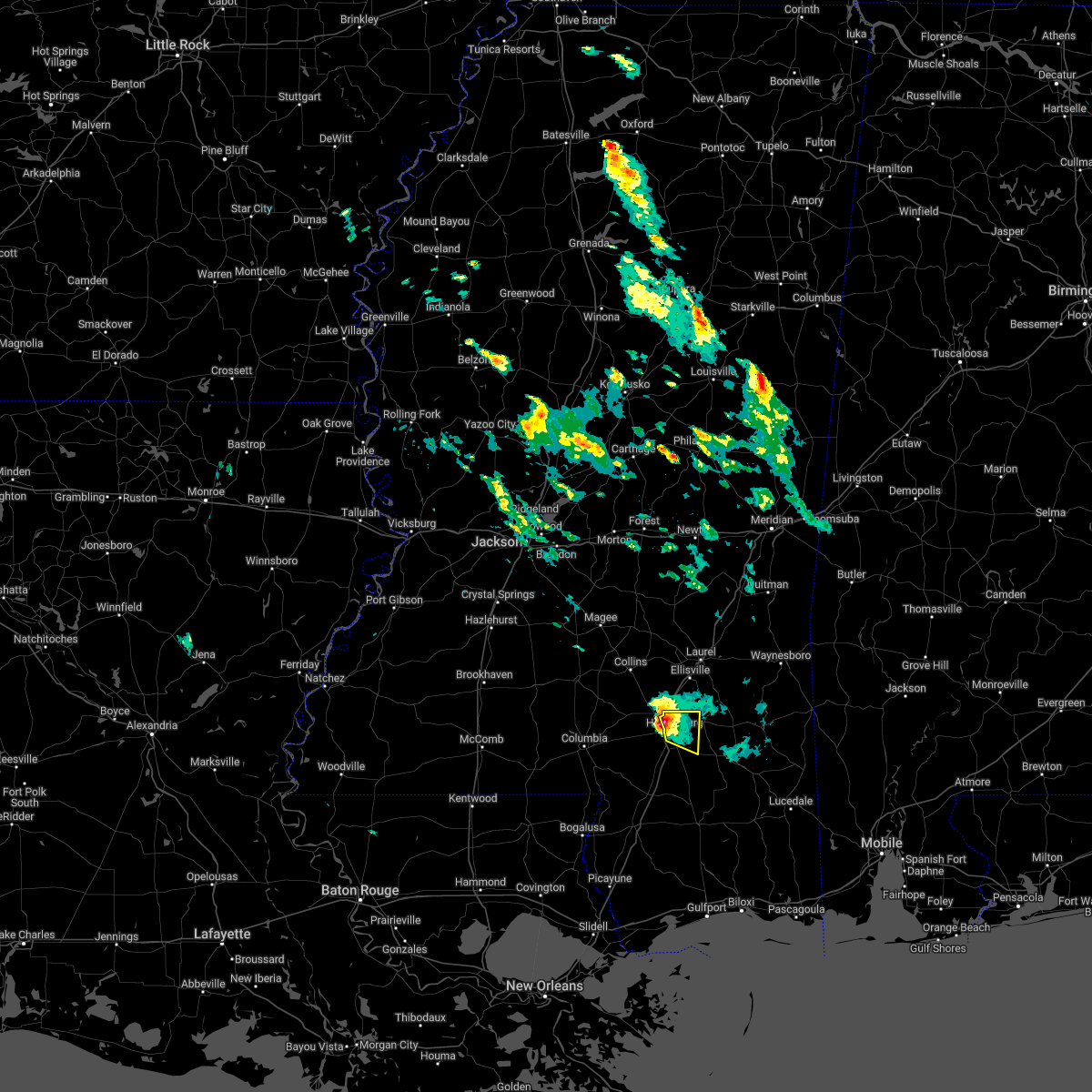 At 632 pm cdt, a severe thunderstorm was located near petal, moving east at 25 mph (radar indicated). Hazards include 60 mph wind gusts and quarter size hail. Hail damage to vehicles is expected. expect wind damage to roofs, siding, and trees. this severe storm will be near, sunrise around 645 pm cdt. macedonia around 650 pm cdt. hail threat, radar indicated max hail size, 1. 00 in wind threat, radar indicated max wind gust, 60 mph. At 632 pm cdt, a severe thunderstorm was located near petal, moving east at 25 mph (radar indicated). Hazards include 60 mph wind gusts and quarter size hail. Hail damage to vehicles is expected. expect wind damage to roofs, siding, and trees. this severe storm will be near, sunrise around 645 pm cdt. macedonia around 650 pm cdt. hail threat, radar indicated max hail size, 1. 00 in wind threat, radar indicated max wind gust, 60 mph.
|
| 4/15/2022 6:30 PM CDT | Quarter sized hail reported 3.7 miles SSW of Hattiesburg, MS, quarter sized hail on scenic drive. |
| 4/15/2022 6:08 PM CDT |
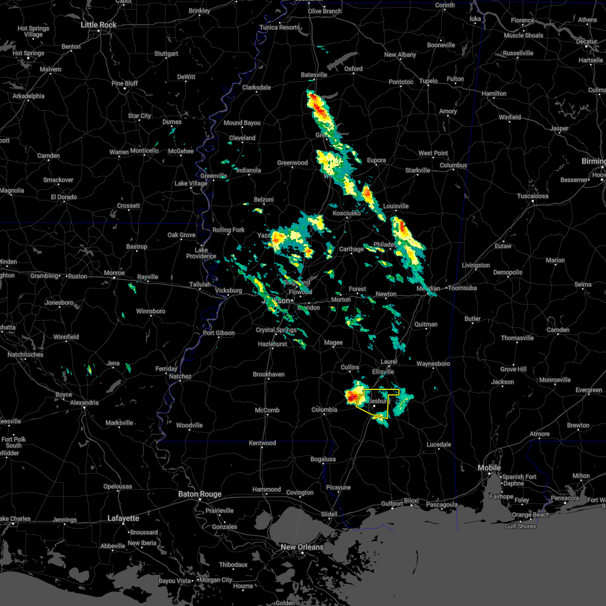 At 608 pm cdt, a severe thunderstorm was located near sumrall, or 8 miles northwest of west hattiesburg, moving east at 30 mph (radar indicated). Hazards include 60 mph wind gusts and half dollar size hail. Hail damage to vehicles is expected. expect wind damage to roofs, siding, and trees. this severe thunderstorm will be near, oak grove around 615 pm cdt. west hattiesburg and rawls springs around 620 pm cdt. eastabuchie around 630 pm cdt. petal around 635 pm cdt. sunrise around 640 pm cdt. macedonia around 645 pm cdt. hail threat, radar indicated max hail size, 1. 25 in wind threat, radar indicated max wind gust, 60 mph. At 608 pm cdt, a severe thunderstorm was located near sumrall, or 8 miles northwest of west hattiesburg, moving east at 30 mph (radar indicated). Hazards include 60 mph wind gusts and half dollar size hail. Hail damage to vehicles is expected. expect wind damage to roofs, siding, and trees. this severe thunderstorm will be near, oak grove around 615 pm cdt. west hattiesburg and rawls springs around 620 pm cdt. eastabuchie around 630 pm cdt. petal around 635 pm cdt. sunrise around 640 pm cdt. macedonia around 645 pm cdt. hail threat, radar indicated max hail size, 1. 25 in wind threat, radar indicated max wind gust, 60 mph.
|
| 4/15/2022 5:27 PM CDT |
 At 527 pm cdt, a severe thunderstorm was located near pine ridge, or 11 miles southwest of west hattiesburg, moving east at 25 mph (radar indicated). Hazards include 60 mph wind gusts and quarter size hail. Hail damage to vehicles is expected. expect wind damage to roofs, siding, and trees. this severe storm will be near, hattiesburg around 530 pm cdt. pine ridge around 535 pm cdt. purvis and oak grove around 540 pm cdt. hail threat, radar indicated max hail size, 1. 00 in wind threat, radar indicated max wind gust, 60 mph. At 527 pm cdt, a severe thunderstorm was located near pine ridge, or 11 miles southwest of west hattiesburg, moving east at 25 mph (radar indicated). Hazards include 60 mph wind gusts and quarter size hail. Hail damage to vehicles is expected. expect wind damage to roofs, siding, and trees. this severe storm will be near, hattiesburg around 530 pm cdt. pine ridge around 535 pm cdt. purvis and oak grove around 540 pm cdt. hail threat, radar indicated max hail size, 1. 00 in wind threat, radar indicated max wind gust, 60 mph.
|
| 4/15/2022 4:54 PM CDT |
 At 453 pm cdt, a severe thunderstorm was located near pinebur, or 7 miles southeast of columbia, moving east at 25 mph (radar indicated). Hazards include 60 mph wind gusts and quarter size hail. Hail damage to vehicles is expected. expect wind damage to roofs, siding, and trees. this severe thunderstorm will be near, baxterville around 510 pm cdt. hattiesburg and pine ridge around 535 pm cdt. purvis and oak grove around 540 pm cdt. west hattiesburg around 545 pm cdt. hail threat, radar indicated max hail size, 1. 00 in wind threat, radar indicated max wind gust, 60 mph. At 453 pm cdt, a severe thunderstorm was located near pinebur, or 7 miles southeast of columbia, moving east at 25 mph (radar indicated). Hazards include 60 mph wind gusts and quarter size hail. Hail damage to vehicles is expected. expect wind damage to roofs, siding, and trees. this severe thunderstorm will be near, baxterville around 510 pm cdt. hattiesburg and pine ridge around 535 pm cdt. purvis and oak grove around 540 pm cdt. west hattiesburg around 545 pm cdt. hail threat, radar indicated max hail size, 1. 00 in wind threat, radar indicated max wind gust, 60 mph.
|
| 4/13/2022 9:03 PM CDT |
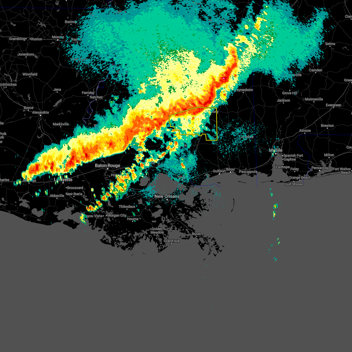 At 902 pm cdt, a severe thunderstorm was located near oak grove, or near west hattiesburg, moving east at 50 mph (radar indicated). Hazards include 60 mph wind gusts. Expect damage to roofs, siding, and trees. this severe thunderstorm will be near, hattiesburg around 910 pm cdt. petal around 915 pm cdt. sunrise around 920 pm cdt. mclaurin around 925 pm cdt. hail threat, radar indicated max hail size, <. 75 in wind threat, radar indicated max wind gust, 60 mph. At 902 pm cdt, a severe thunderstorm was located near oak grove, or near west hattiesburg, moving east at 50 mph (radar indicated). Hazards include 60 mph wind gusts. Expect damage to roofs, siding, and trees. this severe thunderstorm will be near, hattiesburg around 910 pm cdt. petal around 915 pm cdt. sunrise around 920 pm cdt. mclaurin around 925 pm cdt. hail threat, radar indicated max hail size, <. 75 in wind threat, radar indicated max wind gust, 60 mph.
|
| 3/30/2022 8:07 PM CDT |
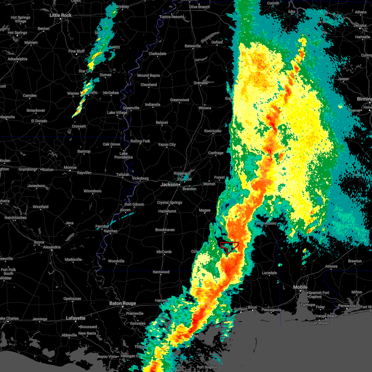 The tornado warning for northern forrest county will expire at 815 pm cdt, the storm which prompted the warning has moved out of the area. therefore, the warning will be allowed to expire. a tornado watch remains in effect until 900 pm cdt for southeastern mississippi. to report severe weather, contact your nearest law enforcement agency. they will relay your report to the national weather service jackson. The tornado warning for northern forrest county will expire at 815 pm cdt, the storm which prompted the warning has moved out of the area. therefore, the warning will be allowed to expire. a tornado watch remains in effect until 900 pm cdt for southeastern mississippi. to report severe weather, contact your nearest law enforcement agency. they will relay your report to the national weather service jackson.
|
| 3/30/2022 8:07 PM CDT |
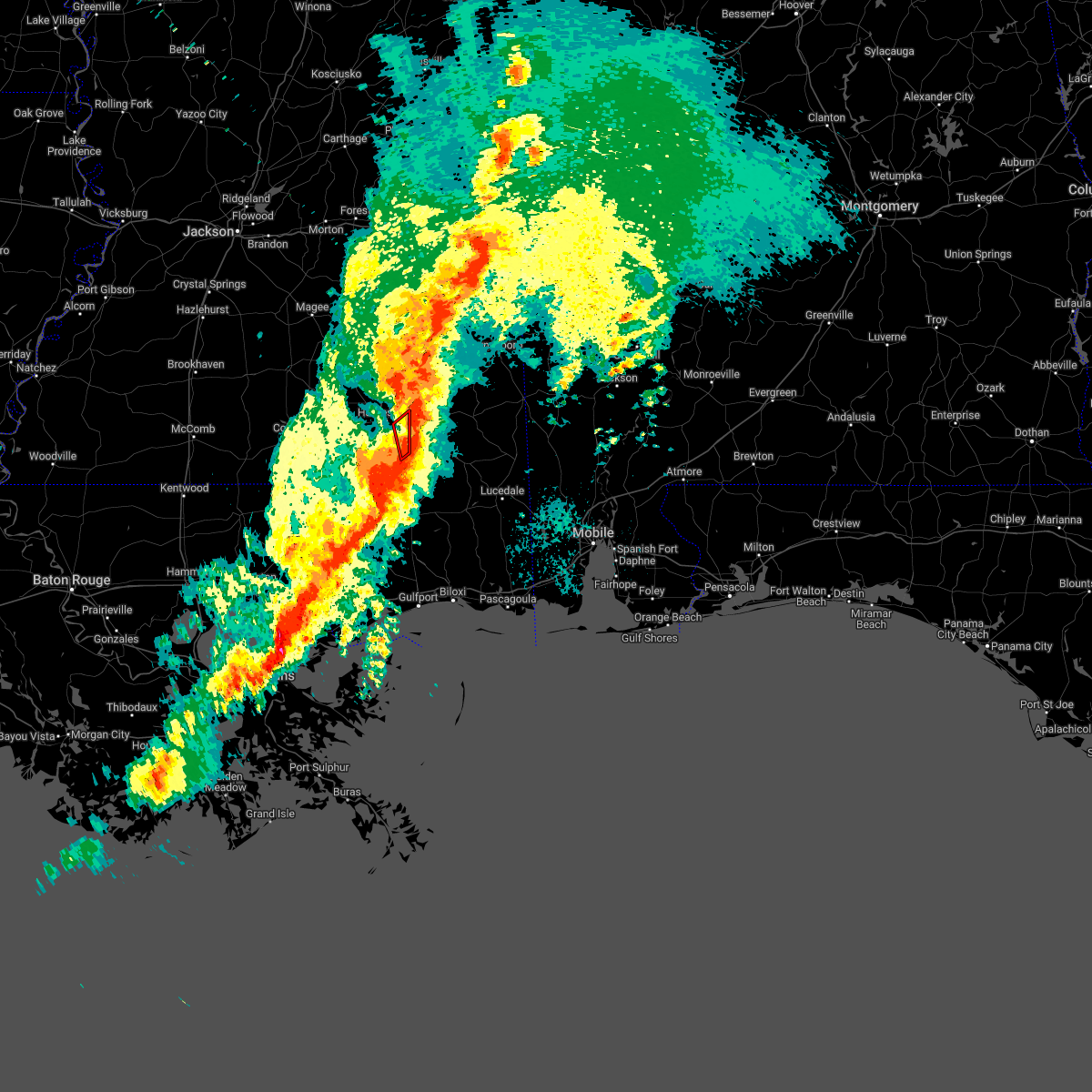 The tornado warning for northeastern forrest county will expire at 815 pm cdt, the storm which prompted the warning has moved out of the area. therefore, the warning will be allowed to expire. a tornado watch remains in effect until 900 pm cdt for southeastern mississippi. to report severe weather, contact your nearest law enforcement agency. they will relay your report to the national weather service jackson. The tornado warning for northeastern forrest county will expire at 815 pm cdt, the storm which prompted the warning has moved out of the area. therefore, the warning will be allowed to expire. a tornado watch remains in effect until 900 pm cdt for southeastern mississippi. to report severe weather, contact your nearest law enforcement agency. they will relay your report to the national weather service jackson.
|
| 3/30/2022 8:02 PM CDT |
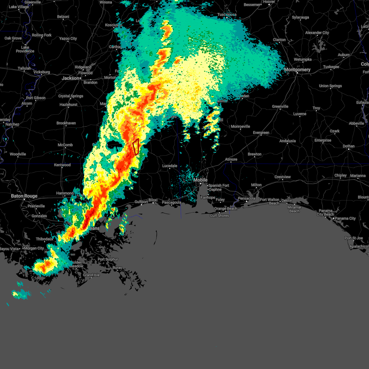 At 802 pm cdt, a severe thunderstorm capable of producing a tornado was located near sunrise, or 7 miles southeast of petal, moving northeast at 60 mph (radar indicated rotation). Hazards include tornado. Flying debris will be dangerous to those caught without shelter. mobile homes will be damaged or destroyed. damage to roofs, windows, and vehicles will occur. tree damage is likely. This tornadic thunderstorm will remain over mainly rural areas of northeastern forrest county. At 802 pm cdt, a severe thunderstorm capable of producing a tornado was located near sunrise, or 7 miles southeast of petal, moving northeast at 60 mph (radar indicated rotation). Hazards include tornado. Flying debris will be dangerous to those caught without shelter. mobile homes will be damaged or destroyed. damage to roofs, windows, and vehicles will occur. tree damage is likely. This tornadic thunderstorm will remain over mainly rural areas of northeastern forrest county.
|
| 3/30/2022 7:55 PM CDT |
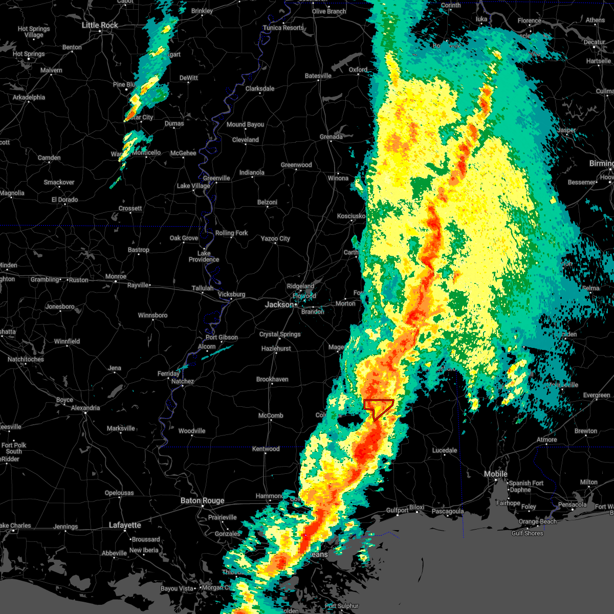 At 754 pm cdt, a severe thunderstorm capable of producing a tornado was located over rawls springs, or near hattiesburg, moving northeast at 50 mph (radar indicated rotation). Hazards include tornado. Flying debris will be dangerous to those caught without shelter. mobile homes will be damaged or destroyed. damage to roofs, windows, and vehicles will occur. tree damage is likely. This dangerous storm will be near, macedonia around 805 pm cdt. At 754 pm cdt, a severe thunderstorm capable of producing a tornado was located over rawls springs, or near hattiesburg, moving northeast at 50 mph (radar indicated rotation). Hazards include tornado. Flying debris will be dangerous to those caught without shelter. mobile homes will be damaged or destroyed. damage to roofs, windows, and vehicles will occur. tree damage is likely. This dangerous storm will be near, macedonia around 805 pm cdt.
|
| 3/30/2022 7:54 PM CDT | A tree fell into the road along us highway 49... and a driver was later injured after crashing into the fallen tre in forrest county MS, 10.2 miles NNW of Hattiesburg, MS |
| 3/30/2022 7:51 PM CDT |
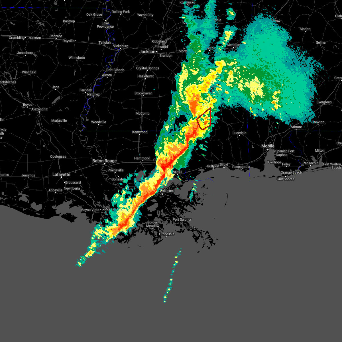 At 751 pm cdt, a severe thunderstorm capable of producing a tornado was located near purvis, or 9 miles south of hattiesburg, moving northeast at 45 mph (radar indicated rotation). Hazards include tornado. Flying debris will be dangerous to those caught without shelter. mobile homes will be damaged or destroyed. damage to roofs, windows, and vehicles will occur. tree damage is likely. this dangerous storm will be near, mclaurin around 755 pm cdt. Sunrise around 805 pm cdt. At 751 pm cdt, a severe thunderstorm capable of producing a tornado was located near purvis, or 9 miles south of hattiesburg, moving northeast at 45 mph (radar indicated rotation). Hazards include tornado. Flying debris will be dangerous to those caught without shelter. mobile homes will be damaged or destroyed. damage to roofs, windows, and vehicles will occur. tree damage is likely. this dangerous storm will be near, mclaurin around 755 pm cdt. Sunrise around 805 pm cdt.
|
| 3/30/2022 7:44 PM CDT | Several trees snapped... including a tree on a home... and power lines downed on ford loop. trees also down along ms hwy 589. possible tornad in lamar county MS, 8.8 miles ENE of Hattiesburg, MS |
| 3/30/2022 7:41 PM CDT |
 At 741 pm cdt, a severe thunderstorm capable of producing a tornado was located near purvis, or 15 miles south of west hattiesburg, moving northeast at 55 mph (radar indicated rotation). Hazards include tornado. Flying debris will be dangerous to those caught without shelter. mobile homes will be damaged or destroyed. damage to roofs, windows, and vehicles will occur. tree damage is likely. this dangerous storm will be near, rock hill around 745 pm cdt. Mclaurin around 755 pm cdt. At 741 pm cdt, a severe thunderstorm capable of producing a tornado was located near purvis, or 15 miles south of west hattiesburg, moving northeast at 55 mph (radar indicated rotation). Hazards include tornado. Flying debris will be dangerous to those caught without shelter. mobile homes will be damaged or destroyed. damage to roofs, windows, and vehicles will occur. tree damage is likely. this dangerous storm will be near, rock hill around 745 pm cdt. Mclaurin around 755 pm cdt.
|
| 3/30/2022 7:39 PM CDT |
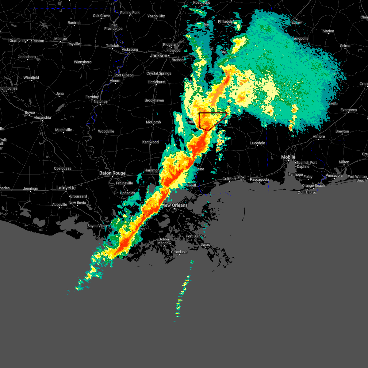 At 739 pm cdt, a severe thunderstorm capable of producing a tornado was located 9 miles southwest of west hattiesburg, moving northeast at 60 mph (radar indicated rotation). Hazards include tornado. Flying debris will be dangerous to those caught without shelter. mobile homes will be damaged or destroyed. damage to roofs, windows, and vehicles will occur. tree damage is likely. this dangerous storm will be near, hattiesburg and oak grove around 745 pm cdt. west hattiesburg and rawls springs around 750 pm cdt. petal around 755 pm cdt. Macedonia around 800 pm cdt. At 739 pm cdt, a severe thunderstorm capable of producing a tornado was located 9 miles southwest of west hattiesburg, moving northeast at 60 mph (radar indicated rotation). Hazards include tornado. Flying debris will be dangerous to those caught without shelter. mobile homes will be damaged or destroyed. damage to roofs, windows, and vehicles will occur. tree damage is likely. this dangerous storm will be near, hattiesburg and oak grove around 745 pm cdt. west hattiesburg and rawls springs around 750 pm cdt. petal around 755 pm cdt. Macedonia around 800 pm cdt.
|
| 3/30/2022 7:28 PM CDT |
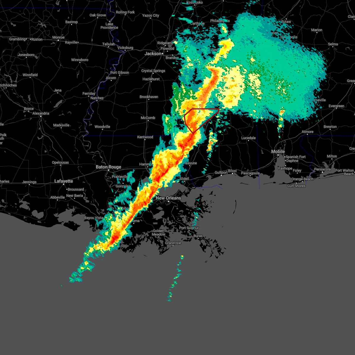 At 728 pm cdt, a severe thunderstorm capable of producing a tornado was located near pinebur, or 9 miles southeast of columbia, moving northeast at 40 mph (radar indicated rotation). Hazards include tornado. Flying debris will be dangerous to those caught without shelter. mobile homes will be damaged or destroyed. damage to roofs, windows, and vehicles will occur. tree damage is likely. this dangerous storm will be near, pine ridge around 745 pm cdt. hattiesburg around 750 pm cdt. oak grove around 755 pm cdt. west hattiesburg around 800 pm cdt. rawls springs around 805 pm cdt. petal around 810 pm cdt. Macedonia around 820 pm cdt. At 728 pm cdt, a severe thunderstorm capable of producing a tornado was located near pinebur, or 9 miles southeast of columbia, moving northeast at 40 mph (radar indicated rotation). Hazards include tornado. Flying debris will be dangerous to those caught without shelter. mobile homes will be damaged or destroyed. damage to roofs, windows, and vehicles will occur. tree damage is likely. this dangerous storm will be near, pine ridge around 745 pm cdt. hattiesburg around 750 pm cdt. oak grove around 755 pm cdt. west hattiesburg around 800 pm cdt. rawls springs around 805 pm cdt. petal around 810 pm cdt. Macedonia around 820 pm cdt.
|
| 3/30/2022 7:12 PM CDT |
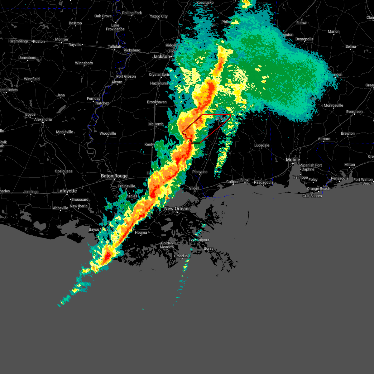 At 711 pm cdt, a severe thunderstorm capable of producing a tornado was located over pickwick, or 7 miles north of sandy hook, moving northeast at 50 mph (radar indicated rotation). Hazards include tornado. Flying debris will be dangerous to those caught without shelter. mobile homes will be damaged or destroyed. damage to roofs, windows, and vehicles will occur. tree damage is likely. this dangerous storm will be near, columbia around 715 pm cdt. pinebur around 720 pm cdt. improve around 730 pm cdt. hattiesburg and sumrall around 740 pm cdt. west hattiesburg and oak grove around 745 pm cdt. Rawls springs around 750 pm cdt. At 711 pm cdt, a severe thunderstorm capable of producing a tornado was located over pickwick, or 7 miles north of sandy hook, moving northeast at 50 mph (radar indicated rotation). Hazards include tornado. Flying debris will be dangerous to those caught without shelter. mobile homes will be damaged or destroyed. damage to roofs, windows, and vehicles will occur. tree damage is likely. this dangerous storm will be near, columbia around 715 pm cdt. pinebur around 720 pm cdt. improve around 730 pm cdt. hattiesburg and sumrall around 740 pm cdt. west hattiesburg and oak grove around 745 pm cdt. Rawls springs around 750 pm cdt.
|
| 2/3/2022 12:25 PM CST |
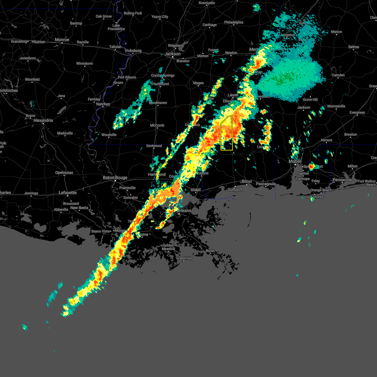 The severe thunderstorm warning for forrest county will expire at 1230 pm cst, the storm which prompted the warning has moved out of the area. therefore, the warning will be allowed to expire. however heavy rain and flash flooding is still likely with this thunderstorm. a tornado watch remains in effect until 600 pm cst for southeastern mississippi. The severe thunderstorm warning for forrest county will expire at 1230 pm cst, the storm which prompted the warning has moved out of the area. therefore, the warning will be allowed to expire. however heavy rain and flash flooding is still likely with this thunderstorm. a tornado watch remains in effect until 600 pm cst for southeastern mississippi.
|
| 2/3/2022 12:05 PM CST | Tin ripped off roofs of walkways and buildings on camp shelby in forrest county. a tree was also snapped nearby. time estimated based on radar. report... including pict in forrest county MS, 12.1 miles NW of Hattiesburg, MS |
| 2/3/2022 12:03 PM CST |
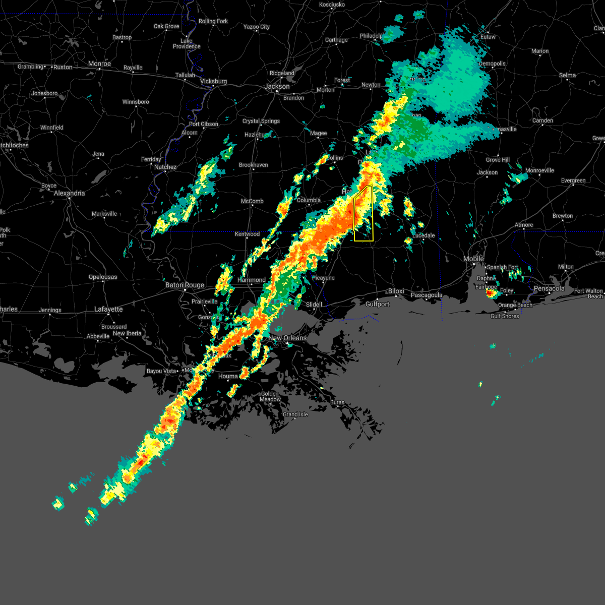 At 1203 pm cst, a severe thunderstorm was located near mclaurin, or 8 miles southeast of hattiesburg, moving northeast at 35 mph (radar indicated). Hazards include 70 mph wind gusts. Expect considerable tree damage. damage is likely to mobile homes, roofs, and outbuildings. this severe storm will be near, petal and sunrise around 1210 pm cst. macedonia around 1220 pm cst. thunderstorm damage threat, considerable hail threat, radar indicated max hail size, <. 75 in wind threat, radar indicated max wind gust, 70 mph. At 1203 pm cst, a severe thunderstorm was located near mclaurin, or 8 miles southeast of hattiesburg, moving northeast at 35 mph (radar indicated). Hazards include 70 mph wind gusts. Expect considerable tree damage. damage is likely to mobile homes, roofs, and outbuildings. this severe storm will be near, petal and sunrise around 1210 pm cst. macedonia around 1220 pm cst. thunderstorm damage threat, considerable hail threat, radar indicated max hail size, <. 75 in wind threat, radar indicated max wind gust, 70 mph.
|
| 2/3/2022 11:59 AM CST |
 At 1159 am cst, a severe thunderstorm was located near mclaurin, or 8 miles south of hattiesburg, moving northeast at 40 mph (radar indicated). Hazards include 70 mph wind gusts. Expect considerable tree damage. damage is likely to mobile homes, roofs, and outbuildings. this severe storm will be near, petal and sunrise around 1210 pm cst. macedonia around 1220 pm cst. thunderstorm damage threat, considerable hail threat, radar indicated max hail size, <. 75 in wind threat, radar indicated max wind gust, 70 mph. At 1159 am cst, a severe thunderstorm was located near mclaurin, or 8 miles south of hattiesburg, moving northeast at 40 mph (radar indicated). Hazards include 70 mph wind gusts. Expect considerable tree damage. damage is likely to mobile homes, roofs, and outbuildings. this severe storm will be near, petal and sunrise around 1210 pm cst. macedonia around 1220 pm cst. thunderstorm damage threat, considerable hail threat, radar indicated max hail size, <. 75 in wind threat, radar indicated max wind gust, 70 mph.
|
| 2/3/2022 11:31 AM CST |
 At 1131 am cst, a severe thunderstorm was located near baxterville, or 11 miles north of poplarville, moving northeast at 35 mph (radar indicated). Hazards include 60 mph wind gusts. Expect damage to roofs, siding, and trees. this severe thunderstorm will be near, baxterville around 1135 am cst. lumberton around 1140 am cst. purvis and pine ridge around 1155 am cst. rock hill around 1200 pm cst. mclaurin around 1210 pm cst. petal and sunrise around 1220 pm cst. macedonia around 1230 pm cst. hail threat, radar indicated max hail size, <. 75 in wind threat, radar indicated max wind gust, 60 mph. At 1131 am cst, a severe thunderstorm was located near baxterville, or 11 miles north of poplarville, moving northeast at 35 mph (radar indicated). Hazards include 60 mph wind gusts. Expect damage to roofs, siding, and trees. this severe thunderstorm will be near, baxterville around 1135 am cst. lumberton around 1140 am cst. purvis and pine ridge around 1155 am cst. rock hill around 1200 pm cst. mclaurin around 1210 pm cst. petal and sunrise around 1220 pm cst. macedonia around 1230 pm cst. hail threat, radar indicated max hail size, <. 75 in wind threat, radar indicated max wind gust, 60 mph.
|
| 1/2/2022 1:24 AM CST |
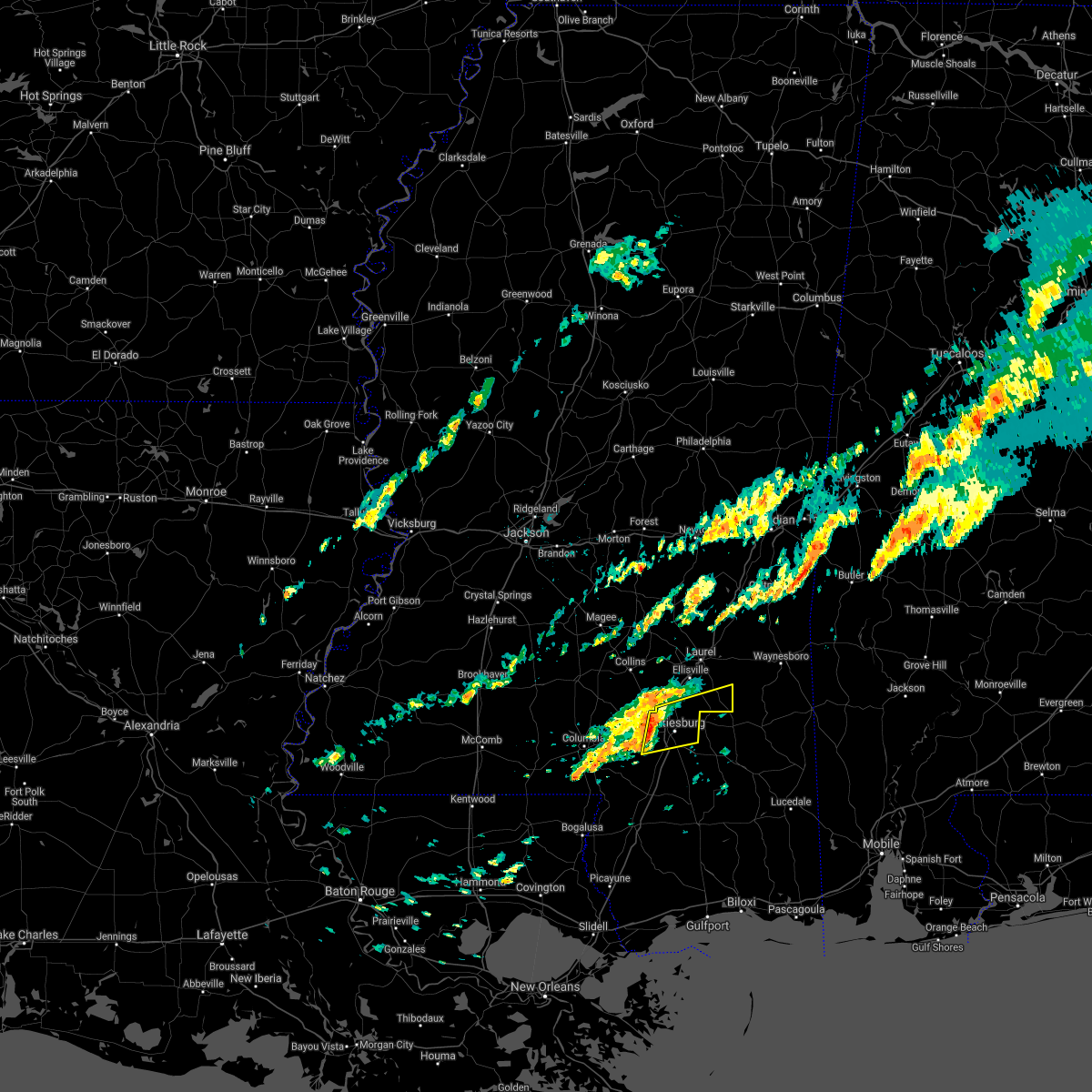 At 123 am cst, a severe thunderstorm was located over west hattiesburg, moving east at 40 mph (radar indicated). Hazards include 60 mph wind gusts. Expect damage to roofs, siding, and trees. this severe thunderstorm will be near, oak grove around 130 am cst. petal and eastabuchie around 135 am cst. sunrise around 140 am cst. macedonia around 145 am cst. Ovett around 200 am cst. At 123 am cst, a severe thunderstorm was located over west hattiesburg, moving east at 40 mph (radar indicated). Hazards include 60 mph wind gusts. Expect damage to roofs, siding, and trees. this severe thunderstorm will be near, oak grove around 130 am cst. petal and eastabuchie around 135 am cst. sunrise around 140 am cst. macedonia around 145 am cst. Ovett around 200 am cst.
|
| 6/13/2021 5:48 PM CDT |
 At 547 pm cdt, severe thunderstorms were located along a line extending from improve to 7 miles northwest of purvis to brooklyn, moving south at 40 mph (emergency management. at 540 pm, forrest county emergency management reported numerous downed trees across the county). Hazards include 60 mph wind gusts and penny size hail. Expect damage to roofs, siding, and trees. Locations impacted include, hattiesburg, west hattiesburg, purvis and mclaurin. At 547 pm cdt, severe thunderstorms were located along a line extending from improve to 7 miles northwest of purvis to brooklyn, moving south at 40 mph (emergency management. at 540 pm, forrest county emergency management reported numerous downed trees across the county). Hazards include 60 mph wind gusts and penny size hail. Expect damage to roofs, siding, and trees. Locations impacted include, hattiesburg, west hattiesburg, purvis and mclaurin.
|
| 6/13/2021 5:45 PM CDT | Numerous trees and power lines down all over the county. over 30 individual report in forrest county MS, 21.1 miles NNW of Hattiesburg, MS |
| 6/13/2021 5:32 PM CDT |
 At 532 pm cdt, severe thunderstorms were located along a line extending from lone star to near sumrall to near new augusta, moving south at 40 mph (emergency management). Hazards include 60 mph wind gusts. Expect damage to roofs, siding, and trees. Locations impacted include, hattiesburg, petal, west hattiesburg, purvis, sumrall, mclaurin, rawls springs, sunrise, lone star and melba. At 532 pm cdt, severe thunderstorms were located along a line extending from lone star to near sumrall to near new augusta, moving south at 40 mph (emergency management). Hazards include 60 mph wind gusts. Expect damage to roofs, siding, and trees. Locations impacted include, hattiesburg, petal, west hattiesburg, purvis, sumrall, mclaurin, rawls springs, sunrise, lone star and melba.
|
| 6/13/2021 5:22 PM CDT | I-59 northbound blocked by trees at mile marker 7 in forrest county MS, 4.6 miles S of Hattiesburg, MS |
| 6/13/2021 5:21 PM CDT |
 At 520 pm cdt, severe thunderstorms were located along a line extending from near mount olive to near sanford to near ovett, moving south at 35 mph (emergency management). Hazards include 60 mph wind gusts. Expect damage to roofs, siding, and trees. Locations impacted include, hattiesburg, petal, collins, west hattiesburg, purvis, sumrall, mount olive, rawls springs, eastabuchie, mclaurin, sanford, sunrise, macedonia, lone star, moselle, melba, seminary and bassfield. At 520 pm cdt, severe thunderstorms were located along a line extending from near mount olive to near sanford to near ovett, moving south at 35 mph (emergency management). Hazards include 60 mph wind gusts. Expect damage to roofs, siding, and trees. Locations impacted include, hattiesburg, petal, collins, west hattiesburg, purvis, sumrall, mount olive, rawls springs, eastabuchie, mclaurin, sanford, sunrise, macedonia, lone star, moselle, melba, seminary and bassfield.
|
| 6/13/2021 4:58 PM CDT |
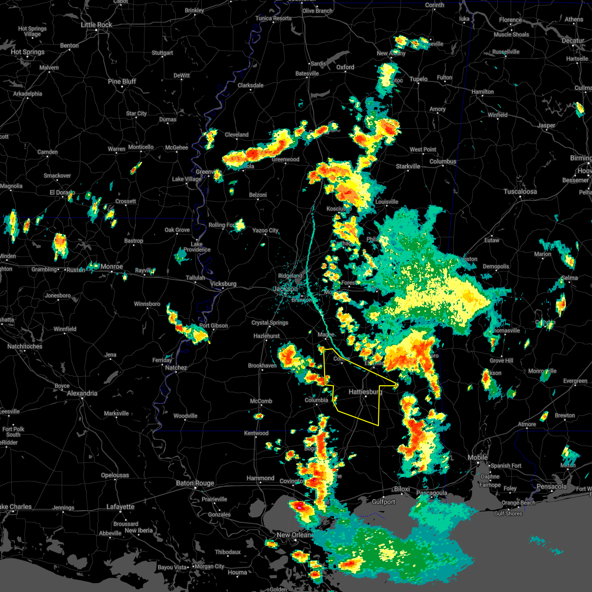 At 457 pm cdt, severe thunderstorms were located along a line extending from near raleigh to 9 miles southeast of taylorsville to 7 miles south of mill creek, moving south at 35 mph (emergency management. at 453 pm, jones county emergency management reported numerous downed trees in northeastern jones county). Hazards include 60 mph wind gusts. expect damage to roofs, siding, and trees At 457 pm cdt, severe thunderstorms were located along a line extending from near raleigh to 9 miles southeast of taylorsville to 7 miles south of mill creek, moving south at 35 mph (emergency management. at 453 pm, jones county emergency management reported numerous downed trees in northeastern jones county). Hazards include 60 mph wind gusts. expect damage to roofs, siding, and trees
|
| 5/4/2021 5:38 PM CDT |
 At 538 pm cdt, severe thunderstorms were located along a line extending from near fruitdale to near poplarville, moving southeast at 40 mph (radar indicated). Hazards include 60 mph wind gusts and nickel size hail. Expect damage to roofs, siding, and trees. locations impacted include, lumberton, mclaurin, brooklyn, maxie and rock hill. A tornado watch remains in effect until 1000 pm cdt for southeastern mississippi. At 538 pm cdt, severe thunderstorms were located along a line extending from near fruitdale to near poplarville, moving southeast at 40 mph (radar indicated). Hazards include 60 mph wind gusts and nickel size hail. Expect damage to roofs, siding, and trees. locations impacted include, lumberton, mclaurin, brooklyn, maxie and rock hill. A tornado watch remains in effect until 1000 pm cdt for southeastern mississippi.
|
| 5/4/2021 5:26 PM CDT |
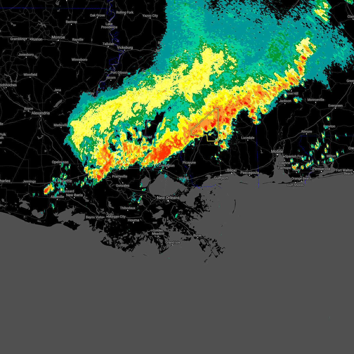 At 525 pm cdt, severe thunderstorms were located along a line extending from near state line to 9 miles northwest of poplarville, moving southeast at 40 mph (radar indicated). Hazards include 60 mph wind gusts and nickel size hail. Expect damage to roofs, siding, and trees. these severe thunderstorms will remain over mainly rural areas of forrest and southern lamar counties, including the following locations, corinth. A tornado watch remains in effect until 1000 pm cdt for southeastern mississippi. At 525 pm cdt, severe thunderstorms were located along a line extending from near state line to 9 miles northwest of poplarville, moving southeast at 40 mph (radar indicated). Hazards include 60 mph wind gusts and nickel size hail. Expect damage to roofs, siding, and trees. these severe thunderstorms will remain over mainly rural areas of forrest and southern lamar counties, including the following locations, corinth. A tornado watch remains in effect until 1000 pm cdt for southeastern mississippi.
|
| 5/4/2021 4:26 PM CDT |
 At 425 pm cdt, severe thunderstorms were located along a line extending from near sandersville to salem, moving southeast at 40 mph (radar indicated). Hazards include 70 mph wind gusts and nickel size hail. Expect considerable tree damage. damage is likely to mobile homes, roofs, and outbuildings. severe thunderstorms will be near, mill creek around 430 pm cdt. sandy hook around 500 pm cdt. pinebur around 505 pm cdt. baxterville around 515 pm cdt. lumberton around 530 pm cdt. other locations impacted by these severe thunderstorms include corinth. A tornado watch remains in effect until 1000 pm cdt for south central and southeastern mississippi. At 425 pm cdt, severe thunderstorms were located along a line extending from near sandersville to salem, moving southeast at 40 mph (radar indicated). Hazards include 70 mph wind gusts and nickel size hail. Expect considerable tree damage. damage is likely to mobile homes, roofs, and outbuildings. severe thunderstorms will be near, mill creek around 430 pm cdt. sandy hook around 500 pm cdt. pinebur around 505 pm cdt. baxterville around 515 pm cdt. lumberton around 530 pm cdt. other locations impacted by these severe thunderstorms include corinth. A tornado watch remains in effect until 1000 pm cdt for south central and southeastern mississippi.
|
| 4/10/2021 2:12 AM CDT | Tree down -- halfway down highway 24 near oak grov in lamar county MS, 7.1 miles ENE of Hattiesburg, MS |
| 4/10/2021 1:30 AM CDT | Trees down on n.g. weldy roa in forrest county MS, 15.3 miles NNW of Hattiesburg, MS |
| 4/10/2021 1:29 AM CDT | Trees down on camp dantzler roa in forrest county MS, 15.1 miles NNW of Hattiesburg, MS |
| 4/10/2021 1:29 AM CDT |
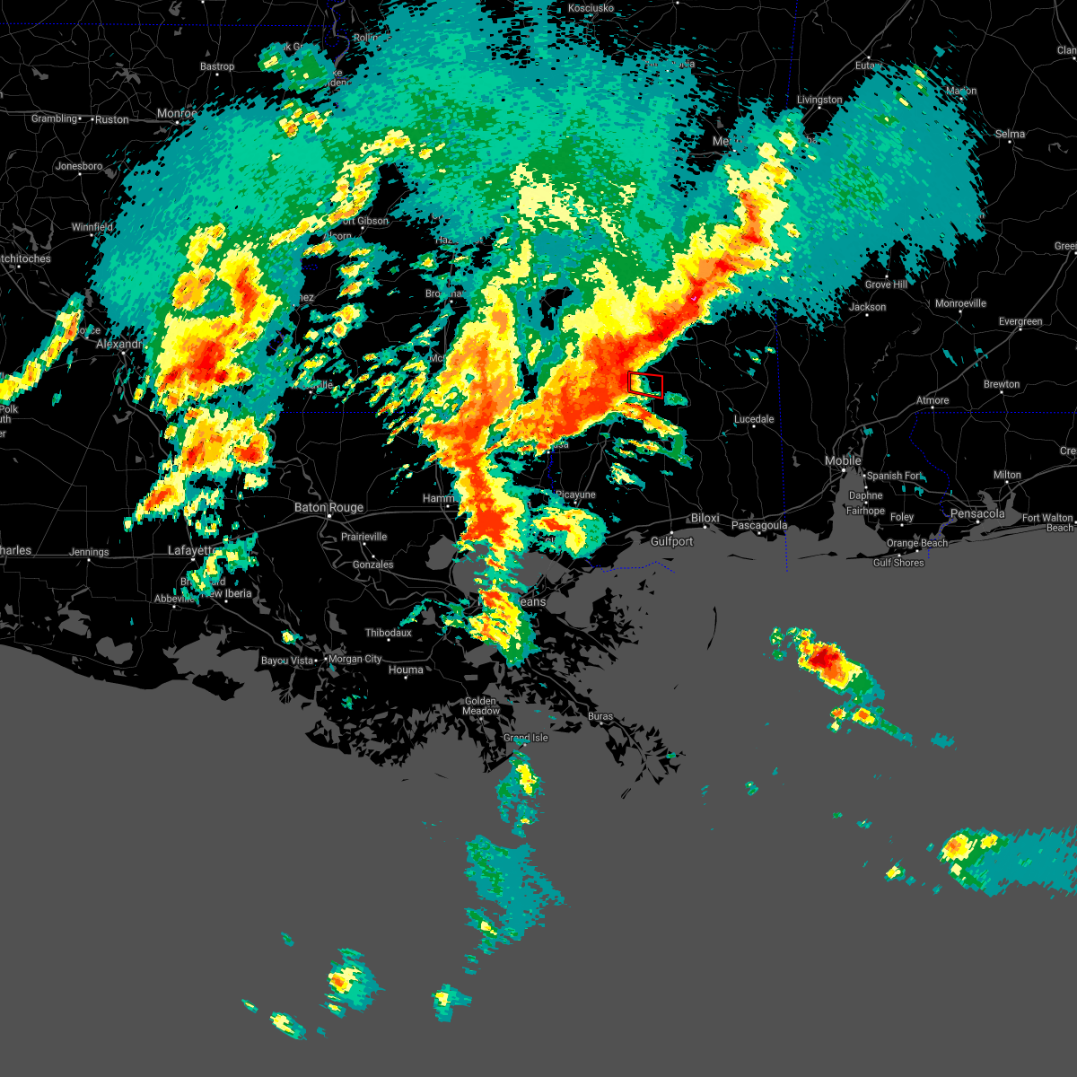 A tornado warning remains in effect until 200 am cdt for east central forrest county. at 128 am cdt, a severe thunderstorm capable of producing a tornado was located near rock hill, or 10 miles south of hattiesburg, moving east at 45 mph. hazard. Tornado. A tornado warning remains in effect until 200 am cdt for east central forrest county. at 128 am cdt, a severe thunderstorm capable of producing a tornado was located near rock hill, or 10 miles south of hattiesburg, moving east at 45 mph. hazard. Tornado.
|
| 4/10/2021 1:20 AM CDT | Numerous downed branches from 1" to 4" across bellevue and bent creek communitie in lamar county MS, 8.7 miles ENE of Hattiesburg, MS |
| 4/10/2021 1:16 AM CDT | Tree down near the intersection of lincoln and oak grove roa in lamar county MS, 3.7 miles NE of Hattiesburg, MS |
| 4/10/2021 1:15 AM CDT | Large tree on a mobile home at 4th st and heatherwood tr in lamar county MS, 1.7 miles ESE of Hattiesburg, MS |
| 4/10/2021 1:12 AM CDT |
 At 111 am cdt, a severe thunderstorm capable of producing a tornado was located 8 miles northwest of purvis, or 12 miles southwest of west hattiesburg, moving east at 45 mph (radar indicated rotation). Hazards include tornado. Flying debris will be dangerous to those caught without shelter. mobile homes will be damaged or destroyed. damage to roofs, windows, and vehicles will occur. tree damage is likely. this dangerous storm will be near, purvis around 120 am cdt. Mclaurin around 135 am cdt. At 111 am cdt, a severe thunderstorm capable of producing a tornado was located 8 miles northwest of purvis, or 12 miles southwest of west hattiesburg, moving east at 45 mph (radar indicated rotation). Hazards include tornado. Flying debris will be dangerous to those caught without shelter. mobile homes will be damaged or destroyed. damage to roofs, windows, and vehicles will occur. tree damage is likely. this dangerous storm will be near, purvis around 120 am cdt. Mclaurin around 135 am cdt.
|
| 4/10/2021 1:02 AM CDT |
 At 102 am cdt, a severe thunderstorm capable of producing a tornado was located 8 miles southeast of improve, or 11 miles east of columbia, moving east at 45 mph (radar indicated rotation). Hazards include tornado. Flying debris will be dangerous to those caught without shelter. mobile homes will be damaged or destroyed. damage to roofs, windows, and vehicles will occur. tree damage is likely. this dangerous storm will be near, hattiesburg around 115 am cdt. purvis and oak grove around 120 am cdt. Mclaurin around 135 am cdt. At 102 am cdt, a severe thunderstorm capable of producing a tornado was located 8 miles southeast of improve, or 11 miles east of columbia, moving east at 45 mph (radar indicated rotation). Hazards include tornado. Flying debris will be dangerous to those caught without shelter. mobile homes will be damaged or destroyed. damage to roofs, windows, and vehicles will occur. tree damage is likely. this dangerous storm will be near, hattiesburg around 115 am cdt. purvis and oak grove around 120 am cdt. Mclaurin around 135 am cdt.
|
| 3/17/2021 6:42 PM CDT |
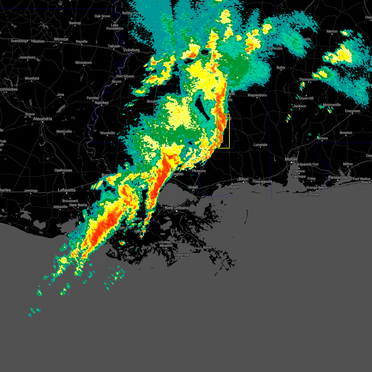 At 642 pm cdt, severe thunderstorms were located along a line extending from eastabuchie to mclaurin, moving east at 45 mph (radar indicated). Hazards include 60 mph wind gusts. Expect damage to roofs, siding, and trees. these severe thunderstorms will remain over mainly rural areas of forrest county, including the following locations, corinth. A tornado watch remains in effect until 700 pm cdt for southeastern mississippi. At 642 pm cdt, severe thunderstorms were located along a line extending from eastabuchie to mclaurin, moving east at 45 mph (radar indicated). Hazards include 60 mph wind gusts. Expect damage to roofs, siding, and trees. these severe thunderstorms will remain over mainly rural areas of forrest county, including the following locations, corinth. A tornado watch remains in effect until 700 pm cdt for southeastern mississippi.
|
| 3/17/2021 6:38 PM CDT | Trees down on anderson r in forrest county MS, 11.4 miles NNW of Hattiesburg, MS |
| 3/17/2021 6:37 PM CDT | Trees down on ollie williams r in forrest county MS, 10.6 miles NNW of Hattiesburg, MS |
| 3/17/2021 6:36 PM CDT | Tree blown down onto a hous in forrest county MS, 1.9 miles W of Hattiesburg, MS |
| 3/17/2021 6:28 PM CDT |
 At 628 pm cdt, severe thunderstorms were located along a line extending from near sanford to near rock hill, moving east at 55 mph (radar indicated). Hazards include 60 mph wind gusts. Expect damage to roofs, siding, and trees. these severe storms will be near, brooklyn, maxie and mclaurin around 640 pm cdt. other locations impacted by these severe thunderstorms include corinth. A tornado watch remains in effect until 700 pm cdt for southeastern mississippi. At 628 pm cdt, severe thunderstorms were located along a line extending from near sanford to near rock hill, moving east at 55 mph (radar indicated). Hazards include 60 mph wind gusts. Expect damage to roofs, siding, and trees. these severe storms will be near, brooklyn, maxie and mclaurin around 640 pm cdt. other locations impacted by these severe thunderstorms include corinth. A tornado watch remains in effect until 700 pm cdt for southeastern mississippi.
|
| 3/17/2021 6:13 PM CDT |
 At 612 pm cdt, severe thunderstorms were located along a line extending from melba to 6 miles south of baxterville, moving east at 55 mph (radar indicated). Hazards include 60 mph wind gusts. Expect damage to roofs, siding, and trees. severe thunderstorms will be near, sumrall around 620 pm cdt. lumberton around 625 pm cdt. rawls springs around 630 pm cdt. rock hill around 635 pm cdt. brooklyn, maxie and mclaurin around 640 pm cdt. other locations impacted by these severe thunderstorms include corinth. A tornado watch remains in effect until 700 pm cdt for southeastern mississippi. At 612 pm cdt, severe thunderstorms were located along a line extending from melba to 6 miles south of baxterville, moving east at 55 mph (radar indicated). Hazards include 60 mph wind gusts. Expect damage to roofs, siding, and trees. severe thunderstorms will be near, sumrall around 620 pm cdt. lumberton around 625 pm cdt. rawls springs around 630 pm cdt. rock hill around 635 pm cdt. brooklyn, maxie and mclaurin around 640 pm cdt. other locations impacted by these severe thunderstorms include corinth. A tornado watch remains in effect until 700 pm cdt for southeastern mississippi.
|
| 8/16/2020 8:03 PM CDT | Tree down on anderson r in forrest county MS, 12.1 miles NNW of Hattiesburg, MS |
| 8/16/2020 7:58 PM CDT | Tree across tucker r in forrest county MS, 9.2 miles N of Hattiesburg, MS |
| 8/16/2020 7:48 PM CDT |
 At 748 pm cdt, severe thunderstorms were located along a line extending from near mclaurin to near purvis to near pinebur, moving south at 35 mph (radar indicated). Hazards include 60 mph wind gusts. Expect damage to roofs, siding, and trees. severe thunderstorms will be near, purvis and pinebur around 755 pm cdt. baxterville and rock hill around 800 pm cdt. lumberton and brooklyn around 810 pm cdt. Maxie around 820 pm cdt. At 748 pm cdt, severe thunderstorms were located along a line extending from near mclaurin to near purvis to near pinebur, moving south at 35 mph (radar indicated). Hazards include 60 mph wind gusts. Expect damage to roofs, siding, and trees. severe thunderstorms will be near, purvis and pinebur around 755 pm cdt. baxterville and rock hill around 800 pm cdt. lumberton and brooklyn around 810 pm cdt. Maxie around 820 pm cdt.
|
| 8/16/2020 7:44 PM CDT | Corrects previous tstm wnd dmg report from 2 sw dixie. tree across tucker r in forrest county MS, 9.2 miles N of Hattiesburg, MS |
| 8/16/2020 7:28 PM CDT | Trees down on eatonville r in forrest county MS, 5.2 miles S of Hattiesburg, MS |
| 8/16/2020 7:23 PM CDT | Tree down on lott town r in forrest county MS, 9.2 miles SE of Hattiesburg, MS |
| 7/12/2020 8:50 PM CDT |
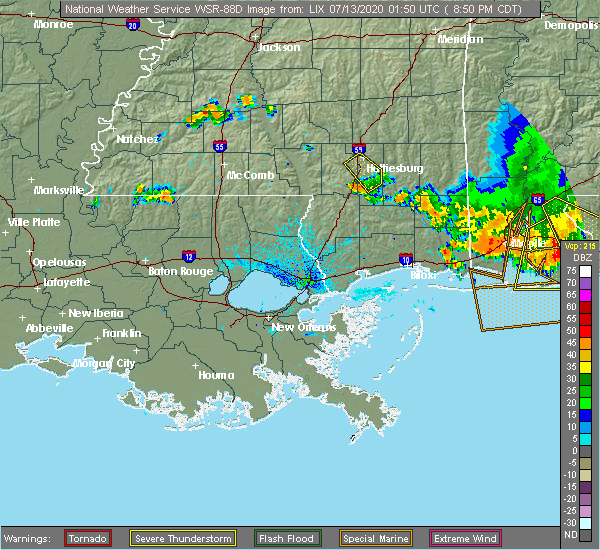 The severe thunderstorm warning for central forrest and east central lamar counties will expire at 900 pm cdt, the storm which prompted the warning has weakened below severe limits, and has exited the warned area. therefore, the warning will be allowed to expire. The severe thunderstorm warning for central forrest and east central lamar counties will expire at 900 pm cdt, the storm which prompted the warning has weakened below severe limits, and has exited the warned area. therefore, the warning will be allowed to expire.
|
| 7/12/2020 7:53 PM CDT |
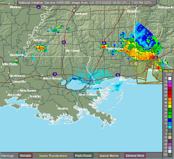 At 753 pm cdt, a severe thunderstorm was located near west hattiesburg, moving southeast at 15 mph (radar indicated). Hazards include 60 mph wind gusts and quarter size hail. Hail damage to vehicles is expected. expect wind damage to roofs, siding, and trees. This severe thunderstorm will be near, mclaurin around 830 pm cdt. At 753 pm cdt, a severe thunderstorm was located near west hattiesburg, moving southeast at 15 mph (radar indicated). Hazards include 60 mph wind gusts and quarter size hail. Hail damage to vehicles is expected. expect wind damage to roofs, siding, and trees. This severe thunderstorm will be near, mclaurin around 830 pm cdt.
|
| 7/8/2020 4:12 PM CDT |
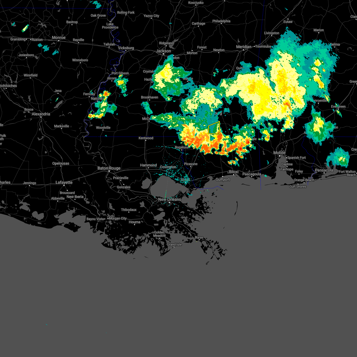 The severe thunderstorm warning for east central forrest county will expire at 415 pm cdt, the storm which prompted the warning has weakened below severe limits, and has exited the warned area. therefore, the warning will be allowed to expire. The severe thunderstorm warning for east central forrest county will expire at 415 pm cdt, the storm which prompted the warning has weakened below severe limits, and has exited the warned area. therefore, the warning will be allowed to expire.
|
| 7/8/2020 3:57 PM CDT |
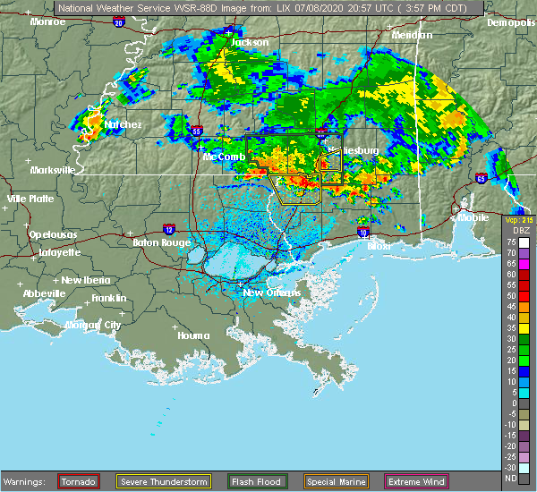 At 357 pm cdt, a severe thunderstorm was located over brooklyn, or 15 miles north of wiggins, moving east at 40 mph (radar indicated). Hazards include 60 mph wind gusts and nickel size hail. Expect damage to roofs, siding, and trees. This severe thunderstorm will remain over mainly rural areas of east central forrest county. At 357 pm cdt, a severe thunderstorm was located over brooklyn, or 15 miles north of wiggins, moving east at 40 mph (radar indicated). Hazards include 60 mph wind gusts and nickel size hail. Expect damage to roofs, siding, and trees. This severe thunderstorm will remain over mainly rural areas of east central forrest county.
|
| 7/8/2020 3:15 PM CDT |
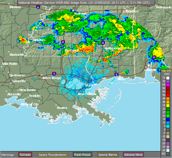 At 315 pm cdt, a severe thunderstorm was located 7 miles west of purvis, or 12 miles southwest of west hattiesburg, moving east at 55 mph (radar indicated). Hazards include 60 mph wind gusts and nickel size hail. Expect damage to roofs, siding, and trees. this severe thunderstorm will be near, hattiesburg, purvis and oak grove around 320 pm cdt. rock hill around 330 pm cdt. Mclaurin around 335 pm cdt. At 315 pm cdt, a severe thunderstorm was located 7 miles west of purvis, or 12 miles southwest of west hattiesburg, moving east at 55 mph (radar indicated). Hazards include 60 mph wind gusts and nickel size hail. Expect damage to roofs, siding, and trees. this severe thunderstorm will be near, hattiesburg, purvis and oak grove around 320 pm cdt. rock hill around 330 pm cdt. Mclaurin around 335 pm cdt.
|
| 6/25/2020 6:06 PM CDT |
 The severe thunderstorm warning for marion, covington, lamar and jefferson davis counties will expire at 615 pm cdt, the storms which prompted the warning have moved out of the area. therefore, the warning will be allowed to expire. however, gusty winds are still possible with these thunderstorms. The severe thunderstorm warning for marion, covington, lamar and jefferson davis counties will expire at 615 pm cdt, the storms which prompted the warning have moved out of the area. therefore, the warning will be allowed to expire. however, gusty winds are still possible with these thunderstorms.
|
| 6/25/2020 5:23 PM CDT |
 At 522 pm cdt, severe thunderstorms were located along a line extending from near taylorsville to 6 miles northeast of poplarville, moving east at 30 mph (radar indicated). Hazards include 60 mph wind gusts. Expect damage to roofs, siding, and trees. severe thunderstorms will be near, moss around 550 pm cdt. maxie around 555 pm cdt. sandersville around 605 pm cdt. mill creek around 615 pm cdt. Other locations impacted by these severe thunderstorms include soso and corinth. At 522 pm cdt, severe thunderstorms were located along a line extending from near taylorsville to 6 miles northeast of poplarville, moving east at 30 mph (radar indicated). Hazards include 60 mph wind gusts. Expect damage to roofs, siding, and trees. severe thunderstorms will be near, moss around 550 pm cdt. maxie around 555 pm cdt. sandersville around 605 pm cdt. mill creek around 615 pm cdt. Other locations impacted by these severe thunderstorms include soso and corinth.
|
| 6/25/2020 5:01 PM CDT |
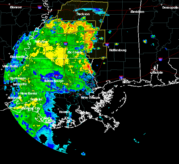 At 501 pm cdt, severe thunderstorms were located along a line extending from near mount olive to near pinebur, moving east at 30 mph (radar indicated). Hazards include 60 mph wind gusts. Expect damage to roofs, siding, and trees. severe thunderstorms will be near, mount olive around 505 pm cdt. hattiesburg and pine ridge around 535 pm cdt. oak grove around 540 pm cdt. west hattiesburg around 550 pm cdt. Other locations impacted by these severe thunderstorms include bassfield and seminary. At 501 pm cdt, severe thunderstorms were located along a line extending from near mount olive to near pinebur, moving east at 30 mph (radar indicated). Hazards include 60 mph wind gusts. Expect damage to roofs, siding, and trees. severe thunderstorms will be near, mount olive around 505 pm cdt. hattiesburg and pine ridge around 535 pm cdt. oak grove around 540 pm cdt. west hattiesburg around 550 pm cdt. Other locations impacted by these severe thunderstorms include bassfield and seminary.
|
| 6/5/2020 8:54 PM CDT |
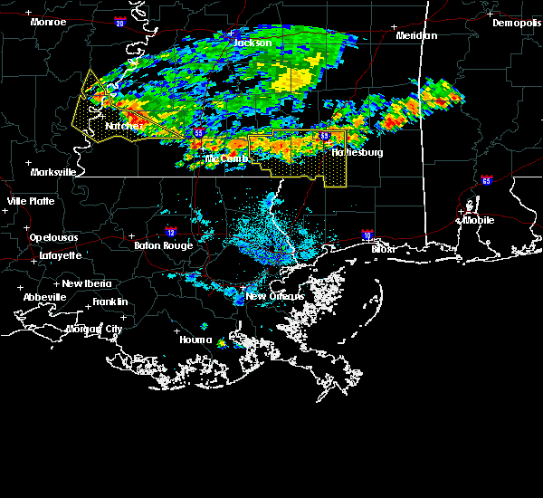 At 854 pm cdt, severe thunderstorms were located along a line extending from near new augusta to near pinebur to near tylertown, moving south at 30 mph (radar indicated). Hazards include 60 mph wind gusts. Expect damage to roofs, siding, and trees. these severe storms will be near, pinebur around 900 pm cdt. Baxterville around 905 pm cdt. At 854 pm cdt, severe thunderstorms were located along a line extending from near new augusta to near pinebur to near tylertown, moving south at 30 mph (radar indicated). Hazards include 60 mph wind gusts. Expect damage to roofs, siding, and trees. these severe storms will be near, pinebur around 900 pm cdt. Baxterville around 905 pm cdt.
|
| 6/5/2020 8:01 PM CDT |
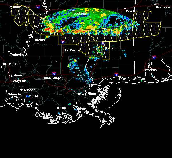 At 801 pm cdt, severe thunderstorms were located along a line extending from near tuckers crossing to near melba to near monticello, moving south at 35 mph (radar indicated). Hazards include 60 mph wind gusts. Expect damage to roofs, siding, and trees. severe thunderstorms will be near, sumrall around 815 pm cdt. improve around 825 pm cdt. pinebur around 850 pm cdt. Baxterville around 855 pm cdt. At 801 pm cdt, severe thunderstorms were located along a line extending from near tuckers crossing to near melba to near monticello, moving south at 35 mph (radar indicated). Hazards include 60 mph wind gusts. Expect damage to roofs, siding, and trees. severe thunderstorms will be near, sumrall around 815 pm cdt. improve around 825 pm cdt. pinebur around 850 pm cdt. Baxterville around 855 pm cdt.
|
| 5/24/2020 4:18 PM CDT | Tree down in the 600 block of river road in hattiesburg. reported by em in forrest county MS, 3.9 miles S of Hattiesburg, MS |
| 5/24/2020 4:16 PM CDT | A tree on a house on north 31st ave. reported by em in forrest county MS, 1.1 miles NNE of Hattiesburg, MS |
| 5/24/2020 4:06 PM CDT | Tree downed on 20th av in forrest county MS, 1.2 miles NW of Hattiesburg, MS |
| 5/24/2020 4:05 PM CDT | Tree downed on 9th s in forrest county MS, 2.5 miles W of Hattiesburg, MS |
| 5/24/2020 4:03 PM CDT |
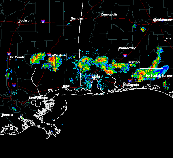 At 402 pm cdt, a severe thunderstorm was located near mclaurin, or 7 miles southeast of hattiesburg, moving northwest at 15 mph (radar indicated). Hazards include 60 mph wind gusts. Expect damage to roofs, siding, and trees. This severe storm will be near, sunrise around 420 pm cdt. At 402 pm cdt, a severe thunderstorm was located near mclaurin, or 7 miles southeast of hattiesburg, moving northwest at 15 mph (radar indicated). Hazards include 60 mph wind gusts. Expect damage to roofs, siding, and trees. This severe storm will be near, sunrise around 420 pm cdt.
|
| 5/24/2020 4:01 PM CDT | Quarter sized hail reported 7.5 miles NW of Hattiesburg, MS, reported at the intersection of james st and sims rd. |
| 5/24/2020 4:01 PM CDT |
 At 401 pm cdt, a severe thunderstorm was located over sunrise, or near hattiesburg, moving northwest at 15 mph (radar indicated). Hazards include 60 mph wind gusts. Expect damage to roofs, siding, and trees. this severe thunderstorm will be near, petal and macedonia around 415 pm cdt. Rawls springs around 435 pm cdt. At 401 pm cdt, a severe thunderstorm was located over sunrise, or near hattiesburg, moving northwest at 15 mph (radar indicated). Hazards include 60 mph wind gusts. Expect damage to roofs, siding, and trees. this severe thunderstorm will be near, petal and macedonia around 415 pm cdt. Rawls springs around 435 pm cdt.
|
| 5/24/2020 3:57 PM CDT | Corrects previous non-tstm wnd gst report from 4 se hattiesburg. observed at hbg airport aso in forrest county MS, 6.1 miles NW of Hattiesburg, MS |
| 5/24/2020 3:51 PM CDT |
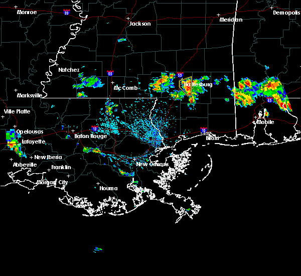 At 351 pm cdt, a severe thunderstorm was located near mclaurin, or 10 miles southeast of hattiesburg, moving northwest at 15 mph (radar indicated). Hazards include 60 mph wind gusts. Expect damage to roofs, siding, and trees. This severe storm will be near, sunrise around 420 pm cdt. At 351 pm cdt, a severe thunderstorm was located near mclaurin, or 10 miles southeast of hattiesburg, moving northwest at 15 mph (radar indicated). Hazards include 60 mph wind gusts. Expect damage to roofs, siding, and trees. This severe storm will be near, sunrise around 420 pm cdt.
|
| 5/24/2020 3:39 PM CDT |
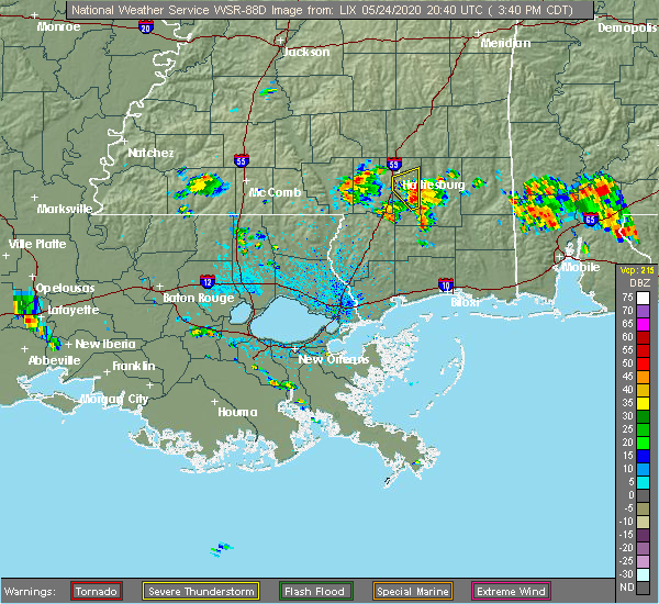 At 339 pm cdt, a severe thunderstorm was located over mclaurin, or 14 miles southeast of hattiesburg, moving northwest at 15 mph (radar indicated). Hazards include 60 mph wind gusts and quarter size hail. Hail damage to vehicles is expected. expect wind damage to roofs, siding, and trees. this severe thunderstorm will be near, mclaurin around 350 pm cdt. Sunrise around 425 pm cdt. At 339 pm cdt, a severe thunderstorm was located over mclaurin, or 14 miles southeast of hattiesburg, moving northwest at 15 mph (radar indicated). Hazards include 60 mph wind gusts and quarter size hail. Hail damage to vehicles is expected. expect wind damage to roofs, siding, and trees. this severe thunderstorm will be near, mclaurin around 350 pm cdt. Sunrise around 425 pm cdt.
|
| 4/19/2020 8:05 PM CDT |
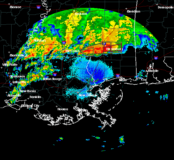 At 804 pm cdt, a severe thunderstorm capable of producing a tornado was located near mclaurin, or 7 miles southeast of hattiesburg, moving east at 45 mph (radar indicated rotation). Hazards include tornado and half dollar size hail. Flying debris will be dangerous to those caught without shelter. mobile homes will be damaged or destroyed. damage to roofs, windows, and vehicles will occur. tree damage is likely. This tornadic thunderstorm will remain over mainly rural areas of east central forrest county. At 804 pm cdt, a severe thunderstorm capable of producing a tornado was located near mclaurin, or 7 miles southeast of hattiesburg, moving east at 45 mph (radar indicated rotation). Hazards include tornado and half dollar size hail. Flying debris will be dangerous to those caught without shelter. mobile homes will be damaged or destroyed. damage to roofs, windows, and vehicles will occur. tree damage is likely. This tornadic thunderstorm will remain over mainly rural areas of east central forrest county.
|
| 4/19/2020 8:04 PM CDT | 62mph wind gust measured at bobby l chain municipal airpor in forrest county MS, 6.6 miles NW of Hattiesburg, MS |
| 4/19/2020 8:02 PM CDT | A tree was blown down onto sullivan drive near us highway 49. possible tornado damage. time estimated from rada in forrest county MS, 6 miles NNW of Hattiesburg, MS |
| 4/19/2020 8:00 PM CDT | Quarter sized hail reported 3.3 miles NNW of Hattiesburg, MS, dime to quarter sized hail covered the ground reported via social media. |
| 4/19/2020 7:58 PM CDT | Around 10 trees were blown down along a portion of elks lake road. possible tornado damage. time estimated from rada in forrest county MS, 7.4 miles NNW of Hattiesburg, MS |
| 4/19/2020 7:58 PM CDT |
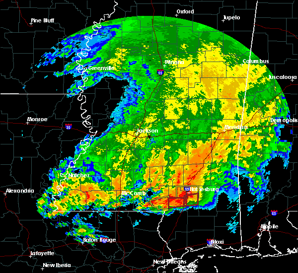 At 758 pm cdt, a severe thunderstorm was located over petal, moving east at 45 mph (trained weather spotters). Hazards include ping pong ball size hail and 60 mph wind gusts. People and animals outdoors will be injured. expect hail damage to roofs, siding, windows, and vehicles. expect wind damage to roofs, siding, and trees. this severe storm will be near, macedonia around 805 pm cdt. A tornado watch remains in effect until 900 pm cdt for southeastern mississippi. At 758 pm cdt, a severe thunderstorm was located over petal, moving east at 45 mph (trained weather spotters). Hazards include ping pong ball size hail and 60 mph wind gusts. People and animals outdoors will be injured. expect hail damage to roofs, siding, windows, and vehicles. expect wind damage to roofs, siding, and trees. this severe storm will be near, macedonia around 805 pm cdt. A tornado watch remains in effect until 900 pm cdt for southeastern mississippi.
|
| 4/19/2020 7:56 PM CDT |
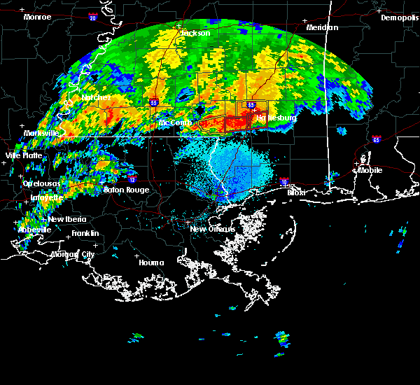 At 755 pm cdt, a severe thunderstorm capable of producing a tornado was located near purvis, or 9 miles south of west hattiesburg, moving east at 55 mph (radar indicated rotation. this storm has had a history of tornadic damage). Hazards include tornado and golf ball size hail. Flying debris will be dangerous to those caught without shelter. mobile homes will be damaged or destroyed. damage to roofs, windows, and vehicles will occur. tree damage is likely. This dangerous storm will be near, mclaurin around 805 pm cdt. At 755 pm cdt, a severe thunderstorm capable of producing a tornado was located near purvis, or 9 miles south of west hattiesburg, moving east at 55 mph (radar indicated rotation. this storm has had a history of tornadic damage). Hazards include tornado and golf ball size hail. Flying debris will be dangerous to those caught without shelter. mobile homes will be damaged or destroyed. damage to roofs, windows, and vehicles will occur. tree damage is likely. This dangerous storm will be near, mclaurin around 805 pm cdt.
|
| 4/19/2020 7:55 PM CDT | Trees were blown down onto houses around ford road and fillingame road. possible tornado damage. time estimated from rada in forrest county MS, 10.6 miles N of Hattiesburg, MS |
| 4/19/2020 7:54 PM CDT | A tree fell onto a house with people trapped inside the house. time estimated from rada in forrest county MS, 2.1 miles WNW of Hattiesburg, MS |
| 4/19/2020 7:51 PM CDT | Quarter sized hail reported 1 miles N of Hattiesburg, MS, social media report of at least quarter size hail just south of the usm campus. |
| 4/19/2020 7:50 PM CDT | Quarter sized hail reported 8.2 miles E of Hattiesburg, MS, quarter sized hail reported in the bellevue community. |
| 4/19/2020 7:48 PM CDT | Ping Pong Ball sized hail reported 1.7 miles ESE of Hattiesburg, MS, hail around the size of ping pong balls fell near the westover area. time estimated from radar. |
| 4/19/2020 7:47 PM CDT | Golf Ball sized hail reported 5.1 miles NE of Hattiesburg, MS, golf ball size hail reported along steelman rd. |
| 4/19/2020 7:45 PM CDT | Quarter sized hail reported 6.8 miles ENE of Hattiesburg, MS, quarter size hail reported in the lake serene area. |
| 4/19/2020 7:45 PM CDT | Ping Pong Ball sized hail reported 4.2 miles NE of Hattiesburg, MS, marble to ping pong ball sized hail reported across oak grove. |
| 4/19/2020 7:45 PM CDT |
 At 745 pm cdt, a severe thunderstorm was located over west hattiesburg, moving east at 55 mph (radar indicated). Hazards include golf ball size hail and 60 mph wind gusts. People and animals outdoors will be injured. expect hail damage to roofs, siding, windows, and vehicles. expect wind damage to roofs, siding, and trees. this severe thunderstorm will be near, oak grove around 750 pm cdt. petal and sunrise around 755 pm cdt. macedonia around 800 pm cdt. A tornado watch remains in effect until 900 pm cdt for southeastern mississippi. At 745 pm cdt, a severe thunderstorm was located over west hattiesburg, moving east at 55 mph (radar indicated). Hazards include golf ball size hail and 60 mph wind gusts. People and animals outdoors will be injured. expect hail damage to roofs, siding, windows, and vehicles. expect wind damage to roofs, siding, and trees. this severe thunderstorm will be near, oak grove around 750 pm cdt. petal and sunrise around 755 pm cdt. macedonia around 800 pm cdt. A tornado watch remains in effect until 900 pm cdt for southeastern mississippi.
|
| 4/19/2020 7:44 PM CDT |
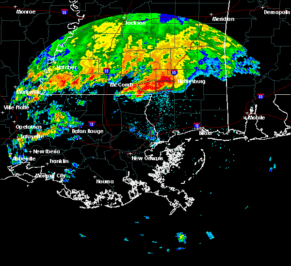 At 744 pm cdt, a confirmed large and extremely dangerous tornado was located near baxterville, or 15 miles southwest of west hattiesburg, moving east at 55 mph. this is a particularly dangerous situation. take cover now! (weather spotters confirmed tornado). Hazards include damaging tornado. You are in a life-threatening situation. flying debris may be deadly to those caught without shelter. mobile homes will be destroyed. considerable damage to homes, businesses, and vehicles is likely and complete destruction is possible. The tornado will be near, mclaurin around 805 pm cdt. At 744 pm cdt, a confirmed large and extremely dangerous tornado was located near baxterville, or 15 miles southwest of west hattiesburg, moving east at 55 mph. this is a particularly dangerous situation. take cover now! (weather spotters confirmed tornado). Hazards include damaging tornado. You are in a life-threatening situation. flying debris may be deadly to those caught without shelter. mobile homes will be destroyed. considerable damage to homes, businesses, and vehicles is likely and complete destruction is possible. The tornado will be near, mclaurin around 805 pm cdt.
|
| 4/19/2020 7:43 PM CDT | Quarter sized hail reported 8.3 miles ENE of Hattiesburg, MS, viewers had submitted pictures of quarter size hail in bellevue. time estimated from radar. |
| 4/19/2020 7:16 PM CDT |
 At 715 pm cdt, a confirmed large and extremely dangerous tornado was located near pickwick, or near sandy hook, moving east at 40 mph. this is a particularly dangerous situation. take cover now! (radar confirmed tornado). Hazards include damaging tornado. You are in a life-threatening situation. flying debris may be deadly to those caught without shelter. mobile homes will be destroyed. considerable damage to homes, businesses, and vehicles is likely and complete destruction is possible. the tornado will be near, sandy hook around 720 pm cdt. pinebur around 730 pm cdt. baxterville around 740 pm cdt. Purvis and pine ridge around 745 pm cdt. At 715 pm cdt, a confirmed large and extremely dangerous tornado was located near pickwick, or near sandy hook, moving east at 40 mph. this is a particularly dangerous situation. take cover now! (radar confirmed tornado). Hazards include damaging tornado. You are in a life-threatening situation. flying debris may be deadly to those caught without shelter. mobile homes will be destroyed. considerable damage to homes, businesses, and vehicles is likely and complete destruction is possible. the tornado will be near, sandy hook around 720 pm cdt. pinebur around 730 pm cdt. baxterville around 740 pm cdt. Purvis and pine ridge around 745 pm cdt.
|
| 4/19/2020 7:10 PM CDT |
 At 709 pm cdt, a large and extremely dangerous tornado was located over dexter, or 7 miles south of kokomo, moving east at 50 mph. this is a particularly dangerous situation. take cover now! (radar indicated rotation). Hazards include damaging tornado. You are in a life-threatening situation. flying debris may be deadly to those caught without shelter. mobile homes will be destroyed. considerable damage to homes, businesses, and vehicles is likely and complete destruction is possible. the tornado will be near, sandy hook and pickwick around 720 pm cdt. pinebur around 730 pm cdt. baxterville around 735 pm cdt. Purvis and pine ridge around 745 pm cdt. At 709 pm cdt, a large and extremely dangerous tornado was located over dexter, or 7 miles south of kokomo, moving east at 50 mph. this is a particularly dangerous situation. take cover now! (radar indicated rotation). Hazards include damaging tornado. You are in a life-threatening situation. flying debris may be deadly to those caught without shelter. mobile homes will be destroyed. considerable damage to homes, businesses, and vehicles is likely and complete destruction is possible. the tornado will be near, sandy hook and pickwick around 720 pm cdt. pinebur around 730 pm cdt. baxterville around 735 pm cdt. Purvis and pine ridge around 745 pm cdt.
|
| 4/19/2020 6:55 PM CDT |
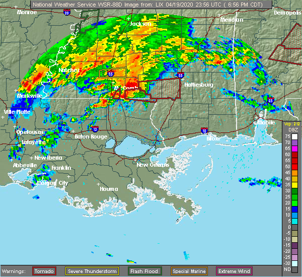 At 654 pm cdt, a severe thunderstorm capable of producing a tornado was located over tylertown, or 11 miles southwest of kokomo, moving east at 55 mph (radar indicated rotation). Hazards include tornado and ping pong ball size hail. Flying debris will be dangerous to those caught without shelter. mobile homes will be damaged or destroyed. damage to roofs, windows, and vehicles will occur. tree damage is likely. this dangerous storm will be near, kokomo around 705 pm cdt. columbia, sandy hook and pickwick around 715 pm cdt. pinebur around 720 pm cdt. baxterville around 730 pm cdt. hattiesburg, purvis, pine ridge and oak grove around 740 pm cdt. West hattiesburg around 745 pm cdt. At 654 pm cdt, a severe thunderstorm capable of producing a tornado was located over tylertown, or 11 miles southwest of kokomo, moving east at 55 mph (radar indicated rotation). Hazards include tornado and ping pong ball size hail. Flying debris will be dangerous to those caught without shelter. mobile homes will be damaged or destroyed. damage to roofs, windows, and vehicles will occur. tree damage is likely. this dangerous storm will be near, kokomo around 705 pm cdt. columbia, sandy hook and pickwick around 715 pm cdt. pinebur around 720 pm cdt. baxterville around 730 pm cdt. hattiesburg, purvis, pine ridge and oak grove around 740 pm cdt. West hattiesburg around 745 pm cdt.
|
| 4/12/2020 8:37 PM CDT |
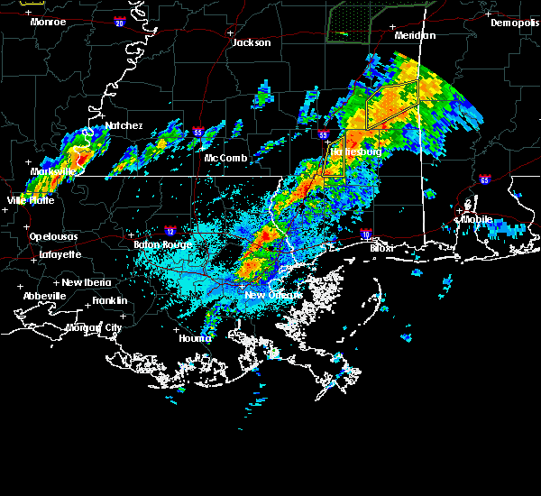 The severe thunderstorm warning for eastern forrest county will expire at 845 pm cdt, the storm which prompted the warning has moved out of the area. therefore, the warning will be allowed to expire. a tornado watch remains in effect until 900 pm cdt for southeastern mississippi. The severe thunderstorm warning for eastern forrest county will expire at 845 pm cdt, the storm which prompted the warning has moved out of the area. therefore, the warning will be allowed to expire. a tornado watch remains in effect until 900 pm cdt for southeastern mississippi.
|
| 4/12/2020 8:31 PM CDT |
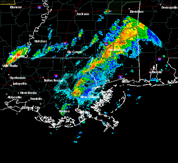 At 830 pm cdt, a severe thunderstorm was located over mclaurin, or 9 miles southeast of hattiesburg, moving northeast at 60 mph (radar indicated). Hazards include 60 mph wind gusts and nickel size hail. Expect damage to roofs, siding, and trees. this severe thunderstorm will remain over mainly rural areas of eastern forrest county. A tornado watch remains in effect until 900 pm cdt for southeastern mississippi. At 830 pm cdt, a severe thunderstorm was located over mclaurin, or 9 miles southeast of hattiesburg, moving northeast at 60 mph (radar indicated). Hazards include 60 mph wind gusts and nickel size hail. Expect damage to roofs, siding, and trees. this severe thunderstorm will remain over mainly rural areas of eastern forrest county. A tornado watch remains in effect until 900 pm cdt for southeastern mississippi.
|
| 4/12/2020 8:20 PM CDT |
 At 820 pm cdt, a severe thunderstorm was located over purvis, or 12 miles south of west hattiesburg, moving northeast at 60 mph (radar indicated). Hazards include 60 mph wind gusts and quarter size hail. Hail damage to vehicles is expected. expect wind damage to roofs, siding, and trees. this severe thunderstorm will be near, mclaurin around 830 pm cdt. sunrise around 835 pm cdt. A tornado watch remains in effect until midnight cdt for southeastern mississippi. At 820 pm cdt, a severe thunderstorm was located over purvis, or 12 miles south of west hattiesburg, moving northeast at 60 mph (radar indicated). Hazards include 60 mph wind gusts and quarter size hail. Hail damage to vehicles is expected. expect wind damage to roofs, siding, and trees. this severe thunderstorm will be near, mclaurin around 830 pm cdt. sunrise around 835 pm cdt. A tornado watch remains in effect until midnight cdt for southeastern mississippi.
|
| 2/5/2020 4:41 PM CST |
 At 440 pm cst, a severe thunderstorm was located near sumrall, or 9 miles south of collins, moving northeast at 65 mph (radar indicated). Hazards include 60 mph wind gusts and quarter size hail. Hail damage to vehicles is expected. expect wind damage to roofs, siding, and trees. this severe thunderstorm will remain over mainly rural areas of northern forrest, southeastern covington, northern lamar, southwestern jones and southeastern jefferson davis counties, including the following locations, seminary. A tornado watch remains in effect until 600 pm cst for south central and southeastern mississippi. At 440 pm cst, a severe thunderstorm was located near sumrall, or 9 miles south of collins, moving northeast at 65 mph (radar indicated). Hazards include 60 mph wind gusts and quarter size hail. Hail damage to vehicles is expected. expect wind damage to roofs, siding, and trees. this severe thunderstorm will remain over mainly rural areas of northern forrest, southeastern covington, northern lamar, southwestern jones and southeastern jefferson davis counties, including the following locations, seminary. A tornado watch remains in effect until 600 pm cst for south central and southeastern mississippi.
|
| 2/5/2020 4:30 PM CST |
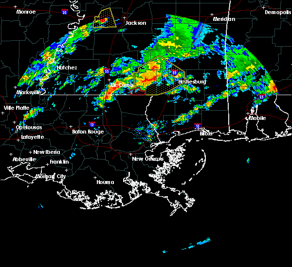 At 430 pm cst, a severe thunderstorm was located near improve, or 12 miles northeast of columbia, moving northeast at 45 mph (radar indicated). Hazards include 70 mph wind gusts and quarter size hail. Hail damage to vehicles is expected. expect considerable tree damage. wind damage is also likely to mobile homes, roofs, and outbuildings. this severe storm will be near, melba around 435 pm cst. sumrall around 440 pm cst. sanford around 450 pm cst. other locations impacted by this severe thunderstorm include bassfield and seminary. A tornado watch remains in effect until 600 pm cst for south central and southeastern mississippi. At 430 pm cst, a severe thunderstorm was located near improve, or 12 miles northeast of columbia, moving northeast at 45 mph (radar indicated). Hazards include 70 mph wind gusts and quarter size hail. Hail damage to vehicles is expected. expect considerable tree damage. wind damage is also likely to mobile homes, roofs, and outbuildings. this severe storm will be near, melba around 435 pm cst. sumrall around 440 pm cst. sanford around 450 pm cst. other locations impacted by this severe thunderstorm include bassfield and seminary. A tornado watch remains in effect until 600 pm cst for south central and southeastern mississippi.
|
| 2/5/2020 4:06 PM CST |
 At 406 pm cst, a severe thunderstorm was located near kokomo, moving northeast at 65 mph (radar indicated). Hazards include 70 mph wind gusts and quarter size hail. Hail damage to vehicles is expected. expect considerable tree damage. wind damage is also likely to mobile homes, roofs, and outbuildings. this severe storm will be near, columbia around 410 pm cst. goss around 415 pm cst. improve and bunker hill around 420 pm cst. melba around 425 pm cst. sumrall around 430 pm cst. other locations impacted by this severe thunderstorm include bassfield and seminary. A tornado watch remains in effect until 600 pm cst for south central and southeastern mississippi. At 406 pm cst, a severe thunderstorm was located near kokomo, moving northeast at 65 mph (radar indicated). Hazards include 70 mph wind gusts and quarter size hail. Hail damage to vehicles is expected. expect considerable tree damage. wind damage is also likely to mobile homes, roofs, and outbuildings. this severe storm will be near, columbia around 410 pm cst. goss around 415 pm cst. improve and bunker hill around 420 pm cst. melba around 425 pm cst. sumrall around 430 pm cst. other locations impacted by this severe thunderstorm include bassfield and seminary. A tornado watch remains in effect until 600 pm cst for south central and southeastern mississippi.
|
| 2/5/2020 3:59 PM CST |
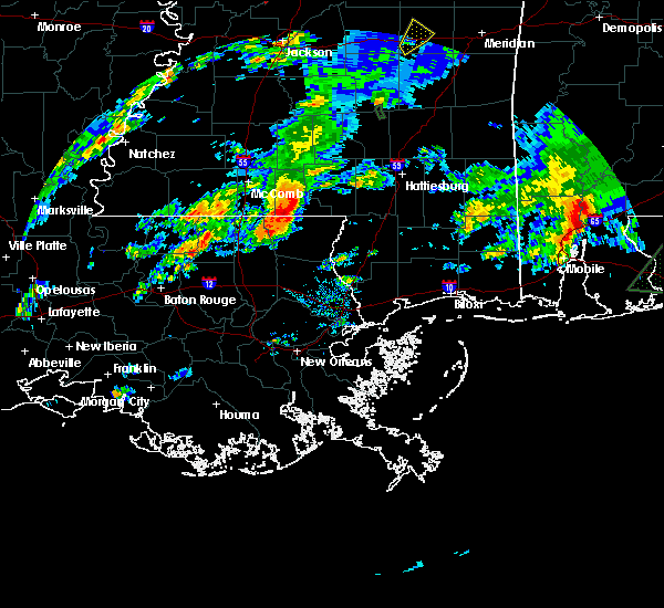 At 358 pm cst, a severe thunderstorm was located near kokomo, moving northeast at 65 mph (radar indicated). Hazards include 60 mph wind gusts and quarter size hail. Hail damage to vehicles is expected. expect wind damage to roofs, siding, and trees. this severe thunderstorm will be near, columbia, holly springs and morgantown around 410 pm cst. goss around 415 pm cst. improve and bunker hill around 420 pm cst. sumrall and melba around 430 pm cst. sanford around 440 pm cst. other locations impacted by this severe thunderstorm include bassfield and seminary. A tornado watch remains in effect until 600 pm cst for south central and southeastern mississippi. At 358 pm cst, a severe thunderstorm was located near kokomo, moving northeast at 65 mph (radar indicated). Hazards include 60 mph wind gusts and quarter size hail. Hail damage to vehicles is expected. expect wind damage to roofs, siding, and trees. this severe thunderstorm will be near, columbia, holly springs and morgantown around 410 pm cst. goss around 415 pm cst. improve and bunker hill around 420 pm cst. sumrall and melba around 430 pm cst. sanford around 440 pm cst. other locations impacted by this severe thunderstorm include bassfield and seminary. A tornado watch remains in effect until 600 pm cst for south central and southeastern mississippi.
|
| 1/11/2020 10:41 AM CST |
 The severe thunderstorm warning for forrest and jones counties will expire at 1045 am cst, the storms which prompted the warning is weakening below severe limits, and is no longer a threat to life and property. therefore, the warning will be allowed to expire. a tornado watch remains in effect until 400 pm cst for southeastern and east central mississippi. The severe thunderstorm warning for forrest and jones counties will expire at 1045 am cst, the storms which prompted the warning is weakening below severe limits, and is no longer a threat to life and property. therefore, the warning will be allowed to expire. a tornado watch remains in effect until 400 pm cst for southeastern and east central mississippi.
|
| 1/11/2020 10:26 AM CST |
 At 1025 am cst, severe thunderstorms were located along a line extending from tuckers crossing to near mclaurin, moving northeast at 45 mph (radar indicated). Hazards include 60 mph wind gusts. Expect damage to roofs, siding, and trees. these severe storms will be near, tuckers crossing around 1030 am cst. mill creek and macedonia around 1040 am cst. other locations impacted by these severe thunderstorms include corinth. A tornado watch remains in effect until 400 pm cst for southeastern and east central mississippi. At 1025 am cst, severe thunderstorms were located along a line extending from tuckers crossing to near mclaurin, moving northeast at 45 mph (radar indicated). Hazards include 60 mph wind gusts. Expect damage to roofs, siding, and trees. these severe storms will be near, tuckers crossing around 1030 am cst. mill creek and macedonia around 1040 am cst. other locations impacted by these severe thunderstorms include corinth. A tornado watch remains in effect until 400 pm cst for southeastern and east central mississippi.
|
| 1/11/2020 10:15 AM CST | Tree on a house along n 34th av in forrest county MS, 0.6 miles SE of Hattiesburg, MS |
| 1/11/2020 10:14 AM CST | Several trees down along i-5 in forrest county MS, 5.8 miles N of Hattiesburg, MS |
| 1/11/2020 9:49 AM CST |
 At 949 am cst, severe thunderstorms were located along a line extending from near collins to near sanford to 6 miles southeast of sandy hook, moving east at 30 mph (radar indicated). Hazards include 60 mph wind gusts. Expect damage to roofs, siding, and trees. severe thunderstorms will be near, sanford around 955 am cst. rawls springs around 1000 am cst. eastabuchie around 1010 am cst. moselle around 1015 am cst. lumberton around 1020 am cst. ellisville around 1025 am cst. laurel and purvis around 1030 am cst. rock hill, ovett and tuckers crossing around 1040 am cst. other locations impacted by these severe thunderstorms include soso and corinth. A tornado watch remains in effect until 400 pm cst for southeastern and east central mississippi. At 949 am cst, severe thunderstorms were located along a line extending from near collins to near sanford to 6 miles southeast of sandy hook, moving east at 30 mph (radar indicated). Hazards include 60 mph wind gusts. Expect damage to roofs, siding, and trees. severe thunderstorms will be near, sanford around 955 am cst. rawls springs around 1000 am cst. eastabuchie around 1010 am cst. moselle around 1015 am cst. lumberton around 1020 am cst. ellisville around 1025 am cst. laurel and purvis around 1030 am cst. rock hill, ovett and tuckers crossing around 1040 am cst. other locations impacted by these severe thunderstorms include soso and corinth. A tornado watch remains in effect until 400 pm cst for southeastern and east central mississippi.
|
| 12/16/2019 8:53 PM CST |
 At 853 pm cst, a severe thunderstorm was located near sanford, or 8 miles north of west hattiesburg, moving east at 40 mph (radar indicated). Hazards include 60 mph wind gusts and penny size hail. Expect damage to roofs, siding, and trees. this severe storm will be near, eastabuchie around 900 pm cst. moselle around 905 pm cst. laurel and ellisville around 915 pm cst. A tornado watch remains in effect until 1000 pm cst for southeastern mississippi. At 853 pm cst, a severe thunderstorm was located near sanford, or 8 miles north of west hattiesburg, moving east at 40 mph (radar indicated). Hazards include 60 mph wind gusts and penny size hail. Expect damage to roofs, siding, and trees. this severe storm will be near, eastabuchie around 900 pm cst. moselle around 905 pm cst. laurel and ellisville around 915 pm cst. A tornado watch remains in effect until 1000 pm cst for southeastern mississippi.
|
| 12/16/2019 8:43 PM CST |
 At 843 pm cst, a severe thunderstorm was located over sumrall, or 10 miles northwest of west hattiesburg, moving east at 35 mph (radar indicated). Hazards include 60 mph wind gusts and penny size hail. Expect damage to roofs, siding, and trees. this severe thunderstorm will be near, sanford and rawls springs around 855 pm cst. eastabuchie around 905 pm cst. moselle around 910 pm cst. laurel and ellisville around 920 pm cst. A tornado watch remains in effect until 1000 pm cst for southeastern mississippi. At 843 pm cst, a severe thunderstorm was located over sumrall, or 10 miles northwest of west hattiesburg, moving east at 35 mph (radar indicated). Hazards include 60 mph wind gusts and penny size hail. Expect damage to roofs, siding, and trees. this severe thunderstorm will be near, sanford and rawls springs around 855 pm cst. eastabuchie around 905 pm cst. moselle around 910 pm cst. laurel and ellisville around 920 pm cst. A tornado watch remains in effect until 1000 pm cst for southeastern mississippi.
|
| 10/21/2019 3:47 PM CDT |
 At 346 pm cdt, a severe thunderstorm was located near sanford, or near collins, moving northeast at 55 mph (radar indicated). Hazards include 60 mph wind gusts. Expect damage to roofs, siding, and trees. this severe thunderstorm will be near, hebron around 400 pm cdt. laurel and ellisville around 405 pm cdt. moss around 415 pm cdt. sandersville and mill creek around 420 pm cdt. heidelberg and stafford springs around 430 pm cdt. Other locations impacted by this severe thunderstorm include seminary and soso. At 346 pm cdt, a severe thunderstorm was located near sanford, or near collins, moving northeast at 55 mph (radar indicated). Hazards include 60 mph wind gusts. Expect damage to roofs, siding, and trees. this severe thunderstorm will be near, hebron around 400 pm cdt. laurel and ellisville around 405 pm cdt. moss around 415 pm cdt. sandersville and mill creek around 420 pm cdt. heidelberg and stafford springs around 430 pm cdt. Other locations impacted by this severe thunderstorm include seminary and soso.
|
| 7/15/2019 4:05 PM CDT |
 The severe thunderstorm warning for northern forrest and eastern lamar counties will expire at 415 pm cdt, the storm which prompted the warning has weakened below severe limits, and has exited the warned area. therefore, the warning will be allowed to expire. The severe thunderstorm warning for northern forrest and eastern lamar counties will expire at 415 pm cdt, the storm which prompted the warning has weakened below severe limits, and has exited the warned area. therefore, the warning will be allowed to expire.
|
| 7/15/2019 3:38 PM CDT |
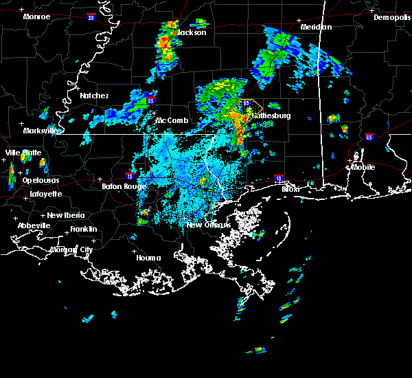 At 337 pm cdt, a severe thunderstorm was located near west hattiesburg, moving northeast at 30 mph (radar indicated). Hazards include 60 mph wind gusts. Expect damage to roofs, siding, and trees. this severe storm will be near, hattiesburg and oak grove around 345 pm cdt. west hattiesburg around 350 pm cdt. rawls springs around 355 pm cdt. Petal and sunrise around 400 pm cdt. At 337 pm cdt, a severe thunderstorm was located near west hattiesburg, moving northeast at 30 mph (radar indicated). Hazards include 60 mph wind gusts. Expect damage to roofs, siding, and trees. this severe storm will be near, hattiesburg and oak grove around 345 pm cdt. west hattiesburg around 350 pm cdt. rawls springs around 355 pm cdt. Petal and sunrise around 400 pm cdt.
|
| 7/15/2019 3:11 PM CDT |
 At 311 pm cdt, a severe thunderstorm was located near baxterville, or 15 miles northeast of sandy hook, moving northeast at 30 mph (radar indicated). Hazards include 60 mph wind gusts. Expect damage to roofs, siding, and trees. this severe thunderstorm will be near, purvis around 325 pm cdt. hattiesburg around 335 pm cdt. oak grove around 340 pm cdt. west hattiesburg around 350 pm cdt. rawls springs around 355 pm cdt. Petal and sunrise around 400 pm cdt. At 311 pm cdt, a severe thunderstorm was located near baxterville, or 15 miles northeast of sandy hook, moving northeast at 30 mph (radar indicated). Hazards include 60 mph wind gusts. Expect damage to roofs, siding, and trees. this severe thunderstorm will be near, purvis around 325 pm cdt. hattiesburg around 335 pm cdt. oak grove around 340 pm cdt. west hattiesburg around 350 pm cdt. rawls springs around 355 pm cdt. Petal and sunrise around 400 pm cdt.
|
| 7/14/2019 11:43 AM CDT |
 At 1143 am cdt, a severe thunderstorm was located near rock hill, or 13 miles south of hattiesburg, moving north at 35 mph (radar indicated). Hazards include 60 mph wind gusts. Expect damage to roofs, siding, and trees. this severe storm will be near, pine ridge around 1155 am cdt. hattiesburg and oak grove around 1200 pm cdt. west hattiesburg around 1205 pm cdt. petal around 1210 pm cdt. rawls springs and eastabuchie around 1215 pm cdt. Other locations impacted by this severe thunderstorm include seminary. At 1143 am cdt, a severe thunderstorm was located near rock hill, or 13 miles south of hattiesburg, moving north at 35 mph (radar indicated). Hazards include 60 mph wind gusts. Expect damage to roofs, siding, and trees. this severe storm will be near, pine ridge around 1155 am cdt. hattiesburg and oak grove around 1200 pm cdt. west hattiesburg around 1205 pm cdt. petal around 1210 pm cdt. rawls springs and eastabuchie around 1215 pm cdt. Other locations impacted by this severe thunderstorm include seminary.
|
| 7/14/2019 11:42 AM CDT | Trees down on beechwood driv in lamar county MS, 2.3 miles NE of Hattiesburg, MS |
| 7/14/2019 11:34 AM CDT | Trees down on courtland driv in lamar county MS, 4.6 miles E of Hattiesburg, MS |
| 7/14/2019 11:29 AM CDT |
 At 1129 am cdt, a severe thunderstorm was located near rock hill, or 17 miles northeast of poplarville, moving north at 70 mph (radar indicated). Hazards include 60 mph wind gusts. Expect damage to roofs, siding, and trees. this severe thunderstorm will be near, purvis around 1135 am cdt. pine ridge around 1140 am cdt. west hattiesburg and oak grove around 1145 am cdt. petal and rawls springs around 1150 am cdt. eastabuchie and sanford around 1155 am cdt. moselle around 1200 pm cdt. Other locations impacted by this severe thunderstorm include seminary. At 1129 am cdt, a severe thunderstorm was located near rock hill, or 17 miles northeast of poplarville, moving north at 70 mph (radar indicated). Hazards include 60 mph wind gusts. Expect damage to roofs, siding, and trees. this severe thunderstorm will be near, purvis around 1135 am cdt. pine ridge around 1140 am cdt. west hattiesburg and oak grove around 1145 am cdt. petal and rawls springs around 1150 am cdt. eastabuchie and sanford around 1155 am cdt. moselle around 1200 pm cdt. Other locations impacted by this severe thunderstorm include seminary.
|
| 7/14/2019 5:07 AM CDT |
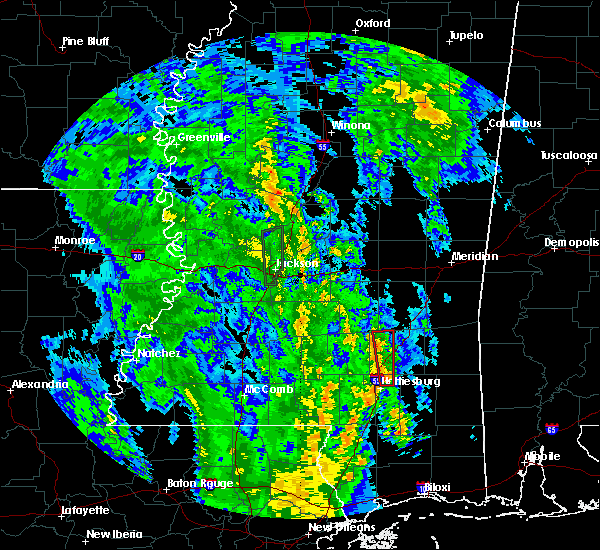 At 507 am cdt, a severe thunderstorm capable of producing a tornado was located over petal, moving north at 30 mph (radar indicated rotation). Hazards include tornado. Flying debris will be dangerous to those caught without shelter. mobile homes will be damaged or destroyed. damage to roofs, windows, and vehicles will occur. tree damage is likely. this dangerous storm will be near, eastabuchie around 515 am cdt. moselle around 525 am cdt. ellisville around 535 am cdt. laurel around 540 am cdt. Other locations impacted by this tornadic thunderstorm include soso. At 507 am cdt, a severe thunderstorm capable of producing a tornado was located over petal, moving north at 30 mph (radar indicated rotation). Hazards include tornado. Flying debris will be dangerous to those caught without shelter. mobile homes will be damaged or destroyed. damage to roofs, windows, and vehicles will occur. tree damage is likely. this dangerous storm will be near, eastabuchie around 515 am cdt. moselle around 525 am cdt. ellisville around 535 am cdt. laurel around 540 am cdt. Other locations impacted by this tornadic thunderstorm include soso.
|
| 1/1/0001 12:00 AM | Trees down on ralston r in forrest county MS, 8.1 miles NW of Hattiesburg, MS |
| 6/25/2019 6:41 PM CDT |
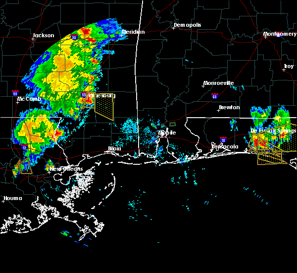 At 640 pm cdt, a severe thunderstorm was located over sunrise, or near petal, moving east at 35 mph (radar indicated). Hazards include 60 mph wind gusts and quarter size hail. Hail damage to vehicles is expected. expect wind damage to roofs, siding, and trees. this severe thunderstorm will be near, macedonia around 645 pm cdt. Other locations impacted by this severe thunderstorm include corinth. At 640 pm cdt, a severe thunderstorm was located over sunrise, or near petal, moving east at 35 mph (radar indicated). Hazards include 60 mph wind gusts and quarter size hail. Hail damage to vehicles is expected. expect wind damage to roofs, siding, and trees. this severe thunderstorm will be near, macedonia around 645 pm cdt. Other locations impacted by this severe thunderstorm include corinth.
|
| 6/25/2019 6:30 PM CDT | A few trees down on power lines on ford r in forrest county MS, 10.6 miles N of Hattiesburg, MS |
| 6/25/2019 6:20 PM CDT | Small tree downed power lines. est 50 mph wind in lamar county MS, 5 miles NE of Hattiesburg, MS |
| 6/24/2019 6:08 AM CDT |
 The severe thunderstorm warning for northern marion, covington, northern lamar and jefferson davis counties will expire at 615 am cdt, the storms which prompted the warning have weakened below severe limits, and have exited the warned area. therefore, the warning will be allowed to expire. The severe thunderstorm warning for northern marion, covington, northern lamar and jefferson davis counties will expire at 615 am cdt, the storms which prompted the warning have weakened below severe limits, and have exited the warned area. therefore, the warning will be allowed to expire.
|
| 6/24/2019 5:41 AM CDT |
 A severe thunderstorm warning remains in effect until 615 am cdt for northern marion. covington. northern lamar and jefferson davis counties. At 540 am cdt, severe thunderstorms were located along a line extending from near mount olive to near improve, moving east at 40 mph. A severe thunderstorm warning remains in effect until 615 am cdt for northern marion. covington. northern lamar and jefferson davis counties. At 540 am cdt, severe thunderstorms were located along a line extending from near mount olive to near improve, moving east at 40 mph.
|
| 6/24/2019 5:13 AM CDT |
 At 512 am cdt, severe thunderstorms were located along a line extending from near hebron to near holly springs, moving east at 40 mph (radar indicated). Hazards include 60 mph wind gusts. Expect damage to roofs, siding, and trees. severe thunderstorms will be near, prentiss and goss around 525 am cdt. clem and society hill around 530 am cdt. bunker hill and lone star around 535 am cdt. improve around 540 am cdt. mount olive around 545 am cdt. collins and melba around 550 am cdt. sumrall around 555 am cdt. sanford around 610 am cdt. Other locations impacted by these severe thunderstorms include new hebron, seminary, silver creek and bassfield. At 512 am cdt, severe thunderstorms were located along a line extending from near hebron to near holly springs, moving east at 40 mph (radar indicated). Hazards include 60 mph wind gusts. Expect damage to roofs, siding, and trees. severe thunderstorms will be near, prentiss and goss around 525 am cdt. clem and society hill around 530 am cdt. bunker hill and lone star around 535 am cdt. improve around 540 am cdt. mount olive around 545 am cdt. collins and melba around 550 am cdt. sumrall around 555 am cdt. sanford around 610 am cdt. Other locations impacted by these severe thunderstorms include new hebron, seminary, silver creek and bassfield.
|
| 6/7/2019 8:55 PM CDT |
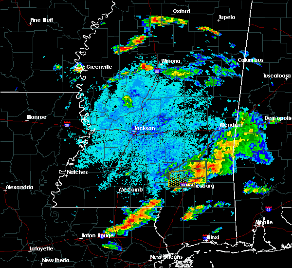 The severe thunderstorm warning for northern forrest, southeastern covington, north central lamar and jones counties will expire at 900 pm cdt, the storm which prompted the warning has weakened below severe limits, and has exited the warned area. therefore, the warning will be allowed to expire. The severe thunderstorm warning for northern forrest, southeastern covington, north central lamar and jones counties will expire at 900 pm cdt, the storm which prompted the warning has weakened below severe limits, and has exited the warned area. therefore, the warning will be allowed to expire.
|
| 6/7/2019 8:06 PM CDT |
 At 806 pm cdt, a severe thunderstorm was located over sanford, or 10 miles southeast of collins, moving east at 40 mph (radar indicated). Hazards include 60 mph wind gusts and quarter size hail. Hail damage to vehicles is expected. expect wind damage to roofs, siding, and trees. this severe thunderstorm will be near, moselle and eastabuchie around 820 pm cdt. laurel and ellisville around 830 pm cdt. tuckers crossing around 840 pm cdt. ovett around 845 pm cdt. Other locations impacted by this severe thunderstorm include seminary. At 806 pm cdt, a severe thunderstorm was located over sanford, or 10 miles southeast of collins, moving east at 40 mph (radar indicated). Hazards include 60 mph wind gusts and quarter size hail. Hail damage to vehicles is expected. expect wind damage to roofs, siding, and trees. this severe thunderstorm will be near, moselle and eastabuchie around 820 pm cdt. laurel and ellisville around 830 pm cdt. tuckers crossing around 840 pm cdt. ovett around 845 pm cdt. Other locations impacted by this severe thunderstorm include seminary.
|
| 5/9/2019 2:26 PM CDT |
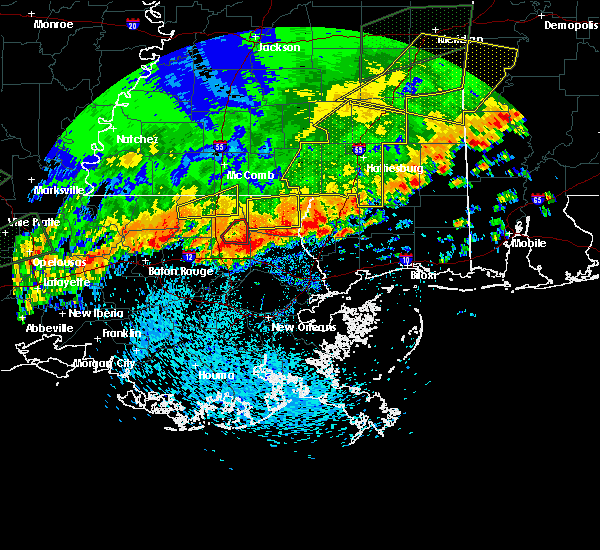 The severe thunderstorm warning for southeastern forrest county will expire at 230 pm cdt. the storms which prompted the warning have weakened below severe limits, and no longer pose an immediate threat to life or property. therefore, the warning will be allowed to expire. However, gusty winds and heavy rain are still possible with these thunderstorms. The severe thunderstorm warning for southeastern forrest county will expire at 230 pm cdt. the storms which prompted the warning have weakened below severe limits, and no longer pose an immediate threat to life or property. therefore, the warning will be allowed to expire. However, gusty winds and heavy rain are still possible with these thunderstorms.
|
| 5/9/2019 2:09 PM CDT |
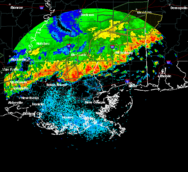 A severe thunderstorm warning remains in effect until 230 pm cdt for southeastern forrest county. at 208 pm cdt, severe thunderstorms were located along a line extending from near rock hill to maxie, moving northeast at 35 mph. hazard. 60 mph wind gusts. source. Radar indicated. A severe thunderstorm warning remains in effect until 230 pm cdt for southeastern forrest county. at 208 pm cdt, severe thunderstorms were located along a line extending from near rock hill to maxie, moving northeast at 35 mph. hazard. 60 mph wind gusts. source. Radar indicated.
|
| 5/9/2019 2:03 PM CDT |
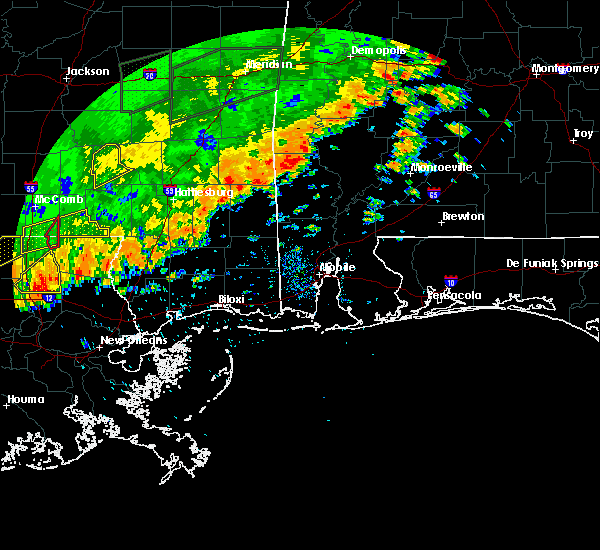 A severe thunderstorm warning remains in effect until 230 pm cdt for forrest and southeastern jones counties. at 203 pm cdt, severe thunderstorms were located along a line extending from near richton to near brooklyn, moving northeast at 55 mph. hazard. 60 mph wind gusts. A severe thunderstorm warning remains in effect until 230 pm cdt for forrest and southeastern jones counties. at 203 pm cdt, severe thunderstorms were located along a line extending from near richton to near brooklyn, moving northeast at 55 mph. hazard. 60 mph wind gusts.
|
| 5/9/2019 1:45 PM CDT |
 A severe thunderstorm warning remains in effect until 230 pm cdt for forrest. eastern lamar and jones counties. at 144 pm cdt, severe thunderstorms were located along a line extending from near ovett to near mclaurin to near rock hill, moving east northeast at 25 mph. hazard. 60 mph wind gusts and nickel size hail. A severe thunderstorm warning remains in effect until 230 pm cdt for forrest. eastern lamar and jones counties. at 144 pm cdt, severe thunderstorms were located along a line extending from near ovett to near mclaurin to near rock hill, moving east northeast at 25 mph. hazard. 60 mph wind gusts and nickel size hail.
|
| 5/9/2019 1:26 PM CDT |
 The national weather service in jackson has issued a * severe thunderstorm warning for. forrest county in southeastern mississippi. eastern lamar county in southeastern mississippi. jones county in southeastern mississippi. Until 230 pm cdt. The national weather service in jackson has issued a * severe thunderstorm warning for. forrest county in southeastern mississippi. eastern lamar county in southeastern mississippi. jones county in southeastern mississippi. Until 230 pm cdt.
|
| 5/9/2019 1:03 PM CDT | Tree down near marine circle west of hattiesburg... m in lamar county MS, 6.6 miles ENE of Hattiesburg, MS |
| 5/9/2019 1:00 PM CDT |
 A severe thunderstorm warning remains in effect until 130 pm cdt for marion. forrest. covington. lamar and jones counties. at 100 pm cdt, severe thunderstorms were located along a line extending from near taylorsville to near melba to near pickwick, and are nearly stationary. hazard. 60 mph wind gusts and half dollar size hail. A severe thunderstorm warning remains in effect until 130 pm cdt for marion. forrest. covington. lamar and jones counties. at 100 pm cdt, severe thunderstorms were located along a line extending from near taylorsville to near melba to near pickwick, and are nearly stationary. hazard. 60 mph wind gusts and half dollar size hail.
|
| 5/9/2019 12:32 PM CDT |
 The national weather service in jackson has issued a * severe thunderstorm warning for. marion county in south central mississippi. forrest county in southeastern mississippi. covington county in southeastern mississippi. Lamar county in southeastern mississippi. The national weather service in jackson has issued a * severe thunderstorm warning for. marion county in south central mississippi. forrest county in southeastern mississippi. covington county in southeastern mississippi. Lamar county in southeastern mississippi.
|
| 5/4/2019 12:22 PM CDT |
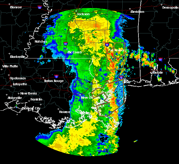 At 1222 pm cdt, severe thunderstorms were located along a line extending from near rock hill to near wiggins, moving northeast at 45 mph (radar indicated). Hazards include 60 mph wind gusts. Expect damage to roofs, siding, and trees. these severe storms will be near, mclaurin around 1230 pm cdt. Brooklyn around 1235 pm cdt. At 1222 pm cdt, severe thunderstorms were located along a line extending from near rock hill to near wiggins, moving northeast at 45 mph (radar indicated). Hazards include 60 mph wind gusts. Expect damage to roofs, siding, and trees. these severe storms will be near, mclaurin around 1230 pm cdt. Brooklyn around 1235 pm cdt.
|
| 5/4/2019 11:55 AM CDT |
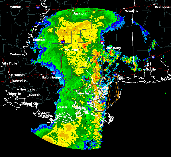 At 1155 am cdt, severe thunderstorms were located along a line extending from near lumberton to 14 miles east of mcneil, moving northeast at 45 mph (radar indicated). Hazards include 60 mph wind gusts. Expect damage to roofs, siding, and trees. severe thunderstorms will be near, lumberton around 1205 pm cdt. rock hill around 1215 pm cdt. mclaurin around 1225 pm cdt. maxie around 1230 pm cdt. Brooklyn around 1235 pm cdt. At 1155 am cdt, severe thunderstorms were located along a line extending from near lumberton to 14 miles east of mcneil, moving northeast at 45 mph (radar indicated). Hazards include 60 mph wind gusts. Expect damage to roofs, siding, and trees. severe thunderstorms will be near, lumberton around 1205 pm cdt. rock hill around 1215 pm cdt. mclaurin around 1225 pm cdt. maxie around 1230 pm cdt. Brooklyn around 1235 pm cdt.
|
| 4/18/2019 7:56 PM CDT |
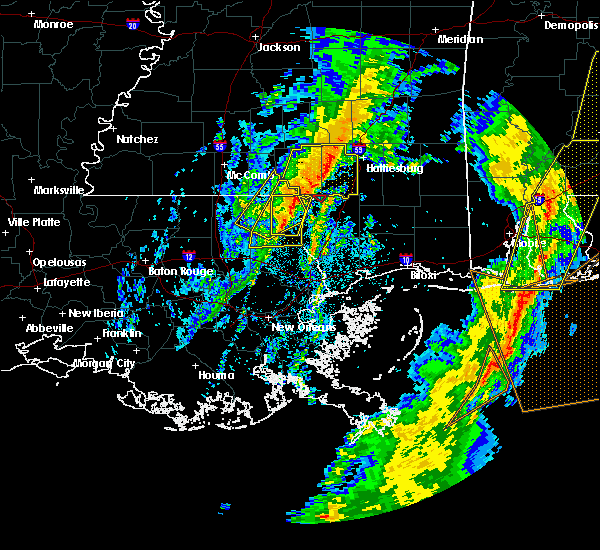 At 755 pm cdt, severe thunderstorms were located along a line extending from near sanford to near baxterville, moving east at 30 mph (radar indicated). Hazards include 60 mph wind gusts. Expect damage to roofs, siding, and trees. these severe storms will be near, sumrall around 800 pm cdt. Purvis and pine ridge around 815 pm cdt. At 755 pm cdt, severe thunderstorms were located along a line extending from near sanford to near baxterville, moving east at 30 mph (radar indicated). Hazards include 60 mph wind gusts. Expect damage to roofs, siding, and trees. these severe storms will be near, sumrall around 800 pm cdt. Purvis and pine ridge around 815 pm cdt.
|
| 4/18/2019 7:29 PM CDT |
 At 728 pm cdt, severe thunderstorms were located along a line extending from near bunker hill to near dexter, moving northeast at 55 mph (radar indicated). Hazards include 60 mph wind gusts. Expect damage to roofs, siding, and trees. severe thunderstorms will be near, sumrall around 740 pm cdt. pinebur around 745 pm cdt. baxterville around 750 pm cdt. hattiesburg, purvis, oak grove and pine ridge around 805 pm cdt. West hattiesburg around 810 pm cdt. At 728 pm cdt, severe thunderstorms were located along a line extending from near bunker hill to near dexter, moving northeast at 55 mph (radar indicated). Hazards include 60 mph wind gusts. Expect damage to roofs, siding, and trees. severe thunderstorms will be near, sumrall around 740 pm cdt. pinebur around 745 pm cdt. baxterville around 750 pm cdt. hattiesburg, purvis, oak grove and pine ridge around 805 pm cdt. West hattiesburg around 810 pm cdt.
|
| 4/18/2019 5:20 PM CDT |
 The severe thunderstorm warning for eastern forrest county will expire at 530 pm cdt, the storms which prompted the warning have moved out of the area. therefore, the warning will be allowed to expire. a tornado watch remains in effect until 900 pm cdt for southeastern mississippi. to report severe weather, contact your nearest law enforcement agency. they will relay your report to the national weather service jackson. The severe thunderstorm warning for eastern forrest county will expire at 530 pm cdt, the storms which prompted the warning have moved out of the area. therefore, the warning will be allowed to expire. a tornado watch remains in effect until 900 pm cdt for southeastern mississippi. to report severe weather, contact your nearest law enforcement agency. they will relay your report to the national weather service jackson.
|
| 4/18/2019 5:04 PM CDT |
 At 503 pm cdt, severe thunderstorms were located along a line extending from ovett to near lumberton, moving east at 35 mph (radar indicated). Hazards include 60 mph wind gusts. Expect damage to roofs, siding, and trees. these severe thunderstorms will remain over mainly rural areas of eastern forrest county. A tornado watch remains in effect until 900 pm cdt for southeastern mississippi. At 503 pm cdt, severe thunderstorms were located along a line extending from ovett to near lumberton, moving east at 35 mph (radar indicated). Hazards include 60 mph wind gusts. Expect damage to roofs, siding, and trees. these severe thunderstorms will remain over mainly rural areas of eastern forrest county. A tornado watch remains in effect until 900 pm cdt for southeastern mississippi.
|
| 4/18/2019 4:49 PM CDT |
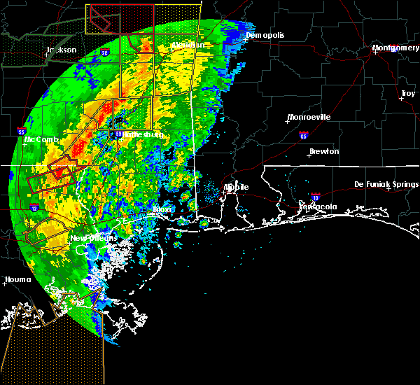 At 448 pm cdt, a severe thunderstorm capable of producing a tornado was located on the south side of hattiesburg, moving east at 35 mph (radar indicated rotation). Hazards include tornado. Flying debris will be dangerous to those caught without shelter. mobile homes will be damaged or destroyed. damage to roofs, windows, and vehicles will occur. tree damage is likely. this dangerous storm will be near, petal around 455 pm cdt. sunrise around 500 pm cdt. Macedonia around 505 pm cdt. At 448 pm cdt, a severe thunderstorm capable of producing a tornado was located on the south side of hattiesburg, moving east at 35 mph (radar indicated rotation). Hazards include tornado. Flying debris will be dangerous to those caught without shelter. mobile homes will be damaged or destroyed. damage to roofs, windows, and vehicles will occur. tree damage is likely. this dangerous storm will be near, petal around 455 pm cdt. sunrise around 500 pm cdt. Macedonia around 505 pm cdt.
|
| 4/18/2019 4:48 PM CDT | Picture relayed via social media of a tree down in the dixie are in forrest county MS, 8.1 miles NNW of Hattiesburg, MS |
| 4/18/2019 4:45 PM CDT |
 At 444 pm cdt, a severe thunderstorm capable of producing a tornado was located near hattiesburg, moving east at 35 mph (radar indicated rotation). Hazards include tornado. Flying debris will be dangerous to those caught without shelter. mobile homes will be damaged or destroyed. damage to roofs, windows, and vehicles will occur. tree damage is likely. this dangerous storm will be near, petal around 455 pm cdt. sunrise around 500 pm cdt. Macedonia around 505 pm cdt. At 444 pm cdt, a severe thunderstorm capable of producing a tornado was located near hattiesburg, moving east at 35 mph (radar indicated rotation). Hazards include tornado. Flying debris will be dangerous to those caught without shelter. mobile homes will be damaged or destroyed. damage to roofs, windows, and vehicles will occur. tree damage is likely. this dangerous storm will be near, petal around 455 pm cdt. sunrise around 500 pm cdt. Macedonia around 505 pm cdt.
|
| 4/18/2019 4:35 PM CDT |
 At 435 pm cdt, a severe thunderstorm capable of producing a tornado was located over west hattiesburg, moving northeast at 45 mph (radar indicated rotation). Hazards include tornado. Flying debris will be dangerous to those caught without shelter. mobile homes will be damaged or destroyed. damage to roofs, windows, and vehicles will occur. tree damage is likely. this dangerous storm will be near, hattiesburg and oak grove around 440 pm cdt. petal around 445 pm cdt. sunrise and eastabuchie around 450 pm cdt. macedonia around 455 pm cdt. Ovett around 510 pm cdt. At 435 pm cdt, a severe thunderstorm capable of producing a tornado was located over west hattiesburg, moving northeast at 45 mph (radar indicated rotation). Hazards include tornado. Flying debris will be dangerous to those caught without shelter. mobile homes will be damaged or destroyed. damage to roofs, windows, and vehicles will occur. tree damage is likely. this dangerous storm will be near, hattiesburg and oak grove around 440 pm cdt. petal around 445 pm cdt. sunrise and eastabuchie around 450 pm cdt. macedonia around 455 pm cdt. Ovett around 510 pm cdt.
|
| 4/18/2019 4:27 PM CDT |
 At 427 pm cdt, a severe thunderstorm capable of producing a tornado was located 7 miles southwest of west hattiesburg, moving northeast at 45 mph (radar indicated rotation). Hazards include tornado. Flying debris will be dangerous to those caught without shelter. mobile homes will be damaged or destroyed. damage to roofs, windows, and vehicles will occur. tree damage is likely. this dangerous storm will be near, hattiesburg around 430 pm cdt. oak grove around 435 pm cdt. west hattiesburg and rawls springs around 440 pm cdt. petal around 445 pm cdt. sunrise and eastabuchie around 450 pm cdt. macedonia around 455 pm cdt. Ovett around 510 pm cdt. At 427 pm cdt, a severe thunderstorm capable of producing a tornado was located 7 miles southwest of west hattiesburg, moving northeast at 45 mph (radar indicated rotation). Hazards include tornado. Flying debris will be dangerous to those caught without shelter. mobile homes will be damaged or destroyed. damage to roofs, windows, and vehicles will occur. tree damage is likely. this dangerous storm will be near, hattiesburg around 430 pm cdt. oak grove around 435 pm cdt. west hattiesburg and rawls springs around 440 pm cdt. petal around 445 pm cdt. sunrise and eastabuchie around 450 pm cdt. macedonia around 455 pm cdt. Ovett around 510 pm cdt.
|
| 4/18/2019 4:15 PM CDT |
 At 414 pm cdt, severe thunderstorms were located along a line extending from near sumrall to sandy hook, moving east at 30 mph (radar indicated). Hazards include 60 mph wind gusts. Expect damage to roofs, siding, and trees. severe thunderstorms will be near, rawls springs around 430 pm cdt. baxterville around 445 pm cdt. lumberton around 455 pm cdt. purvis around 505 pm cdt. rock hill around 515 pm cdt. mclaurin around 530 pm cdt. A tornado watch remains in effect until 900 pm cdt for southeastern mississippi. At 414 pm cdt, severe thunderstorms were located along a line extending from near sumrall to sandy hook, moving east at 30 mph (radar indicated). Hazards include 60 mph wind gusts. Expect damage to roofs, siding, and trees. severe thunderstorms will be near, rawls springs around 430 pm cdt. baxterville around 445 pm cdt. lumberton around 455 pm cdt. purvis around 505 pm cdt. rock hill around 515 pm cdt. mclaurin around 530 pm cdt. A tornado watch remains in effect until 900 pm cdt for southeastern mississippi.
|
| 4/13/2019 10:15 PM CDT |
 At 1015 pm cdt, severe thunderstorms were located along a line extending from 7 miles northwest of turnerville to 7 miles northwest of ellisville to near sumrall, moving east at 20 mph (radar indicated). Hazards include 60 mph wind gusts. expect damage to roofs, siding, and trees At 1015 pm cdt, severe thunderstorms were located along a line extending from 7 miles northwest of turnerville to 7 miles northwest of ellisville to near sumrall, moving east at 20 mph (radar indicated). Hazards include 60 mph wind gusts. expect damage to roofs, siding, and trees
|
| 3/3/2019 11:47 AM CST |
 At 1146 am cst, severe thunderstorms were located along a line extending from ovett to west hattiesburg, moving east at 35 mph (radar indicated). Hazards include 60 mph wind gusts. Expect damage to roofs, siding, and trees. these severe storms will be near, ovett and oak grove around 1150 am cst. macedonia around 1200 pm cst. other locations impacted by these severe thunderstorms include corinth. A tornado watch remains in effect until 600 pm cst for southeastern mississippi. At 1146 am cst, severe thunderstorms were located along a line extending from ovett to west hattiesburg, moving east at 35 mph (radar indicated). Hazards include 60 mph wind gusts. Expect damage to roofs, siding, and trees. these severe storms will be near, ovett and oak grove around 1150 am cst. macedonia around 1200 pm cst. other locations impacted by these severe thunderstorms include corinth. A tornado watch remains in effect until 600 pm cst for southeastern mississippi.
|
| 3/3/2019 11:34 AM CST |
 At 1134 am cst, severe thunderstorms were located along a line extending from near ovett to 6 miles west of west hattiesburg, moving east at 45 mph (radar indicated). Hazards include 60 mph wind gusts. Expect damage to roofs, siding, and trees. these severe storms will be near, oak grove and ovett around 1140 am cst. petal around 1150 am cst. sunrise around 1155 am cst. macedonia around 1200 pm cst. other locations impacted by these severe thunderstorms include corinth. A tornado watch remains in effect until 600 pm cst for southeastern mississippi. At 1134 am cst, severe thunderstorms were located along a line extending from near ovett to 6 miles west of west hattiesburg, moving east at 45 mph (radar indicated). Hazards include 60 mph wind gusts. Expect damage to roofs, siding, and trees. these severe storms will be near, oak grove and ovett around 1140 am cst. petal around 1150 am cst. sunrise around 1155 am cst. macedonia around 1200 pm cst. other locations impacted by these severe thunderstorms include corinth. A tornado watch remains in effect until 600 pm cst for southeastern mississippi.
|
| 3/3/2019 11:27 AM CST |
 At 1127 am cst, severe thunderstorms were located along a line extending from near moselle to 7 miles south of sumrall, moving east at 45 mph (radar indicated). Hazards include 60 mph wind gusts. Expect damage to roofs, siding, and trees. these severe storms will be near, moselle around 1130 am cst. hattiesburg around 1135 am cst. oak grove and tuckers crossing around 1140 am cst. west hattiesburg, ovett and rawls springs around 1145 am cst. petal and sunrise around 1155 am cst. macedonia around 1200 pm cst. other locations impacted by these severe thunderstorms include corinth. A tornado watch remains in effect until 600 pm cst for southeastern mississippi. At 1127 am cst, severe thunderstorms were located along a line extending from near moselle to 7 miles south of sumrall, moving east at 45 mph (radar indicated). Hazards include 60 mph wind gusts. Expect damage to roofs, siding, and trees. these severe storms will be near, moselle around 1130 am cst. hattiesburg around 1135 am cst. oak grove and tuckers crossing around 1140 am cst. west hattiesburg, ovett and rawls springs around 1145 am cst. petal and sunrise around 1155 am cst. macedonia around 1200 pm cst. other locations impacted by these severe thunderstorms include corinth. A tornado watch remains in effect until 600 pm cst for southeastern mississippi.
|
| 3/3/2019 11:14 AM CST |
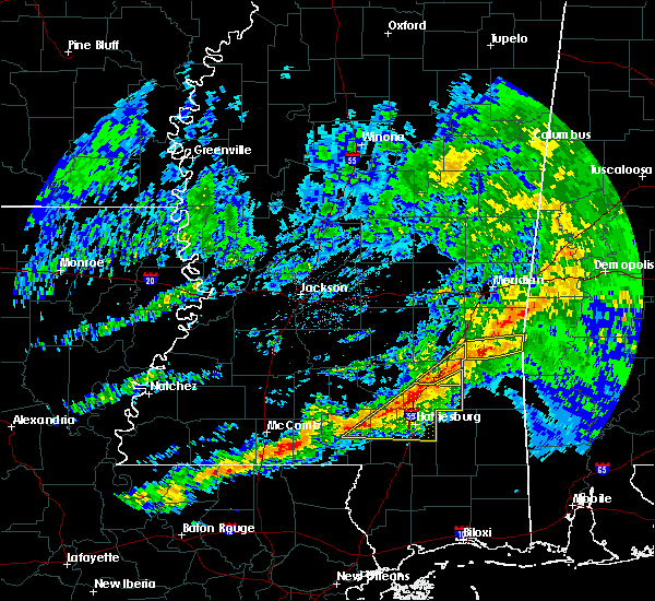 At 1113 am cst, severe thunderstorms were located along a line extending from near sanford to near improve, moving east at 45 mph (radar indicated). Hazards include 60 mph wind gusts. Expect damage to roofs, siding, and trees. these severe storms will be near, moselle and eastabuchie around 1120 am cst. laurel, ellisville and sumrall around 1125 am cst. hattiesburg, pine ridge and tuckers crossing around 1135 am cst. west hattiesburg, oak grove, ovett and rawls springs around 1140 am cst. petal around 1150 am cst. sunrise and macedonia around 1155 am cst. other locations impacted by these severe thunderstorms include corinth. A tornado watch remains in effect until 600 pm cst for south central and southeastern mississippi. At 1113 am cst, severe thunderstorms were located along a line extending from near sanford to near improve, moving east at 45 mph (radar indicated). Hazards include 60 mph wind gusts. Expect damage to roofs, siding, and trees. these severe storms will be near, moselle and eastabuchie around 1120 am cst. laurel, ellisville and sumrall around 1125 am cst. hattiesburg, pine ridge and tuckers crossing around 1135 am cst. west hattiesburg, oak grove, ovett and rawls springs around 1140 am cst. petal around 1150 am cst. sunrise and macedonia around 1155 am cst. other locations impacted by these severe thunderstorms include corinth. A tornado watch remains in effect until 600 pm cst for south central and southeastern mississippi.
|
| 3/3/2019 11:04 AM CST |
 At 1104 am cst, severe thunderstorms were located along a line extending from near sanford to near goss, moving east at 45 mph (radar indicated). Hazards include 60 mph wind gusts. Expect damage to roofs, siding, and trees. severe thunderstorms will be near, sanford around 1110 am cst. moselle and melba around 1120 am cst. laurel, ellisville and sumrall around 1130 am cst. hattiesburg and tuckers crossing around 1135 am cst. ovett and oak grove around 1140 am cst. west hattiesburg and rawls springs around 1145 am cst. eastabuchie around 1150 am cst. petal and sunrise around 1155 am cst. other locations impacted by these severe thunderstorms include seminary and corinth. A tornado watch remains in effect until 600 pm cst for south central and southeastern mississippi. At 1104 am cst, severe thunderstorms were located along a line extending from near sanford to near goss, moving east at 45 mph (radar indicated). Hazards include 60 mph wind gusts. Expect damage to roofs, siding, and trees. severe thunderstorms will be near, sanford around 1110 am cst. moselle and melba around 1120 am cst. laurel, ellisville and sumrall around 1130 am cst. hattiesburg and tuckers crossing around 1135 am cst. ovett and oak grove around 1140 am cst. west hattiesburg and rawls springs around 1145 am cst. eastabuchie around 1150 am cst. petal and sunrise around 1155 am cst. other locations impacted by these severe thunderstorms include seminary and corinth. A tornado watch remains in effect until 600 pm cst for south central and southeastern mississippi.
|
| 1/19/2019 10:24 AM CST |
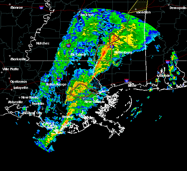 At 1024 am cst, severe thunderstorms were located along a line extending from eastabuchie to 7 miles south of baxterville, moving east at 45 mph (radar indicated). Hazards include 60 mph wind gusts. Expect damage to roofs, siding, and trees. severe thunderstorms will be near, petal around 1030 am cst. macedonia around 1035 am cst. purvis around 1045 am cst. rock hill around 1050 am cst. maxie around 1055 am cst. brooklyn and mclaurin around 1100 am cst. A tornado watch remains in effect until 100 pm cst for southeastern mississippi. At 1024 am cst, severe thunderstorms were located along a line extending from eastabuchie to 7 miles south of baxterville, moving east at 45 mph (radar indicated). Hazards include 60 mph wind gusts. Expect damage to roofs, siding, and trees. severe thunderstorms will be near, petal around 1030 am cst. macedonia around 1035 am cst. purvis around 1045 am cst. rock hill around 1050 am cst. maxie around 1055 am cst. brooklyn and mclaurin around 1100 am cst. A tornado watch remains in effect until 100 pm cst for southeastern mississippi.
|
| 1/19/2019 10:10 AM CST |
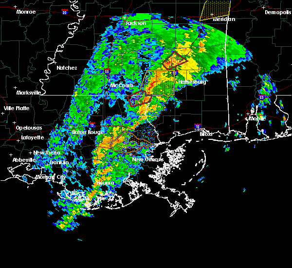 At 1010 am cst, severe thunderstorms were located along a line extending from near sumrall to near baxterville, moving east at 45 mph (radar indicated). Hazards include 60 mph wind gusts. Expect damage to roofs, siding, and trees. these severe storms will be near, sumrall around 1015 am cst. west hattiesburg and rawls springs around 1020 am cst. lumberton around 1025 am cst. purvis and pine ridge around 1030 am cst. A tornado watch remains in effect until 100 pm cst for south central and southeastern mississippi. At 1010 am cst, severe thunderstorms were located along a line extending from near sumrall to near baxterville, moving east at 45 mph (radar indicated). Hazards include 60 mph wind gusts. Expect damage to roofs, siding, and trees. these severe storms will be near, sumrall around 1015 am cst. west hattiesburg and rawls springs around 1020 am cst. lumberton around 1025 am cst. purvis and pine ridge around 1030 am cst. A tornado watch remains in effect until 100 pm cst for south central and southeastern mississippi.
|
| 1/19/2019 9:51 AM CST |
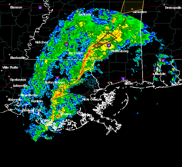 At 951 am cst, severe thunderstorms were located along a line extending from near improve to 6 miles southwest of sandy hook, moving east at 45 mph (radar indicated). Hazards include 60 mph wind gusts. Expect damage to roofs, siding, and trees. severe thunderstorms will be near, improve and bunker hill around 955 am cst. sumrall around 1005 am cst. pinebur around 1010 am cst. baxterville around 1015 am cst. west hattiesburg and rawls springs around 1020 am cst. lumberton around 1025 am cst. purvis around 1030 am cst. A tornado watch remains in effect until 100 pm cst for south central and southeastern mississippi. At 951 am cst, severe thunderstorms were located along a line extending from near improve to 6 miles southwest of sandy hook, moving east at 45 mph (radar indicated). Hazards include 60 mph wind gusts. Expect damage to roofs, siding, and trees. severe thunderstorms will be near, improve and bunker hill around 955 am cst. sumrall around 1005 am cst. pinebur around 1010 am cst. baxterville around 1015 am cst. west hattiesburg and rawls springs around 1020 am cst. lumberton around 1025 am cst. purvis around 1030 am cst. A tornado watch remains in effect until 100 pm cst for south central and southeastern mississippi.
|
| 11/1/2018 5:29 AM CDT |
 At 529 am cdt, severe thunderstorms were located along a line extending from near macedonia to near sunrise to mclaurin to near rock hill to near maxie, moving northeast at 35 mph (radar indicated). Hazards include 60 mph wind gusts. Expect damage to roofs, siding, and trees. these severe storms will be near, macedonia and sunrise around 535 am cdt. other locations impacted by these severe thunderstorms include corinth. A tornado watch remains in effect until 900 am cdt for southeastern mississippi. At 529 am cdt, severe thunderstorms were located along a line extending from near macedonia to near sunrise to mclaurin to near rock hill to near maxie, moving northeast at 35 mph (radar indicated). Hazards include 60 mph wind gusts. Expect damage to roofs, siding, and trees. these severe storms will be near, macedonia and sunrise around 535 am cdt. other locations impacted by these severe thunderstorms include corinth. A tornado watch remains in effect until 900 am cdt for southeastern mississippi.
|
| 11/1/2018 5:25 AM CDT | Trees and powerlines downed at sullivan kilrain road and saba loo in forrest county MS, 5.8 miles N of Hattiesburg, MS |
| 11/1/2018 5:18 AM CDT | Tree downed at lake estates drive and pine tree driv in forrest county MS, 3.4 miles ESE of Hattiesburg, MS |
| 11/1/2018 5:12 AM CDT |
 At 512 am cdt, severe thunderstorms were located along a line extending from near rawls springs to near west hattiesburg to near lumberton, moving east at 30 mph (radar indicated). Hazards include 60 mph wind gusts. Expect damage to roofs, siding, and trees. severe thunderstorms will be near, hattiesburg around 515 am cdt. rawls springs around 520 am cdt. petal and rock hill around 535 am cdt. sunrise around 540 am cdt. macedonia and maxie around 545 am cdt. brooklyn and mclaurin around 550 am cdt. other locations impacted by these severe thunderstorms include corinth. A tornado watch remains in effect until 700 am cdt for southeastern mississippi. At 512 am cdt, severe thunderstorms were located along a line extending from near rawls springs to near west hattiesburg to near lumberton, moving east at 30 mph (radar indicated). Hazards include 60 mph wind gusts. Expect damage to roofs, siding, and trees. severe thunderstorms will be near, hattiesburg around 515 am cdt. rawls springs around 520 am cdt. petal and rock hill around 535 am cdt. sunrise around 540 am cdt. macedonia and maxie around 545 am cdt. brooklyn and mclaurin around 550 am cdt. other locations impacted by these severe thunderstorms include corinth. A tornado watch remains in effect until 700 am cdt for southeastern mississippi.
|
| 11/1/2018 5:08 AM CDT | Tree downed on canebrake blvd. in bellevue are in lamar county MS, 8.2 miles E of Hattiesburg, MS |
| 11/1/2018 4:36 AM CDT |
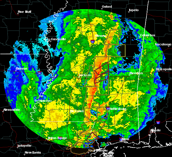 At 436 am cdt, a severe thunderstorm capable of producing a tornado was located 7 miles west of west hattiesburg, moving northeast at 40 mph (radar indicated rotation). Hazards include tornado. Flying debris will be dangerous to those caught without shelter. mobile homes will be damaged or destroyed. damage to roofs, windows, and vehicles will occur. tree damage is likely. this dangerous storm will be near, hattiesburg and oak grove around 440 am cdt. west hattiesburg around 445 am cdt. Rawls springs around 450 am cdt. At 436 am cdt, a severe thunderstorm capable of producing a tornado was located 7 miles west of west hattiesburg, moving northeast at 40 mph (radar indicated rotation). Hazards include tornado. Flying debris will be dangerous to those caught without shelter. mobile homes will be damaged or destroyed. damage to roofs, windows, and vehicles will occur. tree damage is likely. this dangerous storm will be near, hattiesburg and oak grove around 440 am cdt. west hattiesburg around 445 am cdt. Rawls springs around 450 am cdt.
|
| 11/1/2018 4:19 AM CDT |
 At 419 am cdt, a severe thunderstorm was located 8 miles north of baxterville, or 12 miles southwest of west hattiesburg, moving northeast at 55 mph (radar indicated). Hazards include 60 mph wind gusts. Expect damage to roofs, siding, and trees. this severe thunderstorm will be near, hattiesburg around 425 am cdt. oak grove around 430 am cdt. west hattiesburg around 435 am cdt. A tornado watch remains in effect until 700 am cdt for southeastern mississippi. At 419 am cdt, a severe thunderstorm was located 8 miles north of baxterville, or 12 miles southwest of west hattiesburg, moving northeast at 55 mph (radar indicated). Hazards include 60 mph wind gusts. Expect damage to roofs, siding, and trees. this severe thunderstorm will be near, hattiesburg around 425 am cdt. oak grove around 430 am cdt. west hattiesburg around 435 am cdt. A tornado watch remains in effect until 700 am cdt for southeastern mississippi.
|
| 8/18/2018 4:30 PM CDT | Tree downed across main street. estimated 40-50 mph win in forrest county MS, 2.5 miles W of Hattiesburg, MS |
| 7/31/2018 1:23 PM CDT |
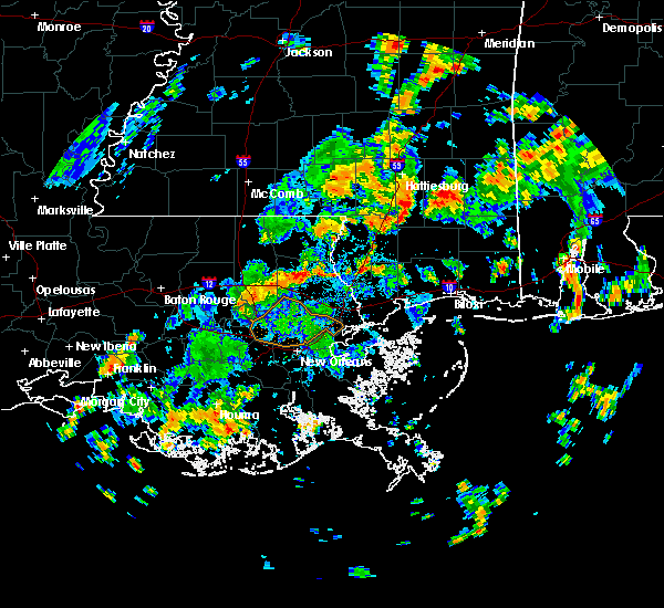 The national weather service in jackson has issued a * severe thunderstorm warning for. southeastern forrest county in southeastern mississippi. until 200 pm cdt. At 122 pm cdt, severe thunderstorms were located along a line extending from near rock hill to 6 miles west of maxie, moving east. The national weather service in jackson has issued a * severe thunderstorm warning for. southeastern forrest county in southeastern mississippi. until 200 pm cdt. At 122 pm cdt, severe thunderstorms were located along a line extending from near rock hill to 6 miles west of maxie, moving east.
|
| 7/19/2018 5:19 PM CDT |
 At 519 pm cdt, a severe thunderstorm was located over rawls springs, or near west hattiesburg, moving south at 15 mph (radar indicated). Hazards include 60 mph wind gusts and quarter size hail. Hail damage to vehicles is expected. expect wind damage to roofs, siding, and trees. This severe storm will be near, hattiesburg and west hattiesburg around 530 pm cdt. At 519 pm cdt, a severe thunderstorm was located over rawls springs, or near west hattiesburg, moving south at 15 mph (radar indicated). Hazards include 60 mph wind gusts and quarter size hail. Hail damage to vehicles is expected. expect wind damage to roofs, siding, and trees. This severe storm will be near, hattiesburg and west hattiesburg around 530 pm cdt.
|
| 7/19/2018 5:05 PM CDT | Trees and powerlines down on watson rd. reported by em in forrest county MS, 2.8 miles SSW of Hattiesburg, MS |
| 7/19/2018 4:36 PM CDT |
 At 436 pm cdt, a severe thunderstorm was located near sanford, or 7 miles southeast of collins, moving south at 15 mph (radar indicated). Hazards include 60 mph wind gusts and quarter size hail. Hail damage to vehicles is expected. expect wind damage to roofs, siding, and trees. this severe thunderstorm will be near, sanford around 455 pm cdt. sumrall around 505 pm cdt. rawls springs around 525 pm cdt. hattiesburg, west hattiesburg and oak grove around 530 pm cdt. Other locations impacted by this severe thunderstorm include seminary. At 436 pm cdt, a severe thunderstorm was located near sanford, or 7 miles southeast of collins, moving south at 15 mph (radar indicated). Hazards include 60 mph wind gusts and quarter size hail. Hail damage to vehicles is expected. expect wind damage to roofs, siding, and trees. this severe thunderstorm will be near, sanford around 455 pm cdt. sumrall around 505 pm cdt. rawls springs around 525 pm cdt. hattiesburg, west hattiesburg and oak grove around 530 pm cdt. Other locations impacted by this severe thunderstorm include seminary.
|
| 7/4/2018 7:53 PM CDT |
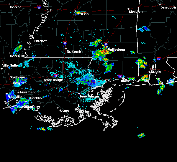 At 753 pm cdt, a severe thunderstorm was located near purvis, or 9 miles south of hattiesburg, moving west at 15 mph (radar indicated). Hazards include 60 mph wind gusts. Expect damage to roofs, siding, and trees. This severe thunderstorm will remain over mainly rural areas of central forrest and east central lamar counties. At 753 pm cdt, a severe thunderstorm was located near purvis, or 9 miles south of hattiesburg, moving west at 15 mph (radar indicated). Hazards include 60 mph wind gusts. Expect damage to roofs, siding, and trees. This severe thunderstorm will remain over mainly rural areas of central forrest and east central lamar counties.
|
| 7/4/2018 7:31 PM CDT |
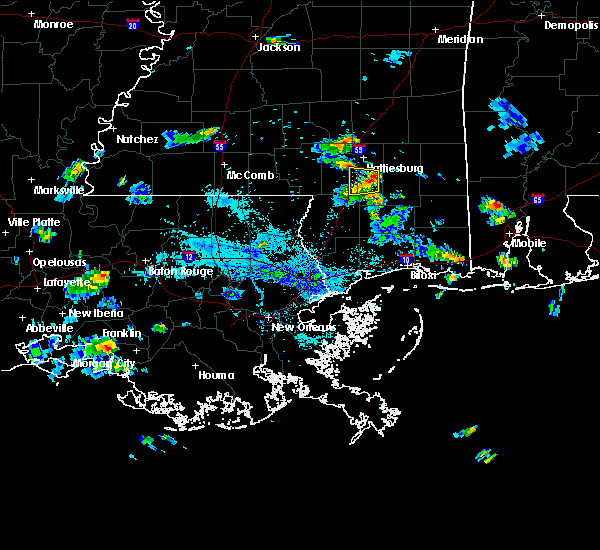 At 730 pm cdt, a severe thunderstorm was located near mclaurin, or 13 miles south of hattiesburg, moving west at 15 mph (radar indicated). Hazards include 60 mph wind gusts. Expect damage to roofs, siding, and trees. this severe thunderstorm will be near, rock hill around 745 pm cdt. Purvis around 810 pm cdt. At 730 pm cdt, a severe thunderstorm was located near mclaurin, or 13 miles south of hattiesburg, moving west at 15 mph (radar indicated). Hazards include 60 mph wind gusts. Expect damage to roofs, siding, and trees. this severe thunderstorm will be near, rock hill around 745 pm cdt. Purvis around 810 pm cdt.
|
| 6/9/2018 6:43 PM CDT |
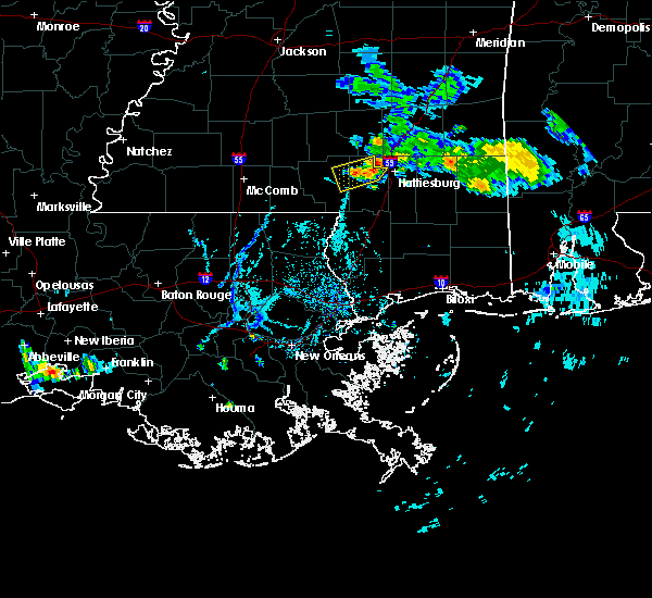 At 642 pm cdt, a severe thunderstorm was located near bellevue, and is nearly stationary (radar indicated). Hazards include 60 mph wind gusts. Expect damage to trees. Locations impacted include, oloh, epley and bellevue. At 642 pm cdt, a severe thunderstorm was located near bellevue, and is nearly stationary (radar indicated). Hazards include 60 mph wind gusts. Expect damage to trees. Locations impacted include, oloh, epley and bellevue.
|
| 6/9/2018 6:23 PM CDT |
 The national weather service in jackson has issued a * severe thunderstorm warning for. northeastern marion county in south central mississippi. northern lamar county in southeastern mississippi. until 715 pm cdt. At 622 pm cdt, a severe thunderstorm was located near oloh, or 11. The national weather service in jackson has issued a * severe thunderstorm warning for. northeastern marion county in south central mississippi. northern lamar county in southeastern mississippi. until 715 pm cdt. At 622 pm cdt, a severe thunderstorm was located near oloh, or 11.
|
| 6/9/2018 5:48 PM CDT |
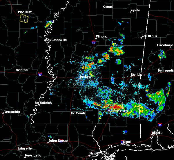 At 548 pm cdt, a severe thunderstorm was located over moselle, or 8 miles southwest of ellisville, and is nearly stationary (radar indicated). Hazards include 60 mph wind gusts and half dollar size hail. Hail damage to vehicles is expected. Expect wind damage to roofs, siding, and trees. At 548 pm cdt, a severe thunderstorm was located over moselle, or 8 miles southwest of ellisville, and is nearly stationary (radar indicated). Hazards include 60 mph wind gusts and half dollar size hail. Hail damage to vehicles is expected. Expect wind damage to roofs, siding, and trees.
|
| 4/14/2018 12:19 PM CDT |
 At 1219 pm cdt, a severe thunderstorm was located near mclaurin, or 14 miles southeast of hattiesburg, moving northeast at 45 mph (radar indicated). Hazards include 60 mph wind gusts. Expect damage to roofs, siding, and trees. this severe thunderstorm will remain over mainly rural areas of forrest county. A tornado watch remains in effect until 200 pm cdt for southeastern mississippi. At 1219 pm cdt, a severe thunderstorm was located near mclaurin, or 14 miles southeast of hattiesburg, moving northeast at 45 mph (radar indicated). Hazards include 60 mph wind gusts. Expect damage to roofs, siding, and trees. this severe thunderstorm will remain over mainly rural areas of forrest county. A tornado watch remains in effect until 200 pm cdt for southeastern mississippi.
|
| 4/14/2018 11:51 AM CDT |
 At 1151 am cdt, a severe thunderstorm was located near lumberton, or 7 miles northeast of poplarville, moving northeast at 40 mph (radar indicated). Hazards include 60 mph wind gusts. Expect damage to roofs, siding, and trees. this severe thunderstorm will be near, lumberton around 1155 am cdt. rock hill and maxie around 1210 pm cdt. brooklyn around 1215 pm cdt. mclaurin around 1220 pm cdt. A tornado watch remains in effect until 200 pm cdt for southeastern mississippi. At 1151 am cdt, a severe thunderstorm was located near lumberton, or 7 miles northeast of poplarville, moving northeast at 40 mph (radar indicated). Hazards include 60 mph wind gusts. Expect damage to roofs, siding, and trees. this severe thunderstorm will be near, lumberton around 1155 am cdt. rock hill and maxie around 1210 pm cdt. brooklyn around 1215 pm cdt. mclaurin around 1220 pm cdt. A tornado watch remains in effect until 200 pm cdt for southeastern mississippi.
|
| 4/14/2018 10:54 AM CDT |
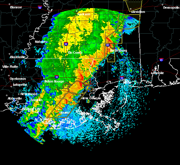 At 1054 am cdt, a severe thunderstorm was located near sunrise, or 7 miles southeast of petal, moving east at 30 mph (radar indicated). Hazards include 60 mph wind gusts. Expect damage to roofs, siding, and trees. this severe thunderstorm will remain over mainly rural areas of forrest and southeastern lamar counties, including the following locations: corinth. A tornado watch remains in effect until 200 pm cdt for southeastern mississippi. At 1054 am cdt, a severe thunderstorm was located near sunrise, or 7 miles southeast of petal, moving east at 30 mph (radar indicated). Hazards include 60 mph wind gusts. Expect damage to roofs, siding, and trees. this severe thunderstorm will remain over mainly rural areas of forrest and southeastern lamar counties, including the following locations: corinth. A tornado watch remains in effect until 200 pm cdt for southeastern mississippi.
|
| 4/14/2018 10:52 AM CDT |
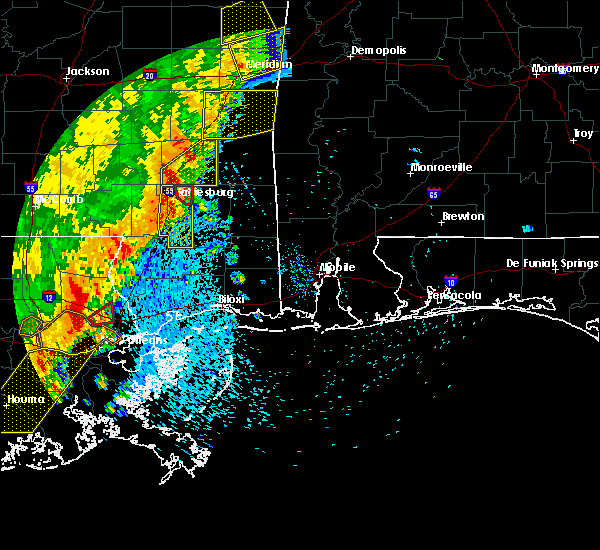 At 1052 am cdt, a severe thunderstorm capable of producing a tornado was located over macedonia, or over petal, moving east at 35 mph (radar indicated rotation). Hazards include tornado. Flying debris will be dangerous to those caught without shelter. mobile homes will be damaged or destroyed. damage to roofs, windows, and vehicles will occur. tree damage is likely. This tornadic thunderstorm will remain over mainly rural areas of northeastern forrest county. At 1052 am cdt, a severe thunderstorm capable of producing a tornado was located over macedonia, or over petal, moving east at 35 mph (radar indicated rotation). Hazards include tornado. Flying debris will be dangerous to those caught without shelter. mobile homes will be damaged or destroyed. damage to roofs, windows, and vehicles will occur. tree damage is likely. This tornadic thunderstorm will remain over mainly rural areas of northeastern forrest county.
|
| 4/14/2018 10:41 AM CDT |
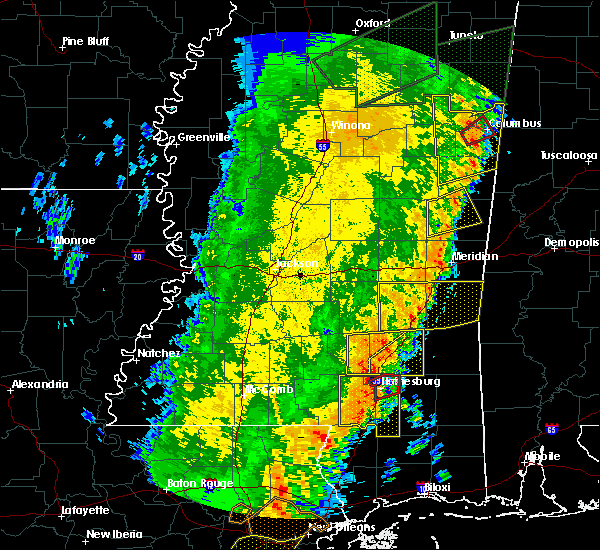 At 1041 am cdt, a severe thunderstorm capable of producing a tornado was located over hattiesburg, moving east at 35 mph (radar indicated rotation). Hazards include tornado. Flying debris will be dangerous to those caught without shelter. mobile homes will be damaged or destroyed. damage to roofs, windows, and vehicles will occur. tree damage is likely. this dangerous storm will be near, petal and sunrise around 1050 am cdt. Macedonia around 1100 am cdt. At 1041 am cdt, a severe thunderstorm capable of producing a tornado was located over hattiesburg, moving east at 35 mph (radar indicated rotation). Hazards include tornado. Flying debris will be dangerous to those caught without shelter. mobile homes will be damaged or destroyed. damage to roofs, windows, and vehicles will occur. tree damage is likely. this dangerous storm will be near, petal and sunrise around 1050 am cdt. Macedonia around 1100 am cdt.
|
| 4/14/2018 10:31 AM CDT |
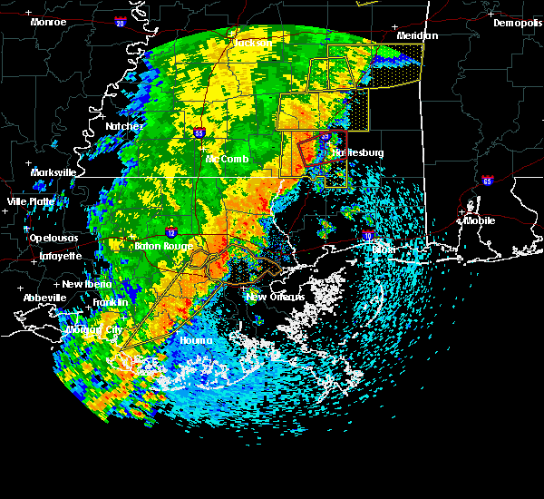 At 1031 am cdt, a severe thunderstorm capable of producing a tornado was located near west hattiesburg, moving east at 35 mph (radar indicated rotation). Hazards include tornado. Flying debris will be dangerous to those caught without shelter. mobile homes will be damaged or destroyed. damage to roofs, windows, and vehicles will occur. tree damage is likely. this dangerous storm will be near, hattiesburg, west hattiesburg and oak grove around 1035 am cdt. rawls springs around 1040 am cdt. petal and sunrise around 1050 am cdt. macedonia around 1100 am cdt. Other locations impacted by this tornadic thunderstorm include corinth. At 1031 am cdt, a severe thunderstorm capable of producing a tornado was located near west hattiesburg, moving east at 35 mph (radar indicated rotation). Hazards include tornado. Flying debris will be dangerous to those caught without shelter. mobile homes will be damaged or destroyed. damage to roofs, windows, and vehicles will occur. tree damage is likely. this dangerous storm will be near, hattiesburg, west hattiesburg and oak grove around 1035 am cdt. rawls springs around 1040 am cdt. petal and sunrise around 1050 am cdt. macedonia around 1100 am cdt. Other locations impacted by this tornadic thunderstorm include corinth.
|
| 4/14/2018 10:27 AM CDT |
 At 1027 am cdt, a severe thunderstorm was located near west hattiesburg, moving east at 30 mph (radar indicated). Hazards include 60 mph wind gusts. Expect damage to roofs, siding, and trees. this severe storm will be near, hattiesburg, west hattiesburg and oak grove around 1030 am cdt. petal and mclaurin around 1045 am cdt. sunrise around 1050 am cdt. macedonia around 1055 am cdt. other locations impacted by this severe thunderstorm include corinth. A tornado watch remains in effect until 200 pm cdt for southeastern mississippi. At 1027 am cdt, a severe thunderstorm was located near west hattiesburg, moving east at 30 mph (radar indicated). Hazards include 60 mph wind gusts. Expect damage to roofs, siding, and trees. this severe storm will be near, hattiesburg, west hattiesburg and oak grove around 1030 am cdt. petal and mclaurin around 1045 am cdt. sunrise around 1050 am cdt. macedonia around 1055 am cdt. other locations impacted by this severe thunderstorm include corinth. A tornado watch remains in effect until 200 pm cdt for southeastern mississippi.
|
| 4/14/2018 10:21 AM CDT |
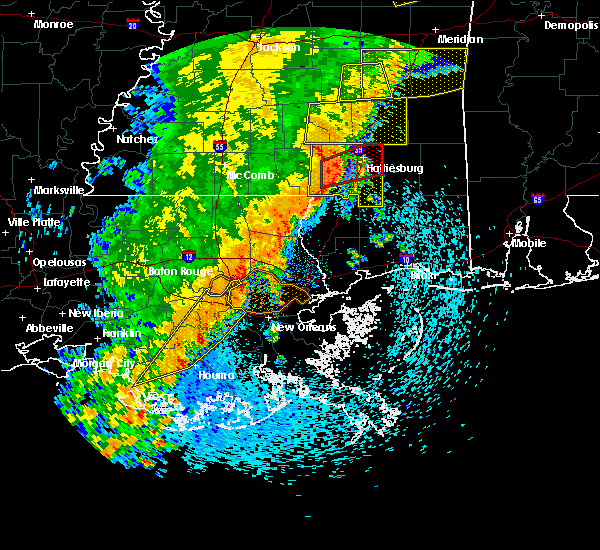 At 1021 am cdt, a severe thunderstorm capable of producing a tornado was located 9 miles southwest of west hattiesburg, moving northeast at 35 mph (radar indicated rotation). Hazards include tornado. Flying debris will be dangerous to those caught without shelter. mobile homes will be damaged or destroyed. damage to roofs, windows, and vehicles will occur. tree damage is likely. this dangerous storm will be near, hattiesburg around 1025 am cdt. oak grove around 1030 am cdt. west hattiesburg around 1035 am cdt. rawls springs around 1040 am cdt. petal and sunrise around 1050 am cdt. macedonia around 1100 am cdt. Other locations impacted by this tornadic thunderstorm include corinth. At 1021 am cdt, a severe thunderstorm capable of producing a tornado was located 9 miles southwest of west hattiesburg, moving northeast at 35 mph (radar indicated rotation). Hazards include tornado. Flying debris will be dangerous to those caught without shelter. mobile homes will be damaged or destroyed. damage to roofs, windows, and vehicles will occur. tree damage is likely. this dangerous storm will be near, hattiesburg around 1025 am cdt. oak grove around 1030 am cdt. west hattiesburg around 1035 am cdt. rawls springs around 1040 am cdt. petal and sunrise around 1050 am cdt. macedonia around 1100 am cdt. Other locations impacted by this tornadic thunderstorm include corinth.
|
| 4/14/2018 10:10 AM CDT |
 At 1010 am cdt, a severe thunderstorm capable of producing a tornado was located 7 miles northeast of pinebur, or 13 miles east of columbia, moving east at 35 mph (radar indicated rotation). Hazards include tornado. Flying debris will be dangerous to those caught without shelter. mobile homes will be damaged or destroyed. damage to roofs, windows, and vehicles will occur. tree damage is likely. this dangerous storm will be near, hattiesburg and purvis around 1025 am cdt. oak grove around 1030 am cdt. west hattiesburg around 1035 am cdt. rawls springs around 1040 am cdt. petal and sunrise around 1050 am cdt. macedonia around 1100 am cdt. Other locations impacted by this tornadic thunderstorm include corinth. At 1010 am cdt, a severe thunderstorm capable of producing a tornado was located 7 miles northeast of pinebur, or 13 miles east of columbia, moving east at 35 mph (radar indicated rotation). Hazards include tornado. Flying debris will be dangerous to those caught without shelter. mobile homes will be damaged or destroyed. damage to roofs, windows, and vehicles will occur. tree damage is likely. this dangerous storm will be near, hattiesburg and purvis around 1025 am cdt. oak grove around 1030 am cdt. west hattiesburg around 1035 am cdt. rawls springs around 1040 am cdt. petal and sunrise around 1050 am cdt. macedonia around 1100 am cdt. Other locations impacted by this tornadic thunderstorm include corinth.
|
| 4/14/2018 9:54 AM CDT |
 At 954 am cdt, a severe thunderstorm was located near pinebur, or near columbia, moving east at 30 mph (radar indicated). Hazards include 60 mph wind gusts. Expect damage to roofs, siding, and trees. this severe thunderstorm will be near, hattiesburg around 1020 am cdt. purvis and pine ridge around 1025 am cdt. west hattiesburg and oak grove around 1030 am cdt. petal around 1045 am cdt. sunrise and mclaurin around 1050 am cdt. macedonia around 1055 am cdt. other locations impacted by this severe thunderstorm include corinth. A tornado watch remains in effect until 200 pm cdt for south central and southeastern mississippi. At 954 am cdt, a severe thunderstorm was located near pinebur, or near columbia, moving east at 30 mph (radar indicated). Hazards include 60 mph wind gusts. Expect damage to roofs, siding, and trees. this severe thunderstorm will be near, hattiesburg around 1020 am cdt. purvis and pine ridge around 1025 am cdt. west hattiesburg and oak grove around 1030 am cdt. petal around 1045 am cdt. sunrise and mclaurin around 1050 am cdt. macedonia around 1055 am cdt. other locations impacted by this severe thunderstorm include corinth. A tornado watch remains in effect until 200 pm cdt for south central and southeastern mississippi.
|
| 8/30/2017 1:51 PM CDT |
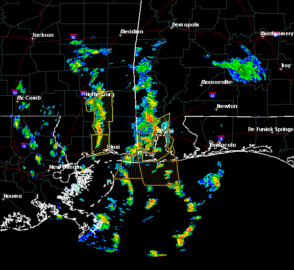 The severe thunderstorm warning for east central forrest county will expire at 200 pm cdt, the storm which prompted the warning has weakened below severe limits, and no longer poses an immediate threat to life or property. therefore the warning will be allowed to expire. however gusty winds and heavy rain are still possible with this thunderstorm. a tornado watch remains in effect until 600 pm cdt for southeastern mississippi. The severe thunderstorm warning for east central forrest county will expire at 200 pm cdt, the storm which prompted the warning has weakened below severe limits, and no longer poses an immediate threat to life or property. therefore the warning will be allowed to expire. however gusty winds and heavy rain are still possible with this thunderstorm. a tornado watch remains in effect until 600 pm cdt for southeastern mississippi.
|
| 8/30/2017 1:41 PM CDT |
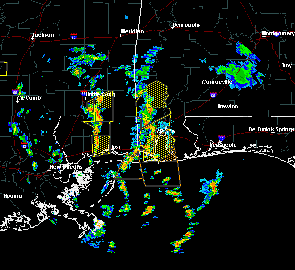 At 141 pm cdt, a severe thunderstorm was located over mclaurin, or 12 miles southeast of hattiesburg, moving north at 40 mph (radar indicated). Hazards include 60 mph wind gusts. Expect damage to roofs, siding, and trees. this severe thunderstorm will remain over mainly rural areas of east central forrest county. A tornado watch remains in effect until 600 pm cdt for southeastern mississippi. At 141 pm cdt, a severe thunderstorm was located over mclaurin, or 12 miles southeast of hattiesburg, moving north at 40 mph (radar indicated). Hazards include 60 mph wind gusts. Expect damage to roofs, siding, and trees. this severe thunderstorm will remain over mainly rural areas of east central forrest county. A tornado watch remains in effect until 600 pm cdt for southeastern mississippi.
|
| 8/30/2017 1:14 PM CDT |
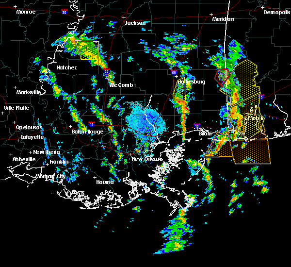 At 113 pm cdt, a severe thunderstorm was located near wiggins, moving north at 45 mph (radar indicated). Hazards include 60 mph wind gusts. Expect damage to roofs, siding, and trees. this severe thunderstorm will be near, maxie around 120 pm cdt. brooklyn around 130 pm cdt. mclaurin around 140 pm cdt. A tornado watch remains in effect until 600 pm cdt for southeastern mississippi. At 113 pm cdt, a severe thunderstorm was located near wiggins, moving north at 45 mph (radar indicated). Hazards include 60 mph wind gusts. Expect damage to roofs, siding, and trees. this severe thunderstorm will be near, maxie around 120 pm cdt. brooklyn around 130 pm cdt. mclaurin around 140 pm cdt. A tornado watch remains in effect until 600 pm cdt for southeastern mississippi.
|
| 8/30/2017 12:18 PM CDT |
 At 1218 pm cdt, a severe thunderstorm capable of producing a tornado was located near macedonia, or 7 miles east of petal, moving north at 35 mph (radar indicated rotation). Hazards include tornado. Flying debris will be dangerous to those caught without shelter. mobile homes will be damaged or destroyed. damage to roofs, windows, and vehicles will occur. tree damage is likely. this dangerous storm will be near, ovett around 1235 pm cdt. ellisville around 1245 pm cdt. laurel and tuckers crossing around 1250 pm cdt. sandersville around 110 pm cdt. Other locations impacted by this tornadic thunderstorm include soso. At 1218 pm cdt, a severe thunderstorm capable of producing a tornado was located near macedonia, or 7 miles east of petal, moving north at 35 mph (radar indicated rotation). Hazards include tornado. Flying debris will be dangerous to those caught without shelter. mobile homes will be damaged or destroyed. damage to roofs, windows, and vehicles will occur. tree damage is likely. this dangerous storm will be near, ovett around 1235 pm cdt. ellisville around 1245 pm cdt. laurel and tuckers crossing around 1250 pm cdt. sandersville around 110 pm cdt. Other locations impacted by this tornadic thunderstorm include soso.
|
| 8/30/2017 11:50 AM CDT |
 At 1149 am cdt, a confirmed tornado was located over eastabuchie, or near petal, moving north at 35 mph (weather spotters confirmed tornado). Hazards include damaging tornado. Flying debris will be dangerous to those caught without shelter. mobile homes will be damaged or destroyed. damage to roofs, windows, and vehicles will occur. tree damage is likely. the tornado will be near, moselle around 1200 pm cdt. Laurel and ellisville around 1215 pm cdt. At 1149 am cdt, a confirmed tornado was located over eastabuchie, or near petal, moving north at 35 mph (weather spotters confirmed tornado). Hazards include damaging tornado. Flying debris will be dangerous to those caught without shelter. mobile homes will be damaged or destroyed. damage to roofs, windows, and vehicles will occur. tree damage is likely. the tornado will be near, moselle around 1200 pm cdt. Laurel and ellisville around 1215 pm cdt.
|
| 8/30/2017 11:31 AM CDT |
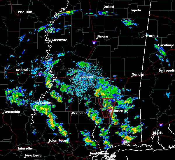 At 1130 am cdt, a severe thunderstorm capable of producing a tornado was located near moselle, or near ellisville, moving north at 30 mph (radar indicated rotation). Hazards include tornado. Flying debris will be dangerous to those caught without shelter. mobile homes will be damaged or destroyed. damage to roofs, windows, and vehicles will occur. tree damage is likely. This dangerous storm will be near, laurel and hebron around 1135 am cdt. At 1130 am cdt, a severe thunderstorm capable of producing a tornado was located near moselle, or near ellisville, moving north at 30 mph (radar indicated rotation). Hazards include tornado. Flying debris will be dangerous to those caught without shelter. mobile homes will be damaged or destroyed. damage to roofs, windows, and vehicles will occur. tree damage is likely. This dangerous storm will be near, laurel and hebron around 1135 am cdt.
|
| 8/30/2017 11:09 AM CDT |
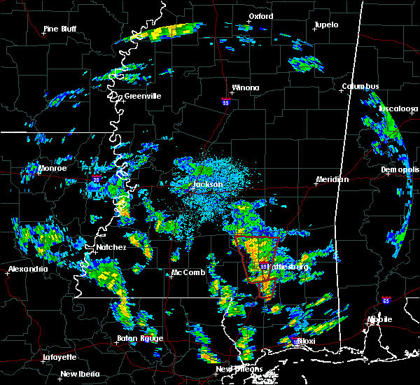 At 1108 am cdt, a severe thunderstorm capable of producing a tornado was located over sanford, or 12 miles southeast of collins, moving north at 30 mph (radar indicated rotation). Hazards include tornado. Flying debris will be dangerous to those caught without shelter. mobile homes will be damaged or destroyed. damage to roofs, windows, and vehicles will occur. tree damage is likely. this dangerous storm will be near, collins around 1130 am cdt. hebron around 1140 am cdt. Other locations impacted by this tornadic thunderstorm include seminary. At 1108 am cdt, a severe thunderstorm capable of producing a tornado was located over sanford, or 12 miles southeast of collins, moving north at 30 mph (radar indicated rotation). Hazards include tornado. Flying debris will be dangerous to those caught without shelter. mobile homes will be damaged or destroyed. damage to roofs, windows, and vehicles will occur. tree damage is likely. this dangerous storm will be near, collins around 1130 am cdt. hebron around 1140 am cdt. Other locations impacted by this tornadic thunderstorm include seminary.
|
| 8/30/2017 10:52 AM CDT |
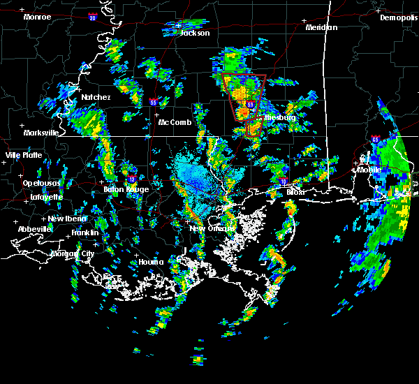 At 1052 am cdt, a severe thunderstorm capable of producing a tornado was located over rock hill, or 17 miles northwest of wiggins, moving north at 35 mph (radar indicated rotation). Hazards include tornado. Flying debris will be dangerous to those caught without shelter. mobile homes will be damaged or destroyed. damage to roofs, windows, and vehicles will occur. tree damage is likely. this dangerous storm will be near, rock hill around 1055 am cdt. Mclaurin around 1110 am cdt. At 1052 am cdt, a severe thunderstorm capable of producing a tornado was located over rock hill, or 17 miles northwest of wiggins, moving north at 35 mph (radar indicated rotation). Hazards include tornado. Flying debris will be dangerous to those caught without shelter. mobile homes will be damaged or destroyed. damage to roofs, windows, and vehicles will occur. tree damage is likely. this dangerous storm will be near, rock hill around 1055 am cdt. Mclaurin around 1110 am cdt.
|
| 8/30/2017 10:43 AM CDT |
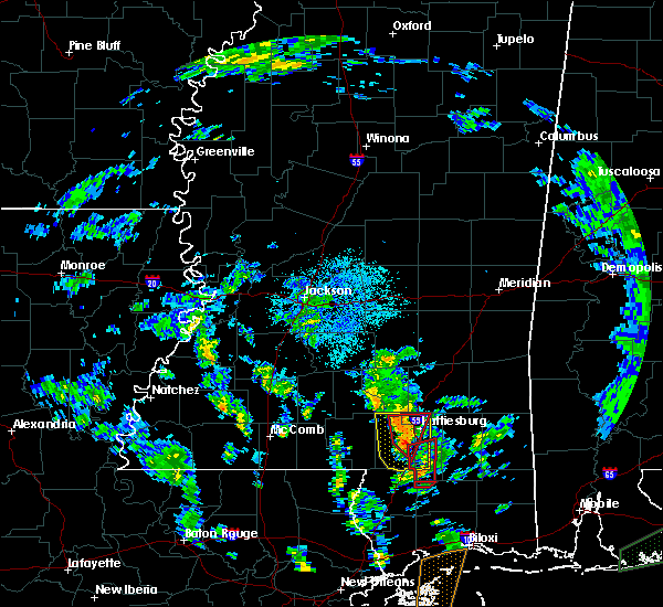 At 1042 am cdt, a severe thunderstorm capable of producing a tornado was located near west hattiesburg, moving north at 30 mph (radar indicated rotation). Hazards include tornado. Flying debris will be dangerous to those caught without shelter. mobile homes will be damaged or destroyed. damage to roofs, windows, and vehicles will occur. tree damage is likely. this dangerous storm will be near, hattiesburg and oak grove around 1050 am cdt. west hattiesburg around 1055 am cdt. rawls springs around 1100 am cdt. eastabuchie around 1110 am cdt. sanford around 1115 am cdt. moselle around 1120 am cdt. ellisville around 1135 am cdt. hebron around 1145 am cdt. Other locations impacted by this tornadic thunderstorm include seminary. At 1042 am cdt, a severe thunderstorm capable of producing a tornado was located near west hattiesburg, moving north at 30 mph (radar indicated rotation). Hazards include tornado. Flying debris will be dangerous to those caught without shelter. mobile homes will be damaged or destroyed. damage to roofs, windows, and vehicles will occur. tree damage is likely. this dangerous storm will be near, hattiesburg and oak grove around 1050 am cdt. west hattiesburg around 1055 am cdt. rawls springs around 1100 am cdt. eastabuchie around 1110 am cdt. sanford around 1115 am cdt. moselle around 1120 am cdt. ellisville around 1135 am cdt. hebron around 1145 am cdt. Other locations impacted by this tornadic thunderstorm include seminary.
|
| 8/30/2017 10:38 AM CDT |
 At 1038 am cdt, a severe thunderstorm capable of producing a tornado was located 8 miles west of maxie, or 12 miles northwest of wiggins, moving north at 35 mph (radar indicated rotation). Hazards include tornado. Flying debris will be dangerous to those caught without shelter. mobile homes will be damaged or destroyed. damage to roofs, windows, and vehicles will occur. tree damage is likely. this dangerous storm will be near, maxie around 1045 am cdt. rock hill and brooklyn around 1055 am cdt. Mclaurin around 1105 am cdt. At 1038 am cdt, a severe thunderstorm capable of producing a tornado was located 8 miles west of maxie, or 12 miles northwest of wiggins, moving north at 35 mph (radar indicated rotation). Hazards include tornado. Flying debris will be dangerous to those caught without shelter. mobile homes will be damaged or destroyed. damage to roofs, windows, and vehicles will occur. tree damage is likely. this dangerous storm will be near, maxie around 1045 am cdt. rock hill and brooklyn around 1055 am cdt. Mclaurin around 1105 am cdt.
|
| 8/30/2017 10:32 AM CDT |
 At 1032 am cdt, a severe thunderstorm capable of producing a tornado was located over purvis, or 11 miles south of west hattiesburg, moving north at 30 mph (radar indicated rotation). Hazards include tornado. Flying debris will be dangerous to those caught without shelter. mobile homes will be damaged or destroyed. damage to roofs, windows, and vehicles will occur. tree damage is likely. This dangerous storm will be near, hattiesburg, west hattiesburg and oak grove around 1045 am cdt. At 1032 am cdt, a severe thunderstorm capable of producing a tornado was located over purvis, or 11 miles south of west hattiesburg, moving north at 30 mph (radar indicated rotation). Hazards include tornado. Flying debris will be dangerous to those caught without shelter. mobile homes will be damaged or destroyed. damage to roofs, windows, and vehicles will occur. tree damage is likely. This dangerous storm will be near, hattiesburg, west hattiesburg and oak grove around 1045 am cdt.
|
| 8/30/2017 10:19 AM CDT |
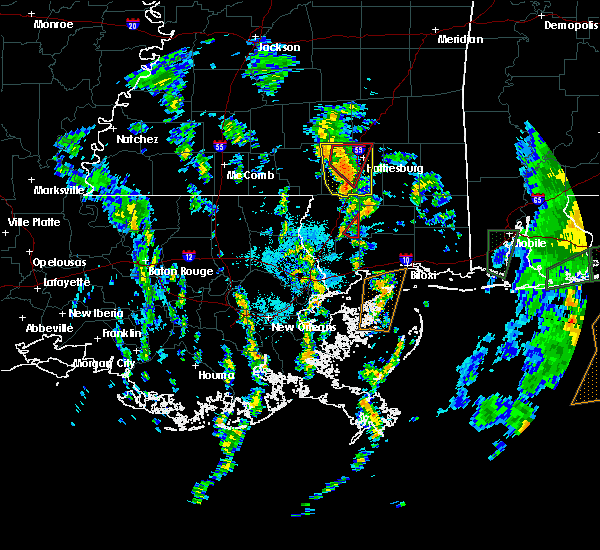 At 1019 am cdt, a severe thunderstorm capable of producing a tornado was located near west hattiesburg, moving north at 30 mph (radar indicated rotation). Hazards include tornado. Flying debris will be dangerous to those caught without shelter. mobile homes will be damaged or destroyed. damage to roofs, windows, and vehicles will occur. tree damage is likely. this dangerous storm will be near, hattiesburg and oak grove around 1025 am cdt. west hattiesburg around 1030 am cdt. Rawls springs around 1040 am cdt. At 1019 am cdt, a severe thunderstorm capable of producing a tornado was located near west hattiesburg, moving north at 30 mph (radar indicated rotation). Hazards include tornado. Flying debris will be dangerous to those caught without shelter. mobile homes will be damaged or destroyed. damage to roofs, windows, and vehicles will occur. tree damage is likely. this dangerous storm will be near, hattiesburg and oak grove around 1025 am cdt. west hattiesburg around 1030 am cdt. Rawls springs around 1040 am cdt.
|
| 8/30/2017 10:05 AM CDT |
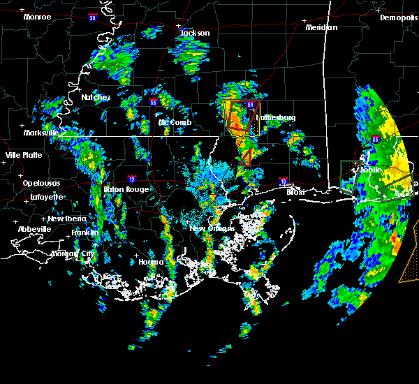 At 1005 am cdt, a severe thunderstorm capable of producing a tornado was located near purvis, or 12 miles southwest of west hattiesburg, moving north at 35 mph (radar indicated rotation). Hazards include tornado. Flying debris will be dangerous to those caught without shelter. mobile homes will be damaged or destroyed. damage to roofs, windows, and vehicles will occur. tree damage is likely. this dangerous storm will be near, hattiesburg and oak grove around 1020 am cdt. west hattiesburg around 1025 am cdt. Rawls springs around 1035 am cdt. At 1005 am cdt, a severe thunderstorm capable of producing a tornado was located near purvis, or 12 miles southwest of west hattiesburg, moving north at 35 mph (radar indicated rotation). Hazards include tornado. Flying debris will be dangerous to those caught without shelter. mobile homes will be damaged or destroyed. damage to roofs, windows, and vehicles will occur. tree damage is likely. this dangerous storm will be near, hattiesburg and oak grove around 1020 am cdt. west hattiesburg around 1025 am cdt. Rawls springs around 1035 am cdt.
|
| 8/30/2017 10:01 AM CDT |
 At 1000 am cdt, a severe thunderstorm was located near purvis, or 16 miles southwest of west hattiesburg, moving north at 35 mph (radar indicated). Hazards include 60 mph wind gusts. Expect damage to roofs, siding, and trees. this severe storm will be near, purvis around 1010 am cdt. hattiesburg and oak grove around 1025 am cdt. west hattiesburg around 1030 am cdt. Petal and rawls springs around 1040 am cdt. At 1000 am cdt, a severe thunderstorm was located near purvis, or 16 miles southwest of west hattiesburg, moving north at 35 mph (radar indicated). Hazards include 60 mph wind gusts. Expect damage to roofs, siding, and trees. this severe storm will be near, purvis around 1010 am cdt. hattiesburg and oak grove around 1025 am cdt. west hattiesburg around 1030 am cdt. Petal and rawls springs around 1040 am cdt.
|
| 8/30/2017 9:50 AM CDT |
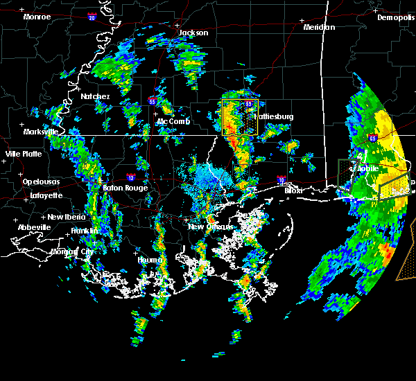 At 950 am cdt, a severe thunderstorm was located near baxterville, or 14 miles north of poplarville, moving north at 35 mph (radar indicated). Hazards include 60 mph wind gusts. Expect damage to roofs, siding, and trees. this severe thunderstorm will be near, pine ridge around 1010 am cdt. hattiesburg and oak grove around 1020 am cdt. Sumrall around 1035 am cdt. At 950 am cdt, a severe thunderstorm was located near baxterville, or 14 miles north of poplarville, moving north at 35 mph (radar indicated). Hazards include 60 mph wind gusts. Expect damage to roofs, siding, and trees. this severe thunderstorm will be near, pine ridge around 1010 am cdt. hattiesburg and oak grove around 1020 am cdt. Sumrall around 1035 am cdt.
|
| 6/16/2017 10:07 PM CDT | Trees down on schley st in brookly in forrest county MS, 20.7 miles NNW of Hattiesburg, MS |
| 6/16/2017 9:54 PM CDT | Multiple trees downed across forrest co... including a large tree down across old hwy 49 w near dixi in forrest county MS, 8.1 miles NNW of Hattiesburg, MS |
| 6/16/2017 9:50 PM CDT | Power lines downed across road at us 49 and us 9 in forrest county MS, 7.4 miles NNW of Hattiesburg, MS |
| 6/16/2017 9:45 PM CDT |
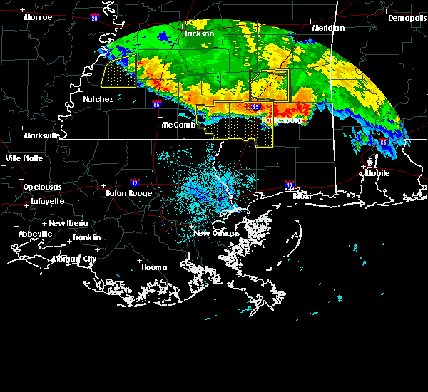 At 945 pm cdt, severe thunderstorms were located along a line extending from hattiesburg to columbia, moving south at 50 mph (radar indicated). Hazards include 70 mph wind gusts. Expect considerable tree damage. damage is likely to mobile homes, roofs, and outbuildings. these severe storms will be near, sunrise around 950 pm cdt. mclaurin, pickwick and pinebur around 955 pm cdt. rock hill around 1000 pm cdt. sandy hook and brooklyn around 1005 pm cdt. maxie around 1015 pm cdt. Other locations impacted by these severe thunderstorms include corinth. At 945 pm cdt, severe thunderstorms were located along a line extending from hattiesburg to columbia, moving south at 50 mph (radar indicated). Hazards include 70 mph wind gusts. Expect considerable tree damage. damage is likely to mobile homes, roofs, and outbuildings. these severe storms will be near, sunrise around 950 pm cdt. mclaurin, pickwick and pinebur around 955 pm cdt. rock hill around 1000 pm cdt. sandy hook and brooklyn around 1005 pm cdt. maxie around 1015 pm cdt. Other locations impacted by these severe thunderstorms include corinth.
|
| 6/16/2017 9:37 PM CDT | Trees downed on monroe r in forrest county MS, 4.9 miles SSW of Hattiesburg, MS |
| 6/16/2017 9:33 PM CDT |
 At 932 pm cdt, severe thunderstorms were located along a line extending from near moselle to near society hill, moving southeast at 50 mph (radar indicated). Hazards include 70 mph wind gusts. Expect considerable tree damage. damage is likely to mobile homes, roofs, and outbuildings. these severe storms will be near, west hattiesburg and rawls springs around 940 pm cdt. petal and macedonia around 945 pm cdt. sunrise around 950 pm cdt. pickwick around 955 pm cdt. sandy hook, pinebur and mclaurin around 1000 pm cdt. baxterville around 1005 pm cdt. Other locations impacted by these severe thunderstorms include corinth. At 932 pm cdt, severe thunderstorms were located along a line extending from near moselle to near society hill, moving southeast at 50 mph (radar indicated). Hazards include 70 mph wind gusts. Expect considerable tree damage. damage is likely to mobile homes, roofs, and outbuildings. these severe storms will be near, west hattiesburg and rawls springs around 940 pm cdt. petal and macedonia around 945 pm cdt. sunrise around 950 pm cdt. pickwick around 955 pm cdt. sandy hook, pinebur and mclaurin around 1000 pm cdt. baxterville around 1005 pm cdt. Other locations impacted by these severe thunderstorms include corinth.
|
| 6/16/2017 9:13 PM CDT |
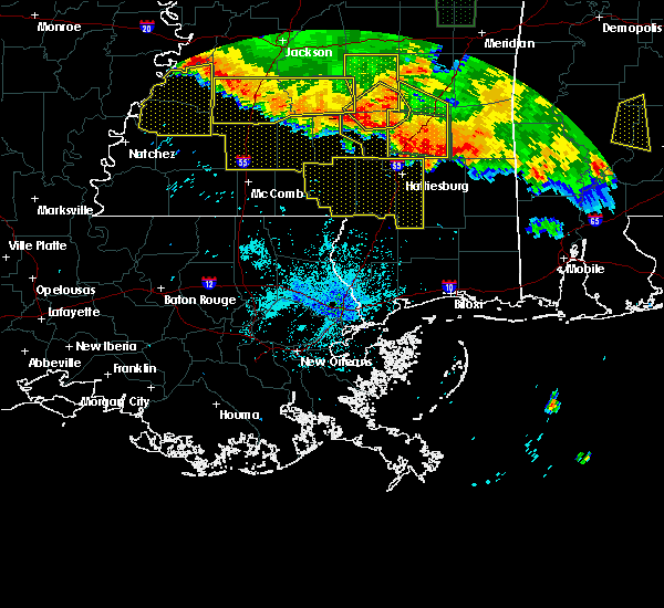 At 913 pm cdt, severe thunderstorms were located along a line extending from collins to near monticello, moving south at 55 mph (radar indicated). Hazards include 70 mph wind gusts. Expect considerable tree damage. damage is likely to mobile homes, roofs, and outbuildings. severe thunderstorms will be near, sumrall around 930 pm cdt. holly springs and morgantown around 935 pm cdt. west hattiesburg and rawls springs around 940 pm cdt. hattiesburg, kokomo and oak grove around 945 pm cdt. pine ridge around 950 pm cdt. purvis around 955 pm cdt. rock hill around 1000 pm cdt. lumberton around 1005 pm cdt. Other locations impacted by these severe thunderstorms include corinth. At 913 pm cdt, severe thunderstorms were located along a line extending from collins to near monticello, moving south at 55 mph (radar indicated). Hazards include 70 mph wind gusts. Expect considerable tree damage. damage is likely to mobile homes, roofs, and outbuildings. severe thunderstorms will be near, sumrall around 930 pm cdt. holly springs and morgantown around 935 pm cdt. west hattiesburg and rawls springs around 940 pm cdt. hattiesburg, kokomo and oak grove around 945 pm cdt. pine ridge around 950 pm cdt. purvis around 955 pm cdt. rock hill around 1000 pm cdt. lumberton around 1005 pm cdt. Other locations impacted by these severe thunderstorms include corinth.
|
| 6/14/2017 5:55 PM CDT | Report via social media - picture of a tree down on steelman roa in lamar county MS, 5.1 miles NE of Hattiesburg, MS |
| 5/21/2017 5:53 PM CDT | Trees and power lines dow in forrest county MS, 3.7 miles SSW of Hattiesburg, MS |
| 4/30/2017 8:12 PM CDT | Golf Ball sized hail reported 3.2 miles SSW of Hattiesburg, MS, golf ball size hail at exit 69 off i-59. |
| 4/30/2017 8:11 PM CDT |
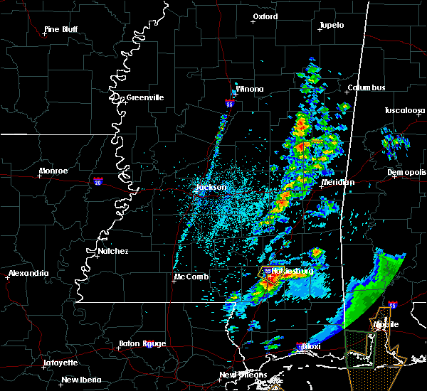 At 810 pm cdt, a severe thunderstorm was located over petal, moving northeast at 70 mph (radar indicated). Hazards include 60 mph wind gusts and quarter size hail. Hail damage to vehicles is expected. expect wind damage to roofs, siding, and trees. This severe storm will be near, macedonia around 815 pm cdt. At 810 pm cdt, a severe thunderstorm was located over petal, moving northeast at 70 mph (radar indicated). Hazards include 60 mph wind gusts and quarter size hail. Hail damage to vehicles is expected. expect wind damage to roofs, siding, and trees. This severe storm will be near, macedonia around 815 pm cdt.
|
| 4/30/2017 8:09 PM CDT | Quarter sized hail reported 1.9 miles ENE of Hattiesburg, MS, quarter size hail at pcs school in hattiesburg. |
| 4/30/2017 8:07 PM CDT | Quarter sized hail reported 1.2 miles NW of Hattiesburg, MS, nickel to quarter size hail near the hattiesburg zoo. |
| 4/30/2017 8:00 PM CDT |
 At 800 pm cdt, a severe thunderstorm was located near purvis, or 9 miles south of west hattiesburg, moving northeast at 60 mph (radar indicated). Hazards include 60 mph wind gusts and quarter size hail. Hail damage to vehicles is expected. expect wind damage to roofs, siding, and trees. this severe thunderstorm will be near, hattiesburg and oak grove around 805 pm cdt. west hattiesburg around 810 pm cdt. petal, rawls springs and sunrise around 815 pm cdt. Macedonia around 820 pm cdt. At 800 pm cdt, a severe thunderstorm was located near purvis, or 9 miles south of west hattiesburg, moving northeast at 60 mph (radar indicated). Hazards include 60 mph wind gusts and quarter size hail. Hail damage to vehicles is expected. expect wind damage to roofs, siding, and trees. this severe thunderstorm will be near, hattiesburg and oak grove around 805 pm cdt. west hattiesburg around 810 pm cdt. petal, rawls springs and sunrise around 815 pm cdt. Macedonia around 820 pm cdt.
|
| 4/30/2017 12:54 PM CDT |
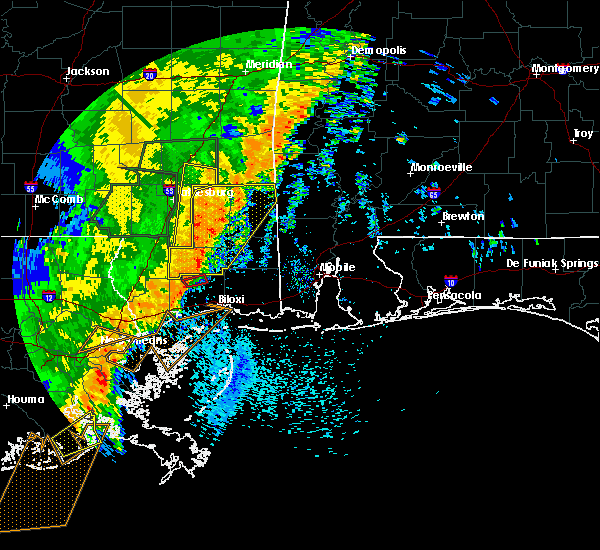 At 1253 pm cdt, severe thunderstorms were located along a line extending from near macedonia to near mclaurin to maxie, moving north at 40 mph (radar indicated). Hazards include 60 mph wind gusts. Expect damage to roofs, siding, and trees. these severe storms will be near, macedonia around 100 pm cdt. sunrise around 105 pm cdt. ovett around 125 pm cdt. other locations impacted by these severe thunderstorms include corinth. A tornado watch remains in effect until 300 pm cdt for southeastern mississippi. At 1253 pm cdt, severe thunderstorms were located along a line extending from near macedonia to near mclaurin to maxie, moving north at 40 mph (radar indicated). Hazards include 60 mph wind gusts. Expect damage to roofs, siding, and trees. these severe storms will be near, macedonia around 100 pm cdt. sunrise around 105 pm cdt. ovett around 125 pm cdt. other locations impacted by these severe thunderstorms include corinth. A tornado watch remains in effect until 300 pm cdt for southeastern mississippi.
|
| 4/30/2017 12:31 PM CDT |
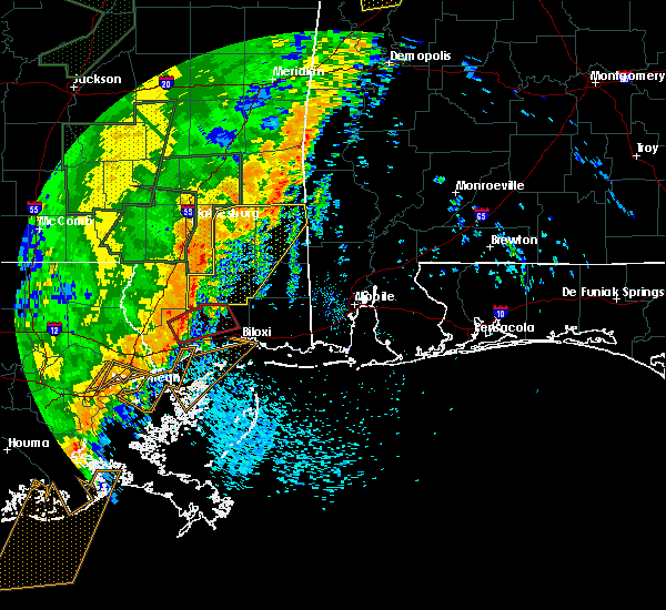 At 1231 pm cdt, a severe thunderstorm was located near sunrise, or near hattiesburg, moving northeast at 40 mph (radar indicated). Hazards include 60 mph wind gusts. Expect damage to roofs, siding, and trees. this severe thunderstorm will be near, petal and sunrise around 1240 pm cdt. macedonia and eastabuchie around 1250 pm cdt. ovett around 115 pm cdt. laurel around 125 pm cdt. other locations impacted by this severe thunderstorm include corinth. A tornado watch remains in effect until 300 pm cdt for southeastern mississippi. At 1231 pm cdt, a severe thunderstorm was located near sunrise, or near hattiesburg, moving northeast at 40 mph (radar indicated). Hazards include 60 mph wind gusts. Expect damage to roofs, siding, and trees. this severe thunderstorm will be near, petal and sunrise around 1240 pm cdt. macedonia and eastabuchie around 1250 pm cdt. ovett around 115 pm cdt. laurel around 125 pm cdt. other locations impacted by this severe thunderstorm include corinth. A tornado watch remains in effect until 300 pm cdt for southeastern mississippi.
|
| 4/30/2017 11:32 AM CDT |
 At 1131 am cdt, severe thunderstorms were located along a line extending from sandersville to near rock hill, moving east at 30 mph (radar indicated. at around 1045 am, trees were reported down along lott town rd in southeast covington and northern forrest counties). Hazards include 60 mph wind gusts. Expect damage to roofs, siding, and trees. locations impacted include, hattiesburg, petal, sandersville, brooklyn, maxie, ovett, rock hill, mill creek, mclaurin, tuckers crossing, sunrise, macedonia and corinth. A tornado watch remains in effect until 300 pm cdt for southeastern and east central mississippi. At 1131 am cdt, severe thunderstorms were located along a line extending from sandersville to near rock hill, moving east at 30 mph (radar indicated. at around 1045 am, trees were reported down along lott town rd in southeast covington and northern forrest counties). Hazards include 60 mph wind gusts. Expect damage to roofs, siding, and trees. locations impacted include, hattiesburg, petal, sandersville, brooklyn, maxie, ovett, rock hill, mill creek, mclaurin, tuckers crossing, sunrise, macedonia and corinth. A tornado watch remains in effect until 300 pm cdt for southeastern and east central mississippi.
|
| 4/30/2017 11:08 AM CDT |
 At 1107 am cdt, severe thunderstorms were located along a line extending from near soso to near lumberton, moving east at 20 mph (radar indicated). Hazards include 60 mph wind gusts. Expect damage to roofs, siding, and trees. locations impacted include, hattiesburg, laurel, petal, ellisville, west hattiesburg, purvis, lumberton, sandersville, rawls springs, brooklyn, maxie, eastabuchie, ovett, rock hill, mill creek, mclaurin, tuckers crossing, sunrise, macedonia and moselle. A tornado watch remains in effect until 300 pm cdt for southeastern and east central mississippi. At 1107 am cdt, severe thunderstorms were located along a line extending from near soso to near lumberton, moving east at 20 mph (radar indicated). Hazards include 60 mph wind gusts. Expect damage to roofs, siding, and trees. locations impacted include, hattiesburg, laurel, petal, ellisville, west hattiesburg, purvis, lumberton, sandersville, rawls springs, brooklyn, maxie, eastabuchie, ovett, rock hill, mill creek, mclaurin, tuckers crossing, sunrise, macedonia and moselle. A tornado watch remains in effect until 300 pm cdt for southeastern and east central mississippi.
|
| 4/30/2017 10:54 AM CDT |
 At 1052 am cdt, severe thunderstorms were located along a line extending from 8 miles southeast of taylorsville to near lumberton, moving east at 30 mph (radar indicated. marion county sheriffs office reported trees downed across the county with these storms). Hazards include 60 mph wind gusts. Expect damage to roofs, siding, and trees. locations impacted include, hattiesburg, laurel, petal, ellisville, west hattiesburg, purvis, lumberton, sandersville, brooklyn, maxie, rock hill, sanford, tuckers crossing, rawls springs, eastabuchie, ovett, mill creek, mclaurin, sunrise and macedonia. A tornado watch remains in effect until 300 pm cdt for central, southeastern and east central mississippi. At 1052 am cdt, severe thunderstorms were located along a line extending from 8 miles southeast of taylorsville to near lumberton, moving east at 30 mph (radar indicated. marion county sheriffs office reported trees downed across the county with these storms). Hazards include 60 mph wind gusts. Expect damage to roofs, siding, and trees. locations impacted include, hattiesburg, laurel, petal, ellisville, west hattiesburg, purvis, lumberton, sandersville, brooklyn, maxie, rock hill, sanford, tuckers crossing, rawls springs, eastabuchie, ovett, mill creek, mclaurin, sunrise and macedonia. A tornado watch remains in effect until 300 pm cdt for central, southeastern and east central mississippi.
|
| 4/30/2017 10:49 AM CDT | Power lines down on lott town r in forrest county MS, 8.3 miles SE of Hattiesburg, MS |
| 4/30/2017 10:43 AM CDT |
 At 1043 am cdt, severe thunderstorms were located along a line extending from 7 miles southeast of taylorsville to near lumberton, moving east at 40 mph (radar indicated). Hazards include 60 mph wind gusts. expect damage to roofs, siding, and trees At 1043 am cdt, severe thunderstorms were located along a line extending from 7 miles southeast of taylorsville to near lumberton, moving east at 40 mph (radar indicated). Hazards include 60 mph wind gusts. expect damage to roofs, siding, and trees
|
| 4/30/2017 10:37 AM CDT |
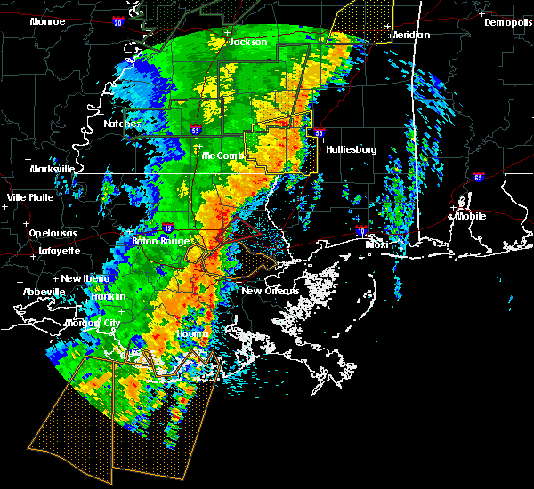 At 1037 am cdt, severe thunderstorms were located along a line extending from seminary to bellevue to 6 miles east of sandy hook, moving east at 45 mph (radar indicated). Hazards include 60 mph wind gusts. Expect damage to roofs, siding, and trees. locations impacted include, hattiesburg, columbia, kokomo, sandy hook, west hattiesburg, holly springs, purvis, lumberton, sumrall, morgantown, goss, bunker hill, pickwick, sanford, pineburr, society hill, improve, baxterville, melba and seminary. A tornado watch remains in effect until 300 pm cdt for south central and southeastern mississippi. At 1037 am cdt, severe thunderstorms were located along a line extending from seminary to bellevue to 6 miles east of sandy hook, moving east at 45 mph (radar indicated). Hazards include 60 mph wind gusts. Expect damage to roofs, siding, and trees. locations impacted include, hattiesburg, columbia, kokomo, sandy hook, west hattiesburg, holly springs, purvis, lumberton, sumrall, morgantown, goss, bunker hill, pickwick, sanford, pineburr, society hill, improve, baxterville, melba and seminary. A tornado watch remains in effect until 300 pm cdt for south central and southeastern mississippi.
|
| 4/30/2017 9:50 AM CDT |
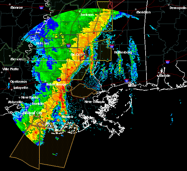 At 949 am cdt, severe thunderstorms were located along a line extending from near salem to near dexter, moving east at 45 mph (radar indicated). Hazards include 60 mph wind gusts. Expect damage to roofs, siding, and trees. severe thunderstorms will be near, holly springs around 1000 am cdt. goss and morgantown around 1005 am cdt. sandy hook, society hill and pickwick around 1010 am cdt. bunker hill around 1015 am cdt. pinebur and improve around 1020 am cdt. baxterville around 1025 am cdt. melba around 1030 am cdt. sumrall around 1035 am cdt. other locations impacted by these severe thunderstorms include bassfield and seminary. A tornado watch remains in effect until 300 pm cdt for south central and southeastern mississippi. At 949 am cdt, severe thunderstorms were located along a line extending from near salem to near dexter, moving east at 45 mph (radar indicated). Hazards include 60 mph wind gusts. Expect damage to roofs, siding, and trees. severe thunderstorms will be near, holly springs around 1000 am cdt. goss and morgantown around 1005 am cdt. sandy hook, society hill and pickwick around 1010 am cdt. bunker hill around 1015 am cdt. pinebur and improve around 1020 am cdt. baxterville around 1025 am cdt. melba around 1030 am cdt. sumrall around 1035 am cdt. other locations impacted by these severe thunderstorms include bassfield and seminary. A tornado watch remains in effect until 300 pm cdt for south central and southeastern mississippi.
|
| 4/22/2017 9:06 PM CDT |
 The severe thunderstorm warning for forrest and lamar counties will expire at 915 pm cdt, the storm which prompted the warning has weakened below severe limits, and no longer poses an immediate threat to life or property. therefore the warning will be allowed to expire. however gusty winds are still possible with this thunderstorm. The severe thunderstorm warning for forrest and lamar counties will expire at 915 pm cdt, the storm which prompted the warning has weakened below severe limits, and no longer poses an immediate threat to life or property. therefore the warning will be allowed to expire. however gusty winds are still possible with this thunderstorm.
|
| 4/22/2017 8:31 PM CDT |
 At 831 pm cdt, a severe thunderstorm was located 10 miles northwest of purvis, or 12 miles southwest of west hattiesburg, moving east at 30 mph (radar indicated). Hazards include 60 mph wind gusts and quarter size hail. Hail damage to vehicles is expected. expect wind damage to roofs, siding, and trees. this severe thunderstorm will be near, hattiesburg around 840 pm cdt. oak grove around 845 pm cdt. purvis around 850 pm cdt. rock hill around 900 pm cdt. mclaurin around 910 pm cdt. Brooklyn around 915 pm cdt. At 831 pm cdt, a severe thunderstorm was located 10 miles northwest of purvis, or 12 miles southwest of west hattiesburg, moving east at 30 mph (radar indicated). Hazards include 60 mph wind gusts and quarter size hail. Hail damage to vehicles is expected. expect wind damage to roofs, siding, and trees. this severe thunderstorm will be near, hattiesburg around 840 pm cdt. oak grove around 845 pm cdt. purvis around 850 pm cdt. rock hill around 900 pm cdt. mclaurin around 910 pm cdt. Brooklyn around 915 pm cdt.
|
| 4/3/2017 4:32 AM CDT |
 At 431 am cdt, a severe thunderstorm was located near west hattiesburg, moving northeast at 50 mph (radar indicated). Hazards include 60 mph wind gusts. Expect damage to roofs, siding, and trees. this severe storm will be near, oak grove and rawls springs around 435 am cdt. petal around 440 am cdt. sunrise and macedonia around 445 am cdt. other locations impacted by this severe thunderstorm include corinth. A tornado watch remains in effect until 900 am cdt for southeastern mississippi. At 431 am cdt, a severe thunderstorm was located near west hattiesburg, moving northeast at 50 mph (radar indicated). Hazards include 60 mph wind gusts. Expect damage to roofs, siding, and trees. this severe storm will be near, oak grove and rawls springs around 435 am cdt. petal around 440 am cdt. sunrise and macedonia around 445 am cdt. other locations impacted by this severe thunderstorm include corinth. A tornado watch remains in effect until 900 am cdt for southeastern mississippi.
|
| 4/3/2017 4:05 AM CDT |
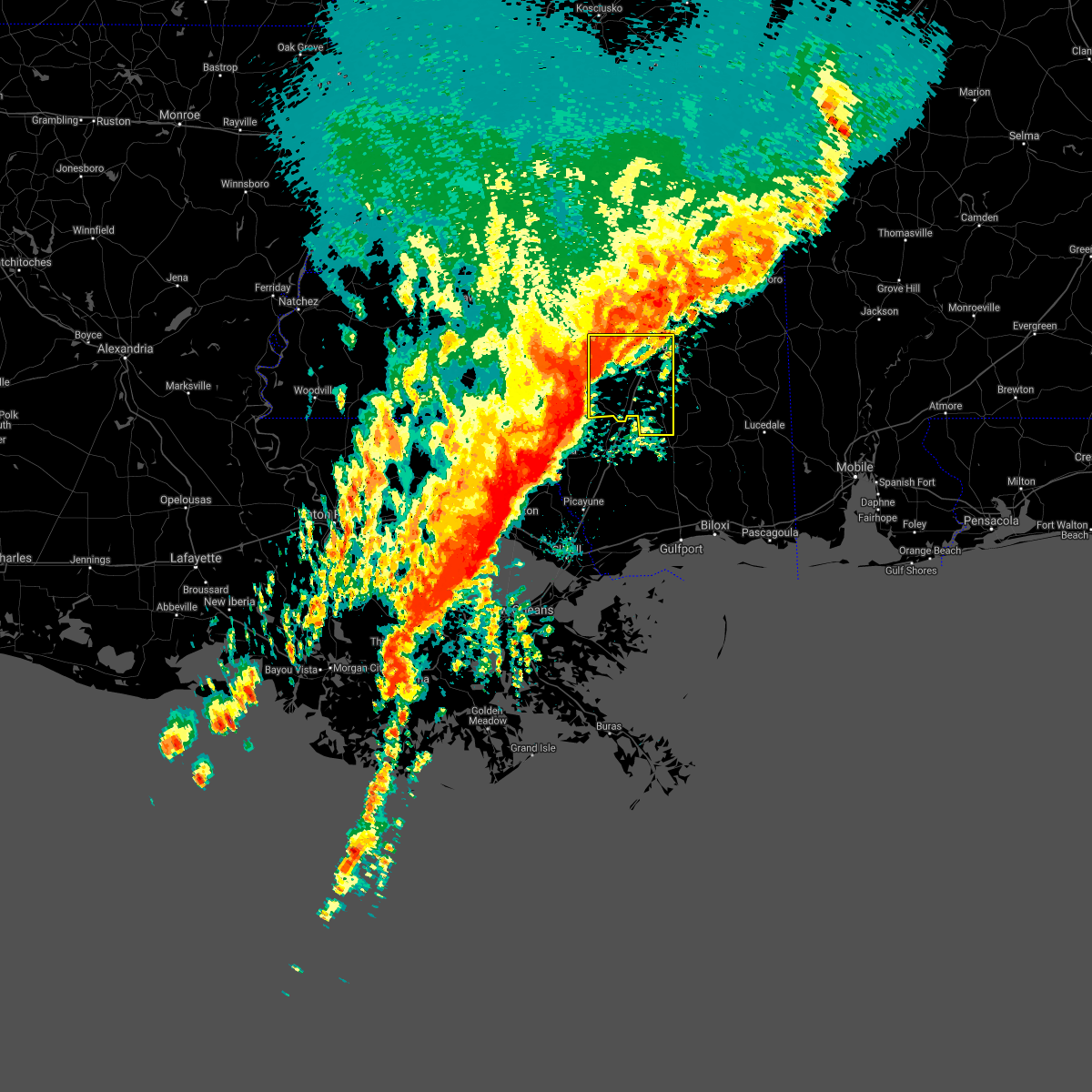 At 404 am cdt, a severe thunderstorm was located over pinebur, or 10 miles northeast of sandy hook, moving northeast at 60 mph (radar indicated). Hazards include 60 mph wind gusts and penny size hail. Expect damage to roofs, siding, and trees. this severe thunderstorm will be near, hattiesburg, purvis and pine ridge around 420 am cdt. west hattiesburg and oak grove around 425 am cdt. rawls springs around 430 am cdt. petal and sunrise around 435 am cdt. macedonia around 440 am cdt. other locations impacted by this severe thunderstorm include corinth. A tornado watch remains in effect until 900 am cdt for southeastern mississippi. At 404 am cdt, a severe thunderstorm was located over pinebur, or 10 miles northeast of sandy hook, moving northeast at 60 mph (radar indicated). Hazards include 60 mph wind gusts and penny size hail. Expect damage to roofs, siding, and trees. this severe thunderstorm will be near, hattiesburg, purvis and pine ridge around 420 am cdt. west hattiesburg and oak grove around 425 am cdt. rawls springs around 430 am cdt. petal and sunrise around 435 am cdt. macedonia around 440 am cdt. other locations impacted by this severe thunderstorm include corinth. A tornado watch remains in effect until 900 am cdt for southeastern mississippi.
|
| 3/30/2017 6:12 AM CDT |
 At 612 am cdt, a severe thunderstorm was located near macedonia, or 8 miles east of petal, moving northeast at 45 mph (radar indicated). Hazards include 60 mph wind gusts and quarter size hail. Hail damage to vehicles is expected. expect wind damage to roofs, siding, and trees. This severe storm will be near, ovett around 625 am cdt. At 612 am cdt, a severe thunderstorm was located near macedonia, or 8 miles east of petal, moving northeast at 45 mph (radar indicated). Hazards include 60 mph wind gusts and quarter size hail. Hail damage to vehicles is expected. expect wind damage to roofs, siding, and trees. This severe storm will be near, ovett around 625 am cdt.
|
| 3/30/2017 5:39 AM CDT |
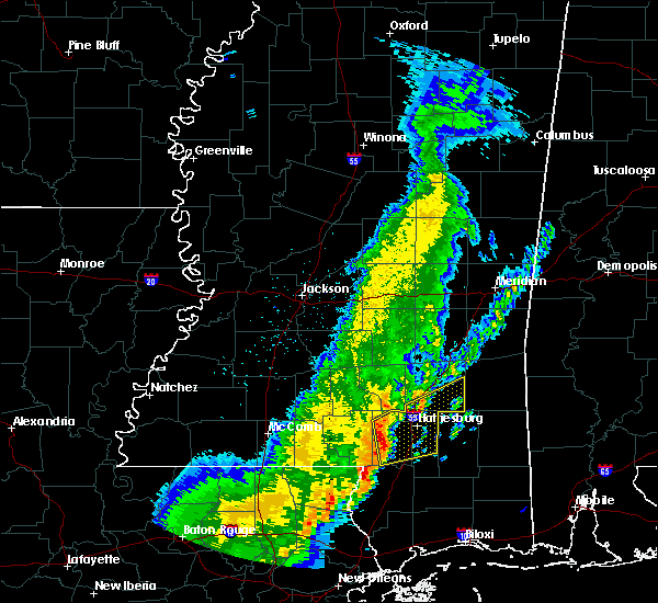 At 538 am cdt, a severe thunderstorm was located near purvis, or 12 miles southwest of west hattiesburg, moving northeast at 45 mph (radar indicated). Hazards include 60 mph wind gusts and quarter size hail. Hail damage to vehicles is expected. expect wind damage to roofs, siding, and trees. this severe thunderstorm will be near, hattiesburg around 545 am cdt. oak grove around 550 am cdt. west hattiesburg around 555 am cdt. petal and sunrise around 605 am cdt. macedonia around 610 am cdt. Ovett around 625 am cdt. At 538 am cdt, a severe thunderstorm was located near purvis, or 12 miles southwest of west hattiesburg, moving northeast at 45 mph (radar indicated). Hazards include 60 mph wind gusts and quarter size hail. Hail damage to vehicles is expected. expect wind damage to roofs, siding, and trees. this severe thunderstorm will be near, hattiesburg around 545 am cdt. oak grove around 550 am cdt. west hattiesburg around 555 am cdt. petal and sunrise around 605 am cdt. macedonia around 610 am cdt. Ovett around 625 am cdt.
|
| 3/1/2017 6:27 PM CST |
 At 627 pm cst, a severe thunderstorm was located near sunrise, or 7 miles southeast of petal, moving east at 50 mph (radar indicated). Hazards include 60 mph wind gusts and quarter size hail. Hail damage to vehicles is expected. expect wind damage to roofs, siding, and trees. This severe thunderstorm will remain over mainly rural areas of northeastern forrest and east central lamar counties. At 627 pm cst, a severe thunderstorm was located near sunrise, or 7 miles southeast of petal, moving east at 50 mph (radar indicated). Hazards include 60 mph wind gusts and quarter size hail. Hail damage to vehicles is expected. expect wind damage to roofs, siding, and trees. This severe thunderstorm will remain over mainly rural areas of northeastern forrest and east central lamar counties.
|
| 3/1/2017 6:12 PM CST |
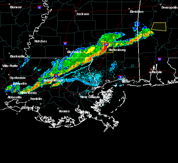 At 612 pm cst, a severe thunderstorm was located near west hattiesburg, moving east at 50 mph (radar indicated). Hazards include 60 mph wind gusts and quarter size hail. Hail damage to vehicles is expected. expect wind damage to roofs, siding, and trees. this severe thunderstorm will be near, oak grove around 620 pm cst. Petal, sunrise and mclaurin around 625 pm cst. At 612 pm cst, a severe thunderstorm was located near west hattiesburg, moving east at 50 mph (radar indicated). Hazards include 60 mph wind gusts and quarter size hail. Hail damage to vehicles is expected. expect wind damage to roofs, siding, and trees. this severe thunderstorm will be near, oak grove around 620 pm cst. Petal, sunrise and mclaurin around 625 pm cst.
|
| 2/7/2017 11:35 AM CST |
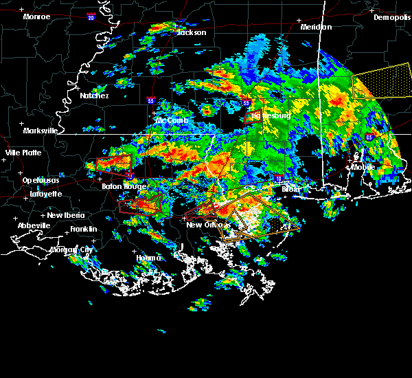 At 1134 am cst, a severe thunderstorm capable of producing a tornado was located near purvis, or 9 miles south of hattiesburg, moving east at 35 mph (radar indicated rotation). Hazards include tornado. Flying debris will be dangerous to those caught without shelter. mobile homes will be damaged or destroyed. damage to roofs, windows, and vehicles will occur. tree damage is likely. This dangerous storm will be near, mclaurin around 1145 am cst. At 1134 am cst, a severe thunderstorm capable of producing a tornado was located near purvis, or 9 miles south of hattiesburg, moving east at 35 mph (radar indicated rotation). Hazards include tornado. Flying debris will be dangerous to those caught without shelter. mobile homes will be damaged or destroyed. damage to roofs, windows, and vehicles will occur. tree damage is likely. This dangerous storm will be near, mclaurin around 1145 am cst.
|
| 2/7/2017 11:15 AM CST |
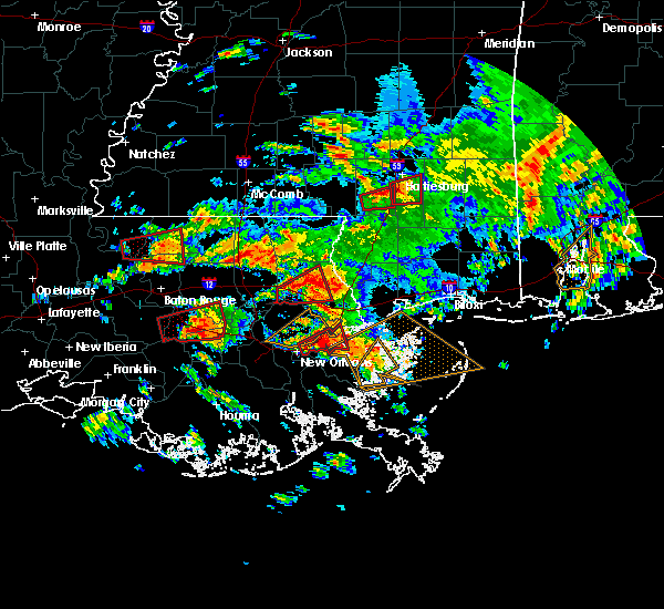 At 1114 am cst, a severe thunderstorm capable of producing a tornado was located near purvis, or 15 miles southwest of west hattiesburg, moving northeast at 25 mph (radar indicated rotation). Hazards include tornado. Flying debris will be dangerous to those caught without shelter. mobile homes will be damaged or destroyed. damage to roofs, windows, and vehicles will occur. tree damage is likely. This dangerous storm will be near, mclaurin around 1155 am cst. At 1114 am cst, a severe thunderstorm capable of producing a tornado was located near purvis, or 15 miles southwest of west hattiesburg, moving northeast at 25 mph (radar indicated rotation). Hazards include tornado. Flying debris will be dangerous to those caught without shelter. mobile homes will be damaged or destroyed. damage to roofs, windows, and vehicles will occur. tree damage is likely. This dangerous storm will be near, mclaurin around 1155 am cst.
|
| 1/21/2017 9:23 PM CST |
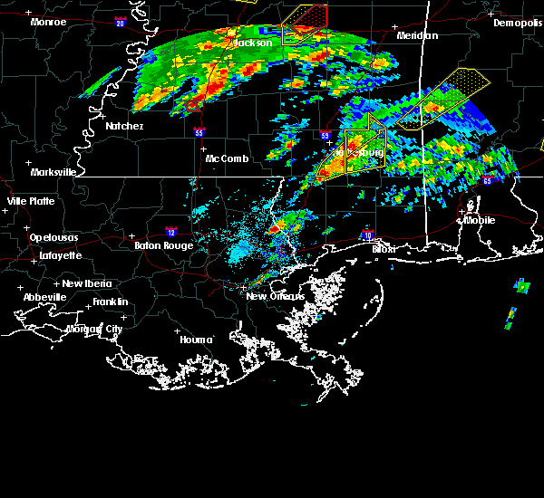 At 923 pm cst, a severe thunderstorm was located near rock hill, or 15 miles northwest of wiggins, moving northeast at 50 mph (radar indicated). Hazards include 60 mph wind gusts and quarter size hail. Hail damage to vehicles is expected. expect wind damage to roofs, siding, and trees. this severe storm will be near, brooklyn and mclaurin around 935 pm cst. A tornado watch remains in effect until 300 am cst for southeastern mississippi. At 923 pm cst, a severe thunderstorm was located near rock hill, or 15 miles northwest of wiggins, moving northeast at 50 mph (radar indicated). Hazards include 60 mph wind gusts and quarter size hail. Hail damage to vehicles is expected. expect wind damage to roofs, siding, and trees. this severe storm will be near, brooklyn and mclaurin around 935 pm cst. A tornado watch remains in effect until 300 am cst for southeastern mississippi.
|
| 1/21/2017 9:16 PM CST |
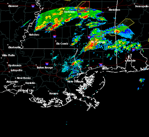 At 916 pm cst, a severe thunderstorm was located over mclaurin, or 9 miles southeast of hattiesburg, moving northeast at 50 mph (radar indicated). Hazards include 60 mph wind gusts and quarter size hail. Hail damage to vehicles is expected. expect wind damage to roofs, siding, and trees. this severe storm will be near, sunrise around 920 pm cst. A tornado watch remains in effect until 300 am cst for southeastern mississippi. At 916 pm cst, a severe thunderstorm was located over mclaurin, or 9 miles southeast of hattiesburg, moving northeast at 50 mph (radar indicated). Hazards include 60 mph wind gusts and quarter size hail. Hail damage to vehicles is expected. expect wind damage to roofs, siding, and trees. this severe storm will be near, sunrise around 920 pm cst. A tornado watch remains in effect until 300 am cst for southeastern mississippi.
|
| 1/21/2017 9:15 PM CST | Quarter sized hail reported 13.1 miles NNW of Hattiesburg, MS, quarter size hail in the mclaurin area |
| 1/21/2017 8:50 PM CST |
 At 849 pm cst, a severe thunderstorm was located near baxterville, or 12 miles north of poplarville, moving northeast at 50 mph (radar indicated). Hazards include 60 mph wind gusts and quarter size hail. Hail damage to vehicles is expected. expect wind damage to roofs, siding, and trees. this severe thunderstorm will be near, lumberton around 855 pm cst. purvis and pine ridge around 905 pm cst. rock hill around 910 pm cst. mclaurin around 920 pm cst. sunrise around 925 pm cst. A tornado watch remains in effect until 300 am cst for south central and southeastern mississippi. At 849 pm cst, a severe thunderstorm was located near baxterville, or 12 miles north of poplarville, moving northeast at 50 mph (radar indicated). Hazards include 60 mph wind gusts and quarter size hail. Hail damage to vehicles is expected. expect wind damage to roofs, siding, and trees. this severe thunderstorm will be near, lumberton around 855 pm cst. purvis and pine ridge around 905 pm cst. rock hill around 910 pm cst. mclaurin around 920 pm cst. sunrise around 925 pm cst. A tornado watch remains in effect until 300 am cst for south central and southeastern mississippi.
|
| 1/21/2017 4:24 AM CST |
 At 424 am cst, a severe thunderstorm was located over rawls springs, or near west hattiesburg, moving northeast at 50 mph (radar indicated). Hazards include 60 mph wind gusts and quarter size hail. Hail damage to vehicles is expected. expect wind damage to roofs, siding, and trees. this severe thunderstorm will be near, moselle and macedonia around 435 am cst. ellisville around 440 am cst. laurel and ovett around 445 am cst. tuckers crossing around 450 am cst. mill creek around 500 am cst. other locations impacted by this severe thunderstorm include rhodes and pineview. A tornado watch remains in effect until 700 am cst for southeastern mississippi. At 424 am cst, a severe thunderstorm was located over rawls springs, or near west hattiesburg, moving northeast at 50 mph (radar indicated). Hazards include 60 mph wind gusts and quarter size hail. Hail damage to vehicles is expected. expect wind damage to roofs, siding, and trees. this severe thunderstorm will be near, moselle and macedonia around 435 am cst. ellisville around 440 am cst. laurel and ovett around 445 am cst. tuckers crossing around 450 am cst. mill creek around 500 am cst. other locations impacted by this severe thunderstorm include rhodes and pineview. A tornado watch remains in effect until 700 am cst for southeastern mississippi.
|
| 1/21/2017 3:59 AM CST |
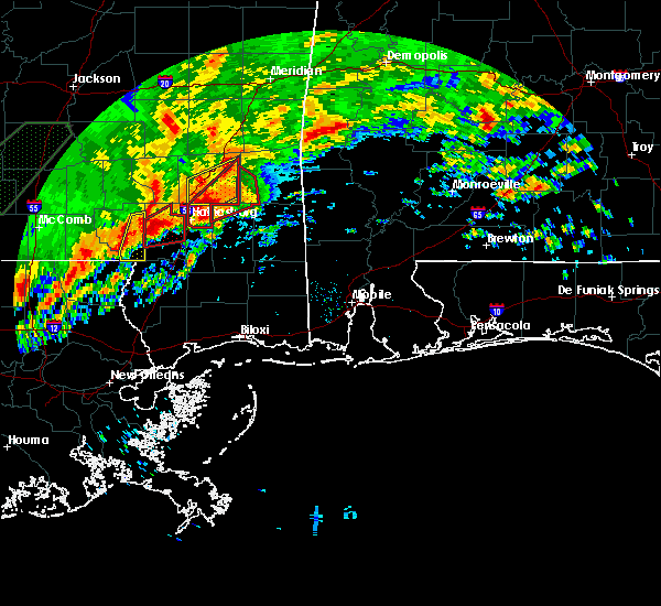 At 358 am cst, a confirmed tornado was located over petal, moving northeast at 40 mph (radar confirmed tornado). Hazards include damaging tornado and quarter size hail. Flying debris will be dangerous to those caught without shelter. mobile homes will be damaged or destroyed. damage to roofs, windows, and vehicles will occur. tree damage is likely. this tornado will be near, macedonia around 405 am cst. ovett around 420 am cst. Other locations impacted by this tornadic thunderstorm include rhodes, pineview and corinth. At 358 am cst, a confirmed tornado was located over petal, moving northeast at 40 mph (radar confirmed tornado). Hazards include damaging tornado and quarter size hail. Flying debris will be dangerous to those caught without shelter. mobile homes will be damaged or destroyed. damage to roofs, windows, and vehicles will occur. tree damage is likely. this tornado will be near, macedonia around 405 am cst. ovett around 420 am cst. Other locations impacted by this tornadic thunderstorm include rhodes, pineview and corinth.
|
| 1/21/2017 3:57 AM CST |
 At 357 am cst, a severe thunderstorm capable of producing a tornado was located 7 miles northeast of pinebur, or 13 miles east of columbia, moving northeast at 45 mph (radar indicated rotation). Hazards include tornado and quarter size hail. Flying debris will be dangerous to those caught without shelter. mobile homes will be damaged or destroyed. damage to roofs, windows, and vehicles will occur. tree damage is likely. this dangerous storm will be near, hattiesburg around 410 am cst. West hattiesburg and oak grove around 415 am cst. At 357 am cst, a severe thunderstorm capable of producing a tornado was located 7 miles northeast of pinebur, or 13 miles east of columbia, moving northeast at 45 mph (radar indicated rotation). Hazards include tornado and quarter size hail. Flying debris will be dangerous to those caught without shelter. mobile homes will be damaged or destroyed. damage to roofs, windows, and vehicles will occur. tree damage is likely. this dangerous storm will be near, hattiesburg around 410 am cst. West hattiesburg and oak grove around 415 am cst.
|
| 1/21/2017 3:46 AM CST |
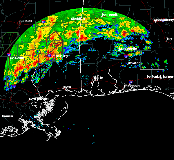 At 345 am cst, a confirmed tornado was located over west hattiesburg, moving northeast at 50 mph (radar confirmed tornado). Hazards include damaging tornado and quarter size hail. Flying debris will be dangerous to those caught without shelter. mobile homes will be damaged or destroyed. damage to roofs, windows, and vehicles will occur. tree damage is likely. this tornado will be near, petal and sunrise around 355 am cst. macedonia and eastabuchie around 400 am cst. ovett around 415 am cst. mill creek around 430 am cst. Other locations impacted by this tornadic thunderstorm include rhodes, pineview and corinth. At 345 am cst, a confirmed tornado was located over west hattiesburg, moving northeast at 50 mph (radar confirmed tornado). Hazards include damaging tornado and quarter size hail. Flying debris will be dangerous to those caught without shelter. mobile homes will be damaged or destroyed. damage to roofs, windows, and vehicles will occur. tree damage is likely. this tornado will be near, petal and sunrise around 355 am cst. macedonia and eastabuchie around 400 am cst. ovett around 415 am cst. mill creek around 430 am cst. Other locations impacted by this tornadic thunderstorm include rhodes, pineview and corinth.
|
| 1/21/2017 3:36 AM CST |
 At 336 am cst, a severe thunderstorm capable of producing a tornado was located 7 miles northwest of purvis, or 8 miles southwest of west hattiesburg, moving northeast at 45 mph (radar indicated rotation). Hazards include tornado. Flying debris will be dangerous to those caught without shelter. mobile homes will be damaged or destroyed. damage to roofs, windows, and vehicles will occur. tree damage is likely. this dangerous storm will be near, hattiesburg around 340 am cst. rawls springs around 355 am cst. petal, eastabuchie and sunrise around 400 am cst. macedonia around 405 am cst. ovett around 420 am cst. tuckers crossing around 425 am cst. mill creek around 430 am cst. Other locations impacted by this tornadic thunderstorm include rhodes, pineview and corinth. At 336 am cst, a severe thunderstorm capable of producing a tornado was located 7 miles northwest of purvis, or 8 miles southwest of west hattiesburg, moving northeast at 45 mph (radar indicated rotation). Hazards include tornado. Flying debris will be dangerous to those caught without shelter. mobile homes will be damaged or destroyed. damage to roofs, windows, and vehicles will occur. tree damage is likely. this dangerous storm will be near, hattiesburg around 340 am cst. rawls springs around 355 am cst. petal, eastabuchie and sunrise around 400 am cst. macedonia around 405 am cst. ovett around 420 am cst. tuckers crossing around 425 am cst. mill creek around 430 am cst. Other locations impacted by this tornadic thunderstorm include rhodes, pineview and corinth.
|
| 1/21/2017 3:26 AM CST |
 At 326 am cst, a severe thunderstorm capable of producing a tornado was located near baxterville, or 15 miles southeast of columbia, moving northeast at 45 mph (radar indicated rotation). Hazards include tornado and quarter size hail. Flying debris will be dangerous to those caught without shelter. mobile homes will be damaged or destroyed. damage to roofs, windows, and vehicles will occur. tree damage is likely. this dangerous storm will be near, hattiesburg around 340 am cst. oak grove around 345 am cst. West hattiesburg around 350 am cst. At 326 am cst, a severe thunderstorm capable of producing a tornado was located near baxterville, or 15 miles southeast of columbia, moving northeast at 45 mph (radar indicated rotation). Hazards include tornado and quarter size hail. Flying debris will be dangerous to those caught without shelter. mobile homes will be damaged or destroyed. damage to roofs, windows, and vehicles will occur. tree damage is likely. this dangerous storm will be near, hattiesburg around 340 am cst. oak grove around 345 am cst. West hattiesburg around 350 am cst.
|
| 1/21/2017 2:57 AM CST |
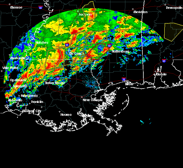 At 256 am cst, a severe thunderstorm capable of producing a tornado was located near sandy hook, moving northeast at 65 mph (radar indicated rotation). Hazards include tornado and quarter size hail. Flying debris will be dangerous to those caught without shelter. mobile homes will be damaged or destroyed. damage to roofs, windows, and vehicles will occur. tree damage is likely. this dangerous storm will be near, sandy hook and pickwick around 305 am cst. pinebur around 310 am cst. hattiesburg around 325 am cst. West hattiesburg, sumrall and oak grove around 330 am cst. At 256 am cst, a severe thunderstorm capable of producing a tornado was located near sandy hook, moving northeast at 65 mph (radar indicated rotation). Hazards include tornado and quarter size hail. Flying debris will be dangerous to those caught without shelter. mobile homes will be damaged or destroyed. damage to roofs, windows, and vehicles will occur. tree damage is likely. this dangerous storm will be near, sandy hook and pickwick around 305 am cst. pinebur around 310 am cst. hattiesburg around 325 am cst. West hattiesburg, sumrall and oak grove around 330 am cst.
|
| 1/2/2017 3:22 PM CST |
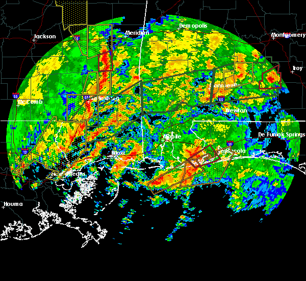 The severe thunderstorm warning for eastern forrest county will expire at 330 pm cst, the severe thunderstorm which prompted the warning has moved out of the warned area therefore the warning will be allowed to expire. a tornado watch remains in effect until 800 pm cst for southeastern mississippi. The severe thunderstorm warning for eastern forrest county will expire at 330 pm cst, the severe thunderstorm which prompted the warning has moved out of the warned area therefore the warning will be allowed to expire. a tornado watch remains in effect until 800 pm cst for southeastern mississippi.
|
| 1/2/2017 3:09 PM CST |
 At 309 pm cst, a severe thunderstorm was located near sunrise, or near petal, moving northeast at 60 mph (radar indicated). Hazards include 60 mph wind gusts. Expect damage to roofs, siding, and trees. this severe thunderstorm will remain over mainly rural areas of eastern forrest county. A tornado watch remains in effect until 800 pm cst for southeastern mississippi. At 309 pm cst, a severe thunderstorm was located near sunrise, or near petal, moving northeast at 60 mph (radar indicated). Hazards include 60 mph wind gusts. Expect damage to roofs, siding, and trees. this severe thunderstorm will remain over mainly rural areas of eastern forrest county. A tornado watch remains in effect until 800 pm cst for southeastern mississippi.
|
| 1/2/2017 3:07 PM CST | Tree down across us 49 at dewitt carter rd in forrest county MS, 14.7 miles NNW of Hattiesburg, MS |
| 1/2/2017 2:39 PM CST |
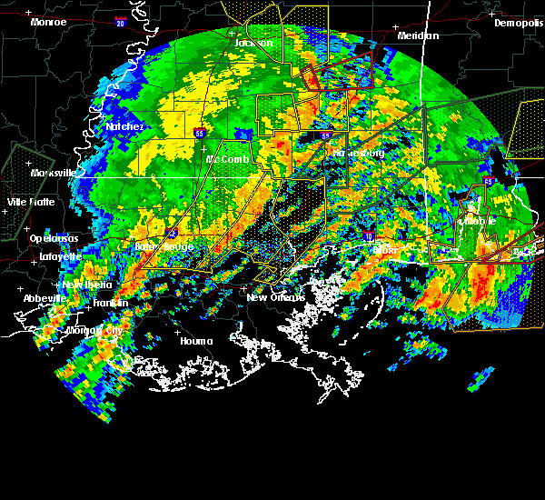 At 239 pm cst, a severe thunderstorm was located near pinebur, or 12 miles northeast of sandy hook, moving east at 60 mph (radar indicated). Hazards include 60 mph wind gusts. Expect damage to roofs, siding, and trees. this severe thunderstorm will be near, hattiesburg and purvis around 250 pm cst. oak grove around 255 pm cst. west hattiesburg and mclaurin around 300 pm cst. petal and sunrise around 305 pm cst. macedonia around 310 pm cst. A tornado watch remains in effect until 800 pm cst for southeastern mississippi. At 239 pm cst, a severe thunderstorm was located near pinebur, or 12 miles northeast of sandy hook, moving east at 60 mph (radar indicated). Hazards include 60 mph wind gusts. Expect damage to roofs, siding, and trees. this severe thunderstorm will be near, hattiesburg and purvis around 250 pm cst. oak grove around 255 pm cst. west hattiesburg and mclaurin around 300 pm cst. petal and sunrise around 305 pm cst. macedonia around 310 pm cst. A tornado watch remains in effect until 800 pm cst for southeastern mississippi.
|
| 1/2/2017 1:34 PM CST |
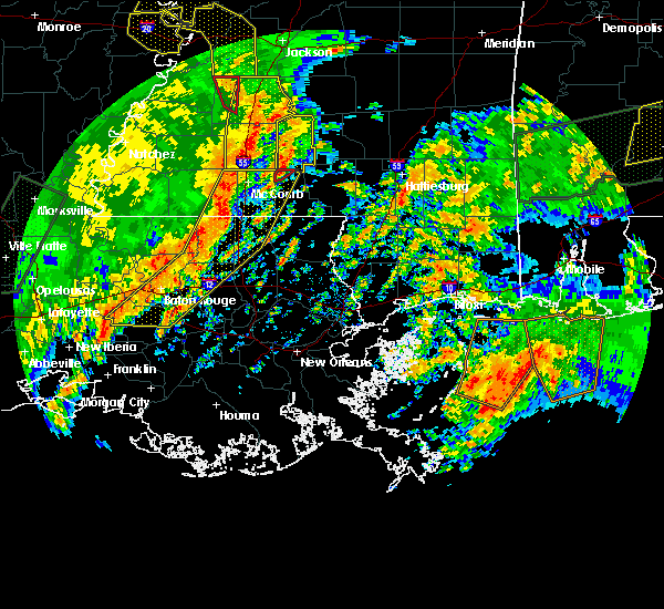 At 134 pm cst, a severe thunderstorm was located near rock hill, or 12 miles south of hattiesburg, moving northeast at 50 mph (radar indicated). Hazards include 60 mph wind gusts. Expect damage to roofs, siding, and trees. this severe thunderstorm will be near, sunrise around 145 pm cst. A tornado watch remains in effect until 800 pm cst for southeastern mississippi. At 134 pm cst, a severe thunderstorm was located near rock hill, or 12 miles south of hattiesburg, moving northeast at 50 mph (radar indicated). Hazards include 60 mph wind gusts. Expect damage to roofs, siding, and trees. this severe thunderstorm will be near, sunrise around 145 pm cst. A tornado watch remains in effect until 800 pm cst for southeastern mississippi.
|
| 9/25/2016 5:59 PM CDT |
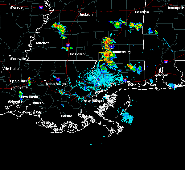 At 559 pm cdt, a severe thunderstorm was located over west hattiesburg, moving west at 10 mph (radar indicated). Hazards include 60 mph wind gusts and quarter size hail. Hail damage to vehicles is expected. expect wind damage to roofs, siding, and trees. This severe thunderstorm will remain over mainly rural areas of northwestern forrest and northeastern lamar counties. At 559 pm cdt, a severe thunderstorm was located over west hattiesburg, moving west at 10 mph (radar indicated). Hazards include 60 mph wind gusts and quarter size hail. Hail damage to vehicles is expected. expect wind damage to roofs, siding, and trees. This severe thunderstorm will remain over mainly rural areas of northwestern forrest and northeastern lamar counties.
|
| 9/25/2016 5:40 PM CDT | Power line down on eatonville road near jones county line...reported by hattiesburg eoc in forrest county MS, 2.9 miles SE of Hattiesburg, MS |
| 7/22/2016 3:00 PM CDT |
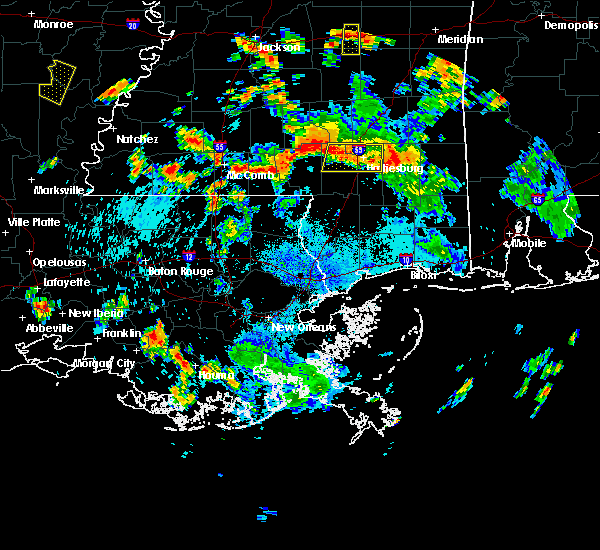 At 300 pm cdt, severe thunderstorms were located along a line extending from sunrise to near sumrall, moving southwest at 20 mph (radar indicated). Hazards include 60 mph wind gusts. Expect damage to roofs. siding. and trees. Locations impacted include, hattiesburg, petal, west hattiesburg, sumrall, macedonia, sunrise and rawls springs. At 300 pm cdt, severe thunderstorms were located along a line extending from sunrise to near sumrall, moving southwest at 20 mph (radar indicated). Hazards include 60 mph wind gusts. Expect damage to roofs. siding. and trees. Locations impacted include, hattiesburg, petal, west hattiesburg, sumrall, macedonia, sunrise and rawls springs.
|
| 7/22/2016 2:27 PM CDT |
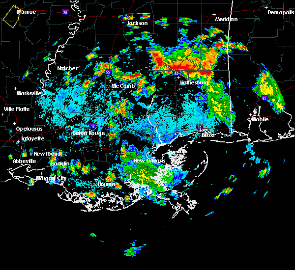 At 226 pm cdt, severe thunderstorms were located along a line extending from near macedonia to near sanford, moving southwest at 20 mph (radar indicated. at 207 pm, several downed trees were reported between ellisville and ovett). Hazards include 60 mph wind gusts. Expect damage to roofs. siding. And trees. At 226 pm cdt, severe thunderstorms were located along a line extending from near macedonia to near sanford, moving southwest at 20 mph (radar indicated. at 207 pm, several downed trees were reported between ellisville and ovett). Hazards include 60 mph wind gusts. Expect damage to roofs. siding. And trees.
|
| 7/6/2016 4:21 PM CDT |
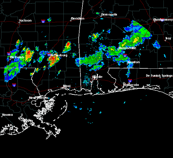 At 421 pm cdt, a severe thunderstorm was located over sunrise, or near petal, moving northeast at 10 mph (radar indicated). Hazards include 60 mph wind gusts and quarter size hail. Hail damage to vehicles is expected. expect wind damage to roofs, siding, and trees. Locations impacted include, hattiesburg and sunrise. At 421 pm cdt, a severe thunderstorm was located over sunrise, or near petal, moving northeast at 10 mph (radar indicated). Hazards include 60 mph wind gusts and quarter size hail. Hail damage to vehicles is expected. expect wind damage to roofs, siding, and trees. Locations impacted include, hattiesburg and sunrise.
|
| 7/6/2016 4:04 PM CDT |
 At 404 pm cdt, severe thunderstorms were located along a line extending from sunrise to near hattiesburg, moving east at 5 mph (radar indicated). Hazards include 60 mph wind gusts and quarter size hail. Hail damage to vehicles is expected. expect wind damage to roofs, siding, and trees. Locations impacted include, hattiesburg and sunrise. At 404 pm cdt, severe thunderstorms were located along a line extending from sunrise to near hattiesburg, moving east at 5 mph (radar indicated). Hazards include 60 mph wind gusts and quarter size hail. Hail damage to vehicles is expected. expect wind damage to roofs, siding, and trees. Locations impacted include, hattiesburg and sunrise.
|
| 7/6/2016 3:53 PM CDT |
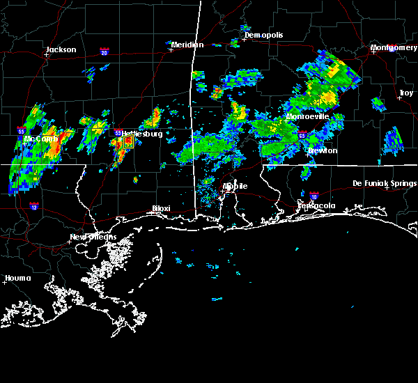 At 352 pm cdt, a severe thunderstorm was located over sunrise, or near petal, moving east northeast at 10 mph (radar indicated). Hazards include 60 mph wind gusts and quarter size hail. Hail damage to vehicles is expected. expect wind damage to roofs, siding, and trees. Locations impacted include, hattiesburg and sunrise. At 352 pm cdt, a severe thunderstorm was located over sunrise, or near petal, moving east northeast at 10 mph (radar indicated). Hazards include 60 mph wind gusts and quarter size hail. Hail damage to vehicles is expected. expect wind damage to roofs, siding, and trees. Locations impacted include, hattiesburg and sunrise.
|
| 7/6/2016 3:41 PM CDT |
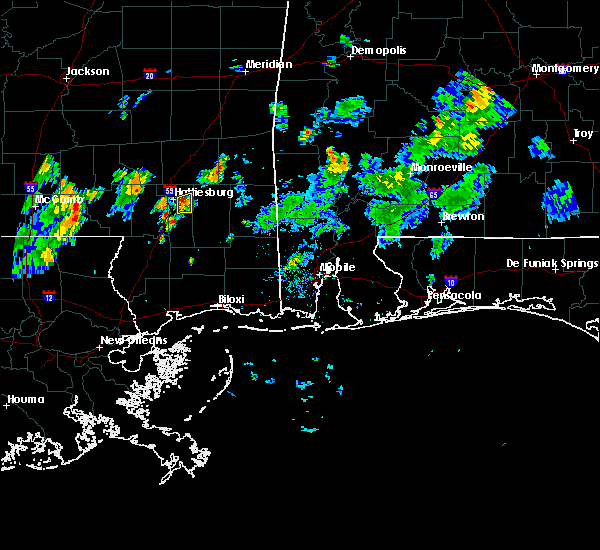 At 341 pm cdt, a severe thunderstorm was located over sunrise, or near petal, moving east at 5 mph (radar indicated). Hazards include 60 mph wind gusts and quarter size hail. Hail damage to vehicles is expected. expect wind damage to roofs, siding, and trees. This severe thunderstorm will remain over mainly rural areas of northeastern forrest county. At 341 pm cdt, a severe thunderstorm was located over sunrise, or near petal, moving east at 5 mph (radar indicated). Hazards include 60 mph wind gusts and quarter size hail. Hail damage to vehicles is expected. expect wind damage to roofs, siding, and trees. This severe thunderstorm will remain over mainly rural areas of northeastern forrest county.
|
| 6/17/2016 7:00 PM CDT | Numerous trees downed in the southern portions of the count in forrest county MS, 18.2 miles NNW of Hattiesburg, MS |
| 6/17/2016 6:48 PM CDT |
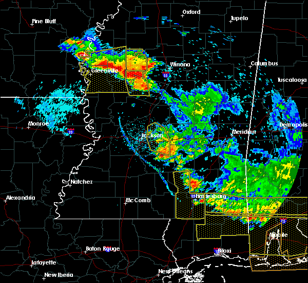 At 648 pm cdt, severe thunderstorms were located along a line extending from near sanford to near sunrise, moving south at 35 mph (radar indicated). Hazards include 60 mph wind gusts. Expect damage to roofs. siding. and trees. these severe storms will be near, mclaurin around 655 pm cdt. rawls springs around 705 pm cdt. brooklyn around 710 pm cdt. hattiesburg, west hattiesburg, oak grove and pine ridge around 715 pm cdt. Other locations impacted by these severe thunderstorms include seminary. At 648 pm cdt, severe thunderstorms were located along a line extending from near sanford to near sunrise, moving south at 35 mph (radar indicated). Hazards include 60 mph wind gusts. Expect damage to roofs. siding. and trees. these severe storms will be near, mclaurin around 655 pm cdt. rawls springs around 705 pm cdt. brooklyn around 710 pm cdt. hattiesburg, west hattiesburg, oak grove and pine ridge around 715 pm cdt. Other locations impacted by these severe thunderstorms include seminary.
|
| 6/17/2016 6:47 PM CDT | Trees down in the glendale community of hattiesburg in forrest county MS, 2.1 miles NW of Hattiesburg, MS |
| 6/17/2016 6:12 PM CDT |
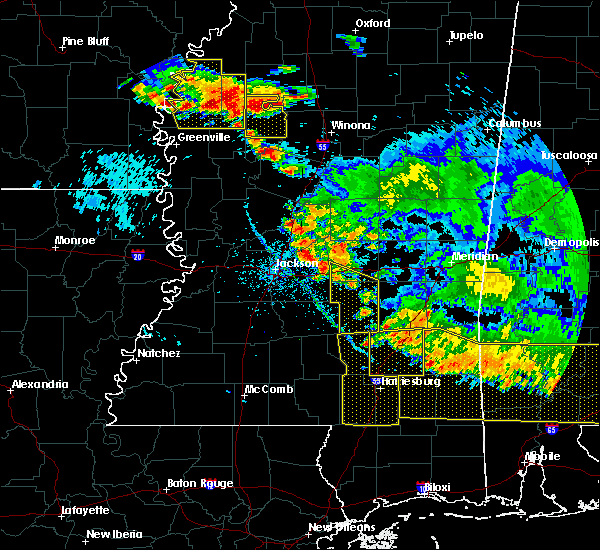 At 612 pm cdt, severe thunderstorms were located along a line extending from 6 miles southwest of taylorsville to near moselle, moving south at 45 mph (radar indicated). Hazards include 60 mph wind gusts. Expect damage to roofs. siding. and trees. severe thunderstorms will be near, macedonia around 620 pm cdt. petal around 625 pm cdt. sunrise around 630 pm cdt. sanford around 635 pm cdt. mclaurin around 640 pm cdt. sumrall around 645 pm cdt. rock hill around 650 pm cdt. hattiesburg, brooklyn and oak grove around 655 pm cdt. Other locations impacted by these severe thunderstorms include seminary. At 612 pm cdt, severe thunderstorms were located along a line extending from 6 miles southwest of taylorsville to near moselle, moving south at 45 mph (radar indicated). Hazards include 60 mph wind gusts. Expect damage to roofs. siding. and trees. severe thunderstorms will be near, macedonia around 620 pm cdt. petal around 625 pm cdt. sunrise around 630 pm cdt. sanford around 635 pm cdt. mclaurin around 640 pm cdt. sumrall around 645 pm cdt. rock hill around 650 pm cdt. hattiesburg, brooklyn and oak grove around 655 pm cdt. Other locations impacted by these severe thunderstorms include seminary.
|
| 3/31/2016 8:27 AM CDT | The tornado warning for east central forrest county will expire at 830 am cdt, the storm which prompted the warning has moved out of the area. therefore the warning will be allowed to expire. however heavy rain is still possible with this thunderstorm and a flash flood warning remains in effect for much of forrest county until 1015 am. a tornado watch remains in effect until 900 am cdt for southeastern mississippi. to report severe weather, contact your nearest law enforcement agency. they will relay your report to the national weather service jackson. |
| 3/31/2016 8:20 AM CDT |
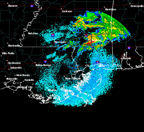 At 820 am cdt, a severe thunderstorm capable of producing a tornado was located on the north side of brooklyn, or 16 miles southeast of hattiesburg, moving east at 30 mph (radar indicated rotation). Hazards include tornado. Flying debris will be dangerous to those caught without shelter. mobile homes will be damaged or destroyed. damage to roofs, windows and vehicles will occur. tree damage is likely. Locations impacted include, mclaurin and brooklyn. At 820 am cdt, a severe thunderstorm capable of producing a tornado was located on the north side of brooklyn, or 16 miles southeast of hattiesburg, moving east at 30 mph (radar indicated rotation). Hazards include tornado. Flying debris will be dangerous to those caught without shelter. mobile homes will be damaged or destroyed. damage to roofs, windows and vehicles will occur. tree damage is likely. Locations impacted include, mclaurin and brooklyn.
|
| 3/31/2016 8:11 AM CDT |
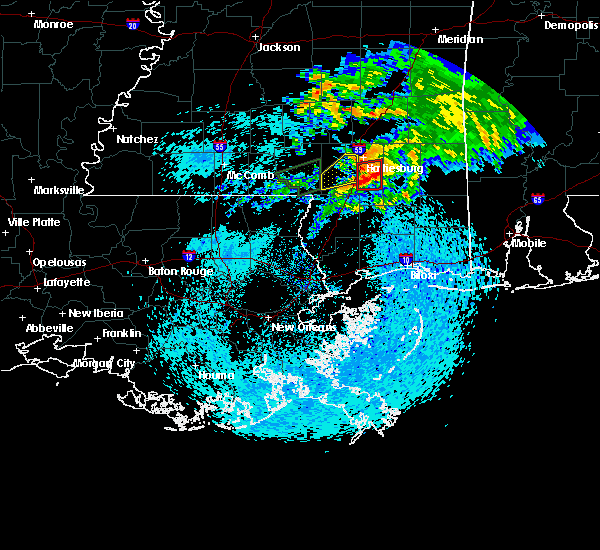 At 810 am cdt, a severe thunderstorm capable of producing a tornado was located near mclaurin, or 13 miles south of hattiesburg, moving east at 35 mph (radar indicated rotation). Hazards include tornado. Flying debris will be dangerous to those caught without shelter. mobile homes will be damaged or destroyed. damage to roofs, windows and vehicles will occur. tree damage is likely. Locations impacted include, hattiesburg, rock hill, mclaurin and brooklyn. At 810 am cdt, a severe thunderstorm capable of producing a tornado was located near mclaurin, or 13 miles south of hattiesburg, moving east at 35 mph (radar indicated rotation). Hazards include tornado. Flying debris will be dangerous to those caught without shelter. mobile homes will be damaged or destroyed. damage to roofs, windows and vehicles will occur. tree damage is likely. Locations impacted include, hattiesburg, rock hill, mclaurin and brooklyn.
|
| 3/31/2016 8:02 AM CDT |
 At 801 am cdt, a severe thunderstorm capable of producing a tornado was located just east of purvis, or 11 miles south of hattiesburg, moving east at 35 mph (radar indicated rotation). Hazards include tornado. Flying debris will be dangerous to those caught without shelter. mobile homes will be damaged or destroyed. damage to roofs, windows and vehicles will occur. tree damage is likely. Locations impacted include, hattiesburg, purvis, rock hill, mclaurin and brooklyn. At 801 am cdt, a severe thunderstorm capable of producing a tornado was located just east of purvis, or 11 miles south of hattiesburg, moving east at 35 mph (radar indicated rotation). Hazards include tornado. Flying debris will be dangerous to those caught without shelter. mobile homes will be damaged or destroyed. damage to roofs, windows and vehicles will occur. tree damage is likely. Locations impacted include, hattiesburg, purvis, rock hill, mclaurin and brooklyn.
|
| 3/31/2016 7:53 AM CDT |
 At 753 am cdt, a severe thunderstorm capable of producing a tornado was located over purvis, or 13 miles south of west hattiesburg, moving east at 45 mph (radar indicated rotation). Hazards include tornado. Flying debris will be dangerous to those caught without shelter. mobile homes will be damaged or destroyed. damage to roofs, windows and vehicles will occur. Tree damage is likely. At 753 am cdt, a severe thunderstorm capable of producing a tornado was located over purvis, or 13 miles south of west hattiesburg, moving east at 45 mph (radar indicated rotation). Hazards include tornado. Flying debris will be dangerous to those caught without shelter. mobile homes will be damaged or destroyed. damage to roofs, windows and vehicles will occur. Tree damage is likely.
|
| 3/31/2016 7:45 AM CDT |
 At 744 am cdt, a severe thunderstorm was located west of purvis, or 13 miles southwest of west hattiesburg, moving east at 35 mph (radar indicated). Hazards include 60 mph wind gusts and nickel size hail. Expect damage to roofs. siding and trees. locations impacted include, hattiesburg, west hattiesburg, purvis and baxterville. A tornado watch remains in effect until 900 am cdt for southeastern mississippi. At 744 am cdt, a severe thunderstorm was located west of purvis, or 13 miles southwest of west hattiesburg, moving east at 35 mph (radar indicated). Hazards include 60 mph wind gusts and nickel size hail. Expect damage to roofs. siding and trees. locations impacted include, hattiesburg, west hattiesburg, purvis and baxterville. A tornado watch remains in effect until 900 am cdt for southeastern mississippi.
|
| 3/31/2016 7:38 AM CDT |
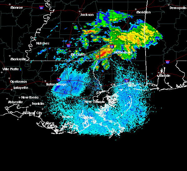 At 738 am cdt, a severe thunderstorm was located near baxterville, or 16 miles northeast of sandy hook, moving east at 35 mph (radar indicated). Hazards include 60 mph wind gusts and nickel size hail. Expect damage to roofs. siding and trees. locations impacted include, hattiesburg, west hattiesburg, purvis, baxterville and pinebur. A tornado watch remains in effect until 900 am cdt for southeastern mississippi. At 738 am cdt, a severe thunderstorm was located near baxterville, or 16 miles northeast of sandy hook, moving east at 35 mph (radar indicated). Hazards include 60 mph wind gusts and nickel size hail. Expect damage to roofs. siding and trees. locations impacted include, hattiesburg, west hattiesburg, purvis, baxterville and pinebur. A tornado watch remains in effect until 900 am cdt for southeastern mississippi.
|
| 3/31/2016 7:26 AM CDT |
 At 726 am cdt, a severe thunderstorm was located over pineburr, or 7 miles northeast of sandy hook, moving northeast at 35 mph (radar indicated). Hazards include 60 mph wind gusts. Expect damage to roofs. Siding and trees. At 726 am cdt, a severe thunderstorm was located over pineburr, or 7 miles northeast of sandy hook, moving northeast at 35 mph (radar indicated). Hazards include 60 mph wind gusts. Expect damage to roofs. Siding and trees.
|
| 3/17/2016 6:25 PM CDT |
 At 625 pm cdt, severe thunderstorms were located along a line extending from 6 miles south of hattiesburg to near lumberton, moving southeast at 40 mph (radar indicated). Hazards include 60 mph wind gusts. Expect damage to roofs. siding and trees. Locations impacted include, hattiesburg, purvis, lumberton, rock hill, brooklyn, maxie, mclaurin and sunrise. At 625 pm cdt, severe thunderstorms were located along a line extending from 6 miles south of hattiesburg to near lumberton, moving southeast at 40 mph (radar indicated). Hazards include 60 mph wind gusts. Expect damage to roofs. siding and trees. Locations impacted include, hattiesburg, purvis, lumberton, rock hill, brooklyn, maxie, mclaurin and sunrise.
|
| 3/17/2016 6:17 PM CDT |
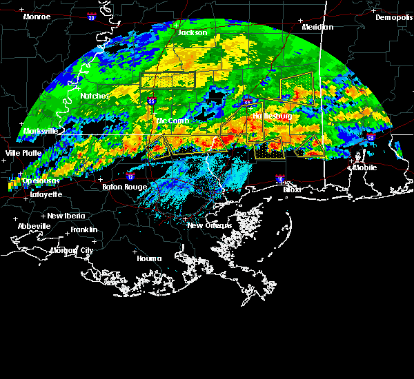 At 617 pm cdt, severe thunderstorms were located along a line extending from near west hattiesburg to near lumberton, moving east at 40 mph (radar indicated). Hazards include 60 mph wind gusts. Expect damage to roofs. siding and trees. Locations impacted include, hattiesburg, petal, west hattiesburg, purvis, lumberton, brooklyn, sunrise, maxie, macedonia, rock hill, baxterville and mclaurin. At 617 pm cdt, severe thunderstorms were located along a line extending from near west hattiesburg to near lumberton, moving east at 40 mph (radar indicated). Hazards include 60 mph wind gusts. Expect damage to roofs. siding and trees. Locations impacted include, hattiesburg, petal, west hattiesburg, purvis, lumberton, brooklyn, sunrise, maxie, macedonia, rock hill, baxterville and mclaurin.
|
| 3/17/2016 6:10 PM CDT |
 At 609 pm cdt, severe thunderstorms were located along a line extending from near sumrall to 8 miles southwest of baxterville, moving east at 30 mph (trained weather spotters. trees and powerlines were downed by these storms in marion county). Hazards include 60 mph wind gusts. Expect damage to roofs. siding and trees. Locations impacted include, hattiesburg, petal, west hattiesburg, purvis, lumberton, brooklyn, sunrise, maxie, macedonia, rock hill, rawls springs, baxterville and mclaurin. At 609 pm cdt, severe thunderstorms were located along a line extending from near sumrall to 8 miles southwest of baxterville, moving east at 30 mph (trained weather spotters. trees and powerlines were downed by these storms in marion county). Hazards include 60 mph wind gusts. Expect damage to roofs. siding and trees. Locations impacted include, hattiesburg, petal, west hattiesburg, purvis, lumberton, brooklyn, sunrise, maxie, macedonia, rock hill, rawls springs, baxterville and mclaurin.
|
| 3/17/2016 5:56 PM CDT |
 At 556 pm cdt, severe thunderstorms were located along a line extending from improve to pine burr to sandy hook, moving southeast at 40 mph (radar indicated). Hazards include 60 mph wind gusts and penny size hail. Expect damage to roofs. Siding and trees. At 556 pm cdt, severe thunderstorms were located along a line extending from improve to pine burr to sandy hook, moving southeast at 40 mph (radar indicated). Hazards include 60 mph wind gusts and penny size hail. Expect damage to roofs. Siding and trees.
|
| 3/17/2016 5:37 PM CDT |
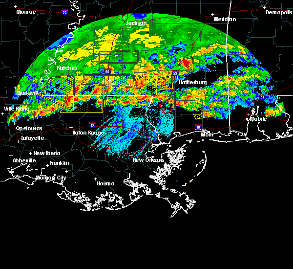 At 537 pm cdt, a severe thunderstorm was located near pinebur, or 12 miles east of columbia, moving east at 35 mph (radar indicated). Hazards include 60 mph wind gusts and quarter size hail. Hail damage to vehicles is expected. expect wind damage to roofs, siding and trees. this severe storm will be near, hattiesburg and pine ridge around 555 pm cdt. Purvis and oak grove around 600 pm cdt. At 537 pm cdt, a severe thunderstorm was located near pinebur, or 12 miles east of columbia, moving east at 35 mph (radar indicated). Hazards include 60 mph wind gusts and quarter size hail. Hail damage to vehicles is expected. expect wind damage to roofs, siding and trees. this severe storm will be near, hattiesburg and pine ridge around 555 pm cdt. Purvis and oak grove around 600 pm cdt.
|
| 3/17/2016 5:26 PM CDT |
 At 525 pm cdt, a severe thunderstorm was located near lampton, or near columbia, moving east at 30 mph (radar indicated). Hazards include 60 mph wind gusts and quarter size hail. Hail damage to vehicles is expected. expect wind damage to roofs, siding and trees. this severe thunderstorm will be near, pineburr around 530 pm cdt. west hattiesburg around 600 pm cdt. Purvis, pine ridge and oak grove around 605 pm cdt. At 525 pm cdt, a severe thunderstorm was located near lampton, or near columbia, moving east at 30 mph (radar indicated). Hazards include 60 mph wind gusts and quarter size hail. Hail damage to vehicles is expected. expect wind damage to roofs, siding and trees. this severe thunderstorm will be near, pineburr around 530 pm cdt. west hattiesburg around 600 pm cdt. Purvis, pine ridge and oak grove around 605 pm cdt.
|
| 3/17/2016 12:20 PM CDT | Trees down across hwy 49...both lanes are blocke in forrest county MS, 13.8 miles NNW of Hattiesburg, MS |
| 3/17/2016 12:16 PM CDT |
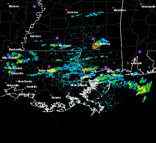 At 1216 pm cdt, a severe thunderstorm was located over mclaurin, or 11 miles southeast of hattiesburg, moving east at 30 mph (radar indicated). Hazards include golf ball size hail and 60 mph wind gusts. People and animals outdoors will be injured. expect hail damage to roofs, siding, windows and vehicles. expect wind damage to roofs, siding and trees. This severe thunderstorm will remain over mainly rural areas of east central forrest county. At 1216 pm cdt, a severe thunderstorm was located over mclaurin, or 11 miles southeast of hattiesburg, moving east at 30 mph (radar indicated). Hazards include golf ball size hail and 60 mph wind gusts. People and animals outdoors will be injured. expect hail damage to roofs, siding, windows and vehicles. expect wind damage to roofs, siding and trees. This severe thunderstorm will remain over mainly rural areas of east central forrest county.
|
| 3/17/2016 12:10 PM CDT |
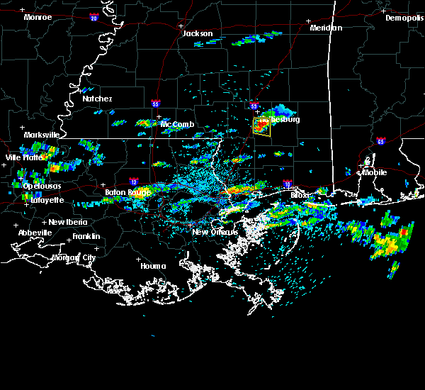 At 1210 pm cdt, a severe thunderstorm was located over mclaurin, or 10 miles south of hattiesburg, moving east at 30 mph (radar indicated). Hazards include golf ball size hail and 60 mph wind gusts. People and animals outdoors will be injured. expect hail damage to roofs, siding, windows and vehicles. expect wind damage to roofs, siding and trees. This severe storm will be near, mclaurin around 1215 pm cdt. At 1210 pm cdt, a severe thunderstorm was located over mclaurin, or 10 miles south of hattiesburg, moving east at 30 mph (radar indicated). Hazards include golf ball size hail and 60 mph wind gusts. People and animals outdoors will be injured. expect hail damage to roofs, siding, windows and vehicles. expect wind damage to roofs, siding and trees. This severe storm will be near, mclaurin around 1215 pm cdt.
|
| 3/17/2016 12:09 PM CDT | Quarter sized hail reported 11.7 miles NNW of Hattiesburg, MS, on elks lake rd |
| 3/17/2016 12:05 PM CDT | Trees and power lines down across beaver lake rd in forrest county MS, 13.4 miles N of Hattiesburg, MS |
| 3/17/2016 12:05 PM CDT | Quarter sized hail reported 11.3 miles N of Hattiesburg, MS, in the dixie community along dubose rd |
| 3/17/2016 11:32 AM CDT |
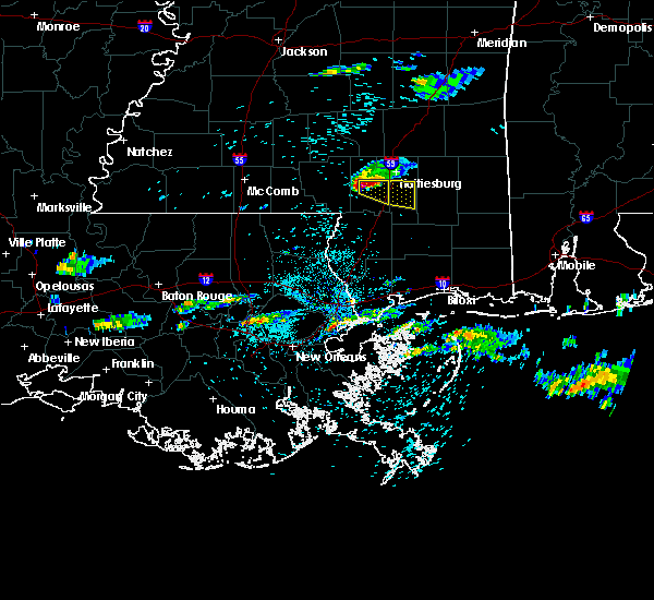 At 1132 am cdt, a severe thunderstorm was located near purvis, or 9 miles southwest of west hattiesburg, moving east at 30 mph. this is a very dangerous storm (radar indicated). Hazards include baseball size hail and 60 mph wind gusts. People and animals outdoors will be severely injured. expect shattered windows, extensive damage to roofs, siding and vehicles. this severe thunderstorm will be near, hattiesburg around 1140 am cdt. rock hill around 1155 am cdt. Mclaurin around 1205 pm cdt. At 1132 am cdt, a severe thunderstorm was located near purvis, or 9 miles southwest of west hattiesburg, moving east at 30 mph. this is a very dangerous storm (radar indicated). Hazards include baseball size hail and 60 mph wind gusts. People and animals outdoors will be severely injured. expect shattered windows, extensive damage to roofs, siding and vehicles. this severe thunderstorm will be near, hattiesburg around 1140 am cdt. rock hill around 1155 am cdt. Mclaurin around 1205 pm cdt.
|
| 3/17/2016 11:01 AM CDT |
 At 1100 am cdt, a severe thunderstorm was located near improve, or 7 miles east of columbia, moving east at 25 mph (radar indicated). Hazards include golf ball size hail and 60 mph wind gusts. People and animals outdoors will be injured. expect hail damage to roofs, siding, windows and vehicles. expect wind damage to roofs, siding and trees. this severe thunderstorm will be near, hattiesburg around 1130 am cdt. pine ridge around 1135 am cdt. Purvis and oak grove around 1140 am cdt. At 1100 am cdt, a severe thunderstorm was located near improve, or 7 miles east of columbia, moving east at 25 mph (radar indicated). Hazards include golf ball size hail and 60 mph wind gusts. People and animals outdoors will be injured. expect hail damage to roofs, siding, windows and vehicles. expect wind damage to roofs, siding and trees. this severe thunderstorm will be near, hattiesburg around 1130 am cdt. pine ridge around 1135 am cdt. Purvis and oak grove around 1140 am cdt.
|
| 3/3/2016 6:35 PM CST |
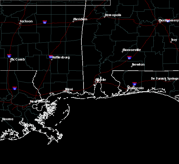 At 634 pm cst, a severe thunderstorm was located near mclaurin, or 10 miles southeast of petal, moving southeast at 60 mph (radar indicated). Hazards include 60 mph wind gusts and quarter size hail. Hail damage to vehicles is expected. expect wind damage to roofs, siding and trees. Locations impacted include, sunrise and mclaurin. At 634 pm cst, a severe thunderstorm was located near mclaurin, or 10 miles southeast of petal, moving southeast at 60 mph (radar indicated). Hazards include 60 mph wind gusts and quarter size hail. Hail damage to vehicles is expected. expect wind damage to roofs, siding and trees. Locations impacted include, sunrise and mclaurin.
|
| 3/3/2016 6:29 PM CST |
 At 628 pm cst, a severe thunderstorm was located near hattiesburg, moving southeast at 60 mph (radar indicated). Hazards include 60 mph wind gusts and quarter size hail. Hail damage to vehicles is expected. expect wind damage to roofs, siding and trees. This severe thunderstorm will remain over mainly rural areas of northeastern forrest county. At 628 pm cst, a severe thunderstorm was located near hattiesburg, moving southeast at 60 mph (radar indicated). Hazards include 60 mph wind gusts and quarter size hail. Hail damage to vehicles is expected. expect wind damage to roofs, siding and trees. This severe thunderstorm will remain over mainly rural areas of northeastern forrest county.
|
| 3/3/2016 6:22 PM CST |
 At 621 pm cst, a severe thunderstorm was located over west hattiesburg, moving southeast at 60 mph (radar indicated). Hazards include 60 mph wind gusts and quarter size hail. Hail damage to vehicles is expected. expect wind damage to roofs, siding and trees. this severe thunderstorm will be near, petal and oak grove around 625 pm cst. sunrise around 630 pm cst. Mclaurin around 635 pm cst. At 621 pm cst, a severe thunderstorm was located over west hattiesburg, moving southeast at 60 mph (radar indicated). Hazards include 60 mph wind gusts and quarter size hail. Hail damage to vehicles is expected. expect wind damage to roofs, siding and trees. this severe thunderstorm will be near, petal and oak grove around 625 pm cst. sunrise around 630 pm cst. Mclaurin around 635 pm cst.
|
| 2/23/2016 4:32 PM CST |
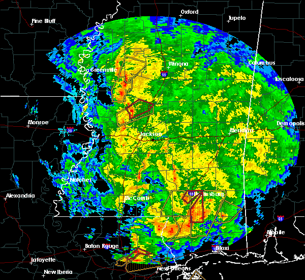 At 432 pm cst, a severe thunderstorm capable of producing a tornado was located near west hattiesburg, moving northeast at 40 mph (radar indicated rotation). Hazards include tornado. Flying debris will be dangerous to those caught without shelter. mobile homes will be damaged or destroyed. damage to roofs, windows and vehicles will occur. tree damage is likely. this dangerous storm will be near, hattiesburg and oak grove around 435 pm cst. west hattiesburg around 440 pm cst. Petal and rawls springs around 445 pm cst. At 432 pm cst, a severe thunderstorm capable of producing a tornado was located near west hattiesburg, moving northeast at 40 mph (radar indicated rotation). Hazards include tornado. Flying debris will be dangerous to those caught without shelter. mobile homes will be damaged or destroyed. damage to roofs, windows and vehicles will occur. tree damage is likely. this dangerous storm will be near, hattiesburg and oak grove around 435 pm cst. west hattiesburg around 440 pm cst. Petal and rawls springs around 445 pm cst.
|
| 2/23/2016 4:31 PM CST |
 At 431 pm cst, a severe thunderstorm capable of producing a tornado was located 8 miles southwest of maxie, or 11 miles west of wiggins, moving northeast at 50 mph (radar indicated rotation). Hazards include tornado. Flying debris will be dangerous to those caught without shelter. mobile homes will be damaged or destroyed. damage to roofs, windows and vehicles will occur. tree damage is likely. this dangerous storm will be near, maxie and rock hill around 440 pm cst. Brooklyn around 445 pm cst. At 431 pm cst, a severe thunderstorm capable of producing a tornado was located 8 miles southwest of maxie, or 11 miles west of wiggins, moving northeast at 50 mph (radar indicated rotation). Hazards include tornado. Flying debris will be dangerous to those caught without shelter. mobile homes will be damaged or destroyed. damage to roofs, windows and vehicles will occur. tree damage is likely. this dangerous storm will be near, maxie and rock hill around 440 pm cst. Brooklyn around 445 pm cst.
|
| 2/23/2016 4:25 PM CST |
 At 425 pm cst, a confirmed tornado was located near purvis, or 9 miles southwest of west hattiesburg, moving northeast at 40 mph (radar confirmed tornado). Hazards include damaging tornado. Flying debris will be dangerous to those caught without shelter. mobile homes will be damaged or destroyed. damage to roofs, windows and vehicles will occur. tree damage is likely. this tornado will be near, hattiesburg around 430 pm cst. oak grove around 435 pm cst. west hattiesburg around 440 pm cst. Petal and rawls springs around 445 pm cst. At 425 pm cst, a confirmed tornado was located near purvis, or 9 miles southwest of west hattiesburg, moving northeast at 40 mph (radar confirmed tornado). Hazards include damaging tornado. Flying debris will be dangerous to those caught without shelter. mobile homes will be damaged or destroyed. damage to roofs, windows and vehicles will occur. tree damage is likely. this tornado will be near, hattiesburg around 430 pm cst. oak grove around 435 pm cst. west hattiesburg around 440 pm cst. Petal and rawls springs around 445 pm cst.
|
| 2/23/2016 4:20 PM CST |
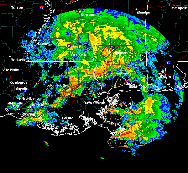 At 419 pm cst, a severe thunderstorm capable of producing a tornado was located near purvis, or 13 miles southwest of west hattiesburg, moving northeast at 40 mph (radar indicated rotation). Hazards include tornado. Flying debris will be dangerous to those caught without shelter. mobile homes will be damaged or destroyed. damage to roofs, windows and vehicles will occur. tree damage is likely. this dangerous storm will be near, hattiesburg around 430 pm cst. oak grove around 435 pm cst. west hattiesburg around 440 pm cst. Petal and rawls springs around 445 pm cst. At 419 pm cst, a severe thunderstorm capable of producing a tornado was located near purvis, or 13 miles southwest of west hattiesburg, moving northeast at 40 mph (radar indicated rotation). Hazards include tornado. Flying debris will be dangerous to those caught without shelter. mobile homes will be damaged or destroyed. damage to roofs, windows and vehicles will occur. tree damage is likely. this dangerous storm will be near, hattiesburg around 430 pm cst. oak grove around 435 pm cst. west hattiesburg around 440 pm cst. Petal and rawls springs around 445 pm cst.
|
| 2/23/2016 4:08 PM CST |
 At 407 pm cst, a severe thunderstorm capable of producing a tornado was located near baxterville, or 11 miles northeast of sandy hook, moving northeast at 40 mph (radar indicated rotation). Hazards include tornado. Flying debris will be dangerous to those caught without shelter. mobile homes will be damaged or destroyed. damage to roofs, windows and vehicles will occur. tree damage is likely. this dangerous storm will be near, pine ridge around 425 pm cst. hattiesburg around 430 pm cst. oak grove around 435 pm cst. west hattiesburg and sumrall around 440 pm cst. Rawls springs around 445 pm cst. At 407 pm cst, a severe thunderstorm capable of producing a tornado was located near baxterville, or 11 miles northeast of sandy hook, moving northeast at 40 mph (radar indicated rotation). Hazards include tornado. Flying debris will be dangerous to those caught without shelter. mobile homes will be damaged or destroyed. damage to roofs, windows and vehicles will occur. tree damage is likely. this dangerous storm will be near, pine ridge around 425 pm cst. hattiesburg around 430 pm cst. oak grove around 435 pm cst. west hattiesburg and sumrall around 440 pm cst. Rawls springs around 445 pm cst.
|
| 2/23/2016 3:58 PM CST |
 At 358 pm cst, a confirmed tornado was located near pinebur, or near sandy hook, moving northeast at 40 mph (radar confirmed tornado). Hazards include damaging tornado and quarter size hail. Flying debris will be dangerous to those caught without shelter. mobile homes will be damaged or destroyed. damage to roofs, windows and vehicles will occur. tree damage is likely. this tornado will be near, baxterville and pinebur around 405 pm cst. pine ridge around 425 pm cst. hattiesburg around 430 pm cst. oak grove around 435 pm cst. west hattiesburg and sumrall around 440 pm cst. Rawls springs around 445 pm cst. At 358 pm cst, a confirmed tornado was located near pinebur, or near sandy hook, moving northeast at 40 mph (radar confirmed tornado). Hazards include damaging tornado and quarter size hail. Flying debris will be dangerous to those caught without shelter. mobile homes will be damaged or destroyed. damage to roofs, windows and vehicles will occur. tree damage is likely. this tornado will be near, baxterville and pinebur around 405 pm cst. pine ridge around 425 pm cst. hattiesburg around 430 pm cst. oak grove around 435 pm cst. west hattiesburg and sumrall around 440 pm cst. Rawls springs around 445 pm cst.
|
| 2/23/2016 3:51 PM CST |
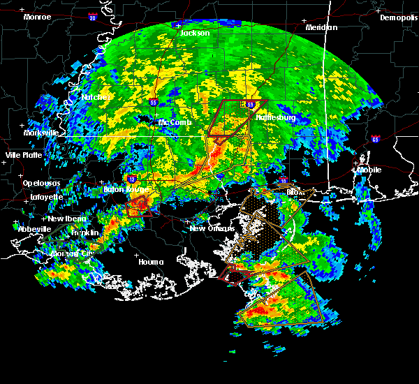 At 351 pm cst, a severe thunderstorm capable of producing a tornado was located near sandy hook, moving northeast at 40 mph (radar indicated rotation). Hazards include tornado. Flying debris will be dangerous to those caught without shelter. mobile homes will be damaged or destroyed. damage to roofs, windows and vehicles will occur. tree damage is likely. this dangerous storm will be near, baxterville and pinebur around 405 pm cst. pine ridge around 425 pm cst. hattiesburg around 430 pm cst. oak grove around 435 pm cst. west hattiesburg and sumrall around 440 pm cst. Rawls springs around 445 pm cst. At 351 pm cst, a severe thunderstorm capable of producing a tornado was located near sandy hook, moving northeast at 40 mph (radar indicated rotation). Hazards include tornado. Flying debris will be dangerous to those caught without shelter. mobile homes will be damaged or destroyed. damage to roofs, windows and vehicles will occur. tree damage is likely. this dangerous storm will be near, baxterville and pinebur around 405 pm cst. pine ridge around 425 pm cst. hattiesburg around 430 pm cst. oak grove around 435 pm cst. west hattiesburg and sumrall around 440 pm cst. Rawls springs around 445 pm cst.
|
| 2/23/2016 3:45 PM CST |
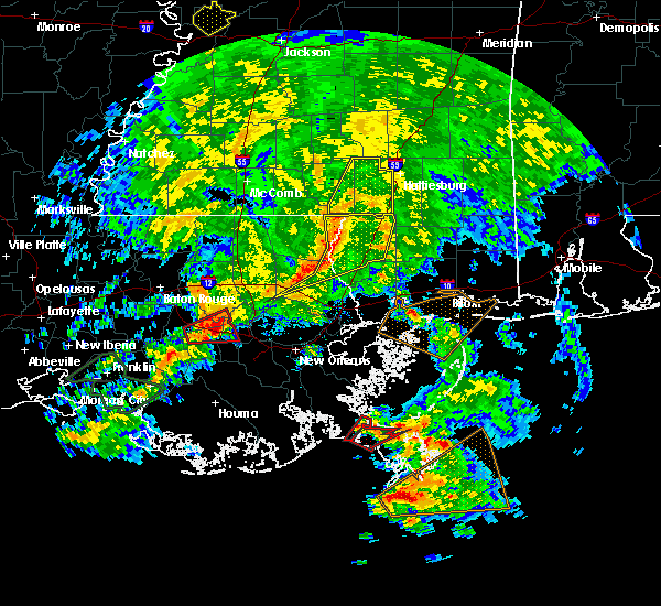 At 345 pm cst, a severe thunderstorm was located near sandy hook, moving northeast at 40 mph (radar indicated). Hazards include 60 mph wind gusts and quarter size hail. Hail damage to vehicles is expected. expect wind damage to roofs, siding and trees. this severe thunderstorm will be near, sandy hook around 350 pm cst. pinebur and baxterville around 405 pm cst. improve around 425 pm cst. hattiesburg around 430 pm cst. sumrall around 440 pm cst. A tornado watch remains in effect until 1000 pm cst for southeastern mississippi. At 345 pm cst, a severe thunderstorm was located near sandy hook, moving northeast at 40 mph (radar indicated). Hazards include 60 mph wind gusts and quarter size hail. Hail damage to vehicles is expected. expect wind damage to roofs, siding and trees. this severe thunderstorm will be near, sandy hook around 350 pm cst. pinebur and baxterville around 405 pm cst. improve around 425 pm cst. hattiesburg around 430 pm cst. sumrall around 440 pm cst. A tornado watch remains in effect until 1000 pm cst for southeastern mississippi.
|
| 2/23/2016 2:04 PM CST |
 At 204 pm cst, a severe thunderstorm was located near baxterville, or 15 miles southwest of west hattiesburg, moving north at 50 mph (radar indicated). Hazards include 60 mph wind gusts. Expect damage to roofs. siding and trees. this severe storm will be near, hattiesburg around 215 pm cst. west hattiesburg and oak grove around 220 pm cst. Sumrall around 225 pm cst. At 204 pm cst, a severe thunderstorm was located near baxterville, or 15 miles southwest of west hattiesburg, moving north at 50 mph (radar indicated). Hazards include 60 mph wind gusts. Expect damage to roofs. siding and trees. this severe storm will be near, hattiesburg around 215 pm cst. west hattiesburg and oak grove around 220 pm cst. Sumrall around 225 pm cst.
|
| 2/23/2016 1:49 PM CST |
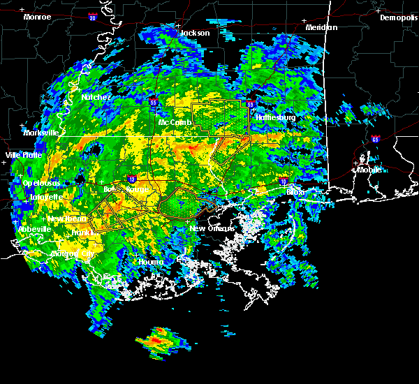 At 148 pm cst, a severe thunderstorm was located 8 miles south of baxterville, or 9 miles north of poplarville, moving northeast at 40 mph (radar indicated). Hazards include 60 mph wind gusts. Expect damage to roofs. siding and trees. this severe thunderstorm will be near, lumberton and baxterville around 200 pm cst. purvis and pine ridge around 215 pm cst. hattiesburg and oak grove around 225 pm cst. West hattiesburg around 230 pm cst. At 148 pm cst, a severe thunderstorm was located 8 miles south of baxterville, or 9 miles north of poplarville, moving northeast at 40 mph (radar indicated). Hazards include 60 mph wind gusts. Expect damage to roofs. siding and trees. this severe thunderstorm will be near, lumberton and baxterville around 200 pm cst. purvis and pine ridge around 215 pm cst. hattiesburg and oak grove around 225 pm cst. West hattiesburg around 230 pm cst.
|
| 2/15/2016 2:20 PM CST | Trees downed on houses on elizabeth ave and dixie ave in forrest county MS, 2.1 miles NW of Hattiesburg, MS |
| 2/15/2016 2:20 PM CST | Small tree blocking bonhomie rd in forrest county MS, 3.9 miles NNW of Hattiesburg, MS |
| 1/21/2016 7:13 PM CST | At 712 pm cst, a severe thunderstorm capable of producing a tornado was located near eastabuchie, or 7 miles north of west hattiesburg, moving northeast at 50 mph (radar indicated rotation). Hazards include tornado and quarter size hail. Flying debris will be dangerous to those caught without shelter. mobile homes will be damaged or destroyed. damage to roofs, windows and vehicles will occur. tree damage is likely. this dangerous storm will be near, ellisville around 725 pm cst. Laurel around 730 pm cst. |
| 1/21/2016 6:57 PM CST | At 657 pm cst, a severe thunderstorm capable of producing a tornado was located over sumrall, or 11 miles northwest of west hattiesburg, moving northeast at 55 mph (radar indicated rotation). Hazards include tornado and quarter size hail. Flying debris will be dangerous to those caught without shelter. mobile homes will be damaged or destroyed. damage to roofs, windows and vehicles will occur. tree damage is likely. this dangerous storm will be near, sanford around 705 pm cst. eastabuchie around 710 pm cst. moselle around 715 pm cst. Laurel and ellisville around 720 pm cst. |
| 1/21/2016 6:49 PM CST | At 649 pm cst, a severe thunderstorm capable of producing a tornado was located near melba, or 14 miles northeast of columbia, moving northeast at 55 mph (radar indicated rotation). Hazards include tornado and quarter size hail. Flying debris will be dangerous to those caught without shelter. mobile homes will be damaged or destroyed. damage to roofs, windows and vehicles will occur. tree damage is likely. this dangerous storm will be near, sumrall around 655 pm cst. sanford around 705 pm cst. eastabuchie around 710 pm cst. moselle around 715 pm cst. ellisville around 720 pm cst. Laurel around 725 pm cst. |
| 12/28/2015 6:19 AM CST |
 At 619 am cst, severe thunderstorms were located along a line extending from near stringer to 8 miles southwest of maxie, moving northeast at 35 mph (radar indicated). Hazards include 60 mph wind gusts and penny size hail. Expect damage to roofs. siding and trees. severe thunderstorms will be near, brooklyn around 640 am cst. other locations impacted by these severe thunderstorms include rhodes, pineview, corinth and soso. A tornado watch remains in effect until 800 am cst for southeastern mississippi. At 619 am cst, severe thunderstorms were located along a line extending from near stringer to 8 miles southwest of maxie, moving northeast at 35 mph (radar indicated). Hazards include 60 mph wind gusts and penny size hail. Expect damage to roofs. siding and trees. severe thunderstorms will be near, brooklyn around 640 am cst. other locations impacted by these severe thunderstorms include rhodes, pineview, corinth and soso. A tornado watch remains in effect until 800 am cst for southeastern mississippi.
|
| 12/28/2015 6:18 AM CST |
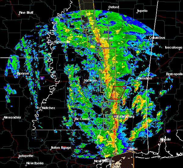 At 618 am cst, severe thunderstorms were located along a line extending from 6 miles southwest of moss to hattiesburg, moving northeast at 40 mph (radar indicated). Hazards include 60 mph wind gusts. Expect damage to roofs. siding and trees. these severe storms will be near, moselle around 630 am cst. other locations impacted by these severe thunderstorms include soso. A tornado watch remains in effect until 800 am cst for southeastern mississippi. At 618 am cst, severe thunderstorms were located along a line extending from 6 miles southwest of moss to hattiesburg, moving northeast at 40 mph (radar indicated). Hazards include 60 mph wind gusts. Expect damage to roofs. siding and trees. these severe storms will be near, moselle around 630 am cst. other locations impacted by these severe thunderstorms include soso. A tornado watch remains in effect until 800 am cst for southeastern mississippi.
|
| 12/28/2015 5:25 AM CST |
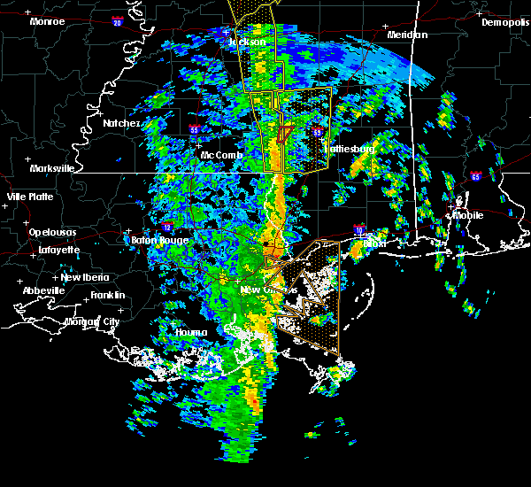 At 525 am cst, severe thunderstorms were located along a line extending from melba to near baxterville, moving northeast at 45 mph (radar indicated). Hazards include 60 mph wind gusts. Expect damage to roofs. siding and trees. severe thunderstorms will be near, sumrall and melba around 530 am cst. sanford around 540 am cst. collins, purvis and pine ridge around 545 am cst. hattiesburg around 550 am cst. oak grove around 555 am cst. west hattiesburg and hebron around 600 am cst. petal and rawls springs around 605 am cst. eastabuchie around 610 am cst. other locations impacted by these severe thunderstorms include soso and seminary. A tornado watch remains in effect until 800 am cst for southeastern mississippi. At 525 am cst, severe thunderstorms were located along a line extending from melba to near baxterville, moving northeast at 45 mph (radar indicated). Hazards include 60 mph wind gusts. Expect damage to roofs. siding and trees. severe thunderstorms will be near, sumrall and melba around 530 am cst. sanford around 540 am cst. collins, purvis and pine ridge around 545 am cst. hattiesburg around 550 am cst. oak grove around 555 am cst. west hattiesburg and hebron around 600 am cst. petal and rawls springs around 605 am cst. eastabuchie around 610 am cst. other locations impacted by these severe thunderstorms include soso and seminary. A tornado watch remains in effect until 800 am cst for southeastern mississippi.
|
| 12/23/2015 8:20 AM CST | At 819 am cst, severe thunderstorms were located along a line extending from near moselle to rawls springs, moving northeast at 45 mph (radar indicated). Hazards include 60 mph wind gusts. Expect damage to roofs. siding and trees. these severe storms will be near, laurel and ellisville around 830 am cst. moselle around 835 am cst. Other locations impacted by these severe thunderstorms include soso. |
| 12/23/2015 8:08 AM CST | At 807 am cst, severe thunderstorms were located along a line extending from sanford to 7 miles west of west hattiesburg, moving northeast at 30 mph (radar indicated). Hazards include 60 mph wind gusts. Expect damage to roofs. siding and trees. these severe storms will be near, hattiesburg and sanford around 815 am cst. rawls springs around 825 am cst. laurel, ellisville and eastabuchie around 840 am cst. moselle around 845 am cst. Other locations impacted by these severe thunderstorms include soso. |
| 12/23/2015 7:58 AM CST | At 758 am cst, a severe thunderstorm was located over sanford, or 11 miles northwest of west hattiesburg, moving northeast at 50 mph (radar indicated). Hazards include 60 mph wind gusts. Expect damage to roofs. siding and trees. this severe storm will be near, moselle around 810 am cst. hebron around 815 am cst. laurel and ellisville around 820 am cst. Other locations impacted by this severe thunderstorm include soso and seminary. |
| 12/23/2015 7:45 AM CST | At 745 am cst, a severe thunderstorm was located near sumrall, or 12 miles west of west hattiesburg, moving northeast at 55 mph (radar indicated). Hazards include 60 mph wind gusts. Expect damage to roofs. siding and trees. this severe thunderstorm will be near, sumrall around 750 am cst. rawls springs around 755 am cst. sanford around 800 am cst. moselle around 810 am cst. ellisville around 815 am cst. laurel around 820 am cst. Other locations impacted by this severe thunderstorm include soso and seminary. |
| 10/31/2015 4:41 PM CDT |
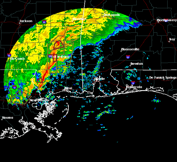 At 441 pm cdt, a severe thunderstorm capable of producing a tornado was located over sunrise, or near petal, moving northeast at 35 mph (radar indicated rotation). Hazards include tornado. Flying debris will be dangerous to those caught without shelter. mobile homes will be damaged or destroyed. damage to roofs, windows and vehicles will occur. tree damage is likely. This dangerous storm will be near, macedonia around 445 pm cdt. At 441 pm cdt, a severe thunderstorm capable of producing a tornado was located over sunrise, or near petal, moving northeast at 35 mph (radar indicated rotation). Hazards include tornado. Flying debris will be dangerous to those caught without shelter. mobile homes will be damaged or destroyed. damage to roofs, windows and vehicles will occur. tree damage is likely. This dangerous storm will be near, macedonia around 445 pm cdt.
|
| 10/31/2015 4:33 PM CDT | A large oak tree was blown onto a house on mccall stree in forrest county MS, 3.9 miles NW of Hattiesburg, MS |
| 10/31/2015 4:32 PM CDT |
 At 431 pm cdt, a severe thunderstorm capable of producing a tornado was located over hattiesburg, moving east at 40 mph (radar indicated rotation). Hazards include tornado. Flying debris will be dangerous to those caught without shelter. mobile homes will be damaged or destroyed. damage to roofs, windows and vehicles will occur. tree damage is likely. this dangerous storm will be near, sunrise around 435 pm cdt. Macedonia around 445 pm cdt. At 431 pm cdt, a severe thunderstorm capable of producing a tornado was located over hattiesburg, moving east at 40 mph (radar indicated rotation). Hazards include tornado. Flying debris will be dangerous to those caught without shelter. mobile homes will be damaged or destroyed. damage to roofs, windows and vehicles will occur. tree damage is likely. this dangerous storm will be near, sunrise around 435 pm cdt. Macedonia around 445 pm cdt.
|
| 10/31/2015 4:25 PM CDT | Damage to shed off richburg roa in forrest county MS, 3 miles N of Hattiesburg, MS |
| 10/31/2015 4:25 PM CDT | Damage to shed off richburg roa in forrest county MS, 3 miles N of Hattiesburg, MS |
| 10/31/2015 4:25 PM CDT | 9 trees blocking inside lane of i-59 nb...quarter mile south of richburg roa in lamar county MS, 3.9 miles NNE of Hattiesburg, MS |
| 10/31/2015 4:23 PM CDT | Trees downed along sullivan kilrain rd in lamar county MS, 4.5 miles NNE of Hattiesburg, MS |
| 10/31/2015 4:19 PM CDT |
 At 419 pm cdt, a severe thunderstorm capable of producing a tornado was located over west hattiesburg, moving northeast at 45 mph (radar indicated rotation). Hazards include tornado. Flying debris will be dangerous to those caught without shelter. mobile homes will be damaged or destroyed. damage to roofs, windows and vehicles will occur. tree damage is likely. this dangerous storm will be near, oak grove around 425 pm cdt. petal, sunrise and eastabuchie around 430 pm cdt. Macedonia around 440 pm cdt. At 419 pm cdt, a severe thunderstorm capable of producing a tornado was located over west hattiesburg, moving northeast at 45 mph (radar indicated rotation). Hazards include tornado. Flying debris will be dangerous to those caught without shelter. mobile homes will be damaged or destroyed. damage to roofs, windows and vehicles will occur. tree damage is likely. this dangerous storm will be near, oak grove around 425 pm cdt. petal, sunrise and eastabuchie around 430 pm cdt. Macedonia around 440 pm cdt.
|
| 10/31/2015 4:07 PM CDT |
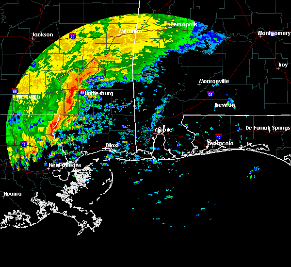 At 406 pm cdt, severe thunderstorms were located along a line extending from near sanford to 8 miles northwest of purvis to near baxterville, moving east at 30 mph (radar indicated). Hazards include 60 mph wind gusts. Expect damage to roofs. siding and trees. severe thunderstorms will be near, hattiesburg and rawls springs around 410 pm cdt. west hattiesburg, moselle and eastabuchie around 420 pm cdt. petal around 435 pm cdt. mclaurin, rock hill and sunrise around 440 pm cdt. ovett, brooklyn, maxie and macedonia around 445 pm cdt. other locations impacted by these severe thunderstorms include rhodes and corinth. A tornado watch remains in effect until 700 pm cdt for southeastern mississippi. At 406 pm cdt, severe thunderstorms were located along a line extending from near sanford to 8 miles northwest of purvis to near baxterville, moving east at 30 mph (radar indicated). Hazards include 60 mph wind gusts. Expect damage to roofs. siding and trees. severe thunderstorms will be near, hattiesburg and rawls springs around 410 pm cdt. west hattiesburg, moselle and eastabuchie around 420 pm cdt. petal around 435 pm cdt. mclaurin, rock hill and sunrise around 440 pm cdt. ovett, brooklyn, maxie and macedonia around 445 pm cdt. other locations impacted by these severe thunderstorms include rhodes and corinth. A tornado watch remains in effect until 700 pm cdt for southeastern mississippi.
|
| 10/31/2015 4:06 PM CDT |
 At 406 pm cdt, severe thunderstorms were located along a line extending from near sanford to rawls springs to near purvis, moving northeast at 60 mph (radar indicated). Hazards include 60 mph wind gusts. Expect damage to roofs. siding and trees. locations impacted include, hattiesburg, purvis, lumberton, sumrall, sanford, baxterville and seminary. A tornado watch remains in effect until 700 pm cdt for southeastern mississippi. At 406 pm cdt, severe thunderstorms were located along a line extending from near sanford to rawls springs to near purvis, moving northeast at 60 mph (radar indicated). Hazards include 60 mph wind gusts. Expect damage to roofs. siding and trees. locations impacted include, hattiesburg, purvis, lumberton, sumrall, sanford, baxterville and seminary. A tornado watch remains in effect until 700 pm cdt for southeastern mississippi.
|
| 10/31/2015 3:49 PM CDT |
 At 348 pm cdt, severe thunderstorms were located along a line extending from near melba to 7 miles southeast of improve to 6 miles east of sandy hook, moving northeast at 60 mph (radar indicated). Hazards include 60 mph wind gusts. Expect damage to roofs. siding and trees. severe thunderstorms will be near, hattiesburg and sumrall around 355 pm cdt. sanford around 400 pm cdt. purvis and pine ridge around 410 pm cdt. oak grove around 415 pm cdt. other locations impacted by these severe thunderstorms include seminary. A tornado watch remains in effect until 700 pm cdt for southeastern mississippi. At 348 pm cdt, severe thunderstorms were located along a line extending from near melba to 7 miles southeast of improve to 6 miles east of sandy hook, moving northeast at 60 mph (radar indicated). Hazards include 60 mph wind gusts. Expect damage to roofs. siding and trees. severe thunderstorms will be near, hattiesburg and sumrall around 355 pm cdt. sanford around 400 pm cdt. purvis and pine ridge around 410 pm cdt. oak grove around 415 pm cdt. other locations impacted by these severe thunderstorms include seminary. A tornado watch remains in effect until 700 pm cdt for southeastern mississippi.
|
| 8/20/2015 2:58 PM CDT |
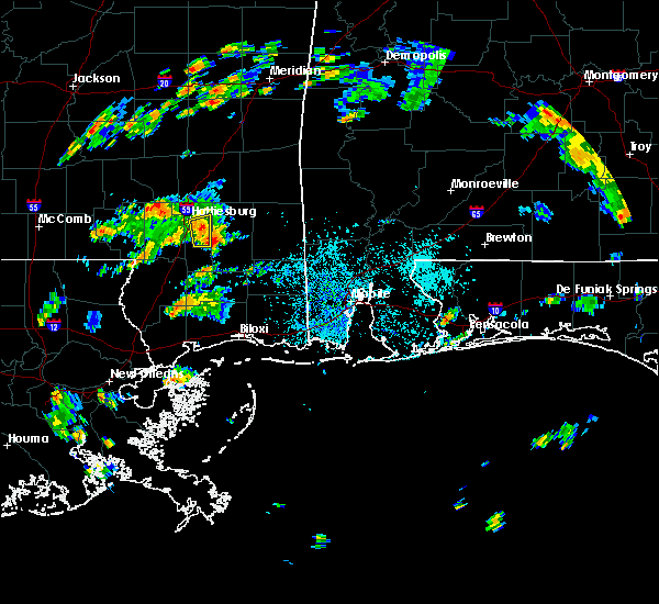 At 257 pm cdt, a severe thunderstorm was located near mclaurin, or 9 miles southeast of petal, moving east at 20 mph (radar indicated). Hazards include 60 mph wind gusts. Expect damage to roofs. siding and trees. This severe thunderstorm will remain over mainly rural areas of northeastern forrest county. At 257 pm cdt, a severe thunderstorm was located near mclaurin, or 9 miles southeast of petal, moving east at 20 mph (radar indicated). Hazards include 60 mph wind gusts. Expect damage to roofs. siding and trees. This severe thunderstorm will remain over mainly rural areas of northeastern forrest county.
|
| 8/20/2015 2:44 PM CDT |
 At 244 pm cdt, a severe thunderstorm was located near mclaurin, or 7 miles south of hattiesburg, moving east at 5 mph (radar indicated). Hazards include 60 mph wind gusts. Expect damage to roofs. siding and trees. This severe storm will be near, mclaurin and sunrise around 300 pm cdt. At 244 pm cdt, a severe thunderstorm was located near mclaurin, or 7 miles south of hattiesburg, moving east at 5 mph (radar indicated). Hazards include 60 mph wind gusts. Expect damage to roofs. siding and trees. This severe storm will be near, mclaurin and sunrise around 300 pm cdt.
|
| 8/20/2015 2:32 PM CDT |
 At 232 pm cdt, a severe thunderstorm was located near mclaurin, or near hattiesburg, moving east at 20 mph (radar indicated). Hazards include 60 mph wind gusts. Expect damage to roofs. siding and trees. this severe thunderstorm will be near, mclaurin around 240 pm cdt. Sunrise around 245 pm cdt. At 232 pm cdt, a severe thunderstorm was located near mclaurin, or near hattiesburg, moving east at 20 mph (radar indicated). Hazards include 60 mph wind gusts. Expect damage to roofs. siding and trees. this severe thunderstorm will be near, mclaurin around 240 pm cdt. Sunrise around 245 pm cdt.
|
| 8/8/2015 7:45 PM CDT |
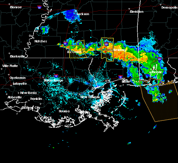 The national weather service in jackson has issued a * severe thunderstorm warning for. southeastern forrest county in southeastern mississippi. southeastern lamar county in southeastern mississippi. until 845 pm cdt * at 745 pm cdt. a severe thunderstorm was located near purvis. Or. The national weather service in jackson has issued a * severe thunderstorm warning for. southeastern forrest county in southeastern mississippi. southeastern lamar county in southeastern mississippi. until 845 pm cdt * at 745 pm cdt. a severe thunderstorm was located near purvis. Or.
|
| 8/8/2015 7:30 PM CDT | A few trees reported down around the cit in forrest county MS, 2.1 miles NW of Hattiesburg, MS |
| 8/8/2015 7:03 PM CDT |
 At 702 pm cdt, a severe thunderstorm was located near moselle, or 9 miles southwest of ellisville, moving south at 20 mph (radar indicated). Hazards include 60 mph wind gusts and quarter size hail. Hail damage to vehicles is expected. expect wind damage to roofs, siding and trees. this severe thunderstorm will be near, moselle around 710 pm cdt. eastabuchie around 725 pm cdt. rawls springs around 735 pm cdt. petal around 745 pm cdt. west hattiesburg around 750 pm cdt. Oak grove and sunrise around 755 pm cdt. At 702 pm cdt, a severe thunderstorm was located near moselle, or 9 miles southwest of ellisville, moving south at 20 mph (radar indicated). Hazards include 60 mph wind gusts and quarter size hail. Hail damage to vehicles is expected. expect wind damage to roofs, siding and trees. this severe thunderstorm will be near, moselle around 710 pm cdt. eastabuchie around 725 pm cdt. rawls springs around 735 pm cdt. petal around 745 pm cdt. west hattiesburg around 750 pm cdt. Oak grove and sunrise around 755 pm cdt.
|
| 7/30/2015 4:52 PM CDT |
 The severe thunderstorm warning for central forrest and southeastern lamar counties will expire at 500 pm cdt, the storm which prompted the warning has weakened below severe limits, and no longer pose an immediate threat to life or property. therefore the warning will be allowed to expire. to report severe weather, contact your nearest law enforcement agency. they will relay your report to the national weather service jackson. The severe thunderstorm warning for central forrest and southeastern lamar counties will expire at 500 pm cdt, the storm which prompted the warning has weakened below severe limits, and no longer pose an immediate threat to life or property. therefore the warning will be allowed to expire. to report severe weather, contact your nearest law enforcement agency. they will relay your report to the national weather service jackson.
|
| 7/30/2015 4:17 PM CDT |
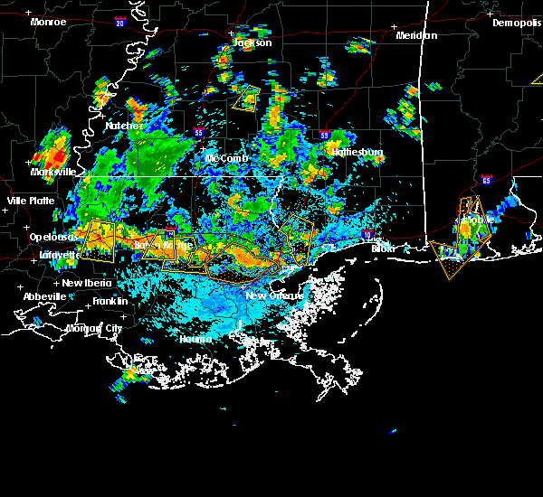 At 417 pm cdt, a severe thunderstorm was located near mclaurin, or near hattiesburg, moving southwest at 20 mph (radar indicated). Hazards include 60 mph wind gusts. Expect damage to roofs. siding and trees. this severe thunderstorm will be near, mclaurin around 430 pm cdt. Purvis and rock hill around 450 pm cdt. At 417 pm cdt, a severe thunderstorm was located near mclaurin, or near hattiesburg, moving southwest at 20 mph (radar indicated). Hazards include 60 mph wind gusts. Expect damage to roofs. siding and trees. this severe thunderstorm will be near, mclaurin around 430 pm cdt. Purvis and rock hill around 450 pm cdt.
|
| 7/30/2015 3:35 PM CDT | Couple trees down on and near canebrake blv in lamar county MS, 6.5 miles E of Hattiesburg, MS |
| 7/30/2015 3:24 PM CDT |
 At 323 pm cdt, severe thunderstorms were located along a line extending from near bunker hill to melba to near rawls springs, moving southwest at 20 mph (radar indicated). Hazards include 60 mph wind gusts. Expect damage to roofs. siding and trees. severe thunderstorms will be near, melba around 330 pm cdt. bunker hill around 335 pm cdt. society hill and improve around 345 pm cdt. hattiesburg and goss around 355 pm cdt. holly springs around 410 pm cdt. columbia and morgantown around 420 pm cdt. Other locations impacted by these severe thunderstorms include bassfield. At 323 pm cdt, severe thunderstorms were located along a line extending from near bunker hill to melba to near rawls springs, moving southwest at 20 mph (radar indicated). Hazards include 60 mph wind gusts. Expect damage to roofs. siding and trees. severe thunderstorms will be near, melba around 330 pm cdt. bunker hill around 335 pm cdt. society hill and improve around 345 pm cdt. hattiesburg and goss around 355 pm cdt. holly springs around 410 pm cdt. columbia and morgantown around 420 pm cdt. Other locations impacted by these severe thunderstorms include bassfield.
|
| 7/30/2015 3:10 PM CDT | Tree downed near the intersection of new zion road and monroe road. time estimated by rada in jones county MS, 8.3 miles SSE of Hattiesburg, MS |
| 7/5/2015 2:13 PM CDT |
 At 213 pm cdt, severe thunderstorms were located along a line extending from near rock hill to near kokomo, moving southeast at 15 mph (radar indicated). Hazards include 60 mph wind gusts and quarter size hail. Hail damage to vehicles is expected. expect wind damage to roofs, siding and trees. Locations impacted include, sandy hook, kokomo, purvis, lumberton, rock hill, brooklyn, baxterville, pinebur, pickwick, maxie and mclaurin. At 213 pm cdt, severe thunderstorms were located along a line extending from near rock hill to near kokomo, moving southeast at 15 mph (radar indicated). Hazards include 60 mph wind gusts and quarter size hail. Hail damage to vehicles is expected. expect wind damage to roofs, siding and trees. Locations impacted include, sandy hook, kokomo, purvis, lumberton, rock hill, brooklyn, baxterville, pinebur, pickwick, maxie and mclaurin.
|
| 7/5/2015 1:57 PM CDT |
 At 156 pm cdt, severe thunderstorms were located along a line extending from near mclaurin to near kokomo, moving east at 25 mph (radar indicated). Hazards include 60 mph wind gusts and quarter size hail. Hail damage to vehicles is expected. Expect wind damage to roofs, siding and trees. At 156 pm cdt, severe thunderstorms were located along a line extending from near mclaurin to near kokomo, moving east at 25 mph (radar indicated). Hazards include 60 mph wind gusts and quarter size hail. Hail damage to vehicles is expected. Expect wind damage to roofs, siding and trees.
|
| 7/5/2015 1:55 PM CDT | Tree downed along ms highway 589 near ford loop in lamar county MS, 8.8 miles ENE of Hattiesburg, MS |
| 7/5/2015 1:45 PM CDT | A few trees downed around the dixie community in forrest county MS, 8.1 miles NNW of Hattiesburg, MS |
| 7/5/2015 1:42 PM CDT |
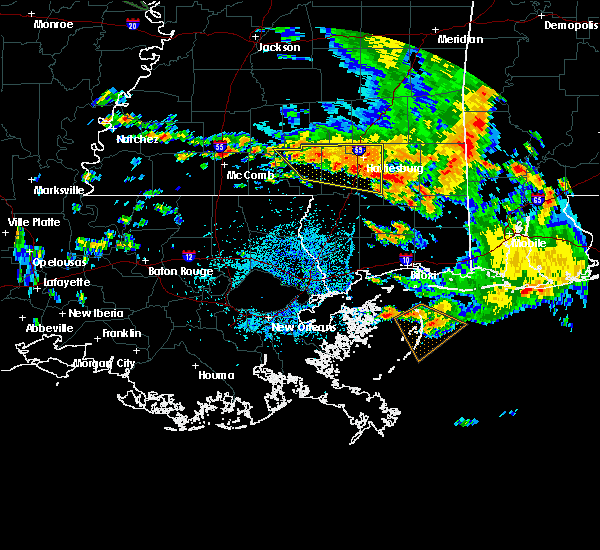 At 141 pm cdt, severe thunderstorms were located along a line extending from near columbia to mclaurin, moving southeast at 30 mph (radar indicated). Hazards include 60 mph wind gusts and quarter size hail. Hail damage to vehicles is expected. expect wind damage to roofs, siding and trees. Locations impacted include, hattiesburg, petal, columbia, west hattiesburg, purvis, brooklyn, sunrise, rock hill, morgantown, pinebur, mclaurin, improve and rawls springs. At 141 pm cdt, severe thunderstorms were located along a line extending from near columbia to mclaurin, moving southeast at 30 mph (radar indicated). Hazards include 60 mph wind gusts and quarter size hail. Hail damage to vehicles is expected. expect wind damage to roofs, siding and trees. Locations impacted include, hattiesburg, petal, columbia, west hattiesburg, purvis, brooklyn, sunrise, rock hill, morgantown, pinebur, mclaurin, improve and rawls springs.
|
| 7/5/2015 1:22 PM CDT |
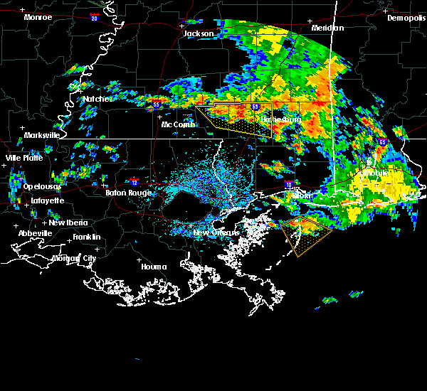 At 122 pm cdt, severe thunderstorms were located along a line extending from near improve to near petal, moving east at 30 mph (radar indicated). Hazards include 60 mph wind gusts and quarter size hail. Hail damage to vehicles is expected. Expect wind damage to roofs, siding and trees. At 122 pm cdt, severe thunderstorms were located along a line extending from near improve to near petal, moving east at 30 mph (radar indicated). Hazards include 60 mph wind gusts and quarter size hail. Hail damage to vehicles is expected. Expect wind damage to roofs, siding and trees.
|
| 7/4/2015 2:38 PM CDT |
 At 237 pm cdt, severe thunderstorms were located along a line extending from near sanford to mclaurin, moving northeast at 30 mph (radar indicated). Hazards include 60 mph wind gusts. Expect damage to roofs. siding and trees. these severe storms will be near, eastabuchie around 245 pm cdt. moselle around 250 pm cdt. Other locations impacted by these severe thunderstorms include rhodes. At 237 pm cdt, severe thunderstorms were located along a line extending from near sanford to mclaurin, moving northeast at 30 mph (radar indicated). Hazards include 60 mph wind gusts. Expect damage to roofs. siding and trees. these severe storms will be near, eastabuchie around 245 pm cdt. moselle around 250 pm cdt. Other locations impacted by these severe thunderstorms include rhodes.
|
| 7/4/2015 2:28 PM CDT |
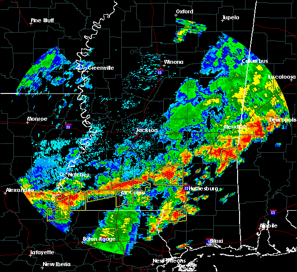 At 228 pm cdt, severe thunderstorms were located along a line extending from near sanford to west hattiesburg to near rock hill, moving northeast at 30 mph (radar indicated). Hazards include 60 mph wind gusts. Expect damage to roofs. siding and trees. severe thunderstorms will be near, mclaurin around 240 pm cdt. eastabuchie around 245 pm cdt. moselle around 250 pm cdt. Other locations impacted by these severe thunderstorms include rhodes. At 228 pm cdt, severe thunderstorms were located along a line extending from near sanford to west hattiesburg to near rock hill, moving northeast at 30 mph (radar indicated). Hazards include 60 mph wind gusts. Expect damage to roofs. siding and trees. severe thunderstorms will be near, mclaurin around 240 pm cdt. eastabuchie around 245 pm cdt. moselle around 250 pm cdt. Other locations impacted by these severe thunderstorms include rhodes.
|
| 6/24/2015 1:51 PM CDT |
 At 151 pm cdt, a severe thunderstorm was located near sumrall, or 7 miles west of west hattiesburg, moving south at 15 mph (radar indicated). Hazards include 60 mph wind gusts and quarter size hail. Hail damage to vehicles is expected. expect wind damage to roofs, siding and trees. Locations impacted include, hattiesburg, west hattiesburg, sumrall, rawls springs and sanford. At 151 pm cdt, a severe thunderstorm was located near sumrall, or 7 miles west of west hattiesburg, moving south at 15 mph (radar indicated). Hazards include 60 mph wind gusts and quarter size hail. Hail damage to vehicles is expected. expect wind damage to roofs, siding and trees. Locations impacted include, hattiesburg, west hattiesburg, sumrall, rawls springs and sanford.
|
| 6/24/2015 1:32 PM CDT |
 At 131 pm cdt, a severe thunderstorm was located near sumrall, or 8 miles northwest of west hattiesburg, moving south at 10 mph (radar indicated). Hazards include 60 mph wind gusts and quarter size hail. Hail damage to vehicles is expected. expect wind damage to roofs, siding and trees. Locations impacted include, hattiesburg, west hattiesburg, sumrall, rawls springs and sanford. At 131 pm cdt, a severe thunderstorm was located near sumrall, or 8 miles northwest of west hattiesburg, moving south at 10 mph (radar indicated). Hazards include 60 mph wind gusts and quarter size hail. Hail damage to vehicles is expected. expect wind damage to roofs, siding and trees. Locations impacted include, hattiesburg, west hattiesburg, sumrall, rawls springs and sanford.
|
| 6/24/2015 1:12 PM CDT |
 At 112 pm cdt, a severe thunderstorm was located near sumrall, or 10 miles northwest of west hattiesburg, and is nearly stationary (radar indicated). Hazards include 60 mph wind gusts and quarter size hail. Hail damage to vehicles is expected. expect wind damage to roofs, siding and trees. This severe thunderstorm will be near, hattiesburg, west hattiesburg and rawls springs around 215 pm cdt. At 112 pm cdt, a severe thunderstorm was located near sumrall, or 10 miles northwest of west hattiesburg, and is nearly stationary (radar indicated). Hazards include 60 mph wind gusts and quarter size hail. Hail damage to vehicles is expected. expect wind damage to roofs, siding and trees. This severe thunderstorm will be near, hattiesburg, west hattiesburg and rawls springs around 215 pm cdt.
|
| 4/15/2015 7:26 PM CDT | The severe thunderstorm warning for central forrest county will expire at 730 pm cdt. the storm which prompted the warning has weakened below severe limits. and no longer pose an immediate threat to life or property. Therefore the warning will be allowed to expire. |
| 4/15/2015 7:25 PM CDT | Quarter sized hail reported 13.1 miles NNW of Hattiesburg, MS, report of quarter size hail in mclaurin. |
| 4/15/2015 7:08 PM CDT | A severe thunderstorm warning remains in effect until 730 pm cdt for central forrest county. at 706 pm cdt. a severe thunderstorm was located over rock hill. or 13 miles south of hattiesburg. moving northeast at 20 mph. hazard. golf ball size hail and 60 mph wind gusts. source. public. at 659 pm. Golfball size hail was reported at. |
| 4/15/2015 6:57 PM CDT | A severe thunderstorm warning remains in effect until 730 pm cdt for central forrest and east central lamar counties. at 657 pm cdt. a severe thunderstorm was located over rock hill. or 15 miles south of hattiesburg. moving northeast at 15 mph. hazard. golf ball size hail and 60 mph wind gusts. source. Radar indicated. |
| 4/15/2015 6:50 PM CDT | The national weather service in jackson has issued a * severe thunderstorm warning for. central forrest county in southeastern mississippi. southeastern lamar county in southeastern mississippi. until 730 pm cdt * at 650 pm cdt. A severe thunderstorm was located near talowah. |
| 3/18/2015 10:09 PM CDT | The national weather service in jackson has issued a * severe thunderstorm warning for. northern forrest county in southeast mississippi. southern jones county in southeast mississippi. until 1100 pm cdt * at 1009 pm cdt. A severe thunderstorm was located near rawls. |
| 6/24/2014 6:30 PM CDT | Two trees were blown down across hwy 49 in forrest county MS, 13.1 miles NNW of Hattiesburg, MS |
| 6/20/2014 6:31 PM CDT | A few trees down on richburg roa in lamar county MS, 6.4 miles NE of Hattiesburg, MS |
| 6/10/2014 10:45 AM CDT | Multiple trees down at old hwy 24 and hwy 98 and at hwy 98 and oral church r in lamar county MS, 9.5 miles E of Hattiesburg, MS |
| 2/20/2014 11:32 PM CST | Recorded at khbg in forrest county MS, 6.6 miles NW of Hattiesburg, MS |
| 2/20/2014 9:29 PM CST | Tree downed partially blocking the roadway at monroe road and stanford road in jones county MS, 10.8 miles S of Hattiesburg, MS |
| 2/20/2014 9:27 PM CST | Minor damage occurred to a house...four chicken houses were damaged...and a shop was damaged along jenkins road. possible tornad in jones county MS, 9.5 miles S of Hattiesburg, MS |
| 2/20/2014 9:25 PM CST | A mobile home was shifted a foot...and the deck and canopy were blown away along eddie walker road. possible tornad in jones county MS, 8.8 miles S of Hattiesburg, MS |
| 8/13/2013 3:45 PM CDT | Trees downed in the 900 block of mc innis ave in forrest county MS, 3.2 miles WNW of Hattiesburg, MS |
| 3/18/2013 9:53 PM CDT | Quarter sized hail reported 2.1 miles NW of Hattiesburg, MS, on edwards street |
| 12/20/2012 6:50 AM CST | Tree down on off ramp to hwy 49 north. tree down across road on helveston rd at pineview apartment in forrest county MS, 2.1 miles NW of Hattiesburg, MS |
| 12/10/2012 9:15 AM CST | Tree downed on i-59 between us 49 and hardy street in lamar county MS, 1.1 miles ESE of Hattiesburg, MS |
| 8/9/2012 4:25 PM CDT | At least four trees were downed across lamar county in lamar county MS, 7.8 miles NE of Hattiesburg, MS |
| 8/9/2012 3:30 PM CDT | Observed at hattiesburg municipal airport in forrest county MS, 6.6 miles NW of Hattiesburg, MS |
| 8/9/2012 3:30 PM CDT | Trees downed along james street. pea sized hail was also reporte in forrest county MS, 5.2 miles NW of Hattiesburg, MS |
| 8/9/2012 3:20 PM CDT | Trees downed at elks lake rd and homestead near the dixie community in forrest county MS, 6.1 miles NNW of Hattiesburg, MS |
| 8/9/2012 3:20 PM CDT | Trees downed at elks lake rd and homestead near the dixie community. roof was damaged at a multi-purpose buildin in forrest county MS, 6.1 miles NNW of Hattiesburg, MS |
| 8/6/2012 4:25 PM CDT | Trees down at bluemoon dr and camp dantzler r in forrest county MS, 14.7 miles NNW of Hattiesburg, MS |
| 6/11/2012 11:00 PM CDT | Trees downed at carter road and old highway 49...and rifle range road in forrest county MS, 13.1 miles NNW of Hattiesburg, MS |
| 6/11/2012 10:50 PM CDT | Trees and powerlines downed on elks lake road in forrest county MS, 7.4 miles NNW of Hattiesburg, MS |
| 6/11/2012 10:40 PM CDT | Power lines downed near us highway 98 and cole road in lamar county MS, 6.5 miles E of Hattiesburg, MS |
| 6/11/2012 10:40 PM CDT | A few small trees downed in the oak grove area in lamar county MS, 5.5 miles ENE of Hattiesburg, MS |
| 5/31/2012 4:55 PM CDT | Numerous trees down around brooklyn in forrest county MS, 20.7 miles NNW of Hattiesburg, MS |
| 5/31/2012 4:50 PM CDT | A few trees were downed in the city of hattiesburg in forrest county MS, 2.1 miles NW of Hattiesburg, MS |
| 4/3/2012 9:50 PM CDT | Multiple trees down around the city of hattiesburg... including along i-59 between mile markers 50 and 56...w 4th st...columbia st...broad st and main st in forrest county MS, 2.1 miles NW of Hattiesburg, MS |
| 1/1/0001 12:00 AM | Quarter sized hail reported 15.1 miles NNW of Hattiesburg, MS, occurred on jb horne rd along with 50 mph winds. |
| 1/1/0001 12:00 AM | 3 apartments were damaged at the parkplace apartments on westover drive. windows were busted out. roofs were damaged. trees were uproote in lamar county MS, 5.6 miles NNE of Hattiesburg, MS |
| 1/1/0001 12:00 AM | Possible funnel cloud spotted by publi in lamar county MS, 5.6 miles NNE of Hattiesburg, MS |
| 1/1/0001 12:00 AM | Roof damage at park place apartments and windows blown out of vehicles at turtlecreek mall. siding and shingle damage also reported by wdam at interstate 59 and hardy s in lamar county MS, 3 miles ENE of Hattiesburg, MS |
| 1/1/0001 12:00 AM | Two trees were reported dow in forrest county MS, 13.1 miles NNW of Hattiesburg, MS |
| 1/1/0001 12:00 AM | Measured at hbg in forrest county MS, 2.1 miles NW of Hattiesburg, MS |
| 1/1/0001 12:00 AM | Trees and power lines were down at interstate 59 and highway 1 in forrest county MS, 3.8 miles N of Hattiesburg, MS |
| 1/1/0001 12:00 AM | Power pole down at hardy st and 40th ave. power lines down on south 31st stree in forrest county MS, 2.1 miles NW of Hattiesburg, MS |
| 1/1/0001 12:00 AM | Trees down across the cit in lamar county MS, 3 miles ENE of Hattiesburg, MS |
| 1/1/0001 12:00 AM | Trees and power lines down at 800 dewayne st in forrest county MS, 2.1 miles NW of Hattiesburg, MS |
| 1/1/0001 12:00 AM | A large traffic signal at broadway drive and timothy lane was blown dow in forrest county MS, 2.1 miles NW of Hattiesburg, MS |
| 1/1/0001 12:00 AM | Glass front of a building was blown out on highway 49 along with numerous trees and powerlines dow in forrest county MS, 2.1 miles NW of Hattiesburg, MS |
| 1/1/0001 12:00 AM | Numerous trees down in the forrest general hospital are in forrest county MS, 2.1 miles NW of Hattiesburg, MS |
| 1/1/0001 12:00 AM | Reports of trees down at hardy and 31st street as well as 28th avenue and lee circle in hattiesbur in forrest county MS, 2.1 miles NW of Hattiesburg, MS |
| 1/1/0001 12:00 AM | Reports of trees down at hardy and 31st street as well as 28th avenue in hattiesbur in forrest county MS, 2.1 miles NW of Hattiesburg, MS |
| 1/1/0001 12:00 AM | Half Dollar sized hail reported 2.1 miles NW of Hattiesburg, MS, quarter to half dollar size hail reported. |
| 1/1/0001 12:00 AM | Wind gust on wdam skycam on top of forrest general hospital in central hattiesbur in forrest county MS, 2.1 miles NW of Hattiesburg, MS |
| 1/1/0001 12:00 AM | A few trees down in the dixie communit in forrest county MS, 3.9 miles NNW of Hattiesburg, MS |
| 1/1/0001 12:00 AM | Tree reported down on hinton drive in forrest county MS, 1.4 miles WSW of Hattiesburg, MS |
| 1/1/0001 12:00 AM | A few trees down along mccardle rd in forrest county MS, 20 miles NNW of Hattiesburg, MS |
| 1/1/0001 12:00 AM | Several trees down on pierce road to the west of highway 49 in forrest county MS, 16.2 miles NNW of Hattiesburg, MS |
| 1/1/0001 12:00 AM | Quarter sized hail reported 13.1 miles NNW of Hattiesburg, MS |
| 1/1/0001 12:00 AM | Golf Ball sized hail reported 17.2 miles NNW of Hattiesburg, MS |
| 1/1/0001 12:00 AM | Power lines down at camp shelby in forrest county MS, 11.4 miles NW of Hattiesburg, MS |
| 1/1/0001 12:00 AM | A couple trees down in jones county MS, 8 miles S of Hattiesburg, MS |
| 1/1/0001 12:00 AM | 62 mph wind gust measured at bobby l. chain airpor in forrest county MS, 6.9 miles NNW of Hattiesburg, MS |
| 1/1/0001 12:00 AM | Tree down on roy tucker roads and several trees down john odom road in forrest county MS, 6.6 miles N of Hattiesburg, MS |
| 1/1/0001 12:00 AM | Minor damage to police/fire training academy. some power outage in forrest county MS, 7 miles NW of Hattiesburg, MS |
| 1/1/0001 12:00 AM | Quarter sized hail reported 13.1 miles NNW of Hattiesburg, MS |
| 1/1/0001 12:00 AM | Golf Ball sized hail reported 10.1 miles N of Hattiesburg, MS |
| 1/1/0001 12:00 AM | Hen Egg sized hail reported 13.4 miles N of Hattiesburg, MS |
| 1/1/0001 12:00 AM | Quarter sized hail reported 21.1 miles NNW of Hattiesburg, MS, reported near carnes road and highway 49. |
| 1/1/0001 12:00 AM | Quarter sized hail reported 6.1 miles NW of Hattiesburg, MS |
Hail Maps for Hattiesburg, MS

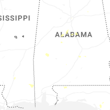
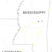
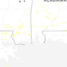
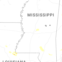
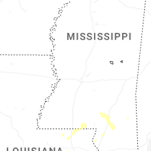

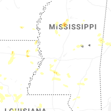
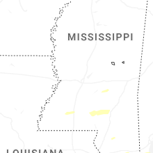
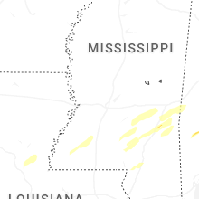


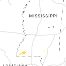


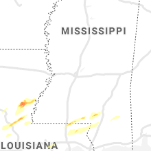


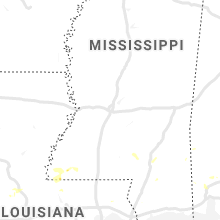


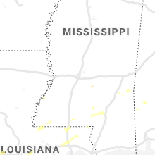


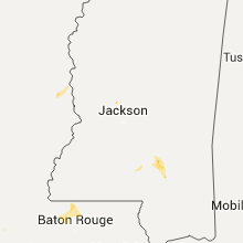


Connect with Interactive Hail Maps