

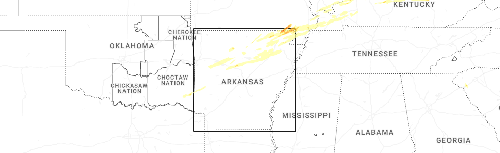
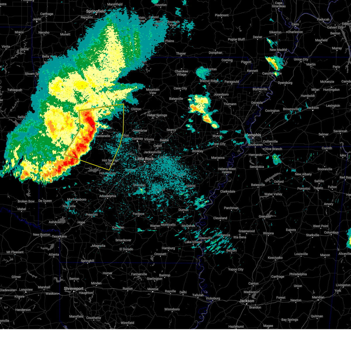
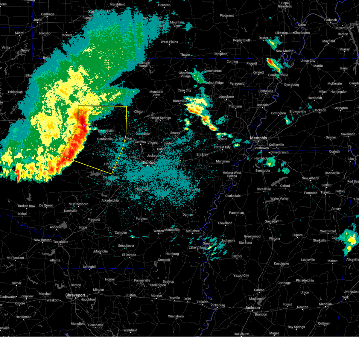
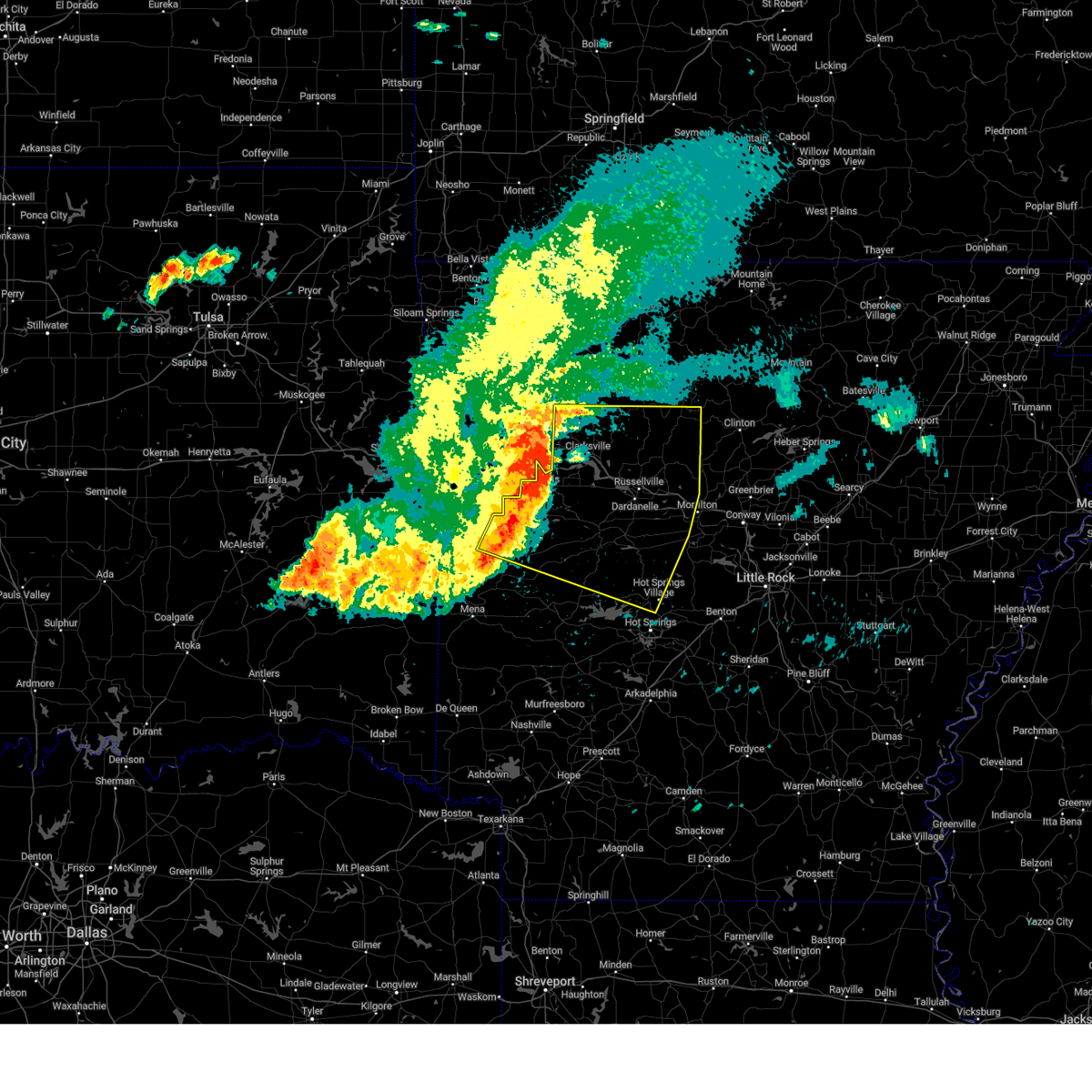
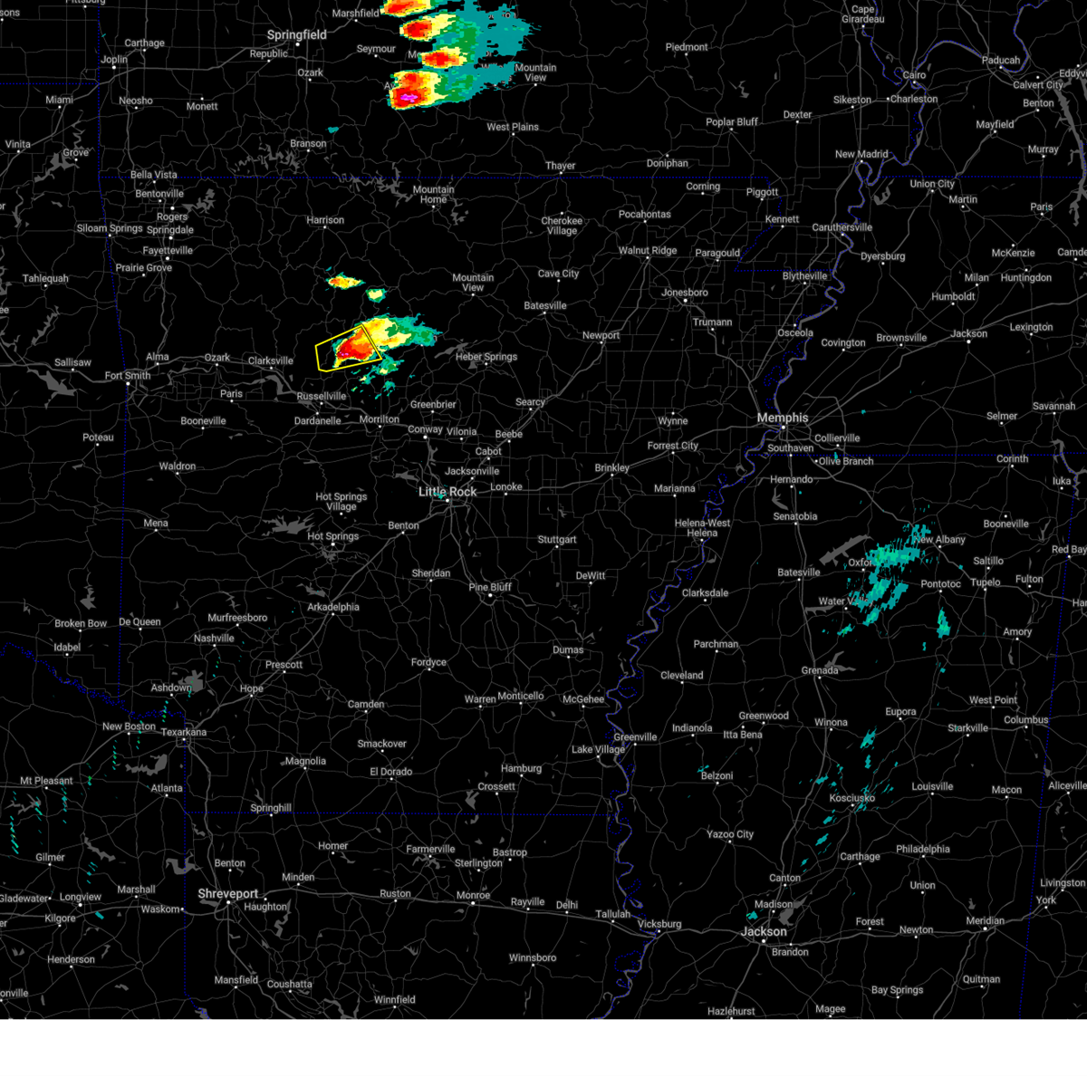
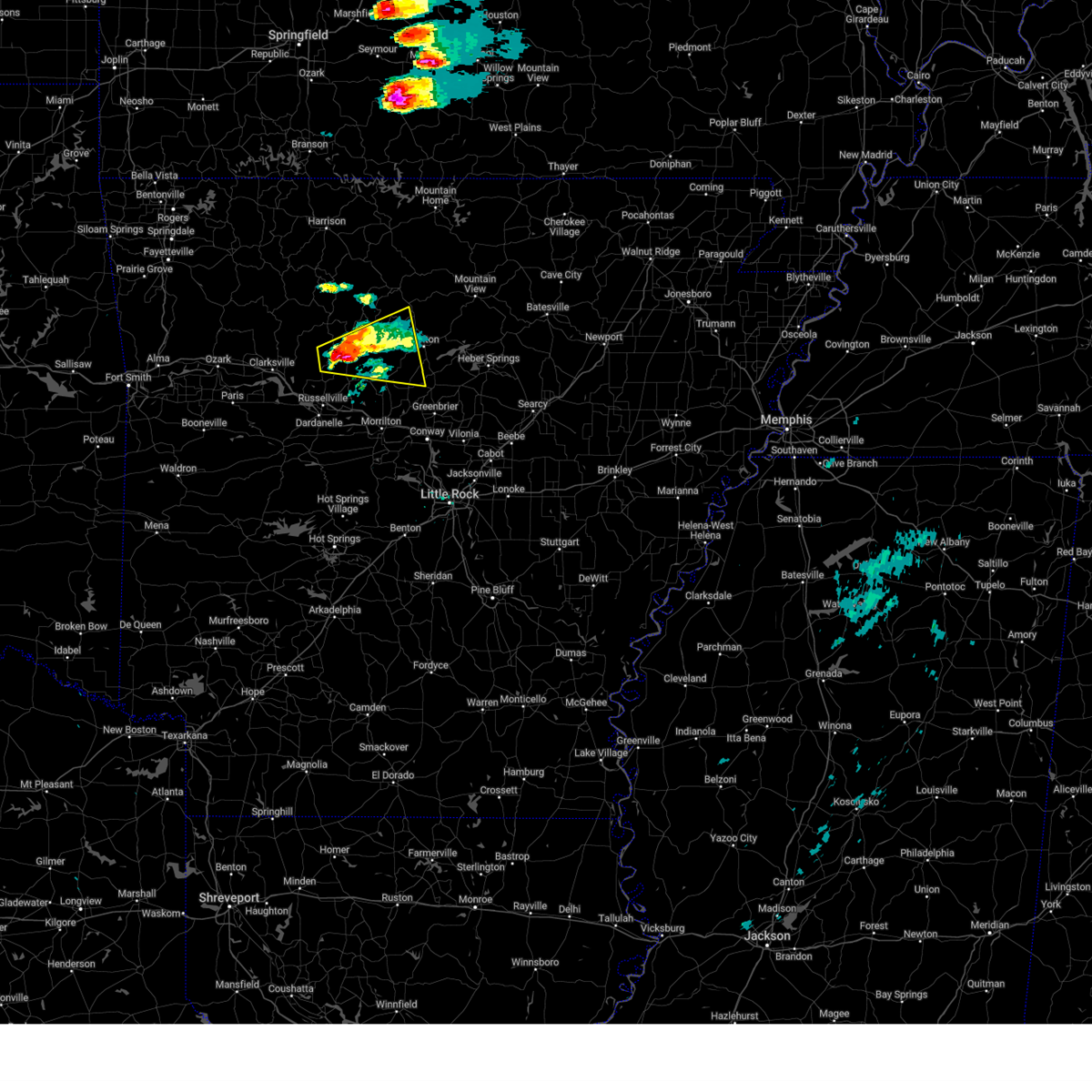
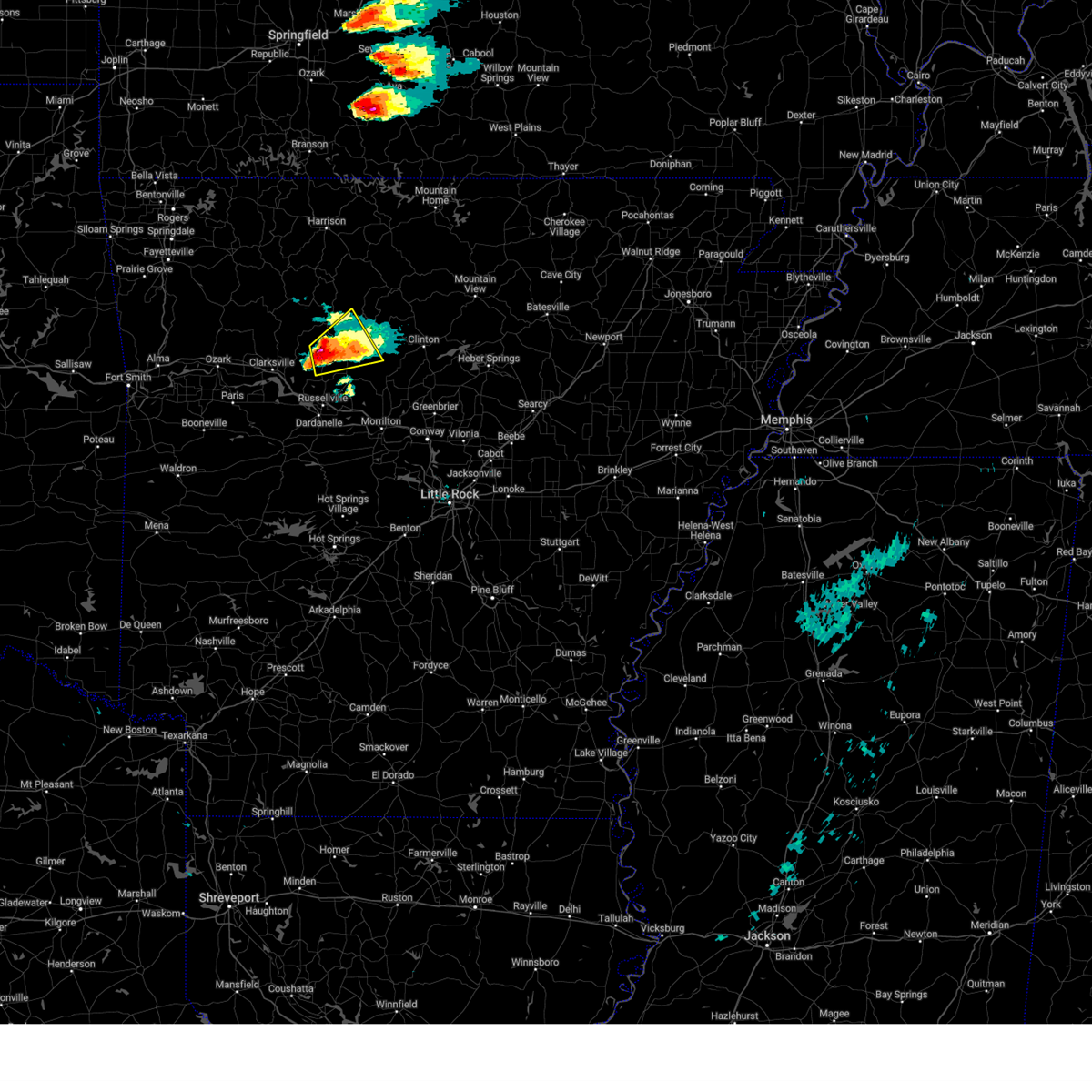
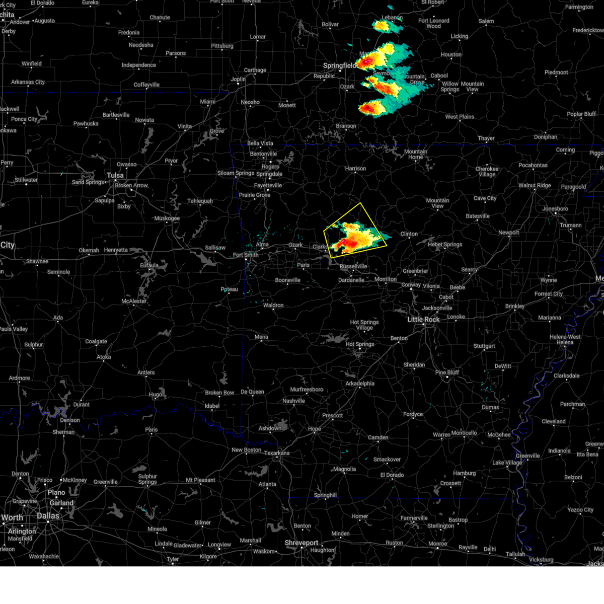
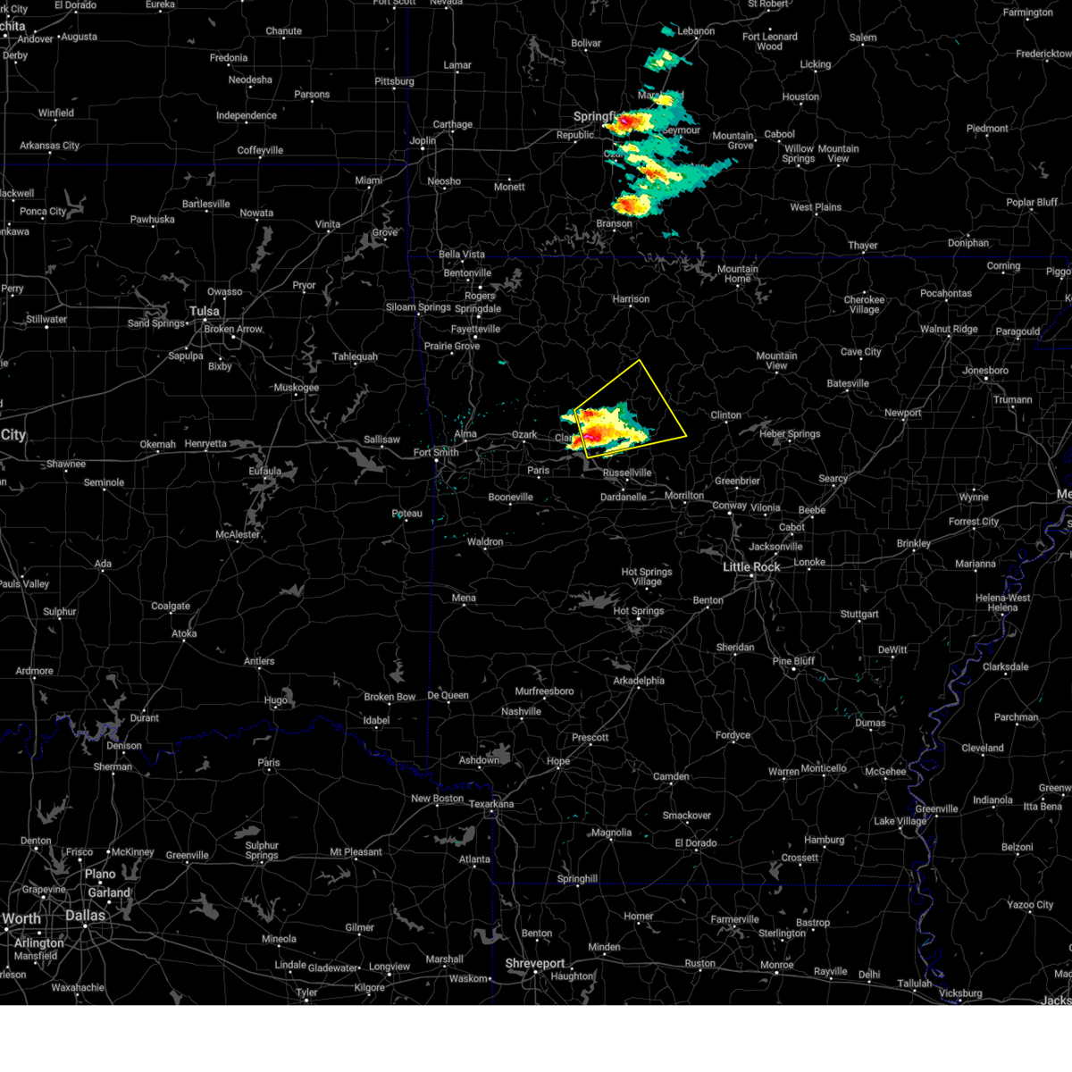
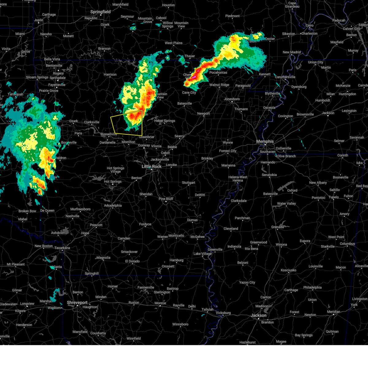
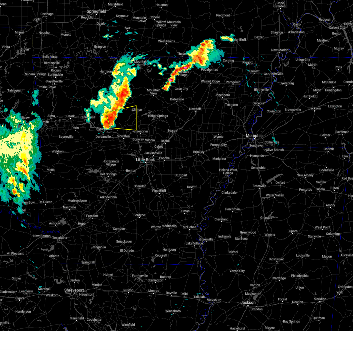
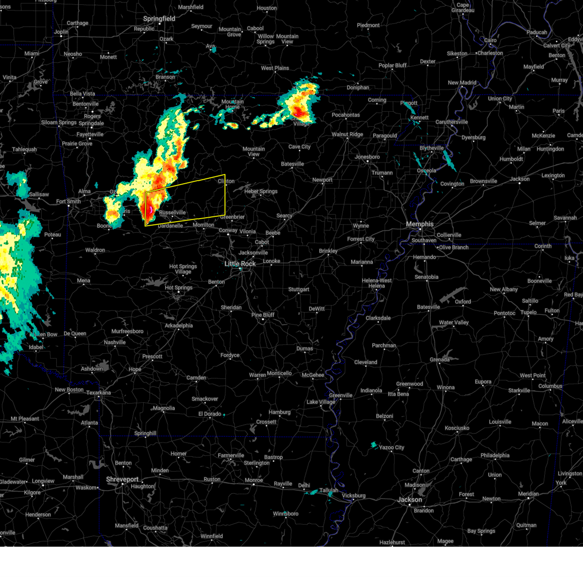
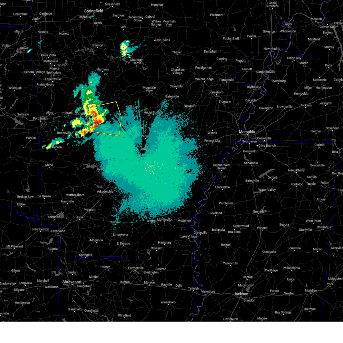
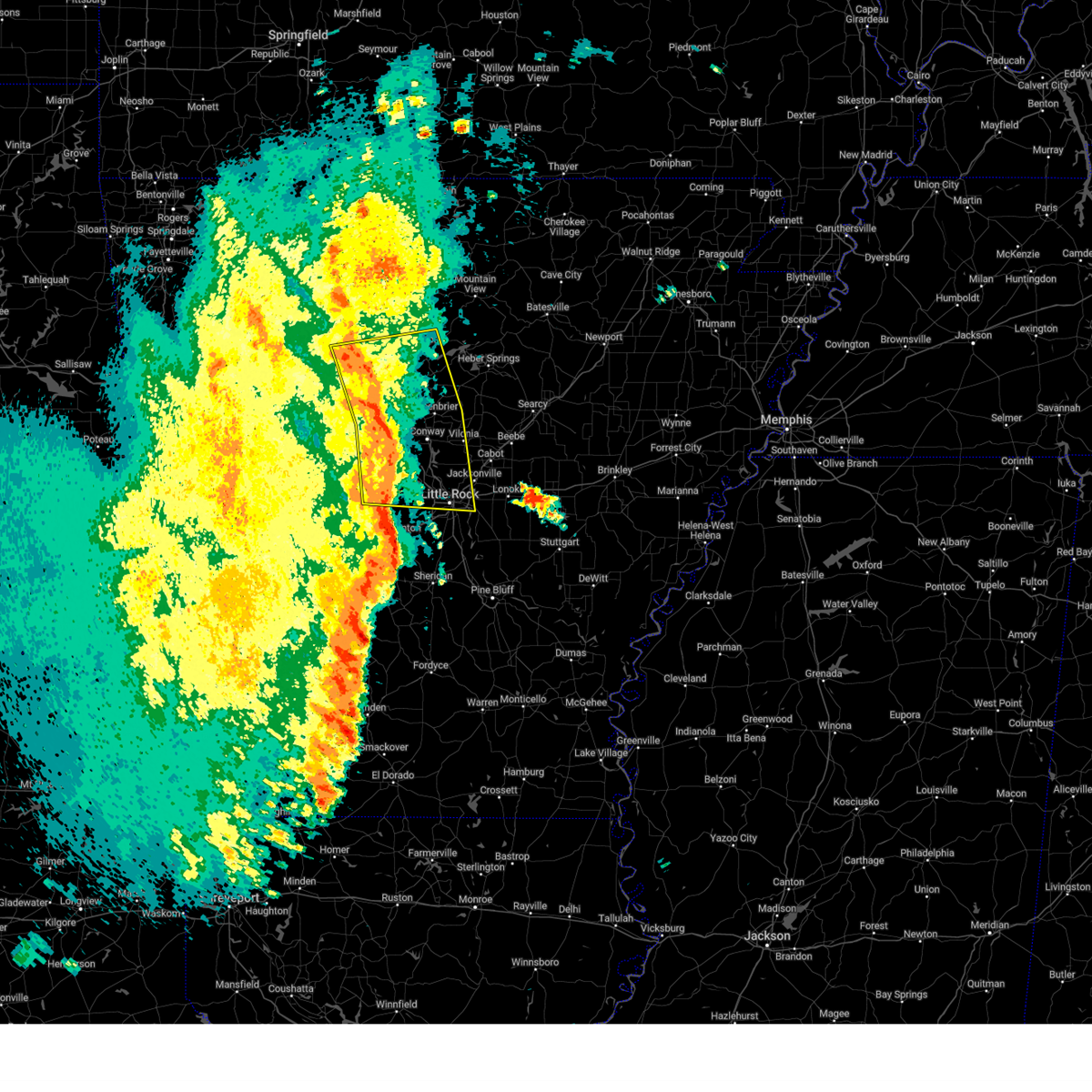
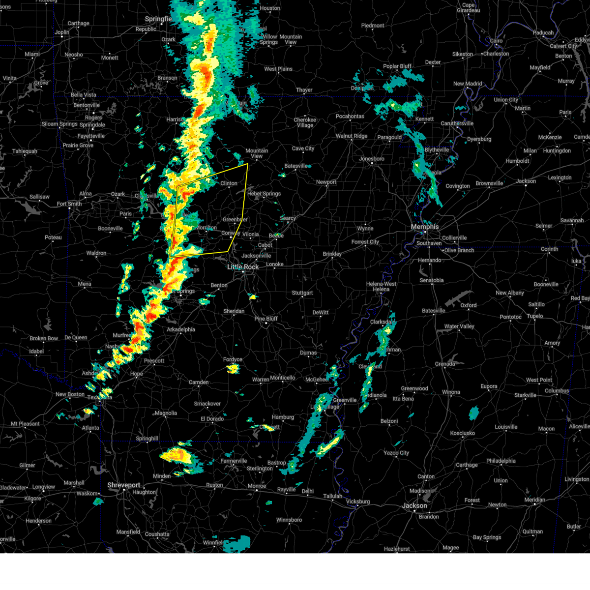
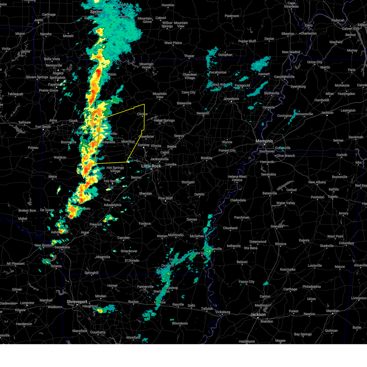
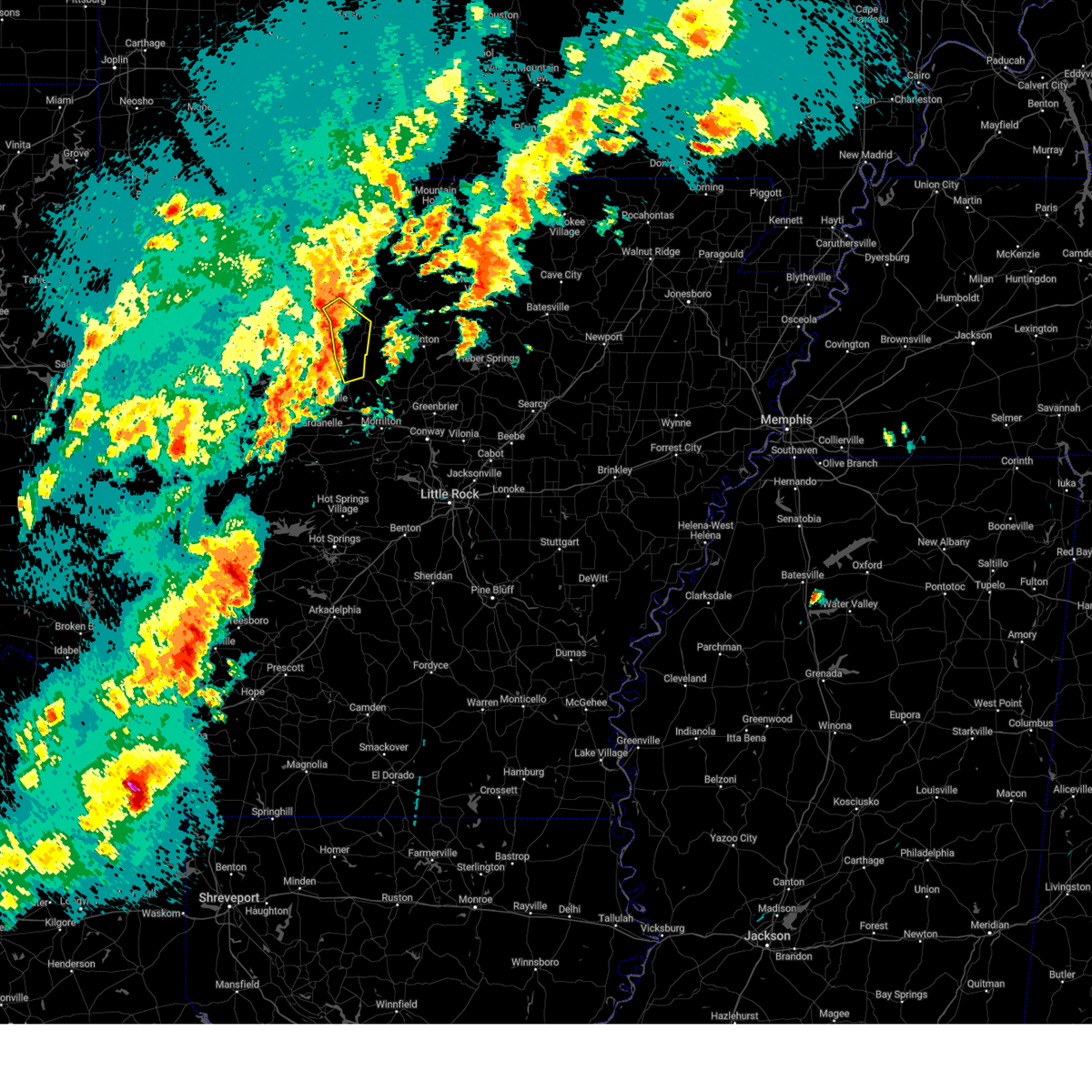
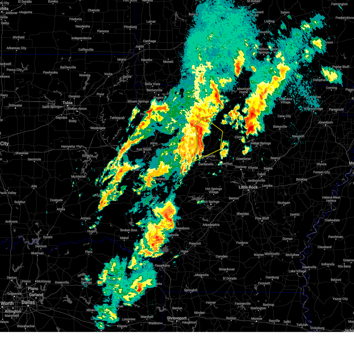
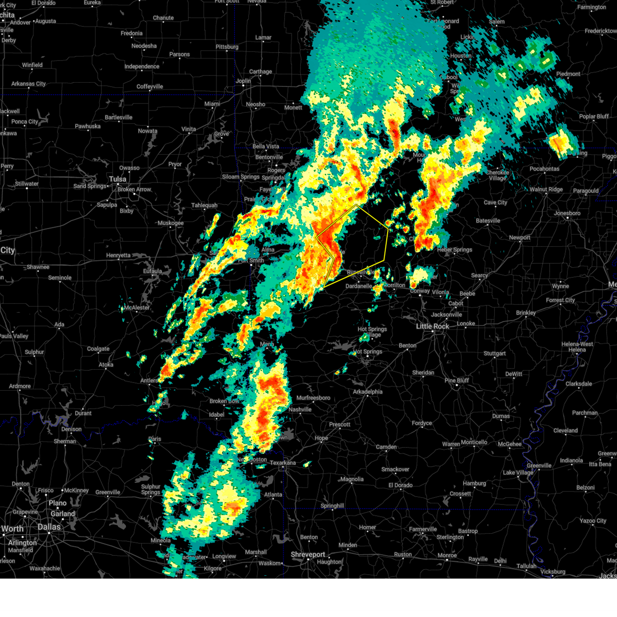
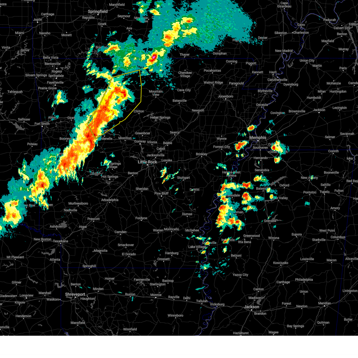
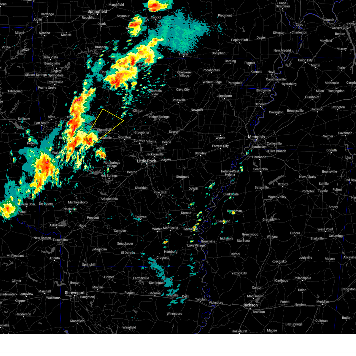
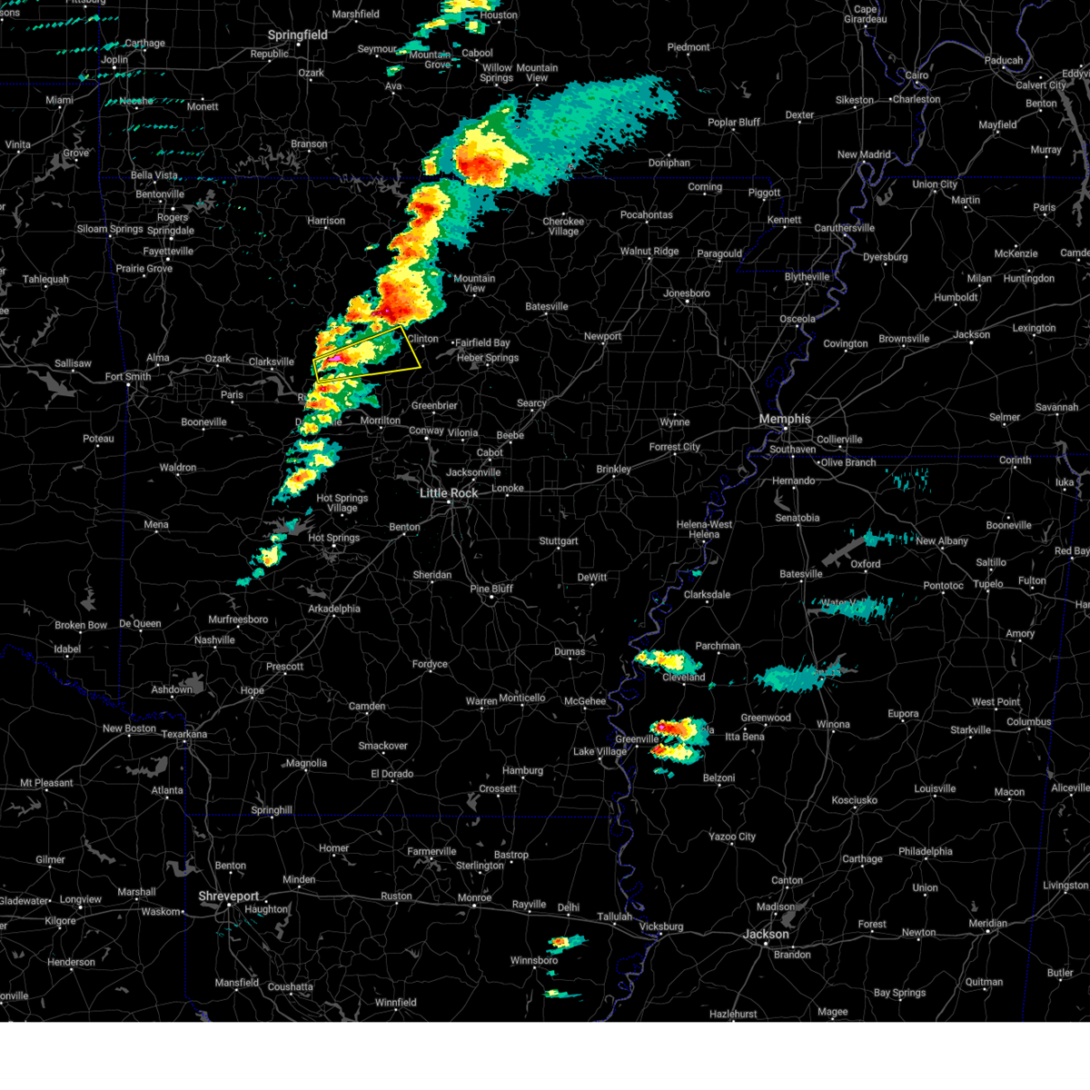
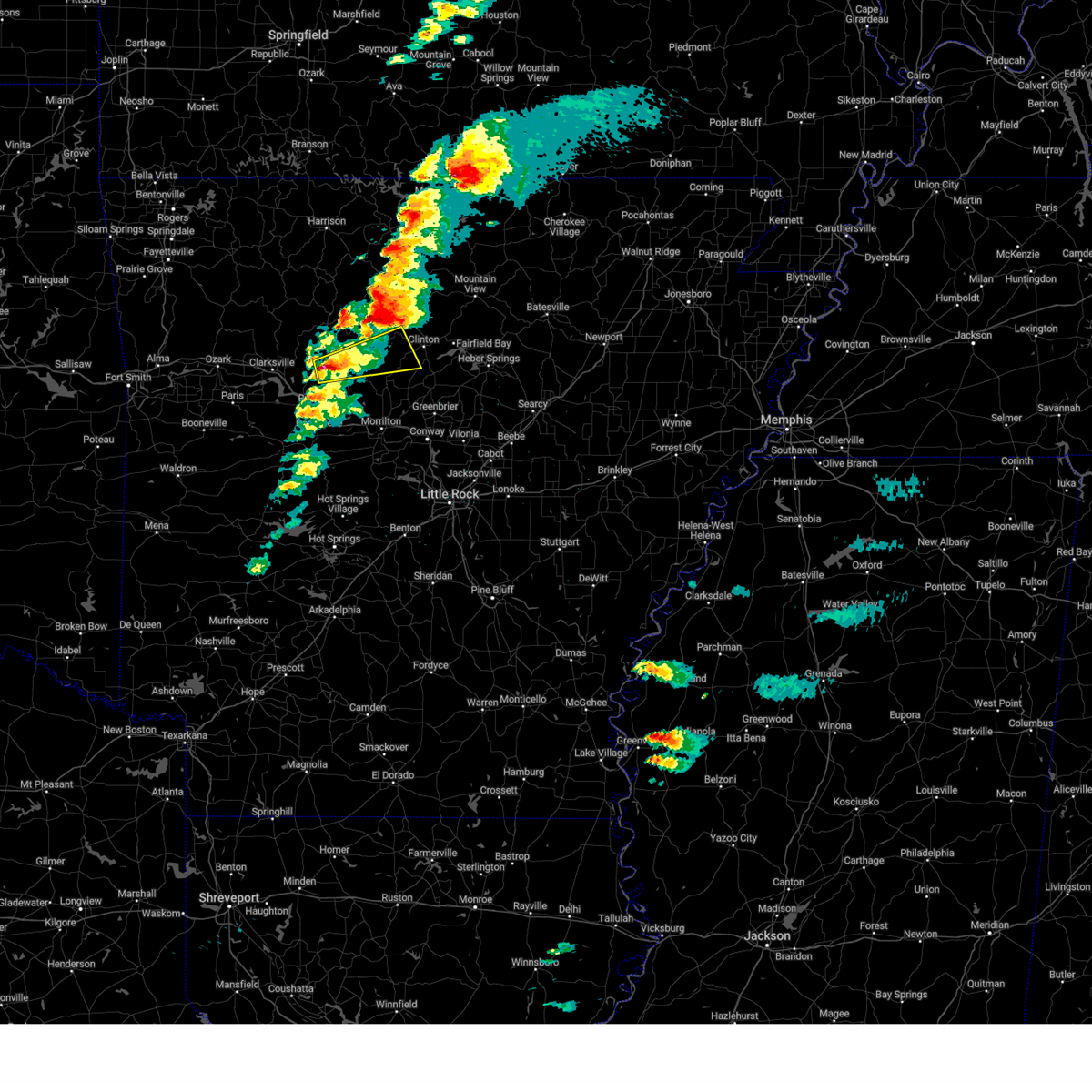
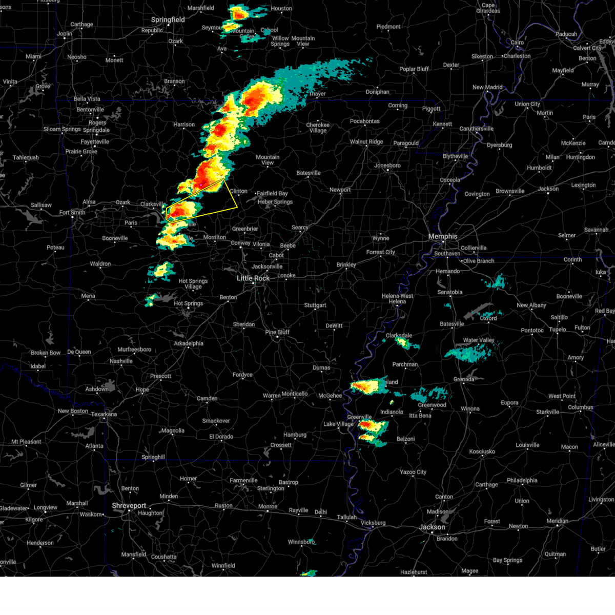
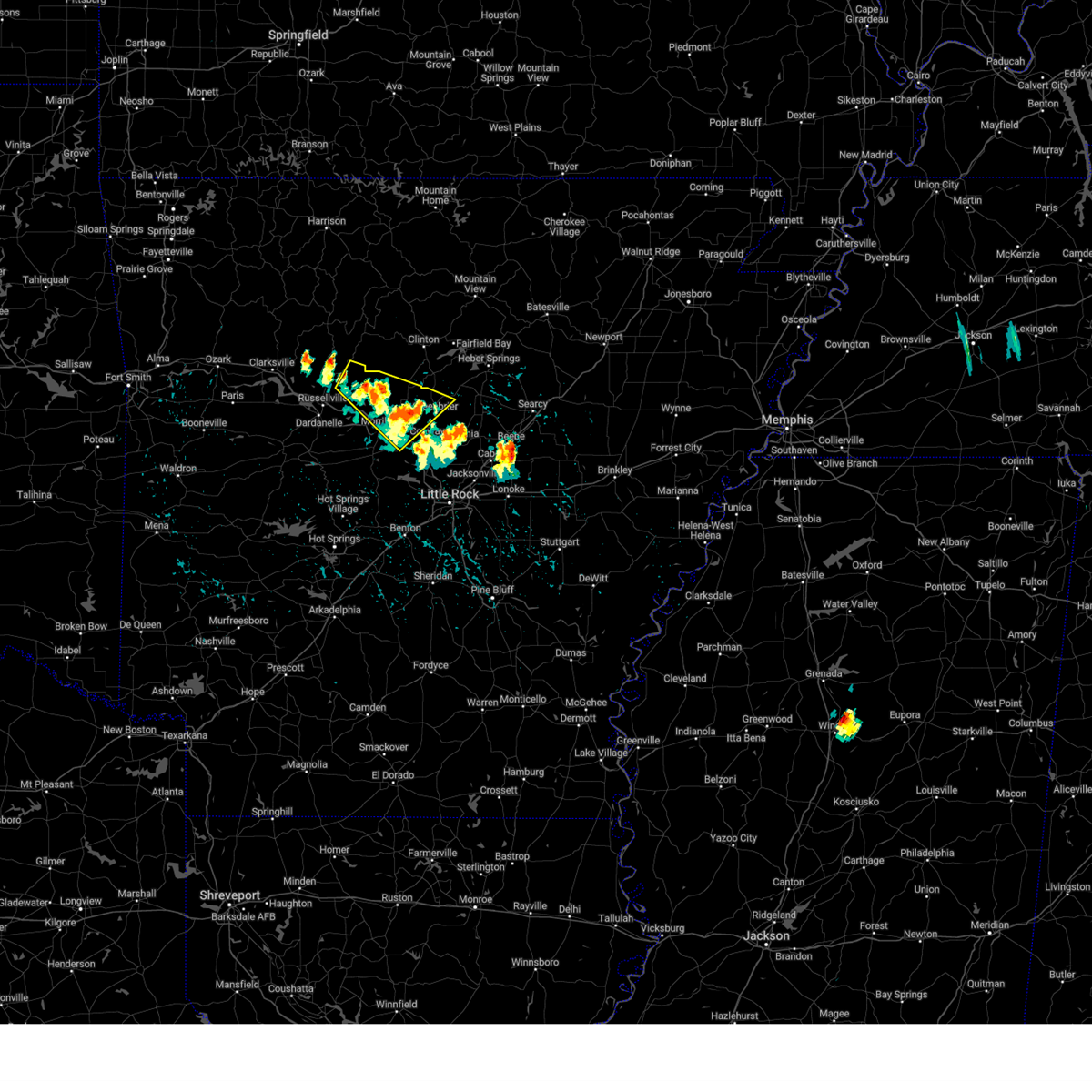
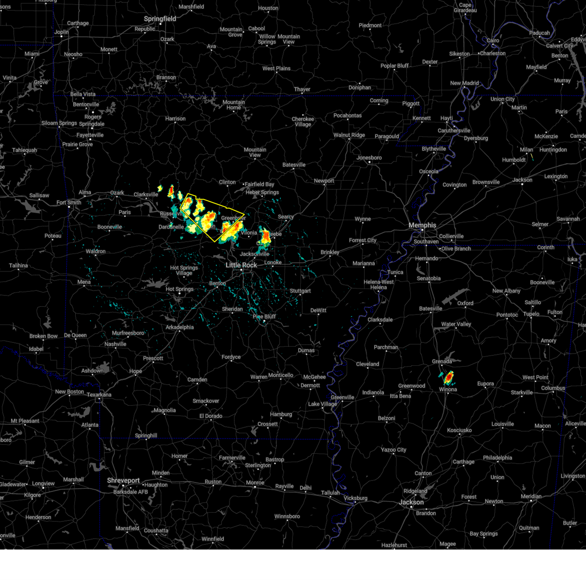
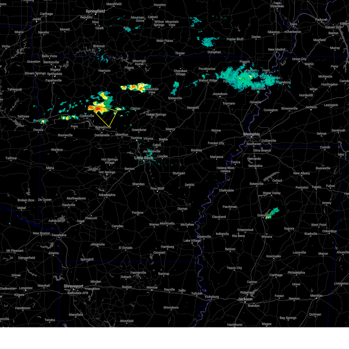
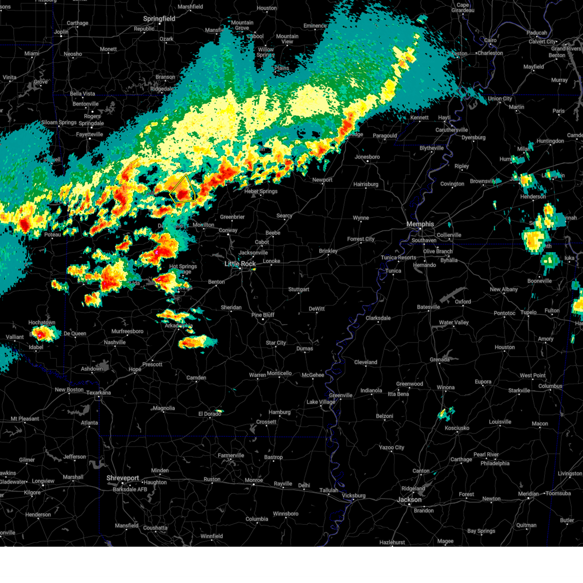
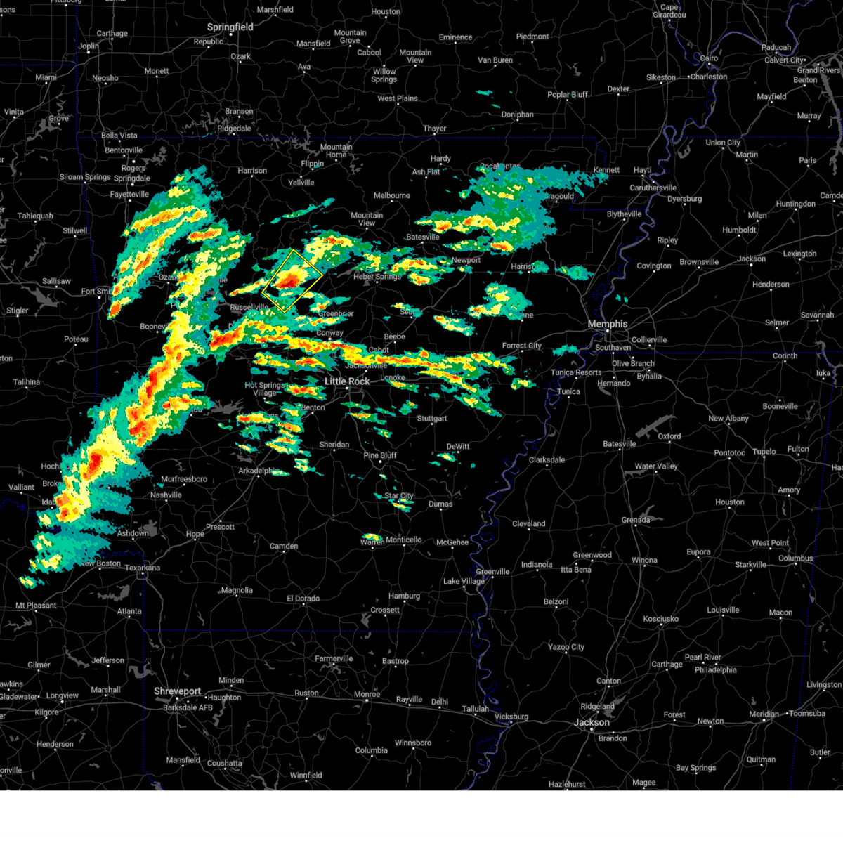
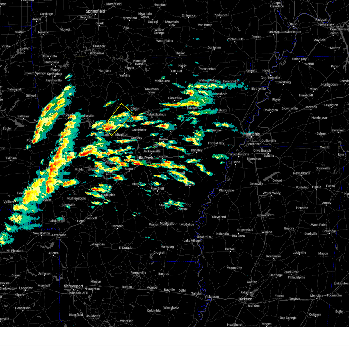
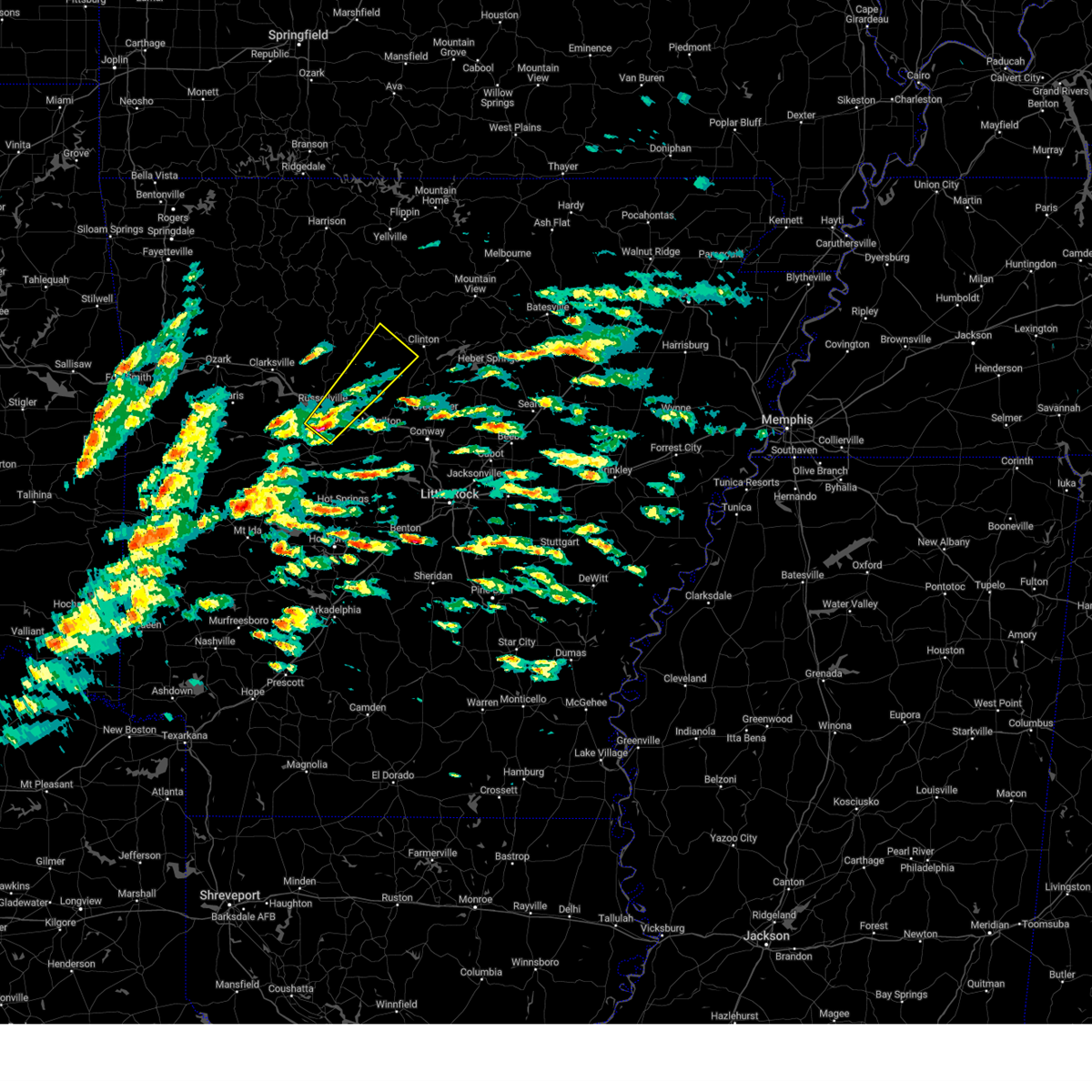
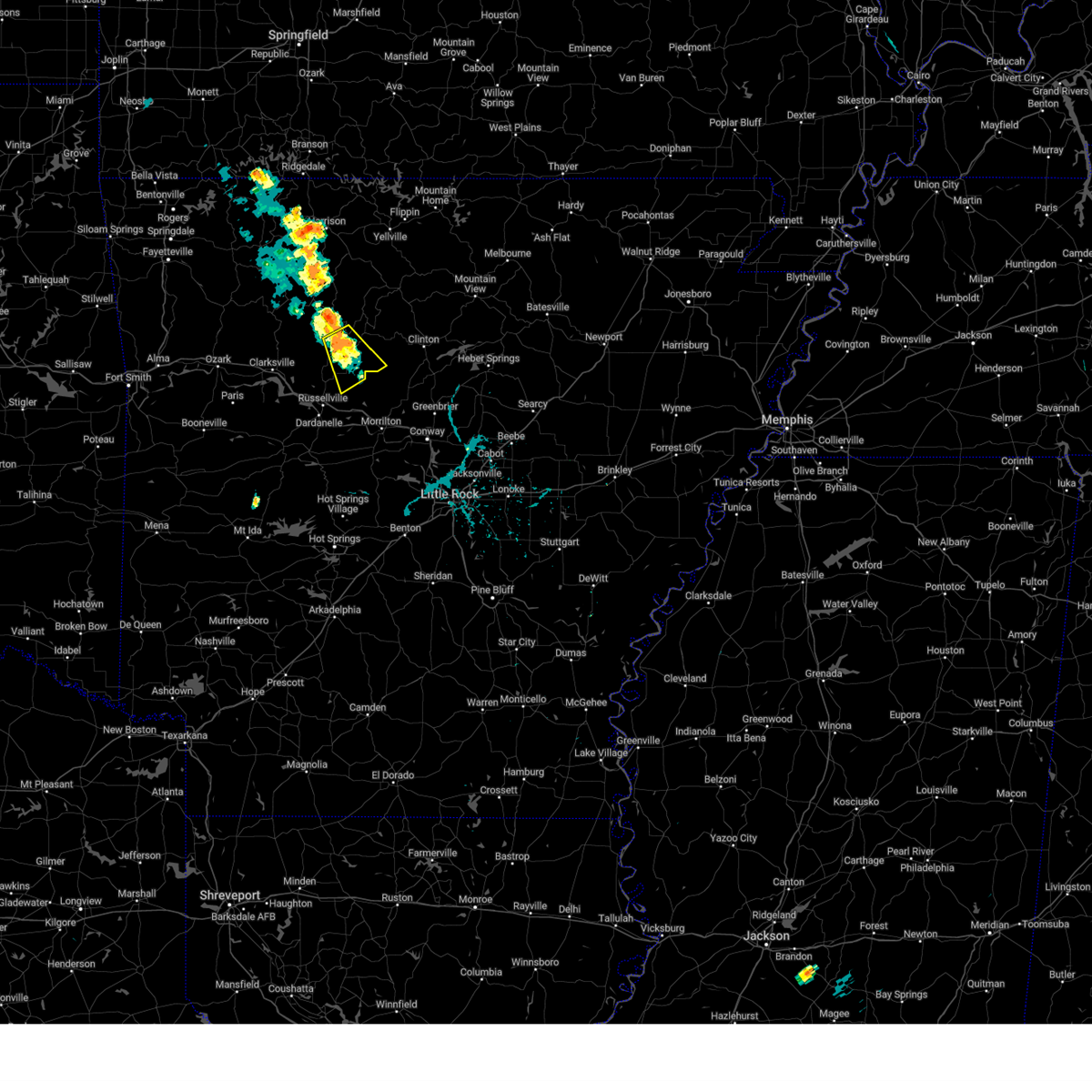
Hail Map for Hector, AR
The Hector, AR area has had 4 reports of on-the-ground hail by trained spotters, and has been under severe weather warnings 42 times during the past 12 months. Doppler radar has detected hail at or near Hector, AR on 65 occasions, including 7 occasions during the past year.
| Name: | Hector, AR |
| Where Located: | 63.1 miles NW of Little Rock, AR |
| Map: | Google Map for Hector, AR |
| Population: | 450 |
| Housing Units: | 204 |
| More Info: | Search Google for Hector, AR |
3
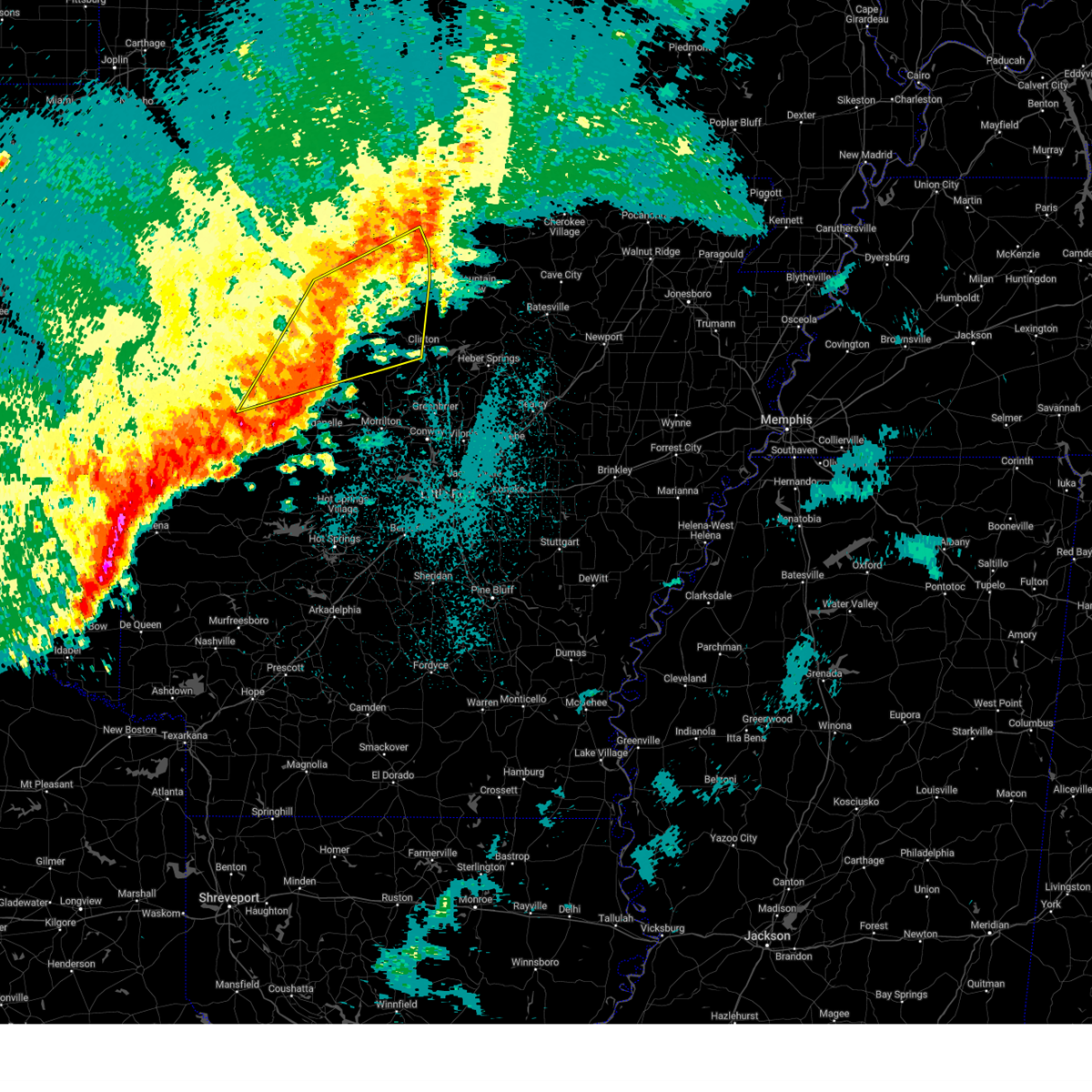
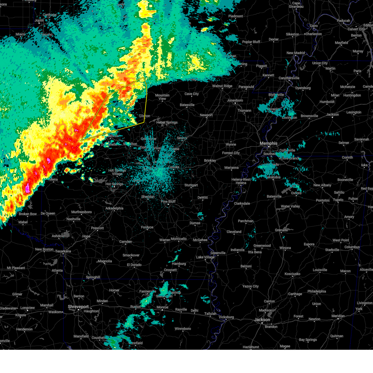
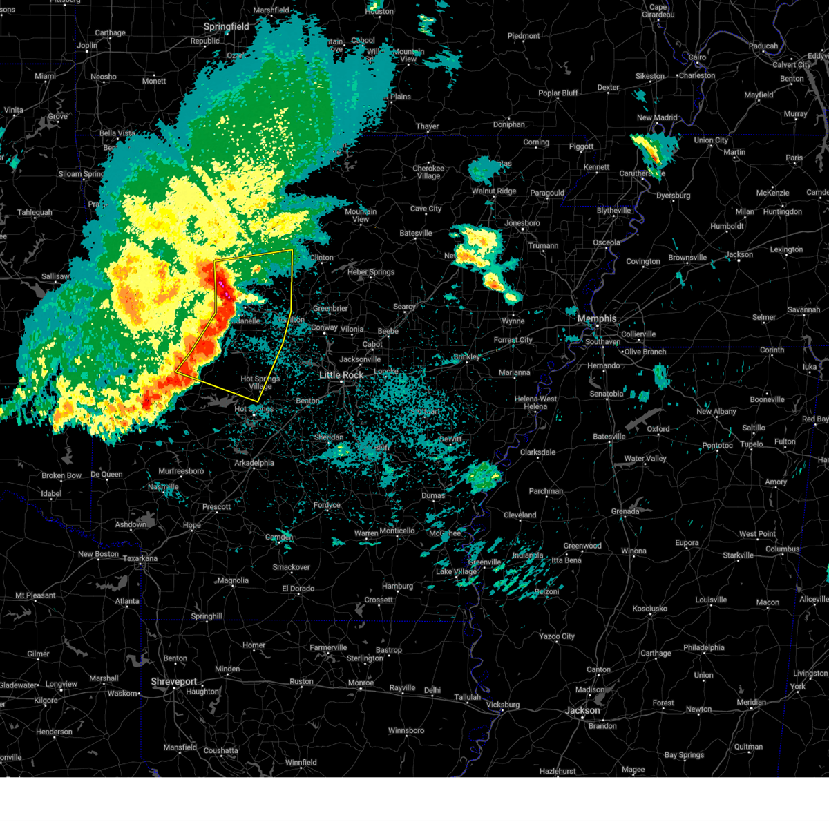
The Top Recent Hail Date for Hector, AR is Thursday, May 15, 2025 (16th out of 65)
Hail and Wind Damage Spotted near Hector, AR
| Date / Time | Report Details |
|---|---|
| 6/7/2025 7:30 AM CDT |
 Svrlzk the national weather service in little rock has issued a * severe thunderstorm warning for, searcy county in north central arkansas, southwestern izard county in north central arkansas, southeastern johnson county in western arkansas, van buren county in north central arkansas, southeastern baxter county in north central arkansas, eastern scott county in western arkansas, northern polk county in western arkansas, yell county in central arkansas, pope county in central arkansas, western stone county in north central arkansas, eastern logan county in western arkansas, southeastern newton county in north central arkansas, perry county in central arkansas, southeastern marion county in north central arkansas, conway county in central arkansas, garland county in central arkansas, northwestern saline county in central arkansas, west central hot spring county in southwestern arkansas, montgomery county in western arkansas, * until 815 am cdt. * at 729 am cdt, severe thunderstorms were located along a line extending from near rush to near hatfield, moving southeast at 30 mph (radar indicated). Hazards include 60 mph wind gusts and penny size hail. expect damage to roofs, siding, and trees Svrlzk the national weather service in little rock has issued a * severe thunderstorm warning for, searcy county in north central arkansas, southwestern izard county in north central arkansas, southeastern johnson county in western arkansas, van buren county in north central arkansas, southeastern baxter county in north central arkansas, eastern scott county in western arkansas, northern polk county in western arkansas, yell county in central arkansas, pope county in central arkansas, western stone county in north central arkansas, eastern logan county in western arkansas, southeastern newton county in north central arkansas, perry county in central arkansas, southeastern marion county in north central arkansas, conway county in central arkansas, garland county in central arkansas, northwestern saline county in central arkansas, west central hot spring county in southwestern arkansas, montgomery county in western arkansas, * until 815 am cdt. * at 729 am cdt, severe thunderstorms were located along a line extending from near rush to near hatfield, moving southeast at 30 mph (radar indicated). Hazards include 60 mph wind gusts and penny size hail. expect damage to roofs, siding, and trees
|
| 5/19/2025 9:56 PM CDT |
 At 954 pm cdt, a severe thunderstorm was located near holman, or 11 miles east of clarksville, moving east at 60 mph (trained weather spotters). Hazards include 60 mph wind gusts. Expect damage to roofs, siding, and trees. Locations impacted include, clarksville, fort douglas, long pool campground, witts spring, haw creek falls campground, pleasant valley in pope county, duff, crabtree, maumee, bohannon, hector, deer, treat, snowball, knoxville, elberta, leslie, watts, holman, baker ford,. At 954 pm cdt, a severe thunderstorm was located near holman, or 11 miles east of clarksville, moving east at 60 mph (trained weather spotters). Hazards include 60 mph wind gusts. Expect damage to roofs, siding, and trees. Locations impacted include, clarksville, fort douglas, long pool campground, witts spring, haw creek falls campground, pleasant valley in pope county, duff, crabtree, maumee, bohannon, hector, deer, treat, snowball, knoxville, elberta, leslie, watts, holman, baker ford,.
|
| 5/19/2025 9:25 PM CDT |
 Svrlzk the national weather service in little rock has issued a * severe thunderstorm warning for, northeastern logan county in western arkansas, searcy county in north central arkansas, southeastern newton county in north central arkansas, eastern johnson county in western arkansas, southeastern marion county in north central arkansas, northwestern van buren county in north central arkansas, southwestern baxter county in north central arkansas, pope county in central arkansas, * until 1015 pm cdt. * at 925 pm cdt, severe thunderstorms were located along a line extending from near piercetown to holman, moving northeast at 60 mph (radar indicated). Hazards include 60 mph wind gusts. expect damage to roofs, siding, and trees Svrlzk the national weather service in little rock has issued a * severe thunderstorm warning for, northeastern logan county in western arkansas, searcy county in north central arkansas, southeastern newton county in north central arkansas, eastern johnson county in western arkansas, southeastern marion county in north central arkansas, northwestern van buren county in north central arkansas, southwestern baxter county in north central arkansas, pope county in central arkansas, * until 1015 pm cdt. * at 925 pm cdt, severe thunderstorms were located along a line extending from near piercetown to holman, moving northeast at 60 mph (radar indicated). Hazards include 60 mph wind gusts. expect damage to roofs, siding, and trees
|
| 5/18/2025 5:45 AM CDT |
 At 545 am cdt, severe thunderstorms were located along a line extending from near dover to russellville to ola to 10 miles south of plainview in yell county, moving east at 50 mph (radar indicated). Hazards include 70 mph wind gusts and quarter size hail. Hail damage to vehicles is expected. expect considerable tree damage. wind damage is also likely to mobile homes, roofs, and outbuildings. Locations impacted include, wing, ola, long pool campground, atkins, mt tabor, pleasant valley in pope county, lena landing rec area, oak grove in pope county, carter cove park, mt george, jessieville, wonderview, aplin, hector, delaware, treat, knoxville, gum log, dardanelle, moreland,. At 545 am cdt, severe thunderstorms were located along a line extending from near dover to russellville to ola to 10 miles south of plainview in yell county, moving east at 50 mph (radar indicated). Hazards include 70 mph wind gusts and quarter size hail. Hail damage to vehicles is expected. expect considerable tree damage. wind damage is also likely to mobile homes, roofs, and outbuildings. Locations impacted include, wing, ola, long pool campground, atkins, mt tabor, pleasant valley in pope county, lena landing rec area, oak grove in pope county, carter cove park, mt george, jessieville, wonderview, aplin, hector, delaware, treat, knoxville, gum log, dardanelle, moreland,.
|
| 5/18/2025 5:34 AM CDT |
 At 534 am cdt, severe thunderstorms were located along a line extending from near holman to near lake dardanelle state park to near danville to 7 miles southeast of fourche valley, moving east at 50 mph (radar indicated). Hazards include 70 mph wind gusts and quarter size hail. Hail damage to vehicles is expected. expect considerable tree damage. wind damage is also likely to mobile homes, roofs, and outbuildings. Locations impacted include, clarksville, wing, ola, long pool campground, atkins, mt tabor, pleasant valley in pope county, lena landing rec area, oak grove in pope county, blue ball, carter cove park, harmony, mt george, waltreak, jessieville, wonderview, aplin, hector, delaware, treat,. At 534 am cdt, severe thunderstorms were located along a line extending from near holman to near lake dardanelle state park to near danville to 7 miles southeast of fourche valley, moving east at 50 mph (radar indicated). Hazards include 70 mph wind gusts and quarter size hail. Hail damage to vehicles is expected. expect considerable tree damage. wind damage is also likely to mobile homes, roofs, and outbuildings. Locations impacted include, clarksville, wing, ola, long pool campground, atkins, mt tabor, pleasant valley in pope county, lena landing rec area, oak grove in pope county, blue ball, carter cove park, harmony, mt george, waltreak, jessieville, wonderview, aplin, hector, delaware, treat,.
|
| 5/18/2025 5:25 AM CDT |
 At 524 am cdt, severe thunderstorms were located along a line extending from near clarksville to near piney in garland county to near danville to near fourche valley, moving east at 55 mph (radar indicated). Hazards include 70 mph wind gusts and quarter size hail. Hail damage to vehicles is expected. expect considerable tree damage. wind damage is also likely to mobile homes, roofs, and outbuildings. Locations impacted include, clarksville, wing, ola, fort douglas, long pool campground, atkins, mt tabor, haw creek falls campground, pleasant valley in pope county, lena landing rec area, wolf pen campground, oak grove in pope county, blue ball, devils knob, carter cove park, harmony, mt george, waltreak, jessieville, wonderview,. At 524 am cdt, severe thunderstorms were located along a line extending from near clarksville to near piney in garland county to near danville to near fourche valley, moving east at 55 mph (radar indicated). Hazards include 70 mph wind gusts and quarter size hail. Hail damage to vehicles is expected. expect considerable tree damage. wind damage is also likely to mobile homes, roofs, and outbuildings. Locations impacted include, clarksville, wing, ola, fort douglas, long pool campground, atkins, mt tabor, haw creek falls campground, pleasant valley in pope county, lena landing rec area, wolf pen campground, oak grove in pope county, blue ball, devils knob, carter cove park, harmony, mt george, waltreak, jessieville, wonderview,.
|
| 5/18/2025 5:10 AM CDT |
 Svrlzk the national weather service in little rock has issued a * severe thunderstorm warning for, logan county in western arkansas, johnson county in western arkansas, perry county in central arkansas, northwestern van buren county in north central arkansas, central conway county in central arkansas, northwestern garland county in central arkansas, northeastern scott county in western arkansas, northwestern saline county in central arkansas, yell county in central arkansas, northeastern montgomery county in western arkansas, pope county in central arkansas, * until 600 am cdt. * at 509 am cdt, severe thunderstorms were located along a line extending from 6 miles northwest of woodland to near subiaco to blue mountain to 6 miles west of gravelly, moving east at 50 mph (radar indicated). Hazards include 70 mph wind gusts and quarter size hail. Hail damage to vehicles is expected. expect considerable tree damage. Wind damage is also likely to mobile homes, roofs, and outbuildings. Svrlzk the national weather service in little rock has issued a * severe thunderstorm warning for, logan county in western arkansas, johnson county in western arkansas, perry county in central arkansas, northwestern van buren county in north central arkansas, central conway county in central arkansas, northwestern garland county in central arkansas, northeastern scott county in western arkansas, northwestern saline county in central arkansas, yell county in central arkansas, northeastern montgomery county in western arkansas, pope county in central arkansas, * until 600 am cdt. * at 509 am cdt, severe thunderstorms were located along a line extending from 6 miles northwest of woodland to near subiaco to blue mountain to 6 miles west of gravelly, moving east at 50 mph (radar indicated). Hazards include 70 mph wind gusts and quarter size hail. Hail damage to vehicles is expected. expect considerable tree damage. Wind damage is also likely to mobile homes, roofs, and outbuildings.
|
| 5/16/2025 12:50 PM CDT |
 the severe thunderstorm warning has been cancelled and is no longer in effect the severe thunderstorm warning has been cancelled and is no longer in effect
|
| 5/16/2025 12:50 PM CDT |
 At 1250 pm cdt, a severe thunderstorm was located over smyrna, or 25 miles southwest of marshall, moving east at 45 mph (radar indicated). Hazards include tennis ball size hail and 60 mph wind gusts. People and animals outdoors will be injured. expect hail damage to roofs, siding, windows, and vehicles. expect wind damage to roofs, siding, and trees. Locations impacted include, brock creek campground, broomfield, solo, long pool campground, mountain man trailhead, smyrna, nogo, simpson, hector,. At 1250 pm cdt, a severe thunderstorm was located over smyrna, or 25 miles southwest of marshall, moving east at 45 mph (radar indicated). Hazards include tennis ball size hail and 60 mph wind gusts. People and animals outdoors will be injured. expect hail damage to roofs, siding, windows, and vehicles. expect wind damage to roofs, siding, and trees. Locations impacted include, brock creek campground, broomfield, solo, long pool campground, mountain man trailhead, smyrna, nogo, simpson, hector,.
|
| 5/16/2025 12:49 PM CDT |
 Svrlzk the national weather service in little rock has issued a * severe thunderstorm warning for, south central searcy county in north central arkansas, western van buren county in north central arkansas, northeastern conway county in central arkansas, northeastern pope county in central arkansas, * until 130 pm cdt. * at 1246 pm cdt, a severe thunderstorm was located near solo, or 19 miles northeast of russellville, moving east at 45 mph. this is a destructive storm for armstead mountain and solo (radar indicated). Hazards include baseball size hail and 60 mph wind gusts. People and animals outdoors will be severely injured. Expect shattered windows, extensive damage to roofs, siding, and vehicles. Svrlzk the national weather service in little rock has issued a * severe thunderstorm warning for, south central searcy county in north central arkansas, western van buren county in north central arkansas, northeastern conway county in central arkansas, northeastern pope county in central arkansas, * until 130 pm cdt. * at 1246 pm cdt, a severe thunderstorm was located near solo, or 19 miles northeast of russellville, moving east at 45 mph. this is a destructive storm for armstead mountain and solo (radar indicated). Hazards include baseball size hail and 60 mph wind gusts. People and animals outdoors will be severely injured. Expect shattered windows, extensive damage to roofs, siding, and vehicles.
|
| 5/16/2025 12:37 PM CDT |
 At 1237 pm cdt, a severe thunderstorm was located near solo, or 23 miles north of russellville, moving east at 45 mph (radar indicated). Hazards include two inch hail and 60 mph wind gusts. People and animals outdoors will be injured. expect hail damage to roofs, siding, windows, and vehicles. expect wind damage to roofs, siding, and trees. Locations impacted include, brock creek campground, broomfield, moore, ben hur, solo, long pool campground, mountain man trailhead, smyrna, nogo, treat, simpson, hector,. At 1237 pm cdt, a severe thunderstorm was located near solo, or 23 miles north of russellville, moving east at 45 mph (radar indicated). Hazards include two inch hail and 60 mph wind gusts. People and animals outdoors will be injured. expect hail damage to roofs, siding, windows, and vehicles. expect wind damage to roofs, siding, and trees. Locations impacted include, brock creek campground, broomfield, moore, ben hur, solo, long pool campground, mountain man trailhead, smyrna, nogo, treat, simpson, hector,.
|
| 5/16/2025 12:28 PM CDT |
 At 1228 pm cdt, a severe thunderstorm was located 8 miles northwest of broomfield, or 19 miles northeast of clarksville, moving east at 45 mph (radar indicated). Hazards include two inch hail and 60 mph wind gusts. People and animals outdoors will be injured. expect hail damage to roofs, siding, windows, and vehicles. expect wind damage to roofs, siding, and trees. Locations impacted include, brock creek campground, fort douglas, lutherville, long pool campground, haw creek falls campground, dillen, broomfield, moore, solo, mountain man trailhead, lurton, smyrna, mineral springs recreation area, simpson, ben hur, ozone, nogo, mt judea, deer, treat,. At 1228 pm cdt, a severe thunderstorm was located 8 miles northwest of broomfield, or 19 miles northeast of clarksville, moving east at 45 mph (radar indicated). Hazards include two inch hail and 60 mph wind gusts. People and animals outdoors will be injured. expect hail damage to roofs, siding, windows, and vehicles. expect wind damage to roofs, siding, and trees. Locations impacted include, brock creek campground, fort douglas, lutherville, long pool campground, haw creek falls campground, dillen, broomfield, moore, solo, mountain man trailhead, lurton, smyrna, mineral springs recreation area, simpson, ben hur, ozone, nogo, mt judea, deer, treat,.
|
| 5/16/2025 12:15 PM CDT |
 Svrlzk the national weather service in little rock has issued a * severe thunderstorm warning for, southwestern searcy county in north central arkansas, southeastern newton county in north central arkansas, eastern johnson county in western arkansas, west central van buren county in north central arkansas, northern pope county in central arkansas, * until 100 pm cdt. * at 1215 pm cdt, a severe thunderstorm was located near holman, or 9 miles northeast of clarksville, moving east at 45 mph (radar indicated). Hazards include 60 mph wind gusts and half dollar size hail. Hail damage to vehicles is expected. Expect wind damage to roofs, siding, and trees. Svrlzk the national weather service in little rock has issued a * severe thunderstorm warning for, southwestern searcy county in north central arkansas, southeastern newton county in north central arkansas, eastern johnson county in western arkansas, west central van buren county in north central arkansas, northern pope county in central arkansas, * until 100 pm cdt. * at 1215 pm cdt, a severe thunderstorm was located near holman, or 9 miles northeast of clarksville, moving east at 45 mph (radar indicated). Hazards include 60 mph wind gusts and half dollar size hail. Hail damage to vehicles is expected. Expect wind damage to roofs, siding, and trees.
|
| 5/15/2025 2:08 PM CDT |
 The storm which prompted the warning has weakened below severe limits, and no longer poses an immediate threat to life or property. therefore, the warning will be allowed to expire. however gusty winds and heavy rain are still possible with this thunderstorm. a severe thunderstorm watch remains in effect until 700 pm cdt for central and north central arkansas. The storm which prompted the warning has weakened below severe limits, and no longer poses an immediate threat to life or property. therefore, the warning will be allowed to expire. however gusty winds and heavy rain are still possible with this thunderstorm. a severe thunderstorm watch remains in effect until 700 pm cdt for central and north central arkansas.
|
| 5/15/2025 1:52 PM CDT |
 At 151 pm cdt, a severe thunderstorm was located near jerusalem, or 20 miles north of morrilton, moving east at 65 mph (radar indicated). Hazards include 60 mph wind gusts and quarter size hail. Hail damage to vehicles is expected. expect wind damage to roofs, siding, and trees. Locations impacted include, brock creek campground, austin in conway county, rupert, scotland, claude, cleveland, formosa, birdtown, dabney, catholic point, center ridge, middleton, crabtree, solo, caglesville, mountain man trailhead, oak grove in pope county, beverage town, lanty, jerusalem,. At 151 pm cdt, a severe thunderstorm was located near jerusalem, or 20 miles north of morrilton, moving east at 65 mph (radar indicated). Hazards include 60 mph wind gusts and quarter size hail. Hail damage to vehicles is expected. expect wind damage to roofs, siding, and trees. Locations impacted include, brock creek campground, austin in conway county, rupert, scotland, claude, cleveland, formosa, birdtown, dabney, catholic point, center ridge, middleton, crabtree, solo, caglesville, mountain man trailhead, oak grove in pope county, beverage town, lanty, jerusalem,.
|
| 5/15/2025 1:52 PM CDT |
 the severe thunderstorm warning has been cancelled and is no longer in effect the severe thunderstorm warning has been cancelled and is no longer in effect
|
| 5/15/2025 1:24 PM CDT |
 Svrlzk the national weather service in little rock has issued a * severe thunderstorm warning for, northeastern logan county in western arkansas, southeastern johnson county in western arkansas, western van buren county in north central arkansas, northeastern conway county in central arkansas, north central yell county in central arkansas, pope county in central arkansas, * until 215 pm cdt. * at 123 pm cdt, a severe thunderstorm was located over piney in garland county, or 10 miles west of russellville, moving east at 70 mph (radar indicated). Hazards include 60 mph wind gusts and quarter size hail. Hail damage to vehicles is expected. Expect wind damage to roofs, siding, and trees. Svrlzk the national weather service in little rock has issued a * severe thunderstorm warning for, northeastern logan county in western arkansas, southeastern johnson county in western arkansas, western van buren county in north central arkansas, northeastern conway county in central arkansas, north central yell county in central arkansas, pope county in central arkansas, * until 215 pm cdt. * at 123 pm cdt, a severe thunderstorm was located over piney in garland county, or 10 miles west of russellville, moving east at 70 mph (radar indicated). Hazards include 60 mph wind gusts and quarter size hail. Hail damage to vehicles is expected. Expect wind damage to roofs, siding, and trees.
|
| 5/7/2025 11:22 PM CDT |
 At 1121 pm cdt, severe thunderstorms were located along a line extending from 8 miles northeast of holman to near broomfield to lake dardanelle state park, moving east at 35 mph (radar indicated). Hazards include 60 mph wind gusts and half dollar size hail. Hail damage to vehicles is expected. expect wind damage to roofs, siding, and trees. Locations impacted include, brock creek campground, lake dardanelle state park, blackwell, lutherville, happy bend, long pool campground, atkins, russellville, pleasant valley in pope county, broomfield, mt nebo state park, economy, dabney, hattieville, solo, caglesville, mountain man trailhead, smyrna, oak grove in pope county, simpson,. At 1121 pm cdt, severe thunderstorms were located along a line extending from 8 miles northeast of holman to near broomfield to lake dardanelle state park, moving east at 35 mph (radar indicated). Hazards include 60 mph wind gusts and half dollar size hail. Hail damage to vehicles is expected. expect wind damage to roofs, siding, and trees. Locations impacted include, brock creek campground, lake dardanelle state park, blackwell, lutherville, happy bend, long pool campground, atkins, russellville, pleasant valley in pope county, broomfield, mt nebo state park, economy, dabney, hattieville, solo, caglesville, mountain man trailhead, smyrna, oak grove in pope county, simpson,.
|
| 5/7/2025 11:12 PM CDT |
 At 1111 pm cdt, severe thunderstorms were located along a line extending from 6 miles north of holman to near dover to near mt nebo state park, moving east at 35 mph (radar indicated). Hazards include 70 mph wind gusts and half dollar size hail. Hail damage to vehicles is expected. expect considerable tree damage. wind damage is also likely to mobile homes, roofs, and outbuildings. Locations impacted include, brock creek campground, lake dardanelle state park, blackwell, lutherville, happy bend, long pool campground, atkins, piney bay recreation area, russellville, pleasant valley in pope county, broomfield, mt nebo state park, economy, dabney, hattieville, solo, caglesville, mountain man trailhead, smyrna, oak grove in pope county,. At 1111 pm cdt, severe thunderstorms were located along a line extending from 6 miles north of holman to near dover to near mt nebo state park, moving east at 35 mph (radar indicated). Hazards include 70 mph wind gusts and half dollar size hail. Hail damage to vehicles is expected. expect considerable tree damage. wind damage is also likely to mobile homes, roofs, and outbuildings. Locations impacted include, brock creek campground, lake dardanelle state park, blackwell, lutherville, happy bend, long pool campground, atkins, piney bay recreation area, russellville, pleasant valley in pope county, broomfield, mt nebo state park, economy, dabney, hattieville, solo, caglesville, mountain man trailhead, smyrna, oak grove in pope county,.
|
| 5/7/2025 11:02 PM CDT |
 At 1102 pm cdt, severe thunderstorms were located along a line extending from 8 miles north of lamar to near holman to near piney in garland county, moving east at 30 mph (radar indicated). Hazards include 60 mph wind gusts and quarter size hail. Hail damage to vehicles is expected. expect wind damage to roofs, siding, and trees. Locations impacted include, holla bend, lake dardanelle state park, happy bend, long pool campground, atkins, piney bay recreation area, pleasant valley in pope county, dabney, hattieville, oak grove in pope county, augsburg, jerusalem, wonderview, hector, nogo, delaware, treat, knoxville, gum log, dardanelle,. At 1102 pm cdt, severe thunderstorms were located along a line extending from 8 miles north of lamar to near holman to near piney in garland county, moving east at 30 mph (radar indicated). Hazards include 60 mph wind gusts and quarter size hail. Hail damage to vehicles is expected. expect wind damage to roofs, siding, and trees. Locations impacted include, holla bend, lake dardanelle state park, happy bend, long pool campground, atkins, piney bay recreation area, pleasant valley in pope county, dabney, hattieville, oak grove in pope county, augsburg, jerusalem, wonderview, hector, nogo, delaware, treat, knoxville, gum log, dardanelle,.
|
| 5/7/2025 10:51 PM CDT |
 Svrlzk the national weather service in little rock has issued a * severe thunderstorm warning for, northeastern logan county in western arkansas, central johnson county in western arkansas, west central van buren county in north central arkansas, central conway county in central arkansas, northeastern yell county in central arkansas, pope county in central arkansas, * until 1130 pm cdt. * at 1050 pm cdt, severe thunderstorms were located along a line extending from near woodland to lamar to near midway in logan county, moving east at 30 mph (radar indicated). Hazards include 60 mph wind gusts and quarter size hail. Hail damage to vehicles is expected. Expect wind damage to roofs, siding, and trees. Svrlzk the national weather service in little rock has issued a * severe thunderstorm warning for, northeastern logan county in western arkansas, central johnson county in western arkansas, west central van buren county in north central arkansas, central conway county in central arkansas, northeastern yell county in central arkansas, pope county in central arkansas, * until 1130 pm cdt. * at 1050 pm cdt, severe thunderstorms were located along a line extending from near woodland to lamar to near midway in logan county, moving east at 30 mph (radar indicated). Hazards include 60 mph wind gusts and quarter size hail. Hail damage to vehicles is expected. Expect wind damage to roofs, siding, and trees.
|
| 4/30/2025 5:18 PM CDT |
 At 518 pm cdt, severe thunderstorms were located along a line extending from near cleveland to near toad suck to chenal valley, moving east at 40 mph (radar indicated). Hazards include 70 mph wind gusts. Expect considerable tree damage. damage is likely to mobile homes, roofs, and outbuildings. Locations impacted include, park hill, hill creek, palarm, mayflower, oak grove in perry county, twin groves, quapaw quarter, hillcrest neighborhood, crabtree, vilonia, choctow recreation area, oak grove in pope county, olmstead, perryville, macon, the heights, protho junction, bethlehem, wonderview, guy,. At 518 pm cdt, severe thunderstorms were located along a line extending from near cleveland to near toad suck to chenal valley, moving east at 40 mph (radar indicated). Hazards include 70 mph wind gusts. Expect considerable tree damage. damage is likely to mobile homes, roofs, and outbuildings. Locations impacted include, park hill, hill creek, palarm, mayflower, oak grove in perry county, twin groves, quapaw quarter, hillcrest neighborhood, crabtree, vilonia, choctow recreation area, oak grove in pope county, olmstead, perryville, macon, the heights, protho junction, bethlehem, wonderview, guy,.
|
| 4/30/2025 5:13 PM CDT |
 the severe thunderstorm warning has been cancelled and is no longer in effect the severe thunderstorm warning has been cancelled and is no longer in effect
|
| 4/30/2025 5:13 PM CDT |
 At 512 pm cdt, severe thunderstorms were located along a line extending from near cleveland to near toad suck to near chenal valley, moving east at 40 mph (radar indicated). Hazards include 60 mph wind gusts. Expect damage to roofs, siding, and trees. Locations impacted include, park hill, hill creek, palarm, mayflower, oak grove in perry county, twin groves, quapaw quarter, hillcrest neighborhood, crabtree, vilonia, choctow recreation area, oak grove in pope county, olmstead, perryville, macon, the heights, protho junction, bethlehem, wonderview, guy,. At 512 pm cdt, severe thunderstorms were located along a line extending from near cleveland to near toad suck to near chenal valley, moving east at 40 mph (radar indicated). Hazards include 60 mph wind gusts. Expect damage to roofs, siding, and trees. Locations impacted include, park hill, hill creek, palarm, mayflower, oak grove in perry county, twin groves, quapaw quarter, hillcrest neighborhood, crabtree, vilonia, choctow recreation area, oak grove in pope county, olmstead, perryville, macon, the heights, protho junction, bethlehem, wonderview, guy,.
|
| 4/30/2025 4:56 PM CDT |
 The storms which prompted the warning have moved out portions of the warned area. therefore, the warning will be allowed to expire. a tornado watch remains in effect until 1000 pm cdt for central, western and north central arkansas. remember, a new severe thunderstorm warning still remains in effect for portions of van buren, conway, and pope counties until 545 pm cdt. The storms which prompted the warning have moved out portions of the warned area. therefore, the warning will be allowed to expire. a tornado watch remains in effect until 1000 pm cdt for central, western and north central arkansas. remember, a new severe thunderstorm warning still remains in effect for portions of van buren, conway, and pope counties until 545 pm cdt.
|
| 4/30/2025 4:54 PM CDT | Svrlzk the national weather service in little rock has issued a * severe thunderstorm warning for, eastern perry county in central arkansas, van buren county in north central arkansas, conway county in central arkansas, faulkner county in central arkansas, northwestern saline county in central arkansas, east central yell county in central arkansas, northern pulaski county in central arkansas, central pope county in central arkansas, * until 545 pm cdt. * at 453 pm cdt, severe thunderstorms were located along a line extending from hector to perry to 8 miles south of williams junction, moving east at 40 mph (radar indicated). Hazards include 60 mph wind gusts. expect damage to roofs, siding, and trees |
| 4/30/2025 4:43 PM CDT |
 the severe thunderstorm warning has been cancelled and is no longer in effect the severe thunderstorm warning has been cancelled and is no longer in effect
|
| 4/30/2025 4:43 PM CDT |
 At 442 pm cdt, severe thunderstorms were located along a line extending from near broomfield to near taral to galla creek wma, moving east at 40 mph. this storm has a history of producing 60 mph wind gusts, most recently at russellville (radar indicated). Hazards include 60 mph wind gusts. Expect damage to roofs, siding, and trees. Locations impacted include, holla bend, lake dardanelle state park, happy bend, long pool campground, atkins, piney bay recreation area, pleasant valley in pope county, dabney, hattieville, oak grove in pope county, augsburg, jerusalem, wonderview, hector, nogo, treat, gum log, blick, dardanelle, pottsville,. At 442 pm cdt, severe thunderstorms were located along a line extending from near broomfield to near taral to galla creek wma, moving east at 40 mph. this storm has a history of producing 60 mph wind gusts, most recently at russellville (radar indicated). Hazards include 60 mph wind gusts. Expect damage to roofs, siding, and trees. Locations impacted include, holla bend, lake dardanelle state park, happy bend, long pool campground, atkins, piney bay recreation area, pleasant valley in pope county, dabney, hattieville, oak grove in pope county, augsburg, jerusalem, wonderview, hector, nogo, treat, gum log, blick, dardanelle, pottsville,.
|
| 4/30/2025 4:21 PM CDT |
 Svrlzk the national weather service in little rock has issued a * severe thunderstorm warning for, northeastern logan county in western arkansas, southeastern johnson county in western arkansas, western van buren county in north central arkansas, central conway county in central arkansas, northeastern yell county in central arkansas, pope county in central arkansas, * until 500 pm cdt. * at 421 pm cdt, severe thunderstorms were located along a line extending from near holman to near mosley, moving east at 35 mph (radar indicated). Hazards include 60 mph wind gusts. expect damage to roofs, siding, and trees Svrlzk the national weather service in little rock has issued a * severe thunderstorm warning for, northeastern logan county in western arkansas, southeastern johnson county in western arkansas, western van buren county in north central arkansas, central conway county in central arkansas, northeastern yell county in central arkansas, pope county in central arkansas, * until 500 pm cdt. * at 421 pm cdt, severe thunderstorms were located along a line extending from near holman to near mosley, moving east at 35 mph (radar indicated). Hazards include 60 mph wind gusts. expect damage to roofs, siding, and trees
|
| 4/20/2025 4:43 PM CDT |
 Svrlzk the national weather service in little rock has issued a * severe thunderstorm warning for, southwestern stone county in north central arkansas, perry county in central arkansas, van buren county in north central arkansas, conway county in central arkansas, western faulkner county in central arkansas, east central yell county in central arkansas, eastern pope county in central arkansas, * until 530 pm cdt. * at 443 pm cdt, severe thunderstorms were located along a line extending from solo to near atkins to 10 miles north of jessieville, moving northeast at 60 mph (radar indicated). Hazards include 60 mph wind gusts and penny size hail. expect damage to roofs, siding, and trees Svrlzk the national weather service in little rock has issued a * severe thunderstorm warning for, southwestern stone county in north central arkansas, perry county in central arkansas, van buren county in north central arkansas, conway county in central arkansas, western faulkner county in central arkansas, east central yell county in central arkansas, eastern pope county in central arkansas, * until 530 pm cdt. * at 443 pm cdt, severe thunderstorms were located along a line extending from solo to near atkins to 10 miles north of jessieville, moving northeast at 60 mph (radar indicated). Hazards include 60 mph wind gusts and penny size hail. expect damage to roofs, siding, and trees
|
| 4/20/2025 4:06 PM CDT |
 Svrlzk the national weather service in little rock has issued a * severe thunderstorm warning for, east central logan county in western arkansas, southeastern johnson county in western arkansas, perry county in central arkansas, van buren county in north central arkansas, conway county in central arkansas, northwestern saline county in central arkansas, central yell county in central arkansas, pope county in central arkansas, * until 445 pm cdt. * at 405 pm cdt, severe thunderstorms were located along a line extending from near bertha to near mt nebo state park to 10 miles south of plainview in yell county, moving northeast at 65 mph (radar indicated). Hazards include 60 mph wind gusts and penny size hail. expect damage to roofs, siding, and trees Svrlzk the national weather service in little rock has issued a * severe thunderstorm warning for, east central logan county in western arkansas, southeastern johnson county in western arkansas, perry county in central arkansas, van buren county in north central arkansas, conway county in central arkansas, northwestern saline county in central arkansas, central yell county in central arkansas, pope county in central arkansas, * until 445 pm cdt. * at 405 pm cdt, severe thunderstorms were located along a line extending from near bertha to near mt nebo state park to 10 miles south of plainview in yell county, moving northeast at 65 mph (radar indicated). Hazards include 60 mph wind gusts and penny size hail. expect damage to roofs, siding, and trees
|
| 4/4/2025 6:24 PM CDT |
 the severe thunderstorm warning has been cancelled and is no longer in effect the severe thunderstorm warning has been cancelled and is no longer in effect
|
| 4/4/2025 6:24 PM CDT |
 At 624 pm cdt, severe thunderstorms were located along a line extending from near eula to smyrna to near hector, moving northeast at 40 mph (radar indicated). Hazards include 60 mph wind gusts and quarter size hail. Hail damage to vehicles is expected. expect wind damage to roofs, siding, and trees. Locations impacted include, moore, ben hur, tilly, solo, hector, lurton, smyrna, nogo, appleton,. At 624 pm cdt, severe thunderstorms were located along a line extending from near eula to smyrna to near hector, moving northeast at 40 mph (radar indicated). Hazards include 60 mph wind gusts and quarter size hail. Hail damage to vehicles is expected. expect wind damage to roofs, siding, and trees. Locations impacted include, moore, ben hur, tilly, solo, hector, lurton, smyrna, nogo, appleton,.
|
| 4/4/2025 6:00 PM CDT |
 At 600 pm cdt, severe thunderstorms were located along a line extending from near dillen to 7 miles northwest of broomfield to london, moving northeast at 40 mph (radar indicated). Hazards include 60 mph wind gusts and quarter size hail. Hail damage to vehicles is expected. expect wind damage to roofs, siding, and trees. Locations impacted include, fort douglas, lutherville, long pool campground, crossroad, swain, haw creek falls campground, piney bay recreation area, gum springs in newton county, dillen, pleasant valley in pope county, broomfield, moore, nail, tilly, solo, caglesville, lurton, smyrna, mineral springs recreation area, simpson,. At 600 pm cdt, severe thunderstorms were located along a line extending from near dillen to 7 miles northwest of broomfield to london, moving northeast at 40 mph (radar indicated). Hazards include 60 mph wind gusts and quarter size hail. Hail damage to vehicles is expected. expect wind damage to roofs, siding, and trees. Locations impacted include, fort douglas, lutherville, long pool campground, crossroad, swain, haw creek falls campground, piney bay recreation area, gum springs in newton county, dillen, pleasant valley in pope county, broomfield, moore, nail, tilly, solo, caglesville, lurton, smyrna, mineral springs recreation area, simpson,.
|
| 4/4/2025 5:43 PM CDT |
 Svrlzk the national weather service in little rock has issued a * severe thunderstorm warning for, northeastern logan county in western arkansas, southwestern searcy county in north central arkansas, southern newton county in north central arkansas, johnson county in western arkansas, north central yell county in central arkansas, pope county in central arkansas, * until 630 pm cdt. * at 542 pm cdt, severe thunderstorms were located along a line extending from 7 miles southwest of devils knob to holman to 6 miles east of midway in logan county, moving northeast at 40 mph (radar indicated). Hazards include 60 mph wind gusts and quarter size hail. Hail damage to vehicles is expected. Expect wind damage to roofs, siding, and trees. Svrlzk the national weather service in little rock has issued a * severe thunderstorm warning for, northeastern logan county in western arkansas, southwestern searcy county in north central arkansas, southern newton county in north central arkansas, johnson county in western arkansas, north central yell county in central arkansas, pope county in central arkansas, * until 630 pm cdt. * at 542 pm cdt, severe thunderstorms were located along a line extending from 7 miles southwest of devils knob to holman to 6 miles east of midway in logan county, moving northeast at 40 mph (radar indicated). Hazards include 60 mph wind gusts and quarter size hail. Hail damage to vehicles is expected. Expect wind damage to roofs, siding, and trees.
|
| 4/2/2025 2:56 PM CDT |
 Svrlzk the national weather service in little rock has issued a * severe thunderstorm warning for, northeastern logan county in western arkansas, searcy county in north central arkansas, eastern newton county in north central arkansas, eastern johnson county in western arkansas, southern marion county in north central arkansas, northwestern van buren county in north central arkansas, southeastern boone county in north central arkansas, southwestern baxter county in north central arkansas, north central yell county in central arkansas, pope county in central arkansas, * until 345 pm cdt. * at 256 pm cdt, severe thunderstorms were located along a line extending from near carver to near moore to broomfield to near mt nebo state park, moving northeast at 40 mph (radar indicated). Hazards include 60 mph wind gusts and half dollar size hail. Hail damage to vehicles is expected. Expect wind damage to roofs, siding, and trees. Svrlzk the national weather service in little rock has issued a * severe thunderstorm warning for, northeastern logan county in western arkansas, searcy county in north central arkansas, eastern newton county in north central arkansas, eastern johnson county in western arkansas, southern marion county in north central arkansas, northwestern van buren county in north central arkansas, southeastern boone county in north central arkansas, southwestern baxter county in north central arkansas, north central yell county in central arkansas, pope county in central arkansas, * until 345 pm cdt. * at 256 pm cdt, severe thunderstorms were located along a line extending from near carver to near moore to broomfield to near mt nebo state park, moving northeast at 40 mph (radar indicated). Hazards include 60 mph wind gusts and half dollar size hail. Hail damage to vehicles is expected. Expect wind damage to roofs, siding, and trees.
|
| 4/2/2025 2:02 PM CDT |
 Svrlzk the national weather service in little rock has issued a * severe thunderstorm warning for, east central logan county in western arkansas, southeastern johnson county in western arkansas, southwestern van buren county in north central arkansas, northwestern conway county in central arkansas, north central yell county in central arkansas, central pope county in central arkansas, * until 245 pm cdt. * at 202 pm cdt, a severe thunderstorm was located near mt nebo state park, or 11 miles north of danville, moving northeast at 60 mph (radar indicated). Hazards include ping pong ball size hail and 60 mph wind gusts. People and animals outdoors will be injured. expect hail damage to roofs, siding, windows, and vehicles. Expect wind damage to roofs, siding, and trees. Svrlzk the national weather service in little rock has issued a * severe thunderstorm warning for, east central logan county in western arkansas, southeastern johnson county in western arkansas, southwestern van buren county in north central arkansas, northwestern conway county in central arkansas, north central yell county in central arkansas, central pope county in central arkansas, * until 245 pm cdt. * at 202 pm cdt, a severe thunderstorm was located near mt nebo state park, or 11 miles north of danville, moving northeast at 60 mph (radar indicated). Hazards include ping pong ball size hail and 60 mph wind gusts. People and animals outdoors will be injured. expect hail damage to roofs, siding, windows, and vehicles. Expect wind damage to roofs, siding, and trees.
|
| 3/14/2025 8:42 PM CDT |
 At 842 pm cdt, a severe thunderstorm was located over broomfield, or 14 miles north of russellville, moving east at 55 mph (radar indicated). Hazards include 60 mph wind gusts and quarter size hail. Hail damage to vehicles is expected. expect wind damage to roofs, siding, and trees. Locations impacted include, brock creek campground, beverage town, rupert, scotland, claude, culpepper, hector, pleasant valley in pope county, broomfield, alread, dabney, crabtree, solo, mountain man trailhead, scottsville, dover,. At 842 pm cdt, a severe thunderstorm was located over broomfield, or 14 miles north of russellville, moving east at 55 mph (radar indicated). Hazards include 60 mph wind gusts and quarter size hail. Hail damage to vehicles is expected. expect wind damage to roofs, siding, and trees. Locations impacted include, brock creek campground, beverage town, rupert, scotland, claude, culpepper, hector, pleasant valley in pope county, broomfield, alread, dabney, crabtree, solo, mountain man trailhead, scottsville, dover,.
|
| 3/14/2025 8:42 PM CDT |
 the severe thunderstorm warning has been cancelled and is no longer in effect the severe thunderstorm warning has been cancelled and is no longer in effect
|
| 3/14/2025 8:31 PM CDT |
 Svrlzk the national weather service in little rock has issued a * severe thunderstorm warning for, south central searcy county in north central arkansas, southeastern johnson county in western arkansas, western van buren county in north central arkansas, north central conway county in central arkansas, central pope county in central arkansas, * until 915 pm cdt. * at 831 pm cdt, a severe thunderstorm was located near dover, or 9 miles north of russellville, moving northeast at 55 mph (radar indicated). Hazards include 60 mph wind gusts and quarter size hail. Hail damage to vehicles is expected. Expect wind damage to roofs, siding, and trees. Svrlzk the national weather service in little rock has issued a * severe thunderstorm warning for, south central searcy county in north central arkansas, southeastern johnson county in western arkansas, western van buren county in north central arkansas, north central conway county in central arkansas, central pope county in central arkansas, * until 915 pm cdt. * at 831 pm cdt, a severe thunderstorm was located near dover, or 9 miles north of russellville, moving northeast at 55 mph (radar indicated). Hazards include 60 mph wind gusts and quarter size hail. Hail damage to vehicles is expected. Expect wind damage to roofs, siding, and trees.
|
| 8/18/2024 4:25 PM CDT |
 At 425 pm cdt, a severe thunderstorm was located near springfield, or 9 miles northwest of conway, moving southeast at 30 mph (radar indicated). Hazards include 60 mph wind gusts and quarter size hail. Hail damage to vehicles is expected. expect wind damage to roofs, siding, and trees. Locations impacted include, conway, morrilton, greenbrier, wooster, guy, hector, damascus, twin groves, menifee, bethlehem, hill creek, happy bend, solgohachia, cleveland, catholic point, hattieville, middleton, lanty, mallet town, jerusalem,. At 425 pm cdt, a severe thunderstorm was located near springfield, or 9 miles northwest of conway, moving southeast at 30 mph (radar indicated). Hazards include 60 mph wind gusts and quarter size hail. Hail damage to vehicles is expected. expect wind damage to roofs, siding, and trees. Locations impacted include, conway, morrilton, greenbrier, wooster, guy, hector, damascus, twin groves, menifee, bethlehem, hill creek, happy bend, solgohachia, cleveland, catholic point, hattieville, middleton, lanty, mallet town, jerusalem,.
|
| 8/18/2024 4:10 PM CDT |
 Svrlzk the national weather service in little rock has issued a * severe thunderstorm warning for, northeastern perry county in central arkansas, conway county in central arkansas, northwestern faulkner county in central arkansas, east central pope county in central arkansas, * until 500 pm cdt. * at 409 pm cdt, a severe thunderstorm was located near jerusalem, or 20 miles north of morrilton, moving southeast at 20 mph (radar indicated). Hazards include 60 mph wind gusts and quarter size hail. Hail damage to vehicles is expected. Expect wind damage to roofs, siding, and trees. Svrlzk the national weather service in little rock has issued a * severe thunderstorm warning for, northeastern perry county in central arkansas, conway county in central arkansas, northwestern faulkner county in central arkansas, east central pope county in central arkansas, * until 500 pm cdt. * at 409 pm cdt, a severe thunderstorm was located near jerusalem, or 20 miles north of morrilton, moving southeast at 20 mph (radar indicated). Hazards include 60 mph wind gusts and quarter size hail. Hail damage to vehicles is expected. Expect wind damage to roofs, siding, and trees.
|
| 6/9/2024 4:13 PM CDT |
 At 413 pm cdt, a severe thunderstorm was located near jerusalem, or 21 miles north of morrilton, moving southeast at 20 mph (radar indicated). Hazards include ping pong ball size hail and 60 mph wind gusts. People and animals outdoors will be injured. expect hail damage to roofs, siding, windows, and vehicles. expect wind damage to roofs, siding, and trees. locations impacted include, hector, lanty, jerusalem, solgohachia, claude, cleveland, st. Vincent, blick, middleton, hattieville, birdtown, appleton, beverage town, austin in conway county, brock creek campground, wonderview, formosa, macedonia in conway county, center ridge, caglesville,. At 413 pm cdt, a severe thunderstorm was located near jerusalem, or 21 miles north of morrilton, moving southeast at 20 mph (radar indicated). Hazards include ping pong ball size hail and 60 mph wind gusts. People and animals outdoors will be injured. expect hail damage to roofs, siding, windows, and vehicles. expect wind damage to roofs, siding, and trees. locations impacted include, hector, lanty, jerusalem, solgohachia, claude, cleveland, st. Vincent, blick, middleton, hattieville, birdtown, appleton, beverage town, austin in conway county, brock creek campground, wonderview, formosa, macedonia in conway county, center ridge, caglesville,.
|
| 6/9/2024 4:08 PM CDT |
 the severe thunderstorm warning has been cancelled and is no longer in effect the severe thunderstorm warning has been cancelled and is no longer in effect
|
| 6/9/2024 4:08 PM CDT |
 At 407 pm cdt, a severe thunderstorm was located near broomfield, or 18 miles north of russellville, moving southeast at 25 mph (radar indicated). Hazards include 60 mph wind gusts and quarter size hail. Hail damage to vehicles is expected. expect wind damage to roofs, siding, and trees. Locations impacted include, hector, broomfield, solo, caglesville, scottsville, simpson,. At 407 pm cdt, a severe thunderstorm was located near broomfield, or 18 miles north of russellville, moving southeast at 25 mph (radar indicated). Hazards include 60 mph wind gusts and quarter size hail. Hail damage to vehicles is expected. expect wind damage to roofs, siding, and trees. Locations impacted include, hector, broomfield, solo, caglesville, scottsville, simpson,.
|
| 6/9/2024 4:07 PM CDT |
 Svrlzk the national weather service in little rock has issued a * severe thunderstorm warning for, southwestern van buren county in north central arkansas, northeastern conway county in central arkansas, east central pope county in central arkansas, * until 445 pm cdt. * at 406 pm cdt, a severe thunderstorm was located near jerusalem, or 20 miles northeast of russellville, moving southeast at 25 mph (radar indicated). Hazards include 60 mph wind gusts and quarter size hail. Hail damage to vehicles is expected. Expect wind damage to roofs, siding, and trees. Svrlzk the national weather service in little rock has issued a * severe thunderstorm warning for, southwestern van buren county in north central arkansas, northeastern conway county in central arkansas, east central pope county in central arkansas, * until 445 pm cdt. * at 406 pm cdt, a severe thunderstorm was located near jerusalem, or 20 miles northeast of russellville, moving southeast at 25 mph (radar indicated). Hazards include 60 mph wind gusts and quarter size hail. Hail damage to vehicles is expected. Expect wind damage to roofs, siding, and trees.
|
| 6/9/2024 3:54 PM CDT |
 At 354 pm cdt, a severe thunderstorm was located near broomfield, or 19 miles north of russellville, moving southeast at 25 mph (radar indicated). Hazards include 60 mph wind gusts and quarter size hail. Hail damage to vehicles is expected. expect wind damage to roofs, siding, and trees. Locations impacted include, dover, hector, broomfield, solo, moreland, caglesville, long pool campground, pleasant valley in pope county, scottsville, treat, simpson,. At 354 pm cdt, a severe thunderstorm was located near broomfield, or 19 miles north of russellville, moving southeast at 25 mph (radar indicated). Hazards include 60 mph wind gusts and quarter size hail. Hail damage to vehicles is expected. expect wind damage to roofs, siding, and trees. Locations impacted include, dover, hector, broomfield, solo, moreland, caglesville, long pool campground, pleasant valley in pope county, scottsville, treat, simpson,.
|
| 6/9/2024 3:39 PM CDT |
 At 339 pm cdt, a severe thunderstorm was located 7 miles south of dillen, or 17 miles northeast of clarksville, moving southeast at 25 mph (radar indicated). Hazards include ping pong ball size hail and 60 mph wind gusts. People and animals outdoors will be injured. expect hail damage to roofs, siding, windows, and vehicles. expect wind damage to roofs, siding, and trees. Locations impacted include, dover, hector, broomfield, solo, moreland, caglesville, long pool campground, pleasant valley in pope county, scottsville, treat, simpson, haw creek falls campground,. At 339 pm cdt, a severe thunderstorm was located 7 miles south of dillen, or 17 miles northeast of clarksville, moving southeast at 25 mph (radar indicated). Hazards include ping pong ball size hail and 60 mph wind gusts. People and animals outdoors will be injured. expect hail damage to roofs, siding, windows, and vehicles. expect wind damage to roofs, siding, and trees. Locations impacted include, dover, hector, broomfield, solo, moreland, caglesville, long pool campground, pleasant valley in pope county, scottsville, treat, simpson, haw creek falls campground,.
|
| 6/9/2024 3:31 PM CDT |
 Svrlzk the national weather service in little rock has issued a * severe thunderstorm warning for, northeastern johnson county in western arkansas, central pope county in central arkansas, * until 415 pm cdt. * at 331 pm cdt, a severe thunderstorm was located 7 miles southwest of dillen, or 16 miles northeast of clarksville, moving southeast at 25 mph (radar indicated). Hazards include 60 mph wind gusts and quarter size hail. Hail damage to vehicles is expected. Expect wind damage to roofs, siding, and trees. Svrlzk the national weather service in little rock has issued a * severe thunderstorm warning for, northeastern johnson county in western arkansas, central pope county in central arkansas, * until 415 pm cdt. * at 331 pm cdt, a severe thunderstorm was located 7 miles southwest of dillen, or 16 miles northeast of clarksville, moving southeast at 25 mph (radar indicated). Hazards include 60 mph wind gusts and quarter size hail. Hail damage to vehicles is expected. Expect wind damage to roofs, siding, and trees.
|
| 5/21/2024 7:47 PM CDT |
 At 746 pm cdt, a severe thunderstorm capable of producing a tornado was located over hector, or 18 miles northeast of russellville, moving east at 50 mph (radar indicated rotation). Hazards include tornado. Flying debris will be dangerous to those caught without shelter. mobile homes will be damaged or destroyed. damage to roofs, windows, and vehicles will occur. tree damage is likely. Locations impacted include, hector, dabney, jerusalem, cleveland, appleton, brock creek campground, mountain man trailhead, scottsville, caglesville,. At 746 pm cdt, a severe thunderstorm capable of producing a tornado was located over hector, or 18 miles northeast of russellville, moving east at 50 mph (radar indicated rotation). Hazards include tornado. Flying debris will be dangerous to those caught without shelter. mobile homes will be damaged or destroyed. damage to roofs, windows, and vehicles will occur. tree damage is likely. Locations impacted include, hector, dabney, jerusalem, cleveland, appleton, brock creek campground, mountain man trailhead, scottsville, caglesville,.
|
| 5/21/2024 7:47 PM CDT |
 the tornado warning has been cancelled and is no longer in effect the tornado warning has been cancelled and is no longer in effect
|
| 5/21/2024 7:31 PM CDT |
 Torlzk the national weather service in little rock has issued a * tornado warning for, east central johnson county in western arkansas, southwestern van buren county in north central arkansas, north central conway county in central arkansas, central pope county in central arkansas, * until 815 pm cdt. * at 731 pm cdt, a severe thunderstorm capable of producing a tornado was located near dover, or 12 miles north of russellville, moving east at 50 mph (radar indicated rotation). Hazards include tornado. Flying debris will be dangerous to those caught without shelter. mobile homes will be damaged or destroyed. damage to roofs, windows, and vehicles will occur. Tree damage is likely. Torlzk the national weather service in little rock has issued a * tornado warning for, east central johnson county in western arkansas, southwestern van buren county in north central arkansas, north central conway county in central arkansas, central pope county in central arkansas, * until 815 pm cdt. * at 731 pm cdt, a severe thunderstorm capable of producing a tornado was located near dover, or 12 miles north of russellville, moving east at 50 mph (radar indicated rotation). Hazards include tornado. Flying debris will be dangerous to those caught without shelter. mobile homes will be damaged or destroyed. damage to roofs, windows, and vehicles will occur. Tree damage is likely.
|
| 5/21/2024 7:30 PM CDT |
 Svrlzk the national weather service in little rock has issued a * severe thunderstorm warning for, southern searcy county in north central arkansas, east central johnson county in western arkansas, southwestern van buren county in north central arkansas, north central conway county in central arkansas, northern pope county in central arkansas, * until 815 pm cdt. * at 730 pm cdt, a severe thunderstorm was located near broomfield, or 14 miles north of russellville, moving northeast at 55 mph (radar indicated). Hazards include 60 mph wind gusts and quarter size hail. Hail damage to vehicles is expected. Expect wind damage to roofs, siding, and trees. Svrlzk the national weather service in little rock has issued a * severe thunderstorm warning for, southern searcy county in north central arkansas, east central johnson county in western arkansas, southwestern van buren county in north central arkansas, north central conway county in central arkansas, northern pope county in central arkansas, * until 815 pm cdt. * at 730 pm cdt, a severe thunderstorm was located near broomfield, or 14 miles north of russellville, moving northeast at 55 mph (radar indicated). Hazards include 60 mph wind gusts and quarter size hail. Hail damage to vehicles is expected. Expect wind damage to roofs, siding, and trees.
|
| 5/7/2024 4:24 AM CDT |
 the severe thunderstorm warning has been cancelled and is no longer in effect the severe thunderstorm warning has been cancelled and is no longer in effect
|
| 5/7/2024 4:24 AM CDT |
 At 424 am cdt, severe thunderstorms were located along a line extending from near imo to near dabney to near hector, moving east at 55 mph (radar indicated). Hazards include 60 mph wind gusts and quarter size hail. Hail damage to vehicles is expected. expect wind damage to roofs, siding, and trees. Locations impacted include, russellville, morrilton, clinton, atkins, pottsville, hector, menifee, bethlehem, hill creek, happy bend, rocky hill, dabney, hattieville, whipple, bohannon, jerusalem, imo, blick, elberta, watts,. At 424 am cdt, severe thunderstorms were located along a line extending from near imo to near dabney to near hector, moving east at 55 mph (radar indicated). Hazards include 60 mph wind gusts and quarter size hail. Hail damage to vehicles is expected. expect wind damage to roofs, siding, and trees. Locations impacted include, russellville, morrilton, clinton, atkins, pottsville, hector, menifee, bethlehem, hill creek, happy bend, rocky hill, dabney, hattieville, whipple, bohannon, jerusalem, imo, blick, elberta, watts,.
|
| 5/7/2024 4:10 AM CDT |
 At 409 am cdt, severe thunderstorms were located along a line extending from moore to near solo to dover, moving east at 40 mph (radar indicated). Hazards include 60 mph wind gusts and quarter size hail. Hail damage to vehicles is expected. expect wind damage to roofs, siding, and trees. Locations impacted include, russellville, morrilton, clinton, atkins, pottsville, dover, london, hector, menifee, bethlehem, hill creek, happy bend, witts spring, rocky hill, moore, dabney, hattieville, whipple, bohannon, jerusalem,. At 409 am cdt, severe thunderstorms were located along a line extending from moore to near solo to dover, moving east at 40 mph (radar indicated). Hazards include 60 mph wind gusts and quarter size hail. Hail damage to vehicles is expected. expect wind damage to roofs, siding, and trees. Locations impacted include, russellville, morrilton, clinton, atkins, pottsville, dover, london, hector, menifee, bethlehem, hill creek, happy bend, witts spring, rocky hill, moore, dabney, hattieville, whipple, bohannon, jerusalem,.
|
| 5/7/2024 3:56 AM CDT |
 Svrlzk the national weather service in little rock has issued a * severe thunderstorm warning for, southwestern stone county in north central arkansas, southern searcy county in north central arkansas, southeastern newton county in north central arkansas, southeastern johnson county in western arkansas, van buren county in north central arkansas, conway county in central arkansas, pope county in central arkansas, * until 445 am cdt. * at 356 am cdt, severe thunderstorms were located along a line extending from 7 miles northwest of moore to near bertha to near holman, moving east at 45 mph (radar indicated). Hazards include 60 mph wind gusts and quarter size hail. Hail damage to vehicles is expected. Expect wind damage to roofs, siding, and trees. Svrlzk the national weather service in little rock has issued a * severe thunderstorm warning for, southwestern stone county in north central arkansas, southern searcy county in north central arkansas, southeastern newton county in north central arkansas, southeastern johnson county in western arkansas, van buren county in north central arkansas, conway county in central arkansas, pope county in central arkansas, * until 445 am cdt. * at 356 am cdt, severe thunderstorms were located along a line extending from 7 miles northwest of moore to near bertha to near holman, moving east at 45 mph (radar indicated). Hazards include 60 mph wind gusts and quarter size hail. Hail damage to vehicles is expected. Expect wind damage to roofs, siding, and trees.
|
| 3/14/2024 7:31 PM CDT |
 the severe thunderstorm warning has been cancelled and is no longer in effect the severe thunderstorm warning has been cancelled and is no longer in effect
|
| 3/14/2024 7:18 PM CDT |
 the severe thunderstorm warning has been cancelled and is no longer in effect the severe thunderstorm warning has been cancelled and is no longer in effect
|
| 3/14/2024 7:18 PM CDT |
 At 717 pm cdt, a severe thunderstorm was located over broomfield, or 15 miles north of russellville, moving northeast at 45 mph (radar indicated). Hazards include 60 mph wind gusts and quarter size hail. Hail damage to vehicles is expected. expect wind damage to roofs, siding, and trees. Locations impacted include, dover, hector, solo, broomfield, scottsville,. At 717 pm cdt, a severe thunderstorm was located over broomfield, or 15 miles north of russellville, moving northeast at 45 mph (radar indicated). Hazards include 60 mph wind gusts and quarter size hail. Hail damage to vehicles is expected. expect wind damage to roofs, siding, and trees. Locations impacted include, dover, hector, solo, broomfield, scottsville,.
|
| 3/14/2024 7:08 PM CDT |
 the severe thunderstorm warning has been cancelled and is no longer in effect the severe thunderstorm warning has been cancelled and is no longer in effect
|
| 3/14/2024 7:08 PM CDT |
 At 708 pm cdt, a severe thunderstorm was located near holman, or 12 miles east of clarksville, moving northeast at 30 mph (radar indicated). Hazards include 60 mph wind gusts and quarter size hail. Hail damage to vehicles is expected. expect wind damage to roofs, siding, and trees. Locations impacted include, dover, hector, broomfield, solo, bertha, augsburg, lutherville, long pool campground, treat, pleasant valley in pope county, sand gap, lurton, simpson, scottsville,. At 708 pm cdt, a severe thunderstorm was located near holman, or 12 miles east of clarksville, moving northeast at 30 mph (radar indicated). Hazards include 60 mph wind gusts and quarter size hail. Hail damage to vehicles is expected. expect wind damage to roofs, siding, and trees. Locations impacted include, dover, hector, broomfield, solo, bertha, augsburg, lutherville, long pool campground, treat, pleasant valley in pope county, sand gap, lurton, simpson, scottsville,.
|
| 3/14/2024 6:54 PM CDT |
 Svrlzk the national weather service in little rock has issued a * severe thunderstorm warning for, northeastern logan county in western arkansas, southeastern newton county in north central arkansas, southeastern johnson county in western arkansas, northern pope county in central arkansas, * until 745 pm cdt. * at 654 pm cdt, a severe thunderstorm was located over lamar, or near clarksville, moving northeast at 30 mph (radar indicated). Hazards include 60 mph wind gusts and half dollar size hail. Hail damage to vehicles is expected. Expect wind damage to roofs, siding, and trees. Svrlzk the national weather service in little rock has issued a * severe thunderstorm warning for, northeastern logan county in western arkansas, southeastern newton county in north central arkansas, southeastern johnson county in western arkansas, northern pope county in central arkansas, * until 745 pm cdt. * at 654 pm cdt, a severe thunderstorm was located over lamar, or near clarksville, moving northeast at 30 mph (radar indicated). Hazards include 60 mph wind gusts and half dollar size hail. Hail damage to vehicles is expected. Expect wind damage to roofs, siding, and trees.
|
| 1/11/2024 8:44 PM CST |
 At 844 pm cst, a severe thunderstorm was located near cleveland, or 17 miles west of clinton, moving northeast at 45 mph (radar indicated). Hazards include quarter size hail. Damage to vehicles is expected. locations impacted include, hector, jerusalem, claude, cleveland, dabney, blick, appleton, beverage town, alread, brock creek campground, rupert, chimes, scotland, caglesville, mountain man trailhead, macedonia in conway county, hail threat, radar indicated max hail size, 1. 00 in wind threat, radar indicated max wind gust, <50 mph. At 844 pm cst, a severe thunderstorm was located near cleveland, or 17 miles west of clinton, moving northeast at 45 mph (radar indicated). Hazards include quarter size hail. Damage to vehicles is expected. locations impacted include, hector, jerusalem, claude, cleveland, dabney, blick, appleton, beverage town, alread, brock creek campground, rupert, chimes, scotland, caglesville, mountain man trailhead, macedonia in conway county, hail threat, radar indicated max hail size, 1. 00 in wind threat, radar indicated max wind gust, <50 mph.
|
| 1/11/2024 8:22 PM CST |
 At 821 pm cst, a severe thunderstorm was located near atkins, or 10 miles east of russellville, moving northeast at 50 mph (radar indicated). Hazards include quarter size hail. Damage to vehicles is expected. locations impacted include, russellville, atkins, pottsville, hector, jerusalem, happy bend, claude, cleveland, dabney, blick, appleton, beverage town, alread, brock creek campground, rupert, chimes, scotland, gum log, economy, caglesville, hail threat, radar indicated max hail size, 1. 00 in wind threat, radar indicated max wind gust, <50 mph. At 821 pm cst, a severe thunderstorm was located near atkins, or 10 miles east of russellville, moving northeast at 50 mph (radar indicated). Hazards include quarter size hail. Damage to vehicles is expected. locations impacted include, russellville, atkins, pottsville, hector, jerusalem, happy bend, claude, cleveland, dabney, blick, appleton, beverage town, alread, brock creek campground, rupert, chimes, scotland, gum log, economy, caglesville, hail threat, radar indicated max hail size, 1. 00 in wind threat, radar indicated max wind gust, <50 mph.
|
| 1/11/2024 8:08 PM CST |
 At 808 pm cst, a severe thunderstorm was located near dardanelle, or near russellville, moving northeast at 45 mph (radar indicated). Hazards include quarter size hail. damage to vehicles is expected At 808 pm cst, a severe thunderstorm was located near dardanelle, or near russellville, moving northeast at 45 mph (radar indicated). Hazards include quarter size hail. damage to vehicles is expected
|
| 7/31/2023 1:37 AM CDT |
 The severe thunderstorm warning for southwestern stone, southeastern searcy, van buren, northeastern conway and central pope counties will expire at 145 am cdt, the storms which prompted the warning have weakened. therefore, the warning will be allowed to expire. a severe thunderstorm watch remains in effect until 400 am cdt for central, western and north central arkansas. &&. The severe thunderstorm warning for southwestern stone, southeastern searcy, van buren, northeastern conway and central pope counties will expire at 145 am cdt, the storms which prompted the warning have weakened. therefore, the warning will be allowed to expire. a severe thunderstorm watch remains in effect until 400 am cdt for central, western and north central arkansas. &&.
|
| 7/31/2023 1:24 AM CDT |
 At 123 am cdt, severe thunderstorms were located along a line extending from near thola to 8 miles south of woolum to near dover, moving southeast at 45 mph (radar indicated). Hazards include 60 mph wind gusts and penny size hail. Expect damage to roofs, siding, and trees. locations impacted include, clinton, fairfield bay, dover, hector, damascus, shirley, rocky hill, dabney, whipple, jerusalem, sugar loaf recreation area, blick, elberta, thola, fairfield bay marina, claude, cleveland, broomfield, solo, fairbanks, hail threat, radar indicated max hail size, 0. 75 in wind threat, radar indicated max wind gust, 60 mph. At 123 am cdt, severe thunderstorms were located along a line extending from near thola to 8 miles south of woolum to near dover, moving southeast at 45 mph (radar indicated). Hazards include 60 mph wind gusts and penny size hail. Expect damage to roofs, siding, and trees. locations impacted include, clinton, fairfield bay, dover, hector, damascus, shirley, rocky hill, dabney, whipple, jerusalem, sugar loaf recreation area, blick, elberta, thola, fairfield bay marina, claude, cleveland, broomfield, solo, fairbanks, hail threat, radar indicated max hail size, 0. 75 in wind threat, radar indicated max wind gust, 60 mph.
|
| 7/31/2023 12:56 AM CDT |
 At 1255 am cdt, severe thunderstorms were located along a line extending from near marshall to near witts spring to near bertha, moving southeast at 50 mph (radar indicated). Hazards include 60 mph wind gusts and quarter size hail. Hail damage to vehicles is expected. Expect wind damage to roofs, siding, and trees. At 1255 am cdt, severe thunderstorms were located along a line extending from near marshall to near witts spring to near bertha, moving southeast at 50 mph (radar indicated). Hazards include 60 mph wind gusts and quarter size hail. Hail damage to vehicles is expected. Expect wind damage to roofs, siding, and trees.
|
| 7/30/2023 7:53 PM CDT |
 At 753 pm cdt, a severe thunderstorm was located over solo, or 23 miles north of russellville, moving southeast at 5 mph (radar indicated). Hazards include 60 mph wind gusts and quarter size hail. Hail damage to vehicles is expected. Expect wind damage to roofs, siding, and trees. At 753 pm cdt, a severe thunderstorm was located over solo, or 23 miles north of russellville, moving southeast at 5 mph (radar indicated). Hazards include 60 mph wind gusts and quarter size hail. Hail damage to vehicles is expected. Expect wind damage to roofs, siding, and trees.
|
| 7/14/2023 10:29 PM CDT |
 At 1029 pm cdt, severe thunderstorms were located along a line extending from near sugar loaf recreation area to twin groves to near jerusalem, moving southeast at 45 mph (radar indicated). Hazards include 60 mph wind gusts and penny size hail. Expect damage to roofs, siding, and trees. locations impacted include, heber springs, morrilton, clinton, fairfield bay, greenbrier, atkins, greers ferry, wooster, quitman, guy, hector, damascus, twin groves, shirley, higden, bethlehem, hill creek, happy bend, hattieville, whipple, hail threat, radar indicated max hail size, 0. 75 in wind threat, radar indicated max wind gust, 60 mph. At 1029 pm cdt, severe thunderstorms were located along a line extending from near sugar loaf recreation area to twin groves to near jerusalem, moving southeast at 45 mph (radar indicated). Hazards include 60 mph wind gusts and penny size hail. Expect damage to roofs, siding, and trees. locations impacted include, heber springs, morrilton, clinton, fairfield bay, greenbrier, atkins, greers ferry, wooster, quitman, guy, hector, damascus, twin groves, shirley, higden, bethlehem, hill creek, happy bend, hattieville, whipple, hail threat, radar indicated max hail size, 0. 75 in wind threat, radar indicated max wind gust, 60 mph.
|
| 7/14/2023 10:25 PM CDT |
 The severe thunderstorm warning for southwestern stone, southeastern searcy, northeastern johnson, van buren and northeastern pope counties will expire at 1030 pm cdt, the storms which prompted the warning have moved out of the area. therefore, the warning will be allowed to expire. however strong thunderstorm winds are still possible with these thunderstorms. a severe thunderstorm watch remains in effect until 200 am cdt for central, western and north central arkansas. remember, a severe thunderstorm warning still remains in effect for portions of van buren county until 11 pm cdt. The severe thunderstorm warning for southwestern stone, southeastern searcy, northeastern johnson, van buren and northeastern pope counties will expire at 1030 pm cdt, the storms which prompted the warning have moved out of the area. therefore, the warning will be allowed to expire. however strong thunderstorm winds are still possible with these thunderstorms. a severe thunderstorm watch remains in effect until 200 am cdt for central, western and north central arkansas. remember, a severe thunderstorm warning still remains in effect for portions of van buren county until 11 pm cdt.
|
| 7/14/2023 10:13 PM CDT |
 At 1013 pm cdt, severe thunderstorms were located along a line extending from near old lexington to near clinton to near hector, moving southeast at 35 mph (radar indicated). Hazards include 60 mph wind gusts and penny size hail. Expect damage to roofs, siding, and trees. locations impacted include, clinton, hector, shirley, rocky hill, dillen, broomfield, dabney, solo, smyrna, elba, woolum, old lexington, choctaw, elberta, bertha, leslie, beverage town, alread, brock creek campground, rupert, hail threat, radar indicated max hail size, 0. 75 in wind threat, radar indicated max wind gust, 60 mph. At 1013 pm cdt, severe thunderstorms were located along a line extending from near old lexington to near clinton to near hector, moving southeast at 35 mph (radar indicated). Hazards include 60 mph wind gusts and penny size hail. Expect damage to roofs, siding, and trees. locations impacted include, clinton, hector, shirley, rocky hill, dillen, broomfield, dabney, solo, smyrna, elba, woolum, old lexington, choctaw, elberta, bertha, leslie, beverage town, alread, brock creek campground, rupert, hail threat, radar indicated max hail size, 0. 75 in wind threat, radar indicated max wind gust, 60 mph.
|
| 7/14/2023 10:10 PM CDT |
 At 1010 pm cdt, severe thunderstorms were located along a line extending from old lexington to near claude to broomfield, moving southeast at 35 mph (radar indicated). Hazards include 60 mph wind gusts and penny size hail. expect damage to roofs, siding, and trees At 1010 pm cdt, severe thunderstorms were located along a line extending from old lexington to near claude to broomfield, moving southeast at 35 mph (radar indicated). Hazards include 60 mph wind gusts and penny size hail. expect damage to roofs, siding, and trees
|
| 7/14/2023 10:03 PM CDT |
 At 1003 pm cdt, severe thunderstorms were located along a line extending from near thola to near clinton to near solo, moving southeast at 35 mph (radar indicated). Hazards include 60 mph wind gusts and penny size hail. Expect damage to roofs, siding, and trees. locations impacted include, clinton, hector, shirley, witts spring, rocky hill, moore, dabney, devils knob, imo, elberta, watts, blanchard springs campground, rosetta, thola, kay, dillen, broomfield, solo, smyrna, elba, hail threat, radar indicated max hail size, 0. 75 in wind threat, radar indicated max wind gust, 60 mph. At 1003 pm cdt, severe thunderstorms were located along a line extending from near thola to near clinton to near solo, moving southeast at 35 mph (radar indicated). Hazards include 60 mph wind gusts and penny size hail. Expect damage to roofs, siding, and trees. locations impacted include, clinton, hector, shirley, witts spring, rocky hill, moore, dabney, devils knob, imo, elberta, watts, blanchard springs campground, rosetta, thola, kay, dillen, broomfield, solo, smyrna, elba, hail threat, radar indicated max hail size, 0. 75 in wind threat, radar indicated max wind gust, 60 mph.
|
| 7/14/2023 9:38 PM CDT |
 At 937 pm cdt, severe thunderstorms were located along a line extending from 6 miles south of rush to imo to devils knob, moving southeast at 35 mph (radar indicated). Hazards include 60 mph wind gusts and penny size hail. expect damage to roofs, siding, and trees At 937 pm cdt, severe thunderstorms were located along a line extending from 6 miles south of rush to imo to devils knob, moving southeast at 35 mph (radar indicated). Hazards include 60 mph wind gusts and penny size hail. expect damage to roofs, siding, and trees
|
| 6/25/2023 6:57 PM CDT |
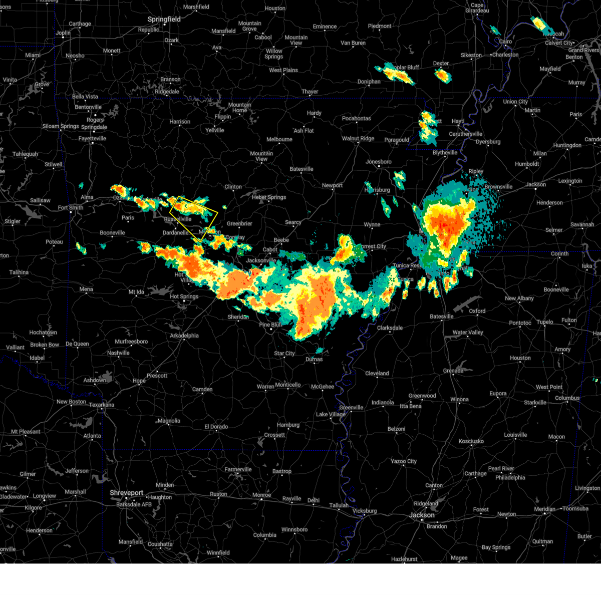 At 657 pm cdt, a severe thunderstorm was located over dover, or 11 miles north of russellville, moving southeast at 35 mph (radar indicated). Hazards include 60 mph wind gusts and quarter size hail. Hail damage to vehicles is expected. Expect wind damage to roofs, siding, and trees. At 657 pm cdt, a severe thunderstorm was located over dover, or 11 miles north of russellville, moving southeast at 35 mph (radar indicated). Hazards include 60 mph wind gusts and quarter size hail. Hail damage to vehicles is expected. Expect wind damage to roofs, siding, and trees.
|
| 6/25/2023 5:16 PM CDT |
 At 516 pm cdt, a severe thunderstorm was located over broomfield, or 13 miles north of russellville, moving southeast at 40 mph (radar indicated). Hazards include ping pong ball size hail and 60 mph wind gusts. People and animals outdoors will be injured. expect hail damage to roofs, siding, windows, and vehicles. Expect wind damage to roofs, siding, and trees. At 516 pm cdt, a severe thunderstorm was located over broomfield, or 13 miles north of russellville, moving southeast at 40 mph (radar indicated). Hazards include ping pong ball size hail and 60 mph wind gusts. People and animals outdoors will be injured. expect hail damage to roofs, siding, windows, and vehicles. Expect wind damage to roofs, siding, and trees.
|
| 6/25/2023 4:21 PM CDT |
 At 419 pm cdt, a severe thunderstorm was located near dover, or 11 miles northeast of russellville, moving southeast at 15 mph (radar indicated). Hazards include tennis ball size hail and 70 mph wind gusts. People and animals outdoors will be injured. expect hail damage to roofs, siding, windows, and vehicles. expect considerable tree damage. wind damage is also likely to mobile homes, roofs, and outbuildings. locations impacted include, russellville, pottsville, dover, london, hector, jerusalem, cleveland, broomfield, blick, solo, taral, lake dardanelle, appleton, brock creek campground, long pool campground, treat, pleasant valley in pope county, gum log, caglesville, moreland, thunderstorm damage threat, considerable hail threat, radar indicated max hail size, 2. 50 in wind threat, radar indicated max wind gust, 70 mph. At 419 pm cdt, a severe thunderstorm was located near dover, or 11 miles northeast of russellville, moving southeast at 15 mph (radar indicated). Hazards include tennis ball size hail and 70 mph wind gusts. People and animals outdoors will be injured. expect hail damage to roofs, siding, windows, and vehicles. expect considerable tree damage. wind damage is also likely to mobile homes, roofs, and outbuildings. locations impacted include, russellville, pottsville, dover, london, hector, jerusalem, cleveland, broomfield, blick, solo, taral, lake dardanelle, appleton, brock creek campground, long pool campground, treat, pleasant valley in pope county, gum log, caglesville, moreland, thunderstorm damage threat, considerable hail threat, radar indicated max hail size, 2. 50 in wind threat, radar indicated max wind gust, 70 mph.
|
| 6/25/2023 4:10 PM CDT |
 At 410 pm cdt, a severe thunderstorm was located over broomfield, or 13 miles north of russellville, moving southeast at 35 mph (radar indicated). Hazards include tennis ball size hail and 60 mph wind gusts. People and animals outdoors will be injured. expect hail damage to roofs, siding, windows, and vehicles. expect wind damage to roofs, siding, and trees. locations impacted include, russellville, dardanelle, pottsville, dover, london, hector, lake dardanelle state park, cleveland, broomfield, mt nebo state park, solo, jerusalem, lake dardanelle, blick, taral, holman, appleton, brock creek campground, lutherville, long pool campground, thunderstorm damage threat, considerable hail threat, radar indicated max hail size, 2. 50 in wind threat, radar indicated max wind gust, 60 mph. At 410 pm cdt, a severe thunderstorm was located over broomfield, or 13 miles north of russellville, moving southeast at 35 mph (radar indicated). Hazards include tennis ball size hail and 60 mph wind gusts. People and animals outdoors will be injured. expect hail damage to roofs, siding, windows, and vehicles. expect wind damage to roofs, siding, and trees. locations impacted include, russellville, dardanelle, pottsville, dover, london, hector, lake dardanelle state park, cleveland, broomfield, mt nebo state park, solo, jerusalem, lake dardanelle, blick, taral, holman, appleton, brock creek campground, lutherville, long pool campground, thunderstorm damage threat, considerable hail threat, radar indicated max hail size, 2. 50 in wind threat, radar indicated max wind gust, 60 mph.
|
| 6/25/2023 3:56 PM CDT |
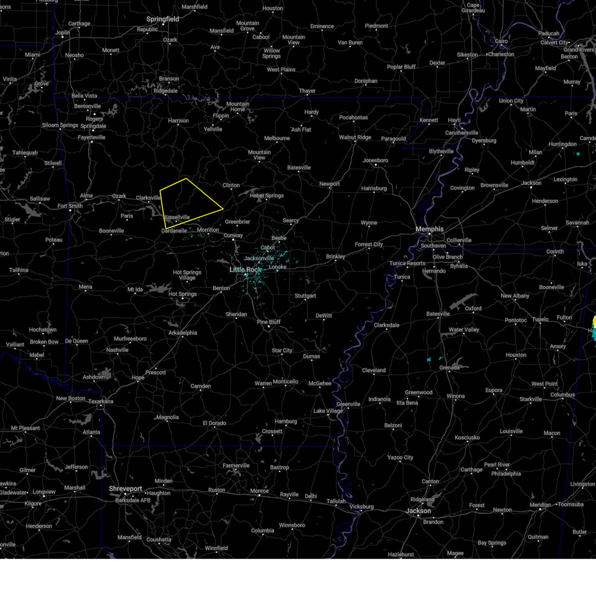 At 356 pm cdt, a severe thunderstorm was located 8 miles northeast of holman, or 17 miles northeast of clarksville, moving southeast at 15 mph (radar indicated). Hazards include ping pong ball size hail and 60 mph wind gusts. People and animals outdoors will be injured. expect hail damage to roofs, siding, windows, and vehicles. Expect wind damage to roofs, siding, and trees. At 356 pm cdt, a severe thunderstorm was located 8 miles northeast of holman, or 17 miles northeast of clarksville, moving southeast at 15 mph (radar indicated). Hazards include ping pong ball size hail and 60 mph wind gusts. People and animals outdoors will be injured. expect hail damage to roofs, siding, windows, and vehicles. Expect wind damage to roofs, siding, and trees.
|
| 6/18/2023 1:43 AM CDT |
 At 142 am cdt, severe thunderstorms were located along a line extending from near dillen to near hector to near adona, moving east at 50 mph (radar indicated). Hazards include 70 mph wind gusts and penny size hail. Expect considerable tree damage. Damage is likely to mobile homes, roofs, and outbuildings. At 142 am cdt, severe thunderstorms were located along a line extending from near dillen to near hector to near adona, moving east at 50 mph (radar indicated). Hazards include 70 mph wind gusts and penny size hail. Expect considerable tree damage. Damage is likely to mobile homes, roofs, and outbuildings.
|
| 6/18/2023 1:30 AM CDT |
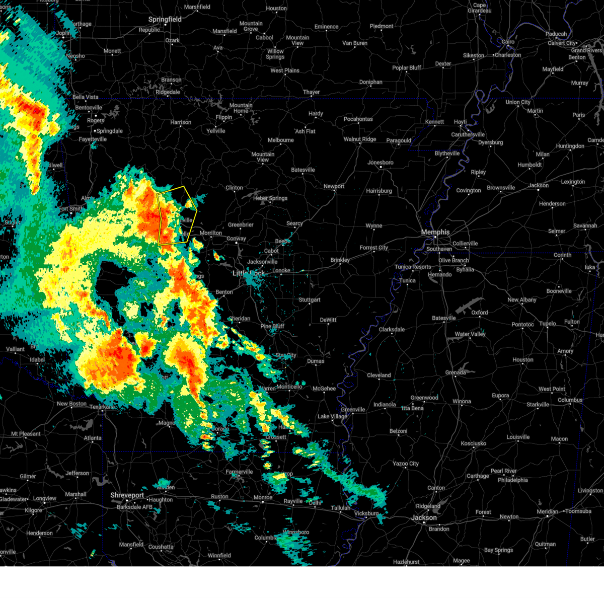 At 130 am cdt, severe thunderstorms were located along a line extending from holman to near london to mosley, moving east at 60 mph (radar indicated). Hazards include 70 mph wind gusts and penny size hail. Expect considerable tree damage. damage is likely to mobile homes, roofs, and outbuildings. locations impacted include, russellville, dardanelle, atkins, pottsville, dover, london, hector, lake dardanelle state park, carden bottoms, broomfield, mt nebo state park, lake dardanelle, galla creek wma, mosley, taral, holman, ranger, holla bend, lutherville, long pool campground, thunderstorm damage threat, considerable hail threat, radar indicated max hail size, 0. 75 in wind threat, radar indicated max wind gust, 70 mph. At 130 am cdt, severe thunderstorms were located along a line extending from holman to near london to mosley, moving east at 60 mph (radar indicated). Hazards include 70 mph wind gusts and penny size hail. Expect considerable tree damage. damage is likely to mobile homes, roofs, and outbuildings. locations impacted include, russellville, dardanelle, atkins, pottsville, dover, london, hector, lake dardanelle state park, carden bottoms, broomfield, mt nebo state park, lake dardanelle, galla creek wma, mosley, taral, holman, ranger, holla bend, lutherville, long pool campground, thunderstorm damage threat, considerable hail threat, radar indicated max hail size, 0. 75 in wind threat, radar indicated max wind gust, 70 mph.
|
| 6/18/2023 1:19 AM CDT |
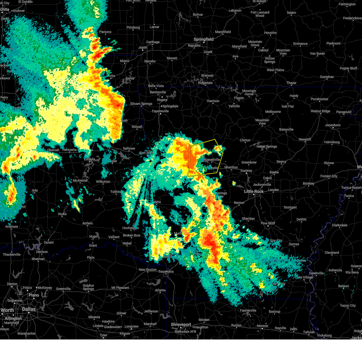 At 119 am cdt, severe thunderstorms were located along a line extending from near hoyt to near midway in logan county to 7 miles east of mount magazine, moving east at 50 mph (radar indicated). Hazards include 60 mph wind gusts and penny size hail. Expect damage to roofs, siding, and trees. locations impacted include, russellville, clarksville, danville, dardanelle, atkins, pottsville, lamar, dover, london, knoxville, hector, scranton, lake dardanelle state park, hoyt, midway in logan county, mosley, taral, holman, carden bottoms, woodland, hail threat, radar indicated max hail size, 0. 75 in wind threat, radar indicated max wind gust, 60 mph. At 119 am cdt, severe thunderstorms were located along a line extending from near hoyt to near midway in logan county to 7 miles east of mount magazine, moving east at 50 mph (radar indicated). Hazards include 60 mph wind gusts and penny size hail. Expect damage to roofs, siding, and trees. locations impacted include, russellville, clarksville, danville, dardanelle, atkins, pottsville, lamar, dover, london, knoxville, hector, scranton, lake dardanelle state park, hoyt, midway in logan county, mosley, taral, holman, carden bottoms, woodland, hail threat, radar indicated max hail size, 0. 75 in wind threat, radar indicated max wind gust, 60 mph.
|
| 6/18/2023 1:05 AM CDT |
 At 105 am cdt, severe thunderstorms were located along a line extending from denning to near paris to near blue mountain, moving east at 45 mph (radar indicated). Hazards include 60 mph wind gusts and penny size hail. expect damage to roofs, siding, and trees At 105 am cdt, severe thunderstorms were located along a line extending from denning to near paris to near blue mountain, moving east at 45 mph (radar indicated). Hazards include 60 mph wind gusts and penny size hail. expect damage to roofs, siding, and trees
|
| 4/15/2023 5:21 PM CDT |
 At 520 pm cdt, severe thunderstorms were located along a line extending from near hector to near atkins to near petit jean river wma to plainview in yell county, moving east at 40 mph (radar indicated). Hazards include 60 mph wind gusts and quarter size hail. Hail damage to vehicles is expected. expect wind damage to roofs, siding, and trees. locations impacted include, russellville, morrilton, dardanelle, atkins, pottsville, dover, ola, hector, adona, happy bend, hattieville, jerusalem, petit jean river wma, blick, mosley, taral, carden bottoms, solgohachia, claude, cleveland, hail threat, radar indicated max hail size, 1. 00 in wind threat, radar indicated max wind gust, 60 mph. At 520 pm cdt, severe thunderstorms were located along a line extending from near hector to near atkins to near petit jean river wma to plainview in yell county, moving east at 40 mph (radar indicated). Hazards include 60 mph wind gusts and quarter size hail. Hail damage to vehicles is expected. expect wind damage to roofs, siding, and trees. locations impacted include, russellville, morrilton, dardanelle, atkins, pottsville, dover, ola, hector, adona, happy bend, hattieville, jerusalem, petit jean river wma, blick, mosley, taral, carden bottoms, solgohachia, claude, cleveland, hail threat, radar indicated max hail size, 1. 00 in wind threat, radar indicated max wind gust, 60 mph.
|
| 4/15/2023 4:57 PM CDT |
 At 457 pm cdt, severe thunderstorms were located along a line extending from near london to near lake dardanelle to 8 miles northwest of danville to 6 miles north of fourche valley, moving east at 40 mph (radar indicated). Hazards include 60 mph wind gusts and quarter size hail. Hail damage to vehicles is expected. Expect wind damage to roofs, siding, and trees. At 457 pm cdt, severe thunderstorms were located along a line extending from near london to near lake dardanelle to 8 miles northwest of danville to 6 miles north of fourche valley, moving east at 40 mph (radar indicated). Hazards include 60 mph wind gusts and quarter size hail. Hail damage to vehicles is expected. Expect wind damage to roofs, siding, and trees.
|
| 4/15/2023 4:12 PM CDT |
 At 411 pm cdt, a severe thunderstorm was located over solo, or 22 miles northeast of russellville, moving east at 30 mph (radar indicated). Hazards include ping pong ball size hail and 60 mph wind gusts. People and animals outdoors will be injured. expect hail damage to roofs, siding, windows, and vehicles. expect wind damage to roofs, siding, and trees. locations impacted include, clinton, marshall, hector, thola, kay, witts spring, rocky hill, dabney, solo, smyrna, bohannon, elba, woolum, imo, elberta, watts, leslie, ben hur, alread, brock creek campground, hail threat, radar indicated max hail size, 1. 50 in wind threat, radar indicated max wind gust, 60 mph. At 411 pm cdt, a severe thunderstorm was located over solo, or 22 miles northeast of russellville, moving east at 30 mph (radar indicated). Hazards include ping pong ball size hail and 60 mph wind gusts. People and animals outdoors will be injured. expect hail damage to roofs, siding, windows, and vehicles. expect wind damage to roofs, siding, and trees. locations impacted include, clinton, marshall, hector, thola, kay, witts spring, rocky hill, dabney, solo, smyrna, bohannon, elba, woolum, imo, elberta, watts, leslie, ben hur, alread, brock creek campground, hail threat, radar indicated max hail size, 1. 50 in wind threat, radar indicated max wind gust, 60 mph.
|
| 4/15/2023 3:58 PM CDT |
 At 358 pm cdt, severe thunderstorms were located along a line extending from near dabney to broomfield, moving northeast at 25 mph (radar indicated). Hazards include 60 mph wind gusts and quarter size hail. Hail damage to vehicles is expected. Expect wind damage to roofs, siding, and trees. At 358 pm cdt, severe thunderstorms were located along a line extending from near dabney to broomfield, moving northeast at 25 mph (radar indicated). Hazards include 60 mph wind gusts and quarter size hail. Hail damage to vehicles is expected. Expect wind damage to roofs, siding, and trees.
|
| 4/15/2023 3:05 PM CDT |
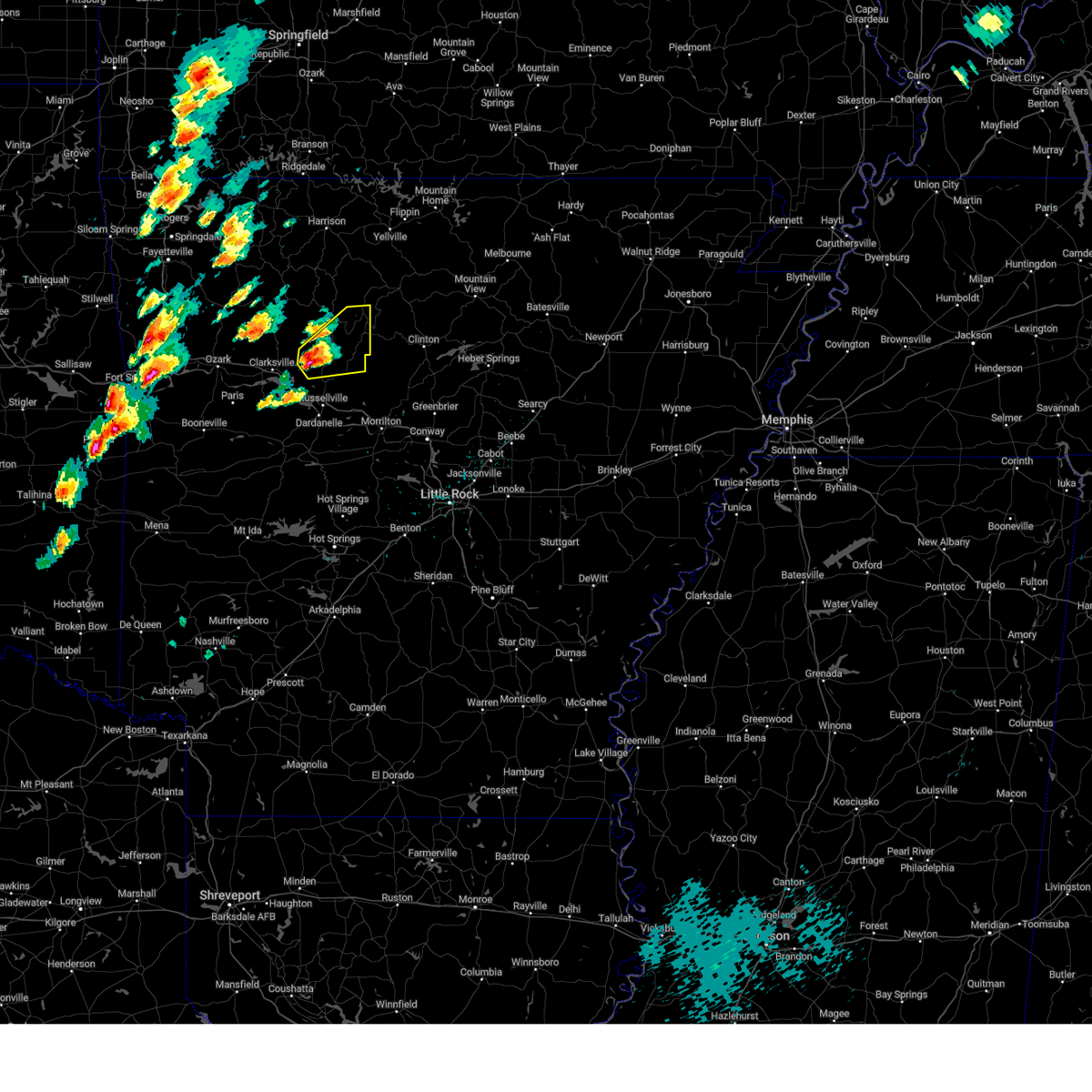 At 305 pm cdt, a severe thunderstorm was located near holman, or 15 miles east of clarksville, moving northeast at 25 mph (radar indicated). Hazards include 60 mph wind gusts and quarter size hail. Hail damage to vehicles is expected. expect wind damage to roofs, siding, and trees. locations impacted include, hector, witts spring, broomfield, moore, solo, smyrna, ben hur, lutherville, long pool campground, nogo, treat, pleasant valley in pope county, tilly, scottsville, simpson, hail threat, radar indicated max hail size, 1. 00 in wind threat, radar indicated max wind gust, 60 mph. At 305 pm cdt, a severe thunderstorm was located near holman, or 15 miles east of clarksville, moving northeast at 25 mph (radar indicated). Hazards include 60 mph wind gusts and quarter size hail. Hail damage to vehicles is expected. expect wind damage to roofs, siding, and trees. locations impacted include, hector, witts spring, broomfield, moore, solo, smyrna, ben hur, lutherville, long pool campground, nogo, treat, pleasant valley in pope county, tilly, scottsville, simpson, hail threat, radar indicated max hail size, 1. 00 in wind threat, radar indicated max wind gust, 60 mph.
|
| 4/15/2023 2:52 PM CDT |
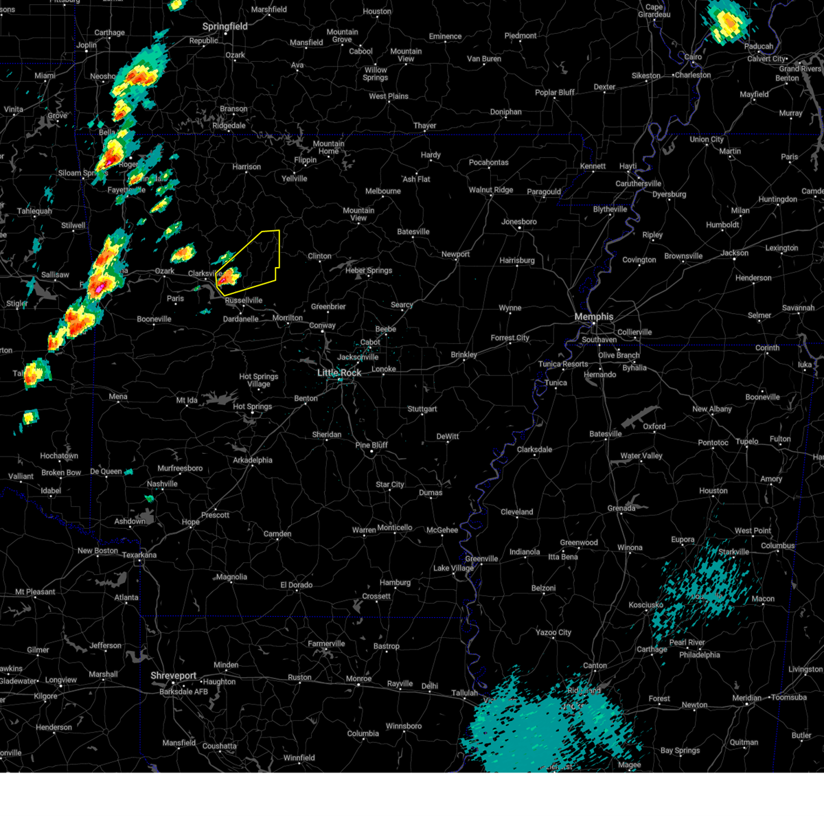 At 251 pm cdt, a severe thunderstorm was located over holman, or 11 miles east of clarksville, moving northeast at 35 mph (radar indicated). Hazards include 60 mph wind gusts and quarter size hail. Hail damage to vehicles is expected. Expect wind damage to roofs, siding, and trees. At 251 pm cdt, a severe thunderstorm was located over holman, or 11 miles east of clarksville, moving northeast at 35 mph (radar indicated). Hazards include 60 mph wind gusts and quarter size hail. Hail damage to vehicles is expected. Expect wind damage to roofs, siding, and trees.
|
| 4/5/2023 9:19 AM CDT |
 At 919 am cdt, severe thunderstorms were located along a line extending from near choctaw to near wooster to 9 miles north of jessieville, moving east at 55 mph (radar indicated). Hazards include 60 mph wind gusts and quarter size hail. Hail damage to vehicles is expected. expect wind damage to roofs, siding, and trees. locations impacted include, russellville, morrilton, clinton, danville, perryville, dardanelle, atkins, pottsville, dover, ola, oppelo, hector, shirley, perry, adona, bethlehem, sequoya park, hill creek, lake dardanelle state park, happy bend, hail threat, radar indicated max hail size, 1. 00 in wind threat, radar indicated max wind gust, 60 mph. At 919 am cdt, severe thunderstorms were located along a line extending from near choctaw to near wooster to 9 miles north of jessieville, moving east at 55 mph (radar indicated). Hazards include 60 mph wind gusts and quarter size hail. Hail damage to vehicles is expected. expect wind damage to roofs, siding, and trees. locations impacted include, russellville, morrilton, clinton, danville, perryville, dardanelle, atkins, pottsville, dover, ola, oppelo, hector, shirley, perry, adona, bethlehem, sequoya park, hill creek, lake dardanelle state park, happy bend, hail threat, radar indicated max hail size, 1. 00 in wind threat, radar indicated max wind gust, 60 mph.
|
| 4/5/2023 8:59 AM CDT |
 At 859 am cdt, severe thunderstorms were located along a line extending from 7 miles north of jerusalem to near atkins to 6 miles southeast of fourche valley, moving east at 55 mph (radar indicated). Hazards include 60 mph wind gusts and quarter size hail. Hail damage to vehicles is expected. expect wind damage to roofs, siding, and trees. locations impacted include, russellville, morrilton, clinton, danville, perryville, dardanelle, atkins, pottsville, dover, ola, london, oppelo, hector, shirley, perry, adona, bethlehem, hill creek, blick, mosley, hail threat, radar indicated max hail size, 1. 00 in wind threat, radar indicated max wind gust, 60 mph. At 859 am cdt, severe thunderstorms were located along a line extending from 7 miles north of jerusalem to near atkins to 6 miles southeast of fourche valley, moving east at 55 mph (radar indicated). Hazards include 60 mph wind gusts and quarter size hail. Hail damage to vehicles is expected. expect wind damage to roofs, siding, and trees. locations impacted include, russellville, morrilton, clinton, danville, perryville, dardanelle, atkins, pottsville, dover, ola, london, oppelo, hector, shirley, perry, adona, bethlehem, hill creek, blick, mosley, hail threat, radar indicated max hail size, 1. 00 in wind threat, radar indicated max wind gust, 60 mph.
|
| 4/5/2023 8:39 AM CDT |
 At 839 am cdt, severe thunderstorms were located along a line extending from near holman to 6 miles west of mosley to 7 miles south of cardiff, moving east at 55 mph (radar indicated). Hazards include 60 mph wind gusts and quarter size hail. Hail damage to vehicles is expected. Expect wind damage to roofs, siding, and trees. At 839 am cdt, severe thunderstorms were located along a line extending from near holman to 6 miles west of mosley to 7 miles south of cardiff, moving east at 55 mph (radar indicated). Hazards include 60 mph wind gusts and quarter size hail. Hail damage to vehicles is expected. Expect wind damage to roofs, siding, and trees.
|
| 4/5/2023 8:14 AM CDT |
 At 814 am cdt, severe thunderstorms were located along a line extending from 7 miles northeast of walnut to 6 miles south of rosetta to hoyt, moving east at 40 mph (radar indicated). Hazards include 60 mph wind gusts and quarter size hail. Hail damage to vehicles is expected. Expect wind damage to roofs, siding, and trees. At 814 am cdt, severe thunderstorms were located along a line extending from 7 miles northeast of walnut to 6 miles south of rosetta to hoyt, moving east at 40 mph (radar indicated). Hazards include 60 mph wind gusts and quarter size hail. Hail damage to vehicles is expected. Expect wind damage to roofs, siding, and trees.
|
| 4/5/2023 1:42 AM CDT |
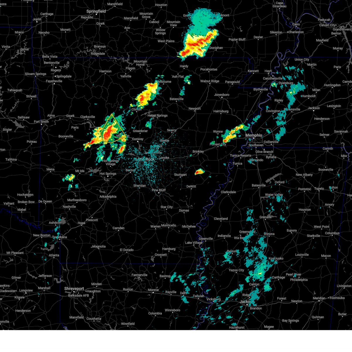 At 142 am cdt, a severe thunderstorm was located near galla creek wma, or 7 miles southeast of russellville, moving northeast at 45 mph (radar indicated). Hazards include 60 mph wind gusts and nickel size hail. Expect damage to roofs, siding, and trees. Locations impacted include, russellville, morrilton, dardanelle, atkins, pottsville, hector, carden bottoms, happy bend, hattieville, petit jean state park, galla creek wma, taral, lake dardanelle, appleton, holla bend, blackwell, economy, caglesville, oak grove in pope county, lakeview in yell county,. At 142 am cdt, a severe thunderstorm was located near galla creek wma, or 7 miles southeast of russellville, moving northeast at 45 mph (radar indicated). Hazards include 60 mph wind gusts and nickel size hail. Expect damage to roofs, siding, and trees. Locations impacted include, russellville, morrilton, dardanelle, atkins, pottsville, hector, carden bottoms, happy bend, hattieville, petit jean state park, galla creek wma, taral, lake dardanelle, appleton, holla bend, blackwell, economy, caglesville, oak grove in pope county, lakeview in yell county,.
|
| 4/5/2023 1:31 AM CDT |
 At 130 am cdt, a severe thunderstorm was located over petit jean river wma, or 10 miles east of danville, moving northeast at 45 mph (radar indicated). Hazards include 60 mph wind gusts and nickel size hail. expect damage to roofs, siding, and trees At 130 am cdt, a severe thunderstorm was located over petit jean river wma, or 10 miles east of danville, moving northeast at 45 mph (radar indicated). Hazards include 60 mph wind gusts and nickel size hail. expect damage to roofs, siding, and trees
|
| 3/24/2023 3:05 PM CDT |
 At 305 pm cdt, severe thunderstorms were located along a line extending from near scranton to near danville to 7 miles southeast of muddy creek wma, moving northeast at 70 mph (radar indicated). Hazards include 60 mph wind gusts and quarter size hail. Hail damage to vehicles is expected. expect wind damage to roofs, siding, and trees. locations impacted include, russellville, clarksville, paris, danville, dardanelle, atkins, pottsville, lamar, dover, ola, london, knoxville, subiaco, hartman, hector, scranton, mosley, holman, muddy creek wma, carden bottoms, hail threat, radar indicated max hail size, 1. 00 in wind threat, radar indicated max wind gust, 60 mph. At 305 pm cdt, severe thunderstorms were located along a line extending from near scranton to near danville to 7 miles southeast of muddy creek wma, moving northeast at 70 mph (radar indicated). Hazards include 60 mph wind gusts and quarter size hail. Hail damage to vehicles is expected. expect wind damage to roofs, siding, and trees. locations impacted include, russellville, clarksville, paris, danville, dardanelle, atkins, pottsville, lamar, dover, ola, london, knoxville, subiaco, hartman, hector, scranton, mosley, holman, muddy creek wma, carden bottoms, hail threat, radar indicated max hail size, 1. 00 in wind threat, radar indicated max wind gust, 60 mph.
|
| 3/24/2023 2:48 PM CDT |
 At 248 pm cdt, severe thunderstorms were located along a line extending from near ratcliff to near gravelly to near oden, moving northeast at 60 mph (radar indicated). Hazards include 60 mph wind gusts and quarter size hail. Hail damage to vehicles is expected. Expect wind damage to roofs, siding, and trees. At 248 pm cdt, severe thunderstorms were located along a line extending from near ratcliff to near gravelly to near oden, moving northeast at 60 mph (radar indicated). Hazards include 60 mph wind gusts and quarter size hail. Hail damage to vehicles is expected. Expect wind damage to roofs, siding, and trees.
|
| 2/16/2023 2:35 AM CST |
 At 234 am cst, a severe thunderstorm was located over solo, or 24 miles northeast of russellville, moving northeast at 45 mph (radar indicated). Hazards include 60 mph wind gusts and quarter size hail. Hail damage to vehicles is expected. expect wind damage to roofs, siding, and trees. locations impacted include, hector, kay, woolum, rocky hill, broomfield, dabney, solo, smyrna, alread, brock creek campground, rupert, chimes, nogo, tilly, crabtree, mountain man trailhead, simpson, hail threat, radar indicated max hail size, 1. 00 in wind threat, radar indicated max wind gust, 60 mph. At 234 am cst, a severe thunderstorm was located over solo, or 24 miles northeast of russellville, moving northeast at 45 mph (radar indicated). Hazards include 60 mph wind gusts and quarter size hail. Hail damage to vehicles is expected. expect wind damage to roofs, siding, and trees. locations impacted include, hector, kay, woolum, rocky hill, broomfield, dabney, solo, smyrna, alread, brock creek campground, rupert, chimes, nogo, tilly, crabtree, mountain man trailhead, simpson, hail threat, radar indicated max hail size, 1. 00 in wind threat, radar indicated max wind gust, 60 mph.
|
| 2/16/2023 2:22 AM CST |
 At 221 am cst, a severe thunderstorm was located near broomfield, or 18 miles north of russellville, moving east at 45 mph (radar indicated). Hazards include 60 mph wind gusts and half dollar size hail. Hail damage to vehicles is expected. Expect wind damage to roofs, siding, and trees. At 221 am cst, a severe thunderstorm was located near broomfield, or 18 miles north of russellville, moving east at 45 mph (radar indicated). Hazards include 60 mph wind gusts and half dollar size hail. Hail damage to vehicles is expected. Expect wind damage to roofs, siding, and trees.
|
| 1/11/2023 10:29 PM CST |
 At 1028 pm cst, a severe thunderstorm was located near happy bend, or 14 miles east of russellville, moving northeast at 50 mph (radar indicated). Hazards include 60 mph wind gusts and quarter size hail. Hail damage to vehicles is expected. expect wind damage to roofs, siding, and trees. locations impacted include, russellville, clinton, fairfield bay, atkins, pottsville, hector, damascus, shirley, happy bend, rocky hill, dabney, hattieville, whipple, jerusalem, sugar loaf recreation area, blick, elberta, taral, fairfield bay marina, claude, hail threat, radar indicated max hail size, 1. 00 in wind threat, radar indicated max wind gust, 60 mph. At 1028 pm cst, a severe thunderstorm was located near happy bend, or 14 miles east of russellville, moving northeast at 50 mph (radar indicated). Hazards include 60 mph wind gusts and quarter size hail. Hail damage to vehicles is expected. expect wind damage to roofs, siding, and trees. locations impacted include, russellville, clinton, fairfield bay, atkins, pottsville, hector, damascus, shirley, happy bend, rocky hill, dabney, hattieville, whipple, jerusalem, sugar loaf recreation area, blick, elberta, taral, fairfield bay marina, claude, hail threat, radar indicated max hail size, 1. 00 in wind threat, radar indicated max wind gust, 60 mph.
|
| 1/11/2023 10:19 PM CST |
 At 1019 pm cst, a severe thunderstorm was located over pottsville, or near russellville, moving northeast at 50 mph (radar indicated). Hazards include 60 mph wind gusts and quarter size hail. Hail damage to vehicles is expected. Expect wind damage to roofs, siding, and trees. At 1019 pm cst, a severe thunderstorm was located over pottsville, or near russellville, moving northeast at 50 mph (radar indicated). Hazards include 60 mph wind gusts and quarter size hail. Hail damage to vehicles is expected. Expect wind damage to roofs, siding, and trees.
|
| 11/4/2022 10:01 PM CDT |
 At 1000 pm cdt, severe thunderstorms were located along a line extending from smyrna to jerusalem, to west of perryville. movement was northeast at 50 mph (radar indicated). Hazards include 60 mph wind gusts and penny size hail. Expect damage to roofs, siding, and trees. locations impacted include, morrilton, perryville, atkins, oppelo, hector, perry, adona, sequoya park, happy bend, dabney, hattieville, jerusalem, blick, carden bottoms, solgohachia, claude, cleveland, solo, middleton, smyrna, hail threat, radar indicated max hail size, 0. 75 in wind threat, radar indicated max wind gust, 60 mph. At 1000 pm cdt, severe thunderstorms were located along a line extending from smyrna to jerusalem, to west of perryville. movement was northeast at 50 mph (radar indicated). Hazards include 60 mph wind gusts and penny size hail. Expect damage to roofs, siding, and trees. locations impacted include, morrilton, perryville, atkins, oppelo, hector, perry, adona, sequoya park, happy bend, dabney, hattieville, jerusalem, blick, carden bottoms, solgohachia, claude, cleveland, solo, middleton, smyrna, hail threat, radar indicated max hail size, 0. 75 in wind threat, radar indicated max wind gust, 60 mph.
|
| 11/4/2022 9:33 PM CDT |
 At 932 pm cdt, severe thunderstorms were located along a line extending from lake dardanelle to north of hollis, moving northeast at 55 mph (radar indicated). Hazards include 60 mph wind gusts and penny size hail. expect damage to roofs, siding, and trees At 932 pm cdt, severe thunderstorms were located along a line extending from lake dardanelle to north of hollis, moving northeast at 55 mph (radar indicated). Hazards include 60 mph wind gusts and penny size hail. expect damage to roofs, siding, and trees
|
| 11/4/2022 8:55 PM CDT |
 At 854 pm cdt, severe thunderstorms were located along a line extending from near point peter to near marsena to near witts spring, moving northeast at 65 mph (radar indicated). Hazards include 60 mph wind gusts. Expect damage to roofs, siding, and trees. locations impacted include, marshall, hector, marsena, kay, witts spring, rocky hill, broomfield, moore, duff, dabney, solo, point peter, smyrna, eula, bohannon, woolum, imo, elberta, watts, leslie, hail threat, radar indicated max hail size, <. 75 in wind threat, radar indicated max wind gust, 60 mph. At 854 pm cdt, severe thunderstorms were located along a line extending from near point peter to near marsena to near witts spring, moving northeast at 65 mph (radar indicated). Hazards include 60 mph wind gusts. Expect damage to roofs, siding, and trees. locations impacted include, marshall, hector, marsena, kay, witts spring, rocky hill, broomfield, moore, duff, dabney, solo, point peter, smyrna, eula, bohannon, woolum, imo, elberta, watts, leslie, hail threat, radar indicated max hail size, <. 75 in wind threat, radar indicated max wind gust, 60 mph.
|
| 11/4/2022 8:41 PM CDT |
 At 840 pm cdt, severe thunderstorms were located along a line extending from near bertha to 7 miles southeast of dillen to 6 miles northwest of broomfield, moving northeast at 50 mph (radar indicated). Hazards include 60 mph wind gusts. Expect damage to roofs, siding, and trees. locations impacted include, marshall, dover, hector, marsena, witts spring, rocky hill, moore, duff, dabney, point peter, bohannon, imo, elberta, watts, kay, dillen, broomfield, solo, smyrna, eula, hail threat, radar indicated max hail size, <. 75 in wind threat, radar indicated max wind gust, 60 mph. At 840 pm cdt, severe thunderstorms were located along a line extending from near bertha to 7 miles southeast of dillen to 6 miles northwest of broomfield, moving northeast at 50 mph (radar indicated). Hazards include 60 mph wind gusts. Expect damage to roofs, siding, and trees. locations impacted include, marshall, dover, hector, marsena, witts spring, rocky hill, moore, duff, dabney, point peter, bohannon, imo, elberta, watts, kay, dillen, broomfield, solo, smyrna, eula, hail threat, radar indicated max hail size, <. 75 in wind threat, radar indicated max wind gust, 60 mph.
|
| 11/4/2022 8:27 PM CDT |
 At 826 pm cdt, severe thunderstorms were located along a line extending from near rosetta to 9 miles northwest of broomfield to near holman, moving northeast at 50 mph (radar indicated). Hazards include 60 mph wind gusts. expect damage to roofs, siding, and trees At 826 pm cdt, severe thunderstorms were located along a line extending from near rosetta to 9 miles northwest of broomfield to near holman, moving northeast at 50 mph (radar indicated). Hazards include 60 mph wind gusts. expect damage to roofs, siding, and trees
|
| 5/21/2022 4:57 PM CDT |
 At 456 pm cdt, severe thunderstorms were located along a line extending from kay to near solo, moving east at 35 mph (radar indicated). Hazards include 60 mph wind gusts and penny size hail. expect damage to roofs, siding, and trees At 456 pm cdt, severe thunderstorms were located along a line extending from kay to near solo, moving east at 35 mph (radar indicated). Hazards include 60 mph wind gusts and penny size hail. expect damage to roofs, siding, and trees
|
| 5/15/2022 2:55 PM CDT |
 At 254 pm cdt, severe thunderstorms were located along a line extending from near jerusalem to 8 miles northwest of danville to near paris, moving southeast at 20 mph (public). Hazards include 60 mph wind gusts and half dollar size hail. Hail damage to vehicles is expected. expect wind damage to roofs, siding, and trees. locations impacted include, russellville, paris, dardanelle, atkins, pottsville, dover, london, subiaco, hartman, hector, scranton, lake dardanelle state park, cleveland, mt nebo state park, mount magazine, lanty, jerusalem, lake dardanelle, midway in logan county, blick, this includes interstate 40 between mile markers 75 and 90. hail threat, observed max hail size, 1. 25 in wind threat, radar indicated max wind gust, 60 mph. At 254 pm cdt, severe thunderstorms were located along a line extending from near jerusalem to 8 miles northwest of danville to near paris, moving southeast at 20 mph (public). Hazards include 60 mph wind gusts and half dollar size hail. Hail damage to vehicles is expected. expect wind damage to roofs, siding, and trees. locations impacted include, russellville, paris, dardanelle, atkins, pottsville, dover, london, subiaco, hartman, hector, scranton, lake dardanelle state park, cleveland, mt nebo state park, mount magazine, lanty, jerusalem, lake dardanelle, midway in logan county, blick, this includes interstate 40 between mile markers 75 and 90. hail threat, observed max hail size, 1. 25 in wind threat, radar indicated max wind gust, 60 mph.
|
| 5/15/2022 2:24 PM CDT |
 At 224 pm cdt, severe thunderstorms were located along a line extending from near hector to near london to near hartman, moving southeast at 30 mph (radar indicated). Hazards include ping pong ball size hail and 60 mph wind gusts. People and animals outdoors will be injured. expect hail damage to roofs, siding, windows, and vehicles. Expect wind damage to roofs, siding, and trees. At 224 pm cdt, severe thunderstorms were located along a line extending from near hector to near london to near hartman, moving southeast at 30 mph (radar indicated). Hazards include ping pong ball size hail and 60 mph wind gusts. People and animals outdoors will be injured. expect hail damage to roofs, siding, windows, and vehicles. Expect wind damage to roofs, siding, and trees.
|
| 5/15/2022 1:57 PM CDT |
 At 157 pm cdt, severe thunderstorms were located along a line extending from 6 miles south of piercetown to near rosetta to 7 miles east of cass, moving southeast at 30 mph (radar indicated). Hazards include two inch hail and 60 mph wind gusts. People and animals outdoors will be injured. expect hail damage to roofs, siding, windows, and vehicles. Expect wind damage to roofs, siding, and trees. At 157 pm cdt, severe thunderstorms were located along a line extending from 6 miles south of piercetown to near rosetta to 7 miles east of cass, moving southeast at 30 mph (radar indicated). Hazards include two inch hail and 60 mph wind gusts. People and animals outdoors will be injured. expect hail damage to roofs, siding, windows, and vehicles. Expect wind damage to roofs, siding, and trees.
|
| 5/15/2022 12:33 PM CDT |
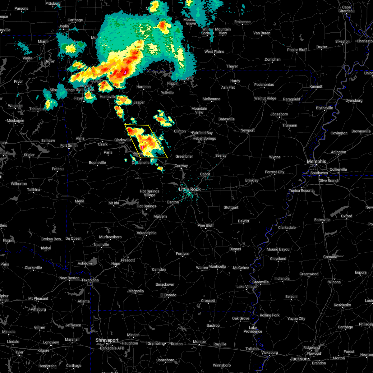 At 1232 pm cdt, severe thunderstorms were located along a line extending from near rosetta to near atkins, moving east at 10 mph (radar indicated). Hazards include 60 mph wind gusts and half dollar size hail. Hail damage to vehicles is expected. expect wind damage to roofs, siding, and trees. locations impacted include, russellville, atkins, pottsville, dover, london, hector, happy bend, dillen, broomfield, hattieville, solo, devils knob, jerusalem, st. vincent, bertha, taral, rosetta, lake dardanelle, appleton, fort douglas, this includes interstate 40 between mile markers 78 and 88, and between mile markers 94 and 96. hail threat, radar indicated max hail size, 1. 25 in wind threat, radar indicated max wind gust, 60 mph. At 1232 pm cdt, severe thunderstorms were located along a line extending from near rosetta to near atkins, moving east at 10 mph (radar indicated). Hazards include 60 mph wind gusts and half dollar size hail. Hail damage to vehicles is expected. expect wind damage to roofs, siding, and trees. locations impacted include, russellville, atkins, pottsville, dover, london, hector, happy bend, dillen, broomfield, hattieville, solo, devils knob, jerusalem, st. vincent, bertha, taral, rosetta, lake dardanelle, appleton, fort douglas, this includes interstate 40 between mile markers 78 and 88, and between mile markers 94 and 96. hail threat, radar indicated max hail size, 1. 25 in wind threat, radar indicated max wind gust, 60 mph.
|
| 5/15/2022 12:10 PM CDT |
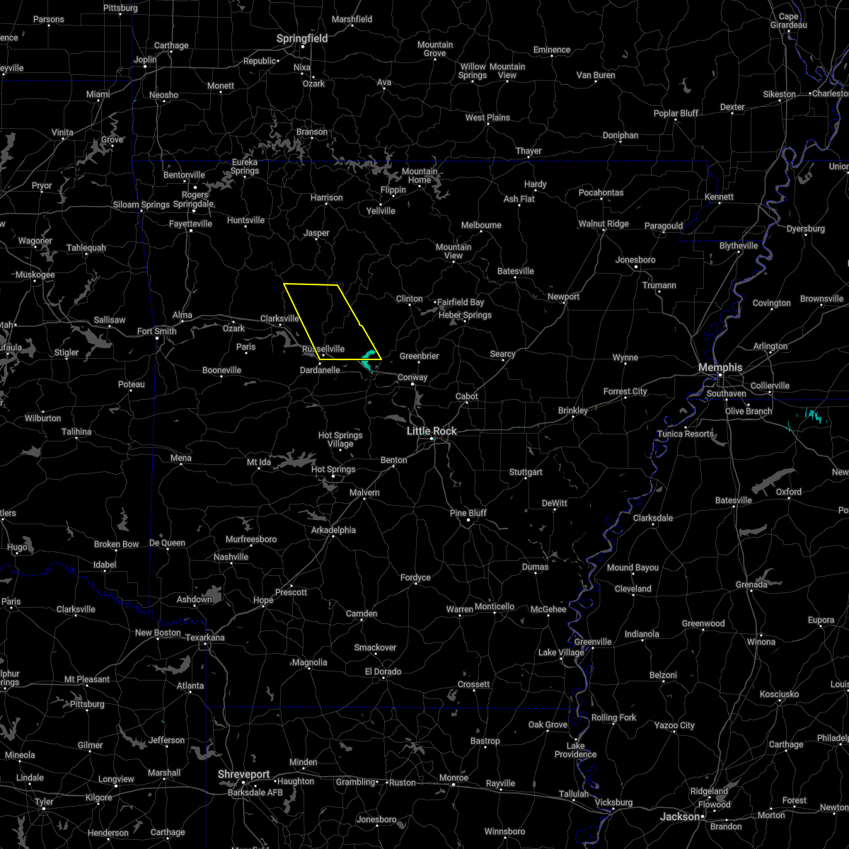 At 1209 pm cdt, severe thunderstorms were located along a line extending from rosetta to near atkins, moving east at 20 mph (radar indicated). Hazards include 60 mph wind gusts and half dollar size hail. Hail damage to vehicles is expected. Expect wind damage to roofs, siding, and trees. At 1209 pm cdt, severe thunderstorms were located along a line extending from rosetta to near atkins, moving east at 20 mph (radar indicated). Hazards include 60 mph wind gusts and half dollar size hail. Hail damage to vehicles is expected. Expect wind damage to roofs, siding, and trees.
|
| 5/15/2022 11:39 AM CDT |
 At 1139 am cdt, a severe thunderstorm was located near taral, or 7 miles north of russellville, moving east at 15 mph (radar indicated). Hazards include 60 mph wind gusts and half dollar size hail. Hail damage to vehicles is expected. expect wind damage to roofs, siding, and trees. locations impacted include, russellville, dover, london, hector, taral, lake dardanelle, gum log, moreland, scottsville, pleasant valley in pope county, this includes interstate 40 between mile markers 77 and 81. hail threat, radar indicated max hail size, 1. 25 in wind threat, radar indicated max wind gust, 60 mph. At 1139 am cdt, a severe thunderstorm was located near taral, or 7 miles north of russellville, moving east at 15 mph (radar indicated). Hazards include 60 mph wind gusts and half dollar size hail. Hail damage to vehicles is expected. expect wind damage to roofs, siding, and trees. locations impacted include, russellville, dover, london, hector, taral, lake dardanelle, gum log, moreland, scottsville, pleasant valley in pope county, this includes interstate 40 between mile markers 77 and 81. hail threat, radar indicated max hail size, 1. 25 in wind threat, radar indicated max wind gust, 60 mph.
|
| 5/15/2022 11:23 AM CDT |
 At 1123 am cdt, a severe thunderstorm was located near london, or 8 miles northwest of russellville, moving east at 20 mph (radar indicated). Hazards include ping pong ball size hail and 60 mph wind gusts. People and animals outdoors will be injured. expect hail damage to roofs, siding, windows, and vehicles. Expect wind damage to roofs, siding, and trees. At 1123 am cdt, a severe thunderstorm was located near london, or 8 miles northwest of russellville, moving east at 20 mph (radar indicated). Hazards include ping pong ball size hail and 60 mph wind gusts. People and animals outdoors will be injured. expect hail damage to roofs, siding, windows, and vehicles. Expect wind damage to roofs, siding, and trees.
|
| 4/13/2022 11:28 AM CDT |
 At 1127 am cdt, severe thunderstorms were located along a line extending from russellville to 6 miles southeast of ola to 7 miles northwest of jessieville, moving northeast at 65 mph (radar indicated). Hazards include 60 mph wind gusts and nickel size hail. expect damage to roofs, siding, and trees At 1127 am cdt, severe thunderstorms were located along a line extending from russellville to 6 miles southeast of ola to 7 miles northwest of jessieville, moving northeast at 65 mph (radar indicated). Hazards include 60 mph wind gusts and nickel size hail. expect damage to roofs, siding, and trees
|
| 4/11/2022 9:19 PM CDT |
 At 918 pm cdt, a severe thunderstorm was located near jerusalem, or 21 miles north of morrilton, moving east at 30 mph (radar indicated). Hazards include 60 mph wind gusts and half dollar size hail. Hail damage to vehicles is expected. expect wind damage to roofs, siding, and trees. Locations impacted include, hector, blick, jerusalem, claude, cleveland, appleton, beverage town, brock creek campground, center ridge, caglesville, scotland, mountain man trailhead,. At 918 pm cdt, a severe thunderstorm was located near jerusalem, or 21 miles north of morrilton, moving east at 30 mph (radar indicated). Hazards include 60 mph wind gusts and half dollar size hail. Hail damage to vehicles is expected. expect wind damage to roofs, siding, and trees. Locations impacted include, hector, blick, jerusalem, claude, cleveland, appleton, beverage town, brock creek campground, center ridge, caglesville, scotland, mountain man trailhead,.
|
| 4/11/2022 8:59 PM CDT |
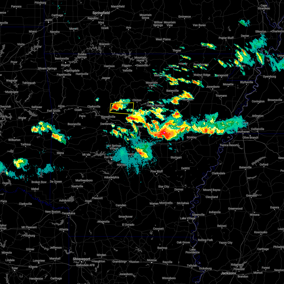 At 858 pm cdt, a severe thunderstorm was located over hector, or 15 miles northeast of russellville, moving east at 35 mph (radar indicated). Hazards include 60 mph wind gusts and half dollar size hail. Hail damage to vehicles is expected. Expect wind damage to roofs, siding, and trees. At 858 pm cdt, a severe thunderstorm was located over hector, or 15 miles northeast of russellville, moving east at 35 mph (radar indicated). Hazards include 60 mph wind gusts and half dollar size hail. Hail damage to vehicles is expected. Expect wind damage to roofs, siding, and trees.
|
| 4/11/2022 7:36 PM CDT |
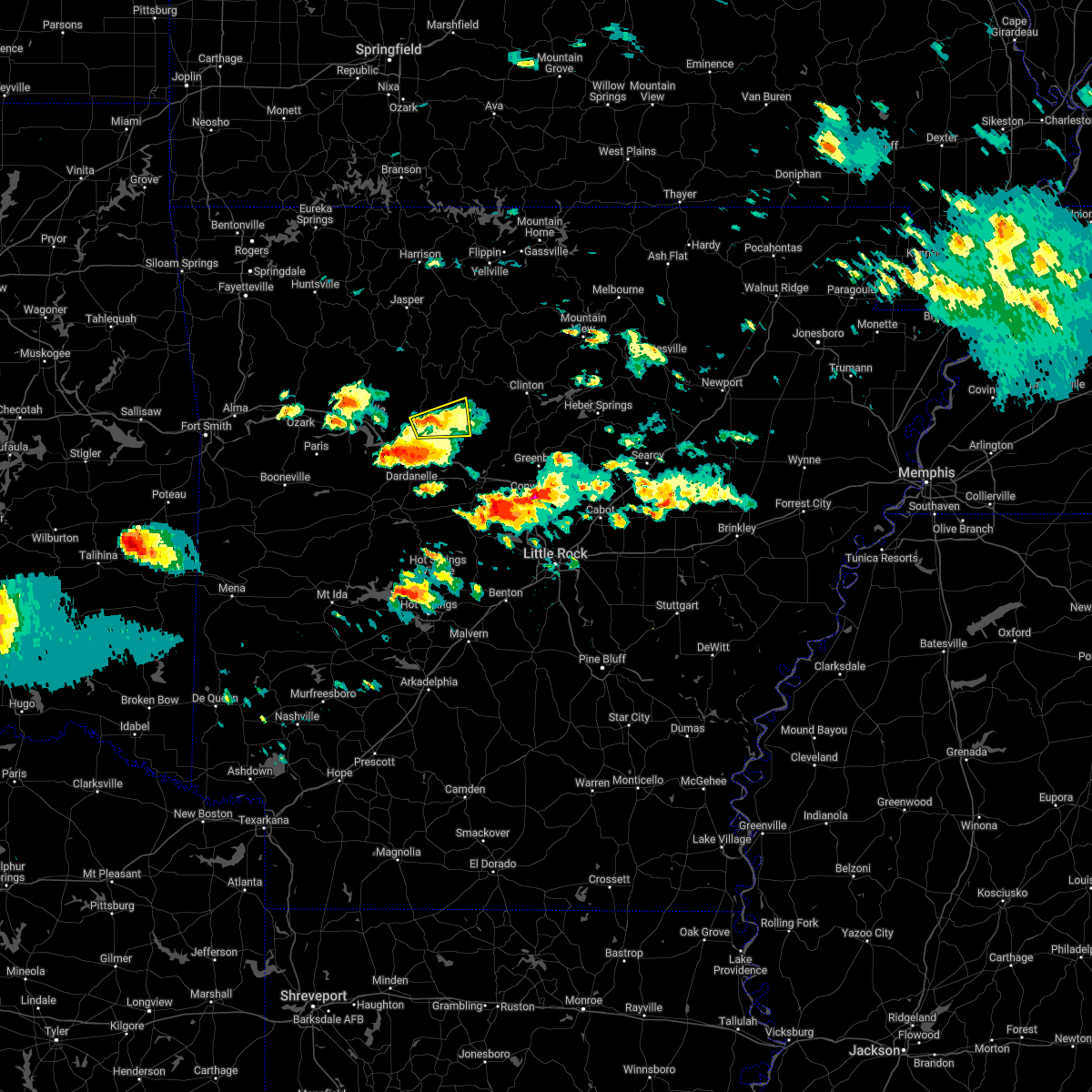 At 736 pm cdt, a severe thunderstorm was located over hector, or 14 miles northeast of russellville, moving east at 40 mph (radar indicated). Hazards include 60 mph wind gusts and quarter size hail. Hail damage to vehicles is expected. expect wind damage to roofs, siding, and trees. locations impacted include, dover, hector, broomfield, jerusalem, appleton, caglesville, mountain man trailhead, scottsville, pleasant valley in pope county, hail threat, radar indicated max hail size, 1. 00 in wind threat, radar indicated max wind gust, 60 mph. At 736 pm cdt, a severe thunderstorm was located over hector, or 14 miles northeast of russellville, moving east at 40 mph (radar indicated). Hazards include 60 mph wind gusts and quarter size hail. Hail damage to vehicles is expected. expect wind damage to roofs, siding, and trees. locations impacted include, dover, hector, broomfield, jerusalem, appleton, caglesville, mountain man trailhead, scottsville, pleasant valley in pope county, hail threat, radar indicated max hail size, 1. 00 in wind threat, radar indicated max wind gust, 60 mph.
|
| 4/11/2022 7:21 PM CDT |
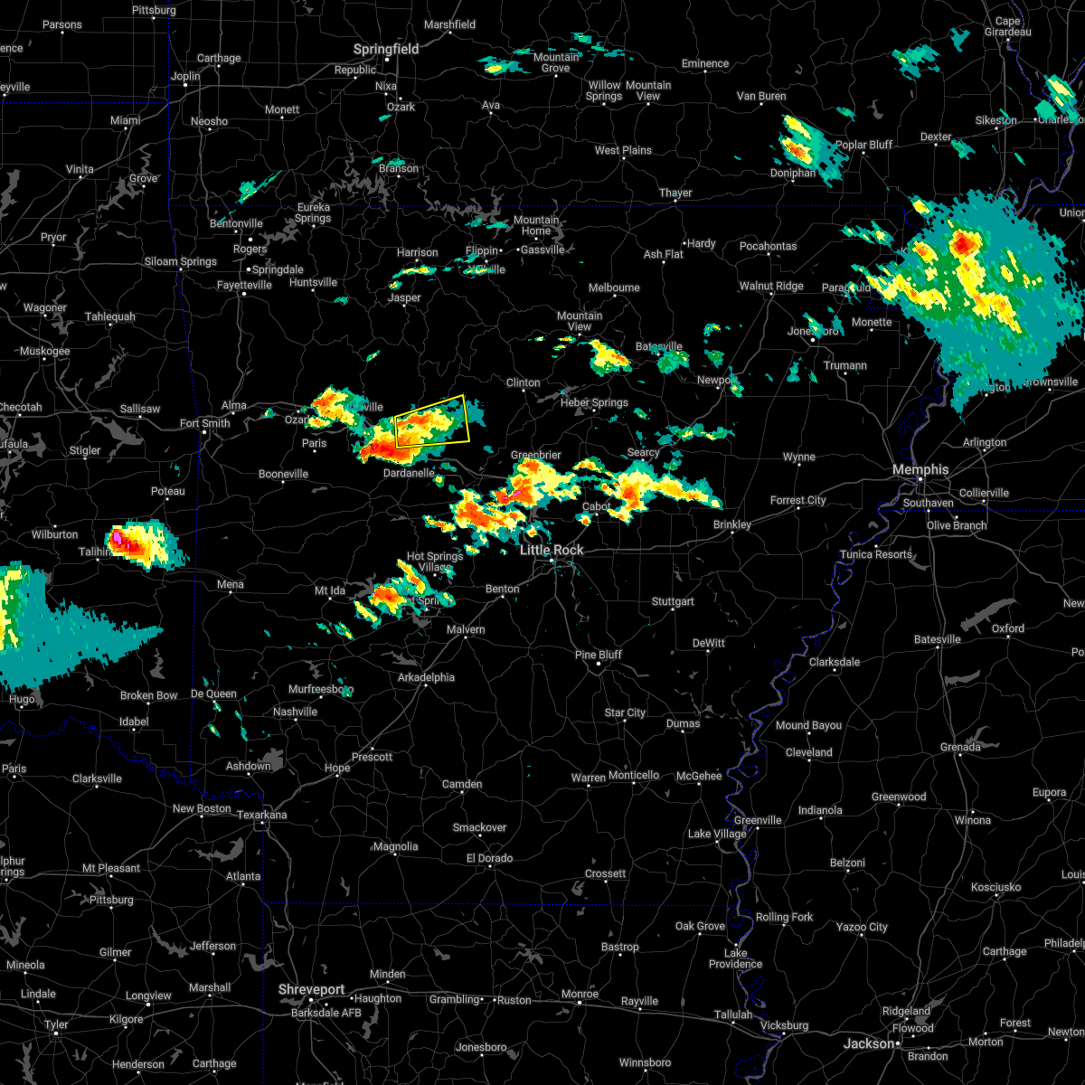 At 721 pm cdt, a severe thunderstorm was located over dover, or 9 miles north of russellville, moving east at 25 mph (radar indicated). Hazards include 60 mph wind gusts and penny size hail. expect damage to roofs, siding, and trees At 721 pm cdt, a severe thunderstorm was located over dover, or 9 miles north of russellville, moving east at 25 mph (radar indicated). Hazards include 60 mph wind gusts and penny size hail. expect damage to roofs, siding, and trees
|
| 4/6/2022 2:28 AM CDT |
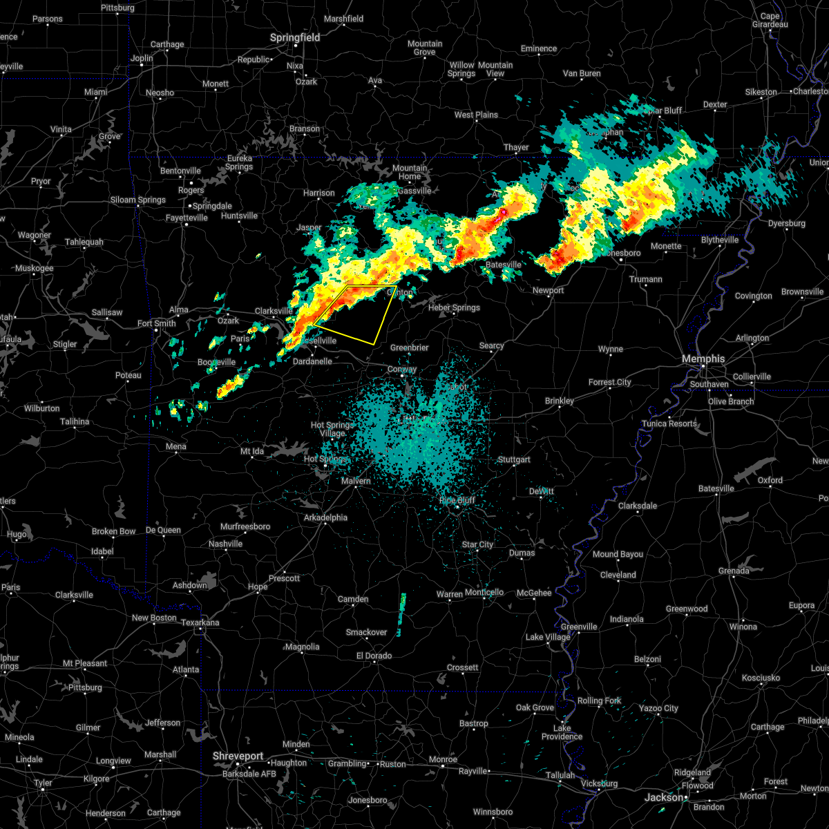 At 228 am cdt, a severe thunderstorm was located near solo, or 23 miles west of clinton, moving east at 55 mph (radar indicated). Hazards include 60 mph wind gusts and quarter size hail. Hail damage to vehicles is expected. expect wind damage to roofs, siding, and trees. locations impacted include, dover, hector, lanty, jerusalem, claude, cleveland, broomfield, dabney, blick, solo, appleton, beverage town, alread, brock creek campground, rupert, scotland, wonderview, nogo, macedonia in conway county, caglesville, hail threat, radar indicated max hail size, 1. 00 in wind threat, radar indicated max wind gust, 60 mph. At 228 am cdt, a severe thunderstorm was located near solo, or 23 miles west of clinton, moving east at 55 mph (radar indicated). Hazards include 60 mph wind gusts and quarter size hail. Hail damage to vehicles is expected. expect wind damage to roofs, siding, and trees. locations impacted include, dover, hector, lanty, jerusalem, claude, cleveland, broomfield, dabney, blick, solo, appleton, beverage town, alread, brock creek campground, rupert, scotland, wonderview, nogo, macedonia in conway county, caglesville, hail threat, radar indicated max hail size, 1. 00 in wind threat, radar indicated max wind gust, 60 mph.
|
| 4/6/2022 2:08 AM CDT |
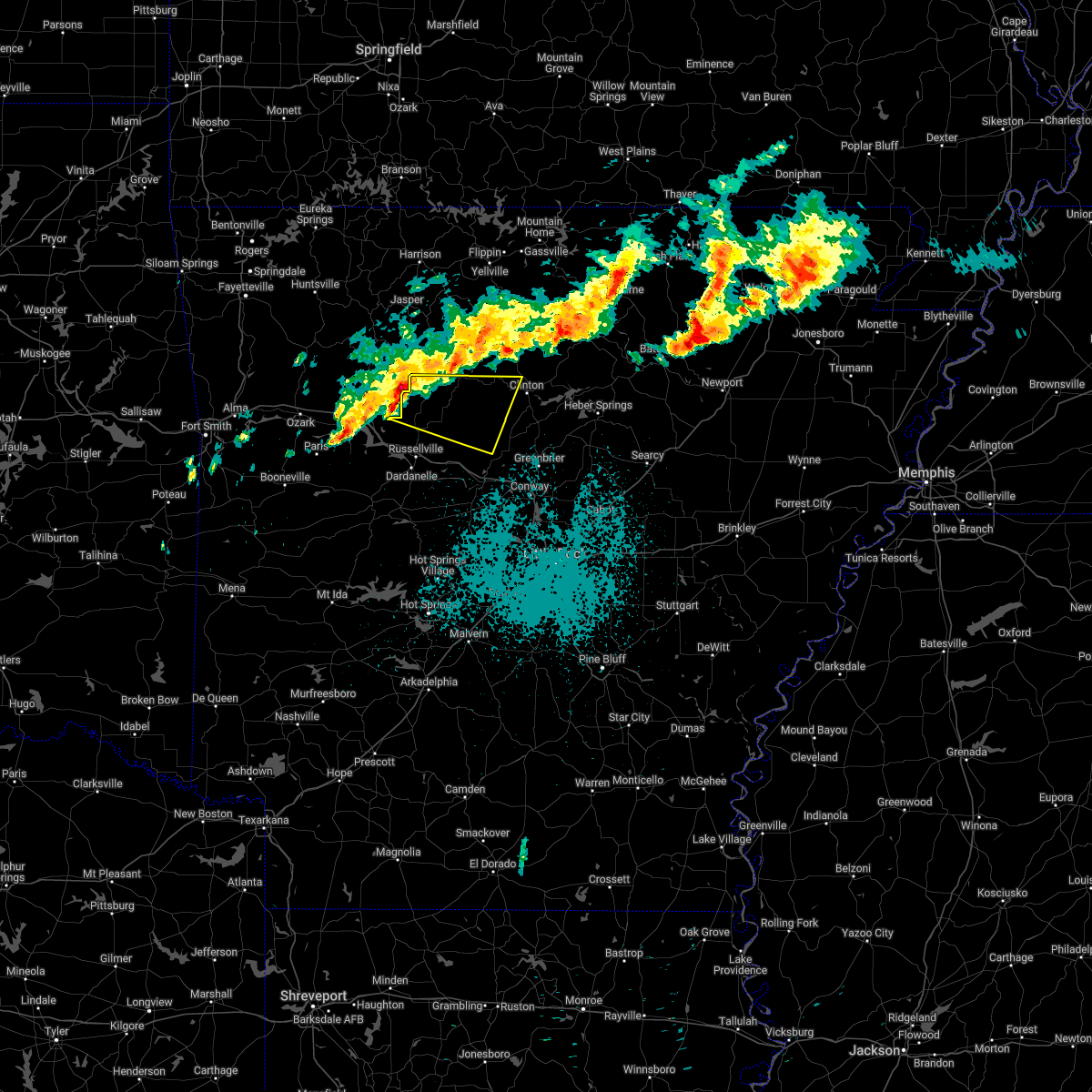 At 208 am cdt, a severe thunderstorm was located 7 miles northeast of holman, or 15 miles northeast of clarksville, moving east at 45 mph (radar indicated). Hazards include 60 mph wind gusts and quarter size hail. Hail damage to vehicles is expected. Expect wind damage to roofs, siding, and trees. At 208 am cdt, a severe thunderstorm was located 7 miles northeast of holman, or 15 miles northeast of clarksville, moving east at 45 mph (radar indicated). Hazards include 60 mph wind gusts and quarter size hail. Hail damage to vehicles is expected. Expect wind damage to roofs, siding, and trees.
|
| 3/6/2022 10:05 PM CST |
 At 1005 pm cst, severe thunderstorms were located along a line extending from near kay to near woolum to 6 miles north of jerusalem, moving east at 55 mph (radar indicated). Hazards include 60 mph wind gusts and quarter size hail. Hail damage to vehicles is expected. Expect wind damage to roofs, siding, and trees. At 1005 pm cst, severe thunderstorms were located along a line extending from near kay to near woolum to 6 miles north of jerusalem, moving east at 55 mph (radar indicated). Hazards include 60 mph wind gusts and quarter size hail. Hail damage to vehicles is expected. Expect wind damage to roofs, siding, and trees.
|
| 3/6/2022 5:40 PM CST |
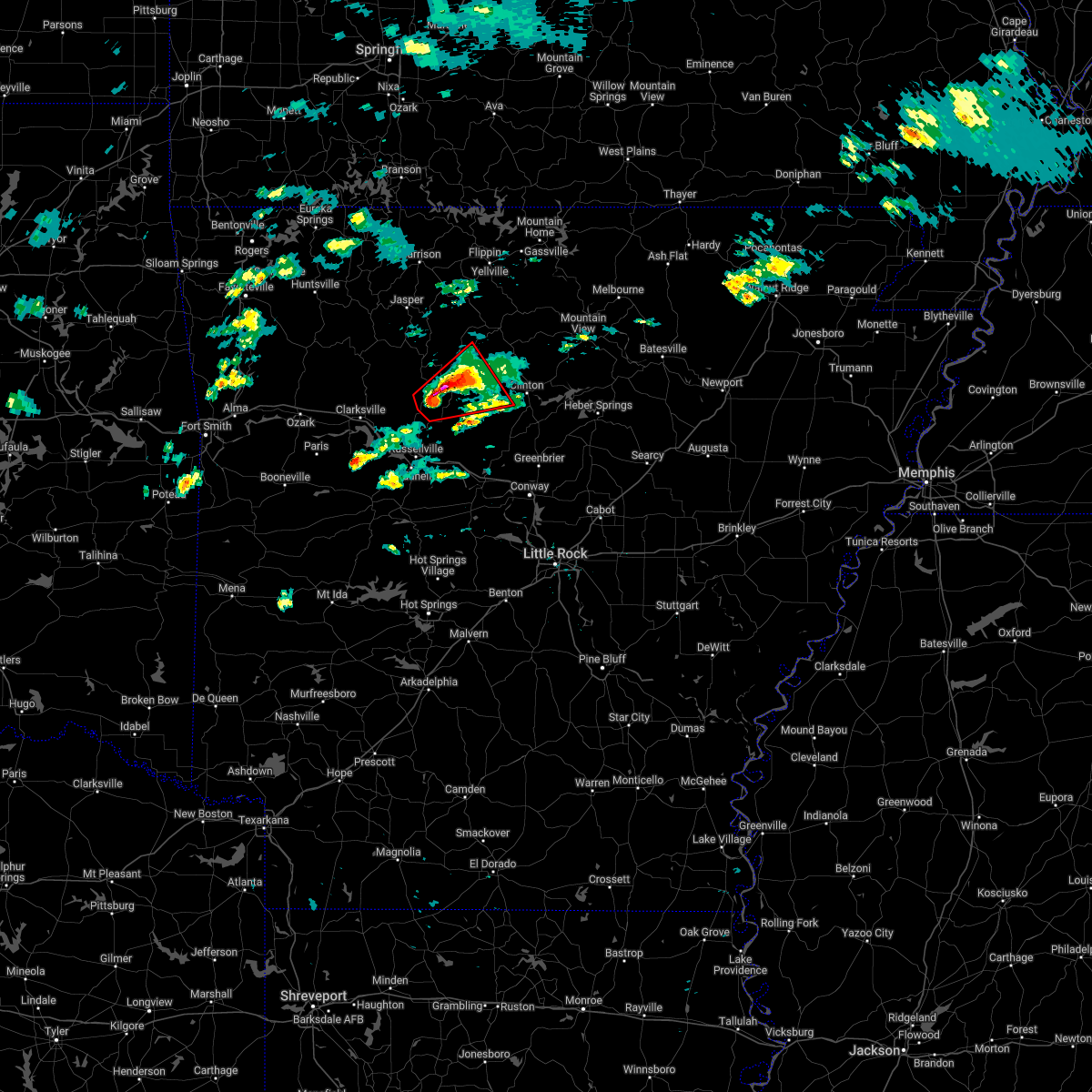 At 538 pm cst, a confirmed tornado was located over solo, or 24 miles northeast of russellville, moving northeast at 45 mph. this is a particularly dangerous situation. take cover now! (weather spotters confirmed tornado). Hazards include damaging tornado. You are in a life-threatening situation. flying debris may be deadly to those caught without shelter. mobile homes will be destroyed. considerable damage to homes, businesses, and vehicles is likely and complete destruction is possible. Locations impacted include, hector, bohannon, imo, witts spring, broomfield, dabney, solo, smyrna, alread, brock creek campground, rupert, chimes, nogo, tilly, mountain man trailhead, scotland, simpson,. At 538 pm cst, a confirmed tornado was located over solo, or 24 miles northeast of russellville, moving northeast at 45 mph. this is a particularly dangerous situation. take cover now! (weather spotters confirmed tornado). Hazards include damaging tornado. You are in a life-threatening situation. flying debris may be deadly to those caught without shelter. mobile homes will be destroyed. considerable damage to homes, businesses, and vehicles is likely and complete destruction is possible. Locations impacted include, hector, bohannon, imo, witts spring, broomfield, dabney, solo, smyrna, alread, brock creek campground, rupert, chimes, nogo, tilly, mountain man trailhead, scotland, simpson,.
|
| 3/6/2022 5:34 PM CST |
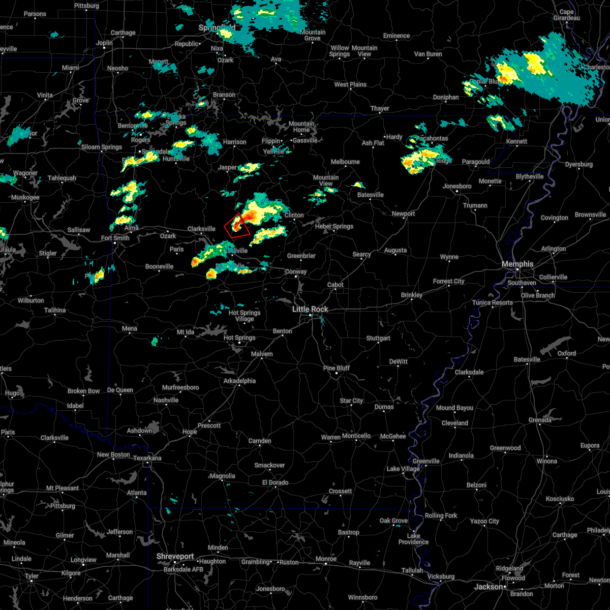 At 533 pm cst, a confirmed tornado was located 4 miles northwest of hector, or 17 miles north of russellville, moving northeast at 45 mph (weather spotters confirmed tornado). Hazards include damaging tornado and two inch hail. Flying debris will be dangerous to those caught without shelter. mobile homes will be damaged or destroyed. damage to roofs, windows, and vehicles will occur. tree damage is likely. Locations impacted include, hector, broomfield, long pool campground, scottsville, pleasant valley in pope county, simpson,. At 533 pm cst, a confirmed tornado was located 4 miles northwest of hector, or 17 miles north of russellville, moving northeast at 45 mph (weather spotters confirmed tornado). Hazards include damaging tornado and two inch hail. Flying debris will be dangerous to those caught without shelter. mobile homes will be damaged or destroyed. damage to roofs, windows, and vehicles will occur. tree damage is likely. Locations impacted include, hector, broomfield, long pool campground, scottsville, pleasant valley in pope county, simpson,.
|
| 3/6/2022 5:32 PM CST |
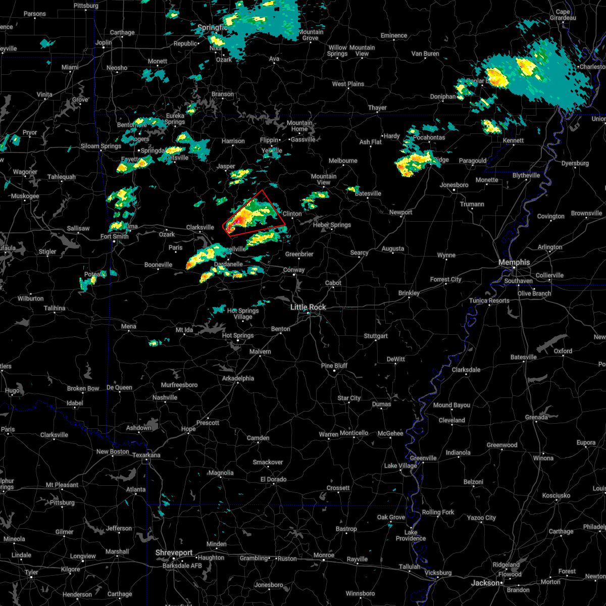 At 531 pm cst, a confirmed tornado was located over broomfield, or 17 miles north of russellville, moving northeast at 45 mph (weather spotters confirmed tornado). Hazards include damaging tornado and golf ball size hail. Flying debris will be dangerous to those caught without shelter. mobile homes will be damaged or destroyed. damage to roofs, windows, and vehicles will occur. Tree damage is likely. At 531 pm cst, a confirmed tornado was located over broomfield, or 17 miles north of russellville, moving northeast at 45 mph (weather spotters confirmed tornado). Hazards include damaging tornado and golf ball size hail. Flying debris will be dangerous to those caught without shelter. mobile homes will be damaged or destroyed. damage to roofs, windows, and vehicles will occur. Tree damage is likely.
|
| 3/6/2022 5:27 PM CST |
 At 526 pm cst, a confirmed tornado was located near broomfield, or 14 miles north of russellville, moving northeast at 35 mph (weather spotters confirmed tornado). Hazards include damaging tornado and two inch hail. Flying debris will be dangerous to those caught without shelter. mobile homes will be damaged or destroyed. damage to roofs, windows, and vehicles will occur. tree damage is likely. Locations impacted include, lamar, dover, knoxville, hector, broomfield, holman, lake dardanelle, augsburg, lutherville, long pool campground, piney bay recreation area, treat, pleasant valley in pope county, simpson, scottsville, this includes interstate 40 between mile markers 60 and 68, and between mile markers 71 and 72. At 526 pm cst, a confirmed tornado was located near broomfield, or 14 miles north of russellville, moving northeast at 35 mph (weather spotters confirmed tornado). Hazards include damaging tornado and two inch hail. Flying debris will be dangerous to those caught without shelter. mobile homes will be damaged or destroyed. damage to roofs, windows, and vehicles will occur. tree damage is likely. Locations impacted include, lamar, dover, knoxville, hector, broomfield, holman, lake dardanelle, augsburg, lutherville, long pool campground, piney bay recreation area, treat, pleasant valley in pope county, simpson, scottsville, this includes interstate 40 between mile markers 60 and 68, and between mile markers 71 and 72.
|
| 3/6/2022 5:13 PM CST |
 At 512 pm cst, a severe thunderstorm capable of producing a tornado was located 3 miles northeast of knoxville, or 11 miles east of clarksville, moving northeast at 40 mph (radar indicated rotation). Hazards include tornado and two inch hail. Flying debris will be dangerous to those caught without shelter. mobile homes will be damaged or destroyed. damage to roofs, windows, and vehicles will occur. tree damage is likely. Locations impacted include, lamar, dover, knoxville, hector, broomfield, holman, lake dardanelle, augsburg, lutherville, long pool campground, piney bay recreation area, treat, pleasant valley in pope county, simpson, scottsville, this includes interstate 40 between mile markers 60 and 68, and between mile markers 71 and 72. At 512 pm cst, a severe thunderstorm capable of producing a tornado was located 3 miles northeast of knoxville, or 11 miles east of clarksville, moving northeast at 40 mph (radar indicated rotation). Hazards include tornado and two inch hail. Flying debris will be dangerous to those caught without shelter. mobile homes will be damaged or destroyed. damage to roofs, windows, and vehicles will occur. tree damage is likely. Locations impacted include, lamar, dover, knoxville, hector, broomfield, holman, lake dardanelle, augsburg, lutherville, long pool campground, piney bay recreation area, treat, pleasant valley in pope county, simpson, scottsville, this includes interstate 40 between mile markers 60 and 68, and between mile markers 71 and 72.
|
| 3/6/2022 5:03 PM CST |
 At 503 pm cst, a severe thunderstorm capable of producing a tornado was located over knoxville, or 8 miles southeast of clarksville, moving northeast at 35 mph (radar indicated rotation). Hazards include tornado and hail up to two inches in diameter. Flying debris will be dangerous to those caught without shelter. mobile homes will be damaged or destroyed. damage to roofs, windows, and vehicles will occur. Tree damage is likely. At 503 pm cst, a severe thunderstorm capable of producing a tornado was located over knoxville, or 8 miles southeast of clarksville, moving northeast at 35 mph (radar indicated rotation). Hazards include tornado and hail up to two inches in diameter. Flying debris will be dangerous to those caught without shelter. mobile homes will be damaged or destroyed. damage to roofs, windows, and vehicles will occur. Tree damage is likely.
|
| 2/22/2022 2:56 AM CST |
 At 256 am cst, severe thunderstorms were located along a line extending from 6 miles southwest of moore to london, moving east at 70 mph (radar indicated). Hazards include 60 mph wind gusts and quarter size hail. Hail damage to vehicles is expected. Expect wind damage to roofs, siding, and trees. At 256 am cst, severe thunderstorms were located along a line extending from 6 miles southwest of moore to london, moving east at 70 mph (radar indicated). Hazards include 60 mph wind gusts and quarter size hail. Hail damage to vehicles is expected. Expect wind damage to roofs, siding, and trees.
|
| 12/10/2021 9:50 PM CST |
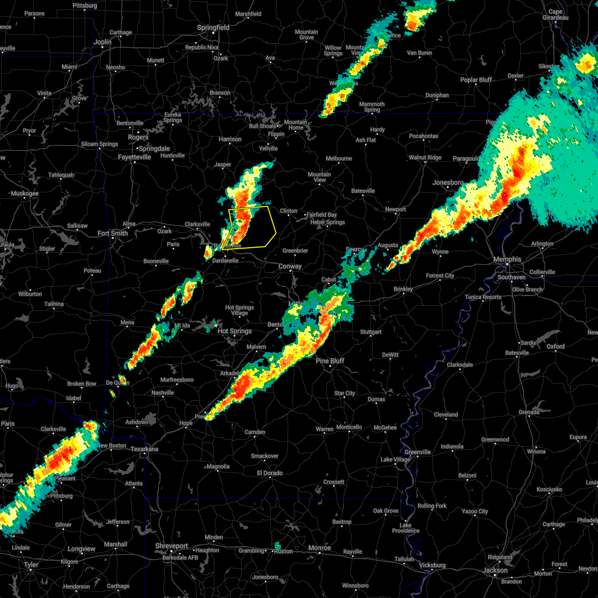 At 949 pm cst, severe thunderstorms were located along a line extending from near solo to hector to near taral, moving east at 60 mph (public). Hazards include 70 mph wind gusts and quarter size hail. Hail damage to vehicles is expected. expect considerable tree damage. wind damage is also likely to mobile homes, roofs, and outbuildings. locations impacted include, russellville, dover, hector, cleveland, broomfield, dabney, solo, smyrna, jerusalem, blick, taral, lake dardanelle, appleton, beverage town, alread, brock creek campground, rupert, economy, caglesville, mountain man trailhead, this includes interstate 40 between mile markers 80 and 83. thunderstorm damage threat, considerable hail threat, radar indicated max hail size, 1. 00 in wind threat, radar indicated max wind gust, 70 mph. At 949 pm cst, severe thunderstorms were located along a line extending from near solo to hector to near taral, moving east at 60 mph (public). Hazards include 70 mph wind gusts and quarter size hail. Hail damage to vehicles is expected. expect considerable tree damage. wind damage is also likely to mobile homes, roofs, and outbuildings. locations impacted include, russellville, dover, hector, cleveland, broomfield, dabney, solo, smyrna, jerusalem, blick, taral, lake dardanelle, appleton, beverage town, alread, brock creek campground, rupert, economy, caglesville, mountain man trailhead, this includes interstate 40 between mile markers 80 and 83. thunderstorm damage threat, considerable hail threat, radar indicated max hail size, 1. 00 in wind threat, radar indicated max wind gust, 70 mph.
|
| 12/6/2021 1:26 AM CST |
 At 126 am cst, a severe thunderstorm was located over broomfield, or 13 miles north of russellville, moving east at 50 mph (radar indicated). Hazards include 60 mph wind gusts and nickel size hail. Expect damage to roofs, siding, and trees. locations impacted include, russellville, dover, london, hector, broomfield, taral, lake dardanelle, appleton, augsburg, long pool campground, pleasant valley in pope county, gum log, caglesville, moreland, oak grove in pope county, scottsville, this includes interstate 40 between mile markers 69 and 75. hail threat, radar indicated max hail size, 0. 88 in wind threat, radar indicated max wind gust, 60 mph. At 126 am cst, a severe thunderstorm was located over broomfield, or 13 miles north of russellville, moving east at 50 mph (radar indicated). Hazards include 60 mph wind gusts and nickel size hail. Expect damage to roofs, siding, and trees. locations impacted include, russellville, dover, london, hector, broomfield, taral, lake dardanelle, appleton, augsburg, long pool campground, pleasant valley in pope county, gum log, caglesville, moreland, oak grove in pope county, scottsville, this includes interstate 40 between mile markers 69 and 75. hail threat, radar indicated max hail size, 0. 88 in wind threat, radar indicated max wind gust, 60 mph.
|
| 12/6/2021 1:16 AM CST |
 At 115 am cst, a severe thunderstorm was located near holman, or 13 miles east of clarksville, moving east at 50 mph (radar indicated). Hazards include 60 mph wind gusts and nickel size hail. Expect damage to roofs, siding, and trees. locations impacted include, russellville, lamar, dover, london, knoxville, hector, broomfield, taral, holman, lake dardanelle, appleton, augsburg, lutherville, long pool campground, ludwig, piney bay recreation area, pleasant valley in pope county, gum log, caglesville, moreland, this includes interstate 40 between mile markers 63 and 71, and between mile markers 73 and 75. hail threat, radar indicated max hail size, 0. 88 in wind threat, radar indicated max wind gust, 60 mph. At 115 am cst, a severe thunderstorm was located near holman, or 13 miles east of clarksville, moving east at 50 mph (radar indicated). Hazards include 60 mph wind gusts and nickel size hail. Expect damage to roofs, siding, and trees. locations impacted include, russellville, lamar, dover, london, knoxville, hector, broomfield, taral, holman, lake dardanelle, appleton, augsburg, lutherville, long pool campground, ludwig, piney bay recreation area, pleasant valley in pope county, gum log, caglesville, moreland, this includes interstate 40 between mile markers 63 and 71, and between mile markers 73 and 75. hail threat, radar indicated max hail size, 0. 88 in wind threat, radar indicated max wind gust, 60 mph.
|
| 12/6/2021 1:04 AM CST |
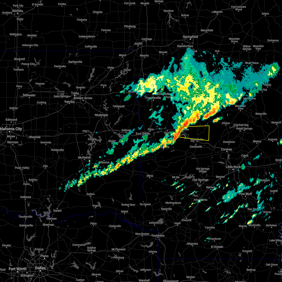 At 103 am cst, a severe thunderstorm was located over clarksville, moving east at 50 mph (radar indicated). Hazards include 60 mph wind gusts and quarter size hail. Hail damage to vehicles is expected. Expect wind damage to roofs, siding, and trees. At 103 am cst, a severe thunderstorm was located over clarksville, moving east at 50 mph (radar indicated). Hazards include 60 mph wind gusts and quarter size hail. Hail damage to vehicles is expected. Expect wind damage to roofs, siding, and trees.
|
| 5/18/2021 7:00 PM CDT |
 At 700 pm cdt, severe thunderstorms were located along a line extending from near woodland to lamar to near dover to near taral, moving northeast at 30 mph (radar indicated). Hazards include 60 mph wind gusts and quarter size hail. Hail damage to vehicles is expected. expect wind damage to roofs, siding, and trees. Locations impacted include, clarksville, lamar, dover, london, knoxville, hartman, hector, woodland, hinkle, broomfield, hoyt, spadra, taral, holman, lake dardanelle, coal hill, appleton, lutherville, long pool campground, piney bay recreation area, this includes interstate 40 between mile markers 44 and 76. At 700 pm cdt, severe thunderstorms were located along a line extending from near woodland to lamar to near dover to near taral, moving northeast at 30 mph (radar indicated). Hazards include 60 mph wind gusts and quarter size hail. Hail damage to vehicles is expected. expect wind damage to roofs, siding, and trees. Locations impacted include, clarksville, lamar, dover, london, knoxville, hartman, hector, woodland, hinkle, broomfield, hoyt, spadra, taral, holman, lake dardanelle, coal hill, appleton, lutherville, long pool campground, piney bay recreation area, this includes interstate 40 between mile markers 44 and 76.
|
| 5/18/2021 6:40 PM CDT |
 At 640 pm cdt, severe thunderstorms were located along a line extending from near hartman to scranton to near lake dardanelle to lake dardanelle state park, moving northeast at 30 mph (radar indicated). Hazards include 60 mph wind gusts and quarter size hail. Hail damage to vehicles is expected. Expect wind damage to roofs, siding, and trees. At 640 pm cdt, severe thunderstorms were located along a line extending from near hartman to scranton to near lake dardanelle to lake dardanelle state park, moving northeast at 30 mph (radar indicated). Hazards include 60 mph wind gusts and quarter size hail. Hail damage to vehicles is expected. Expect wind damage to roofs, siding, and trees.
|
| 5/3/2021 11:34 PM CDT |
 At 1134 pm cdt, severe thunderstorms were located along a line extending from 7 miles south of dabney to near happy bend, moving east at 45 mph (radar indicated). Hazards include 60 mph wind gusts and penny size hail. Expect damage to roofs, siding, and trees. Locations impacted include, russellville, clinton, fairfield bay, atkins, pottsville, dover, london, hector, damascus, twin groves, shirley, bethlehem, happy bend, hattieville, whipple, jerusalem, blick, taral, solgohachia, claude, this includes interstate 40 between mile markers 78 and 87, and between mile markers 94 and 98. At 1134 pm cdt, severe thunderstorms were located along a line extending from 7 miles south of dabney to near happy bend, moving east at 45 mph (radar indicated). Hazards include 60 mph wind gusts and penny size hail. Expect damage to roofs, siding, and trees. Locations impacted include, russellville, clinton, fairfield bay, atkins, pottsville, dover, london, hector, damascus, twin groves, shirley, bethlehem, happy bend, hattieville, whipple, jerusalem, blick, taral, solgohachia, claude, this includes interstate 40 between mile markers 78 and 87, and between mile markers 94 and 98.
|
| 5/3/2021 11:13 PM CDT |
 At 1112 pm cdt, severe thunderstorms were located along a line extending from broomfield to near russellville, moving east at 45 mph (radar indicated). Hazards include 60 mph wind gusts and penny size hail. expect damage to roofs, siding, and trees At 1112 pm cdt, severe thunderstorms were located along a line extending from broomfield to near russellville, moving east at 45 mph (radar indicated). Hazards include 60 mph wind gusts and penny size hail. expect damage to roofs, siding, and trees
|
| 5/3/2021 10:29 PM CDT |
 At 1029 pm cdt, severe thunderstorms were located along a line extending from near hartman to paris to near magazine, moving east at 45 mph (radar indicated). Hazards include 60 mph wind gusts and nickel size hail. expect damage to roofs, siding, and trees At 1029 pm cdt, severe thunderstorms were located along a line extending from near hartman to paris to near magazine, moving east at 45 mph (radar indicated). Hazards include 60 mph wind gusts and nickel size hail. expect damage to roofs, siding, and trees
|
| 4/28/2021 10:54 PM CDT |
 At 1054 pm cdt, a severe thunderstorm capable of producing a tornado was located near spadra, or 3 miles south of clarksville, moving northeast at 40 mph (radar indicated rotation). Hazards include tornado and quarter size hail. Flying debris will be dangerous to those caught without shelter. mobile homes will be damaged or destroyed. damage to roofs, windows, and vehicles will occur. Tree damage is likely. At 1054 pm cdt, a severe thunderstorm capable of producing a tornado was located near spadra, or 3 miles south of clarksville, moving northeast at 40 mph (radar indicated rotation). Hazards include tornado and quarter size hail. Flying debris will be dangerous to those caught without shelter. mobile homes will be damaged or destroyed. damage to roofs, windows, and vehicles will occur. Tree damage is likely.
|
| 4/9/2021 10:58 PM CDT |
 The national weather service in little rock has issued a * severe thunderstorm warning for. central pope county in central arkansas. until 1130 pm cdt. At 1058 pm cdt, a severe thunderstorm was located over dover, or 10 miles north of russellville, moving northeast at 30 mph. The national weather service in little rock has issued a * severe thunderstorm warning for. central pope county in central arkansas. until 1130 pm cdt. At 1058 pm cdt, a severe thunderstorm was located over dover, or 10 miles north of russellville, moving northeast at 30 mph.
|
| 3/17/2021 4:54 AM CDT |
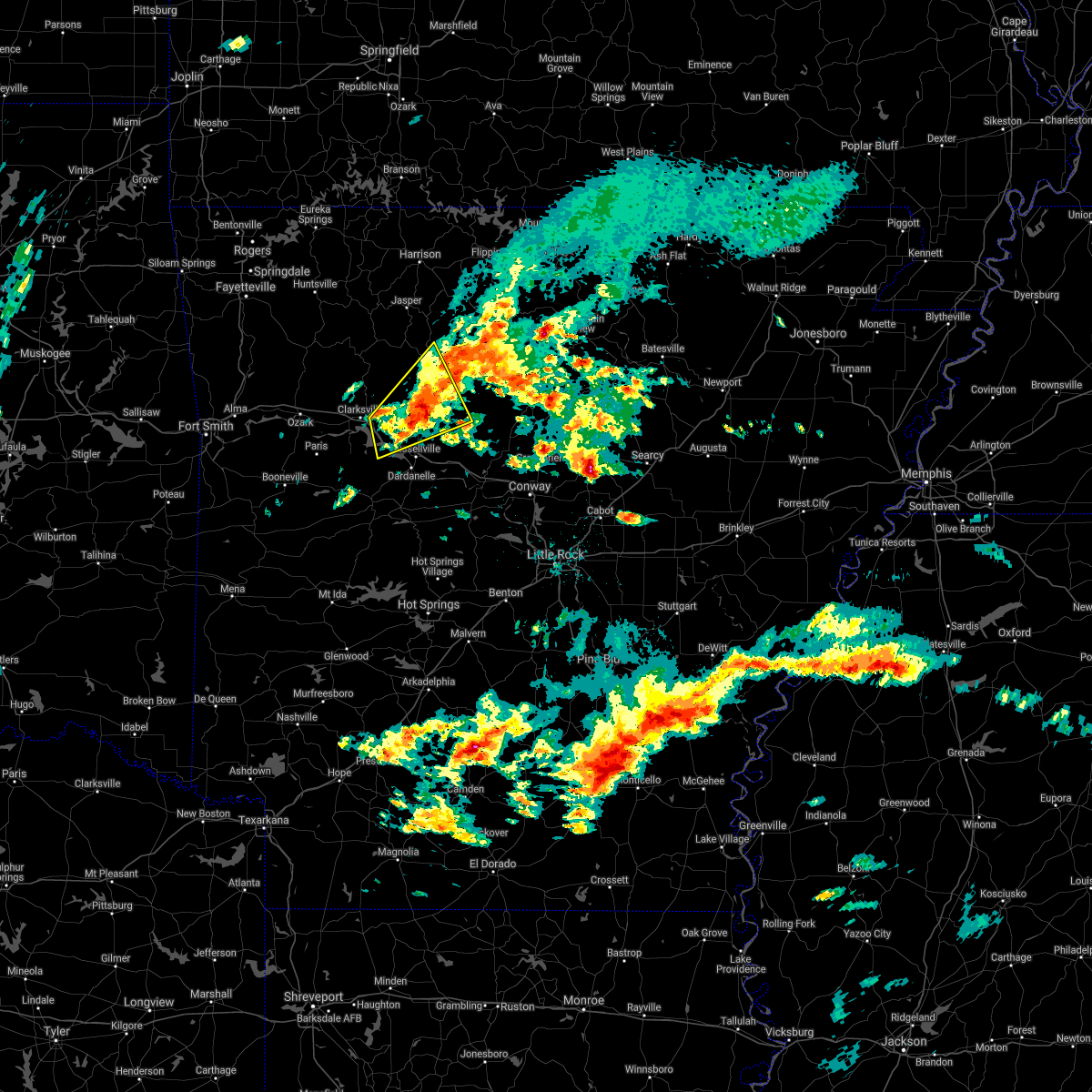 The severe thunderstorm warning for east central logan, southeastern johnson, southeastern newton, west central van buren, northwestern conway, northeastern yell and northern pope counties will expire at 500 am cdt, the storm which prompted the warning has weakened below severe limits, and no longer poses an immediate threat to life or property. therefore, the warning will be allowed to expire. however heavy rain is still possible with this thunderstorm. The severe thunderstorm warning for east central logan, southeastern johnson, southeastern newton, west central van buren, northwestern conway, northeastern yell and northern pope counties will expire at 500 am cdt, the storm which prompted the warning has weakened below severe limits, and no longer poses an immediate threat to life or property. therefore, the warning will be allowed to expire. however heavy rain is still possible with this thunderstorm.
|
| 3/17/2021 4:18 AM CDT |
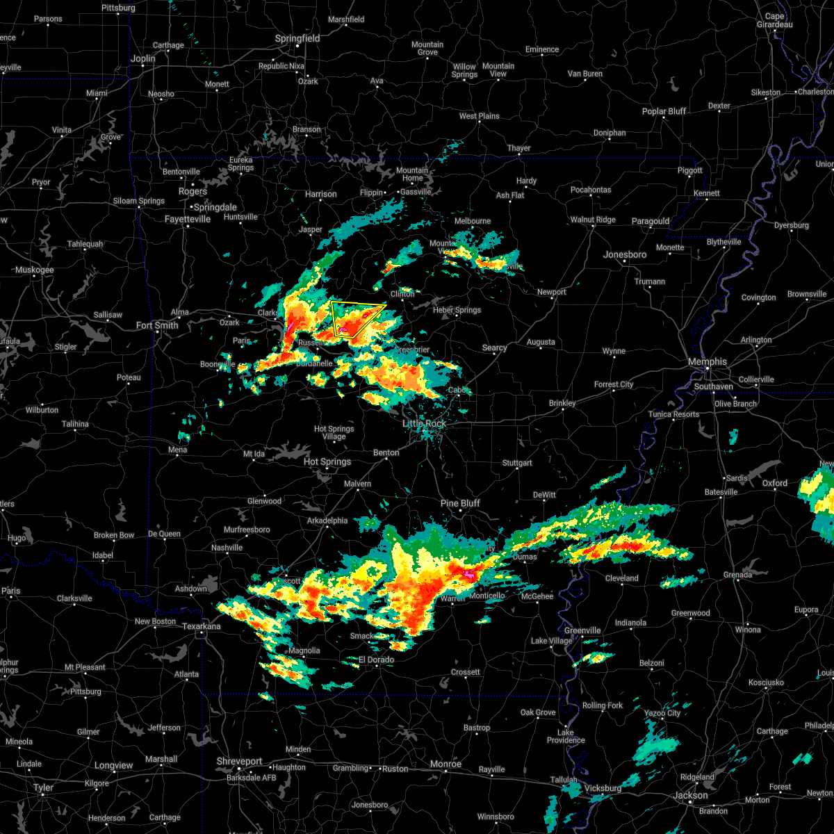 At 418 am cdt, a severe thunderstorm was located over jerusalem, or 18 miles northeast of russellville, moving northeast at 45 mph (radar indicated). Hazards include 60 mph wind gusts and quarter size hail. Hail damage to vehicles is expected. expect wind damage to roofs, siding, and trees. Locations impacted include, hector, jerusalem, appleton, brock creek campground, caglesville, mountain man trailhead, oak grove in pope county,. At 418 am cdt, a severe thunderstorm was located over jerusalem, or 18 miles northeast of russellville, moving northeast at 45 mph (radar indicated). Hazards include 60 mph wind gusts and quarter size hail. Hail damage to vehicles is expected. expect wind damage to roofs, siding, and trees. Locations impacted include, hector, jerusalem, appleton, brock creek campground, caglesville, mountain man trailhead, oak grove in pope county,.
|
| 3/17/2021 4:15 AM CDT |
 At 414 am cdt, a severe thunderstorm was located near knoxville, or 9 miles east of clarksville, moving northeast at 45 mph (radar indicated). Hazards include 60 mph wind gusts and quarter size hail. Hail damage to vehicles is expected. Expect wind damage to roofs, siding, and trees. At 414 am cdt, a severe thunderstorm was located near knoxville, or 9 miles east of clarksville, moving northeast at 45 mph (radar indicated). Hazards include 60 mph wind gusts and quarter size hail. Hail damage to vehicles is expected. Expect wind damage to roofs, siding, and trees.
|
| 3/17/2021 4:10 AM CDT |
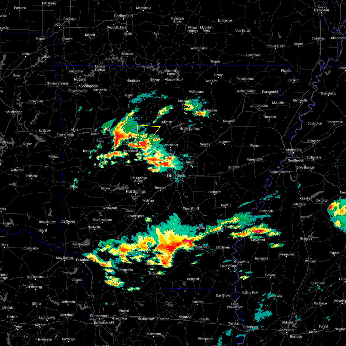 At 409 am cdt, a severe thunderstorm was located near happy bend, or 13 miles east of russellville, moving northeast at 45 mph (radar indicated). Hazards include 60 mph wind gusts and quarter size hail. Hail damage to vehicles is expected. expect wind damage to roofs, siding, and trees. Locations impacted include, atkins, hector, jerusalem, happy bend, cleveland, appleton, brock creek campground, economy, caglesville, moreland, mountain man trailhead, oak grove in pope county, scotland, this includes interstate 40 between mile markers 90 and 97. At 409 am cdt, a severe thunderstorm was located near happy bend, or 13 miles east of russellville, moving northeast at 45 mph (radar indicated). Hazards include 60 mph wind gusts and quarter size hail. Hail damage to vehicles is expected. expect wind damage to roofs, siding, and trees. Locations impacted include, atkins, hector, jerusalem, happy bend, cleveland, appleton, brock creek campground, economy, caglesville, moreland, mountain man trailhead, oak grove in pope county, scotland, this includes interstate 40 between mile markers 90 and 97.
|
| 3/17/2021 4:00 AM CDT |
 At 400 am cdt, a severe thunderstorm was located over atkins, or 10 miles east of russellville, moving northeast at 45 mph (radar indicated). Hazards include 60 mph wind gusts and quarter size hail. Hail damage to vehicles is expected. Expect wind damage to roofs, siding, and trees. At 400 am cdt, a severe thunderstorm was located over atkins, or 10 miles east of russellville, moving northeast at 45 mph (radar indicated). Hazards include 60 mph wind gusts and quarter size hail. Hail damage to vehicles is expected. Expect wind damage to roofs, siding, and trees.
|
| 11/14/2020 11:47 PM CST |
 At 1146 pm cst, severe thunderstorms were located along a line extending from near holman to lake dardanelle to near petit jean river wma, moving east at 70 mph (radar indicated). Hazards include 60 mph wind gusts. Expect damage to roofs, siding, and trees. Locations impacted include, russellville, morrilton, clinton, danville, dardanelle, atkins, pottsville, lamar, dover, ola, london, knoxville, hector, lake dardanelle state park, happy bend, hattieville, jerusalem, petit jean river wma, blick, mosley, this includes interstate 40 between mile markers 61 and 106. At 1146 pm cst, severe thunderstorms were located along a line extending from near holman to lake dardanelle to near petit jean river wma, moving east at 70 mph (radar indicated). Hazards include 60 mph wind gusts. Expect damage to roofs, siding, and trees. Locations impacted include, russellville, morrilton, clinton, danville, dardanelle, atkins, pottsville, lamar, dover, ola, london, knoxville, hector, lake dardanelle state park, happy bend, hattieville, jerusalem, petit jean river wma, blick, mosley, this includes interstate 40 between mile markers 61 and 106.
|
| 11/14/2020 11:30 PM CST |
 At 1130 pm cst, severe thunderstorms were located along a line extending from near midway in logan county to 6 miles southeast of mount magazine to 7 miles northeast of cardiff, moving east at 70 mph (radar indicated). Hazards include 60 mph wind gusts and penny size hail. expect damage to roofs, siding, and trees At 1130 pm cst, severe thunderstorms were located along a line extending from near midway in logan county to 6 miles southeast of mount magazine to 7 miles northeast of cardiff, moving east at 70 mph (radar indicated). Hazards include 60 mph wind gusts and penny size hail. expect damage to roofs, siding, and trees
|
| 7/9/2020 11:51 AM CDT |
 At 1150 am cdt, severe thunderstorms were located along a line extending from near wister to ozark, moving east at 25 mph (radar indicated). Hazards include 60 mph wind gusts and quarter size hail. Hail damage to vehicles may occur. Expect wind damage to roofs, siding, and trees. At 1150 am cdt, severe thunderstorms were located along a line extending from near wister to ozark, moving east at 25 mph (radar indicated). Hazards include 60 mph wind gusts and quarter size hail. Hail damage to vehicles may occur. Expect wind damage to roofs, siding, and trees.
|
| 7/4/2020 3:42 PM CDT |
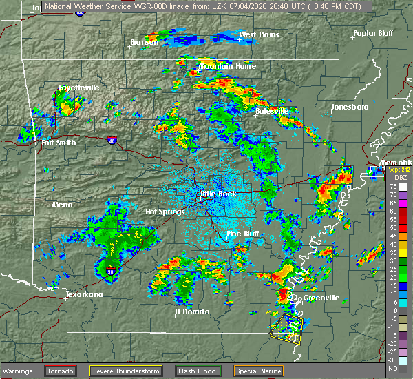 The national weather service in little rock has issued a * severe thunderstorm warning for. west central van buren county in north central arkansas. northeastern pope county in central arkansas. until 430 pm cdt. At 342 pm cdt, a severe thunderstorm was located near dabney, or 23. The national weather service in little rock has issued a * severe thunderstorm warning for. west central van buren county in north central arkansas. northeastern pope county in central arkansas. until 430 pm cdt. At 342 pm cdt, a severe thunderstorm was located near dabney, or 23.
|
| 4/28/2020 9:39 PM CDT |
 At 938 pm cdt, severe thunderstorms were located along a line extending from 6 miles east of thola to dabney to near dover, moving southeast at 45 mph (radar indicated). Hazards include 60 mph wind gusts. Expect damage to roofs, siding, and trees. Locations impacted include, mountain view, clinton, fairfield bay, marshall, greers ferry, hector, shirley, higden, witts spring, bohannon, blick, elberta, watts, broomfield, elba, old lexington, marsena, rocky hill, moore, dabney,. At 938 pm cdt, severe thunderstorms were located along a line extending from 6 miles east of thola to dabney to near dover, moving southeast at 45 mph (radar indicated). Hazards include 60 mph wind gusts. Expect damage to roofs, siding, and trees. Locations impacted include, mountain view, clinton, fairfield bay, marshall, greers ferry, hector, shirley, higden, witts spring, bohannon, blick, elberta, watts, broomfield, elba, old lexington, marsena, rocky hill, moore, dabney,.
|
| 4/28/2020 9:18 PM CDT |
 At 917 pm cdt, severe thunderstorms were located along a line extending from 7 miles northeast of marshall to moore to near holman, moving southeast at 50 mph (radar indicated). Hazards include 60 mph wind gusts and quarter size hail. Hail damage to vehicles is expected. Expect wind damage to roofs, siding, and trees. At 917 pm cdt, severe thunderstorms were located along a line extending from 7 miles northeast of marshall to moore to near holman, moving southeast at 50 mph (radar indicated). Hazards include 60 mph wind gusts and quarter size hail. Hail damage to vehicles is expected. Expect wind damage to roofs, siding, and trees.
|
| 4/24/2020 10:08 PM CDT |
 At 1008 pm cdt, severe thunderstorms were located along a line extending from 6 miles southwest of moore to solo to near hector to near pottsville, moving east at 50 mph (radar indicated). Hazards include 60 mph wind gusts and quarter size hail. Hail damage to vehicles is expected. expect wind damage to roofs, siding, and trees. locations impacted include, russellville, dover, hector, claude, cleveland, broomfield, dabney, hattieville, solo, middleton, smyrna, lanty, jerusalem, st. Vincent, blick, woolum, appleton, beverage town, alread, brock creek campground, this includes interstate 40 between mile markers 83 and 84. At 1008 pm cdt, severe thunderstorms were located along a line extending from 6 miles southwest of moore to solo to near hector to near pottsville, moving east at 50 mph (radar indicated). Hazards include 60 mph wind gusts and quarter size hail. Hail damage to vehicles is expected. expect wind damage to roofs, siding, and trees. locations impacted include, russellville, dover, hector, claude, cleveland, broomfield, dabney, hattieville, solo, middleton, smyrna, lanty, jerusalem, st. Vincent, blick, woolum, appleton, beverage town, alread, brock creek campground, this includes interstate 40 between mile markers 83 and 84.
|
| 4/24/2020 9:56 PM CDT |
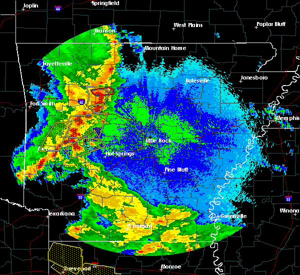 At 956 pm cdt, severe thunderstorms were located along a line extending from near dillen to 6 miles north of broomfield to dover to near russellville, moving east at 45 mph (radar indicated). Hazards include 60 mph wind gusts and quarter size hail. Hail damage to vehicles is expected. Expect wind damage to roofs, siding, and trees. At 956 pm cdt, severe thunderstorms were located along a line extending from near dillen to 6 miles north of broomfield to dover to near russellville, moving east at 45 mph (radar indicated). Hazards include 60 mph wind gusts and quarter size hail. Hail damage to vehicles is expected. Expect wind damage to roofs, siding, and trees.
|
| 4/12/2020 7:25 PM CDT |
 At 724 pm cdt, severe thunderstorms were located along a line extending from smyrna to jerusalem to near morrilton to near houston to near hot springs village, moving east at 50 mph (radar indicated). Hazards include 60 mph wind gusts and quarter size hail. Hail damage to vehicles is expected. expect wind damage to roofs, siding, and trees. Locations impacted include, conway, hot springs village, morrilton, perryville, atkins, oppelo, hector, menifee, perry, adona, houston, bethlehem, sequoya park, hill creek, little italy, happy bend, dabney, hattieville, jerusalem, jessieville, this includes interstate 40 between mile markers 90 and 122. At 724 pm cdt, severe thunderstorms were located along a line extending from smyrna to jerusalem to near morrilton to near houston to near hot springs village, moving east at 50 mph (radar indicated). Hazards include 60 mph wind gusts and quarter size hail. Hail damage to vehicles is expected. expect wind damage to roofs, siding, and trees. Locations impacted include, conway, hot springs village, morrilton, perryville, atkins, oppelo, hector, menifee, perry, adona, houston, bethlehem, sequoya park, hill creek, little italy, happy bend, dabney, hattieville, jerusalem, jessieville, this includes interstate 40 between mile markers 90 and 122.
|
| 4/12/2020 7:16 PM CDT |
 At 714 pm cdt, severe thunderstorms were located along a line extending from 6 miles east of bertha to near jerusalem to near happy bend to near adona to near jessieville, moving east at 45 mph (radar indicated). Hazards include 60 mph wind gusts and quarter size hail. Hail damage to vehicles is expected. expect wind damage to roofs, siding, and trees. Locations impacted include, conway, hot springs village, morrilton, perryville, atkins, pottsville, dover, oppelo, hector, menifee, perry, adona, houston, bethlehem, sequoya park, hill creek, little italy, happy bend, dabney, hattieville, this includes interstate 40 between mile markers 87 and 122. At 714 pm cdt, severe thunderstorms were located along a line extending from 6 miles east of bertha to near jerusalem to near happy bend to near adona to near jessieville, moving east at 45 mph (radar indicated). Hazards include 60 mph wind gusts and quarter size hail. Hail damage to vehicles is expected. expect wind damage to roofs, siding, and trees. Locations impacted include, conway, hot springs village, morrilton, perryville, atkins, pottsville, dover, oppelo, hector, menifee, perry, adona, houston, bethlehem, sequoya park, hill creek, little italy, happy bend, dabney, hattieville, this includes interstate 40 between mile markers 87 and 122.
|
| 4/12/2020 6:56 PM CDT |
 At 655 pm cdt, severe thunderstorms were located along a line extending from near rosetta to near dover to near dardanelle to near ola to 12 miles northwest of lake ouachita state park, moving east at 40 mph (radar indicated). Hazards include 60 mph wind gusts and quarter size hail. Hail damage to vehicles is expected. Expect wind damage to roofs, siding, and trees. At 655 pm cdt, severe thunderstorms were located along a line extending from near rosetta to near dover to near dardanelle to near ola to 12 miles northwest of lake ouachita state park, moving east at 40 mph (radar indicated). Hazards include 60 mph wind gusts and quarter size hail. Hail damage to vehicles is expected. Expect wind damage to roofs, siding, and trees.
|
| 3/19/2020 8:22 PM CDT |
 At 822 pm cdt, a severe thunderstorm was located 7 miles north of atkins, or 11 miles northeast of russellville, moving east at 40 mph (radar indicated). Hazards include 60 mph wind gusts and quarter size hail. Hail damage to vehicles is expected. Expect wind damage to roofs, siding, and trees. At 822 pm cdt, a severe thunderstorm was located 7 miles north of atkins, or 11 miles northeast of russellville, moving east at 40 mph (radar indicated). Hazards include 60 mph wind gusts and quarter size hail. Hail damage to vehicles is expected. Expect wind damage to roofs, siding, and trees.
|
| 3/19/2020 7:35 PM CDT |
 At 735 pm cdt, a severe thunderstorm capable of producing a tornado was located over london, or near russellville, moving northeast at 35 mph (radar indicated rotation). Hazards include tornado and quarter size hail. Flying debris will be dangerous to those caught without shelter. mobile homes will be damaged or destroyed. damage to roofs, windows, and vehicles will occur. Tree damage is likely. At 735 pm cdt, a severe thunderstorm capable of producing a tornado was located over london, or near russellville, moving northeast at 35 mph (radar indicated rotation). Hazards include tornado and quarter size hail. Flying debris will be dangerous to those caught without shelter. mobile homes will be damaged or destroyed. damage to roofs, windows, and vehicles will occur. Tree damage is likely.
|
| 3/11/2020 8:29 AM CDT |
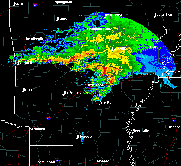 At 829 am cdt, a severe thunderstorm was located 4 miles northwest of jerusalem, or 20 miles northeast of russellville, moving southeast at 45 mph (radar indicated). Hazards include 60 mph wind gusts and nickel size hail. Expect damage to roofs, siding, and trees. locations impacted include, hector, solgohachia, claude, cleveland, hattieville, middleton, lanty, jerusalem, st. Vincent, blick, birdtown, appleton, beverage town, austin in conway county, brock creek campground, economy, center ridge, caglesville, mountain man trailhead, oak grove in pope county, this includes interstate 40 near mile marker 109. At 829 am cdt, a severe thunderstorm was located 4 miles northwest of jerusalem, or 20 miles northeast of russellville, moving southeast at 45 mph (radar indicated). Hazards include 60 mph wind gusts and nickel size hail. Expect damage to roofs, siding, and trees. locations impacted include, hector, solgohachia, claude, cleveland, hattieville, middleton, lanty, jerusalem, st. Vincent, blick, birdtown, appleton, beverage town, austin in conway county, brock creek campground, economy, center ridge, caglesville, mountain man trailhead, oak grove in pope county, this includes interstate 40 near mile marker 109.
|
| 3/11/2020 8:09 AM CDT |
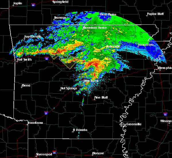 At 807 am cdt, a severe thunderstorm was located 7 miles south of bertha, or 21 miles northeast of clarksville, moving southeast at 45 mph (radar indicated). Hazards include 60 mph wind gusts and quarter size hail. Hail damage to vehicles is expected. Expect wind damage to roofs, siding, and trees. At 807 am cdt, a severe thunderstorm was located 7 miles south of bertha, or 21 miles northeast of clarksville, moving southeast at 45 mph (radar indicated). Hazards include 60 mph wind gusts and quarter size hail. Hail damage to vehicles is expected. Expect wind damage to roofs, siding, and trees.
|
| 3/11/2020 7:40 AM CDT |
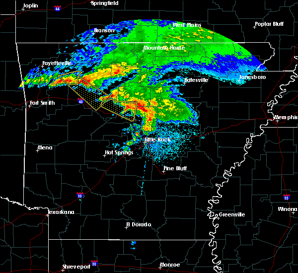 The national weather service in little rock has issued a * severe thunderstorm warning for. southwestern van buren county in north central arkansas. eastern conway county in central arkansas. northeastern pope county in central arkansas. Until 815 am cdt. The national weather service in little rock has issued a * severe thunderstorm warning for. southwestern van buren county in north central arkansas. eastern conway county in central arkansas. northeastern pope county in central arkansas. Until 815 am cdt.
|
| 3/11/2020 7:24 AM CDT | Quarter sized hail reported 9.7 miles WNW of Hector, AR |
| 3/11/2020 7:12 AM CDT |
 At 712 am cdt, a severe thunderstorm was located near hector, or 12 miles northeast of russellville, moving east at 45 mph (radar indicated). Hazards include 60 mph wind gusts and quarter size hail. Hail damage to vehicles is expected. Expect wind damage to roofs, siding, and trees. At 712 am cdt, a severe thunderstorm was located near hector, or 12 miles northeast of russellville, moving east at 45 mph (radar indicated). Hazards include 60 mph wind gusts and quarter size hail. Hail damage to vehicles is expected. Expect wind damage to roofs, siding, and trees.
|
| 1/10/2020 9:40 PM CST |
 At 940 pm cst, a severe thunderstorm capable of producing a tornado was located near danville, moving northeast at 45 mph (radar indicated rotation). Hazards include tornado and quarter size hail. Flying debris will be dangerous to those caught without shelter. mobile homes will be damaged or destroyed. damage to roofs, windows, and vehicles will occur. Tree damage is likely. At 940 pm cst, a severe thunderstorm capable of producing a tornado was located near danville, moving northeast at 45 mph (radar indicated rotation). Hazards include tornado and quarter size hail. Flying debris will be dangerous to those caught without shelter. mobile homes will be damaged or destroyed. damage to roofs, windows, and vehicles will occur. Tree damage is likely.
|
| 1/10/2020 8:46 PM CST |
 At 846 pm cst, severe thunderstorms were located along a line extending from near pruitt to near piercetown to near bertha to near broomfield to near dover, moving northeast at 45 mph (radar indicated). Hazards include 60 mph wind gusts and quarter size hail. Hail damage to vehicles is expected. Expect wind damage to roofs, siding, and trees. At 846 pm cst, severe thunderstorms were located along a line extending from near pruitt to near piercetown to near bertha to near broomfield to near dover, moving northeast at 45 mph (radar indicated). Hazards include 60 mph wind gusts and quarter size hail. Hail damage to vehicles is expected. Expect wind damage to roofs, siding, and trees.
|
| 1/10/2020 8:29 PM CST |
 At 829 pm cst, severe thunderstorms were located along a line extending from near dillen to near knoxville to near mount magazine to 6 miles northwest of gravelly, moving northeast at 25 mph (radar indicated). Hazards include 60 mph wind gusts and quarter size hail. Hail damage to vehicles is expected. Expect wind damage to roofs, siding, and trees. At 829 pm cst, severe thunderstorms were located along a line extending from near dillen to near knoxville to near mount magazine to 6 miles northwest of gravelly, moving northeast at 25 mph (radar indicated). Hazards include 60 mph wind gusts and quarter size hail. Hail damage to vehicles is expected. Expect wind damage to roofs, siding, and trees.
|
| 11/26/2019 4:31 PM CST |
 At 430 pm cst, a severe thunderstorm capable of producing a tornado was located over broomfield, or 16 miles north of russellville, moving northeast at 45 mph (radar indicated rotation). Hazards include tornado. Flying debris will be dangerous to those caught without shelter. mobile homes will be damaged or destroyed. damage to roofs, windows, and vehicles will occur. tree damage is likely. Locations impacted include, hector, broomfield, dabney, solo, smyrna, alread, brock creek campground, rupert, chimes, mountain man trailhead, nogo, scottsville,. At 430 pm cst, a severe thunderstorm capable of producing a tornado was located over broomfield, or 16 miles north of russellville, moving northeast at 45 mph (radar indicated rotation). Hazards include tornado. Flying debris will be dangerous to those caught without shelter. mobile homes will be damaged or destroyed. damage to roofs, windows, and vehicles will occur. tree damage is likely. Locations impacted include, hector, broomfield, dabney, solo, smyrna, alread, brock creek campground, rupert, chimes, mountain man trailhead, nogo, scottsville,.
|
| 11/26/2019 4:25 PM CST |
 At 425 pm cst, a severe thunderstorm capable of producing a tornado was located over broomfield, or 13 miles north of russellville, moving northeast at 40 mph (radar indicated rotation). Hazards include tornado. Flying debris will be dangerous to those caught without shelter. mobile homes will be damaged or destroyed. damage to roofs, windows, and vehicles will occur. Tree damage is likely. At 425 pm cst, a severe thunderstorm capable of producing a tornado was located over broomfield, or 13 miles north of russellville, moving northeast at 40 mph (radar indicated rotation). Hazards include tornado. Flying debris will be dangerous to those caught without shelter. mobile homes will be damaged or destroyed. damage to roofs, windows, and vehicles will occur. Tree damage is likely.
|
| 8/27/2019 1:14 AM CDT |
 At 113 am cdt, severe thunderstorms were located along a line extending from woolum to 7 miles southeast of dabney to 7 miles south of hector to near london, moving southeast at 45 mph (radar indicated). Hazards include 60 mph wind gusts. expect damage to roofs, siding, and trees At 113 am cdt, severe thunderstorms were located along a line extending from woolum to 7 miles southeast of dabney to 7 miles south of hector to near london, moving southeast at 45 mph (radar indicated). Hazards include 60 mph wind gusts. expect damage to roofs, siding, and trees
|
| 8/27/2019 12:52 AM CDT |
 At 1252 am cdt, severe thunderstorms were located along a line extending from near witts spring to near solo to near holman, moving southeast at 40 mph (radar indicated). Hazards include 60 mph wind gusts. Expect damage to roofs, siding, and trees. Locations impacted include, russellville, clinton, marshall, atkins, pottsville, lamar, dover, hector, witts spring, duff, maumee, bohannon, blick, elberta, watts, holman, broomfield, eula, elba, old lexington, this includes interstate 40 between mile markers 81 and 97. At 1252 am cdt, severe thunderstorms were located along a line extending from near witts spring to near solo to near holman, moving southeast at 40 mph (radar indicated). Hazards include 60 mph wind gusts. Expect damage to roofs, siding, and trees. Locations impacted include, russellville, clinton, marshall, atkins, pottsville, lamar, dover, hector, witts spring, duff, maumee, bohannon, blick, elberta, watts, holman, broomfield, eula, elba, old lexington, this includes interstate 40 between mile markers 81 and 97.
|
| 8/27/2019 12:29 AM CDT |
 At 1229 am cdt, severe thunderstorms were located along a line extending from near jasper to 9 miles southwest of piercetown to near dillen to 6 miles north of woodland, moving southeast at 45 mph (radar indicated). Hazards include 60 mph wind gusts. expect damage to roofs, siding, and trees At 1229 am cdt, severe thunderstorms were located along a line extending from near jasper to 9 miles southwest of piercetown to near dillen to 6 miles north of woodland, moving southeast at 45 mph (radar indicated). Hazards include 60 mph wind gusts. expect damage to roofs, siding, and trees
|
| 8/20/2019 8:40 PM CDT |
 The national weather service in little rock has issued a * severe thunderstorm warning for. northern pope county in central arkansas. until 915 pm cdt. At 839 pm cdt, a severe thunderstorm was located over moore, or 20 miles southeast of jasper, moving south at 30 mph. The national weather service in little rock has issued a * severe thunderstorm warning for. northern pope county in central arkansas. until 915 pm cdt. At 839 pm cdt, a severe thunderstorm was located over moore, or 20 miles southeast of jasper, moving south at 30 mph.
|
| 6/23/2019 1:36 PM CDT |
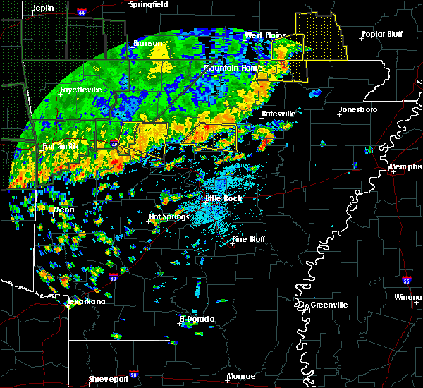 The severe thunderstorm warning for eastern johnson, north central conway and pope counties will expire at 145 pm cdt, the storm which prompted the warning has weakened below severe limits, and no longer poses an immediate threat to life or property. therefore, the warning will be allowed to expire. however gusty winds and heavy rain are still possible with this thunderstorm. a severe thunderstorm watch remains in effect until 800 pm cdt for central and north central arkansas. The severe thunderstorm warning for eastern johnson, north central conway and pope counties will expire at 145 pm cdt, the storm which prompted the warning has weakened below severe limits, and no longer poses an immediate threat to life or property. therefore, the warning will be allowed to expire. however gusty winds and heavy rain are still possible with this thunderstorm. a severe thunderstorm watch remains in effect until 800 pm cdt for central and north central arkansas.
|
| 6/23/2019 1:04 PM CDT |
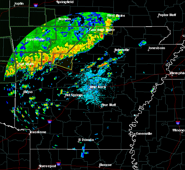 At 103 pm cdt, a severe thunderstorm was located near holman, or 11 miles northeast of clarksville, moving east at 30 mph (emergency management reported wind damage across much of central johnson county). Hazards include 60 mph wind gusts and quarter size hail. expect wind damage to roofs, siding, and trees At 103 pm cdt, a severe thunderstorm was located near holman, or 11 miles northeast of clarksville, moving east at 30 mph (emergency management reported wind damage across much of central johnson county). Hazards include 60 mph wind gusts and quarter size hail. expect wind damage to roofs, siding, and trees
|
| 6/4/2019 5:30 PM CDT | A tree was blown down in hector... a in pope county AR, 0.8 miles S of Hector, AR |
| 6/2/2019 6:27 PM CDT |
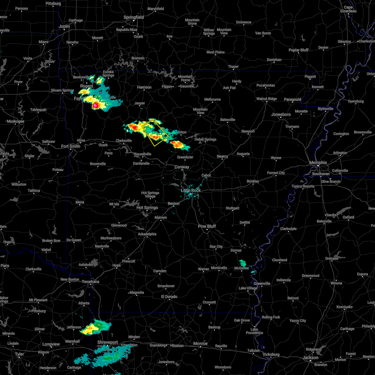 The severe thunderstorm warning for southwestern searcy, southeastern newton, west central van buren and northeastern pope counties will expire at 630 pm cdt, the severe thunderstorm which prompted the warning has weakened. therefore, the warning will be allowed to expire. The severe thunderstorm warning for southwestern searcy, southeastern newton, west central van buren and northeastern pope counties will expire at 630 pm cdt, the severe thunderstorm which prompted the warning has weakened. therefore, the warning will be allowed to expire.
|
| 6/2/2019 5:58 PM CDT |
 At 555 pm cdt, a severe thunderstorm was located 10 miles west of smyrna, moving south at 10 mph (radar indicated). Hazards include 60 mph wind gusts and quarter size hail. Hail damage to vehicles is expected. expect wind damage to roofs, siding, and trees. Locations impacted include, moore, dabney, solo, smyrna, ben hur, brock creek campground, sand gap, mountain man trailhead, nogo,. At 555 pm cdt, a severe thunderstorm was located 10 miles west of smyrna, moving south at 10 mph (radar indicated). Hazards include 60 mph wind gusts and quarter size hail. Hail damage to vehicles is expected. expect wind damage to roofs, siding, and trees. Locations impacted include, moore, dabney, solo, smyrna, ben hur, brock creek campground, sand gap, mountain man trailhead, nogo,.
|
| 6/2/2019 5:38 PM CDT |
 At 537 pm cdt, a severe thunderstorm was located near smyrna, or 25 miles southwest of marshall, moving southeast at 20 mph (radar indicated). Hazards include 60 mph wind gusts and quarter size hail. Hail damage to vehicles is expected. Expect wind damage to roofs, siding, and trees. At 537 pm cdt, a severe thunderstorm was located near smyrna, or 25 miles southwest of marshall, moving southeast at 20 mph (radar indicated). Hazards include 60 mph wind gusts and quarter size hail. Hail damage to vehicles is expected. Expect wind damage to roofs, siding, and trees.
|
| 5/21/2019 2:31 PM CDT |
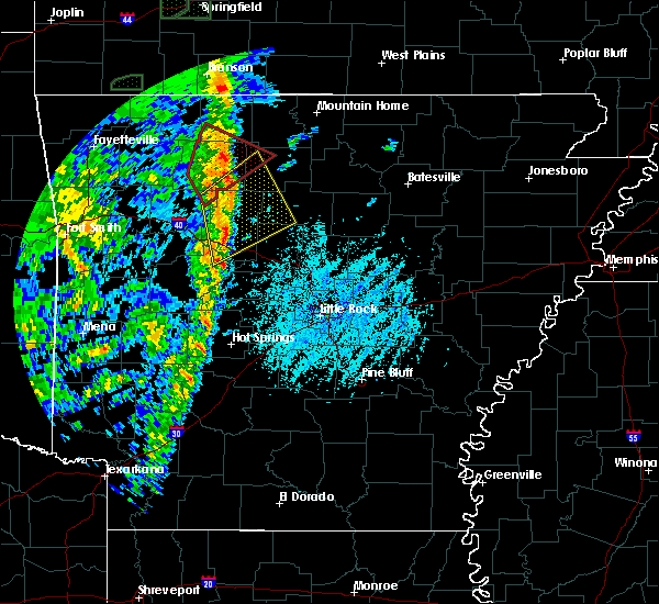 At 230 pm cdt, severe thunderstorms were located along a line extending from near dillen to near taral, moving northeast at 60 mph (radar indicated). Hazards include 60 mph wind gusts and quarter size hail. Hail damage to vehicles is expected. expect wind damage to roofs, siding, and trees. locations impacted include, russellville, dardanelle, atkins, pottsville, dover, london, hector, marsena, witts spring, moore, dabney, point peter, bohannon, jerusalem, imo, blick, taral, claude, dillen, cleveland, this includes interstate 40 between mile markers 76 and 92. A tornado watch remains in effect until 700 pm cdt for central, western and north central arkansas. At 230 pm cdt, severe thunderstorms were located along a line extending from near dillen to near taral, moving northeast at 60 mph (radar indicated). Hazards include 60 mph wind gusts and quarter size hail. Hail damage to vehicles is expected. expect wind damage to roofs, siding, and trees. locations impacted include, russellville, dardanelle, atkins, pottsville, dover, london, hector, marsena, witts spring, moore, dabney, point peter, bohannon, jerusalem, imo, blick, taral, claude, dillen, cleveland, this includes interstate 40 between mile markers 76 and 92. A tornado watch remains in effect until 700 pm cdt for central, western and north central arkansas.
|
| 5/21/2019 2:12 PM CDT |
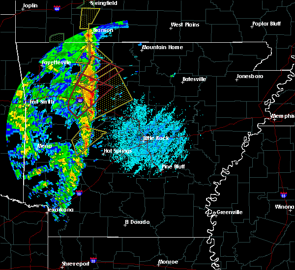 At 212 pm cdt, severe thunderstorms were located along a line extending from near rosetta to mosley, moving northeast at 50 mph (radar indicated). Hazards include 60 mph wind gusts and quarter size hail. Hail damage to vehicles is expected. Expect wind damage to roofs, siding, and trees. At 212 pm cdt, severe thunderstorms were located along a line extending from near rosetta to mosley, moving northeast at 50 mph (radar indicated). Hazards include 60 mph wind gusts and quarter size hail. Hail damage to vehicles is expected. Expect wind damage to roofs, siding, and trees.
|
| 5/18/2019 3:35 PM CDT |
 At 334 pm cdt, severe thunderstorms were located along a line extending from near piercetown to near moore to hector, moving northeast at 40 mph (radar indicated). Hazards include 60 mph wind gusts and nickel size hail. Expect damage to roofs, siding, and trees. Locations impacted include, russellville, jasper, dover, hector, witts spring, dillen, erbie, broomfield, moore, dabney, solo, smyrna, piercetown, bertha, taral, lake dardanelle, ben hur, bass, alread, brock creek campground, a tornado watch remains in effect until 800 pm cdt for central, western and north central arkansas. At 334 pm cdt, severe thunderstorms were located along a line extending from near piercetown to near moore to hector, moving northeast at 40 mph (radar indicated). Hazards include 60 mph wind gusts and nickel size hail. Expect damage to roofs, siding, and trees. Locations impacted include, russellville, jasper, dover, hector, witts spring, dillen, erbie, broomfield, moore, dabney, solo, smyrna, piercetown, bertha, taral, lake dardanelle, ben hur, bass, alread, brock creek campground, a tornado watch remains in effect until 800 pm cdt for central, western and north central arkansas.
|
| 5/18/2019 3:07 PM CDT |
 The national weather service in little rock has issued a * severe thunderstorm warning for. east central logan county in western arkansas. eastern johnson county in western arkansas. southwestern searcy county in north central arkansas. Eastern newton county in north central arkansas. The national weather service in little rock has issued a * severe thunderstorm warning for. east central logan county in western arkansas. eastern johnson county in western arkansas. southwestern searcy county in north central arkansas. Eastern newton county in north central arkansas.
|
| 4/18/2019 12:28 AM CDT |
 At 1228 am cdt, a severe thunderstorm was located near atkins, or 12 miles east of russellville, moving east at 50 mph (radar indicated). Hazards include quarter size hail. damage to vehicles is expected At 1228 am cdt, a severe thunderstorm was located near atkins, or 12 miles east of russellville, moving east at 50 mph (radar indicated). Hazards include quarter size hail. damage to vehicles is expected
|
| 4/18/2019 12:17 AM CDT |
 At 1217 am cdt, a severe thunderstorm was located near pottsville, or near russellville, moving east at 35 mph (radar indicated). Hazards include 60 mph wind gusts and quarter size hail. Hail damage to vehicles is expected. expect wind damage to roofs, siding, and trees. Locations impacted include, russellville, dardanelle, atkins, pottsville, dover, ola, london, hector, adona, lake dardanelle state park, carden bottoms, happy bend, broomfield, mt nebo state park, solo, petit jean state park, lake dardanelle, petit jean river wma, galla creek wma, mosley, this includes interstate 40 between mile markers 69 and 98. At 1217 am cdt, a severe thunderstorm was located near pottsville, or near russellville, moving east at 35 mph (radar indicated). Hazards include 60 mph wind gusts and quarter size hail. Hail damage to vehicles is expected. expect wind damage to roofs, siding, and trees. Locations impacted include, russellville, dardanelle, atkins, pottsville, dover, ola, london, hector, adona, lake dardanelle state park, carden bottoms, happy bend, broomfield, mt nebo state park, solo, petit jean state park, lake dardanelle, petit jean river wma, galla creek wma, mosley, this includes interstate 40 between mile markers 69 and 98.
|
| 4/17/2019 11:59 PM CDT |
 At 1159 pm cdt, a severe thunderstorm was located over mt nebo state park, or 8 miles west of russellville, moving east at 50 mph (radar indicated). Hazards include two inch hail and 70 mph wind gusts. People and animals outdoors will be injured. expect hail damage to roofs, siding, windows, and vehicles. expect considerable tree damage. wind damage is also likely to mobile homes, roofs, and outbuildings. Locations impacted include, russellville, clarksville, danville, dardanelle, atkins, pottsville, lamar, dover, ola, london, knoxville, hector, scranton, adona, lake dardanelle state park, happy bend, petit jean river wma, midway in logan county, mosley, taral, this includes interstate 40 between mile markers 59 and 98. At 1159 pm cdt, a severe thunderstorm was located over mt nebo state park, or 8 miles west of russellville, moving east at 50 mph (radar indicated). Hazards include two inch hail and 70 mph wind gusts. People and animals outdoors will be injured. expect hail damage to roofs, siding, windows, and vehicles. expect considerable tree damage. wind damage is also likely to mobile homes, roofs, and outbuildings. Locations impacted include, russellville, clarksville, danville, dardanelle, atkins, pottsville, lamar, dover, ola, london, knoxville, hector, scranton, adona, lake dardanelle state park, happy bend, petit jean river wma, midway in logan county, mosley, taral, this includes interstate 40 between mile markers 59 and 98.
|
| 4/17/2019 11:43 PM CDT |
 At 1142 pm cdt, a severe thunderstorm was located near mount magazine, or 12 miles southeast of paris, moving east at 50 mph (radar indicated). Hazards include golf ball size hail and 60 mph wind gusts. People and animals outdoors will be injured. expect hail damage to roofs, siding, windows, and vehicles. Expect wind damage to roofs, siding, and trees. At 1142 pm cdt, a severe thunderstorm was located near mount magazine, or 12 miles southeast of paris, moving east at 50 mph (radar indicated). Hazards include golf ball size hail and 60 mph wind gusts. People and animals outdoors will be injured. expect hail damage to roofs, siding, windows, and vehicles. Expect wind damage to roofs, siding, and trees.
|
| 3/24/2019 8:06 PM CDT |
 At 802 pm cdt, a severe thunderstorm was located near rosetta, or 19 miles northeast of clarksville, moving east at 35 mph (radar indicated). Hazards include 60 mph wind gusts and quarter size hail. Hail damage to vehicles is expected. expect wind damage to roofs, siding, and trees. Locations impacted include, hector, dillen, walnut, solo, bertha, smyrna, rosetta, devils knob, ben hur, fort douglas, ozone, long pool campground, haw creek falls campground, nogo, treat, sand gap, lurton, simpson, mineral springs recreation area, salus,. At 802 pm cdt, a severe thunderstorm was located near rosetta, or 19 miles northeast of clarksville, moving east at 35 mph (radar indicated). Hazards include 60 mph wind gusts and quarter size hail. Hail damage to vehicles is expected. expect wind damage to roofs, siding, and trees. Locations impacted include, hector, dillen, walnut, solo, bertha, smyrna, rosetta, devils knob, ben hur, fort douglas, ozone, long pool campground, haw creek falls campground, nogo, treat, sand gap, lurton, simpson, mineral springs recreation area, salus,.
|
| 3/24/2019 7:48 PM CDT |
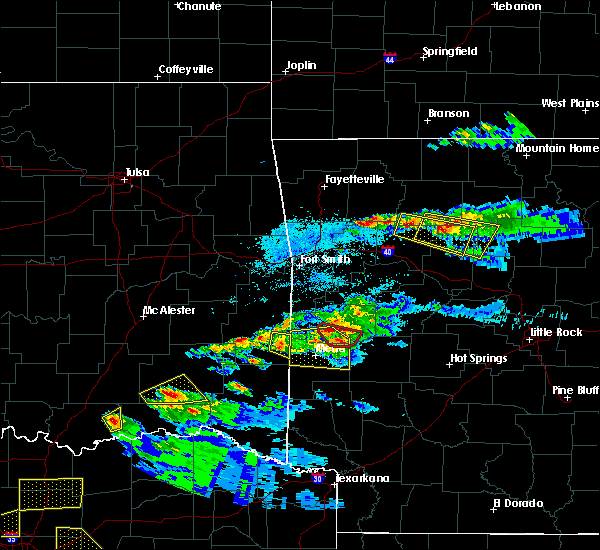 At 748 pm cdt, a severe thunderstorm was located over devils knob, or 19 miles north of clarksville, moving east at 35 mph (radar indicated). Hazards include 60 mph wind gusts and quarter size hail. Hail damage to vehicles is expected. Expect wind damage to roofs, siding, and trees. At 748 pm cdt, a severe thunderstorm was located over devils knob, or 19 miles north of clarksville, moving east at 35 mph (radar indicated). Hazards include 60 mph wind gusts and quarter size hail. Hail damage to vehicles is expected. Expect wind damage to roofs, siding, and trees.
|
| 3/9/2019 8:05 AM CST |
 At 804 am cst, severe thunderstorms were located along a line extending from near smyrna to near hector to near petit jean river wma, moving east at 60 mph (radar indicated). Hazards include 60 mph wind gusts. expect damage to roofs, siding, and trees At 804 am cst, severe thunderstorms were located along a line extending from near smyrna to near hector to near petit jean river wma, moving east at 60 mph (radar indicated). Hazards include 60 mph wind gusts. expect damage to roofs, siding, and trees
|
| 3/9/2019 7:54 AM CST |
 At 753 am cst, severe thunderstorms were located along a line extending from near holman to near fourche valley, moving east at 60 mph (radar indicated). Hazards include 60 mph wind gusts. Expect damage to roofs, siding, and trees. Locations impacted include, russellville, clarksville, danville, dardanelle, pottsville, lamar, dover, ola, london, knoxville, hector, lake dardanelle state park, petit jean river wma, mosley, taral, holman, broomfield, mt nebo state park, solo, gravelly, this includes interstate 40 between mile markers 59 and 90. At 753 am cst, severe thunderstorms were located along a line extending from near holman to near fourche valley, moving east at 60 mph (radar indicated). Hazards include 60 mph wind gusts. Expect damage to roofs, siding, and trees. Locations impacted include, russellville, clarksville, danville, dardanelle, pottsville, lamar, dover, ola, london, knoxville, hector, lake dardanelle state park, petit jean river wma, mosley, taral, holman, broomfield, mt nebo state park, solo, gravelly, this includes interstate 40 between mile markers 59 and 90.
|
| 3/9/2019 7:38 AM CST |
 At 738 am cst, severe thunderstorms were located along a line extending from spadra to 6 miles southwest of gravelly, moving east at 60 mph (radar indicated). Hazards include 60 mph wind gusts. Expect damage to roofs, siding, and trees. Locations impacted include, russellville, clarksville, paris, danville, dardanelle, pottsville, lamar, dover, ola, london, knoxville, subiaco, hartman, hector, scranton, blue mountain, lake dardanelle state park, hoyt, petit jean river wma, midway in logan county, this includes interstate 40 between mile markers 51 and 90. At 738 am cst, severe thunderstorms were located along a line extending from spadra to 6 miles southwest of gravelly, moving east at 60 mph (radar indicated). Hazards include 60 mph wind gusts. Expect damage to roofs, siding, and trees. Locations impacted include, russellville, clarksville, paris, danville, dardanelle, pottsville, lamar, dover, ola, london, knoxville, subiaco, hartman, hector, scranton, blue mountain, lake dardanelle state park, hoyt, petit jean river wma, midway in logan county, this includes interstate 40 between mile markers 51 and 90.
|
| 3/9/2019 7:16 AM CST |
 At 715 am cst, severe thunderstorms were located along a line extending from branch to 9 miles southeast of beauchamp, moving east at 60 mph (radar indicated). Hazards include 60 mph wind gusts. expect damage to roofs, siding, and trees At 715 am cst, severe thunderstorms were located along a line extending from branch to 9 miles southeast of beauchamp, moving east at 60 mph (radar indicated). Hazards include 60 mph wind gusts. expect damage to roofs, siding, and trees
|
| 2/7/2019 6:28 AM CST |
 At 627 am cst, a cluster of severe thunderstorms was located near dover, or 10 miles northeast of russellville, moving northeast at 55 mph (radar indicated). Hazards include 60 mph wind gusts and nickel size hail. Expect damage to roofs, siding, and trees. Locations impacted include, russellville, atkins, pottsville, dover, hector, broomfield, solo, taral, lake dardanelle, appleton, pleasant valley in pope county, gum log, economy, caglesville, moreland, oak grove in pope county, scottsville, nogo, this includes interstate 40 between mile markers 80 and 91. At 627 am cst, a cluster of severe thunderstorms was located near dover, or 10 miles northeast of russellville, moving northeast at 55 mph (radar indicated). Hazards include 60 mph wind gusts and nickel size hail. Expect damage to roofs, siding, and trees. Locations impacted include, russellville, atkins, pottsville, dover, hector, broomfield, solo, taral, lake dardanelle, appleton, pleasant valley in pope county, gum log, economy, caglesville, moreland, oak grove in pope county, scottsville, nogo, this includes interstate 40 between mile markers 80 and 91.
|
| 2/7/2019 6:05 AM CST |
 At 605 am cst, a cluster of severe thunderstorms was located 8 miles northwest of danville, moving northeast at 55 mph (radar indicated). Hazards include 60 mph wind gusts and nickel size hail. expect damage to roofs, siding, and trees At 605 am cst, a cluster of severe thunderstorms was located 8 miles northwest of danville, moving northeast at 55 mph (radar indicated). Hazards include 60 mph wind gusts and nickel size hail. expect damage to roofs, siding, and trees
|
| 2/6/2019 4:47 PM CST |
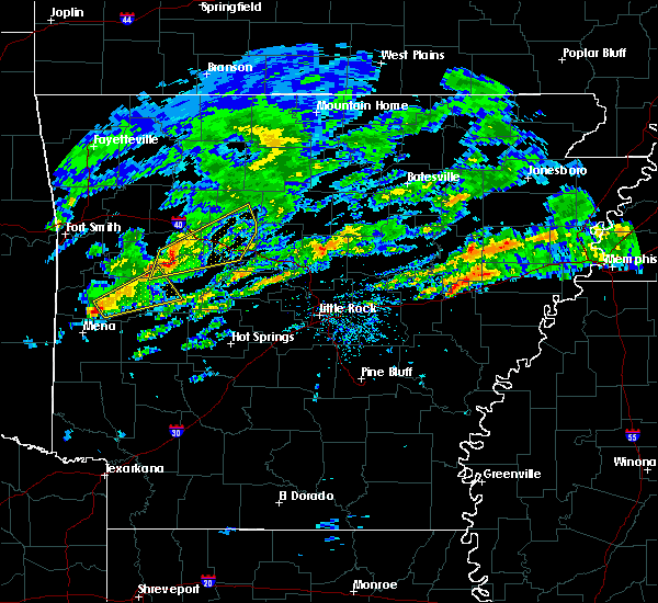 At 447 pm cst, severe thunderstorms were located along a line extending from 6 miles south of knoxville to near mt nebo state park to 8 miles west of mosley, moving northeast at 65 mph (radar indicated). Hazards include 60 mph wind gusts. Expect damage to roofs, siding, and trees. Locations impacted include, russellville, danville, dardanelle, atkins, pottsville, dover, london, hector, lake dardanelle state park, broomfield, mt nebo state park, solo, lake dardanelle, galla creek wma, mosley, taral, mount magazine, belleville, havana, appleton, this includes interstate 40 between mile markers 69 and 94. At 447 pm cst, severe thunderstorms were located along a line extending from 6 miles south of knoxville to near mt nebo state park to 8 miles west of mosley, moving northeast at 65 mph (radar indicated). Hazards include 60 mph wind gusts. Expect damage to roofs, siding, and trees. Locations impacted include, russellville, danville, dardanelle, atkins, pottsville, dover, london, hector, lake dardanelle state park, broomfield, mt nebo state park, solo, lake dardanelle, galla creek wma, mosley, taral, mount magazine, belleville, havana, appleton, this includes interstate 40 between mile markers 69 and 94.
|
| 2/6/2019 4:36 PM CST |
 At 436 pm cst, severe thunderstorms were located along a line extending from near midway in logan county to near mount magazine, moving northeast at 65 mph (radar indicated). Hazards include 60 mph wind gusts. expect damage to roofs, siding, and trees At 436 pm cst, severe thunderstorms were located along a line extending from near midway in logan county to near mount magazine, moving northeast at 65 mph (radar indicated). Hazards include 60 mph wind gusts. expect damage to roofs, siding, and trees
|
| 12/1/2018 12:46 AM CST |
 At 1245 am cst, severe thunderstorms were located along a line extending from near dugger to near marshall to near woolum to jerusalem to near plainview in yell county, moving east at 70 mph (radar indicated). Hazards include 70 mph wind gusts and quarter size hail. Hail damage to vehicles is expected. expect considerable tree damage. wind damage is also likely to mobile homes, roofs, and outbuildings. locations impacted include, russellville, danville, marshall, jasper, dardanelle, atkins, pottsville, dover, ola, london, hector, western grove, adona, witts spring, duff, maumee, bohannon, blick, pruitt, elberta, this includes interstate 40 between mile markers 73 and 104. A tornado watch remains in effect until 200 am cst for central, western and north central arkansas. At 1245 am cst, severe thunderstorms were located along a line extending from near dugger to near marshall to near woolum to jerusalem to near plainview in yell county, moving east at 70 mph (radar indicated). Hazards include 70 mph wind gusts and quarter size hail. Hail damage to vehicles is expected. expect considerable tree damage. wind damage is also likely to mobile homes, roofs, and outbuildings. locations impacted include, russellville, danville, marshall, jasper, dardanelle, atkins, pottsville, dover, ola, london, hector, western grove, adona, witts spring, duff, maumee, bohannon, blick, pruitt, elberta, this includes interstate 40 between mile markers 73 and 104. A tornado watch remains in effect until 200 am cst for central, western and north central arkansas.
|
| 12/1/2018 12:35 AM CST | A tree was blown down at hecto in pope county AR, 0.8 miles S of Hector, AR |
| 12/1/2018 12:27 AM CST |
 At 1227 am cst, severe thunderstorms were located along a line extending from jasper to near moore to near solo to near lake dardanelle to 6 miles east of fourche valley, moving east at 70 mph (radar indicated). Hazards include 70 mph wind gusts and quarter size hail. Hail damage to vehicles is expected. expect considerable tree damage. wind damage is also likely to mobile homes, roofs, and outbuildings. locations impacted include, russellville, danville, marshall, jasper, dardanelle, atkins, pottsville, lamar, dover, ola, london, knoxville, hector, western grove, adona, witts spring, duff, upper buffalo wilderness area, maumee, bohannon, this includes interstate 40 between mile markers 62 and 104. A tornado watch remains in effect until 200 am cst for central, western and north central arkansas. At 1227 am cst, severe thunderstorms were located along a line extending from jasper to near moore to near solo to near lake dardanelle to 6 miles east of fourche valley, moving east at 70 mph (radar indicated). Hazards include 70 mph wind gusts and quarter size hail. Hail damage to vehicles is expected. expect considerable tree damage. wind damage is also likely to mobile homes, roofs, and outbuildings. locations impacted include, russellville, danville, marshall, jasper, dardanelle, atkins, pottsville, lamar, dover, ola, london, knoxville, hector, western grove, adona, witts spring, duff, upper buffalo wilderness area, maumee, bohannon, this includes interstate 40 between mile markers 62 and 104. A tornado watch remains in effect until 200 am cst for central, western and north central arkansas.
|
| 12/1/2018 12:08 AM CST |
 At 1208 am cst, severe thunderstorms were located along a line extending from near devils knob to 7 miles north of holman to near mount magazine to 6 miles west of muddy creek wma, moving northeast at 65 mph (radar indicated). Hazards include 60 mph wind gusts and quarter size hail. Hail damage to vehicles is expected. Expect wind damage to roofs, siding, and trees. At 1208 am cst, severe thunderstorms were located along a line extending from near devils knob to 7 miles north of holman to near mount magazine to 6 miles west of muddy creek wma, moving northeast at 65 mph (radar indicated). Hazards include 60 mph wind gusts and quarter size hail. Hail damage to vehicles is expected. Expect wind damage to roofs, siding, and trees.
|
| 8/19/2018 8:58 PM CDT |
 At 856 pm cdt, severe thunderstorms were located from choctaw to scotland, with a line of storms heading into hector from the west. all storms were moving to the east at 30 mph (radar indicated). Hazards include 60 mph wind gusts and penny size hail. Expect damage to roofs, siding, and trees. Locations impacted include, clinton, fairfield bay, hector, fairbanks, whipple, fairfield bay marina, jerusalem, sugar loaf recreation area, claude, cleveland, choctaw, bee branch, appleton, beverage town, austin in conway county, brock creek campground, southside in van buren county, morganton, scotland, culpepper, a tornado watch remains in effect until 1100 pm cdt for central and north central arkansas. At 856 pm cdt, severe thunderstorms were located from choctaw to scotland, with a line of storms heading into hector from the west. all storms were moving to the east at 30 mph (radar indicated). Hazards include 60 mph wind gusts and penny size hail. Expect damage to roofs, siding, and trees. Locations impacted include, clinton, fairfield bay, hector, fairbanks, whipple, fairfield bay marina, jerusalem, sugar loaf recreation area, claude, cleveland, choctaw, bee branch, appleton, beverage town, austin in conway county, brock creek campground, southside in van buren county, morganton, scotland, culpepper, a tornado watch remains in effect until 1100 pm cdt for central and north central arkansas.
|
| 8/19/2018 8:20 PM CDT |
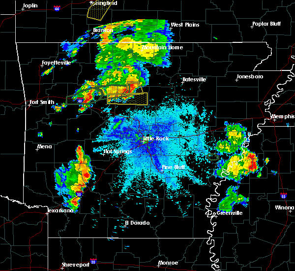 The national weather service in little rock has issued a * severe thunderstorm warning for. southern van buren county in north central arkansas. northeastern conway county in central arkansas. east central pope county in central arkansas. Until 915 pm cdt. The national weather service in little rock has issued a * severe thunderstorm warning for. southern van buren county in north central arkansas. northeastern conway county in central arkansas. east central pope county in central arkansas. Until 915 pm cdt.
|
| 8/19/2018 7:16 PM CDT |
 At 702 pm cdt, a severe thunderstorm capable of producing a tornado was located near solo, or 8 miles northeast of dover, moving east at 20 mph (radar indicated rotation). Hazards include tornado and ping pong ball size hail. Flying debris will be dangerous to those caught without shelter. mobile homes will be damaged or destroyed. damage to roofs, windows, and vehicles will occur. tree damage is likely. Locations impacted include, hector, dabney, solo, smyrna, brock creek campground, mountain man trailhead, nogo, simpson,. At 702 pm cdt, a severe thunderstorm capable of producing a tornado was located near solo, or 8 miles northeast of dover, moving east at 20 mph (radar indicated rotation). Hazards include tornado and ping pong ball size hail. Flying debris will be dangerous to those caught without shelter. mobile homes will be damaged or destroyed. damage to roofs, windows, and vehicles will occur. tree damage is likely. Locations impacted include, hector, dabney, solo, smyrna, brock creek campground, mountain man trailhead, nogo, simpson,.
|
| 8/19/2018 7:02 PM CDT |
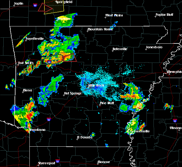 At 650 pm cdt, a severe thunderstorm capable of producing a tornado was located 6 miles north of dover, moving east at 20 mph (radar indicated rotation). Hazards include tornado and ping pong ball size hail. Flying debris will be dangerous to those caught without shelter. mobile homes will be damaged or destroyed. damage to roofs, windows, and vehicles will occur. Tree damage is likely. At 650 pm cdt, a severe thunderstorm capable of producing a tornado was located 6 miles north of dover, moving east at 20 mph (radar indicated rotation). Hazards include tornado and ping pong ball size hail. Flying debris will be dangerous to those caught without shelter. mobile homes will be damaged or destroyed. damage to roofs, windows, and vehicles will occur. Tree damage is likely.
|
| 8/19/2018 6:51 PM CDT |
 At 650 pm cdt, a severe thunderstorm capable of producing a tornado was located 6 miles north of dover, moving east at 20 mph (radar indicated rotation). Hazards include tornado and ping pong ball size hail. Flying debris will be dangerous to those caught without shelter. mobile homes will be damaged or destroyed. damage to roofs, windows, and vehicles will occur. Tree damage is likely. At 650 pm cdt, a severe thunderstorm capable of producing a tornado was located 6 miles north of dover, moving east at 20 mph (radar indicated rotation). Hazards include tornado and ping pong ball size hail. Flying debris will be dangerous to those caught without shelter. mobile homes will be damaged or destroyed. damage to roofs, windows, and vehicles will occur. Tree damage is likely.
|
| 8/16/2018 8:00 PM CDT |
 At 800 pm cdt, a severe thunderstorm was located over holman, or 8 miles east of clarksville, moving northeast at 25 mph (emergency management reported trees down with this storm). Hazards include 60 mph wind gusts and quarter size hail. Hail damage to vehicles is expected. Expect wind damage to roofs, siding, and trees. At 800 pm cdt, a severe thunderstorm was located over holman, or 8 miles east of clarksville, moving northeast at 25 mph (emergency management reported trees down with this storm). Hazards include 60 mph wind gusts and quarter size hail. Hail damage to vehicles is expected. Expect wind damage to roofs, siding, and trees.
|
| 7/21/2018 4:24 AM CDT |
 At 424 am cdt, severe thunderstorms were located along a line extending from hector to near taral to lake dardanelle state park, moving southeast at 50 mph (radar indicated). Hazards include 60 mph wind gusts and penny size hail. expect damage to roofs, siding, and trees At 424 am cdt, severe thunderstorms were located along a line extending from hector to near taral to lake dardanelle state park, moving southeast at 50 mph (radar indicated). Hazards include 60 mph wind gusts and penny size hail. expect damage to roofs, siding, and trees
|
| 7/19/2018 9:05 PM CDT |
 At 904 pm cdt, severe thunderstorms were located along a line extending from near shirley to clinton to near claude to near cleveland to near broomfield, moving southeast at 45 mph (radar indicated). Hazards include 60 mph wind gusts. Expect damage to roofs, siding, and trees. Locations impacted include, clinton, fairfield bay, dover, greers ferry, hector, damascus, twin groves, shirley, higden, bethlehem, dabney, whipple, jerusalem, sugar loaf recreation area, blick, fairfield bay marina, claude, cleveland, broomfield, catholic point,. At 904 pm cdt, severe thunderstorms were located along a line extending from near shirley to clinton to near claude to near cleveland to near broomfield, moving southeast at 45 mph (radar indicated). Hazards include 60 mph wind gusts. Expect damage to roofs, siding, and trees. Locations impacted include, clinton, fairfield bay, dover, greers ferry, hector, damascus, twin groves, shirley, higden, bethlehem, dabney, whipple, jerusalem, sugar loaf recreation area, blick, fairfield bay marina, claude, cleveland, broomfield, catholic point,.
|
| 7/19/2018 8:52 PM CDT |
 At 852 pm cdt, severe thunderstorms were located along a line extending from 7 miles southeast of thola to near old lexington to 7 miles southeast of woolum to near dabney to near bertha, moving southeast at 35 mph (radar indicated). Hazards include 60 mph wind gusts. Expect damage to roofs, siding, and trees. Locations impacted include, clinton, fairfield bay, dover, greers ferry, hector, damascus, twin groves, shirley, higden, bethlehem, rocky hill, dabney, whipple, jerusalem, sugar loaf recreation area, blick, elberta, taral, thola, fairfield bay marina,. At 852 pm cdt, severe thunderstorms were located along a line extending from 7 miles southeast of thola to near old lexington to 7 miles southeast of woolum to near dabney to near bertha, moving southeast at 35 mph (radar indicated). Hazards include 60 mph wind gusts. Expect damage to roofs, siding, and trees. Locations impacted include, clinton, fairfield bay, dover, greers ferry, hector, damascus, twin groves, shirley, higden, bethlehem, rocky hill, dabney, whipple, jerusalem, sugar loaf recreation area, blick, elberta, taral, thola, fairfield bay marina,.
|
| 7/19/2018 8:28 PM CDT |
 At 827 pm cdt, severe thunderstorms were located along a line extending from 8 miles southeast of rush to near marshall to imo to near witts spring to near walnut, moving southeast at 50 mph (radar indicated). Hazards include 60 mph wind gusts. expect damage to roofs, siding, and trees At 827 pm cdt, severe thunderstorms were located along a line extending from 8 miles southeast of rush to near marshall to imo to near witts spring to near walnut, moving southeast at 50 mph (radar indicated). Hazards include 60 mph wind gusts. expect damage to roofs, siding, and trees
|
| 6/24/2018 8:12 AM CDT | Trees down near the intersection of ar-27 and lindsey motorway. time estimated from rada in pope county AR, 5.7 miles SW of Hector, AR |
| 6/24/2018 8:08 AM CDT |
 At 808 am cdt, severe thunderstorms were located along a line extending from 8 miles northeast of holman to near dover to mt nebo state park, moving east at 70 mph (radar indicated). Hazards include 60 mph wind gusts. expect damage to roofs, siding, and trees At 808 am cdt, severe thunderstorms were located along a line extending from 8 miles northeast of holman to near dover to mt nebo state park, moving east at 70 mph (radar indicated). Hazards include 60 mph wind gusts. expect damage to roofs, siding, and trees
|
| 6/2/2018 5:50 PM CDT |
 At 550 pm cdt, a severe thunderstorm was located near happy bend, or 9 miles northwest of morrilton, moving southeast at 20 mph (radar indicated). Hazards include 60 mph wind gusts and quarter size hail. Hail damage to vehicles is expected. expect wind damage to roofs, siding, and trees. locations impacted include, morrilton, perryville, atkins, pottsville, oppelo, hector, perry, adona, bethlehem, sequoya park, hill creek, happy bend, solgohachia, hattieville, middleton, petit jean state park, lanty, jerusalem, galla creek wma, st. Vincent,. At 550 pm cdt, a severe thunderstorm was located near happy bend, or 9 miles northwest of morrilton, moving southeast at 20 mph (radar indicated). Hazards include 60 mph wind gusts and quarter size hail. Hail damage to vehicles is expected. expect wind damage to roofs, siding, and trees. locations impacted include, morrilton, perryville, atkins, pottsville, oppelo, hector, perry, adona, bethlehem, sequoya park, hill creek, happy bend, solgohachia, hattieville, middleton, petit jean state park, lanty, jerusalem, galla creek wma, st. Vincent,.
|
| 6/2/2018 5:30 PM CDT |
 At 530 pm cdt, severe thunderstorms were located along a line extending from near hector to near happy bend to near galla creek wma, moving southeast at 15 mph (radar indicated). Hazards include 60 mph wind gusts and quarter size hail. Hail damage to vehicles is expected. Expect wind damage to roofs, siding, and trees. At 530 pm cdt, severe thunderstorms were located along a line extending from near hector to near happy bend to near galla creek wma, moving southeast at 15 mph (radar indicated). Hazards include 60 mph wind gusts and quarter size hail. Hail damage to vehicles is expected. Expect wind damage to roofs, siding, and trees.
|
| 6/2/2018 4:54 PM CDT |
 At 453 pm cdt, a severe thunderstorm was located 4 miles south of hector, or 12 miles northeast of russellville, moving southeast at 15 mph (radar indicated). Hazards include golf ball size hail and 60 mph wind gusts. People and animals outdoors will be injured. expect hail damage to roofs, siding, windows, and vehicles. expect wind damage to roofs, siding, and trees. Locations impacted include, hector, jerusalem, appleton, caglesville, scottsville,. At 453 pm cdt, a severe thunderstorm was located 4 miles south of hector, or 12 miles northeast of russellville, moving southeast at 15 mph (radar indicated). Hazards include golf ball size hail and 60 mph wind gusts. People and animals outdoors will be injured. expect hail damage to roofs, siding, windows, and vehicles. expect wind damage to roofs, siding, and trees. Locations impacted include, hector, jerusalem, appleton, caglesville, scottsville,.
|
| 6/2/2018 4:45 PM CDT | Baseball sized hail reported 2.6 miles N of Hector, AR, multiple reports of baseball size hail from the hector area. |
| 6/2/2018 4:45 PM CDT |
 At 445 pm cdt, a severe thunderstorm was located near hector, or 13 miles northeast of russellville, moving southeast at 15 mph (radar indicated). Hazards include 60 mph wind gusts and half dollar size hail. Hail damage to vehicles is expected. expect wind damage to roofs, siding, and trees. Locations impacted include, hector, jerusalem, appleton, caglesville, scottsville,. At 445 pm cdt, a severe thunderstorm was located near hector, or 13 miles northeast of russellville, moving southeast at 15 mph (radar indicated). Hazards include 60 mph wind gusts and half dollar size hail. Hail damage to vehicles is expected. expect wind damage to roofs, siding, and trees. Locations impacted include, hector, jerusalem, appleton, caglesville, scottsville,.
|
| 6/2/2018 4:42 PM CDT | Tea Cup sized hail reported 2.7 miles NNE of Hector, AR, three-inch diameter hail fell on buck mountain. |
| 6/2/2018 4:33 PM CDT |
 At 432 pm cdt, a severe thunderstorm was located near hector, or 14 miles northeast of russellville, moving east at 15 mph (radar indicated). Hazards include 60 mph wind gusts and quarter size hail. Hail damage to vehicles is expected. Expect wind damage to roofs, siding, and trees. At 432 pm cdt, a severe thunderstorm was located near hector, or 14 miles northeast of russellville, moving east at 15 mph (radar indicated). Hazards include 60 mph wind gusts and quarter size hail. Hail damage to vehicles is expected. Expect wind damage to roofs, siding, and trees.
|
| 5/3/2018 1:38 PM CDT |
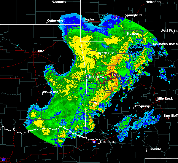 At 138 pm cdt, severe thunderstorms were located along a line extending from near scranton to near midway in logan county to 7 miles southeast of mount magazine to near stonehouse recreation area, moving east at 40 mph (radar indicated). Hazards include 60 mph wind gusts. expect damage to roofs, siding, and trees At 138 pm cdt, severe thunderstorms were located along a line extending from near scranton to near midway in logan county to 7 miles southeast of mount magazine to near stonehouse recreation area, moving east at 40 mph (radar indicated). Hazards include 60 mph wind gusts. expect damage to roofs, siding, and trees
|
| 4/13/2018 8:44 PM CDT |
 The national weather service in little rock has issued a * severe thunderstorm warning for. stone county in north central arkansas. izard county in north central arkansas. eastern searcy county in north central arkansas. Eastern marion county in north central arkansas. The national weather service in little rock has issued a * severe thunderstorm warning for. stone county in north central arkansas. izard county in north central arkansas. eastern searcy county in north central arkansas. Eastern marion county in north central arkansas.
|
| 4/13/2018 8:44 PM CDT |
 At 844 pm cdt, severe thunderstorms were located along a line extending from 6 miles northwest of gamaliel landing to diamond bay to 8 miles south of advance to near rocky hill to near jerusalem, moving northeast at 40 mph (radar indicated). Hazards include 60 mph wind gusts and penny size hail. expect damage to roofs, siding, and trees At 844 pm cdt, severe thunderstorms were located along a line extending from 6 miles northwest of gamaliel landing to diamond bay to 8 miles south of advance to near rocky hill to near jerusalem, moving northeast at 40 mph (radar indicated). Hazards include 60 mph wind gusts and penny size hail. expect damage to roofs, siding, and trees
|
| 4/13/2018 8:37 PM CDT |
 At 837 pm cdt, severe thunderstorms were located along a line extending from fawn park to briarcliff to 7 miles north of thola to near kay to 6 miles southeast of dabney, moving northeast at 40 mph (radar indicated). Hazards include 60 mph wind gusts and nickel size hail. Expect damage to roofs, siding, and trees. Locations impacted include, russellville, mountain home, clinton, bull shoals, marshall, yellville, gassville, calico rock, dover, flippin, london, lakeview in baxter county, norfork, hector, salesville, viola, pineville, briarcliff, arkawana, witts spring, a tornado watch remains in effect until 1000 pm cdt for central, western and north central arkansas. At 837 pm cdt, severe thunderstorms were located along a line extending from fawn park to briarcliff to 7 miles north of thola to near kay to 6 miles southeast of dabney, moving northeast at 40 mph (radar indicated). Hazards include 60 mph wind gusts and nickel size hail. Expect damage to roofs, siding, and trees. Locations impacted include, russellville, mountain home, clinton, bull shoals, marshall, yellville, gassville, calico rock, dover, flippin, london, lakeview in baxter county, norfork, hector, salesville, viola, pineville, briarcliff, arkawana, witts spring, a tornado watch remains in effect until 1000 pm cdt for central, western and north central arkansas.
|
| 4/13/2018 8:05 PM CDT |
 At 805 pm cdt, severe thunderstorms were located along a line extending from yellville to near rush to bohannon to near solo to near dover, moving northeast at 40 mph (radar indicated). Hazards include 60 mph wind gusts and penny size hail. expect damage to roofs, siding, and trees At 805 pm cdt, severe thunderstorms were located along a line extending from yellville to near rush to bohannon to near solo to near dover, moving northeast at 40 mph (radar indicated). Hazards include 60 mph wind gusts and penny size hail. expect damage to roofs, siding, and trees
|
| 4/13/2018 7:53 PM CDT |
 At 752 pm cdt, severe thunderstorms were located along a line extending from near holman to near broomfield to near dover to near london, moving northeast at 45 mph (radar indicated). Hazards include 70 mph wind gusts and penny size hail. Expect considerable tree damage. damage is likely to mobile homes, roofs, and outbuildings. Locations impacted include, russellville, dardanelle, atkins, pottsville, lamar, dover, london, knoxville, hector, lake dardanelle state park, happy bend, broomfield, jerusalem, lake dardanelle, taral, mt nebo state park, appleton, alread, brock creek campground, rupert, a tornado watch remains in effect until 1000 pm cdt for central, western and north central arkansas. At 752 pm cdt, severe thunderstorms were located along a line extending from near holman to near broomfield to near dover to near london, moving northeast at 45 mph (radar indicated). Hazards include 70 mph wind gusts and penny size hail. Expect considerable tree damage. damage is likely to mobile homes, roofs, and outbuildings. Locations impacted include, russellville, dardanelle, atkins, pottsville, lamar, dover, london, knoxville, hector, lake dardanelle state park, happy bend, broomfield, jerusalem, lake dardanelle, taral, mt nebo state park, appleton, alread, brock creek campground, rupert, a tornado watch remains in effect until 1000 pm cdt for central, western and north central arkansas.
|
| 4/13/2018 7:33 PM CDT |
 At 732 pm cdt, severe thunderstorms were located along a line extending from near knoxville to 6 miles southeast of tokalon to 7 miles west of lake dardanelle to 7 miles southeast of mount magazine, moving northeast at 55 mph (radar indicated). Hazards include 70 mph wind gusts and nickel size hail. Expect considerable tree damage. Damage is likely to mobile homes, roofs, and outbuildings. At 732 pm cdt, severe thunderstorms were located along a line extending from near knoxville to 6 miles southeast of tokalon to 7 miles west of lake dardanelle to 7 miles southeast of mount magazine, moving northeast at 55 mph (radar indicated). Hazards include 70 mph wind gusts and nickel size hail. Expect considerable tree damage. Damage is likely to mobile homes, roofs, and outbuildings.
|
| 4/13/2018 7:26 PM CDT |
 At 726 pm cdt, severe thunderstorms were located along a line extending from near western grove to near carver to near moore to holman, moving northeast at 50 mph (radar indicated). Hazards include 60 mph wind gusts and nickel size hail. expect damage to roofs, siding, and trees At 726 pm cdt, severe thunderstorms were located along a line extending from near western grove to near carver to near moore to holman, moving northeast at 50 mph (radar indicated). Hazards include 60 mph wind gusts and nickel size hail. expect damage to roofs, siding, and trees
|
| 4/13/2018 7:06 PM CDT |
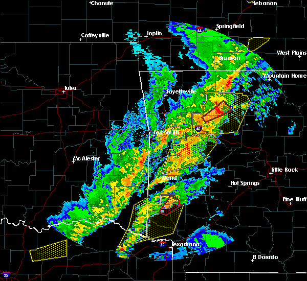 At 706 pm cdt, severe thunderstorms were located along a line extending from 8 miles north of dillen to near bertha to 6 miles north of holman, moving east at 45 mph (radar indicated). Hazards include 70 mph wind gusts and nickel size hail. Expect considerable tree damage. damage is likely to mobile homes, roofs, and outbuildings. Locations impacted include, clarksville, jasper, lamar, knoxville, hartman, hector, western grove, marsena, witts spring, carver, erbie, moore, duff, point peter, devils knob, hoyt, bohannon, pruitt, holman, rosetta, a tornado watch remains in effect until 1000 pm cdt for western, central and north central arkansas. At 706 pm cdt, severe thunderstorms were located along a line extending from 8 miles north of dillen to near bertha to 6 miles north of holman, moving east at 45 mph (radar indicated). Hazards include 70 mph wind gusts and nickel size hail. Expect considerable tree damage. damage is likely to mobile homes, roofs, and outbuildings. Locations impacted include, clarksville, jasper, lamar, knoxville, hartman, hector, western grove, marsena, witts spring, carver, erbie, moore, duff, point peter, devils knob, hoyt, bohannon, pruitt, holman, rosetta, a tornado watch remains in effect until 1000 pm cdt for western, central and north central arkansas.
|
| 4/13/2018 6:41 PM CDT |
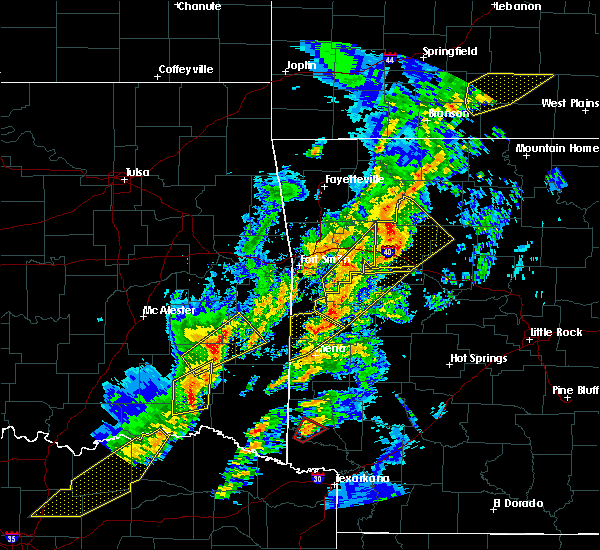 The national weather service in little rock has issued a * severe thunderstorm warning for. johnson county in western arkansas. newton county in north central arkansas. western searcy county in north central arkansas. Northwestern van buren county in north central arkansas. The national weather service in little rock has issued a * severe thunderstorm warning for. johnson county in western arkansas. newton county in north central arkansas. western searcy county in north central arkansas. Northwestern van buren county in north central arkansas.
|
| 2/24/2018 2:10 PM CST |
 At 210 pm cst, severe thunderstorms were located along a line extending from near broomfield to near dardanelle to 6 miles southwest of plainview in yell county, moving east at 30 mph (radar indicated). Hazards include 60 mph wind gusts. expect damage to roofs, siding, and trees At 210 pm cst, severe thunderstorms were located along a line extending from near broomfield to near dardanelle to 6 miles southwest of plainview in yell county, moving east at 30 mph (radar indicated). Hazards include 60 mph wind gusts. expect damage to roofs, siding, and trees
|
| 10/22/2017 2:15 AM CDT |
 At 214 am cdt, severe thunderstorms were located along a line extending from near clarksville to near danville to near muddy creek wma, moving east at 35 mph (radar indicated). Hazards include 60 mph wind gusts. expect damage to roofs, siding, and trees At 214 am cdt, severe thunderstorms were located along a line extending from near clarksville to near danville to near muddy creek wma, moving east at 35 mph (radar indicated). Hazards include 60 mph wind gusts. expect damage to roofs, siding, and trees
|
| 7/23/2017 4:53 PM CDT |
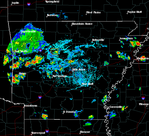 The severe thunderstorm warning for east central pope county will expire at 500 pm cdt, the storm which prompted the warning has weakened below severe limits, and no longer poses an immediate threat to life or property. therefore, the warning will be allowed to expire. to report severe weather, contact your nearest law enforcement agency. they will relay your report to the national weather service little rock. The severe thunderstorm warning for east central pope county will expire at 500 pm cdt, the storm which prompted the warning has weakened below severe limits, and no longer poses an immediate threat to life or property. therefore, the warning will be allowed to expire. to report severe weather, contact your nearest law enforcement agency. they will relay your report to the national weather service little rock.
|
| 7/23/2017 4:37 PM CDT |
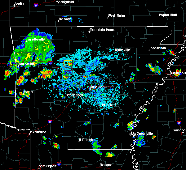 At 437 pm cdt, a severe thunderstorm was located near hector, or 15 miles northeast of russellville, moving west at 10 mph (radar indicated). Hazards include 60 mph wind gusts. expect damage to roofs, siding, and trees At 437 pm cdt, a severe thunderstorm was located near hector, or 15 miles northeast of russellville, moving west at 10 mph (radar indicated). Hazards include 60 mph wind gusts. expect damage to roofs, siding, and trees
|
| 6/18/2017 10:29 AM CDT |
 At 1028 am cdt, severe thunderstorms were located along a line extending from near bertha to near dover to near mosley, moving southeast at 45 mph (radar indicated). Hazards include 60 mph wind gusts and nickel size hail. Expect damage to roofs, siding, and trees. Locations impacted include, russellville, dardanelle, atkins, pottsville, dover, london, hector, lake dardanelle state park, happy bend, dabney, hattieville, jerusalem, blick, mosley, taral, carden bottoms, cleveland, broomfield, mt nebo state park, solo, this includes interstate 40 between mile markers 76 and 102. At 1028 am cdt, severe thunderstorms were located along a line extending from near bertha to near dover to near mosley, moving southeast at 45 mph (radar indicated). Hazards include 60 mph wind gusts and nickel size hail. Expect damage to roofs, siding, and trees. Locations impacted include, russellville, dardanelle, atkins, pottsville, dover, london, hector, lake dardanelle state park, happy bend, dabney, hattieville, jerusalem, blick, mosley, taral, carden bottoms, cleveland, broomfield, mt nebo state park, solo, this includes interstate 40 between mile markers 76 and 102.
|
| 6/18/2017 10:05 AM CDT |
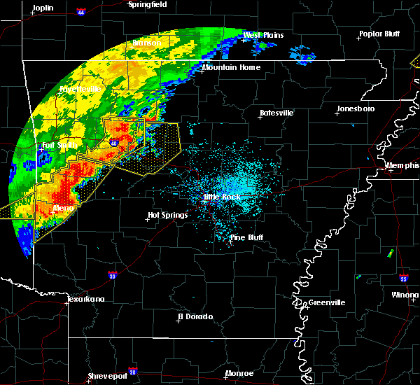 At 1004 am cdt, severe thunderstorms were located along a line extending from near rosetta to near holman to near midway in logan county, moving southeast at 45 mph (radar indicated). Hazards include 60 mph wind gusts and nickel size hail. expect damage to roofs, siding, and trees At 1004 am cdt, severe thunderstorms were located along a line extending from near rosetta to near holman to near midway in logan county, moving southeast at 45 mph (radar indicated). Hazards include 60 mph wind gusts and nickel size hail. expect damage to roofs, siding, and trees
|
| 5/28/2017 1:14 AM CDT |
 At 113 am cdt, severe thunderstorms were located along a line extending from 6 miles south of dabney to middleton to near solgohachia to near petit jean state park, moving east at 75 mph. these are very dangerous storms (radar indicated). Hazards include 80 mph wind gusts. Flying debris will be dangerous to those caught without shelter. mobile homes will be heavily damaged. expect considerable damage to roofs, windows, and vehicles. extensive tree damage and power outages are likely. Locations impacted include, conway, russellville, heber springs, morrilton, clinton, danville, fairfield bay, perryville, dardanelle, greenbrier, vilonia, atkins, pottsville, mayflower, dover, ola, london, greers ferry, wooster, oppelo, this includes interstate 40 between mile markers 73 and 137. At 113 am cdt, severe thunderstorms were located along a line extending from 6 miles south of dabney to middleton to near solgohachia to near petit jean state park, moving east at 75 mph. these are very dangerous storms (radar indicated). Hazards include 80 mph wind gusts. Flying debris will be dangerous to those caught without shelter. mobile homes will be heavily damaged. expect considerable damage to roofs, windows, and vehicles. extensive tree damage and power outages are likely. Locations impacted include, conway, russellville, heber springs, morrilton, clinton, danville, fairfield bay, perryville, dardanelle, greenbrier, vilonia, atkins, pottsville, mayflower, dover, ola, london, greers ferry, wooster, oppelo, this includes interstate 40 between mile markers 73 and 137.
|
| 5/28/2017 1:03 AM CDT |
 At 102 am cdt, severe thunderstorms were located along a line extending from solo to near jerusalem to near happy bend to near galla creek wma to 6 miles northwest of danville, moving east at 80 mph. these are very dangerous storms (radar indicated). Hazards include 80 mph wind gusts. Flying debris will be dangerous to those caught without shelter. mobile homes will be heavily damaged. expect considerable damage to roofs, windows, and vehicles. extensive tree damage and power outages are likely. Locations impacted include, conway, russellville, clarksville, heber springs, morrilton, booneville, paris, clinton, danville, fairfield bay, perryville, dardanelle, greenbrier, vilonia, atkins, pottsville, mayflower, lamar, dover, ola, this includes interstate 40 between mile markers 53 and 137. At 102 am cdt, severe thunderstorms were located along a line extending from solo to near jerusalem to near happy bend to near galla creek wma to 6 miles northwest of danville, moving east at 80 mph. these are very dangerous storms (radar indicated). Hazards include 80 mph wind gusts. Flying debris will be dangerous to those caught without shelter. mobile homes will be heavily damaged. expect considerable damage to roofs, windows, and vehicles. extensive tree damage and power outages are likely. Locations impacted include, conway, russellville, clarksville, heber springs, morrilton, booneville, paris, clinton, danville, fairfield bay, perryville, dardanelle, greenbrier, vilonia, atkins, pottsville, mayflower, lamar, dover, ola, this includes interstate 40 between mile markers 53 and 137.
|
| 5/28/2017 12:49 AM CDT |
 At 1248 am cdt, severe thunderstorms were located along a line extending from near dillen to near broomfield to near dover to 8 miles east of midway in logan county to near magazine, moving east at 80 mph (radar indicated). Hazards include 70 mph wind gusts. Expect considerable tree damage. Damage is likely to mobile homes, roofs, and outbuildings. At 1248 am cdt, severe thunderstorms were located along a line extending from near dillen to near broomfield to near dover to 8 miles east of midway in logan county to near magazine, moving east at 80 mph (radar indicated). Hazards include 70 mph wind gusts. Expect considerable tree damage. Damage is likely to mobile homes, roofs, and outbuildings.
|
| 5/28/2017 12:35 AM CDT |
 At 1234 am cdt, severe thunderstorms were located along a line extending from 10 miles southwest of devils knob to 9 miles north of clarksville to near woodland to near scranton, moving east at 70 mph (radar indicated). Hazards include 70 mph wind gusts and nickel size hail. Expect considerable tree damage. damage is likely to mobile homes, roofs, and outbuildings. Locations impacted include, russellville, clarksville, lamar, dover, london, knoxville, hartman, hector, scranton, witts spring, moore, devils knob, hoyt, bohannon, taral, holman, rosetta, dillen, woodland, hinkle, this includes interstate 40 between mile markers 45 and 79. At 1234 am cdt, severe thunderstorms were located along a line extending from 10 miles southwest of devils knob to 9 miles north of clarksville to near woodland to near scranton, moving east at 70 mph (radar indicated). Hazards include 70 mph wind gusts and nickel size hail. Expect considerable tree damage. damage is likely to mobile homes, roofs, and outbuildings. Locations impacted include, russellville, clarksville, lamar, dover, london, knoxville, hartman, hector, scranton, witts spring, moore, devils knob, hoyt, bohannon, taral, holman, rosetta, dillen, woodland, hinkle, this includes interstate 40 between mile markers 45 and 79.
|
| 5/28/2017 12:26 AM CDT |
 At 1225 am cdt, severe thunderstorms were located along a line extending from near cass to 9 miles northwest of woodland to 6 miles north of hartman to near denning, moving east at 75 mph (radar indicated). Hazards include 70 mph wind gusts and nickel size hail. Expect considerable tree damage. damage is likely to mobile homes, roofs, and outbuildings. locations impacted include, russellville, clarksville, jasper, lamar, dover, london, knoxville, hartman, hector, scranton, witts spring, erbie, upper buffalo wilderness area, devils knob, bohannon, lost valley state park, pruitt, holman, dillen, woodland, this includes interstate 40 between mile markers 45 and 79. A tornado watch remains in effect until 200 am cdt for western, central and north central arkansas. At 1225 am cdt, severe thunderstorms were located along a line extending from near cass to 9 miles northwest of woodland to 6 miles north of hartman to near denning, moving east at 75 mph (radar indicated). Hazards include 70 mph wind gusts and nickel size hail. Expect considerable tree damage. damage is likely to mobile homes, roofs, and outbuildings. locations impacted include, russellville, clarksville, jasper, lamar, dover, london, knoxville, hartman, hector, scranton, witts spring, erbie, upper buffalo wilderness area, devils knob, bohannon, lost valley state park, pruitt, holman, dillen, woodland, this includes interstate 40 between mile markers 45 and 79. A tornado watch remains in effect until 200 am cdt for western, central and north central arkansas.
|
| 5/28/2017 12:15 AM CDT |
 At 1215 am cdt, severe thunderstorms were located along a line extending from 6 miles north of fern to near cass to 8 miles northwest of ozark to near mulberry, moving east at 65 mph (radar indicated). Hazards include 60 mph wind gusts. expect damage to roofs, siding, and trees At 1215 am cdt, severe thunderstorms were located along a line extending from 6 miles north of fern to near cass to 8 miles northwest of ozark to near mulberry, moving east at 65 mph (radar indicated). Hazards include 60 mph wind gusts. expect damage to roofs, siding, and trees
|
| 5/19/2017 1:47 AM CDT |
 At 146 am cdt, severe thunderstorms were located along a line extending from near moore to near hector to 7 miles north of atkins, moving east at 40 mph (radar indicated). Hazards include 60 mph wind gusts and penny size hail. Expect damage to roofs, siding, and trees. Locations impacted include, hector, solo, smyrna, appleton, gum log, caglesville, moreland, nogo, oak grove in pope county, scottsville, simpson, a tornado watch remains in effect until 600 am cdt for central and north central arkansas. At 146 am cdt, severe thunderstorms were located along a line extending from near moore to near hector to 7 miles north of atkins, moving east at 40 mph (radar indicated). Hazards include 60 mph wind gusts and penny size hail. Expect damage to roofs, siding, and trees. Locations impacted include, hector, solo, smyrna, appleton, gum log, caglesville, moreland, nogo, oak grove in pope county, scottsville, simpson, a tornado watch remains in effect until 600 am cdt for central and north central arkansas.
|
| 5/19/2017 1:30 AM CDT |
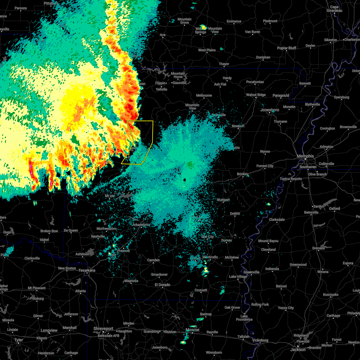 At 130 am cdt, severe thunderstorms were located along a line extending from near bertha to dover to near mosley, moving east at 40 mph (radar indicated). Hazards include 60 mph wind gusts and penny size hail. Expect damage to roofs, siding, and trees. locations impacted include, russellville, danville, dardanelle, atkins, pottsville, dover, london, hector, lake dardanelle state park, carden bottoms, dillen, broomfield, mt nebo state park, solo, smyrna, lake dardanelle, galla creek wma, mosley, bertha, taral, this includes interstate 40 between mile markers 75 and 94. A tornado watch remains in effect until 600 am cdt for central, western and north central arkansas. At 130 am cdt, severe thunderstorms were located along a line extending from near bertha to dover to near mosley, moving east at 40 mph (radar indicated). Hazards include 60 mph wind gusts and penny size hail. Expect damage to roofs, siding, and trees. locations impacted include, russellville, danville, dardanelle, atkins, pottsville, dover, london, hector, lake dardanelle state park, carden bottoms, dillen, broomfield, mt nebo state park, solo, smyrna, lake dardanelle, galla creek wma, mosley, bertha, taral, this includes interstate 40 between mile markers 75 and 94. A tornado watch remains in effect until 600 am cdt for central, western and north central arkansas.
|
| 5/19/2017 1:07 AM CDT |
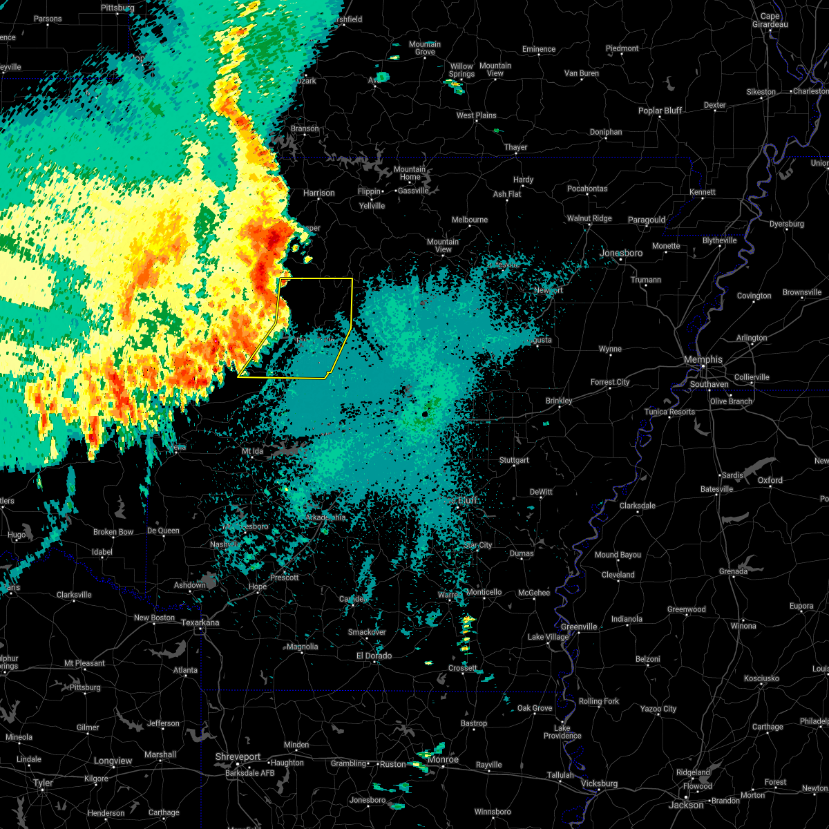 At 107 am cdt, severe thunderstorms were located along a line extending from near devils knob to lamar to mount magazine, moving east at 50 mph (radar indicated). Hazards include 70 mph wind gusts and nickel size hail. Expect considerable tree damage. Damage is likely to mobile homes, roofs, and outbuildings. At 107 am cdt, severe thunderstorms were located along a line extending from near devils knob to lamar to mount magazine, moving east at 50 mph (radar indicated). Hazards include 70 mph wind gusts and nickel size hail. Expect considerable tree damage. Damage is likely to mobile homes, roofs, and outbuildings.
|
| 4/26/2017 10:11 AM CDT |
 At 1010 am cdt, severe thunderstorms were located along a line extending from near bertha to near taral, moving east at 35 mph (radar indicated). Hazards include 60 mph wind gusts and quarter size hail. Hail damage to vehicles is expected. Expect wind damage to roofs, siding, and trees. At 1010 am cdt, severe thunderstorms were located along a line extending from near bertha to near taral, moving east at 35 mph (radar indicated). Hazards include 60 mph wind gusts and quarter size hail. Hail damage to vehicles is expected. Expect wind damage to roofs, siding, and trees.
|
| 4/26/2017 9:40 AM CDT |
 At 939 am cdt, a severe thunderstorm was located over spadra, or over clarksville, moving northeast at 45 mph (radar indicated). Hazards include 70 mph wind gusts and half dollar size hail. 70 mph winds are headed directly at the city of clarksville. get to a sturdy shelter if you are in clarksville, 70 mph winds can produce widespread damage. Hail damage to vehicles is expected. expect considerable tree damage. wind damage is also likely to mobile homes, roofs, and outbuildings. Locations impacted include, clarksville, lamar, dover, london, knoxville, hector, scranton, moore, devils knob, hoyt, midway in logan county, taral, holman, rosetta, dillen, woodland, hinkle, broomfield, solo, smyrna, this includes interstate 40 between mile markers 50 and 75. At 939 am cdt, a severe thunderstorm was located over spadra, or over clarksville, moving northeast at 45 mph (radar indicated). Hazards include 70 mph wind gusts and half dollar size hail. 70 mph winds are headed directly at the city of clarksville. get to a sturdy shelter if you are in clarksville, 70 mph winds can produce widespread damage. Hail damage to vehicles is expected. expect considerable tree damage. wind damage is also likely to mobile homes, roofs, and outbuildings. Locations impacted include, clarksville, lamar, dover, london, knoxville, hector, scranton, moore, devils knob, hoyt, midway in logan county, taral, holman, rosetta, dillen, woodland, hinkle, broomfield, solo, smyrna, this includes interstate 40 between mile markers 50 and 75.
|
| 4/26/2017 9:34 AM CDT |
 At 933 am cdt, a severe thunderstorm was located over hoyt, or near clarksville, moving northeast at 50 mph (radar indicated). Hazards include 60 mph wind gusts and half dollar size hail. Hail damage to vehicles is expected. Expect wind damage to roofs, siding, and trees. At 933 am cdt, a severe thunderstorm was located over hoyt, or near clarksville, moving northeast at 50 mph (radar indicated). Hazards include 60 mph wind gusts and half dollar size hail. Hail damage to vehicles is expected. Expect wind damage to roofs, siding, and trees.
|
| 3/29/2017 7:16 PM CDT |
 At 715 pm cdt, a confirmed tornado was located near broomfield, or 19 miles north of russellville, moving northeast at 40 mph (law enforcement confirmed tornado). Hazards include damaging tornado and quarter size hail. Flying debris will be dangerous to those caught without shelter. mobile homes will be damaged or destroyed. damage to roofs, windows, and vehicles will occur. tree damage is likely. Solo is in the direct path of this tornado! locations impacted include, hector, broomfield, solo, smyrna, ben hur, nogo, simpson,. At 715 pm cdt, a confirmed tornado was located near broomfield, or 19 miles north of russellville, moving northeast at 40 mph (law enforcement confirmed tornado). Hazards include damaging tornado and quarter size hail. Flying debris will be dangerous to those caught without shelter. mobile homes will be damaged or destroyed. damage to roofs, windows, and vehicles will occur. tree damage is likely. Solo is in the direct path of this tornado! locations impacted include, hector, broomfield, solo, smyrna, ben hur, nogo, simpson,.
|
| 3/29/2017 7:06 PM CDT |
 At 705 pm cdt, a severe thunderstorm capable of producing a tornado was located over broomfield, or 14 miles north of russellville, moving northeast at 40 mph (radar indicated rotation). Hazards include tornado and quarter size hail. Flying debris will be dangerous to those caught without shelter. mobile homes will be damaged or destroyed. damage to roofs, windows, and vehicles will occur. Tree damage is likely. At 705 pm cdt, a severe thunderstorm capable of producing a tornado was located over broomfield, or 14 miles north of russellville, moving northeast at 40 mph (radar indicated rotation). Hazards include tornado and quarter size hail. Flying debris will be dangerous to those caught without shelter. mobile homes will be damaged or destroyed. damage to roofs, windows, and vehicles will occur. Tree damage is likely.
|
| 3/29/2017 7:01 PM CDT |
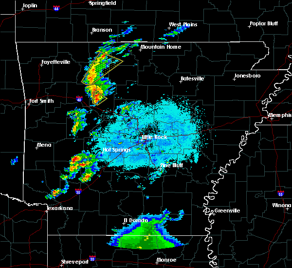 At 701 pm cdt, a severe thunderstorm was located over dover, or 11 miles north of russellville, moving northeast at 40 mph (radar indicated). Hazards include 60 mph wind gusts and nickel size hail. Expect damage to roofs, siding, and trees. Locations impacted include, dover, hector, broomfield, long pool campground, scottsville, pleasant valley in pope county, a tornado watch remains in effect until midnight cdt for western and central arkansas. At 701 pm cdt, a severe thunderstorm was located over dover, or 11 miles north of russellville, moving northeast at 40 mph (radar indicated). Hazards include 60 mph wind gusts and nickel size hail. Expect damage to roofs, siding, and trees. Locations impacted include, dover, hector, broomfield, long pool campground, scottsville, pleasant valley in pope county, a tornado watch remains in effect until midnight cdt for western and central arkansas.
|
| 3/29/2017 6:44 PM CDT |
 At 643 pm cdt, a severe thunderstorm was located over london, or 7 miles northwest of russellville, moving northeast at 40 mph (radar indicated). Hazards include 60 mph wind gusts and quarter size hail. Hail damage to vehicles is expected. expect wind damage to roofs, siding, and trees. locations impacted include, russellville, dover, london, knoxville, hector, lake dardanelle state park, lake dardanelle, broomfield, mt nebo state park, taral, augsburg, long pool campground, piney bay recreation area, delaware, pleasant valley in pope county, gum log, caglesville, moreland, scottsville, this includes interstate 40 between mile markers 68 and 82. A tornado watch remains in effect until midnight cdt for western and central arkansas. At 643 pm cdt, a severe thunderstorm was located over london, or 7 miles northwest of russellville, moving northeast at 40 mph (radar indicated). Hazards include 60 mph wind gusts and quarter size hail. Hail damage to vehicles is expected. expect wind damage to roofs, siding, and trees. locations impacted include, russellville, dover, london, knoxville, hector, lake dardanelle state park, lake dardanelle, broomfield, mt nebo state park, taral, augsburg, long pool campground, piney bay recreation area, delaware, pleasant valley in pope county, gum log, caglesville, moreland, scottsville, this includes interstate 40 between mile markers 68 and 82. A tornado watch remains in effect until midnight cdt for western and central arkansas.
|
| 3/29/2017 6:26 PM CDT |
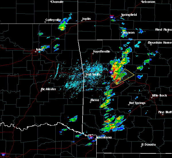 At 625 pm cdt, a severe thunderstorm was located 9 miles southeast of midway in logan county, or 9 miles north of danville, moving northeast at 40 mph (radar indicated). Hazards include 60 mph wind gusts and quarter size hail. Hail damage to vehicles is expected. Expect wind damage to roofs, siding, and trees. At 625 pm cdt, a severe thunderstorm was located 9 miles southeast of midway in logan county, or 9 miles north of danville, moving northeast at 40 mph (radar indicated). Hazards include 60 mph wind gusts and quarter size hail. Hail damage to vehicles is expected. Expect wind damage to roofs, siding, and trees.
|
| 3/7/2017 2:20 AM CST |
 At 220 am cst, severe thunderstorms were located along a line extending from near rocky hill to near hector to russellville, moving southeast at 35 mph (radar indicated). Hazards include 60 mph wind gusts and quarter size hail. Hail damage to vehicles is expected. expect wind damage to roofs, siding, and trees. locations impacted include, russellville, clinton, fairfield bay, dardanelle, pottsville, dover, london, hector, shirley, lake dardanelle state park, rocky hill, dabney, jerusalem, imo, blick, taral, claude, cleveland, broomfield, solo, this includes interstate 40 between mile markers 72 and 87. A tornado watch remains in effect until 500 am cst for central, western and north central arkansas. At 220 am cst, severe thunderstorms were located along a line extending from near rocky hill to near hector to russellville, moving southeast at 35 mph (radar indicated). Hazards include 60 mph wind gusts and quarter size hail. Hail damage to vehicles is expected. expect wind damage to roofs, siding, and trees. locations impacted include, russellville, clinton, fairfield bay, dardanelle, pottsville, dover, london, hector, shirley, lake dardanelle state park, rocky hill, dabney, jerusalem, imo, blick, taral, claude, cleveland, broomfield, solo, this includes interstate 40 between mile markers 72 and 87. A tornado watch remains in effect until 500 am cst for central, western and north central arkansas.
|
| 3/7/2017 1:59 AM CST |
 At 159 am cst, severe thunderstorms were located along a line extending from near imo to 8 miles northeast of holman to near knoxville, moving east at 30 mph (radar indicated). Hazards include 60 mph wind gusts and quarter size hail. Hail damage to vehicles is expected. Expect wind damage to roofs, siding, and trees. At 159 am cst, severe thunderstorms were located along a line extending from near imo to 8 miles northeast of holman to near knoxville, moving east at 30 mph (radar indicated). Hazards include 60 mph wind gusts and quarter size hail. Hail damage to vehicles is expected. Expect wind damage to roofs, siding, and trees.
|
| 3/1/2017 2:15 AM CST | Tree downs and damage to homes reported in jerusalem and clevelan in conway county AR, 9.7 miles WNW of Hector, AR |
| 3/1/2017 1:55 AM CST |
 At 155 am cst, severe thunderstorms were located along a line extending from near eula to smyrna to near solo to near broomfield, moving east at 75 mph (radar indicated). Hazards include 70 mph wind gusts and nickel size hail. Expect considerable tree damage. damage is likely to mobile homes, roofs, and outbuildings. Locations impacted include, clinton, marshall, jasper, dover, hector, shirley, witts spring, duff, maumee, bohannon, blick, pruitt, elberta, watts, dillen, broomfield, eula, elba, old lexington, marsena, a tornado watch remains in effect until 600 am cst for central, western and north central arkansas. At 155 am cst, severe thunderstorms were located along a line extending from near eula to smyrna to near solo to near broomfield, moving east at 75 mph (radar indicated). Hazards include 70 mph wind gusts and nickel size hail. Expect considerable tree damage. damage is likely to mobile homes, roofs, and outbuildings. Locations impacted include, clinton, marshall, jasper, dover, hector, shirley, witts spring, duff, maumee, bohannon, blick, pruitt, elberta, watts, dillen, broomfield, eula, elba, old lexington, marsena, a tornado watch remains in effect until 600 am cst for central, western and north central arkansas.
|
| 3/1/2017 1:39 AM CST |
 At 138 am cst, severe thunderstorms were located along a line extending from near walnut to rosetta to near lamar to scranton, moving east at 70 mph (radar indicated). Hazards include 70 mph wind gusts and nickel size hail. Expect considerable tree damage. Damage is likely to mobile homes, roofs, and outbuildings. At 138 am cst, severe thunderstorms were located along a line extending from near walnut to rosetta to near lamar to scranton, moving east at 70 mph (radar indicated). Hazards include 70 mph wind gusts and nickel size hail. Expect considerable tree damage. Damage is likely to mobile homes, roofs, and outbuildings.
|
| 3/1/2017 1:24 AM CST |
 At 124 am cst, severe thunderstorms were located along a line extending from 9 miles south of pettigrew to 7 miles west of woodland to near denning, moving east at 75 mph (radar indicated). Hazards include 70 mph wind gusts and quarter size hail. Hail damage to vehicles is expected. expect considerable tree damage. wind damage is also likely to mobile homes, roofs, and outbuildings. locations impacted include, russellville, clarksville, paris, dardanelle, lamar, dover, london, knoxville, subiaco, hartman, hector, scranton, ratcliff, lake dardanelle state park, witts spring, moore, devils knob, hoyt, midway in logan county, taral, this includes interstate 40 between mile markers 45 and 84. A tornado watch remains in effect until 600 am cst for western, central and north central arkansas. At 124 am cst, severe thunderstorms were located along a line extending from 9 miles south of pettigrew to 7 miles west of woodland to near denning, moving east at 75 mph (radar indicated). Hazards include 70 mph wind gusts and quarter size hail. Hail damage to vehicles is expected. expect considerable tree damage. wind damage is also likely to mobile homes, roofs, and outbuildings. locations impacted include, russellville, clarksville, paris, dardanelle, lamar, dover, london, knoxville, subiaco, hartman, hector, scranton, ratcliff, lake dardanelle state park, witts spring, moore, devils knob, hoyt, midway in logan county, taral, this includes interstate 40 between mile markers 45 and 84. A tornado watch remains in effect until 600 am cst for western, central and north central arkansas.
|
| 3/1/2017 1:07 AM CST |
 At 107 am cst, severe thunderstorms were located along a line extending from near fern to 6 miles south of mulberry to bloomer, moving east at 70 mph (radar indicated). Hazards include 60 mph wind gusts and quarter size hail. Hail damage to vehicles is expected. Expect wind damage to roofs, siding, and trees. At 107 am cst, severe thunderstorms were located along a line extending from near fern to 6 miles south of mulberry to bloomer, moving east at 70 mph (radar indicated). Hazards include 60 mph wind gusts and quarter size hail. Hail damage to vehicles is expected. Expect wind damage to roofs, siding, and trees.
|
| 9/16/2016 8:56 PM CDT |
 At 855 pm cdt, severe thunderstorms were located along a line extending from hector to mt nebo state park, moving east at 35 mph (radar indicated). Hazards include 60 mph wind gusts and quarter size hail. Hail damage to vehicles is expected. Expect wind damage to roofs, siding, and trees. At 855 pm cdt, severe thunderstorms were located along a line extending from hector to mt nebo state park, moving east at 35 mph (radar indicated). Hazards include 60 mph wind gusts and quarter size hail. Hail damage to vehicles is expected. Expect wind damage to roofs, siding, and trees.
|
| 9/16/2016 8:51 PM CDT |
 At 850 pm cdt, severe thunderstorms were located along a line extending from near hector to near taral, moving east at 45 mph (radar indicated). Hazards include 60 mph wind gusts and quarter size hail. Hail damage to vehicles is expected. expect wind damage to roofs, siding, and trees. Locations impacted include, russellville, dardanelle, pottsville, dover, london, hector, lake dardanelle state park, broomfield, lake dardanelle, taral, mt nebo state park, pleasant valley in pope county, delaware, gum log, scottsville, oak grove in pope county, moreland, caglesville, augsburg,. At 850 pm cdt, severe thunderstorms were located along a line extending from near hector to near taral, moving east at 45 mph (radar indicated). Hazards include 60 mph wind gusts and quarter size hail. Hail damage to vehicles is expected. expect wind damage to roofs, siding, and trees. Locations impacted include, russellville, dardanelle, pottsville, dover, london, hector, lake dardanelle state park, broomfield, lake dardanelle, taral, mt nebo state park, pleasant valley in pope county, delaware, gum log, scottsville, oak grove in pope county, moreland, caglesville, augsburg,.
|
| 9/16/2016 8:26 PM CDT |
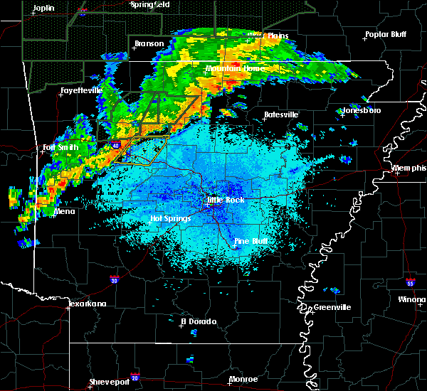 At 826 pm cdt, severe thunderstorms were located along a line extending from near holman to near knoxville, moving east at 45 mph (radar indicated). Hazards include 60 mph wind gusts and quarter size hail. Hail damage to vehicles is expected. Expect wind damage to roofs, siding, and trees. At 826 pm cdt, severe thunderstorms were located along a line extending from near holman to near knoxville, moving east at 45 mph (radar indicated). Hazards include 60 mph wind gusts and quarter size hail. Hail damage to vehicles is expected. Expect wind damage to roofs, siding, and trees.
|
| 8/7/2016 3:16 PM CDT |
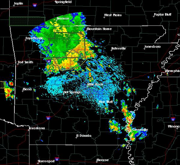 At 315 pm cdt, severe thunderstorms were located along a line extending from near woolum to near blick to near happy bend to near russellville, moving southeast at 35 mph (radar indicated). Hazards include 60 mph wind gusts and penny size hail. Expect damage to roofs. siding. and trees. locations impacted include, russellville, clinton, atkins, pottsville, dover, london, hector, catholic point, lanty, st. Vincent, cleveland, hattieville, happy bend, blick, woolum, taral, claude, choctaw, middleton, dabney,. At 315 pm cdt, severe thunderstorms were located along a line extending from near woolum to near blick to near happy bend to near russellville, moving southeast at 35 mph (radar indicated). Hazards include 60 mph wind gusts and penny size hail. Expect damage to roofs. siding. and trees. locations impacted include, russellville, clinton, atkins, pottsville, dover, london, hector, catholic point, lanty, st. Vincent, cleveland, hattieville, happy bend, blick, woolum, taral, claude, choctaw, middleton, dabney,.
|
| 8/7/2016 3:00 PM CDT |
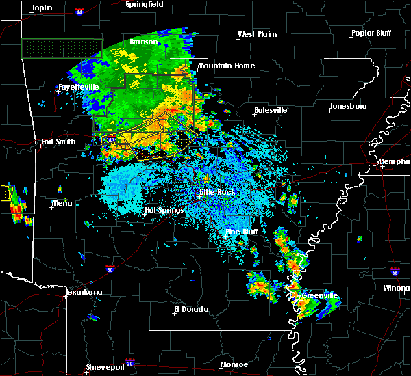 At 259 pm cdt, severe thunderstorms were located along a line extending from near dabney to near jerusalem to near dover to near london, moving southeast at 35 mph (radar indicated). Hazards include 60 mph wind gusts and penny size hail. Expect damage to roofs. siding. and trees. locations impacted include, russellville, clinton, atkins, pottsville, dover, london, hector, catholic point, st. Vincent, hattieville, happy bend, blick, woolum, holman, jerusalem, lanty, smyrna, cleveland, taral, claude,. At 259 pm cdt, severe thunderstorms were located along a line extending from near dabney to near jerusalem to near dover to near london, moving southeast at 35 mph (radar indicated). Hazards include 60 mph wind gusts and penny size hail. Expect damage to roofs. siding. and trees. locations impacted include, russellville, clinton, atkins, pottsville, dover, london, hector, catholic point, st. Vincent, hattieville, happy bend, blick, woolum, holman, jerusalem, lanty, smyrna, cleveland, taral, claude,.
|
| 8/7/2016 2:39 PM CDT |
 At 239 pm cdt, severe thunderstorms were located along a line extending from near imo to near smyrna to near broomfield to near holman, moving southeast at 30 mph (radar indicated). Hazards include 70 mph wind gusts and penny size hail. Expect considerable tree damage. Damage is likely to mobile homes, roofs, and outbuildings. At 239 pm cdt, severe thunderstorms were located along a line extending from near imo to near smyrna to near broomfield to near holman, moving southeast at 30 mph (radar indicated). Hazards include 70 mph wind gusts and penny size hail. Expect considerable tree damage. Damage is likely to mobile homes, roofs, and outbuildings.
|
| 8/6/2016 12:36 AM CDT |
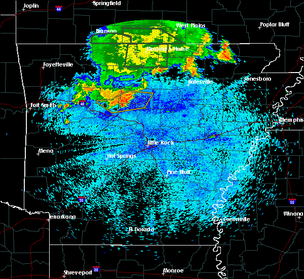 At 1236 am cdt, severe thunderstorms were located along a line extending from 7 miles southeast of woolum to near claude to near cleveland to near hector, moving southeast at 30 mph (radar indicated). Hazards include 70 mph wind gusts and penny size hail. Expect considerable tree damage. damage is likely to mobile homes, roofs, and outbuildings. Locations impacted include, clinton, fairfield bay, dover, hector, shirley, cleveland, blick, fairfield bay marina, claude, choctaw, broomfield, whipple, jerusalem, bee branch, appleton, beverage town, alread, austin in conway county, rupert, pleasant valley in pope county,. At 1236 am cdt, severe thunderstorms were located along a line extending from 7 miles southeast of woolum to near claude to near cleveland to near hector, moving southeast at 30 mph (radar indicated). Hazards include 70 mph wind gusts and penny size hail. Expect considerable tree damage. damage is likely to mobile homes, roofs, and outbuildings. Locations impacted include, clinton, fairfield bay, dover, hector, shirley, cleveland, blick, fairfield bay marina, claude, choctaw, broomfield, whipple, jerusalem, bee branch, appleton, beverage town, alread, austin in conway county, rupert, pleasant valley in pope county,.
|
| 8/6/2016 12:12 AM CDT |
 At 1211 am cdt, severe thunderstorms were located along a line extending from near woolum to 6 miles southeast of solo to near broomfield, moving east at 30 mph (radar indicated). Hazards include 70 mph wind gusts and penny size hail. Expect considerable tree damage. Damage is likely to mobile homes, roofs, and outbuildings. At 1211 am cdt, severe thunderstorms were located along a line extending from near woolum to 6 miles southeast of solo to near broomfield, moving east at 30 mph (radar indicated). Hazards include 70 mph wind gusts and penny size hail. Expect considerable tree damage. Damage is likely to mobile homes, roofs, and outbuildings.
|
| 7/23/2016 7:25 PM CDT |
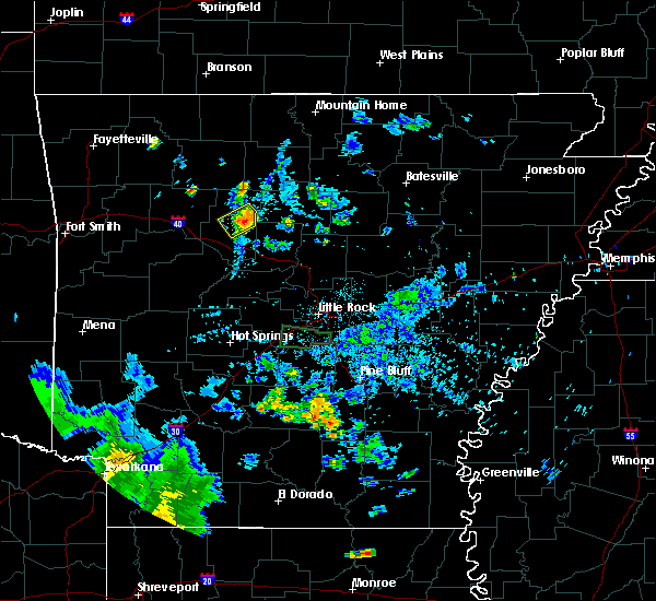 At 725 pm cdt, a severe thunderstorm was located over hector, or 17 miles northeast of russellville, and is nearly stationary (radar indicated). Hazards include 60 mph wind gusts and nickel size hail. Expect damage to roofs. siding. And trees. At 725 pm cdt, a severe thunderstorm was located over hector, or 17 miles northeast of russellville, and is nearly stationary (radar indicated). Hazards include 60 mph wind gusts and nickel size hail. Expect damage to roofs. siding. And trees.
|
| 7/14/2016 4:29 PM CDT |
 At 427 pm cdt, severe thunderstorms were located along a line extending from 7 miles north of holman to danville to near caney creek wilderness, moving east at 60 mph (spotters and emergency management officials have reported wind damage with this line of storms across much of western arkansas). Hazards include 60 mph wind gusts and quarter size hail. Hail damage to vehicles is expected. Expect wind damage to roofs, siding, and trees. At 427 pm cdt, severe thunderstorms were located along a line extending from 7 miles north of holman to danville to near caney creek wilderness, moving east at 60 mph (spotters and emergency management officials have reported wind damage with this line of storms across much of western arkansas). Hazards include 60 mph wind gusts and quarter size hail. Hail damage to vehicles is expected. Expect wind damage to roofs, siding, and trees.
|
| 5/9/2016 7:16 PM CDT |
 At 716 pm cdt, severe thunderstorms were located along a line extending from dabney to 8 miles north of jerusalem to near hector, moving northeast at 50 mph (radar indicated). Hazards include 60 mph wind gusts and quarter size hail. Hail damage to vehicles is expected. expect wind damage to roofs, siding, and trees. Locations impacted include, dover, hector, smyrna, broomfield, solo, dabney, woolum, jerusalem, rocky hill, taral, appleton, alread, rupert, pleasant valley in p, scottsville, dennard, brock creek campgrou, moreland, chimes, mountain man trailhe,. At 716 pm cdt, severe thunderstorms were located along a line extending from dabney to 8 miles north of jerusalem to near hector, moving northeast at 50 mph (radar indicated). Hazards include 60 mph wind gusts and quarter size hail. Hail damage to vehicles is expected. expect wind damage to roofs, siding, and trees. Locations impacted include, dover, hector, smyrna, broomfield, solo, dabney, woolum, jerusalem, rocky hill, taral, appleton, alread, rupert, pleasant valley in p, scottsville, dennard, brock creek campgrou, moreland, chimes, mountain man trailhe,.
|
| 5/9/2016 7:10 PM CDT | Several trees down near hecto in pope county AR, 0.8 miles S of Hector, AR |
| 5/9/2016 7:06 PM CDT |
 At 705 pm cdt, severe thunderstorms were located along a line extending from near solo to hector to taral, moving northeast at 45 mph (radar indicated). Hazards include 60 mph wind gusts and quarter size hail. Hail damage to vehicles is expected. Expect wind damage to roofs, siding, and trees. At 705 pm cdt, severe thunderstorms were located along a line extending from near solo to hector to taral, moving northeast at 45 mph (radar indicated). Hazards include 60 mph wind gusts and quarter size hail. Hail damage to vehicles is expected. Expect wind damage to roofs, siding, and trees.
|
| 4/11/2016 4:51 AM CDT |
 At 450 am cdt, severe thunderstorms were located along a line extending from near holman to london to near danville, moving east at 60 mph (radar indicated). Hazards include 60 mph wind gusts. Expect damage to roofs. siding. And trees. At 450 am cdt, severe thunderstorms were located along a line extending from near holman to london to near danville, moving east at 60 mph (radar indicated). Hazards include 60 mph wind gusts. Expect damage to roofs. siding. And trees.
|
| 3/13/2016 6:44 PM CDT |
 At 644 pm cdt, a severe thunderstorm was located near hattieville, or 13 miles northwest of morrilton, moving northeast at 30 mph (radar indicated). Hazards include 60 mph wind gusts and quarter size hail. Hail damage to vehicles is expected. Expect wind damage to roofs, siding, and trees. At 644 pm cdt, a severe thunderstorm was located near hattieville, or 13 miles northwest of morrilton, moving northeast at 30 mph (radar indicated). Hazards include 60 mph wind gusts and quarter size hail. Hail damage to vehicles is expected. Expect wind damage to roofs, siding, and trees.
|
| 3/13/2016 5:56 PM CDT |
 At 555 pm cdt, a severe thunderstorm was located over mt nebo state park, or 8 miles west of russellville, moving northeast at 40 mph (radar indicated). Hazards include ping pong ball size hail and 60 mph wind gusts. People and animals outdoors will be injured. expect hail damage to roofs, siding, windows, and vehicles. Expect wind damage to roofs, siding, and trees. At 555 pm cdt, a severe thunderstorm was located over mt nebo state park, or 8 miles west of russellville, moving northeast at 40 mph (radar indicated). Hazards include ping pong ball size hail and 60 mph wind gusts. People and animals outdoors will be injured. expect hail damage to roofs, siding, windows, and vehicles. Expect wind damage to roofs, siding, and trees.
|
| 12/23/2015 7:17 AM CST | At 717 am cst, severe thunderstorms were located along a line extending from near lamar to 11 miles northeast of mount ida, moving east at 55 mph (radar indicated). Hazards include 70 mph wind gusts. Expect considerable tree damage. Damage is likely to mobile homes, roofs, and outbuildings. |
| 12/23/2015 5:43 AM CST |
 At 542 am cst, a severe thunderstorm capable of producing a tornado was located near hector, or 19 miles northeast of russellville, moving northeast at 45 mph (radar indicated rotation). Hazards include tornado. Flying debris will be dangerous to those caught without shelter. mobile homes will be damaged or destroyed. damage to roofs, windows, and vehicles will occur. tree damage is likely. this dangerous storm will be near, dabney around 600 am cst. woolum around 610 am cst. clinton and rocky hill around 615 am cst. Other locations impacted by this tornadic thunderstorm include rupert, alread, chimes, crabtree, mountain man trailhead, dennard, appleton, botkinburg, brock creek campground and scotland. At 542 am cst, a severe thunderstorm capable of producing a tornado was located near hector, or 19 miles northeast of russellville, moving northeast at 45 mph (radar indicated rotation). Hazards include tornado. Flying debris will be dangerous to those caught without shelter. mobile homes will be damaged or destroyed. damage to roofs, windows, and vehicles will occur. tree damage is likely. this dangerous storm will be near, dabney around 600 am cst. woolum around 610 am cst. clinton and rocky hill around 615 am cst. Other locations impacted by this tornadic thunderstorm include rupert, alread, chimes, crabtree, mountain man trailhead, dennard, appleton, botkinburg, brock creek campground and scotland.
|
| 12/23/2015 5:29 AM CST |
 At 528 am cst, severe thunderstorms were located along a line extending from near smyrna to near solo to near taral, moving northeast at 70 mph (radar indicated). Hazards include 60 mph wind gusts. Expect damage to roofs. siding. And trees. At 528 am cst, severe thunderstorms were located along a line extending from near smyrna to near solo to near taral, moving northeast at 70 mph (radar indicated). Hazards include 60 mph wind gusts. Expect damage to roofs. siding. And trees.
|
| 12/23/2015 5:20 AM CST |
 At 519 am cst, severe thunderstorms were located along a line extending from near moore to near solo to near broomfield to russellville, moving northeast at 55 mph (radar indicated). Hazards include 60 mph wind gusts and penny size hail. Expect damage to roofs. siding. and trees. locations impacted include, russellville, marshall, atkins, pottsville, dover, hector, st. Vincent, bohannon, hattieville, eula, duff, happy bend, blick, woolum, jerusalem, maumee, lanty, smyrna, cleveland and kay. At 519 am cst, severe thunderstorms were located along a line extending from near moore to near solo to near broomfield to russellville, moving northeast at 55 mph (radar indicated). Hazards include 60 mph wind gusts and penny size hail. Expect damage to roofs. siding. and trees. locations impacted include, russellville, marshall, atkins, pottsville, dover, hector, st. Vincent, bohannon, hattieville, eula, duff, happy bend, blick, woolum, jerusalem, maumee, lanty, smyrna, cleveland and kay.
|
| 12/23/2015 4:56 AM CST |
 At 455 am cst, severe thunderstorms were located along a line extending from near holman to near knoxville to near lake dardanelle to near danville, moving northeast at 55 mph (radar indicated). Hazards include 60 mph wind gusts and penny size hail. Expect damage to roofs. siding. And trees. At 455 am cst, severe thunderstorms were located along a line extending from near holman to near knoxville to near lake dardanelle to near danville, moving northeast at 55 mph (radar indicated). Hazards include 60 mph wind gusts and penny size hail. Expect damage to roofs. siding. And trees.
|
| 8/5/2015 10:02 PM CDT |
 At 1001 pm cdt, severe thunderstorms were located along a line extending from near clinton to near claude to near jerusalem to near taral to near knoxville to scranton, moving southeast at 30 mph (radar indicated). Hazards include 60 mph wind gusts. Expect damage to roofs. siding and trees. Locations impacted include, russellville, clarksville, paris, clinton, dardanelle, atkins, pottsville, lamar, dover, london, knoxville, subiaco, hartman, hector, damascus, twin groves, scranton, bethlehem, catholic point and solgohachia. At 1001 pm cdt, severe thunderstorms were located along a line extending from near clinton to near claude to near jerusalem to near taral to near knoxville to scranton, moving southeast at 30 mph (radar indicated). Hazards include 60 mph wind gusts. Expect damage to roofs. siding and trees. Locations impacted include, russellville, clarksville, paris, clinton, dardanelle, atkins, pottsville, lamar, dover, london, knoxville, subiaco, hartman, hector, damascus, twin groves, scranton, bethlehem, catholic point and solgohachia.
|
| 8/5/2015 9:31 PM CDT |
 At 930 pm cdt, severe thunderstorms were located along a line extending from near woolum to near dabney to near broomfield to near holman to near hoyt to near wiederkehr village, moving southeast at 30 mph (radar indicated). Hazards include 60 mph wind gusts. Expect damage to roofs. Siding and trees. At 930 pm cdt, severe thunderstorms were located along a line extending from near woolum to near dabney to near broomfield to near holman to near hoyt to near wiederkehr village, moving southeast at 30 mph (radar indicated). Hazards include 60 mph wind gusts. Expect damage to roofs. Siding and trees.
|
| 6/26/2015 3:24 PM CDT | At 322 pm cdt, a severe thunderstorm was located near solo, and moving east at 20 mph (radar indicated). Hazards include 60 mph wind gusts and quarter size hail. Hail damage to vehicles is expected. Expect wind damage to roofs, siding and trees. |
| 5/29/2015 7:58 PM CDT | At 755 pm cdt, severe thunderstorms were located along a line extending from pottsville to atkins to solgohachia to hill creek, and moving north at 45 mph (radar indicated). Hazards include 60 mph wind gusts and quarter size hail. Hail damage to vehicles is expected. Expect wind damage to roofs, siding and trees. |
| 5/25/2015 7:49 PM CDT | At 746 pm cdt, severe thunderstorms were located along a line extending from piney bay rec area to 6 miles east of ola to lake ouachita sp, and moving east at 45 mph (radar indicated). Hazards include 70 mph wind gusts and nickel size hail. Expect considerable tree damage. Damage is likely to mobile homes, roofs and outbuildings. |
| 5/25/2015 7:29 PM CDT | At 727 pm cdt, severe thunderstorms were located along a line extending from hartman to mosley to lena lndg rec area, and moving northeast at 45 mph (radar indicated). Hazards include 70 mph wind gusts and nickel size hail. Expect considerable tree damage. Damage is likely to mobile homes, roofs and outbuildings. |
| 5/25/2015 7:28 PM CDT | At 725 pm cdt, a severe thunderstorm was located near taral, and moving north at 35 mph (radar indicated). Hazards include 60 mph wind gusts and half dollar size hail. Hail damage to vehicles is expected. Expect wind damage to roofs, siding and trees. |
| 5/25/2015 7:12 PM CDT | At 709 pm cdt, a severe thunderstorm capable of producing a tornado was located near dardanelle, and moving north at 35 mph (radar indicated rotation). Hazards include tornado and half dollar size hail. Flying debris will be dangerous to those caught without shelter. mobile homes will be damaged or destroyed. damage to roofs, windows and vehicles will occur. Tree damage is likely. |
| 5/25/2015 7:05 PM CDT | At 701 pm cdt, severe thunderstorms were located along a line extending from 6 miles north of ratcliff to fourche valley to mt ida, and moving northeast at 50 mph (radar indicated). Hazards include 70 mph wind gusts and nickel size hail. Expect considerable tree damage. Damage is likely to mobile homes, roofs and outbuildings. |
| 5/25/2015 7:00 PM CDT | At 659 pm cdt, a severe thunderstorm capable of producing a tornado was located 6 miles south of dardanelle, and moving north at 30 mph (radar indicated rotation). Hazards include tornado and quarter size hail. Flying debris will be dangerous to those caught without shelter. mobile homes will be damaged or destroyed. damage to roofs, windows and vehicles will occur. Tree damage is likely. |
| 5/25/2015 6:47 PM CDT | At 645 pm cdt, a confirmed tornado was located near ola, and moving north at 30 mph (weather spotters confirmed tornado). Hazards include damaging tornado and ping pong ball size hail. Flying debris will be dangerous to those caught without shelter. mobile homes will be damaged or destroyed. damage to roofs, windows and vehicles will occur. tree damage is likely. Locations in the path of this tornado include, russellville, taral, pottsville, ola, galla creek wma, dover, dardanelle lock and dam, dardanelle, broomfield, scottsville, moreland, gum log, coglesville, centerville, appleton, this includes interstate 40 between mile markers 79 and 93. |
| 5/24/2015 3:52 PM CDT | At 350 pm cdt, severe thunderstorms were located along a line extending from clarksville to centerville, and moving north at 50 mph (radar indicated). Hazards include 60 mph wind gusts. Expect damage to roofs. Siding and trees. |
| 5/24/2015 3:30 PM CDT | At 329 pm cdt, severe thunderstorms were located along a line extending from mt magazine to 7 miles southeast of nimrod lake, and moving north at 50 mph (radar indicated). Hazards include 60 mph wind gusts. Expect damage to roofs. Siding and trees. |
| 5/10/2015 10:48 PM CDT | At 1046 pm cdt, a severe thunderstorm was located near broomfield, and moving northeast at 35 mph (radar indicated). Hazards include 60 mph wind gusts and quarter size hail. Hail damage to vehicles is expected. Expect wind damage to roofs, siding and trees. |
| 5/10/2015 10:31 PM CDT | At 1028 pm cdt, a severe thunderstorm was located near taral, and moving northeast at 35 mph (radar indicated). Hazards include 60 mph wind gusts and quarter size hail. Hail damage to vehicles is expected. Expect wind damage to roofs, siding and trees. |
| 5/10/2015 3:39 AM CDT | At 334 am cdt, a severe thunderstorm was located near bertha, and moving east at 50 mph. the storm is showing signs of weakening and the warning will be allowed to end at 345 am cdt (radar indicated). Hazards include 60 mph wind gusts and quarter size hail. Hail damage to vehicles is expected. expect wind damage to roofs, siding and trees. Heavy rain and possible flash will be possible. |
| 5/10/2015 3:16 AM CDT | At 311 am cdt, a severe thunderstorm was located near ludwig lake, and moving east at 50 mph (radar indicated). Hazards include 60 mph wind gusts and quarter size hail. Hail damage to vehicles is expected. expect wind damage to roofs, siding and trees. heavy rain is also possible and flash flooding will be possible. A flash flood warning is in effect for the area. |
| 5/10/2015 2:57 AM CDT | At 254 am cdt, a severe thunderstorm was located near horsehead lake, and moving east at 50 mph (radar indicated). Hazards include 60 mph wind gusts and quarter size hail. Hail damage to vehicles is expected. expect wind damage to roofs, siding and trees. heavy rain is also possible and flash flooding will be possible. A flash flood warning is in effect for the area. |
| 7/10/2014 2:10 PM CDT | Trees and powerlines down in hector. highway 27 remains closed at this tim in pope county AR, 0.8 miles S of Hector, AR |
| 4/13/2014 10:00 PM CDT | Trees and power lines were blown dow in conway county AR, 9.5 miles WNW of Hector, AR |
| 6/30/2012 6:30 PM CDT | Nummerous trees reported blown donw. two barns had damage to the doors and roof in pope county AR, 4.2 miles NW of Hector, AR |
| 1/1/0001 12:00 AM | Ping Pong Ball sized hail reported 9.7 miles WNW of Hector, AR, emergency manager reported ping pong ball size hail. |
Hail Maps for Hector, AR


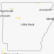


Connect with Interactive Hail Maps