

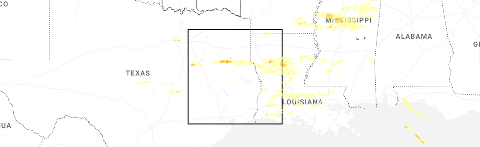
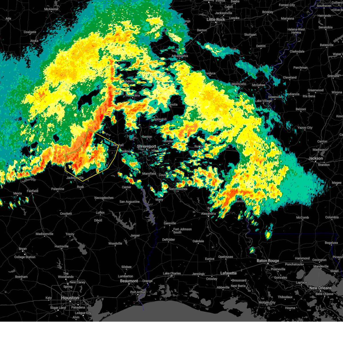
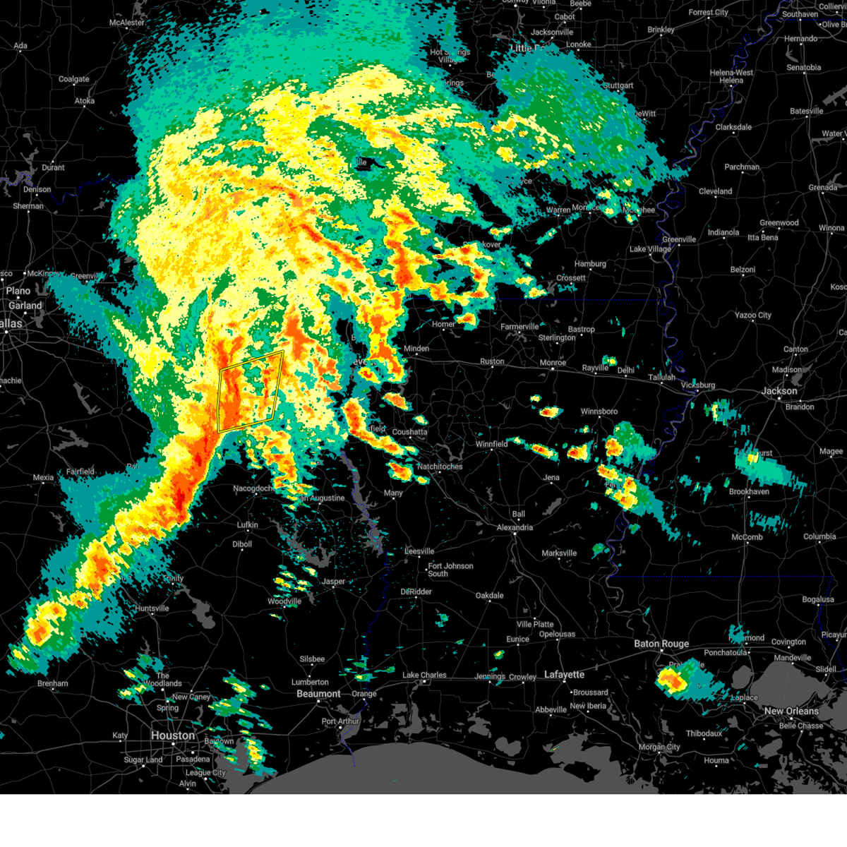
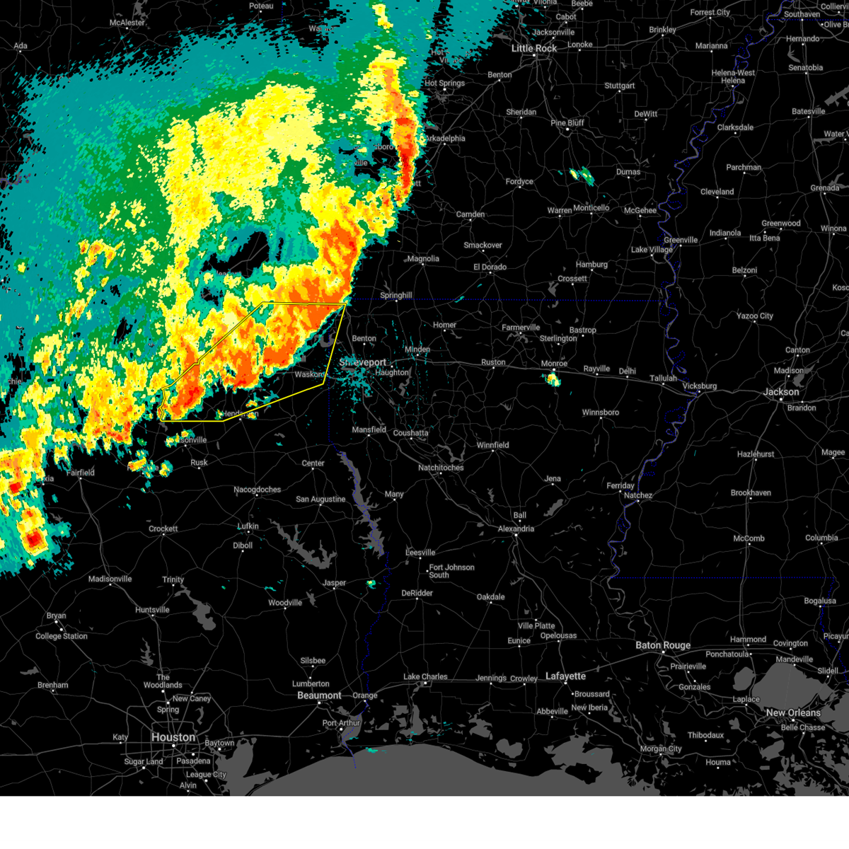
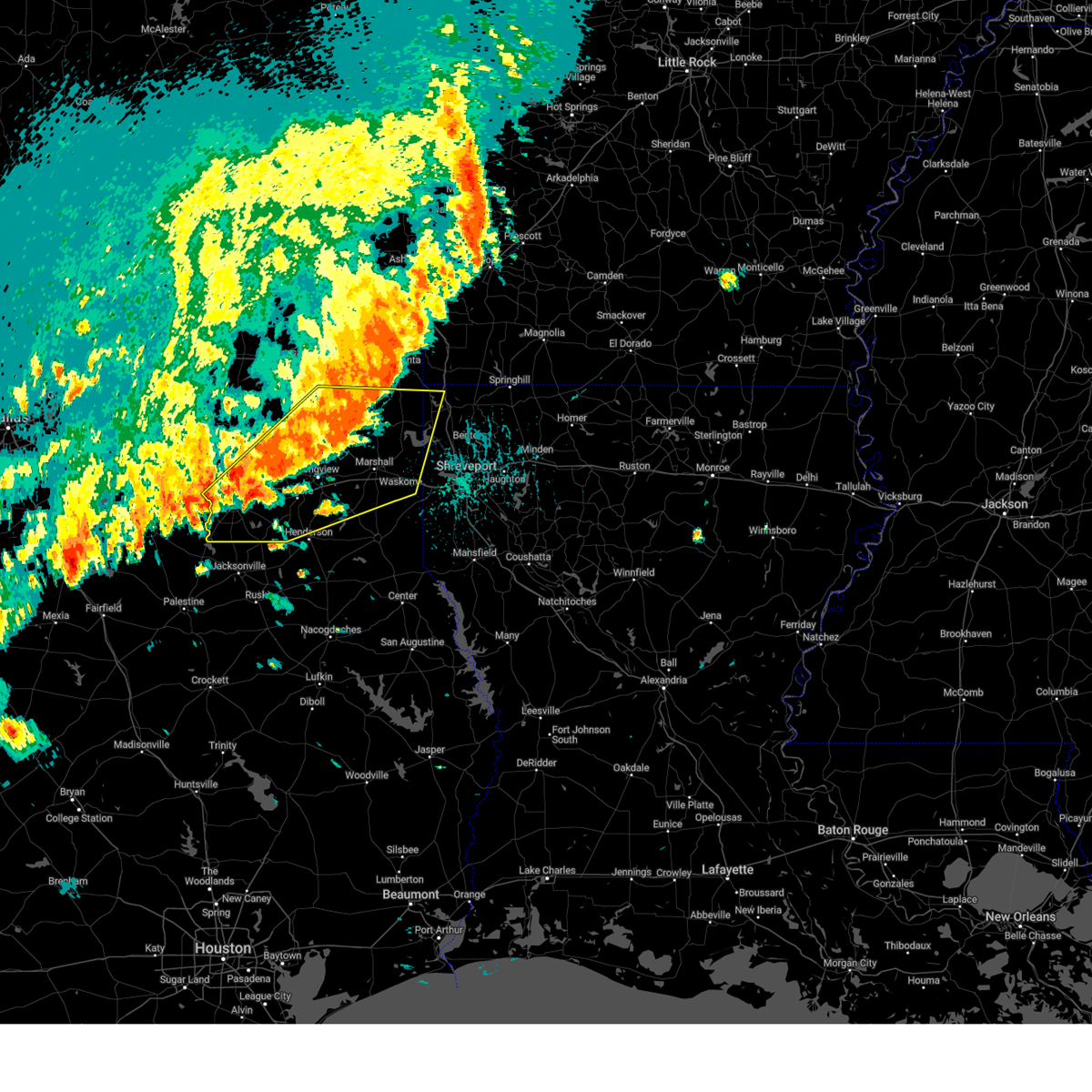
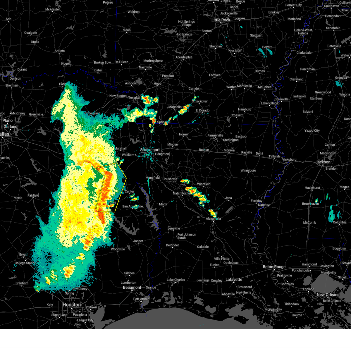
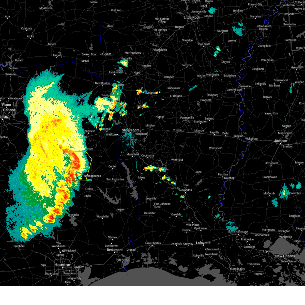
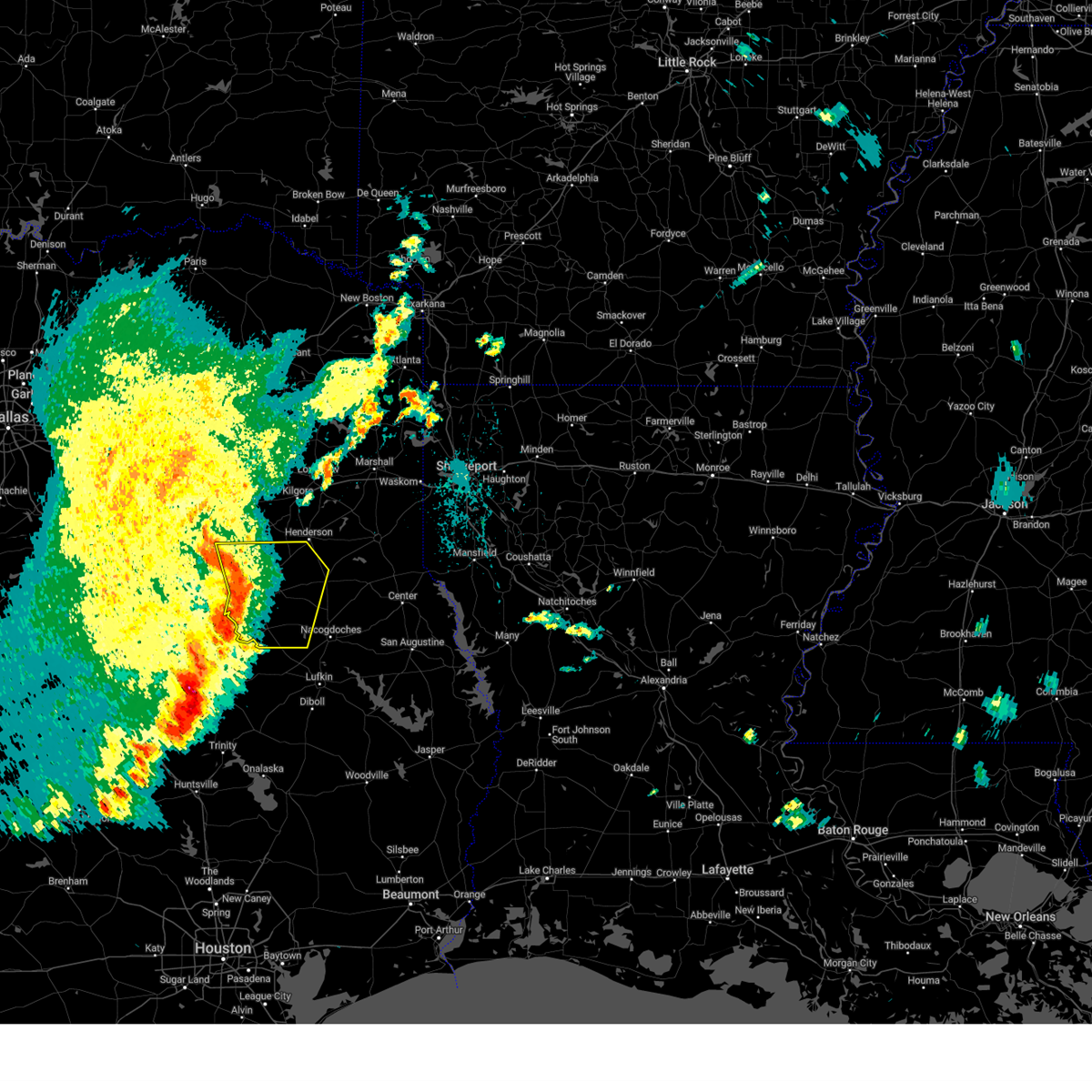
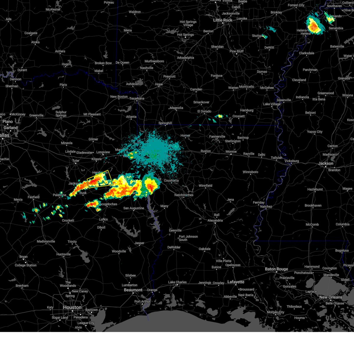
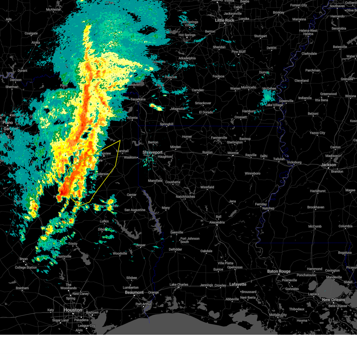
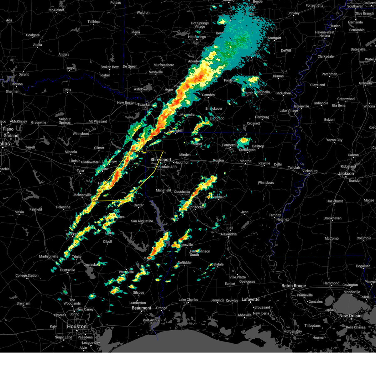
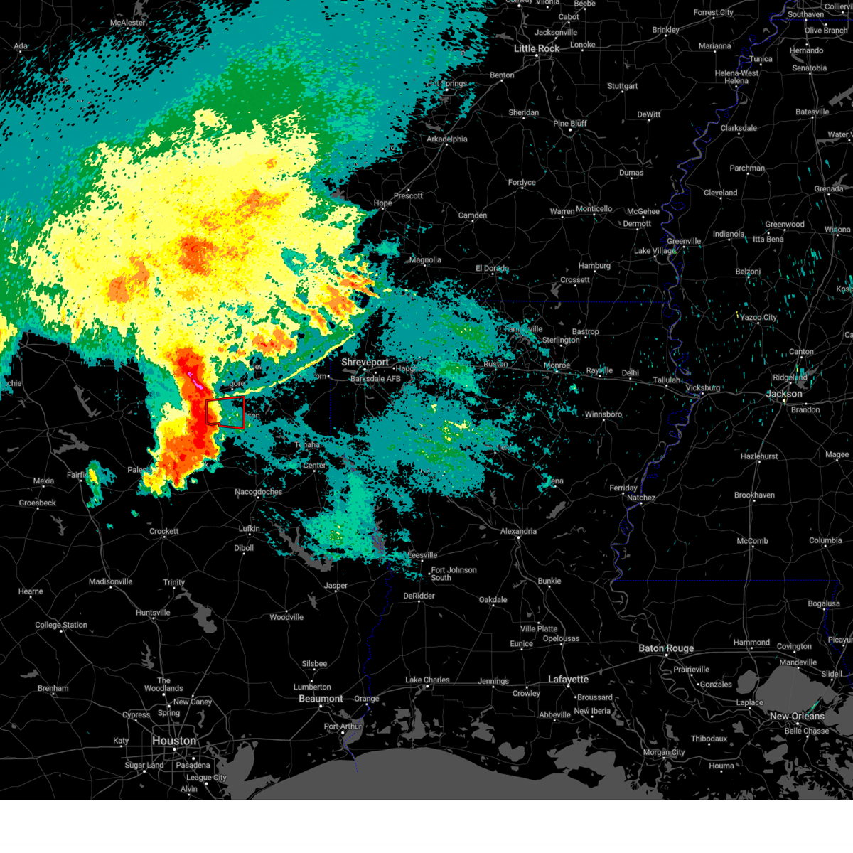
Hail Map for Henderson, TX
The Henderson, TX area has had 29 reports of on-the-ground hail by trained spotters, and has been under severe weather warnings 44 times during the past 12 months. Doppler radar has detected hail at or near Henderson, TX on 50 occasions, including 2 occasions during the past year.
| Name: | Henderson, TX |
| Where Located: | 56.6 miles N of Lufkin, TX |
| Map: | Google Map for Henderson, TX |
| Population: | 13712 |
| Housing Units: | 4859 |
| More Info: | Search Google for Henderson, TX |
0
The Top Recent Hail Date for Henderson, TX is Sunday, March 30, 2025 (49th out of 50)
Hail and Wind Damage Spotted near Henderson, TX
| Date / Time | Report Details |
|---|---|
| 6/9/2025 12:51 AM CDT |
 Svrshv the national weather service in shreveport has issued a * severe thunderstorm warning for, de soto parish in northwestern louisiana, northwestern red river parish in northwestern louisiana, southern caddo parish in northwestern louisiana, south central bossier parish in northwestern louisiana, northwestern sabine parish in northwestern louisiana, south central marion county in northeastern texas, eastern harrison county in northeastern texas, panola county in northeastern texas, central rusk county in northeastern texas, shelby county in eastern texas, * until 200 am cdt. * at 1250 am cdt, severe thunderstorms were located along a line extending from near karnack to 9 miles southeast of woodlawn to 6 miles northwest of elysian fields to near beckville to near minden, moving southeast at 40 mph (radar indicated). Hazards include 70 mph wind gusts and quarter size hail. Hail damage to vehicles is expected. expect considerable tree damage. Wind damage is also likely to mobile homes, roofs, and outbuildings. Svrshv the national weather service in shreveport has issued a * severe thunderstorm warning for, de soto parish in northwestern louisiana, northwestern red river parish in northwestern louisiana, southern caddo parish in northwestern louisiana, south central bossier parish in northwestern louisiana, northwestern sabine parish in northwestern louisiana, south central marion county in northeastern texas, eastern harrison county in northeastern texas, panola county in northeastern texas, central rusk county in northeastern texas, shelby county in eastern texas, * until 200 am cdt. * at 1250 am cdt, severe thunderstorms were located along a line extending from near karnack to 9 miles southeast of woodlawn to 6 miles northwest of elysian fields to near beckville to near minden, moving southeast at 40 mph (radar indicated). Hazards include 70 mph wind gusts and quarter size hail. Hail damage to vehicles is expected. expect considerable tree damage. Wind damage is also likely to mobile homes, roofs, and outbuildings.
|
| 6/9/2025 12:44 AM CDT |
 At 1243 am cdt, severe thunderstorms were located along a line extending from near woodlawn to 7 miles south of hallsville to near henderson to near troup to reese, moving southeast at 40 mph (radar indicated). Hazards include 70 mph wind gusts and quarter size hail. Hail damage to vehicles is expected. expect considerable tree damage. wind damage is also likely to mobile homes, roofs, and outbuildings. Locations impacted include, marshall, jacksonville, henderson, carthage, rusk, bullard, waskom, jefferson, troup, tatum, alto, timpson, new london, garrison, beckville, deberry, elysian fields, pinehill, berea, and trawick. At 1243 am cdt, severe thunderstorms were located along a line extending from near woodlawn to 7 miles south of hallsville to near henderson to near troup to reese, moving southeast at 40 mph (radar indicated). Hazards include 70 mph wind gusts and quarter size hail. Hail damage to vehicles is expected. expect considerable tree damage. wind damage is also likely to mobile homes, roofs, and outbuildings. Locations impacted include, marshall, jacksonville, henderson, carthage, rusk, bullard, waskom, jefferson, troup, tatum, alto, timpson, new london, garrison, beckville, deberry, elysian fields, pinehill, berea, and trawick.
|
| 6/9/2025 12:44 AM CDT |
 the severe thunderstorm warning has been cancelled and is no longer in effect the severe thunderstorm warning has been cancelled and is no longer in effect
|
| 6/9/2025 12:41 AM CDT |
 At 1240 am cdt, severe thunderstorms were located along a line extending from near woodlawn to 7 miles northwest of tatum to near henderson to near troup to reese, moving southeast at 40 mph (radar indicated). Hazards include 70 mph wind gusts and quarter size hail. Hail damage to vehicles is expected. expect considerable tree damage. wind damage is also likely to mobile homes, roofs, and outbuildings. Locations impacted include, tyler, longview, marshall, jacksonville, henderson, kilgore, whitehouse, carthage, white oak, gladewater, rusk, gilmer, lindale, hallsville, daingerfield, overton, bullard, waskom, jefferson, and troup. At 1240 am cdt, severe thunderstorms were located along a line extending from near woodlawn to 7 miles northwest of tatum to near henderson to near troup to reese, moving southeast at 40 mph (radar indicated). Hazards include 70 mph wind gusts and quarter size hail. Hail damage to vehicles is expected. expect considerable tree damage. wind damage is also likely to mobile homes, roofs, and outbuildings. Locations impacted include, tyler, longview, marshall, jacksonville, henderson, kilgore, whitehouse, carthage, white oak, gladewater, rusk, gilmer, lindale, hallsville, daingerfield, overton, bullard, waskom, jefferson, and troup.
|
| 6/9/2025 12:06 AM CDT | Svrshv the national weather service in shreveport has issued a * severe thunderstorm warning for, western marion county in northeastern texas, rusk county in northeastern texas, northwestern shelby county in eastern texas, upshur county in northeastern texas, southeastern titus county in northeastern texas, smith county in northeastern texas, southwestern cass county in northeastern texas, harrison county in northeastern texas, panola county in northeastern texas, northwestern nacogdoches county in eastern texas, southeastern wood county in northeastern texas, southern morris county in northeastern texas, southeastern camp county in northeastern texas, gregg county in northeastern texas, cherokee county in northeastern texas, * until 115 am cdt. * at 1203 am cdt, severe thunderstorms were located along a line extending from near jenkins to near east mountain to 7 miles west of liberty city to near tyler to brownsboro, moving southeast at 40 mph. these are destructive storms for the city of longview, tx and surrounding areas (emergency management). Hazards include 80 mph wind gusts and quarter size hail. Flying debris will be dangerous to those caught without shelter. mobile homes will be heavily damaged. expect considerable damage to roofs, windows, and vehicles. Extensive tree damage and power outages are likely. |
| 5/26/2025 6:28 AM CDT |
 Svrshv the national weather service in shreveport has issued a * severe thunderstorm warning for, northwestern de soto parish in northwestern louisiana, southwestern caddo parish in northwestern louisiana, southeastern smith county in northeastern texas, harrison county in northeastern texas, panola county in northeastern texas, rusk county in northeastern texas, northwestern nacogdoches county in eastern texas, northwestern shelby county in eastern texas, cherokee county in northeastern texas, * until 730 am cdt. * at 627 am cdt, severe thunderstorms were located along a line extending from near marshall to near tatum to henderson to 8 miles north of ponta to near reese, moving east at 55 mph (radar indicated). Hazards include 60 mph wind gusts and quarter size hail. Hail damage to vehicles is expected. Expect wind damage to roofs, siding, and trees. Svrshv the national weather service in shreveport has issued a * severe thunderstorm warning for, northwestern de soto parish in northwestern louisiana, southwestern caddo parish in northwestern louisiana, southeastern smith county in northeastern texas, harrison county in northeastern texas, panola county in northeastern texas, rusk county in northeastern texas, northwestern nacogdoches county in eastern texas, northwestern shelby county in eastern texas, cherokee county in northeastern texas, * until 730 am cdt. * at 627 am cdt, severe thunderstorms were located along a line extending from near marshall to near tatum to henderson to 8 miles north of ponta to near reese, moving east at 55 mph (radar indicated). Hazards include 60 mph wind gusts and quarter size hail. Hail damage to vehicles is expected. Expect wind damage to roofs, siding, and trees.
|
| 5/26/2025 5:55 AM CDT |
 At 555 am cdt, severe thunderstorms were located along a line extending from harleton to near longview to near new london to bullard, moving southeast at 35 mph (radar indicated). Hazards include 60 mph wind gusts and nickel size hail. Expect damage to roofs, siding, and trees. Locations impacted include, lakeport, warren city, nesbitt, rolling meadows, teaselville, noonday, longview, new chapel hill, new london, kilgore, tyler, darco, stewart, whitehouse, chalk hill, tatum, white oak, harleton, union grove, and oak hill. At 555 am cdt, severe thunderstorms were located along a line extending from harleton to near longview to near new london to bullard, moving southeast at 35 mph (radar indicated). Hazards include 60 mph wind gusts and nickel size hail. Expect damage to roofs, siding, and trees. Locations impacted include, lakeport, warren city, nesbitt, rolling meadows, teaselville, noonday, longview, new chapel hill, new london, kilgore, tyler, darco, stewart, whitehouse, chalk hill, tatum, white oak, harleton, union grove, and oak hill.
|
| 5/26/2025 5:28 AM CDT |
 Svrshv the national weather service in shreveport has issued a * severe thunderstorm warning for, smith county in northeastern texas, southwestern harrison county in northeastern texas, northwestern panola county in northeastern texas, northern rusk county in northeastern texas, central upshur county in northeastern texas, gregg county in northeastern texas, northern cherokee county in northeastern texas, * until 630 am cdt. * at 527 am cdt, severe thunderstorms were located along a line extending from near gilmer to gladewater to 9 miles northwest of overton to lake palestine, moving southeast at 35 mph (radar indicated). Hazards include 60 mph wind gusts and nickel size hail. expect damage to roofs, siding, and trees Svrshv the national weather service in shreveport has issued a * severe thunderstorm warning for, smith county in northeastern texas, southwestern harrison county in northeastern texas, northwestern panola county in northeastern texas, northern rusk county in northeastern texas, central upshur county in northeastern texas, gregg county in northeastern texas, northern cherokee county in northeastern texas, * until 630 am cdt. * at 527 am cdt, severe thunderstorms were located along a line extending from near gilmer to gladewater to 9 miles northwest of overton to lake palestine, moving southeast at 35 mph (radar indicated). Hazards include 60 mph wind gusts and nickel size hail. expect damage to roofs, siding, and trees
|
| 5/6/2025 2:38 PM CDT | Report of a tree down on cr 308 near the intersection with fm 84 in rusk county TX, 3.7 miles NW of Henderson, TX |
| 5/6/2025 2:28 PM CDT |
 At 228 pm cdt, severe thunderstorms were located along a line extending from longview to near henderson, moving east at 50 mph (radar indicated). Hazards include 60 mph wind gusts and nickel size hail. Expect damage to roofs, siding, and trees. Locations impacted include, lakeport, nesbitt, rolling meadows, chapman, longview, monroe, liberty city, new london, kilgore, fairplay, stewart, joinerville, chalk hill, tatum, overton, turnertown, easton, church hill, hallsville, and laird hill. At 228 pm cdt, severe thunderstorms were located along a line extending from longview to near henderson, moving east at 50 mph (radar indicated). Hazards include 60 mph wind gusts and nickel size hail. Expect damage to roofs, siding, and trees. Locations impacted include, lakeport, nesbitt, rolling meadows, chapman, longview, monroe, liberty city, new london, kilgore, fairplay, stewart, joinerville, chalk hill, tatum, overton, turnertown, easton, church hill, hallsville, and laird hill.
|
| 5/6/2025 2:28 PM CDT |
 the severe thunderstorm warning has been cancelled and is no longer in effect the severe thunderstorm warning has been cancelled and is no longer in effect
|
| 5/6/2025 2:03 PM CDT | Svrshv the national weather service in shreveport has issued a * severe thunderstorm warning for, southeastern smith county in northeastern texas, western harrison county in northeastern texas, northwestern panola county in northeastern texas, northern rusk county in northeastern texas, gregg county in northeastern texas, north central cherokee county in northeastern texas, * until 300 pm cdt. * at 202 pm cdt, severe thunderstorms were located along a line extending from 9 miles west of liberty city to 6 miles east of jacksonville, moving east at 50 mph (radar indicated). Hazards include 70 mph wind gusts and quarter size hail. Hail damage to vehicles is expected. expect considerable tree damage. Wind damage is also likely to mobile homes, roofs, and outbuildings. |
| 4/30/2025 4:13 PM CDT |
 Svrshv the national weather service in shreveport has issued a * severe thunderstorm warning for, southwestern bossier parish in northwestern louisiana, southwestern caddo parish in northwestern louisiana, northern cherokee county in northeastern texas, southern gregg county in northeastern texas, harrison county in northeastern texas, panola county in northeastern texas, rusk county in northeastern texas, southeastern smith county in northeastern texas, * until 515 pm cdt. * at 413 pm cdt, severe thunderstorms were located along a line from near oil city to 5 miles northeast of joinerville, or along a line from 24 miles northeast of marshall to 6 miles north of henderson, moving southeast at 15 mph (radar indicated). Hazards include 60 mph wind gusts and small hail. expect damage to roofs, siding, and trees Svrshv the national weather service in shreveport has issued a * severe thunderstorm warning for, southwestern bossier parish in northwestern louisiana, southwestern caddo parish in northwestern louisiana, northern cherokee county in northeastern texas, southern gregg county in northeastern texas, harrison county in northeastern texas, panola county in northeastern texas, rusk county in northeastern texas, southeastern smith county in northeastern texas, * until 515 pm cdt. * at 413 pm cdt, severe thunderstorms were located along a line from near oil city to 5 miles northeast of joinerville, or along a line from 24 miles northeast of marshall to 6 miles north of henderson, moving southeast at 15 mph (radar indicated). Hazards include 60 mph wind gusts and small hail. expect damage to roofs, siding, and trees
|
| 4/30/2025 3:46 PM CDT |
 the severe thunderstorm warning has been cancelled and is no longer in effect the severe thunderstorm warning has been cancelled and is no longer in effect
|
| 4/30/2025 3:46 PM CDT |
 At 346 pm cdt, severe thunderstorms were located along a line from near kildare to near liberty city, or along a line from 11 miles south of atlanta to 5 miles west of kilgore, moving east at 35 mph (radar indicated). Hazards include 60 mph wind gusts and quarter size hail. Hail damage to vehicles is expected. expect wind damage to roofs, siding, and trees. Locations impacted include, tyler, longview, marshall, henderson, kilgore, whitehouse, white oak, gladewater, gilmer, vivian, hallsville, overton, bullard, waskom, jefferson, troup, lone star, tatum, big sandy and ore city. At 346 pm cdt, severe thunderstorms were located along a line from near kildare to near liberty city, or along a line from 11 miles south of atlanta to 5 miles west of kilgore, moving east at 35 mph (radar indicated). Hazards include 60 mph wind gusts and quarter size hail. Hail damage to vehicles is expected. expect wind damage to roofs, siding, and trees. Locations impacted include, tyler, longview, marshall, henderson, kilgore, whitehouse, white oak, gladewater, gilmer, vivian, hallsville, overton, bullard, waskom, jefferson, troup, lone star, tatum, big sandy and ore city.
|
| 4/30/2025 3:14 PM CDT |
 Svrshv the national weather service in shreveport has issued a * severe thunderstorm warning for, northwestern caddo parish in northwestern louisiana, southeastern camp county in northeastern texas, southern cass county in northeastern texas, gregg county in northeastern texas, harrison county in northeastern texas, marion county in northeastern texas, southern morris county in northeastern texas, northwestern panola county in northeastern texas, northern rusk county in northeastern texas, smith county in northeastern texas, upshur county in northeastern texas, southeastern wood county in northeastern texas, * until 415 pm cdt. * at 314 pm cdt, severe thunderstorms were located along a line from near hughes springs to 8 miles southeast of lindale, or along a line from 23 miles east of pittsburg to 9 miles north of tyler, moving east at 35 mph (radar indicated). Hazards include 60 mph wind gusts and small hail. expect damage to roofs, siding, and trees Svrshv the national weather service in shreveport has issued a * severe thunderstorm warning for, northwestern caddo parish in northwestern louisiana, southeastern camp county in northeastern texas, southern cass county in northeastern texas, gregg county in northeastern texas, harrison county in northeastern texas, marion county in northeastern texas, southern morris county in northeastern texas, northwestern panola county in northeastern texas, northern rusk county in northeastern texas, smith county in northeastern texas, upshur county in northeastern texas, southeastern wood county in northeastern texas, * until 415 pm cdt. * at 314 pm cdt, severe thunderstorms were located along a line from near hughes springs to 8 miles southeast of lindale, or along a line from 23 miles east of pittsburg to 9 miles north of tyler, moving east at 35 mph (radar indicated). Hazards include 60 mph wind gusts and small hail. expect damage to roofs, siding, and trees
|
| 4/24/2025 6:35 PM CDT |
 At 635 pm cdt, severe thunderstorms were located along a line extending from 8 miles north of henderson to near pinehill to near nacogdoches, moving northeast at 25 mph (radar indicated). Hazards include 60 mph wind gusts. Expect damage to roofs, siding, and trees. Locations impacted include, appleby, chapman, melrose, stockman, woden, nacogdoches, lawsonville, beckville, fairplay, carthage, pinehill, tatum, garrison, mount enterprise, dotson, timpson, church hill, martinsville, gary city, and minden. At 635 pm cdt, severe thunderstorms were located along a line extending from 8 miles north of henderson to near pinehill to near nacogdoches, moving northeast at 25 mph (radar indicated). Hazards include 60 mph wind gusts. Expect damage to roofs, siding, and trees. Locations impacted include, appleby, chapman, melrose, stockman, woden, nacogdoches, lawsonville, beckville, fairplay, carthage, pinehill, tatum, garrison, mount enterprise, dotson, timpson, church hill, martinsville, gary city, and minden.
|
| 4/24/2025 6:35 PM CDT |
 the severe thunderstorm warning has been cancelled and is no longer in effect the severe thunderstorm warning has been cancelled and is no longer in effect
|
| 4/24/2025 5:57 PM CDT |
 Svrshv the national weather service in shreveport has issued a * severe thunderstorm warning for, western panola county in northeastern texas, rusk county in northeastern texas, nacogdoches county in eastern texas, northwestern shelby county in eastern texas, southeastern cherokee county in northeastern texas, * until 700 pm cdt. * at 557 pm cdt, severe thunderstorms were located along a line extending from turnertown to near minden to near wells, moving east at 25 mph (radar indicated. multiple trees and power lines have been downed across cherokee county from these storms). Hazards include 60 mph wind gusts and penny size hail. expect damage to roofs, siding, and trees Svrshv the national weather service in shreveport has issued a * severe thunderstorm warning for, western panola county in northeastern texas, rusk county in northeastern texas, nacogdoches county in eastern texas, northwestern shelby county in eastern texas, southeastern cherokee county in northeastern texas, * until 700 pm cdt. * at 557 pm cdt, severe thunderstorms were located along a line extending from turnertown to near minden to near wells, moving east at 25 mph (radar indicated. multiple trees and power lines have been downed across cherokee county from these storms). Hazards include 60 mph wind gusts and penny size hail. expect damage to roofs, siding, and trees
|
| 4/24/2025 5:33 PM CDT |
 At 533 pm cdt, severe thunderstorms were located along a line extending from near troup to near new salem to near morrill, moving east at 25 mph (radar indicated). Hazards include 60 mph wind gusts. Expect damage to roofs, siding, and trees. Locations impacted include, morrill, mount selman, reklaw, ponta, concord, gallatin, glenfawn, brachfield, lilbert, linwood, sacul, mixon, new summerfield, looneyville, new salem, cushing, alto, douglass, rusk, and laneville. At 533 pm cdt, severe thunderstorms were located along a line extending from near troup to near new salem to near morrill, moving east at 25 mph (radar indicated). Hazards include 60 mph wind gusts. Expect damage to roofs, siding, and trees. Locations impacted include, morrill, mount selman, reklaw, ponta, concord, gallatin, glenfawn, brachfield, lilbert, linwood, sacul, mixon, new summerfield, looneyville, new salem, cushing, alto, douglass, rusk, and laneville.
|
| 4/24/2025 5:05 PM CDT |
 Svrshv the national weather service in shreveport has issued a * severe thunderstorm warning for, southwestern rusk county in northeastern texas, northwestern nacogdoches county in eastern texas, cherokee county in northeastern texas, * until 600 pm cdt. * at 504 pm cdt, severe thunderstorms were located along a line extending from mixon to near ponta to 9 miles west of morrill, moving east at 25 mph (radar indicated). Hazards include 60 mph wind gusts and penny size hail. expect damage to roofs, siding, and trees Svrshv the national weather service in shreveport has issued a * severe thunderstorm warning for, southwestern rusk county in northeastern texas, northwestern nacogdoches county in eastern texas, cherokee county in northeastern texas, * until 600 pm cdt. * at 504 pm cdt, severe thunderstorms were located along a line extending from mixon to near ponta to 9 miles west of morrill, moving east at 25 mph (radar indicated). Hazards include 60 mph wind gusts and penny size hail. expect damage to roofs, siding, and trees
|
| 3/31/2025 12:01 AM CDT | The storm which prompted the warning has weakened below severe limits, and no longer poses an immediate threat to life or property. therefore, the warning has been allowed to expire. however, small hail, gusty winds, and heavy rain are still possible with this thunderstorm. a severe thunderstorm watch remains in effect until 200 am cdt for a portion of northeast texas. |
| 3/30/2025 11:18 PM CDT |
 Svrshv the national weather service in shreveport has issued a * severe thunderstorm warning for, northeastern cherokee county in northeastern texas, southwestern panola county in northeastern texas, central rusk county in northeastern texas, * until midnight cdt. * at 1118 pm cdt, a severe thunderstorm was located 9 miles northeast of new salem, or 10 miles southwest of henderson, moving east at 30 mph (radar indicated). Hazards include 60 mph wind gusts and quarter size hail. Hail damage to vehicles is expected. Expect wind damage to roofs, siding, and trees. Svrshv the national weather service in shreveport has issued a * severe thunderstorm warning for, northeastern cherokee county in northeastern texas, southwestern panola county in northeastern texas, central rusk county in northeastern texas, * until midnight cdt. * at 1118 pm cdt, a severe thunderstorm was located 9 miles northeast of new salem, or 10 miles southwest of henderson, moving east at 30 mph (radar indicated). Hazards include 60 mph wind gusts and quarter size hail. Hail damage to vehicles is expected. Expect wind damage to roofs, siding, and trees.
|
| 3/30/2025 9:34 PM CDT |
 the severe thunderstorm warning has been cancelled and is no longer in effect the severe thunderstorm warning has been cancelled and is no longer in effect
|
| 3/30/2025 9:00 PM CDT | At 900 pm cdt, a severe thunderstorm was located 8 miles south of turnertown, or 12 miles southwest of henderson, moving east at 25 mph (radar indicated). Hazards include ping pong ball size hail and 60 mph wind gusts. People and animals outdoors will be injured. expect hail damage to roofs, siding, windows, and vehicles. expect wind damage to roofs, siding, and trees. Locations impacted include, henderson, joinerville, turnertown, brachfield and concord. |
| 3/30/2025 8:53 PM CDT | Svrshv the national weather service in shreveport has issued a * severe thunderstorm warning for, northeastern cherokee county in northeastern texas, west central rusk county in northeastern texas, * until 945 pm cdt. * at 853 pm cdt, a severe thunderstorm was located 8 miles north of new salem, or 15 miles southwest of henderson, moving east at 25 mph (radar indicated). Hazards include 60 mph wind gusts and quarter size hail. Hail damage to vehicles is expected. Expect wind damage to roofs, siding, and trees. |
| 3/30/2025 8:05 PM CDT | Quarter sized hail reported 17.9 miles NNE of Henderson, TX, reported at the new salem vfd... just east of lake striker. time estimated by radar. |
| 3/30/2025 8:00 PM CDT | Hen Egg sized hail reported 19.1 miles NNE of Henderson, TX, social media report of at least 2 inch size hail just south of lake striker. |
| 3/15/2025 5:24 AM CDT |
 Svrshv the national weather service in shreveport has issued a * severe thunderstorm warning for, north central nacogdoches county in eastern texas, northwestern shelby county in eastern texas, southwestern panola county in northeastern texas, rusk county in northeastern texas, * until 615 am cdt. * at 524 am cdt, a severe thunderstorm was located near sacul, or 16 miles east of rusk, moving northeast at 50 mph (radar indicated). Hazards include two inch hail and 60 mph wind gusts. People and animals outdoors will be injured. expect hail damage to roofs, siding, windows, and vehicles. Expect wind damage to roofs, siding, and trees. Svrshv the national weather service in shreveport has issued a * severe thunderstorm warning for, north central nacogdoches county in eastern texas, northwestern shelby county in eastern texas, southwestern panola county in northeastern texas, rusk county in northeastern texas, * until 615 am cdt. * at 524 am cdt, a severe thunderstorm was located near sacul, or 16 miles east of rusk, moving northeast at 50 mph (radar indicated). Hazards include two inch hail and 60 mph wind gusts. People and animals outdoors will be injured. expect hail damage to roofs, siding, windows, and vehicles. Expect wind damage to roofs, siding, and trees.
|
| 3/15/2025 4:07 AM CDT | the severe thunderstorm warning has been cancelled and is no longer in effect |
| 3/15/2025 4:05 AM CDT | At 405 am cdt, a severe thunderstorm was located near henderson, moving northeast at 50 mph (radar indicated). Hazards include 60 mph wind gusts and quarter size hail. Hail damage to vehicles is expected. expect wind damage to roofs, siding, and trees. Locations impacted include, henderson and church hill. |
| 3/15/2025 3:56 AM CDT | the severe thunderstorm warning has been cancelled and is no longer in effect |
| 3/15/2025 3:56 AM CDT | At 356 am cdt, a severe thunderstorm was located 8 miles southwest of henderson, moving northeast at 50 mph (radar indicated). Hazards include 60 mph wind gusts and quarter size hail. Hail damage to vehicles is expected. expect wind damage to roofs, siding, and trees. Locations impacted include, henderson, brachfield, church hill and chapman. |
| 3/15/2025 3:39 AM CDT |
 At 339 am cdt, a severe thunderstorm was located near ponta, or 11 miles east of jacksonville, moving northeast at 50 mph (radar indicated). Hazards include 60 mph wind gusts and quarter size hail. Hail damage to vehicles is expected. expect wind damage to roofs, siding, and trees. Locations impacted include, henderson, new salem, minden, ponta, pinehill, new summerfield, gallatin, reklaw, brachfield, laneville, concord, church hill and chapman. At 339 am cdt, a severe thunderstorm was located near ponta, or 11 miles east of jacksonville, moving northeast at 50 mph (radar indicated). Hazards include 60 mph wind gusts and quarter size hail. Hail damage to vehicles is expected. expect wind damage to roofs, siding, and trees. Locations impacted include, henderson, new salem, minden, ponta, pinehill, new summerfield, gallatin, reklaw, brachfield, laneville, concord, church hill and chapman.
|
| 3/15/2025 3:30 AM CDT | Svrshv the national weather service in shreveport has issued a * severe thunderstorm warning for, northeastern cherokee county in northeastern texas, southern rusk county in northeastern texas, * until 415 am cdt. * at 330 am cdt, a severe thunderstorm was located 6 miles northwest of rusk, moving northeast at 50 mph (radar indicated). Hazards include 60 mph wind gusts and quarter size hail. Hail damage to vehicles is expected. Expect wind damage to roofs, siding, and trees. |
| 3/4/2025 8:18 AM CST |
 Svrshv the national weather service in shreveport has issued a * severe thunderstorm warning for, northeastern cherokee county in northeastern texas, gregg county in northeastern texas, harrison county in northeastern texas, eastern marion county in northeastern texas, central panola county in northeastern texas, rusk county in northeastern texas, southeastern smith county in northeastern texas, * until 900 am cst. * at 818 am cst, severe thunderstorms were located along a line from 5 miles northeast of harleton to over ponta, or along a line from 16 miles northwest of marshall to 9 miles northeast of rusk, moving northeast at 80 mph (radar indicated). Hazards include 60 mph wind gusts and small hail. expect damage to roofs, siding, and trees Svrshv the national weather service in shreveport has issued a * severe thunderstorm warning for, northeastern cherokee county in northeastern texas, gregg county in northeastern texas, harrison county in northeastern texas, eastern marion county in northeastern texas, central panola county in northeastern texas, rusk county in northeastern texas, southeastern smith county in northeastern texas, * until 900 am cst. * at 818 am cst, severe thunderstorms were located along a line from 5 miles northeast of harleton to over ponta, or along a line from 16 miles northwest of marshall to 9 miles northeast of rusk, moving northeast at 80 mph (radar indicated). Hazards include 60 mph wind gusts and small hail. expect damage to roofs, siding, and trees
|
| 3/4/2025 7:29 AM CST |
 Svrshv the national weather service in shreveport has issued a * severe thunderstorm warning for, cherokee county in northeastern texas, gregg county in northeastern texas, western harrison county in northeastern texas, south central marion county in northeastern texas, rusk county in northeastern texas, southern smith county in northeastern texas, * until 815 am cst. * at 729 am cst, severe thunderstorms were located along a line from 6 miles northeast of tyler to 24 miles southwest of maydelle, or along a line from 6 miles northeast of tyler to 31 miles southwest of rusk, moving northeast at 70 mph (radar indicated). Hazards include 60 mph wind gusts and half dollar size hail. Hail damage to vehicles is expected. Expect wind damage to roofs, siding, and trees. Svrshv the national weather service in shreveport has issued a * severe thunderstorm warning for, cherokee county in northeastern texas, gregg county in northeastern texas, western harrison county in northeastern texas, south central marion county in northeastern texas, rusk county in northeastern texas, southern smith county in northeastern texas, * until 815 am cst. * at 729 am cst, severe thunderstorms were located along a line from 6 miles northeast of tyler to 24 miles southwest of maydelle, or along a line from 6 miles northeast of tyler to 31 miles southwest of rusk, moving northeast at 70 mph (radar indicated). Hazards include 60 mph wind gusts and half dollar size hail. Hail damage to vehicles is expected. Expect wind damage to roofs, siding, and trees.
|
| 1/5/2025 11:19 AM CST |
 Svrshv the national weather service in shreveport has issued a * severe thunderstorm warning for, west central bossier parish in northwestern louisiana, southwestern caddo parish in northwestern louisiana, northwestern shelby county in eastern texas, northeastern cherokee county in northeastern texas, southeastern gregg county in northeastern texas, harrison county in northeastern texas, panola county in northeastern texas, central rusk county in northeastern texas, * until 1215 pm cst. * at 1119 am cst, severe thunderstorms were located along a line from near smithland to near new salem, or along a line from 18 miles northeast of marshall to 15 miles southwest of henderson, moving east at 35 mph (radar indicated). Hazards include 60 mph wind gusts. expect damage to roofs, siding, and trees Svrshv the national weather service in shreveport has issued a * severe thunderstorm warning for, west central bossier parish in northwestern louisiana, southwestern caddo parish in northwestern louisiana, northwestern shelby county in eastern texas, northeastern cherokee county in northeastern texas, southeastern gregg county in northeastern texas, harrison county in northeastern texas, panola county in northeastern texas, central rusk county in northeastern texas, * until 1215 pm cst. * at 1119 am cst, severe thunderstorms were located along a line from near smithland to near new salem, or along a line from 18 miles northeast of marshall to 15 miles southwest of henderson, moving east at 35 mph (radar indicated). Hazards include 60 mph wind gusts. expect damage to roofs, siding, and trees
|
| 8/28/2024 5:00 PM CDT | Multiple trees reported down in association with thunderstorm outflow boundary moving on the north and northeast side of henderso in rusk county TX, 7.1 miles SW of Henderson, TX |
| 7/8/2024 4:09 PM CDT | the tornado warning has been cancelled and is no longer in effect |
| 7/8/2024 4:09 PM CDT | At 409 pm cdt, a severe thunderstorm capable of producing a tornado was located 8 miles southeast of kilgore, moving northwest at 40 mph (radar indicated rotation). Hazards include tornado. Flying debris will be dangerous to those caught without shelter. mobile homes will be damaged or destroyed. damage to roofs, windows, and vehicles will occur. tree damage is likely. this dangerous storm will be near, kilgore around 415 pm cdt. liberty city around 425 pm cdt. Other locations impacted by this tornadic thunderstorm include lakeport, rolling meadows, chalk hill, monroe, laird hill, oak hill, and stewart. |
| 7/8/2024 3:12 PM CDT |
 the tornado warning has been cancelled and is no longer in effect the tornado warning has been cancelled and is no longer in effect
|
| 7/8/2024 2:55 PM CDT |
 Torshv the national weather service in shreveport has issued a * tornado warning for, southwestern panola county in northeastern texas, central rusk county in northeastern texas, north central nacogdoches county in eastern texas, * until 345 pm cdt. * at 255 pm cdt, a severe thunderstorm capable of producing a tornado was located 7 miles southeast of minden, or 18 miles southeast of henderson, moving northwest at 50 mph (radar indicated rotation). Hazards include tornado. Flying debris will be dangerous to those caught without shelter. mobile homes will be damaged or destroyed. damage to roofs, windows, and vehicles will occur. tree damage is likely. this dangerous storm will be near, minden around 300 pm cdt. henderson around 310 pm cdt. joinerville around 320 pm cdt. Other locations impacted by this tornadic thunderstorm include lawsonville, mount enterprise, laneville, brachfield, and church hill. Torshv the national weather service in shreveport has issued a * tornado warning for, southwestern panola county in northeastern texas, central rusk county in northeastern texas, north central nacogdoches county in eastern texas, * until 345 pm cdt. * at 255 pm cdt, a severe thunderstorm capable of producing a tornado was located 7 miles southeast of minden, or 18 miles southeast of henderson, moving northwest at 50 mph (radar indicated rotation). Hazards include tornado. Flying debris will be dangerous to those caught without shelter. mobile homes will be damaged or destroyed. damage to roofs, windows, and vehicles will occur. tree damage is likely. this dangerous storm will be near, minden around 300 pm cdt. henderson around 310 pm cdt. joinerville around 320 pm cdt. Other locations impacted by this tornadic thunderstorm include lawsonville, mount enterprise, laneville, brachfield, and church hill.
|
| 7/8/2024 1:34 PM CDT |
 the tornado warning has been cancelled and is no longer in effect the tornado warning has been cancelled and is no longer in effect
|
| 7/8/2024 1:34 PM CDT |
 At 133 pm cdt, a severe thunderstorm capable of producing a tornado was located near pinehill, or 14 miles southwest of carthage, moving northwest at 40 mph (radar indicated rotation). Hazards include tornado. Flying debris will be dangerous to those caught without shelter. mobile homes will be damaged or destroyed. damage to roofs, windows, and vehicles will occur. tree damage is likely. this dangerous storm will be near, pinehill around 140 pm cdt. Other locations impacted by this tornadic thunderstorm include church hill, chapman, dotson, and fairplay. At 133 pm cdt, a severe thunderstorm capable of producing a tornado was located near pinehill, or 14 miles southwest of carthage, moving northwest at 40 mph (radar indicated rotation). Hazards include tornado. Flying debris will be dangerous to those caught without shelter. mobile homes will be damaged or destroyed. damage to roofs, windows, and vehicles will occur. tree damage is likely. this dangerous storm will be near, pinehill around 140 pm cdt. Other locations impacted by this tornadic thunderstorm include church hill, chapman, dotson, and fairplay.
|
| 7/8/2024 1:21 PM CDT |
 At 121 pm cdt, a confirmed tornado was located near timpson, or 15 miles southwest of carthage, moving northwest at 35 mph (radar confirmed tornado). Hazards include damaging tornado. Flying debris will be dangerous to those caught without shelter. mobile homes will be damaged or destroyed. damage to roofs, windows, and vehicles will occur. tree damage is likely. this tornado will be near, pinehill around 135 pm cdt. henderson around 150 pm cdt. Other locations impacted by this tornadic thunderstorm include church hill, chapman, dotson, and fairplay. At 121 pm cdt, a confirmed tornado was located near timpson, or 15 miles southwest of carthage, moving northwest at 35 mph (radar confirmed tornado). Hazards include damaging tornado. Flying debris will be dangerous to those caught without shelter. mobile homes will be damaged or destroyed. damage to roofs, windows, and vehicles will occur. tree damage is likely. this tornado will be near, pinehill around 135 pm cdt. henderson around 150 pm cdt. Other locations impacted by this tornadic thunderstorm include church hill, chapman, dotson, and fairplay.
|
| 7/8/2024 1:15 PM CDT |
 Torshv the national weather service in shreveport has issued a * tornado warning for, southwestern panola county in northeastern texas, central rusk county in northeastern texas, northwestern shelby county in eastern texas, * until 200 pm cdt. * at 114 pm cdt, a severe thunderstorm capable of producing a tornado was located over timpson, or 15 miles northwest of center, moving northwest at 45 mph (radar indicated rotation). Hazards include tornado. Flying debris will be dangerous to those caught without shelter. mobile homes will be damaged or destroyed. damage to roofs, windows, and vehicles will occur. tree damage is likely. this dangerous storm will be near, pinehill around 135 pm cdt. Other locations impacted by this tornadic thunderstorm include church hill, chapman, dotson, fairplay, and gary city. Torshv the national weather service in shreveport has issued a * tornado warning for, southwestern panola county in northeastern texas, central rusk county in northeastern texas, northwestern shelby county in eastern texas, * until 200 pm cdt. * at 114 pm cdt, a severe thunderstorm capable of producing a tornado was located over timpson, or 15 miles northwest of center, moving northwest at 45 mph (radar indicated rotation). Hazards include tornado. Flying debris will be dangerous to those caught without shelter. mobile homes will be damaged or destroyed. damage to roofs, windows, and vehicles will occur. tree damage is likely. this dangerous storm will be near, pinehill around 135 pm cdt. Other locations impacted by this tornadic thunderstorm include church hill, chapman, dotson, fairplay, and gary city.
|
| 7/8/2024 1:04 PM CDT | Torshv the national weather service in shreveport has issued a * tornado warning for, southeastern smith county in northeastern texas, southwestern panola county in northeastern texas, southwestern rusk county in northeastern texas, north central cherokee county in northeastern texas, * until 145 pm cdt. * at 104 pm cdt, a severe thunderstorm capable of producing a tornado was located near minden, or 8 miles south of henderson, moving northwest at 40 mph (radar indicated rotation). Hazards include tornado. Flying debris will be dangerous to those caught without shelter. mobile homes will be damaged or destroyed. damage to roofs, windows, and vehicles will occur. tree damage is likely. this dangerous storm will be near, troup around 130 pm cdt. arp around 135 pm cdt. Other locations impacted by this tornadic thunderstorm include concord and brachfield. |
| 6/26/2024 1:30 PM CDT | Corrects previous tstm wnd dmg report from henderson. reports of multiple trees down in henderso in rusk county TX, 0.6 miles W of Henderson, TX |
| 6/26/2024 1:29 PM CDT |
 Svrshv the national weather service in shreveport has issued a * severe thunderstorm warning for, southern smith county in northeastern texas, southwestern panola county in northeastern texas, southern rusk county in northeastern texas, northern nacogdoches county in eastern texas, western shelby county in eastern texas, northwestern san augustine county in eastern texas, cherokee county in northeastern texas, * until 230 pm cdt. * at 129 pm cdt, severe thunderstorms were located along a line extending from near van to joinerville to near carthage, moving south at 45 mph (radar indicated). Hazards include 60 mph wind gusts. expect damage to roofs, siding, and trees Svrshv the national weather service in shreveport has issued a * severe thunderstorm warning for, southern smith county in northeastern texas, southwestern panola county in northeastern texas, southern rusk county in northeastern texas, northern nacogdoches county in eastern texas, western shelby county in eastern texas, northwestern san augustine county in eastern texas, cherokee county in northeastern texas, * until 230 pm cdt. * at 129 pm cdt, severe thunderstorms were located along a line extending from near van to joinerville to near carthage, moving south at 45 mph (radar indicated). Hazards include 60 mph wind gusts. expect damage to roofs, siding, and trees
|
| 6/26/2024 1:11 PM CDT |
 At 111 pm cdt, severe thunderstorms were located along a line extending from near benton to near tatum to near lindale, moving southeast at 45 mph (radar indicated). Hazards include 60 mph wind gusts. Expect damage to roofs, siding, and trees. Locations impacted include, shreveport, tyler, longview, bossier city, marshall, henderson, kilgore, whitehouse, carthage, white oak, gladewater, mineola, lindale, hallsville, haughton, greenwood, blanchard, overton, waskom, and benton. At 111 pm cdt, severe thunderstorms were located along a line extending from near benton to near tatum to near lindale, moving southeast at 45 mph (radar indicated). Hazards include 60 mph wind gusts. Expect damage to roofs, siding, and trees. Locations impacted include, shreveport, tyler, longview, bossier city, marshall, henderson, kilgore, whitehouse, carthage, white oak, gladewater, mineola, lindale, hallsville, haughton, greenwood, blanchard, overton, waskom, and benton.
|
| 6/26/2024 12:42 PM CDT |
 Svrshv the national weather service in shreveport has issued a * severe thunderstorm warning for, southwestern webster parish in northwestern louisiana, northwestern de soto parish in northwestern louisiana, caddo parish in northwestern louisiana, central bossier parish in northwestern louisiana, smith county in northeastern texas, southern harrison county in northeastern texas, panola county in northeastern texas, northern rusk county in northeastern texas, southeastern wood county in northeastern texas, southwestern upshur county in northeastern texas, gregg county in northeastern texas, * until 145 pm cdt. * at 1241 pm cdt, severe thunderstorms were located along a line extending from near hosston to harleton to near quitman, moving south at 45 mph (radar indicated). Hazards include 70 mph wind gusts and penny size hail. Expect considerable tree damage. Damage is likely to mobile homes, roofs, and outbuildings. Svrshv the national weather service in shreveport has issued a * severe thunderstorm warning for, southwestern webster parish in northwestern louisiana, northwestern de soto parish in northwestern louisiana, caddo parish in northwestern louisiana, central bossier parish in northwestern louisiana, smith county in northeastern texas, southern harrison county in northeastern texas, panola county in northeastern texas, northern rusk county in northeastern texas, southeastern wood county in northeastern texas, southwestern upshur county in northeastern texas, gregg county in northeastern texas, * until 145 pm cdt. * at 1241 pm cdt, severe thunderstorms were located along a line extending from near hosston to harleton to near quitman, moving south at 45 mph (radar indicated). Hazards include 70 mph wind gusts and penny size hail. Expect considerable tree damage. Damage is likely to mobile homes, roofs, and outbuildings.
|
| 6/26/2024 12:30 PM CDT | Reports of multiple trees down in henderso in rusk county TX, 0.6 miles W of Henderson, TX |
| 6/4/2024 11:54 AM CDT |
 At 1154 am cdt, severe thunderstorms were located along a line extending from 7 miles east of marshall to minden, moving east at 55 mph (radar indicated). Hazards include 60 mph wind gusts. Expect damage to roofs, siding, and trees. Locations impacted include, longview, henderson, kilgore, hallsville, overton, troup, tatum, new london, pinehill, new salem, joinerville, turnertown, minden, new summerfield, lakeport, easton, reklaw, darco, stewart, and chalk hill. At 1154 am cdt, severe thunderstorms were located along a line extending from 7 miles east of marshall to minden, moving east at 55 mph (radar indicated). Hazards include 60 mph wind gusts. Expect damage to roofs, siding, and trees. Locations impacted include, longview, henderson, kilgore, hallsville, overton, troup, tatum, new london, pinehill, new salem, joinerville, turnertown, minden, new summerfield, lakeport, easton, reklaw, darco, stewart, and chalk hill.
|
| 6/4/2024 11:25 AM CDT |
 Svrshv the national weather service in shreveport has issued a * severe thunderstorm warning for, southeastern smith county in northeastern texas, southwestern harrison county in northeastern texas, northwestern panola county in northeastern texas, rusk county in northeastern texas, gregg county in northeastern texas, northern cherokee county in northeastern texas, * until 1215 pm cdt. * at 1124 am cdt, severe thunderstorms were located along a line extending from near longview to near mixon, moving east at 55 mph (radar indicated). Hazards include 60 mph wind gusts. expect damage to roofs, siding, and trees Svrshv the national weather service in shreveport has issued a * severe thunderstorm warning for, southeastern smith county in northeastern texas, southwestern harrison county in northeastern texas, northwestern panola county in northeastern texas, rusk county in northeastern texas, gregg county in northeastern texas, northern cherokee county in northeastern texas, * until 1215 pm cdt. * at 1124 am cdt, severe thunderstorms were located along a line extending from near longview to near mixon, moving east at 55 mph (radar indicated). Hazards include 60 mph wind gusts. expect damage to roofs, siding, and trees
|
| 6/3/2024 9:02 PM CDT |
 Svrshv the national weather service in shreveport has issued a * severe thunderstorm warning for, west central caddo parish in northwestern louisiana, harrison county in northeastern texas, panola county in northeastern texas, rusk county in northeastern texas, northern nacogdoches county in eastern texas, northwestern shelby county in eastern texas, southeastern gregg county in northeastern texas, northeastern cherokee county in northeastern texas, * until 1000 pm cdt. * at 902 pm cdt, severe thunderstorms were located along a line extending from 6 miles southeast of harleton to near pinehill to near new salem, moving east at 35 mph (radar indicated. winds speeds in excess of 70 mph have downed numerous trees across henderson in rusk county). Hazards include 70 mph wind gusts. Expect considerable tree damage. Damage is likely to mobile homes, roofs, and outbuildings. Svrshv the national weather service in shreveport has issued a * severe thunderstorm warning for, west central caddo parish in northwestern louisiana, harrison county in northeastern texas, panola county in northeastern texas, rusk county in northeastern texas, northern nacogdoches county in eastern texas, northwestern shelby county in eastern texas, southeastern gregg county in northeastern texas, northeastern cherokee county in northeastern texas, * until 1000 pm cdt. * at 902 pm cdt, severe thunderstorms were located along a line extending from 6 miles southeast of harleton to near pinehill to near new salem, moving east at 35 mph (radar indicated. winds speeds in excess of 70 mph have downed numerous trees across henderson in rusk county). Hazards include 70 mph wind gusts. Expect considerable tree damage. Damage is likely to mobile homes, roofs, and outbuildings.
|
| 6/3/2024 8:55 PM CDT | Storm damage reported in rusk county TX, 0.6 miles W of Henderson, TX |
| 6/3/2024 8:55 PM CDT | Numerous trees and power lines across tow in rusk county TX, 1.1 miles W of Henderson, TX |
| 6/3/2024 8:24 PM CDT |
 Svrshv the national weather service in shreveport has issued a * severe thunderstorm warning for, smith county in northeastern texas, western harrison county in northeastern texas, northwestern panola county in northeastern texas, rusk county in northeastern texas, southern upshur county in northeastern texas, gregg county in northeastern texas, northern cherokee county in northeastern texas, * until 930 pm cdt. * at 824 pm cdt, severe thunderstorms were located along a line extending from near east mountain to near liberty city to near bullard, moving southeast at 25 mph (radar indicated. tyler pounds field measured a 70 mph wind gust from these storms at 814 pm). Hazards include 70 mph wind gusts. Expect considerable tree damage. Damage is likely to mobile homes, roofs, and outbuildings. Svrshv the national weather service in shreveport has issued a * severe thunderstorm warning for, smith county in northeastern texas, western harrison county in northeastern texas, northwestern panola county in northeastern texas, rusk county in northeastern texas, southern upshur county in northeastern texas, gregg county in northeastern texas, northern cherokee county in northeastern texas, * until 930 pm cdt. * at 824 pm cdt, severe thunderstorms were located along a line extending from near east mountain to near liberty city to near bullard, moving southeast at 25 mph (radar indicated. tyler pounds field measured a 70 mph wind gust from these storms at 814 pm). Hazards include 70 mph wind gusts. Expect considerable tree damage. Damage is likely to mobile homes, roofs, and outbuildings.
|
| 6/2/2024 8:55 PM CDT |
 Svrshv the national weather service in shreveport has issued a * severe thunderstorm warning for, de soto parish in northwestern louisiana, west central red river parish in northwestern louisiana, southwestern caddo parish in northwestern louisiana, south central harrison county in northeastern texas, panola county in northeastern texas, central rusk county in northeastern texas, northern shelby county in eastern texas, * until 1000 pm cdt. * at 855 pm cdt, severe thunderstorms were located along a line extending from 9 miles east of tatum to near beckville to near minden, moving east at 50 mph (radar indicated. multiple trees and power lines have been downed across east texas with these storms). Hazards include 60 mph wind gusts and penny size hail. expect damage to roofs, siding, and trees Svrshv the national weather service in shreveport has issued a * severe thunderstorm warning for, de soto parish in northwestern louisiana, west central red river parish in northwestern louisiana, southwestern caddo parish in northwestern louisiana, south central harrison county in northeastern texas, panola county in northeastern texas, central rusk county in northeastern texas, northern shelby county in eastern texas, * until 1000 pm cdt. * at 855 pm cdt, severe thunderstorms were located along a line extending from 9 miles east of tatum to near beckville to near minden, moving east at 50 mph (radar indicated. multiple trees and power lines have been downed across east texas with these storms). Hazards include 60 mph wind gusts and penny size hail. expect damage to roofs, siding, and trees
|
| 6/2/2024 8:43 PM CDT |
 At 843 pm cdt, severe thunderstorms were located along a line extending from near tatum to near pinehill to near new salem, moving east at 60 mph (radar indicated. multipe trees and power lines have been downed with these storms). Hazards include 60 mph wind gusts and penny size hail. Expect damage to roofs, siding, and trees. Locations impacted include, henderson, tatum, beckville, joinerville, pinehill, turnertown, new salem, minden, new summerfield, lakeport, easton, reklaw, chapman, concord, monroe, glenfawn, fairplay, stewart, brachfield, and chalk hill. At 843 pm cdt, severe thunderstorms were located along a line extending from near tatum to near pinehill to near new salem, moving east at 60 mph (radar indicated. multipe trees and power lines have been downed with these storms). Hazards include 60 mph wind gusts and penny size hail. Expect damage to roofs, siding, and trees. Locations impacted include, henderson, tatum, beckville, joinerville, pinehill, turnertown, new salem, minden, new summerfield, lakeport, easton, reklaw, chapman, concord, monroe, glenfawn, fairplay, stewart, brachfield, and chalk hill.
|
| 6/2/2024 8:43 PM CDT |
 the severe thunderstorm warning has been cancelled and is no longer in effect the severe thunderstorm warning has been cancelled and is no longer in effect
|
| 6/2/2024 7:58 PM CDT |
 Svrshv the national weather service in shreveport has issued a * severe thunderstorm warning for, smith county in northeastern texas, southwestern harrison county in northeastern texas, northwestern panola county in northeastern texas, rusk county in northeastern texas, southeastern wood county in northeastern texas, southwestern upshur county in northeastern texas, gregg county in northeastern texas, northern cherokee county in northeastern texas, * until 900 pm cdt. * at 758 pm cdt, severe thunderstorms were located along a line extending from near gladewater to near tyler to lake palestine, moving southeast at 40 mph (radar indicated. numerous trees and power lines have been downed with these storms. pea to quarter size hail has also been reported as well). Hazards include 60 mph wind gusts and quarter size hail. Hail damage to vehicles is expected. Expect wind damage to roofs, siding, and trees. Svrshv the national weather service in shreveport has issued a * severe thunderstorm warning for, smith county in northeastern texas, southwestern harrison county in northeastern texas, northwestern panola county in northeastern texas, rusk county in northeastern texas, southeastern wood county in northeastern texas, southwestern upshur county in northeastern texas, gregg county in northeastern texas, northern cherokee county in northeastern texas, * until 900 pm cdt. * at 758 pm cdt, severe thunderstorms were located along a line extending from near gladewater to near tyler to lake palestine, moving southeast at 40 mph (radar indicated. numerous trees and power lines have been downed with these storms. pea to quarter size hail has also been reported as well). Hazards include 60 mph wind gusts and quarter size hail. Hail damage to vehicles is expected. Expect wind damage to roofs, siding, and trees.
|
| 6/1/2024 5:10 PM CDT | Trees down at the intersection of tx hwy 43 and cr 214 in rusk county TX, 9.3 miles SW of Henderson, TX |
| 6/1/2024 5:10 PM CDT | Quarter sized hail reported 16.8 miles NE of Henderson, TX, trained spotter reported quarter size hail on the east side of lake striker. |
| 6/1/2024 5:10 PM CDT |
 At 510 pm cdt, severe thunderstorms were located along a line extending from 7 miles northeast of longview to near hallsville to near tatum to near pinehill to near minden, moving east at 40 mph (radar indicated). Hazards include 60 mph wind gusts and quarter size hail. Hail damage to vehicles is expected. expect wind damage to roofs, siding, and trees. Locations impacted include, longview, henderson, hallsville, tatum, beckville, joinerville, pinehill, turnertown, lakeport, easton, chapman, monroe, fairplay, stewart, chalk hill, church hill, oak hill, and judson. At 510 pm cdt, severe thunderstorms were located along a line extending from 7 miles northeast of longview to near hallsville to near tatum to near pinehill to near minden, moving east at 40 mph (radar indicated). Hazards include 60 mph wind gusts and quarter size hail. Hail damage to vehicles is expected. expect wind damage to roofs, siding, and trees. Locations impacted include, longview, henderson, hallsville, tatum, beckville, joinerville, pinehill, turnertown, lakeport, easton, chapman, monroe, fairplay, stewart, chalk hill, church hill, oak hill, and judson.
|
| 6/1/2024 5:10 PM CDT |
 the severe thunderstorm warning has been cancelled and is no longer in effect the severe thunderstorm warning has been cancelled and is no longer in effect
|
| 6/1/2024 4:59 PM CDT | Trees down at the intersection of tx hwy 43 and fm 125 in rusk county TX, 4.4 miles SW of Henderson, TX |
| 6/1/2024 4:55 PM CDT |
 At 455 pm cdt, severe thunderstorms were located along a line extending from east mountain to near longview to 7 miles southeast of kilgore to near joinerville to near turnertown, moving east at 35 mph (radar indicated). Hazards include 60 mph wind gusts and quarter size hail. Hail damage to vehicles is expected. expect wind damage to roofs, siding, and trees. Locations impacted include, longview, henderson, kilgore, white oak, gladewater, hallsville, overton, troup, tatum, new london, arp, clarksville city, beckville, east mountain, pinehill, liberty city, joinerville, turnertown, west mountain, and lakeport. At 455 pm cdt, severe thunderstorms were located along a line extending from east mountain to near longview to 7 miles southeast of kilgore to near joinerville to near turnertown, moving east at 35 mph (radar indicated). Hazards include 60 mph wind gusts and quarter size hail. Hail damage to vehicles is expected. expect wind damage to roofs, siding, and trees. Locations impacted include, longview, henderson, kilgore, white oak, gladewater, hallsville, overton, troup, tatum, new london, arp, clarksville city, beckville, east mountain, pinehill, liberty city, joinerville, turnertown, west mountain, and lakeport.
|
| 6/1/2024 4:39 PM CDT |
 Svrshv the national weather service in shreveport has issued a * severe thunderstorm warning for, southeastern smith county in northeastern texas, southwestern harrison county in northeastern texas, northwestern panola county in northeastern texas, northern rusk county in northeastern texas, southwestern upshur county in northeastern texas, gregg county in northeastern texas, * until 530 pm cdt. * at 439 pm cdt, severe thunderstorms were located along a line extending from near west mountain to near clarksville city to near kilgore to near turnertown to near troup, moving east at 35 mph (radar indicated). Hazards include 60 mph wind gusts and quarter size hail. Hail damage to vehicles is expected. Expect wind damage to roofs, siding, and trees. Svrshv the national weather service in shreveport has issued a * severe thunderstorm warning for, southeastern smith county in northeastern texas, southwestern harrison county in northeastern texas, northwestern panola county in northeastern texas, northern rusk county in northeastern texas, southwestern upshur county in northeastern texas, gregg county in northeastern texas, * until 530 pm cdt. * at 439 pm cdt, severe thunderstorms were located along a line extending from near west mountain to near clarksville city to near kilgore to near turnertown to near troup, moving east at 35 mph (radar indicated). Hazards include 60 mph wind gusts and quarter size hail. Hail damage to vehicles is expected. Expect wind damage to roofs, siding, and trees.
|
| 5/30/2024 5:55 PM CDT |
 Svrshv the national weather service in shreveport has issued a * severe thunderstorm warning for, southern harrison county in northeastern texas, western panola county in northeastern texas, central rusk county in northeastern texas, southeastern gregg county in northeastern texas, * until 645 pm cdt. * at 555 pm cdt, severe thunderstorms were located along a line extending from 7 miles northwest of marshall to near tatum to near henderson, moving east at 25 mph (radar indicated). Hazards include 60 mph wind gusts and penny size hail. expect damage to roofs, siding, and trees Svrshv the national weather service in shreveport has issued a * severe thunderstorm warning for, southern harrison county in northeastern texas, western panola county in northeastern texas, central rusk county in northeastern texas, southeastern gregg county in northeastern texas, * until 645 pm cdt. * at 555 pm cdt, severe thunderstorms were located along a line extending from 7 miles northwest of marshall to near tatum to near henderson, moving east at 25 mph (radar indicated). Hazards include 60 mph wind gusts and penny size hail. expect damage to roofs, siding, and trees
|
| 5/30/2024 5:29 PM CDT | Trees down throughout rusk county. time estimated from rada in rusk county TX, 8.5 miles SSW of Henderson, TX |
| 5/30/2024 5:22 PM CDT |
 Svrshv the national weather service in shreveport has issued a * severe thunderstorm warning for, southwestern harrison county in northeastern texas, northwestern panola county in northeastern texas, northeastern rusk county in northeastern texas, eastern gregg county in northeastern texas, * until 600 pm cdt. * at 522 pm cdt, severe thunderstorms were located along a line extending from near hallsville to 9 miles southeast of kilgore to near turnertown, moving south at 20 mph (radar indicated). Hazards include 60 mph wind gusts and quarter size hail. Hail damage to vehicles is expected. Expect wind damage to roofs, siding, and trees. Svrshv the national weather service in shreveport has issued a * severe thunderstorm warning for, southwestern harrison county in northeastern texas, northwestern panola county in northeastern texas, northeastern rusk county in northeastern texas, eastern gregg county in northeastern texas, * until 600 pm cdt. * at 522 pm cdt, severe thunderstorms were located along a line extending from near hallsville to 9 miles southeast of kilgore to near turnertown, moving south at 20 mph (radar indicated). Hazards include 60 mph wind gusts and quarter size hail. Hail damage to vehicles is expected. Expect wind damage to roofs, siding, and trees.
|
| 5/28/2024 9:48 AM CDT |
 the severe thunderstorm warning has been cancelled and is no longer in effect the severe thunderstorm warning has been cancelled and is no longer in effect
|
| 5/28/2024 9:48 AM CDT |
 At 947 am cdt, severe thunderstorms were located along a line extending from near longview to near pinehill to near nacogdoches, moving east at 40 mph (radar indicated). Hazards include 70 mph wind gusts and quarter size hail. Hail damage to vehicles is expected. expect considerable tree damage. wind damage is also likely to mobile homes, roofs, and outbuildings. Locations impacted include, henderson, kilgore, carthage, tatum, timpson, new london, garrison, beckville, pinehill, joinerville, sacul, minden, lakeport, cushing, easton, mount enterprise, gary city, rolling meadows, darco, and fairplay. At 947 am cdt, severe thunderstorms were located along a line extending from near longview to near pinehill to near nacogdoches, moving east at 40 mph (radar indicated). Hazards include 70 mph wind gusts and quarter size hail. Hail damage to vehicles is expected. expect considerable tree damage. wind damage is also likely to mobile homes, roofs, and outbuildings. Locations impacted include, henderson, kilgore, carthage, tatum, timpson, new london, garrison, beckville, pinehill, joinerville, sacul, minden, lakeport, cushing, easton, mount enterprise, gary city, rolling meadows, darco, and fairplay.
|
| 5/28/2024 9:27 AM CDT |
 Svrshv the national weather service in shreveport has issued a * severe thunderstorm warning for, southwestern harrison county in northeastern texas, western panola county in northeastern texas, rusk county in northeastern texas, northwestern nacogdoches county in eastern texas, northwestern shelby county in eastern texas, south central upshur county in northeastern texas, gregg county in northeastern texas, * until 1000 am cdt. * at 927 am cdt, severe thunderstorms were located along a line extending from clarksville city to near henderson to near douglass, moving east at 40 mph (radar indicated). Hazards include 70 mph wind gusts and quarter size hail. Hail damage to vehicles is expected. expect considerable tree damage. Wind damage is also likely to mobile homes, roofs, and outbuildings. Svrshv the national weather service in shreveport has issued a * severe thunderstorm warning for, southwestern harrison county in northeastern texas, western panola county in northeastern texas, rusk county in northeastern texas, northwestern nacogdoches county in eastern texas, northwestern shelby county in eastern texas, south central upshur county in northeastern texas, gregg county in northeastern texas, * until 1000 am cdt. * at 927 am cdt, severe thunderstorms were located along a line extending from clarksville city to near henderson to near douglass, moving east at 40 mph (radar indicated). Hazards include 70 mph wind gusts and quarter size hail. Hail damage to vehicles is expected. expect considerable tree damage. Wind damage is also likely to mobile homes, roofs, and outbuildings.
|
| 5/28/2024 9:20 AM CDT | Multiple trees down in and around the city of henderso in rusk county TX, 0.1 miles NNE of Henderson, TX |
| 5/28/2024 9:13 AM CDT |
 the severe thunderstorm warning has been cancelled and is no longer in effect the severe thunderstorm warning has been cancelled and is no longer in effect
|
| 5/28/2024 9:13 AM CDT |
 At 912 am cdt, severe thunderstorms were located along a line extending from near gilmer to 6 miles south of kilgore to near sacul, moving east at 40 mph (radar indicated). Hazards include 70 mph wind gusts and half dollar size hail. Hail damage to vehicles is expected. expect considerable tree damage. wind damage is also likely to mobile homes, roofs, and outbuildings. Locations impacted include, longview, jacksonville, henderson, kilgore, whitehouse, white oak, gladewater, rusk, overton, troup, new london, arp, clarksville city, ponta, new salem, liberty city, joinerville, sacul, mixon, and turnertown. At 912 am cdt, severe thunderstorms were located along a line extending from near gilmer to 6 miles south of kilgore to near sacul, moving east at 40 mph (radar indicated). Hazards include 70 mph wind gusts and half dollar size hail. Hail damage to vehicles is expected. expect considerable tree damage. wind damage is also likely to mobile homes, roofs, and outbuildings. Locations impacted include, longview, jacksonville, henderson, kilgore, whitehouse, white oak, gladewater, rusk, overton, troup, new london, arp, clarksville city, ponta, new salem, liberty city, joinerville, sacul, mixon, and turnertown.
|
| 5/28/2024 9:05 AM CDT | Multiple trees down on fm road 13 near the price communit in rusk county TX, 8.5 miles ENE of Henderson, TX |
| 5/28/2024 9:02 AM CDT |
 the tornado warning has been cancelled and is no longer in effect the tornado warning has been cancelled and is no longer in effect
|
| 5/28/2024 8:58 AM CDT |
 At 858 am cdt, severe thunderstorms were located along a line extending from rosewood to near overton to near ponta, moving east at 40 mph (radar indicated). Hazards include 70 mph wind gusts and half dollar size hail. Hail damage to vehicles is expected. expect considerable tree damage. wind damage is also likely to mobile homes, roofs, and outbuildings. Locations impacted include, tyler, longview, jacksonville, henderson, kilgore, whitehouse, white oak, gladewater, rusk, mineola, lindale, overton, bullard, troup, big sandy, hawkins, new london, arp, clarksville city, and east mountain. At 858 am cdt, severe thunderstorms were located along a line extending from rosewood to near overton to near ponta, moving east at 40 mph (radar indicated). Hazards include 70 mph wind gusts and half dollar size hail. Hail damage to vehicles is expected. expect considerable tree damage. wind damage is also likely to mobile homes, roofs, and outbuildings. Locations impacted include, tyler, longview, jacksonville, henderson, kilgore, whitehouse, white oak, gladewater, rusk, mineola, lindale, overton, bullard, troup, big sandy, hawkins, new london, arp, clarksville city, and east mountain.
|
| 5/28/2024 8:57 AM CDT |
 At 857 am cdt, a severe thunderstorm capable of producing a tornado was located over new london, or 10 miles northwest of henderson, moving east at 45 mph (radar indicated rotation). Hazards include tornado. Flying debris will be dangerous to those caught without shelter. mobile homes will be damaged or destroyed. damage to roofs, windows, and vehicles will occur. tree damage is likely. this dangerous storm will be near, new london and joinerville around 900 am cdt. Henderson around 905 am cdt. At 857 am cdt, a severe thunderstorm capable of producing a tornado was located over new london, or 10 miles northwest of henderson, moving east at 45 mph (radar indicated rotation). Hazards include tornado. Flying debris will be dangerous to those caught without shelter. mobile homes will be damaged or destroyed. damage to roofs, windows, and vehicles will occur. tree damage is likely. this dangerous storm will be near, new london and joinerville around 900 am cdt. Henderson around 905 am cdt.
|
| 5/28/2024 8:51 AM CDT |
 At 851 am cdt, a severe thunderstorm capable of producing a tornado was located over arp, or 10 miles east of whitehouse, moving east at 45 mph (radar indicated rotation). Hazards include tornado. Flying debris will be dangerous to those caught without shelter. mobile homes will be damaged or destroyed. damage to roofs, windows, and vehicles will occur. tree damage is likely. this dangerous storm will be near, overton, new london, joinerville, and turnertown around 855 am cdt. henderson around 905 am cdt. Other locations impacted by this tornadic thunderstorm include new chapel hill. At 851 am cdt, a severe thunderstorm capable of producing a tornado was located over arp, or 10 miles east of whitehouse, moving east at 45 mph (radar indicated rotation). Hazards include tornado. Flying debris will be dangerous to those caught without shelter. mobile homes will be damaged or destroyed. damage to roofs, windows, and vehicles will occur. tree damage is likely. this dangerous storm will be near, overton, new london, joinerville, and turnertown around 855 am cdt. henderson around 905 am cdt. Other locations impacted by this tornadic thunderstorm include new chapel hill.
|
| 5/28/2024 8:48 AM CDT |
 At 848 am cdt, severe thunderstorms were located along a line extending from near rosewood to 8 miles north of arp to near ponta, moving east at 40 mph (radar indicated). Hazards include 70 mph wind gusts and half dollar size hail. Hail damage to vehicles is expected. expect considerable tree damage. wind damage is also likely to mobile homes, roofs, and outbuildings. Locations impacted include, tyler, longview, jacksonville, henderson, kilgore, whitehouse, white oak, gladewater, rusk, gilmer, mineola, lindale, overton, bullard, troup, big sandy, hawkins, new london, arp, and clarksville city. At 848 am cdt, severe thunderstorms were located along a line extending from near rosewood to 8 miles north of arp to near ponta, moving east at 40 mph (radar indicated). Hazards include 70 mph wind gusts and half dollar size hail. Hail damage to vehicles is expected. expect considerable tree damage. wind damage is also likely to mobile homes, roofs, and outbuildings. Locations impacted include, tyler, longview, jacksonville, henderson, kilgore, whitehouse, white oak, gladewater, rusk, gilmer, mineola, lindale, overton, bullard, troup, big sandy, hawkins, new london, arp, and clarksville city.
|
| 5/28/2024 8:41 AM CDT |
 Torshv the national weather service in shreveport has issued a * tornado warning for, southeastern smith county in northeastern texas, northwestern rusk county in northeastern texas, * until 915 am cdt. * at 841 am cdt, a severe thunderstorm capable of producing a tornado was located over whitehouse, moving east at 45 mph (radar indicated rotation). Hazards include tornado. Flying debris will be dangerous to those caught without shelter. mobile homes will be damaged or destroyed. damage to roofs, windows, and vehicles will occur. tree damage is likely. this dangerous storm will be near, arp around 845 am cdt. overton around 850 am cdt. new london, joinerville, and turnertown around 855 am cdt. henderson around 905 am cdt. Other locations impacted by this tornadic thunderstorm include new chapel hill. Torshv the national weather service in shreveport has issued a * tornado warning for, southeastern smith county in northeastern texas, northwestern rusk county in northeastern texas, * until 915 am cdt. * at 841 am cdt, a severe thunderstorm capable of producing a tornado was located over whitehouse, moving east at 45 mph (radar indicated rotation). Hazards include tornado. Flying debris will be dangerous to those caught without shelter. mobile homes will be damaged or destroyed. damage to roofs, windows, and vehicles will occur. tree damage is likely. this dangerous storm will be near, arp around 845 am cdt. overton around 850 am cdt. new london, joinerville, and turnertown around 855 am cdt. henderson around 905 am cdt. Other locations impacted by this tornadic thunderstorm include new chapel hill.
|
| 5/28/2024 8:27 AM CDT |
 Svrshv the national weather service in shreveport has issued a * severe thunderstorm warning for, smith county in northeastern texas, rusk county in northeastern texas, northwestern nacogdoches county in eastern texas, wood county in northeastern texas, upshur county in northeastern texas, gregg county in northeastern texas, northern cherokee county in northeastern texas, * until 930 am cdt. * at 826 am cdt, severe thunderstorms were located along a line extending from near quitman to near tyler to near reese, moving east at 40 mph (radar indicated). Hazards include 70 mph wind gusts and half dollar size hail. Hail damage to vehicles is expected. expect considerable tree damage. Wind damage is also likely to mobile homes, roofs, and outbuildings. Svrshv the national weather service in shreveport has issued a * severe thunderstorm warning for, smith county in northeastern texas, rusk county in northeastern texas, northwestern nacogdoches county in eastern texas, wood county in northeastern texas, upshur county in northeastern texas, gregg county in northeastern texas, northern cherokee county in northeastern texas, * until 930 am cdt. * at 826 am cdt, severe thunderstorms were located along a line extending from near quitman to near tyler to near reese, moving east at 40 mph (radar indicated). Hazards include 70 mph wind gusts and half dollar size hail. Hail damage to vehicles is expected. expect considerable tree damage. Wind damage is also likely to mobile homes, roofs, and outbuildings.
|
| 5/24/2024 10:56 PM CDT |
 At 1056 pm cdt, a severe thunderstorm was located near turnertown, or 7 miles southwest of henderson, moving east at 25 mph (radar indicated). Hazards include 60 mph wind gusts and quarter size hail. Hail damage to vehicles is expected. expect wind damage to roofs, siding, and trees. Locations impacted include, jacksonville, henderson, mount selman, mixon, new salem, new summerfield, concord, and brachfield. At 1056 pm cdt, a severe thunderstorm was located near turnertown, or 7 miles southwest of henderson, moving east at 25 mph (radar indicated). Hazards include 60 mph wind gusts and quarter size hail. Hail damage to vehicles is expected. expect wind damage to roofs, siding, and trees. Locations impacted include, jacksonville, henderson, mount selman, mixon, new salem, new summerfield, concord, and brachfield.
|
| 5/24/2024 10:41 PM CDT |
 the severe thunderstorm warning has been cancelled and is no longer in effect the severe thunderstorm warning has been cancelled and is no longer in effect
|
| 5/24/2024 10:41 PM CDT |
 At 1040 pm cdt, a severe thunderstorm was located near troup, or 13 miles southeast of whitehouse, moving east at 25 mph (radar indicated). Hazards include 60 mph wind gusts and quarter size hail. Hail damage to vehicles is expected. expect wind damage to roofs, siding, and trees. Locations impacted include, jacksonville, henderson, bullard, troup, mount selman, mixon, new salem, reese, lake palestine, new summerfield, cuney, teaselville, concord, and brachfield. At 1040 pm cdt, a severe thunderstorm was located near troup, or 13 miles southeast of whitehouse, moving east at 25 mph (radar indicated). Hazards include 60 mph wind gusts and quarter size hail. Hail damage to vehicles is expected. expect wind damage to roofs, siding, and trees. Locations impacted include, jacksonville, henderson, bullard, troup, mount selman, mixon, new salem, reese, lake palestine, new summerfield, cuney, teaselville, concord, and brachfield.
|
| 5/24/2024 10:14 PM CDT |
 Svrshv the national weather service in shreveport has issued a * severe thunderstorm warning for, southern smith county in northeastern texas, western rusk county in northeastern texas, northern cherokee county in northeastern texas, * until 1115 pm cdt. * at 1013 pm cdt, a severe thunderstorm was located near mixon, or near whitehouse, moving east at 25 mph (radar indicated). Hazards include 60 mph wind gusts and quarter size hail. Hail damage to vehicles is expected. Expect wind damage to roofs, siding, and trees. Svrshv the national weather service in shreveport has issued a * severe thunderstorm warning for, southern smith county in northeastern texas, western rusk county in northeastern texas, northern cherokee county in northeastern texas, * until 1115 pm cdt. * at 1013 pm cdt, a severe thunderstorm was located near mixon, or near whitehouse, moving east at 25 mph (radar indicated). Hazards include 60 mph wind gusts and quarter size hail. Hail damage to vehicles is expected. Expect wind damage to roofs, siding, and trees.
|
| 5/23/2024 8:00 PM CDT |
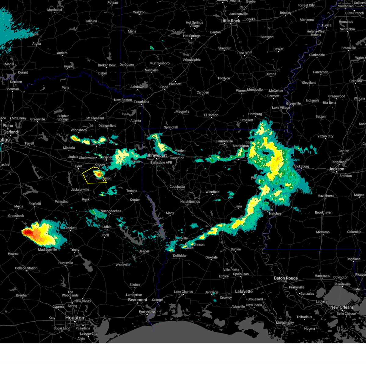 the severe thunderstorm warning has been cancelled and is no longer in effect the severe thunderstorm warning has been cancelled and is no longer in effect
|
| 5/23/2024 7:39 PM CDT |
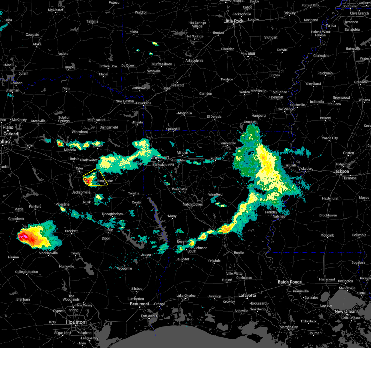 At 739 pm cdt, a severe thunderstorm was located over arp, or near whitehouse, moving east at 40 mph (radar indicated). Hazards include 60 mph wind gusts and quarter size hail. Hail damage to vehicles is expected. expect wind damage to roofs, siding, and trees. Locations impacted include, henderson, overton, troup, new london, arp, turnertown, joinerville, new chapel hill, and laird hill. At 739 pm cdt, a severe thunderstorm was located over arp, or near whitehouse, moving east at 40 mph (radar indicated). Hazards include 60 mph wind gusts and quarter size hail. Hail damage to vehicles is expected. expect wind damage to roofs, siding, and trees. Locations impacted include, henderson, overton, troup, new london, arp, turnertown, joinerville, new chapel hill, and laird hill.
|
| 5/23/2024 7:26 PM CDT |
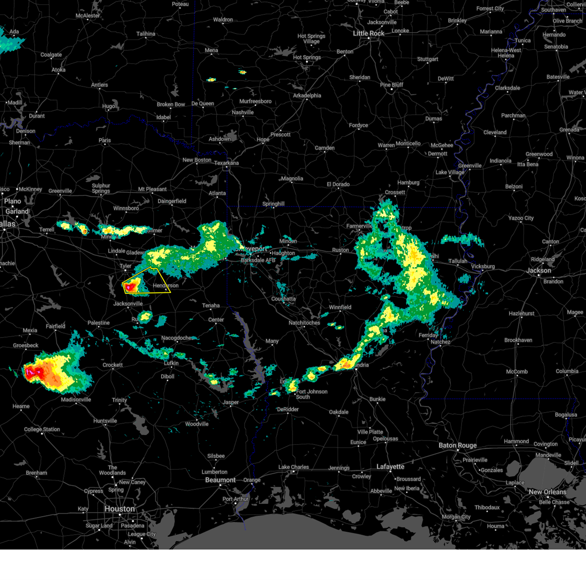 Svrshv the national weather service in shreveport has issued a * severe thunderstorm warning for, southeastern smith county in northeastern texas, northwestern rusk county in northeastern texas, north central cherokee county in northeastern texas, * until 815 pm cdt. * at 726 pm cdt, a severe thunderstorm was located near whitehouse, moving east at 40 mph (radar indicated). Hazards include 60 mph wind gusts and quarter size hail. Hail damage to vehicles is expected. Expect wind damage to roofs, siding, and trees. Svrshv the national weather service in shreveport has issued a * severe thunderstorm warning for, southeastern smith county in northeastern texas, northwestern rusk county in northeastern texas, north central cherokee county in northeastern texas, * until 815 pm cdt. * at 726 pm cdt, a severe thunderstorm was located near whitehouse, moving east at 40 mph (radar indicated). Hazards include 60 mph wind gusts and quarter size hail. Hail damage to vehicles is expected. Expect wind damage to roofs, siding, and trees.
|
| 5/13/2024 12:05 AM CDT |
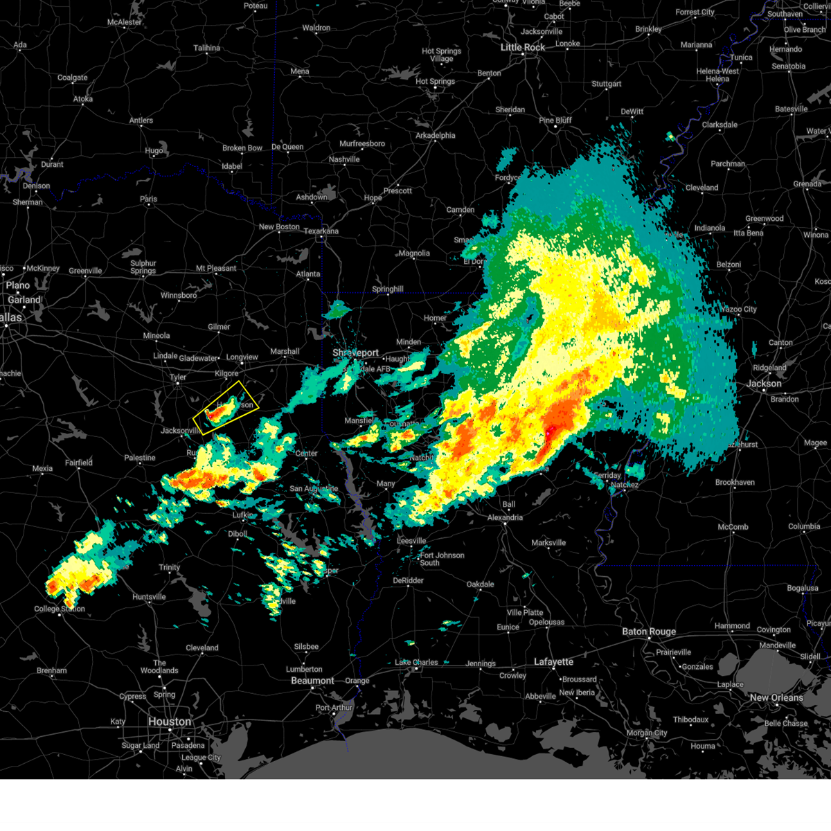 the severe thunderstorm warning has been cancelled and is no longer in effect the severe thunderstorm warning has been cancelled and is no longer in effect
|
| 5/12/2024 11:45 PM CDT |
 Svrshv the national weather service in shreveport has issued a * severe thunderstorm warning for, southeastern smith county in northeastern texas, northwestern rusk county in northeastern texas, northeastern cherokee county in northeastern texas, * until 1230 am cdt. * at 1145 pm cdt, a severe thunderstorm was located near troup, or 13 miles southeast of whitehouse, moving northeast at 35 mph (radar indicated). Hazards include 60 mph wind gusts and half dollar size hail. Hail damage to vehicles is expected. Expect wind damage to roofs, siding, and trees. Svrshv the national weather service in shreveport has issued a * severe thunderstorm warning for, southeastern smith county in northeastern texas, northwestern rusk county in northeastern texas, northeastern cherokee county in northeastern texas, * until 1230 am cdt. * at 1145 pm cdt, a severe thunderstorm was located near troup, or 13 miles southeast of whitehouse, moving northeast at 35 mph (radar indicated). Hazards include 60 mph wind gusts and half dollar size hail. Hail damage to vehicles is expected. Expect wind damage to roofs, siding, and trees.
|
| 4/28/2024 8:25 PM CDT | Large tree on road at intersection of fm road 3135 at county road 33 in rusk county TX, 7.8 miles WSW of Henderson, TX |
| 4/28/2024 6:14 PM CDT | Multiple trees down on fm 1798 near pine hill communit in rusk county TX, 11.9 miles WNW of Henderson, TX |
| 4/28/2024 6:05 PM CDT |
 At 605 pm cdt, a severe thunderstorm was located over henderson, moving northeast at 50 mph (radar indicated). Hazards include 70 mph wind gusts. Expect considerable tree damage. damage is likely to mobile homes, roofs, and outbuildings. Locations impacted include, henderson, overton, troup, new london, arp, joinerville, sacul, mixon, turnertown, new salem, minden, new summerfield, mount enterprise, reklaw, concord, glenfawn, brachfield, and laneville. At 605 pm cdt, a severe thunderstorm was located over henderson, moving northeast at 50 mph (radar indicated). Hazards include 70 mph wind gusts. Expect considerable tree damage. damage is likely to mobile homes, roofs, and outbuildings. Locations impacted include, henderson, overton, troup, new london, arp, joinerville, sacul, mixon, turnertown, new salem, minden, new summerfield, mount enterprise, reklaw, concord, glenfawn, brachfield, and laneville.
|
| 4/28/2024 5:59 PM CDT | Emergency manager reports large tree down on fm road 840 near pecan creek and on fm road 13 just inside loop 571. both in the city of henderso in rusk county TX, 0.1 miles NNE of Henderson, TX |
| 4/28/2024 5:57 PM CDT | Tree down 10500 fm road 839 south... near county road 45 in rusk county TX, 10.5 miles NNE of Henderson, TX |
| 4/28/2024 5:29 PM CDT |
 Svrshv the national weather service in shreveport has issued a * severe thunderstorm warning for, southeastern smith county in northeastern texas, southwestern panola county in northeastern texas, rusk county in northeastern texas, northwestern nacogdoches county in eastern texas, cherokee county in northeastern texas, * until 615 pm cdt. * at 529 pm cdt, a severe thunderstorm was located over jacksonville, moving northeast at 50 mph (radar indicated). Hazards include 70 mph wind gusts and quarter size hail. Hail damage to vehicles is expected. expect considerable tree damage. Wind damage is also likely to mobile homes, roofs, and outbuildings. Svrshv the national weather service in shreveport has issued a * severe thunderstorm warning for, southeastern smith county in northeastern texas, southwestern panola county in northeastern texas, rusk county in northeastern texas, northwestern nacogdoches county in eastern texas, cherokee county in northeastern texas, * until 615 pm cdt. * at 529 pm cdt, a severe thunderstorm was located over jacksonville, moving northeast at 50 mph (radar indicated). Hazards include 70 mph wind gusts and quarter size hail. Hail damage to vehicles is expected. expect considerable tree damage. Wind damage is also likely to mobile homes, roofs, and outbuildings.
|
| 4/9/2024 2:56 PM CDT | Corrects previous tstm wnd dmg report from 1 n henderson. a tree was blown across longview drive in henderso in rusk county TX, 1.3 miles S of Henderson, TX |
| 4/9/2024 2:52 PM CDT | A tree was blown across a driveway at henderson high school along highway 6 in rusk county TX, 1.4 miles ESE of Henderson, TX |
| 4/9/2024 1:56 PM CDT | A tree was blown across longview drive in henderso in rusk county TX, 1.3 miles S of Henderson, TX |
| 3/5/2024 3:46 AM CST |
 Svrshv the national weather service in shreveport has issued a * severe thunderstorm warning for, southern smith county in northeastern texas, southwestern rusk county in northeastern texas, northern cherokee county in northeastern texas, * until 445 am cst. * at 346 am cst, a severe thunderstorm was located near frankston, or 17 miles north of palestine, moving northeast at 30 mph (radar indicated). Hazards include 60 mph wind gusts and quarter size hail. Hail damage to vehicles is expected. Expect wind damage to roofs, siding, and trees. Svrshv the national weather service in shreveport has issued a * severe thunderstorm warning for, southern smith county in northeastern texas, southwestern rusk county in northeastern texas, northern cherokee county in northeastern texas, * until 445 am cst. * at 346 am cst, a severe thunderstorm was located near frankston, or 17 miles north of palestine, moving northeast at 30 mph (radar indicated). Hazards include 60 mph wind gusts and quarter size hail. Hail damage to vehicles is expected. Expect wind damage to roofs, siding, and trees.
|
| 2/11/2024 7:38 AM CST |
 At 737 am cst, a severe thunderstorm was located near kilgore, moving east at 35 mph (radar indicated). Hazards include two inch hail. People and animals outdoors will be injured. expect damage to roofs, siding, windows, and vehicles. locations impacted include, longview, henderson, kilgore, white oak, gladewater, overton, new london, arp, clarksville city, east mountain, liberty city, joinerville, turnertown, west mountain, lakeport, union grove, warren city, rolling meadows, chapman, and monroe. thunderstorm damage threat, considerable hail threat, observed max hail size, 2. 00 in wind threat, radar indicated max wind gust, <50 mph. At 737 am cst, a severe thunderstorm was located near kilgore, moving east at 35 mph (radar indicated). Hazards include two inch hail. People and animals outdoors will be injured. expect damage to roofs, siding, windows, and vehicles. locations impacted include, longview, henderson, kilgore, white oak, gladewater, overton, new london, arp, clarksville city, east mountain, liberty city, joinerville, turnertown, west mountain, lakeport, union grove, warren city, rolling meadows, chapman, and monroe. thunderstorm damage threat, considerable hail threat, observed max hail size, 2. 00 in wind threat, radar indicated max wind gust, <50 mph.
|
| 2/11/2024 7:20 AM CST |
 At 720 am cst, a severe thunderstorm was located 7 miles northwest of overton, or 11 miles northeast of whitehouse, moving east at 35 mph (radar indicated). Hazards include two inch hail. People and animals outdoors will be injured. expect damage to roofs, siding, windows, and vehicles. locations impacted include, longview, henderson, kilgore, whitehouse, white oak, gladewater, overton, troup, big sandy, new london, arp, clarksville city, east mountain, liberty city, joinerville, mixon, turnertown, west mountain, lakeport, and new chapel hill. thunderstorm damage threat, considerable hail threat, observed max hail size, 2. 00 in wind threat, radar indicated max wind gust, <50 mph. At 720 am cst, a severe thunderstorm was located 7 miles northwest of overton, or 11 miles northeast of whitehouse, moving east at 35 mph (radar indicated). Hazards include two inch hail. People and animals outdoors will be injured. expect damage to roofs, siding, windows, and vehicles. locations impacted include, longview, henderson, kilgore, whitehouse, white oak, gladewater, overton, troup, big sandy, new london, arp, clarksville city, east mountain, liberty city, joinerville, mixon, turnertown, west mountain, lakeport, and new chapel hill. thunderstorm damage threat, considerable hail threat, observed max hail size, 2. 00 in wind threat, radar indicated max wind gust, <50 mph.
|
| 2/11/2024 7:00 AM CST |
 At 659 am cst, a severe thunderstorm was located over tyler, moving east at 35 mph (radar indicated. at 655 am cst, two inch hail was reported by local broadcast media near tyler). Hazards include two inch hail. People and animals outdoors will be injured. Expect damage to roofs, siding, windows, and vehicles. At 659 am cst, a severe thunderstorm was located over tyler, moving east at 35 mph (radar indicated. at 655 am cst, two inch hail was reported by local broadcast media near tyler). Hazards include two inch hail. People and animals outdoors will be injured. Expect damage to roofs, siding, windows, and vehicles.
|
| 9/24/2023 11:58 PM CDT |
 At 1156 pm cdt, severe thunderstorms were located along a line extending from 6 miles northwest of pinehill to 7 miles north of nacogdoches to near kennard, moving east at 40 mph (radar indicated). Hazards include 60 mph wind gusts and quarter size hail. Hail damage to vehicles is expected. Expect wind damage to roofs, siding, and trees. At 1156 pm cdt, severe thunderstorms were located along a line extending from 6 miles northwest of pinehill to 7 miles north of nacogdoches to near kennard, moving east at 40 mph (radar indicated). Hazards include 60 mph wind gusts and quarter size hail. Hail damage to vehicles is expected. Expect wind damage to roofs, siding, and trees.
|
| 9/24/2023 11:45 PM CDT |
 At 1145 pm cdt, a severe thunderstorm was located 8 miles north of nacogdoches, moving southeast at 55 mph (radar indicated). Hazards include 60 mph wind gusts and quarter size hail. Hail damage to vehicles is expected. expect wind damage to roofs, siding, and trees. locations impacted include, nacogdoches, henderson, rusk, hudson, alto, timpson, garrison, wells, morrill, ponta, pinehill, new salem, trawick, pollok, sacul, forest, douglass, minden, maydelle, and new summerfield. hail threat, radar indicated max hail size, 1. 00 in wind threat, radar indicated max wind gust, 60 mph. At 1145 pm cdt, a severe thunderstorm was located 8 miles north of nacogdoches, moving southeast at 55 mph (radar indicated). Hazards include 60 mph wind gusts and quarter size hail. Hail damage to vehicles is expected. expect wind damage to roofs, siding, and trees. locations impacted include, nacogdoches, henderson, rusk, hudson, alto, timpson, garrison, wells, morrill, ponta, pinehill, new salem, trawick, pollok, sacul, forest, douglass, minden, maydelle, and new summerfield. hail threat, radar indicated max hail size, 1. 00 in wind threat, radar indicated max wind gust, 60 mph.
|
| 9/24/2023 11:21 PM CDT | A roof was ripped off of a house on cr 4256 on the rusk county side of lake strike in rusk county TX, 17.4 miles NE of Henderson, TX |
| 9/24/2023 11:14 PM CDT |
 At 1114 pm cdt, a severe thunderstorm was located near new salem, or 11 miles northeast of rusk, moving southeast at 55 mph (radar indicated). Hazards include 60 mph wind gusts and quarter size hail. Hail damage to vehicles is expected. Expect wind damage to roofs, siding, and trees. At 1114 pm cdt, a severe thunderstorm was located near new salem, or 11 miles northeast of rusk, moving southeast at 55 mph (radar indicated). Hazards include 60 mph wind gusts and quarter size hail. Hail damage to vehicles is expected. Expect wind damage to roofs, siding, and trees.
|
| 9/24/2023 10:33 PM CDT |
 At 1033 pm cdt, a severe thunderstorm was located near tyler, moving southeast at 55 mph (radar indicated). Hazards include 60 mph wind gusts and quarter size hail. Hail damage to vehicles is expected. Expect wind damage to roofs, siding, and trees. At 1033 pm cdt, a severe thunderstorm was located near tyler, moving southeast at 55 mph (radar indicated). Hazards include 60 mph wind gusts and quarter size hail. Hail damage to vehicles is expected. Expect wind damage to roofs, siding, and trees.
|
| 9/8/2023 9:05 PM CDT |
 At 905 pm cdt, a severe thunderstorm was located near harleton, or 8 miles northeast of longview, moving south at 35 mph (radar indicated). Hazards include 60 mph wind gusts and quarter size hail. Hail damage to vehicles is expected. Expect wind damage to roofs, siding, and trees. At 905 pm cdt, a severe thunderstorm was located near harleton, or 8 miles northeast of longview, moving south at 35 mph (radar indicated). Hazards include 60 mph wind gusts and quarter size hail. Hail damage to vehicles is expected. Expect wind damage to roofs, siding, and trees.
|
| 6/23/2023 7:25 PM CDT | Multiple trees down making tx hwy 323 impassible between henderson and new londo in rusk county TX, 6.3 miles ESE of Henderson, TX |
| 6/23/2023 5:18 PM CDT | Significant roof damage to a home. tree on rv on adjacent property on cr 38 in rusk county TX, 8.5 miles NNW of Henderson, TX |
| 6/23/2023 5:09 PM CDT | Tree down on a residence on forrest stree in rusk county TX, 1.6 miles NNE of Henderson, TX |
| 6/13/2023 5:55 PM CDT |
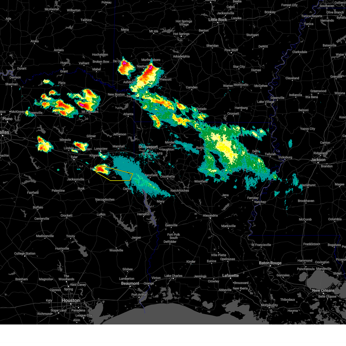 At 555 pm cdt, a severe thunderstorm was located near henderson, moving east at 40 mph. this is a destructive storm for henderson (radar indicated. baseball size hail was just reported at henderson high school in henderson with this storm). Hazards include baseball size hail and 60 mph wind gusts. People and animals outdoors will be severely injured. expect shattered windows, extensive damage to roofs, siding, and vehicles. locations impacted include, henderson, carthage, pinehill, gary city, chapman, dotson, woods, church hill and fairplay. thunderstorm damage threat, destructive hail threat, observed max hail size, 2. 75 in wind threat, radar indicated max wind gust, 60 mph. At 555 pm cdt, a severe thunderstorm was located near henderson, moving east at 40 mph. this is a destructive storm for henderson (radar indicated. baseball size hail was just reported at henderson high school in henderson with this storm). Hazards include baseball size hail and 60 mph wind gusts. People and animals outdoors will be severely injured. expect shattered windows, extensive damage to roofs, siding, and vehicles. locations impacted include, henderson, carthage, pinehill, gary city, chapman, dotson, woods, church hill and fairplay. thunderstorm damage threat, destructive hail threat, observed max hail size, 2. 75 in wind threat, radar indicated max wind gust, 60 mph.
|
| 6/13/2023 5:50 PM CDT | Baseball sized hail reported 0.1 miles NNE of Henderson, TX, henderson high school. |
| 6/13/2023 5:41 PM CDT |
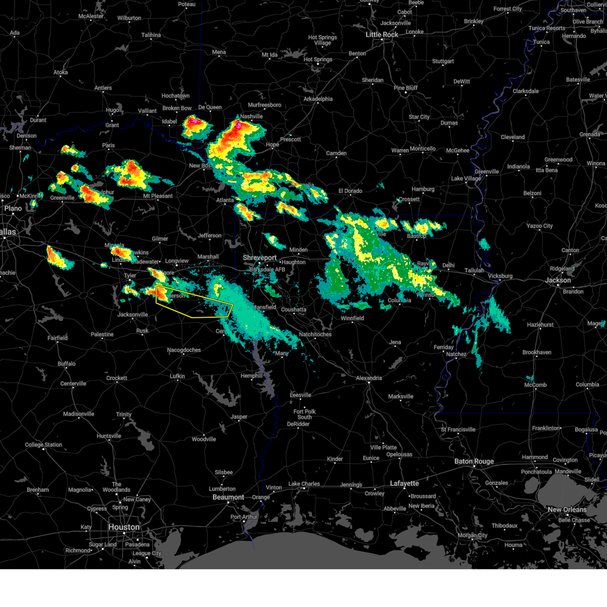 At 541 pm cdt, a severe thunderstorm was located over joinerville, or just northwest of henderson, moving east southeast at 45 mph (radar indicated). Hazards include 60 mph wind gusts and half dollar size hail. Hail damage to vehicles is expected. Expect wind damage to roofs, siding, and trees. At 541 pm cdt, a severe thunderstorm was located over joinerville, or just northwest of henderson, moving east southeast at 45 mph (radar indicated). Hazards include 60 mph wind gusts and half dollar size hail. Hail damage to vehicles is expected. Expect wind damage to roofs, siding, and trees.
|
| 6/13/2023 5:26 PM CDT |
 At 526 pm cdt, a severe thunderstorm was located near arp, or 9 miles northeast of whitehouse, moving east at 45 mph (radar indicated. quarter size hail has been reported in south tyler with this storm). Hazards include 60 mph wind gusts and quarter size hail. Hail damage to vehicles is expected. expect wind damage to roofs, siding, and trees. locations impacted include, henderson, kilgore, overton, new london, joinerville, turnertown, chapman, monroe, stewart, chalk hill, church hill, laird hill and oak hill. hail threat, radar indicated max hail size, 1. 00 in wind threat, radar indicated max wind gust, 60 mph. At 526 pm cdt, a severe thunderstorm was located near arp, or 9 miles northeast of whitehouse, moving east at 45 mph (radar indicated. quarter size hail has been reported in south tyler with this storm). Hazards include 60 mph wind gusts and quarter size hail. Hail damage to vehicles is expected. expect wind damage to roofs, siding, and trees. locations impacted include, henderson, kilgore, overton, new london, joinerville, turnertown, chapman, monroe, stewart, chalk hill, church hill, laird hill and oak hill. hail threat, radar indicated max hail size, 1. 00 in wind threat, radar indicated max wind gust, 60 mph.
|
| 6/13/2023 4:43 PM CDT |
 At 443 pm cdt, a severe thunderstorm was located near new london, or just south of kilgore, moving east at 40 mph (radar indicated. golfball size hail has been reported with this storm throughout central smith county with this storm). Hazards include golf ball size hail and 60 mph wind gusts. People and animals outdoors will be injured. expect hail damage to roofs, siding, windows, and vehicles. Expect wind damage to roofs, siding, and trees. At 443 pm cdt, a severe thunderstorm was located near new london, or just south of kilgore, moving east at 40 mph (radar indicated. golfball size hail has been reported with this storm throughout central smith county with this storm). Hazards include golf ball size hail and 60 mph wind gusts. People and animals outdoors will be injured. expect hail damage to roofs, siding, windows, and vehicles. Expect wind damage to roofs, siding, and trees.
|
| 6/10/2023 1:30 PM CDT | Reports of trees down in the area. one report of a tree on a powerline near county road 216 in rusk county TX, 15.9 miles SSW of Henderson, TX |
| 6/3/2023 3:45 PM CDT |
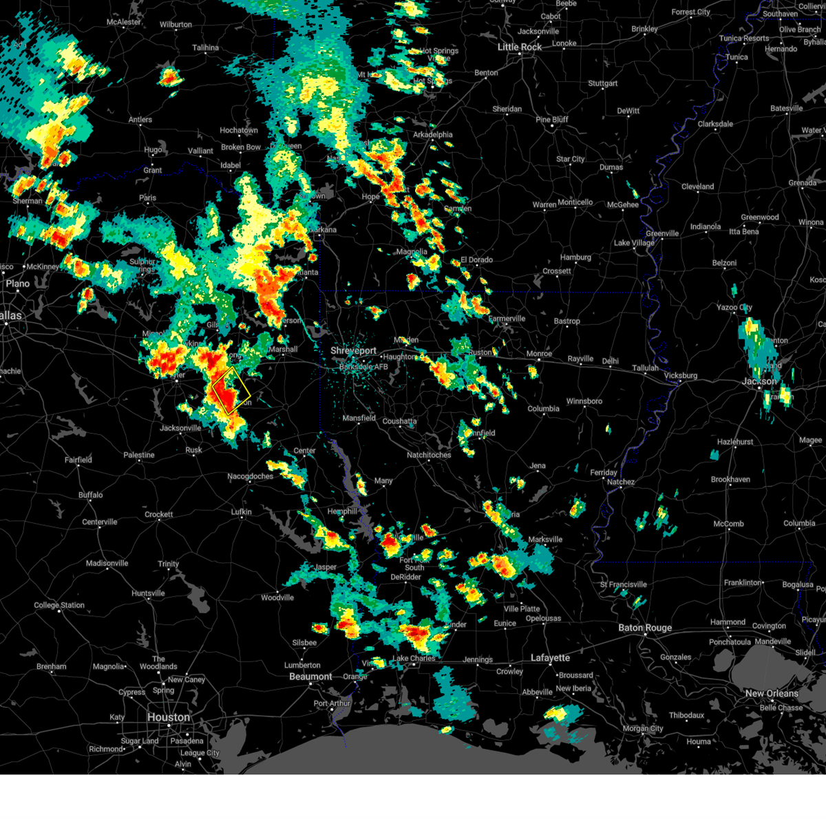 At 345 pm cdt, a severe thunderstorm was located near joinerville, or 7 miles northwest of henderson, moving northeast at 20 mph (radar indicated). Hazards include 60 mph wind gusts and nickel size hail. expect damage to roofs, siding, and trees At 345 pm cdt, a severe thunderstorm was located near joinerville, or 7 miles northwest of henderson, moving northeast at 20 mph (radar indicated). Hazards include 60 mph wind gusts and nickel size hail. expect damage to roofs, siding, and trees
|
| 5/13/2023 5:44 PM CDT |
 At 543 pm cdt, a severe thunderstorm was located near minden, or 8 miles southeast of henderson, moving northwest at 35 mph (radar indicated). Hazards include 60 mph wind gusts and penny size hail. expect damage to roofs, siding, and trees At 543 pm cdt, a severe thunderstorm was located near minden, or 8 miles southeast of henderson, moving northwest at 35 mph (radar indicated). Hazards include 60 mph wind gusts and penny size hail. expect damage to roofs, siding, and trees
|
| 5/5/2023 12:48 AM CDT | A tree was downed in the brachfield communit in rusk county TX, 11.6 miles NW of Henderson, TX |
| 5/5/2023 12:42 AM CDT |
 At 1242 am cdt, severe thunderstorms were located along a line extending from near joinerville to minden to near trawick to near forest, moving east at 50 mph (radar indicated). Hazards include 60 mph wind gusts and penny size hail. expect damage to roofs, siding, and trees At 1242 am cdt, severe thunderstorms were located along a line extending from near joinerville to minden to near trawick to near forest, moving east at 50 mph (radar indicated). Hazards include 60 mph wind gusts and penny size hail. expect damage to roofs, siding, and trees
|
| 5/5/2023 12:23 AM CDT |
 At 1222 am cdt, severe thunderstorms were located along a line extending from near arp to near turnertown to near new salem to 7 miles west of alto, moving east at 45 mph. a 51 mph wind gust was measured at the cherokee county airport south of jacksonville at 1215 am with these storms (radar indicated). Hazards include 60 mph wind gusts and penny size hail. Expect damage to roofs, siding, and trees. locations impacted include, jacksonville, henderson, whitehouse, rusk, overton, troup, alto, new london, arp, morrill, ponta, new salem, joinerville, sacul, turnertown, minden, maydelle, new summerfield, cushing and gallatin. hail threat, radar indicated max hail size, 0. 75 in wind threat, observed max wind gust, 60 mph. At 1222 am cdt, severe thunderstorms were located along a line extending from near arp to near turnertown to near new salem to 7 miles west of alto, moving east at 45 mph. a 51 mph wind gust was measured at the cherokee county airport south of jacksonville at 1215 am with these storms (radar indicated). Hazards include 60 mph wind gusts and penny size hail. Expect damage to roofs, siding, and trees. locations impacted include, jacksonville, henderson, whitehouse, rusk, overton, troup, alto, new london, arp, morrill, ponta, new salem, joinerville, sacul, turnertown, minden, maydelle, new summerfield, cushing and gallatin. hail threat, radar indicated max hail size, 0. 75 in wind threat, observed max wind gust, 60 mph.
|
| 5/4/2023 11:43 PM CDT |
 At 1143 pm cdt, severe thunderstorms were located along a line extending from near brownsboro to lake palestine to near frankston to near palestine, moving east at 40 mph (radar indicated). Hazards include 60 mph wind gusts and penny size hail. expect damage to roofs, siding, and trees At 1143 pm cdt, severe thunderstorms were located along a line extending from near brownsboro to lake palestine to near frankston to near palestine, moving east at 40 mph (radar indicated). Hazards include 60 mph wind gusts and penny size hail. expect damage to roofs, siding, and trees
|
| 4/26/2023 5:17 PM CDT |
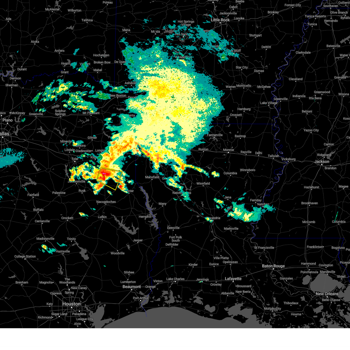 At 516 pm cdt, a severe thunderstorm was located near pinehill, or 8 miles southeast of henderson, moving southeast at 35 mph (radar indicated). Hazards include two inch hail and 60 mph wind gusts. People and animals outdoors will be injured. expect hail damage to roofs, siding, windows, and vehicles. expect wind damage to roofs, siding, and trees. locations impacted include, henderson, carthage, pinehill, minden, gary city, chapman, dotson, church hill, lawsonville, fairplay and brachfield. thunderstorm damage threat, considerable hail threat, radar indicated max hail size, 2. 00 in wind threat, radar indicated max wind gust, 60 mph. At 516 pm cdt, a severe thunderstorm was located near pinehill, or 8 miles southeast of henderson, moving southeast at 35 mph (radar indicated). Hazards include two inch hail and 60 mph wind gusts. People and animals outdoors will be injured. expect hail damage to roofs, siding, windows, and vehicles. expect wind damage to roofs, siding, and trees. locations impacted include, henderson, carthage, pinehill, minden, gary city, chapman, dotson, church hill, lawsonville, fairplay and brachfield. thunderstorm damage threat, considerable hail threat, radar indicated max hail size, 2. 00 in wind threat, radar indicated max wind gust, 60 mph.
|
| 4/26/2023 5:05 PM CDT | Tennis Ball sized hail reported 0.1 miles NNE of Henderson, TX, several reports of windshields and skylights broken... along with damaged traffic signals and power outages. hail over 2 inches reported across the city. |
| 4/26/2023 5:00 PM CDT | Golf Ball sized hail reported 0.1 miles NNE of Henderson, TX, significant hailstorm across the city of henderson. widespread hail ranging from quarter to golf ball size. |
| 4/26/2023 4:59 PM CDT |
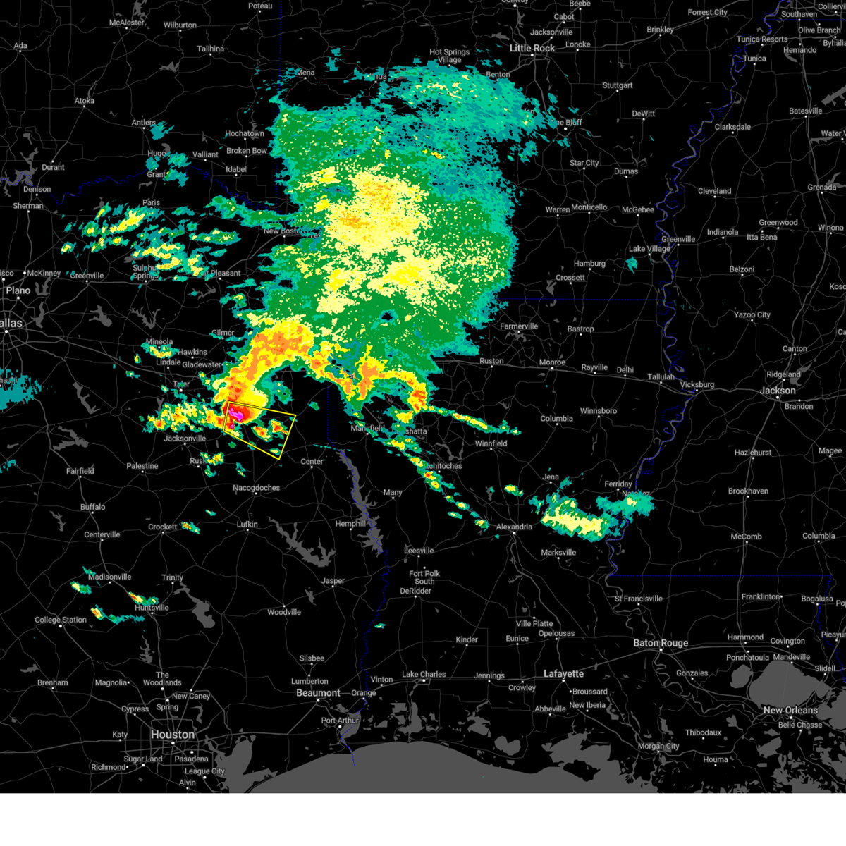 At 458 pm cdt, a severe thunderstorm was located over henderson, moving southeast at 40 mph. golfball sized hail was reported earlier with this storm (radar indicated). Hazards include two inch hail and 60 mph wind gusts. People and animals outdoors will be injured. expect hail damage to roofs, siding, windows, and vehicles. Expect wind damage to roofs, siding, and trees. At 458 pm cdt, a severe thunderstorm was located over henderson, moving southeast at 40 mph. golfball sized hail was reported earlier with this storm (radar indicated). Hazards include two inch hail and 60 mph wind gusts. People and animals outdoors will be injured. expect hail damage to roofs, siding, windows, and vehicles. Expect wind damage to roofs, siding, and trees.
|
| 4/26/2023 4:56 PM CDT | Quarter sized hail reported 0.9 miles SE of Henderson, TX, quarter size hail reported near intersection of van buren st and hwy 64 in henderson. |
| 4/26/2023 4:55 PM CDT | Golf Ball sized hail reported 5.2 miles NE of Henderson, TX, reported on county road 405 d southwest of henderson via social media. |
| 4/26/2023 4:53 PM CDT |
 At 452 pm cdt, severe thunderstorms were located along a line extending from near overton to turnertown, moving east at 30 mph. these are destructive storms for parts of rusk county including henderson (trained weather spotters. at 440 pm cdt, golf ball sized hail was reported in arp). Hazards include baseball size hail and 60 mph wind gusts. People and animals outdoors will be severely injured. expect shattered windows, extensive damage to roofs, siding, and vehicles. Locations impacted include, henderson, kilgore, overton, new london, turnertown, joinerville and laird hill. At 452 pm cdt, severe thunderstorms were located along a line extending from near overton to turnertown, moving east at 30 mph. these are destructive storms for parts of rusk county including henderson (trained weather spotters. at 440 pm cdt, golf ball sized hail was reported in arp). Hazards include baseball size hail and 60 mph wind gusts. People and animals outdoors will be severely injured. expect shattered windows, extensive damage to roofs, siding, and vehicles. Locations impacted include, henderson, kilgore, overton, new london, turnertown, joinerville and laird hill.
|
| 4/26/2023 4:50 PM CDT | Quarter sized hail reported 8.5 miles ENE of Henderson, TX, quarter size hail in the carlisle price community. |
| 4/26/2023 4:37 PM CDT |
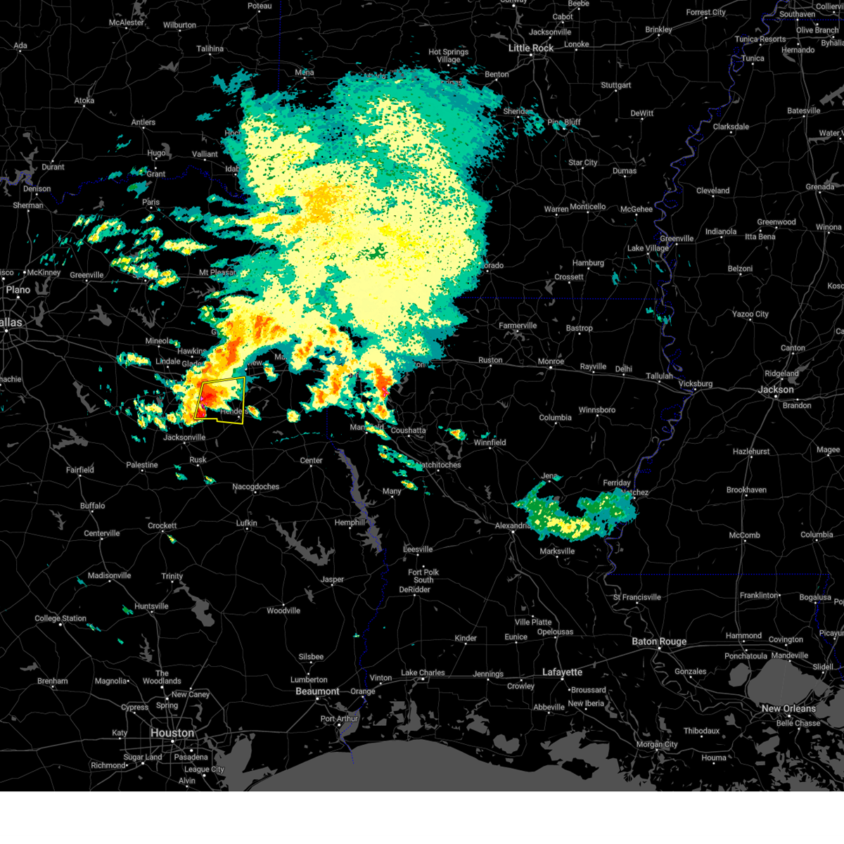 At 436 pm cdt, severe thunderstorms were located along a line extending from 7 miles northwest of overton to troup, moving east at 30 mph (radar indicated). Hazards include golf ball size hail and 60 mph wind gusts. People and animals outdoors will be injured. expect hail damage to roofs, siding, windows, and vehicles. expect wind damage to roofs, siding, and trees. Locations impacted include, henderson, kilgore, overton, troup, new london, arp, turnertown, joinerville, rolling meadows and laird hill. At 436 pm cdt, severe thunderstorms were located along a line extending from 7 miles northwest of overton to troup, moving east at 30 mph (radar indicated). Hazards include golf ball size hail and 60 mph wind gusts. People and animals outdoors will be injured. expect hail damage to roofs, siding, windows, and vehicles. expect wind damage to roofs, siding, and trees. Locations impacted include, henderson, kilgore, overton, troup, new london, arp, turnertown, joinerville, rolling meadows and laird hill.
|
| 4/26/2023 4:24 PM CDT |
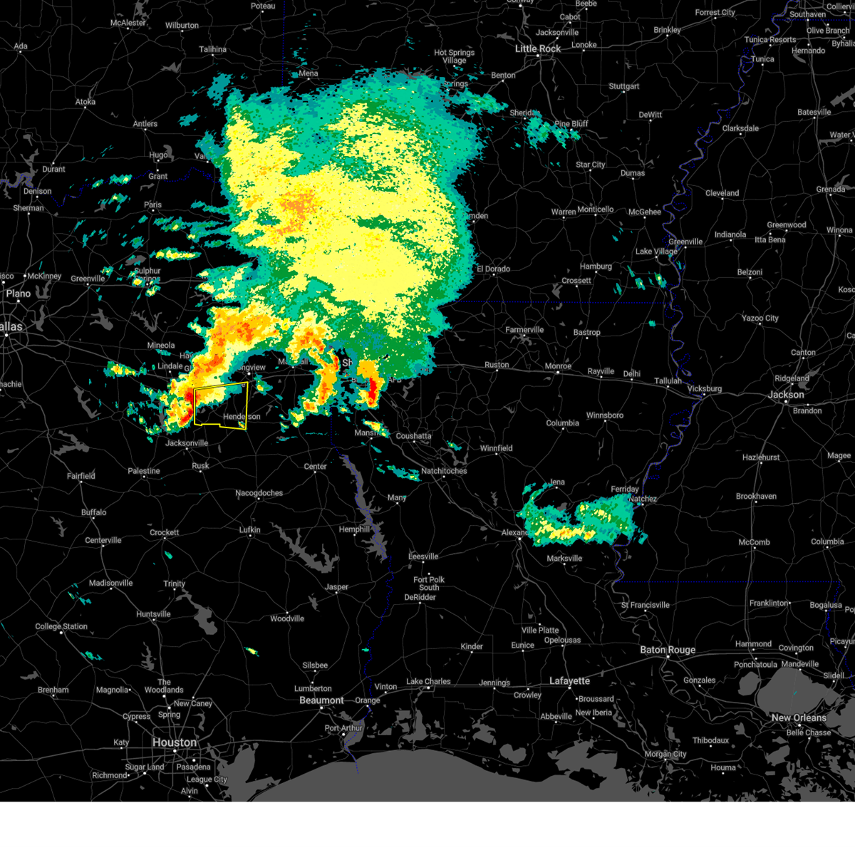 At 424 pm cdt, severe thunderstorms were located along a line extending from 7 miles east of tyler to near troup, moving east at 30 mph (radar indicated). Hazards include 60 mph wind gusts and quarter size hail. Hail damage to vehicles is expected. Expect wind damage to roofs, siding, and trees. At 424 pm cdt, severe thunderstorms were located along a line extending from 7 miles east of tyler to near troup, moving east at 30 mph (radar indicated). Hazards include 60 mph wind gusts and quarter size hail. Hail damage to vehicles is expected. Expect wind damage to roofs, siding, and trees.
|
| 4/26/2023 3:53 AM CDT |
 At 352 am cdt, a severe thunderstorm was located 7 miles northeast of new salem, or 12 miles southwest of henderson, moving east at 30 mph (radar indicated). Hazards include 60 mph wind gusts and quarter size hail. Hail damage to vehicles is expected. expect wind damage to roofs, siding, and trees. locations impacted include, jacksonville, henderson, troup, mount selman, ponta, mixon, turnertown, new salem, minden, new summerfield, mount enterprise, gallatin, reklaw, concord, glenfawn, brachfield, church hill and laneville. hail threat, radar indicated max hail size, 1. 00 in wind threat, radar indicated max wind gust, 60 mph. At 352 am cdt, a severe thunderstorm was located 7 miles northeast of new salem, or 12 miles southwest of henderson, moving east at 30 mph (radar indicated). Hazards include 60 mph wind gusts and quarter size hail. Hail damage to vehicles is expected. expect wind damage to roofs, siding, and trees. locations impacted include, jacksonville, henderson, troup, mount selman, ponta, mixon, turnertown, new salem, minden, new summerfield, mount enterprise, gallatin, reklaw, concord, glenfawn, brachfield, church hill and laneville. hail threat, radar indicated max hail size, 1. 00 in wind threat, radar indicated max wind gust, 60 mph.
|
| 4/26/2023 3:12 AM CDT |
 At 311 am cdt, a severe thunderstorm was located over jacksonville, moving east at 30 mph (radar indicated). Hazards include 60 mph wind gusts and half dollar size hail. Hail damage to vehicles is expected. Expect wind damage to roofs, siding, and trees. At 311 am cdt, a severe thunderstorm was located over jacksonville, moving east at 30 mph (radar indicated). Hazards include 60 mph wind gusts and half dollar size hail. Hail damage to vehicles is expected. Expect wind damage to roofs, siding, and trees.
|
| 4/5/2023 6:29 PM CDT |
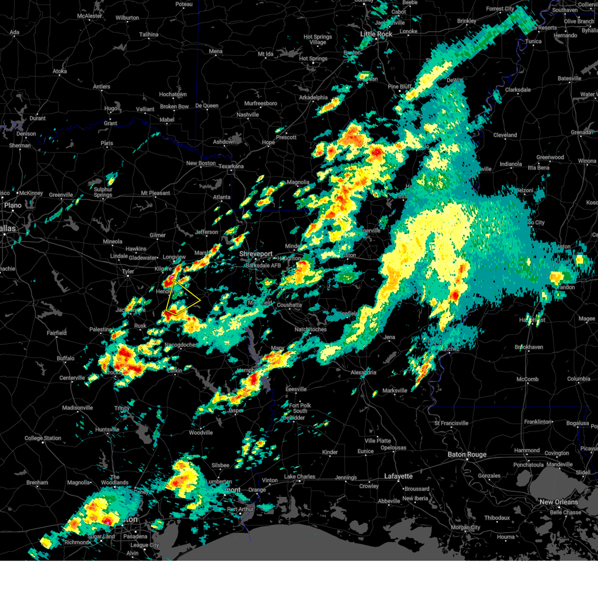 At 629 pm cdt, a severe thunderstorm was located near minden, or 7 miles southeast of henderson, moving northeast at 50 mph (radar indicated). Hazards include 60 mph wind gusts and quarter size hail. Hail damage to vehicles is expected. expect wind damage to roofs, siding, and trees. locations impacted include, henderson, pinehill, minden, chapman, church hill, oak hill, fairplay and brachfield. hail threat, radar indicated max hail size, 1. 00 in wind threat, radar indicated max wind gust, 60 mph. At 629 pm cdt, a severe thunderstorm was located near minden, or 7 miles southeast of henderson, moving northeast at 50 mph (radar indicated). Hazards include 60 mph wind gusts and quarter size hail. Hail damage to vehicles is expected. expect wind damage to roofs, siding, and trees. locations impacted include, henderson, pinehill, minden, chapman, church hill, oak hill, fairplay and brachfield. hail threat, radar indicated max hail size, 1. 00 in wind threat, radar indicated max wind gust, 60 mph.
|
| 4/5/2023 6:16 PM CDT |
 At 615 pm cdt, a severe thunderstorm was located near new salem, or 16 miles south of henderson, moving northeast at 50 mph (radar indicated). Hazards include 60 mph wind gusts and quarter size hail. Hail damage to vehicles is expected. expect wind damage to roofs, siding, and trees. locations impacted include, henderson, pinehill, minden, mount enterprise, chapman, church hill, glenfawn, laneville, oak hill, fairplay and brachfield. hail threat, radar indicated max hail size, 1. 00 in wind threat, radar indicated max wind gust, 60 mph. At 615 pm cdt, a severe thunderstorm was located near new salem, or 16 miles south of henderson, moving northeast at 50 mph (radar indicated). Hazards include 60 mph wind gusts and quarter size hail. Hail damage to vehicles is expected. expect wind damage to roofs, siding, and trees. locations impacted include, henderson, pinehill, minden, mount enterprise, chapman, church hill, glenfawn, laneville, oak hill, fairplay and brachfield. hail threat, radar indicated max hail size, 1. 00 in wind threat, radar indicated max wind gust, 60 mph.
|
| 4/5/2023 6:06 PM CDT |
 At 606 pm cdt, a severe thunderstorm was located over sacul, or 12 miles east of rusk, moving northeast at 50 mph (radar indicated). Hazards include 60 mph wind gusts and quarter size hail. Hail damage to vehicles is expected. Expect wind damage to roofs, siding, and trees. At 606 pm cdt, a severe thunderstorm was located over sacul, or 12 miles east of rusk, moving northeast at 50 mph (radar indicated). Hazards include 60 mph wind gusts and quarter size hail. Hail damage to vehicles is expected. Expect wind damage to roofs, siding, and trees.
|
| 3/16/2023 10:05 PM CDT | Tree downed along cr 311 and cr 317 south of henderson... texa in rusk county TX, 4.8 miles NNW of Henderson, TX |
| 3/16/2023 9:53 PM CDT |
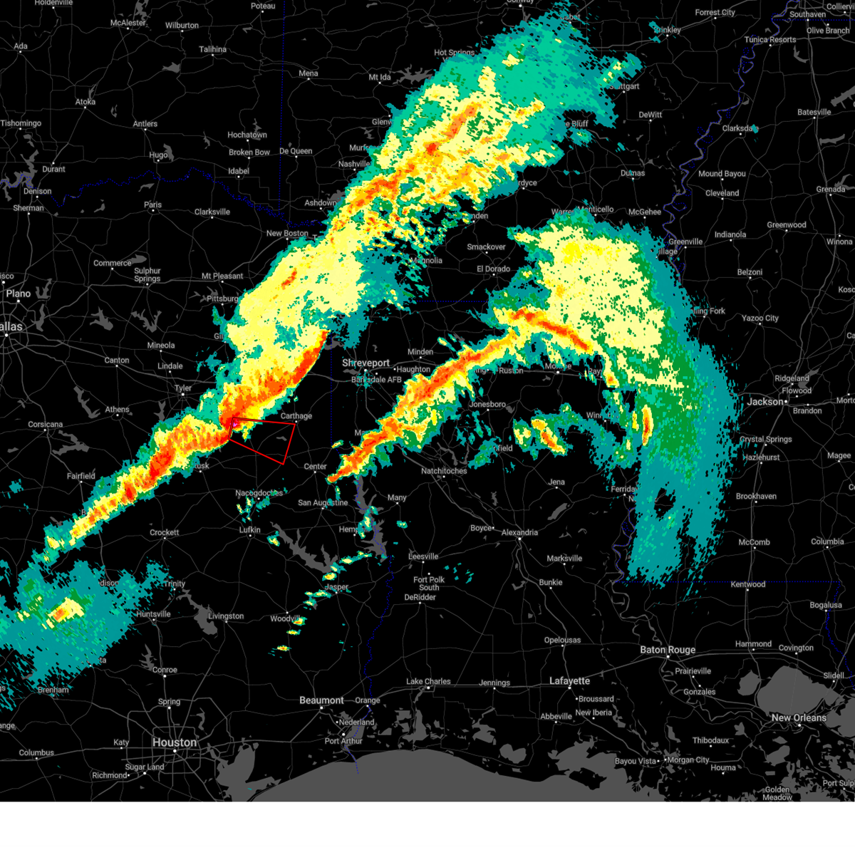 At 953 pm cdt, a severe thunderstorm capable of producing a tornado was located near henderson, moving east at 40 mph (radar indicated rotation). Hazards include tornado and quarter size hail. Flying debris will be dangerous to those caught without shelter. mobile homes will be damaged or destroyed. damage to roofs, windows, and vehicles will occur. tree damage is likely. this dangerous storm will be near, minden around 1005 pm cdt. pinehill around 1010 pm cdt. Other locations impacted by this tornadic thunderstorm include lawsonville, chapman, dotson, fairplay, brachfield and gary city. At 953 pm cdt, a severe thunderstorm capable of producing a tornado was located near henderson, moving east at 40 mph (radar indicated rotation). Hazards include tornado and quarter size hail. Flying debris will be dangerous to those caught without shelter. mobile homes will be damaged or destroyed. damage to roofs, windows, and vehicles will occur. tree damage is likely. this dangerous storm will be near, minden around 1005 pm cdt. pinehill around 1010 pm cdt. Other locations impacted by this tornadic thunderstorm include lawsonville, chapman, dotson, fairplay, brachfield and gary city.
|
| 3/16/2023 9:45 PM CDT | Quarter sized hail reported 8.5 miles ENE of Henderson, TX |
| 3/16/2023 9:45 PM CDT |
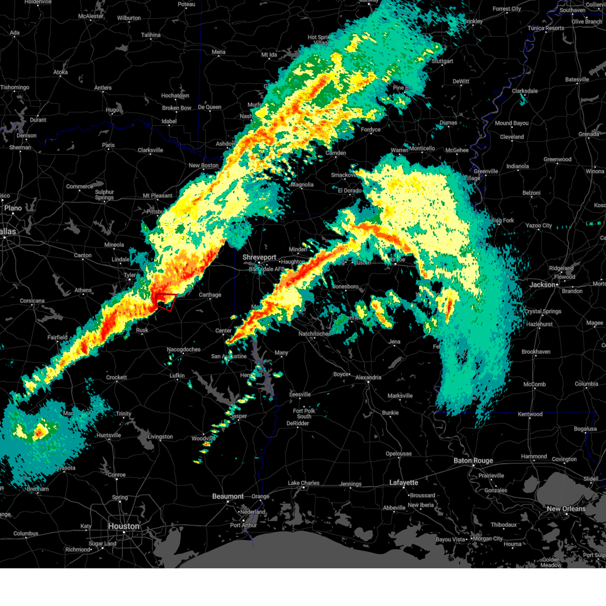 At 945 pm cdt, a severe thunderstorm capable of producing a tornado was located near turnertown, or 7 miles west of henderson, moving east at 40 mph (radar indicated rotation). Hazards include tornado and quarter size hail. Flying debris will be dangerous to those caught without shelter. mobile homes will be damaged or destroyed. damage to roofs, windows, and vehicles will occur. tree damage is likely. this dangerous storm will be near, henderson around 955 pm cdt. Other locations impacted by this tornadic thunderstorm include brachfield. At 945 pm cdt, a severe thunderstorm capable of producing a tornado was located near turnertown, or 7 miles west of henderson, moving east at 40 mph (radar indicated rotation). Hazards include tornado and quarter size hail. Flying debris will be dangerous to those caught without shelter. mobile homes will be damaged or destroyed. damage to roofs, windows, and vehicles will occur. tree damage is likely. this dangerous storm will be near, henderson around 955 pm cdt. Other locations impacted by this tornadic thunderstorm include brachfield.
|
| 3/16/2023 9:31 PM CDT |
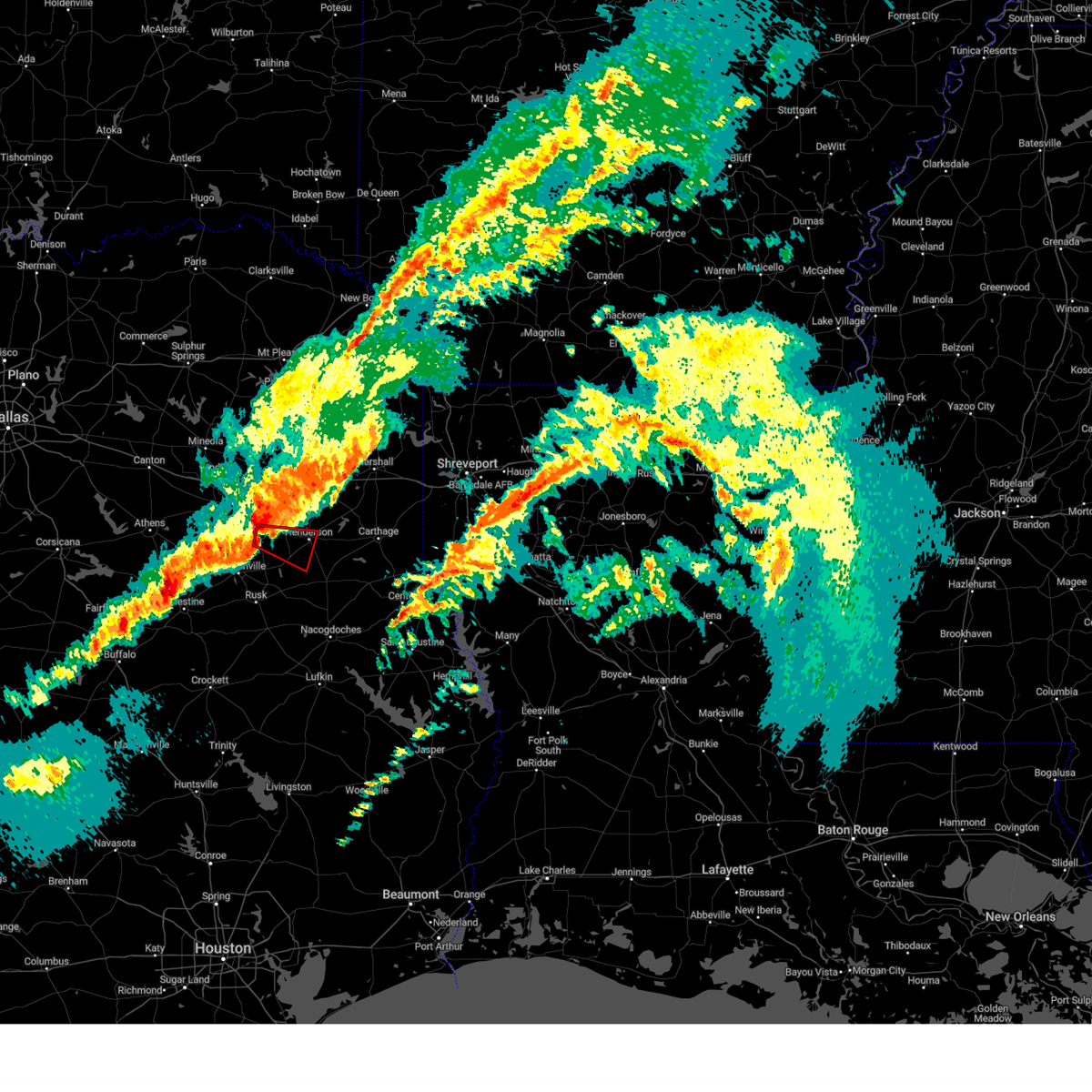 At 931 pm cdt, a severe thunderstorm capable of producing a tornado was located over troup, or 9 miles southeast of whitehouse, moving east at 40 mph (radar indicated rotation). Hazards include tornado and quarter size hail. Flying debris will be dangerous to those caught without shelter. mobile homes will be damaged or destroyed. damage to roofs, windows, and vehicles will occur. tree damage is likely. this dangerous storm will be near, turnertown and joinerville around 945 pm cdt. henderson around 955 pm cdt. Other locations impacted by this tornadic thunderstorm include concord and brachfield. At 931 pm cdt, a severe thunderstorm capable of producing a tornado was located over troup, or 9 miles southeast of whitehouse, moving east at 40 mph (radar indicated rotation). Hazards include tornado and quarter size hail. Flying debris will be dangerous to those caught without shelter. mobile homes will be damaged or destroyed. damage to roofs, windows, and vehicles will occur. tree damage is likely. this dangerous storm will be near, turnertown and joinerville around 945 pm cdt. henderson around 955 pm cdt. Other locations impacted by this tornadic thunderstorm include concord and brachfield.
|
| 3/16/2023 9:22 PM CDT |
 At 922 pm cdt, severe thunderstorms were located along a line extending from 8 miles west of liberty city to near troup to reese, moving east at 40 mph (radar indicated). Hazards include 60 mph wind gusts and quarter size hail. Hail damage to vehicles is expected. Expect wind damage to roofs, siding, and trees. At 922 pm cdt, severe thunderstorms were located along a line extending from 8 miles west of liberty city to near troup to reese, moving east at 40 mph (radar indicated). Hazards include 60 mph wind gusts and quarter size hail. Hail damage to vehicles is expected. Expect wind damage to roofs, siding, and trees.
|
| 3/9/2023 8:40 PM CST | Power lines downed on county road 4256... near lake striker... causing a fir in rusk county TX, 18 miles NE of Henderson, TX |
| 3/2/2023 9:30 PM CST |
 At 930 pm cst, severe thunderstorms were located along a line extending from us 259 and i 30 intersection to near tyler, moving east at 45 mph (radar indicated). Hazards include 60 mph wind gusts. expect damage to roofs, siding, and trees At 930 pm cst, severe thunderstorms were located along a line extending from us 259 and i 30 intersection to near tyler, moving east at 45 mph (radar indicated). Hazards include 60 mph wind gusts. expect damage to roofs, siding, and trees
|
| 1/7/2023 8:05 PM CST | Multiple trees down on fm 840 near the county road 355 intersectio in rusk county TX, 6.7 miles NW of Henderson, TX |
| 12/13/2022 2:22 PM CST |
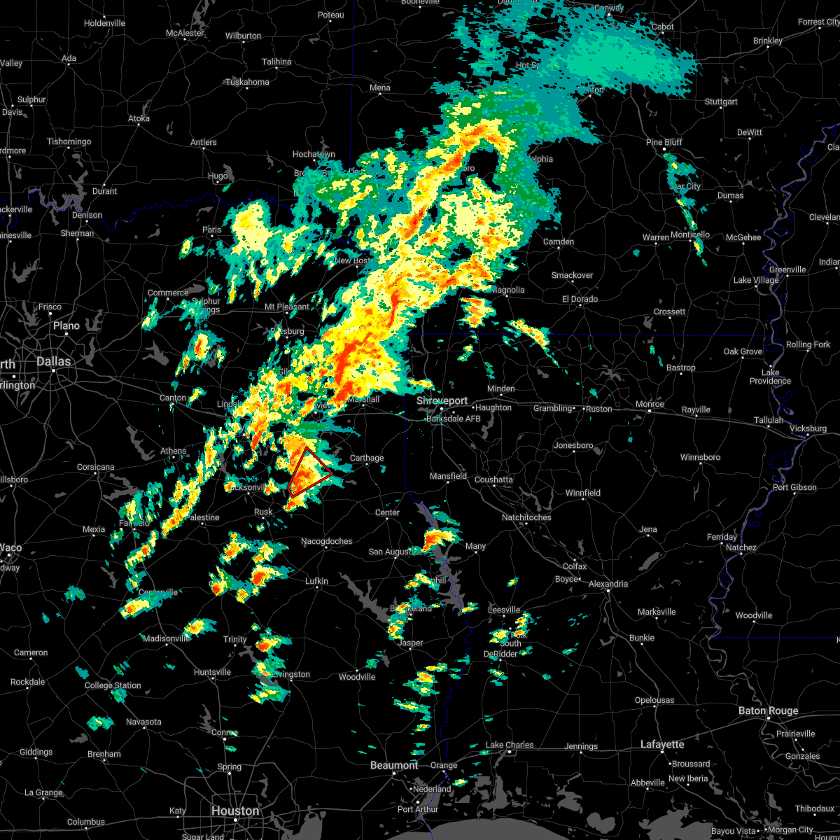 At 221 pm cst, a severe thunderstorm capable of producing a tornado was located near new salem, or 11 miles southwest of henderson, moving northeast at 40 mph (radar indicated rotation). Hazards include tornado. Flying debris will be dangerous to those caught without shelter. mobile homes will be damaged or destroyed. damage to roofs, windows, and vehicles will occur. tree damage is likely. this dangerous storm will be near, henderson around 240 pm cst. Other locations impacted by this tornadic thunderstorm include brachfield. At 221 pm cst, a severe thunderstorm capable of producing a tornado was located near new salem, or 11 miles southwest of henderson, moving northeast at 40 mph (radar indicated rotation). Hazards include tornado. Flying debris will be dangerous to those caught without shelter. mobile homes will be damaged or destroyed. damage to roofs, windows, and vehicles will occur. tree damage is likely. this dangerous storm will be near, henderson around 240 pm cst. Other locations impacted by this tornadic thunderstorm include brachfield.
|
| 12/13/2022 2:12 PM CST |
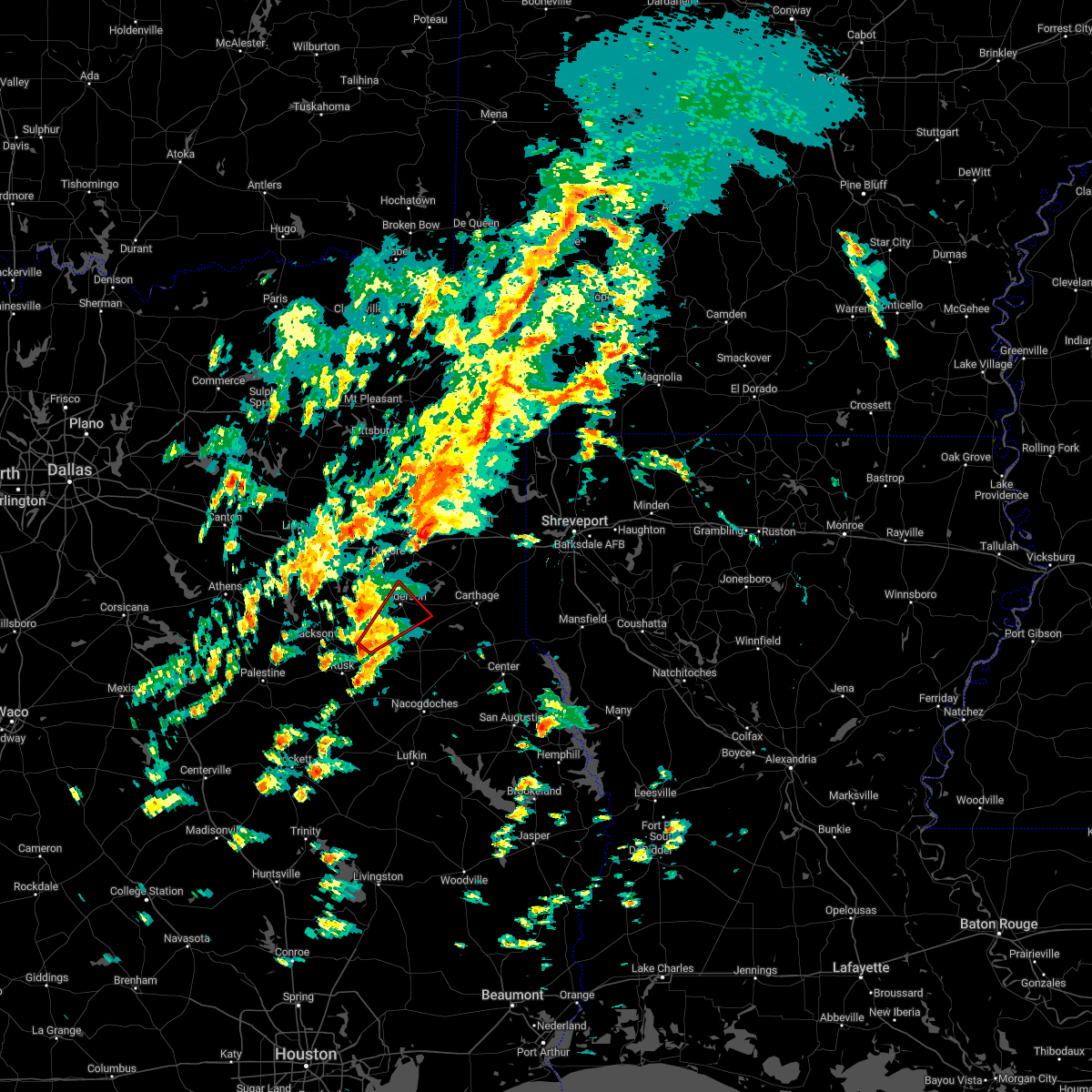 At 212 pm cst, a severe thunderstorm capable of producing a tornado was located over new salem, or 14 miles northeast of rusk, moving northeast at 40 mph (radar indicated rotation). Hazards include tornado. Flying debris will be dangerous to those caught without shelter. mobile homes will be damaged or destroyed. damage to roofs, windows, and vehicles will occur. tree damage is likely. this dangerous storm will be near, henderson around 240 pm cst. Other locations impacted by this tornadic thunderstorm include brachfield. At 212 pm cst, a severe thunderstorm capable of producing a tornado was located over new salem, or 14 miles northeast of rusk, moving northeast at 40 mph (radar indicated rotation). Hazards include tornado. Flying debris will be dangerous to those caught without shelter. mobile homes will be damaged or destroyed. damage to roofs, windows, and vehicles will occur. tree damage is likely. this dangerous storm will be near, henderson around 240 pm cst. Other locations impacted by this tornadic thunderstorm include brachfield.
|
| 11/4/2022 8:30 PM CDT |
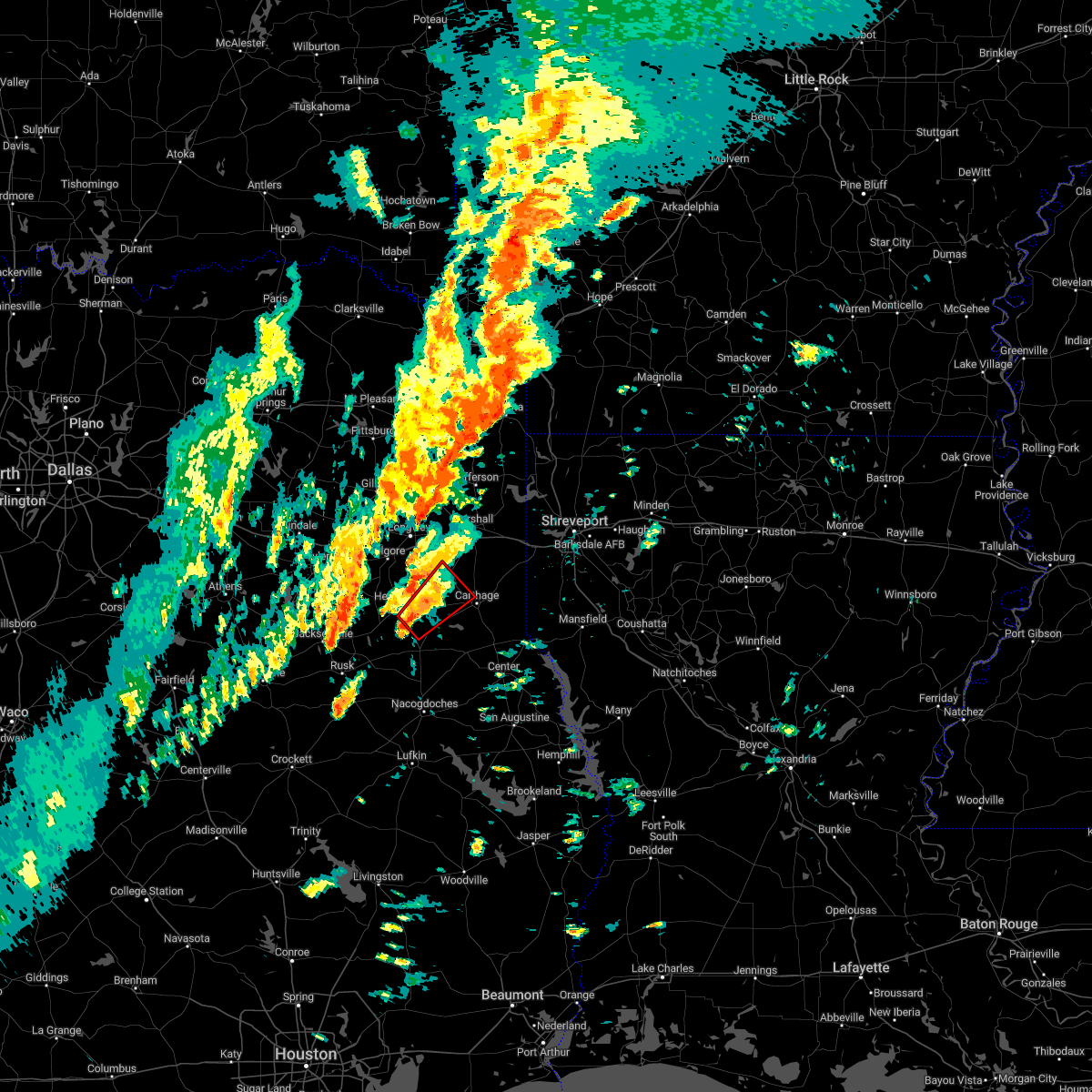 At 830 pm cdt, a severe thunderstorm capable of producing a tornado was located near minden, or 8 miles southeast of henderson, moving northeast at 45 mph (radar indicated rotation). Hazards include tornado. Flying debris will be dangerous to those caught without shelter. mobile homes will be damaged or destroyed. damage to roofs, windows, and vehicles will occur. tree damage is likely. Locations impacted include, henderson, tatum, beckville, pinehill, minden, chapman, church hill and fairplay. At 830 pm cdt, a severe thunderstorm capable of producing a tornado was located near minden, or 8 miles southeast of henderson, moving northeast at 45 mph (radar indicated rotation). Hazards include tornado. Flying debris will be dangerous to those caught without shelter. mobile homes will be damaged or destroyed. damage to roofs, windows, and vehicles will occur. tree damage is likely. Locations impacted include, henderson, tatum, beckville, pinehill, minden, chapman, church hill and fairplay.
|
| 11/4/2022 8:14 PM CDT |
 At 814 pm cdt, a severe thunderstorm capable of producing a tornado was located 7 miles east of new salem, or 14 miles south of henderson, moving northeast at 45 mph (radar indicated rotation). Hazards include tornado. Flying debris will be dangerous to those caught without shelter. mobile homes will be damaged or destroyed. damage to roofs, windows, and vehicles will occur. Tree damage is likely. At 814 pm cdt, a severe thunderstorm capable of producing a tornado was located 7 miles east of new salem, or 14 miles south of henderson, moving northeast at 45 mph (radar indicated rotation). Hazards include tornado. Flying debris will be dangerous to those caught without shelter. mobile homes will be damaged or destroyed. damage to roofs, windows, and vehicles will occur. Tree damage is likely.
|
| 11/4/2022 8:05 PM CDT |
 At 804 pm cdt, a severe thunderstorm capable of producing a tornado was located 7 miles south of henderson, moving northeast at 40 mph (radar indicated rotation). Hazards include tornado. Flying debris will be dangerous to those caught without shelter. mobile homes will be damaged or destroyed. damage to roofs, windows, and vehicles will occur. tree damage is likely. Locations impacted include, henderson, minden, new salem, reklaw, laneville and brachfield. At 804 pm cdt, a severe thunderstorm capable of producing a tornado was located 7 miles south of henderson, moving northeast at 40 mph (radar indicated rotation). Hazards include tornado. Flying debris will be dangerous to those caught without shelter. mobile homes will be damaged or destroyed. damage to roofs, windows, and vehicles will occur. tree damage is likely. Locations impacted include, henderson, minden, new salem, reklaw, laneville and brachfield.
|
| 11/4/2022 7:55 PM CDT |
 At 755 pm cdt, a severe thunderstorm capable of producing a tornado was located near new salem, or 12 miles southwest of henderson, moving northeast at 40 mph (radar indicated rotation). Hazards include tornado. Flying debris will be dangerous to those caught without shelter. mobile homes will be damaged or destroyed. damage to roofs, windows, and vehicles will occur. tree damage is likely. Locations impacted include, henderson, new salem, ponta, minden, new summerfield, reklaw, laneville and brachfield. At 755 pm cdt, a severe thunderstorm capable of producing a tornado was located near new salem, or 12 miles southwest of henderson, moving northeast at 40 mph (radar indicated rotation). Hazards include tornado. Flying debris will be dangerous to those caught without shelter. mobile homes will be damaged or destroyed. damage to roofs, windows, and vehicles will occur. tree damage is likely. Locations impacted include, henderson, new salem, ponta, minden, new summerfield, reklaw, laneville and brachfield.
|
| 11/4/2022 7:30 PM CDT |
 At 730 pm cdt, a severe thunderstorm capable of producing a tornado was located over rusk, moving northeast at 40 mph (radar indicated rotation). Hazards include tornado. Flying debris will be dangerous to those caught without shelter. mobile homes will be damaged or destroyed. damage to roofs, windows, and vehicles will occur. Tree damage is likely. At 730 pm cdt, a severe thunderstorm capable of producing a tornado was located over rusk, moving northeast at 40 mph (radar indicated rotation). Hazards include tornado. Flying debris will be dangerous to those caught without shelter. mobile homes will be damaged or destroyed. damage to roofs, windows, and vehicles will occur. Tree damage is likely.
|
| 10/25/2022 12:15 AM CDT |
 At 1215 am cdt, severe thunderstorms were located along a line extending from longview to 6 miles northwest of pinehill to near douglass, moving east at 60 mph (radar indicated). Hazards include 60 mph wind gusts and penny size hail. Expect damage to roofs, siding, and trees. locations impacted include, nacogdoches, henderson, wells, sacul, forest, douglass, minden, trawick, cushing, mount enterprise, chapman, monroe, glenfawn, stewart, brachfield, lilbert, linwood, chalk hill, looneyville and church hill. hail threat, radar indicated max hail size, 0. 75 in wind threat, radar indicated max wind gust, 60 mph. At 1215 am cdt, severe thunderstorms were located along a line extending from longview to 6 miles northwest of pinehill to near douglass, moving east at 60 mph (radar indicated). Hazards include 60 mph wind gusts and penny size hail. Expect damage to roofs, siding, and trees. locations impacted include, nacogdoches, henderson, wells, sacul, forest, douglass, minden, trawick, cushing, mount enterprise, chapman, monroe, glenfawn, stewart, brachfield, lilbert, linwood, chalk hill, looneyville and church hill. hail threat, radar indicated max hail size, 0. 75 in wind threat, radar indicated max wind gust, 60 mph.
|
| 10/24/2022 11:54 PM CDT | Trees down on hwy 47 in rusk county TX, 10.1 miles ENE of Henderson, TX |
| 10/24/2022 11:51 PM CDT |
 At 1150 pm cdt, severe thunderstorms were located along a line extending from 8 miles north of arp to near new salem to 8 miles northwest of kennard, moving northeast at 60 mph (radar indicated). Hazards include 60 mph wind gusts and penny size hail. expect damage to roofs, siding, and trees At 1150 pm cdt, severe thunderstorms were located along a line extending from 8 miles north of arp to near new salem to 8 miles northwest of kennard, moving northeast at 60 mph (radar indicated). Hazards include 60 mph wind gusts and penny size hail. expect damage to roofs, siding, and trees
|
| 5/21/2022 10:38 PM CDT |
 At 1037 pm cdt, severe thunderstorms were located along a line extending from 6 miles southeast of lindale to near kilgore to 9 miles southwest of minden to forest, moving east at 45 mph (radar indicated. trees have been downed across southern smith and cherokee counties from these storms). Hazards include 60 mph wind gusts. expect damage to roofs, siding, and trees At 1037 pm cdt, severe thunderstorms were located along a line extending from 6 miles southeast of lindale to near kilgore to 9 miles southwest of minden to forest, moving east at 45 mph (radar indicated. trees have been downed across southern smith and cherokee counties from these storms). Hazards include 60 mph wind gusts. expect damage to roofs, siding, and trees
|
| 5/21/2022 10:37 PM CDT | *** 1 inj *** vehicle collision with a tree at the intersection of sh 42 and cr 468 in w rusk county. 1 minor injury reporte in rusk county TX, 9.1 miles ENE of Henderson, TX |
| 5/5/2022 3:21 PM CDT |
 At 320 pm cdt, a severe thunderstorm was located over new salem, or 16 miles southwest of henderson, moving east at 55 mph (radar indicated). Hazards include 60 mph wind gusts and penny size hail. Expect damage to roofs, siding, and trees. locations impacted include, henderson, ponta, sacul, new salem, minden, new summerfield, cushing, mount enterprise, reklaw, chapman, concord, glenfawn, brachfield and laneville. hail threat, radar indicated max hail size, 0. 75 in wind threat, radar indicated max wind gust, 60 mph. At 320 pm cdt, a severe thunderstorm was located over new salem, or 16 miles southwest of henderson, moving east at 55 mph (radar indicated). Hazards include 60 mph wind gusts and penny size hail. Expect damage to roofs, siding, and trees. locations impacted include, henderson, ponta, sacul, new salem, minden, new summerfield, cushing, mount enterprise, reklaw, chapman, concord, glenfawn, brachfield and laneville. hail threat, radar indicated max hail size, 0. 75 in wind threat, radar indicated max wind gust, 60 mph.
|
| 5/5/2022 2:59 PM CDT |
 At 258 pm cdt, a severe thunderstorm was located near maydelle, or near jacksonville, moving east at 55 mph (radar indicated). Hazards include 60 mph wind gusts and half dollar size hail. Hail damage to vehicles is expected. Expect wind damage to roofs, siding, and trees. At 258 pm cdt, a severe thunderstorm was located near maydelle, or near jacksonville, moving east at 55 mph (radar indicated). Hazards include 60 mph wind gusts and half dollar size hail. Hail damage to vehicles is expected. Expect wind damage to roofs, siding, and trees.
|
| 5/5/2022 1:42 PM CDT |
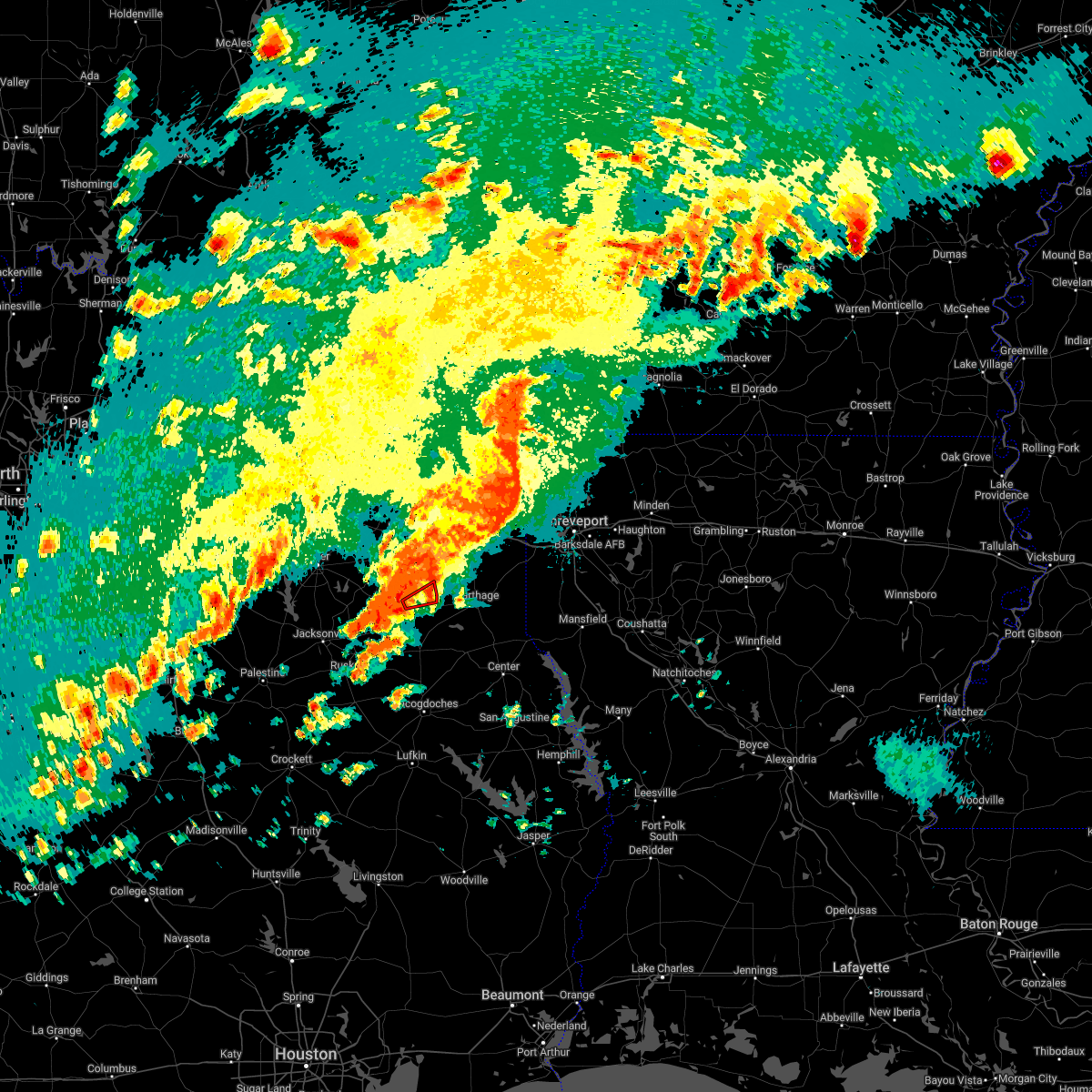 At 142 pm cdt, a severe thunderstorm capable of producing a tornado was located over henderson, moving northeast at 25 mph (radar indicated rotation). Hazards include tornado. Flying debris will be dangerous to those caught without shelter. mobile homes will be damaged or destroyed. damage to roofs, windows, and vehicles will occur. tree damage is likely. This tornadic thunderstorm will remain over mainly rural areas of central rusk county, including the following locations, church hill. At 142 pm cdt, a severe thunderstorm capable of producing a tornado was located over henderson, moving northeast at 25 mph (radar indicated rotation). Hazards include tornado. Flying debris will be dangerous to those caught without shelter. mobile homes will be damaged or destroyed. damage to roofs, windows, and vehicles will occur. tree damage is likely. This tornadic thunderstorm will remain over mainly rural areas of central rusk county, including the following locations, church hill.
|
| 5/5/2022 1:36 PM CDT |
 At 136 pm cdt, severe thunderstorms were located along a line extending from near hallsville to 8 miles southwest of minden, moving east at 20 mph (radar indicated). Hazards include 60 mph wind gusts and quarter size hail. Hail damage to vehicles is expected. expect wind damage to roofs, siding, and trees. locations impacted include, longview, marshall, henderson, carthage, hallsville, tatum, timpson, beckville, elysian fields, pinehill, joinerville, turnertown, minden, new summerfield, lakeport, easton, mount enterprise, scottsville, gary city and darco. hail threat, radar indicated max hail size, 1. 00 in wind threat, radar indicated max wind gust, 60 mph. At 136 pm cdt, severe thunderstorms were located along a line extending from near hallsville to 8 miles southwest of minden, moving east at 20 mph (radar indicated). Hazards include 60 mph wind gusts and quarter size hail. Hail damage to vehicles is expected. expect wind damage to roofs, siding, and trees. locations impacted include, longview, marshall, henderson, carthage, hallsville, tatum, timpson, beckville, elysian fields, pinehill, joinerville, turnertown, minden, new summerfield, lakeport, easton, mount enterprise, scottsville, gary city and darco. hail threat, radar indicated max hail size, 1. 00 in wind threat, radar indicated max wind gust, 60 mph.
|
| 5/5/2022 1:10 PM CDT |
 At 109 pm cdt, severe thunderstorms were located along a line extending from near hallsville to near new salem, moving east at 45 mph (radar indicated). Hazards include 60 mph wind gusts and quarter size hail. Hail damage to vehicles is expected. Expect wind damage to roofs, siding, and trees. At 109 pm cdt, severe thunderstorms were located along a line extending from near hallsville to near new salem, moving east at 45 mph (radar indicated). Hazards include 60 mph wind gusts and quarter size hail. Hail damage to vehicles is expected. Expect wind damage to roofs, siding, and trees.
|
| 4/30/2022 6:55 PM CDT |
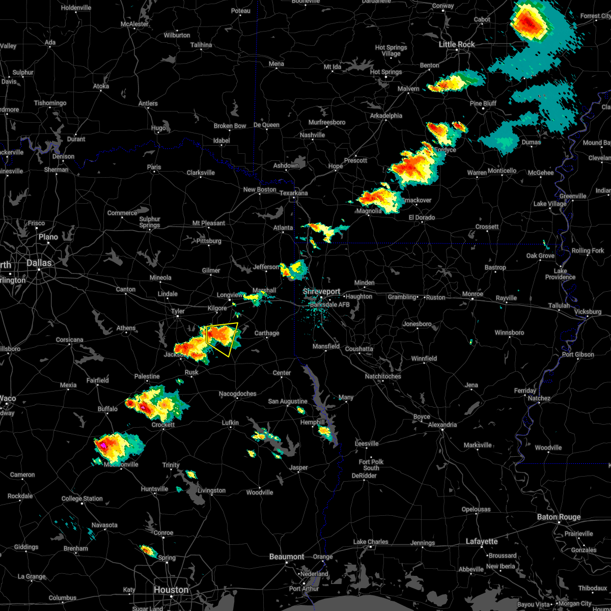 At 655 pm cdt, a severe thunderstorm was located over turnertown, or 9 miles west of henderson, moving east at 10 mph (radar indicated). Hazards include 60 mph wind gusts and half dollar size hail. Hail damage to vehicles is expected. Expect wind damage to roofs, siding, and trees. At 655 pm cdt, a severe thunderstorm was located over turnertown, or 9 miles west of henderson, moving east at 10 mph (radar indicated). Hazards include 60 mph wind gusts and half dollar size hail. Hail damage to vehicles is expected. Expect wind damage to roofs, siding, and trees.
|
| 4/12/2022 8:59 PM CDT |
 At 858 pm cdt, a severe thunderstorm was located 7 miles southeast of hughes springs, or 25 miles southwest of atlanta, moving northeast at 80 mph (radar indicated). Hazards include 70 mph wind gusts and penny size hail. Expect considerable tree damage. damage is likely to mobile homes, roofs, and outbuildings. locations impacted include, longview, henderson, kilgore, white oak, hallsville, tatum, ore city, new london, beckville, east mountain, harleton, diana, joinerville, turnertown, cedar springs, lakeport, easton, rolling meadows, stewart and chalk hill. thunderstorm damage threat, considerable hail threat, radar indicated max hail size, 0. 75 in wind threat, radar indicated max wind gust, 70 mph. At 858 pm cdt, a severe thunderstorm was located 7 miles southeast of hughes springs, or 25 miles southwest of atlanta, moving northeast at 80 mph (radar indicated). Hazards include 70 mph wind gusts and penny size hail. Expect considerable tree damage. damage is likely to mobile homes, roofs, and outbuildings. locations impacted include, longview, henderson, kilgore, white oak, hallsville, tatum, ore city, new london, beckville, east mountain, harleton, diana, joinerville, turnertown, cedar springs, lakeport, easton, rolling meadows, stewart and chalk hill. thunderstorm damage threat, considerable hail threat, radar indicated max hail size, 0. 75 in wind threat, radar indicated max wind gust, 70 mph.
|
| 4/12/2022 8:48 PM CDT |
 At 848 pm cdt, severe thunderstorms were located along a line extending from 8 miles east of kilgore to 11 miles northwest of kennard, moving east at 50 mph (radar indicated). Hazards include 70 mph wind gusts and penny size hail. Expect considerable tree damage. Damage is likely to mobile homes, roofs, and outbuildings. At 848 pm cdt, severe thunderstorms were located along a line extending from 8 miles east of kilgore to 11 miles northwest of kennard, moving east at 50 mph (radar indicated). Hazards include 70 mph wind gusts and penny size hail. Expect considerable tree damage. Damage is likely to mobile homes, roofs, and outbuildings.
|
| 4/12/2022 8:45 PM CDT | Tree down on hwy 301 just outside of henderso in rusk county TX, 7.3 miles WNW of Henderson, TX |
| 4/12/2022 8:34 PM CDT |
 At 834 pm cdt, a severe thunderstorm was located over liberty city, or near gladewater, moving northeast at 55 mph (radar indicated). Hazards include 70 mph wind gusts and penny size hail. Expect considerable tree damage. damage is likely to mobile homes, roofs, and outbuildings. locations impacted include, longview, jacksonville, henderson, kilgore, whitehouse, white oak, gladewater, overton, troup, big sandy, hawkins, new london, arp, clarksville city, mount selman, rosewood, liberty city, joinerville, mixon and turnertown. thunderstorm damage threat, considerable hail threat, radar indicated max hail size, 0. 75 in wind threat, radar indicated max wind gust, 70 mph. At 834 pm cdt, a severe thunderstorm was located over liberty city, or near gladewater, moving northeast at 55 mph (radar indicated). Hazards include 70 mph wind gusts and penny size hail. Expect considerable tree damage. damage is likely to mobile homes, roofs, and outbuildings. locations impacted include, longview, jacksonville, henderson, kilgore, whitehouse, white oak, gladewater, overton, troup, big sandy, hawkins, new london, arp, clarksville city, mount selman, rosewood, liberty city, joinerville, mixon and turnertown. thunderstorm damage threat, considerable hail threat, radar indicated max hail size, 0. 75 in wind threat, radar indicated max wind gust, 70 mph.
|
| 4/12/2022 8:32 PM CDT |
 At 831 pm cdt, a severe thunderstorm was located over gladewater, moving northeast at 80 mph (radar indicated). Hazards include 60 mph wind gusts and penny size hail. expect damage to roofs, siding, and trees At 831 pm cdt, a severe thunderstorm was located over gladewater, moving northeast at 80 mph (radar indicated). Hazards include 60 mph wind gusts and penny size hail. expect damage to roofs, siding, and trees
|
| 4/12/2022 8:20 PM CDT |
 At 819 pm cdt, severe thunderstorms were located along a line extending from near mixon to 10 miles east of buffalo, moving east at 55 mph (radar indicated). Hazards include 70 mph wind gusts and penny size hail. Expect considerable tree damage. Damage is likely to mobile homes, roofs, and outbuildings. At 819 pm cdt, severe thunderstorms were located along a line extending from near mixon to 10 miles east of buffalo, moving east at 55 mph (radar indicated). Hazards include 70 mph wind gusts and penny size hail. Expect considerable tree damage. Damage is likely to mobile homes, roofs, and outbuildings.
|
| 4/12/2022 7:46 PM CDT |
 At 744 pm cdt, a severe thunderstorm was located 9 miles northwest of frankston, or 13 miles southeast of athens, moving northeast at 55 mph (radar indicated). Hazards include 70 mph wind gusts and penny size hail. Expect considerable tree damage. Damage is likely to mobile homes, roofs, and outbuildings. At 744 pm cdt, a severe thunderstorm was located 9 miles northwest of frankston, or 13 miles southeast of athens, moving northeast at 55 mph (radar indicated). Hazards include 70 mph wind gusts and penny size hail. Expect considerable tree damage. Damage is likely to mobile homes, roofs, and outbuildings.
|
| 4/5/2022 2:21 AM CDT |
 At 221 am cdt, severe thunderstorms were located along a line extending from 8 miles southwest of marshall to near pinehill, moving east at 60 mph (emergency management). Hazards include 60 mph wind gusts and quarter size hail. Hail damage to vehicles is expected. expect wind damage to roofs, siding, and trees. Locations impacted include, longview, henderson, carthage, tatum, beckville, elysian fields, joinerville, pinehill, minden, lakeport, easton, gary city, chapman, monroe, darco, fairplay, stewart, brachfield, chalk hill and dotson. At 221 am cdt, severe thunderstorms were located along a line extending from 8 miles southwest of marshall to near pinehill, moving east at 60 mph (emergency management). Hazards include 60 mph wind gusts and quarter size hail. Hail damage to vehicles is expected. expect wind damage to roofs, siding, and trees. Locations impacted include, longview, henderson, carthage, tatum, beckville, elysian fields, joinerville, pinehill, minden, lakeport, easton, gary city, chapman, monroe, darco, fairplay, stewart, brachfield, chalk hill and dotson.
|
| 4/5/2022 2:15 AM CDT | Small trees and debris across fm 225 south of henderso in rusk county TX, 3.6 miles N of Henderson, TX |
| 4/5/2022 2:10 AM CDT | Roof/awning damage on richardson drive in henderso in rusk county TX, 1 miles NE of Henderson, TX |
| 4/5/2022 2:10 AM CDT | Roof blown off a building in downtown henderso in rusk county TX, 0.8 miles N of Henderson, TX |
| 4/5/2022 1:55 AM CDT |
 At 154 am cdt, severe thunderstorms were located along a line extending from near west mountain to near mixon, moving east at 45 mph (emergency management. at at 142 am cdt, trees were reported down on homes in whitehouse). Hazards include 80 mph wind gusts and quarter size hail. Flying debris will be dangerous to those caught without shelter. mobile homes will be heavily damaged. expect considerable damage to roofs, windows, and vehicles. Extensive tree damage and power outages are likely. At 154 am cdt, severe thunderstorms were located along a line extending from near west mountain to near mixon, moving east at 45 mph (emergency management. at at 142 am cdt, trees were reported down on homes in whitehouse). Hazards include 80 mph wind gusts and quarter size hail. Flying debris will be dangerous to those caught without shelter. mobile homes will be heavily damaged. expect considerable damage to roofs, windows, and vehicles. Extensive tree damage and power outages are likely.
|
| 3/14/2022 9:12 PM CDT |
 At 910 pm cdt, severe thunderstorms were located along a line extending from near diana to henderson, moving east at 45 mph (radar indicated). Hazards include 60 mph wind gusts and quarter size hail. Hail damage to vehicles is expected. Expect wind damage to roofs, siding, and trees. At 910 pm cdt, severe thunderstorms were located along a line extending from near diana to henderson, moving east at 45 mph (radar indicated). Hazards include 60 mph wind gusts and quarter size hail. Hail damage to vehicles is expected. Expect wind damage to roofs, siding, and trees.
|
| 3/14/2022 8:31 PM CDT |
 At 831 pm cdt, severe thunderstorms were located along a line extending from near hawkins to mixon, moving east at 40 mph (radar indicated). Hazards include 60 mph wind gusts and quarter size hail. Hail damage to vehicles is expected. Expect wind damage to roofs, siding, and trees. At 831 pm cdt, severe thunderstorms were located along a line extending from near hawkins to mixon, moving east at 40 mph (radar indicated). Hazards include 60 mph wind gusts and quarter size hail. Hail damage to vehicles is expected. Expect wind damage to roofs, siding, and trees.
|
| 10/27/2021 9:15 AM CDT | Tree down on cr 3397... fm 782 near cr 2186... fm 225 2 miles n of hwy 284... fm 2496 near cr 3161 and state hwy 42 nw of hwy 79 in rusk county TX, 0.1 miles NNE of Henderson, TX |
| 10/11/2021 1:35 AM CDT |
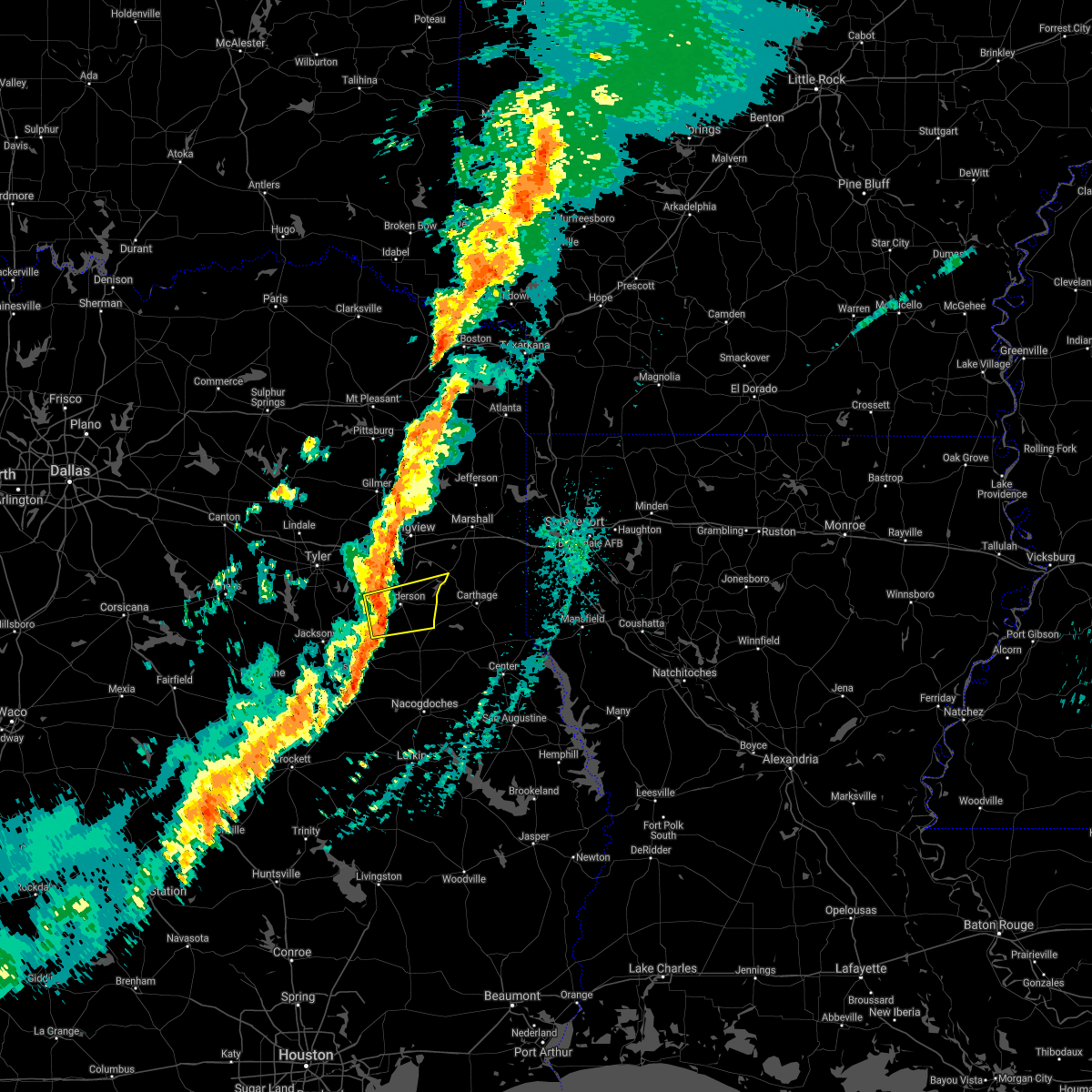 At 134 am cdt, a severe thunderstorm was located near turnertown, or 8 miles southwest of henderson, moving east at 50 mph (radar indicated). Hazards include 60 mph wind gusts and quarter size hail. Hail damage to vehicles is expected. Expect wind damage to roofs, siding, and trees. At 134 am cdt, a severe thunderstorm was located near turnertown, or 8 miles southwest of henderson, moving east at 50 mph (radar indicated). Hazards include 60 mph wind gusts and quarter size hail. Hail damage to vehicles is expected. Expect wind damage to roofs, siding, and trees.
|
| 10/11/2021 12:33 AM CDT |
 At 1232 am cdt, severe thunderstorms were located along a line extending from mount vernon to near hainesville to near chandler, moving east at 50 mph (radar indicated). Hazards include 60 mph wind gusts and quarter size hail. Hail damage to vehicles is expected. Expect wind damage to roofs, siding, and trees. At 1232 am cdt, severe thunderstorms were located along a line extending from mount vernon to near hainesville to near chandler, moving east at 50 mph (radar indicated). Hazards include 60 mph wind gusts and quarter size hail. Hail damage to vehicles is expected. Expect wind damage to roofs, siding, and trees.
|
| 6/8/2021 10:51 AM CDT |
 At 1051 am cdt, severe thunderstorms were located along a line extending from near clarksville city to near henderson, moving east at 35 mph (radar indicated). Hazards include 60 mph wind gusts. expect damage to roofs, siding, and trees At 1051 am cdt, severe thunderstorms were located along a line extending from near clarksville city to near henderson, moving east at 35 mph (radar indicated). Hazards include 60 mph wind gusts. expect damage to roofs, siding, and trees
|
| 6/8/2021 10:30 AM CDT |
 At 1029 am cdt, severe thunderstorms were located along a line extending from near troup to near rusk to 7 miles southwest of morrill, moving east at 45 mph (radar indicated). Hazards include 60 mph wind gusts and penny size hail. expect damage to roofs, siding, and trees At 1029 am cdt, severe thunderstorms were located along a line extending from near troup to near rusk to 7 miles southwest of morrill, moving east at 45 mph (radar indicated). Hazards include 60 mph wind gusts and penny size hail. expect damage to roofs, siding, and trees
|
| 6/7/2021 1:13 PM CDT | Pine tree down in 8500 block of sh 4 in rusk county TX, 3.9 miles SW of Henderson, TX |
| 6/7/2021 1:12 PM CDT | Tree across us-25 in rusk county TX, 2.1 miles N of Henderson, TX |
| 6/7/2021 12:37 PM CDT |
 At 1236 pm cdt, severe thunderstorms were located along a line extending from near mineola to 7 miles east of palestine, moving east at 55 mph (radar indicated). Hazards include 60 mph wind gusts. expect damage to roofs, siding, and trees At 1236 pm cdt, severe thunderstorms were located along a line extending from near mineola to 7 miles east of palestine, moving east at 55 mph (radar indicated). Hazards include 60 mph wind gusts. expect damage to roofs, siding, and trees
|
| 5/25/2021 2:30 PM CDT | Trees down on cr 424 and cr 483 west of henderso in rusk county TX, 3.6 miles E of Henderson, TX |
| 5/11/2021 4:23 PM CDT |
 At 423 pm cdt, severe thunderstorms were located along a line extending from 6 miles southwest of karnack to 10 miles south of marshall to near beckville to minden to sacul, moving east at 40 mph (radar indicated). Hazards include 60 mph wind gusts and quarter size hail. Hail damage to vehicles is expected. expect wind damage to roofs, siding, and trees. Locations impacted include, marshall, carthage, hallsville, waskom, tatum, tenaha, timpson, beckville, deberry, elysian fields, pinehill, minden, easton, mount enterprise, reklaw, scottsville, gary city, nesbitt, darco and fairplay. At 423 pm cdt, severe thunderstorms were located along a line extending from 6 miles southwest of karnack to 10 miles south of marshall to near beckville to minden to sacul, moving east at 40 mph (radar indicated). Hazards include 60 mph wind gusts and quarter size hail. Hail damage to vehicles is expected. expect wind damage to roofs, siding, and trees. Locations impacted include, marshall, carthage, hallsville, waskom, tatum, tenaha, timpson, beckville, deberry, elysian fields, pinehill, minden, easton, mount enterprise, reklaw, scottsville, gary city, nesbitt, darco and fairplay.
|
| 5/11/2021 3:59 PM CDT |
 At 359 pm cdt, severe thunderstorms were located along a line extending from near hallsville to near tatum to near henderson to new salem to near rusk, moving east at 40 mph (radar indicated). Hazards include 60 mph wind gusts and quarter size hail. Hail damage to vehicles is expected. Expect wind damage to roofs, siding, and trees. At 359 pm cdt, severe thunderstorms were located along a line extending from near hallsville to near tatum to near henderson to new salem to near rusk, moving east at 40 mph (radar indicated). Hazards include 60 mph wind gusts and quarter size hail. Hail damage to vehicles is expected. Expect wind damage to roofs, siding, and trees.
|
| 5/11/2021 3:45 PM CDT | Very large tree down .5 miles of of us 259 n to the w on cr 10 in rusk county TX, 5 miles SE of Henderson, TX |
| 5/11/2021 2:21 PM CDT |
 The national weather service in shreveport has issued a * severe thunderstorm warning for. east central smith county in northeastern texas. western harrison county in northeastern texas. northwestern rusk county in northeastern texas. Southeastern upshur county in northeastern texas. The national weather service in shreveport has issued a * severe thunderstorm warning for. east central smith county in northeastern texas. western harrison county in northeastern texas. northwestern rusk county in northeastern texas. Southeastern upshur county in northeastern texas.
|
| 4/9/2021 7:00 PM CDT | Tea Cup sized hail reported 2.4 miles NNW of Henderson, TX, spotter network reports 3 hail 2 sse henderson. |
| 4/9/2021 6:53 PM CDT |
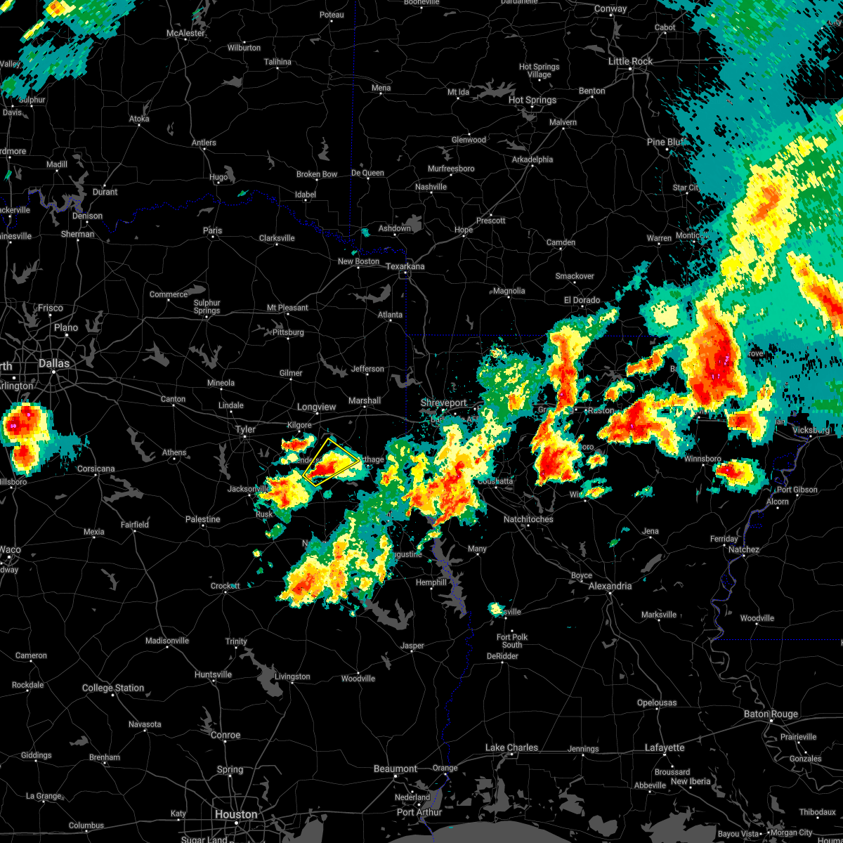 At 653 pm cdt, a severe thunderstorm was located near henderson, moving northeast at 20 mph (radar indicated). Hazards include golf ball size hail and 60 mph wind gusts. People and animals outdoors will be injured. expect hail damage to roofs, siding, windows, and vehicles. Expect wind damage to roofs, siding, and trees. At 653 pm cdt, a severe thunderstorm was located near henderson, moving northeast at 20 mph (radar indicated). Hazards include golf ball size hail and 60 mph wind gusts. People and animals outdoors will be injured. expect hail damage to roofs, siding, windows, and vehicles. Expect wind damage to roofs, siding, and trees.
|
| 4/9/2021 6:51 PM CDT | Half Dollar sized hail reported 4.8 miles NNW of Henderson, TX, report from mping: half dollar (1.25 in.). |
| 4/9/2021 6:45 PM CDT | Baseball sized hail reported 4.6 miles NNW of Henderson, TX, reported at the intersection of us-259 and cr-317. |
| 4/9/2021 6:45 PM CDT | Tea Cup sized hail reported 2.4 miles NNW of Henderson, TX, report from mping: tea cup (3.00 in.). |
| 4/9/2021 6:36 PM CDT |
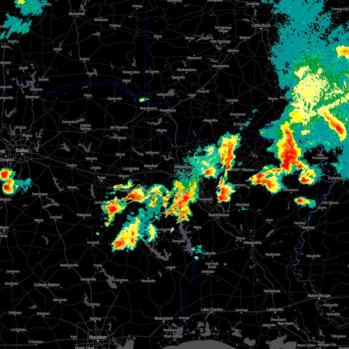 At 636 pm cdt, a severe thunderstorm was located near minden, or near henderson, moving northeast at 30 mph (radar indicated). Hazards include 60 mph wind gusts and half dollar size hail. Hail damage to vehicles is expected. expect wind damage to roofs, siding, and trees. Locations impacted include, henderson, pinehill, church hill, chapman, fairplay and brachfield. At 636 pm cdt, a severe thunderstorm was located near minden, or near henderson, moving northeast at 30 mph (radar indicated). Hazards include 60 mph wind gusts and half dollar size hail. Hail damage to vehicles is expected. expect wind damage to roofs, siding, and trees. Locations impacted include, henderson, pinehill, church hill, chapman, fairplay and brachfield.
|
| 4/9/2021 6:21 PM CDT |
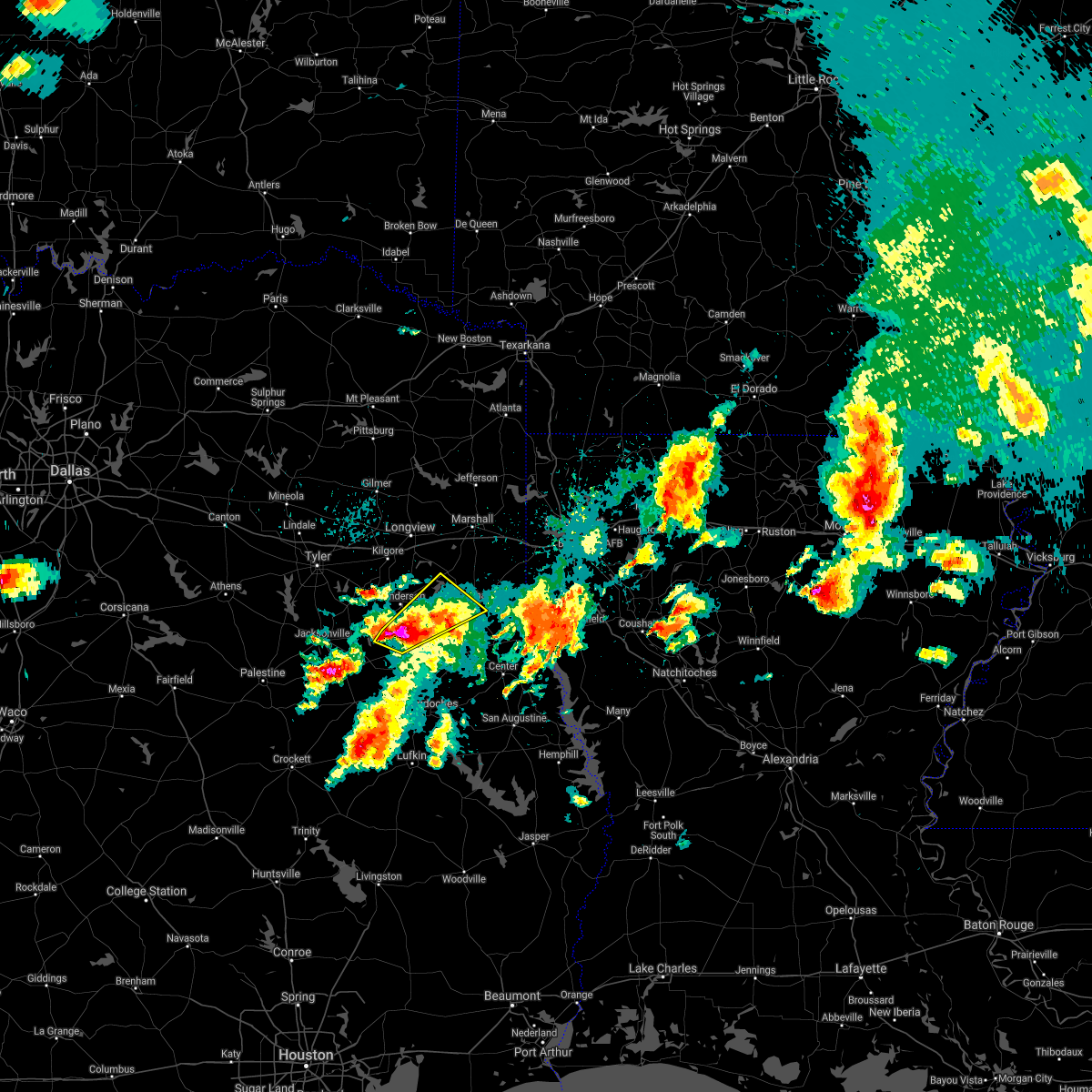 At 620 pm cdt, a severe thunderstorm was located near minden, or 9 miles south of henderson, moving northeast at 30 mph (radar indicated). Hazards include 60 mph wind gusts and half dollar size hail. Hail damage to vehicles is expected. expect wind damage to roofs, siding, and trees. Locations impacted include, carthage, beckville, pinehill, minden, chapman, church hill, laneville, fairplay and brachfield. At 620 pm cdt, a severe thunderstorm was located near minden, or 9 miles south of henderson, moving northeast at 30 mph (radar indicated). Hazards include 60 mph wind gusts and half dollar size hail. Hail damage to vehicles is expected. expect wind damage to roofs, siding, and trees. Locations impacted include, carthage, beckville, pinehill, minden, chapman, church hill, laneville, fairplay and brachfield.
|
| 4/9/2021 6:01 PM CDT |
 At 601 pm cdt, a severe thunderstorm was located 7 miles east of new salem, or 14 miles south of henderson, moving northeast at 35 mph (radar indicated). Hazards include 60 mph wind gusts and quarter size hail. Hail damage to vehicles is expected. Expect wind damage to roofs, siding, and trees. At 601 pm cdt, a severe thunderstorm was located 7 miles east of new salem, or 14 miles south of henderson, moving northeast at 35 mph (radar indicated). Hazards include 60 mph wind gusts and quarter size hail. Hail damage to vehicles is expected. Expect wind damage to roofs, siding, and trees.
|
| 3/27/2021 9:52 PM CDT |
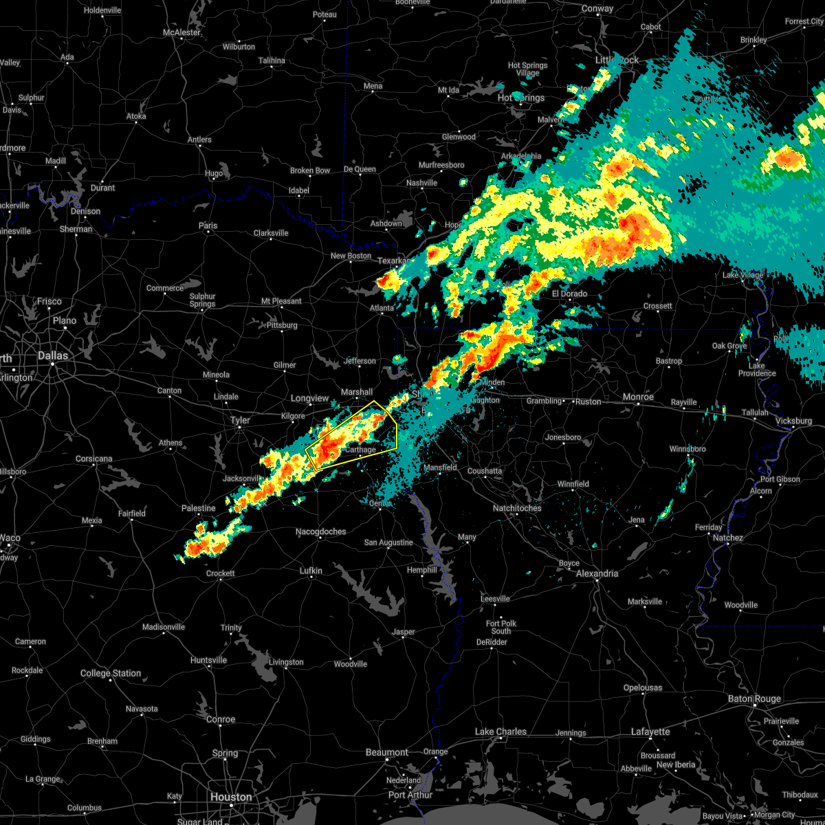 At 952 pm cdt, a severe thunderstorm was located 8 miles north of pinehill, or 11 miles northeast of henderson, moving northeast at 45 mph (radar indicated). Hazards include 60 mph wind gusts and half dollar size hail. Hail damage to vehicles is expected. Expect wind damage to roofs, siding, and trees. At 952 pm cdt, a severe thunderstorm was located 8 miles north of pinehill, or 11 miles northeast of henderson, moving northeast at 45 mph (radar indicated). Hazards include 60 mph wind gusts and half dollar size hail. Hail damage to vehicles is expected. Expect wind damage to roofs, siding, and trees.
|
| 3/23/2021 1:00 AM CDT |
 At 1259 am cdt, severe thunderstorms were located along a line extending from near arp to near troup to 6 miles north of maydelle, moving east at 40 mph (radar indicated). Hazards include 60 mph wind gusts and penny size hail. expect damage to roofs, siding, and trees At 1259 am cdt, severe thunderstorms were located along a line extending from near arp to near troup to 6 miles north of maydelle, moving east at 40 mph (radar indicated). Hazards include 60 mph wind gusts and penny size hail. expect damage to roofs, siding, and trees
|
| 3/23/2021 12:18 AM CDT |
 At 1217 am cdt, severe thunderstorms were located along a line extending from near brownsboro to near frankston to near palestine, moving east at 45 mph (radar indicated). Hazards include 60 mph wind gusts and penny size hail. expect damage to roofs, siding, and trees At 1217 am cdt, severe thunderstorms were located along a line extending from near brownsboro to near frankston to near palestine, moving east at 45 mph (radar indicated). Hazards include 60 mph wind gusts and penny size hail. expect damage to roofs, siding, and trees
|
| 3/17/2021 8:40 AM CDT |
 At 840 am cdt, severe thunderstorms were located along a line extending from near tatum to near minden to near trawick, moving east at 30 mph (radar indicated). Hazards include 60 mph wind gusts and quarter size hail. Hail damage to vehicles is expected. Expect wind damage to roofs, siding, and trees. At 840 am cdt, severe thunderstorms were located along a line extending from near tatum to near minden to near trawick, moving east at 30 mph (radar indicated). Hazards include 60 mph wind gusts and quarter size hail. Hail damage to vehicles is expected. Expect wind damage to roofs, siding, and trees.
|
| 3/17/2021 8:36 AM CDT |
 At 836 am cdt, severe thunderstorms were located along a line extending from 7 miles north of pinehill to near minden to near sacul, moving east at 30 mph (radar indicated). Hazards include 70 mph wind gusts and quarter size hail. Hail damage to vehicles is expected. expect considerable tree damage. wind damage is also likely to mobile homes, roofs, and outbuildings. Locations impacted include, henderson, beckville, pinehill, sacul, minden, trawick, cushing, mount enterprise, reklaw, chapman, glenfawn, fairplay, brachfield, looneyville, church hill and laneville. At 836 am cdt, severe thunderstorms were located along a line extending from 7 miles north of pinehill to near minden to near sacul, moving east at 30 mph (radar indicated). Hazards include 70 mph wind gusts and quarter size hail. Hail damage to vehicles is expected. expect considerable tree damage. wind damage is also likely to mobile homes, roofs, and outbuildings. Locations impacted include, henderson, beckville, pinehill, sacul, minden, trawick, cushing, mount enterprise, reklaw, chapman, glenfawn, fairplay, brachfield, looneyville, church hill and laneville.
|
| 3/17/2021 8:21 AM CDT |
 At 821 am cdt, severe thunderstorms were located along a line extending from near henderson to 8 miles east of new salem to 6 miles southwest of sacul, moving east at 30 mph (radar indicated). Hazards include 70 mph wind gusts and quarter size hail. Hail damage to vehicles is expected. expect considerable tree damage. wind damage is also likely to mobile homes, roofs, and outbuildings. Locations impacted include, henderson, rusk, beckville, ponta, pinehill, sacul, turnertown, new salem, minden, trawick, new summerfield, cushing, mount enterprise, gallatin, reklaw, chapman, glenfawn, fairplay, brachfield and lilbert. At 821 am cdt, severe thunderstorms were located along a line extending from near henderson to 8 miles east of new salem to 6 miles southwest of sacul, moving east at 30 mph (radar indicated). Hazards include 70 mph wind gusts and quarter size hail. Hail damage to vehicles is expected. expect considerable tree damage. wind damage is also likely to mobile homes, roofs, and outbuildings. Locations impacted include, henderson, rusk, beckville, ponta, pinehill, sacul, turnertown, new salem, minden, trawick, new summerfield, cushing, mount enterprise, gallatin, reklaw, chapman, glenfawn, fairplay, brachfield and lilbert.
|
| 3/17/2021 8:19 AM CDT |
 At 819 am cdt, severe thunderstorms were located along a line extending from near harleton to 6 miles northeast of hallsville to 6 miles northwest of tatum to near henderson, moving east at 40 mph (radar indicated). Hazards include 70 mph wind gusts and quarter size hail. Hail damage to vehicles is expected. expect considerable tree damage. wind damage is also likely to mobile homes, roofs, and outbuildings. Locations impacted include, longview, marshall, henderson, kilgore, hallsville, jefferson, tatum, new london, beckville, berea, harleton, karnack, woodlawn, joinerville, lakeport, easton, scottsville, nesbitt, rolling meadows and darco. At 819 am cdt, severe thunderstorms were located along a line extending from near harleton to 6 miles northeast of hallsville to 6 miles northwest of tatum to near henderson, moving east at 40 mph (radar indicated). Hazards include 70 mph wind gusts and quarter size hail. Hail damage to vehicles is expected. expect considerable tree damage. wind damage is also likely to mobile homes, roofs, and outbuildings. Locations impacted include, longview, marshall, henderson, kilgore, hallsville, jefferson, tatum, new london, beckville, berea, harleton, karnack, woodlawn, joinerville, lakeport, easton, scottsville, nesbitt, rolling meadows and darco.
|
| 3/17/2021 8:01 AM CDT |
 At 801 am cdt, severe thunderstorms were located along a line extending from turnertown to new salem to near rusk, moving east at 35 mph (radar indicated). Hazards include 70 mph wind gusts and quarter size hail. Hail damage to vehicles is expected. expect considerable tree damage. wind damage is also likely to mobile homes, roofs, and outbuildings. Locations impacted include, jacksonville, henderson, rusk, troup, beckville, ponta, pinehill, new salem, trawick, sacul, mixon, turnertown, minden, maydelle, new summerfield, cushing, mount enterprise, gallatin, reklaw and fairplay. At 801 am cdt, severe thunderstorms were located along a line extending from turnertown to new salem to near rusk, moving east at 35 mph (radar indicated). Hazards include 70 mph wind gusts and quarter size hail. Hail damage to vehicles is expected. expect considerable tree damage. wind damage is also likely to mobile homes, roofs, and outbuildings. Locations impacted include, jacksonville, henderson, rusk, troup, beckville, ponta, pinehill, new salem, trawick, sacul, mixon, turnertown, minden, maydelle, new summerfield, cushing, mount enterprise, gallatin, reklaw and fairplay.
|
| 3/17/2021 8:00 AM CDT |
 At 800 am cdt, severe thunderstorms were located along a line extending from near diana to near longview to 7 miles southeast of kilgore to near turnertown, moving east at 40 mph (radar indicated). Hazards include 70 mph wind gusts and quarter size hail. Hail damage to vehicles is expected. expect considerable tree damage. wind damage is also likely to mobile homes, roofs, and outbuildings. Locations impacted include, longview, marshall, henderson, kilgore, whitehouse, white oak, gladewater, hallsville, overton, jefferson, troup, tatum, new london, arp, clarksville city, beckville, east mountain, berea, harleton and diana. At 800 am cdt, severe thunderstorms were located along a line extending from near diana to near longview to 7 miles southeast of kilgore to near turnertown, moving east at 40 mph (radar indicated). Hazards include 70 mph wind gusts and quarter size hail. Hail damage to vehicles is expected. expect considerable tree damage. wind damage is also likely to mobile homes, roofs, and outbuildings. Locations impacted include, longview, marshall, henderson, kilgore, whitehouse, white oak, gladewater, hallsville, overton, jefferson, troup, tatum, new london, arp, clarksville city, beckville, east mountain, berea, harleton and diana.
|
| 3/17/2021 7:43 AM CDT |
 At 743 am cdt, severe thunderstorms were located along a line extending from near troup to near jacksonville to 8 miles south of maydelle, moving east at 30 mph (radar indicated). Hazards include 70 mph wind gusts and quarter size hail. Hail damage to vehicles is expected. expect considerable tree damage. Wind damage is also likely to mobile homes, roofs, and outbuildings. At 743 am cdt, severe thunderstorms were located along a line extending from near troup to near jacksonville to 8 miles south of maydelle, moving east at 30 mph (radar indicated). Hazards include 70 mph wind gusts and quarter size hail. Hail damage to vehicles is expected. expect considerable tree damage. Wind damage is also likely to mobile homes, roofs, and outbuildings.
|
| 3/17/2021 7:32 AM CDT |
 At 731 am cdt, severe thunderstorms were located along a line extending from near gladewater to near liberty city to arp to near mixon, moving east at 40 mph (radar indicated). Hazards include 70 mph wind gusts and quarter size hail. Hail damage to vehicles is expected. expect considerable tree damage. Wind damage is also likely to mobile homes, roofs, and outbuildings. At 731 am cdt, severe thunderstorms were located along a line extending from near gladewater to near liberty city to arp to near mixon, moving east at 40 mph (radar indicated). Hazards include 70 mph wind gusts and quarter size hail. Hail damage to vehicles is expected. expect considerable tree damage. Wind damage is also likely to mobile homes, roofs, and outbuildings.
|
| 4/29/2020 1:56 AM CDT |
 At 156 am cdt, severe thunderstorms were located along a line extending from 9 miles northeast of grapeland to near ponta to 7 miles north of trawick, moving southeast at 35 mph (radar indicated). Hazards include 60 mph wind gusts and half dollar size hail. Hail damage to vehicles is expected. expect wind damage to roofs, siding, and trees. Locations impacted include, nacogdoches, jacksonville, henderson, rusk, alto, wells, morrill, ponta, new salem, trawick, sacul, forest, douglass, maydelle, new summerfield, cushing, gallatin, reklaw, linwood and lilbert. At 156 am cdt, severe thunderstorms were located along a line extending from 9 miles northeast of grapeland to near ponta to 7 miles north of trawick, moving southeast at 35 mph (radar indicated). Hazards include 60 mph wind gusts and half dollar size hail. Hail damage to vehicles is expected. expect wind damage to roofs, siding, and trees. Locations impacted include, nacogdoches, jacksonville, henderson, rusk, alto, wells, morrill, ponta, new salem, trawick, sacul, forest, douglass, maydelle, new summerfield, cushing, gallatin, reklaw, linwood and lilbert.
|
| 4/29/2020 1:45 AM CDT | Reports of large tree across road on fm 2867 near pine hil in rusk county TX, 10.3 miles WNW of Henderson, TX |
| 4/29/2020 1:36 AM CDT |
 At 136 am cdt, severe thunderstorms were located along a line extending from 7 miles east of elkhart to jacksonville to near henderson, moving south at 55 mph (radar indicated. at 101 am, a 59 mph wind gust was measured at tyler pounds field. in addition, half dollar size hail fell over north tyler as well). Hazards include 60 mph wind gusts and half dollar size hail. Hail damage to vehicles is expected. Expect wind damage to roofs, siding, and trees. At 136 am cdt, severe thunderstorms were located along a line extending from 7 miles east of elkhart to jacksonville to near henderson, moving south at 55 mph (radar indicated. at 101 am, a 59 mph wind gust was measured at tyler pounds field. in addition, half dollar size hail fell over north tyler as well). Hazards include 60 mph wind gusts and half dollar size hail. Hail damage to vehicles is expected. Expect wind damage to roofs, siding, and trees.
|
| 4/29/2020 1:17 AM CDT |
 At 117 am cdt, severe thunderstorms were located along a line extending from coffee city to 6 miles northwest of arp to 8 miles east of kilgore, moving south at 40 mph (radar indicated. at 103 am, a 59 mph wind gust was measured at tyler pounds field airport. in addition, quarter to half dollar size hail fell in lindale with these storms). Hazards include 60 mph wind gusts and quarter size hail. Hail damage to vehicles is expected. expect wind damage to roofs, siding, and trees. Locations impacted include, tyler, longview, jacksonville, henderson, kilgore, whitehouse, white oak, gladewater, overton, bullard, troup, new london, arp, clarksville city, ponta, new salem, mount selman, liberty city, joinerville and mixon. At 117 am cdt, severe thunderstorms were located along a line extending from coffee city to 6 miles northwest of arp to 8 miles east of kilgore, moving south at 40 mph (radar indicated. at 103 am, a 59 mph wind gust was measured at tyler pounds field airport. in addition, quarter to half dollar size hail fell in lindale with these storms). Hazards include 60 mph wind gusts and quarter size hail. Hail damage to vehicles is expected. expect wind damage to roofs, siding, and trees. Locations impacted include, tyler, longview, jacksonville, henderson, kilgore, whitehouse, white oak, gladewater, overton, bullard, troup, new london, arp, clarksville city, ponta, new salem, mount selman, liberty city, joinerville and mixon.
|
| 4/29/2020 12:42 AM CDT |
 At 1241 am cdt, severe thunderstorms were located along a line extending from near edom to near hawkins to near diana, moving southeast at 55 mph (radar indicated. a 52 mph wind gust was just measured at the wood county airport in mineola). Hazards include 60 mph wind gusts and quarter size hail. Hail damage to vehicles is expected. Expect wind damage to roofs, siding, and trees. At 1241 am cdt, severe thunderstorms were located along a line extending from near edom to near hawkins to near diana, moving southeast at 55 mph (radar indicated. a 52 mph wind gust was just measured at the wood county airport in mineola). Hazards include 60 mph wind gusts and quarter size hail. Hail damage to vehicles is expected. Expect wind damage to roofs, siding, and trees.
|
| 4/28/2020 6:11 PM CDT |
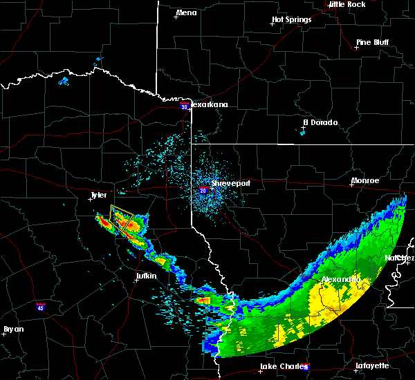 At 611 pm cdt, a severe thunderstorm was located 7 miles southwest of henderson, moving northeast at 10 mph (radar indicated). Hazards include 60 mph wind gusts and quarter size hail. Hail damage to vehicles is expected. expect wind damage to roofs, siding, and trees. Locations impacted include, henderson, turnertown and joinerville. At 611 pm cdt, a severe thunderstorm was located 7 miles southwest of henderson, moving northeast at 10 mph (radar indicated). Hazards include 60 mph wind gusts and quarter size hail. Hail damage to vehicles is expected. expect wind damage to roofs, siding, and trees. Locations impacted include, henderson, turnertown and joinerville.
|
| 4/28/2020 5:51 PM CDT | Ping Pong Ball sized hail reported 9.5 miles NE of Henderson, TX, reported on county road 475 south of the price community. |
| 4/28/2020 5:50 PM CDT | Golf Ball sized hail reported 9.9 miles NE of Henderson, TX, hail reported in the goodsprings community. |
| 4/28/2020 5:47 PM CDT |
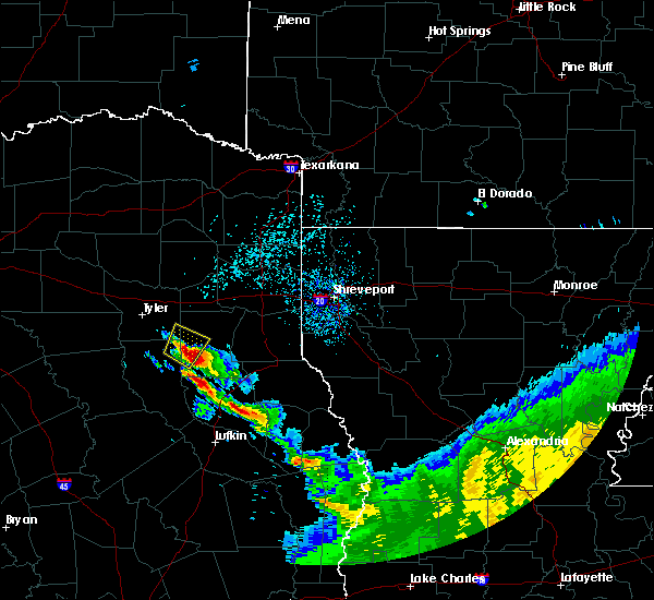 At 546 pm cdt, a severe thunderstorm was located near turnertown, or 10 miles southwest of henderson, moving north at 15 mph. golfball sized hail was just reported southwest of henderson (radar indicated). Hazards include golf ball size hail and 60 mph wind gusts. People and animals outdoors will be injured. expect hail damage to roofs, siding, windows, and vehicles. expect wind damage to roofs, siding, and trees. Locations impacted include, henderson, arp, turnertown, joinerville and concord. At 546 pm cdt, a severe thunderstorm was located near turnertown, or 10 miles southwest of henderson, moving north at 15 mph. golfball sized hail was just reported southwest of henderson (radar indicated). Hazards include golf ball size hail and 60 mph wind gusts. People and animals outdoors will be injured. expect hail damage to roofs, siding, windows, and vehicles. expect wind damage to roofs, siding, and trees. Locations impacted include, henderson, arp, turnertown, joinerville and concord.
|
| 4/28/2020 5:45 PM CDT | Golf Ball sized hail reported 7.8 miles NNE of Henderson, TX, reported on fm road 839 near the compton community. |
| 4/28/2020 5:26 PM CDT |
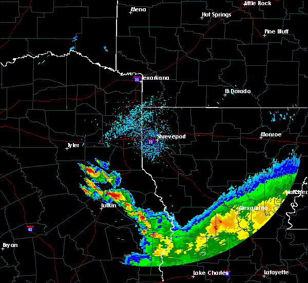 At 526 pm cdt, a severe thunderstorm was located 7 miles north of new salem, or 14 miles southwest of henderson, moving northeast at 15 mph (radar indicated). Hazards include 60 mph wind gusts and half dollar size hail. Hail damage to vehicles is expected. Expect wind damage to roofs, siding, and trees. At 526 pm cdt, a severe thunderstorm was located 7 miles north of new salem, or 14 miles southwest of henderson, moving northeast at 15 mph (radar indicated). Hazards include 60 mph wind gusts and half dollar size hail. Hail damage to vehicles is expected. Expect wind damage to roofs, siding, and trees.
|
| 4/28/2020 8:46 AM CDT |
 At 846 am cdt, severe thunderstorms were located along a line extending from kilgore to near henderson to near minden, moving east at 40 mph (radar indicated). Hazards include 60 mph wind gusts and penny size hail. expect damage to roofs, siding, and trees At 846 am cdt, severe thunderstorms were located along a line extending from kilgore to near henderson to near minden, moving east at 40 mph (radar indicated). Hazards include 60 mph wind gusts and penny size hail. expect damage to roofs, siding, and trees
|
| 4/22/2020 5:04 PM CDT | Tree across sh 4 in rusk county TX, 9 miles ENE of Henderson, TX |
| 4/22/2020 2:48 PM CDT |
 At 248 pm cdt, a severe thunderstorm capable of producing a tornado was located near henderson, moving northeast at 45 mph (radar indicated rotation). Hazards include tornado and quarter size hail. Flying debris will be dangerous to those caught without shelter. mobile homes will be damaged or destroyed. damage to roofs, windows, and vehicles will occur. tree damage is likely. This tornadic thunderstorm will remain over mainly rural areas of west central panola and central rusk counties, including the following locations, chapman, chalk hill, monroe, church hill, oak hill, fairplay, stewart and brachfield. At 248 pm cdt, a severe thunderstorm capable of producing a tornado was located near henderson, moving northeast at 45 mph (radar indicated rotation). Hazards include tornado and quarter size hail. Flying debris will be dangerous to those caught without shelter. mobile homes will be damaged or destroyed. damage to roofs, windows, and vehicles will occur. tree damage is likely. This tornadic thunderstorm will remain over mainly rural areas of west central panola and central rusk counties, including the following locations, chapman, chalk hill, monroe, church hill, oak hill, fairplay, stewart and brachfield.
|
| 4/22/2020 2:30 PM CDT |
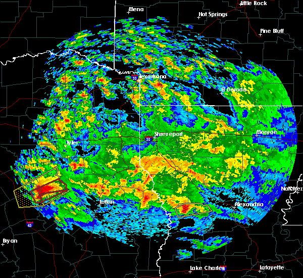 At 230 pm cdt, a severe thunderstorm capable of producing a tornado was located near new salem, or 12 miles east of jacksonville, moving northeast at 45 mph (radar indicated rotation). Hazards include tornado and quarter size hail. Flying debris will be dangerous to those caught without shelter. mobile homes will be damaged or destroyed. damage to roofs, windows, and vehicles will occur. tree damage is likely. this dangerous storm will be near, joinerville around 250 pm cdt. henderson around 255 pm cdt. Other locations impacted by this tornadic thunderstorm include chapman, chalk hill, new summerfield, concord, monroe, church hill, oak hill, fairplay, stewart and brachfield. At 230 pm cdt, a severe thunderstorm capable of producing a tornado was located near new salem, or 12 miles east of jacksonville, moving northeast at 45 mph (radar indicated rotation). Hazards include tornado and quarter size hail. Flying debris will be dangerous to those caught without shelter. mobile homes will be damaged or destroyed. damage to roofs, windows, and vehicles will occur. tree damage is likely. this dangerous storm will be near, joinerville around 250 pm cdt. henderson around 255 pm cdt. Other locations impacted by this tornadic thunderstorm include chapman, chalk hill, new summerfield, concord, monroe, church hill, oak hill, fairplay, stewart and brachfield.
|
| 4/12/2020 7:29 PM CDT |
 At 728 pm cdt, a severe gust front was located along a line extending from 7 miles north of berea to woodlawn to 8 miles southwest of marshall to 7 miles southwest of tatum to near turnertown, moving east at 60 mph. these severe winds are arriving well ahead of the thunderstorms (radar indicated). Hazards include 60 mph wind gusts. expect damage to roofs, siding, and trees At 728 pm cdt, a severe gust front was located along a line extending from 7 miles north of berea to woodlawn to 8 miles southwest of marshall to 7 miles southwest of tatum to near turnertown, moving east at 60 mph. these severe winds are arriving well ahead of the thunderstorms (radar indicated). Hazards include 60 mph wind gusts. expect damage to roofs, siding, and trees
|
| 4/12/2020 8:24 AM CDT |
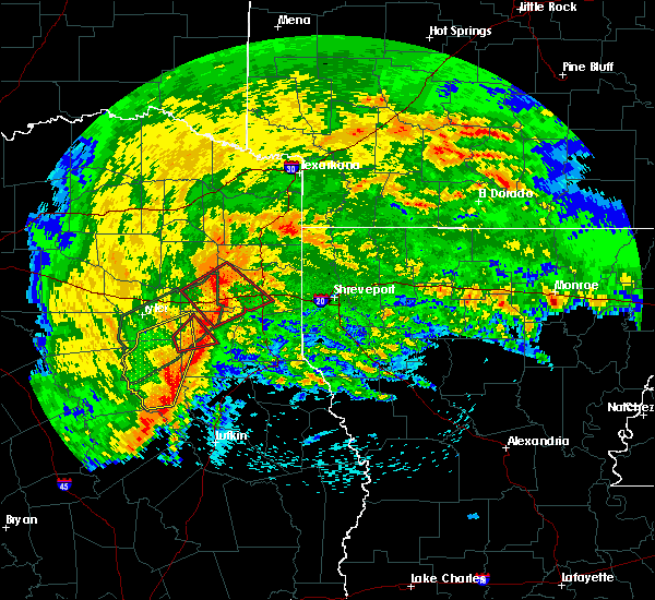 At 823 am cdt, a severe thunderstorm capable of producing a tornado was located over joinerville, or near henderson, moving northeast at 30 mph (radar indicated rotation). Hazards include tornado and quarter size hail. Flying debris will be dangerous to those caught without shelter. mobile homes will be damaged or destroyed. damage to roofs, windows, and vehicles will occur. tree damage is likely. Locations impacted include, henderson, new london, turnertown and joinerville. At 823 am cdt, a severe thunderstorm capable of producing a tornado was located over joinerville, or near henderson, moving northeast at 30 mph (radar indicated rotation). Hazards include tornado and quarter size hail. Flying debris will be dangerous to those caught without shelter. mobile homes will be damaged or destroyed. damage to roofs, windows, and vehicles will occur. tree damage is likely. Locations impacted include, henderson, new london, turnertown and joinerville.
|
| 4/12/2020 8:21 AM CDT |
 At 820 am cdt, severe thunderstorms were located along a line extending from 9 miles east of kilgore to near joinerville to near henderson to 8 miles west of minden to 9 miles northeast of ponta to new salem, moving east at 50 mph. these are very dangerous storms (radar indicated). Hazards include 80 mph wind gusts and quarter size hail. Flying debris will be dangerous to those caught without shelter. mobile homes will be heavily damaged. expect considerable damage to roofs, windows, and vehicles. Extensive tree damage and power outages are likely. At 820 am cdt, severe thunderstorms were located along a line extending from 9 miles east of kilgore to near joinerville to near henderson to 8 miles west of minden to 9 miles northeast of ponta to new salem, moving east at 50 mph. these are very dangerous storms (radar indicated). Hazards include 80 mph wind gusts and quarter size hail. Flying debris will be dangerous to those caught without shelter. mobile homes will be heavily damaged. expect considerable damage to roofs, windows, and vehicles. Extensive tree damage and power outages are likely.
|
| 4/12/2020 8:13 AM CDT |
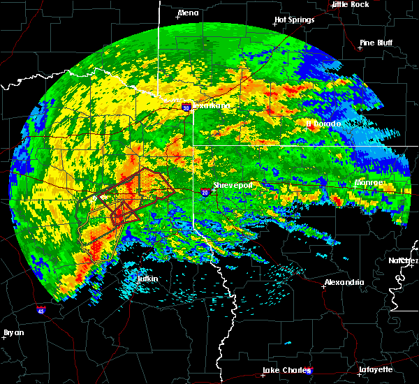 At 812 am cdt, a severe thunderstorm capable of producing a tornado was located near turnertown, or 10 miles west of henderson, moving northeast at 30 mph (radar indicated rotation). Hazards include tornado and quarter size hail. Flying debris will be dangerous to those caught without shelter. mobile homes will be damaged or destroyed. damage to roofs, windows, and vehicles will occur. tree damage is likely. Locations impacted include, henderson, overton, new london, turnertown and joinerville. At 812 am cdt, a severe thunderstorm capable of producing a tornado was located near turnertown, or 10 miles west of henderson, moving northeast at 30 mph (radar indicated rotation). Hazards include tornado and quarter size hail. Flying debris will be dangerous to those caught without shelter. mobile homes will be damaged or destroyed. damage to roofs, windows, and vehicles will occur. tree damage is likely. Locations impacted include, henderson, overton, new london, turnertown and joinerville.
|
| 4/12/2020 7:56 AM CDT |
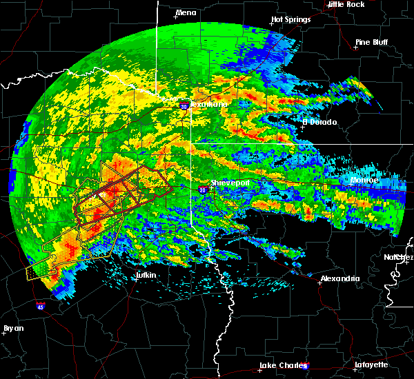 At 756 am cdt, a severe thunderstorm capable of producing a tornado was located over mixon, or 8 miles north of jacksonville, moving northeast at 25 mph (radar indicated rotation). Hazards include tornado and quarter size hail. Flying debris will be dangerous to those caught without shelter. mobile homes will be damaged or destroyed. damage to roofs, windows, and vehicles will occur. Tree damage is likely. At 756 am cdt, a severe thunderstorm capable of producing a tornado was located over mixon, or 8 miles north of jacksonville, moving northeast at 25 mph (radar indicated rotation). Hazards include tornado and quarter size hail. Flying debris will be dangerous to those caught without shelter. mobile homes will be damaged or destroyed. damage to roofs, windows, and vehicles will occur. Tree damage is likely.
|
| 3/4/2020 7:30 AM CST | Tree down us 84 and cr 3167. outside of mount enterpris in rusk county TX, 0.9 miles NW of Henderson, TX |
| 3/4/2020 7:30 AM CST | Sheriff office reports over 25 trees down across central and south rusk count in rusk county TX, 0.1 miles NNE of Henderson, TX |
| 3/4/2020 7:21 AM CST |
 At 720 am cst, a severe thunderstorm was located near henderson, moving northeast at 45 mph (radar indicated). Hazards include 70 mph wind gusts and half dollar size hail. Hail damage to vehicles is expected. expect considerable tree damage. Wind damage is also likely to mobile homes, roofs, and outbuildings. At 720 am cst, a severe thunderstorm was located near henderson, moving northeast at 45 mph (radar indicated). Hazards include 70 mph wind gusts and half dollar size hail. Hail damage to vehicles is expected. expect considerable tree damage. Wind damage is also likely to mobile homes, roofs, and outbuildings.
|
| 3/4/2020 7:10 AM CST | Tree or large limb on home east of lake striker in sw county near new salem... no injuries reported at this tim in rusk county TX, 15.3 miles NE of Henderson, TX |
| 3/4/2020 7:07 AM CST | Multiple trees down. roof removed from a pier at lake striker resort. pier was destroye in rusk county TX, 18.6 miles NE of Henderson, TX |
| 3/4/2020 7:05 AM CST | Small radio tower blown down and scattered tree damage east of lake striker and along farm road 83 in rusk county TX, 18.2 miles NNE of Henderson, TX |
| 3/4/2020 7:01 AM CST |
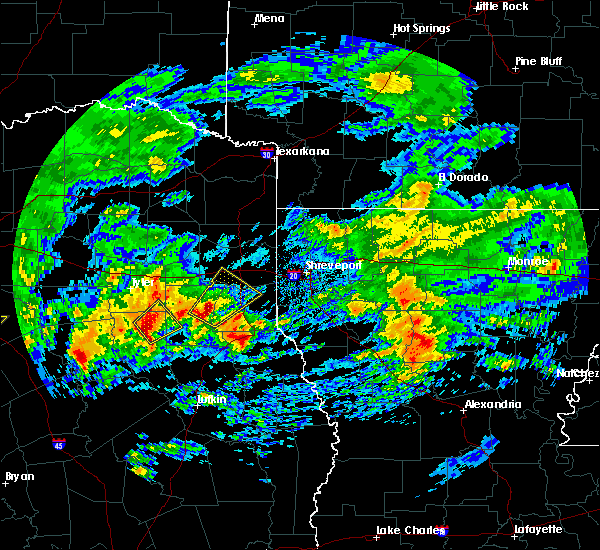 At 648 am cst, a severe thunderstorm was located near minden, or 8 miles southeast of henderson, moving northeast at 55 mph (radar indicated). Hazards include 60 mph wind gusts and quarter size hail. Hail damage to vehicles is expected. Expect wind damage to roofs, siding, and trees. At 648 am cst, a severe thunderstorm was located near minden, or 8 miles southeast of henderson, moving northeast at 55 mph (radar indicated). Hazards include 60 mph wind gusts and quarter size hail. Hail damage to vehicles is expected. Expect wind damage to roofs, siding, and trees.
|
| 3/4/2020 6:57 AM CST | Trees were downed on fm 840 a couple of miles from henderson which forced the closure of the roa in rusk county TX, 2.3 miles NW of Henderson, TX |
| 3/4/2020 6:50 AM CST | Quarter sized hail reported 9.3 miles NNW of Henderson, TX, one inch hail reported along hwy 259 between mount enterprise and henderson... texas. |
| 3/4/2020 6:48 AM CST |
 At 648 am cst, a severe thunderstorm was located near minden, or 8 miles southeast of henderson, moving northeast at 55 mph (radar indicated). Hazards include 60 mph wind gusts and quarter size hail. Hail damage to vehicles is expected. Expect wind damage to roofs, siding, and trees. At 648 am cst, a severe thunderstorm was located near minden, or 8 miles southeast of henderson, moving northeast at 55 mph (radar indicated). Hazards include 60 mph wind gusts and quarter size hail. Hail damage to vehicles is expected. Expect wind damage to roofs, siding, and trees.
|
| 1/10/2020 11:54 PM CST | Trees down on fm 840 southeast of henderso in rusk county TX, 4.1 miles NW of Henderson, TX |
| 1/10/2020 11:50 PM CST | Trees down at 9900 cr 17 near minde in rusk county TX, 10.2 miles NNW of Henderson, TX |
| 1/10/2020 11:48 PM CST | Trees down on fm 225 south of henderso in rusk county TX, 7.7 miles N of Henderson, TX |
| 1/10/2020 11:28 PM CST |
 At 1126 pm cst, severe thunderstorms were located along a line extending from 6 miles west of hawkins to near grapeland, moving northeast at 45 mph (radar indicated). Hazards include 60 mph wind gusts. expect damage to roofs, siding, and trees At 1126 pm cst, severe thunderstorms were located along a line extending from 6 miles west of hawkins to near grapeland, moving northeast at 45 mph (radar indicated). Hazards include 60 mph wind gusts. expect damage to roofs, siding, and trees
|
| 10/20/2019 7:13 PM CDT |
 At 712 pm cdt, a severe thunderstorm capable of producing a tornado was located near minden, or 6 miles southeast of henderson, moving northeast at 30 mph (radar indicated rotation). Hazards include tornado and half dollar size hail. Flying debris will be dangerous to those caught without shelter. mobile homes will be damaged or destroyed. damage to roofs, windows, and vehicles will occur. tree damage is likely. this dangerous storm will be near, pinehill around 725 pm cdt. beckville around 745 pm cdt. carthage around 755 pm cdt. Other locations impacted by this tornadic thunderstorm include church hill, fairplay and chapman. At 712 pm cdt, a severe thunderstorm capable of producing a tornado was located near minden, or 6 miles southeast of henderson, moving northeast at 30 mph (radar indicated rotation). Hazards include tornado and half dollar size hail. Flying debris will be dangerous to those caught without shelter. mobile homes will be damaged or destroyed. damage to roofs, windows, and vehicles will occur. tree damage is likely. this dangerous storm will be near, pinehill around 725 pm cdt. beckville around 745 pm cdt. carthage around 755 pm cdt. Other locations impacted by this tornadic thunderstorm include church hill, fairplay and chapman.
|
| 10/20/2019 7:09 PM CDT | Multiple trees and power lines down across fm22 in rusk county TX, 2.9 miles NNE of Henderson, TX |
| 10/20/2019 7:01 PM CDT | Tree tops blown ou in rusk county TX, 9.3 miles NNE of Henderson, TX |
| 10/20/2019 6:48 PM CDT |
 At 648 pm cdt, a severe thunderstorm was located 5 miles southwest of henderson, moving northeast at 30 mph (radar indicated). Hazards include 60 mph wind gusts and half dollar size hail. Hail damage to vehicles is expected. Expect wind damage to roofs, siding, and trees. At 648 pm cdt, a severe thunderstorm was located 5 miles southwest of henderson, moving northeast at 30 mph (radar indicated). Hazards include 60 mph wind gusts and half dollar size hail. Hail damage to vehicles is expected. Expect wind damage to roofs, siding, and trees.
|
| 10/20/2019 6:44 PM CDT |
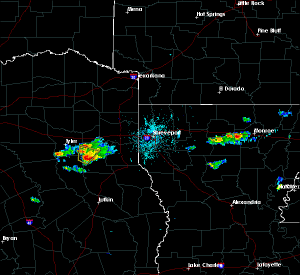 At 644 pm cdt, a severe thunderstorm was located near turnertown, or 8 miles southwest of henderson, moving northeast at 30 mph (radar indicated). Hazards include 60 mph wind gusts and half dollar size hail. Hail damage to vehicles is expected. expect wind damage to roofs, siding, and trees. Locations impacted include, henderson, overton, new london, arp, turnertown, joinerville and concord. At 644 pm cdt, a severe thunderstorm was located near turnertown, or 8 miles southwest of henderson, moving northeast at 30 mph (radar indicated). Hazards include 60 mph wind gusts and half dollar size hail. Hail damage to vehicles is expected. expect wind damage to roofs, siding, and trees. Locations impacted include, henderson, overton, new london, arp, turnertown, joinerville and concord.
|
| 10/20/2019 6:38 PM CDT | Quarter sized hail reported 10.4 miles NE of Henderson, TX, a video was posted to facebook of penny to quarter size hail that fell near the intersection of highway 79 and 42 in southwest rusk county. |
| 10/20/2019 6:12 PM CDT |
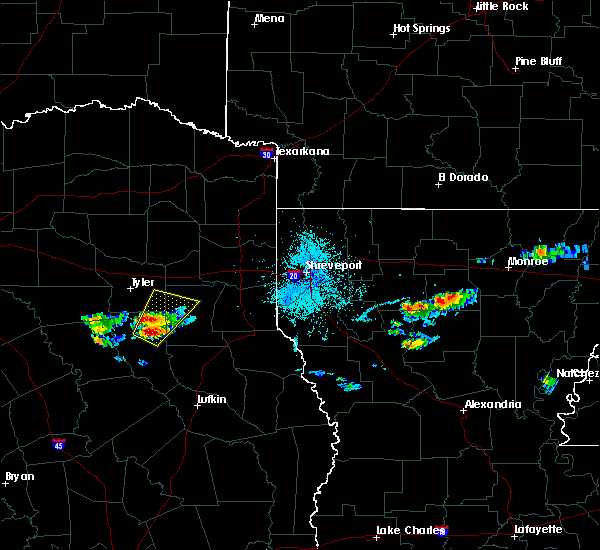 At 612 pm cdt, a severe thunderstorm was located near ponta, or 4 miles east of jacksonville, moving northeast at 30 mph (radar indicated). Hazards include 60 mph wind gusts and quarter size hail. Hail damage to vehicles is expected. Expect wind damage to roofs, siding, and trees. At 612 pm cdt, a severe thunderstorm was located near ponta, or 4 miles east of jacksonville, moving northeast at 30 mph (radar indicated). Hazards include 60 mph wind gusts and quarter size hail. Hail damage to vehicles is expected. Expect wind damage to roofs, siding, and trees.
|
| 6/23/2019 5:00 PM CDT | Trees down on fm 13 2 miles e of pric in rusk county TX, 7.8 miles E of Henderson, TX |
| 6/23/2019 4:50 PM CDT | Trees down on fm 13 2 miles e of price on the cherokee/rusk county lin in rusk county TX, 11.2 miles ENE of Henderson, TX |
| 6/23/2019 4:50 PM CDT | Corrects previous tstm wnd dmg report from 8 w henderson. trees down on fm 13 2 miles e of pric in rusk county TX, 7.8 miles E of Henderson, TX |
| 6/23/2019 4:33 PM CDT | Corrected lat/lon. trees down at the intersection of us hwy 79... fm 1798... and tx hwy 4 in rusk county TX, 10.4 miles NE of Henderson, TX |
| 6/23/2019 4:32 PM CDT | Trees down at intersection of fm 1798 and fm 84 in rusk county TX, 11.6 miles NW of Henderson, TX |
| 6/20/2019 1:04 AM CDT |
 At 104 am cdt, a severe thunderstorm was located near carthage, moving east at 45 mph (radar indicated). Hazards include 60 mph wind gusts. Expect damage to roofs, siding, and trees. Locations impacted include, carthage, tatum, tenaha, timpson, beckville, joaquin, deberry, elysian fields, pinehill, minden, mount enterprise, gary city, front, fairplay, stewart, midyett, chalk hill, deadwood, dotson and oak hill. At 104 am cdt, a severe thunderstorm was located near carthage, moving east at 45 mph (radar indicated). Hazards include 60 mph wind gusts. Expect damage to roofs, siding, and trees. Locations impacted include, carthage, tatum, tenaha, timpson, beckville, joaquin, deberry, elysian fields, pinehill, minden, mount enterprise, gary city, front, fairplay, stewart, midyett, chalk hill, deadwood, dotson and oak hill.
|
| 6/20/2019 12:28 AM CDT |
 At 1227 am cdt, a severe thunderstorm was located near henderson, moving east at 45 mph (radar indicated). Hazards include 60 mph wind gusts. expect damage to roofs, siding, and trees At 1227 am cdt, a severe thunderstorm was located near henderson, moving east at 45 mph (radar indicated). Hazards include 60 mph wind gusts. expect damage to roofs, siding, and trees
|
| 5/18/2019 8:03 PM CDT |
 At 803 pm cdt, severe thunderstorms were located along a line extending from 8 miles southeast of troup to near ponta to 8 miles southwest of rusk, moving northeast at 20 mph (radar indicated). Hazards include golf ball size hail and 70 mph wind gusts. People and animals outdoors will be injured. expect hail damage to roofs, siding, windows, and vehicles. expect considerable tree damage. Wind damage is also likely to mobile homes, roofs, and outbuildings. At 803 pm cdt, severe thunderstorms were located along a line extending from 8 miles southeast of troup to near ponta to 8 miles southwest of rusk, moving northeast at 20 mph (radar indicated). Hazards include golf ball size hail and 70 mph wind gusts. People and animals outdoors will be injured. expect hail damage to roofs, siding, windows, and vehicles. expect considerable tree damage. Wind damage is also likely to mobile homes, roofs, and outbuildings.
|
| 5/18/2019 6:41 PM CDT |
 The national weather service in shreveport has issued a * severe thunderstorm warning for. harrison county in northeastern texas. central panola county in northeastern texas. northern rusk county in northeastern texas. Southern gregg county in northeastern texas. The national weather service in shreveport has issued a * severe thunderstorm warning for. harrison county in northeastern texas. central panola county in northeastern texas. northern rusk county in northeastern texas. Southern gregg county in northeastern texas.
|
| 5/18/2019 5:56 PM CDT |
 At 556 pm cdt, a severe thunderstorm was located near bullard, moving northeast at 40 mph (radar indicated). Hazards include 60 mph wind gusts and penny size hail. expect damage to roofs, siding, and trees At 556 pm cdt, a severe thunderstorm was located near bullard, moving northeast at 40 mph (radar indicated). Hazards include 60 mph wind gusts and penny size hail. expect damage to roofs, siding, and trees
|
| 5/8/2019 2:29 PM CDT | Trees down. vehicle blocked on county roa in rusk county TX, 9 miles S of Henderson, TX |
| 5/8/2019 2:21 PM CDT | Trees down. maple street located behind oreillys auto part in rusk county TX, 0.1 miles NNE of Henderson, TX |
| 5/8/2019 2:02 PM CDT |
 At 202 pm cdt, severe thunderstorms were located along a line extending from 6 miles west of lone star to diana to near longview to 6 miles northeast of joinerville to 7 miles southwest of henderson, moving east at 35 mph (radar indicated). Hazards include 60 mph wind gusts and penny size hail. expect damage to roofs, siding, and trees At 202 pm cdt, severe thunderstorms were located along a line extending from 6 miles west of lone star to diana to near longview to 6 miles northeast of joinerville to 7 miles southwest of henderson, moving east at 35 mph (radar indicated). Hazards include 60 mph wind gusts and penny size hail. expect damage to roofs, siding, and trees
|
| 5/2/2019 5:32 AM CDT | Tree and power lines down fm 1798 at fm 840 in se rus in rusk county TX, 11.6 miles NW of Henderson, TX |
| 5/2/2019 3:37 AM CDT |
 The severe thunderstorm warning for southwestern harrison, western panola, central rusk and southern gregg counties will expire at 345 am cdt, the storms which prompted the warning have weakened below severe limits, and no longer pose an immediate threat to life or property. therefore, the warning will be allowed to expire. however heavy rain is still possible with these thunderstorms. a severe thunderstorm watch remains in effect until 500 am cdt for northeastern texas. The severe thunderstorm warning for southwestern harrison, western panola, central rusk and southern gregg counties will expire at 345 am cdt, the storms which prompted the warning have weakened below severe limits, and no longer pose an immediate threat to life or property. therefore, the warning will be allowed to expire. however heavy rain is still possible with these thunderstorms. a severe thunderstorm watch remains in effect until 500 am cdt for northeastern texas.
|
| 5/2/2019 3:31 AM CDT |
 At 331 am cdt, severe thunderstorms were located along a line extending from near kilgore to 6 miles northeast of henderson to near pinehill to near minden, moving northeast at 30 mph (radar indicated). Hazards include 60 mph wind gusts and penny size hail. Expect damage to roofs, siding, and trees. Locations impacted include, longview, henderson, kilgore, hallsville, tatum, beckville, pinehill, minden, lakeport, easton, rolling meadows, chapman, monroe, fairplay, stewart, brachfield, chalk hill, dotson, church hill and laneville. At 331 am cdt, severe thunderstorms were located along a line extending from near kilgore to 6 miles northeast of henderson to near pinehill to near minden, moving northeast at 30 mph (radar indicated). Hazards include 60 mph wind gusts and penny size hail. Expect damage to roofs, siding, and trees. Locations impacted include, longview, henderson, kilgore, hallsville, tatum, beckville, pinehill, minden, lakeport, easton, rolling meadows, chapman, monroe, fairplay, stewart, brachfield, chalk hill, dotson, church hill and laneville.
|
| 5/2/2019 3:07 AM CDT | Tree down on county rd 424 blocking the roadway just west of the intersection with fm 1 in rusk county TX, 3.1 miles ENE of Henderson, TX |
| 5/2/2019 3:00 AM CDT |
 At 300 am cdt, severe thunderstorms were located along a line extending from near overton to turnertown to 9 miles southwest of henderson to near new salem, moving east at 30 mph (radar indicated). Hazards include 60 mph wind gusts and penny size hail. expect damage to roofs, siding, and trees At 300 am cdt, severe thunderstorms were located along a line extending from near overton to turnertown to 9 miles southwest of henderson to near new salem, moving east at 30 mph (radar indicated). Hazards include 60 mph wind gusts and penny size hail. expect damage to roofs, siding, and trees
|
| 4/18/2019 3:59 AM CDT |
 At 359 am cdt, severe thunderstorms were located along a line extending from 6 miles west of tatum to near pinehill to nacogdoches, moving east at 40 mph (radar indicated. trees have been downed near new london in northern rusk county from these storms). Hazards include 60 mph wind gusts. Expect damage to roofs, siding, and trees. Locations impacted include, nacogdoches, henderson, carthage, tatum, timpson, garrison, beckville, pinehill, minden, trawick, easton, appleby, mount enterprise, gary city, chapman, stockman, lawsonville, darco, fairplay and stewart. At 359 am cdt, severe thunderstorms were located along a line extending from 6 miles west of tatum to near pinehill to nacogdoches, moving east at 40 mph (radar indicated. trees have been downed near new london in northern rusk county from these storms). Hazards include 60 mph wind gusts. Expect damage to roofs, siding, and trees. Locations impacted include, nacogdoches, henderson, carthage, tatum, timpson, garrison, beckville, pinehill, minden, trawick, easton, appleby, mount enterprise, gary city, chapman, stockman, lawsonville, darco, fairplay and stewart.
|
| 4/18/2019 3:41 AM CDT | Trees and power lines down in the city of henderso in rusk county TX, 0.8 miles N of Henderson, TX |
| 4/18/2019 3:30 AM CDT |
 At 329 am cdt, severe thunderstorms were located along a line extending from turnertown to 7 miles east of new salem to near wells, moving northeast at 45 mph (radar indicated). Hazards include 70 mph wind gusts and penny size hail. Expect considerable tree damage. Damage is likely to mobile homes, roofs, and outbuildings. At 329 am cdt, severe thunderstorms were located along a line extending from turnertown to 7 miles east of new salem to near wells, moving northeast at 45 mph (radar indicated). Hazards include 70 mph wind gusts and penny size hail. Expect considerable tree damage. Damage is likely to mobile homes, roofs, and outbuildings.
|
| 4/18/2019 3:22 AM CDT |
 At 322 am cdt, severe thunderstorms were located along a line extending from near arp to near new salem to forest, moving northeast at 55 mph (radar indicated). Hazards include 70 mph wind gusts and penny size hail. Expect considerable tree damage. damage is likely to mobile homes, roofs, and outbuildings. Locations impacted include, henderson, whitehouse, rusk, overton, troup, alto, new london, arp, wells, morrill, ponta, new salem, joinerville, sacul, mixon, turnertown, forest, douglass, new summerfield and cushing. At 322 am cdt, severe thunderstorms were located along a line extending from near arp to near new salem to forest, moving northeast at 55 mph (radar indicated). Hazards include 70 mph wind gusts and penny size hail. Expect considerable tree damage. damage is likely to mobile homes, roofs, and outbuildings. Locations impacted include, henderson, whitehouse, rusk, overton, troup, alto, new london, arp, wells, morrill, ponta, new salem, joinerville, sacul, mixon, turnertown, forest, douglass, new summerfield and cushing.
|
| 4/18/2019 3:09 AM CDT |
 At 309 am cdt, severe thunderstorms were located along a line extending from bullard to near ponta to near morrill, moving northeast at 45 mph (radar indicated). Hazards include 70 mph wind gusts and quarter size hail. Hail damage to vehicles is expected. expect considerable tree damage. wind damage is also likely to mobile homes, roofs, and outbuildings. Locations impacted include, nacogdoches, jacksonville, henderson, whitehouse, rusk, overton, bullard, troup, alto, new london, arp, wells, morrill, ponta, pinehill, new salem, trawick, mount selman, joinerville and sacul. At 309 am cdt, severe thunderstorms were located along a line extending from bullard to near ponta to near morrill, moving northeast at 45 mph (radar indicated). Hazards include 70 mph wind gusts and quarter size hail. Hail damage to vehicles is expected. expect considerable tree damage. wind damage is also likely to mobile homes, roofs, and outbuildings. Locations impacted include, nacogdoches, jacksonville, henderson, whitehouse, rusk, overton, bullard, troup, alto, new london, arp, wells, morrill, ponta, pinehill, new salem, trawick, mount selman, joinerville and sacul.
|
| 4/18/2019 2:37 AM CDT |
 At 237 am cdt, severe thunderstorms were located along a line extending from 12 miles southwest of frankston to 10 miles east of elkhart to near crockett, moving northeast at 60 mph (radar indicated. numerous trees were downed from these storms across leon county at 125 am). Hazards include 70 mph wind gusts and quarter size hail. Hail damage to vehicles is expected. expect considerable tree damage. Wind damage is also likely to mobile homes, roofs, and outbuildings. At 237 am cdt, severe thunderstorms were located along a line extending from 12 miles southwest of frankston to 10 miles east of elkhart to near crockett, moving northeast at 60 mph (radar indicated. numerous trees were downed from these storms across leon county at 125 am). Hazards include 70 mph wind gusts and quarter size hail. Hail damage to vehicles is expected. expect considerable tree damage. Wind damage is also likely to mobile homes, roofs, and outbuildings.
|
| 4/13/2019 2:51 PM CDT |
 The severe thunderstorm warning for west central harrison, southwestern panola, central rusk, northwestern shelby, southeastern upshur and gregg counties will expire at 300 pm cdt, the storms which prompted the warning have moved out of the area. therefore, the warning will be allowed to expire. however gusty winds are still possible with these thunderstorms. a tornado watch remains in effect until 700 pm cdt for eastern and northeastern texas. a severe thunderstorm watch remains in effect until 300 pm cdt for northeastern texas. The severe thunderstorm warning for west central harrison, southwestern panola, central rusk, northwestern shelby, southeastern upshur and gregg counties will expire at 300 pm cdt, the storms which prompted the warning have moved out of the area. therefore, the warning will be allowed to expire. however gusty winds are still possible with these thunderstorms. a tornado watch remains in effect until 700 pm cdt for eastern and northeastern texas. a severe thunderstorm watch remains in effect until 300 pm cdt for northeastern texas.
|
| 4/13/2019 2:36 PM CDT |
 At 236 pm cdt, severe thunderstorms were located along a line extending from near west mountain to 8 miles southeast of minden, moving east at 40 mph (radar indicated). Hazards include 70 mph wind gusts and nickel size hail. Expect considerable tree damage. damage is likely to mobile homes, roofs, and outbuildings. Locations impacted include, longview, henderson, kilgore, white oak, gladewater, timpson, clarksville city, east mountain, pinehill, west mountain, minden, liberty city, lakeport, easton, mount enterprise, union grove, warren city, rolling meadows, fairplay and stewart. At 236 pm cdt, severe thunderstorms were located along a line extending from near west mountain to 8 miles southeast of minden, moving east at 40 mph (radar indicated). Hazards include 70 mph wind gusts and nickel size hail. Expect considerable tree damage. damage is likely to mobile homes, roofs, and outbuildings. Locations impacted include, longview, henderson, kilgore, white oak, gladewater, timpson, clarksville city, east mountain, pinehill, west mountain, minden, liberty city, lakeport, easton, mount enterprise, union grove, warren city, rolling meadows, fairplay and stewart.
|
| 4/13/2019 2:28 PM CDT |
 At 228 pm cdt, severe thunderstorms were located along a line extending from near big sandy to 8 miles north of trawick, moving east at 40 mph (radar indicated). Hazards include 60 mph wind gusts and nickel size hail. Expect damage to roofs, siding, and trees. Locations impacted include, longview, henderson, kilgore, white oak, gladewater, overton, big sandy, timpson, new london, clarksville city, east mountain, pinehill, liberty city, joinerville, turnertown, west mountain, minden, lakeport, easton and mount enterprise. At 228 pm cdt, severe thunderstorms were located along a line extending from near big sandy to 8 miles north of trawick, moving east at 40 mph (radar indicated). Hazards include 60 mph wind gusts and nickel size hail. Expect damage to roofs, siding, and trees. Locations impacted include, longview, henderson, kilgore, white oak, gladewater, overton, big sandy, timpson, new london, clarksville city, east mountain, pinehill, liberty city, joinerville, turnertown, west mountain, minden, lakeport, easton and mount enterprise.
|
| 4/13/2019 2:19 PM CDT |
 At 219 pm cdt, severe thunderstorms were located along a line extending from near hawkins to near sacul, moving east at 40 mph (radar indicated). Hazards include 60 mph wind gusts and quarter size hail. Hail damage to vehicles is expected. Expect wind damage to roofs, siding, and trees. At 219 pm cdt, severe thunderstorms were located along a line extending from near hawkins to near sacul, moving east at 40 mph (radar indicated). Hazards include 60 mph wind gusts and quarter size hail. Hail damage to vehicles is expected. Expect wind damage to roofs, siding, and trees.
|
| 4/13/2019 12:29 PM CDT |
 At 1229 pm cdt, a severe thunderstorm was located near new salem, or 15 miles northeast of rusk, moving northeast at 30 mph (radar indicated). Hazards include 60 mph wind gusts and quarter size hail. Hail damage to vehicles is expected. expect wind damage to roofs, siding, and trees. Locations impacted include, minden, new salem, reklaw, glenfawn, laneville and brachfield. At 1229 pm cdt, a severe thunderstorm was located near new salem, or 15 miles northeast of rusk, moving northeast at 30 mph (radar indicated). Hazards include 60 mph wind gusts and quarter size hail. Hail damage to vehicles is expected. expect wind damage to roofs, siding, and trees. Locations impacted include, minden, new salem, reklaw, glenfawn, laneville and brachfield.
|
| 4/13/2019 12:19 PM CDT |
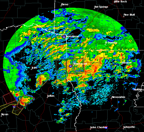 At 1218 pm cdt, a severe thunderstorm was located over sacul, or 11 miles east of rusk, moving northeast at 30 mph (radar indicated). Hazards include 60 mph wind gusts and quarter size hail. Hail damage to vehicles is expected. expect wind damage to roofs, siding, and trees. Locations impacted include, sacul, new salem, minden, cushing, reklaw, glenfawn, laneville and brachfield. At 1218 pm cdt, a severe thunderstorm was located over sacul, or 11 miles east of rusk, moving northeast at 30 mph (radar indicated). Hazards include 60 mph wind gusts and quarter size hail. Hail damage to vehicles is expected. expect wind damage to roofs, siding, and trees. Locations impacted include, sacul, new salem, minden, cushing, reklaw, glenfawn, laneville and brachfield.
|
| 4/13/2019 12:12 PM CDT |
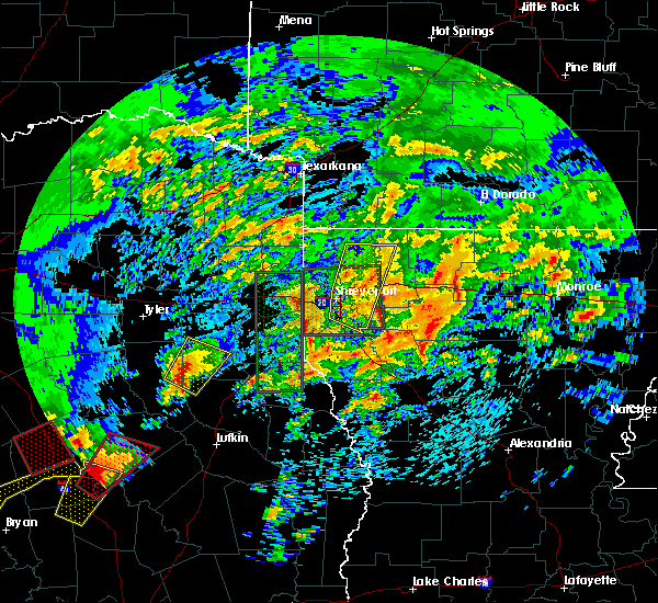 At 1212 pm cdt, a severe thunderstorm was located over sacul, or 10 miles east of rusk, moving northeast at 30 mph (radar indicated). Hazards include 60 mph wind gusts and quarter size hail. Hail damage to vehicles is expected. Expect wind damage to roofs, siding, and trees. At 1212 pm cdt, a severe thunderstorm was located over sacul, or 10 miles east of rusk, moving northeast at 30 mph (radar indicated). Hazards include 60 mph wind gusts and quarter size hail. Hail damage to vehicles is expected. Expect wind damage to roofs, siding, and trees.
|
| 4/7/2019 4:20 PM CDT |
 At 419 pm cdt, severe thunderstorms were located along a line extending from near henderson to 7 miles north of converse, moving north at 50 mph (radar indicated). Hazards include 60 mph wind gusts and nickel size hail. Expect damage to roofs, siding, and trees. Locations impacted include, henderson, carthage, mansfield, overton, logansport, tenaha, timpson, new london, joaquin, converse, pinehill, new salem, joinerville, turnertown, minden, mount enterprise, huxley, south mansfield, gary city and grand cane. At 419 pm cdt, severe thunderstorms were located along a line extending from near henderson to 7 miles north of converse, moving north at 50 mph (radar indicated). Hazards include 60 mph wind gusts and nickel size hail. Expect damage to roofs, siding, and trees. Locations impacted include, henderson, carthage, mansfield, overton, logansport, tenaha, timpson, new london, joaquin, converse, pinehill, new salem, joinerville, turnertown, minden, mount enterprise, huxley, south mansfield, gary city and grand cane.
|
| 4/7/2019 3:51 PM CDT |
 At 351 pm cdt, severe thunderstorms were located along a line extending from near trawick to near zwolle, moving north at 50 mph (radar indicated). Hazards include 60 mph wind gusts and quarter size hail. Hail damage to vehicles is expected. Expect wind damage to roofs, siding, and trees. At 351 pm cdt, severe thunderstorms were located along a line extending from near trawick to near zwolle, moving north at 50 mph (radar indicated). Hazards include 60 mph wind gusts and quarter size hail. Hail damage to vehicles is expected. Expect wind damage to roofs, siding, and trees.
|
| 4/6/2019 4:51 PM CDT |
 At 448 pm cdt, a severe thunderstorm was located near ponta, or 8 miles east of jacksonville, moving northeast at 45 mph (radar indicated). Hazards include golf ball size hail and 70 mph wind gusts. People and animals outdoors will be injured. expect hail damage to roofs, siding, windows, and vehicles. expect considerable tree damage. wind damage is also likely to mobile homes, roofs, and outbuildings. Locations impacted include, jacksonville, henderson, rusk, troup, ponta, joinerville, mixon, turnertown, reese, new salem, maydelle, new summerfield, mount enterprise, gallatin, reklaw, concord, glenfawn, brachfield and laneville. At 448 pm cdt, a severe thunderstorm was located near ponta, or 8 miles east of jacksonville, moving northeast at 45 mph (radar indicated). Hazards include golf ball size hail and 70 mph wind gusts. People and animals outdoors will be injured. expect hail damage to roofs, siding, windows, and vehicles. expect considerable tree damage. wind damage is also likely to mobile homes, roofs, and outbuildings. Locations impacted include, jacksonville, henderson, rusk, troup, ponta, joinerville, mixon, turnertown, reese, new salem, maydelle, new summerfield, mount enterprise, gallatin, reklaw, concord, glenfawn, brachfield and laneville.
|
| 4/6/2019 4:17 PM CDT |
 At 416 pm cdt, a severe thunderstorm was located 8 miles east of palestine, moving northeast at 50 mph (radar indicated). Hazards include 70 mph wind gusts and ping pong ball size hail. People and animals outdoors will be injured. expect hail damage to roofs, siding, windows, and vehicles. expect considerable tree damage. Wind damage is also likely to mobile homes, roofs, and outbuildings. At 416 pm cdt, a severe thunderstorm was located 8 miles east of palestine, moving northeast at 50 mph (radar indicated). Hazards include 70 mph wind gusts and ping pong ball size hail. People and animals outdoors will be injured. expect hail damage to roofs, siding, windows, and vehicles. expect considerable tree damage. Wind damage is also likely to mobile homes, roofs, and outbuildings.
|
| 3/25/2019 3:35 AM CDT |
 At 334 am cdt, severe thunderstorms were located along a line extending from near tatum to 9 miles west of beckville to near new london to overton to near troup, moving east at 45 mph (radar indicated). Hazards include 60 mph wind gusts and nickel size hail. Expect damage to roofs, siding, and trees. Locations impacted include, henderson, kilgore, overton, troup, tatum, new london, arp, joinerville, turnertown, lakeport, easton, monroe, stewart, chalk hill, church hill, laird hill and oak hill. At 334 am cdt, severe thunderstorms were located along a line extending from near tatum to 9 miles west of beckville to near new london to overton to near troup, moving east at 45 mph (radar indicated). Hazards include 60 mph wind gusts and nickel size hail. Expect damage to roofs, siding, and trees. Locations impacted include, henderson, kilgore, overton, troup, tatum, new london, arp, joinerville, turnertown, lakeport, easton, monroe, stewart, chalk hill, church hill, laird hill and oak hill.
|
| 3/25/2019 3:18 AM CDT |
 At 318 am cdt, severe thunderstorms were located along a line extending from near kilgore to near liberty city to 10 miles east of tyler to whitehouse, moving east at 40 mph (radar indicated). Hazards include 60 mph wind gusts and nickel size hail. Expect damage to roofs, siding, and trees. Locations impacted include, longview, henderson, kilgore, whitehouse, white oak, overton, troup, tatum, new london, arp, clarksville city, liberty city, joinerville, turnertown, lakeport, new chapel hill, easton, rolling meadows, monroe and stewart. At 318 am cdt, severe thunderstorms were located along a line extending from near kilgore to near liberty city to 10 miles east of tyler to whitehouse, moving east at 40 mph (radar indicated). Hazards include 60 mph wind gusts and nickel size hail. Expect damage to roofs, siding, and trees. Locations impacted include, longview, henderson, kilgore, whitehouse, white oak, overton, troup, tatum, new london, arp, clarksville city, liberty city, joinerville, turnertown, lakeport, new chapel hill, easton, rolling meadows, monroe and stewart.
|
| 3/25/2019 3:04 AM CDT |
 At 304 am cdt, severe thunderstorms were located along a line extending from gladewater to 6 miles northwest of liberty city to 11 miles south of big sandy to 11 miles southeast of lindale to near tyler to near coffee city, moving east at 40 mph (radar indicated). Hazards include 60 mph wind gusts and nickel size hail. Expect damage to roofs, siding, and trees. Locations impacted include, tyler, longview, henderson, kilgore, whitehouse, white oak, gladewater, overton, bullard, troup, tatum, new london, arp, clarksville city, mount selman, liberty city, joinerville, mixon, turnertown and new summerfield. At 304 am cdt, severe thunderstorms were located along a line extending from gladewater to 6 miles northwest of liberty city to 11 miles south of big sandy to 11 miles southeast of lindale to near tyler to near coffee city, moving east at 40 mph (radar indicated). Hazards include 60 mph wind gusts and nickel size hail. Expect damage to roofs, siding, and trees. Locations impacted include, tyler, longview, henderson, kilgore, whitehouse, white oak, gladewater, overton, bullard, troup, tatum, new london, arp, clarksville city, mount selman, liberty city, joinerville, mixon, turnertown and new summerfield.
|
| 3/25/2019 2:45 AM CDT |
 At 244 am cdt, severe thunderstorms were located along a line extending from big sandy to near hawkins to near lindale to brownsboro, moving east at 40 mph (radar indicated). Hazards include 60 mph wind gusts and nickel size hail. expect damage to roofs, siding, and trees At 244 am cdt, severe thunderstorms were located along a line extending from big sandy to near hawkins to near lindale to brownsboro, moving east at 40 mph (radar indicated). Hazards include 60 mph wind gusts and nickel size hail. expect damage to roofs, siding, and trees
|
| 3/14/2019 3:43 AM CDT |
 At 343 am cdt, severe thunderstorms were located along a line extending from 6 miles northeast of tatum to near alto, moving east at 35 mph (radar indicated). Hazards include 60 mph wind gusts and penny size hail. Expect damage to roofs, siding, and trees. Locations impacted include, henderson, carthage, rusk, tatum, alto, beckville, morrill, elysian fields, ponta, pinehill, new salem, trawick, sacul, douglass, minden, cushing, easton, mount enterprise, gallatin and reklaw. At 343 am cdt, severe thunderstorms were located along a line extending from 6 miles northeast of tatum to near alto, moving east at 35 mph (radar indicated). Hazards include 60 mph wind gusts and penny size hail. Expect damage to roofs, siding, and trees. Locations impacted include, henderson, carthage, rusk, tatum, alto, beckville, morrill, elysian fields, ponta, pinehill, new salem, trawick, sacul, douglass, minden, cushing, easton, mount enterprise, gallatin and reklaw.
|
| 3/14/2019 3:30 AM CDT | Trees reported down... power lines down and power out in are in rusk county TX, 0.1 miles NNE of Henderson, TX |
| 3/14/2019 3:16 AM CDT |
 At 315 am cdt, severe thunderstorms were located along a line extending from 9 miles east of kilgore to 7 miles east of elkhart, moving east at 35 mph (radar indicated). Hazards include 60 mph wind gusts and penny size hail. expect damage to roofs, siding, and trees At 315 am cdt, severe thunderstorms were located along a line extending from 9 miles east of kilgore to 7 miles east of elkhart, moving east at 35 mph (radar indicated). Hazards include 60 mph wind gusts and penny size hail. expect damage to roofs, siding, and trees
|
| 3/9/2019 11:42 AM CST |
 At 1140 am cst, severe thunderstorms were located along a line extending from 6 miles south of benton to pinehill, moving east at 35 mph (radar indicated). Hazards include 60 mph wind gusts. Expect damage to roofs, siding, and trees. Locations impacted include, shreveport, bossier city, henderson, carthage, haughton, greenwood, blanchard, waskom, stonewall, tatum, beckville, deberry, elysian fields, eastwood, pinehill, fosters, scottsville, keachi, grand cane and longstreet. At 1140 am cst, severe thunderstorms were located along a line extending from 6 miles south of benton to pinehill, moving east at 35 mph (radar indicated). Hazards include 60 mph wind gusts. Expect damage to roofs, siding, and trees. Locations impacted include, shreveport, bossier city, henderson, carthage, haughton, greenwood, blanchard, waskom, stonewall, tatum, beckville, deberry, elysian fields, eastwood, pinehill, fosters, scottsville, keachi, grand cane and longstreet.
|
| 3/9/2019 11:17 AM CST |
 At 1116 am cst, severe thunderstorms were located along a line extending from 6 miles southwest of mooringsport to near minden, moving southeast at 40 mph (radar indicated). Hazards include 60 mph wind gusts. expect damage to roofs, siding, and trees At 1116 am cst, severe thunderstorms were located along a line extending from 6 miles southwest of mooringsport to near minden, moving southeast at 40 mph (radar indicated). Hazards include 60 mph wind gusts. expect damage to roofs, siding, and trees
|
| 3/9/2019 9:50 AM CST |
 At 950 am cst, severe thunderstorms were located along a line extending from near hawkins to 7 miles northeast of tyler to near chandler to 6 miles northwest of coffee city, moving east at 60 mph (radar indicated). Hazards include 60 mph wind gusts and quarter size hail. Hail damage to vehicles is expected. expect wind damage to roofs, siding, and trees. Locations impacted include, tyler, longview, henderson, kilgore, whitehouse, white oak, gladewater, gilmer, overton, bullard, troup, big sandy, hawkins, ore city, new london, arp, clarksville city, east mountain, diana and rosewood. At 950 am cst, severe thunderstorms were located along a line extending from near hawkins to 7 miles northeast of tyler to near chandler to 6 miles northwest of coffee city, moving east at 60 mph (radar indicated). Hazards include 60 mph wind gusts and quarter size hail. Hail damage to vehicles is expected. expect wind damage to roofs, siding, and trees. Locations impacted include, tyler, longview, henderson, kilgore, whitehouse, white oak, gladewater, gilmer, overton, bullard, troup, big sandy, hawkins, ore city, new london, arp, clarksville city, east mountain, diana and rosewood.
|
| 3/9/2019 9:24 AM CST |
 At 923 am cst, severe thunderstorms were located along a line extending from van to edom to 10 miles west of brownsboro to near athens, moving east at 60 mph (radar indicated). Hazards include 60 mph wind gusts and quarter size hail. Hail damage to vehicles is expected. Expect wind damage to roofs, siding, and trees. At 923 am cst, severe thunderstorms were located along a line extending from van to edom to 10 miles west of brownsboro to near athens, moving east at 60 mph (radar indicated). Hazards include 60 mph wind gusts and quarter size hail. Hail damage to vehicles is expected. Expect wind damage to roofs, siding, and trees.
|
| 2/26/2019 4:23 PM CST |
 At 422 pm cst, a severe thunderstorm was located near ponta, or 7 miles east of jacksonville, moving northeast at 40 mph (radar indicated). Hazards include quarter size hail. damage to vehicles is expected At 422 pm cst, a severe thunderstorm was located near ponta, or 7 miles east of jacksonville, moving northeast at 40 mph (radar indicated). Hazards include quarter size hail. damage to vehicles is expected
|
| 12/26/2018 11:15 PM CST | Trees reported down county-wide by law enforcemen in rusk county TX, 0.1 miles NNE of Henderson, TX |
| 10/31/2018 7:15 PM CDT | Numerous reports of trees and power lines down across rusk count in rusk county TX, 9.3 miles SW of Henderson, TX |
| 10/31/2018 7:02 PM CDT |
 At 702 pm cdt, severe thunderstorms were located along a line extending from near longview to 6 miles northwest of minden, moving east at 35 mph (radar indicated). Hazards include 60 mph wind gusts. expect damage to roofs, siding, and trees At 702 pm cdt, severe thunderstorms were located along a line extending from near longview to 6 miles northwest of minden, moving east at 35 mph (radar indicated). Hazards include 60 mph wind gusts. expect damage to roofs, siding, and trees
|
| 10/31/2018 7:00 PM CDT | Large tree down and blocking the road on fm 225. vehicle stuck it... but driver is o in rusk county TX, 4.9 miles N of Henderson, TX |
| 10/31/2018 7:00 PM CDT | Large down and blocking the road at the intersection of county road 314 and county road 37 in rusk county TX, 5.7 miles NNW of Henderson, TX |
| 10/13/2018 5:32 PM CDT |
 At 532 pm cdt, a severe thunderstorm was located over joinerville, or near henderson, moving east at 30 mph (radar indicated). Hazards include 60 mph wind gusts and quarter size hail. Hail damage to vehicles is expected. expect wind damage to roofs, siding, and trees. locations impacted include, henderson, kilgore, overton, new london, turnertown, joinerville, rolling meadows, monroe, laird hill and oak hill. A tornado watch remains in effect until 800 pm cdt for northeastern texas. At 532 pm cdt, a severe thunderstorm was located over joinerville, or near henderson, moving east at 30 mph (radar indicated). Hazards include 60 mph wind gusts and quarter size hail. Hail damage to vehicles is expected. expect wind damage to roofs, siding, and trees. locations impacted include, henderson, kilgore, overton, new london, turnertown, joinerville, rolling meadows, monroe, laird hill and oak hill. A tornado watch remains in effect until 800 pm cdt for northeastern texas.
|
| 10/13/2018 5:11 PM CDT |
 At 511 pm cdt, a severe thunderstorm was located near arp, or 9 miles east of whitehouse, moving east at 30 mph (radar indicated). Hazards include 60 mph wind gusts and quarter size hail. Hail damage to vehicles is expected. Expect wind damage to roofs, siding, and trees. At 511 pm cdt, a severe thunderstorm was located near arp, or 9 miles east of whitehouse, moving east at 30 mph (radar indicated). Hazards include 60 mph wind gusts and quarter size hail. Hail damage to vehicles is expected. Expect wind damage to roofs, siding, and trees.
|
| 10/13/2018 4:40 PM CDT |
 At 440 pm cdt, a severe thunderstorm was located 8 miles southwest of henderson, moving east at 25 mph (radar indicated). Hazards include 60 mph wind gusts and quarter size hail. Hail damage to vehicles is expected. expect wind damage to roofs, siding, and trees. locations impacted include, henderson, pinehill, minden, chapman, church hill, laneville and brachfield. A tornado watch remains in effect until 800 pm cdt for northeastern texas. At 440 pm cdt, a severe thunderstorm was located 8 miles southwest of henderson, moving east at 25 mph (radar indicated). Hazards include 60 mph wind gusts and quarter size hail. Hail damage to vehicles is expected. expect wind damage to roofs, siding, and trees. locations impacted include, henderson, pinehill, minden, chapman, church hill, laneville and brachfield. A tornado watch remains in effect until 800 pm cdt for northeastern texas.
|
| 10/13/2018 4:30 PM CDT | Several trees dow in rusk county TX, 1.5 miles N of Henderson, TX |
| 10/13/2018 4:12 PM CDT |
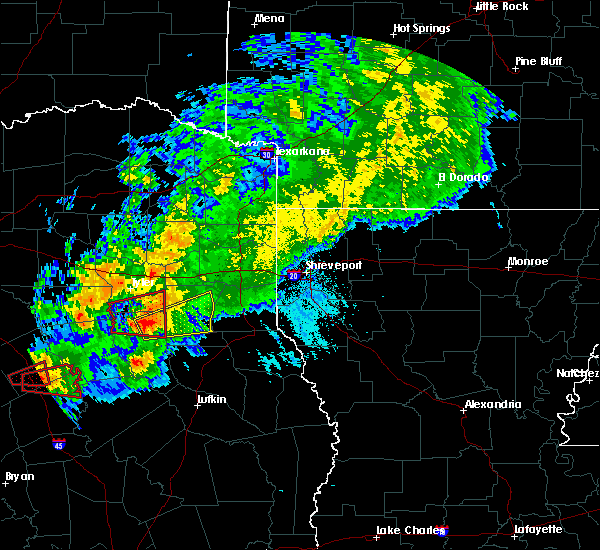 At 412 pm cdt, a severe thunderstorm was located 7 miles north of ponta, or 9 miles east of jacksonville, moving east at 35 mph (radar indicated). Hazards include 60 mph wind gusts and quarter size hail. Hail damage to vehicles is expected. Expect wind damage to roofs, siding, and trees. At 412 pm cdt, a severe thunderstorm was located 7 miles north of ponta, or 9 miles east of jacksonville, moving east at 35 mph (radar indicated). Hazards include 60 mph wind gusts and quarter size hail. Hail damage to vehicles is expected. Expect wind damage to roofs, siding, and trees.
|
| 4/13/2018 11:19 PM CDT |
 At 1119 pm cdt, severe thunderstorms were located along a line extending from 8 miles north of new boston to near naples to near hughes springs to near jefferson to 6 miles northeast of tatum, moving northeast at 85 mph (radar indicated). Hazards include golf ball size hail and 60 mph wind gusts. People and animals outdoors will be injured. expect hail damage to roofs, siding, windows, and vehicles. expect wind damage to roofs, siding, and trees. locations impacted include, longview, marshall, mount pleasant, henderson, carthage, atlanta, new boston, hallsville, hooks, daingerfield, waskom, jefferson, linden, hughes springs, lone star, queen city, tatum, naples, ore city and redwater. A tornado watch remains in effect until 600 am cdt for northeastern texas. At 1119 pm cdt, severe thunderstorms were located along a line extending from 8 miles north of new boston to near naples to near hughes springs to near jefferson to 6 miles northeast of tatum, moving northeast at 85 mph (radar indicated). Hazards include golf ball size hail and 60 mph wind gusts. People and animals outdoors will be injured. expect hail damage to roofs, siding, windows, and vehicles. expect wind damage to roofs, siding, and trees. locations impacted include, longview, marshall, mount pleasant, henderson, carthage, atlanta, new boston, hallsville, hooks, daingerfield, waskom, jefferson, linden, hughes springs, lone star, queen city, tatum, naples, ore city and redwater. A tornado watch remains in effect until 600 am cdt for northeastern texas.
|
| 4/13/2018 10:57 PM CDT |
 At 1057 pm cdt, severe thunderstorms were located along a line extending from near wilkerson to near pittsburg to 7 miles north of gilmer to near white oak to near joinerville, moving northeast at 85 mph (radar indicated). Hazards include golf ball size hail and 60 mph wind gusts. People and animals outdoors will be injured. expect hail damage to roofs, siding, windows, and vehicles. Expect wind damage to roofs, siding, and trees. At 1057 pm cdt, severe thunderstorms were located along a line extending from near wilkerson to near pittsburg to 7 miles north of gilmer to near white oak to near joinerville, moving northeast at 85 mph (radar indicated). Hazards include golf ball size hail and 60 mph wind gusts. People and animals outdoors will be injured. expect hail damage to roofs, siding, windows, and vehicles. Expect wind damage to roofs, siding, and trees.
|
| 4/13/2018 10:40 PM CDT |
 At 1039 pm cdt, severe thunderstorms were located along a line extending from scroggins to 6 miles southwest of liberty city to near turnertown to near maydelle, moving northeast at 45 mph (trained weather spotters). Hazards include golf ball size hail and 60 mph wind gusts. People and animals outdoors will be injured. expect hail damage to roofs, siding, windows, and vehicles. expect wind damage to roofs, siding, and trees. locations impacted include, tyler, longview, nacogdoches, jacksonville, henderson, kilgore, whitehouse, white oak, gladewater, rusk, gilmer, mineola, winnsboro, lindale, chandler, overton, bullard, troup, quitman and big sandy. A tornado watch remains in effect until 600 am cdt for eastern and northeastern texas. At 1039 pm cdt, severe thunderstorms were located along a line extending from scroggins to 6 miles southwest of liberty city to near turnertown to near maydelle, moving northeast at 45 mph (trained weather spotters). Hazards include golf ball size hail and 60 mph wind gusts. People and animals outdoors will be injured. expect hail damage to roofs, siding, windows, and vehicles. expect wind damage to roofs, siding, and trees. locations impacted include, tyler, longview, nacogdoches, jacksonville, henderson, kilgore, whitehouse, white oak, gladewater, rusk, gilmer, mineola, winnsboro, lindale, chandler, overton, bullard, troup, quitman and big sandy. A tornado watch remains in effect until 600 am cdt for eastern and northeastern texas.
|
| 4/13/2018 10:24 PM CDT |
 At 1023 pm cdt, severe thunderstorms were located along a line extending from near quitman to near tyler to near elkhart, moving east at 50 mph (trained weather spotters). Hazards include 60 mph wind gusts and quarter size hail. Hail damage to vehicles is expected. expect wind damage to roofs, siding, and trees. locations impacted include, tyler, longview, nacogdoches, jacksonville, henderson, kilgore, whitehouse, white oak, gladewater, rusk, gilmer, mineola, winnsboro, lindale, chandler, overton, bullard, troup, quitman and big sandy. A tornado watch remains in effect until 600 am cdt for eastern and northeastern texas. At 1023 pm cdt, severe thunderstorms were located along a line extending from near quitman to near tyler to near elkhart, moving east at 50 mph (trained weather spotters). Hazards include 60 mph wind gusts and quarter size hail. Hail damage to vehicles is expected. expect wind damage to roofs, siding, and trees. locations impacted include, tyler, longview, nacogdoches, jacksonville, henderson, kilgore, whitehouse, white oak, gladewater, rusk, gilmer, mineola, winnsboro, lindale, chandler, overton, bullard, troup, quitman and big sandy. A tornado watch remains in effect until 600 am cdt for eastern and northeastern texas.
|
| 4/13/2018 10:00 PM CDT |
 At 959 pm cdt, severe thunderstorms were located along a line extending from near grand saline to near chandler to 13 miles northeast of buffalo, moving east at 65 mph (radar indicated). Hazards include 60 mph wind gusts and quarter size hail. Hail damage to vehicles is expected. Expect wind damage to roofs, siding, and trees. At 959 pm cdt, severe thunderstorms were located along a line extending from near grand saline to near chandler to 13 miles northeast of buffalo, moving east at 65 mph (radar indicated). Hazards include 60 mph wind gusts and quarter size hail. Hail damage to vehicles is expected. Expect wind damage to roofs, siding, and trees.
|
| 4/3/2018 3:33 PM CDT |
 At 332 pm cdt, a severe thunderstorm was located 7 miles southwest of carthage, moving northeast at 65 mph (radar indicated). Hazards include 60 mph wind gusts and quarter size hail. Hail damage to vehicles is expected. expect wind damage to roofs, siding, and trees. Locations impacted include, henderson, sacul, new salem, minden, trawick, cushing, appleby, mount enterprise, reklaw, lawsonville, glenfawn, brachfield, lilbert, linwood, looneyville and laneville. At 332 pm cdt, a severe thunderstorm was located 7 miles southwest of carthage, moving northeast at 65 mph (radar indicated). Hazards include 60 mph wind gusts and quarter size hail. Hail damage to vehicles is expected. expect wind damage to roofs, siding, and trees. Locations impacted include, henderson, sacul, new salem, minden, trawick, cushing, appleby, mount enterprise, reklaw, lawsonville, glenfawn, brachfield, lilbert, linwood, looneyville and laneville.
|
| 4/3/2018 2:50 PM CDT | Fire dept battling blaze on cr 401 off fm 839 due to lightning strike on tank battery fire... 3 other tanks threatened by the flame in rusk county TX, 0.1 miles NNE of Henderson, TX |
| 4/3/2018 2:48 PM CDT |
 At 247 pm cdt, a severe thunderstorm was located near maydelle, or near rusk, moving northeast at 60 mph (radar indicated). Hazards include 60 mph wind gusts and quarter size hail. Hail damage to vehicles is expected. Expect wind damage to roofs, siding, and trees. At 247 pm cdt, a severe thunderstorm was located near maydelle, or near rusk, moving northeast at 60 mph (radar indicated). Hazards include 60 mph wind gusts and quarter size hail. Hail damage to vehicles is expected. Expect wind damage to roofs, siding, and trees.
|
| 3/5/2018 1:20 PM CST | Spotter reported a downed tree at us hwy. 79 and and cr 402 as well as at cr. 407 and 79. spotter witnessed the event and reported winds near 40 mph. trees were uproote in rusk county TX, 4.6 miles NE of Henderson, TX |
| 3/1/2018 2:49 AM CST |
 At 249 am cst, severe thunderstorms were located along a line extending from near mooringsport to 9 miles south of marshall to near henderson, moving east at 55 mph (radar indicated). Hazards include 60 mph wind gusts. Expect damage to roofs, siding, and trees. Locations impacted include, shreveport, longview, marshall, henderson, kilgore, carthage, hallsville, greenwood, blanchard, waskom, tatum, new london, beckville, mooringsport, deberry, elysian fields, pinehill, karnack, woodlawn and joinerville. At 249 am cst, severe thunderstorms were located along a line extending from near mooringsport to 9 miles south of marshall to near henderson, moving east at 55 mph (radar indicated). Hazards include 60 mph wind gusts. Expect damage to roofs, siding, and trees. Locations impacted include, shreveport, longview, marshall, henderson, kilgore, carthage, hallsville, greenwood, blanchard, waskom, tatum, new london, beckville, mooringsport, deberry, elysian fields, pinehill, karnack, woodlawn and joinerville.
|
| 3/1/2018 2:28 AM CST |
 The national weather service in shreveport has issued a * severe thunderstorm warning for. southwestern caddo parish in northwestern louisiana. southeastern smith county in northeastern texas. harrison county in northeastern texas. Northern panola county in northeastern texas. The national weather service in shreveport has issued a * severe thunderstorm warning for. southwestern caddo parish in northwestern louisiana. southeastern smith county in northeastern texas. harrison county in northeastern texas. Northern panola county in northeastern texas.
|
| 3/1/2018 2:28 AM CST |
 At 228 am cst, severe thunderstorms were located along a line extending from near woodlawn to 6 miles southwest of hallsville to near arp, moving east at 55 mph (radar indicated). Hazards include 60 mph wind gusts. expect damage to roofs, siding, and trees At 228 am cst, severe thunderstorms were located along a line extending from near woodlawn to 6 miles southwest of hallsville to near arp, moving east at 55 mph (radar indicated). Hazards include 60 mph wind gusts. expect damage to roofs, siding, and trees
|
| 1/21/2018 11:38 PM CST |
 At 1136 pm cst, a severe thunderstorm capable of producing a tornado was located near henderson, moving northeast at 45 mph (radar indicated rotation). Hazards include tornado. Flying debris will be dangerous to those caught without shelter. mobile homes will be damaged or destroyed. damage to roofs, windows, and vehicles will occur. tree damage is likely. Locations impacted include, henderson, joinerville, monroe, chalk hill, oak hill and stewart. At 1136 pm cst, a severe thunderstorm capable of producing a tornado was located near henderson, moving northeast at 45 mph (radar indicated rotation). Hazards include tornado. Flying debris will be dangerous to those caught without shelter. mobile homes will be damaged or destroyed. damage to roofs, windows, and vehicles will occur. tree damage is likely. Locations impacted include, henderson, joinerville, monroe, chalk hill, oak hill and stewart.
|
| 1/21/2018 11:27 PM CST |
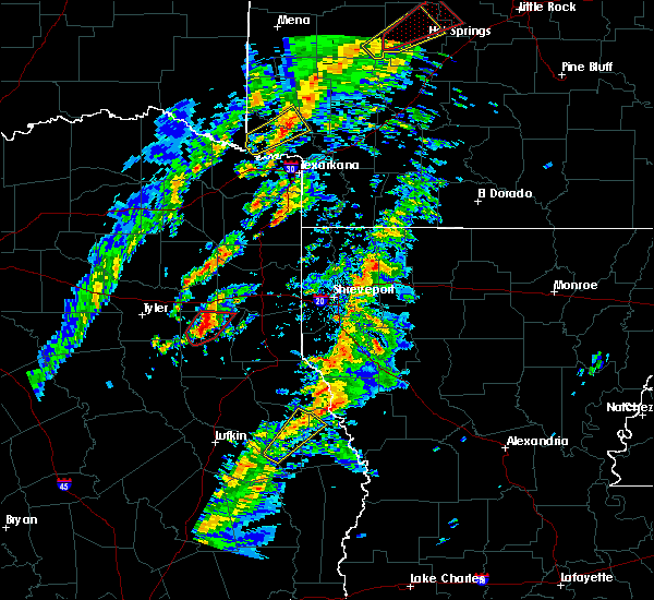 At 1126 pm cst, a severe thunderstorm capable of producing a tornado was located over joinerville, or near henderson, moving northeast at 40 mph (radar indicated rotation). Hazards include tornado. Flying debris will be dangerous to those caught without shelter. mobile homes will be damaged or destroyed. damage to roofs, windows, and vehicles will occur. tree damage is likely. Locations impacted include, henderson, joinerville, monroe, chalk hill, oak hill and stewart. At 1126 pm cst, a severe thunderstorm capable of producing a tornado was located over joinerville, or near henderson, moving northeast at 40 mph (radar indicated rotation). Hazards include tornado. Flying debris will be dangerous to those caught without shelter. mobile homes will be damaged or destroyed. damage to roofs, windows, and vehicles will occur. tree damage is likely. Locations impacted include, henderson, joinerville, monroe, chalk hill, oak hill and stewart.
|
| 1/21/2018 11:15 PM CST | Tree dow in rusk county TX, 8.7 miles ENE of Henderson, TX |
| 1/21/2018 11:09 PM CST |
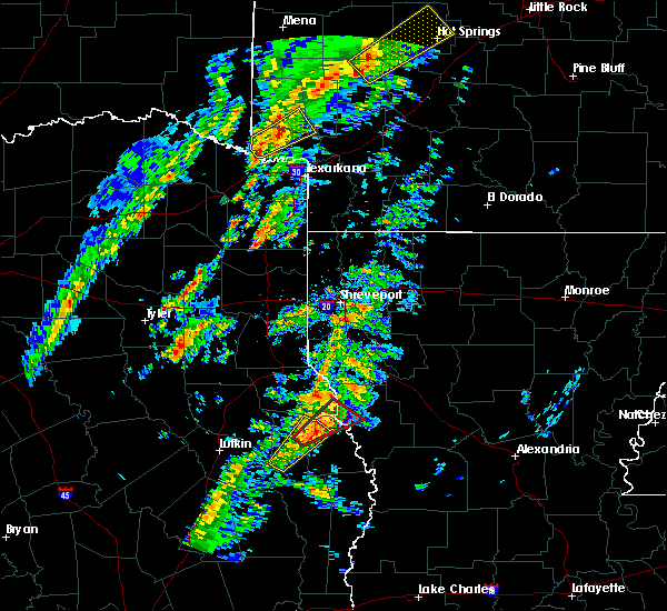 At 1108 pm cst, a severe thunderstorm capable of producing a tornado was located near troup, or 14 miles northeast of jacksonville, moving northeast at 40 mph (radar indicated rotation). Hazards include tornado. Flying debris will be dangerous to those caught without shelter. mobile homes will be damaged or destroyed. damage to roofs, windows, and vehicles will occur. Tree damage is likely. At 1108 pm cst, a severe thunderstorm capable of producing a tornado was located near troup, or 14 miles northeast of jacksonville, moving northeast at 40 mph (radar indicated rotation). Hazards include tornado. Flying debris will be dangerous to those caught without shelter. mobile homes will be damaged or destroyed. damage to roofs, windows, and vehicles will occur. Tree damage is likely.
|
| 12/19/2017 7:56 PM CST |
 At 755 pm cst, a severe thunderstorm was located over minden, or 9 miles southeast of henderson, and another thunderstorm near rusk moving northeast at 50 mph (radar indicated). Hazards include 60 mph wind gusts. expect damage to roofs, siding, and trees At 755 pm cst, a severe thunderstorm was located over minden, or 9 miles southeast of henderson, and another thunderstorm near rusk moving northeast at 50 mph (radar indicated). Hazards include 60 mph wind gusts. expect damage to roofs, siding, and trees
|
| 12/19/2017 7:35 PM CST |
 At 734 pm cst, a severe thunderstorm capable of producing a tornado was located over new salem, or 14 miles northeast of rusk, moving northeast at 55 mph. power outages have already been reported with this storm (radar indicated rotation). Hazards include tornado. Flying debris will be dangerous to those caught without shelter. mobile homes will be damaged or destroyed. damage to roofs, windows, and vehicles will occur. tree damage is likely. this dangerous storm will be near, minden around 750 pm cst. pinehill around 800 pm cst. beckville around 815 pm cst. Other locations impacted by this tornadic thunderstorm include chapman, mount enterprise, reklaw, dotson, cushing, church hill, lawsonville, gary city, glenfawn and laneville. At 734 pm cst, a severe thunderstorm capable of producing a tornado was located over new salem, or 14 miles northeast of rusk, moving northeast at 55 mph. power outages have already been reported with this storm (radar indicated rotation). Hazards include tornado. Flying debris will be dangerous to those caught without shelter. mobile homes will be damaged or destroyed. damage to roofs, windows, and vehicles will occur. tree damage is likely. this dangerous storm will be near, minden around 750 pm cst. pinehill around 800 pm cst. beckville around 815 pm cst. Other locations impacted by this tornadic thunderstorm include chapman, mount enterprise, reklaw, dotson, cushing, church hill, lawsonville, gary city, glenfawn and laneville.
|
| 12/19/2017 6:57 PM CST |
 At 656 pm cst, a severe thunderstorm was located over rusk, moving northeast at 55 mph (radar indicated). Hazards include 60 mph wind gusts. expect damage to roofs, siding, and trees At 656 pm cst, a severe thunderstorm was located over rusk, moving northeast at 55 mph (radar indicated). Hazards include 60 mph wind gusts. expect damage to roofs, siding, and trees
|
| 7/9/2017 2:37 PM CDT |
 At 236 pm cdt, severe thunderstorms were located along a line extending from near troup to henderson, moving north at 10 mph (radar indicated). Hazards include 60 mph wind gusts and quarter size hail. Hail damage to vehicles is expected. Expect wind damage to roofs, siding, and trees. At 236 pm cdt, severe thunderstorms were located along a line extending from near troup to henderson, moving north at 10 mph (radar indicated). Hazards include 60 mph wind gusts and quarter size hail. Hail damage to vehicles is expected. Expect wind damage to roofs, siding, and trees.
|
| 7/8/2017 5:23 PM CDT |
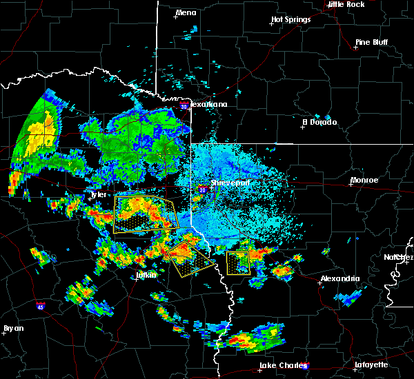 At 522 pm cdt, a severe thunderstorm was located over beckville, or 9 miles northwest of carthage, moving southeast at 20 mph (radar indicated). Hazards include 60 mph wind gusts and nickel size hail. expect damage to roofs, siding, and trees At 522 pm cdt, a severe thunderstorm was located over beckville, or 9 miles northwest of carthage, moving southeast at 20 mph (radar indicated). Hazards include 60 mph wind gusts and nickel size hail. expect damage to roofs, siding, and trees
|
| 7/8/2017 4:34 PM CDT |
 At 434 pm cdt, a severe thunderstorm was located near kilgore, moving south at 15 mph (radar indicated). Hazards include 60 mph wind gusts and penny size hail. expect damage to roofs, siding, and trees At 434 pm cdt, a severe thunderstorm was located near kilgore, moving south at 15 mph (radar indicated). Hazards include 60 mph wind gusts and penny size hail. expect damage to roofs, siding, and trees
|
| 7/1/2017 2:15 PM CDT | Trees down on hwy 323 between new london and henderso in rusk county TX, 6.3 miles ESE of Henderson, TX |
| 5/28/2017 5:15 PM CDT |
 At 514 pm cdt, a severe thunderstorm was located near tatum, or 13 miles northeast of henderson, moving southeast at 30 mph (radar indicated). Hazards include 60 mph wind gusts and quarter size hail. Hail damage to vehicles is expected. Expect wind damage to roofs, siding, and trees. At 514 pm cdt, a severe thunderstorm was located near tatum, or 13 miles northeast of henderson, moving southeast at 30 mph (radar indicated). Hazards include 60 mph wind gusts and quarter size hail. Hail damage to vehicles is expected. Expect wind damage to roofs, siding, and trees.
|
| 5/28/2017 5:15 PM CDT |
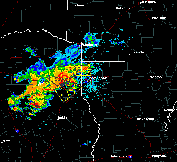 At 514 pm cdt, a severe thunderstorm was located near tatum, or 13 miles northeast of henderson, moving southeast at 30 mph (radar indicated). Hazards include 60 mph wind gusts and quarter size hail. Hail damage to vehicles is expected. Expect wind damage to roofs, siding, and trees. At 514 pm cdt, a severe thunderstorm was located near tatum, or 13 miles northeast of henderson, moving southeast at 30 mph (radar indicated). Hazards include 60 mph wind gusts and quarter size hail. Hail damage to vehicles is expected. Expect wind damage to roofs, siding, and trees.
|
| 5/21/2017 7:44 AM CDT |
 At 744 am cdt, severe thunderstorms were located along a line extending from near turnertown to minden, moving northeast at 25 mph (radar indicated). Hazards include 60 mph wind gusts and quarter size hail. Hail damage to vehicles is expected. Expect wind damage to roofs, siding, and trees. At 744 am cdt, severe thunderstorms were located along a line extending from near turnertown to minden, moving northeast at 25 mph (radar indicated). Hazards include 60 mph wind gusts and quarter size hail. Hail damage to vehicles is expected. Expect wind damage to roofs, siding, and trees.
|
| 5/21/2017 7:14 AM CDT | Quarter sized hail reported 18.6 miles NE of Henderson, TX, quarter size hail reported at lake striker rv park restaurant and marina. |
| 5/11/2017 7:10 PM CDT | Tree down on a house along county road 362 in east rusk count in rusk county TX, 8.5 miles NW of Henderson, TX |
| 5/11/2017 7:02 PM CDT | 2 east of minden... trees are dow in rusk county TX, 12 miles NW of Henderson, TX |
| 5/3/2017 4:30 PM CDT | Large tree fell on home on 3600 block of fm 3310 south of henderson. substantial damage to hom in rusk county TX, 3.1 miles NNW of Henderson, TX |
| 5/3/2017 4:15 PM CDT |
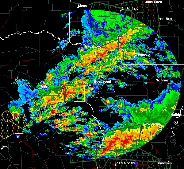 At 415 pm cdt, a severe thunderstorm was located near henderson, moving east at 25 mph (radar indicated). Hazards include 60 mph wind gusts and half dollar size hail. Hail damage to vehicles is expected. expect wind damage to roofs, siding, and trees. Locations impacted include, henderson, minden, church hill, chapman, stewart and brachfield. At 415 pm cdt, a severe thunderstorm was located near henderson, moving east at 25 mph (radar indicated). Hazards include 60 mph wind gusts and half dollar size hail. Hail damage to vehicles is expected. expect wind damage to roofs, siding, and trees. Locations impacted include, henderson, minden, church hill, chapman, stewart and brachfield.
|
| 5/3/2017 4:10 PM CDT | Hen Egg sized hail reported 0.1 miles NNE of Henderson, TX |
| 5/3/2017 4:02 PM CDT | Quarter sized hail reported 0.1 miles NNE of Henderson, TX |
| 5/3/2017 3:57 PM CDT | Quarter sized hail reported 5.5 miles ESE of Henderson, TX |
| 5/3/2017 3:40 PM CDT |
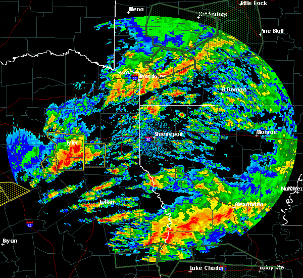 At 339 pm cdt, a severe thunderstorm was located near turnertown, or 10 miles west of henderson, moving east at 25 mph. this storm has a history of producing hail to half dollar size in the troup area (radar indicated). Hazards include half dollar size hail and 60 mph wind gusts. People and animals outdoors will be injured. expect hail damage to roofs, siding, windows, and vehicles. Expect wind damage to roofs, siding, and trees. At 339 pm cdt, a severe thunderstorm was located near turnertown, or 10 miles west of henderson, moving east at 25 mph. this storm has a history of producing hail to half dollar size in the troup area (radar indicated). Hazards include half dollar size hail and 60 mph wind gusts. People and animals outdoors will be injured. expect hail damage to roofs, siding, windows, and vehicles. Expect wind damage to roofs, siding, and trees.
|
| 4/26/2017 3:19 PM CDT |
 At 319 pm cdt, a severe thunderstorm was located near henderson, moving northeast at 70 mph (radar indicated). Hazards include 60 mph wind gusts and quarter size hail. Hail damage to vehicles is expected. Expect wind damage to roofs, siding, and trees. At 319 pm cdt, a severe thunderstorm was located near henderson, moving northeast at 70 mph (radar indicated). Hazards include 60 mph wind gusts and quarter size hail. Hail damage to vehicles is expected. Expect wind damage to roofs, siding, and trees.
|
| 3/24/2017 8:16 PM CDT |
 At 815 pm cdt, severe thunderstorms were located along a line extending from hallsville to near tatum to 9 miles northeast of henderson to near pinehill, moving northeast at 45 mph (radar indicated). Hazards include 60 mph wind gusts and penny size hail. expect damage to roofs, siding, and trees At 815 pm cdt, severe thunderstorms were located along a line extending from hallsville to near tatum to 9 miles northeast of henderson to near pinehill, moving northeast at 45 mph (radar indicated). Hazards include 60 mph wind gusts and penny size hail. expect damage to roofs, siding, and trees
|
| 3/24/2017 7:55 PM CDT | Tree down blocking fordall street in henderso in rusk county TX, 0.6 miles E of Henderson, TX |
| 2/20/2017 4:25 AM CST | Trees down blocking fm 782 as well as fm 2011 in northern rusk count in rusk county TX, 9.8 miles SW of Henderson, TX |
| 2/20/2017 4:04 AM CST |
 At 403 am cst, a line of severe thunderstorms extended from near east mountain south to near alto, moving northeast at 50 mph (radar indicated). Hazards include 60 mph wind gusts and penny size hail. expect damage to roofs, siding, and trees At 403 am cst, a line of severe thunderstorms extended from near east mountain south to near alto, moving northeast at 50 mph (radar indicated). Hazards include 60 mph wind gusts and penny size hail. expect damage to roofs, siding, and trees
|
| 2/20/2017 3:58 AM CST |
 At 357 am cst, a line of severe thunderstorms extended from near gladewater southward to alto, moving northeast at 50 mph (radar indicated). Hazards include 60 mph wind gusts and penny size hail. Expect damage to roofs, siding, and trees. Locations impacted include, jacksonville, henderson, kilgore, whitehouse, gladewater, rusk, overton, troup, alto, new london, arp, ponta, new salem, liberty city, joinerville, sacul, mixon, turnertown, new summerfield and cushing. At 357 am cst, a line of severe thunderstorms extended from near gladewater southward to alto, moving northeast at 50 mph (radar indicated). Hazards include 60 mph wind gusts and penny size hail. Expect damage to roofs, siding, and trees. Locations impacted include, jacksonville, henderson, kilgore, whitehouse, gladewater, rusk, overton, troup, alto, new london, arp, ponta, new salem, liberty city, joinerville, sacul, mixon, turnertown, new summerfield and cushing.
|
| 2/20/2017 3:26 AM CST |
 At 325 am cst, a severe thunderstorm was located near tyler, moving northeast at 50 mph (radar indicated). Hazards include 60 mph wind gusts and penny size hail. expect damage to roofs, siding, and trees At 325 am cst, a severe thunderstorm was located near tyler, moving northeast at 50 mph (radar indicated). Hazards include 60 mph wind gusts and penny size hail. expect damage to roofs, siding, and trees
|
| 1/2/2017 8:10 AM CST | Tree down across fm 840 in se rusk near brachfield in rusk county TX, 11.6 miles NW of Henderson, TX |
| 1/2/2017 8:10 AM CST | Several trees dow in rusk county TX, 5 miles NW of Henderson, TX |
| 1/2/2017 8:09 AM CST |
 At 808 am cst, a severe thunderstorm was located near minden, or near henderson, moving northeast at 35 mph (radar indicated). Hazards include 60 mph wind gusts and quarter size hail. Hail damage to vehicles is expected. Expect wind damage to roofs, siding, and trees. At 808 am cst, a severe thunderstorm was located near minden, or near henderson, moving northeast at 35 mph (radar indicated). Hazards include 60 mph wind gusts and quarter size hail. Hail damage to vehicles is expected. Expect wind damage to roofs, siding, and trees.
|
| 1/2/2017 6:31 AM CST |
 At 631 am cst, severe thunderstorms were located along a line extending from near campbell to near fruitvale to 7 miles west of edom to 11 miles west of frankston to 10 miles west of elkhart, moving east at 60 mph (radar indicated). Hazards include 60 mph wind gusts and quarter size hail. Hail damage to vehicles is expected. Expect wind damage to roofs, siding, and trees. At 631 am cst, severe thunderstorms were located along a line extending from near campbell to near fruitvale to 7 miles west of edom to 11 miles west of frankston to 10 miles west of elkhart, moving east at 60 mph (radar indicated). Hazards include 60 mph wind gusts and quarter size hail. Hail damage to vehicles is expected. Expect wind damage to roofs, siding, and trees.
|
| 4/30/2016 12:13 AM CDT |
 At 1212 am cdt, severe thunderstorms were located along a line extending from 6 miles southeast of hughes springs to 8 miles southeast of longview to 8 miles southeast of kilgore to turnertown, moving east at 30 mph (radar indicated). Hazards include 60 mph wind gusts and penny size hail. Expect damage to roofs. siding. And trees. At 1212 am cdt, severe thunderstorms were located along a line extending from 6 miles southeast of hughes springs to 8 miles southeast of longview to 8 miles southeast of kilgore to turnertown, moving east at 30 mph (radar indicated). Hazards include 60 mph wind gusts and penny size hail. Expect damage to roofs. siding. And trees.
|
| 4/27/2016 3:53 AM CDT |
 At 351 am cdt, a line of severe thunderstorms was located near forest, or 18 miles south of rusk, moving east at 60 mph (radar indicated). Hazards include 60 mph wind gusts and quarter size hail. Hail damage to vehicles is expected. Expect wind damage to roofs, siding, and trees. At 351 am cdt, a line of severe thunderstorms was located near forest, or 18 miles south of rusk, moving east at 60 mph (radar indicated). Hazards include 60 mph wind gusts and quarter size hail. Hail damage to vehicles is expected. Expect wind damage to roofs, siding, and trees.
|
| 4/11/2016 9:15 PM CDT | Tree down on fm 1798 in the pine hill community near the rusk/panola county lin in rusk county TX, 12.1 miles WNW of Henderson, TX |
| 4/11/2016 9:13 PM CDT |
 At 912 pm cdt, a severe thunderstorm was located near pinehill, or 7 miles east of henderson, moving east at 30 mph (radar indicated). Hazards include 60 mph wind gusts and quarter size hail. Hail damage to vehicles is expected. Expect wind damage to roofs, siding, and trees. At 912 pm cdt, a severe thunderstorm was located near pinehill, or 7 miles east of henderson, moving east at 30 mph (radar indicated). Hazards include 60 mph wind gusts and quarter size hail. Hail damage to vehicles is expected. Expect wind damage to roofs, siding, and trees.
|
| 4/11/2016 9:06 PM CDT |
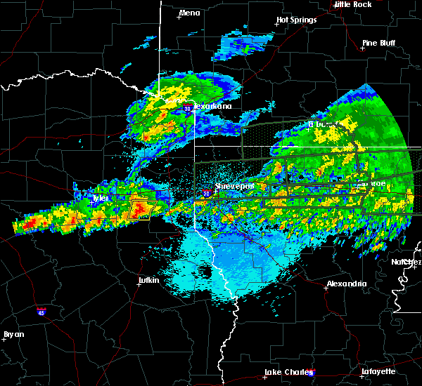 At 905 pm cdt, a severe thunderstorm was located near henderson, moving east at 35 mph (radar indicated). Hazards include 60 mph wind gusts and nickel size hail. Expect damage to roofs. siding. and trees. Locations impacted include, henderson, tatum, church hill, oak hill, stewart, chapman, monroe and chalk hill. At 905 pm cdt, a severe thunderstorm was located near henderson, moving east at 35 mph (radar indicated). Hazards include 60 mph wind gusts and nickel size hail. Expect damage to roofs. siding. and trees. Locations impacted include, henderson, tatum, church hill, oak hill, stewart, chapman, monroe and chalk hill.
|
| 4/11/2016 9:05 PM CDT | Tree down across the 10000 block of fm 2011 in northern rusk count in rusk county TX, 10.4 miles SSW of Henderson, TX |
| 4/11/2016 8:28 PM CDT |
 At 827 pm cdt, a severe thunderstorm was located near liberty city, or 8 miles west of kilgore, moving east at 45 mph (radar indicated). Hazards include 60 mph wind gusts and quarter size hail. Hail damage to vehicles is expected. Expect wind damage to roofs, siding, and trees. At 827 pm cdt, a severe thunderstorm was located near liberty city, or 8 miles west of kilgore, moving east at 45 mph (radar indicated). Hazards include 60 mph wind gusts and quarter size hail. Hail damage to vehicles is expected. Expect wind damage to roofs, siding, and trees.
|
| 8/25/2015 8:38 AM CDT |
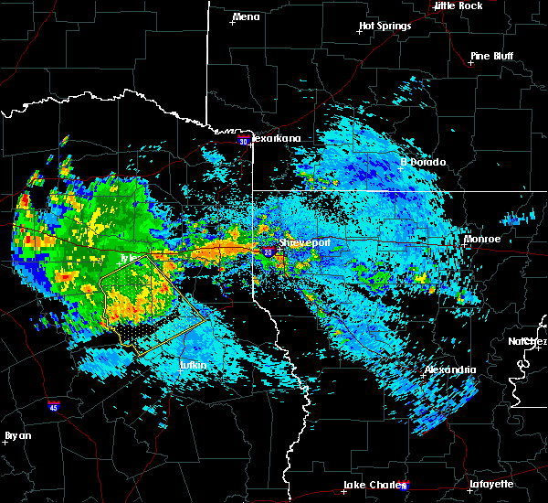 At 837 am cdt, severe thunderstorms were located along a line extending from near minden to 10 miles north of trawick to near sacul to near rusk to near maydelle, moving southeast at 35 mph (radar indicated). Hazards include 60 mph wind gusts. Expect damage to roofs. siding and trees. Locations impacted include, jacksonville, henderson, rusk, alto, garrison, trawick, maydelle, ponta, douglass, morrill, joinerville, minden, sacul, new salem, new summerfield, cushing, mount enterprise, gallatin, reklaw and concord. At 837 am cdt, severe thunderstorms were located along a line extending from near minden to 10 miles north of trawick to near sacul to near rusk to near maydelle, moving southeast at 35 mph (radar indicated). Hazards include 60 mph wind gusts. Expect damage to roofs. siding and trees. Locations impacted include, jacksonville, henderson, rusk, alto, garrison, trawick, maydelle, ponta, douglass, morrill, joinerville, minden, sacul, new salem, new summerfield, cushing, mount enterprise, gallatin, reklaw and concord.
|
| 8/25/2015 7:56 AM CDT |
 At 755 am cdt, a severe thunderstorm was located near whitehouse, moving southeast at 45 mph (radar indicated). Hazards include 60 mph wind gusts. Expect damage to roofs. Siding and trees. At 755 am cdt, a severe thunderstorm was located near whitehouse, moving southeast at 45 mph (radar indicated). Hazards include 60 mph wind gusts. Expect damage to roofs. Siding and trees.
|
| 6/29/2015 4:59 PM CDT |
 At 458 pm cdt, a severe thunderstorm was located near turnertown, or near henderson, moving northeast at 10 mph (radar indicated). Hazards include 60 mph wind gusts and quarter size hail. Hail damage to vehicles is expected. Expect wind damage to roofs, siding and trees. At 458 pm cdt, a severe thunderstorm was located near turnertown, or near henderson, moving northeast at 10 mph (radar indicated). Hazards include 60 mph wind gusts and quarter size hail. Hail damage to vehicles is expected. Expect wind damage to roofs, siding and trees.
|
| 5/30/2015 9:30 AM CDT | A few trees down in rusk county TX, 4.1 miles E of Henderson, TX |
| 5/30/2015 9:30 AM CDT | A few trees down in rusk county TX, 5.9 miles NE of Henderson, TX |
| 5/30/2015 9:24 AM CDT | At 923 am cdt, a severe thunderstorm was located 9 miles northeast of henderson, moving east at 45 mph (radar indicated). Hazards include 60 mph wind gusts and nickel size hail. Expect damage to roofs. Siding and trees. |
| 5/30/2015 9:24 AM CDT | At 923 am cdt, a severe thunderstorm was located 9 miles northeast of henderson, moving east at 45 mph (radar indicated). Hazards include 60 mph wind gusts and nickel size hail. Expect damage to roofs. Siding and trees. |
| 5/25/2015 7:52 PM CDT | The tornado warning for northeastern rusk, south central harrison, central panola and southeastern gregg counties will expire at 800 pm cdt, the storm which prompted the warning earlier has moved out of this warned area. a tornado warning continued for the storm near the texas and louisiana state line. a tornado watch remains in effect until 1000 pm cdt for northeastern texas. |
| 5/25/2015 7:11 PM CDT | At 711 pm cdt, severe thunderstorms were located along a line extending from near harleton to 6 miles northeast of pinehill to 8 miles east of trawick to near hudson, moving east at 45 mph (radar indicated). Hazards include 70 mph wind gusts and quarter size hail. Hail damage to vehicles is expected. expect considerable tree damage. wind damage is also likely to mobile homes, roofs and outbuildings. locations impacted include, longview, nacogdoches, marshall, henderson, kilgore, carthage, white oak, gladewater, center, hudson, hallsville, tatum, tenaha, timpson, garrison, clarksville city, beckville, joaquin, east mountain and wells. a tornado watch remains in effect until 1000 pm cdt for northeastern texas. A tornado watch also remains in effect until 200 am cdt for northwestern louisiana. |
| 5/25/2015 7:04 PM CDT | At 704 pm cdt, a severe thunderstorm capable of producing a tornado was located near henderson, moving northeast at 40 mph (radar indicated rotation). Hazards include tornado. Flying debris will be dangerous to those caught without shelter. mobile homes will be damaged or destroyed. damage to roofs, windows and vehicles will occur. tree damage is likely. this dangerous storm will be near, tatum around 720 pm cdt. beckville around 725 pm cdt. Other locations impacted by this tornadic thunderstorm include church hill, oak hill, fairplay, darco, chapman, stewart, monroe, chalk hill and easton. |
| 5/25/2015 6:51 PM CDT | At 650 pm cdt, a severe thunderstorm capable of producing a tornado was located over arp, or 12 miles east of whitehouse, moving northeast at 50 mph (radar indicated rotation). Hazards include tornado. Flying debris will be dangerous to those caught without shelter. mobile homes will be damaged or destroyed. damage to roofs, windows and vehicles will occur. tree damage is likely. this dangerous storm will be near, joinerville around 655 pm cdt. overton and new london around 700 pm cdt. kilgore around 710 pm cdt. Other locations impacted by this tornadic thunderstorm include lakeport, laird hill, oak hill, easton, rolling meadows, stewart, monroe and chalk hill. |
| 5/25/2015 6:49 PM CDT | Trees down in laneville tx off of fm 179 in rusk county TX, 10.4 miles N of Henderson, TX |
| 5/25/2015 6:36 PM CDT | At 636 pm cdt, severe thunderstorms were located along a line extending from near lindale to near troup to near sacul to near kennard, moving east at 60 mph (radar indicated). Hazards include 70 mph wind gusts and quarter size hail. Hail damage to vehicles is expected. expect considerable tree damage. Wind damage is also likely to mobile homes, roofs and outbuildings. |
| 5/24/2015 6:14 PM CDT | At 613 pm cdt, a severe thunderstorm capable of producing a tornado was located over overton, or 12 miles southwest of kilgore, moving northeast at 30 mph (radar indicated rotation). Hazards include tornado. Flying debris will be dangerous to those caught without shelter. mobile homes will be damaged or destroyed. damage to roofs, windows and vehicles will occur. tree damage is likely. this dangerous storm will be near, new london around 625 pm cdt. kilgore around 640 pm cdt. Other locations impacted by this tornadic thunderstorm include laird hill, oak hill, monroe and rolling meadows. |
| 5/24/2015 5:57 PM CDT | At 556 pm cdt, a severe thunderstorm capable of producing a tornado was located near troup, or 8 miles southeast of whitehouse, moving northeast at 25 mph (radar indicated rotation). Hazards include tornado. Flying debris will be dangerous to those caught without shelter. mobile homes will be damaged or destroyed. damage to roofs, windows and vehicles will occur. tree damage is likely. this dangerous storm will be near, arp around 605 pm cdt. turnertown around 615 pm cdt. joinerville around 620 pm cdt. overton and new london around 625 pm cdt. henderson around 635 pm cdt. Other locations impacted by this tornadic thunderstorm include laird hill, oak hill, monroe and rolling meadows. |
| 5/11/2015 3:10 AM CDT | Large tree down on fordall near civic center... large branches blocking road in rusk county TX, 0.1 miles NNE of Henderson, TX |
| 5/11/2015 2:59 AM CDT | Winds 50 to 60 with higher gusts... power out in henderson... pea sized hail in rusk county TX, 0.1 miles NNE of Henderson, TX |
| 5/11/2015 2:58 AM CDT | At 257 am cdt, a severe thunderstorm was located over henderson, moving northeast at 40 mph (radar indicated). Hazards include 60 mph wind gusts and quarter size hail. Hail damage to vehicles is expected. expect wind damage to roofs, siding and trees. this severe thunderstorm will be near, tatum around 330 am cdt. other locations impacted by this severe thunderstorm include oak hill, easton, fairplay, new summerfield, chapman, stewart, chalk hill, lakeport, concord and church hill. a tornado watch remains in effect until 500 am cdt for northeastern texas. 1. 00in. |
| 5/11/2015 2:38 AM CDT | At 238 am cdt, a severe thunderstorm was located 7 miles southwest of hallsville, or near lakeport, moving northeast at 40 mph. another severe thunderstorm was located near new summerfield, also moving northeast ay 40 mph. damaging winds in excess of 60 mph and quarter size hail is possible with this storm (radar indicated). Hazards include 60 mph wind gusts. Expect damage to roofs. siding and trees. locations impacted include, henderson, tatum, new london, turnertown, joinerville, lakeport, easton, oak hill, stewart, monroe and chalk hill. a tornado watch remains in effect until 500 am cdt for northeastern texas. Possible. |
| 5/11/2015 1:59 AM CDT | At 159 am cdt, a severe thunderstorm was located near turnertown, or 7 miles west of henderson, moving northeast at 30 mph (radar indicated). Hazards include 60 mph wind gusts and quarter size hail. Hail damage to vehicles is expected. expect wind damage to roofs, siding and trees. this severe thunderstorm will be near, joinerville around 205 am cdt. henderson and new london around 215 am cdt. other locations impacted by this severe thunderstorm include lakeport, stewart, oak hill, easton, monroe and chalk hill. a tornado watch remains in effect until 500 am cdt for northeastern texas. Possible. |
| 5/11/2015 1:33 AM CDT | At 133 am cdt, a severe thunderstorm capable of producing a tornado was located near new summerfield, or 10 miles east of jacksonville, moving northeast at 30 mph. if you live in new summerfield, take cover immediately! (radar indicated rotation). Hazards include tornado and half dollar size hail. Flying debris will be dangerous to those caught without shelter. mobile homes will be damaged or destroyed. damage to roofs, windows and vehicles will occur. tree damage is likely. this dangerous storm will be near, henderson, turnertown and joinerville around 200 am cdt. other locations impacted by this tornadic thunderstorm include concord, new summerfield and gallatin. Radar indicated. |
| 5/11/2015 1:19 AM CDT | At 119 am cdt, a severe thunderstorm capable of producing a tornado was located near ponta, or just northwest of gallatin, moving northeast at 35 mph (radar indicated rotation). Hazards include tornado and quarter size hail. Flying debris will be dangerous to those caught without shelter. mobile homes will be damaged or destroyed. damage to roofs, windows and vehicles will occur. tree damage is likely. this dangerous storm will be near, turnertown around 150 am cdt. joinerville around 155 am cdt. henderson and new london around 200 am cdt. other locations impacted by this tornadic thunderstorm include concord, new summerfield and gallatin. Radar indicated. |
| 4/24/2015 10:40 PM CDT | Numerous trees down in rusk county TX, 0.1 miles NNE of Henderson, TX |
| 4/24/2015 10:34 PM CDT | At 1034 pm cdt, severe thunderstorms were located along a line extending from near overton to near turnertown to 7 miles south of troup to near jacksonville to near rusk to near maydelle, moving east at 50 mph (radar indicated). Hazards include 70 mph wind gusts and nickel size hail. Expect considerable tree damage. damage is likely to mobile homes, roofs and outbuildings. severe thunderstorms will be near, overton, new london, arp and turnertown around 1040 pm cdt. joinerville around 1045 pm cdt. henderson, alto and new salem around 1050 pm cdt. sacul around 1100 pm cdt. minden around 1105 pm cdt. tatum, pinehill and trawick around 1110 pm cdt. beckville around 1115 pm cdt. other locations impacted by these severe thunderstorms include oak hill, fairplay, new summerfield, chapman, stewart, gallatin, lawsonville, concord, church hill and cushing. a tornado watch remains in effect until 400 am cdt for northeastern texas. Possible. |
| 4/24/2015 10:26 PM CDT | At 1024 pm cdt, a severe thunderstorm was located over bossier city , or 5 miles southeast of carthage, moving east at 50 mph (radar indicated). Hazards include 60 mph wind gusts and quarter size hail. Hail damage to vehicles is expected. expect wind damage to roofs, siding and trees. locations impacted include, shreveport, bossier city, henderson, carthage, greenwood, blanchard, stonewall, beckville, fosters, eastwood, minden, deberry, pinehill, mount enterprise, gary city, keachi, longstreet, front, robson and ferguson. a tornado watch remains in effect until 400 am cdt for northwestern louisiana and northeastern texas. 1. 00in. |
| 4/24/2015 10:26 PM CDT | At 1024 pm cdt, a severe thunderstorm was located over bossier city , or 5 miles southeast of carthage, moving east at 50 mph (radar indicated). Hazards include 60 mph wind gusts and quarter size hail. Hail damage to vehicles is expected. expect wind damage to roofs, siding and trees. locations impacted include, shreveport, bossier city, henderson, carthage, greenwood, blanchard, stonewall, beckville, fosters, eastwood, minden, deberry, pinehill, mount enterprise, gary city, keachi, longstreet, front, robson and ferguson. a tornado watch remains in effect until 400 am cdt for northwestern louisiana and northeastern texas. 1. 00in. |
| 4/24/2015 9:57 PM CDT | At 957 pm cdt, a severe thunderstorm was located near blanchard, or 12 miles northwest of shreveport, moving east at 65 mph (radar indicated). Hazards include 60 mph wind gusts and quarter size hail. Hail damage to vehicles is expected. Expect wind damage to roofs, siding and trees. |
| 4/24/2015 9:57 PM CDT | At 957 pm cdt, a severe thunderstorm was located near blanchard, or 12 miles northwest of shreveport, moving east at 65 mph (radar indicated). Hazards include 60 mph wind gusts and quarter size hail. Hail damage to vehicles is expected. Expect wind damage to roofs, siding and trees. |
| 4/24/2015 9:51 PM CDT | At 948 pm cdt, a severe thunderstorm was located near marshall , or 3 miles west of scottsville, moving east at 60 mph (radar indicated). Hazards include 60 mph wind gusts and quarter size hail. Hail damage to vehicles is expected. expect wind damage to roofs, siding and trees. locations impacted include, tyler, longview, marshall, jacksonville, henderson, kilgore, whitehouse, carthage, white oak, rusk, hallsville, overton, bullard, waskom, troup, tatum, new london, arp, beckville and elysian fields. a tornado watch remains in effect until 1000 pm cdt for northeastern texas. 1. 00in. |
| 4/24/2015 9:14 PM CDT | At 913 pm cdt, a severe thunderstorm was located over liberty city, or near kilgore, moving east at 60 mph (radar indicated). Hazards include 60 mph wind gusts and quarter size hail. Hail damage to vehicles is expected. Expect wind damage to roofs, siding and trees. |
| 4/19/2015 4:58 PM CDT | Ping Pong Ball sized hail reported 9.9 miles NE of Henderson, TX |
| 4/19/2015 4:52 PM CDT | The national weather service in shreveport has issued a * severe thunderstorm warning for. central rusk county in northeastern texas. west central panola county in northeastern texas. until 515 pm cdt * at 451 pm cdt. A severe thunderstorm was located 7 miles west of. |
| 4/18/2015 11:50 PM CDT | Trained spotter reports trees down across the road at the intersection of fm road 1798 and fm road 348 in the pinehill communit in rusk county TX, 11.9 miles WNW of Henderson, TX |
| 4/18/2015 11:30 PM CDT | At 1129 pm cdt, a severe thunderstorm was located near joinerville, or near henderson, moving east at 10 mph (radar indicated). Hazards include 60 mph wind gusts and half dollar size hail. Hail damage to vehicles is expected. expect wind damage to roofs, siding and trees. locations impacted include, henderson, oak hill and monroe. 1. 25in. |
| 4/18/2015 11:09 PM CDT | At 1109 pm cdt, a severe thunderstorm was located over turnertown, or 9 miles northwest of henderson, moving east at 10 mph (radar indicated). Hazards include 60 mph wind gusts and half dollar size hail. Hail damage to vehicles is expected. Expect wind damage to roofs, siding and trees. |
| 4/9/2015 8:43 PM CDT | The tornado warning for central rusk county will expire at 845 pm cdt. the storm which prompted the warning has moved out of the area. therefore the tornado warning will be allowed to expire. however. A severe thunderstorm warning remains in effect for extreme eastern rusk county until 930 pm. |
| 4/9/2015 8:10 PM CDT | Large tree down near the west loop in henderson in rusk county TX, 2.5 miles ENE of Henderson, TX |
| 4/9/2015 8:01 PM CDT | The national weather service in shreveport has issued a * tornado warning for. central rusk county in northeastern texas. until 845 pm cdt * at 801 pm cdt. a severe thunderstorm capable of producing a tornado was located near turnertown. Or 8 miles west southwest of. |
| 4/9/2015 7:56 PM CDT | The national weather service in shreveport has issued a * severe thunderstorm warning for. central rusk county in northeastern texas. until 845 pm cdt * at 756 pm cdt. a severe thunderstorm was located near turnertown. or 8 miles west of henderson. moving east at 30 mph. Some. |
| 4/9/2015 7:40 PM CDT | The tornado warning for northwestern rusk county will expire at 745 pm cdt. the storm which prompted the warning has weakened below severe limits. and no longer appears capable of producing a tornado. therefore the warning will be allowed to expire. However heavy rain is still possible with these thunderstorms. |
| 4/9/2015 7:05 PM CDT | The national weather service in shreveport has issued a * tornado warning for. northwestern rusk county in northeastern texas. until 745 pm cdt * at 705 pm cdt. a severe thunderstorm capable of producing a tornado was located just south of arp. Or 11 miles east of whitehouse. |
| 10/6/2014 6:29 AM CDT | Quarter sized hail reported 0.1 miles NNE of Henderson, TX, hail reported in henderson. |
| 10/6/2014 6:29 AM CDT | Several trees and power lines downed throughout the northern portion of the count in rusk county TX, 0.1 miles NNE of Henderson, TX |
| 10/2/2014 8:45 PM CDT | Tree down on vehicle on fm 1798 near fm 839... no injuries reported in rusk county TX, 0.1 miles NNE of Henderson, TX |
| 10/2/2014 8:12 PM CDT | Numerous trees down...power lines down across the county in rusk county TX, 0.1 miles NNE of Henderson, TX |
| 7/23/2014 7:45 PM CDT | Trees and power lines down county wide in rusk county TX, 0.1 miles NNE of Henderson, TX |
| 3/28/2014 6:50 PM CDT | Numerous trees and power lines down across the count in rusk county TX, 0.1 miles NNE of Henderson, TX |
| 8/1/2013 5:30 PM CDT | Several trees and powerlines downed in and around the city of henderso in rusk county TX, 0.1 miles NNE of Henderson, TX |
| 5/21/2013 7:45 PM CDT | Trees down in henderson and other parts of the county in rusk county TX, 0.1 miles NNE of Henderson, TX |
| 1/12/2013 11:10 PM CST | Quarter sized hail reported 0.1 miles NNE of Henderson, TX |
| 12/20/2012 12:15 AM CST | Trees and power lines down in rusk county TX, 0.1 miles NNE of Henderson, TX |
| 7/21/2012 8:55 PM CDT | Quarter sized hail reported 0.1 miles NNE of Henderson, TX, quarter sized hail in henderson. |
| 5/7/2012 10:20 PM CDT | A few large trees reported down near fm 83 in rusk county TX, 7.7 miles NE of Henderson, TX |
| 5/7/2012 10:15 PM CDT | Numerous large trees down in and around henderson. em reports trees on a house in town...as well as numerous roadways being blocked by fallen trees. blocked roadways in in rusk county TX, 0.1 miles NNE of Henderson, TX |
| 5/7/2012 10:05 PM CDT | Large trees reported dow in rusk county TX, 0.6 miles S of Henderson, TX |
| 4/11/2012 3:20 PM CDT | Quarter sized hail reported 11.3 miles NNW of Henderson, TX, quarter size hail fell in minden. |
| 4/11/2012 2:55 PM CDT | Numerous trees down and power outages along cr 468 in rusk county TX, 7.7 miles NE of Henderson, TX |
| 4/11/2012 2:53 PM CDT | Quarter sized hail reported 0.6 miles E of Henderson, TX, quarter size hail fell on fm 13 near the rusk county airport. |
| 4/3/2012 10:00 PM CDT | Trees down along hwy 259 north of henderson in rusk county TX, 2.7 miles S of Henderson, TX |
| 1/1/0001 12:00 AM | Large tree and powerlines dow in rusk county TX, 2.1 miles N of Henderson, TX |
| 1/1/0001 12:00 AM | Trees and powerlines down and roof blown off a building in rusk county TX, 0.1 miles NNE of Henderson, TX |
| 1/1/0001 12:00 AM | *** 1 fatal *** an 83 year old man was traveling northbound on fm 225 a half mile north of cr 438 when his vehicle stuck a downed tree. he was taken to a local hospital in rusk county TX, 3.5 miles N of Henderson, TX |
| 1/1/0001 12:00 AM | 2 homes damaged in oak hill north of henderson in rusk county TX, 2 miles S of Henderson, TX |
| 1/1/0001 12:00 AM | Wind damage on hwy 64 just west of henderson texas. winds of 80-90 mph knocked down trees and powerlines and took the roof off a mobile hom in rusk county TX, 4.7 miles E of Henderson, TX |
Hail Maps for Henderson, TX


Connect with Interactive Hail Maps