

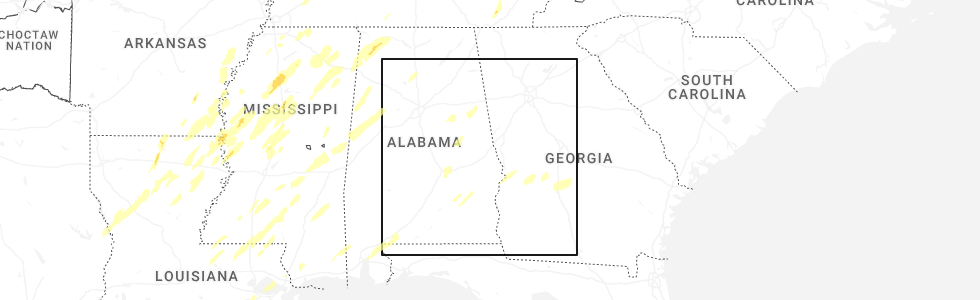
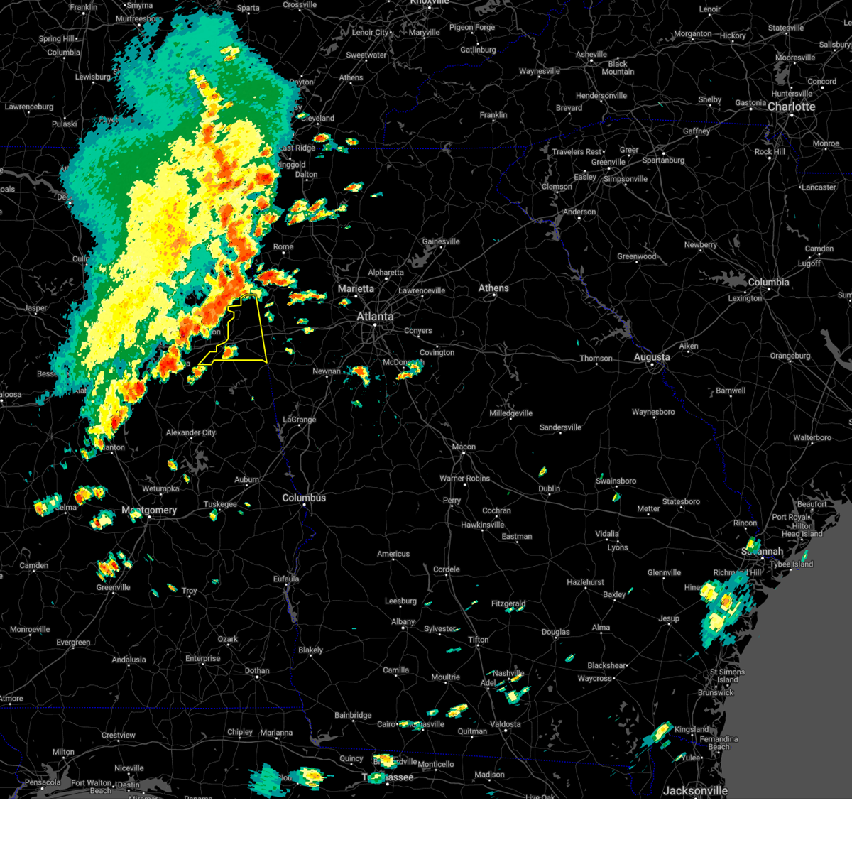
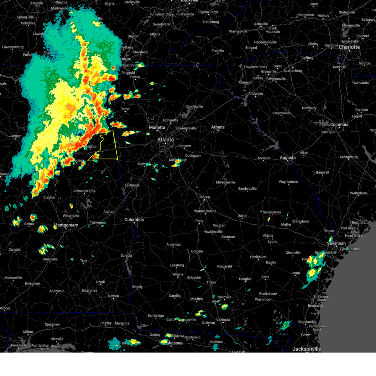
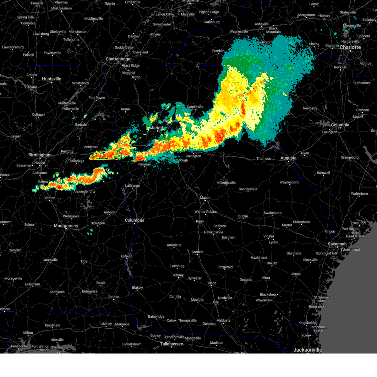
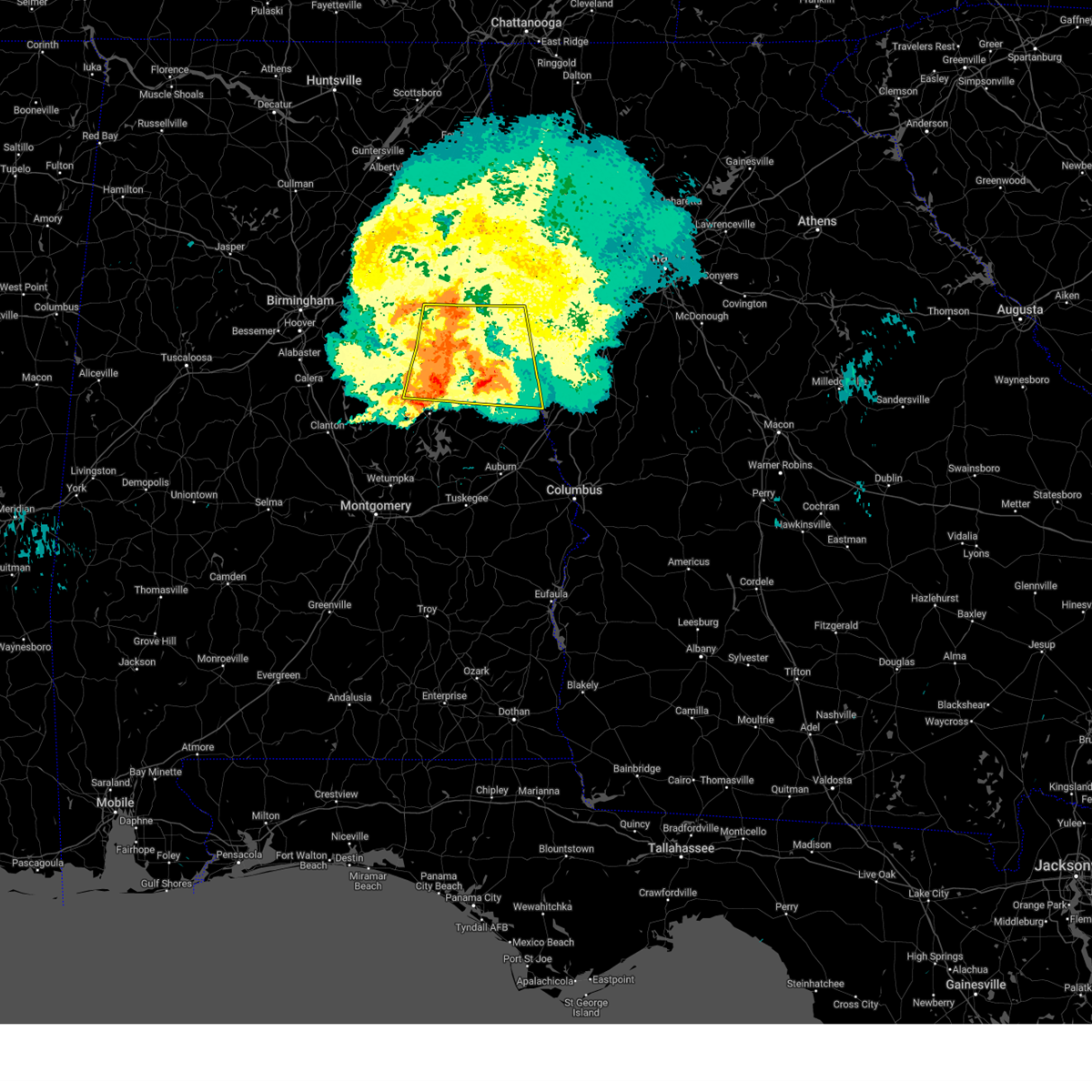
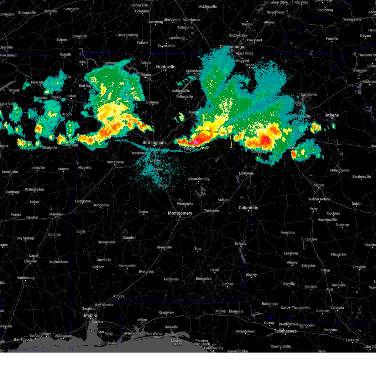
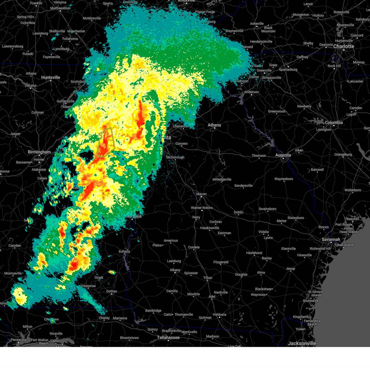
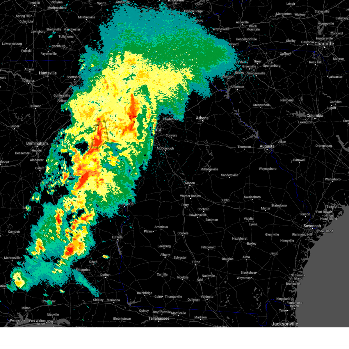
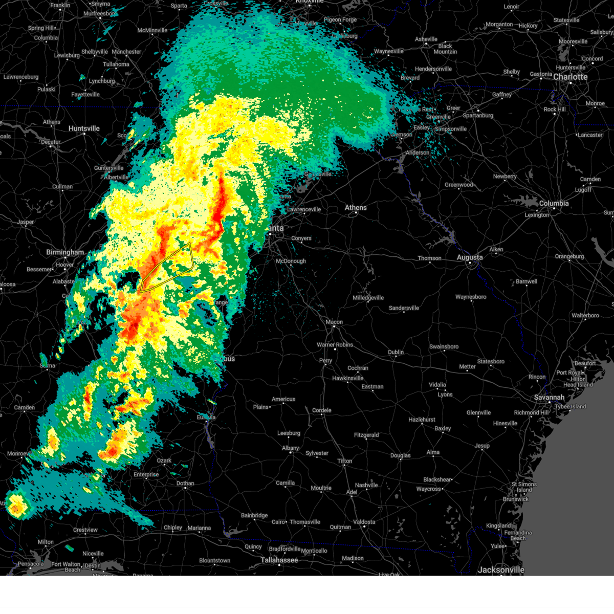
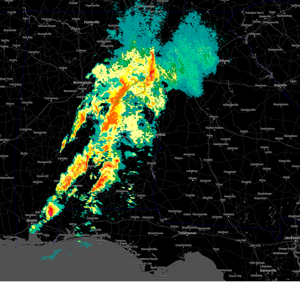
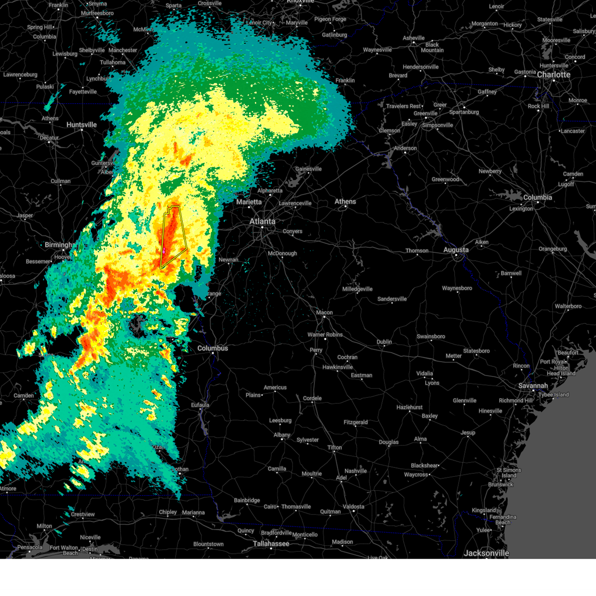
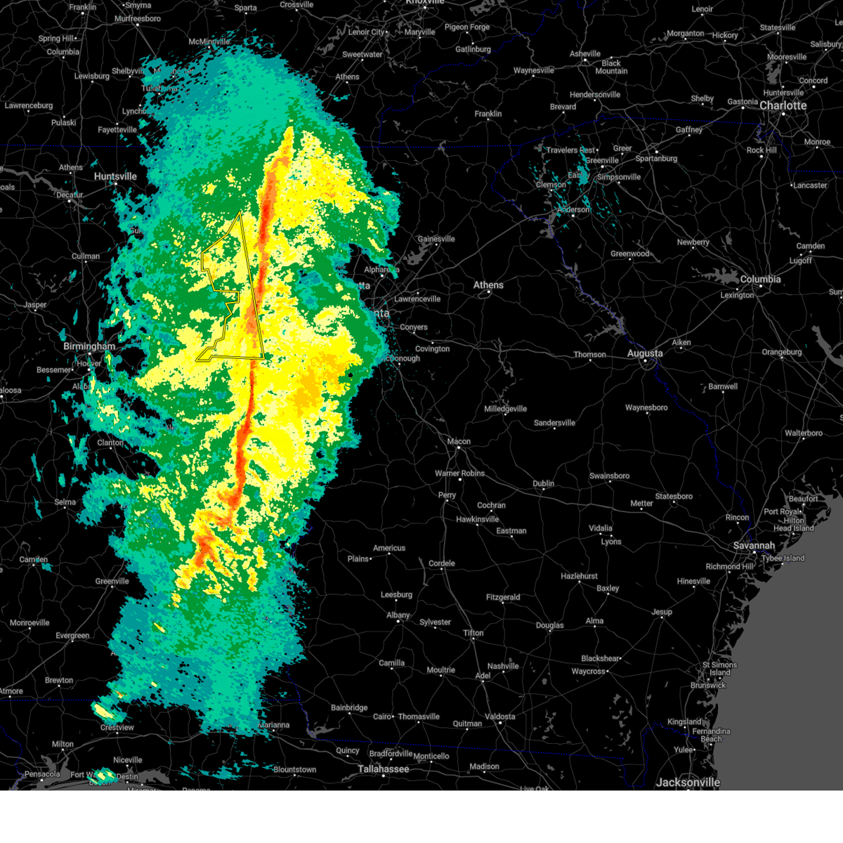
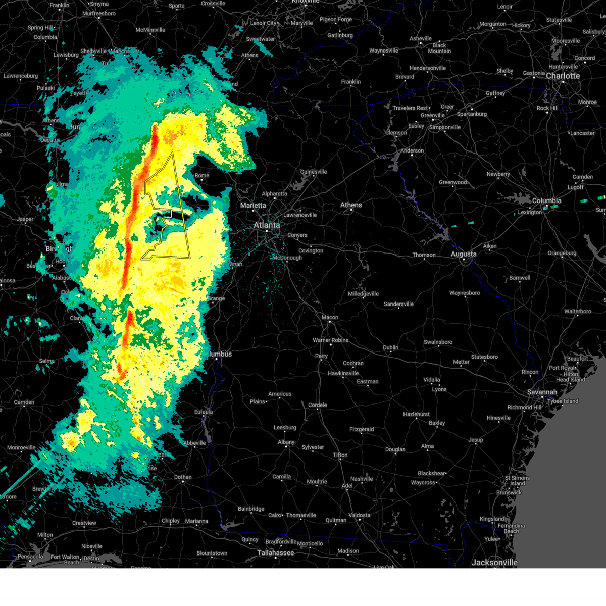
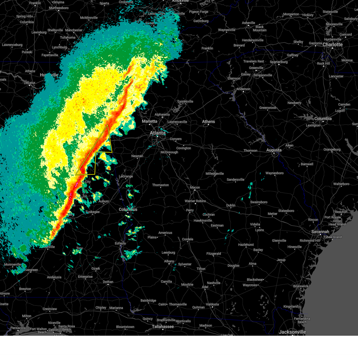
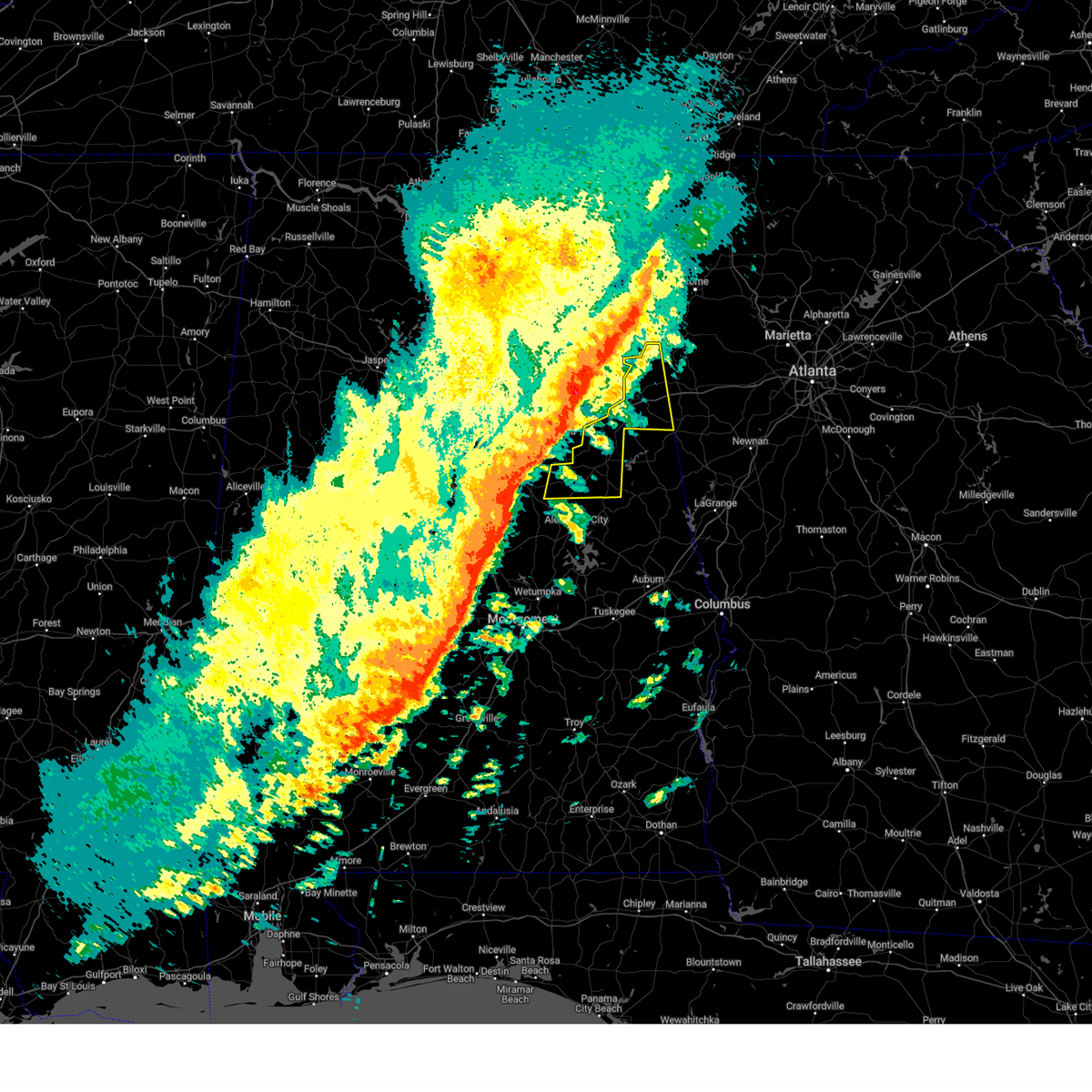
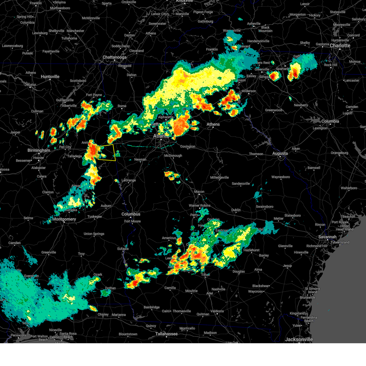
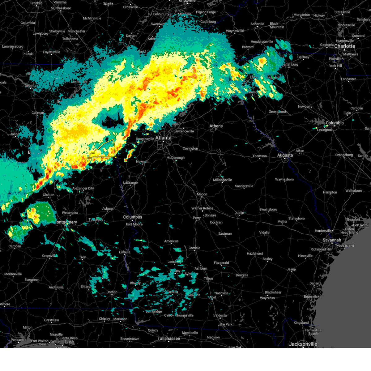
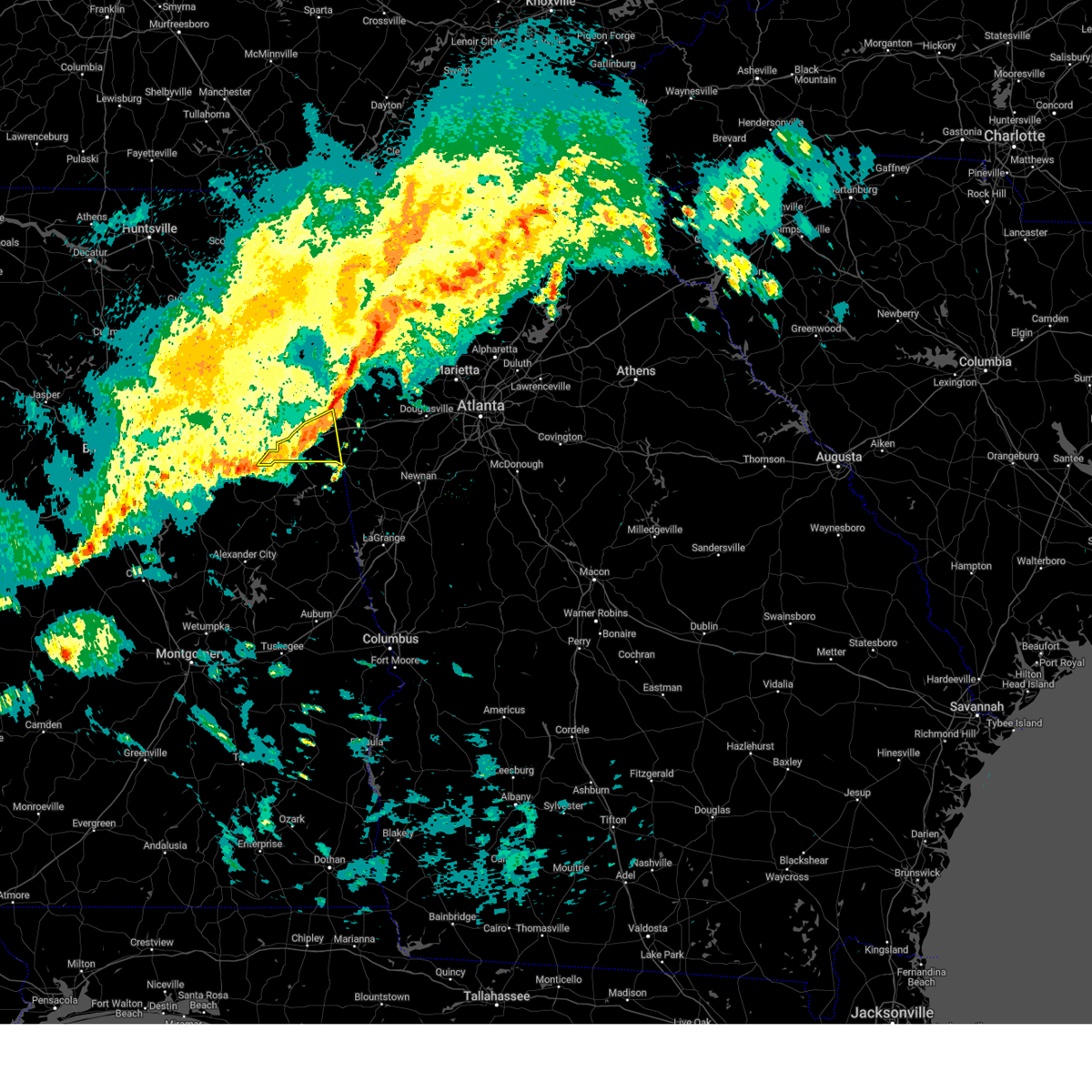
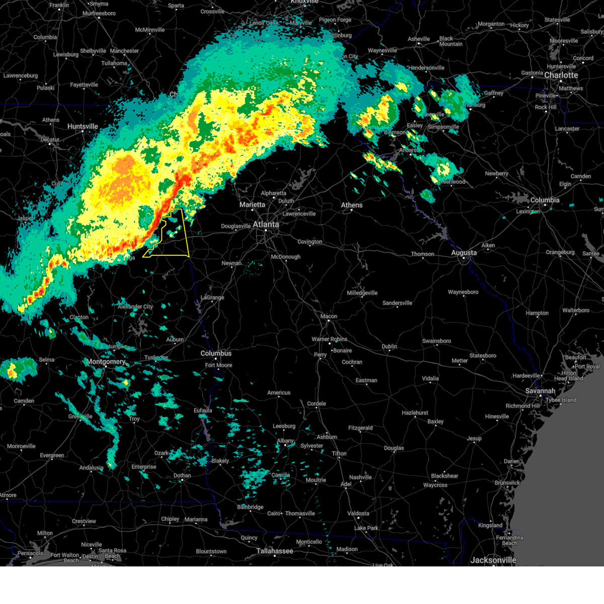
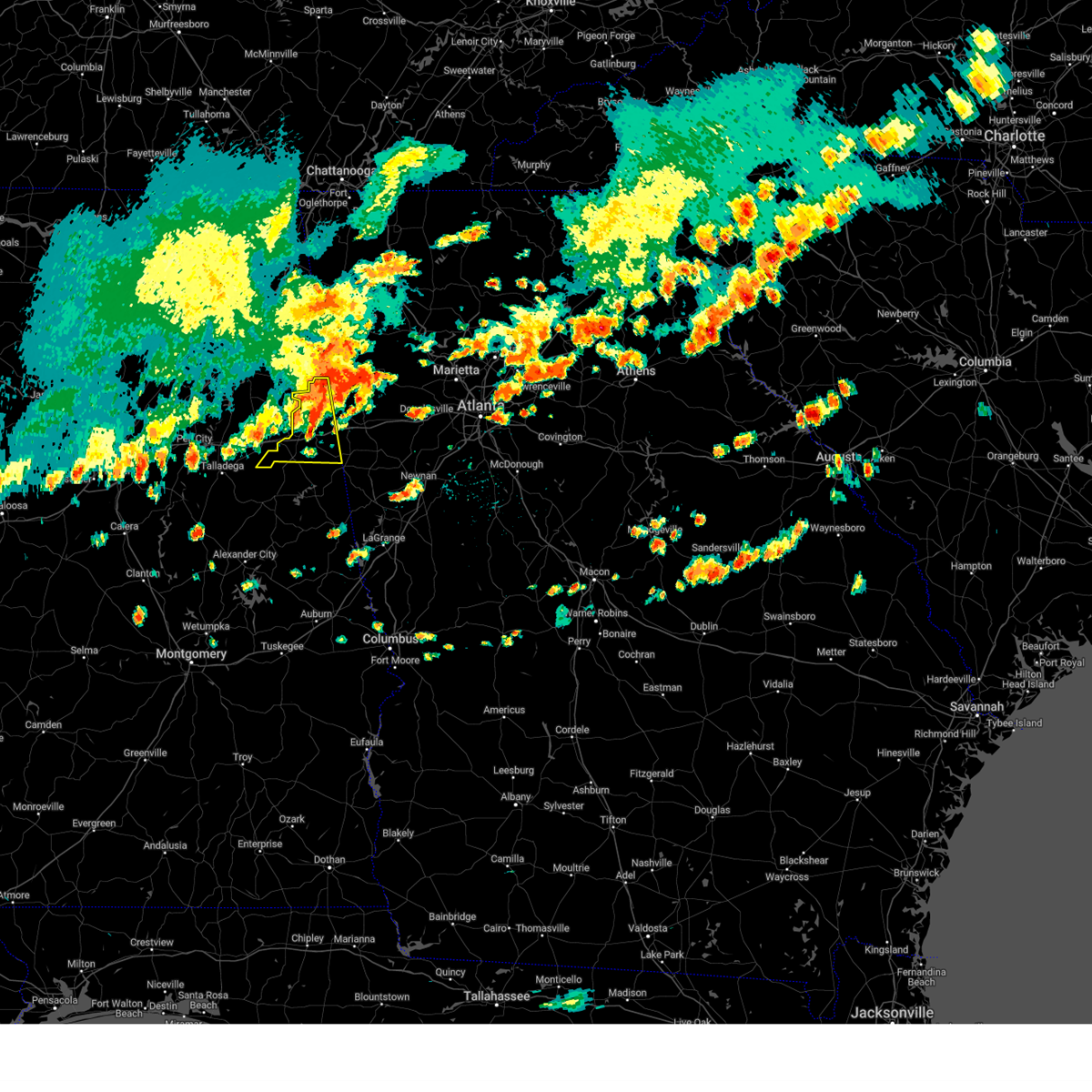
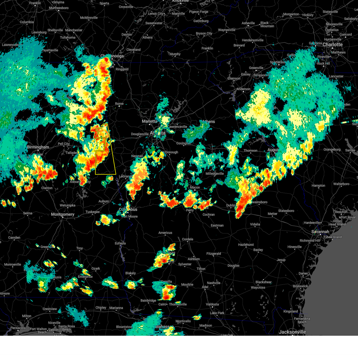
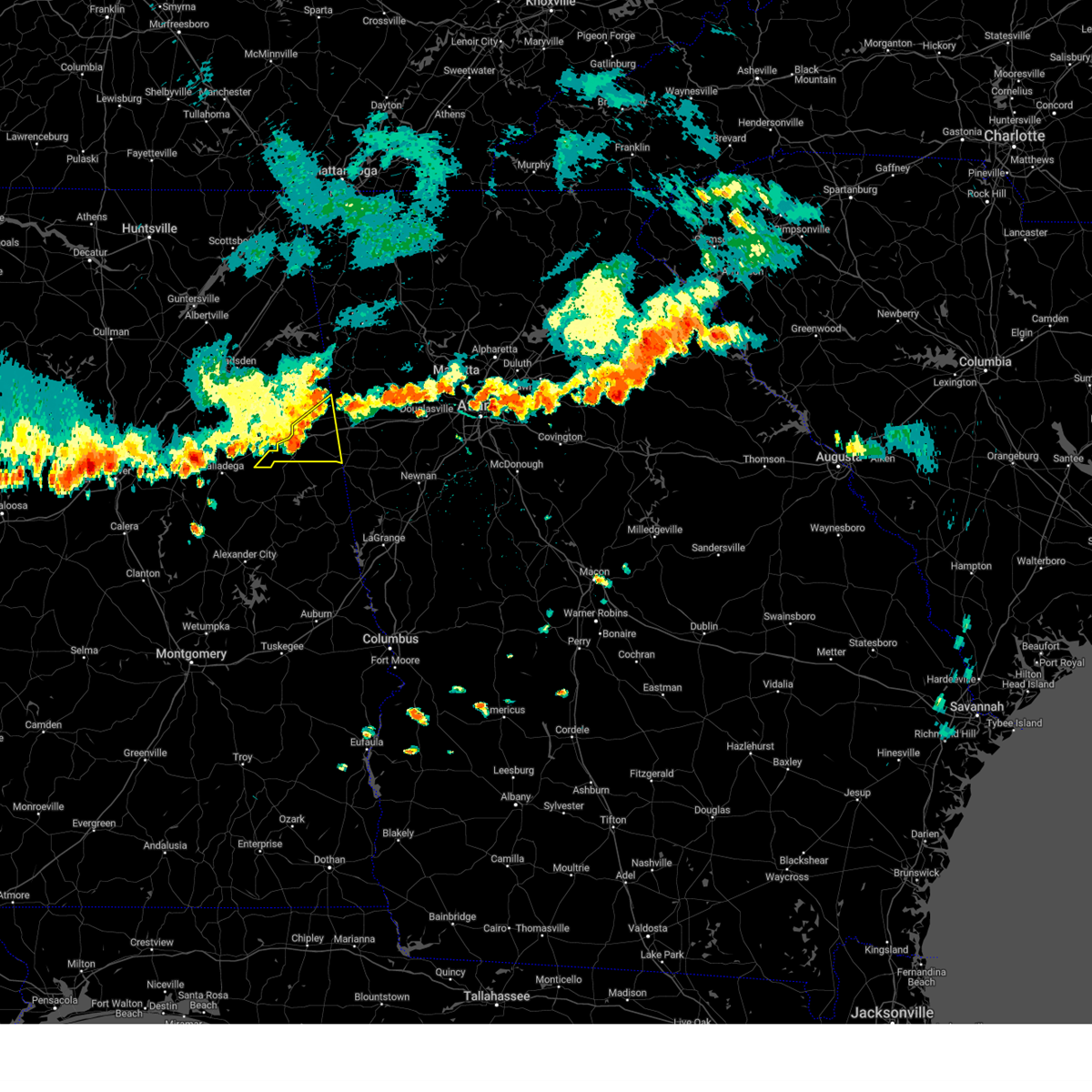
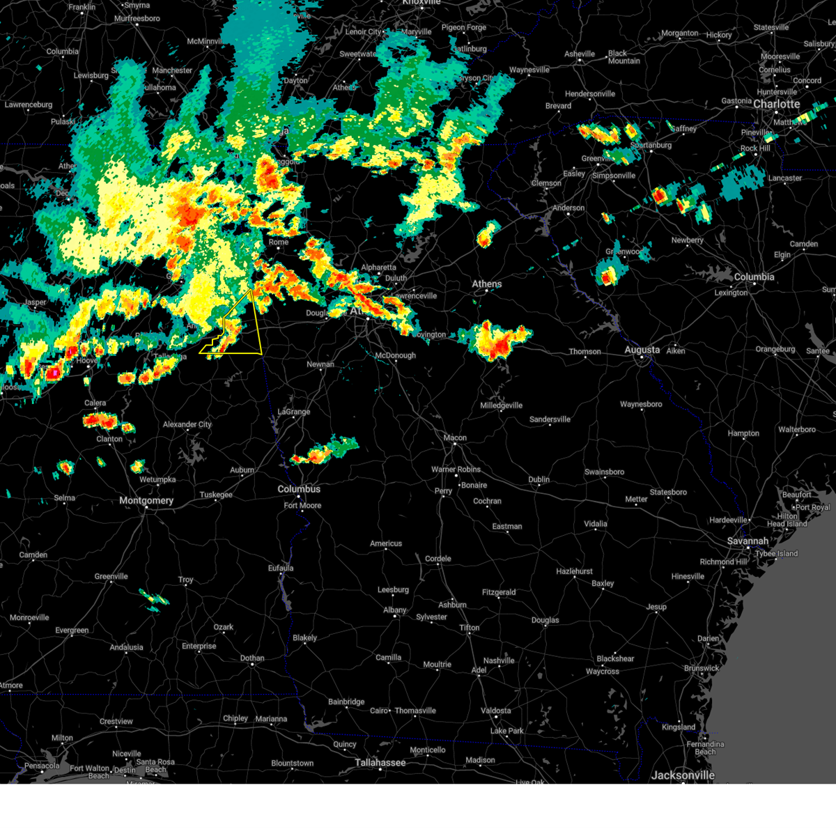
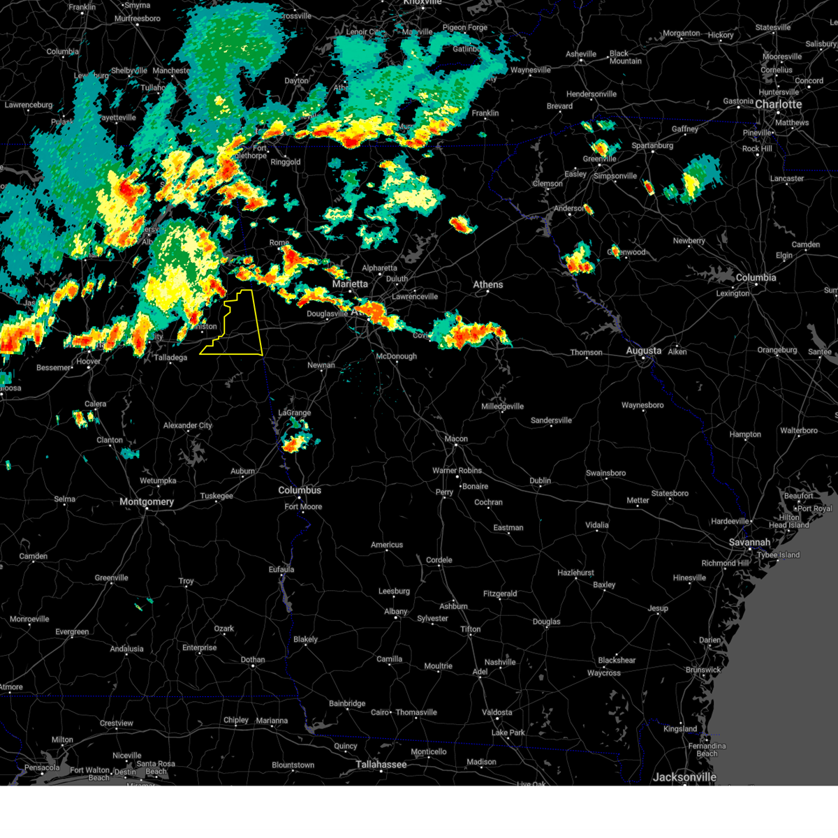
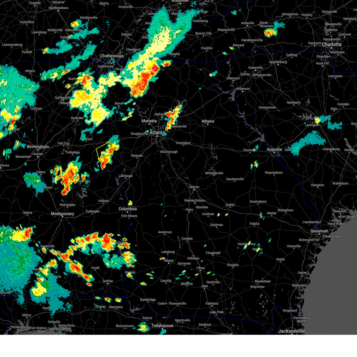
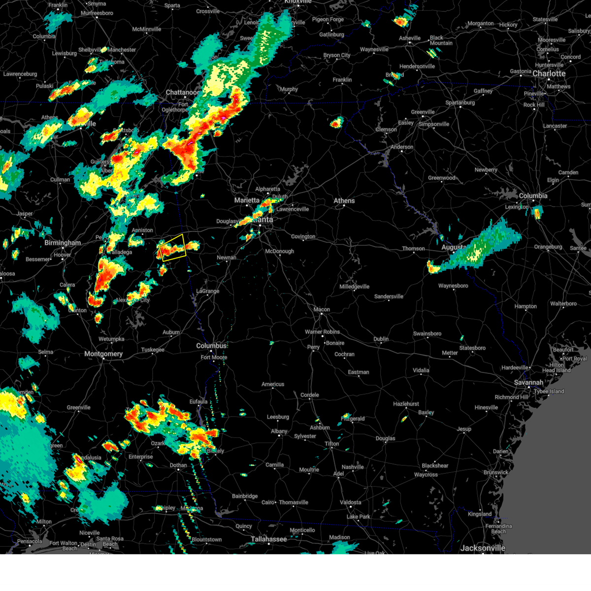
Hail Map for Hollis Crossroads, AL
The Hollis Crossroads, AL area has had 0 reports of on-the-ground hail by trained spotters, and has been under severe weather warnings 48 times during the past 12 months. Doppler radar has detected hail at or near Hollis Crossroads, AL on 54 occasions, including 5 occasions during the past year.
| Name: | Hollis Crossroads, AL |
| Where Located: | 64.5 miles N of Auburn, AL |
| Map: | Google Map for Hollis Crossroads, AL |
| Population: | 608 |
| Housing Units: | 261 |
| More Info: | Search Google for Hollis Crossroads, AL |
1
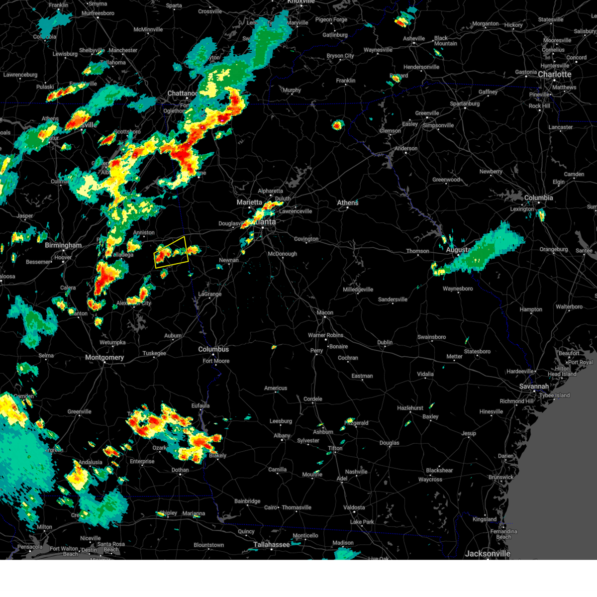
The Top Recent Hail Date for Hollis Crossroads, AL is Saturday, March 15, 2025 (18th out of 54)
Hail and Wind Damage Spotted near Hollis Crossroads, AL
| Date / Time | Report Details |
|---|---|
| 6/7/2025 3:59 PM CDT |
 At 359 pm cdt, severe thunderstorms were located along a line extending from near muscadine to near corinth, moving east at 40 mph (radar indicated). Hazards include 60 mph wind gusts and penny size hail. Expect damage to roofs, siding, and trees. Locations impacted include, ranburne, abernathy, trickem, lake cleburne, hollis crossroads, i 20 welcome center, and camp sequoyah. At 359 pm cdt, severe thunderstorms were located along a line extending from near muscadine to near corinth, moving east at 40 mph (radar indicated). Hazards include 60 mph wind gusts and penny size hail. Expect damage to roofs, siding, and trees. Locations impacted include, ranburne, abernathy, trickem, lake cleburne, hollis crossroads, i 20 welcome center, and camp sequoyah.
|
| 6/7/2025 3:51 PM CDT |
 At 351 pm cdt, severe thunderstorms were located along a line extending from 7 miles northwest of buchanan to near delta, moving east at 50 mph (radar indicated). Hazards include 60 mph wind gusts and penny size hail. Expect damage to roofs, siding, and trees. Locations impacted include, heflin, ranburne, fruithurst, edwardsville, muscadine, abernathy, mars hills, mount cheaha, hollis crossroads, sweetwater lake, trickem, lake cleburne, i 20 welcome center, chalafinnee, and camp sequoyah. At 351 pm cdt, severe thunderstorms were located along a line extending from 7 miles northwest of buchanan to near delta, moving east at 50 mph (radar indicated). Hazards include 60 mph wind gusts and penny size hail. Expect damage to roofs, siding, and trees. Locations impacted include, heflin, ranburne, fruithurst, edwardsville, muscadine, abernathy, mars hills, mount cheaha, hollis crossroads, sweetwater lake, trickem, lake cleburne, i 20 welcome center, chalafinnee, and camp sequoyah.
|
| 6/7/2025 3:45 PM CDT |
 At 345 pm cdt, severe thunderstorms were located along a line extending from near mars hills to near delta, moving east at 45 mph (radar indicated). Hazards include 60 mph wind gusts and penny size hail. Expect damage to roofs, siding, and trees. Locations impacted include, heflin, ranburne, fruithurst, edwardsville, muscadine, abernathy, mars hills, mount cheaha, hollis crossroads, sweetwater lake, coleman lake and campground, trickem, lake cleburne, i 20 welcome center, liberty hill, chalafinnee, oak level, borden springs, and camp sequoyah. At 345 pm cdt, severe thunderstorms were located along a line extending from near mars hills to near delta, moving east at 45 mph (radar indicated). Hazards include 60 mph wind gusts and penny size hail. Expect damage to roofs, siding, and trees. Locations impacted include, heflin, ranburne, fruithurst, edwardsville, muscadine, abernathy, mars hills, mount cheaha, hollis crossroads, sweetwater lake, coleman lake and campground, trickem, lake cleburne, i 20 welcome center, liberty hill, chalafinnee, oak level, borden springs, and camp sequoyah.
|
| 6/7/2025 3:31 PM CDT |
 At 330 pm cdt, severe thunderstorms were located along a line extending from near pleasant gap to near anniston regional airport, moving east at 45 mph (radar indicated). Hazards include 60 mph wind gusts and penny size hail. Expect damage to roofs, siding, and trees. Locations impacted include, heflin, ranburne, fruithurst, edwardsville, muscadine, abernathy, mars hills, mount cheaha, hollis crossroads, sweetwater lake, coleman lake and campground, trickem, lake cleburne, i 20 welcome center, liberty hill, chalafinnee, oak level, borden springs, and camp sequoyah. At 330 pm cdt, severe thunderstorms were located along a line extending from near pleasant gap to near anniston regional airport, moving east at 45 mph (radar indicated). Hazards include 60 mph wind gusts and penny size hail. Expect damage to roofs, siding, and trees. Locations impacted include, heflin, ranburne, fruithurst, edwardsville, muscadine, abernathy, mars hills, mount cheaha, hollis crossroads, sweetwater lake, coleman lake and campground, trickem, lake cleburne, i 20 welcome center, liberty hill, chalafinnee, oak level, borden springs, and camp sequoyah.
|
| 6/7/2025 3:18 PM CDT |
 Svrbmx the national weather service in birmingham has issued a * severe thunderstorm warning for, cleburne county in east central alabama, * until 415 pm cdt. * at 318 pm cdt, severe thunderstorms were located along a line extending from near piedmont to near talladega municipal airport, moving east at 55 mph (radar indicated). Hazards include 60 mph wind gusts and penny size hail. expect damage to roofs, siding, and trees Svrbmx the national weather service in birmingham has issued a * severe thunderstorm warning for, cleburne county in east central alabama, * until 415 pm cdt. * at 318 pm cdt, severe thunderstorms were located along a line extending from near piedmont to near talladega municipal airport, moving east at 55 mph (radar indicated). Hazards include 60 mph wind gusts and penny size hail. expect damage to roofs, siding, and trees
|
| 5/27/2025 12:49 PM CDT |
 At 1249 pm cdt, severe thunderstorms were located along a line extending from near delta to near barfield to near goldville, moving east at 45 mph (radar indicated). Hazards include 60 mph wind gusts. Expect damage to roofs, siding, and trees. locations impacted include, roanoke, lineville, ashland, wedowee, lake wedowee, wadley, ranburne, woodland, malone, morrison cross roads, barfield, corinth, fosters cross roads, delta, crystal lake, graham, dickert, newell, r. l. Harris dam, and tennant. At 1249 pm cdt, severe thunderstorms were located along a line extending from near delta to near barfield to near goldville, moving east at 45 mph (radar indicated). Hazards include 60 mph wind gusts. Expect damage to roofs, siding, and trees. locations impacted include, roanoke, lineville, ashland, wedowee, lake wedowee, wadley, ranburne, woodland, malone, morrison cross roads, barfield, corinth, fosters cross roads, delta, crystal lake, graham, dickert, newell, r. l. Harris dam, and tennant.
|
| 5/27/2025 12:33 PM CDT |
 Svrbmx the national weather service in birmingham has issued a * severe thunderstorm warning for, randolph county in east central alabama, southern cleburne county in east central alabama, clay county in east central alabama, * until 130 pm cdt. * at 1232 pm cdt, severe thunderstorms were located along a line extending from near mount cheaha to near ashland to 6 miles northeast of goodwater, moving east at 45 mph (radar indicated). Hazards include 60 mph wind gusts. expect damage to roofs, siding, and trees Svrbmx the national weather service in birmingham has issued a * severe thunderstorm warning for, randolph county in east central alabama, southern cleburne county in east central alabama, clay county in east central alabama, * until 130 pm cdt. * at 1232 pm cdt, severe thunderstorms were located along a line extending from near mount cheaha to near ashland to 6 miles northeast of goodwater, moving east at 45 mph (radar indicated). Hazards include 60 mph wind gusts. expect damage to roofs, siding, and trees
|
| 5/21/2025 1:17 AM CDT |
 the severe thunderstorm warning has been cancelled and is no longer in effect the severe thunderstorm warning has been cancelled and is no longer in effect
|
| 5/21/2025 1:11 AM CDT |
 the severe thunderstorm warning has been cancelled and is no longer in effect the severe thunderstorm warning has been cancelled and is no longer in effect
|
| 5/21/2025 1:11 AM CDT |
 At 110 am cdt, severe thunderstorms were located along a line extending from near mars hills to near oxford lake, moving east at 45 mph (radar indicated). Hazards include 60 mph wind gusts and quarter size hail. Hail damage to vehicles is expected. expect wind damage to roofs, siding, and trees. Locations impacted include, heflin, ranburne, trickem, lake cleburne, hollis crossroads, micaville, chalafinnee, and camp sequoyah. At 110 am cdt, severe thunderstorms were located along a line extending from near mars hills to near oxford lake, moving east at 45 mph (radar indicated). Hazards include 60 mph wind gusts and quarter size hail. Hail damage to vehicles is expected. expect wind damage to roofs, siding, and trees. Locations impacted include, heflin, ranburne, trickem, lake cleburne, hollis crossroads, micaville, chalafinnee, and camp sequoyah.
|
| 5/21/2025 12:59 AM CDT |
 At 1259 am cdt, severe thunderstorms were located along a line extending from near mars hills to near grant town, moving east at 45 mph (radar indicated). Hazards include 60 mph wind gusts and quarter size hail. Hail damage to vehicles is expected. expect wind damage to roofs, siding, and trees. Locations impacted include, anniston, oxford, heflin, munford, hobson city, ranburne, fruithurst, edwardsville, grant town, muscadine, abernathy, anniston regional airport, oxford lake, hollis crossroads, choccolocco, trickem, lake cleburne, dearmanville, i 20 welcome center, and micaville. At 1259 am cdt, severe thunderstorms were located along a line extending from near mars hills to near grant town, moving east at 45 mph (radar indicated). Hazards include 60 mph wind gusts and quarter size hail. Hail damage to vehicles is expected. expect wind damage to roofs, siding, and trees. Locations impacted include, anniston, oxford, heflin, munford, hobson city, ranburne, fruithurst, edwardsville, grant town, muscadine, abernathy, anniston regional airport, oxford lake, hollis crossroads, choccolocco, trickem, lake cleburne, dearmanville, i 20 welcome center, and micaville.
|
| 5/21/2025 12:48 AM CDT |
 Svrbmx the national weather service in birmingham has issued a * severe thunderstorm warning for, northeastern talladega county in east central alabama, southeastern calhoun county in east central alabama, cleburne county in east central alabama, * until 145 am cdt. * at 1247 am cdt, severe thunderstorms were located along a line extending from 6 miles south of piedmont to talladega superspeedway, moving east at 45 mph (radar indicated). Hazards include 60 mph wind gusts and quarter size hail. Hail damage to vehicles is expected. Expect wind damage to roofs, siding, and trees. Svrbmx the national weather service in birmingham has issued a * severe thunderstorm warning for, northeastern talladega county in east central alabama, southeastern calhoun county in east central alabama, cleburne county in east central alabama, * until 145 am cdt. * at 1247 am cdt, severe thunderstorms were located along a line extending from 6 miles south of piedmont to talladega superspeedway, moving east at 45 mph (radar indicated). Hazards include 60 mph wind gusts and quarter size hail. Hail damage to vehicles is expected. Expect wind damage to roofs, siding, and trees.
|
| 5/18/2025 7:35 AM CDT |
 the severe thunderstorm warning has been cancelled and is no longer in effect the severe thunderstorm warning has been cancelled and is no longer in effect
|
| 5/18/2025 7:35 AM CDT |
 At 734 am cdt, severe thunderstorms were located along a line extending from near munford to ashland to near hillabee creek, moving east at 70 mph (radar indicated). Hazards include 60 mph wind gusts and quarter size hail. Hail damage to vehicles is expected. expect wind damage to roofs, siding, and trees. Locations impacted include, graham, cleveland crossroads, dickert, goodwater, tennant, roanoke municipal airport, corinth, lineville, mellow valley, gunthertown, grant town, hollis crossroads, white plains, state line park, five points, chandler springs, chalafinnee, stroud, crystal lake, and roselle. At 734 am cdt, severe thunderstorms were located along a line extending from near munford to ashland to near hillabee creek, moving east at 70 mph (radar indicated). Hazards include 60 mph wind gusts and quarter size hail. Hail damage to vehicles is expected. expect wind damage to roofs, siding, and trees. Locations impacted include, graham, cleveland crossroads, dickert, goodwater, tennant, roanoke municipal airport, corinth, lineville, mellow valley, gunthertown, grant town, hollis crossroads, white plains, state line park, five points, chandler springs, chalafinnee, stroud, crystal lake, and roselle.
|
| 5/18/2025 7:14 AM CDT |
 Svrbmx the national weather service in birmingham has issued a * severe thunderstorm warning for, central talladega county in east central alabama, randolph county in east central alabama, southeastern st. clair county in central alabama, northern tallapoosa county in east central alabama, northern chambers county in east central alabama, southern cleburne county in east central alabama, northeastern coosa county in east central alabama, clay county in east central alabama, * until 815 am cdt. * at 714 am cdt, severe thunderstorms were located along a line extending from near logan martin lake to near winterboro to near stewartville, moving east at 70 mph (radar indicated). Hazards include 70 mph wind gusts and quarter size hail. Hail damage to vehicles is expected. expect considerable tree damage. Wind damage is also likely to mobile homes, roofs, and outbuildings. Svrbmx the national weather service in birmingham has issued a * severe thunderstorm warning for, central talladega county in east central alabama, randolph county in east central alabama, southeastern st. clair county in central alabama, northern tallapoosa county in east central alabama, northern chambers county in east central alabama, southern cleburne county in east central alabama, northeastern coosa county in east central alabama, clay county in east central alabama, * until 815 am cdt. * at 714 am cdt, severe thunderstorms were located along a line extending from near logan martin lake to near winterboro to near stewartville, moving east at 70 mph (radar indicated). Hazards include 70 mph wind gusts and quarter size hail. Hail damage to vehicles is expected. expect considerable tree damage. Wind damage is also likely to mobile homes, roofs, and outbuildings.
|
| 5/2/2025 7:33 PM CDT |
 the severe thunderstorm warning has been cancelled and is no longer in effect the severe thunderstorm warning has been cancelled and is no longer in effect
|
| 5/2/2025 7:33 PM CDT |
 At 732 pm cdt, severe thunderstorms were located along a line extending from near mars hills to delta to near goodwater, moving east at 35 mph (radar indicated). Hazards include 60 mph wind gusts and nickel size hail. Expect damage to roofs, siding, and trees. locations impacted include, malone, graham, cleveland crossroads, dickert, lake wedowee, morrison cross roads, newell, barfield, r. l. Harris dam, roanoke, woodland, tennant, edwardsville, trickem, lake cleburne, heflin, rock mills, micaville, big springs, and motley. At 732 pm cdt, severe thunderstorms were located along a line extending from near mars hills to delta to near goodwater, moving east at 35 mph (radar indicated). Hazards include 60 mph wind gusts and nickel size hail. Expect damage to roofs, siding, and trees. locations impacted include, malone, graham, cleveland crossroads, dickert, lake wedowee, morrison cross roads, newell, barfield, r. l. Harris dam, roanoke, woodland, tennant, edwardsville, trickem, lake cleburne, heflin, rock mills, micaville, big springs, and motley.
|
| 5/2/2025 7:16 PM CDT |
 At 716 pm cdt, severe thunderstorms were located along a line extending from mars hills to near mount cheaha to talladega springs, moving east at 35 mph (radar indicated). Hazards include 60 mph wind gusts and quarter size hail. Hail damage to vehicles is expected. expect wind damage to roofs, siding, and trees. Locations impacted include, graham, cleveland crossroads, dickert, anniston, gantts quarry, coleman lake and campground, choccolocco, tennant, trickem, lake cleburne, heflin, varnons, liberty hill, oak level, hobson city, roanoke municipal airport, corinth, lineville, mellow valley, and mignon. At 716 pm cdt, severe thunderstorms were located along a line extending from mars hills to near mount cheaha to talladega springs, moving east at 35 mph (radar indicated). Hazards include 60 mph wind gusts and quarter size hail. Hail damage to vehicles is expected. expect wind damage to roofs, siding, and trees. Locations impacted include, graham, cleveland crossroads, dickert, anniston, gantts quarry, coleman lake and campground, choccolocco, tennant, trickem, lake cleburne, heflin, varnons, liberty hill, oak level, hobson city, roanoke municipal airport, corinth, lineville, mellow valley, and mignon.
|
| 5/2/2025 6:48 PM CDT |
 Svrbmx the national weather service in birmingham has issued a * severe thunderstorm warning for, talladega county in east central alabama, randolph county in east central alabama, calhoun county in east central alabama, cleburne county in east central alabama, clay county in east central alabama, * until 815 pm cdt. * at 647 pm cdt, severe thunderstorms were located along a line extending from near mars hills to near mount cheaha to near winterboro to bon air to near wilsonville, moving east at 45 mph (radar indicated). Hazards include 60 mph wind gusts and quarter size hail. Hail damage to vehicles is expected. Expect wind damage to roofs, siding, and trees. Svrbmx the national weather service in birmingham has issued a * severe thunderstorm warning for, talladega county in east central alabama, randolph county in east central alabama, calhoun county in east central alabama, cleburne county in east central alabama, clay county in east central alabama, * until 815 pm cdt. * at 647 pm cdt, severe thunderstorms were located along a line extending from near mars hills to near mount cheaha to near winterboro to bon air to near wilsonville, moving east at 45 mph (radar indicated). Hazards include 60 mph wind gusts and quarter size hail. Hail damage to vehicles is expected. Expect wind damage to roofs, siding, and trees.
|
| 4/10/2025 8:41 PM CDT |
 the severe thunderstorm warning has been cancelled and is no longer in effect the severe thunderstorm warning has been cancelled and is no longer in effect
|
| 4/10/2025 8:41 PM CDT |
 At 841 pm cdt, a severe thunderstorm was located near lake wedowee, moving southeast at 45 mph (radar indicated). Hazards include 60 mph wind gusts and nickel size hail. Expect damage to roofs, siding, and trees. locations impacted include, malone, graham, dickert, lake wedowee, morrison cross roads, newell, barfield, r. l. Harris dam, roanoke, woodland, tennant, rock mills, big springs, motley, roanoke municipal airport, corinth, lineville, wadley, mellow valley, and cragford. At 841 pm cdt, a severe thunderstorm was located near lake wedowee, moving southeast at 45 mph (radar indicated). Hazards include 60 mph wind gusts and nickel size hail. Expect damage to roofs, siding, and trees. locations impacted include, malone, graham, dickert, lake wedowee, morrison cross roads, newell, barfield, r. l. Harris dam, roanoke, woodland, tennant, rock mills, big springs, motley, roanoke municipal airport, corinth, lineville, wadley, mellow valley, and cragford.
|
| 4/10/2025 8:29 PM CDT |
 At 829 pm cdt, a severe thunderstorm was located over delta, or 11 miles southeast of oxford, moving southeast at 45 mph (radar indicated). Hazards include 60 mph wind gusts and nickel size hail. Expect damage to roofs, siding, and trees. locations impacted include, malone, graham, dickert, lake wedowee, morrison cross roads, newell, barfield, r. l. Harris dam, roanoke, woodland, tennant, camp mac, rock mills, micaville, ironaton, big springs, motley, roanoke municipal airport, corinth, and lineville. At 829 pm cdt, a severe thunderstorm was located over delta, or 11 miles southeast of oxford, moving southeast at 45 mph (radar indicated). Hazards include 60 mph wind gusts and nickel size hail. Expect damage to roofs, siding, and trees. locations impacted include, malone, graham, dickert, lake wedowee, morrison cross roads, newell, barfield, r. l. Harris dam, roanoke, woodland, tennant, camp mac, rock mills, micaville, ironaton, big springs, motley, roanoke municipal airport, corinth, and lineville.
|
| 4/10/2025 8:17 PM CDT |
 At 817 pm cdt, a severe thunderstorm was located near grant town, or near oxford, moving southeast at 40 mph (radar indicated). Hazards include 60 mph wind gusts and half dollar size hail. Hail damage to vehicles is expected. expect wind damage to roofs, siding, and trees. Locations impacted include, anniston, munford, choccolocco, talladega superspeedway, anniston regional airport, edwardsville, trickem, lake cleburne, blue mountain, heflin, cobb town, jackson shoals, jenifer, hobson city, alexandria, lincoln, talladega municipal airport, oxford, west end-cobb town, and anniston army depot. At 817 pm cdt, a severe thunderstorm was located near grant town, or near oxford, moving southeast at 40 mph (radar indicated). Hazards include 60 mph wind gusts and half dollar size hail. Hail damage to vehicles is expected. expect wind damage to roofs, siding, and trees. Locations impacted include, anniston, munford, choccolocco, talladega superspeedway, anniston regional airport, edwardsville, trickem, lake cleburne, blue mountain, heflin, cobb town, jackson shoals, jenifer, hobson city, alexandria, lincoln, talladega municipal airport, oxford, west end-cobb town, and anniston army depot.
|
| 4/10/2025 8:08 PM CDT |
 Svrbmx the national weather service in birmingham has issued a * severe thunderstorm warning for, east central talladega county in east central alabama, randolph county in east central alabama, clay county in east central alabama, * until 945 pm cdt. * at 807 pm cdt, a severe thunderstorm was located over bynum, or near cobb town, moving southeast at 45 mph (radar indicated). Hazards include 60 mph wind gusts and quarter size hail. Hail damage to vehicles is expected. Expect wind damage to roofs, siding, and trees. Svrbmx the national weather service in birmingham has issued a * severe thunderstorm warning for, east central talladega county in east central alabama, randolph county in east central alabama, clay county in east central alabama, * until 945 pm cdt. * at 807 pm cdt, a severe thunderstorm was located over bynum, or near cobb town, moving southeast at 45 mph (radar indicated). Hazards include 60 mph wind gusts and quarter size hail. Hail damage to vehicles is expected. Expect wind damage to roofs, siding, and trees.
|
| 4/10/2025 8:01 PM CDT |
 At 800 pm cdt, a severe thunderstorm was located over saks, moving southeast at 45 mph (radar indicated). Hazards include 60 mph wind gusts and half dollar size hail. Hail damage to vehicles is expected. expect wind damage to roofs, siding, and trees. Locations impacted include, anniston, munford, coleman lake and campground, choccolocco, talladega superspeedway, anniston regional airport, edwardsville, trickem, lake cleburne, blue mountain, heflin, cobb town, jackson shoals, sulphur springs, jenifer, hobson city, alexandria, lincoln, talladega municipal airport, and jacksonville. At 800 pm cdt, a severe thunderstorm was located over saks, moving southeast at 45 mph (radar indicated). Hazards include 60 mph wind gusts and half dollar size hail. Hail damage to vehicles is expected. expect wind damage to roofs, siding, and trees. Locations impacted include, anniston, munford, coleman lake and campground, choccolocco, talladega superspeedway, anniston regional airport, edwardsville, trickem, lake cleburne, blue mountain, heflin, cobb town, jackson shoals, sulphur springs, jenifer, hobson city, alexandria, lincoln, talladega municipal airport, and jacksonville.
|
| 4/10/2025 7:40 PM CDT |
 Svrbmx the national weather service in birmingham has issued a * severe thunderstorm warning for, northeastern talladega county in east central alabama, calhoun county in east central alabama, cleburne county in east central alabama, * until 830 pm cdt. * at 740 pm cdt, a severe thunderstorm was located over neely henry lake, or near rainbow city, moving southeast at 45 mph (radar indicated). Hazards include 60 mph wind gusts and quarter size hail. Hail damage to vehicles is expected. Expect wind damage to roofs, siding, and trees. Svrbmx the national weather service in birmingham has issued a * severe thunderstorm warning for, northeastern talladega county in east central alabama, calhoun county in east central alabama, cleburne county in east central alabama, * until 830 pm cdt. * at 740 pm cdt, a severe thunderstorm was located over neely henry lake, or near rainbow city, moving southeast at 45 mph (radar indicated). Hazards include 60 mph wind gusts and quarter size hail. Hail damage to vehicles is expected. Expect wind damage to roofs, siding, and trees.
|
| 3/15/2025 10:49 PM CDT |
 the severe thunderstorm warning has been cancelled and is no longer in effect the severe thunderstorm warning has been cancelled and is no longer in effect
|
| 3/15/2025 10:49 PM CDT |
 At 1049 pm cdt, severe thunderstorms were located along a line extending from 6 miles west of mars hills to 6 miles northeast of corinth, moving northeast at 35 mph (radar indicated). Hazards include 60 mph wind gusts. Expect damage to roofs, siding, and trees. Locations impacted include, hollis crossroads, muscadine, abernathy, sweetwater lake, coleman lake and campground, edwardsville, trickem, lake cleburne, heflin, i 20 welcome center, liberty hill, micaville, chalafinnee, oak level, fruithurst, borden springs, and mars hills. At 1049 pm cdt, severe thunderstorms were located along a line extending from 6 miles west of mars hills to 6 miles northeast of corinth, moving northeast at 35 mph (radar indicated). Hazards include 60 mph wind gusts. Expect damage to roofs, siding, and trees. Locations impacted include, hollis crossroads, muscadine, abernathy, sweetwater lake, coleman lake and campground, edwardsville, trickem, lake cleburne, heflin, i 20 welcome center, liberty hill, micaville, chalafinnee, oak level, fruithurst, borden springs, and mars hills.
|
| 3/15/2025 10:42 PM CDT |
 At 1042 pm cdt, severe thunderstorms were located along a line extending from delta to near ashland, moving northeast at 35 mph (radar indicated). Hazards include 60 mph wind gusts. Expect damage to roofs, siding, and trees. Locations impacted include, graham, lake wedowee, morrison cross roads, newell, barfield, fosters cross roads, ofelia, trickem, delta, micaville, ranburne, corinth, lineville, ashland, and woodland. At 1042 pm cdt, severe thunderstorms were located along a line extending from delta to near ashland, moving northeast at 35 mph (radar indicated). Hazards include 60 mph wind gusts. Expect damage to roofs, siding, and trees. Locations impacted include, graham, lake wedowee, morrison cross roads, newell, barfield, fosters cross roads, ofelia, trickem, delta, micaville, ranburne, corinth, lineville, ashland, and woodland.
|
| 3/15/2025 10:41 PM CDT |
 the severe thunderstorm warning has been cancelled and is no longer in effect the severe thunderstorm warning has been cancelled and is no longer in effect
|
| 3/15/2025 10:41 PM CDT |
 At 1040 pm cdt, severe thunderstorms were located along a line extending from 7 miles east of jacksonville to near delta, moving northeast at 65 mph (radar indicated). Hazards include 60 mph wind gusts. Expect damage to roofs, siding, and trees. Locations impacted include, hollis crossroads, muscadine, abernathy, sweetwater lake, coleman lake and campground, choccolocco, edwardsville, trickem, lake cleburne, dearmanville, heflin, i 20 welcome center, liberty hill, micaville, chalafinnee, oak level, fruithurst, borden springs, mars hills, and camp sequoyah. At 1040 pm cdt, severe thunderstorms were located along a line extending from 7 miles east of jacksonville to near delta, moving northeast at 65 mph (radar indicated). Hazards include 60 mph wind gusts. Expect damage to roofs, siding, and trees. Locations impacted include, hollis crossroads, muscadine, abernathy, sweetwater lake, coleman lake and campground, choccolocco, edwardsville, trickem, lake cleburne, dearmanville, heflin, i 20 welcome center, liberty hill, micaville, chalafinnee, oak level, fruithurst, borden springs, mars hills, and camp sequoyah.
|
| 3/15/2025 10:25 PM CDT |
 Svrbmx the national weather service in birmingham has issued a * severe thunderstorm warning for, northern randolph county in east central alabama, southeastern cleburne county in east central alabama, eastern clay county in east central alabama, * until 1130 pm cdt. * at 1025 pm cdt, severe thunderstorms were located along a line extending from near barfield to 7 miles southwest of ashland, moving northeast at 55 mph (radar indicated). Hazards include 60 mph wind gusts. expect damage to roofs, siding, and trees Svrbmx the national weather service in birmingham has issued a * severe thunderstorm warning for, northern randolph county in east central alabama, southeastern cleburne county in east central alabama, eastern clay county in east central alabama, * until 1130 pm cdt. * at 1025 pm cdt, severe thunderstorms were located along a line extending from near barfield to 7 miles southwest of ashland, moving northeast at 55 mph (radar indicated). Hazards include 60 mph wind gusts. expect damage to roofs, siding, and trees
|
| 3/15/2025 10:16 PM CDT | Svrbmx the national weather service in birmingham has issued a * severe thunderstorm warning for, northeastern talladega county in east central alabama, southeastern calhoun county in east central alabama, cleburne county in east central alabama, * until 1115 pm cdt. * at 1016 pm cdt, severe thunderstorms were located along a line extending from grant town to 7 miles west of ashland, moving northeast at 65 mph (radar indicated). Hazards include 60 mph wind gusts. expect damage to roofs, siding, and trees |
| 3/15/2025 9:56 PM CDT |
 the severe thunderstorm warning has been cancelled and is no longer in effect the severe thunderstorm warning has been cancelled and is no longer in effect
|
| 3/15/2025 9:56 PM CDT |
 At 956 pm cdt, severe thunderstorms were located along a line extending from 7 miles east of pleasant gap to fosters cross roads, moving northeast at 55 mph (radar indicated). Hazards include 70 mph wind gusts. Expect considerable tree damage. damage is likely to mobile homes, roofs, and outbuildings. Locations impacted include, muscadine, morrison cross roads, abernathy, fosters cross roads, sweetwater lake, coleman lake and campground, edwardsville, trickem, lake cleburne, heflin, i 20 welcome center, liberty hill, micaville, oak level, ranburne, fruithurst, borden springs, corinth, and mars hills. At 956 pm cdt, severe thunderstorms were located along a line extending from 7 miles east of pleasant gap to fosters cross roads, moving northeast at 55 mph (radar indicated). Hazards include 70 mph wind gusts. Expect considerable tree damage. damage is likely to mobile homes, roofs, and outbuildings. Locations impacted include, muscadine, morrison cross roads, abernathy, fosters cross roads, sweetwater lake, coleman lake and campground, edwardsville, trickem, lake cleburne, heflin, i 20 welcome center, liberty hill, micaville, oak level, ranburne, fruithurst, borden springs, corinth, and mars hills.
|
| 3/15/2025 9:49 PM CDT |
 At 948 pm cdt, severe thunderstorms were located along a line extending from 6 miles south of pleasant gap to near barfield, moving northeast at 55 mph (radar indicated). Hazards include 70 mph wind gusts. Expect considerable tree damage. damage is likely to mobile homes, roofs, and outbuildings. Locations impacted include, morrison cross roads, barfield, coleman lake and campground, edwardsville, trickem, lake cleburne, heflin, liberty hill, micaville, oak level, corinth, lineville, hollis crossroads, muscadine, abernathy, fosters cross roads, sweetwater lake, i 20 welcome center, delta, and chalafinnee. At 948 pm cdt, severe thunderstorms were located along a line extending from 6 miles south of pleasant gap to near barfield, moving northeast at 55 mph (radar indicated). Hazards include 70 mph wind gusts. Expect considerable tree damage. damage is likely to mobile homes, roofs, and outbuildings. Locations impacted include, morrison cross roads, barfield, coleman lake and campground, edwardsville, trickem, lake cleburne, heflin, liberty hill, micaville, oak level, corinth, lineville, hollis crossroads, muscadine, abernathy, fosters cross roads, sweetwater lake, i 20 welcome center, delta, and chalafinnee.
|
| 3/15/2025 9:12 PM CDT |
 Svrbmx the national weather service in birmingham has issued a * severe thunderstorm warning for, northwestern randolph county in east central alabama, southeastern calhoun county in east central alabama, cleburne county in east central alabama, northeastern clay county in east central alabama, * until 1015 pm cdt. * at 912 pm cdt, a severe thunderstorm was located near oxford, moving northeast at 55 mph (radar indicated). Hazards include 60 mph wind gusts. expect damage to roofs, siding, and trees Svrbmx the national weather service in birmingham has issued a * severe thunderstorm warning for, northwestern randolph county in east central alabama, southeastern calhoun county in east central alabama, cleburne county in east central alabama, northeastern clay county in east central alabama, * until 1015 pm cdt. * at 912 pm cdt, a severe thunderstorm was located near oxford, moving northeast at 55 mph (radar indicated). Hazards include 60 mph wind gusts. expect damage to roofs, siding, and trees
|
| 3/4/2025 11:20 PM CST |
 The storms which prompted the warning have weakened below severe limits, and have exited the warned area. therefore, the warning will be allowed to expire. however, gusty winds are still possible with these thunderstorms. a severe thunderstorm watch remains in effect until 300 am cst for northeastern and east central alabama. The storms which prompted the warning have weakened below severe limits, and have exited the warned area. therefore, the warning will be allowed to expire. however, gusty winds are still possible with these thunderstorms. a severe thunderstorm watch remains in effect until 300 am cst for northeastern and east central alabama.
|
| 3/4/2025 10:19 PM CST |
 Svrbmx the national weather service in birmingham has issued a * severe thunderstorm warning for, cleburne county in east central alabama, cherokee county in northeastern alabama, * until 1130 pm cst. * at 1019 pm cst, severe thunderstorms were located along a line extending from near sand rock to near talladega, moving east at 35 mph (radar indicated). Hazards include 60 mph wind gusts. expect damage to roofs, siding, and trees Svrbmx the national weather service in birmingham has issued a * severe thunderstorm warning for, cleburne county in east central alabama, cherokee county in northeastern alabama, * until 1130 pm cst. * at 1019 pm cst, severe thunderstorms were located along a line extending from near sand rock to near talladega, moving east at 35 mph (radar indicated). Hazards include 60 mph wind gusts. expect damage to roofs, siding, and trees
|
| 2/16/2025 2:31 AM CST |
 At 231 am cst, severe thunderstorms were located along a line extending from near cedartown to near goldville, moving east at 55 mph (radar indicated). Hazards include 70 mph wind gusts. Expect considerable tree damage. damage is likely to mobile homes, roofs, and outbuildings. Locations impacted include, heflin, lineville, ashland, ranburne, fruithurst, edwardsville, muscadine, barfield, abernathy, delta, mars hills, cleveland crossroads, hollis crossroads, cragford, trickem, lake cleburne, i 20 welcome center, micaville, chalafinnee, and millerville. At 231 am cst, severe thunderstorms were located along a line extending from near cedartown to near goldville, moving east at 55 mph (radar indicated). Hazards include 70 mph wind gusts. Expect considerable tree damage. damage is likely to mobile homes, roofs, and outbuildings. Locations impacted include, heflin, lineville, ashland, ranburne, fruithurst, edwardsville, muscadine, barfield, abernathy, delta, mars hills, cleveland crossroads, hollis crossroads, cragford, trickem, lake cleburne, i 20 welcome center, micaville, chalafinnee, and millerville.
|
| 2/16/2025 1:58 AM CST |
 Svrbmx the national weather service in birmingham has issued a * severe thunderstorm warning for, cleburne county in east central alabama, clay county in east central alabama, * until 300 am cst. * at 158 am cst, severe thunderstorms were located along a line extending from near ball flat to fayetteville, moving east at 55 mph (radar indicated). Hazards include 70 mph wind gusts. Expect considerable tree damage. Damage is likely to mobile homes, roofs, and outbuildings. Svrbmx the national weather service in birmingham has issued a * severe thunderstorm warning for, cleburne county in east central alabama, clay county in east central alabama, * until 300 am cst. * at 158 am cst, severe thunderstorms were located along a line extending from near ball flat to fayetteville, moving east at 55 mph (radar indicated). Hazards include 70 mph wind gusts. Expect considerable tree damage. Damage is likely to mobile homes, roofs, and outbuildings.
|
| 8/17/2024 6:11 PM CDT |
 Svrbmx the national weather service in birmingham has issued a * severe thunderstorm warning for, northern randolph county in east central alabama, southeastern cleburne county in east central alabama, * until 700 pm cdt. * at 611 pm cdt, a severe thunderstorm was located near corinth, or 7 miles south of heflin, moving east at 30 mph (radar indicated). Hazards include 60 mph wind gusts and penny size hail. expect damage to roofs, siding, and trees Svrbmx the national weather service in birmingham has issued a * severe thunderstorm warning for, northern randolph county in east central alabama, southeastern cleburne county in east central alabama, * until 700 pm cdt. * at 611 pm cdt, a severe thunderstorm was located near corinth, or 7 miles south of heflin, moving east at 30 mph (radar indicated). Hazards include 60 mph wind gusts and penny size hail. expect damage to roofs, siding, and trees
|
| 7/29/2024 7:05 PM CDT |
 The storms which prompted the warning have weakened below severe limits, and no longer pose an immediate threat to life or property. therefore, the warning will be allowed to expire. The storms which prompted the warning have weakened below severe limits, and no longer pose an immediate threat to life or property. therefore, the warning will be allowed to expire.
|
| 7/29/2024 6:42 PM CDT |
 the severe thunderstorm warning has been cancelled and is no longer in effect the severe thunderstorm warning has been cancelled and is no longer in effect
|
| 7/29/2024 6:42 PM CDT |
 At 642 pm cdt, severe thunderstorms were located along a line extending from near muscadine to near abernathy to near heflin, moving southeast at 50 mph (radar indicated). Hazards include 60 mph wind gusts. Expect damage to roofs, siding, and trees. Locations impacted include, heflin, ranburne, fruithurst, edwardsville, muscadine, abernathy, trickem, lake cleburne, i 20 welcome center, and micaville. At 642 pm cdt, severe thunderstorms were located along a line extending from near muscadine to near abernathy to near heflin, moving southeast at 50 mph (radar indicated). Hazards include 60 mph wind gusts. Expect damage to roofs, siding, and trees. Locations impacted include, heflin, ranburne, fruithurst, edwardsville, muscadine, abernathy, trickem, lake cleburne, i 20 welcome center, and micaville.
|
| 7/29/2024 6:27 PM CDT | the severe thunderstorm warning has been cancelled and is no longer in effect |
| 7/29/2024 6:27 PM CDT | At 627 pm cdt, severe thunderstorms were located along a line extending from 6 miles north of mars hills to fort mcclellan, moving southeast at 40 mph (radar indicated). Hazards include 60 mph wind gusts. Expect damage to roofs, siding, and trees. Locations impacted include, anniston, oxford, heflin, fort mcclellan, saks, weaver, ranburne, fruithurst, edwardsville, blue mountain, muscadine, abernathy, mars hills, coleman lake and campground, choccolocco, trickem, lake cleburne, liberty hill, micaville, and oak level. |
| 7/29/2024 6:14 PM CDT |
 Svrbmx the national weather service in birmingham has issued a * severe thunderstorm warning for, eastern calhoun county in east central alabama, cleburne county in east central alabama, southeastern cherokee county in northeastern alabama, * until 715 pm cdt. * at 614 pm cdt, severe thunderstorms were located along a line extending from near forney to near alexandria, moving southeast at 40 mph (radar indicated). Hazards include 60 mph wind gusts. expect damage to roofs, siding, and trees Svrbmx the national weather service in birmingham has issued a * severe thunderstorm warning for, eastern calhoun county in east central alabama, cleburne county in east central alabama, southeastern cherokee county in northeastern alabama, * until 715 pm cdt. * at 614 pm cdt, severe thunderstorms were located along a line extending from near forney to near alexandria, moving southeast at 40 mph (radar indicated). Hazards include 60 mph wind gusts. expect damage to roofs, siding, and trees
|
| 5/27/2024 6:49 AM CDT |
 the severe thunderstorm warning has been cancelled and is no longer in effect the severe thunderstorm warning has been cancelled and is no longer in effect
|
| 5/27/2024 6:49 AM CDT |
 At 649 am cdt, a severe thunderstorm was located over heflin, moving east at 60 mph (radar indicated). Hazards include 60 mph wind gusts. Expect damage to roofs, siding, and trees. Locations impacted include, anniston, oxford, jacksonville, heflin, ranburne, fruithurst, edwardsville, muscadine, abernathy, mars hills, hollis crossroads, sweetwater lake, coleman lake and campground, choccolocco, trickem, lake cleburne, dearmanville, i 20 welcome center, liberty hill, and micaville. At 649 am cdt, a severe thunderstorm was located over heflin, moving east at 60 mph (radar indicated). Hazards include 60 mph wind gusts. Expect damage to roofs, siding, and trees. Locations impacted include, anniston, oxford, jacksonville, heflin, ranburne, fruithurst, edwardsville, muscadine, abernathy, mars hills, hollis crossroads, sweetwater lake, coleman lake and campground, choccolocco, trickem, lake cleburne, dearmanville, i 20 welcome center, liberty hill, and micaville.
|
| 5/27/2024 6:26 AM CDT |
 Svrbmx the national weather service in birmingham has issued a * severe thunderstorm warning for, northeastern talladega county in east central alabama, calhoun county in east central alabama, cleburne county in east central alabama, * until 715 am cdt. * at 626 am cdt, a severe thunderstorm was located over grant town, or 7 miles southwest of oxford, moving east at 60 mph (radar indicated). Hazards include 60 mph wind gusts. expect damage to roofs, siding, and trees Svrbmx the national weather service in birmingham has issued a * severe thunderstorm warning for, northeastern talladega county in east central alabama, calhoun county in east central alabama, cleburne county in east central alabama, * until 715 am cdt. * at 626 am cdt, a severe thunderstorm was located over grant town, or 7 miles southwest of oxford, moving east at 60 mph (radar indicated). Hazards include 60 mph wind gusts. expect damage to roofs, siding, and trees
|
| 5/27/2024 5:49 AM CDT |
 Svrbmx the national weather service in birmingham has issued a * severe thunderstorm warning for, northeastern talladega county in east central alabama, calhoun county in east central alabama, cleburne county in east central alabama, * until 630 am cdt. * at 549 am cdt, severe thunderstorms were located along a line extending from pleasant gap to near riverside, moving southeast at 35 mph (radar indicated). Hazards include 60 mph wind gusts. expect damage to roofs, siding, and trees Svrbmx the national weather service in birmingham has issued a * severe thunderstorm warning for, northeastern talladega county in east central alabama, calhoun county in east central alabama, cleburne county in east central alabama, * until 630 am cdt. * at 549 am cdt, severe thunderstorms were located along a line extending from pleasant gap to near riverside, moving southeast at 35 mph (radar indicated). Hazards include 60 mph wind gusts. expect damage to roofs, siding, and trees
|
| 5/9/2024 10:01 AM CDT |
 At 1000 am cdt, severe thunderstorms were located along a line extending from 8 miles southeast of heflin to near fosters cross roads to near ashland, moving southeast at 45 mph (radar indicated). Hazards include 60 mph wind gusts and quarter size hail. Hail damage to vehicles is expected. expect wind damage to roofs, siding, and trees. locations impacted include, roanoke, lineville, ashland, wedowee, lake wedowee, wadley, ranburne, woodland, malone, morrison cross roads, barfield, corinth, fosters cross roads, delta, crystal lake, graham, cleveland crossroads, dickert, newell, and r. l. Harris dam. At 1000 am cdt, severe thunderstorms were located along a line extending from 8 miles southeast of heflin to near fosters cross roads to near ashland, moving southeast at 45 mph (radar indicated). Hazards include 60 mph wind gusts and quarter size hail. Hail damage to vehicles is expected. expect wind damage to roofs, siding, and trees. locations impacted include, roanoke, lineville, ashland, wedowee, lake wedowee, wadley, ranburne, woodland, malone, morrison cross roads, barfield, corinth, fosters cross roads, delta, crystal lake, graham, cleveland crossroads, dickert, newell, and r. l. Harris dam.
|
| 5/9/2024 9:46 AM CDT |
 Svrbmx the national weather service in birmingham has issued a * severe thunderstorm warning for, randolph county in east central alabama, cleburne county in east central alabama, clay county in east central alabama, * until 1045 am cdt. * at 946 am cdt, severe thunderstorms were located along a line extending from near heflin to near delta to near waldo, moving southeast at 40 mph (radar indicated). Hazards include 60 mph wind gusts and quarter size hail. Hail damage to vehicles is expected. Expect wind damage to roofs, siding, and trees. Svrbmx the national weather service in birmingham has issued a * severe thunderstorm warning for, randolph county in east central alabama, cleburne county in east central alabama, clay county in east central alabama, * until 1045 am cdt. * at 946 am cdt, severe thunderstorms were located along a line extending from near heflin to near delta to near waldo, moving southeast at 40 mph (radar indicated). Hazards include 60 mph wind gusts and quarter size hail. Hail damage to vehicles is expected. Expect wind damage to roofs, siding, and trees.
|
| 3/15/2024 8:51 AM CDT |
 The storms which prompted the warning have weakened below severe limits, and have exited the warned area. therefore, the warning will be allowed to expire. however, gusty winds are still possible with these thunderstorms. a severe thunderstorm watch remains in effect until 1000 am cdt for east central alabama. The storms which prompted the warning have weakened below severe limits, and have exited the warned area. therefore, the warning will be allowed to expire. however, gusty winds are still possible with these thunderstorms. a severe thunderstorm watch remains in effect until 1000 am cdt for east central alabama.
|
| 3/15/2024 8:37 AM CDT |
 At 837 am cdt, severe thunderstorms were located along a line extending from taylorsville to near abernathy, moving east at 45 mph (radar indicated). Hazards include 60 mph wind gusts and penny size hail. Expect damage to roofs, siding, and trees. Locations impacted include, heflin, ranburne, fruithurst, edwardsville, muscadine, abernathy, mount cheaha, hollis crossroads, trickem, lake cleburne, i 20 welcome center, chalafinnee, and camp sequoyah. At 837 am cdt, severe thunderstorms were located along a line extending from taylorsville to near abernathy, moving east at 45 mph (radar indicated). Hazards include 60 mph wind gusts and penny size hail. Expect damage to roofs, siding, and trees. Locations impacted include, heflin, ranburne, fruithurst, edwardsville, muscadine, abernathy, mount cheaha, hollis crossroads, trickem, lake cleburne, i 20 welcome center, chalafinnee, and camp sequoyah.
|
| 3/15/2024 8:02 AM CDT |
 Svrbmx the national weather service in birmingham has issued a * severe thunderstorm warning for, cleburne county in east central alabama, * until 900 am cdt. * at 801 am cdt, severe thunderstorms were located along a line extending from near forney to near anniston, moving east at 45 mph (radar indicated). Hazards include 60 mph wind gusts and penny size hail. expect damage to roofs, siding, and trees Svrbmx the national weather service in birmingham has issued a * severe thunderstorm warning for, cleburne county in east central alabama, * until 900 am cdt. * at 801 am cdt, severe thunderstorms were located along a line extending from near forney to near anniston, moving east at 45 mph (radar indicated). Hazards include 60 mph wind gusts and penny size hail. expect damage to roofs, siding, and trees
|
| 8/7/2023 4:06 PM CDT |
 At 406 pm cdt, a severe thunderstorm was located near temple, or near buchanan, moving east at 45 mph (radar indicated). Hazards include 70 mph wind gusts and quarter size hail. Hail damage to vehicles is expected. expect considerable tree damage. wind damage is also likely to mobile homes, roofs, and outbuildings. locations impacted include, heflin, ranburne, fruithurst, edwardsville, muscadine, abernathy, mars hills, mount cheaha, hollis crossroads, sweetwater lake, coleman lake and campground, trickem, lake cleburne, i 20 welcome center, liberty hill, micaville, chalafinnee, oak level, borden springs and camp sequoyah. thunderstorm damage threat, considerable hail threat, radar indicated max hail size, 1. 00 in wind threat, radar indicated max wind gust, 70 mph. At 406 pm cdt, a severe thunderstorm was located near temple, or near buchanan, moving east at 45 mph (radar indicated). Hazards include 70 mph wind gusts and quarter size hail. Hail damage to vehicles is expected. expect considerable tree damage. wind damage is also likely to mobile homes, roofs, and outbuildings. locations impacted include, heflin, ranburne, fruithurst, edwardsville, muscadine, abernathy, mars hills, mount cheaha, hollis crossroads, sweetwater lake, coleman lake and campground, trickem, lake cleburne, i 20 welcome center, liberty hill, micaville, chalafinnee, oak level, borden springs and camp sequoyah. thunderstorm damage threat, considerable hail threat, radar indicated max hail size, 1. 00 in wind threat, radar indicated max wind gust, 70 mph.
|
| 8/7/2023 3:57 PM CDT |
 At 356 pm cdt, a severe thunderstorm was located near buchanan, moving east at 45 mph (radar indicated). Hazards include 70 mph wind gusts. Expect considerable tree damage. damage is likely to mobile homes, roofs, and outbuildings. locations impacted include, anniston, oxford, jacksonville, piedmont, heflin, fort mcclellan, saks, glencoe, weaver, ranburne, fruithurst, edwardsville, blue mountain, alexandria, jacksonville state university, muscadine, abernathy, mars hills, mount cheaha and southside. thunderstorm damage threat, considerable hail threat, radar indicated max hail size, <. 75 in wind threat, radar indicated max wind gust, 70 mph. At 356 pm cdt, a severe thunderstorm was located near buchanan, moving east at 45 mph (radar indicated). Hazards include 70 mph wind gusts. Expect considerable tree damage. damage is likely to mobile homes, roofs, and outbuildings. locations impacted include, anniston, oxford, jacksonville, piedmont, heflin, fort mcclellan, saks, glencoe, weaver, ranburne, fruithurst, edwardsville, blue mountain, alexandria, jacksonville state university, muscadine, abernathy, mars hills, mount cheaha and southside. thunderstorm damage threat, considerable hail threat, radar indicated max hail size, <. 75 in wind threat, radar indicated max wind gust, 70 mph.
|
| 8/7/2023 3:41 PM CDT |
 At 341 pm cdt, a severe thunderstorm was located over mars hills, or 13 miles southeast of piedmont, moving east at 45 mph (radar indicated). Hazards include 60 mph wind gusts. Expect damage to roofs, siding, and trees. locations impacted include, anniston, oxford, jacksonville, piedmont, heflin, fort mcclellan, saks, glencoe, weaver, ranburne, fruithurst, edwardsville, blue mountain, alexandria, jacksonville state university, muscadine, abernathy, mars hills, mount cheaha and southside. hail threat, radar indicated max hail size, <. 75 in wind threat, radar indicated max wind gust, 60 mph. At 341 pm cdt, a severe thunderstorm was located over mars hills, or 13 miles southeast of piedmont, moving east at 45 mph (radar indicated). Hazards include 60 mph wind gusts. Expect damage to roofs, siding, and trees. locations impacted include, anniston, oxford, jacksonville, piedmont, heflin, fort mcclellan, saks, glencoe, weaver, ranburne, fruithurst, edwardsville, blue mountain, alexandria, jacksonville state university, muscadine, abernathy, mars hills, mount cheaha and southside. hail threat, radar indicated max hail size, <. 75 in wind threat, radar indicated max wind gust, 60 mph.
|
| 8/7/2023 3:14 PM CDT |
 At 314 pm cdt, a severe thunderstorm was located near jacksonville state university, or near jacksonville, moving east at 45 mph (radar indicated). Hazards include 60 mph wind gusts. expect damage to roofs, siding, and trees At 314 pm cdt, a severe thunderstorm was located near jacksonville state university, or near jacksonville, moving east at 45 mph (radar indicated). Hazards include 60 mph wind gusts. expect damage to roofs, siding, and trees
|
| 8/6/2023 4:28 PM CDT |
 At 428 pm cdt, severe thunderstorms were located along a line extending from near mars hills to near ranburne to new site, moving east at 25 mph (radar indicated). Hazards include 60 mph wind gusts. Expect damage to roofs, siding, and trees. locations impacted include, roanoke, wedowee, lake wedowee, wadley, ranburne, fruithurst, woodland, malone, morrison cross roads, corinth, muscadine, abernathy, fosters cross roads, crystal lake, mars hills, graham, dickert, newell, r. l. harris dam and coleman lake and campground. hail threat, radar indicated max hail size, <. 75 in wind threat, radar indicated max wind gust, 60 mph. At 428 pm cdt, severe thunderstorms were located along a line extending from near mars hills to near ranburne to new site, moving east at 25 mph (radar indicated). Hazards include 60 mph wind gusts. Expect damage to roofs, siding, and trees. locations impacted include, roanoke, wedowee, lake wedowee, wadley, ranburne, fruithurst, woodland, malone, morrison cross roads, corinth, muscadine, abernathy, fosters cross roads, crystal lake, mars hills, graham, dickert, newell, r. l. harris dam and coleman lake and campground. hail threat, radar indicated max hail size, <. 75 in wind threat, radar indicated max wind gust, 60 mph.
|
| 8/6/2023 4:15 PM CDT |
 At 415 pm cdt, severe thunderstorms were located along a line extending from edwardsville to near morrison cross roads to 6 miles east of goodwater, moving east at 40 mph (radar indicated). Hazards include 60 mph wind gusts. Expect damage to roofs, siding, and trees. locations impacted include, heflin, lineville, ashland, new site, fruithurst, edwardsville, goldville, barfield, delta, daviston, cleveland crossroads, hollis crossroads, cragford, sweetwater lake, hackneyville, lake cleburne, micaville, chalafinnee, motley and millerville. hail threat, radar indicated max hail size, <. 75 in wind threat, radar indicated max wind gust, 60 mph. At 415 pm cdt, severe thunderstorms were located along a line extending from edwardsville to near morrison cross roads to 6 miles east of goodwater, moving east at 40 mph (radar indicated). Hazards include 60 mph wind gusts. Expect damage to roofs, siding, and trees. locations impacted include, heflin, lineville, ashland, new site, fruithurst, edwardsville, goldville, barfield, delta, daviston, cleveland crossroads, hollis crossroads, cragford, sweetwater lake, hackneyville, lake cleburne, micaville, chalafinnee, motley and millerville. hail threat, radar indicated max hail size, <. 75 in wind threat, radar indicated max wind gust, 60 mph.
|
| 8/6/2023 4:11 PM CDT |
 At 411 pm cdt, severe thunderstorms were located along a line extending from 7 miles north of mars hills to near ranburne to near hillabee creek, moving east at 35 mph (radar indicated). Hazards include 60 mph wind gusts. Expect damage to roofs, siding, and trees. locations impacted include, roanoke, wedowee, lake wedowee, wadley, ranburne, fruithurst, woodland, malone, morrison cross roads, corinth, muscadine, abernathy, fosters cross roads, crystal lake, mars hills, graham, dickert, newell, r. l. harris dam and coleman lake and campground. hail threat, radar indicated max hail size, <. 75 in wind threat, radar indicated max wind gust, 60 mph. At 411 pm cdt, severe thunderstorms were located along a line extending from 7 miles north of mars hills to near ranburne to near hillabee creek, moving east at 35 mph (radar indicated). Hazards include 60 mph wind gusts. Expect damage to roofs, siding, and trees. locations impacted include, roanoke, wedowee, lake wedowee, wadley, ranburne, fruithurst, woodland, malone, morrison cross roads, corinth, muscadine, abernathy, fosters cross roads, crystal lake, mars hills, graham, dickert, newell, r. l. harris dam and coleman lake and campground. hail threat, radar indicated max hail size, <. 75 in wind threat, radar indicated max wind gust, 60 mph.
|
| 8/6/2023 4:04 PM CDT |
 At 403 pm cdt, severe thunderstorms were located along a line extending from fort mcclellan to near mount cheaha to goodwater, moving east at 50 mph (radar indicated). Hazards include 60 mph wind gusts. Expect damage to roofs, siding, and trees. locations impacted include, anniston, oxford, heflin, lineville, ashland, cobb town, west end-cobb town, fort mcclellan, saks, new site, hobson city, fruithurst, edwardsville, goldville, barfield, anniston regional airport, blue mountain, oxford lake, bynum and delta. hail threat, radar indicated max hail size, <. 75 in wind threat, radar indicated max wind gust, 60 mph. At 403 pm cdt, severe thunderstorms were located along a line extending from fort mcclellan to near mount cheaha to goodwater, moving east at 50 mph (radar indicated). Hazards include 60 mph wind gusts. Expect damage to roofs, siding, and trees. locations impacted include, anniston, oxford, heflin, lineville, ashland, cobb town, west end-cobb town, fort mcclellan, saks, new site, hobson city, fruithurst, edwardsville, goldville, barfield, anniston regional airport, blue mountain, oxford lake, bynum and delta. hail threat, radar indicated max hail size, <. 75 in wind threat, radar indicated max wind gust, 60 mph.
|
| 8/6/2023 3:56 PM CDT |
 At 356 pm cdt, severe thunderstorms were located along a line extending from near pleasant gap to near corinth to goodwater, moving east at 35 mph (radar indicated). Hazards include 60 mph wind gusts. expect damage to roofs, siding, and trees At 356 pm cdt, severe thunderstorms were located along a line extending from near pleasant gap to near corinth to goodwater, moving east at 35 mph (radar indicated). Hazards include 60 mph wind gusts. expect damage to roofs, siding, and trees
|
| 8/6/2023 3:48 PM CDT |
 At 347 pm cdt, severe thunderstorms were located along a line extending from near alexandria to parkdale, moving east at 35 mph (radar indicated). Hazards include 60 mph wind gusts. Expect damage to roofs, siding, and trees. locations impacted include, anniston, oxford, heflin, lineville, ashland, cobb town, west end-cobb town, fort mcclellan, saks, new site, hobson city, fruithurst, edwardsville, goldville, barfield, anniston regional airport, blue mountain, oxford lake, bynum and delta. hail threat, radar indicated max hail size, <. 75 in wind threat, radar indicated max wind gust, 60 mph. At 347 pm cdt, severe thunderstorms were located along a line extending from near alexandria to parkdale, moving east at 35 mph (radar indicated). Hazards include 60 mph wind gusts. Expect damage to roofs, siding, and trees. locations impacted include, anniston, oxford, heflin, lineville, ashland, cobb town, west end-cobb town, fort mcclellan, saks, new site, hobson city, fruithurst, edwardsville, goldville, barfield, anniston regional airport, blue mountain, oxford lake, bynum and delta. hail threat, radar indicated max hail size, <. 75 in wind threat, radar indicated max wind gust, 60 mph.
|
| 8/6/2023 3:36 PM CDT |
 At 336 pm cdt, severe thunderstorms were located along a line extending from near ohatchee to stewartville, moving east at 35 mph (radar indicated). Hazards include 60 mph wind gusts. expect damage to roofs, siding, and trees At 336 pm cdt, severe thunderstorms were located along a line extending from near ohatchee to stewartville, moving east at 35 mph (radar indicated). Hazards include 60 mph wind gusts. expect damage to roofs, siding, and trees
|
| 8/3/2023 3:40 PM CDT |
 At 340 pm cdt, severe thunderstorms were located along a line extending from near buchanan to near corinth, moving southeast at 35 mph (radar indicated). Hazards include 60 mph wind gusts. Expect damage to roofs, siding, and trees. locations impacted include, ranburne, abernathy, trickem, lake cleburne, hollis crossroads and i 20 welcome center. hail threat, radar indicated max hail size, <. 75 in wind threat, radar indicated max wind gust, 60 mph. At 340 pm cdt, severe thunderstorms were located along a line extending from near buchanan to near corinth, moving southeast at 35 mph (radar indicated). Hazards include 60 mph wind gusts. Expect damage to roofs, siding, and trees. locations impacted include, ranburne, abernathy, trickem, lake cleburne, hollis crossroads and i 20 welcome center. hail threat, radar indicated max hail size, <. 75 in wind threat, radar indicated max wind gust, 60 mph.
|
| 8/3/2023 3:26 PM CDT |
 At 326 pm cdt, severe thunderstorms were located along a line extending from near mars hills to near delta, moving southeast at 40 mph (radar indicated). Hazards include 60 mph wind gusts. Expect damage to roofs, siding, and trees. locations impacted include, heflin, ranburne, fruithurst, edwardsville, muscadine, abernathy, mars hills, mount cheaha, hollis crossroads, trickem, lake cleburne, i 20 welcome center, chalafinnee and camp sequoyah. hail threat, radar indicated max hail size, <. 75 in wind threat, radar indicated max wind gust, 60 mph. At 326 pm cdt, severe thunderstorms were located along a line extending from near mars hills to near delta, moving southeast at 40 mph (radar indicated). Hazards include 60 mph wind gusts. Expect damage to roofs, siding, and trees. locations impacted include, heflin, ranburne, fruithurst, edwardsville, muscadine, abernathy, mars hills, mount cheaha, hollis crossroads, trickem, lake cleburne, i 20 welcome center, chalafinnee and camp sequoyah. hail threat, radar indicated max hail size, <. 75 in wind threat, radar indicated max wind gust, 60 mph.
|
| 8/3/2023 3:13 PM CDT |
 At 313 pm cdt, severe thunderstorms were located along a line extending from 6 miles northwest of mars hills to anniston regional airport, moving southeast at 35 mph (radar indicated). Hazards include 60 mph wind gusts. Expect damage to roofs, siding, and trees. locations impacted include, heflin, ranburne, fruithurst, edwardsville, muscadine, abernathy, mars hills, mount cheaha, hollis crossroads, sweetwater lake, coleman lake and campground, trickem, lake cleburne, i 20 welcome center, liberty hill, chalafinnee, oak level, borden springs and camp sequoyah. hail threat, radar indicated max hail size, <. 75 in wind threat, radar indicated max wind gust, 60 mph. At 313 pm cdt, severe thunderstorms were located along a line extending from 6 miles northwest of mars hills to anniston regional airport, moving southeast at 35 mph (radar indicated). Hazards include 60 mph wind gusts. Expect damage to roofs, siding, and trees. locations impacted include, heflin, ranburne, fruithurst, edwardsville, muscadine, abernathy, mars hills, mount cheaha, hollis crossroads, sweetwater lake, coleman lake and campground, trickem, lake cleburne, i 20 welcome center, liberty hill, chalafinnee, oak level, borden springs and camp sequoyah. hail threat, radar indicated max hail size, <. 75 in wind threat, radar indicated max wind gust, 60 mph.
|
| 8/3/2023 3:03 PM CDT |
 At 303 pm cdt, severe thunderstorms were located along a line extending from near piedmont to near bynum, moving southeast at 35 mph (radar indicated). Hazards include 60 mph wind gusts. expect damage to roofs, siding, and trees At 303 pm cdt, severe thunderstorms were located along a line extending from near piedmont to near bynum, moving southeast at 35 mph (radar indicated). Hazards include 60 mph wind gusts. expect damage to roofs, siding, and trees
|
| 7/21/2023 6:19 PM CDT |
 At 619 pm cdt, severe thunderstorms were located along a line extending from near tallapoosa to near corinth, moving east at 40 mph (radar indicated). Hazards include 60 mph wind gusts. Expect damage to roofs, siding, and trees. locations impacted include, ranburne, fruithurst, muscadine, abernathy, trickem, lake cleburne and i 20 welcome center. hail threat, radar indicated max hail size, <. 75 in wind threat, radar indicated max wind gust, 60 mph. At 619 pm cdt, severe thunderstorms were located along a line extending from near tallapoosa to near corinth, moving east at 40 mph (radar indicated). Hazards include 60 mph wind gusts. Expect damage to roofs, siding, and trees. locations impacted include, ranburne, fruithurst, muscadine, abernathy, trickem, lake cleburne and i 20 welcome center. hail threat, radar indicated max hail size, <. 75 in wind threat, radar indicated max wind gust, 60 mph.
|
| 7/21/2023 6:07 PM CDT |
 At 607 pm cdt, severe thunderstorms were located along a line extending from mars hills to 6 miles north of delta, moving southeast at 40 mph (radar indicated). Hazards include 60 mph wind gusts. Expect damage to roofs, siding, and trees. locations impacted include, heflin, ranburne, fruithurst, edwardsville, muscadine, abernathy, mars hills, hollis crossroads, sweetwater lake, coleman lake and campground, trickem, lake cleburne, i 20 welcome center, chalafinnee, oak level and camp sequoyah. hail threat, radar indicated max hail size, <. 75 in wind threat, radar indicated max wind gust, 60 mph. At 607 pm cdt, severe thunderstorms were located along a line extending from mars hills to 6 miles north of delta, moving southeast at 40 mph (radar indicated). Hazards include 60 mph wind gusts. Expect damage to roofs, siding, and trees. locations impacted include, heflin, ranburne, fruithurst, edwardsville, muscadine, abernathy, mars hills, hollis crossroads, sweetwater lake, coleman lake and campground, trickem, lake cleburne, i 20 welcome center, chalafinnee, oak level and camp sequoyah. hail threat, radar indicated max hail size, <. 75 in wind threat, radar indicated max wind gust, 60 mph.
|
| 7/21/2023 5:36 PM CDT |
 At 536 pm cdt, severe thunderstorms were located along a line extending from near moshat to alexandria, moving east at 40 mph (radar indicated). Hazards include 60 mph wind gusts. expect damage to roofs, siding, and trees At 536 pm cdt, severe thunderstorms were located along a line extending from near moshat to alexandria, moving east at 40 mph (radar indicated). Hazards include 60 mph wind gusts. expect damage to roofs, siding, and trees
|
| 7/2/2023 4:55 PM CDT |
 The severe thunderstorm warning for northwestern randolph and southeastern cleburne counties will expire at 500 pm cdt, the storm which prompted the warning has moved out of the area. therefore, the warning will be allowed to expire. a severe thunderstorm watch remains in effect until 800 pm cdt for east central alabama. The severe thunderstorm warning for northwestern randolph and southeastern cleburne counties will expire at 500 pm cdt, the storm which prompted the warning has moved out of the area. therefore, the warning will be allowed to expire. a severe thunderstorm watch remains in effect until 800 pm cdt for east central alabama.
|
| 7/2/2023 4:14 PM CDT |
 At 413 pm cdt, a severe thunderstorm was located near morrison cross roads, or 11 miles south of heflin, moving northeast at 20 mph (radar indicated). Hazards include 60 mph wind gusts and quarter size hail. Hail damage to vehicles is expected. expect wind damage to roofs, siding, and trees. locations impacted include, ranburne, morrison cross roads, fosters cross roads, corinth, trickem, graham, newell and micaville. hail threat, radar indicated max hail size, 1. 00 in wind threat, radar indicated max wind gust, 60 mph. At 413 pm cdt, a severe thunderstorm was located near morrison cross roads, or 11 miles south of heflin, moving northeast at 20 mph (radar indicated). Hazards include 60 mph wind gusts and quarter size hail. Hail damage to vehicles is expected. expect wind damage to roofs, siding, and trees. locations impacted include, ranburne, morrison cross roads, fosters cross roads, corinth, trickem, graham, newell and micaville. hail threat, radar indicated max hail size, 1. 00 in wind threat, radar indicated max wind gust, 60 mph.
|
| 7/2/2023 4:06 PM CDT |
 At 406 pm cdt, a severe thunderstorm was located over corinth, or 12 miles north of lake wedowee, moving northeast at 15 mph (radar indicated). Hazards include 60 mph wind gusts and quarter size hail. Hail damage to vehicles is expected. Expect wind damage to roofs, siding, and trees. At 406 pm cdt, a severe thunderstorm was located over corinth, or 12 miles north of lake wedowee, moving northeast at 15 mph (radar indicated). Hazards include 60 mph wind gusts and quarter size hail. Hail damage to vehicles is expected. Expect wind damage to roofs, siding, and trees.
|
| 7/1/2023 4:54 PM CDT |
 At 454 pm cdt, a severe thunderstorm was located over talladega municipal airport, or 9 miles southwest of west end-cobb town, moving east at 15 mph (radar indicated). Hazards include 60 mph wind gusts and penny size hail. expect damage to roofs, siding, and trees At 454 pm cdt, a severe thunderstorm was located over talladega municipal airport, or 9 miles southwest of west end-cobb town, moving east at 15 mph (radar indicated). Hazards include 60 mph wind gusts and penny size hail. expect damage to roofs, siding, and trees
|
| 6/25/2023 6:09 PM CDT |
 At 609 pm cdt, severe thunderstorms were located along a line extending from ephesus to near waldo, moving south at 35 mph (radar indicated). Hazards include 60 mph wind gusts and quarter size hail. Hail damage to vehicles is expected. expect wind damage to roofs, siding, and trees. locations impacted include, roanoke, lineville, ashland, wedowee, lake wedowee, wadley, woodland, malone, morrison cross roads, barfield, corinth, fosters cross roads, delta, crystal lake, graham, dickert, newell, r. l. harris dam, tennant and rock mills. hail threat, radar indicated max hail size, 1. 00 in wind threat, radar indicated max wind gust, 60 mph. At 609 pm cdt, severe thunderstorms were located along a line extending from ephesus to near waldo, moving south at 35 mph (radar indicated). Hazards include 60 mph wind gusts and quarter size hail. Hail damage to vehicles is expected. expect wind damage to roofs, siding, and trees. locations impacted include, roanoke, lineville, ashland, wedowee, lake wedowee, wadley, woodland, malone, morrison cross roads, barfield, corinth, fosters cross roads, delta, crystal lake, graham, dickert, newell, r. l. harris dam, tennant and rock mills. hail threat, radar indicated max hail size, 1. 00 in wind threat, radar indicated max wind gust, 60 mph.
|
| 6/25/2023 6:07 PM CDT |
 At 607 pm cdt, severe thunderstorms were located along a line extending from ephesus to near waldo, moving south at 30 mph (radar indicated). Hazards include 60 mph wind gusts and quarter size hail. Hail damage to vehicles is expected. expect wind damage to roofs, siding, and trees. locations impacted include, roanoke, lineville, ashland, wedowee, lake wedowee, wadley, waldo, woodland, malone, morrison cross roads, barfield, corinth, fosters cross roads, delta, crystal lake, graham, dickert, newell, r. l. harris dam and tennant. hail threat, radar indicated max hail size, 1. 00 in wind threat, radar indicated max wind gust, 60 mph. At 607 pm cdt, severe thunderstorms were located along a line extending from ephesus to near waldo, moving south at 30 mph (radar indicated). Hazards include 60 mph wind gusts and quarter size hail. Hail damage to vehicles is expected. expect wind damage to roofs, siding, and trees. locations impacted include, roanoke, lineville, ashland, wedowee, lake wedowee, wadley, waldo, woodland, malone, morrison cross roads, barfield, corinth, fosters cross roads, delta, crystal lake, graham, dickert, newell, r. l. harris dam and tennant. hail threat, radar indicated max hail size, 1. 00 in wind threat, radar indicated max wind gust, 60 mph.
|
| 6/25/2023 5:54 PM CDT |
 At 554 pm cdt, severe thunderstorms were located along a line extending from near ephesus to near alpine bay resort, moving south at 30 mph (radar indicated). Hazards include 60 mph wind gusts and quarter size hail. Hail damage to vehicles is expected. expect wind damage to roofs, siding, and trees. locations impacted include, talladega, roanoke, lineville, ashland, wedowee, lake wedowee, wadley, waldo, woodland, malone, morrison cross roads, barfield, corinth, fosters cross roads, delta, crystal lake, graham, cleveland crossroads, dickert and newell. hail threat, radar indicated max hail size, 1. 00 in wind threat, radar indicated max wind gust, 60 mph. At 554 pm cdt, severe thunderstorms were located along a line extending from near ephesus to near alpine bay resort, moving south at 30 mph (radar indicated). Hazards include 60 mph wind gusts and quarter size hail. Hail damage to vehicles is expected. expect wind damage to roofs, siding, and trees. locations impacted include, talladega, roanoke, lineville, ashland, wedowee, lake wedowee, wadley, waldo, woodland, malone, morrison cross roads, barfield, corinth, fosters cross roads, delta, crystal lake, graham, cleveland crossroads, dickert and newell. hail threat, radar indicated max hail size, 1. 00 in wind threat, radar indicated max wind gust, 60 mph.
|
| 6/25/2023 5:53 PM CDT |
 At 553 pm cdt, severe thunderstorms were located along a line extending from near bowdon to 6 miles north of delta, moving southeast at 30 mph (radar indicated). Hazards include 70 mph wind gusts. Expect considerable tree damage. damage is likely to mobile homes, roofs, and outbuildings. locations impacted include, anniston, oxford, heflin, ranburne, trickem, lake cleburne, dearmanville, hollis crossroads, chalafinnee and camp sequoyah. thunderstorm damage threat, considerable hail threat, radar indicated max hail size, <. 75 in wind threat, radar indicated max wind gust, 70 mph. At 553 pm cdt, severe thunderstorms were located along a line extending from near bowdon to 6 miles north of delta, moving southeast at 30 mph (radar indicated). Hazards include 70 mph wind gusts. Expect considerable tree damage. damage is likely to mobile homes, roofs, and outbuildings. locations impacted include, anniston, oxford, heflin, ranburne, trickem, lake cleburne, dearmanville, hollis crossroads, chalafinnee and camp sequoyah. thunderstorm damage threat, considerable hail threat, radar indicated max hail size, <. 75 in wind threat, radar indicated max wind gust, 70 mph.
|
| 6/25/2023 5:39 PM CDT |
 At 539 pm cdt, severe thunderstorms were located along a line extending from near ranburne to 6 miles northeast of mount cheaha, moving south at 30 mph (radar indicated). Hazards include 70 mph wind gusts. Expect considerable tree damage. damage is likely to mobile homes, roofs, and outbuildings. locations impacted include, anniston, oxford, heflin, fort mcclellan, saks, west end-cobb town, ranburne, fruithurst, edwardsville, muscadine, abernathy, blue mountain, hollis crossroads, sweetwater lake, choccolocco, trickem, lake cleburne, dearmanville, i 20 welcome center and chalafinnee. thunderstorm damage threat, considerable hail threat, radar indicated max hail size, <. 75 in wind threat, radar indicated max wind gust, 70 mph. At 539 pm cdt, severe thunderstorms were located along a line extending from near ranburne to 6 miles northeast of mount cheaha, moving south at 30 mph (radar indicated). Hazards include 70 mph wind gusts. Expect considerable tree damage. damage is likely to mobile homes, roofs, and outbuildings. locations impacted include, anniston, oxford, heflin, fort mcclellan, saks, west end-cobb town, ranburne, fruithurst, edwardsville, muscadine, abernathy, blue mountain, hollis crossroads, sweetwater lake, choccolocco, trickem, lake cleburne, dearmanville, i 20 welcome center and chalafinnee. thunderstorm damage threat, considerable hail threat, radar indicated max hail size, <. 75 in wind threat, radar indicated max wind gust, 70 mph.
|
| 6/25/2023 5:37 PM CDT |
 At 537 pm cdt, severe thunderstorms were located along a line extending from near ranburne to near lincoln, moving south at 35 mph (radar indicated). Hazards include 60 mph wind gusts and quarter size hail. Hail damage to vehicles is expected. Expect wind damage to roofs, siding, and trees. At 537 pm cdt, severe thunderstorms were located along a line extending from near ranburne to near lincoln, moving south at 35 mph (radar indicated). Hazards include 60 mph wind gusts and quarter size hail. Hail damage to vehicles is expected. Expect wind damage to roofs, siding, and trees.
|
| 6/25/2023 5:21 PM CDT |
 At 520 pm cdt, severe thunderstorms were located along a line extending from near tallapoosa to edwardsville to west end-cobb town, moving southeast at 35 mph (radar indicated). Hazards include 70 mph wind gusts. Expect considerable tree damage. damage is likely to mobile homes, roofs, and outbuildings. locations impacted include, anniston, oxford, jacksonville, heflin, fort mcclellan, saks, weaver, ranburne, fruithurst, edwardsville, blue mountain, alexandria, jacksonville state university, muscadine, abernathy, mars hills, coleman lake and campground, choccolocco, trickem and lake cleburne. thunderstorm damage threat, considerable hail threat, radar indicated max hail size, <. 75 in wind threat, radar indicated max wind gust, 70 mph. At 520 pm cdt, severe thunderstorms were located along a line extending from near tallapoosa to edwardsville to west end-cobb town, moving southeast at 35 mph (radar indicated). Hazards include 70 mph wind gusts. Expect considerable tree damage. damage is likely to mobile homes, roofs, and outbuildings. locations impacted include, anniston, oxford, jacksonville, heflin, fort mcclellan, saks, weaver, ranburne, fruithurst, edwardsville, blue mountain, alexandria, jacksonville state university, muscadine, abernathy, mars hills, coleman lake and campground, choccolocco, trickem and lake cleburne. thunderstorm damage threat, considerable hail threat, radar indicated max hail size, <. 75 in wind threat, radar indicated max wind gust, 70 mph.
|
| 6/25/2023 4:55 PM CDT |
 At 455 pm cdt, severe thunderstorms were located along a line extending from near pleasant gap to near piedmont to near ohatchee, moving southeast at 35 mph (radar indicated). Hazards include 70 mph wind gusts. Expect considerable tree damage. damage is likely to mobile homes, roofs, and outbuildings. locations impacted include, anniston, oxford, jacksonville, piedmont, heflin, fort mcclellan, saks, glencoe, weaver, ranburne, fruithurst, edwardsville, pleasant gap, blue mountain, alexandria, jacksonville state university, muscadine, abernathy, mars hills and southside. thunderstorm damage threat, considerable hail threat, radar indicated max hail size, <. 75 in wind threat, radar indicated max wind gust, 70 mph. At 455 pm cdt, severe thunderstorms were located along a line extending from near pleasant gap to near piedmont to near ohatchee, moving southeast at 35 mph (radar indicated). Hazards include 70 mph wind gusts. Expect considerable tree damage. damage is likely to mobile homes, roofs, and outbuildings. locations impacted include, anniston, oxford, jacksonville, piedmont, heflin, fort mcclellan, saks, glencoe, weaver, ranburne, fruithurst, edwardsville, pleasant gap, blue mountain, alexandria, jacksonville state university, muscadine, abernathy, mars hills and southside. thunderstorm damage threat, considerable hail threat, radar indicated max hail size, <. 75 in wind threat, radar indicated max wind gust, 70 mph.
|
| 6/25/2023 4:53 PM CDT |
 At 453 pm cdt, severe thunderstorms were located along a line extending from near pleasant gap to near piedmont to near neely henry lake, moving southeast at 30 mph (radar indicated). Hazards include 60 mph wind gusts. Expect damage to roofs, siding, and trees. locations impacted include, anniston, oxford, jacksonville, piedmont, heflin, fort mcclellan, saks, glencoe, weaver, ranburne, fruithurst, edwardsville, pleasant gap, blue mountain, alexandria, jacksonville state university, muscadine, abernathy, mars hills and southside. hail threat, radar indicated max hail size, <. 75 in wind threat, radar indicated max wind gust, 60 mph. At 453 pm cdt, severe thunderstorms were located along a line extending from near pleasant gap to near piedmont to near neely henry lake, moving southeast at 30 mph (radar indicated). Hazards include 60 mph wind gusts. Expect damage to roofs, siding, and trees. locations impacted include, anniston, oxford, jacksonville, piedmont, heflin, fort mcclellan, saks, glencoe, weaver, ranburne, fruithurst, edwardsville, pleasant gap, blue mountain, alexandria, jacksonville state university, muscadine, abernathy, mars hills and southside. hail threat, radar indicated max hail size, <. 75 in wind threat, radar indicated max wind gust, 60 mph.
|
| 6/25/2023 4:37 PM CDT |
 At 437 pm cdt, severe thunderstorms were located along a line extending from centre municipal airport to ballplay to attalla, moving southeast at 35 mph (radar indicated). Hazards include 60 mph wind gusts. expect damage to roofs, siding, and trees At 437 pm cdt, severe thunderstorms were located along a line extending from centre municipal airport to ballplay to attalla, moving southeast at 35 mph (radar indicated). Hazards include 60 mph wind gusts. expect damage to roofs, siding, and trees
|
| 6/25/2023 4:10 PM CDT |
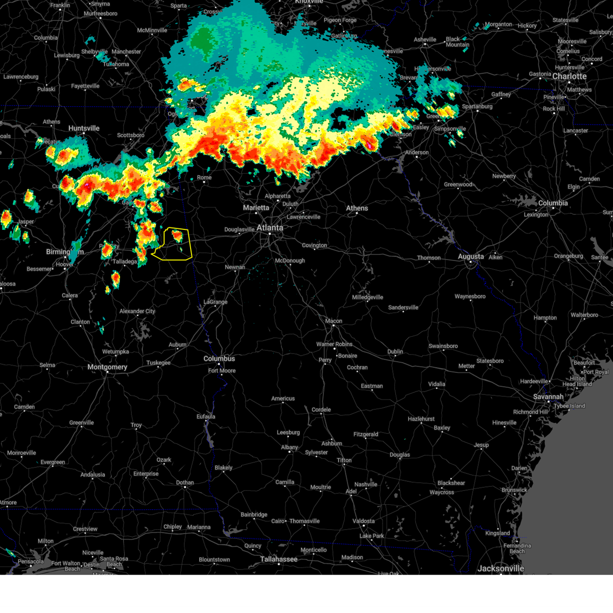 At 410 pm cdt, severe thunderstorms were located along a line extending from near edwardsville to saks, moving east at 35 mph (radar indicated). Hazards include 60 mph wind gusts and quarter size hail. Hail damage to vehicles is expected. expect wind damage to roofs, siding, and trees. locations impacted include, heflin, ranburne, fruithurst, edwardsville, muscadine, abernathy, hollis crossroads, sweetwater lake, coleman lake and campground, trickem, lake cleburne, i 20 welcome center, micaville, chalafinnee and camp sequoyah. hail threat, radar indicated max hail size, 1. 00 in wind threat, radar indicated max wind gust, 60 mph. At 410 pm cdt, severe thunderstorms were located along a line extending from near edwardsville to saks, moving east at 35 mph (radar indicated). Hazards include 60 mph wind gusts and quarter size hail. Hail damage to vehicles is expected. expect wind damage to roofs, siding, and trees. locations impacted include, heflin, ranburne, fruithurst, edwardsville, muscadine, abernathy, hollis crossroads, sweetwater lake, coleman lake and campground, trickem, lake cleburne, i 20 welcome center, micaville, chalafinnee and camp sequoyah. hail threat, radar indicated max hail size, 1. 00 in wind threat, radar indicated max wind gust, 60 mph.
|
| 6/25/2023 4:02 PM CDT |
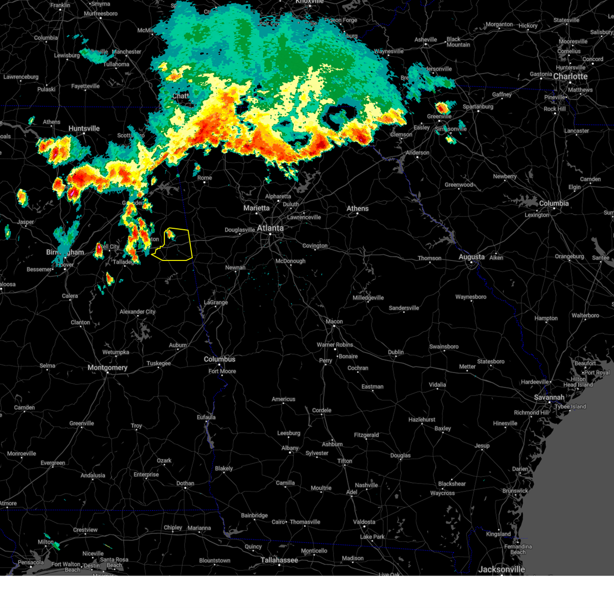 At 402 pm cdt, severe thunderstorms were located along a line extending from 6 miles east of jacksonville to near ohatchee, moving east at 25 mph (radar indicated). Hazards include 60 mph wind gusts and quarter size hail. Hail damage to vehicles is expected. Expect wind damage to roofs, siding, and trees. At 402 pm cdt, severe thunderstorms were located along a line extending from 6 miles east of jacksonville to near ohatchee, moving east at 25 mph (radar indicated). Hazards include 60 mph wind gusts and quarter size hail. Hail damage to vehicles is expected. Expect wind damage to roofs, siding, and trees.
|
| 6/14/2023 2:28 PM CDT |
 At 228 pm cdt, severe thunderstorms were located along a line extending from near weaver to near munford to near alpine, moving southeast at 60 mph (emergency management). Hazards include 60 mph wind gusts and quarter size hail. Hail damage to vehicles is expected. Expect wind damage to roofs, siding, and trees. At 228 pm cdt, severe thunderstorms were located along a line extending from near weaver to near munford to near alpine, moving southeast at 60 mph (emergency management). Hazards include 60 mph wind gusts and quarter size hail. Hail damage to vehicles is expected. Expect wind damage to roofs, siding, and trees.
|
| 1/12/2023 1:22 PM CST |
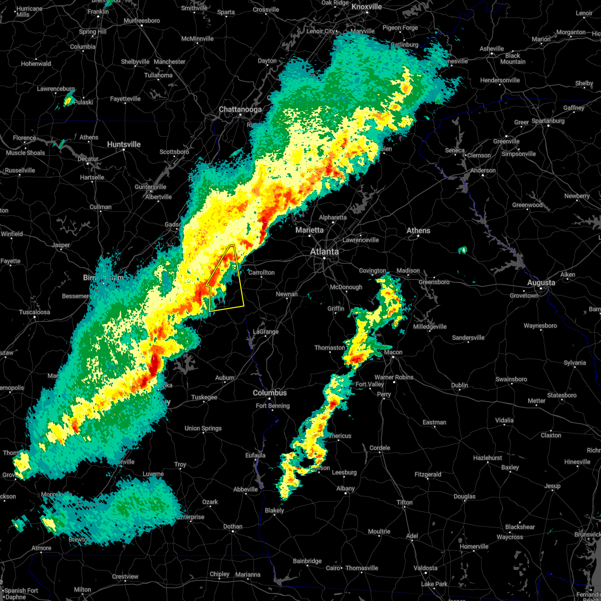 At 122 pm cst, severe thunderstorms were located along a line extending from near muscadine to 6 miles northeast of corinth to near lake wedowee, moving east at 55 mph (radar indicated). Hazards include 60 mph wind gusts and penny size hail. expect damage to roofs, siding, and trees At 122 pm cst, severe thunderstorms were located along a line extending from near muscadine to 6 miles northeast of corinth to near lake wedowee, moving east at 55 mph (radar indicated). Hazards include 60 mph wind gusts and penny size hail. expect damage to roofs, siding, and trees
|
| 1/3/2023 3:19 PM CST |
 At 319 pm cst, severe thunderstorms were located along a line extending from piedmont to near lake wedowee, moving east at 35 mph (radar indicated). Hazards include 60 mph wind gusts. expect damage to roofs, siding, and trees At 319 pm cst, severe thunderstorms were located along a line extending from piedmont to near lake wedowee, moving east at 35 mph (radar indicated). Hazards include 60 mph wind gusts. expect damage to roofs, siding, and trees
|
| 11/30/2022 2:14 AM CST | At 214 am cst, severe thunderstorms were located along a line extending from mars hills to near abernathy to barfield, moving east at 60 mph (radar indicated). Hazards include 60 mph wind gusts. Expect damage to roofs, siding, and trees. locations impacted include, ranburne, fruithurst, woodland, muscadine, morrison cross roads, barfield, abernathy, fosters cross roads, delta, corinth, mars hills, graham, hollis crossroads, newell, trickem, lake cleburne, i 20 welcome center and micaville. hail threat, radar indicated max hail size, <. 75 in wind threat, radar indicated max wind gust, 60 mph. |
| 11/30/2022 2:06 AM CST |
 At 206 am cst, severe thunderstorms were located along a line extending from 6 miles west of mars hills to near heflin to near barfield, moving east at 65 mph (radar indicated). Hazards include 60 mph wind gusts. Expect damage to roofs, siding, and trees. locations impacted include, heflin, ranburne, fruithurst, edwardsville, woodland, morrison cross roads, barfield, corinth, muscadine, abernathy, fosters cross roads, delta, mars hills, mount cheaha, graham, newell, coleman lake and campground, trickem, lake cleburne and liberty hill. hail threat, radar indicated max hail size, <. 75 in wind threat, radar indicated max wind gust, 60 mph. At 206 am cst, severe thunderstorms were located along a line extending from 6 miles west of mars hills to near heflin to near barfield, moving east at 65 mph (radar indicated). Hazards include 60 mph wind gusts. Expect damage to roofs, siding, and trees. locations impacted include, heflin, ranburne, fruithurst, edwardsville, woodland, morrison cross roads, barfield, corinth, muscadine, abernathy, fosters cross roads, delta, mars hills, mount cheaha, graham, newell, coleman lake and campground, trickem, lake cleburne and liberty hill. hail threat, radar indicated max hail size, <. 75 in wind threat, radar indicated max wind gust, 60 mph.
|
| 11/30/2022 1:56 AM CST |
 At 156 am cst, severe thunderstorms were located along a line extending from jacksonville state university to near oxford lake to near waldo, moving east at 60 mph (radar indicated). Hazards include 60 mph wind gusts. expect damage to roofs, siding, and trees At 156 am cst, severe thunderstorms were located along a line extending from jacksonville state university to near oxford lake to near waldo, moving east at 60 mph (radar indicated). Hazards include 60 mph wind gusts. expect damage to roofs, siding, and trees
|
| 7/21/2022 4:08 PM CDT |
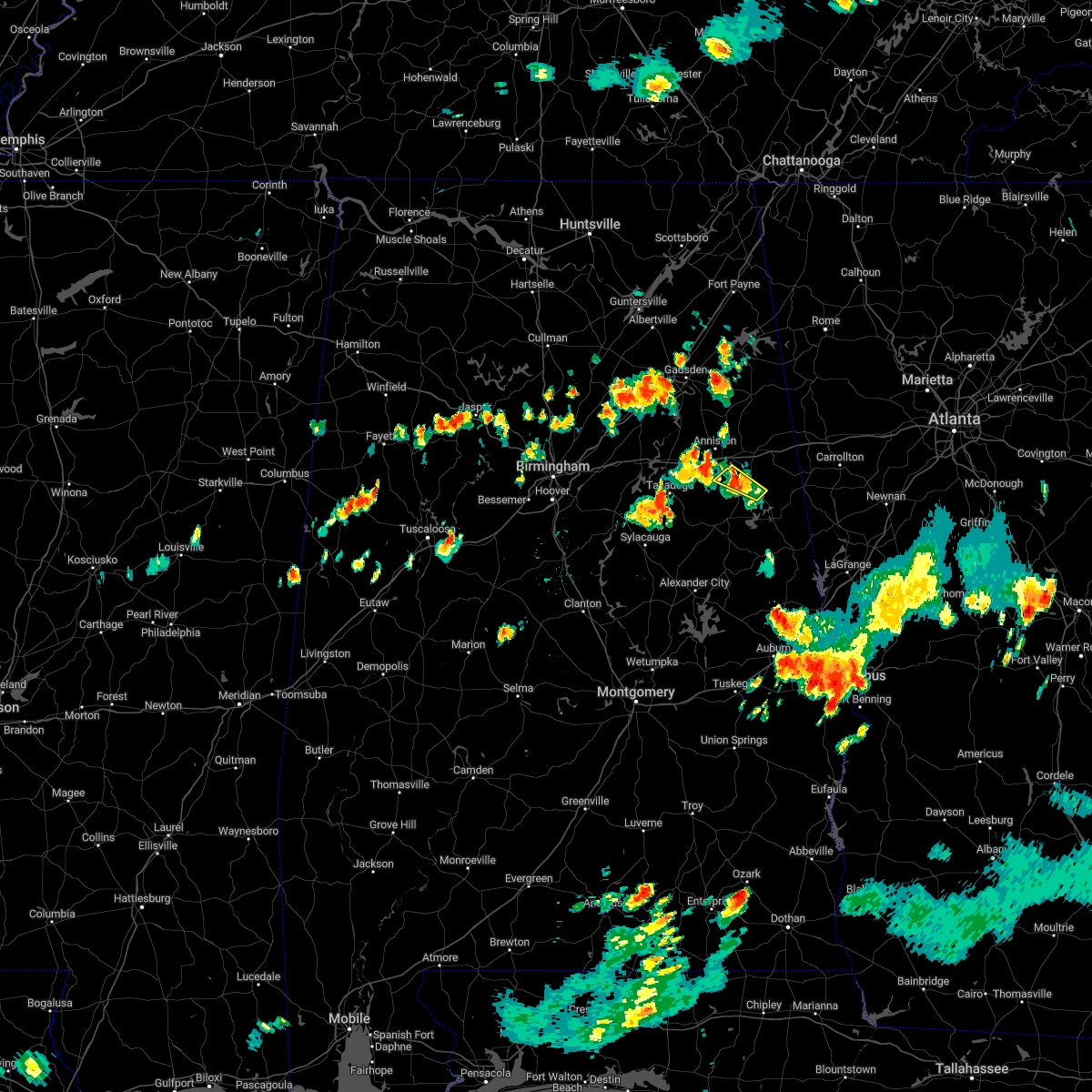 At 408 pm cdt, a severe thunderstorm was located near mount cheaha, or near oxford, moving east at 25 mph (radar indicated). Hazards include 60 mph wind gusts and quarter size hail. Hail damage to vehicles is expected. expect wind damage to roofs, siding, and trees. locations impacted include, fosters cross roads, corinth, mount cheaha, delta, camp sequoyah and hollis crossroads. hail threat, radar indicated max hail size, 1. 00 in wind threat, radar indicated max wind gust, 60 mph. At 408 pm cdt, a severe thunderstorm was located near mount cheaha, or near oxford, moving east at 25 mph (radar indicated). Hazards include 60 mph wind gusts and quarter size hail. Hail damage to vehicles is expected. expect wind damage to roofs, siding, and trees. locations impacted include, fosters cross roads, corinth, mount cheaha, delta, camp sequoyah and hollis crossroads. hail threat, radar indicated max hail size, 1. 00 in wind threat, radar indicated max wind gust, 60 mph.
|
| 7/21/2022 3:59 PM CDT |
 At 358 pm cdt, severe thunderstorms were located along a line extending from anniston regional airport to near talladega, moving southeast at 20 mph (radar indicated). Hazards include 60 mph wind gusts and quarter size hail. Hail damage to vehicles is expected. Expect wind damage to roofs, siding, and trees. At 358 pm cdt, severe thunderstorms were located along a line extending from anniston regional airport to near talladega, moving southeast at 20 mph (radar indicated). Hazards include 60 mph wind gusts and quarter size hail. Hail damage to vehicles is expected. Expect wind damage to roofs, siding, and trees.
|
| 7/21/2022 3:42 PM CDT |
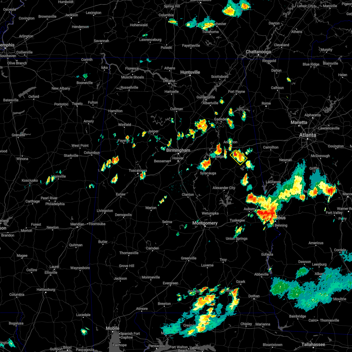 At 341 pm cdt, a severe thunderstorm was located near mount cheaha, or 8 miles southeast of oxford, moving southeast at 10 mph (radar indicated). Hazards include 60 mph wind gusts and quarter size hail. Hail damage to vehicles is expected. Expect wind damage to roofs, siding, and trees. At 341 pm cdt, a severe thunderstorm was located near mount cheaha, or 8 miles southeast of oxford, moving southeast at 10 mph (radar indicated). Hazards include 60 mph wind gusts and quarter size hail. Hail damage to vehicles is expected. Expect wind damage to roofs, siding, and trees.
|
| 7/21/2022 2:43 PM CDT |
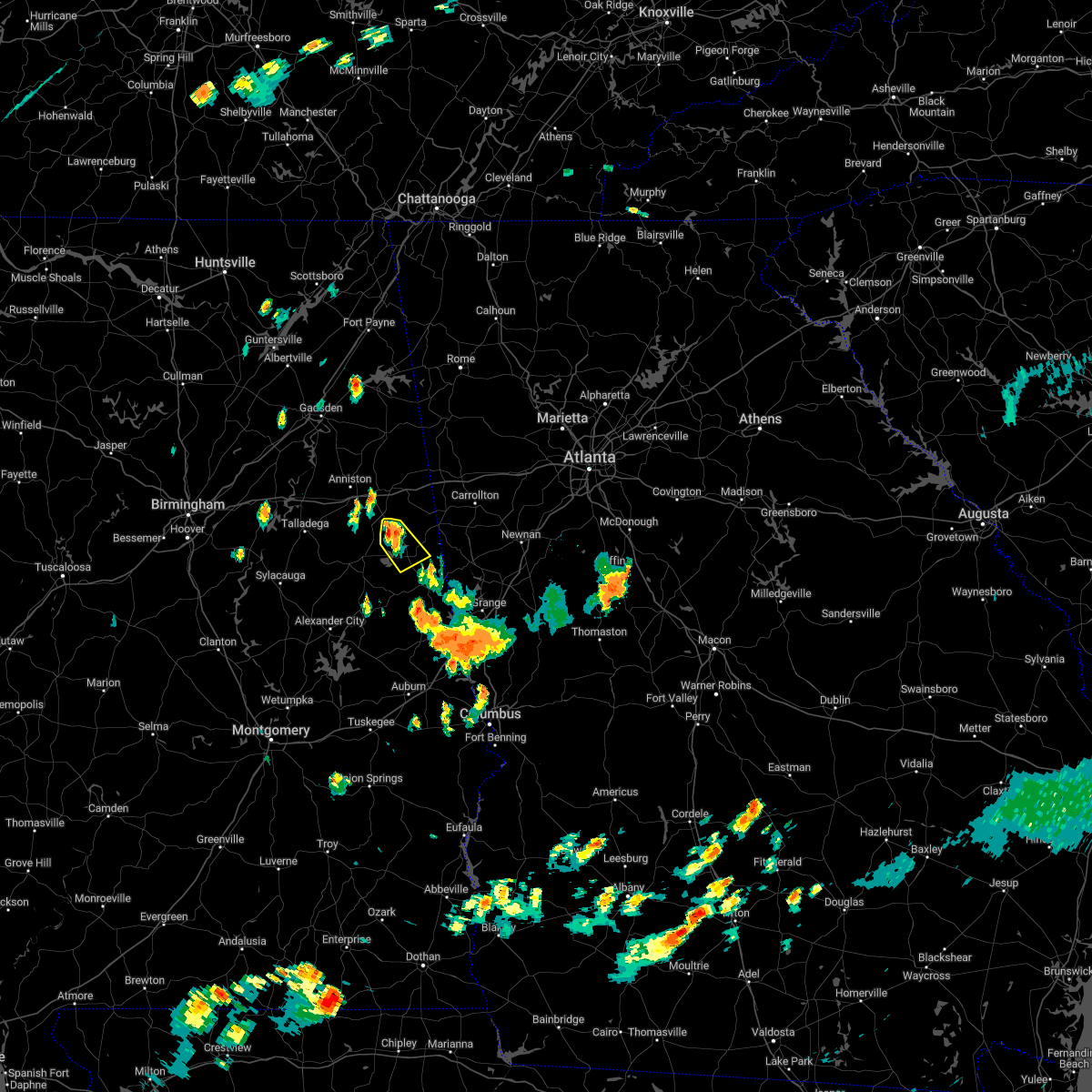 At 243 pm cdt, a severe thunderstorm was located over fosters cross roads, or 8 miles northwest of wedowee, moving southeast at 15 mph (radar indicated). Hazards include 60 mph wind gusts and quarter size hail. Hail damage to vehicles is expected. Expect wind damage to roofs, siding, and trees. At 243 pm cdt, a severe thunderstorm was located over fosters cross roads, or 8 miles northwest of wedowee, moving southeast at 15 mph (radar indicated). Hazards include 60 mph wind gusts and quarter size hail. Hail damage to vehicles is expected. Expect wind damage to roofs, siding, and trees.
|
| 7/21/2022 12:13 PM CDT |
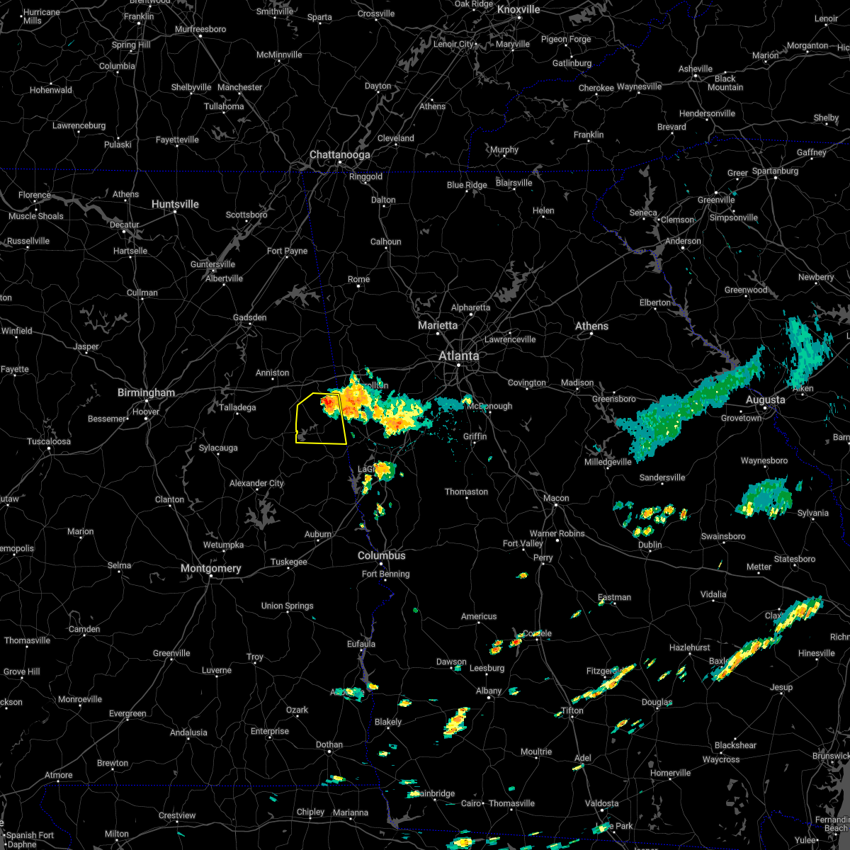 At 1213 pm cdt, a severe thunderstorm was located near ranburne, or 12 miles north of wedowee, moving south at 5 mph (radar indicated). Hazards include 60 mph wind gusts and quarter size hail. Hail damage to vehicles is expected. Expect wind damage to roofs, siding, and trees. At 1213 pm cdt, a severe thunderstorm was located near ranburne, or 12 miles north of wedowee, moving south at 5 mph (radar indicated). Hazards include 60 mph wind gusts and quarter size hail. Hail damage to vehicles is expected. Expect wind damage to roofs, siding, and trees.
|
| 6/17/2022 1:07 AM CDT |
 At 107 am cdt, a severe thunderstorm was located near oxford lake, or near oxford, moving west at 15 mph (radar indicated). Hazards include ping pong ball size hail and 60 mph wind gusts. People and animals outdoors will be injured. expect hail damage to roofs, siding, windows, and vehicles. expect wind damage to roofs, siding, and trees. locations impacted include, anniston, oxford, mount cheaha, dearmanville, hollis crossroads, chalafinnee and camp sequoyah. hail threat, radar indicated max hail size, 1. 50 in wind threat, radar indicated max wind gust, 60 mph. At 107 am cdt, a severe thunderstorm was located near oxford lake, or near oxford, moving west at 15 mph (radar indicated). Hazards include ping pong ball size hail and 60 mph wind gusts. People and animals outdoors will be injured. expect hail damage to roofs, siding, windows, and vehicles. expect wind damage to roofs, siding, and trees. locations impacted include, anniston, oxford, mount cheaha, dearmanville, hollis crossroads, chalafinnee and camp sequoyah. hail threat, radar indicated max hail size, 1. 50 in wind threat, radar indicated max wind gust, 60 mph.
|
| 6/17/2022 12:52 AM CDT |
 At 1252 am cdt, a severe thunderstorm was located 7 miles northwest of corinth, or 7 miles southwest of heflin, moving west at 15 mph (radar indicated). Hazards include 60 mph wind gusts and quarter size hail. Hail damage to vehicles is expected. Expect wind damage to roofs, siding, and trees. At 1252 am cdt, a severe thunderstorm was located 7 miles northwest of corinth, or 7 miles southwest of heflin, moving west at 15 mph (radar indicated). Hazards include 60 mph wind gusts and quarter size hail. Hail damage to vehicles is expected. Expect wind damage to roofs, siding, and trees.
|
| 6/15/2022 8:13 PM CDT |
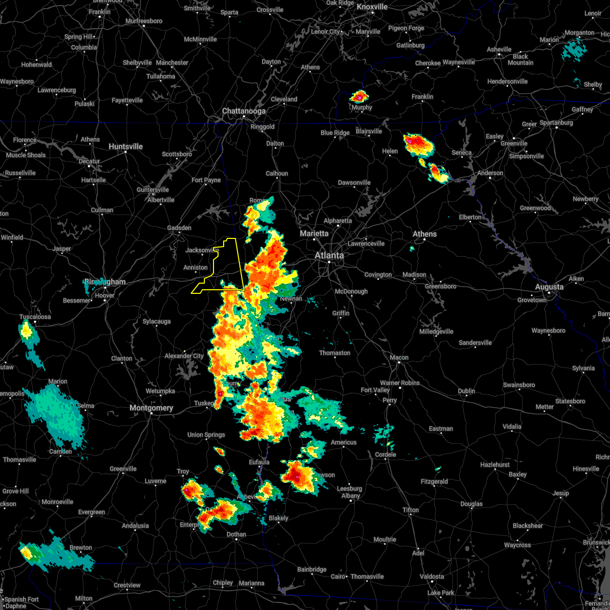 At 813 pm cdt, severe thunderstorms were located along a line extending from 6 miles southwest of rockmart to ranburne, moving west at 15 mph (radar indicated). Hazards include 60 mph wind gusts. expect damage to roofs, siding, and trees At 813 pm cdt, severe thunderstorms were located along a line extending from 6 miles southwest of rockmart to ranburne, moving west at 15 mph (radar indicated). Hazards include 60 mph wind gusts. expect damage to roofs, siding, and trees
|
| 6/9/2021 6:20 PM CDT |
 The severe thunderstorm warning for east central calhoun and cleburne counties will expire at 630 pm cdt, the storms which prompted the warning have weakened below severe limits, and have exited the warned area. therefore, the warning will be allowed to expire. The severe thunderstorm warning for east central calhoun and cleburne counties will expire at 630 pm cdt, the storms which prompted the warning have weakened below severe limits, and have exited the warned area. therefore, the warning will be allowed to expire.
|
| 6/9/2021 6:00 PM CDT |
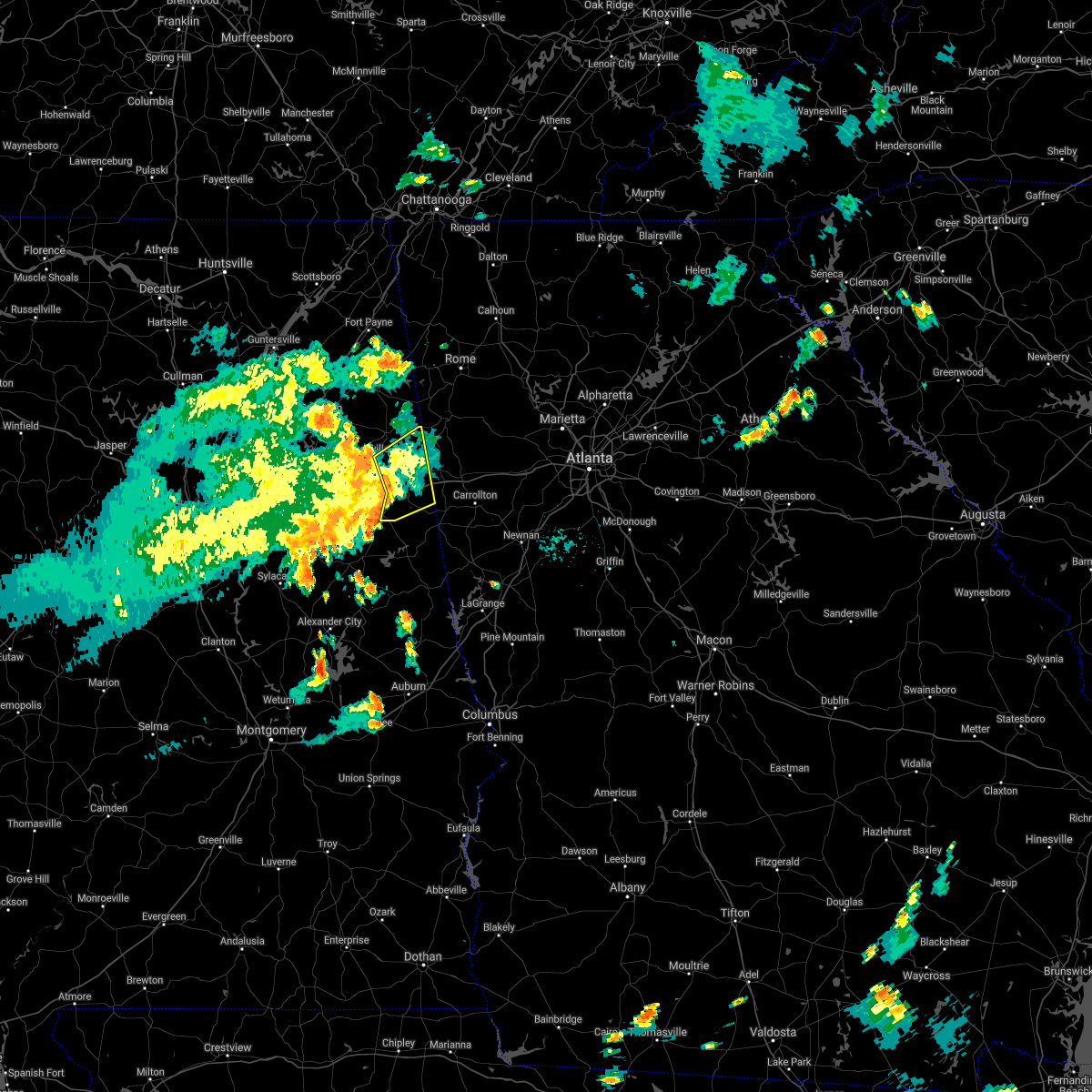 At 600 pm cdt, severe thunderstorms were located along a line extending from near piedmont to near edwardsville to near fosters cross roads, moving northeast at 35 mph (radar indicated). Hazards include 60 mph wind gusts. Expect damage to roofs, siding, and trees. Locations impacted include, heflin, fruithurst, edwardsville, muscadine, abernathy, mars hills, hollis crossroads, sweetwater lake, coleman lake and campground, trickem, lake cleburne, i 20 welcome center, liberty hill, oak level, borden springs and micaville. At 600 pm cdt, severe thunderstorms were located along a line extending from near piedmont to near edwardsville to near fosters cross roads, moving northeast at 35 mph (radar indicated). Hazards include 60 mph wind gusts. Expect damage to roofs, siding, and trees. Locations impacted include, heflin, fruithurst, edwardsville, muscadine, abernathy, mars hills, hollis crossroads, sweetwater lake, coleman lake and campground, trickem, lake cleburne, i 20 welcome center, liberty hill, oak level, borden springs and micaville.
|
| 6/9/2021 5:42 PM CDT |
 At 542 pm cdt, severe thunderstorms were located along a line extending from 6 miles northwest of jacksonville state university to 6 miles southeast of fort mcclellan to delta, moving northeast at 35 mph (radar indicated). Hazards include 60 mph wind gusts. Expect damage to roofs, siding, and trees. Locations impacted include, anniston, oxford, heflin, fort mcclellan, saks, fruithurst, edwardsville, muscadine, abernathy, blue mountain, mars hills, hollis crossroads, sweetwater lake, coleman lake and campground, choccolocco, trickem, lake cleburne, dearmanville, i 20 welcome center and liberty hill. At 542 pm cdt, severe thunderstorms were located along a line extending from 6 miles northwest of jacksonville state university to 6 miles southeast of fort mcclellan to delta, moving northeast at 35 mph (radar indicated). Hazards include 60 mph wind gusts. Expect damage to roofs, siding, and trees. Locations impacted include, anniston, oxford, heflin, fort mcclellan, saks, fruithurst, edwardsville, muscadine, abernathy, blue mountain, mars hills, hollis crossroads, sweetwater lake, coleman lake and campground, choccolocco, trickem, lake cleburne, dearmanville, i 20 welcome center and liberty hill.
|
| 6/9/2021 5:22 PM CDT |
 At 522 pm cdt, severe thunderstorms were located along a line extending from ohatchee to anniston regional airport to near ashland, moving northeast at 35 mph (radar indicated). Hazards include 60 mph wind gusts. expect damage to roofs, siding, and trees At 522 pm cdt, severe thunderstorms were located along a line extending from ohatchee to anniston regional airport to near ashland, moving northeast at 35 mph (radar indicated). Hazards include 60 mph wind gusts. expect damage to roofs, siding, and trees
|
| 5/4/2021 12:56 PM CDT |
 At 1255 pm cdt, severe thunderstorms were located along a line extending from 6 miles southwest of ball flat to pell city, moving east at 45 mph (radar indicated). Hazards include 60 mph wind gusts and quarter size hail. Hail damage to vehicles is expected. Expect wind damage to roofs, siding, and trees. At 1255 pm cdt, severe thunderstorms were located along a line extending from 6 miles southwest of ball flat to pell city, moving east at 45 mph (radar indicated). Hazards include 60 mph wind gusts and quarter size hail. Hail damage to vehicles is expected. Expect wind damage to roofs, siding, and trees.
|
| 4/24/2021 6:52 PM CDT |
 The severe thunderstorm warning for southeastern cleburne and northern clay counties will expire at 700 pm cdt, the storms which prompted the warning have moved out of the area. therefore, the warning will be allowed to expire. a severe thunderstorm watch remains in effect until 900 pm cdt for east central alabama. remember, a severe thunderstorm warning still remains in effect for eastern clay county. The severe thunderstorm warning for southeastern cleburne and northern clay counties will expire at 700 pm cdt, the storms which prompted the warning have moved out of the area. therefore, the warning will be allowed to expire. a severe thunderstorm watch remains in effect until 900 pm cdt for east central alabama. remember, a severe thunderstorm warning still remains in effect for eastern clay county.
|
| 4/24/2021 6:51 PM CDT |
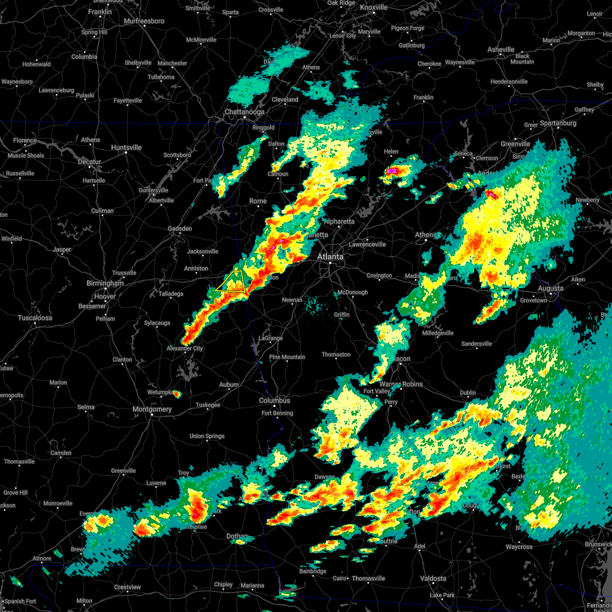 The severe thunderstorm warning for southeastern cleburne county will expire at 700 pm cdt, the storm which prompted the warning has moved out of the area. therefore, the warning will be allowed to expire. a severe thunderstorm watch remains in effect until 900 pm cdt for east central alabama. The severe thunderstorm warning for southeastern cleburne county will expire at 700 pm cdt, the storm which prompted the warning has moved out of the area. therefore, the warning will be allowed to expire. a severe thunderstorm watch remains in effect until 900 pm cdt for east central alabama.
|
| 4/24/2021 6:42 PM CDT |
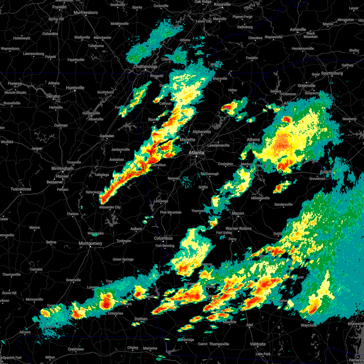 At 642 pm cdt, a severe thunderstorm was located near ranburne, or 14 miles east of heflin, moving east at 55 mph (radar indicated). Hazards include 60 mph wind gusts and quarter size hail. Hail damage to vehicles is expected. expect wind damage to roofs, siding, and trees. Locations impacted include, ranburne, abernathy, trickem, i 20 welcome center and micaville. At 642 pm cdt, a severe thunderstorm was located near ranburne, or 14 miles east of heflin, moving east at 55 mph (radar indicated). Hazards include 60 mph wind gusts and quarter size hail. Hail damage to vehicles is expected. expect wind damage to roofs, siding, and trees. Locations impacted include, ranburne, abernathy, trickem, i 20 welcome center and micaville.
|
| 4/24/2021 6:39 PM CDT |
 At 639 pm cdt, severe thunderstorms were located along a line extending from near abernathy to 9 miles northeast of parkdale, moving east at 55 mph (radar indicated). Hazards include 60 mph wind gusts and quarter size hail. Hail damage to vehicles is expected. expect wind damage to roofs, siding, and trees. Locations impacted include, abernathy, delta, hollis crossroads, camp sequoyah, gunthertown and i 20 welcome center. At 639 pm cdt, severe thunderstorms were located along a line extending from near abernathy to 9 miles northeast of parkdale, moving east at 55 mph (radar indicated). Hazards include 60 mph wind gusts and quarter size hail. Hail damage to vehicles is expected. expect wind damage to roofs, siding, and trees. Locations impacted include, abernathy, delta, hollis crossroads, camp sequoyah, gunthertown and i 20 welcome center.
|
| 4/24/2021 6:32 PM CDT |
 At 632 pm cdt, severe thunderstorms were located along a line extending from 6 miles west of mars hills to near sycamore, moving east at 50 mph (radar indicated). Hazards include 60 mph wind gusts and quarter size hail. Hail damage to vehicles is expected. expect wind damage to roofs, siding, and trees. Locations impacted include, anniston, oxford, talladega, sylacauga, heflin, munford, fruithurst, waldo, edwardsville, muscadine, abernathy, sycamore, delta, mars hills, mount cheaha, coleman lake and campground, choccolocco, lake cleburne, camp mac and ironaton. At 632 pm cdt, severe thunderstorms were located along a line extending from 6 miles west of mars hills to near sycamore, moving east at 50 mph (radar indicated). Hazards include 60 mph wind gusts and quarter size hail. Hail damage to vehicles is expected. expect wind damage to roofs, siding, and trees. Locations impacted include, anniston, oxford, talladega, sylacauga, heflin, munford, fruithurst, waldo, edwardsville, muscadine, abernathy, sycamore, delta, mars hills, mount cheaha, coleman lake and campground, choccolocco, lake cleburne, camp mac and ironaton.
|
| 4/24/2021 6:28 PM CDT |
 At 628 pm cdt, a severe thunderstorm was located near heflin, moving east at 55 mph (radar indicated). Hazards include 60 mph wind gusts and quarter size hail. Hail damage to vehicles is expected. Expect wind damage to roofs, siding, and trees. At 628 pm cdt, a severe thunderstorm was located near heflin, moving east at 55 mph (radar indicated). Hazards include 60 mph wind gusts and quarter size hail. Hail damage to vehicles is expected. Expect wind damage to roofs, siding, and trees.
|
| 4/24/2021 6:09 PM CDT |
 At 609 pm cdt, severe thunderstorms were located along a line extending from near weaver to near wilsonville, moving east at 50 mph (radar indicated). Hazards include 60 mph wind gusts and half dollar size hail. Hail damage to vehicles is expected. Expect wind damage to roofs, siding, and trees. At 609 pm cdt, severe thunderstorms were located along a line extending from near weaver to near wilsonville, moving east at 50 mph (radar indicated). Hazards include 60 mph wind gusts and half dollar size hail. Hail damage to vehicles is expected. Expect wind damage to roofs, siding, and trees.
|
| 6/5/2020 2:39 PM CDT |
 At 238 pm cdt, a severe thunderstorm was located near fort mcclellan, moving southeast at 25 mph (radar indicated). Hazards include 60 mph wind gusts and quarter size hail. Hail damage to vehicles is expected. expect wind damage to roofs, siding, and trees. Locations impacted include, anniston, oxford, heflin, fort mcclellan, west end-cobb town, blue mountain, dearmanville, chalafinnee and choccolocco. At 238 pm cdt, a severe thunderstorm was located near fort mcclellan, moving southeast at 25 mph (radar indicated). Hazards include 60 mph wind gusts and quarter size hail. Hail damage to vehicles is expected. expect wind damage to roofs, siding, and trees. Locations impacted include, anniston, oxford, heflin, fort mcclellan, west end-cobb town, blue mountain, dearmanville, chalafinnee and choccolocco.
|
| 6/5/2020 2:23 PM CDT |
 At 223 pm cdt, a severe thunderstorm was located over fort mcclellan, moving southeast at 25 mph (radar indicated). Hazards include 60 mph wind gusts and quarter size hail. Hail damage to vehicles is expected. Expect wind damage to roofs, siding, and trees. At 223 pm cdt, a severe thunderstorm was located over fort mcclellan, moving southeast at 25 mph (radar indicated). Hazards include 60 mph wind gusts and quarter size hail. Hail damage to vehicles is expected. Expect wind damage to roofs, siding, and trees.
|
| 2/6/2020 4:41 AM CST |
 At 441 am cst, a severe thunderstorm capable of producing a tornado was located over lineville, moving northeast at 65 mph (radar indicated rotation). Hazards include tornado. Flying debris will be dangerous to those caught without shelter. mobile homes will be damaged or destroyed. damage to roofs, windows, and vehicles will occur. Tree damage is likely. At 441 am cst, a severe thunderstorm capable of producing a tornado was located over lineville, moving northeast at 65 mph (radar indicated rotation). Hazards include tornado. Flying debris will be dangerous to those caught without shelter. mobile homes will be damaged or destroyed. damage to roofs, windows, and vehicles will occur. Tree damage is likely.
|
| 1/11/2020 3:06 PM CST |
 At 306 pm cst, severe thunderstorms were located along a line extending from near cave spring to near morrison cross roads, moving northeast at 50 mph (radar indicated). Hazards include 70 mph wind gusts. Expect considerable tree damage. damage is likely to mobile homes, roofs, and outbuildings. Locations impacted include, heflin, ranburne, fruithurst, edwardsville, muscadine, abernathy, mars hills, hollis crossroads, trickem, lake cleburne, i 20 welcome center, chalafinnee, oak level and camp sequoyah. At 306 pm cst, severe thunderstorms were located along a line extending from near cave spring to near morrison cross roads, moving northeast at 50 mph (radar indicated). Hazards include 70 mph wind gusts. Expect considerable tree damage. damage is likely to mobile homes, roofs, and outbuildings. Locations impacted include, heflin, ranburne, fruithurst, edwardsville, muscadine, abernathy, mars hills, hollis crossroads, trickem, lake cleburne, i 20 welcome center, chalafinnee, oak level and camp sequoyah.
|
| 1/11/2020 2:23 PM CST |
 At 223 pm cst, severe thunderstorms were located along a line extending from near alexandria to 7 miles east of sycamore, moving northeast at 50 mph (radar indicated). Hazards include 70 mph wind gusts. Expect considerable tree damage. Damage is likely to mobile homes, roofs, and outbuildings. At 223 pm cst, severe thunderstorms were located along a line extending from near alexandria to 7 miles east of sycamore, moving northeast at 50 mph (radar indicated). Hazards include 70 mph wind gusts. Expect considerable tree damage. Damage is likely to mobile homes, roofs, and outbuildings.
|
| 5/9/2019 2:30 PM CDT |
 A severe thunderstorm warning remains in effect until 300 pm cdt for cleburne county. at 230 pm cdt, severe thunderstorms were located along a line extending from 6 miles east of pleasant gap to 6 miles northeast of delta, moving east at 35 mph. hazard. 60 mph wind gusts. A severe thunderstorm warning remains in effect until 300 pm cdt for cleburne county. at 230 pm cdt, severe thunderstorms were located along a line extending from 6 miles east of pleasant gap to 6 miles northeast of delta, moving east at 35 mph. hazard. 60 mph wind gusts.
|
| 5/9/2019 2:21 PM CDT |
 A severe thunderstorm warning remains in effect until 300 pm cdt for cleburne county. at 221 pm cdt, severe thunderstorms were located along a line extending from near pleasant gap to near delta, moving east at 30 mph. hazard. 60 mph wind gusts. A severe thunderstorm warning remains in effect until 300 pm cdt for cleburne county. at 221 pm cdt, severe thunderstorms were located along a line extending from near pleasant gap to near delta, moving east at 30 mph. hazard. 60 mph wind gusts.
|
| 5/9/2019 2:09 PM CDT |
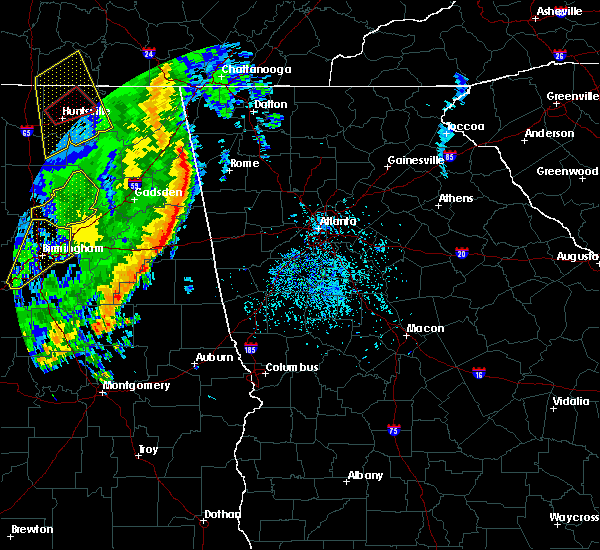 The national weather service in birmingham has issued a * severe thunderstorm warning for. cleburne county in east central alabama. until 300 pm cdt. At 208 pm cdt, severe thunderstorms were located along a line extending from piedmont to near oxford, moving east at 35 mph. The national weather service in birmingham has issued a * severe thunderstorm warning for. cleburne county in east central alabama. until 300 pm cdt. At 208 pm cdt, severe thunderstorms were located along a line extending from piedmont to near oxford, moving east at 35 mph.
|
| 7/21/2018 5:00 PM CDT |
 At 500 pm cdt, a severe thunderstorm was located 7 miles south of heflin, moving southeast at 25 mph (radar indicated). Hazards include two inch hail and 60 mph wind gusts. People and animals outdoors will be injured. expect hail damage to roofs, siding, windows, and vehicles. Expect wind damage to roofs, siding, and trees. At 500 pm cdt, a severe thunderstorm was located 7 miles south of heflin, moving southeast at 25 mph (radar indicated). Hazards include two inch hail and 60 mph wind gusts. People and animals outdoors will be injured. expect hail damage to roofs, siding, windows, and vehicles. Expect wind damage to roofs, siding, and trees.
|
| 7/21/2018 4:31 PM CDT |
 At 430 pm cdt, a severe thunderstorm was located near fosters cross roads, or 11 miles south of heflin, moving southeast at 25 mph. this is a very dangerous storm (radar indicated). Hazards include baseball size hail and 60 mph wind gusts. baseball size hail has been reported with this storm. People and animals outdoors will be severely injured. expect shattered windows, extensive damage to roofs, siding, and vehicles. Locations impacted include, fosters cross roads, morrison cross roads, hollis crossroads, camp sequoyah and micaville. At 430 pm cdt, a severe thunderstorm was located near fosters cross roads, or 11 miles south of heflin, moving southeast at 25 mph. this is a very dangerous storm (radar indicated). Hazards include baseball size hail and 60 mph wind gusts. baseball size hail has been reported with this storm. People and animals outdoors will be severely injured. expect shattered windows, extensive damage to roofs, siding, and vehicles. Locations impacted include, fosters cross roads, morrison cross roads, hollis crossroads, camp sequoyah and micaville.
|
| 7/21/2018 4:19 PM CDT |
 At 419 pm cdt, a severe thunderstorm was located 7 miles northeast of delta, or 8 miles south of heflin, moving southeast at 25 mph (radar indicated). Hazards include golf ball size hail and 60 mph wind gusts. ping pong ball size hail has already been reported with this storm. People and animals outdoors will be injured. expect hail damage to roofs, siding, windows, and vehicles. expect wind damage to roofs, siding, and trees. Locations impacted include, morrison cross roads, fosters cross roads, delta, hollis crossroads, micaville, chalafinnee and camp sequoyah. At 419 pm cdt, a severe thunderstorm was located 7 miles northeast of delta, or 8 miles south of heflin, moving southeast at 25 mph (radar indicated). Hazards include golf ball size hail and 60 mph wind gusts. ping pong ball size hail has already been reported with this storm. People and animals outdoors will be injured. expect hail damage to roofs, siding, windows, and vehicles. expect wind damage to roofs, siding, and trees. Locations impacted include, morrison cross roads, fosters cross roads, delta, hollis crossroads, micaville, chalafinnee and camp sequoyah.
|
| 7/21/2018 4:12 PM CDT |
 At 411 pm cdt, a severe thunderstorm was located 7 miles northeast of delta, or 8 miles south of heflin, moving southeast at 25 mph (radar indicated). Hazards include golf ball size hail and 60 mph wind gusts. People and animals outdoors will be injured. expect hail damage to roofs, siding, windows, and vehicles. expect wind damage to roofs, siding, and trees. Locations impacted include, morrison cross roads, fosters cross roads, delta, hollis crossroads, micaville, chalafinnee and camp sequoyah. At 411 pm cdt, a severe thunderstorm was located 7 miles northeast of delta, or 8 miles south of heflin, moving southeast at 25 mph (radar indicated). Hazards include golf ball size hail and 60 mph wind gusts. People and animals outdoors will be injured. expect hail damage to roofs, siding, windows, and vehicles. expect wind damage to roofs, siding, and trees. Locations impacted include, morrison cross roads, fosters cross roads, delta, hollis crossroads, micaville, chalafinnee and camp sequoyah.
|
| 7/21/2018 4:01 PM CDT |
 At 400 pm cdt, a severe thunderstorm was located near oxford lake, or 7 miles east of oxford, moving southeast at 25 mph (radar indicated). Hazards include 60 mph wind gusts and half dollar size hail. Hail damage to vehicles is expected. Expect wind damage to roofs, siding, and trees. At 400 pm cdt, a severe thunderstorm was located near oxford lake, or 7 miles east of oxford, moving southeast at 25 mph (radar indicated). Hazards include 60 mph wind gusts and half dollar size hail. Hail damage to vehicles is expected. Expect wind damage to roofs, siding, and trees.
|
| 6/28/2018 2:17 PM CDT |
 At 217 pm cdt, severe thunderstorms were located along a line extending from near anniston regional airport to muscadine, moving south at 50 mph (emergency management). Hazards include 70 mph wind gusts. Expect considerable tree damage. Damage is likely to mobile homes, roofs, and outbuildings. At 217 pm cdt, severe thunderstorms were located along a line extending from near anniston regional airport to muscadine, moving south at 50 mph (emergency management). Hazards include 70 mph wind gusts. Expect considerable tree damage. Damage is likely to mobile homes, roofs, and outbuildings.
|
| 4/4/2018 12:38 AM CDT |
 At 1238 am cdt, severe thunderstorms were located along a line extending from 6 miles north of mars hills to 8 miles northwest of fruithurst to near mount cheaha to near winterboro, moving east at 45 mph (radar indicated). Hazards include 60 mph wind gusts. Expect damage to roofs, siding, and trees. Locations impacted include, anniston, oxford, talladega, jacksonville, piedmont, heflin, lineville, west end-cobb town, cobb town, fort mcclellan, saks, lincoln, weaver, munford, hobson city, ranburne, fruithurst, waldo, edwardsville and woodland. At 1238 am cdt, severe thunderstorms were located along a line extending from 6 miles north of mars hills to 8 miles northwest of fruithurst to near mount cheaha to near winterboro, moving east at 45 mph (radar indicated). Hazards include 60 mph wind gusts. Expect damage to roofs, siding, and trees. Locations impacted include, anniston, oxford, talladega, jacksonville, piedmont, heflin, lineville, west end-cobb town, cobb town, fort mcclellan, saks, lincoln, weaver, munford, hobson city, ranburne, fruithurst, waldo, edwardsville and woodland.
|
| 4/4/2018 12:21 AM CDT |
 At 1221 am cdt, severe thunderstorms were located along a line extending from near pleasant gap to near jacksonville state university to near talladega superspeedway to near logan martin dam, moving east at 40 mph (radar indicated). Hazards include 60 mph wind gusts. expect damage to roofs, siding, and trees At 1221 am cdt, severe thunderstorms were located along a line extending from near pleasant gap to near jacksonville state university to near talladega superspeedway to near logan martin dam, moving east at 40 mph (radar indicated). Hazards include 60 mph wind gusts. expect damage to roofs, siding, and trees
|
| 3/19/2018 10:36 PM CDT |
 At 1036 pm cdt, severe thunderstorms were located along a line extending from near abernathy to near mount cheaha, moving east at 50 mph (radar indicated). Hazards include 60 mph wind gusts and quarter size hail. Hail damage to vehicles is expected. expect wind damage to roofs, siding, and trees. locations impacted include, heflin, ranburne, abernathy, mount cheaha, trickem, lake cleburne, hollis crossroads, i 20 welcome center, micaville, chalafinnee and camp sequoyah. A tornado watch remains in effect until midnight cdt for east central alabama. At 1036 pm cdt, severe thunderstorms were located along a line extending from near abernathy to near mount cheaha, moving east at 50 mph (radar indicated). Hazards include 60 mph wind gusts and quarter size hail. Hail damage to vehicles is expected. expect wind damage to roofs, siding, and trees. locations impacted include, heflin, ranburne, abernathy, mount cheaha, trickem, lake cleburne, hollis crossroads, i 20 welcome center, micaville, chalafinnee and camp sequoyah. A tornado watch remains in effect until midnight cdt for east central alabama.
|
| 3/19/2018 10:20 PM CDT |
 At 1020 pm cdt, severe thunderstorms were located along a line extending from near fort mcclellan to near oxford, moving east at 50 mph (radar indicated). Hazards include 60 mph wind gusts and quarter size hail. Hail damage to vehicles is expected. Expect wind damage to roofs, siding, and trees. At 1020 pm cdt, severe thunderstorms were located along a line extending from near fort mcclellan to near oxford, moving east at 50 mph (radar indicated). Hazards include 60 mph wind gusts and quarter size hail. Hail damage to vehicles is expected. Expect wind damage to roofs, siding, and trees.
|
| 3/19/2018 3:37 PM CDT |
 At 337 pm cdt, a severe thunderstorm was located near heflin, moving east at 35 mph (radar indicated). Hazards include quarter size hail. Damage to vehicles is expected. locations impacted include, ranburne, trickem, hollis crossroads and micaville. A tornado watch remains in effect until 1100 pm cdt for east central alabama. At 337 pm cdt, a severe thunderstorm was located near heflin, moving east at 35 mph (radar indicated). Hazards include quarter size hail. Damage to vehicles is expected. locations impacted include, ranburne, trickem, hollis crossroads and micaville. A tornado watch remains in effect until 1100 pm cdt for east central alabama.
|
| 3/19/2018 3:23 PM CDT |
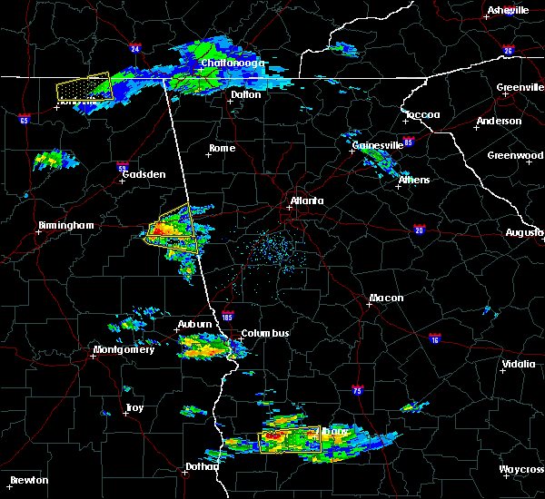 At 322 pm cdt, a severe thunderstorm was located 7 miles east of oxford lake, or 7 miles east of oxford, moving east at 35 mph (radar indicated). Hazards include golf ball size hail. People and animals outdoors will be injured. expect damage to roofs, siding, windows, and vehicles. Locations impacted include, heflin, ranburne, fruithurst, edwardsville, muscadine, abernathy, hollis crossroads, trickem, lake cleburne, i 20 welcome center, micaville, chalafinnee and camp sequoyah. At 322 pm cdt, a severe thunderstorm was located 7 miles east of oxford lake, or 7 miles east of oxford, moving east at 35 mph (radar indicated). Hazards include golf ball size hail. People and animals outdoors will be injured. expect damage to roofs, siding, windows, and vehicles. Locations impacted include, heflin, ranburne, fruithurst, edwardsville, muscadine, abernathy, hollis crossroads, trickem, lake cleburne, i 20 welcome center, micaville, chalafinnee and camp sequoyah.
|
| 3/19/2018 3:21 PM CDT |
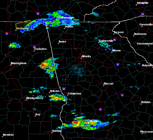 At 321 pm cdt, a severe thunderstorm was located near delta, or 9 miles southeast of oxford, moving east at 35 mph (radar indicated). Hazards include ping pong ball size hail. People and animals outdoors will be injured. Expect damage to roofs, siding, windows, and vehicles. At 321 pm cdt, a severe thunderstorm was located near delta, or 9 miles southeast of oxford, moving east at 35 mph (radar indicated). Hazards include ping pong ball size hail. People and animals outdoors will be injured. Expect damage to roofs, siding, windows, and vehicles.
|
| 3/19/2018 3:15 PM CDT |
 At 314 pm cdt, a severe thunderstorm was located near oxford, moving east at 35 mph (radar indicated). Hazards include golf ball size hail. People and animals outdoors will be injured. expect damage to roofs, siding, windows, and vehicles. Locations impacted include, anniston, oxford, heflin, ranburne, fruithurst, edwardsville, muscadine, abernathy, mount cheaha, hollis crossroads, trickem, lake cleburne, dearmanville, i 20 welcome center, micaville, chalafinnee and camp sequoyah. At 314 pm cdt, a severe thunderstorm was located near oxford, moving east at 35 mph (radar indicated). Hazards include golf ball size hail. People and animals outdoors will be injured. expect damage to roofs, siding, windows, and vehicles. Locations impacted include, anniston, oxford, heflin, ranburne, fruithurst, edwardsville, muscadine, abernathy, mount cheaha, hollis crossroads, trickem, lake cleburne, dearmanville, i 20 welcome center, micaville, chalafinnee and camp sequoyah.
|
| 3/19/2018 2:54 PM CDT |
 At 253 pm cdt, a severe thunderstorm was located over munford, or 9 miles northeast of talladega, moving east at 35 mph (radar indicated). Hazards include quarter size hail. damage to vehicles is expected At 253 pm cdt, a severe thunderstorm was located over munford, or 9 miles northeast of talladega, moving east at 35 mph (radar indicated). Hazards include quarter size hail. damage to vehicles is expected
|
| 7/6/2017 5:49 PM CDT |
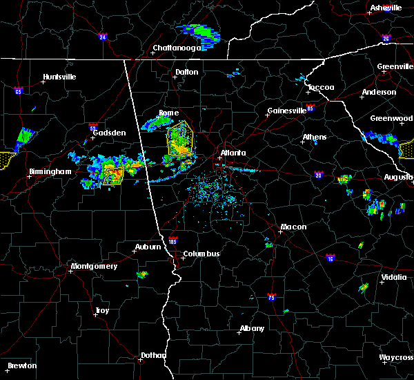 At 548 pm cdt, severe thunderstorms were located along a line extending from near heflin to near delta, moving east at 30 mph (radar indicated). Hazards include 60 mph wind gusts and penny size hail. Expect damage to roofs, siding, and trees. Locations impacted include, heflin, delta, hollis crossroads, camp sequoyah and chalafinnee. At 548 pm cdt, severe thunderstorms were located along a line extending from near heflin to near delta, moving east at 30 mph (radar indicated). Hazards include 60 mph wind gusts and penny size hail. Expect damage to roofs, siding, and trees. Locations impacted include, heflin, delta, hollis crossroads, camp sequoyah and chalafinnee.
|
| 7/6/2017 5:36 PM CDT |
 At 536 pm cdt, severe thunderstorms were located along a line extending from near oxford lake to near delta, moving east at 45 mph (radar indicated). Hazards include 60 mph wind gusts and penny size hail. Expect damage to roofs, siding, and trees. Locations impacted include, anniston, oxford, heflin, delta, mount cheaha, dearmanville, hollis crossroads, chalafinnee and camp sequoyah. At 536 pm cdt, severe thunderstorms were located along a line extending from near oxford lake to near delta, moving east at 45 mph (radar indicated). Hazards include 60 mph wind gusts and penny size hail. Expect damage to roofs, siding, and trees. Locations impacted include, anniston, oxford, heflin, delta, mount cheaha, dearmanville, hollis crossroads, chalafinnee and camp sequoyah.
|
| 7/6/2017 5:23 PM CDT |
 At 523 pm cdt, a severe thunderstorm was located over talladega municipal airport, or 9 miles northeast of talladega, moving east at 30 mph (radar indicated). Hazards include 60 mph wind gusts and penny size hail. expect damage to roofs, siding, and trees At 523 pm cdt, a severe thunderstorm was located over talladega municipal airport, or 9 miles northeast of talladega, moving east at 30 mph (radar indicated). Hazards include 60 mph wind gusts and penny size hail. expect damage to roofs, siding, and trees
|
| 6/15/2017 4:49 PM CDT |
 At 449 pm cdt, severe thunderstorms were located along a line extending from near ephesus to near dexter, moving east at 50 mph (radar indicated). Hazards include 60 mph wind gusts. Expect damage to roofs, siding, and trees. Locations impacted include, alexander city, sylacauga, roanoke, tallassee, dadeville, lineville, ashland, goodwater, camp hill, wedowee, rockford, kellyton, equality, stewartville, lake wedowee, weogufka, jacksons` gap, new site, wadley and waldo. At 449 pm cdt, severe thunderstorms were located along a line extending from near ephesus to near dexter, moving east at 50 mph (radar indicated). Hazards include 60 mph wind gusts. Expect damage to roofs, siding, and trees. Locations impacted include, alexander city, sylacauga, roanoke, tallassee, dadeville, lineville, ashland, goodwater, camp hill, wedowee, rockford, kellyton, equality, stewartville, lake wedowee, weogufka, jacksons` gap, new site, wadley and waldo.
|
| 6/15/2017 4:36 PM CDT |
 At 436 pm cdt, severe thunderstorms were located along a line extending from near bowdon to dexter, moving southeast at 40 mph (radar indicated). Hazards include 60 mph wind gusts. trees continue to be blown down by these storms. Expect damage to roofs, siding, and trees. Locations impacted include, alexander city, roanoke, tallassee, heflin, dadeville, lineville, ashland, goodwater, camp hill, wedowee, rockford, kellyton, weogufka, equality, stewartville, lake wedowee, jacksons` gap, new site, wadley and ranburne. At 436 pm cdt, severe thunderstorms were located along a line extending from near bowdon to dexter, moving southeast at 40 mph (radar indicated). Hazards include 60 mph wind gusts. trees continue to be blown down by these storms. Expect damage to roofs, siding, and trees. Locations impacted include, alexander city, roanoke, tallassee, heflin, dadeville, lineville, ashland, goodwater, camp hill, wedowee, rockford, kellyton, weogufka, equality, stewartville, lake wedowee, jacksons` gap, new site, wadley and ranburne.
|
| 6/15/2017 4:12 PM CDT |
 At 411 pm cdt, severe thunderstorms were located along a line extending from near mars hills to near booth, moving southeast at 50 mph (radar indicated). Hazards include 60 mph wind gusts. trees have been reported blown down by these storms. expect damage to roofs, siding, and trees At 411 pm cdt, severe thunderstorms were located along a line extending from near mars hills to near booth, moving southeast at 50 mph (radar indicated). Hazards include 60 mph wind gusts. trees have been reported blown down by these storms. expect damage to roofs, siding, and trees
|
| 4/5/2017 4:30 PM CDT |
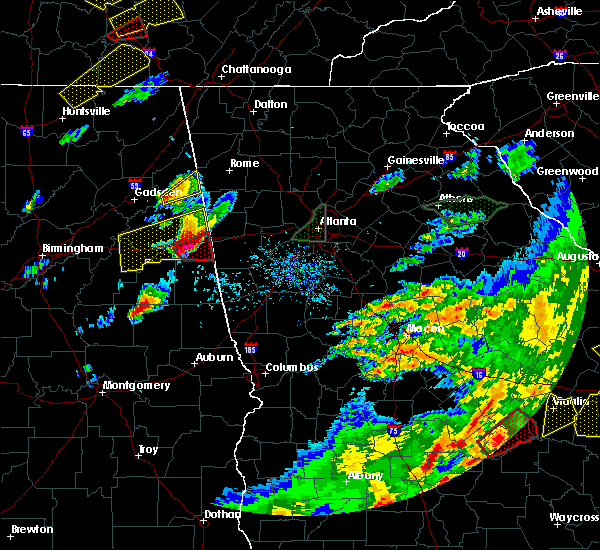 At 430 pm cdt, a severe thunderstorm capable of producing a tornado was located near heflin, moving east at 55 mph (radar indicated rotation). Hazards include tornado and golf ball size hail. Flying debris will be dangerous to those caught without shelter. mobile homes will be damaged or destroyed. damage to roofs, windows, and vehicles will occur. tree damage is likely. Locations impacted include, heflin, ranburne, abernathy, trickem, lake cleburne and i 20 welcome center. At 430 pm cdt, a severe thunderstorm capable of producing a tornado was located near heflin, moving east at 55 mph (radar indicated rotation). Hazards include tornado and golf ball size hail. Flying debris will be dangerous to those caught without shelter. mobile homes will be damaged or destroyed. damage to roofs, windows, and vehicles will occur. tree damage is likely. Locations impacted include, heflin, ranburne, abernathy, trickem, lake cleburne and i 20 welcome center.
|
| 4/5/2017 4:22 PM CDT |
 At 422 pm cdt, a severe thunderstorm capable of producing a tornado was located near heflin, moving east at 55 mph (radar indicated rotation). Hazards include tornado. Flying debris will be dangerous to those caught without shelter. mobile homes will be damaged or destroyed. damage to roofs, windows, and vehicles will occur. tree damage is likely. Locations impacted include, heflin, ranburne, abernathy, trickem, lake cleburne, hollis crossroads, i 20 welcome center, micaville, chalafinnee and camp sequoyah. At 422 pm cdt, a severe thunderstorm capable of producing a tornado was located near heflin, moving east at 55 mph (radar indicated rotation). Hazards include tornado. Flying debris will be dangerous to those caught without shelter. mobile homes will be damaged or destroyed. damage to roofs, windows, and vehicles will occur. tree damage is likely. Locations impacted include, heflin, ranburne, abernathy, trickem, lake cleburne, hollis crossroads, i 20 welcome center, micaville, chalafinnee and camp sequoyah.
|
| 4/5/2017 4:08 PM CDT |
 At 408 pm cdt, a severe thunderstorm capable of producing a tornado was located over mount cheaha, or near oxford, moving east at 55 mph (radar indicated rotation). Hazards include tornado. Flying debris will be dangerous to those caught without shelter. mobile homes will be damaged or destroyed. damage to roofs, windows, and vehicles will occur. Tree damage is likely. At 408 pm cdt, a severe thunderstorm capable of producing a tornado was located over mount cheaha, or near oxford, moving east at 55 mph (radar indicated rotation). Hazards include tornado. Flying debris will be dangerous to those caught without shelter. mobile homes will be damaged or destroyed. damage to roofs, windows, and vehicles will occur. Tree damage is likely.
|
| 4/5/2017 3:48 PM CDT |
 At 348 pm cdt, a severe thunderstorm was located over talladega municipal airport, or 8 miles northeast of talladega, moving east at 35 mph (radar indicated). Hazards include two inch hail and 60 mph wind gusts. People and animals outdoors will be injured. expect hail damage to roofs, siding, windows, and vehicles. Expect wind damage to roofs, siding, and trees. At 348 pm cdt, a severe thunderstorm was located over talladega municipal airport, or 8 miles northeast of talladega, moving east at 35 mph (radar indicated). Hazards include two inch hail and 60 mph wind gusts. People and animals outdoors will be injured. expect hail damage to roofs, siding, windows, and vehicles. Expect wind damage to roofs, siding, and trees.
|
| 4/5/2017 5:49 AM CDT |
 At 549 am cdt, a severe thunderstorm was located 7 miles northwest of edwardsville, or 8 miles north of heflin, moving northeast at 55 mph (radar indicated). Hazards include 60 mph wind gusts and half dollar size hail. Hail damage to vehicles is expected. expect wind damage to roofs, siding, and trees. Locations impacted include, anniston, oxford, jacksonville, piedmont, heflin, weaver, fruithurst, edwardsville, mars hills, jacksonville state university, sweetwater lake, coleman lake and campground, choccolocco, dearmanville, liberty hill, chalafinnee, oak level, borden springs and camp sequoyah. At 549 am cdt, a severe thunderstorm was located 7 miles northwest of edwardsville, or 8 miles north of heflin, moving northeast at 55 mph (radar indicated). Hazards include 60 mph wind gusts and half dollar size hail. Hail damage to vehicles is expected. expect wind damage to roofs, siding, and trees. Locations impacted include, anniston, oxford, jacksonville, piedmont, heflin, weaver, fruithurst, edwardsville, mars hills, jacksonville state university, sweetwater lake, coleman lake and campground, choccolocco, dearmanville, liberty hill, chalafinnee, oak level, borden springs and camp sequoyah.
|
| 4/5/2017 5:37 AM CDT |
 At 537 am cdt, a severe thunderstorm was located near anniston, moving northeast at 55 mph (radar indicated). Hazards include golf ball size hail and 60 mph wind gusts. People and animals outdoors will be injured. expect hail damage to roofs, siding, windows, and vehicles. expect wind damage to roofs, siding, and trees. Locations impacted include, anniston, oxford, jacksonville, piedmont, heflin, cobb town, west end-cobb town, fort mcclellan, saks, weaver, hobson city, fruithurst, edwardsville, blue mountain, jacksonville state university, oxford lake, mars hills, coleman lake and campground, choccolocco and liberty hill. At 537 am cdt, a severe thunderstorm was located near anniston, moving northeast at 55 mph (radar indicated). Hazards include golf ball size hail and 60 mph wind gusts. People and animals outdoors will be injured. expect hail damage to roofs, siding, windows, and vehicles. expect wind damage to roofs, siding, and trees. Locations impacted include, anniston, oxford, jacksonville, piedmont, heflin, cobb town, west end-cobb town, fort mcclellan, saks, weaver, hobson city, fruithurst, edwardsville, blue mountain, jacksonville state university, oxford lake, mars hills, coleman lake and campground, choccolocco and liberty hill.
|
| 4/5/2017 5:27 AM CDT |
 At 527 am cdt, a severe thunderstorm was located over anniston regional airport, or over oxford, moving northeast at 55 mph (radar indicated). Hazards include golf ball size hail and 60 mph wind gusts. People and animals outdoors will be injured. expect hail damage to roofs, siding, windows, and vehicles. expect wind damage to roofs, siding, and trees. Locations impacted include, anniston, oxford, jacksonville, piedmont, heflin, cobb town, west end-cobb town, fort mcclellan, saks, weaver, munford, hobson city, fruithurst, edwardsville, anniston regional airport, blue mountain, jacksonville state university, grant town, oxford lake and mars hills. At 527 am cdt, a severe thunderstorm was located over anniston regional airport, or over oxford, moving northeast at 55 mph (radar indicated). Hazards include golf ball size hail and 60 mph wind gusts. People and animals outdoors will be injured. expect hail damage to roofs, siding, windows, and vehicles. expect wind damage to roofs, siding, and trees. Locations impacted include, anniston, oxford, jacksonville, piedmont, heflin, cobb town, west end-cobb town, fort mcclellan, saks, weaver, munford, hobson city, fruithurst, edwardsville, anniston regional airport, blue mountain, jacksonville state university, grant town, oxford lake and mars hills.
|
| 4/5/2017 5:22 AM CDT |
 At 522 am cdt, a severe thunderstorm was located near grant town, or 7 miles southwest of oxford, moving northeast at 50 mph (radar indicated). Hazards include 60 mph wind gusts and half dollar size hail. Hail damage to vehicles is expected. Expect wind damage to roofs, siding, and trees. At 522 am cdt, a severe thunderstorm was located near grant town, or 7 miles southwest of oxford, moving northeast at 50 mph (radar indicated). Hazards include 60 mph wind gusts and half dollar size hail. Hail damage to vehicles is expected. Expect wind damage to roofs, siding, and trees.
|
| 7/21/2016 8:42 PM CDT |
 At 841 pm cdt, severe thunderstorms were located along a line extending from near anniston to near delta, moving south southwest at 10 mph (radar indicated). Hazards include 60 mph wind gusts and penny size hail. Expect damage to roofs. siding. and trees. Locations impacted include, anniston, oxford, heflin, lineville, oxford lake, barfield, delta, fosters cross roads, mount cheaha, chalafinnee, choccolocco, dearmanville, hollis crossroads and camp sequoyah. At 841 pm cdt, severe thunderstorms were located along a line extending from near anniston to near delta, moving south southwest at 10 mph (radar indicated). Hazards include 60 mph wind gusts and penny size hail. Expect damage to roofs. siding. and trees. Locations impacted include, anniston, oxford, heflin, lineville, oxford lake, barfield, delta, fosters cross roads, mount cheaha, chalafinnee, choccolocco, dearmanville, hollis crossroads and camp sequoyah.
|
| 7/21/2016 8:29 PM CDT |
 At 828 pm cdt, severe thunderstorms were located along a line extending from near heflin to near delta, moving west at 10 mph (radar indicated). Hazards include 60 mph wind gusts and penny size hail. Expect damage to roofs. siding. And trees. At 828 pm cdt, severe thunderstorms were located along a line extending from near heflin to near delta, moving west at 10 mph (radar indicated). Hazards include 60 mph wind gusts and penny size hail. Expect damage to roofs. siding. And trees.
|
| 7/21/2016 8:24 PM CDT |
 At 824 pm cdt, severe thunderstorms were located along a line extending from near heflin to near delta, moving southwest at 10 mph (radar indicated). Hazards include 60 mph wind gusts. Expect damage to roofs. siding. and trees. Locations impacted include, anniston, oxford, heflin, delta, hollis crossroads, camp sequoyah, chalafinnee, dearmanville and micaville. At 824 pm cdt, severe thunderstorms were located along a line extending from near heflin to near delta, moving southwest at 10 mph (radar indicated). Hazards include 60 mph wind gusts. Expect damage to roofs. siding. and trees. Locations impacted include, anniston, oxford, heflin, delta, hollis crossroads, camp sequoyah, chalafinnee, dearmanville and micaville.
|
| 7/21/2016 8:06 PM CDT |
 At 806 pm cdt, severe thunderstorms were located along a line extending from near heflin to near delta, moving southwest at 10 mph (radar indicated). Hazards include 60 mph wind gusts. Expect damage to roofs. siding. And trees. At 806 pm cdt, severe thunderstorms were located along a line extending from near heflin to near delta, moving southwest at 10 mph (radar indicated). Hazards include 60 mph wind gusts. Expect damage to roofs. siding. And trees.
|
| 6/17/2016 4:21 PM CDT |
 At 421 pm cdt, severe thunderstorms were located along a line extending from near parkdale to near barfield to red level, moving south at 25 mph (radar indicated). Hazards include 60 mph wind gusts. Expect damage to roofs. siding. And trees. At 421 pm cdt, severe thunderstorms were located along a line extending from near parkdale to near barfield to red level, moving south at 25 mph (radar indicated). Hazards include 60 mph wind gusts. Expect damage to roofs. siding. And trees.
|
| 6/17/2016 3:46 PM CDT |
 At 346 pm cdt, severe thunderstorms were located along a line extending from near westover to near grant town to near ephesus, moving southeast at 25 mph (radar indicated). Hazards include 60 mph wind gusts. Expect damage to roofs. siding. and trees. Locations impacted include, oxford, talladega, sylacauga, roanoke, childersburg, lineville, ashland, wedowee, talladega springs, lake wedowee, vincent, harpersville, munford, wadley, waldo, woodland, morrison cross roads, sycamore, alpine bay resort and alpine. At 346 pm cdt, severe thunderstorms were located along a line extending from near westover to near grant town to near ephesus, moving southeast at 25 mph (radar indicated). Hazards include 60 mph wind gusts. Expect damage to roofs. siding. and trees. Locations impacted include, oxford, talladega, sylacauga, roanoke, childersburg, lineville, ashland, wedowee, talladega springs, lake wedowee, vincent, harpersville, munford, wadley, waldo, woodland, morrison cross roads, sycamore, alpine bay resort and alpine.
|
| 6/17/2016 3:37 PM CDT |
 At 337 pm cdt, severe thunderstorms were located along a line extending from logan martin dam to near grant town to near ephesus, moving southeast at 30 mph (radar indicated). Hazards include 60 mph wind gusts. Expect damage to roofs. siding. and trees. Locations impacted include, oxford, talladega, sylacauga, pell city, roanoke, childersburg, lineville, ashland, wedowee, talladega springs, lake wedowee, lincoln, vincent, harpersville, munford, wadley, waldo, woodland, morrison cross roads and talladega superspeedway. At 337 pm cdt, severe thunderstorms were located along a line extending from logan martin dam to near grant town to near ephesus, moving southeast at 30 mph (radar indicated). Hazards include 60 mph wind gusts. Expect damage to roofs. siding. and trees. Locations impacted include, oxford, talladega, sylacauga, pell city, roanoke, childersburg, lineville, ashland, wedowee, talladega springs, lake wedowee, lincoln, vincent, harpersville, munford, wadley, waldo, woodland, morrison cross roads and talladega superspeedway.
|
| 6/17/2016 3:25 PM CDT |
 At 325 pm cdt, severe thunderstorms were located along a line extending from near moody to grant town to ephesus, moving south at 30 mph (radar indicated). Hazards include 60 mph wind gusts. Expect damage to roofs. siding. and trees. Locations impacted include, anniston, oxford, talladega, sylacauga, pell city, leeds, moody, roanoke, childersburg, odenville, lineville, ashland, wedowee, talladega springs, west end-cobb town, cobb town, lake wedowee, lincoln, margaret and argo. At 325 pm cdt, severe thunderstorms were located along a line extending from near moody to grant town to ephesus, moving south at 30 mph (radar indicated). Hazards include 60 mph wind gusts. Expect damage to roofs. siding. and trees. Locations impacted include, anniston, oxford, talladega, sylacauga, pell city, leeds, moody, roanoke, childersburg, odenville, lineville, ashland, wedowee, talladega springs, west end-cobb town, cobb town, lake wedowee, lincoln, margaret and argo.
|
| 6/17/2016 3:06 PM CDT |
 At 305 pm cdt, severe thunderstorms were located along a line extending from near ball flat to mars hills, moving south at 15 mph (radar indicated). Hazards include 60 mph wind gusts and quarter size hail. Hail damage to vehicles is expected. expect wind damage to roofs, siding, and trees. Locations impacted include, piedmont, heflin, ranburne, fruithurst, edwardsville, mars hills, muscadine, pleasant gap, abernathy, sweetwater lake, chalafinnee, oak level, i 20 welcome center, coleman lake and campground, spring garden, lake cleburne, borden springs, hollis crossroads, camp sequoyah and trickem. At 305 pm cdt, severe thunderstorms were located along a line extending from near ball flat to mars hills, moving south at 15 mph (radar indicated). Hazards include 60 mph wind gusts and quarter size hail. Hail damage to vehicles is expected. expect wind damage to roofs, siding, and trees. Locations impacted include, piedmont, heflin, ranburne, fruithurst, edwardsville, mars hills, muscadine, pleasant gap, abernathy, sweetwater lake, chalafinnee, oak level, i 20 welcome center, coleman lake and campground, spring garden, lake cleburne, borden springs, hollis crossroads, camp sequoyah and trickem.
|
| 6/17/2016 2:59 PM CDT |
 At 259 pm cdt, severe thunderstorms were located along a line extending from near dallas to near bowdon, moving south at 35 mph (radar indicated). Hazards include 70 mph wind gusts and quarter size hail. Hail damage to vehicles is expected. expect considerable tree damage. Wind damage is also likely to mobile homes, roofs, and outbuildings. At 259 pm cdt, severe thunderstorms were located along a line extending from near dallas to near bowdon, moving south at 35 mph (radar indicated). Hazards include 70 mph wind gusts and quarter size hail. Hail damage to vehicles is expected. expect considerable tree damage. Wind damage is also likely to mobile homes, roofs, and outbuildings.
|
| 6/17/2016 2:40 PM CDT |
 At 240 pm cdt, severe thunderstorms were located along a line extending from near tennala to near mars hills, moving south at 20 mph (radar indicated). Hazards include 60 mph wind gusts and quarter size hail. Hail damage to vehicles is expected. expect wind damage to roofs, siding, and trees. Locations impacted include, piedmont, centre, heflin, ranburne, fruithurst, edwardsville, tennala, mars hills, muscadine, pleasant gap, abernathy, moshat, eastern weiss lake, i 20 welcome center, coloma, hollis crossroads, sweetwater lake, chalafinnee, oak level and coleman lake and campground. At 240 pm cdt, severe thunderstorms were located along a line extending from near tennala to near mars hills, moving south at 20 mph (radar indicated). Hazards include 60 mph wind gusts and quarter size hail. Hail damage to vehicles is expected. expect wind damage to roofs, siding, and trees. Locations impacted include, piedmont, centre, heflin, ranburne, fruithurst, edwardsville, tennala, mars hills, muscadine, pleasant gap, abernathy, moshat, eastern weiss lake, i 20 welcome center, coloma, hollis crossroads, sweetwater lake, chalafinnee, oak level and coleman lake and campground.
|
| 6/17/2016 2:26 PM CDT |
 At 226 pm cdt, severe thunderstorms were located along a line extending from tennala to near mars hills, moving south at 25 mph (radar indicated). Hazards include 60 mph wind gusts and quarter size hail. Hail damage to vehicles is expected. Expect wind damage to roofs, siding, and trees. At 226 pm cdt, severe thunderstorms were located along a line extending from tennala to near mars hills, moving south at 25 mph (radar indicated). Hazards include 60 mph wind gusts and quarter size hail. Hail damage to vehicles is expected. Expect wind damage to roofs, siding, and trees.
|
| 8/10/2015 6:59 PM CDT |
 At 659 pm cdt, severe thunderstorms were located along a line extending from near ranburne to morrison cross roads to fosters cross roads to near delta, moving southeast at 30 mph (radar indicated). Hazards include 60 mph wind gusts. Expect damage to roofs. siding and trees. Locations impacted include, roanoke, heflin, wedowee, lake wedowee, ranburne, woodland, morrison cross roads, delta, crystal lake, fosters cross roads, barfield, abernathy, corinth, napoleon, hollis crossroads, rock stand, newell, tennant, rock mills and chalafinnee. At 659 pm cdt, severe thunderstorms were located along a line extending from near ranburne to morrison cross roads to fosters cross roads to near delta, moving southeast at 30 mph (radar indicated). Hazards include 60 mph wind gusts. Expect damage to roofs. siding and trees. Locations impacted include, roanoke, heflin, wedowee, lake wedowee, ranburne, woodland, morrison cross roads, delta, crystal lake, fosters cross roads, barfield, abernathy, corinth, napoleon, hollis crossroads, rock stand, newell, tennant, rock mills and chalafinnee.
|
| 8/10/2015 6:47 PM CDT |
 At 646 pm cdt, severe thunderstorms were located along a line extending from near edwardsville to near fosters cross roads to near delta to near mount cheaha, moving southeast at 35 mph (radar indicated). Hazards include 60 mph wind gusts. Expect damage to roofs. siding and trees. Locations impacted include, roanoke, heflin, wedowee, lake wedowee, ranburne, edwardsville, woodland, morrison cross roads, delta, crystal lake, fosters cross roads, barfield, abernathy, mount cheaha, corinth, napoleon, hollis crossroads, rock stand, newell and sweetwater lake. At 646 pm cdt, severe thunderstorms were located along a line extending from near edwardsville to near fosters cross roads to near delta to near mount cheaha, moving southeast at 35 mph (radar indicated). Hazards include 60 mph wind gusts. Expect damage to roofs. siding and trees. Locations impacted include, roanoke, heflin, wedowee, lake wedowee, ranburne, edwardsville, woodland, morrison cross roads, delta, crystal lake, fosters cross roads, barfield, abernathy, mount cheaha, corinth, napoleon, hollis crossroads, rock stand, newell and sweetwater lake.
|
| 8/10/2015 6:30 PM CDT |
 At 629 pm cdt, severe thunderstorms were located along a line extending from near heflin to 7 miles east of oxford lake to near oxford to anniston regional airport, moving southeast at 35 mph (radar indicated). Hazards include 60 mph wind gusts. Expect damage to roofs. Siding and trees. At 629 pm cdt, severe thunderstorms were located along a line extending from near heflin to 7 miles east of oxford lake to near oxford to anniston regional airport, moving southeast at 35 mph (radar indicated). Hazards include 60 mph wind gusts. Expect damage to roofs. Siding and trees.
|
| 7/28/2015 5:30 PM CDT |
 At 529 pm cdt, a severe thunderstorm was located over oxford lake, or over oxford, moving south at 15 mph (radar indicated). Hazards include 60 mph wind gusts. Expect damage to roofs. siding and trees. Locations impacted include, anniston, oxford, cobb town, west end-cobb town, munford, hobson city, oxford lake, anniston regional airport, mount cheaha, chalafinnee, choccolocco, dearmanville, camp mac, hollis crossroads and camp sequoyah. At 529 pm cdt, a severe thunderstorm was located over oxford lake, or over oxford, moving south at 15 mph (radar indicated). Hazards include 60 mph wind gusts. Expect damage to roofs. siding and trees. Locations impacted include, anniston, oxford, cobb town, west end-cobb town, munford, hobson city, oxford lake, anniston regional airport, mount cheaha, chalafinnee, choccolocco, dearmanville, camp mac, hollis crossroads and camp sequoyah.
|
| 7/28/2015 5:15 PM CDT |
 At 515 pm cdt, a severe thunderstorm was located over blue mountain, or over anniston, moving south at 15 mph (radar indicated). Hazards include 60 mph wind gusts. Expect damage to roofs. Siding and trees. At 515 pm cdt, a severe thunderstorm was located over blue mountain, or over anniston, moving south at 15 mph (radar indicated). Hazards include 60 mph wind gusts. Expect damage to roofs. Siding and trees.
|
| 7/14/2015 8:45 PM CDT |
 At 845 pm cdt, severe thunderstorms were located along a line extending from near cedartown to near jacksonville to anniston regional airport, moving southeast at 40 mph (radar indicated). Hazards include 60 mph wind gusts. Expect damage to roofs. Siding and trees. At 845 pm cdt, severe thunderstorms were located along a line extending from near cedartown to near jacksonville to anniston regional airport, moving southeast at 40 mph (radar indicated). Hazards include 60 mph wind gusts. Expect damage to roofs. Siding and trees.
|
| 6/24/2015 7:58 PM CDT |
 At 757 pm cdt, a severe thunderstorm was located near delta, or 9 miles southeast of oxford, moving southwest at 40 mph (radar indicated). Hazards include 60 mph wind gusts and quarter size hail. Hail damage to vehicles is expected. Expect wind damage to roofs, siding and trees. At 757 pm cdt, a severe thunderstorm was located near delta, or 9 miles southeast of oxford, moving southwest at 40 mph (radar indicated). Hazards include 60 mph wind gusts and quarter size hail. Hail damage to vehicles is expected. Expect wind damage to roofs, siding and trees.
|
| 6/24/2015 7:36 PM CDT |
 At 735 pm cdt, a severe thunderstorm was located 7 miles west of ranburne, or 10 miles southeast of heflin, moving south at 15 mph (radar indicated). Hazards include 60 mph wind gusts and quarter size hail. Hail damage to vehicles is expected. expect wind damage to roofs, siding and trees. Locations impacted include, heflin, ranburne, abernathy, hollis crossroads, trickem, chalafinnee, i 20 welcome center, lake cleburne and micaville. At 735 pm cdt, a severe thunderstorm was located 7 miles west of ranburne, or 10 miles southeast of heflin, moving south at 15 mph (radar indicated). Hazards include 60 mph wind gusts and quarter size hail. Hail damage to vehicles is expected. expect wind damage to roofs, siding and trees. Locations impacted include, heflin, ranburne, abernathy, hollis crossroads, trickem, chalafinnee, i 20 welcome center, lake cleburne and micaville.
|
| 6/24/2015 7:14 PM CDT |
 At 713 pm cdt, a severe thunderstorm was located near abernathy, or 7 miles east of heflin, moving south at 15 mph (radar indicated). Hazards include 60 mph wind gusts and quarter size hail. Hail damage to vehicles is expected. Expect wind damage to roofs, siding and trees. At 713 pm cdt, a severe thunderstorm was located near abernathy, or 7 miles east of heflin, moving south at 15 mph (radar indicated). Hazards include 60 mph wind gusts and quarter size hail. Hail damage to vehicles is expected. Expect wind damage to roofs, siding and trees.
|
| 4/19/2015 9:08 AM CDT | At 908 am cdt, severe thunderstorms were located along a line extending from 9 miles west of summerville to near pleasant gap to near delta, moving east at 35 mph (trained weather spotters). Hazards include 60 mph wind gusts. Expect damage to roofs. siding and trees. locations impacted include, anniston, oxford, jacksonville, piedmont, centre, heflin, cedar bluff, forney, little river canyon national preserve, centre municipal airport, ranburne, fruithurst, edwardsville, gaylesville, tennala, blanche, mars hills, muscadine, pleasant gap and eastern weiss lake. a tornado watch remains in effect until 200 pm cdt for east central alabama. 75in. |
| 4/19/2015 8:52 AM CDT | At 852 am cdt, severe thunderstorms were located along a line extending from 9 miles east of ider to near anniston regional airport, moving east at 55 mph (trained weather spotters). Hazards include 60 mph wind gusts. Expect damage to roofs. Siding and trees. |
| 3/31/2015 5:10 PM CDT | The national weather service in birmingham has issued a * severe thunderstorm warning for. randolph county in east central alabama. until 600 pm cdt * at 510 pm cdt. a severe thunderstorm was located over lake wedowee. Moving east at 45 mph. |
| 3/31/2015 5:00 PM CDT | The national weather service in birmingham has issued a * severe thunderstorm warning for. southeastern cleburne county in east central alabama. until 545 pm cdt * at 500 pm cdt. a severe thunderstorm was located near heflin. Moving east at 50 mph. |
| 3/31/2015 4:36 PM CDT | The national weather service in birmingham has issued a * severe thunderstorm warning for. south central calhoun county in east central alabama. southern cleburne county in east central alabama. east central talladega county in east central alabama. Until 500 pm cdt. |
Hail Maps for Hollis Crossroads, AL


Connect with Interactive Hail Maps