

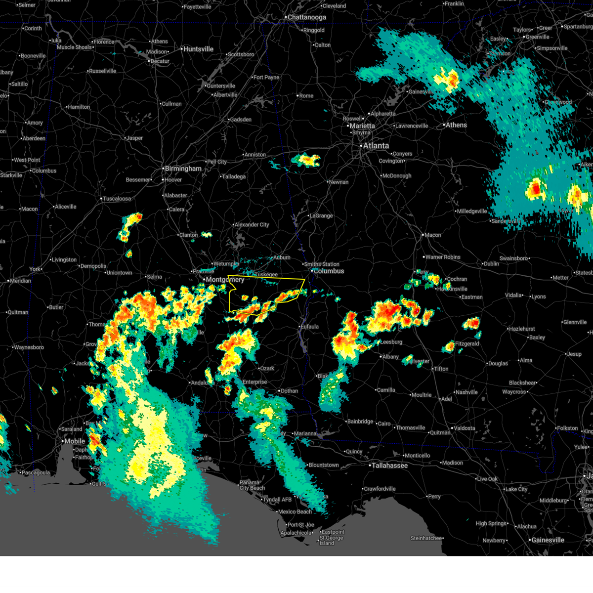
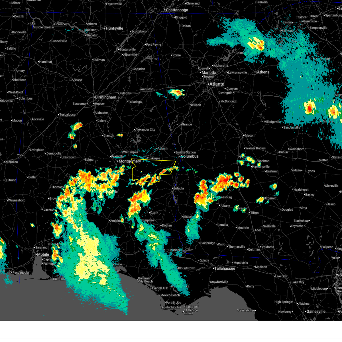
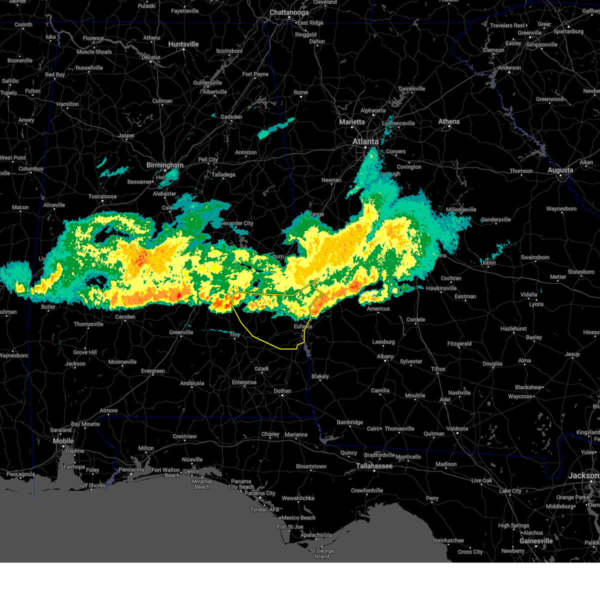
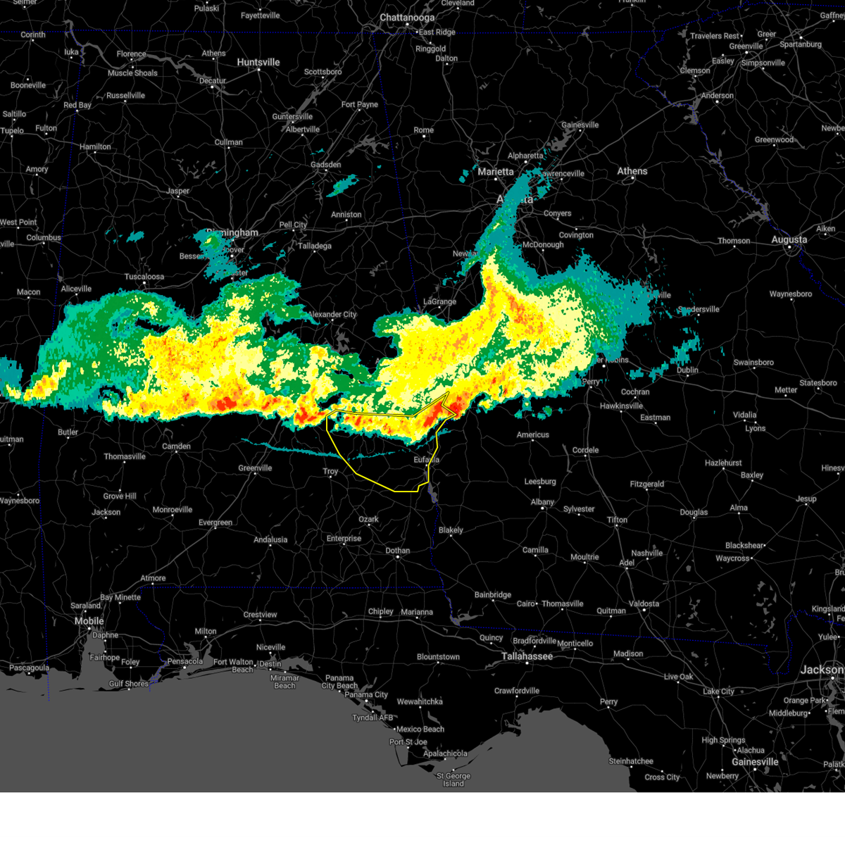
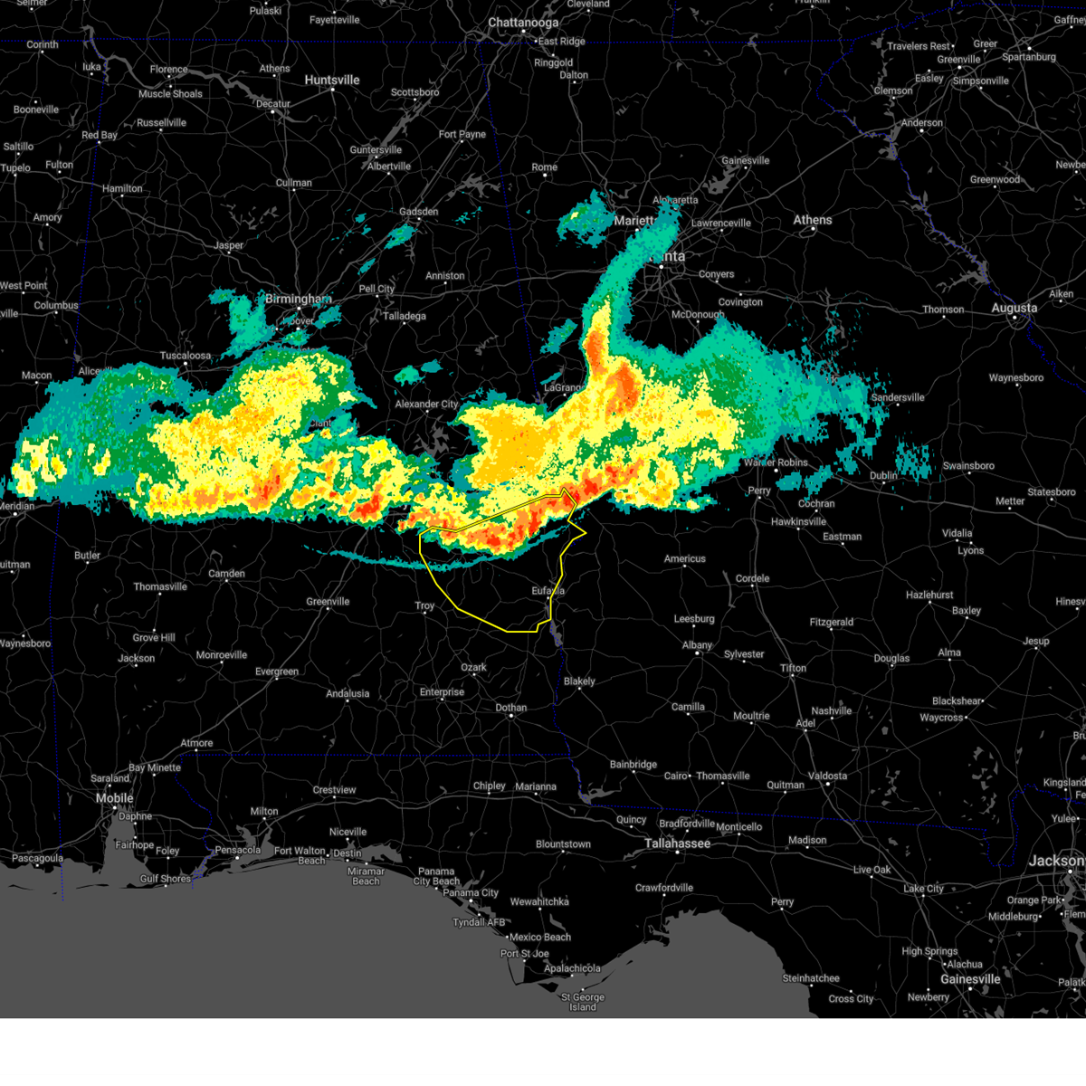
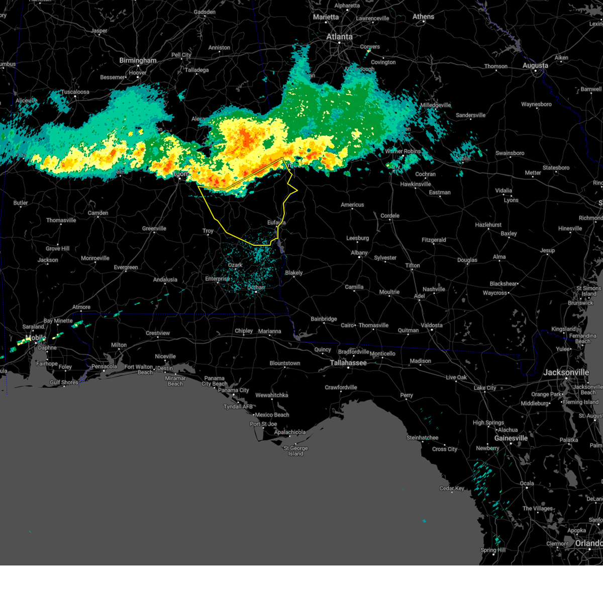
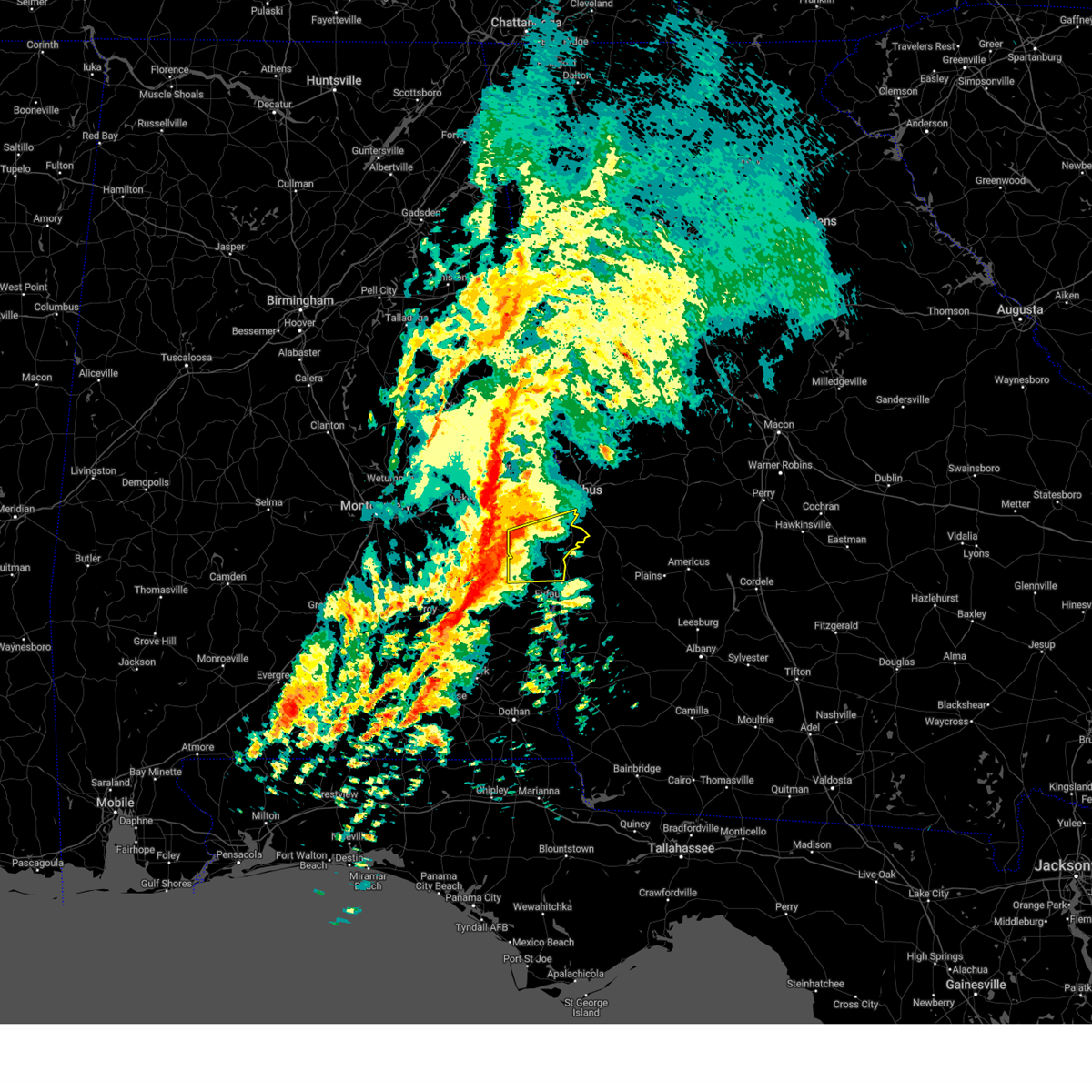
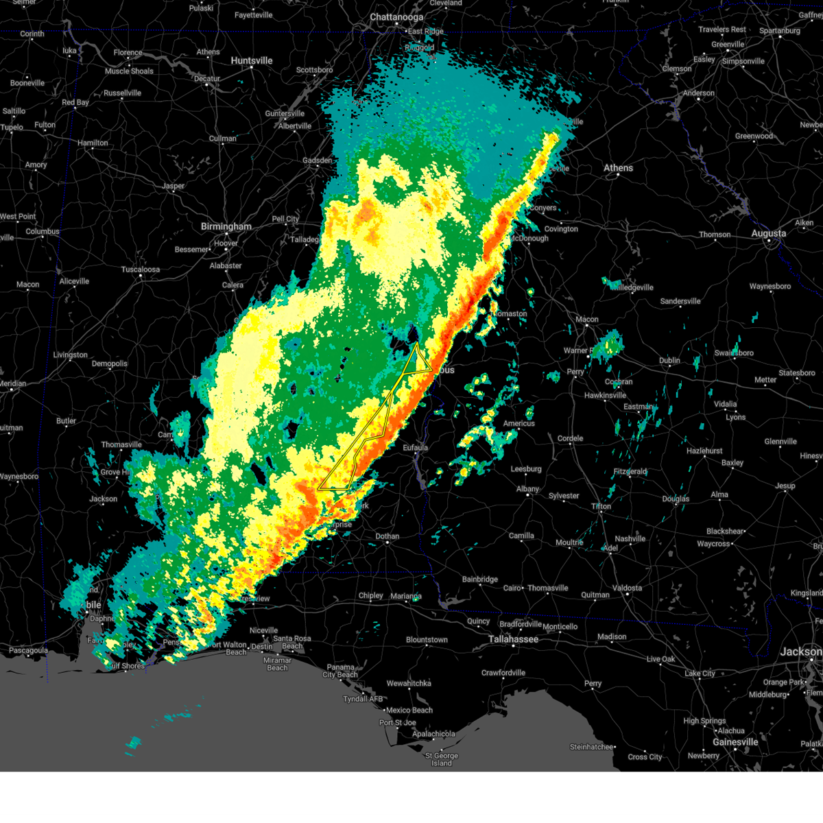
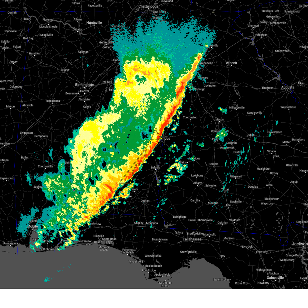
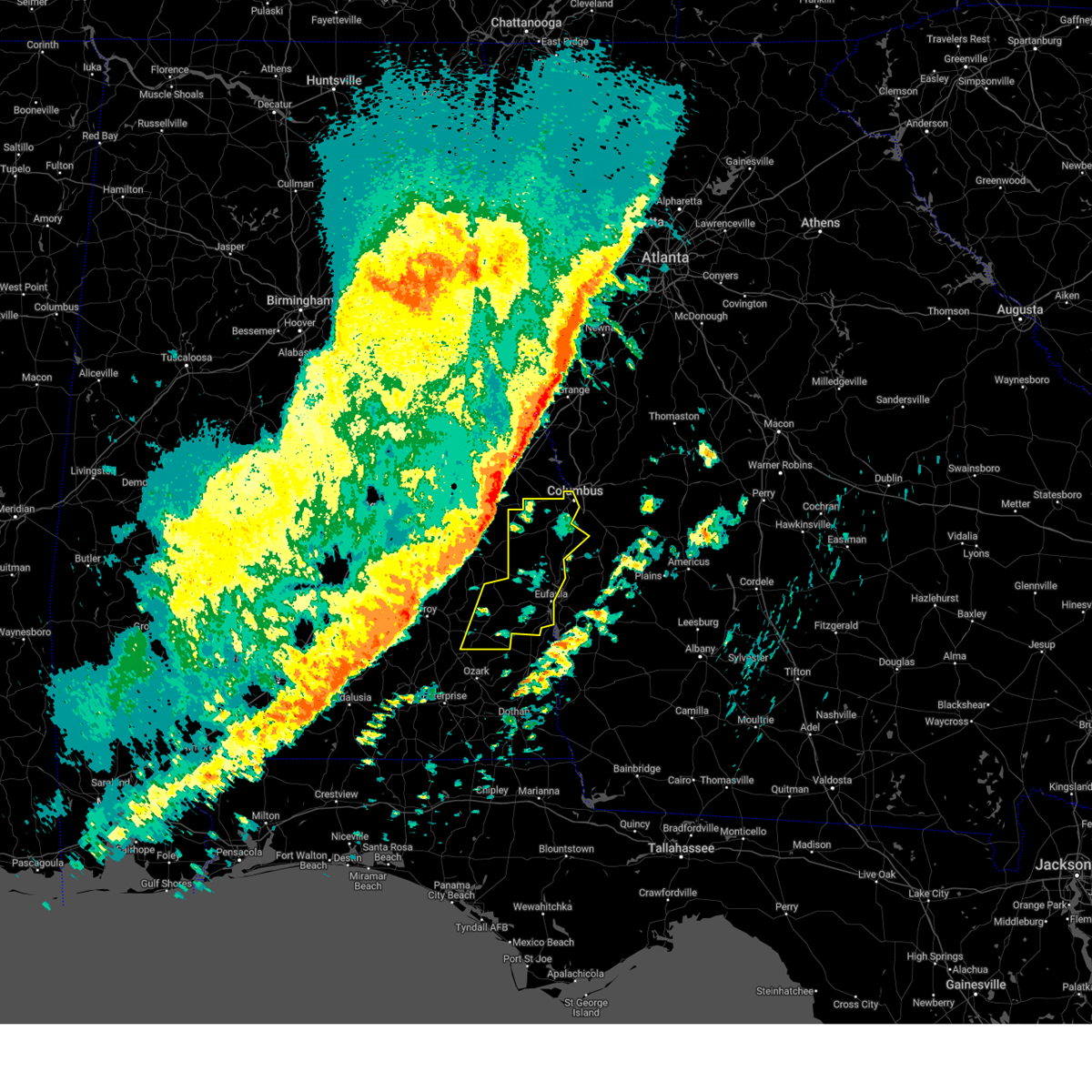
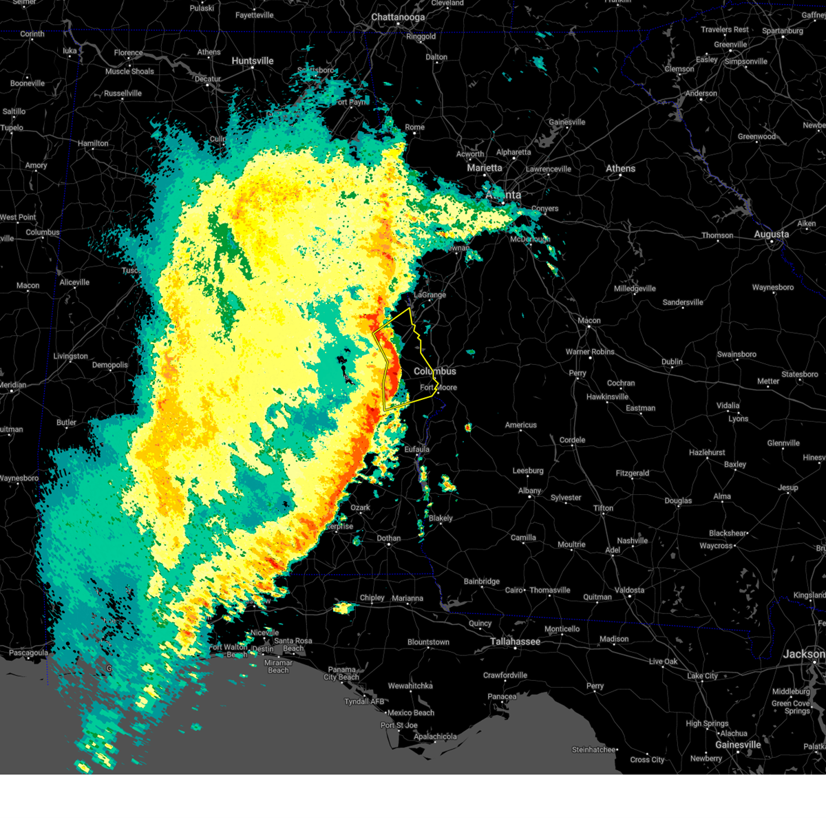
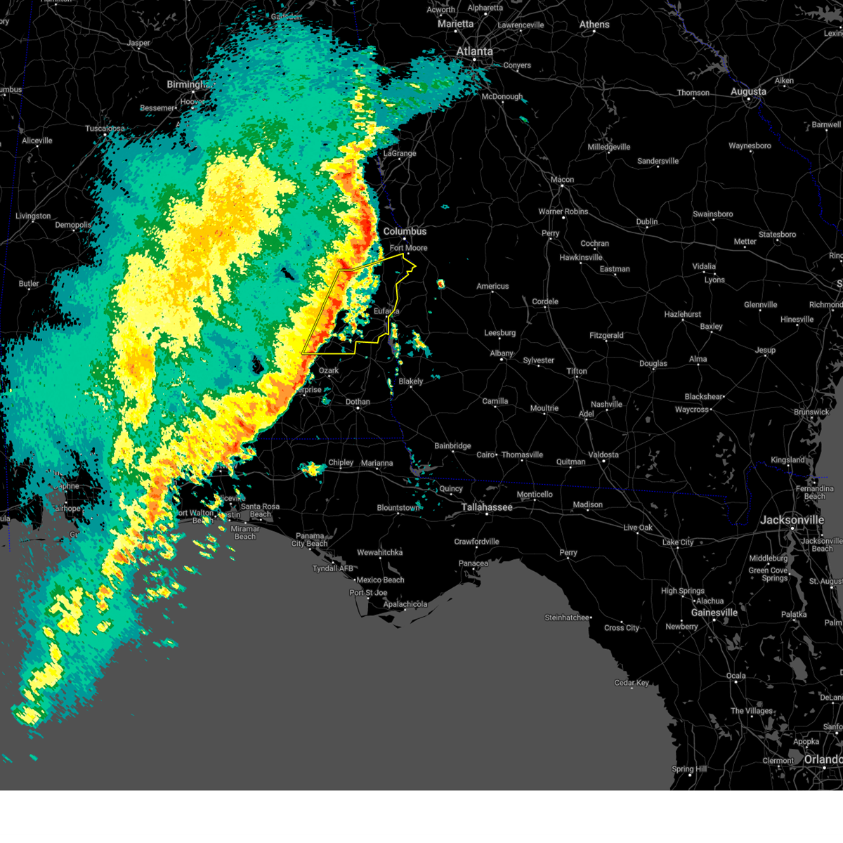
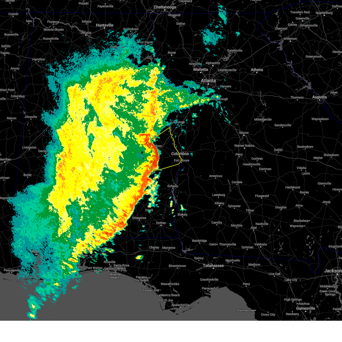
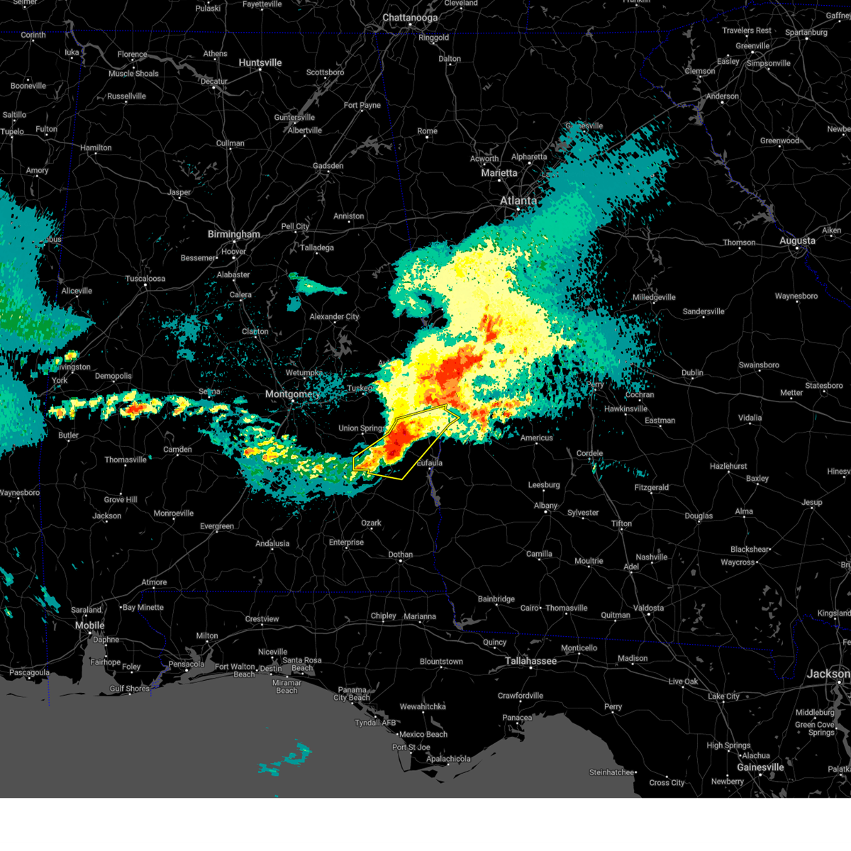
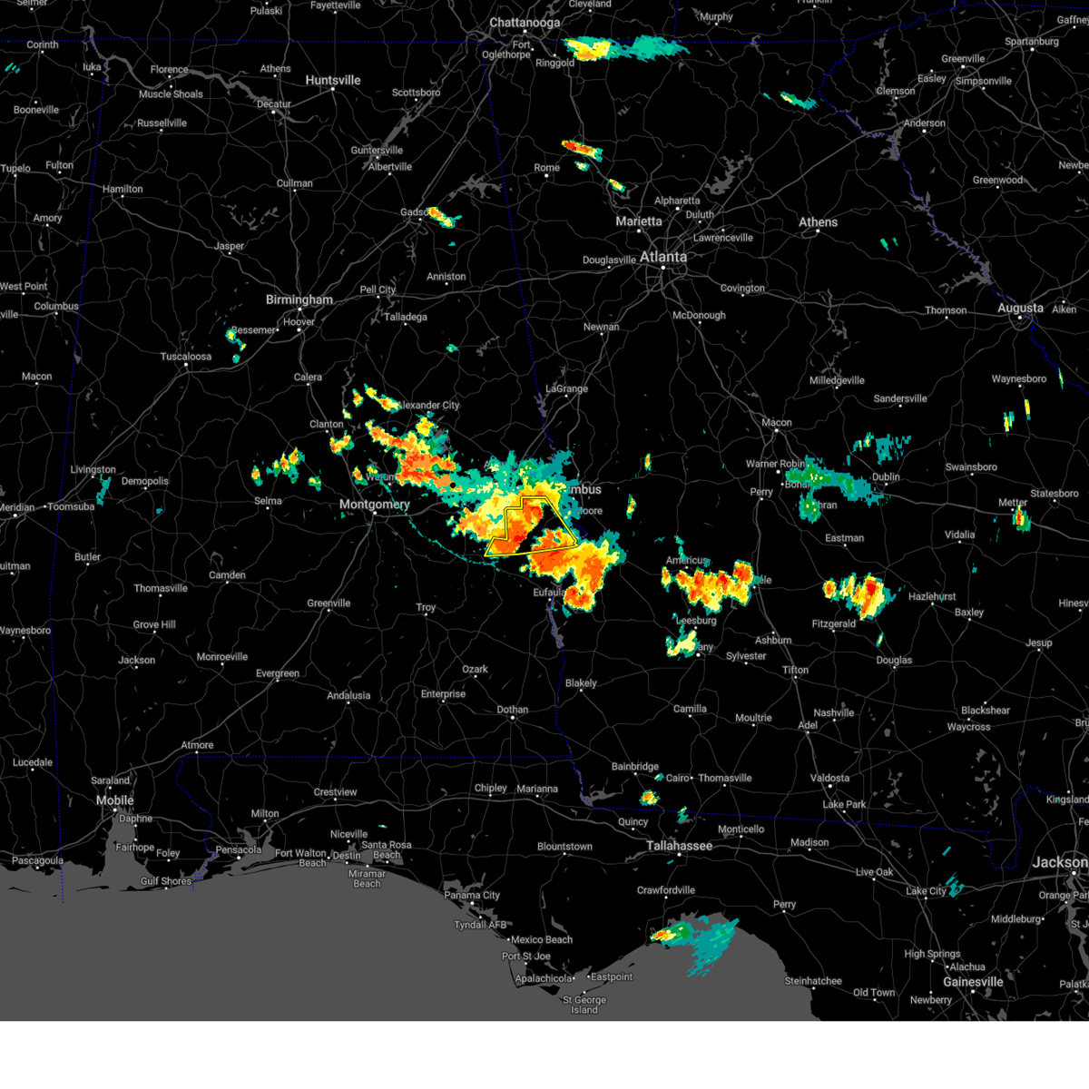
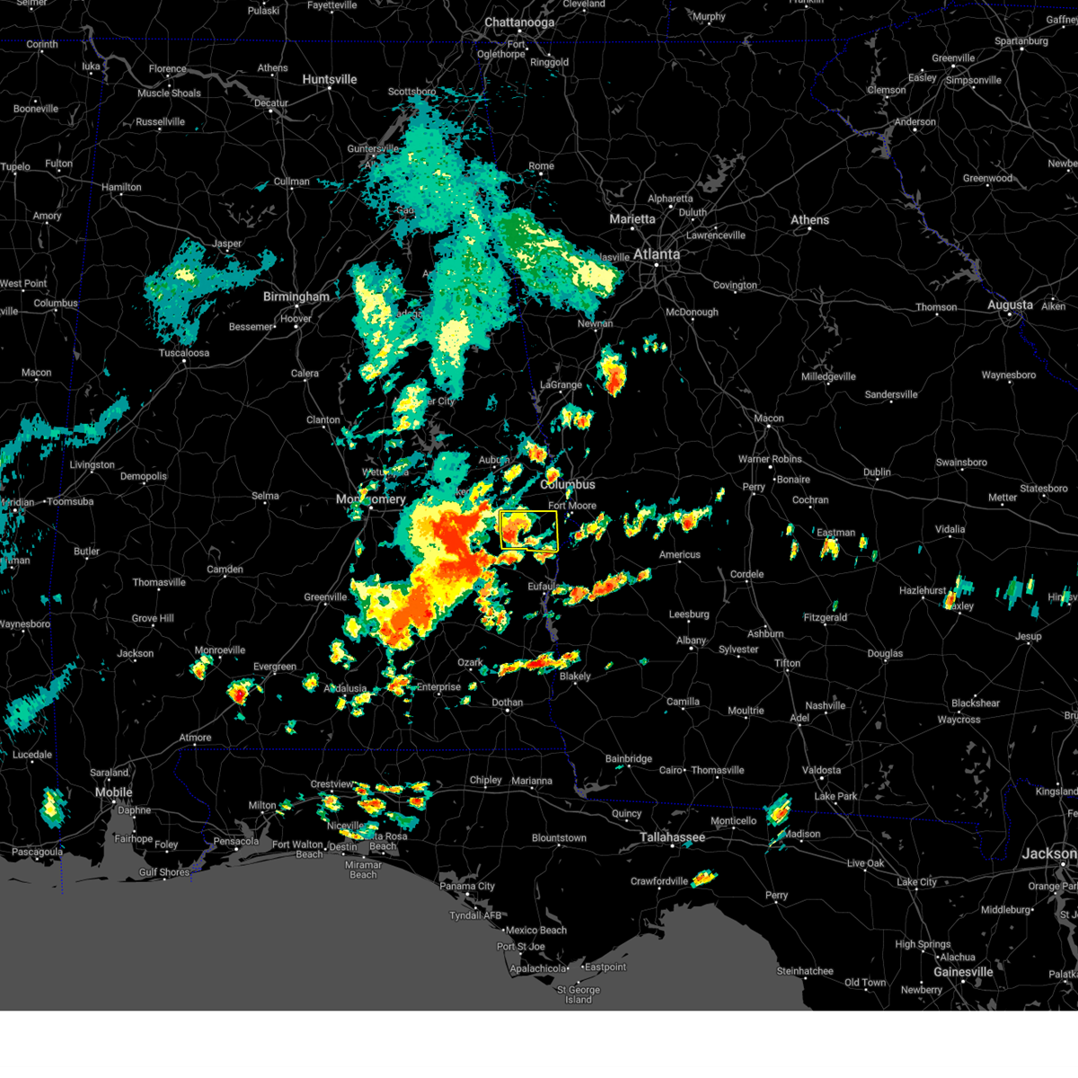
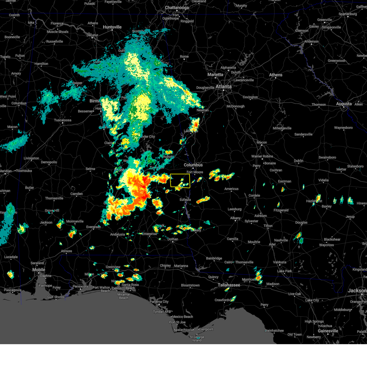
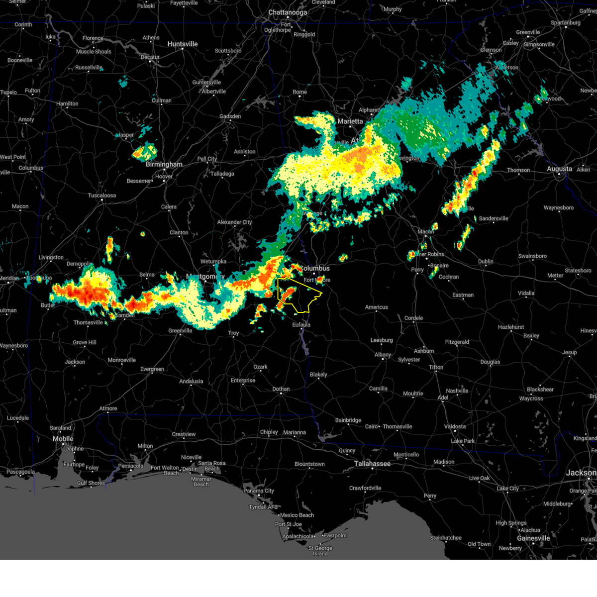
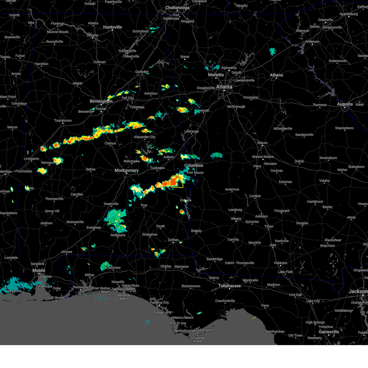
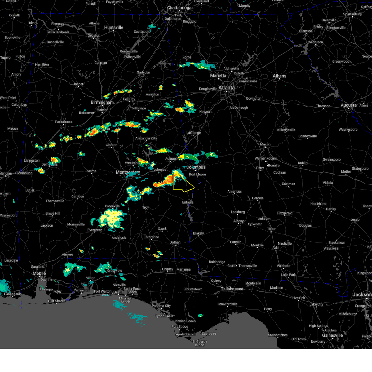
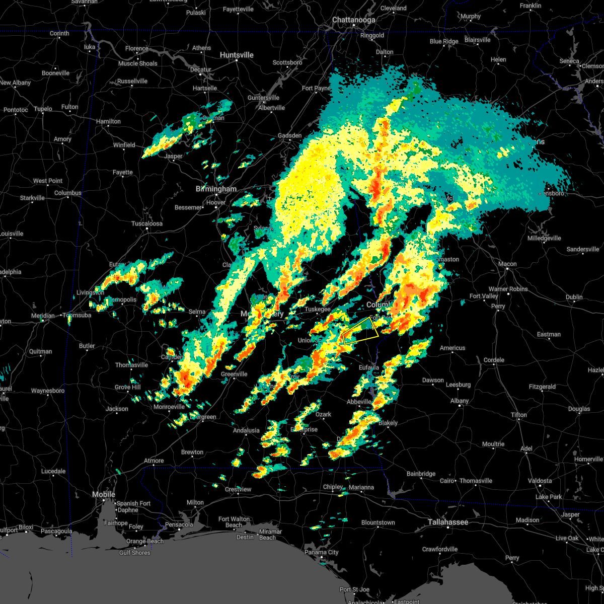
Hail Map for Hurtsboro, AL
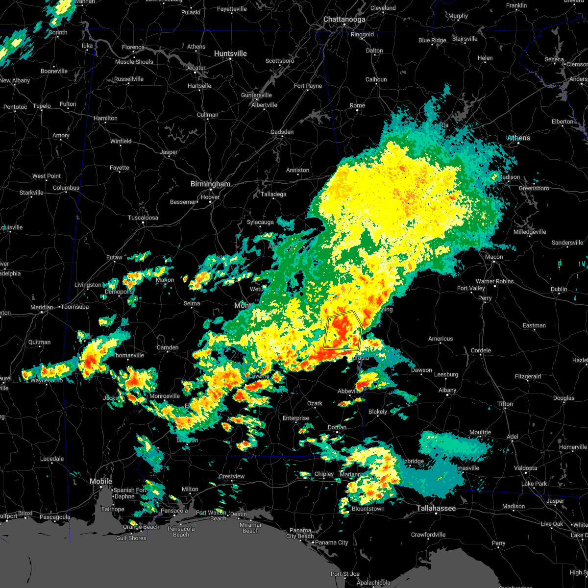
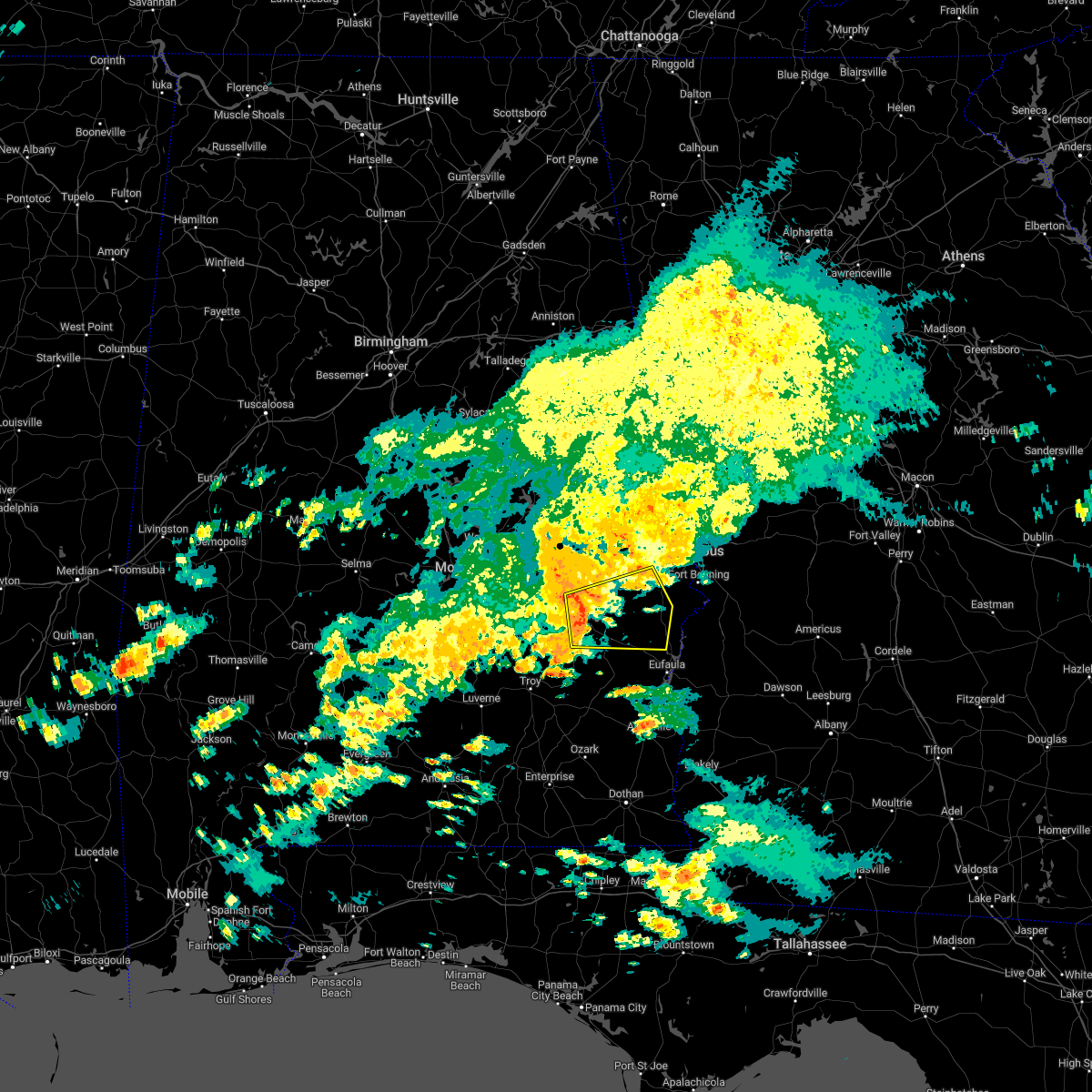
The Hurtsboro, AL area has had 1 report of on-the-ground hail by trained spotters, and has been under severe weather warnings 22 times during the past 12 months. Doppler radar has detected hail at or near Hurtsboro, AL on 43 occasions, including 1 occasion during the past year.
| Name: | Hurtsboro, AL |
| Where Located: | 25.6 miles S of Auburn, AL |
| Map: | Google Map for Hurtsboro, AL |
| Population: | 553 |
| Housing Units: | 316 |
| More Info: | Search Google for Hurtsboro, AL |
0
The Top Recent Hail Date for Hurtsboro, AL is Sunday, August 18, 2024 (43rd out of 43)

Hail and Wind Damage Spotted near Hurtsboro, AL
| Date / Time | Report Details |
|---|---|
| 6/25/2025 9:38 PM CDT |
 At 938 pm cdt, severe thunderstorms were located along a line extending from 7 miles southwest of seale to near beans crossroads, moving northwest at 35 mph (radar indicated). Hazards include 60 mph wind gusts. Expect damage to roofs, siding, and trees. Locations impacted include, tuskegee, union springs, hurtsboro, midway, shorter, aberfoil, uchee, franklin field, guerryton, shopton, davisville, liverpool, russell county sports complex, seale, hardaway, tysonville, victoryland, warriorstand, high ridge, and fort davis. At 938 pm cdt, severe thunderstorms were located along a line extending from 7 miles southwest of seale to near beans crossroads, moving northwest at 35 mph (radar indicated). Hazards include 60 mph wind gusts. Expect damage to roofs, siding, and trees. Locations impacted include, tuskegee, union springs, hurtsboro, midway, shorter, aberfoil, uchee, franklin field, guerryton, shopton, davisville, liverpool, russell county sports complex, seale, hardaway, tysonville, victoryland, warriorstand, high ridge, and fort davis.
|
| 6/25/2025 9:30 PM CDT |
 Svrbmx the national weather service in birmingham has issued a * severe thunderstorm warning for, bullock county in southeastern alabama, southern macon county in southeastern alabama, southwestern russell county in southeastern alabama, * until 1030 pm cdt. * at 930 pm cdt, severe thunderstorms were located along a line extending from near seale to near pickett, moving northwest at 30 mph (radar indicated). Hazards include 60 mph wind gusts. expect damage to roofs, siding, and trees Svrbmx the national weather service in birmingham has issued a * severe thunderstorm warning for, bullock county in southeastern alabama, southern macon county in southeastern alabama, southwestern russell county in southeastern alabama, * until 1030 pm cdt. * at 930 pm cdt, severe thunderstorms were located along a line extending from near seale to near pickett, moving northwest at 30 mph (radar indicated). Hazards include 60 mph wind gusts. expect damage to roofs, siding, and trees
|
| 4/10/2025 11:41 PM CDT |
 the severe thunderstorm warning has been cancelled and is no longer in effect the severe thunderstorm warning has been cancelled and is no longer in effect
|
| 4/10/2025 11:26 PM CDT |
 At 1126 pm cdt, severe thunderstorms were located along a line extending from near cusseta to near spring hill to franklin field, moving southeast at 45 mph (radar indicated). Hazards include 60 mph wind gusts. Expect damage to roofs, siding, and trees. Locations impacted include, pickett, hawkinsville, millers ford, aberfoil, spring hill, high ridge, louisville, hurtsboro, franklin field, perote, josie, beans crossroads, fort davis, twin springs, guerryton, rutherford, shopton, osco, three notch, and mitchell. At 1126 pm cdt, severe thunderstorms were located along a line extending from near cusseta to near spring hill to franklin field, moving southeast at 45 mph (radar indicated). Hazards include 60 mph wind gusts. Expect damage to roofs, siding, and trees. Locations impacted include, pickett, hawkinsville, millers ford, aberfoil, spring hill, high ridge, louisville, hurtsboro, franklin field, perote, josie, beans crossroads, fort davis, twin springs, guerryton, rutherford, shopton, osco, three notch, and mitchell.
|
| 4/10/2025 11:11 PM CDT |
 the severe thunderstorm warning has been cancelled and is no longer in effect the severe thunderstorm warning has been cancelled and is no longer in effect
|
| 4/10/2025 11:11 PM CDT |
 At 1110 pm cdt, severe thunderstorms were located along a line extending from near fort moore/lawson army air fld to near midway to near shopton, moving southeast at 45 mph (radar indicated). Hazards include 60 mph wind gusts. Expect damage to roofs, siding, and trees. Locations impacted include, pickett, warriorstand, millers ford, high ridge, josie, beans crossroads, fort davis, guerryton, rutherford, shopton, three notch, richards crossroads, uchee creek, white oak, midway, mount andrew, gaino, clayton municipal airport, seale, and comer. At 1110 pm cdt, severe thunderstorms were located along a line extending from near fort moore/lawson army air fld to near midway to near shopton, moving southeast at 45 mph (radar indicated). Hazards include 60 mph wind gusts. Expect damage to roofs, siding, and trees. Locations impacted include, pickett, warriorstand, millers ford, high ridge, josie, beans crossroads, fort davis, guerryton, rutherford, shopton, three notch, richards crossroads, uchee creek, white oak, midway, mount andrew, gaino, clayton municipal airport, seale, and comer.
|
| 4/10/2025 11:04 PM CDT | Trees down on al highway 51... including at torbert lake road and slosheye road. power outages also reported in hurtsbor in russell county AL, 10.5 miles S of Hurtsboro, AL |
| 4/10/2025 10:56 PM CDT |
 Svrbmx the national weather service in birmingham has issued a * severe thunderstorm warning for, northeastern pike county in southeastern alabama, southeastern lee county in east central alabama, bullock county in southeastern alabama, southeastern macon county in southeastern alabama, east central montgomery county in south central alabama, barbour county in southeastern alabama, russell county in southeastern alabama, * until midnight cdt. * at 1056 pm cdt, severe thunderstorms were located along a line extending from uchee to near union springs to near pike road, moving southeast at 50 mph (radar indicated). Hazards include 60 mph wind gusts. expect damage to roofs, siding, and trees Svrbmx the national weather service in birmingham has issued a * severe thunderstorm warning for, northeastern pike county in southeastern alabama, southeastern lee county in east central alabama, bullock county in southeastern alabama, southeastern macon county in southeastern alabama, east central montgomery county in south central alabama, barbour county in southeastern alabama, russell county in southeastern alabama, * until midnight cdt. * at 1056 pm cdt, severe thunderstorms were located along a line extending from uchee to near union springs to near pike road, moving southeast at 50 mph (radar indicated). Hazards include 60 mph wind gusts. expect damage to roofs, siding, and trees
|
| 3/15/2025 11:55 PM CDT |
 Svrbmx the national weather service in birmingham has issued a * severe thunderstorm warning for, northeastern barbour county in southeastern alabama, russell county in southeastern alabama, * until 100 am cdt. * at 1155 pm cdt, severe thunderstorms were located along a line extending from near guerryton to 6 miles northwest of spring hill to near midway, moving northeast at 40 mph (radar indicated). Hazards include 60 mph wind gusts. expect damage to roofs, siding, and trees Svrbmx the national weather service in birmingham has issued a * severe thunderstorm warning for, northeastern barbour county in southeastern alabama, russell county in southeastern alabama, * until 100 am cdt. * at 1155 pm cdt, severe thunderstorms were located along a line extending from near guerryton to 6 miles northwest of spring hill to near midway, moving northeast at 40 mph (radar indicated). Hazards include 60 mph wind gusts. expect damage to roofs, siding, and trees
|
| 2/16/2025 3:47 AM CST |
 the severe thunderstorm warning has been cancelled and is no longer in effect the severe thunderstorm warning has been cancelled and is no longer in effect
|
| 2/16/2025 3:36 AM CST |
 At 335 am cst, severe thunderstorms were located along a line extending from near pine mountain to 6 miles north of russell county sports complex to near brundidge, moving east at 65 mph (radar indicated). Hazards include 70 mph wind gusts. Expect considerable tree damage. damage is likely to mobile homes, roofs, and outbuildings. Locations impacted include, brundidge, hurtsboro, midway, smiths, smiths station, banks, pickett, bleecker, tennille, tanyard, hamilton crossroads, monticello, josie, monterey heights, tarentum, and brundidge municipal airport. At 335 am cst, severe thunderstorms were located along a line extending from near pine mountain to 6 miles north of russell county sports complex to near brundidge, moving east at 65 mph (radar indicated). Hazards include 70 mph wind gusts. Expect considerable tree damage. damage is likely to mobile homes, roofs, and outbuildings. Locations impacted include, brundidge, hurtsboro, midway, smiths, smiths station, banks, pickett, bleecker, tennille, tanyard, hamilton crossroads, monticello, josie, monterey heights, tarentum, and brundidge municipal airport.
|
| 2/16/2025 3:36 AM CST |
 the severe thunderstorm warning has been cancelled and is no longer in effect the severe thunderstorm warning has been cancelled and is no longer in effect
|
| 2/16/2025 3:14 AM CST |
 Svrbmx the national weather service in birmingham has issued a * severe thunderstorm warning for, barbour county in southeastern alabama, russell county in southeastern alabama, * until 430 am cst. * at 313 am cst, severe thunderstorms were located along a line extending from near opelika to near goshen, moving east at 65 mph (radar indicated). Hazards include 70 mph wind gusts. Expect considerable tree damage. Damage is likely to mobile homes, roofs, and outbuildings. Svrbmx the national weather service in birmingham has issued a * severe thunderstorm warning for, barbour county in southeastern alabama, russell county in southeastern alabama, * until 430 am cst. * at 313 am cst, severe thunderstorms were located along a line extending from near opelika to near goshen, moving east at 65 mph (radar indicated). Hazards include 70 mph wind gusts. Expect considerable tree damage. Damage is likely to mobile homes, roofs, and outbuildings.
|
| 12/29/2024 2:12 AM CST |
 At 212 am cst, severe thunderstorms were located along a line extending from near chambers county lake to near bleecker to near hurtsboro, moving east at 55 mph (radar indicated). Hazards include 60 mph wind gusts. Expect damage to roofs, siding, and trees. Locations impacted include, phenix city, opelika, valley, lanett, hurtsboro, smiths, smiths station, lakeview, cusseta, beulah, uchee, beans mill, river view, amity park, beauregard, sturkie, bleecker, chambers county lake, russell county sports complex, and seale. At 212 am cst, severe thunderstorms were located along a line extending from near chambers county lake to near bleecker to near hurtsboro, moving east at 55 mph (radar indicated). Hazards include 60 mph wind gusts. Expect damage to roofs, siding, and trees. Locations impacted include, phenix city, opelika, valley, lanett, hurtsboro, smiths, smiths station, lakeview, cusseta, beulah, uchee, beans mill, river view, amity park, beauregard, sturkie, bleecker, chambers county lake, russell county sports complex, and seale.
|
| 12/29/2024 2:12 AM CST |
 the severe thunderstorm warning has been cancelled and is no longer in effect the severe thunderstorm warning has been cancelled and is no longer in effect
|
| 12/29/2024 2:11 AM CST |
 At 211 am cst, severe thunderstorms were located along a line extending from near hurtsboro to near ariton, moving east at 40 mph (radar indicated). Hazards include 60 mph wind gusts. Expect damage to roofs, siding, and trees. Locations impacted include, eufaula, brundidge, clio, hurtsboro, midway, clayton, louisville, blue springs, tyler crossroads, pickett, hawkinsville, spring hill, blue springs state park, guerryton, osco, richards crossroads, white oak, boot hill, doster, and gaino. At 211 am cst, severe thunderstorms were located along a line extending from near hurtsboro to near ariton, moving east at 40 mph (radar indicated). Hazards include 60 mph wind gusts. Expect damage to roofs, siding, and trees. Locations impacted include, eufaula, brundidge, clio, hurtsboro, midway, clayton, louisville, blue springs, tyler crossroads, pickett, hawkinsville, spring hill, blue springs state park, guerryton, osco, richards crossroads, white oak, boot hill, doster, and gaino.
|
| 12/29/2024 2:01 AM CST |
 At 201 am cst, severe thunderstorms were located along a line extending from near sturkie to beauregard to near hurtsboro, moving east at 50 mph (radar indicated). Hazards include 60 mph wind gusts. Expect damage to roofs, siding, and trees. Locations impacted include, auburn, phenix city, opelika, valley, lanett, hurtsboro, smiths, smiths station, la fayette, waverly, lakeview, cusseta, beulah, uchee, beans mill, auburn university, river view, amity park, beauregard, and sturkie. At 201 am cst, severe thunderstorms were located along a line extending from near sturkie to beauregard to near hurtsboro, moving east at 50 mph (radar indicated). Hazards include 60 mph wind gusts. Expect damage to roofs, siding, and trees. Locations impacted include, auburn, phenix city, opelika, valley, lanett, hurtsboro, smiths, smiths station, la fayette, waverly, lakeview, cusseta, beulah, uchee, beans mill, auburn university, river view, amity park, beauregard, and sturkie.
|
| 12/29/2024 1:57 AM CST |
 Svrbmx the national weather service in birmingham has issued a * severe thunderstorm warning for, eastern pike county in southeastern alabama, eastern bullock county in southeastern alabama, barbour county in southeastern alabama, southern russell county in southeastern alabama, * until 315 am cst. * at 157 am cst, severe thunderstorms were located along a line extending from near guerryton to 7 miles southwest of brundidge, moving east at 40 mph (radar indicated). Hazards include 60 mph wind gusts. expect damage to roofs, siding, and trees Svrbmx the national weather service in birmingham has issued a * severe thunderstorm warning for, eastern pike county in southeastern alabama, eastern bullock county in southeastern alabama, barbour county in southeastern alabama, southern russell county in southeastern alabama, * until 315 am cst. * at 157 am cst, severe thunderstorms were located along a line extending from near guerryton to 7 miles southwest of brundidge, moving east at 40 mph (radar indicated). Hazards include 60 mph wind gusts. expect damage to roofs, siding, and trees
|
| 12/29/2024 1:43 AM CST |
 Svrbmx the national weather service in birmingham has issued a * severe thunderstorm warning for, lee county in east central alabama, eastern macon county in southeastern alabama, southern chambers county in east central alabama, northern russell county in southeastern alabama, * until 245 am cst. * at 143 am cst, severe thunderstorms were located along a line extending from liberty city to tuskegee national forest to near davisville, moving northeast at 50 mph (radar indicated). Hazards include 60 mph wind gusts. expect damage to roofs, siding, and trees Svrbmx the national weather service in birmingham has issued a * severe thunderstorm warning for, lee county in east central alabama, eastern macon county in southeastern alabama, southern chambers county in east central alabama, northern russell county in southeastern alabama, * until 245 am cst. * at 143 am cst, severe thunderstorms were located along a line extending from liberty city to tuskegee national forest to near davisville, moving northeast at 50 mph (radar indicated). Hazards include 60 mph wind gusts. expect damage to roofs, siding, and trees
|
| 8/18/2024 5:40 PM CDT | Multiple trees were blown down around hatchechubbe in russell county AL, 8.7 miles WSW of Hurtsboro, AL |
| 8/18/2024 5:39 PM CDT | Svrbmx the national weather service in birmingham has issued a * severe thunderstorm warning for, eastern bullock county in southeastern alabama, southeastern macon county in southeastern alabama, barbour county in southeastern alabama, southern russell county in southeastern alabama, * until 645 pm cdt. * at 539 pm cdt, severe thunderstorms were located along a line extending from near seale to near spring hill to near union springs, moving south at 40 mph (radar indicated). Hazards include 70 mph wind gusts and quarter size hail. Hail damage to vehicles is expected. expect considerable tree damage. Wind damage is also likely to mobile homes, roofs, and outbuildings. |
| 8/18/2024 5:37 PM CDT | Multiple trees were blown down around hurtsbor in russell county AL, 0.7 miles SSW of Hurtsboro, AL |
| 8/18/2024 5:35 PM CDT | the severe thunderstorm warning has been cancelled and is no longer in effect |
| 8/18/2024 5:35 PM CDT | At 535 pm cdt, a severe thunderstorm was located 8 miles southwest of seale, or 8 miles east of hurtsboro, moving south at 40 mph (radar indicated). Hazards include 70 mph wind gusts and quarter size hail. Hail damage to vehicles is expected. expect considerable tree damage. wind damage is also likely to mobile homes, roofs, and outbuildings. Locations impacted include, hurtsboro, russell county sports complex, uchee, seale, creek stand, rutherford, hatchechubbe, uchee creek, fort mitchell, fort mitchell activity center, phenix drag strip, and parkmanville. |
| 8/18/2024 5:05 PM CDT |
 Svrbmx the national weather service in birmingham has issued a * severe thunderstorm warning for, southeastern lee county in east central alabama, southeastern macon county in southeastern alabama, russell county in southeastern alabama, * until 600 pm cdt. * at 505 pm cdt, a severe thunderstorm was located over beauregard, or 8 miles southeast of auburn, moving southeast at 30 mph (radar indicated). Hazards include 60 mph wind gusts and quarter size hail. Hail damage to vehicles is expected. Expect wind damage to roofs, siding, and trees. Svrbmx the national weather service in birmingham has issued a * severe thunderstorm warning for, southeastern lee county in east central alabama, southeastern macon county in southeastern alabama, russell county in southeastern alabama, * until 600 pm cdt. * at 505 pm cdt, a severe thunderstorm was located over beauregard, or 8 miles southeast of auburn, moving southeast at 30 mph (radar indicated). Hazards include 60 mph wind gusts and quarter size hail. Hail damage to vehicles is expected. Expect wind damage to roofs, siding, and trees.
|
| 5/27/2024 2:41 PM CDT | Tree down along walker r in russell county AL, 6.5 miles SW of Hurtsboro, AL |
| 5/27/2024 2:40 PM CDT |
 Svrbmx the national weather service in birmingham has issued a * severe thunderstorm warning for, central russell county in southeastern alabama, * until 315 pm cdt. * at 239 pm cdt, a severe thunderstorm was located over uchee, or near hurtsboro, moving east at 35 mph (radar indicated). Hazards include 60 mph wind gusts and quarter size hail. Hail damage to vehicles is expected. Expect wind damage to roofs, siding, and trees. Svrbmx the national weather service in birmingham has issued a * severe thunderstorm warning for, central russell county in southeastern alabama, * until 315 pm cdt. * at 239 pm cdt, a severe thunderstorm was located over uchee, or near hurtsboro, moving east at 35 mph (radar indicated). Hazards include 60 mph wind gusts and quarter size hail. Hail damage to vehicles is expected. Expect wind damage to roofs, siding, and trees.
|
| 5/9/2024 10:56 PM CDT |
 At 1056 pm cdt, severe thunderstorms were located along a line extending from 6 miles southeast of seale to near hawkinsville to near clayton to boot hill, moving southeast at 35 mph (radar indicated). Hazards include 70 mph wind gusts and quarter size hail. Hail damage to vehicles is expected. expect considerable tree damage. wind damage is also likely to mobile homes, roofs, and outbuildings. Locations impacted include, hurtsboro, midway, clayton, pickett, hawkinsville, spring hill, seale, comer, barbour county public lake dam, white oak, boot hill, tanyard, batesville, clayton municipal airport, perote, rutherford, hatchechubbe, uchee creek, fort mitchell, and fort mitchell activity center. At 1056 pm cdt, severe thunderstorms were located along a line extending from 6 miles southeast of seale to near hawkinsville to near clayton to boot hill, moving southeast at 35 mph (radar indicated). Hazards include 70 mph wind gusts and quarter size hail. Hail damage to vehicles is expected. expect considerable tree damage. wind damage is also likely to mobile homes, roofs, and outbuildings. Locations impacted include, hurtsboro, midway, clayton, pickett, hawkinsville, spring hill, seale, comer, barbour county public lake dam, white oak, boot hill, tanyard, batesville, clayton municipal airport, perote, rutherford, hatchechubbe, uchee creek, fort mitchell, and fort mitchell activity center.
|
| 5/9/2024 10:26 PM CDT |
 At 1025 pm cdt, severe thunderstorms were located along a line extending from near society hill to near uchee to 6 miles east of union springs to near beans crossroads to near dublin, moving southeast at 50 mph (radar indicated). Hazards include 70 mph wind gusts and quarter size hail. Hail damage to vehicles is expected. expect considerable tree damage. wind damage is also likely to mobile homes, roofs, and outbuildings. Locations impacted include, union springs, hurtsboro, midway, clayton, pickett, hawkinsville, aberfoil, spring hill, uchee, beans crossroads, white oak, boot hill, russell county sports complex, seale, comer, barbour county public lake dam, high ridge, perote, rutherford, and three notch. At 1025 pm cdt, severe thunderstorms were located along a line extending from near society hill to near uchee to 6 miles east of union springs to near beans crossroads to near dublin, moving southeast at 50 mph (radar indicated). Hazards include 70 mph wind gusts and quarter size hail. Hail damage to vehicles is expected. expect considerable tree damage. wind damage is also likely to mobile homes, roofs, and outbuildings. Locations impacted include, union springs, hurtsboro, midway, clayton, pickett, hawkinsville, aberfoil, spring hill, uchee, beans crossroads, white oak, boot hill, russell county sports complex, seale, comer, barbour county public lake dam, high ridge, perote, rutherford, and three notch.
|
| 5/9/2024 10:15 PM CDT |
 Svrbmx the national weather service in birmingham has issued a * severe thunderstorm warning for, southern bullock county in southeastern alabama, northern barbour county in southeastern alabama, russell county in southeastern alabama, * until 1115 pm cdt. * at 1015 pm cdt, severe thunderstorms were located along a line extending from near auburn to 6 miles southwest of society hill to 6 miles north of union springs to near shopton to near ramer, moving southeast at 50 mph (radar indicated). Hazards include 60 mph wind gusts and quarter size hail. Hail damage to vehicles is expected. Expect wind damage to roofs, siding, and trees. Svrbmx the national weather service in birmingham has issued a * severe thunderstorm warning for, southern bullock county in southeastern alabama, northern barbour county in southeastern alabama, russell county in southeastern alabama, * until 1115 pm cdt. * at 1015 pm cdt, severe thunderstorms were located along a line extending from near auburn to 6 miles southwest of society hill to 6 miles north of union springs to near shopton to near ramer, moving southeast at 50 mph (radar indicated). Hazards include 60 mph wind gusts and quarter size hail. Hail damage to vehicles is expected. Expect wind damage to roofs, siding, and trees.
|
| 8/15/2023 3:33 PM CDT |
 At 333 pm cdt, severe thunderstorms were located along a line extending from near smiths station to near russell county sports complex to near spring hill, moving east at 30 mph (radar indicated). Hazards include 60 mph wind gusts. Expect damage to roofs, siding, and trees. locations impacted include, hurtsboro, smiths, smiths station, ladonia, uchee, bleecker, rutherford, monterey heights, hatchechubbe and ladonia sports complex. hail threat, radar indicated max hail size, <. 75 in wind threat, radar indicated max wind gust, 60 mph. At 333 pm cdt, severe thunderstorms were located along a line extending from near smiths station to near russell county sports complex to near spring hill, moving east at 30 mph (radar indicated). Hazards include 60 mph wind gusts. Expect damage to roofs, siding, and trees. locations impacted include, hurtsboro, smiths, smiths station, ladonia, uchee, bleecker, rutherford, monterey heights, hatchechubbe and ladonia sports complex. hail threat, radar indicated max hail size, <. 75 in wind threat, radar indicated max wind gust, 60 mph.
|
| 8/15/2023 3:20 PM CDT |
 At 320 pm cdt, severe thunderstorms were located along a line extending from near beauregard to near uchee to near hurtsboro, moving east at 40 mph (radar indicated). Hazards include 60 mph wind gusts. Expect damage to roofs, siding, and trees. locations impacted include, auburn, opelika, hurtsboro, smiths, smiths station, uchee, guerryton, ladonia, beauregard, society hill, bleecker, griffen mill, warriorstand, sedgefield, fort davis, creek stand, rutherford, monterey heights, hatchechubbe and ladonia sports complex. hail threat, radar indicated max hail size, <. 75 in wind threat, radar indicated max wind gust, 60 mph. At 320 pm cdt, severe thunderstorms were located along a line extending from near beauregard to near uchee to near hurtsboro, moving east at 40 mph (radar indicated). Hazards include 60 mph wind gusts. Expect damage to roofs, siding, and trees. locations impacted include, auburn, opelika, hurtsboro, smiths, smiths station, uchee, guerryton, ladonia, beauregard, society hill, bleecker, griffen mill, warriorstand, sedgefield, fort davis, creek stand, rutherford, monterey heights, hatchechubbe and ladonia sports complex. hail threat, radar indicated max hail size, <. 75 in wind threat, radar indicated max wind gust, 60 mph.
|
| 8/15/2023 3:04 PM CDT |
 At 304 pm cdt, severe thunderstorms were located along a line extending from near opelika to near tuskegee national forest to near davisville, moving east at 30 mph (radar indicated). Hazards include 60 mph wind gusts. expect damage to roofs, siding, and trees At 304 pm cdt, severe thunderstorms were located along a line extending from near opelika to near tuskegee national forest to near davisville, moving east at 30 mph (radar indicated). Hazards include 60 mph wind gusts. expect damage to roofs, siding, and trees
|
| 8/11/2023 3:27 PM CDT |
 At 327 pm cdt, severe thunderstorms were located along a line extending from near spring hill to near russell county sports complex, moving southeast at 40 mph (radar indicated). Hazards include 60 mph wind gusts. Expect damage to roofs, siding, and trees. locations impacted include, hurtsboro, guerryton, russell county sports complex, uchee, seale, rutherford, hatchechubbe and parkmanville. hail threat, radar indicated max hail size, <. 75 in wind threat, radar indicated max wind gust, 60 mph. At 327 pm cdt, severe thunderstorms were located along a line extending from near spring hill to near russell county sports complex, moving southeast at 40 mph (radar indicated). Hazards include 60 mph wind gusts. Expect damage to roofs, siding, and trees. locations impacted include, hurtsboro, guerryton, russell county sports complex, uchee, seale, rutherford, hatchechubbe and parkmanville. hail threat, radar indicated max hail size, <. 75 in wind threat, radar indicated max wind gust, 60 mph.
|
| 8/11/2023 3:20 PM CDT | A few trees were blown dow in bullock county AL, 3.3 miles ENE of Hurtsboro, AL |
| 8/11/2023 3:15 PM CDT |
 At 315 pm cdt, severe thunderstorms were located along a line extending from near milstead to near guerryton to near griffen mill, moving southeast at 45 mph (radar indicated). Hazards include 60 mph wind gusts. Expect damage to roofs, siding, and trees. locations impacted include, tuskegee, union springs, hurtsboro, shorter, uchee, franklin field, guerryton, davisville, liverpool, russell county sports complex, seale, hardaway, tysonville, victoryland, society hill, warriorstand, fort davis, rutherford, mitchell and sedgefield. hail threat, radar indicated max hail size, <. 75 in wind threat, radar indicated max wind gust, 60 mph. At 315 pm cdt, severe thunderstorms were located along a line extending from near milstead to near guerryton to near griffen mill, moving southeast at 45 mph (radar indicated). Hazards include 60 mph wind gusts. Expect damage to roofs, siding, and trees. locations impacted include, tuskegee, union springs, hurtsboro, shorter, uchee, franklin field, guerryton, davisville, liverpool, russell county sports complex, seale, hardaway, tysonville, victoryland, society hill, warriorstand, fort davis, rutherford, mitchell and sedgefield. hail threat, radar indicated max hail size, <. 75 in wind threat, radar indicated max wind gust, 60 mph.
|
| 8/11/2023 2:51 PM CDT |
 At 251 pm cdt, severe thunderstorms were located along a line extending from eclectic to near tuskegee to opelika, moving southeast at 35 mph (emergency management). Hazards include 60 mph wind gusts. this storm has a history of blowing down trees. expect damage to roofs, siding, and trees At 251 pm cdt, severe thunderstorms were located along a line extending from eclectic to near tuskegee to opelika, moving southeast at 35 mph (emergency management). Hazards include 60 mph wind gusts. this storm has a history of blowing down trees. expect damage to roofs, siding, and trees
|
| 8/11/2023 2:00 PM CDT |
 At 159 pm cdt, a severe thunderstorm was located near uchee, or 11 miles northeast of hurtsboro, moving southeast at 20 mph (radar indicated). Hazards include 60 mph wind gusts and quarter size hail. Hail damage to vehicles is expected. expect wind damage to roofs, siding, and trees. locations impacted include, hurtsboro, russell county sports complex, uchee, seale, ladonia, hatchechubbe and parkmanville. hail threat, radar indicated max hail size, 1. 00 in wind threat, radar indicated max wind gust, 60 mph. At 159 pm cdt, a severe thunderstorm was located near uchee, or 11 miles northeast of hurtsboro, moving southeast at 20 mph (radar indicated). Hazards include 60 mph wind gusts and quarter size hail. Hail damage to vehicles is expected. expect wind damage to roofs, siding, and trees. locations impacted include, hurtsboro, russell county sports complex, uchee, seale, ladonia, hatchechubbe and parkmanville. hail threat, radar indicated max hail size, 1. 00 in wind threat, radar indicated max wind gust, 60 mph.
|
| 8/11/2023 1:42 PM CDT |
 At 142 pm cdt, a severe thunderstorm was located near society hill, or 10 miles southeast of auburn, moving southeast at 20 mph (radar indicated). Hazards include 60 mph wind gusts and nickel size hail. expect damage to roofs, siding, and trees At 142 pm cdt, a severe thunderstorm was located near society hill, or 10 miles southeast of auburn, moving southeast at 20 mph (radar indicated). Hazards include 60 mph wind gusts and nickel size hail. expect damage to roofs, siding, and trees
|
| 8/8/2023 3:08 PM CDT |
 At 308 pm cdt, severe thunderstorms were located along a line extending from 6 miles southeast of seale to near hurtsboro, moving east at 40 mph (radar indicated). Hazards include 60 mph wind gusts. expect damage to roofs, siding, and trees At 308 pm cdt, severe thunderstorms were located along a line extending from 6 miles southeast of seale to near hurtsboro, moving east at 40 mph (radar indicated). Hazards include 60 mph wind gusts. expect damage to roofs, siding, and trees
|
| 8/8/2023 2:55 PM CDT | Reports of multiple trees down between hurtsboro... al and pittsview... a in russell county AL, 7 miles WNW of Hurtsboro, AL |
| 8/8/2023 2:49 PM CDT |
 At 248 pm cdt, a severe thunderstorm was located near hurtsboro, moving east at 30 mph (radar indicated). Hazards include 70 mph wind gusts. Expect considerable tree damage. damage is likely to mobile homes, roofs, and outbuildings. locations impacted include, hurtsboro, seale, russell county sports complex, uchee, rutherford and hatchechubbe. thunderstorm damage threat, considerable hail threat, radar indicated max hail size, <. 75 in wind threat, radar indicated max wind gust, 70 mph. At 248 pm cdt, a severe thunderstorm was located near hurtsboro, moving east at 30 mph (radar indicated). Hazards include 70 mph wind gusts. Expect considerable tree damage. damage is likely to mobile homes, roofs, and outbuildings. locations impacted include, hurtsboro, seale, russell county sports complex, uchee, rutherford and hatchechubbe. thunderstorm damage threat, considerable hail threat, radar indicated max hail size, <. 75 in wind threat, radar indicated max wind gust, 70 mph.
|
| 8/8/2023 2:31 PM CDT |
 At 231 pm cdt, a severe thunderstorm was located over guerryton, or near hurtsboro, moving east at 30 mph (radar indicated). Hazards include 60 mph wind gusts. expect damage to roofs, siding, and trees At 231 pm cdt, a severe thunderstorm was located over guerryton, or near hurtsboro, moving east at 30 mph (radar indicated). Hazards include 60 mph wind gusts. expect damage to roofs, siding, and trees
|
| 8/6/2023 6:49 PM CDT |
 At 649 pm cdt, severe thunderstorms were located along a line extending from near smiths to near spring hill to near union springs, moving southeast at 35 mph (radar indicated). Hazards include 60 mph wind gusts. Expect damage to roofs, siding, and trees. locations impacted include, phenix city, union springs, hurtsboro, midway, smiths, smiths station, uchee, spring hill, franklin field, guerryton, bleecker, russell county sports complex, seale, comer, barbour county public lake dam, ladonia, aberfoil, rutherford, three notch and uchee creek. hail threat, radar indicated max hail size, <. 75 in wind threat, radar indicated max wind gust, 60 mph. At 649 pm cdt, severe thunderstorms were located along a line extending from near smiths to near spring hill to near union springs, moving southeast at 35 mph (radar indicated). Hazards include 60 mph wind gusts. Expect damage to roofs, siding, and trees. locations impacted include, phenix city, union springs, hurtsboro, midway, smiths, smiths station, uchee, spring hill, franklin field, guerryton, bleecker, russell county sports complex, seale, comer, barbour county public lake dam, ladonia, aberfoil, rutherford, three notch and uchee creek. hail threat, radar indicated max hail size, <. 75 in wind threat, radar indicated max wind gust, 60 mph.
|
| 8/6/2023 6:33 PM CDT |
 At 633 pm cdt, severe thunderstorms were located along a line extending from near beulah to guerryton to near franklin field, moving southeast at 40 mph (radar indicated). Hazards include 60 mph wind gusts. Expect damage to roofs, siding, and trees. locations impacted include, phenix city, union springs, hurtsboro, midway, smiths, smiths station, uchee, spring hill, franklin field, guerryton, bleecker, russell county sports complex, seale, comer, barbour county public lake dam, ladonia, griffen mill, goat rock lake, rutherford and three notch. hail threat, radar indicated max hail size, <. 75 in wind threat, radar indicated max wind gust, 60 mph. At 633 pm cdt, severe thunderstorms were located along a line extending from near beulah to guerryton to near franklin field, moving southeast at 40 mph (radar indicated). Hazards include 60 mph wind gusts. Expect damage to roofs, siding, and trees. locations impacted include, phenix city, union springs, hurtsboro, midway, smiths, smiths station, uchee, spring hill, franklin field, guerryton, bleecker, russell county sports complex, seale, comer, barbour county public lake dam, ladonia, griffen mill, goat rock lake, rutherford and three notch. hail threat, radar indicated max hail size, <. 75 in wind threat, radar indicated max wind gust, 60 mph.
|
| 8/6/2023 6:16 PM CDT |
 At 616 pm cdt, severe thunderstorms were located along a line extending from near beans mill to near hardaway, moving southeast at 35 mph (radar indicated). Hazards include 60 mph wind gusts. expect damage to roofs, siding, and trees At 616 pm cdt, severe thunderstorms were located along a line extending from near beans mill to near hardaway, moving southeast at 35 mph (radar indicated). Hazards include 60 mph wind gusts. expect damage to roofs, siding, and trees
|
| 8/6/2023 4:15 PM CDT |
 At 414 pm cdt, severe thunderstorms were located along a line extending from near smiths to near uchee, moving east at 25 mph (radar indicated). Hazards include 60 mph wind gusts. Expect damage to roofs, siding, and trees. locations impacted include, hurtsboro, russell county sports complex, uchee, seale, society hill, creek stand, warriorstand, hatchechubbe, uchee creek, fort mitchell, fort mitchell activity center and parkmanville. hail threat, radar indicated max hail size, <. 75 in wind threat, radar indicated max wind gust, 60 mph. At 414 pm cdt, severe thunderstorms were located along a line extending from near smiths to near uchee, moving east at 25 mph (radar indicated). Hazards include 60 mph wind gusts. Expect damage to roofs, siding, and trees. locations impacted include, hurtsboro, russell county sports complex, uchee, seale, society hill, creek stand, warriorstand, hatchechubbe, uchee creek, fort mitchell, fort mitchell activity center and parkmanville. hail threat, radar indicated max hail size, <. 75 in wind threat, radar indicated max wind gust, 60 mph.
|
| 8/6/2023 3:59 PM CDT |
 At 359 pm cdt, severe thunderstorms were located along a line extending from near smiths station to near hurtsboro, moving east at 25 mph (radar indicated). Hazards include 60 mph wind gusts. Expect damage to roofs, siding, and trees. locations impacted include, phenix city, hurtsboro, smiths, smiths station, russell county sports complex, uchee, seale, ladonia, beauregard, davisville, society hill, bleecker, griffen mill, warriorstand, creek stand, monterey heights, hatchechubbe, uchee creek, fort mitchell and ladonia sports complex. hail threat, radar indicated max hail size, <. 75 in wind threat, radar indicated max wind gust, 60 mph. At 359 pm cdt, severe thunderstorms were located along a line extending from near smiths station to near hurtsboro, moving east at 25 mph (radar indicated). Hazards include 60 mph wind gusts. Expect damage to roofs, siding, and trees. locations impacted include, phenix city, hurtsboro, smiths, smiths station, russell county sports complex, uchee, seale, ladonia, beauregard, davisville, society hill, bleecker, griffen mill, warriorstand, creek stand, monterey heights, hatchechubbe, uchee creek, fort mitchell and ladonia sports complex. hail threat, radar indicated max hail size, <. 75 in wind threat, radar indicated max wind gust, 60 mph.
|
| 8/6/2023 3:45 PM CDT |
 At 345 pm cdt, severe thunderstorms were located along a line extending from near bleecker to near guerryton, moving east at 25 mph (radar indicated). Hazards include 60 mph wind gusts. expect damage to roofs, siding, and trees At 345 pm cdt, severe thunderstorms were located along a line extending from near bleecker to near guerryton, moving east at 25 mph (radar indicated). Hazards include 60 mph wind gusts. expect damage to roofs, siding, and trees
|
| 8/3/2023 6:42 PM CDT |
 At 642 pm cdt, severe thunderstorms were located along a line extending from fort benning/lawson army air fld to hurtsboro to near pickett to beans crossroads, moving southeast at 35 mph (radar indicated). Hazards include 60 mph wind gusts. Expect damage to roofs, siding, and trees. locations impacted include, hurtsboro, midway, clayton, pickett, hawkinsville, aberfoil, spring hill, beans crossroads, guerryton, boot hill, russell county sports complex, seale, comer, barbour county public lake dam, high ridge, perote, twin springs, rutherford, three notch and uchee creek. hail threat, radar indicated max hail size, <. 75 in wind threat, radar indicated max wind gust, 60 mph. At 642 pm cdt, severe thunderstorms were located along a line extending from fort benning/lawson army air fld to hurtsboro to near pickett to beans crossroads, moving southeast at 35 mph (radar indicated). Hazards include 60 mph wind gusts. Expect damage to roofs, siding, and trees. locations impacted include, hurtsboro, midway, clayton, pickett, hawkinsville, aberfoil, spring hill, beans crossroads, guerryton, boot hill, russell county sports complex, seale, comer, barbour county public lake dam, high ridge, perote, twin springs, rutherford, three notch and uchee creek. hail threat, radar indicated max hail size, <. 75 in wind threat, radar indicated max wind gust, 60 mph.
|
| 8/3/2023 6:33 PM CDT |
 At 633 pm cdt, severe thunderstorms were located along a line extending from near phenix city to near guerryton to aberfoil to near beans crossroads, moving southeast at 35 mph (radar indicated). Hazards include 60 mph wind gusts. Expect damage to roofs, siding, and trees. locations impacted include, columbus, phenix city, union springs, hurtsboro, midway, clayton, pickett, hawkinsville, aberfoil, uchee, spring hill, beans crossroads, guerryton, boot hill, russell county sports complex, seale, comer, barbour county public lake dam, ladonia and bibb city. hail threat, radar indicated max hail size, <. 75 in wind threat, radar indicated max wind gust, 60 mph. At 633 pm cdt, severe thunderstorms were located along a line extending from near phenix city to near guerryton to aberfoil to near beans crossroads, moving southeast at 35 mph (radar indicated). Hazards include 60 mph wind gusts. Expect damage to roofs, siding, and trees. locations impacted include, columbus, phenix city, union springs, hurtsboro, midway, clayton, pickett, hawkinsville, aberfoil, uchee, spring hill, beans crossroads, guerryton, boot hill, russell county sports complex, seale, comer, barbour county public lake dam, ladonia and bibb city. hail threat, radar indicated max hail size, <. 75 in wind threat, radar indicated max wind gust, 60 mph.
|
| 8/3/2023 6:25 PM CDT |
 At 624 pm cdt, severe thunderstorms were located along a line extending from ladonia to 7 miles east of davisville to union springs to near beans crossroads, moving south at 30 mph (radar indicated). Hazards include 60 mph wind gusts. Expect damage to roofs, siding, and trees. locations impacted include, columbus, phenix city, union springs, hurtsboro, midway, clayton, pickett, hawkinsville, aberfoil, uchee, spring hill, beans crossroads, guerryton, boot hill, russell county sports complex, seale, comer, barbour county public lake dam, ladonia and bibb city. hail threat, radar indicated max hail size, <. 75 in wind threat, radar indicated max wind gust, 60 mph. At 624 pm cdt, severe thunderstorms were located along a line extending from ladonia to 7 miles east of davisville to union springs to near beans crossroads, moving south at 30 mph (radar indicated). Hazards include 60 mph wind gusts. Expect damage to roofs, siding, and trees. locations impacted include, columbus, phenix city, union springs, hurtsboro, midway, clayton, pickett, hawkinsville, aberfoil, uchee, spring hill, beans crossroads, guerryton, boot hill, russell county sports complex, seale, comer, barbour county public lake dam, ladonia and bibb city. hail threat, radar indicated max hail size, <. 75 in wind threat, radar indicated max wind gust, 60 mph.
|
| 8/3/2023 6:07 PM CDT |
 At 607 pm cdt, severe thunderstorms were located along a line extending from near bleecker to near shopton, moving southeast at 35 mph (radar indicated). Hazards include 60 mph wind gusts. Expect damage to roofs, siding, and trees. locations impacted include, columbus, phenix city, union springs, hurtsboro, midway, clayton, pickett, hawkinsville, aberfoil, uchee, spring hill, beans crossroads, guerryton, boot hill, russell county sports complex, seale, comer, barbour county public lake dam, ladonia and bibb city. hail threat, radar indicated max hail size, <. 75 in wind threat, radar indicated max wind gust, 60 mph. At 607 pm cdt, severe thunderstorms were located along a line extending from near bleecker to near shopton, moving southeast at 35 mph (radar indicated). Hazards include 60 mph wind gusts. Expect damage to roofs, siding, and trees. locations impacted include, columbus, phenix city, union springs, hurtsboro, midway, clayton, pickett, hawkinsville, aberfoil, uchee, spring hill, beans crossroads, guerryton, boot hill, russell county sports complex, seale, comer, barbour county public lake dam, ladonia and bibb city. hail threat, radar indicated max hail size, <. 75 in wind threat, radar indicated max wind gust, 60 mph.
|
| 8/3/2023 5:57 PM CDT |
 At 557 pm cdt, severe thunderstorms were located along a line extending from near bleecker to near pike road, moving southeast at 35 mph (radar indicated). Hazards include 60 mph wind gusts. expect damage to roofs, siding, and trees At 557 pm cdt, severe thunderstorms were located along a line extending from near bleecker to near pike road, moving southeast at 35 mph (radar indicated). Hazards include 60 mph wind gusts. expect damage to roofs, siding, and trees
|
| 7/21/2023 8:53 PM CDT |
 The severe thunderstorm warning for southeastern lee, northeastern bullock, southeastern macon and northern russell counties will expire at 900 pm cdt, the storms which prompted the warning have moved out of the area. therefore, the warning will be allowed to expire. a severe thunderstorm watch remains in effect until midnight cdt for southeastern alabama, and southeastern and east central alabama. to report severe weather, contact your nearest law enforcement agency. they will relay your report to the national weather service birmingham. The severe thunderstorm warning for southeastern lee, northeastern bullock, southeastern macon and northern russell counties will expire at 900 pm cdt, the storms which prompted the warning have moved out of the area. therefore, the warning will be allowed to expire. a severe thunderstorm watch remains in effect until midnight cdt for southeastern alabama, and southeastern and east central alabama. to report severe weather, contact your nearest law enforcement agency. they will relay your report to the national weather service birmingham.
|
| 7/21/2023 8:31 PM CDT |
 At 831 pm cdt, severe thunderstorms were located along a line extending from near columbus to near seale to 6 miles west of guerryton, moving east at 30 mph (radar indicated). Hazards include 60 mph wind gusts and penny size hail. Expect damage to roofs, siding, and trees. locations impacted include, phenix city, hurtsboro, smiths, smiths station, russell county sports complex, uchee, guerryton, hardaway, ladonia, davisville, society hill, warriorstand, sedgefield, fort davis, creek stand, monterey heights, ladonia sports complex, marvyn, phenix drag strip and parkmanville. hail threat, radar indicated max hail size, 0. 75 in wind threat, radar indicated max wind gust, 60 mph. At 831 pm cdt, severe thunderstorms were located along a line extending from near columbus to near seale to 6 miles west of guerryton, moving east at 30 mph (radar indicated). Hazards include 60 mph wind gusts and penny size hail. Expect damage to roofs, siding, and trees. locations impacted include, phenix city, hurtsboro, smiths, smiths station, russell county sports complex, uchee, guerryton, hardaway, ladonia, davisville, society hill, warriorstand, sedgefield, fort davis, creek stand, monterey heights, ladonia sports complex, marvyn, phenix drag strip and parkmanville. hail threat, radar indicated max hail size, 0. 75 in wind threat, radar indicated max wind gust, 60 mph.
|
| 7/21/2023 8:29 PM CDT |
 At 828 pm cdt, severe thunderstorms were located along a line extending from near columbus to seale to near hurtsboro, moving southeast at 30 mph (radar indicated). Hazards include 60 mph wind gusts and penny size hail. expect damage to roofs, siding, and trees At 828 pm cdt, severe thunderstorms were located along a line extending from near columbus to seale to near hurtsboro, moving southeast at 30 mph (radar indicated). Hazards include 60 mph wind gusts and penny size hail. expect damage to roofs, siding, and trees
|
| 7/21/2023 8:15 PM CDT |
 At 815 pm cdt, severe thunderstorms were located along a line extending from bleecker to near uchee to near liverpool, moving east at 15 mph (radar indicated). Hazards include 60 mph wind gusts and penny size hail. Expect damage to roofs, siding, and trees. locations impacted include, phenix city, tuskegee, hurtsboro, smiths, smiths station, uchee, lake tuskegee, guerryton, beauregard, davisville, bleecker, liverpool, russell county sports complex, ladonia, society hill, griffen mill, hardaway, warriorstand, fort davis and sedgefield. hail threat, radar indicated max hail size, 0. 75 in wind threat, radar indicated max wind gust, 60 mph. At 815 pm cdt, severe thunderstorms were located along a line extending from bleecker to near uchee to near liverpool, moving east at 15 mph (radar indicated). Hazards include 60 mph wind gusts and penny size hail. Expect damage to roofs, siding, and trees. locations impacted include, phenix city, tuskegee, hurtsboro, smiths, smiths station, uchee, lake tuskegee, guerryton, beauregard, davisville, bleecker, liverpool, russell county sports complex, ladonia, society hill, griffen mill, hardaway, warriorstand, fort davis and sedgefield. hail threat, radar indicated max hail size, 0. 75 in wind threat, radar indicated max wind gust, 60 mph.
|
| 7/21/2023 7:57 PM CDT |
 At 757 pm cdt, severe thunderstorms were located along a line extending from near griffen mill to near society hill to near hardaway, moving east at 15 mph (radar indicated). Hazards include 60 mph wind gusts. expect damage to roofs, siding, and trees At 757 pm cdt, severe thunderstorms were located along a line extending from near griffen mill to near society hill to near hardaway, moving east at 15 mph (radar indicated). Hazards include 60 mph wind gusts. expect damage to roofs, siding, and trees
|
| 6/30/2023 4:13 PM CDT |
 The severe thunderstorm warning for russell county will expire at 415 pm cdt, the storms which prompted the warning have weakened below severe limits, and have exited the warned area. therefore, the warning will be allowed to expire. to report severe weather, contact your nearest law enforcement agency. they will relay your report to the national weather service birmingham. The severe thunderstorm warning for russell county will expire at 415 pm cdt, the storms which prompted the warning have weakened below severe limits, and have exited the warned area. therefore, the warning will be allowed to expire. to report severe weather, contact your nearest law enforcement agency. they will relay your report to the national weather service birmingham.
|
| 6/30/2023 3:51 PM CDT | Tree down reports in various locations of the count in russell county AL, 9.3 miles WSW of Hurtsboro, AL |
| 6/30/2023 3:39 PM CDT |
 At 339 pm cdt, severe thunderstorms were located along a line extending from near fort benning/lawson army air fld to near uchee to society hill, moving south at 40 mph (radar indicated). Hazards include 60 mph wind gusts and penny size hail. Expect damage to roofs, siding, and trees. locations impacted include, phenix city, hurtsboro, russell county sports complex, uchee, seale, ladonia, twin springs, rutherford, hatchechubbe, uchee creek, fort mitchell, ladonia sports complex, fort mitchell activity center, carter acres, phenix drag strip and parkmanville. hail threat, radar indicated max hail size, 0. 75 in wind threat, radar indicated max wind gust, 60 mph. At 339 pm cdt, severe thunderstorms were located along a line extending from near fort benning/lawson army air fld to near uchee to society hill, moving south at 40 mph (radar indicated). Hazards include 60 mph wind gusts and penny size hail. Expect damage to roofs, siding, and trees. locations impacted include, phenix city, hurtsboro, russell county sports complex, uchee, seale, ladonia, twin springs, rutherford, hatchechubbe, uchee creek, fort mitchell, ladonia sports complex, fort mitchell activity center, carter acres, phenix drag strip and parkmanville. hail threat, radar indicated max hail size, 0. 75 in wind threat, radar indicated max wind gust, 60 mph.
|
| 6/30/2023 3:14 PM CDT |
 At 313 pm cdt, severe thunderstorms were located along a line extending from near smiths to near griffen mill to near auburn university, moving south at 40 mph (radar indicated). Hazards include 60 mph wind gusts and quarter size hail. Hail damage to vehicles is expected. Expect wind damage to roofs, siding, and trees. At 313 pm cdt, severe thunderstorms were located along a line extending from near smiths to near griffen mill to near auburn university, moving south at 40 mph (radar indicated). Hazards include 60 mph wind gusts and quarter size hail. Hail damage to vehicles is expected. Expect wind damage to roofs, siding, and trees.
|
| 6/25/2023 8:26 PM CDT |
 At 826 pm cdt, severe thunderstorms were located along a line extending from near wind creek state park to near tuskegee national forest to near uchee, moving south at 40 mph (radar indicated). Hazards include 60 mph wind gusts. Expect damage to roofs, siding, and trees. locations impacted include, tuskegee, tallassee, dadeville, notasulga, hurtsboro, jacksons` gap, franklin, martin dam, uchee, reeves airport, lake tuskegee, tuskegee national forest, davisville, southern lake martin, liverpool, eastern lake martin, liberty city, western lake martin, tallapoosa city and society hill. hail threat, radar indicated max hail size, <. 75 in wind threat, radar indicated max wind gust, 60 mph. At 826 pm cdt, severe thunderstorms were located along a line extending from near wind creek state park to near tuskegee national forest to near uchee, moving south at 40 mph (radar indicated). Hazards include 60 mph wind gusts. Expect damage to roofs, siding, and trees. locations impacted include, tuskegee, tallassee, dadeville, notasulga, hurtsboro, jacksons` gap, franklin, martin dam, uchee, reeves airport, lake tuskegee, tuskegee national forest, davisville, southern lake martin, liverpool, eastern lake martin, liberty city, western lake martin, tallapoosa city and society hill. hail threat, radar indicated max hail size, <. 75 in wind threat, radar indicated max wind gust, 60 mph.
|
| 6/25/2023 8:14 PM CDT |
 At 814 pm cdt, severe thunderstorms were located along a line extending from alexander city to near tuskegee national forest to near fort benning/lawson army air fld, moving south at 30 mph (radar indicated). Hazards include 60 mph wind gusts. Expect damage to roofs, siding, and trees. locations impacted include, auburn, phenix city, alexander city, tuskegee, tallassee, dadeville, notasulga, hurtsboro, jacksons` gap, franklin, martin dam, lake tuskegee, tuskegee national forest, beauregard, liverpool, liberty city, seale, western lake martin, tallapoosa city and ladonia. hail threat, radar indicated max hail size, <. 75 in wind threat, radar indicated max wind gust, 60 mph. At 814 pm cdt, severe thunderstorms were located along a line extending from alexander city to near tuskegee national forest to near fort benning/lawson army air fld, moving south at 30 mph (radar indicated). Hazards include 60 mph wind gusts. Expect damage to roofs, siding, and trees. locations impacted include, auburn, phenix city, alexander city, tuskegee, tallassee, dadeville, notasulga, hurtsboro, jacksons` gap, franklin, martin dam, lake tuskegee, tuskegee national forest, beauregard, liverpool, liberty city, seale, western lake martin, tallapoosa city and ladonia. hail threat, radar indicated max hail size, <. 75 in wind threat, radar indicated max wind gust, 60 mph.
|
| 6/25/2023 8:06 PM CDT |
 At 805 pm cdt, severe thunderstorms were located along a line extending from near western lake martin to near fort benning/lawson army air fld, moving south at 25 mph (radar indicated). Hazards include 60 mph wind gusts. Expect damage to roofs, siding, and trees. locations impacted include, columbus, auburn, phenix city, opelika, alexander city, tuskegee, tallassee, dadeville, camp hill, notasulga, hurtsboro, smiths, smiths station, jacksons` gap, franklin, waverly, martin dam, lake tuskegee, tuskegee national forest and beauregard. hail threat, radar indicated max hail size, <. 75 in wind threat, radar indicated max wind gust, 60 mph. At 805 pm cdt, severe thunderstorms were located along a line extending from near western lake martin to near fort benning/lawson army air fld, moving south at 25 mph (radar indicated). Hazards include 60 mph wind gusts. Expect damage to roofs, siding, and trees. locations impacted include, columbus, auburn, phenix city, opelika, alexander city, tuskegee, tallassee, dadeville, camp hill, notasulga, hurtsboro, smiths, smiths station, jacksons` gap, franklin, waverly, martin dam, lake tuskegee, tuskegee national forest and beauregard. hail threat, radar indicated max hail size, <. 75 in wind threat, radar indicated max wind gust, 60 mph.
|
| 6/25/2023 7:49 PM CDT |
 At 749 pm cdt, severe thunderstorms were located along a line extending from near wind creek state park to near fort benning/lawson army air fld, moving south at 35 mph (radar indicated). Hazards include 60 mph wind gusts. Expect damage to roofs, siding, and trees. locations impacted include, auburn, phenix city, opelika, alexander city, tuskegee, tallassee, dadeville, camp hill, notasulga, hurtsboro, smiths, smiths station, jacksons` gap, franklin, waverly, cusseta, martin dam, beulah, lake tuskegee and tuskegee national forest. hail threat, radar indicated max hail size, <. 75 in wind threat, radar indicated max wind gust, 60 mph. At 749 pm cdt, severe thunderstorms were located along a line extending from near wind creek state park to near fort benning/lawson army air fld, moving south at 35 mph (radar indicated). Hazards include 60 mph wind gusts. Expect damage to roofs, siding, and trees. locations impacted include, auburn, phenix city, opelika, alexander city, tuskegee, tallassee, dadeville, camp hill, notasulga, hurtsboro, smiths, smiths station, jacksons` gap, franklin, waverly, cusseta, martin dam, beulah, lake tuskegee and tuskegee national forest. hail threat, radar indicated max hail size, <. 75 in wind threat, radar indicated max wind gust, 60 mph.
|
| 6/25/2023 7:43 PM CDT |
 At 742 pm cdt, severe thunderstorms were located along a line extending from kellyton to near columbus, moving south at 25 mph (radar indicated). Hazards include 60 mph wind gusts. expect damage to roofs, siding, and trees At 742 pm cdt, severe thunderstorms were located along a line extending from kellyton to near columbus, moving south at 25 mph (radar indicated). Hazards include 60 mph wind gusts. expect damage to roofs, siding, and trees
|
| 6/14/2023 5:44 PM CDT |
 At 543 pm cdt, severe thunderstorms were located along a line extending from near shorter to near pine level to near rutledge, moving east at 70 mph. these are destructive storms for bullock countyn and pike county (radar indicated). Hazards include 80 mph wind gusts. Flying debris will be dangerous to those caught without shelter. mobile homes will be heavily damaged. expect considerable damage to roofs, windows, and vehicles. extensive tree damage and power outages are likely. locations impacted include, troy, tuskegee, union springs, brundidge, hurtsboro, midway, goshen, milstead, shorter, banks, franklin, pickett, lake tuskegee, beans crossroads, guerryton, shopton, liverpool, hardaway, ansley and troy municipal airport. thunderstorm damage threat, destructive hail threat, radar indicated max hail size, <. 75 in wind threat, radar indicated max wind gust, 80 mph. At 543 pm cdt, severe thunderstorms were located along a line extending from near shorter to near pine level to near rutledge, moving east at 70 mph. these are destructive storms for bullock countyn and pike county (radar indicated). Hazards include 80 mph wind gusts. Flying debris will be dangerous to those caught without shelter. mobile homes will be heavily damaged. expect considerable damage to roofs, windows, and vehicles. extensive tree damage and power outages are likely. locations impacted include, troy, tuskegee, union springs, brundidge, hurtsboro, midway, goshen, milstead, shorter, banks, franklin, pickett, lake tuskegee, beans crossroads, guerryton, shopton, liverpool, hardaway, ansley and troy municipal airport. thunderstorm damage threat, destructive hail threat, radar indicated max hail size, <. 75 in wind threat, radar indicated max wind gust, 80 mph.
|
| 6/14/2023 5:40 PM CDT |
 At 539 pm cdt, severe thunderstorms were located along a line extending from victoryland to near pine level to 8 miles west of rutledge, moving east at 65 mph (radar indicated). Hazards include 70 mph wind gusts. Expect considerable tree damage. damage is likely to mobile homes, roofs, and outbuildings. locations impacted include, troy, tuskegee, union springs, brundidge, hurtsboro, midway, goshen, milstead, shorter, banks, franklin, pickett, lake tuskegee, beans crossroads, guerryton, shopton, liverpool, hardaway, ansley and troy municipal airport. thunderstorm damage threat, considerable hail threat, radar indicated max hail size, <. 75 in wind threat, radar indicated max wind gust, 70 mph. At 539 pm cdt, severe thunderstorms were located along a line extending from victoryland to near pine level to 8 miles west of rutledge, moving east at 65 mph (radar indicated). Hazards include 70 mph wind gusts. Expect considerable tree damage. damage is likely to mobile homes, roofs, and outbuildings. locations impacted include, troy, tuskegee, union springs, brundidge, hurtsboro, midway, goshen, milstead, shorter, banks, franklin, pickett, lake tuskegee, beans crossroads, guerryton, shopton, liverpool, hardaway, ansley and troy municipal airport. thunderstorm damage threat, considerable hail threat, radar indicated max hail size, <. 75 in wind threat, radar indicated max wind gust, 70 mph.
|
| 6/14/2023 5:33 PM CDT |
 At 533 pm cdt, severe thunderstorms were located along a line extending from near emerald mountain to 9 miles southeast of greenville, moving east at 70 mph (radar indicated). Hazards include 70 mph wind gusts. Expect considerable tree damage. Damage is likely to mobile homes, roofs, and outbuildings. At 533 pm cdt, severe thunderstorms were located along a line extending from near emerald mountain to 9 miles southeast of greenville, moving east at 70 mph (radar indicated). Hazards include 70 mph wind gusts. Expect considerable tree damage. Damage is likely to mobile homes, roofs, and outbuildings.
|
| 6/14/2023 4:02 PM CDT |
 At 402 pm cdt, a severe thunderstorm was located near hawkinsville, or 11 miles northwest of eufaula, moving southeast at 50 mph (radar indicated). Hazards include 70 mph wind gusts and quarter size hail. Hail damage to vehicles is expected. expect considerable tree damage. wind damage is also likely to mobile homes, roofs, and outbuildings. locations impacted include, eufaula, hurtsboro, clayton, hawkinsville, spring hill, gaino, comer, barbour county public lake dam, osco, white oak, lakepoint resort state park, boot hill, batesville, clayton municipal airport, twin springs, rutherford, lugo and mount andrew. thunderstorm damage threat, considerable hail threat, radar indicated max hail size, 1. 00 in wind threat, radar indicated max wind gust, 70 mph. At 402 pm cdt, a severe thunderstorm was located near hawkinsville, or 11 miles northwest of eufaula, moving southeast at 50 mph (radar indicated). Hazards include 70 mph wind gusts and quarter size hail. Hail damage to vehicles is expected. expect considerable tree damage. wind damage is also likely to mobile homes, roofs, and outbuildings. locations impacted include, eufaula, hurtsboro, clayton, hawkinsville, spring hill, gaino, comer, barbour county public lake dam, osco, white oak, lakepoint resort state park, boot hill, batesville, clayton municipal airport, twin springs, rutherford, lugo and mount andrew. thunderstorm damage threat, considerable hail threat, radar indicated max hail size, 1. 00 in wind threat, radar indicated max wind gust, 70 mph.
|
| 6/14/2023 3:37 PM CDT |
 At 336 pm cdt, a severe thunderstorm was located near spring hill, or 7 miles south of hurtsboro, moving southeast at 45 mph (broadcast media). Hazards include 60 mph wind gusts and quarter size hail. Hail damage to vehicles is expected. Expect wind damage to roofs, siding, and trees. At 336 pm cdt, a severe thunderstorm was located near spring hill, or 7 miles south of hurtsboro, moving southeast at 45 mph (broadcast media). Hazards include 60 mph wind gusts and quarter size hail. Hail damage to vehicles is expected. Expect wind damage to roofs, siding, and trees.
|
| 6/12/2023 2:03 AM CDT |
 At 203 am cdt, a severe thunderstorm was located near hurtsboro, moving southeast at 50 mph (radar indicated). Hazards include 60 mph wind gusts and quarter size hail. Hail damage to vehicles is expected. Expect wind damage to roofs, siding, and trees. At 203 am cdt, a severe thunderstorm was located near hurtsboro, moving southeast at 50 mph (radar indicated). Hazards include 60 mph wind gusts and quarter size hail. Hail damage to vehicles is expected. Expect wind damage to roofs, siding, and trees.
|
| 5/20/2023 6:40 PM CDT |
 At 640 pm cdt, a severe thunderstorm was located near hurtsboro, moving southeast at 15 mph (radar indicated). Hazards include 60 mph wind gusts. Expect damage to roofs, siding, and trees. locations impacted include, hurtsboro, hatchechubbe and rutherford. hail threat, radar indicated max hail size, <. 75 in wind threat, radar indicated max wind gust, 60 mph. At 640 pm cdt, a severe thunderstorm was located near hurtsboro, moving southeast at 15 mph (radar indicated). Hazards include 60 mph wind gusts. Expect damage to roofs, siding, and trees. locations impacted include, hurtsboro, hatchechubbe and rutherford. hail threat, radar indicated max hail size, <. 75 in wind threat, radar indicated max wind gust, 60 mph.
|
| 5/20/2023 6:22 PM CDT |
 At 622 pm cdt, a severe thunderstorm was located over uchee, or near hurtsboro, moving southeast at 15 mph (radar indicated). Hazards include 60 mph wind gusts. expect damage to roofs, siding, and trees At 622 pm cdt, a severe thunderstorm was located over uchee, or near hurtsboro, moving southeast at 15 mph (radar indicated). Hazards include 60 mph wind gusts. expect damage to roofs, siding, and trees
|
| 1/3/2023 4:15 PM CST |
 At 414 pm cst, a severe thunderstorm was located over hurtsboro, moving northeast at 30 mph (radar indicated). Hazards include 60 mph wind gusts and penny size hail. Expect damage to roofs, siding, and trees. Locations impacted include, hurtsboro, seale, russell county sports complex, rutherford and hatchechubbe. At 414 pm cst, a severe thunderstorm was located over hurtsboro, moving northeast at 30 mph (radar indicated). Hazards include 60 mph wind gusts and penny size hail. Expect damage to roofs, siding, and trees. Locations impacted include, hurtsboro, seale, russell county sports complex, rutherford and hatchechubbe.
|
| 1/3/2023 3:54 PM CST |
 At 354 pm cst, a severe thunderstorm was located near midway, moving northeast at 40 mph (radar indicated). Hazards include 60 mph wind gusts and penny size hail. expect damage to roofs, siding, and trees At 354 pm cst, a severe thunderstorm was located near midway, moving northeast at 40 mph (radar indicated). Hazards include 60 mph wind gusts and penny size hail. expect damage to roofs, siding, and trees
|
| 10/12/2022 3:58 PM CDT |
 At 357 pm cdt, a severe thunderstorm was located near seale, or 13 miles east of hurtsboro, moving east at 40 mph (radar indicated). Hazards include 60 mph wind gusts and penny size hail. Expect damage to roofs, siding, and trees. locations impacted include, hurtsboro, midway, guerryton, hawkinsville, spring hill, seale, comer, creek stand, rutherford and hatchechubbe. hail threat, radar indicated max hail size, 0. 75 in wind threat, radar indicated max wind gust, 60 mph. At 357 pm cdt, a severe thunderstorm was located near seale, or 13 miles east of hurtsboro, moving east at 40 mph (radar indicated). Hazards include 60 mph wind gusts and penny size hail. Expect damage to roofs, siding, and trees. locations impacted include, hurtsboro, midway, guerryton, hawkinsville, spring hill, seale, comer, creek stand, rutherford and hatchechubbe. hail threat, radar indicated max hail size, 0. 75 in wind threat, radar indicated max wind gust, 60 mph.
|
| 10/12/2022 3:41 PM CDT |
 At 341 pm cdt, a severe thunderstorm was located near hurtsboro, moving east at 40 mph (radar indicated). Hazards include 60 mph wind gusts and penny size hail. Expect damage to roofs, siding, and trees. locations impacted include, hurtsboro, midway, hawkinsville, uchee, spring hill, seale, comer, guerryton, warriorstand, creek stand, rutherford, three notch and hatchechubbe. hail threat, radar indicated max hail size, 0. 75 in wind threat, radar indicated max wind gust, 60 mph. At 341 pm cdt, a severe thunderstorm was located near hurtsboro, moving east at 40 mph (radar indicated). Hazards include 60 mph wind gusts and penny size hail. Expect damage to roofs, siding, and trees. locations impacted include, hurtsboro, midway, hawkinsville, uchee, spring hill, seale, comer, guerryton, warriorstand, creek stand, rutherford, three notch and hatchechubbe. hail threat, radar indicated max hail size, 0. 75 in wind threat, radar indicated max wind gust, 60 mph.
|
| 10/12/2022 3:26 PM CDT |
 At 326 pm cdt, a severe thunderstorm was located near guerryton, or 7 miles north of midway, moving east at 40 mph (radar indicated). Hazards include 60 mph wind gusts and penny size hail. expect damage to roofs, siding, and trees At 326 pm cdt, a severe thunderstorm was located near guerryton, or 7 miles north of midway, moving east at 40 mph (radar indicated). Hazards include 60 mph wind gusts and penny size hail. expect damage to roofs, siding, and trees
|
| 7/21/2022 4:59 PM CDT |
 At 459 pm cdt, severe thunderstorms were located along a line extending from 10 miles northeast of lakepoint resort state park to near hurtsboro, moving south at 15 mph (radar indicated). Hazards include 60 mph wind gusts. expect damage to roofs, siding, and trees At 459 pm cdt, severe thunderstorms were located along a line extending from 10 miles northeast of lakepoint resort state park to near hurtsboro, moving south at 15 mph (radar indicated). Hazards include 60 mph wind gusts. expect damage to roofs, siding, and trees
|
| 6/15/2022 8:35 PM CDT |
 At 835 pm cdt, severe thunderstorms were located along a line extending from near society hill to near guerryton, moving west at 20 mph (radar indicated). Hazards include 60 mph wind gusts. Expect damage to roofs, siding, and trees. locations impacted include, tuskegee, union springs, hurtsboro, uchee, lake tuskegee, guerryton, davisville, society hill, griffen mill, warriorstand, sedgefield, fort davis, creek stand, rutherford, hatchechubbe, marvyn and moton field municipal airport. hail threat, radar indicated max hail size, <. 75 in wind threat, radar indicated max wind gust, 60 mph. At 835 pm cdt, severe thunderstorms were located along a line extending from near society hill to near guerryton, moving west at 20 mph (radar indicated). Hazards include 60 mph wind gusts. Expect damage to roofs, siding, and trees. locations impacted include, tuskegee, union springs, hurtsboro, uchee, lake tuskegee, guerryton, davisville, society hill, griffen mill, warriorstand, sedgefield, fort davis, creek stand, rutherford, hatchechubbe, marvyn and moton field municipal airport. hail threat, radar indicated max hail size, <. 75 in wind threat, radar indicated max wind gust, 60 mph.
|
| 6/15/2022 8:17 PM CDT |
 At 816 pm cdt, severe thunderstorms were located along a line extending from near griffen mill to near hurtsboro, moving west at 15 mph (radar indicated). Hazards include 60 mph wind gusts. Expect damage to roofs, siding, and trees. locations impacted include, tuskegee, union springs, hurtsboro, smiths, smiths station, uchee, lake tuskegee, guerryton, davisville, russell county sports complex, seale, ladonia, society hill, griffen mill, warriorstand, fort davis, rutherford, sedgefield, creek stand and monterey heights. hail threat, radar indicated max hail size, <. 75 in wind threat, radar indicated max wind gust, 60 mph. At 816 pm cdt, severe thunderstorms were located along a line extending from near griffen mill to near hurtsboro, moving west at 15 mph (radar indicated). Hazards include 60 mph wind gusts. Expect damage to roofs, siding, and trees. locations impacted include, tuskegee, union springs, hurtsboro, smiths, smiths station, uchee, lake tuskegee, guerryton, davisville, russell county sports complex, seale, ladonia, society hill, griffen mill, warriorstand, fort davis, rutherford, sedgefield, creek stand and monterey heights. hail threat, radar indicated max hail size, <. 75 in wind threat, radar indicated max wind gust, 60 mph.
|
| 6/15/2022 8:15 PM CDT | Several reports of trees blown dow in russell county AL, 7 miles WNW of Hurtsboro, AL |
| 6/15/2022 8:07 PM CDT |
 At 807 pm cdt, severe thunderstorms were located along a line extending from near griffen mill to 6 miles north of spring hill, moving west at 15 mph (radar indicated). Hazards include 60 mph wind gusts. expect damage to roofs, siding, and trees At 807 pm cdt, severe thunderstorms were located along a line extending from near griffen mill to 6 miles north of spring hill, moving west at 15 mph (radar indicated). Hazards include 60 mph wind gusts. expect damage to roofs, siding, and trees
|
| 5/22/2022 1:01 PM CDT |
 At 101 pm cdt, a severe thunderstorm was located near russell county sports complex, or 10 miles southwest of phenix city, moving north at 50 mph (radar indicated). Hazards include 60 mph wind gusts and quarter size hail. Hail damage to vehicles is expected. expect wind damage to roofs, siding, and trees. locations impacted include, phenix city, hurtsboro, russell county sports complex, uchee, spring hill, seale, ladonia, twin springs, rutherford, hatchechubbe, uchee creek, fort mitchell, ladonia sports complex, fort mitchell activity center, carter acres, phenix drag strip and parkmanville. hail threat, radar indicated max hail size, 1. 00 in wind threat, radar indicated max wind gust, 60 mph. At 101 pm cdt, a severe thunderstorm was located near russell county sports complex, or 10 miles southwest of phenix city, moving north at 50 mph (radar indicated). Hazards include 60 mph wind gusts and quarter size hail. Hail damage to vehicles is expected. expect wind damage to roofs, siding, and trees. locations impacted include, phenix city, hurtsboro, russell county sports complex, uchee, spring hill, seale, ladonia, twin springs, rutherford, hatchechubbe, uchee creek, fort mitchell, ladonia sports complex, fort mitchell activity center, carter acres, phenix drag strip and parkmanville. hail threat, radar indicated max hail size, 1. 00 in wind threat, radar indicated max wind gust, 60 mph.
|
| 5/22/2022 12:46 PM CDT |
 At 1246 pm cdt, a severe thunderstorm was located 7 miles south of seale, or 12 miles east of hurtsboro, moving north at 50 mph (radar indicated). Hazards include 60 mph wind gusts and quarter size hail. Hail damage to vehicles is expected. expect wind damage to roofs, siding, and trees. locations impacted include, phenix city, hurtsboro, hawkinsville, russell county sports complex, uchee, spring hill, seale, comer, ladonia, lakepoint resort state park, batesville, twin springs, rutherford, hatchechubbe, uchee creek, fort mitchell, ladonia sports complex, fort mitchell activity center, carter acres and phenix drag strip. hail threat, radar indicated max hail size, 1. 00 in wind threat, radar indicated max wind gust, 60 mph. At 1246 pm cdt, a severe thunderstorm was located 7 miles south of seale, or 12 miles east of hurtsboro, moving north at 50 mph (radar indicated). Hazards include 60 mph wind gusts and quarter size hail. Hail damage to vehicles is expected. expect wind damage to roofs, siding, and trees. locations impacted include, phenix city, hurtsboro, hawkinsville, russell county sports complex, uchee, spring hill, seale, comer, ladonia, lakepoint resort state park, batesville, twin springs, rutherford, hatchechubbe, uchee creek, fort mitchell, ladonia sports complex, fort mitchell activity center, carter acres and phenix drag strip. hail threat, radar indicated max hail size, 1. 00 in wind threat, radar indicated max wind gust, 60 mph.
|
| 5/22/2022 12:30 PM CDT |
 At 1229 pm cdt, a severe thunderstorm was located near hawkinsville, or 8 miles northwest of eufaula, moving north at 50 mph (radar indicated). Hazards include 60 mph wind gusts and quarter size hail. Hail damage to vehicles is expected. Expect wind damage to roofs, siding, and trees. At 1229 pm cdt, a severe thunderstorm was located near hawkinsville, or 8 miles northwest of eufaula, moving north at 50 mph (radar indicated). Hazards include 60 mph wind gusts and quarter size hail. Hail damage to vehicles is expected. Expect wind damage to roofs, siding, and trees.
|
| 4/5/2022 12:09 PM CDT |
 At 1209 pm cdt, severe thunderstorms were located along a line extending from near uchee to near abbeville, moving east at 60 mph (radar indicated). Hazards include 60 mph wind gusts and penny size hail. Expect damage to roofs, siding, and trees. locations impacted include, columbus, phenix city, eufaula, brundidge, clio, hurtsboro, midway, georgetown, clayton, louisville, banks, tyler crossroads, pickett, guerryton, richards crossroads, white oak, doster, gaino, seale and comer. hail threat, radar indicated max hail size, 0. 75 in wind threat, radar indicated max wind gust, 60 mph. At 1209 pm cdt, severe thunderstorms were located along a line extending from near uchee to near abbeville, moving east at 60 mph (radar indicated). Hazards include 60 mph wind gusts and penny size hail. Expect damage to roofs, siding, and trees. locations impacted include, columbus, phenix city, eufaula, brundidge, clio, hurtsboro, midway, georgetown, clayton, louisville, banks, tyler crossroads, pickett, guerryton, richards crossroads, white oak, doster, gaino, seale and comer. hail threat, radar indicated max hail size, 0. 75 in wind threat, radar indicated max wind gust, 60 mph.
|
| 4/5/2022 11:52 AM CDT |
 At 1152 am cdt, severe thunderstorms were located along a line extending from 7 miles north of guerryton to near blue springs state park, moving east at 60 mph (radar indicated). Hazards include 60 mph wind gusts and penny size hail. Expect damage to roofs, siding, and trees. locations impacted include, columbus, phenix city, troy, eufaula, tuskegee, union springs, brundidge, clio, hurtsboro, midway, georgetown, clayton, louisville, banks, tyler crossroads, pickett, lake tuskegee, beans crossroads, guerryton and tuskegee national forest. hail threat, radar indicated max hail size, 0. 75 in wind threat, radar indicated max wind gust, 60 mph. At 1152 am cdt, severe thunderstorms were located along a line extending from 7 miles north of guerryton to near blue springs state park, moving east at 60 mph (radar indicated). Hazards include 60 mph wind gusts and penny size hail. Expect damage to roofs, siding, and trees. locations impacted include, columbus, phenix city, troy, eufaula, tuskegee, union springs, brundidge, clio, hurtsboro, midway, georgetown, clayton, louisville, banks, tyler crossroads, pickett, lake tuskegee, beans crossroads, guerryton and tuskegee national forest. hail threat, radar indicated max hail size, 0. 75 in wind threat, radar indicated max wind gust, 60 mph.
|
| 4/5/2022 11:21 AM CDT | At 1120 am cdt, severe thunderstorms were located along a line extending from near waugh to 8 miles southeast of glenwood, moving east at 60 mph (radar indicated). Hazards include 60 mph wind gusts and penny size hail. expect damage to roofs, siding, and trees |
| 2/3/2022 6:59 PM CST |
 At 659 pm cst, severe thunderstorms were located along a line extending from 6 miles north of corinth to lone oak to 6 miles west of greenville to fairfax, moving northeast at 50 mph (radar indicated). Hazards include 60 mph wind gusts. Expect damage to roofs, siding, and trees. locations impacted include, auburn, phenix city, opelika, valley, hurtsboro, smiths, smiths station, beulah, uchee, beans mill, river view, beauregard, davisville, bleecker, russell county sports complex, seale, fairfax, ladonia, society hill and griffen mill. hail threat, radar indicated max hail size, <. 75 in wind threat, radar indicated max wind gust, 60 mph. At 659 pm cst, severe thunderstorms were located along a line extending from 6 miles north of corinth to lone oak to 6 miles west of greenville to fairfax, moving northeast at 50 mph (radar indicated). Hazards include 60 mph wind gusts. Expect damage to roofs, siding, and trees. locations impacted include, auburn, phenix city, opelika, valley, hurtsboro, smiths, smiths station, beulah, uchee, beans mill, river view, beauregard, davisville, bleecker, russell county sports complex, seale, fairfax, ladonia, society hill and griffen mill. hail threat, radar indicated max hail size, <. 75 in wind threat, radar indicated max wind gust, 60 mph.
|
| 2/3/2022 6:31 PM CST |
 At 630 pm cst, severe thunderstorms were located along a line extending from near roanoke to near veasey creek park to lakeview to near auburn university, moving northeast at 50 mph (radar indicated). Hazards include 60 mph wind gusts. Expect damage to roofs, siding, and trees. locations impacted include, auburn, phenix city, opelika, tuskegee, valley, lanett, notasulga, hurtsboro, smiths, smiths station, lakeview, cusseta, beulah, lake tuskegee, tuskegee national forest, beauregard, seale, huguley, fairfax and ladonia. hail threat, radar indicated max hail size, <. 75 in wind threat, radar indicated max wind gust, 60 mph. At 630 pm cst, severe thunderstorms were located along a line extending from near roanoke to near veasey creek park to lakeview to near auburn university, moving northeast at 50 mph (radar indicated). Hazards include 60 mph wind gusts. Expect damage to roofs, siding, and trees. locations impacted include, auburn, phenix city, opelika, tuskegee, valley, lanett, notasulga, hurtsboro, smiths, smiths station, lakeview, cusseta, beulah, lake tuskegee, tuskegee national forest, beauregard, seale, huguley, fairfax and ladonia. hail threat, radar indicated max hail size, <. 75 in wind threat, radar indicated max wind gust, 60 mph.
|
| 2/3/2022 5:52 PM CST |
 At 552 pm cst, severe thunderstorms were located along a line extending from near hillabee creek to near camp hill to near waverly to near tysonville, moving northeast at 50 mph (radar indicated). Hazards include 60 mph wind gusts. expect damage to roofs, siding, and trees At 552 pm cst, severe thunderstorms were located along a line extending from near hillabee creek to near camp hill to near waverly to near tysonville, moving northeast at 50 mph (radar indicated). Hazards include 60 mph wind gusts. expect damage to roofs, siding, and trees
|
| 8/25/2021 5:42 PM CDT |
 At 542 pm cdt, a severe thunderstorm was located 7 miles north of guerryton, or 8 miles northwest of hurtsboro, moving northwest at 30 mph (radar indicated). Hazards include 60 mph wind gusts and penny size hail. Expect damage to roofs, siding, and trees. locations impacted include, tuskegee, hurtsboro, guerryton, uchee, davisville, society hill, creek stand, warriorstand and fort davis. hail threat, radar indicated max hail size, 0. 75 in wind threat, radar indicated max wind gust, 60 mph. At 542 pm cdt, a severe thunderstorm was located 7 miles north of guerryton, or 8 miles northwest of hurtsboro, moving northwest at 30 mph (radar indicated). Hazards include 60 mph wind gusts and penny size hail. Expect damage to roofs, siding, and trees. locations impacted include, tuskegee, hurtsboro, guerryton, uchee, davisville, society hill, creek stand, warriorstand and fort davis. hail threat, radar indicated max hail size, 0. 75 in wind threat, radar indicated max wind gust, 60 mph.
|
| 8/25/2021 5:23 PM CDT |
 At 523 pm cdt, a severe thunderstorm was located near hurtsboro, moving northwest at 25 mph (radar indicated). Hazards include 60 mph wind gusts and nickel size hail. expect damage to roofs, siding, and trees At 523 pm cdt, a severe thunderstorm was located near hurtsboro, moving northwest at 25 mph (radar indicated). Hazards include 60 mph wind gusts and nickel size hail. expect damage to roofs, siding, and trees
|
| 5/4/2021 7:51 PM CDT |
 The severe thunderstorm warning for russell county will expire at 800 pm cdt, the storms which prompted the warning have moved out of the area. therefore, the warning will be allowed to expire. however gusty winds and heavy rain are still possible with these thunderstorms. a severe thunderstorm watch remains in effect until midnight cdt for southeastern and east central alabama. to report severe weather, contact your nearest law enforcement agency. they will relay your report to the national weather service birmingham. The severe thunderstorm warning for russell county will expire at 800 pm cdt, the storms which prompted the warning have moved out of the area. therefore, the warning will be allowed to expire. however gusty winds and heavy rain are still possible with these thunderstorms. a severe thunderstorm watch remains in effect until midnight cdt for southeastern and east central alabama. to report severe weather, contact your nearest law enforcement agency. they will relay your report to the national weather service birmingham.
|
| 5/4/2021 7:33 PM CDT |
 At 733 pm cdt, severe thunderstorms were located along a line extending from near ladonia to 6 miles northeast of spring hill, moving east at 55 mph (radar indicated). Hazards include 60 mph wind gusts. a wind gust to 53 mph was recently recorded at the troy airport. wind damage has also been reported with this line of storms. Expect damage to roofs, siding, and trees. Locations impacted include, hurtsboro, russell county sports complex, uchee, seale, ladonia, rutherford, hatchechubbe, uchee creek, fort mitchell, fort mitchell activity center, carter acres, phenix drag strip and parkmanville. At 733 pm cdt, severe thunderstorms were located along a line extending from near ladonia to 6 miles northeast of spring hill, moving east at 55 mph (radar indicated). Hazards include 60 mph wind gusts. a wind gust to 53 mph was recently recorded at the troy airport. wind damage has also been reported with this line of storms. Expect damage to roofs, siding, and trees. Locations impacted include, hurtsboro, russell county sports complex, uchee, seale, ladonia, rutherford, hatchechubbe, uchee creek, fort mitchell, fort mitchell activity center, carter acres, phenix drag strip and parkmanville.
|
| 5/4/2021 7:06 PM CDT |
 At 706 pm cdt, severe thunderstorms were located along a line extending from near tuskegee national forest to 6 miles north of union springs, moving east at 55 mph (radar indicated). Hazards include 60 mph wind gusts. expect damage to roofs, siding, and trees At 706 pm cdt, severe thunderstorms were located along a line extending from near tuskegee national forest to 6 miles north of union springs, moving east at 55 mph (radar indicated). Hazards include 60 mph wind gusts. expect damage to roofs, siding, and trees
|
| 3/17/2021 11:10 PM CDT |
 At 1110 pm cdt, severe thunderstorms were located along a line extending from near goldville to near tuskegee national forest to inverness, moving east at 50 mph (radar indicated). Hazards include 60 mph wind gusts. Expect damage to roofs, siding, and trees. Locations impacted include, auburn, tuskegee, union springs, dadeville, camp hill, notasulga, midway, jacksons` gap, new site, waverly, goldville, aberfoil, lake tuskegee, auburn university, guerryton, tuskegee national forest, davisville, liverpool, liberty city and society hill. At 1110 pm cdt, severe thunderstorms were located along a line extending from near goldville to near tuskegee national forest to inverness, moving east at 50 mph (radar indicated). Hazards include 60 mph wind gusts. Expect damage to roofs, siding, and trees. Locations impacted include, auburn, tuskegee, union springs, dadeville, camp hill, notasulga, midway, jacksons` gap, new site, waverly, goldville, aberfoil, lake tuskegee, auburn university, guerryton, tuskegee national forest, davisville, liverpool, liberty city and society hill.
|
| 3/17/2021 10:58 PM CDT |
 At 1058 pm cdt, severe thunderstorms were located along a line extending from 6 miles west of goldville to franklin to near beans crossroads, moving east at 55 mph (radar indicated). Hazards include 60 mph wind gusts. Expect damage to roofs, siding, and trees. Locations impacted include, auburn, alexander city, tuskegee, tallassee, union springs, dadeville, camp hill, notasulga, midway, milstead, jacksons` gap, new site, shorter, franklin, waverly, goldville, martin dam, lake tuskegee, beans crossroads and guerryton. At 1058 pm cdt, severe thunderstorms were located along a line extending from 6 miles west of goldville to franklin to near beans crossroads, moving east at 55 mph (radar indicated). Hazards include 60 mph wind gusts. Expect damage to roofs, siding, and trees. Locations impacted include, auburn, alexander city, tuskegee, tallassee, union springs, dadeville, camp hill, notasulga, midway, milstead, jacksons` gap, new site, shorter, franklin, waverly, goldville, martin dam, lake tuskegee, beans crossroads and guerryton.
|
| 3/17/2021 10:30 PM CDT |
 At 1030 pm cdt, severe thunderstorms were located along a line extending from hanover to near lapine, moving east at 50 mph (radar indicated). Hazards include 60 mph wind gusts. expect damage to roofs, siding, and trees At 1030 pm cdt, severe thunderstorms were located along a line extending from hanover to near lapine, moving east at 50 mph (radar indicated). Hazards include 60 mph wind gusts. expect damage to roofs, siding, and trees
|
| 4/13/2020 12:43 AM CDT |
 The severe thunderstorm warning for lee and russell counties will expire at 1245 am cdt, the storms which prompted the warning have weakened below severe limits, and no longer pose an immediate threat to life or property. therefore, the warning will be allowed to expire. however gusty winds are still possible with these thunderstorms. a tornado watch remains in effect until 600 am cdt for southeastern and east central alabama. to report severe weather, contact your nearest law enforcement agency. they will relay your report to the national weather service birmingham. The severe thunderstorm warning for lee and russell counties will expire at 1245 am cdt, the storms which prompted the warning have weakened below severe limits, and no longer pose an immediate threat to life or property. therefore, the warning will be allowed to expire. however gusty winds are still possible with these thunderstorms. a tornado watch remains in effect until 600 am cdt for southeastern and east central alabama. to report severe weather, contact your nearest law enforcement agency. they will relay your report to the national weather service birmingham.
|
| 4/13/2020 12:14 AM CDT |
 At 1214 am cdt, severe thunderstorms were located along a line extending from beulah to hurtsboro, moving east at 55 mph (radar indicated). Hazards include 60 mph wind gusts. winds over 60 mph have been reported with these storms. Expect damage to roofs, siding, and trees. locations impacted include, columbus, auburn, phenix city, opelika, hurtsboro, smiths, smiths station, beulah, uchee, beans mill, beauregard, bleecker, russell county sports complex, seale, ladonia, griffen mill, rutherford, uchee creek, robert g. Pitts airport and monterey heights. At 1214 am cdt, severe thunderstorms were located along a line extending from beulah to hurtsboro, moving east at 55 mph (radar indicated). Hazards include 60 mph wind gusts. winds over 60 mph have been reported with these storms. Expect damage to roofs, siding, and trees. locations impacted include, columbus, auburn, phenix city, opelika, hurtsboro, smiths, smiths station, beulah, uchee, beans mill, beauregard, bleecker, russell county sports complex, seale, ladonia, griffen mill, rutherford, uchee creek, robert g. Pitts airport and monterey heights.
|
| 4/12/2020 11:30 PM CDT |
 At 1130 pm cdt, severe thunderstorms were located along a line extending from near martin dam to near shopton, moving east at 60 mph (radar indicated). Hazards include 60 mph wind gusts. expect damage to roofs, siding, and trees At 1130 pm cdt, severe thunderstorms were located along a line extending from near martin dam to near shopton, moving east at 60 mph (radar indicated). Hazards include 60 mph wind gusts. expect damage to roofs, siding, and trees
|
| 1/11/2020 3:47 PM CST |
 At 347 pm cst, severe thunderstorms were located along a line extending from post oak forks to near ladonia to near spring hill, moving east at 65 mph (radar indicated). Hazards include 70 mph wind gusts. Expect considerable tree damage. damage is likely to mobile homes, roofs, and outbuildings. Locations impacted include, auburn, phenix city, opelika, valley, lanett, hurtsboro, smiths, stroud, lafayette, smiths station, la fayette, lakeview, cusseta, beulah, beauregard, buffalo, seale, huguley, fairfax and ladonia. At 347 pm cst, severe thunderstorms were located along a line extending from post oak forks to near ladonia to near spring hill, moving east at 65 mph (radar indicated). Hazards include 70 mph wind gusts. Expect considerable tree damage. damage is likely to mobile homes, roofs, and outbuildings. Locations impacted include, auburn, phenix city, opelika, valley, lanett, hurtsboro, smiths, stroud, lafayette, smiths station, la fayette, lakeview, cusseta, beulah, beauregard, buffalo, seale, huguley, fairfax and ladonia.
|
| 1/11/2020 3:35 PM CST |
 At 335 pm cst, severe thunderstorms were located along a line extending from crystal lake to near midway, moving east at 50 mph (radar indicated). Hazards include 70 mph wind gusts. Expect considerable tree damage. damage is likely to mobile homes, roofs, and outbuildings. Locations impacted include, auburn, phenix city, opelika, valley, lanett, hurtsboro, smiths, stroud, lafayette, smiths station, la fayette, waverly, lakeview, cusseta, beulah, beauregard, sturkie, trammel crossroads, buffalo and seale. At 335 pm cst, severe thunderstorms were located along a line extending from crystal lake to near midway, moving east at 50 mph (radar indicated). Hazards include 70 mph wind gusts. Expect considerable tree damage. damage is likely to mobile homes, roofs, and outbuildings. Locations impacted include, auburn, phenix city, opelika, valley, lanett, hurtsboro, smiths, stroud, lafayette, smiths station, la fayette, waverly, lakeview, cusseta, beulah, beauregard, sturkie, trammel crossroads, buffalo and seale.
|
| 1/11/2020 3:07 PM CST |
 At 307 pm cst, severe thunderstorms were located along a line extending from corinth to near franklin field, moving east at 55 mph (radar indicated). Hazards include 70 mph wind gusts. Expect considerable tree damage. Damage is likely to mobile homes, roofs, and outbuildings. At 307 pm cst, severe thunderstorms were located along a line extending from corinth to near franklin field, moving east at 55 mph (radar indicated). Hazards include 70 mph wind gusts. Expect considerable tree damage. Damage is likely to mobile homes, roofs, and outbuildings.
|
| 8/7/2019 8:23 PM CDT |
 At 823 pm cdt, a severe thunderstorm was located near hurtsboro, moving southeast at 20 mph (radar indicated). Hazards include 60 mph wind gusts. Expect damage to roofs, siding, and trees. Locations impacted include, hurtsboro, hatchechubbe and rutherford. At 823 pm cdt, a severe thunderstorm was located near hurtsboro, moving southeast at 20 mph (radar indicated). Hazards include 60 mph wind gusts. Expect damage to roofs, siding, and trees. Locations impacted include, hurtsboro, hatchechubbe and rutherford.
|
| 8/7/2019 8:12 PM CDT |
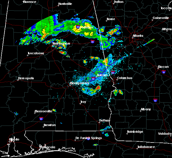 At 811 pm cdt, a severe thunderstorm was located over hurtsboro, moving east at 30 mph (radar indicated). Hazards include 60 mph wind gusts. expect damage to roofs, siding, and trees At 811 pm cdt, a severe thunderstorm was located over hurtsboro, moving east at 30 mph (radar indicated). Hazards include 60 mph wind gusts. expect damage to roofs, siding, and trees
|
| 8/7/2019 8:08 PM CDT | A few trees were blown down along highway 5 in bullock county AL, 2.8 miles ENE of Hurtsboro, AL |
| 6/7/2019 1:51 PM CDT |
 At 151 pm cdt, severe thunderstorms were located along a line extending from near auburn university to near auburn to near society hill to near uchee to near hurtsboro, moving east at 45 mph (radar indicated). Hazards include 60 mph wind gusts. expect damage to roofs, siding, and trees At 151 pm cdt, severe thunderstorms were located along a line extending from near auburn university to near auburn to near society hill to near uchee to near hurtsboro, moving east at 45 mph (radar indicated). Hazards include 60 mph wind gusts. expect damage to roofs, siding, and trees
|
| 4/14/2019 8:27 AM CDT |
 At 827 am cdt, a severe thunderstorm capable of producing a tornado was located near uchee, or near hurtsboro, moving northeast at 35 mph (radar indicated rotation). Hazards include tornado. Flying debris will be dangerous to those caught without shelter. mobile homes will be damaged or destroyed. damage to roofs, windows, and vehicles will occur. Tree damage is likely. At 827 am cdt, a severe thunderstorm capable of producing a tornado was located near uchee, or near hurtsboro, moving northeast at 35 mph (radar indicated rotation). Hazards include tornado. Flying debris will be dangerous to those caught without shelter. mobile homes will be damaged or destroyed. damage to roofs, windows, and vehicles will occur. Tree damage is likely.
|
| 4/14/2019 8:21 AM CDT |
 At 821 am cdt, a severe thunderstorm capable of producing a tornado was located over hurtsboro, moving northeast at 50 mph (radar indicated rotation). Hazards include tornado. Flying debris will be dangerous to those caught without shelter. mobile homes will be damaged or destroyed. damage to roofs, windows, and vehicles will occur. tree damage is likely. Locations impacted include, hurtsboro, hawkinsville, spring hill, rutherford and hatchechubbe. At 821 am cdt, a severe thunderstorm capable of producing a tornado was located over hurtsboro, moving northeast at 50 mph (radar indicated rotation). Hazards include tornado. Flying debris will be dangerous to those caught without shelter. mobile homes will be damaged or destroyed. damage to roofs, windows, and vehicles will occur. tree damage is likely. Locations impacted include, hurtsboro, hawkinsville, spring hill, rutherford and hatchechubbe.
|
| 4/14/2019 8:05 AM CDT |
 At 804 am cdt, a severe thunderstorm capable of producing a tornado was located over barbour county public lake dam, or near midway, moving northeast at 35 mph (radar indicated rotation). Hazards include tornado. Flying debris will be dangerous to those caught without shelter. mobile homes will be damaged or destroyed. damage to roofs, windows, and vehicles will occur. Tree damage is likely. At 804 am cdt, a severe thunderstorm capable of producing a tornado was located over barbour county public lake dam, or near midway, moving northeast at 35 mph (radar indicated rotation). Hazards include tornado. Flying debris will be dangerous to those caught without shelter. mobile homes will be damaged or destroyed. damage to roofs, windows, and vehicles will occur. Tree damage is likely.
|
| 1/19/2019 4:50 PM CST |
 At 449 pm cst, a severe thunderstorm capable of producing a tornado was located near guerryton, or near hurtsboro, moving east at 35 mph. additional circulations have appeared at times northeast of hurtsboro, and could also produce a torando (radar indicated rotation). Hazards include tornado. Flying debris will be dangerous to those caught without shelter. mobile homes will be damaged or destroyed. damage to roofs, windows, and vehicles will occur. tree damage is likely. Locations impacted include, hurtsboro, russell county sports complex, uchee, seale, rutherford, hatchechubbe and parkmanville. At 449 pm cst, a severe thunderstorm capable of producing a tornado was located near guerryton, or near hurtsboro, moving east at 35 mph. additional circulations have appeared at times northeast of hurtsboro, and could also produce a torando (radar indicated rotation). Hazards include tornado. Flying debris will be dangerous to those caught without shelter. mobile homes will be damaged or destroyed. damage to roofs, windows, and vehicles will occur. tree damage is likely. Locations impacted include, hurtsboro, russell county sports complex, uchee, seale, rutherford, hatchechubbe and parkmanville.
|
| 1/19/2019 4:35 PM CST |
 At 435 pm cst, a severe thunderstorm capable of producing a tornado was located near guerryton, or near hurtsboro, moving east at 50 mph (radar indicated rotation). Hazards include tornado. Flying debris will be dangerous to those caught without shelter. mobile homes will be damaged or destroyed. damage to roofs, windows, and vehicles will occur. tree damage is likely. Locations impacted include, hurtsboro, guerryton, russell county sports complex, uchee, seale, creek stand, rutherford, warriorstand, hatchechubbe and parkmanville. At 435 pm cst, a severe thunderstorm capable of producing a tornado was located near guerryton, or near hurtsboro, moving east at 50 mph (radar indicated rotation). Hazards include tornado. Flying debris will be dangerous to those caught without shelter. mobile homes will be damaged or destroyed. damage to roofs, windows, and vehicles will occur. tree damage is likely. Locations impacted include, hurtsboro, guerryton, russell county sports complex, uchee, seale, creek stand, rutherford, warriorstand, hatchechubbe and parkmanville.
|
| 1/19/2019 4:27 PM CST |
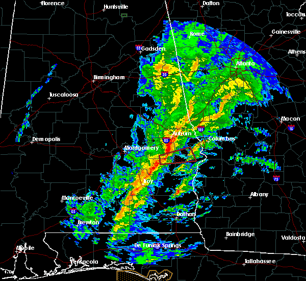 At 426 pm cst, a severe thunderstorm capable of producing a tornado was located 7 miles south of davisville, or 7 miles northeast of union springs, moving east at 50 mph (radar indicated rotation). Hazards include tornado. Flying debris will be dangerous to those caught without shelter. mobile homes will be damaged or destroyed. damage to roofs, windows, and vehicles will occur. Tree damage is likely. At 426 pm cst, a severe thunderstorm capable of producing a tornado was located 7 miles south of davisville, or 7 miles northeast of union springs, moving east at 50 mph (radar indicated rotation). Hazards include tornado. Flying debris will be dangerous to those caught without shelter. mobile homes will be damaged or destroyed. damage to roofs, windows, and vehicles will occur. Tree damage is likely.
|
| 6/28/2018 4:25 PM CDT |
 At 425 pm cdt, severe thunderstorms were located along a line extending from near smiths to near uchee to montgomery, moving southeast at 35 mph (radar indicated). Hazards include 60 mph wind gusts. expect damage to roofs, siding, and trees At 425 pm cdt, severe thunderstorms were located along a line extending from near smiths to near uchee to montgomery, moving southeast at 35 mph (radar indicated). Hazards include 60 mph wind gusts. expect damage to roofs, siding, and trees
|
| 6/28/2018 4:05 PM CDT |
 At 404 pm cdt, severe thunderstorms were located along a line extending from society hill to near prattville, moving east at 30 mph (radar indicated). Hazards include 60 mph wind gusts. expect damage to roofs, siding, and trees At 404 pm cdt, severe thunderstorms were located along a line extending from society hill to near prattville, moving east at 30 mph (radar indicated). Hazards include 60 mph wind gusts. expect damage to roofs, siding, and trees
|
| 6/28/2018 3:06 PM CDT |
 At 306 pm cdt, severe thunderstorms were located along a line extending from near society hill to 9 miles southwest of cusseta, moving southeast at 30 mph (radar indicated). Hazards include 60 mph wind gusts. expect damage to roofs, siding, and trees At 306 pm cdt, severe thunderstorms were located along a line extending from near society hill to 9 miles southwest of cusseta, moving southeast at 30 mph (radar indicated). Hazards include 60 mph wind gusts. expect damage to roofs, siding, and trees
|
| 6/25/2018 6:18 PM CDT |
 At 617 pm cdt, a severe thunderstorm was located near guerryton, or near hurtsboro, moving southeast at 20 mph (radar indicated). Hazards include 60 mph wind gusts. expect damage to roofs, siding, and trees At 617 pm cdt, a severe thunderstorm was located near guerryton, or near hurtsboro, moving southeast at 20 mph (radar indicated). Hazards include 60 mph wind gusts. expect damage to roofs, siding, and trees
|
| 4/27/2017 11:58 AM CDT |
 At 1158 am cdt, a severe thunderstorm capable of producing a tornado was located over hurtsboro, moving northeast at 35 mph (radar indicated rotation). Hazards include tornado and quarter size hail. Flying debris will be dangerous to those caught without shelter. mobile homes will be damaged or destroyed. damage to roofs, windows, and vehicles will occur. Tree damage is likely. At 1158 am cdt, a severe thunderstorm capable of producing a tornado was located over hurtsboro, moving northeast at 35 mph (radar indicated rotation). Hazards include tornado and quarter size hail. Flying debris will be dangerous to those caught without shelter. mobile homes will be damaged or destroyed. damage to roofs, windows, and vehicles will occur. Tree damage is likely.
|
| 4/5/2017 3:32 AM CDT |
 At 332 am cdt, severe thunderstorms were located along a line extending from near uchee to 6 miles northeast of spring hill, moving northeast at 45 mph (radar indicated). Hazards include 60 mph wind gusts and half dollar size hail. Hail damage to vehicles is expected. Expect wind damage to roofs, siding, and trees. At 332 am cdt, severe thunderstorms were located along a line extending from near uchee to 6 miles northeast of spring hill, moving northeast at 45 mph (radar indicated). Hazards include 60 mph wind gusts and half dollar size hail. Hail damage to vehicles is expected. Expect wind damage to roofs, siding, and trees.
|
| 2/7/2017 2:24 PM CST |
 At 224 pm cst, severe thunderstorms were located along a line extending from near notasulga to near guerryton, moving east at 40 mph (radar indicated). Hazards include 60 mph wind gusts. expect damage to roofs, siding, and trees At 224 pm cst, severe thunderstorms were located along a line extending from near notasulga to near guerryton, moving east at 40 mph (radar indicated). Hazards include 60 mph wind gusts. expect damage to roofs, siding, and trees
|
| 7/6/2016 1:12 PM CDT |
 At 111 pm cdt, a severe thunderstorm was located near spring hill, or 10 miles southeast of hurtsboro, moving southeast at 15 mph (radar indicated). Hazards include 60 mph wind gusts and quarter size hail. Hail damage to vehicles is expected. Expect wind damage to roofs, siding, and trees. At 111 pm cdt, a severe thunderstorm was located near spring hill, or 10 miles southeast of hurtsboro, moving southeast at 15 mph (radar indicated). Hazards include 60 mph wind gusts and quarter size hail. Hail damage to vehicles is expected. Expect wind damage to roofs, siding, and trees.
|
| 6/26/2016 3:38 PM CDT |
 At 337 pm cdt, a severe thunderstorm was located over seale, or 12 miles east of hurtsboro, moving southwest at 15 mph (radar indicated). Hazards include 60 mph wind gusts. Expect damage to roofs. siding. And trees. At 337 pm cdt, a severe thunderstorm was located over seale, or 12 miles east of hurtsboro, moving southwest at 15 mph (radar indicated). Hazards include 60 mph wind gusts. Expect damage to roofs. siding. And trees.
|
| 6/17/2016 6:03 PM CDT |
 At 603 pm cdt, severe thunderstorms were located along a line extending from near hardaway to hurtsboro to near fort benning/lawson army air fld, moving south at 20 mph (radar indicated). Hazards include 60 mph wind gusts and quarter size hail. Hail damage to vehicles is expected. expect wind damage to roofs, siding, and trees. Locations impacted include, hurtsboro, seale, russell county sports complex, hardaway, creek stand, warriorstand, fort davis, carter acres, rutherford, twin springs, hatchechubbe, fort mitchell, fort mitchell activity center and uchee creek. At 603 pm cdt, severe thunderstorms were located along a line extending from near hardaway to hurtsboro to near fort benning/lawson army air fld, moving south at 20 mph (radar indicated). Hazards include 60 mph wind gusts and quarter size hail. Hail damage to vehicles is expected. expect wind damage to roofs, siding, and trees. Locations impacted include, hurtsboro, seale, russell county sports complex, hardaway, creek stand, warriorstand, fort davis, carter acres, rutherford, twin springs, hatchechubbe, fort mitchell, fort mitchell activity center and uchee creek.
|
| 6/17/2016 5:48 PM CDT |
 At 548 pm cdt, severe thunderstorms were located along a line extending from shorter to near ladonia, moving south at 25 mph (radar indicated). Hazards include 60 mph wind gusts and quarter size hail. Hail damage to vehicles is expected. expect wind damage to roofs, siding, and trees. Locations impacted include, columbus, phenix city, tuskegee, hurtsboro, milstead, shorter, franklin, ladonia, uchee, lake tuskegee, davisville, society hill, tuskegee national forest, hardaway, liverpool, victoryland, tysonville, seale, russell county sports complex and bibb city. At 548 pm cdt, severe thunderstorms were located along a line extending from shorter to near ladonia, moving south at 25 mph (radar indicated). Hazards include 60 mph wind gusts and quarter size hail. Hail damage to vehicles is expected. expect wind damage to roofs, siding, and trees. Locations impacted include, columbus, phenix city, tuskegee, hurtsboro, milstead, shorter, franklin, ladonia, uchee, lake tuskegee, davisville, society hill, tuskegee national forest, hardaway, liverpool, victoryland, tysonville, seale, russell county sports complex and bibb city.
|
| 6/17/2016 5:38 PM CDT |
 At 538 pm cdt, severe thunderstorms were located along a line extending from near tallassee to near ladonia, moving south at 20 mph (radar indicated). Hazards include 60 mph wind gusts and quarter size hail. Hail damage to vehicles is expected. expect wind damage to roofs, siding, and trees. Locations impacted include, columbus, phenix city, tuskegee, notasulga, hurtsboro, milstead, shorter, franklin, ladonia, uchee, lake tuskegee, davisville, society hill, tuskegee national forest, hardaway, liverpool, victoryland, tysonville, seale and russell county sports complex. At 538 pm cdt, severe thunderstorms were located along a line extending from near tallassee to near ladonia, moving south at 20 mph (radar indicated). Hazards include 60 mph wind gusts and quarter size hail. Hail damage to vehicles is expected. expect wind damage to roofs, siding, and trees. Locations impacted include, columbus, phenix city, tuskegee, notasulga, hurtsboro, milstead, shorter, franklin, ladonia, uchee, lake tuskegee, davisville, society hill, tuskegee national forest, hardaway, liverpool, victoryland, tysonville, seale and russell county sports complex.
|
| 6/17/2016 5:14 PM CDT |
 At 514 pm cdt, severe thunderstorms were located along a line extending from near kent to near ladonia, moving south at 20 mph (radar indicated). Hazards include 60 mph wind gusts and quarter size hail. Hail damage to vehicles is expected. Expect wind damage to roofs, siding, and trees. At 514 pm cdt, severe thunderstorms were located along a line extending from near kent to near ladonia, moving south at 20 mph (radar indicated). Hazards include 60 mph wind gusts and quarter size hail. Hail damage to vehicles is expected. Expect wind damage to roofs, siding, and trees.
|
| 2/15/2016 7:01 PM CST |
 At 701 pm cst, severe thunderstorms were located along a line extending from near griffen mill to 9 miles northeast of spring hill, moving northeast at 55 mph (radar indicated). Hazards include 60 mph wind gusts. Expect damage to roofs. siding and trees. locations impacted include, phenix city, hurtsboro, ladonia, uchee, seale, russell county sports complex, phenix drag strip, crawford, ladonia sports complex, rutherford, parkmanville, hatchechubbe, fort mitchell, fort mitchell activity center and uchee creek. A tornado watch remains in effect until 900 pm cst for southeastern alabama. At 701 pm cst, severe thunderstorms were located along a line extending from near griffen mill to 9 miles northeast of spring hill, moving northeast at 55 mph (radar indicated). Hazards include 60 mph wind gusts. Expect damage to roofs. siding and trees. locations impacted include, phenix city, hurtsboro, ladonia, uchee, seale, russell county sports complex, phenix drag strip, crawford, ladonia sports complex, rutherford, parkmanville, hatchechubbe, fort mitchell, fort mitchell activity center and uchee creek. A tornado watch remains in effect until 900 pm cst for southeastern alabama.
|
| 2/15/2016 6:44 PM CST |
 At 643 pm cst, severe thunderstorms were located along a line extending from 6 miles southwest of society hill to near midway, moving east at 60 mph (radar indicated). Hazards include 60 mph wind gusts. Expect damage to roofs. Siding and trees. At 643 pm cst, severe thunderstorms were located along a line extending from 6 miles southwest of society hill to near midway, moving east at 60 mph (radar indicated). Hazards include 60 mph wind gusts. Expect damage to roofs. Siding and trees.
|
| 12/28/2015 3:56 PM CST |
 At 356 pm cst, a severe thunderstorm capable of producing a tornado was located near hurtsboro, moving northeast at 40 mph (radar indicated rotation). Hazards include tornado. Flying debris will be dangerous to those caught without shelter. mobile homes will be damaged or destroyed. damage to roofs, windows and vehicles will occur. tree damage is likely. this dangerous storm will be near, uchee around 400 pm cst. griffen mill around 420 pm cst. smiths station and bleecker around 430 pm cst. Other locations impacted by this tornadic thunderstorm include parkmanville, phenix drag strip, ladonia sports complex, crawford, marvyn and monterey heights. At 356 pm cst, a severe thunderstorm capable of producing a tornado was located near hurtsboro, moving northeast at 40 mph (radar indicated rotation). Hazards include tornado. Flying debris will be dangerous to those caught without shelter. mobile homes will be damaged or destroyed. damage to roofs, windows and vehicles will occur. tree damage is likely. this dangerous storm will be near, uchee around 400 pm cst. griffen mill around 420 pm cst. smiths station and bleecker around 430 pm cst. Other locations impacted by this tornadic thunderstorm include parkmanville, phenix drag strip, ladonia sports complex, crawford, marvyn and monterey heights.
|
| 12/28/2015 3:45 PM CST |
 At 345 pm cst, a severe thunderstorm capable of producing a tornado was located near hurtsboro, moving northeast at 40 mph (radar indicated rotation). Hazards include tornado. Flying debris will be dangerous to those caught without shelter. mobile homes will be damaged or destroyed. damage to roofs, windows and vehicles will occur. tree damage is likely. this dangerous storm will be near, uchee around 400 pm cst. griffen mill around 420 pm cst. smiths, smiths station and bleecker around 430 pm cst. Other locations impacted by this tornadic thunderstorm include ladonia sports complex, rutherford, marvyn, parkmanville, phenix drag strip, crawford, hatchechubbe and monterey heights. At 345 pm cst, a severe thunderstorm capable of producing a tornado was located near hurtsboro, moving northeast at 40 mph (radar indicated rotation). Hazards include tornado. Flying debris will be dangerous to those caught without shelter. mobile homes will be damaged or destroyed. damage to roofs, windows and vehicles will occur. tree damage is likely. this dangerous storm will be near, uchee around 400 pm cst. griffen mill around 420 pm cst. smiths, smiths station and bleecker around 430 pm cst. Other locations impacted by this tornadic thunderstorm include ladonia sports complex, rutherford, marvyn, parkmanville, phenix drag strip, crawford, hatchechubbe and monterey heights.
|
| 8/6/2015 8:53 PM CDT |
 At 853 pm cdt, severe thunderstorms were located along a line extending from ladonia to uchee, moving southeast at 45 mph (radar indicated). Hazards include 60 mph wind gusts. Expect damage to roofs. Siding and trees. At 853 pm cdt, severe thunderstorms were located along a line extending from ladonia to uchee, moving southeast at 45 mph (radar indicated). Hazards include 60 mph wind gusts. Expect damage to roofs. Siding and trees.
|
| 8/6/2015 8:44 PM CDT |
 At 843 pm cdt, severe thunderstorms were located along a line extending from near society hill to davisville to near franklin field to near snowdoun, moving southeast at 50 mph (radar indicated). Hazards include 60 mph wind gusts. Expect damage to roofs. siding and trees. Locations impacted include, union springs, hurtsboro, midway, meadville, pike road, beans crossroads, pickett, davisville, society hill, dublin, shopton, franklin field, guerryton, aberfoil, pine level, creek stand, simsville, sedgefield, high ridge and mitchell. At 843 pm cdt, severe thunderstorms were located along a line extending from near society hill to davisville to near franklin field to near snowdoun, moving southeast at 50 mph (radar indicated). Hazards include 60 mph wind gusts. Expect damage to roofs. siding and trees. Locations impacted include, union springs, hurtsboro, midway, meadville, pike road, beans crossroads, pickett, davisville, society hill, dublin, shopton, franklin field, guerryton, aberfoil, pine level, creek stand, simsville, sedgefield, high ridge and mitchell.
|
| 5/31/2015 4:42 PM CDT | At 441 pm cdt, severe thunderstorms were located along a line extending from near bibb city to near hurtsboro, moving north at 15 mph (radar indicated). Hazards include 60 mph wind gusts. expect damage to trees |
| 4/25/2015 4:15 PM CDT | At 415 pm cdt, a severe thunderstorm was located near spring hill, or 8 miles east of midway, moving northeast at 45 mph (radar indicated). Hazards include 60 mph wind gusts and quarter size hail. Hail damage to vehicles is expected. Expect wind damage to roofs, siding and trees. |
| 4/7/2014 8:46 AM CDT | A few trees were blown down along highway 26. reported by out town stor in russell county AL, 8.1 miles WSW of Hurtsboro, AL |
| 6/27/2013 8:18 PM CDT | Trees down along shady grove road on the east side of hurtsbor in russell county AL, 1.1 miles SW of Hurtsboro, AL |
| 6/27/2013 7:30 PM CDT | Trees down along shady grove road on the east side of hurtsbor in russell county AL, 1.1 miles SW of Hurtsboro, AL |
| 12/20/2012 12:23 PM CST | Carport removed from residence...along with some minor shingle damage. winds estimated around 50-55 mp in russell county AL, 10 miles WSW of Hurtsboro, AL |
| 1/1/0001 12:00 AM | Quarter sized hail reported 0.2 miles W of Hurtsboro, AL |
Hail Maps for Hurtsboro, AL


Connect with Interactive Hail Maps