

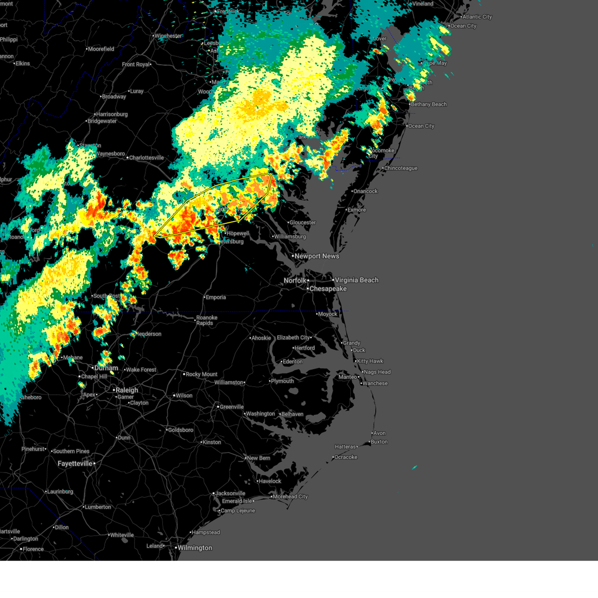
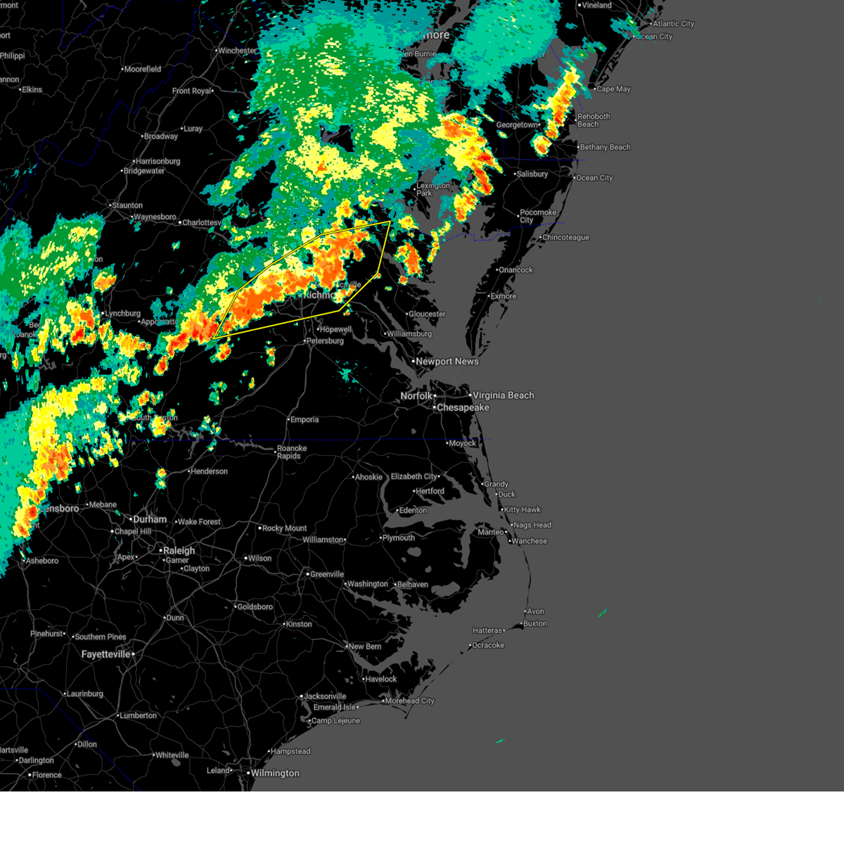
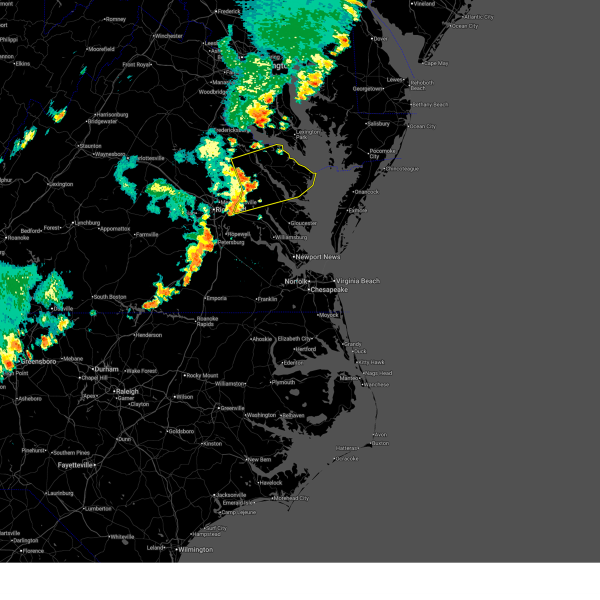
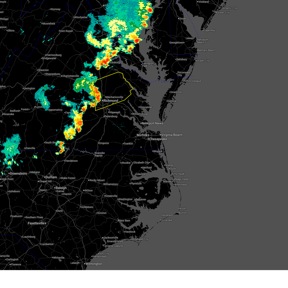
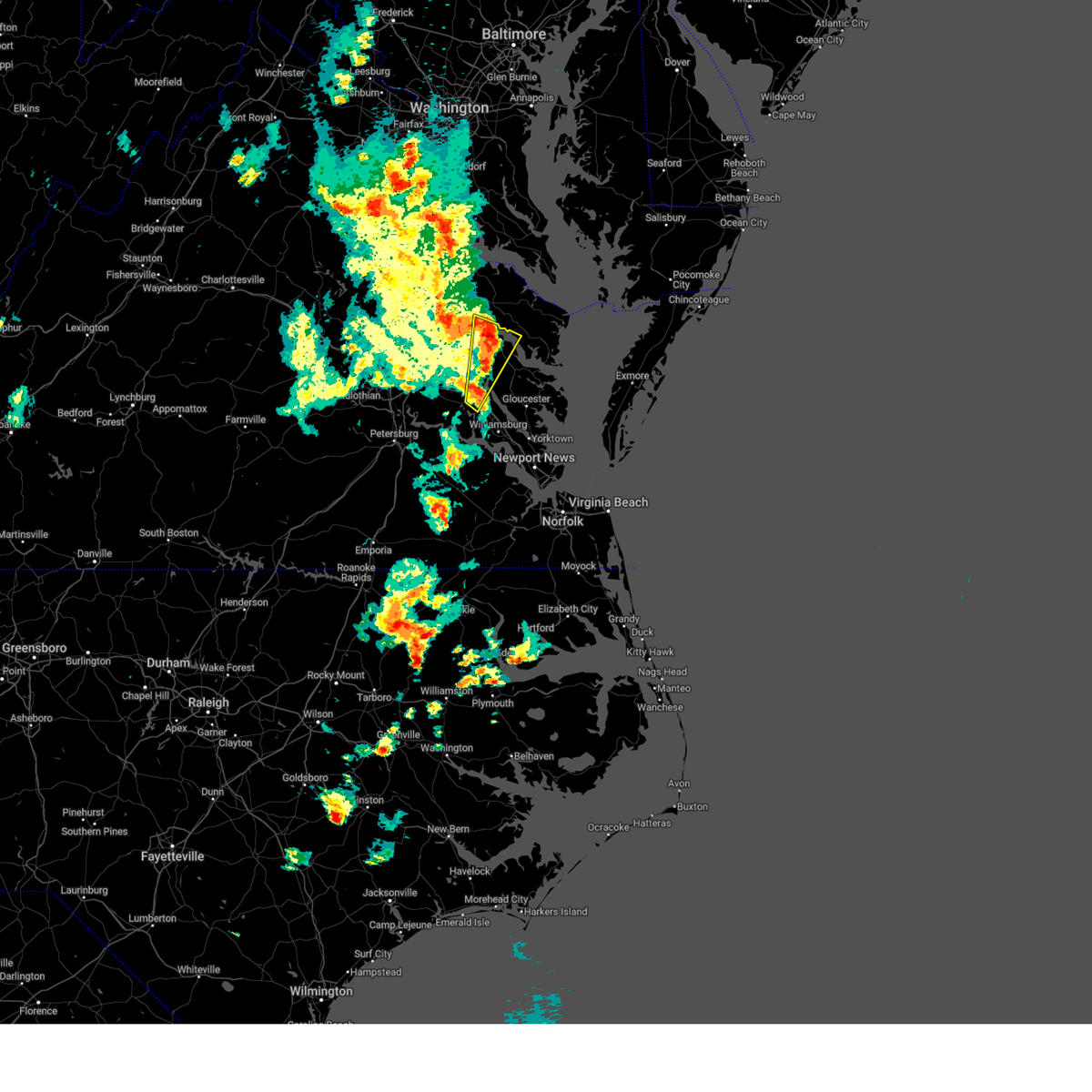
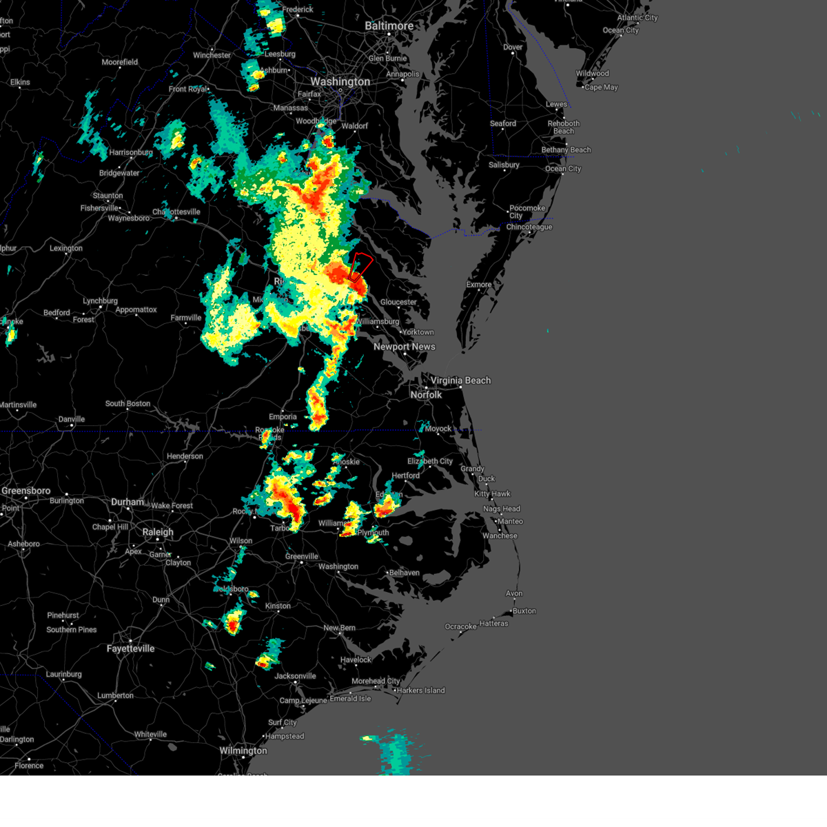
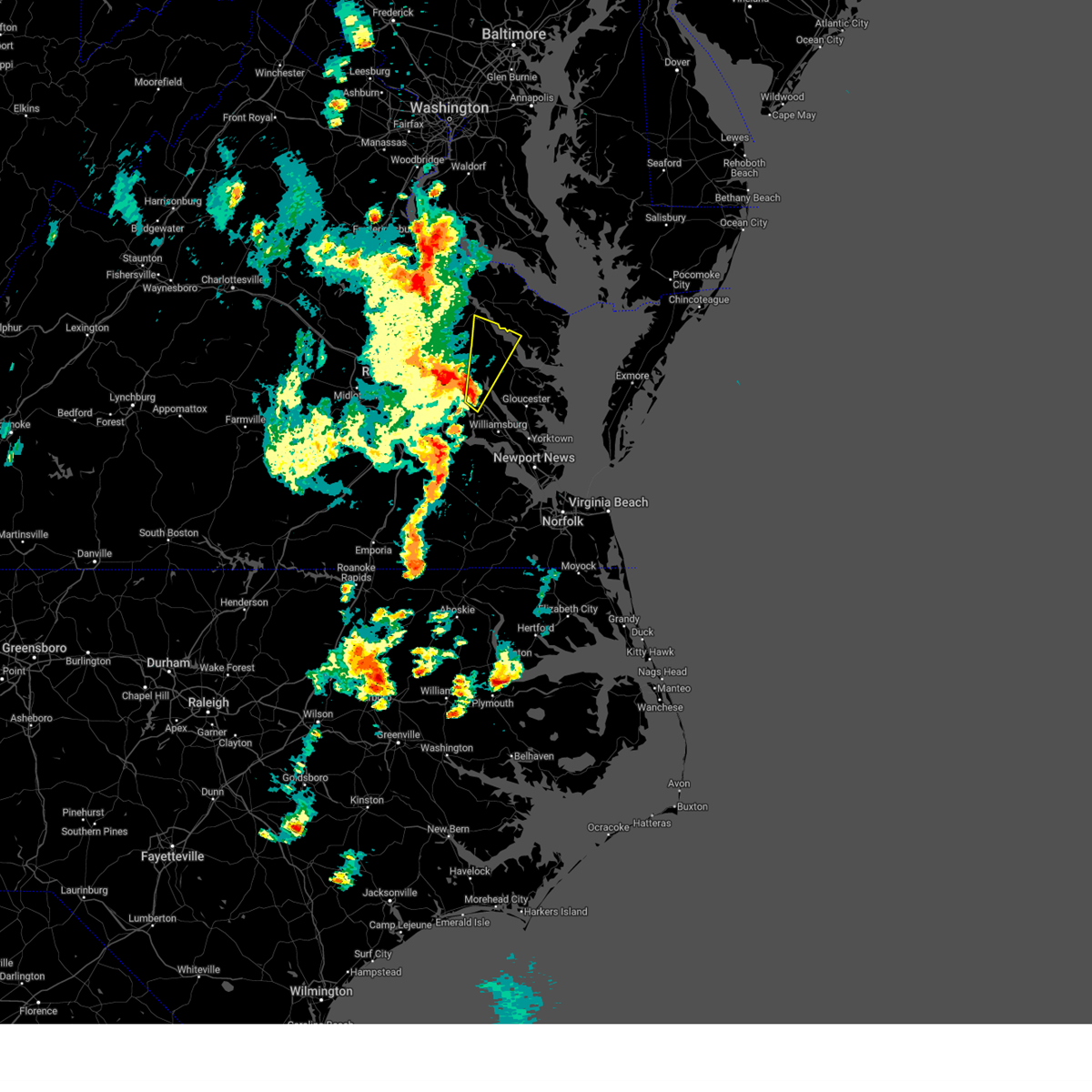
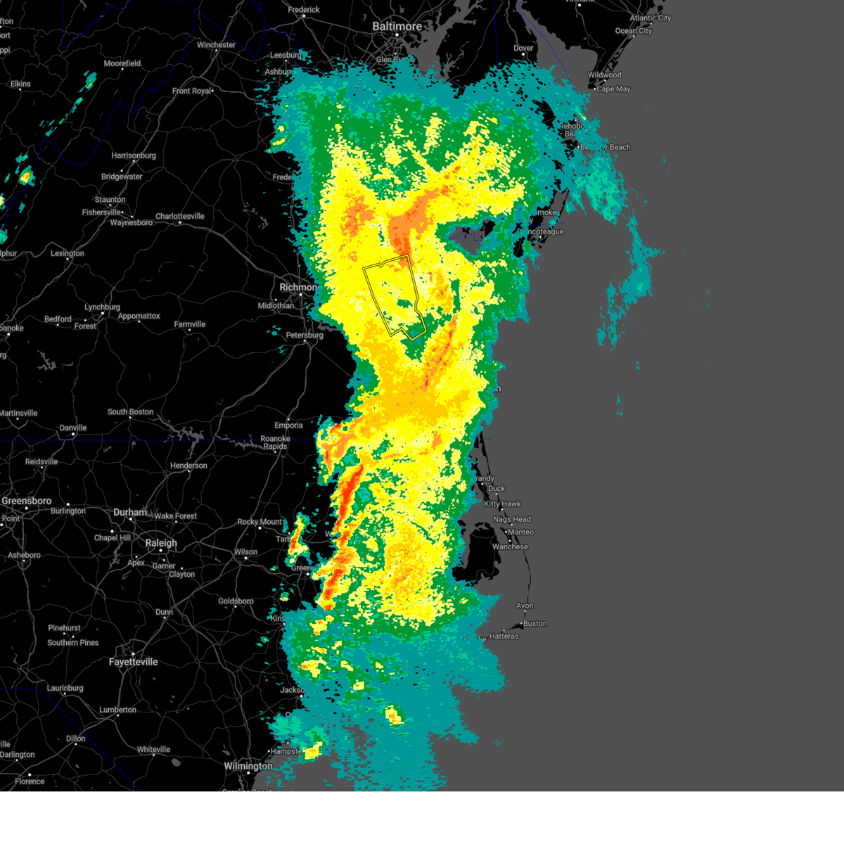
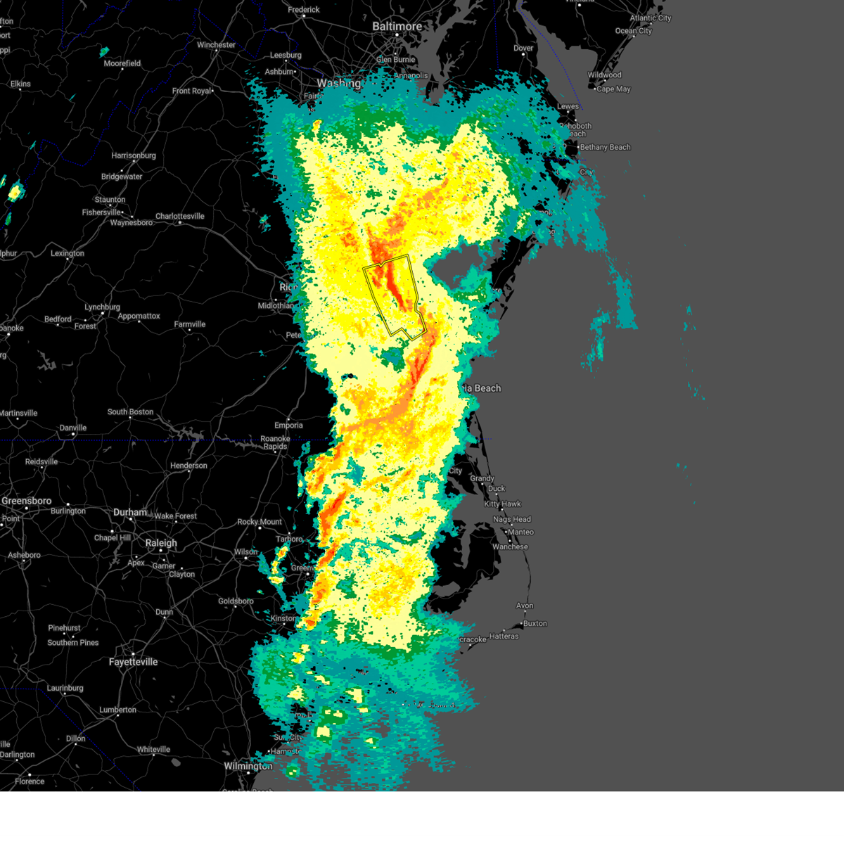
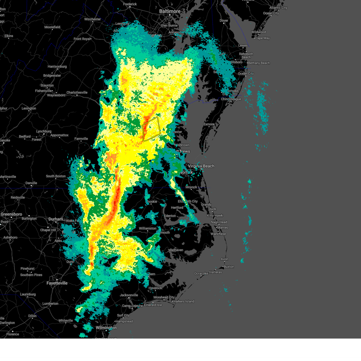
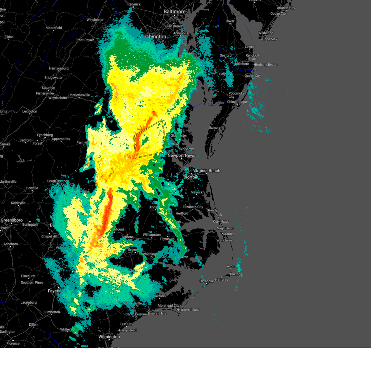
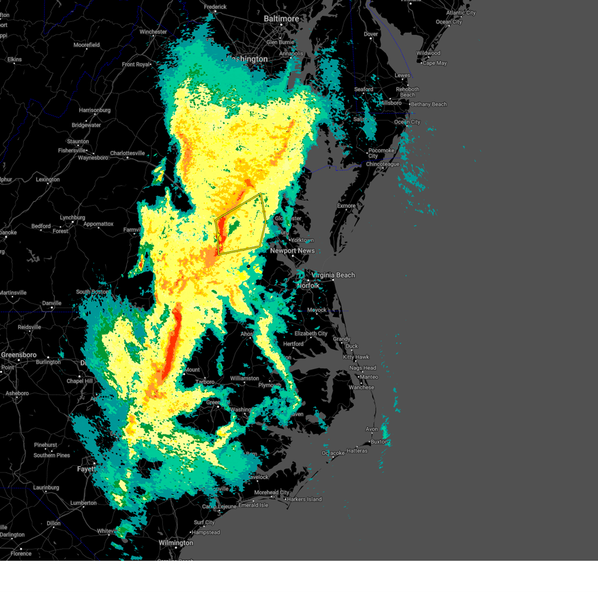
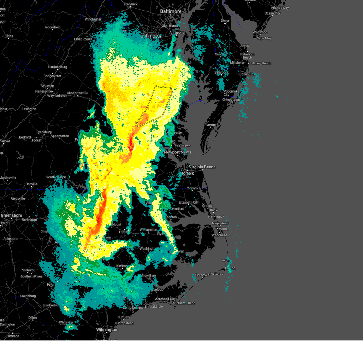
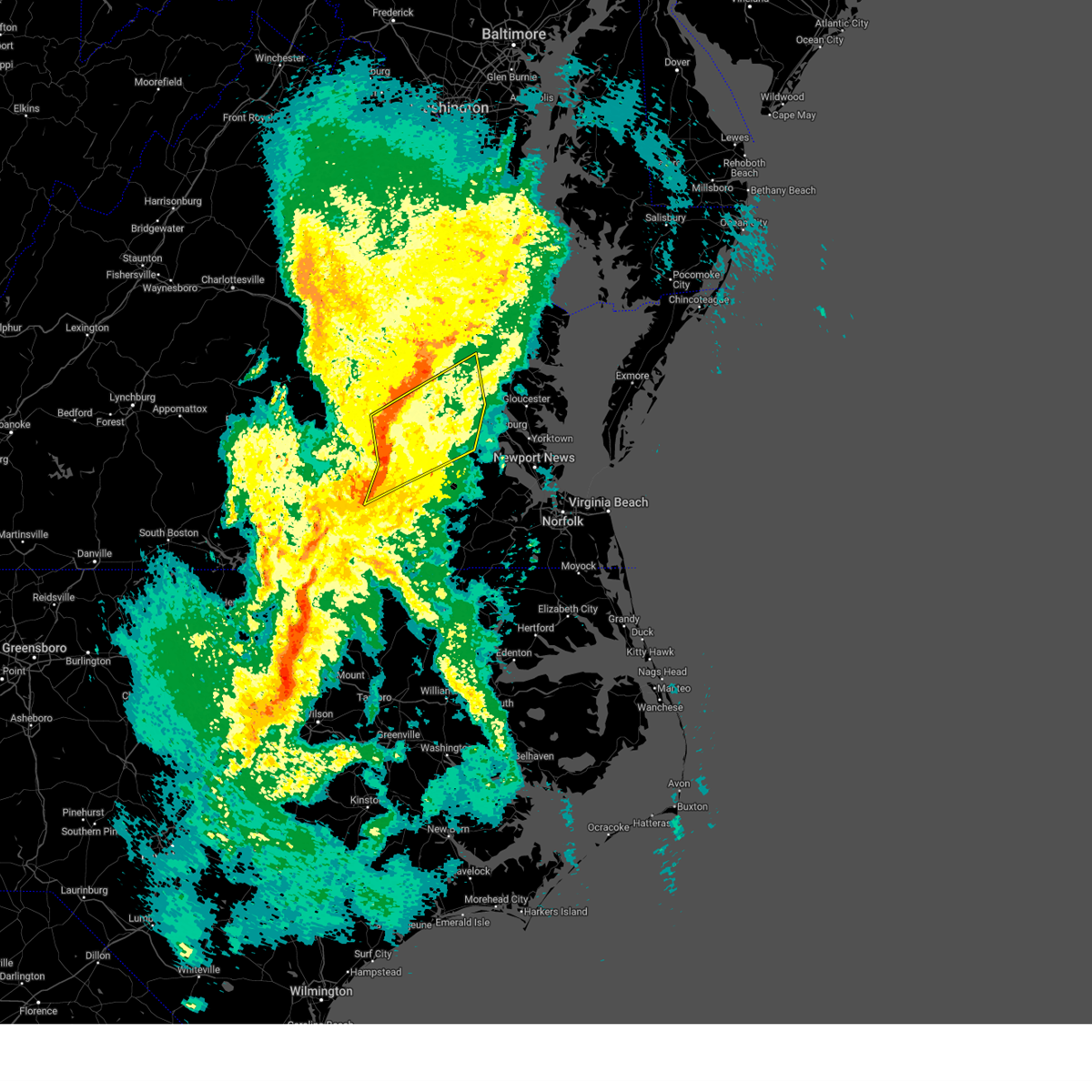
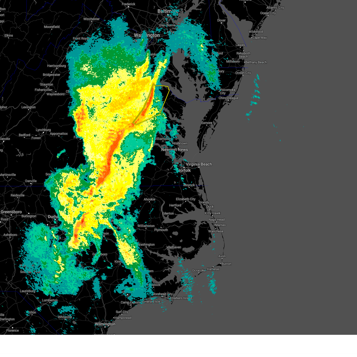
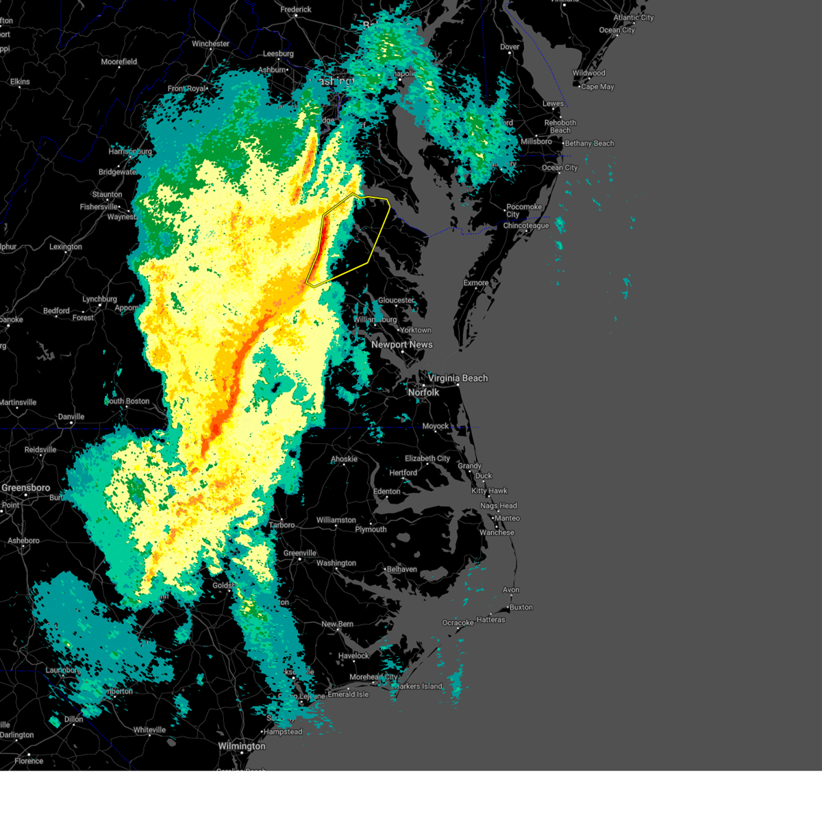
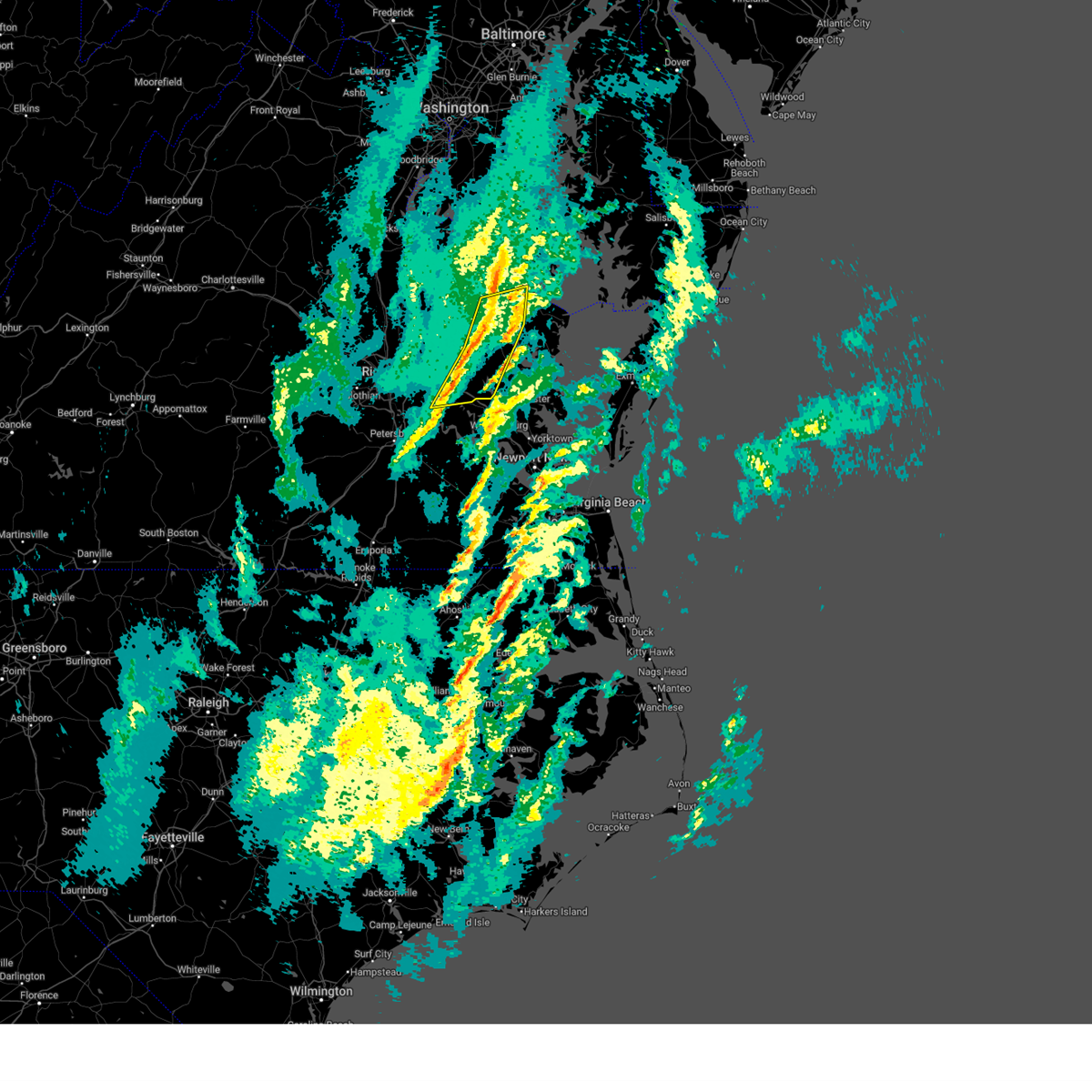
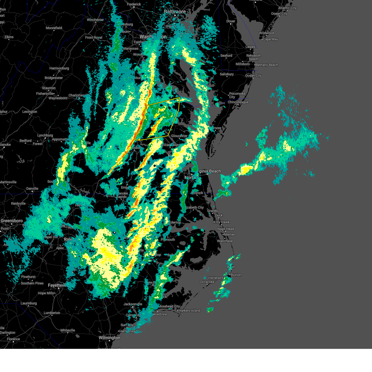
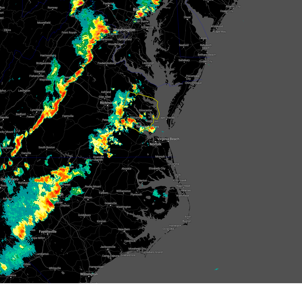
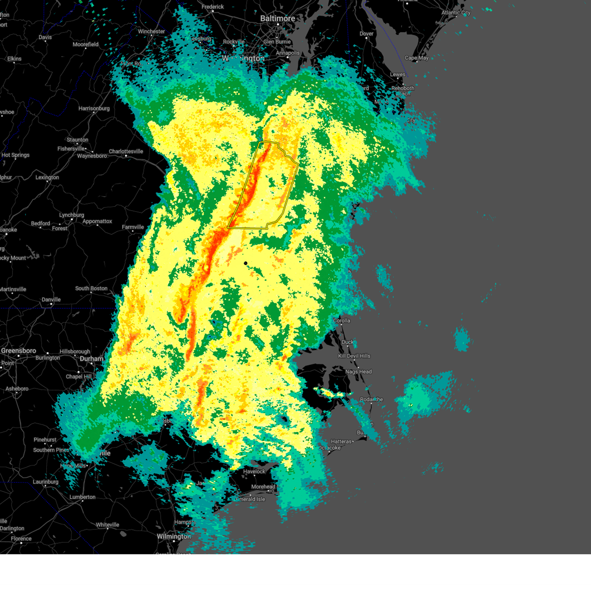
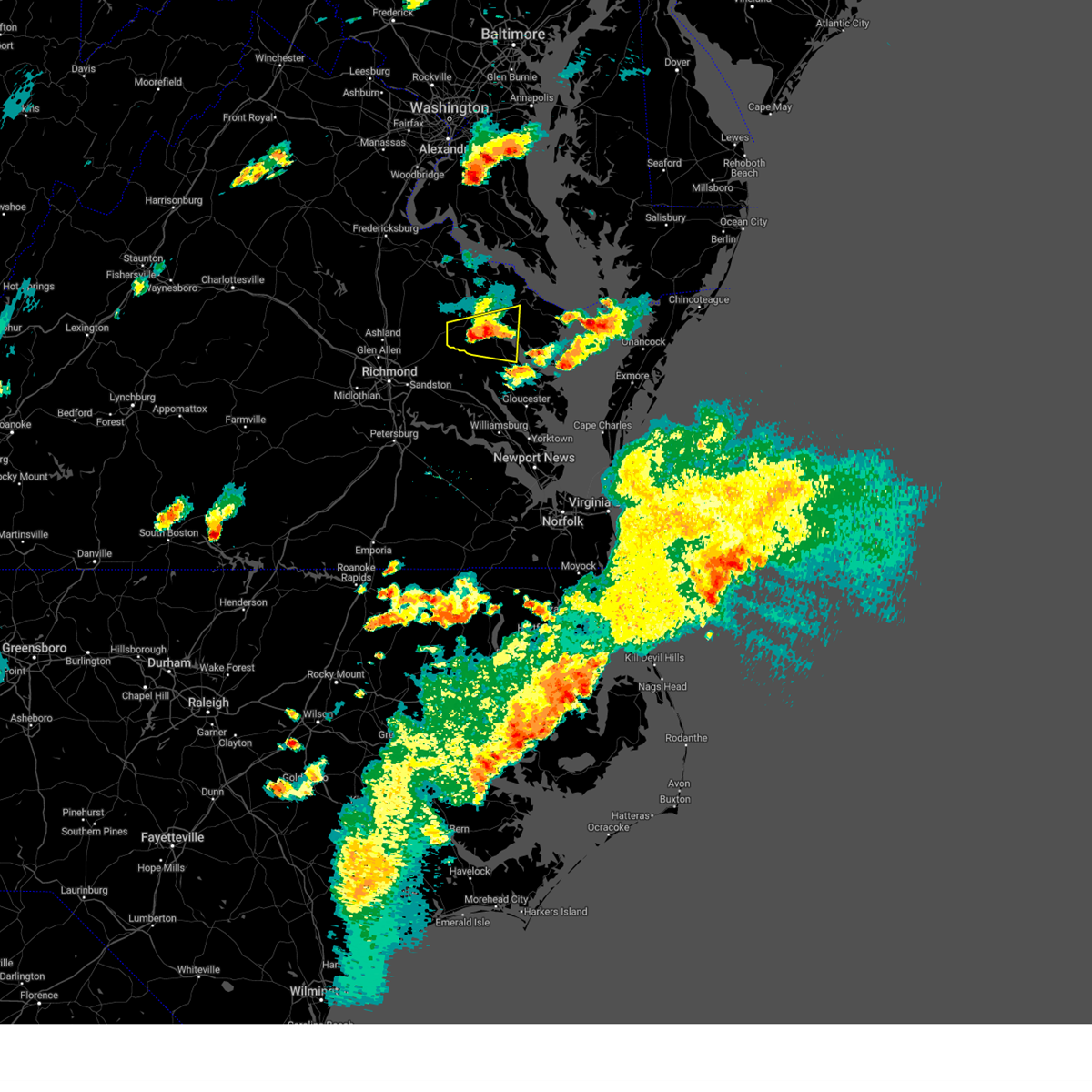
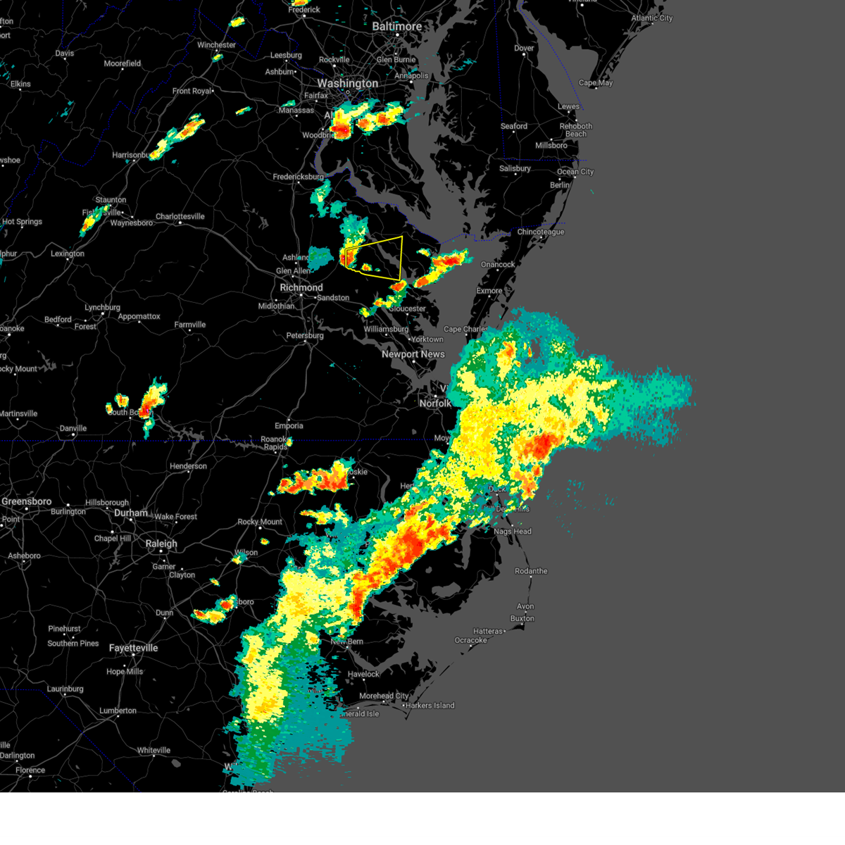
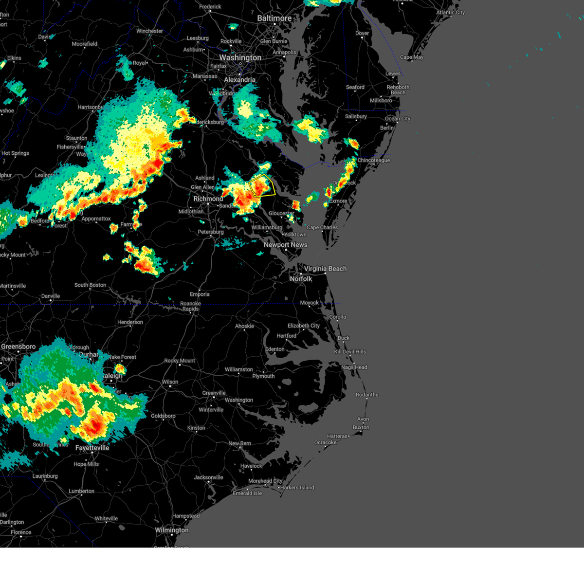
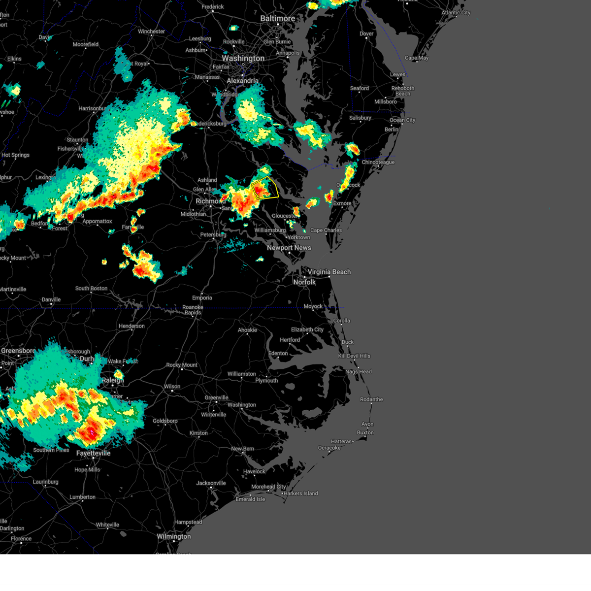
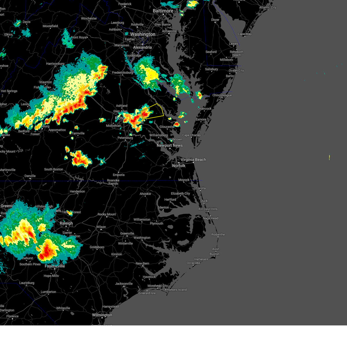
Hail Map for King and Queen Court House, VA
The King and Queen Court House, VA area has had 2 reports of on-the-ground hail by trained spotters, and has been under severe weather warnings 41 times during the past 12 months. Doppler radar has detected hail at or near King and Queen Court House, VA on 34 occasions, including 1 occasion during the past year.
| Name: | King and Queen Court House, VA |
| Where Located: | 43.9 miles ENE of Richmond, VA |
| Map: | Google Map for King and Queen Court House, VA |
| Population: | 85 |
| Housing Units: | 54 |
| More Info: | Search Google for King and Queen Court House, VA |
2
The Top Recent Hail Date for King and Queen Court House, VA is Monday, May 5, 2025 (7th out of 34)

Hail and Wind Damage Spotted near King and Queen Court House, VA
| Date / Time | Report Details |
|---|---|
| 7/1/2025 9:30 PM EDT |
 At 929 pm edt, severe thunderstorms were located along a line extending from near heathsville to chester, moving east at 40 mph (radar indicated). Hazards include 60 mph wind gusts. Expect damage to trees and powerlines. these severe storms will be near, king and queen court house, talleysville, roxbury, and bottoms bridge around 935 pm edt. Other locations impacted by these severe thunderstorms include etna mills, cohoke, montrose, sandston, glendale, rose garden, pocahontas state park, biscoe, skinquarter, and beach. At 929 pm edt, severe thunderstorms were located along a line extending from near heathsville to chester, moving east at 40 mph (radar indicated). Hazards include 60 mph wind gusts. Expect damage to trees and powerlines. these severe storms will be near, king and queen court house, talleysville, roxbury, and bottoms bridge around 935 pm edt. Other locations impacted by these severe thunderstorms include etna mills, cohoke, montrose, sandston, glendale, rose garden, pocahontas state park, biscoe, skinquarter, and beach.
|
| 7/1/2025 9:30 PM EDT |
 the severe thunderstorm warning has been cancelled and is no longer in effect the severe thunderstorm warning has been cancelled and is no longer in effect
|
| 7/1/2025 8:44 PM EDT |
 Svrakq the national weather service in wakefield has issued a * severe thunderstorm warning for, northwestern nottoway county in south central virginia, southeastern goochland county in central virginia, hanover county in central virginia, central powhatan county in central virginia, the city of richmond in central virginia, chesterfield county in central virginia, king and queen county in east central virginia, northwestern charles city county in east central virginia, southwestern richmond county in east central virginia, northwestern new kent county in east central virginia, henrico county in central virginia, south central westmoreland county in east central virginia, southeastern caroline county in north central virginia, king william county in east central virginia, central amelia county in central virginia, essex county in east central virginia, * until 945 pm edt. * at 843 pm edt, severe thunderstorms were located along a line extending from near millers tavern to near amelia courthouse, moving east at 40 mph (radar indicated). Hazards include 60 mph wind gusts. Expect damage to trees and powerlines. severe thunderstorms will be near, richmond, tappahannock, virginia union university, mechanicsville, highland springs, downtown richmond, bon air, saint stephens church, virginia commonwealth university, and millers tavern around 850 pm edt. bellwood and chesterfield court house around 855 pm edt. king william, warsaw, stevensville, and tunstall around 900 pm edt. chester and center cross around 905 pm edt. bottoms bridge around 915 pm edt. king and queen court house around 920 pm edt. talleysville around 925 pm edt. roxbury around 930 pm edt. Other locations impacted by these severe thunderstorms include beazley, threeway, gum tree, etna mills, cohoke, montrose, sandston, glendale, rose garden, and pocahontas state park. Svrakq the national weather service in wakefield has issued a * severe thunderstorm warning for, northwestern nottoway county in south central virginia, southeastern goochland county in central virginia, hanover county in central virginia, central powhatan county in central virginia, the city of richmond in central virginia, chesterfield county in central virginia, king and queen county in east central virginia, northwestern charles city county in east central virginia, southwestern richmond county in east central virginia, northwestern new kent county in east central virginia, henrico county in central virginia, south central westmoreland county in east central virginia, southeastern caroline county in north central virginia, king william county in east central virginia, central amelia county in central virginia, essex county in east central virginia, * until 945 pm edt. * at 843 pm edt, severe thunderstorms were located along a line extending from near millers tavern to near amelia courthouse, moving east at 40 mph (radar indicated). Hazards include 60 mph wind gusts. Expect damage to trees and powerlines. severe thunderstorms will be near, richmond, tappahannock, virginia union university, mechanicsville, highland springs, downtown richmond, bon air, saint stephens church, virginia commonwealth university, and millers tavern around 850 pm edt. bellwood and chesterfield court house around 855 pm edt. king william, warsaw, stevensville, and tunstall around 900 pm edt. chester and center cross around 905 pm edt. bottoms bridge around 915 pm edt. king and queen court house around 920 pm edt. talleysville around 925 pm edt. roxbury around 930 pm edt. Other locations impacted by these severe thunderstorms include beazley, threeway, gum tree, etna mills, cohoke, montrose, sandston, glendale, rose garden, and pocahontas state park.
|
| 6/19/2025 6:07 PM EDT | the severe thunderstorm warning has been cancelled and is no longer in effect |
| 6/19/2025 6:07 PM EDT | At 606 pm edt, severe thunderstorms were located along a line extending from near montross to near robley to near little plymouth, moving east at 55 mph (radar indicated). Hazards include 60 mph wind gusts. Expect damage to trees and powerlines. these severe storms will be near, callao, lancaster, wicomico church, heathsville, hague, kinsale, church view, jamaica, morattico, and little plymouth around 610 pm edt. urbanna, fair port, coles point, and lewisetta around 615 pm edt. kilmarnock around 620 pm edt. Other locations impacted by these severe thunderstorms include lottsburg, threeway, avalon, brook vale, bertrand, reedville, belle isle state park, millenbeck, lyells, and westmoreland. |
| 6/19/2025 5:56 PM EDT | the severe thunderstorm warning has been cancelled and is no longer in effect |
| 6/19/2025 5:56 PM EDT | At 556 pm edt, severe thunderstorms were located along a line extending from near newland to near morattico to near new kent, moving east at 55 mph (radar indicated). Hazards include 60 mph wind gusts. Expect damage to trees and powerlines. these severe storms will be near, warsaw, montross, robley, haynesville, newland, farnham, church view, jamaica, morattico, and little plymouth around 600 pm edt. callao, lancaster, heathsville, hague, and kinsale around 605 pm edt. urbanna, wicomico church, coles point, and lewisetta around 610 pm edt. kilmarnock and fair port around 615 pm edt. Other locations impacted by these severe thunderstorms include lottsburg, threeway, avalon, brook vale, bertrand, cohoke, reedville, belle isle state park, millenbeck, and rose garden. |
| 6/19/2025 5:40 PM EDT |
 Svrakq the national weather service in wakefield has issued a * severe thunderstorm warning for, northwestern middlesex county in eastern virginia, king and queen county in east central virginia, northumberland county in eastern virginia, richmond county in east central virginia, northern new kent county in east central virginia, southern westmoreland county in east central virginia, east central caroline county in north central virginia, eastern king william county in east central virginia, essex county in east central virginia, lancaster county in eastern virginia, * until 630 pm edt. * at 540 pm edt, severe thunderstorms were located along a line extending from near newtown to near stevensville to bottoms bridge, moving east at 55 mph (radar indicated). Hazards include 60 mph wind gusts. Expect damage to trees and powerlines. severe thunderstorms will be near, king william, tappahannock, champlain, king and queen court house, talleysville, millers tavern, stevensville, dunnsville, and center cross around 545 pm edt. sharps around 550 pm edt. warsaw, robley, jamaica, newland, farnham, morattico, and little plymouth around 555 pm edt. west point, montross, haynesville, and church view around 600 pm edt. callao, lancaster, hague, kinsale, and heathsville around 605 pm edt. urbanna, lewisetta, and wicomico church around 610 pm edt. kilmarnock, fair port, and coles point around 615 pm edt. Other locations impacted by these severe thunderstorms include beazley, lottsburg, threeway, avalon, brook vale, bertrand, cohoke, reedville, belle isle state park, and millenbeck. Svrakq the national weather service in wakefield has issued a * severe thunderstorm warning for, northwestern middlesex county in eastern virginia, king and queen county in east central virginia, northumberland county in eastern virginia, richmond county in east central virginia, northern new kent county in east central virginia, southern westmoreland county in east central virginia, east central caroline county in north central virginia, eastern king william county in east central virginia, essex county in east central virginia, lancaster county in eastern virginia, * until 630 pm edt. * at 540 pm edt, severe thunderstorms were located along a line extending from near newtown to near stevensville to bottoms bridge, moving east at 55 mph (radar indicated). Hazards include 60 mph wind gusts. Expect damage to trees and powerlines. severe thunderstorms will be near, king william, tappahannock, champlain, king and queen court house, talleysville, millers tavern, stevensville, dunnsville, and center cross around 545 pm edt. sharps around 550 pm edt. warsaw, robley, jamaica, newland, farnham, morattico, and little plymouth around 555 pm edt. west point, montross, haynesville, and church view around 600 pm edt. callao, lancaster, hague, kinsale, and heathsville around 605 pm edt. urbanna, lewisetta, and wicomico church around 610 pm edt. kilmarnock, fair port, and coles point around 615 pm edt. Other locations impacted by these severe thunderstorms include beazley, lottsburg, threeway, avalon, brook vale, bertrand, cohoke, reedville, belle isle state park, and millenbeck.
|
| 6/19/2025 5:30 PM EDT | the severe thunderstorm warning has been cancelled and is no longer in effect |
| 6/19/2025 5:30 PM EDT | At 530 pm edt, severe thunderstorms were located along a line extending from 7 miles northwest of beulahville to near manquin to near bottoms bridge, moving east at 55 mph (radar indicated). Hazards include 60 mph wind gusts. Expect damage to trees and powerlines. these severe storms will be near, king william, saint stephens church, talleysville, stevensville, tunstall, bottoms bridge, beulahville, and newtown around 535 pm edt. king and queen court house and millers tavern around 540 pm edt. tappahannock, champlain, and dunnsville around 545 pm edt. little plymouth and center cross around 550 pm edt. Other locations impacted by these severe thunderstorms include beazley, etna mills, cohoke, montrose, sandston, rose garden, biscoe, crouch, mount landing, and cooke. |
| 6/19/2025 5:07 PM EDT |
 Svrakq the national weather service in wakefield has issued a * severe thunderstorm warning for, the city of richmond in central virginia, central chesterfield county in central virginia, king and queen county in east central virginia, southwestern richmond county in east central virginia, northwestern new kent county in east central virginia, henrico county in central virginia, southern caroline county in north central virginia, hanover county in central virginia, king william county in east central virginia, essex county in east central virginia, * until 545 pm edt. * at 507 pm edt, severe thunderstorms were located along a line extending from near montpelier to near lakeside to near bon air, moving east at 55 mph (radar indicated). Hazards include 60 mph wind gusts. Expect damage to trees and powerlines. severe thunderstorms will be near, richmond, ashland, virginia union university, mechanicsville, randolph macon college, highland springs, downtown richmond, bon air, virginia commonwealth university, and hanover around 510 pm edt. dawn around 515 pm edt. manquin and mangohick around 520 pm edt. tunstall, bottoms bridge, beulahville, and aylett around 525 pm edt. king william, saint stephens church, talleysville, and newtown around 530 pm edt. king and queen court house and stevensville around 535 pm edt. millers tavern around 540 pm edt. Other locations impacted by these severe thunderstorms include beazley, gum tree, etna mills, cohoke, montrose, sandston, rose garden, pocahontas state park, biscoe, and beach. Svrakq the national weather service in wakefield has issued a * severe thunderstorm warning for, the city of richmond in central virginia, central chesterfield county in central virginia, king and queen county in east central virginia, southwestern richmond county in east central virginia, northwestern new kent county in east central virginia, henrico county in central virginia, southern caroline county in north central virginia, hanover county in central virginia, king william county in east central virginia, essex county in east central virginia, * until 545 pm edt. * at 507 pm edt, severe thunderstorms were located along a line extending from near montpelier to near lakeside to near bon air, moving east at 55 mph (radar indicated). Hazards include 60 mph wind gusts. Expect damage to trees and powerlines. severe thunderstorms will be near, richmond, ashland, virginia union university, mechanicsville, randolph macon college, highland springs, downtown richmond, bon air, virginia commonwealth university, and hanover around 510 pm edt. dawn around 515 pm edt. manquin and mangohick around 520 pm edt. tunstall, bottoms bridge, beulahville, and aylett around 525 pm edt. king william, saint stephens church, talleysville, and newtown around 530 pm edt. king and queen court house and stevensville around 535 pm edt. millers tavern around 540 pm edt. Other locations impacted by these severe thunderstorms include beazley, gum tree, etna mills, cohoke, montrose, sandston, rose garden, pocahontas state park, biscoe, and beach.
|
| 5/5/2025 6:41 PM EDT |
 The storm which prompted the warning has moved out of the area. therefore, the warning will be allowed to expire. however, gusty winds and heavy rain are still possible with this thunderstorm. a severe thunderstorm watch remains in effect until 900 pm edt for eastern, southeastern and east central virginia. remember, a severe thunderstorm warning still remains in effect for portions of king and queen and middlesex through 715 pm. The storm which prompted the warning has moved out of the area. therefore, the warning will be allowed to expire. however, gusty winds and heavy rain are still possible with this thunderstorm. a severe thunderstorm watch remains in effect until 900 pm edt for eastern, southeastern and east central virginia. remember, a severe thunderstorm warning still remains in effect for portions of king and queen and middlesex through 715 pm.
|
| 5/5/2025 6:29 PM EDT | the tornado warning has been cancelled and is no longer in effect |
| 5/5/2025 6:28 PM EDT | Svrakq the national weather service in wakefield has issued a * severe thunderstorm warning for, northwestern middlesex county in eastern virginia, central king and queen county in east central virginia, northwestern northumberland county in eastern virginia, richmond county in east central virginia, south central westmoreland county in east central virginia, central king william county in east central virginia, essex county in east central virginia, northwestern lancaster county in eastern virginia, * until 715 pm edt. * at 628 pm edt, severe thunderstorms were located along a line extending from near shacklefords to near center cross to near king william, moving north at 30 mph (radar indicated). Hazards include 60 mph wind gusts. expect damage to trees and powerlines |
| 5/5/2025 6:20 PM EDT | Trees down in the town of king and queen courthous in king and queen county VA, 0.3 miles SSE of King and Queen Court House, VA |
| 5/5/2025 6:14 PM EDT |
 Torakq the national weather service in wakefield has issued a * tornado warning for, central king and queen county in east central virginia, southeastern king william county in east central virginia, * until 645 pm edt. * at 614 pm edt, a severe thunderstorm capable of producing a tornado was located near king and queen court house, moving northeast at 25 mph (radar indicated rotation). Hazards include tornado and quarter size hail. Flying debris will be dangerous to those caught without shelter. mobile homes will be damaged or destroyed. damage to roofs, windows, and vehicles will occur. tree damage is likely. this dangerous storm will be near, king and queen court house around 620 pm edt. stevensville around 625 pm edt. Other locations impacted by this tornadic thunderstorm include crouch, ino, and rose garden. Torakq the national weather service in wakefield has issued a * tornado warning for, central king and queen county in east central virginia, southeastern king william county in east central virginia, * until 645 pm edt. * at 614 pm edt, a severe thunderstorm capable of producing a tornado was located near king and queen court house, moving northeast at 25 mph (radar indicated rotation). Hazards include tornado and quarter size hail. Flying debris will be dangerous to those caught without shelter. mobile homes will be damaged or destroyed. damage to roofs, windows, and vehicles will occur. tree damage is likely. this dangerous storm will be near, king and queen court house around 620 pm edt. stevensville around 625 pm edt. Other locations impacted by this tornadic thunderstorm include crouch, ino, and rose garden.
|
| 5/5/2025 6:06 PM EDT |
 Svrakq the national weather service in wakefield has issued a * severe thunderstorm warning for, northwestern middlesex county in eastern virginia, southeastern king and queen county in east central virginia, south central richmond county in east central virginia, eastern new kent county in east central virginia, southeastern king william county in east central virginia, northwestern james city county in southeastern virginia, southeastern essex county in east central virginia, west central lancaster county in eastern virginia, * until 645 pm edt. * at 605 pm edt, a severe thunderstorm was located near new kent, moving north at 35 mph (radar indicated). Hazards include 60 mph wind gusts and quarter size hail. Minor damage to vehicles is possible. expect wind damage to trees and powerlines. this severe thunderstorm will be near, west point around 610 pm edt. little plymouth around 615 pm edt. king and queen court house around 620 pm edt. center cross around 635 pm edt. Other locations impacted by this severe thunderstorm include laneview, nesting, eltham, upright, bowlers wharf, ino, dragonville, belle isle state park, montague, and lanexa. Svrakq the national weather service in wakefield has issued a * severe thunderstorm warning for, northwestern middlesex county in eastern virginia, southeastern king and queen county in east central virginia, south central richmond county in east central virginia, eastern new kent county in east central virginia, southeastern king william county in east central virginia, northwestern james city county in southeastern virginia, southeastern essex county in east central virginia, west central lancaster county in eastern virginia, * until 645 pm edt. * at 605 pm edt, a severe thunderstorm was located near new kent, moving north at 35 mph (radar indicated). Hazards include 60 mph wind gusts and quarter size hail. Minor damage to vehicles is possible. expect wind damage to trees and powerlines. this severe thunderstorm will be near, west point around 610 pm edt. little plymouth around 615 pm edt. king and queen court house around 620 pm edt. center cross around 635 pm edt. Other locations impacted by this severe thunderstorm include laneview, nesting, eltham, upright, bowlers wharf, ino, dragonville, belle isle state park, montague, and lanexa.
|
| 3/5/2025 4:06 PM EST |
 The storms which prompted the warning have moved out of the area. therefore, the warning will be allowed to expire. a tornado watch remains in effect until 800 pm est for southeastern virginia. a severe thunderstorm watch remains in effect until 600 pm est for eastern and east central virginia. The storms which prompted the warning have moved out of the area. therefore, the warning will be allowed to expire. a tornado watch remains in effect until 800 pm est for southeastern virginia. a severe thunderstorm watch remains in effect until 600 pm est for eastern and east central virginia.
|
| 3/5/2025 3:44 PM EST |
 the severe thunderstorm warning has been cancelled and is no longer in effect the severe thunderstorm warning has been cancelled and is no longer in effect
|
| 3/5/2025 3:44 PM EST |
 At 344 pm est, severe thunderstorms were located along a line extending from near center cross to near glenns to near hayes, moving east at 55 mph (radar indicated). Hazards include 70 mph wind gusts. Expect considerable tree damage. damage is likely to mobile homes, roofs, and outbuildings. these severe storms will be near, saluda, gloucester courthouse, hartfield, urbanna, and glenns around 350 pm est. Other locations impacted by these severe thunderstorms include beulah, mollusk, camp peary, senora, glass, naxera, nuttsville, harmony village, bertrand, and grafton. At 344 pm est, severe thunderstorms were located along a line extending from near center cross to near glenns to near hayes, moving east at 55 mph (radar indicated). Hazards include 70 mph wind gusts. Expect considerable tree damage. damage is likely to mobile homes, roofs, and outbuildings. these severe storms will be near, saluda, gloucester courthouse, hartfield, urbanna, and glenns around 350 pm est. Other locations impacted by these severe thunderstorms include beulah, mollusk, camp peary, senora, glass, naxera, nuttsville, harmony village, bertrand, and grafton.
|
| 3/5/2025 3:35 PM EST |
 the severe thunderstorm warning has been cancelled and is no longer in effect the severe thunderstorm warning has been cancelled and is no longer in effect
|
| 3/5/2025 3:35 PM EST |
 At 335 pm est, severe thunderstorms were located along a line extending from near center cross to near west point to college of william and mary, moving northeast at 50 mph (radar indicated). Hazards include 70 mph wind gusts. Expect considerable tree damage. damage is likely to mobile homes, roofs, and outbuildings. these severe storms will be near, queens lake, williamsburg, church view, jamaica, york terrace, glenns, and shacklefords around 340 pm est. saluda, gloucester point, gloucester courthouse, hayes, urbanna, and wicomico around 345 pm est. hartfield around 350 pm est. Other locations impacted by these severe thunderstorms include eltham, croaker, beulah, camp peary, naxera, bertrand, grafton, cohoke, belle isle state park, and millenbeck. At 335 pm est, severe thunderstorms were located along a line extending from near center cross to near west point to college of william and mary, moving northeast at 50 mph (radar indicated). Hazards include 70 mph wind gusts. Expect considerable tree damage. damage is likely to mobile homes, roofs, and outbuildings. these severe storms will be near, queens lake, williamsburg, church view, jamaica, york terrace, glenns, and shacklefords around 340 pm est. saluda, gloucester point, gloucester courthouse, hayes, urbanna, and wicomico around 345 pm est. hartfield around 350 pm est. Other locations impacted by these severe thunderstorms include eltham, croaker, beulah, camp peary, naxera, bertrand, grafton, cohoke, belle isle state park, and millenbeck.
|
| 3/5/2025 3:27 PM EST |
 Svrakq the national weather service in wakefield has issued a * severe thunderstorm warning for, gloucester county in eastern virginia, southeastern king and queen county in east central virginia, middlesex county in eastern virginia, southeastern charles city county in east central virginia, northwestern york county in southeastern virginia, eastern new kent county in east central virginia, southeastern king william county in east central virginia, james city county in southeastern virginia, north central surry county in southeastern virginia, the city of williamsburg in southeastern virginia, western lancaster county in eastern virginia, * until 415 pm est. * at 327 pm est, severe thunderstorms were located along a line extending from stevensville to near barhamsville to near scotland, moving northeast at 50 mph (radar indicated). Hazards include 60 mph wind gusts. Expect damage to trees and powerlines. severe thunderstorms will be near, jamestown, williamsburg, toano, west point, college of william and mary, kings point, king and queen court house, little plymouth, shacklefords, and norge around 330 pm est. queens lake, church view, jamaica, and york terrace around 335 pm est. saluda, gloucester point, gloucester courthouse, and glenns around 340 pm est. hayes, urbanna, and wicomico around 345 pm est. hartfield around 350 pm est. Other locations impacted by these severe thunderstorms include eltham, croaker, beulah, camp peary, naxera, bertrand, grafton, cohoke, belle isle state park, and millenbeck. Svrakq the national weather service in wakefield has issued a * severe thunderstorm warning for, gloucester county in eastern virginia, southeastern king and queen county in east central virginia, middlesex county in eastern virginia, southeastern charles city county in east central virginia, northwestern york county in southeastern virginia, eastern new kent county in east central virginia, southeastern king william county in east central virginia, james city county in southeastern virginia, north central surry county in southeastern virginia, the city of williamsburg in southeastern virginia, western lancaster county in eastern virginia, * until 415 pm est. * at 327 pm est, severe thunderstorms were located along a line extending from stevensville to near barhamsville to near scotland, moving northeast at 50 mph (radar indicated). Hazards include 60 mph wind gusts. Expect damage to trees and powerlines. severe thunderstorms will be near, jamestown, williamsburg, toano, west point, college of william and mary, kings point, king and queen court house, little plymouth, shacklefords, and norge around 330 pm est. queens lake, church view, jamaica, and york terrace around 335 pm est. saluda, gloucester point, gloucester courthouse, and glenns around 340 pm est. hayes, urbanna, and wicomico around 345 pm est. hartfield around 350 pm est. Other locations impacted by these severe thunderstorms include eltham, croaker, beulah, camp peary, naxera, bertrand, grafton, cohoke, belle isle state park, and millenbeck.
|
| 3/5/2025 2:30 PM EST |
 The storms which prompted the warning have weakened below severe limits, and have exited the warned area. therefore, the warning will be allowed to expire. a tornado watch remains in effect until 800 pm est for southeastern virginia. a severe thunderstorm watch remains in effect until 600 pm est for south central and east central virginia. The storms which prompted the warning have weakened below severe limits, and have exited the warned area. therefore, the warning will be allowed to expire. a tornado watch remains in effect until 800 pm est for southeastern virginia. a severe thunderstorm watch remains in effect until 600 pm est for south central and east central virginia.
|
| 3/5/2025 2:19 PM EST |
 At 219 pm est, severe thunderstorms were located along a line extending from near tunstall to providence forge to near charles city, moving northeast at 50 mph (radar indicated). Hazards include 60 mph wind gusts. Expect damage to trees and powerlines. these severe storms will be near, new kent, ruthville, adkins store, providence forge, and charles city around 225 pm est. king and queen court house around 230 pm est. west point and barhamsville around 235 pm est. Other locations impacted by these severe thunderstorms include wrights corner, eltham, chickahominy shore, mountcastle, cohoke, lanexa, rose garden, quinton, colonial downs, and lanesville. At 219 pm est, severe thunderstorms were located along a line extending from near tunstall to providence forge to near charles city, moving northeast at 50 mph (radar indicated). Hazards include 60 mph wind gusts. Expect damage to trees and powerlines. these severe storms will be near, new kent, ruthville, adkins store, providence forge, and charles city around 225 pm est. king and queen court house around 230 pm est. west point and barhamsville around 235 pm est. Other locations impacted by these severe thunderstorms include wrights corner, eltham, chickahominy shore, mountcastle, cohoke, lanexa, rose garden, quinton, colonial downs, and lanesville.
|
| 3/5/2025 2:19 PM EST |
 the severe thunderstorm warning has been cancelled and is no longer in effect the severe thunderstorm warning has been cancelled and is no longer in effect
|
| 3/5/2025 1:59 PM EST |
 the severe thunderstorm warning has been cancelled and is no longer in effect the severe thunderstorm warning has been cancelled and is no longer in effect
|
| 3/5/2025 1:59 PM EST |
 At 159 pm est, severe thunderstorms were located along a line extending from 6 miles southwest of bottoms bridge to near hopewell to near disputanta, moving northeast at 50 mph (radar indicated). Hazards include 60 mph wind gusts. Expect damage to trees and powerlines. these severe storms will be near, jordans point, garysville, bottoms bridge, adkins store, and roxbury around 205 pm est. ruthville, burrowsville, talleysville, providence forge, and charles city around 210 pm est. new kent around 215 pm est. holdcroft around 220 pm est. king and queen court house and rustic around 225 pm est. west point and barhamsville around 230 pm est. Other locations impacted by these severe thunderstorms include eltham, taylors corner, chickahominy shore, wayside, birchett estate, spring grove, mountcastle, elko, jordan point country club, and cohoke. At 159 pm est, severe thunderstorms were located along a line extending from 6 miles southwest of bottoms bridge to near hopewell to near disputanta, moving northeast at 50 mph (radar indicated). Hazards include 60 mph wind gusts. Expect damage to trees and powerlines. these severe storms will be near, jordans point, garysville, bottoms bridge, adkins store, and roxbury around 205 pm est. ruthville, burrowsville, talleysville, providence forge, and charles city around 210 pm est. new kent around 215 pm est. holdcroft around 220 pm est. king and queen court house and rustic around 225 pm est. west point and barhamsville around 230 pm est. Other locations impacted by these severe thunderstorms include eltham, taylors corner, chickahominy shore, wayside, birchett estate, spring grove, mountcastle, elko, jordan point country club, and cohoke.
|
| 3/5/2025 1:52 PM EST |
 The storms which prompted the warning have weakened below severe limits, and no longer pose an immediate threat to life or property. therefore, the warning will be allowed to expire. however, gusty winds to 45 mph and heavy rain are still possible with these thunderstorms. a severe thunderstorm watch remains in effect until 600 pm est for central and east central virginia. The storms which prompted the warning have weakened below severe limits, and no longer pose an immediate threat to life or property. therefore, the warning will be allowed to expire. however, gusty winds to 45 mph and heavy rain are still possible with these thunderstorms. a severe thunderstorm watch remains in effect until 600 pm est for central and east central virginia.
|
| 3/5/2025 1:43 PM EST |
 Svrakq the national weather service in wakefield has issued a * severe thunderstorm warning for, the city of colonial heights in central virginia, the city of hopewell in south central virginia, the city of petersburg in south central virginia, northwestern sussex county in southeastern virginia, eastern dinwiddie county in south central virginia, northwestern james city county in southeastern virginia, southeastern chesterfield county in central virginia, southern king and queen county in east central virginia, charles city county in east central virginia, prince george county in south central virginia, new kent county in east central virginia, southeastern henrico county in central virginia, southeastern king william county in east central virginia, northwestern surry county in southeastern virginia, * until 230 pm est. * at 143 pm est, severe thunderstorms were located along a line extending from near matoaca to near petersburg to 6 miles northwest of stony creek, moving northeast at 50 mph (radar indicated). Hazards include 60 mph wind gusts. Expect damage to trees and powerlines. severe thunderstorms will be near, ettrick, chester, colonial heights, fort gregg-adams, bellwood, prince george, petersburg, hopewell, and carson around 150 pm est. jordans point and disputanta around 155 pm est. garysville around 200 pm est. burrowsville, adkins store, roxbury, and charles city around 205 pm est. ruthville and providence forge around 210 pm est. claremont, new kent, holdcroft, cabin point, and talleysville around 215 pm est. rustic around 220 pm est. Other locations impacted by these severe thunderstorms include eltham, taylors corner, chickahominy shore, wayside, birchett estate, addison, spring grove, mountcastle, elko, and jordan point country club. Svrakq the national weather service in wakefield has issued a * severe thunderstorm warning for, the city of colonial heights in central virginia, the city of hopewell in south central virginia, the city of petersburg in south central virginia, northwestern sussex county in southeastern virginia, eastern dinwiddie county in south central virginia, northwestern james city county in southeastern virginia, southeastern chesterfield county in central virginia, southern king and queen county in east central virginia, charles city county in east central virginia, prince george county in south central virginia, new kent county in east central virginia, southeastern henrico county in central virginia, southeastern king william county in east central virginia, northwestern surry county in southeastern virginia, * until 230 pm est. * at 143 pm est, severe thunderstorms were located along a line extending from near matoaca to near petersburg to 6 miles northwest of stony creek, moving northeast at 50 mph (radar indicated). Hazards include 60 mph wind gusts. Expect damage to trees and powerlines. severe thunderstorms will be near, ettrick, chester, colonial heights, fort gregg-adams, bellwood, prince george, petersburg, hopewell, and carson around 150 pm est. jordans point and disputanta around 155 pm est. garysville around 200 pm est. burrowsville, adkins store, roxbury, and charles city around 205 pm est. ruthville and providence forge around 210 pm est. claremont, new kent, holdcroft, cabin point, and talleysville around 215 pm est. rustic around 220 pm est. Other locations impacted by these severe thunderstorms include eltham, taylors corner, chickahominy shore, wayside, birchett estate, addison, spring grove, mountcastle, elko, and jordan point country club.
|
| 3/5/2025 1:16 PM EST |
 Svrakq the national weather service in wakefield has issued a * severe thunderstorm warning for, central king and queen county in east central virginia, richmond county in east central virginia, northwestern new kent county in east central virginia, westmoreland county in east central virginia, central king william county in east central virginia, southeastern hanover county in central virginia, essex county in east central virginia, * until 200 pm est. * at 116 pm est, severe thunderstorms were located along a line extending from near montross to tappahannock to near king william, moving northeast at 35 mph (radar indicated). Hazards include 60 mph wind gusts. Expect damage to trees and powerlines. severe thunderstorms will be near, stevensville, millers tavern, montross, tappahannock, king william, dunnsville, and warsaw around 120 pm est. hague and coles point around 130 pm est. haynesville and center cross around 135 pm est. Other locations impacted by these severe thunderstorms include currioman landing, threeway, upright, mount holly, ino, westwood, biscoe, stratford hall, lyells, and crouch. Svrakq the national weather service in wakefield has issued a * severe thunderstorm warning for, central king and queen county in east central virginia, richmond county in east central virginia, northwestern new kent county in east central virginia, westmoreland county in east central virginia, central king william county in east central virginia, southeastern hanover county in central virginia, essex county in east central virginia, * until 200 pm est. * at 116 pm est, severe thunderstorms were located along a line extending from near montross to tappahannock to near king william, moving northeast at 35 mph (radar indicated). Hazards include 60 mph wind gusts. Expect damage to trees and powerlines. severe thunderstorms will be near, stevensville, millers tavern, montross, tappahannock, king william, dunnsville, and warsaw around 120 pm est. hague and coles point around 130 pm est. haynesville and center cross around 135 pm est. Other locations impacted by these severe thunderstorms include currioman landing, threeway, upright, mount holly, ino, westwood, biscoe, stratford hall, lyells, and crouch.
|
| 3/5/2025 12:50 PM EST |
 Svrakq the national weather service in wakefield has issued a * severe thunderstorm warning for, northern king and queen county in east central virginia, richmond county in east central virginia, northwestern new kent county in east central virginia, east central caroline county in north central virginia, westmoreland county in east central virginia, central king william county in east central virginia, southeastern hanover county in central virginia, essex county in east central virginia, * until 130 pm est. * at 1250 pm est, severe thunderstorms were located along a line extending from near loretto to near aylett to near highland springs, moving northeast at 50 mph (radar indicated). Hazards include 60 mph wind gusts. Expect damage to trees and powerlines. severe thunderstorms will be near, champlain, loretto, manquin, tunstall, leedstown, saint stephens church, and aylett around 1255 pm est. millers tavern, montross, tappahannock, king william, and newland around 105 pm est. stevensville around 110 pm est. dunnsville and warsaw around 115 pm est. Other locations impacted by these severe thunderstorms include beazley, currioman landing, threeway, biscoe, lyells, crouch, mount landing, erica, piney grove, and dunbrooke. Svrakq the national weather service in wakefield has issued a * severe thunderstorm warning for, northern king and queen county in east central virginia, richmond county in east central virginia, northwestern new kent county in east central virginia, east central caroline county in north central virginia, westmoreland county in east central virginia, central king william county in east central virginia, southeastern hanover county in central virginia, essex county in east central virginia, * until 130 pm est. * at 1250 pm est, severe thunderstorms were located along a line extending from near loretto to near aylett to near highland springs, moving northeast at 50 mph (radar indicated). Hazards include 60 mph wind gusts. Expect damage to trees and powerlines. severe thunderstorms will be near, champlain, loretto, manquin, tunstall, leedstown, saint stephens church, and aylett around 1255 pm est. millers tavern, montross, tappahannock, king william, and newland around 105 pm est. stevensville around 110 pm est. dunnsville and warsaw around 115 pm est. Other locations impacted by these severe thunderstorms include beazley, currioman landing, threeway, biscoe, lyells, crouch, mount landing, erica, piney grove, and dunbrooke.
|
| 2/16/2025 11:08 AM EST | A tree fell along the trail near centra in king and queen county VA, 0.3 miles SSE of King and Queen Court House, VA |
| 2/16/2025 11:05 AM EST |
 At 1105 am est, severe thunderstorms were located along a line extending from near hague to near stevensville to providence forge, moving east at 55 mph (radar indicated). Hazards include 60 mph wind gusts. Expect damage to trees and powerlines. these severe storms will be near, haynesville, west point, new kent, farnham, sharps, king and queen court house, little plymouth, center cross, and warsaw around 1110 am est. church view, jamaica, callao, morattico, robley, and barhamsville around 1115 am est. shacklefords around 1120 am est. Other locations impacted by these severe thunderstorms include eltham, threeway, mountcastle, upright, ino, cohoke, dragonville, belle isle state park, rose garden, and mattaponi. At 1105 am est, severe thunderstorms were located along a line extending from near hague to near stevensville to providence forge, moving east at 55 mph (radar indicated). Hazards include 60 mph wind gusts. Expect damage to trees and powerlines. these severe storms will be near, haynesville, west point, new kent, farnham, sharps, king and queen court house, little plymouth, center cross, and warsaw around 1110 am est. church view, jamaica, callao, morattico, robley, and barhamsville around 1115 am est. shacklefords around 1120 am est. Other locations impacted by these severe thunderstorms include eltham, threeway, mountcastle, upright, ino, cohoke, dragonville, belle isle state park, rose garden, and mattaponi.
|
| 2/16/2025 11:05 AM EST |
 the severe thunderstorm warning has been cancelled and is no longer in effect the severe thunderstorm warning has been cancelled and is no longer in effect
|
| 2/16/2025 10:40 AM EST |
 Svrakq the national weather service in wakefield has issued a * severe thunderstorm warning for, northwestern middlesex county in eastern virginia, northwestern northumberland county in eastern virginia, southeastern hanover county in central virginia, northwestern james city county in southeastern virginia, king and queen county in east central virginia, northwestern charles city county in east central virginia, richmond county in east central virginia, new kent county in east central virginia, southeastern westmoreland county in east central virginia, southeastern henrico county in central virginia, king william county in east central virginia, southeastern essex county in east central virginia, northwestern lancaster county in eastern virginia, * until 1130 am est. * at 1040 am est, severe thunderstorms were located along a line extending from near newtown to near studley to chester, moving east at 50 mph (radar indicated). Hazards include 60 mph wind gusts. Expect damage to trees and powerlines. severe thunderstorms will be near, newtown, highland springs, manquin, tunstall, bottoms bridge, saint stephens church, and aylett around 1045 am est. king william and roxbury around 1050 am est. stevensville, millers tavern, tappahannock, and talleysville around 1055 am est. new kent, dunnsville, king and queen court house, warsaw, and providence forge around 1100 am est. center cross around 1105 am est. haynesville, west point, sharps, and little plymouth around 1110 am est. jamaica, farnham, and barhamsville around 1115 am est. church view, callao, morattico, robley, and shacklefords around 1120 am est. Other locations impacted by these severe thunderstorms include eltham, threeway, cohoke, belle isle state park, sandston, glendale, rose garden, mattaponi, biscoe, and lyells. Svrakq the national weather service in wakefield has issued a * severe thunderstorm warning for, northwestern middlesex county in eastern virginia, northwestern northumberland county in eastern virginia, southeastern hanover county in central virginia, northwestern james city county in southeastern virginia, king and queen county in east central virginia, northwestern charles city county in east central virginia, richmond county in east central virginia, new kent county in east central virginia, southeastern westmoreland county in east central virginia, southeastern henrico county in central virginia, king william county in east central virginia, southeastern essex county in east central virginia, northwestern lancaster county in eastern virginia, * until 1130 am est. * at 1040 am est, severe thunderstorms were located along a line extending from near newtown to near studley to chester, moving east at 50 mph (radar indicated). Hazards include 60 mph wind gusts. Expect damage to trees and powerlines. severe thunderstorms will be near, newtown, highland springs, manquin, tunstall, bottoms bridge, saint stephens church, and aylett around 1045 am est. king william and roxbury around 1050 am est. stevensville, millers tavern, tappahannock, and talleysville around 1055 am est. new kent, dunnsville, king and queen court house, warsaw, and providence forge around 1100 am est. center cross around 1105 am est. haynesville, west point, sharps, and little plymouth around 1110 am est. jamaica, farnham, and barhamsville around 1115 am est. church view, callao, morattico, robley, and shacklefords around 1120 am est. Other locations impacted by these severe thunderstorms include eltham, threeway, cohoke, belle isle state park, sandston, glendale, rose garden, mattaponi, biscoe, and lyells.
|
| 8/19/2024 5:00 PM EDT |
 Svrakq the national weather service in wakefield has issued a * severe thunderstorm warning for, gloucester county in eastern virginia, southeastern king and queen county in east central virginia, middlesex county in eastern virginia, east central charles city county in east central virginia, central york county in southeastern virginia, mathews county in eastern virginia, eastern new kent county in east central virginia, southeastern king william county in east central virginia, james city county in southeastern virginia, southeastern essex county in east central virginia, the city of williamsburg in southeastern virginia, lancaster county in eastern virginia, * until 600 pm edt. * at 500 pm edt, severe thunderstorms were located along a line extending from jamaica to near west point to rustic, moving east at 25 mph (radar indicated). Hazards include 60 mph wind gusts. Expect damage to trees and powerlines. severe thunderstorms will be near, toano, norge, church view, jamaica, and shacklefords around 505 pm edt. urbanna, saluda, and glenns around 510 pm edt. williamsburg around 515 pm edt. college of william and mary around 520 pm edt. gloucester courthouse and queens lake around 525 pm edt. lancaster, hartfield, and york terrace around 530 pm edt. kilmarnock, white stone, and hayes around 535 pm edt. gloucester point and blakes around 540 pm edt. Other locations impacted by these severe thunderstorms include eltham, croaker, beulah, moon, laban, camp peary, naxera, brook vale, bertrand, and grafton. Svrakq the national weather service in wakefield has issued a * severe thunderstorm warning for, gloucester county in eastern virginia, southeastern king and queen county in east central virginia, middlesex county in eastern virginia, east central charles city county in east central virginia, central york county in southeastern virginia, mathews county in eastern virginia, eastern new kent county in east central virginia, southeastern king william county in east central virginia, james city county in southeastern virginia, southeastern essex county in east central virginia, the city of williamsburg in southeastern virginia, lancaster county in eastern virginia, * until 600 pm edt. * at 500 pm edt, severe thunderstorms were located along a line extending from jamaica to near west point to rustic, moving east at 25 mph (radar indicated). Hazards include 60 mph wind gusts. Expect damage to trees and powerlines. severe thunderstorms will be near, toano, norge, church view, jamaica, and shacklefords around 505 pm edt. urbanna, saluda, and glenns around 510 pm edt. williamsburg around 515 pm edt. college of william and mary around 520 pm edt. gloucester courthouse and queens lake around 525 pm edt. lancaster, hartfield, and york terrace around 530 pm edt. kilmarnock, white stone, and hayes around 535 pm edt. gloucester point and blakes around 540 pm edt. Other locations impacted by these severe thunderstorms include eltham, croaker, beulah, moon, laban, camp peary, naxera, brook vale, bertrand, and grafton.
|
| 8/19/2024 4:40 PM EDT |
 At 439 pm edt, severe thunderstorms were located along a line extending from king and queen court house to near new kent to charles city, moving east at 35 mph (radar indicated). Hazards include 70 mph wind gusts. Expect considerable tree damage. damage is likely to mobile homes, roofs, and outbuildings. these severe storms will be near, west point, holdcroft, little plymouth, and barhamsville around 445 pm edt. toano around 455 pm edt. Other locations impacted by these severe thunderstorms include eltham, chickahominy shore, wayside, mountcastle, elko, ino, cohoke, dragonville, glendale, and westwood. At 439 pm edt, severe thunderstorms were located along a line extending from king and queen court house to near new kent to charles city, moving east at 35 mph (radar indicated). Hazards include 70 mph wind gusts. Expect considerable tree damage. damage is likely to mobile homes, roofs, and outbuildings. these severe storms will be near, west point, holdcroft, little plymouth, and barhamsville around 445 pm edt. toano around 455 pm edt. Other locations impacted by these severe thunderstorms include eltham, chickahominy shore, wayside, mountcastle, elko, ino, cohoke, dragonville, glendale, and westwood.
|
| 8/19/2024 4:25 PM EDT |
 At 425 pm edt, severe thunderstorms were located along a line extending from near manquin to bottoms bridge to near jordans point, moving east at 30 mph (radar indicated). Hazards include 70 mph wind gusts. Expect considerable tree damage. damage is likely to mobile homes, roofs, and outbuildings. these severe storms will be near, talleysville, roxbury, tunstall, and adkins store around 430 pm edt. king william, charles city, and providence forge around 435 pm edt. new kent and ruthville around 440 pm edt. king and queen court house, stevensville, and holdcroft around 450 pm edt. west point and barhamsville around 455 pm edt. little plymouth around 500 pm edt. Other locations impacted by these severe thunderstorms include eltham, wayside, cohoke, montrose, sandston, glendale, rose garden, mattaponi, meadowville, and crouch. At 425 pm edt, severe thunderstorms were located along a line extending from near manquin to bottoms bridge to near jordans point, moving east at 30 mph (radar indicated). Hazards include 70 mph wind gusts. Expect considerable tree damage. damage is likely to mobile homes, roofs, and outbuildings. these severe storms will be near, talleysville, roxbury, tunstall, and adkins store around 430 pm edt. king william, charles city, and providence forge around 435 pm edt. new kent and ruthville around 440 pm edt. king and queen court house, stevensville, and holdcroft around 450 pm edt. west point and barhamsville around 455 pm edt. little plymouth around 500 pm edt. Other locations impacted by these severe thunderstorms include eltham, wayside, cohoke, montrose, sandston, glendale, rose garden, mattaponi, meadowville, and crouch.
|
| 8/19/2024 4:15 PM EDT |
 Svrakq the national weather service in wakefield has issued a * severe thunderstorm warning for, east central chesterfield county in central virginia, central king and queen county in east central virginia, western middlesex county in eastern virginia, charles city county in east central virginia, new kent county in east central virginia, southeastern henrico county in central virginia, king william county in east central virginia, southeastern hanover county in central virginia, northwestern james city county in southeastern virginia, southeastern essex county in east central virginia, * until 500 pm edt. * at 415 pm edt, severe thunderstorms were located along a line extending from near studley to near bottoms bridge to near hopewell, moving east at 30 mph (radar indicated). Hazards include 60 mph wind gusts. Expect damage to trees and powerlines. severe thunderstorms will be near, roxbury, manquin, tunstall, and bottoms bridge around 420 pm edt. talleysville around 425 pm edt. king william, adkins store, and providence forge around 430 pm edt. charles city and ruthville around 435 pm edt. new kent around 440 pm edt. king and queen court house and holdcroft around 450 pm edt. Other locations impacted by these severe thunderstorms include eltham, wayside, cohoke, montrose, sandston, glendale, rose garden, mattaponi, meadowville, and crouch. Svrakq the national weather service in wakefield has issued a * severe thunderstorm warning for, east central chesterfield county in central virginia, central king and queen county in east central virginia, western middlesex county in eastern virginia, charles city county in east central virginia, new kent county in east central virginia, southeastern henrico county in central virginia, king william county in east central virginia, southeastern hanover county in central virginia, northwestern james city county in southeastern virginia, southeastern essex county in east central virginia, * until 500 pm edt. * at 415 pm edt, severe thunderstorms were located along a line extending from near studley to near bottoms bridge to near hopewell, moving east at 30 mph (radar indicated). Hazards include 60 mph wind gusts. Expect damage to trees and powerlines. severe thunderstorms will be near, roxbury, manquin, tunstall, and bottoms bridge around 420 pm edt. talleysville around 425 pm edt. king william, adkins store, and providence forge around 430 pm edt. charles city and ruthville around 435 pm edt. new kent around 440 pm edt. king and queen court house and holdcroft around 450 pm edt. Other locations impacted by these severe thunderstorms include eltham, wayside, cohoke, montrose, sandston, glendale, rose garden, mattaponi, meadowville, and crouch.
|
| 8/3/2024 5:50 PM EDT | the severe thunderstorm warning has been cancelled and is no longer in effect |
| 8/3/2024 5:50 PM EDT | At 549 pm edt, severe thunderstorms were located along a line extending from near providence forge to near toano to near queens lake, moving north at 40 mph (radar indicated). Hazards include 70 mph wind gusts. Expect considerable tree damage. damage is likely to mobile homes, roofs, and outbuildings. these severe storms will be near, new kent, west point, and barhamsville around 555 pm edt. shacklefords around 600 pm edt. little plymouth and glenns around 610 pm edt. king and queen court house, saluda, and church view around 615 pm edt. urbanna, stevensville, and jamaica around 620 pm edt. Other locations impacted by these severe thunderstorms include eltham, croaker, beulah, moon, laban, camp peary, naxera, bertrand, grafton, and cohoke. |
| 8/3/2024 5:34 PM EDT |
 Svrakq the national weather service in wakefield has issued a * severe thunderstorm warning for, middlesex county in eastern virginia, northern isle of wight county in southeastern virginia, york county in southeastern virginia, the northern city of newport news in southeastern virginia, james city county in southeastern virginia, gloucester county in eastern virginia, king and queen county in east central virginia, charles city county in east central virginia, northeastern prince george county in south central virginia, mathews county in eastern virginia, new kent county in east central virginia, southeastern king william county in east central virginia, northern surry county in southeastern virginia, the city of williamsburg in southeastern virginia, southern lancaster county in eastern virginia, * until 615 pm edt. * at 534 pm edt, severe thunderstorms were located along a line extending from near ruthville to near carver gardens to patrick henry field, moving northeast at 40 mph (radar indicated). Hazards include 60 mph wind gusts. Expect damage to trees and powerlines. severe thunderstorms will be near, virginia institute for marine sciences, toano, gloucester point, seaford, norge, holdcroft, achilles, and wicomico around 540 pm edt. gloucester courthouse, hayes, and barhamsville around 545 pm edt. west point around 550 pm edt. mobjack, bavon, and shacklefords around 555 pm edt. mathews, hartfield, little plymouth, blakes, and glenns around 600 pm edt. saluda around 605 pm edt. Other locations impacted by these severe thunderstorms include eltham, croaker, lackey, moon, laban, camp peary, oriana, grafton, amburg, and rose garden. Svrakq the national weather service in wakefield has issued a * severe thunderstorm warning for, middlesex county in eastern virginia, northern isle of wight county in southeastern virginia, york county in southeastern virginia, the northern city of newport news in southeastern virginia, james city county in southeastern virginia, gloucester county in eastern virginia, king and queen county in east central virginia, charles city county in east central virginia, northeastern prince george county in south central virginia, mathews county in eastern virginia, new kent county in east central virginia, southeastern king william county in east central virginia, northern surry county in southeastern virginia, the city of williamsburg in southeastern virginia, southern lancaster county in eastern virginia, * until 615 pm edt. * at 534 pm edt, severe thunderstorms were located along a line extending from near ruthville to near carver gardens to patrick henry field, moving northeast at 40 mph (radar indicated). Hazards include 60 mph wind gusts. Expect damage to trees and powerlines. severe thunderstorms will be near, virginia institute for marine sciences, toano, gloucester point, seaford, norge, holdcroft, achilles, and wicomico around 540 pm edt. gloucester courthouse, hayes, and barhamsville around 545 pm edt. west point around 550 pm edt. mobjack, bavon, and shacklefords around 555 pm edt. mathews, hartfield, little plymouth, blakes, and glenns around 600 pm edt. saluda around 605 pm edt. Other locations impacted by these severe thunderstorms include eltham, croaker, lackey, moon, laban, camp peary, oriana, grafton, amburg, and rose garden.
|
| 6/26/2024 6:48 PM EDT |
 The storms which prompted the warning have weakened. therefore, the warning has been allowed to expire. however, heavy rain is still possible with these thunderstorms. to report severe weather, contact your nearest law enforcement agency. they will relay your report to the national weather service wakefield. The storms which prompted the warning have weakened. therefore, the warning has been allowed to expire. however, heavy rain is still possible with these thunderstorms. to report severe weather, contact your nearest law enforcement agency. they will relay your report to the national weather service wakefield.
|
| 6/26/2024 6:00 PM EDT |
 Svrakq the national weather service in wakefield has issued a * severe thunderstorm warning for, southeastern king and queen county in east central virginia, northwestern middlesex county in eastern virginia, central northumberland county in eastern virginia, southeastern richmond county in east central virginia, east central king william county in east central virginia, southeastern essex county in east central virginia, lancaster county in eastern virginia, * until 645 pm edt. * at 600 pm edt, severe thunderstorms were located along a line extending from near warsaw to near center cross to near king william, moving east at 25 mph (radar indicated). Hazards include 60 mph wind gusts. Expect damage to trees and powerlines. severe thunderstorms will be near, stevensville, farnham, sharps, and center cross around 605 pm edt. king and queen court house and jamaica around 610 pm edt. robley and morattico around 615 pm edt. church view around 620 pm edt. lancaster and little plymouth around 630 pm edt. Other locations impacted by these severe thunderstorms include avalon, brook vale, bertrand, reedville, belle isle state park, millenbeck, crouch, mascot, dodlyt, and rehoboth church. Svrakq the national weather service in wakefield has issued a * severe thunderstorm warning for, southeastern king and queen county in east central virginia, northwestern middlesex county in eastern virginia, central northumberland county in eastern virginia, southeastern richmond county in east central virginia, east central king william county in east central virginia, southeastern essex county in east central virginia, lancaster county in eastern virginia, * until 645 pm edt. * at 600 pm edt, severe thunderstorms were located along a line extending from near warsaw to near center cross to near king william, moving east at 25 mph (radar indicated). Hazards include 60 mph wind gusts. Expect damage to trees and powerlines. severe thunderstorms will be near, stevensville, farnham, sharps, and center cross around 605 pm edt. king and queen court house and jamaica around 610 pm edt. robley and morattico around 615 pm edt. church view around 620 pm edt. lancaster and little plymouth around 630 pm edt. Other locations impacted by these severe thunderstorms include avalon, brook vale, bertrand, reedville, belle isle state park, millenbeck, crouch, mascot, dodlyt, and rehoboth church.
|
| 6/26/2024 5:47 PM EDT |
 Svrakq the national weather service in wakefield has issued a * severe thunderstorm warning for, central king and queen county in east central virginia, king william county in east central virginia, east central hanover county in central virginia, * until 615 pm edt. * at 547 pm edt, a severe thunderstorm was located over aylett, or near saint stephens church, moving east at 20 mph (radar indicated). Hazards include 60 mph wind gusts and quarter size hail. Minor damage to vehicles is possible. expect wind damage to trees and powerlines. this severe thunderstorm will be near, saint stephens church and aylett around 555 pm edt. king william around 605 pm edt. Other locations impacted by this severe thunderstorm include enfield, central garage, upshaw, ino, etna mills, cohoke, walkerton, epworth, rose garden, and rumford. Svrakq the national weather service in wakefield has issued a * severe thunderstorm warning for, central king and queen county in east central virginia, king william county in east central virginia, east central hanover county in central virginia, * until 615 pm edt. * at 547 pm edt, a severe thunderstorm was located over aylett, or near saint stephens church, moving east at 20 mph (radar indicated). Hazards include 60 mph wind gusts and quarter size hail. Minor damage to vehicles is possible. expect wind damage to trees and powerlines. this severe thunderstorm will be near, saint stephens church and aylett around 555 pm edt. king william around 605 pm edt. Other locations impacted by this severe thunderstorm include enfield, central garage, upshaw, ino, etna mills, cohoke, walkerton, epworth, rose garden, and rumford.
|
| 1/9/2024 7:28 PM EST |
 At 728 pm est, severe thunderstorms were located along a line extending from near tappahannock to near new kent to adkins store, moving east at 30 mph (radar indicated). Hazards include 60 mph wind gusts. Expect damage to trees and powerlines. severe thunderstorms will be near, new kent, charles city, warsaw, king and queen court house, dunnsville, ruthville, and center cross around 735 pm est. west point, haynesville, holdcroft, sharps, and little plymouth around 740 pm est. jamaica, farnham, and barhamsville around 745 pm est. toano, church view, morattico, and shacklefords around 750 pm est. robley and norge around 755 pm est. Other locations impacted by these severe thunderstorms include eltham, currioman landing, threeway, croaker, wayside, belle isle state park, rose garden, lyells, crouch, and westmoreland. At 728 pm est, severe thunderstorms were located along a line extending from near tappahannock to near new kent to adkins store, moving east at 30 mph (radar indicated). Hazards include 60 mph wind gusts. Expect damage to trees and powerlines. severe thunderstorms will be near, new kent, charles city, warsaw, king and queen court house, dunnsville, ruthville, and center cross around 735 pm est. west point, haynesville, holdcroft, sharps, and little plymouth around 740 pm est. jamaica, farnham, and barhamsville around 745 pm est. toano, church view, morattico, and shacklefords around 750 pm est. robley and norge around 755 pm est. Other locations impacted by these severe thunderstorms include eltham, currioman landing, threeway, croaker, wayside, belle isle state park, rose garden, lyells, crouch, and westmoreland.
|
| 9/7/2023 8:14 PM EDT |
 At 813 pm edt, severe thunderstorms were located along a line extending from near tunstall to near prince george, moving east at 15 mph (radar indicated). Hazards include 60 mph wind gusts and quarter size hail. Minor damage to vehicles is possible. expect wind damage to trees and powerlines. severe thunderstorms will be near, talleysville, roxbury, jordans point, garysville, and adkins store around 820 pm edt. providence forge around 830 pm edt. charles city around 835 pm edt. new kent and ruthville around 840 pm edt. other locations impacted by these severe thunderstorms include taylors corner, chickahominy shore, wayside, birchett estate, mountcastle, elko, jordan point country club, cohoke, glendale, and lanexa. hail threat, radar indicated max hail size, 1. 00 in wind threat, radar indicated max wind gust, 60 mph. At 813 pm edt, severe thunderstorms were located along a line extending from near tunstall to near prince george, moving east at 15 mph (radar indicated). Hazards include 60 mph wind gusts and quarter size hail. Minor damage to vehicles is possible. expect wind damage to trees and powerlines. severe thunderstorms will be near, talleysville, roxbury, jordans point, garysville, and adkins store around 820 pm edt. providence forge around 830 pm edt. charles city around 835 pm edt. new kent and ruthville around 840 pm edt. other locations impacted by these severe thunderstorms include taylors corner, chickahominy shore, wayside, birchett estate, mountcastle, elko, jordan point country club, cohoke, glendale, and lanexa. hail threat, radar indicated max hail size, 1. 00 in wind threat, radar indicated max wind gust, 60 mph.
|
| 7/7/2023 5:47 PM EDT |
 At 547 pm edt, a severe thunderstorm was located over king and queen court house, moving south southeast at 10 mph (radar indicated). Hazards include 60 mph wind gusts. Expect damage to trees and powerlines. this severe storm will be near, little plymouth around 600 pm edt. west point around 615 pm edt. barhamsville and shacklefords around 630 pm edt. Other locations impacted by this severe thunderstorm include mattaponi, holly forks, eltham, romancoke, dragonville, plum point, gressit, slaterville and rose garden. At 547 pm edt, a severe thunderstorm was located over king and queen court house, moving south southeast at 10 mph (radar indicated). Hazards include 60 mph wind gusts. Expect damage to trees and powerlines. this severe storm will be near, little plymouth around 600 pm edt. west point around 615 pm edt. barhamsville and shacklefords around 630 pm edt. Other locations impacted by this severe thunderstorm include mattaponi, holly forks, eltham, romancoke, dragonville, plum point, gressit, slaterville and rose garden.
|
| 7/7/2023 5:37 PM EDT |
 At 536 pm edt, a severe thunderstorm was located over king and queen court house, moving south southeast at 25 mph (radar indicated). Hazards include 60 mph wind gusts and nickel size hail. Expect damage to trees and powerlines. this severe thunderstorm will be near, little plymouth around 550 pm edt. west point around 555 pm edt. shacklefords around 605 pm edt. barhamsville around 615 pm edt. other locations impacted by this severe thunderstorm include mattaponi, holly forks, eltham, mascot, velma, romancoke, dragonville, plum point, gressit and clancie. hail threat, radar indicated max hail size, 0. 88 in wind threat, radar indicated max wind gust, 60 mph. At 536 pm edt, a severe thunderstorm was located over king and queen court house, moving south southeast at 25 mph (radar indicated). Hazards include 60 mph wind gusts and nickel size hail. Expect damage to trees and powerlines. this severe thunderstorm will be near, little plymouth around 550 pm edt. west point around 555 pm edt. shacklefords around 605 pm edt. barhamsville around 615 pm edt. other locations impacted by this severe thunderstorm include mattaponi, holly forks, eltham, mascot, velma, romancoke, dragonville, plum point, gressit and clancie. hail threat, radar indicated max hail size, 0. 88 in wind threat, radar indicated max wind gust, 60 mph.
|
| 7/3/2023 6:08 PM EDT |
 The severe thunderstorm warning for northwestern middlesex, central king and queen, southeastern richmond, southeastern essex and northwestern lancaster counties will expire at 615 pm edt, the storm which prompted the warning has weakened below severe limits, and no longer poses an immediate threat to life or property. therefore, the warning will be allowed to expire. however, small hail, gusty winds and heavy rain are still possible with this thunderstorm. a severe thunderstorm watch remains in effect until 1000 pm edt for eastern and east central virginia. to report severe weather, contact your nearest law enforcement agency. they will relay your report to the national weather service wakefield. The severe thunderstorm warning for northwestern middlesex, central king and queen, southeastern richmond, southeastern essex and northwestern lancaster counties will expire at 615 pm edt, the storm which prompted the warning has weakened below severe limits, and no longer poses an immediate threat to life or property. therefore, the warning will be allowed to expire. however, small hail, gusty winds and heavy rain are still possible with this thunderstorm. a severe thunderstorm watch remains in effect until 1000 pm edt for eastern and east central virginia. to report severe weather, contact your nearest law enforcement agency. they will relay your report to the national weather service wakefield.
|
| 7/3/2023 5:39 PM EDT |
 At 537 pm edt, a severe thunderstorm was located near stevensville, or near saint stephens church, moving east at 30 mph (radar indicated). Hazards include 70 mph wind gusts and ping pong ball size hail. People and animals outdoors will be injured. expect hail damage to roofs, siding, windows, and vehicles. expect considerable tree damage. wind damage is also likely to mobile homes, roofs, and outbuildings. this severe thunderstorm will be near, dunnsville around 555 pm edt. center cross around 600 pm edt. jamaica, sharps and church view around 610 pm edt. robley and morattico around 615 pm edt. other locations impacted by this severe thunderstorm include laneview, howertons, nesting, wellford, upright, bowlers wharf, ino, dragonville, walkerton and belle isle state park. thunderstorm damage threat, considerable hail threat, radar indicated max hail size, 1. 50 in wind threat, radar indicated max wind gust, 70 mph. At 537 pm edt, a severe thunderstorm was located near stevensville, or near saint stephens church, moving east at 30 mph (radar indicated). Hazards include 70 mph wind gusts and ping pong ball size hail. People and animals outdoors will be injured. expect hail damage to roofs, siding, windows, and vehicles. expect considerable tree damage. wind damage is also likely to mobile homes, roofs, and outbuildings. this severe thunderstorm will be near, dunnsville around 555 pm edt. center cross around 600 pm edt. jamaica, sharps and church view around 610 pm edt. robley and morattico around 615 pm edt. other locations impacted by this severe thunderstorm include laneview, howertons, nesting, wellford, upright, bowlers wharf, ino, dragonville, walkerton and belle isle state park. thunderstorm damage threat, considerable hail threat, radar indicated max hail size, 1. 50 in wind threat, radar indicated max wind gust, 70 mph.
|
| 6/26/2023 10:12 PM EDT |
 The severe thunderstorm warning for northwestern middlesex, east central king and queen and southeastern essex counties will expire at 1015 pm edt, the storm which prompted the warning has weakened below severe limits, and no longer poses an immediate threat to life or property. therefore, the warning will be allowed to expire. a severe thunderstorm warning remains in effect until 1045 pm for southeastern king and queen county. a severe thunderstorm watch remains in effect until 100 am edt for east central virginia. a severe thunderstorm watch also remains in effect until 100 am edt for eastern and east central virginia. The severe thunderstorm warning for northwestern middlesex, east central king and queen and southeastern essex counties will expire at 1015 pm edt, the storm which prompted the warning has weakened below severe limits, and no longer poses an immediate threat to life or property. therefore, the warning will be allowed to expire. a severe thunderstorm warning remains in effect until 1045 pm for southeastern king and queen county. a severe thunderstorm watch remains in effect until 100 am edt for east central virginia. a severe thunderstorm watch also remains in effect until 100 am edt for eastern and east central virginia.
|
| 6/26/2023 10:05 PM EDT |
 At 1005 pm edt, a severe thunderstorm was located near king and queen court house, moving east at 30 mph (radar indicated). Hazards include 60 mph wind gusts and quarter size hail. Minor damage to vehicles is possible. expect wind damage to trees and powerlines. this severe storm will be near, jamaica, church view and center cross around 1015 pm edt. other locations impacted by this severe thunderstorm include laneview, nesting, warner, crouch, mascot, bowlers wharf, velma, ino, remlik and samos. hail threat, radar indicated max hail size, 1. 00 in wind threat, radar indicated max wind gust, 60 mph. At 1005 pm edt, a severe thunderstorm was located near king and queen court house, moving east at 30 mph (radar indicated). Hazards include 60 mph wind gusts and quarter size hail. Minor damage to vehicles is possible. expect wind damage to trees and powerlines. this severe storm will be near, jamaica, church view and center cross around 1015 pm edt. other locations impacted by this severe thunderstorm include laneview, nesting, warner, crouch, mascot, bowlers wharf, velma, ino, remlik and samos. hail threat, radar indicated max hail size, 1. 00 in wind threat, radar indicated max wind gust, 60 mph.
|
| 6/26/2023 9:59 PM EDT | Quarter sized hail reported 0.6 miles SW of King and Queen Court House, VA |
| 6/26/2023 9:51 PM EDT |
 At 951 pm edt, a severe thunderstorm was located near king and queen court house, moving east at 35 mph (radar indicated). Hazards include 60 mph wind gusts and quarter size hail. Minor damage to vehicles is possible. expect wind damage to trees and powerlines. this severe thunderstorm will be near, stevensville around 955 pm edt. king and queen court house around 1000 pm edt. little plymouth around 1005 pm edt. jamaica, church view and center cross around 1015 pm edt. other locations impacted by this severe thunderstorm include laneview, nesting, bowlers wharf, ino, dragonville, montague, rose garden, warner, lanesville and crouch. hail threat, radar indicated max hail size, 1. 00 in wind threat, radar indicated max wind gust, 60 mph. At 951 pm edt, a severe thunderstorm was located near king and queen court house, moving east at 35 mph (radar indicated). Hazards include 60 mph wind gusts and quarter size hail. Minor damage to vehicles is possible. expect wind damage to trees and powerlines. this severe thunderstorm will be near, stevensville around 955 pm edt. king and queen court house around 1000 pm edt. little plymouth around 1005 pm edt. jamaica, church view and center cross around 1015 pm edt. other locations impacted by this severe thunderstorm include laneview, nesting, bowlers wharf, ino, dragonville, montague, rose garden, warner, lanesville and crouch. hail threat, radar indicated max hail size, 1. 00 in wind threat, radar indicated max wind gust, 60 mph.
|
| 4/1/2023 8:40 PM EDT |
 At 840 pm edt, a severe thunderstorm was located near king and queen court house, moving east at 55 mph (radar indicated). Hazards include 60 mph wind gusts and half dollar size hail. Minor damage to vehicles is possible. expect wind damage to trees and powerlines. this severe storm will be near, west point and little plymouth around 845 pm edt. shacklefords around 850 pm edt. church view around 855 pm edt. other locations impacted by this severe thunderstorm include lanesville, mascot, cooke, velma, romancoke, cohoke, clancie and rose garden. hail threat, radar indicated max hail size, 1. 25 in wind threat, radar indicated max wind gust, 60 mph. At 840 pm edt, a severe thunderstorm was located near king and queen court house, moving east at 55 mph (radar indicated). Hazards include 60 mph wind gusts and half dollar size hail. Minor damage to vehicles is possible. expect wind damage to trees and powerlines. this severe storm will be near, west point and little plymouth around 845 pm edt. shacklefords around 850 pm edt. church view around 855 pm edt. other locations impacted by this severe thunderstorm include lanesville, mascot, cooke, velma, romancoke, cohoke, clancie and rose garden. hail threat, radar indicated max hail size, 1. 25 in wind threat, radar indicated max wind gust, 60 mph.
|
| 4/1/2023 8:30 PM EDT |
 At 830 pm edt, a severe thunderstorm was located over tunstall, or near king william, moving east at 50 mph (radar indicated). Hazards include 60 mph wind gusts and quarter size hail. Minor damage to vehicles is possible. expect wind damage to trees and powerlines. this severe thunderstorm will be near, king and queen court house around 845 pm edt. west point, little plymouth and shacklefords around 850 pm edt. church view and jamaica around 855 pm edt. other locations impacted by this severe thunderstorm include lanesville, palls, mascot, cooke, velma, romancoke, cohoke, dragonville, clancie and rose garden. hail threat, radar indicated max hail size, 1. 00 in wind threat, radar indicated max wind gust, 60 mph. At 830 pm edt, a severe thunderstorm was located over tunstall, or near king william, moving east at 50 mph (radar indicated). Hazards include 60 mph wind gusts and quarter size hail. Minor damage to vehicles is possible. expect wind damage to trees and powerlines. this severe thunderstorm will be near, king and queen court house around 845 pm edt. west point, little plymouth and shacklefords around 850 pm edt. church view and jamaica around 855 pm edt. other locations impacted by this severe thunderstorm include lanesville, palls, mascot, cooke, velma, romancoke, cohoke, dragonville, clancie and rose garden. hail threat, radar indicated max hail size, 1. 00 in wind threat, radar indicated max wind gust, 60 mph.
|
| 8/4/2022 4:09 PM EDT |
 At 408 pm edt, a severe thunderstorm was located over stevensville, or near king and queen court house, moving east at 15 mph (radar indicated). Hazards include 60 mph wind gusts. Expect damage to trees and powerlines. this severe thunderstorm will remain over mainly rural areas of central king and queen and east central king william counties, including the following locations, crouch and rose garden. hail threat, radar indicated max hail size, <. 75 in wind threat, radar indicated max wind gust, 60 mph. At 408 pm edt, a severe thunderstorm was located over stevensville, or near king and queen court house, moving east at 15 mph (radar indicated). Hazards include 60 mph wind gusts. Expect damage to trees and powerlines. this severe thunderstorm will remain over mainly rural areas of central king and queen and east central king william counties, including the following locations, crouch and rose garden. hail threat, radar indicated max hail size, <. 75 in wind threat, radar indicated max wind gust, 60 mph.
|
| 8/4/2022 3:55 PM EDT |
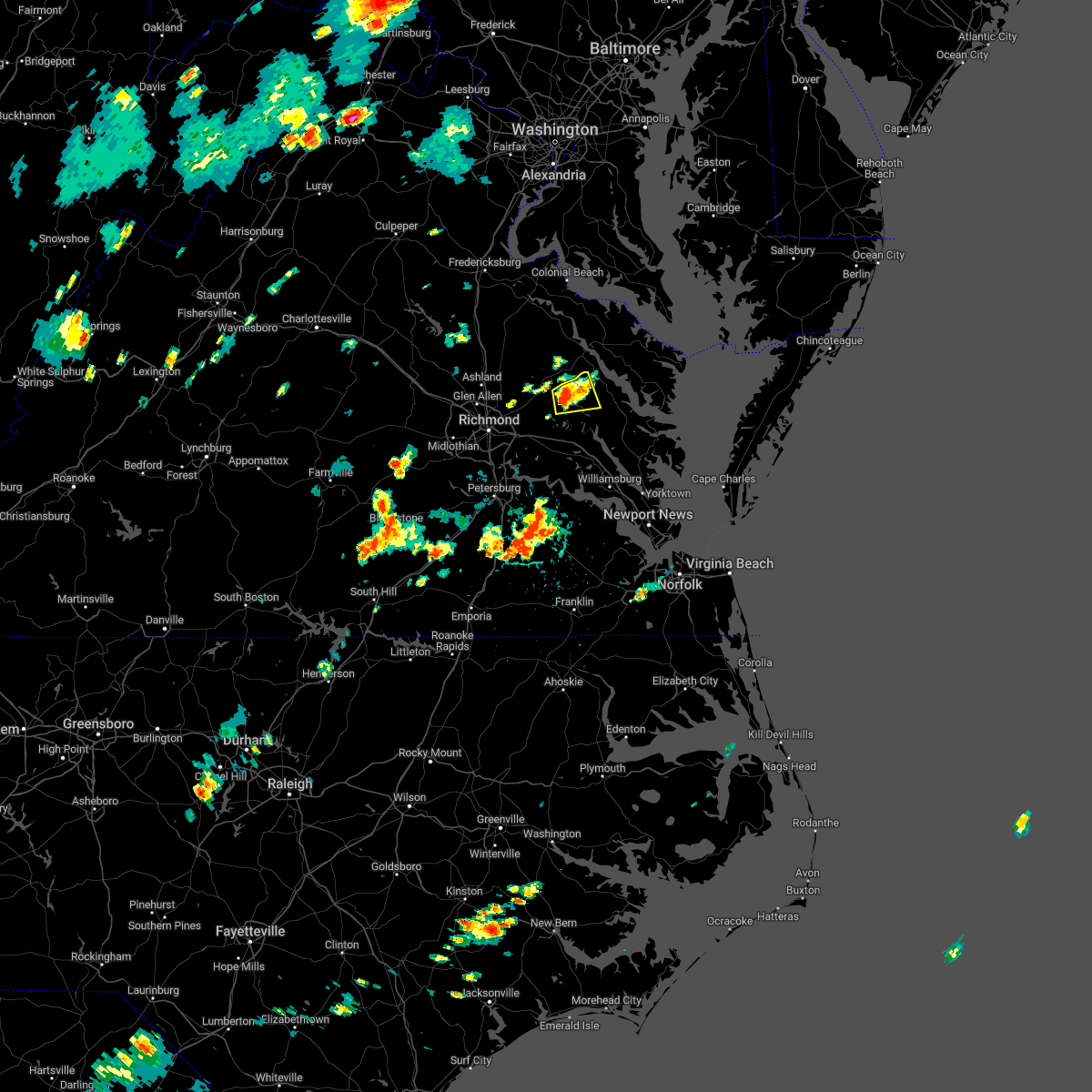 At 355 pm edt, a severe thunderstorm was located near king william, moving east at 10 mph (radar indicated). Hazards include 60 mph wind gusts. Expect damage to trees and powerlines. this severe storm will be near, stevensville around 415 pm edt. king and queen court house around 425 pm edt. other locations impacted by this severe thunderstorm include upright, bruington, walkerton, crouch, henley fork and rose garden. hail threat, radar indicated max hail size, <. 75 in wind threat, radar indicated max wind gust, 60 mph. At 355 pm edt, a severe thunderstorm was located near king william, moving east at 10 mph (radar indicated). Hazards include 60 mph wind gusts. Expect damage to trees and powerlines. this severe storm will be near, stevensville around 415 pm edt. king and queen court house around 425 pm edt. other locations impacted by this severe thunderstorm include upright, bruington, walkerton, crouch, henley fork and rose garden. hail threat, radar indicated max hail size, <. 75 in wind threat, radar indicated max wind gust, 60 mph.
|
| 8/4/2022 3:46 PM EDT |
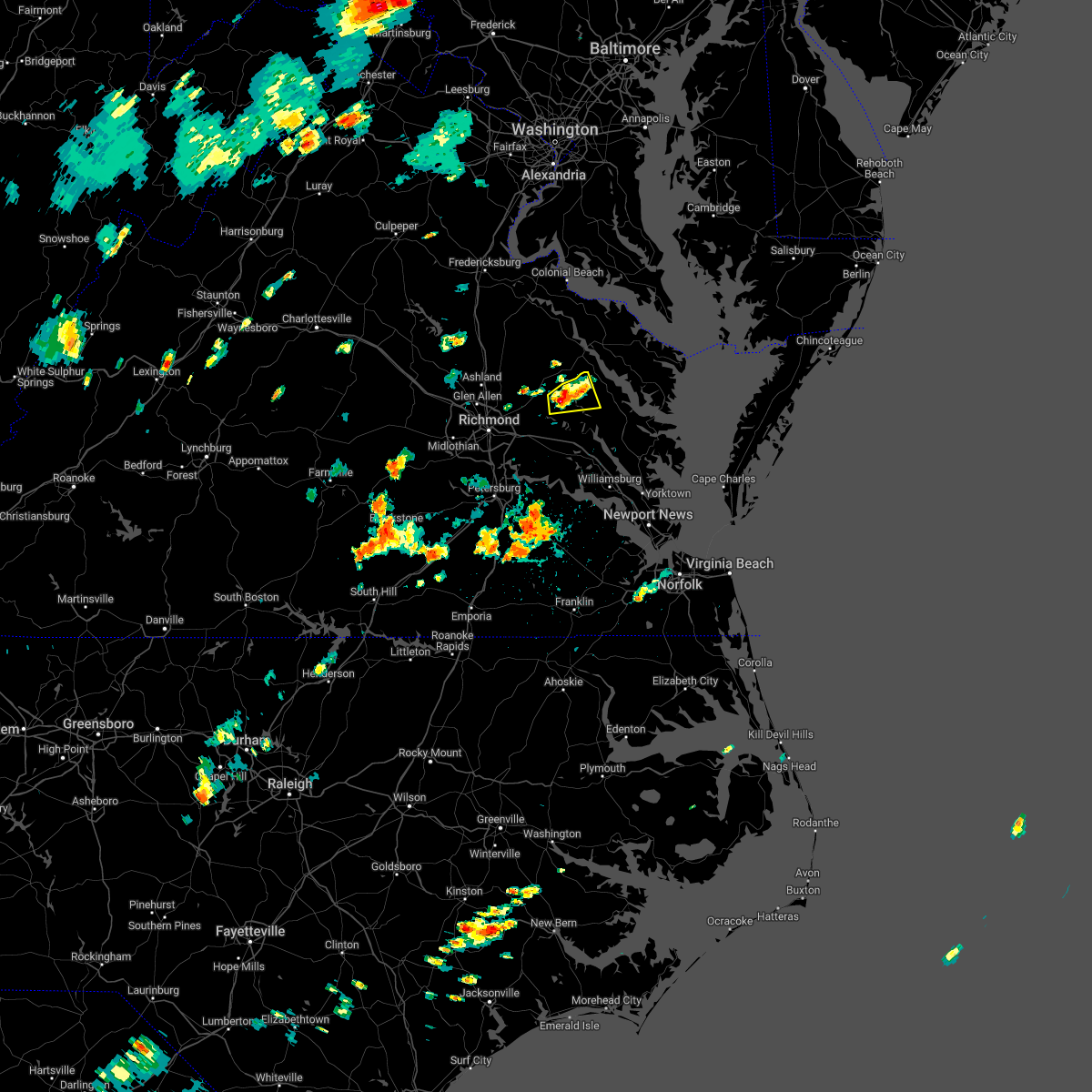 At 346 pm edt, a severe thunderstorm was located over king william, moving east at 10 mph (radar indicated). Hazards include 60 mph wind gusts and quarter size hail. Minor damage to vehicles is possible. expect wind damage to trees and powerlines. this severe storm will be near, stevensville around 415 pm edt. king and queen court house around 425 pm edt. other locations impacted by this severe thunderstorm include crouch, henley fork, palls, upright, bruington, walkerton and rose garden. hail threat, radar indicated max hail size, 1. 00 in wind threat, radar indicated max wind gust, 60 mph. At 346 pm edt, a severe thunderstorm was located over king william, moving east at 10 mph (radar indicated). Hazards include 60 mph wind gusts and quarter size hail. Minor damage to vehicles is possible. expect wind damage to trees and powerlines. this severe storm will be near, stevensville around 415 pm edt. king and queen court house around 425 pm edt. other locations impacted by this severe thunderstorm include crouch, henley fork, palls, upright, bruington, walkerton and rose garden. hail threat, radar indicated max hail size, 1. 00 in wind threat, radar indicated max wind gust, 60 mph.
|
| 8/4/2022 3:39 PM EDT |
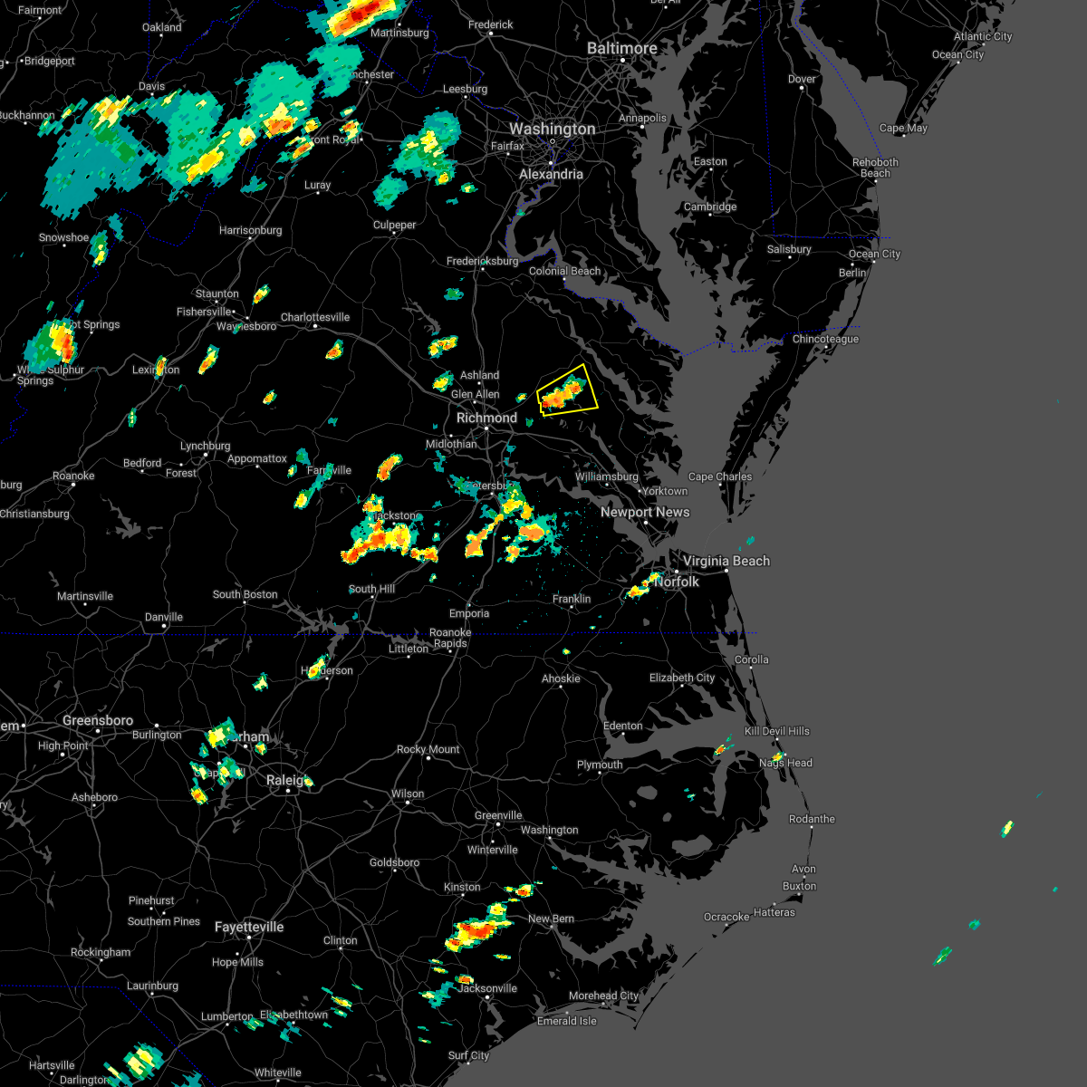 At 338 pm edt, a severe thunderstorm was located over king william, moving east at 10 mph (radar indicated). Hazards include 60 mph wind gusts and penny size hail. Expect damage to trees and powerlines. this severe thunderstorm will be near, stevensville around 415 pm edt. king and queen court house around 425 pm edt. other locations impacted by this severe thunderstorm include rumford, lanesville, crouch, henley fork, palls, upright, bruington, walkerton, rose garden and howertons. hail threat, radar indicated max hail size, 0. 75 in wind threat, radar indicated max wind gust, 60 mph. At 338 pm edt, a severe thunderstorm was located over king william, moving east at 10 mph (radar indicated). Hazards include 60 mph wind gusts and penny size hail. Expect damage to trees and powerlines. this severe thunderstorm will be near, stevensville around 415 pm edt. king and queen court house around 425 pm edt. other locations impacted by this severe thunderstorm include rumford, lanesville, crouch, henley fork, palls, upright, bruington, walkerton, rose garden and howertons. hail threat, radar indicated max hail size, 0. 75 in wind threat, radar indicated max wind gust, 60 mph.
|
| 7/29/2022 3:07 PM EDT |
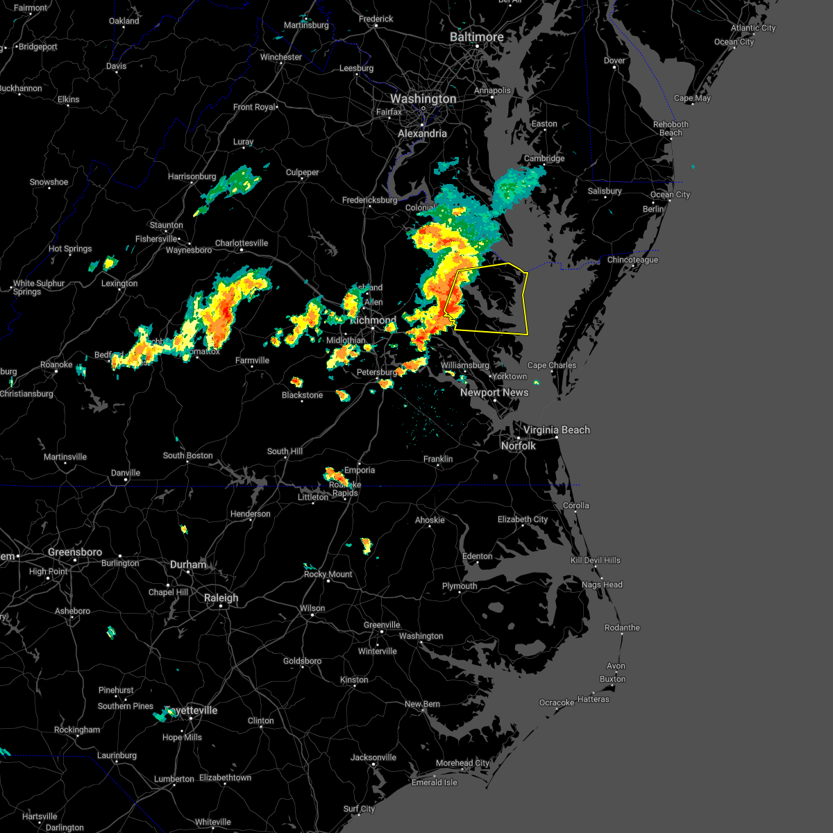 At 306 pm edt, severe thunderstorms were located along a line extending from near sharps to near shacklefords, moving east at 25 mph (radar indicated). Hazards include 60 mph wind gusts. Expect damage to trees and powerlines. severe thunderstorms will be near, sharps around 310 pm edt. farnham, morattico and church view around 315 pm edt. robley around 320 pm edt. glenns and saluda around 325 pm edt. urbanna around 330 pm edt. lancaster and heathsville around 335 pm edt. hartfield and wicomico church around 345 pm edt. white stone around 350 pm edt. other locations impacted by these severe thunderstorms include byrdton, avalon, brook vale, bertrand, grafton, reedville, belle isle state park, amburg, millenbeck and mattaponi. hail threat, radar indicated max hail size, <. 75 in wind threat, radar indicated max wind gust, 60 mph. At 306 pm edt, severe thunderstorms were located along a line extending from near sharps to near shacklefords, moving east at 25 mph (radar indicated). Hazards include 60 mph wind gusts. Expect damage to trees and powerlines. severe thunderstorms will be near, sharps around 310 pm edt. farnham, morattico and church view around 315 pm edt. robley around 320 pm edt. glenns and saluda around 325 pm edt. urbanna around 330 pm edt. lancaster and heathsville around 335 pm edt. hartfield and wicomico church around 345 pm edt. white stone around 350 pm edt. other locations impacted by these severe thunderstorms include byrdton, avalon, brook vale, bertrand, grafton, reedville, belle isle state park, amburg, millenbeck and mattaponi. hail threat, radar indicated max hail size, <. 75 in wind threat, radar indicated max wind gust, 60 mph.
|
| 7/25/2022 6:44 PM EDT |
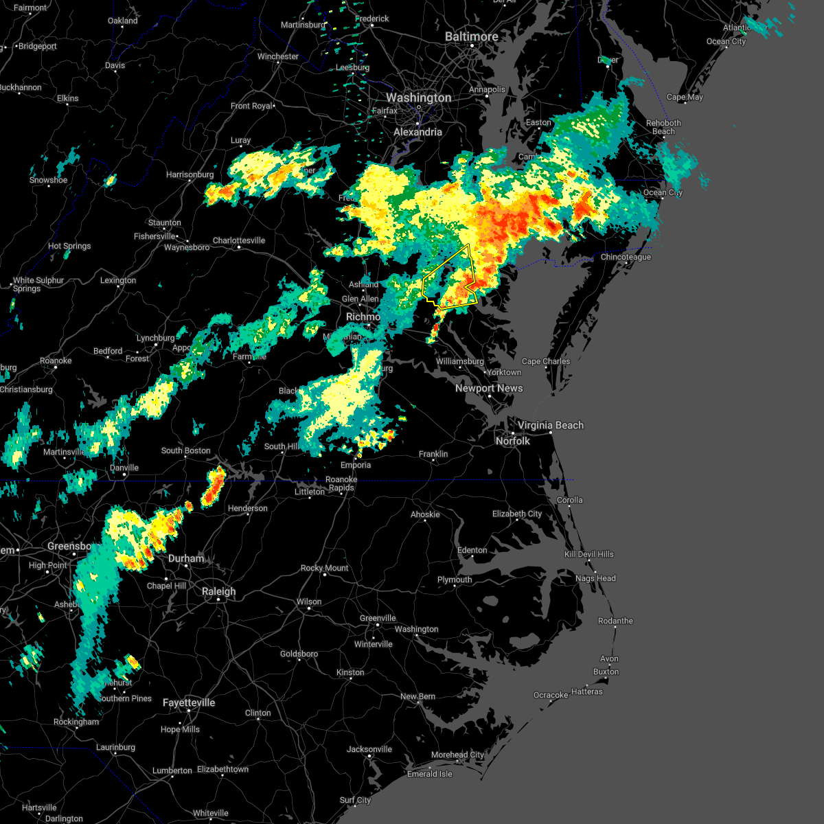 The severe thunderstorm warning for northwestern middlesex, central king and queen, southern richmond, southeastern westmoreland and southeastern essex counties will expire at 645 pm edt, the storm which prompted the warning has moved out of the area. therefore, the warning will be allowed to expire. a severe thunderstorm watch remains in effect until 1000 pm edt for eastern and east central virginia. The severe thunderstorm warning for northwestern middlesex, central king and queen, southern richmond, southeastern westmoreland and southeastern essex counties will expire at 645 pm edt, the storm which prompted the warning has moved out of the area. therefore, the warning will be allowed to expire. a severe thunderstorm watch remains in effect until 1000 pm edt for eastern and east central virginia.
|
| 7/25/2022 6:18 PM EDT |
 At 617 pm edt, a severe thunderstorm was located near center cross, or 8 miles northeast of king and queen court house, moving northeast at 45 mph (radar indicated). Hazards include 60 mph wind gusts and penny size hail. Expect damage to trees and powerlines. this severe storm will be near, farnham around 630 pm edt. other locations impacted by this severe thunderstorm include laneview, howertons, nesting, wellford, threeway, upright, bowlers wharf, ino, dragonville and montague. hail threat, radar indicated max hail size, 0. 75 in wind threat, radar indicated max wind gust, 60 mph. At 617 pm edt, a severe thunderstorm was located near center cross, or 8 miles northeast of king and queen court house, moving northeast at 45 mph (radar indicated). Hazards include 60 mph wind gusts and penny size hail. Expect damage to trees and powerlines. this severe storm will be near, farnham around 630 pm edt. other locations impacted by this severe thunderstorm include laneview, howertons, nesting, wellford, threeway, upright, bowlers wharf, ino, dragonville and montague. hail threat, radar indicated max hail size, 0. 75 in wind threat, radar indicated max wind gust, 60 mph.
|
| 7/25/2022 5:55 PM EDT |
 At 554 pm edt, a severe thunderstorm was located over manquin, or near king william, moving northeast at 40 mph (radar indicated). Hazards include 60 mph wind gusts and penny size hail. Expect damage to trees and powerlines. this severe thunderstorm will be near, king william around 605 pm edt. saint stephens church and stevensville around 610 pm edt. millers tavern around 615 pm edt. tappahannock, dunnsville and center cross around 625 pm edt. sharps around 635 pm edt. warsaw, haynesville and farnham around 640 pm edt. other locations impacted by this severe thunderstorm include threeway, upright, ino, dragonville, rose garden, tidewater, lyells, crouch, palls and kennard. hail threat, radar indicated max hail size, 0. 75 in wind threat, radar indicated max wind gust, 60 mph. At 554 pm edt, a severe thunderstorm was located over manquin, or near king william, moving northeast at 40 mph (radar indicated). Hazards include 60 mph wind gusts and penny size hail. Expect damage to trees and powerlines. this severe thunderstorm will be near, king william around 605 pm edt. saint stephens church and stevensville around 610 pm edt. millers tavern around 615 pm edt. tappahannock, dunnsville and center cross around 625 pm edt. sharps around 635 pm edt. warsaw, haynesville and farnham around 640 pm edt. other locations impacted by this severe thunderstorm include threeway, upright, ino, dragonville, rose garden, tidewater, lyells, crouch, palls and kennard. hail threat, radar indicated max hail size, 0. 75 in wind threat, radar indicated max wind gust, 60 mph.
|
| 7/21/2022 4:06 PM EDT |
 At 406 pm edt, a severe thunderstorm was located over church view, or near urbanna, moving northeast at 45 mph (radar indicated). Hazards include 60 mph wind gusts and quarter size hail. Minor damage to vehicles is possible. expect wind damage to trees and powerlines. this severe thunderstorm will be near, saluda around 410 pm edt. urbanna and morattico around 415 pm edt. lancaster around 425 pm edt. kilmarnock around 430 pm edt. wicomico church around 435 pm edt. fair port around 440 pm edt. other locations impacted by this severe thunderstorm include byrdton, regina, mollusk, senora, brook vale, nuttsville, harmony village, bertrand, grafton and dragonville. hail threat, radar indicated max hail size, 1. 00 in wind threat, radar indicated max wind gust, 60 mph. At 406 pm edt, a severe thunderstorm was located over church view, or near urbanna, moving northeast at 45 mph (radar indicated). Hazards include 60 mph wind gusts and quarter size hail. Minor damage to vehicles is possible. expect wind damage to trees and powerlines. this severe thunderstorm will be near, saluda around 410 pm edt. urbanna and morattico around 415 pm edt. lancaster around 425 pm edt. kilmarnock around 430 pm edt. wicomico church around 435 pm edt. fair port around 440 pm edt. other locations impacted by this severe thunderstorm include byrdton, regina, mollusk, senora, brook vale, nuttsville, harmony village, bertrand, grafton and dragonville. hail threat, radar indicated max hail size, 1. 00 in wind threat, radar indicated max wind gust, 60 mph.
|
| 6/17/2022 6:11 PM EDT |
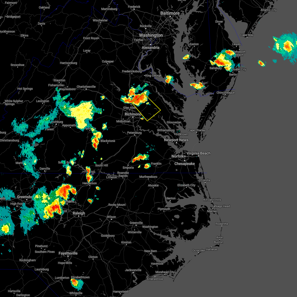 At 611 pm edt, a severe thunderstorm was located over mangohick, or 11 miles east of ashland, moving southeast at 20 mph (radar indicated). Hazards include 60 mph wind gusts and quarter size hail. Minor damage to vehicles is possible. expect wind damage to trees and powerlines. this severe thunderstorm will be near, beulahville around 615 pm edt. studley around 630 pm edt. aylett around 635 pm edt. manquin around 640 pm edt. king william and tunstall around 655 pm edt. talleysville around 700 pm edt. other locations impacted by this severe thunderstorm include enfield, etna mills, epworth, westwood, rose garden, biscoe, globe, palls, duane fork and wrights corner. hail threat, radar indicated max hail size, 1. 00 in wind threat, radar indicated max wind gust, 60 mph. At 611 pm edt, a severe thunderstorm was located over mangohick, or 11 miles east of ashland, moving southeast at 20 mph (radar indicated). Hazards include 60 mph wind gusts and quarter size hail. Minor damage to vehicles is possible. expect wind damage to trees and powerlines. this severe thunderstorm will be near, beulahville around 615 pm edt. studley around 630 pm edt. aylett around 635 pm edt. manquin around 640 pm edt. king william and tunstall around 655 pm edt. talleysville around 700 pm edt. other locations impacted by this severe thunderstorm include enfield, etna mills, epworth, westwood, rose garden, biscoe, globe, palls, duane fork and wrights corner. hail threat, radar indicated max hail size, 1. 00 in wind threat, radar indicated max wind gust, 60 mph.
|
| 6/2/2022 6:37 PM EDT |
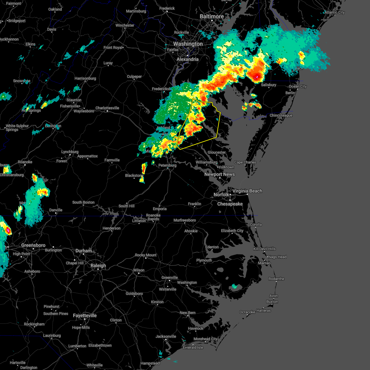 At 636 pm edt, severe thunderstorms were located along a line extending from near saint clements bay to near farnham to little plymouth, moving east at 45 mph (radar indicated). Hazards include 60 mph wind gusts and penny size hail. Expect damage to trees and powerlines. these severe storms will be near, farnham, coles point, haynesville, morattico and hague around 640 pm edt. robley and callao around 645 pm edt. lewisetta around 655 pm edt. other locations impacted by these severe thunderstorms include currioman landing, lottsburg, threeway, cohoke, belle isle state park, rose garden, biscoe, lyells, crouch and westmoreland. hail threat, radar indicated max hail size, 0. 75 in wind threat, radar indicated max wind gust, 60 mph. At 636 pm edt, severe thunderstorms were located along a line extending from near saint clements bay to near farnham to little plymouth, moving east at 45 mph (radar indicated). Hazards include 60 mph wind gusts and penny size hail. Expect damage to trees and powerlines. these severe storms will be near, farnham, coles point, haynesville, morattico and hague around 640 pm edt. robley and callao around 645 pm edt. lewisetta around 655 pm edt. other locations impacted by these severe thunderstorms include currioman landing, lottsburg, threeway, cohoke, belle isle state park, rose garden, biscoe, lyells, crouch and westmoreland. hail threat, radar indicated max hail size, 0. 75 in wind threat, radar indicated max wind gust, 60 mph.
|
| 6/2/2022 6:28 PM EDT |
 At 627 pm edt, severe thunderstorms were located along a line extending from near wicomico river to dunnsville to near king and queen court house, moving east at 45 mph (radar indicated). Hazards include 60 mph wind gusts and penny size hail. Expect damage to trees and powerlines. these severe storms will be near, sharps around 635 pm edt. farnham, coles point, haynesville, morattico and hague around 640 pm edt. robley, callao, church view and jamaica around 645 pm edt. lewisetta around 655 pm edt. other locations impacted by these severe thunderstorms include beazley, currioman landing, lottsburg, threeway, cohoke, belle isle state park, rose garden, biscoe, lyells and crouch. hail threat, radar indicated max hail size, 0. 75 in wind threat, radar indicated max wind gust, 60 mph. At 627 pm edt, severe thunderstorms were located along a line extending from near wicomico river to dunnsville to near king and queen court house, moving east at 45 mph (radar indicated). Hazards include 60 mph wind gusts and penny size hail. Expect damage to trees and powerlines. these severe storms will be near, sharps around 635 pm edt. farnham, coles point, haynesville, morattico and hague around 640 pm edt. robley, callao, church view and jamaica around 645 pm edt. lewisetta around 655 pm edt. other locations impacted by these severe thunderstorms include beazley, currioman landing, lottsburg, threeway, cohoke, belle isle state park, rose garden, biscoe, lyells and crouch. hail threat, radar indicated max hail size, 0. 75 in wind threat, radar indicated max wind gust, 60 mph.
|
| 6/2/2022 6:04 PM EDT |
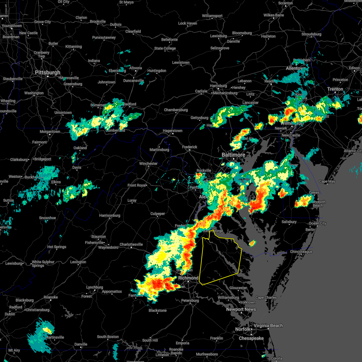 At 604 pm edt, severe thunderstorms were located along a line extending from king george to near loretto to near aylett, moving east at 45 mph (radar indicated). Hazards include 60 mph wind gusts and penny size hail. Expect damage to trees and powerlines. severe thunderstorms will be near, champlain, loretto and leedstown around 610 pm edt. king william around 615 pm edt. colonial beach, newland, stevensville and millers tavern around 620 pm edt. montross and king and queen court house around 625 pm edt. warsaw, center cross and dunnsville around 630 pm edt. hague around 635 pm edt. jamaica, kinsale, coles point, sharps and church view around 640 pm edt. robley, morattico and lewisetta around 645 pm edt. other locations impacted by these severe thunderstorms include beazley, currioman landing, lottsburg, threeway, cohoke, belle isle state park, rose garden, biscoe, lyells and crouch. hail threat, radar indicated max hail size, 0. 75 in wind threat, radar indicated max wind gust, 60 mph. At 604 pm edt, severe thunderstorms were located along a line extending from king george to near loretto to near aylett, moving east at 45 mph (radar indicated). Hazards include 60 mph wind gusts and penny size hail. Expect damage to trees and powerlines. severe thunderstorms will be near, champlain, loretto and leedstown around 610 pm edt. king william around 615 pm edt. colonial beach, newland, stevensville and millers tavern around 620 pm edt. montross and king and queen court house around 625 pm edt. warsaw, center cross and dunnsville around 630 pm edt. hague around 635 pm edt. jamaica, kinsale, coles point, sharps and church view around 640 pm edt. robley, morattico and lewisetta around 645 pm edt. other locations impacted by these severe thunderstorms include beazley, currioman landing, lottsburg, threeway, cohoke, belle isle state park, rose garden, biscoe, lyells and crouch. hail threat, radar indicated max hail size, 0. 75 in wind threat, radar indicated max wind gust, 60 mph.
|
| 5/6/2022 7:15 PM EDT |
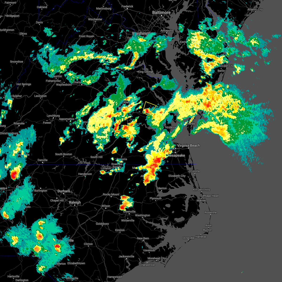 At 715 pm edt, a severe thunderstorm was located near new kent, moving northeast at 45 mph (radar indicated). Hazards include quarter size hail. Minor damage to vehicles is possible. this severe storm will be near, west point around 720 pm edt. king and queen court house and little plymouth around 725 pm edt. other locations impacted by this severe thunderstorm include cooke, romancoke, lanesville, cohoke, slaterville and rose garden. hail threat, radar indicated max hail size, 1. 00 in wind threat, radar indicated max wind gust, <50 mph. At 715 pm edt, a severe thunderstorm was located near new kent, moving northeast at 45 mph (radar indicated). Hazards include quarter size hail. Minor damage to vehicles is possible. this severe storm will be near, west point around 720 pm edt. king and queen court house and little plymouth around 725 pm edt. other locations impacted by this severe thunderstorm include cooke, romancoke, lanesville, cohoke, slaterville and rose garden. hail threat, radar indicated max hail size, 1. 00 in wind threat, radar indicated max wind gust, <50 mph.
|
| 5/6/2022 7:01 PM EDT |
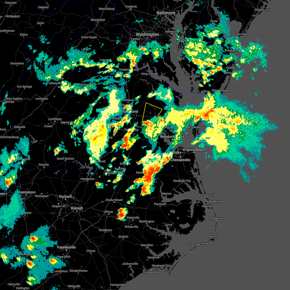 At 701 pm edt, a severe thunderstorm was located over providence forge, or near roxbury, moving north at 40 mph (radar indicated). Hazards include 60 mph wind gusts and quarter size hail. Minor damage to vehicles is possible. expect wind damage to trees and powerlines. this severe thunderstorm will be near, new kent and talleysville around 710 pm edt. king william and king and queen court house around 730 pm edt. other locations impacted by this severe thunderstorm include eltham, chickahominy shore, mountcastle, cohoke, walkerton, lanexa, rose garden, mattaponi, quinton and colonial downs. hail threat, radar indicated max hail size, 1. 00 in wind threat, radar indicated max wind gust, 60 mph. At 701 pm edt, a severe thunderstorm was located over providence forge, or near roxbury, moving north at 40 mph (radar indicated). Hazards include 60 mph wind gusts and quarter size hail. Minor damage to vehicles is possible. expect wind damage to trees and powerlines. this severe thunderstorm will be near, new kent and talleysville around 710 pm edt. king william and king and queen court house around 730 pm edt. other locations impacted by this severe thunderstorm include eltham, chickahominy shore, mountcastle, cohoke, walkerton, lanexa, rose garden, mattaponi, quinton and colonial downs. hail threat, radar indicated max hail size, 1. 00 in wind threat, radar indicated max wind gust, 60 mph.
|
| 4/26/2022 4:20 PM EDT |
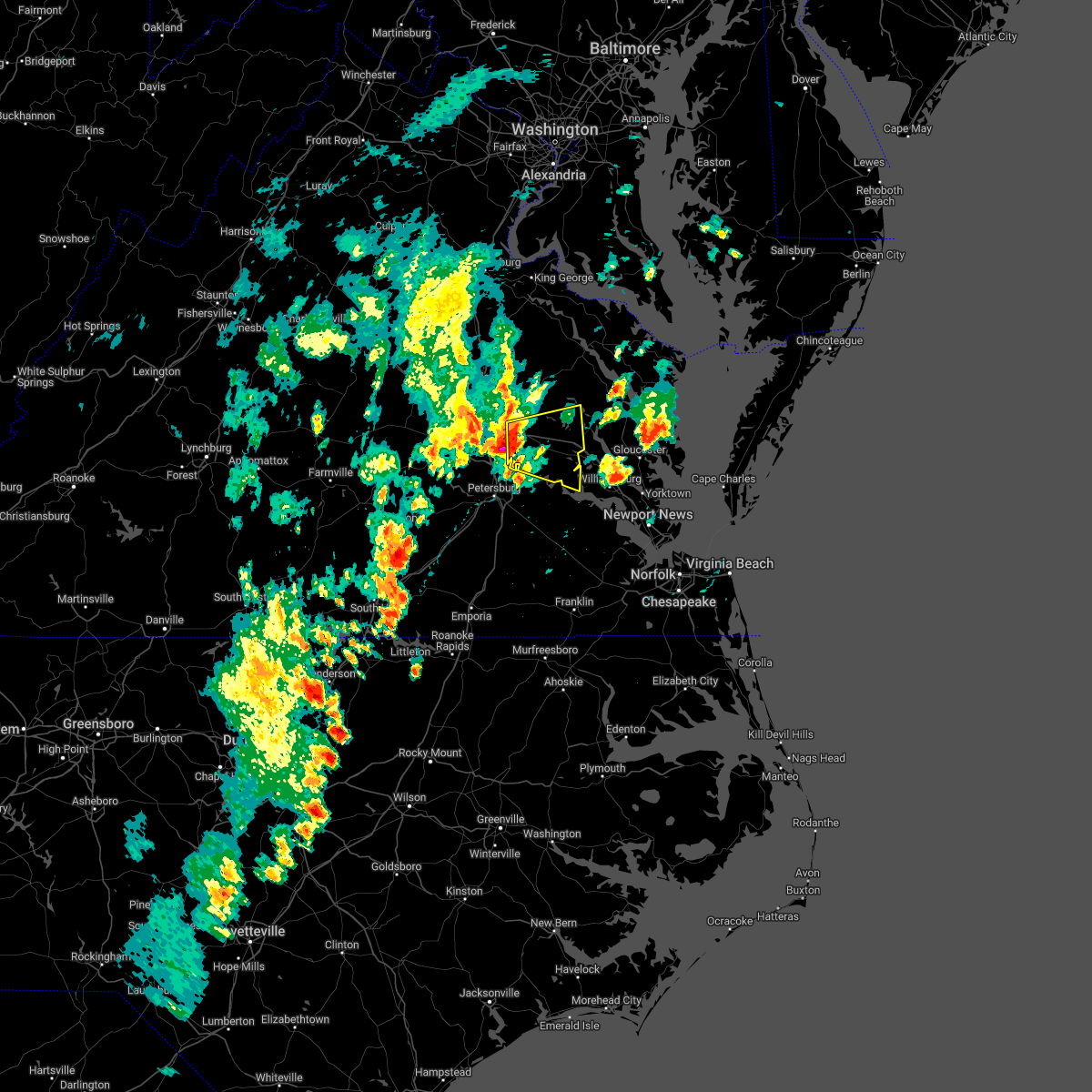 At 420 pm edt, a severe thunderstorm was located near bottoms bridge, or near highland springs, moving east at 35 mph (radar indicated). Hazards include 60 mph wind gusts and quarter size hail. Minor damage to vehicles is possible. expect wind damage to trees and powerlines. this severe thunderstorm will be near, bottoms bridge around 430 pm edt. roxbury and adkins store around 435 pm edt. talleysville and providence forge around 440 pm edt. new kent around 450 pm edt. other locations impacted by this severe thunderstorm include chickahominy shore, wayside, mountcastle, elko, cohoke, sandston, glendale, westwood, lanexa and rose garden. hail threat, radar indicated max hail size, 1. 00 in wind threat, radar indicated max wind gust, 60 mph. At 420 pm edt, a severe thunderstorm was located near bottoms bridge, or near highland springs, moving east at 35 mph (radar indicated). Hazards include 60 mph wind gusts and quarter size hail. Minor damage to vehicles is possible. expect wind damage to trees and powerlines. this severe thunderstorm will be near, bottoms bridge around 430 pm edt. roxbury and adkins store around 435 pm edt. talleysville and providence forge around 440 pm edt. new kent around 450 pm edt. other locations impacted by this severe thunderstorm include chickahominy shore, wayside, mountcastle, elko, cohoke, sandston, glendale, westwood, lanexa and rose garden. hail threat, radar indicated max hail size, 1. 00 in wind threat, radar indicated max wind gust, 60 mph.
|
| 7/29/2021 7:05 PM EDT |
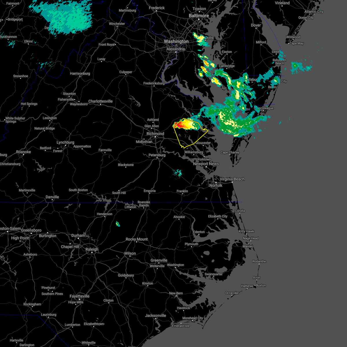 At 704 pm edt, a severe thunderstorm was located over king and queen court house, moving southeast at 30 mph (radar indicated). Hazards include two inch hail and 70 mph wind gusts. People and animals outdoors will be injured. expect hail damage to roofs, siding, windows, and vehicles. expect considerable tree damage. wind damage is also likely to mobile homes, roofs, and outbuildings. Locations impacted include, new kent, king william, west point, urbanna, king and queen court house, church view, saluda, stevensville, glenns, jamaica, barhamsville, little plymouth, shacklefords, eltham, ino, cohoke, dragonville, lanexa, rose garden and mattaponi. At 704 pm edt, a severe thunderstorm was located over king and queen court house, moving southeast at 30 mph (radar indicated). Hazards include two inch hail and 70 mph wind gusts. People and animals outdoors will be injured. expect hail damage to roofs, siding, windows, and vehicles. expect considerable tree damage. wind damage is also likely to mobile homes, roofs, and outbuildings. Locations impacted include, new kent, king william, west point, urbanna, king and queen court house, church view, saluda, stevensville, glenns, jamaica, barhamsville, little plymouth, shacklefords, eltham, ino, cohoke, dragonville, lanexa, rose garden and mattaponi.
|
| 7/29/2021 6:48 PM EDT |
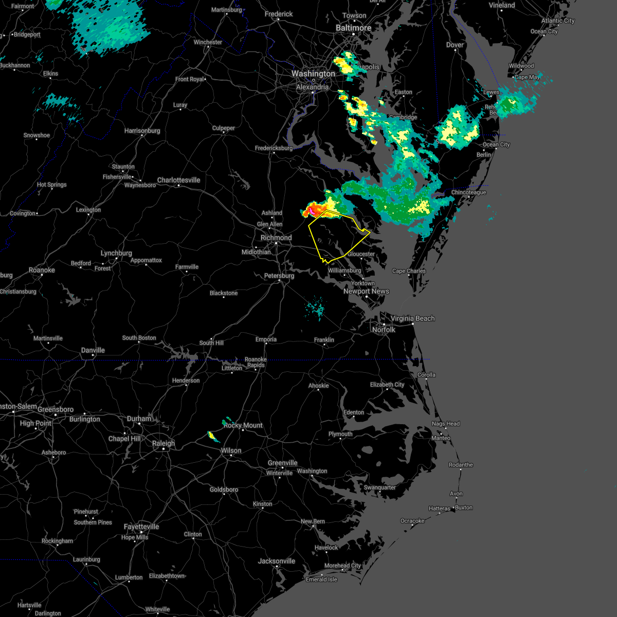 At 647 pm edt, a severe thunderstorm was located near stevensville, or near saint stephens church, moving southeast at 30 mph (radar indicated). Hazards include two inch hail and 70 mph wind gusts. People and animals outdoors will be injured. expect hail damage to roofs, siding, windows, and vehicles. expect considerable tree damage. Wind damage is also likely to mobile homes, roofs, and outbuildings. At 647 pm edt, a severe thunderstorm was located near stevensville, or near saint stephens church, moving southeast at 30 mph (radar indicated). Hazards include two inch hail and 70 mph wind gusts. People and animals outdoors will be injured. expect hail damage to roofs, siding, windows, and vehicles. expect considerable tree damage. Wind damage is also likely to mobile homes, roofs, and outbuildings.
|
| 7/29/2021 6:19 PM EDT |
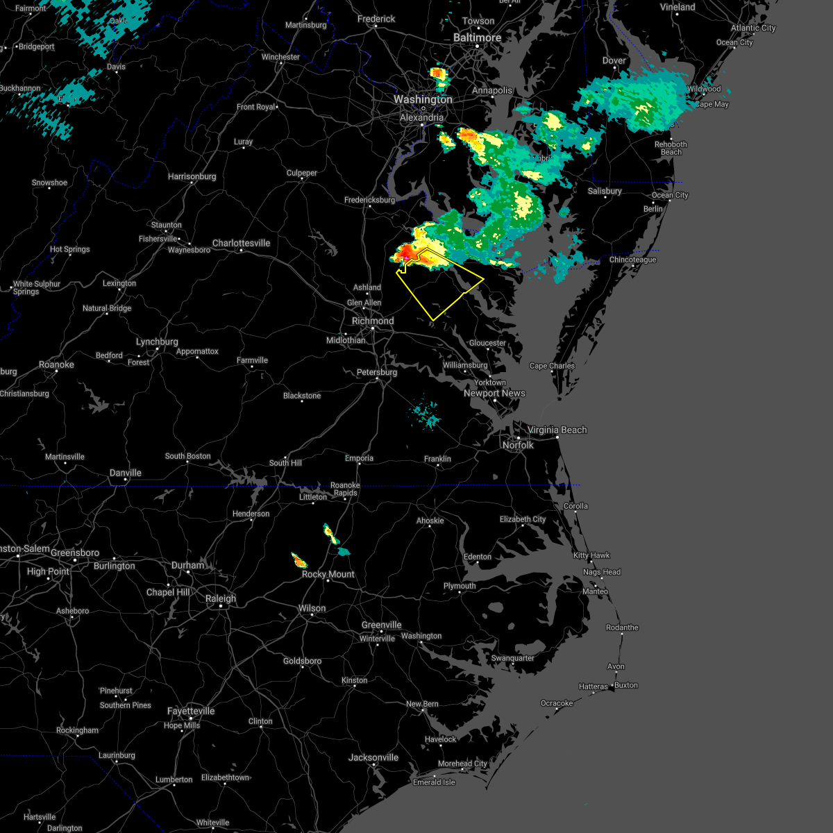 At 618 pm edt, a severe thunderstorm was located near newtown, or near champlain, moving southeast at 30 mph (radar indicated). Hazards include two inch hail and 70 mph wind gusts. People and animals outdoors will be injured. expect hail damage to roofs, siding, windows, and vehicles. expect considerable tree damage. Wind damage is also likely to mobile homes, roofs, and outbuildings. At 618 pm edt, a severe thunderstorm was located near newtown, or near champlain, moving southeast at 30 mph (radar indicated). Hazards include two inch hail and 70 mph wind gusts. People and animals outdoors will be injured. expect hail damage to roofs, siding, windows, and vehicles. expect considerable tree damage. Wind damage is also likely to mobile homes, roofs, and outbuildings.
|
| 7/1/2021 4:46 PM EDT |
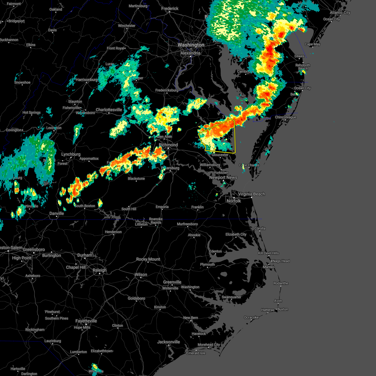 At 445 pm edt, severe thunderstorms were located along a line extending from near jamaica to fair port, moving east at 35 mph (radar indicated). Hazards include 60 mph wind gusts and penny size hail. Expect damage to trees and powerlines. Locations impacted include, west point, kilmarnock, urbanna, fair port, deltaville, robley, lancaster, white stone, morattico, saluda, wicomico church, jamaica, gwynn, church view, hartfield, glenns, blakes, little plymouth, shacklefords and byrdton. At 445 pm edt, severe thunderstorms were located along a line extending from near jamaica to fair port, moving east at 35 mph (radar indicated). Hazards include 60 mph wind gusts and penny size hail. Expect damage to trees and powerlines. Locations impacted include, west point, kilmarnock, urbanna, fair port, deltaville, robley, lancaster, white stone, morattico, saluda, wicomico church, jamaica, gwynn, church view, hartfield, glenns, blakes, little plymouth, shacklefords and byrdton.
|
| 7/1/2021 4:28 PM EDT |
 At 427 pm edt, severe thunderstorms were located along a line extending from near little plymouth to barhamsville, moving east at 30 mph (radar indicated). Hazards include 60 mph wind gusts and quarter size hail. Minor damage to vehicles is possible. Expect wind damage to trees and powerlines. At 427 pm edt, severe thunderstorms were located along a line extending from near little plymouth to barhamsville, moving east at 30 mph (radar indicated). Hazards include 60 mph wind gusts and quarter size hail. Minor damage to vehicles is possible. Expect wind damage to trees and powerlines.
|
| 5/28/2021 7:21 PM EDT | Tree down near ashdale r in essex county VA, 10.6 miles SW of King and Queen Court House, VA |
| 5/28/2021 2:39 PM EDT |
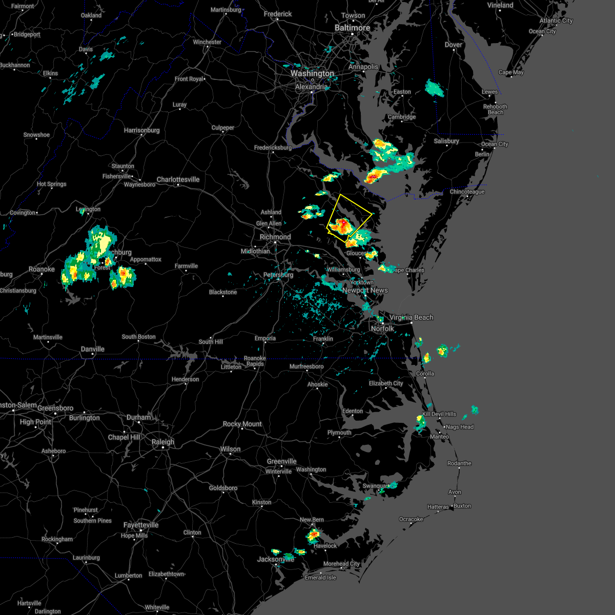 At 238 pm edt, a severe thunderstorm was located over little plymouth, or near west point, moving northeast at 20 mph (radar indicated). Hazards include 60 mph wind gusts and quarter size hail. Minor damage to vehicles is possible. expect wind damage to trees and powerlines. this severe thunderstorm will be near, church view around 250 pm edt. jamaica around 255 pm edt. center cross around 300 pm edt. morattico and sharps around 315 pm edt. robley and farnham around 325 pm edt. Other locations impacted by this severe thunderstorm include laneview, nesting, wellford, somers, mollusk, alfonso, bowlers wharf, nuttsville, ino and dragonville. At 238 pm edt, a severe thunderstorm was located over little plymouth, or near west point, moving northeast at 20 mph (radar indicated). Hazards include 60 mph wind gusts and quarter size hail. Minor damage to vehicles is possible. expect wind damage to trees and powerlines. this severe thunderstorm will be near, church view around 250 pm edt. jamaica around 255 pm edt. center cross around 300 pm edt. morattico and sharps around 315 pm edt. robley and farnham around 325 pm edt. Other locations impacted by this severe thunderstorm include laneview, nesting, wellford, somers, mollusk, alfonso, bowlers wharf, nuttsville, ino and dragonville.
|
| 5/4/2021 6:50 PM EDT |
 At 650 pm edt, severe thunderstorms were located along a line extending from near saint inigoes creek to church view, moving east at 50 mph (radar indicated). Hazards include 60 mph wind gusts. Expect damage to trees and powerlines. these severe storms will be near, lancaster around 705 pm edt. Other locations impacted by these severe thunderstorms include lottsburg, mollusk, avalon, nuttsville, ino, dragonville, belle isle state park, warner, tidewater and middletons corner. At 650 pm edt, severe thunderstorms were located along a line extending from near saint inigoes creek to church view, moving east at 50 mph (radar indicated). Hazards include 60 mph wind gusts. Expect damage to trees and powerlines. these severe storms will be near, lancaster around 705 pm edt. Other locations impacted by these severe thunderstorms include lottsburg, mollusk, avalon, nuttsville, ino, dragonville, belle isle state park, warner, tidewater and middletons corner.
|
| 5/4/2021 6:50 PM EDT |
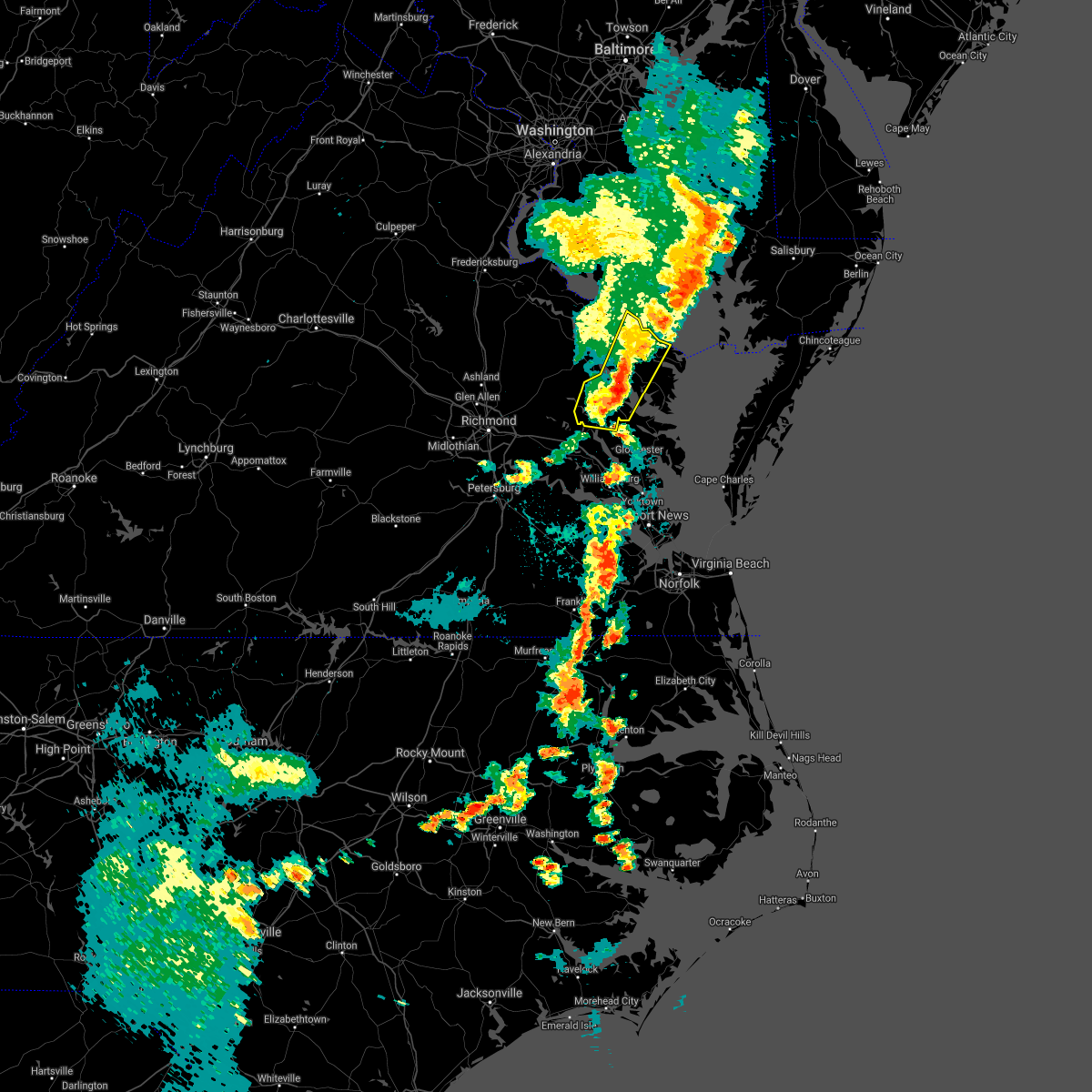 At 650 pm edt, severe thunderstorms were located along a line extending from near saint inigoes creek to church view, moving east at 50 mph (radar indicated). Hazards include 60 mph wind gusts. Expect damage to trees and powerlines. these severe storms will be near, lancaster around 705 pm edt. Other locations impacted by these severe thunderstorms include lottsburg, mollusk, avalon, nuttsville, ino, dragonville, belle isle state park, warner, tidewater and middletons corner. At 650 pm edt, severe thunderstorms were located along a line extending from near saint inigoes creek to church view, moving east at 50 mph (radar indicated). Hazards include 60 mph wind gusts. Expect damage to trees and powerlines. these severe storms will be near, lancaster around 705 pm edt. Other locations impacted by these severe thunderstorms include lottsburg, mollusk, avalon, nuttsville, ino, dragonville, belle isle state park, warner, tidewater and middletons corner.
|
| 5/4/2021 6:37 PM EDT |
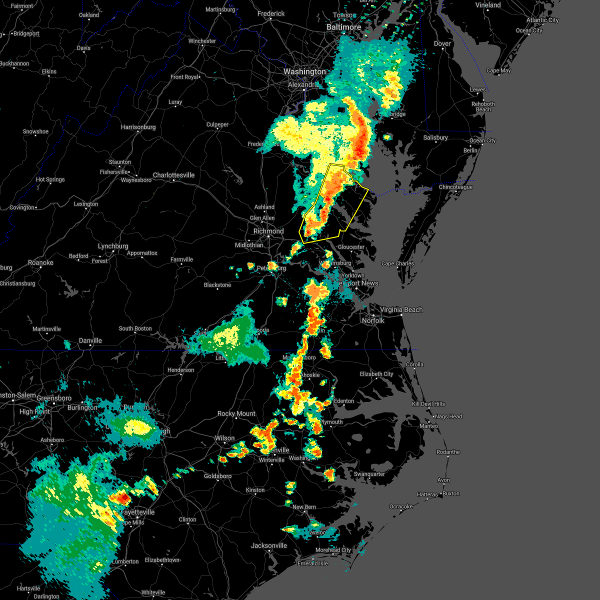 At 635 pm edt, severe thunderstorms were located along a line extending from saint george island to near little plymouth, moving east at 40 mph (radar indicated). Hazards include 60 mph wind gusts. Expect damage to trees and powerlines. these severe storms will be near, lewisetta around 640 pm edt. jamaica around 650 pm edt. church view around 655 pm edt. urbanna and saluda around 700 pm edt. Other locations impacted by these severe thunderstorms include eltham, currioman landing, lottsburg, threeway, avalon, cohoke, belle isle state park, rose garden, mattaponi and lyells. At 635 pm edt, severe thunderstorms were located along a line extending from saint george island to near little plymouth, moving east at 40 mph (radar indicated). Hazards include 60 mph wind gusts. Expect damage to trees and powerlines. these severe storms will be near, lewisetta around 640 pm edt. jamaica around 650 pm edt. church view around 655 pm edt. urbanna and saluda around 700 pm edt. Other locations impacted by these severe thunderstorms include eltham, currioman landing, lottsburg, threeway, avalon, cohoke, belle isle state park, rose garden, mattaponi and lyells.
|
| 5/4/2021 6:11 PM EDT |
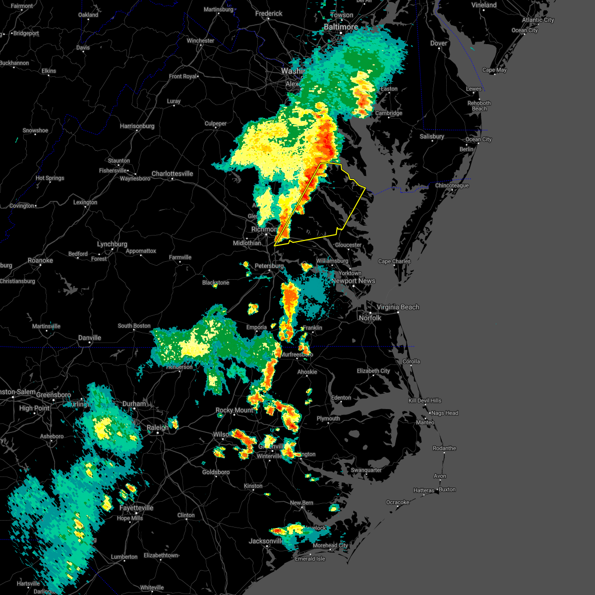 At 609 pm edt, severe thunderstorms were located along a line extending from near saint clements bay to bottoms bridge, moving east at 50 mph (radar indicated). Hazards include 60 mph wind gusts. Expect damage to trees and powerlines. severe thunderstorms will be near, new kent and king william around 625 pm edt. west point, king and queen court house and little plymouth around 635 pm edt. shacklefords around 640 pm edt. church view and jamaica around 645 pm edt. urbanna and saluda around 650 pm edt. lancaster around 700 pm edt. Other locations impacted by these severe thunderstorms include eltham, currioman landing, lottsburg, threeway, avalon, cohoke, belle isle state park, sandston, rose garden and mattaponi. At 609 pm edt, severe thunderstorms were located along a line extending from near saint clements bay to bottoms bridge, moving east at 50 mph (radar indicated). Hazards include 60 mph wind gusts. Expect damage to trees and powerlines. severe thunderstorms will be near, new kent and king william around 625 pm edt. west point, king and queen court house and little plymouth around 635 pm edt. shacklefords around 640 pm edt. church view and jamaica around 645 pm edt. urbanna and saluda around 650 pm edt. lancaster around 700 pm edt. Other locations impacted by these severe thunderstorms include eltham, currioman landing, lottsburg, threeway, avalon, cohoke, belle isle state park, sandston, rose garden and mattaponi.
|
| 8/4/2020 5:24 AM EDT |
 At 524 am edt, a severe thunderstorm capable of producing a tornado was located near king william, moving northwest at 45 mph (radar indicated rotation). Hazards include tornado. Flying debris will be dangerous to those caught without shelter. mobile homes will be damaged or destroyed. damage to roofs, windows, and vehicles will occur. tree damage is likely. this dangerous storm will be near, saint stephens church and aylett around 540 am edt. newtown and beulahville around 550 am edt. Other locations impacted by this tornadic thunderstorm include beazley, central garage, owenton, upshaw, walkerton, biscoe, rumford, henley fork, globe and pollards corner. At 524 am edt, a severe thunderstorm capable of producing a tornado was located near king william, moving northwest at 45 mph (radar indicated rotation). Hazards include tornado. Flying debris will be dangerous to those caught without shelter. mobile homes will be damaged or destroyed. damage to roofs, windows, and vehicles will occur. tree damage is likely. this dangerous storm will be near, saint stephens church and aylett around 540 am edt. newtown and beulahville around 550 am edt. Other locations impacted by this tornadic thunderstorm include beazley, central garage, owenton, upshaw, walkerton, biscoe, rumford, henley fork, globe and pollards corner.
|
| 8/4/2020 5:18 AM EDT |
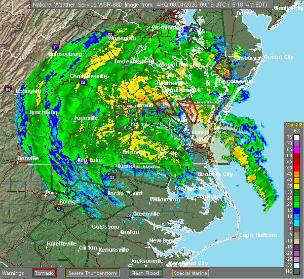 At 518 am edt, a severe thunderstorm capable of producing a tornado was located over little plymouth, or near king and queen court house, moving northwest at 55 mph (radar indicated rotation). Hazards include tornado. Flying debris will be dangerous to those caught without shelter. mobile homes will be damaged or destroyed. damage to roofs, windows, and vehicles will occur. tree damage is likely. This tornadic thunderstorm will remain over mainly rural areas of southeastern king and queen and southeastern king william counties, including the following locations, mascot, velma, romancoke, dragonville, clancie, rose garden and mattaponi. At 518 am edt, a severe thunderstorm capable of producing a tornado was located over little plymouth, or near king and queen court house, moving northwest at 55 mph (radar indicated rotation). Hazards include tornado. Flying debris will be dangerous to those caught without shelter. mobile homes will be damaged or destroyed. damage to roofs, windows, and vehicles will occur. tree damage is likely. This tornadic thunderstorm will remain over mainly rural areas of southeastern king and queen and southeastern king william counties, including the following locations, mascot, velma, romancoke, dragonville, clancie, rose garden and mattaponi.
|
| 8/4/2020 5:10 AM EDT |
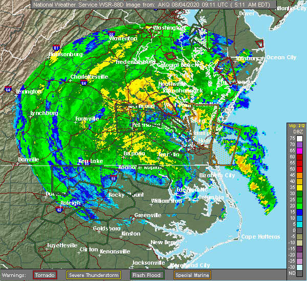 At 509 am edt, a severe thunderstorm capable of producing a tornado was located over shacklefords, or near west point, moving northwest at 55 mph (radar indicated rotation). Hazards include tornado. Flying debris will be dangerous to those caught without shelter. mobile homes will be damaged or destroyed. damage to roofs, windows, and vehicles will occur. tree damage is likely. this dangerous storm will be near, little plymouth around 520 am edt. king and queen court house around 525 am edt. Other locations impacted by this tornadic thunderstorm include mattaponi, holly forks, eltham, mascot, velma, romancoke, adner, dragonville, plum point and gressit. At 509 am edt, a severe thunderstorm capable of producing a tornado was located over shacklefords, or near west point, moving northwest at 55 mph (radar indicated rotation). Hazards include tornado. Flying debris will be dangerous to those caught without shelter. mobile homes will be damaged or destroyed. damage to roofs, windows, and vehicles will occur. tree damage is likely. this dangerous storm will be near, little plymouth around 520 am edt. king and queen court house around 525 am edt. Other locations impacted by this tornadic thunderstorm include mattaponi, holly forks, eltham, mascot, velma, romancoke, adner, dragonville, plum point and gressit.
|
| 8/4/2020 4:57 AM EDT |
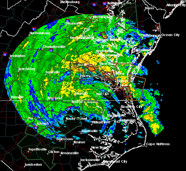 At 456 am edt, a severe thunderstorm capable of producing a tornado was located near queens lake, moving northwest at 55 mph (radar indicated rotation). Hazards include tornado. Flying debris will be dangerous to those caught without shelter. mobile homes will be damaged or destroyed. damage to roofs, windows, and vehicles will occur. tree damage is likely. this dangerous storm will be near, west point and shacklefords around 515 am edt. little plymouth around 520 am edt. king and queen court house around 525 am edt. Other locations impacted by this tornadic thunderstorm include holly forks, eltham, belroi, york river state park, dragonville, gressit, rose garden, mattaponi, christensons corner and mascot. At 456 am edt, a severe thunderstorm capable of producing a tornado was located near queens lake, moving northwest at 55 mph (radar indicated rotation). Hazards include tornado. Flying debris will be dangerous to those caught without shelter. mobile homes will be damaged or destroyed. damage to roofs, windows, and vehicles will occur. tree damage is likely. this dangerous storm will be near, west point and shacklefords around 515 am edt. little plymouth around 520 am edt. king and queen court house around 525 am edt. Other locations impacted by this tornadic thunderstorm include holly forks, eltham, belroi, york river state park, dragonville, gressit, rose garden, mattaponi, christensons corner and mascot.
|
| 6/25/2020 9:41 PM EDT |
 At 941 pm edt, a severe thunderstorm was located over king and queen court house, moving southeast at 25 mph (radar indicated). Hazards include 60 mph wind gusts and quarter size hail. Minor damage to vehicles is possible. expect wind damage to trees and powerlines. this severe storm will be near, west point and little plymouth around 955 pm edt. shacklefords around 1005 pm edt. Other locations impacted by this severe thunderstorm include mattaponi, holly forks, eltham, lanesville, cooke, romancoke, cohoke, plum point, clancie and rose garden. At 941 pm edt, a severe thunderstorm was located over king and queen court house, moving southeast at 25 mph (radar indicated). Hazards include 60 mph wind gusts and quarter size hail. Minor damage to vehicles is possible. expect wind damage to trees and powerlines. this severe storm will be near, west point and little plymouth around 955 pm edt. shacklefords around 1005 pm edt. Other locations impacted by this severe thunderstorm include mattaponi, holly forks, eltham, lanesville, cooke, romancoke, cohoke, plum point, clancie and rose garden.
|
| 6/25/2020 9:15 PM EDT |
 At 915 pm edt, a severe thunderstorm was located over manquin, or near king william, moving southeast at 20 mph (radar indicated). Hazards include 60 mph wind gusts and quarter size hail. Minor damage to vehicles is possible. expect wind damage to trees and powerlines. this severe thunderstorm will be near, king william around 925 pm edt. king and queen court house around 945 pm edt. west point, little plymouth and shacklefords around 1000 pm edt. Other locations impacted by this severe thunderstorm include holly forks, eltham, cohoke, walkerton, rose garden, mattaponi, rumford, lanesville, palls and cooke. At 915 pm edt, a severe thunderstorm was located over manquin, or near king william, moving southeast at 20 mph (radar indicated). Hazards include 60 mph wind gusts and quarter size hail. Minor damage to vehicles is possible. expect wind damage to trees and powerlines. this severe thunderstorm will be near, king william around 925 pm edt. king and queen court house around 945 pm edt. west point, little plymouth and shacklefords around 1000 pm edt. Other locations impacted by this severe thunderstorm include holly forks, eltham, cohoke, walkerton, rose garden, mattaponi, rumford, lanesville, palls and cooke.
|
| 6/19/2020 4:24 PM EDT | Tree down at deshazo rd and poorhouse l in king and queen county VA, 6.3 miles SSE of King and Queen Court House, VA |
| 6/19/2020 4:23 PM EDT |
 At 423 pm edt, a severe thunderstorm was located near west point, moving northeast at 25 mph (radar indicated). Hazards include 60 mph wind gusts and quarter size hail. Minor damage to vehicles is possible. expect wind damage to trees and powerlines. this severe thunderstorm will be near, king and queen court house and little plymouth around 440 pm edt. jamaica around 500 pm edt. Other locations impacted by this severe thunderstorm include laneview, nesting, eltham, crouch, velma, ino, romancoke, dragonville, plum point and montague. At 423 pm edt, a severe thunderstorm was located near west point, moving northeast at 25 mph (radar indicated). Hazards include 60 mph wind gusts and quarter size hail. Minor damage to vehicles is possible. expect wind damage to trees and powerlines. this severe thunderstorm will be near, king and queen court house and little plymouth around 440 pm edt. jamaica around 500 pm edt. Other locations impacted by this severe thunderstorm include laneview, nesting, eltham, crouch, velma, ino, romancoke, dragonville, plum point and montague.
|
| 6/6/2020 9:31 PM EDT |
 At 930 pm edt, a severe thunderstorm was located near king and queen court house, moving southeast at 35 mph (radar indicated). Hazards include 60 mph wind gusts and quarter size hail. Minor damage to vehicles is possible. expect wind damage to trees and powerlines. this severe storm will be near, little plymouth and jamaica around 940 pm edt. west point and church view around 945 pm edt. shacklefords around 950 pm edt. urbanna and saluda around 955 pm edt. Other locations impacted by this severe thunderstorm include laneview, upright, ino, dragonville, walkerton, montague, gressit, rose garden, mattaponi and warner. At 930 pm edt, a severe thunderstorm was located near king and queen court house, moving southeast at 35 mph (radar indicated). Hazards include 60 mph wind gusts and quarter size hail. Minor damage to vehicles is possible. expect wind damage to trees and powerlines. this severe storm will be near, little plymouth and jamaica around 940 pm edt. west point and church view around 945 pm edt. shacklefords around 950 pm edt. urbanna and saluda around 955 pm edt. Other locations impacted by this severe thunderstorm include laneview, upright, ino, dragonville, walkerton, montague, gressit, rose garden, mattaponi and warner.
|
| 6/6/2020 9:10 PM EDT |
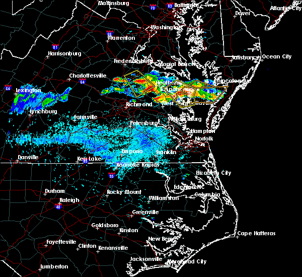 At 910 pm edt, a severe thunderstorm was located near saint stephens church, moving southeast at 35 mph (radar indicated). Hazards include 60 mph wind gusts and half dollar size hail. Minor damage to vehicles is possible. expect wind damage to trees and powerlines. this severe thunderstorm will be near, millers tavern around 915 pm edt. king william and stevensville around 925 pm edt. center cross around 930 pm edt. king and queen court house around 935 pm edt. jamaica around 940 pm edt. west point, little plymouth and church view around 945 pm edt. shacklefords and saluda around 955 pm edt. Other locations impacted by this severe thunderstorm include beazley, elevon, upright, ino, dragonville, rose garden, mattaponi, biscoe, warner and crouch. At 910 pm edt, a severe thunderstorm was located near saint stephens church, moving southeast at 35 mph (radar indicated). Hazards include 60 mph wind gusts and half dollar size hail. Minor damage to vehicles is possible. expect wind damage to trees and powerlines. this severe thunderstorm will be near, millers tavern around 915 pm edt. king william and stevensville around 925 pm edt. center cross around 930 pm edt. king and queen court house around 935 pm edt. jamaica around 940 pm edt. west point, little plymouth and church view around 945 pm edt. shacklefords and saluda around 955 pm edt. Other locations impacted by this severe thunderstorm include beazley, elevon, upright, ino, dragonville, rose garden, mattaponi, biscoe, warner and crouch.
|
| 6/6/2020 8:17 PM EDT |
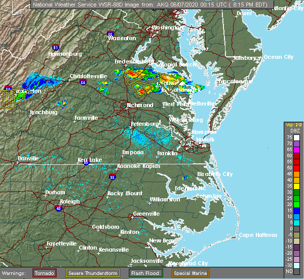 At 817 pm edt, severe thunderstorms were located along a line extending from near saint stephens church to near aylett to near mangohick, moving southeast at 30 mph (radar indicated). Hazards include 60 mph wind gusts and quarter size hail. Minor damage to vehicles is possible. expect wind damage to trees and powerlines. severe thunderstorms will be near, manquin and millers tavern around 830 pm edt. king william and stevensville around 840 pm edt. tunstall around 845 pm edt. king and queen court house around 850 pm edt. new kent, west point, talleysville, little plymouth and providence forge around 900 pm edt. Other locations impacted by these severe thunderstorms include enfield, eltham, mountcastle, upright, ino, cohoke, dragonville, westwood, rose garden and mattaponi. At 817 pm edt, severe thunderstorms were located along a line extending from near saint stephens church to near aylett to near mangohick, moving southeast at 30 mph (radar indicated). Hazards include 60 mph wind gusts and quarter size hail. Minor damage to vehicles is possible. expect wind damage to trees and powerlines. severe thunderstorms will be near, manquin and millers tavern around 830 pm edt. king william and stevensville around 840 pm edt. tunstall around 845 pm edt. king and queen court house around 850 pm edt. new kent, west point, talleysville, little plymouth and providence forge around 900 pm edt. Other locations impacted by these severe thunderstorms include enfield, eltham, mountcastle, upright, ino, cohoke, dragonville, westwood, rose garden and mattaponi.
|
| 4/13/2020 9:27 AM EDT |
 At 926 am edt, severe thunderstorms were located along a line extending from sharps to near barhamsville, moving northeast at 45 mph (radar indicated). Hazards include 60 mph wind gusts. Expect damage to trees and powerlines. these severe storms will be near, farnham and sharps around 930 am edt. little plymouth around 940 am edt. jamaica around 950 am edt. Other locations impacted by these severe thunderstorms include eltham, mountcastle, upright, ino, cohoke, dragonville, rose garden, mattaponi, colonial downs and tidewater. At 926 am edt, severe thunderstorms were located along a line extending from sharps to near barhamsville, moving northeast at 45 mph (radar indicated). Hazards include 60 mph wind gusts. Expect damage to trees and powerlines. these severe storms will be near, farnham and sharps around 930 am edt. little plymouth around 940 am edt. jamaica around 950 am edt. Other locations impacted by these severe thunderstorms include eltham, mountcastle, upright, ino, cohoke, dragonville, rose garden, mattaponi, colonial downs and tidewater.
|
| 4/13/2020 9:05 AM EDT |
 At 905 am edt, severe thunderstorms were located along a line extending from stevensville to near charles city, moving northeast at 40 mph (radar indicated). Hazards include 60 mph wind gusts. Expect damage to trees and powerlines. severe thunderstorms will be near, king and queen court house and stevensville around 910 am edt. center cross and dunnsville around 920 am edt. new kent around 925 am edt. sharps around 930 am edt. farnham around 935 am edt. west point around 940 am edt. little plymouth around 945 am edt. other locations impacted by these severe thunderstorms include eltham, mountcastle, upright, ino, cohoke, dragonville, rose garden, mattaponi, colonial downs and tidewater. A tornado watch remains in effect until noon edt for south central and east central virginia. At 905 am edt, severe thunderstorms were located along a line extending from stevensville to near charles city, moving northeast at 40 mph (radar indicated). Hazards include 60 mph wind gusts. Expect damage to trees and powerlines. severe thunderstorms will be near, king and queen court house and stevensville around 910 am edt. center cross and dunnsville around 920 am edt. new kent around 925 am edt. sharps around 930 am edt. farnham around 935 am edt. west point around 940 am edt. little plymouth around 945 am edt. other locations impacted by these severe thunderstorms include eltham, mountcastle, upright, ino, cohoke, dragonville, rose garden, mattaponi, colonial downs and tidewater. A tornado watch remains in effect until noon edt for south central and east central virginia.
|
| 8/22/2019 6:40 PM EDT |
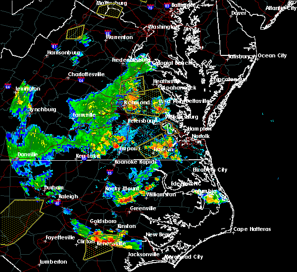 At 639 pm edt, severe thunderstorms were located along a line extending from near studley to near bottoms bridge to 8 miles east of bellwood, moving east at 35 mph (radar indicated). Hazards include 60 mph wind gusts. Expect damage to trees and powerlines. these severe storms will be near, bottoms bridge around 645 pm edt. tunstall and manquin around 650 pm edt. roxbury, talleysville, aylett and adkins store around 655 pm edt. saint stephens church, providence forge and ruthville around 700 pm edt. king william around 705 pm edt. new kent, stevensville, millers tavern and holdcroft around 710 pm edt. west point, king and queen court house, barhamsville, little plymouth, dunnsville and shacklefords around 715 pm edt. Other locations impacted by these severe thunderstorms include eltham, cohoke, etna mills, montrose, sandston, glendale, rose garden, mattaponi, crouch and cooke. At 639 pm edt, severe thunderstorms were located along a line extending from near studley to near bottoms bridge to 8 miles east of bellwood, moving east at 35 mph (radar indicated). Hazards include 60 mph wind gusts. Expect damage to trees and powerlines. these severe storms will be near, bottoms bridge around 645 pm edt. tunstall and manquin around 650 pm edt. roxbury, talleysville, aylett and adkins store around 655 pm edt. saint stephens church, providence forge and ruthville around 700 pm edt. king william around 705 pm edt. new kent, stevensville, millers tavern and holdcroft around 710 pm edt. west point, king and queen court house, barhamsville, little plymouth, dunnsville and shacklefords around 715 pm edt. Other locations impacted by these severe thunderstorms include eltham, cohoke, etna mills, montrose, sandston, glendale, rose garden, mattaponi, crouch and cooke.
|
| 8/22/2019 6:11 PM EDT |
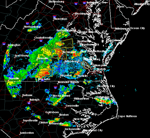 The national weather service in wakefield has issued a * severe thunderstorm warning for. the city of richmond in central virginia. northeastern chesterfield county in central virginia. central king and queen county in east central virginia. Northern charles city county in east central virginia. The national weather service in wakefield has issued a * severe thunderstorm warning for. the city of richmond in central virginia. northeastern chesterfield county in central virginia. central king and queen county in east central virginia. Northern charles city county in east central virginia.
|
| 6/5/2019 3:48 PM EDT |
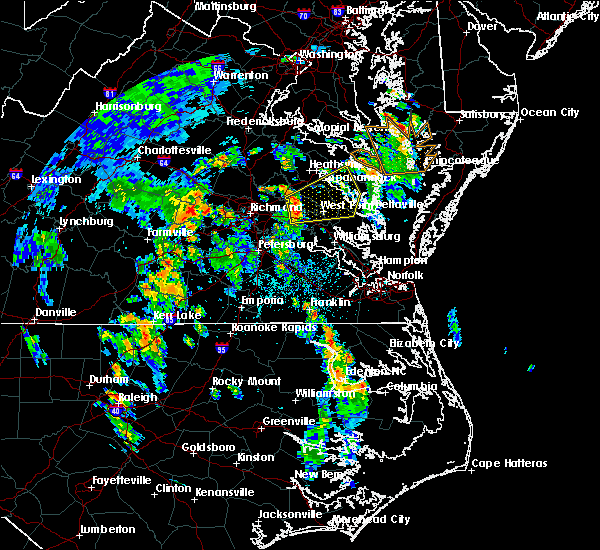 At 347 pm edt, severe thunderstorms were located along a line extending from near king william to near new kent to providence forge, moving east at 35 mph (radar indicated). Hazards include 60 mph wind gusts and penny size hail. Expect damage to trees and powerlines. severe thunderstorms will be near, stevensville around 400 pm edt. king and queen court house around 405 pm edt. little plymouth around 410 pm edt. west point, shacklefords and center cross around 415 pm edt. church view and jamaica around 420 pm edt. sharps around 425 pm edt. urbanna, robley, saluda, morattico, glenns and farnham around 430 pm edt. Other locations impacted by these severe thunderstorms include eltham, bertrand, cohoke, belle isle state park, millenbeck, rose garden, mattaponi, crouch, mascot and cooke. At 347 pm edt, severe thunderstorms were located along a line extending from near king william to near new kent to providence forge, moving east at 35 mph (radar indicated). Hazards include 60 mph wind gusts and penny size hail. Expect damage to trees and powerlines. severe thunderstorms will be near, stevensville around 400 pm edt. king and queen court house around 405 pm edt. little plymouth around 410 pm edt. west point, shacklefords and center cross around 415 pm edt. church view and jamaica around 420 pm edt. sharps around 425 pm edt. urbanna, robley, saluda, morattico, glenns and farnham around 430 pm edt. Other locations impacted by these severe thunderstorms include eltham, bertrand, cohoke, belle isle state park, millenbeck, rose garden, mattaponi, crouch, mascot and cooke.
|
| 5/26/2019 5:10 PM EDT |
 At 509 pm edt, a severe thunderstorm was located near stevensville, or near king william, moving southeast at 30 mph (radar indicated). Hazards include 60 mph wind gusts and quarter size hail. Minor damage to vehicles is possible. Expect wind damage to trees and powerlines. At 509 pm edt, a severe thunderstorm was located near stevensville, or near king william, moving southeast at 30 mph (radar indicated). Hazards include 60 mph wind gusts and quarter size hail. Minor damage to vehicles is possible. Expect wind damage to trees and powerlines.
|
| 4/15/2019 2:36 AM EDT |
 The tornado warning for east central king and queen, northwestern middlesex and southeastern essex counties will expire at 245 am edt, the tornado threat has diminished and the tornado warning has been cancelled. however, large hail and damaging winds remain likely and a severe thunderstorm warning remains in effect for the area. a tornado watch remains in effect until 700 am edt for eastern and east central virginia. remember, a severe thunderstorm warning still remains in effect for king and queen, middlesex and essex counties. The tornado warning for east central king and queen, northwestern middlesex and southeastern essex counties will expire at 245 am edt, the tornado threat has diminished and the tornado warning has been cancelled. however, large hail and damaging winds remain likely and a severe thunderstorm warning remains in effect for the area. a tornado watch remains in effect until 700 am edt for eastern and east central virginia. remember, a severe thunderstorm warning still remains in effect for king and queen, middlesex and essex counties.
|
| 4/15/2019 2:32 AM EDT |
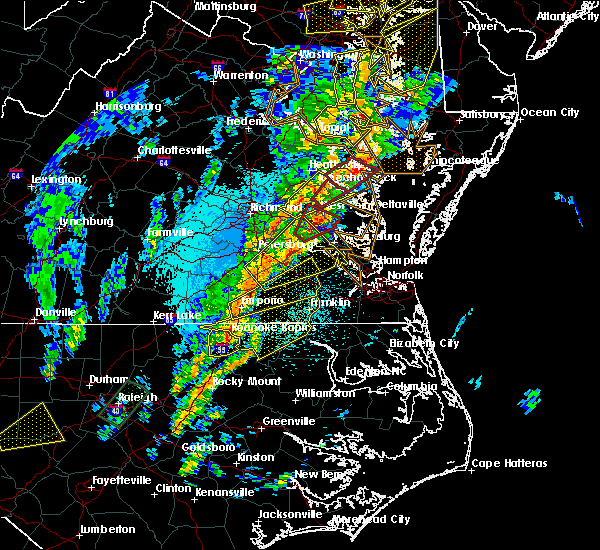 At 232 am edt, a severe thunderstorm was located near king william, moving northeast at 55 mph (radar indicated). Hazards include 60 mph wind gusts and quarter size hail. Minor damage to vehicles is possible. expect wind damage to trees and powerlines. this severe thunderstorm will be near, king and queen court house, stevensville and little plymouth around 240 am edt. center cross, jamaica, dunnsville and church view around 250 am edt. other locations impacted by this severe thunderstorm include howertons, laneview, nesting, bowlers wharf, upright, ino, cohoke, dragonville, walkerton and montague. A tornado watch remains in effect until 700 am edt for central, eastern and east central virginia. At 232 am edt, a severe thunderstorm was located near king william, moving northeast at 55 mph (radar indicated). Hazards include 60 mph wind gusts and quarter size hail. Minor damage to vehicles is possible. expect wind damage to trees and powerlines. this severe thunderstorm will be near, king and queen court house, stevensville and little plymouth around 240 am edt. center cross, jamaica, dunnsville and church view around 250 am edt. other locations impacted by this severe thunderstorm include howertons, laneview, nesting, bowlers wharf, upright, ino, cohoke, dragonville, walkerton and montague. A tornado watch remains in effect until 700 am edt for central, eastern and east central virginia.
|
| 4/15/2019 2:20 AM EDT |
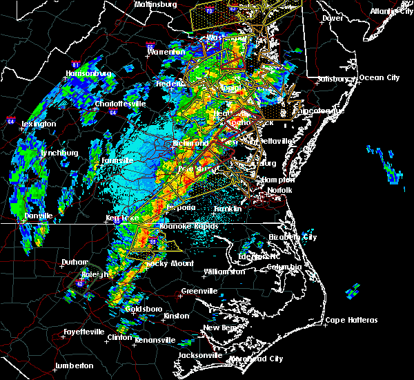 At 220 am edt, a severe thunderstorm capable of producing a tornado was located near jamaica, or 7 miles southwest of robley, moving northeast at 60 mph (radar indicated rotation). Hazards include tornado. Flying debris will be dangerous to those caught without shelter. mobile homes will be damaged or destroyed. damage to roofs, windows, and vehicles will occur. tree damage is likely. Locations impacted include, king and queen court house, center cross, jamaica, little plymouth, church view, laneview, nesting, bowlers wharf, ino, dragonville and montague. At 220 am edt, a severe thunderstorm capable of producing a tornado was located near jamaica, or 7 miles southwest of robley, moving northeast at 60 mph (radar indicated rotation). Hazards include tornado. Flying debris will be dangerous to those caught without shelter. mobile homes will be damaged or destroyed. damage to roofs, windows, and vehicles will occur. tree damage is likely. Locations impacted include, king and queen court house, center cross, jamaica, little plymouth, church view, laneview, nesting, bowlers wharf, ino, dragonville and montague.
|
| 4/15/2019 2:11 AM EDT |
 At 210 am edt, a severe thunderstorm capable of producing a tornado was located near center cross, or 9 miles southwest of robley, moving northeast at 50 mph (radar indicated rotation). Hazards include tornado. Flying debris will be dangerous to those caught without shelter. mobile homes will be damaged or destroyed. damage to roofs, windows, and vehicles will occur. tree damage is likely. This tornadic thunderstorm will remain over mainly rural areas of central king and queen, northwestern middlesex and southeastern essex counties, including the following locations, howertons, laneview, nesting, crouch, bowlers wharf, upright, bruington, ino, dragonville and montague. At 210 am edt, a severe thunderstorm capable of producing a tornado was located near center cross, or 9 miles southwest of robley, moving northeast at 50 mph (radar indicated rotation). Hazards include tornado. Flying debris will be dangerous to those caught without shelter. mobile homes will be damaged or destroyed. damage to roofs, windows, and vehicles will occur. tree damage is likely. This tornadic thunderstorm will remain over mainly rural areas of central king and queen, northwestern middlesex and southeastern essex counties, including the following locations, howertons, laneview, nesting, crouch, bowlers wharf, upright, bruington, ino, dragonville and montague.
|
| 4/15/2019 2:00 AM EDT |
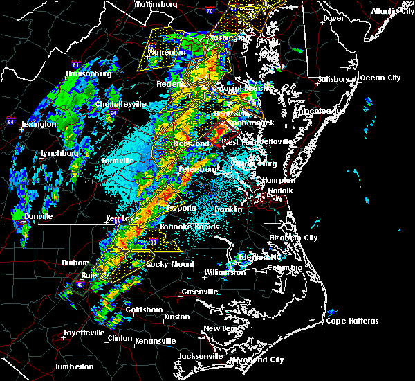 At 200 am edt, a severe thunderstorm capable of producing a tornado was located over king and queen court house, moving northeast at 60 mph (radar indicated rotation). Hazards include tornado. Flying debris will be dangerous to those caught without shelter. mobile homes will be damaged or destroyed. damage to roofs, windows, and vehicles will occur. tree damage is likely. this dangerous storm will be near, church view around 205 am edt. center cross, jamaica and dunnsville around 210 am edt. Other locations impacted by this tornadic thunderstorm include howertons, laneview, nesting, bowlers wharf, upright, ino, dragonville, montague, rose garden and crouch. At 200 am edt, a severe thunderstorm capable of producing a tornado was located over king and queen court house, moving northeast at 60 mph (radar indicated rotation). Hazards include tornado. Flying debris will be dangerous to those caught without shelter. mobile homes will be damaged or destroyed. damage to roofs, windows, and vehicles will occur. tree damage is likely. this dangerous storm will be near, church view around 205 am edt. center cross, jamaica and dunnsville around 210 am edt. Other locations impacted by this tornadic thunderstorm include howertons, laneview, nesting, bowlers wharf, upright, ino, dragonville, montague, rose garden and crouch.
|
| 4/15/2019 1:58 AM EDT |
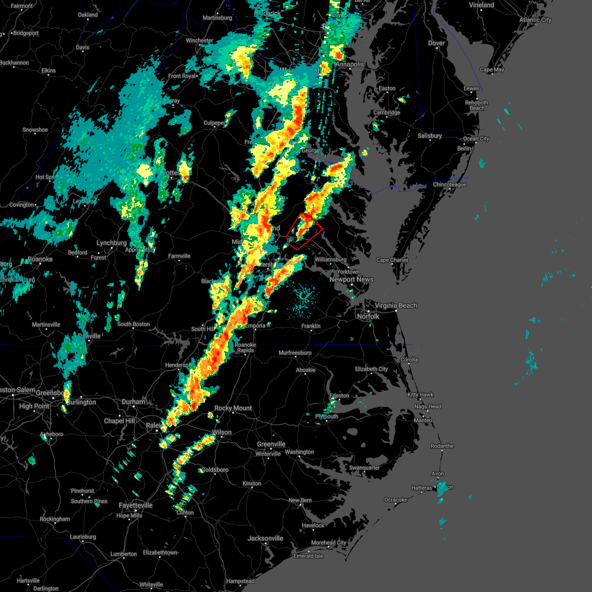 The tornado warning for north central charles city, new kent and southeastern king william counties will expire at 200 am edt, the storm which prompted the warning has moved out of the area. therefore, the warning will be allowed to expire. a tornado watch remains in effect until 700 am edt for central and east central virginia. remember, a tornado warning still remains in effect for a portion of king william county until 230 am edt. The tornado warning for north central charles city, new kent and southeastern king william counties will expire at 200 am edt, the storm which prompted the warning has moved out of the area. therefore, the warning will be allowed to expire. a tornado watch remains in effect until 700 am edt for central and east central virginia. remember, a tornado warning still remains in effect for a portion of king william county until 230 am edt.
|
| 4/15/2019 1:53 AM EDT |
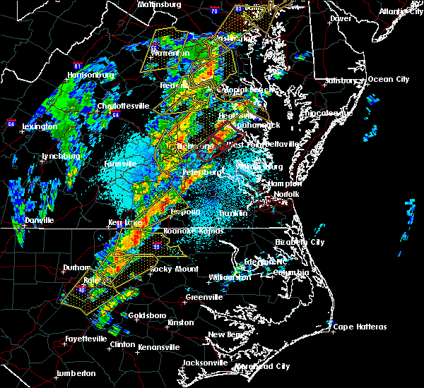 At 152 am edt, a severe thunderstorm capable of producing a tornado was located near king and queen court house, moving northeast at 50 mph (radar indicated rotation). Hazards include tornado. Flying debris will be dangerous to those caught without shelter. mobile homes will be damaged or destroyed. damage to roofs, windows, and vehicles will occur. tree damage is likely. this dangerous storm will be near, little plymouth around 200 am edt. center cross, dunnsville and jamaica around 210 am edt. Other locations impacted by this tornadic thunderstorm include howertons, laneview, nesting, bowlers wharf, upright, ino, dragonville, montague, rose garden and crouch. At 152 am edt, a severe thunderstorm capable of producing a tornado was located near king and queen court house, moving northeast at 50 mph (radar indicated rotation). Hazards include tornado. Flying debris will be dangerous to those caught without shelter. mobile homes will be damaged or destroyed. damage to roofs, windows, and vehicles will occur. tree damage is likely. this dangerous storm will be near, little plymouth around 200 am edt. center cross, dunnsville and jamaica around 210 am edt. Other locations impacted by this tornadic thunderstorm include howertons, laneview, nesting, bowlers wharf, upright, ino, dragonville, montague, rose garden and crouch.
|
| 4/15/2019 1:45 AM EDT |
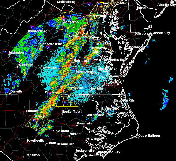 At 144 am edt, a severe thunderstorm capable of producing a tornado was located over talleysville, moving northeast at 40 mph. damaging winds are also expected with this storm into far northwestern charles city county (radar indicated rotation). Hazards include tornado. Flying debris will be dangerous to those caught without shelter. mobile homes will be damaged or destroyed. damage to roofs, windows, and vehicles will occur. tree damage is likely. this dangerous storm will be near, king william around 155 am edt. Other locations impacted by this tornadic thunderstorm include wrights corner, mountcastle, cohoke, rose garden, quinton, colonial downs, lanesville, browns corner, palls and cooke. At 144 am edt, a severe thunderstorm capable of producing a tornado was located over talleysville, moving northeast at 40 mph. damaging winds are also expected with this storm into far northwestern charles city county (radar indicated rotation). Hazards include tornado. Flying debris will be dangerous to those caught without shelter. mobile homes will be damaged or destroyed. damage to roofs, windows, and vehicles will occur. tree damage is likely. this dangerous storm will be near, king william around 155 am edt. Other locations impacted by this tornadic thunderstorm include wrights corner, mountcastle, cohoke, rose garden, quinton, colonial downs, lanesville, browns corner, palls and cooke.
|
| 4/15/2019 1:36 AM EDT |
 At 136 am edt, a severe thunderstorm capable of producing a tornado was located over talleysville, moving northeast at 50 mph (radar indicated rotation). Hazards include tornado. Flying debris will be dangerous to those caught without shelter. mobile homes will be damaged or destroyed. damage to roofs, windows, and vehicles will occur. tree damage is likely. this dangerous storm will be near, new kent around 145 am edt. king william around 150 am edt. Other locations impacted by this tornadic thunderstorm include wrights corner, mountcastle, cohoke, rose garden, quinton, colonial downs, lanesville, browns corner, palls and cooke. At 136 am edt, a severe thunderstorm capable of producing a tornado was located over talleysville, moving northeast at 50 mph (radar indicated rotation). Hazards include tornado. Flying debris will be dangerous to those caught without shelter. mobile homes will be damaged or destroyed. damage to roofs, windows, and vehicles will occur. tree damage is likely. this dangerous storm will be near, new kent around 145 am edt. king william around 150 am edt. Other locations impacted by this tornadic thunderstorm include wrights corner, mountcastle, cohoke, rose garden, quinton, colonial downs, lanesville, browns corner, palls and cooke.
|
| 10/11/2018 7:26 PM EDT |
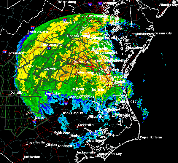 At 725 pm edt, a confirmed tornado was located over toano, moving northwest at 30 mph (radar confirmed tornado). Hazards include damaging tornado. Flying debris will be dangerous to those caught without shelter. mobile homes will be damaged or destroyed. damage to roofs, windows, and vehicles will occur. tree damage is likely. this tornado will be near, barhamsville around 735 pm edt. new kent and west point around 745 pm edt. Other locations impacted by this tornadic thunderstorm include holly forks, eltham, york river state park, croaker, barlows corner, cohoke, lanexa, centerville, rose garden and mattaponi. At 725 pm edt, a confirmed tornado was located over toano, moving northwest at 30 mph (radar confirmed tornado). Hazards include damaging tornado. Flying debris will be dangerous to those caught without shelter. mobile homes will be damaged or destroyed. damage to roofs, windows, and vehicles will occur. tree damage is likely. this tornado will be near, barhamsville around 735 pm edt. new kent and west point around 745 pm edt. Other locations impacted by this tornadic thunderstorm include holly forks, eltham, york river state park, croaker, barlows corner, cohoke, lanexa, centerville, rose garden and mattaponi.
|
| 10/11/2018 7:22 PM EDT |
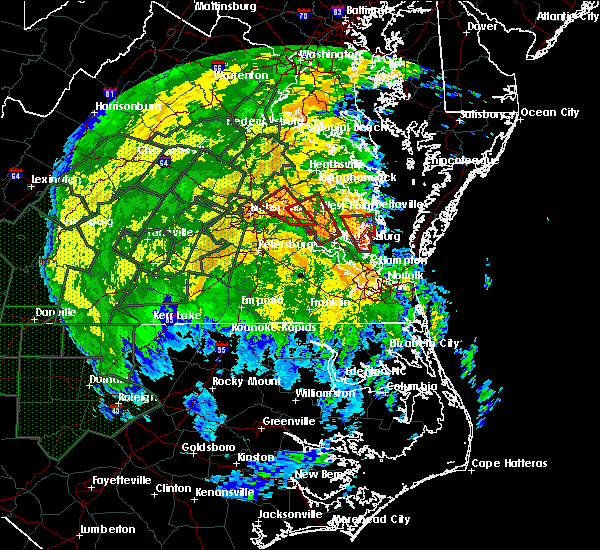 At 725 pm edt, a confirmed tornado was located over toano, moving northwest at 30 mph (radar confirmed tornado). Hazards include damaging tornado. Flying debris will be dangerous to those caught without shelter. mobile homes will be damaged or destroyed. damage to roofs, windows, and vehicles will occur. tree damage is likely. this tornado will be near, barhamsville around 735 pm edt. new kent and west point around 745 pm edt. Other locations impacted by this tornadic thunderstorm include holly forks, eltham, york river state park, croaker, barlows corner, cohoke, lanexa, centerville, rose garden and mattaponi. At 725 pm edt, a confirmed tornado was located over toano, moving northwest at 30 mph (radar confirmed tornado). Hazards include damaging tornado. Flying debris will be dangerous to those caught without shelter. mobile homes will be damaged or destroyed. damage to roofs, windows, and vehicles will occur. tree damage is likely. this tornado will be near, barhamsville around 735 pm edt. new kent and west point around 745 pm edt. Other locations impacted by this tornadic thunderstorm include holly forks, eltham, york river state park, croaker, barlows corner, cohoke, lanexa, centerville, rose garden and mattaponi.
|
| 6/24/2018 5:26 PM EDT |
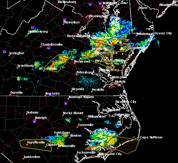 At 525 pm edt, severe thunderstorms were located along a line extending from near haynesville to sharps to near king and queen court house, moving east at 40 mph (radar indicated). Hazards include 60 mph wind gusts and penny size hail. Expect damage to trees and powerlines. Locations impacted include, king william, mathews, west point, tappahannock, warsaw, kilmarnock, urbanna, robley, king and queen court house, deltaville, callao, lancaster, white stone, kinsale, saluda, farnham, jamaica, dunnsville, hague and sharps. At 525 pm edt, severe thunderstorms were located along a line extending from near haynesville to sharps to near king and queen court house, moving east at 40 mph (radar indicated). Hazards include 60 mph wind gusts and penny size hail. Expect damage to trees and powerlines. Locations impacted include, king william, mathews, west point, tappahannock, warsaw, kilmarnock, urbanna, robley, king and queen court house, deltaville, callao, lancaster, white stone, kinsale, saluda, farnham, jamaica, dunnsville, hague and sharps.
|
| 6/24/2018 5:08 PM EDT |
 At 507 pm edt, severe thunderstorms were located along a line extending from near newland to near tappahannock to near king william, moving east at 40 mph (radar indicated). Hazards include 60 mph wind gusts. expect damage to trees and powerlines At 507 pm edt, severe thunderstorms were located along a line extending from near newland to near tappahannock to near king william, moving east at 40 mph (radar indicated). Hazards include 60 mph wind gusts. expect damage to trees and powerlines
|
| 6/24/2018 4:58 PM EDT |
 At 457 pm edt, severe thunderstorms were located along a line extending from near champlain to near millers tavern to near manquin, moving east at 45 mph (radar indicated). Hazards include 60 mph wind gusts. Expect damage to trees and powerlines. Locations impacted include, king william, tappahannock, warsaw, montross, champlain, saint stephens church, king and queen court house, manquin, beulahville, center cross, kinsale, loretto, leedstown, mangohick, haynesville, millers tavern, newtown, newland, coles point and dunnsville. At 457 pm edt, severe thunderstorms were located along a line extending from near champlain to near millers tavern to near manquin, moving east at 45 mph (radar indicated). Hazards include 60 mph wind gusts. Expect damage to trees and powerlines. Locations impacted include, king william, tappahannock, warsaw, montross, champlain, saint stephens church, king and queen court house, manquin, beulahville, center cross, kinsale, loretto, leedstown, mangohick, haynesville, millers tavern, newtown, newland, coles point and dunnsville.
|
| 6/24/2018 4:45 PM EDT |
 At 443 pm edt, severe thunderstorms were located along a line extending from near port royal to 7 miles northwest of newtown to dawn, moving east at 40 mph (radar indicated). Hazards include 60 mph wind gusts and penny size hail. Expect damage to trees and powerlines. locations impacted include, king william, tappahannock, warsaw, montross, champlain, saint stephens church, colonial beach, king and queen court house, port royal, manquin, beulahville, center cross, kinsale, dawn, loretto, leedstown, mangohick, haynesville, fort a. p. Hill, millers tavern and newtown. At 443 pm edt, severe thunderstorms were located along a line extending from near port royal to 7 miles northwest of newtown to dawn, moving east at 40 mph (radar indicated). Hazards include 60 mph wind gusts and penny size hail. Expect damage to trees and powerlines. locations impacted include, king william, tappahannock, warsaw, montross, champlain, saint stephens church, colonial beach, king and queen court house, port royal, manquin, beulahville, center cross, kinsale, dawn, loretto, leedstown, mangohick, haynesville, fort a. p. Hill, millers tavern and newtown.
|
| 6/24/2018 4:33 PM EDT |
 At 432 pm edt, severe thunderstorms were located along a line extending from near fort a.p. hill to near milford to near kings dominion, moving east at 40 mph (radar indicated). Hazards include 60 mph wind gusts and penny size hail. expect damage to trees and powerlines At 432 pm edt, severe thunderstorms were located along a line extending from near fort a.p. hill to near milford to near kings dominion, moving east at 40 mph (radar indicated). Hazards include 60 mph wind gusts and penny size hail. expect damage to trees and powerlines
|
| 5/14/2018 8:03 PM EDT |
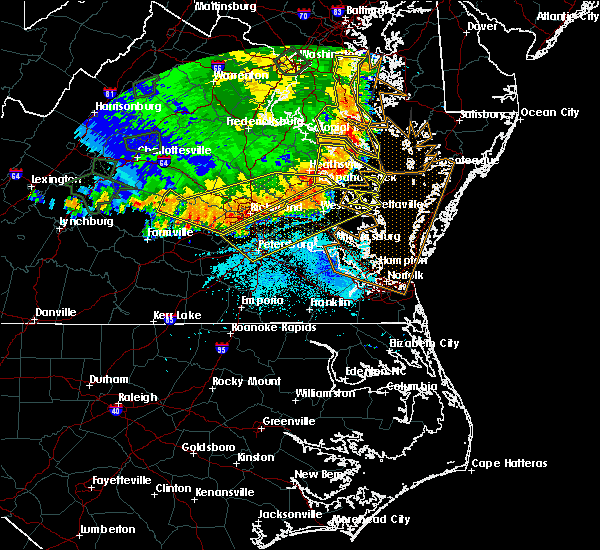 At 803 pm edt, severe thunderstorms were located along a line extending from near urbanna to 6 miles northwest of sutherland, moving southeast at 65 mph (radar indicated). Hazards include 70 mph wind gusts and quarter size hail. Minor damage to vehicles is possible. expect considerable tree damage. wind damage is also likely to mobile homes, roofs, and outbuildings. Locations impacted include, richmond, petersburg, hopewell, new kent, colonial heights, king william, charles city, west point, kilmarnock, urbanna, talleysville, chester, fort lee, virginia state university, king and queen court house, highland springs, roxbury, prince george, white stone and bellwood. At 803 pm edt, severe thunderstorms were located along a line extending from near urbanna to 6 miles northwest of sutherland, moving southeast at 65 mph (radar indicated). Hazards include 70 mph wind gusts and quarter size hail. Minor damage to vehicles is possible. expect considerable tree damage. wind damage is also likely to mobile homes, roofs, and outbuildings. Locations impacted include, richmond, petersburg, hopewell, new kent, colonial heights, king william, charles city, west point, kilmarnock, urbanna, talleysville, chester, fort lee, virginia state university, king and queen court house, highland springs, roxbury, prince george, white stone and bellwood.
|
| 5/14/2018 7:47 PM EDT |
 At 747 pm edt, severe thunderstorms were located along a line extending from near millers tavern to near chula, moving east at 55 mph (radar indicated). Hazards include 70 mph wind gusts and quarter size hail. Minor damage to vehicles is possible. expect considerable tree damage. wind damage is also likely to mobile homes, roofs, and outbuildings. severe thunderstorms will be near, stevensville around 750 pm edt. jamaica around 800 pm edt. church view around 805 pm edt. urbanna and chesterfield court house around 810 pm edt. chester around 815 pm edt. colonial heights, kilmarnock, virginia state university, white stone, ettrick and matoaca around 820 pm edt. petersburg, hopewell and fort lee around 825 pm edt. prince george, jordans point and garysville around 830 pm edt. Other locations impacted by these severe thunderstorms include eltham, byrdton, wayside, bertrand, grafton, cohoke, montrose, sandston, glendale and rose garden. At 747 pm edt, severe thunderstorms were located along a line extending from near millers tavern to near chula, moving east at 55 mph (radar indicated). Hazards include 70 mph wind gusts and quarter size hail. Minor damage to vehicles is possible. expect considerable tree damage. wind damage is also likely to mobile homes, roofs, and outbuildings. severe thunderstorms will be near, stevensville around 750 pm edt. jamaica around 800 pm edt. church view around 805 pm edt. urbanna and chesterfield court house around 810 pm edt. chester around 815 pm edt. colonial heights, kilmarnock, virginia state university, white stone, ettrick and matoaca around 820 pm edt. petersburg, hopewell and fort lee around 825 pm edt. prince george, jordans point and garysville around 830 pm edt. Other locations impacted by these severe thunderstorms include eltham, byrdton, wayside, bertrand, grafton, cohoke, montrose, sandston, glendale and rose garden.
|
| 5/10/2018 5:19 PM EDT |
 At 519 pm edt, severe thunderstorms were located along a line extending from near millers tavern to king and queen court house to adkins store, moving east at 45 mph (radar indicated). Hazards include 60 mph wind gusts and quarter size hail. Minor damage to vehicles is possible. expect wind damage to trees and powerlines. severe thunderstorms will be near, west point and little plymouth around 525 pm edt. church view and shacklefords around 530 pm edt. jamaica and barhamsville around 535 pm edt. urbanna, toano, saluda and glenns around 540 pm edt. norge around 545 pm edt. gloucester courthouse around 600 pm edt. Other locations impacted by these severe thunderstorms include eltham, croaker, bertrand, cohoke, rose garden, mattaponi, crouch, mascot, cooke and allmondsville. At 519 pm edt, severe thunderstorms were located along a line extending from near millers tavern to king and queen court house to adkins store, moving east at 45 mph (radar indicated). Hazards include 60 mph wind gusts and quarter size hail. Minor damage to vehicles is possible. expect wind damage to trees and powerlines. severe thunderstorms will be near, west point and little plymouth around 525 pm edt. church view and shacklefords around 530 pm edt. jamaica and barhamsville around 535 pm edt. urbanna, toano, saluda and glenns around 540 pm edt. norge around 545 pm edt. gloucester courthouse around 600 pm edt. Other locations impacted by these severe thunderstorms include eltham, croaker, bertrand, cohoke, rose garden, mattaponi, crouch, mascot, cooke and allmondsville.
|
| 5/10/2018 4:49 PM EDT |
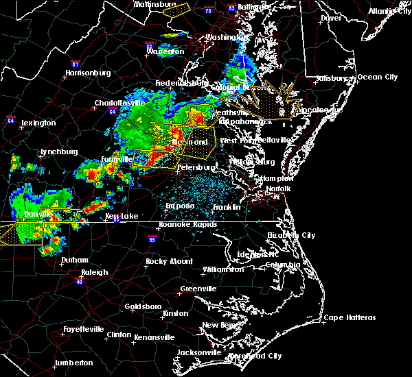 At 449 pm edt, severe thunderstorms were located along a line extending from near hanover to near mechanicsville to bensley, moving east at 40 mph (radar indicated). Hazards include 60 mph wind gusts and quarter size hail. Minor damage to vehicles is possible. expect wind damage to trees and powerlines. severe thunderstorms will be near, studley around 455 pm edt. tunstall around 505 pm edt. talleysville, manquin and bottoms bridge around 510 pm edt. roxbury and aylett around 515 pm edt. new kent and adkins store around 520 pm edt. king william and providence forge around 525 pm edt. stevensville around 530 pm edt. Other locations impacted by these severe thunderstorms include enfield, mountcastle, elko, etna mills, cohoke, sandston, epworth, glendale, westwood and rose garden. At 449 pm edt, severe thunderstorms were located along a line extending from near hanover to near mechanicsville to bensley, moving east at 40 mph (radar indicated). Hazards include 60 mph wind gusts and quarter size hail. Minor damage to vehicles is possible. expect wind damage to trees and powerlines. severe thunderstorms will be near, studley around 455 pm edt. tunstall around 505 pm edt. talleysville, manquin and bottoms bridge around 510 pm edt. roxbury and aylett around 515 pm edt. new kent and adkins store around 520 pm edt. king william and providence forge around 525 pm edt. stevensville around 530 pm edt. Other locations impacted by these severe thunderstorms include enfield, mountcastle, elko, etna mills, cohoke, sandston, epworth, glendale, westwood and rose garden.
|
| 4/16/2018 2:40 AM EDT |
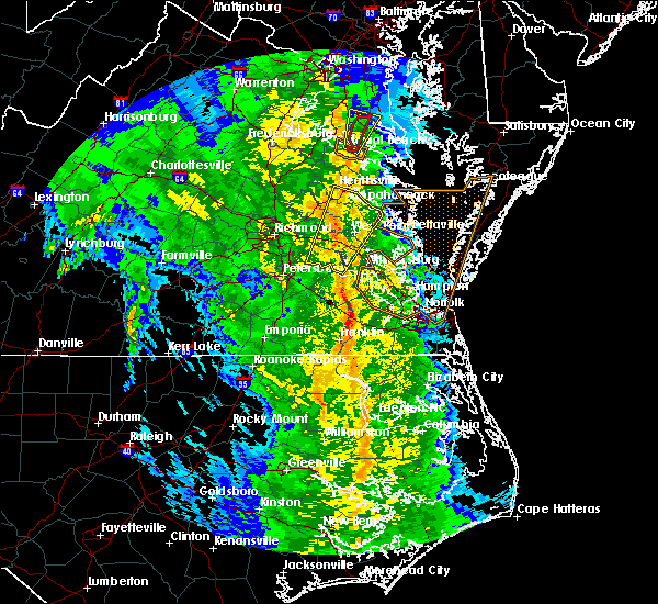 At 240 am edt, a severe thunderstorm was located near west point, moving northeast at 55 mph (radar indicated). Hazards include 60 mph wind gusts. Expect damage to trees and powerlines. this severe storm will be near, little plymouth around 245 am edt. king and queen court house and stevensville around 250 am edt. jamaica and church view around 255 am edt. center cross and dunnsville around 300 am edt. Other locations impacted by this severe thunderstorm include eltham, chickahominy shore, upright, ino, cohoke, dragonville, lanexa, rose garden, mattaponi and warner. At 240 am edt, a severe thunderstorm was located near west point, moving northeast at 55 mph (radar indicated). Hazards include 60 mph wind gusts. Expect damage to trees and powerlines. this severe storm will be near, little plymouth around 245 am edt. king and queen court house and stevensville around 250 am edt. jamaica and church view around 255 am edt. center cross and dunnsville around 300 am edt. Other locations impacted by this severe thunderstorm include eltham, chickahominy shore, upright, ino, cohoke, dragonville, lanexa, rose garden, mattaponi and warner.
|
| 4/16/2018 2:22 AM EDT |
 At 221 am edt, a severe thunderstorm was located near charles city, moving northeast at 55 mph (radar indicated). Hazards include 60 mph wind gusts. Expect damage to trees and powerlines. this severe thunderstorm will be near, holdcroft around 225 am edt. providence forge around 230 am edt. new kent and barhamsville around 235 am edt. west point and shacklefords around 245 am edt. king and queen court house, little plymouth and stevensville around 250 am edt. jamaica and church view around 255 am edt. center cross and dunnsville around 300 am edt. Other locations impacted by this severe thunderstorm include eltham, chickahominy shore, mountcastle, upright, ino, cohoke, dragonville, lanexa, rose garden and mattaponi. At 221 am edt, a severe thunderstorm was located near charles city, moving northeast at 55 mph (radar indicated). Hazards include 60 mph wind gusts. Expect damage to trees and powerlines. this severe thunderstorm will be near, holdcroft around 225 am edt. providence forge around 230 am edt. new kent and barhamsville around 235 am edt. west point and shacklefords around 245 am edt. king and queen court house, little plymouth and stevensville around 250 am edt. jamaica and church view around 255 am edt. center cross and dunnsville around 300 am edt. Other locations impacted by this severe thunderstorm include eltham, chickahominy shore, mountcastle, upright, ino, cohoke, dragonville, lanexa, rose garden and mattaponi.
|
| 2/11/2018 3:26 PM EST |
 At 326 pm est, a severe thunderstorm was located near king william, moving northeast at 50 mph (radar indicated). Hazards include 60 mph wind gusts. Expect damage to trees and powerlines. this severe thunderstorm will be near, king and queen court house and stevensville around 335 pm est. little plymouth around 340 pm est. jamaica, church view and center cross around 345 pm est. sharps around 350 pm est. morattico and farnham around 355 pm est. robley and lancaster around 400 pm est. heathsville around 405 pm est. wicomico church around 410 pm est. Other locations impacted by this severe thunderstorm include lottsburg, regina, mollusk, avalon, upright, nuttsville, ino, cohoke, dragonville and reedville. At 326 pm est, a severe thunderstorm was located near king william, moving northeast at 50 mph (radar indicated). Hazards include 60 mph wind gusts. Expect damage to trees and powerlines. this severe thunderstorm will be near, king and queen court house and stevensville around 335 pm est. little plymouth around 340 pm est. jamaica, church view and center cross around 345 pm est. sharps around 350 pm est. morattico and farnham around 355 pm est. robley and lancaster around 400 pm est. heathsville around 405 pm est. wicomico church around 410 pm est. Other locations impacted by this severe thunderstorm include lottsburg, regina, mollusk, avalon, upright, nuttsville, ino, cohoke, dragonville and reedville.
|
| 8/18/2017 8:27 PM EDT |
 At 827 pm edt, severe thunderstorms were located along a line extending from near center cross to new kent, moving east at 45 mph (radar indicated). Hazards include 60 mph wind gusts. Expect damage to trees and powerlines. these severe storms will be near, center cross around 835 pm edt. west point and jamaica around 840 pm edt. morattico and shacklefords around 845 pm edt. lancaster, glenns and saluda around 855 pm edt. Other locations impacted by these severe thunderstorms include eltham, bertrand, cohoke, belle isle state park, sandston, rose garden, mattaponi, crouch, mascot and cooke. At 827 pm edt, severe thunderstorms were located along a line extending from near center cross to new kent, moving east at 45 mph (radar indicated). Hazards include 60 mph wind gusts. Expect damage to trees and powerlines. these severe storms will be near, center cross around 835 pm edt. west point and jamaica around 840 pm edt. morattico and shacklefords around 845 pm edt. lancaster, glenns and saluda around 855 pm edt. Other locations impacted by these severe thunderstorms include eltham, bertrand, cohoke, belle isle state park, sandston, rose garden, mattaponi, crouch, mascot and cooke.
|
| 8/18/2017 7:58 PM EDT |
 At 757 pm edt, severe thunderstorms were located along a line extending from mangohick to near highland springs, moving east at 45 mph (radar indicated). Hazards include 60 mph wind gusts. Expect damage to trees and powerlines. severe thunderstorms will be near, aylett and manquin around 805 pm edt. saint stephens church and bottoms bridge around 810 pm edt. tunstall around 815 pm edt. talleysville and stevensville around 820 pm edt. new kent and center cross around 830 pm edt. west point and jamaica around 840 pm edt. morattico and shacklefords around 845 pm edt. lancaster, glenns and saluda around 855 pm edt. Other locations impacted by these severe thunderstorms include eltham, bertrand, etna mills, cohoke, montrose, belle isle state park, sandston, rose garden, mattaponi and biscoe. At 757 pm edt, severe thunderstorms were located along a line extending from mangohick to near highland springs, moving east at 45 mph (radar indicated). Hazards include 60 mph wind gusts. Expect damage to trees and powerlines. severe thunderstorms will be near, aylett and manquin around 805 pm edt. saint stephens church and bottoms bridge around 810 pm edt. tunstall around 815 pm edt. talleysville and stevensville around 820 pm edt. new kent and center cross around 830 pm edt. west point and jamaica around 840 pm edt. morattico and shacklefords around 845 pm edt. lancaster, glenns and saluda around 855 pm edt. Other locations impacted by these severe thunderstorms include eltham, bertrand, etna mills, cohoke, montrose, belle isle state park, sandston, rose garden, mattaponi and biscoe.
|
| 5/5/2017 8:30 AM EDT |
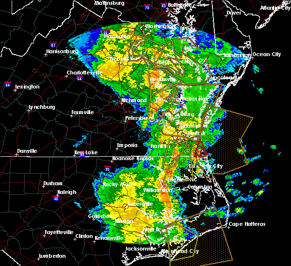 At 829 am edt, severe thunderstorms were located along a line extending from sharps to near church view to toano, moving northeast at 50 mph (radar indicated). Hazards include 60 mph wind gusts. Expect damage to roofs, siding, and trees. these severe storms will be near, urbanna, church view, jamaica and saluda around 835 am edt. robley and morattico around 840 am edt. lancaster and glenns around 845 am edt. other locations impacted by these severe thunderstorms include eltham, croaker, camp peary, bertrand, belle isle state park, mattaponi, ewell, mascot, allmondsville and clancie. A tornado watch remains in effect until 100 pm edt for southeastern and east central virginia. At 829 am edt, severe thunderstorms were located along a line extending from sharps to near church view to toano, moving northeast at 50 mph (radar indicated). Hazards include 60 mph wind gusts. Expect damage to roofs, siding, and trees. these severe storms will be near, urbanna, church view, jamaica and saluda around 835 am edt. robley and morattico around 840 am edt. lancaster and glenns around 845 am edt. other locations impacted by these severe thunderstorms include eltham, croaker, camp peary, bertrand, belle isle state park, mattaponi, ewell, mascot, allmondsville and clancie. A tornado watch remains in effect until 100 pm edt for southeastern and east central virginia.
|
| 5/5/2017 8:28 AM EDT |
 At 828 am edt, severe thunderstorms were located along a line extending from 7 miles southeast of popes creek to near hague to near center cross, moving northeast at 40 mph (radar indicated). Hazards include 60 mph wind gusts. Expect damage to roofs, siding, and trees. severe thunderstorms will be near, hague and kinsale around 835 am edt. coles point around 840 am edt. robley, farnham and haynesville around 850 am edt. callao around 855 am edt. heathsville around 900 am edt. lewisetta around 905 am edt. Other locations impacted by these severe thunderstorms include currioman landing, lottsburg, threeway, avalon, mount holly, upright, ino, stratford hall, tidewater and lyells. At 828 am edt, severe thunderstorms were located along a line extending from 7 miles southeast of popes creek to near hague to near center cross, moving northeast at 40 mph (radar indicated). Hazards include 60 mph wind gusts. Expect damage to roofs, siding, and trees. severe thunderstorms will be near, hague and kinsale around 835 am edt. coles point around 840 am edt. robley, farnham and haynesville around 850 am edt. callao around 855 am edt. heathsville around 900 am edt. lewisetta around 905 am edt. Other locations impacted by these severe thunderstorms include currioman landing, lottsburg, threeway, avalon, mount holly, upright, ino, stratford hall, tidewater and lyells.
|
| 5/5/2017 8:16 AM EDT |
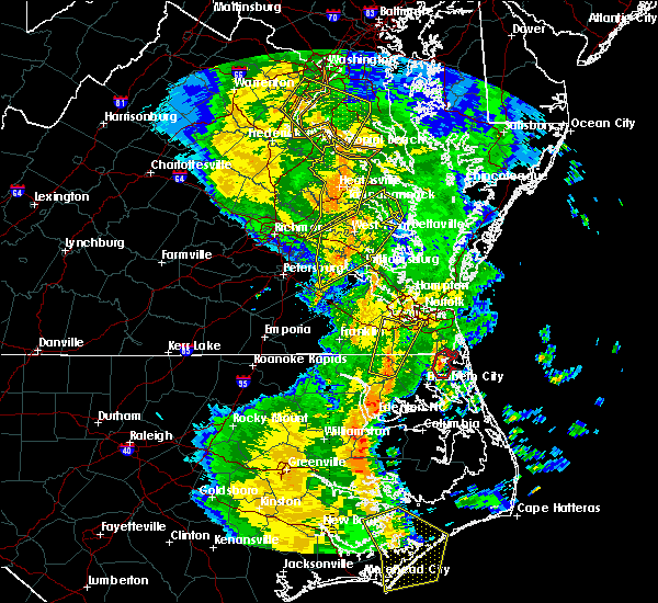 At 815 am edt, severe thunderstorms were located along a line extending from near stevensville to west point to rustic, moving northeast at 50 mph (radar indicated). Hazards include 60 mph wind gusts. Expect damage to roofs, siding, and trees. these severe storms will be near, west point, king and queen court house, shacklefords and little plymouth around 820 am edt. church view, barhamsville, saluda and jamaica around 830 am edt. urbanna and robley around 835 am edt. morattico around 840 am edt. lancaster and glenns around 845 am edt. other locations impacted by these severe thunderstorms include eltham, croaker, camp peary, bertrand, cohoke, belle isle state park, rose garden, mattaponi, ewell and mascot. A tornado watch remains in effect until 100 pm edt for south central, southeastern and east central virginia. At 815 am edt, severe thunderstorms were located along a line extending from near stevensville to west point to rustic, moving northeast at 50 mph (radar indicated). Hazards include 60 mph wind gusts. Expect damage to roofs, siding, and trees. these severe storms will be near, west point, king and queen court house, shacklefords and little plymouth around 820 am edt. church view, barhamsville, saluda and jamaica around 830 am edt. urbanna and robley around 835 am edt. morattico around 840 am edt. lancaster and glenns around 845 am edt. other locations impacted by these severe thunderstorms include eltham, croaker, camp peary, bertrand, cohoke, belle isle state park, rose garden, mattaponi, ewell and mascot. A tornado watch remains in effect until 100 pm edt for south central, southeastern and east central virginia.
|
| 5/5/2017 8:13 AM EDT |
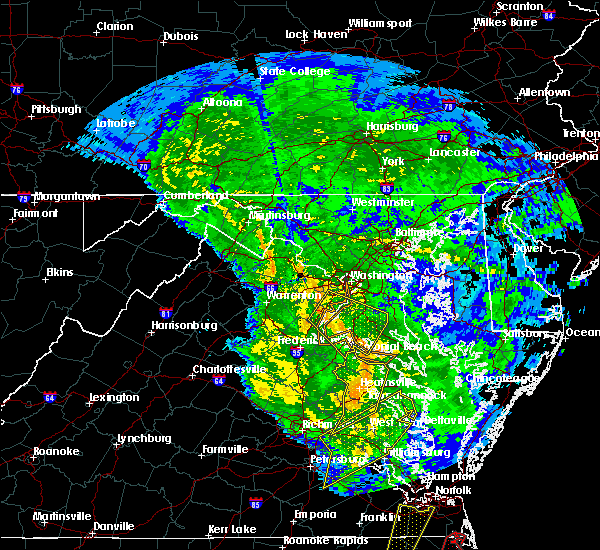 At 812 am edt, severe thunderstorms were located along a line extending from near dahlgren to near newland to near king william, moving northeast at 40 mph (radar indicated). Hazards include 60 mph wind gusts. Expect damage to roofs, siding, and trees. these severe storms will be near, colonial beach, warsaw, montross and newland around 820 am edt. millers tavern around 825 am edt. center cross and dunnsville around 830 am edt. other locations impacted by these severe thunderstorms include currioman landing, threeway, hustle, potomac beach, elevon, supply, mount holly, upright, ino and rose garden. A tornado watch remains in effect until 100 pm edt for east central virginia. At 812 am edt, severe thunderstorms were located along a line extending from near dahlgren to near newland to near king william, moving northeast at 40 mph (radar indicated). Hazards include 60 mph wind gusts. Expect damage to roofs, siding, and trees. these severe storms will be near, colonial beach, warsaw, montross and newland around 820 am edt. millers tavern around 825 am edt. center cross and dunnsville around 830 am edt. other locations impacted by these severe thunderstorms include currioman landing, threeway, hustle, potomac beach, elevon, supply, mount holly, upright, ino and rose garden. A tornado watch remains in effect until 100 pm edt for east central virginia.
|
| 5/5/2017 7:54 AM EDT |
 At 754 am edt, severe thunderstorms were located along a line extending from near talleysville to near holdcroft to near disputanta, moving northeast at 50 mph (radar indicated). Hazards include 60 mph wind gusts. Expect damage to roofs, siding, and trees. severe thunderstorms will be near, talleysville around 800 am edt. new kent and barhamsville around 805 am edt. charles city, claremont and king and queen court house around 810 am edt. west point, rustic and shacklefords around 815 am edt. holdcroft and little plymouth around 820 am edt. williamsburg, toano, norge and church view around 825 am edt. urbanna, jamaica and morattico around 830 am edt. robley around 835 am edt. other locations impacted by these severe thunderstorms include eltham, croaker, wayside, camp peary, bertrand, cohoke, belle isle state park, glendale, rose garden and mattaponi. A tornado watch remains in effect until 100 pm edt for south central, southeastern and east central virginia. At 754 am edt, severe thunderstorms were located along a line extending from near talleysville to near holdcroft to near disputanta, moving northeast at 50 mph (radar indicated). Hazards include 60 mph wind gusts. Expect damage to roofs, siding, and trees. severe thunderstorms will be near, talleysville around 800 am edt. new kent and barhamsville around 805 am edt. charles city, claremont and king and queen court house around 810 am edt. west point, rustic and shacklefords around 815 am edt. holdcroft and little plymouth around 820 am edt. williamsburg, toano, norge and church view around 825 am edt. urbanna, jamaica and morattico around 830 am edt. robley around 835 am edt. other locations impacted by these severe thunderstorms include eltham, croaker, wayside, camp peary, bertrand, cohoke, belle isle state park, glendale, rose garden and mattaponi. A tornado watch remains in effect until 100 pm edt for south central, southeastern and east central virginia.
|
| 5/5/2017 7:49 AM EDT |
 At 748 am edt, severe thunderstorms were located along a line extending from providence forge to burrowsville to near waverly, moving northeast at 55 mph (radar indicated). Hazards include 60 mph wind gusts. Expect damage to roofs, siding, and trees. these severe storms will be near, new kent, claremont, talleysville, providence forge and ruthville around 755 am edt. west point, dendron, rustic, holdcroft and barhamsville around 800 am edt. other locations impacted by these severe thunderstorms include eltham, taylors corner, carsley, chickahominy shore, wayside, birchett estate, spring grove, mountcastle, elko and jordan point country club. A tornado watch remains in effect until 100 pm edt for south central, southeastern and east central virginia. At 748 am edt, severe thunderstorms were located along a line extending from providence forge to burrowsville to near waverly, moving northeast at 55 mph (radar indicated). Hazards include 60 mph wind gusts. Expect damage to roofs, siding, and trees. these severe storms will be near, new kent, claremont, talleysville, providence forge and ruthville around 755 am edt. west point, dendron, rustic, holdcroft and barhamsville around 800 am edt. other locations impacted by these severe thunderstorms include eltham, taylors corner, carsley, chickahominy shore, wayside, birchett estate, spring grove, mountcastle, elko and jordan point country club. A tornado watch remains in effect until 100 pm edt for south central, southeastern and east central virginia.
|
| 5/5/2017 7:39 AM EDT |
 At 738 am edt, severe thunderstorms were located along a line extending from near bowling green to near mangohick to near highland springs, moving northeast at 40 mph (radar indicated). Hazards include 60 mph wind gusts. Expect damage to roofs, siding, and trees. severe thunderstorms will be near, bowling green, beulahville and aylett around 745 am edt. saint stephens church, newtown and fort a. p. hill around 750 am edt. port royal and tunstall around 755 am edt. manquin and millers tavern around 800 am edt. tappahannock and champlain around 805 am edt. king william around 810 am edt. colonial beach, king and queen court house, stevensville and newland around 815 am edt. warsaw and montross around 820 am edt. other locations impacted by these severe thunderstorms include beazley, currioman landing, threeway, etna mills, montrose, sandston, biscoe, lyells, chamberlayne and atlee. A tornado watch remains in effect until 100 pm edt for east central virginia. At 738 am edt, severe thunderstorms were located along a line extending from near bowling green to near mangohick to near highland springs, moving northeast at 40 mph (radar indicated). Hazards include 60 mph wind gusts. Expect damage to roofs, siding, and trees. severe thunderstorms will be near, bowling green, beulahville and aylett around 745 am edt. saint stephens church, newtown and fort a. p. hill around 750 am edt. port royal and tunstall around 755 am edt. manquin and millers tavern around 800 am edt. tappahannock and champlain around 805 am edt. king william around 810 am edt. colonial beach, king and queen court house, stevensville and newland around 815 am edt. warsaw and montross around 820 am edt. other locations impacted by these severe thunderstorms include beazley, currioman landing, threeway, etna mills, montrose, sandston, biscoe, lyells, chamberlayne and atlee. A tornado watch remains in effect until 100 pm edt for east central virginia.
|
| 5/5/2017 7:20 AM EDT |
 At 720 am edt, severe thunderstorms were located along a line extending from petersburg to carson to jarratt, moving northeast at 55 mph (radar indicated). Hazards include 60 mph wind gusts. Expect damage to roofs, siding, and trees. severe thunderstorms will be near, petersburg, hopewell, colonial heights, fort lee, virginia state university, prince george, ettrick and matoaca around 725 am edt. jordans point around 730 am edt. disputanta and sussex around 735 am edt. charles city and adkins store around 740 am edt. roxbury, burrowsville, providence forge, homeville, cabin point, ruthville and garysville around 745 am edt. waverly and talleysville around 750 am edt. new kent, claremont and rustic around 755 am edt. west point, toano, dendron, holdcroft and barhamsville around 800 am edt. other locations impacted by these severe thunderstorms include eltham, wayside, booker, yale, cohoke, glendale, hilda, richard bland college, meadowville and cooke. A tornado watch remains in effect until 100 pm edt for south central, southeastern and east central virginia. At 720 am edt, severe thunderstorms were located along a line extending from petersburg to carson to jarratt, moving northeast at 55 mph (radar indicated). Hazards include 60 mph wind gusts. Expect damage to roofs, siding, and trees. severe thunderstorms will be near, petersburg, hopewell, colonial heights, fort lee, virginia state university, prince george, ettrick and matoaca around 725 am edt. jordans point around 730 am edt. disputanta and sussex around 735 am edt. charles city and adkins store around 740 am edt. roxbury, burrowsville, providence forge, homeville, cabin point, ruthville and garysville around 745 am edt. waverly and talleysville around 750 am edt. new kent, claremont and rustic around 755 am edt. west point, toano, dendron, holdcroft and barhamsville around 800 am edt. other locations impacted by these severe thunderstorms include eltham, wayside, booker, yale, cohoke, glendale, hilda, richard bland college, meadowville and cooke. A tornado watch remains in effect until 100 pm edt for south central, southeastern and east central virginia.
|
| 3/1/2017 2:39 PM EST |
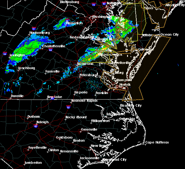 At 239 pm est, severe thunderstorms were located along a line extending from kinsale to near studley, moving east at 55 mph (radar indicated). Hazards include 60 mph wind gusts. Expect damage to roofs, siding, and trees. locations impacted include, king william, tappahannock, warsaw, urbanna, saint stephens church, robley, king and queen court house, mechanicsville, manquin, center cross, morattico, farnham, haynesville, jamaica, millers tavern, dunnsville, church view, aylett, sharps and studley. precautionary/preparedness actions, for your protection move to an interior room on the lowest floor of a building. please send your reports of hail and or wind damage, including trees or large limbs downed, by calling noaa`s national weather service in wakefield at , 7 5 7, 8 9 9, 2 4 1 5. At 239 pm est, severe thunderstorms were located along a line extending from kinsale to near studley, moving east at 55 mph (radar indicated). Hazards include 60 mph wind gusts. Expect damage to roofs, siding, and trees. locations impacted include, king william, tappahannock, warsaw, urbanna, saint stephens church, robley, king and queen court house, mechanicsville, manquin, center cross, morattico, farnham, haynesville, jamaica, millers tavern, dunnsville, church view, aylett, sharps and studley. precautionary/preparedness actions, for your protection move to an interior room on the lowest floor of a building. please send your reports of hail and or wind damage, including trees or large limbs downed, by calling noaa`s national weather service in wakefield at , 7 5 7, 8 9 9, 2 4 1 5.
|
| 3/1/2017 2:21 PM EST |
 At 220 pm est, severe thunderstorms were located along a line extending from near champlain to near studley, moving east at 70 mph (radar indicated). Hazards include 60 mph wind gusts. expect damage to roofs, siding, and trees At 220 pm est, severe thunderstorms were located along a line extending from near champlain to near studley, moving east at 70 mph (radar indicated). Hazards include 60 mph wind gusts. expect damage to roofs, siding, and trees
|
| 2/25/2017 4:32 PM EST |
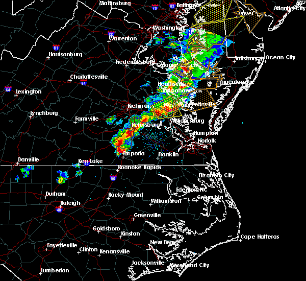 At 432 pm est, a severe thunderstorm was located near shacklefords, or near urbanna, moving northeast at 55 mph (radar indicated). Hazards include 60 mph wind gusts and quarter size hail. Hail damage to vehicles is expected. expect wind damage to roofs, siding, and trees. this severe storm will be near, saluda, glenns, church view and jamaica around 435 pm est. other locations impacted by this severe thunderstorm include eltham, croaker, cohoke, dragonville, lanexa, rose garden, mattaponi, warner, mascot and cooke. precautionary/preparedness actions, for your protection move to an interior room on the lowest floor of a building. please send your reports of hail and or wind damage, including trees or large limbs downed, by calling noaa`s national weather service in wakefield at , 7 5 7, 8 9 9, 2 4 1 5. At 432 pm est, a severe thunderstorm was located near shacklefords, or near urbanna, moving northeast at 55 mph (radar indicated). Hazards include 60 mph wind gusts and quarter size hail. Hail damage to vehicles is expected. expect wind damage to roofs, siding, and trees. this severe storm will be near, saluda, glenns, church view and jamaica around 435 pm est. other locations impacted by this severe thunderstorm include eltham, croaker, cohoke, dragonville, lanexa, rose garden, mattaponi, warner, mascot and cooke. precautionary/preparedness actions, for your protection move to an interior room on the lowest floor of a building. please send your reports of hail and or wind damage, including trees or large limbs downed, by calling noaa`s national weather service in wakefield at , 7 5 7, 8 9 9, 2 4 1 5.
|
| 2/25/2017 4:14 PM EST |
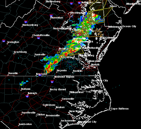 At 414 pm est, a severe thunderstorm was located near new kent, moving northeast at 55 mph (radar indicated). Hazards include 60 mph wind gusts and quarter size hail. Hail damage to vehicles is expected. expect wind damage to roofs, siding, and trees. this severe thunderstorm will be near, barhamsville around 420 pm est. west point around 425 pm est. shacklefords and little plymouth around 430 pm est. glenns and church view around 435 pm est. saluda around 440 pm est. Other locations impacted by this severe thunderstorm include eltham, chickahominy shore, croaker, cohoke, dragonville, lanexa, rose garden, mattaponi, warner and colonial downs. At 414 pm est, a severe thunderstorm was located near new kent, moving northeast at 55 mph (radar indicated). Hazards include 60 mph wind gusts and quarter size hail. Hail damage to vehicles is expected. expect wind damage to roofs, siding, and trees. this severe thunderstorm will be near, barhamsville around 420 pm est. west point around 425 pm est. shacklefords and little plymouth around 430 pm est. glenns and church view around 435 pm est. saluda around 440 pm est. Other locations impacted by this severe thunderstorm include eltham, chickahominy shore, croaker, cohoke, dragonville, lanexa, rose garden, mattaponi, warner and colonial downs.
|
| 9/28/2016 6:20 PM EDT | Golf Ball sized hail reported 2.7 miles W of King and Queen Court House, VA, . |
| 9/28/2016 6:10 PM EDT |
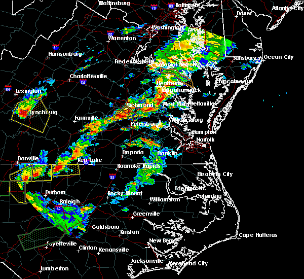 At 609 pm edt, a severe thunderstorm was located over king and queen court house, moving northeast at 15 mph (radar indicated). Hazards include golf ball size hail and 60 mph wind gusts. People and animals outdoors will be injured. expect hail damage to roofs, siding, windows, and vehicles. expect wind damage to roofs, siding, and trees. this severe thunderstorm will be near, little plymouth around 620 pm edt. church view around 640 pm edt. jamaica and center cross around 645 pm edt. sharps around 700 pm edt. morattico around 710 pm edt. Other locations impacted by this severe thunderstorm include tidewater, water view, velma, downing, montague, nuttsville, dragonville, emmerton, belle isle state park and samos. At 609 pm edt, a severe thunderstorm was located over king and queen court house, moving northeast at 15 mph (radar indicated). Hazards include golf ball size hail and 60 mph wind gusts. People and animals outdoors will be injured. expect hail damage to roofs, siding, windows, and vehicles. expect wind damage to roofs, siding, and trees. this severe thunderstorm will be near, little plymouth around 620 pm edt. church view around 640 pm edt. jamaica and center cross around 645 pm edt. sharps around 700 pm edt. morattico around 710 pm edt. Other locations impacted by this severe thunderstorm include tidewater, water view, velma, downing, montague, nuttsville, dragonville, emmerton, belle isle state park and samos.
|
| 7/31/2016 8:58 PM EDT |
 At 858 pm edt, a severe thunderstorm was located over stevensville, or near king and queen court house, moving northeast at 25 mph (radar indicated). Hazards include 60 mph wind gusts and quarter size hail. Hail damage to vehicles is expected. expect wind damage to roofs, siding, and trees. this severe thunderstorm will remain over mainly rural areas of central king william and central king and queen counties, including the following locations: dragonville, bruington, walkerton, biscoe, henley fork and crouch. precautionary/preparedness actions, for your protection move to an interior room on the lowest floor of a building. please send your reports of hail and or wind damage, including trees or large limbs downed, by calling noaa`s national weather service in wakefield at , 7 5 7, 8 9 9, 2 4 1 5. At 858 pm edt, a severe thunderstorm was located over stevensville, or near king and queen court house, moving northeast at 25 mph (radar indicated). Hazards include 60 mph wind gusts and quarter size hail. Hail damage to vehicles is expected. expect wind damage to roofs, siding, and trees. this severe thunderstorm will remain over mainly rural areas of central king william and central king and queen counties, including the following locations: dragonville, bruington, walkerton, biscoe, henley fork and crouch. precautionary/preparedness actions, for your protection move to an interior room on the lowest floor of a building. please send your reports of hail and or wind damage, including trees or large limbs downed, by calling noaa`s national weather service in wakefield at , 7 5 7, 8 9 9, 2 4 1 5.
|
| 7/31/2016 8:48 PM EDT |
 At 848 pm edt, a severe thunderstorm was located over king william, moving northeast at 25 mph (radar indicated). Hazards include 60 mph wind gusts and quarter size hail. Hail damage to vehicles is expected. expect wind damage to roofs, siding, and trees. this severe thunderstorm will be near, king and queen court house and stevensville around 900 pm edt. Other locations impacted by this severe thunderstorm include walkerton, cohoke, rumford, dragonville, palls, lanesville, romancoke, henley fork, cooke and rose garden. At 848 pm edt, a severe thunderstorm was located over king william, moving northeast at 25 mph (radar indicated). Hazards include 60 mph wind gusts and quarter size hail. Hail damage to vehicles is expected. expect wind damage to roofs, siding, and trees. this severe thunderstorm will be near, king and queen court house and stevensville around 900 pm edt. Other locations impacted by this severe thunderstorm include walkerton, cohoke, rumford, dragonville, palls, lanesville, romancoke, henley fork, cooke and rose garden.
|
| 7/1/2016 8:26 PM EDT |
 The severe thunderstorm warning for north central new kent, southeastern king william and central king and queen counties will expire at 830 pm edt, the storm which prompted the warning has weakened below severe limits, and no longer pose an immediate threat to life or property. therefore the warning will be allowed to expire. however gusty winds and heavy rain are still possible with this thunderstorm. The severe thunderstorm warning for north central new kent, southeastern king william and central king and queen counties will expire at 830 pm edt, the storm which prompted the warning has weakened below severe limits, and no longer pose an immediate threat to life or property. therefore the warning will be allowed to expire. however gusty winds and heavy rain are still possible with this thunderstorm.
|
| 7/1/2016 8:10 PM EDT |
 At 810 pm edt, a severe thunderstorm was located near king william, moving southeast at 20 mph (radar indicated). Hazards include 60 mph wind gusts and penny size hail. Expect damage to roofs. siding. and trees. this severe storm will be near, king william around 820 pm edt. king and queen court house around 830 pm edt. other locations impacted by this severe thunderstorm include cooke, rose garden, walkerton, cohoke, rumford, palls and lanesville. precautionary/preparedness actions, for your protection move to an interior room on the lowest floor of a building. please send your reports of hail and or wind damage, including trees or large limbs downed, by calling noaa`s national weather service in wakefield at , 7 5 7, 8 9 9, 2 4 1 5. At 810 pm edt, a severe thunderstorm was located near king william, moving southeast at 20 mph (radar indicated). Hazards include 60 mph wind gusts and penny size hail. Expect damage to roofs. siding. and trees. this severe storm will be near, king william around 820 pm edt. king and queen court house around 830 pm edt. other locations impacted by this severe thunderstorm include cooke, rose garden, walkerton, cohoke, rumford, palls and lanesville. precautionary/preparedness actions, for your protection move to an interior room on the lowest floor of a building. please send your reports of hail and or wind damage, including trees or large limbs downed, by calling noaa`s national weather service in wakefield at , 7 5 7, 8 9 9, 2 4 1 5.
|
| 7/1/2016 7:42 PM EDT |
 At 741 pm edt, a severe thunderstorm was located over aylett, or near saint stephens church, moving southeast at 25 mph (radar indicated). Hazards include 60 mph wind gusts and penny size hail. Expect damage to roofs. siding. and trees. this severe thunderstorm will be near, aylett around 745 pm edt. saint stephens church and manquin around 750 pm edt. king william around 805 pm edt. stevensville around 810 pm edt. king and queen court house around 820 pm edt. Other locations impacted by this severe thunderstorm include upshaw, walkerton, pollards corner, cohoke, rumford, turpin, epworth, dragonville, globe and palls. At 741 pm edt, a severe thunderstorm was located over aylett, or near saint stephens church, moving southeast at 25 mph (radar indicated). Hazards include 60 mph wind gusts and penny size hail. Expect damage to roofs. siding. and trees. this severe thunderstorm will be near, aylett around 745 pm edt. saint stephens church and manquin around 750 pm edt. king william around 805 pm edt. stevensville around 810 pm edt. king and queen court house around 820 pm edt. Other locations impacted by this severe thunderstorm include upshaw, walkerton, pollards corner, cohoke, rumford, turpin, epworth, dragonville, globe and palls.
|
| 6/16/2016 10:28 PM EDT |
 At 1027 pm edt, severe thunderstorms were located along a line extending from near hague to near haynesville to near center cross to near king and queen court house to barhamsville to near charles city, moving southeast at 35 mph (radar indicated). Hazards include 60 mph wind gusts and quarter size hail. Hail damage to vehicles is expected. expect wind damage to roofs, siding, and trees. severe thunderstorms will be near, callao, toano and robley around 1035 pm edt. norge, heathsville, morattico, jamaica and church view around 1040 pm edt. williamsburg and shacklefords around 1045 pm edt. queens lake, glenns, wicomico church and saluda around 1050 pm edt. gloucester courthouse, urbanna, college of william and mary and lancaster around 1055 pm edt. fair port, hayes and kings point around 1100 pm edt. kilmarnock, gloucester point, virginia institute for marine sciences, white stone, wicomico, hartfield and carver gardens around 1105 pm edt. achilles around 1110 pm edt. Other locations impacted by these severe thunderstorms include water view, diggs, foxwells, nuttsville, stampers, lyells, ark, fleeton, threeway and henley fork. At 1027 pm edt, severe thunderstorms were located along a line extending from near hague to near haynesville to near center cross to near king and queen court house to barhamsville to near charles city, moving southeast at 35 mph (radar indicated). Hazards include 60 mph wind gusts and quarter size hail. Hail damage to vehicles is expected. expect wind damage to roofs, siding, and trees. severe thunderstorms will be near, callao, toano and robley around 1035 pm edt. norge, heathsville, morattico, jamaica and church view around 1040 pm edt. williamsburg and shacklefords around 1045 pm edt. queens lake, glenns, wicomico church and saluda around 1050 pm edt. gloucester courthouse, urbanna, college of william and mary and lancaster around 1055 pm edt. fair port, hayes and kings point around 1100 pm edt. kilmarnock, gloucester point, virginia institute for marine sciences, white stone, wicomico, hartfield and carver gardens around 1105 pm edt. achilles around 1110 pm edt. Other locations impacted by these severe thunderstorms include water view, diggs, foxwells, nuttsville, stampers, lyells, ark, fleeton, threeway and henley fork.
|
| 6/16/2016 9:37 PM EDT |
 At 937 pm edt, severe thunderstorms were located along a line extending from near popes creek to near newtown to wyndham, moving east at 50 mph (radar indicated). Hazards include 70 mph wind gusts and half dollar size hail. Hail damage to vehicles is expected. expect considerable tree damage. wind damage is also likely to mobile homes, roofs, and outbuildings. severe thunderstorms will be near, newtown and beulahville around 940 pm edt. mechanicsville, champlain and hanover around 950 pm edt. tappahannock, studley and millers tavern around 955 pm edt. dunnsville and manquin around 1000 pm edt. warsaw, sharps and center cross around 1005 pm edt. king william, farnham, morattico and haynesville around 1010 pm edt. robley, king and queen court house, callao and stevensville around 1015 pm edt. lancaster and heathsville around 1020 pm edt. Other locations impacted by these severe thunderstorms include supply, singerly, water view, elevon, hustle, epworth, nuttsville, lyells, sparta and threeway. At 937 pm edt, severe thunderstorms were located along a line extending from near popes creek to near newtown to wyndham, moving east at 50 mph (radar indicated). Hazards include 70 mph wind gusts and half dollar size hail. Hail damage to vehicles is expected. expect considerable tree damage. wind damage is also likely to mobile homes, roofs, and outbuildings. severe thunderstorms will be near, newtown and beulahville around 940 pm edt. mechanicsville, champlain and hanover around 950 pm edt. tappahannock, studley and millers tavern around 955 pm edt. dunnsville and manquin around 1000 pm edt. warsaw, sharps and center cross around 1005 pm edt. king william, farnham, morattico and haynesville around 1010 pm edt. robley, king and queen court house, callao and stevensville around 1015 pm edt. lancaster and heathsville around 1020 pm edt. Other locations impacted by these severe thunderstorms include supply, singerly, water view, elevon, hustle, epworth, nuttsville, lyells, sparta and threeway.
|
| 2/24/2016 8:13 PM EST |
 At 813 pm est, doppler radar indicated a tornado. this dangerous storm was located over king and queen court house, and moving northeast at 55 mph. * this dangerous storm will be near, center cross and jamaica around 825 pm est. other locations impacted by this tornadic thunderstorm include water view, cohoke, velma, eltham, montague, dragonville, romancoke, lanesville, cooke and rose garden. At 813 pm est, doppler radar indicated a tornado. this dangerous storm was located over king and queen court house, and moving northeast at 55 mph. * this dangerous storm will be near, center cross and jamaica around 825 pm est. other locations impacted by this tornadic thunderstorm include water view, cohoke, velma, eltham, montague, dragonville, romancoke, lanesville, cooke and rose garden.
|
| 2/24/2016 8:08 PM EST |
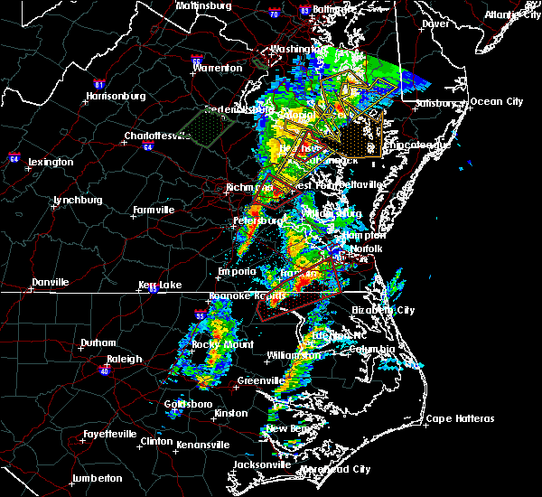 At 808 pm est, doppler radar indicated a severe thunderstorm capable of producing quarter size hail and damaging winds in excess of 60 mph. this storm was located near king and queen court house, and moving northeast at 55 mph. * this severe thunderstorm will be near, jamaica around 820 pm est. center cross and dunnsville around 825 pm est. other locations impacted by this severe thunderstorm include rose garden, montague, nesting, laneview, dragonville, ino, bowlers wharf, upright, romancoke and crouch. a tornado watch remains in effect until 900 pm est for eastern virginia. At 808 pm est, doppler radar indicated a severe thunderstorm capable of producing quarter size hail and damaging winds in excess of 60 mph. this storm was located near king and queen court house, and moving northeast at 55 mph. * this severe thunderstorm will be near, jamaica around 820 pm est. center cross and dunnsville around 825 pm est. other locations impacted by this severe thunderstorm include rose garden, montague, nesting, laneview, dragonville, ino, bowlers wharf, upright, romancoke and crouch. a tornado watch remains in effect until 900 pm est for eastern virginia.
|
| 2/24/2016 7:18 PM EST |
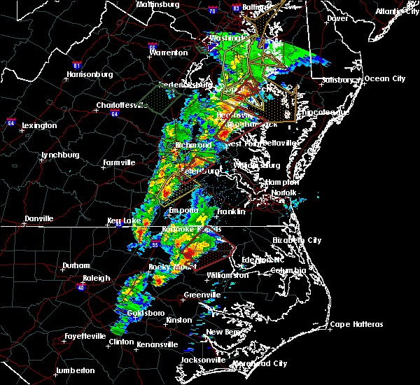 At 717 pm est, doppler radar indicated a severe thunderstorm capable of producing a tornado. this dangerous storm was located near king and queen court house, moving northeast at 60 mph. this dangerous storm will be near, jamaica and church view around 720 pm est. center cross and dunnsville around 725 pm est. robley, sharps and morattico around 730 pm est. warsaw, haynesville and farnham around 735 pm est. callao, kinsale, hague and heathsville around 740 pm est. lewisetta around 745 pm est. other locations impacted by this tornadic thunderstorm include water view, lara, downing, montague, browns store, nuttsville, village, gibeon, threeway and hull neck. At 717 pm est, doppler radar indicated a severe thunderstorm capable of producing a tornado. this dangerous storm was located near king and queen court house, moving northeast at 60 mph. this dangerous storm will be near, jamaica and church view around 720 pm est. center cross and dunnsville around 725 pm est. robley, sharps and morattico around 730 pm est. warsaw, haynesville and farnham around 735 pm est. callao, kinsale, hague and heathsville around 740 pm est. lewisetta around 745 pm est. other locations impacted by this tornadic thunderstorm include water view, lara, downing, montague, browns store, nuttsville, village, gibeon, threeway and hull neck.
|
| 2/24/2016 7:01 PM EST |
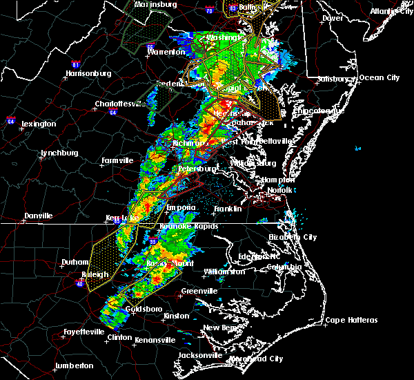 At 701 pm est, doppler radar indicated a possible tornado. this dangerous storm was located over new kent, and moving northeast at 55 mph. * this dangerous storm will be near, west point, king and queen court house, little plymouth and stevensville around 715 pm est. center cross, jamaica and church view around 725 pm est. sharps and dunnsville around 730 pm est. robley, farnham and morattico around 735 pm est. haynesville around 740 pm est. callao, kinsale, lewisetta and heathsville around 745 pm est. other locations impacted by this tornadic thunderstorm include water view, lara, downing, montague, browns store, nuttsville, village, gibeon, threeway and hull neck. At 701 pm est, doppler radar indicated a possible tornado. this dangerous storm was located over new kent, and moving northeast at 55 mph. * this dangerous storm will be near, west point, king and queen court house, little plymouth and stevensville around 715 pm est. center cross, jamaica and church view around 725 pm est. sharps and dunnsville around 730 pm est. robley, farnham and morattico around 735 pm est. haynesville around 740 pm est. callao, kinsale, lewisetta and heathsville around 745 pm est. other locations impacted by this tornadic thunderstorm include water view, lara, downing, montague, browns store, nuttsville, village, gibeon, threeway and hull neck.
|
| 2/24/2016 3:25 PM EST |
 The tornado warning for southeastern king william, central king and queen and central new kent counties will expire at 330 pm est, the tornadic thunderstorm which prompted the warning has weakened. therefore the warning will be allowed to expire. The tornado warning for southeastern king william, central king and queen and central new kent counties will expire at 330 pm est, the tornadic thunderstorm which prompted the warning has weakened. therefore the warning will be allowed to expire.
|
| 2/24/2016 3:07 PM EST |
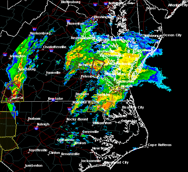 At 306 pm est, emergency management reported a tornado that previously moved through waverly. this tornadic storm is now located over new kent, moving north at 55 mph. this tornado will be near, king william and king and queen court house around 320 pm est. stevensville around 325 pm est. other locations impacted by this tornadic thunderstorm include cooke, rose garden, cohoke, slaterville, henley fork, colonial downs, romancoke and lanesville. At 306 pm est, emergency management reported a tornado that previously moved through waverly. this tornadic storm is now located over new kent, moving north at 55 mph. this tornado will be near, king william and king and queen court house around 320 pm est. stevensville around 325 pm est. other locations impacted by this tornadic thunderstorm include cooke, rose garden, cohoke, slaterville, henley fork, colonial downs, romancoke and lanesville.
|
| 2/24/2016 2:56 PM EST |
 At 256 pm est, emergency management reported a tornado near rustic, or near charles city. doppler radar showed this tornado moving north at 45 mph. * the tornado will be near, holdcroft around 300 pm est. providence forge around 305 pm est. new kent and barhamsville around 310 pm est. west point around 320 pm est. king and queen court house and little plymouth around 325 pm est. stevensville around 330 pm est. other locations impacted by this tornadic thunderstorm include sandybottom, kings corner, cohoke, velma, eltham, slaterville, new hope, plum point, henley fork and colonial downs. At 256 pm est, emergency management reported a tornado near rustic, or near charles city. doppler radar showed this tornado moving north at 45 mph. * the tornado will be near, holdcroft around 300 pm est. providence forge around 305 pm est. new kent and barhamsville around 310 pm est. west point around 320 pm est. king and queen court house and little plymouth around 325 pm est. stevensville around 330 pm est. other locations impacted by this tornadic thunderstorm include sandybottom, kings corner, cohoke, velma, eltham, slaterville, new hope, plum point, henley fork and colonial downs.
|
| 8/11/2015 5:37 PM EDT |
 At 537 pm edt, doppler radar indicated a line of severe thunderstorms capable of producing damaging winds in excess of 60 mph. these storms were located along a line extending from center cross to near king william, and moving east at 25 mph. * severe thunderstorms will be near, jamaica around 545 pm edt. morattico around 555 pm edt. west point and little plymouth around 600 pm edt. lancaster and shacklefords around 610 pm edt. kilmarnock, urbanna, glenns, saluda and church view around 615 pm edt. other locations impacted by these severe thunderstorms include harmony village, water view, healys, mattaponi, adner, warner, browns store, nuttsville, bertrand and belle isle state park. At 537 pm edt, doppler radar indicated a line of severe thunderstorms capable of producing damaging winds in excess of 60 mph. these storms were located along a line extending from center cross to near king william, and moving east at 25 mph. * severe thunderstorms will be near, jamaica around 545 pm edt. morattico around 555 pm edt. west point and little plymouth around 600 pm edt. lancaster and shacklefords around 610 pm edt. kilmarnock, urbanna, glenns, saluda and church view around 615 pm edt. other locations impacted by these severe thunderstorms include harmony village, water view, healys, mattaponi, adner, warner, browns store, nuttsville, bertrand and belle isle state park.
|
| 6/23/2015 11:51 PM EDT |
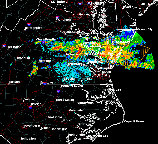 At 1151 pm edt, doppler radar indicated a severe thunderstorm capable of producing damaging winds in excess of 60 mph. this storm was located over king and queen court house, moving east at 25 mph. this severe thunderstorm will remain over mainly rural areas of southeastern king william and central king and queen counties, including the following locations, cooke, rose garden, cohoke, crouch and lanesville. At 1151 pm edt, doppler radar indicated a severe thunderstorm capable of producing damaging winds in excess of 60 mph. this storm was located over king and queen court house, moving east at 25 mph. this severe thunderstorm will remain over mainly rural areas of southeastern king william and central king and queen counties, including the following locations, cooke, rose garden, cohoke, crouch and lanesville.
|
| 6/23/2015 11:34 PM EDT |
 At 1134 pm edt, doppler radar indicated a severe thunderstorm capable of producing damaging winds in excess of 60 mph. this storm was located over aylett, or near saint stephens church, and moving southeast at 25 mph. * this severe thunderstorm will be near, saint stephens church around 1145 pm edt. king william around 1155 pm edt. stevensville around 1205 am edt. king and queen court house around 1210 am edt. other locations impacted by this severe thunderstorm include walkerton, cohoke, rumford, palls, henley fork, lanesville, cooke, rose garden, howertons and bruington. At 1134 pm edt, doppler radar indicated a severe thunderstorm capable of producing damaging winds in excess of 60 mph. this storm was located over aylett, or near saint stephens church, and moving southeast at 25 mph. * this severe thunderstorm will be near, saint stephens church around 1145 pm edt. king william around 1155 pm edt. stevensville around 1205 am edt. king and queen court house around 1210 am edt. other locations impacted by this severe thunderstorm include walkerton, cohoke, rumford, palls, henley fork, lanesville, cooke, rose garden, howertons and bruington.
|
| 6/20/2015 9:58 PM EDT |
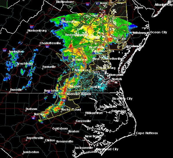 At 957 pm edt, doppler radar indicated a line of severe thunderstorms capable of producing quarter size hail and damaging winds in excess of 60 mph. these storms were located along a line extending from 6 miles northwest of newtown to near king william to near claremont, and moving east at 40 mph. * severe thunderstorms will be near, west point, king and queen court house and stevensville around 1005 pm edt. williamsburg, champlain, norge, toano, college of william and mary, little plymouth and center cross around 1010 pm edt. queens lake, newland, jamaica and church view around 1015 pm edt. gloucester courthouse, warsaw, urbanna, montross, gloucester point, robley, morattico and wicomico around 1020 pm edt. kilmarnock, lancaster, hague and hayes around 1025 pm edt. mathews, mobjack, wicomico church, kinsale, blakes and bavon around 1030 pm edt. fair port around 1035 pm edt. At 957 pm edt, doppler radar indicated a line of severe thunderstorms capable of producing quarter size hail and damaging winds in excess of 60 mph. these storms were located along a line extending from 6 miles northwest of newtown to near king william to near claremont, and moving east at 40 mph. * severe thunderstorms will be near, west point, king and queen court house and stevensville around 1005 pm edt. williamsburg, champlain, norge, toano, college of william and mary, little plymouth and center cross around 1010 pm edt. queens lake, newland, jamaica and church view around 1015 pm edt. gloucester courthouse, warsaw, urbanna, montross, gloucester point, robley, morattico and wicomico around 1020 pm edt. kilmarnock, lancaster, hague and hayes around 1025 pm edt. mathews, mobjack, wicomico church, kinsale, blakes and bavon around 1030 pm edt. fair port around 1035 pm edt.
|
| 6/20/2015 9:27 PM EDT |
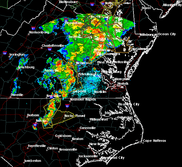 At 926 pm edt, doppler radar indicated a line of severe thunderstorms capable of producing damaging winds in excess of 60 mph. these storms were located along a line extending from prince frederick to near callao to near stevensville, and moving northeast at 40 mph. * severe thunderstorms will be near, lewisetta, jamaica and dunnsville around 940 pm edt. sharps around 945 pm edt. morattico around 950 pm edt. robley and farnham around 955 pm edt. heathsville around 1010 pm edt. other locations impacted by these severe thunderstorms include water view, lara, nuttsville, lyells, gibeon, fleeton, threeway, alfonso, naylors beach and samos. At 926 pm edt, doppler radar indicated a line of severe thunderstorms capable of producing damaging winds in excess of 60 mph. these storms were located along a line extending from prince frederick to near callao to near stevensville, and moving northeast at 40 mph. * severe thunderstorms will be near, lewisetta, jamaica and dunnsville around 940 pm edt. sharps around 945 pm edt. morattico around 950 pm edt. robley and farnham around 955 pm edt. heathsville around 1010 pm edt. other locations impacted by these severe thunderstorms include water view, lara, nuttsville, lyells, gibeon, fleeton, threeway, alfonso, naylors beach and samos.
|
| 6/20/2015 9:23 PM EDT |
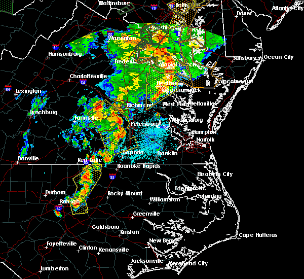 At 923 pm edt, doppler radar indicated a line of severe thunderstorms capable of producing damaging winds in excess of 60 mph. these storms were located along a line extending from near hallowing point to haynesville to near stevensville, moving northeast at 40 mph. these severe thunderstorms will remain over mainly rural areas of richmond, essex, westmoreland, northwestern northumberland, southeastern king william and central king and queen counties, including the following locations, singerly, templeman, downing, westmoreland state, montague, piney grove, village, lyells, gibeon and palls. At 923 pm edt, doppler radar indicated a line of severe thunderstorms capable of producing damaging winds in excess of 60 mph. these storms were located along a line extending from near hallowing point to haynesville to near stevensville, moving northeast at 40 mph. these severe thunderstorms will remain over mainly rural areas of richmond, essex, westmoreland, northwestern northumberland, southeastern king william and central king and queen counties, including the following locations, singerly, templeman, downing, westmoreland state, montague, piney grove, village, lyells, gibeon and palls.
|
| 6/20/2015 9:15 PM EDT |
 At 914 pm edt, doppler radar indicated a line of severe thunderstorms capable of producing damaging winds in excess of 60 mph. these storms were located along a line extending from near golden beach to near warsaw to near king william, moving east at 35 mph. these severe storms will be near, robley, haynesville and farnham around 925 pm edt. callao and kinsale around 930 pm edt. other locations impacted by these severe thunderstorms include singerly, elevon, hustle, lyells, gibeon, threeway, henley fork, naylors beach, indian neck and ino. At 914 pm edt, doppler radar indicated a line of severe thunderstorms capable of producing damaging winds in excess of 60 mph. these storms were located along a line extending from near golden beach to near warsaw to near king william, moving east at 35 mph. these severe storms will be near, robley, haynesville and farnham around 925 pm edt. callao and kinsale around 930 pm edt. other locations impacted by these severe thunderstorms include singerly, elevon, hustle, lyells, gibeon, threeway, henley fork, naylors beach, indian neck and ino.
|
| 6/20/2015 9:15 PM EDT |
 At 923 pm edt, doppler radar indicated a line of severe thunderstorms capable of producing damaging winds in excess of 60 mph. these storms were located along a line extending from near hallowing point to haynesville to near stevensville, moving northeast at 40 mph. these severe thunderstorms will remain over mainly rural areas of richmond, essex, westmoreland, northwestern northumberland, southeastern king william and central king and queen counties, including the following locations, singerly, templeman, downing, westmoreland state, montague, piney grove, village, lyells, gibeon and palls. At 923 pm edt, doppler radar indicated a line of severe thunderstorms capable of producing damaging winds in excess of 60 mph. these storms were located along a line extending from near hallowing point to haynesville to near stevensville, moving northeast at 40 mph. these severe thunderstorms will remain over mainly rural areas of richmond, essex, westmoreland, northwestern northumberland, southeastern king william and central king and queen counties, including the following locations, singerly, templeman, downing, westmoreland state, montague, piney grove, village, lyells, gibeon and palls.
|
| 6/20/2015 8:38 PM EDT |
 At 837 pm edt, doppler radar indicated a line of severe thunderstorms capable of producing damaging winds in excess of 60 mph. these storms were located along a line extending from near colonial beach to near king william, and moving northeast at 40 mph. * severe thunderstorms will be near, colonial beach around 845 pm edt. millers tavern around 900 pm edt. center cross and dunnsville around 905 pm edt. tappahannock around 910 pm edt. sharps around 915 pm edt. warsaw, robley and farnham around 920 pm edt. haynesville around 925 pm edt. callao, kinsale and hague around 930 pm edt. other locations impacted by these severe thunderstorms include singerly, elevon, hustle, lyells, gibeon, threeway, henley fork, naylors beach, indian neck and ino. At 837 pm edt, doppler radar indicated a line of severe thunderstorms capable of producing damaging winds in excess of 60 mph. these storms were located along a line extending from near colonial beach to near king william, and moving northeast at 40 mph. * severe thunderstorms will be near, colonial beach around 845 pm edt. millers tavern around 900 pm edt. center cross and dunnsville around 905 pm edt. tappahannock around 910 pm edt. sharps around 915 pm edt. warsaw, robley and farnham around 920 pm edt. haynesville around 925 pm edt. callao, kinsale and hague around 930 pm edt. other locations impacted by these severe thunderstorms include singerly, elevon, hustle, lyells, gibeon, threeway, henley fork, naylors beach, indian neck and ino.
|
| 4/10/2015 6:30 PM EDT | A severe thunderstorm warning remains in effect until 700 pm edt for eastern new kent. western lancaster. northwestern gloucester. middlesex. southeastern king william and southeastern king and queen counties. at 629 pm edt. Doppler radar indicated a severe thunderstorm capable of producing quarter size hail and damaging winds in excess of 60. |
| 4/10/2015 6:12 PM EDT | The national weather service in wakefield has issued a * severe thunderstorm warning for. new kent county in east central virginia. western lancaster county in eastern virginia. north central charles city county in east central virginia. Northwestern gloucester county in southeastern virginia. |
| 5/22/2014 6:10 PM EDT | Two trees down on a road in king and queen county VA, 5 miles SSE of King and Queen Court House, VA |
| 6/18/2013 4:45 PM EDT | Downed trees reported in the powcan road and poorhouse road area of king and queen count in king and queen county VA, 8.7 miles S of King and Queen Court House, VA |
| 9/8/2012 6:05 PM EDT | Tree down partially blocking us rte 17 in king and queen county VA, 3.7 miles SE of King and Queen Court House, VA |
| 6/1/2012 3:12 PM EDT | Trees down near laneview in essex county VA, 10.9 miles SW of King and Queen Court House, VA |
| 1/1/0001 12:00 AM | Tree down vicinty of rivers reach subdivision in king and queen county VA, 0.3 miles SSE of King and Queen Court House, VA |
Hail Maps for King and Queen Court House, VA


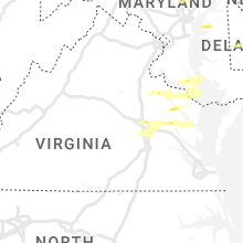


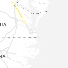

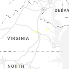


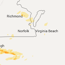


Connect with Interactive Hail Maps