

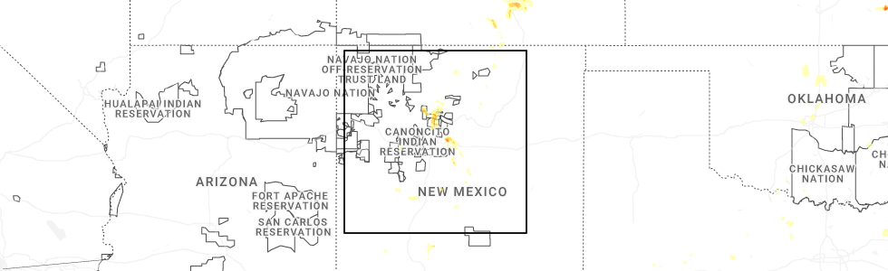
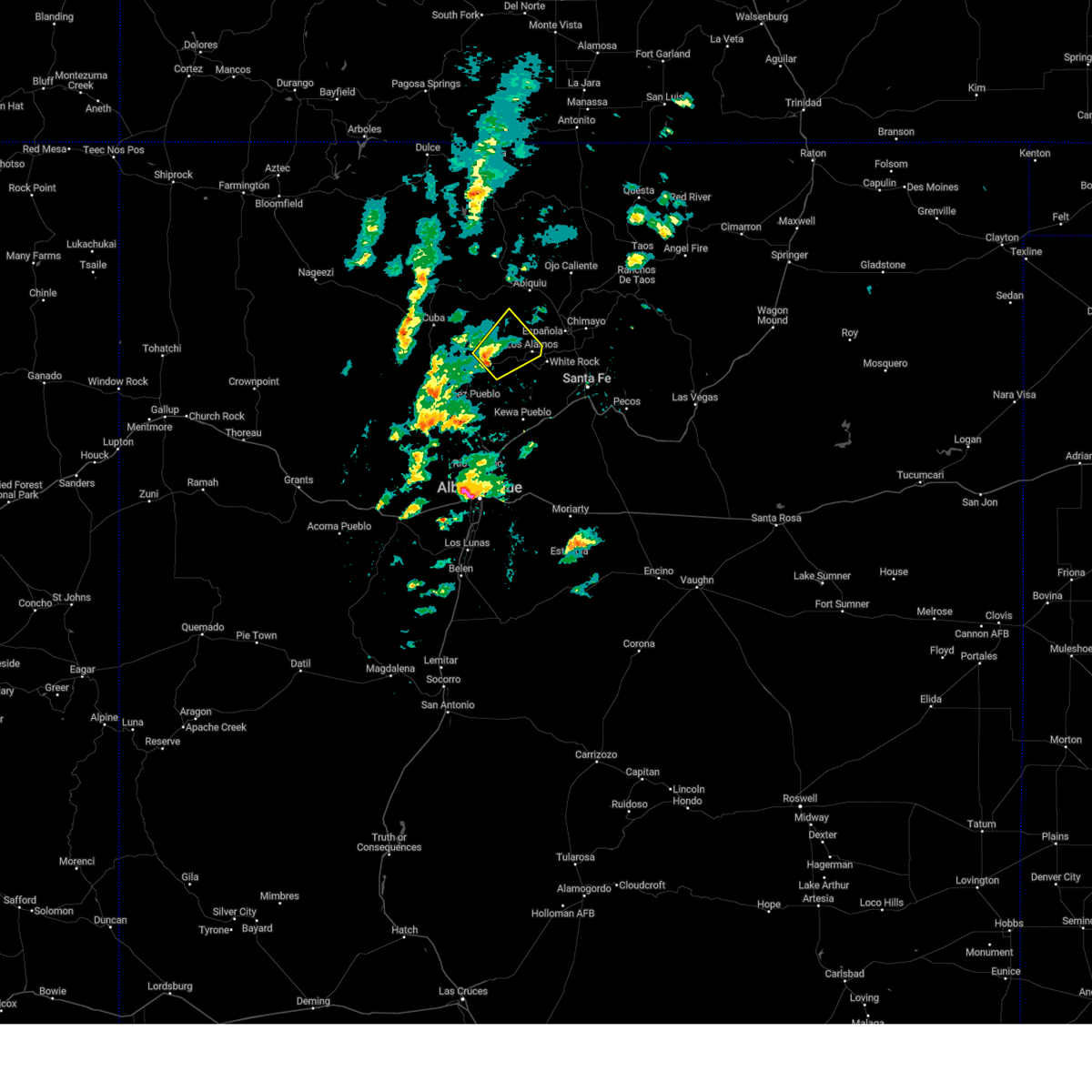
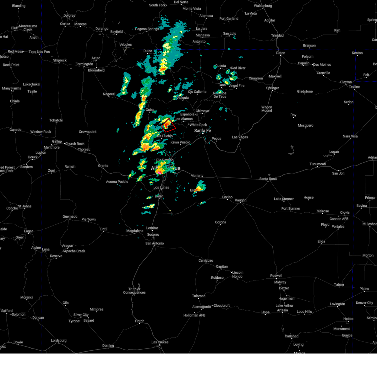
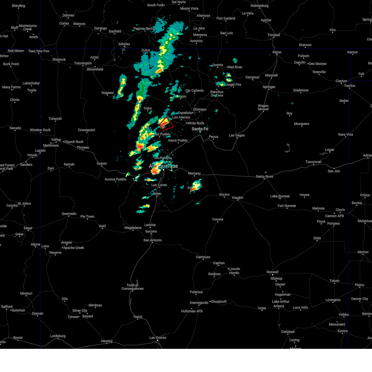
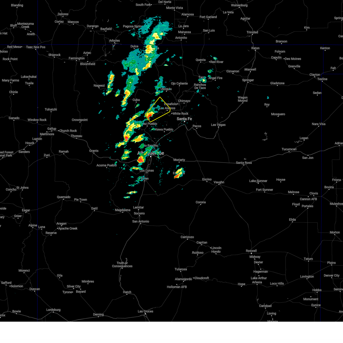
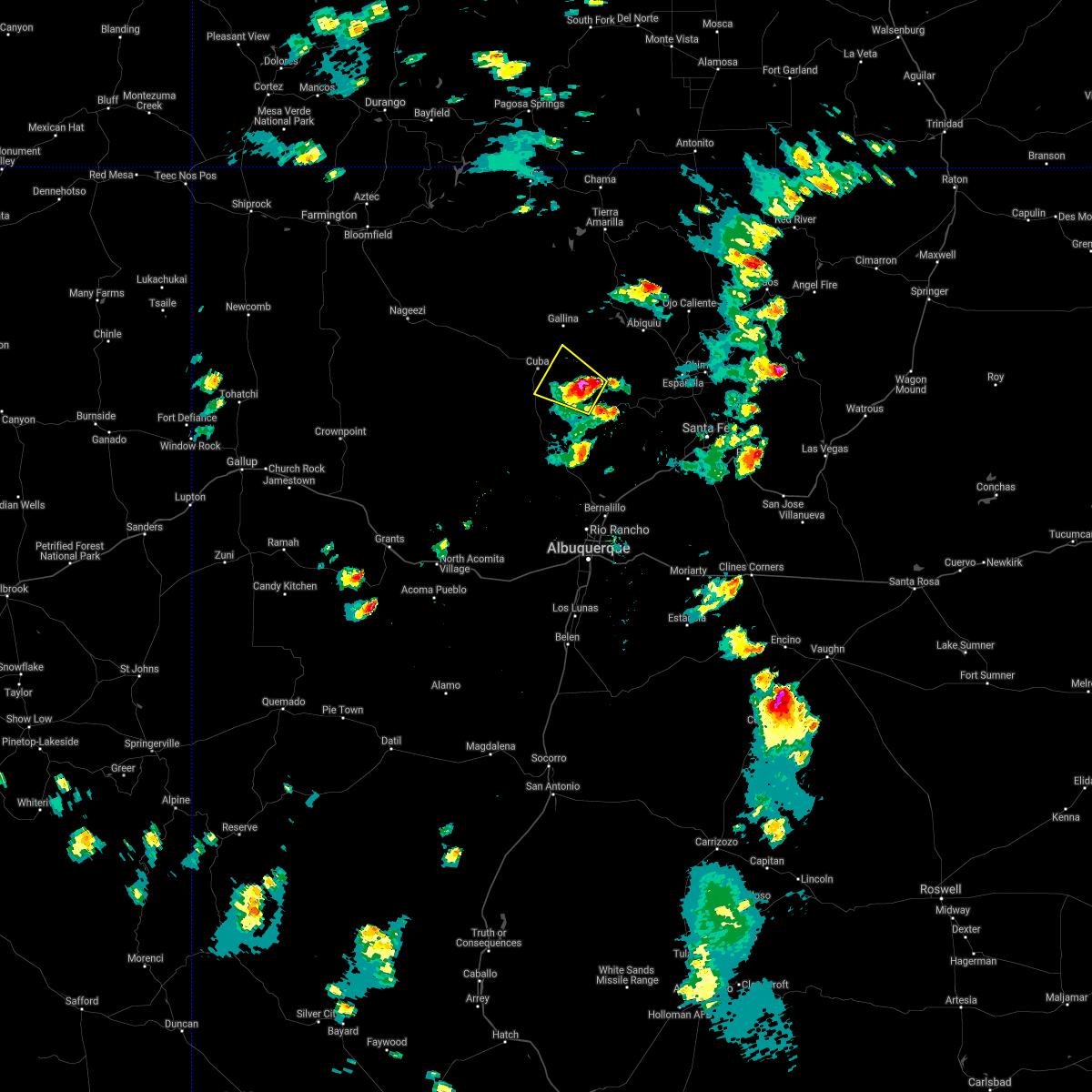
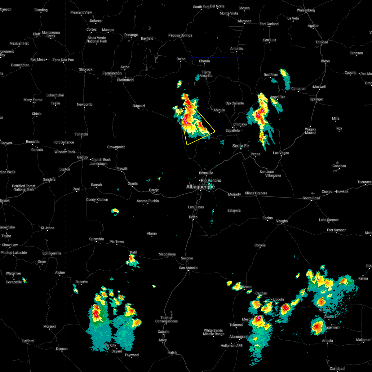
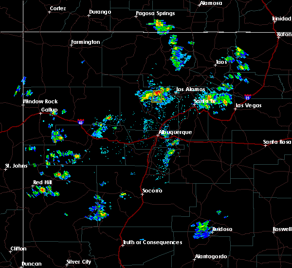
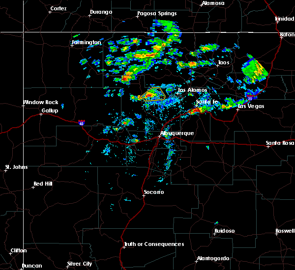
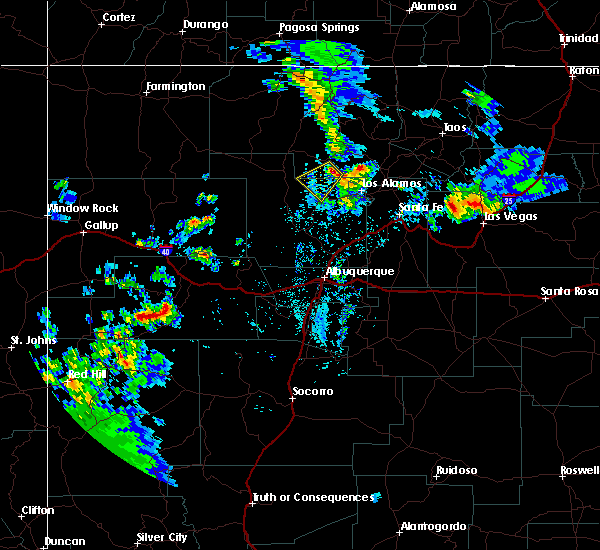
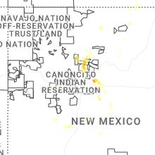
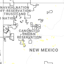
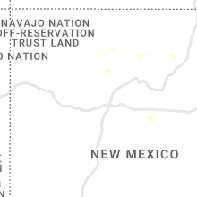
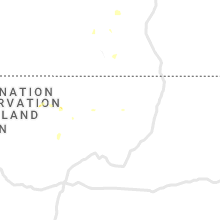
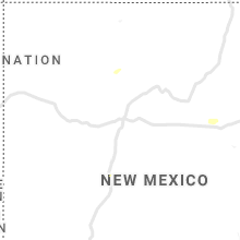
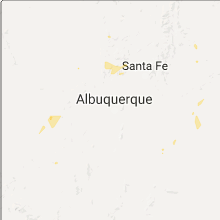
Hail Map for La Cueva, NM
The La Cueva, NM area has had 0 reports of on-the-ground hail by trained spotters, and has been under severe weather warnings 0 times during the past 12 months. Doppler radar has detected hail at or near La Cueva, NM on 26 occasions, including 2 occasions during the past year.
| Name: | La Cueva, NM |
| Where Located: | 54.3 miles N of Albuquerque, NM |
| Map: | Google Map for La Cueva, NM |
| Population: | 168 |
| Housing Units: | 200 |
| More Info: | Search Google for La Cueva, NM |
0
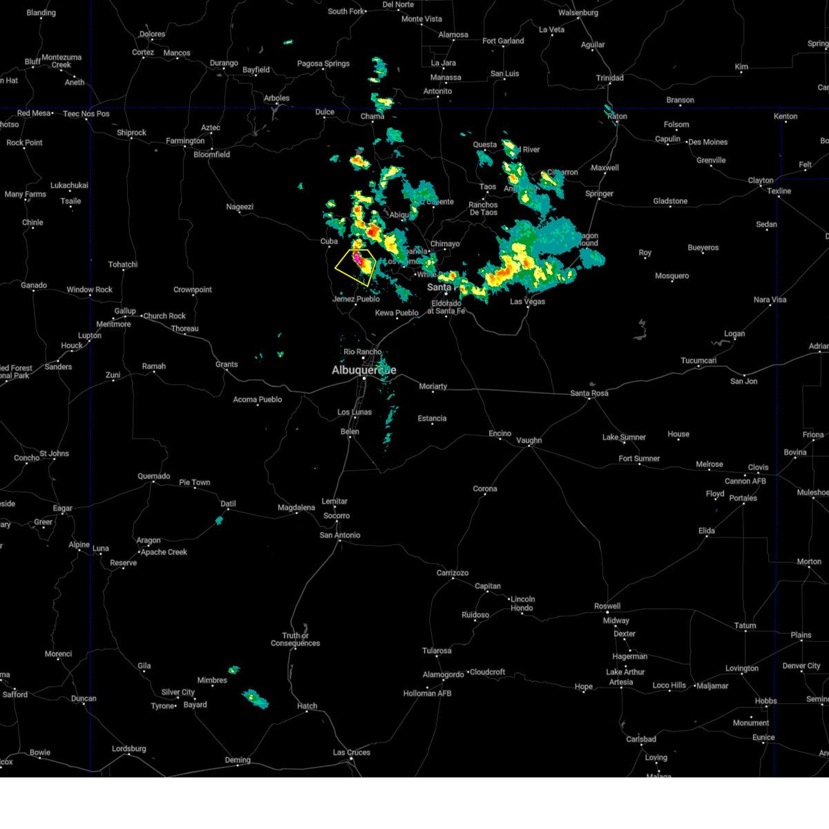
The Top Recent Hail Date for La Cueva, NM is Saturday, July 12, 2025 (12th out of 26)
Hail and Wind Damage Spotted near La Cueva, NM
| Date / Time | Report Details |
|---|---|
| 7/8/2024 4:15 PM MDT |
 The storm which prompted the warning has weakened below severe limits, and no longer poses an immediate threat to life or property. therefore, the warning has been allowed to expire. however, penny to nickel sized hail is still possible with this thunderstorm. The storm which prompted the warning has weakened below severe limits, and no longer poses an immediate threat to life or property. therefore, the warning has been allowed to expire. however, penny to nickel sized hail is still possible with this thunderstorm.
|
| 7/8/2024 3:47 PM MDT | At 344 pm mdt, a severe thunderstorm was located 2 miles southwest of fenton lake state park, or 14 miles southeast of cuba, moving southwest at 10 mph (radar indicated). Hazards include 60 mph wind gusts and quarter size hail. Hail damage to vehicles is expected. expect wind damage to roofs, siding, and trees. locations impacted include, jemez springs, fenton lake state park, jemez state monument, jemez pueblo, and canon. This includes highway 550 between mile markers 43 and 46. |
| 7/8/2024 3:28 PM MDT | Svrabq the national weather service in albuquerque has issued a * severe thunderstorm warning for, central sandoval county in north central new mexico, * until 415 pm mdt. * at 328 pm mdt, a severe thunderstorm was located over fenton lake state park, or 15 miles southeast of cuba, moving southwest at 10 mph (radar indicated). Hazards include 60 mph wind gusts and half dollar size hail. Hail damage to vehicles is expected. Expect wind damage to roofs, siding, and trees. |
| 7/8/2024 3:10 PM MDT | At 309 pm mdt, a severe thunderstorm was located near fenton lake state park, or 14 miles southeast of cuba, moving southwest at 15 mph (radar indicated). Hazards include ping pong ball size hail and 60 mph wind gusts. People and animals outdoors will be injured. expect hail damage to roofs, siding, windows, and vehicles. expect wind damage to roofs, siding, and trees. Locations impacted include, jemez springs, fenton lake state park, and jemez state monument. |
| 7/8/2024 3:10 PM MDT |
 the severe thunderstorm warning has been cancelled and is no longer in effect the severe thunderstorm warning has been cancelled and is no longer in effect
|
| 7/8/2024 3:10 PM MDT |
 At 310 pm mdt, a severe thunderstorm was located near fenton lake state park, or 14 miles southeast of cuba, moving southwest at 15 mph (radar indicated). Hazards include ping pong ball size hail and 60 mph wind gusts. People and animals outdoors will be injured. expect hail damage to roofs, siding, windows, and vehicles. expect wind damage to roofs, siding, and trees. Locations impacted include, jemez springs, fenton lake state park, and jemez state monument. At 310 pm mdt, a severe thunderstorm was located near fenton lake state park, or 14 miles southeast of cuba, moving southwest at 15 mph (radar indicated). Hazards include ping pong ball size hail and 60 mph wind gusts. People and animals outdoors will be injured. expect hail damage to roofs, siding, windows, and vehicles. expect wind damage to roofs, siding, and trees. Locations impacted include, jemez springs, fenton lake state park, and jemez state monument.
|
| 7/8/2024 2:55 PM MDT |
 Svrabq the national weather service in albuquerque has issued a * severe thunderstorm warning for, south central rio arriba county in north central new mexico, northeastern sandoval county in north central new mexico, * until 330 pm mdt. * at 255 pm mdt, a severe thunderstorm was located 8 miles northeast of fenton lake state park, or 16 miles east of cuba, moving southwest at 10 mph (radar indicated). Hazards include 60 mph wind gusts and quarter size hail. Hail damage to vehicles is expected. Expect wind damage to roofs, siding, and trees. Svrabq the national weather service in albuquerque has issued a * severe thunderstorm warning for, south central rio arriba county in north central new mexico, northeastern sandoval county in north central new mexico, * until 330 pm mdt. * at 255 pm mdt, a severe thunderstorm was located 8 miles northeast of fenton lake state park, or 16 miles east of cuba, moving southwest at 10 mph (radar indicated). Hazards include 60 mph wind gusts and quarter size hail. Hail damage to vehicles is expected. Expect wind damage to roofs, siding, and trees.
|
| 5/11/2024 1:11 PM MDT |
 the severe thunderstorm warning has been cancelled and is no longer in effect the severe thunderstorm warning has been cancelled and is no longer in effect
|
| 5/11/2024 12:56 PM MDT |
 At 1256 pm mdt, a severe thunderstorm was located near jemez state monument, or 16 miles west of los alamos, moving northeast at 20 mph (radar indicated). Hazards include 60 mph wind gusts and half dollar size hail. Hail damage to vehicles is expected. expect wind damage to roofs, siding, and trees. Locations impacted include, los alamos. At 1256 pm mdt, a severe thunderstorm was located near jemez state monument, or 16 miles west of los alamos, moving northeast at 20 mph (radar indicated). Hazards include 60 mph wind gusts and half dollar size hail. Hail damage to vehicles is expected. expect wind damage to roofs, siding, and trees. Locations impacted include, los alamos.
|
| 5/11/2024 12:52 PM MDT |
 The tornado threat has diminished and the tornado warning has been cancelled. however, large hail and damaging winds remain likely and a severe thunderstorm warning remains in effect for the area. The tornado threat has diminished and the tornado warning has been cancelled. however, large hail and damaging winds remain likely and a severe thunderstorm warning remains in effect for the area.
|
| 5/11/2024 12:40 PM MDT |
 Torabq the national weather service in albuquerque has issued a * tornado warning for, northeastern sandoval county in north central new mexico, * until 100 pm mdt. * at 1240 pm mdt, a severe thunderstorm capable of producing a tornado was located near jemez state monument, or 20 miles southwest of los alamos, moving northeast at 25 mph (radar indicated rotation). Hazards include tornado and half dollar size hail. Flying debris will be dangerous to those caught without shelter. mobile homes will be damaged or destroyed. damage to roofs, windows, and vehicles will occur. tree damage is likely. This tornadic thunderstorm will remain over mainly rural areas of northeastern sandoval county. Torabq the national weather service in albuquerque has issued a * tornado warning for, northeastern sandoval county in north central new mexico, * until 100 pm mdt. * at 1240 pm mdt, a severe thunderstorm capable of producing a tornado was located near jemez state monument, or 20 miles southwest of los alamos, moving northeast at 25 mph (radar indicated rotation). Hazards include tornado and half dollar size hail. Flying debris will be dangerous to those caught without shelter. mobile homes will be damaged or destroyed. damage to roofs, windows, and vehicles will occur. tree damage is likely. This tornadic thunderstorm will remain over mainly rural areas of northeastern sandoval county.
|
| 5/11/2024 12:36 PM MDT |
 Svrabq the national weather service in albuquerque has issued a * severe thunderstorm warning for, los alamos county in north central new mexico, southeastern rio arriba county in north central new mexico, northeastern sandoval county in north central new mexico, * until 130 pm mdt. * at 1236 pm mdt, a severe thunderstorm was located over jemez springs, or 23 miles southwest of los alamos, moving northeast at 20 mph (radar indicated). Hazards include 60 mph wind gusts and half dollar size hail. Hail damage to vehicles is expected. Expect wind damage to roofs, siding, and trees. Svrabq the national weather service in albuquerque has issued a * severe thunderstorm warning for, los alamos county in north central new mexico, southeastern rio arriba county in north central new mexico, northeastern sandoval county in north central new mexico, * until 130 pm mdt. * at 1236 pm mdt, a severe thunderstorm was located over jemez springs, or 23 miles southwest of los alamos, moving northeast at 20 mph (radar indicated). Hazards include 60 mph wind gusts and half dollar size hail. Hail damage to vehicles is expected. Expect wind damage to roofs, siding, and trees.
|
| 7/23/2021 2:01 PM MDT |
 At 200 pm mdt, a severe thunderstorm was located near fenton lake state park, or 14 miles southeast of cuba, moving northwest at 10 mph (radar indicated). Hazards include 60 mph wind gusts and half dollar size hail. Hail damage to vehicles is expected. expect wind damage to roofs, siding, and trees. Locations impacted include, fenton lake state park. At 200 pm mdt, a severe thunderstorm was located near fenton lake state park, or 14 miles southeast of cuba, moving northwest at 10 mph (radar indicated). Hazards include 60 mph wind gusts and half dollar size hail. Hail damage to vehicles is expected. expect wind damage to roofs, siding, and trees. Locations impacted include, fenton lake state park.
|
| 7/23/2021 1:45 PM MDT |
 At 145 pm mdt, a severe thunderstorm was located near fenton lake state park, or 16 miles southeast of cuba, moving northwest at 10 mph (radar indicated). Hazards include 60 mph wind gusts and half dollar size hail. Hail damage to vehicles is expected. Expect wind damage to roofs, siding, and trees. At 145 pm mdt, a severe thunderstorm was located near fenton lake state park, or 16 miles southeast of cuba, moving northwest at 10 mph (radar indicated). Hazards include 60 mph wind gusts and half dollar size hail. Hail damage to vehicles is expected. Expect wind damage to roofs, siding, and trees.
|
| 7/12/2021 4:08 PM MDT |
 At 408 pm mdt, a severe thunderstorm was located near fenton lake state park, or 16 miles southeast of cuba, moving southwest at 15 mph (radar indicated). Hazards include 60 mph wind gusts and quarter size hail. Hail damage to vehicles is expected. Expect wind damage to roofs, siding, and trees. At 408 pm mdt, a severe thunderstorm was located near fenton lake state park, or 16 miles southeast of cuba, moving southwest at 15 mph (radar indicated). Hazards include 60 mph wind gusts and quarter size hail. Hail damage to vehicles is expected. Expect wind damage to roofs, siding, and trees.
|
| 7/11/2021 3:21 PM MDT |
 At 320 pm mdt, a severe thunderstorm was located near cuba, moving south at 40 mph (radar indicated). Hazards include 60 mph wind gusts and quarter size hail. Hail damage to vehicles is expected. expect wind damage to roofs, siding, and trees. locations impacted include, cuba, regina, fenton lake state park, gallina and la jara. This includes highway 550 near mile marker 66. At 320 pm mdt, a severe thunderstorm was located near cuba, moving south at 40 mph (radar indicated). Hazards include 60 mph wind gusts and quarter size hail. Hail damage to vehicles is expected. expect wind damage to roofs, siding, and trees. locations impacted include, cuba, regina, fenton lake state park, gallina and la jara. This includes highway 550 near mile marker 66.
|
| 7/11/2021 3:03 PM MDT |
 At 302 pm mdt, a severe thunderstorm was located 9 miles southwest of youngsville, or 17 miles east of cuba, moving southeast at 15 mph (radar indicated). Hazards include 60 mph wind gusts and quarter size hail. Hail damage to vehicles is expected. Expect wind damage to roofs, siding, and trees. At 302 pm mdt, a severe thunderstorm was located 9 miles southwest of youngsville, or 17 miles east of cuba, moving southeast at 15 mph (radar indicated). Hazards include 60 mph wind gusts and quarter size hail. Hail damage to vehicles is expected. Expect wind damage to roofs, siding, and trees.
|
| 8/17/2018 1:14 PM MDT |
 At 114 pm mdt, a severe thunderstorm was located near fenton lake state park, or 17 miles west of los alamos, moving south at 15 mph (radar indicated). Hazards include 60 mph wind gusts. Expect damage to roofs, siding, and trees. Locations impacted include, jemez springs, jemez state monument and ponderosa. At 114 pm mdt, a severe thunderstorm was located near fenton lake state park, or 17 miles west of los alamos, moving south at 15 mph (radar indicated). Hazards include 60 mph wind gusts. Expect damage to roofs, siding, and trees. Locations impacted include, jemez springs, jemez state monument and ponderosa.
|
| 8/17/2018 1:04 PM MDT |
 At 104 pm mdt, a severe thunderstorm was located near fenton lake state park, or 17 miles west of los alamos, moving south at 15 mph (radar indicated). Hazards include 60 mph wind gusts and half dollar size hail. Hail damage to vehicles is expected. Expect wind damage to roofs, siding, and trees. At 104 pm mdt, a severe thunderstorm was located near fenton lake state park, or 17 miles west of los alamos, moving south at 15 mph (radar indicated). Hazards include 60 mph wind gusts and half dollar size hail. Hail damage to vehicles is expected. Expect wind damage to roofs, siding, and trees.
|
| 7/31/2018 6:52 PM MDT |
 At 652 pm mdt, a severe thunderstorm was located near jemez springs, or 22 miles southwest of los alamos, moving southwest at 30 mph (radar indicated). Hazards include two inch hail and 70 mph wind gusts. People and animals outdoors will be injured. expect hail damage to roofs, siding, windows, and vehicles. expect considerable tree damage. wind damage is also likely to mobile homes, roofs, and outbuildings. Locations impacted include, jemez springs, san ysidro, zia pueblo, jemez state monument, jemez pueblo and ponderosa. At 652 pm mdt, a severe thunderstorm was located near jemez springs, or 22 miles southwest of los alamos, moving southwest at 30 mph (radar indicated). Hazards include two inch hail and 70 mph wind gusts. People and animals outdoors will be injured. expect hail damage to roofs, siding, windows, and vehicles. expect considerable tree damage. wind damage is also likely to mobile homes, roofs, and outbuildings. Locations impacted include, jemez springs, san ysidro, zia pueblo, jemez state monument, jemez pueblo and ponderosa.
|
| 7/31/2018 6:29 PM MDT |
 The national weather service in albuquerque has issued a * severe thunderstorm warning for. east central sandoval county in north central new mexico. until 715 pm mdt. At 629 pm mdt, a severe thunderstorm was located 8 miles east of fenton lake state park, or 15 miles west of los alamos, moving. The national weather service in albuquerque has issued a * severe thunderstorm warning for. east central sandoval county in north central new mexico. until 715 pm mdt. At 629 pm mdt, a severe thunderstorm was located 8 miles east of fenton lake state park, or 15 miles west of los alamos, moving.
|
| 5/21/2018 3:44 PM MDT |
 At 344 pm mdt, severe thunderstorms were located along a line extending from 7 miles southwest of los alamos to 8 miles southeast of white rock, moving northeast at 45 mph (radar indicated). Hazards include 60 mph wind gusts and quarter size hail. Hail damage to vehicles is expected. Expect wind damage to roofs, siding, and trees. At 344 pm mdt, severe thunderstorms were located along a line extending from 7 miles southwest of los alamos to 8 miles southeast of white rock, moving northeast at 45 mph (radar indicated). Hazards include 60 mph wind gusts and quarter size hail. Hail damage to vehicles is expected. Expect wind damage to roofs, siding, and trees.
|
| 7/16/2017 12:54 PM MDT |
 At 1254 pm mdt, a severe thunderstorm was located near fenton lake state park, or 16 miles west of los alamos, moving southeast at 10 mph (radar indicated). Hazards include 60 mph wind gusts and quarter size hail. Hail damage to vehicles is expected. expect wind damage to roofs, siding, and trees. Locations impacted include, jemez springs and jemez state monument. At 1254 pm mdt, a severe thunderstorm was located near fenton lake state park, or 16 miles west of los alamos, moving southeast at 10 mph (radar indicated). Hazards include 60 mph wind gusts and quarter size hail. Hail damage to vehicles is expected. expect wind damage to roofs, siding, and trees. Locations impacted include, jemez springs and jemez state monument.
|
| 7/16/2017 12:40 PM MDT |
 At 1240 pm mdt, a severe thunderstorm was located near fenton lake state park, or 18 miles west of los alamos, moving south at 10 mph (radar indicated). Hazards include 60 mph wind gusts and quarter size hail. Hail damage to vehicles is expected. Expect wind damage to roofs, siding, and trees. At 1240 pm mdt, a severe thunderstorm was located near fenton lake state park, or 18 miles west of los alamos, moving south at 10 mph (radar indicated). Hazards include 60 mph wind gusts and quarter size hail. Hail damage to vehicles is expected. Expect wind damage to roofs, siding, and trees.
|
| 7/29/2016 3:33 PM MDT |
 At 332 pm mdt, a severe thunderstorm was located near fenton lake state park, or 18 miles west of los alamos, moving southeast at 5 mph (radar indicated). Hazards include 60 mph wind gusts and quarter size hail. Hail damage to vehicles is expected. Expect wind damage to roofs, siding, and trees. At 332 pm mdt, a severe thunderstorm was located near fenton lake state park, or 18 miles west of los alamos, moving southeast at 5 mph (radar indicated). Hazards include 60 mph wind gusts and quarter size hail. Hail damage to vehicles is expected. Expect wind damage to roofs, siding, and trees.
|
| 5/15/2016 1:46 PM MDT |
 At 146 pm mdt, a severe thunderstorm was located 6 miles west of fenton lake state park, or 13 miles southeast of cuba, moving northeast at 15 mph (radar indicated). Hazards include quarter size hail and 60 mph wind gusts. Hail damage to vehicles is expected. Expect wind damage to roofs, siding and trees. At 146 pm mdt, a severe thunderstorm was located 6 miles west of fenton lake state park, or 13 miles southeast of cuba, moving northeast at 15 mph (radar indicated). Hazards include quarter size hail and 60 mph wind gusts. Hail damage to vehicles is expected. Expect wind damage to roofs, siding and trees.
|
| 6/27/2015 4:23 PM MDT |
 At 422 pm mdt, a severe thunderstorm was located over fenton lake state park, or 16 miles southeast of cuba, moving southwest at 20 mph (radar indicated). Hazards include half dollar size hail and 60 mph wind gusts. Hail damage to vehicles is expected. expect wind damage to roofs, siding and trees. this severe thunderstorm will be near, fenton lake state park around 430 pm mdt. jemez springs around 445 pm mdt. jemez state monument around 450 pm mdt. canones in rio arriba county around 500 pm mdt. Other locations impacted by this severe thunderstorm include ponderosa. At 422 pm mdt, a severe thunderstorm was located over fenton lake state park, or 16 miles southeast of cuba, moving southwest at 20 mph (radar indicated). Hazards include half dollar size hail and 60 mph wind gusts. Hail damage to vehicles is expected. expect wind damage to roofs, siding and trees. this severe thunderstorm will be near, fenton lake state park around 430 pm mdt. jemez springs around 445 pm mdt. jemez state monument around 450 pm mdt. canones in rio arriba county around 500 pm mdt. Other locations impacted by this severe thunderstorm include ponderosa.
|
| 6/27/2015 3:18 PM MDT |
 At 318 pm mdt, a severe thunderstorm was located 9 miles south of youngsville, or 17 miles northwest of los alamos, moving southwest at 10 mph (radar indicated). Hazards include quarter size hail and 60 mph wind gusts. Hail damage to vehicles is expected. expect wind damage to roofs, siding and trees. This severe thunderstorm will remain over mainly rural areas of northeastern sandoval and south central rio arriba counties. At 318 pm mdt, a severe thunderstorm was located 9 miles south of youngsville, or 17 miles northwest of los alamos, moving southwest at 10 mph (radar indicated). Hazards include quarter size hail and 60 mph wind gusts. Hail damage to vehicles is expected. expect wind damage to roofs, siding and trees. This severe thunderstorm will remain over mainly rural areas of northeastern sandoval and south central rio arriba counties.
|
Hail Maps for La Cueva, NM


Connect with Interactive Hail Maps