

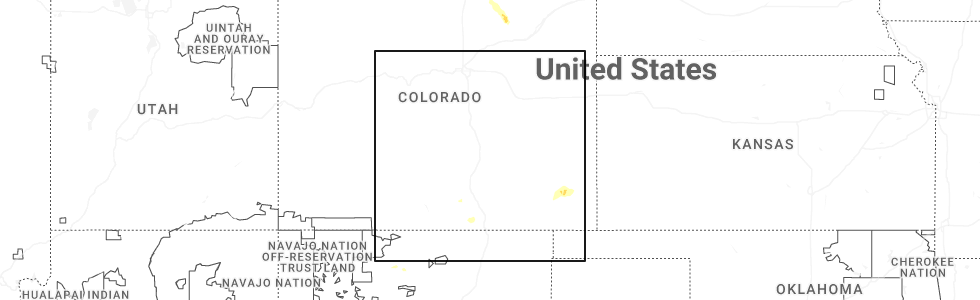
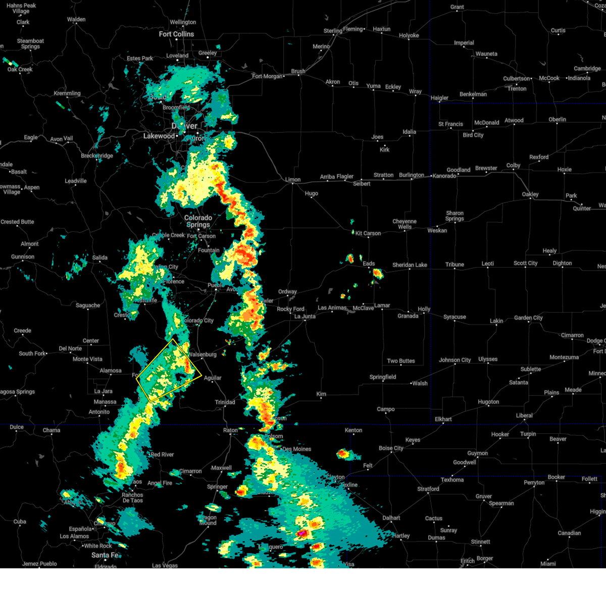
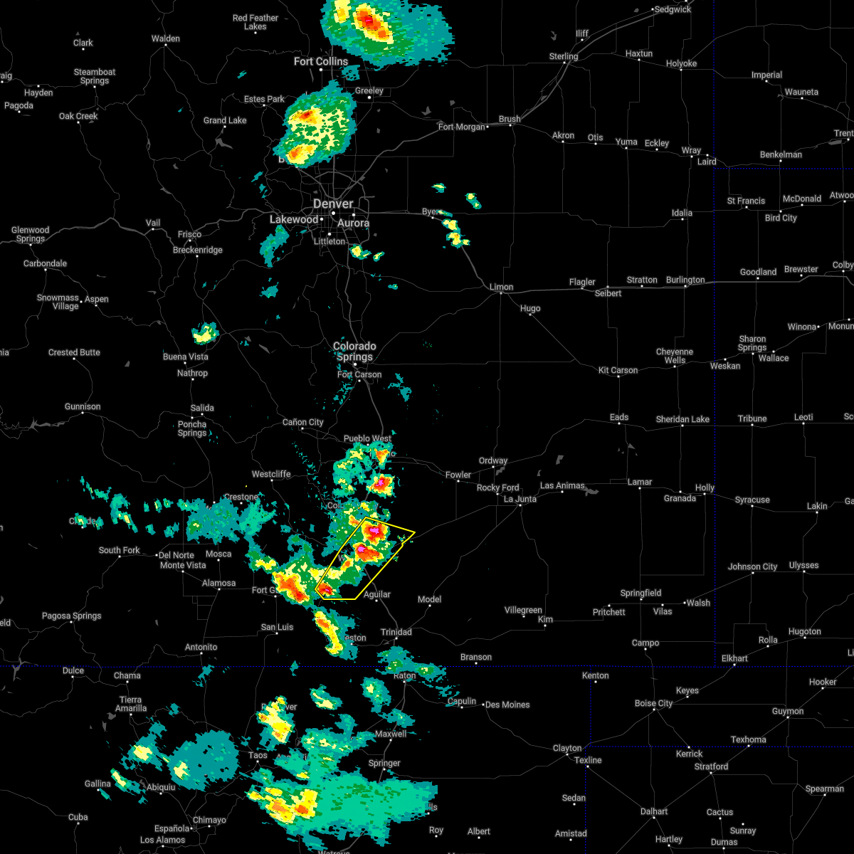
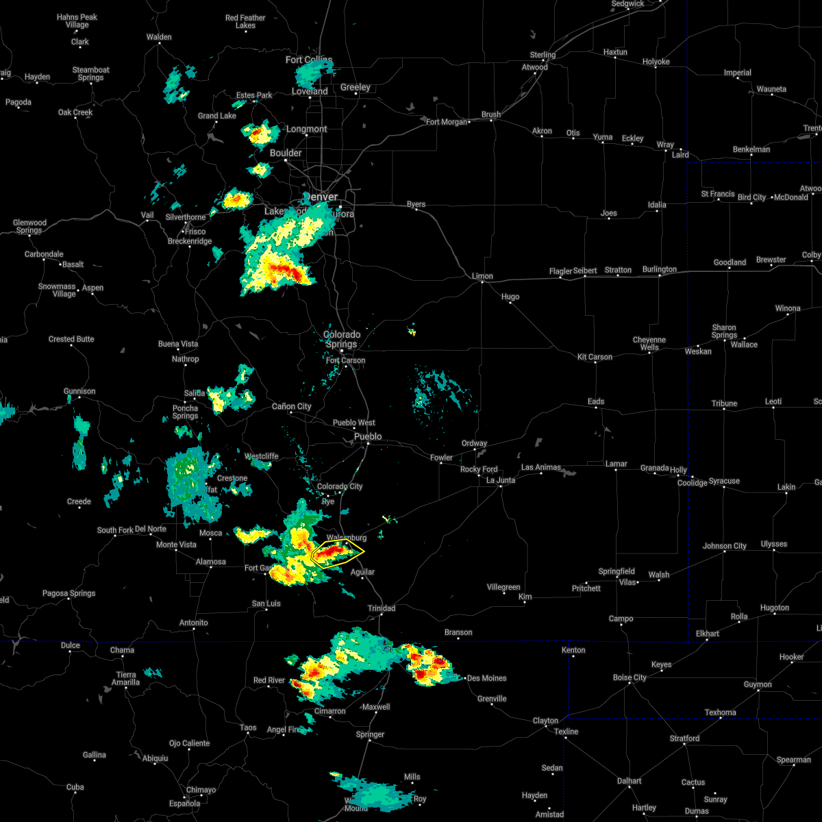
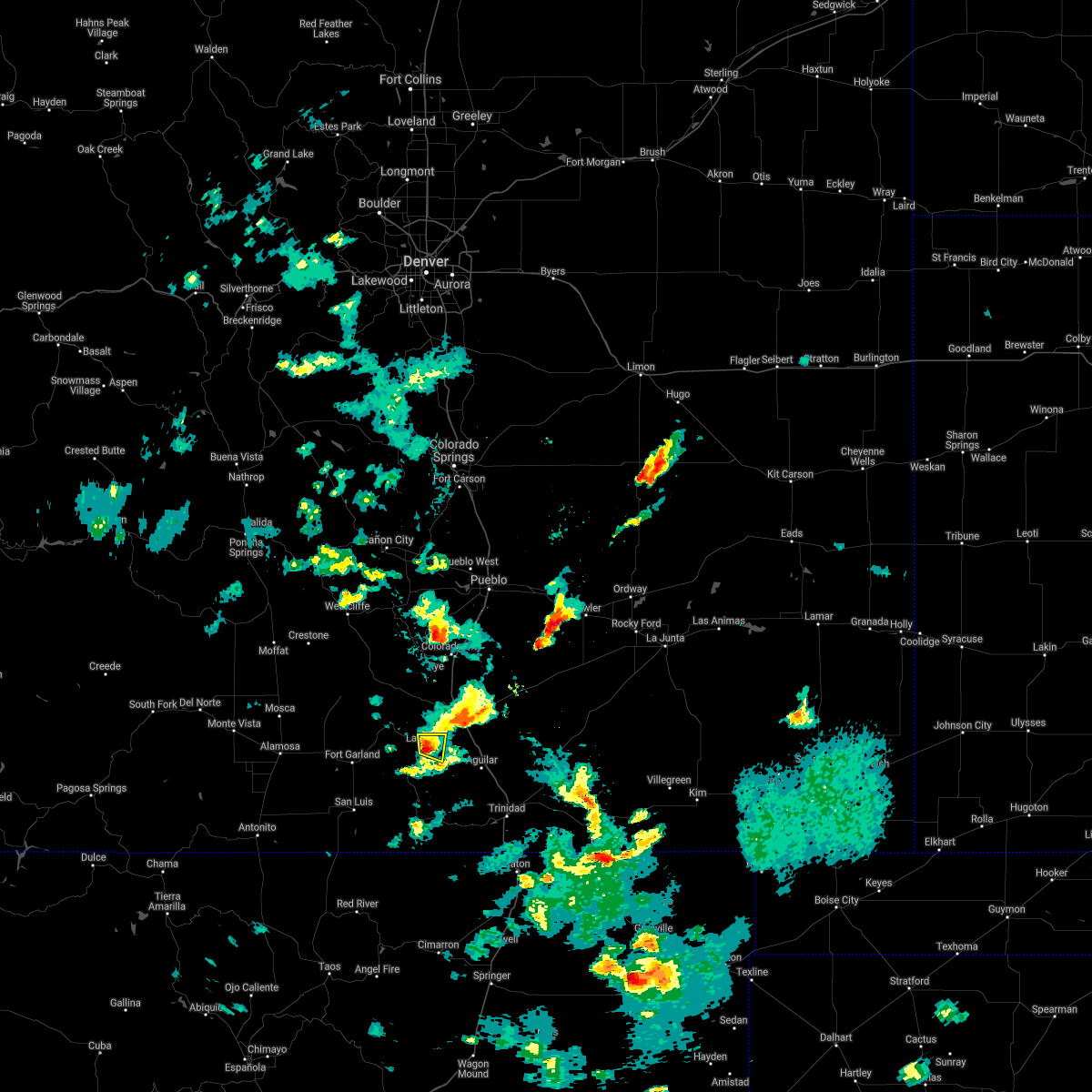
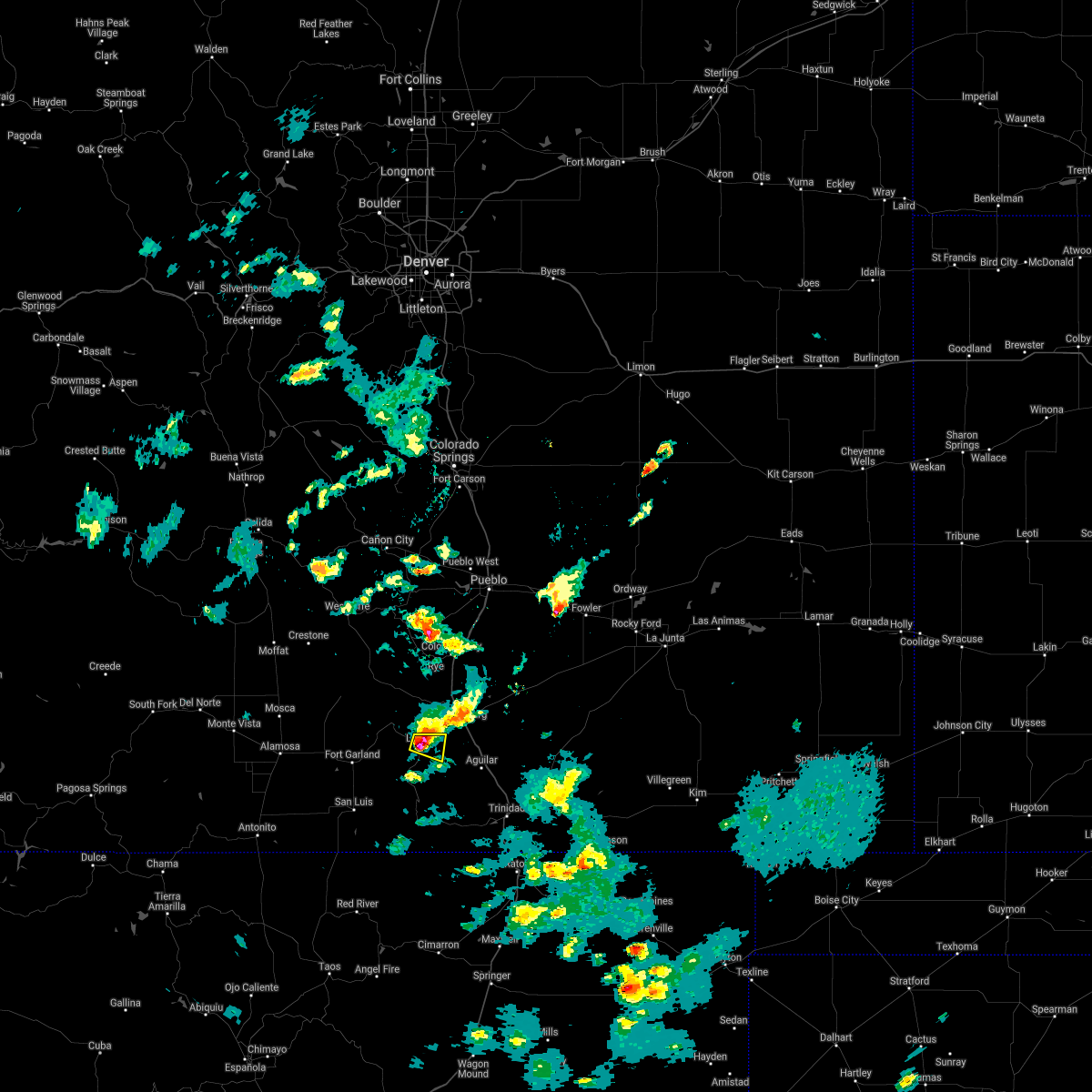
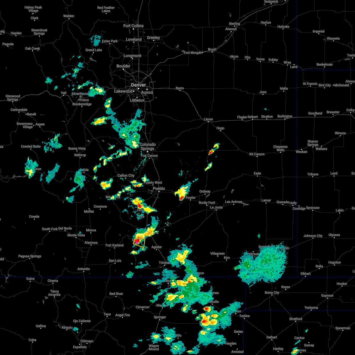
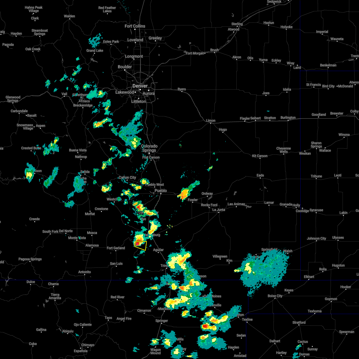
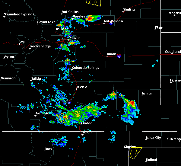
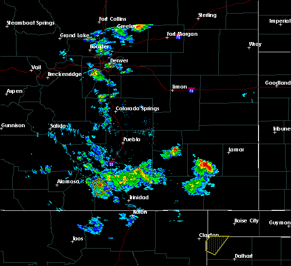
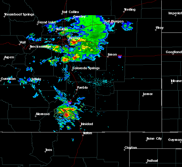
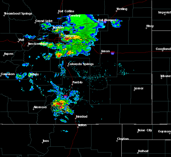
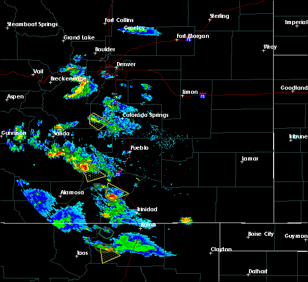
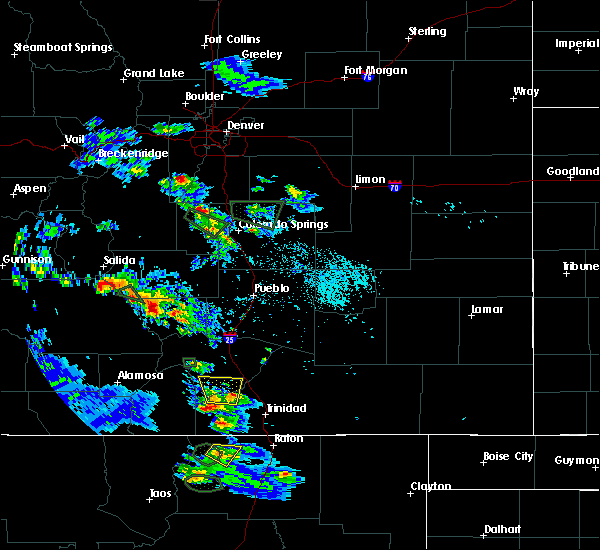
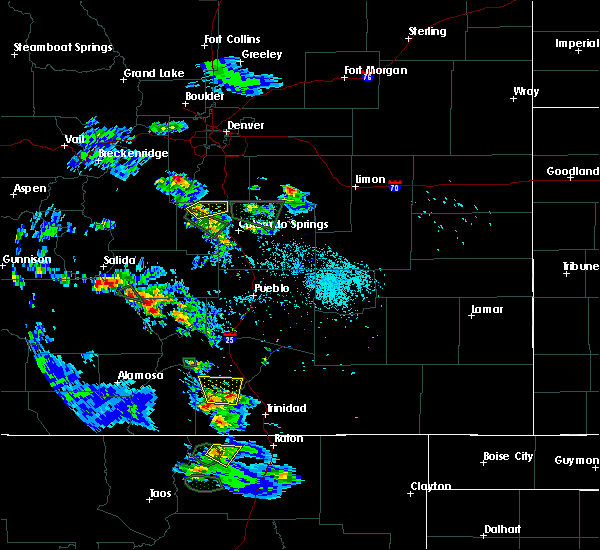
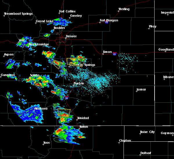
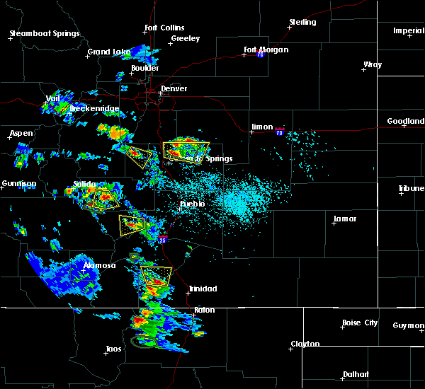
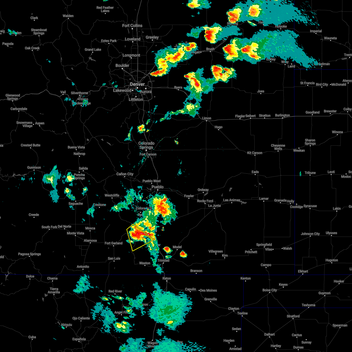
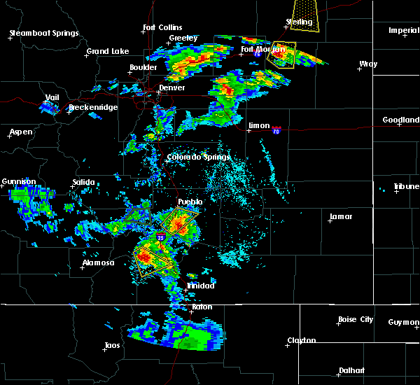
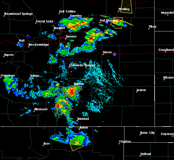
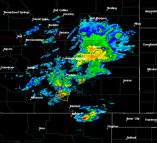
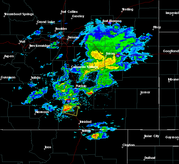
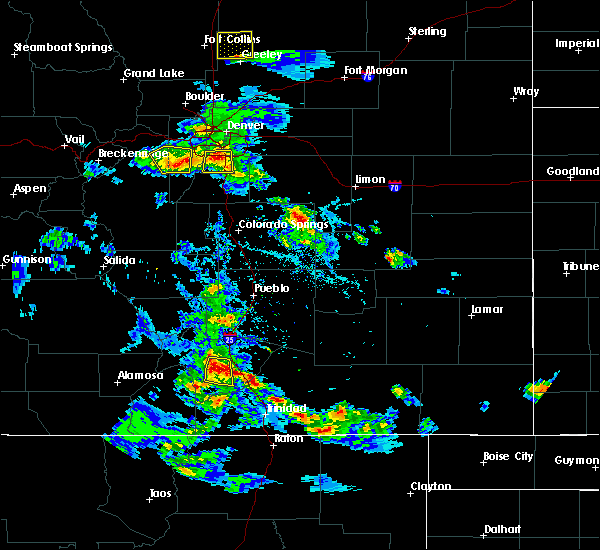
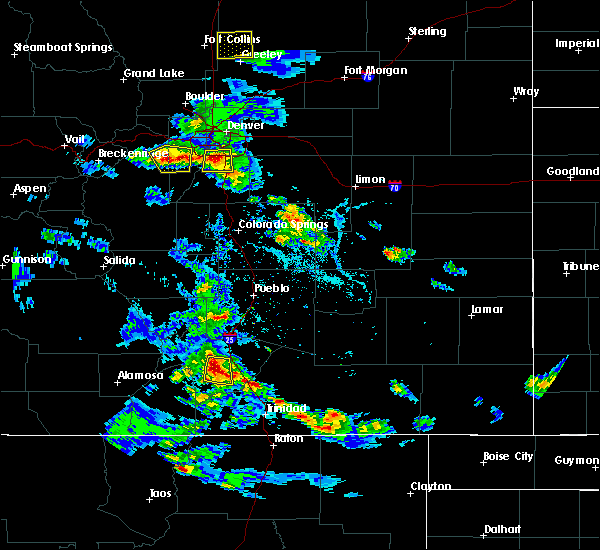
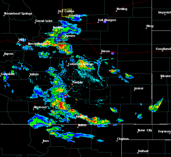
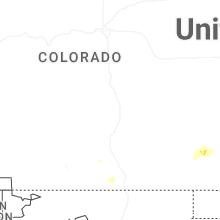
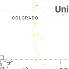
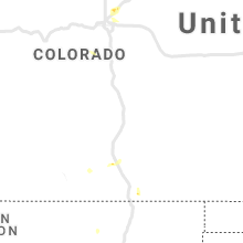
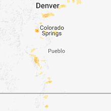
Hail Map for La Veta, CO
The La Veta, CO area has had 2 reports of on-the-ground hail by trained spotters, and has been under severe weather warnings 2 times during the past 12 months. Doppler radar has detected hail at or near La Veta, CO on 27 occasions, including 3 occasions during the past year.
| Name: | La Veta, CO |
| Where Located: | 56.4 miles SSW of Pueblo, CO |
| Map: | Google Map for La Veta, CO |
| Population: | 800 |
| Housing Units: | 566 |
| More Info: | Search Google for La Veta, CO |
1
The Top Recent Hail Date for La Veta, CO is Wednesday, June 4, 2025 (4th out of 27)
Hail and Wind Damage Spotted near La Veta, CO
| Date / Time | Report Details |
|---|---|
| 9/17/2024 3:33 PM MDT |
 the severe thunderstorm warning has been cancelled and is no longer in effect the severe thunderstorm warning has been cancelled and is no longer in effect
|
| 9/17/2024 3:00 PM MDT |
 Svrpub the national weather service in pueblo has issued a * severe thunderstorm warning for, southwestern huerfano county in southeastern colorado, northeastern costilla county in south central colorado, western las animas county in southeastern colorado, * until 345 pm mdt. * at 300 pm mdt, a severe thunderstorm was located over fort garland, or 25 miles east of san luis valley airport, moving northeast at 55 mph (radar indicated). Hazards include 70 mph wind gusts and nickel size hail. Expect considerable tree damage. Damage is likely to mobile homes, roofs, and outbuildings. Svrpub the national weather service in pueblo has issued a * severe thunderstorm warning for, southwestern huerfano county in southeastern colorado, northeastern costilla county in south central colorado, western las animas county in southeastern colorado, * until 345 pm mdt. * at 300 pm mdt, a severe thunderstorm was located over fort garland, or 25 miles east of san luis valley airport, moving northeast at 55 mph (radar indicated). Hazards include 70 mph wind gusts and nickel size hail. Expect considerable tree damage. Damage is likely to mobile homes, roofs, and outbuildings.
|
| 7/12/2022 4:33 PM MDT |
 At 432 pm mdt, severe thunderstorms were located along a line extending from 16 miles northeast of walsenburg to near la veta, moving southeast at 15 mph (radar indicated). Hazards include ping pong ball size hail and 60 mph wind gusts. People and animals outdoors will be injured. expect hail damage to roofs, siding, windows, and vehicles. expect wind damage to roofs, siding, and trees. Locations impacted include, indian creek on the southeastern spring burn scar, southeastern spring burn scar south of highway 160 in huerfano county, walsenburg and la veta. At 432 pm mdt, severe thunderstorms were located along a line extending from 16 miles northeast of walsenburg to near la veta, moving southeast at 15 mph (radar indicated). Hazards include ping pong ball size hail and 60 mph wind gusts. People and animals outdoors will be injured. expect hail damage to roofs, siding, windows, and vehicles. expect wind damage to roofs, siding, and trees. Locations impacted include, indian creek on the southeastern spring burn scar, southeastern spring burn scar south of highway 160 in huerfano county, walsenburg and la veta.
|
| 7/12/2022 4:26 PM MDT |
 At 426 pm mdt, severe thunderstorms were located along a line extending from 16 miles northeast of walsenburg to near la veta, moving southeast at 15 mph (radar indicated). Hazards include 60 mph wind gusts and quarter size hail. Hail damage to vehicles is expected. Expect wind damage to roofs, siding, and trees. At 426 pm mdt, severe thunderstorms were located along a line extending from 16 miles northeast of walsenburg to near la veta, moving southeast at 15 mph (radar indicated). Hazards include 60 mph wind gusts and quarter size hail. Hail damage to vehicles is expected. Expect wind damage to roofs, siding, and trees.
|
| 7/2/2021 5:30 PM MDT |
 At 529 pm mdt, a severe thunderstorm was located near la veta, or 12 miles east of spring burn scar south of highway 160 in huerfano county, moving east at 10 mph (radar indicated). Hazards include 60 mph wind gusts and half dollar size hail. Hail damage to vehicles is expected. Expect wind damage to roofs, siding, and trees. At 529 pm mdt, a severe thunderstorm was located near la veta, or 12 miles east of spring burn scar south of highway 160 in huerfano county, moving east at 10 mph (radar indicated). Hazards include 60 mph wind gusts and half dollar size hail. Hail damage to vehicles is expected. Expect wind damage to roofs, siding, and trees.
|
| 5/16/2021 3:55 PM MDT |
 At 355 pm mdt, a severe thunderstorm was located over la veta, or 7 miles east of indian creek on the southeastern spring burn scar, moving southeast at 10 mph (radar indicated). Hazards include ping pong ball size hail and 60 mph wind gusts. People and animals outdoors will be injured. expect hail damage to roofs, siding, windows, and vehicles. expect wind damage to roofs, siding, and trees. Locations impacted include, la veta. At 355 pm mdt, a severe thunderstorm was located over la veta, or 7 miles east of indian creek on the southeastern spring burn scar, moving southeast at 10 mph (radar indicated). Hazards include ping pong ball size hail and 60 mph wind gusts. People and animals outdoors will be injured. expect hail damage to roofs, siding, windows, and vehicles. expect wind damage to roofs, siding, and trees. Locations impacted include, la veta.
|
| 5/16/2021 3:50 PM MDT | Ping Pong Ball sized hail reported 0.2 miles SE of La Veta, CO |
| 5/16/2021 3:36 PM MDT |
 At 336 pm mdt, a severe thunderstorm was located over la veta, or 7 miles northeast of indian creek on the southeastern spring burn scar, moving east at 15 mph (radar indicated). Hazards include ping pong ball size hail and 60 mph wind gusts. People and animals outdoors will be injured. expect hail damage to roofs, siding, windows, and vehicles. expect wind damage to roofs, siding, and trees. Locations impacted include, spring burn scar south of highway 160 in huerfano county and la veta. At 336 pm mdt, a severe thunderstorm was located over la veta, or 7 miles northeast of indian creek on the southeastern spring burn scar, moving east at 15 mph (radar indicated). Hazards include ping pong ball size hail and 60 mph wind gusts. People and animals outdoors will be injured. expect hail damage to roofs, siding, windows, and vehicles. expect wind damage to roofs, siding, and trees. Locations impacted include, spring burn scar south of highway 160 in huerfano county and la veta.
|
| 5/16/2021 3:34 PM MDT |
 At 334 pm mdt, a severe thunderstorm was located over la veta, or near spring burn scar south of highway 160 in huerfano county, moving east at 10 mph (radar indicated). Hazards include ping pong ball size hail and 60 mph wind gusts. People and animals outdoors will be injured. expect hail damage to roofs, siding, windows, and vehicles. expect wind damage to roofs, siding, and trees. Locations impacted include, spring burn scar south of highway 160 in huerfano county and la veta. At 334 pm mdt, a severe thunderstorm was located over la veta, or near spring burn scar south of highway 160 in huerfano county, moving east at 10 mph (radar indicated). Hazards include ping pong ball size hail and 60 mph wind gusts. People and animals outdoors will be injured. expect hail damage to roofs, siding, windows, and vehicles. expect wind damage to roofs, siding, and trees. Locations impacted include, spring burn scar south of highway 160 in huerfano county and la veta.
|
| 5/16/2021 3:24 PM MDT |
 At 324 pm mdt, a severe thunderstorm was located over la veta, or near spring burn scar south of highway 160 in huerfano county, moving east at 15 mph (radar indicated). Hazards include 60 mph wind gusts and quarter size hail. Hail damage to vehicles is expected. Expect wind damage to roofs, siding, and trees. At 324 pm mdt, a severe thunderstorm was located over la veta, or near spring burn scar south of highway 160 in huerfano county, moving east at 15 mph (radar indicated). Hazards include 60 mph wind gusts and quarter size hail. Hail damage to vehicles is expected. Expect wind damage to roofs, siding, and trees.
|
| 8/30/2019 7:49 PM MDT |
 At 730 pm mdt, a severe thunderstorm was located over southeastern spring burn scar south of highway 160 in huerfano county, moving southeast at 15 mph (radar indicated). Hazards include 60 mph wind gusts and quarter size hail. Hail damage to vehicles is expected. Expect wind damage to roofs, siding, and trees. At 730 pm mdt, a severe thunderstorm was located over southeastern spring burn scar south of highway 160 in huerfano county, moving southeast at 15 mph (radar indicated). Hazards include 60 mph wind gusts and quarter size hail. Hail damage to vehicles is expected. Expect wind damage to roofs, siding, and trees.
|
| 8/30/2019 7:31 PM MDT |
 At 730 pm mdt, a severe thunderstorm was located over southeastern spring burn scar south of highway 160 in huerfano county, moving southeast at 15 mph (radar indicated). Hazards include 60 mph wind gusts and quarter size hail. Hail damage to vehicles is expected. Expect wind damage to roofs, siding, and trees. At 730 pm mdt, a severe thunderstorm was located over southeastern spring burn scar south of highway 160 in huerfano county, moving southeast at 15 mph (radar indicated). Hazards include 60 mph wind gusts and quarter size hail. Hail damage to vehicles is expected. Expect wind damage to roofs, siding, and trees.
|
| 8/14/2018 7:17 PM MDT |
 At 717 pm mdt, a severe thunderstorm was located near la veta, or 32 miles northwest of trinidad, moving east at 15 mph (radar indicated). Hazards include 60 mph wind gusts and quarter size hail. Hail damage to vehicles is expected. expect wind damage to roofs, siding, and trees. Locations impacted include, la veta. At 717 pm mdt, a severe thunderstorm was located near la veta, or 32 miles northwest of trinidad, moving east at 15 mph (radar indicated). Hazards include 60 mph wind gusts and quarter size hail. Hail damage to vehicles is expected. expect wind damage to roofs, siding, and trees. Locations impacted include, la veta.
|
| 8/14/2018 7:03 PM MDT |
 At 703 pm mdt, a severe thunderstorm was located over la veta, or 36 miles northwest of trinidad, moving east at 15 mph (emergency management). Hazards include 60 mph wind gusts and quarter size hail. Hail damage to vehicles is expected. Expect wind damage to roofs, siding, and trees. At 703 pm mdt, a severe thunderstorm was located over la veta, or 36 miles northwest of trinidad, moving east at 15 mph (emergency management). Hazards include 60 mph wind gusts and quarter size hail. Hail damage to vehicles is expected. Expect wind damage to roofs, siding, and trees.
|
| 8/14/2018 7:00 PM MDT | Quarter sized hail reported 0.2 miles SE of La Veta, CO |
| 7/24/2018 4:57 PM MDT |
 The national weather service in pueblo has issued a * severe thunderstorm warning for. south central huerfano county in southeastern colorado. western las animas county in southeastern colorado. until 545 pm mdt. At 457 pm mdt, a severe thunderstorm was located near la veta, or. The national weather service in pueblo has issued a * severe thunderstorm warning for. south central huerfano county in southeastern colorado. western las animas county in southeastern colorado. until 545 pm mdt. At 457 pm mdt, a severe thunderstorm was located near la veta, or.
|
| 7/24/2018 4:09 PM MDT |
 The severe thunderstorm warning for south central huerfano and west central las animas counties will expire at 415 pm mdt, the storm which prompted the warning has weakened below severe limits, and no longer poses an immediate threat to life or property. therefore, the warning will be allowed to expire. The severe thunderstorm warning for south central huerfano and west central las animas counties will expire at 415 pm mdt, the storm which prompted the warning has weakened below severe limits, and no longer poses an immediate threat to life or property. therefore, the warning will be allowed to expire.
|
| 7/24/2018 4:04 PM MDT |
 At 404 pm mdt, a severe thunderstorm was located near spanish peaks, or 29 miles northwest of trinidad, moving north at 10 mph (radar indicated). Hazards include quarter size hail. Damage to vehicles is expected. Locations impacted include, la veta, gulnare, spanish peaks and cuchara pass. At 404 pm mdt, a severe thunderstorm was located near spanish peaks, or 29 miles northwest of trinidad, moving north at 10 mph (radar indicated). Hazards include quarter size hail. Damage to vehicles is expected. Locations impacted include, la veta, gulnare, spanish peaks and cuchara pass.
|
| 7/24/2018 3:39 PM MDT |
 At 338 pm mdt, a severe thunderstorm was located over spanish peaks, or 27 miles northwest of trinidad, moving north at 10 mph (radar indicated). Hazards include quarter size hail. Damage to vehicles is expected. Locations impacted include, la veta, gulnare, spanish peaks and cuchara pass. At 338 pm mdt, a severe thunderstorm was located over spanish peaks, or 27 miles northwest of trinidad, moving north at 10 mph (radar indicated). Hazards include quarter size hail. Damage to vehicles is expected. Locations impacted include, la veta, gulnare, spanish peaks and cuchara pass.
|
| 7/24/2018 3:25 PM MDT |
 At 325 pm mdt, a severe thunderstorm was located over spanish peaks, or 26 miles northwest of trinidad, moving north at 10 mph (radar indicated). Hazards include quarter size hail. damage to vehicles is expected At 325 pm mdt, a severe thunderstorm was located over spanish peaks, or 26 miles northwest of trinidad, moving north at 10 mph (radar indicated). Hazards include quarter size hail. damage to vehicles is expected
|
| 6/7/2017 5:27 PM MDT |
 The severe thunderstorm warning for south central huerfano county will expire at 530 pm mdt, the storm which prompted the warning has weakened below severe limits, and no longer poses an immediate threat to life or property. therefore the warning will be allowed to expire. however small hail and heavy rain are still possible with this thunderstorm. The severe thunderstorm warning for south central huerfano county will expire at 530 pm mdt, the storm which prompted the warning has weakened below severe limits, and no longer poses an immediate threat to life or property. therefore the warning will be allowed to expire. however small hail and heavy rain are still possible with this thunderstorm.
|
| 6/7/2017 5:19 PM MDT |
 At 519 pm mdt, a severe thunderstorm was located near la veta pass, or 43 miles northwest of trinidad, moving southeast at 15 mph (radar indicated). Hazards include 60 mph wind gusts and quarter size hail. Hail damage to vehicles is expected. expect wind damage to roofs, siding, and trees. Locations impacted include, la veta and farisita. At 519 pm mdt, a severe thunderstorm was located near la veta pass, or 43 miles northwest of trinidad, moving southeast at 15 mph (radar indicated). Hazards include 60 mph wind gusts and quarter size hail. Hail damage to vehicles is expected. expect wind damage to roofs, siding, and trees. Locations impacted include, la veta and farisita.
|
| 6/7/2017 5:02 PM MDT |
 At 502 pm mdt, a severe thunderstorm was located near la veta pass, or 43 miles east of alamosa, moving south at 30 mph (radar indicated). Hazards include 60 mph wind gusts and quarter size hail. Hail damage to vehicles is expected. Expect wind damage to roofs, siding, and trees. At 502 pm mdt, a severe thunderstorm was located near la veta pass, or 43 miles east of alamosa, moving south at 30 mph (radar indicated). Hazards include 60 mph wind gusts and quarter size hail. Hail damage to vehicles is expected. Expect wind damage to roofs, siding, and trees.
|
| 5/27/2017 3:28 PM MDT |
 At 327 pm mdt, a severe thunderstorm was located near walsenburg, or 34 miles northwest of trinidad, moving east at 20 mph (trained weather spotters). Hazards include ping pong ball size hail and 60 mph wind gusts. People and animals outdoors will be injured. expect hail damage to roofs, siding, windows, and vehicles. expect wind damage to roofs, siding, and trees. Locations impacted include, walsenburg. At 327 pm mdt, a severe thunderstorm was located near walsenburg, or 34 miles northwest of trinidad, moving east at 20 mph (trained weather spotters). Hazards include ping pong ball size hail and 60 mph wind gusts. People and animals outdoors will be injured. expect hail damage to roofs, siding, windows, and vehicles. expect wind damage to roofs, siding, and trees. Locations impacted include, walsenburg.
|
| 5/27/2017 3:16 PM MDT |
 At 316 pm mdt, a severe thunderstorm was located near walsenburg, or 37 miles northwest of trinidad, moving east at 25 mph (radar indicated). Hazards include 60 mph wind gusts and half dollar size hail. Hail damage to vehicles is expected. Expect wind damage to roofs, siding, and trees. At 316 pm mdt, a severe thunderstorm was located near walsenburg, or 37 miles northwest of trinidad, moving east at 25 mph (radar indicated). Hazards include 60 mph wind gusts and half dollar size hail. Hail damage to vehicles is expected. Expect wind damage to roofs, siding, and trees.
|
| 6/6/2016 4:56 PM MDT |
 The severe thunderstorm warning for central huerfano county will expire at 500 pm mdt, the storm which prompted the warning has weakened below severe limits, and no longer poses an immediate threat to life or property. therefore the warning will be allowed to expire. however small hail, gusty winds and heavy rain are still possible with this thunderstorm. The severe thunderstorm warning for central huerfano county will expire at 500 pm mdt, the storm which prompted the warning has weakened below severe limits, and no longer poses an immediate threat to life or property. therefore the warning will be allowed to expire. however small hail, gusty winds and heavy rain are still possible with this thunderstorm.
|
| 6/6/2016 4:43 PM MDT |
 At 442 pm mdt, a severe thunderstorm was located near la veta, or 37 miles northwest of trinidad, moving east at 15 mph. another strong storm was just to the southeast of farista, also moving east at 15 mph (radar indicated). Hazards include 60 mph wind gusts and quarter size hail. Hail damage to vehicles is expected. expect wind damage to roofs, siding, and trees. Locations impacted include, la veta. At 442 pm mdt, a severe thunderstorm was located near la veta, or 37 miles northwest of trinidad, moving east at 15 mph. another strong storm was just to the southeast of farista, also moving east at 15 mph (radar indicated). Hazards include 60 mph wind gusts and quarter size hail. Hail damage to vehicles is expected. expect wind damage to roofs, siding, and trees. Locations impacted include, la veta.
|
| 6/6/2016 4:32 PM MDT |
 At 431 pm mdt, a severe thunderstorm was located over la veta, or 35 miles northwest of trinidad, moving southeast at 20 mph. another severe storm was located between la veta and farisita, moving northeast at 20 mph (radar indicated). Hazards include 60 mph wind gusts and half dollar size hail. Hail damage to vehicles is expected. Expect wind damage to roofs, siding, and trees. At 431 pm mdt, a severe thunderstorm was located over la veta, or 35 miles northwest of trinidad, moving southeast at 20 mph. another severe storm was located between la veta and farisita, moving northeast at 20 mph (radar indicated). Hazards include 60 mph wind gusts and half dollar size hail. Hail damage to vehicles is expected. Expect wind damage to roofs, siding, and trees.
|
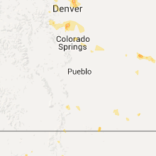
Hail Maps for La Veta, CO


Connect with Interactive Hail Maps