

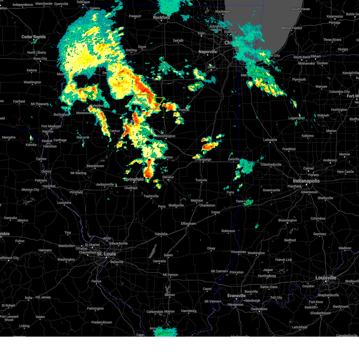
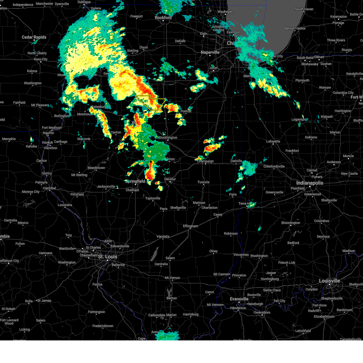
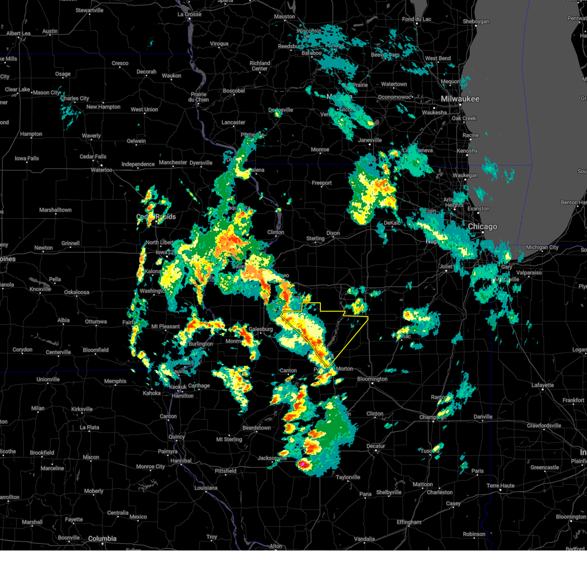
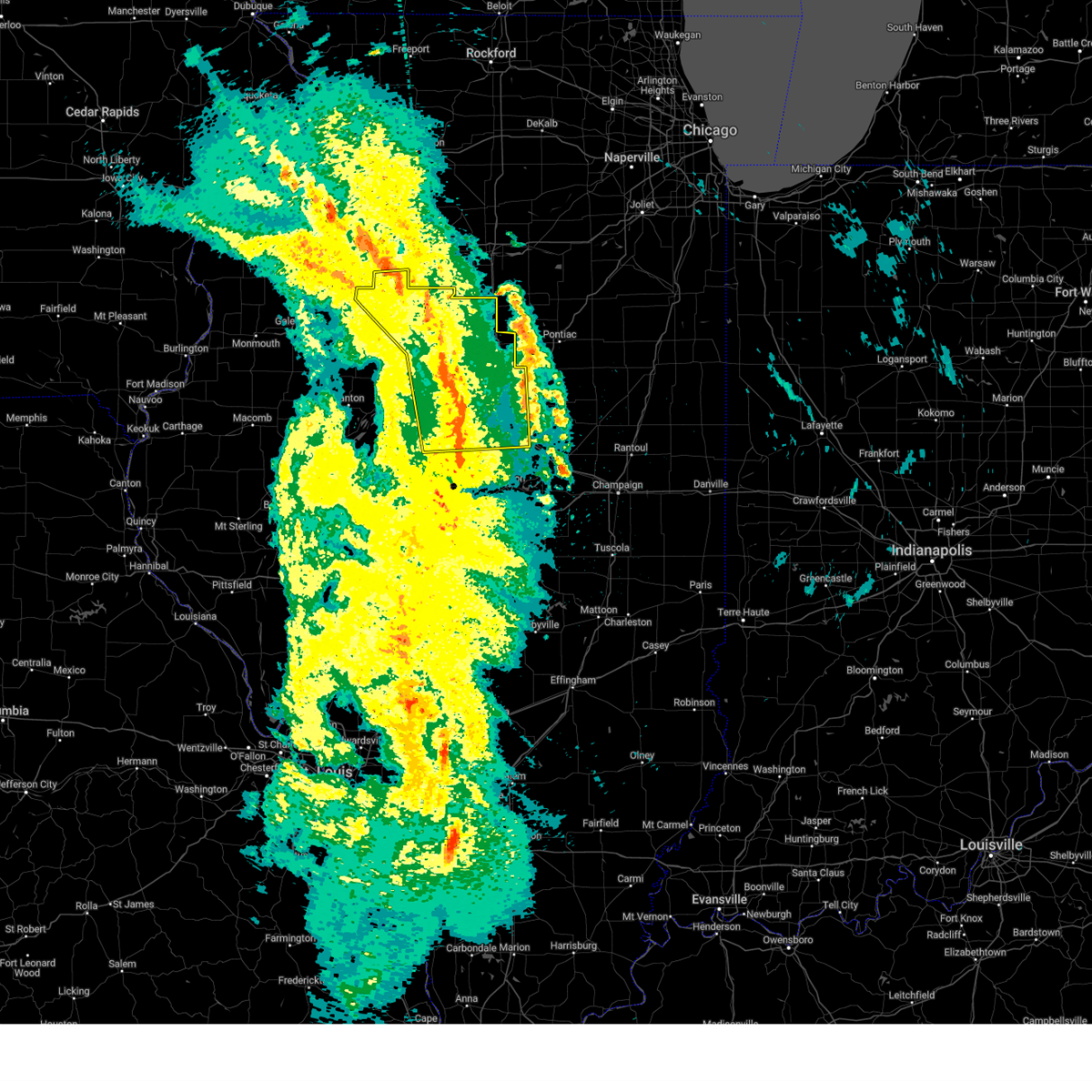
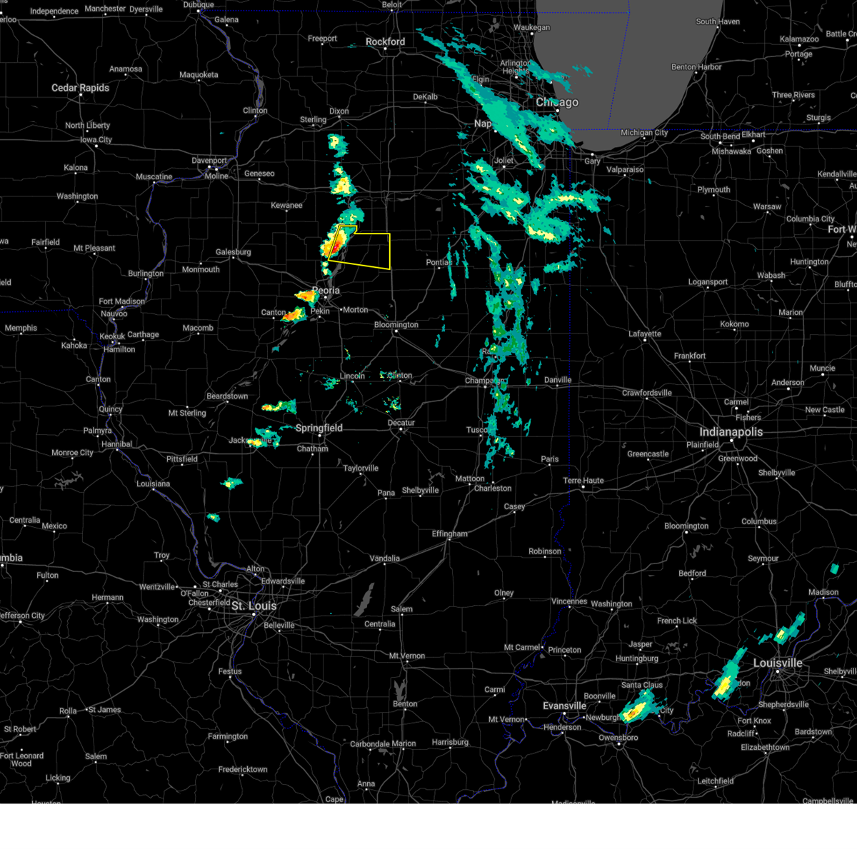
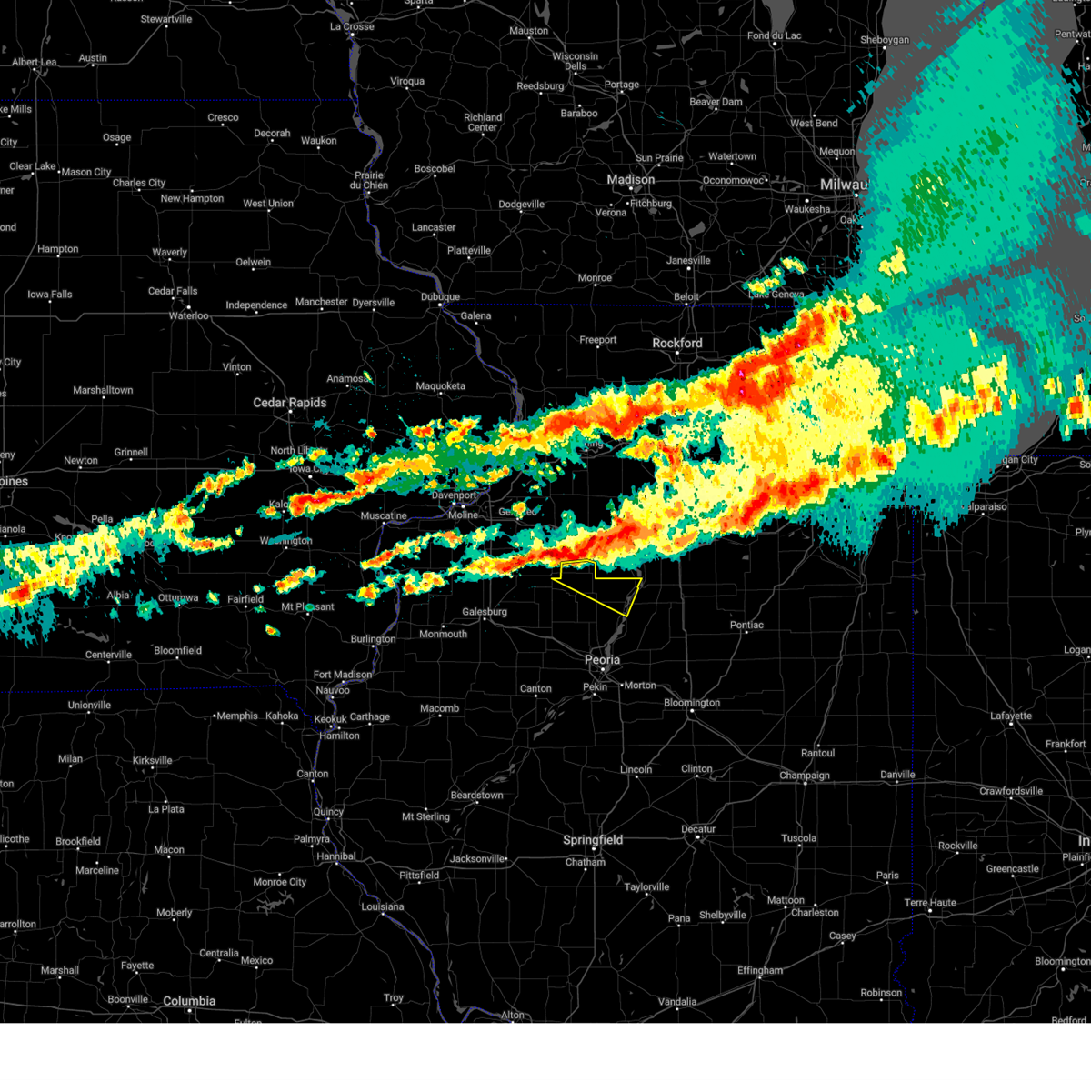
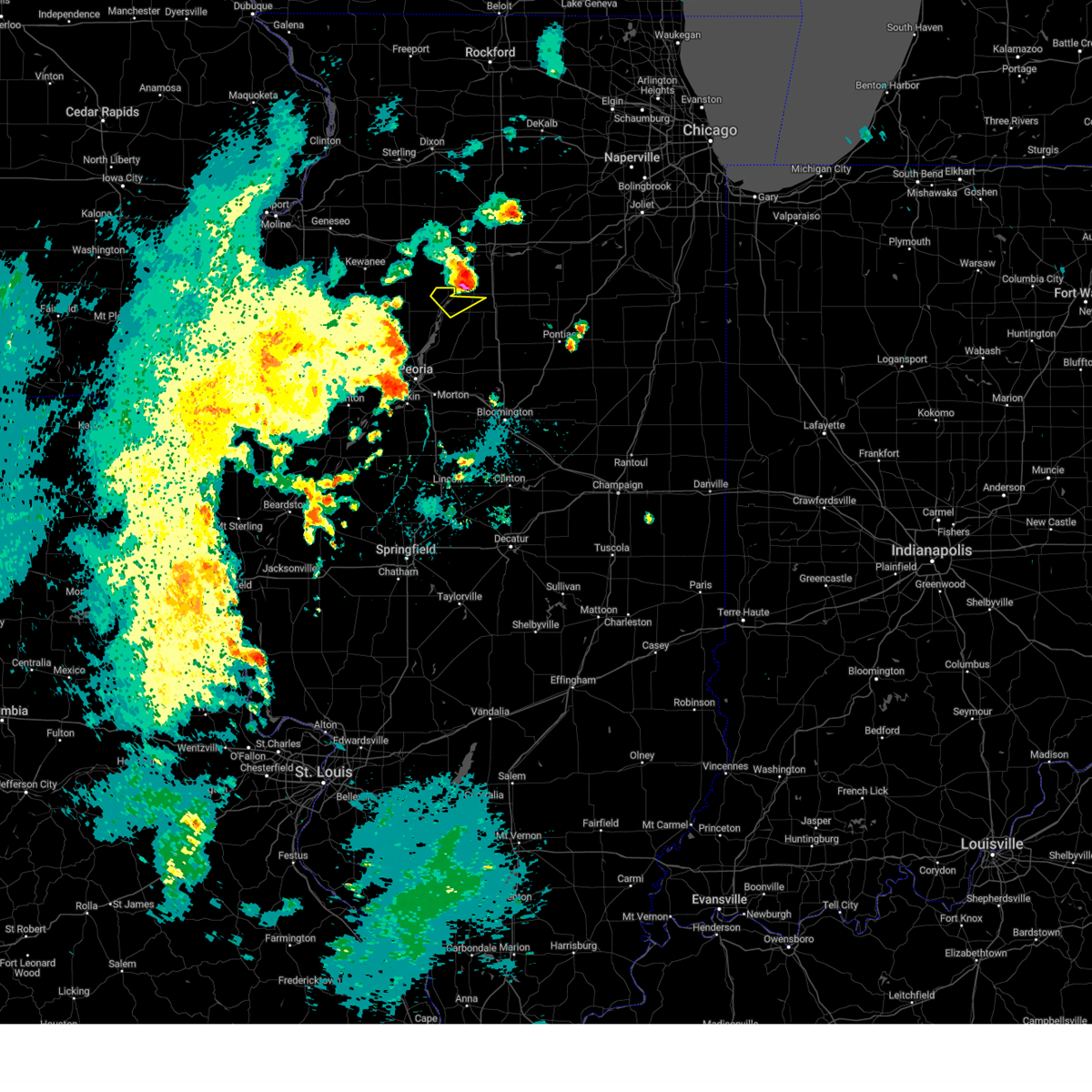
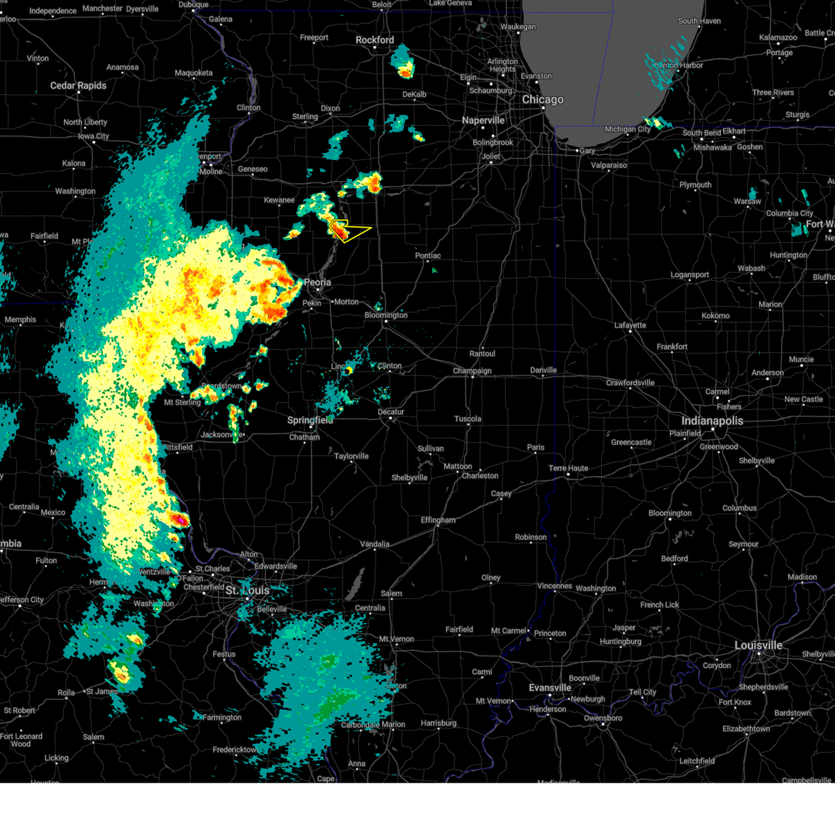
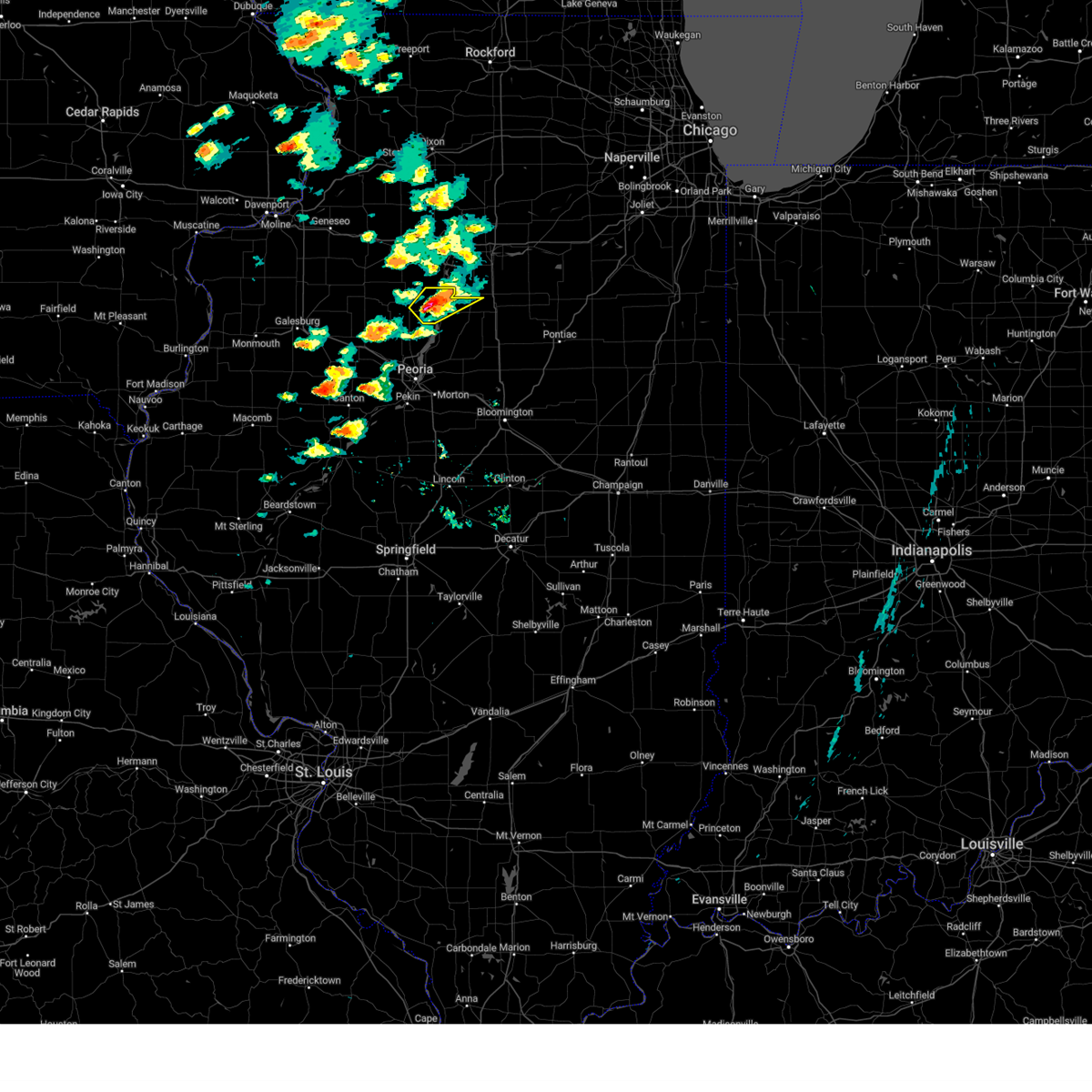
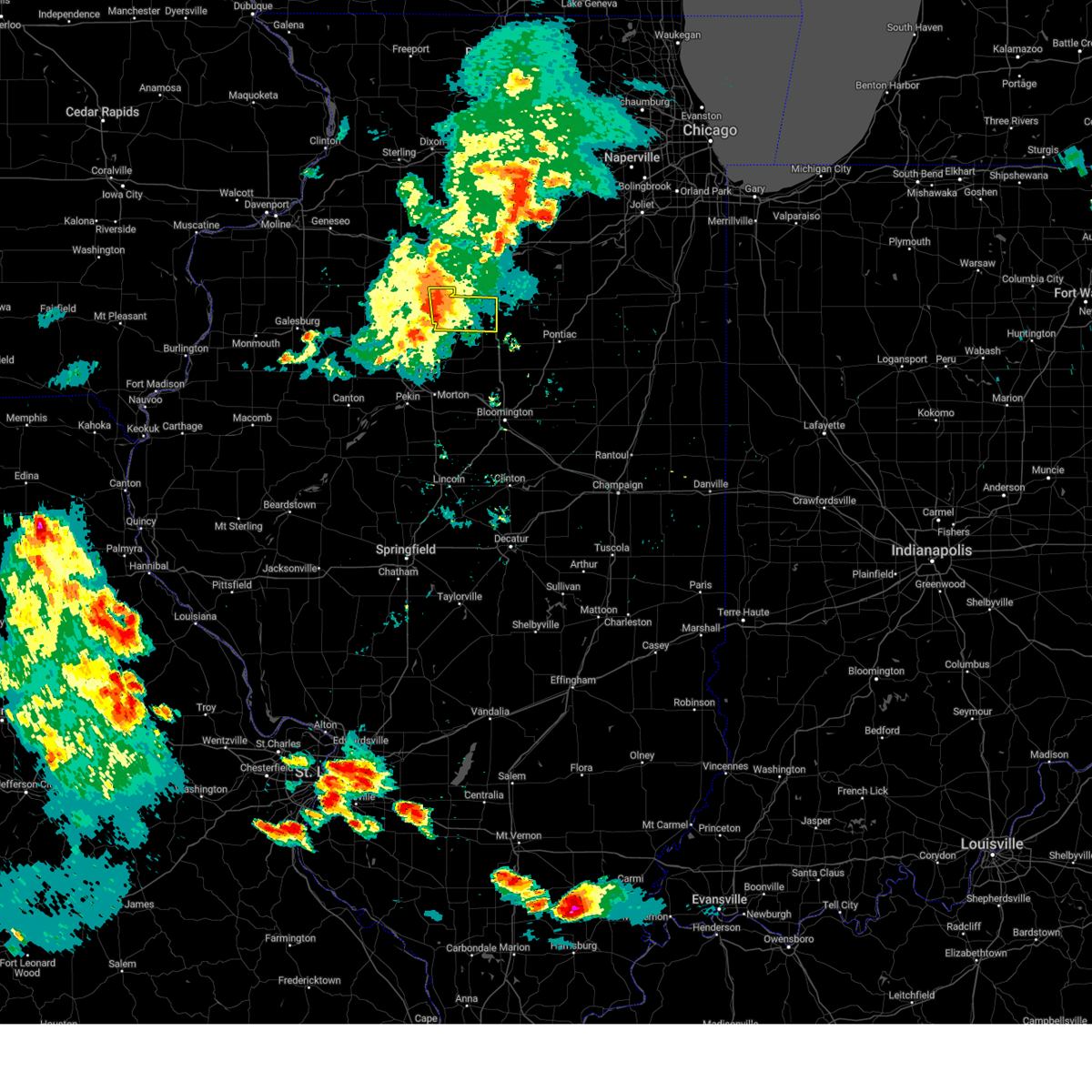
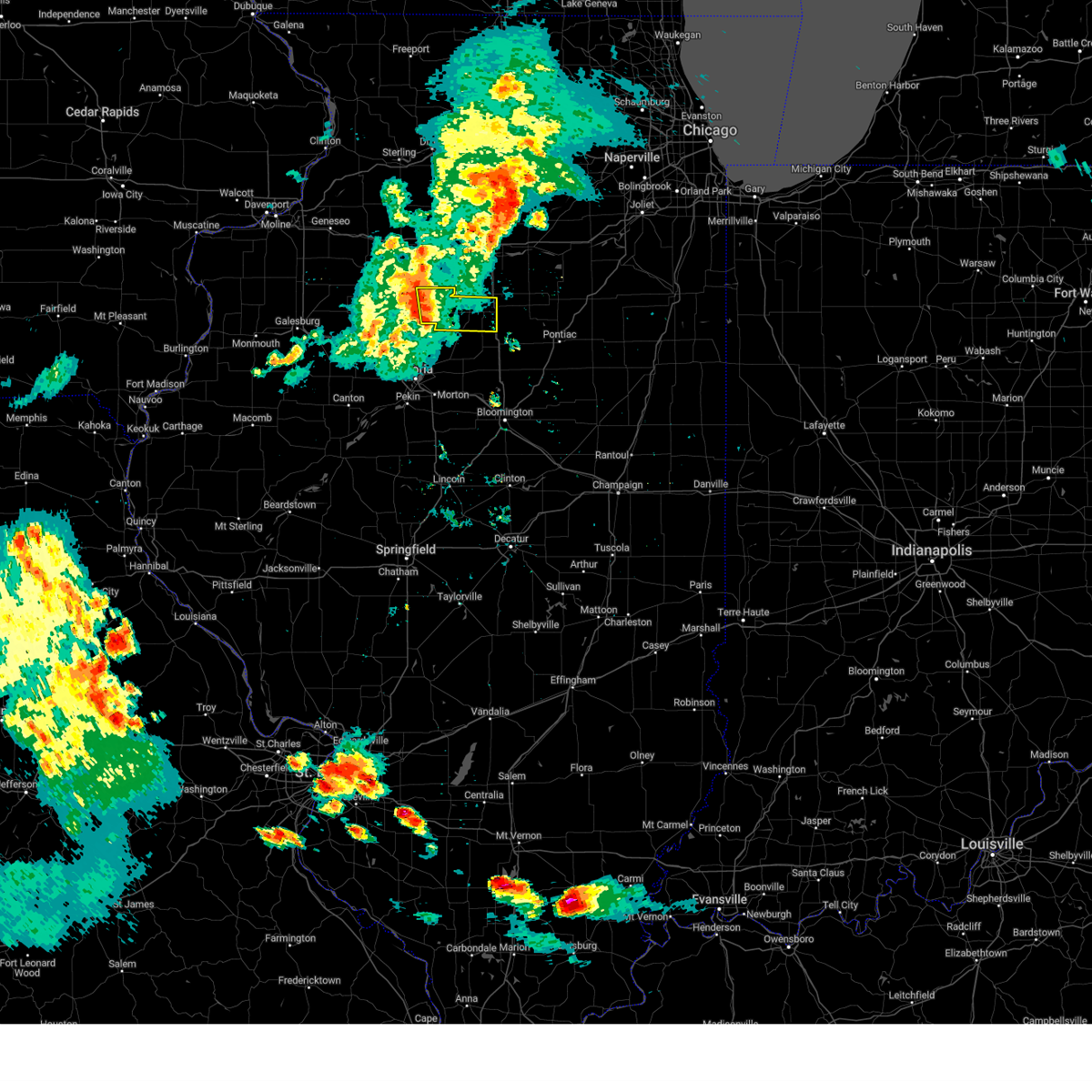
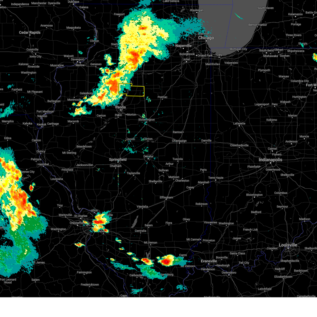
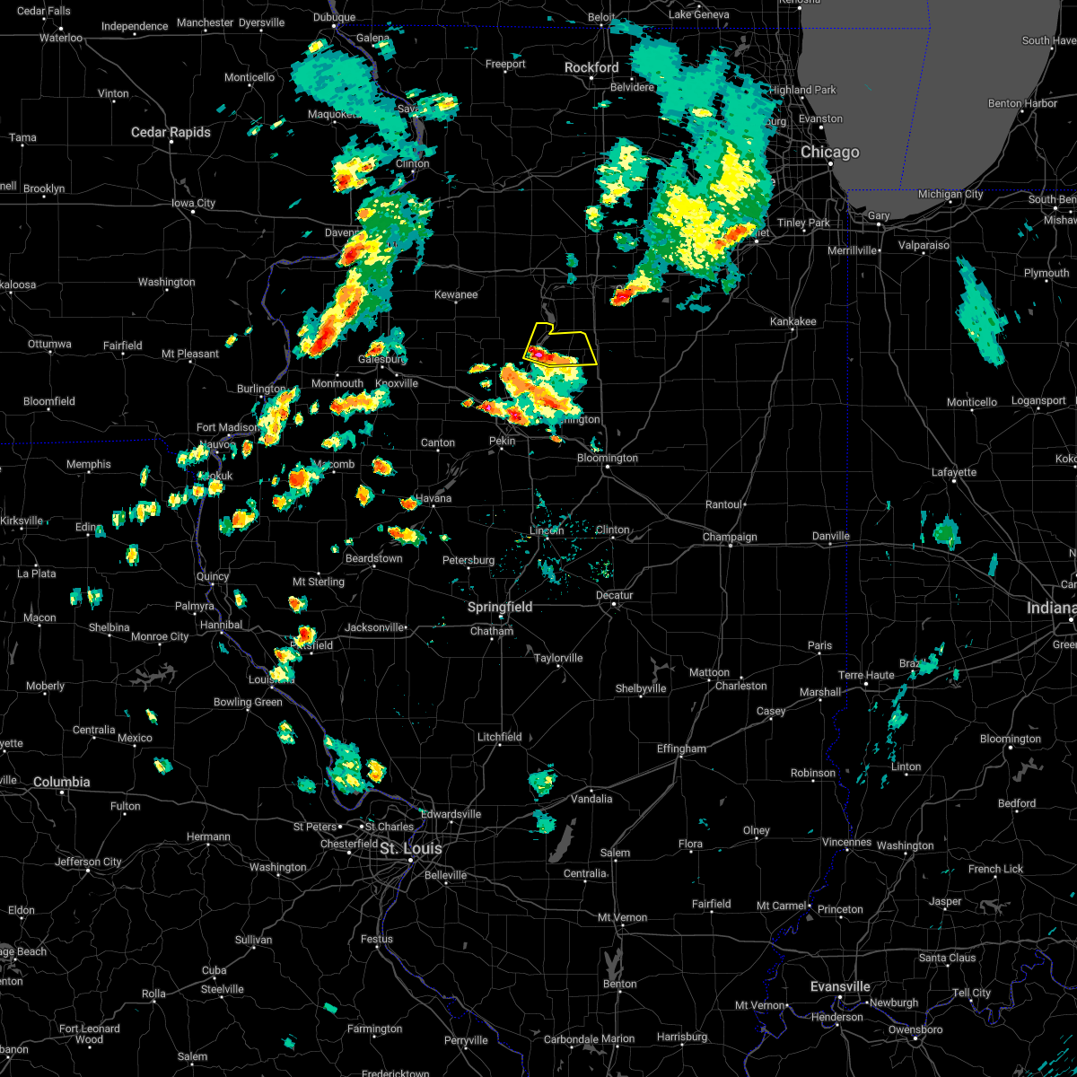
Hail Map for Lacon, IL
The Lacon, IL area has had 4 reports of on-the-ground hail by trained spotters, and has been under severe weather warnings 22 times during the past 12 months. Doppler radar has detected hail at or near Lacon, IL on 49 occasions, including 2 occasions during the past year.
| Name: | Lacon, IL |
| Where Located: | 24.7 miles NNE of Peoria, IL |
| Map: | Google Map for Lacon, IL |
| Population: | 1937 |
| Housing Units: | 872 |
| More Info: | Search Google for Lacon, IL |
1
The Top Recent Hail Date for Lacon, IL is Tuesday, August 27, 2024 (11th out of 49)

Hail and Wind Damage Spotted near Lacon, IL
| Date / Time | Report Details |
|---|---|
| 5/20/2025 3:09 PM CDT |
 At 308 pm cdt, severe thunderstorms were located along a line extending from near sheffield to near tiskilwa to near lacon, moving northeast at 30 mph (radar indicated). Hazards include 60 mph wind gusts. Expect damage to roofs, siding, and trees. these severe storms will be near, henry around 315 pm cdt. other locations impacted by these severe thunderstorms include la rose, lake wildwood, marshall-putnam county fairgrounds, and marshall county airport. This includes interstate 39 between mile markers 38 and 40. At 308 pm cdt, severe thunderstorms were located along a line extending from near sheffield to near tiskilwa to near lacon, moving northeast at 30 mph (radar indicated). Hazards include 60 mph wind gusts. Expect damage to roofs, siding, and trees. these severe storms will be near, henry around 315 pm cdt. other locations impacted by these severe thunderstorms include la rose, lake wildwood, marshall-putnam county fairgrounds, and marshall county airport. This includes interstate 39 between mile markers 38 and 40.
|
| 5/20/2025 3:09 PM CDT |
 the severe thunderstorm warning has been cancelled and is no longer in effect the severe thunderstorm warning has been cancelled and is no longer in effect
|
| 5/20/2025 2:46 PM CDT | At 245 pm cdt, severe thunderstorms were located along a line extending from near osceola to near camp grove to near rome, moving northeast at 45 mph (trained weather spotters reported 3 to 4 inch tree branches down 1 mile north of alta as these storms moved through). Hazards include 60 mph wind gusts. Expect damage to roofs, siding, and trees. these severe storms will be near, lacon and sparland around 250 pm cdt. henry around 255 pm cdt. varna around 305 pm cdt. other locations impacted by these severe thunderstorms include mossville, lawn ridge, la rose, lake wildwood, marshall-putnam county fairgrounds, hopewell, bay view gardens, cazenovia, low point, and marshall county airport. This includes interstate 39 between mile markers 38 and 40. |
| 5/20/2025 2:46 PM CDT | the severe thunderstorm warning has been cancelled and is no longer in effect |
| 5/20/2025 2:30 PM CDT |
 Svrilx the national weather service in lincoln has issued a * severe thunderstorm warning for, marshall county in central illinois, northwestern woodford county in central illinois, stark county in north central illinois, northeastern knox county in west central illinois, north central tazewell county in central illinois, northeastern peoria county in central illinois, * until 315 pm cdt. * at 229 pm cdt, severe thunderstorms were located along a line extending from near la fayette to near edelstein to near east peoria, moving northeast at 30 mph (radar indicated). Hazards include 60 mph wind gusts. Expect damage to roofs, siding, and trees. severe thunderstorms will be near, chillicothe, wyoming, germantown hills, rome, spring bay, elmira, castleton, camp grove, and edelstein around 235 pm cdt. osceola around 240 pm cdt. metamora and bradford around 245 pm cdt. other locations in the path of these severe thunderstorms include sparland, lacon, washburn and henry. this includes the following highways, interstate 39 between mile markers 38 and 40. interstate 474 near mile marker 13. Interstate 74 between mile markers 87 and 98. Svrilx the national weather service in lincoln has issued a * severe thunderstorm warning for, marshall county in central illinois, northwestern woodford county in central illinois, stark county in north central illinois, northeastern knox county in west central illinois, north central tazewell county in central illinois, northeastern peoria county in central illinois, * until 315 pm cdt. * at 229 pm cdt, severe thunderstorms were located along a line extending from near la fayette to near edelstein to near east peoria, moving northeast at 30 mph (radar indicated). Hazards include 60 mph wind gusts. Expect damage to roofs, siding, and trees. severe thunderstorms will be near, chillicothe, wyoming, germantown hills, rome, spring bay, elmira, castleton, camp grove, and edelstein around 235 pm cdt. osceola around 240 pm cdt. metamora and bradford around 245 pm cdt. other locations in the path of these severe thunderstorms include sparland, lacon, washburn and henry. this includes the following highways, interstate 39 between mile markers 38 and 40. interstate 474 near mile marker 13. Interstate 74 between mile markers 87 and 98.
|
| 4/20/2025 9:11 PM CDT |
 the severe thunderstorm warning has been cancelled and is no longer in effect the severe thunderstorm warning has been cancelled and is no longer in effect
|
| 4/20/2025 8:56 PM CDT | Svrilx the national weather service in lincoln has issued a * severe thunderstorm warning for, marshall county in central illinois, woodford county in central illinois, stark county in north central illinois, tazewell county in central illinois, western mclean county in central illinois, northeastern peoria county in central illinois, * until 930 pm cdt. * at 855 pm cdt, severe thunderstorms were located along a line extending from near galva to washington to near armington, moving east at 50 mph (radar indicated). Hazards include 60 mph wind gusts. Expect damage to roofs, siding, and trees. severe thunderstorms will be near, peoria, rome, mackinaw, minier, spring bay, dunlap, chillicothe, armington, princeville, and germantown hills around 900 pm cdt. congerville, castleton, elmira, stanford, and danvers around 905 pm cdt. roanoke, camp grove, secor, osceola, and carlock around 910 pm cdt. bradford, sparland, washburn, el paso, lacon, normal, and bloomington around 915 pm cdt. other locations in the path of these severe thunderstorms include benson, downs, hudson and towanda. this includes the following highways, interstate 155 between mile markers 12 and 31. interstate 39 between mile markers 0 and 40. interstate 474 between mile markers 10 and 14. interstate 55 between mile markers 147 and 174. Interstate 74 between mile markers 89 and 145. |
| 3/23/2025 4:18 PM CDT |
 Svrilx the national weather service in lincoln has issued a * severe thunderstorm warning for, marshall county in central illinois, north central woodford county in central illinois, northeastern peoria county in central illinois, * until 500 pm cdt. * at 418 pm cdt, a severe thunderstorm was located over sparland, or over lacon, moving east at 50 mph (radar indicated). Hazards include 60 mph wind gusts and penny size hail. Expect damage to roofs, siding, and trees. this severe thunderstorm will be near, varna around 430 pm cdt. toluca around 435 pm cdt. other locations in the path of this severe thunderstorm include wenona. This includes interstate 39 between mile markers 27 and 40. Svrilx the national weather service in lincoln has issued a * severe thunderstorm warning for, marshall county in central illinois, north central woodford county in central illinois, northeastern peoria county in central illinois, * until 500 pm cdt. * at 418 pm cdt, a severe thunderstorm was located over sparland, or over lacon, moving east at 50 mph (radar indicated). Hazards include 60 mph wind gusts and penny size hail. Expect damage to roofs, siding, and trees. this severe thunderstorm will be near, varna around 430 pm cdt. toluca around 435 pm cdt. other locations in the path of this severe thunderstorm include wenona. This includes interstate 39 between mile markers 27 and 40.
|
| 3/14/2025 10:33 PM CDT | the severe thunderstorm warning has been cancelled and is no longer in effect |
| 3/14/2025 10:33 PM CDT | At 1032 pm cdt, severe thunderstorms were located along a line extending from near polo to 7 miles east of walnut to 7 miles northwest of henry, moving northeast at 65 mph (radar indicated). Hazards include 70 mph wind gusts. Expect considerable tree damage. damage is likely to mobile homes, roofs, and outbuildings. these severe thunderstorms will remain over mainly rural areas of western marshall, northwestern woodford, central tazewell, east central mason and northeastern peoria counties, including the following locations, mossville, north pekin, lawn ridge, marshall-putnam county fairgrounds, hopewell, peoria heights, bay view gardens, marshall county airport, and groveland. this includes the following highways, interstate 474 between mile markers 9 and 13. Interstate 74 between mile markers 90 and 98. |
| 3/14/2025 10:21 PM CDT | Svrilx the national weather service in lincoln has issued a * severe thunderstorm warning for, marshall county in central illinois, woodford county in central illinois, northeastern tazewell county in central illinois, northeastern peoria county in central illinois, * until 1115 pm cdt. * at 1020 pm cdt, severe thunderstorms were located along a line extending from 6 miles east of bradford to near germantown hills to near tremont, moving northeast at 55 mph (radar indicated). Hazards include 70 mph wind gusts. Expect considerable tree damage. damage is likely to mobile homes, roofs, and outbuildings. severe thunderstorms will be near, sparland, east peoria, morton, lacon, chillicothe, germantown hills, metamora, washington, deer creek, and henry around 1025 pm cdt. washburn, goodfield, and eureka around 1030 pm cdt. congerville, roanoke, and varna around 1035 pm cdt. toluca, benson, and secor around 1040 pm cdt. other locations in the path of these severe thunderstorms include wenona, el paso and minonk. this includes the following highways, interstate 155 near mile marker 31. interstate 39 between mile markers 10 and 40. interstate 474 between mile markers 11 and 14. Interstate 74 between mile markers 95 and 116. |
| 3/14/2025 9:46 PM CDT | Svrilx the national weather service in lincoln has issued a * severe thunderstorm warning for, western marshall county in central illinois, northwestern woodford county in central illinois, northeastern fulton county in west central illinois, stark county in north central illinois, western tazewell county in central illinois, northeastern mason county in central illinois, peoria county in central illinois, * until 1045 pm cdt. * at 946 pm cdt, severe thunderstorms were located along a line extending from near galva to yates city to near havana, moving northeast at 65 mph (radar indicated). Hazards include 70 mph wind gusts. Expect considerable tree damage. damage is likely to mobile homes, roofs, and outbuildings. severe thunderstorms will be near, laura, elmwood, trivoli, elmore, brimfield, farmington, la fayette, canton, and toulon around 950 pm cdt. elmira around 955 pm cdt. glasford, princeville, hanna city, osceola, and wyoming around 1000 pm cdt. castleton and bradford around 1005 pm cdt. other locations in the path of these severe thunderstorms include peoria, camp grove, dunlap and edelstein. this includes the following highways, interstate 474 between mile markers 0 and 13. Interstate 74 between mile markers 69 and 98. |
| 8/15/2024 11:57 PM CDT |
 The storms which prompted the warning have weakened below severe limits, and no longer pose an immediate threat to life or property. therefore, the warning will be allowed to expire. however, gusty winds are still possible with these thunderstorms. a severe thunderstorm watch remains in effect until 300 am cdt for central and north central illinois. The storms which prompted the warning have weakened below severe limits, and no longer pose an immediate threat to life or property. therefore, the warning will be allowed to expire. however, gusty winds are still possible with these thunderstorms. a severe thunderstorm watch remains in effect until 300 am cdt for central and north central illinois.
|
| 8/15/2024 11:44 PM CDT |
 At 1144 pm cdt, severe thunderstorms were located along a line extending from 7 miles northwest of sparland to near metamora to bartonville, moving east at 55 mph (radar indicated). Hazards include 60 mph wind gusts and penny size hail. Expect damage to roofs, siding, and trees. these severe storms will be near, east peoria, morton, eureka, lacon, washington, creve coeur, metamora, marquette heights, henry, and roanoke around 1150 pm cdt. deer creek, benson, and varna around 1155 pm cdt. minonk, toluca, goodfield, and secor around 1200 am cdt. el paso, wenona, and congerville around 1205 am cdt. other locations impacted by these severe thunderstorms include mossville, north pekin, lake wildwood, kappa, smithville, hopewell, alta, panola, cazenovia, and low point. this includes the following highways, interstate 155 between mile markers 29 and 31. interstate 39 between mile markers 10 and 40. interstate 474 between mile markers 0 and 14. Interstate 74 between mile markers 83 and 119. At 1144 pm cdt, severe thunderstorms were located along a line extending from 7 miles northwest of sparland to near metamora to bartonville, moving east at 55 mph (radar indicated). Hazards include 60 mph wind gusts and penny size hail. Expect damage to roofs, siding, and trees. these severe storms will be near, east peoria, morton, eureka, lacon, washington, creve coeur, metamora, marquette heights, henry, and roanoke around 1150 pm cdt. deer creek, benson, and varna around 1155 pm cdt. minonk, toluca, goodfield, and secor around 1200 am cdt. el paso, wenona, and congerville around 1205 am cdt. other locations impacted by these severe thunderstorms include mossville, north pekin, lake wildwood, kappa, smithville, hopewell, alta, panola, cazenovia, and low point. this includes the following highways, interstate 155 between mile markers 29 and 31. interstate 39 between mile markers 10 and 40. interstate 474 between mile markers 0 and 14. Interstate 74 between mile markers 83 and 119.
|
| 8/15/2024 11:44 PM CDT |
 the severe thunderstorm warning has been cancelled and is no longer in effect the severe thunderstorm warning has been cancelled and is no longer in effect
|
| 8/15/2024 11:22 PM CDT |
 Svrilx the national weather service in lincoln has issued a * severe thunderstorm warning for, marshall county in central illinois, woodford county in central illinois, central stark county in north central illinois, northeastern tazewell county in central illinois, peoria county in central illinois, * until midnight cdt. * at 1121 pm cdt, severe thunderstorms were located along a line extending from near toulon to near dunlap to near canton, moving east at 55 mph (radar indicated). Hazards include 70 mph wind gusts and quarter size hail. Hail damage to vehicles is expected. expect considerable tree damage. wind damage is also likely to mobile homes, roofs, and outbuildings. severe thunderstorms will be near, peoria, wyoming, bellevue, dunlap, hanna city, trivoli, castleton, camp grove, peoria international airport, and edelstein around 1125 pm cdt. chillicothe, bartonville, west peoria, germantown hills, rome, and spring bay around 1130 pm cdt. pekin, east peoria, washington, creve coeur, metamora, marquette heights, and sparland around 1135 pm cdt. morton and lacon around 1140 pm cdt. other locations in the path of these severe thunderstorms include eureka, henry, roanoke, washburn, deer creek, varna, goodfield, benson and secor. this includes the following highways, interstate 155 between mile markers 28 and 31. interstate 39 between mile markers 10 and 40. interstate 474 between mile markers 0 and 14. Interstate 74 between mile markers 79 and 119. Svrilx the national weather service in lincoln has issued a * severe thunderstorm warning for, marshall county in central illinois, woodford county in central illinois, central stark county in north central illinois, northeastern tazewell county in central illinois, peoria county in central illinois, * until midnight cdt. * at 1121 pm cdt, severe thunderstorms were located along a line extending from near toulon to near dunlap to near canton, moving east at 55 mph (radar indicated). Hazards include 70 mph wind gusts and quarter size hail. Hail damage to vehicles is expected. expect considerable tree damage. wind damage is also likely to mobile homes, roofs, and outbuildings. severe thunderstorms will be near, peoria, wyoming, bellevue, dunlap, hanna city, trivoli, castleton, camp grove, peoria international airport, and edelstein around 1125 pm cdt. chillicothe, bartonville, west peoria, germantown hills, rome, and spring bay around 1130 pm cdt. pekin, east peoria, washington, creve coeur, metamora, marquette heights, and sparland around 1135 pm cdt. morton and lacon around 1140 pm cdt. other locations in the path of these severe thunderstorms include eureka, henry, roanoke, washburn, deer creek, varna, goodfield, benson and secor. this includes the following highways, interstate 155 between mile markers 28 and 31. interstate 39 between mile markers 10 and 40. interstate 474 between mile markers 0 and 14. Interstate 74 between mile markers 79 and 119.
|
| 7/15/2024 8:51 PM CDT |
 At 850 pm cdt, severe thunderstorms were located along a line extending from near minonk to deer creek to near green valley, moving southeast at 60 mph (trained weather spotters reported 70 mph wind gusts near henry, illinois in marshall county). Hazards include 70 mph wind gusts and penny size hail. Expect considerable tree damage. damage is likely to mobile homes, roofs, and outbuildings. these severe storms will be near, el paso, minonk, mackinaw, delavan, minier, hopedale, goodfield, san jose, emden, and congerville around 855 pm cdt. hudson, gridley, danvers, stanford, carlock, armington, and hartsburg around 900 pm cdt. bloomington, normal, lincoln, atlanta, and mclean around 905 pm cdt. towanda and waynesville around 910 pm cdt. heyworth around 915 pm cdt. other locations impacted by these severe thunderstorms include lawndale, smithville, dillon, powerton, panola, norwood, kickapoo, la rose, peoria heights, and shirley. this includes the following highways, interstate 155 between mile markers 0 and 31. interstate 39 between mile markers 0 and 40. interstate 474 between mile markers 0 and 14. interstate 55 between mile markers 123 and 172. Interstate 74 between mile markers 77 and 139. At 850 pm cdt, severe thunderstorms were located along a line extending from near minonk to deer creek to near green valley, moving southeast at 60 mph (trained weather spotters reported 70 mph wind gusts near henry, illinois in marshall county). Hazards include 70 mph wind gusts and penny size hail. Expect considerable tree damage. damage is likely to mobile homes, roofs, and outbuildings. these severe storms will be near, el paso, minonk, mackinaw, delavan, minier, hopedale, goodfield, san jose, emden, and congerville around 855 pm cdt. hudson, gridley, danvers, stanford, carlock, armington, and hartsburg around 900 pm cdt. bloomington, normal, lincoln, atlanta, and mclean around 905 pm cdt. towanda and waynesville around 910 pm cdt. heyworth around 915 pm cdt. other locations impacted by these severe thunderstorms include lawndale, smithville, dillon, powerton, panola, norwood, kickapoo, la rose, peoria heights, and shirley. this includes the following highways, interstate 155 between mile markers 0 and 31. interstate 39 between mile markers 0 and 40. interstate 474 between mile markers 0 and 14. interstate 55 between mile markers 123 and 172. Interstate 74 between mile markers 77 and 139.
|
| 7/15/2024 8:32 PM CDT | Delayed report. tree blown onto hous in marshall county IL, 0.3 miles NNE of Lacon, IL |
| 7/15/2024 8:27 PM CDT |
 Svrilx the national weather service in lincoln has issued a * severe thunderstorm warning for, marshall county in central illinois, northern logan county in central illinois, woodford county in central illinois, northeastern fulton county in west central illinois, stark county in north central illinois, southeastern knox county in west central illinois, northwestern de witt county in central illinois, tazewell county in central illinois, western mclean county in central illinois, northeastern mason county in central illinois, peoria county in central illinois, * until 930 pm cdt. * at 827 pm cdt, severe thunderstorms were located along a line extending from near camp grove to near dunlap to near canton, moving southeast at 55 mph (radar indicated). Hazards include 70 mph wind gusts and penny size hail. Expect considerable tree damage. damage is likely to mobile homes, roofs, and outbuildings. severe thunderstorms will be near, peoria, chillicothe, bartonville, west peoria, bellevue, rome, hanna city, glasford, spring bay, and sparland around 830 pm cdt. pekin, east peoria, lacon, washington, creve coeur, germantown hills, marquette heights, manito, and mapleton around 835 pm cdt. morton, metamora, and south pekin around 840 pm cdt. tremont, washburn, green valley, and deer creek around 845 pm cdt. other locations in the path of these severe thunderstorms include eureka, mackinaw, delavan, goodfield, san jose, roanoke, hopedale, emden, congerville, minier, danvers, stanford, carlock, benson, secor, hartsburg, el paso and armington. this includes the following highways, interstate 155 between mile markers 0 and 31. interstate 39 between mile markers 0 and 40. interstate 474 between mile markers 0 and 14. interstate 55 between mile markers 123 and 172. Interstate 74 between mile markers 64 and 139. Svrilx the national weather service in lincoln has issued a * severe thunderstorm warning for, marshall county in central illinois, northern logan county in central illinois, woodford county in central illinois, northeastern fulton county in west central illinois, stark county in north central illinois, southeastern knox county in west central illinois, northwestern de witt county in central illinois, tazewell county in central illinois, western mclean county in central illinois, northeastern mason county in central illinois, peoria county in central illinois, * until 930 pm cdt. * at 827 pm cdt, severe thunderstorms were located along a line extending from near camp grove to near dunlap to near canton, moving southeast at 55 mph (radar indicated). Hazards include 70 mph wind gusts and penny size hail. Expect considerable tree damage. damage is likely to mobile homes, roofs, and outbuildings. severe thunderstorms will be near, peoria, chillicothe, bartonville, west peoria, bellevue, rome, hanna city, glasford, spring bay, and sparland around 830 pm cdt. pekin, east peoria, lacon, washington, creve coeur, germantown hills, marquette heights, manito, and mapleton around 835 pm cdt. morton, metamora, and south pekin around 840 pm cdt. tremont, washburn, green valley, and deer creek around 845 pm cdt. other locations in the path of these severe thunderstorms include eureka, mackinaw, delavan, goodfield, san jose, roanoke, hopedale, emden, congerville, minier, danvers, stanford, carlock, benson, secor, hartsburg, el paso and armington. this includes the following highways, interstate 155 between mile markers 0 and 31. interstate 39 between mile markers 0 and 40. interstate 474 between mile markers 0 and 14. interstate 55 between mile markers 123 and 172. Interstate 74 between mile markers 64 and 139.
|
| 7/15/2024 12:00 AM CDT |
 The storms which prompted the warning have moved out of the area. therefore, the warning has been allowed to expire. a severe thunderstorm watch remains in effect until 100 am cdt for central and north central illinois. The storms which prompted the warning have moved out of the area. therefore, the warning has been allowed to expire. a severe thunderstorm watch remains in effect until 100 am cdt for central and north central illinois.
|
| 7/14/2024 11:29 PM CDT | At 1129 pm cdt, severe thunderstorms were located along a line extending from tiskilwa to near bradford to near elmira, moving southeast at 60 mph (radar indicated. at 11:21 pm, a mesonet station in kewanee measured a 58 mph wind gust). Hazards include 70 mph wind gusts. Expect considerable tree damage. damage is likely to mobile homes, roofs, and outbuildings. these severe storms will be near, castleton and camp grove around 1135 pm cdt. lacon, henry, and sparland around 1140 pm cdt. varna around 1145 pm cdt. Other locations impacted by these severe thunderstorms include la rose, lake wildwood, marshall-putnam county fairgrounds, marshall county airport, and hopewell. |
| 7/14/2024 11:29 PM CDT | the severe thunderstorm warning has been cancelled and is no longer in effect |
| 7/14/2024 11:10 PM CDT |
 Svrilx the national weather service in lincoln has issued a * severe thunderstorm warning for, marshall county in central illinois, stark county in north central illinois, northeastern knox county in west central illinois, * until midnight cdt. * at 1109 pm cdt, severe thunderstorms were located along a line extending from 6 miles southeast of hooppole to near annawan to near cambridge, moving southeast at 60 mph (radar indicated). Hazards include 60 mph wind gusts. Expect damage to roofs, siding, and trees. severe thunderstorms will be near, osceola and elmira around 1115 pm cdt. toulon, bradford, and la fayette around 1120 pm cdt. wyoming and castleton around 1125 pm cdt. Other locations in the path of these severe thunderstorms include camp grove, lacon, henry, sparland and varna. Svrilx the national weather service in lincoln has issued a * severe thunderstorm warning for, marshall county in central illinois, stark county in north central illinois, northeastern knox county in west central illinois, * until midnight cdt. * at 1109 pm cdt, severe thunderstorms were located along a line extending from 6 miles southeast of hooppole to near annawan to near cambridge, moving southeast at 60 mph (radar indicated). Hazards include 60 mph wind gusts. Expect damage to roofs, siding, and trees. severe thunderstorms will be near, osceola and elmira around 1115 pm cdt. toulon, bradford, and la fayette around 1120 pm cdt. wyoming and castleton around 1125 pm cdt. Other locations in the path of these severe thunderstorms include camp grove, lacon, henry, sparland and varna.
|
| 6/25/2024 8:41 PM CDT |
 At 840 pm cdt, a severe thunderstorm was located over bellevue, or near peoria, moving south at 30 mph (radar indicated). Hazards include 70 mph wind gusts and quarter size hail. Hail damage to vehicles is expected. expect considerable tree damage. wind damage is also likely to mobile homes, roofs, and outbuildings. this severe storm will be near, peoria, bartonville, west peoria, bellevue, and peoria international airport around 845 pm cdt. pekin around 850 pm cdt. mapleton around 855 pm cdt. south pekin around 905 pm cdt. other locations impacted by this severe thunderstorm include smithville, dillon, powerton, west jersey, dunfermline, norwood, kickapoo, fiatt, dahinda, and peoria heights. this includes the following highways, interstate 155 between mile markers 19 and 31. interstate 474 between mile markers 0 and 14. Interstate 74 between mile markers 58 and 117. At 840 pm cdt, a severe thunderstorm was located over bellevue, or near peoria, moving south at 30 mph (radar indicated). Hazards include 70 mph wind gusts and quarter size hail. Hail damage to vehicles is expected. expect considerable tree damage. wind damage is also likely to mobile homes, roofs, and outbuildings. this severe storm will be near, peoria, bartonville, west peoria, bellevue, and peoria international airport around 845 pm cdt. pekin around 850 pm cdt. mapleton around 855 pm cdt. south pekin around 905 pm cdt. other locations impacted by this severe thunderstorm include smithville, dillon, powerton, west jersey, dunfermline, norwood, kickapoo, fiatt, dahinda, and peoria heights. this includes the following highways, interstate 155 between mile markers 19 and 31. interstate 474 between mile markers 0 and 14. Interstate 74 between mile markers 58 and 117.
|
| 6/25/2024 8:20 PM CDT |
 Svrilx the national weather service in lincoln has issued a * severe thunderstorm warning for, southwestern marshall county in central illinois, western woodford county in central illinois, northeastern fulton county in west central illinois, southern stark county in north central illinois, southeastern knox county in west central illinois, tazewell county in central illinois, west central mclean county in central illinois, peoria county in central illinois, * until 915 pm cdt. * at 820 pm cdt, severe thunderstorms were located along a line extending from near benson to 6 miles east of knoxville, moving south at 20 mph (radar indicated). Hazards include 70 mph wind gusts and half dollar size hail. Hail damage to vehicles is expected. expect considerable tree damage. wind damage is also likely to mobile homes, roofs, and outbuildings. severe thunderstorms will be near, peoria, metamora, germantown hills, elmwood, roanoke, dunlap, brimfield, yates city, spring bay, and maquon around 825 pm cdt. east peoria, eureka, and washington around 830 pm cdt. west peoria, farmington, bellevue, hanna city, and trivoli around 835 pm cdt. morton, bartonville, creve coeur, goodfield, deer creek, congerville, and peoria international airport around 840 pm cdt. other locations in the path of these severe thunderstorms include marquette heights, pekin, canton, glasford, mapleton, tremont, mackinaw, danvers, south pekin and st. david. this includes the following highways, interstate 155 between mile markers 19 and 31. interstate 474 between mile markers 0 and 14. Interstate 74 between mile markers 58 and 117. Svrilx the national weather service in lincoln has issued a * severe thunderstorm warning for, southwestern marshall county in central illinois, western woodford county in central illinois, northeastern fulton county in west central illinois, southern stark county in north central illinois, southeastern knox county in west central illinois, tazewell county in central illinois, west central mclean county in central illinois, peoria county in central illinois, * until 915 pm cdt. * at 820 pm cdt, severe thunderstorms were located along a line extending from near benson to 6 miles east of knoxville, moving south at 20 mph (radar indicated). Hazards include 70 mph wind gusts and half dollar size hail. Hail damage to vehicles is expected. expect considerable tree damage. wind damage is also likely to mobile homes, roofs, and outbuildings. severe thunderstorms will be near, peoria, metamora, germantown hills, elmwood, roanoke, dunlap, brimfield, yates city, spring bay, and maquon around 825 pm cdt. east peoria, eureka, and washington around 830 pm cdt. west peoria, farmington, bellevue, hanna city, and trivoli around 835 pm cdt. morton, bartonville, creve coeur, goodfield, deer creek, congerville, and peoria international airport around 840 pm cdt. other locations in the path of these severe thunderstorms include marquette heights, pekin, canton, glasford, mapleton, tremont, mackinaw, danvers, south pekin and st. david. this includes the following highways, interstate 155 between mile markers 19 and 31. interstate 474 between mile markers 0 and 14. Interstate 74 between mile markers 58 and 117.
|
| 6/25/2024 8:14 PM CDT |
 At 814 pm cdt, a severe thunderstorm was located near varna, or near lacon, moving east at 25 mph (radar indicated). Hazards include 60 mph wind gusts and quarter size hail. Hail damage to vehicles is expected. expect wind damage to roofs, siding, and trees. this severe storm will be near, varna around 820 pm cdt. Other locations impacted by this severe thunderstorm include la rose, lake wildwood, marshall-putnam county fairgrounds, marshall county airport, and hopewell. At 814 pm cdt, a severe thunderstorm was located near varna, or near lacon, moving east at 25 mph (radar indicated). Hazards include 60 mph wind gusts and quarter size hail. Hail damage to vehicles is expected. expect wind damage to roofs, siding, and trees. this severe storm will be near, varna around 820 pm cdt. Other locations impacted by this severe thunderstorm include la rose, lake wildwood, marshall-putnam county fairgrounds, marshall county airport, and hopewell.
|
| 6/25/2024 7:46 PM CDT |
 Svrilx the national weather service in lincoln has issued a * severe thunderstorm warning for, marshall county in central illinois, * until 830 pm cdt. * at 746 pm cdt, a severe thunderstorm was located near sparland, or near lacon, moving southeast at 25 mph (radar indicated). Hazards include 60 mph wind gusts and quarter size hail. Hail damage to vehicles is expected. expect wind damage to roofs, siding, and trees. this severe thunderstorm will be near, lacon, henry, and sparland around 750 pm cdt. Other locations in the path of this severe thunderstorm include varna. Svrilx the national weather service in lincoln has issued a * severe thunderstorm warning for, marshall county in central illinois, * until 830 pm cdt. * at 746 pm cdt, a severe thunderstorm was located near sparland, or near lacon, moving southeast at 25 mph (radar indicated). Hazards include 60 mph wind gusts and quarter size hail. Hail damage to vehicles is expected. expect wind damage to roofs, siding, and trees. this severe thunderstorm will be near, lacon, henry, and sparland around 750 pm cdt. Other locations in the path of this severe thunderstorm include varna.
|
| 6/25/2024 7:45 AM CDT |
 At 745 am cdt, severe thunderstorms were located along a line extending from near tiskilwa to near kewanee, moving east at 45 mph (radar indicated). Hazards include 60 mph wind gusts and quarter size hail. Hail damage to vehicles is expected. expect wind damage to roofs, siding, and trees. these severe storms will be near, osceola, bradford, and elmira around 750 am cdt. castleton around 755 am cdt. henry around 800 am cdt. Other locations impacted by these severe thunderstorms include marshall-putnam county fairgrounds, hopewell, and marshall county airport. At 745 am cdt, severe thunderstorms were located along a line extending from near tiskilwa to near kewanee, moving east at 45 mph (radar indicated). Hazards include 60 mph wind gusts and quarter size hail. Hail damage to vehicles is expected. expect wind damage to roofs, siding, and trees. these severe storms will be near, osceola, bradford, and elmira around 750 am cdt. castleton around 755 am cdt. henry around 800 am cdt. Other locations impacted by these severe thunderstorms include marshall-putnam county fairgrounds, hopewell, and marshall county airport.
|
| 6/25/2024 7:29 AM CDT |
 Svrilx the national weather service in lincoln has issued a * severe thunderstorm warning for, western marshall county in central illinois, northern stark county in north central illinois, * until 815 am cdt. * at 729 am cdt, a severe thunderstorm was located near kewanee, moving southeast at 30 mph (radar indicated). Hazards include 60 mph wind gusts and quarter size hail. Hail damage to vehicles is expected. expect wind damage to roofs, siding, and trees. this severe thunderstorm will be near, osceola and elmira around 735 am cdt. bradford around 745 am cdt. Other locations in the path of this severe thunderstorm include castleton. Svrilx the national weather service in lincoln has issued a * severe thunderstorm warning for, western marshall county in central illinois, northern stark county in north central illinois, * until 815 am cdt. * at 729 am cdt, a severe thunderstorm was located near kewanee, moving southeast at 30 mph (radar indicated). Hazards include 60 mph wind gusts and quarter size hail. Hail damage to vehicles is expected. expect wind damage to roofs, siding, and trees. this severe thunderstorm will be near, osceola and elmira around 735 am cdt. bradford around 745 am cdt. Other locations in the path of this severe thunderstorm include castleton.
|
| 6/16/2024 3:35 PM CDT |
 At 335 pm cdt, a severe thunderstorm was located over bradford, or 10 miles northeast of wyoming, moving northeast at 35 mph (radar indicated). Hazards include 60 mph wind gusts and half dollar size hail. Hail damage to vehicles is expected. expect wind damage to roofs, siding, and trees. This severe thunderstorm will remain over mainly rural areas of western marshall and stark counties, including the following locations, marshall-putnam county fairgrounds, duncan, marshall county airport, hopewell, and lawn ridge. At 335 pm cdt, a severe thunderstorm was located over bradford, or 10 miles northeast of wyoming, moving northeast at 35 mph (radar indicated). Hazards include 60 mph wind gusts and half dollar size hail. Hail damage to vehicles is expected. expect wind damage to roofs, siding, and trees. This severe thunderstorm will remain over mainly rural areas of western marshall and stark counties, including the following locations, marshall-putnam county fairgrounds, duncan, marshall county airport, hopewell, and lawn ridge.
|
| 6/16/2024 3:18 PM CDT |
 Svrilx the national weather service in lincoln has issued a * severe thunderstorm warning for, western marshall county in central illinois, stark county in north central illinois, * until 400 pm cdt. * at 318 pm cdt, a severe thunderstorm was located over toulon, moving northeast at 40 mph (radar indicated). Hazards include 60 mph wind gusts and quarter size hail. Hail damage to vehicles is expected. expect wind damage to roofs, siding, and trees. This severe thunderstorm will be near, bradford and castleton around 325 pm cdt. Svrilx the national weather service in lincoln has issued a * severe thunderstorm warning for, western marshall county in central illinois, stark county in north central illinois, * until 400 pm cdt. * at 318 pm cdt, a severe thunderstorm was located over toulon, moving northeast at 40 mph (radar indicated). Hazards include 60 mph wind gusts and quarter size hail. Hail damage to vehicles is expected. expect wind damage to roofs, siding, and trees. This severe thunderstorm will be near, bradford and castleton around 325 pm cdt.
|
| 6/13/2024 8:41 PM CDT |
 The storm which prompted the warning has weakened below severe limits, and has exited the warned area. therefore, the warning will be allowed to expire. however, gusty winds and heavy rain are still possible with this thunderstorm. a severe thunderstorm watch remains in effect until 1000 pm cdt for central and north central illinois. The storm which prompted the warning has weakened below severe limits, and has exited the warned area. therefore, the warning will be allowed to expire. however, gusty winds and heavy rain are still possible with this thunderstorm. a severe thunderstorm watch remains in effect until 1000 pm cdt for central and north central illinois.
|
| 6/13/2024 7:57 PM CDT |
 Svrilx the national weather service in lincoln has issued a * severe thunderstorm warning for, southern marshall county in central illinois, northwestern woodford county in central illinois, southeastern stark county in north central illinois, northeastern tazewell county in central illinois, northeastern peoria county in central illinois, * until 845 pm cdt. * at 757 pm cdt, a severe thunderstorm was located over edelstein, or 8 miles west of chillicothe, moving east-southeast at 35 mph (radar indicated). Hazards include 60 mph wind gusts and quarter size hail. Hail damage to vehicles is expected. expect wind damage to roofs, siding, and trees. this severe thunderstorm will be near, chillicothe around 805 pm cdt. rome around 810 pm cdt. Other locations in the path of this severe thunderstorm include washburn. Svrilx the national weather service in lincoln has issued a * severe thunderstorm warning for, southern marshall county in central illinois, northwestern woodford county in central illinois, southeastern stark county in north central illinois, northeastern tazewell county in central illinois, northeastern peoria county in central illinois, * until 845 pm cdt. * at 757 pm cdt, a severe thunderstorm was located over edelstein, or 8 miles west of chillicothe, moving east-southeast at 35 mph (radar indicated). Hazards include 60 mph wind gusts and quarter size hail. Hail damage to vehicles is expected. expect wind damage to roofs, siding, and trees. this severe thunderstorm will be near, chillicothe around 805 pm cdt. rome around 810 pm cdt. Other locations in the path of this severe thunderstorm include washburn.
|
| 5/24/2024 9:43 AM CDT |
 The storm which prompted the warning has weakened below severe limits, and no longer poses an immediate threat to life or property. therefore, the warning will be allowed to expire. a severe thunderstorm watch remains in effect until 100 pm cdt for central and north central illinois. The storm which prompted the warning has weakened below severe limits, and no longer poses an immediate threat to life or property. therefore, the warning will be allowed to expire. a severe thunderstorm watch remains in effect until 100 pm cdt for central and north central illinois.
|
| 5/24/2024 9:30 AM CDT |
 At 929 am cdt, a severe thunderstorm was located over castleton, or 7 miles northeast of wyoming, moving east at 35 mph (law enforcement). Hazards include 60 mph wind gusts. Expect damage to roofs, siding, and trees. this severe storm will be near, bradford around 935 am cdt. henry around 950 am cdt. Other locations impacted by this severe thunderstorm include west jersey, lawn ridge, marshall-putnam county fairgrounds, duncan, hopewell, and marshall county airport. At 929 am cdt, a severe thunderstorm was located over castleton, or 7 miles northeast of wyoming, moving east at 35 mph (law enforcement). Hazards include 60 mph wind gusts. Expect damage to roofs, siding, and trees. this severe storm will be near, bradford around 935 am cdt. henry around 950 am cdt. Other locations impacted by this severe thunderstorm include west jersey, lawn ridge, marshall-putnam county fairgrounds, duncan, hopewell, and marshall county airport.
|
| 5/24/2024 9:30 AM CDT |
 the severe thunderstorm warning has been cancelled and is no longer in effect the severe thunderstorm warning has been cancelled and is no longer in effect
|
| 5/24/2024 9:09 AM CDT |
 the severe thunderstorm warning has been cancelled and is no longer in effect the severe thunderstorm warning has been cancelled and is no longer in effect
|
| 5/24/2024 9:09 AM CDT |
 At 908 am cdt, a severe thunderstorm was located over toulon, moving east at 30 mph (radar indicated). Hazards include 60 mph wind gusts. Expect damage to roofs, siding, and trees. this severe storm will be near, wyoming around 915 am cdt. castleton around 920 am cdt. bradford and camp grove around 930 am cdt. henry around 955 am cdt. Other locations impacted by this severe thunderstorm include west jersey, lawn ridge, marshall-putnam county fairgrounds, duncan, hopewell, and marshall county airport. At 908 am cdt, a severe thunderstorm was located over toulon, moving east at 30 mph (radar indicated). Hazards include 60 mph wind gusts. Expect damage to roofs, siding, and trees. this severe storm will be near, wyoming around 915 am cdt. castleton around 920 am cdt. bradford and camp grove around 930 am cdt. henry around 955 am cdt. Other locations impacted by this severe thunderstorm include west jersey, lawn ridge, marshall-putnam county fairgrounds, duncan, hopewell, and marshall county airport.
|
| 5/24/2024 8:40 AM CDT |
 Svrilx the national weather service in lincoln has issued a * severe thunderstorm warning for, western marshall county in central illinois, stark county in north central illinois, northern knox county in west central illinois, northern peoria county in central illinois, * until 945 am cdt. * at 840 am cdt, a severe thunderstorm was located over oneida, or 13 miles northeast of galesburg, moving east at 45 mph (radar indicated). Hazards include 60 mph wind gusts and penny size hail. Expect damage to roofs, siding, and trees. this severe thunderstorm will be near, victoria around 845 am cdt. la fayette around 850 am cdt. toulon around 855 am cdt. other locations in the path of this severe thunderstorm include wyoming, castleton, camp grove, sparland and lacon. This includes interstate 74 between mile markers 49 and 67. Svrilx the national weather service in lincoln has issued a * severe thunderstorm warning for, western marshall county in central illinois, stark county in north central illinois, northern knox county in west central illinois, northern peoria county in central illinois, * until 945 am cdt. * at 840 am cdt, a severe thunderstorm was located over oneida, or 13 miles northeast of galesburg, moving east at 45 mph (radar indicated). Hazards include 60 mph wind gusts and penny size hail. Expect damage to roofs, siding, and trees. this severe thunderstorm will be near, victoria around 845 am cdt. la fayette around 850 am cdt. toulon around 855 am cdt. other locations in the path of this severe thunderstorm include wyoming, castleton, camp grove, sparland and lacon. This includes interstate 74 between mile markers 49 and 67.
|
| 5/2/2024 6:46 PM CDT |
 the severe thunderstorm warning has been cancelled and is no longer in effect the severe thunderstorm warning has been cancelled and is no longer in effect
|
| 5/2/2024 6:24 PM CDT |
 Svrilx the national weather service in lincoln has issued a * severe thunderstorm warning for, northeastern marshall county in central illinois, * until 700 pm cdt. * at 623 pm cdt, a severe thunderstorm was located over henry, or near lacon, moving northeast at 30 mph (radar indicated). Hazards include 60 mph wind gusts and quarter size hail. Hail damage to vehicles is expected. expect wind damage to roofs, siding, and trees. This severe thunderstorm will be near, henry around 630 pm cdt. Svrilx the national weather service in lincoln has issued a * severe thunderstorm warning for, northeastern marshall county in central illinois, * until 700 pm cdt. * at 623 pm cdt, a severe thunderstorm was located over henry, or near lacon, moving northeast at 30 mph (radar indicated). Hazards include 60 mph wind gusts and quarter size hail. Hail damage to vehicles is expected. expect wind damage to roofs, siding, and trees. This severe thunderstorm will be near, henry around 630 pm cdt.
|
| 5/2/2024 4:14 PM CDT |
 Svrilx the national weather service in lincoln has issued a * severe thunderstorm warning for, marshall county in central illinois, southeastern stark county in north central illinois, northeastern peoria county in central illinois, * until 500 pm cdt. * at 414 pm cdt, a severe thunderstorm was located near edelstein, or 8 miles southeast of wyoming, moving northeast at 35 mph (radar indicated). Hazards include 60 mph wind gusts and quarter size hail. Hail damage to vehicles is expected. expect wind damage to roofs, siding, and trees. this severe thunderstorm will be near, camp grove around 420 pm cdt. other locations in the path of this severe thunderstorm include henry. This includes interstate 39 near mile marker 40. Svrilx the national weather service in lincoln has issued a * severe thunderstorm warning for, marshall county in central illinois, southeastern stark county in north central illinois, northeastern peoria county in central illinois, * until 500 pm cdt. * at 414 pm cdt, a severe thunderstorm was located near edelstein, or 8 miles southeast of wyoming, moving northeast at 35 mph (radar indicated). Hazards include 60 mph wind gusts and quarter size hail. Hail damage to vehicles is expected. expect wind damage to roofs, siding, and trees. this severe thunderstorm will be near, camp grove around 420 pm cdt. other locations in the path of this severe thunderstorm include henry. This includes interstate 39 near mile marker 40.
|
| 2/8/2024 4:53 PM CST | Reported at kc7 in marshall county IL, 1 miles WNW of Lacon, IL |
| 2/8/2024 4:26 PM CST |
 At 425 pm cst, a severe thunderstorm was located over sparland, or near lacon, moving northeast at 35 mph (radar indicated). Hazards include quarter size hail. Damage to vehicles is expected. this severe thunderstorm will be near, lacon and henry around 430 pm cst. hail threat, radar indicated max hail size, 1. 00 in wind threat, radar indicated max wind gust, <50 mph. At 425 pm cst, a severe thunderstorm was located over sparland, or near lacon, moving northeast at 35 mph (radar indicated). Hazards include quarter size hail. Damage to vehicles is expected. this severe thunderstorm will be near, lacon and henry around 430 pm cst. hail threat, radar indicated max hail size, 1. 00 in wind threat, radar indicated max wind gust, <50 mph.
|
| 7/14/2023 8:19 PM CDT |
 At 818 pm cdt, a severe thunderstorm was located near varna, or 9 miles northeast of lacon, moving east at 35 mph (radar indicated). Hazards include 70 mph wind gusts and penny size hail. Expect considerable tree damage. damage is likely to mobile homes, roofs, and outbuildings. locations impacted include, toluca and wenona. those attending the marshall putnam fair are in the path of this storm and should prepare for imminent dangerous weather conditions. seek shelter now! this includes interstate 39 between mile markers 29 and 40. thunderstorm damage threat, considerable hail threat, radar indicated max hail size, 0. 75 in wind threat, radar indicated max wind gust, 70 mph. At 818 pm cdt, a severe thunderstorm was located near varna, or 9 miles northeast of lacon, moving east at 35 mph (radar indicated). Hazards include 70 mph wind gusts and penny size hail. Expect considerable tree damage. damage is likely to mobile homes, roofs, and outbuildings. locations impacted include, toluca and wenona. those attending the marshall putnam fair are in the path of this storm and should prepare for imminent dangerous weather conditions. seek shelter now! this includes interstate 39 between mile markers 29 and 40. thunderstorm damage threat, considerable hail threat, radar indicated max hail size, 0. 75 in wind threat, radar indicated max wind gust, 70 mph.
|
| 7/14/2023 8:08 PM CDT |
 At 808 pm cdt, a severe thunderstorm was located over henry, or near lacon, moving east at 45 mph (radar indicated). Hazards include 70 mph wind gusts and penny size hail. Expect considerable tree damage. damage is likely to mobile homes, roofs, and outbuildings. this severe storm will be near, varna around 815 pm cdt. other locations in the path of this severe thunderstorm include toluca and wenona. those attending the marshall putnam fair are in the path of this storm and should prepare for imminent dangerous weather conditions. seek shelter now! this includes interstate 39 between mile markers 29 and 40. thunderstorm damage threat, considerable hail threat, radar indicated max hail size, 0. 75 in wind threat, radar indicated max wind gust, 70 mph. At 808 pm cdt, a severe thunderstorm was located over henry, or near lacon, moving east at 45 mph (radar indicated). Hazards include 70 mph wind gusts and penny size hail. Expect considerable tree damage. damage is likely to mobile homes, roofs, and outbuildings. this severe storm will be near, varna around 815 pm cdt. other locations in the path of this severe thunderstorm include toluca and wenona. those attending the marshall putnam fair are in the path of this storm and should prepare for imminent dangerous weather conditions. seek shelter now! this includes interstate 39 between mile markers 29 and 40. thunderstorm damage threat, considerable hail threat, radar indicated max hail size, 0. 75 in wind threat, radar indicated max wind gust, 70 mph.
|
| 7/14/2023 8:02 PM CDT |
 At 801 pm cdt, a severe thunderstorm was located near henry, or near lacon, moving east at 45 mph (radar indicated). Hazards include 60 mph wind gusts and penny size hail. Expect damage to roofs, siding, and trees. this severe storm will be near, henry around 805 pm cdt. other locations in the path of this severe thunderstorm include varna, toluca and wenona. those attending the marshall putnam fair are in the path of this storm and should prepare for imminent dangerous weather conditions. seek shelter now! this includes interstate 39 between mile markers 29 and 40. hail threat, radar indicated max hail size, 0. 75 in wind threat, radar indicated max wind gust, 60 mph. At 801 pm cdt, a severe thunderstorm was located near henry, or near lacon, moving east at 45 mph (radar indicated). Hazards include 60 mph wind gusts and penny size hail. Expect damage to roofs, siding, and trees. this severe storm will be near, henry around 805 pm cdt. other locations in the path of this severe thunderstorm include varna, toluca and wenona. those attending the marshall putnam fair are in the path of this storm and should prepare for imminent dangerous weather conditions. seek shelter now! this includes interstate 39 between mile markers 29 and 40. hail threat, radar indicated max hail size, 0. 75 in wind threat, radar indicated max wind gust, 60 mph.
|
| 7/14/2023 7:57 PM CDT |
 At 757 pm cdt, a severe thunderstorm was located near sparland, or 7 miles northwest of lacon, moving east at 45 mph (radar indicated). Hazards include 60 mph wind gusts and penny size hail. Expect damage to roofs, siding, and trees. this severe thunderstorm will be near, lacon around 805 pm cdt. henry around 810 pm cdt. other locations in the path of this severe thunderstorm include varna, toluca and wenona. this includes interstate 39 between mile markers 29 and 40. hail threat, radar indicated max hail size, 0. 75 in wind threat, radar indicated max wind gust, 60 mph. At 757 pm cdt, a severe thunderstorm was located near sparland, or 7 miles northwest of lacon, moving east at 45 mph (radar indicated). Hazards include 60 mph wind gusts and penny size hail. Expect damage to roofs, siding, and trees. this severe thunderstorm will be near, lacon around 805 pm cdt. henry around 810 pm cdt. other locations in the path of this severe thunderstorm include varna, toluca and wenona. this includes interstate 39 between mile markers 29 and 40. hail threat, radar indicated max hail size, 0. 75 in wind threat, radar indicated max wind gust, 60 mph.
|
| 4/15/2023 8:52 PM CDT |
 At 852 pm cdt, a severe thunderstorm was located over mcnabb, or near hennepin, moving northeast at 45 mph (radar indicated). Hazards include 60 mph wind gusts. Expect damage to roofs, siding, and trees. locations impacted include, lacon, chillicothe, henry, minonk, roanoke, toluca, washburn, wenona, sparland, varna, camp grove, cazenovia, benson, hopewell, rutland, la rose, lake wildwood, pattonsburg, low point and marshall-putnam county fairgrounds. this includes interstate 39 between mile markers 25 and 40. hail threat, observed max hail size, <. 75 in wind threat, observed max wind gust, 60 mph. At 852 pm cdt, a severe thunderstorm was located over mcnabb, or near hennepin, moving northeast at 45 mph (radar indicated). Hazards include 60 mph wind gusts. Expect damage to roofs, siding, and trees. locations impacted include, lacon, chillicothe, henry, minonk, roanoke, toluca, washburn, wenona, sparland, varna, camp grove, cazenovia, benson, hopewell, rutland, la rose, lake wildwood, pattonsburg, low point and marshall-putnam county fairgrounds. this includes interstate 39 between mile markers 25 and 40. hail threat, observed max hail size, <. 75 in wind threat, observed max wind gust, 60 mph.
|
| 4/15/2023 8:35 PM CDT |
 At 834 pm cdt, a severe thunderstorm was located over sparland, or over lacon, moving northeast at 45 mph (trained weather spotters). Hazards include 70 mph wind gusts and quarter size hail. Hail damage to vehicles is expected. expect considerable tree damage. wind damage is also likely to mobile homes, roofs, and outbuildings. locations impacted include, henry. this includes interstate 39 between mile markers 25 and 40. thunderstorm damage threat, considerable hail threat, observed max hail size, 1. 00 in wind threat, observed max wind gust, 70 mph. At 834 pm cdt, a severe thunderstorm was located over sparland, or over lacon, moving northeast at 45 mph (trained weather spotters). Hazards include 70 mph wind gusts and quarter size hail. Hail damage to vehicles is expected. expect considerable tree damage. wind damage is also likely to mobile homes, roofs, and outbuildings. locations impacted include, henry. this includes interstate 39 between mile markers 25 and 40. thunderstorm damage threat, considerable hail threat, observed max hail size, 1. 00 in wind threat, observed max wind gust, 70 mph.
|
| 4/15/2023 8:19 PM CDT |
 At 818 pm cdt, a severe thunderstorm was located near rome, or 10 miles north of peoria, moving northeast at 45 mph (trained weather spotters). Hazards include 70 mph wind gusts and quarter size hail. Hail damage to vehicles is expected. expect considerable tree damage. wind damage is also likely to mobile homes, roofs, and outbuildings. this severe thunderstorm will be near, lacon and sparland around 835 pm cdt. other locations in the path of this severe thunderstorm include henry and varna. this includes the following highways, interstate 39 between mile markers 25 and 40. interstate 474 between mile markers 0 and 1. interstate 74 between mile markers 83 and 94. thunderstorm damage threat, considerable hail threat, observed max hail size, 1. 00 in wind threat, observed max wind gust, 70 mph. At 818 pm cdt, a severe thunderstorm was located near rome, or 10 miles north of peoria, moving northeast at 45 mph (trained weather spotters). Hazards include 70 mph wind gusts and quarter size hail. Hail damage to vehicles is expected. expect considerable tree damage. wind damage is also likely to mobile homes, roofs, and outbuildings. this severe thunderstorm will be near, lacon and sparland around 835 pm cdt. other locations in the path of this severe thunderstorm include henry and varna. this includes the following highways, interstate 39 between mile markers 25 and 40. interstate 474 between mile markers 0 and 1. interstate 74 between mile markers 83 and 94. thunderstorm damage threat, considerable hail threat, observed max hail size, 1. 00 in wind threat, observed max wind gust, 70 mph.
|
| 8/29/2022 12:24 PM CDT | The severe thunderstorm warning for marshall county will expire at 1230 pm cdt, the storm which prompted the warning has weakened below severe limits, and no longer poses an immediate threat to life or property. therefore, the warning will be allowed to expire. however gusty winds and heavy rain are still possible with this thunderstorm. a severe thunderstorm watch remains in effect until 400 pm cdt for central and north central illinois. |
| 8/29/2022 12:14 PM CDT | At 1214 pm cdt, a severe thunderstorm was located near mcnabb, or 12 miles northeast of lacon, moving east at 50 mph (radar indicated). Hazards include 60 mph wind gusts and penny size hail. Expect damage to roofs, siding, and trees. locations impacted include, wenona. this includes interstate 39 between mile markers 30 and 40. hail threat, radar indicated max hail size, 0. 75 in wind threat, radar indicated max wind gust, 60 mph. |
| 8/29/2022 12:10 PM CDT | Tree down on hickory grove roa in marshall county IL, 2.3 miles N of Lacon, IL |
| 8/29/2022 11:58 AM CDT | At 1157 am cdt, a severe thunderstorm was located near henry, or 7 miles southwest of hennepin, moving east at 55 mph (radar indicated). Hazards include 60 mph wind gusts and penny size hail. Expect damage to roofs, siding, and trees. this severe thunderstorm will be near, varna around 1210 pm cdt. other locations in the path of this severe thunderstorm include wenona. this includes interstate 39 between mile markers 30 and 40. hail threat, radar indicated max hail size, 0. 75 in wind threat, radar indicated max wind gust, 60 mph. |
| 8/20/2022 2:20 PM CDT | Ping Pong Ball sized hail reported 2.3 miles N of Lacon, IL, estimated from picture. |
| 8/20/2022 2:20 PM CDT | Half Dollar sized hail reported 0.4 miles S of Lacon, IL |
| 8/20/2022 2:20 PM CDT |
 At 220 pm cdt, a severe thunderstorm was located over lacon, moving northeast at 30 mph (radar indicated). Hazards include 60 mph wind gusts and quarter size hail. Hail damage to vehicles is expected. expect wind damage to roofs, siding, and trees. this severe storm will be near, henry around 230 pm cdt. varna around 235 pm cdt. other locations impacted by this severe thunderstorm include la rose, lake wildwood, marshall-putnam county fairgrounds, marshall county airport and hopewell. hail threat, radar indicated max hail size, 1. 00 in wind threat, radar indicated max wind gust, 60 mph. At 220 pm cdt, a severe thunderstorm was located over lacon, moving northeast at 30 mph (radar indicated). Hazards include 60 mph wind gusts and quarter size hail. Hail damage to vehicles is expected. expect wind damage to roofs, siding, and trees. this severe storm will be near, henry around 230 pm cdt. varna around 235 pm cdt. other locations impacted by this severe thunderstorm include la rose, lake wildwood, marshall-putnam county fairgrounds, marshall county airport and hopewell. hail threat, radar indicated max hail size, 1. 00 in wind threat, radar indicated max wind gust, 60 mph.
|
| 8/20/2022 2:11 PM CDT |
 At 211 pm cdt, a severe thunderstorm was located near lacon, moving northeast at 35 mph (radar indicated). Hazards include 60 mph wind gusts and quarter size hail. Hail damage to vehicles is expected. expect wind damage to roofs, siding, and trees. this severe storm will be near, washburn around 215 pm cdt. henry around 225 pm cdt. varna around 230 pm cdt. toluca around 235 pm cdt. other locations impacted by this severe thunderstorm include pattonsburg, la rose, lake wildwood, marshall-putnam county fairgrounds, marshall county airport and hopewell. hail threat, radar indicated max hail size, 1. 00 in wind threat, radar indicated max wind gust, 60 mph. At 211 pm cdt, a severe thunderstorm was located near lacon, moving northeast at 35 mph (radar indicated). Hazards include 60 mph wind gusts and quarter size hail. Hail damage to vehicles is expected. expect wind damage to roofs, siding, and trees. this severe storm will be near, washburn around 215 pm cdt. henry around 225 pm cdt. varna around 230 pm cdt. toluca around 235 pm cdt. other locations impacted by this severe thunderstorm include pattonsburg, la rose, lake wildwood, marshall-putnam county fairgrounds, marshall county airport and hopewell. hail threat, radar indicated max hail size, 1. 00 in wind threat, radar indicated max wind gust, 60 mph.
|
| 8/20/2022 1:53 PM CDT |
 At 153 pm cdt, a severe thunderstorm was located over rome, or 8 miles north of peoria, moving northeast at 35 mph (radar indicated). Hazards include 60 mph wind gusts and quarter size hail. Hail damage to vehicles is expected. expect wind damage to roofs, siding, and trees. this severe thunderstorm will be near, chillicothe around 205 pm cdt. lacon, washburn and sparland around 215 pm cdt. henry around 225 pm cdt. varna around 230 pm cdt. toluca around 235 pm cdt. other locations impacted by this severe thunderstorm include mossville, la rose, lake wildwood, marshall-putnam county fairgrounds, hopewell, pattonsburg, low point, marshall county airport, cazenovia and peoria heights. hail threat, radar indicated max hail size, 1. 00 in wind threat, radar indicated max wind gust, 60 mph. At 153 pm cdt, a severe thunderstorm was located over rome, or 8 miles north of peoria, moving northeast at 35 mph (radar indicated). Hazards include 60 mph wind gusts and quarter size hail. Hail damage to vehicles is expected. expect wind damage to roofs, siding, and trees. this severe thunderstorm will be near, chillicothe around 205 pm cdt. lacon, washburn and sparland around 215 pm cdt. henry around 225 pm cdt. varna around 230 pm cdt. toluca around 235 pm cdt. other locations impacted by this severe thunderstorm include mossville, la rose, lake wildwood, marshall-putnam county fairgrounds, hopewell, pattonsburg, low point, marshall county airport, cazenovia and peoria heights. hail threat, radar indicated max hail size, 1. 00 in wind threat, radar indicated max wind gust, 60 mph.
|
| 3/5/2022 10:22 PM CST |
 The severe thunderstorm warning for marshall county will expire at 1030 pm cst, the storm which prompted the warning has weakened below severe limits, and no longer poses an immediate threat to life or property. therefore, the warning will be allowed to expire. a severe thunderstorm watch remains in effect until 200 am cst for central and north central illinois. to report severe weather, contact your nearest law enforcement agency. they will relay your report to the national weather service lincoln. The severe thunderstorm warning for marshall county will expire at 1030 pm cst, the storm which prompted the warning has weakened below severe limits, and no longer poses an immediate threat to life or property. therefore, the warning will be allowed to expire. a severe thunderstorm watch remains in effect until 200 am cst for central and north central illinois. to report severe weather, contact your nearest law enforcement agency. they will relay your report to the national weather service lincoln.
|
| 3/5/2022 10:06 PM CST |
 At 1006 pm cst, a severe thunderstorm was located near camp grove, or 8 miles northwest of lacon, moving east at 65 mph (radar indicated). Hazards include 60 mph wind gusts. Expect damage to roofs, siding, and trees. this severe thunderstorm will be near, sparland around 1010 pm cst. lacon and henry around 1015 pm cst. varna around 1020 pm cst. other locations in the path of this severe thunderstorm include wenona. this includes interstate 39 between mile markers 34 and 40. hail threat, radar indicated max hail size, <. 75 in wind threat, radar indicated max wind gust, 60 mph. At 1006 pm cst, a severe thunderstorm was located near camp grove, or 8 miles northwest of lacon, moving east at 65 mph (radar indicated). Hazards include 60 mph wind gusts. Expect damage to roofs, siding, and trees. this severe thunderstorm will be near, sparland around 1010 pm cst. lacon and henry around 1015 pm cst. varna around 1020 pm cst. other locations in the path of this severe thunderstorm include wenona. this includes interstate 39 between mile markers 34 and 40. hail threat, radar indicated max hail size, <. 75 in wind threat, radar indicated max wind gust, 60 mph.
|
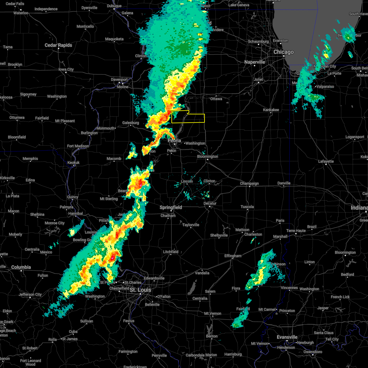
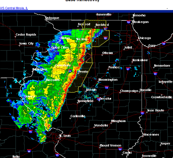
| 11/10/2020 4:10 PM CST |
 The severe thunderstorm warning for marshall, northwestern woodford, northeastern stark, tazewell, mason and central peoria counties will expire at 415 pm cst, the storms that prompted the warning continue. a new severe thunderstorm warning has been issued. hail and gusty winds are still possible with these thunderstorms. a tornado watch remains in effect until 800 pm cst for central and north central illinois. a severe thunderstorm watch remains in effect until 600 pm cst for central illinois. The severe thunderstorm warning for marshall, northwestern woodford, northeastern stark, tazewell, mason and central peoria counties will expire at 415 pm cst, the storms that prompted the warning continue. a new severe thunderstorm warning has been issued. hail and gusty winds are still possible with these thunderstorms. a tornado watch remains in effect until 800 pm cst for central and north central illinois. a severe thunderstorm watch remains in effect until 600 pm cst for central illinois.
|
| 11/10/2020 3:55 PM CST |
 The tornado warning for northwestern marshall county will expire at 400 pm cst, the storm which prompted the warning has moved out of the area. therefore, the warning will be allowed to expire. a tornado watch remains in effect until 800 pm cst for central illinois. The tornado warning for northwestern marshall county will expire at 400 pm cst, the storm which prompted the warning has moved out of the area. therefore, the warning will be allowed to expire. a tornado watch remains in effect until 800 pm cst for central illinois.
|
| 11/10/2020 3:45 PM CST |
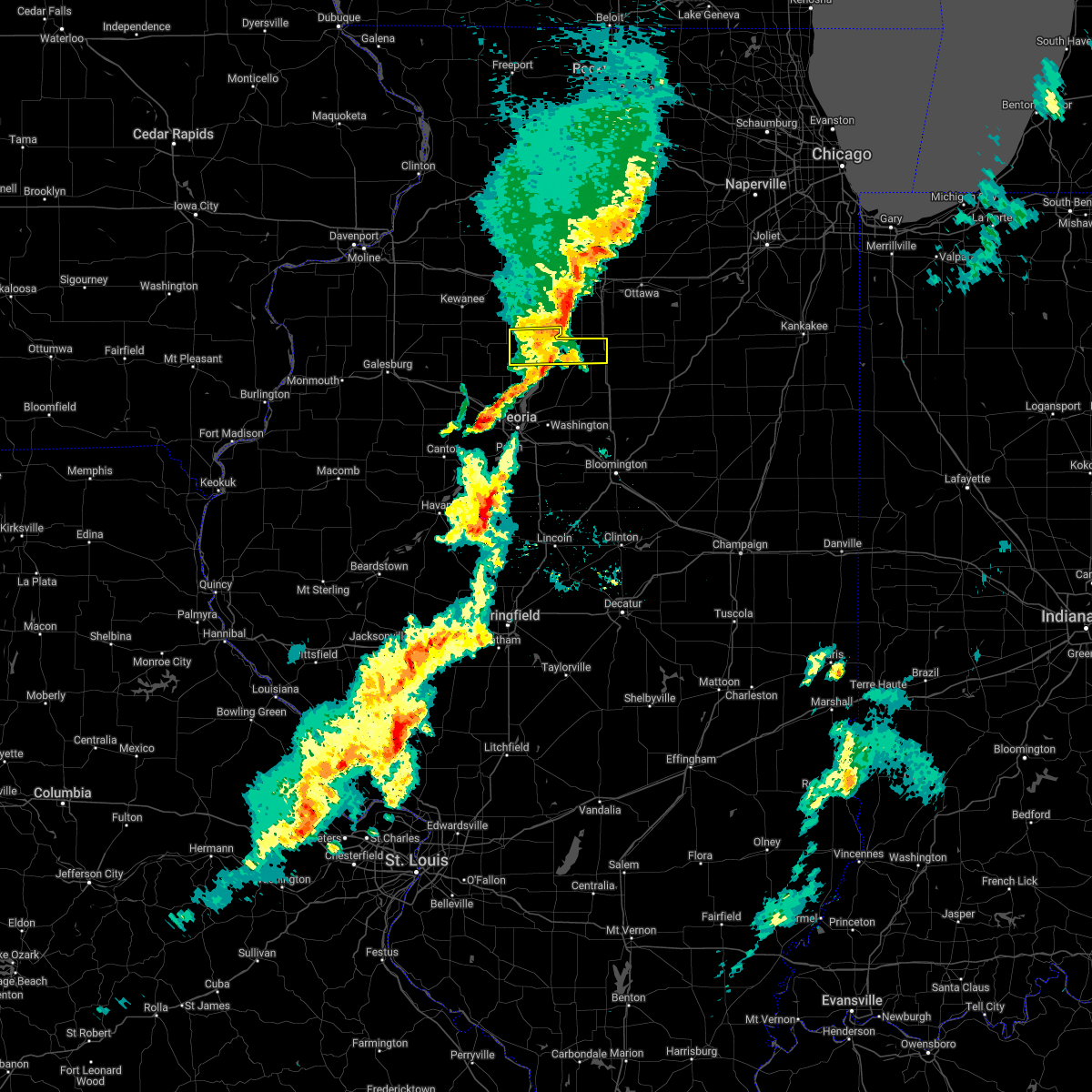
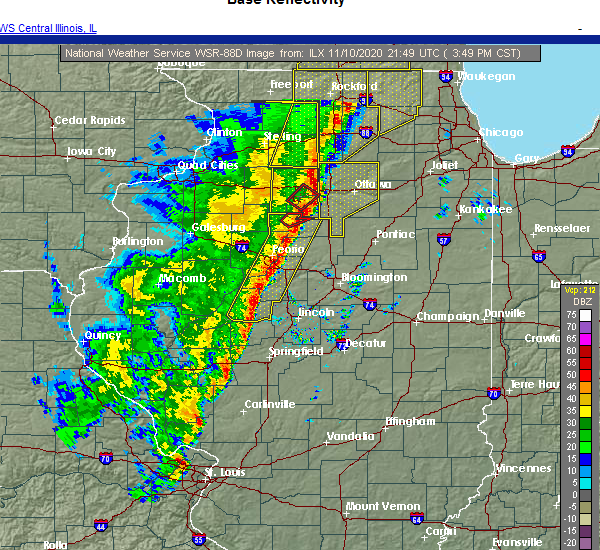
 At 344 pm cst, severe thunderstorms capable of producing both tornadoes and extensive straight line wind damage were located near sparland, or near lacon, moving northeast at 55 mph (radar indicated rotation). Hazards include tornado. Flying debris will be dangerous to those caught without shelter. mobile homes will be damaged or destroyed. damage to roofs, windows, and vehicles will occur. tree damage is likely. This tornadic thunderstorm will remain over mainly rural areas of northwestern marshall county, including the following locations, marshall-putnam county fairgrounds. At 344 pm cst, severe thunderstorms capable of producing both tornadoes and extensive straight line wind damage were located near sparland, or near lacon, moving northeast at 55 mph (radar indicated rotation). Hazards include tornado. Flying debris will be dangerous to those caught without shelter. mobile homes will be damaged or destroyed. damage to roofs, windows, and vehicles will occur. tree damage is likely. This tornadic thunderstorm will remain over mainly rural areas of northwestern marshall county, including the following locations, marshall-putnam county fairgrounds.
|
| 11/10/2020 3:39 PM CST |
 At 339 pm cst, severe thunderstorms were located along a line extending from near bureau junction to near kilbourne, moving east at 45 mph (radar indicated). Hazards include 60 mph wind gusts and penny size hail. Expect damage to roofs, siding, and trees. locations impacted include, peoria, pekin, mason city, lacon, east peoria, morton, washington, bartonville, chillicothe, creve coeur, west peoria, metamora, germantown hills, marquette heights, henry, tremont, bellevue, delavan, rome and manito. this includes the following highways, interstate 155 between mile markers 20 and 31. interstate 474 between mile markers 0 and 14. Interstate 74 between mile markers 84 and 106. At 339 pm cst, severe thunderstorms were located along a line extending from near bureau junction to near kilbourne, moving east at 45 mph (radar indicated). Hazards include 60 mph wind gusts and penny size hail. Expect damage to roofs, siding, and trees. locations impacted include, peoria, pekin, mason city, lacon, east peoria, morton, washington, bartonville, chillicothe, creve coeur, west peoria, metamora, germantown hills, marquette heights, henry, tremont, bellevue, delavan, rome and manito. this includes the following highways, interstate 155 between mile markers 20 and 31. interstate 474 between mile markers 0 and 14. Interstate 74 between mile markers 84 and 106.
|
| 11/10/2020 3:25 PM CST |
 At 325 pm cst, severe thunderstorms were located along a line extending from near tiskilwa to near bath, moving east at 45 mph (radar indicated). Hazards include 60 mph wind gusts and penny size hail. expect damage to roofs, siding, and trees At 325 pm cst, severe thunderstorms were located along a line extending from near tiskilwa to near bath, moving east at 45 mph (radar indicated). Hazards include 60 mph wind gusts and penny size hail. expect damage to roofs, siding, and trees
|
| 8/10/2020 2:56 PM CDT |
 At 255 pm cdt, severe thunderstorms were located along a line extending from near streator to 6 miles northeast of minonk to near eureka to near tremont, moving east at 65 mph (emergency management). Hazards include 70 mph wind gusts. Expect considerable tree damage. damage is likely to mobile homes, roofs, and outbuildings. locations impacted include, peoria, pekin, canton, eureka, lacon, east peoria, morton, washington, bartonville, chillicothe, creve coeur, west peoria, metamora, germantown hills, marquette heights, el paso, henry, farmington, minonk and roanoke. this includes the following highways, interstate 155 between mile markers 30 and 31. interstate 39 between mile markers 10 and 40. interstate 474 between mile markers 0 and 14. Interstate 74 between mile markers 76 and 117. At 255 pm cdt, severe thunderstorms were located along a line extending from near streator to 6 miles northeast of minonk to near eureka to near tremont, moving east at 65 mph (emergency management). Hazards include 70 mph wind gusts. Expect considerable tree damage. damage is likely to mobile homes, roofs, and outbuildings. locations impacted include, peoria, pekin, canton, eureka, lacon, east peoria, morton, washington, bartonville, chillicothe, creve coeur, west peoria, metamora, germantown hills, marquette heights, el paso, henry, farmington, minonk and roanoke. this includes the following highways, interstate 155 between mile markers 30 and 31. interstate 39 between mile markers 10 and 40. interstate 474 between mile markers 0 and 14. Interstate 74 between mile markers 76 and 117.
|
| 8/10/2020 2:40 PM CDT | Trees and power lines down on 2nd stree in marshall county IL, 0.3 miles NNE of Lacon, IL |
| 8/10/2020 2:39 PM CDT |
 At 238 pm cdt, severe thunderstorms were located along a line extending from near mcnabb to near varna to near peoria to near glasford, moving east at 55 mph. strong winds persist for some time after the initial gusts (emergency management reported a wind gust to 61 mph in hanna city at 230 pm). Hazards include 70 mph wind gusts. Expect considerable tree damage. damage is likely to mobile homes, roofs, and outbuildings. locations impacted include, peoria, pekin, canton, eureka, lacon, east peoria, morton, washington, bartonville, chillicothe, creve coeur, west peoria, metamora, germantown hills, marquette heights, el paso, henry, farmington, minonk and roanoke. this includes the following highways, interstate 155 between mile markers 30 and 31. interstate 39 between mile markers 10 and 40. interstate 474 between mile markers 0 and 14. Interstate 74 between mile markers 76 and 117. At 238 pm cdt, severe thunderstorms were located along a line extending from near mcnabb to near varna to near peoria to near glasford, moving east at 55 mph. strong winds persist for some time after the initial gusts (emergency management reported a wind gust to 61 mph in hanna city at 230 pm). Hazards include 70 mph wind gusts. Expect considerable tree damage. damage is likely to mobile homes, roofs, and outbuildings. locations impacted include, peoria, pekin, canton, eureka, lacon, east peoria, morton, washington, bartonville, chillicothe, creve coeur, west peoria, metamora, germantown hills, marquette heights, el paso, henry, farmington, minonk and roanoke. this includes the following highways, interstate 155 between mile markers 30 and 31. interstate 39 between mile markers 10 and 40. interstate 474 between mile markers 0 and 14. Interstate 74 between mile markers 76 and 117.
|
| 8/10/2020 2:15 PM CDT |
 At 215 pm cdt, severe thunderstorms were located along a line extending from near tiskilwa to near wyoming to near prairie city, moving east at 65 mph (radar indicated). Hazards include 70 mph wind gusts. Expect considerable tree damage. Damage is likely to mobile homes, roofs, and outbuildings. At 215 pm cdt, severe thunderstorms were located along a line extending from near tiskilwa to near wyoming to near prairie city, moving east at 65 mph (radar indicated). Hazards include 70 mph wind gusts. Expect considerable tree damage. Damage is likely to mobile homes, roofs, and outbuildings.
|
| 7/19/2020 10:29 AM CDT |
 At 1029 am cdt, a severe thunderstorm was located over wenona, or 12 miles west of streator, moving east at 60 mph (radar indicated). Hazards include 60 mph wind gusts and quarter size hail. Hail damage to vehicles is expected. expect wind damage to roofs, siding, and trees. locations impacted include, lacon, henry, toluca, washburn, wenona, varna, la rose, lake wildwood, marshall-putnam county fairgrounds, pattonsburg and marshall county airport. This includes interstate 39 between mile markers 29 and 40. At 1029 am cdt, a severe thunderstorm was located over wenona, or 12 miles west of streator, moving east at 60 mph (radar indicated). Hazards include 60 mph wind gusts and quarter size hail. Hail damage to vehicles is expected. expect wind damage to roofs, siding, and trees. locations impacted include, lacon, henry, toluca, washburn, wenona, varna, la rose, lake wildwood, marshall-putnam county fairgrounds, pattonsburg and marshall county airport. This includes interstate 39 between mile markers 29 and 40.
|
| 7/19/2020 10:19 AM CDT |
 At 1018 am cdt, a severe thunderstorm was located over varna, or 8 miles northeast of lacon, moving east at 55 mph (radar indicated). Hazards include 60 mph wind gusts and quarter size hail. Hail damage to vehicles is expected. Expect wind damage to roofs, siding, and trees. At 1018 am cdt, a severe thunderstorm was located over varna, or 8 miles northeast of lacon, moving east at 55 mph (radar indicated). Hazards include 60 mph wind gusts and quarter size hail. Hail damage to vehicles is expected. Expect wind damage to roofs, siding, and trees.
|
| 7/19/2020 9:53 AM CDT |
 At 953 am cdt, severe thunderstorms were located along a line extending from near tiskilwa to near lacon, moving east at 65 mph (radar indicated). Hazards include 60 mph wind gusts and quarter size hail. Hail damage to vehicles is expected. expect wind damage to roofs, siding, and trees. Locations impacted include, lacon, henry, wyoming, toulon, osceola, bradford, sparland, elmira, west jersey, la fayette, castleton, camp grove, hopewell, lake wildwood, marshall-putnam county fairgrounds and marshall county airport. At 953 am cdt, severe thunderstorms were located along a line extending from near tiskilwa to near lacon, moving east at 65 mph (radar indicated). Hazards include 60 mph wind gusts and quarter size hail. Hail damage to vehicles is expected. expect wind damage to roofs, siding, and trees. Locations impacted include, lacon, henry, wyoming, toulon, osceola, bradford, sparland, elmira, west jersey, la fayette, castleton, camp grove, hopewell, lake wildwood, marshall-putnam county fairgrounds and marshall county airport.
|
| 7/19/2020 9:33 AM CDT |
 At 933 am cdt, severe thunderstorms were located along a line extending from near galva to oneida, moving east at 60 mph (radar indicated). Hazards include 60 mph wind gusts and quarter size hail. Hail damage to vehicles is expected. Expect wind damage to roofs, siding, and trees. At 933 am cdt, severe thunderstorms were located along a line extending from near galva to oneida, moving east at 60 mph (radar indicated). Hazards include 60 mph wind gusts and quarter size hail. Hail damage to vehicles is expected. Expect wind damage to roofs, siding, and trees.
|
| 7/11/2020 8:07 PM CDT |
 At 807 pm cdt, severe thunderstorms were located along a line extending from near princeton to near camp grove to near yates city, moving east at 50 mph (radar indicated). Hazards include 70 mph wind gusts. Expect considerable tree damage. Damage is likely to mobile homes, roofs, and outbuildings. At 807 pm cdt, severe thunderstorms were located along a line extending from near princeton to near camp grove to near yates city, moving east at 50 mph (radar indicated). Hazards include 70 mph wind gusts. Expect considerable tree damage. Damage is likely to mobile homes, roofs, and outbuildings.
|
| 5/25/2020 9:26 PM CDT |
 The severe thunderstorm warning for southeastern marshall county will expire at 930 pm cdt, the storms which prompted the warning have moved out of the area. therefore, the warning will be allowed to expire. to report severe weather, contact your nearest law enforcement agency. they will relay your report to the national weather service lincoln. remember, a severe thunderstorm warning still remains in effect for central and western marshall county until 945 pm. The severe thunderstorm warning for southeastern marshall county will expire at 930 pm cdt, the storms which prompted the warning have moved out of the area. therefore, the warning will be allowed to expire. to report severe weather, contact your nearest law enforcement agency. they will relay your report to the national weather service lincoln. remember, a severe thunderstorm warning still remains in effect for central and western marshall county until 945 pm.
|
| 5/25/2020 9:16 PM CDT |
 At 915 pm cdt, severe thunderstorms were located along a line extending from near sparland to lacon, moving north at 25 mph (radar indicated). Hazards include 60 mph wind gusts. Expect damage to roofs, siding, and trees. Locations impacted include, lacon, henry, sparland, hopewell, lake wildwood, marshall-putnam county fairgrounds and marshall county airport. At 915 pm cdt, severe thunderstorms were located along a line extending from near sparland to lacon, moving north at 25 mph (radar indicated). Hazards include 60 mph wind gusts. Expect damage to roofs, siding, and trees. Locations impacted include, lacon, henry, sparland, hopewell, lake wildwood, marshall-putnam county fairgrounds and marshall county airport.
|
| 5/25/2020 9:15 PM CDT |
 At 914 pm cdt, severe thunderstorms were located along a line extending from near lacon to near roanoke, moving north at 35 mph (radar indicated). Hazards include 60 mph wind gusts. Expect damage to roofs, siding, and trees. locations impacted include, lacon, toluca, varna, la rose, pattonsburg and marshall county airport. This includes interstate 39 between mile markers 29 and 35. At 914 pm cdt, severe thunderstorms were located along a line extending from near lacon to near roanoke, moving north at 35 mph (radar indicated). Hazards include 60 mph wind gusts. Expect damage to roofs, siding, and trees. locations impacted include, lacon, toluca, varna, la rose, pattonsburg and marshall county airport. This includes interstate 39 between mile markers 29 and 35.
|
| 5/25/2020 9:01 PM CDT |
 At 900 pm cdt, severe thunderstorms were located along a line extending from near rome to near roanoke, moving north at 35 mph (radar indicated). Hazards include 60 mph wind gusts. Expect damage to roofs, siding, and trees. locations impacted include, lacon, metamora, minonk, roanoke, toluca, washburn, varna, cazenovia, benson, la rose, pattonsburg, low point and marshall county airport. This includes interstate 39 between mile markers 24 and 35. At 900 pm cdt, severe thunderstorms were located along a line extending from near rome to near roanoke, moving north at 35 mph (radar indicated). Hazards include 60 mph wind gusts. Expect damage to roofs, siding, and trees. locations impacted include, lacon, metamora, minonk, roanoke, toluca, washburn, varna, cazenovia, benson, la rose, pattonsburg, low point and marshall county airport. This includes interstate 39 between mile markers 24 and 35.
|
| 5/25/2020 8:59 PM CDT |
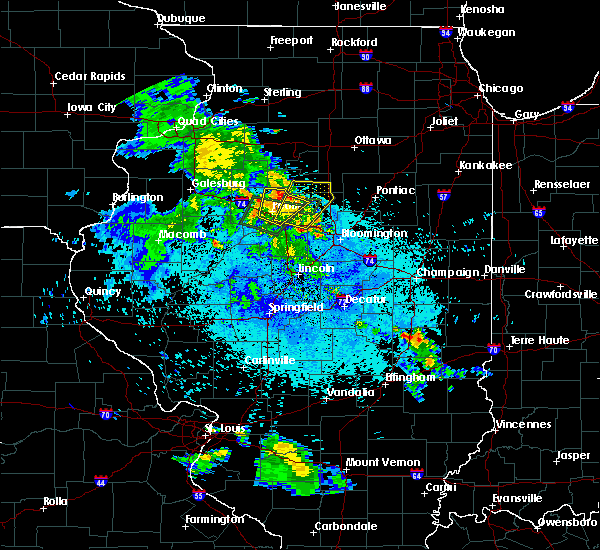 At 858 pm cdt, severe thunderstorms were located along a line extending from near chillicothe to near rome, moving north at 25 mph (radar indicated). Hazards include 60 mph wind gusts. expect damage to roofs, siding, and trees At 858 pm cdt, severe thunderstorms were located along a line extending from near chillicothe to near rome, moving north at 25 mph (radar indicated). Hazards include 60 mph wind gusts. expect damage to roofs, siding, and trees
|
| 5/25/2020 8:45 PM CDT |
 At 845 pm cdt, severe thunderstorms were located along a line extending from germantown hills to near goodfield, moving north at 35 mph (radar indicated). Hazards include 60 mph wind gusts. Expect damage to roofs, siding, and trees. locations impacted include, peoria, eureka, lacon, east peoria, morton, washington, metamora, germantown hills, minonk, roanoke, toluca, washburn, goodfield, deer creek, varna, bay view gardens, peoria heights, cazenovia, benson and la rose. this includes the following highways, interstate 39 between mile markers 24 and 35. Interstate 74 near mile marker 95, and between mile markers 106 and 113. At 845 pm cdt, severe thunderstorms were located along a line extending from germantown hills to near goodfield, moving north at 35 mph (radar indicated). Hazards include 60 mph wind gusts. Expect damage to roofs, siding, and trees. locations impacted include, peoria, eureka, lacon, east peoria, morton, washington, metamora, germantown hills, minonk, roanoke, toluca, washburn, goodfield, deer creek, varna, bay view gardens, peoria heights, cazenovia, benson and la rose. this includes the following highways, interstate 39 between mile markers 24 and 35. Interstate 74 near mile marker 95, and between mile markers 106 and 113.
|
| 5/25/2020 8:35 PM CDT |
 At 835 pm cdt, severe thunderstorms were located along a line extending from near east peoria to deer creek, moving north at 35 mph (radar indicated). Hazards include 60 mph wind gusts. expect damage to roofs, siding, and trees At 835 pm cdt, severe thunderstorms were located along a line extending from near east peoria to deer creek, moving north at 35 mph (radar indicated). Hazards include 60 mph wind gusts. expect damage to roofs, siding, and trees
|
| 4/28/2020 4:48 PM CDT |
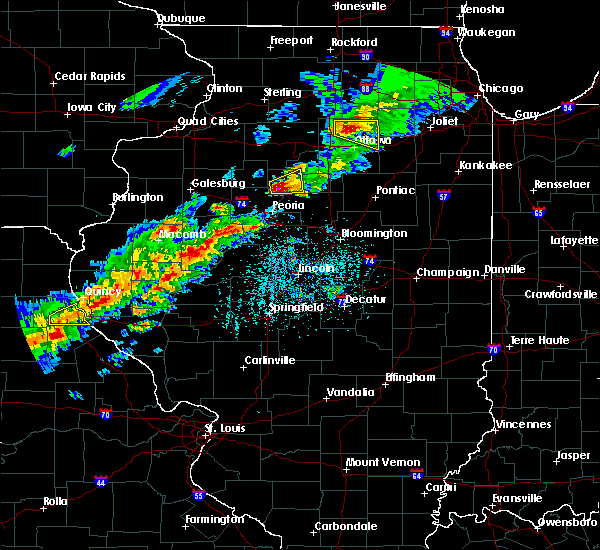 At 447 pm cdt, a severe thunderstorm was located near chillicothe, or 7 miles southwest of lacon, moving east at 25 mph (radar indicated). Hazards include ping pong ball size hail and 60 mph wind gusts. People and animals outdoors will be injured. expect hail damage to roofs, siding, windows, and vehicles. expect wind damage to roofs, siding, and trees. Locations impacted include, lacon, chillicothe, henry, sparland, hopewell, marshall-putnam county fairgrounds and marshall county airport. At 447 pm cdt, a severe thunderstorm was located near chillicothe, or 7 miles southwest of lacon, moving east at 25 mph (radar indicated). Hazards include ping pong ball size hail and 60 mph wind gusts. People and animals outdoors will be injured. expect hail damage to roofs, siding, windows, and vehicles. expect wind damage to roofs, siding, and trees. Locations impacted include, lacon, chillicothe, henry, sparland, hopewell, marshall-putnam county fairgrounds and marshall county airport.
|
| 4/28/2020 4:28 PM CDT |
 At 428 pm cdt, a severe thunderstorm was located near princeville, or 14 miles west of lacon, moving east at 25 mph (radar indicated). Hazards include 60 mph wind gusts and quarter size hail. Hail damage to vehicles is expected. Expect wind damage to roofs, siding, and trees. At 428 pm cdt, a severe thunderstorm was located near princeville, or 14 miles west of lacon, moving east at 25 mph (radar indicated). Hazards include 60 mph wind gusts and quarter size hail. Hail damage to vehicles is expected. Expect wind damage to roofs, siding, and trees.
|
| 9/27/2019 8:11 PM CDT |
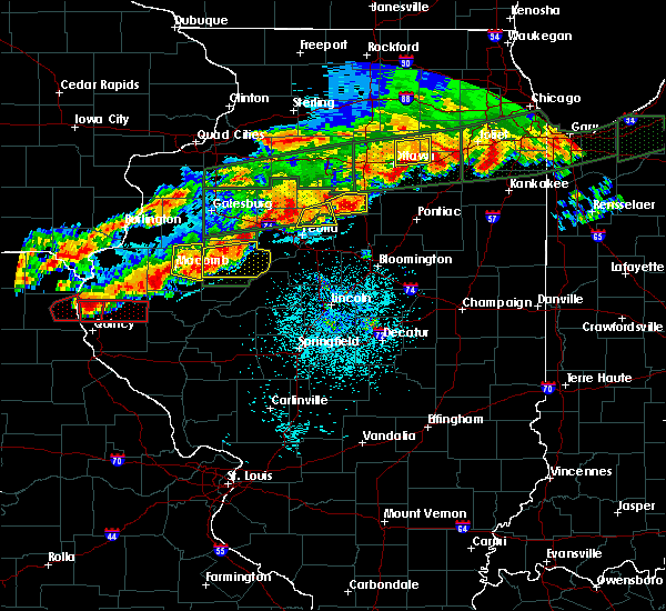 At 811 pm cdt, a severe thunderstorm was located near varna, or 7 miles east of lacon, moving east at 50 mph (radar indicated). Hazards include 60 mph wind gusts and quarter size hail. Hail damage to vehicles is expected. Expect wind damage to roofs, siding, and trees. At 811 pm cdt, a severe thunderstorm was located near varna, or 7 miles east of lacon, moving east at 50 mph (radar indicated). Hazards include 60 mph wind gusts and quarter size hail. Hail damage to vehicles is expected. Expect wind damage to roofs, siding, and trees.
|
| 9/27/2019 7:58 PM CDT |
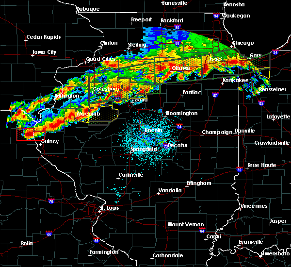 At 758 pm cdt, a severe thunderstorm was located near chillicothe, or near lacon, moving east at 40 mph (radar indicated. at 757 pm, quarter size hail was reported by a trained spotter in chilicothe). Hazards include 60 mph wind gusts and quarter size hail. Hail damage to vehicles is expected. expect wind damage to roofs, siding, and trees. Locations impacted include, peoria, lacon, chillicothe, rome, spring bay, cazenovia, hopewell and marshall county airport. At 758 pm cdt, a severe thunderstorm was located near chillicothe, or near lacon, moving east at 40 mph (radar indicated. at 757 pm, quarter size hail was reported by a trained spotter in chilicothe). Hazards include 60 mph wind gusts and quarter size hail. Hail damage to vehicles is expected. expect wind damage to roofs, siding, and trees. Locations impacted include, peoria, lacon, chillicothe, rome, spring bay, cazenovia, hopewell and marshall county airport.
|
| 9/27/2019 7:45 PM CDT |
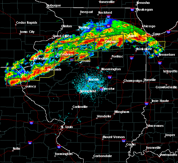 At 745 pm cdt, a severe thunderstorm was located 5 miles northeast of dunlap, or 10 miles north of peoria, moving east at 35 mph (radar indicated). Hazards include 60 mph wind gusts and half dollar size hail. Hail damage to vehicles is expected. expect wind damage to roofs, siding, and trees. Locations impacted include, peoria, lacon, chillicothe, rome, dunlap, spring bay, cazenovia, hopewell, marshall county airport and lawn ridge. At 745 pm cdt, a severe thunderstorm was located 5 miles northeast of dunlap, or 10 miles north of peoria, moving east at 35 mph (radar indicated). Hazards include 60 mph wind gusts and half dollar size hail. Hail damage to vehicles is expected. expect wind damage to roofs, siding, and trees. Locations impacted include, peoria, lacon, chillicothe, rome, dunlap, spring bay, cazenovia, hopewell, marshall county airport and lawn ridge.
|
| 9/27/2019 7:37 PM CDT |
 At 736 pm cdt, a severe thunderstorm was located over dunlap, or 10 miles northwest of peoria, moving northeast at 35 mph (radar indicated). Hazards include 60 mph wind gusts and half dollar size hail. Hail damage to vehicles is expected. Expect wind damage to roofs, siding, and trees. At 736 pm cdt, a severe thunderstorm was located over dunlap, or 10 miles northwest of peoria, moving northeast at 35 mph (radar indicated). Hazards include 60 mph wind gusts and half dollar size hail. Hail damage to vehicles is expected. Expect wind damage to roofs, siding, and trees.
|
| 6/30/2019 8:03 PM CDT |
 At 803 pm cdt, severe thunderstorms were located along a line extending from near henry to avon, moving southeast at 50 mph (trained weather spotters). Hazards include 60 mph wind gusts. Expect damage to roofs, siding, and trees. locations impacted include, peoria, galesburg, canton, lacon, chillicothe, abingdon, knoxville, henry, farmington, elmwood, princeville, rome, wyoming, dunlap, cuba, trivoli, brimfield, avon, yates city and williamsfield. This includes interstate 74 between mile markers 49 and 83. At 803 pm cdt, severe thunderstorms were located along a line extending from near henry to avon, moving southeast at 50 mph (trained weather spotters). Hazards include 60 mph wind gusts. Expect damage to roofs, siding, and trees. locations impacted include, peoria, galesburg, canton, lacon, chillicothe, abingdon, knoxville, henry, farmington, elmwood, princeville, rome, wyoming, dunlap, cuba, trivoli, brimfield, avon, yates city and williamsfield. This includes interstate 74 between mile markers 49 and 83.
|
| 6/30/2019 8:01 PM CDT |
 At 800 pm cdt, severe thunderstorms were located along a line extending from near varna to near brimfield, moving southeast at 35 mph (radar indicated). Hazards include 60 mph wind gusts. expect damage to roofs, siding, and trees At 800 pm cdt, severe thunderstorms were located along a line extending from near varna to near brimfield, moving southeast at 35 mph (radar indicated). Hazards include 60 mph wind gusts. expect damage to roofs, siding, and trees
|
| 6/30/2019 7:35 PM CDT |
 At 735 pm cdt, severe thunderstorms were located along a line extending from near buda to 7 miles south of north henderson, moving southeast at 55 mph (radar indicated). Hazards include 60 mph wind gusts. expect damage to roofs, siding, and trees At 735 pm cdt, severe thunderstorms were located along a line extending from near buda to 7 miles south of north henderson, moving southeast at 55 mph (radar indicated). Hazards include 60 mph wind gusts. expect damage to roofs, siding, and trees
|
| 6/30/2019 3:42 PM CDT |
 The severe thunderstorm warning for marshall and stark counties will expire at 345 pm cdt, the storms which prompted the warning have weakened below severe limits, and no longer pose an immediate threat to life or property. therefore, the warning will be allowed to expire. however gusty winds and heavy rain are still possible with these thunderstorms. a severe thunderstorm watch remains in effect until 600 pm cdt for central and north central illinois. The severe thunderstorm warning for marshall and stark counties will expire at 345 pm cdt, the storms which prompted the warning have weakened below severe limits, and no longer pose an immediate threat to life or property. therefore, the warning will be allowed to expire. however gusty winds and heavy rain are still possible with these thunderstorms. a severe thunderstorm watch remains in effect until 600 pm cdt for central and north central illinois.
|
| 6/30/2019 3:23 PM CDT |
 At 322 pm cdt, severe thunderstorms were located along a line extending from near castleton to near washburn to near toluca, moving south at 15 mph (radar indicated). Hazards include 60 mph wind gusts and quarter size hail. Hail damage to vehicles is expected. expect wind damage to roofs, siding, and trees. locations impacted include, lacon, wyoming, toluca, toulon, wenona, osceola, bradford, sparland, varna, elmira, castleton, camp grove, hopewell, duncan, la rose, pattonsburg and marshall county airport. This includes interstate 39 between mile markers 29 and 40. At 322 pm cdt, severe thunderstorms were located along a line extending from near castleton to near washburn to near toluca, moving south at 15 mph (radar indicated). Hazards include 60 mph wind gusts and quarter size hail. Hail damage to vehicles is expected. expect wind damage to roofs, siding, and trees. locations impacted include, lacon, wyoming, toluca, toulon, wenona, osceola, bradford, sparland, varna, elmira, castleton, camp grove, hopewell, duncan, la rose, pattonsburg and marshall county airport. This includes interstate 39 between mile markers 29 and 40.
|
| 6/30/2019 3:06 PM CDT |
 At 306 pm cdt, severe thunderstorms were located along a line extending from near osceola to near varna to wenona, moving south at 15 mph (radar indicated). Hazards include 60 mph wind gusts and quarter size hail. Hail damage to vehicles is expected. Expect wind damage to roofs, siding, and trees. At 306 pm cdt, severe thunderstorms were located along a line extending from near osceola to near varna to wenona, moving south at 15 mph (radar indicated). Hazards include 60 mph wind gusts and quarter size hail. Hail damage to vehicles is expected. Expect wind damage to roofs, siding, and trees.
|
| 5/27/2019 3:52 PM CDT |
 At 352 pm cdt, a severe thunderstorm capable of producing a tornado was located over rome, or 10 miles northeast of peoria, moving northeast at 40 mph (radar indicated rotation). Hazards include tornado. Flying debris will be dangerous to those caught without shelter. mobile homes will be damaged or destroyed. damage to roofs, windows, and vehicles will occur. tree damage is likely. this dangerous storm will be near, washburn around 410 pm cdt. varna around 415 pm cdt. minonk and toluca around 425 pm cdt. other locations impacted by this tornadic thunderstorm include mossville, lake wildwood, alta, hopewell, pattonsburg, cazenovia, low point, lawn ridge, la rose and peoria heights. this includes the following highways, interstate 39 between mile markers 27 and 32. interstate 474 between mile markers 0 and 1. Interstate 74 between mile markers 85 and 89. At 352 pm cdt, a severe thunderstorm capable of producing a tornado was located over rome, or 10 miles northeast of peoria, moving northeast at 40 mph (radar indicated rotation). Hazards include tornado. Flying debris will be dangerous to those caught without shelter. mobile homes will be damaged or destroyed. damage to roofs, windows, and vehicles will occur. tree damage is likely. this dangerous storm will be near, washburn around 410 pm cdt. varna around 415 pm cdt. minonk and toluca around 425 pm cdt. other locations impacted by this tornadic thunderstorm include mossville, lake wildwood, alta, hopewell, pattonsburg, cazenovia, low point, lawn ridge, la rose and peoria heights. this includes the following highways, interstate 39 between mile markers 27 and 32. interstate 474 between mile markers 0 and 1. Interstate 74 between mile markers 85 and 89.
|
| 5/27/2019 3:35 PM CDT |
 At 335 pm cdt, a severe thunderstorm capable of producing a tornado was located near peoria, moving northeast at 35 mph (radar indicated rotation). Hazards include tornado. Flying debris will be dangerous to those caught without shelter. mobile homes will be damaged or destroyed. damage to roofs, windows, and vehicles will occur. tree damage is likely. this dangerous storm will be near, peoria around 340 pm cdt. germantown hills, spring bay and bay view gardens around 350 pm cdt. rome around 355 pm cdt. chillicothe around 400 pm cdt. washburn around 415 pm cdt. varna around 425 pm cdt. minonk and toluca around 430 pm cdt. other locations impacted by this tornadic thunderstorm include mossville, lake wildwood, alta, hopewell, pattonsburg, cazenovia, low point, kickapoo, lawn ridge and la rose. this includes the following highways, interstate 39 between mile markers 27 and 32. interstate 474 between mile markers 0 and 2. Interstate 74 between mile markers 84 and 89. At 335 pm cdt, a severe thunderstorm capable of producing a tornado was located near peoria, moving northeast at 35 mph (radar indicated rotation). Hazards include tornado. Flying debris will be dangerous to those caught without shelter. mobile homes will be damaged or destroyed. damage to roofs, windows, and vehicles will occur. tree damage is likely. this dangerous storm will be near, peoria around 340 pm cdt. germantown hills, spring bay and bay view gardens around 350 pm cdt. rome around 355 pm cdt. chillicothe around 400 pm cdt. washburn around 415 pm cdt. varna around 425 pm cdt. minonk and toluca around 430 pm cdt. other locations impacted by this tornadic thunderstorm include mossville, lake wildwood, alta, hopewell, pattonsburg, cazenovia, low point, kickapoo, lawn ridge and la rose. this includes the following highways, interstate 39 between mile markers 27 and 32. interstate 474 between mile markers 0 and 2. Interstate 74 between mile markers 84 and 89.
|
| 9/5/2018 6:19 PM CDT |
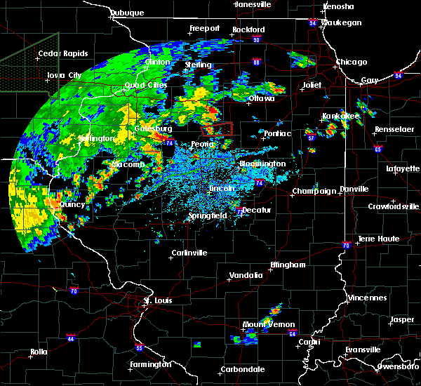 At 619 pm cdt, a severe thunderstorm capable of producing a tornado was located near washburn, or near lacon, moving east at 25 mph (radar indicated rotation). Hazards include tornado. Flying debris will be dangerous to those caught without shelter. mobile homes will be damaged or destroyed. damage to roofs, windows, and vehicles will occur. tree damage is likely. this dangerous storm will be near, varna around 635 pm cdt. toluca and wenona around 645 pm cdt. other locations impacted by this tornadic thunderstorm include la rose, pattonsburg, marshall county airport and hopewell. This includes interstate 39 between mile markers 29 and 40. At 619 pm cdt, a severe thunderstorm capable of producing a tornado was located near washburn, or near lacon, moving east at 25 mph (radar indicated rotation). Hazards include tornado. Flying debris will be dangerous to those caught without shelter. mobile homes will be damaged or destroyed. damage to roofs, windows, and vehicles will occur. tree damage is likely. this dangerous storm will be near, varna around 635 pm cdt. toluca and wenona around 645 pm cdt. other locations impacted by this tornadic thunderstorm include la rose, pattonsburg, marshall county airport and hopewell. This includes interstate 39 between mile markers 29 and 40.
|
| 6/19/2018 4:10 PM CDT |
 The severe thunderstorm warning for western marshall and northeastern peoria counties will expire at 415 pm cdt, the storms which prompted the warning have moved out of the area. therefore the warning will be allowed to expire. The severe thunderstorm warning for western marshall and northeastern peoria counties will expire at 415 pm cdt, the storms which prompted the warning have moved out of the area. therefore the warning will be allowed to expire.
|
| 6/19/2018 3:54 PM CDT |
 At 354 pm cdt, severe thunderstorms were located along a line extending from 7 miles west of henry to dunlap, moving east at 25 mph (radar indicated). Hazards include 60 mph wind gusts and penny size hail. Expect damage to roofs, siding, and trees. Locations impacted include, lacon, chillicothe, henry, rome, sparland, camp grove, hopewell, lawn ridge and marshall-putnam county fairgrounds. At 354 pm cdt, severe thunderstorms were located along a line extending from 7 miles west of henry to dunlap, moving east at 25 mph (radar indicated). Hazards include 60 mph wind gusts and penny size hail. Expect damage to roofs, siding, and trees. Locations impacted include, lacon, chillicothe, henry, rome, sparland, camp grove, hopewell, lawn ridge and marshall-putnam county fairgrounds.
|
| 6/19/2018 3:32 PM CDT |
 At 331 pm cdt, severe thunderstorms were located along a line extending from near castleton to near brimfield, moving east at 25 mph (radar indicated). Hazards include 60 mph wind gusts and penny size hail. expect damage to roofs, siding, and trees At 331 pm cdt, severe thunderstorms were located along a line extending from near castleton to near brimfield, moving east at 25 mph (radar indicated). Hazards include 60 mph wind gusts and penny size hail. expect damage to roofs, siding, and trees
|
| 6/10/2018 3:01 AM CDT |
 At 301 am cdt, severe thunderstorms were located along a line extending from near sparland to near goodfield to near green valley, moving southeast at 50 mph (radar indicated). Hazards include 60 mph wind gusts. Expect damage to roofs, siding, and trees. locations impacted include, bloomington, pekin, eureka, lacon, normal, east peoria, morton, washington, creve coeur, metamora, le roy, germantown hills, heyworth, marquette heights, el paso, henry, tremont, minonk, roanoke and lexington. this includes the following highways, interstate 155 between mile markers 11 and 31. interstate 39 between mile markers 0 and 41. interstate 474 between mile markers 11 and 14. interstate 55 between mile markers 142 and 186. Interstate 74 between mile markers 96 and 155. At 301 am cdt, severe thunderstorms were located along a line extending from near sparland to near goodfield to near green valley, moving southeast at 50 mph (radar indicated). Hazards include 60 mph wind gusts. Expect damage to roofs, siding, and trees. locations impacted include, bloomington, pekin, eureka, lacon, normal, east peoria, morton, washington, creve coeur, metamora, le roy, germantown hills, heyworth, marquette heights, el paso, henry, tremont, minonk, roanoke and lexington. this includes the following highways, interstate 155 between mile markers 11 and 31. interstate 39 between mile markers 0 and 41. interstate 474 between mile markers 11 and 14. interstate 55 between mile markers 142 and 186. Interstate 74 between mile markers 96 and 155.
|
| 6/10/2018 2:43 AM CDT |
 At 243 am cdt, severe thunderstorms were located along a line extending from bradford to metamora to glasford, moving southeast at 60 mph (radar indicated). Hazards include 60 mph wind gusts. expect damage to roofs, siding, and trees At 243 am cdt, severe thunderstorms were located along a line extending from bradford to metamora to glasford, moving southeast at 60 mph (radar indicated). Hazards include 60 mph wind gusts. expect damage to roofs, siding, and trees
|
| 5/14/2018 10:12 PM CDT |
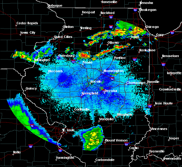 At 1011 pm cdt, a severe thunderstorm was located 9 miles west of lacon, moving east at 30 mph (radar indicated). Hazards include 60 mph wind gusts and quarter size hail. Hail damage to vehicles is expected. expect wind damage to roofs, siding, and trees. Locations impacted include, lacon, sparland, camp grove, hopewell, lawn ridge and marshall county airport. At 1011 pm cdt, a severe thunderstorm was located 9 miles west of lacon, moving east at 30 mph (radar indicated). Hazards include 60 mph wind gusts and quarter size hail. Hail damage to vehicles is expected. expect wind damage to roofs, siding, and trees. Locations impacted include, lacon, sparland, camp grove, hopewell, lawn ridge and marshall county airport.
|
| 5/14/2018 9:53 PM CDT |
 At 952 pm cdt, a severe thunderstorm was located near duncan, or 16 miles west of lacon, moving east at 30 mph (radar indicated). Hazards include 60 mph wind gusts and quarter size hail. Hail damage to vehicles is expected. Expect wind damage to roofs, siding, and trees. At 952 pm cdt, a severe thunderstorm was located near duncan, or 16 miles west of lacon, moving east at 30 mph (radar indicated). Hazards include 60 mph wind gusts and quarter size hail. Hail damage to vehicles is expected. Expect wind damage to roofs, siding, and trees.
|
| 5/13/2018 4:31 PM CDT |
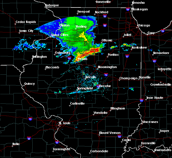 At 431 pm cdt, a severe thunderstorm was located over varna, or 10 miles east of lacon, moving east at 45 mph (radar indicated). Hazards include quarter size hail. Damage to vehicles is expected. locations impacted include, lacon, toluca, wenona, varna, la rose, lake wildwood and marshall county airport. This includes interstate 39 between mile markers 30 and 40. At 431 pm cdt, a severe thunderstorm was located over varna, or 10 miles east of lacon, moving east at 45 mph (radar indicated). Hazards include quarter size hail. Damage to vehicles is expected. locations impacted include, lacon, toluca, wenona, varna, la rose, lake wildwood and marshall county airport. This includes interstate 39 between mile markers 30 and 40.
|
| 5/13/2018 4:15 PM CDT |
 At 414 pm cdt, a severe thunderstorm was located near sparland, or 7 miles west of lacon, moving east at 30 mph (radar indicated). Hazards include quarter size hail. Damage to vehicles is expected. locations impacted include, lacon, henry, toluca, wenona, sparland, varna, hopewell, la rose, lake wildwood, marshall-putnam county fairgrounds and marshall county airport. This includes interstate 39 between mile markers 30 and 40. At 414 pm cdt, a severe thunderstorm was located near sparland, or 7 miles west of lacon, moving east at 30 mph (radar indicated). Hazards include quarter size hail. Damage to vehicles is expected. locations impacted include, lacon, henry, toluca, wenona, sparland, varna, hopewell, la rose, lake wildwood, marshall-putnam county fairgrounds and marshall county airport. This includes interstate 39 between mile markers 30 and 40.
|
| 5/13/2018 4:02 PM CDT |
 At 402 pm cdt, a severe thunderstorm was located over camp grove, or 13 miles west of lacon, moving east at 25 mph (radar indicated). Hazards include quarter size hail. damage to vehicles is expected At 402 pm cdt, a severe thunderstorm was located over camp grove, or 13 miles west of lacon, moving east at 25 mph (radar indicated). Hazards include quarter size hail. damage to vehicles is expected
|
| 10/14/2017 7:44 PM CDT |
 At 743 pm cdt, severe thunderstorms were located along a line extending from near tonica to near flanagan to washington, moving east at 60 mph (radar indicated). Hazards include 60 mph wind gusts and quarter size hail. Hail damage to vehicles is expected. expect wind damage to roofs, siding, and trees. locations impacted include, peoria, eureka, lacon, east peoria, washington, chillicothe, metamora, germantown hills, el paso, henry, minonk, roanoke, rome, toluca, washburn, wenona, spring bay, sparland, varna and bay view gardens. this includes the following highways, interstate 39 between mile markers 13 and 40. interstate 74 between mile markers 92 and 93. A tornado watch remains in effect until 100 am cdt for central illinois. At 743 pm cdt, severe thunderstorms were located along a line extending from near tonica to near flanagan to washington, moving east at 60 mph (radar indicated). Hazards include 60 mph wind gusts and quarter size hail. Hail damage to vehicles is expected. expect wind damage to roofs, siding, and trees. locations impacted include, peoria, eureka, lacon, east peoria, washington, chillicothe, metamora, germantown hills, el paso, henry, minonk, roanoke, rome, toluca, washburn, wenona, spring bay, sparland, varna and bay view gardens. this includes the following highways, interstate 39 between mile markers 13 and 40. interstate 74 between mile markers 92 and 93. A tornado watch remains in effect until 100 am cdt for central illinois.
|
| 10/14/2017 7:26 PM CDT |
 At 726 pm cdt, severe thunderstorms were located along a line extending from near mcnabb to near washburn to washington, moving east at 60 mph (radar indicated). Hazards include 60 mph wind gusts and quarter size hail. Hail damage to vehicles is expected. Expect wind damage to roofs, siding, and trees. At 726 pm cdt, severe thunderstorms were located along a line extending from near mcnabb to near washburn to washington, moving east at 60 mph (radar indicated). Hazards include 60 mph wind gusts and quarter size hail. Hail damage to vehicles is expected. Expect wind damage to roofs, siding, and trees.
|
| 6/17/2017 8:21 PM CDT |
 The severe thunderstorm warning for western marshall and southern stark counties will expire at 830 pm cdt, the storm which prompted the warning has moved out of the area. therefore the warning will be allowed to expire. a severe thunderstorm watch remains in effect until 100 am cdt for central, north central and west central illinois. The severe thunderstorm warning for western marshall and southern stark counties will expire at 830 pm cdt, the storm which prompted the warning has moved out of the area. therefore the warning will be allowed to expire. a severe thunderstorm watch remains in effect until 100 am cdt for central, north central and west central illinois.
|
| 6/17/2017 8:04 PM CDT |
 At 804 pm cdt, a severe thunderstorm was located near sparland, or near lacon, moving east at 45 mph (radar indicated). Hazards include 60 mph wind gusts and quarter size hail. Hail damage to vehicles is expected. expect wind damage to roofs, siding, and trees. Locations impacted include, lacon, henry, wyoming, sparland, west jersey, camp grove, hopewell, duncan, lake wildwood, lawn ridge, marshall-putnam county fairgrounds and marshall county airport. At 804 pm cdt, a severe thunderstorm was located near sparland, or near lacon, moving east at 45 mph (radar indicated). Hazards include 60 mph wind gusts and quarter size hail. Hail damage to vehicles is expected. expect wind damage to roofs, siding, and trees. Locations impacted include, lacon, henry, wyoming, sparland, west jersey, camp grove, hopewell, duncan, lake wildwood, lawn ridge, marshall-putnam county fairgrounds and marshall county airport.
|
| 6/17/2017 7:37 PM CDT |
 The national weather service in lincoln has issued a * severe thunderstorm warning for. western marshall county in central illinois. stark county in north central illinois. Until 830 pm cdt * at 737 pm cdt, a severe thunderstorm was located over toulon, or 10. The national weather service in lincoln has issued a * severe thunderstorm warning for. western marshall county in central illinois. stark county in north central illinois. Until 830 pm cdt * at 737 pm cdt, a severe thunderstorm was located over toulon, or 10.
|
| 6/14/2017 4:04 PM CDT |
 At 403 pm cdt, a severe thunderstorm was located over lacon, moving east at 35 mph (radar indicated). Hazards include 60 mph wind gusts and quarter size hail. Hail damage to vehicles is expected. expect wind damage to roofs, siding, and trees. Locations impacted include, lacon, chillicothe, metamora, henry, washburn, sparland, cazenovia, hopewell, lake wildwood, low point, marshall-putnam county fairgrounds and marshall county airport. At 403 pm cdt, a severe thunderstorm was located over lacon, moving east at 35 mph (radar indicated). Hazards include 60 mph wind gusts and quarter size hail. Hail damage to vehicles is expected. expect wind damage to roofs, siding, and trees. Locations impacted include, lacon, chillicothe, metamora, henry, washburn, sparland, cazenovia, hopewell, lake wildwood, low point, marshall-putnam county fairgrounds and marshall county airport.
|
| 6/14/2017 3:38 PM CDT |
 At 337 pm cdt, a severe thunderstorm was located near bellevue, or near peoria, moving northeast at 20 mph (trained weather spotters). Hazards include 60 mph wind gusts and quarter size hail. Hail damage to vehicles is expected. Expect wind damage to roofs, siding, and trees. At 337 pm cdt, a severe thunderstorm was located near bellevue, or near peoria, moving northeast at 20 mph (trained weather spotters). Hazards include 60 mph wind gusts and quarter size hail. Hail damage to vehicles is expected. Expect wind damage to roofs, siding, and trees.
|
| 3/20/2017 2:52 AM CDT |
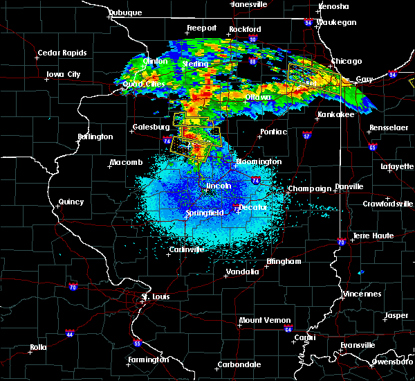 At 251 am cdt, a severe thunderstorm was located near rome, or 9 miles north of peoria, moving east at 25 mph (radar indicated). Hazards include half dollar size hail. damage to vehicles is expected At 251 am cdt, a severe thunderstorm was located near rome, or 9 miles north of peoria, moving east at 25 mph (radar indicated). Hazards include half dollar size hail. damage to vehicles is expected
|
| 3/20/2017 2:36 AM CDT |
 At 236 am cdt, a severe thunderstorm was located over castleton, or 12 miles southeast of kewanee, moving east at 25 mph (radar indicated). Hazards include half dollar size hail. damage to vehicles is expected At 236 am cdt, a severe thunderstorm was located over castleton, or 12 miles southeast of kewanee, moving east at 25 mph (radar indicated). Hazards include half dollar size hail. damage to vehicles is expected
|
| 3/6/2017 11:54 PM CST |
 At 1154 pm cst, severe thunderstorms were located along a line extending from near bradford to bartonville, moving northeast at 70 mph (radar indicated). Hazards include 70 mph wind gusts and quarter size hail. Hail damage to vehicles is expected. expect considerable tree damage. Wind damage is also likely to mobile homes, roofs, and outbuildings. At 1154 pm cst, severe thunderstorms were located along a line extending from near bradford to bartonville, moving northeast at 70 mph (radar indicated). Hazards include 70 mph wind gusts and quarter size hail. Hail damage to vehicles is expected. expect considerable tree damage. Wind damage is also likely to mobile homes, roofs, and outbuildings.
|
| 2/28/2017 5:17 PM CST |
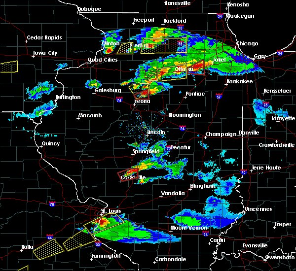 At 517 pm cst, a severe thunderstorm was located near lacon, moving east at 55 mph (trained weather spotters). Hazards include 60 mph wind gusts and half dollar size hail. Hail damage to vehicles is expected. expect wind damage to roofs, siding, and trees. locations impacted include, lacon, chillicothe, henry, rome, sparland, camp grove, hopewell, marshall-putnam county fairgrounds, marshall county airport and lawn ridge. A tornado watch remains in effect until 1000 pm cst for north central and central illinois. At 517 pm cst, a severe thunderstorm was located near lacon, moving east at 55 mph (trained weather spotters). Hazards include 60 mph wind gusts and half dollar size hail. Hail damage to vehicles is expected. expect wind damage to roofs, siding, and trees. locations impacted include, lacon, chillicothe, henry, rome, sparland, camp grove, hopewell, marshall-putnam county fairgrounds, marshall county airport and lawn ridge. A tornado watch remains in effect until 1000 pm cst for north central and central illinois.
|
| 2/28/2017 5:15 PM CST |
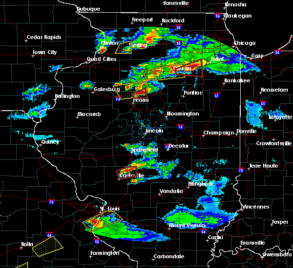 At 514 pm cst, a severe thunderstorm capable of producing a tornado was located over rome, or 10 miles southwest of lacon, moving east at 50 mph (radar indicated rotation). Hazards include tornado and quarter size hail. Flying debris will be dangerous to those caught without shelter. mobile homes will be damaged or destroyed. damage to roofs, windows, and vehicles will occur. tree damage is likely. This tornadic thunderstorm will remain over mainly rural areas of northwestern woodford, northeastern peoria and south central marshall counties, including the following locations: cazenovia and hopewell. At 514 pm cst, a severe thunderstorm capable of producing a tornado was located over rome, or 10 miles southwest of lacon, moving east at 50 mph (radar indicated rotation). Hazards include tornado and quarter size hail. Flying debris will be dangerous to those caught without shelter. mobile homes will be damaged or destroyed. damage to roofs, windows, and vehicles will occur. tree damage is likely. This tornadic thunderstorm will remain over mainly rural areas of northwestern woodford, northeastern peoria and south central marshall counties, including the following locations: cazenovia and hopewell.
|
| 2/28/2017 5:05 PM CST |
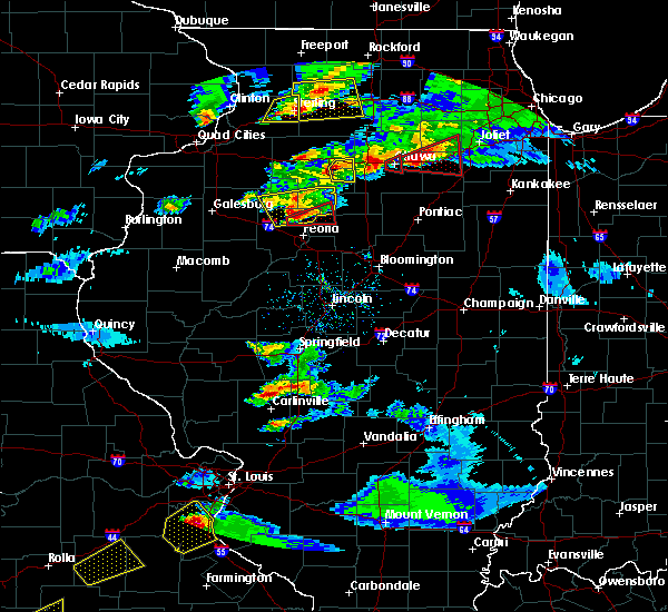 At 505 pm cst, a severe thunderstorm capable of producing a tornado was located over dunlap, or 9 miles northwest of peoria, moving east at 35 mph (radar indicated rotation). Hazards include tornado and half dollar size hail. Flying debris will be dangerous to those caught without shelter. mobile homes will be damaged or destroyed. damage to roofs, windows, and vehicles will occur. tree damage is likely. this dangerous storm will be near, rome around 520 pm cst. chillicothe around 525 pm cst. lacon around 530 pm cst. Other locations impacted by this tornadic thunderstorm include cazenovia, hopewell and marshall county airport. At 505 pm cst, a severe thunderstorm capable of producing a tornado was located over dunlap, or 9 miles northwest of peoria, moving east at 35 mph (radar indicated rotation). Hazards include tornado and half dollar size hail. Flying debris will be dangerous to those caught without shelter. mobile homes will be damaged or destroyed. damage to roofs, windows, and vehicles will occur. tree damage is likely. this dangerous storm will be near, rome around 520 pm cst. chillicothe around 525 pm cst. lacon around 530 pm cst. Other locations impacted by this tornadic thunderstorm include cazenovia, hopewell and marshall county airport.
|
| 2/28/2017 5:01 PM CST |
 At 501 pm cst, a severe thunderstorm was located near dunlap, or 11 miles northwest of peoria, moving east at 50 mph (trained weather spotters). Hazards include golf ball size hail and 60 mph wind gusts. People and animals outdoors will be injured. expect hail damage to roofs, siding, windows, and vehicles. expect wind damage to roofs, siding, and trees. locations impacted include, lacon, chillicothe, henry, princeville, rome, wyoming, dunlap, toulon, sparland, west jersey, camp grove, castleton, hopewell, duncan, marshall-putnam county fairgrounds, marshall county airport, monica and lawn ridge. A tornado watch remains in effect until 1000 pm cst for north central and central illinois. At 501 pm cst, a severe thunderstorm was located near dunlap, or 11 miles northwest of peoria, moving east at 50 mph (trained weather spotters). Hazards include golf ball size hail and 60 mph wind gusts. People and animals outdoors will be injured. expect hail damage to roofs, siding, windows, and vehicles. expect wind damage to roofs, siding, and trees. locations impacted include, lacon, chillicothe, henry, princeville, rome, wyoming, dunlap, toulon, sparland, west jersey, camp grove, castleton, hopewell, duncan, marshall-putnam county fairgrounds, marshall county airport, monica and lawn ridge. A tornado watch remains in effect until 1000 pm cst for north central and central illinois.
|
| 2/28/2017 4:44 PM CST |
 At 444 pm cst, a severe thunderstorm was located near elmwood, or 20 miles north of canton, moving east at 55 mph (radar indicated). Hazards include 60 mph wind gusts and half dollar size hail. Hail damage to vehicles is expected. Expect wind damage to roofs, siding, and trees. At 444 pm cst, a severe thunderstorm was located near elmwood, or 20 miles north of canton, moving east at 55 mph (radar indicated). Hazards include 60 mph wind gusts and half dollar size hail. Hail damage to vehicles is expected. Expect wind damage to roofs, siding, and trees.
|
| 9/21/2016 1:41 PM CDT |
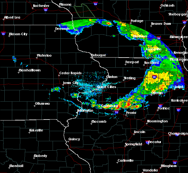 The severe thunderstorm warning for southeastern stark and western marshall counties will expire at 145 pm cdt, the storm which prompted the warning has weakened below severe limits, and no longer pose an immediate threat to life or property. therefore, the warning will be allowed to expire. however gusty winds and heavy rain are still possible with this thunderstorm. The severe thunderstorm warning for southeastern stark and western marshall counties will expire at 145 pm cdt, the storm which prompted the warning has weakened below severe limits, and no longer pose an immediate threat to life or property. therefore, the warning will be allowed to expire. however gusty winds and heavy rain are still possible with this thunderstorm.
|
| 9/21/2016 1:16 PM CDT |
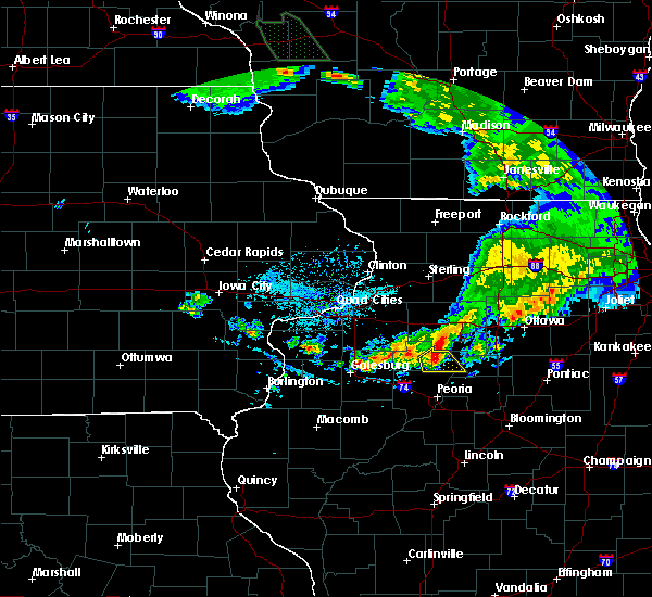 At 116 pm cdt, a severe thunderstorm was located over castleton, or 14 miles northwest of lacon, moving southeast at 30 mph (radar indicated). Hazards include 60 mph wind gusts and quarter size hail. Hail damage to vehicles is expected. Expect wind damage to roofs, siding, and trees. At 116 pm cdt, a severe thunderstorm was located over castleton, or 14 miles northwest of lacon, moving southeast at 30 mph (radar indicated). Hazards include 60 mph wind gusts and quarter size hail. Hail damage to vehicles is expected. Expect wind damage to roofs, siding, and trees.
|
| 7/13/2016 4:58 PM CDT |
 At 457 pm cdt, severe thunderstorms were located along a line extending from near lacon to near metamora to germantown hills, moving east at 40 mph (trained weather spotters). Hazards include 70 mph wind gusts. Expect considerable tree damage. damage is likely to mobile homes, roofs, and outbuildings. locations impacted include, eureka, lacon, east peoria, washington, metamora, germantown hills, el paso, henry, minonk, roanoke, toluca, washburn, wenona, varna, secor, cazenovia, benson, la rose, panola and marshall-putnam county fairgrounds. This includes interstate 39 between mile markers 15 and 40. At 457 pm cdt, severe thunderstorms were located along a line extending from near lacon to near metamora to germantown hills, moving east at 40 mph (trained weather spotters). Hazards include 70 mph wind gusts. Expect considerable tree damage. damage is likely to mobile homes, roofs, and outbuildings. locations impacted include, eureka, lacon, east peoria, washington, metamora, germantown hills, el paso, henry, minonk, roanoke, toluca, washburn, wenona, varna, secor, cazenovia, benson, la rose, panola and marshall-putnam county fairgrounds. This includes interstate 39 between mile markers 15 and 40.
|
| 7/13/2016 4:49 PM CDT |
 At 449 pm cdt, severe thunderstorms were located along a line extending from sparland to rome to near peoria, moving east at 45 mph (trained weather spotters). Hazards include 70 mph wind gusts. Expect considerable tree damage. damage is likely to mobile homes, roofs, and outbuildings. locations impacted include, peoria, eureka, lacon, east peoria, washington, chillicothe, west peoria, metamora, germantown hills, el paso, henry, minonk, roanoke, bellevue, rome, toluca, dunlap, washburn, wenona and spring bay. this includes the following highways, interstate 39 between mile markers 15 and 40. interstate 474 between mile markers 0 and 4. Interstate 74 between mile markers 83 and 94. At 449 pm cdt, severe thunderstorms were located along a line extending from sparland to rome to near peoria, moving east at 45 mph (trained weather spotters). Hazards include 70 mph wind gusts. Expect considerable tree damage. damage is likely to mobile homes, roofs, and outbuildings. locations impacted include, peoria, eureka, lacon, east peoria, washington, chillicothe, west peoria, metamora, germantown hills, el paso, henry, minonk, roanoke, bellevue, rome, toluca, dunlap, washburn, wenona and spring bay. this includes the following highways, interstate 39 between mile markers 15 and 40. interstate 474 between mile markers 0 and 4. Interstate 74 between mile markers 83 and 94.
|
| 7/13/2016 4:36 PM CDT |
 At 436 pm cdt, severe thunderstorms were located along a line extending from camp grove to dunlap to near brimfield, moving east at 45 mph (trained weather spotters). Hazards include 70 mph wind gusts. Expect considerable tree damage. Damage is likely to mobile homes, roofs, and outbuildings. At 436 pm cdt, severe thunderstorms were located along a line extending from camp grove to dunlap to near brimfield, moving east at 45 mph (trained weather spotters). Hazards include 70 mph wind gusts. Expect considerable tree damage. Damage is likely to mobile homes, roofs, and outbuildings.
|
| 5/11/2016 8:23 PM CDT |
 At 822 pm cdt, a severe thunderstorm was located 5 miles southwest of sparland, or 6 miles west of lacon, moving northeast at 35 mph (radar indicated). Hazards include 60 mph wind gusts and quarter size hail. Hail damage to vehicles is expected. expect wind damage to roofs, siding, and trees. Locations impacted include, lacon, chillicothe, henry, rome, sparland, camp grove, hopewell, marshall-putnam county fairgrounds, lake wildwood, marshall county airport and lawn ridge. At 822 pm cdt, a severe thunderstorm was located 5 miles southwest of sparland, or 6 miles west of lacon, moving northeast at 35 mph (radar indicated). Hazards include 60 mph wind gusts and quarter size hail. Hail damage to vehicles is expected. expect wind damage to roofs, siding, and trees. Locations impacted include, lacon, chillicothe, henry, rome, sparland, camp grove, hopewell, marshall-putnam county fairgrounds, lake wildwood, marshall county airport and lawn ridge.
|
| 5/11/2016 8:04 PM CDT |
 At 803 pm cdt, a severe thunderstorm was located over dunlap, or 9 miles northwest of peoria, moving northeast at 35 mph. another severe thunderstorm was located just west of lacon, moving northeast at 35 mph (radar indicated). Hazards include 60 mph wind gusts and quarter size hail. Hail damage to vehicles is expected. expect wind damage to roofs, siding, and trees. locations impacted include, peoria, lacon, chillicothe, henry, princeville, rome, wyoming, dunlap, brimfield, bradford, sparland, camp grove, castleton, kickapoo, hopewell, duncan, marshall-putnam county fairgrounds, lake wildwood, marshall county airport and monica. This includes interstate 74 between mile markers 73 and 76, and near mile marker 80. At 803 pm cdt, a severe thunderstorm was located over dunlap, or 9 miles northwest of peoria, moving northeast at 35 mph. another severe thunderstorm was located just west of lacon, moving northeast at 35 mph (radar indicated). Hazards include 60 mph wind gusts and quarter size hail. Hail damage to vehicles is expected. expect wind damage to roofs, siding, and trees. locations impacted include, peoria, lacon, chillicothe, henry, princeville, rome, wyoming, dunlap, brimfield, bradford, sparland, camp grove, castleton, kickapoo, hopewell, duncan, marshall-putnam county fairgrounds, lake wildwood, marshall county airport and monica. This includes interstate 74 between mile markers 73 and 76, and near mile marker 80.
|
| 5/11/2016 7:47 PM CDT |
 At 747 pm cdt, a severe thunderstorm was located near hanna city, or 10 miles west of peoria, moving northeast at 35 mph (radar indicated). Hazards include 60 mph wind gusts and quarter size hail. Hail damage to vehicles is expected. Expect wind damage to roofs, siding, and trees. At 747 pm cdt, a severe thunderstorm was located near hanna city, or 10 miles west of peoria, moving northeast at 35 mph (radar indicated). Hazards include 60 mph wind gusts and quarter size hail. Hail damage to vehicles is expected. Expect wind damage to roofs, siding, and trees.
|
| 3/15/2016 7:38 PM CDT |
 At 738 pm cdt, severe thunderstorms were located along a line extending from near brimfield to trivoli to near canton, moving east at 35 mph (radar indicated). Hazards include 70 mph wind gusts and quarter size hail. Hail damage to vehicles is expected. expect considerable tree damage. Wind damage is also likely to mobile homes, roofs and outbuildings. At 738 pm cdt, severe thunderstorms were located along a line extending from near brimfield to trivoli to near canton, moving east at 35 mph (radar indicated). Hazards include 70 mph wind gusts and quarter size hail. Hail damage to vehicles is expected. expect considerable tree damage. Wind damage is also likely to mobile homes, roofs and outbuildings.
|
| 11/11/2015 7:30 PM CST |
 At 730 pm cst, severe thunderstorms were located along a line extending from 5 miles north of sparland to 4 miles northeast of dunlap to 6 miles west of manito, moving northeast at 45 mph (radar indicated). Hazards include 70 mph wind gusts. Expect considerable tree damage. damage is likely to mobile homes, roofs and outbuildings. locations impacted include, peoria, pekin, lacon, east peoria, morton, washington, bartonville, chillicothe, creve coeur, west peoria, metamora, germantown hills, marquette heights, henry, tremont, bellevue, princeville, rome, manito and dunlap. this includes the following highways, interstate 155 between mile markers 28 and 31. interstate 474 between mile markers 0 and 14. interstate 74 between mile markers 78 and 102. A tornado watch remains in effect until 900 pm cst for northwestern illinois. At 730 pm cst, severe thunderstorms were located along a line extending from 5 miles north of sparland to 4 miles northeast of dunlap to 6 miles west of manito, moving northeast at 45 mph (radar indicated). Hazards include 70 mph wind gusts. Expect considerable tree damage. damage is likely to mobile homes, roofs and outbuildings. locations impacted include, peoria, pekin, lacon, east peoria, morton, washington, bartonville, chillicothe, creve coeur, west peoria, metamora, germantown hills, marquette heights, henry, tremont, bellevue, princeville, rome, manito and dunlap. this includes the following highways, interstate 155 between mile markers 28 and 31. interstate 474 between mile markers 0 and 14. interstate 74 between mile markers 78 and 102. A tornado watch remains in effect until 900 pm cst for northwestern illinois.
|
| 11/11/2015 7:14 PM CST |
 At 712 pm cst, severe thunderstorms were located along a line extending from near buda to 4 miles northeast of brimfield to 4 miles southeast of lewistown, moving northeast at 60 mph (trained weather spotters. at 706 pm...60 mph winds were reported in lewistown in fulton county. also multiple reports of wind damage were reported in knox county in the last 30 minutes). Hazards include 70 mph wind gusts. Expect considerable tree damage. damage is likely to mobile homes, roofs and outbuildings. locations impacted include, peoria, pekin, canton, lewistown, lacon, east peoria, morton, washington, bartonville, chillicothe, creve coeur, west peoria, metamora, germantown hills, marquette heights, henry, farmington, tremont, elmwood and bellevue. this includes the following highways, interstate 155 between mile markers 28 and 31. interstate 474 between mile markers 0 and 14. interstate 74 between mile markers 67 and 102. A tornado watch remains in effect until 900 pm cst for northwestern illinois. At 712 pm cst, severe thunderstorms were located along a line extending from near buda to 4 miles northeast of brimfield to 4 miles southeast of lewistown, moving northeast at 60 mph (trained weather spotters. at 706 pm...60 mph winds were reported in lewistown in fulton county. also multiple reports of wind damage were reported in knox county in the last 30 minutes). Hazards include 70 mph wind gusts. Expect considerable tree damage. damage is likely to mobile homes, roofs and outbuildings. locations impacted include, peoria, pekin, canton, lewistown, lacon, east peoria, morton, washington, bartonville, chillicothe, creve coeur, west peoria, metamora, germantown hills, marquette heights, henry, farmington, tremont, elmwood and bellevue. this includes the following highways, interstate 155 between mile markers 28 and 31. interstate 474 between mile markers 0 and 14. interstate 74 between mile markers 67 and 102. A tornado watch remains in effect until 900 pm cst for northwestern illinois.
|
| 11/11/2015 6:54 PM CST |
 At 654 pm cst, severe thunderstorms were located along a line extending from near galva to 4 miles southeast of maquon to astoria, moving northeast at 60 mph (radar indicated). Hazards include 70 mph wind gusts. Expect considerable tree damage. Damage is likely to mobile homes, roofs and outbuildings. At 654 pm cst, severe thunderstorms were located along a line extending from near galva to 4 miles southeast of maquon to astoria, moving northeast at 60 mph (radar indicated). Hazards include 70 mph wind gusts. Expect considerable tree damage. Damage is likely to mobile homes, roofs and outbuildings.
|
| 6/20/2015 9:56 PM CDT |
 The severe thunderstorm warning for northeastern mason, central marshall, central tazewell and northwestern woodford counties will expire at 1000 pm cdt, the storms which prompted the warning have moved out of the area. therefore the warning will be allowed to expire. a tornado watch remains in effect until 1100 pm cdt for central illinois. to report severe weather, contact your nearest law enforcement agency. they will relay your report to the national weather service lincoln. remember, a severe thunderstorm warning still remains in effect for southeastern tazewell county, eastern marshall county and eastern woodford county until 1045 pm. The severe thunderstorm warning for northeastern mason, central marshall, central tazewell and northwestern woodford counties will expire at 1000 pm cdt, the storms which prompted the warning have moved out of the area. therefore the warning will be allowed to expire. a tornado watch remains in effect until 1100 pm cdt for central illinois. to report severe weather, contact your nearest law enforcement agency. they will relay your report to the national weather service lincoln. remember, a severe thunderstorm warning still remains in effect for southeastern tazewell county, eastern marshall county and eastern woodford county until 1045 pm.
|
| 6/20/2015 9:46 PM CDT |
 At 946 pm cdt, severe thunderstorms were located along a line extending from henry to near deer creek to mason city, moving east at 40 mph (trained weather spotters). Hazards include 60 mph wind gusts. Expect damage to roofs. siding and trees. locations impacted include, pekin, mason city, lacon, east peoria, morton, washington, creve coeur, metamora, germantown hills, marquette heights, henry, tremont, south pekin, green valley, san jose, sparland, easton, dillon, groveland and hopewell. this includes the following highways, interstate 155 between mile markers 23 and 31. interstate 474 between mile markers 12 and 14. interstate 74 between mile markers 97 and 107. A tornado watch remains in effect until 1100 pm cdt for central illinois. At 946 pm cdt, severe thunderstorms were located along a line extending from henry to near deer creek to mason city, moving east at 40 mph (trained weather spotters). Hazards include 60 mph wind gusts. Expect damage to roofs. siding and trees. locations impacted include, pekin, mason city, lacon, east peoria, morton, washington, creve coeur, metamora, germantown hills, marquette heights, henry, tremont, south pekin, green valley, san jose, sparland, easton, dillon, groveland and hopewell. this includes the following highways, interstate 155 between mile markers 23 and 31. interstate 474 between mile markers 12 and 14. interstate 74 between mile markers 97 and 107. A tornado watch remains in effect until 1100 pm cdt for central illinois.
|
| 6/20/2015 9:16 PM CDT |
 At 916 pm cdt, severe thunderstorms were located along a line extending from near castleton to near bartonville to near kilbourne, moving east at 50 mph (trained weather spotters). Hazards include 60 mph wind gusts. Expect damage to roofs. siding and trees. locations impacted include, peoria, pekin, havana, mason city, lacon, east peoria, morton, washington, bartonville, peoria heights, chillicothe, creve coeur, west peoria, metamora, germantown hills, marquette heights, henry, tremont, bellevue and princeville. this includes the following highways, interstate 155 between mile markers 23 and 31. interstate 474 between mile markers 0 and 14. interstate 74 between mile markers 73 and 107. A tornado watch remains in effect until 1100 pm cdt for northwestern illinois. At 916 pm cdt, severe thunderstorms were located along a line extending from near castleton to near bartonville to near kilbourne, moving east at 50 mph (trained weather spotters). Hazards include 60 mph wind gusts. Expect damage to roofs. siding and trees. locations impacted include, peoria, pekin, havana, mason city, lacon, east peoria, morton, washington, bartonville, peoria heights, chillicothe, creve coeur, west peoria, metamora, germantown hills, marquette heights, henry, tremont, bellevue and princeville. this includes the following highways, interstate 155 between mile markers 23 and 31. interstate 474 between mile markers 0 and 14. interstate 74 between mile markers 73 and 107. A tornado watch remains in effect until 1100 pm cdt for northwestern illinois.
|
| 6/20/2015 8:53 PM CDT |
 At 853 pm cdt, severe thunderstorms were located along a line extending from 4 miles northeast of altona to 4 miles north of canton to near astoria, moving east at 50 mph (radar indicated). Hazards include 60 mph wind gusts. Expect damage to roofs. Siding and trees. At 853 pm cdt, severe thunderstorms were located along a line extending from 4 miles northeast of altona to 4 miles north of canton to near astoria, moving east at 50 mph (radar indicated). Hazards include 60 mph wind gusts. Expect damage to roofs. Siding and trees.
|
| 6/13/2015 5:50 PM CDT |
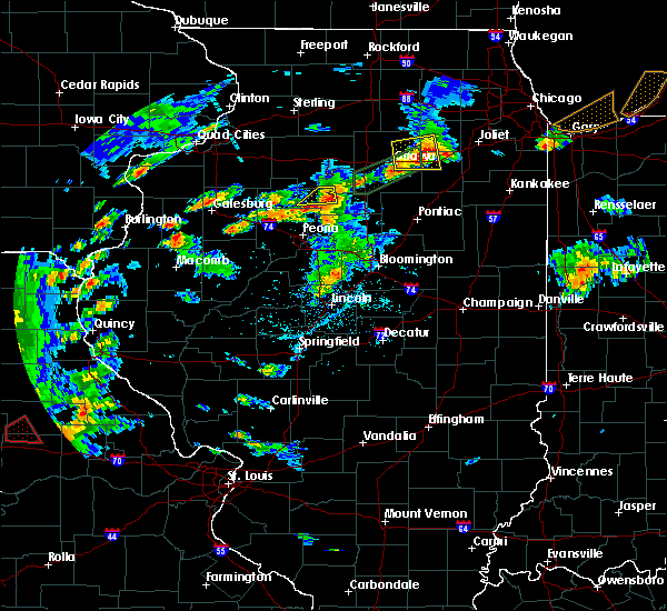 At 550 pm cdt, a severe thunderstorm was located over henry, or near lacon, moving east at 25 mph (radar indicated). Hazards include 60 mph wind gusts and quarter size hail. Hail damage to vehicles is expected. expect wind damage to roofs, siding and trees. Locations impacted include, lacon, henry, sparland and marshall county airport. At 550 pm cdt, a severe thunderstorm was located over henry, or near lacon, moving east at 25 mph (radar indicated). Hazards include 60 mph wind gusts and quarter size hail. Hail damage to vehicles is expected. expect wind damage to roofs, siding and trees. Locations impacted include, lacon, henry, sparland and marshall county airport.
|
| 6/13/2015 5:16 PM CDT |
 The national weather service in lincoln has issued a * severe thunderstorm warning for. northwestern marshall county in central illinois. until 600 pm cdt * at 515 pm cdt. a severe thunderstorm was located over camp grove. or 12 miles west of lacon. Moving east at 25 mph. The national weather service in lincoln has issued a * severe thunderstorm warning for. northwestern marshall county in central illinois. until 600 pm cdt * at 515 pm cdt. a severe thunderstorm was located over camp grove. or 12 miles west of lacon. Moving east at 25 mph.
|
| 6/10/2015 7:17 PM CDT |
 At 717 pm cdt, a severe thunderstorm was located near lacon, moving southeast at 10 mph (radar indicated). Hazards include 70 mph wind gusts and ping pong ball size hail. People and animals outdoors will be injured. expect hail damage to roofs, siding, windows and vehicles. expect considerable tree damage. Wind damage is also likely to mobile homes, roofs and outbuildings. At 717 pm cdt, a severe thunderstorm was located near lacon, moving southeast at 10 mph (radar indicated). Hazards include 70 mph wind gusts and ping pong ball size hail. People and animals outdoors will be injured. expect hail damage to roofs, siding, windows and vehicles. expect considerable tree damage. Wind damage is also likely to mobile homes, roofs and outbuildings.
|
| 6/10/2015 7:06 PM CDT | Large tree limbs down on the south side of town in marshall county IL, 1 miles N of Lacon, IL |
| 6/10/2015 7:02 PM CDT | Ping Pong Ball sized hail reported 1 miles WNW of Lacon, IL |
| 6/10/2015 6:50 PM CDT |
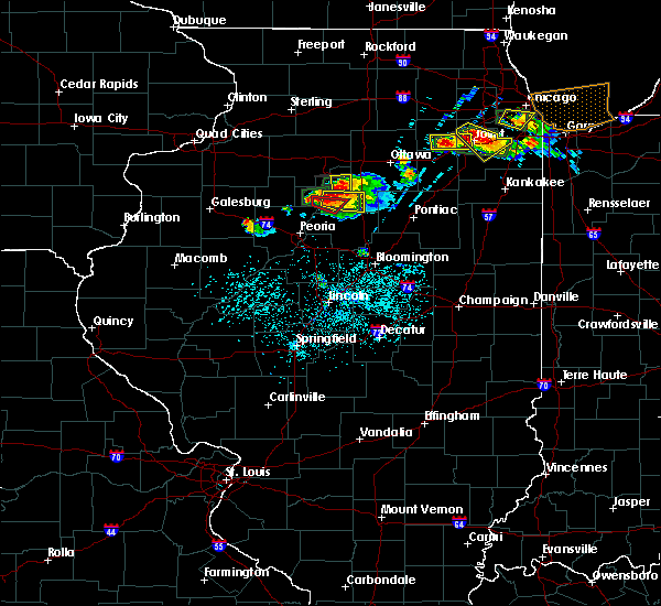 At 650 pm cdt, a severe thunderstorm capable of producing a tornado was located over sparland, near lacon, moving east at 30 mph (radar indicated rotation). Hazards include tornado and golf ball size hail. Flying debris will be dangerous to those caught without shelter. mobile homes will be damaged or destroyed. damage to roofs, windows and vehicles will occur. tree damage is likely. this dangerous storm will be near, washburn and varna around 710 pm cdt. Other locations impacted by this tornadic thunderstorm include la rose, hopewell and marshall county airport. At 650 pm cdt, a severe thunderstorm capable of producing a tornado was located over sparland, near lacon, moving east at 30 mph (radar indicated rotation). Hazards include tornado and golf ball size hail. Flying debris will be dangerous to those caught without shelter. mobile homes will be damaged or destroyed. damage to roofs, windows and vehicles will occur. tree damage is likely. this dangerous storm will be near, washburn and varna around 710 pm cdt. Other locations impacted by this tornadic thunderstorm include la rose, hopewell and marshall county airport.
|
| 6/10/2015 6:30 PM CDT | Golf Ball sized hail reported 0.3 miles NNE of Lacon, IL, via twitter |
| 6/10/2015 6:21 PM CDT |
 At 620 pm cdt, a severe thunderstorm was located near lacon, moving east at 20 mph (radar indicated). Hazards include ping pong ball size hail and 60 mph wind gusts. People and animals outdoors will be injured. expect hail damage to roofs, siding, windows and vehicles. Expect wind damage to roofs, siding and trees. At 620 pm cdt, a severe thunderstorm was located near lacon, moving east at 20 mph (radar indicated). Hazards include ping pong ball size hail and 60 mph wind gusts. People and animals outdoors will be injured. expect hail damage to roofs, siding, windows and vehicles. Expect wind damage to roofs, siding and trees.
|
| 6/10/2015 5:56 PM CDT |
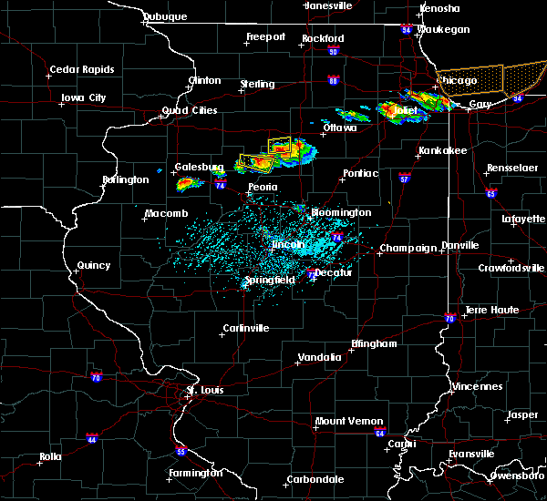 At 555 pm cdt, a severe thunderstorm was located near sparland, or 6 miles northwest of lacon, moving east at 20 mph (radar indicated). Hazards include ping pong ball size hail and 60 mph wind gusts. People and animals outdoors will be injured. expect hail damage to roofs, siding, windows and vehicles. expect wind damage to roofs, siding and trees. Locations impacted include, lacon, sparland, hopewell and marshall county airport. At 555 pm cdt, a severe thunderstorm was located near sparland, or 6 miles northwest of lacon, moving east at 20 mph (radar indicated). Hazards include ping pong ball size hail and 60 mph wind gusts. People and animals outdoors will be injured. expect hail damage to roofs, siding, windows and vehicles. expect wind damage to roofs, siding and trees. Locations impacted include, lacon, sparland, hopewell and marshall county airport.
|
| 6/10/2015 5:39 PM CDT |
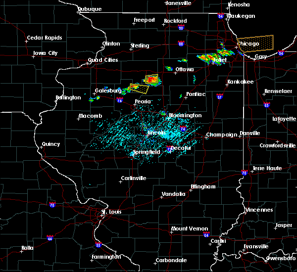 At 539 pm cdt, a severe thunderstorm was located over camp grove, or 12 miles west of lacon, moving east at 25 mph (radar indicated). Hazards include ping pong ball size hail and 60 mph wind gusts. People and animals outdoors will be injured. expect hail damage to roofs, siding, windows and vehicles. Expect wind damage to roofs, siding and trees. At 539 pm cdt, a severe thunderstorm was located over camp grove, or 12 miles west of lacon, moving east at 25 mph (radar indicated). Hazards include ping pong ball size hail and 60 mph wind gusts. People and animals outdoors will be injured. expect hail damage to roofs, siding, windows and vehicles. Expect wind damage to roofs, siding and trees.
|
| 6/7/2015 3:35 PM CDT | At 335 pm cdt, a severe thunderstorm was located over toluca, or 13 miles east of lacon, moving east at 40 mph (radar indicated). Hazards include 60 mph wind gusts and half dollar size hail. Hail damage to vehicles is expected. expect wind damage to roofs, siding and trees. locations impacted include, lacon, henry, toluca, wenona, varna, la rose, marshall county airport, pattonsburg and lake wildwood. This includes interstate 39 between mile markers 29 and 40. |
| 6/7/2015 3:21 PM CDT | At 321 pm cdt, a severe thunderstorm was located near lacon, moving east at 40 mph (radar indicated). Hazards include 60 mph wind gusts and half dollar size hail. Hail damage to vehicles is expected. Expect wind damage to roofs, siding and trees. |
| 4/9/2015 7:32 PM CDT | The national weather service in lincoln has issued a * tornado warning for. eastern marshall county in central illinois. extreme northeastern peoria county in central illinois. northwestern woodford county in central illinois. Until 800 pm cdt. |
| 4/9/2015 7:10 PM CDT | A severe thunderstorm warning remains in effect for northwestern woodford. southeastern stark. northern peoria and western marshall counties until 745 pm cdt. at 706 pm cdt. a severe thunderstorm was located near dunlap. and moving northeast at 70 mph. hazard. 60 mph wind gusts and quarter size hail. |
| 4/9/2015 6:56 PM CDT | The national weather service in lincoln has issued a * severe thunderstorm warning for. southeastern knox county in west central illinois. western marshall county in central illinois. northern peoria county in central illinois. Southeastern stark county in north central illinois. |
| 4/9/2015 2:12 PM CDT | The tornado warning for marshall county will expire at 215 pm cdt. the storm which prompted the warning has weakened and moved out of the warned area. additional strong thunderstorms are still possible. And a tornado watch remains in effect until 11 pm cdt. |
| 4/9/2015 2:00 PM CDT | A tornado warning remains in effect for marshall county until 215 pm cdt. at 157 pm cdt. a severe thunderstorm capable of producing a tornado was located near lacon. and moving northeast at 30 mph. hazard. tornado and quarter size hail. source. Radar indicated rotation. |
| 4/9/2015 1:37 PM CDT | The national weather service in lincoln has issued a * tornado warning for. marshall county in central illinois. northeastern peoria county in central illinois. northwestern woodford county in central illinois. Until 215 pm cdt. |
| 4/9/2015 1:29 PM CDT | The national weather service in lincoln has issued a * severe thunderstorm warning for. marshall county in central illinois. northeastern peoria county in central illinois. northwestern woodford county in central illinois. Until 215 pm cdt. |
| 4/8/2015 3:18 AM CDT | The national weather service in lincoln has issued a * severe thunderstorm warning for. marshall county in central illinois. until 345 am cdt * at 317 am cdt. a severe thunderstorm was located near lacon. And moving east at 35 mph. |
| 9/1/2014 3:55 AM CDT | Idot site on illinois route 17 at lacon in marshall county IL, 0.3 miles NNE of Lacon, IL |
| 5/6/2012 3:18 PM CDT | Storm damage reported in marshall county IL, 3.2 miles S of Lacon, IL |
| 1/1/0001 12:00 AM | Lacon awos 61 mph wind gus in marshall county IL, 0.3 miles NNE of Lacon, IL |
Hail Maps for Lacon, IL


Connect with Interactive Hail Maps