

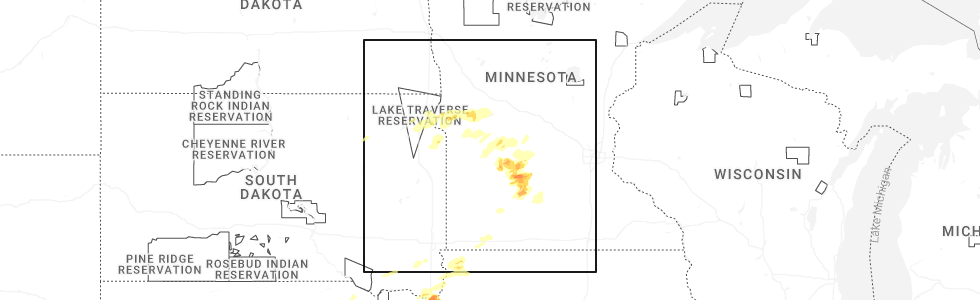
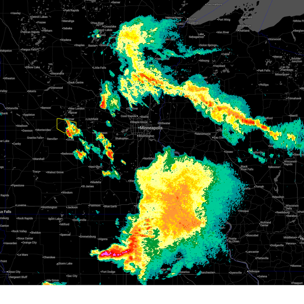
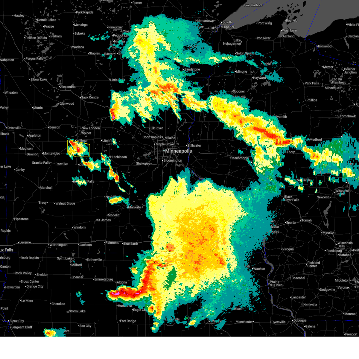
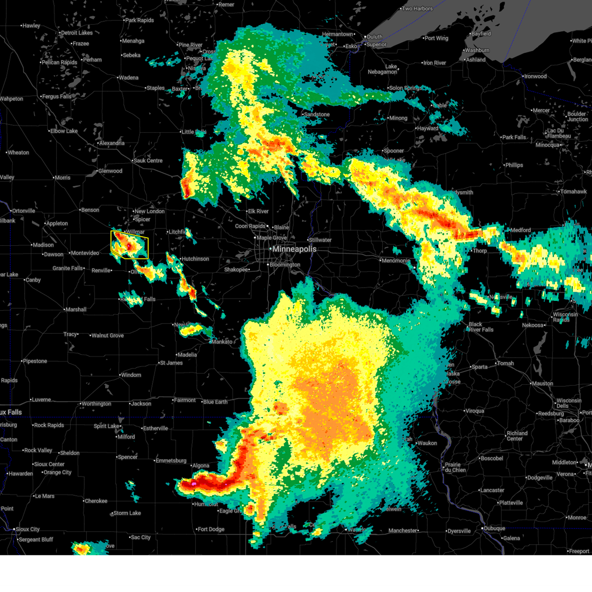
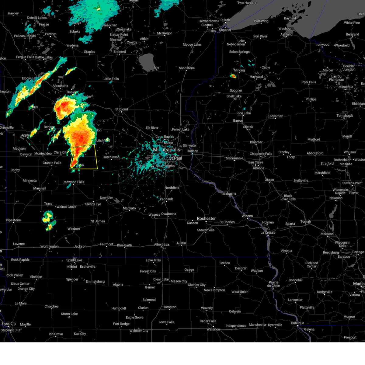
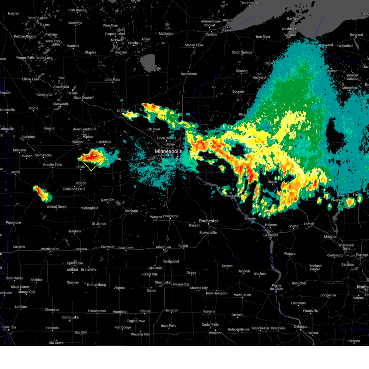
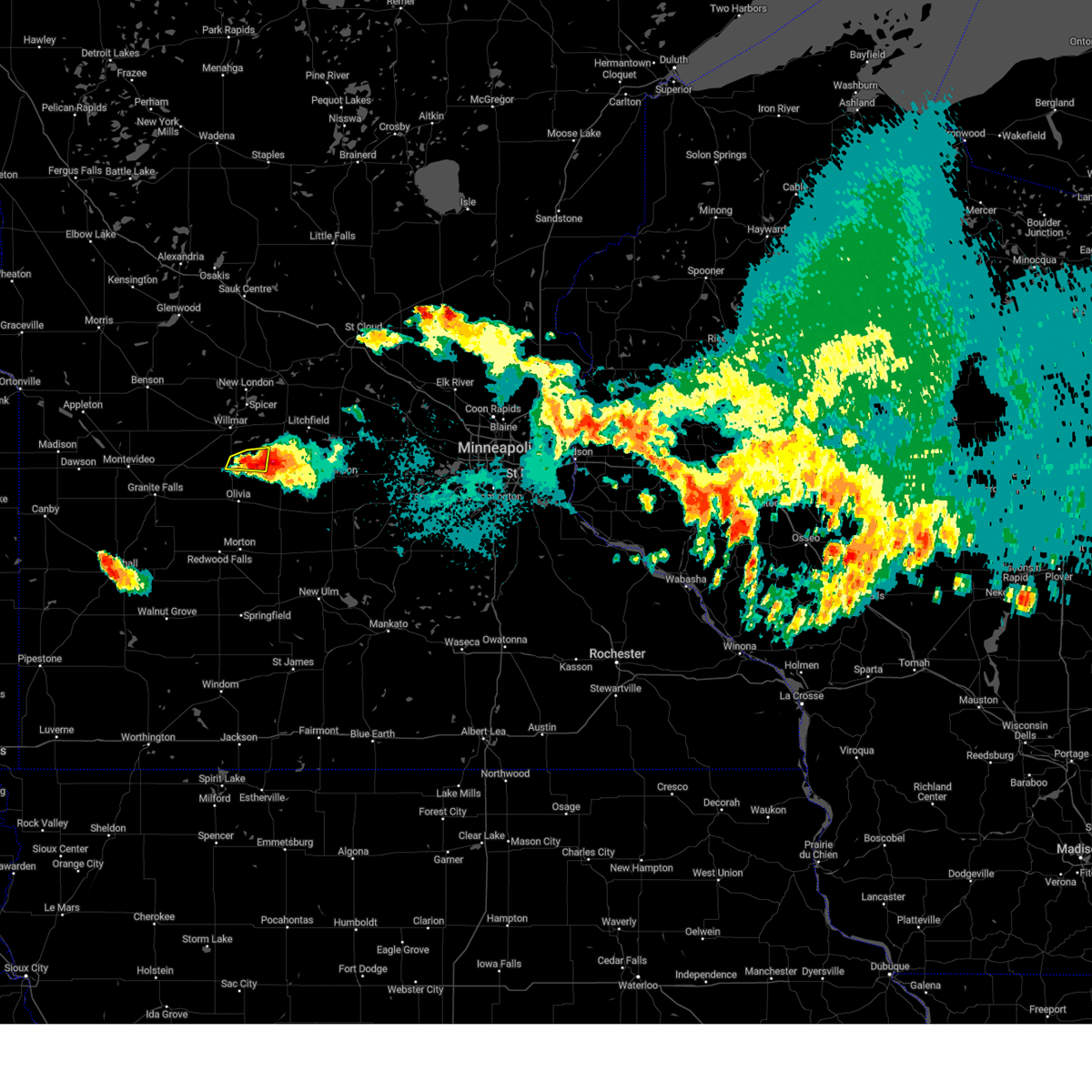
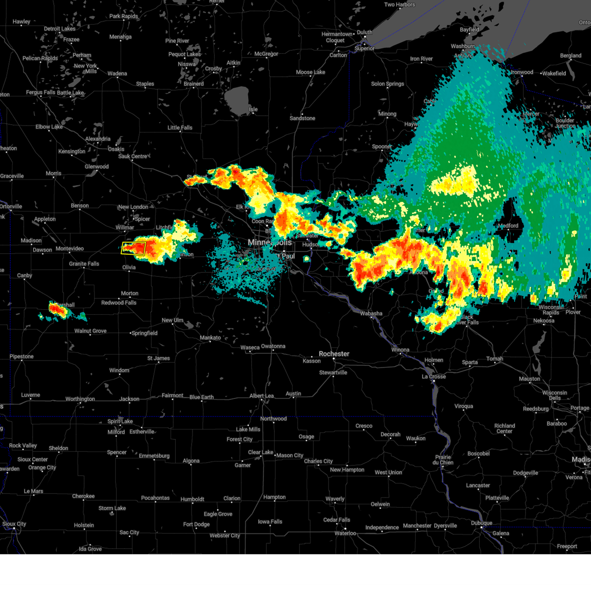
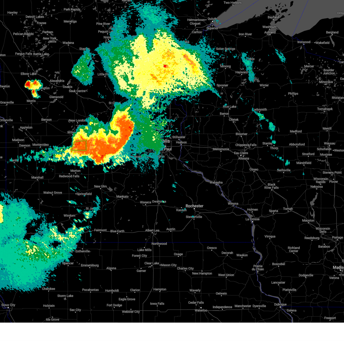
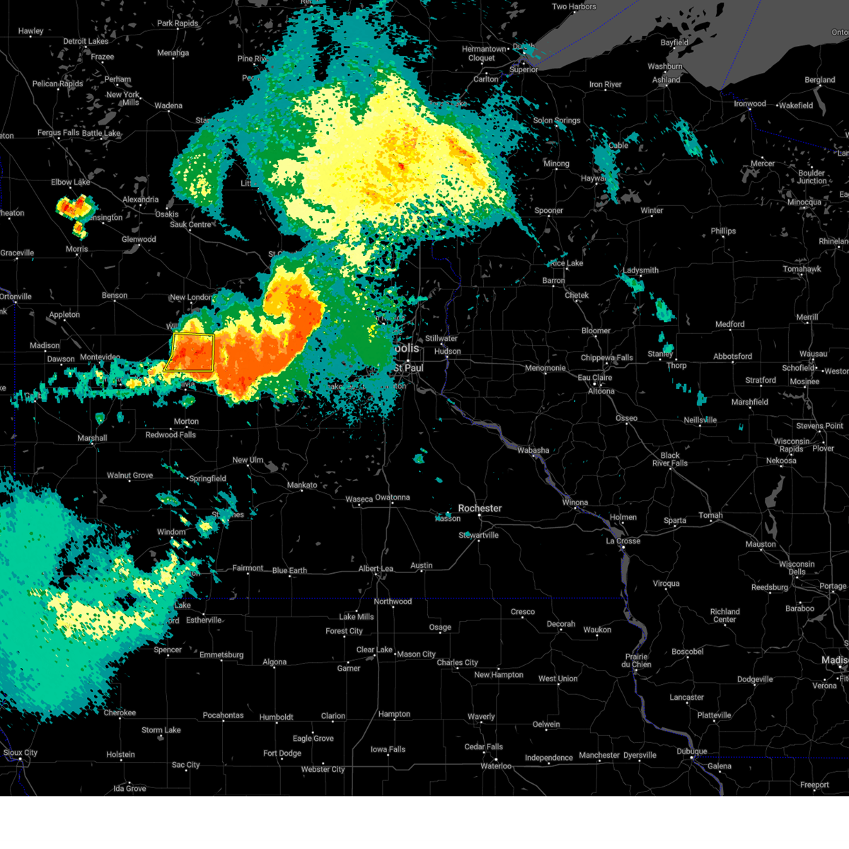
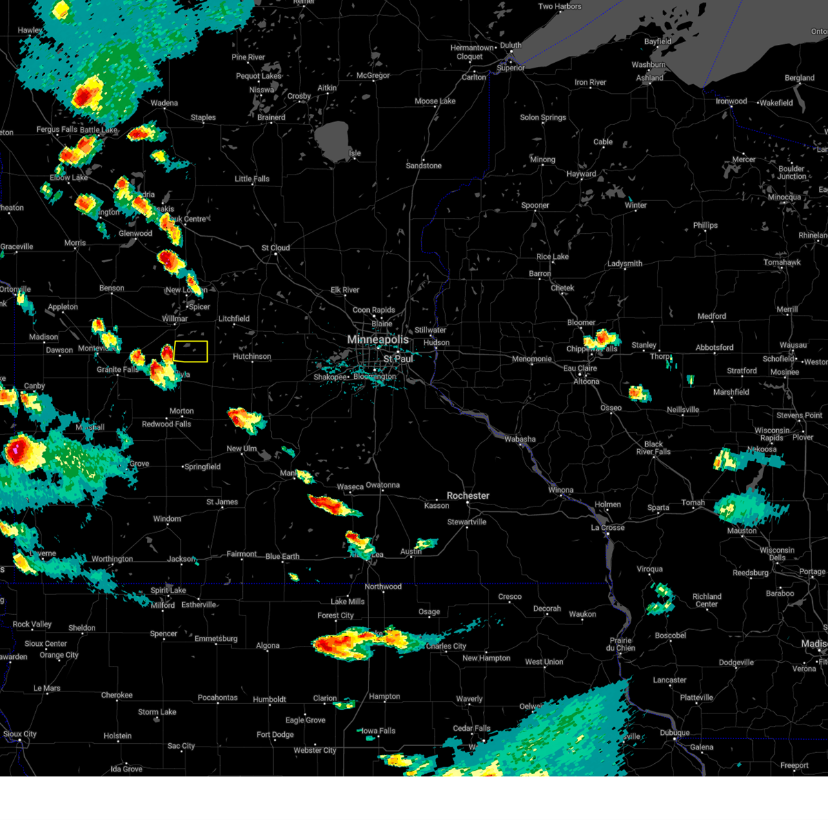
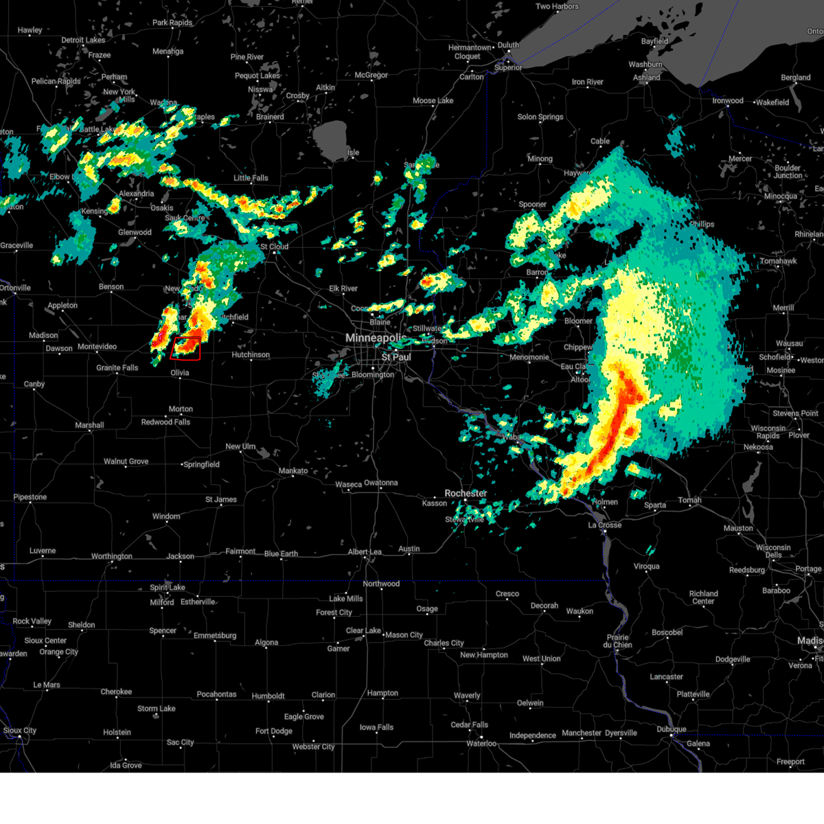
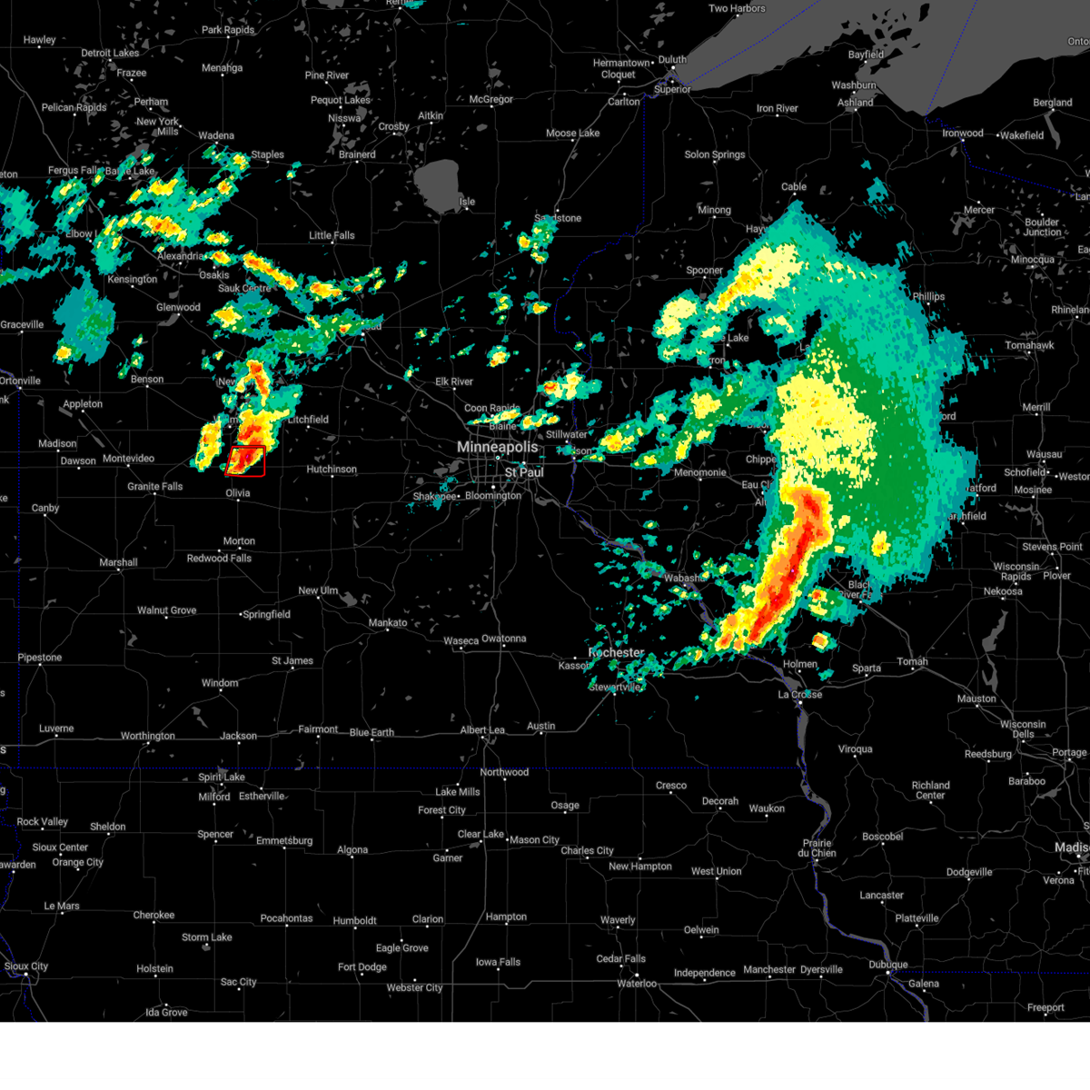
Hail Map for Lake Lillian, MN
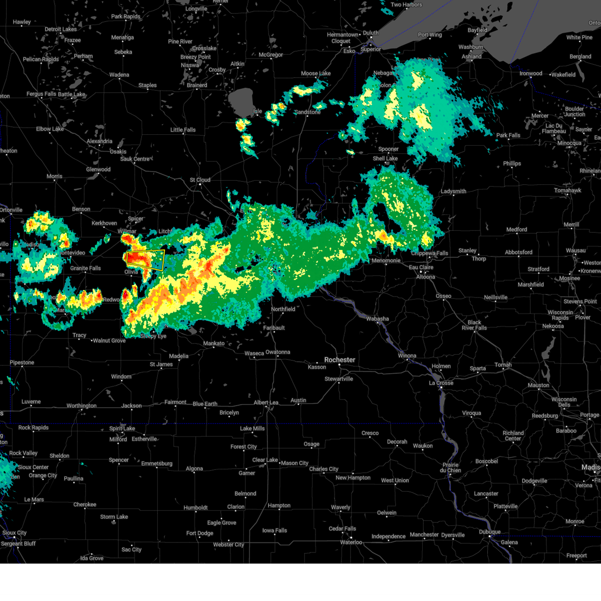
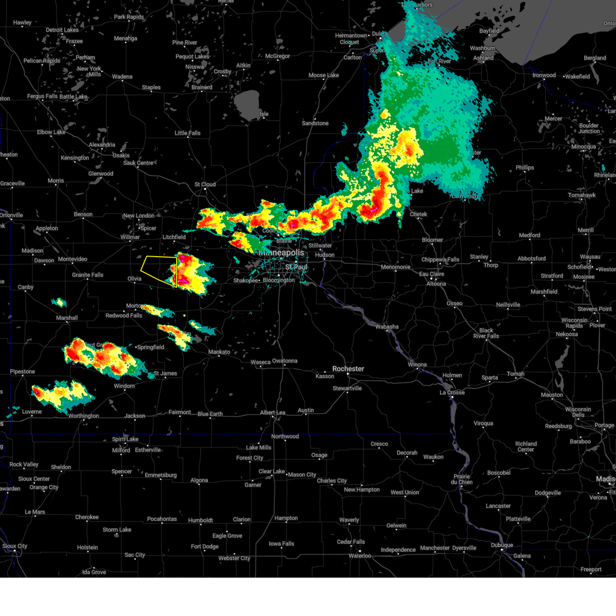
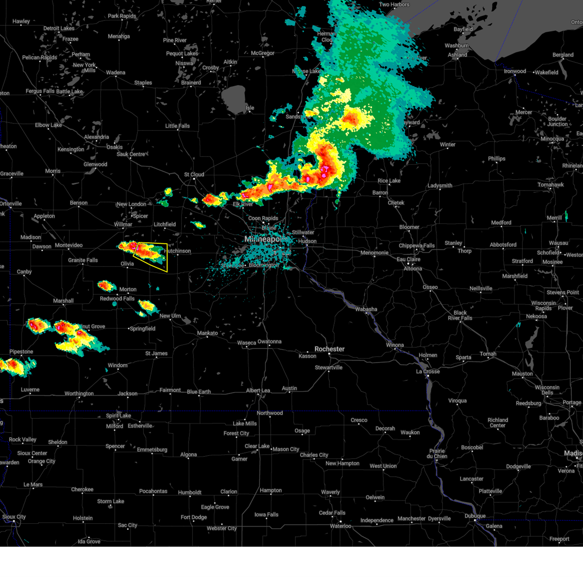
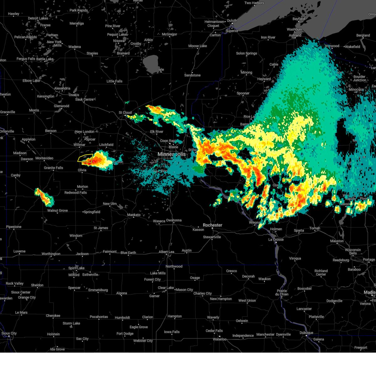
The Lake Lillian, MN area has had 5 reports of on-the-ground hail by trained spotters, and has been under severe weather warnings 13 times during the past 12 months. Doppler radar has detected hail at or near Lake Lillian, MN on 59 occasions, including 6 occasions during the past year.
| Name: | Lake Lillian, MN |
| Where Located: | 41.1 miles E of Montevideo, MN |
| Map: | Google Map for Lake Lillian, MN |
| Population: | 238 |
| Housing Units: | 136 |
| More Info: | Search Google for Lake Lillian, MN |
1
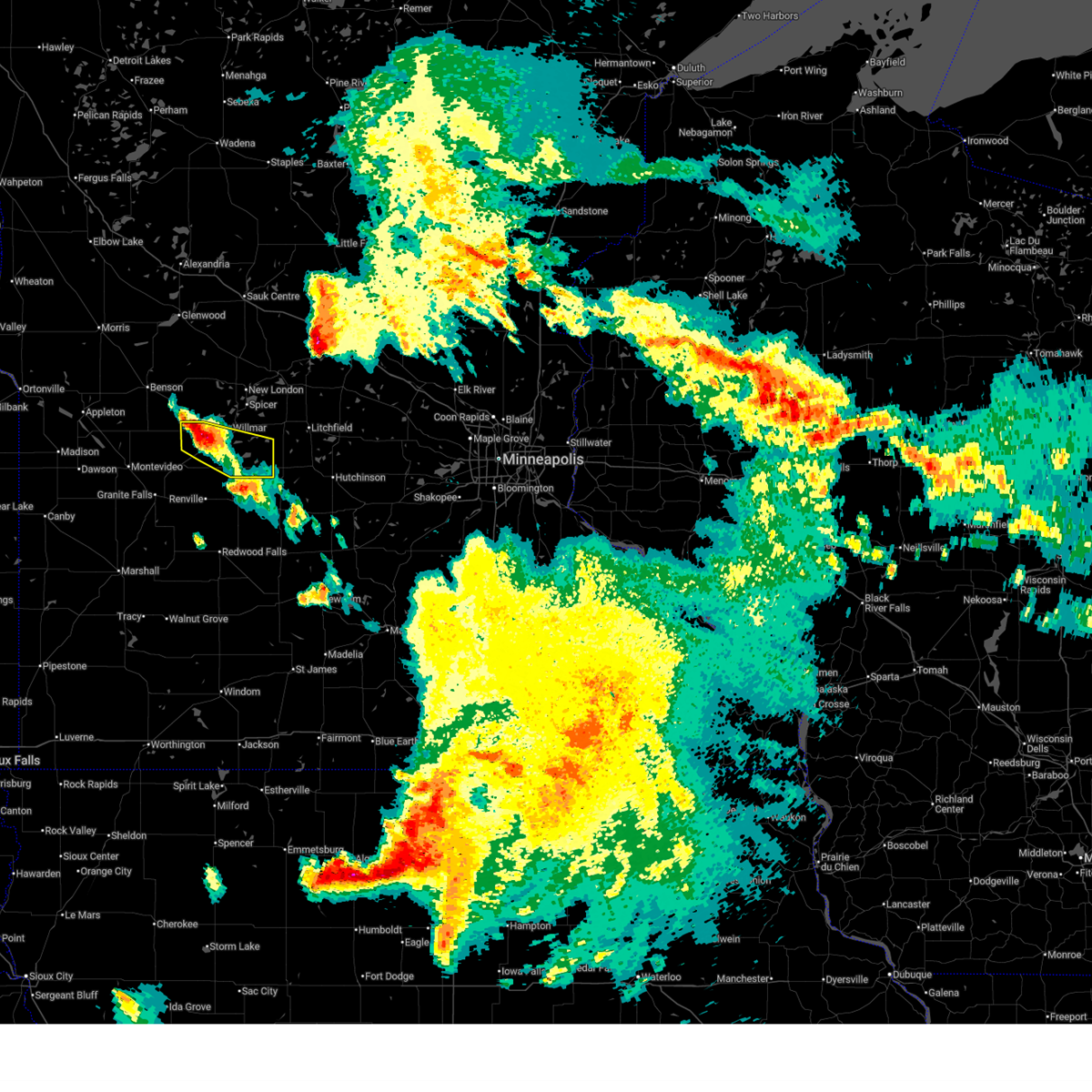
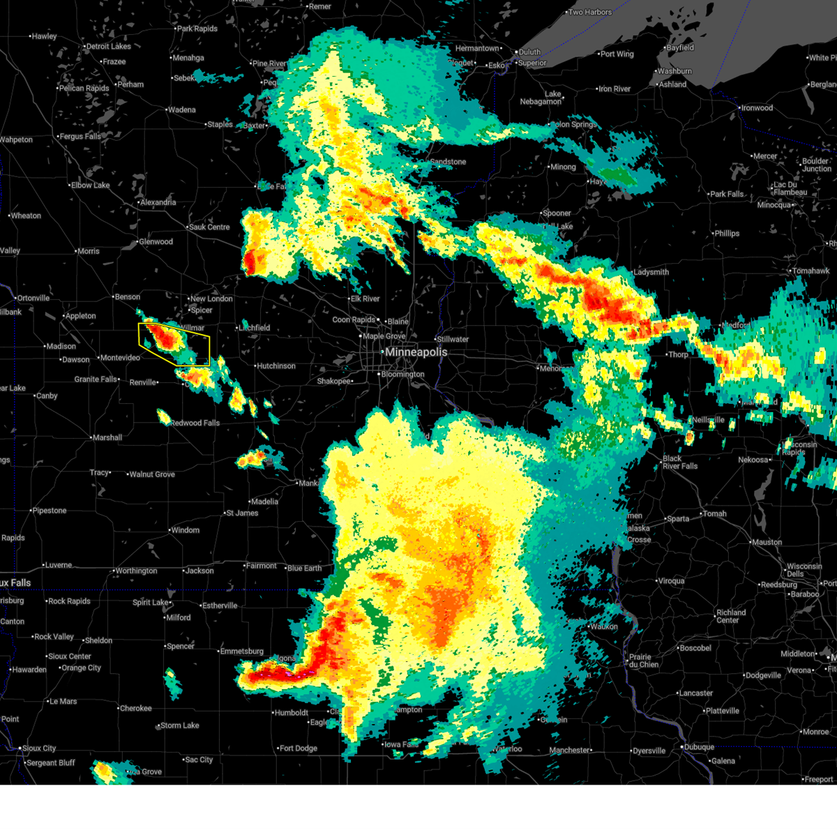
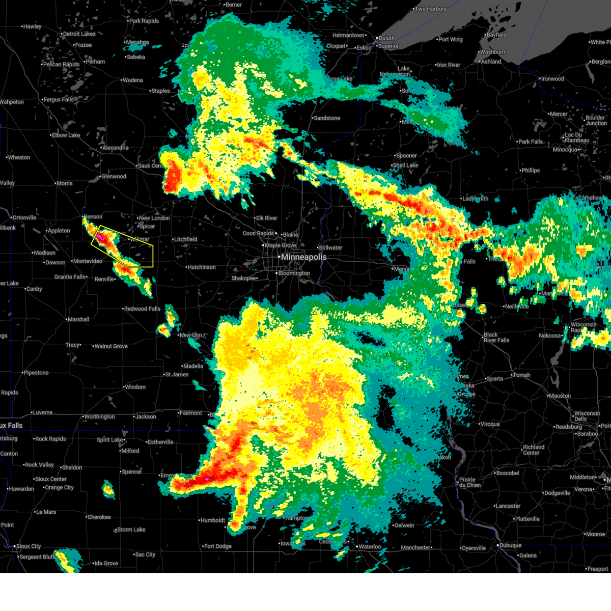
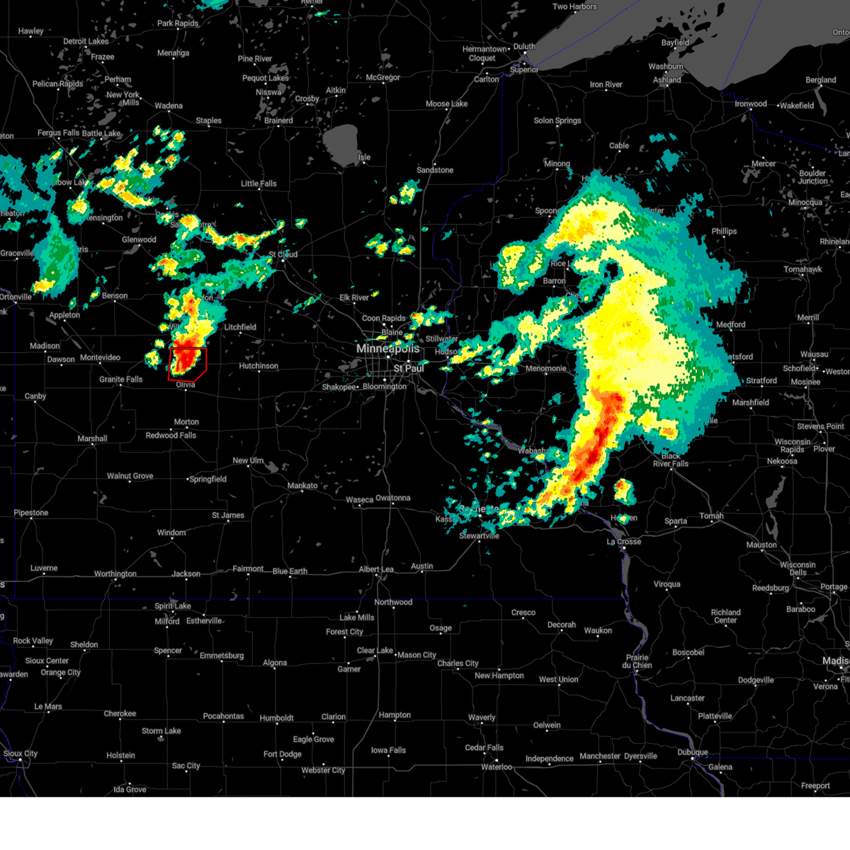
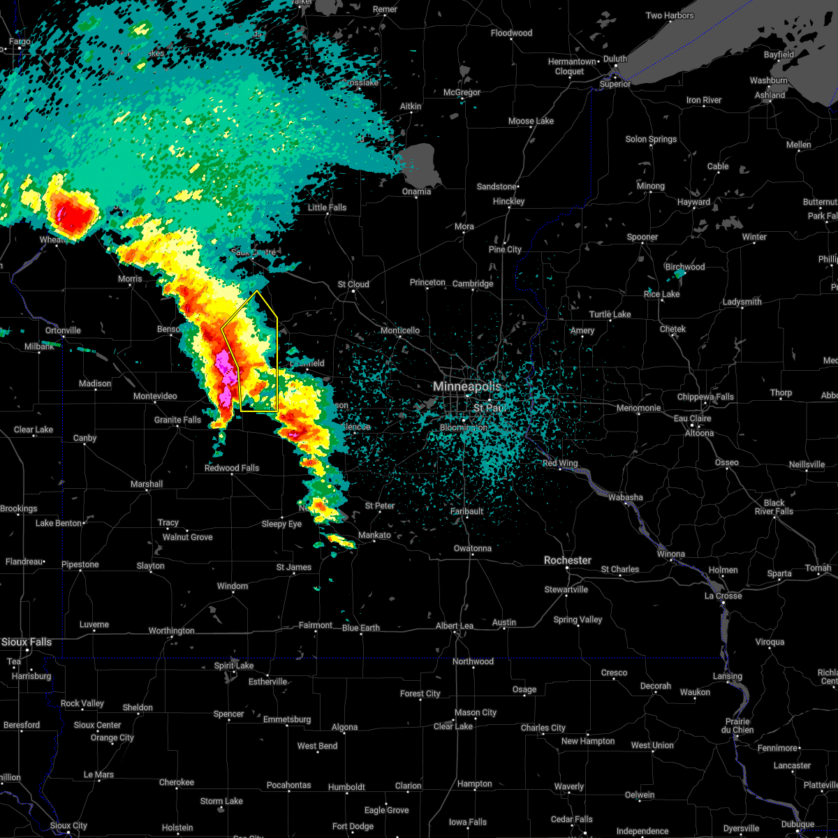
The Top Recent Hail Date for Lake Lillian, MN is Monday, June 2, 2025 (20th out of 59)
Hail and Wind Damage Spotted near Lake Lillian, MN
| Date / Time | Report Details |
|---|---|
| 6/20/2025 4:07 AM CDT |
 the severe thunderstorm warning has been cancelled and is no longer in effect the severe thunderstorm warning has been cancelled and is no longer in effect
|
| 6/20/2025 3:54 AM CDT |
 At 354 am cdt, a severe thunderstorm was located 7 miles south of willmar, moving southeast at 35 mph (radar indicated). Hazards include 60 mph wind gusts and quarter size hail. Hail damage to vehicles is expected. expect wind damage to roofs, siding, and trees. Locations impacted include, willmar, prinsburg, lake lillian, blomkest, svea, thorpe and priam. At 354 am cdt, a severe thunderstorm was located 7 miles south of willmar, moving southeast at 35 mph (radar indicated). Hazards include 60 mph wind gusts and quarter size hail. Hail damage to vehicles is expected. expect wind damage to roofs, siding, and trees. Locations impacted include, willmar, prinsburg, lake lillian, blomkest, svea, thorpe and priam.
|
| 6/20/2025 3:54 AM CDT |
 the severe thunderstorm warning has been cancelled and is no longer in effect the severe thunderstorm warning has been cancelled and is no longer in effect
|
| 6/20/2025 3:42 AM CDT |
 the severe thunderstorm warning has been cancelled and is no longer in effect the severe thunderstorm warning has been cancelled and is no longer in effect
|
| 6/20/2025 3:42 AM CDT |
 At 342 am cdt, a severe thunderstorm was located near raymond, or 9 miles southwest of willmar, moving southeast at 35 mph (radar indicated). Hazards include 60 mph wind gusts and quarter size hail. Hail damage to vehicles is expected. expect wind damage to roofs, siding, and trees. Locations impacted include, willmar, raymond, prinsburg, pennock, lake lillian, blomkest, svea, thorpe, priam and willmar airport. At 342 am cdt, a severe thunderstorm was located near raymond, or 9 miles southwest of willmar, moving southeast at 35 mph (radar indicated). Hazards include 60 mph wind gusts and quarter size hail. Hail damage to vehicles is expected. expect wind damage to roofs, siding, and trees. Locations impacted include, willmar, raymond, prinsburg, pennock, lake lillian, blomkest, svea, thorpe, priam and willmar airport.
|
| 6/20/2025 3:25 AM CDT |
 Svrmpx the national weather service in the twin cities has issued a * severe thunderstorm warning for, southern kandiyohi county in central minnesota, northeastern chippewa county in west central minnesota, southeastern swift county in west central minnesota, * until 430 am cdt. * at 325 am cdt, a severe thunderstorm was located near kerkhoven, or 17 miles west of willmar, moving southeast at 35 mph (radar indicated). Hazards include ping pong ball size hail and 60 mph wind gusts. People and animals outdoors will be injured. expect hail damage to roofs, siding, windows, and vehicles. Expect wind damage to roofs, siding, and trees. Svrmpx the national weather service in the twin cities has issued a * severe thunderstorm warning for, southern kandiyohi county in central minnesota, northeastern chippewa county in west central minnesota, southeastern swift county in west central minnesota, * until 430 am cdt. * at 325 am cdt, a severe thunderstorm was located near kerkhoven, or 17 miles west of willmar, moving southeast at 35 mph (radar indicated). Hazards include ping pong ball size hail and 60 mph wind gusts. People and animals outdoors will be injured. expect hail damage to roofs, siding, windows, and vehicles. Expect wind damage to roofs, siding, and trees.
|
| 8/26/2024 5:26 PM CDT |
 At 525 pm cdt, a severe thunderstorm was located 6 miles southwest of cosmos, or 19 miles southeast of willmar, moving east at 30 mph (radar indicated). Hazards include 60 mph wind gusts and half dollar size hail. Hail damage to vehicles is expected. expect wind damage to roofs, siding, and trees. Locations impacted include, olivia, bird island, cosmos, lake lillian, and thorpe. At 525 pm cdt, a severe thunderstorm was located 6 miles southwest of cosmos, or 19 miles southeast of willmar, moving east at 30 mph (radar indicated). Hazards include 60 mph wind gusts and half dollar size hail. Hail damage to vehicles is expected. expect wind damage to roofs, siding, and trees. Locations impacted include, olivia, bird island, cosmos, lake lillian, and thorpe.
|
| 8/26/2024 4:59 PM CDT |
 Svrmpx the national weather service in the twin cities has issued a * severe thunderstorm warning for, southwestern meeker county in central minnesota, southeastern kandiyohi county in central minnesota, northeastern renville county in central minnesota, * until 545 pm cdt. * at 459 pm cdt, a severe thunderstorm was located 7 miles southeast of prinsburg, or 18 miles south of willmar, moving east at 25 mph (radar indicated). Hazards include 60 mph wind gusts and half dollar size hail. Hail damage to vehicles is expected. Expect wind damage to roofs, siding, and trees. Svrmpx the national weather service in the twin cities has issued a * severe thunderstorm warning for, southwestern meeker county in central minnesota, southeastern kandiyohi county in central minnesota, northeastern renville county in central minnesota, * until 545 pm cdt. * at 459 pm cdt, a severe thunderstorm was located 7 miles southeast of prinsburg, or 18 miles south of willmar, moving east at 25 mph (radar indicated). Hazards include 60 mph wind gusts and half dollar size hail. Hail damage to vehicles is expected. Expect wind damage to roofs, siding, and trees.
|
| 8/3/2024 10:31 PM CDT | The severe thunderstorm which prompted the warning has remained strong over the area. a new warning has been issued. a severe thunderstorm watch remains in effect until 100 am cdt for central minnesota. remember, a severe thunderstorm warning still remains in effect for portions of southern kandiyohi, meeker, northeastern renville, and western mccleod counties until 1115pm. |
| 8/3/2024 10:16 PM CDT | At 1016 pm cdt, a severe thunderstorm was located near stewart, or 7 miles southwest of hutchinson, moving southeast at 45 mph (radar indicated). Hazards include 60 mph wind gusts and half dollar size hail. Hail damage to vehicles is expected. expect wind damage to roofs, siding, and trees. Locations impacted include, hutchinson, atwater, grove city, stewart, cosmos, greenleaf, lakeside, lake lillian, thorpe, strout, corvuso, and hutchinson airport. |
| 8/3/2024 9:41 PM CDT |
 At 941 pm cdt, a severe thunderstorm capable of producing a tornado was located 6 miles south of atwater, or 14 miles southeast of willmar, moving southeast at 30 mph (radar indicated rotation). Hazards include tornado and ping pong ball size hail. Flying debris will be dangerous to those caught without shelter. mobile homes will be damaged or destroyed. damage to roofs, windows, and vehicles will occur. tree damage is likely. this dangerous storm will be near, cosmos around 950 pm cdt. Other locations impacted by this tornadic thunderstorm include thorpe and lake lillian. At 941 pm cdt, a severe thunderstorm capable of producing a tornado was located 6 miles south of atwater, or 14 miles southeast of willmar, moving southeast at 30 mph (radar indicated rotation). Hazards include tornado and ping pong ball size hail. Flying debris will be dangerous to those caught without shelter. mobile homes will be damaged or destroyed. damage to roofs, windows, and vehicles will occur. tree damage is likely. this dangerous storm will be near, cosmos around 950 pm cdt. Other locations impacted by this tornadic thunderstorm include thorpe and lake lillian.
|
| 8/3/2024 9:40 PM CDT |
 Svrmpx the national weather service in the twin cities has issued a * severe thunderstorm warning for, southwestern meeker county in central minnesota, northwestern mcleod county in central minnesota, southeastern kandiyohi county in central minnesota, northeastern renville county in central minnesota, * until 1030 pm cdt. * at 940 pm cdt, a severe thunderstorm was located 7 miles northwest of cosmos, or 15 miles southeast of willmar, moving southeast at 30 mph (radar indicated). Hazards include ping pong ball size hail and 60 mph wind gusts. People and animals outdoors will be injured. expect hail damage to roofs, siding, windows, and vehicles. Expect wind damage to roofs, siding, and trees. Svrmpx the national weather service in the twin cities has issued a * severe thunderstorm warning for, southwestern meeker county in central minnesota, northwestern mcleod county in central minnesota, southeastern kandiyohi county in central minnesota, northeastern renville county in central minnesota, * until 1030 pm cdt. * at 940 pm cdt, a severe thunderstorm was located 7 miles northwest of cosmos, or 15 miles southeast of willmar, moving southeast at 30 mph (radar indicated). Hazards include ping pong ball size hail and 60 mph wind gusts. People and animals outdoors will be injured. expect hail damage to roofs, siding, windows, and vehicles. Expect wind damage to roofs, siding, and trees.
|
| 8/3/2024 9:32 PM CDT | Tormpx the national weather service in the twin cities has issued a * tornado warning for, southwestern meeker county in central minnesota, southeastern kandiyohi county in central minnesota, * until 1000 pm cdt. * at 931 pm cdt, a severe thunderstorm capable of producing a tornado was located over atwater, or 10 miles east of willmar, moving southeast at 25 mph (radar indicated rotation). Hazards include tornado and quarter size hail. Flying debris will be dangerous to those caught without shelter. mobile homes will be damaged or destroyed. damage to roofs, windows, and vehicles will occur. tree damage is likely. this dangerous storm will be near, cosmos around 950 pm cdt. other locations impacted by this tornadic thunderstorm include thorpe, kandiyohi, strout, and lake lillian. this includes u. s. Highway 12 between mile markers 78 and 91. |
| 6/12/2024 10:04 AM CDT |
 the severe thunderstorm warning has been cancelled and is no longer in effect the severe thunderstorm warning has been cancelled and is no longer in effect
|
| 6/12/2024 9:53 AM CDT |
 At 953 am cdt, a severe thunderstorm was located near cosmos, or 19 miles southeast of willmar, moving east at 30 mph (radar indicated). Hazards include 60 mph wind gusts and quarter size hail. Hail damage to vehicles is expected. expect wind damage to roofs, siding, and trees. Locations impacted include, cosmos, lake lillian, thorpe, and corvuso. At 953 am cdt, a severe thunderstorm was located near cosmos, or 19 miles southeast of willmar, moving east at 30 mph (radar indicated). Hazards include 60 mph wind gusts and quarter size hail. Hail damage to vehicles is expected. expect wind damage to roofs, siding, and trees. Locations impacted include, cosmos, lake lillian, thorpe, and corvuso.
|
| 6/12/2024 9:37 AM CDT |
 Svrmpx the national weather service in the twin cities has issued a * severe thunderstorm warning for, southwestern meeker county in central minnesota, southeastern kandiyohi county in central minnesota, northeastern renville county in central minnesota, * until 1015 am cdt. * at 937 am cdt, a severe thunderstorm was located 9 miles east of prinsburg, or 13 miles south of willmar, moving east at 25 mph (radar indicated). Hazards include 60 mph wind gusts and quarter size hail. Hail damage to vehicles is expected. Expect wind damage to roofs, siding, and trees. Svrmpx the national weather service in the twin cities has issued a * severe thunderstorm warning for, southwestern meeker county in central minnesota, southeastern kandiyohi county in central minnesota, northeastern renville county in central minnesota, * until 1015 am cdt. * at 937 am cdt, a severe thunderstorm was located 9 miles east of prinsburg, or 13 miles south of willmar, moving east at 25 mph (radar indicated). Hazards include 60 mph wind gusts and quarter size hail. Hail damage to vehicles is expected. Expect wind damage to roofs, siding, and trees.
|
| 8/11/2023 4:43 PM CDT |
 The severe thunderstorm warning for southwestern meeker, southeastern kandiyohi and northeastern renville counties will expire at 445 pm cdt, the storm which prompted the warning has moved out of the area. therefore, the warning will be allowed to expire. a severe thunderstorm watch remains in effect until 1000 pm cdt for central minnesota. The severe thunderstorm warning for southwestern meeker, southeastern kandiyohi and northeastern renville counties will expire at 445 pm cdt, the storm which prompted the warning has moved out of the area. therefore, the warning will be allowed to expire. a severe thunderstorm watch remains in effect until 1000 pm cdt for central minnesota.
|
| 8/11/2023 4:17 PM CDT |
 At 417 pm cdt, a severe thunderstorm was located near cosmos, or 12 miles west of hutchinson, moving east at 50 mph (radar indicated). Hazards include 60 mph wind gusts and half dollar size hail. Hail damage to vehicles is expected. expect wind damage to roofs, siding, and trees. this severe thunderstorm will remain over mainly rural areas of southwestern meeker, southeastern kandiyohi and northeastern renville counties, including the following locations, thorpe, corvuso, cedar mills, lakeside and lake lillian. hail threat, radar indicated max hail size, 1. 25 in wind threat, radar indicated max wind gust, 60 mph. At 417 pm cdt, a severe thunderstorm was located near cosmos, or 12 miles west of hutchinson, moving east at 50 mph (radar indicated). Hazards include 60 mph wind gusts and half dollar size hail. Hail damage to vehicles is expected. expect wind damage to roofs, siding, and trees. this severe thunderstorm will remain over mainly rural areas of southwestern meeker, southeastern kandiyohi and northeastern renville counties, including the following locations, thorpe, corvuso, cedar mills, lakeside and lake lillian. hail threat, radar indicated max hail size, 1. 25 in wind threat, radar indicated max wind gust, 60 mph.
|
| 8/11/2023 4:10 PM CDT | Half Dollar sized hail reported 0.1 miles SSE of Lake Lillian, MN, relayed via facebook messenger. |
| 8/11/2023 4:06 PM CDT |
 At 406 pm cdt, a severe thunderstorm was located near cosmos, or 19 miles southeast of willmar, moving east at 50 mph (radar indicated). Hazards include 60 mph wind gusts and half dollar size hail. Hail damage to vehicles is expected. expect wind damage to roofs, siding, and trees. this severe storm will be near, cosmos around 410 pm cdt. hail threat, radar indicated max hail size, 1. 25 in wind threat, radar indicated max wind gust, 60 mph. At 406 pm cdt, a severe thunderstorm was located near cosmos, or 19 miles southeast of willmar, moving east at 50 mph (radar indicated). Hazards include 60 mph wind gusts and half dollar size hail. Hail damage to vehicles is expected. expect wind damage to roofs, siding, and trees. this severe storm will be near, cosmos around 410 pm cdt. hail threat, radar indicated max hail size, 1. 25 in wind threat, radar indicated max wind gust, 60 mph.
|
| 8/11/2023 3:54 PM CDT |
 At 354 pm cdt, a severe thunderstorm was located 9 miles east of prinsburg, or 12 miles south of willmar, moving east at 50 mph (radar indicated). Hazards include 60 mph wind gusts and half dollar size hail. Hail damage to vehicles is expected. expect wind damage to roofs, siding, and trees. this severe thunderstorm will be near, cosmos around 410 pm cdt. hail threat, radar indicated max hail size, 1. 25 in wind threat, radar indicated max wind gust, 60 mph. At 354 pm cdt, a severe thunderstorm was located 9 miles east of prinsburg, or 12 miles south of willmar, moving east at 50 mph (radar indicated). Hazards include 60 mph wind gusts and half dollar size hail. Hail damage to vehicles is expected. expect wind damage to roofs, siding, and trees. this severe thunderstorm will be near, cosmos around 410 pm cdt. hail threat, radar indicated max hail size, 1. 25 in wind threat, radar indicated max wind gust, 60 mph.
|
| 7/27/2023 9:51 PM CDT |
 The severe thunderstorm warning for southeastern kandiyohi county will expire at 1000 pm cdt, the storm which prompted the warning has moved out of the area. therefore, the warning will be allowed to expire. remember, a severe thunderstorm warning still remains in effect for far southeast kandiyohi county. The severe thunderstorm warning for southeastern kandiyohi county will expire at 1000 pm cdt, the storm which prompted the warning has moved out of the area. therefore, the warning will be allowed to expire. remember, a severe thunderstorm warning still remains in effect for far southeast kandiyohi county.
|
| 7/27/2023 9:47 PM CDT |
 At 947 pm cdt, a severe thunderstorm was located 6 miles west of cosmos, or 17 miles southeast of willmar, moving southeast at 15 mph (trained weather spotters). Hazards include 60 mph wind gusts and half dollar size hail. Hail damage to vehicles is expected. expect wind damage to roofs, siding, and trees. this severe thunderstorm will be near, cosmos around 1005 pm cdt. hail threat, radar indicated max hail size, 1. 25 in wind threat, radar indicated max wind gust, 60 mph. At 947 pm cdt, a severe thunderstorm was located 6 miles west of cosmos, or 17 miles southeast of willmar, moving southeast at 15 mph (trained weather spotters). Hazards include 60 mph wind gusts and half dollar size hail. Hail damage to vehicles is expected. expect wind damage to roofs, siding, and trees. this severe thunderstorm will be near, cosmos around 1005 pm cdt. hail threat, radar indicated max hail size, 1. 25 in wind threat, radar indicated max wind gust, 60 mph.
|
| 7/27/2023 9:38 PM CDT |
 At 938 pm cdt, a severe thunderstorm was located 10 miles west of cosmos, or 12 miles southeast of willmar, moving east at 10 mph (trained weather spotters). Hazards include 60 mph wind gusts and half dollar size hail. Hail damage to vehicles is expected. expect wind damage to roofs, siding, and trees. locations impacted include, lake lillian, blomkest and thorpe. hail threat, radar indicated max hail size, 1. 25 in wind threat, radar indicated max wind gust, 60 mph. At 938 pm cdt, a severe thunderstorm was located 10 miles west of cosmos, or 12 miles southeast of willmar, moving east at 10 mph (trained weather spotters). Hazards include 60 mph wind gusts and half dollar size hail. Hail damage to vehicles is expected. expect wind damage to roofs, siding, and trees. locations impacted include, lake lillian, blomkest and thorpe. hail threat, radar indicated max hail size, 1. 25 in wind threat, radar indicated max wind gust, 60 mph.
|
| 7/27/2023 9:30 PM CDT | Quarter sized hail reported 0.1 miles SSE of Lake Lillian, MN, emergency management reported quarter size hail in the city of lake lillian... mn. |
| 7/27/2023 9:25 PM CDT |
 At 925 pm cdt, a severe thunderstorm was located 11 miles southeast of willmar, moving east at 10 mph (radar indicated). Hazards include 60 mph wind gusts and half dollar size hail. Hail damage to vehicles is expected. expect wind damage to roofs, siding, and trees. this severe thunderstorm will remain over mainly rural areas of southeastern kandiyohi county, including the following locations, svea, thorpe, blomkest and lake lillian. hail threat, radar indicated max hail size, 1. 25 in wind threat, radar indicated max wind gust, 60 mph. At 925 pm cdt, a severe thunderstorm was located 11 miles southeast of willmar, moving east at 10 mph (radar indicated). Hazards include 60 mph wind gusts and half dollar size hail. Hail damage to vehicles is expected. expect wind damage to roofs, siding, and trees. this severe thunderstorm will remain over mainly rural areas of southeastern kandiyohi county, including the following locations, svea, thorpe, blomkest and lake lillian. hail threat, radar indicated max hail size, 1. 25 in wind threat, radar indicated max wind gust, 60 mph.
|
| 7/26/2023 12:32 AM CDT |
 At 1232 am cdt, a severe thunderstorm was located 7 miles northwest of cosmos, or 13 miles southeast of willmar, moving east at 40 mph (radar indicated). Hazards include 60 mph wind gusts and quarter size hail. Hail damage to vehicles is expected. expect wind damage to roofs, siding, and trees. locations impacted include, lake lillian, blomkest and thorpe. hail threat, radar indicated max hail size, 1. 00 in wind threat, radar indicated max wind gust, 60 mph. At 1232 am cdt, a severe thunderstorm was located 7 miles northwest of cosmos, or 13 miles southeast of willmar, moving east at 40 mph (radar indicated). Hazards include 60 mph wind gusts and quarter size hail. Hail damage to vehicles is expected. expect wind damage to roofs, siding, and trees. locations impacted include, lake lillian, blomkest and thorpe. hail threat, radar indicated max hail size, 1. 00 in wind threat, radar indicated max wind gust, 60 mph.
|
| 7/26/2023 12:23 AM CDT |
 At 1223 am cdt, a severe thunderstorm was located 9 miles southeast of willmar, moving east at 40 mph (radar indicated). Hazards include 60 mph wind gusts and quarter size hail. Hail damage to vehicles is expected. expect wind damage to roofs, siding, and trees. this severe thunderstorm will remain over mainly rural areas of southeastern kandiyohi county, including the following locations, svea, thorpe, blomkest and lake lillian. hail threat, radar indicated max hail size, 1. 00 in wind threat, radar indicated max wind gust, 60 mph. At 1223 am cdt, a severe thunderstorm was located 9 miles southeast of willmar, moving east at 40 mph (radar indicated). Hazards include 60 mph wind gusts and quarter size hail. Hail damage to vehicles is expected. expect wind damage to roofs, siding, and trees. this severe thunderstorm will remain over mainly rural areas of southeastern kandiyohi county, including the following locations, svea, thorpe, blomkest and lake lillian. hail threat, radar indicated max hail size, 1. 00 in wind threat, radar indicated max wind gust, 60 mph.
|
| 7/26/2023 12:06 AM CDT |
 At 1206 am cdt, a severe thunderstorm was located near raymond, or 9 miles southwest of willmar, moving east at 40 mph (radar indicated). Hazards include 60 mph wind gusts and quarter size hail. Hail damage to vehicles is expected. expect wind damage to roofs, siding, and trees. this severe thunderstorm will be near, willmar around 1210 am cdt. hail threat, radar indicated max hail size, 1. 00 in wind threat, radar indicated max wind gust, 60 mph. At 1206 am cdt, a severe thunderstorm was located near raymond, or 9 miles southwest of willmar, moving east at 40 mph (radar indicated). Hazards include 60 mph wind gusts and quarter size hail. Hail damage to vehicles is expected. expect wind damage to roofs, siding, and trees. this severe thunderstorm will be near, willmar around 1210 am cdt. hail threat, radar indicated max hail size, 1. 00 in wind threat, radar indicated max wind gust, 60 mph.
|
| 7/25/2023 11:18 PM CDT |
 At 1118 pm cdt, a severe thunderstorm was located 6 miles northwest of cosmos, or 15 miles southeast of willmar, moving east at 50 mph (radar indicated). Hazards include 60 mph wind gusts and quarter size hail. Hail damage to vehicles is expected. expect wind damage to roofs, siding, and trees. locations impacted include, willmar, clara city, raymond, prinsburg, lake lillian, blomkest, svea, thorpe and priam. hail threat, radar indicated max hail size, 1. 00 in wind threat, radar indicated max wind gust, 60 mph. At 1118 pm cdt, a severe thunderstorm was located 6 miles northwest of cosmos, or 15 miles southeast of willmar, moving east at 50 mph (radar indicated). Hazards include 60 mph wind gusts and quarter size hail. Hail damage to vehicles is expected. expect wind damage to roofs, siding, and trees. locations impacted include, willmar, clara city, raymond, prinsburg, lake lillian, blomkest, svea, thorpe and priam. hail threat, radar indicated max hail size, 1. 00 in wind threat, radar indicated max wind gust, 60 mph.
|
| 7/25/2023 11:01 PM CDT |
 At 1101 pm cdt, a severe thunderstorm was located near willmar, moving east at 50 mph (radar indicated). Hazards include 60 mph wind gusts and quarter size hail. Hail damage to vehicles is expected. expect wind damage to roofs, siding, and trees. locations impacted include, willmar, clara city, raymond, prinsburg, lake lillian, blomkest, svea, thorpe and priam. hail threat, radar indicated max hail size, 1. 00 in wind threat, radar indicated max wind gust, 60 mph. At 1101 pm cdt, a severe thunderstorm was located near willmar, moving east at 50 mph (radar indicated). Hazards include 60 mph wind gusts and quarter size hail. Hail damage to vehicles is expected. expect wind damage to roofs, siding, and trees. locations impacted include, willmar, clara city, raymond, prinsburg, lake lillian, blomkest, svea, thorpe and priam. hail threat, radar indicated max hail size, 1. 00 in wind threat, radar indicated max wind gust, 60 mph.
|
| 7/25/2023 10:50 PM CDT |
 At 1050 pm cdt, a severe thunderstorm was located 6 miles southeast of kerkhoven, or 10 miles west of willmar, moving east at 50 mph (radar indicated). Hazards include 60 mph wind gusts and quarter size hail. Hail damage to vehicles is expected. expect wind damage to roofs, siding, and trees. locations impacted include, willmar. hail threat, radar indicated max hail size, 1. 00 in wind threat, radar indicated max wind gust, 60 mph. At 1050 pm cdt, a severe thunderstorm was located 6 miles southeast of kerkhoven, or 10 miles west of willmar, moving east at 50 mph (radar indicated). Hazards include 60 mph wind gusts and quarter size hail. Hail damage to vehicles is expected. expect wind damage to roofs, siding, and trees. locations impacted include, willmar. hail threat, radar indicated max hail size, 1. 00 in wind threat, radar indicated max wind gust, 60 mph.
|
| 7/25/2023 10:38 PM CDT |
 At 1037 pm cdt, a severe thunderstorm was located near murdock, or 19 miles northeast of montevideo, moving east at 50 mph (radar indicated). Hazards include 60 mph wind gusts and quarter size hail. Hail damage to vehicles is expected. expect wind damage to roofs, siding, and trees. this severe thunderstorm will be near, raymond around 1055 pm cdt. other locations in the path of this severe thunderstorm include willmar. hail threat, radar indicated max hail size, 1. 00 in wind threat, radar indicated max wind gust, 60 mph. At 1037 pm cdt, a severe thunderstorm was located near murdock, or 19 miles northeast of montevideo, moving east at 50 mph (radar indicated). Hazards include 60 mph wind gusts and quarter size hail. Hail damage to vehicles is expected. expect wind damage to roofs, siding, and trees. this severe thunderstorm will be near, raymond around 1055 pm cdt. other locations in the path of this severe thunderstorm include willmar. hail threat, radar indicated max hail size, 1. 00 in wind threat, radar indicated max wind gust, 60 mph.
|
| 7/13/2023 6:05 PM CDT |
 At 605 pm cdt, a severe thunderstorm was located 11 miles north of olivia, or 14 miles south of willmar, moving east at 40 mph (radar indicated). Hazards include 60 mph wind gusts and quarter size hail. Hail damage to vehicles is expected. expect wind damage to roofs, siding, and trees. locations impacted include, lake lillian, blomkest, svea and thorpe. hail threat, radar indicated max hail size, 1. 00 in wind threat, radar indicated max wind gust, 60 mph. At 605 pm cdt, a severe thunderstorm was located 11 miles north of olivia, or 14 miles south of willmar, moving east at 40 mph (radar indicated). Hazards include 60 mph wind gusts and quarter size hail. Hail damage to vehicles is expected. expect wind damage to roofs, siding, and trees. locations impacted include, lake lillian, blomkest, svea and thorpe. hail threat, radar indicated max hail size, 1. 00 in wind threat, radar indicated max wind gust, 60 mph.
|
| 7/13/2023 5:50 PM CDT |
 At 550 pm cdt, a severe thunderstorm was located over prinsburg, or 13 miles southwest of willmar, moving east at 40 mph (radar indicated). Hazards include 60 mph wind gusts and quarter size hail. Hail damage to vehicles is expected. expect wind damage to roofs, siding, and trees. this severe thunderstorm will remain over mainly rural areas of southern kandiyohi and north central renville counties, including the following locations, svea, thorpe, blomkest and lake lillian. hail threat, radar indicated max hail size, 1. 00 in wind threat, radar indicated max wind gust, 60 mph. At 550 pm cdt, a severe thunderstorm was located over prinsburg, or 13 miles southwest of willmar, moving east at 40 mph (radar indicated). Hazards include 60 mph wind gusts and quarter size hail. Hail damage to vehicles is expected. expect wind damage to roofs, siding, and trees. this severe thunderstorm will remain over mainly rural areas of southern kandiyohi and north central renville counties, including the following locations, svea, thorpe, blomkest and lake lillian. hail threat, radar indicated max hail size, 1. 00 in wind threat, radar indicated max wind gust, 60 mph.
|
| 5/6/2023 7:20 PM CDT |
 The tornado warning for southeastern kandiyohi county will expire at 730 pm cdt, the storm which prompted the warning has weakened below severe limits, and no longer appears capable of producing a tornado. therefore, the warning will be allowed to expire. The tornado warning for southeastern kandiyohi county will expire at 730 pm cdt, the storm which prompted the warning has weakened below severe limits, and no longer appears capable of producing a tornado. therefore, the warning will be allowed to expire.
|
| 5/6/2023 7:10 PM CDT |
 At 709 pm cdt, a severe thunderstorm capable of producing a tornado was located 11 miles east of prinsburg, or 13 miles south of willmar, moving northeast at 15 mph (radar indicated rotation). Hazards include tornado. Flying debris will be dangerous to those caught without shelter. mobile homes will be damaged or destroyed. damage to roofs, windows, and vehicles will occur. tree damage is likely. Locations impacted include, lake lillian, blomkest and svea. At 709 pm cdt, a severe thunderstorm capable of producing a tornado was located 11 miles east of prinsburg, or 13 miles south of willmar, moving northeast at 15 mph (radar indicated rotation). Hazards include tornado. Flying debris will be dangerous to those caught without shelter. mobile homes will be damaged or destroyed. damage to roofs, windows, and vehicles will occur. tree damage is likely. Locations impacted include, lake lillian, blomkest and svea.
|
| 5/6/2023 6:54 PM CDT |
 At 654 pm cdt, a severe thunderstorm capable of producing a tornado was located 7 miles southeast of prinsburg, or 16 miles south of willmar, moving northeast at 10 mph (radar indicated rotation). Hazards include tornado. Flying debris will be dangerous to those caught without shelter. mobile homes will be damaged or destroyed. damage to roofs, windows, and vehicles will occur. tree damage is likely. This tornadic thunderstorm will remain over mainly rural areas of southeastern kandiyohi and north central renville counties, including the following locations, svea, blomkest and lake lillian. At 654 pm cdt, a severe thunderstorm capable of producing a tornado was located 7 miles southeast of prinsburg, or 16 miles south of willmar, moving northeast at 10 mph (radar indicated rotation). Hazards include tornado. Flying debris will be dangerous to those caught without shelter. mobile homes will be damaged or destroyed. damage to roofs, windows, and vehicles will occur. tree damage is likely. This tornadic thunderstorm will remain over mainly rural areas of southeastern kandiyohi and north central renville counties, including the following locations, svea, blomkest and lake lillian.
|
| 8/2/2022 10:53 PM CDT |
 At 1053 pm cdt, severe thunderstorms were located along a line extending from 5 miles southeast of prinsburg to near bird island to morton, moving east at 70 mph (radar indicated). Hazards include 70 mph wind gusts. Expect considerable tree damage. damage is likely to mobile homes, roofs, and outbuildings. severe thunderstorms will be near, fairfax and hector around 1105 pm cdt. buffalo lake and cosmos around 1110 pm cdt. other locations in the path of these severe thunderstorms include gibbon, stewart, winthrop, brownton, hutchinson, glencoe, gaylord and silver lake. thunderstorm damage threat, considerable hail threat, radar indicated max hail size, <. 75 in wind threat, observed max wind gust, 70 mph. At 1053 pm cdt, severe thunderstorms were located along a line extending from 5 miles southeast of prinsburg to near bird island to morton, moving east at 70 mph (radar indicated). Hazards include 70 mph wind gusts. Expect considerable tree damage. damage is likely to mobile homes, roofs, and outbuildings. severe thunderstorms will be near, fairfax and hector around 1105 pm cdt. buffalo lake and cosmos around 1110 pm cdt. other locations in the path of these severe thunderstorms include gibbon, stewart, winthrop, brownton, hutchinson, glencoe, gaylord and silver lake. thunderstorm damage threat, considerable hail threat, radar indicated max hail size, <. 75 in wind threat, observed max wind gust, 70 mph.
|
| 7/23/2022 10:40 AM CDT |
 The severe thunderstorm warning for southern kandiyohi and northwestern renville counties will expire at 1045 am cdt, the storms which prompted the warning have weakened below severe limits, and have exited the warned area. therefore, the warning will be allowed to expire. however gusty winds are still possible with these thunderstorms. a severe thunderstorm watch remains in effect until 200 pm cdt for central, southwestern and west central minnesota. The severe thunderstorm warning for southern kandiyohi and northwestern renville counties will expire at 1045 am cdt, the storms which prompted the warning have weakened below severe limits, and have exited the warned area. therefore, the warning will be allowed to expire. however gusty winds are still possible with these thunderstorms. a severe thunderstorm watch remains in effect until 200 pm cdt for central, southwestern and west central minnesota.
|
| 7/23/2022 10:28 AM CDT |
 At 1028 am cdt, severe thunderstorms were located along a line extending from near willmar to 8 miles north of olivia to 8 miles north of redwood falls, moving east at 45 mph (radar indicated). Hazards include 60 mph wind gusts and quarter size hail. Hail damage to vehicles is expected. expect wind damage to roofs, siding, and trees. locations impacted include, bird island. hail threat, radar indicated max hail size, 1. 00 in wind threat, radar indicated max wind gust, 60 mph. At 1028 am cdt, severe thunderstorms were located along a line extending from near willmar to 8 miles north of olivia to 8 miles north of redwood falls, moving east at 45 mph (radar indicated). Hazards include 60 mph wind gusts and quarter size hail. Hail damage to vehicles is expected. expect wind damage to roofs, siding, and trees. locations impacted include, bird island. hail threat, radar indicated max hail size, 1. 00 in wind threat, radar indicated max wind gust, 60 mph.
|
| 7/23/2022 10:01 AM CDT |
 At 1001 am cdt, severe thunderstorms were located along a line extending from near kerkhoven to near clara city to near wood lake, moving east at 45 mph (radar indicated). Hazards include 60 mph wind gusts and quarter size hail. Hail damage to vehicles is expected. expect wind damage to roofs, siding, and trees. severe thunderstorms will be near, raymond and sacred heart around 1010 am cdt. prinsburg around 1015 am cdt. willmar around 1020 am cdt. other locations in the path of these severe thunderstorms include olivia, atwater and bird island. hail threat, radar indicated max hail size, 1. 00 in wind threat, radar indicated max wind gust, 60 mph. At 1001 am cdt, severe thunderstorms were located along a line extending from near kerkhoven to near clara city to near wood lake, moving east at 45 mph (radar indicated). Hazards include 60 mph wind gusts and quarter size hail. Hail damage to vehicles is expected. expect wind damage to roofs, siding, and trees. severe thunderstorms will be near, raymond and sacred heart around 1010 am cdt. prinsburg around 1015 am cdt. willmar around 1020 am cdt. other locations in the path of these severe thunderstorms include olivia, atwater and bird island. hail threat, radar indicated max hail size, 1. 00 in wind threat, radar indicated max wind gust, 60 mph.
|
| 5/30/2022 5:35 PM CDT |
 At 535 pm cdt, severe thunderstorms were located along a line extending from 6 miles southeast of belgrade to 7 miles southeast of willmar to 6 miles northwest of olivia, moving northeast at 35 mph (radar indicated). Hazards include 60 mph wind gusts and penny size hail. Expect damage to roofs, siding, and trees. Locations impacted include, new london, spicer and atwater. At 535 pm cdt, severe thunderstorms were located along a line extending from 6 miles southeast of belgrade to 7 miles southeast of willmar to 6 miles northwest of olivia, moving northeast at 35 mph (radar indicated). Hazards include 60 mph wind gusts and penny size hail. Expect damage to roofs, siding, and trees. Locations impacted include, new london, spicer and atwater.
|
| 5/30/2022 5:12 PM CDT |
 At 512 pm cdt, severe thunderstorms were located along a line extending from 7 miles northeast of kerkhoven to 5 miles east of prinsburg to near renville, moving east at 35 mph (radar indicated). Hazards include 60 mph wind gusts and penny size hail. Expect damage to roofs, siding, and trees. severe thunderstorms will be near, olivia around 525 pm cdt. bird island around 530 pm cdt. Other locations in the path of these severe thunderstorms include new london and spicer. At 512 pm cdt, severe thunderstorms were located along a line extending from 7 miles northeast of kerkhoven to 5 miles east of prinsburg to near renville, moving east at 35 mph (radar indicated). Hazards include 60 mph wind gusts and penny size hail. Expect damage to roofs, siding, and trees. severe thunderstorms will be near, olivia around 525 pm cdt. bird island around 530 pm cdt. Other locations in the path of these severe thunderstorms include new london and spicer.
|
| 5/30/2022 3:52 AM CDT |
 At 351 am cdt, severe thunderstorms were located along a line extending from 8 miles north of watson to near hector, moving northeast at 70 mph (radar indicated). Hazards include 70 mph wind gusts. Expect considerable tree damage. damage is likely to mobile homes, roofs, and outbuildings. severe thunderstorms will be near, hector around 355 am cdt. cosmos around 400 am cdt. other locations in the path of these severe thunderstorms include litchfield. thunderstorm damage threat, considerable hail threat, radar indicated max hail size, <. 75 in wind threat, radar indicated max wind gust, 70 mph. At 351 am cdt, severe thunderstorms were located along a line extending from 8 miles north of watson to near hector, moving northeast at 70 mph (radar indicated). Hazards include 70 mph wind gusts. Expect considerable tree damage. damage is likely to mobile homes, roofs, and outbuildings. severe thunderstorms will be near, hector around 355 am cdt. cosmos around 400 am cdt. other locations in the path of these severe thunderstorms include litchfield. thunderstorm damage threat, considerable hail threat, radar indicated max hail size, <. 75 in wind threat, radar indicated max wind gust, 70 mph.
|
| 5/12/2022 7:27 PM CDT |
 At 726 pm cdt, severe thunderstorms were located along a line extending from 6 miles southwest of dalton to 6 miles northwest of carlos to 7 miles east of lake osakis to 7 miles southeast of paynesville, moving northeast at 85 mph (radar indicated). Hazards include 70 mph wind gusts. Expect considerable tree damage. damage is likely to mobile homes, roofs, and outbuildings. these severe thunderstorms will remain over mainly rural areas of douglas, eastern pope and kandiyohi counties, including the following locations, glenwood airport, garfield, willmar airport, villard, blomkest, miltona, holmes city, lake lillian, forada and green lake. thunderstorm damage threat, considerable hail threat, radar indicated max hail size, <. 75 in wind threat, radar indicated max wind gust, 70 mph. At 726 pm cdt, severe thunderstorms were located along a line extending from 6 miles southwest of dalton to 6 miles northwest of carlos to 7 miles east of lake osakis to 7 miles southeast of paynesville, moving northeast at 85 mph (radar indicated). Hazards include 70 mph wind gusts. Expect considerable tree damage. damage is likely to mobile homes, roofs, and outbuildings. these severe thunderstorms will remain over mainly rural areas of douglas, eastern pope and kandiyohi counties, including the following locations, glenwood airport, garfield, willmar airport, villard, blomkest, miltona, holmes city, lake lillian, forada and green lake. thunderstorm damage threat, considerable hail threat, radar indicated max hail size, <. 75 in wind threat, radar indicated max wind gust, 70 mph.
|
| 5/12/2022 7:22 PM CDT |
 At 722 pm cdt, severe thunderstorms were located along a line extending from 8 miles south of sauk centre to paynesville to near grove city, moving northeast at 85 mph (radar indicated). Hazards include 70 mph wind gusts. Expect considerable tree damage. damage is likely to mobile homes, roofs, and outbuildings. these severe thunderstorms will remain over mainly rural areas of western meeker, southwestern stearns and kandiyohi counties, including the following locations, willmar airport, spring hill, blomkest, lake lillian, greenwald, green lake, cedar mills, paynesville airport, litchfield airport and kandiyohi. thunderstorm damage threat, considerable hail threat, radar indicated max hail size, <. 75 in wind threat, radar indicated max wind gust, 70 mph. At 722 pm cdt, severe thunderstorms were located along a line extending from 8 miles south of sauk centre to paynesville to near grove city, moving northeast at 85 mph (radar indicated). Hazards include 70 mph wind gusts. Expect considerable tree damage. damage is likely to mobile homes, roofs, and outbuildings. these severe thunderstorms will remain over mainly rural areas of western meeker, southwestern stearns and kandiyohi counties, including the following locations, willmar airport, spring hill, blomkest, lake lillian, greenwald, green lake, cedar mills, paynesville airport, litchfield airport and kandiyohi. thunderstorm damage threat, considerable hail threat, radar indicated max hail size, <. 75 in wind threat, radar indicated max wind gust, 70 mph.
|
| 5/12/2022 7:00 PM CDT |
 At 659 pm cdt, severe thunderstorms were located along a line extending from 6 miles west of herman to near kensington to near glenwood to near cosmos, moving northeast at 70 mph. these are destructive storms for alexandria and willmar (radar indicated). Hazards include 80 mph wind gusts. Flying debris will be dangerous to those caught without shelter. mobile homes will be heavily damaged. expect considerable damage to roofs, windows, and vehicles. extensive tree damage and power outages are likely. severe thunderstorms will be near, glenwood and kensington around 705 pm cdt. alexandria around 710 pm cdt. evansville and brandon around 715 pm cdt. other locations impacted by these severe thunderstorms include glenwood airport, swift falls, alberta, garfield, willmar airport, villard, blomkest, fish lake, miltona and holmes city. thunderstorm damage threat, destructive hail threat, radar indicated max hail size, <. 75 in wind threat, radar indicated max wind gust, 80 mph. At 659 pm cdt, severe thunderstorms were located along a line extending from 6 miles west of herman to near kensington to near glenwood to near cosmos, moving northeast at 70 mph. these are destructive storms for alexandria and willmar (radar indicated). Hazards include 80 mph wind gusts. Flying debris will be dangerous to those caught without shelter. mobile homes will be heavily damaged. expect considerable damage to roofs, windows, and vehicles. extensive tree damage and power outages are likely. severe thunderstorms will be near, glenwood and kensington around 705 pm cdt. alexandria around 710 pm cdt. evansville and brandon around 715 pm cdt. other locations impacted by these severe thunderstorms include glenwood airport, swift falls, alberta, garfield, willmar airport, villard, blomkest, fish lake, miltona and holmes city. thunderstorm damage threat, destructive hail threat, radar indicated max hail size, <. 75 in wind threat, radar indicated max wind gust, 80 mph.
|
| 5/12/2022 6:59 PM CDT | *** 1 fatal *** grain bin fell on an occupied car... resulting in a fatalit in kandiyohi county MN, 5.5 miles E of Lake Lillian, MN |
| 5/12/2022 6:41 PM CDT |
 At 640 pm cdt, severe thunderstorms were located along a line extending from murdock to near prinsburg to 6 miles southwest of olivia, moving northeast at 70 mph. these are destructive storms for willmar and paynesville (radar indicated). Hazards include 80 mph wind gusts. Flying debris will be dangerous to those caught without shelter. mobile homes will be heavily damaged. expect considerable damage to roofs, windows, and vehicles. extensive tree damage and power outages are likely. these severe storms will be near, willmar around 650 pm cdt. new london, spicer, atwater, brooten and belgrade around 700 pm cdt. paynesville and grove city around 710 pm cdt. litchfield around 715 pm cdt. thunderstorm damage threat, destructive hail threat, radar indicated max hail size, <. 75 in wind threat, radar indicated max wind gust, 80 mph. At 640 pm cdt, severe thunderstorms were located along a line extending from murdock to near prinsburg to 6 miles southwest of olivia, moving northeast at 70 mph. these are destructive storms for willmar and paynesville (radar indicated). Hazards include 80 mph wind gusts. Flying debris will be dangerous to those caught without shelter. mobile homes will be heavily damaged. expect considerable damage to roofs, windows, and vehicles. extensive tree damage and power outages are likely. these severe storms will be near, willmar around 650 pm cdt. new london, spicer, atwater, brooten and belgrade around 700 pm cdt. paynesville and grove city around 710 pm cdt. litchfield around 715 pm cdt. thunderstorm damage threat, destructive hail threat, radar indicated max hail size, <. 75 in wind threat, radar indicated max wind gust, 80 mph.
|
| 5/12/2022 6:26 PM CDT |
 At 625 pm cdt, severe thunderstorms were located along a line extending from 6 miles northeast of montevideo to sacred heart to 8 miles north of wabasso, moving northeast at 70 mph. these are destructive storms for willmar and paynesville (radar indicated). Hazards include 80 mph wind gusts. Flying debris will be dangerous to those caught without shelter. mobile homes will be heavily damaged. expect considerable damage to roofs, windows, and vehicles. extensive tree damage and power outages are likely. severe thunderstorms will be near, prinsburg around 635 pm cdt. willmar around 650 pm cdt. new london, spicer and atwater around 655 pm cdt. brooten, belgrade, grove city and cosmos around 700 pm cdt. paynesville around 710 pm cdt. litchfield around 715 pm cdt. thunderstorm damage threat, destructive hail threat, radar indicated max hail size, <. 75 in wind threat, radar indicated max wind gust, 80 mph. At 625 pm cdt, severe thunderstorms were located along a line extending from 6 miles northeast of montevideo to sacred heart to 8 miles north of wabasso, moving northeast at 70 mph. these are destructive storms for willmar and paynesville (radar indicated). Hazards include 80 mph wind gusts. Flying debris will be dangerous to those caught without shelter. mobile homes will be heavily damaged. expect considerable damage to roofs, windows, and vehicles. extensive tree damage and power outages are likely. severe thunderstorms will be near, prinsburg around 635 pm cdt. willmar around 650 pm cdt. new london, spicer and atwater around 655 pm cdt. brooten, belgrade, grove city and cosmos around 700 pm cdt. paynesville around 710 pm cdt. litchfield around 715 pm cdt. thunderstorm damage threat, destructive hail threat, radar indicated max hail size, <. 75 in wind threat, radar indicated max wind gust, 80 mph.
|
| 5/9/2022 8:26 AM CDT |
 The severe thunderstorm warning for southwestern stearns and kandiyohi counties will expire at 830 am cdt, the storms which prompted the warning have moved out of the area. therefore, the warning will be allowed to expire. a severe thunderstorm watch remains in effect until 100 pm cdt for central minnesota. to report severe weather, contact your nearest law enforcement agency. they will relay your report to the national weather service the twin cities. The severe thunderstorm warning for southwestern stearns and kandiyohi counties will expire at 830 am cdt, the storms which prompted the warning have moved out of the area. therefore, the warning will be allowed to expire. a severe thunderstorm watch remains in effect until 100 pm cdt for central minnesota. to report severe weather, contact your nearest law enforcement agency. they will relay your report to the national weather service the twin cities.
|
| 5/9/2022 8:06 AM CDT |
 At 805 am cdt, severe thunderstorms were located along a line extending from 8 miles southwest of belgrade to near willmar to 11 miles northeast of prinsburg, moving northeast at 65 mph (radar indicated). Hazards include ping pong ball size hail. People and animals outdoors will be injured. expect damage to roofs, siding, windows, and vehicles. these severe storms will be near, new london and spicer around 810 am cdt. belgrade around 815 am cdt. atwater around 820 am cdt. other locations impacted by these severe thunderstorms include green lake, kandiyohi, georgeville, svea, hawick, thorpe, norway lake, blomkest, regal and lake lillian. hail threat, radar indicated max hail size, 1. 50 in wind threat, radar indicated max wind gust, <50 mph. At 805 am cdt, severe thunderstorms were located along a line extending from 8 miles southwest of belgrade to near willmar to 11 miles northeast of prinsburg, moving northeast at 65 mph (radar indicated). Hazards include ping pong ball size hail. People and animals outdoors will be injured. expect damage to roofs, siding, windows, and vehicles. these severe storms will be near, new london and spicer around 810 am cdt. belgrade around 815 am cdt. atwater around 820 am cdt. other locations impacted by these severe thunderstorms include green lake, kandiyohi, georgeville, svea, hawick, thorpe, norway lake, blomkest, regal and lake lillian. hail threat, radar indicated max hail size, 1. 50 in wind threat, radar indicated max wind gust, <50 mph.
|
| 5/9/2022 8:00 AM CDT |
 At 759 am cdt, severe thunderstorms were located along a line extending from 10 miles northeast of kerkhoven to near willmar to 6 miles east of prinsburg, moving northeast at 60 mph. these are destructive storms for willmar (radar indicated). Hazards include baseball size hail and 60 mph wind gusts. People and animals outdoors will be severely injured. expect shattered windows, extensive damage to roofs, siding, and vehicles. these severe storms will be near, new london and spicer around 810 am cdt. belgrade around 815 am cdt. atwater around 820 am cdt. other locations impacted by these severe thunderstorms include kandiyohi, willmar airport, thorpe, blomkest, padua, regal, priam, pennock, lake lillian and green lake. thunderstorm damage threat, destructive hail threat, radar indicated max hail size, 2. 75 in wind threat, radar indicated max wind gust, 60 mph. At 759 am cdt, severe thunderstorms were located along a line extending from 10 miles northeast of kerkhoven to near willmar to 6 miles east of prinsburg, moving northeast at 60 mph. these are destructive storms for willmar (radar indicated). Hazards include baseball size hail and 60 mph wind gusts. People and animals outdoors will be severely injured. expect shattered windows, extensive damage to roofs, siding, and vehicles. these severe storms will be near, new london and spicer around 810 am cdt. belgrade around 815 am cdt. atwater around 820 am cdt. other locations impacted by these severe thunderstorms include kandiyohi, willmar airport, thorpe, blomkest, padua, regal, priam, pennock, lake lillian and green lake. thunderstorm damage threat, destructive hail threat, radar indicated max hail size, 2. 75 in wind threat, radar indicated max wind gust, 60 mph.
|
| 5/9/2022 7:50 AM CDT |
 At 749 am cdt, severe thunderstorms were located along a line extending from 6 miles northwest of murdock to 6 miles south of kerkhoven to 5 miles southwest of prinsburg, moving northeast at 65 mph. these are destructive storms for raymond, pennock, and willmar (radar indicated). Hazards include baseball size hail and 60 mph wind gusts. People and animals outdoors will be severely injured. expect shattered windows, extensive damage to roofs, siding, and vehicles. these severe storms will be near, willmar around 800 am cdt. new london, spicer, brooten and belgrade around 810 am cdt. atwater around 820 am cdt. other locations impacted by these severe thunderstorms include swift falls, kandiyohi, willmar airport, thorpe, de graff, blomkest, padua, regal, priam and pennock. thunderstorm damage threat, destructive hail threat, radar indicated max hail size, 2. 75 in wind threat, radar indicated max wind gust, 60 mph. At 749 am cdt, severe thunderstorms were located along a line extending from 6 miles northwest of murdock to 6 miles south of kerkhoven to 5 miles southwest of prinsburg, moving northeast at 65 mph. these are destructive storms for raymond, pennock, and willmar (radar indicated). Hazards include baseball size hail and 60 mph wind gusts. People and animals outdoors will be severely injured. expect shattered windows, extensive damage to roofs, siding, and vehicles. these severe storms will be near, willmar around 800 am cdt. new london, spicer, brooten and belgrade around 810 am cdt. atwater around 820 am cdt. other locations impacted by these severe thunderstorms include swift falls, kandiyohi, willmar airport, thorpe, de graff, blomkest, padua, regal, priam and pennock. thunderstorm damage threat, destructive hail threat, radar indicated max hail size, 2. 75 in wind threat, radar indicated max wind gust, 60 mph.
|
| 5/9/2022 7:33 AM CDT |
 At 732 am cdt, severe thunderstorms were located along a line extending from 10 miles east of milan to 6 miles east of montevideo to near hanley falls, moving northeast at 65 mph. these are destructive storms for clara city (radar indicated). Hazards include baseball size hail. People and animals outdoors will be severely injured. expect shattered windows, extensive damage to roofs, siding, and vehicles. severe thunderstorms will be near, benson around 740 am cdt. clara city and murdock around 745 am cdt. kerkhoven around 750 am cdt. raymond and prinsburg around 755 am cdt. willmar around 800 am cdt. new london, spicer and brooten around 805 am cdt. belgrade around 810 am cdt. atwater around 815 am cdt. other locations impacted by these severe thunderstorms include benson airport, swift falls, kandiyohi, willmar airport, thorpe, de graff, blomkest, padua, regal and minnesota falls. thunderstorm damage threat, destructive hail threat, radar indicated max hail size, 2. 75 in wind threat, radar indicated max wind gust, <50 mph. At 732 am cdt, severe thunderstorms were located along a line extending from 10 miles east of milan to 6 miles east of montevideo to near hanley falls, moving northeast at 65 mph. these are destructive storms for clara city (radar indicated). Hazards include baseball size hail. People and animals outdoors will be severely injured. expect shattered windows, extensive damage to roofs, siding, and vehicles. severe thunderstorms will be near, benson around 740 am cdt. clara city and murdock around 745 am cdt. kerkhoven around 750 am cdt. raymond and prinsburg around 755 am cdt. willmar around 800 am cdt. new london, spicer and brooten around 805 am cdt. belgrade around 810 am cdt. atwater around 815 am cdt. other locations impacted by these severe thunderstorms include benson airport, swift falls, kandiyohi, willmar airport, thorpe, de graff, blomkest, padua, regal and minnesota falls. thunderstorm damage threat, destructive hail threat, radar indicated max hail size, 2. 75 in wind threat, radar indicated max wind gust, <50 mph.
|
| 9/16/2021 8:12 PM CDT |
 At 812 pm cdt, a severe thunderstorm was located 6 miles southwest of cosmos, or 20 miles west of hutchinson, moving east at 60 mph (radar indicated). Hazards include ping pong ball size hail and 60 mph wind gusts. People and animals outdoors will be injured. expect hail damage to roofs, siding, windows, and vehicles. expect wind damage to roofs, siding, and trees. this severe thunderstorm will be near, cosmos around 820 pm cdt. other locations in the path of this severe thunderstorm include hutchinson and dassel. hail threat, radar indicated max hail size, 1. 50 in wind threat, radar indicated max wind gust, 60 mph. At 812 pm cdt, a severe thunderstorm was located 6 miles southwest of cosmos, or 20 miles west of hutchinson, moving east at 60 mph (radar indicated). Hazards include ping pong ball size hail and 60 mph wind gusts. People and animals outdoors will be injured. expect hail damage to roofs, siding, windows, and vehicles. expect wind damage to roofs, siding, and trees. this severe thunderstorm will be near, cosmos around 820 pm cdt. other locations in the path of this severe thunderstorm include hutchinson and dassel. hail threat, radar indicated max hail size, 1. 50 in wind threat, radar indicated max wind gust, 60 mph.
|
| 9/16/2021 7:58 PM CDT |
 At 744 pm cdt, a severe thunderstorm was located near prinsburg, or 17 miles south of willmar, moving northeast at 30 mph (radar indicated). Hazards include golf ball size hail and 60 mph wind gusts. People and animals outdoors will be injured. expect hail damage to roofs, siding, windows, and vehicles. expect wind damage to roofs, siding, and trees. this severe thunderstorm will remain over mainly rural areas of northwestern renville and southern kandiyohi counties, including the following locations, svea, thorpe, blomkest, danube and lake lillian. thunderstorm damage threat, considerable hail threat, radar indicated max hail size, 1. 75 in wind threat, radar indicated max wind gust, 60 mph. At 744 pm cdt, a severe thunderstorm was located near prinsburg, or 17 miles south of willmar, moving northeast at 30 mph (radar indicated). Hazards include golf ball size hail and 60 mph wind gusts. People and animals outdoors will be injured. expect hail damage to roofs, siding, windows, and vehicles. expect wind damage to roofs, siding, and trees. this severe thunderstorm will remain over mainly rural areas of northwestern renville and southern kandiyohi counties, including the following locations, svea, thorpe, blomkest, danube and lake lillian. thunderstorm damage threat, considerable hail threat, radar indicated max hail size, 1. 75 in wind threat, radar indicated max wind gust, 60 mph.
|
| 9/16/2021 7:44 PM CDT |
 At 744 pm cdt, a severe thunderstorm was located near prinsburg, or 17 miles south of willmar, moving northeast at 30 mph (radar indicated). Hazards include golf ball size hail and 60 mph wind gusts. People and animals outdoors will be injured. expect hail damage to roofs, siding, windows, and vehicles. expect wind damage to roofs, siding, and trees. this severe thunderstorm will remain over mainly rural areas of northwestern renville and southern kandiyohi counties, including the following locations, svea, thorpe, blomkest, danube and lake lillian. thunderstorm damage threat, considerable hail threat, radar indicated max hail size, 1. 75 in wind threat, radar indicated max wind gust, 60 mph. At 744 pm cdt, a severe thunderstorm was located near prinsburg, or 17 miles south of willmar, moving northeast at 30 mph (radar indicated). Hazards include golf ball size hail and 60 mph wind gusts. People and animals outdoors will be injured. expect hail damage to roofs, siding, windows, and vehicles. expect wind damage to roofs, siding, and trees. this severe thunderstorm will remain over mainly rural areas of northwestern renville and southern kandiyohi counties, including the following locations, svea, thorpe, blomkest, danube and lake lillian. thunderstorm damage threat, considerable hail threat, radar indicated max hail size, 1. 75 in wind threat, radar indicated max wind gust, 60 mph.
|
| 8/24/2021 5:27 AM CDT | At 526 am cdt, a severe thunderstorm was located 6 miles southwest of dassel, or 10 miles north of hutchinson, moving southeast at 45 mph (radar indicated). Hazards include 60 mph wind gusts and quarter size hail. Hail damage to vehicles is expected. expect wind damage to roofs, siding, and trees. this severe thunderstorm will be near, dassel around 530 am cdt. hutchinson around 540 am cdt. silver lake around 545 am cdt. other locations in the path of this severe thunderstorm include winsted and lester prairie. hail threat, radar indicated max hail size, 1. 00 in wind threat, radar indicated max wind gust, 60 mph. |
| 8/24/2021 4:48 AM CDT |
 At 447 am cdt, a severe thunderstorm was located near prinsburg, or 15 miles southwest of willmar, moving southeast at 45 mph (radar indicated). Hazards include 60 mph wind gusts and half dollar size hail. Hail damage to vehicles is expected. Expect wind damage to roofs, siding, and trees. At 447 am cdt, a severe thunderstorm was located near prinsburg, or 15 miles southwest of willmar, moving southeast at 45 mph (radar indicated). Hazards include 60 mph wind gusts and half dollar size hail. Hail damage to vehicles is expected. Expect wind damage to roofs, siding, and trees.
|
| 8/28/2020 3:36 AM CDT |
 At 336 am cdt, severe thunderstorms were located along a line extending from near murdock to near renville to near redwood falls to near wabasso, moving east at 65 mph (radar indicated). Hazards include 60 mph wind gusts and quarter size hail. Hail damage to vehicles is expected. expect wind damage to roofs, siding, and trees. these severe storms will be near, morton around 340 am cdt. bird island around 345 am cdt. morgan and franklin around 350 am cdt. willmar and hector around 355 am cdt. fairfax around 400 am cdt. Other locations impacted by these severe thunderstorms include bechyn, seaforth, delhi, clements, lucan, willmar airport, revere, redwood falls airport, thorpe and cobden. At 336 am cdt, severe thunderstorms were located along a line extending from near murdock to near renville to near redwood falls to near wabasso, moving east at 65 mph (radar indicated). Hazards include 60 mph wind gusts and quarter size hail. Hail damage to vehicles is expected. expect wind damage to roofs, siding, and trees. these severe storms will be near, morton around 340 am cdt. bird island around 345 am cdt. morgan and franklin around 350 am cdt. willmar and hector around 355 am cdt. fairfax around 400 am cdt. Other locations impacted by these severe thunderstorms include bechyn, seaforth, delhi, clements, lucan, willmar airport, revere, redwood falls airport, thorpe and cobden.
|
| 8/28/2020 3:23 AM CDT |
 At 322 am cdt, severe thunderstorms were located along a line extending from 7 miles north of watson to near granite falls to near echo to 7 miles north of walnut grove, moving east at 65 mph (radar indicated). Hazards include 60 mph wind gusts. Expect damage to roofs, siding, and trees. these severe storms will be near, wabasso around 330 am cdt. redwood falls, renville and prinsburg around 335 am cdt. morton and murdock around 340 am cdt. kerkhoven around 345 am cdt. morgan and franklin around 350 am cdt. willmar and hector around 355 am cdt. fairfax around 400 am cdt. Other locations impacted by these severe thunderstorms include bechyn, seaforth, asbury, delhi, clements, willmar airport, revere, blomkest, lake lillian and belview. At 322 am cdt, severe thunderstorms were located along a line extending from 7 miles north of watson to near granite falls to near echo to 7 miles north of walnut grove, moving east at 65 mph (radar indicated). Hazards include 60 mph wind gusts. Expect damage to roofs, siding, and trees. these severe storms will be near, wabasso around 330 am cdt. redwood falls, renville and prinsburg around 335 am cdt. morton and murdock around 340 am cdt. kerkhoven around 345 am cdt. morgan and franklin around 350 am cdt. willmar and hector around 355 am cdt. fairfax around 400 am cdt. Other locations impacted by these severe thunderstorms include bechyn, seaforth, asbury, delhi, clements, willmar airport, revere, blomkest, lake lillian and belview.
|
| 8/28/2020 2:58 AM CDT |
 At 258 am cdt, severe thunderstorms were located along a line extending from near madison to near clarkfield to ghent to near balaton, moving east at 65 mph (radar indicated). Hazards include 60 mph wind gusts. Expect damage to roofs, siding, and trees. severe thunderstorms will be near, clarkfield around 305 am cdt. dawson and hanley falls around 310 am cdt. granite falls, wood lake and milan around 315 am cdt. walnut grove, maynard, echo and watson around 320 am cdt. sacred heart around 325 am cdt. redwood falls, renville and wabasso around 330 am cdt. prinsburg around 335 am cdt. olivia, morton and murdock around 340 am cdt. other locations impacted by these severe thunderstorms include bechyn, seaforth, asbury, delhi, clements, willmar airport, revere, blomkest, lake lillian and belview. This includes prairies edge casino resort and jackpot junction casino. At 258 am cdt, severe thunderstorms were located along a line extending from near madison to near clarkfield to ghent to near balaton, moving east at 65 mph (radar indicated). Hazards include 60 mph wind gusts. Expect damage to roofs, siding, and trees. severe thunderstorms will be near, clarkfield around 305 am cdt. dawson and hanley falls around 310 am cdt. granite falls, wood lake and milan around 315 am cdt. walnut grove, maynard, echo and watson around 320 am cdt. sacred heart around 325 am cdt. redwood falls, renville and wabasso around 330 am cdt. prinsburg around 335 am cdt. olivia, morton and murdock around 340 am cdt. other locations impacted by these severe thunderstorms include bechyn, seaforth, asbury, delhi, clements, willmar airport, revere, blomkest, lake lillian and belview. This includes prairies edge casino resort and jackpot junction casino.
|
| 8/24/2020 3:53 AM CDT |
 At 353 am cdt, severe thunderstorms were located along a line extending from near litchfield to near cosmos to 6 miles north of hector to near olivia, moving southeast at 45 mph (law enforcement). Hazards include 60 mph wind gusts and quarter size hail. Hail damage to vehicles is expected. expect wind damage to roofs, siding, and trees. these severe storms will be near, buffalo lake around 400 am cdt. Other locations impacted by these severe thunderstorms include greenleaf, lakeside, strout, thorpe, corvuso, cedar mills and lake lillian. At 353 am cdt, severe thunderstorms were located along a line extending from near litchfield to near cosmos to 6 miles north of hector to near olivia, moving southeast at 45 mph (law enforcement). Hazards include 60 mph wind gusts and quarter size hail. Hail damage to vehicles is expected. expect wind damage to roofs, siding, and trees. these severe storms will be near, buffalo lake around 400 am cdt. Other locations impacted by these severe thunderstorms include greenleaf, lakeside, strout, thorpe, corvuso, cedar mills and lake lillian.
|
| 8/24/2020 3:41 AM CDT |
 At 340 am cdt, severe thunderstorms were located along a line extending from 6 miles northwest of grove city to 7 miles south of atwater to 7 miles west of cosmos to near prinsburg, moving southeast at 50 mph (law enforcement. at 315 am, 61 mph winds were reported at willmar). Hazards include 60 mph wind gusts and quarter size hail. Hail damage to vehicles is expected. expect wind damage to roofs, siding, and trees. these severe storms will be near, grove city and cosmos around 350 am cdt. olivia around 355 am cdt. litchfield, bird island and buffalo lake around 400 am cdt. hector around 410 am cdt. Other locations impacted by these severe thunderstorms include kandiyohi, strout, thorpe, corvuso, blomkest, lake lillian, greenleaf, green lake and danube. At 340 am cdt, severe thunderstorms were located along a line extending from 6 miles northwest of grove city to 7 miles south of atwater to 7 miles west of cosmos to near prinsburg, moving southeast at 50 mph (law enforcement. at 315 am, 61 mph winds were reported at willmar). Hazards include 60 mph wind gusts and quarter size hail. Hail damage to vehicles is expected. expect wind damage to roofs, siding, and trees. these severe storms will be near, grove city and cosmos around 350 am cdt. olivia around 355 am cdt. litchfield, bird island and buffalo lake around 400 am cdt. hector around 410 am cdt. Other locations impacted by these severe thunderstorms include kandiyohi, strout, thorpe, corvuso, blomkest, lake lillian, greenleaf, green lake and danube.
|
| 8/24/2020 3:13 AM CDT |
 At 313 am cdt, severe thunderstorms were located along a line extending from 6 miles southwest of belgrade to 7 miles northwest of willmar to near raymond to 9 miles north of maynard, moving southeast at 45 mph (law enforcement). Hazards include 70 mph wind gusts and quarter size hail. Hail damage to vehicles is expected. expect considerable tree damage. wind damage is also likely to mobile homes, roofs, and outbuildings. severe thunderstorms will be near, willmar around 320 am cdt. new london and spicer around 330 am cdt. prinsburg around 335 am cdt. atwater and grove city around 345 am cdt. cosmos around 350 am cdt. litchfield, olivia and hector around 355 am cdt. bird island and buffalo lake around 400 am cdt. Other locations impacted by these severe thunderstorms include kandiyohi, strout, thorpe, corvuso, blomkest, lake lillian, greenleaf, green lake and danube. At 313 am cdt, severe thunderstorms were located along a line extending from 6 miles southwest of belgrade to 7 miles northwest of willmar to near raymond to 9 miles north of maynard, moving southeast at 45 mph (law enforcement). Hazards include 70 mph wind gusts and quarter size hail. Hail damage to vehicles is expected. expect considerable tree damage. wind damage is also likely to mobile homes, roofs, and outbuildings. severe thunderstorms will be near, willmar around 320 am cdt. new london and spicer around 330 am cdt. prinsburg around 335 am cdt. atwater and grove city around 345 am cdt. cosmos around 350 am cdt. litchfield, olivia and hector around 355 am cdt. bird island and buffalo lake around 400 am cdt. Other locations impacted by these severe thunderstorms include kandiyohi, strout, thorpe, corvuso, blomkest, lake lillian, greenleaf, green lake and danube.
|
| 8/8/2020 2:57 PM CDT |
 At 247 pm cdt, severe thunderstorms were located near hutchinson, moving east at 40 mph. these stors have a history of producing widespread damaging wind (radar indicated). Hazards include 70 mph wind gusts. Expect considerable tree damage. Damage is likely to mobile homes, roofs, and outbuildings. At 247 pm cdt, severe thunderstorms were located near hutchinson, moving east at 40 mph. these stors have a history of producing widespread damaging wind (radar indicated). Hazards include 70 mph wind gusts. Expect considerable tree damage. Damage is likely to mobile homes, roofs, and outbuildings.
|
| 8/8/2020 2:48 PM CDT |
 At 247 pm cdt, severe thunderstorms were located near hutchinson, moving east at 40 mph. these stors have a history of producing widespread damaging wind (radar indicated). Hazards include 70 mph wind gusts. Expect considerable tree damage. Damage is likely to mobile homes, roofs, and outbuildings. At 247 pm cdt, severe thunderstorms were located near hutchinson, moving east at 40 mph. these stors have a history of producing widespread damaging wind (radar indicated). Hazards include 70 mph wind gusts. Expect considerable tree damage. Damage is likely to mobile homes, roofs, and outbuildings.
|
| 8/8/2020 2:03 PM CDT |
 At 203 pm cdt, severe thunderstorms were located along a line extending from 7 miles north of maynard to 6 miles northeast of morton to near franklin, moving east at 55 mph (trained weather spotters). Hazards include 70 mph wind gusts. Expect considerable tree damage. Damage is likely to mobile homes, roofs, and outbuildings. At 203 pm cdt, severe thunderstorms were located along a line extending from 7 miles north of maynard to 6 miles northeast of morton to near franklin, moving east at 55 mph (trained weather spotters). Hazards include 70 mph wind gusts. Expect considerable tree damage. Damage is likely to mobile homes, roofs, and outbuildings.
|
| 7/18/2020 1:21 AM CDT |
 At 120 am cdt, severe thunderstorms were located along a line extending from near canby to near granite falls to spicer, moving southeast at 45 mph (radar indicated). Hazards include 60 mph wind gusts. Expect damage to roofs, siding, and trees. these severe storms will be near, granite falls, new london, spicer and maynard around 125 am cdt. atwater around 135 am cdt. sacred heart around 140 am cdt. Renville around 145 am cdt. At 120 am cdt, severe thunderstorms were located along a line extending from near canby to near granite falls to spicer, moving southeast at 45 mph (radar indicated). Hazards include 60 mph wind gusts. Expect damage to roofs, siding, and trees. these severe storms will be near, granite falls, new london, spicer and maynard around 125 am cdt. atwater around 135 am cdt. sacred heart around 140 am cdt. Renville around 145 am cdt.
|
| 7/18/2020 12:44 AM CDT |
 At 1244 am cdt, severe thunderstorms were located along a line extending from near revillo to 7 miles west of milan to 8 miles northeast of kerkhoven, moving southeast at 55 mph (radar indicated). Hazards include 70 mph wind gusts. Expect considerable tree damage. damage is likely to mobile homes, roofs, and outbuildings. severe thunderstorms will be near, willmar, new london and spicer around 1255 am cdt. watson around 100 am cdt. montevideo around 105 am cdt. canby and atwater around 110 am cdt. granite falls, maynard and porter around 120 am cdt. sacred heart around 130 am cdt. renville around 135 am cdt. other locations impacted by these severe thunderstorms include nassau, asbury, willmar airport, blomkest, st. leo, lake lillian, green lake, madison airport, hazel run and cerro gordo. This also includes prairies edge casino resort. At 1244 am cdt, severe thunderstorms were located along a line extending from near revillo to 7 miles west of milan to 8 miles northeast of kerkhoven, moving southeast at 55 mph (radar indicated). Hazards include 70 mph wind gusts. Expect considerable tree damage. damage is likely to mobile homes, roofs, and outbuildings. severe thunderstorms will be near, willmar, new london and spicer around 1255 am cdt. watson around 100 am cdt. montevideo around 105 am cdt. canby and atwater around 110 am cdt. granite falls, maynard and porter around 120 am cdt. sacred heart around 130 am cdt. renville around 135 am cdt. other locations impacted by these severe thunderstorms include nassau, asbury, willmar airport, blomkest, st. leo, lake lillian, green lake, madison airport, hazel run and cerro gordo. This also includes prairies edge casino resort.
|
| 7/11/2020 1:25 PM CDT |
 The severe thunderstorm warning for north central renville and southeastern kandiyohi counties will expire at 130 pm cdt, the storm which prompted the warning has moved out of the area. therefore, the warning will be allowed to expire. however gusty winds are still possible with this thunderstorm. a severe thunderstorm watch remains in effect until 800 pm cdt for central minnesota. The severe thunderstorm warning for north central renville and southeastern kandiyohi counties will expire at 130 pm cdt, the storm which prompted the warning has moved out of the area. therefore, the warning will be allowed to expire. however gusty winds are still possible with this thunderstorm. a severe thunderstorm watch remains in effect until 800 pm cdt for central minnesota.
|
| 7/11/2020 1:11 PM CDT |
 At 110 pm cdt, a severe thunderstorm was located near cosmos, or 15 miles southeast of willmar, moving southeast at 30 mph (law enforcement reported ping pong ball size hail in lake lillian at 108 pm cdt). Hazards include 70 mph wind gusts and ping pong ball size hail. People and animals outdoors will be injured. expect hail damage to roofs, siding, windows, and vehicles. expect considerable tree damage. wind damage is also likely to mobile homes, roofs, and outbuildings. Locations impacted include, lake lillian, blomkest and thorpe. At 110 pm cdt, a severe thunderstorm was located near cosmos, or 15 miles southeast of willmar, moving southeast at 30 mph (law enforcement reported ping pong ball size hail in lake lillian at 108 pm cdt). Hazards include 70 mph wind gusts and ping pong ball size hail. People and animals outdoors will be injured. expect hail damage to roofs, siding, windows, and vehicles. expect considerable tree damage. wind damage is also likely to mobile homes, roofs, and outbuildings. Locations impacted include, lake lillian, blomkest and thorpe.
|
| 7/11/2020 1:07 PM CDT | Ping Pong Ball sized hail reported 0.1 miles SSE of Lake Lillian, MN |
| 7/11/2020 1:06 PM CDT |
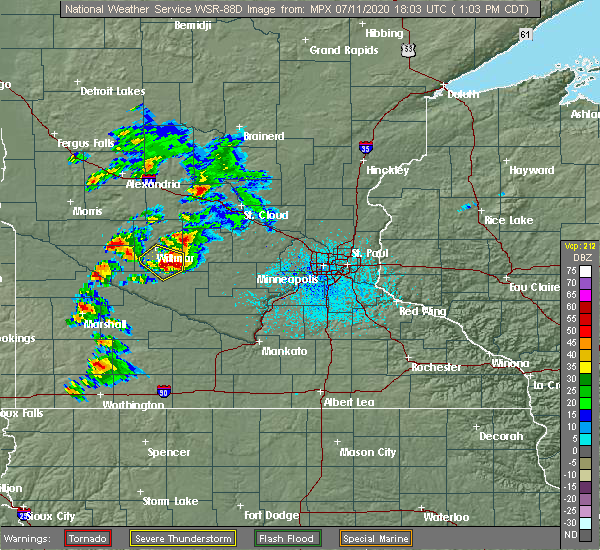 At 106 pm cdt, a severe thunderstorm was located 8 miles west of cosmos, or 13 miles southeast of willmar, moving southeast at 30 mph (radar indicated). Hazards include 70 mph wind gusts and half dollar size hail. Hail damage to vehicles is expected. expect considerable tree damage. wind damage is also likely to mobile homes, roofs, and outbuildings. Locations impacted include, lake lillian, blomkest and thorpe. At 106 pm cdt, a severe thunderstorm was located 8 miles west of cosmos, or 13 miles southeast of willmar, moving southeast at 30 mph (radar indicated). Hazards include 70 mph wind gusts and half dollar size hail. Hail damage to vehicles is expected. expect considerable tree damage. wind damage is also likely to mobile homes, roofs, and outbuildings. Locations impacted include, lake lillian, blomkest and thorpe.
|
| 7/11/2020 12:51 PM CDT |
 At 1251 pm cdt, a severe thunderstorm was located 7 miles southeast of willmar, moving southeast at 30 mph (radar indicated). Hazards include 70 mph wind gusts and half dollar size hail. Hail damage to vehicles is expected. expect considerable tree damage. wind damage is also likely to mobile homes, roofs, and outbuildings. Locations impacted include, willmar, kandiyohi, lake lillian, blomkest, svea, thorpe and priam. At 1251 pm cdt, a severe thunderstorm was located 7 miles southeast of willmar, moving southeast at 30 mph (radar indicated). Hazards include 70 mph wind gusts and half dollar size hail. Hail damage to vehicles is expected. expect considerable tree damage. wind damage is also likely to mobile homes, roofs, and outbuildings. Locations impacted include, willmar, kandiyohi, lake lillian, blomkest, svea, thorpe and priam.
|
| 7/11/2020 12:43 PM CDT |
 At 1243 pm cdt, a severe thunderstorm was located near willmar, moving southeast at 30 mph (radar indicated). Hazards include 70 mph wind gusts and half dollar size hail. Hail damage to vehicles is expected. expect considerable tree damage. wind damage is also likely to mobile homes, roofs, and outbuildings. Locations impacted include, willmar, raymond, pennock, kandiyohi, lake lillian, blomkest, svea, thorpe, willmar airport and priam. At 1243 pm cdt, a severe thunderstorm was located near willmar, moving southeast at 30 mph (radar indicated). Hazards include 70 mph wind gusts and half dollar size hail. Hail damage to vehicles is expected. expect considerable tree damage. wind damage is also likely to mobile homes, roofs, and outbuildings. Locations impacted include, willmar, raymond, pennock, kandiyohi, lake lillian, blomkest, svea, thorpe, willmar airport and priam.
|
| 7/11/2020 12:32 PM CDT |
 At 1232 pm cdt, a severe thunderstorm was located near willmar, moving southeast at 30 mph (radar indicated). Hazards include 60 mph wind gusts and quarter size hail. Hail damage to vehicles is expected. Expect wind damage to roofs, siding, and trees. At 1232 pm cdt, a severe thunderstorm was located near willmar, moving southeast at 30 mph (radar indicated). Hazards include 60 mph wind gusts and quarter size hail. Hail damage to vehicles is expected. Expect wind damage to roofs, siding, and trees.
|
| 9/2/2019 9:40 PM CDT |
 At 940 pm cdt, severe thunderstorms were located along a line extending from 6 miles south of milaca to near hutchinson, moving east at 60 mph (radar indicated). Hazards include 60 mph wind gusts and half dollar size hail. Hail damage to vehicles is expected. expect wind damage to roofs, siding, and trees. locations impacted include, st. Cloud, hutchinson, litchfield, becker, annandale, cokato, maple lake, clearwater, dassel, kimball, clear lake and cosmos. At 940 pm cdt, severe thunderstorms were located along a line extending from 6 miles south of milaca to near hutchinson, moving east at 60 mph (radar indicated). Hazards include 60 mph wind gusts and half dollar size hail. Hail damage to vehicles is expected. expect wind damage to roofs, siding, and trees. locations impacted include, st. Cloud, hutchinson, litchfield, becker, annandale, cokato, maple lake, clearwater, dassel, kimball, clear lake and cosmos.
|
| 9/2/2019 9:08 PM CDT |
 At 908 pm cdt, severe thunderstorms were located along a line extending from near rice to 11 miles east of prinsburg, moving east at 60 mph (radar indicated). Hazards include 60 mph wind gusts and half dollar size hail. Hail damage to vehicles is expected. Expect wind damage to roofs, siding, and trees. At 908 pm cdt, severe thunderstorms were located along a line extending from near rice to 11 miles east of prinsburg, moving east at 60 mph (radar indicated). Hazards include 60 mph wind gusts and half dollar size hail. Hail damage to vehicles is expected. Expect wind damage to roofs, siding, and trees.
|
| 7/3/2019 6:42 PM CDT |
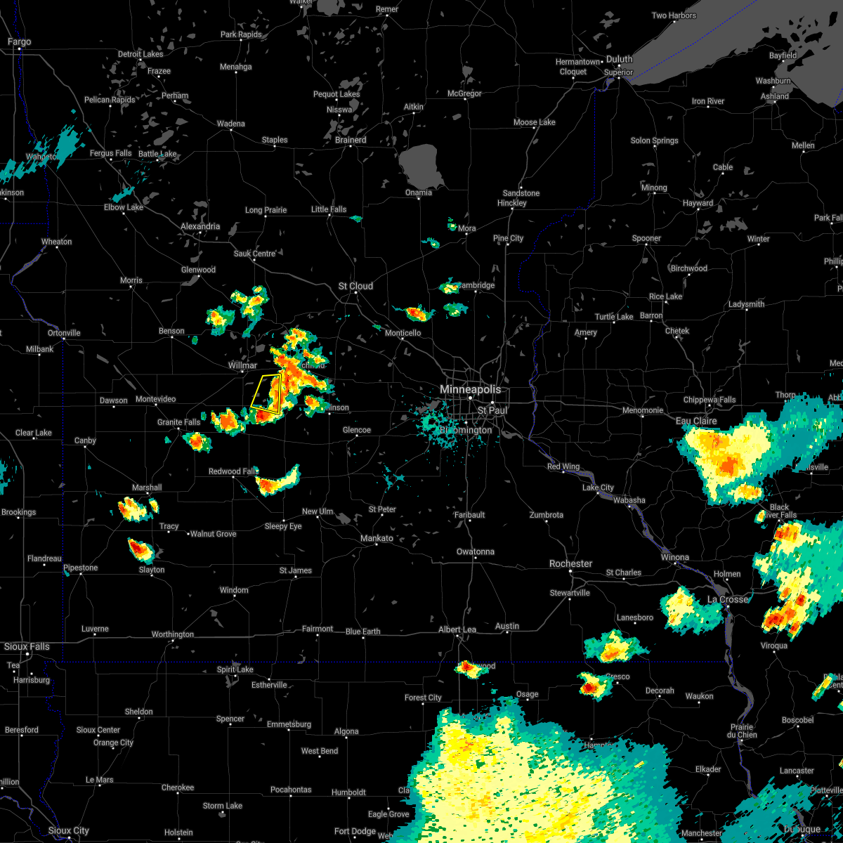 The severe thunderstorm warning for southeastern kandiyohi county will expire at 645 pm cdt, the storm which prompted the warning has weakened below severe limits, and has exited the warned area. therefore, the warning will be allowed to expire. The severe thunderstorm warning for southeastern kandiyohi county will expire at 645 pm cdt, the storm which prompted the warning has weakened below severe limits, and has exited the warned area. therefore, the warning will be allowed to expire.
|
| 7/3/2019 6:27 PM CDT |
 At 626 pm cdt, a severe thunderstorm was located near cosmos, or 17 miles southeast of willmar, moving east at 20 mph (a wind gust of 58 mph has been measured with this storm). Hazards include 60 mph wind gusts and quarter size hail. Hail damage to vehicles is expected. expect wind damage to roofs, siding, and trees. Locations impacted include, lake lillian and thorpe. At 626 pm cdt, a severe thunderstorm was located near cosmos, or 17 miles southeast of willmar, moving east at 20 mph (a wind gust of 58 mph has been measured with this storm). Hazards include 60 mph wind gusts and quarter size hail. Hail damage to vehicles is expected. expect wind damage to roofs, siding, and trees. Locations impacted include, lake lillian and thorpe.
|
| 7/3/2019 6:05 PM CDT |
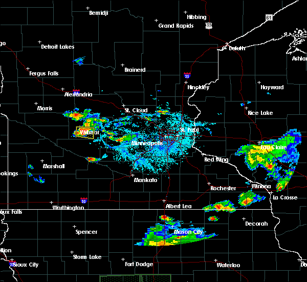 At 604 pm cdt, a severe thunderstorm was located 10 miles southwest of atwater, or 11 miles southeast of willmar, moving east at 20 mph (a wind gust of 58 mph has been measured with this storm). Hazards include 60 mph wind gusts and quarter size hail. Hail damage to vehicles is expected. expect wind damage to roofs, siding, and trees. Locations impacted include, willmar, lake lillian, blomkest, svea and thorpe. At 604 pm cdt, a severe thunderstorm was located 10 miles southwest of atwater, or 11 miles southeast of willmar, moving east at 20 mph (a wind gust of 58 mph has been measured with this storm). Hazards include 60 mph wind gusts and quarter size hail. Hail damage to vehicles is expected. expect wind damage to roofs, siding, and trees. Locations impacted include, willmar, lake lillian, blomkest, svea and thorpe.
|
| 7/3/2019 5:55 PM CDT |
 The national weather service in the twin cities has issued a * severe thunderstorm warning for. southeastern kandiyohi county in central minnesota. until 645 pm cdt. At 555 pm cdt, a severe thunderstorm was located 8 miles southeast of willmar, moving east at 20 mph. The national weather service in the twin cities has issued a * severe thunderstorm warning for. southeastern kandiyohi county in central minnesota. until 645 pm cdt. At 555 pm cdt, a severe thunderstorm was located 8 miles southeast of willmar, moving east at 20 mph.
|
| 6/6/2018 3:35 AM CDT |
 At 335 am cdt, severe thunderstorms were located along a line extending from near kandiyohi to near danube to belview, moving east at 70 mph (radar indicated). Hazards include 60 mph wind gusts and penny size hail. Expect damage to roofs, siding, and trees. severe thunderstorms will be near, atwater and grove city around 345 am cdt. cosmos around 350 am cdt. litchfield around 355 am cdt. Other locations impacted by these severe thunderstorms include bechyn, kandiyohi, strout, thorpe, corvuso, blomkest, priam, lake lillian and greenleaf. At 335 am cdt, severe thunderstorms were located along a line extending from near kandiyohi to near danube to belview, moving east at 70 mph (radar indicated). Hazards include 60 mph wind gusts and penny size hail. Expect damage to roofs, siding, and trees. severe thunderstorms will be near, atwater and grove city around 345 am cdt. cosmos around 350 am cdt. litchfield around 355 am cdt. Other locations impacted by these severe thunderstorms include bechyn, kandiyohi, strout, thorpe, corvuso, blomkest, priam, lake lillian and greenleaf.
|
| 9/20/2017 1:30 AM CDT |
 At 130 am cdt, severe thunderstorms were located along a line extending from near watkins to near strout to near lakeside, moving east at 55 mph (radar indicated). Hazards include 60 mph wind gusts and nickel size hail. Expect damage to roofs, siding, and trees. these severe storms will be near, watkins around 135 am cdt. Other locations impacted by these severe thunderstorms include greenleaf, strout, hawick, thorpe, manannah, corvuso, lake koronis regional park, cedar mills and forest city. At 130 am cdt, severe thunderstorms were located along a line extending from near watkins to near strout to near lakeside, moving east at 55 mph (radar indicated). Hazards include 60 mph wind gusts and nickel size hail. Expect damage to roofs, siding, and trees. these severe storms will be near, watkins around 135 am cdt. Other locations impacted by these severe thunderstorms include greenleaf, strout, hawick, thorpe, manannah, corvuso, lake koronis regional park, cedar mills and forest city.
|
| 9/20/2017 1:02 AM CDT |
 At 101 am cdt, severe thunderstorms were located along a line extending from near spicer to blomkest to near bechyn, moving east at 55 mph (radar indicated). Hazards include 60 mph wind gusts and nickel size hail. Expect damage to roofs, siding, and trees. severe thunderstorms will be near, new london and spicer around 105 am cdt. atwater and cosmos around 120 am cdt. grove city around 125 am cdt. litchfield and watkins around 135 am cdt. Other locations impacted by these severe thunderstorms include kandiyohi, strout, thorpe, corvuso, blomkest, lake lillian, greenleaf, green lake and danube. At 101 am cdt, severe thunderstorms were located along a line extending from near spicer to blomkest to near bechyn, moving east at 55 mph (radar indicated). Hazards include 60 mph wind gusts and nickel size hail. Expect damage to roofs, siding, and trees. severe thunderstorms will be near, new london and spicer around 105 am cdt. atwater and cosmos around 120 am cdt. grove city around 125 am cdt. litchfield and watkins around 135 am cdt. Other locations impacted by these severe thunderstorms include kandiyohi, strout, thorpe, corvuso, blomkest, lake lillian, greenleaf, green lake and danube.
|
| 6/11/2017 7:36 AM CDT |
 At 735 am cdt, severe thunderstorms were located along a line extending from near manannah to cedar mills to near hutchinson airport to near st george, moving east at 60 mph (trained weather spotters). Hazards include golf ball size hail and 70 mph wind gusts. People and animals outdoors will be injured. expect hail damage to roofs, siding, windows, and vehicles. expect considerable tree damage. wind damage is also likely to mobile homes, roofs, and outbuildings. These severe thunderstorms will remain over mainly rural areas of western meeker, east central redwood, eastern kandiyohi and eastern renville counties, including the following locations: litchfield airport, kandiyohi, redwood falls airport, strout, thorpe, corvuso, regal, lake lillian, greenleaf and green lake. At 735 am cdt, severe thunderstorms were located along a line extending from near manannah to cedar mills to near hutchinson airport to near st george, moving east at 60 mph (trained weather spotters). Hazards include golf ball size hail and 70 mph wind gusts. People and animals outdoors will be injured. expect hail damage to roofs, siding, windows, and vehicles. expect considerable tree damage. wind damage is also likely to mobile homes, roofs, and outbuildings. These severe thunderstorms will remain over mainly rural areas of western meeker, east central redwood, eastern kandiyohi and eastern renville counties, including the following locations: litchfield airport, kandiyohi, redwood falls airport, strout, thorpe, corvuso, regal, lake lillian, greenleaf and green lake.
|
| 6/11/2017 7:28 AM CDT | Power lines dow in kandiyohi county MN, 0.1 miles SSE of Lake Lillian, MN |
| 6/11/2017 7:14 AM CDT |
 At 713 am cdt, severe thunderstorms were located along a line extending from near new london to near lake lillian to 6 miles southwest of thorpe to near morton, moving east at 60 mph (trained weather spotters damage and 70 mph winds with this storm). Hazards include 70 mph wind gusts and quarter size hail. Hail damage to vehicles is expected. expect considerable tree damage. wind damage is also likely to mobile homes, roofs, and outbuildings. these severe storms will be near, cosmos around 725 am cdt. fairfax around 730 am cdt. Other locations impacted by these severe thunderstorms include bechyn, delhi, willmar airport, blomkest, lake lillian, green lake, cedar mills, litchfield airport, kandiyohi and redwood falls airport. At 713 am cdt, severe thunderstorms were located along a line extending from near new london to near lake lillian to 6 miles southwest of thorpe to near morton, moving east at 60 mph (trained weather spotters damage and 70 mph winds with this storm). Hazards include 70 mph wind gusts and quarter size hail. Hail damage to vehicles is expected. expect considerable tree damage. wind damage is also likely to mobile homes, roofs, and outbuildings. these severe storms will be near, cosmos around 725 am cdt. fairfax around 730 am cdt. Other locations impacted by these severe thunderstorms include bechyn, delhi, willmar airport, blomkest, lake lillian, green lake, cedar mills, litchfield airport, kandiyohi and redwood falls airport.
|
| 6/11/2017 6:50 AM CDT |
 At 648 am cdt, severe thunderstorms were located along a line extending from near benson to maynard to near minnesota falls to milroy, moving east at 60 mph (trained weather spotters measured 71 mph winds along with downed powerlines). Hazards include 70 mph wind gusts and quarter size hail. Hail damage to vehicles is expected. expect considerable tree damage. wind damage is also likely to mobile homes, roofs, and outbuildings. severe thunderstorms will be near, renville, raymond and prinsburg around 705 am cdt. willmar, redwood falls and olivia around 715 am cdt. new london, spicer, bird island and morton around 720 am cdt. franklin around 725 am cdt. hector and cosmos around 730 am cdt. fairfax, buffalo lake and grove city around 735 am cdt. other locations impacted by these severe thunderstorms include bechyn, delhi, willmar airport, blomkest, lake lillian, green lake, cedar mills, litchfield airport, kandiyohi and redwood falls airport. this includes the following highways, u. s. highway 12 between mile markers 64 and 101. u. s. highway 212 between mile markers 63 and 101. u. s. highway 8 in minnesota near mile marker 6. u. s. Highway 71 between mile markers 70 and 144. At 648 am cdt, severe thunderstorms were located along a line extending from near benson to maynard to near minnesota falls to milroy, moving east at 60 mph (trained weather spotters measured 71 mph winds along with downed powerlines). Hazards include 70 mph wind gusts and quarter size hail. Hail damage to vehicles is expected. expect considerable tree damage. wind damage is also likely to mobile homes, roofs, and outbuildings. severe thunderstorms will be near, renville, raymond and prinsburg around 705 am cdt. willmar, redwood falls and olivia around 715 am cdt. new london, spicer, bird island and morton around 720 am cdt. franklin around 725 am cdt. hector and cosmos around 730 am cdt. fairfax, buffalo lake and grove city around 735 am cdt. other locations impacted by these severe thunderstorms include bechyn, delhi, willmar airport, blomkest, lake lillian, green lake, cedar mills, litchfield airport, kandiyohi and redwood falls airport. this includes the following highways, u. s. highway 12 between mile markers 64 and 101. u. s. highway 212 between mile markers 63 and 101. u. s. highway 8 in minnesota near mile marker 6. u. s. Highway 71 between mile markers 70 and 144.
|
| 8/28/2016 6:33 AM CDT |
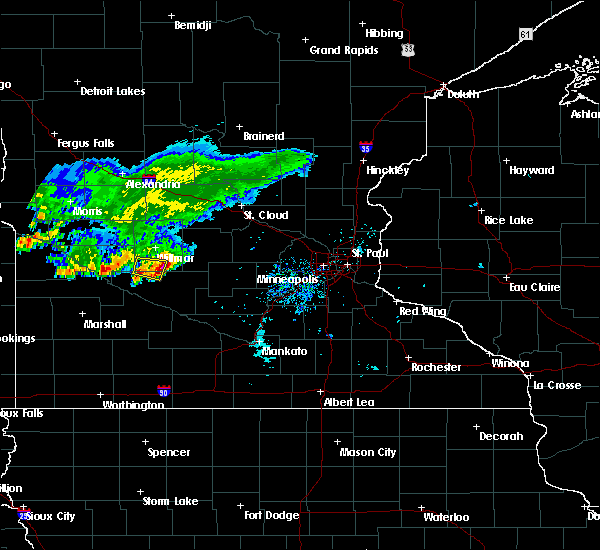 At 632 am cdt, a severe thunderstorm was located near lake lillian, or 15 miles south of willmar, moving east at 30 mph (radar indicated). Hazards include quarter size hail. Damage to vehicles is expected. this severe thunderstorm will be near, cosmos around 655 am cdt. Other locations impacted by this severe thunderstorm include thorpe, lakeside, cedar mills, lake lillian and corvuso. At 632 am cdt, a severe thunderstorm was located near lake lillian, or 15 miles south of willmar, moving east at 30 mph (radar indicated). Hazards include quarter size hail. Damage to vehicles is expected. this severe thunderstorm will be near, cosmos around 655 am cdt. Other locations impacted by this severe thunderstorm include thorpe, lakeside, cedar mills, lake lillian and corvuso.
|
| 8/10/2016 6:54 PM CDT |
 The severe thunderstorm warning for kandiyohi county will expire at 700 pm cdt, the storms which prompted the warning have weakened below severe limits, and have exited the warned area. therefore the warning will be allowed to expire. however heavy rain is still possible with these thunderstorms. a severe thunderstorm watch remains in effect until midnight cdt for west central and central minnesota. The severe thunderstorm warning for kandiyohi county will expire at 700 pm cdt, the storms which prompted the warning have weakened below severe limits, and have exited the warned area. therefore the warning will be allowed to expire. however heavy rain is still possible with these thunderstorms. a severe thunderstorm watch remains in effect until midnight cdt for west central and central minnesota.
|
| 8/10/2016 6:37 PM CDT |
 At 636 pm cdt, severe thunderstorms were located along a line extending from near regal to near kandiyohi to near prinsburg, moving east at 25 mph (radar indicated). Hazards include 60 mph wind gusts and penny size hail. Expect damage to roofs. siding. and trees. these severe storms will be near, atwater around 650 pm cdt. Other locations impacted by these severe thunderstorms include priam, kandiyohi, svea, hawick, thorpe, blomkest, lake lillian, regal and green lake. At 636 pm cdt, severe thunderstorms were located along a line extending from near regal to near kandiyohi to near prinsburg, moving east at 25 mph (radar indicated). Hazards include 60 mph wind gusts and penny size hail. Expect damage to roofs. siding. and trees. these severe storms will be near, atwater around 650 pm cdt. Other locations impacted by these severe thunderstorms include priam, kandiyohi, svea, hawick, thorpe, blomkest, lake lillian, regal and green lake.
|
| 8/10/2016 6:21 PM CDT |
 At 621 pm cdt, severe thunderstorms were located along a line extending from near belgrade to near willmar to near prinsburg, moving east at 25 mph (radar indicated). Hazards include 60 mph wind gusts and penny size hail. Expect damage to roofs. siding. and trees. severe thunderstorms will be near, willmar, new london and spicer around 625 pm cdt. atwater around 645 pm cdt. Other locations impacted by these severe thunderstorms include priam, kandiyohi, svea, hawick, thorpe, blomkest, lake lillian, regal and green lake. At 621 pm cdt, severe thunderstorms were located along a line extending from near belgrade to near willmar to near prinsburg, moving east at 25 mph (radar indicated). Hazards include 60 mph wind gusts and penny size hail. Expect damage to roofs. siding. and trees. severe thunderstorms will be near, willmar, new london and spicer around 625 pm cdt. atwater around 645 pm cdt. Other locations impacted by these severe thunderstorms include priam, kandiyohi, svea, hawick, thorpe, blomkest, lake lillian, regal and green lake.
|
| 7/23/2016 1:24 PM CDT |
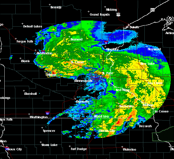 At 124 pm cdt, a severe thunderstorm was located near atwater, or 13 miles east of willmar, moving northeast at 30 mph (radar indicated). Hazards include ping pong ball size hail and 60 mph wind gusts. People and animals outdoors will be injured. expect hail damage to roofs, siding, windows, and vehicles. expect wind damage to roofs, siding, and trees. this severe storm will be near, grove city around 140 pm cdt. Other locations impacted by this severe thunderstorm include lake lillian and strout. At 124 pm cdt, a severe thunderstorm was located near atwater, or 13 miles east of willmar, moving northeast at 30 mph (radar indicated). Hazards include ping pong ball size hail and 60 mph wind gusts. People and animals outdoors will be injured. expect hail damage to roofs, siding, windows, and vehicles. expect wind damage to roofs, siding, and trees. this severe storm will be near, grove city around 140 pm cdt. Other locations impacted by this severe thunderstorm include lake lillian and strout.
|
| 7/23/2016 1:11 PM CDT |
 At 110 pm cdt, a severe thunderstorm was located near lake lillian, or 10 miles southeast of willmar, moving northeast at 25 mph (radar indicated). Hazards include 60 mph wind gusts and quarter size hail. Hail damage to vehicles is expected. expect wind damage to roofs, siding, and trees. this severe thunderstorm will be near, atwater around 130 pm cdt. grove city around 140 pm cdt. other locations impacted by this severe thunderstorm include lake lillian and strout. this includes u. s. Highway 12 between mile markers 83 and 95. At 110 pm cdt, a severe thunderstorm was located near lake lillian, or 10 miles southeast of willmar, moving northeast at 25 mph (radar indicated). Hazards include 60 mph wind gusts and quarter size hail. Hail damage to vehicles is expected. expect wind damage to roofs, siding, and trees. this severe thunderstorm will be near, atwater around 130 pm cdt. grove city around 140 pm cdt. other locations impacted by this severe thunderstorm include lake lillian and strout. this includes u. s. Highway 12 between mile markers 83 and 95.
|
| 7/16/2016 8:59 PM CDT |
 At 859 pm cdt, severe thunderstorms were located along a line extending from near thorpe to near bird island to near north redwood to delhi, moving southeast at 25 mph (radar indicated). Hazards include 60 mph wind gusts and quarter size hail. Hail damage to vehicles is expected. expect wind damage to roofs, siding, and trees. these severe storms will be near, morton around 910 pm cdt. Other locations impacted by these severe thunderstorms include north redwood, bechyn, belview, redwood falls airport, thorpe, delhi and lake lillian. At 859 pm cdt, severe thunderstorms were located along a line extending from near thorpe to near bird island to near north redwood to delhi, moving southeast at 25 mph (radar indicated). Hazards include 60 mph wind gusts and quarter size hail. Hail damage to vehicles is expected. expect wind damage to roofs, siding, and trees. these severe storms will be near, morton around 910 pm cdt. Other locations impacted by these severe thunderstorms include north redwood, bechyn, belview, redwood falls airport, thorpe, delhi and lake lillian.
|
| 7/16/2016 8:37 PM CDT |
 At 837 pm cdt, severe thunderstorms were located along a line extending from near blomkest to olivia to belview, moving east at 40 mph (radar indicated). Hazards include 70 mph wind gusts and quarter size hail. Hail damage to vehicles is expected. expect considerable tree damage. wind damage is also likely to mobile homes, roofs, and outbuildings. these severe storms will be near, olivia around 840 pm cdt. bird island around 845 pm cdt. redwood falls around 855 pm cdt. morton around 905 pm cdt. Other locations impacted by these severe thunderstorms include north redwood, bechyn, danube, svea, belview, redwood falls airport, thorpe, blomkest, delhi and lake lillian. At 837 pm cdt, severe thunderstorms were located along a line extending from near blomkest to olivia to belview, moving east at 40 mph (radar indicated). Hazards include 70 mph wind gusts and quarter size hail. Hail damage to vehicles is expected. expect considerable tree damage. wind damage is also likely to mobile homes, roofs, and outbuildings. these severe storms will be near, olivia around 840 pm cdt. bird island around 845 pm cdt. redwood falls around 855 pm cdt. morton around 905 pm cdt. Other locations impacted by these severe thunderstorms include north redwood, bechyn, danube, svea, belview, redwood falls airport, thorpe, blomkest, delhi and lake lillian.
|
| 7/16/2016 8:04 PM CDT |
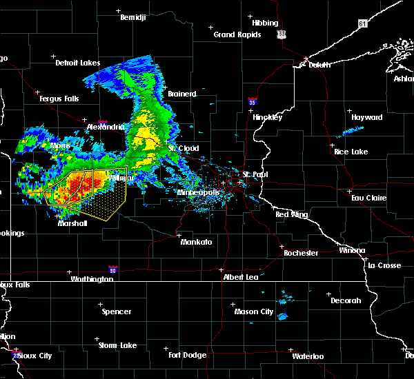 At 803 pm cdt, severe thunderstorms were located along a line extending from 6 miles northwest of raymond to near maynard to hanley falls, moving east at 30 mph. these are very dangerous storms (radar indicated). Hazards include 80 mph wind gusts and ping pong ball size hail. Flying debris will be dangerous to those caught without shelter. mobile homes will be heavily damaged. expect considerable damage to roofs, windows, and vehicles. extensive tree damage and power outages are likely. severe thunderstorms will be near, clara city around 810 pm cdt. sacred heart around 815 pm cdt. raymond around 820 pm cdt. prinsburg around 825 pm cdt. renville and echo around 830 pm cdt. olivia around 850 pm cdt. redwood falls and bird island around 855 pm cdt. Other locations impacted by these severe thunderstorms include minnesota falls, kandiyohi, danube, svea, delhi, willmar airport, lake lillian, priam, north redwood and bechyn. At 803 pm cdt, severe thunderstorms were located along a line extending from 6 miles northwest of raymond to near maynard to hanley falls, moving east at 30 mph. these are very dangerous storms (radar indicated). Hazards include 80 mph wind gusts and ping pong ball size hail. Flying debris will be dangerous to those caught without shelter. mobile homes will be heavily damaged. expect considerable damage to roofs, windows, and vehicles. extensive tree damage and power outages are likely. severe thunderstorms will be near, clara city around 810 pm cdt. sacred heart around 815 pm cdt. raymond around 820 pm cdt. prinsburg around 825 pm cdt. renville and echo around 830 pm cdt. olivia around 850 pm cdt. redwood falls and bird island around 855 pm cdt. Other locations impacted by these severe thunderstorms include minnesota falls, kandiyohi, danube, svea, delhi, willmar airport, lake lillian, priam, north redwood and bechyn.
|
| 7/5/2016 5:27 PM CDT |
 The severe thunderstorm warning for southeastern kandiyohi county will expire at 530 pm cdt, the severe thunderstorm which prompted the warning has moved out of the warned area and therefore the warning will be allowed to expire. a tornado watch remains in effect until 900 pm cdt for central minnesota. The severe thunderstorm warning for southeastern kandiyohi county will expire at 530 pm cdt, the severe thunderstorm which prompted the warning has moved out of the warned area and therefore the warning will be allowed to expire. a tornado watch remains in effect until 900 pm cdt for central minnesota.
|
| 7/5/2016 5:06 PM CDT |
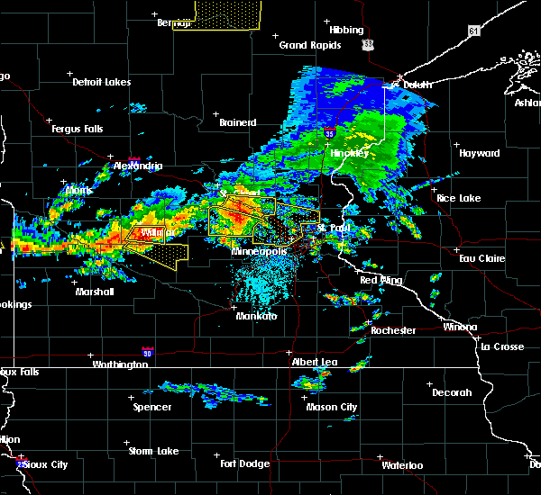 At 506 pm cdt, a severe thunderstorm was located over thorpe, or 17 miles southeast of willmar, moving east at 40 mph (radar indicated). Hazards include golf ball size hail and 70 mph wind gusts. People and animals outdoors will be injured. expect hail damage to roofs, siding, windows, and vehicles. expect considerable tree damage. wind damage is also likely to mobile homes, roofs, and outbuildings. locations impacted include, lake lillian, blomkest, thorpe and svea. A tornado watch remains in effect until 900 pm cdt for central minnesota. At 506 pm cdt, a severe thunderstorm was located over thorpe, or 17 miles southeast of willmar, moving east at 40 mph (radar indicated). Hazards include golf ball size hail and 70 mph wind gusts. People and animals outdoors will be injured. expect hail damage to roofs, siding, windows, and vehicles. expect considerable tree damage. wind damage is also likely to mobile homes, roofs, and outbuildings. locations impacted include, lake lillian, blomkest, thorpe and svea. A tornado watch remains in effect until 900 pm cdt for central minnesota.
|
| 7/5/2016 4:54 PM CDT |
 At 454 pm cdt, a severe thunderstorm was located over blomkest, or 13 miles south of willmar, moving southeast at 45 mph (radar indicated). Hazards include 70 mph wind gusts and ping pong ball size hail. People and animals outdoors will be injured. expect hail damage to roofs, siding, windows, and vehicles. expect considerable tree damage. wind damage is also likely to mobile homes, roofs, and outbuildings. this severe thunderstorm will remain over mainly rural areas of southern kandiyohi county, including the following locations: thorpe, blomkest, lake lillian and svea. A tornado watch remains in effect until 900 pm cdt for central minnesota. At 454 pm cdt, a severe thunderstorm was located over blomkest, or 13 miles south of willmar, moving southeast at 45 mph (radar indicated). Hazards include 70 mph wind gusts and ping pong ball size hail. People and animals outdoors will be injured. expect hail damage to roofs, siding, windows, and vehicles. expect considerable tree damage. wind damage is also likely to mobile homes, roofs, and outbuildings. this severe thunderstorm will remain over mainly rural areas of southern kandiyohi county, including the following locations: thorpe, blomkest, lake lillian and svea. A tornado watch remains in effect until 900 pm cdt for central minnesota.
|
| 7/5/2016 4:42 PM CDT |
 At 441 pm cdt, a severe thunderstorm was located near svea, or near willmar, moving east at 40 mph (radar indicated). Hazards include 70 mph wind gusts and ping pong ball size hail. People and animals outdoors will be injured. expect hail damage to roofs, siding, windows, and vehicles. expect considerable tree damage. wind damage is also likely to mobile homes, roofs, and outbuildings. this severe storm will be near, atwater around 500 pm cdt. other locations impacted by this severe thunderstorm include priam, pennock, kandiyohi, svea, thorpe, blomkest, willmar airport and lake lillian. A tornado watch remains in effect until 900 pm cdt for west central and central minnesota. At 441 pm cdt, a severe thunderstorm was located near svea, or near willmar, moving east at 40 mph (radar indicated). Hazards include 70 mph wind gusts and ping pong ball size hail. People and animals outdoors will be injured. expect hail damage to roofs, siding, windows, and vehicles. expect considerable tree damage. wind damage is also likely to mobile homes, roofs, and outbuildings. this severe storm will be near, atwater around 500 pm cdt. other locations impacted by this severe thunderstorm include priam, pennock, kandiyohi, svea, thorpe, blomkest, willmar airport and lake lillian. A tornado watch remains in effect until 900 pm cdt for west central and central minnesota.
|
| 7/5/2016 4:24 PM CDT |
 At 424 pm cdt, a severe thunderstorm was located near raymond, or 11 miles west of willmar, moving east at 40 mph (radar indicated). Hazards include 70 mph wind gusts and ping pong ball size hail. People and animals outdoors will be injured. expect hail damage to roofs, siding, windows, and vehicles. expect considerable tree damage. wind damage is also likely to mobile homes, roofs, and outbuildings. this severe thunderstorm will be near, willmar around 440 pm cdt. atwater around 500 pm cdt. other locations impacted by this severe thunderstorm include priam, pennock, kandiyohi, svea, thorpe, blomkest, willmar airport and lake lillian. this includes the following highways, u. s. highway 12 between mile markers 65 and 88. u. s. highway 71 between mile markers 109 and 128. A tornado watch remains in effect until 900 pm cdt for west central and central minnesota. At 424 pm cdt, a severe thunderstorm was located near raymond, or 11 miles west of willmar, moving east at 40 mph (radar indicated). Hazards include 70 mph wind gusts and ping pong ball size hail. People and animals outdoors will be injured. expect hail damage to roofs, siding, windows, and vehicles. expect considerable tree damage. wind damage is also likely to mobile homes, roofs, and outbuildings. this severe thunderstorm will be near, willmar around 440 pm cdt. atwater around 500 pm cdt. other locations impacted by this severe thunderstorm include priam, pennock, kandiyohi, svea, thorpe, blomkest, willmar airport and lake lillian. this includes the following highways, u. s. highway 12 between mile markers 65 and 88. u. s. highway 71 between mile markers 109 and 128. A tornado watch remains in effect until 900 pm cdt for west central and central minnesota.
|
| 6/17/2016 3:08 PM CDT |
 At 308 pm cdt, a severe thunderstorm was located over thorpe, or 16 miles southeast of willmar, moving southeast at 15 mph (radar indicated). Hazards include 60 mph wind gusts and quarter size hail. Hail damage to vehicles is expected. expect wind damage to roofs, siding, and trees. Locations impacted include, lake lillian, blomkest, thorpe and svea. At 308 pm cdt, a severe thunderstorm was located over thorpe, or 16 miles southeast of willmar, moving southeast at 15 mph (radar indicated). Hazards include 60 mph wind gusts and quarter size hail. Hail damage to vehicles is expected. expect wind damage to roofs, siding, and trees. Locations impacted include, lake lillian, blomkest, thorpe and svea.
|
| 6/17/2016 2:53 PM CDT |
 At 253 pm cdt, a severe thunderstorm was located near lake lillian, or 12 miles southeast of willmar, moving southeast at 15 mph (radar indicated). Hazards include 60 mph wind gusts and quarter size hail. Hail damage to vehicles is expected. expect wind damage to roofs, siding, and trees. this severe thunderstorm will remain over mainly rural areas of southeastern kandiyohi county, including the following locations: thorpe, blomkest, lake lillian and svea. this includes the following highways, u. s. highway 12 between mile markers 82 and 88. u. s. Highway 71 between mile markers 113 and 118. At 253 pm cdt, a severe thunderstorm was located near lake lillian, or 12 miles southeast of willmar, moving southeast at 15 mph (radar indicated). Hazards include 60 mph wind gusts and quarter size hail. Hail damage to vehicles is expected. expect wind damage to roofs, siding, and trees. this severe thunderstorm will remain over mainly rural areas of southeastern kandiyohi county, including the following locations: thorpe, blomkest, lake lillian and svea. this includes the following highways, u. s. highway 12 between mile markers 82 and 88. u. s. Highway 71 between mile markers 113 and 118.
|
| 5/23/2016 4:32 PM CDT | The national weather service in the twin cities has issued a * severe thunderstorm warning for. north central renville county in central minnesota. southeastern kandiyohi county in central minnesota. until 500 pm cdt * at 432 pm cdt. a severe thunderstorm was located near blomkest. Or. |
| 8/9/2015 11:31 AM CDT |
 At 1130 am cdt, a severe thunderstorm was located near thorpe, or 13 miles southeast of willmar, moving east at 30 mph (radar indicated). Hazards include 60 mph wind gusts and quarter size hail. Hail damage to vehicles is expected. expect wind damage to roofs, siding and trees. this severe thunderstorm will be near, cosmos around 1140 am cdt. other locations impacted by this severe thunderstorm include greenleaf, cedar mills, corvuso, thorpe, lakeside, lake lillian and strout. this includes u. s. Highway 12 near mile marker 83, and between mile markers 102 and 105. At 1130 am cdt, a severe thunderstorm was located near thorpe, or 13 miles southeast of willmar, moving east at 30 mph (radar indicated). Hazards include 60 mph wind gusts and quarter size hail. Hail damage to vehicles is expected. expect wind damage to roofs, siding and trees. this severe thunderstorm will be near, cosmos around 1140 am cdt. other locations impacted by this severe thunderstorm include greenleaf, cedar mills, corvuso, thorpe, lakeside, lake lillian and strout. this includes u. s. Highway 12 near mile marker 83, and between mile markers 102 and 105.
|
| 7/17/2015 10:58 PM CDT |
 At 1058 pm cdt, severe thunderstorms were located along a line extending from lake henry to near grove city to near lake lillian, moving east at 40 mph (radar indicated). Hazards include 60 mph wind gusts. Expect damage to roofs. siding and trees. these severe storms will be near, grove city around 1105 pm cdt. litchfield, cold spring, richmond, eden valley and cosmos around 1115 pm cdt. other locations impacted by these severe thunderstorms include lake henry, forest city, georgeville, kandiyohi, svea, hawick, lake koronis regional park, lake lillian, luxemburg and manannah. this includes the following highways, u. s. highway 12 between mile markers 73 and 105. u. s. highway 8 in minnesota near mile marker 6. u. s. Highway 71 between mile markers 108 and 147. At 1058 pm cdt, severe thunderstorms were located along a line extending from lake henry to near grove city to near lake lillian, moving east at 40 mph (radar indicated). Hazards include 60 mph wind gusts. Expect damage to roofs. siding and trees. these severe storms will be near, grove city around 1105 pm cdt. litchfield, cold spring, richmond, eden valley and cosmos around 1115 pm cdt. other locations impacted by these severe thunderstorms include lake henry, forest city, georgeville, kandiyohi, svea, hawick, lake koronis regional park, lake lillian, luxemburg and manannah. this includes the following highways, u. s. highway 12 between mile markers 73 and 105. u. s. highway 8 in minnesota near mile marker 6. u. s. Highway 71 between mile markers 108 and 147.
|
| 7/17/2015 10:30 PM CDT |
 At 1030 pm cdt, severe thunderstorms were located along a line extending from belgrade to near pennock to gluek, moving east at 45 mph (radar indicated). Hazards include 70 mph wind gusts and quarter size hail. Hail damage to vehicles is expected. expect considerable tree damage. wind damage is also likely to mobile homes, roofs and outbuildings. severe thunderstorms will be near, willmar and belgrade around 1035 pm cdt. new london and spicer around 1045 pm cdt. paynesville, raymond and prinsburg around 1050 pm cdt. atwater around 1055 pm cdt. richmond and grove city around 1100 pm cdt. litchfield and cold spring around 1110 pm cdt. rockville and cosmos around 1115 pm cdt. other locations impacted by these severe thunderstorms include lake henry, forest city, georgeville, kandiyohi, svea, hawick, lake koronis regional park, norway lake, willmar airport and lake lillian. this includes the following highways, u. s. highway 12 between mile markers 69 and 105. u. s. highway 8 in minnesota near mile marker 6. u. s. Highway 71 between mile markers 108 and 147. At 1030 pm cdt, severe thunderstorms were located along a line extending from belgrade to near pennock to gluek, moving east at 45 mph (radar indicated). Hazards include 70 mph wind gusts and quarter size hail. Hail damage to vehicles is expected. expect considerable tree damage. wind damage is also likely to mobile homes, roofs and outbuildings. severe thunderstorms will be near, willmar and belgrade around 1035 pm cdt. new london and spicer around 1045 pm cdt. paynesville, raymond and prinsburg around 1050 pm cdt. atwater around 1055 pm cdt. richmond and grove city around 1100 pm cdt. litchfield and cold spring around 1110 pm cdt. rockville and cosmos around 1115 pm cdt. other locations impacted by these severe thunderstorms include lake henry, forest city, georgeville, kandiyohi, svea, hawick, lake koronis regional park, norway lake, willmar airport and lake lillian. this includes the following highways, u. s. highway 12 between mile markers 69 and 105. u. s. highway 8 in minnesota near mile marker 6. u. s. Highway 71 between mile markers 108 and 147.
|
| 1/1/0001 12:00 AM | Large tree down across county rd in kandiyohi county MN, 6.2 miles SSE of Lake Lillian, MN |
| 1/1/0001 12:00 AM | Quarter sized hail reported 6.8 miles SSE of Lake Lillian, MN |
| 1/1/0001 12:00 AM | Quarter sized hail reported 8.3 miles SSE of Lake Lillian, MN |
Hail Maps for Lake Lillian, MN


Connect with Interactive Hail Maps