

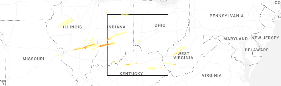
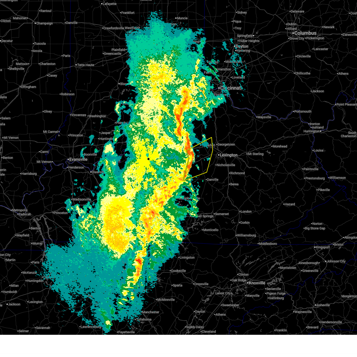
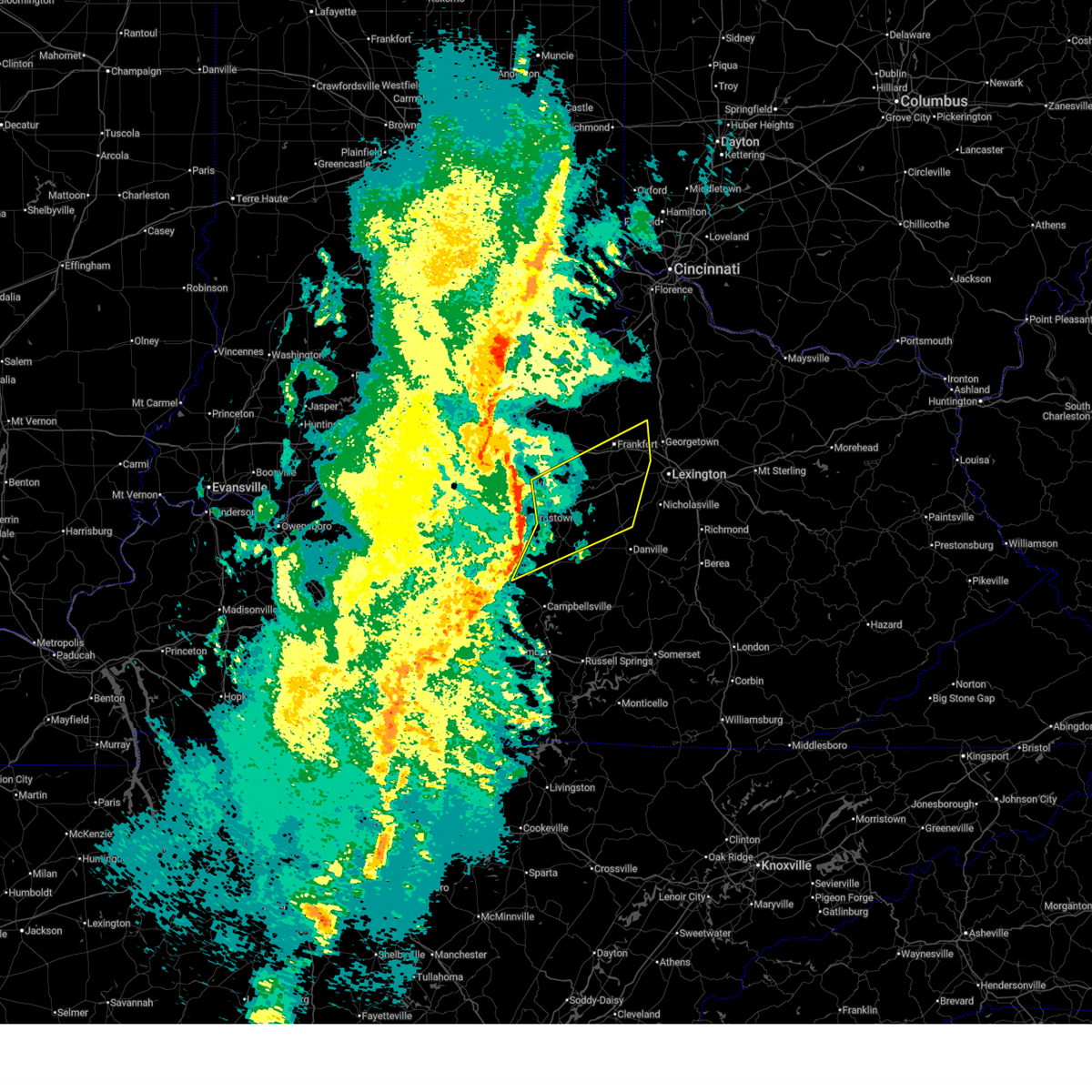
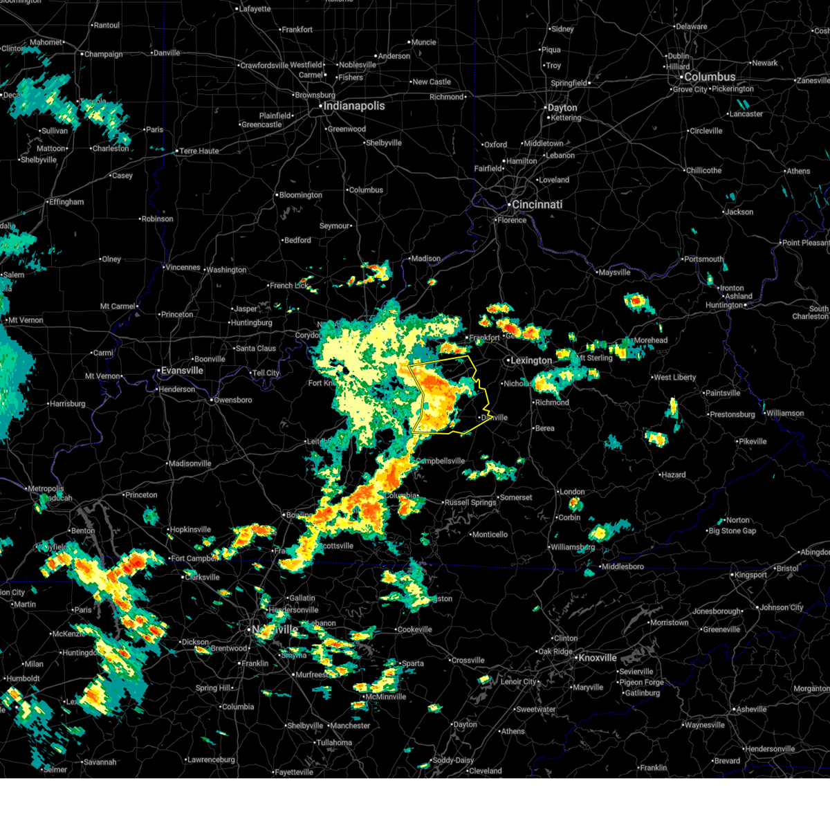
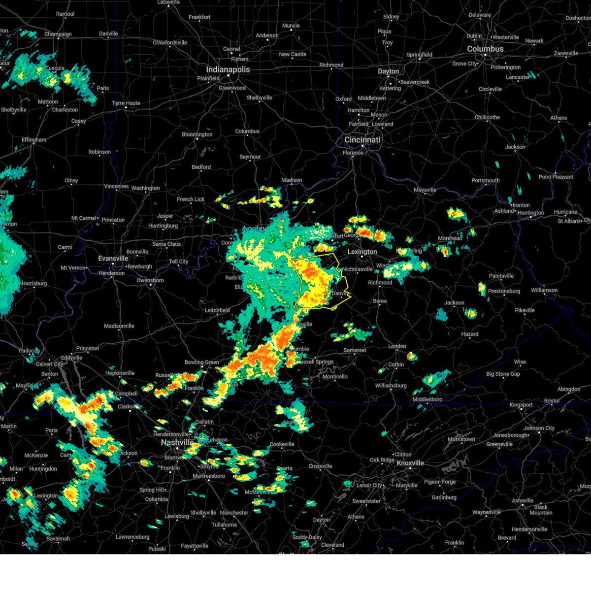
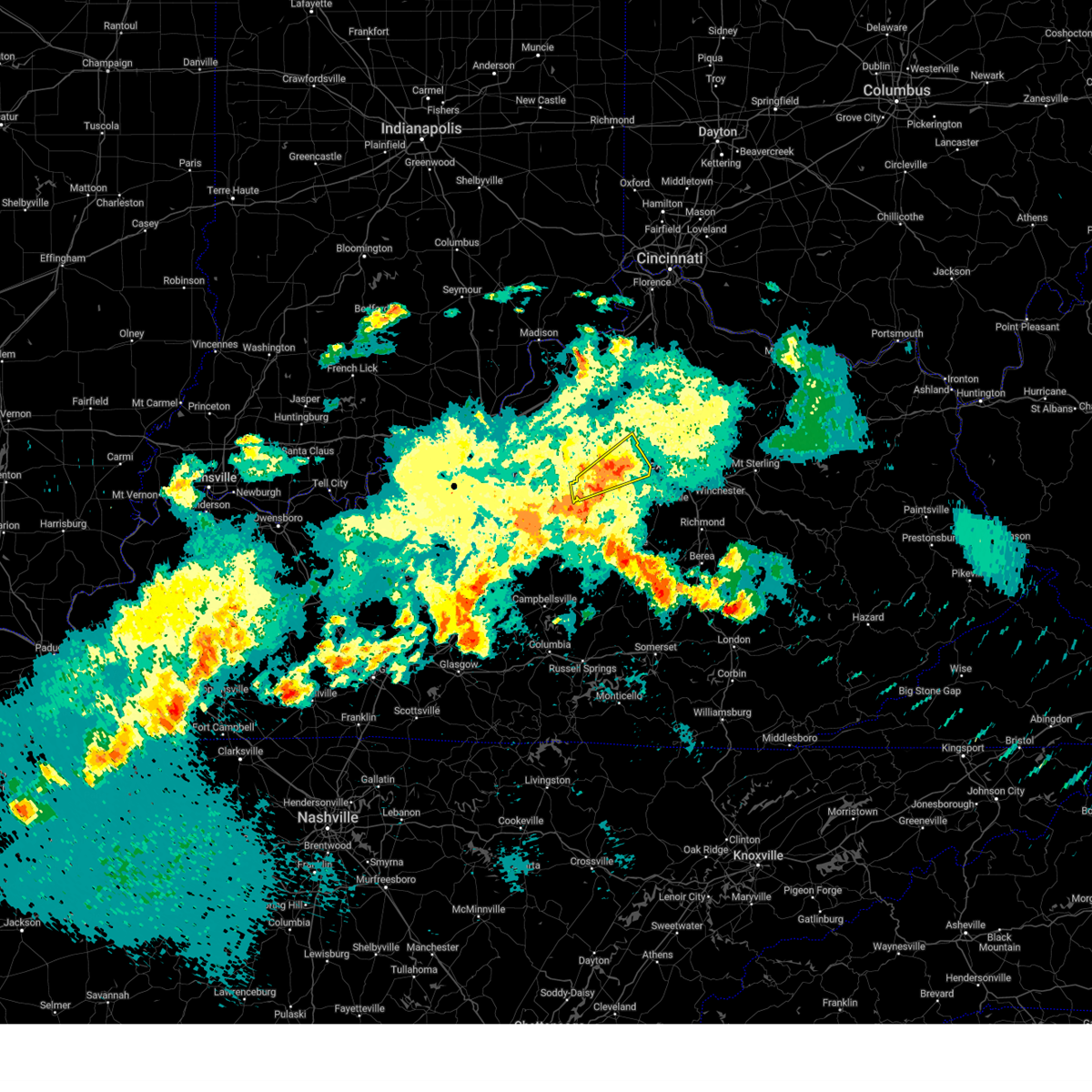
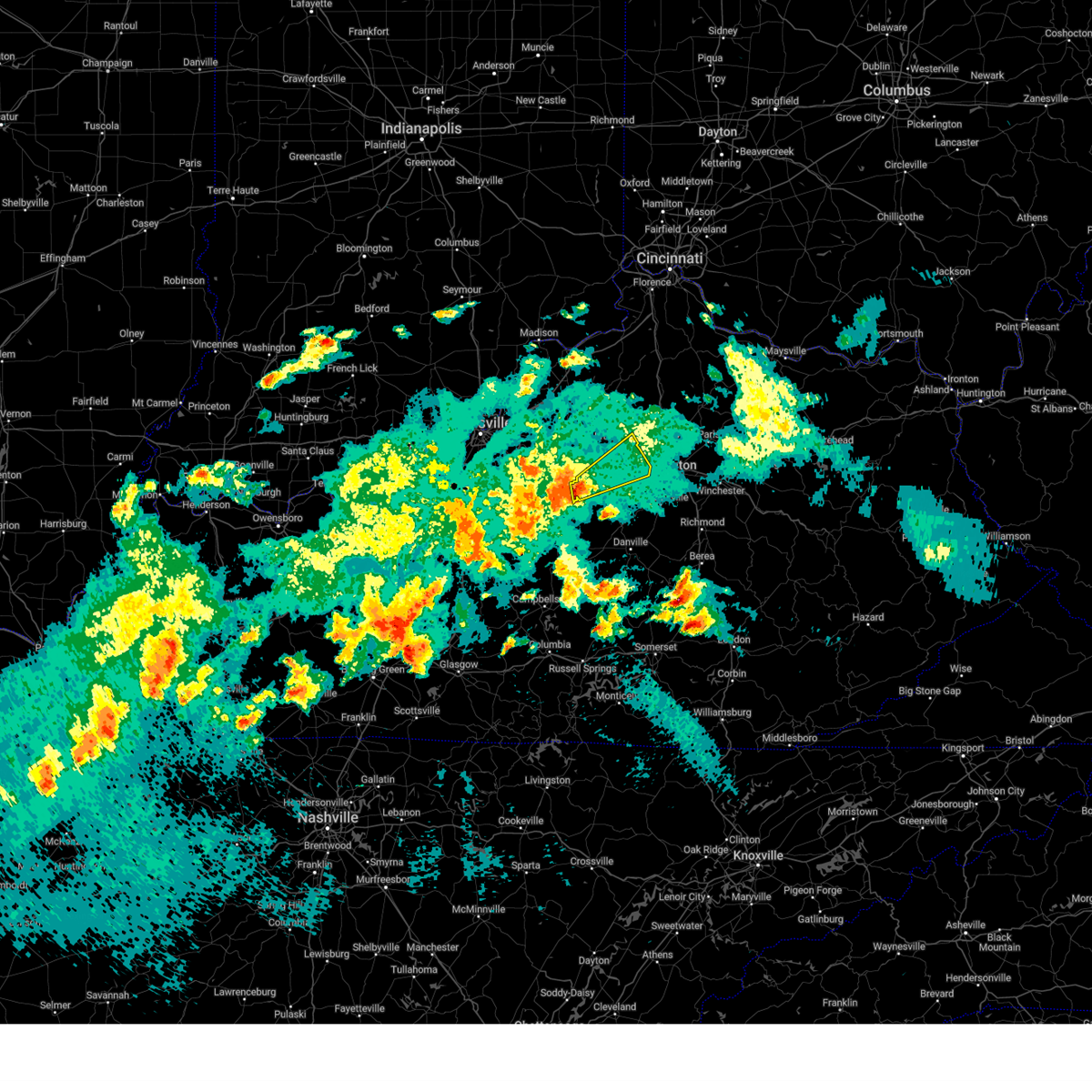
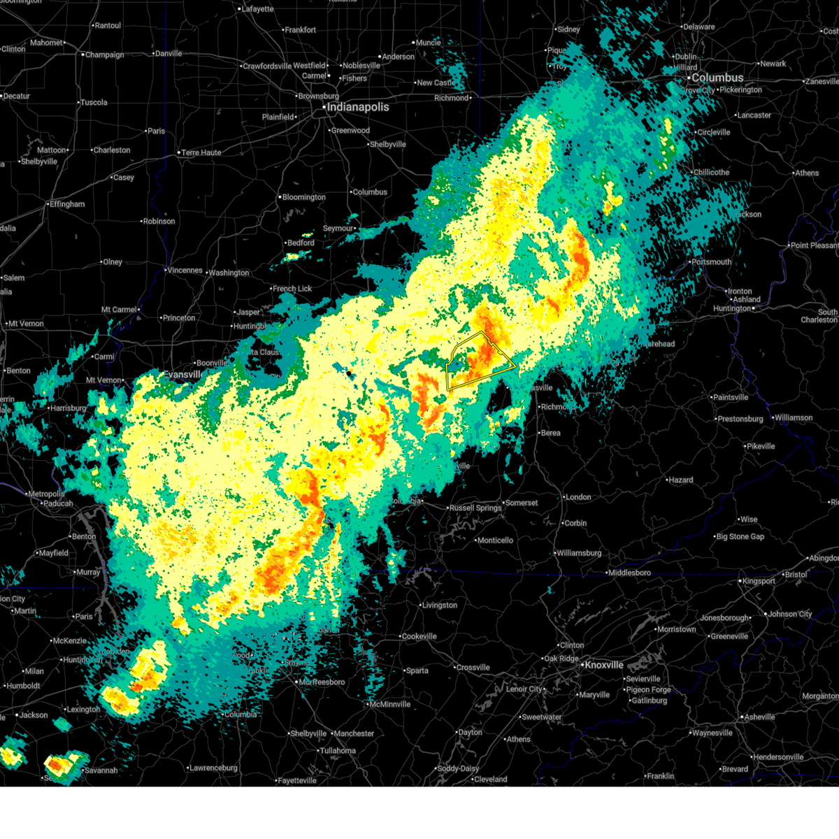
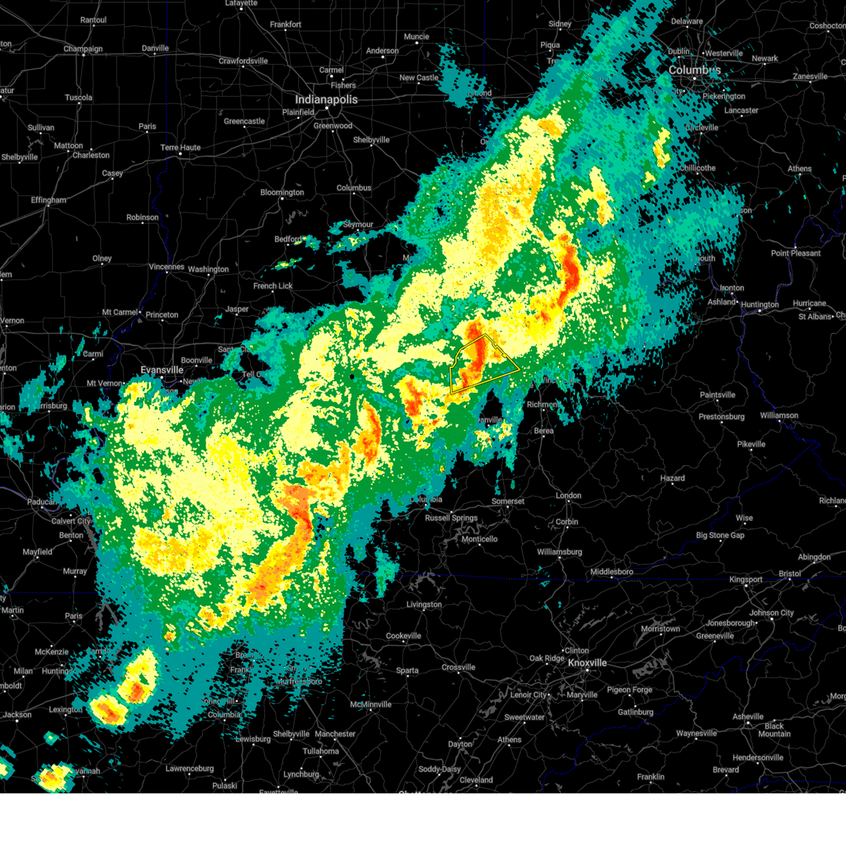
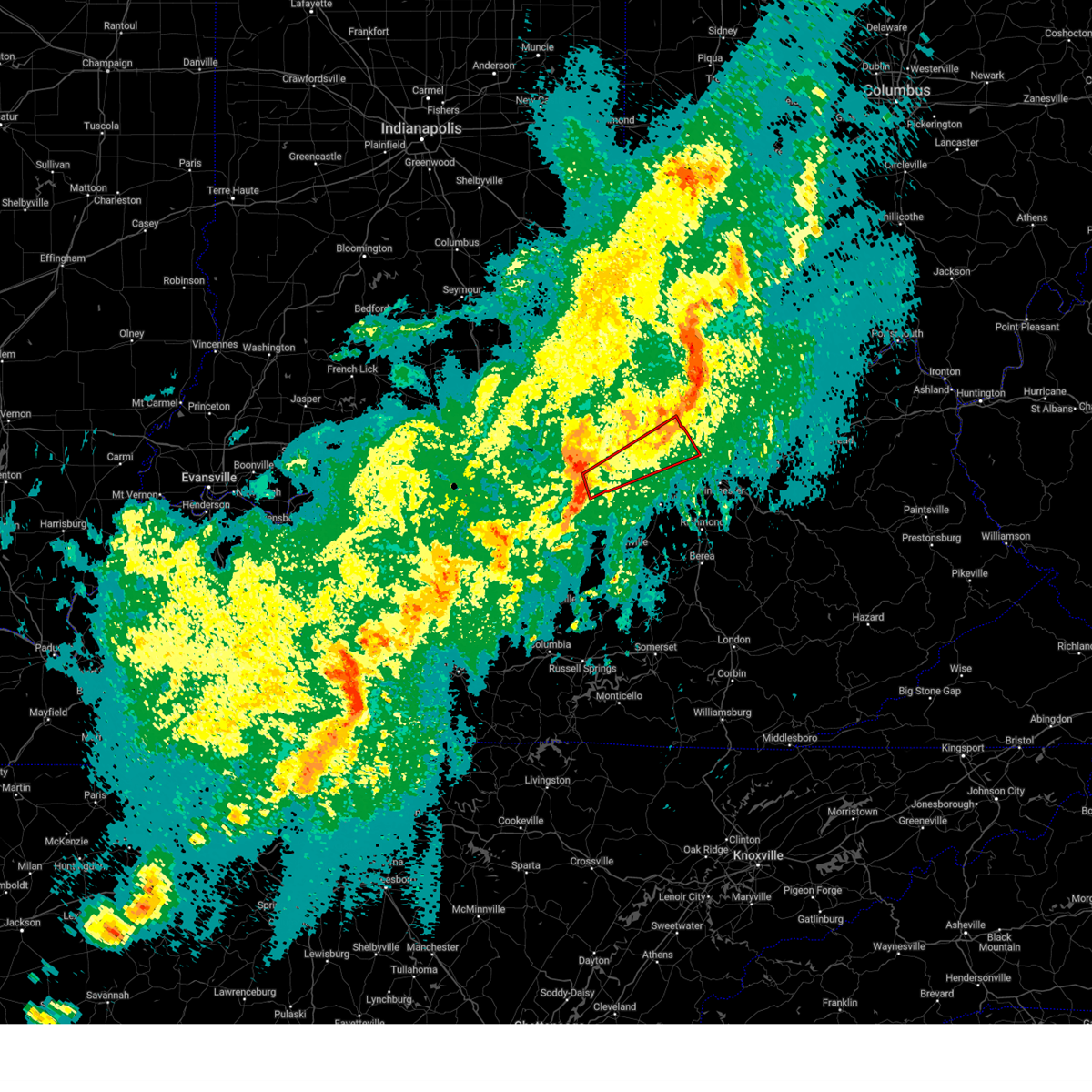
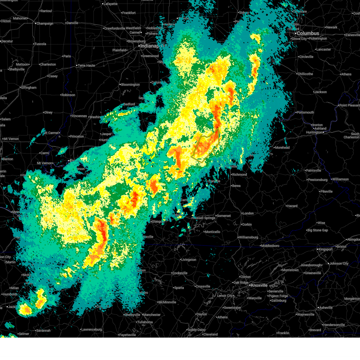
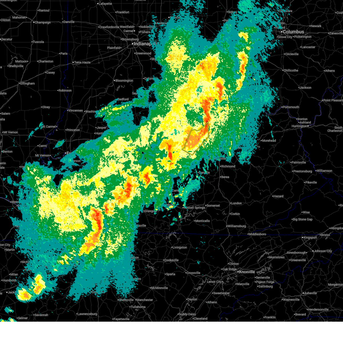
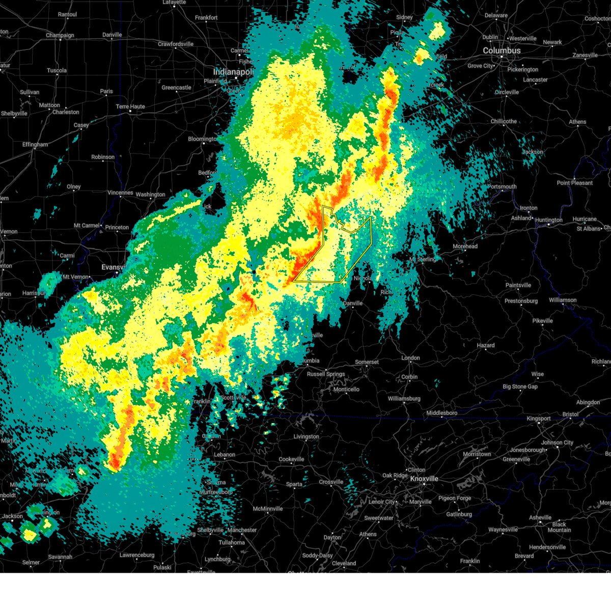
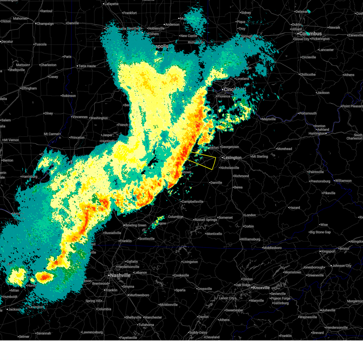
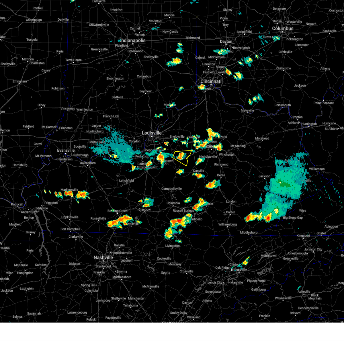
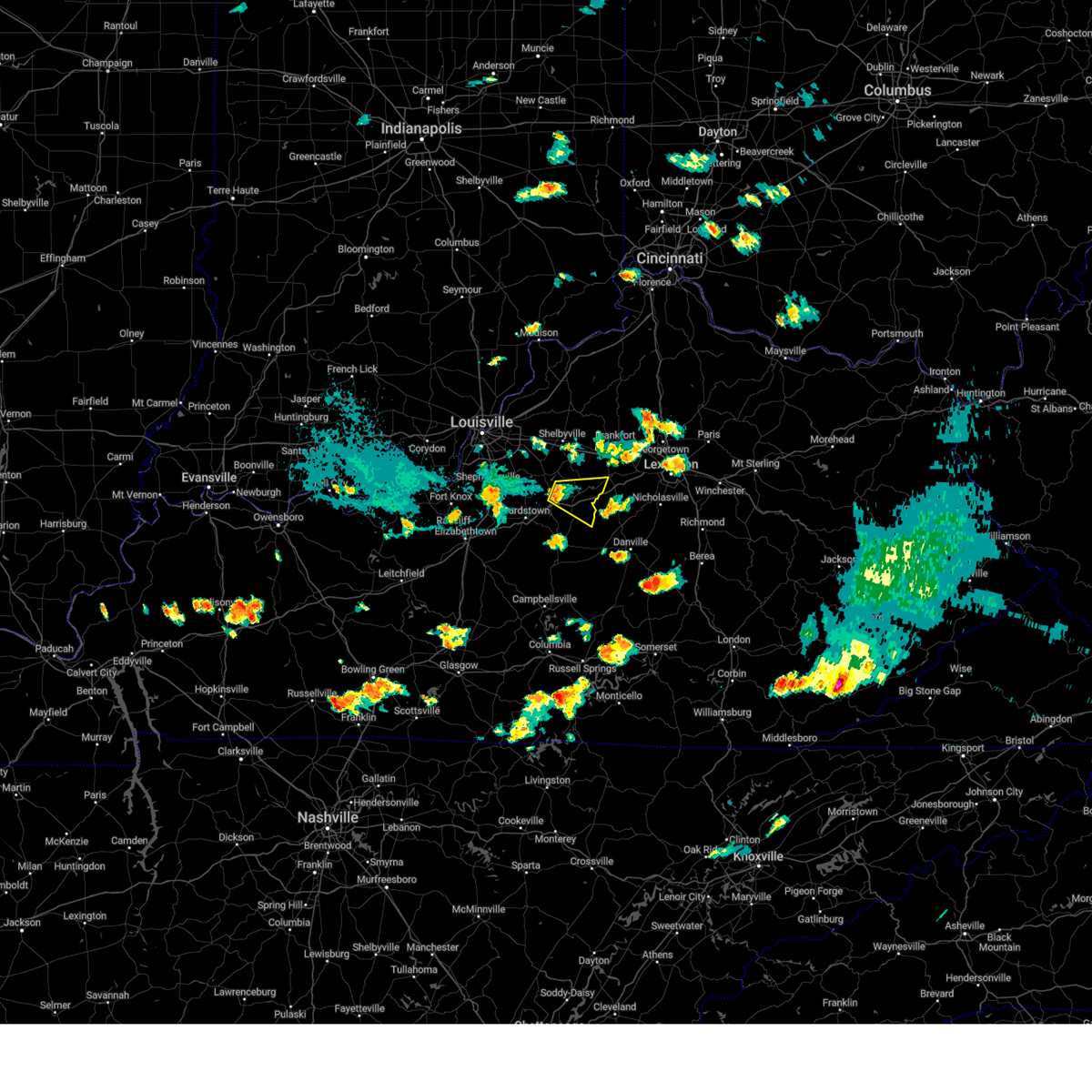
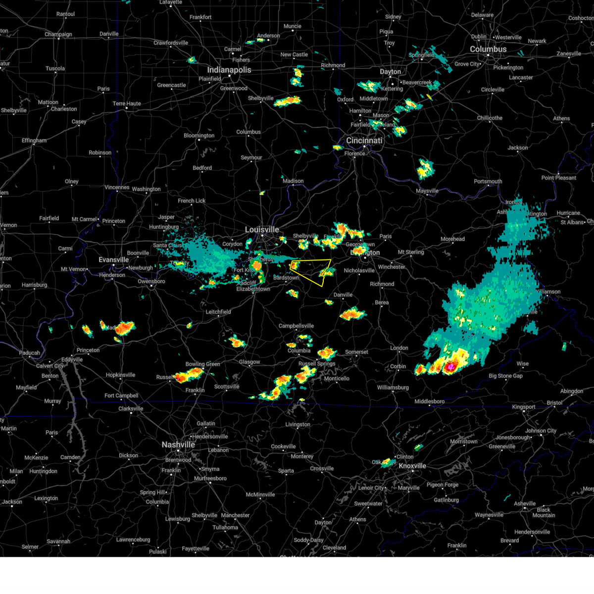
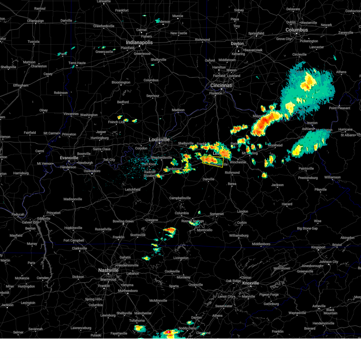
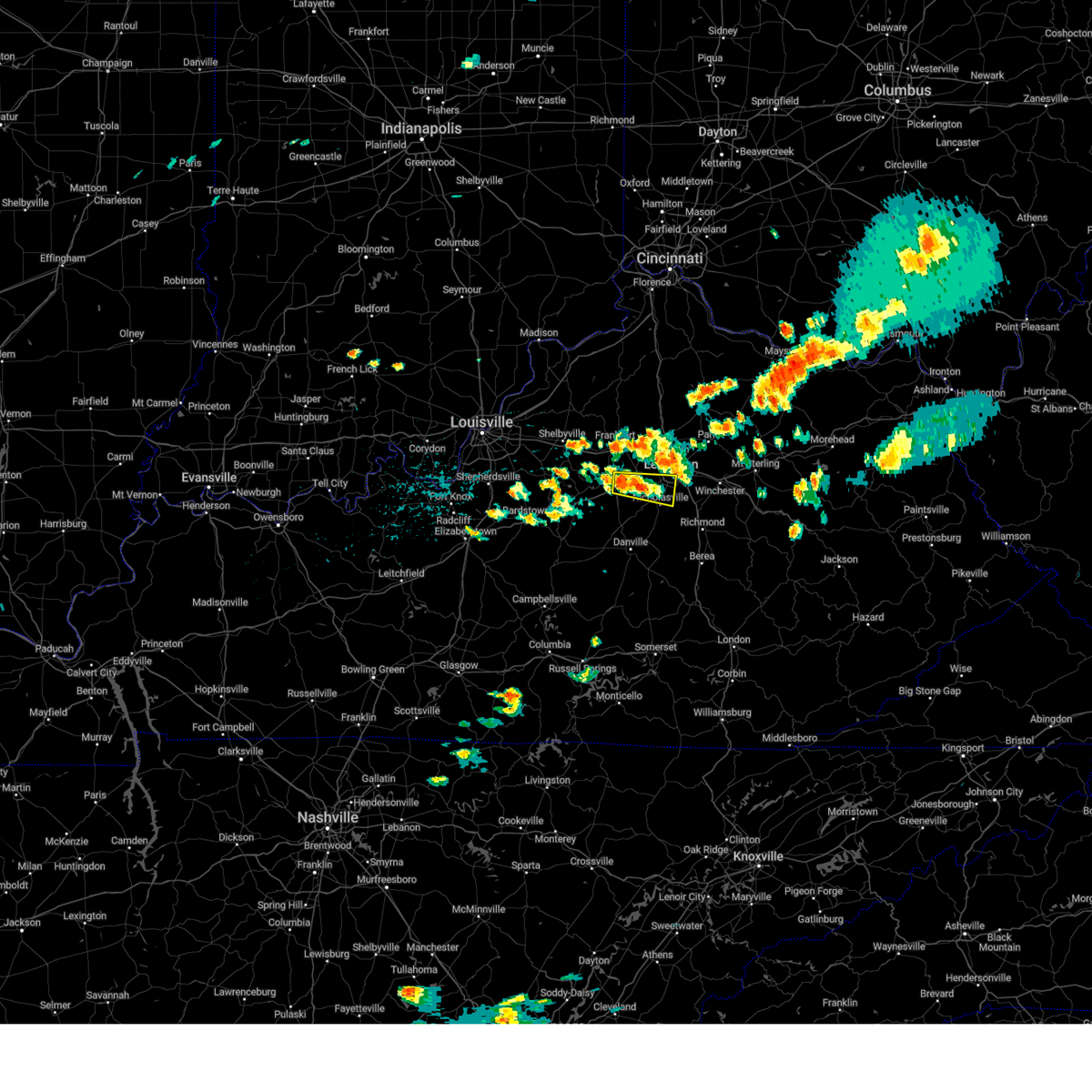
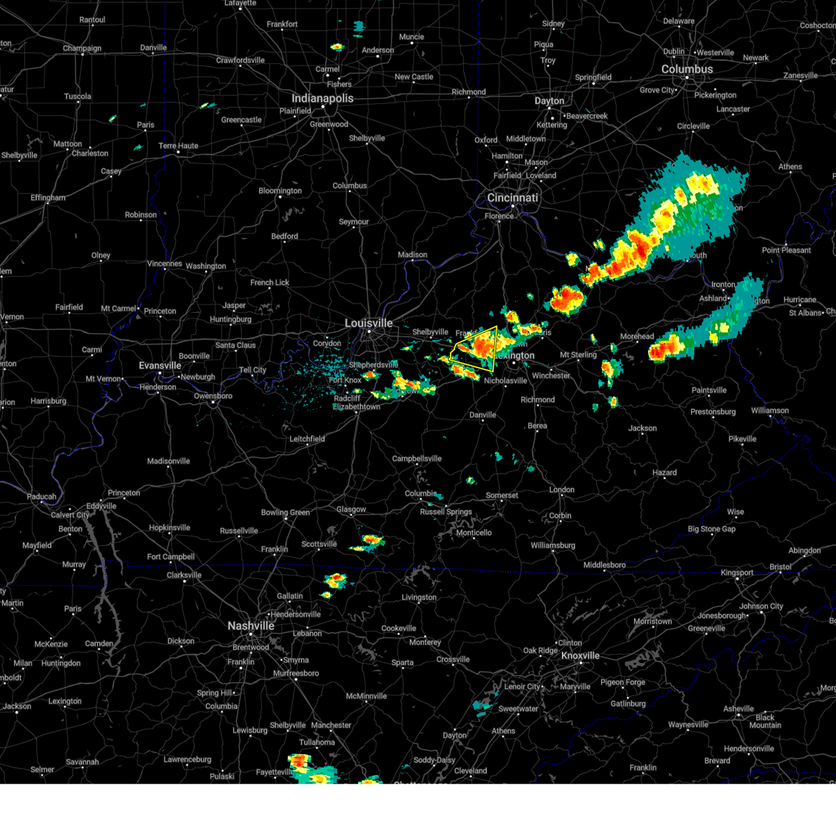
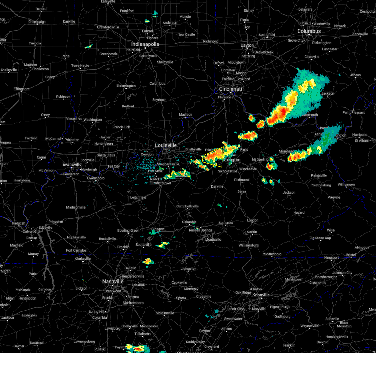
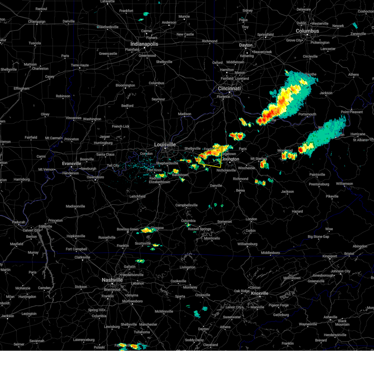
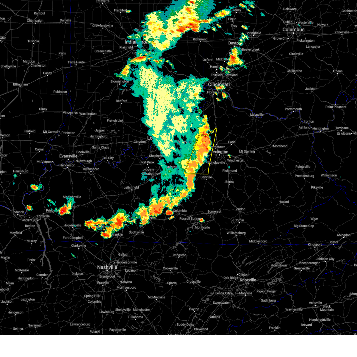
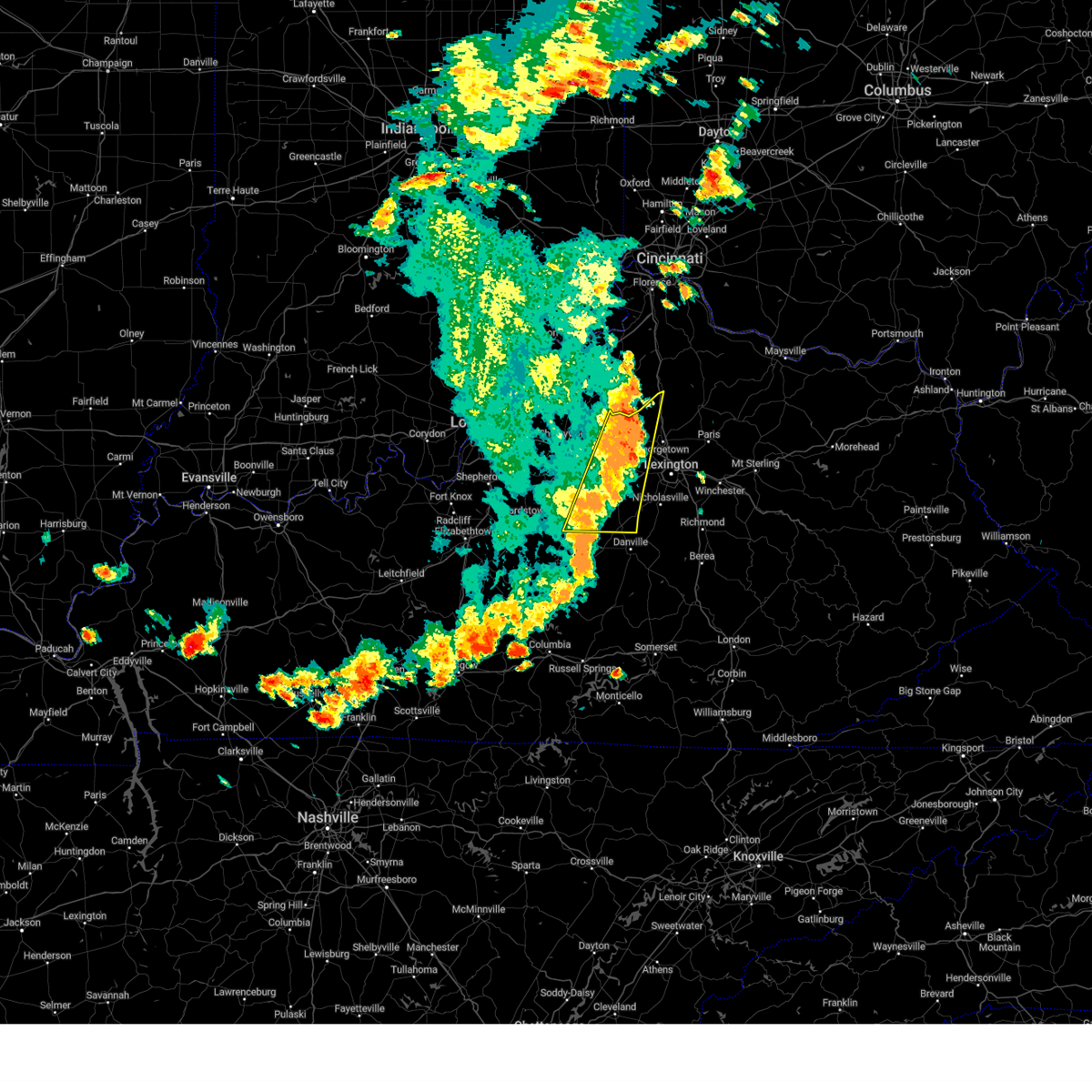
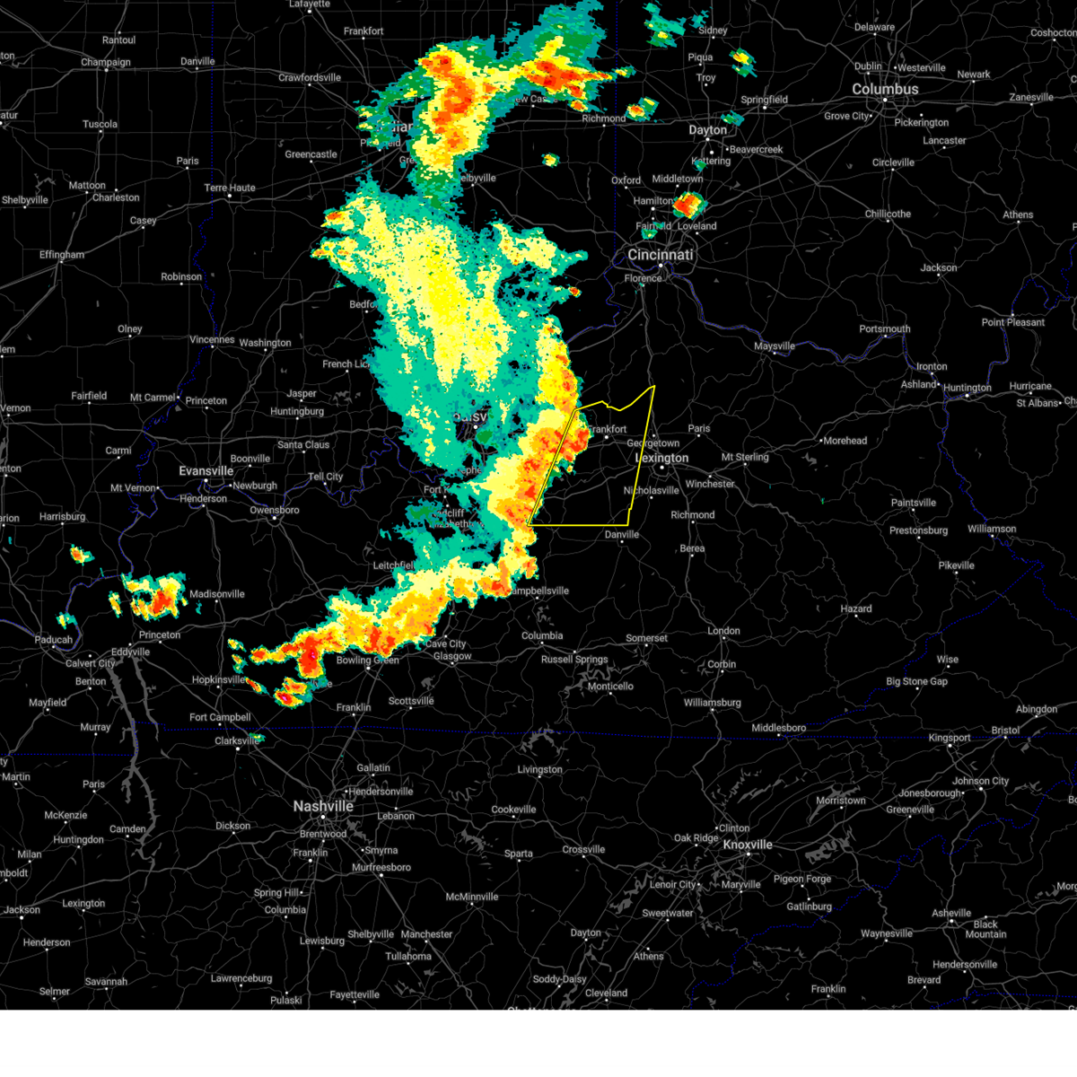
Hail Map for Lawrenceburg, KY
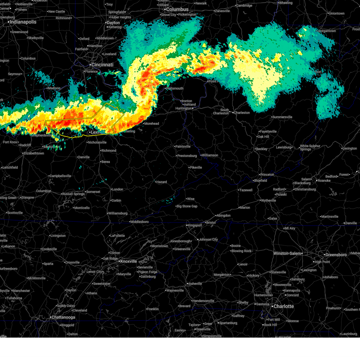
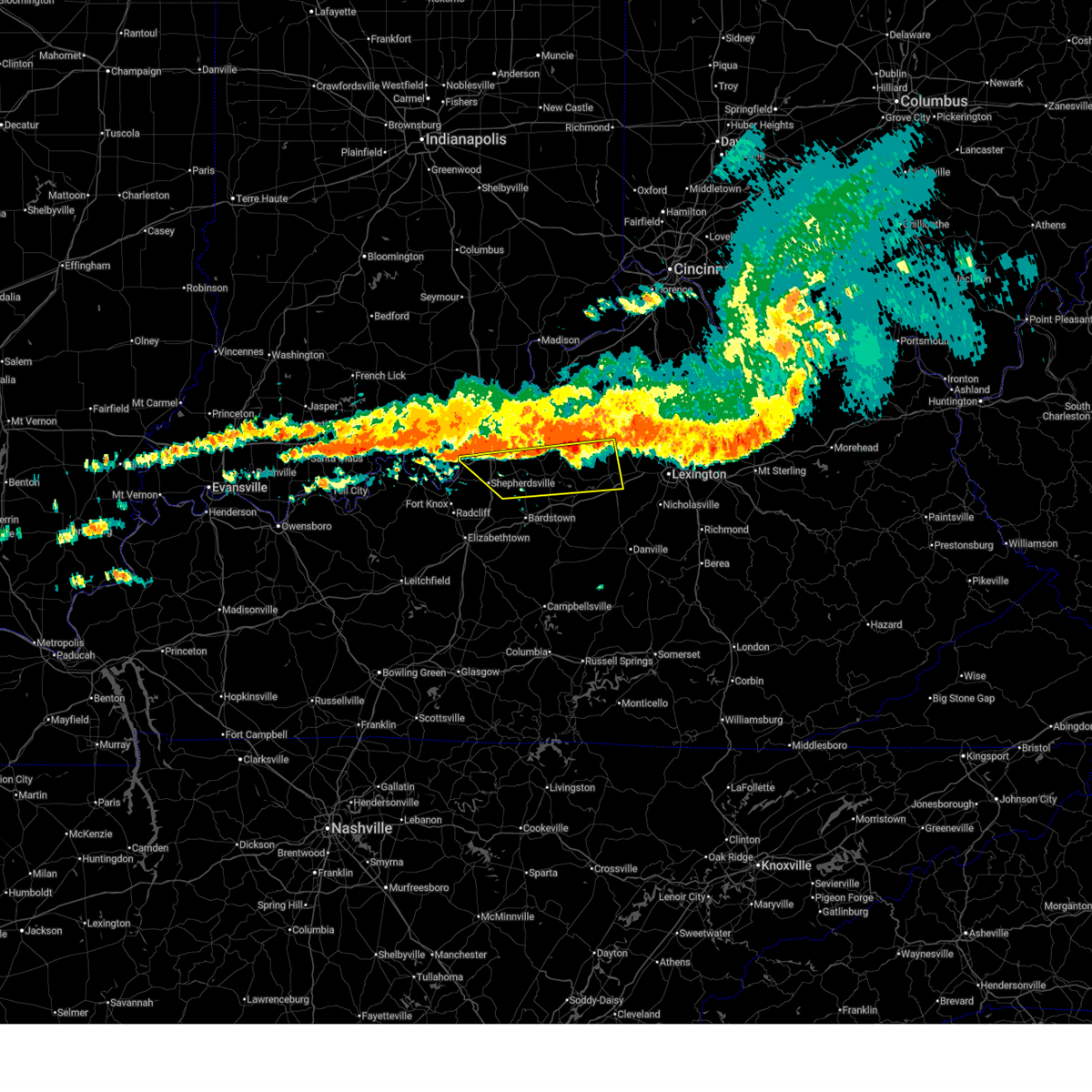
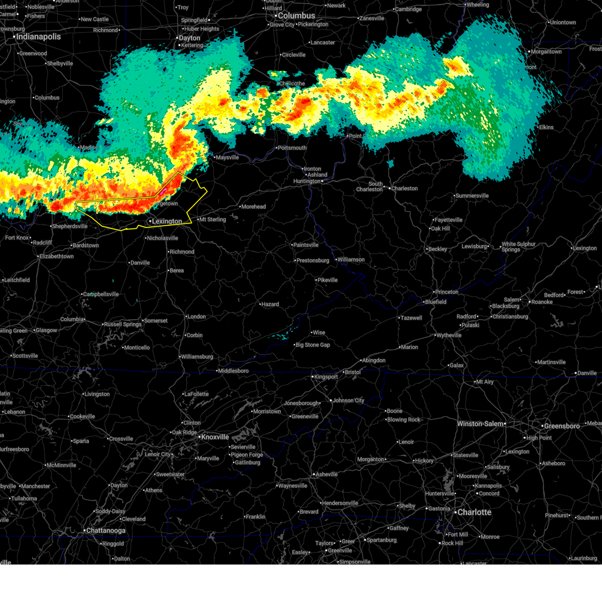
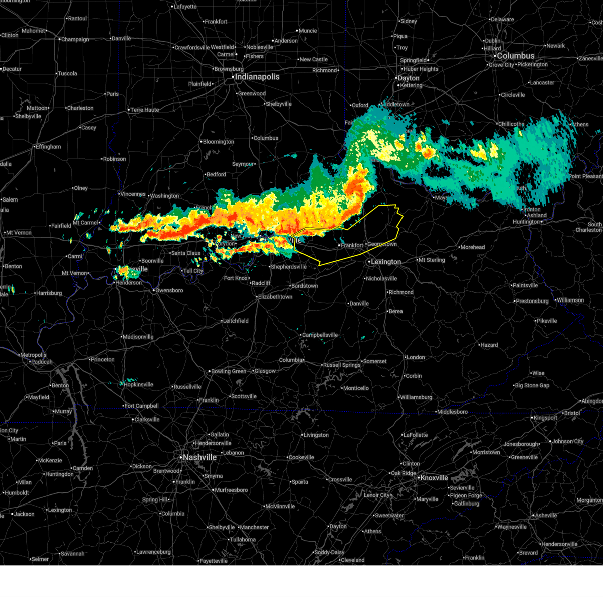
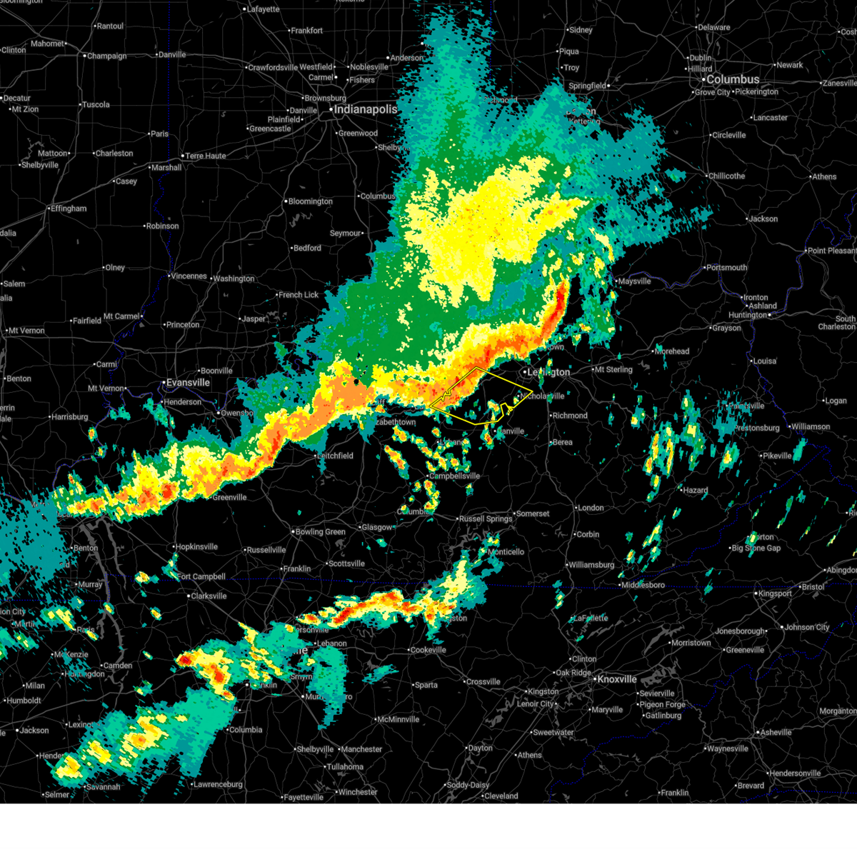
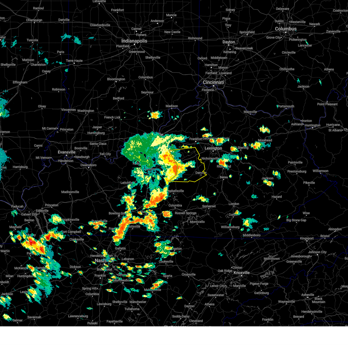
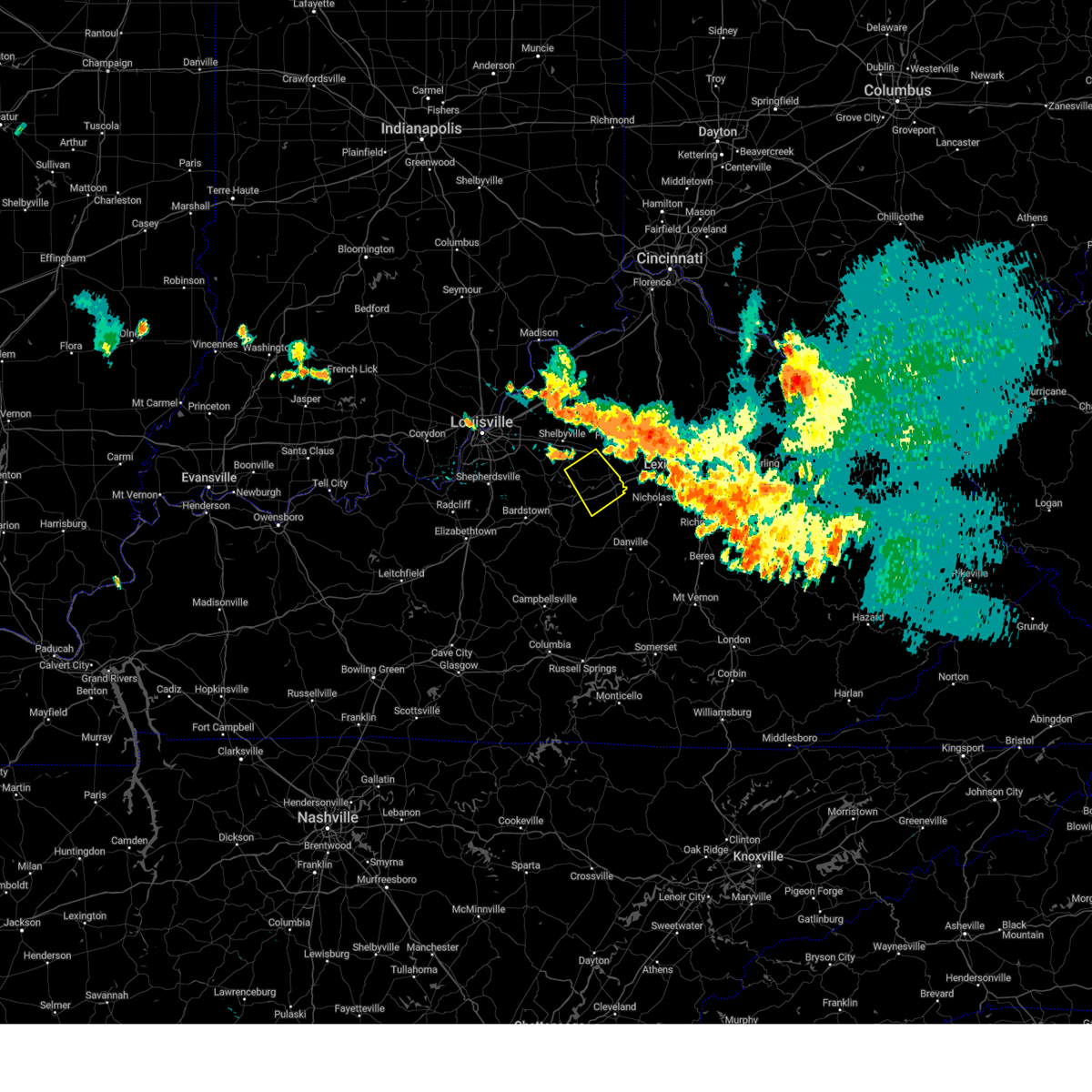
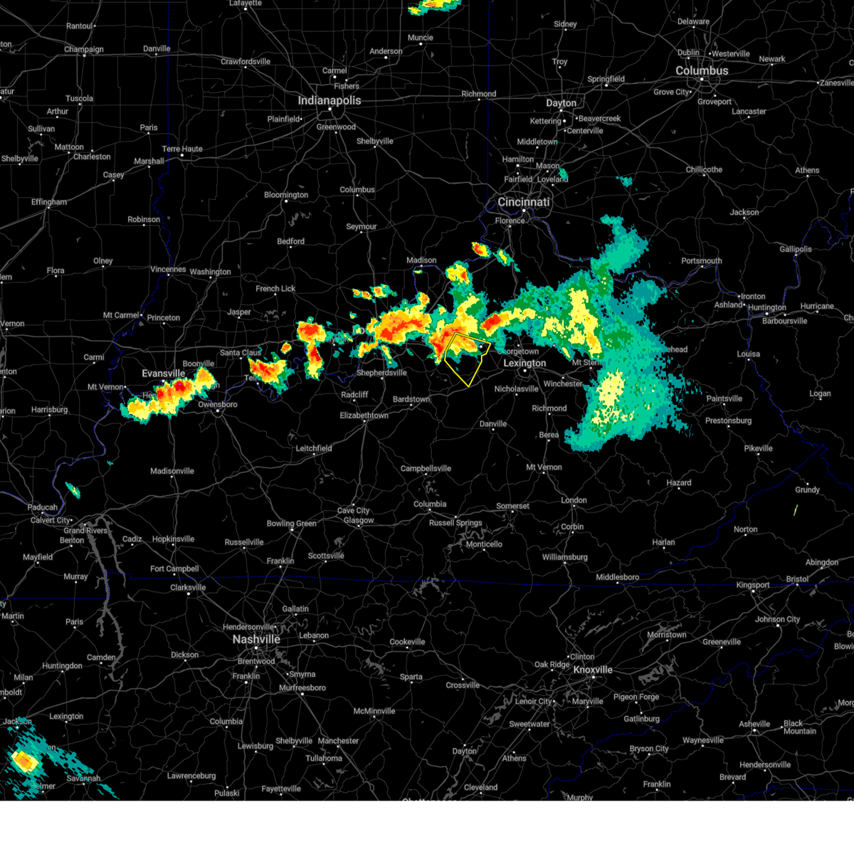
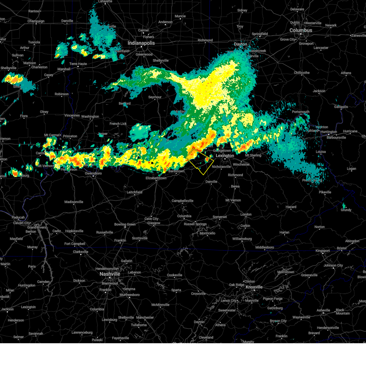
The Lawrenceburg, KY area has had 16 reports of on-the-ground hail by trained spotters, and has been under severe weather warnings 14 times during the past 12 months. Doppler radar has detected hail at or near Lawrenceburg, KY on 54 occasions, including 2 occasions during the past year.
| Name: | Lawrenceburg, KY |
| Where Located: | 44.5 miles E of Louisville, KY |
| Map: | Google Map for Lawrenceburg, KY |
| Population: | 10505 |
| Housing Units: | 4582 |
| More Info: | Search Google for Lawrenceburg, KY |
1
The Top Recent Hail Date for Lawrenceburg, KY is Thursday, February 19, 2026 (14th out of 54)
Hail and Wind Damage Spotted near Lawrenceburg, KY
| Date / Time | Report Details |
|---|---|
| 6/26/2026 9:52 PM EDT |
 the severe thunderstorm warning has been cancelled and is no longer in effect the severe thunderstorm warning has been cancelled and is no longer in effect
|
| 6/26/2026 9:31 PM EDT |
 Svrlmk the national weather service in louisville has issued a * severe thunderstorm warning for, northern mercer county in central kentucky, woodford county in central kentucky, south central scott county in central kentucky, anderson county in central kentucky, northwestern jessamine county in central kentucky, northeastern washington county in central kentucky, northwestern fayette county in central kentucky, * until 1015 pm edt. * at 930 pm edt, a severe thunderstorm was located 7 miles southwest of lawrenceburg, moving east at 35 mph (radar indicated). Hazards include 60 mph wind gusts. expect damage to roofs, siding, and trees Svrlmk the national weather service in louisville has issued a * severe thunderstorm warning for, northern mercer county in central kentucky, woodford county in central kentucky, south central scott county in central kentucky, anderson county in central kentucky, northwestern jessamine county in central kentucky, northeastern washington county in central kentucky, northwestern fayette county in central kentucky, * until 1015 pm edt. * at 930 pm edt, a severe thunderstorm was located 7 miles southwest of lawrenceburg, moving east at 35 mph (radar indicated). Hazards include 60 mph wind gusts. expect damage to roofs, siding, and trees
|
| 6/18/2026 5:31 AM EDT |
 At 530 am edt, severe thunderstorms were located along a line extending from 11 miles southeast of shelbyville to near shepherdsville, moving southeast at 35 mph (radar indicated). Hazards include 60 mph wind gusts. Expect damage to roofs, siding, and trees. Locations impacted include, shepherdsville, lawrenceburg, pioneer village, taylorsville, mount washington, hillview, hebron estates, fox chase, hunters hollow, and fairfield. At 530 am edt, severe thunderstorms were located along a line extending from 11 miles southeast of shelbyville to near shepherdsville, moving southeast at 35 mph (radar indicated). Hazards include 60 mph wind gusts. Expect damage to roofs, siding, and trees. Locations impacted include, shepherdsville, lawrenceburg, pioneer village, taylorsville, mount washington, hillview, hebron estates, fox chase, hunters hollow, and fairfield.
|
| 6/18/2026 5:26 AM EDT |
 The storms which prompted the warning have weakened below severe limits, and no longer pose an immediate threat to life or property. therefore, the warning will be allowed to expire. however, gusty winds and heavy rain are still possible with these thunderstorms. a tornado watch remains in effect until 1100 am edt for central kentucky. The storms which prompted the warning have weakened below severe limits, and no longer pose an immediate threat to life or property. therefore, the warning will be allowed to expire. however, gusty winds and heavy rain are still possible with these thunderstorms. a tornado watch remains in effect until 1100 am edt for central kentucky.
|
| 6/18/2026 5:14 AM EDT |
 Svrlmk the national weather service in louisville has issued a * severe thunderstorm warning for, spencer county in central kentucky, southern shelby county in central kentucky, northeastern nelson county in central kentucky, west central woodford county in central kentucky, anderson county in central kentucky, southern jefferson county in central kentucky, northern bullitt county in central kentucky, southwestern franklin county in central kentucky, * until 545 am edt. * at 513 am edt, severe thunderstorms were located along a line extending from near shelbyville to near valley station, moving southeast at 35 mph (standiford field gusted to 62 mph). Hazards include 60 mph wind gusts. expect damage to roofs, siding, and trees Svrlmk the national weather service in louisville has issued a * severe thunderstorm warning for, spencer county in central kentucky, southern shelby county in central kentucky, northeastern nelson county in central kentucky, west central woodford county in central kentucky, anderson county in central kentucky, southern jefferson county in central kentucky, northern bullitt county in central kentucky, southwestern franklin county in central kentucky, * until 545 am edt. * at 513 am edt, severe thunderstorms were located along a line extending from near shelbyville to near valley station, moving southeast at 35 mph (standiford field gusted to 62 mph). Hazards include 60 mph wind gusts. expect damage to roofs, siding, and trees
|
| 6/18/2026 4:45 AM EDT |
 Svrlmk the national weather service in louisville has issued a * severe thunderstorm warning for, northeastern spencer county in central kentucky, southern shelby county in central kentucky, woodford county in central kentucky, southern scott county in central kentucky, anderson county in central kentucky, northern clark county in central kentucky, bourbon county in central kentucky, nicholas county in central kentucky, fayette county in central kentucky, southeastern harrison county in central kentucky, southern franklin county in central kentucky, * until 530 am edt. * at 444 am edt, severe thunderstorms were located along a line extending from 10 miles northwest of fairview to 6 miles east of georgetown to 8 miles north of taylorsville, moving southeast at 50 mph (radar indicated). Hazards include 60 mph wind gusts. expect damage to roofs, siding, and trees Svrlmk the national weather service in louisville has issued a * severe thunderstorm warning for, northeastern spencer county in central kentucky, southern shelby county in central kentucky, woodford county in central kentucky, southern scott county in central kentucky, anderson county in central kentucky, northern clark county in central kentucky, bourbon county in central kentucky, nicholas county in central kentucky, fayette county in central kentucky, southeastern harrison county in central kentucky, southern franklin county in central kentucky, * until 530 am edt. * at 444 am edt, severe thunderstorms were located along a line extending from 10 miles northwest of fairview to 6 miles east of georgetown to 8 miles north of taylorsville, moving southeast at 50 mph (radar indicated). Hazards include 60 mph wind gusts. expect damage to roofs, siding, and trees
|
| 6/18/2026 4:16 AM EDT |
 Svrlmk the national weather service in louisville has issued a * severe thunderstorm warning for, shelby county in central kentucky, northern woodford county in central kentucky, scott county in central kentucky, northern anderson county in central kentucky, northwestern bourbon county in central kentucky, harrison county in central kentucky, franklin county in central kentucky, * until 445 am edt. * at 416 am edt, severe thunderstorms were located along a line extending from 6 miles northeast of williamstown to 12 miles southeast of owenton to 6 miles north of shelbyville, moving east at 55 mph (radar indicated). Hazards include 60 mph wind gusts. expect damage to roofs, siding, and trees Svrlmk the national weather service in louisville has issued a * severe thunderstorm warning for, shelby county in central kentucky, northern woodford county in central kentucky, scott county in central kentucky, northern anderson county in central kentucky, northwestern bourbon county in central kentucky, harrison county in central kentucky, franklin county in central kentucky, * until 445 am edt. * at 416 am edt, severe thunderstorms were located along a line extending from 6 miles northeast of williamstown to 12 miles southeast of owenton to 6 miles north of shelbyville, moving east at 55 mph (radar indicated). Hazards include 60 mph wind gusts. expect damage to roofs, siding, and trees
|
| 4/28/2026 1:51 AM EDT |
 Svrlmk the national weather service in louisville has issued a * severe thunderstorm warning for, mercer county in central kentucky, southern woodford county in central kentucky, southern anderson county in central kentucky, central jessamine county in central kentucky, northern washington county in central kentucky, * until 215 am edt. * at 151 am edt, severe thunderstorms were located along a line extending from near lawrenceburg to 9 miles north of springfield, moving east at 55 mph (radar indicated). Hazards include 60 mph wind gusts. expect damage to roofs, siding, and trees Svrlmk the national weather service in louisville has issued a * severe thunderstorm warning for, mercer county in central kentucky, southern woodford county in central kentucky, southern anderson county in central kentucky, central jessamine county in central kentucky, northern washington county in central kentucky, * until 215 am edt. * at 151 am edt, severe thunderstorms were located along a line extending from near lawrenceburg to 9 miles north of springfield, moving east at 55 mph (radar indicated). Hazards include 60 mph wind gusts. expect damage to roofs, siding, and trees
|
| 3/16/2026 1:00 AM EDT |
 The storms which prompted the warning have moved out of the area. therefore, the warning will be allowed to expire. a tornado watch remains in effect until 500 am edt for central kentucky. The storms which prompted the warning have moved out of the area. therefore, the warning will be allowed to expire. a tornado watch remains in effect until 500 am edt for central kentucky.
|
| 3/16/2026 12:51 AM EDT |
 the severe thunderstorm warning has been cancelled and is no longer in effect the severe thunderstorm warning has been cancelled and is no longer in effect
|
| 3/16/2026 12:51 AM EDT |
 At 1251 am edt, severe thunderstorms were located along a line extending from near frankfort to near versailles to near harrodsburg, moving northeast at 65 mph (radar indicated). Hazards include 70 mph wind gusts. Expect considerable tree damage. damage is likely to mobile homes, roofs, and outbuildings. Locations impacted include, frankfort, lawrenceburg, versailles, harrodsburg, ballard, midway, burgin, stamping ground, mackville, and slickway. At 1251 am edt, severe thunderstorms were located along a line extending from near frankfort to near versailles to near harrodsburg, moving northeast at 65 mph (radar indicated). Hazards include 70 mph wind gusts. Expect considerable tree damage. damage is likely to mobile homes, roofs, and outbuildings. Locations impacted include, frankfort, lawrenceburg, versailles, harrodsburg, ballard, midway, burgin, stamping ground, mackville, and slickway.
|
| 3/16/2026 12:38 AM EDT |
 At 1237 am edt, severe thunderstorms were located along a line extending from 9 miles west of frankfort to 7 miles southwest of lawrenceburg to 6 miles southeast of springfield, moving northeast at 65 mph (radar indicated). Hazards include 70 mph wind gusts. Expect considerable tree damage. damage is likely to mobile homes, roofs, and outbuildings. Locations impacted include, frankfort, lawrenceburg, versailles, harrodsburg, springfield, ballard, midway, burgin, stamping ground, and willisburg. At 1237 am edt, severe thunderstorms were located along a line extending from 9 miles west of frankfort to 7 miles southwest of lawrenceburg to 6 miles southeast of springfield, moving northeast at 65 mph (radar indicated). Hazards include 70 mph wind gusts. Expect considerable tree damage. damage is likely to mobile homes, roofs, and outbuildings. Locations impacted include, frankfort, lawrenceburg, versailles, harrodsburg, springfield, ballard, midway, burgin, stamping ground, and willisburg.
|
| 3/16/2026 12:38 AM EDT |
 the severe thunderstorm warning has been cancelled and is no longer in effect the severe thunderstorm warning has been cancelled and is no longer in effect
|
| 3/16/2026 12:15 AM EDT |
 Svrlmk the national weather service in louisville has issued a * severe thunderstorm warning for, southern spencer county in central kentucky, southeastern shelby county in central kentucky, northeastern nelson county in central kentucky, mercer county in central kentucky, woodford county in central kentucky, southwestern scott county in central kentucky, anderson county in central kentucky, southeastern larue county in central kentucky, northern marion county in central kentucky, washington county in central kentucky, southern franklin county in central kentucky, * until 100 am edt. * at 1215 am edt, severe thunderstorms were located along a line extending from taylorsville to 8 miles east of bardstown to 10 miles southwest of lebanon, moving northeast at 60 mph (radar indicated). Hazards include 70 mph wind gusts. Expect considerable tree damage. Damage is likely to mobile homes, roofs, and outbuildings. Svrlmk the national weather service in louisville has issued a * severe thunderstorm warning for, southern spencer county in central kentucky, southeastern shelby county in central kentucky, northeastern nelson county in central kentucky, mercer county in central kentucky, woodford county in central kentucky, southwestern scott county in central kentucky, anderson county in central kentucky, southeastern larue county in central kentucky, northern marion county in central kentucky, washington county in central kentucky, southern franklin county in central kentucky, * until 100 am edt. * at 1215 am edt, severe thunderstorms were located along a line extending from taylorsville to 8 miles east of bardstown to 10 miles southwest of lebanon, moving northeast at 60 mph (radar indicated). Hazards include 70 mph wind gusts. Expect considerable tree damage. Damage is likely to mobile homes, roofs, and outbuildings.
|
| 6/6/2025 2:09 PM EDT |
 At 208 pm edt, severe thunderstorms were located along a line extending from 8 miles east of taylorsville to 9 miles west of harrodsburg to 10 miles east of springfield to 6 miles east of lebanon, moving east at 45 mph (radar indicated). Hazards include 60 mph wind gusts. Expect damage to roofs, siding, and trees. Locations impacted include, danville, lawrenceburg, harrodsburg, lebanon, springfield, ballard, junction city, burgin, bloomfield, and perryville. At 208 pm edt, severe thunderstorms were located along a line extending from 8 miles east of taylorsville to 9 miles west of harrodsburg to 10 miles east of springfield to 6 miles east of lebanon, moving east at 45 mph (radar indicated). Hazards include 60 mph wind gusts. Expect damage to roofs, siding, and trees. Locations impacted include, danville, lawrenceburg, harrodsburg, lebanon, springfield, ballard, junction city, burgin, bloomfield, and perryville.
|
| 6/6/2025 2:09 PM EDT |
 the severe thunderstorm warning has been cancelled and is no longer in effect the severe thunderstorm warning has been cancelled and is no longer in effect
|
| 6/6/2025 1:51 PM EDT |
 Svrlmk the national weather service in louisville has issued a * severe thunderstorm warning for, southern spencer county in central kentucky, south central shelby county in central kentucky, northeastern nelson county in central kentucky, mercer county in central kentucky, anderson county in central kentucky, central marion county in central kentucky, washington county in central kentucky, boyle county in central kentucky, * until 230 pm edt. * at 151 pm edt, severe thunderstorms were located along a line extending from near taylorsville to 11 miles east of bardstown to near springfield to 6 miles west of lebanon, moving east at 45 mph (radar indicated). Hazards include 60 mph wind gusts. expect damage to roofs, siding, and trees Svrlmk the national weather service in louisville has issued a * severe thunderstorm warning for, southern spencer county in central kentucky, south central shelby county in central kentucky, northeastern nelson county in central kentucky, mercer county in central kentucky, anderson county in central kentucky, central marion county in central kentucky, washington county in central kentucky, boyle county in central kentucky, * until 230 pm edt. * at 151 pm edt, severe thunderstorms were located along a line extending from near taylorsville to 11 miles east of bardstown to near springfield to 6 miles west of lebanon, moving east at 45 mph (radar indicated). Hazards include 60 mph wind gusts. expect damage to roofs, siding, and trees
|
| 5/16/2025 10:43 PM EDT |
 Svrlmk the national weather service in louisville has issued a * severe thunderstorm warning for, southeastern anderson county in central kentucky, clark county in central kentucky, jessamine county in central kentucky, nicholas county in central kentucky, harrison county in central kentucky, northeastern franklin county in central kentucky, northern mercer county in central kentucky, woodford county in central kentucky, scott county in central kentucky, bourbon county in central kentucky, northeastern washington county in central kentucky, northern madison county in central kentucky, fayette county in central kentucky, * until 1130 pm edt. * at 1042 pm edt, severe thunderstorms were located along a line extending from 8 miles northwest of owenton to 7 miles northwest of lawrenceburg to 12 miles north of springfield, moving east at 70 mph (radar indicated). Hazards include 70 mph wind gusts and penny size hail. Expect considerable tree damage. Damage is likely to mobile homes, roofs, and outbuildings. Svrlmk the national weather service in louisville has issued a * severe thunderstorm warning for, southeastern anderson county in central kentucky, clark county in central kentucky, jessamine county in central kentucky, nicholas county in central kentucky, harrison county in central kentucky, northeastern franklin county in central kentucky, northern mercer county in central kentucky, woodford county in central kentucky, scott county in central kentucky, bourbon county in central kentucky, northeastern washington county in central kentucky, northern madison county in central kentucky, fayette county in central kentucky, * until 1130 pm edt. * at 1042 pm edt, severe thunderstorms were located along a line extending from 8 miles northwest of owenton to 7 miles northwest of lawrenceburg to 12 miles north of springfield, moving east at 70 mph (radar indicated). Hazards include 70 mph wind gusts and penny size hail. Expect considerable tree damage. Damage is likely to mobile homes, roofs, and outbuildings.
|
| 5/16/2025 10:19 PM EDT |
 Svrlmk the national weather service in louisville has issued a * severe thunderstorm warning for, east central clark county in south central indiana, oldham county in central kentucky, shelby county in central kentucky, northern nelson county in central kentucky, anderson county in central kentucky, henry county in central kentucky, northeastern jefferson county in central kentucky, eastern bullitt county in central kentucky, franklin county in central kentucky, spencer county in central kentucky, northwestern woodford county in central kentucky, southern trimble county in central kentucky, northeastern washington county in central kentucky, * until 1100 pm edt. * at 1018 pm edt, severe thunderstorms were located along a line extending from near prospect to 7 miles southeast of fern creek to 8 miles south of shepherdsville, moving east at 60 mph (radar indicated). Hazards include 70 mph wind gusts and penny size hail. Expect considerable tree damage. Damage is likely to mobile homes, roofs, and outbuildings. Svrlmk the national weather service in louisville has issued a * severe thunderstorm warning for, east central clark county in south central indiana, oldham county in central kentucky, shelby county in central kentucky, northern nelson county in central kentucky, anderson county in central kentucky, henry county in central kentucky, northeastern jefferson county in central kentucky, eastern bullitt county in central kentucky, franklin county in central kentucky, spencer county in central kentucky, northwestern woodford county in central kentucky, southern trimble county in central kentucky, northeastern washington county in central kentucky, * until 1100 pm edt. * at 1018 pm edt, severe thunderstorms were located along a line extending from near prospect to 7 miles southeast of fern creek to 8 miles south of shepherdsville, moving east at 60 mph (radar indicated). Hazards include 70 mph wind gusts and penny size hail. Expect considerable tree damage. Damage is likely to mobile homes, roofs, and outbuildings.
|
| 5/16/2025 8:45 PM EDT |
 Svrlmk the national weather service in louisville has issued a * severe thunderstorm warning for, northern woodford county in central kentucky, southern scott county in central kentucky, northeastern anderson county in central kentucky, bourbon county in central kentucky, southeastern nicholas county in central kentucky, fayette county in central kentucky, south central franklin county in central kentucky, * until 930 pm edt. * at 845 pm edt, severe thunderstorms were located along a line extending from near lawrenceburg to 6 miles north of versailles to near georgetown, moving east at 45 mph (radar indicated). Hazards include 60 mph wind gusts and quarter size hail. Hail damage to vehicles is expected. Expect wind damage to roofs, siding, and trees. Svrlmk the national weather service in louisville has issued a * severe thunderstorm warning for, northern woodford county in central kentucky, southern scott county in central kentucky, northeastern anderson county in central kentucky, bourbon county in central kentucky, southeastern nicholas county in central kentucky, fayette county in central kentucky, south central franklin county in central kentucky, * until 930 pm edt. * at 845 pm edt, severe thunderstorms were located along a line extending from near lawrenceburg to 6 miles north of versailles to near georgetown, moving east at 45 mph (radar indicated). Hazards include 60 mph wind gusts and quarter size hail. Hail damage to vehicles is expected. Expect wind damage to roofs, siding, and trees.
|
| 5/16/2025 8:36 PM EDT | Quarter sized hail reported 4.1 miles SSE of Lawrenceburg, KY |
| 5/16/2025 9:53 AM EDT |
 The storm which prompted the warning has weakened below severe limits, and no longer poses an immediate threat to life or property. therefore, the warning will be allowed to expire. however, small hail is still possible with this thunderstorm. a severe thunderstorm watch remains in effect until noon edt for central kentucky. The storm which prompted the warning has weakened below severe limits, and no longer poses an immediate threat to life or property. therefore, the warning will be allowed to expire. however, small hail is still possible with this thunderstorm. a severe thunderstorm watch remains in effect until noon edt for central kentucky.
|
| 5/16/2025 9:51 AM EDT | Half Dollar sized hail reported 1.4 miles NE of Lawrenceburg, KY, report from mping: half dollar (1.25 in.). |
| 5/16/2025 9:48 AM EDT | Quarter sized hail reported 1.4 miles NE of Lawrenceburg, KY, report from mping: quarter (1.00 in.). |
| 5/16/2025 9:37 AM EDT | Quarter sized hail reported 13.2 miles ENE of Lawrenceburg, KY, local business reported quarter size hail with picture to verify. |
| 5/16/2025 9:36 AM EDT |
 Svrlmk the national weather service in louisville has issued a * severe thunderstorm warning for, northern woodford county in central kentucky, anderson county in central kentucky, southeastern franklin county in central kentucky, * until 1000 am edt. * at 936 am edt, a severe thunderstorm was located 10 miles southwest of lawrenceburg, moving northeast at 55 mph (radar indicated). Hazards include quarter size hail. damage to vehicles is expected Svrlmk the national weather service in louisville has issued a * severe thunderstorm warning for, northern woodford county in central kentucky, anderson county in central kentucky, southeastern franklin county in central kentucky, * until 1000 am edt. * at 936 am edt, a severe thunderstorm was located 10 miles southwest of lawrenceburg, moving northeast at 55 mph (radar indicated). Hazards include quarter size hail. damage to vehicles is expected
|
| 4/3/2025 1:59 AM EDT |
 The storm which prompted the warning has moved out of the area. therefore, the warning will be allowed to expire. a tornado watch remains in effect until 700 am edt for central kentucky. The storm which prompted the warning has moved out of the area. therefore, the warning will be allowed to expire. a tornado watch remains in effect until 700 am edt for central kentucky.
|
| 4/3/2025 1:57 AM EDT |
 The tornado threat has diminished and the tornado warning has been cancelled. however, large hail and damaging winds remain likely and a severe thunderstorm warning remains in effect for the area. a tornado watch remains in effect until 700 am edt for central kentucky. The tornado threat has diminished and the tornado warning has been cancelled. however, large hail and damaging winds remain likely and a severe thunderstorm warning remains in effect for the area. a tornado watch remains in effect until 700 am edt for central kentucky.
|
| 4/3/2025 1:46 AM EDT |
 At 146 am edt, a severe thunderstorm capable of producing a tornado was located near versailles, moving northeast at 75 mph (radar indicated rotation). Hazards include tornado. Flying debris will be dangerous to those caught without shelter. mobile homes will be damaged or destroyed. damage to roofs, windows, and vehicles will occur. tree damage is likely. this dangerous storm will be near, georgetown around 150 am edt. Other locations impacted by this tornadic thunderstorm include viley, spindletop estates, hutchison, moon lake estates, muddy ford, great crossing, herdon, newtown, mckees crossroads, and pisgah. At 146 am edt, a severe thunderstorm capable of producing a tornado was located near versailles, moving northeast at 75 mph (radar indicated rotation). Hazards include tornado. Flying debris will be dangerous to those caught without shelter. mobile homes will be damaged or destroyed. damage to roofs, windows, and vehicles will occur. tree damage is likely. this dangerous storm will be near, georgetown around 150 am edt. Other locations impacted by this tornadic thunderstorm include viley, spindletop estates, hutchison, moon lake estates, muddy ford, great crossing, herdon, newtown, mckees crossroads, and pisgah.
|
| 4/3/2025 1:44 AM EDT |
 the severe thunderstorm warning has been cancelled and is no longer in effect the severe thunderstorm warning has been cancelled and is no longer in effect
|
| 4/3/2025 1:44 AM EDT |
 At 144 am edt, a severe thunderstorm was located near lawrenceburg, moving northeast at 80 mph (radar indicated). Hazards include 70 mph wind gusts. Expect considerable tree damage. damage is likely to mobile homes, roofs, and outbuildings. Locations impacted include, lexington, frankfort, lawrenceburg, versailles, dunbar high school, cardinal hill, u k arboretum, ballard, midway, and slickway. At 144 am edt, a severe thunderstorm was located near lawrenceburg, moving northeast at 80 mph (radar indicated). Hazards include 70 mph wind gusts. Expect considerable tree damage. damage is likely to mobile homes, roofs, and outbuildings. Locations impacted include, lexington, frankfort, lawrenceburg, versailles, dunbar high school, cardinal hill, u k arboretum, ballard, midway, and slickway.
|
| 4/3/2025 1:36 AM EDT |
 Torlmk the national weather service in louisville has issued a * tornado warning for, woodford county in central kentucky, southern scott county in central kentucky, anderson county in central kentucky, southwestern bourbon county in central kentucky, northern fayette county in central kentucky, southeastern franklin county in central kentucky, * until 200 am edt. * at 135 am edt, a severe thunderstorm capable of producing a tornado was located near lawrenceburg, moving northeast at 75 mph (radar indicated rotation). Hazards include tornado. Flying debris will be dangerous to those caught without shelter. mobile homes will be damaged or destroyed. damage to roofs, windows, and vehicles will occur. tree damage is likely. this dangerous storm will be near, lawrenceburg around 140 am edt. versailles around 145 am edt. georgetown around 155 am edt. Other locations impacted by this tornadic thunderstorm include viley, spindletop estates, anderson city, glensboro, farmdale, moon lake estates, ashbrook, herdon, mckees crossroads, and pisgah. Torlmk the national weather service in louisville has issued a * tornado warning for, woodford county in central kentucky, southern scott county in central kentucky, anderson county in central kentucky, southwestern bourbon county in central kentucky, northern fayette county in central kentucky, southeastern franklin county in central kentucky, * until 200 am edt. * at 135 am edt, a severe thunderstorm capable of producing a tornado was located near lawrenceburg, moving northeast at 75 mph (radar indicated rotation). Hazards include tornado. Flying debris will be dangerous to those caught without shelter. mobile homes will be damaged or destroyed. damage to roofs, windows, and vehicles will occur. tree damage is likely. this dangerous storm will be near, lawrenceburg around 140 am edt. versailles around 145 am edt. georgetown around 155 am edt. Other locations impacted by this tornadic thunderstorm include viley, spindletop estates, anderson city, glensboro, farmdale, moon lake estates, ashbrook, herdon, mckees crossroads, and pisgah.
|
| 4/3/2025 1:33 AM EDT |
 At 133 am edt, a severe thunderstorm was located 12 miles southwest of lawrenceburg, moving northeast at 80 mph (radar indicated). Hazards include 70 mph wind gusts. Expect considerable tree damage. damage is likely to mobile homes, roofs, and outbuildings. Locations impacted include, lexington, frankfort, lawrenceburg, versailles, dunbar high school, cardinal hill, u k arboretum, ballard, midway, and slickway. At 133 am edt, a severe thunderstorm was located 12 miles southwest of lawrenceburg, moving northeast at 80 mph (radar indicated). Hazards include 70 mph wind gusts. Expect considerable tree damage. damage is likely to mobile homes, roofs, and outbuildings. Locations impacted include, lexington, frankfort, lawrenceburg, versailles, dunbar high school, cardinal hill, u k arboretum, ballard, midway, and slickway.
|
| 4/3/2025 1:27 AM EDT |
 Svrlmk the national weather service in louisville has issued a * severe thunderstorm warning for, southeastern spencer county in central kentucky, southeastern shelby county in central kentucky, northeastern nelson county in central kentucky, northwestern mercer county in central kentucky, woodford county in central kentucky, anderson county in central kentucky, north central jessamine county in central kentucky, northeastern washington county in central kentucky, west central fayette county in central kentucky, southern franklin county in central kentucky, * until 200 am edt. * at 127 am edt, a severe thunderstorm was located 10 miles southeast of taylorsville, moving northeast at 80 mph (radar indicated). Hazards include 60 mph wind gusts. expect damage to roofs, siding, and trees Svrlmk the national weather service in louisville has issued a * severe thunderstorm warning for, southeastern spencer county in central kentucky, southeastern shelby county in central kentucky, northeastern nelson county in central kentucky, northwestern mercer county in central kentucky, woodford county in central kentucky, anderson county in central kentucky, north central jessamine county in central kentucky, northeastern washington county in central kentucky, west central fayette county in central kentucky, southern franklin county in central kentucky, * until 200 am edt. * at 127 am edt, a severe thunderstorm was located 10 miles southeast of taylorsville, moving northeast at 80 mph (radar indicated). Hazards include 60 mph wind gusts. expect damage to roofs, siding, and trees
|
| 4/3/2025 1:26 AM EDT |
 The storms which prompted the warning have moved out of the area. therefore, the warning will be allowed to expire. a tornado watch remains in effect until 700 am edt for central kentucky. The storms which prompted the warning have moved out of the area. therefore, the warning will be allowed to expire. a tornado watch remains in effect until 700 am edt for central kentucky.
|
| 4/3/2025 1:21 AM EDT |
 the severe thunderstorm warning has been cancelled and is no longer in effect the severe thunderstorm warning has been cancelled and is no longer in effect
|
| 4/3/2025 1:21 AM EDT |
 At 121 am edt, severe thunderstorms were located along a line extending from near owenton to 6 miles northeast of frankfort to 11 miles southwest of lawrenceburg, moving east at 50 mph (radar indicated). Hazards include 60 mph wind gusts and penny size hail. Expect damage to roofs, siding, and trees. Locations impacted include, georgetown, frankfort, lawrenceburg, midway, stamping ground, longlick, slickway, stonewall, anderson city, and farmdale. At 121 am edt, severe thunderstorms were located along a line extending from near owenton to 6 miles northeast of frankfort to 11 miles southwest of lawrenceburg, moving east at 50 mph (radar indicated). Hazards include 60 mph wind gusts and penny size hail. Expect damage to roofs, siding, and trees. Locations impacted include, georgetown, frankfort, lawrenceburg, midway, stamping ground, longlick, slickway, stonewall, anderson city, and farmdale.
|
| 4/3/2025 1:01 AM EDT |
 Svrlmk the national weather service in louisville has issued a * severe thunderstorm warning for, southeastern spencer county in central kentucky, eastern shelby county in central kentucky, northeastern nelson county in central kentucky, northwestern mercer county in central kentucky, northern woodford county in central kentucky, western scott county in central kentucky, anderson county in central kentucky, eastern henry county in central kentucky, northeastern washington county in central kentucky, franklin county in central kentucky, * until 130 am edt. * at 101 am edt, severe thunderstorms were located along a line extending from 8 miles southeast of carrollton to 8 miles east of shelbyville to 6 miles south of taylorsville, moving east at 50 mph (radar indicated). Hazards include 70 mph wind gusts and penny size hail. Expect considerable tree damage. Damage is likely to mobile homes, roofs, and outbuildings. Svrlmk the national weather service in louisville has issued a * severe thunderstorm warning for, southeastern spencer county in central kentucky, eastern shelby county in central kentucky, northeastern nelson county in central kentucky, northwestern mercer county in central kentucky, northern woodford county in central kentucky, western scott county in central kentucky, anderson county in central kentucky, eastern henry county in central kentucky, northeastern washington county in central kentucky, franklin county in central kentucky, * until 130 am edt. * at 101 am edt, severe thunderstorms were located along a line extending from 8 miles southeast of carrollton to 8 miles east of shelbyville to 6 miles south of taylorsville, moving east at 50 mph (radar indicated). Hazards include 70 mph wind gusts and penny size hail. Expect considerable tree damage. Damage is likely to mobile homes, roofs, and outbuildings.
|
| 3/30/2025 10:29 PM EDT |
 Svrlmk the national weather service in louisville has issued a * severe thunderstorm warning for, east central spencer county in central kentucky, southeastern shelby county in central kentucky, northeastern mercer county in central kentucky, southern woodford county in central kentucky, anderson county in central kentucky, * until 1100 pm edt. * at 1029 pm edt, a severe thunderstorm was located 11 miles east of taylorsville, moving east at 45 mph (radar indicated). Hazards include 60 mph wind gusts. expect damage to roofs, siding, and trees Svrlmk the national weather service in louisville has issued a * severe thunderstorm warning for, east central spencer county in central kentucky, southeastern shelby county in central kentucky, northeastern mercer county in central kentucky, southern woodford county in central kentucky, anderson county in central kentucky, * until 1100 pm edt. * at 1029 pm edt, a severe thunderstorm was located 11 miles east of taylorsville, moving east at 45 mph (radar indicated). Hazards include 60 mph wind gusts. expect damage to roofs, siding, and trees
|
| 9/27/2024 1:47 PM EDT | Report from mping: trees uprooted or snappe in anderson county KY, 3.6 miles WNW of Lawrenceburg, KY |
| 8/17/2024 7:51 PM EDT |
 The storm which prompted the warning has weakened below severe limits, and no longer poses an immediate threat to life or property. therefore, the warning will be allowed to expire. however, gusty winds and heavy rain are still possible with this thunderstorm. The storm which prompted the warning has weakened below severe limits, and no longer poses an immediate threat to life or property. therefore, the warning will be allowed to expire. however, gusty winds and heavy rain are still possible with this thunderstorm.
|
| 8/17/2024 7:41 PM EDT |
 At 741 pm edt, a severe thunderstorm was located 10 miles southeast of taylorsville, moving east at 35 mph (radar indicated). Hazards include 60 mph wind gusts and penny size hail. Expect damage to roofs, siding, and trees. Locations impacted include, ballard, bloomfield, willisburg, sinai, tablow, anderson city, glensboro, johnsonville, seaville, and fox creek. At 741 pm edt, a severe thunderstorm was located 10 miles southeast of taylorsville, moving east at 35 mph (radar indicated). Hazards include 60 mph wind gusts and penny size hail. Expect damage to roofs, siding, and trees. Locations impacted include, ballard, bloomfield, willisburg, sinai, tablow, anderson city, glensboro, johnsonville, seaville, and fox creek.
|
| 8/17/2024 7:30 PM EDT |
 Svrlmk the national weather service in louisville has issued a * severe thunderstorm warning for, southeastern spencer county in central kentucky, northeastern nelson county in central kentucky, southwestern anderson county in central kentucky, northeastern washington county in central kentucky, * until 800 pm edt. * at 730 pm edt, a severe thunderstorm was located near taylorsville, moving east at 35 mph (radar indicated). Hazards include 60 mph wind gusts and penny size hail. expect damage to roofs, siding, and trees Svrlmk the national weather service in louisville has issued a * severe thunderstorm warning for, southeastern spencer county in central kentucky, northeastern nelson county in central kentucky, southwestern anderson county in central kentucky, northeastern washington county in central kentucky, * until 800 pm edt. * at 730 pm edt, a severe thunderstorm was located near taylorsville, moving east at 35 mph (radar indicated). Hazards include 60 mph wind gusts and penny size hail. expect damage to roofs, siding, and trees
|
| 8/17/2024 3:23 PM EDT |
 At 323 pm edt, a severe thunderstorm was located near versailles, moving east at 35 mph (radar indicated). Hazards include 60 mph wind gusts and quarter size hail. Hail damage to vehicles is expected. expect wind damage to roofs, siding, and trees. Locations impacted include, lexington, nicholasville, lawrenceburg, versailles, dunbar high school, veterans park, u k arboretum, chevy chase, fayette mall, and dixon town. At 323 pm edt, a severe thunderstorm was located near versailles, moving east at 35 mph (radar indicated). Hazards include 60 mph wind gusts and quarter size hail. Hail damage to vehicles is expected. expect wind damage to roofs, siding, and trees. Locations impacted include, lexington, nicholasville, lawrenceburg, versailles, dunbar high school, veterans park, u k arboretum, chevy chase, fayette mall, and dixon town.
|
| 8/17/2024 3:19 PM EDT |
 Svrlmk the national weather service in louisville has issued a * severe thunderstorm warning for, north central mercer county in central kentucky, central woodford county in central kentucky, east central anderson county in central kentucky, northern jessamine county in central kentucky, west central fayette county in central kentucky, * until 345 pm edt. * at 319 pm edt, a severe thunderstorm was located near lawrenceburg, moving east at 35 mph (radar indicated). Hazards include 60 mph wind gusts and nickel size hail. expect damage to roofs, siding, and trees Svrlmk the national weather service in louisville has issued a * severe thunderstorm warning for, north central mercer county in central kentucky, central woodford county in central kentucky, east central anderson county in central kentucky, northern jessamine county in central kentucky, west central fayette county in central kentucky, * until 345 pm edt. * at 319 pm edt, a severe thunderstorm was located near lawrenceburg, moving east at 35 mph (radar indicated). Hazards include 60 mph wind gusts and nickel size hail. expect damage to roofs, siding, and trees
|
| 8/17/2024 3:05 PM EDT |
 The storm which prompted the warning has moved out of the area, therefore, the warning has been allowed to expire. however, gusty winds and heavy rain are still possible with this thunderstorm in woodford county. a new severe thunderstorm warning has been issued for woodford county until 330 pm edt. to report severe weather, contact your nearest law enforcement agency. they will relay your report to the national weather service louisville. The storm which prompted the warning has moved out of the area, therefore, the warning has been allowed to expire. however, gusty winds and heavy rain are still possible with this thunderstorm in woodford county. a new severe thunderstorm warning has been issued for woodford county until 330 pm edt. to report severe weather, contact your nearest law enforcement agency. they will relay your report to the national weather service louisville.
|
| 8/17/2024 2:44 PM EDT |
 At 243 pm edt, a severe thunderstorm was located 7 miles northwest of lawrenceburg, moving east at 35 mph (radar indicated). Hazards include 60 mph wind gusts and quarter size hail. Hail damage to vehicles is expected. expect wind damage to roofs, siding, and trees. Locations impacted include, frankfort, lawrenceburg, versailles, midway, stamping ground, slickway, farmdale, avenstoke, bridgeport, and mckees crossroads. At 243 pm edt, a severe thunderstorm was located 7 miles northwest of lawrenceburg, moving east at 35 mph (radar indicated). Hazards include 60 mph wind gusts and quarter size hail. Hail damage to vehicles is expected. expect wind damage to roofs, siding, and trees. Locations impacted include, frankfort, lawrenceburg, versailles, midway, stamping ground, slickway, farmdale, avenstoke, bridgeport, and mckees crossroads.
|
| 8/17/2024 2:44 PM EDT |
 the severe thunderstorm warning has been cancelled and is no longer in effect the severe thunderstorm warning has been cancelled and is no longer in effect
|
| 8/17/2024 2:36 PM EDT |
 Svrlmk the national weather service in louisville has issued a * severe thunderstorm warning for, southeastern shelby county in central kentucky, woodford county in central kentucky, southwestern scott county in central kentucky, northern anderson county in central kentucky, southern franklin county in central kentucky, * until 300 pm edt. * at 236 pm edt, a severe thunderstorm was located 10 miles northwest of lawrenceburg, moving east at 35 mph (radar indicated). Hazards include 60 mph wind gusts. expect damage to roofs, siding, and trees Svrlmk the national weather service in louisville has issued a * severe thunderstorm warning for, southeastern shelby county in central kentucky, woodford county in central kentucky, southwestern scott county in central kentucky, northern anderson county in central kentucky, southern franklin county in central kentucky, * until 300 pm edt. * at 236 pm edt, a severe thunderstorm was located 10 miles northwest of lawrenceburg, moving east at 35 mph (radar indicated). Hazards include 60 mph wind gusts. expect damage to roofs, siding, and trees
|
| 8/1/2024 6:27 PM EDT |
 At 626 pm edt, severe thunderstorms were located along a line extending from 10 miles north of georgetown to 10 miles southwest of harrodsburg, moving east at 35 mph (radar indicated). Hazards include 60 mph wind gusts. Expect damage to roofs, siding, and trees. Locations impacted include, frankfort, lawrenceburg, versailles, harrodsburg, ballard, midway, burgin, stamping ground, willisburg, and mackville. At 626 pm edt, severe thunderstorms were located along a line extending from 10 miles north of georgetown to 10 miles southwest of harrodsburg, moving east at 35 mph (radar indicated). Hazards include 60 mph wind gusts. Expect damage to roofs, siding, and trees. Locations impacted include, frankfort, lawrenceburg, versailles, harrodsburg, ballard, midway, burgin, stamping ground, willisburg, and mackville.
|
| 8/1/2024 6:27 PM EDT |
 the severe thunderstorm warning has been cancelled and is no longer in effect the severe thunderstorm warning has been cancelled and is no longer in effect
|
| 8/1/2024 6:26 PM EDT | Trees down along gilberts creek road in eastern anderson count in anderson county KY, 5.1 miles NW of Lawrenceburg, KY |
| 8/1/2024 6:01 PM EDT |
 Svrlmk the national weather service in louisville has issued a * severe thunderstorm warning for, southeastern spencer county in central kentucky, eastern shelby county in central kentucky, northeastern nelson county in central kentucky, mercer county in central kentucky, woodford county in central kentucky, western scott county in central kentucky, anderson county in central kentucky, southeastern henry county in central kentucky, west central jessamine county in central kentucky, central washington county in central kentucky, franklin county in central kentucky, * until 645 pm edt. * at 601 pm edt, severe thunderstorms were located along a line extending from 11 miles south of owenton to near springfield, moving east at 35 mph (radar indicated). Hazards include 60 mph wind gusts. expect damage to roofs, siding, and trees Svrlmk the national weather service in louisville has issued a * severe thunderstorm warning for, southeastern spencer county in central kentucky, eastern shelby county in central kentucky, northeastern nelson county in central kentucky, mercer county in central kentucky, woodford county in central kentucky, western scott county in central kentucky, anderson county in central kentucky, southeastern henry county in central kentucky, west central jessamine county in central kentucky, central washington county in central kentucky, franklin county in central kentucky, * until 645 pm edt. * at 601 pm edt, severe thunderstorms were located along a line extending from 11 miles south of owenton to near springfield, moving east at 35 mph (radar indicated). Hazards include 60 mph wind gusts. expect damage to roofs, siding, and trees
|
| 7/30/2024 2:20 AM EDT | Several trees down on hickory ridge between ditto road and kings highway in wadd in shelby county KY, 9.5 miles ESE of Lawrenceburg, KY |
| 7/4/2024 2:55 PM EDT |
 the severe thunderstorm warning has been cancelled and is no longer in effect the severe thunderstorm warning has been cancelled and is no longer in effect
|
| 7/4/2024 2:55 PM EDT |
 At 254 pm edt, a severe thunderstorm was located near lawrenceburg, moving east at 40 mph (radar indicated). Hazards include 60 mph wind gusts. Expect damage to roofs, siding, and trees. Locations impacted include, lawrenceburg, versailles, midway, firmantown, anderson city, birdie, clifton, farmdale, avenstoke, and tyrone. At 254 pm edt, a severe thunderstorm was located near lawrenceburg, moving east at 40 mph (radar indicated). Hazards include 60 mph wind gusts. Expect damage to roofs, siding, and trees. Locations impacted include, lawrenceburg, versailles, midway, firmantown, anderson city, birdie, clifton, farmdale, avenstoke, and tyrone.
|
| 7/4/2024 2:47 PM EDT |
 Svrlmk the national weather service in louisville has issued a * severe thunderstorm warning for, east central spencer county in central kentucky, southeastern shelby county in central kentucky, central woodford county in central kentucky, northern anderson county in central kentucky, southwestern franklin county in central kentucky, * until 315 pm edt. * at 247 pm edt, a severe thunderstorm was located 9 miles west of lawrenceburg, moving east at 40 mph (radar indicated). Hazards include 60 mph wind gusts. expect damage to roofs, siding, and trees Svrlmk the national weather service in louisville has issued a * severe thunderstorm warning for, east central spencer county in central kentucky, southeastern shelby county in central kentucky, central woodford county in central kentucky, northern anderson county in central kentucky, southwestern franklin county in central kentucky, * until 315 pm edt. * at 247 pm edt, a severe thunderstorm was located 9 miles west of lawrenceburg, moving east at 40 mph (radar indicated). Hazards include 60 mph wind gusts. expect damage to roofs, siding, and trees
|
| 5/26/2024 1:03 PM EDT |
 At 102 pm edt, a severe thunderstorm was located near thoroughbred acres, moving northeast at 60 mph (radar indicated). Hazards include 70 mph wind gusts. Expect considerable tree damage. damage is likely to mobile homes, roofs, and outbuildings. Locations impacted include, lexington, richmond, georgetown, frankfort, nicholasville, winchester, danville, lawrenceburg, versailles, and paris. At 102 pm edt, a severe thunderstorm was located near thoroughbred acres, moving northeast at 60 mph (radar indicated). Hazards include 70 mph wind gusts. Expect considerable tree damage. damage is likely to mobile homes, roofs, and outbuildings. Locations impacted include, lexington, richmond, georgetown, frankfort, nicholasville, winchester, danville, lawrenceburg, versailles, and paris.
|
| 5/26/2024 12:50 PM EDT | Trees down in yard near salvis in anderson county KY, 5.2 miles N of Lawrenceburg, KY |
| 5/26/2024 12:40 PM EDT | Motorist stuck in vehicle on aaron barnett rd. pinned in by fallen trees and cannot drive either directio in anderson county KY, 11.4 miles ENE of Lawrenceburg, KY |
| 5/26/2024 12:39 PM EDT | Large tree limbs down in yard near tyron in anderson county KY, 3.6 miles WNW of Lawrenceburg, KY |
| 5/26/2024 12:38 PM EDT | Large branches blown out of mature oak trees. tree down and power lines down woodford street... lawrencebur in anderson county KY, 0.4 miles SSW of Lawrenceburg, KY |
| 5/26/2024 12:22 PM EDT |
 Svrlmk the national weather service in louisville has issued a * severe thunderstorm warning for, eastern anderson county in central kentucky, garrard county in central kentucky, clark county in central kentucky, jessamine county in central kentucky, nicholas county in central kentucky, harrison county in central kentucky, franklin county in central kentucky, northern lincoln county in central kentucky, mercer county in central kentucky, woodford county in central kentucky, scott county in central kentucky, bourbon county in central kentucky, boyle county in central kentucky, madison county in central kentucky, fayette county in central kentucky, * until 115 pm edt. * at 1222 pm edt, a severe thunderstorm was located 14 miles southwest of lawrenceburg, moving northeast at 60 mph (radar indicated). Hazards include 70 mph wind gusts. Expect considerable tree damage. Damage is likely to mobile homes, roofs, and outbuildings. Svrlmk the national weather service in louisville has issued a * severe thunderstorm warning for, eastern anderson county in central kentucky, garrard county in central kentucky, clark county in central kentucky, jessamine county in central kentucky, nicholas county in central kentucky, harrison county in central kentucky, franklin county in central kentucky, northern lincoln county in central kentucky, mercer county in central kentucky, woodford county in central kentucky, scott county in central kentucky, bourbon county in central kentucky, boyle county in central kentucky, madison county in central kentucky, fayette county in central kentucky, * until 115 pm edt. * at 1222 pm edt, a severe thunderstorm was located 14 miles southwest of lawrenceburg, moving northeast at 60 mph (radar indicated). Hazards include 70 mph wind gusts. Expect considerable tree damage. Damage is likely to mobile homes, roofs, and outbuildings.
|
| 3/6/2024 10:06 AM EST |
 Torlmk the national weather service in louisville has issued a * this is a test message. tornado warning for, meade county in central kentucky, larue county in central kentucky, jessamine county in central kentucky, nicholas county in central kentucky, adair county in south central kentucky, bourbon county in central kentucky, warren county in south central kentucky, cumberland county in south central kentucky, henry county in central kentucky, russell county in south central kentucky, taylor county in central kentucky, jefferson county in central kentucky, hardin county in central kentucky, spencer county in central kentucky, scott county in central kentucky, hancock county in central kentucky, trimble county in central kentucky, monroe county in south central kentucky, metcalfe county in south central kentucky, shelby county in central kentucky, logan county in south central kentucky, nelson county in central kentucky, anderson county in central kentucky, clark county in central kentucky, marion county in central kentucky, simpson county in south central kentucky, grayson county in central kentucky, casey county in central kentucky, franklin county in central kentucky, edmonson county in south central kentucky, lincoln county in central kentucky, woodford county in central kentucky, butler county in south central kentucky, madison county in central kentucky, barren county in south central kentucky, ohio county in central kentucky, oldham county in central kentucky, garrard county in central kentucky, hart county in central kentucky, bullitt county in central kentucky, harrison county in central kentucky, mercer county in central kentucky, clinton county in south central kentucky, green county in central kentucky, allen county in south central kentucky, washington county in central kentucky, boyle county in central kentucky, breckinridge county in central kentucky, fayette county in central kentucky, * this is a test message. until 1030 am est/930 am cst/. * this is a test message. Torlmk the national weather service in louisville has issued a * this is a test message. tornado warning for, meade county in central kentucky, larue county in central kentucky, jessamine county in central kentucky, nicholas county in central kentucky, adair county in south central kentucky, bourbon county in central kentucky, warren county in south central kentucky, cumberland county in south central kentucky, henry county in central kentucky, russell county in south central kentucky, taylor county in central kentucky, jefferson county in central kentucky, hardin county in central kentucky, spencer county in central kentucky, scott county in central kentucky, hancock county in central kentucky, trimble county in central kentucky, monroe county in south central kentucky, metcalfe county in south central kentucky, shelby county in central kentucky, logan county in south central kentucky, nelson county in central kentucky, anderson county in central kentucky, clark county in central kentucky, marion county in central kentucky, simpson county in south central kentucky, grayson county in central kentucky, casey county in central kentucky, franklin county in central kentucky, edmonson county in south central kentucky, lincoln county in central kentucky, woodford county in central kentucky, butler county in south central kentucky, madison county in central kentucky, barren county in south central kentucky, ohio county in central kentucky, oldham county in central kentucky, garrard county in central kentucky, hart county in central kentucky, bullitt county in central kentucky, harrison county in central kentucky, mercer county in central kentucky, clinton county in south central kentucky, green county in central kentucky, allen county in south central kentucky, washington county in central kentucky, boyle county in central kentucky, breckinridge county in central kentucky, fayette county in central kentucky, * this is a test message. until 1030 am est/930 am cst/. * this is a test message.
|
| 2/28/2024 6:38 AM EST |
 Svrlmk the national weather service in louisville has issued a * severe thunderstorm warning for, mercer county in central kentucky, woodford county in central kentucky, southern scott county in central kentucky, central anderson county in central kentucky, northwestern garrard county in central kentucky, jessamine county in central kentucky, southern bourbon county in central kentucky, washington county in central kentucky, central boyle county in central kentucky, fayette county in central kentucky, * until 730 am est. * at 637 am est, severe thunderstorms were located along a line extending from near georgetown to 6 miles west of springfield, moving east at 40 mph (radar indicated). Hazards include 70 mph wind gusts and ping pong ball size hail. People and animals outdoors will be injured. expect hail damage to roofs, siding, windows, and vehicles. expect considerable tree damage. Wind damage is also likely to mobile homes, roofs, and outbuildings. Svrlmk the national weather service in louisville has issued a * severe thunderstorm warning for, mercer county in central kentucky, woodford county in central kentucky, southern scott county in central kentucky, central anderson county in central kentucky, northwestern garrard county in central kentucky, jessamine county in central kentucky, southern bourbon county in central kentucky, washington county in central kentucky, central boyle county in central kentucky, fayette county in central kentucky, * until 730 am est. * at 637 am est, severe thunderstorms were located along a line extending from near georgetown to 6 miles west of springfield, moving east at 40 mph (radar indicated). Hazards include 70 mph wind gusts and ping pong ball size hail. People and animals outdoors will be injured. expect hail damage to roofs, siding, windows, and vehicles. expect considerable tree damage. Wind damage is also likely to mobile homes, roofs, and outbuildings.
|
| 2/28/2024 6:34 AM EST |
 At 633 am est, severe thunderstorms were located along a line extending from near frankfort to 6 miles east of bardstown, moving east at 60 mph (public. mping report of one inch hail in bardstown, ky). Hazards include 70 mph wind gusts and ping pong ball size hail. People and animals outdoors will be injured. expect hail damage to roofs, siding, windows, and vehicles. expect considerable tree damage. wind damage is also likely to mobile homes, roofs, and outbuildings. Locations impacted include, frankfort, bardstown, lawrenceburg, springfield, ballard, bloomfield, willisburg, slickway, wayside, and booker. At 633 am est, severe thunderstorms were located along a line extending from near frankfort to 6 miles east of bardstown, moving east at 60 mph (public. mping report of one inch hail in bardstown, ky). Hazards include 70 mph wind gusts and ping pong ball size hail. People and animals outdoors will be injured. expect hail damage to roofs, siding, windows, and vehicles. expect considerable tree damage. wind damage is also likely to mobile homes, roofs, and outbuildings. Locations impacted include, frankfort, bardstown, lawrenceburg, springfield, ballard, bloomfield, willisburg, slickway, wayside, and booker.
|
| 2/28/2024 6:28 AM EST |
 At 627 am est, severe thunderstorms were located along a line extending from near frankfort to near bardstown, moving east at 60 mph (radar indicated). Hazards include 70 mph wind gusts and ping pong ball size hail. People and animals outdoors will be injured. expect hail damage to roofs, siding, windows, and vehicles. expect considerable tree damage. wind damage is also likely to mobile homes, roofs, and outbuildings. Locations impacted include, frankfort, bardstown, lawrenceburg, springfield, ballard, bloomfield, willisburg, fairfield, slickway, and wayside. At 627 am est, severe thunderstorms were located along a line extending from near frankfort to near bardstown, moving east at 60 mph (radar indicated). Hazards include 70 mph wind gusts and ping pong ball size hail. People and animals outdoors will be injured. expect hail damage to roofs, siding, windows, and vehicles. expect considerable tree damage. wind damage is also likely to mobile homes, roofs, and outbuildings. Locations impacted include, frankfort, bardstown, lawrenceburg, springfield, ballard, bloomfield, willisburg, fairfield, slickway, and wayside.
|
| 2/28/2024 6:15 AM EST |
 Svrlmk the national weather service in louisville has issued a * severe thunderstorm warning for, eastern spencer county in central kentucky, southeastern shelby county in central kentucky, nelson county in central kentucky, northwestern woodford county in central kentucky, anderson county in central kentucky, north central larue county in central kentucky, washington county in central kentucky, franklin county in central kentucky, * until 645 am est. * at 615 am est, severe thunderstorms were located along a line extending from 7 miles east of shelbyville to 10 miles southwest of bardstown, moving east at 60 mph (radar indicated). Hazards include 60 mph wind gusts. expect damage to roofs, siding, and trees Svrlmk the national weather service in louisville has issued a * severe thunderstorm warning for, eastern spencer county in central kentucky, southeastern shelby county in central kentucky, nelson county in central kentucky, northwestern woodford county in central kentucky, anderson county in central kentucky, north central larue county in central kentucky, washington county in central kentucky, franklin county in central kentucky, * until 645 am est. * at 615 am est, severe thunderstorms were located along a line extending from 7 miles east of shelbyville to 10 miles southwest of bardstown, moving east at 60 mph (radar indicated). Hazards include 60 mph wind gusts. expect damage to roofs, siding, and trees
|
| 2/28/2024 5:54 AM EST | Quarter sized hail reported 0.4 miles SSW of Lawrenceburg, KY |
| 2/28/2024 5:54 AM EST |
 At 554 am est, a severe thunderstorm was located near versailles, moving east at 60 mph (radar indicated). Hazards include 60 mph wind gusts and half dollar size hail. Hail damage to vehicles is expected. expect wind damage to roofs, siding, and trees. Locations impacted include, lexington, georgetown, lawrenceburg, versailles, meadowthorpe, dunbar high school, cardinal hill, u k arboretum, fayette mall, and midway. At 554 am est, a severe thunderstorm was located near versailles, moving east at 60 mph (radar indicated). Hazards include 60 mph wind gusts and half dollar size hail. Hail damage to vehicles is expected. expect wind damage to roofs, siding, and trees. Locations impacted include, lexington, georgetown, lawrenceburg, versailles, meadowthorpe, dunbar high school, cardinal hill, u k arboretum, fayette mall, and midway.
|
| 2/28/2024 5:41 AM EST |
 Svrlmk the national weather service in louisville has issued a * severe thunderstorm warning for, east central spencer county in central kentucky, south central shelby county in central kentucky, woodford county in central kentucky, southwestern scott county in central kentucky, anderson county in central kentucky, north central jessamine county in central kentucky, northwestern fayette county in central kentucky, south central franklin county in central kentucky, * until 615 am est. * at 541 am est, a severe thunderstorm was located 9 miles west of lawrenceburg, moving east at 60 mph (radar indicated). Hazards include 60 mph wind gusts and half dollar size hail. Hail damage to vehicles is expected. Expect wind damage to roofs, siding, and trees. Svrlmk the national weather service in louisville has issued a * severe thunderstorm warning for, east central spencer county in central kentucky, south central shelby county in central kentucky, woodford county in central kentucky, southwestern scott county in central kentucky, anderson county in central kentucky, north central jessamine county in central kentucky, northwestern fayette county in central kentucky, south central franklin county in central kentucky, * until 615 am est. * at 541 am est, a severe thunderstorm was located 9 miles west of lawrenceburg, moving east at 60 mph (radar indicated). Hazards include 60 mph wind gusts and half dollar size hail. Hail damage to vehicles is expected. Expect wind damage to roofs, siding, and trees.
|
| 8/25/2023 7:13 PM EDT | Delayed report of tree down on ashby r in anderson county KY, 12.9 miles ENE of Lawrenceburg, KY |
| 8/25/2023 7:10 PM EDT | Delayed report of tree down on johnson r in anderson county KY, 4.5 miles N of Lawrenceburg, KY |
| 8/25/2023 6:56 PM EDT |
 At 655 pm edt, a severe thunderstorm was located 9 miles west of lawrenceburg, moving southeast at 20 mph (radar indicated). Hazards include 70 mph wind gusts and penny size hail. Expect considerable tree damage. Damage is likely to mobile homes, roofs, and outbuildings. At 655 pm edt, a severe thunderstorm was located 9 miles west of lawrenceburg, moving southeast at 20 mph (radar indicated). Hazards include 70 mph wind gusts and penny size hail. Expect considerable tree damage. Damage is likely to mobile homes, roofs, and outbuildings.
|
| 8/25/2023 6:16 PM EDT |
 At 616 pm edt, severe thunderstorms were located along a line extending from 8 miles east of new castle to near georgetown, moving southeast at 25 mph (radar indicated). Hazards include 60 mph wind gusts and quarter size hail. Hail damage to vehicles is expected. Expect wind damage to roofs, siding, and trees. At 616 pm edt, severe thunderstorms were located along a line extending from 8 miles east of new castle to near georgetown, moving southeast at 25 mph (radar indicated). Hazards include 60 mph wind gusts and quarter size hail. Hail damage to vehicles is expected. Expect wind damage to roofs, siding, and trees.
|
| 7/2/2023 7:08 PM EDT |
 At 708 pm edt, a severe thunderstorm was located near lawrenceburg, moving east at 60 mph (radar indicated). Hazards include 60 mph wind gusts. expect damage to roofs, siding, and trees At 708 pm edt, a severe thunderstorm was located near lawrenceburg, moving east at 60 mph (radar indicated). Hazards include 60 mph wind gusts. expect damage to roofs, siding, and trees
|
| 7/2/2023 4:11 PM EDT | Treed down near wildcat roa in anderson county KY, 3.6 miles WNW of Lawrenceburg, KY |
| 7/2/2023 4:10 PM EDT | Tree down near harrodsburg roa in anderson county KY, 3.3 miles NNW of Lawrenceburg, KY |
| 7/2/2023 4:09 PM EDT | Tree down near south main stree in anderson county KY, 1.2 miles NW of Lawrenceburg, KY |
| 7/2/2023 4:06 PM EDT | Tree down near glensboro roa in anderson county KY, 2.8 miles ENE of Lawrenceburg, KY |
| 7/2/2023 4:04 PM EDT | Roof blown off building and multiple trees dow in anderson county KY, 2.6 miles E of Lawrenceburg, KY |
| 7/2/2023 4:03 PM EDT |
 At 402 pm edt, a severe thunderstorm was located 7 miles south of lawrenceburg, moving east at 45 mph (radar indicated). Hazards include 70 mph wind gusts and quarter size hail. Hail damage to vehicles is expected. expect considerable tree damage. Wind damage is also likely to mobile homes, roofs, and outbuildings. At 402 pm edt, a severe thunderstorm was located 7 miles south of lawrenceburg, moving east at 45 mph (radar indicated). Hazards include 70 mph wind gusts and quarter size hail. Hail damage to vehicles is expected. expect considerable tree damage. Wind damage is also likely to mobile homes, roofs, and outbuildings.
|
| 7/2/2023 4:02 PM EDT | Tree down on hwy 12 in anderson county KY, 4.8 miles NNW of Lawrenceburg, KY |
| 7/2/2023 3:58 PM EDT | Tree fallen on ca in anderson county KY, 8.9 miles ENE of Lawrenceburg, KY |
| 7/2/2023 3:49 PM EDT |
 At 349 pm edt, a severe thunderstorm was located 8 miles southwest of lawrenceburg, moving east at 45 mph (radar indicated). Hazards include 70 mph wind gusts and quarter size hail. Hail damage to vehicles is expected. expect considerable tree damage. wind damage is also likely to mobile homes, roofs, and outbuildings. locations impacted include, lawrenceburg, ballard, bloomfield, oregon, wakefield, wayside, bondville, dugansville, talmage and anderson city. thunderstorm damage threat, considerable hail threat, radar indicated max hail size, 1. 00 in wind threat, radar indicated max wind gust, 70 mph. At 349 pm edt, a severe thunderstorm was located 8 miles southwest of lawrenceburg, moving east at 45 mph (radar indicated). Hazards include 70 mph wind gusts and quarter size hail. Hail damage to vehicles is expected. expect considerable tree damage. wind damage is also likely to mobile homes, roofs, and outbuildings. locations impacted include, lawrenceburg, ballard, bloomfield, oregon, wakefield, wayside, bondville, dugansville, talmage and anderson city. thunderstorm damage threat, considerable hail threat, radar indicated max hail size, 1. 00 in wind threat, radar indicated max wind gust, 70 mph.
|
| 7/2/2023 3:37 PM EDT |
 At 337 pm edt, a severe thunderstorm was located 8 miles southeast of taylorsville, moving east at 45 mph (radar indicated). Hazards include 70 mph wind gusts and quarter size hail. Hail damage to vehicles is expected. expect considerable tree damage. wind damage is also likely to mobile homes, roofs, and outbuildings. locations impacted include, bardstown, lawrenceburg, taylorsville, ballard, bloomfield, yoder, wayside, dugansville, anderson city and glensboro. thunderstorm damage threat, considerable hail threat, radar indicated max hail size, 1. 00 in wind threat, radar indicated max wind gust, 70 mph. At 337 pm edt, a severe thunderstorm was located 8 miles southeast of taylorsville, moving east at 45 mph (radar indicated). Hazards include 70 mph wind gusts and quarter size hail. Hail damage to vehicles is expected. expect considerable tree damage. wind damage is also likely to mobile homes, roofs, and outbuildings. locations impacted include, bardstown, lawrenceburg, taylorsville, ballard, bloomfield, yoder, wayside, dugansville, anderson city and glensboro. thunderstorm damage threat, considerable hail threat, radar indicated max hail size, 1. 00 in wind threat, radar indicated max wind gust, 70 mph.
|
| 7/2/2023 3:28 PM EDT |
 At 328 pm edt, a severe thunderstorm was located near taylorsville, moving east at 45 mph (radar indicated). Hazards include 60 mph wind gusts and quarter size hail. Hail damage to vehicles is expected. Expect wind damage to roofs, siding, and trees. At 328 pm edt, a severe thunderstorm was located near taylorsville, moving east at 45 mph (radar indicated). Hazards include 60 mph wind gusts and quarter size hail. Hail damage to vehicles is expected. Expect wind damage to roofs, siding, and trees.
|
| 6/25/2023 9:14 PM EDT | Ping Pong Ball sized hail reported 8.3 miles ESE of Lawrenceburg, KY, quarter to ping pong ball size hail reported. |
| 6/25/2023 9:07 PM EDT |
 At 906 pm edt, a severe thunderstorm was located 9 miles east of shelbyville, moving southeast at 40 mph (radar indicated). Hazards include 60 mph wind gusts and quarter size hail. Hail damage to vehicles is expected. expect wind damage to roofs, siding, and trees. locations impacted include, frankfort, lawrenceburg, anderson city, glensboro, farmdale, avenstoke, old christianburg, bridgeport, hatton and harrisonville. hail threat, radar indicated max hail size, 1. 00 in wind threat, radar indicated max wind gust, 60 mph. At 906 pm edt, a severe thunderstorm was located 9 miles east of shelbyville, moving southeast at 40 mph (radar indicated). Hazards include 60 mph wind gusts and quarter size hail. Hail damage to vehicles is expected. expect wind damage to roofs, siding, and trees. locations impacted include, frankfort, lawrenceburg, anderson city, glensboro, farmdale, avenstoke, old christianburg, bridgeport, hatton and harrisonville. hail threat, radar indicated max hail size, 1. 00 in wind threat, radar indicated max wind gust, 60 mph.
|
| 6/25/2023 8:51 PM EDT |
 At 851 pm edt, a severe thunderstorm was located over shelbyville, moving southeast at 40 mph (radar indicated). Hazards include 60 mph wind gusts and quarter size hail. Hail damage to vehicles is expected. Expect wind damage to roofs, siding, and trees. At 851 pm edt, a severe thunderstorm was located over shelbyville, moving southeast at 40 mph (radar indicated). Hazards include 60 mph wind gusts and quarter size hail. Hail damage to vehicles is expected. Expect wind damage to roofs, siding, and trees.
|
| 5/7/2023 9:44 AM EDT |
 At 944 am edt, a severe thunderstorm was located 9 miles southeast of shelbyville, moving southeast at 30 mph (radar indicated). Hazards include 60 mph wind gusts. expect damage to roofs, siding, and trees At 944 am edt, a severe thunderstorm was located 9 miles southeast of shelbyville, moving southeast at 30 mph (radar indicated). Hazards include 60 mph wind gusts. expect damage to roofs, siding, and trees
|
| 4/5/2023 6:01 PM EDT |
 At 601 pm edt/501 pm cdt/, severe thunderstorms were located along a line extending from near lawrenceburg to 12 miles north of red boiling springs, moving east at 40 mph (radar indicated). Hazards include 60 mph wind gusts. Expect damage to roofs, siding, and trees. locations impacted include, lawrenceburg, tompkinsville, versailles and burkesville. hail threat, radar indicated max hail size, <. 75 in wind threat, radar indicated max wind gust, 60 mph. At 601 pm edt/501 pm cdt/, severe thunderstorms were located along a line extending from near lawrenceburg to 12 miles north of red boiling springs, moving east at 40 mph (radar indicated). Hazards include 60 mph wind gusts. Expect damage to roofs, siding, and trees. locations impacted include, lawrenceburg, tompkinsville, versailles and burkesville. hail threat, radar indicated max hail size, <. 75 in wind threat, radar indicated max wind gust, 60 mph.
|
| 4/5/2023 5:38 PM EDT |
 At 538 pm edt/438 pm cdt/, severe thunderstorms were located along a line extending from 8 miles southeast of taylorsville to 9 miles north of lafayette, moving east at 60 mph (radar indicated). Hazards include 60 mph wind gusts. Expect damage to roofs, siding, and trees. severe thunderstorms will be near, tompkinsville around 455 pm cdt. lawrenceburg around 555 pm edt. other locations in the path of these severe thunderstorms include versailles and burkesville. hail threat, radar indicated max hail size, <. 75 in wind threat, radar indicated max wind gust, 60 mph. At 538 pm edt/438 pm cdt/, severe thunderstorms were located along a line extending from 8 miles southeast of taylorsville to 9 miles north of lafayette, moving east at 60 mph (radar indicated). Hazards include 60 mph wind gusts. Expect damage to roofs, siding, and trees. severe thunderstorms will be near, tompkinsville around 455 pm cdt. lawrenceburg around 555 pm edt. other locations in the path of these severe thunderstorms include versailles and burkesville. hail threat, radar indicated max hail size, <. 75 in wind threat, radar indicated max wind gust, 60 mph.
|
| 3/1/2023 8:30 PM EST |
 At 830 pm est, a severe thunderstorm was located 8 miles southwest of lawrenceburg, moving east at 40 mph (radar indicated). Hazards include 60 mph wind gusts. Expect damage to roofs, siding, and trees. this severe thunderstorm will be near, lawrenceburg around 840 pm est. hail threat, radar indicated max hail size, <. 75 in wind threat, radar indicated max wind gust, 60 mph. At 830 pm est, a severe thunderstorm was located 8 miles southwest of lawrenceburg, moving east at 40 mph (radar indicated). Hazards include 60 mph wind gusts. Expect damage to roofs, siding, and trees. this severe thunderstorm will be near, lawrenceburg around 840 pm est. hail threat, radar indicated max hail size, <. 75 in wind threat, radar indicated max wind gust, 60 mph.
|
| 1/12/2023 9:20 AM EST |
 At 919 am est, a severe thunderstorm was located over versailles, moving east at 60 mph (radar indicated). Hazards include 60 mph wind gusts and penny size hail. Expect damage to roofs, siding, and trees. locations impacted include, dunbar high school, cardinal hill and lexington. hail threat, radar indicated max hail size, 0. 75 in wind threat, radar indicated max wind gust, 60 mph. At 919 am est, a severe thunderstorm was located over versailles, moving east at 60 mph (radar indicated). Hazards include 60 mph wind gusts and penny size hail. Expect damage to roofs, siding, and trees. locations impacted include, dunbar high school, cardinal hill and lexington. hail threat, radar indicated max hail size, 0. 75 in wind threat, radar indicated max wind gust, 60 mph.
|
| 1/12/2023 9:03 AM EST |
 At 903 am est, a severe thunderstorm was located 7 miles southwest of lawrenceburg, moving east at 60 mph (radar indicated). Hazards include 60 mph wind gusts. Expect damage to roofs, siding, and trees. this severe thunderstorm will be near, lawrenceburg around 910 am est. versailles around 920 am est. other locations in the path of this severe thunderstorm include lexington, cardinal hill and dunbar high school. hail threat, radar indicated max hail size, <. 75 in wind threat, radar indicated max wind gust, 60 mph. At 903 am est, a severe thunderstorm was located 7 miles southwest of lawrenceburg, moving east at 60 mph (radar indicated). Hazards include 60 mph wind gusts. Expect damage to roofs, siding, and trees. this severe thunderstorm will be near, lawrenceburg around 910 am est. versailles around 920 am est. other locations in the path of this severe thunderstorm include lexington, cardinal hill and dunbar high school. hail threat, radar indicated max hail size, <. 75 in wind threat, radar indicated max wind gust, 60 mph.
|
| 7/6/2022 4:32 PM EDT |
 At 432 pm edt, severe thunderstorms were located along a line extending from 7 miles north of georgetown to 9 miles northwest of lawrenceburg, moving southeast at 35 mph (law enforcement). Hazards include 60 mph wind gusts. Expect damage to roofs, siding, and trees. locations impacted include, georgetown, frankfort, lawrenceburg, versailles, midway, stamping ground, sadieville, longlick, slickway and stonewall. hail threat, radar indicated max hail size, <. 75 in wind threat, radar indicated max wind gust, 60 mph. At 432 pm edt, severe thunderstorms were located along a line extending from 7 miles north of georgetown to 9 miles northwest of lawrenceburg, moving southeast at 35 mph (law enforcement). Hazards include 60 mph wind gusts. Expect damage to roofs, siding, and trees. locations impacted include, georgetown, frankfort, lawrenceburg, versailles, midway, stamping ground, sadieville, longlick, slickway and stonewall. hail threat, radar indicated max hail size, <. 75 in wind threat, radar indicated max wind gust, 60 mph.
|
| 7/6/2022 4:13 PM EDT |
 At 412 pm edt, severe thunderstorms were located along a line extending from 9 miles northeast of frankfort to 6 miles south of shelbyville, moving east at 35 mph (law enforcement). Hazards include 60 mph wind gusts. law enforcement has reported numerous trees down with this line as it passed through shelby county. expect damage to roofs, siding, and trees At 412 pm edt, severe thunderstorms were located along a line extending from 9 miles northeast of frankfort to 6 miles south of shelbyville, moving east at 35 mph (law enforcement). Hazards include 60 mph wind gusts. law enforcement has reported numerous trees down with this line as it passed through shelby county. expect damage to roofs, siding, and trees
|
| 6/17/2022 11:53 AM EDT |
 At 1153 am edt, severe thunderstorms were located along a line extending from 11 miles west of cynthiana to near georgetown to near versailles, moving east at 60 mph (radar indicated). Hazards include 60 mph wind gusts and penny size hail. Expect damage to roofs, siding, and trees. locations impacted include, paris, cynthiana, cadentown and northland. hail threat, radar indicated max hail size, 0. 75 in wind threat, radar indicated max wind gust, 60 mph. At 1153 am edt, severe thunderstorms were located along a line extending from 11 miles west of cynthiana to near georgetown to near versailles, moving east at 60 mph (radar indicated). Hazards include 60 mph wind gusts and penny size hail. Expect damage to roofs, siding, and trees. locations impacted include, paris, cynthiana, cadentown and northland. hail threat, radar indicated max hail size, 0. 75 in wind threat, radar indicated max wind gust, 60 mph.
|
| 6/17/2022 11:40 AM EDT | Trees... power lines... and telephones reported dow in anderson county KY, 0.8 miles WSW of Lawrenceburg, KY |
| 6/17/2022 11:37 AM EDT |
 At 1137 am edt, severe thunderstorms were located along a line extending from 13 miles northwest of georgetown to 7 miles east of frankfort to near lawrenceburg, moving east at 40 mph (radar indicated). Hazards include 60 mph wind gusts and penny size hail. Expect damage to roofs, siding, and trees. severe thunderstorms will be near, lexington and georgetown around 1155 am edt. other locations in the path of these severe thunderstorms include highlands, nicholasville, dunbar high school, bryan station, thoroughbred acres, fayette mall, u k arboretum, cardinal hill, meadowthorpe, paris, cynthiana, veterans park, chevy chase, cadentown and northland. hail threat, radar indicated max hail size, 0. 75 in wind threat, radar indicated max wind gust, 60 mph. At 1137 am edt, severe thunderstorms were located along a line extending from 13 miles northwest of georgetown to 7 miles east of frankfort to near lawrenceburg, moving east at 40 mph (radar indicated). Hazards include 60 mph wind gusts and penny size hail. Expect damage to roofs, siding, and trees. severe thunderstorms will be near, lexington and georgetown around 1155 am edt. other locations in the path of these severe thunderstorms include highlands, nicholasville, dunbar high school, bryan station, thoroughbred acres, fayette mall, u k arboretum, cardinal hill, meadowthorpe, paris, cynthiana, veterans park, chevy chase, cadentown and northland. hail threat, radar indicated max hail size, 0. 75 in wind threat, radar indicated max wind gust, 60 mph.
|
| 6/17/2022 11:35 AM EDT | Trees dow in anderson county KY, 3.8 miles NW of Lawrenceburg, KY |
| 6/17/2022 11:30 AM EDT | Trees down on us-6 in anderson county KY, 0.4 miles SSW of Lawrenceburg, KY |
| 6/6/2022 7:47 PM EDT | Report of power lines down just nw of lawrencebur in anderson county KY, 0.8 miles WNW of Lawrenceburg, KY |
| 5/3/2022 5:17 PM EDT |
 At 517 pm edt, severe thunderstorms were located along a line extending from near lawrenceburg to 12 miles southwest of versailles, moving east at 35 mph (radar indicated). Hazards include 60 mph wind gusts and penny size hail. Expect damage to roofs, siding, and trees. locations impacted include, versailles. hail threat, radar indicated max hail size, 0. 75 in wind threat, radar indicated max wind gust, 60 mph. At 517 pm edt, severe thunderstorms were located along a line extending from near lawrenceburg to 12 miles southwest of versailles, moving east at 35 mph (radar indicated). Hazards include 60 mph wind gusts and penny size hail. Expect damage to roofs, siding, and trees. locations impacted include, versailles. hail threat, radar indicated max hail size, 0. 75 in wind threat, radar indicated max wind gust, 60 mph.
|
| 5/3/2022 4:56 PM EDT |
 At 456 pm edt, a severe thunderstorm was located 9 miles west of lawrenceburg, moving east at 30 mph (radar indicated). Hazards include 60 mph wind gusts and penny size hail. Expect damage to roofs, siding, and trees. this severe thunderstorm will be near, lawrenceburg around 515 pm edt. other locations in the path of this severe thunderstorm include versailles. hail threat, radar indicated max hail size, 0. 75 in wind threat, radar indicated max wind gust, 60 mph. At 456 pm edt, a severe thunderstorm was located 9 miles west of lawrenceburg, moving east at 30 mph (radar indicated). Hazards include 60 mph wind gusts and penny size hail. Expect damage to roofs, siding, and trees. this severe thunderstorm will be near, lawrenceburg around 515 pm edt. other locations in the path of this severe thunderstorm include versailles. hail threat, radar indicated max hail size, 0. 75 in wind threat, radar indicated max wind gust, 60 mph.
|
| 5/3/2022 4:50 PM EDT |
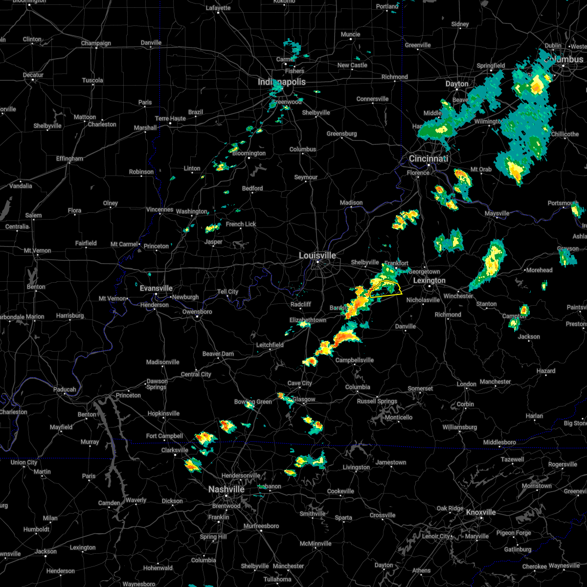 At 450 pm edt, a severe thunderstorm was located 7 miles west of lawrenceburg, moving east at 45 mph (radar indicated). Hazards include 60 mph wind gusts and penny size hail. Expect damage to roofs, siding, and trees. locations impacted include, lawrenceburg, sinai, wayside, gee, anderson city, birdie, glensboro, fox creek, klondyke and drydock. hail threat, radar indicated max hail size, 0. 75 in wind threat, radar indicated max wind gust, 60 mph. At 450 pm edt, a severe thunderstorm was located 7 miles west of lawrenceburg, moving east at 45 mph (radar indicated). Hazards include 60 mph wind gusts and penny size hail. Expect damage to roofs, siding, and trees. locations impacted include, lawrenceburg, sinai, wayside, gee, anderson city, birdie, glensboro, fox creek, klondyke and drydock. hail threat, radar indicated max hail size, 0. 75 in wind threat, radar indicated max wind gust, 60 mph.
|
| 5/3/2022 4:32 PM EDT |
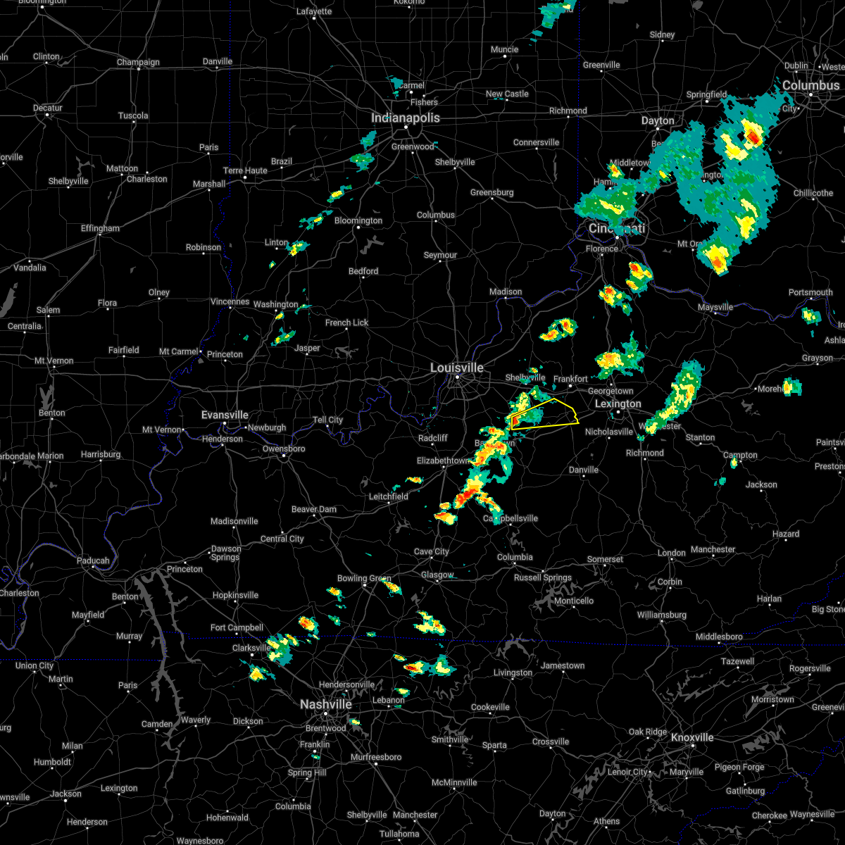 At 432 pm edt, a severe thunderstorm was located near taylorsville, moving east at 45 mph (radar indicated). Hazards include 60 mph wind gusts and nickel size hail. expect damage to roofs, siding, and trees At 432 pm edt, a severe thunderstorm was located near taylorsville, moving east at 45 mph (radar indicated). Hazards include 60 mph wind gusts and nickel size hail. expect damage to roofs, siding, and trees
|
| 4/13/2022 9:24 PM EDT |
 The severe thunderstorm warning for central spencer, southeastern oldham, shelby, northeastern nelson, mercer, western woodford, west central scott, anderson, henry, washington, northwestern boyle and franklin counties will expire at 930 pm edt, the storms which prompted the warning have moved out of the area. therefore, the warning will be allowed to expire. The severe thunderstorm warning for central spencer, southeastern oldham, shelby, northeastern nelson, mercer, western woodford, west central scott, anderson, henry, washington, northwestern boyle and franklin counties will expire at 930 pm edt, the storms which prompted the warning have moved out of the area. therefore, the warning will be allowed to expire.
|
| 4/13/2022 8:51 PM EDT |
 At 851 pm edt, severe thunderstorms were located along a line extending from near la grange to 6 miles northwest of springfield, moving northeast at 65 mph (radar indicated). Hazards include 70 mph wind gusts and quarter size hail. Hail damage to vehicles is expected. expect considerable tree damage. wind damage is also likely to mobile homes, roofs, and outbuildings. severe thunderstorms will be near, new castle around 900 pm edt. Other locations in the path of these severe thunderstorms include harrodsburg and versailles. At 851 pm edt, severe thunderstorms were located along a line extending from near la grange to 6 miles northwest of springfield, moving northeast at 65 mph (radar indicated). Hazards include 70 mph wind gusts and quarter size hail. Hail damage to vehicles is expected. expect considerable tree damage. wind damage is also likely to mobile homes, roofs, and outbuildings. severe thunderstorms will be near, new castle around 900 pm edt. Other locations in the path of these severe thunderstorms include harrodsburg and versailles.
|
| 7/6/2021 3:58 PM EDT | Tree down blocking one lane of carlton drive at djeddah blockin in anderson county KY, 1 miles N of Lawrenceburg, KY |
| 7/6/2021 3:58 PM EDT | Tree down blocking one lane of carlton drive at djeddah blockin in anderson county KY, 1 miles N of Lawrenceburg, KY |
| 7/6/2021 3:55 PM EDT | Power line down on vail drive in lawrencebur in anderson county KY, 1 miles N of Lawrenceburg, KY |
| 7/6/2021 3:45 PM EDT | Quarter sized hail reported 0.4 miles SSW of Lawrenceburg, KY, pea - quarter sized hail reported in lawrenceburg. |
| 7/6/2021 3:45 PM EDT | Power line down on woodford street near the police department in lawrenceburg. time estimated from rada in anderson county KY, 0.8 miles WSW of Lawrenceburg, KY |
| 7/6/2021 3:42 PM EDT |
 At 342 pm edt, a severe thunderstorm was located near lawrenceburg, moving north at 10 mph (radar indicated). Hazards include 60 mph wind gusts and penny size hail. Expect damage to roofs, siding, and trees. Locations impacted include, lawrenceburg, versailles, milner, mcbrayer, ninevah, tyrone and nevin. At 342 pm edt, a severe thunderstorm was located near lawrenceburg, moving north at 10 mph (radar indicated). Hazards include 60 mph wind gusts and penny size hail. Expect damage to roofs, siding, and trees. Locations impacted include, lawrenceburg, versailles, milner, mcbrayer, ninevah, tyrone and nevin.
|
| 7/6/2021 3:25 PM EDT |
 At 325 pm edt, a severe thunderstorm was located near lawrenceburg, moving north at 15 mph (radar indicated). Hazards include 60 mph wind gusts and penny size hail. expect damage to roofs, siding, and trees At 325 pm edt, a severe thunderstorm was located near lawrenceburg, moving north at 15 mph (radar indicated). Hazards include 60 mph wind gusts and penny size hail. expect damage to roofs, siding, and trees
|
| 7/6/2021 3:04 PM EDT |
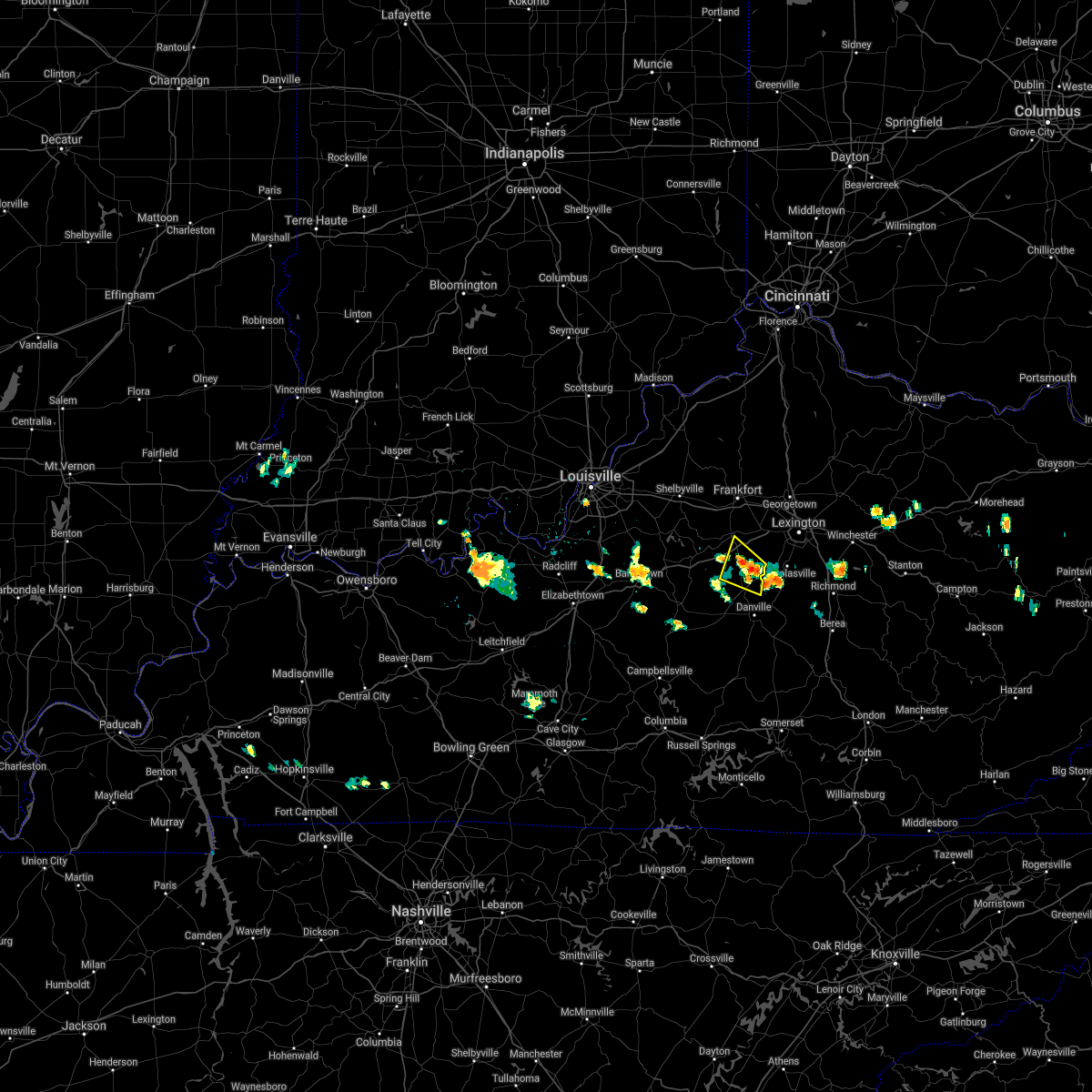 At 304 pm edt, a severe thunderstorm was located near harrodsburg, and is nearly stationary (radar indicated). Hazards include 60 mph wind gusts and penny size hail. expect damage to roofs, siding, and trees At 304 pm edt, a severe thunderstorm was located near harrodsburg, and is nearly stationary (radar indicated). Hazards include 60 mph wind gusts and penny size hail. expect damage to roofs, siding, and trees
|
| 6/11/2021 6:58 PM EDT |
 The severe thunderstorm warning for northern woodford, northeastern anderson and southeastern franklin counties will expire at 700 pm edt, the storm which prompted the warning has weakened below severe limits, and no longer poses an immediate threat to life or property. therefore, the warning will be allowed to expire. however gusty winds and heavy rain will continue with this thunderstorm. The severe thunderstorm warning for northern woodford, northeastern anderson and southeastern franklin counties will expire at 700 pm edt, the storm which prompted the warning has weakened below severe limits, and no longer poses an immediate threat to life or property. therefore, the warning will be allowed to expire. however gusty winds and heavy rain will continue with this thunderstorm.
|
| 6/11/2021 6:43 PM EDT | Trees down in power lines with power lines sparking. video provided via twitte in anderson county KY, 0.4 miles SSW of Lawrenceburg, KY |
| 6/11/2021 6:35 PM EDT |
 At 635 pm edt, a severe thunderstorm was located over frankfort, moving south at 35 mph (radar indicated). Hazards include 60 mph wind gusts. Expect damage to roofs, siding, and trees. this severe thunderstorm will be near, lawrenceburg around 645 pm edt. Versailles around 650 pm edt. At 635 pm edt, a severe thunderstorm was located over frankfort, moving south at 35 mph (radar indicated). Hazards include 60 mph wind gusts. Expect damage to roofs, siding, and trees. this severe thunderstorm will be near, lawrenceburg around 645 pm edt. Versailles around 650 pm edt.
|
| 10/23/2020 3:45 PM EDT |
 At 345 pm edt, a severe thunderstorm was located 8 miles south of lawrenceburg, moving east at 35 mph (radar indicated). Hazards include 60 mph wind gusts and penny size hail. expect damage to roofs, siding, and trees At 345 pm edt, a severe thunderstorm was located 8 miles south of lawrenceburg, moving east at 35 mph (radar indicated). Hazards include 60 mph wind gusts and penny size hail. expect damage to roofs, siding, and trees
|
| 8/18/2020 3:57 PM EDT |
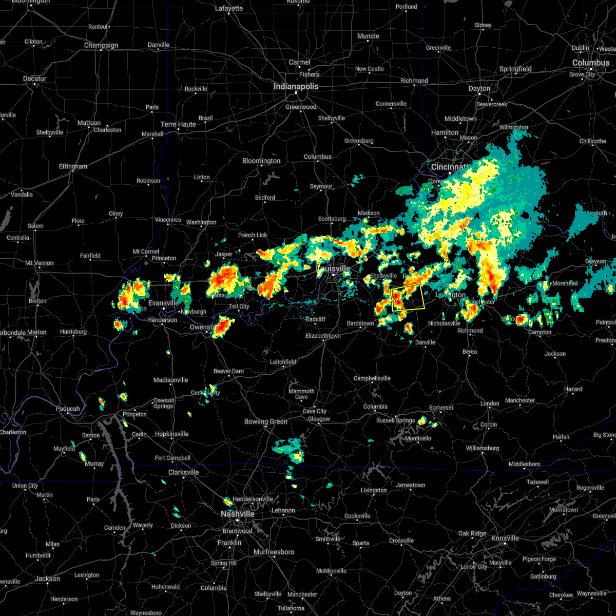 The national weather service in louisville has issued a * severe thunderstorm warning for. southeastern shelby county in central kentucky. northwestern woodford county in central kentucky. anderson county in central kentucky. Southwestern franklin county in central kentucky. The national weather service in louisville has issued a * severe thunderstorm warning for. southeastern shelby county in central kentucky. northwestern woodford county in central kentucky. anderson county in central kentucky. Southwestern franklin county in central kentucky.
|
| 7/17/2020 1:03 PM EDT |
 At 103 pm edt, a severe thunderstorm was located 13 miles southwest of lawrenceburg, moving east at 25 mph (radar indicated). Hazards include 60 mph wind gusts. expect damage to roofs, siding, and trees At 103 pm edt, a severe thunderstorm was located 13 miles southwest of lawrenceburg, moving east at 25 mph (radar indicated). Hazards include 60 mph wind gusts. expect damage to roofs, siding, and trees
|
| 5/23/2020 7:56 PM EDT |
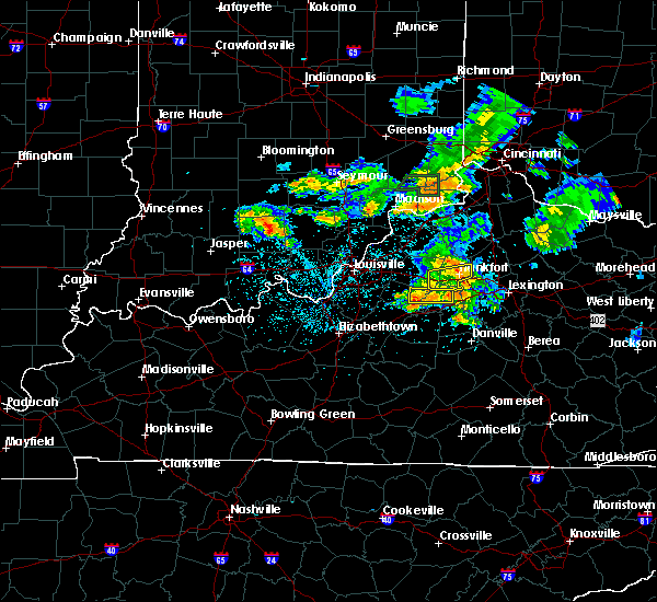 The severe thunderstorm warning for southeastern spencer, south central shelby and central anderson counties will expire at 800 pm edt, the storm which prompted the warning has weakened below severe limits. however gusty winds and heavy rain are still expected with this thunderstorm. a flood advisory remains in effect until 1045 pm edt. never drive into flooded roadways!. The severe thunderstorm warning for southeastern spencer, south central shelby and central anderson counties will expire at 800 pm edt, the storm which prompted the warning has weakened below severe limits. however gusty winds and heavy rain are still expected with this thunderstorm. a flood advisory remains in effect until 1045 pm edt. never drive into flooded roadways!.
|
| 5/23/2020 7:31 PM EDT |
 At 730 pm edt, a severe thunderstorm was located near taylorsville, moving east at 40 mph (radar indicated). Hazards include 60 mph wind gusts and penny size hail. expect damage to roofs, siding, and trees At 730 pm edt, a severe thunderstorm was located near taylorsville, moving east at 40 mph (radar indicated). Hazards include 60 mph wind gusts and penny size hail. expect damage to roofs, siding, and trees
|
| 4/8/2020 11:29 PM EDT |
 At 1128 pm edt, severe thunderstorms were located along a line extending from near lawrenceburg to 10 miles southwest of bardstown, moving east at 80 mph (radar indicated). Hazards include 60 mph wind gusts. expect damage to roofs, siding, and trees At 1128 pm edt, severe thunderstorms were located along a line extending from near lawrenceburg to 10 miles southwest of bardstown, moving east at 80 mph (radar indicated). Hazards include 60 mph wind gusts. expect damage to roofs, siding, and trees
|
| 4/8/2020 11:06 PM EDT |
 At 1106 pm edt, severe thunderstorms were located along a line extending from shelbyville to 8 miles southeast of fern creek to near shepherdsville, moving southeast at 50 mph (radar indicated). Hazards include 60 mph wind gusts. expect damage to roofs, siding, and trees At 1106 pm edt, severe thunderstorms were located along a line extending from shelbyville to 8 miles southeast of fern creek to near shepherdsville, moving southeast at 50 mph (radar indicated). Hazards include 60 mph wind gusts. expect damage to roofs, siding, and trees
|
| 8/20/2019 4:53 PM EDT |
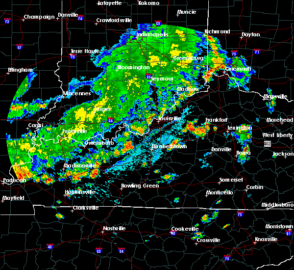 The severe thunderstorm warning for east central spencer, southeastern shelby, central anderson and southwestern franklin counties will expire at 500 pm edt, the storm which prompted the warning has weakened below severe limits, and no longer poses an immediate threat to life or property. therefore, the warning will be allowed to expire. however gusty winds and heavy rain are still possible with this thunderstorm. a severe thunderstorm watch remains in effect until 900 pm edt for central kentucky. The severe thunderstorm warning for east central spencer, southeastern shelby, central anderson and southwestern franklin counties will expire at 500 pm edt, the storm which prompted the warning has weakened below severe limits, and no longer poses an immediate threat to life or property. therefore, the warning will be allowed to expire. however gusty winds and heavy rain are still possible with this thunderstorm. a severe thunderstorm watch remains in effect until 900 pm edt for central kentucky.
|
| 8/20/2019 4:33 PM EDT |
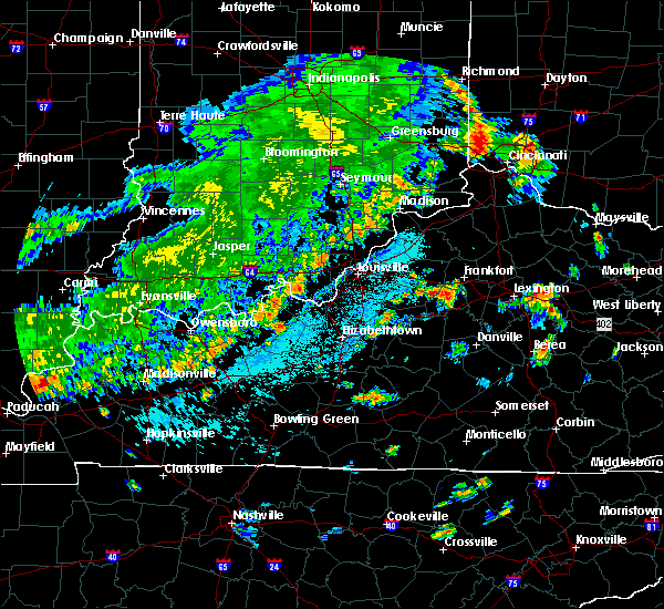 At 433 pm edt, a severe thunderstorm was located 11 miles southeast of shelbyville, moving east at 5 mph (radar indicated). Hazards include 60 mph wind gusts and quarter size hail. Hail damage to vehicles is expected. Expect wind damage to roofs, siding, and trees. At 433 pm edt, a severe thunderstorm was located 11 miles southeast of shelbyville, moving east at 5 mph (radar indicated). Hazards include 60 mph wind gusts and quarter size hail. Hail damage to vehicles is expected. Expect wind damage to roofs, siding, and trees.
|
| 6/30/2019 6:32 PM EDT |
 At 631 pm edt, severe thunderstorms were located along a line extending from near versailles to near lawrenceburg, moving southeast at 20 mph (radar indicated). Hazards include 60 mph wind gusts and nickel size hail. expect damage to roofs, siding, and trees At 631 pm edt, severe thunderstorms were located along a line extending from near versailles to near lawrenceburg, moving southeast at 20 mph (radar indicated). Hazards include 60 mph wind gusts and nickel size hail. expect damage to roofs, siding, and trees
|
| 6/17/2019 10:56 PM EDT |
 At 1056 pm edt, a severe thunderstorm was located near versailles, moving east at 45 mph (radar indicated). Hazards include 60 mph wind gusts. Expect damage to roofs, siding, and trees. Locations impacted include, lexington, lawrenceburg, versailles, dunbar high school, midway, firmantown, gaybourn, blue grass airport, elk chester and tyrone. At 1056 pm edt, a severe thunderstorm was located near versailles, moving east at 45 mph (radar indicated). Hazards include 60 mph wind gusts. Expect damage to roofs, siding, and trees. Locations impacted include, lexington, lawrenceburg, versailles, dunbar high school, midway, firmantown, gaybourn, blue grass airport, elk chester and tyrone.
|
| 6/17/2019 10:44 PM EDT |
 At 1044 pm edt, a severe thunderstorm was located near lawrenceburg, moving east at 45 mph (radar indicated). Hazards include 70 mph wind gusts. Expect considerable tree damage. Damage is likely to mobile homes, roofs, and outbuildings. At 1044 pm edt, a severe thunderstorm was located near lawrenceburg, moving east at 45 mph (radar indicated). Hazards include 70 mph wind gusts. Expect considerable tree damage. Damage is likely to mobile homes, roofs, and outbuildings.
|
| 6/17/2019 10:37 PM EDT |
 At 1037 pm edt, a severe thunderstorm was located near lawrenceburg, moving east at 45 mph (radar indicated). Hazards include 60 mph wind gusts. Expect damage to roofs, siding, and trees. Locations impacted include, lawrenceburg, drydock, gee, hickory grove, anderson city, mcbrayer, birdie, glensboro, ninevah and fox creek. At 1037 pm edt, a severe thunderstorm was located near lawrenceburg, moving east at 45 mph (radar indicated). Hazards include 60 mph wind gusts. Expect damage to roofs, siding, and trees. Locations impacted include, lawrenceburg, drydock, gee, hickory grove, anderson city, mcbrayer, birdie, glensboro, ninevah and fox creek.
|
| 6/17/2019 10:29 PM EDT |
 At 1015 pm edt, a severe thunderstorm was located near taylorsville, moving east at 45 mph (radar indicated). Hazards include 60 mph wind gusts. expect damage to roofs, siding, and trees At 1015 pm edt, a severe thunderstorm was located near taylorsville, moving east at 45 mph (radar indicated). Hazards include 60 mph wind gusts. expect damage to roofs, siding, and trees
|
| 6/17/2019 10:16 PM EDT |
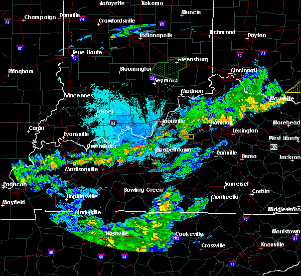 At 1015 pm edt, a severe thunderstorm was located near taylorsville, moving east at 45 mph (radar indicated). Hazards include 60 mph wind gusts. expect damage to roofs, siding, and trees At 1015 pm edt, a severe thunderstorm was located near taylorsville, moving east at 45 mph (radar indicated). Hazards include 60 mph wind gusts. expect damage to roofs, siding, and trees
|
| 6/17/2019 5:24 PM EDT |
 At 524 pm edt, a severe thunderstorm was located near lawrenceburg, moving northeast at 35 mph (radar indicated). Hazards include 60 mph wind gusts and penny size hail. Expect damage to roofs, siding, and trees. Locations impacted include, lawrenceburg, versailles, ballard, oregon, vanarsdell, bondville, tyrone, mortonsville, fox creek and kirkwood. At 524 pm edt, a severe thunderstorm was located near lawrenceburg, moving northeast at 35 mph (radar indicated). Hazards include 60 mph wind gusts and penny size hail. Expect damage to roofs, siding, and trees. Locations impacted include, lawrenceburg, versailles, ballard, oregon, vanarsdell, bondville, tyrone, mortonsville, fox creek and kirkwood.
|
| 6/17/2019 5:16 PM EDT |
 At 516 pm edt, a severe thunderstorm was located 9 miles southwest of lawrenceburg, moving northeast at 35 mph (radar indicated). Hazards include 60 mph wind gusts and penny size hail. expect damage to roofs, siding, and trees At 516 pm edt, a severe thunderstorm was located 9 miles southwest of lawrenceburg, moving northeast at 35 mph (radar indicated). Hazards include 60 mph wind gusts and penny size hail. expect damage to roofs, siding, and trees
|
| 10/31/2018 7:06 PM EDT |
 At 706 pm edt, a severe thunderstorm was located over lawrenceburg, moving east at 45 mph (radar indicated). Hazards include 60 mph wind gusts. Expect damage to roofs, siding, and trees. Locations impacted include, lawrenceburg, wayside, drydock, gee, harrisonville, anderson city, birdie, glensboro, avenstoke and junte. At 706 pm edt, a severe thunderstorm was located over lawrenceburg, moving east at 45 mph (radar indicated). Hazards include 60 mph wind gusts. Expect damage to roofs, siding, and trees. Locations impacted include, lawrenceburg, wayside, drydock, gee, harrisonville, anderson city, birdie, glensboro, avenstoke and junte.
|
| 10/31/2018 6:50 PM EDT |
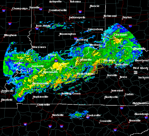 At 650 pm edt, a severe thunderstorm was located 11 miles east of taylorsville, moving east at 45 mph (radar indicated). Hazards include 60 mph wind gusts. Expect damage to roofs, siding, and trees. Locations impacted include, lawrenceburg, wayside, gee, anderson city, birdie, glensboro, avenstoke, fox creek, drydock and harrisonville. At 650 pm edt, a severe thunderstorm was located 11 miles east of taylorsville, moving east at 45 mph (radar indicated). Hazards include 60 mph wind gusts. Expect damage to roofs, siding, and trees. Locations impacted include, lawrenceburg, wayside, gee, anderson city, birdie, glensboro, avenstoke, fox creek, drydock and harrisonville.
|
| 10/31/2018 6:39 PM EDT |
 At 639 pm edt, a severe thunderstorm was located near taylorsville, moving east at 45 mph (radar indicated). Hazards include 60 mph wind gusts. expect damage to roofs, siding, and trees At 639 pm edt, a severe thunderstorm was located near taylorsville, moving east at 45 mph (radar indicated). Hazards include 60 mph wind gusts. expect damage to roofs, siding, and trees
|
| 8/11/2018 7:45 PM EDT |
 At 745 pm edt, a severe thunderstorm was located near lawrenceburg, moving south at 5 mph (public reported a tree down near millville and dime size hail near alton). Hazards include 60 mph wind gusts and penny size hail. Expect damage to roofs, siding, and trees. Locations impacted include, frankfort, lawrenceburg, slickway, farmdale, capital city airport, broadville manor, avenstoke, tyrone, alton and bridgeport. At 745 pm edt, a severe thunderstorm was located near lawrenceburg, moving south at 5 mph (public reported a tree down near millville and dime size hail near alton). Hazards include 60 mph wind gusts and penny size hail. Expect damage to roofs, siding, and trees. Locations impacted include, frankfort, lawrenceburg, slickway, farmdale, capital city airport, broadville manor, avenstoke, tyrone, alton and bridgeport.
|
| 8/11/2018 7:33 PM EDT | 1 tree dow in anderson county KY, 4.1 miles SSE of Lawrenceburg, KY |
| 8/11/2018 7:27 PM EDT |
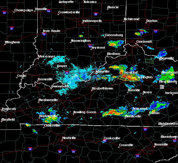 At 727 pm edt, a severe thunderstorm was located near lawrenceburg, moving south at 5 mph (radar indicated). Hazards include 60 mph wind gusts and penny size hail. expect damage to roofs, siding, and trees At 727 pm edt, a severe thunderstorm was located near lawrenceburg, moving south at 5 mph (radar indicated). Hazards include 60 mph wind gusts and penny size hail. expect damage to roofs, siding, and trees
|
| 8/11/2018 6:42 PM EDT |
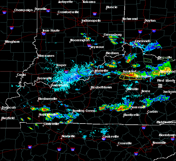 At 642 pm edt, a severe thunderstorm was located near frankfort, moving south at 10 mph (radar indicated). Hazards include 60 mph wind gusts and penny size hail. expect damage to roofs, siding, and trees At 642 pm edt, a severe thunderstorm was located near frankfort, moving south at 10 mph (radar indicated). Hazards include 60 mph wind gusts and penny size hail. expect damage to roofs, siding, and trees
|
| 7/20/2018 9:16 PM EDT |
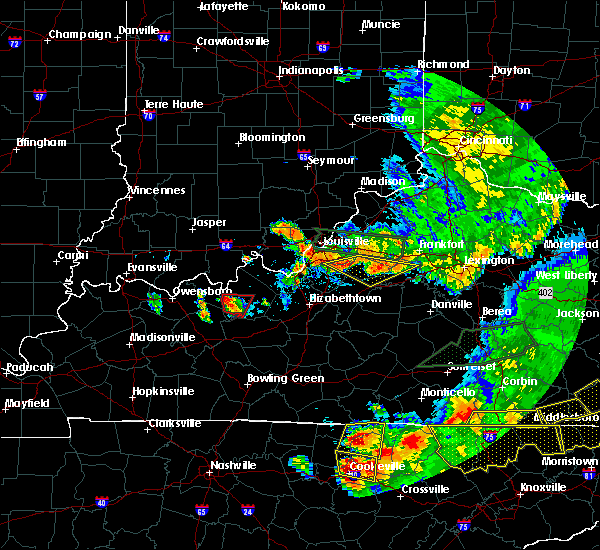 At 916 pm edt, severe thunderstorms were located along a line extending from near taylorsville to near pioneer village, moving east at 50 mph (radar indicated). Hazards include 60 mph wind gusts and quarter size hail. Hail damage to vehicles is expected. Expect wind damage to roofs, siding, and trees. At 916 pm edt, severe thunderstorms were located along a line extending from near taylorsville to near pioneer village, moving east at 50 mph (radar indicated). Hazards include 60 mph wind gusts and quarter size hail. Hail damage to vehicles is expected. Expect wind damage to roofs, siding, and trees.
|
| 7/20/2018 8:25 PM EDT |
 At 825 pm edt, a severe thunderstorm was located 9 miles east of shelbyville, moving southeast at 50 mph (radar indicated). Hazards include 70 mph wind gusts and quarter size hail. Hail damage to vehicles is expected. expect considerable tree damage. Wind damage is also likely to mobile homes, roofs, and outbuildings. At 825 pm edt, a severe thunderstorm was located 9 miles east of shelbyville, moving southeast at 50 mph (radar indicated). Hazards include 70 mph wind gusts and quarter size hail. Hail damage to vehicles is expected. expect considerable tree damage. Wind damage is also likely to mobile homes, roofs, and outbuildings.
|
| 7/20/2018 3:51 PM EDT |
 At 351 pm edt, a severe thunderstorm was located over versailles, moving east at 55 mph (radar indicated). Hazards include 70 mph wind gusts and quarter size hail. Hail damage to vehicles is expected. expect considerable tree damage. Wind damage is also likely to mobile homes, roofs, and outbuildings. At 351 pm edt, a severe thunderstorm was located over versailles, moving east at 55 mph (radar indicated). Hazards include 70 mph wind gusts and quarter size hail. Hail damage to vehicles is expected. expect considerable tree damage. Wind damage is also likely to mobile homes, roofs, and outbuildings.
|
| 7/20/2018 3:42 PM EDT | Tree down on car with people inside of it. many other trees down in the are in anderson county KY, 5.2 miles SSE of Lawrenceburg, KY |
| 6/26/2018 2:42 PM EDT |
 The severe thunderstorm warning for mercer, woodford, northwestern garrard, southern anderson, western jessamine and eastern washington counties will expire at 245 pm edt, the storms which prompted the warning have moved out of the area. therefore the warning will be allowed to expire. a severe thunderstorm watch remains in effect until 400 pm edt for central kentucky. report severe weather to local law enforcement, post your report to the national weather service louisville facebook page, or tweet your report using hashtag l, m, k, spotter. The severe thunderstorm warning for mercer, woodford, northwestern garrard, southern anderson, western jessamine and eastern washington counties will expire at 245 pm edt, the storms which prompted the warning have moved out of the area. therefore the warning will be allowed to expire. a severe thunderstorm watch remains in effect until 400 pm edt for central kentucky. report severe weather to local law enforcement, post your report to the national weather service louisville facebook page, or tweet your report using hashtag l, m, k, spotter.
|
| 6/26/2018 2:36 PM EDT | 58 mph recorded on bluegrass pkwy with calibrated equipmen in anderson county KY, 4.8 miles NNW of Lawrenceburg, KY |
| 6/26/2018 2:28 PM EDT |
 At 228 pm edt, severe thunderstorms were located along a line extending from near owenton to 7 miles north of frankfort to lawrenceburg, moving east at 50 mph (radar indicated). Hazards include 60 mph wind gusts. expect damage to roofs, siding, and trees At 228 pm edt, severe thunderstorms were located along a line extending from near owenton to 7 miles north of frankfort to lawrenceburg, moving east at 50 mph (radar indicated). Hazards include 60 mph wind gusts. expect damage to roofs, siding, and trees
|
| 6/26/2018 2:21 PM EDT |
 At 220 pm edt, severe thunderstorms were located along a line extending from 6 miles south of kentucky speedway to 8 miles northwest of frankfort to near lawrenceburg, moving east at 45 mph (radar indicated). Hazards include 70 mph wind gusts. Expect considerable tree damage. damage is likely to mobile homes, roofs, and outbuildings. Locations impacted include, frankfort, lawrenceburg, new castle, pleasureville, glensboro, farmdale, harvieland, old christianburg, bridgeport and hatton. At 220 pm edt, severe thunderstorms were located along a line extending from 6 miles south of kentucky speedway to 8 miles northwest of frankfort to near lawrenceburg, moving east at 45 mph (radar indicated). Hazards include 70 mph wind gusts. Expect considerable tree damage. damage is likely to mobile homes, roofs, and outbuildings. Locations impacted include, frankfort, lawrenceburg, new castle, pleasureville, glensboro, farmdale, harvieland, old christianburg, bridgeport and hatton.
|
| 6/26/2018 2:13 PM EDT |
 At 213 pm edt, severe thunderstorms were located along a line extending from near lawrenceburg to 8 miles east of springfield, moving east at 55 mph (radar indicated). Hazards include 60 mph wind gusts. expect damage to roofs, siding, and trees At 213 pm edt, severe thunderstorms were located along a line extending from near lawrenceburg to 8 miles east of springfield, moving east at 55 mph (radar indicated). Hazards include 60 mph wind gusts. expect damage to roofs, siding, and trees
|
| 6/26/2018 1:58 PM EDT |
 The national weather service in louisville has issued a * severe thunderstorm warning for. eastern spencer county in central kentucky. shelby county in central kentucky. northern anderson county in central kentucky. Southeastern trimble county in central kentucky. The national weather service in louisville has issued a * severe thunderstorm warning for. eastern spencer county in central kentucky. shelby county in central kentucky. northern anderson county in central kentucky. Southeastern trimble county in central kentucky.
|
| 6/26/2018 11:20 AM EDT |
 At 1120 am edt, a severe thunderstorm was located near lawrenceburg, moving east at 25 mph (radar indicated). Hazards include 60 mph wind gusts. Expect damage to roofs, siding, and trees. Locations impacted include, lawrenceburg, versailles, pinckard, milner, mcbrayer, tyrone, mortonsville and nevin. At 1120 am edt, a severe thunderstorm was located near lawrenceburg, moving east at 25 mph (radar indicated). Hazards include 60 mph wind gusts. Expect damage to roofs, siding, and trees. Locations impacted include, lawrenceburg, versailles, pinckard, milner, mcbrayer, tyrone, mortonsville and nevin.
|
| 6/26/2018 11:06 AM EDT |
 At 1105 am edt, a severe thunderstorm was located near lawrenceburg, moving east at 25 mph (radar indicated). Hazards include 60 mph wind gusts. expect damage to roofs, siding, and trees At 1105 am edt, a severe thunderstorm was located near lawrenceburg, moving east at 25 mph (radar indicated). Hazards include 60 mph wind gusts. expect damage to roofs, siding, and trees
|
| 5/31/2018 3:40 PM EDT |
 At 340 pm edt, severe thunderstorms were located along a line extending from 12 miles northwest of georgetown to 7 miles south of versailles to 8 miles northeast of springfield, moving east at 45 mph (radar indicated). Hazards include 60 mph wind gusts. expect damage to roofs, siding, and trees At 340 pm edt, severe thunderstorms were located along a line extending from 12 miles northwest of georgetown to 7 miles south of versailles to 8 miles northeast of springfield, moving east at 45 mph (radar indicated). Hazards include 60 mph wind gusts. expect damage to roofs, siding, and trees
|
| 5/31/2018 3:25 PM EDT |
 At 323 pm edt, severe thunderstorms were located along a line extending from 7 miles south of owenton to near lawrenceburg, moving east at 55 mph (radar indicated). Hazards include 70 mph wind gusts. Expect considerable tree damage. damage is likely to mobile homes, roofs, and outbuildings. locations impacted include, frankfort, lawrenceburg, versailles, midway, stamping ground, sadieville, gratz, longlick, slickway and stonewall. The strongest winds at 325 pm were just west 0f frankfort - heading directly toward the city. At 323 pm edt, severe thunderstorms were located along a line extending from 7 miles south of owenton to near lawrenceburg, moving east at 55 mph (radar indicated). Hazards include 70 mph wind gusts. Expect considerable tree damage. damage is likely to mobile homes, roofs, and outbuildings. locations impacted include, frankfort, lawrenceburg, versailles, midway, stamping ground, sadieville, gratz, longlick, slickway and stonewall. The strongest winds at 325 pm were just west 0f frankfort - heading directly toward the city.
|
| 5/31/2018 3:18 PM EDT |
 At 318 pm edt, severe thunderstorms were located along a line extending from 6 miles south of owenton to 6 miles southwest of lawrenceburg, moving east at 55 mph (radar indicated). Hazards include 60 mph wind gusts. expect damage to roofs, siding, and trees At 318 pm edt, severe thunderstorms were located along a line extending from 6 miles south of owenton to 6 miles southwest of lawrenceburg, moving east at 55 mph (radar indicated). Hazards include 60 mph wind gusts. expect damage to roofs, siding, and trees
|
| 5/31/2018 1:20 PM EDT | Downed tree limbs fell on several utility line in anderson county KY, 4.1 miles SSE of Lawrenceburg, KY |
| 2/25/2018 12:04 AM EST |
 A severe thunderstorm warning remains in effect until 1215 am est for northeastern nelson. northwestern mercer. northwestern woodford. southwestern scott. anderson. northeastern washington and central franklin counties. At 1203 am est, severe thunderstorms were located along a line extending from 9 miles north of georgetown to 14 miles north of. A severe thunderstorm warning remains in effect until 1215 am est for northeastern nelson. northwestern mercer. northwestern woodford. southwestern scott. anderson. northeastern washington and central franklin counties. At 1203 am est, severe thunderstorms were located along a line extending from 9 miles north of georgetown to 14 miles north of.
|
| 2/24/2018 11:24 PM EST |
 At 1123 pm est, severe thunderstorms were located along a line extending from 6 miles southeast of new castle to 8 miles north of bardstown, moving east at 40 mph (radar indicated). Hazards include 60 mph wind gusts. expect damage to roofs, siding, and trees At 1123 pm est, severe thunderstorms were located along a line extending from 6 miles southeast of new castle to 8 miles north of bardstown, moving east at 40 mph (radar indicated). Hazards include 60 mph wind gusts. expect damage to roofs, siding, and trees
|
| 11/18/2017 5:59 PM EST | Downed tree blocked highway 62. relayed by trained spotte in anderson county KY, 4.8 miles NE of Lawrenceburg, KY |
| 7/23/2017 3:52 AM EDT |
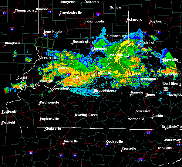 The severe thunderstorm warning for northwestern woodford, northern anderson, southeastern henry and franklin counties will expire at 400 am edt, the storms which prompted the warning have weakened below severe limits, and no longer pose an immediate threat to life or property. therefore the warning will be allowed to expire. however gusty winds are still possible with these thunderstorms. report severe weather to local law enforcement, post your report to the national weather service louisville facebook page, or tweet your report using hashtag l, m, k, spotter. The severe thunderstorm warning for northwestern woodford, northern anderson, southeastern henry and franklin counties will expire at 400 am edt, the storms which prompted the warning have weakened below severe limits, and no longer pose an immediate threat to life or property. therefore the warning will be allowed to expire. however gusty winds are still possible with these thunderstorms. report severe weather to local law enforcement, post your report to the national weather service louisville facebook page, or tweet your report using hashtag l, m, k, spotter.
|
| 7/23/2017 3:42 AM EDT |
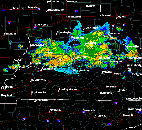 At 342 am edt, severe thunderstorms were located along a line extending from owenton to near lawrenceburg, moving east at 25 mph (radar indicated). Hazards include 60 mph wind gusts. Expect damage to roofs, siding, and trees. Locations impacted include, frankfort, lawrenceburg, slickway, wayside, anderson city, glensboro, farmdale, avenstoke, harvieland and elmville. At 342 am edt, severe thunderstorms were located along a line extending from owenton to near lawrenceburg, moving east at 25 mph (radar indicated). Hazards include 60 mph wind gusts. Expect damage to roofs, siding, and trees. Locations impacted include, frankfort, lawrenceburg, slickway, wayside, anderson city, glensboro, farmdale, avenstoke, harvieland and elmville.
|
| 7/23/2017 3:17 AM EDT |
 At 317 am edt, severe thunderstorms were located along a line extending from 10 miles west of owenton to 8 miles east of taylorsville, moving east at 25 mph (radar indicated). Hazards include 60 mph wind gusts. expect damage to roofs, siding, and trees At 317 am edt, severe thunderstorms were located along a line extending from 10 miles west of owenton to 8 miles east of taylorsville, moving east at 25 mph (radar indicated). Hazards include 60 mph wind gusts. expect damage to roofs, siding, and trees
|
| 6/23/2017 6:35 PM EDT | Trees dow in anderson county KY, 0.4 miles SSW of Lawrenceburg, KY |
| 6/18/2017 4:43 PM EDT |
 At 443 pm edt, severe thunderstorms were located along a line extending from 12 miles west of lawrenceburg to near versailles, moving northeast at 25 mph (radar indicated). Hazards include 60 mph wind gusts. expect damage to roofs, siding, and trees At 443 pm edt, severe thunderstorms were located along a line extending from 12 miles west of lawrenceburg to near versailles, moving northeast at 25 mph (radar indicated). Hazards include 60 mph wind gusts. expect damage to roofs, siding, and trees
|
| 5/20/2017 8:10 PM EDT |
 The severe thunderstorm warning for east central spencer, eastern shelby, northern anderson and western franklin counties will expire at 815 pm edt, the storm which prompted the warning has weakened below severe limits, and no longer poses an immediate threat to life or property. therefore the warning will be allowed to expire. however heavy rain is still possible with this thunderstorm. a severe thunderstorm watch remains in effect until 1100 pm edt for central kentucky. report severe weather to local law enforcement, post your report to the national weather service louisville facebook page, or tweet your report using hashtag l, m, k, spotter. The severe thunderstorm warning for east central spencer, eastern shelby, northern anderson and western franklin counties will expire at 815 pm edt, the storm which prompted the warning has weakened below severe limits, and no longer poses an immediate threat to life or property. therefore the warning will be allowed to expire. however heavy rain is still possible with this thunderstorm. a severe thunderstorm watch remains in effect until 1100 pm edt for central kentucky. report severe weather to local law enforcement, post your report to the national weather service louisville facebook page, or tweet your report using hashtag l, m, k, spotter.
|
| 5/20/2017 7:59 PM EDT |
 At 759 pm edt, a severe thunderstorm was located 9 miles southwest of frankfort, moving east at 35 mph (radar indicated). Hazards include 60 mph wind gusts. Expect damage to roofs, siding, and trees. Locations impacted include, frankfort, shelbyville, lawrenceburg, wayside, anderson city, glensboro, farmdale, avenstoke, old christianburg and bridgeport. At 759 pm edt, a severe thunderstorm was located 9 miles southwest of frankfort, moving east at 35 mph (radar indicated). Hazards include 60 mph wind gusts. Expect damage to roofs, siding, and trees. Locations impacted include, frankfort, shelbyville, lawrenceburg, wayside, anderson city, glensboro, farmdale, avenstoke, old christianburg and bridgeport.
|
| 5/20/2017 7:44 PM EDT |
 At 744 pm edt, a severe thunderstorm was located 8 miles south of shelbyville, moving east at 35 mph (radar indicated). Hazards include 60 mph wind gusts. Expect damage to roofs, siding, and trees. Locations impacted include, frankfort, shelbyville, lawrenceburg, wayside, anderson city, glensboro, farmdale, avenstoke, old christianburg and bridgeport. At 744 pm edt, a severe thunderstorm was located 8 miles south of shelbyville, moving east at 35 mph (radar indicated). Hazards include 60 mph wind gusts. Expect damage to roofs, siding, and trees. Locations impacted include, frankfort, shelbyville, lawrenceburg, wayside, anderson city, glensboro, farmdale, avenstoke, old christianburg and bridgeport.
|
| 5/20/2017 7:31 PM EDT |
 At 731 pm edt, a severe thunderstorm was located over taylorsville, moving east at 35 mph (radar indicated). Hazards include 60 mph wind gusts. expect damage to roofs, siding, and trees At 731 pm edt, a severe thunderstorm was located over taylorsville, moving east at 35 mph (radar indicated). Hazards include 60 mph wind gusts. expect damage to roofs, siding, and trees
|
| 4/30/2017 7:24 PM EDT |
 At 723 pm edt, severe thunderstorms were located along a line extending from 10 miles southwest of owenton to near frankfort to 7 miles south of lawrenceburg, moving northeast at 50 mph (radar indicated). Hazards include 60 mph wind gusts. Expect damage to roofs, siding, and trees. locations impacted include, frankfort, lawrenceburg, versailles, midway, stamping ground, longlick, slickway, farmdale, harvieland and elmville. These storms have a history of tree damage. At 723 pm edt, severe thunderstorms were located along a line extending from 10 miles southwest of owenton to near frankfort to 7 miles south of lawrenceburg, moving northeast at 50 mph (radar indicated). Hazards include 60 mph wind gusts. Expect damage to roofs, siding, and trees. locations impacted include, frankfort, lawrenceburg, versailles, midway, stamping ground, longlick, slickway, farmdale, harvieland and elmville. These storms have a history of tree damage.
|
| 4/30/2017 7:11 PM EDT |
 At 710 pm edt, severe thunderstorms were located along a line extending from 9 miles southeast of new castle to near lawrenceburg to near harrodsburg, moving northeast at 50 mph (radar indicated). Hazards include 60 mph wind gusts. expect damage to roofs, siding, and trees At 710 pm edt, severe thunderstorms were located along a line extending from 9 miles southeast of new castle to near lawrenceburg to near harrodsburg, moving northeast at 50 mph (radar indicated). Hazards include 60 mph wind gusts. expect damage to roofs, siding, and trees
|
| 4/29/2017 6:34 PM EDT |
 At 634 pm edt, a severe thunderstorm was located 12 miles southwest of lawrenceburg, moving northeast at 30 mph (radar indicated). Hazards include quarter size hail. Damage to vehicles is expected. Locations impacted include, sinai, wayside, drydock, gee, hickory grove, anderson city, birdie, glensboro, johnsonville and fox creek. At 634 pm edt, a severe thunderstorm was located 12 miles southwest of lawrenceburg, moving northeast at 30 mph (radar indicated). Hazards include quarter size hail. Damage to vehicles is expected. Locations impacted include, sinai, wayside, drydock, gee, hickory grove, anderson city, birdie, glensboro, johnsonville and fox creek.
|
| 4/29/2017 6:19 PM EDT |
 At 619 pm edt, a severe thunderstorm was located 13 miles southeast of taylorsville, moving northeast at 35 mph (radar indicated). Hazards include quarter size hail. damage to vehicles is expected At 619 pm edt, a severe thunderstorm was located 13 miles southeast of taylorsville, moving northeast at 35 mph (radar indicated). Hazards include quarter size hail. damage to vehicles is expected
|
| 4/5/2017 6:27 PM EDT |
 At 627 pm edt, a severe thunderstorm was located 8 miles west of lawrenceburg, moving northeast at 45 mph (radar indicated). Hazards include 70 to 80 mph wind gusts and ping pong ball size hail. People and animals outdoors will be injured. expect hail damage to roofs, siding, windows, and vehicles. expect considerable tree damage. wind damage is also likely to mobile homes, roofs, and outbuildings. locations impacted include, frankfort, lawrenceburg, versailles, ballard, slickway, wayside, anderson city, glensboro, farmdale and johnsonville. A tornado watch remains in effect until 1000 pm edt for central kentucky. At 627 pm edt, a severe thunderstorm was located 8 miles west of lawrenceburg, moving northeast at 45 mph (radar indicated). Hazards include 70 to 80 mph wind gusts and ping pong ball size hail. People and animals outdoors will be injured. expect hail damage to roofs, siding, windows, and vehicles. expect considerable tree damage. wind damage is also likely to mobile homes, roofs, and outbuildings. locations impacted include, frankfort, lawrenceburg, versailles, ballard, slickway, wayside, anderson city, glensboro, farmdale and johnsonville. A tornado watch remains in effect until 1000 pm edt for central kentucky.
|
| 4/5/2017 6:14 PM EDT |
 At 613 pm edt, a severe thunderstorm was located 8 miles southeast of taylorsville, moving northeast at 55 mph (radar indicated). Hazards include golf ball size hail and 70 mph wind gusts. People and animals outdoors will be injured. expect hail damage to roofs, siding, windows, and vehicles. expect considerable tree damage. Wind damage is also likely to mobile homes, roofs, and outbuildings. At 613 pm edt, a severe thunderstorm was located 8 miles southeast of taylorsville, moving northeast at 55 mph (radar indicated). Hazards include golf ball size hail and 70 mph wind gusts. People and animals outdoors will be injured. expect hail damage to roofs, siding, windows, and vehicles. expect considerable tree damage. Wind damage is also likely to mobile homes, roofs, and outbuildings.
|
| 3/27/2017 7:04 PM EDT |
 At 703 pm edt, severe thunderstorms were located along a line extending from 13 miles southeast of shelbyville to 7 miles south of lawrenceburg to near harrodsburg, moving northeast at 55 mph (radar indicated). Hazards include 60 mph wind gusts and penny size hail. expect damage to roofs, siding, and trees At 703 pm edt, severe thunderstorms were located along a line extending from 13 miles southeast of shelbyville to 7 miles south of lawrenceburg to near harrodsburg, moving northeast at 55 mph (radar indicated). Hazards include 60 mph wind gusts and penny size hail. expect damage to roofs, siding, and trees
|
| 3/27/2017 6:25 PM EDT | Golf Ball sized hail reported 5.5 miles SE of Lawrenceburg, KY, quarter to golf ball size hail. time estimated by radar. |
| 3/1/2017 7:58 AM EST |
 The severe thunderstorm warning for southeastern spencer, southeastern shelby, central nelson, mercer, southern woodford, anderson, marion, west central jessamine, washington and northwestern boyle counties will expire at 800 am est, the storms which prompted the warning have moved out of the area. therefore the warning will be allowed to expire. a tornado watch remains in effect until 900 am est for central kentucky. a tornado watch also remains in effect until 1100 am est for central kentucky. report severe weather to local law enforcement, post your report to the national weather service louisville facebook page, or tweet your report using hashtag l, m, k, spotter. remember, a severe thunderstorm warning still remains in effect for portions of marion, washington, mercer, and woodford counties. The severe thunderstorm warning for southeastern spencer, southeastern shelby, central nelson, mercer, southern woodford, anderson, marion, west central jessamine, washington and northwestern boyle counties will expire at 800 am est, the storms which prompted the warning have moved out of the area. therefore the warning will be allowed to expire. a tornado watch remains in effect until 900 am est for central kentucky. a tornado watch also remains in effect until 1100 am est for central kentucky. report severe weather to local law enforcement, post your report to the national weather service louisville facebook page, or tweet your report using hashtag l, m, k, spotter. remember, a severe thunderstorm warning still remains in effect for portions of marion, washington, mercer, and woodford counties.
|
| 3/1/2017 7:20 AM EST |
 At 719 am est, severe thunderstorms were located along a line extending from 9 miles southeast of shelbyville to 9 miles north of hodgenville, moving southeast at 40 mph (radar indicated). Hazards include 60 mph wind gusts and penny size hail. expect damage to roofs, siding, and trees At 719 am est, severe thunderstorms were located along a line extending from 9 miles southeast of shelbyville to 9 miles north of hodgenville, moving southeast at 40 mph (radar indicated). Hazards include 60 mph wind gusts and penny size hail. expect damage to roofs, siding, and trees
|
| 3/1/2017 7:05 AM EST |
 At 704 am est, a severe thunderstorm was located 10 miles south of owenton, moving east at 60 mph (radar indicated). Hazards include 60 mph wind gusts and penny size hail. Expect damage to roofs, siding, and trees. locations impacted include, frankfort, lawrenceburg, farmdale, avenstoke, harvieland, elmville, bridgeport, hatton, peytona and swallowfield. a tornado watch remains in effect until 900 am est for central kentucky. A tornado watch also remains in effect until 1100 am est for central kentucky. At 704 am est, a severe thunderstorm was located 10 miles south of owenton, moving east at 60 mph (radar indicated). Hazards include 60 mph wind gusts and penny size hail. Expect damage to roofs, siding, and trees. locations impacted include, frankfort, lawrenceburg, farmdale, avenstoke, harvieland, elmville, bridgeport, hatton, peytona and swallowfield. a tornado watch remains in effect until 900 am est for central kentucky. A tornado watch also remains in effect until 1100 am est for central kentucky.
|
| 3/1/2017 6:41 AM EST |
 At 641 am est, severe thunderstorms were located along a line extending from 6 miles southeast of carrollton to 8 miles northwest of shelbyville, moving southeast at 55 mph (radar indicated). Hazards include 60 mph wind gusts and quarter size hail. Hail damage to vehicles is expected. Expect wind damage to roofs, siding, and trees. At 641 am est, severe thunderstorms were located along a line extending from 6 miles southeast of carrollton to 8 miles northwest of shelbyville, moving southeast at 55 mph (radar indicated). Hazards include 60 mph wind gusts and quarter size hail. Hail damage to vehicles is expected. Expect wind damage to roofs, siding, and trees.
|
| 3/1/2017 3:41 AM EST |
 At 341 am est, a severe thunderstorm was located near versailles, moving east at 70 mph (radar indicated). Hazards include 60 mph wind gusts. expect damage to roofs, siding, and trees At 341 am est, a severe thunderstorm was located near versailles, moving east at 70 mph (radar indicated). Hazards include 60 mph wind gusts. expect damage to roofs, siding, and trees
|
| 3/1/2017 3:10 AM EST |
 At 310 am est, severe thunderstorms were located along a line extending from near la grange to near shelbyville to 6 miles southwest of taylorsville, moving east at 70 mph (radar indicated). Hazards include 60 mph wind gusts. expect damage to roofs, siding, and trees At 310 am est, severe thunderstorms were located along a line extending from near la grange to near shelbyville to 6 miles southwest of taylorsville, moving east at 70 mph (radar indicated). Hazards include 60 mph wind gusts. expect damage to roofs, siding, and trees
|
| 8/4/2016 5:10 PM EDT | Dispatch reported a tree down on power lines. reported at tara way. winds likely were sub-sever in anderson county KY, 1.2 miles NW of Lawrenceburg, KY |
| 7/8/2016 11:52 AM EDT |
 The severe thunderstorm warning for franklin, southwestern scott, woodford and northeastern anderson counties will expire at noon edt, the storm which prompted the warning has weakened below severe limits, and have exited the warned area. therefore the warning will be allowed to expire. a severe thunderstorm watch remains in effect until 600 pm edt for central kentucky. report severe weather to local law enforcement, post your report to the national weather service louisville facebook page, or tweet your report using hashtag l, m, k, spotter. The severe thunderstorm warning for franklin, southwestern scott, woodford and northeastern anderson counties will expire at noon edt, the storm which prompted the warning has weakened below severe limits, and have exited the warned area. therefore the warning will be allowed to expire. a severe thunderstorm watch remains in effect until 600 pm edt for central kentucky. report severe weather to local law enforcement, post your report to the national weather service louisville facebook page, or tweet your report using hashtag l, m, k, spotter.
|
| 7/8/2016 11:39 AM EDT |
 At 1139 am edt, a severe thunderstorm was located near lawrenceburg, moving east at 40 mph (radar indicated). Hazards include 60 mph wind gusts. Expect damage to roofs. siding. and trees. Locations impacted include, frankfort, lawrenceburg, versailles, midway, stamping ground, bryant, bon air hills, jett, big eddy and millville. At 1139 am edt, a severe thunderstorm was located near lawrenceburg, moving east at 40 mph (radar indicated). Hazards include 60 mph wind gusts. Expect damage to roofs. siding. and trees. Locations impacted include, frankfort, lawrenceburg, versailles, midway, stamping ground, bryant, bon air hills, jett, big eddy and millville.
|
| 7/8/2016 11:27 AM EDT |
 At 1126 am edt, a severe thunderstorm was located near lawrenceburg, moving east at 40 mph (radar indicated). Hazards include 60 mph wind gusts. Expect damage to roofs. siding. And trees. At 1126 am edt, a severe thunderstorm was located near lawrenceburg, moving east at 40 mph (radar indicated). Hazards include 60 mph wind gusts. Expect damage to roofs. siding. And trees.
|
| 7/4/2016 12:24 PM EDT |
 At 1224 pm edt, a severe thunderstorm was located near lawrenceburg, moving east at 35 mph (radar indicated). Hazards include 60 mph wind gusts. Expect damage to roofs. siding. And trees. At 1224 pm edt, a severe thunderstorm was located near lawrenceburg, moving east at 35 mph (radar indicated). Hazards include 60 mph wind gusts. Expect damage to roofs. siding. And trees.
|
| 7/4/2016 12:12 PM EDT | Structure and tree damage... public report relayed by spotte in anderson county KY, 10.9 miles ENE of Lawrenceburg, KY |
| 6/1/2016 9:13 PM EDT |
 At 912 pm edt, a severe thunderstorm was located south of lawrenceburg, moving east at 10 mph (radar indicated). Hazards include 60 mph wind gusts and quarter size hail. Hail damage to vehicles is expected. Expect wind damage to roofs, siding, and trees. At 912 pm edt, a severe thunderstorm was located south of lawrenceburg, moving east at 10 mph (radar indicated). Hazards include 60 mph wind gusts and quarter size hail. Hail damage to vehicles is expected. Expect wind damage to roofs, siding, and trees.
|
| 6/1/2016 9:07 PM EDT |
 At 907 pm edt, a severe thunderstorm was located south of lawrenceburg, moving northeast at 10 mph (radar indicated). Hazards include 60 mph wind gusts. Expect damage to roofs. siding. and trees. Locations impacted include, lawrenceburg, versailles, midway, vanarsdell, nevin, faywood, milner, pisgah, wallace and nonesuch. At 907 pm edt, a severe thunderstorm was located south of lawrenceburg, moving northeast at 10 mph (radar indicated). Hazards include 60 mph wind gusts. Expect damage to roofs. siding. and trees. Locations impacted include, lawrenceburg, versailles, midway, vanarsdell, nevin, faywood, milner, pisgah, wallace and nonesuch.
|
| 6/1/2016 8:57 PM EDT | Estimated on johnson r in anderson county KY, 5.2 miles N of Lawrenceburg, KY |
| 6/1/2016 8:51 PM EDT |
 At 850 pm edt, a severe thunderstorm was located near lawrenceburg, moving east at 25 mph (radar indicated). Hazards include 60 mph wind gusts. Expect damage to roofs. siding. And trees. At 850 pm edt, a severe thunderstorm was located near lawrenceburg, moving east at 25 mph (radar indicated). Hazards include 60 mph wind gusts. Expect damage to roofs. siding. And trees.
|
| 5/10/2016 10:15 PM EDT | Quarter sized hail reported 0.8 miles WNW of Lawrenceburg, KY |
| 5/10/2016 5:43 PM EDT |
 At 541 pm edt, severe thunderstorms were located along a line extending from 7 miles south of lawrenceburg to near harrodsburg, moving east at 35 mph (radar indicated). Hazards include 60 mph wind gusts and quarter size hail. Hail damage to vehicles is expected. Expect wind damage to roofs, siding, and trees. At 541 pm edt, severe thunderstorms were located along a line extending from 7 miles south of lawrenceburg to near harrodsburg, moving east at 35 mph (radar indicated). Hazards include 60 mph wind gusts and quarter size hail. Hail damage to vehicles is expected. Expect wind damage to roofs, siding, and trees.
|
| 5/7/2016 5:54 PM EDT |
 The severe thunderstorm warning for spencer, northeastern nelson, east central bullitt, southeastern shelby and anderson counties will expire at 600 pm edt, the storms which prompted the warning have weakened below severe limits, and no longer pose an immediate threat to life or property. therefore the warning will be allowed to expire. The severe thunderstorm warning for spencer, northeastern nelson, east central bullitt, southeastern shelby and anderson counties will expire at 600 pm edt, the storms which prompted the warning have weakened below severe limits, and no longer pose an immediate threat to life or property. therefore the warning will be allowed to expire.
|
| 5/7/2016 5:45 PM EDT |
 At 545 pm edt, severe thunderstorms were located along a line extending from 11 miles south of shelbyville to 7 miles southwest of taylorsville, moving southeast at 45 mph (radar indicated). Hazards include 60 mph wind gusts and quarter size hail. Hail damage to vehicles is expected. expect wind damage to roofs, siding, and trees. locations impacted include, lawrenceburg, taylorsville, bloomfield, lenore, harrisonville, drydock, klondyke, fox creek, van buren and waterford. those attending outdoor events in the path of these storms should prepare for imminent dangerous weather conditions. Seek shelter now!. At 545 pm edt, severe thunderstorms were located along a line extending from 11 miles south of shelbyville to 7 miles southwest of taylorsville, moving southeast at 45 mph (radar indicated). Hazards include 60 mph wind gusts and quarter size hail. Hail damage to vehicles is expected. expect wind damage to roofs, siding, and trees. locations impacted include, lawrenceburg, taylorsville, bloomfield, lenore, harrisonville, drydock, klondyke, fox creek, van buren and waterford. those attending outdoor events in the path of these storms should prepare for imminent dangerous weather conditions. Seek shelter now!.
|
| 5/7/2016 5:39 PM EDT |
 At 538 pm edt, severe thunderstorms were located along a line extending from near shelbyville to 6 miles east of pioneer village, moving southeast at 40 mph (radar indicated). Hazards include 60 mph wind gusts and quarter size hail. Hail damage to vehicles is expected. expect wind damage to roofs, siding, and trees. locations impacted include, shelbyville, lawrenceburg, taylorsville, mount washington, bloomfield, lenore, harrisonville, drydock, klondyke and fox creek. those attending outdoor events in the path of these storms should prepare for imminent dangerous weather conditions. Seek shelter now!. At 538 pm edt, severe thunderstorms were located along a line extending from near shelbyville to 6 miles east of pioneer village, moving southeast at 40 mph (radar indicated). Hazards include 60 mph wind gusts and quarter size hail. Hail damage to vehicles is expected. expect wind damage to roofs, siding, and trees. locations impacted include, shelbyville, lawrenceburg, taylorsville, mount washington, bloomfield, lenore, harrisonville, drydock, klondyke and fox creek. those attending outdoor events in the path of these storms should prepare for imminent dangerous weather conditions. Seek shelter now!.
|
| 5/7/2016 5:29 PM EDT |
 At 528 pm edt, severe thunderstorms were located along a line extending from near shelbyville to near highview, moving southeast at 40 mph (radar indicated). Hazards include 60 mph wind gusts and quarter size hail. Hail damage to vehicles is expected. Expect wind damage to roofs, siding, and trees. At 528 pm edt, severe thunderstorms were located along a line extending from near shelbyville to near highview, moving southeast at 40 mph (radar indicated). Hazards include 60 mph wind gusts and quarter size hail. Hail damage to vehicles is expected. Expect wind damage to roofs, siding, and trees.
|
| 5/1/2016 4:05 PM EDT | Quarter sized hail reported 0.8 miles WNW of Lawrenceburg, KY |
| 5/1/2016 4:01 PM EDT |
 At 400 pm edt, a severe thunderstorm was located 7 miles south of lawrenceburg, moving east at 30 mph (radar indicated). Hazards include 60 mph wind gusts and quarter size hail. Hail damage to vehicles is expected. expect wind damage to roofs, siding, and trees. Locations impacted include, lawrenceburg, versailles, ballard, drydock, fox creek, pisgah, talmage, ebenezer, mcbrayer and oregon. At 400 pm edt, a severe thunderstorm was located 7 miles south of lawrenceburg, moving east at 30 mph (radar indicated). Hazards include 60 mph wind gusts and quarter size hail. Hail damage to vehicles is expected. expect wind damage to roofs, siding, and trees. Locations impacted include, lawrenceburg, versailles, ballard, drydock, fox creek, pisgah, talmage, ebenezer, mcbrayer and oregon.
|
| 5/1/2016 3:53 PM EDT |
 At 352 pm edt, a severe thunderstorm was located 7 miles southwest of lawrenceburg, moving east at 40 mph (radar indicated). Hazards include 60 mph wind gusts and quarter size hail. Hail damage to vehicles is expected. Expect wind damage to roofs, siding, and trees. At 352 pm edt, a severe thunderstorm was located 7 miles southwest of lawrenceburg, moving east at 40 mph (radar indicated). Hazards include 60 mph wind gusts and quarter size hail. Hail damage to vehicles is expected. Expect wind damage to roofs, siding, and trees.
|
| 4/26/2016 6:18 PM EDT |
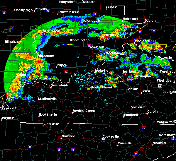 At 618 pm edt, a severe thunderstorm was located 8 miles southeast of taylorsville, moving northeast at 35 mph (radar indicated). Hazards include 60 mph wind gusts and quarter size hail. Hail damage to vehicles is expected. Expect wind damage to roofs, siding, and trees. At 618 pm edt, a severe thunderstorm was located 8 miles southeast of taylorsville, moving northeast at 35 mph (radar indicated). Hazards include 60 mph wind gusts and quarter size hail. Hail damage to vehicles is expected. Expect wind damage to roofs, siding, and trees.
|
| 12/23/2015 8:36 PM EST | At 836 pm est, a severe thunderstorm was located over frankfort, moving northeast at 50 mph (radar indicated). Hazards include 60 mph wind gusts and quarter size hail. Hail damage to vehicles is expected. expect wind damage to roofs, siding and trees. locations impacted include, georgetown, frankfort, lawrenceburg, eminence, midway, pleasureville, stamping ground, sadieville, elmburg, bryant, hatton, gest, bon air hills, jett, big eddy, josephine, millville, peytona, lockport and duval. A tornado watch remains in effect until 900 pm est for central kentucky. |
| 12/23/2015 8:24 PM EST | At 824 pm est, a severe thunderstorm was located 8 miles west of frankfort, moving northeast at 55 mph (radar indicated). Hazards include 60 mph wind gusts. Expect damage to roofs. Siding and trees. |
| 12/23/2015 8:18 PM EST | At 818 pm est, a severe thunderstorm was located 7 miles south of shelbyville, moving northeast at 55 mph (radar indicated). Hazards include 70 mph wind gusts and quarter size hail. Hail damage to vehicles is expected. expect considerable tree damage. wind damage is also likely to mobile homes, roofs and outbuildings. locations impacted include, shelbyville, lawrenceburg, taylorsville, bloomfield, elmburg, hatton, harrisonville, drydock, klondyke, fox creek, van buren, avenstoke, rivals, joyes, peytona, yoder, chaplin, wayside, graefenburg and hooper. A tornado watch remains in effect until 900 pm est for central kentucky. |
| 12/23/2015 8:07 PM EST | At 807 pm est, a severe thunderstorm was located over taylorsville, moving northeast at 60 mph (radar indicated). Hazards include 70 mph wind gusts and quarter size hail. Hail damage to vehicles is expected. expect considerable tree damage. wind damage is also likely to mobile homes, roofs and outbuildings. locations impacted include, shelbyville, bardstown, lawrenceburg, taylorsville, bloomfield, elmburg, hatton, drydock, klondyke, fox creek, waterford, samuels field airport, crenshaw, joyes, peytona, chaplin, wilsonville, hooper, olive branch and little mount. A tornado watch remains in effect until 900 pm est for central kentucky. |
| 12/23/2015 8:07 PM EST | At 807 pm est, a severe thunderstorm was located over taylorsville, moving northeast at 60 mph (radar indicated). Hazards include 70 mph wind gusts and quarter size hail. Hail damage to vehicles is expected. expect considerable tree damage. wind damage is also likely to mobile homes, roofs and outbuildings. locations impacted include, shelbyville, bardstown, lawrenceburg, taylorsville, bloomfield, elmburg, hatton, drydock, klondyke, fox creek, waterford, samuels field airport, crenshaw, joyes, peytona, chaplin, wilsonville, hooper, olive branch and little mount. A tornado watch remains in effect until 900 pm est for central kentucky. |
| 12/23/2015 7:58 PM EST | At 758 pm est, a severe thunderstorm was located 8 miles northwest of bardstown, moving northeast at 55 mph (radar indicated). Hazards include 60 mph wind gusts and quarter size hail. Hail damage to vehicles is expected. Expect wind damage to roofs, siding and trees. |
| 12/23/2015 7:58 PM EST | At 758 pm est, a severe thunderstorm was located 8 miles northwest of bardstown, moving northeast at 55 mph (radar indicated). Hazards include 60 mph wind gusts and quarter size hail. Hail damage to vehicles is expected. Expect wind damage to roofs, siding and trees. |
| 9/5/2015 9:11 PM EDT |
 At 911 pm edt, a severe thunderstorm was located near frankfort, moving southwest at 10 mph (radar indicated). Hazards include 60 mph wind gusts and penny size hail. Expect damage to roofs. Siding and trees. At 911 pm edt, a severe thunderstorm was located near frankfort, moving southwest at 10 mph (radar indicated). Hazards include 60 mph wind gusts and penny size hail. Expect damage to roofs. Siding and trees.
|
| 8/4/2015 8:19 PM EDT |
 At 818 pm edt, a severe thunderstorm was located west of elk creek, moving east at 40 mph (radar indicated). Hazards include 70 mph wind gusts. Expect considerable tree damage. Damage is likely to mobile homes, roofs and outbuildings. At 818 pm edt, a severe thunderstorm was located west of elk creek, moving east at 40 mph (radar indicated). Hazards include 70 mph wind gusts. Expect considerable tree damage. Damage is likely to mobile homes, roofs and outbuildings.
|
| 7/29/2015 6:45 PM EDT |
 At 644 pm edt, a severe thunderstorm was located 5 miles southeast of shelbyville, and moving southeast at 25 mph (radar indicated). Hazards include 60 mph wind gusts. Expect damage to roofs. siding and trees. Locations impacted include, frankfort, fairfield, southville, hemp ridge, polsgrove, wakefield, peytona, hatton, ottusville, swallowfield, waddy, bryant, bloomfield, mount eden, harvieland, benson, graefenburg, junte, harrisonville and peaks mill. At 644 pm edt, a severe thunderstorm was located 5 miles southeast of shelbyville, and moving southeast at 25 mph (radar indicated). Hazards include 60 mph wind gusts. Expect damage to roofs. siding and trees. Locations impacted include, frankfort, fairfield, southville, hemp ridge, polsgrove, wakefield, peytona, hatton, ottusville, swallowfield, waddy, bryant, bloomfield, mount eden, harvieland, benson, graefenburg, junte, harrisonville and peaks mill.
|
| 7/29/2015 6:19 PM EDT |
 At 618 pm edt, a severe thunderstorm was located 8 miles west of shelbyville, and moving southeast at 25 mph (radar indicated). Hazards include 60 mph wind gusts. Expect damage to roofs. Siding and trees. At 618 pm edt, a severe thunderstorm was located 8 miles west of shelbyville, and moving southeast at 25 mph (radar indicated). Hazards include 60 mph wind gusts. Expect damage to roofs. Siding and trees.
|
| 7/19/2015 5:59 PM EDT |
 At 557 pm edt, a severe thunderstorm was located 8 miles southeast of taylorsville, and moving east at 25 mph (radar indicated). Hazards include 60 mph wind gusts. Expect damage to roofs. siding and trees. Locations impacted include, chaplin, van buren, sparrow, wayside, johnsonville, klondyke, fairview, glensboro, anderson city, ashbrook, sinai, drydock and fox creek. At 557 pm edt, a severe thunderstorm was located 8 miles southeast of taylorsville, and moving east at 25 mph (radar indicated). Hazards include 60 mph wind gusts. Expect damage to roofs. siding and trees. Locations impacted include, chaplin, van buren, sparrow, wayside, johnsonville, klondyke, fairview, glensboro, anderson city, ashbrook, sinai, drydock and fox creek.
|
| 7/19/2015 5:48 PM EDT |
 At 546 pm edt, a severe thunderstorm was located near taylorsville, and moving east at 25 mph (radar indicated). Hazards include 60 mph wind gusts and penny size hail. Expect damage to roofs. Siding and trees. At 546 pm edt, a severe thunderstorm was located near taylorsville, and moving east at 25 mph (radar indicated). Hazards include 60 mph wind gusts and penny size hail. Expect damage to roofs. Siding and trees.
|
| 7/19/2015 3:50 PM EDT |
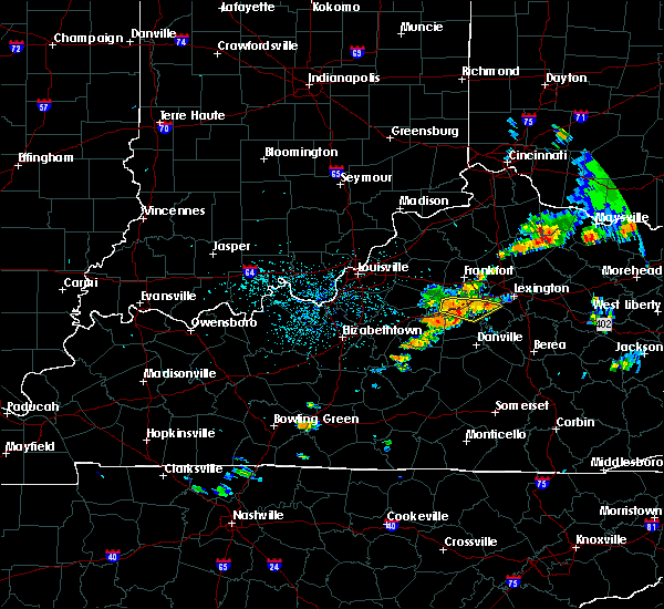 At 348 pm edt, a severe thunderstorm was located 8 miles southwest of lawrenceburg, and moving east at 20 mph (radar indicated). Hazards include 60 mph wind gusts. Expect damage to roofs. siding and trees. Locations impacted include, hickory grove, ballard, fox creek, kirkwood, mcbrayer, nevin, stringtown, bondville, vanarsdell, oregon, ebenezer, mortonsville, nonesuch, mundys landing, troy, pinckard, dixon town, keene, nealton and brannon. At 348 pm edt, a severe thunderstorm was located 8 miles southwest of lawrenceburg, and moving east at 20 mph (radar indicated). Hazards include 60 mph wind gusts. Expect damage to roofs. siding and trees. Locations impacted include, hickory grove, ballard, fox creek, kirkwood, mcbrayer, nevin, stringtown, bondville, vanarsdell, oregon, ebenezer, mortonsville, nonesuch, mundys landing, troy, pinckard, dixon town, keene, nealton and brannon.
|
| 7/19/2015 3:28 PM EDT |
 At 326 pm edt, a severe thunderstorm was located 11 miles east of taylorsville, and moving east at 20 mph (radar indicated). Hazards include 60 mph wind gusts. Expect damage to roofs. Siding and trees. At 326 pm edt, a severe thunderstorm was located 11 miles east of taylorsville, and moving east at 20 mph (radar indicated). Hazards include 60 mph wind gusts. Expect damage to roofs. Siding and trees.
|
| 7/17/2015 11:41 PM EDT | Storm damage reported in anderson county KY, 3.7 miles SSE of Lawrenceburg, KY |
| 7/14/2015 3:13 AM EDT |
 At 310 am edt, severe thunderstorms were located along a line extending from shelbyville to 7 miles north of taylorsville, and moving southeast at 45 mph (radar indicated). Hazards include 60 mph wind gusts and quarter size hail. Hail damage to vehicles is expected. Expect wind damage to roofs, siding and trees. At 310 am edt, severe thunderstorms were located along a line extending from shelbyville to 7 miles north of taylorsville, and moving southeast at 45 mph (radar indicated). Hazards include 60 mph wind gusts and quarter size hail. Hail damage to vehicles is expected. Expect wind damage to roofs, siding and trees.
|
| 7/13/2015 2:51 PM EDT |
 At 249 pm edt, severe thunderstorms were located along a line extending from 7 miles west of georgetown to 6 miles southwest of shelbyville to shively, and moving southeast at 45 mph (radar indicated). Hazards include 60 mph wind gusts. Expect damage to roofs. Siding and trees. At 249 pm edt, severe thunderstorms were located along a line extending from 7 miles west of georgetown to 6 miles southwest of shelbyville to shively, and moving southeast at 45 mph (radar indicated). Hazards include 60 mph wind gusts. Expect damage to roofs. Siding and trees.
|
| 7/12/2015 9:42 PM EDT | The severe thunderstorm warning for east central anderson and north central mercer counties will expire at 945 pm edt/845 pm cdt/, the storm which prompted the warning has weakened below severe limits, and no longer poses an immediate threat to life or property. |
| 7/12/2015 9:25 PM EDT |
 At 922 pm edt, a severe thunderstorm was located near lawrenceburg, and moving southeast at 15 mph (radar indicated). Hazards include 60 mph wind gusts and quarter size hail. Hail damage to vehicles is expected. expect wind damage to roofs, siding and trees. Locations impacted include, mcbrayer, nevin, kirkwood, bondville, terrapin, vanarsdell and mayo. At 922 pm edt, a severe thunderstorm was located near lawrenceburg, and moving southeast at 15 mph (radar indicated). Hazards include 60 mph wind gusts and quarter size hail. Hail damage to vehicles is expected. expect wind damage to roofs, siding and trees. Locations impacted include, mcbrayer, nevin, kirkwood, bondville, terrapin, vanarsdell and mayo.
|
| 7/12/2015 9:15 PM EDT |
 At 913 pm edt, a severe thunderstorm was located near lawrenceburg, and moving southeast at 15 mph (radar indicated). Hazards include 60 mph wind gusts and quarter size hail. Hail damage to vehicles is expected. Expect wind damage to roofs, siding and trees. At 913 pm edt, a severe thunderstorm was located near lawrenceburg, and moving southeast at 15 mph (radar indicated). Hazards include 60 mph wind gusts and quarter size hail. Hail damage to vehicles is expected. Expect wind damage to roofs, siding and trees.
|
| 7/10/2015 11:53 AM EDT |
 At 1150 am edt, severe thunderstorms were located along a line extending from 6 miles southeast of new castle to versailles to 6 miles southeast of lawrenceburg to 8 miles east of springfield, and moving east at 35 mph (radar indicated). Hazards include 60 mph wind gusts. Expect damage to roofs. siding and trees. Locations impacted include, lawrenceburg, milner, capital city airport, pleasureville, cornishville, benson, battle, mackville, terrapin, nevin, cropper, tyrone, broadville manor, clifton, hatton, bagdad, old christianburg, kirkwood, duncan and bridgeport. At 1150 am edt, severe thunderstorms were located along a line extending from 6 miles southeast of new castle to versailles to 6 miles southeast of lawrenceburg to 8 miles east of springfield, and moving east at 35 mph (radar indicated). Hazards include 60 mph wind gusts. Expect damage to roofs. siding and trees. Locations impacted include, lawrenceburg, milner, capital city airport, pleasureville, cornishville, benson, battle, mackville, terrapin, nevin, cropper, tyrone, broadville manor, clifton, hatton, bagdad, old christianburg, kirkwood, duncan and bridgeport.
|
| 7/10/2015 11:48 AM EDT |
 At 1145 am edt, severe thunderstorms were located along a line extending from 7 miles south of new castle to lawrenceburg to 5 miles south of lawrenceburg to 5 miles east of springfield, and moving east at 35 mph (radar indicated). Hazards include 60 mph wind gusts. Expect damage to roofs. siding and trees. Locations impacted include, cropper, bagdad, bridgeport, evergreen, old christianburg, dugansville, cardwell, farmdale, tablow, thompsonville, alton, graefenburg, fox creek, ballard, seaville, sharpsville and hickory grove. At 1145 am edt, severe thunderstorms were located along a line extending from 7 miles south of new castle to lawrenceburg to 5 miles south of lawrenceburg to 5 miles east of springfield, and moving east at 35 mph (radar indicated). Hazards include 60 mph wind gusts. Expect damage to roofs. siding and trees. Locations impacted include, cropper, bagdad, bridgeport, evergreen, old christianburg, dugansville, cardwell, farmdale, tablow, thompsonville, alton, graefenburg, fox creek, ballard, seaville, sharpsville and hickory grove.
|
| 7/10/2015 11:41 AM EDT |
 At 1140 am edt, severe thunderstorms were located along a line extending from 8 miles southeast of la grange to 9 miles northwest of lawrenceburg to 10 miles southwest of lawrenceburg to springfield, and moving west at 35 mph (radar indicated). Hazards include 60 mph wind gusts. Expect damage to roofs. Siding and trees. At 1140 am edt, severe thunderstorms were located along a line extending from 8 miles southeast of la grange to 9 miles northwest of lawrenceburg to 10 miles southwest of lawrenceburg to springfield, and moving west at 35 mph (radar indicated). Hazards include 60 mph wind gusts. Expect damage to roofs. Siding and trees.
|
| 7/10/2015 11:40 AM EDT | Reports of trees down across roadways around the county and city of lawrenceburg... k in anderson county KY, 0.8 miles WNW of Lawrenceburg, KY |
| 7/10/2015 11:39 AM EDT |
 At 1135 am edt, severe thunderstorms were located along a line extending from shelbyville to 6 miles west of lawrenceburg to 13 miles southwest of lawrenceburg to springfield, and moving east at 30 mph. there has been reports of extensive tree damage in bullitt county and and just received a report of a roof blown off on 31e between bardstown and coxes creek (radar indicated). Hazards include 60 mph wind gusts. Expect damage to roofs. siding and trees. Locations impacted include, frankfort, lawrenceburg, harrodsburg, sharpsville, seaville, hickory grove, thompsonville, peytona, fox creek, avenstoke, ballard, graefenburg, tablow, cardwell, dugansville, alton, mackville, duncan, hatton and battle. At 1135 am edt, severe thunderstorms were located along a line extending from shelbyville to 6 miles west of lawrenceburg to 13 miles southwest of lawrenceburg to springfield, and moving east at 30 mph. there has been reports of extensive tree damage in bullitt county and and just received a report of a roof blown off on 31e between bardstown and coxes creek (radar indicated). Hazards include 60 mph wind gusts. Expect damage to roofs. siding and trees. Locations impacted include, frankfort, lawrenceburg, harrodsburg, sharpsville, seaville, hickory grove, thompsonville, peytona, fox creek, avenstoke, ballard, graefenburg, tablow, cardwell, dugansville, alton, mackville, duncan, hatton and battle.
|
| 7/10/2015 11:16 AM EDT |
 At 1115 am edt, severe thunderstorms were located along a line extending from middletown to 6 miles south of taylorsville to 11 miles south of bardstown, and moving east at 30 mph (radar indicated). Hazards include 60 mph wind gusts. Expect damage to roofs. Siding and trees. At 1115 am edt, severe thunderstorms were located along a line extending from middletown to 6 miles south of taylorsville to 11 miles south of bardstown, and moving east at 30 mph (radar indicated). Hazards include 60 mph wind gusts. Expect damage to roofs. Siding and trees.
|
| 6/29/2015 4:53 PM EDT |
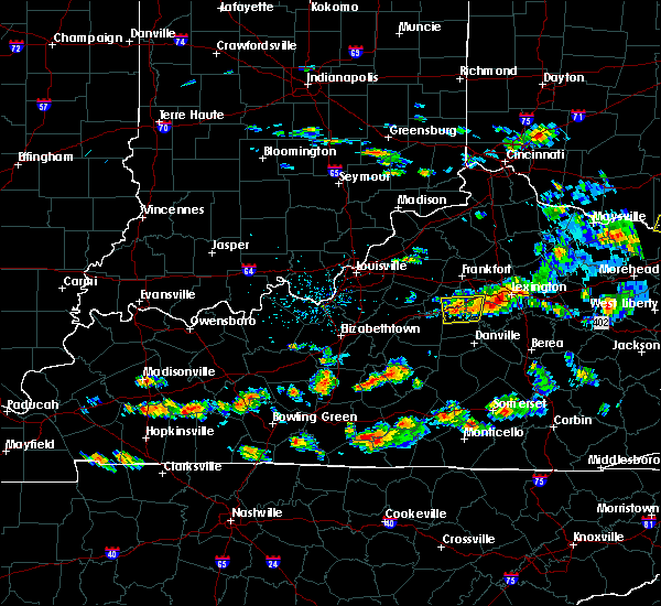 At 450 pm edt, a line of severe thunderstorms was located along the bluegrass parkway from mercer county eastward into western woodford county. one area of strong winds was located just south of mortonsville in woodford county. a second area of strong winds was located near kirkwood in northern mercer county. this band of strong winds will affect the bluegrass parkway and the nevin and bondville areas of mercer county shortly (radar indicated). Hazards include 60 mph wind gusts. Expect damage to roofs. siding and trees. Locations impacted include, mundys landing, nonesuch, mortonsville and shakertown. At 450 pm edt, a line of severe thunderstorms was located along the bluegrass parkway from mercer county eastward into western woodford county. one area of strong winds was located just south of mortonsville in woodford county. a second area of strong winds was located near kirkwood in northern mercer county. this band of strong winds will affect the bluegrass parkway and the nevin and bondville areas of mercer county shortly (radar indicated). Hazards include 60 mph wind gusts. Expect damage to roofs. siding and trees. Locations impacted include, mundys landing, nonesuch, mortonsville and shakertown.
|
| 6/29/2015 4:35 PM EDT | Few trees down at hwy 127 and bluegrass parkwa in anderson county KY, 0.8 miles WNW of Lawrenceburg, KY |
| 6/29/2015 4:34 PM EDT |
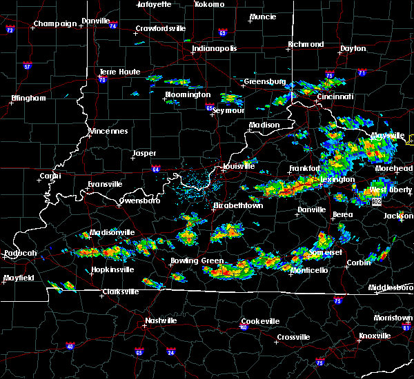 At 432 pm edt, a severe thunderstorm was located 7 miles south of lawrenceburg, and moving east at 30 mph (radar indicated). Hazards include 60 mph wind gusts. Expect damage to roofs. Siding and trees. At 432 pm edt, a severe thunderstorm was located 7 miles south of lawrenceburg, and moving east at 30 mph (radar indicated). Hazards include 60 mph wind gusts. Expect damage to roofs. Siding and trees.
|
| 6/18/2015 6:15 PM EDT | Fireworks tent at 127 and 62 damaged. steel pole blew ove in anderson county KY, 0.5 miles NE of Lawrenceburg, KY |
| 6/18/2015 6:15 PM EDT | At 613 pm edt, a severe thunderstorm was located near lawrenceburg, and moving northeast at 45 mph (radar indicated). Hazards include 60 mph wind gusts. Expect damage to roofs. Siding and trees. |
| 6/18/2015 6:13 PM EDT | Roof blown off of a daycare. also... damage to another business reporte in anderson county KY, 2.6 miles SSE of Lawrenceburg, KY |
| 5/11/2015 2:48 PM EDT | At 247 pm edt, a severe thunderstorm was located 8 miles south of lawrenceburg, and moving northeast at 35 mph (radar indicated). Hazards include 60 mph wind gusts. Expect damage to roofs. siding and trees. locations impacted include, lawrenceburg, bondville, nevin, oregon, mcbrayer, stringtown, alton, tyrone and mortonsville. 75in. |
| 5/11/2015 2:33 PM EDT | At 232 pm edt, a severe thunderstorm was located 12 miles northwest of harrodsburg, and moving northeast at 35 mph (radar indicated). Hazards include 60 mph wind gusts. Expect damage to roofs. Siding and trees. |
| 4/8/2015 5:25 PM EDT | The national weather service in louisville has issued a * severe thunderstorm warning for. northern anderson county in east central kentucky. southwestern franklin county in east central kentucky. southeastern shelby county in north central kentucky. Eastern spencer county in north central kentucky. |
| 5/21/2014 8:45 PM EDT | Storm damage reported in anderson county KY, 4.2 miles SSW of Lawrenceburg, KY |
| 12/21/2013 11:22 PM EST | Spotter called in report of measured wind gust of 60 mph in anderson county KY, 0.8 miles WNW of Lawrenceburg, KY |
| 12/21/2013 11:15 PM EST | Franklin county mesonet reported 62.7 mph wind gust in anderson county KY, 4.2 miles SSW of Lawrenceburg, KY |
| 12/21/2013 11:12 PM EST | Large tree downed along with multiple power lines on us 62 between starhill dr and lock road east of lawrencebur in anderson county KY, 1.6 miles SW of Lawrenceburg, KY |
| 7/23/2013 11:10 PM EDT | Quarter sized hail reported 0.8 miles WNW of Lawrenceburg, KY |
| 7/27/2012 8:45 PM EDT | Reports of numerous trees down as well as power outages in anderson county in anderson county KY, 4.8 miles ENE of Lawrenceburg, KY |
| 7/27/2012 8:40 PM EDT | 18 tree down on u.s. 62 near wild turkey trace in anderson county KY, 2.2 miles NE of Lawrenceburg, KY |
| 7/27/2012 8:31 PM EDT | Storm damage reported in anderson county KY, 1.3 miles SW of Lawrenceburg, KY |
| 7/26/2012 11:24 PM EDT | Dispatch reports at least one tree down on road near intersection of alton station and lin moore roads in anderson county KY, 6.5 miles E of Lawrenceburg, KY |
| 7/26/2012 6:51 PM EDT | Picture of tree down posted to facebook in anderson county KY, 0.8 miles WNW of Lawrenceburg, KY |
| 7/19/2012 7:28 PM EDT | Widespread wind damage in lawrenceburg from multiple sources. a 35 foot maple tree was downed. a trampoline was thrown over a fence. power outages were widesprea in anderson county KY, 0.8 miles WNW of Lawrenceburg, KY |
| 7/1/2012 9:36 PM EDT | Trees down across the city in anderson county KY, 0.8 miles WNW of Lawrenceburg, KY |
| 7/1/2012 9:33 PM EDT | Trees down in anderson county KY, 9.4 miles ENE of Lawrenceburg, KY |
| 3/15/2012 5:03 PM EDT | Quarter sized hail reported 9.6 miles NE of Lawrenceburg, KY, near beaver lake. |
| 3/2/2012 5:26 PM EST | Golf Ball sized hail reported 3.5 miles SSE of Lawrenceburg, KY |
| 3/2/2012 5:26 PM EST | Golf Ball sized hail reported 3.9 miles S of Lawrenceburg, KY |
| 3/2/2012 5:10 PM EST | Golf Ball sized hail reported 3.5 miles SSE of Lawrenceburg, KY |
| 1/1/0001 12:00 AM | Several trees down in southern areas of lawrenceburg in anderson county KY, 0.8 miles WNW of Lawrenceburg, KY |
| 1/1/0001 12:00 AM | Trees down on alton station and wildcat roads in anderson county KY, 0.8 miles WNW of Lawrenceburg, KY |
| 1/1/0001 12:00 AM | Quarter sized hail reported 0.8 miles WNW of Lawrenceburg, KY |
Hail Maps for Lawrenceburg, KY
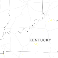

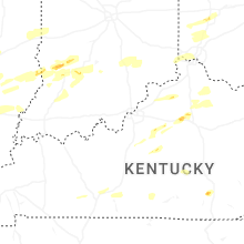


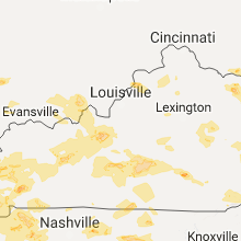


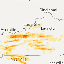


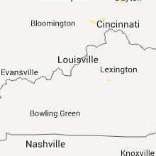


Connect with Interactive Hail Maps